Road Information |
||
 |
||
| Total Mileage in State: | 187 miles | |
| Northern End: | At Ohio state line | |
| Southern End: | At Virginia state line | |
| Mileage covered in Photos: | 187 miles | |
| Counties covered in Photos: | Wood, Jackson, Kanawha, Fayette, Raleigh, Mercer | |
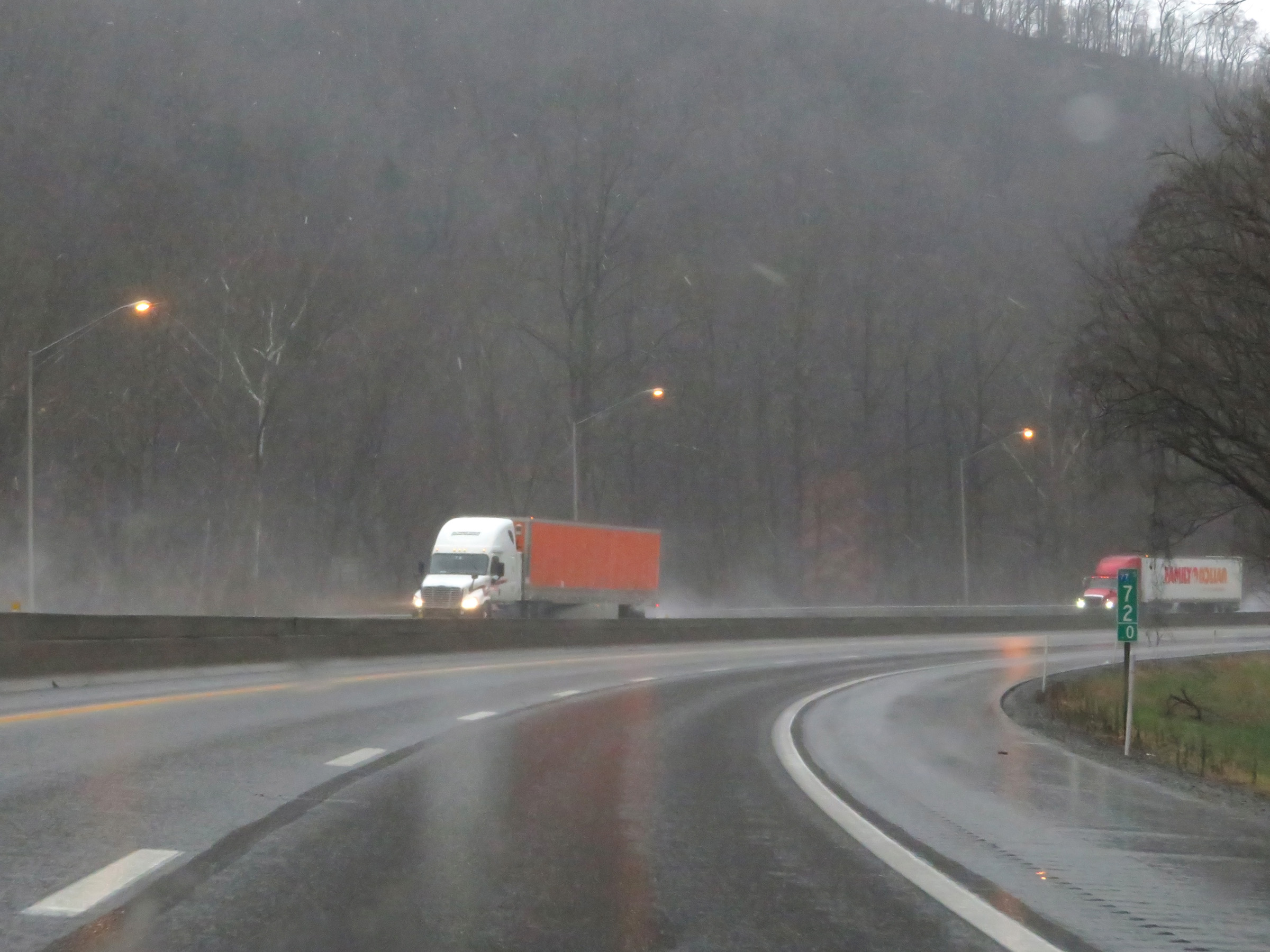
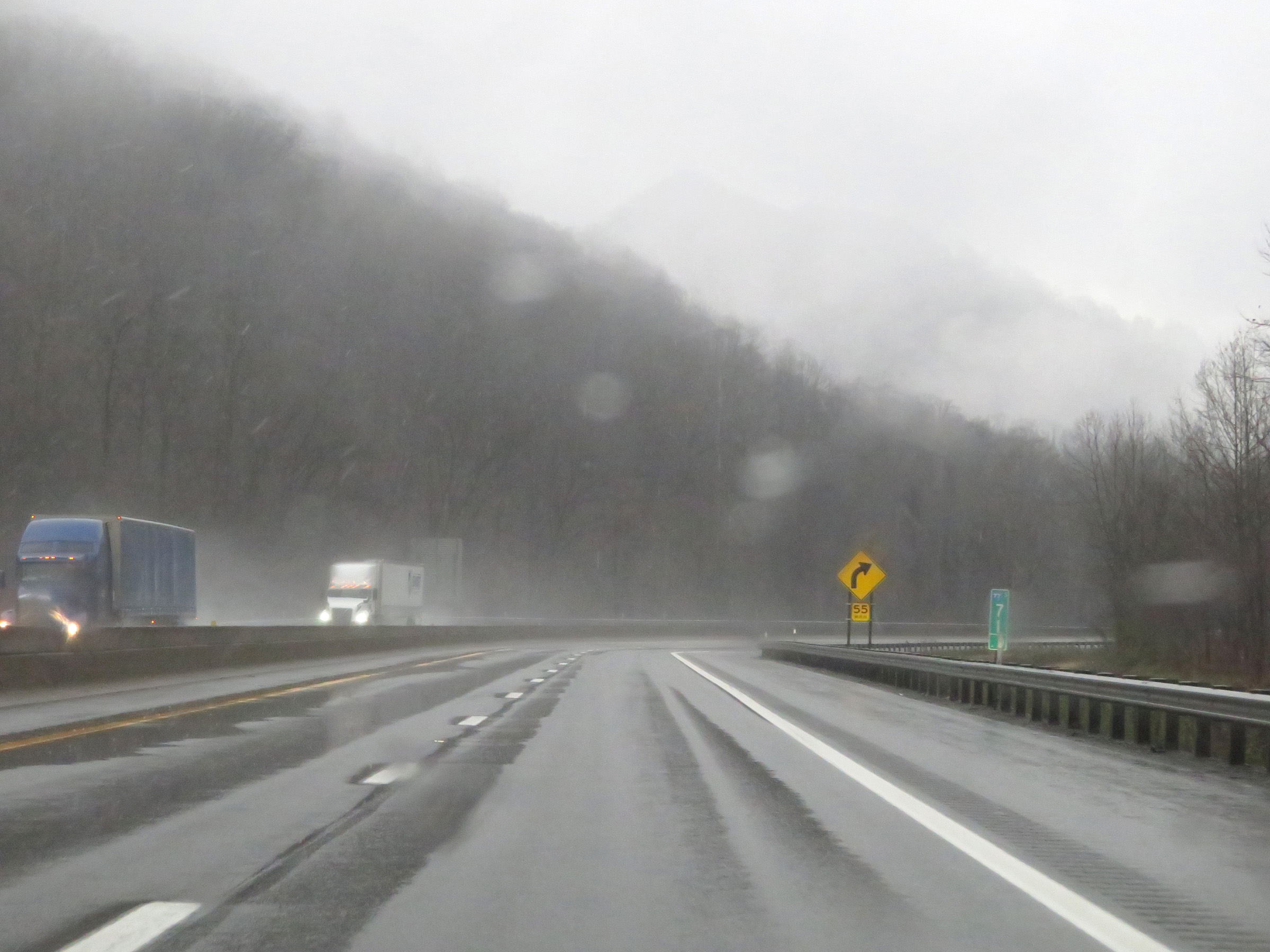
| Major Junctions in Photos: | I-79 North, in Charleston I-64, in Charleston I-64 East, near Beckley |
|
| Control Cities in Photos: | Parkersburg, Charleston, Beckley, Bluefield | |
Southbound
- Section 1: Ohio Border to Sissonville (Exit 116)
- Section 2: Sissonville (Exit 116) to Charleston (Exit 95)
- Section 3: Charleston (Exit 95) to Beckley (Exit 48)
- Section 4: Beckley (Exit 48) to Princeton (Exit 20)
- Section 5: Princeton (Exit 20) to Virginia Border
Section 1: Ohio Border to Sissonville (Exit 116)
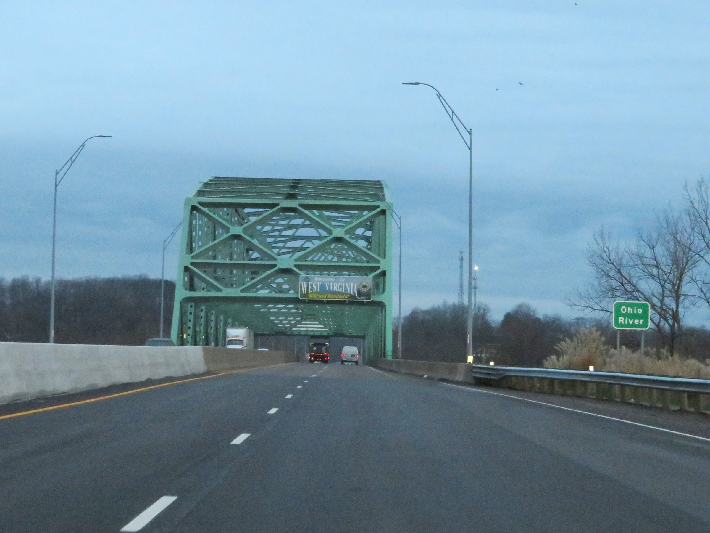 |
Interstate 77 South as it prepares to cross the Ohio River and enter West Virginia from Ohio. (Photo taken 12/4/20). |
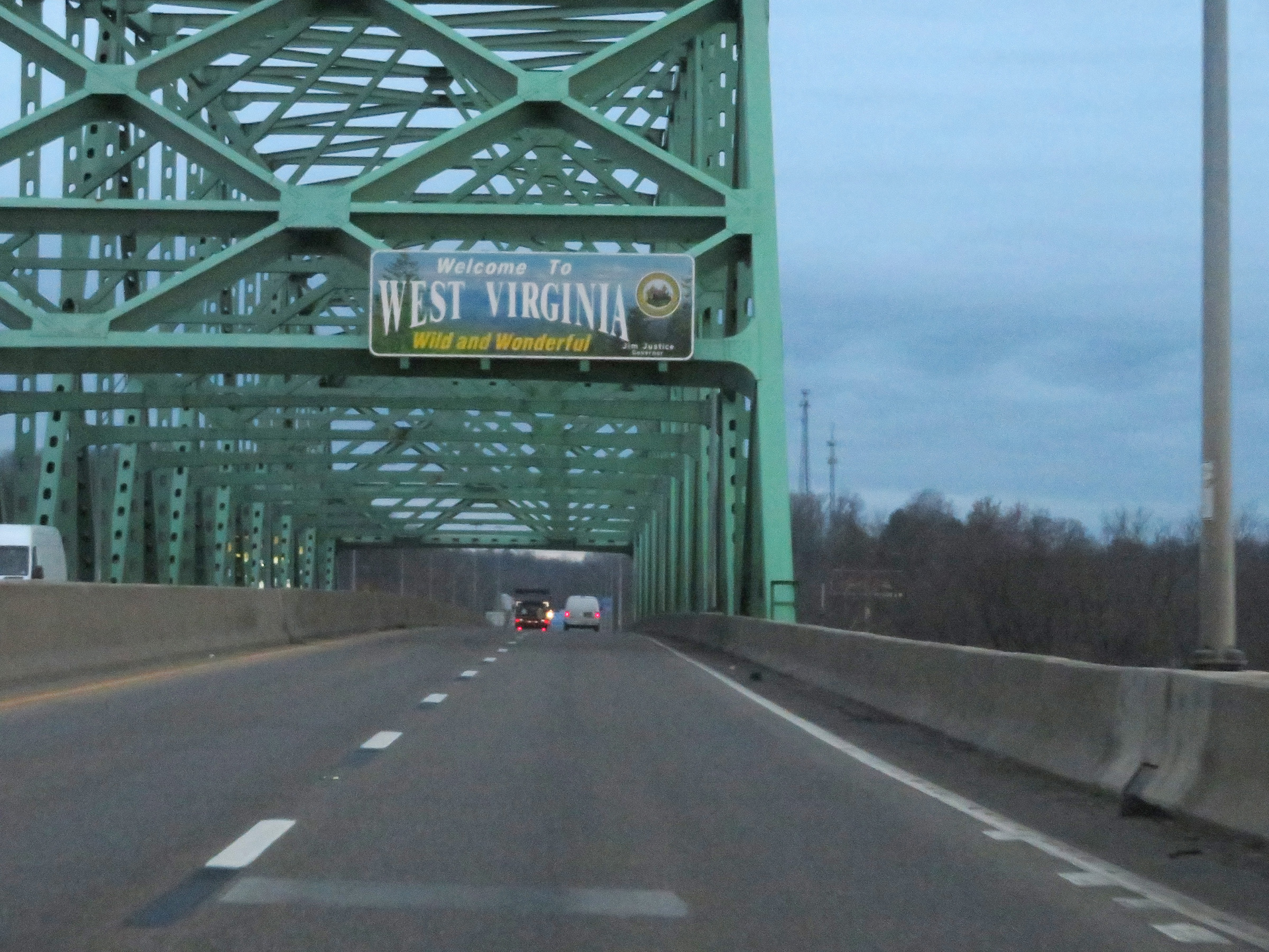 |
West Virginia welcome sign as Interstate 77 South crosses the state line on the Marietta-Williamstown Interstate Bridge over the Ohio River. (Photo taken 12/4/20). |
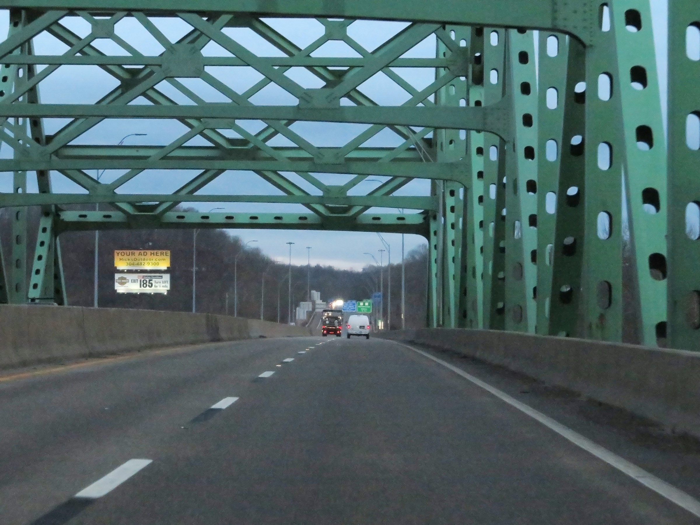 |
Another view on Interstate 77 South as it crosses the Marietta-Williamstown Interstate Bridge over the Ohio River. (Photo taken 12/4/20). |
 |
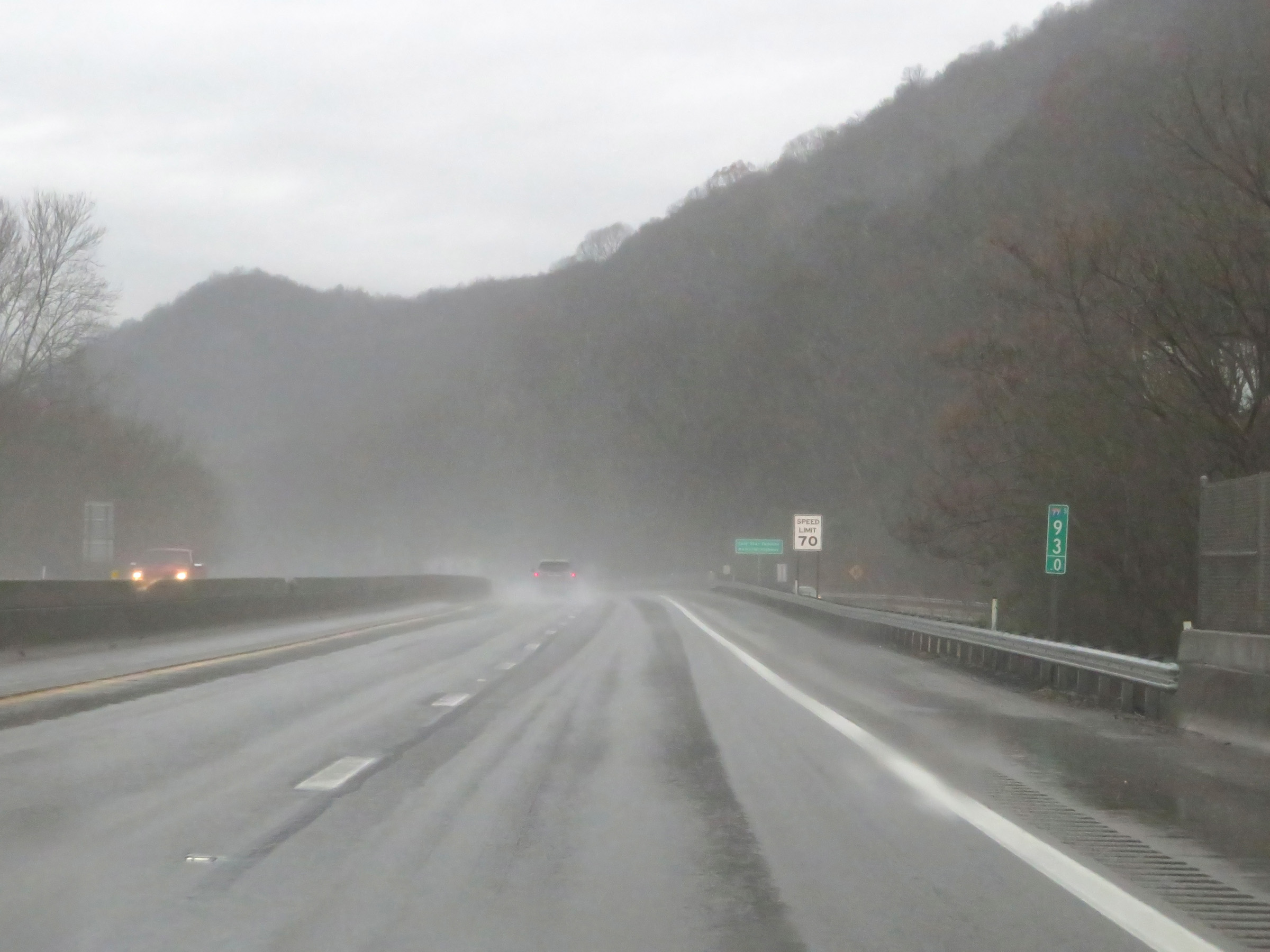
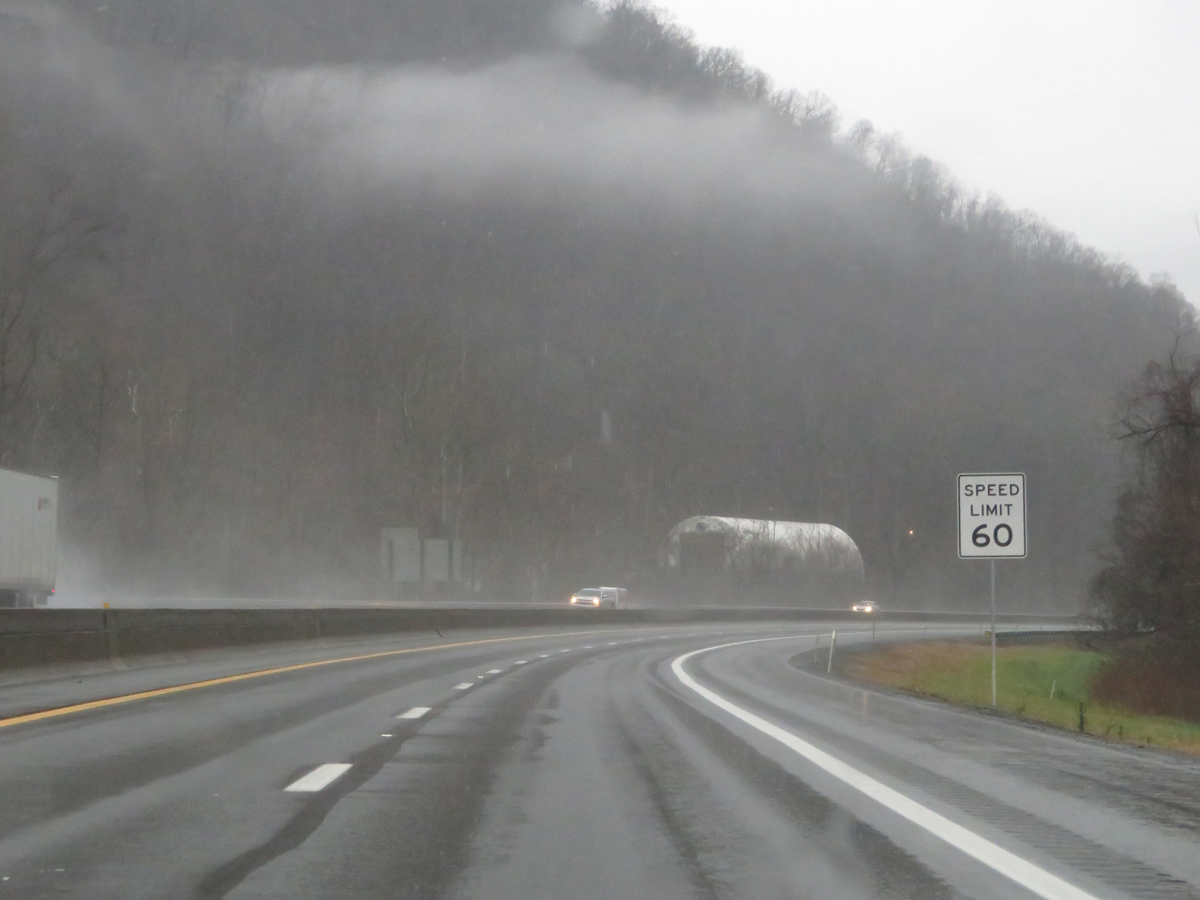
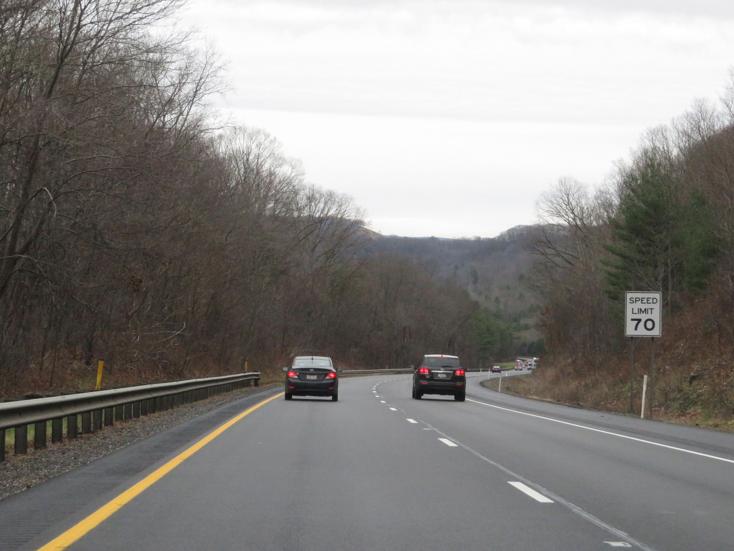
The speed limit on Interstate 77 South in West Virginia starts out at 70 mph. This is the standard speed limit on most rural Interstate highways in West Virginia. (Photo taken 12/4/20). |
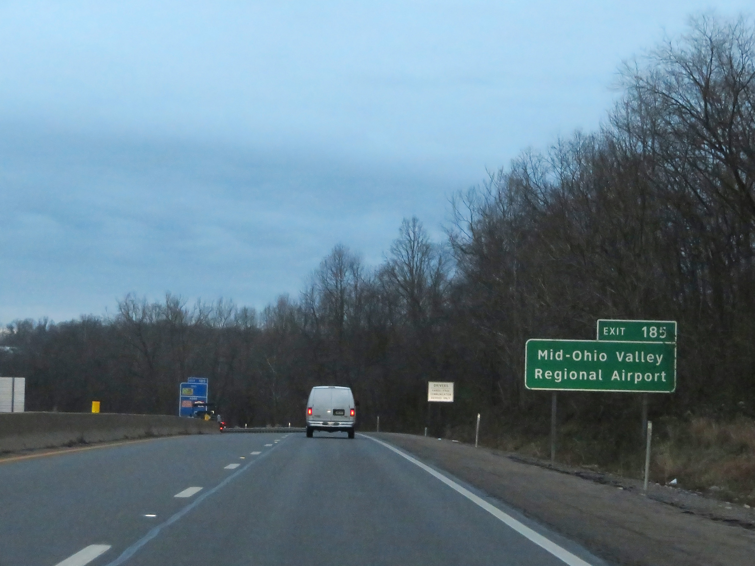 |
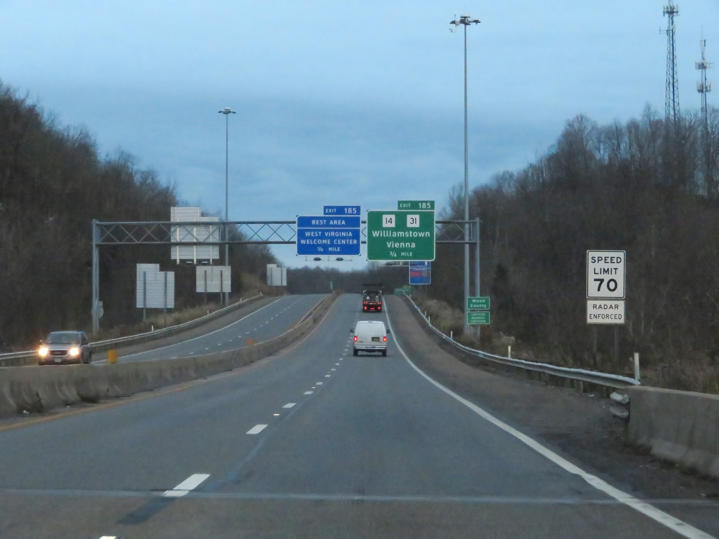
Take Exit 185 to Mid-Ohio Valley Regional Airport. (Photo taken 12/4/20). |
 |
Interstate 77 South at Exit 185: WV 14 / WV 31 - Williamstown / Vienna / Rest Area / Welcome Center (Photo taken 12/4/20). |
 |
State-named Interstate 77 South reassurance shield. (Photo taken 12/4/20). |
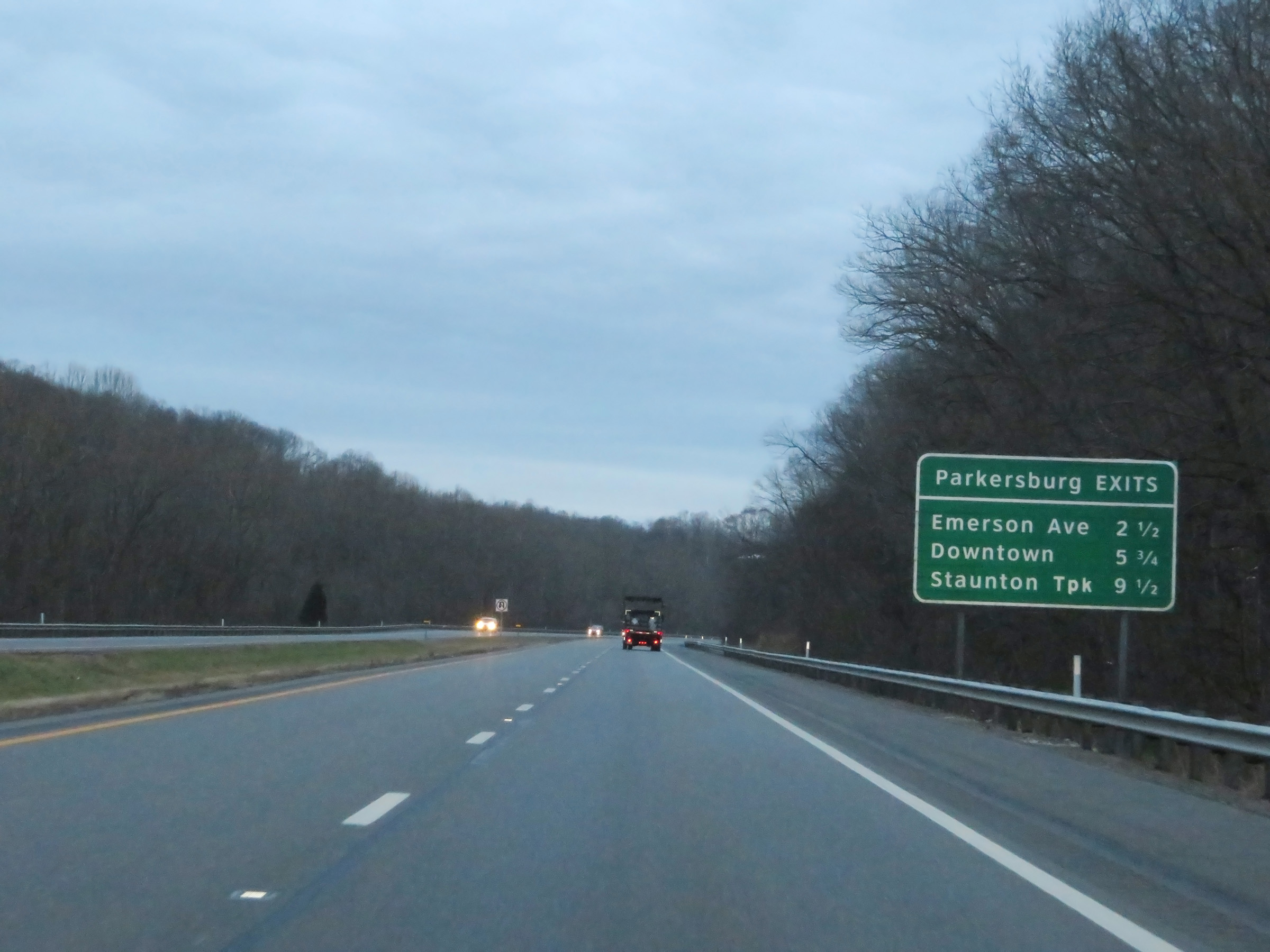 |
Mileage sign listing the distances to the three upcoming exits to Parkersburg on Interstate 77 South. (Photo taken 12/4/20). |
 |
View on Interstate 77 South at mile marker 182.5. (Photo taken 12/4/20). |
 |
Interstate 77 South at mile marker 181. (Photo taken 12/4/20). |
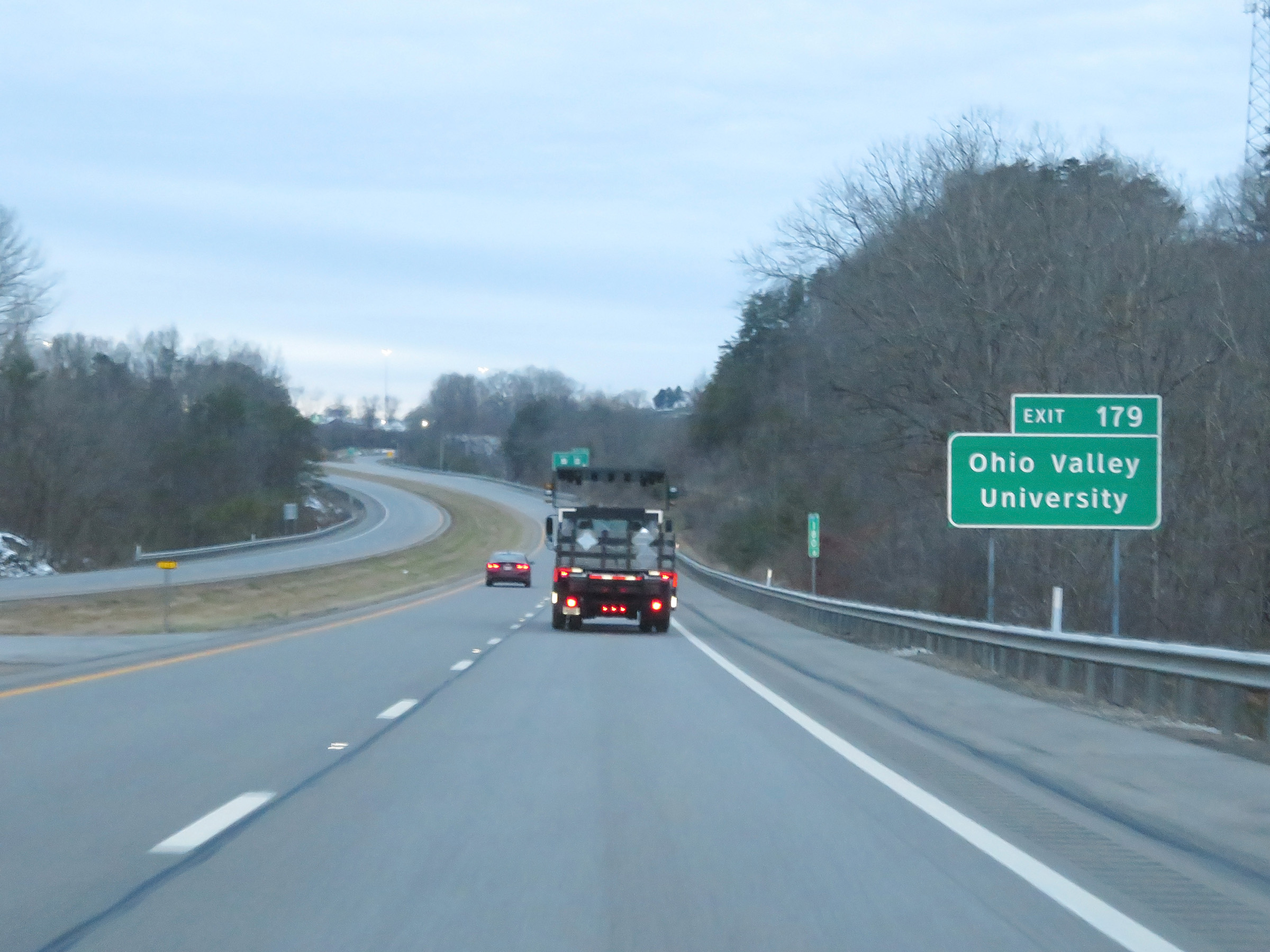 |
Take Exit 179 to Ohio Valley University. (Photo taken 12/4/20). |
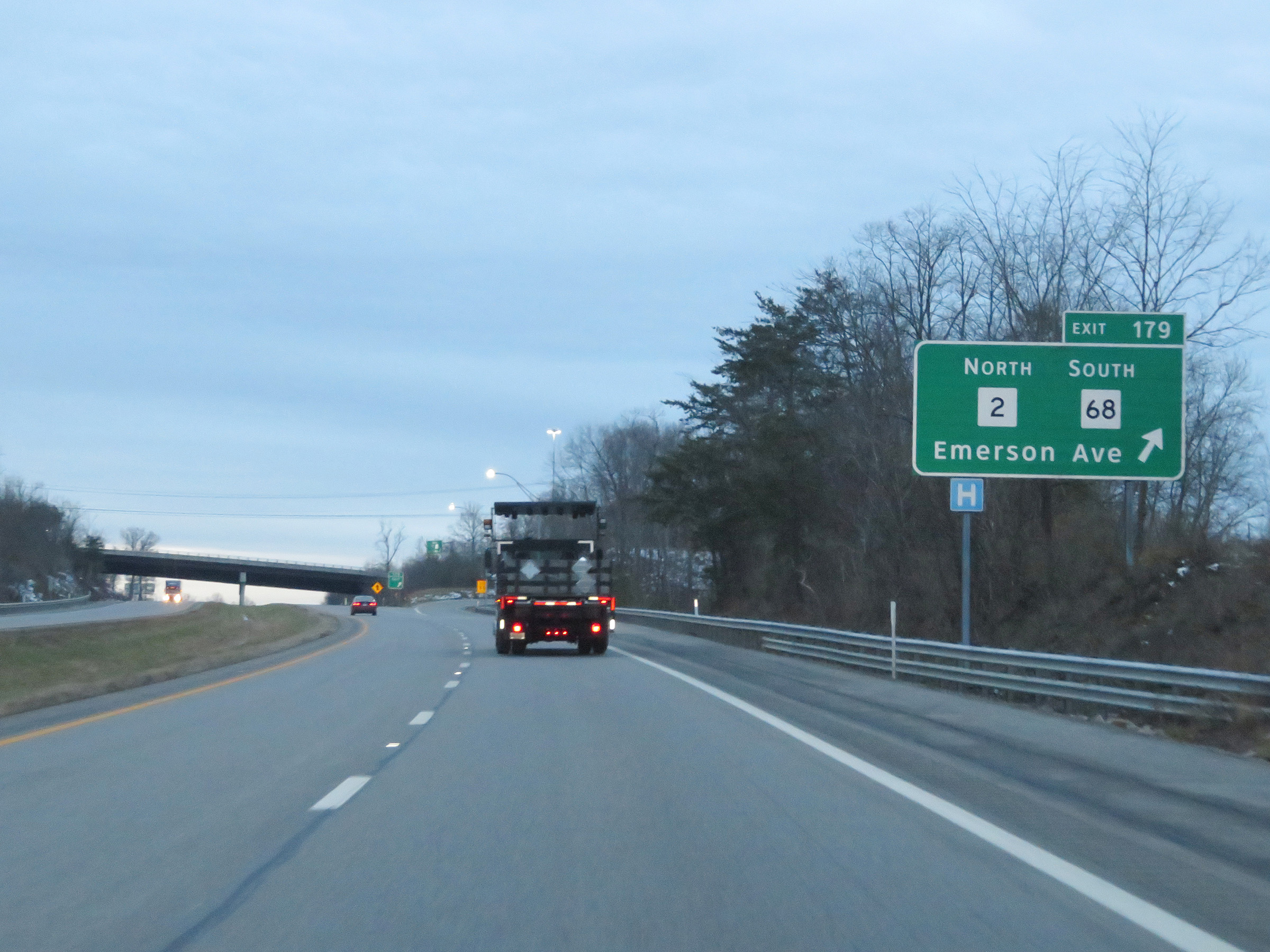 |
Interstate 77 South at Exit 179: WV 2 North / WV 68 South - Emerson Ave (Photo taken 12/4/20). |
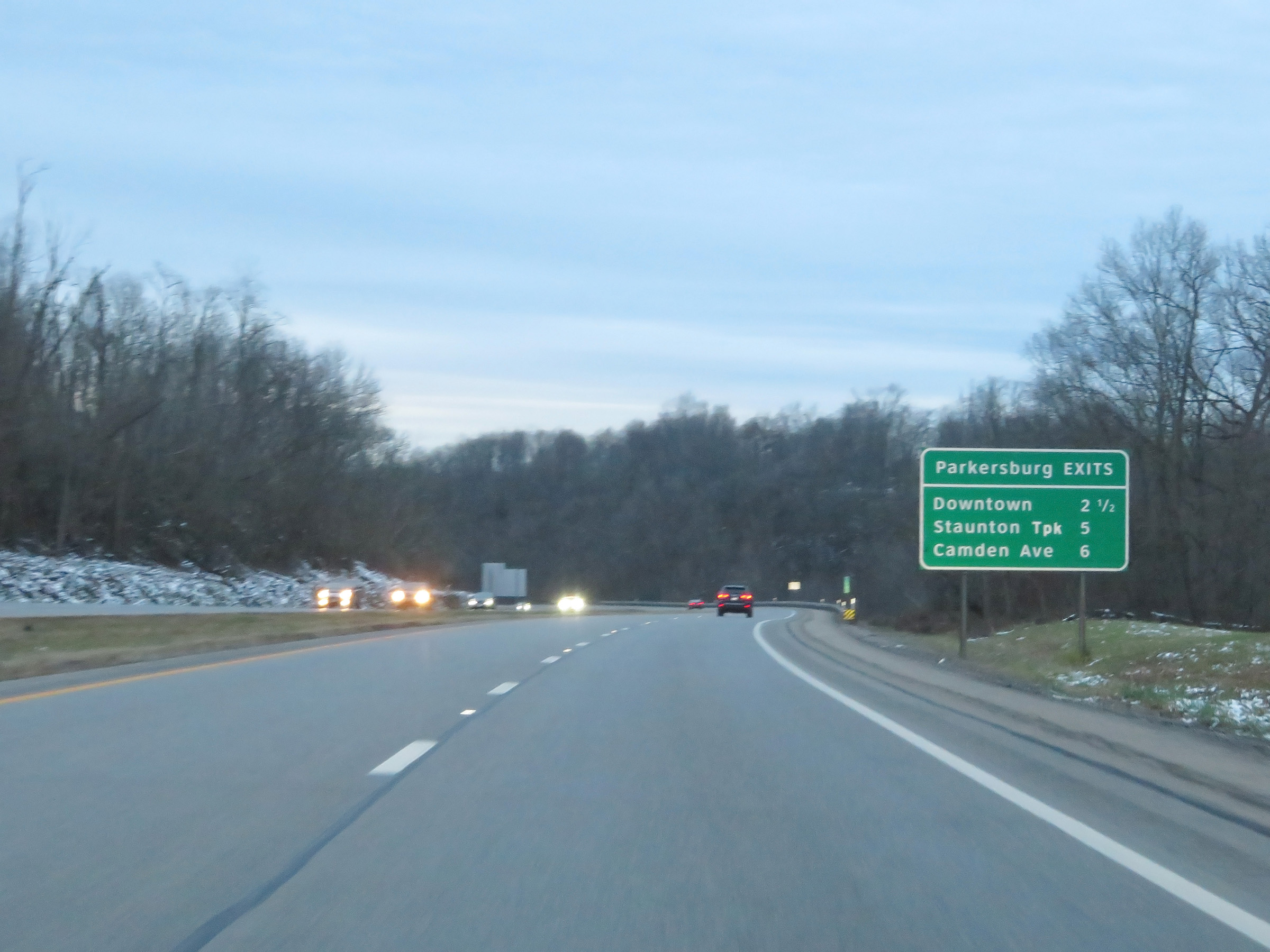 |
Another mileage sign listing the distances to the next three Parkersburg exits. (Photo taken 12/4/20). |
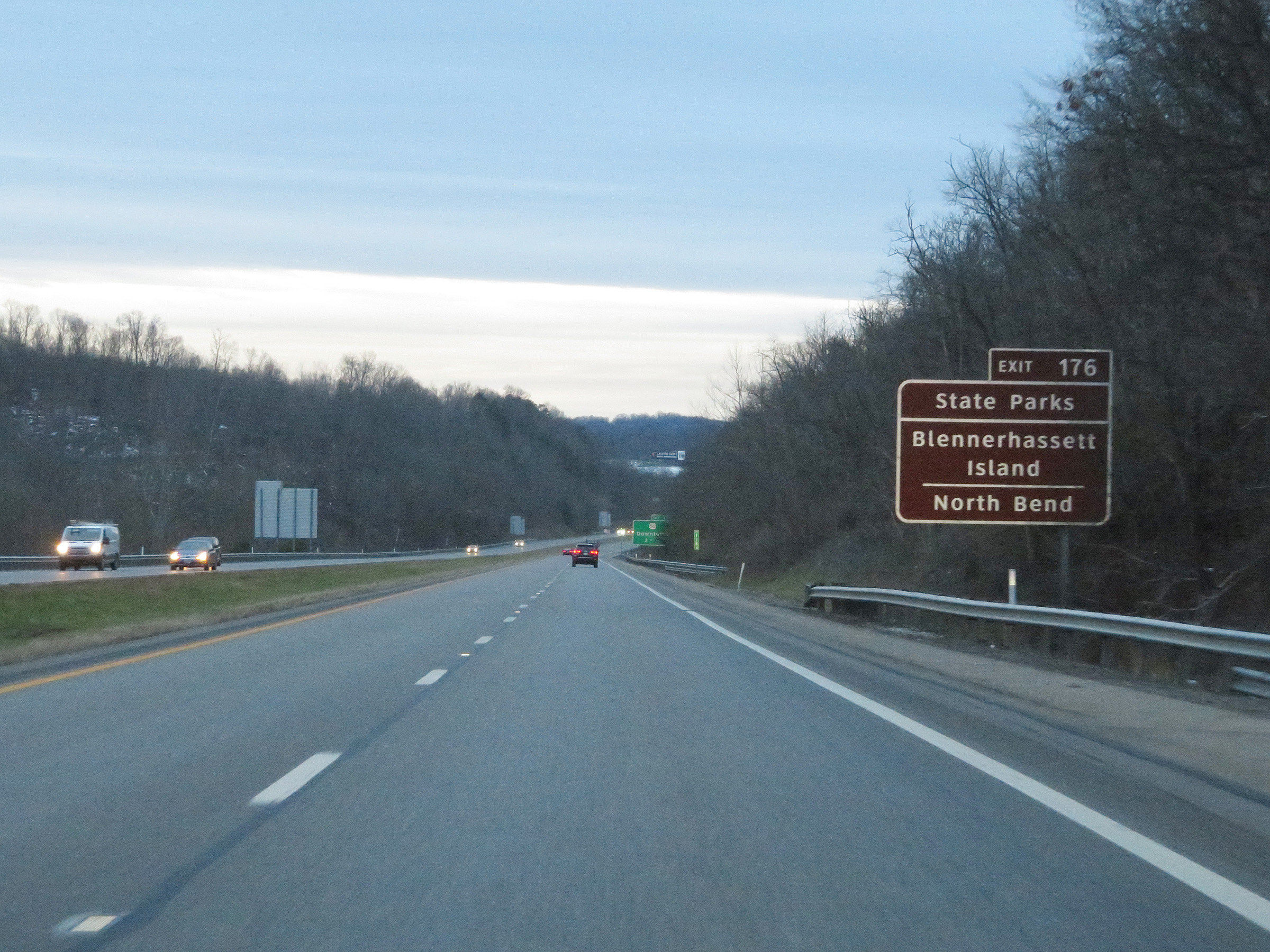 |
Take Exit 176 to Blennerhassett Island and North Bend State Parks. (Photo taken 12/4/20). |
 |
Mile marker 177.8 on Interstate 77 South in Wood County. (Photo taken 12/4/20). |
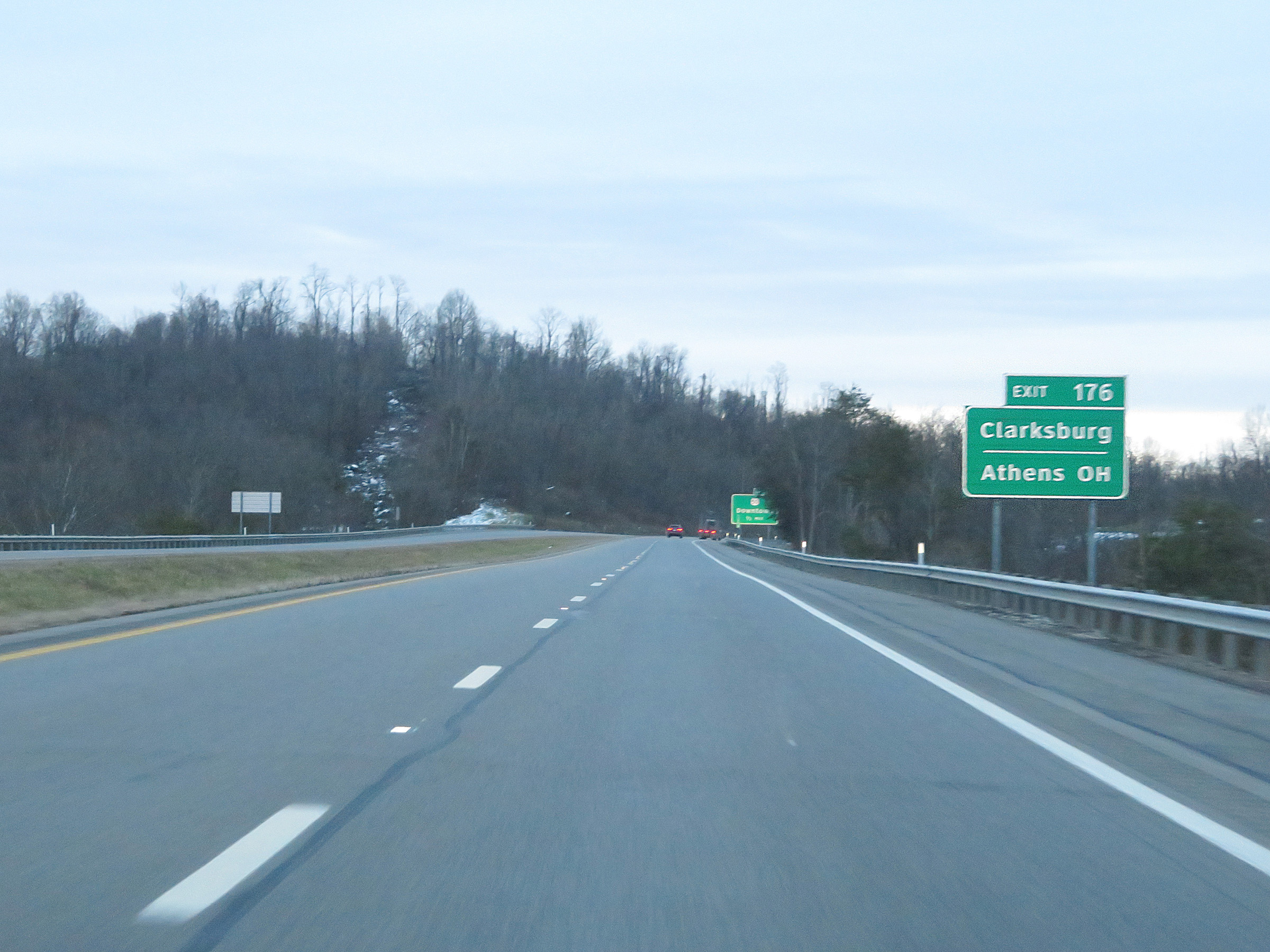 |
Also take Exit 176 to Clarksburg and Athens, OH. (Photo taken 12/4/20). |
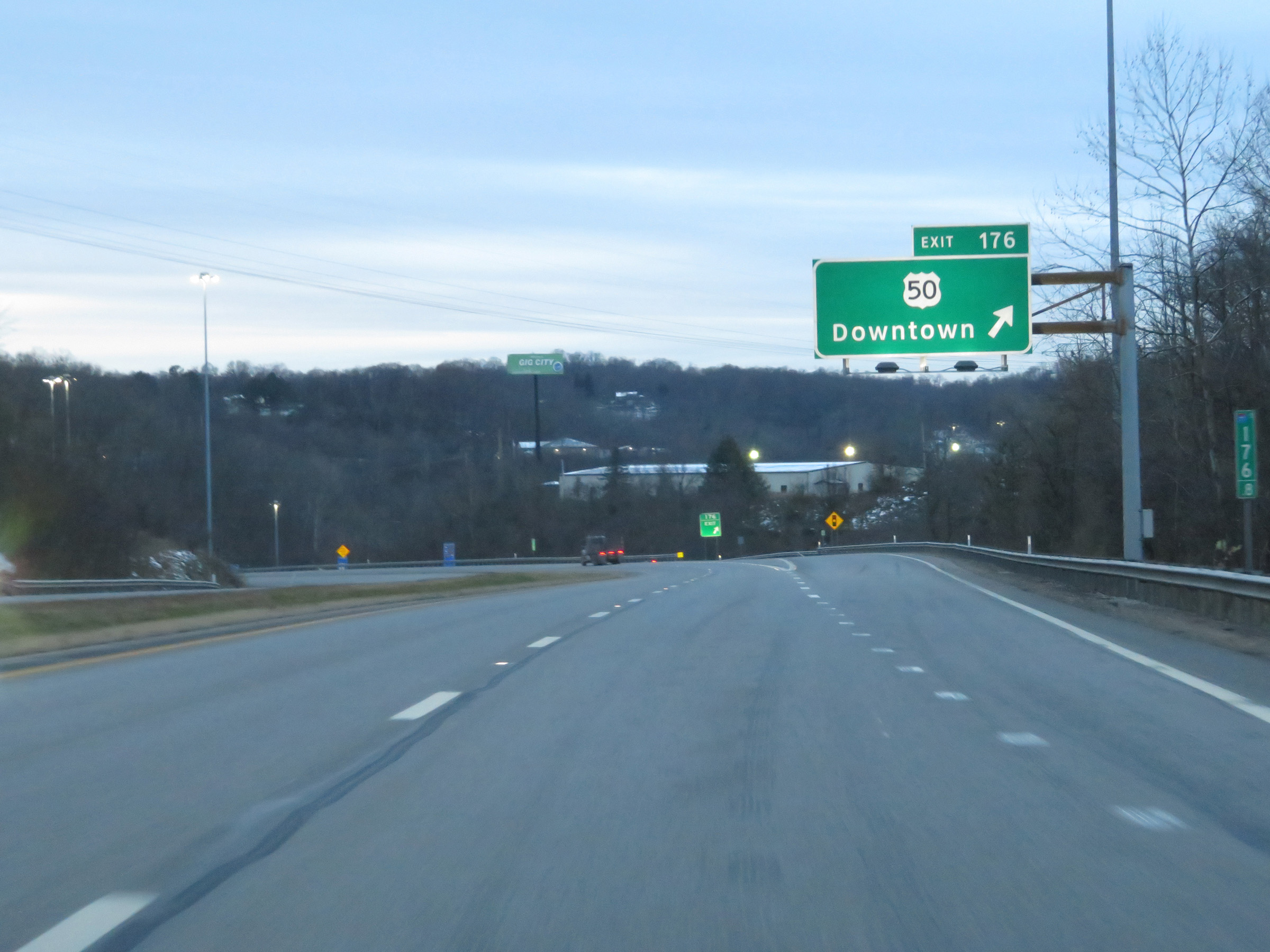 |
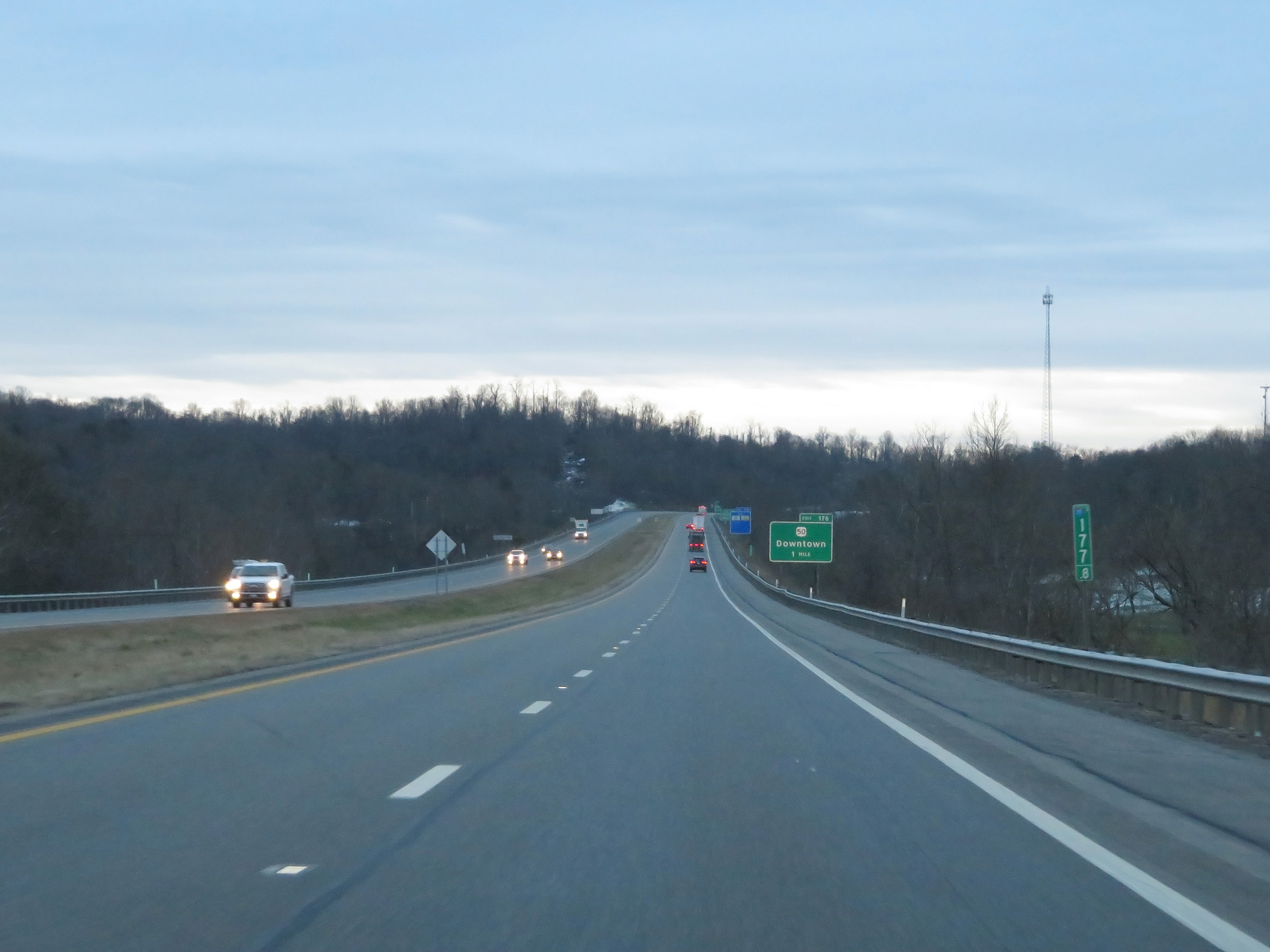
Interstate 77 South at Exit 176: US 50 - Downtown (Photo taken 12/4/20). |
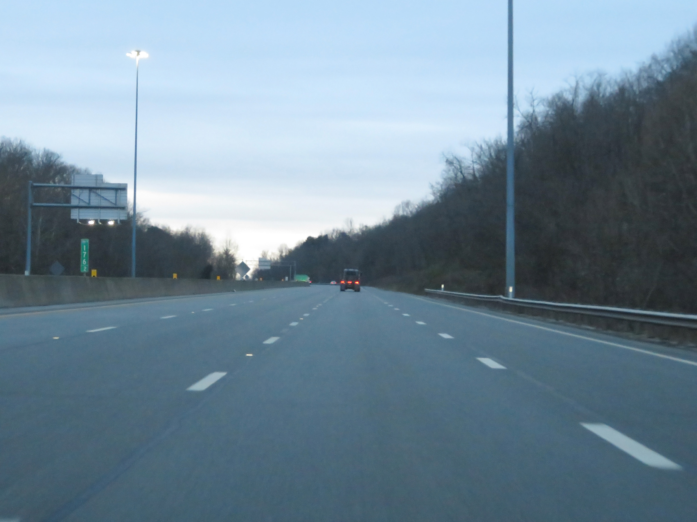 |
View on Interstate 77 South at mile marker 176.2, as a truck climbing lane appears. (Photo taken 12/4/20). |
 |
Another state-named Interstate 77 South reassurance shield. (Photo taken 12/4/20). |
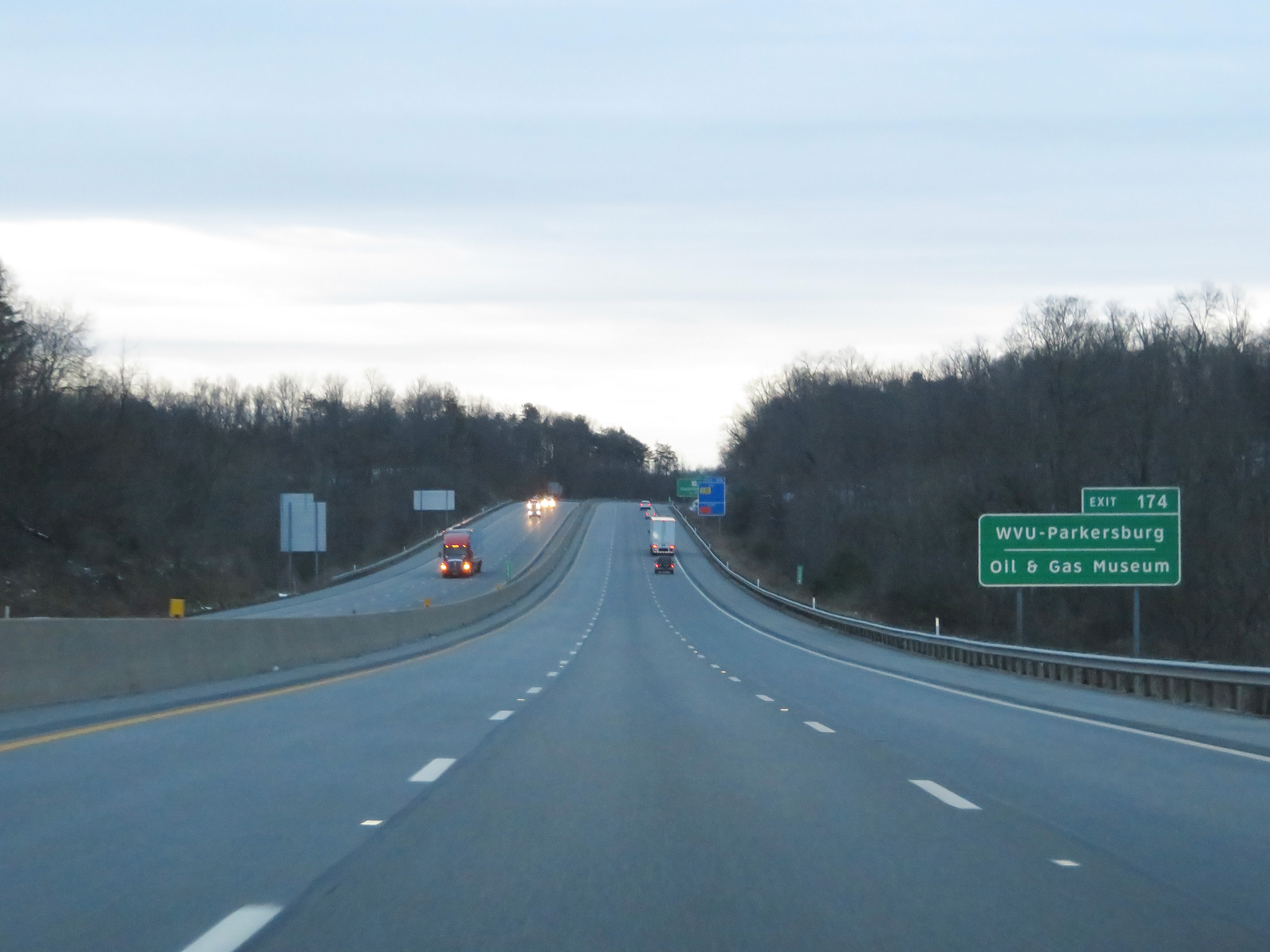 |
Take Exit 174 to WVU-Parkersburg and the Oil & Gas Museum. (Photo taken 12/4/20). |
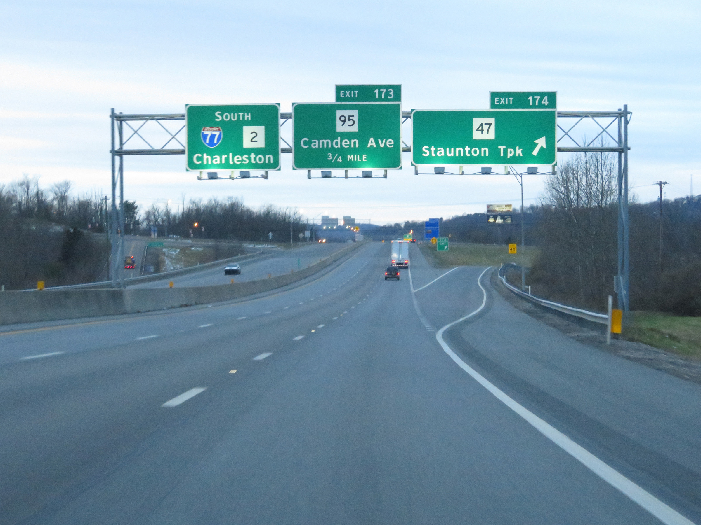 |
Interstate 77 South at Exit 174: WV 47 - Staunton Tpk (Photo taken 12/4/20). |
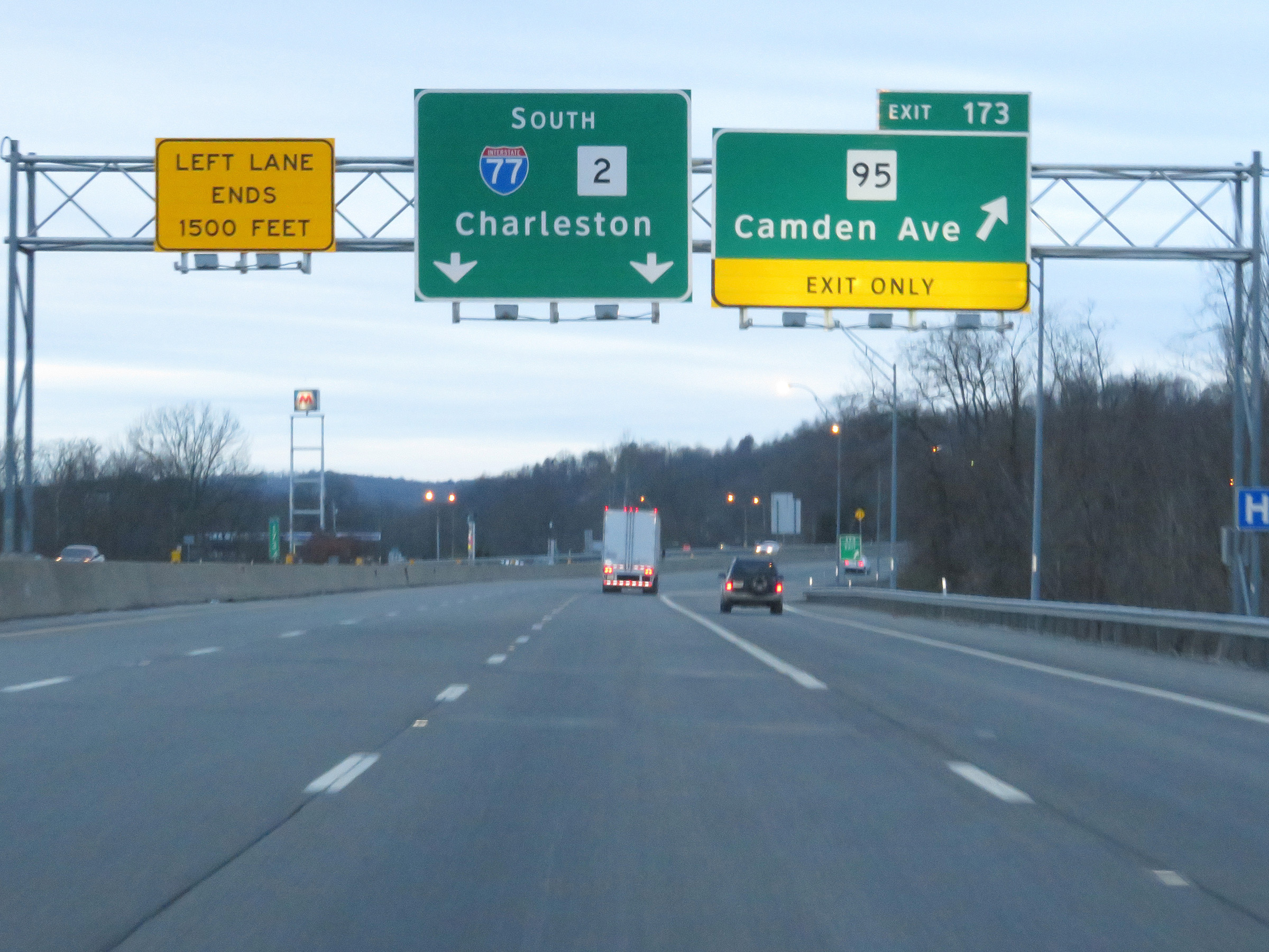 |
Interstate 77 South at Exit 173: WV 95 - Camden Ave (Photo taken 12/4/20). |
 |
View on Interstate 77 South at mile marker 172. (Photo taken 12/4/20). |
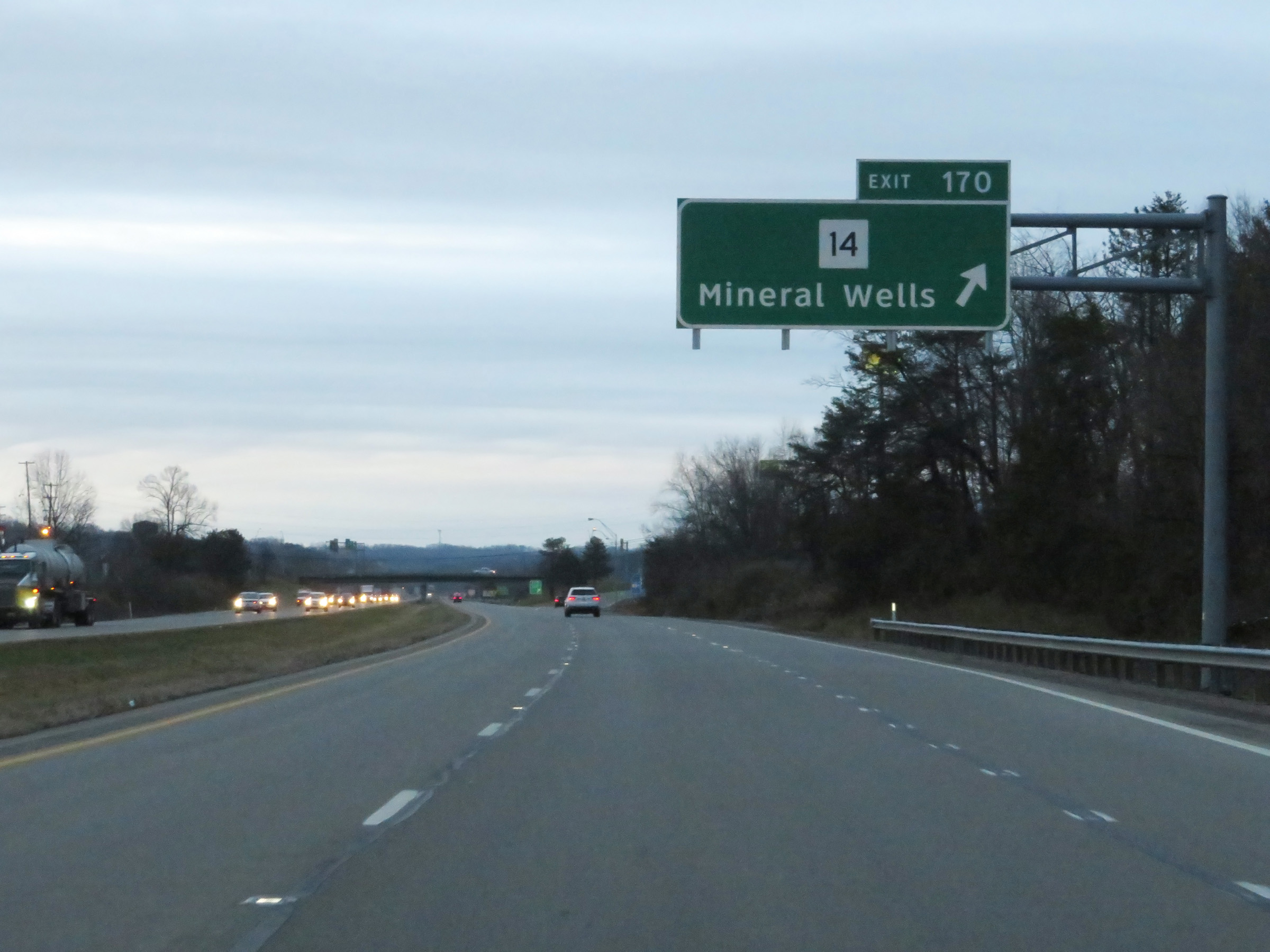 |
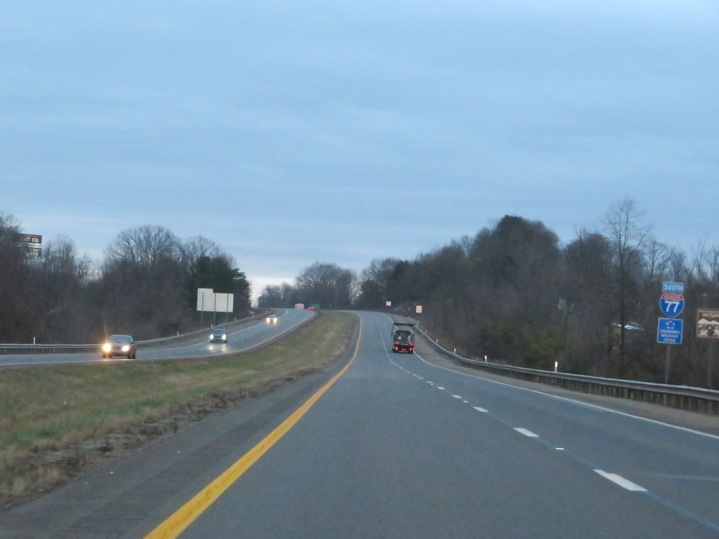
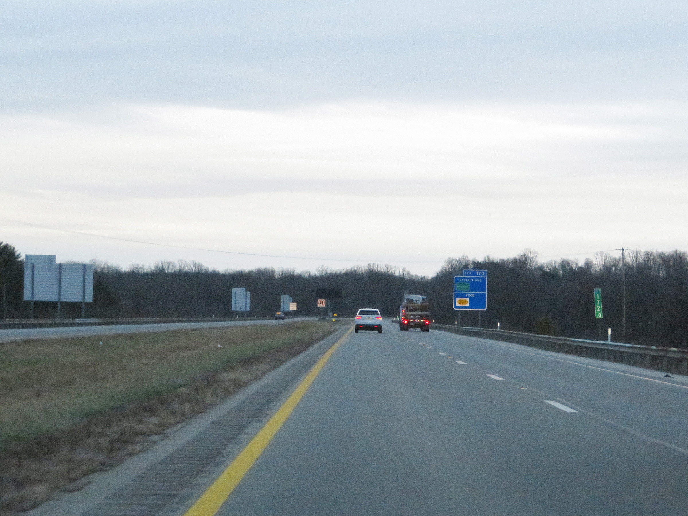
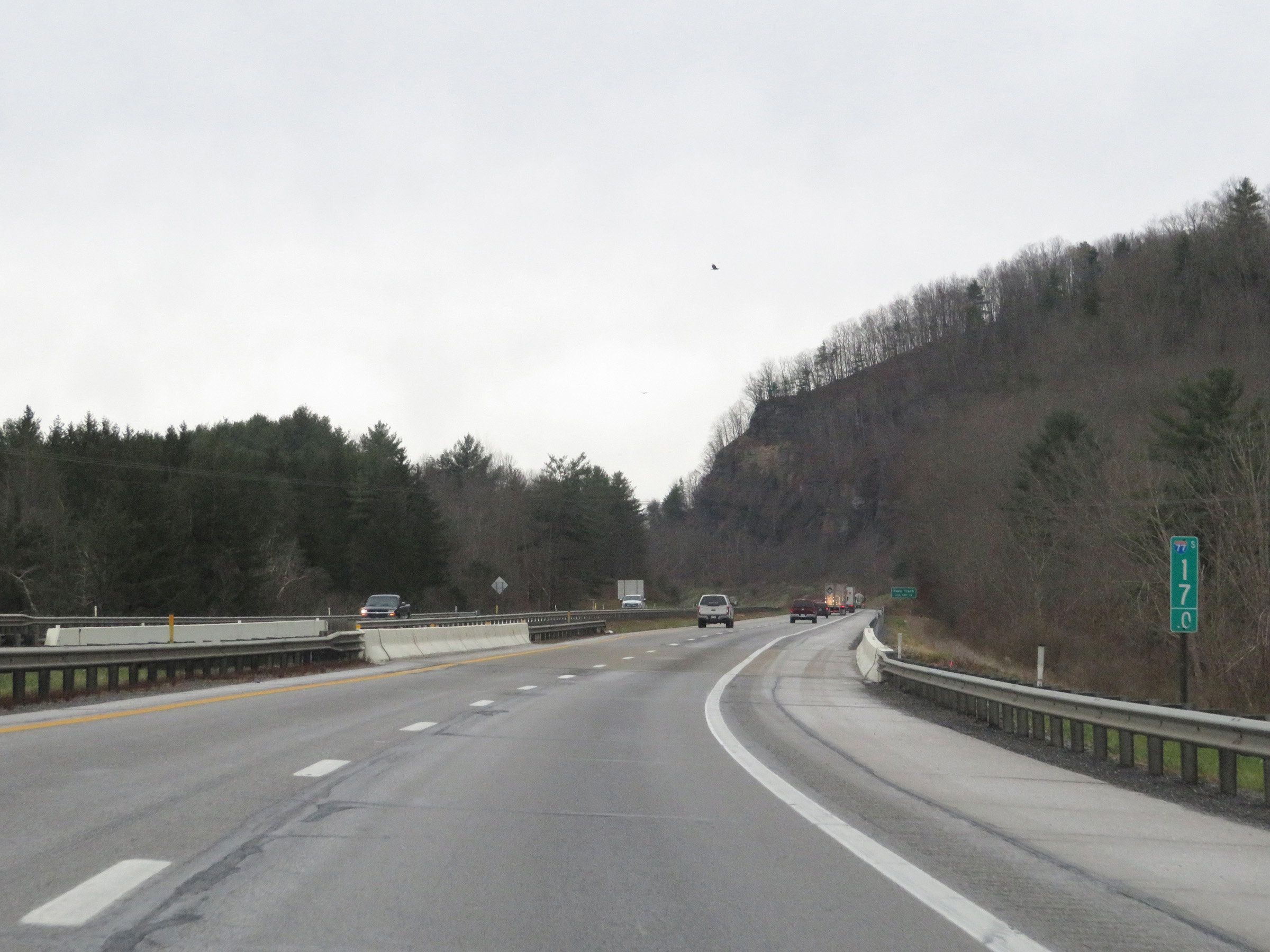
Interstate 77 South at Exit 170: WV 14 - Mineral Wells (Photo taken 12/4/20). |
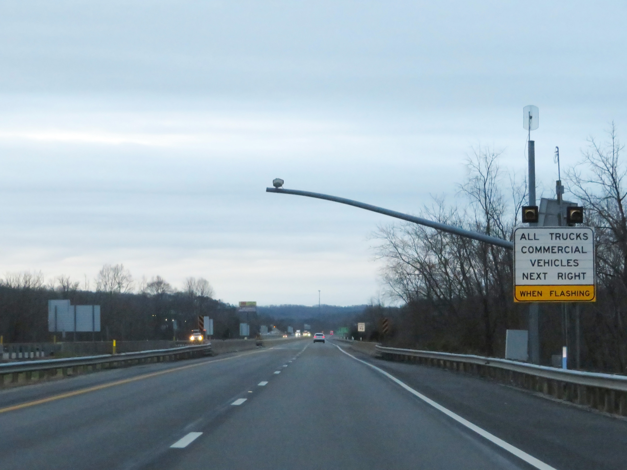 |
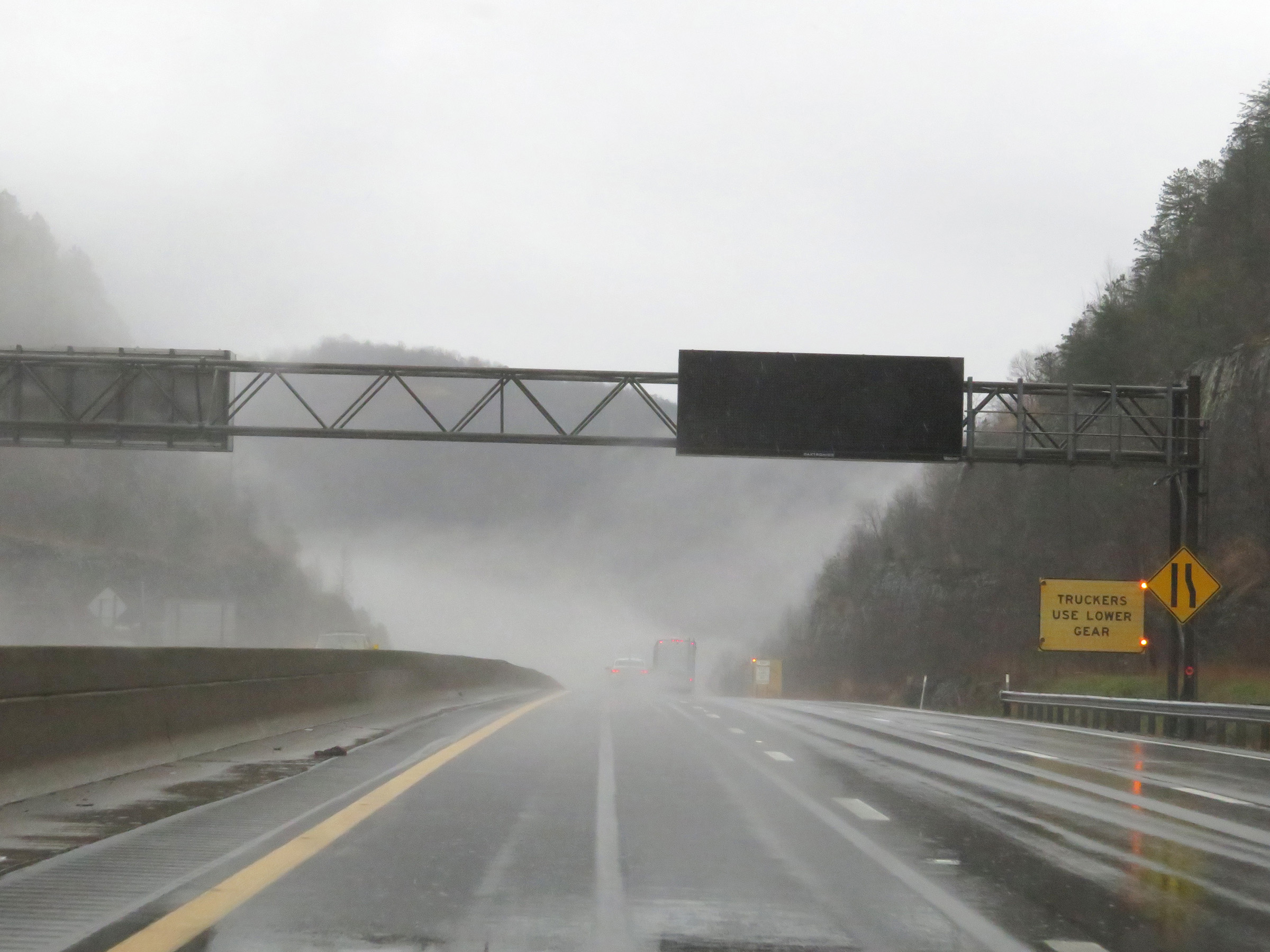
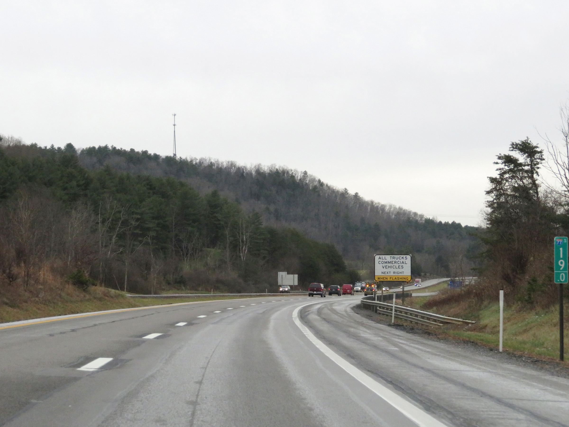
When the lights on this sign are flashing, all trucks and commercial vehicles must enter the Weigh Station ahead. (Photo taken 12/4/20). |
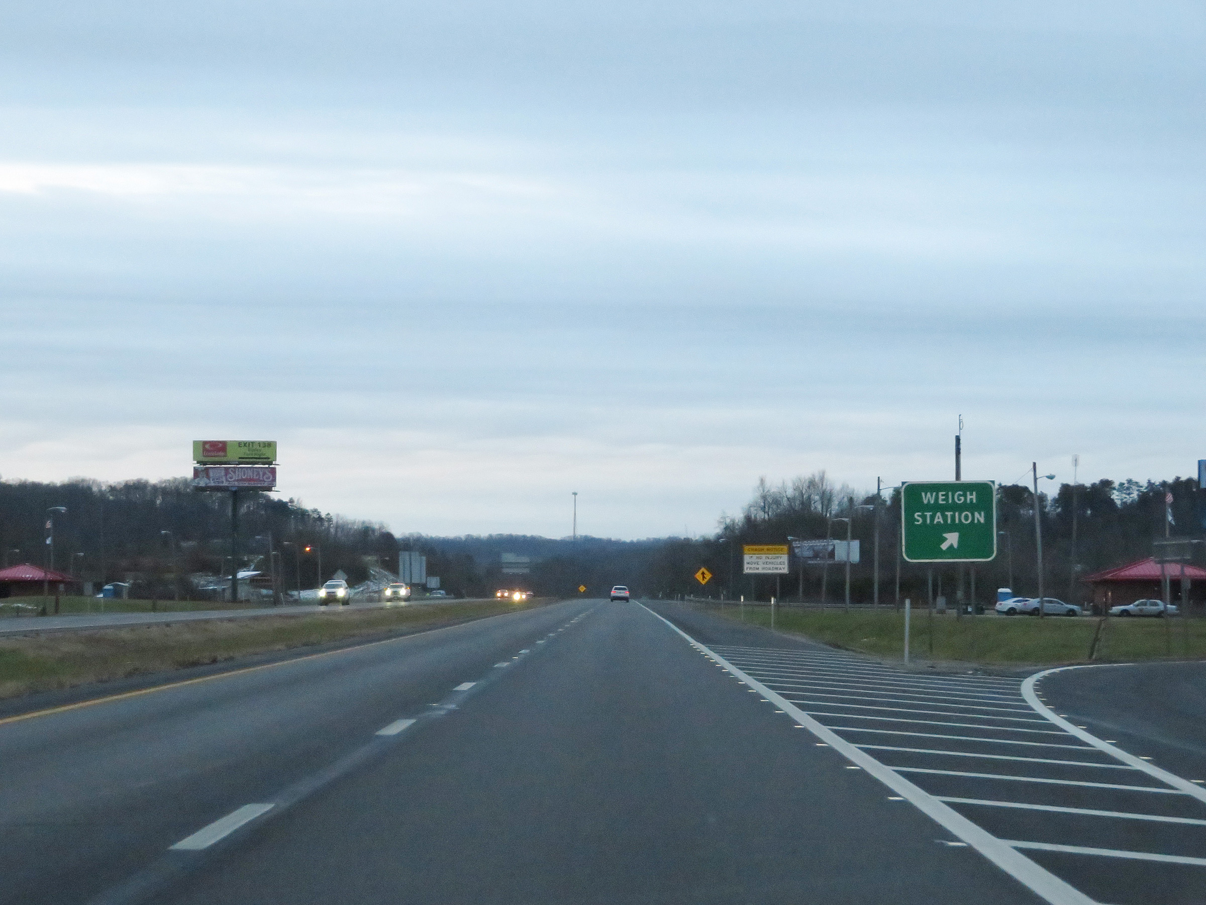 |
Weigh Station on Interstate 77 South in Wood County. (Photo taken 12/4/20). |
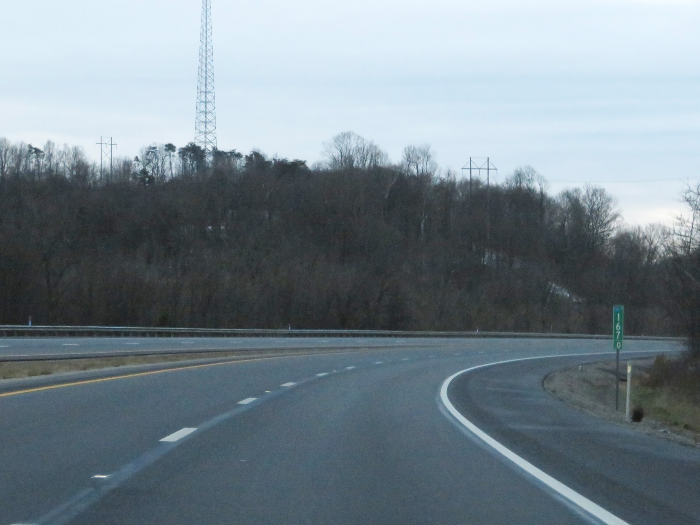 |
Interstate 77 South at mile marker 167. (Photo taken 12/4/20). |
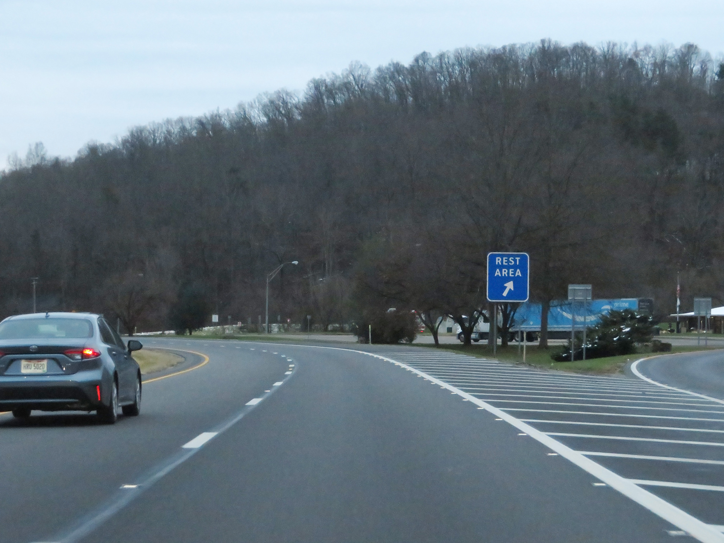 |
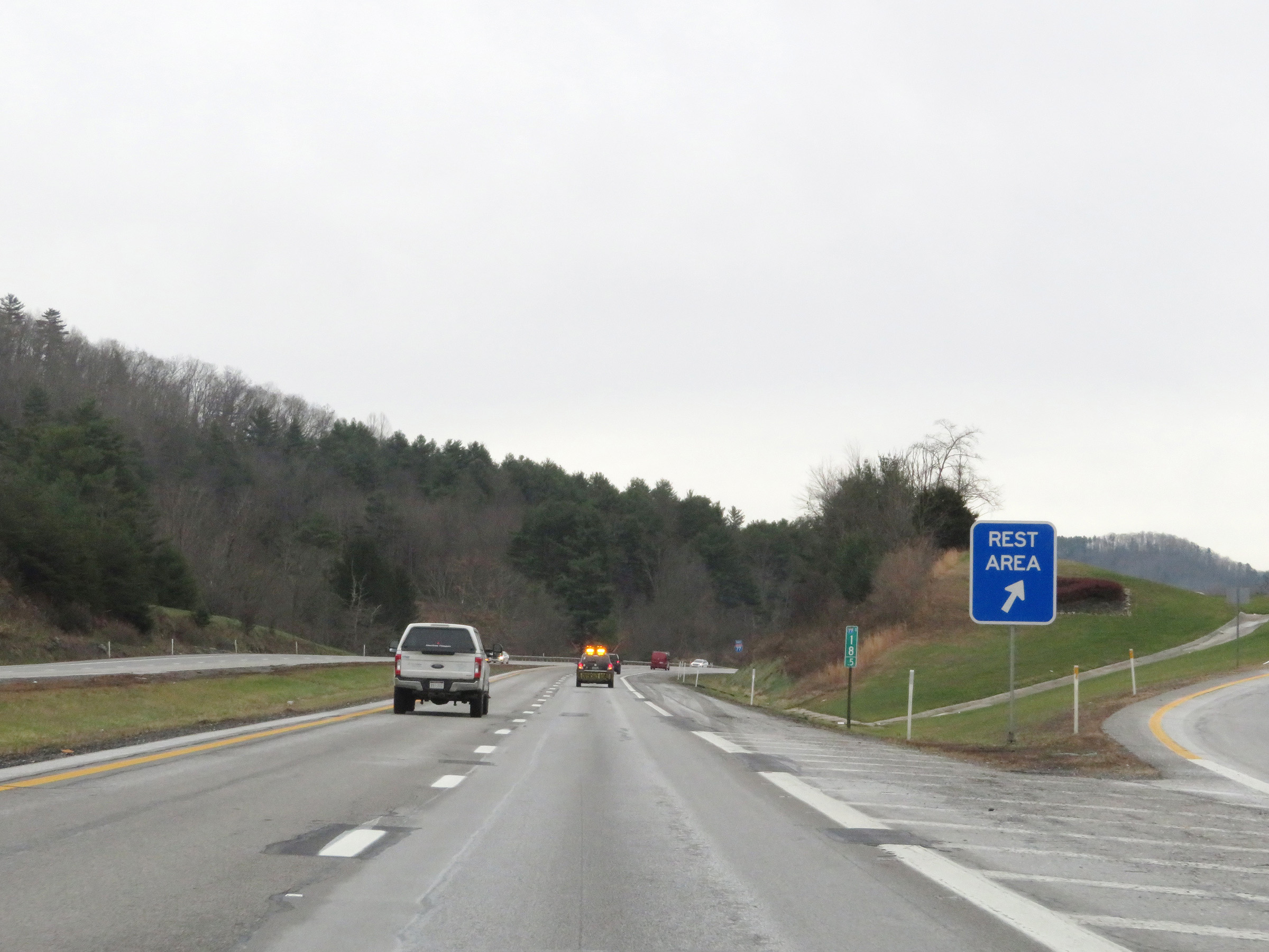
Rest Area on Interstate 77 South in Wood County near Mineral Wells. (Photo taken 12/4/20). |
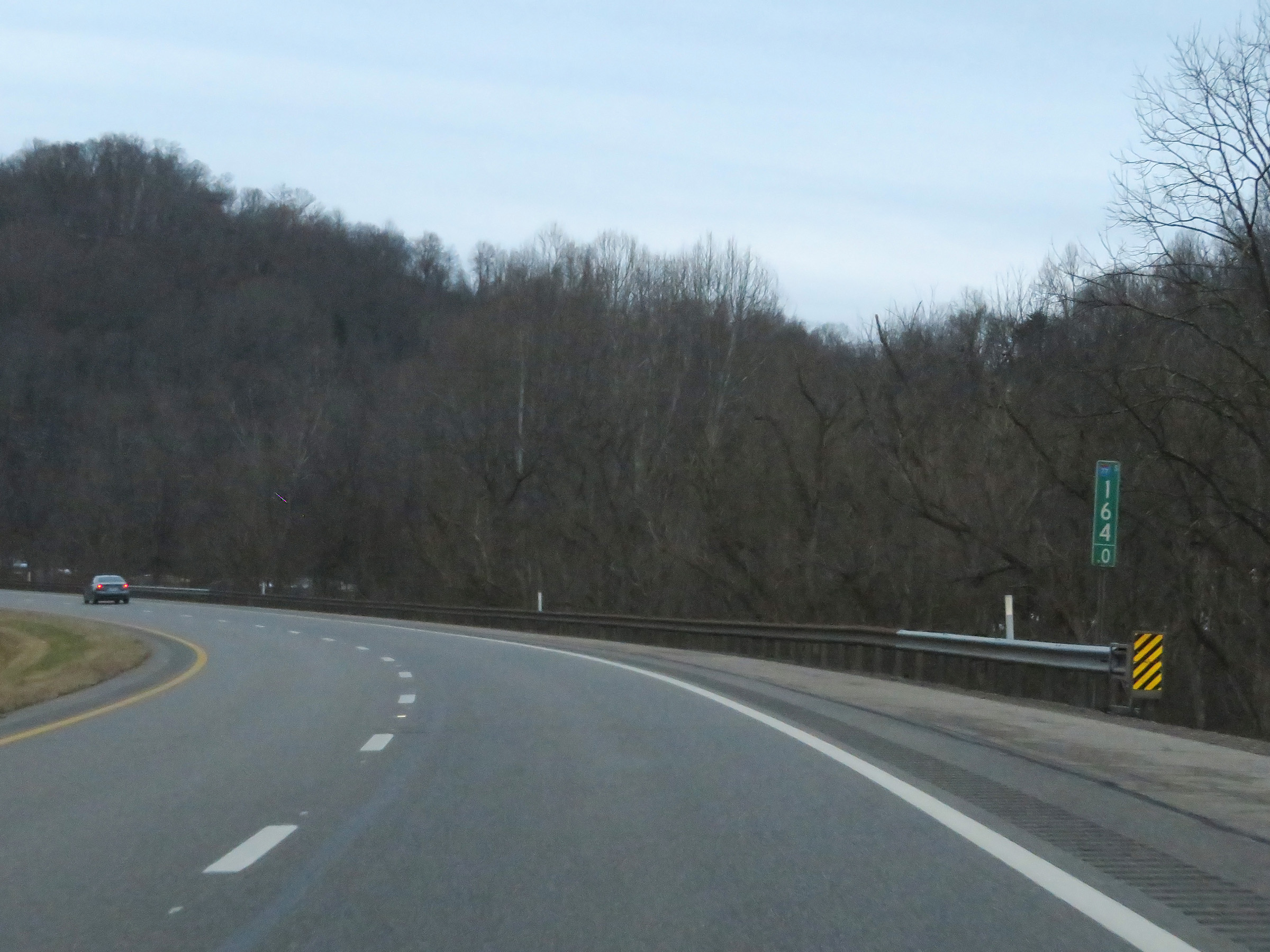 |
View on Interstate 77 South at mile marker 164. (Photo taken 12/4/20). |
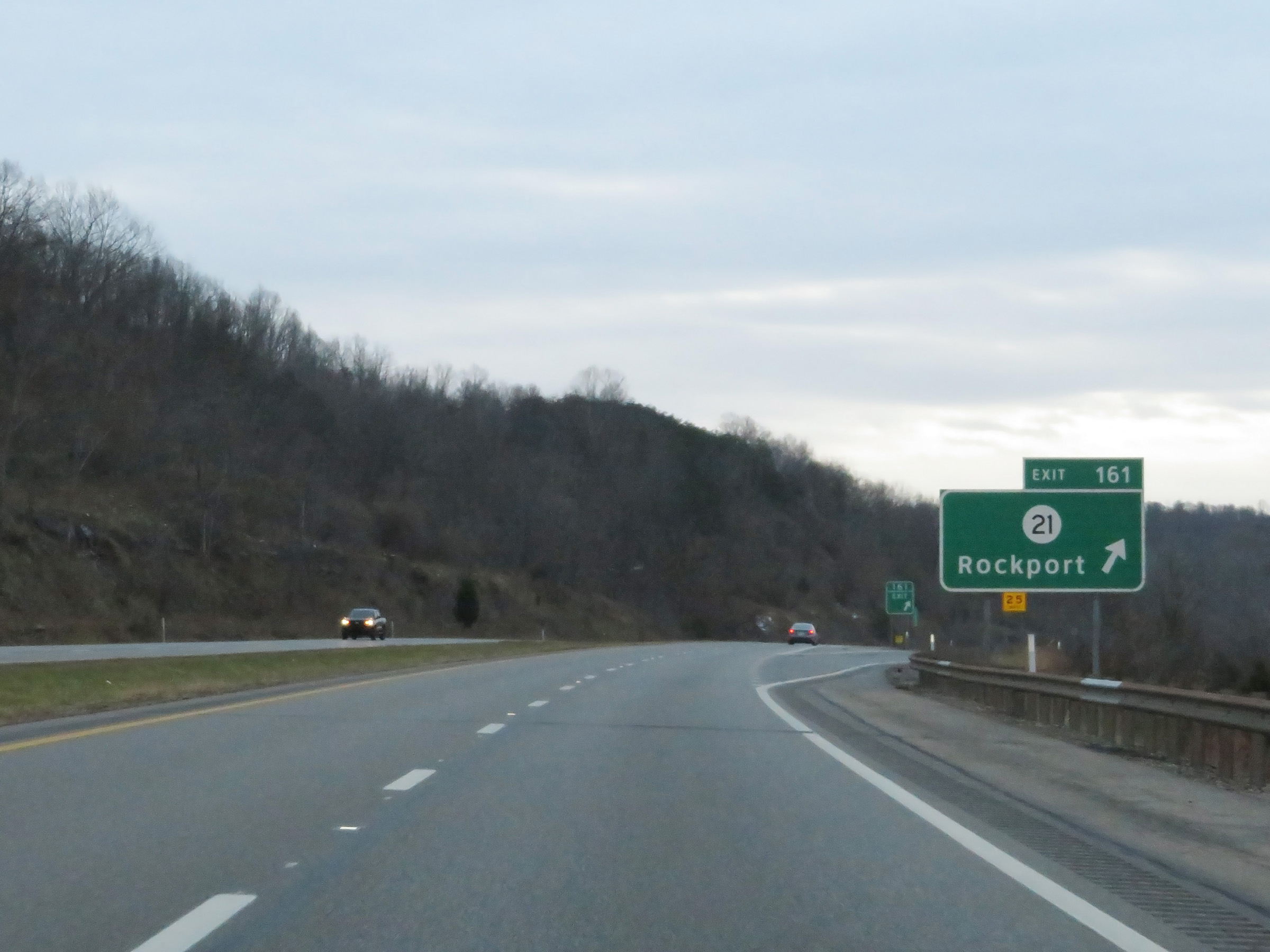 |
Interstate 77 South at Exit 161: CR 21 - Rockport (Photo taken 12/4/20). |
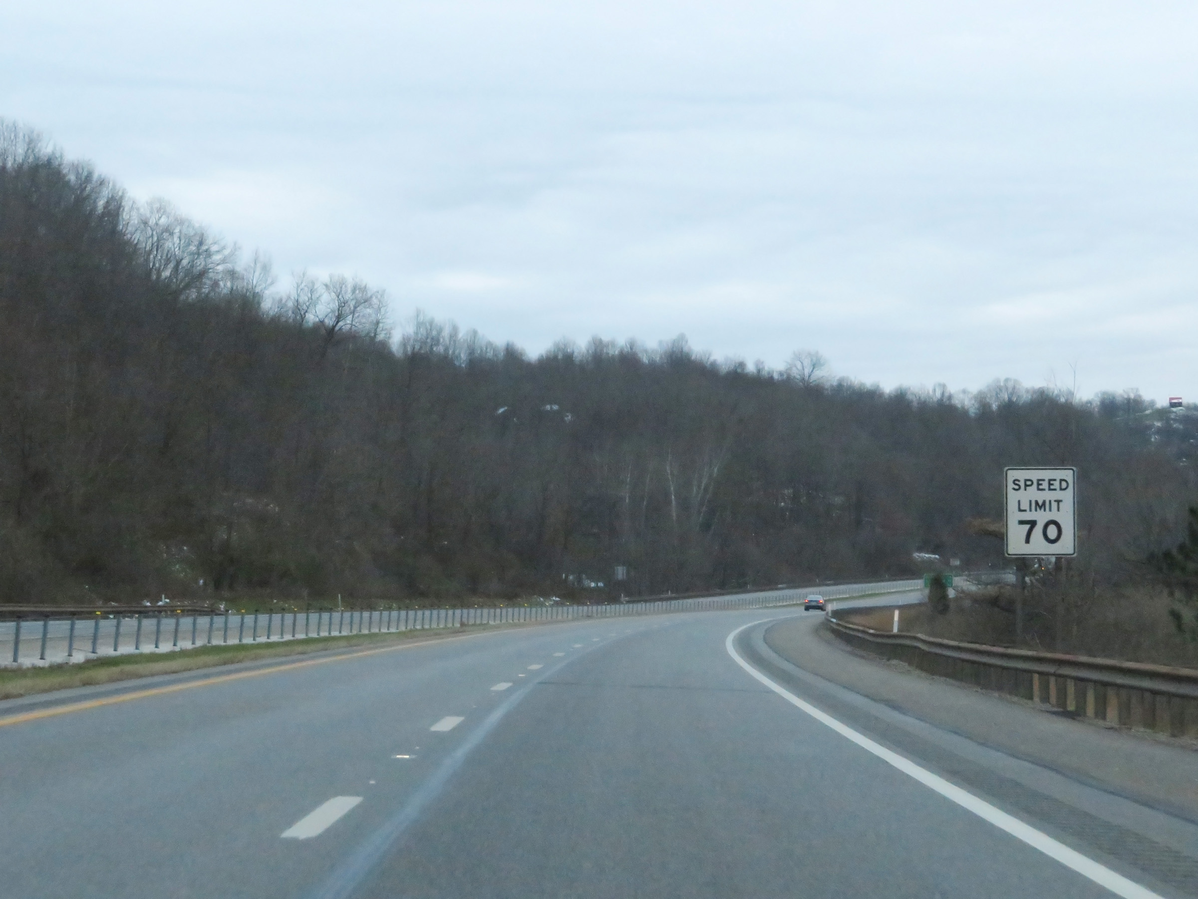 |
The speed limit remains 70 mph on Interstate 77 South. (Photo taken 12/4/20). |
 |
View on Interstate 77 South at mile marker 161. (Photo taken 12/4/20). |
 |
Mile marker 160 on Interstate 77 South in Wood County. (Photo taken 12/4/20). |
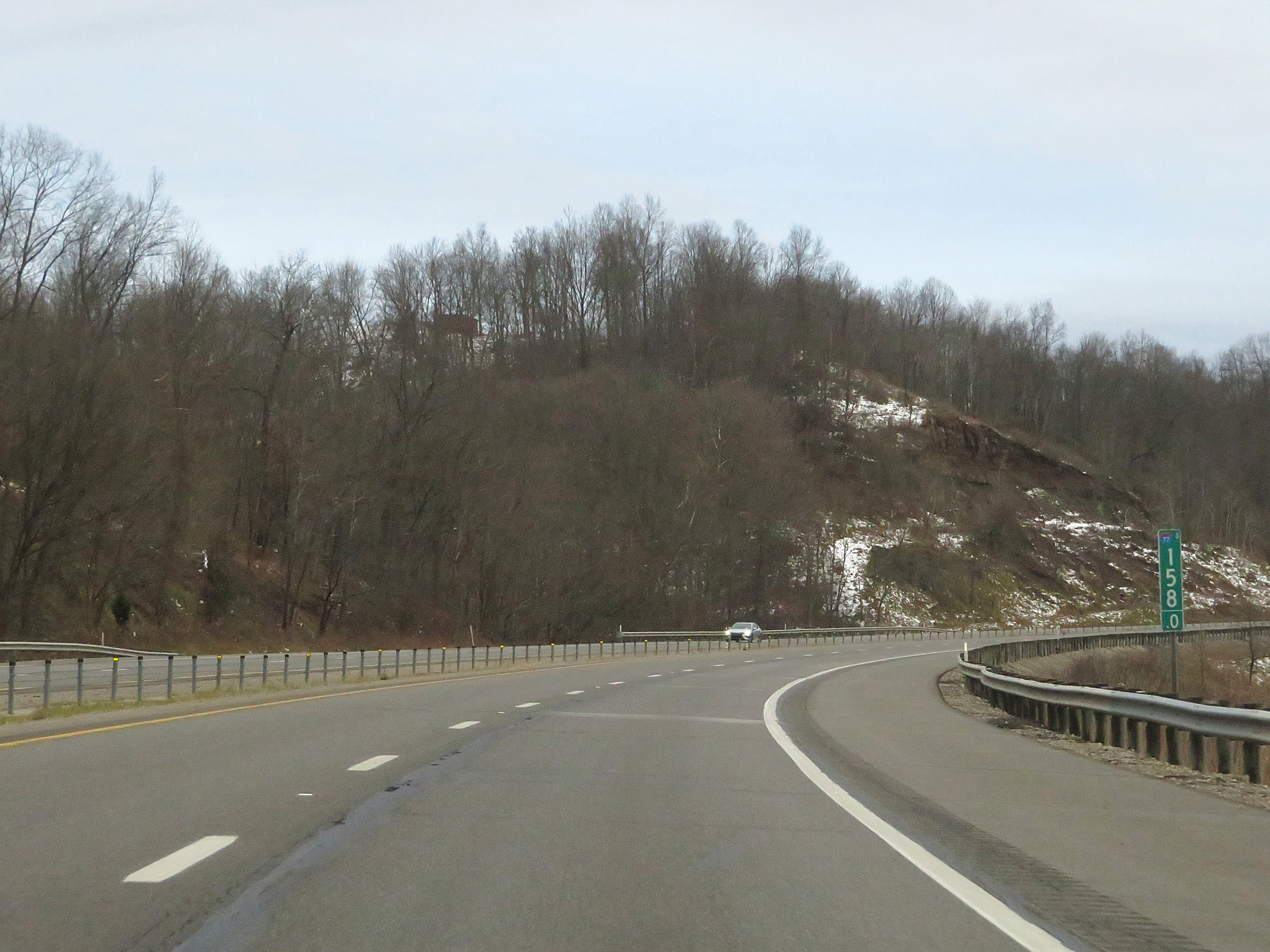 |
View on Interstate 77 South at mile marker 158. (Photo taken 12/4/20). |
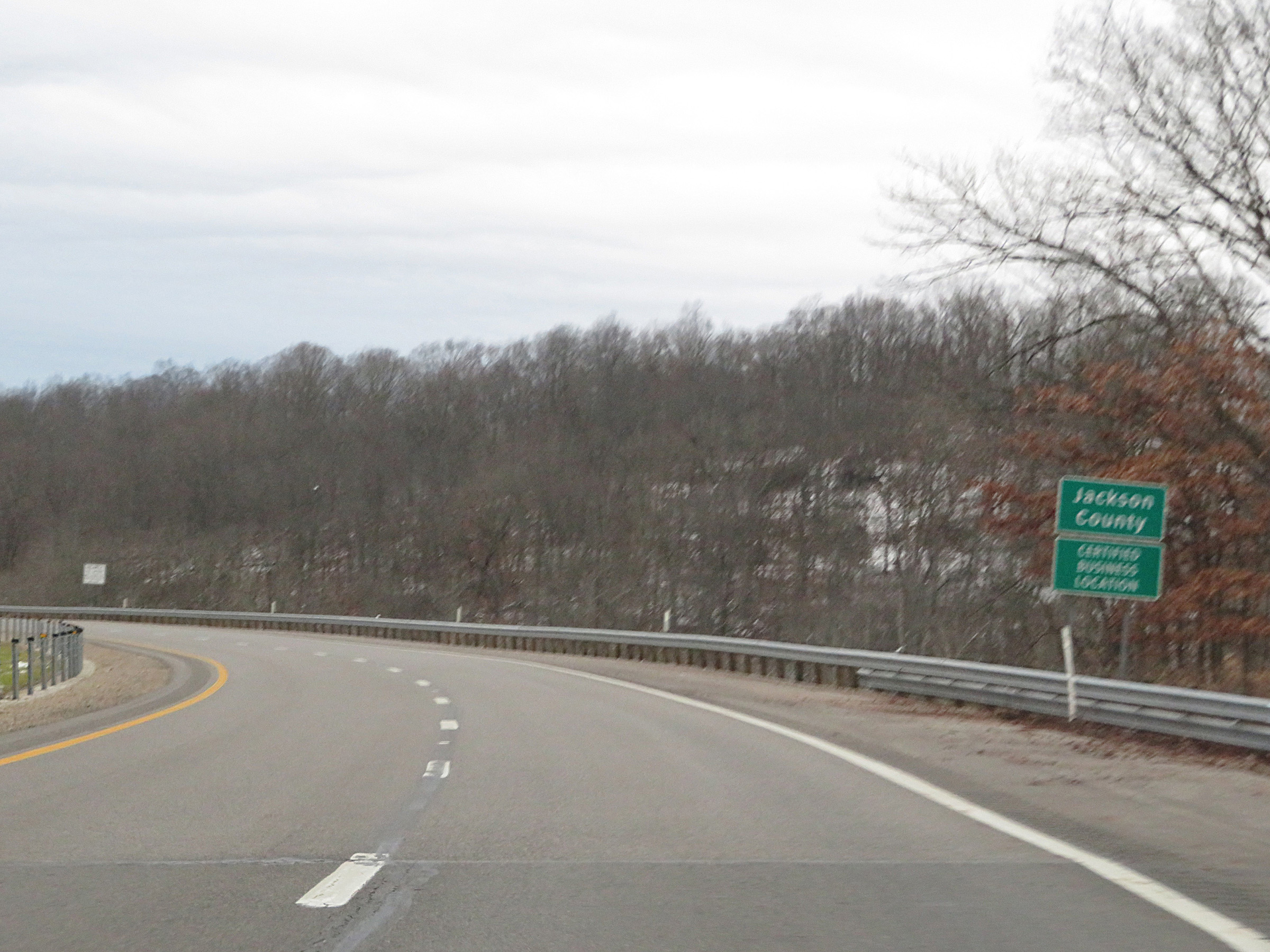 |
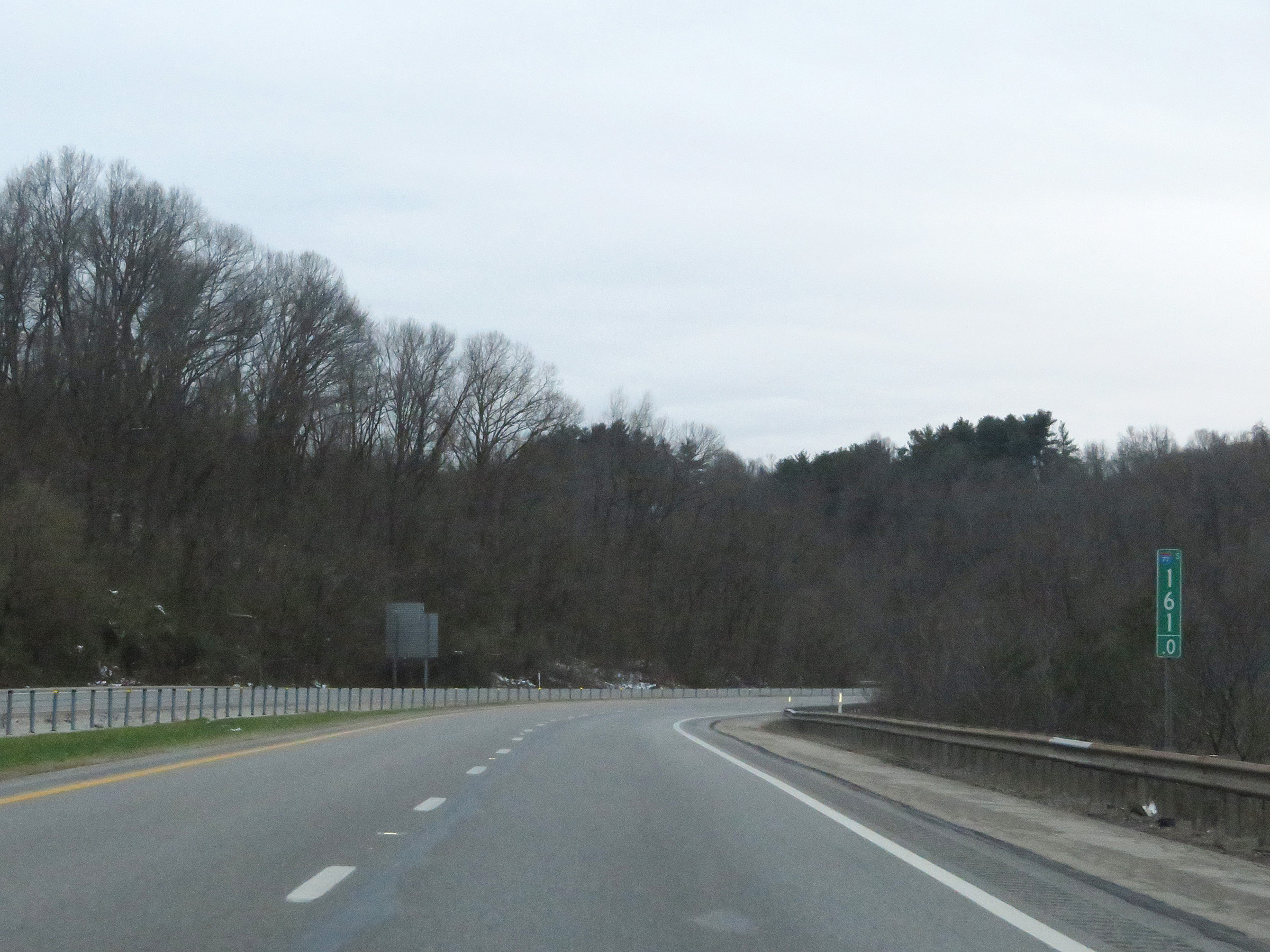
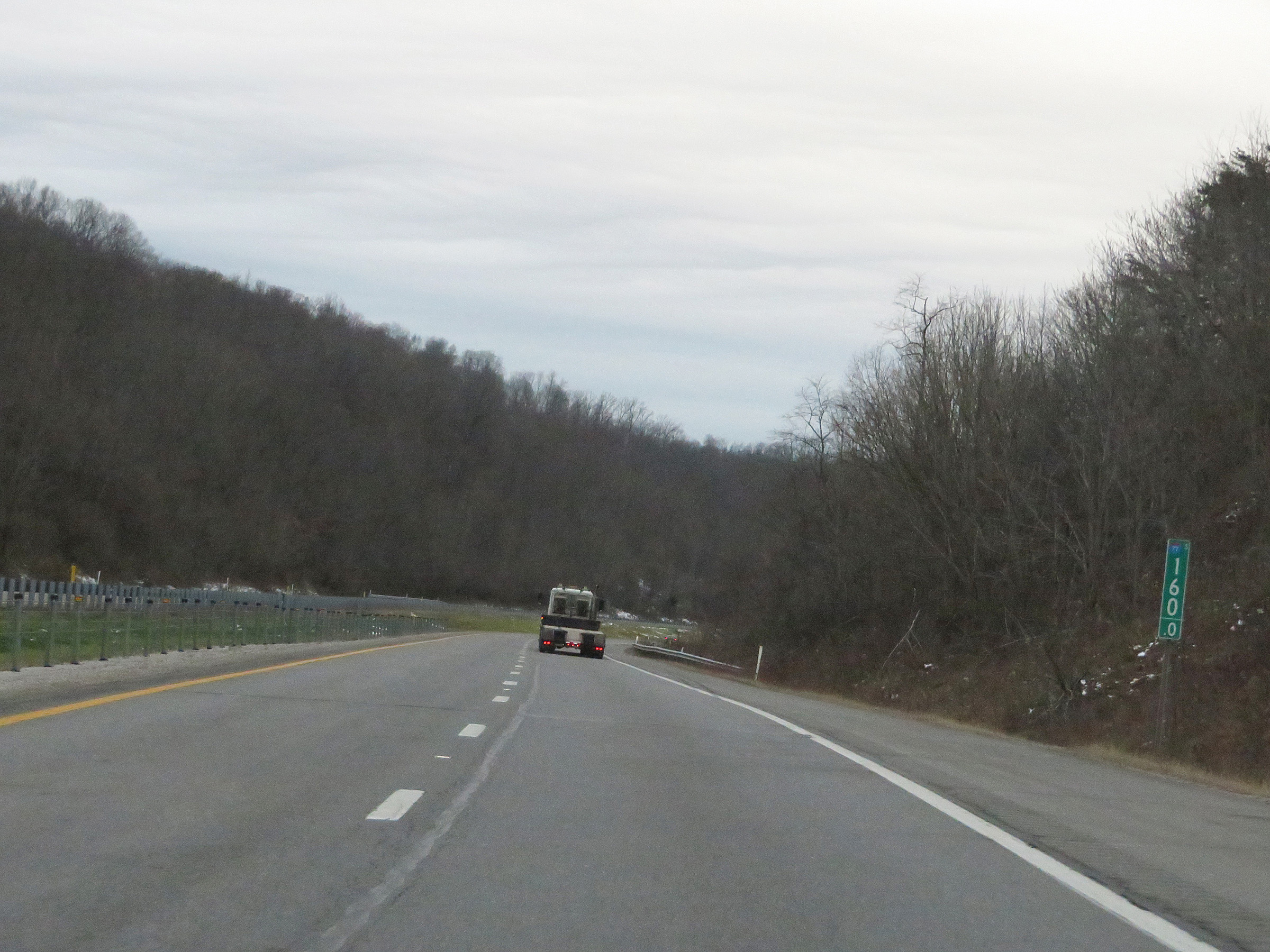
Interstate 77 South as it enters Jackson County. (Photo taken 12/4/20). |
 |
Interstate 77 South at mile marker 156. (Photo taken 12/4/20). |
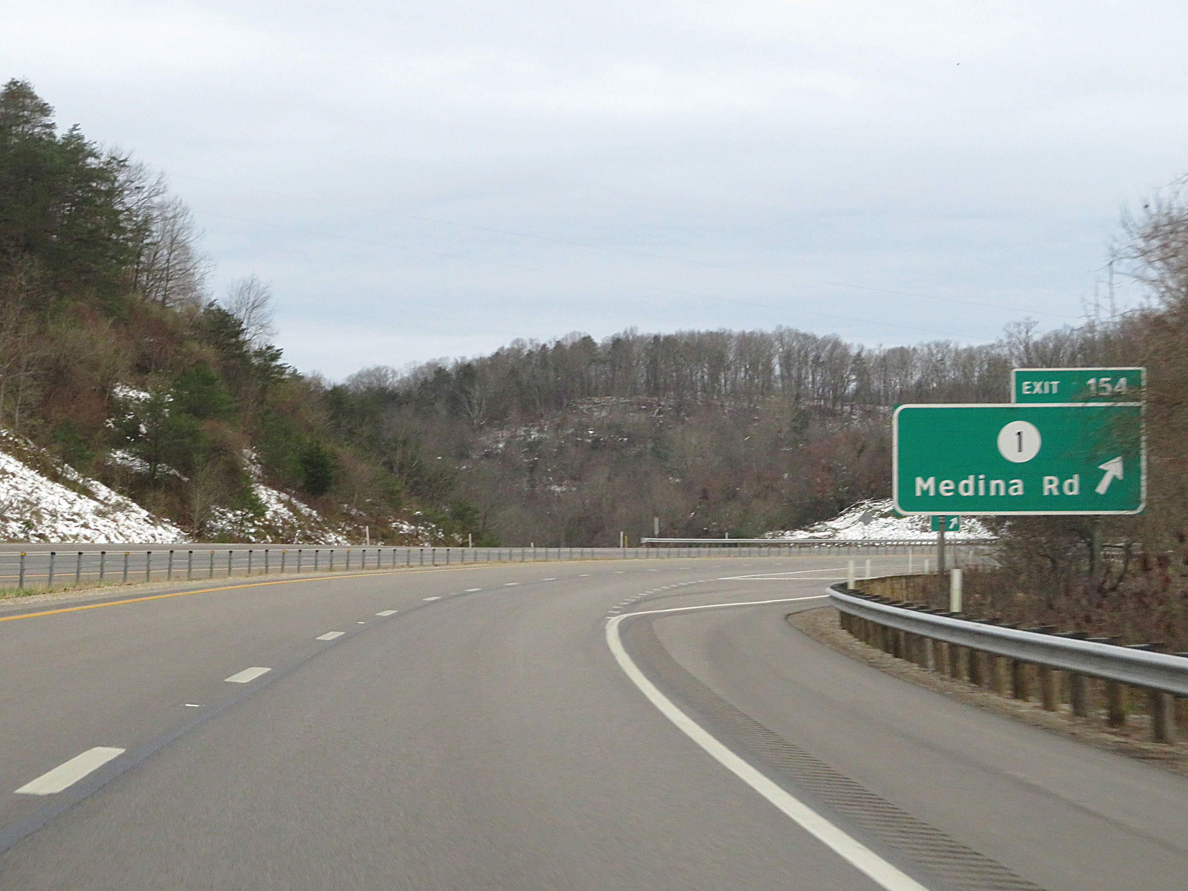 |
Interstate 77 South at Exit 154: CR 1 - Medina Rd (Photo taken 12/4/20). |
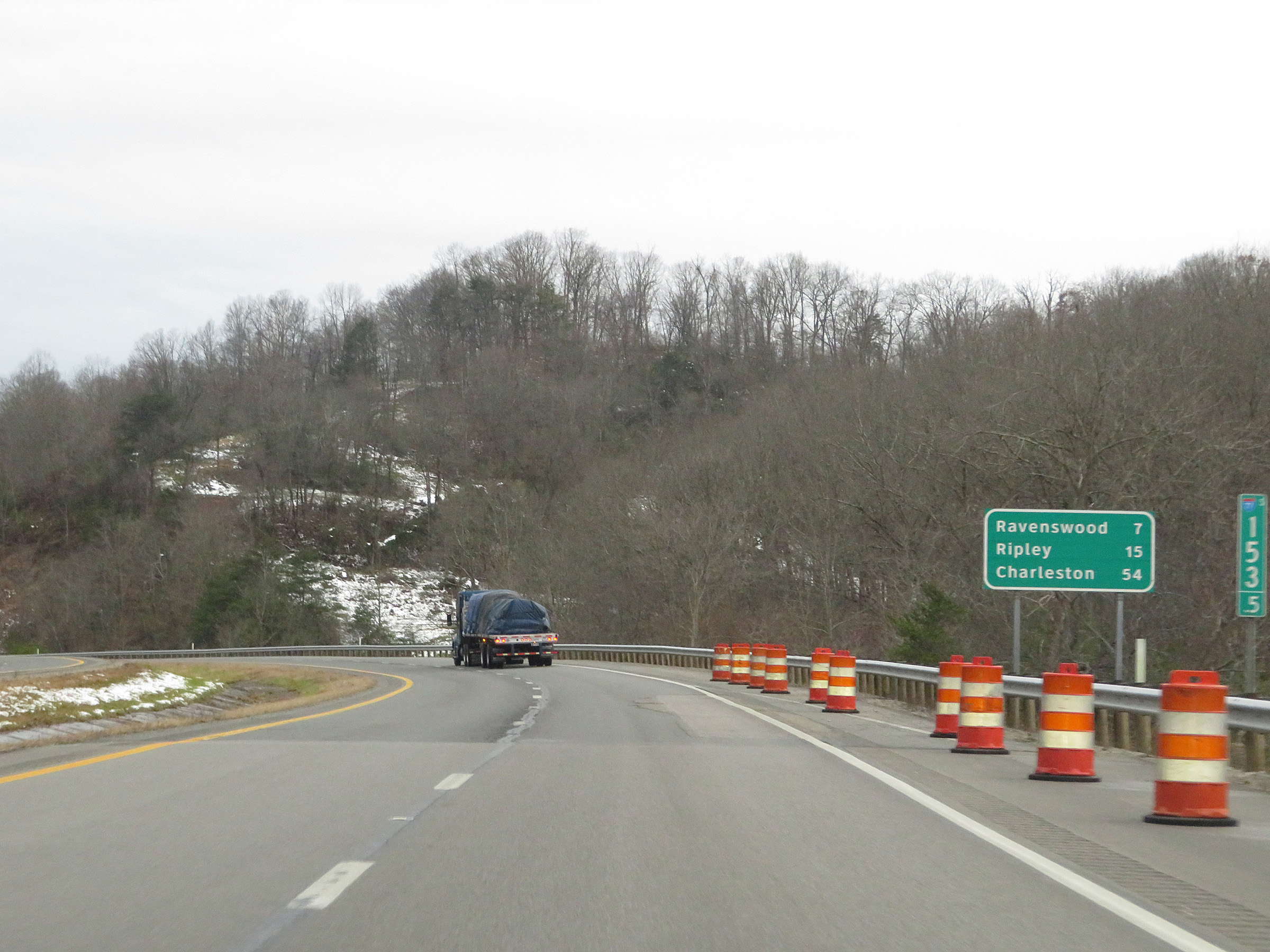 |
Mileage sign at mile marker 153.5. It's 7 miles to Ravenswood, 15 miles to Ripley, and 54 miles to Charleston. (Photo taken 12/4/20). |
 |
View on Interstate 77 South at mile marker 152. (Photo taken 12/4/20). |
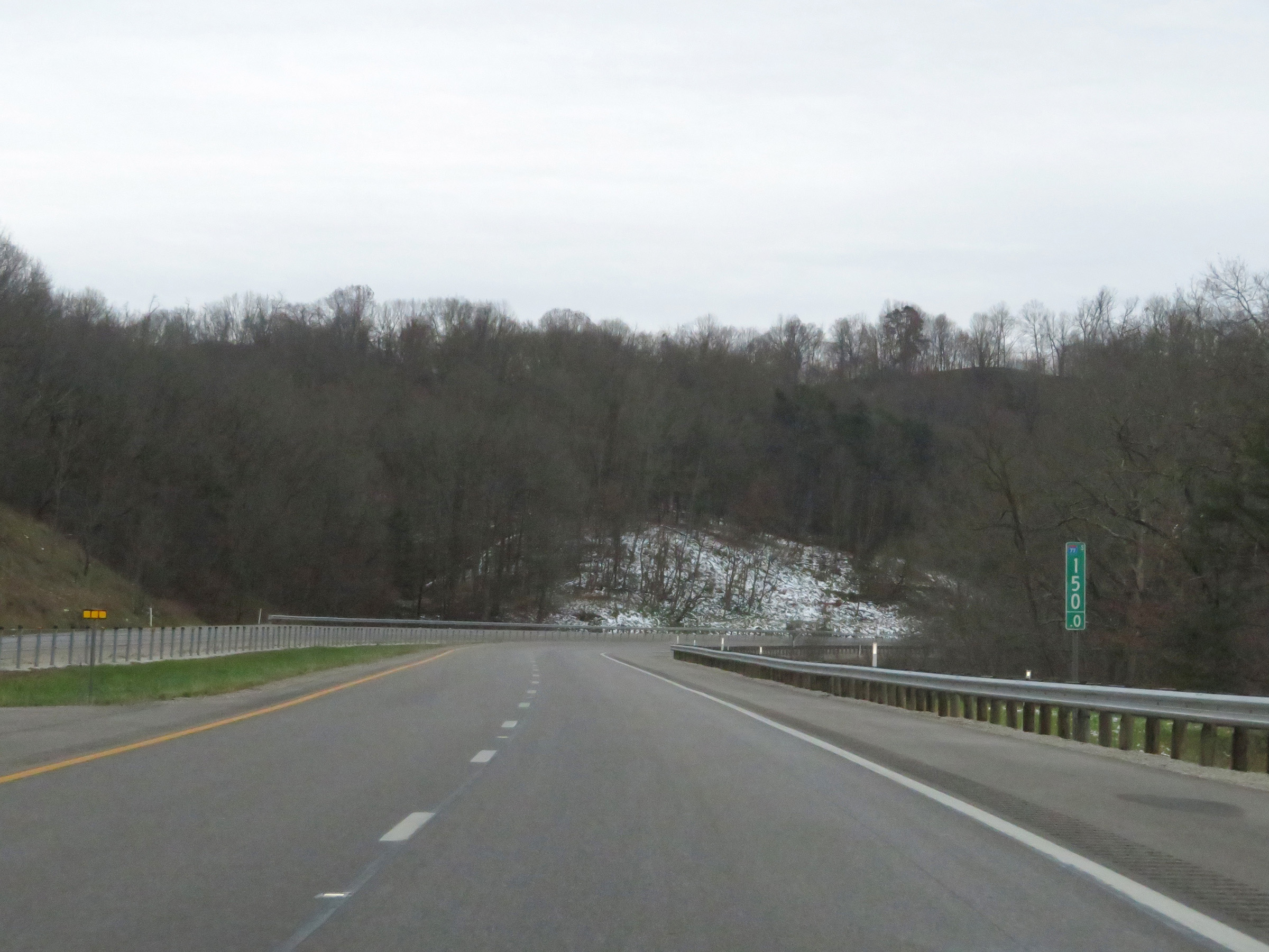 |
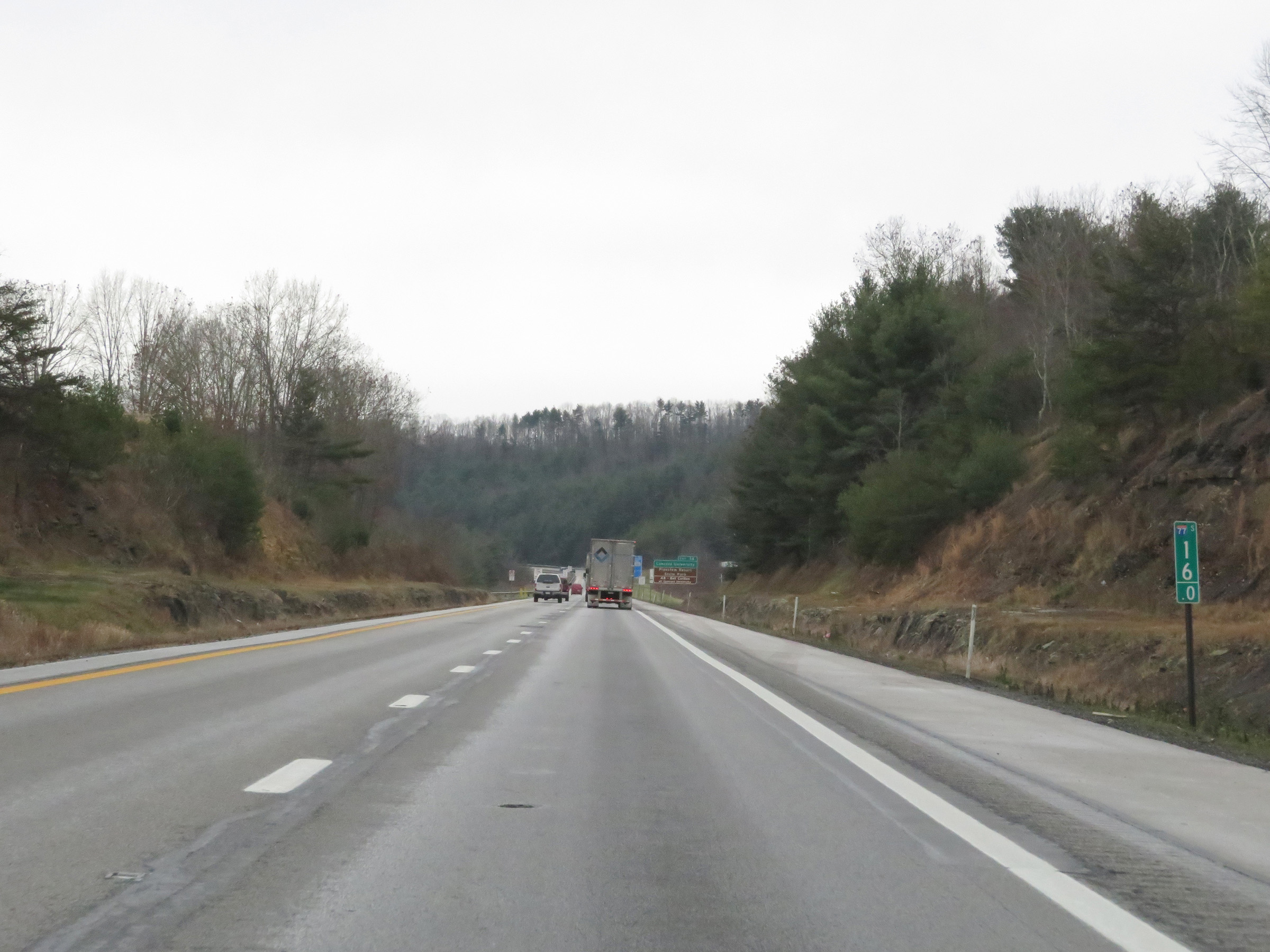
Mile marker 150 on Interstate 77 South in Jackson County. (Photo taken 12/4/20). |
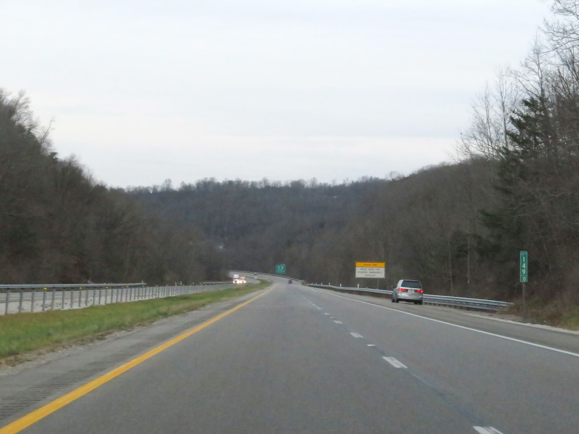 |
View on Interstate 77 South at mile marker 149. (Photo taken 12/4/20). |
 |
Interstate 77 South at mile marker 148. (Photo taken 12/4/20). |
 |
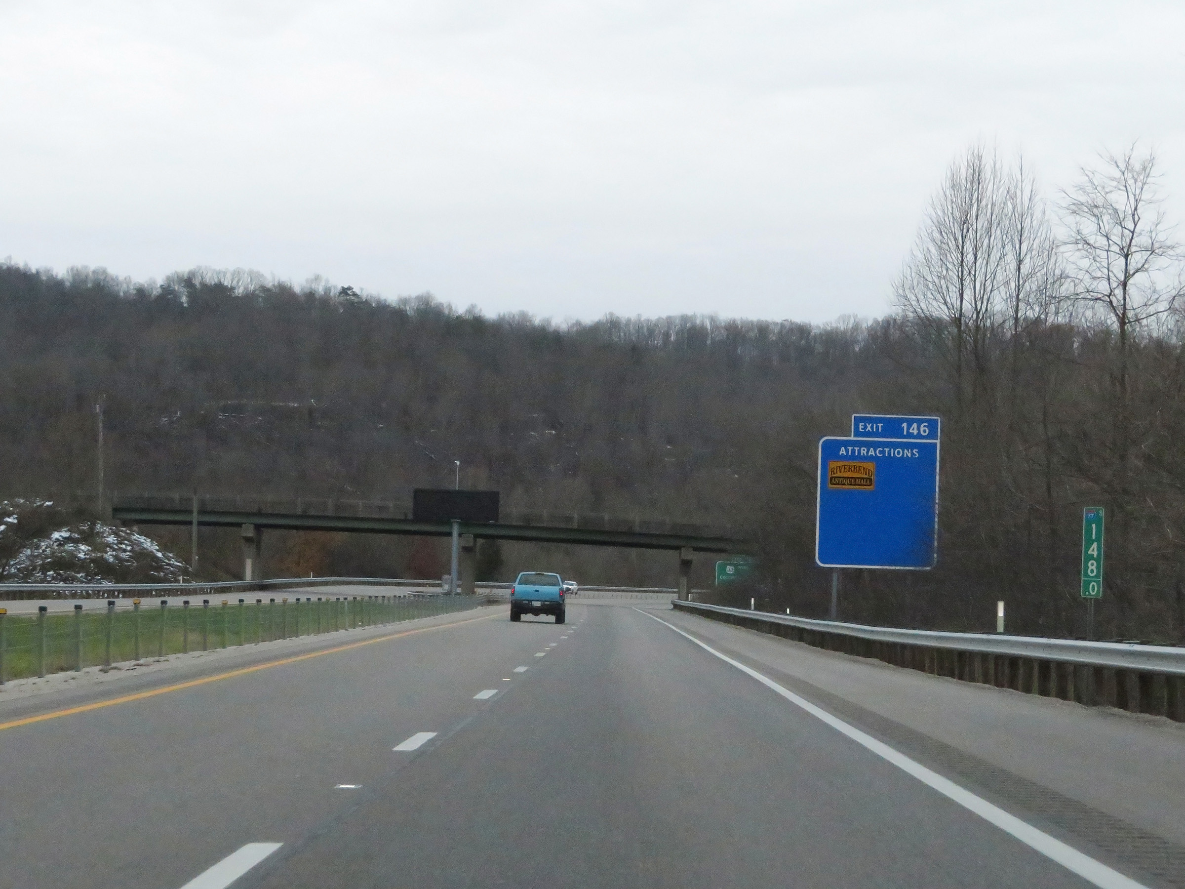
Take Exit 146 to Columbus, OH via US 33 West. (Photo taken 12/4/20). |
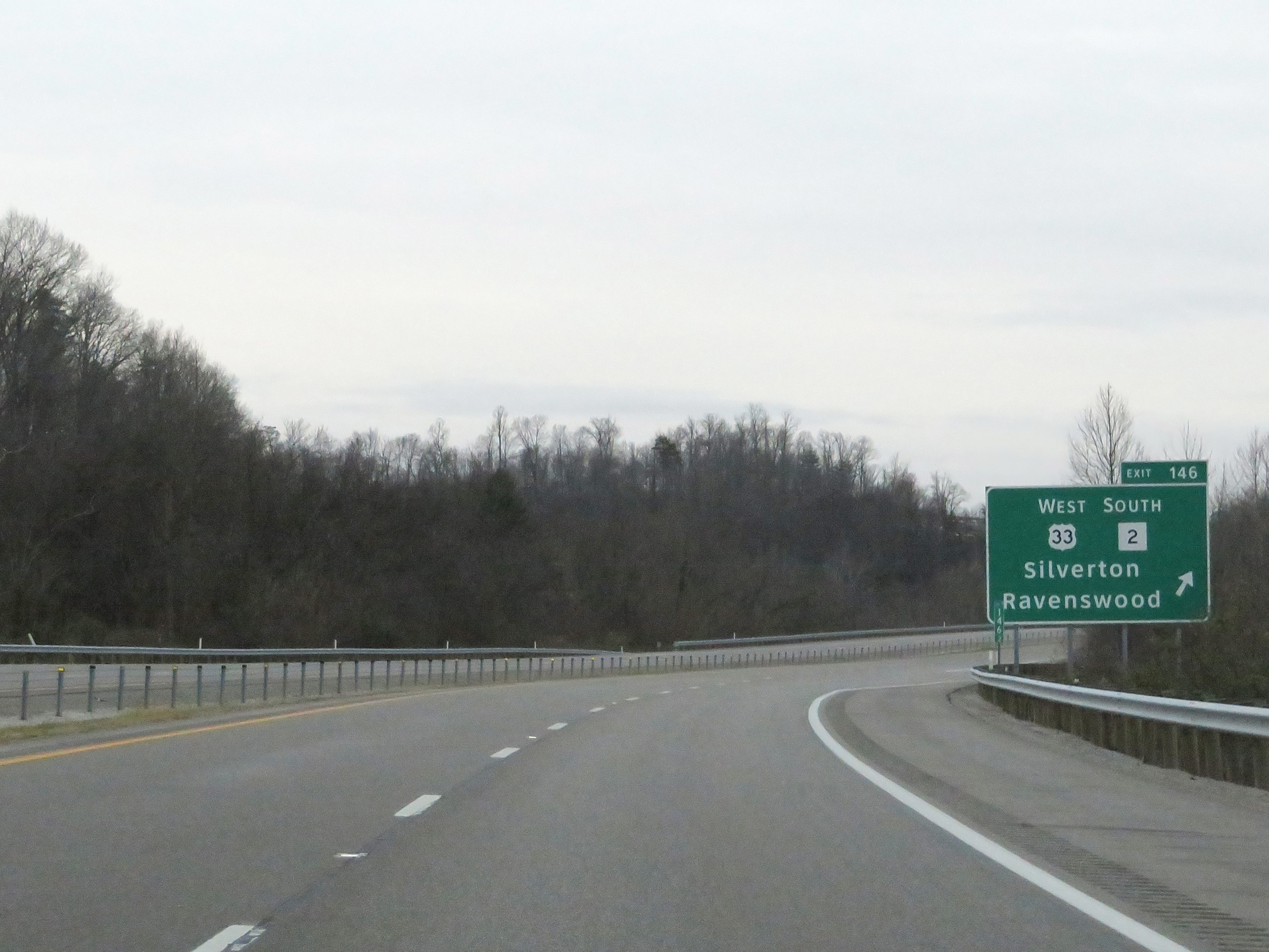 |
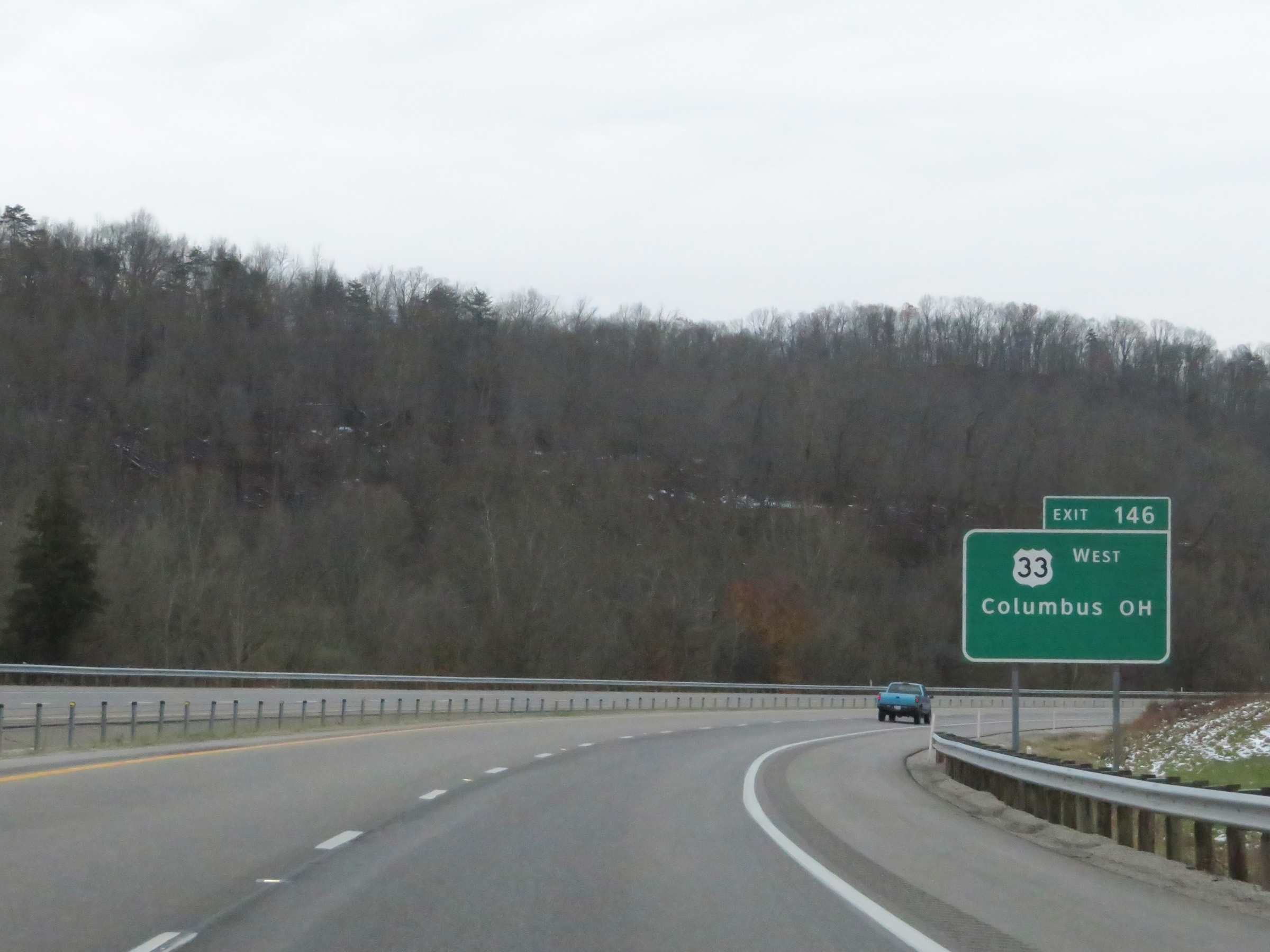
Interstate 77 South at Exit 146: US 33 West / WV 2 South - Silverton / Ravenswood (Photo taken 12/4/20). |
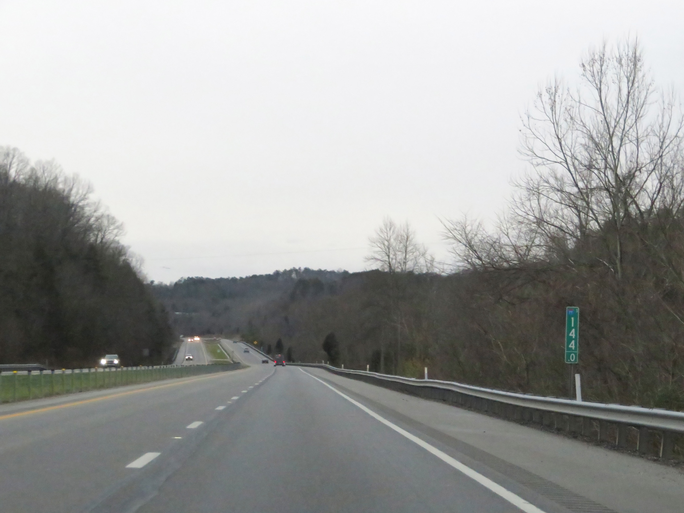 |
Interstate 77 South at mile marker 144. (Photo taken 12/4/20). |
 |
View on Interstate 77 South at mile marker 142. (Photo taken 12/4/20). |
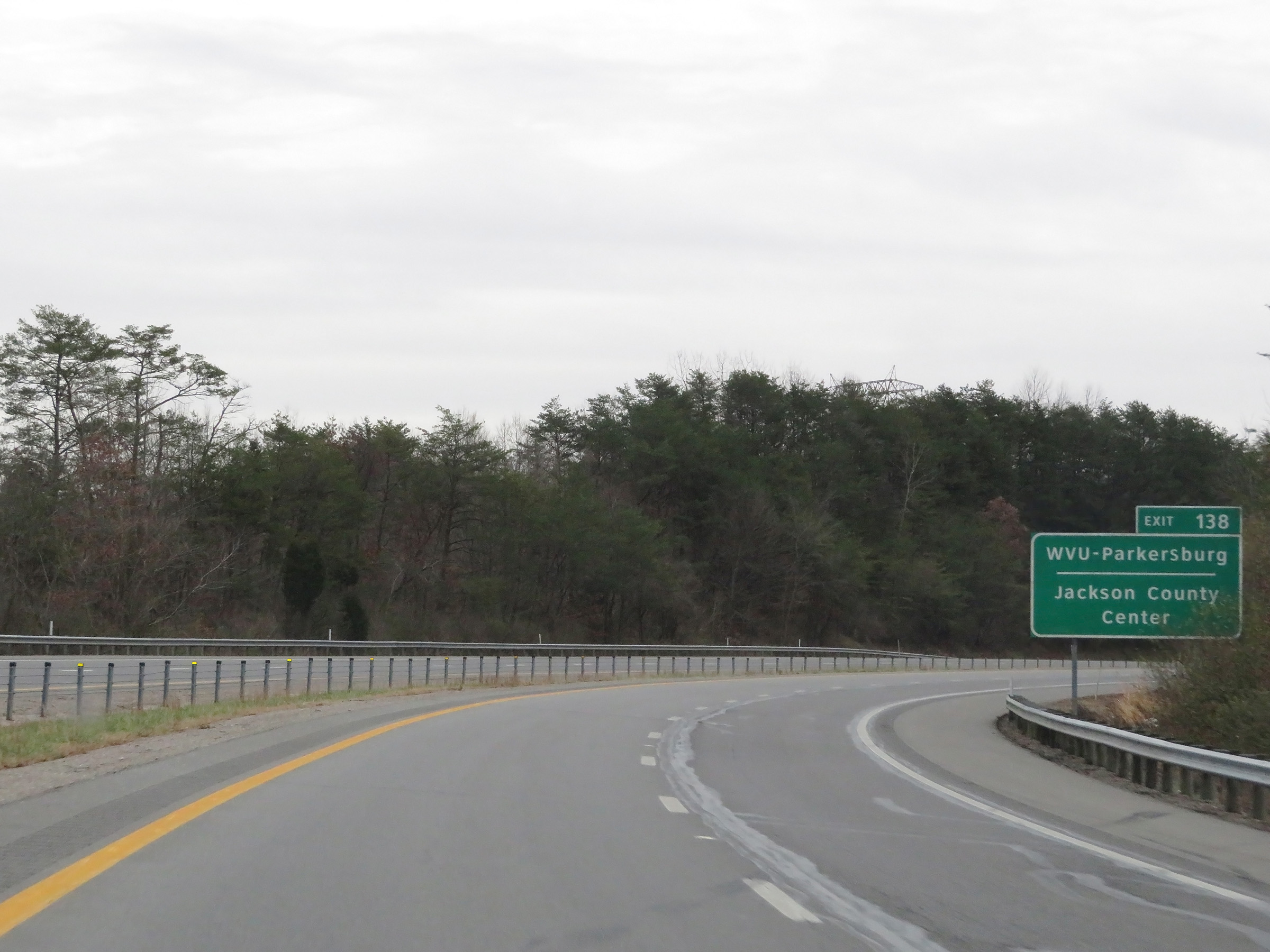 |
Take Exit 138 to WVU-Parkersburg and Jackson County Center. (Photo taken 12/4/20). |
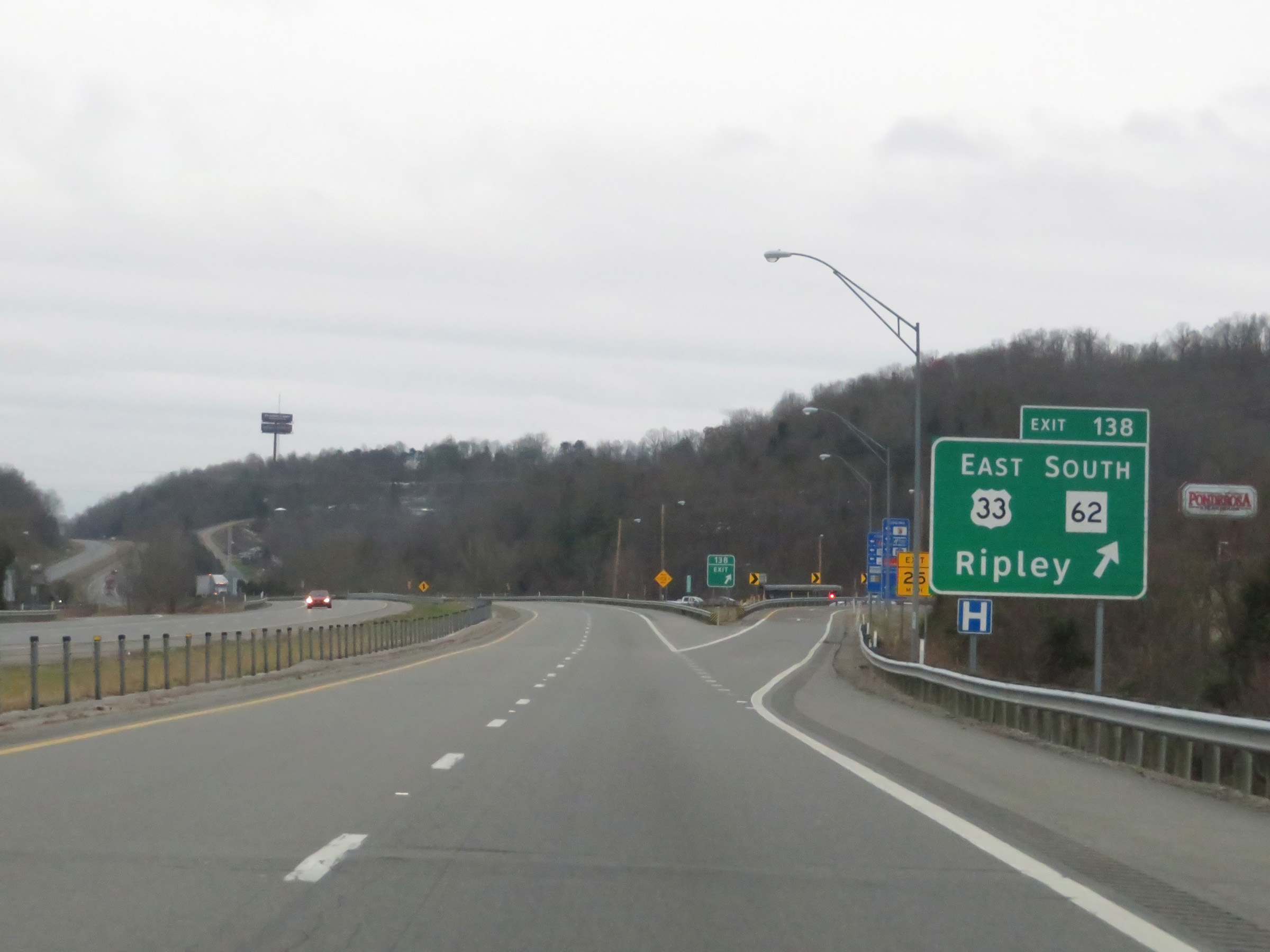 |
Interstate 77 South at Exit 138: US 33 East / WV 62 South - Ripley (Photo taken 12/4/20). |
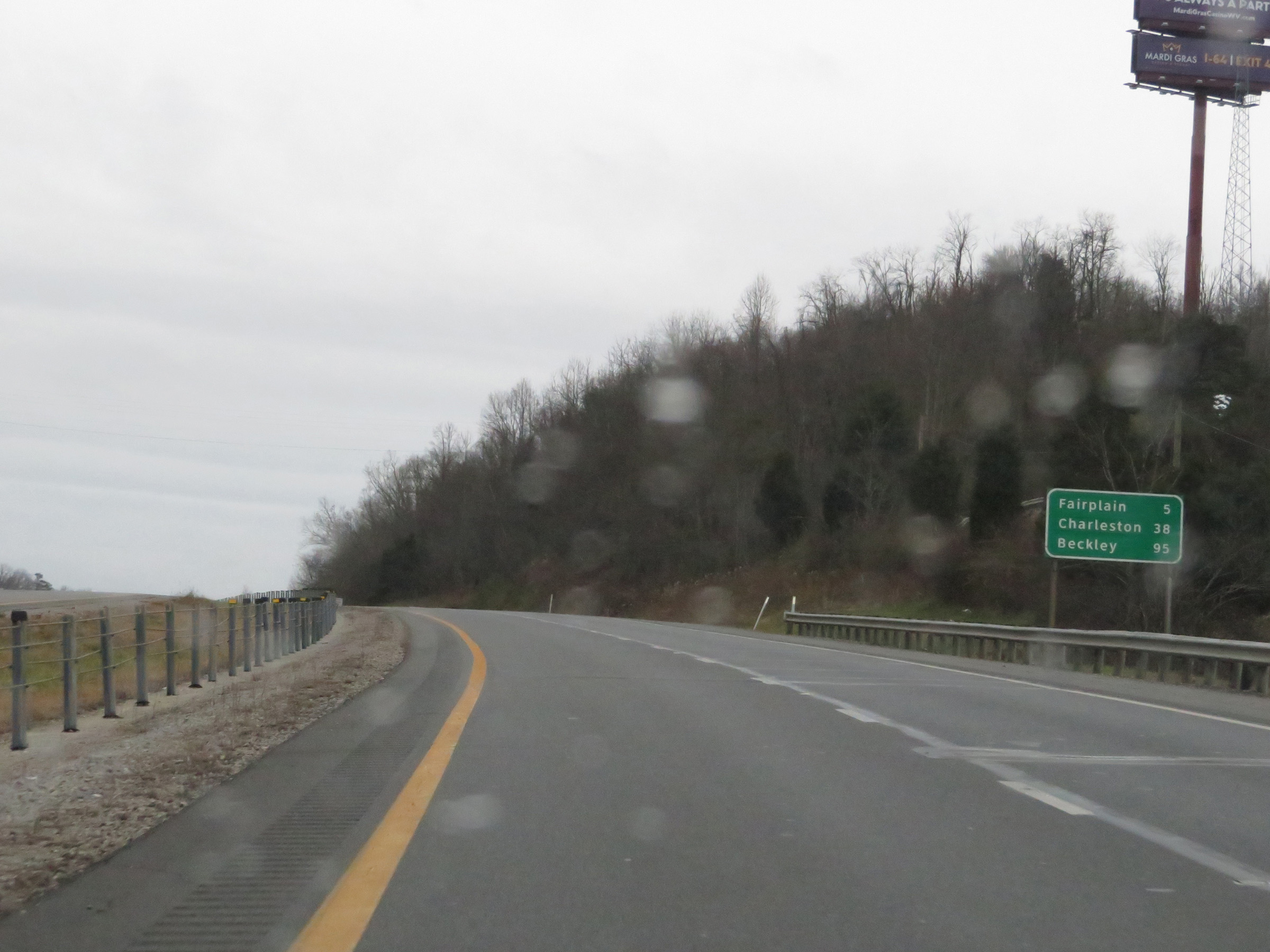 |
Another mileage sign on Interstate 77 South. It's 5 miles to Fairplain, 38 miles to Charleston, and 95 miles to Beckley. (Photo taken 12/4/20). |
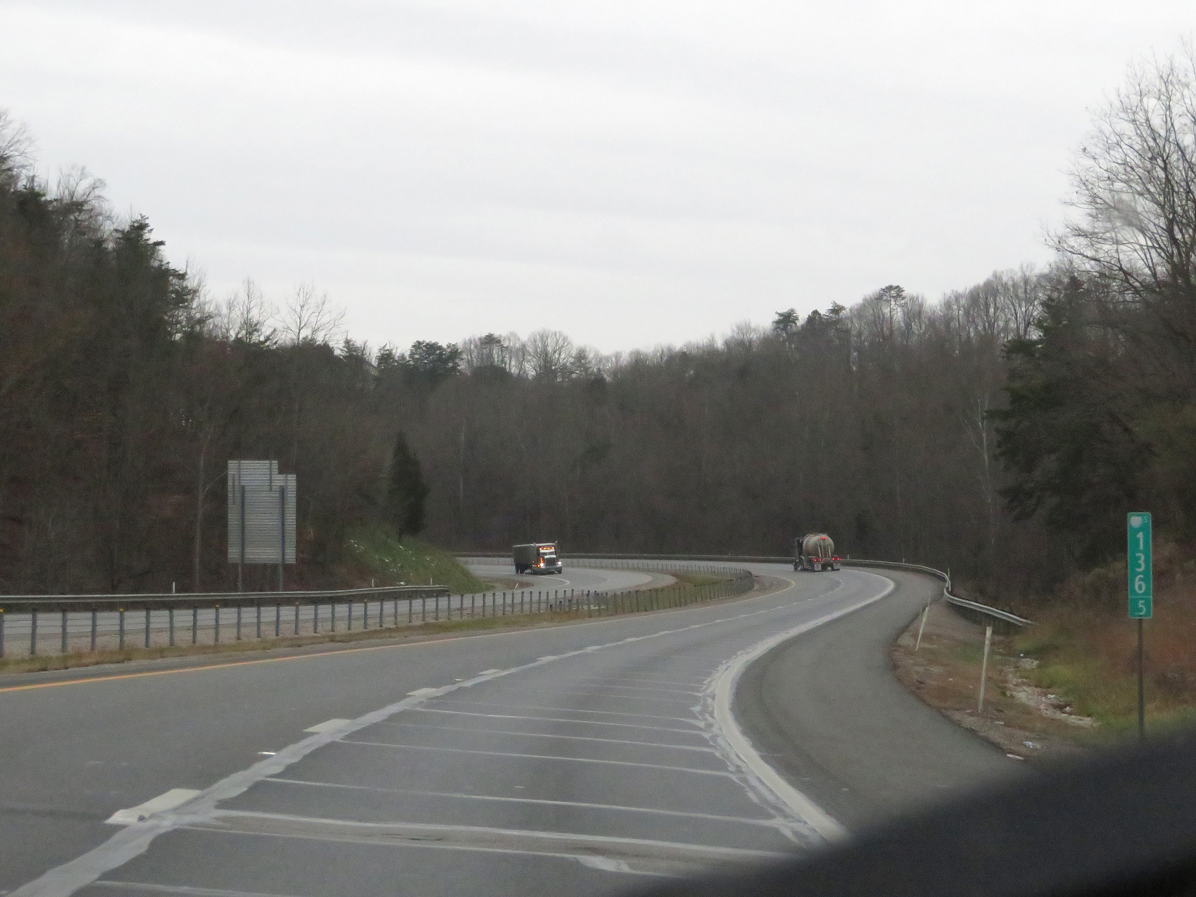 |
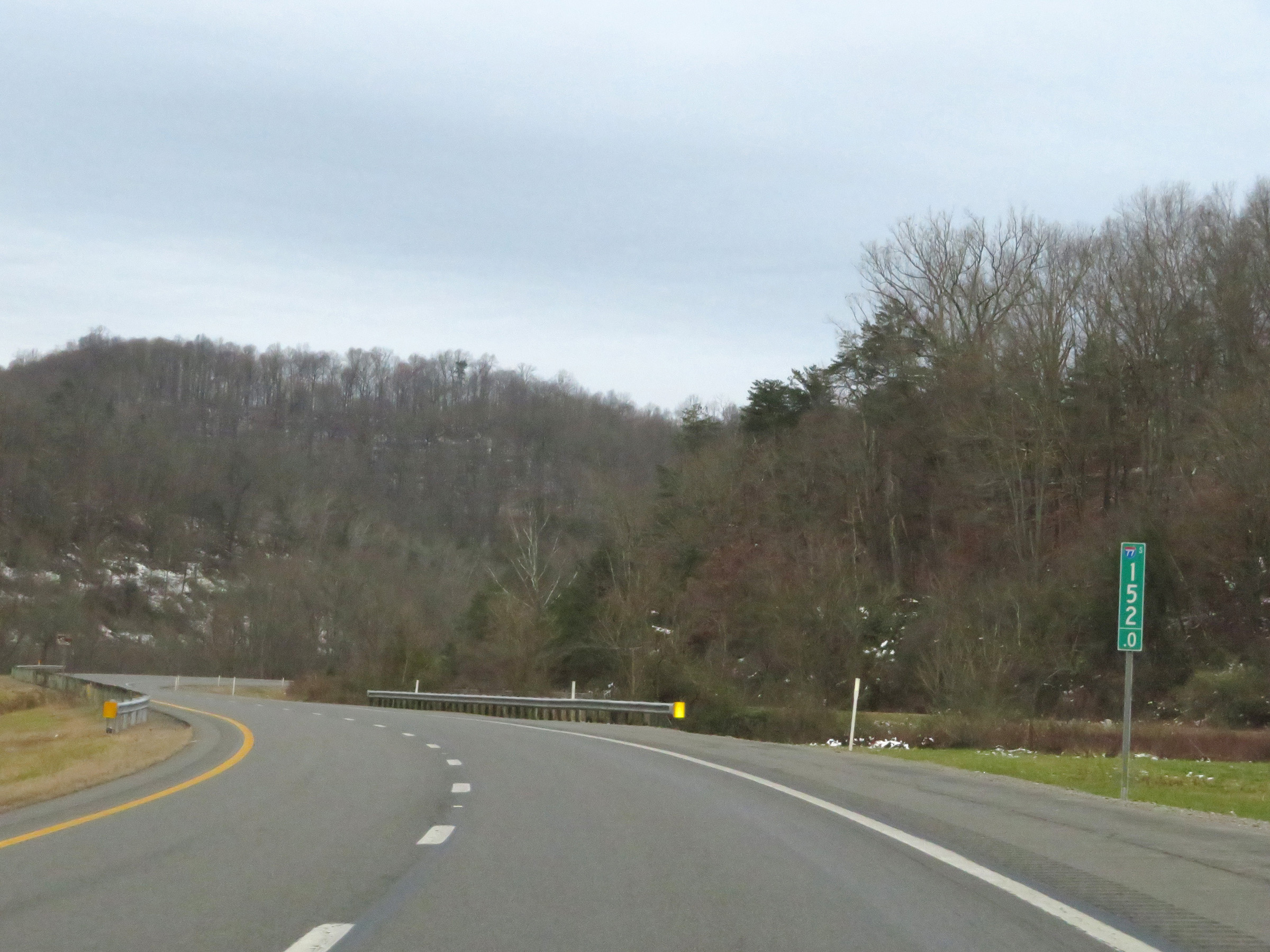
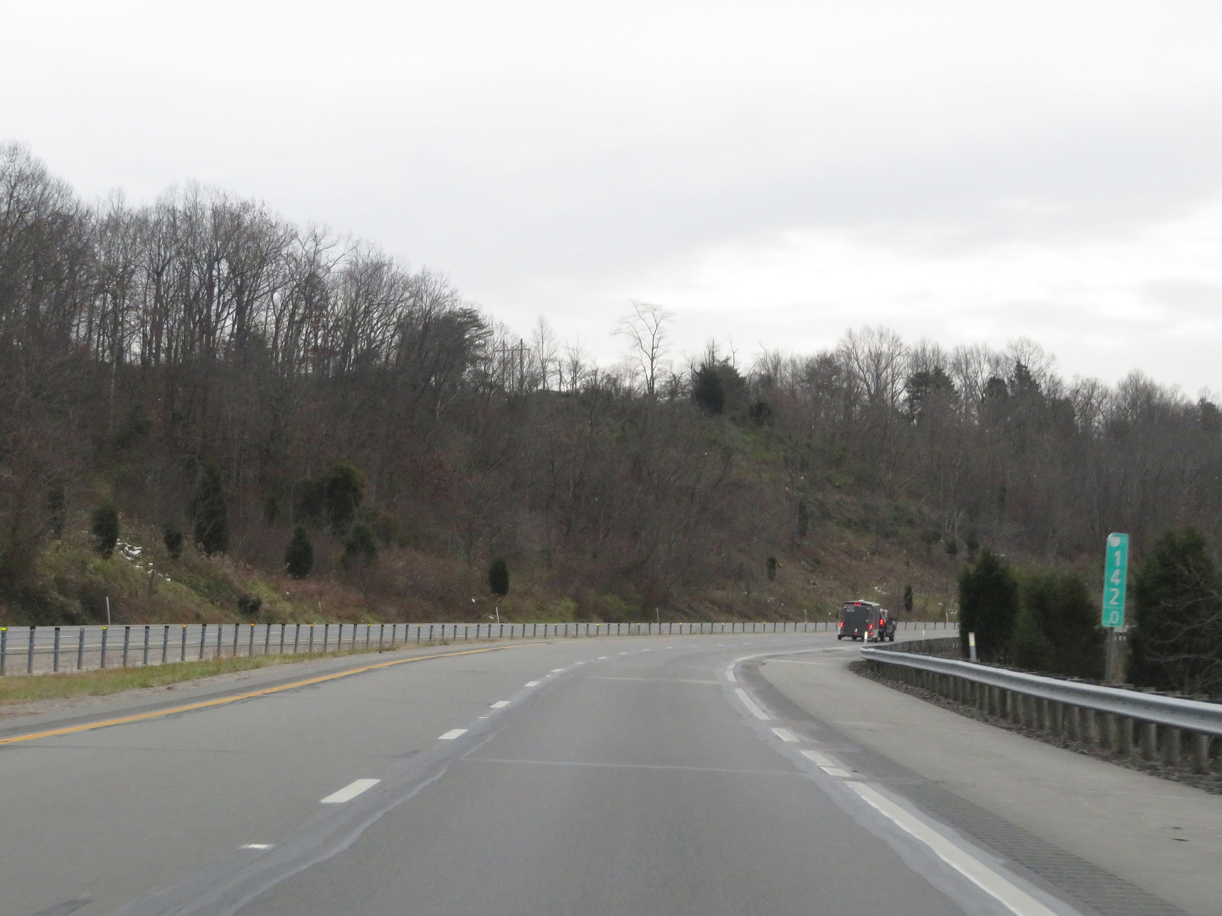
Interstate 77 South at mile marker 136.5. (Photo taken 12/4/20). |
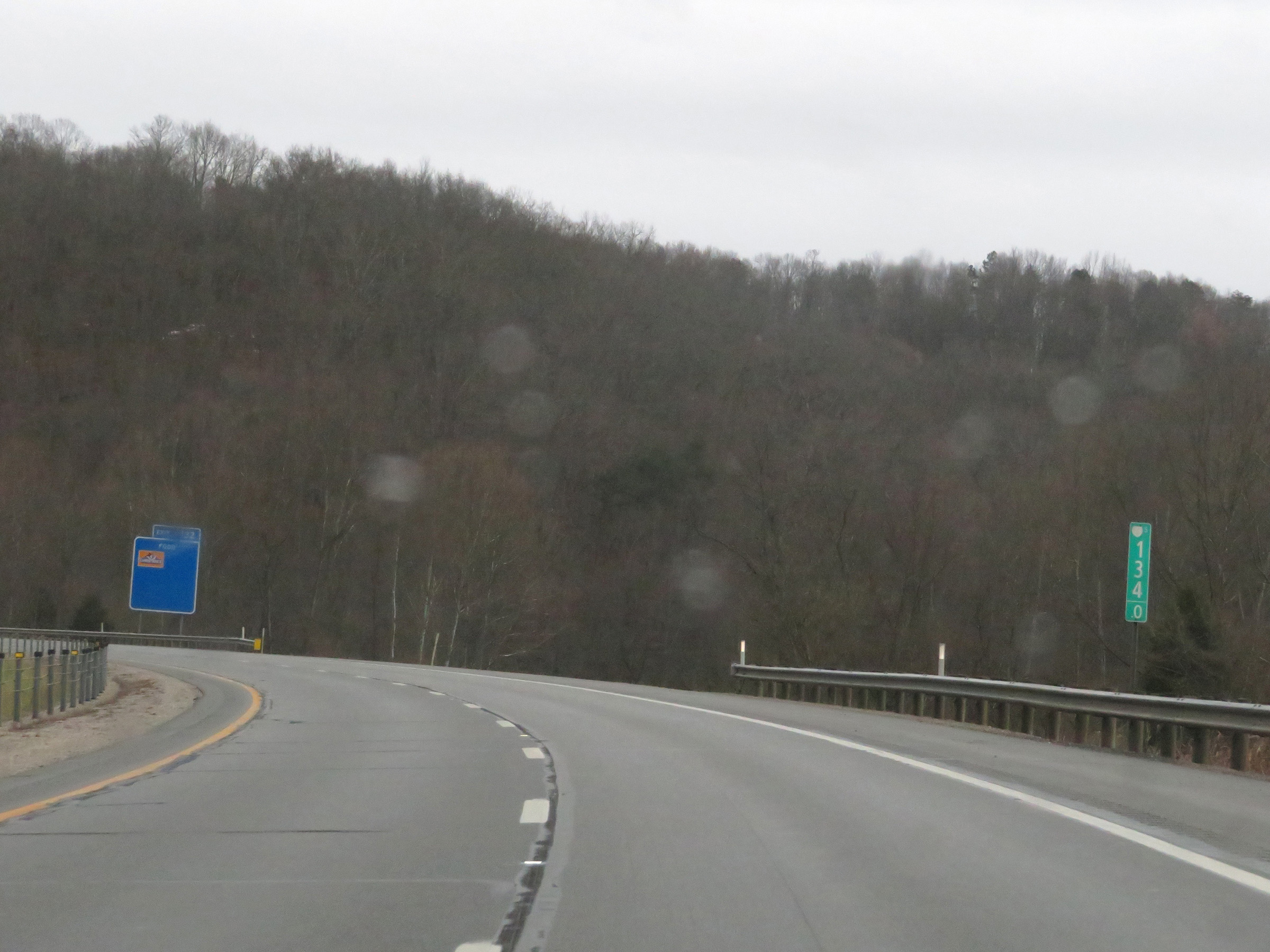 |
Mile marker 134 on Interstate 77 South in Jackson County. (Photo taken 12/4/20). |
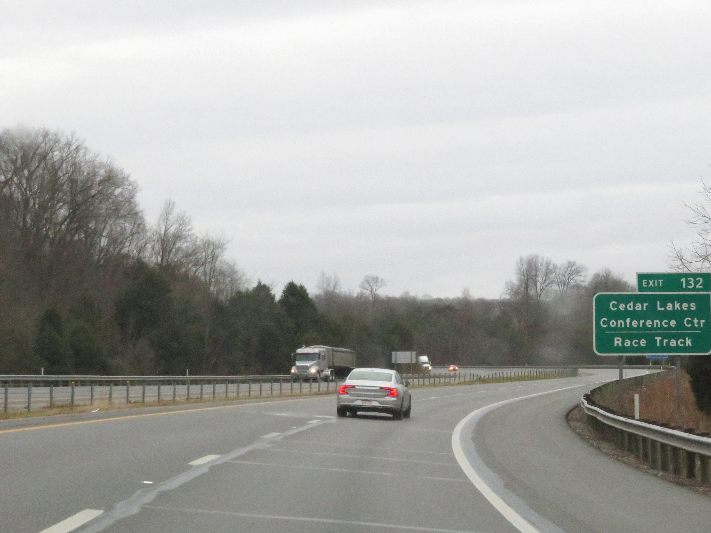 |
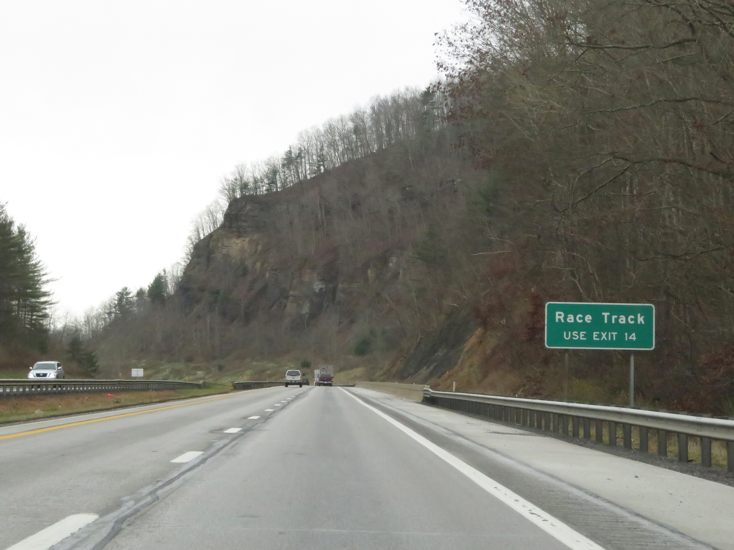
Take Exit 132 to Cedar Lakes Conference Center and the Race Track. (Photo taken 12/4/20). |
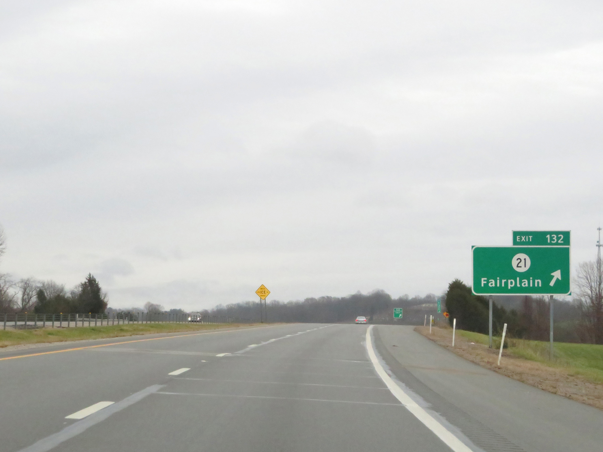 |
Interstate 77 South at Exit 132: CR 21 - Fairplain (Photo taken 12/4/20). |
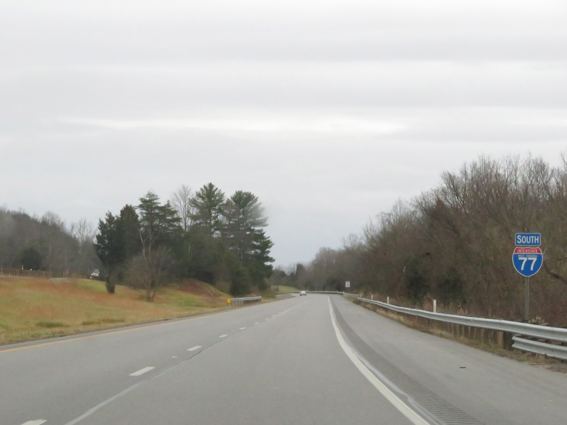 |
State-named Interstate 77 South reassurance shield. (Photo taken 12/4/20). |
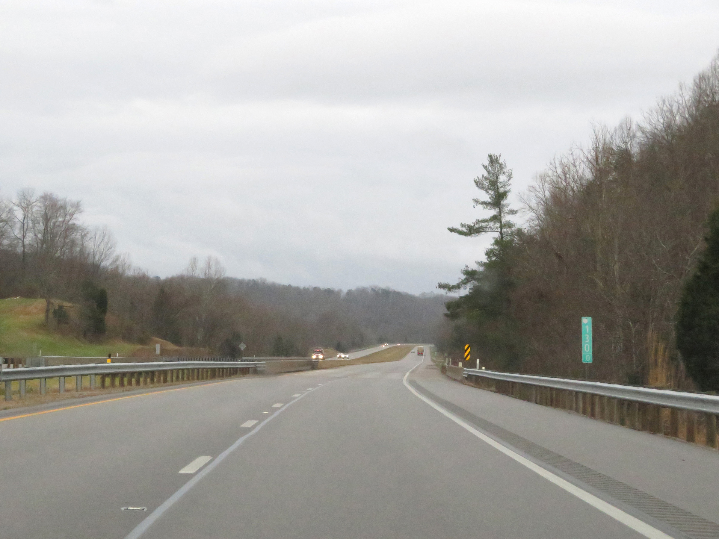 |
View on Interstate 77 South at mile marker 130. (Photo taken 12/4/20). |
 |
Interstate 77 South at mile marker 128. (Photo taken 12/4/20). |
 |
Mile marker 127 on Interstate 77 South in Jackson County. (Photo taken 12/4/20). |
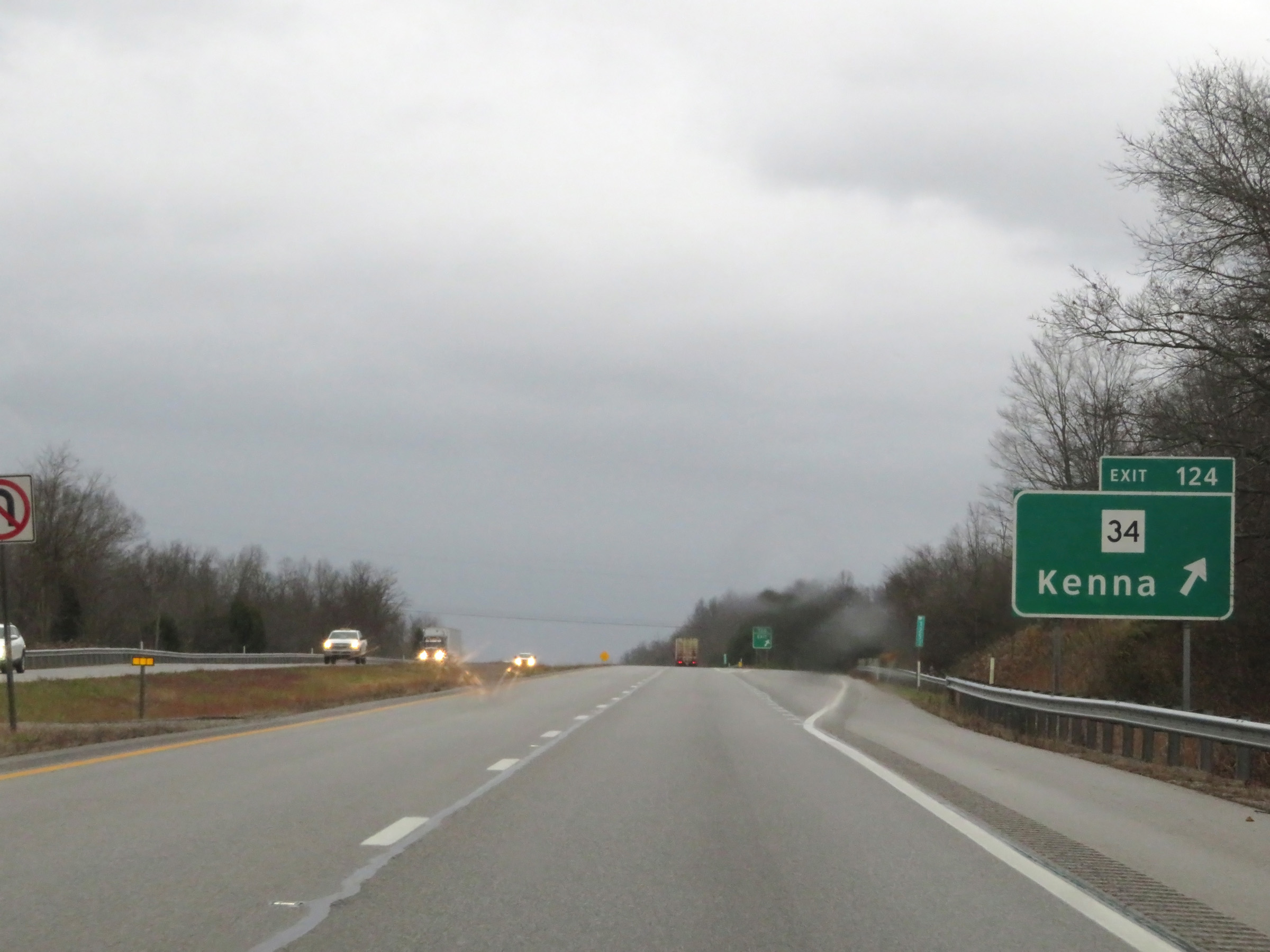 |
Interstate 77 South at Exit 124: WV 34 - Kenna (Photo taken 12/4/20). |
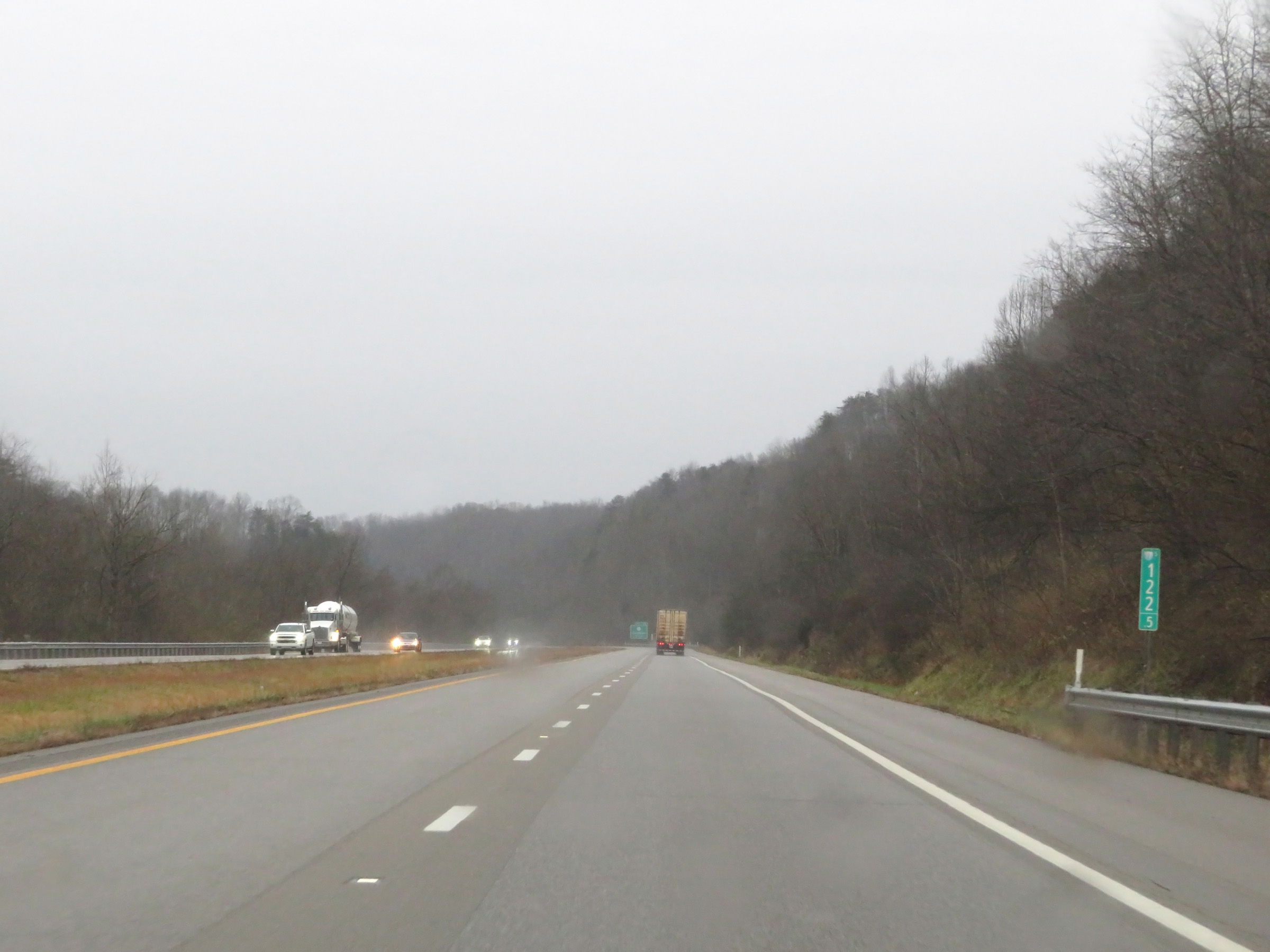 |
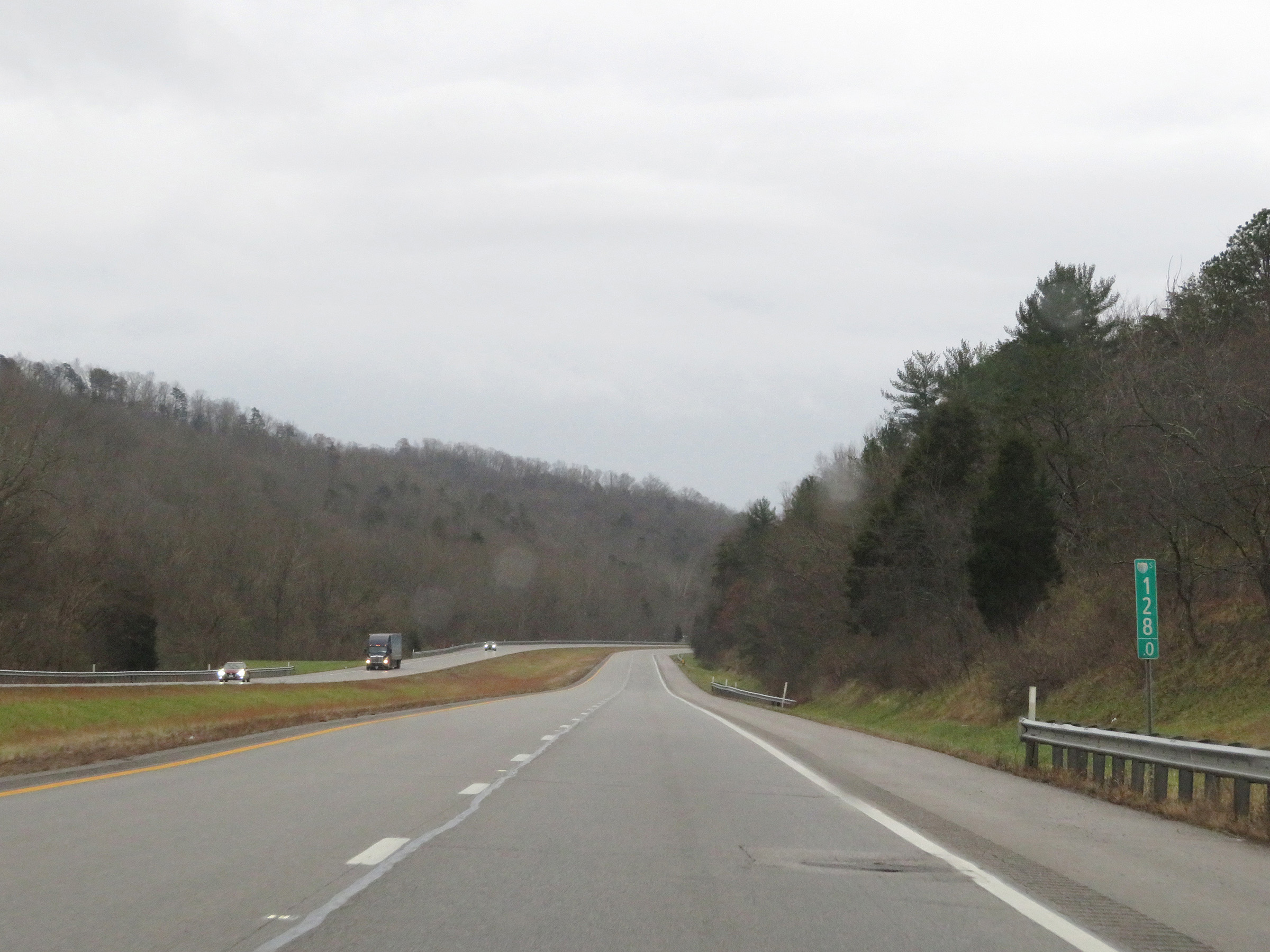
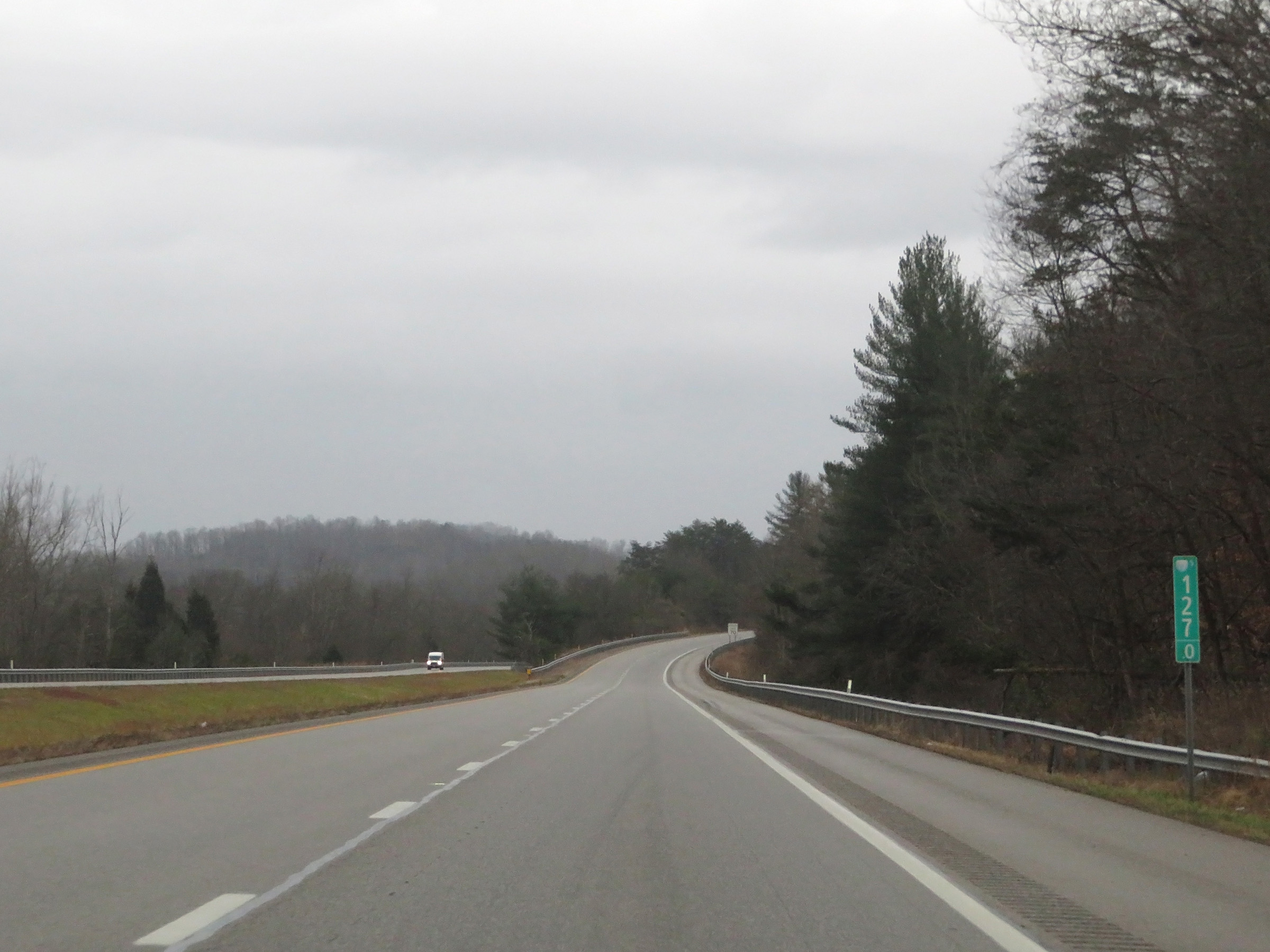
View on Interstate 77 South at mile marker 122.5. (Photo taken 12/4/20). |
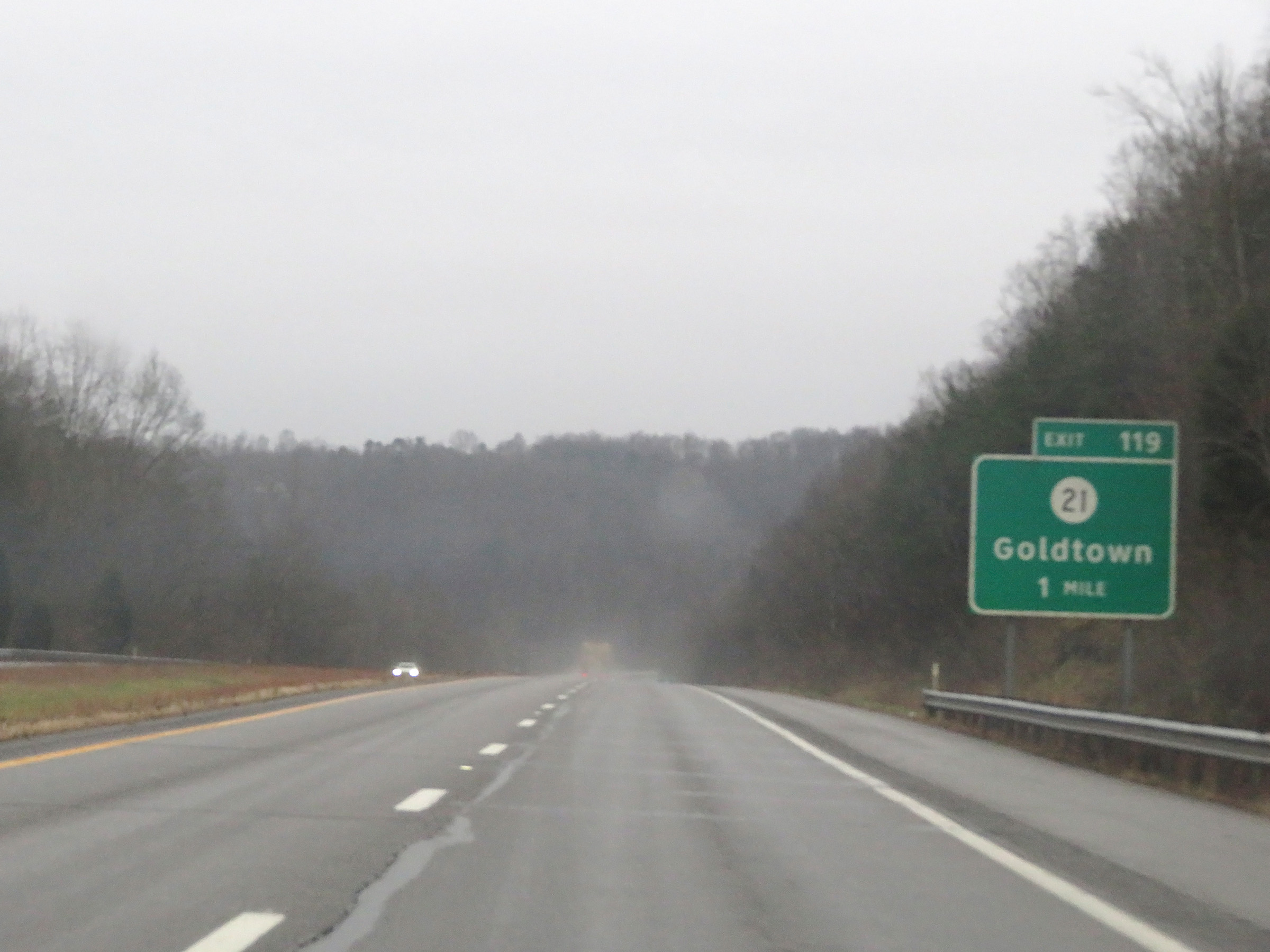 |
Interstate 77 South approaching Exit 119 - 1 mile. (Photo taken 12/4/20). |
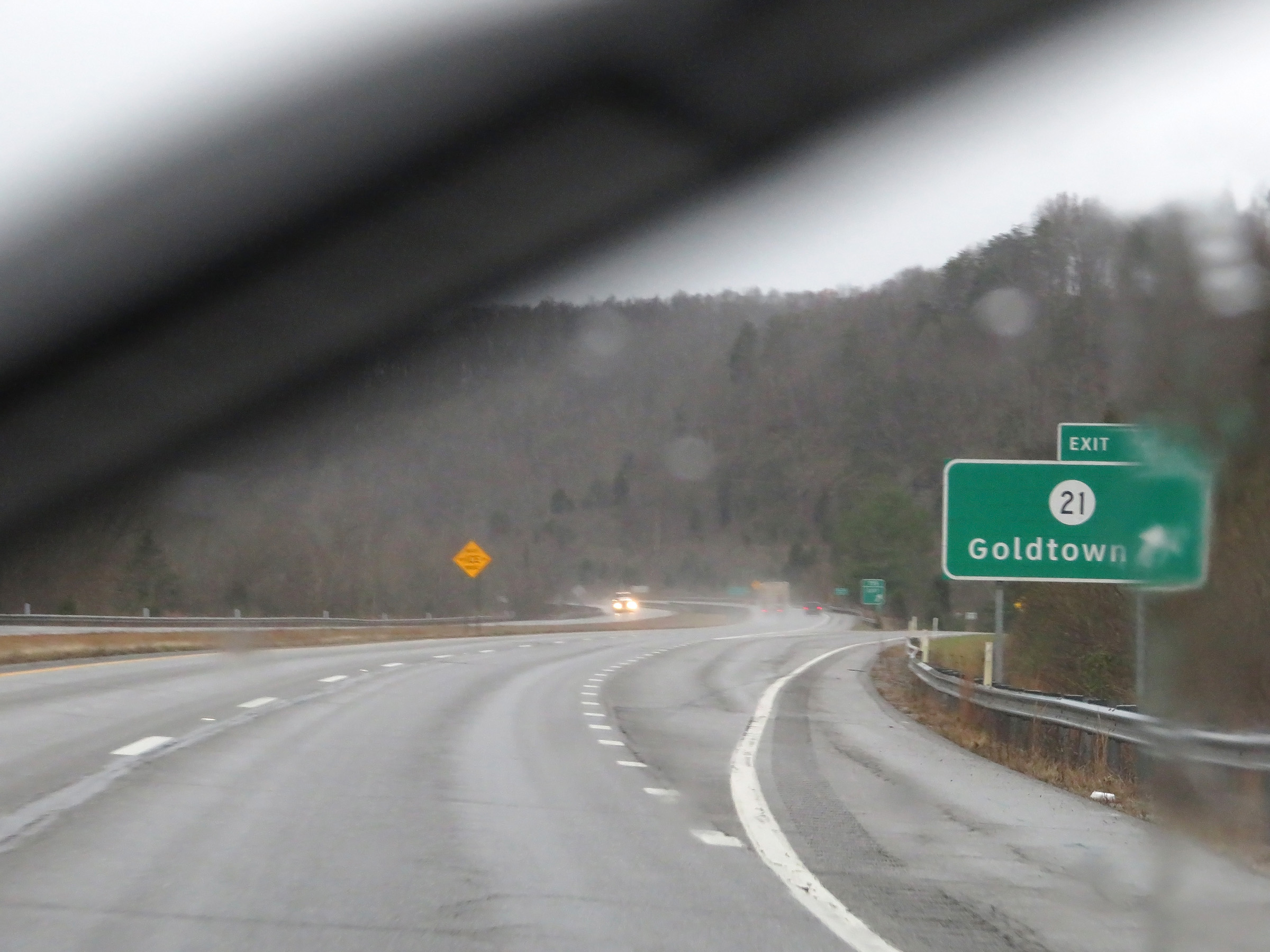 |
Interstate 77 South at Exit 119: CR 21 - Goldtown (Photo taken 12/4/20). |
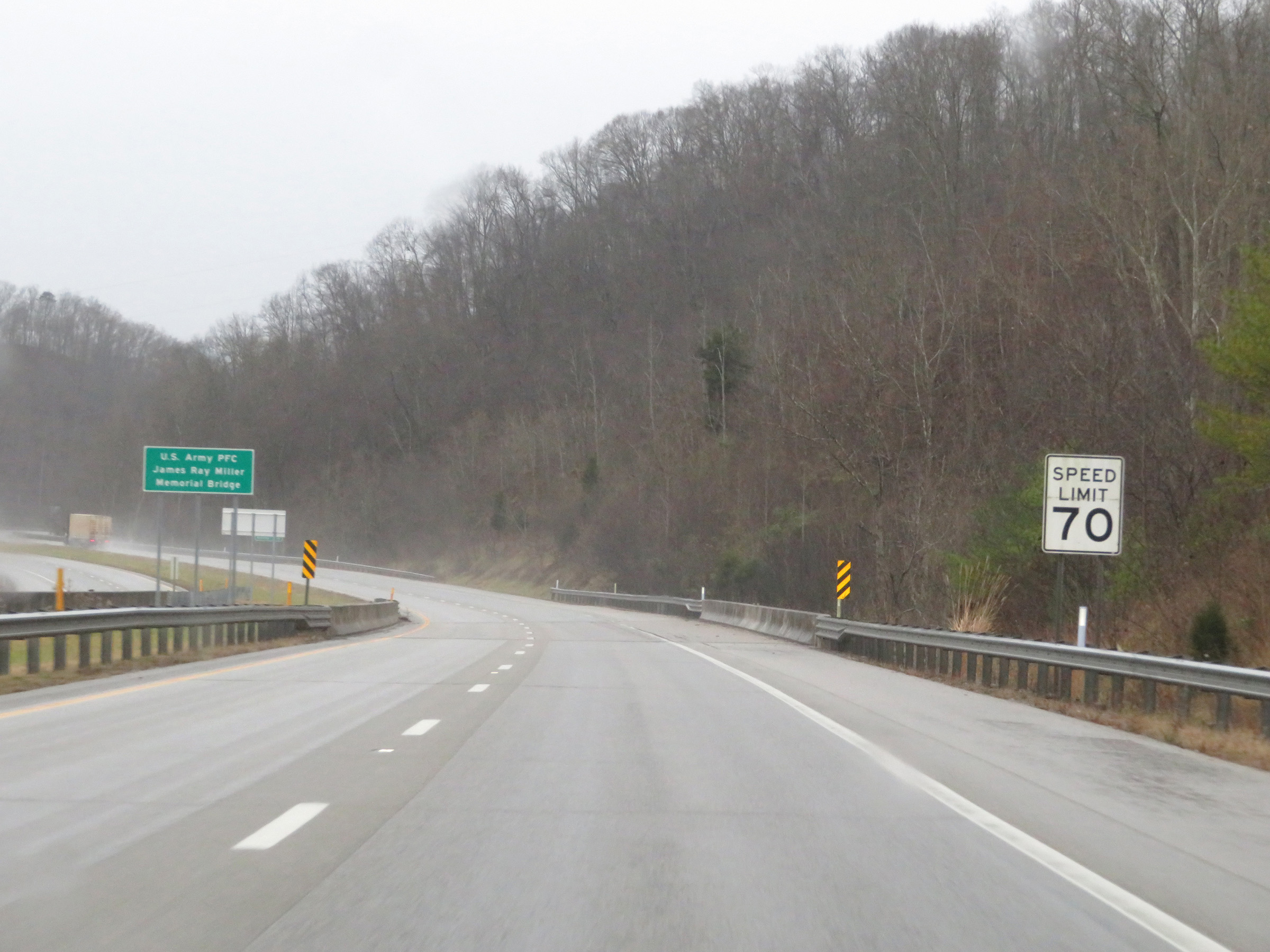 |
Speed limit sign on Interstate 77 South. The speed limit remains 70 mph. (Photo taken 12/4/20). |
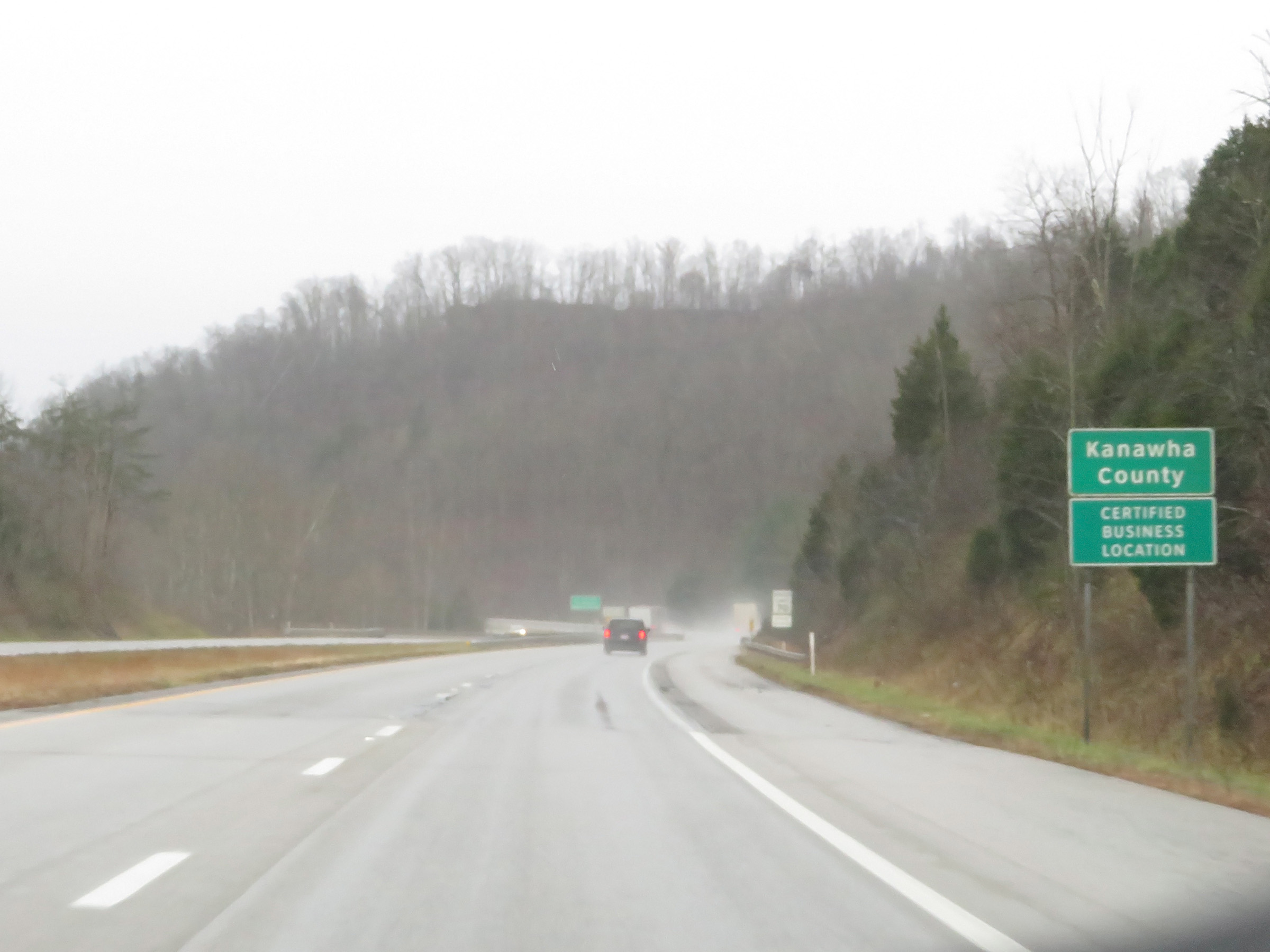 |
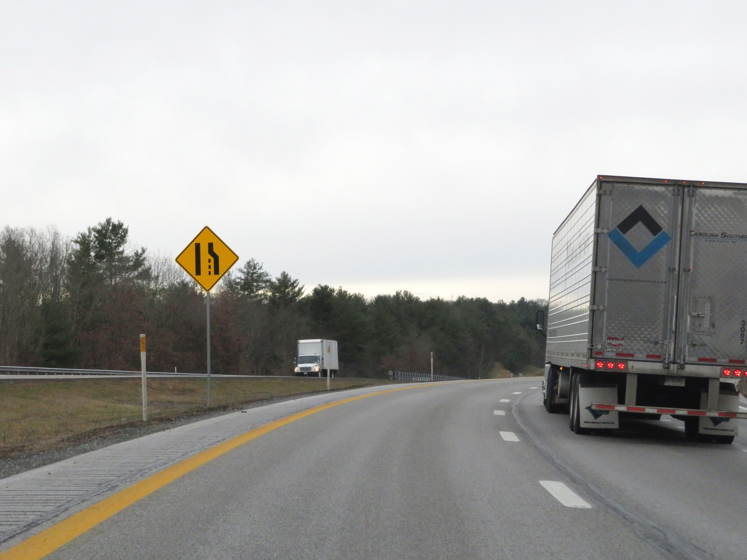
Interstate 77 South as it enters Kanawha County. (Photo taken 12/4/20). |
 |
View on Interstate 77 South at mile marker 117. (Photo taken 12/4/20). |
 |
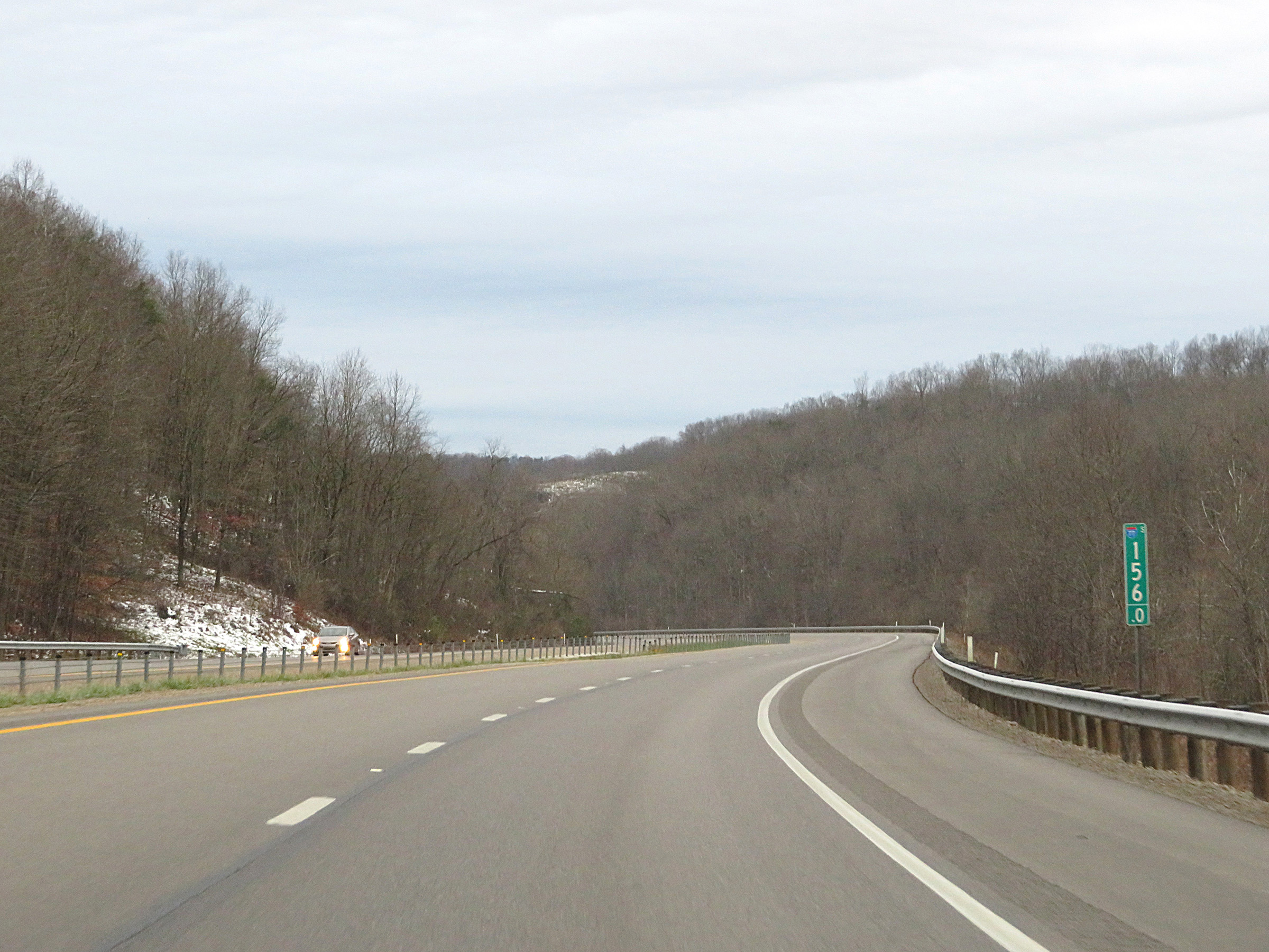
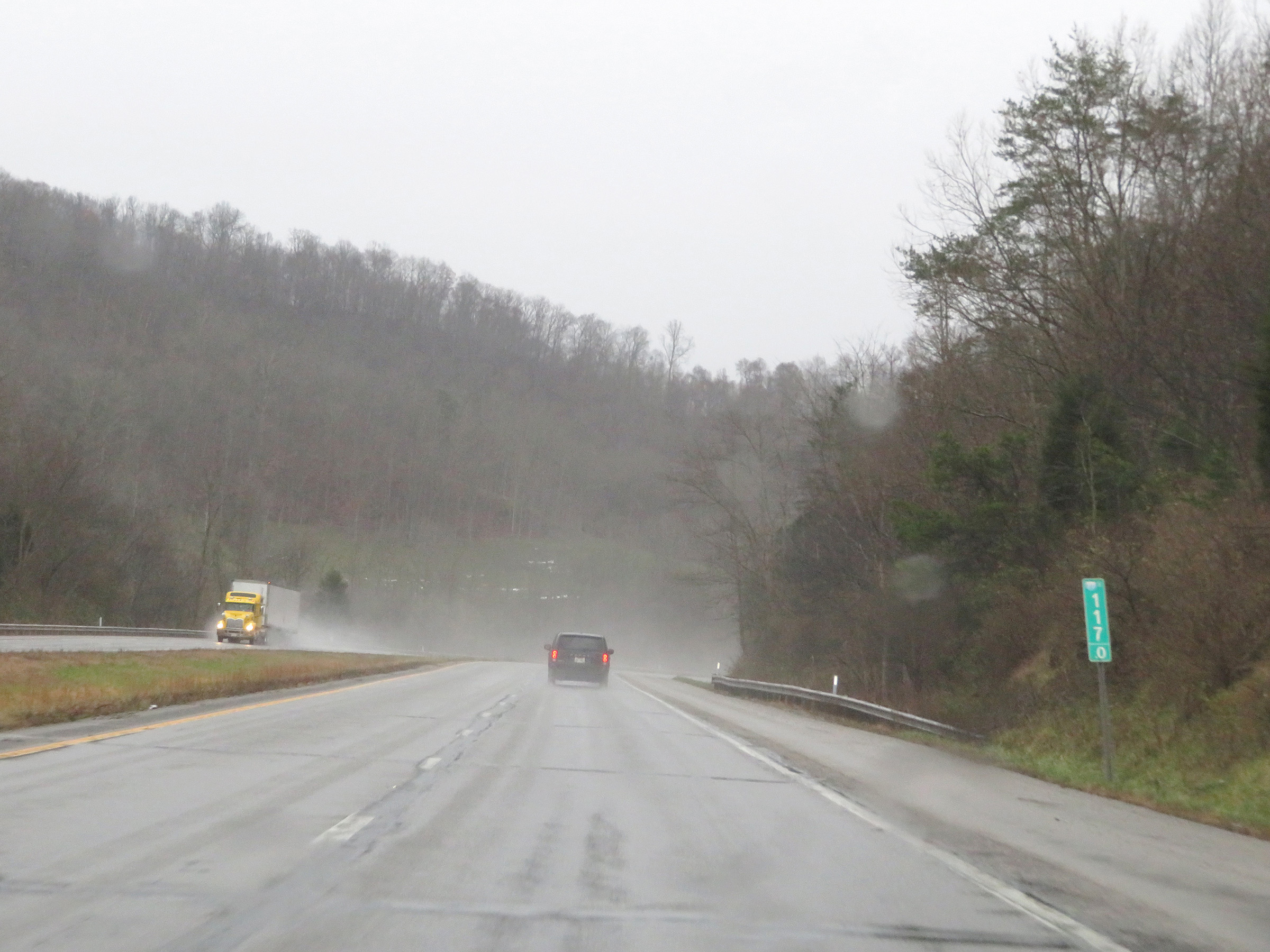
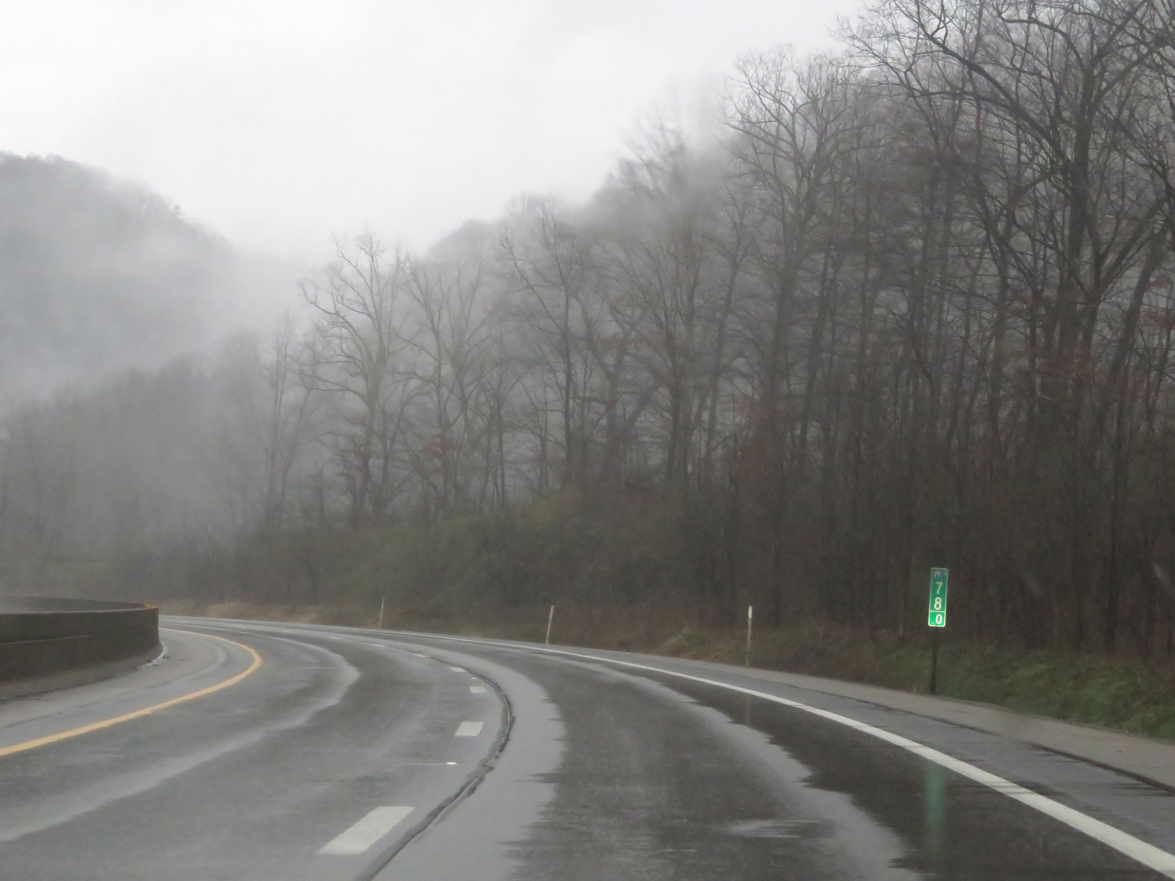
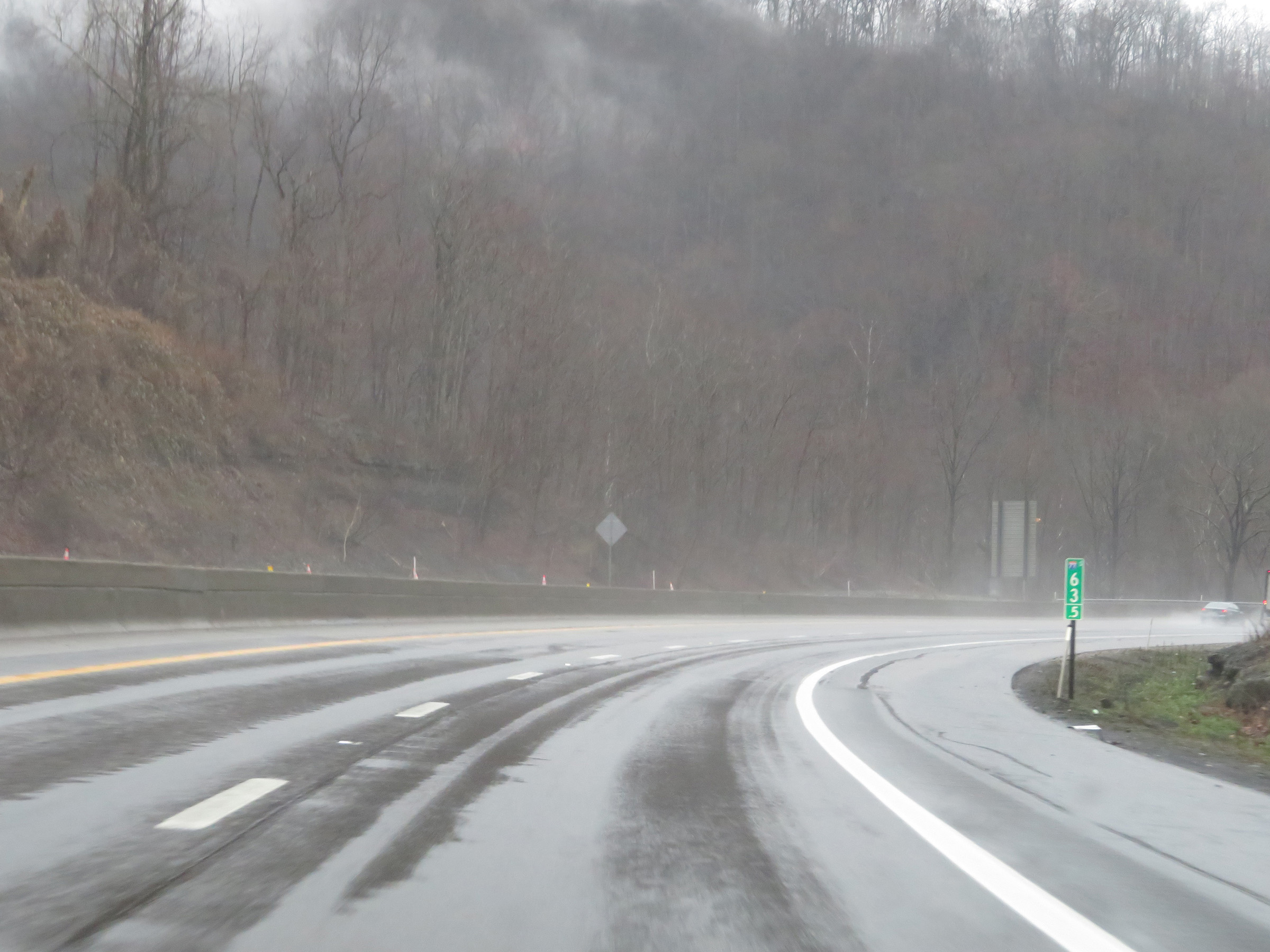
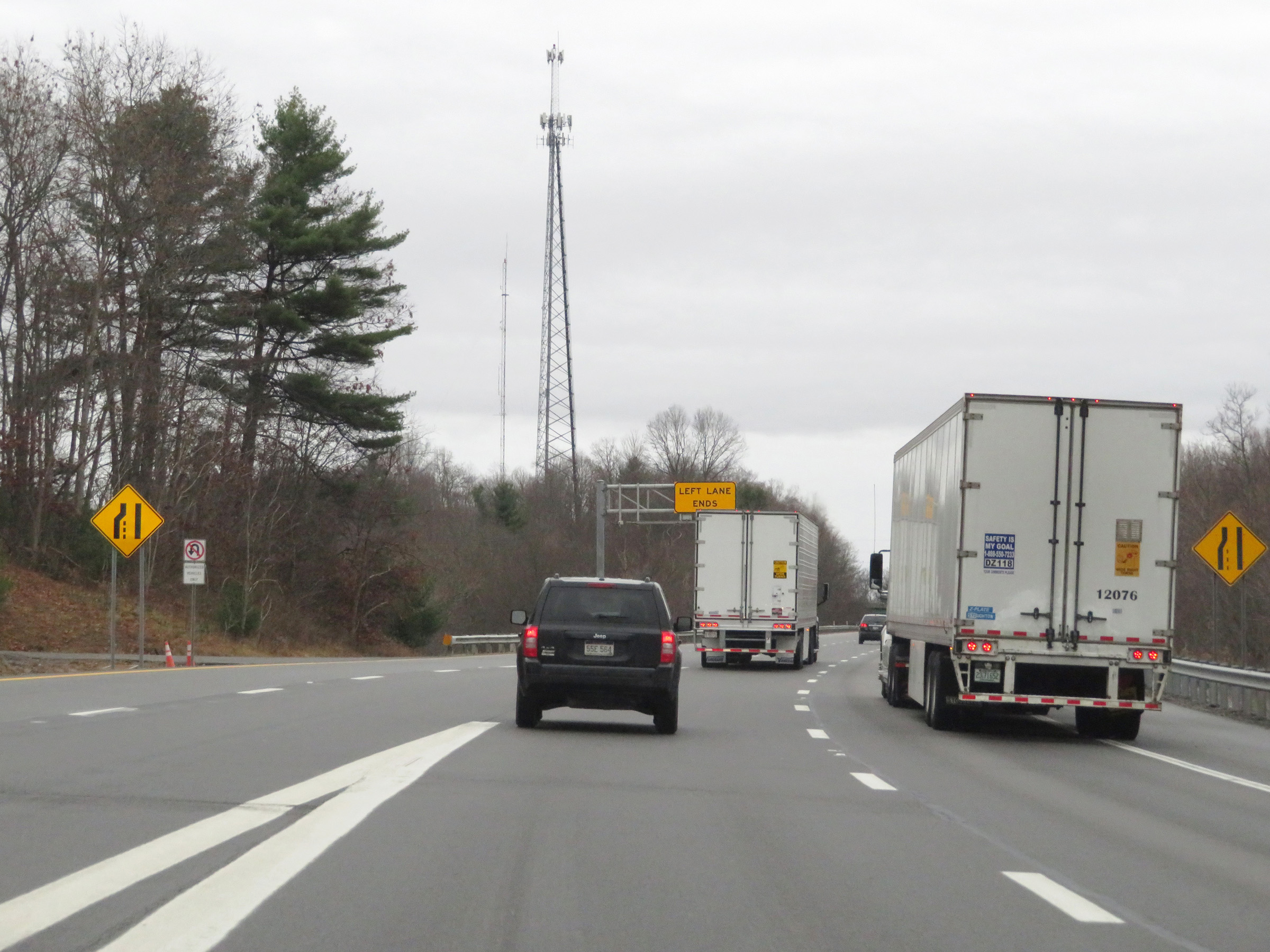
Interstate 77 South at Exit 116: CR 21 - Sissonville (Photo taken 12/4/20). |
Section 2: Sissonville (Exit 116) to Charleston (Exit 95)
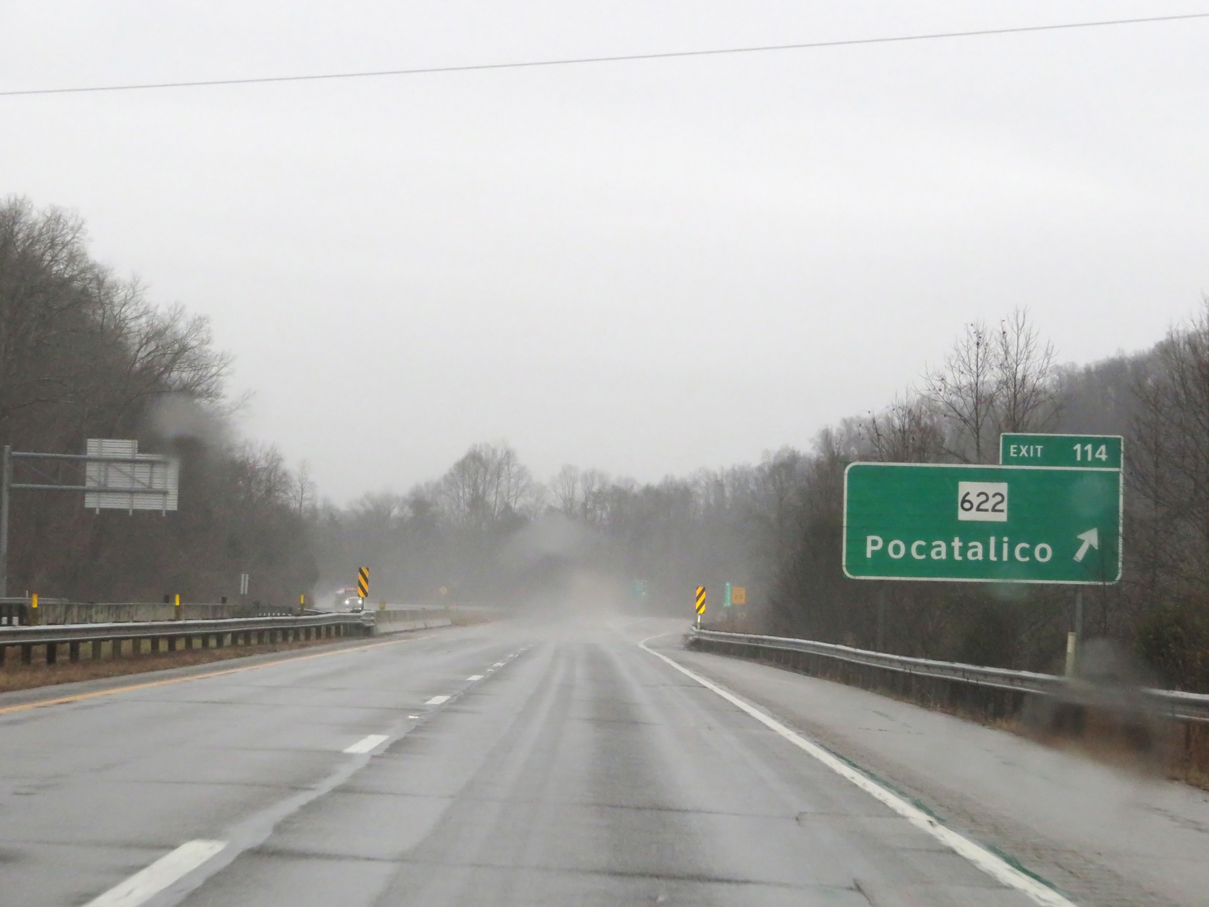 |
Interstate 77 South at Exit 114: WV 622 - Pocatalico (Photo taken 12/4/20). |
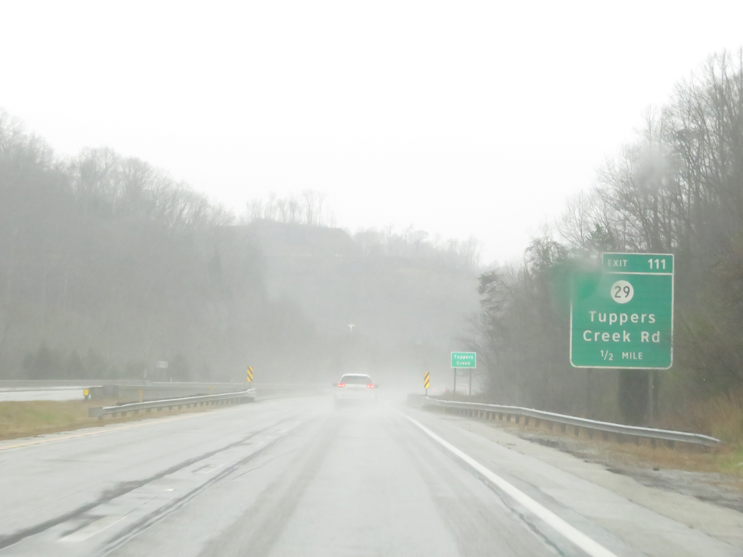 |
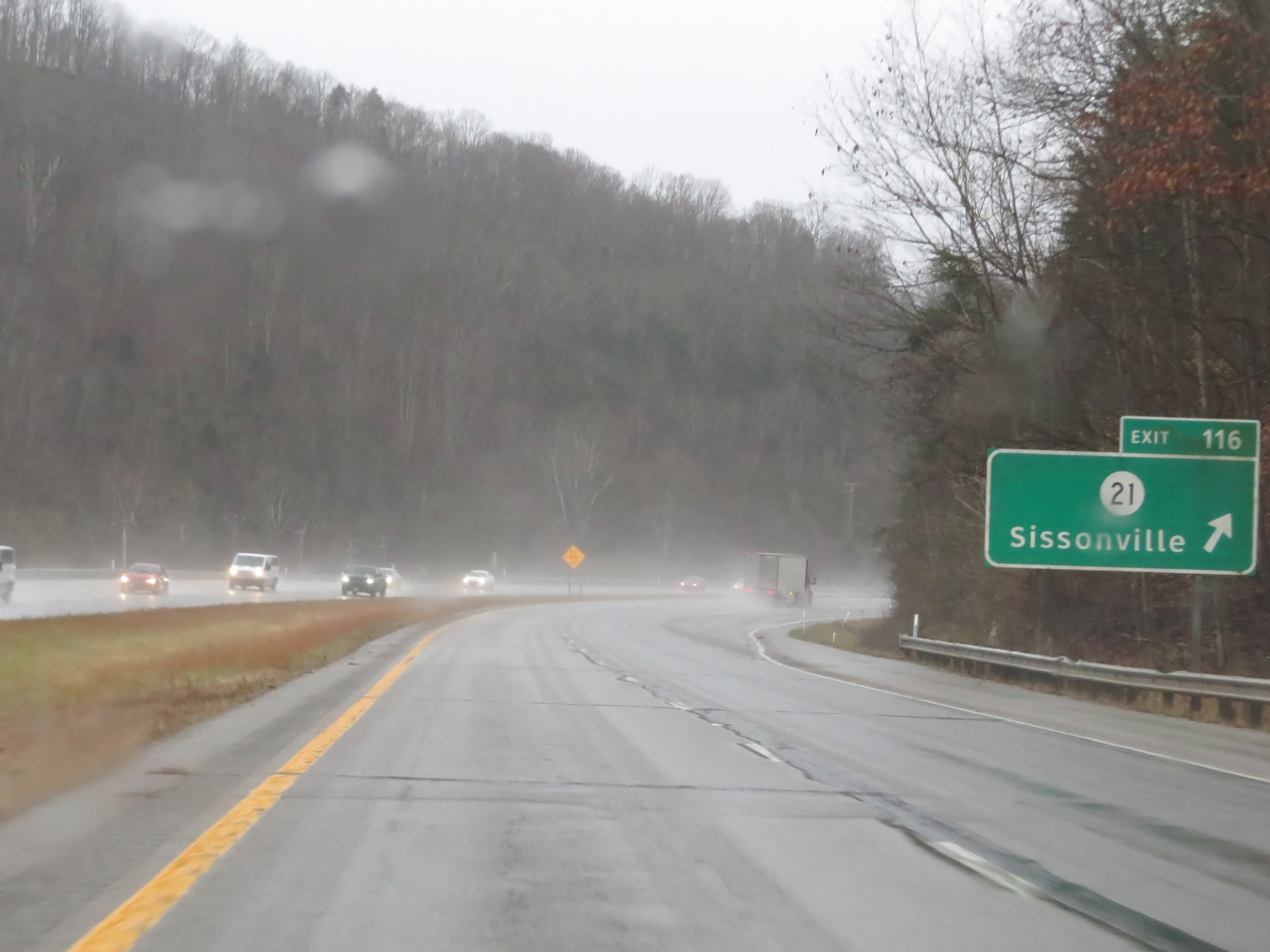
Interstate 77 South approaching Exit 111 - 1/2 mile. (Photo taken 12/4/20). |
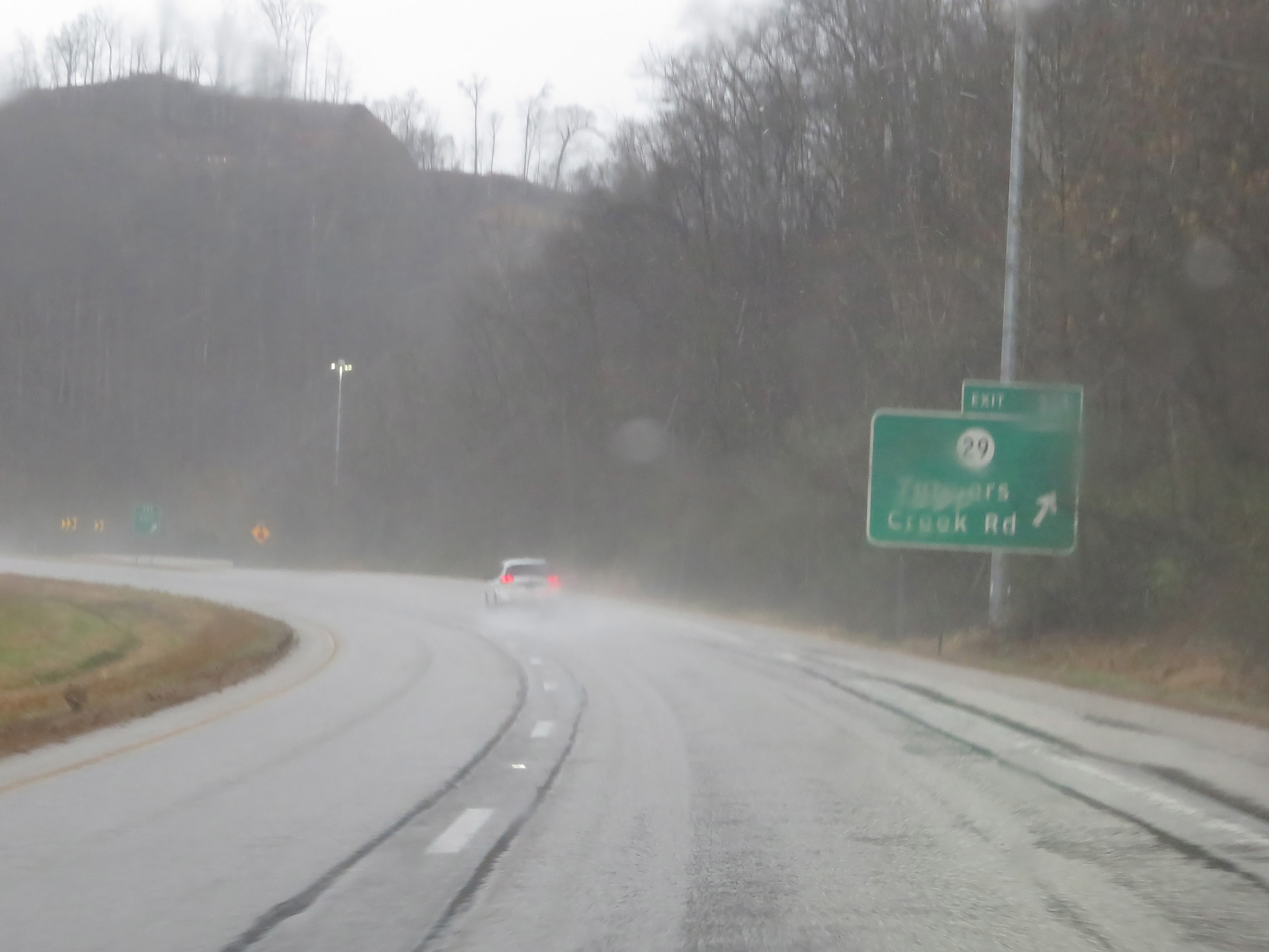 |
Interstate 77 South at Exit 111: CR 29 - Tuppers Creed Rd (Photo taken 12/4/20). |
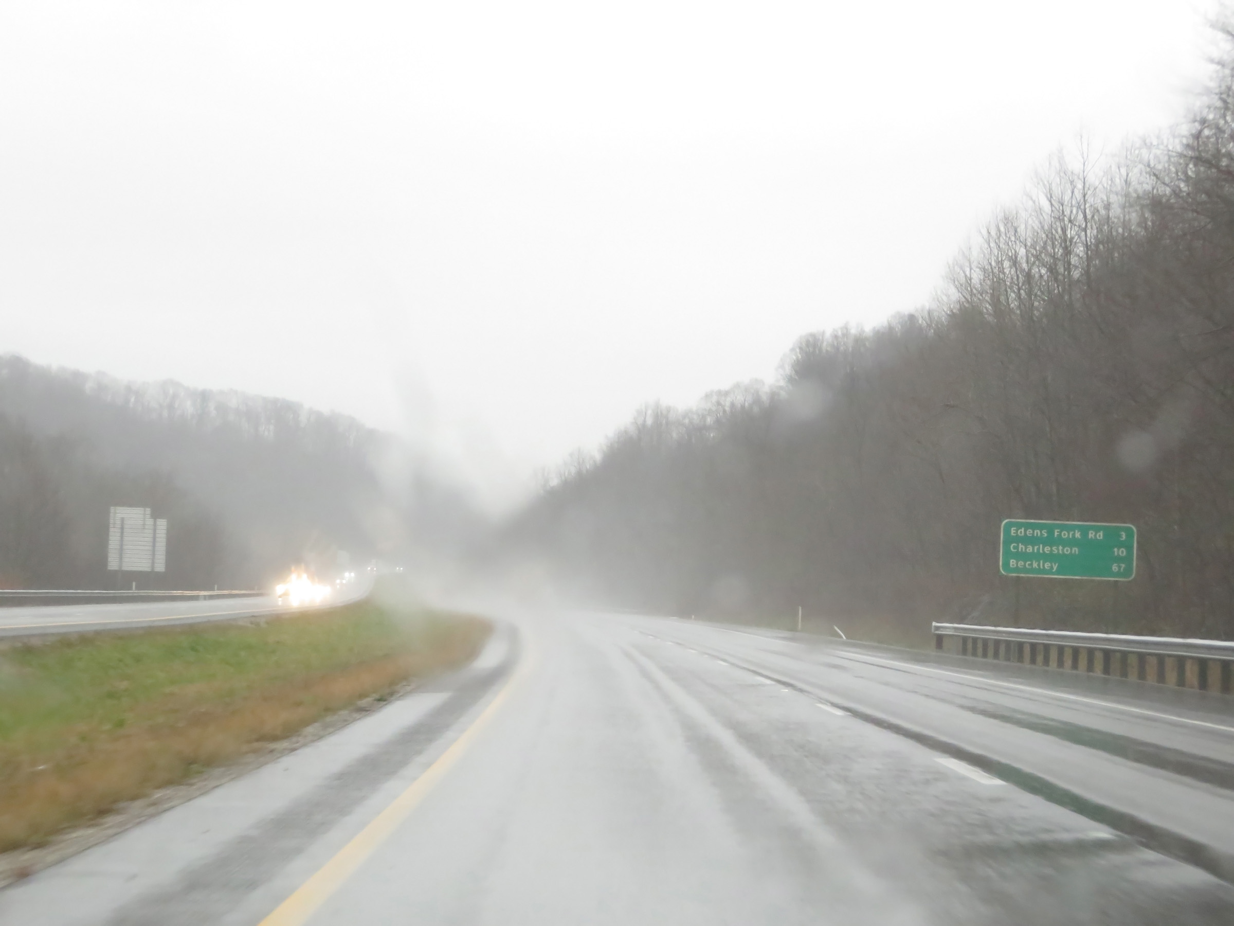 |
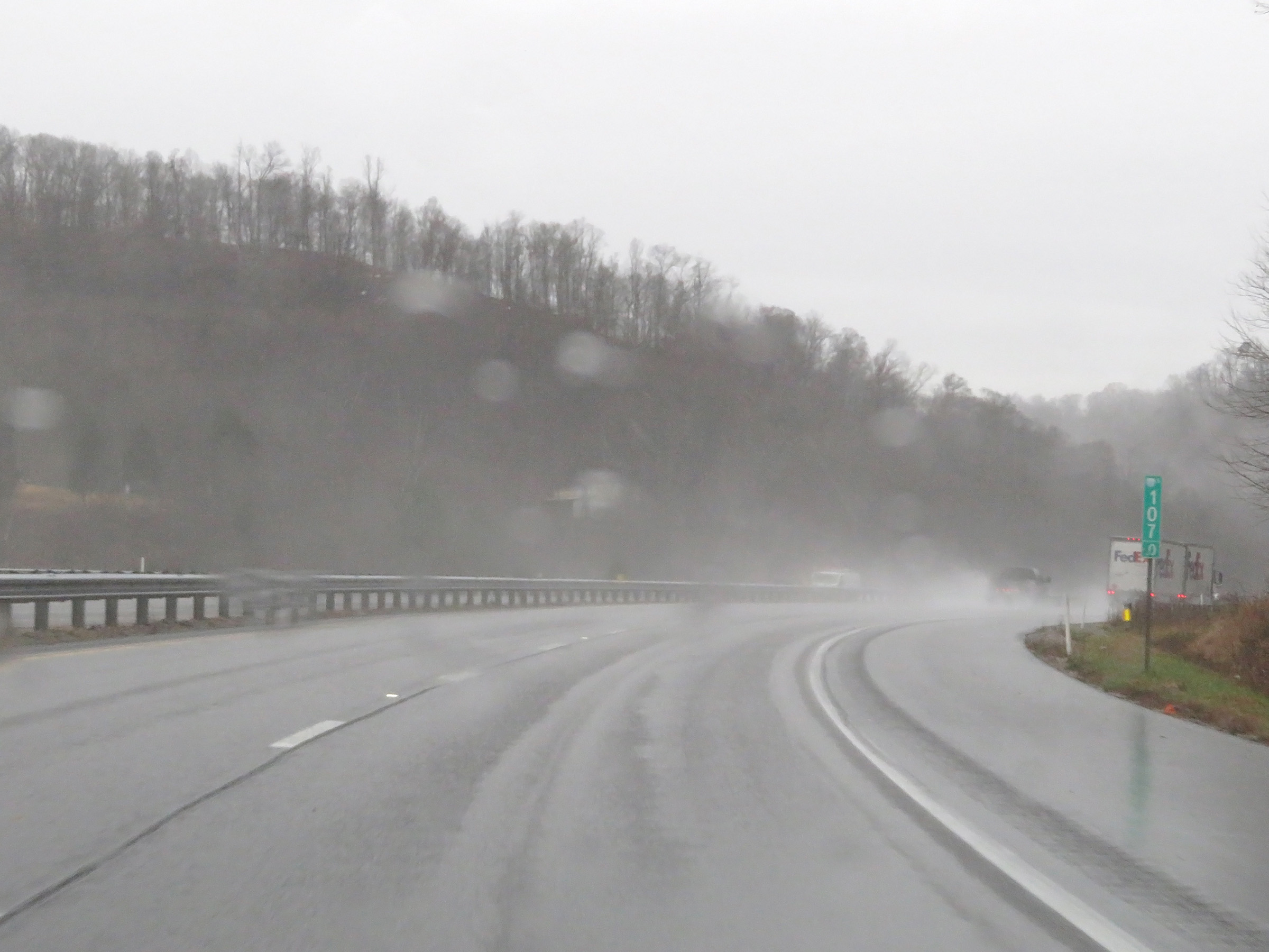
Mileage sign on Interstate 77 South. It's 3 miles to the junction of Edens Fork Rd, 10 miles to Charleston, and 67 miles to Beckley. (Photo taken 12/4/20). |
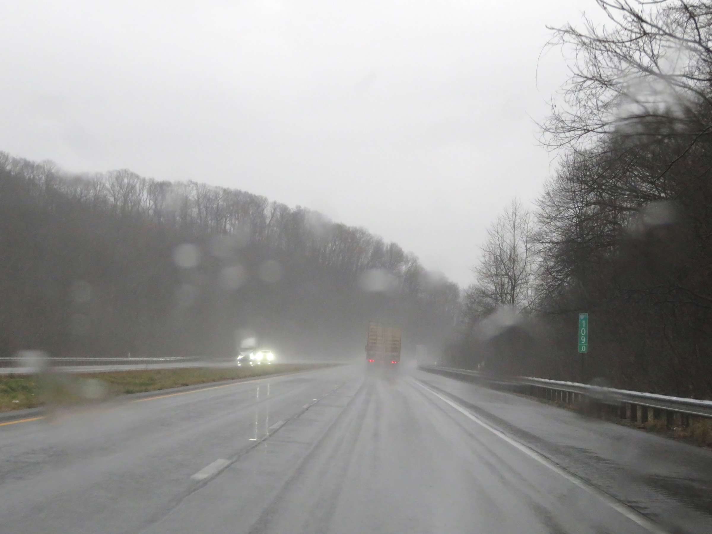 |
Mile marker 109 on Interstate 77 South in Kanawha County. (Photo taken 12/4/20). |
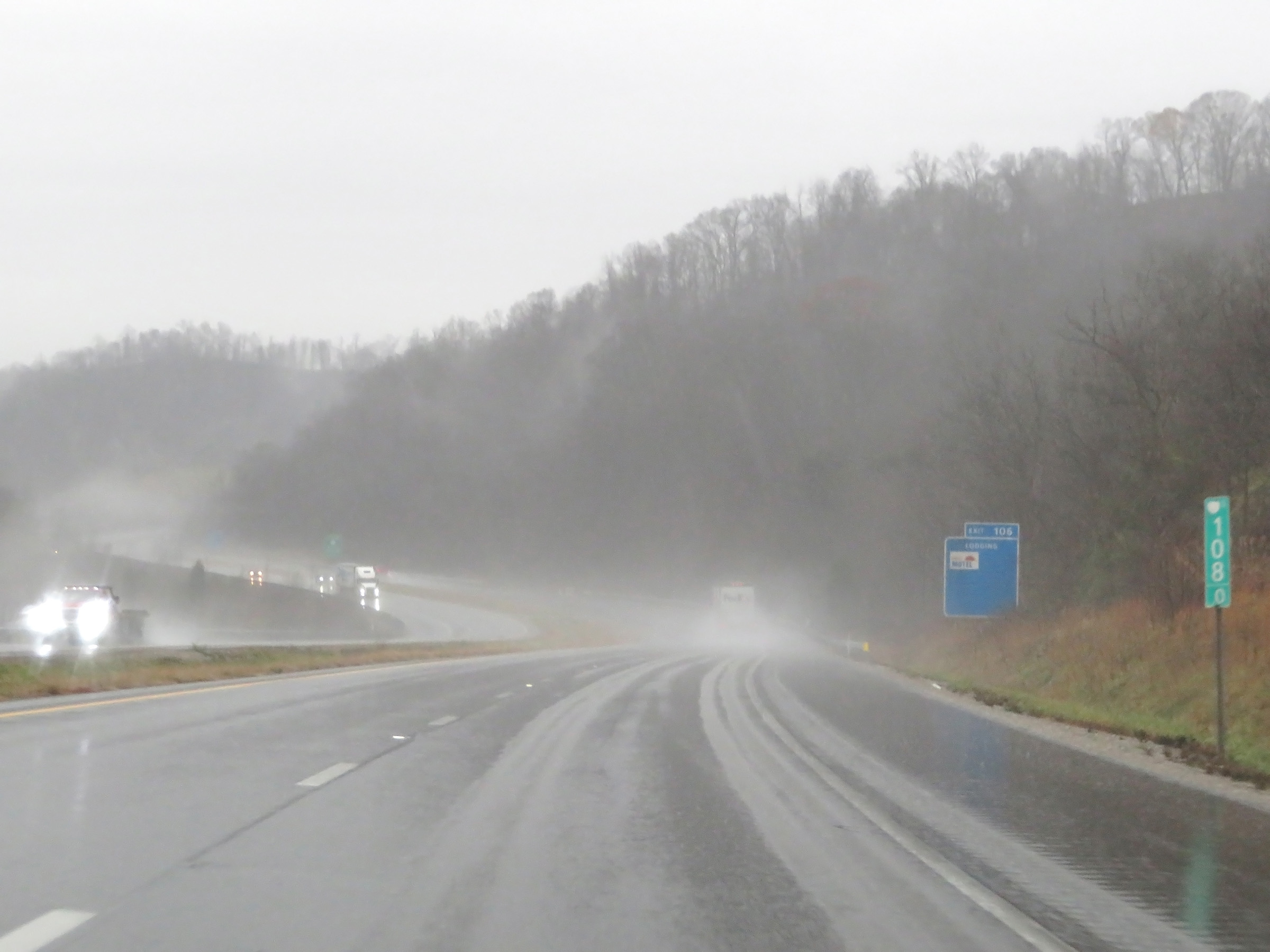 |
Interstate 77 South at mile marker 108. (Photo taken 12/4/20). |
 |
Interstate 77 South at mile marker 107. (Photo taken 12/4/20). |
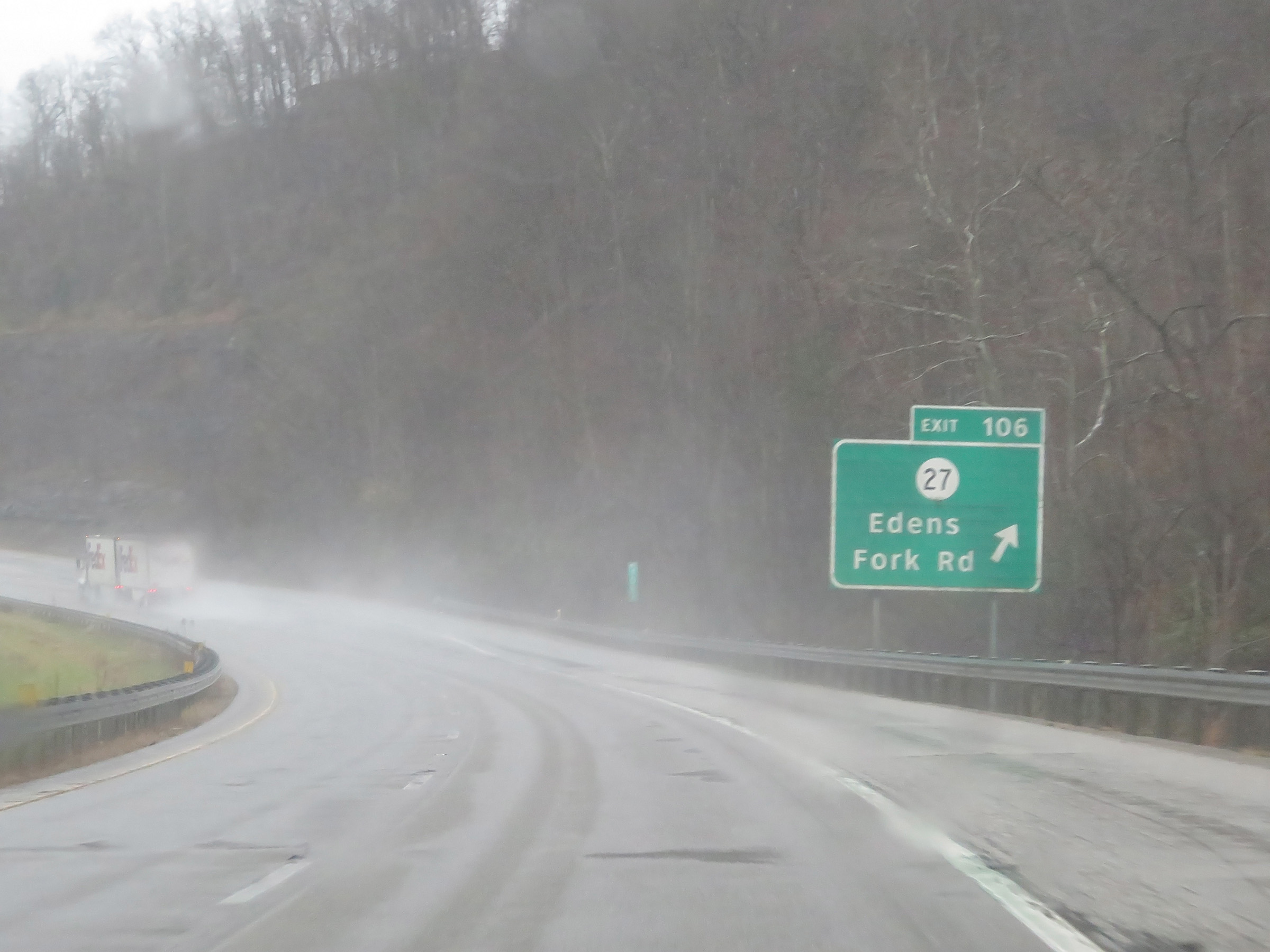 |
Interstate 77 South at Exit 106: CR 27 - Edens Fork Rd (Photo taken 12/4/20). |
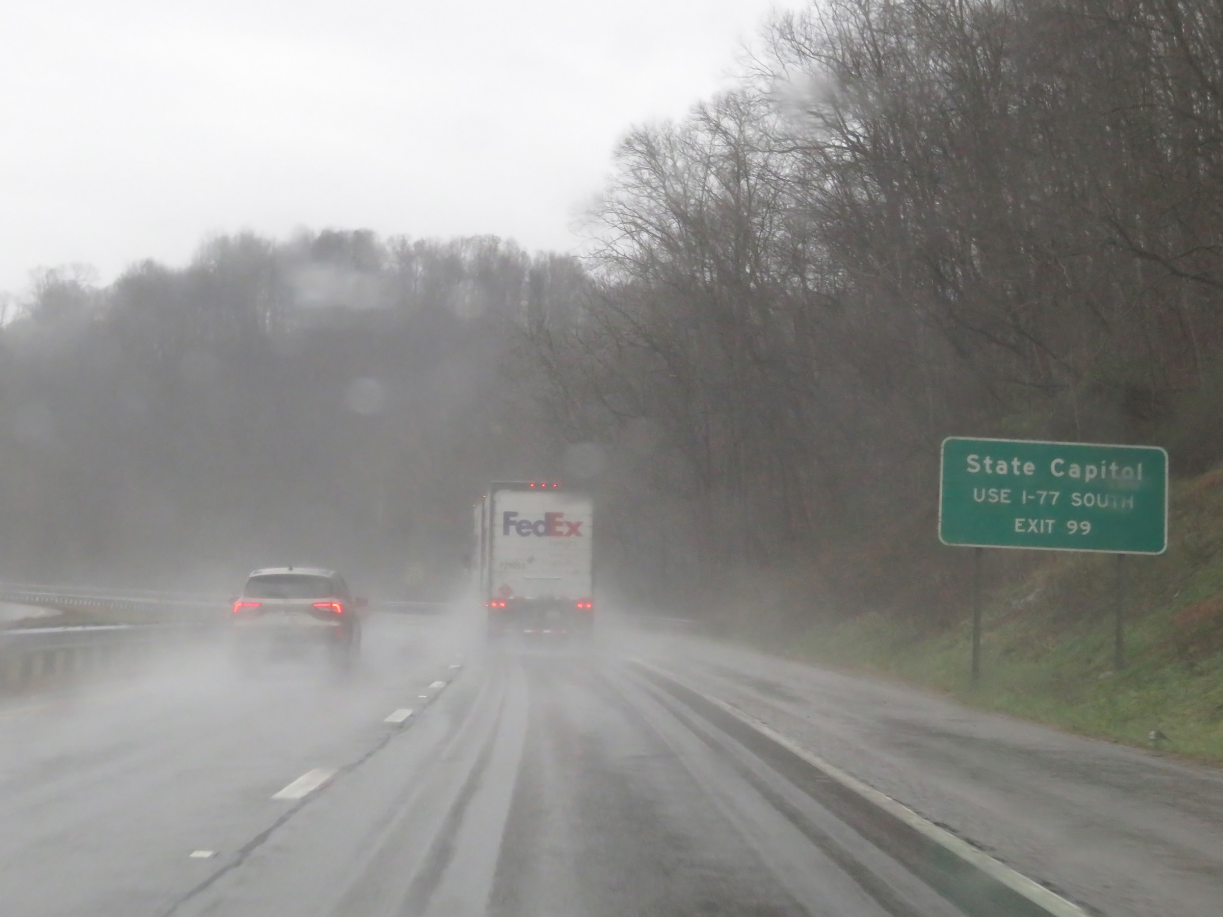 |
Traffic to the State Capitol should follow Interstate 77 South to Exit 99 in Charleston. (Photo taken 12/4/20). |
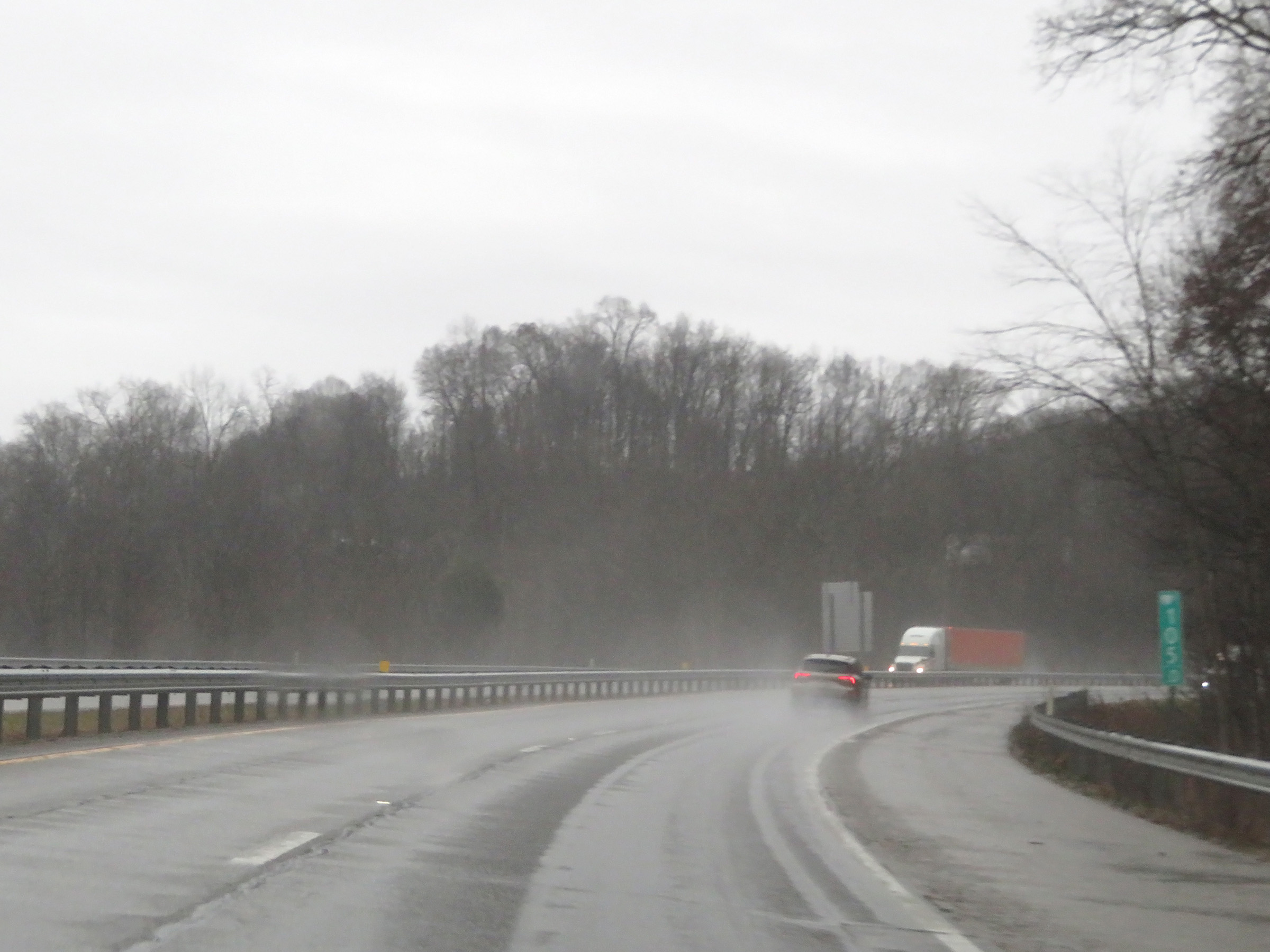 |
View on Interstate 77 South at mile marker 105. (Photo taken 12/4/20). |
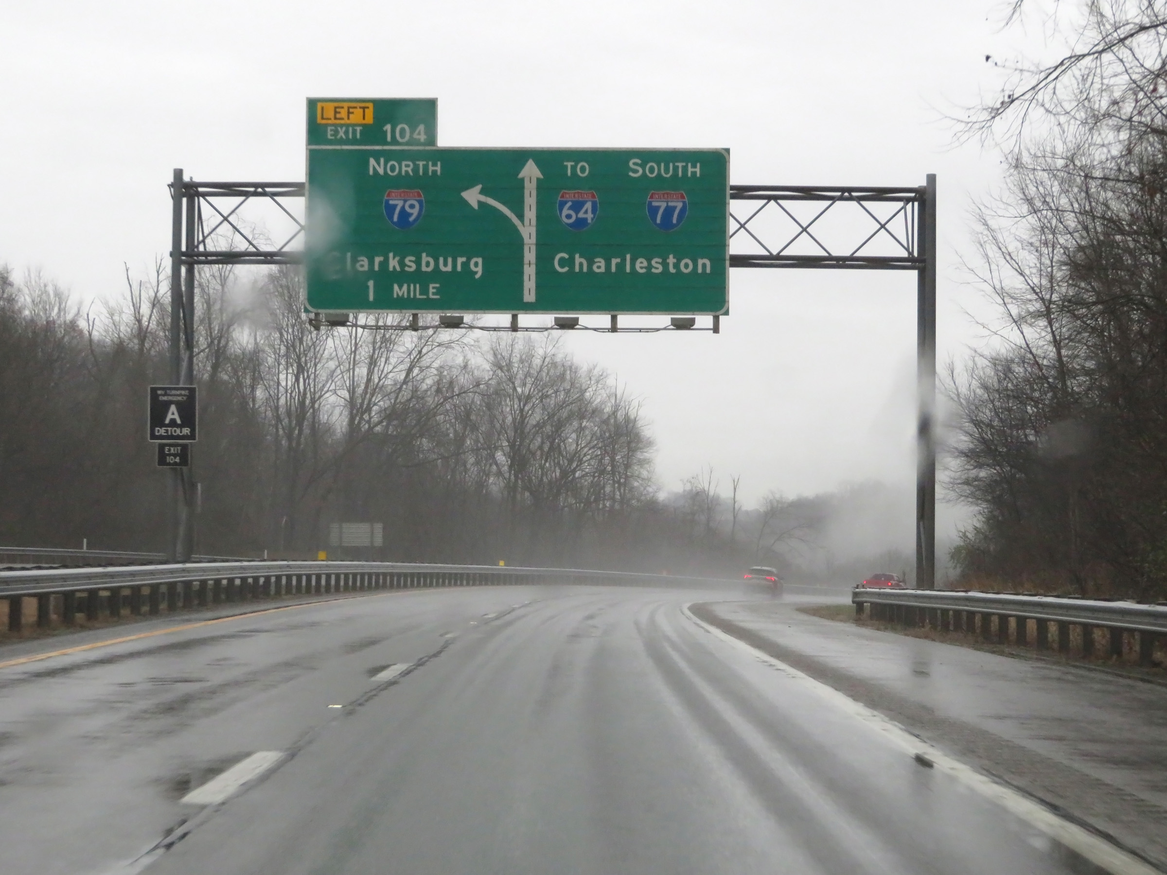 |
Interstate 77 South approaching Exit 104 - 1 mile on the left. (Photo taken 12/4/20). |
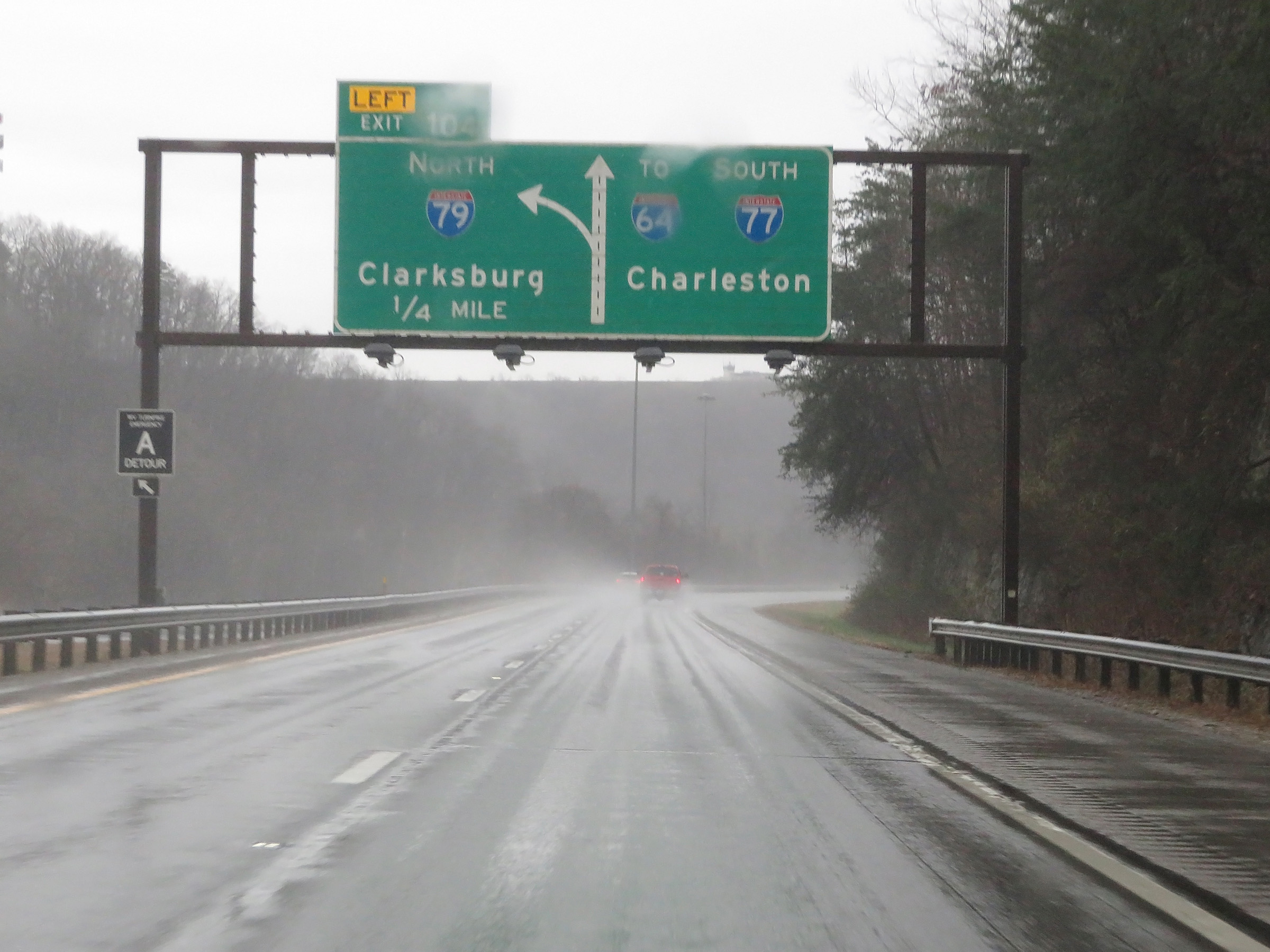 |
Interstate 77 South approaching the junction of Interstate 79 North via Exit 104, now just 1/4 mile ahead on the left. (Photo taken 12/4/20). |
 |
Interstate 77 South at Exit 104: Interstate 79 North - Clarksburg (Photo taken 12/4/20). |
 |
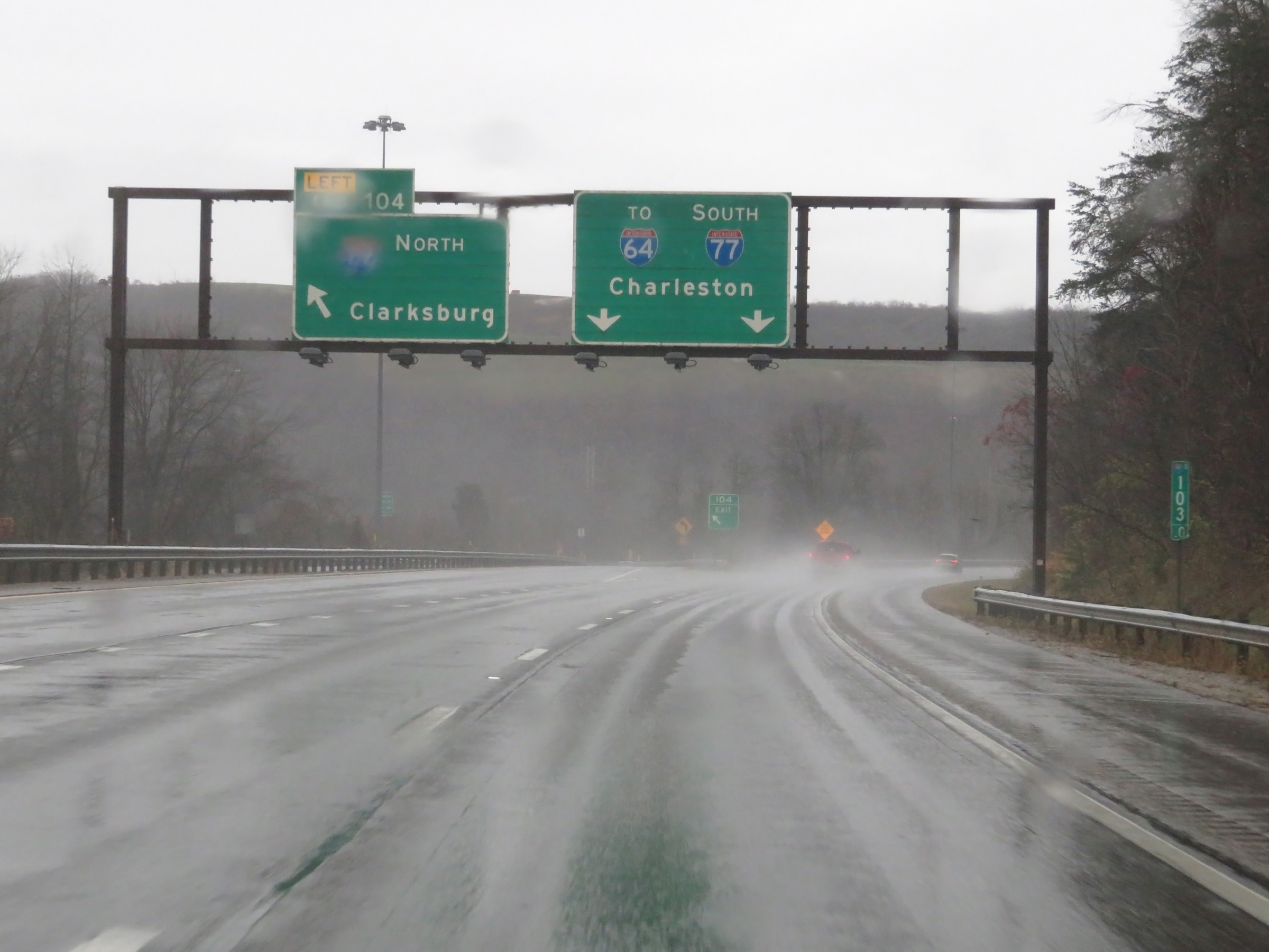
A closer view of the ramp to Interstate 79 North via Exit 104 on the left. (Photo taken 12/4/20). |
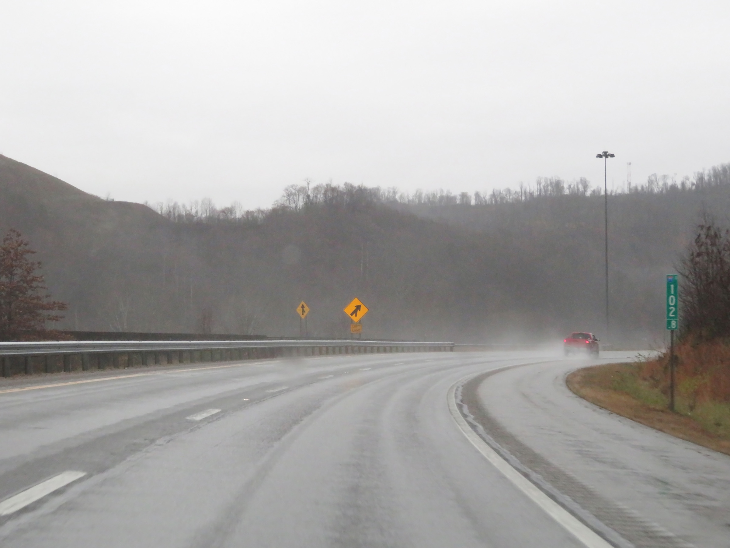 |
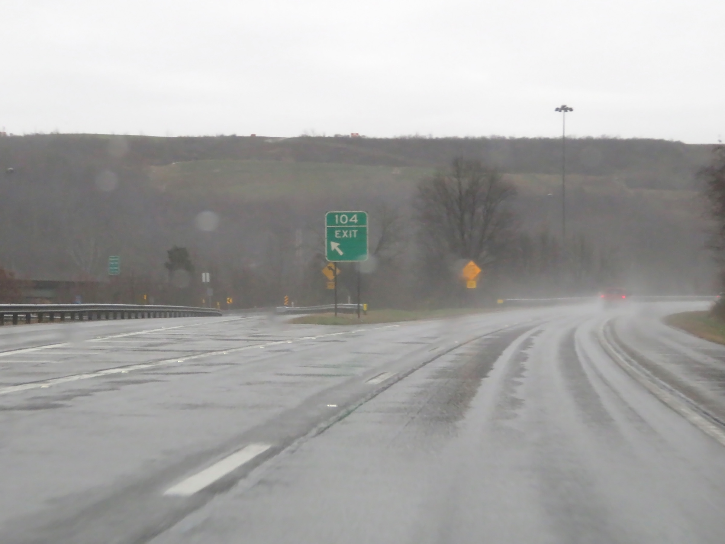
Interstate 77 South at mile marker 102.8. Ahead, traffic from Interstate 79 South will merge into I-77 South from the left. (Photo taken 12/4/20). |
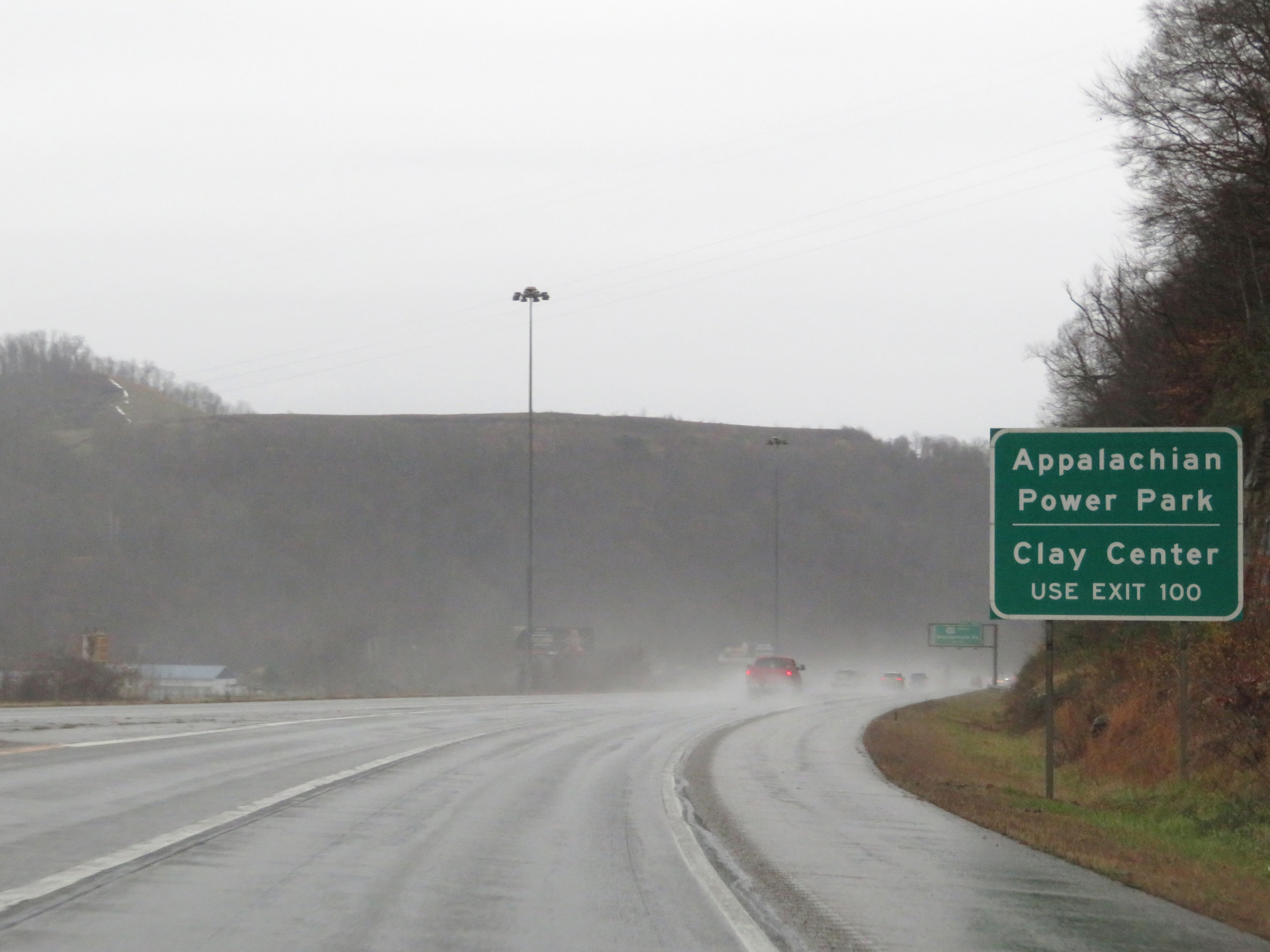 |
Take Exit 100 to Appalachian Power Park and Clay Center. (Photo taken 12/4/20). |
 |
Advance signage for Exit 102 as traffic from Interstate 79 South merges into Interstate 77 South on the left. (Photo taken 12/4/20). |
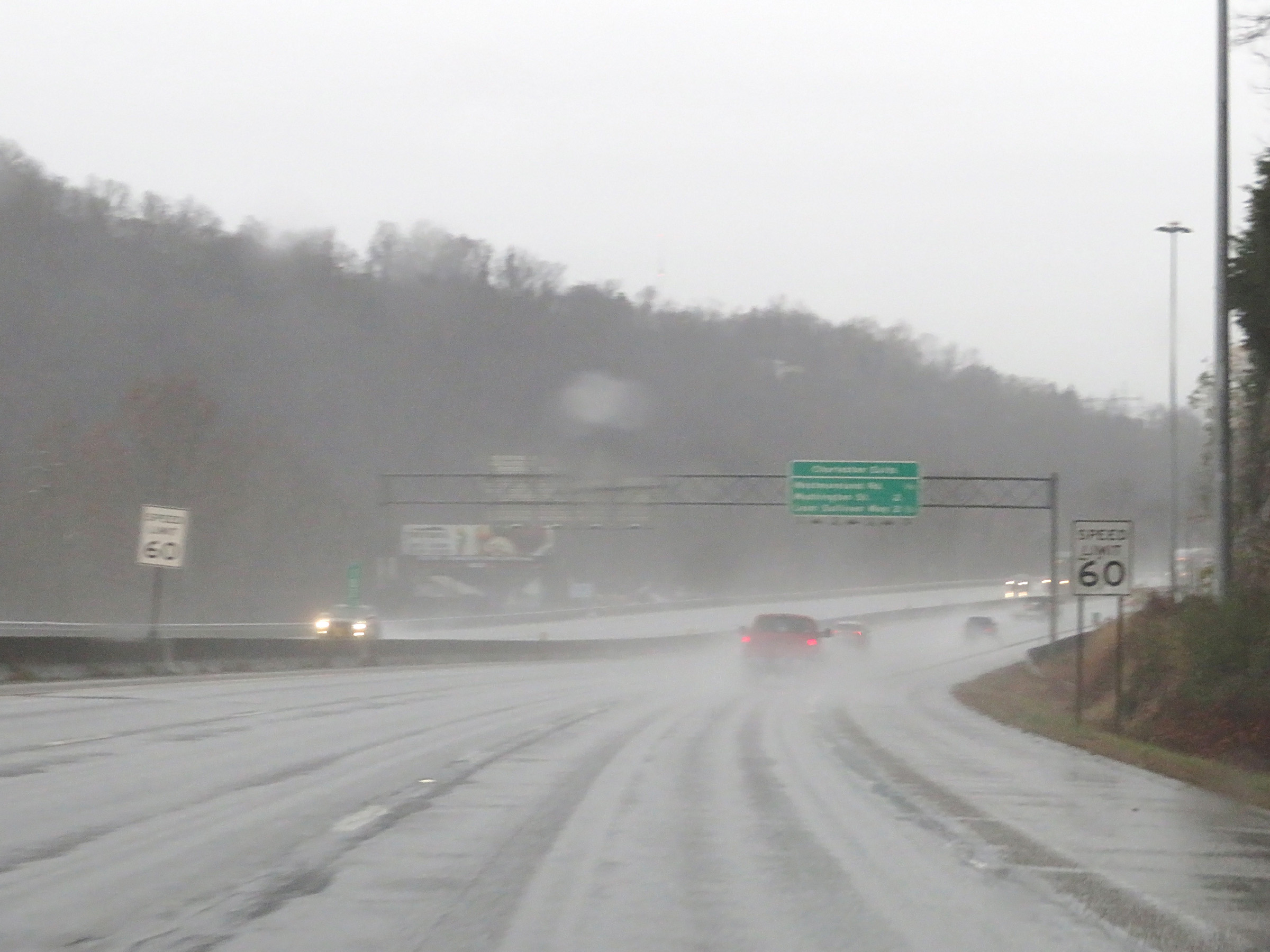 |
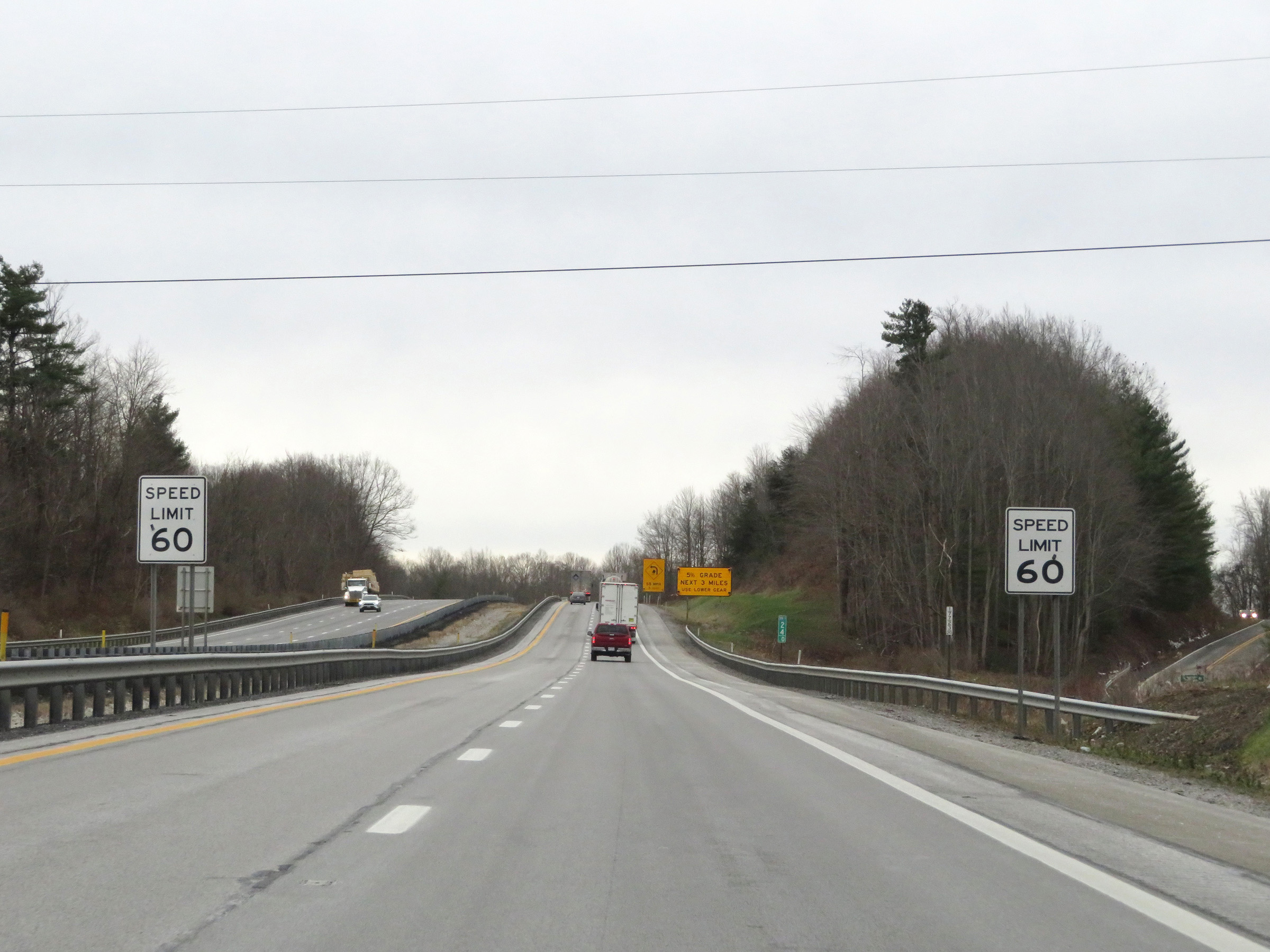
As Interstate 77 South enters the Charleston area, the speed limit decreases to 60 mph. (Photo taken 12/4/20). |
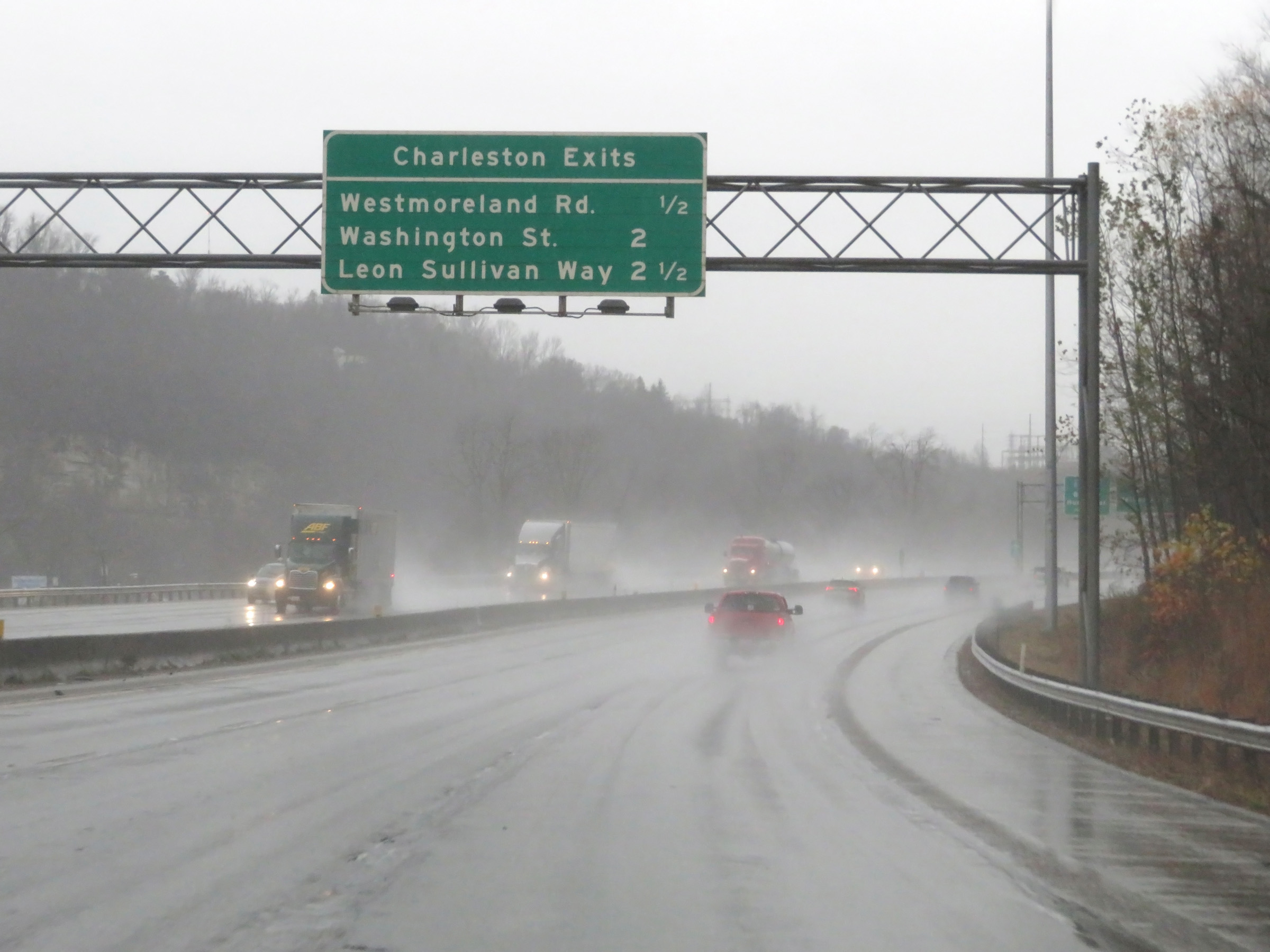 |
Overhead mileage sign listing the distances to the next three exits to Charleston on Interstate 77 South. (Photo taken 12/4/20). |
 |
Interstate 77 South approaching Exit 101 - 1 mile. (Photo taken 12/4/20). |
 |
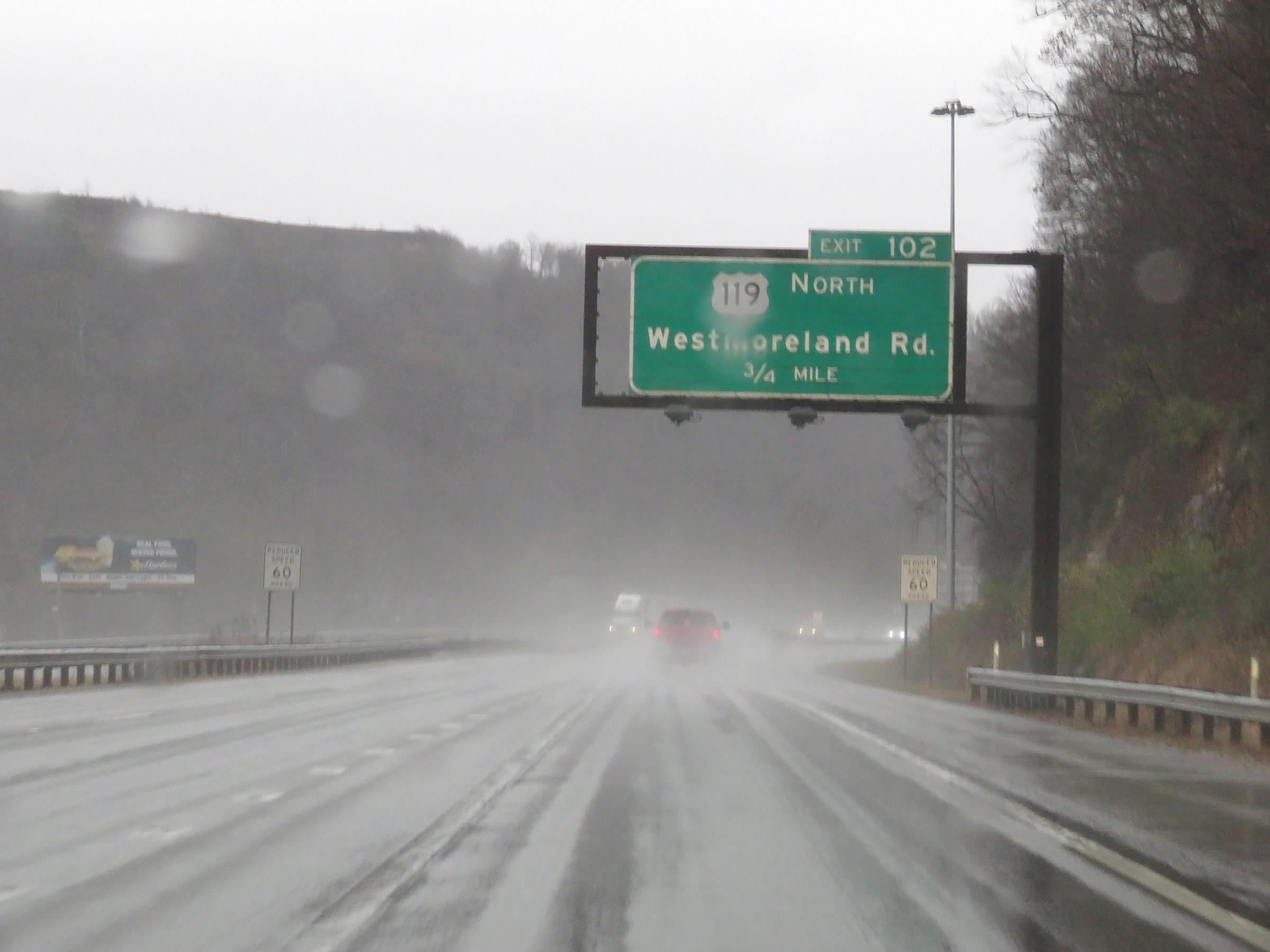
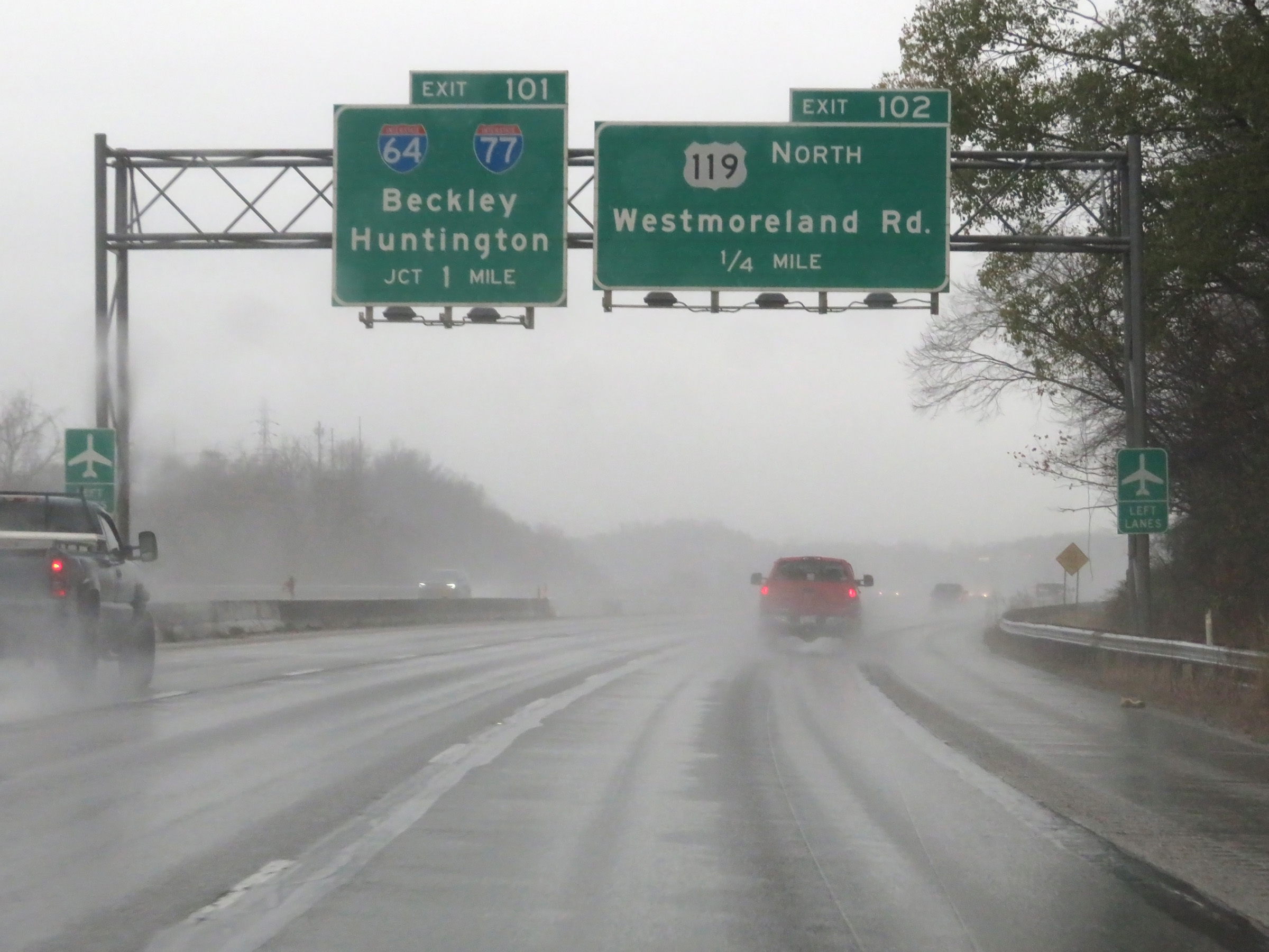
Interstate 77 South at Exit 102: US 119 North - Westmoreland Rd (Photo taken 12/4/20). |
 |
View on Interstate 77 South at mile marker 101.5. (Photo taken 12/4/20). |
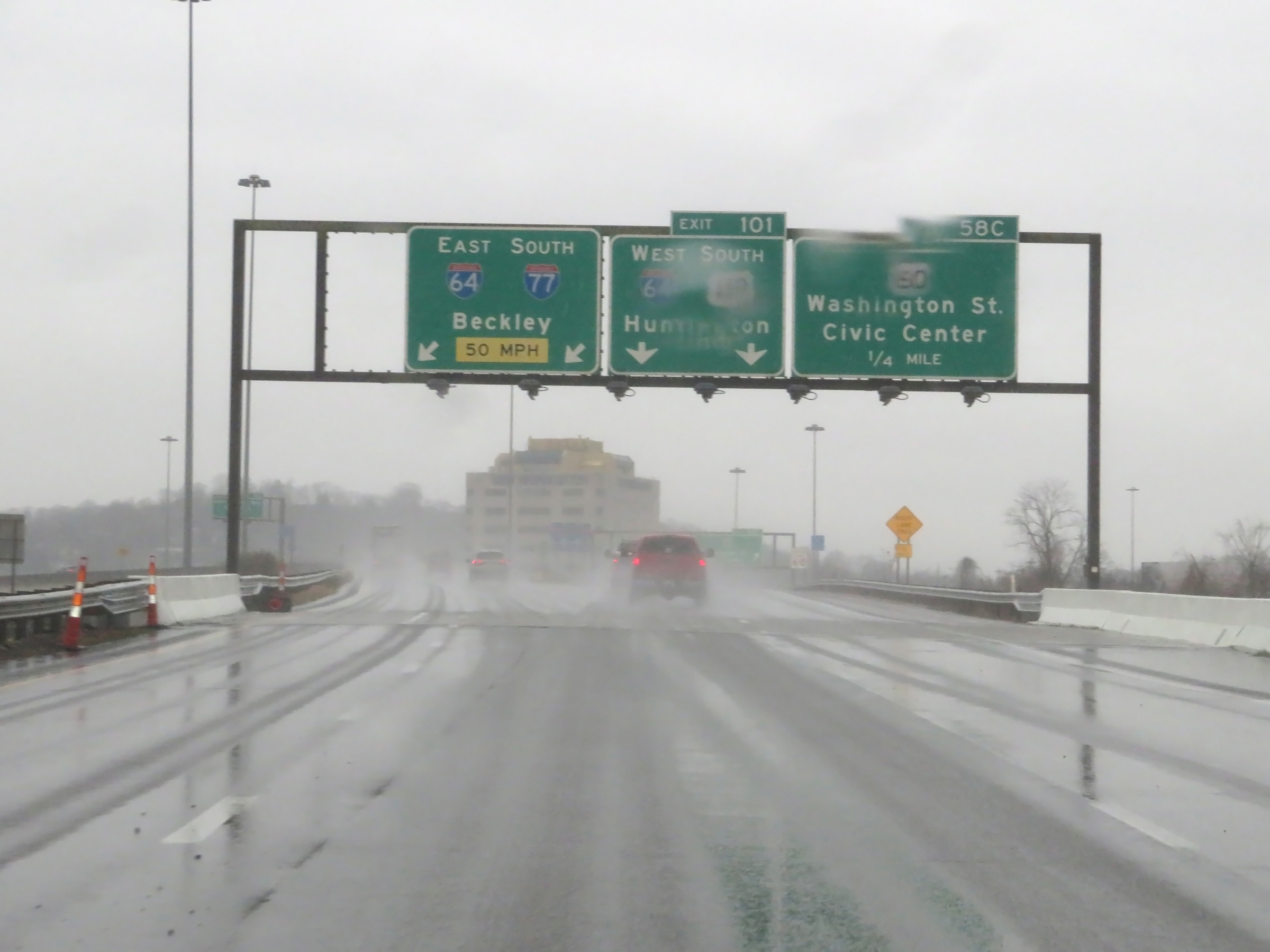 |
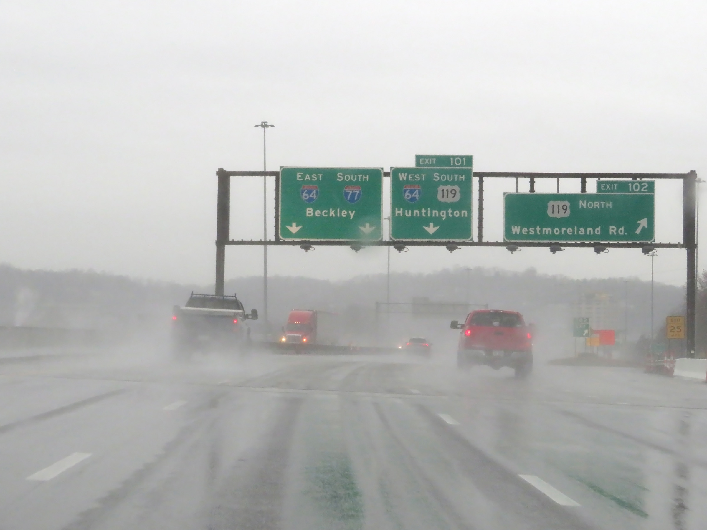
Interstate 77 South at Exit 101: Interstate 64 West / US 119 South - Huntington (Photo taken 12/4/20). |
 |
A closer view of the interchange for Exit 101 in Charleston. (Photo taken 12/4/20). |
 |
Interstate 77 South as it curves hard to the south just past Exit 101. Ahead, Interstate 64 East traffic will join it on the right, beginning their concurrency. I-77 South and I-64 East will run concurrently from that point to the south of Beckley. (Photo taken 12/4/20). |
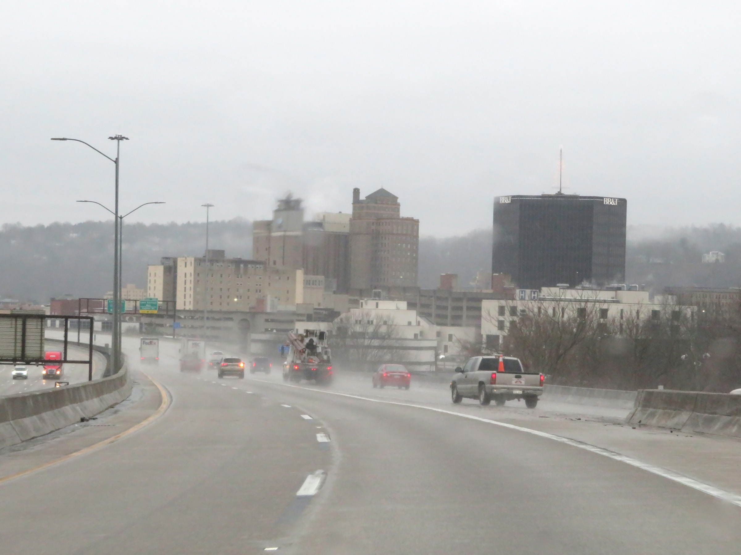 |
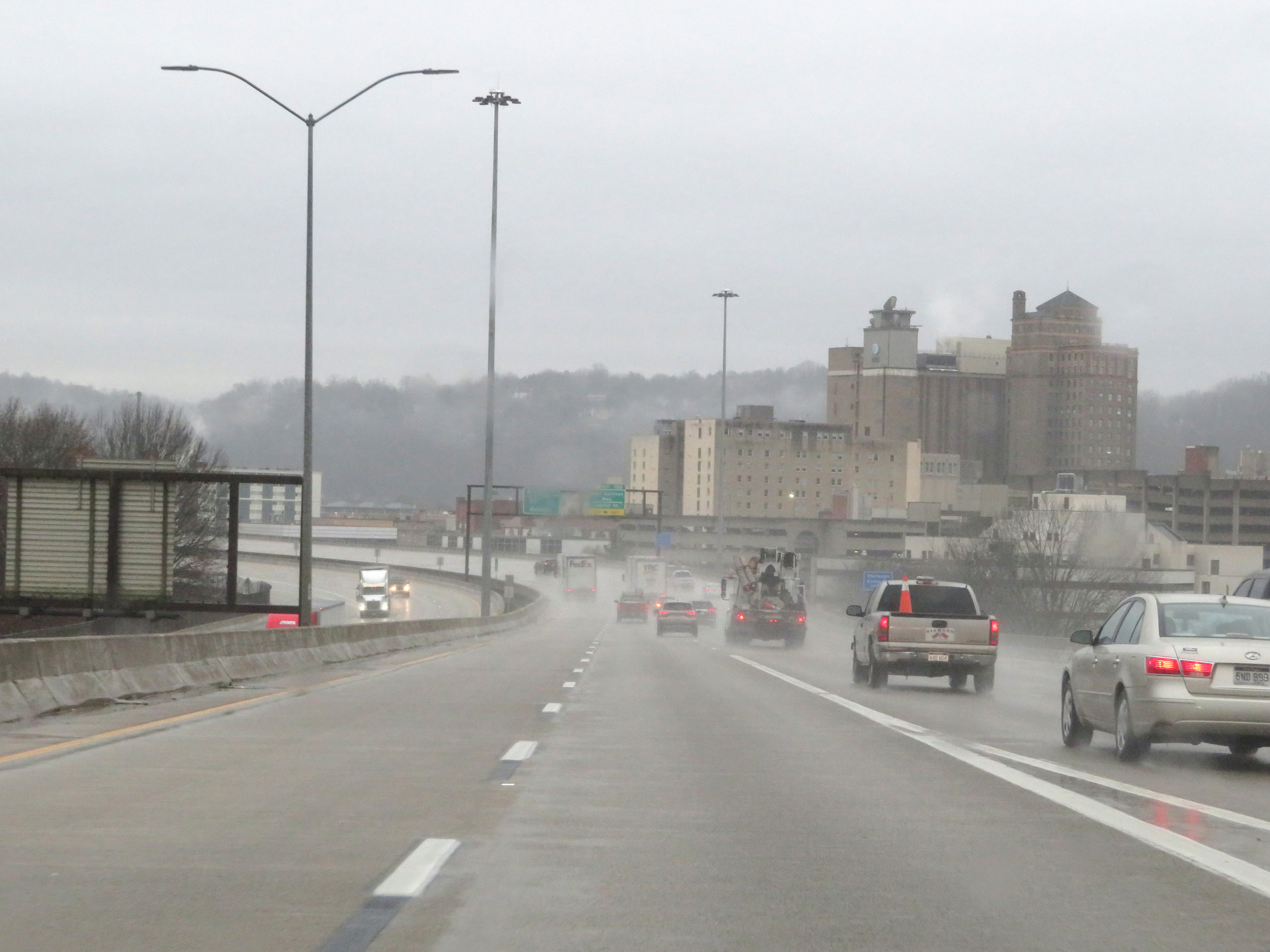
View on Interstate 77 South in downtown Charleston as Interstate 64 East traffic prepares to join it ahead from the right. (Photo taken 12/4/20). |
 |
Interstate 77 South as Interstate 64 East traffic merges into it on the right, beginning their concurrency from this point to the south of Beckley. During their concurrency, the mileage and exit numbers are based on the total mileage of I-77 in West Virginia. (Photo taken 12/4/20). |
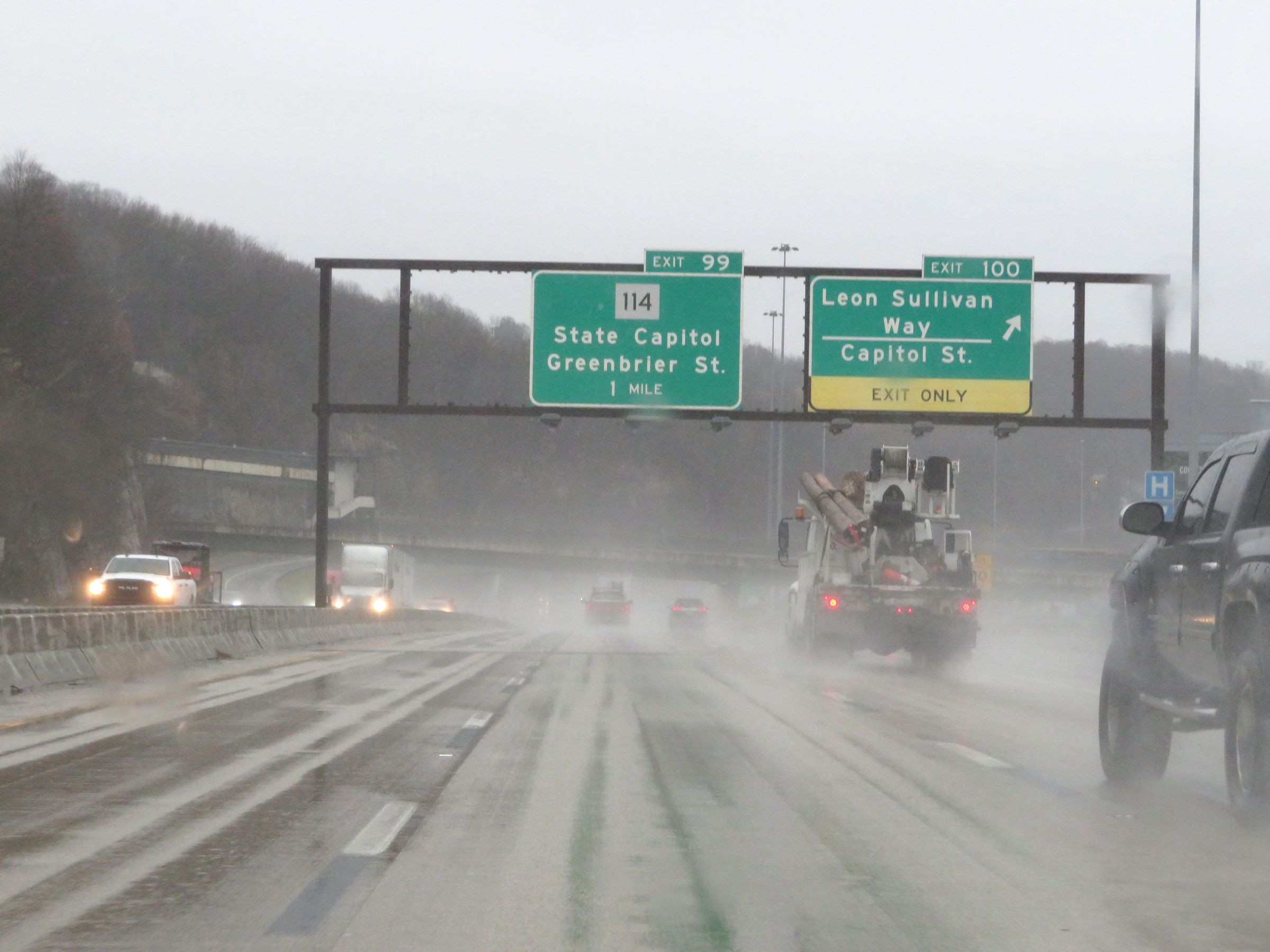 |
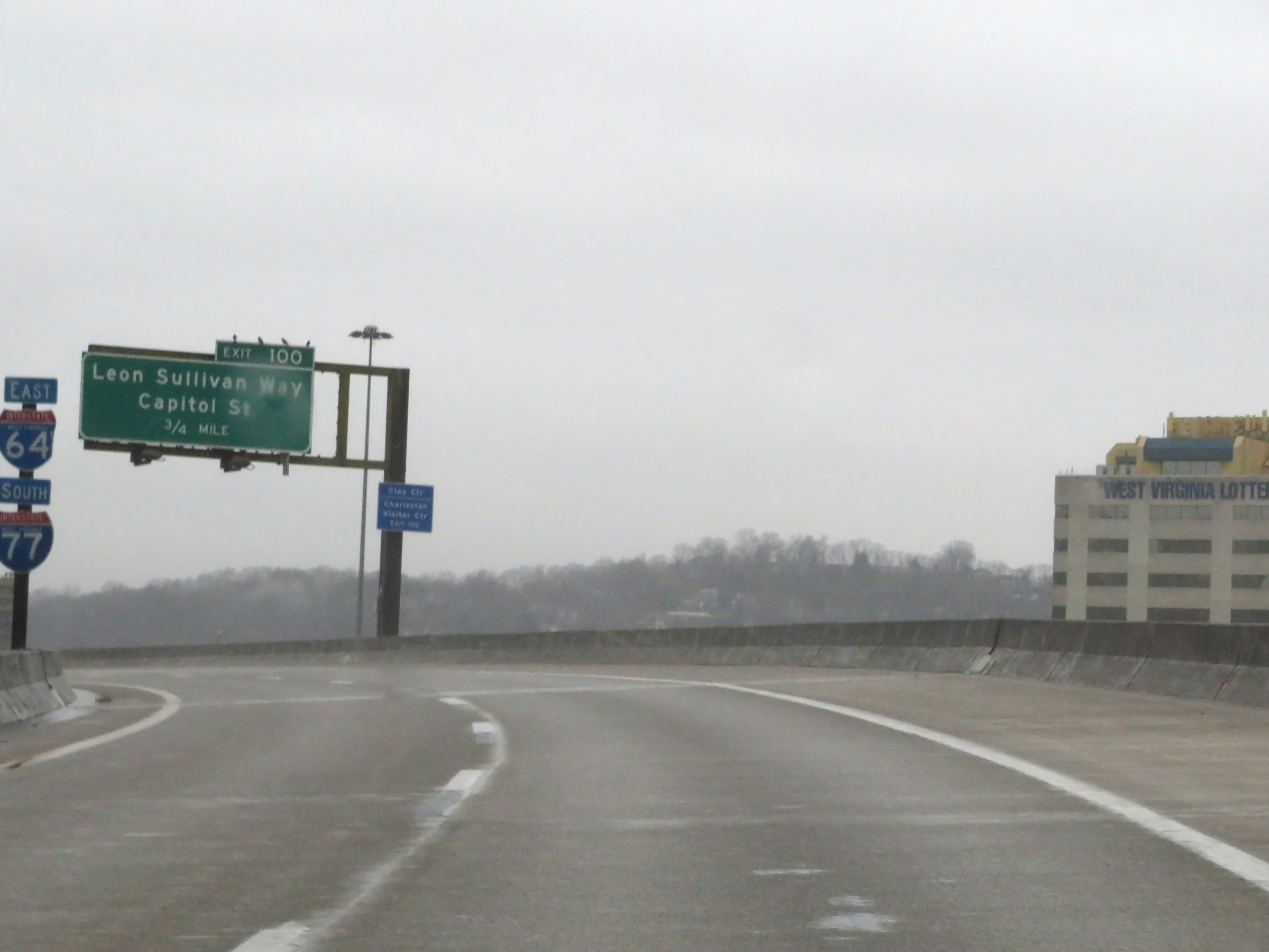
Interstate 77 South / Interstate 64 East at Exit 100: Leon Sullivan Way / Capitol St (Photo taken 12/4/20). |
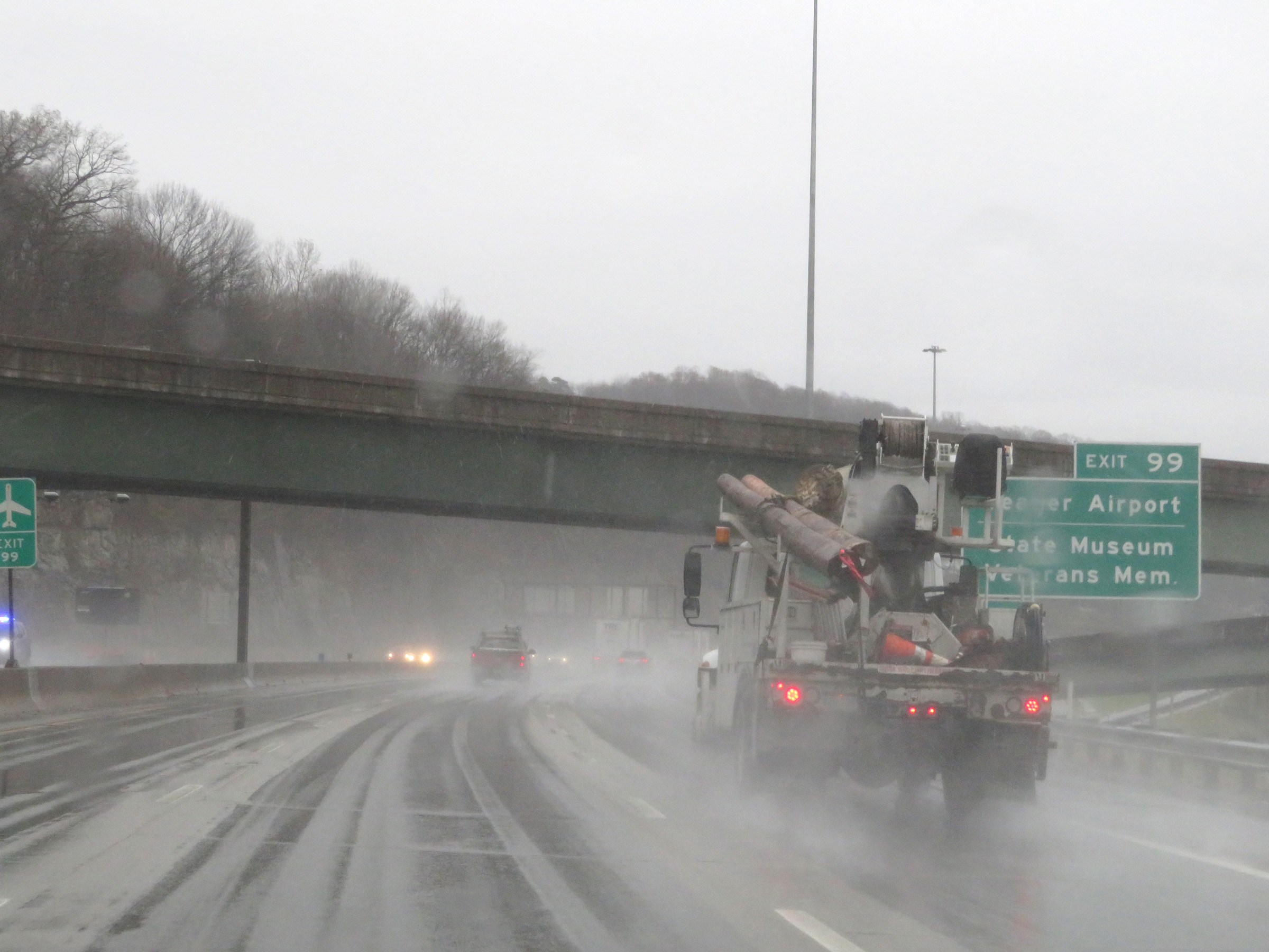 |
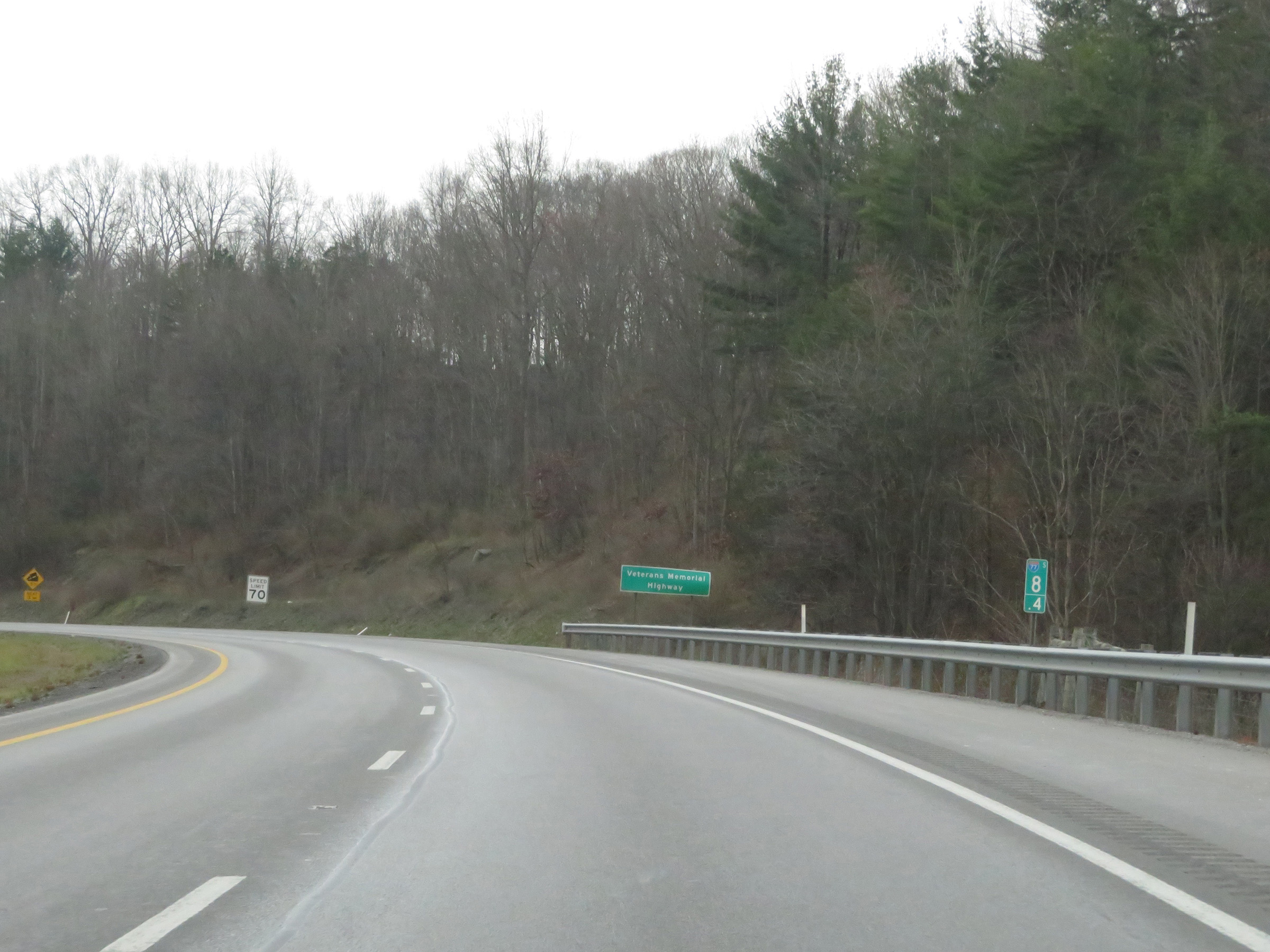
Take Exit 99 to Yeager Airport, the State Museum, and the Veterans Memorial. (Photo taken 12/4/20). |
 |
Interstate 77 South / Interstate 64 East at Exit 99: WV 114 - State Capitol / Greenbrier St (Photo taken 12/4/20). |
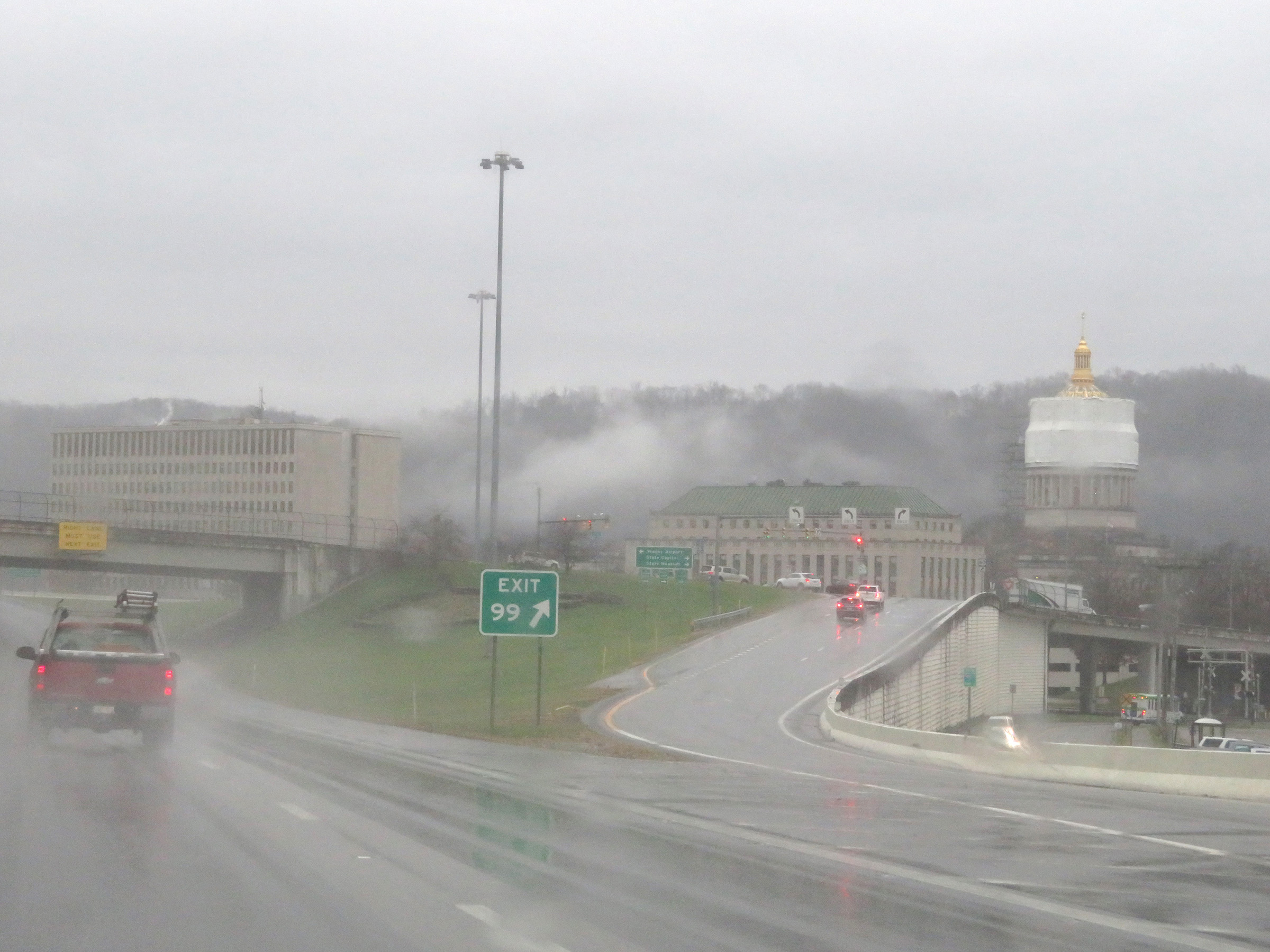 |
A view of the (under construction at the time) West Virginia state capitol at Exit 99. (Photo taken 12/4/20). |
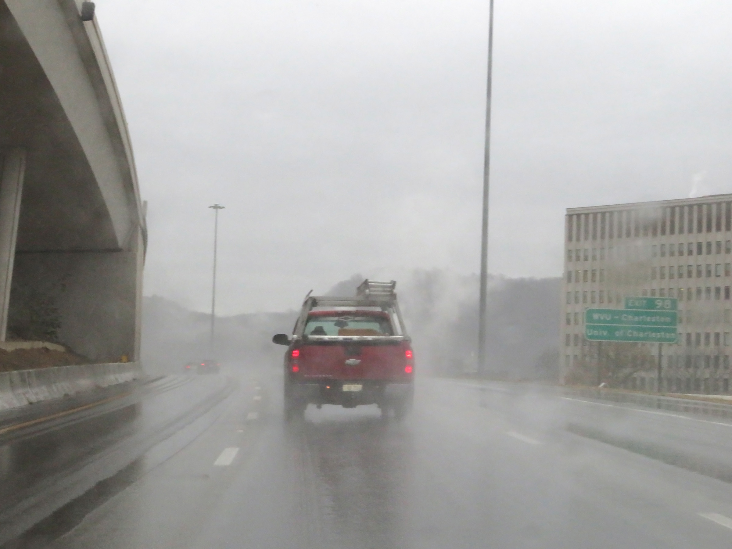 |
Take Exit 98 to WVU-Charleston and the University of Charleston. (Photo taken 12/4/20). |
 |
A set of state-named Interstate 77 South / Interstate 64 East reassurance shields in Charleston. (Photo taken 12/4/20). |
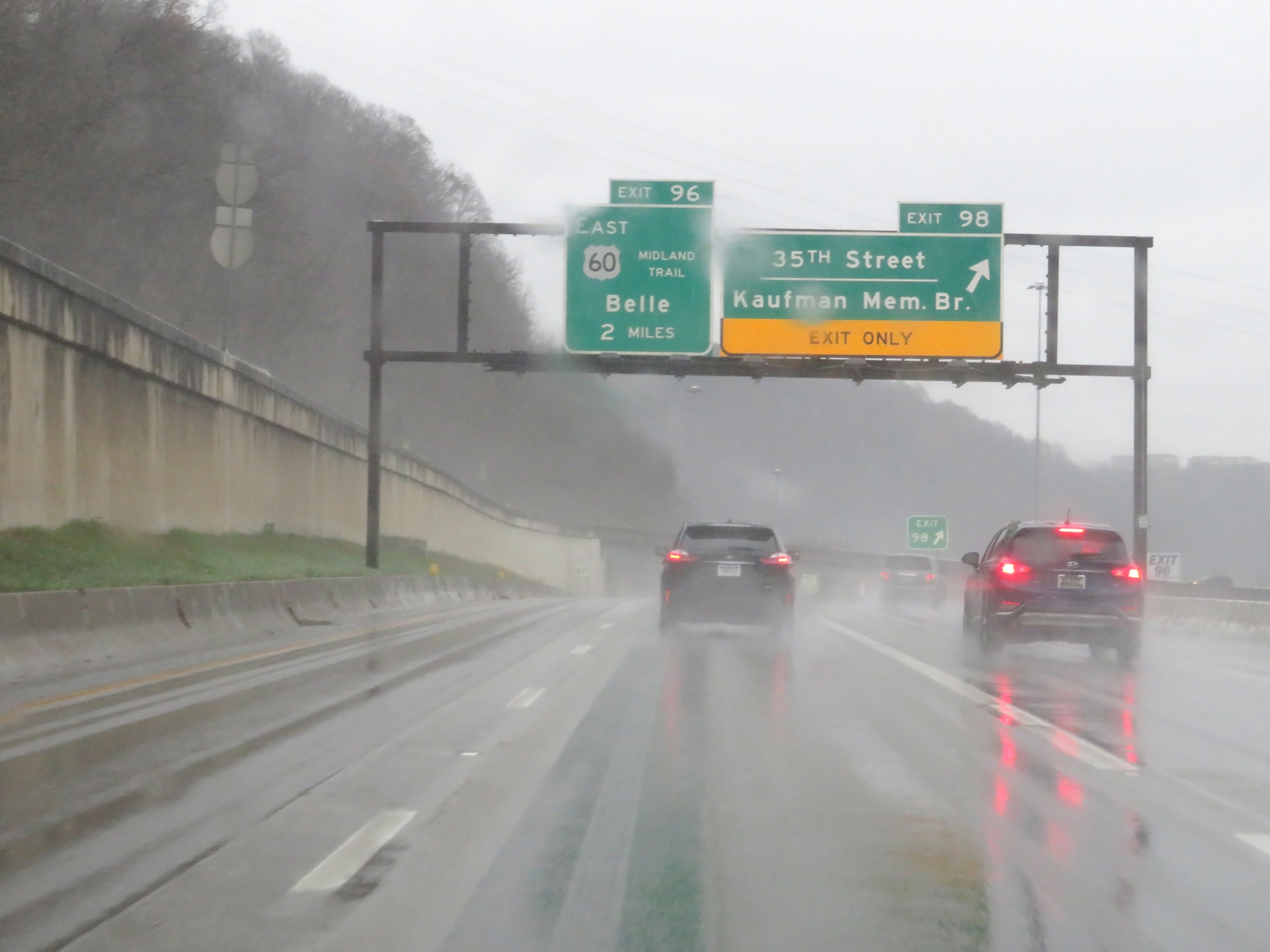 |
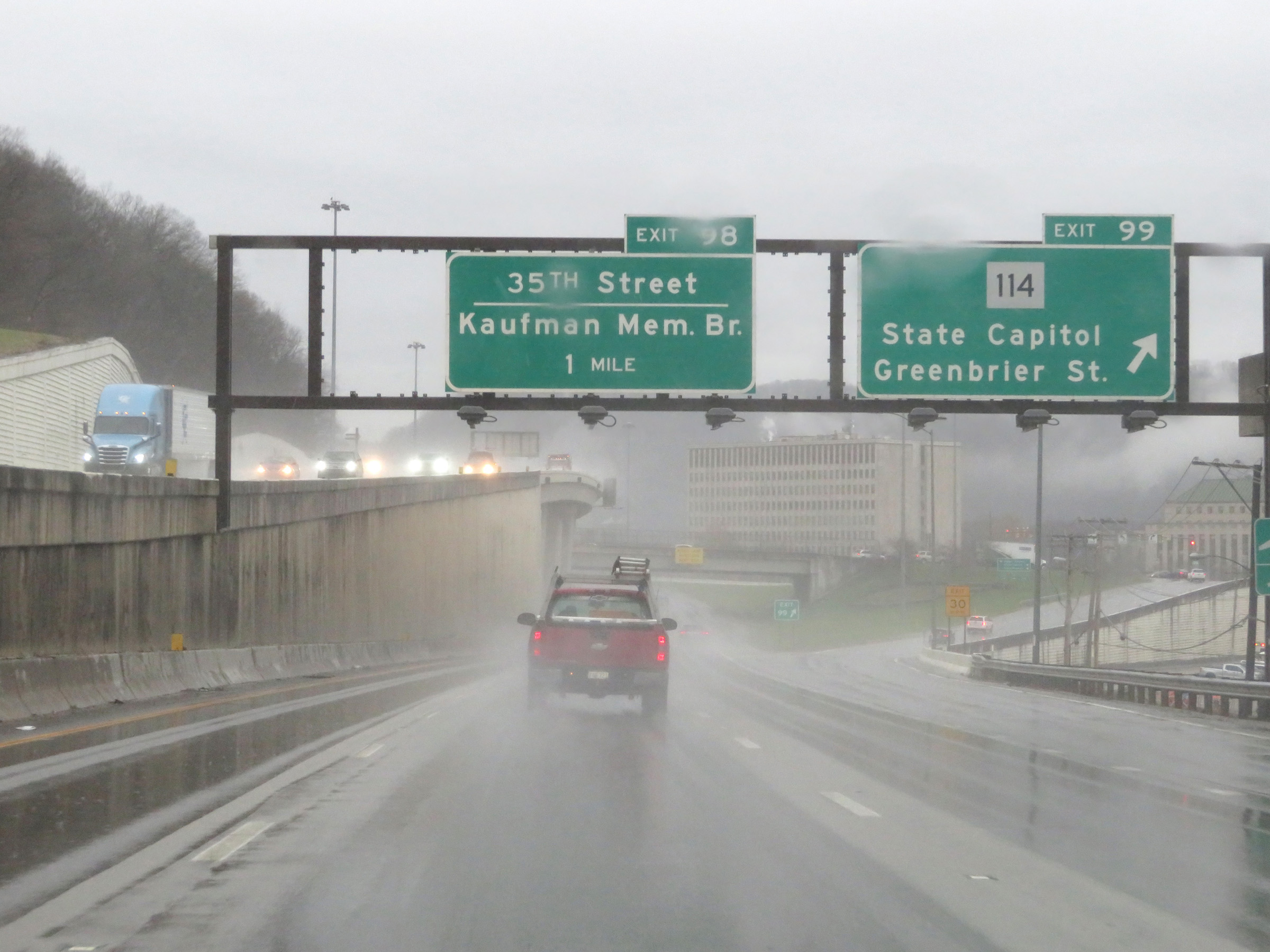
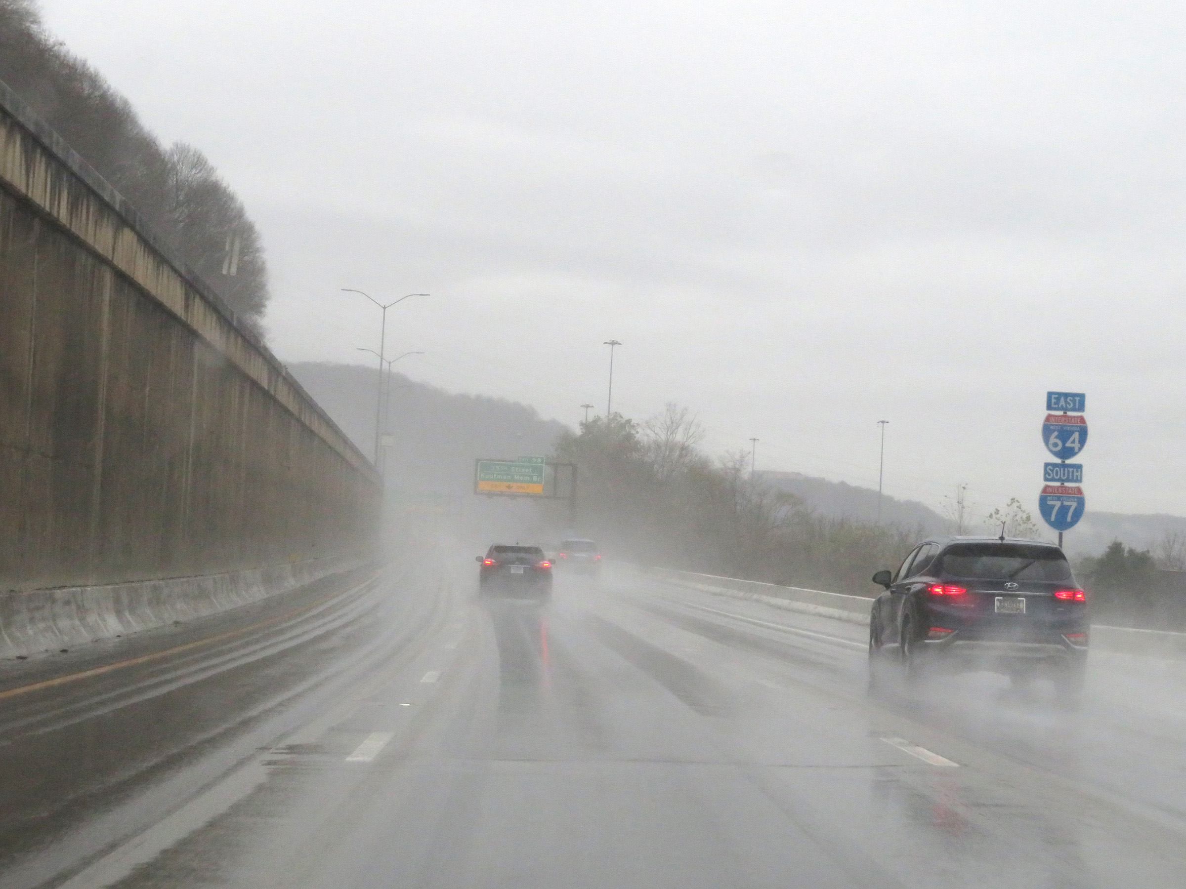
Interstate 77 South / Interstate 64 East at Exit 98: 35th Street / Kaufman Memorial Bridge (Photo taken 12/4/20). |
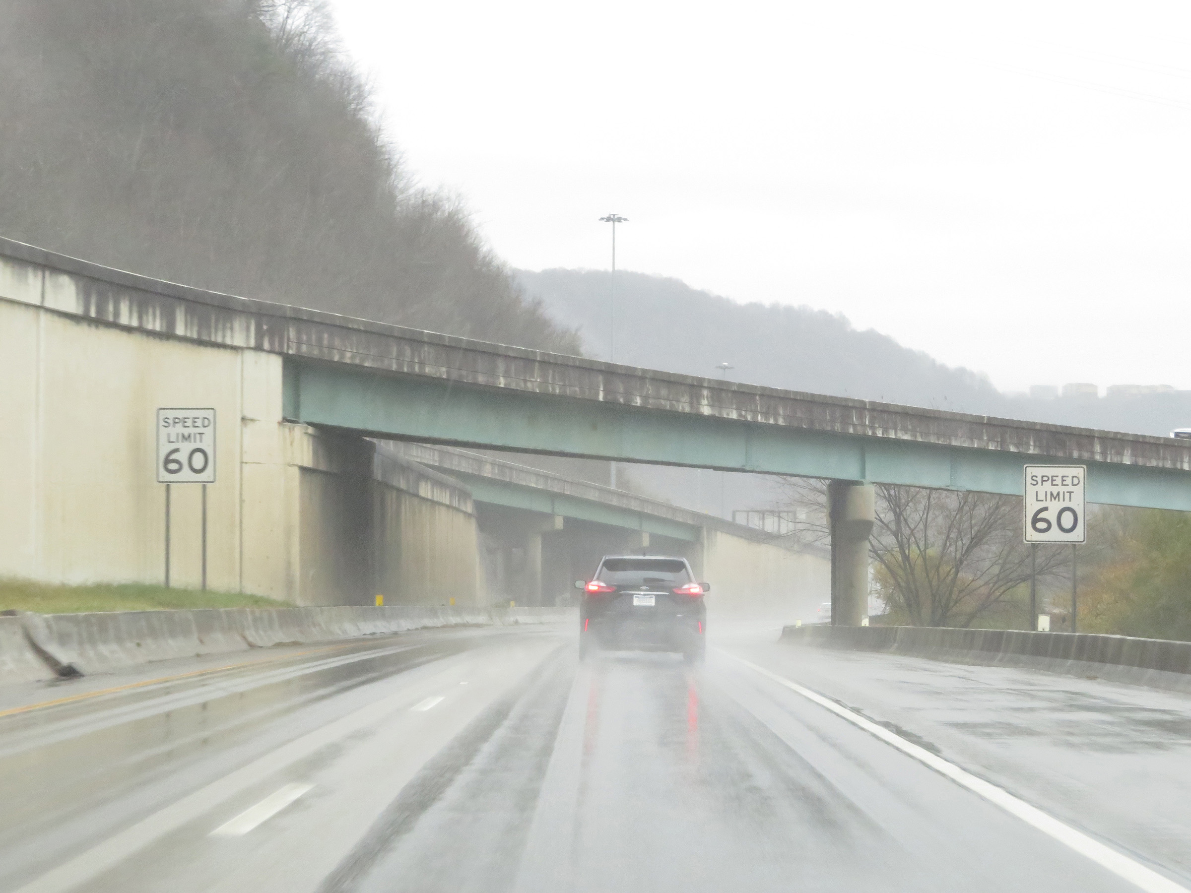 |
The speed limit remains 60 mph on Interstate 77 South / Interstate 64 East in Charleston. (Photo taken 12/4/20). |
 |
View on Interstate 77 South / Interstate 64 East at mile marker 97.2. (Photo taken 12/4/20). |
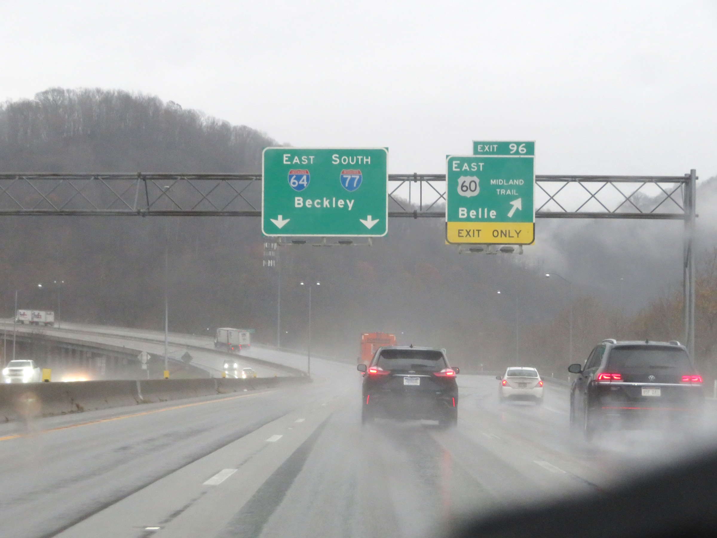 |
Interstate 77 South / Interstate 64 East at Exit 96: US 60 East - Belle (Photo taken 12/4/20). |
 |
Interstate 77 South / Interstate 64 East approaching Exit 95 - 1 mile. (Photo taken 12/4/20). |
 |
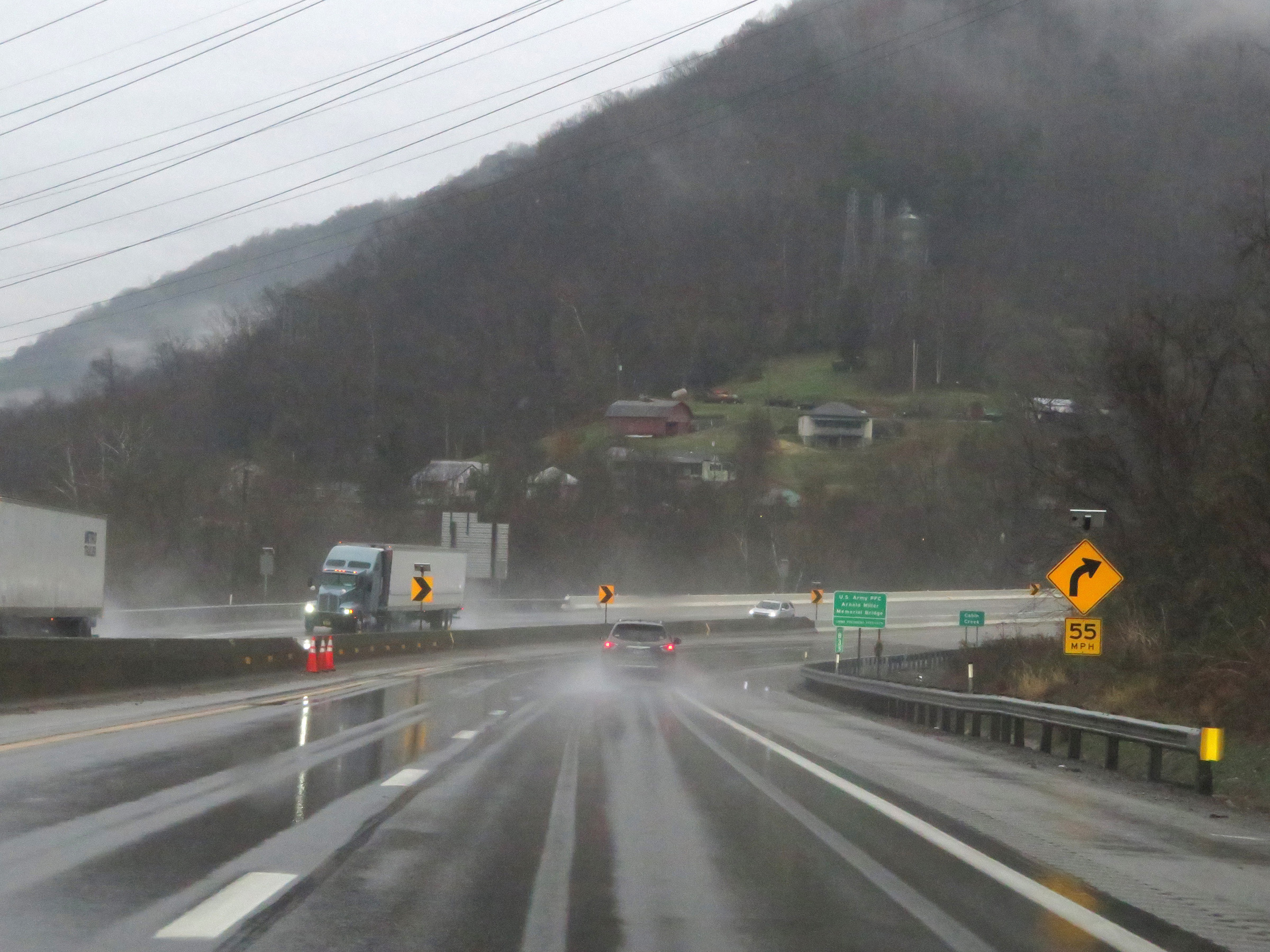
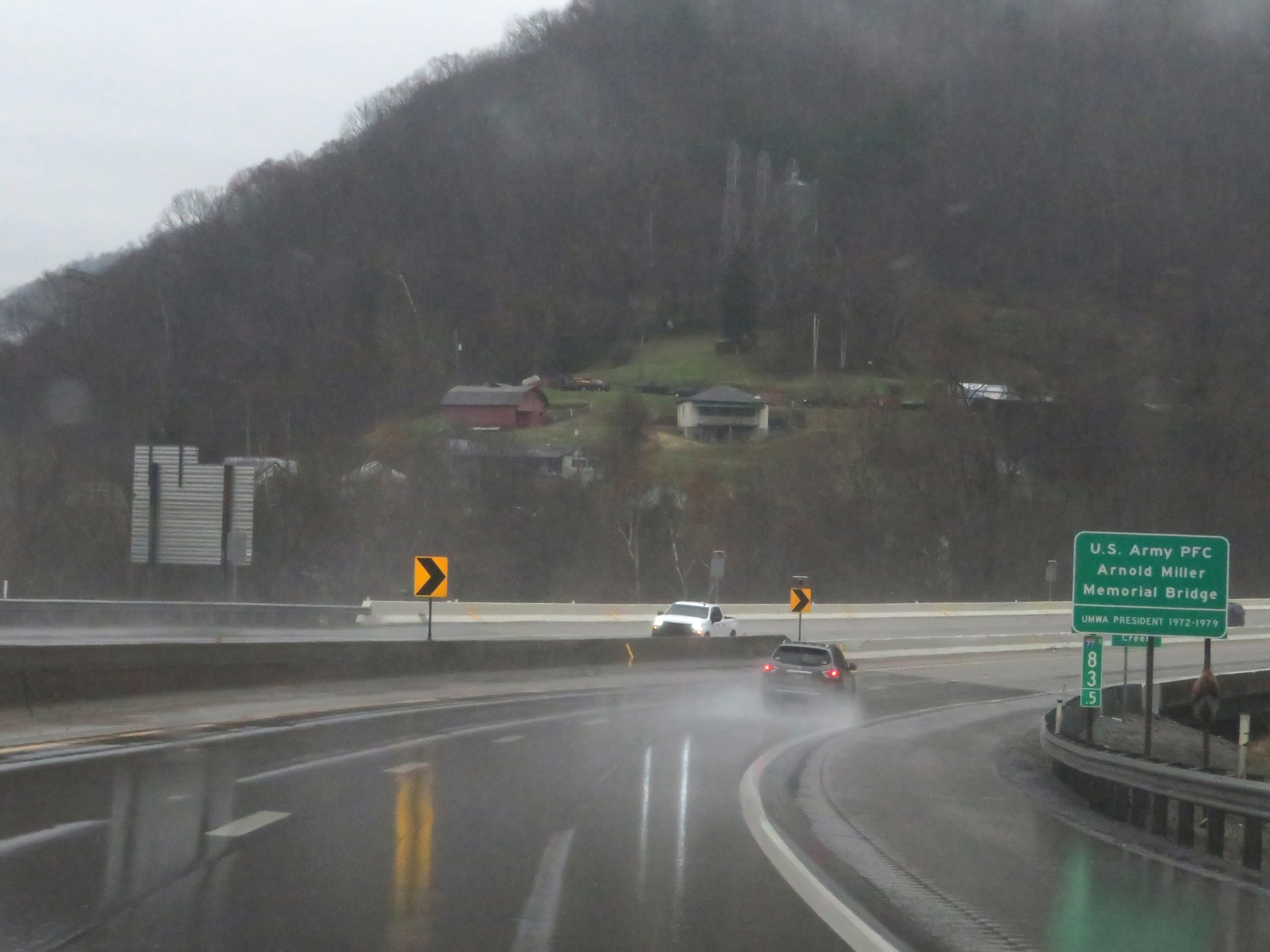
At this point, approaching the Kanawha River and Exit 95, Interstate 77 South / Interstate 64 East enter the West Virginia Turnpike. (Photo taken 12/4/20). |
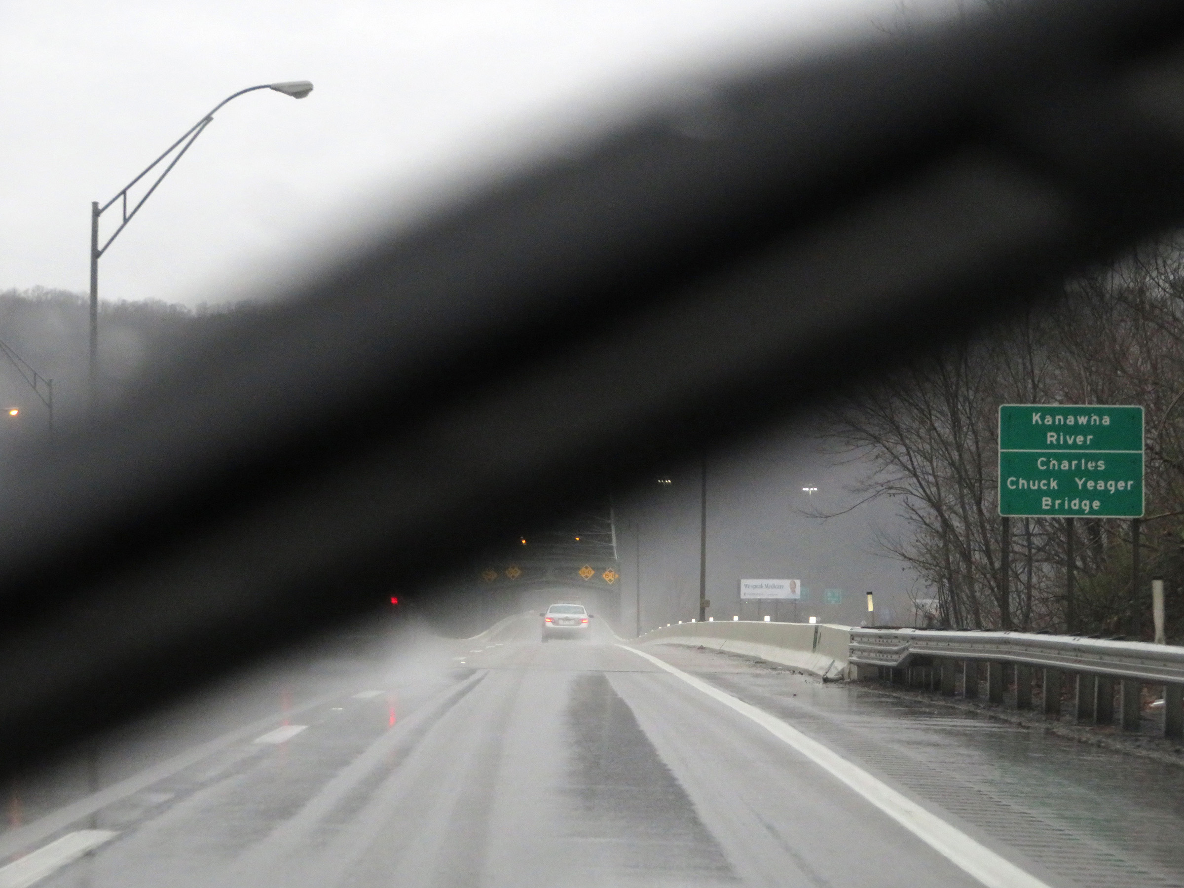 |
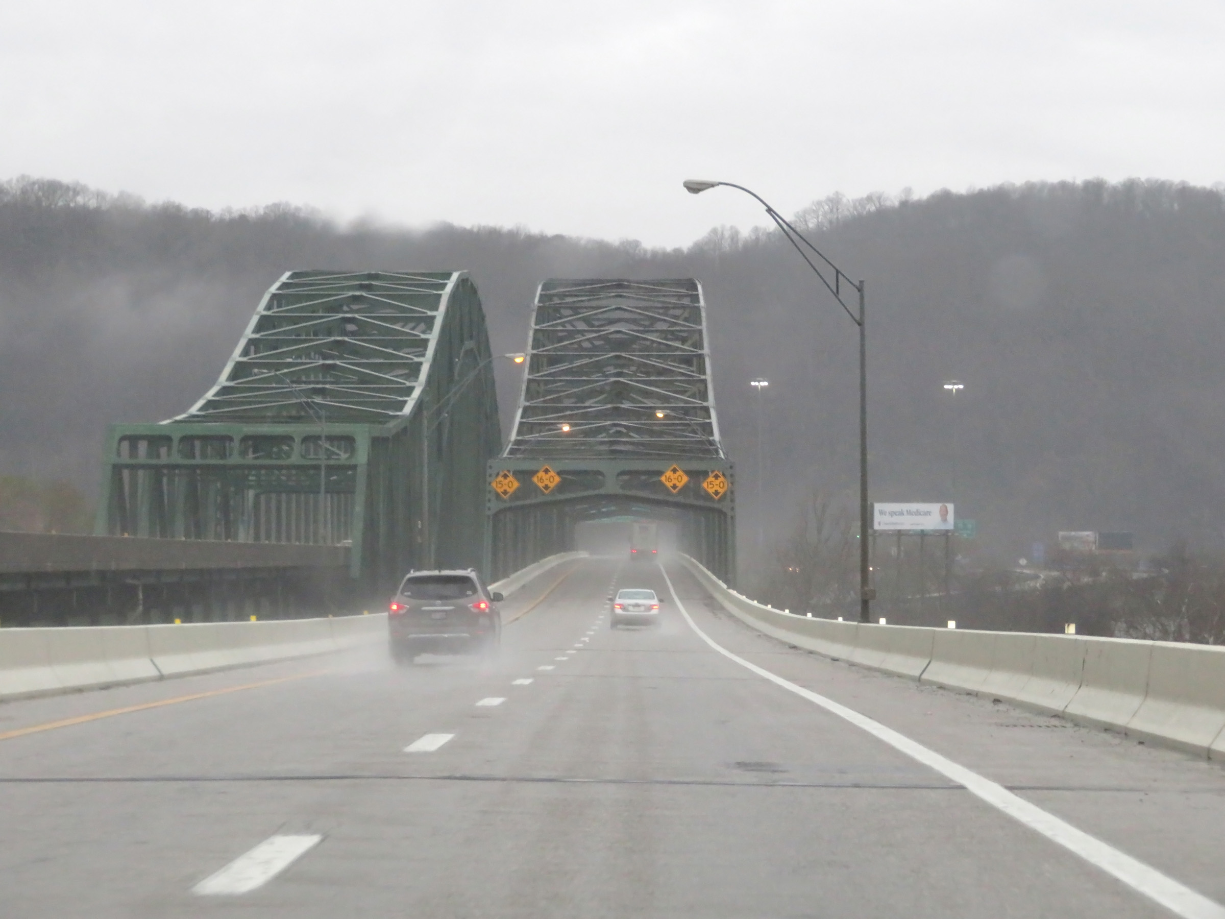
Interstate 77 South / Interstate 64 East (West Virginia Turnpike) as they prepare to cross the Kanawha River on the Charles "Chuck" Yeager Bridge. (Photo taken 12/4/20). |
 |
View on Interstate 77 South / Interstate 64 East (West Virginia Turnpike) starting across the Chuck Yeager Bridge over the Kanawha River. (Photo taken 12/4/20). |
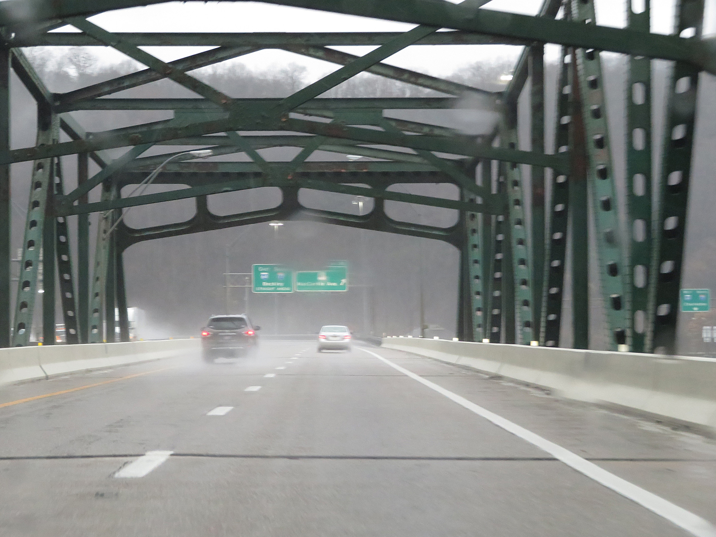 |
Interstate 77 South / Interstate 64 East (West Virginia Turnpike) crossing the Chuck Yeager Bridge over the Kanawha River and approaching Exit 95. (Photo taken 12/4/20). |
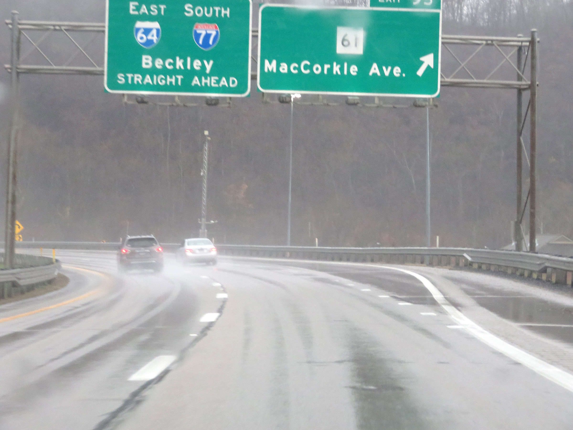 |
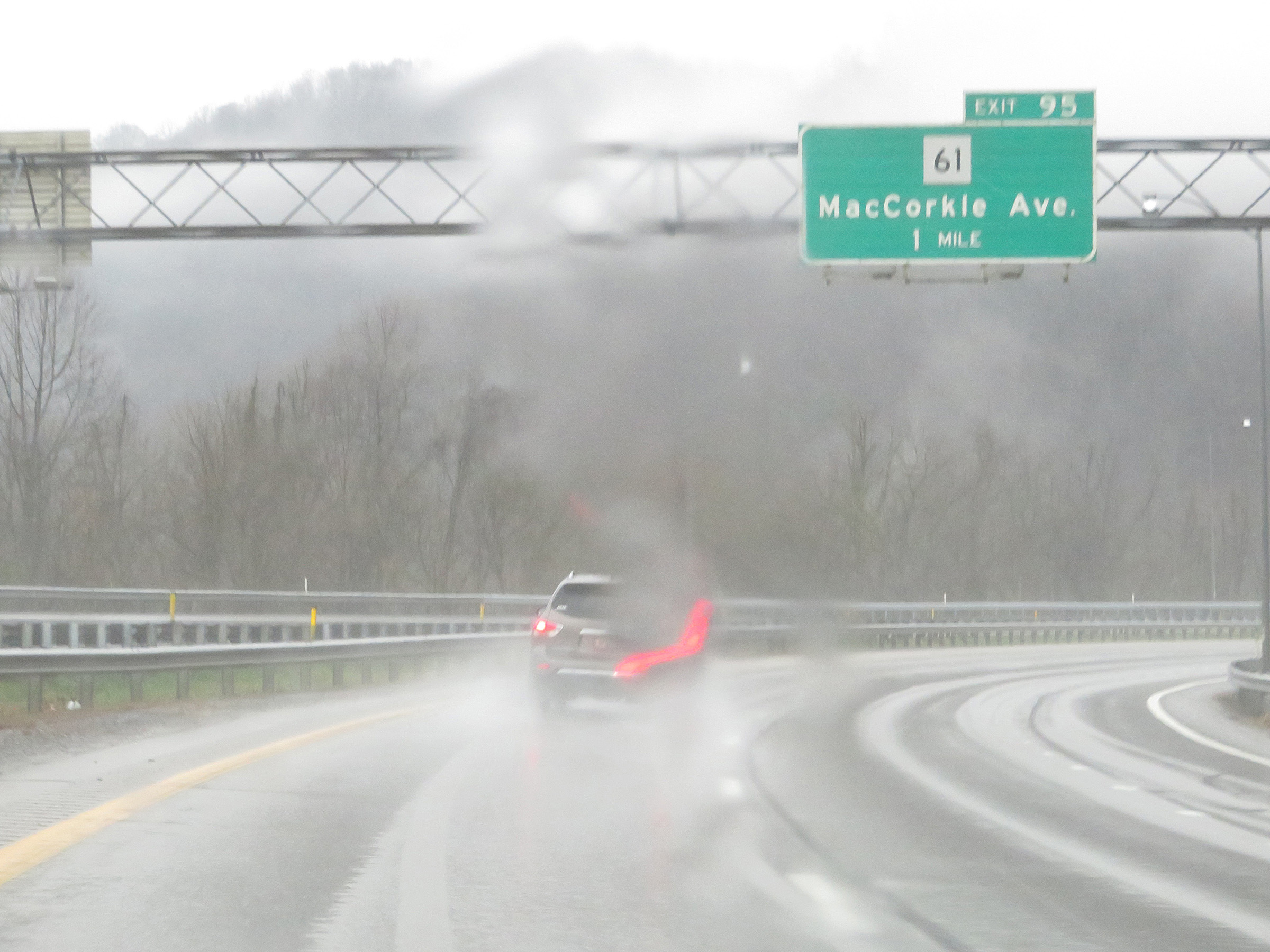
Interstate 77 South / Interstate 64 East (West Virginia Turnpike) at Exit 95: WV 61 - MacCorkle Ave (Photo taken 12/4/20). |
Section 3: Charleston (Exit 95) to Beckley (Exit 48)
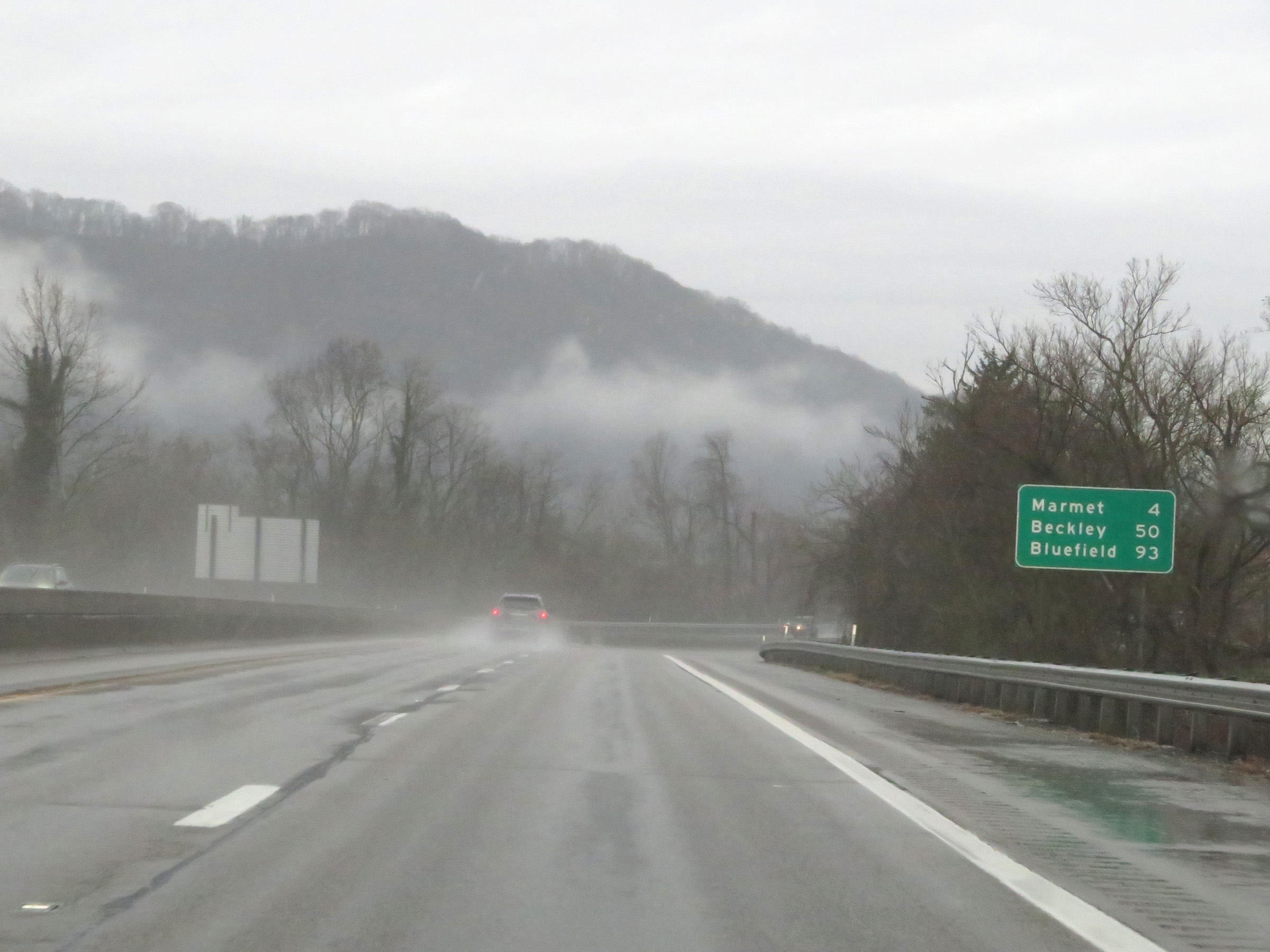 |
Mileage sign on Interstate 77 South / Interstate 64 East (West Virginia Turnpike). It's 4 miles to Marmet, 50 miles to Beckley, and 93 miles to Bluefield. (Photo taken 12/4/20). |
 |
At mile marker 93, the speed limit increases to 70 mph once again on Interstate 77 South / Interstate 64 East (West Virginia Turnpike). (Photo taken 12/4/20). |
 |
View on Interstate 77 South / Interstate 64 East (West Virginia Turnpike) at mile marker 92. (Photo taken 12/4/20). |
 |
Interstate 77 South / Interstate 64 East (West Virginia Turnpike) at mile marker 91. (Photo taken 12/4/20). |
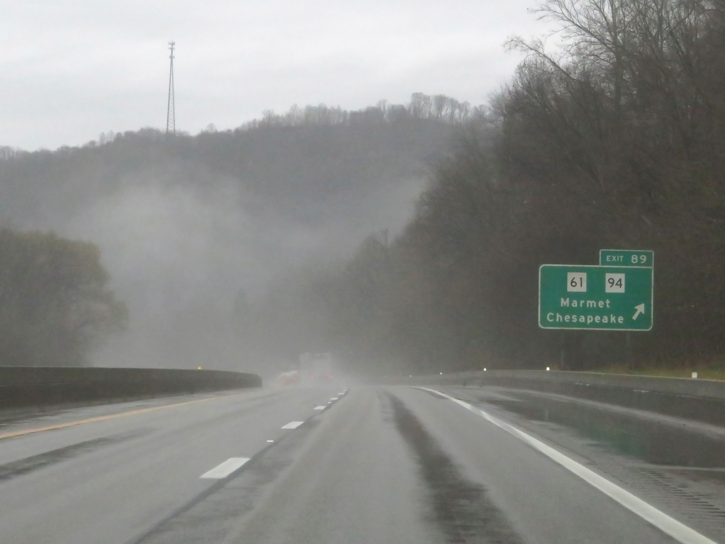 |
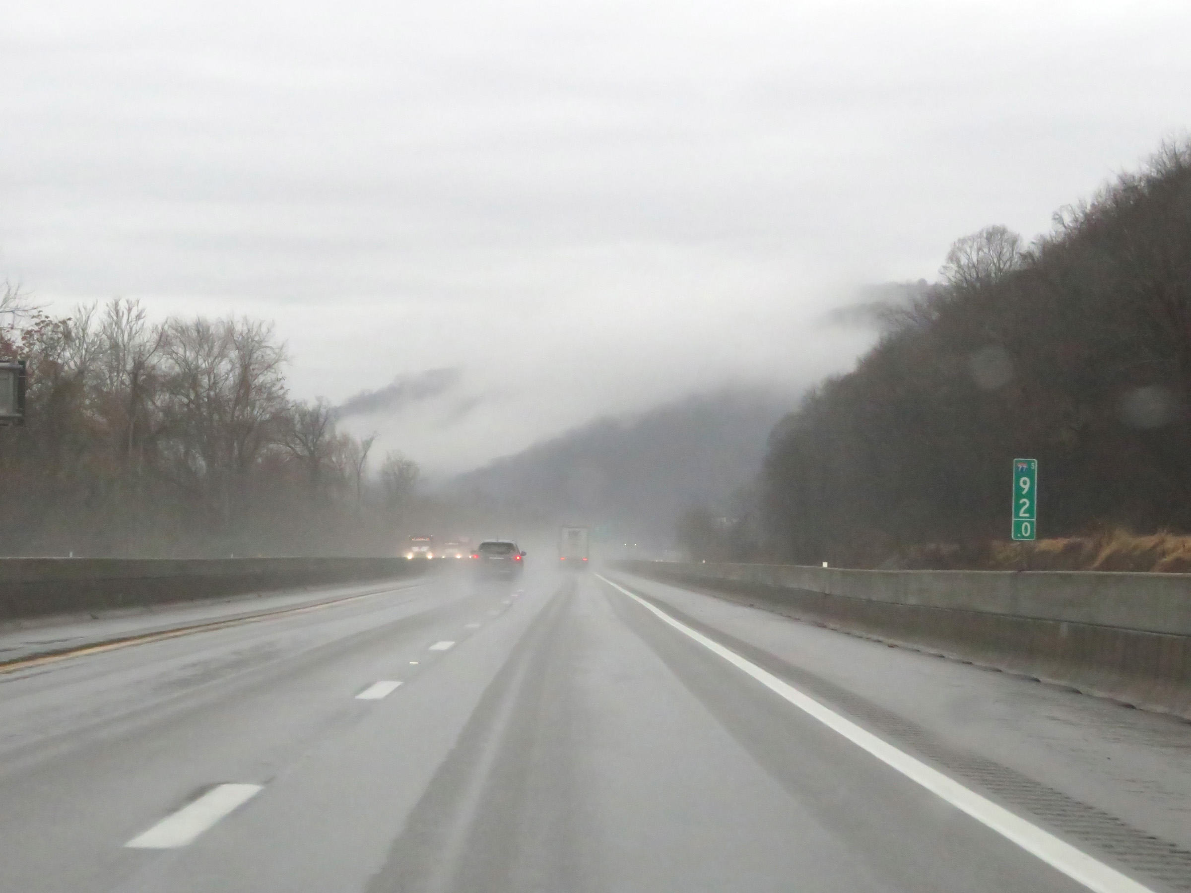
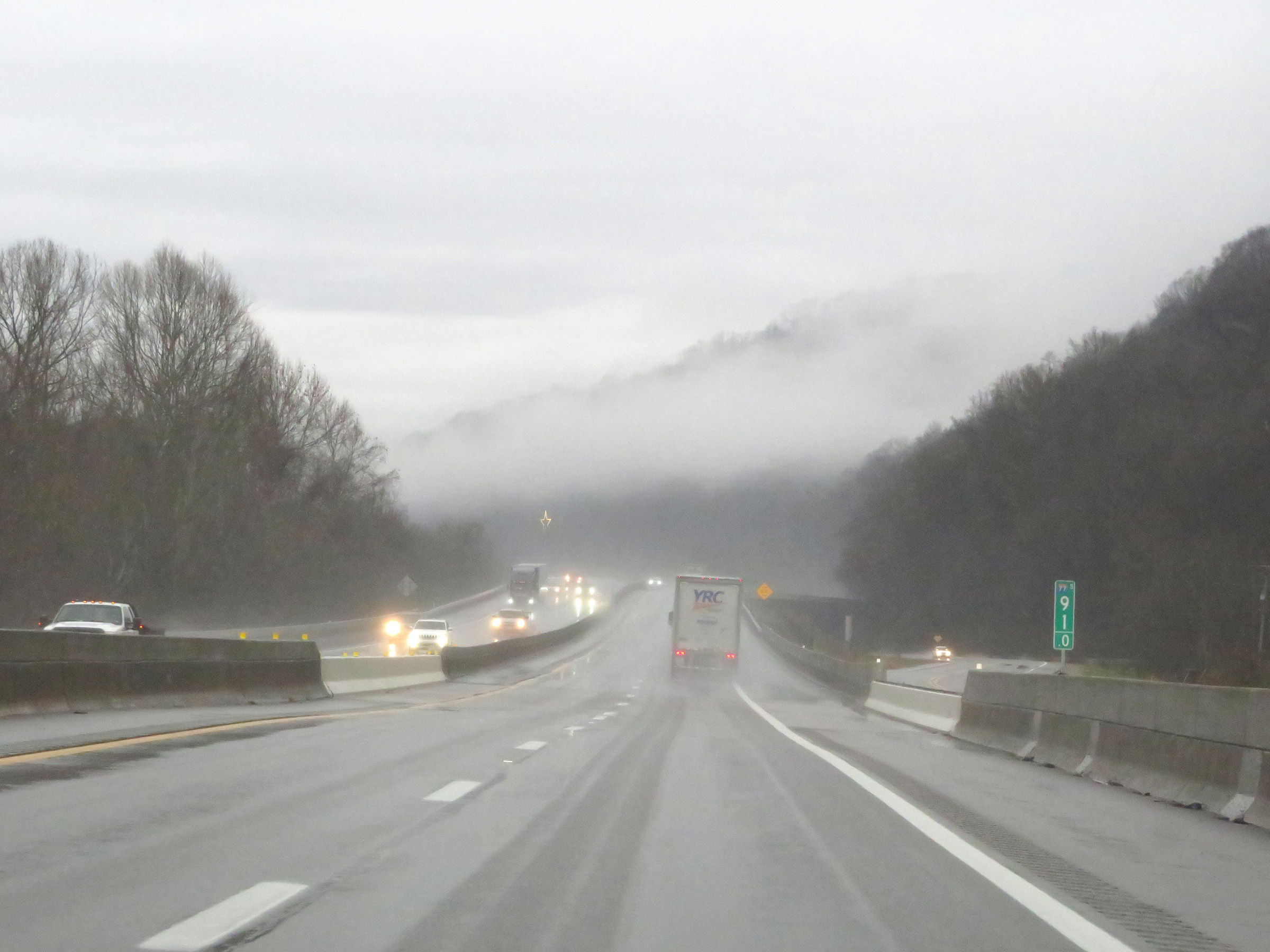
Interstate 77 South / Interstate 64 East (West Virginia Turnpike) at Exit 89: WV 61 / WV 94 - Marmet / Chesapeake (Photo taken 12/4/20). |
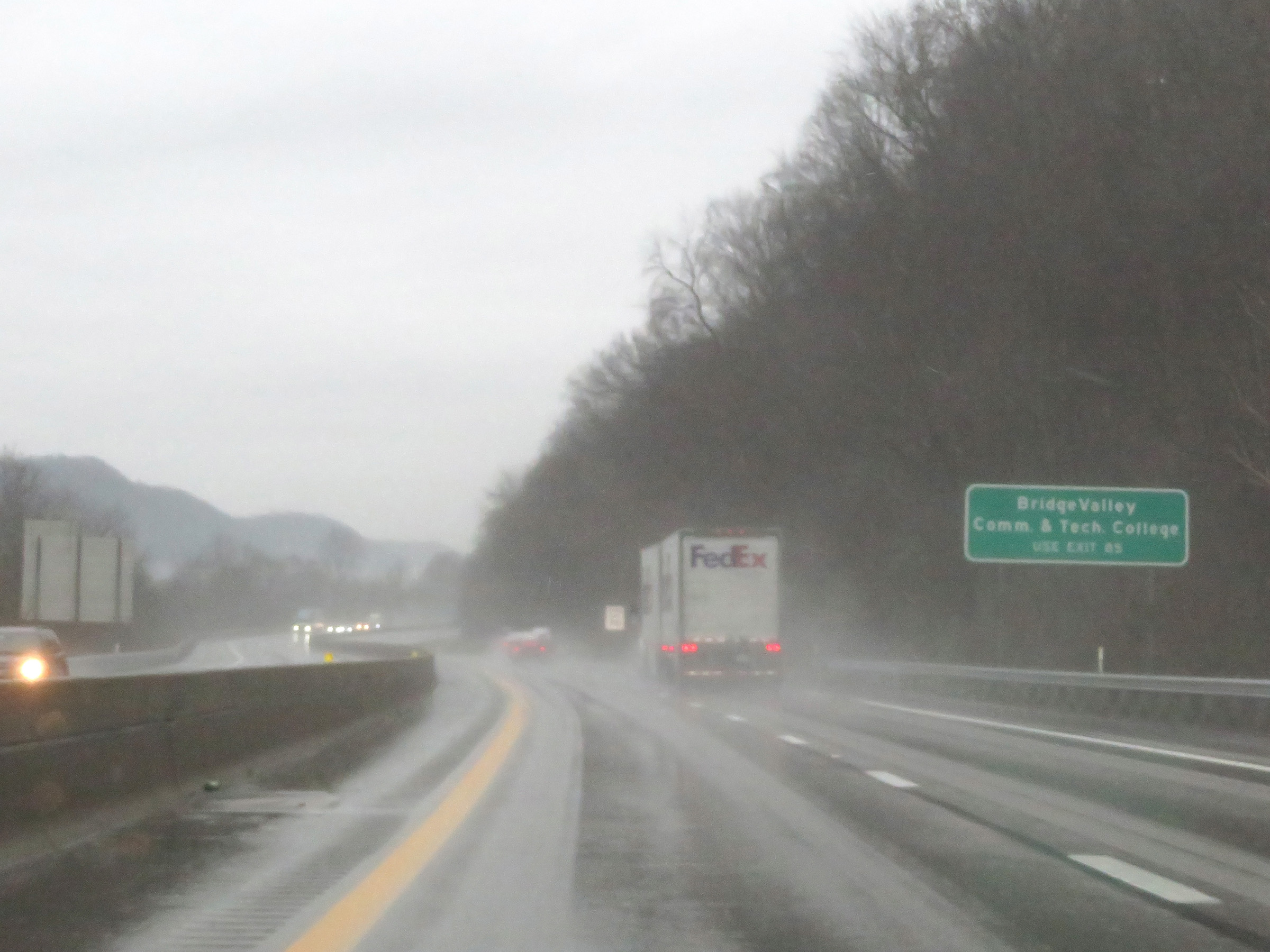 |
Take Exit 85 to Bridge Valley Community & Technical College. (Photo taken 12/4/20). |
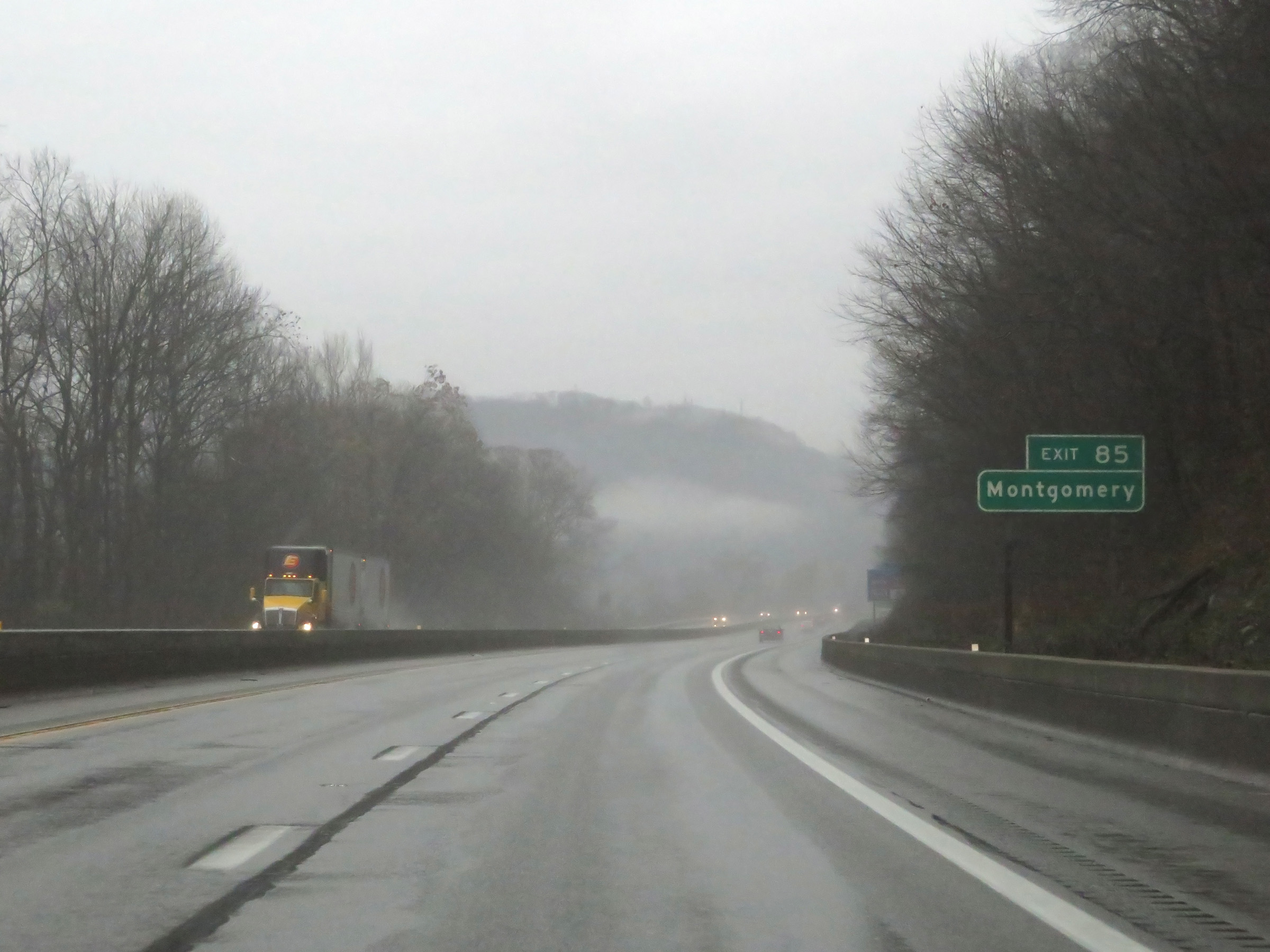 |
Also take Exit 85 to Montgomery. (Photo taken 12/4/20). |
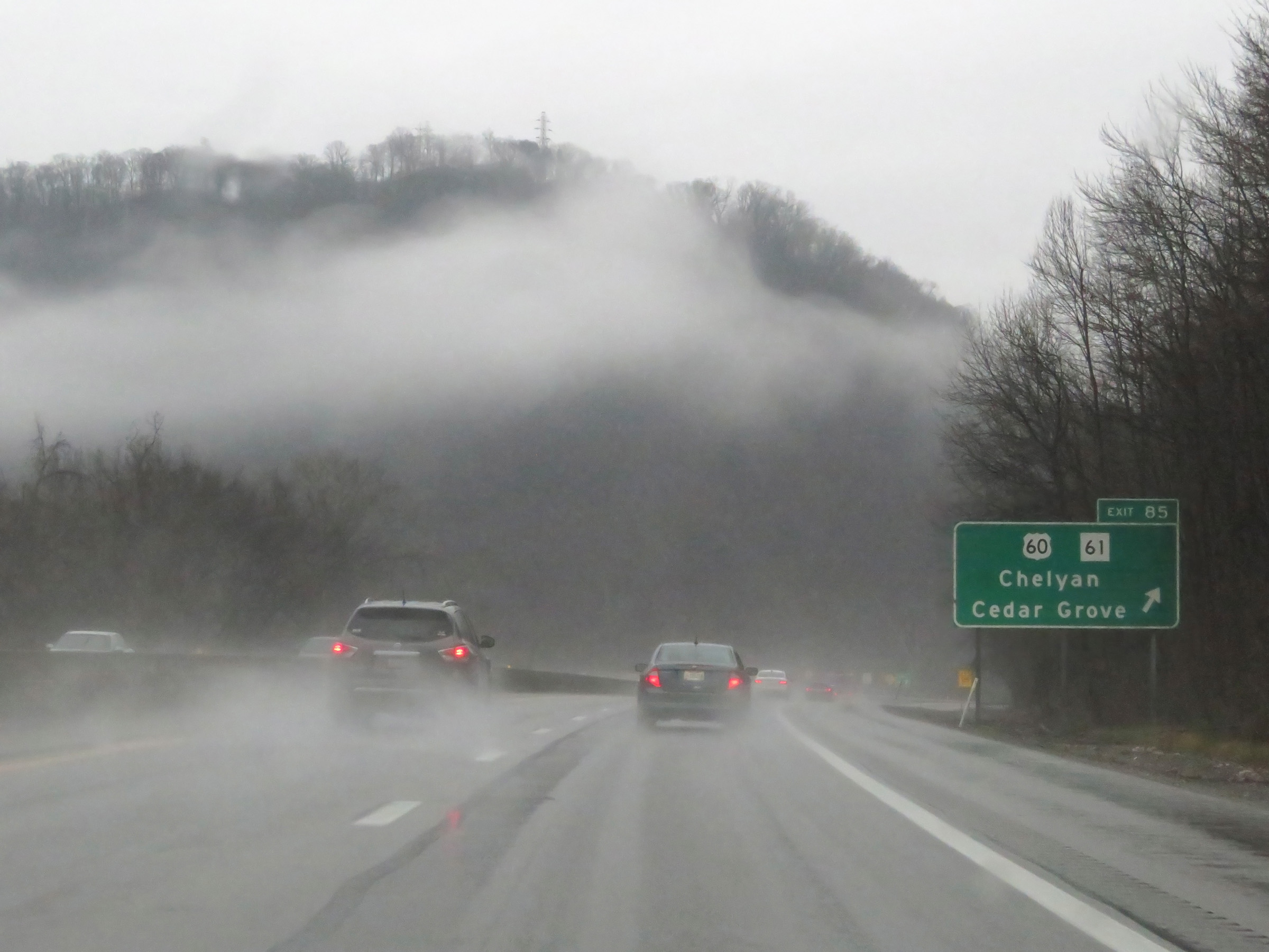 |
Interstate 77 South / Interstate 64 East (West Virginia Turnpike) at Exit 85: US 60 / WV 61 - Chelyan / Cedar Grove (Photo taken 12/4/20). |
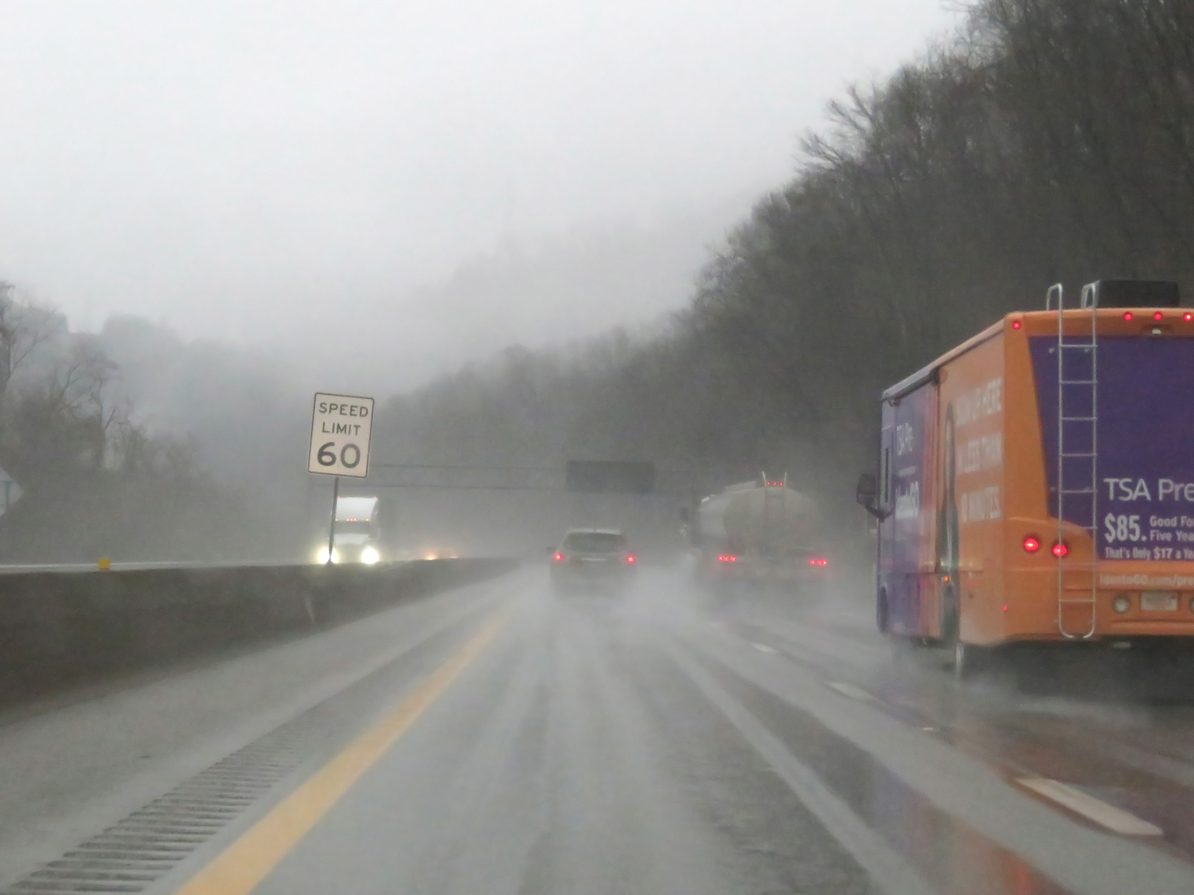 |
Beyond Exit 85, the speed limit decreases to 60 mph once again on Interstate 77 South / Interstate 64 East (West Virginia Turnpike). (Photo taken 12/4/20). |
 |
Interstate 77 South / Interstate 64 East (West Virginia Turnpike) at mile marker 84. (Photo taken 12/4/20). |
 |
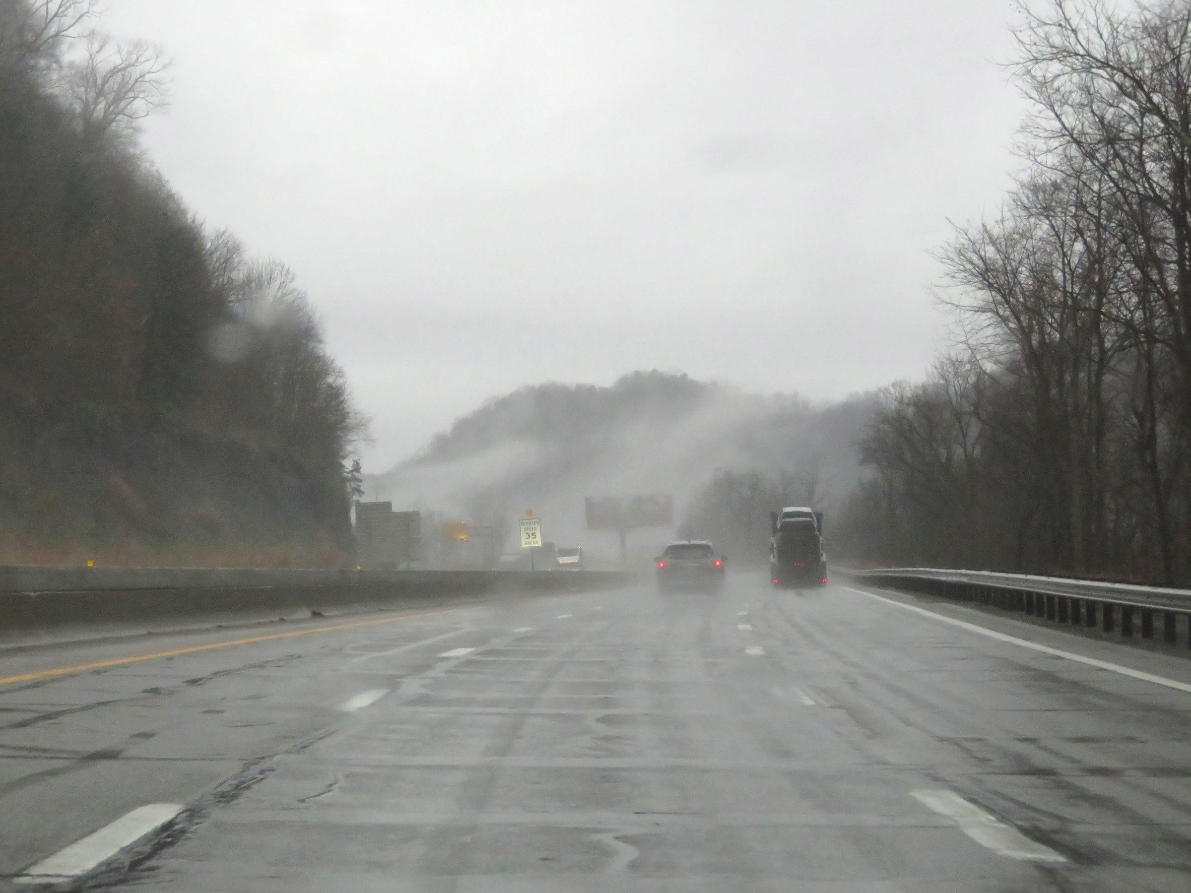
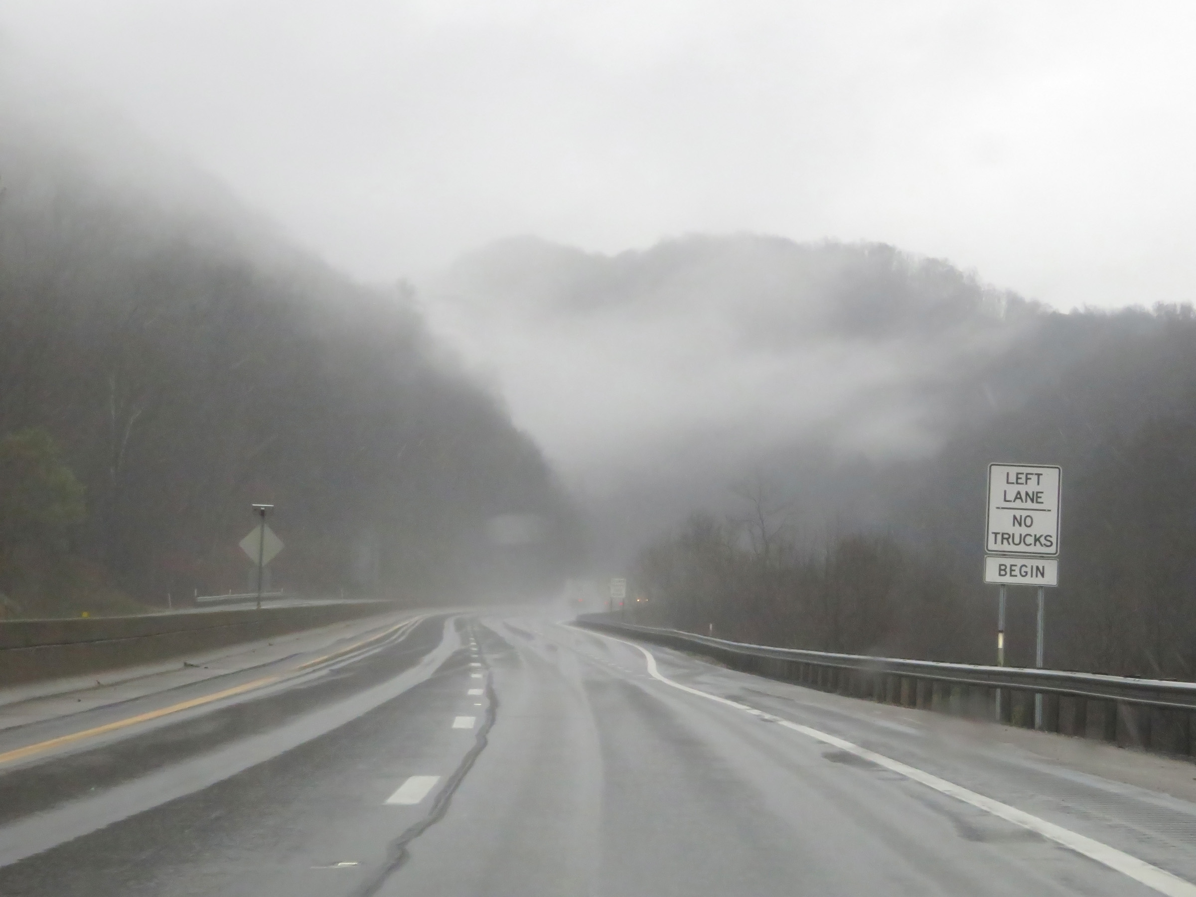
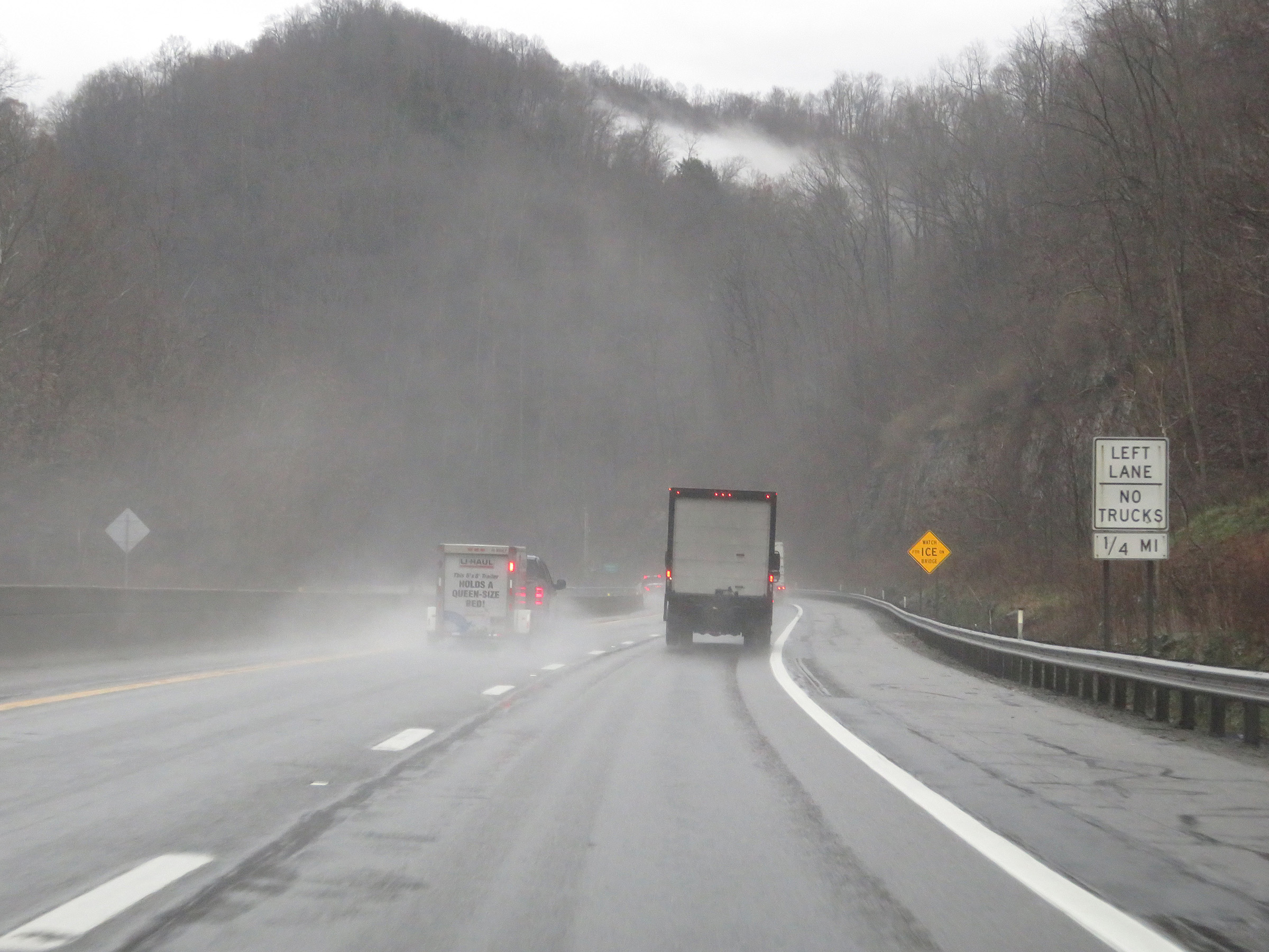
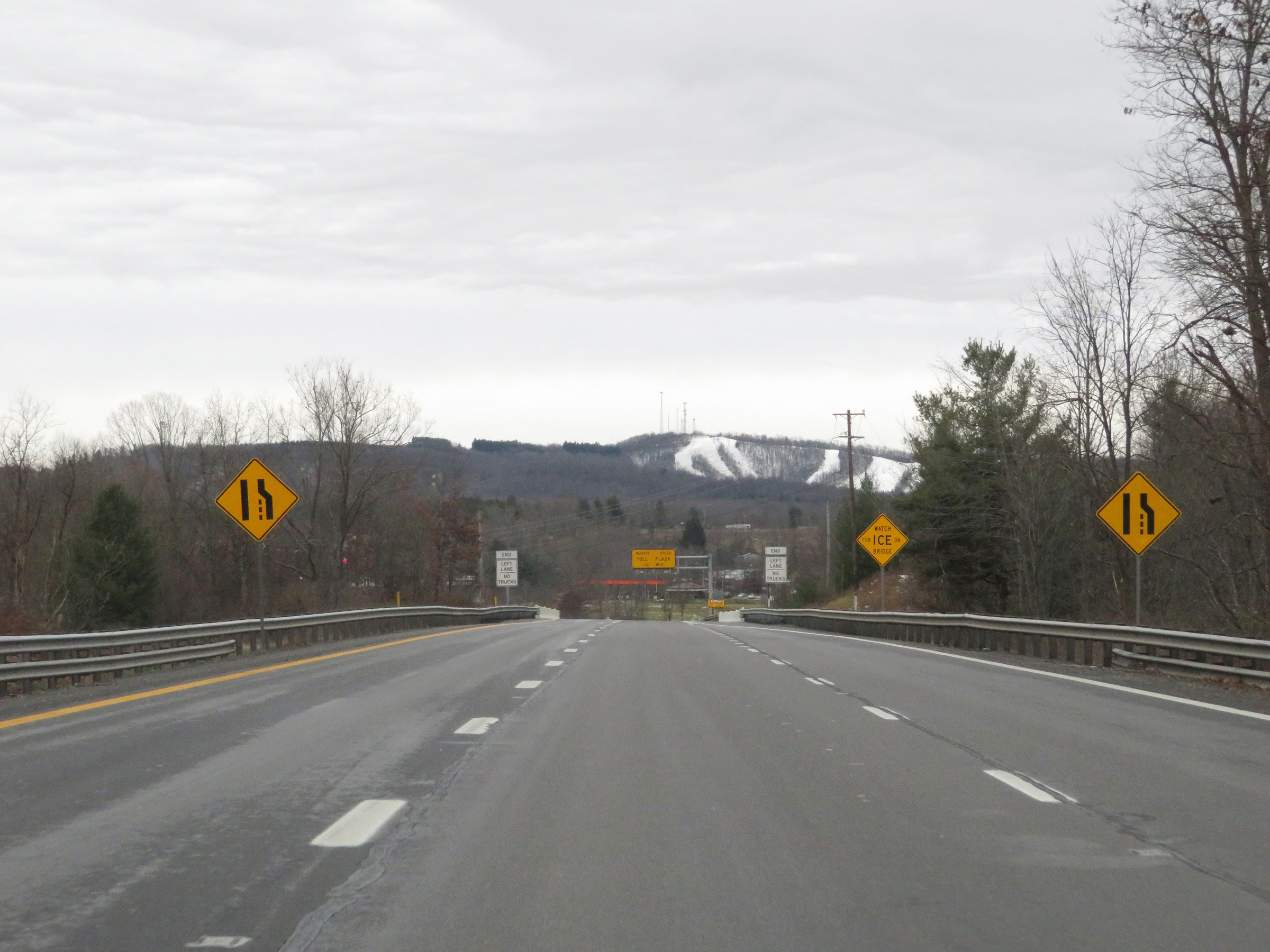
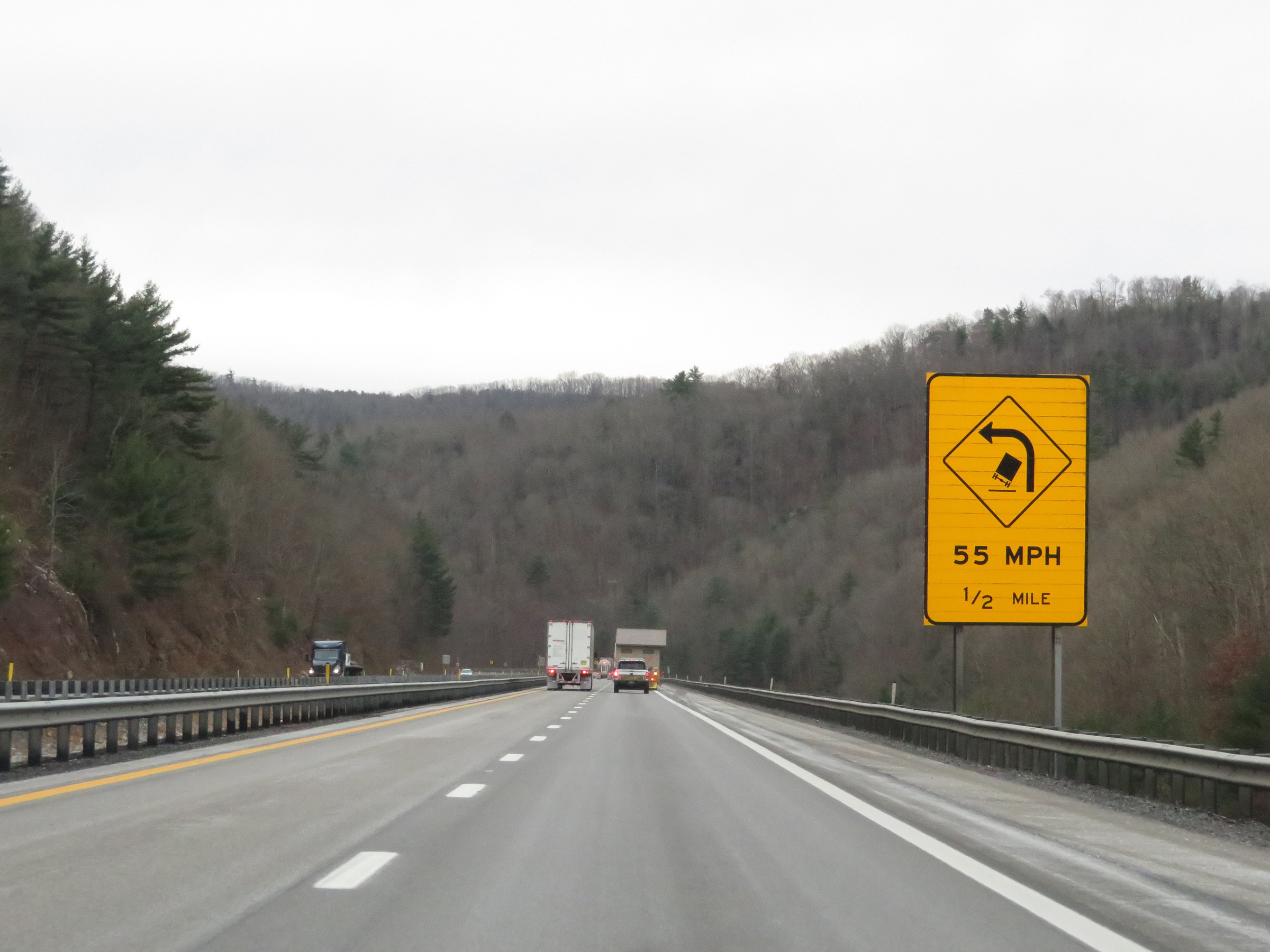
Ahead, as this sign warns, Interstate 77 South / Interstate 64 East (West Virginia Turnpike) will traverse a sharp curve to the right. After that, it will climb a steep grade to the first southbound / eastbound toll plaza on the turnpike. (Photo taken 12/4/20). |
 |
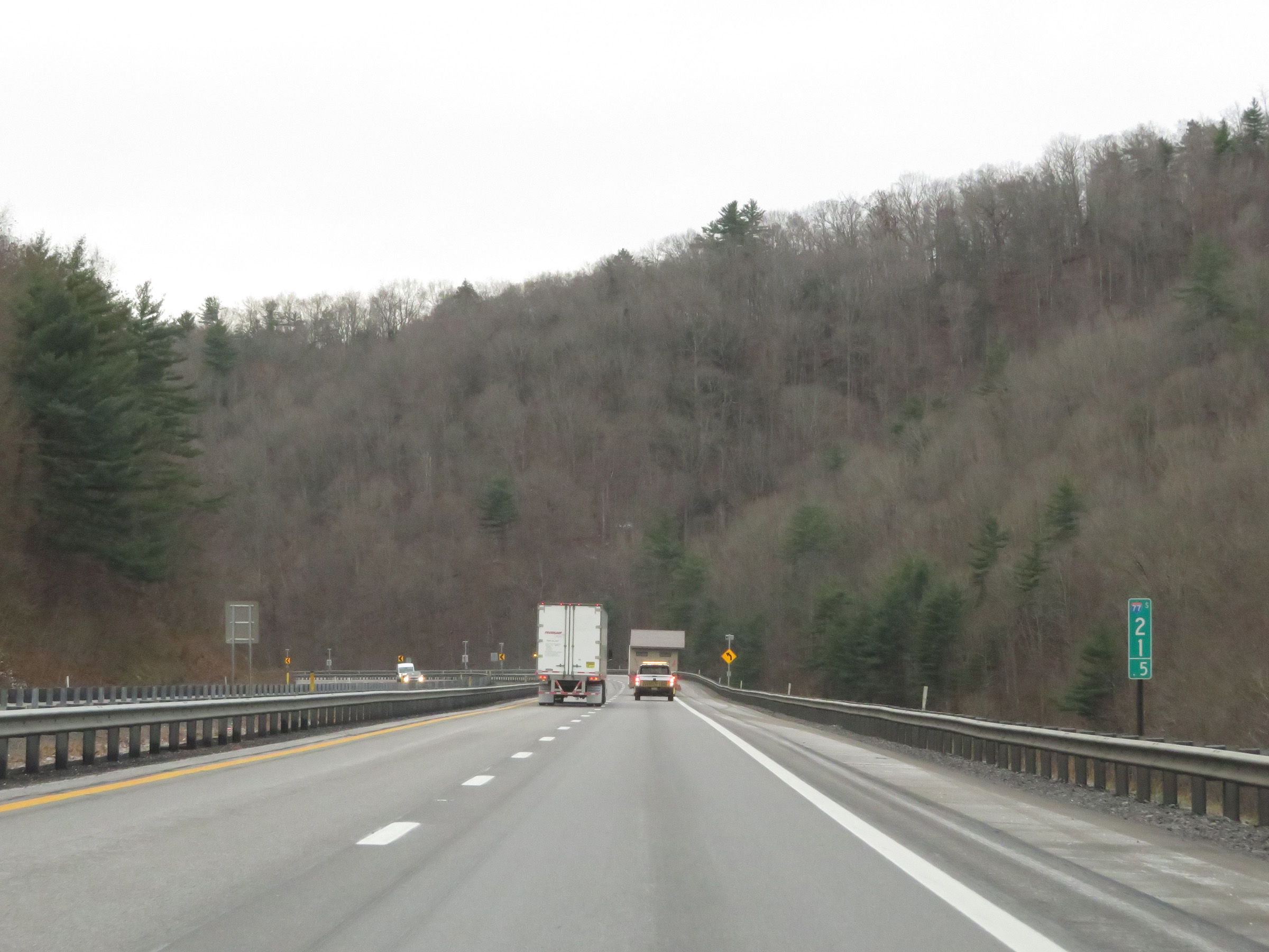
View on Interstate 77 South / Interstate 64 East (West Virginia Turnpike) at mile marker 83.5, as it enters the aforementioned curve. (Photo taken 12/4/20). |
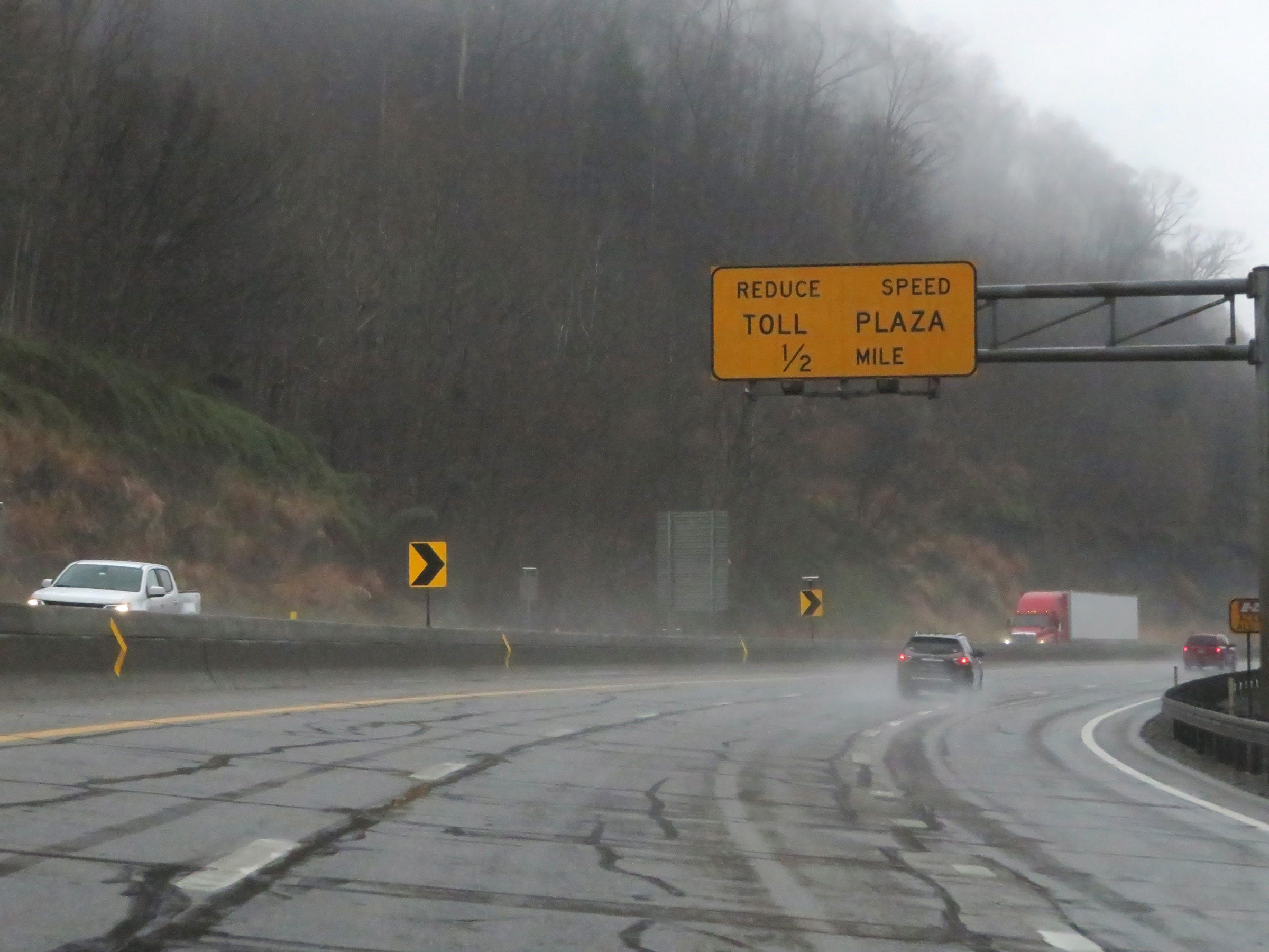 |
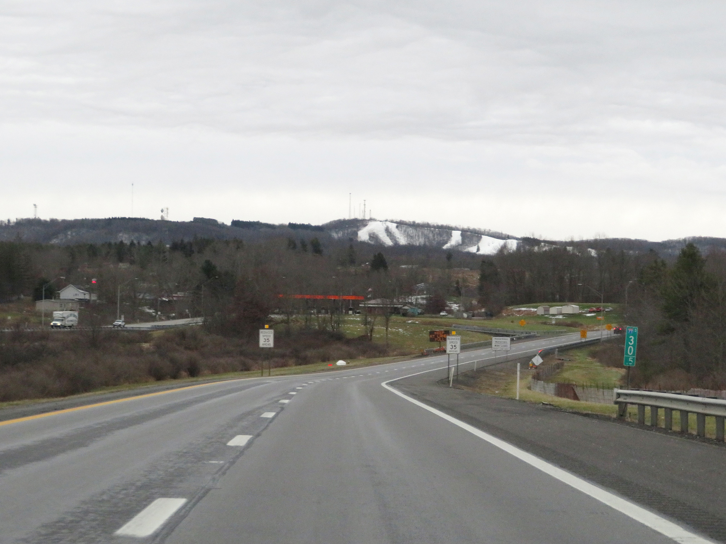
As the sharp curve continues, this overhead sign warns that the first toll plaza on the turnpike in the southbound / eastbound directions, known as Toll Plaza C, is 1/2 mile ahead. (Photo taken 12/4/20). |
 |
View on Interstate 77 South / Interstate 64 East (West Virginia Turnpike) climbing up to Toll Plaza C. (Photo taken 12/4/20). |
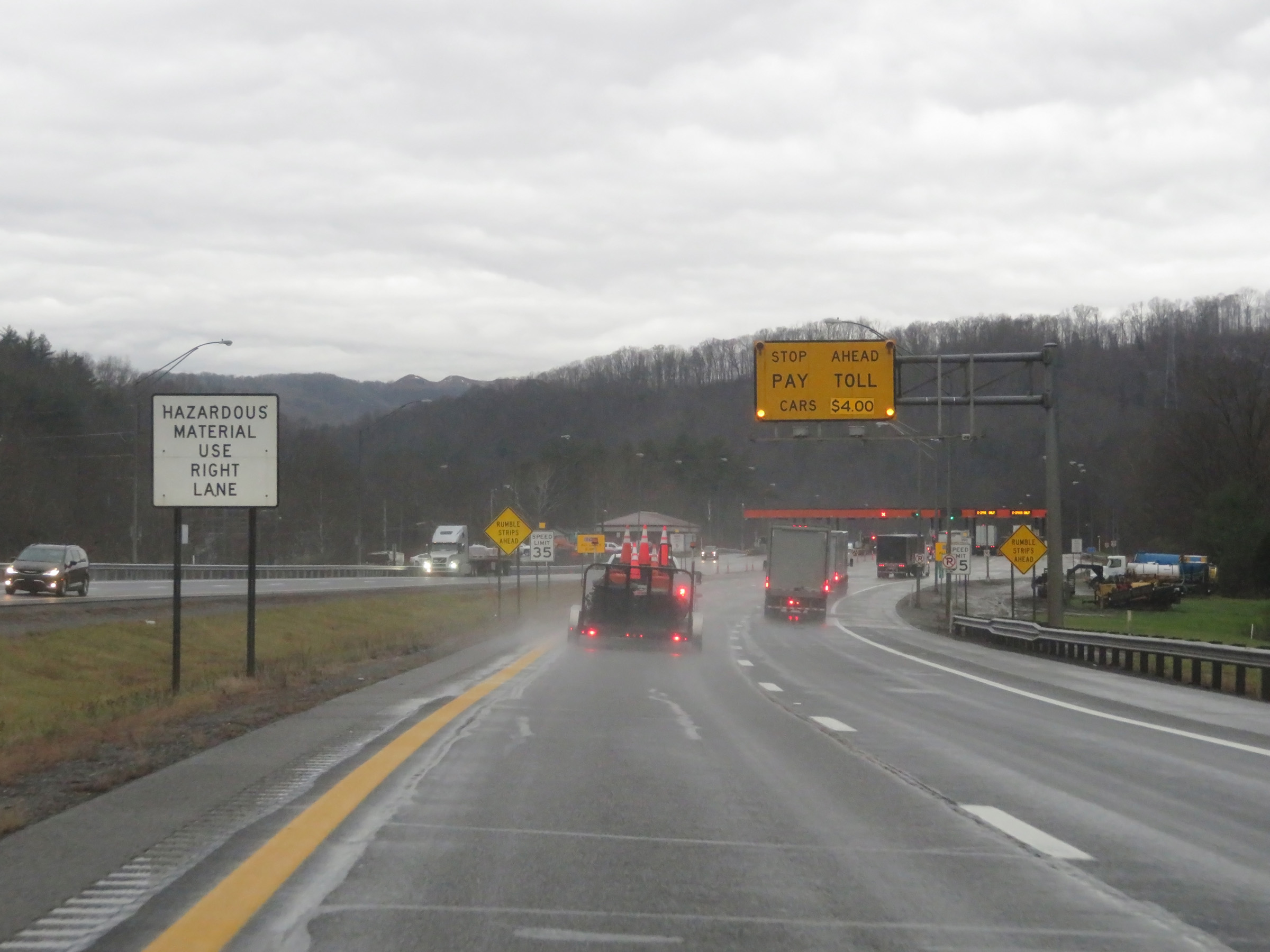
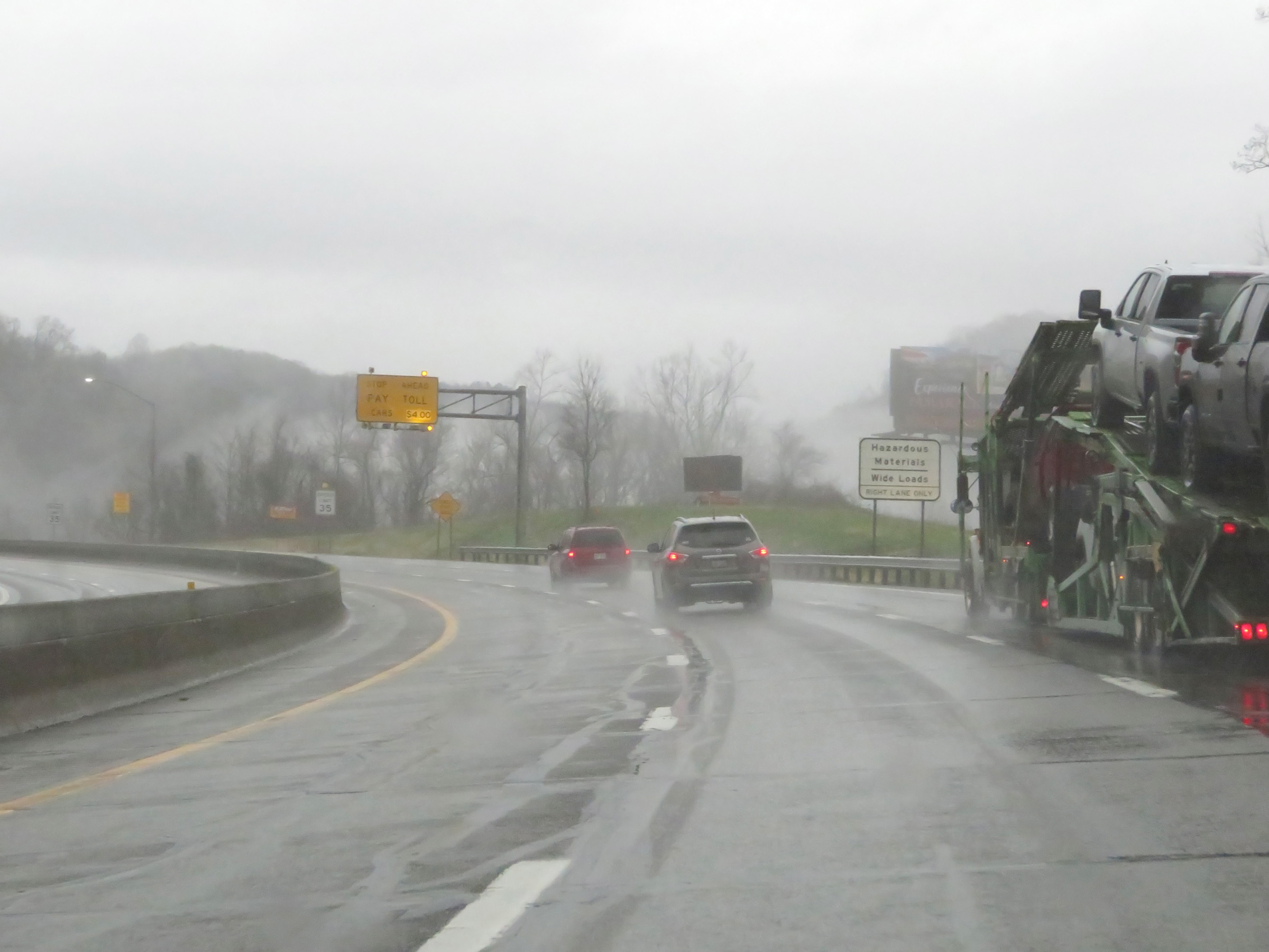 |
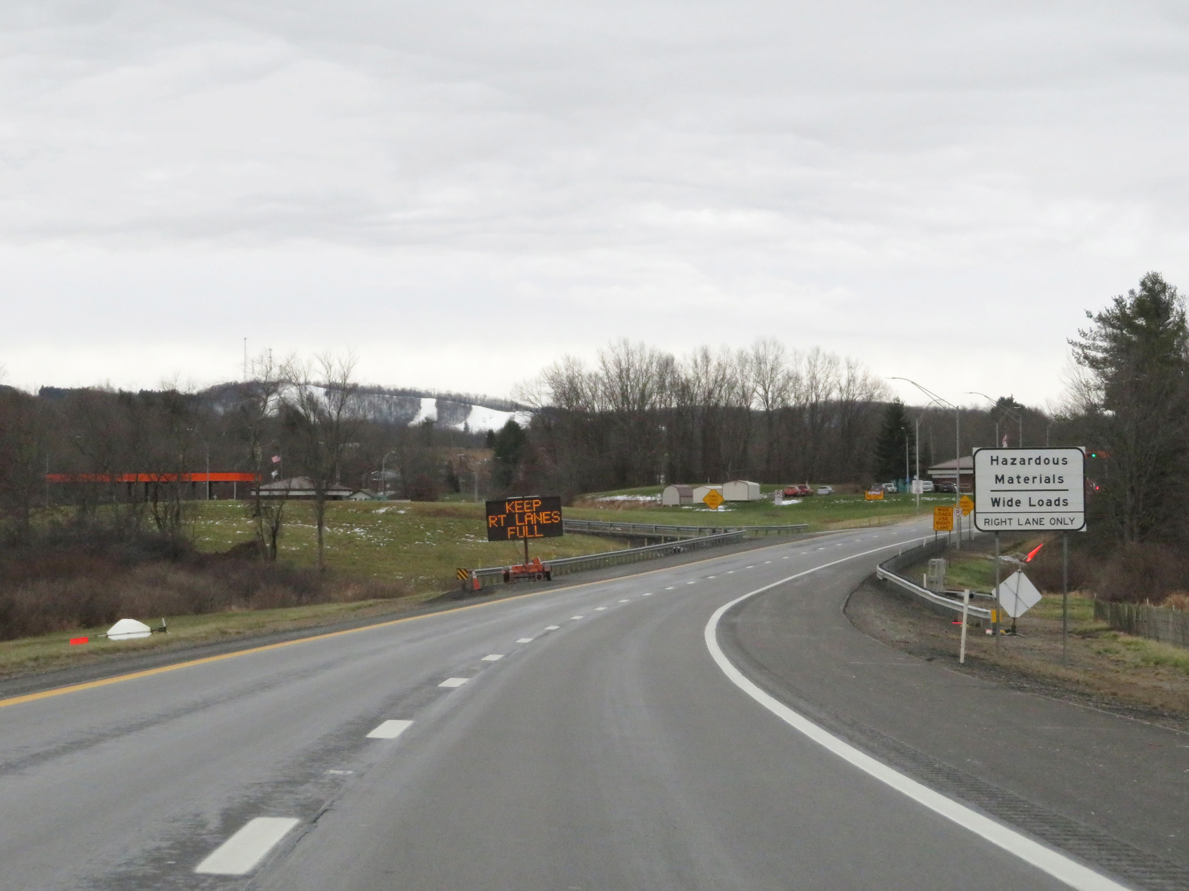
All trucks hauling hazardous materials and wide loads must use the right lane at the toll plaza ahead. (Photo taken 12/4/20). |
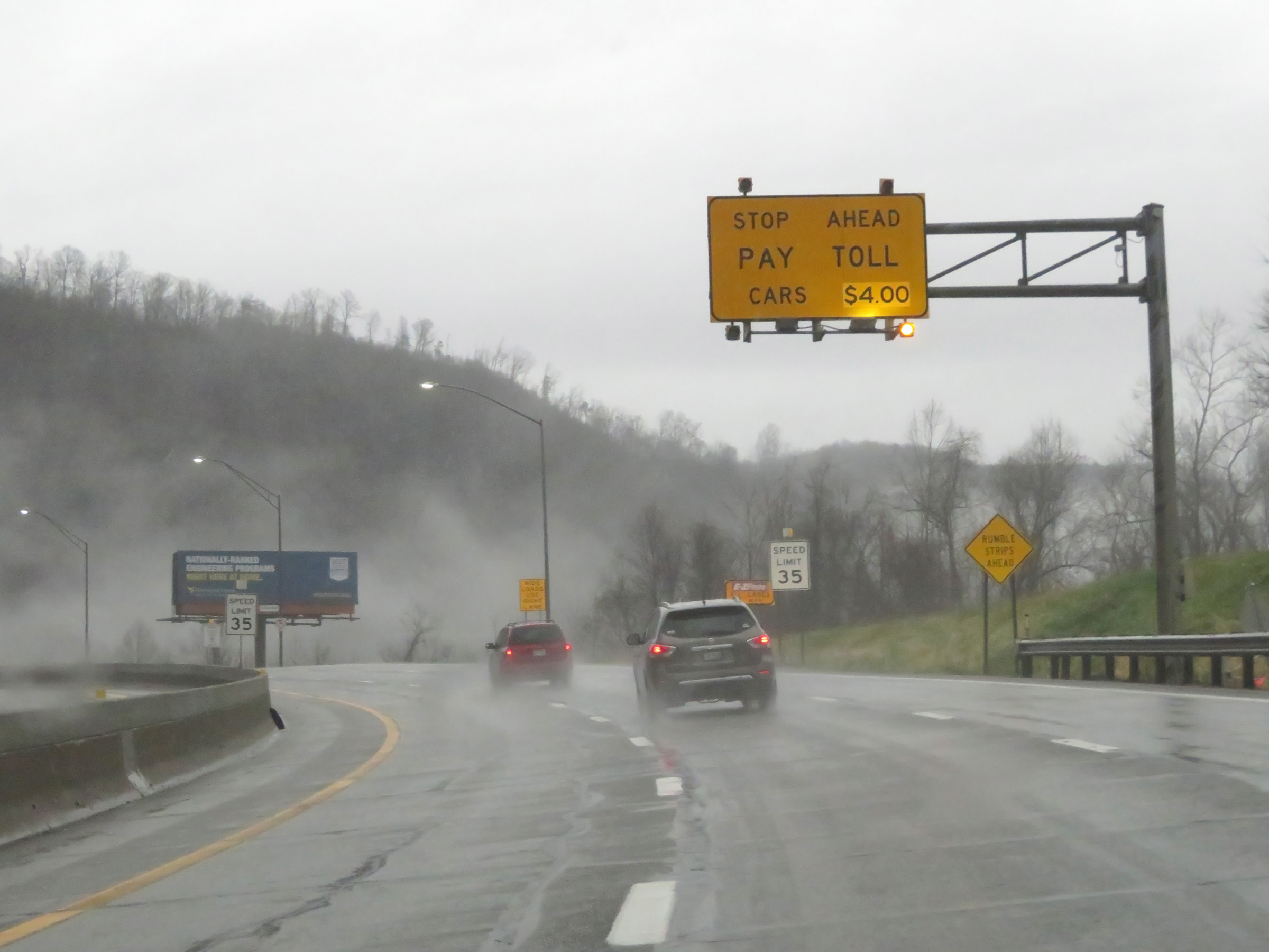 |
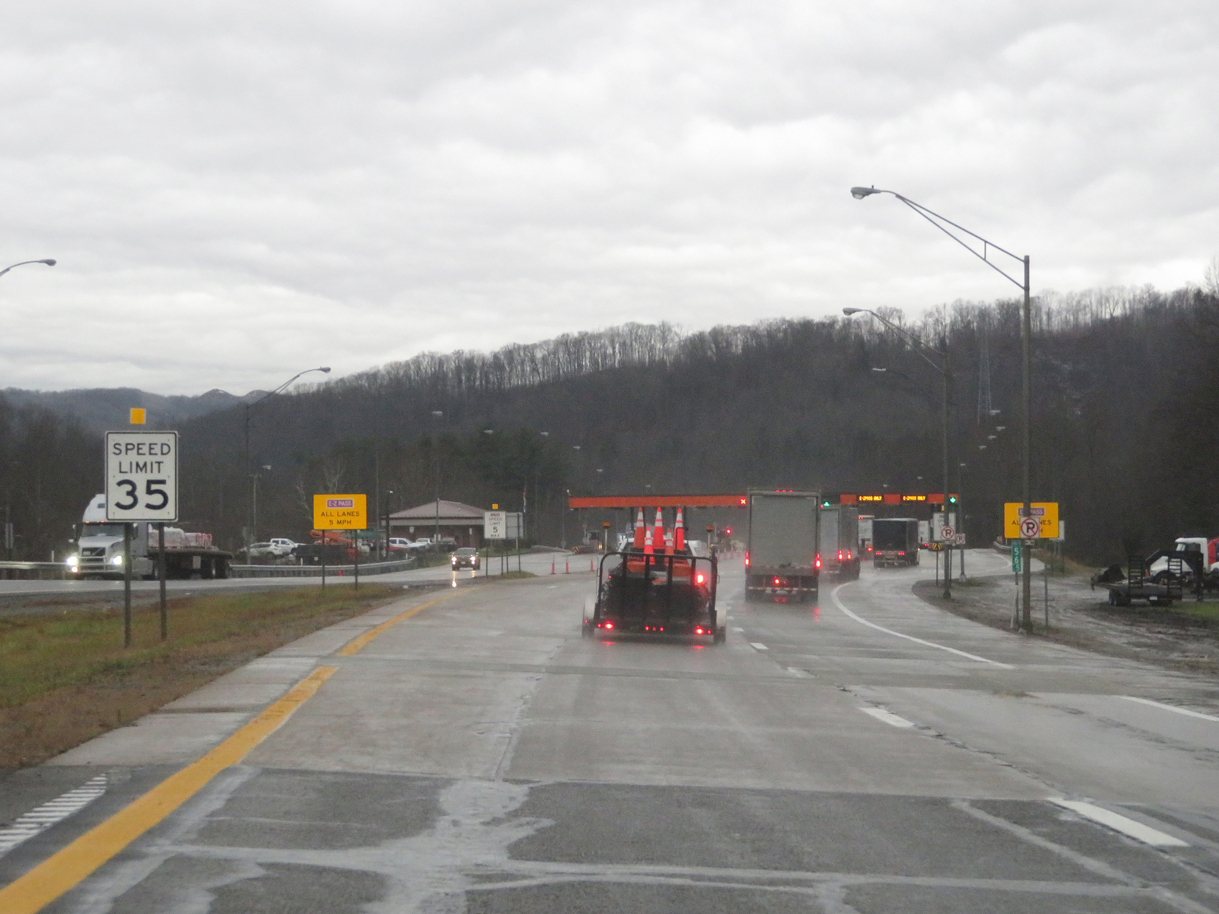
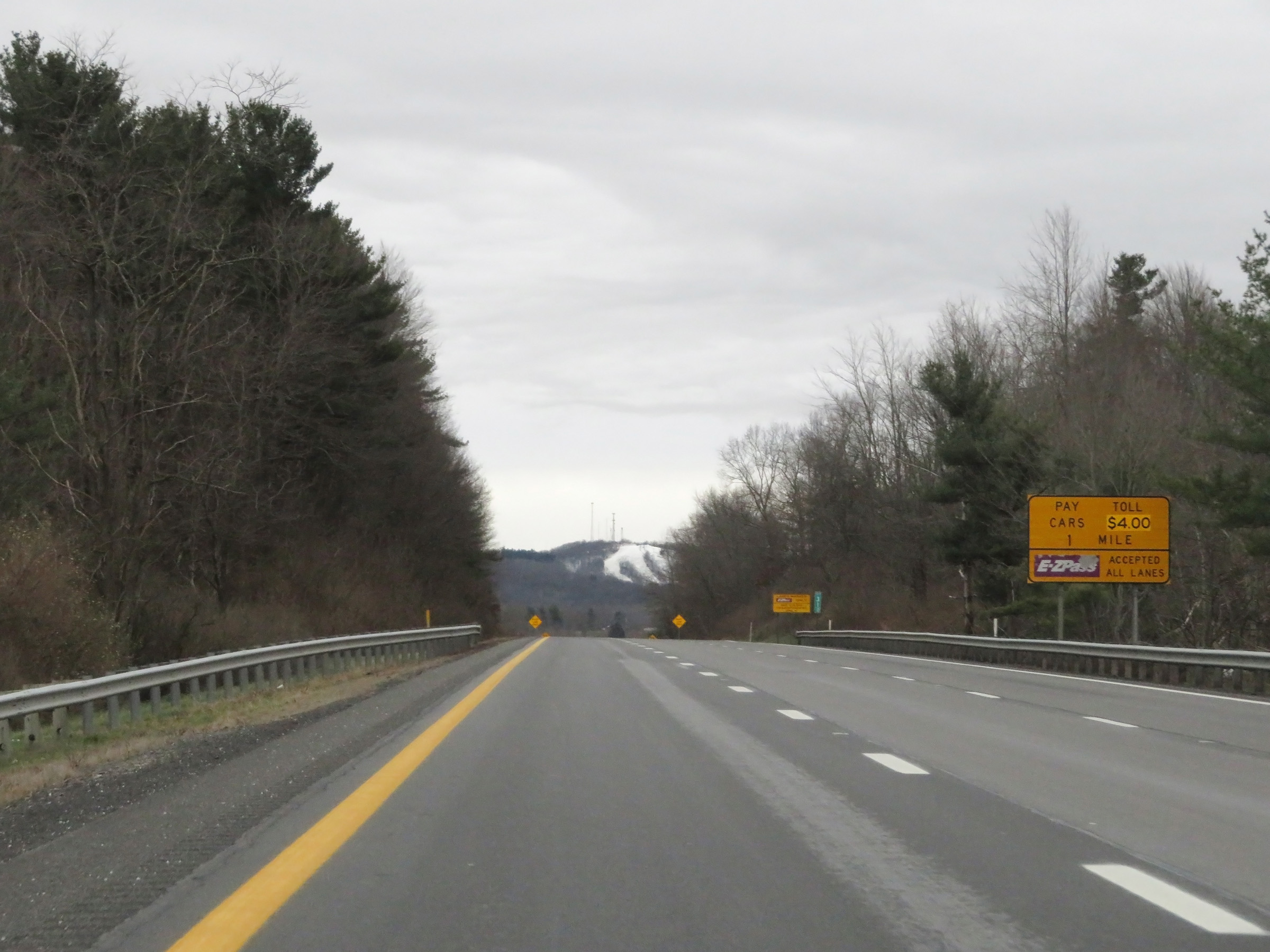
This overhead sign approaching the toll plaza shows the current toll rate for cars, which at the time was $4.00. Also, the speed limit decreases to 35 mph at this point with Toll Plaza C just ahead. (Photo taken 12/4/20). |
 |
View on Interstate 77 South / Interstate 64 East (West Virginia Turnpike) approaching Toll Plaza C. (Photo taken 12/4/20). |
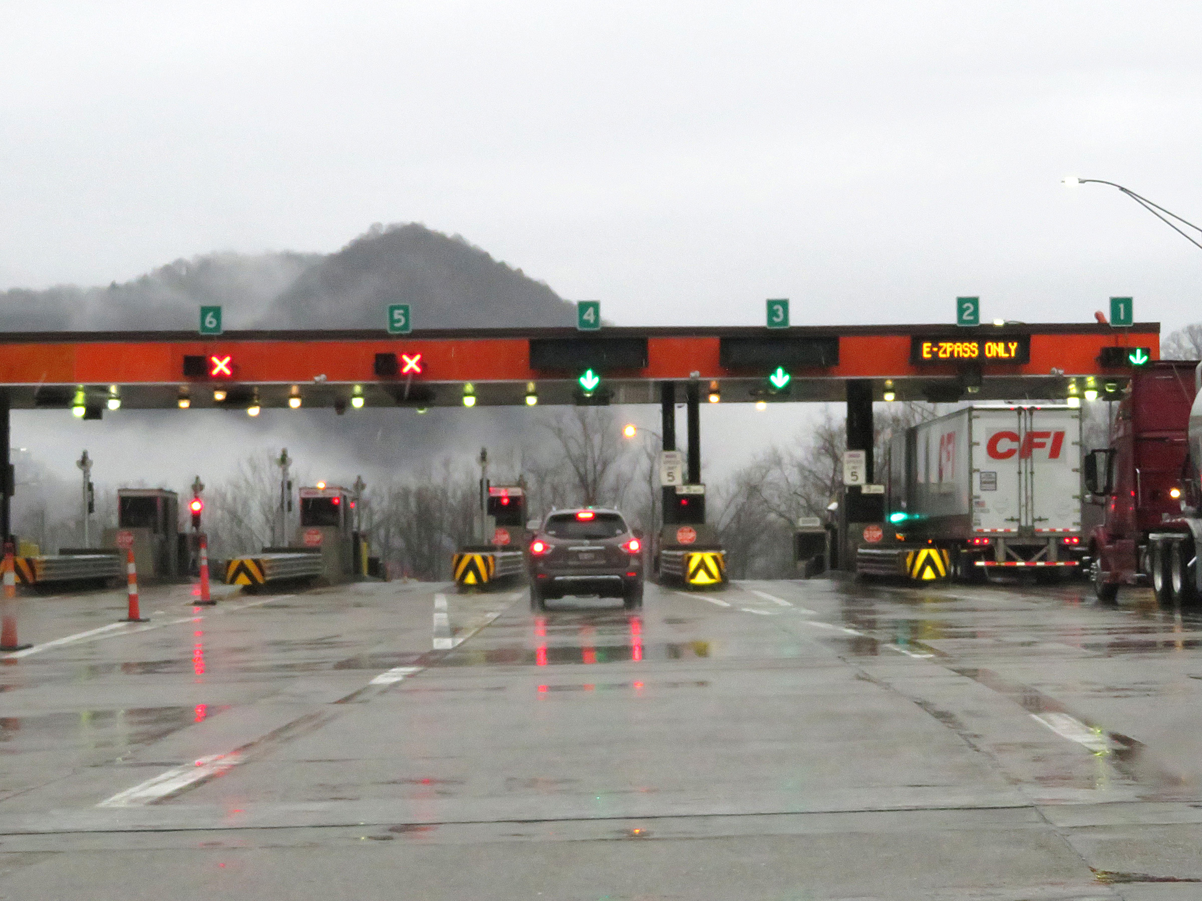
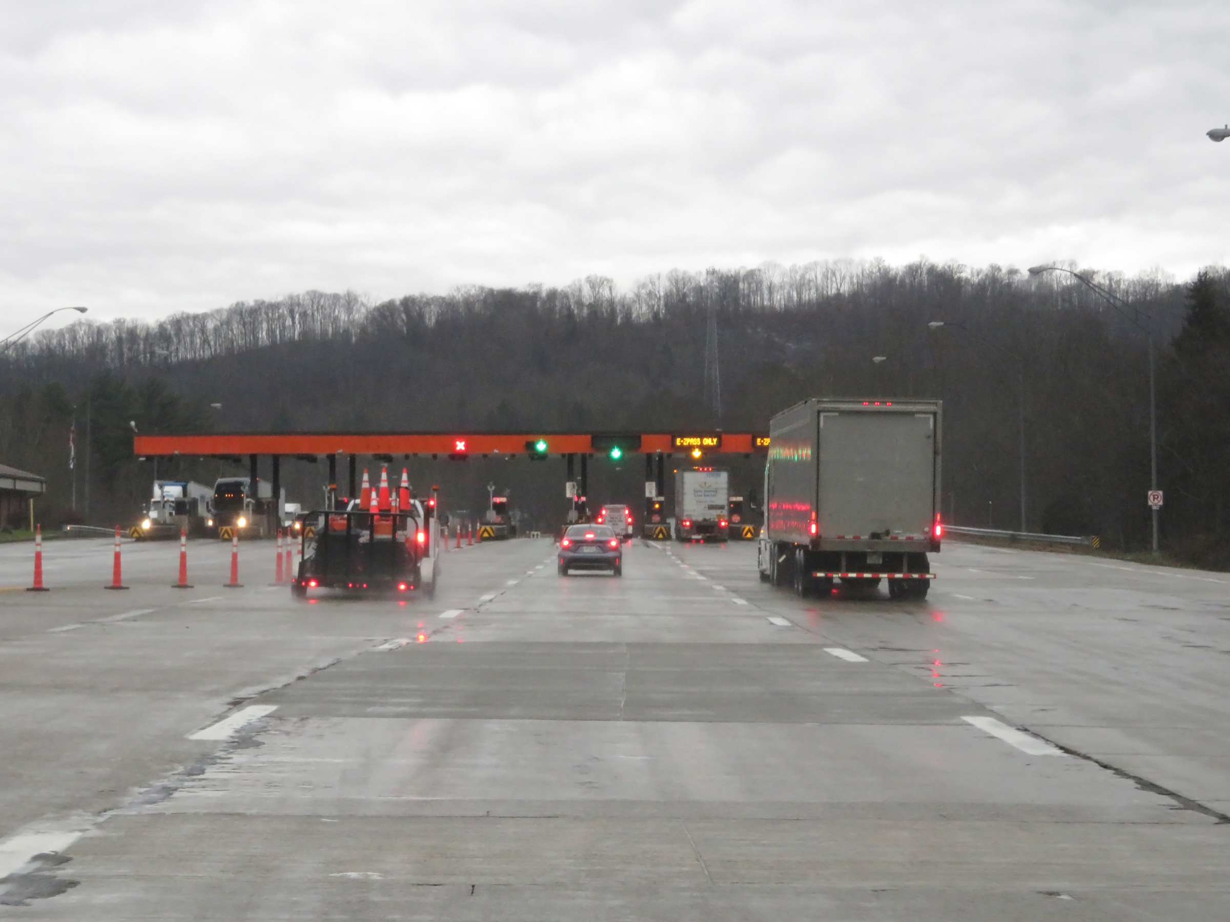
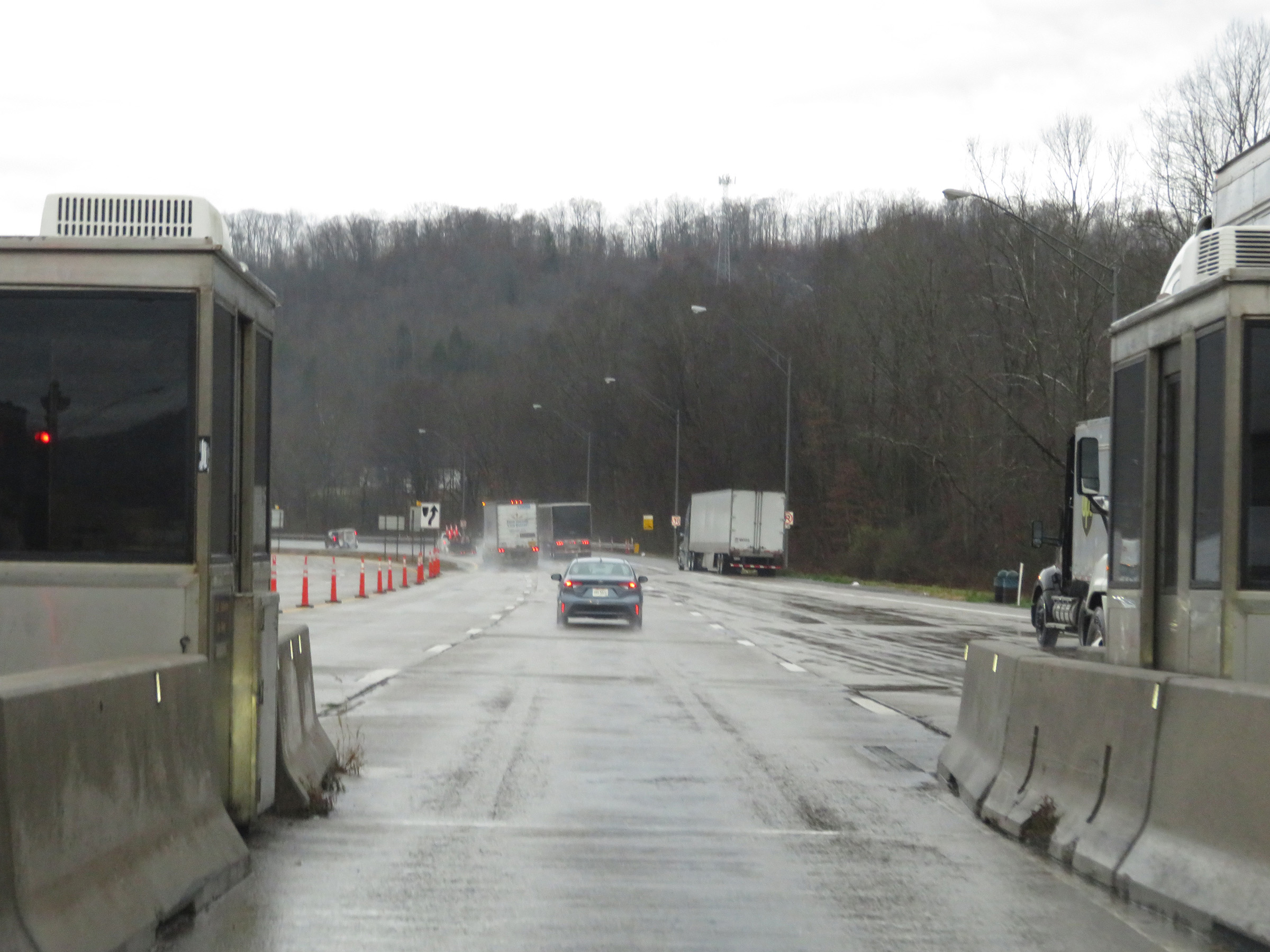
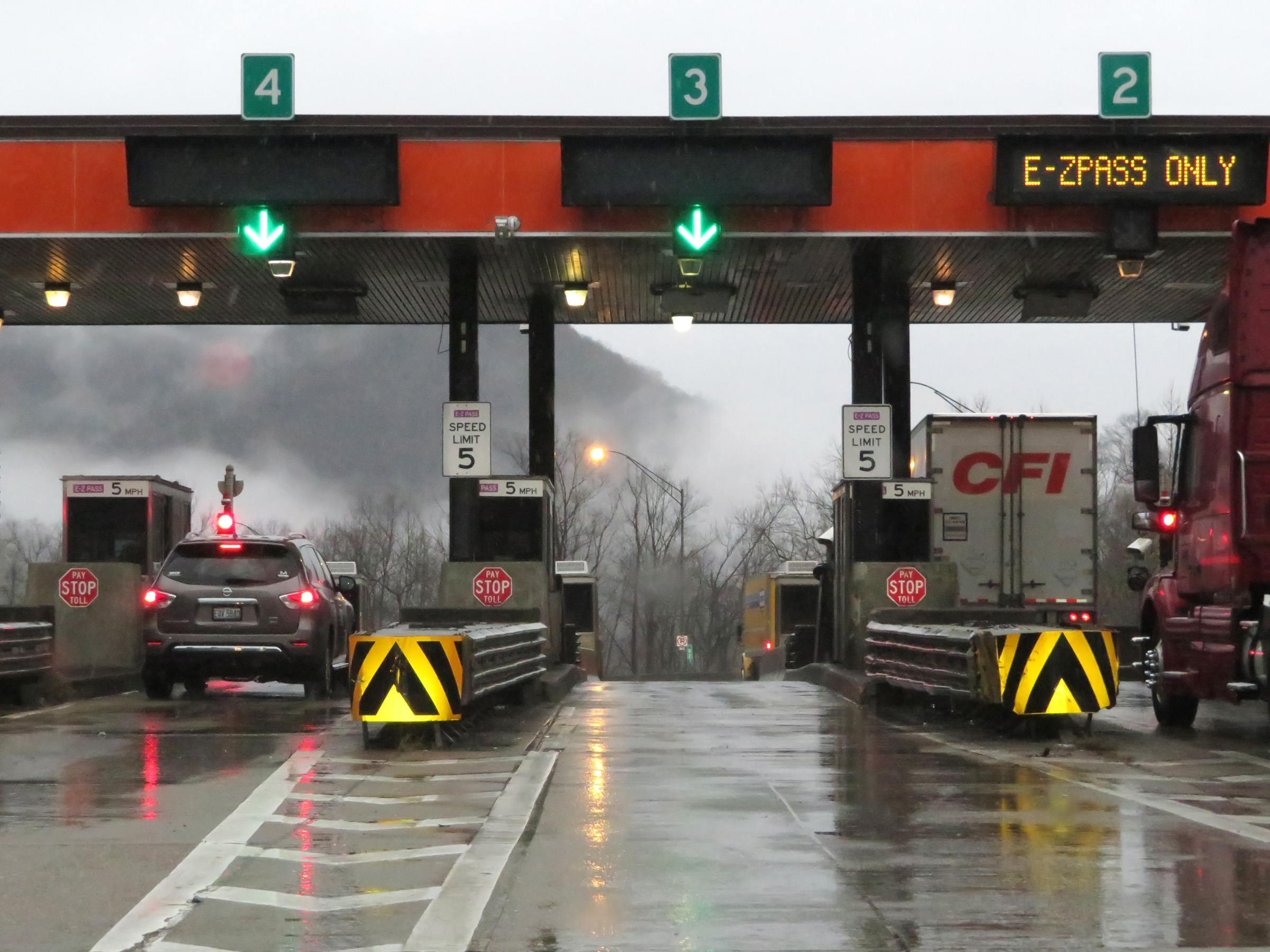 |
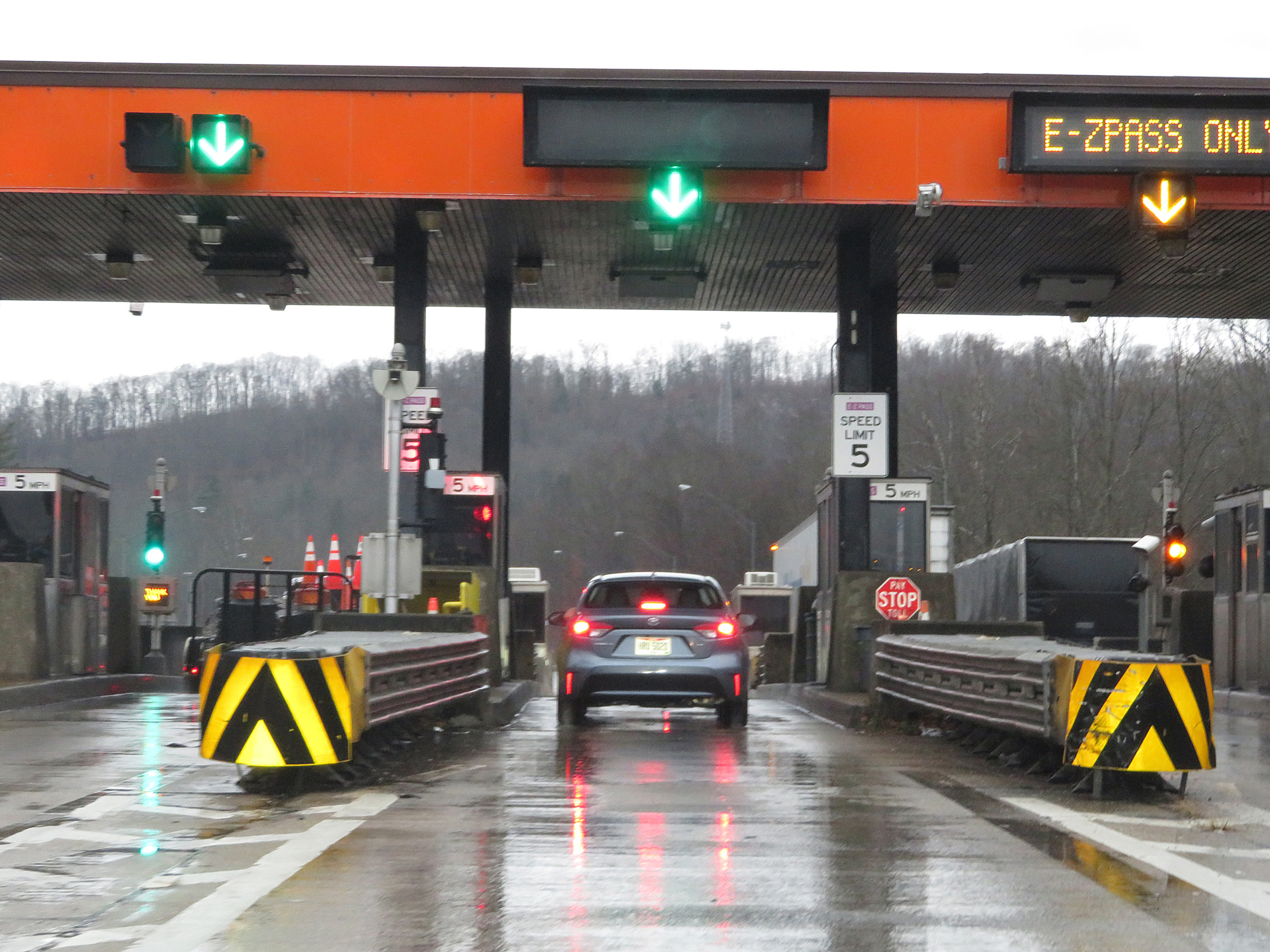
A closer view of Toll Plaza C on Interstate 77 South / Interstate 64 East (West Virginia Turnpike). (Photo taken 12/4/20). |
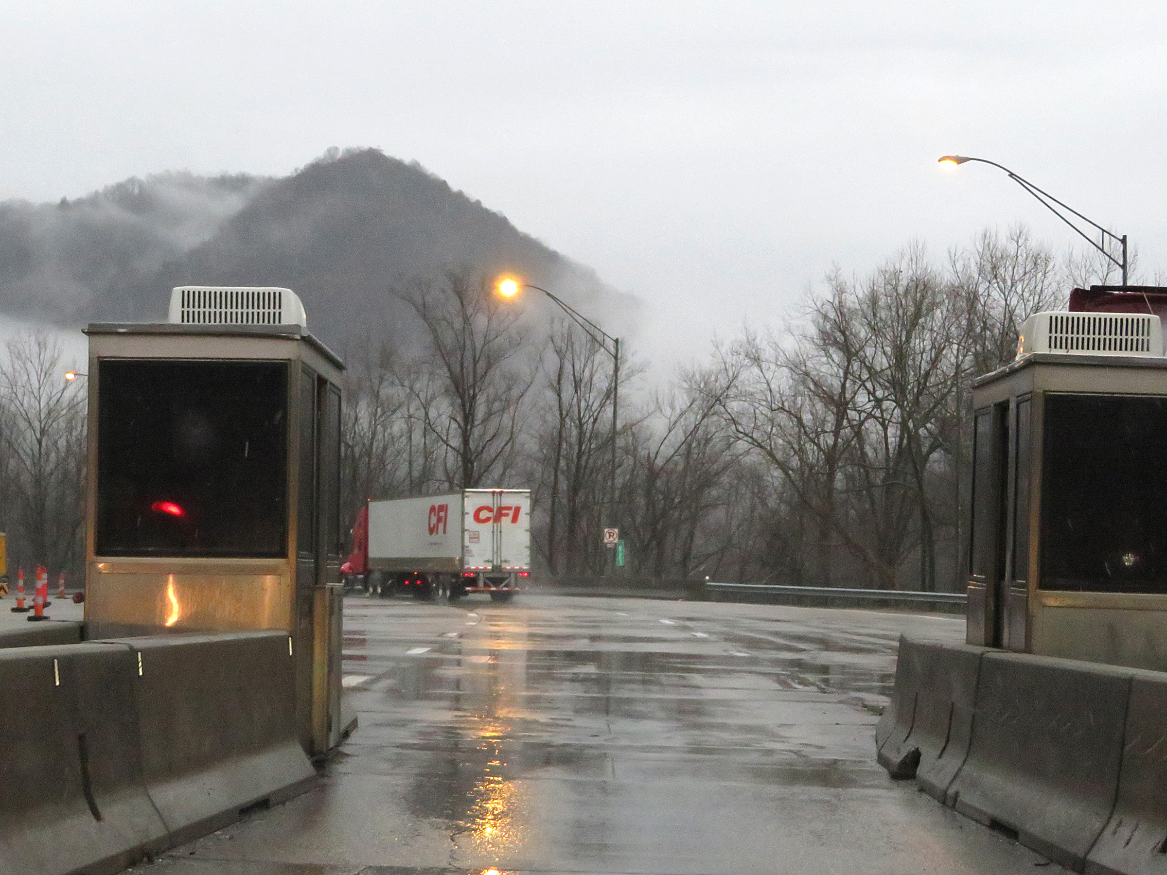 |
Leaving Toll Plaza C on Interstate 77 South / Interstate 64 East (West Virginia Turnpike). (Photo taken 12/4/20). |
 |
At mile marker 82.5, all the toll lanes from the toll plaza are reduced down to two thru lanes on Interstate 77 South / Interstate 64 East (West Virginia Turnpike). (Photo taken 12/4/20). |
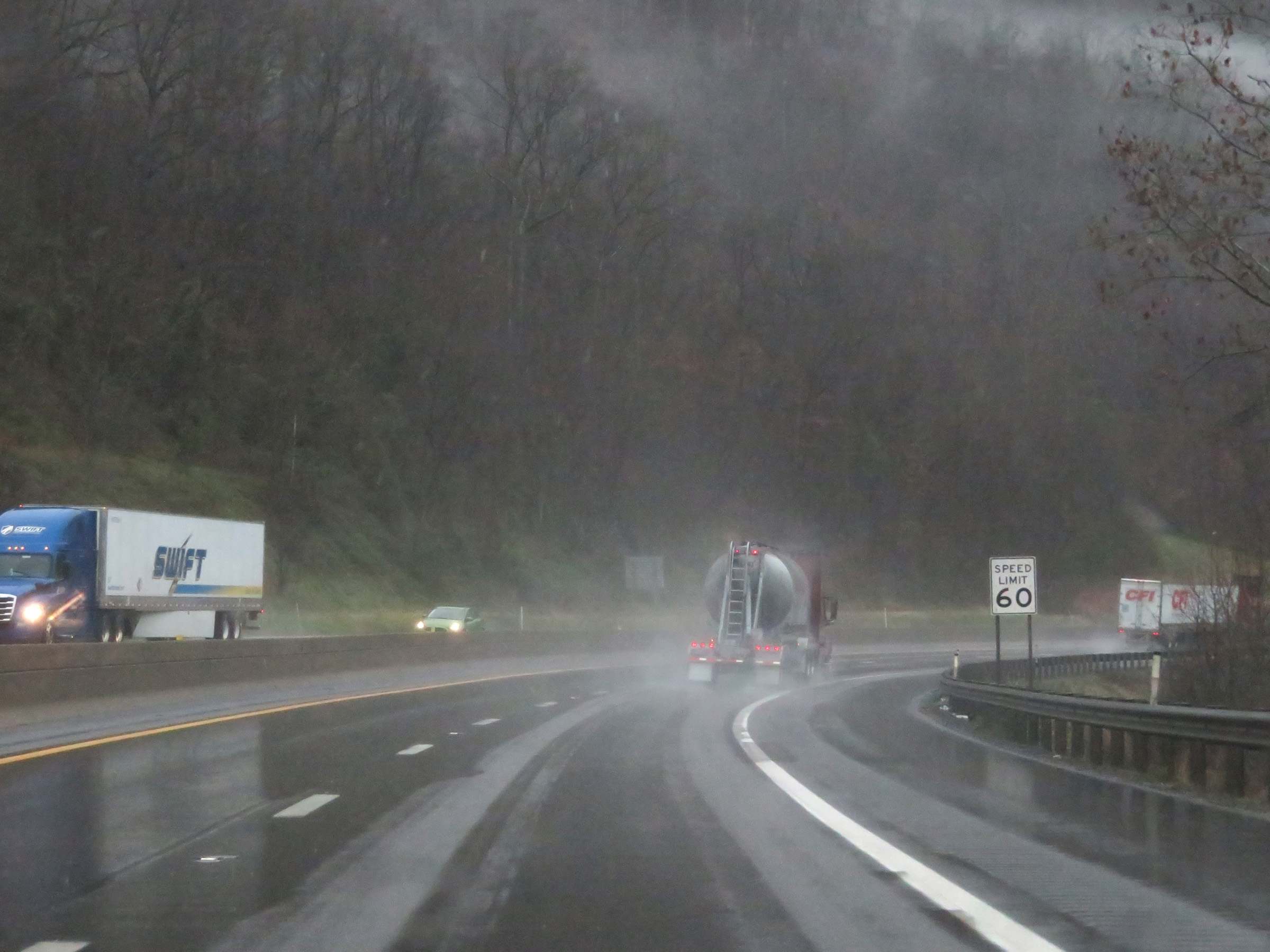 |
The speed limit remains 60 mph on Interstate 77 South / Interstate 64 East (West Virginia Turnpike) as it prepares to traverse several miles of steep hills and winding curves. (Photo taken 12/4/20). |
 |
View on Interstate 77 South / Interstate 64 East (West Virginia Turnpike) at mile marker 81.5. (Photo taken 12/4/20). |
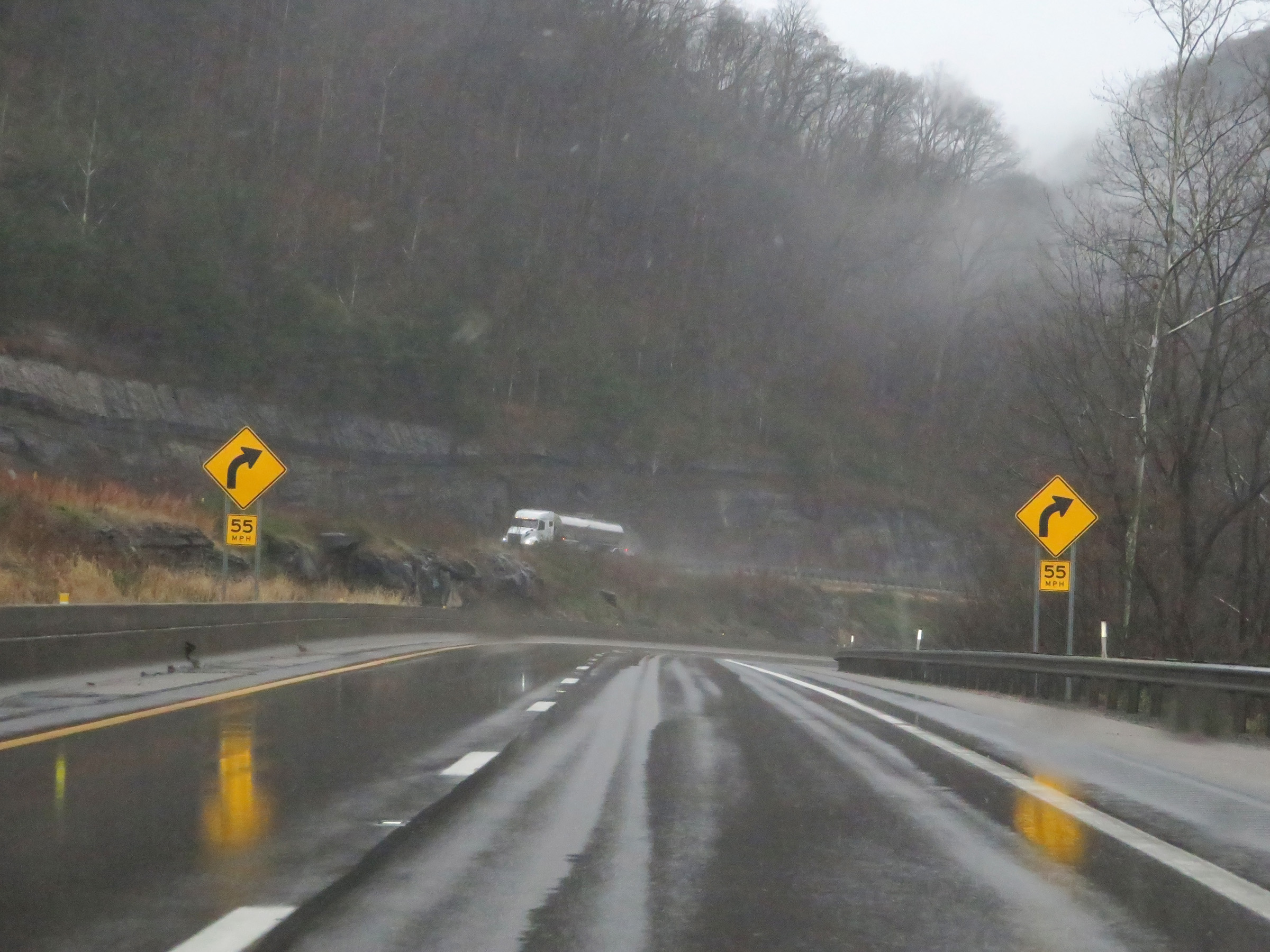 |
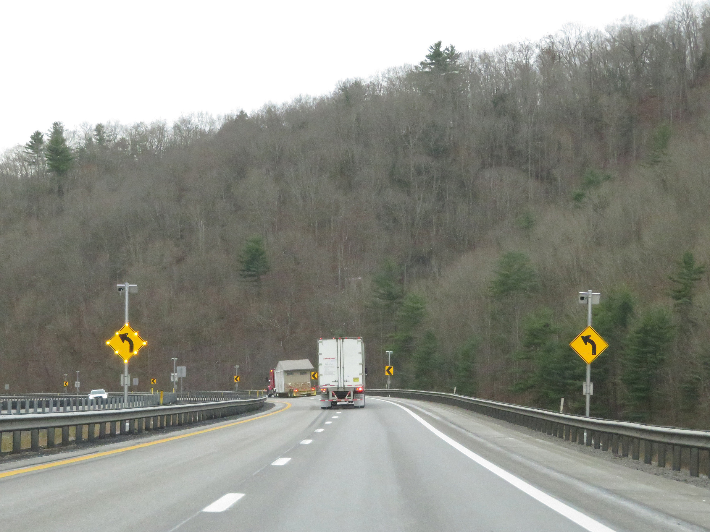
These signs warn of a sharp curve ahead, which will be the first of several on Interstate 77 South / Interstate 64 East (West Virginia Turnpike). (Photo taken 12/4/20). |
 |
Interstate 77 South / Interstate 64 East (West Virginia Turnpike) approaching Exit 79 - 1/2 mile. (Photo taken 12/4/20). |
 |
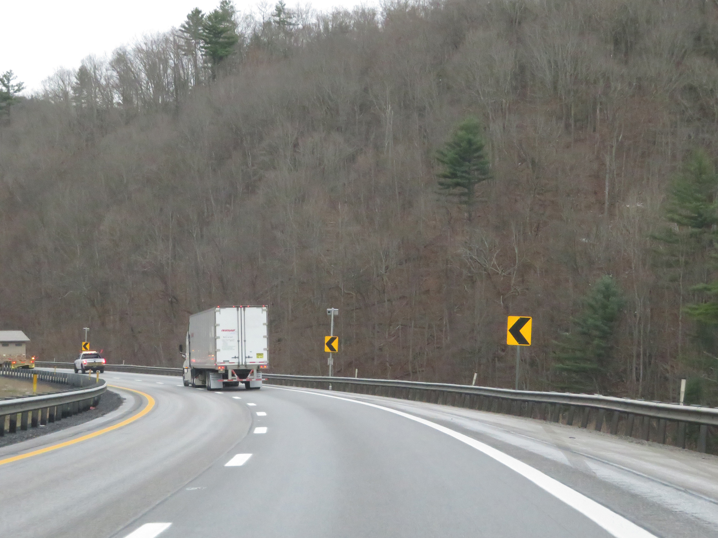
View on Interstate 77 South / Interstate 64 East (West Virginia Turnpike) at mile marker 80. (Photo taken 12/4/20). |
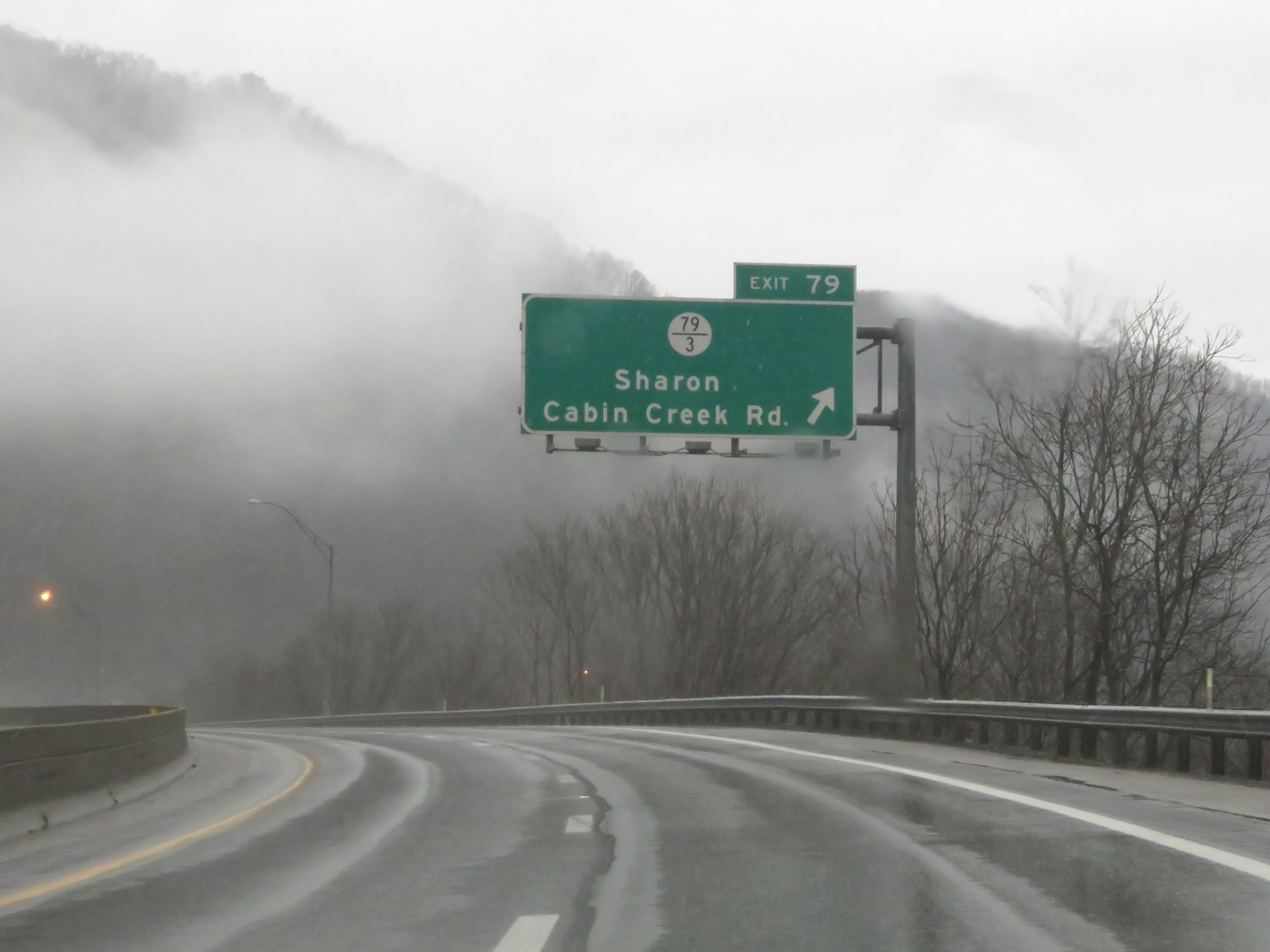 |
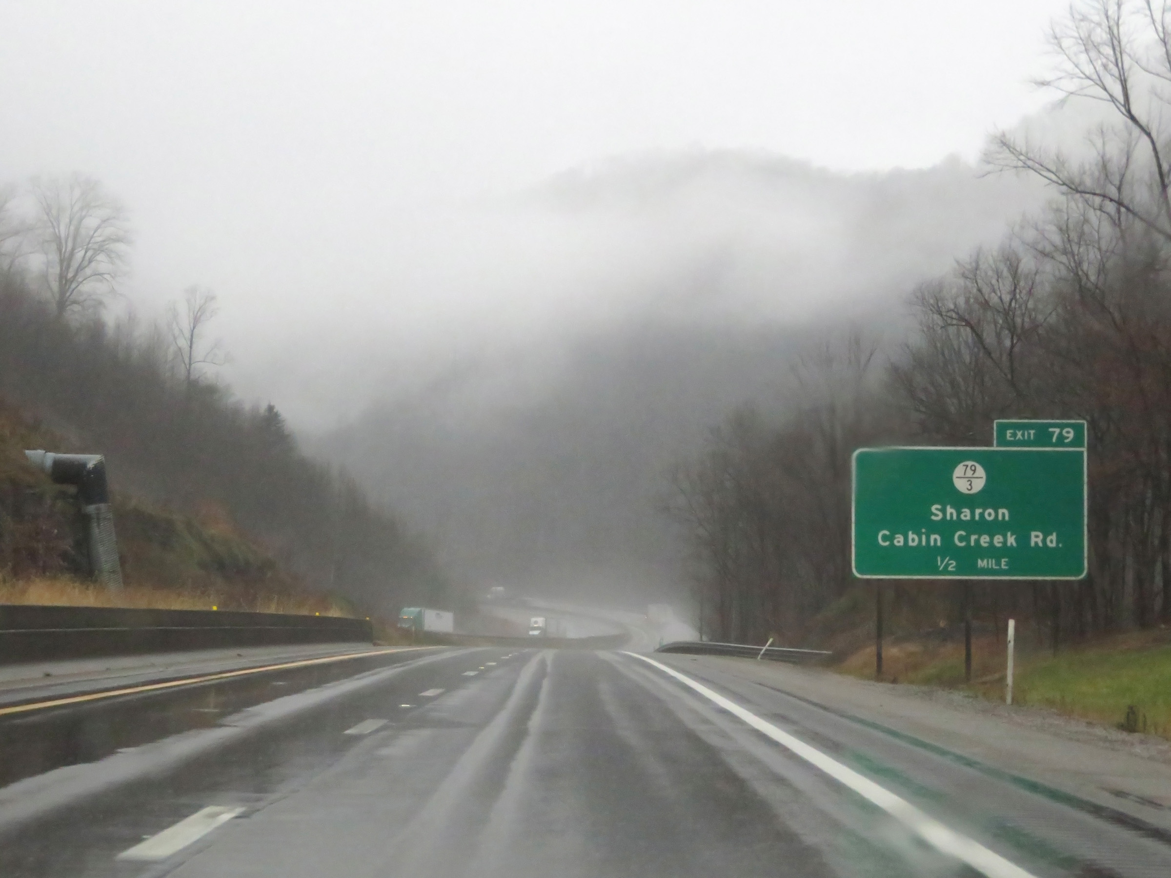
Interstate 77 South / Interstate 64 East (West Virginia Turnpike) at Exit 79: CR 79/3 - Sharon / Cabin Creek Rd (Photo taken 12/4/20). |
 |
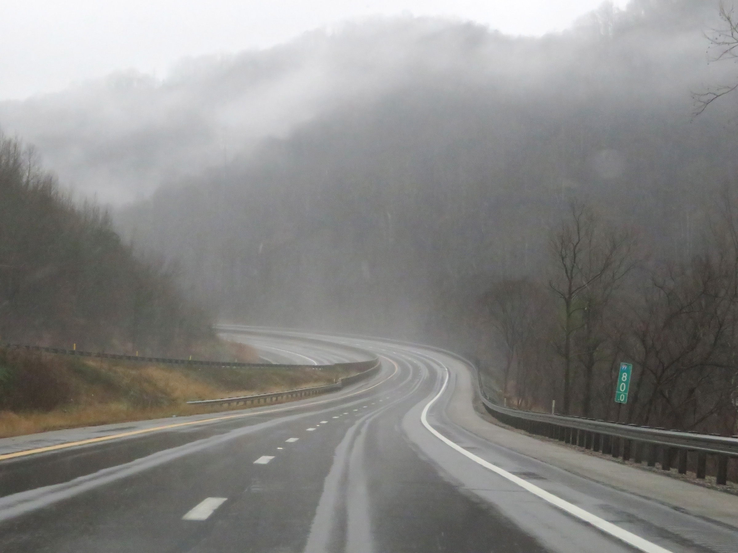
Mile marker 78 on Interstate 77 South / Interstate 64 East (West Virginia Turnpike) in Kanawha County. (Photo taken 12/4/20). |
 |
Interstate 77 South / Interstate 64 East (West Virginia Turnpike) as the first of multiple truck climbing lanes begins. (Photo taken 12/4/20). |
 |
View on Interstate 77 South / Interstate 64 East (West Virginia Turnpike) at mile marker 77. (Photo taken 12/4/20). |
 |
Interstate 77 South / Interstate 64 East (West Virginia Turnpike) as it reaches the peak of this climb. (Photo taken 12/4/20). |
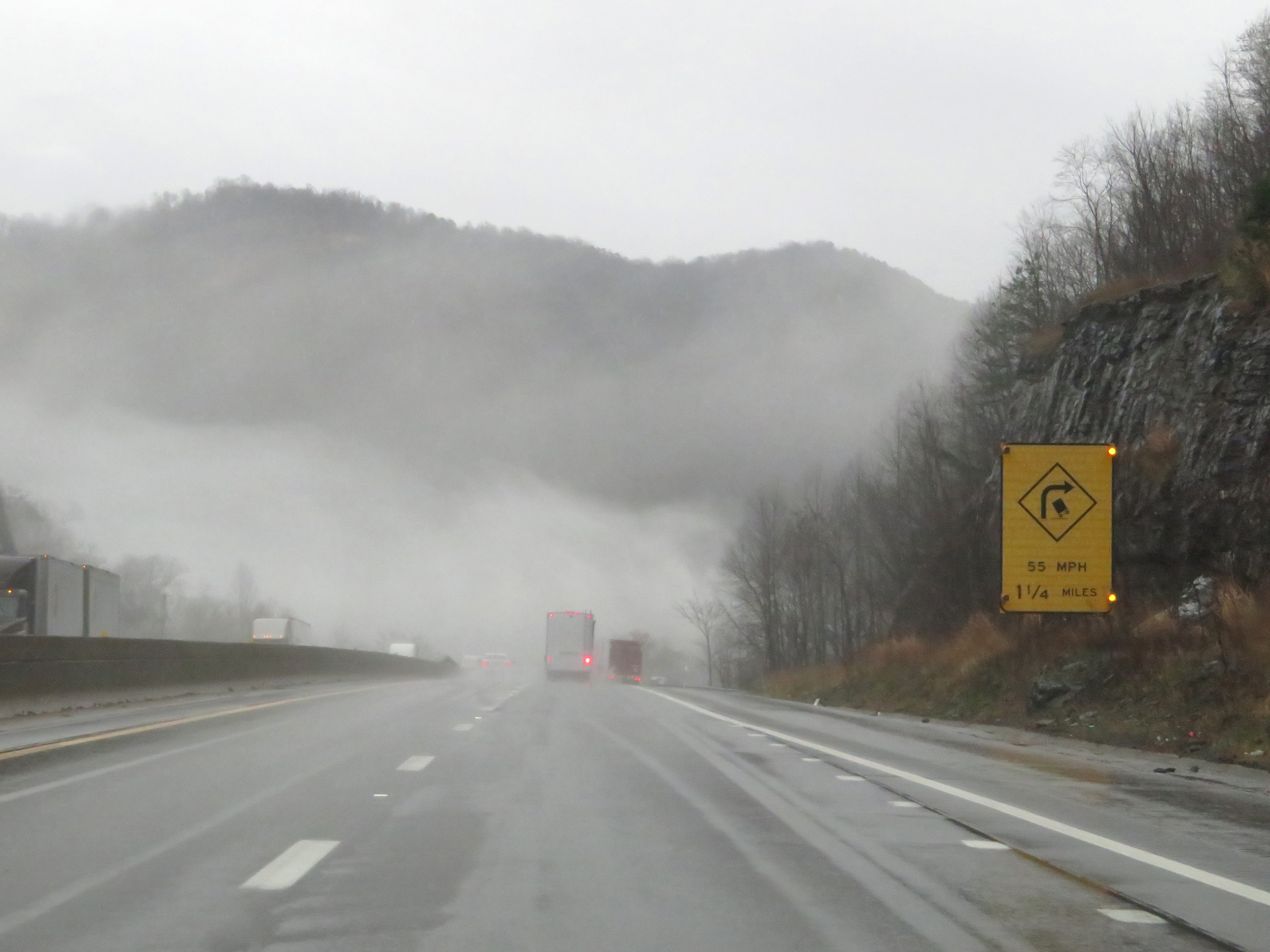
 |
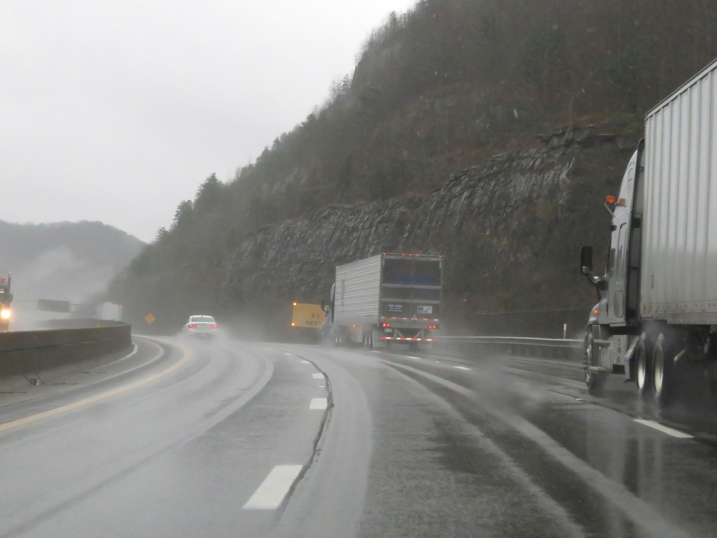
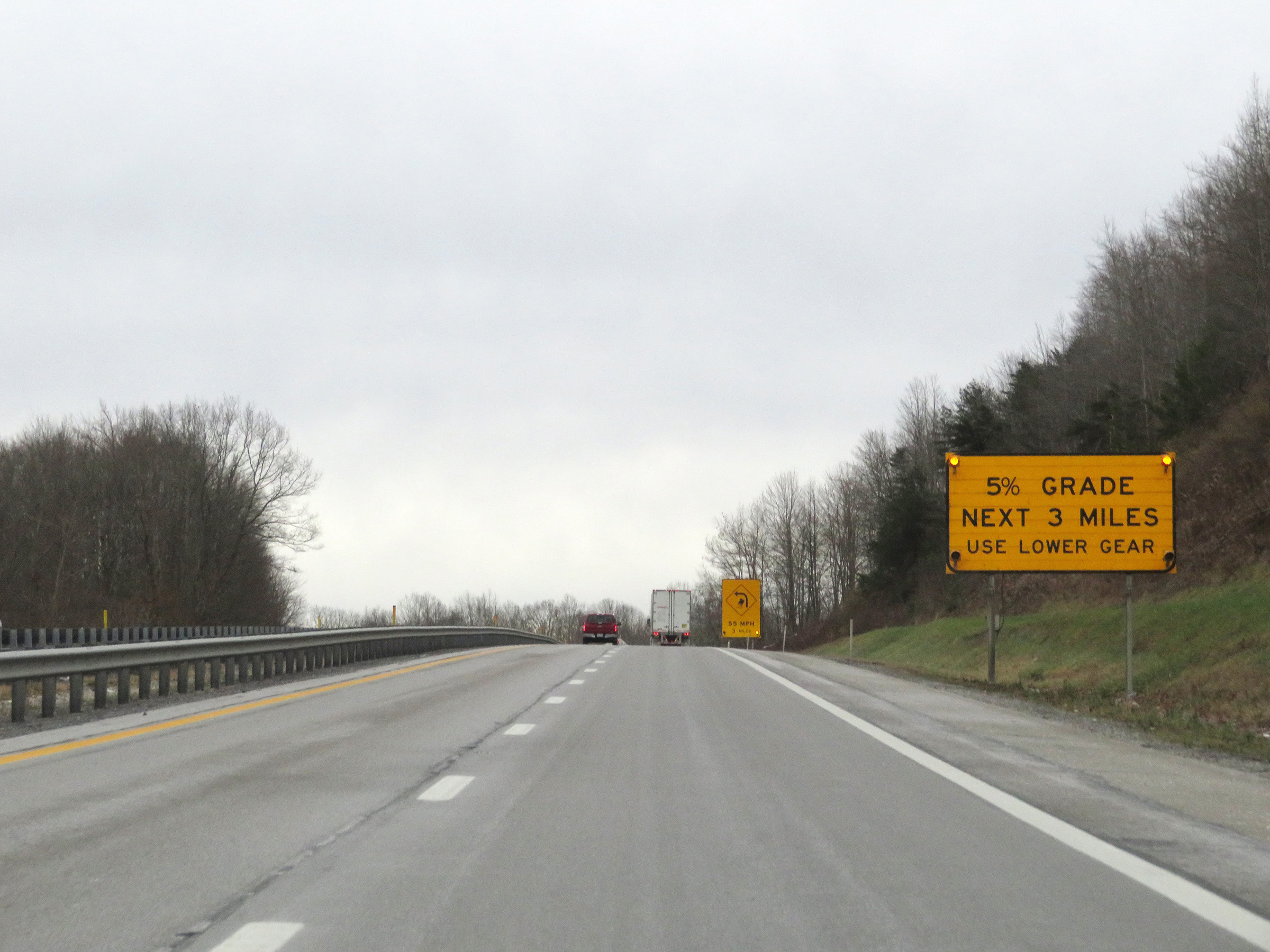
As this sign warns, Interstate 77 South / Interstate 64 East (West Virginia Turnpike) will traverse a 5% downgrade for the next 2 miles. (Photo taken 12/4/20). |
 |
As the truck climbing lane comes to an end and the downgrade prepares to start, this sign reminds truck drivers to gear down. (Photo taken 12/4/20). |
 |
Going down the grade, this sign warns that a sharp curve to the right exists 1 1/4 miles ahead, which is at the bottom of the grade. (Photo taken 12/4/20). |
 |
View on Interstate 77 South / Interstate 64 East (West Virginia Turnpike) at mile marker 75.5, going down the aforementioned 5% grade. (Photo taken 12/4/20). |
 |
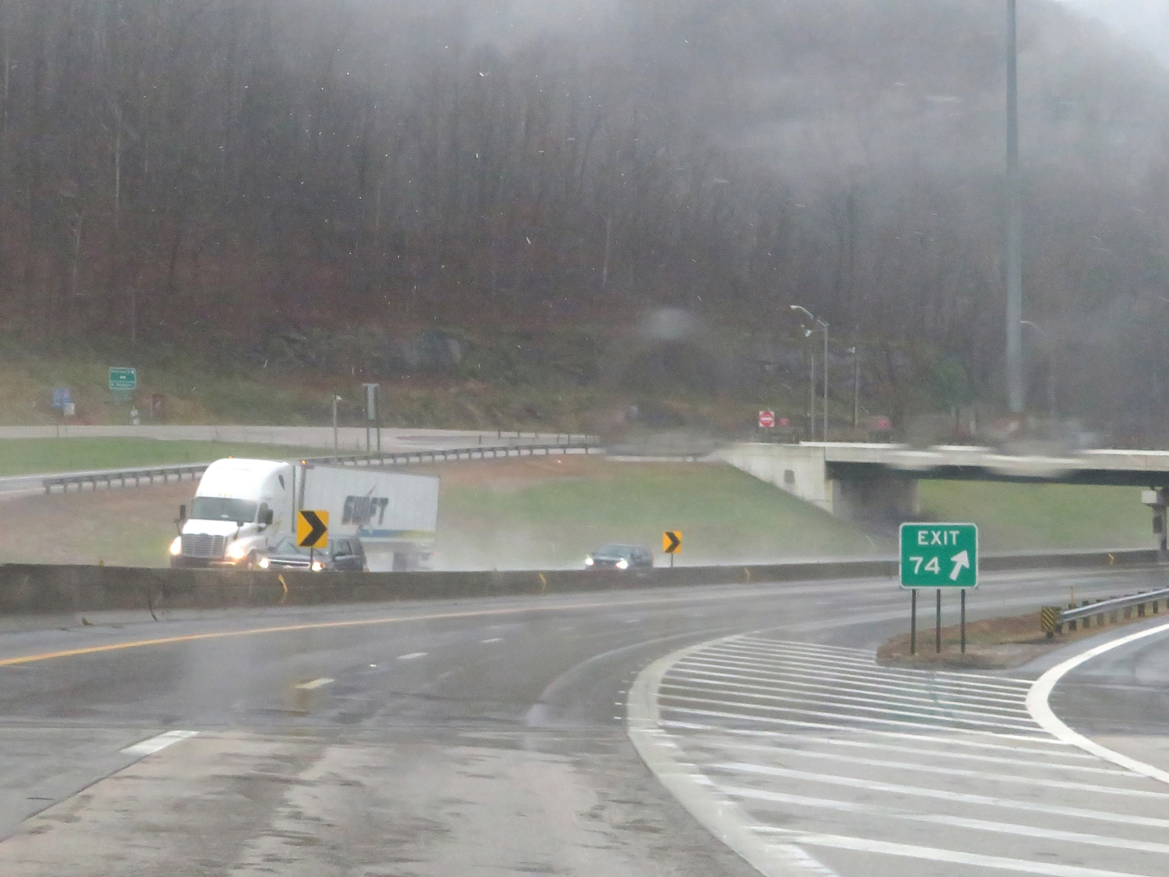
Interstate 77 South / Interstate 64 East (West Virginia Turnpike) approaching Exit 74 - 1 mile. (Photo taken 12/4/20). |
 |
Another warning sign regarding the sharp curve at the bottom of the downgrade ahead. (Photo taken 12/4/20). |
 |
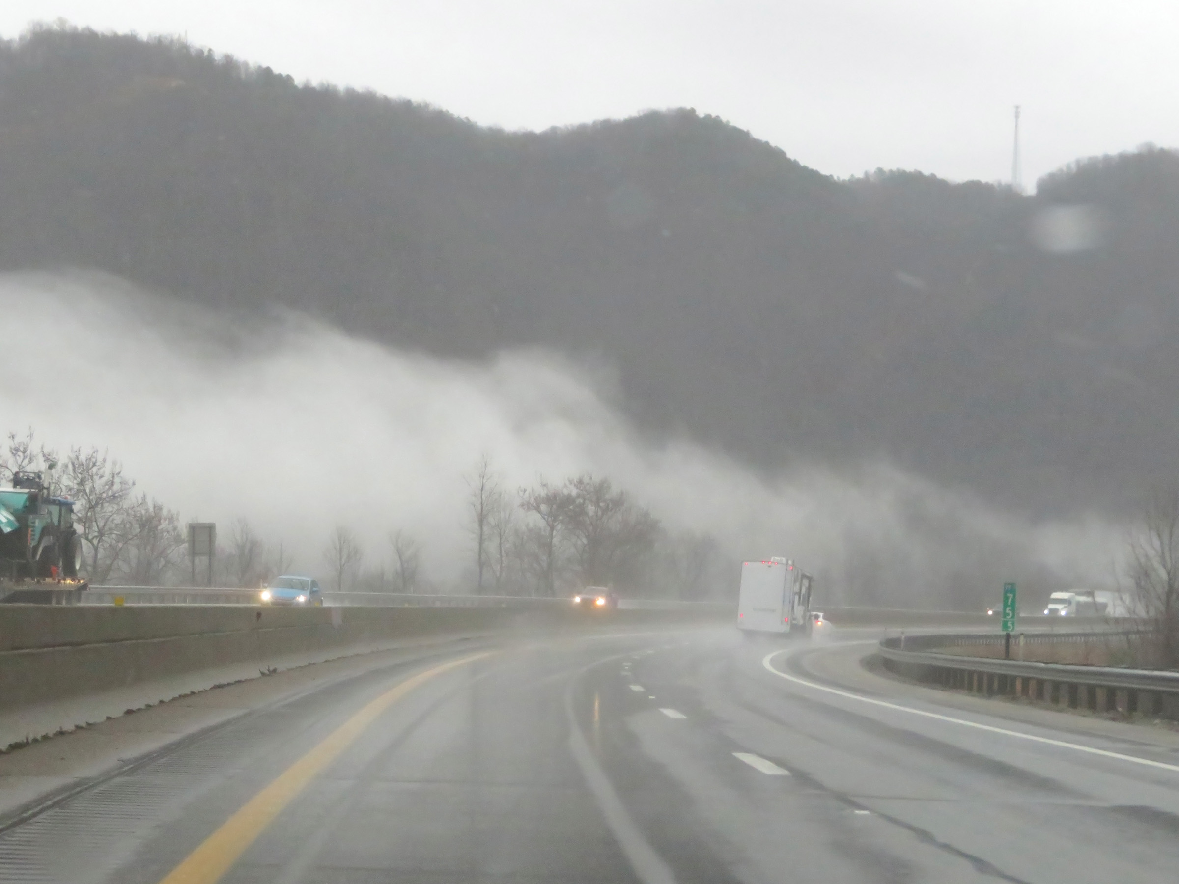
View on Interstate 77 South / Interstate 64 East (West Virginia Turnpike) as it nears the bottom of the grade and enters the sharp curve. (Photo taken 12/4/20). |
 |
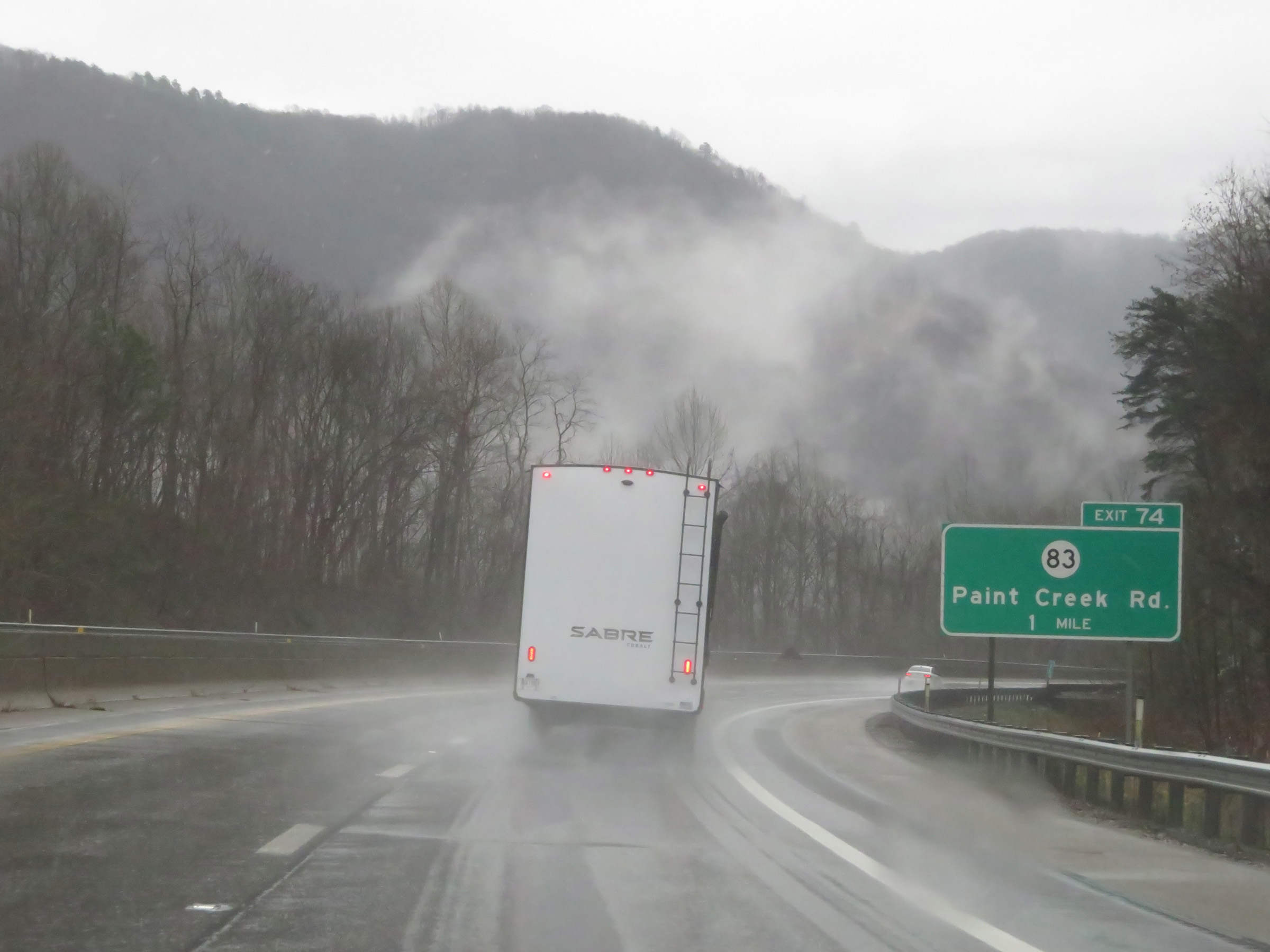
Interstate 77 South / Interstate 64 East (West Virginia Turnpike) at Exit 74: CR 83 - Paint Creek Rd (Photo taken 12/4/20). |
 |
State-named Interstate 77 South / Interstate 64 East reassurance shields. (Photo taken 12/4/20). |
 |
The speed limit remains 60 mph. (Photo taken 12/4/20). |
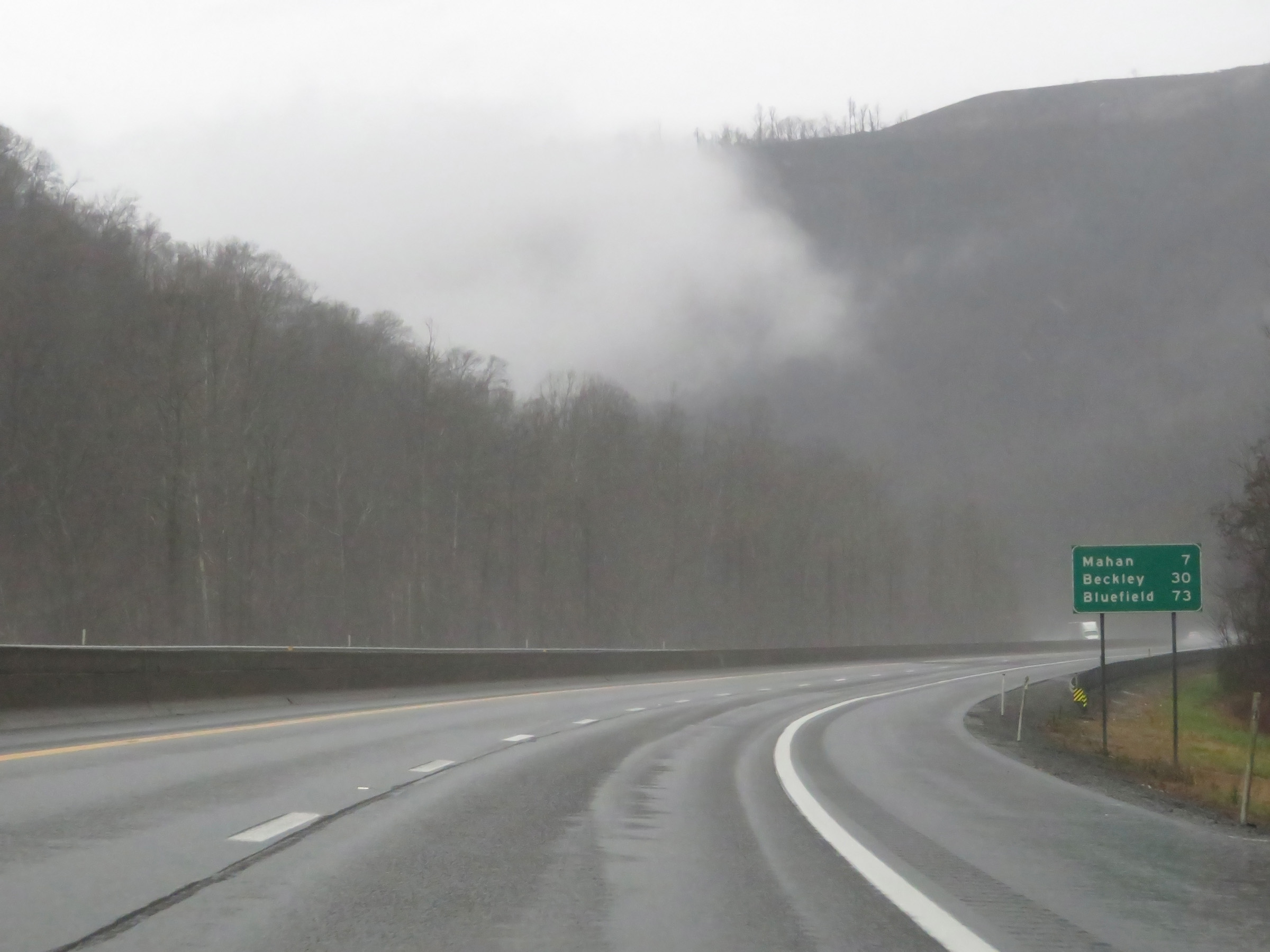 |
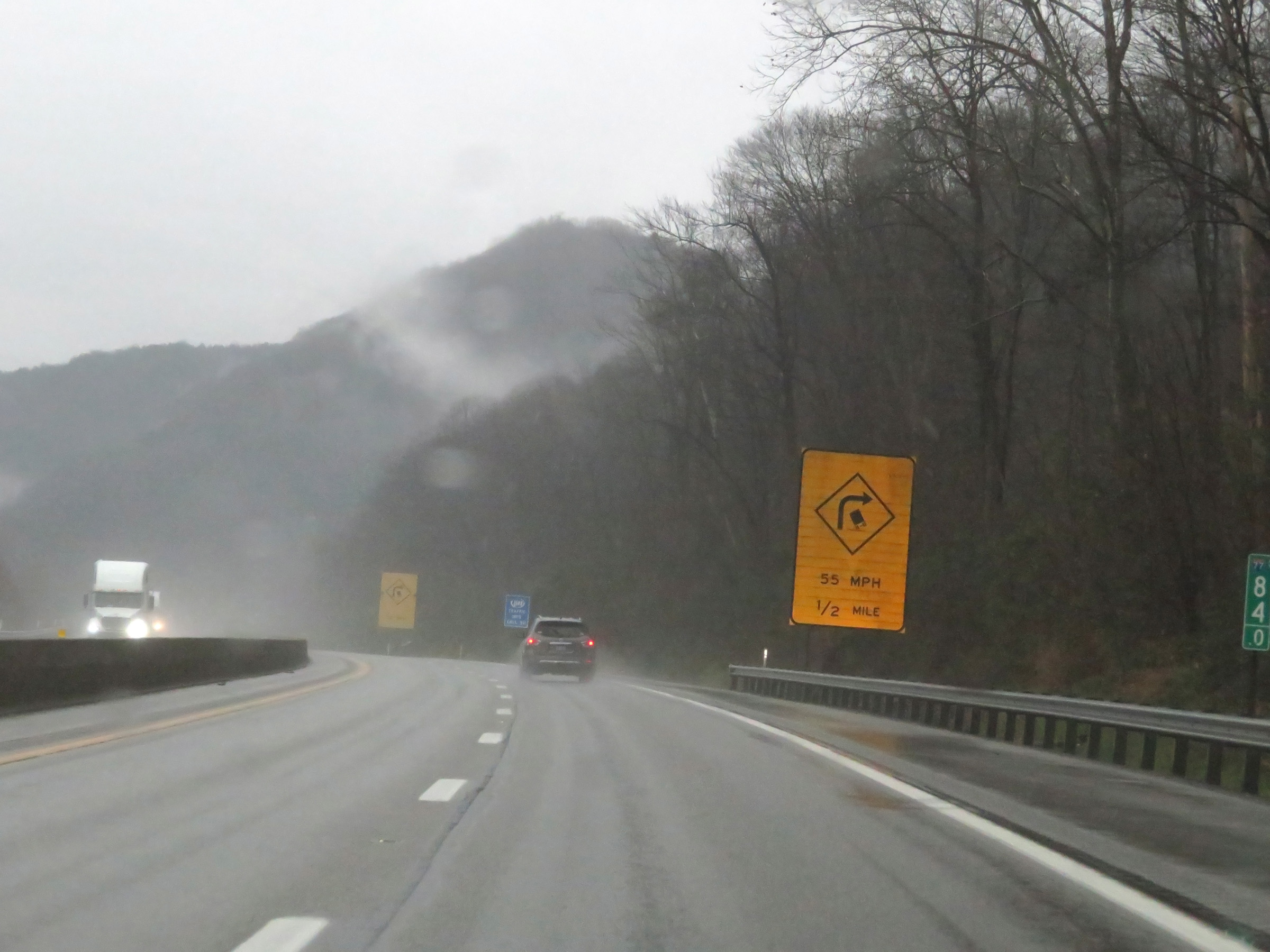
Another mileage sign on Interstate 77 South / Interstate 64 East (West Virginia Turnpike). It's 7 miles to Mahan, 30 miles to Beckly, and 73 miles to Bluefield. (Photo taken 12/4/20). |
 |
Interstate 77 South / Interstate 64 East (West Virginia Turnpike) at mile marker 73. (Photo taken 12/4/20). |
 |
View on Interstate 77 South / Interstate 64 East (West Virginia Turnpike) as it prepares to enter another sharp curve ahead. Also, straight ahead we can see the Morton Service Plaza, which is only accessible from northbound lanes. (Photo taken 12/4/20). |
 |
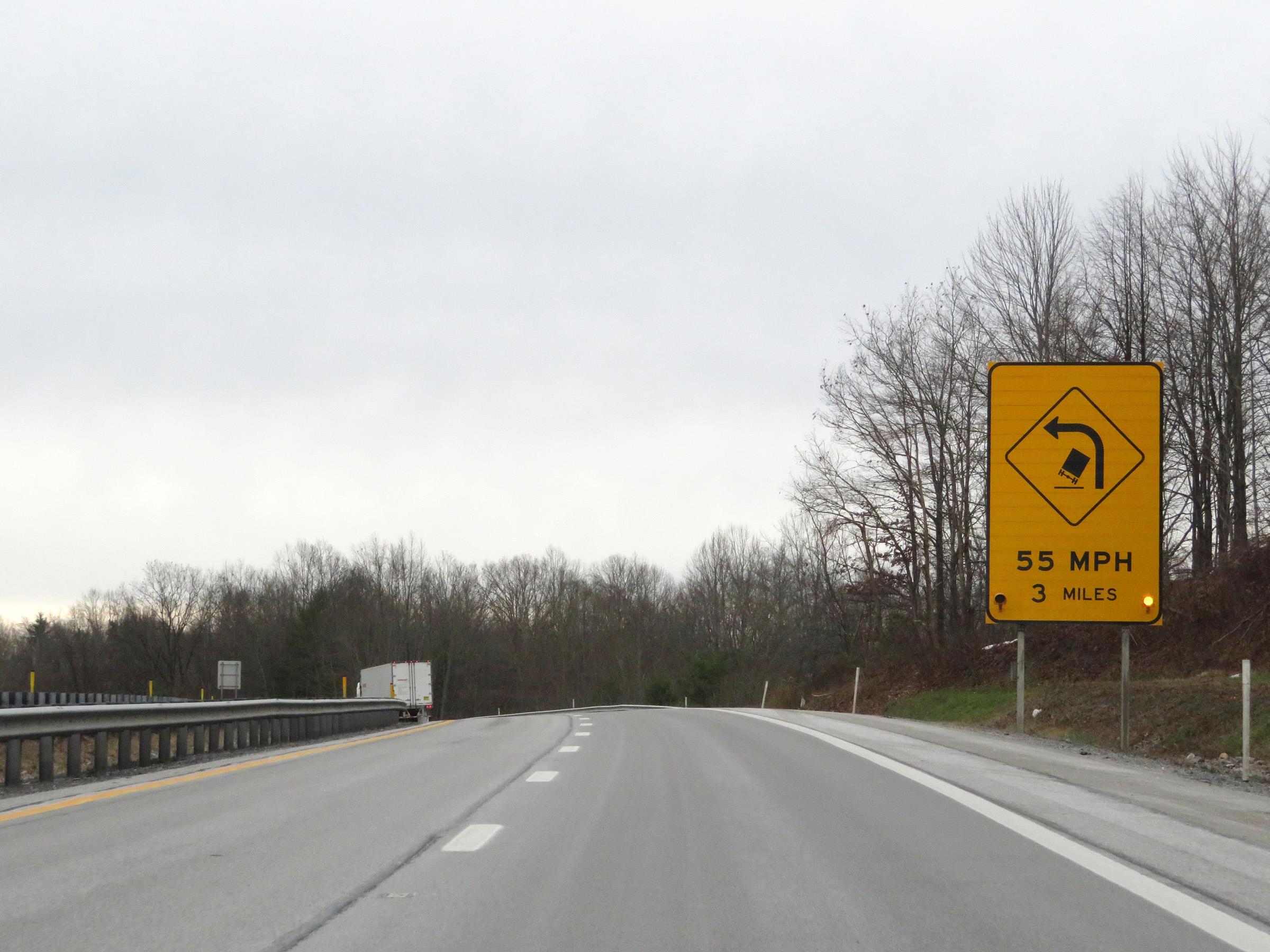
View on Interstate 77 South / Interstate 64 East (West Virginia Turnpike) at mile marker 72, traversing the aforementioned 55 mph curve. (Photo taken 12/4/20). |
 |
Mile marker 71 on Interstate 77 South / Interstate 64 East (West Virginia Turnpike) in Kanawha County. (Photo taken 12/4/20). |
 |
Rest Area on Interstate 77 South / Interstate 64 East (West Virginia Turnpike) in Kanawha County. (Photo taken 12/4/20). |
 |
View on Interstate 77 South / Interstate 64 East (West Virginia Turnpike) at mile marker 69. (Photo taken 12/4/20). |
 |
Interstate 77 South / Interstate 64 East (West Virginia Turnpike) at mile marker 68. (Photo taken 12/4/20). |
 |
Interstate 77 South / Interstate 64 East (West Virginia Turnpike) approaching Exit 66 - 1 mile. (Photo taken 12/4/20). |
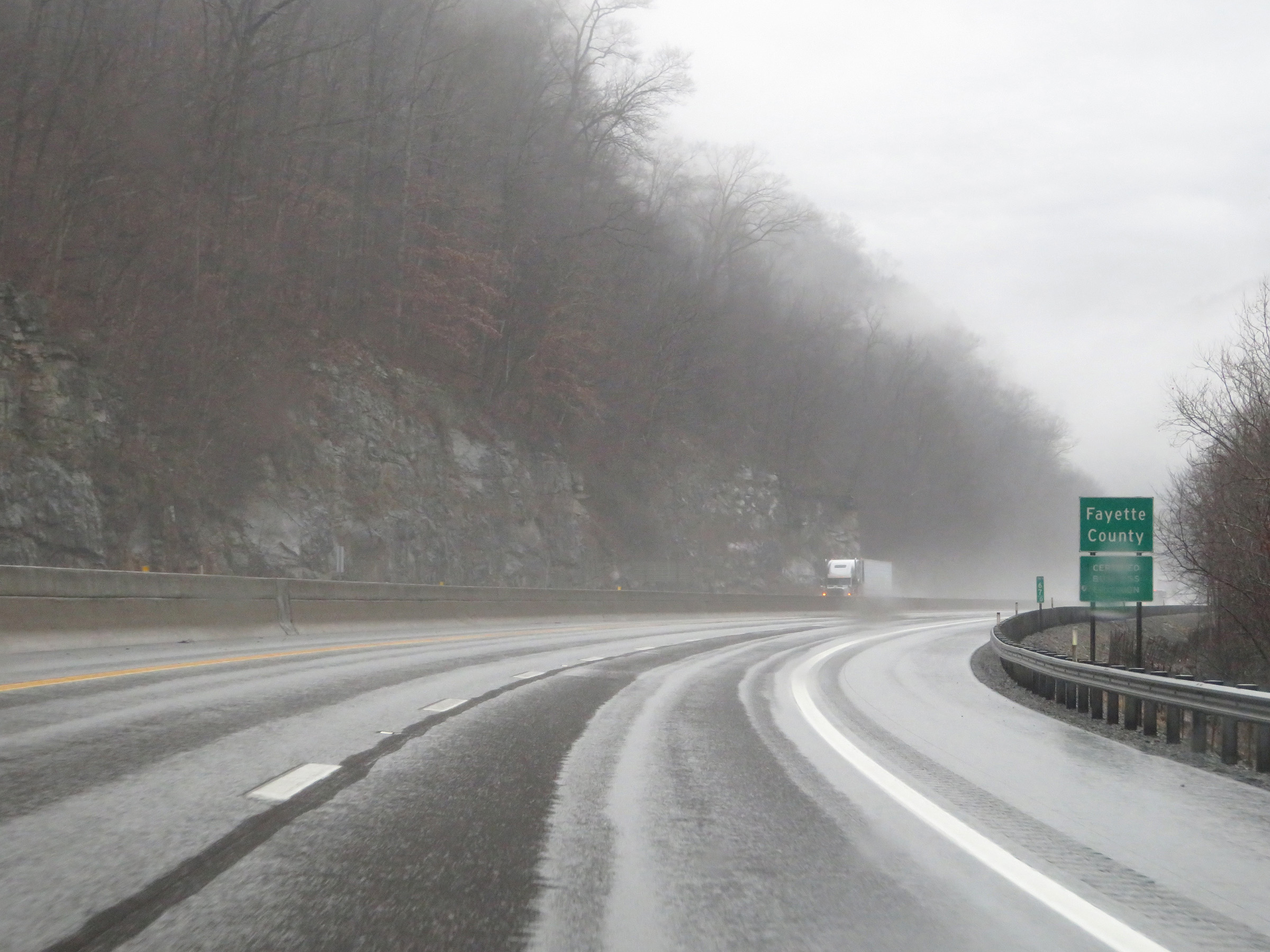 |
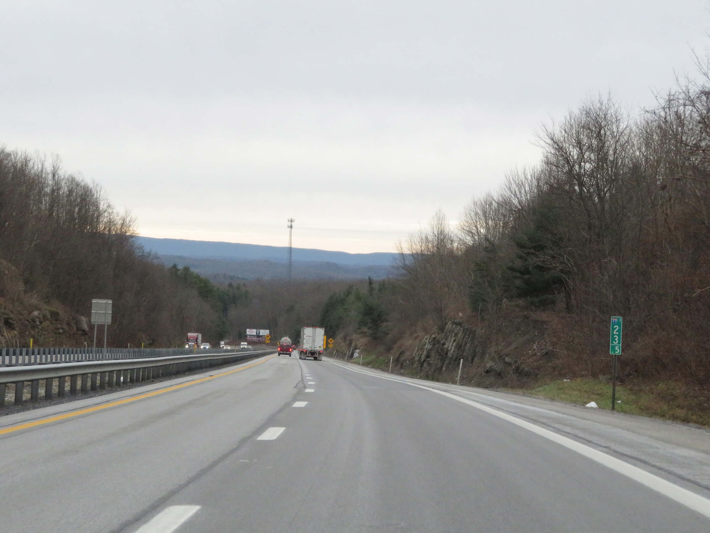
At mile marker 67, Interstate 77 South / Interstate 64 East (West Virginia Turnpike) enter Fayette County. (Photo taken 12/4/20). |
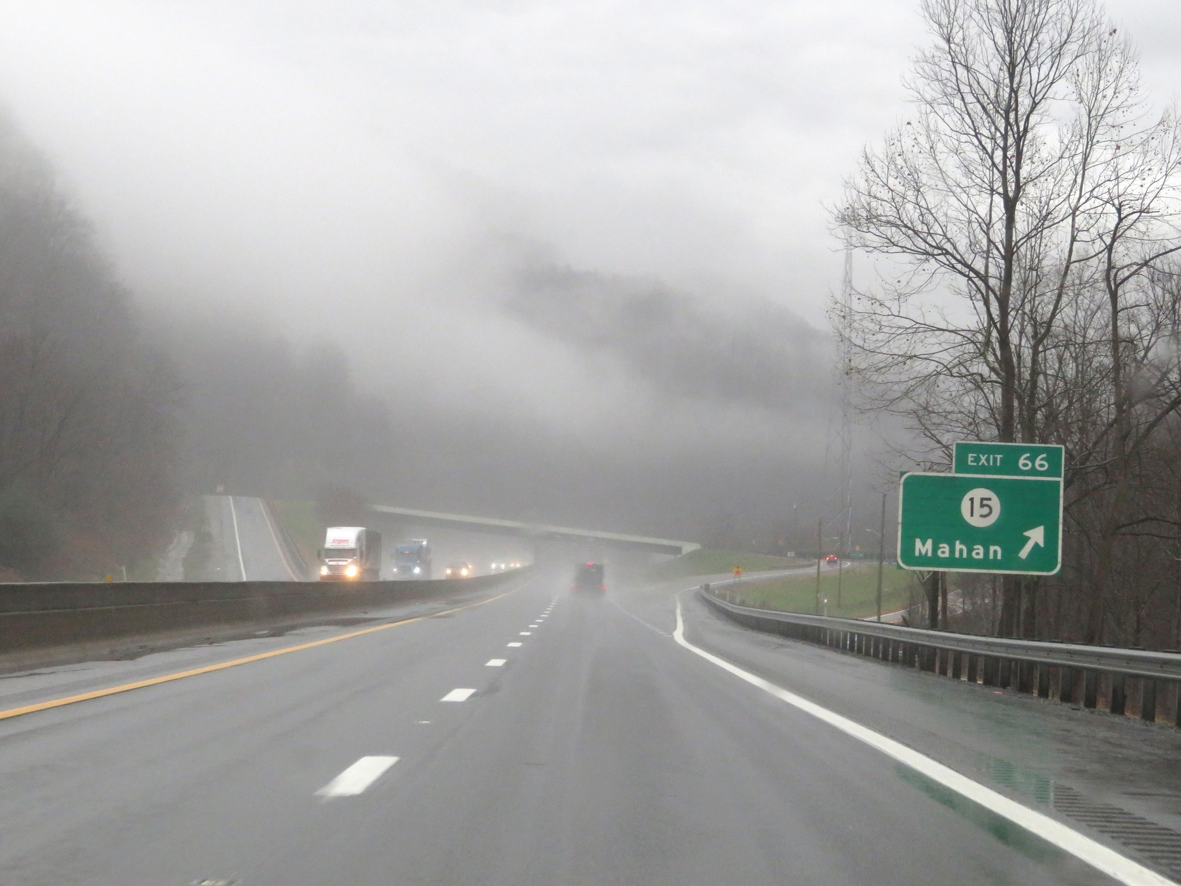 |
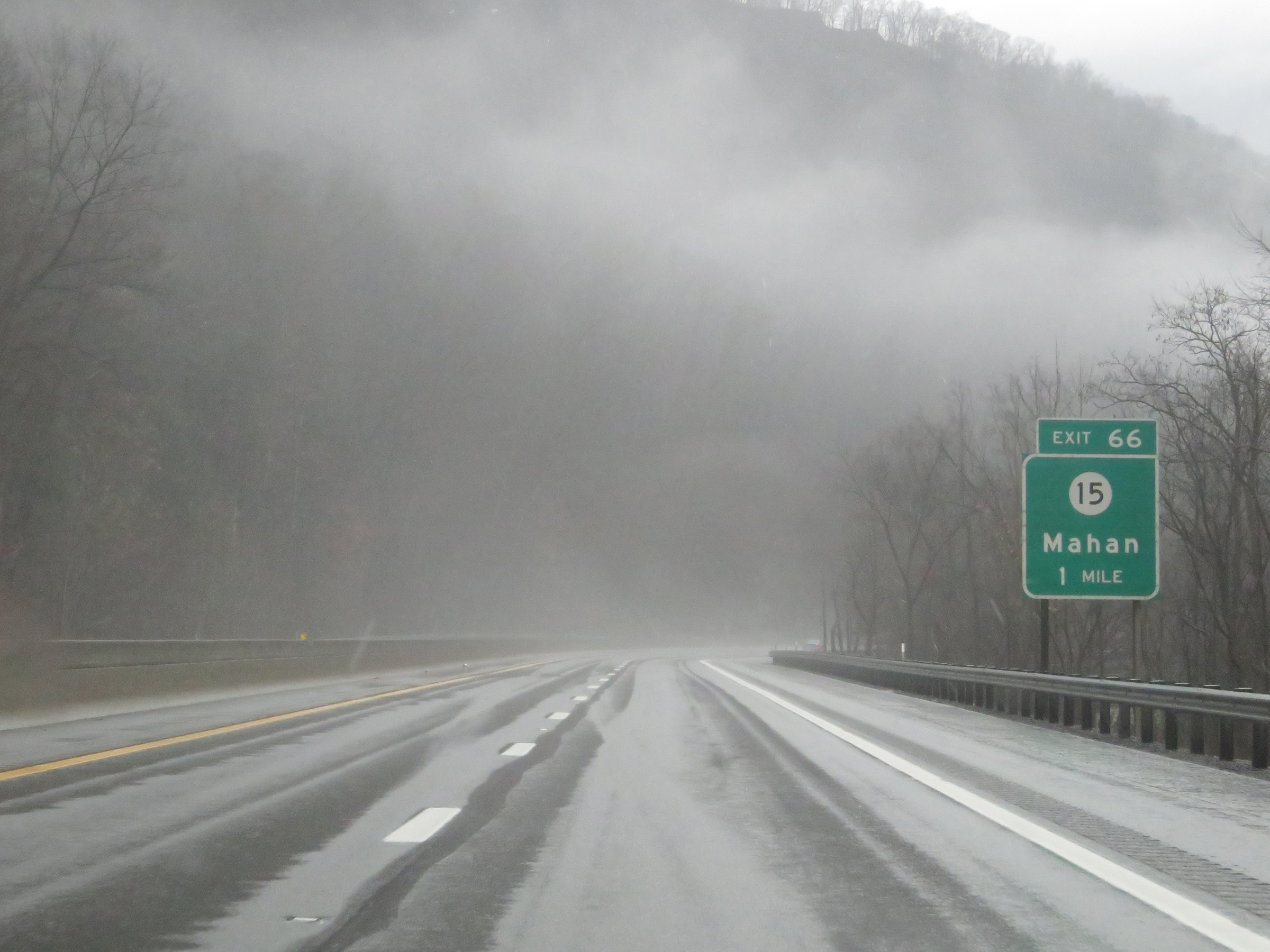
Interstate 77 South / Interstate 64 East (West Virginia Turnpike) at Exit 66: CR 15 - Mahan (Photo taken 12/4/20). |
 |
Interstate 77 South / Interstate 64 East (West Virginia Turnpike) at mile marker 65. (Photo taken 12/4/20). |
 |
View on Interstate 77 South / Interstate 64 East (West Virginia Turnpike) at mile marker 63.5. (Photo taken 12/4/20). |
 |
Another truck climbing lane will begin 1/4 mile ahead. (Photo taken 12/4/20). |
 |
Interstate 77 South / Interstate 64 East (West Virginia Turnpike) at mile marker 62. (Photo taken 12/4/20). |
 |
Interstate 77 South / Interstate 64 East (West Virginia Turnpike) as the truck climbing lane prepares to come to an end. (Photo taken 12/4/20). |
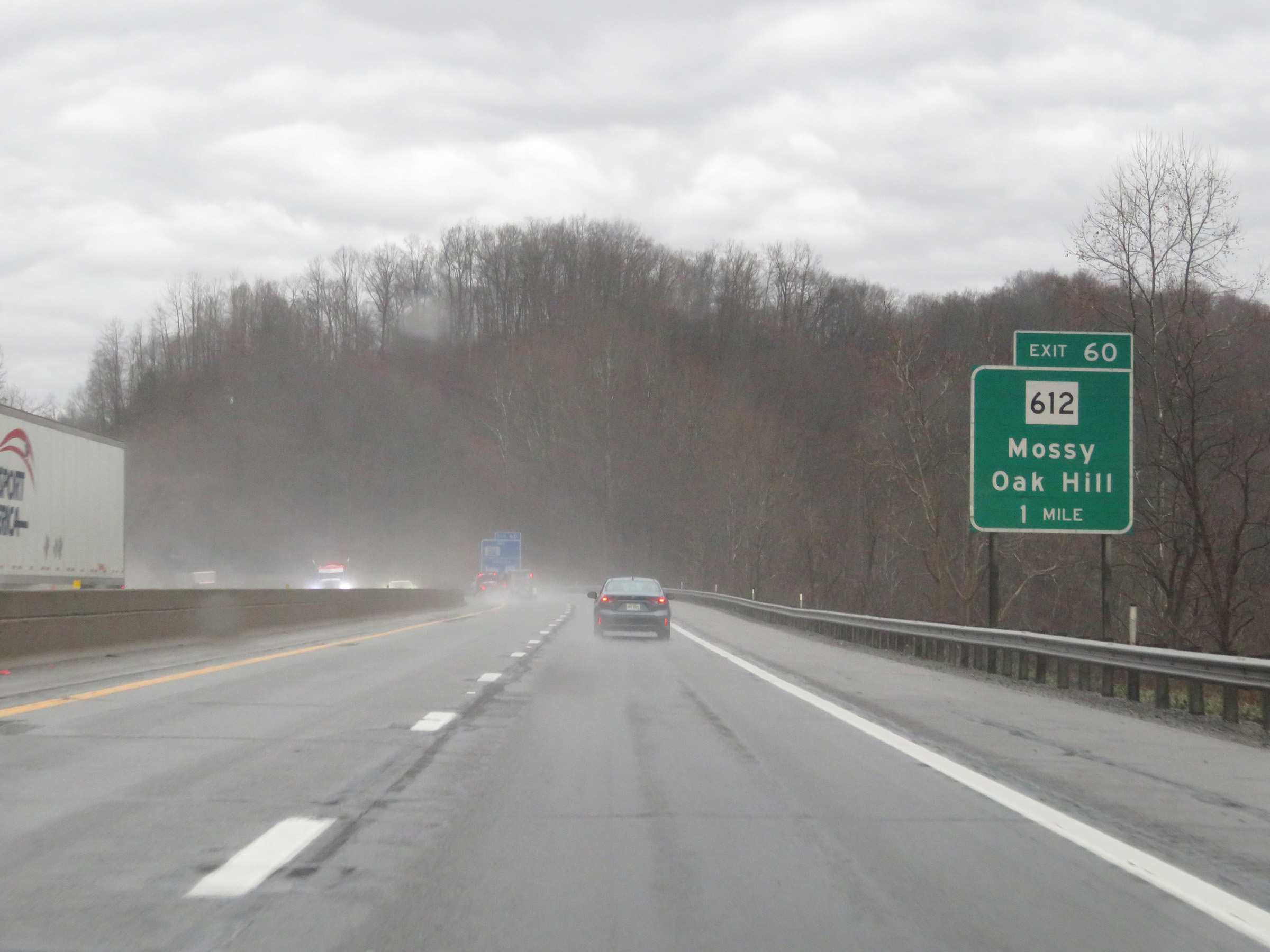 |
Interstate 77 South / Interstate 64 East (West Virginia Turnpike) approaching Exit 60 - 1 mile. (Photo taken 12/4/20). |
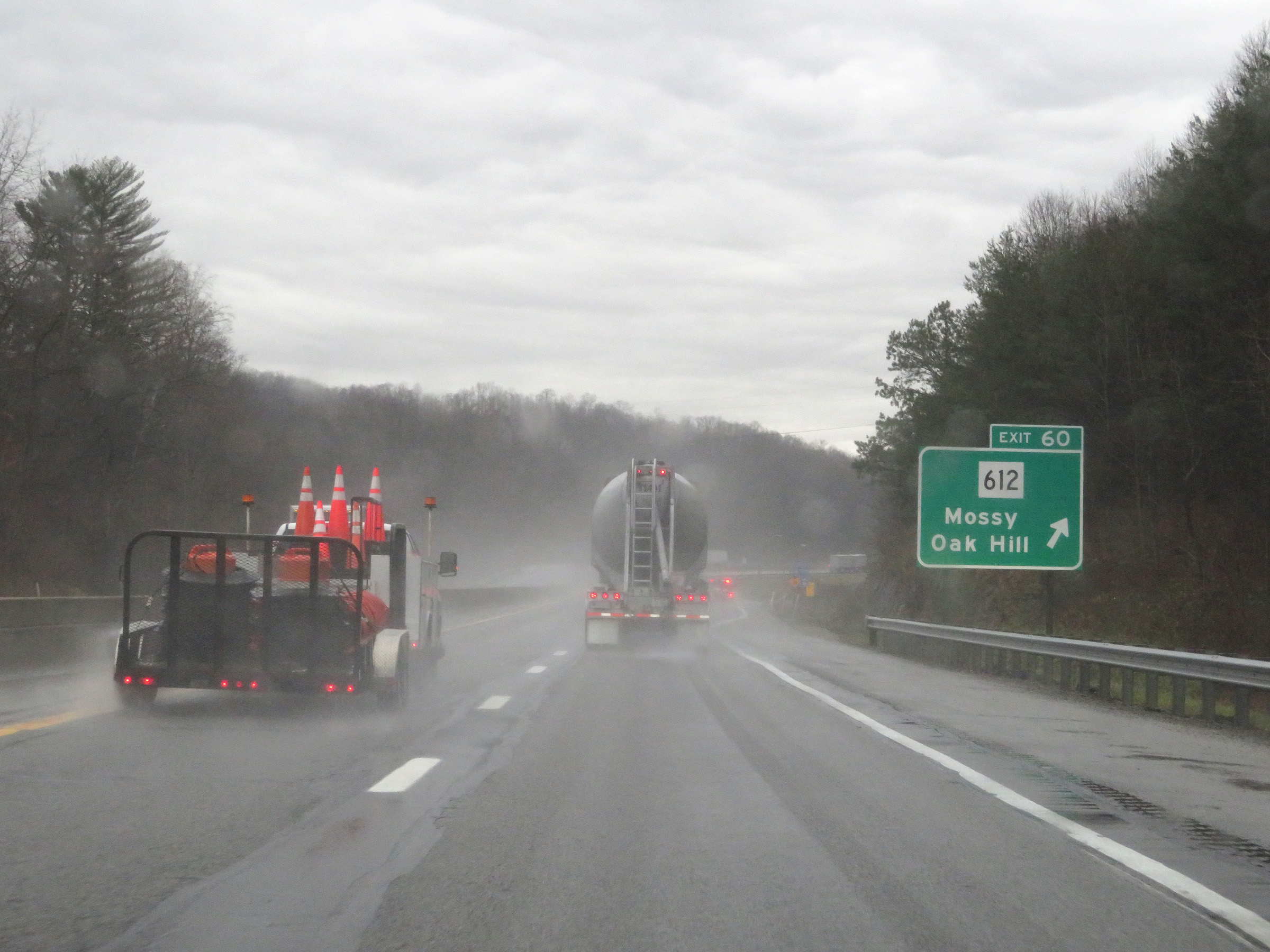 |
Interstate 77 South / Interstate 64 East (West Virginia Turnpike) at Exit 60: WV 612 - Mossy / Oak Hill (Photo taken 12/4/20). |
 |
View on Interstate 77 South / Interstate 64 East (West Virginia Turnpike) as they begin their approach to the second toll plaza on the West Virginia Turnpike, known as Toll Plaza B, 2 miles ahead. (Photo taken 12/4/20). |
 |
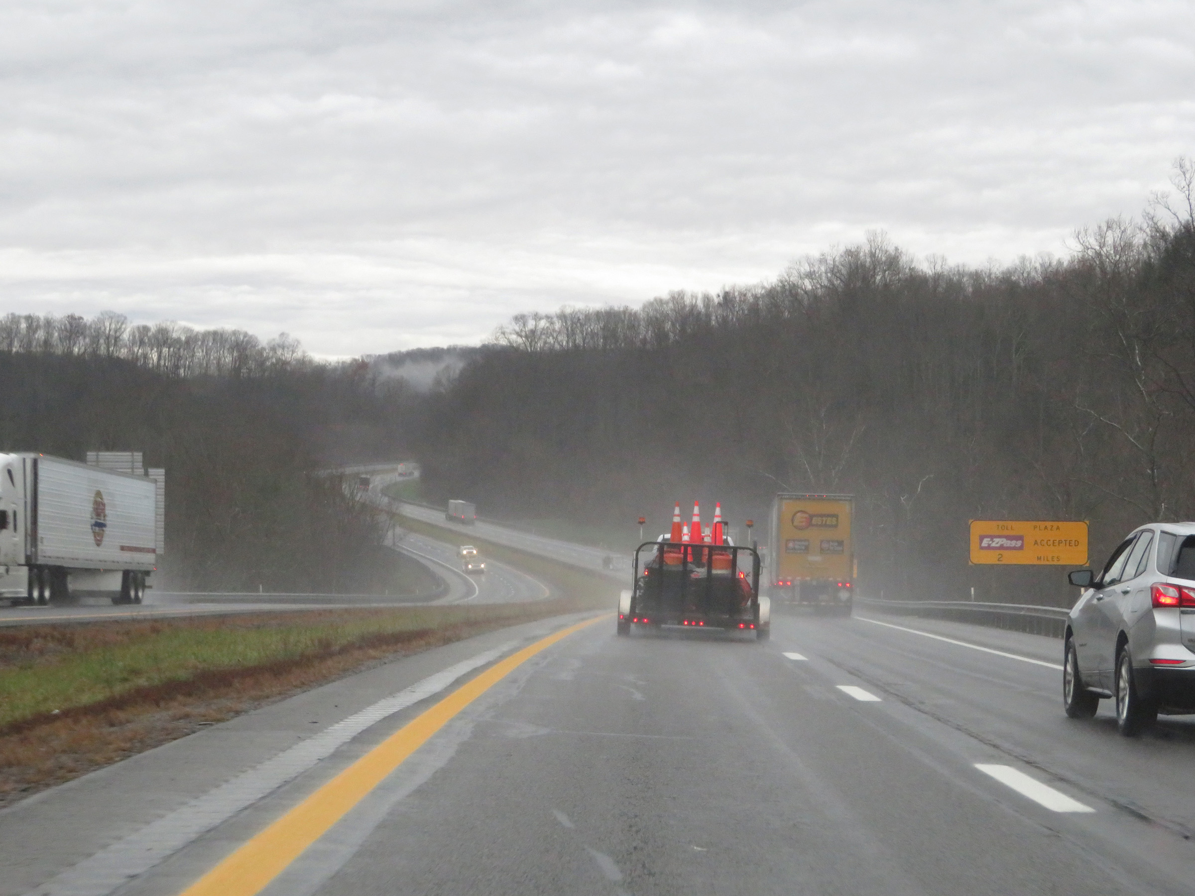
Interstate 77 South / Interstate 64 East (West Virginia Turnpike) approaching Toll Plaza B - 1 mile. As this sign also shows, EZ Pass is accepted in all lanes at the plaza. (Photo taken 12/4/20). |
 |
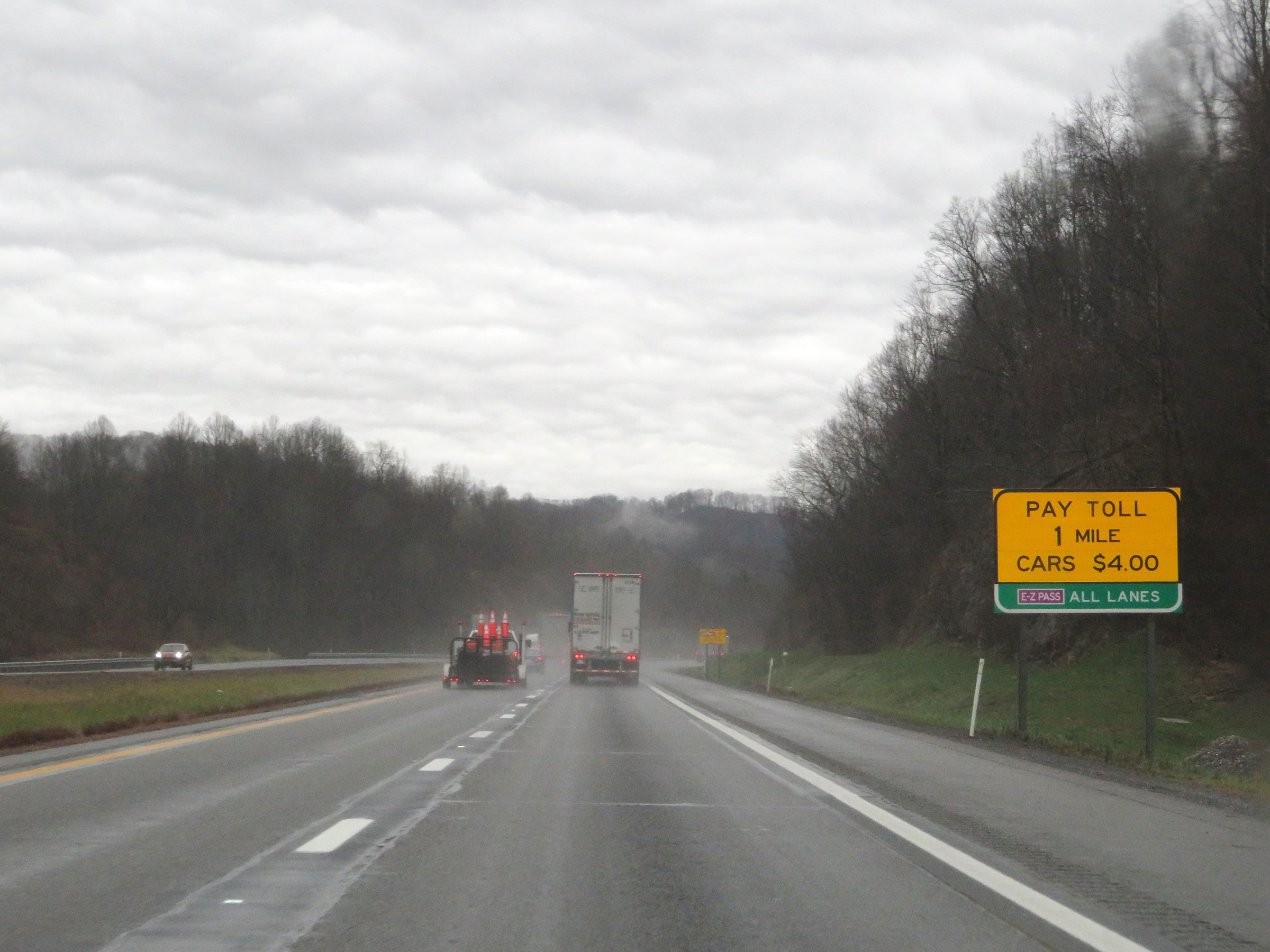
As Toll Plaza B comes into view ahead, this sign in the median reminds truck drivers hauling hazardous materials that they must use the right lane at the toll plaza. The overhead sign lists the current toll rate for cars, which was $4.00 at the time. (Photo taken 12/4/20). |
 |
The speed limit decreases to 35 mph approaching Toll Plaza B. (Photo taken 12/4/20). |
 |
View on Interstate 77 South / Interstate 64 East (West Virginia Turnpike) approaching Toll Plaza B. (Photo taken 12/4/20). |
 |
A closer view of Toll Plaza B on Interstate 77 South / Interstate 64 East (West Virginia Turnpike). (Photo taken 12/4/20). |
 |
Leaving Toll Plaza B on Interstate 77 South / Interstate 64 East (West Virginia Turnpike). (Photo taken 12/4/20). |
 |
Just south of Toll Plaza B, the speed limit increases to 70 mph once again on Interstate 77 South / Interstate 64 East (West Virginia Turnpike). (Photo taken 12/4/20). |
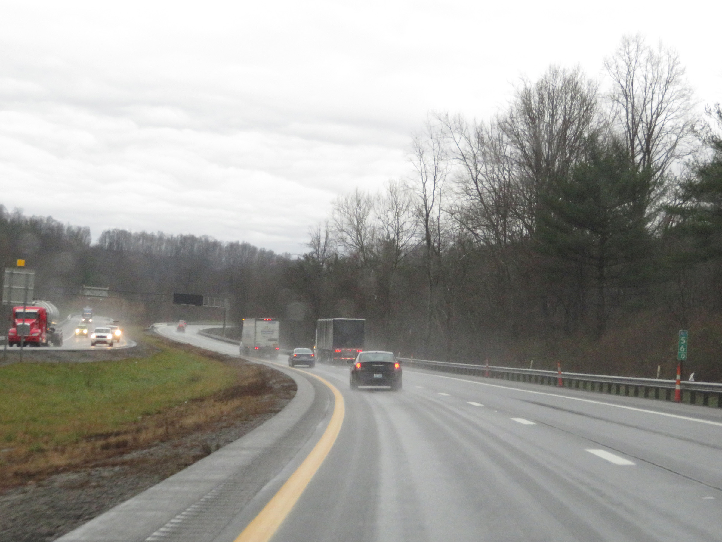 |
View on Interstate 77 South / Interstate 64 East (West Virginia Turnpike) at mile marker 56. (Photo taken 12/4/20). |
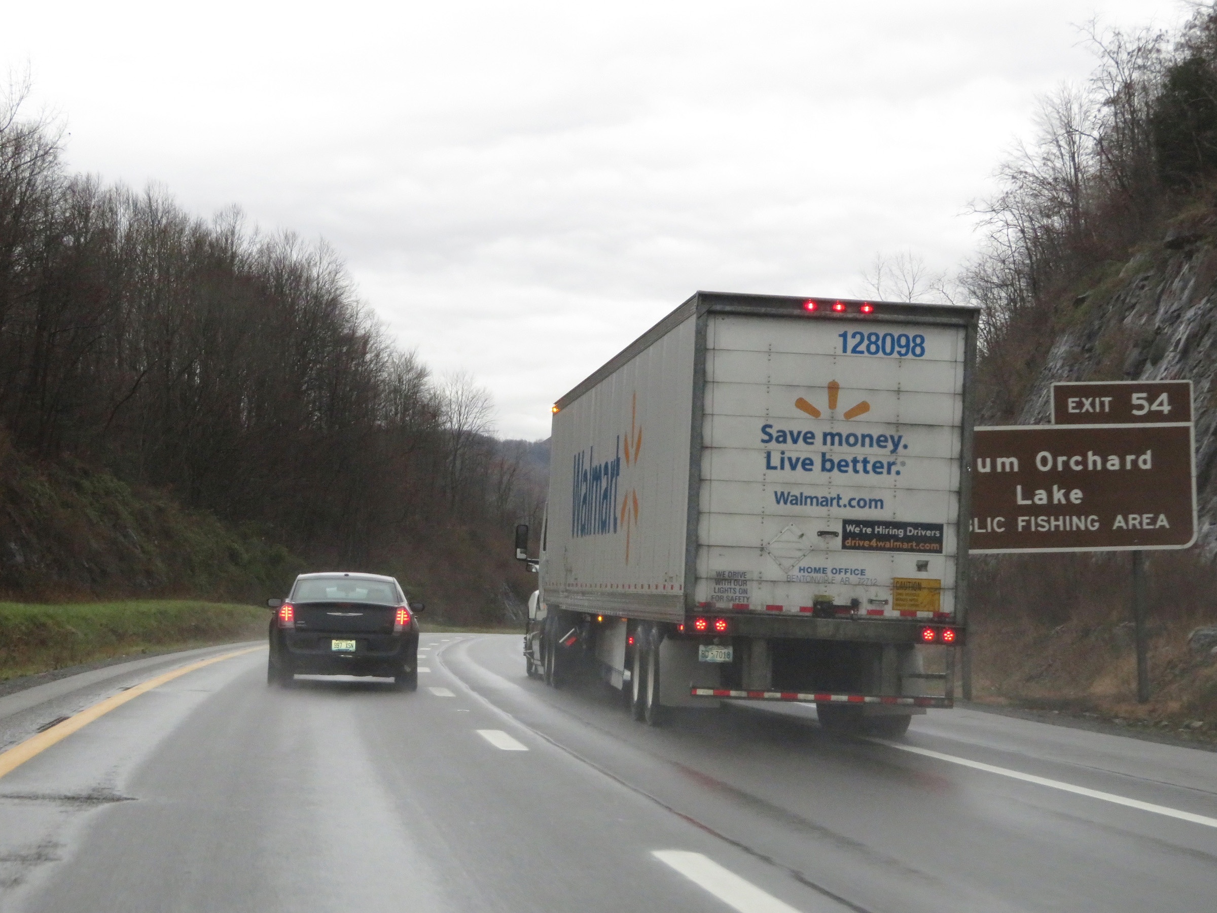 |
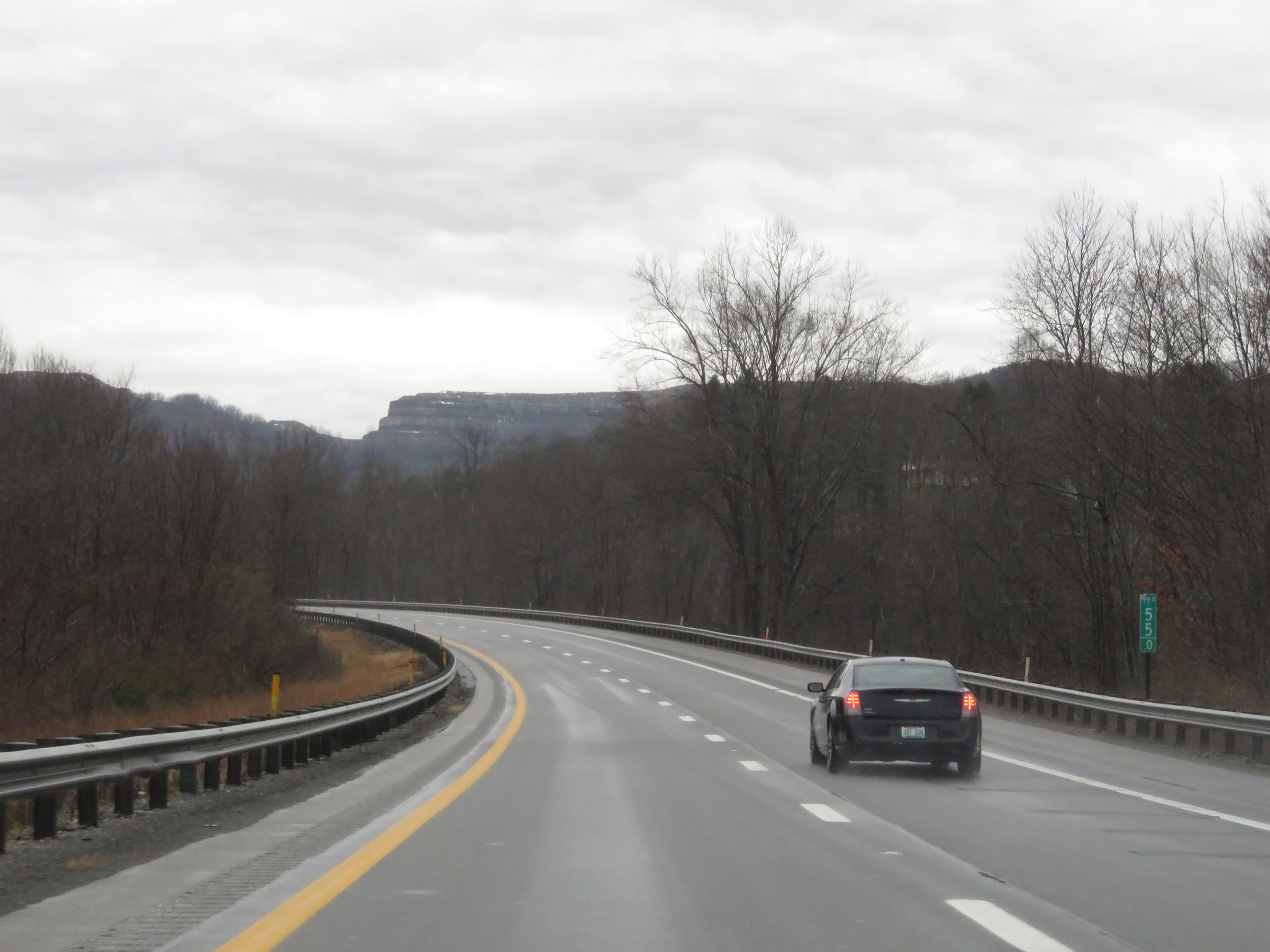
Take Exit 54 to Plum Orchard Lake. (Photo taken 12/4/20). |
 |
Interstate 77 South / Interstate 64 East (West Virginia Turnpike) approaching Exit 54 - 1/2 mile. (Photo taken 12/4/20). |
 |
Mile marker 55 on Interstate 77 South / Interstate 64 East (West Virginia Turnpike) in Fayette County. (Photo taken 12/4/20). |
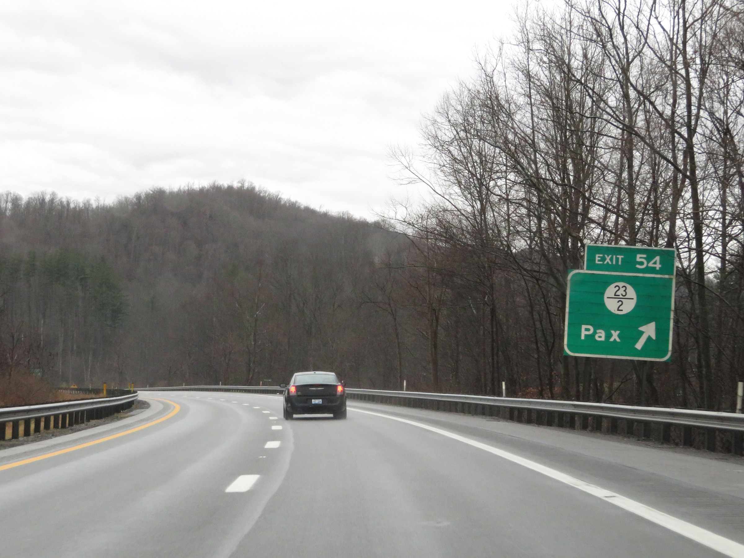 |
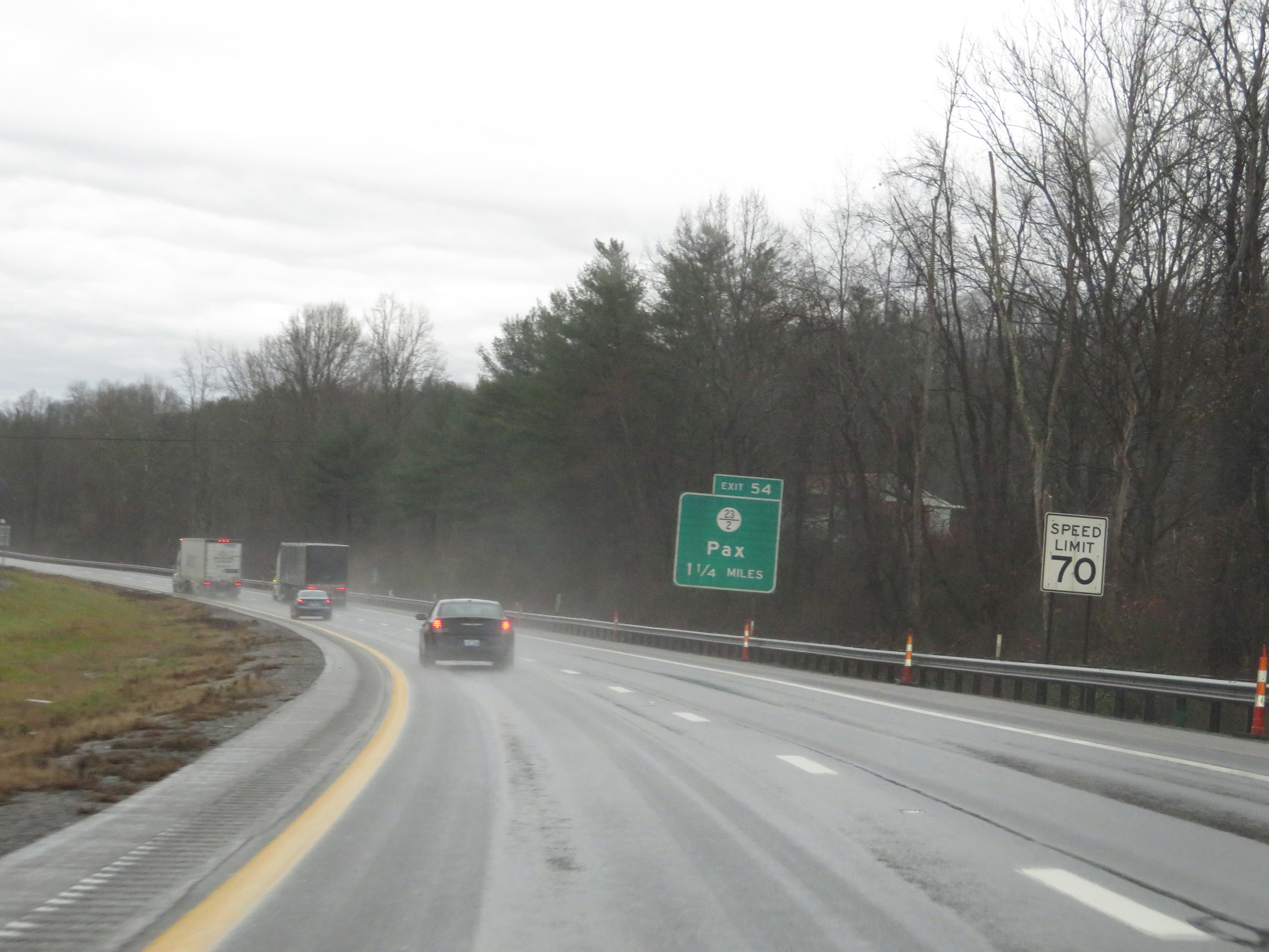
Interstate 77 South / Interstate 64 East (West Virginia Turnpike) at Exit 54: CR 23/2 - Pax (Photo taken 12/4/20). |
 |
Another set of state-named Interstate 77 South / Interstate 64 East reassurance shields. (Photo taken 12/4/20). |
 |
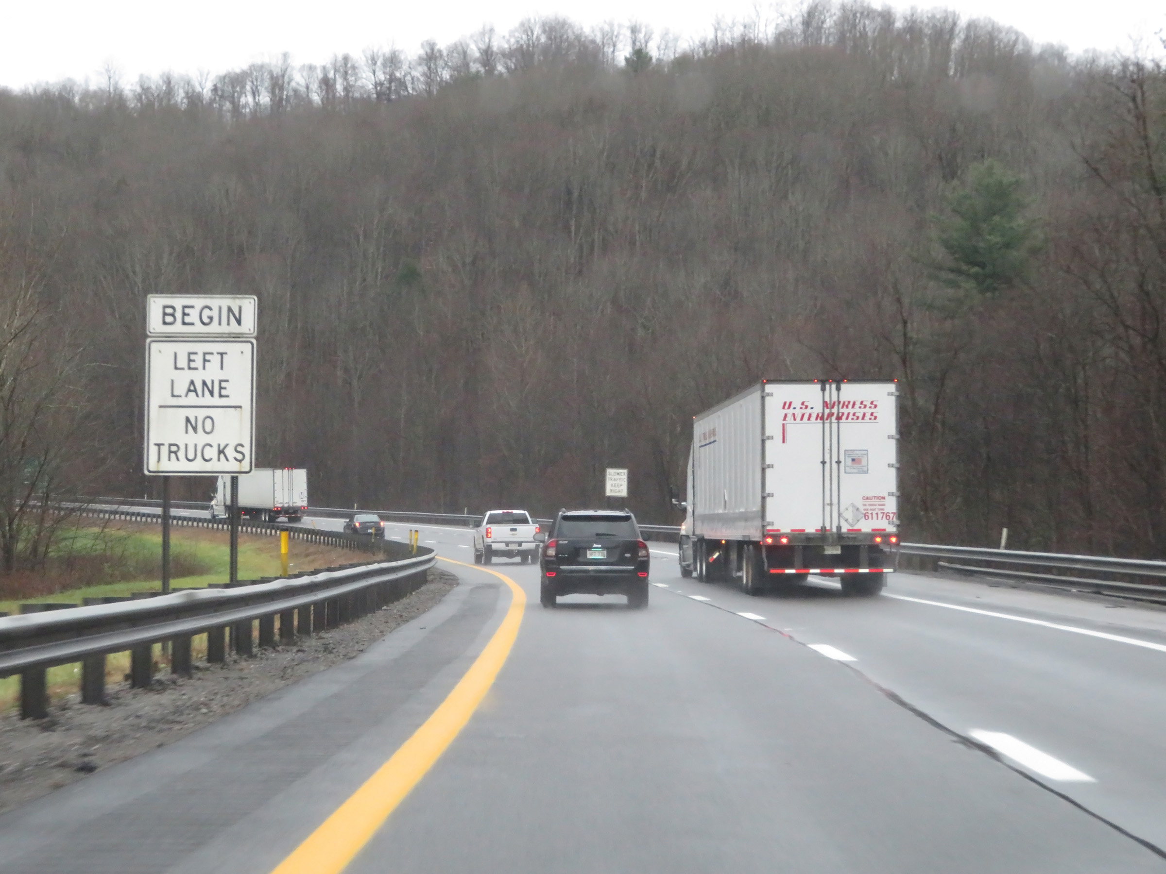
The speed limit remains 70 mph, which is the standard speed limit on most rural Interstate highways in West Virginia. (Photo taken 12/4/20). |
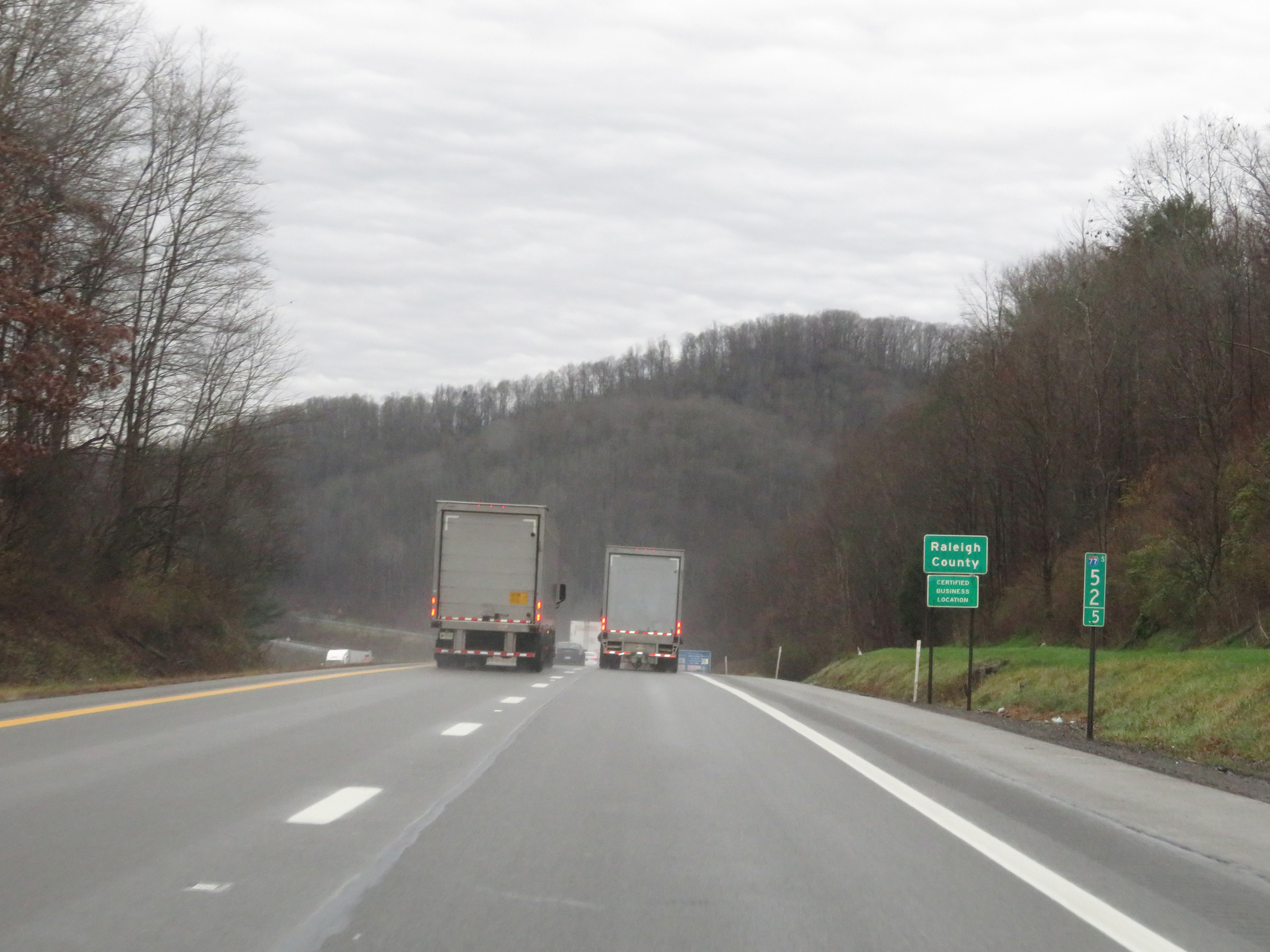 |
Interstate 77 South / Interstate 64 East (West Virginia Turnpike) entering Raleigh County at mile marker 52.5. (Photo taken 12/4/20). |
 |
Another truck climbing lane begins here on Interstate 77 South / Interstate 64 East (West Virginia Turnpike). (Photo taken 12/4/20). |
 |
View on Interstate 77 South / Interstate 64 East (West Virginia Turnpike) at mile marker 49. (Photo taken 12/4/20). |
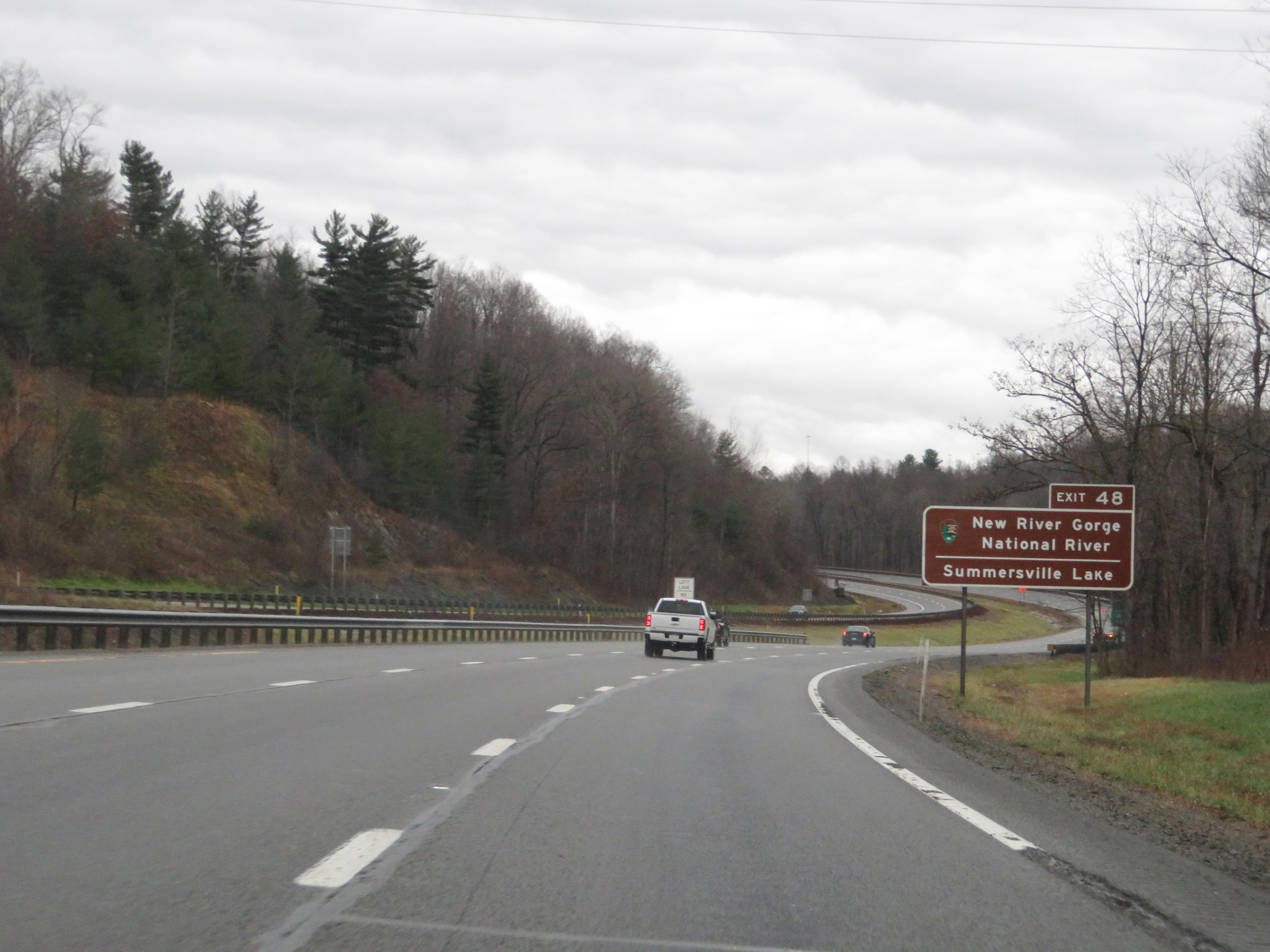 |
Take Exit 48 to New River Gorge National River and Summersville Lake. (Photo taken 12/4/20). |
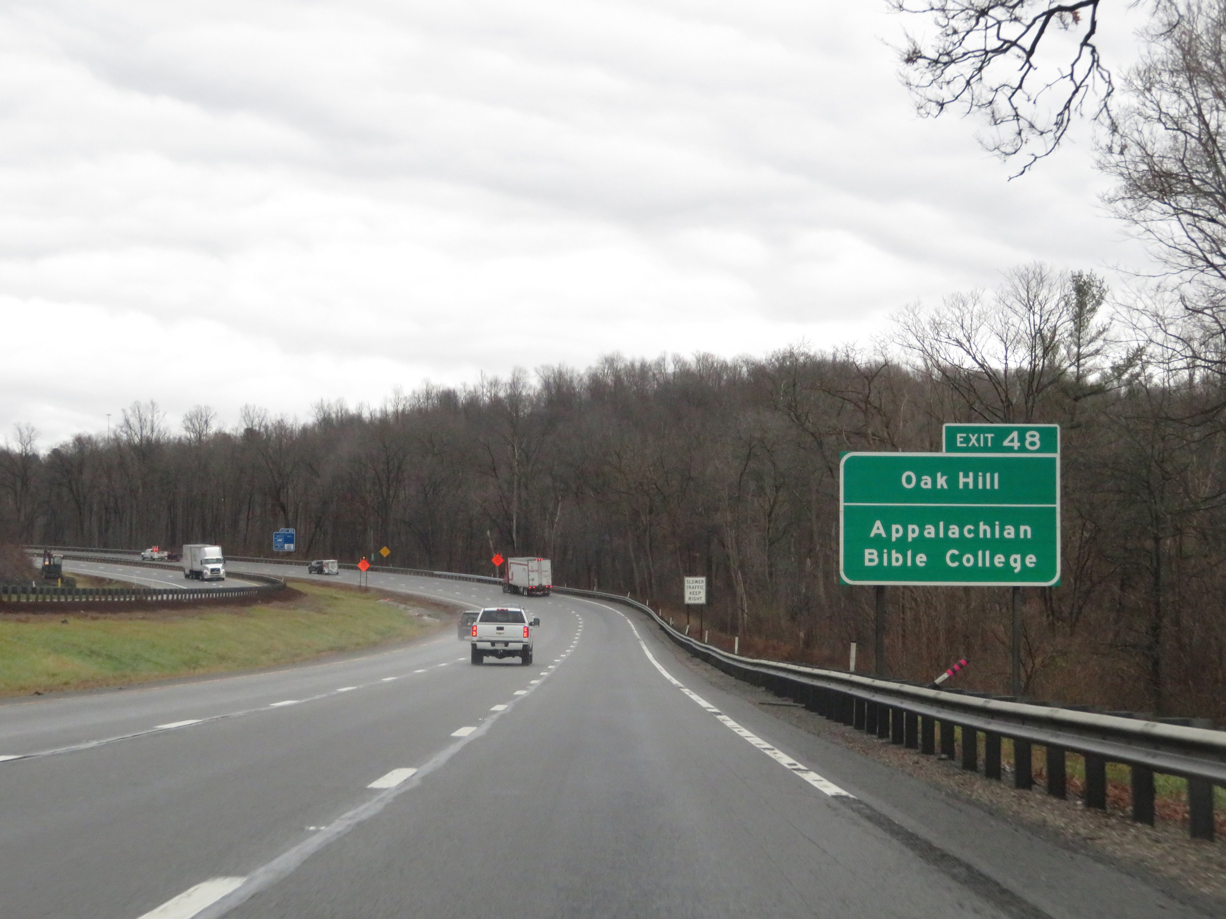 |
Also take Exit 48 to Oak Hill and Appalachian Bible College. (Photo taken 12/4/20). |
 |
Interstate 77 South / Interstate 64 East (West Virginia Turnpike) approaching Exit 48 - 1/2 mile. (Photo taken 12/4/20). |
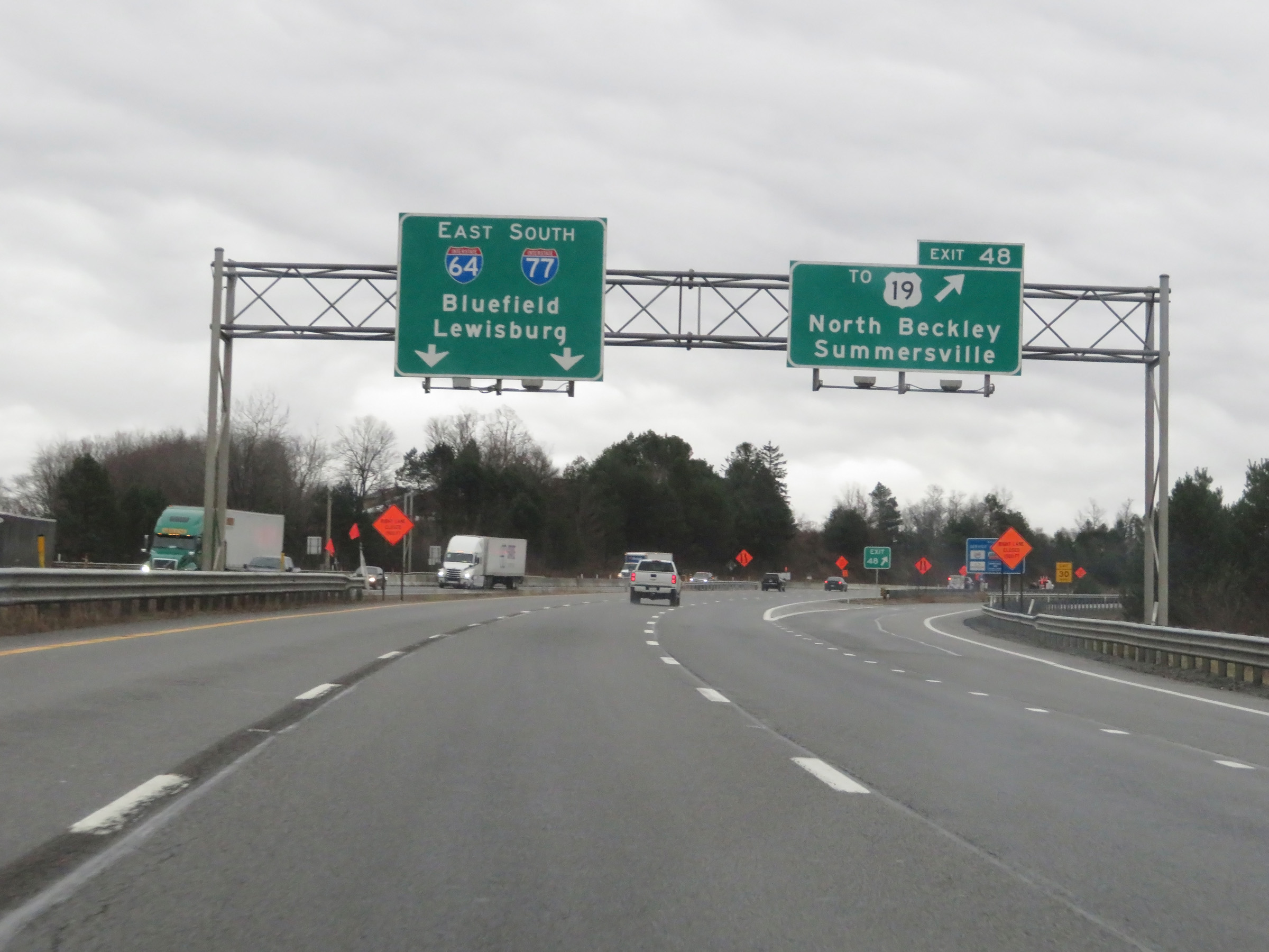 |
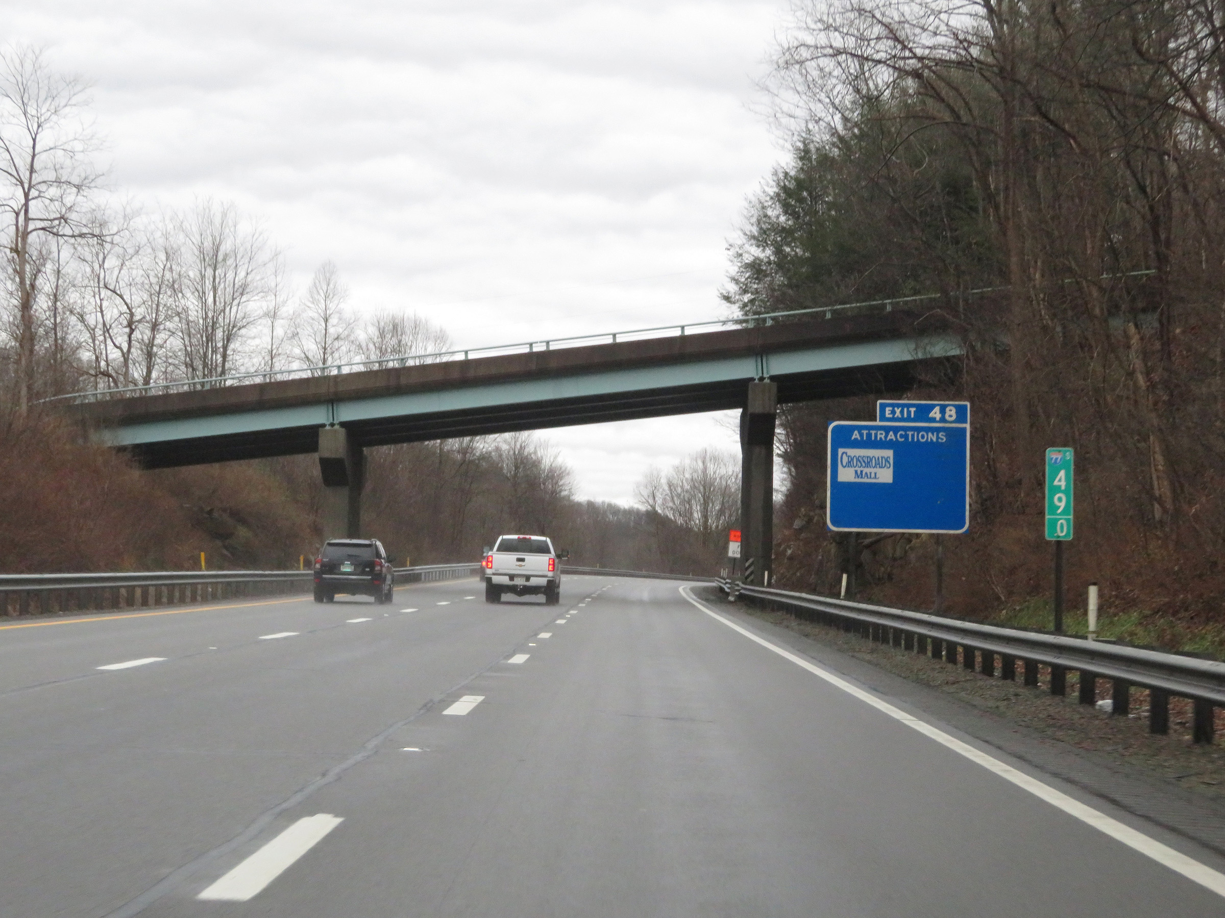
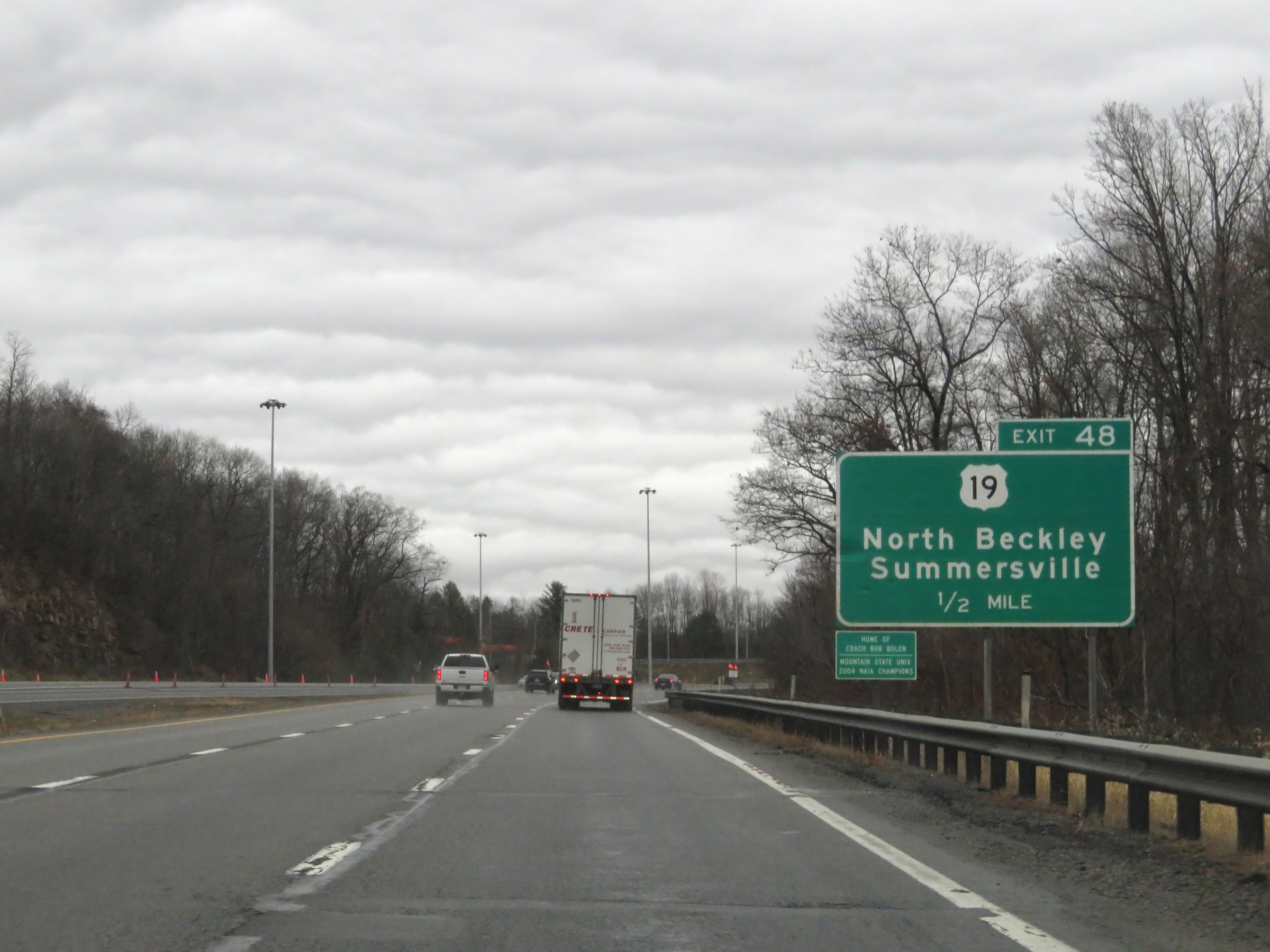
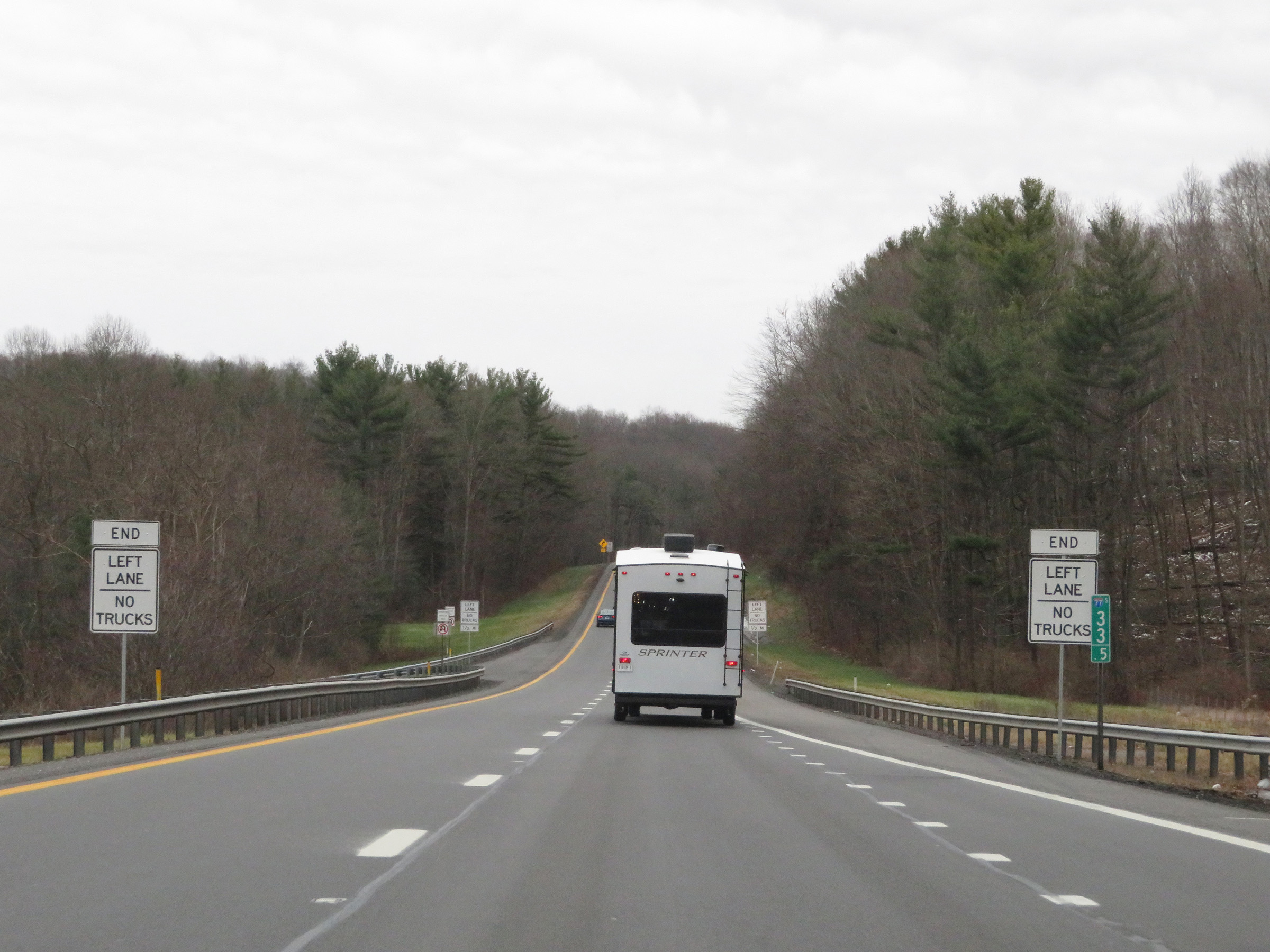
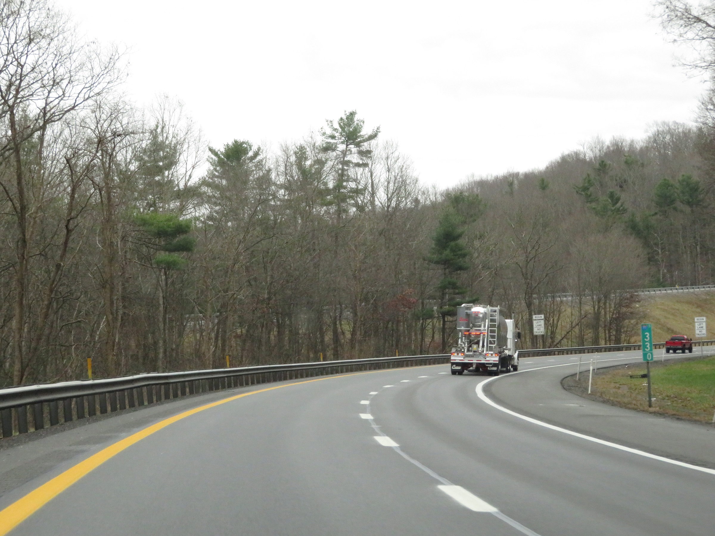
Interstate 77 South / Interstate 64 East (West Virginia Turnpike) at Exit 48: To US 19 - North Beckley / Summersville (Photo taken 12/4/20). |
Section 4: Beckley (Exit 48) to Princeton (Exit 20)
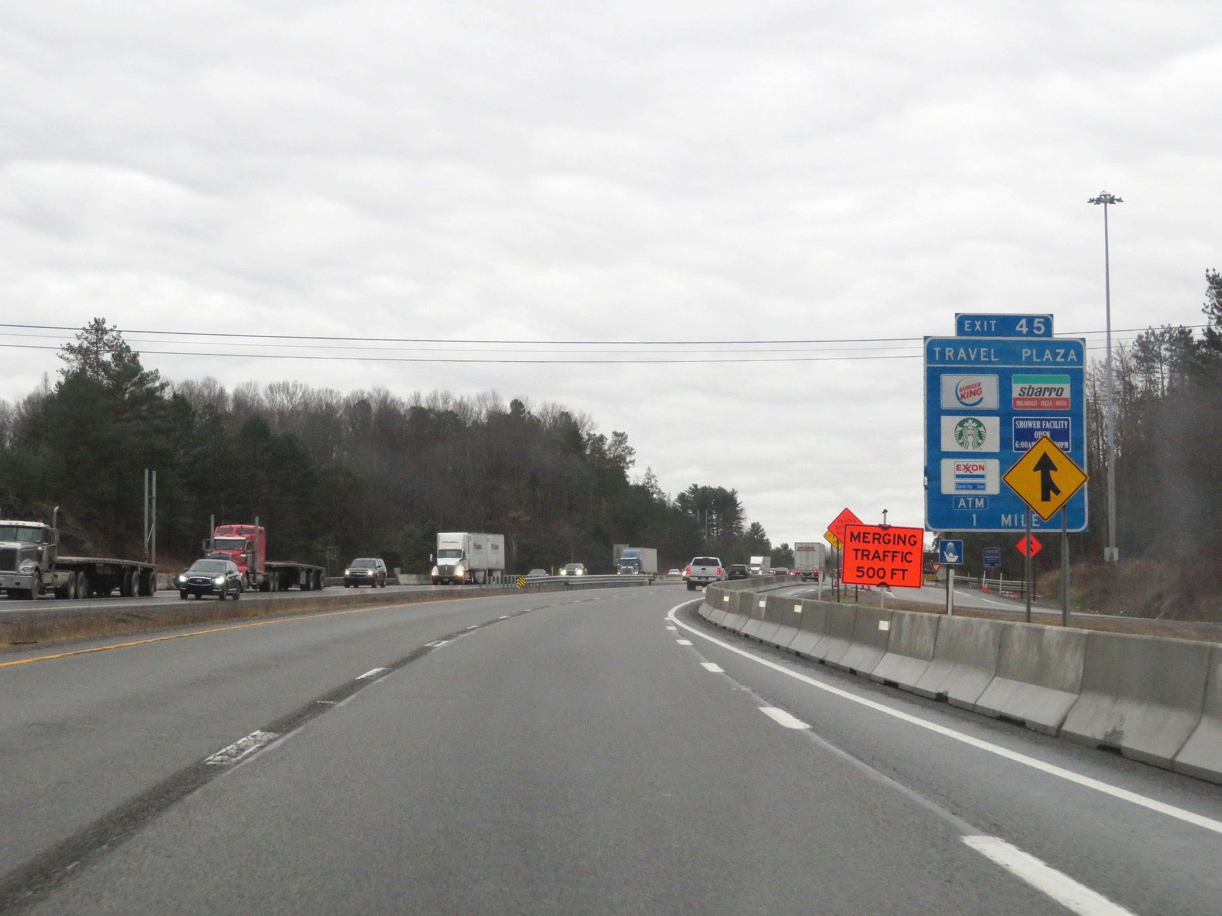 |
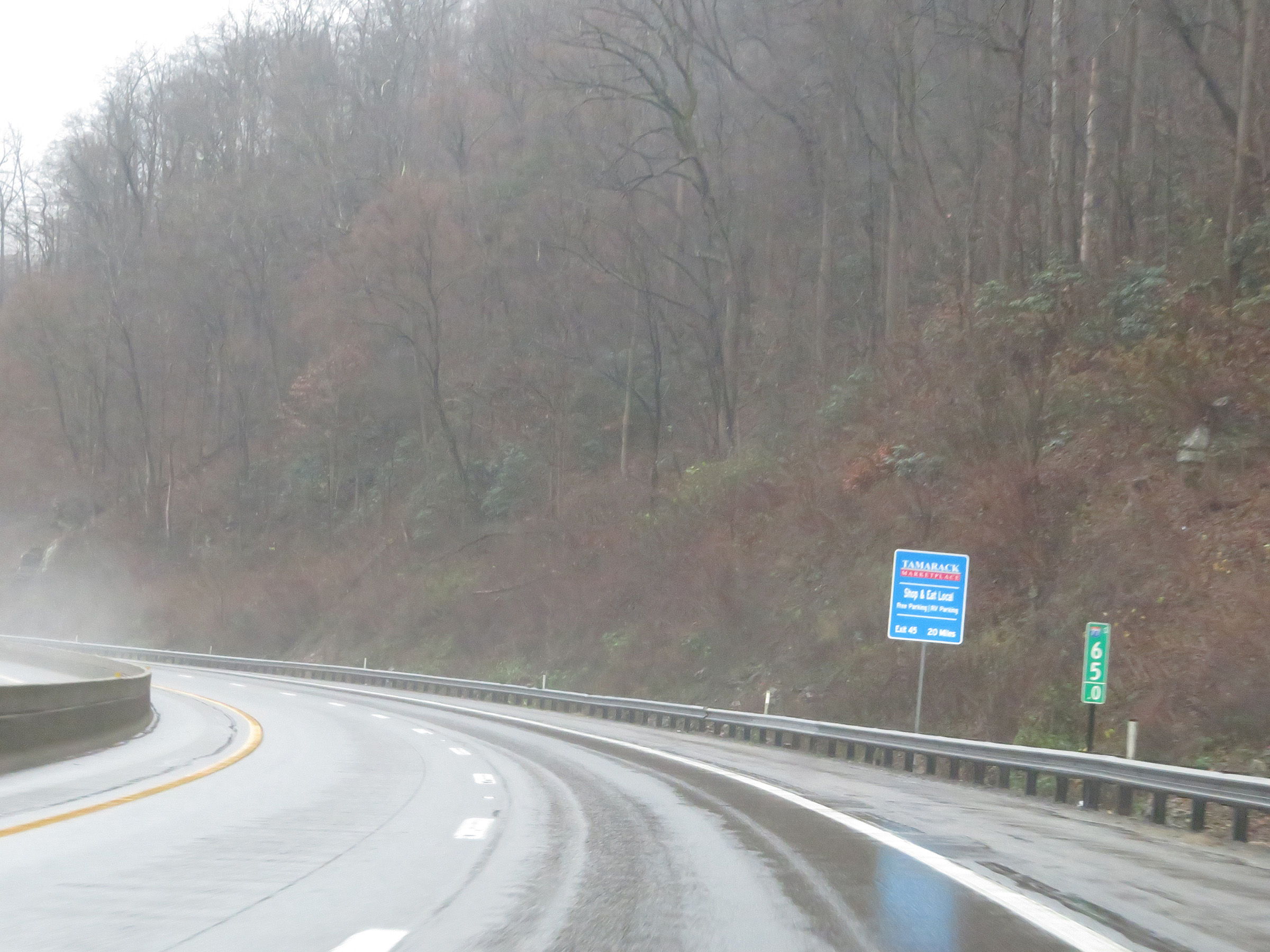
Interstate 77 South / Interstate 64 East (West Virginia Turnpike) approaching the Beckley Service Plaza at Exit 45 - 1 mile. This sign also shows some of the services available at the service plaza. (Photo taken 12/4/20). |
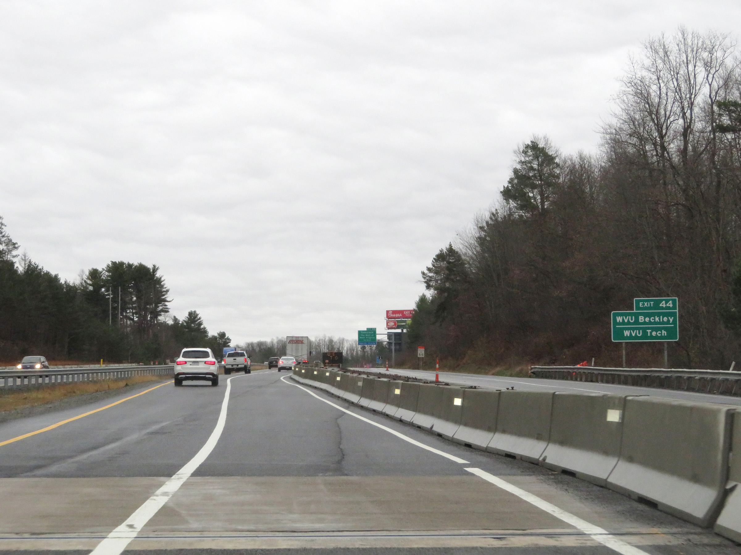 |
Take Exit 44 to WVU Beckley and WVU Tech. (Photo taken 12/4/20). |
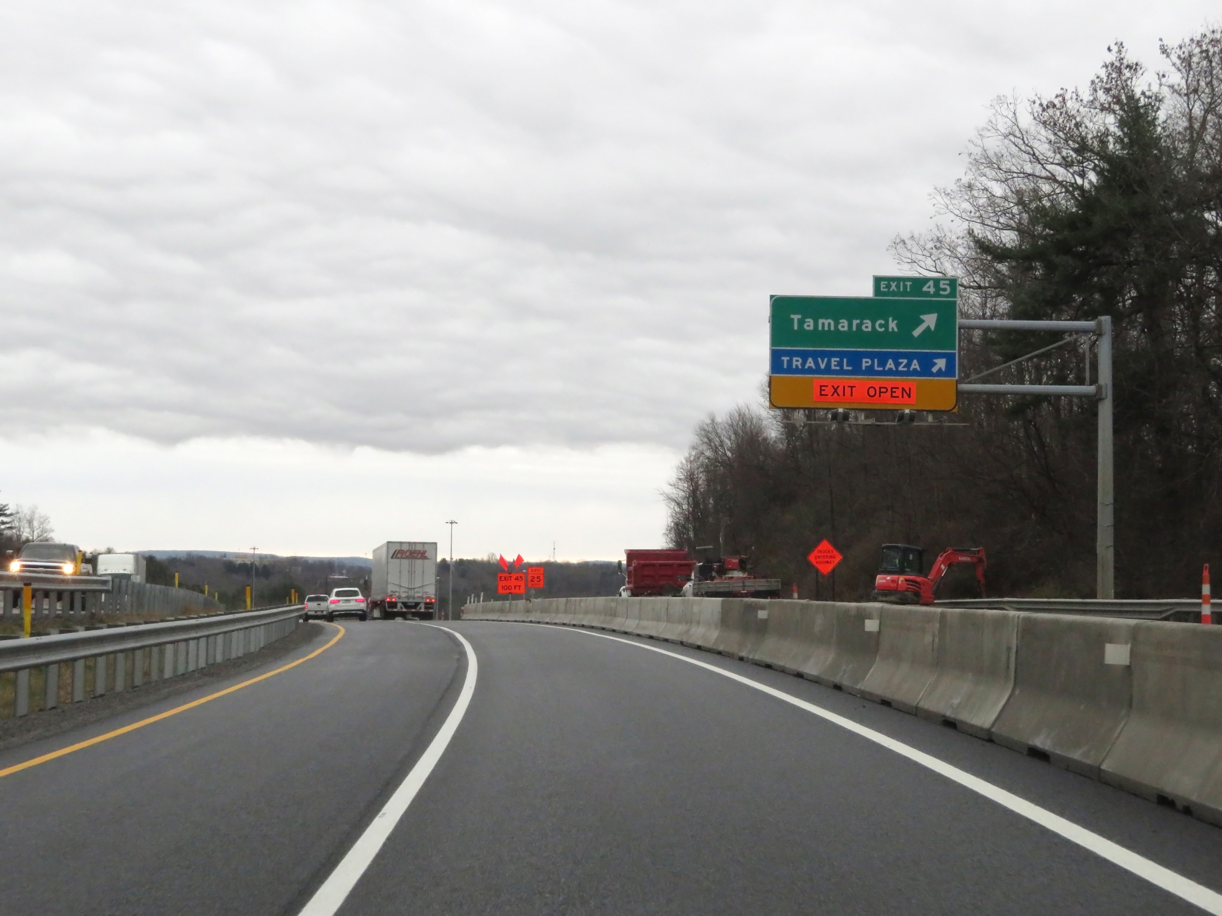 |
Interstate 77 South / Interstate 64 East (West Virginia Turnpike) at Exit 45: Tamarack / Beckley Service Plaza (Photo taken 12/4/20). |
 |
Overhead mileage sign listing the distances to the two upcoming exits to Beckley. (Photo taken 12/4/20). |
 |
Interstate 77 South / Interstate 64 East (West Virginia Turnpike) approaching Exit 44 - 3/4 mile. (Photo taken 12/4/20). |
 |
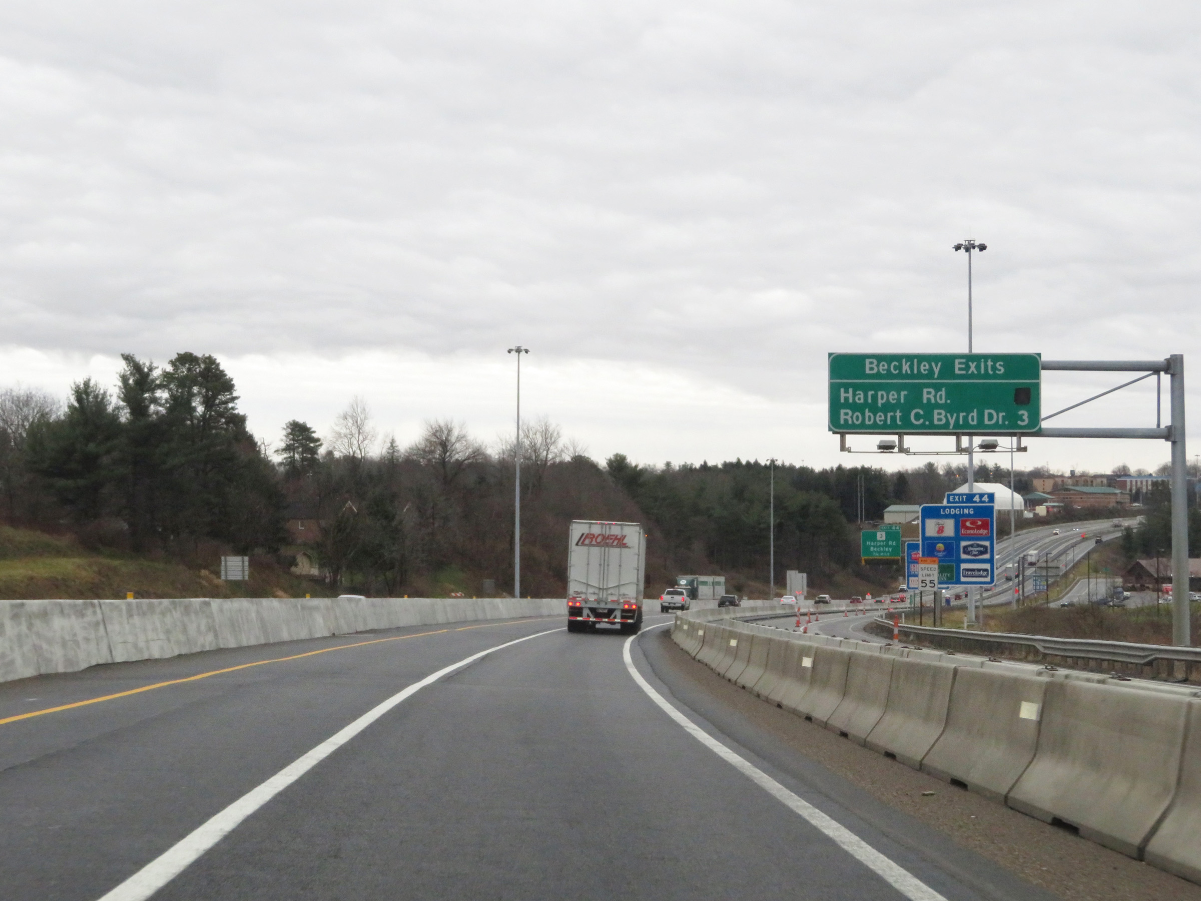
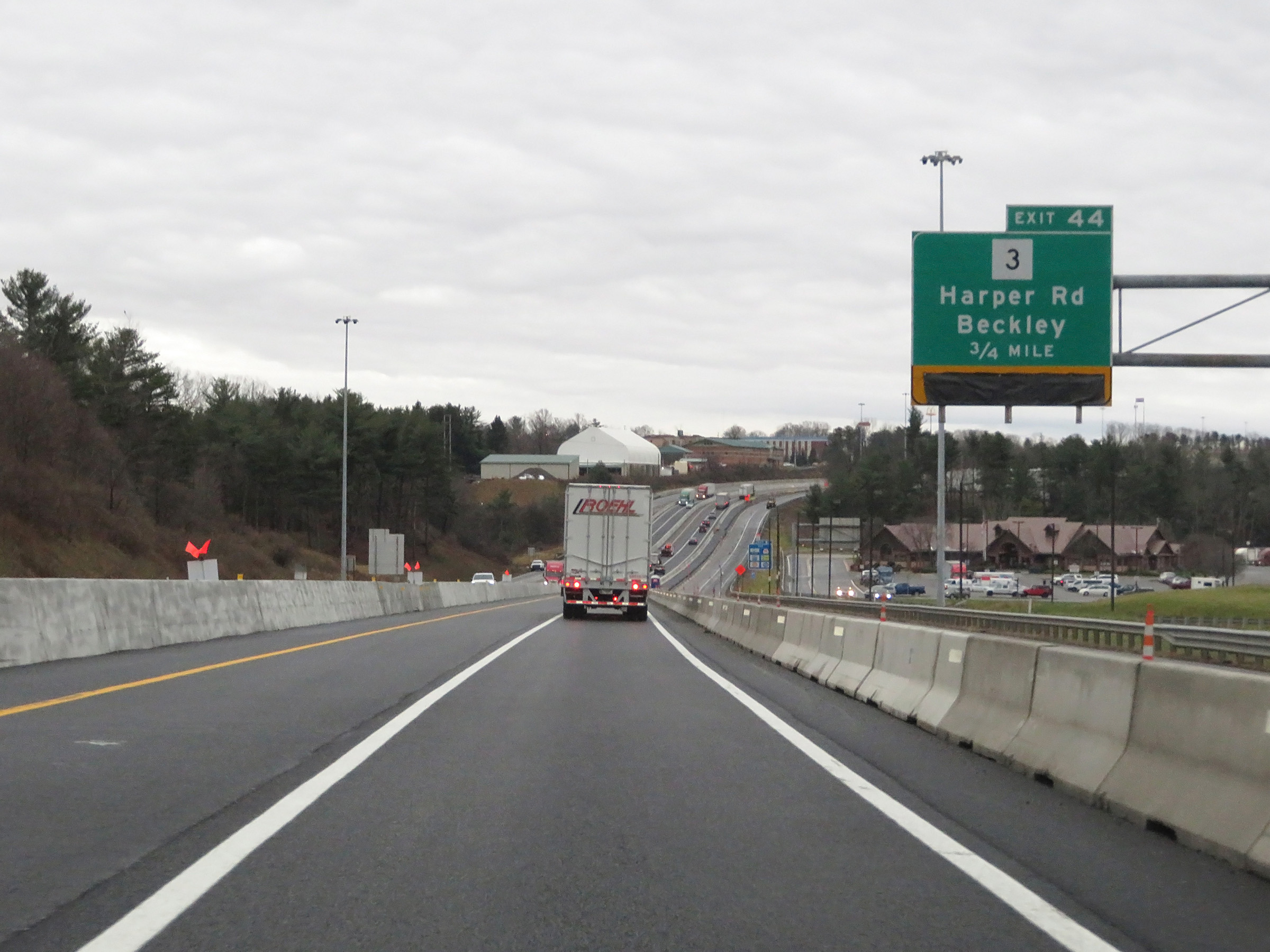
Interstate 77 South / Interstate 64 East (West Virginia Turnpike) at Exit 44: WV 3 - Harper Rd / Beckley (Photo taken 12/4/20). |
 |
Advance signage for Exit 42 on Interstate 77 South / Interstate 64 East (West Virginia Turnpike). (Photo taken 12/4/20). |
 |
View on Interstate 77 South / Interstate 64 East (West Virginia Turnpike) at mile marker 43.5. (Photo taken 12/4/20). |
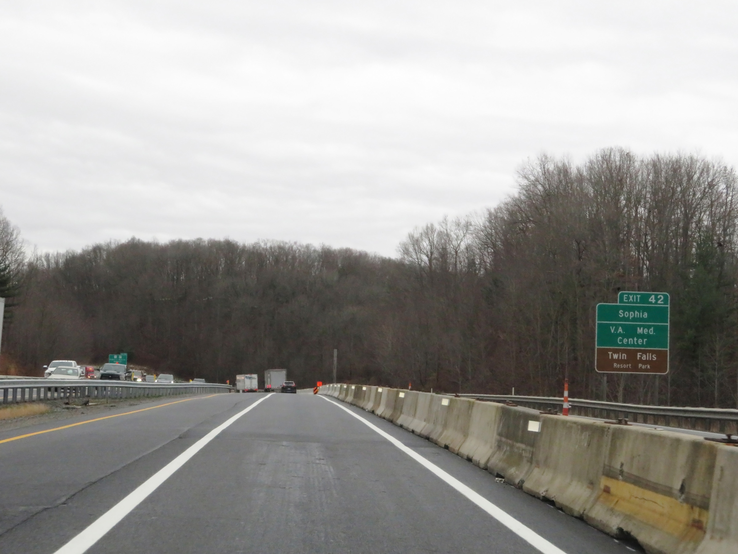 |
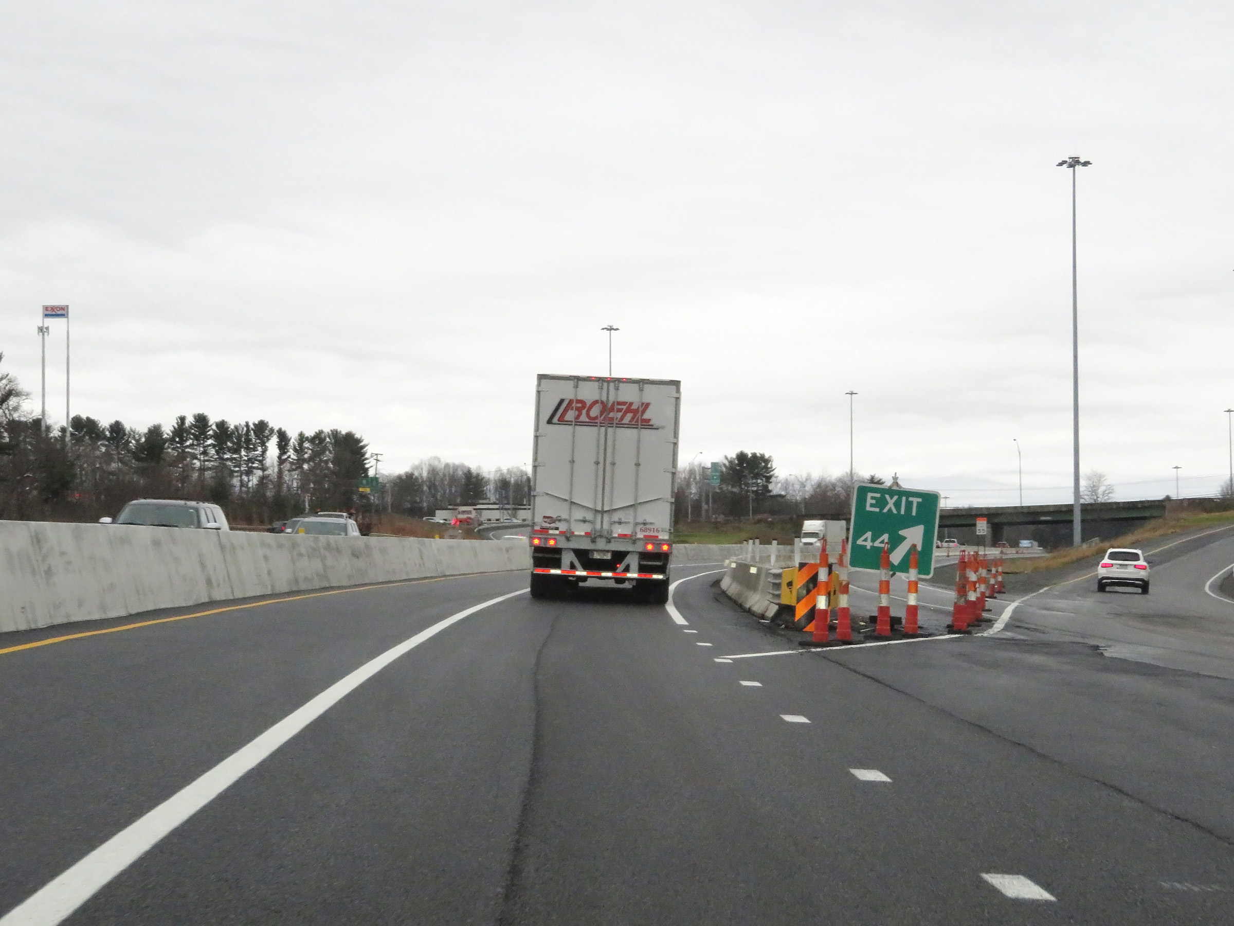
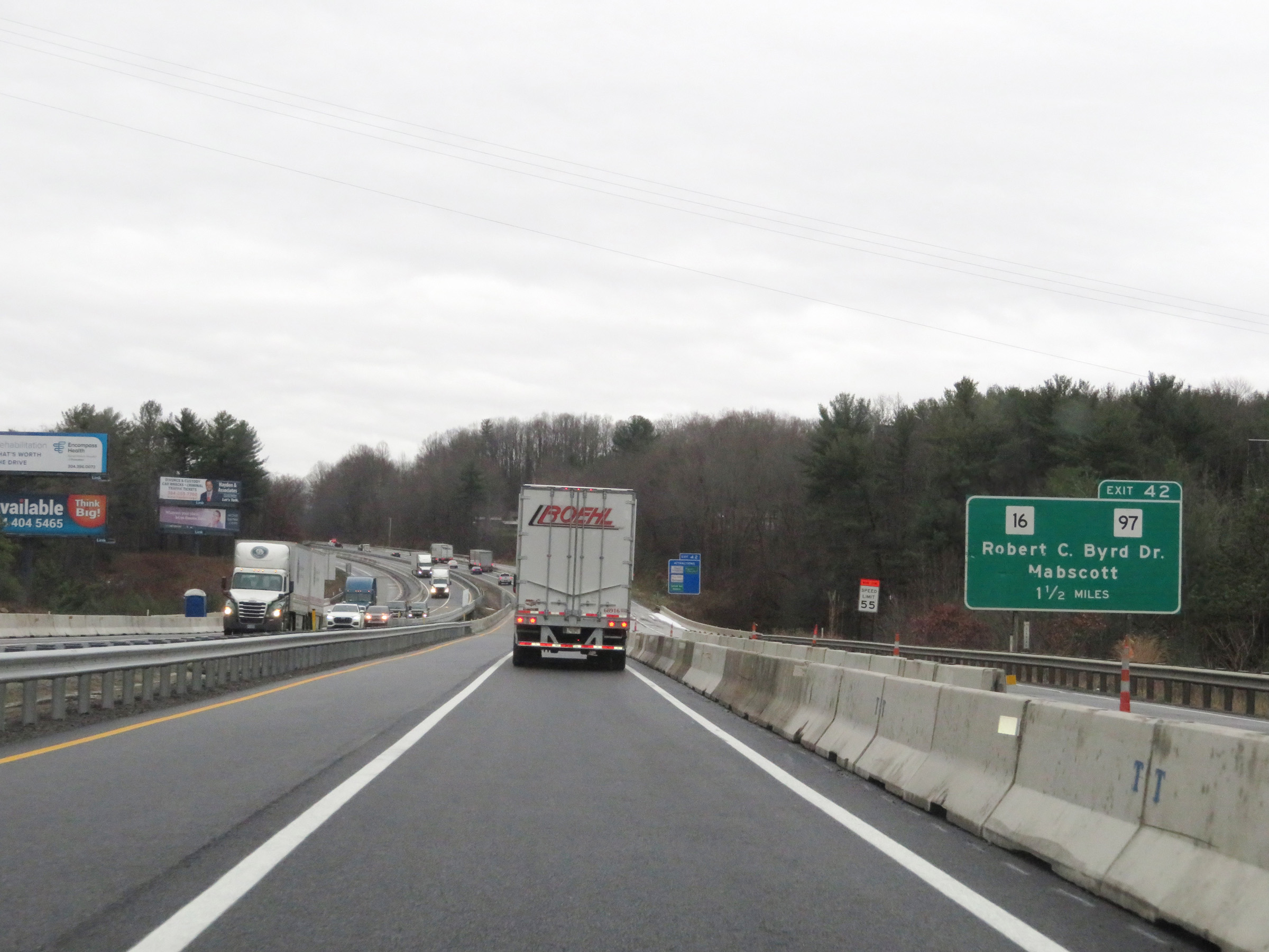
Take Exit 42 to Sophia, the VA Medical Center, and Twin Falls Resort Park. (Photo taken 12/4/20). |
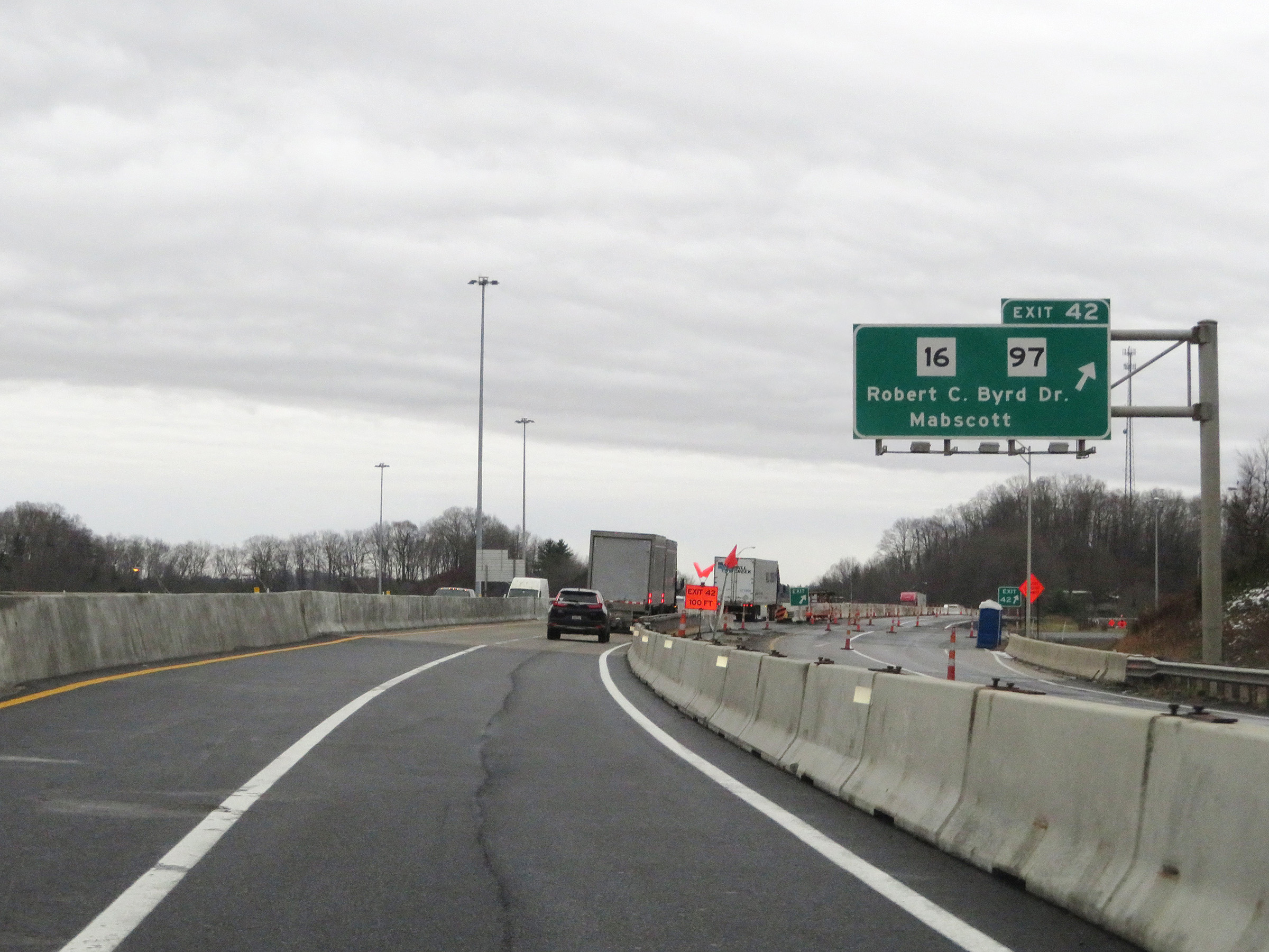 |
Interstate 77 South / Interstate 64 East (West Virginia Turnpike) at Exit 42: WV 16 / WV 97 - Robert C. Byrd Dr / Mabscott (Photo taken 12/4/20). |
 |
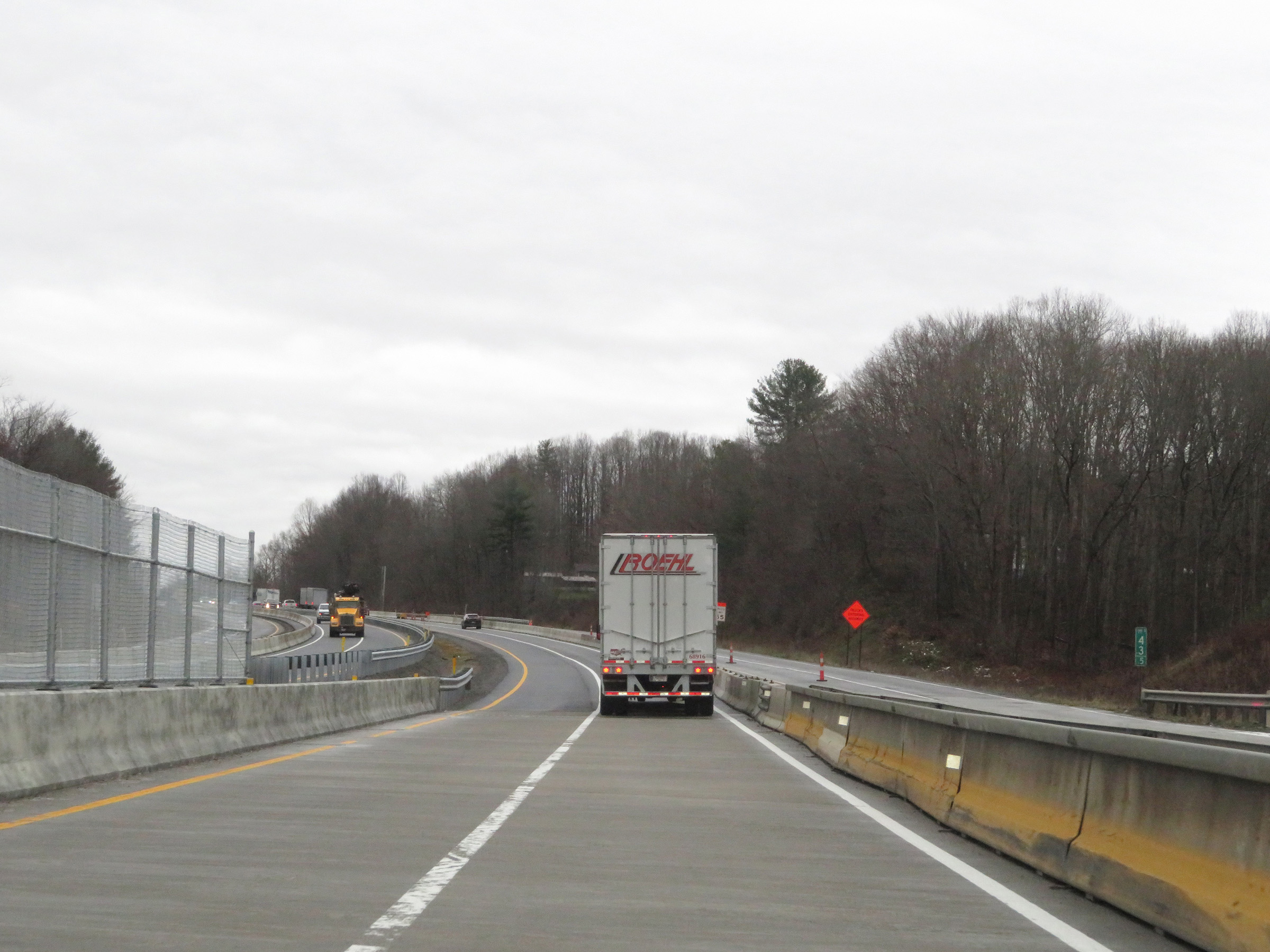
Mile marker 41.5 on Interstate 77 South / Interstate 64 East (West Virginia Turnpike) in Raleigh County. (Photo taken 12/4/20). |
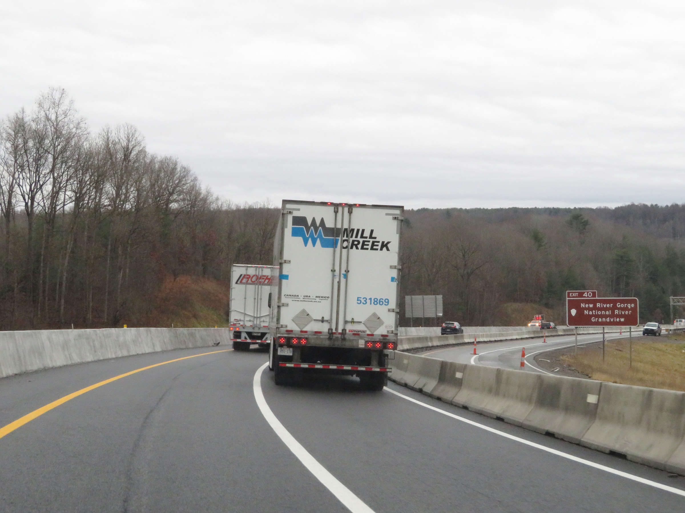 |
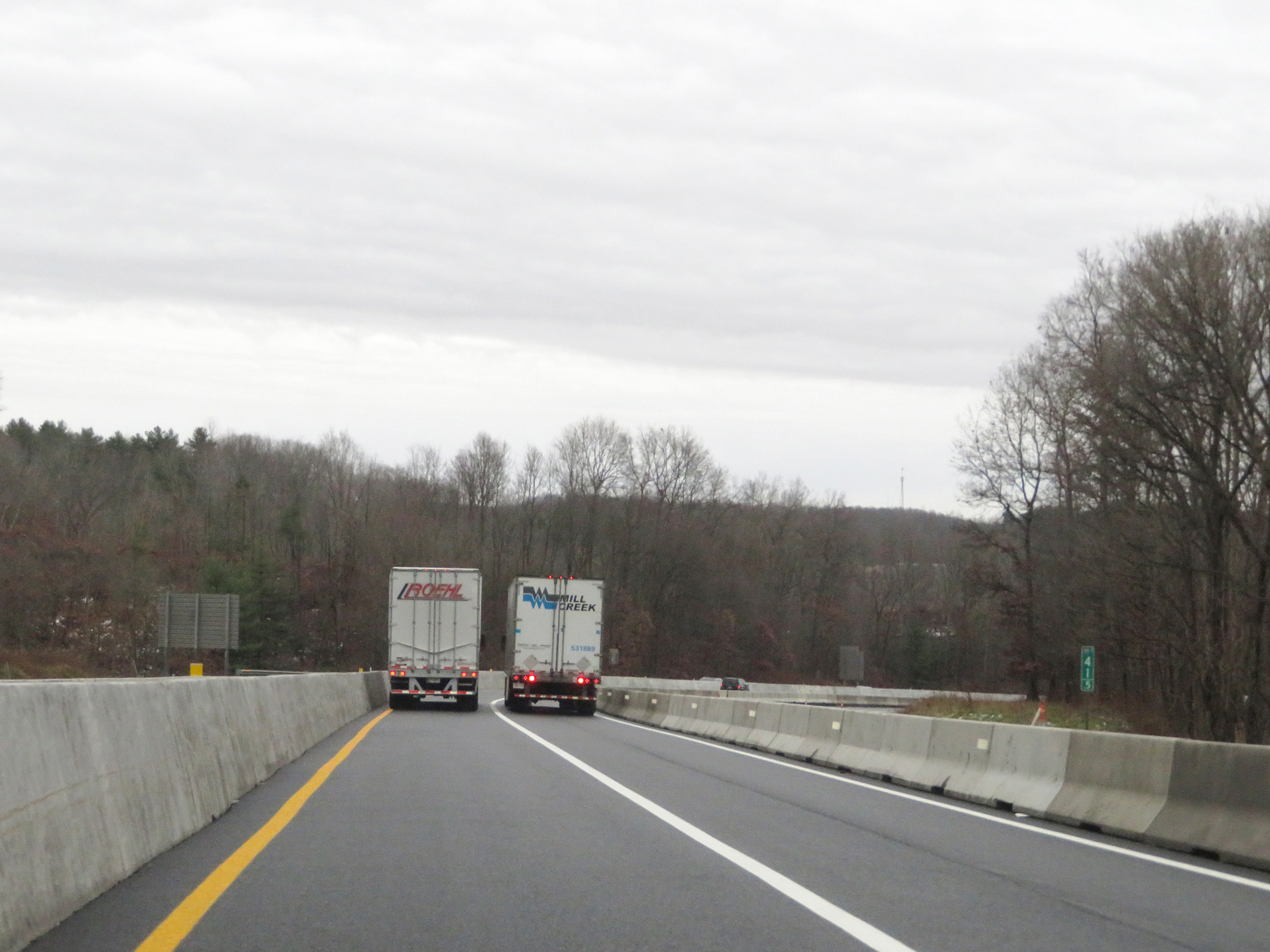
Take Exit 40 (follow Interstate 64 East) to New River Gorge National River Grandview. (Photo taken 12/4/20). |
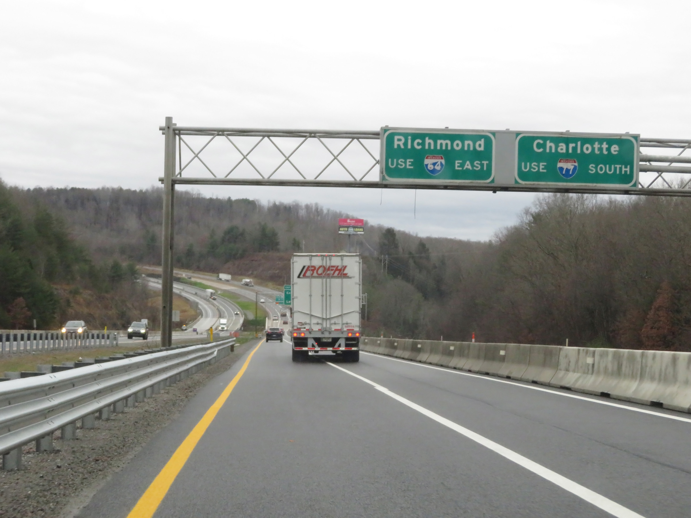 |
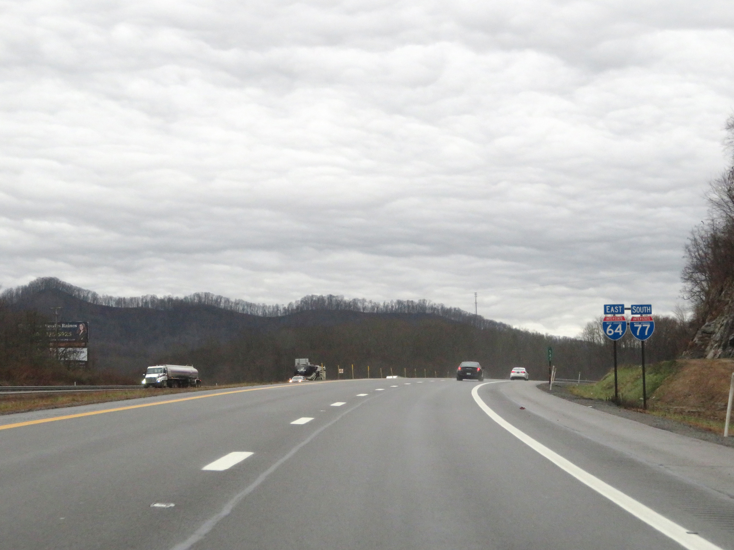
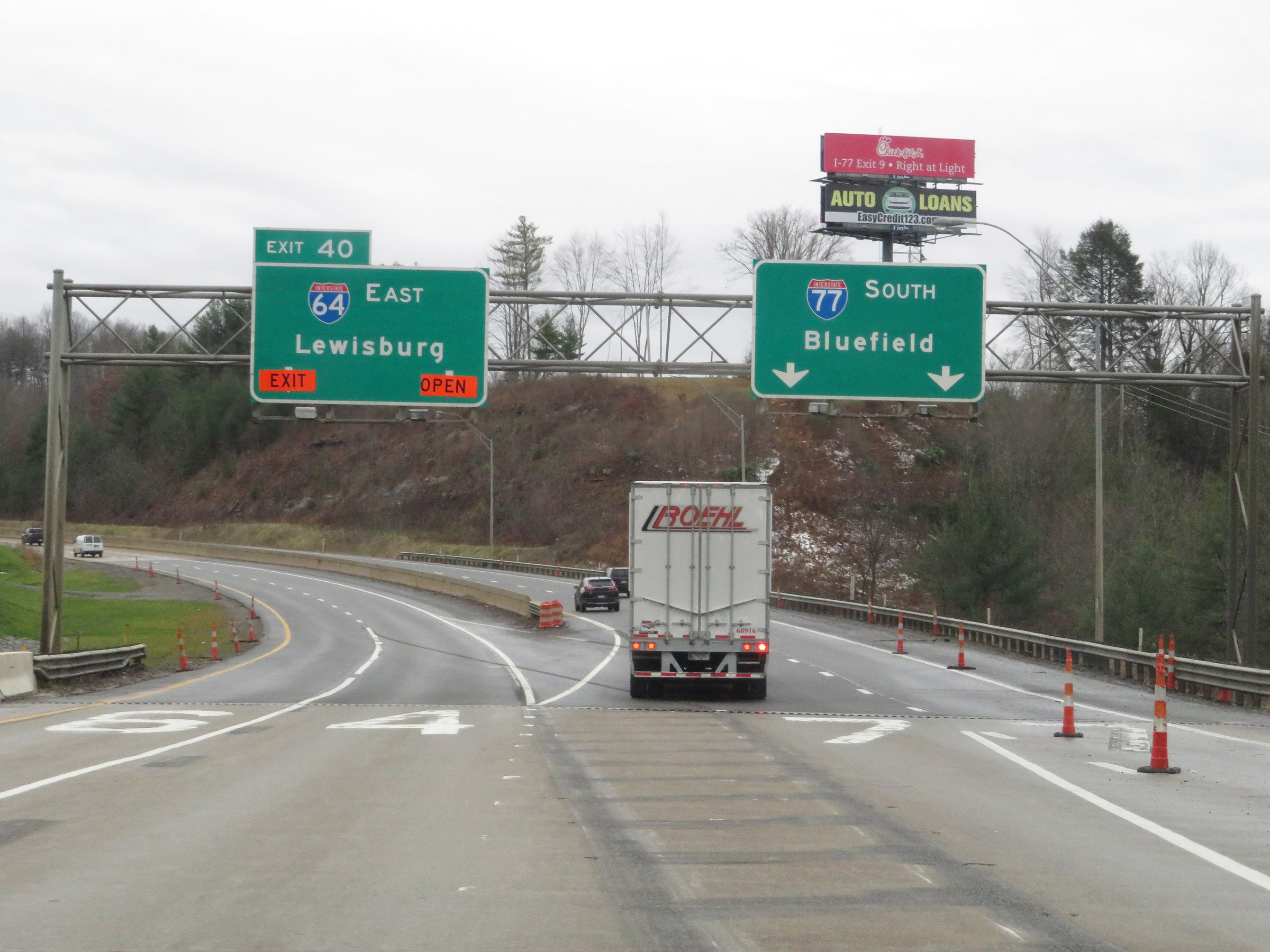
Traffic to Richmond, VA should follow Interstate 64 East via Exit 40, ahead on the left. Those headed to Charlotte, NC should remain on Interstate 77 South. (Photo taken 12/4/20). |
 |
Interstate 77 South / Interstate 64 East (West Virginia Turnpike) approaching the departure of I-64 East via Exit 40, ahead on the left. (Photo taken 12/4/20). |
 |
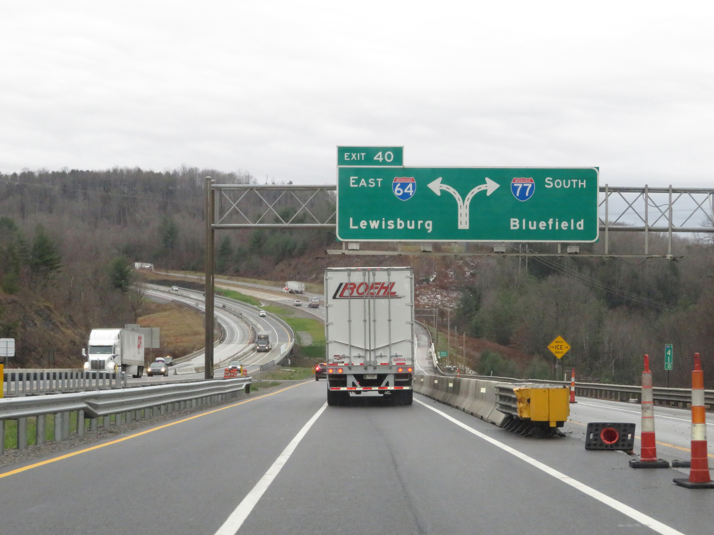
Interstate 77 South / Interstate 64 East (West Virginia Turnpike) at Exit 40: Interstate 64 East - Lewisburg (Photo taken 12/4/20). |
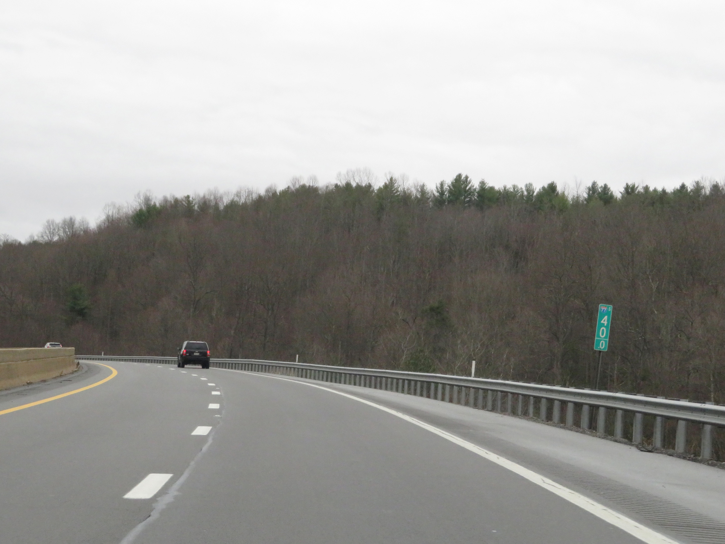 |
View on Interstate 77 South (West Virginia Turnpike) at mile marker 40, after Interstate 64 East has departed. (Photo taken 12/4/20). |
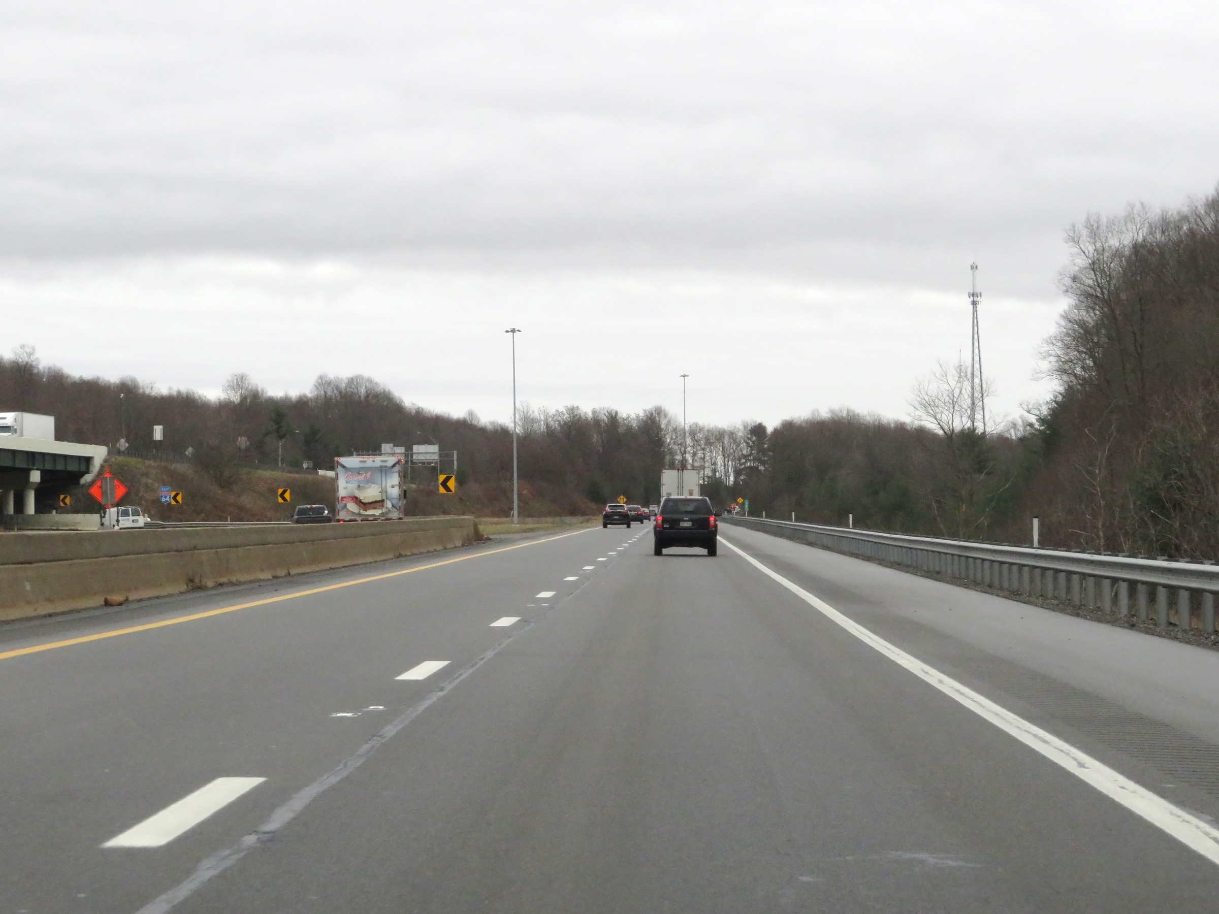 |
Here on the left, we see the ramp to Interstate 64 East via Exit 40 curve to the east after running alongside Interstate 77 South (West Virginia Turnpike) for a short distance. (Photo taken 12/4/20). |
 |
Interstate 77 South (West Virginia Turnpike) as traffic from Interstate 64 West merges into it from the left. Also, the left lane of this ramp will come to an end just ahead. (Photo taken 12/4/20). |
 |
State-named Interstate 77 South reassurance shields. (Photo taken 12/4/20). |
 |
At mile marker 38.5, the left lane remaining from the two-lane ramp from Interstate 64 West to Interstate 77 South (West Virginia Turnpike) comes to an end. (Photo taken 12/4/20). |
 |
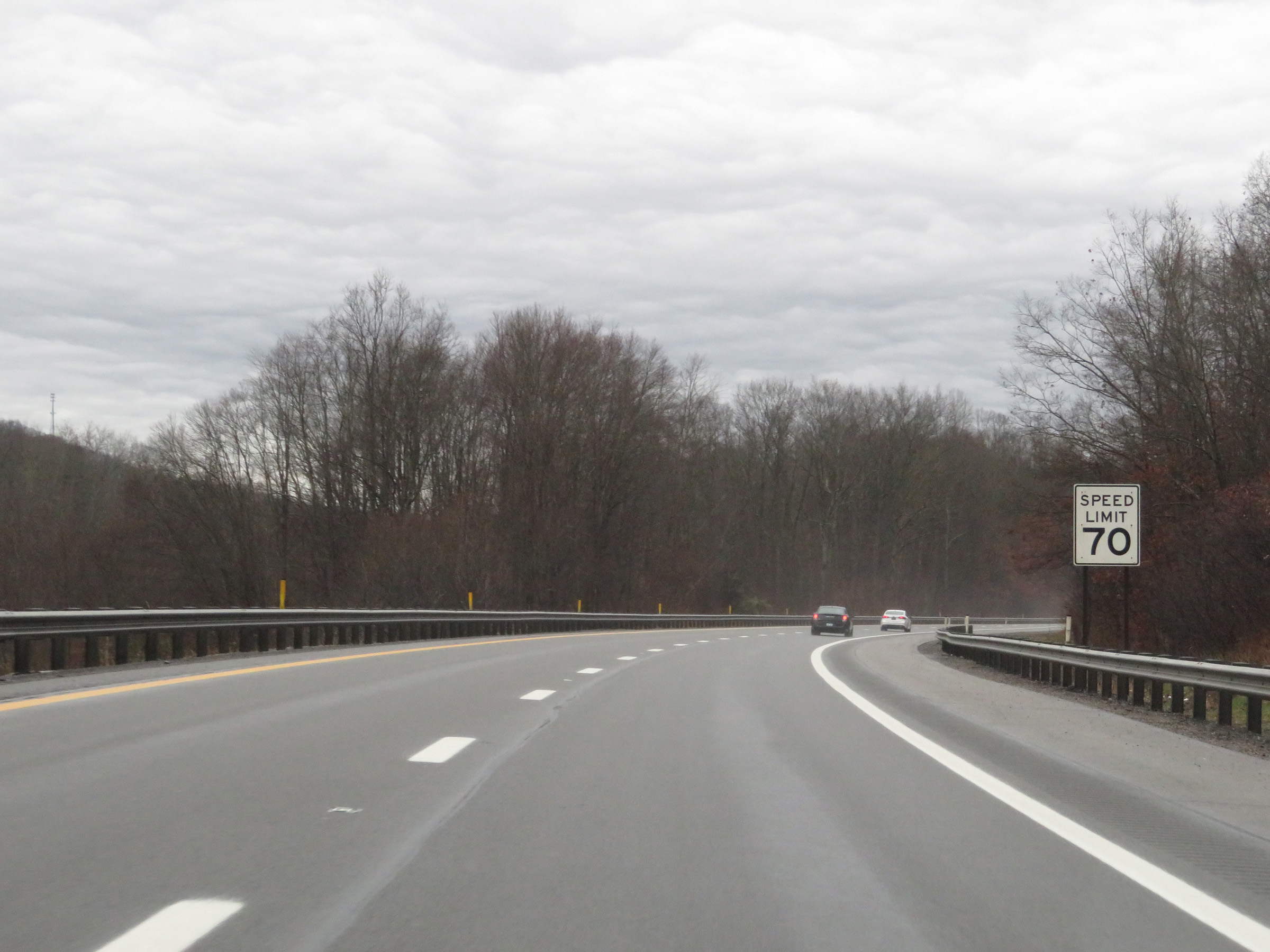
The speed limit remains 70 mph on Interstate 77 South (West Virginia Turnpike). (Photo taken 12/4/20). |
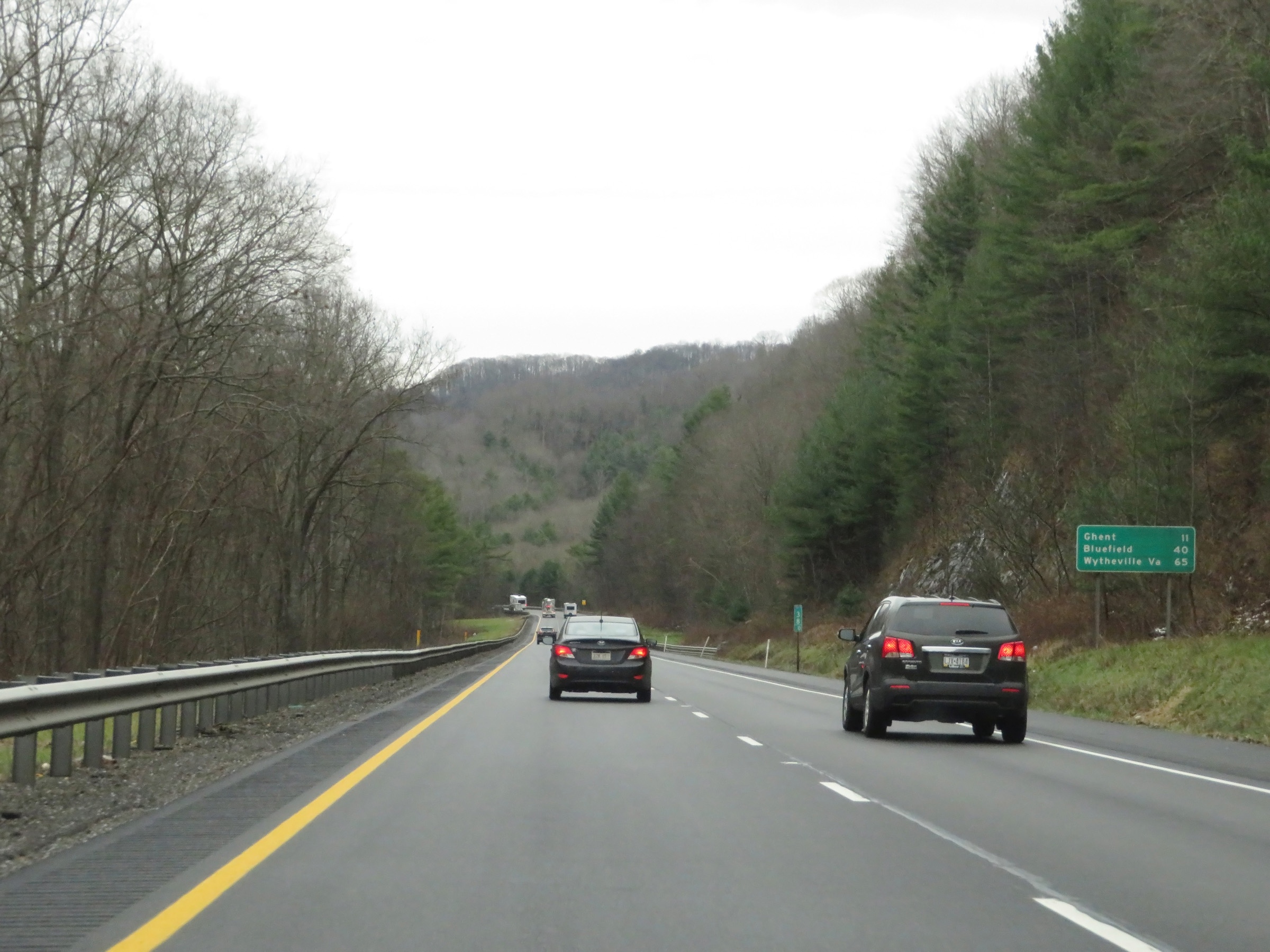 |
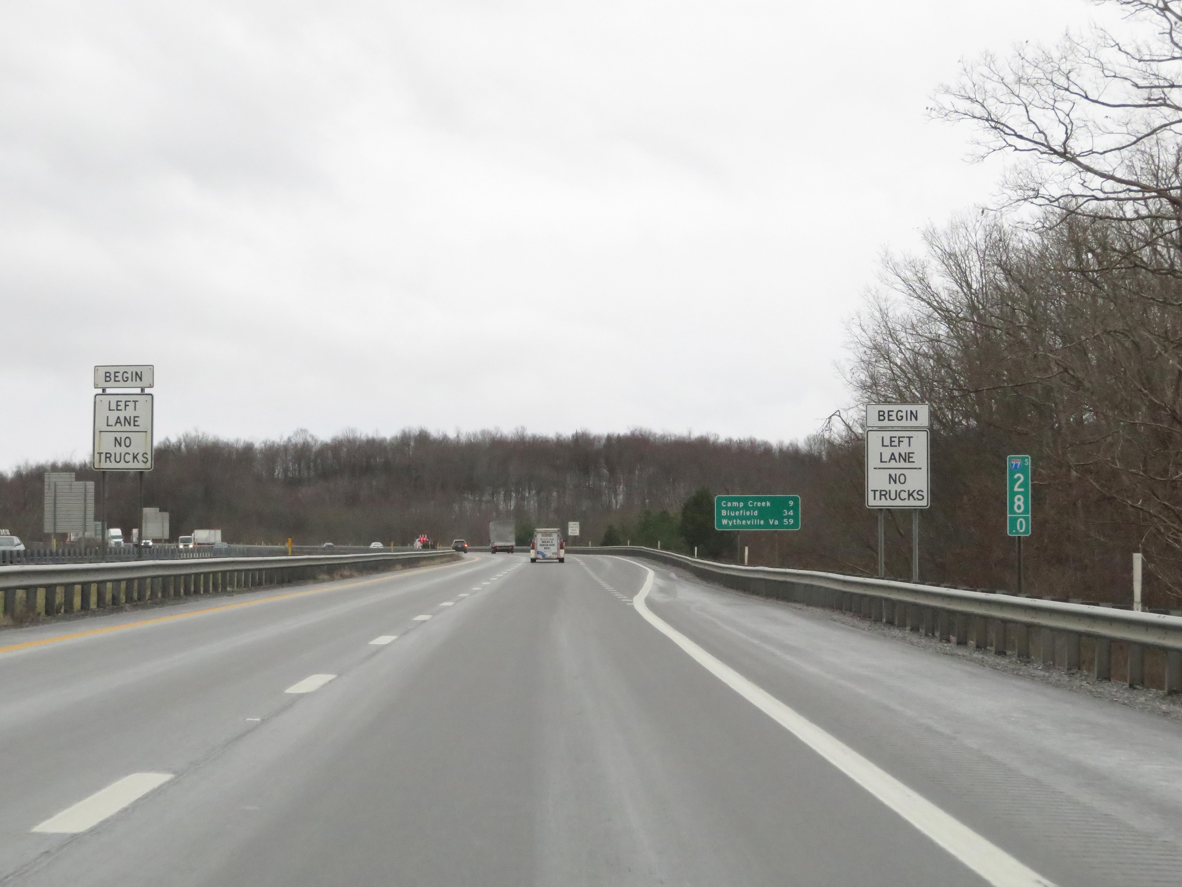
Mileage sign on Interstate 77 South (West Virginia Turnpike) at mile marker 38. It's 11 miles to Ghent, 40 miles to Bluefield, and 65 miles to Wytheville, VA. (Photo taken 12/4/20). |
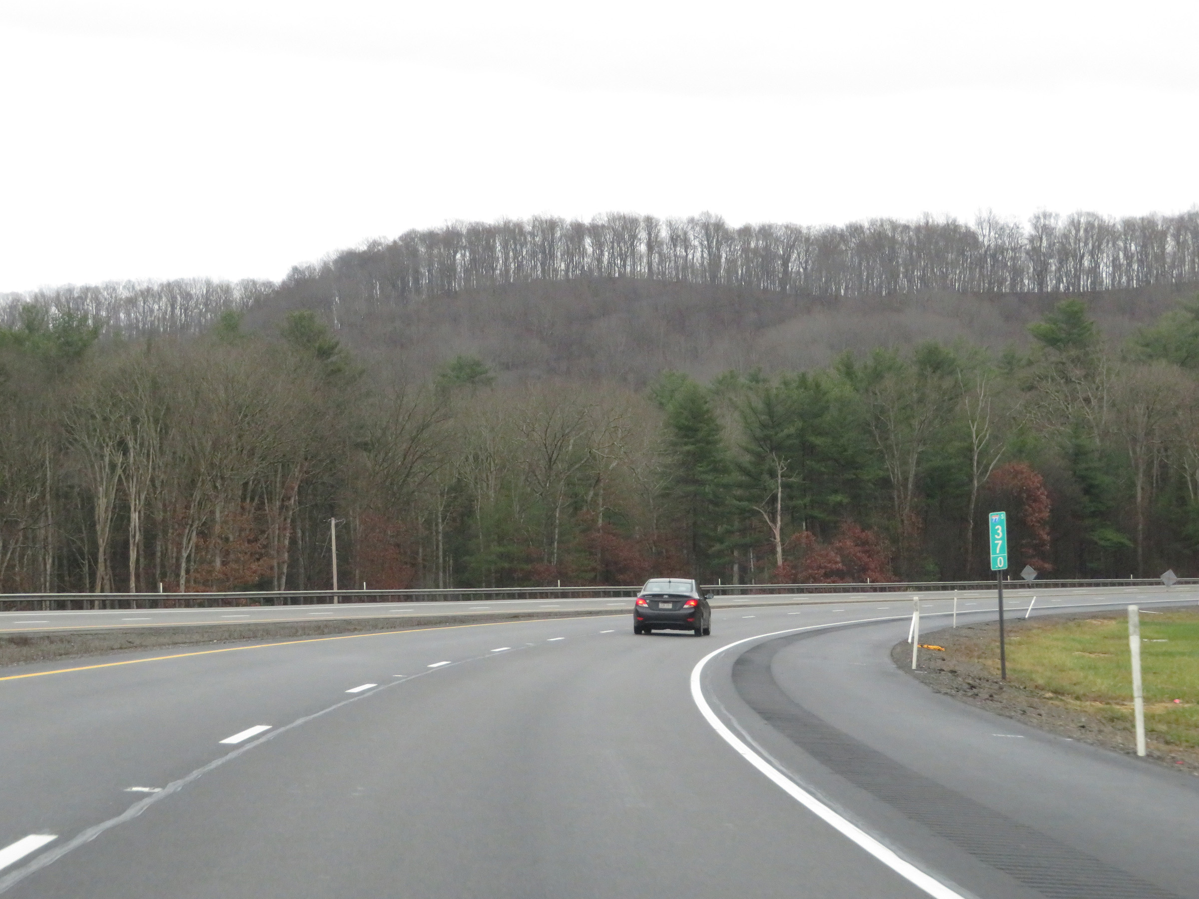 |
View on Interstate 77 South (West Virginia Turnpike) at mile marker 37. (Photo taken 12/4/20). |
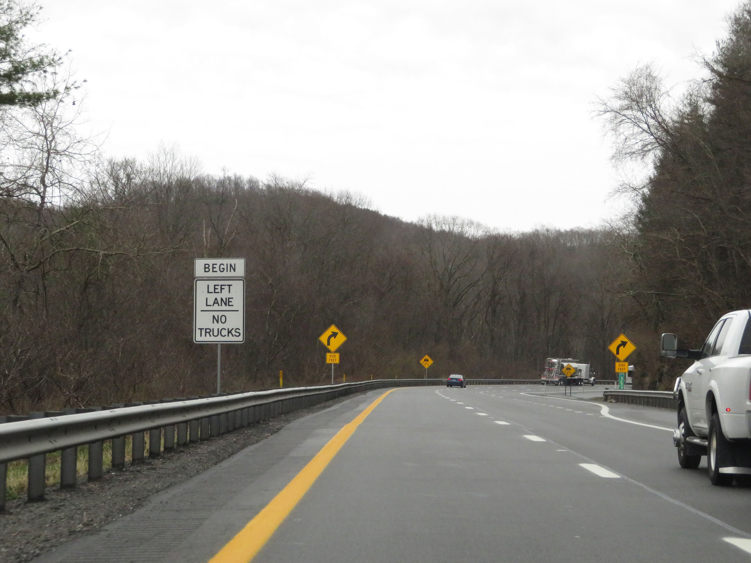 |
Interstate 77 South (West Virginia Turnpike) at mile marker 35, as another truck climbing lane begins. (Photo taken 12/4/20). |
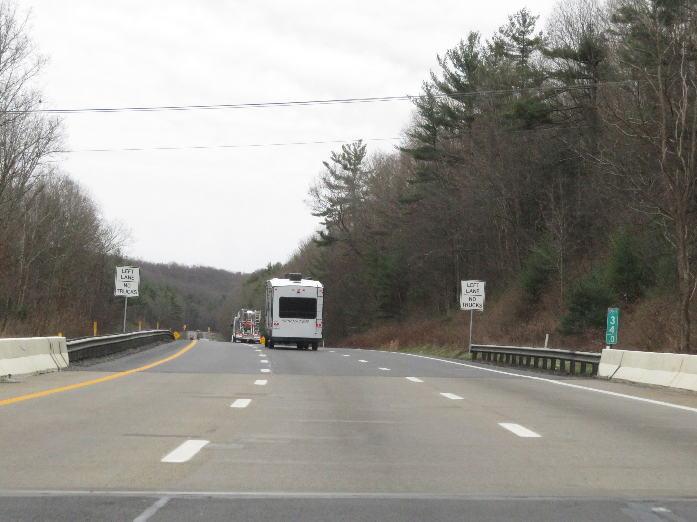 |
Mile marker 34 on Interstate 77 South (West Virginia Turnpike) in Raleigh County. (Photo taken 12/4/20). |
 |
At mile marker 33.5, the truck climbing lane comes to an end. (Photo taken 12/4/20). |
 |
View on Interstate 77 South (West Virginia Turnpike) at mile marker 33. (Photo taken 12/4/20). |
 |
Just south of mile marker 33, another truck climbing lane begins. (Photo taken 12/4/20). |
 |
View on Interstate 77 South (West Virginia Turnpike) as it climbs what is known as Flat Top. (Photo taken 12/4/20). |
 |
Interstate 77 South (West Virginia Turnpike) approaching Toll Plaza A - 1 mile ahead. EZ Pass is accepted in all lanes of the toll plaza, as usual. (Photo taken 12/4/20). |
 |
The truck climbing lane comes to an end approaching Toll Plaza A. (Photo taken 12/4/20). |
 |
View on Interstate 77 South (West Virginia Turnpike) at mile marker 30.5, as it nears Toll Plaza A. (Photo taken 12/4/20). |
 |
Again, all trucks hauling hazardous materials and wide loads must use the right lane at the toll plaza. (Photo taken 12/4/20). |
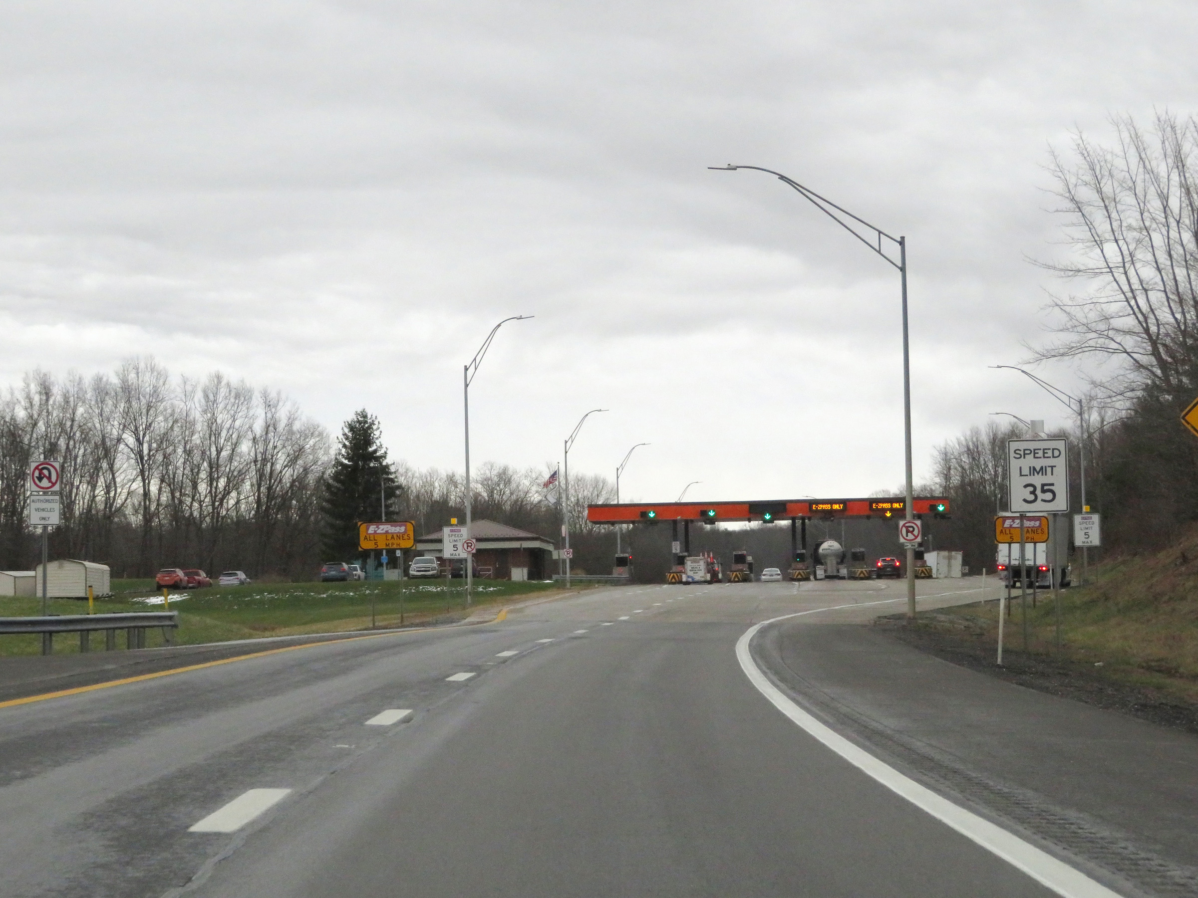 |
The speed limit decreases to 35 mph on Interstate 77 South (West Virginia Turnpike) as Toll Plaza A comes into view. (Photo taken 12/4/20). |
 |
Interstate 77 South (West Virginia Turnpike) approaching Toll Plaza A. (Photo taken 12/4/20). |
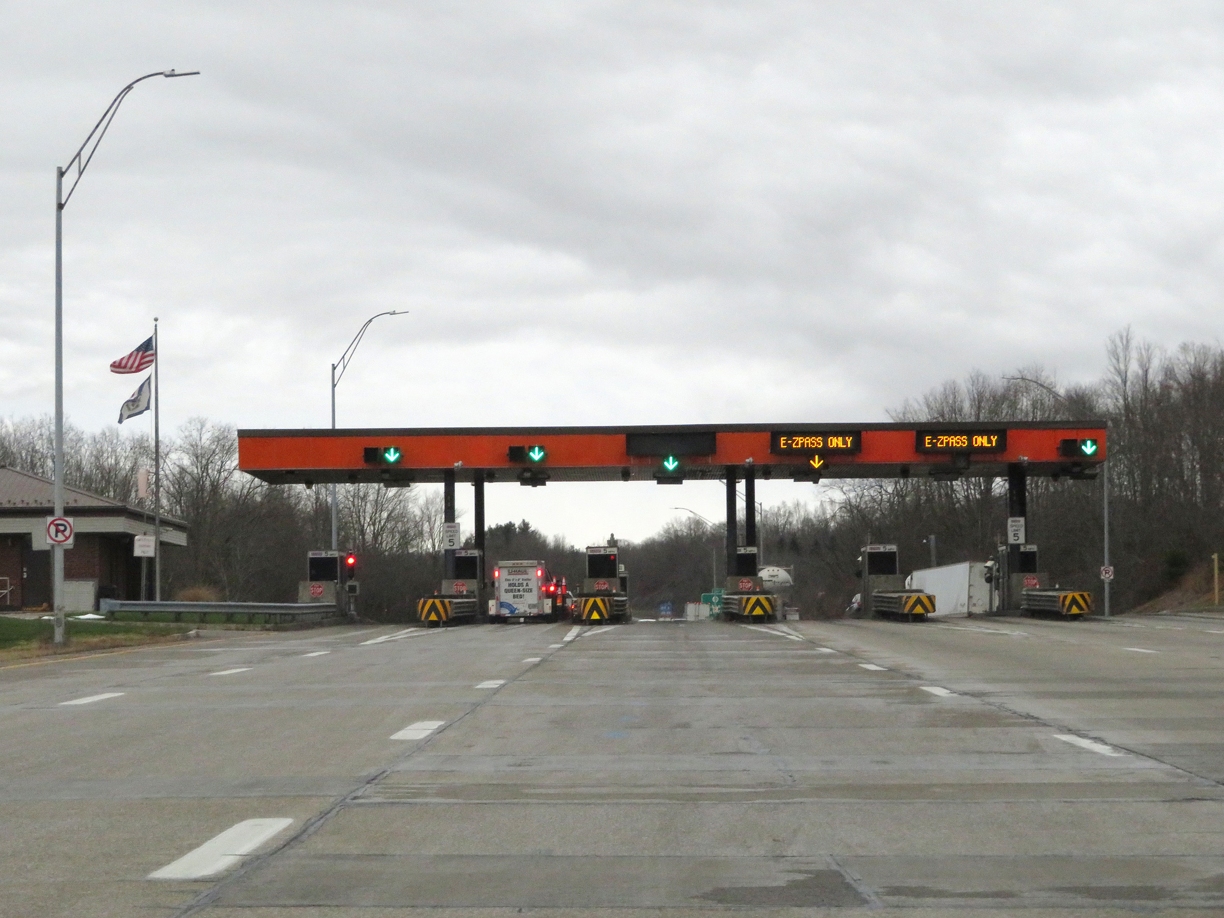
 |
A closer view of Toll Plaza A on Interstate 77 South (West Virginia Turnpike). (Photo taken 12/4/20). |
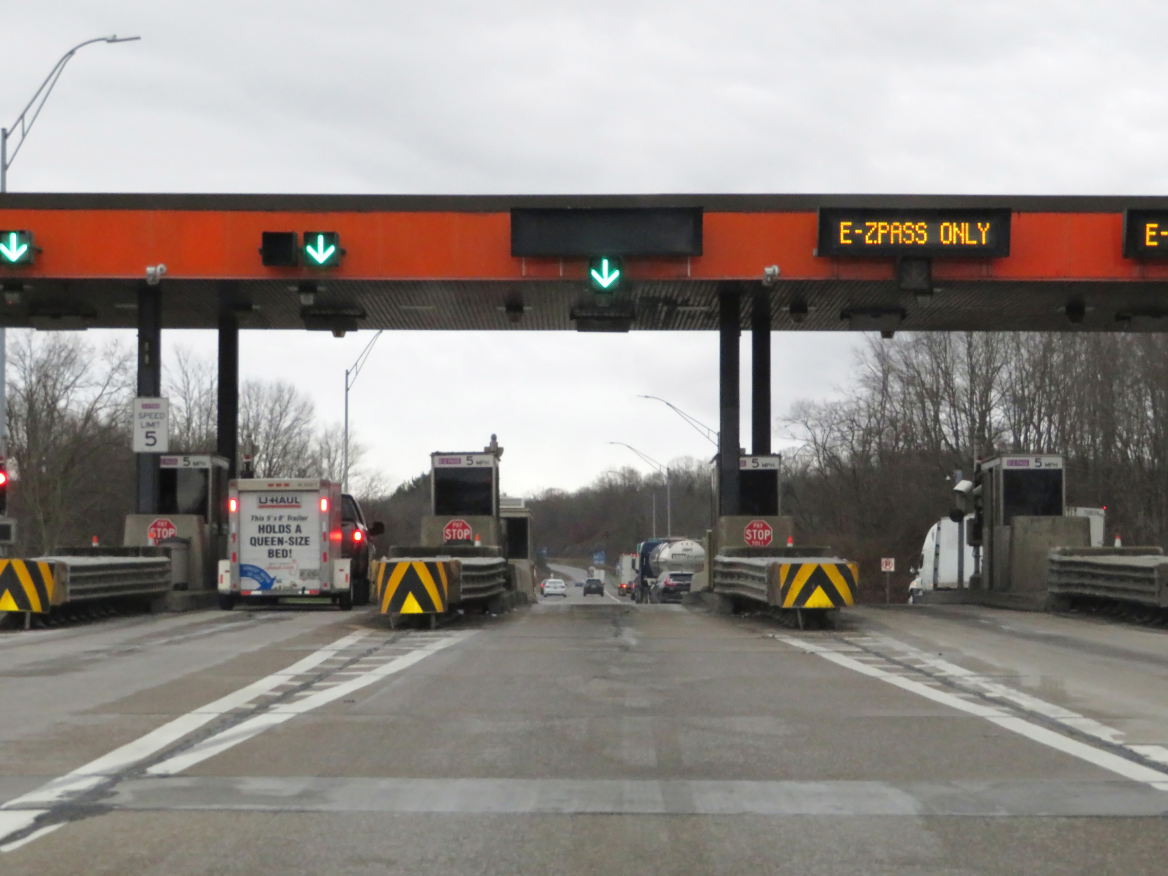
 |
Leaving Toll Plaza A on Interstate 77 South (West Virginia Turnpike). This is the final toll plaza southbound on the turnpike. (Photo taken 12/4/20). |
 |
Interstate 77 South (West Virginia Turnpike) at mile marker 30. (Photo taken 12/4/20). |
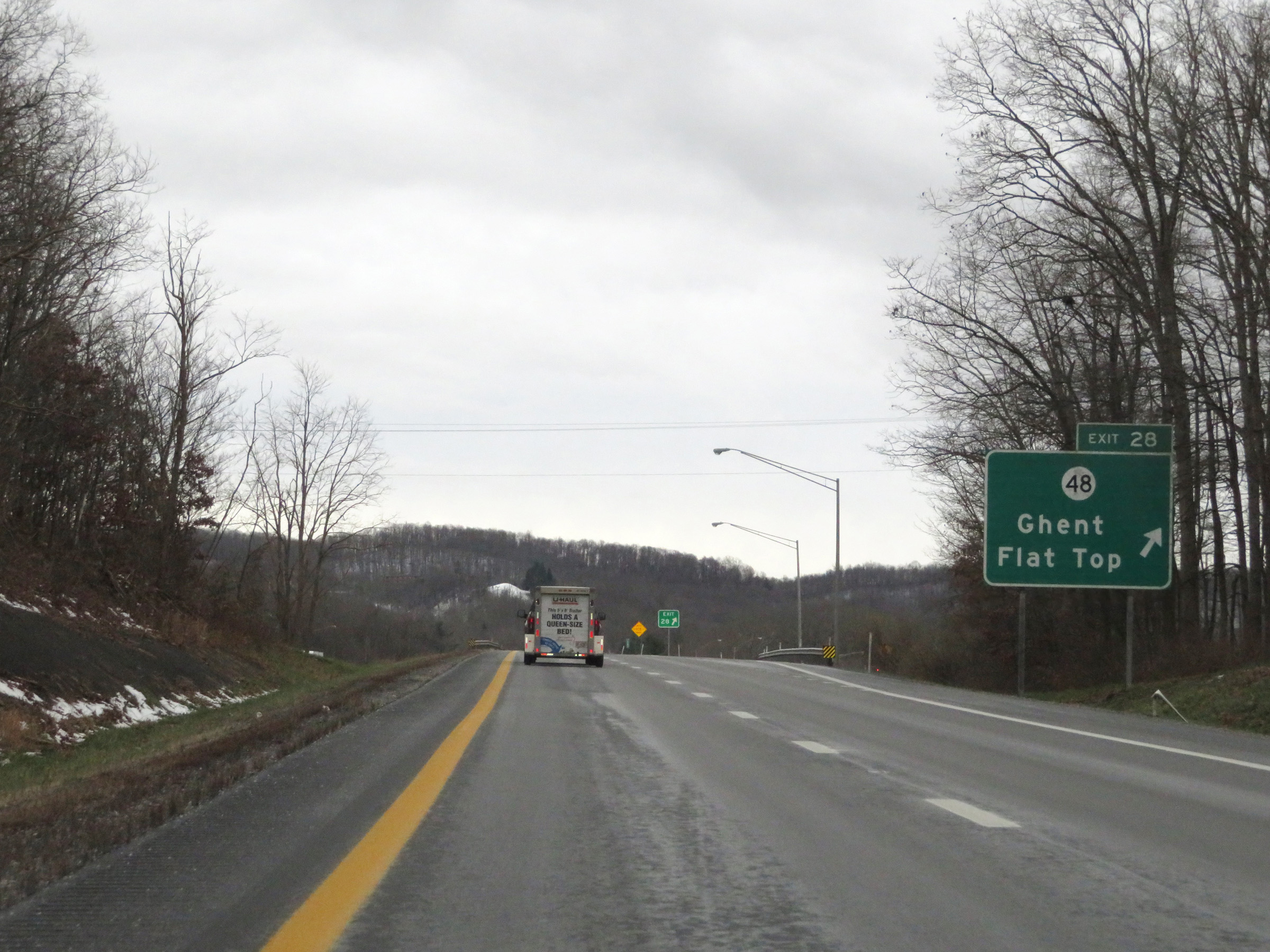 |
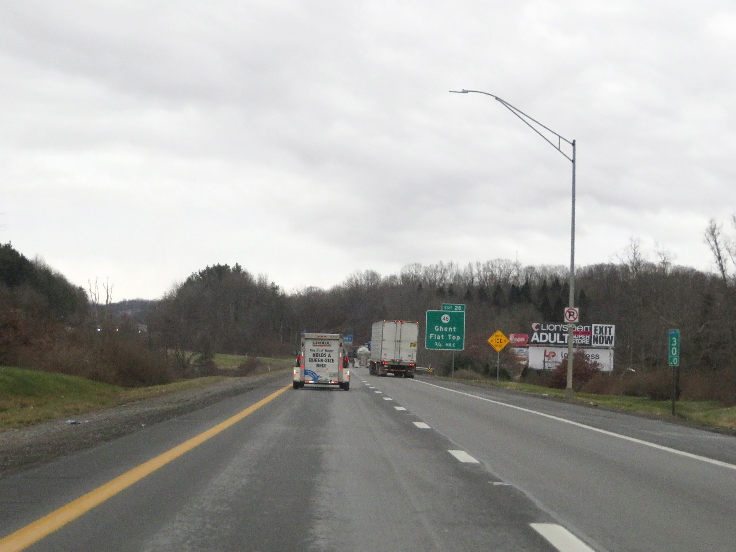
Interstate 77 South (West Virginia Turnpike) at Exit 28: CR 48 - Ghent / Flat Top (Photo taken 12/4/20). |
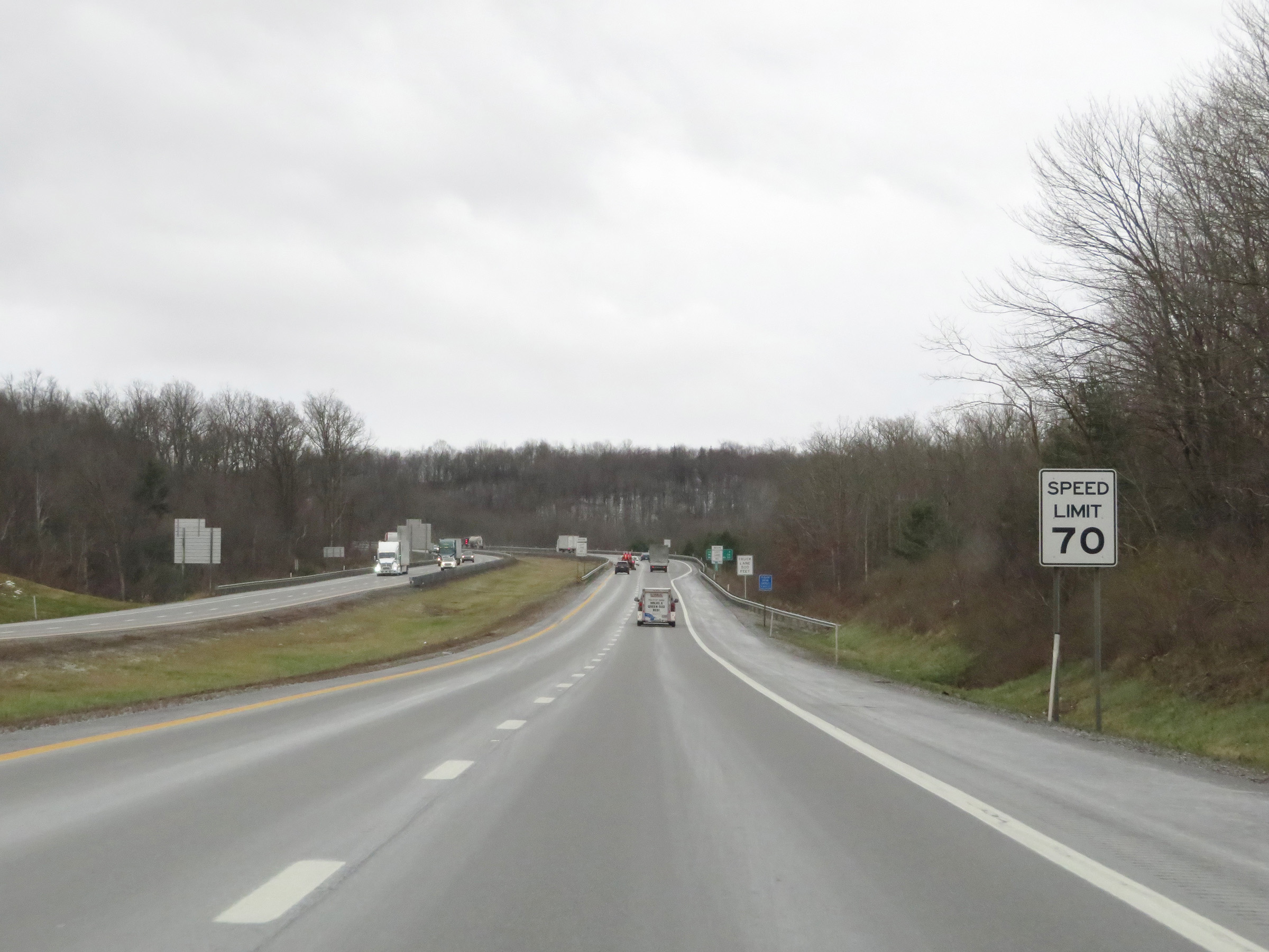 |
The speed limit remains 70 mph on Interstate 77 South (West Virginia Turnpike). (Photo taken 12/4/20). |
 |
At mile marker 28, a truck climbing lane begins as Interstate 77 South (West Virginia Turnpike) continues its climb to the summit of Flat Top. (Photo taken 12/4/20). |
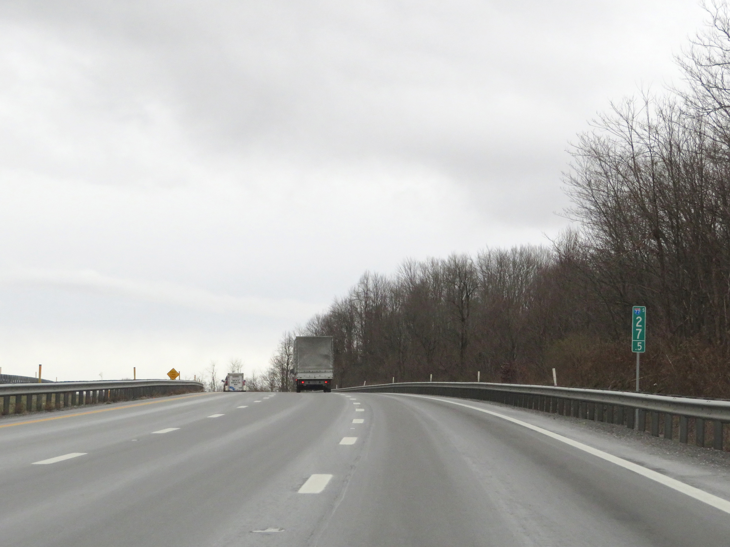 |
View on Interstate 77 South (West Virginia Turnpike) at mile marker 27.5. (Photo taken 12/4/20). |
 |
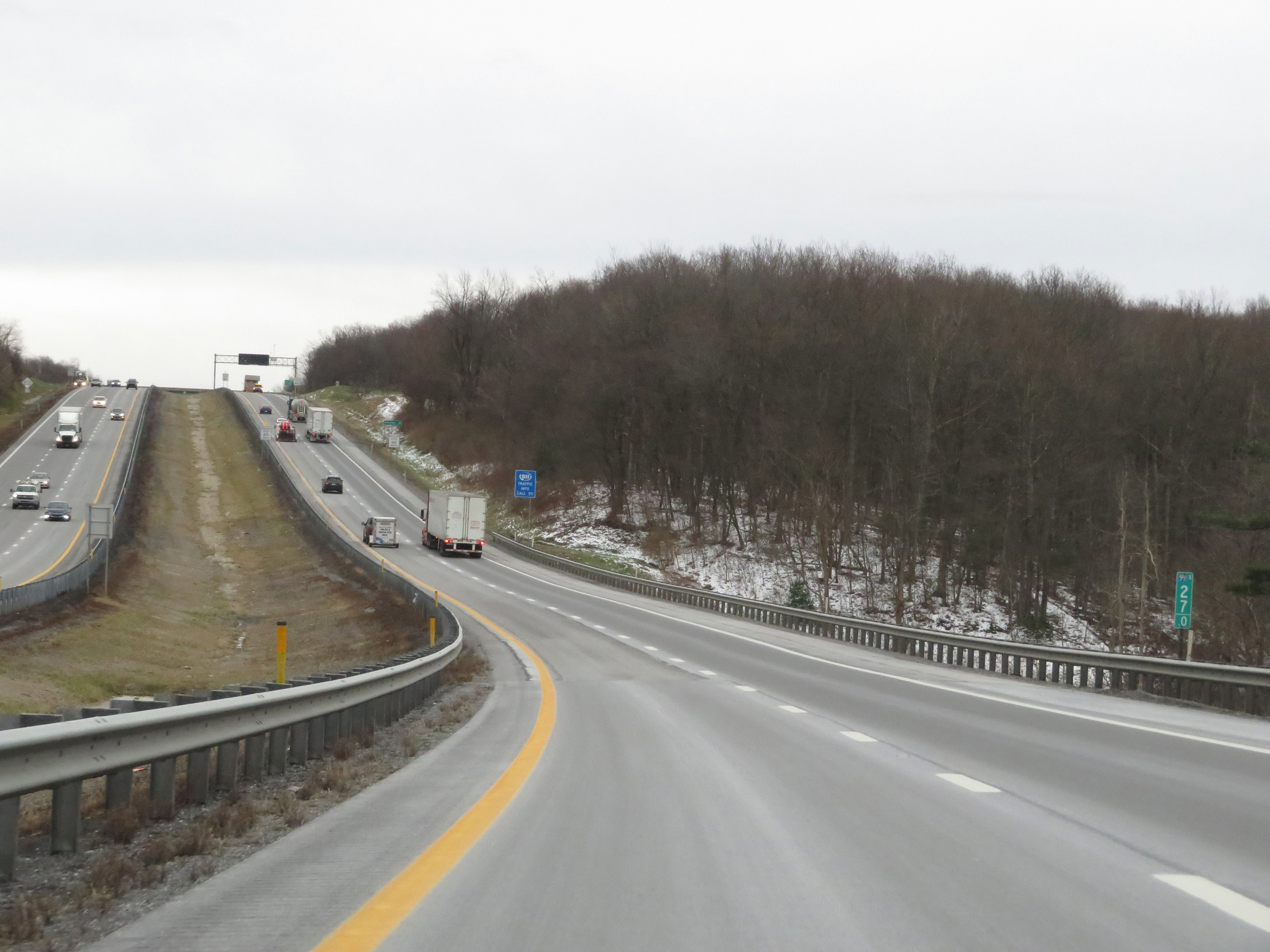
Interstate 77 South (West Virginia Turnpike) as it enters Mercer County and the truck climbing lane prepares to come to an end ahead. (Photo taken 12/4/20). |
 |
View on Interstate 77 South (West Virginia Turnpike) at mile marker 27. (Photo taken 12/4/20). |
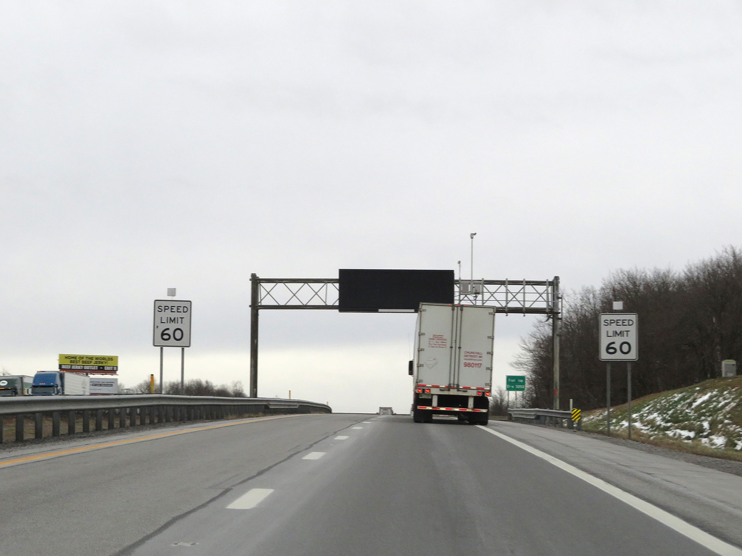 |
Approaching the summit of Flat Top, the speed limit decreases to 60 mph on Interstate 77 South (West Virginia Turnpike). (Photo taken 12/4/20). |
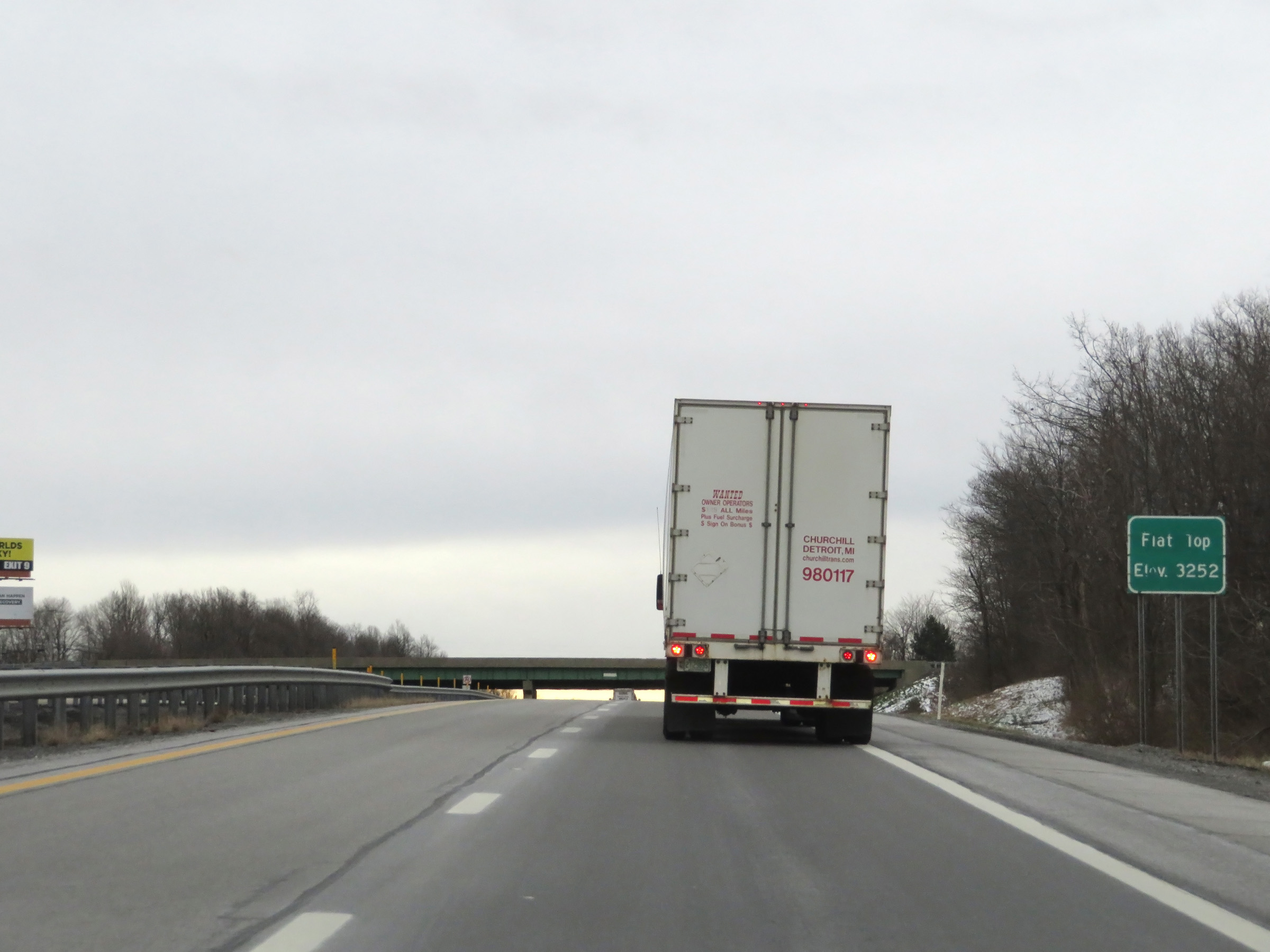 |
Interstate 77 South (West Virginia Turnpike) as it reaches the summit of Flat Top at an elevation of 3,252 feet. (Photo taken 12/4/20). |
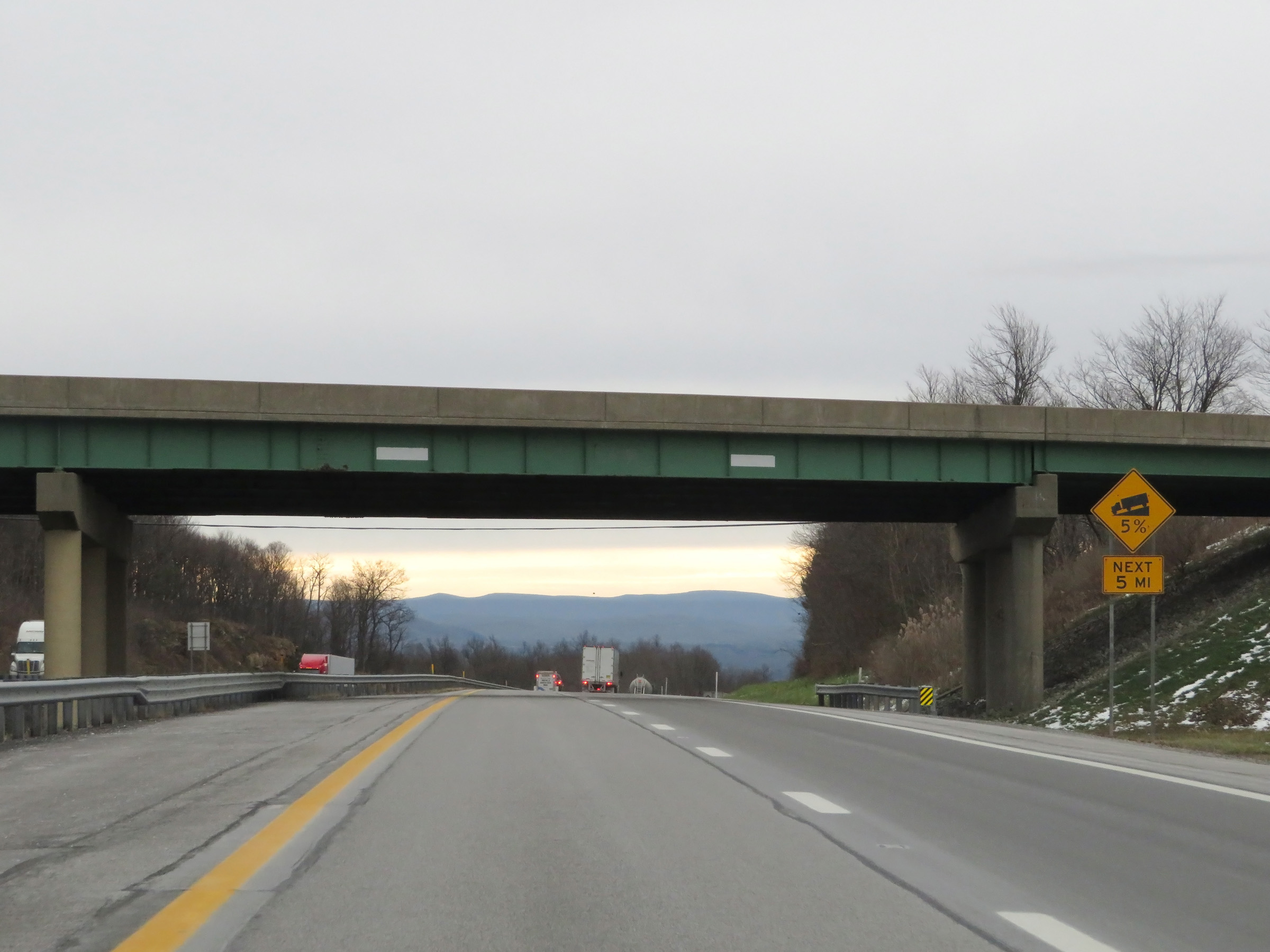 |
As this sign warns, Interstate 77 South (West Virginia Turnpike) will traverse a 5% downgrade for the next 5 miles, beginning just ahead. (Photo taken 12/4/20). |
 |
View on Interstate 77 South (West Virginia Turnpike) at mile marker 26, starting down the long, steep grade. (Photo taken 12/4/20). |
 |
More warning signs on Interstate 77 South (West Virginia Turnpike). The downgrade continues for 4 more miles. (Photo taken 12/4/20). |
 |
View on Interstate 77 South (West Virginia Turnpike) at mile marker 24.5, as the grade levels out for a brief distance. (Photo taken 12/4/20). |
 |
Speed limit signs at mile marker 24. The speed limit remains 60 mph on Interstate 77 South (West Virginia Turnpike). (Photo taken 12/4/20). |
 |
Although the downgrade has leveled out for a bit, this sign warns that it continues ahead for the next 3 miles and that trucks should gear down. (Photo taken 12/4/20). |
 |
Three miles ahead, at the bottom of the 5% downgrade, Interstate 77 South (West Virginia Turnpike) will curve hard to the left as this sign warns. (Photo taken 12/4/20). |
 |
View on Interstate 77 South (West Virginia Turnpike) at mile marker 23.5, as the downgrade resumes. (Photo taken 12/4/20). |
 |
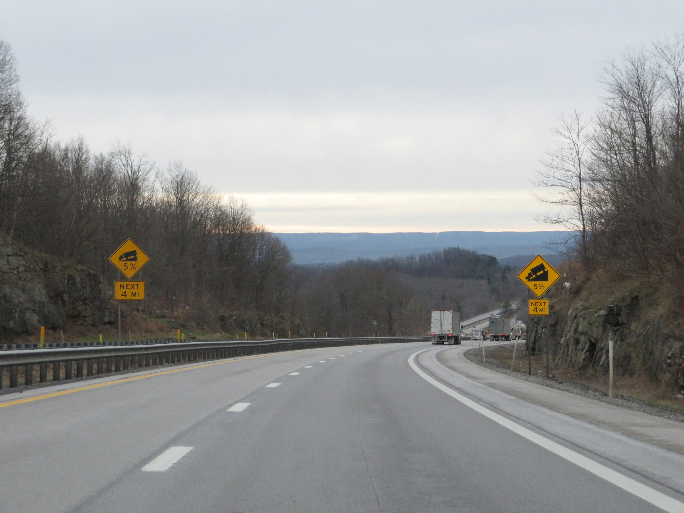
The 5% downgrade continues for 2 1/4 more miles. (Photo taken 12/4/20). |
 |
Mile marker 23 on Interstate 77 South (West Virginia Turnpike) in Mercer County. (Photo taken 12/4/20). |
 |
View on Interstate 77 South (West Virginia Turnpike) at mile marker 22.5. (Photo taken 12/4/20). |
 |
Now 1 mile from the bottom of the 5% downgrade, this sign once again warns of the sharp curve at its bottom. (Photo taken 12/4/20). |
 |
Interstate 77 South (West Virginia Turnpike) at mile marker 22. (Photo taken 12/4/20). |
 |
Interstate 77 South (West Virginia Turnpike) as it nears the sharp curve to the left at the bottom of the 5% downgrade, 1/2 mile ahead. (Photo taken 12/4/20). |
 |
View on Interstate 77 South (West Virginia Turnpike) at mile marker 21.5. (Photo taken 12/4/20). |
 |
Interstate 77 South (West Virginia Turnpike) as it prepares to enter the aforementioned sharp curve, approaching the bottom of the downgrade. (Photo taken 12/4/20). |
 |
Interstate 77 South (West Virginia Turnpike) as it enters the sharp curve. (Photo taken 12/4/20). |
 |
View on Interstate 77 South as it traverses the curve at the bottom of the 5% downgrade from the top of Flat Top. (Photo taken 12/4/20). |
 |
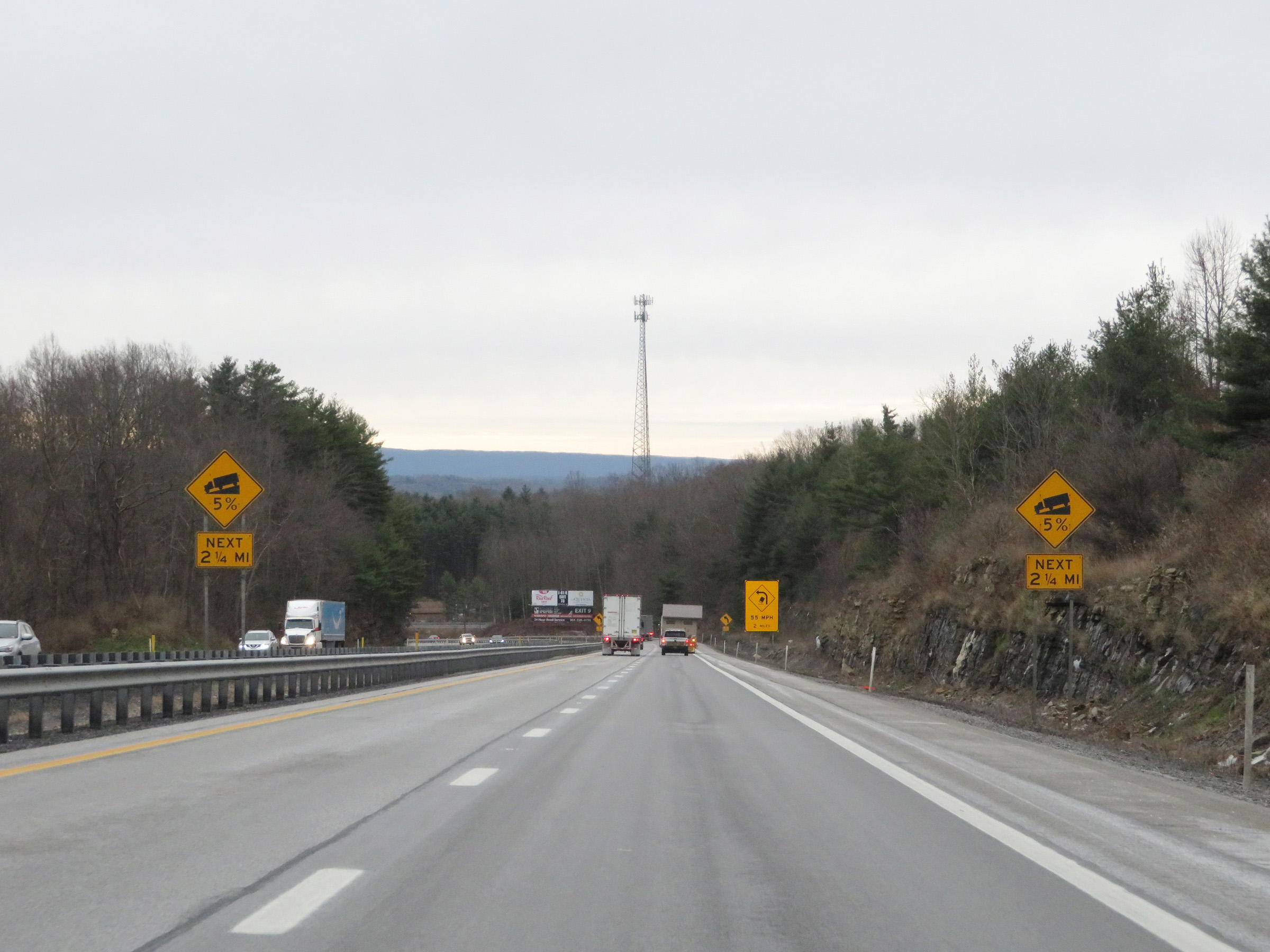
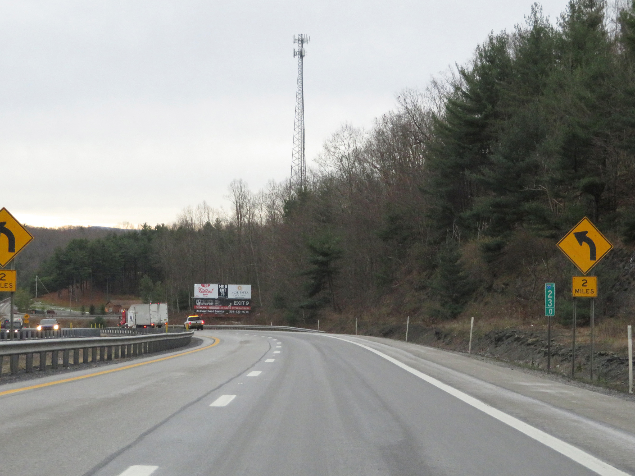
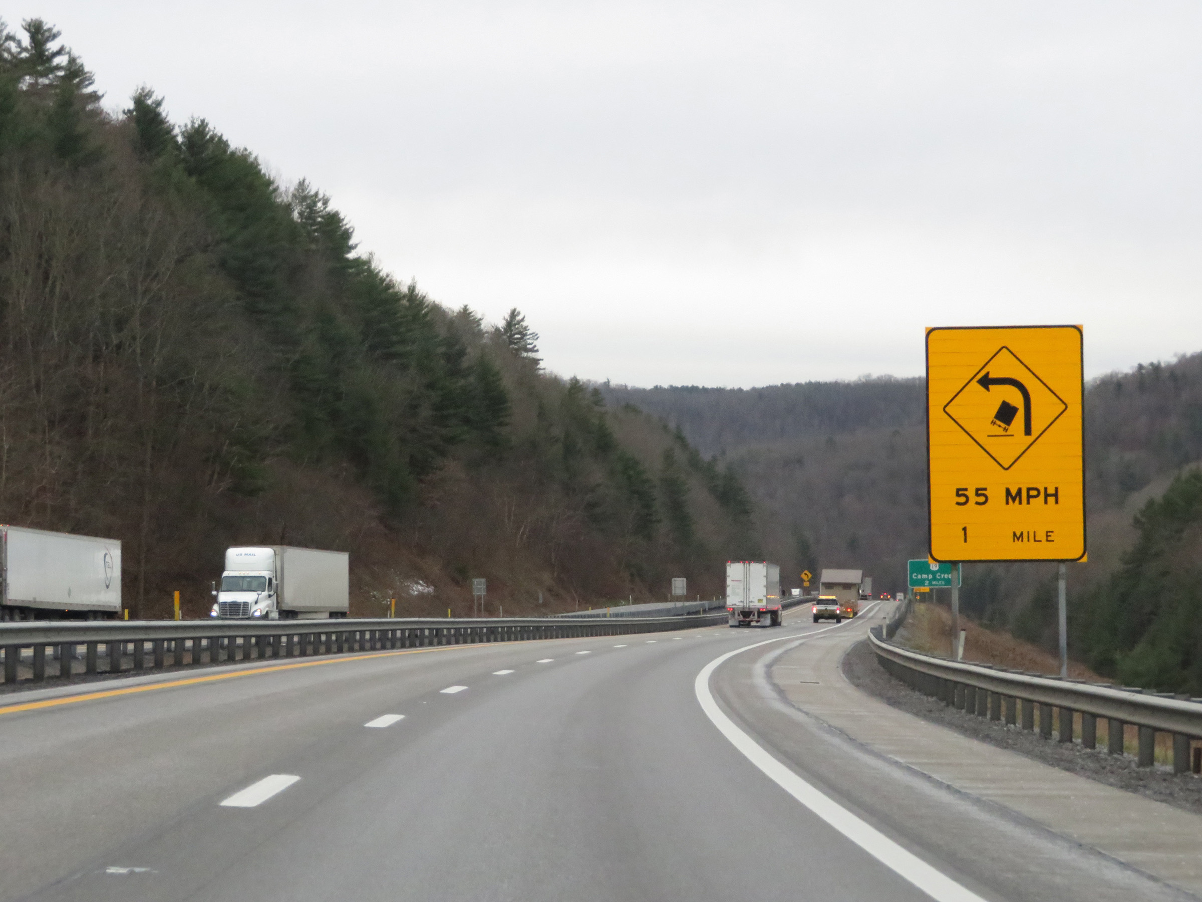
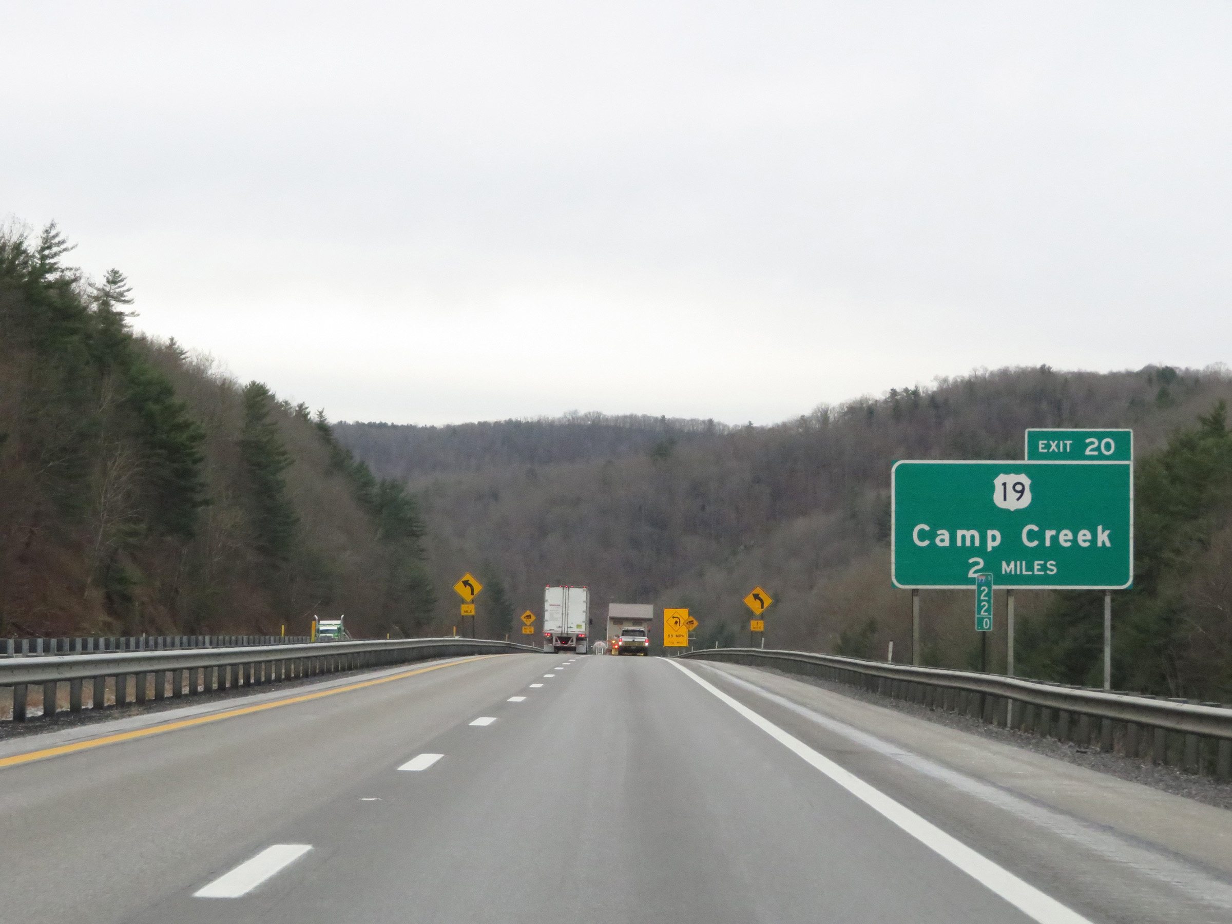
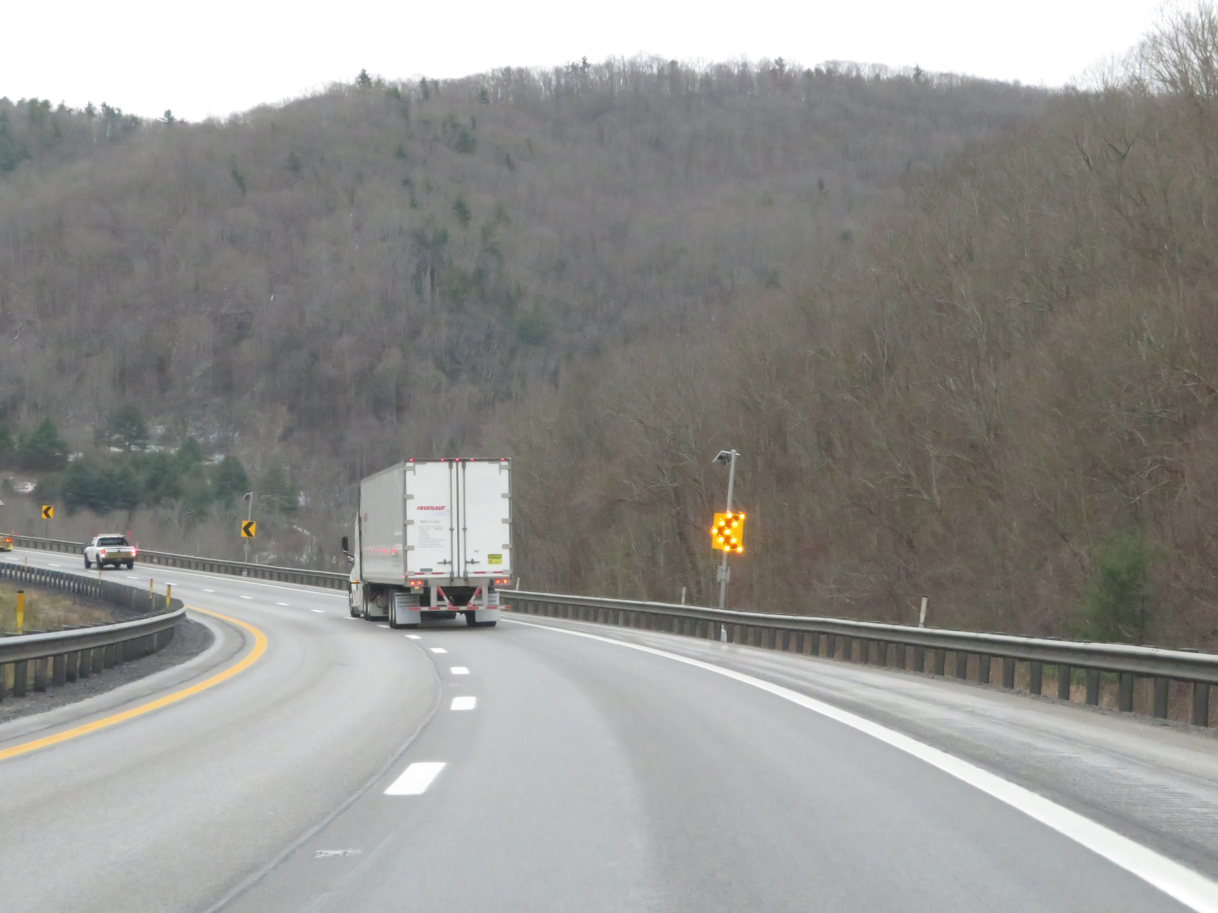
Take Exit 20 to Camp Creek State Park & Forest. (Photo taken 12/4/20). |
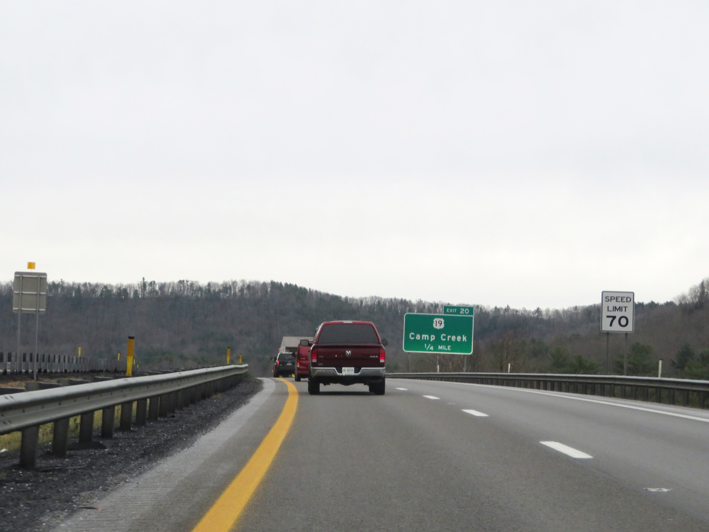 |
Now that it has reached the bottom of the downgrade and is coming out of the sharp curve to the left, the speed limit increases to 70 mph once again 1/4 mile from Exit 20. (Photo taken 12/4/20). |
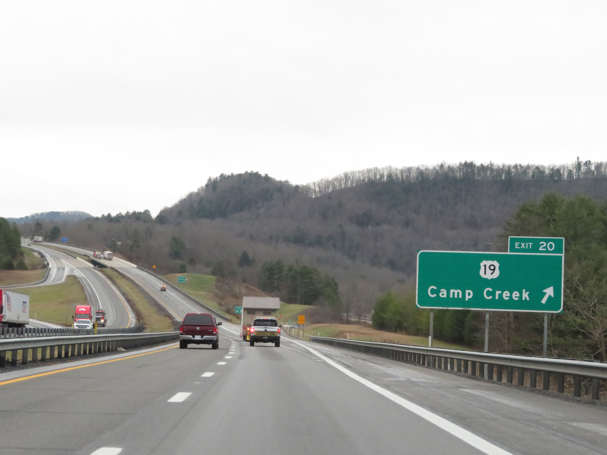 |
Interstate 77 South (West Virginia Turnpike) at Exit 20: US 19 - Camp Creek (Photo taken 12/4/20). |
Section 5: Princeton (Exit 20) to Virginia Border
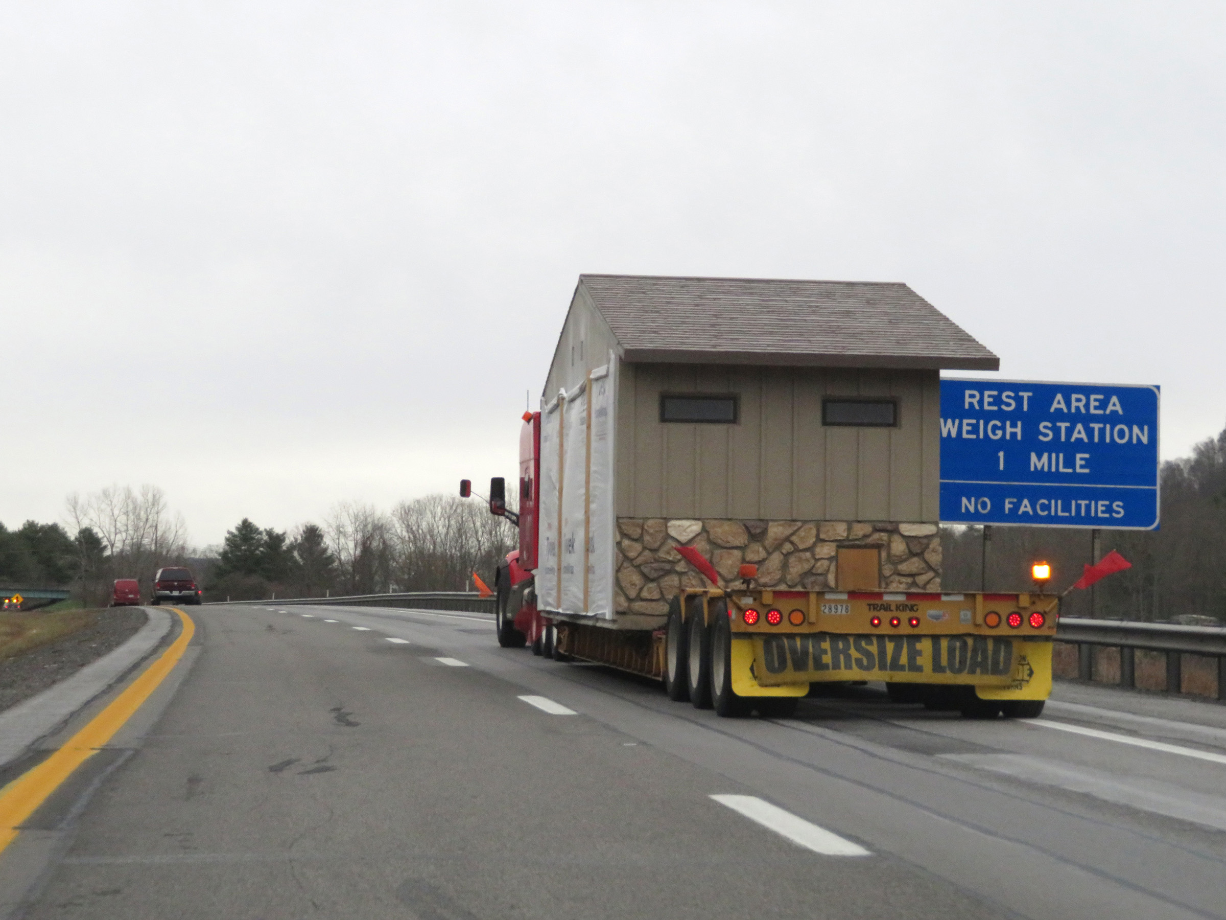 |
The Rest Area 1 mile ahead is also used by DOT officers as a Weigh Station. (Photo taken 12/4/20). |
 |
View on Interstate 77 South (West Virginia Turnpike) at mile marker 19. When the lights on the sign ahead are flashing, all trucks and commercial vehicles must enter the Rest Area / Weigh Station ahead. (Photo taken 12/4/20). |
 |
Rest Area / Weigh Station on Interstate 77 South (West Virginia Turnpike) at mile marker 18.5 in Mercer County. (Photo taken 12/4/20). |
 |
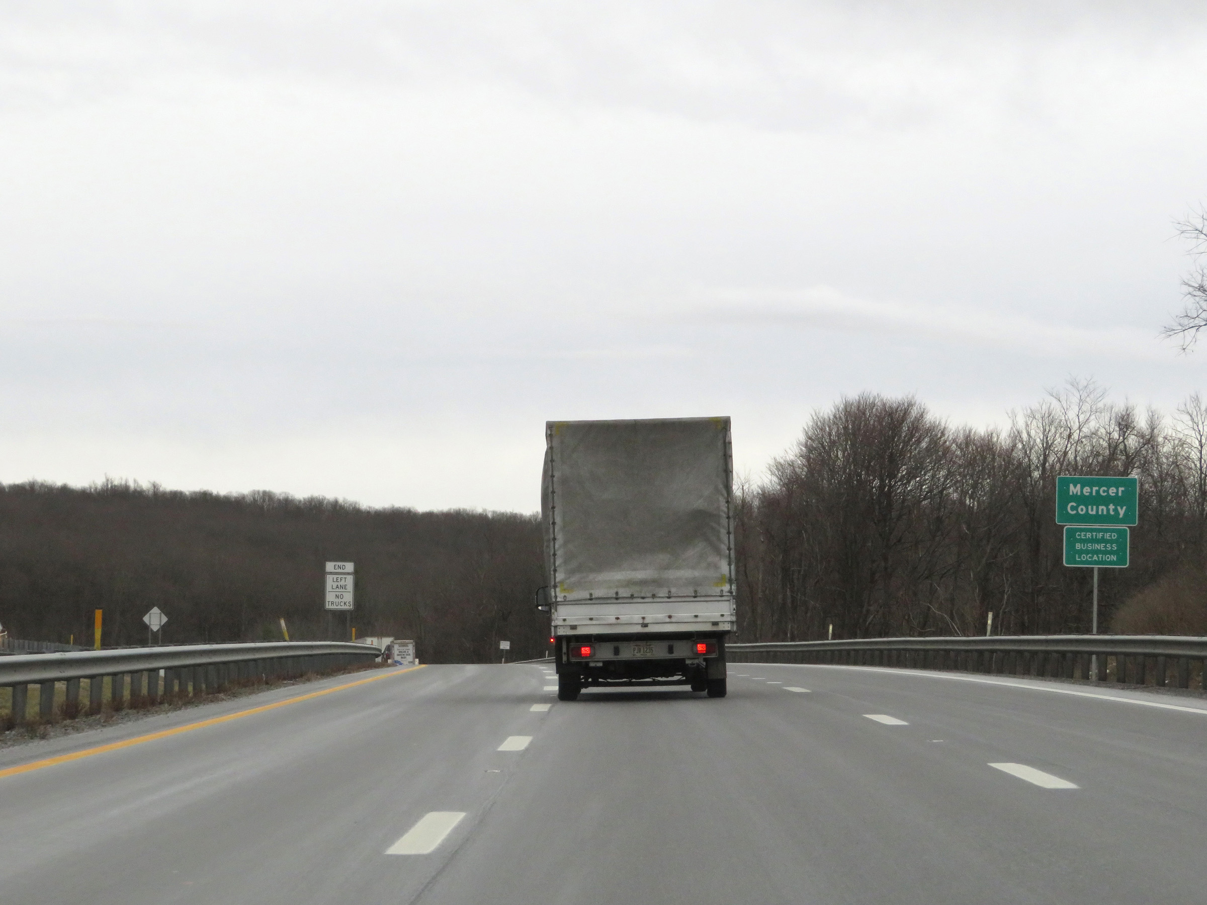
State-named Interstate 77 South reassurance shield. (Photo taken 12/4/20). |
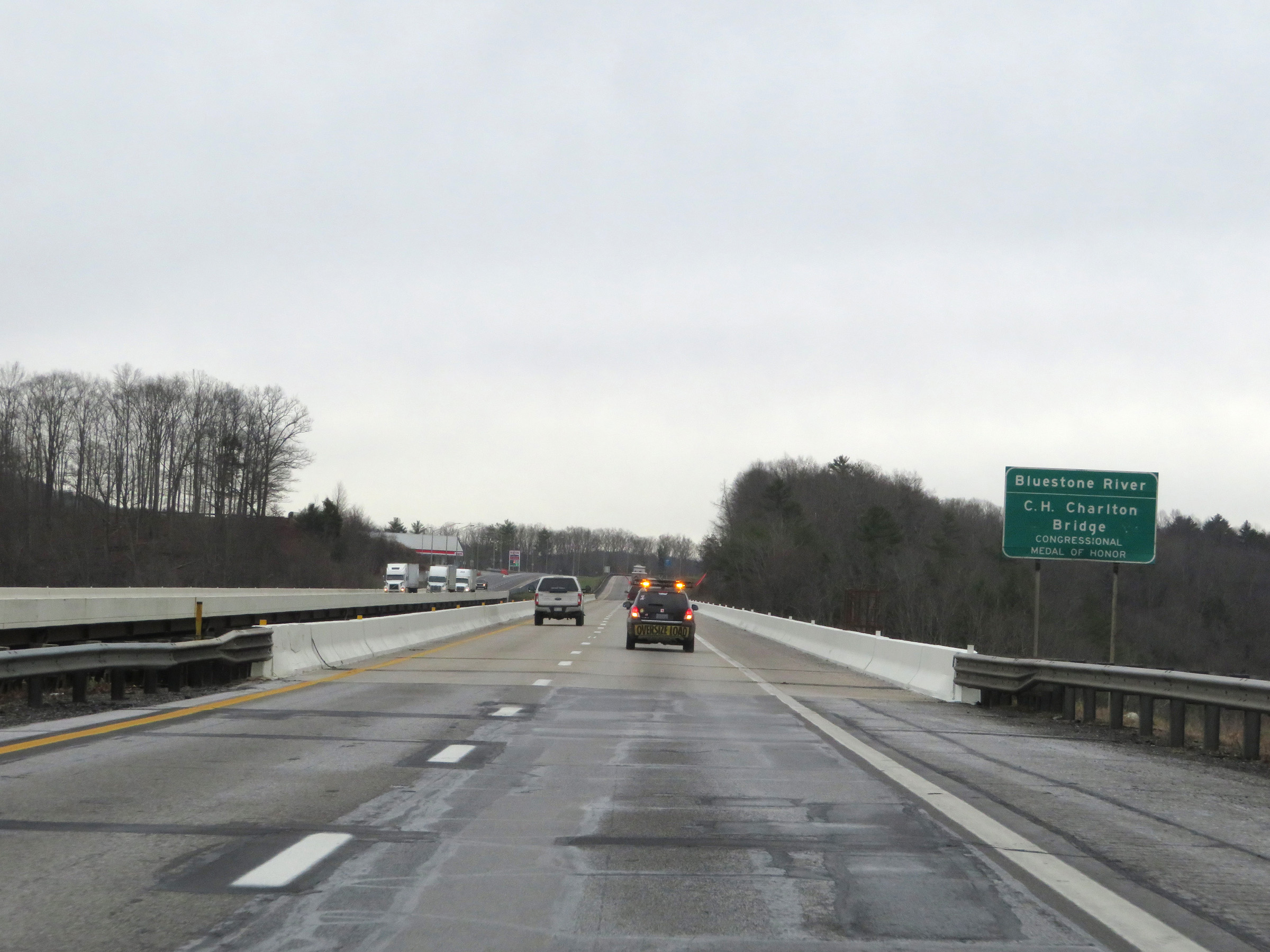 |
Interstate 77 South (West Virginia Turnpike) as it prepares to cross the Bluestone River on the C.H. Charlton Bridge. (Photo taken 12/4/20). |
 |
View on Interstate 77 South (West Virginia Turnpike) at mile marker 17. (Photo taken 12/4/20). |
 |
Take Exit 14 to the Race Track. (Photo taken 12/4/20). |
 |
Interstate 77 South (West Virginia Turnpike) at mile marker 16. (Photo taken 12/4/20). |
 |
Also take Exit 14 to Concord University, Pipestem Resort State Park, and 48 - Bell Carillon at Concord University. (Photo taken 12/4/20). |
 |
Interstate 77 South (West Virginia Turnpike) at mile marker 15. (Photo taken 12/4/20). |
 |
The truck climbing lane seen in the previous photo comes to an end ahead. (Photo taken 12/4/20). |
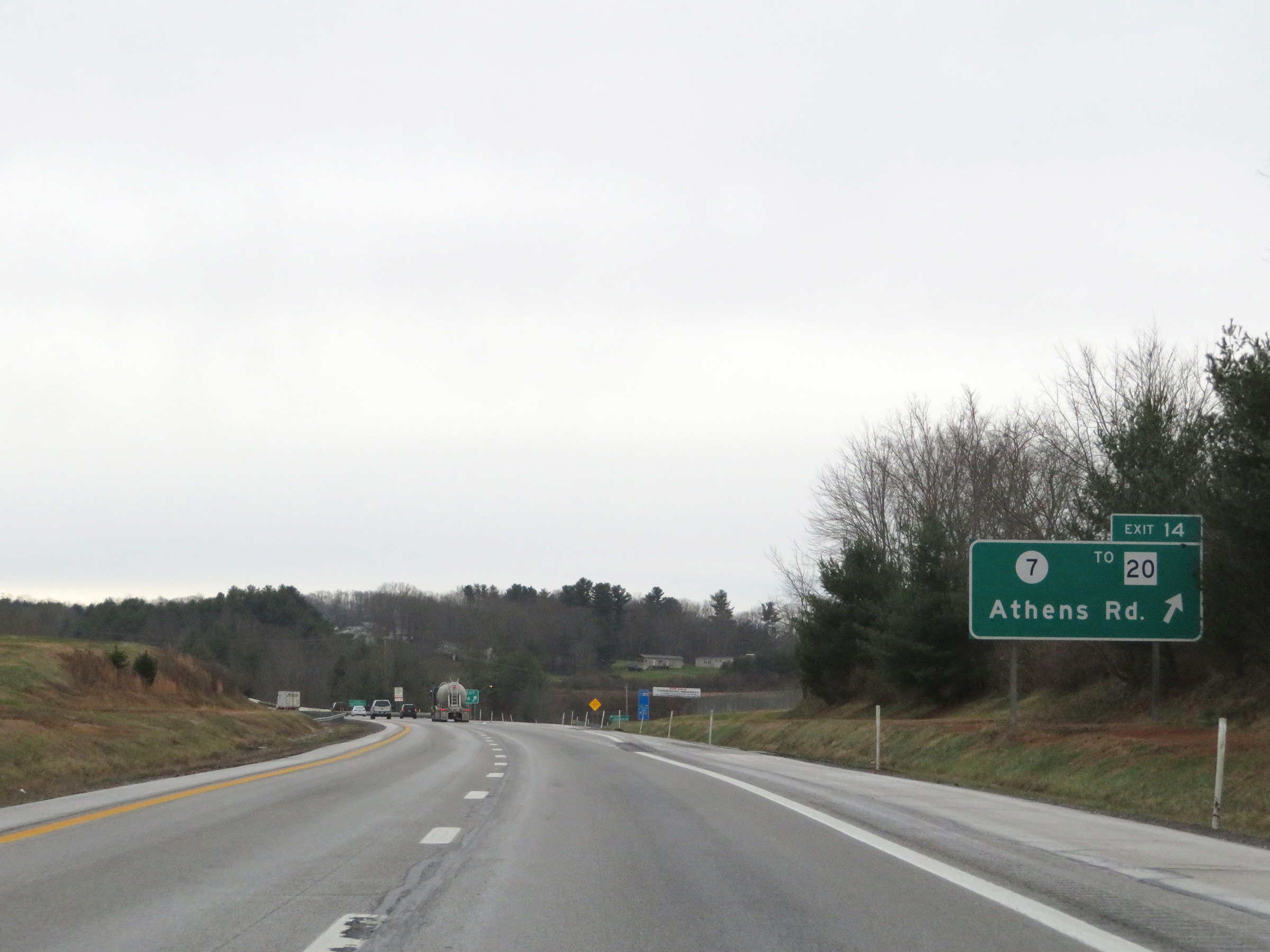 |
Interstate 77 South (West Virginia Turnpike) at Exit 14: CR 7 / To WV 20 - Athens Rd (Photo taken 12/4/20). |
 |
Another truck climbing lane begins to the south of Exit 14. (Photo taken 12/4/20). |
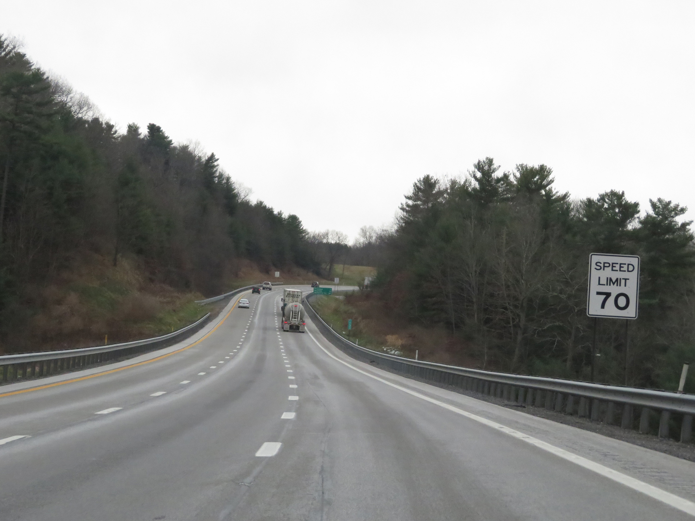 |
The speed limit remains the rural standard 70 mph on Interstate 77 South (West Virginia Turnpike). (Photo taken 12/4/20). |
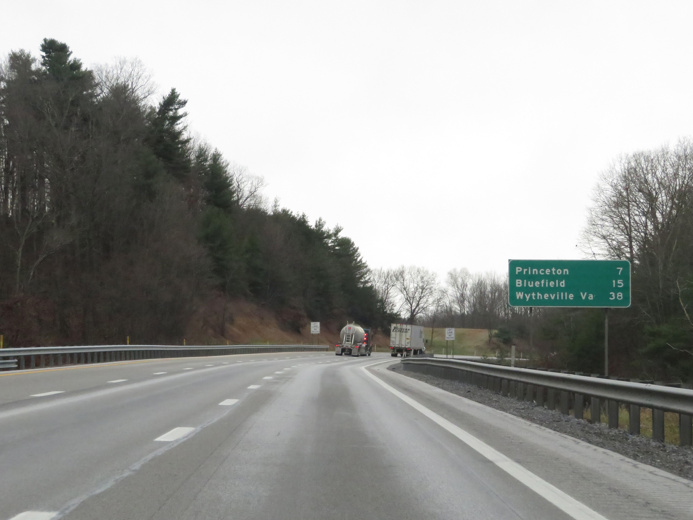 |
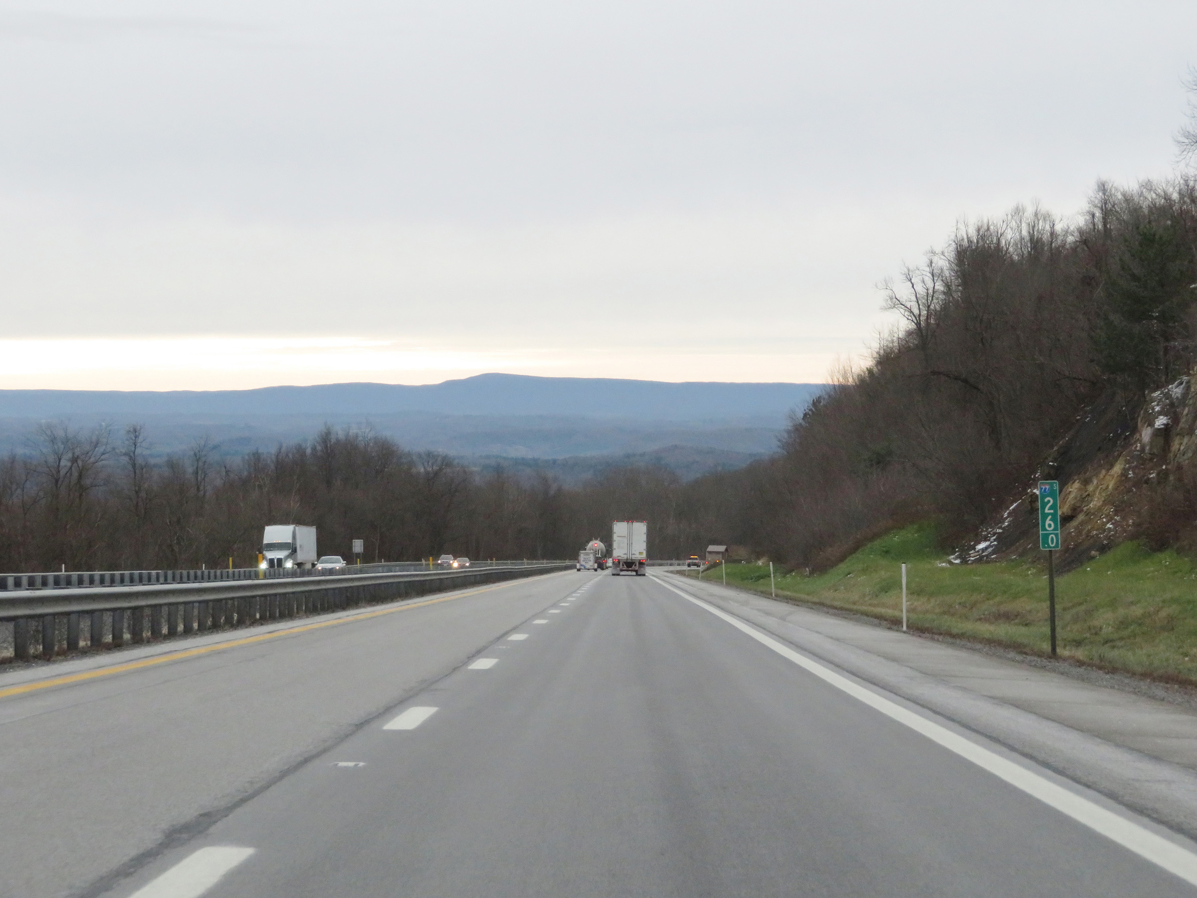
Mileage sign on Interstate 77 South (West Virginia Turnpike). It's 7 miles to Princeton, 15 miles to Bluefield, and 38 miles to Wytheville, VA. (Photo taken 12/4/20). |
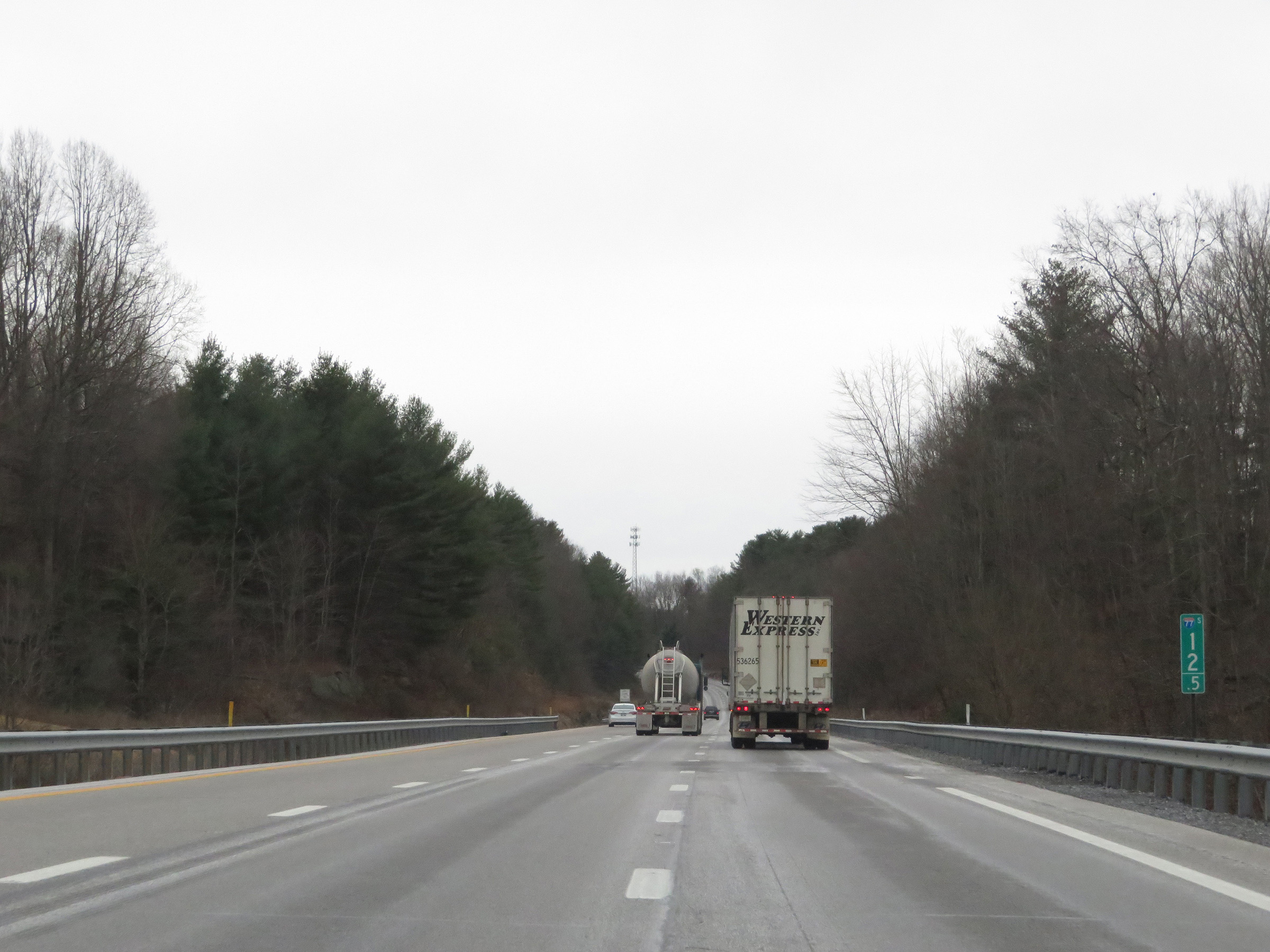 |
Mile marker 12.5 on Interstate 77 South (West Virginia Turnpike) in Mercer County. (Photo taken 12/4/20). |
 |
View on Interstate 77 South (West Virginia Turnpike) as this truck lane comes to an end. (Photo taken 12/4/20). |
 |
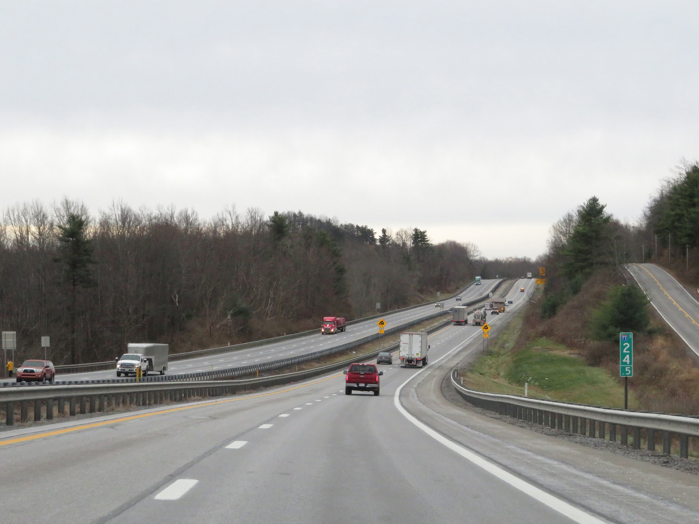
Traffic to Bluefield should remain on Interstate 77 South to Exit 1. (Photo taken 12/4/20). |
 |
View on Interstate 77 South (West Virginia Turnpike) at mile marker 11.5. (Photo taken 12/4/20). |
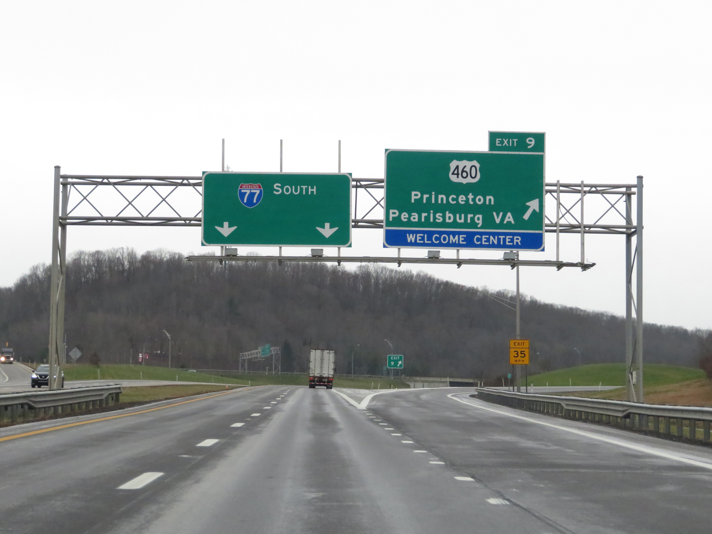 |
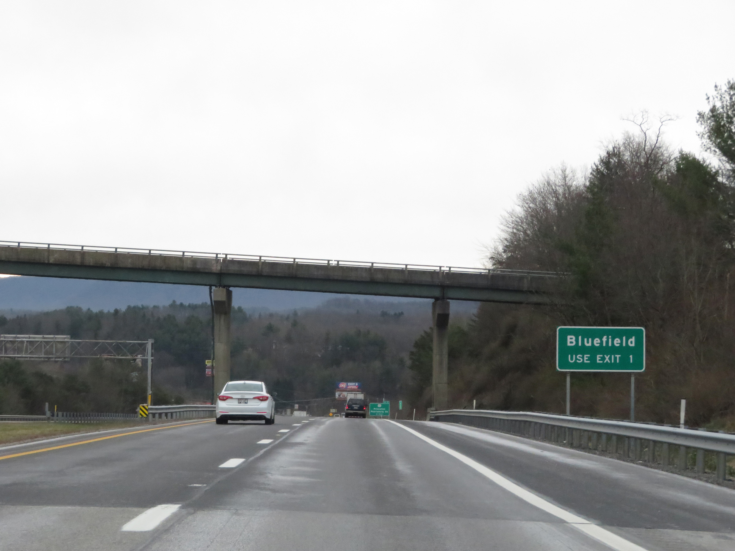
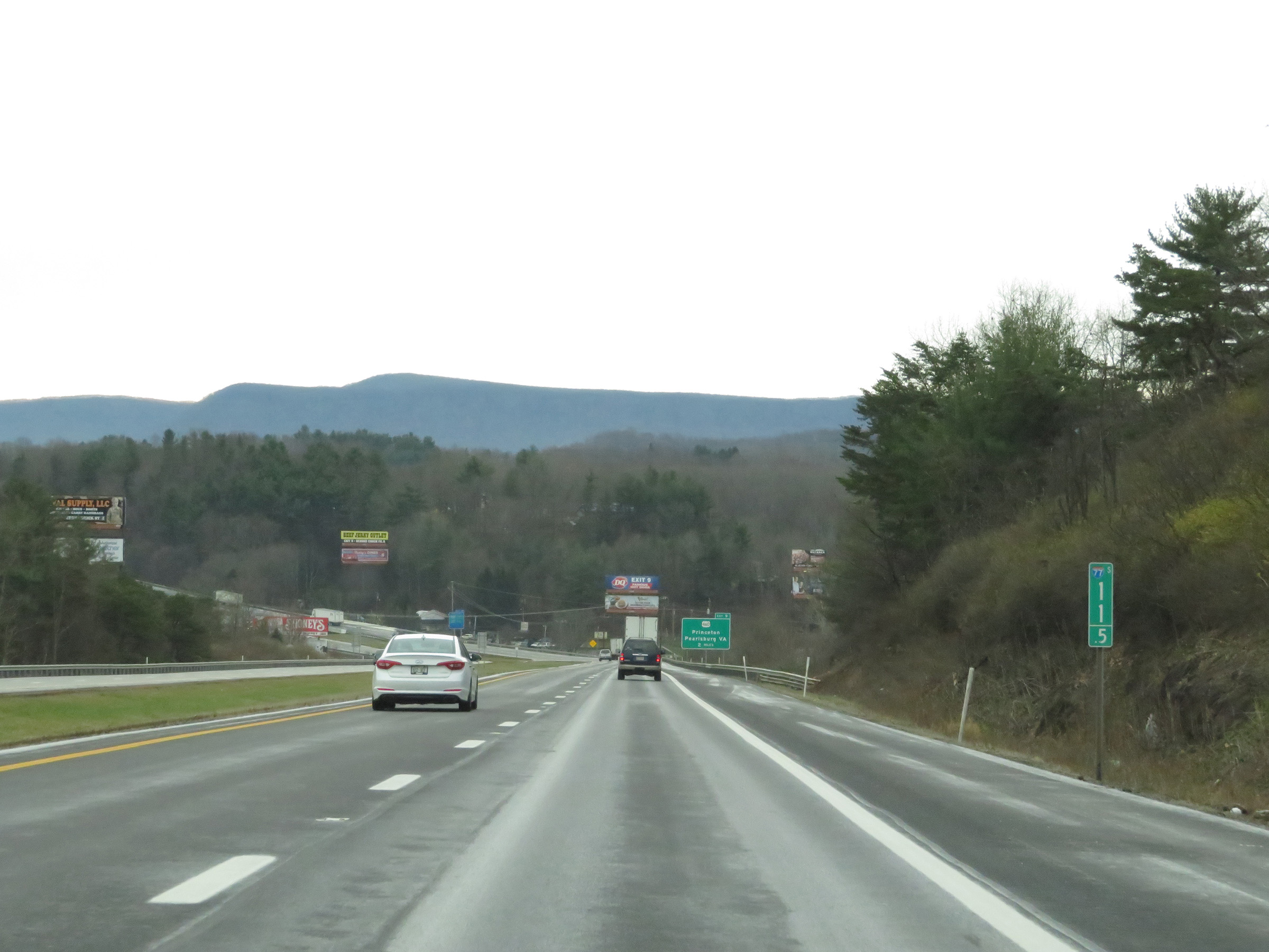
Interstate 77 South (West Virginia Turnpike) at Exit 9: US 460 - Princeton / Pearisburg, VA / Welcome Center (Photo taken 12/4/20). |
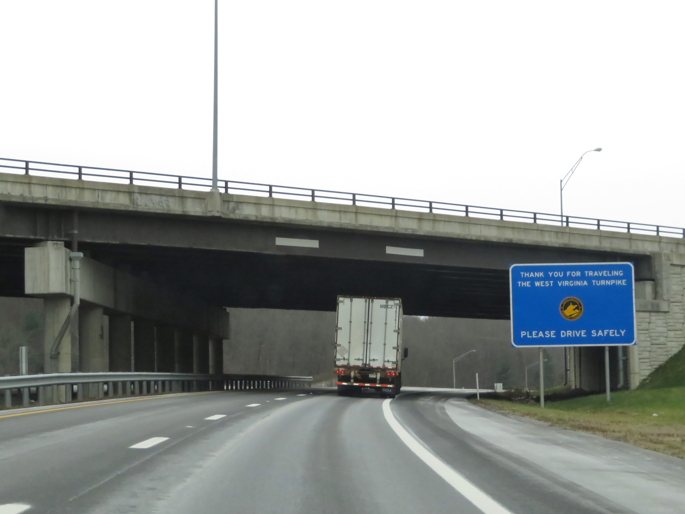 |
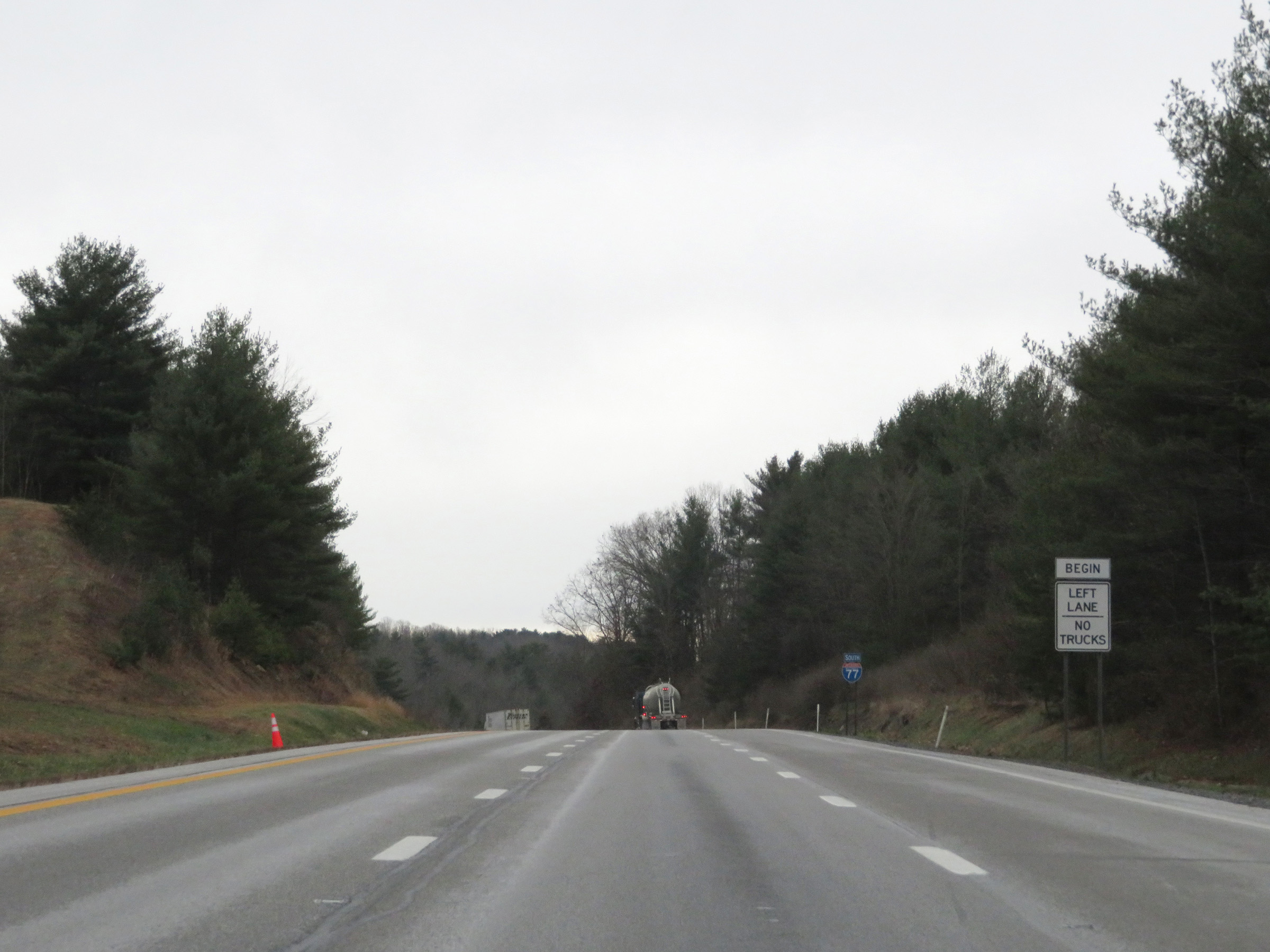
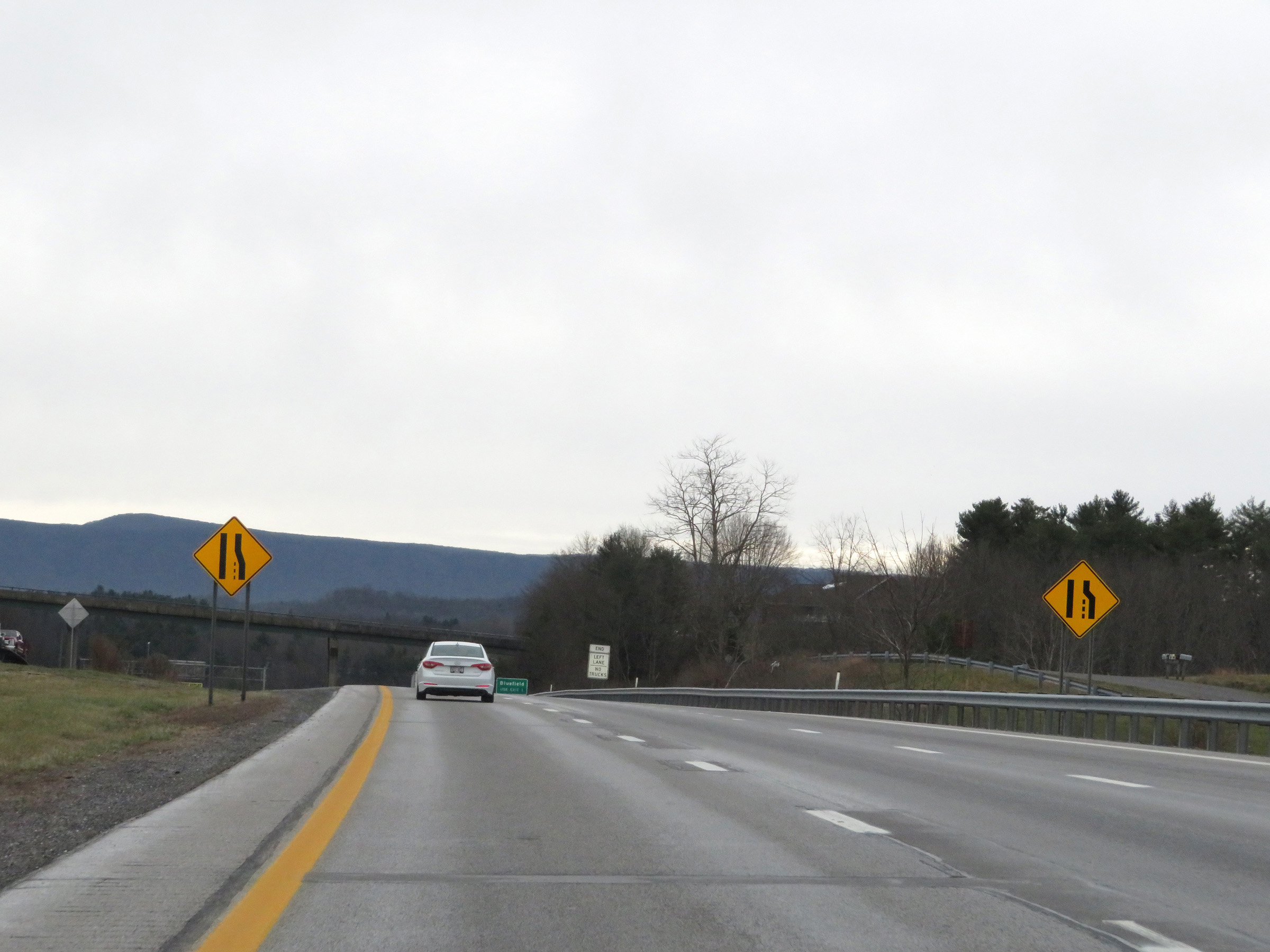
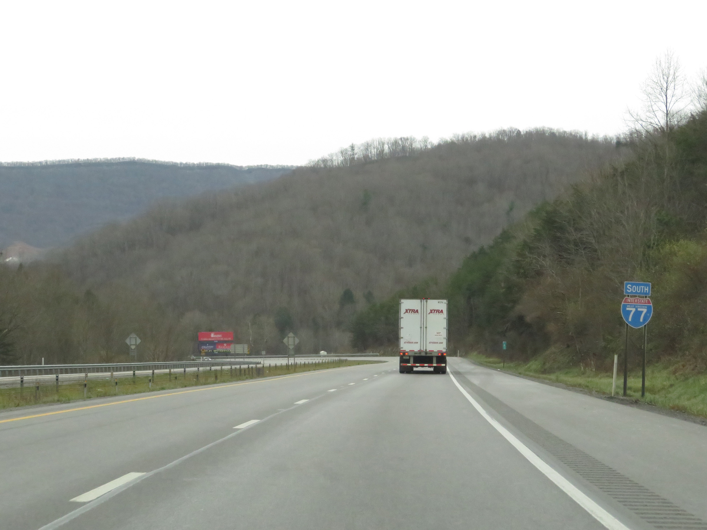
South of Exit 9, the West Virginia Turnpike comes to an end on Interstate 77 South. (Photo taken 12/4/20). |
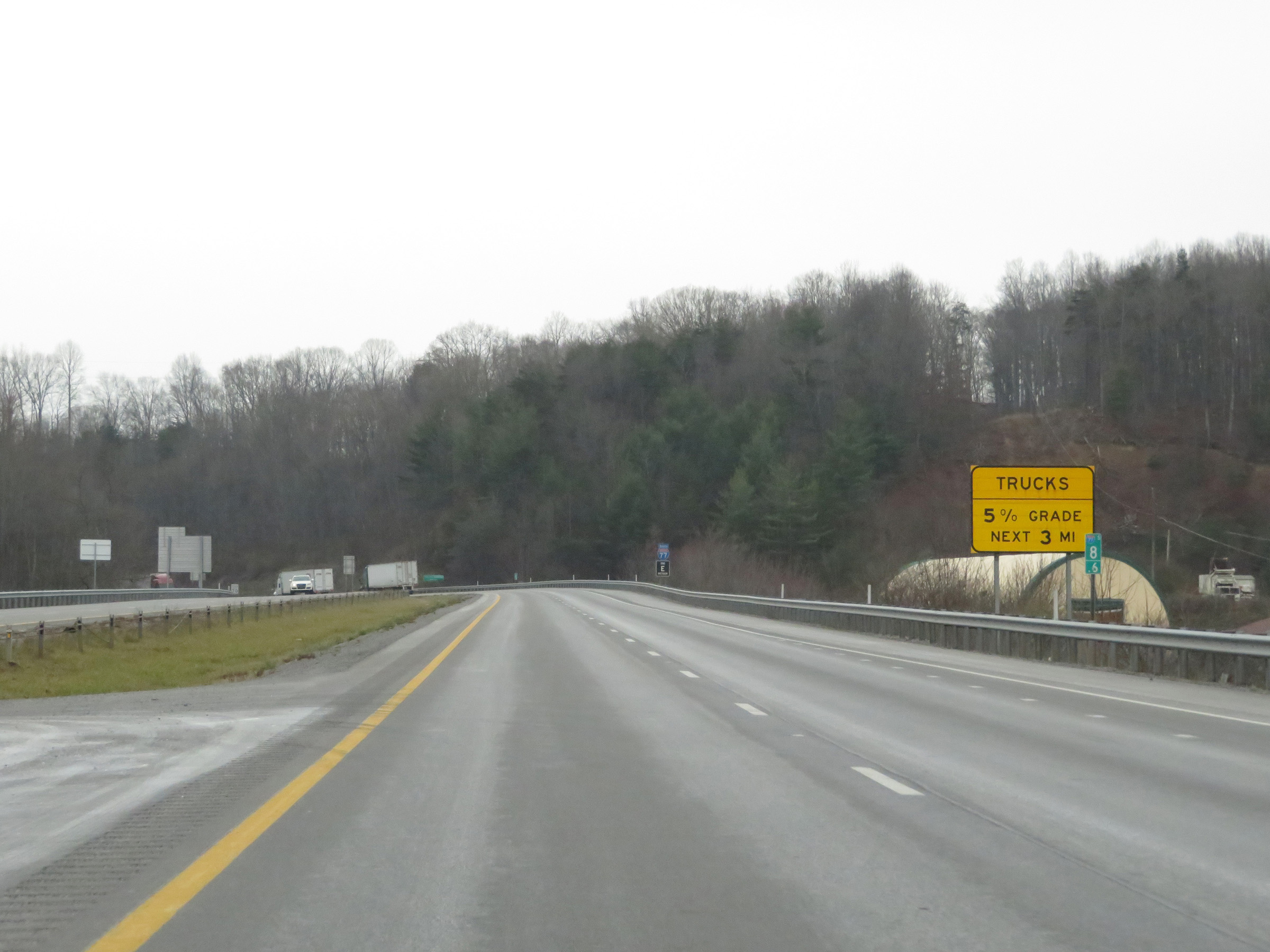 |
At mile marker 8.6, this sign warns of another steep 5% downgrade ahead, which will last for 3 miles. (Photo taken 12/4/20). |
 |
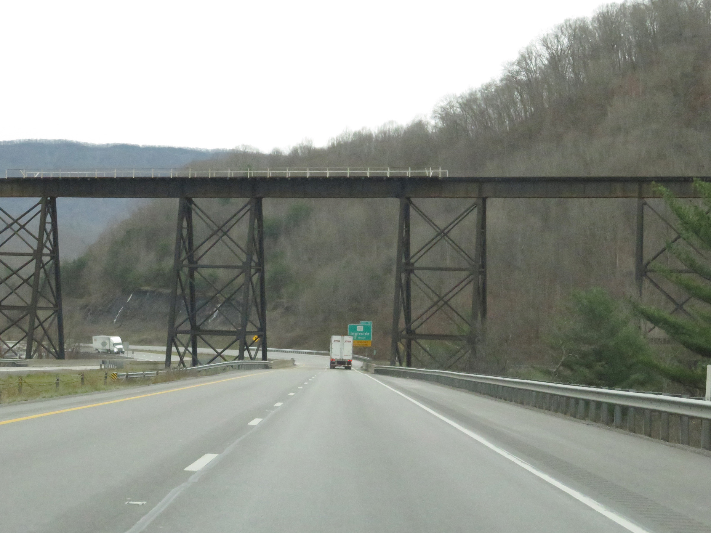
View on Interstate 77 South at mile marker 8.4, as it starts down the 5% grade. (Photo taken 12/4/20). |
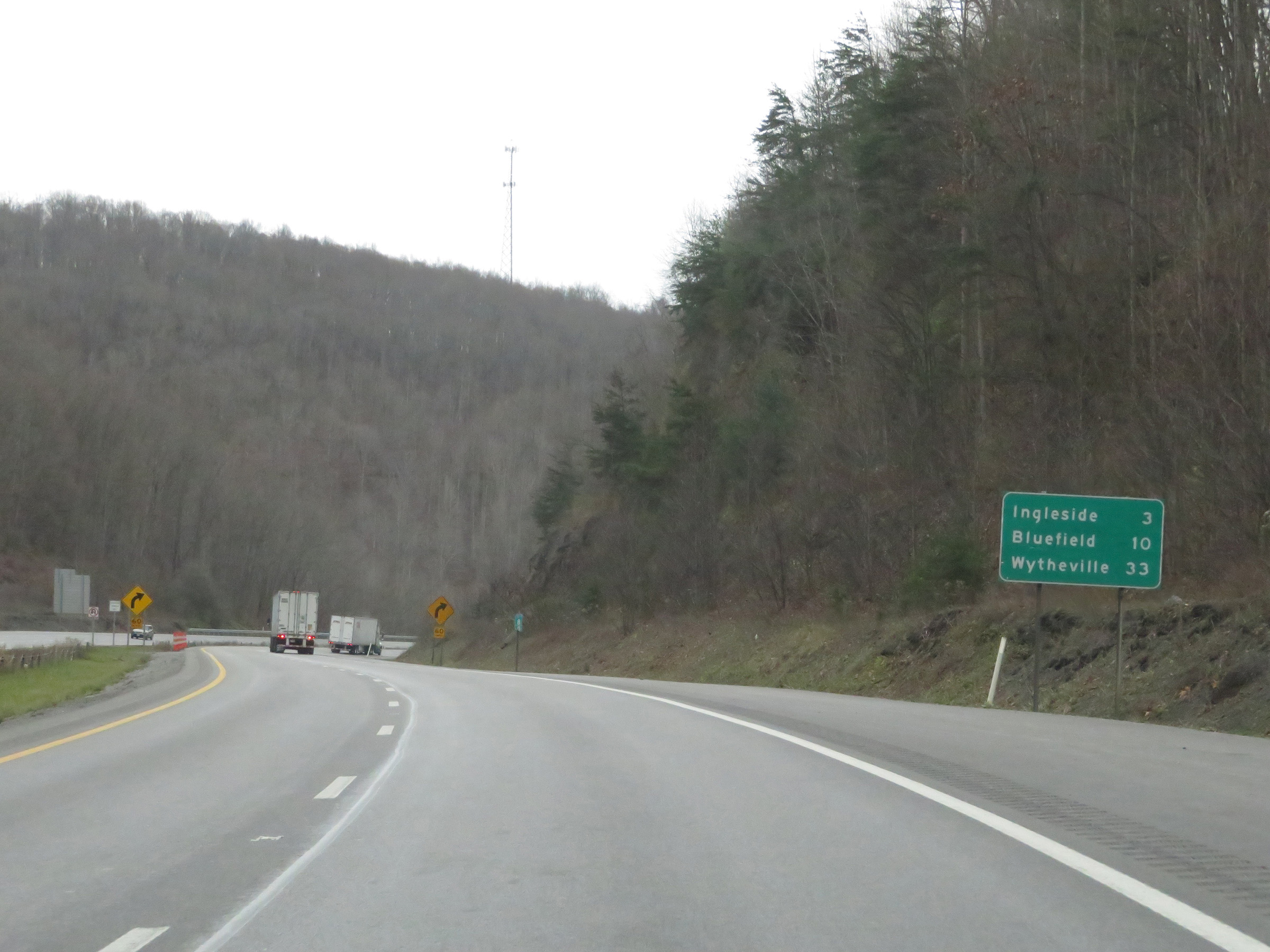 |
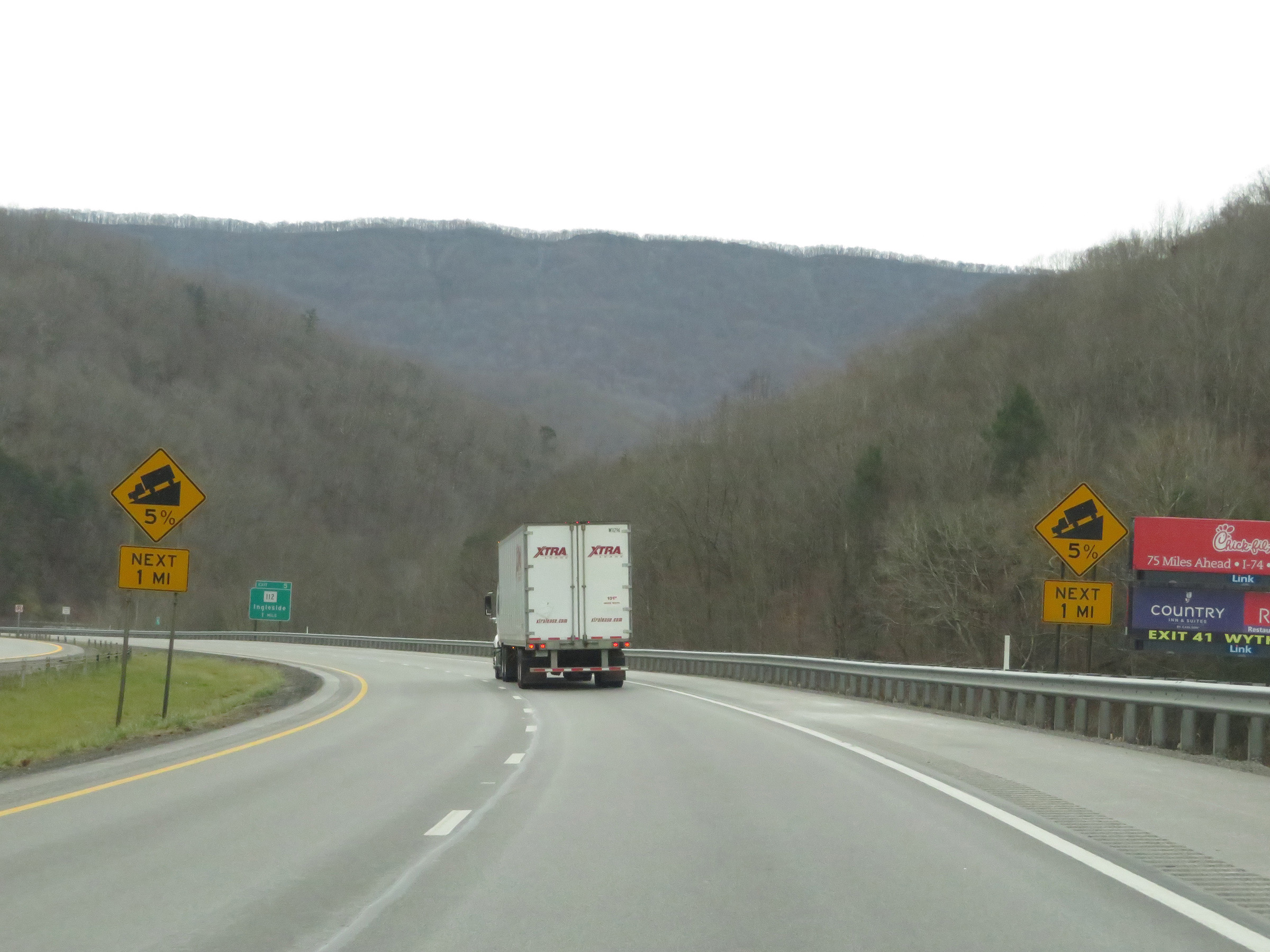
Another mileage sign on Interstate 77 South. It's 3 miles to Ingleside, 10 miles to Bluefield, and 33 miles to Wytheville. (Photo taken 12/4/20). |
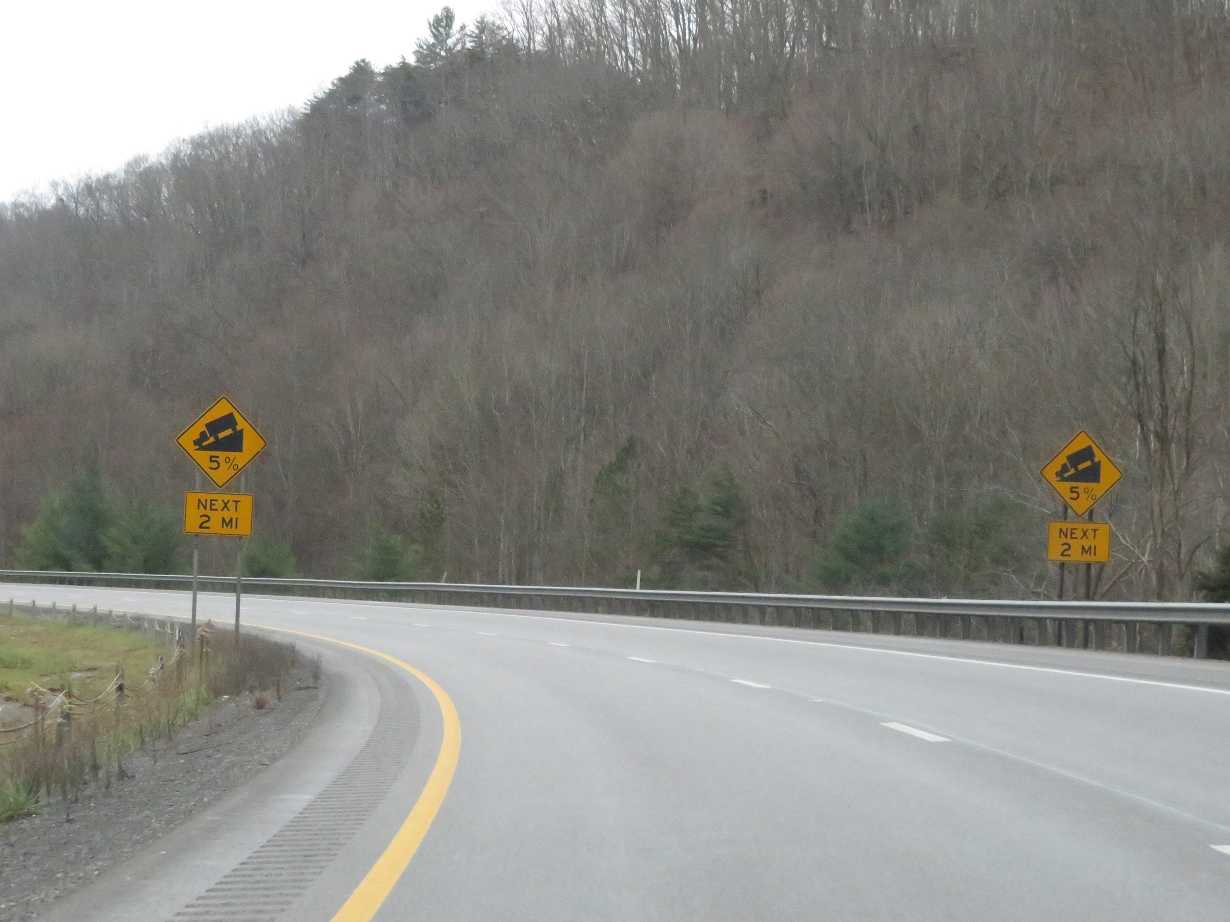 |
The 5% grade continues for 2 more miles on Interstate 77 South. (Photo taken 12/4/20). |
 |
View on Interstate 77 South as it continues down the grade. (Photo taken 12/4/20). |
 |
Interstate 77 South at mile marker 7. (Photo taken 12/4/20). |
 |
Another state-named Interstate 77 South reassurance shield. (Photo taken 12/4/20). |
 |
The 5% grade continues for 1 more mile. (Photo taken 12/4/20). |
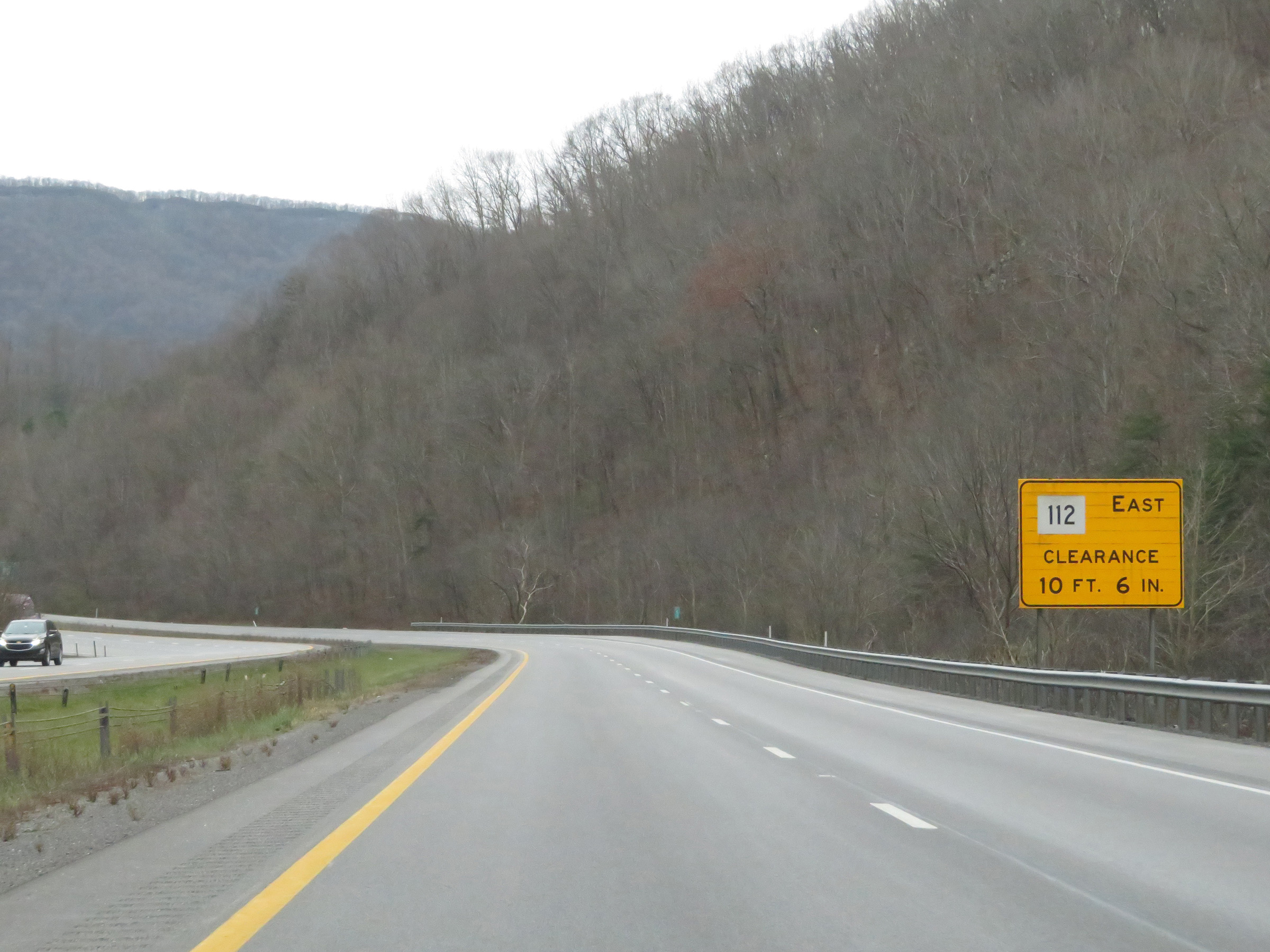 |
This sign warns that there is a low (10' 6") clearance on WV 112 East via Exit 5. (Photo taken 12/4/20). |
 |
View on Interstate 77 South at mile marker 5.5. (Photo taken 12/4/20). |
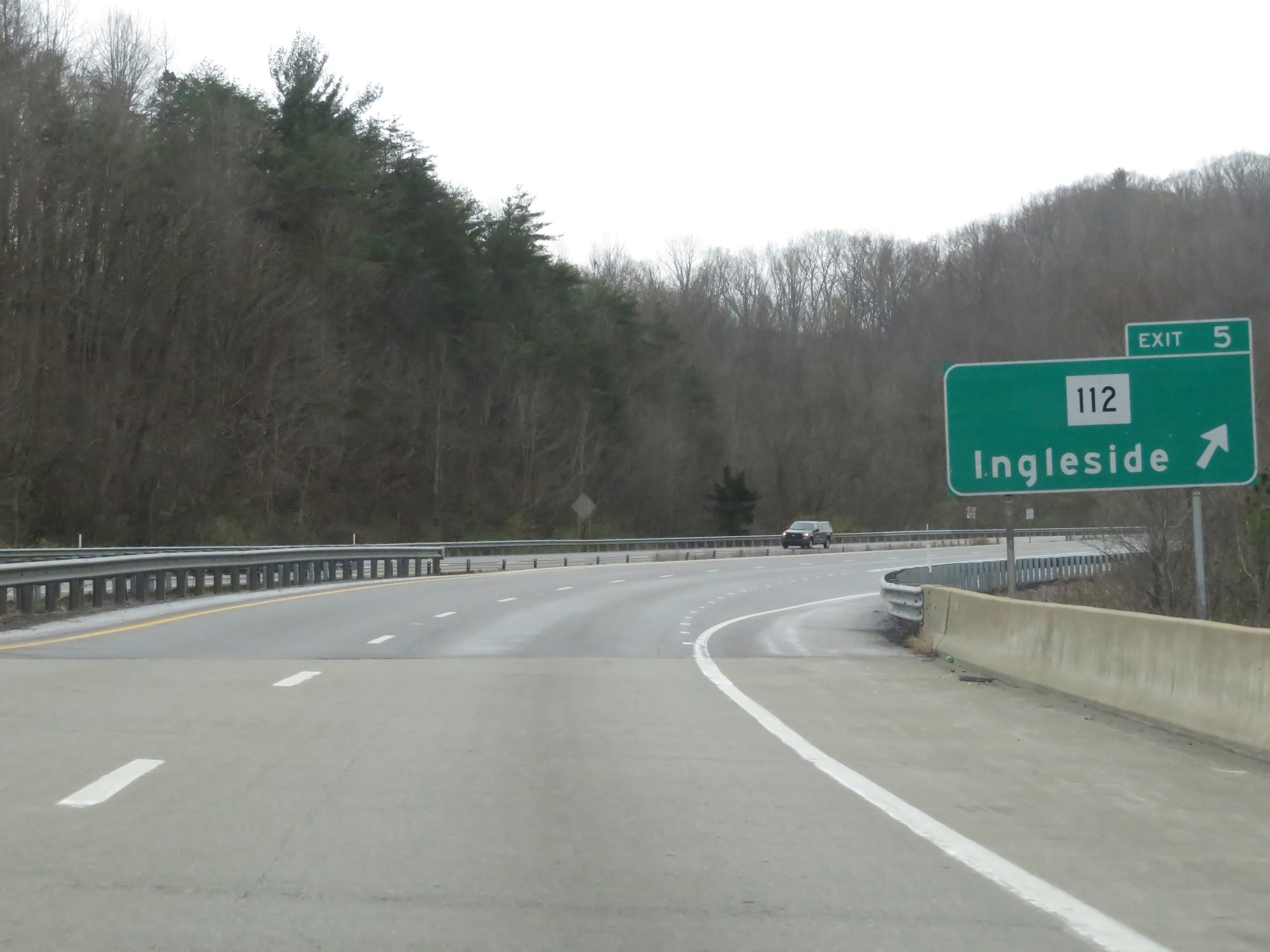 |
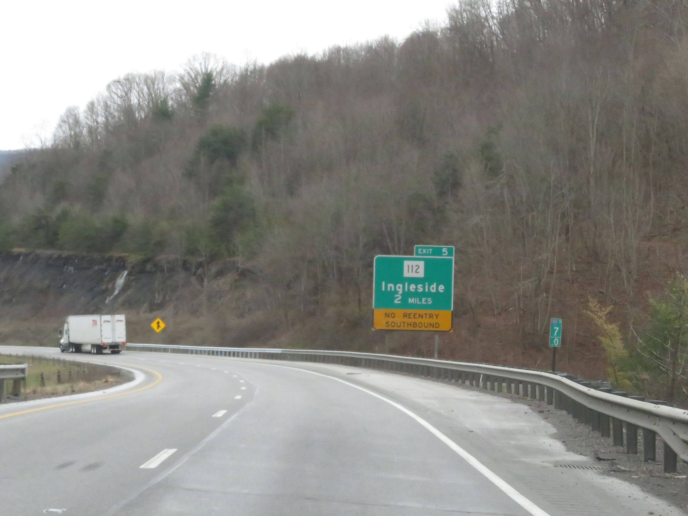
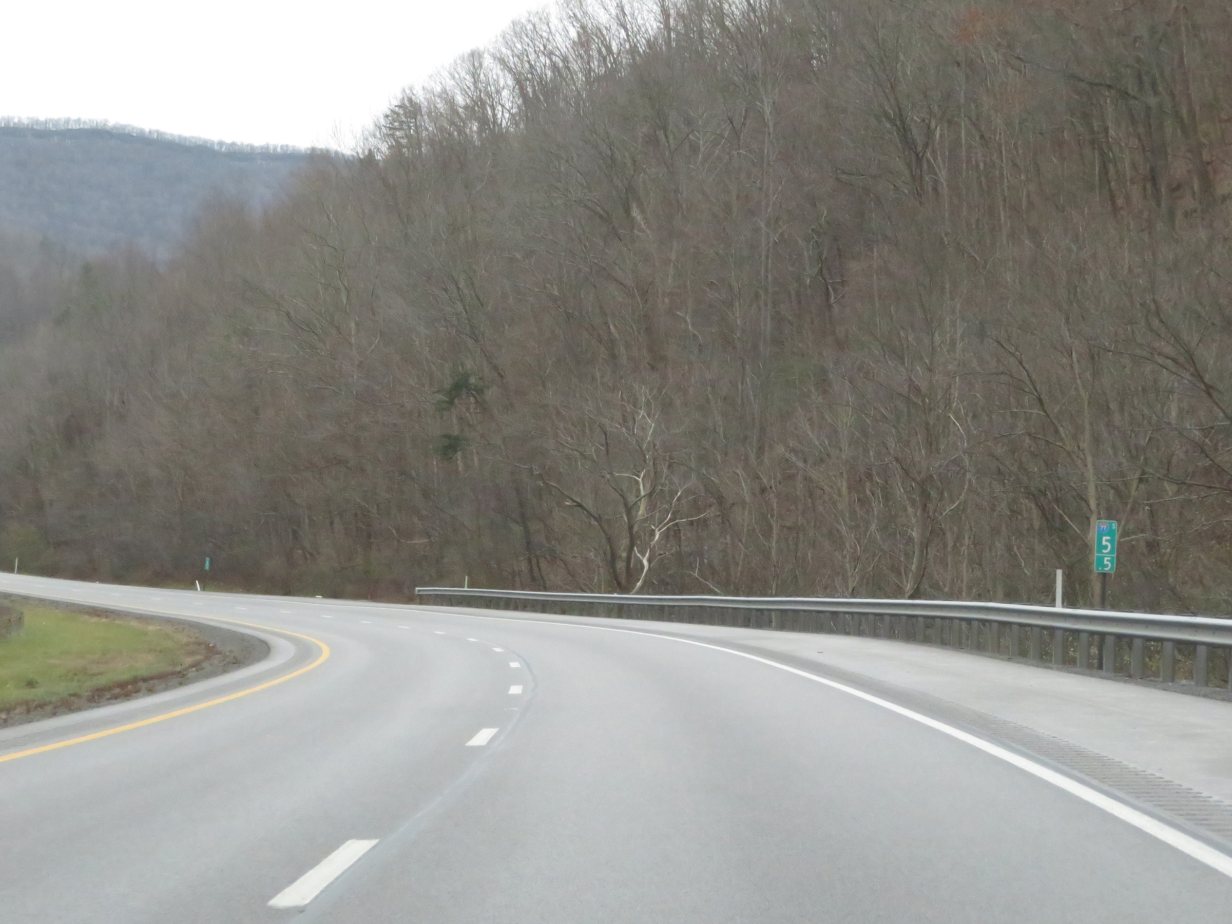
Interstate 77 South at Exit 5: WV 112 - Ingleside (Photo taken 12/4/20). |
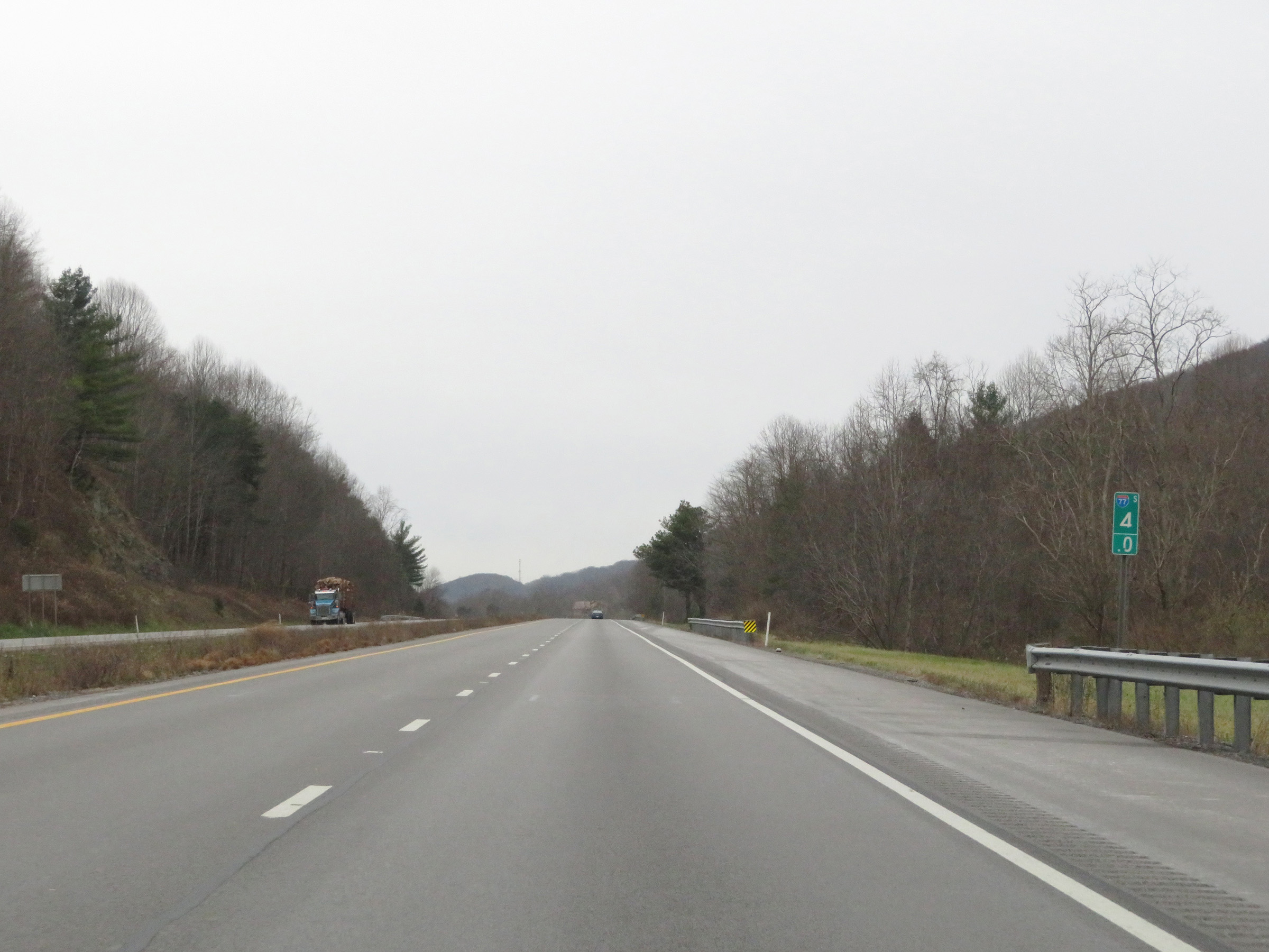 |
View on Interstate 77 South at mile marker 4. (Photo taken 12/4/20). |
 |
Mile marker 2.5 on Interstate 77 South in Mercer County. (Photo taken 12/4/20). |
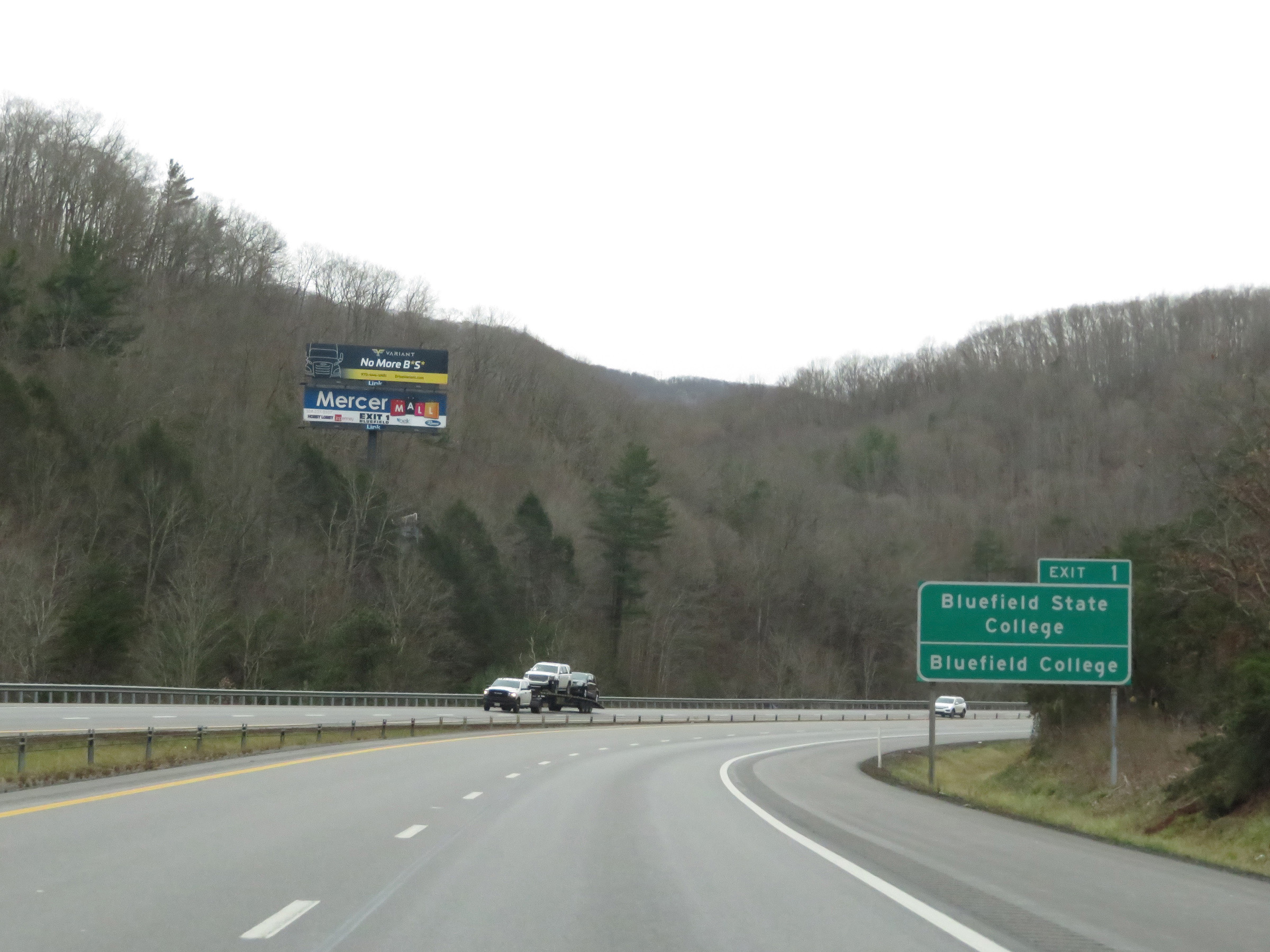 |
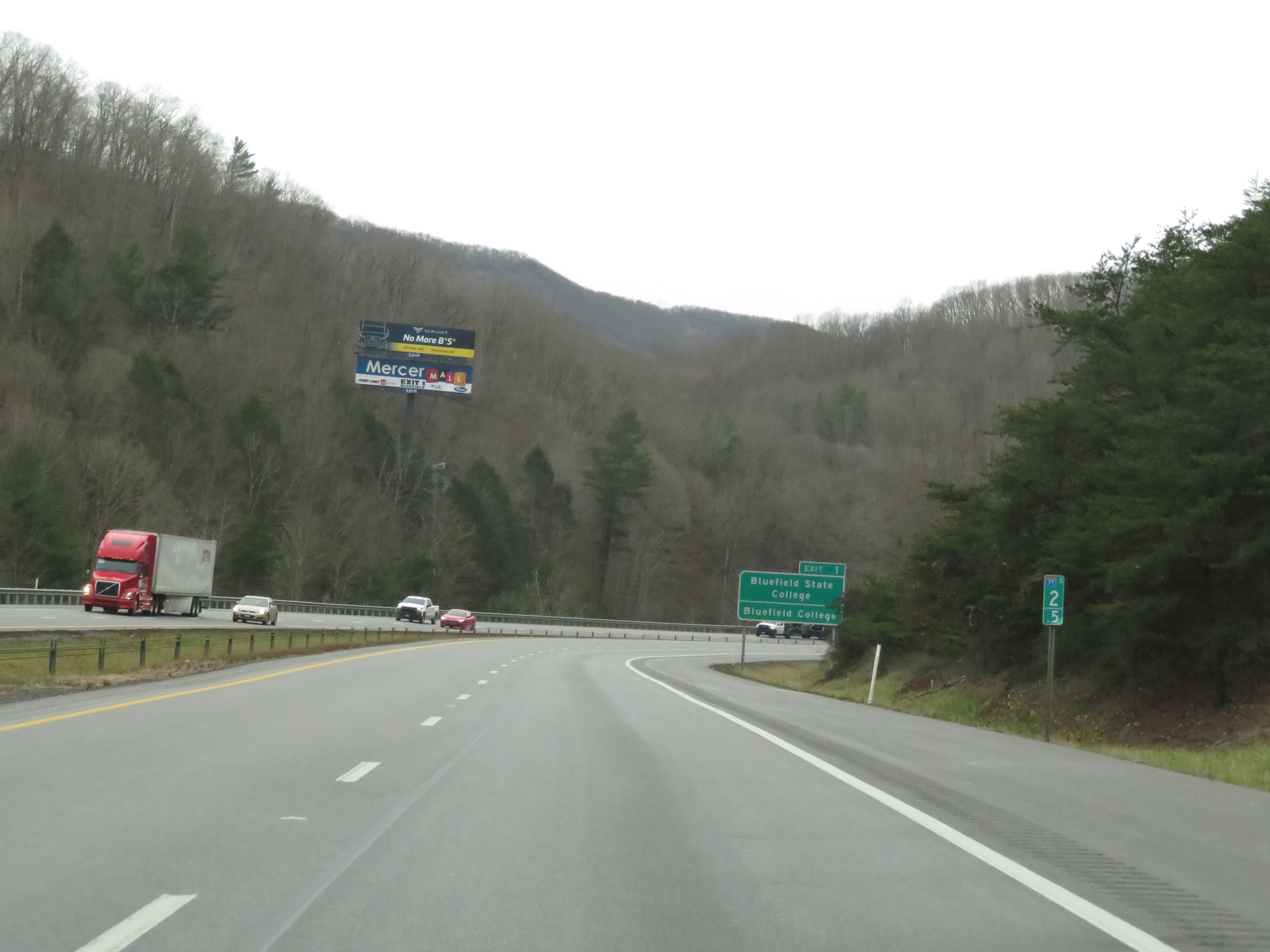
Take Exit 1 to Bluefield State College and Bluefield College. (Photo taken 12/4/20). |
 |
View on Interstate 77 South at mile marker 2, as it begins its climb up East River Mountain. (Photo taken 12/4/20). |
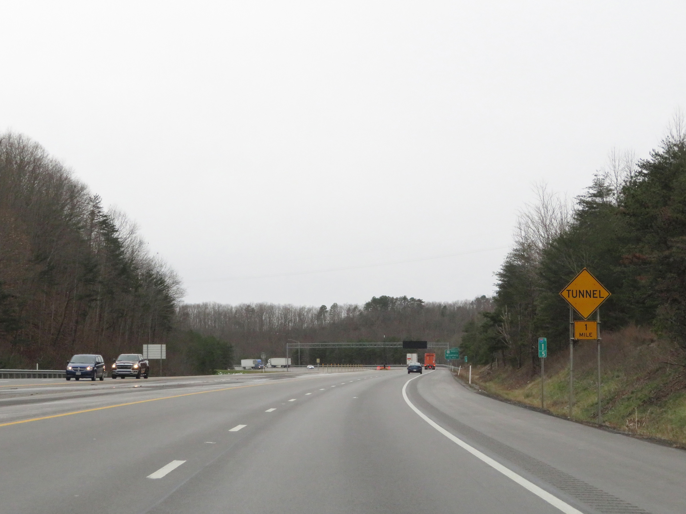 |
As this sign at mile marker 1.5 warns, Interstate 77 South will enter the East River Mountain Tunnel 1 mile ahead. The Virginia state line is halfway through the tunnel. (Photo taken 12/4/20). |
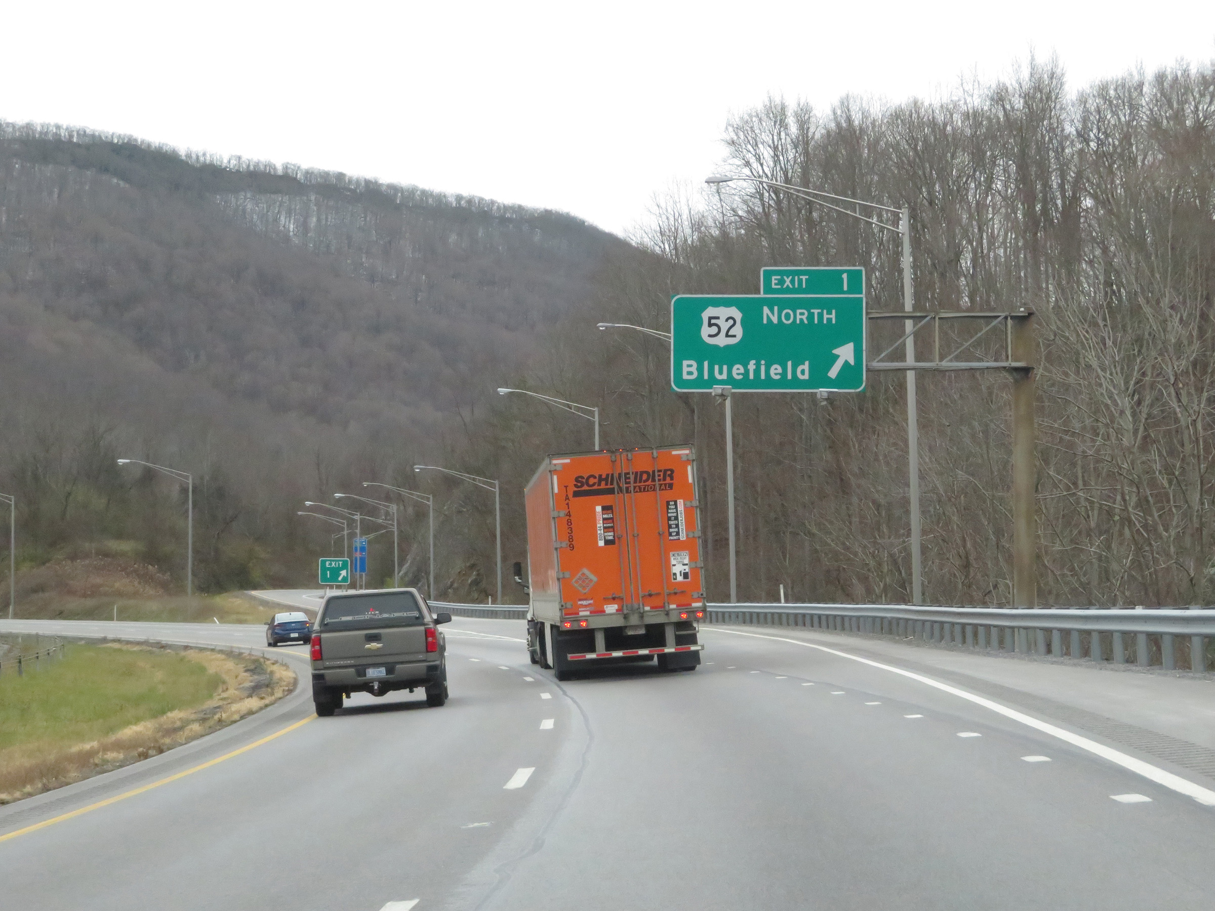 |
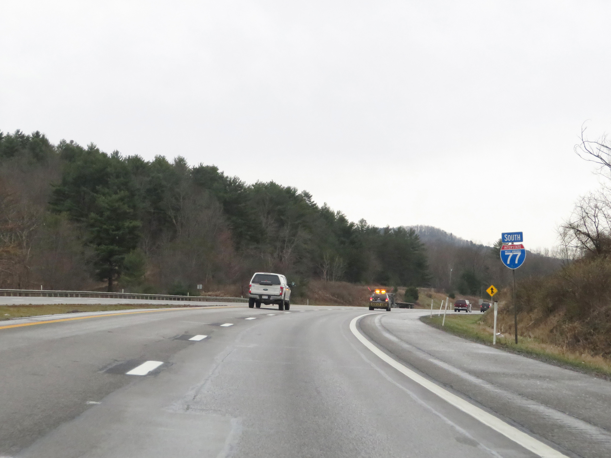
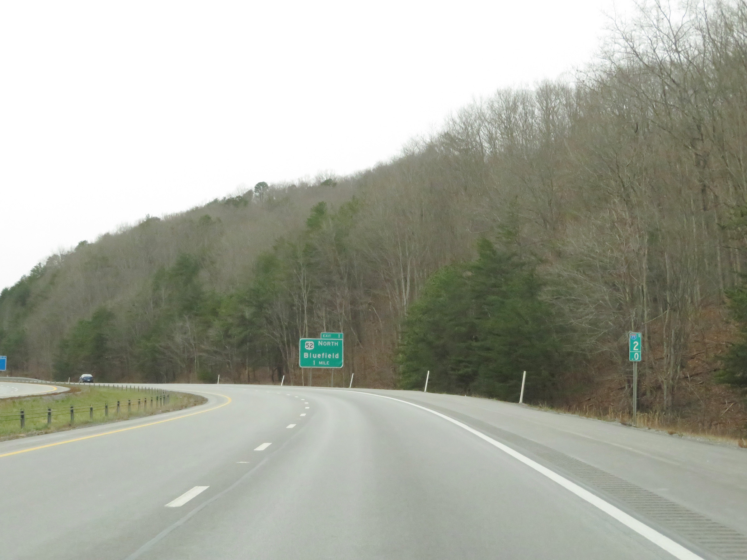
Interstate 77 South at Exit 1: US 52 North - Bluefield (Photo taken 12/4/20). |
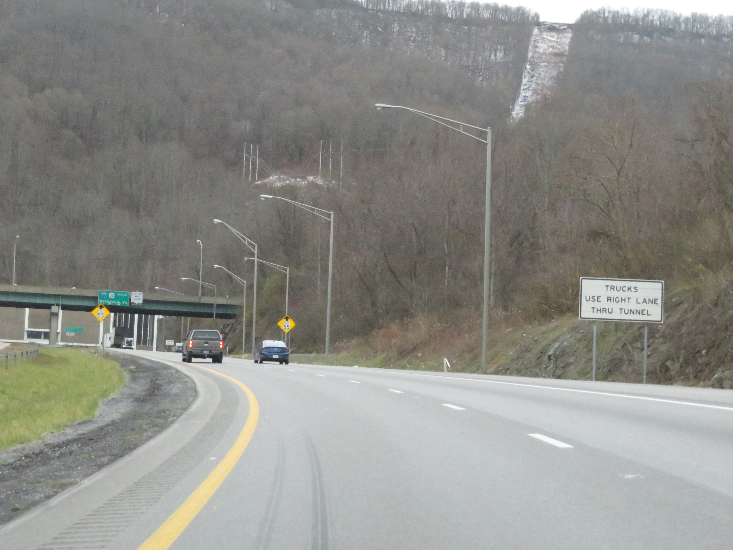 |
As this sign reads, trucks should use the right lane through the tunnel ahead. (Photo taken 12/4/20). |
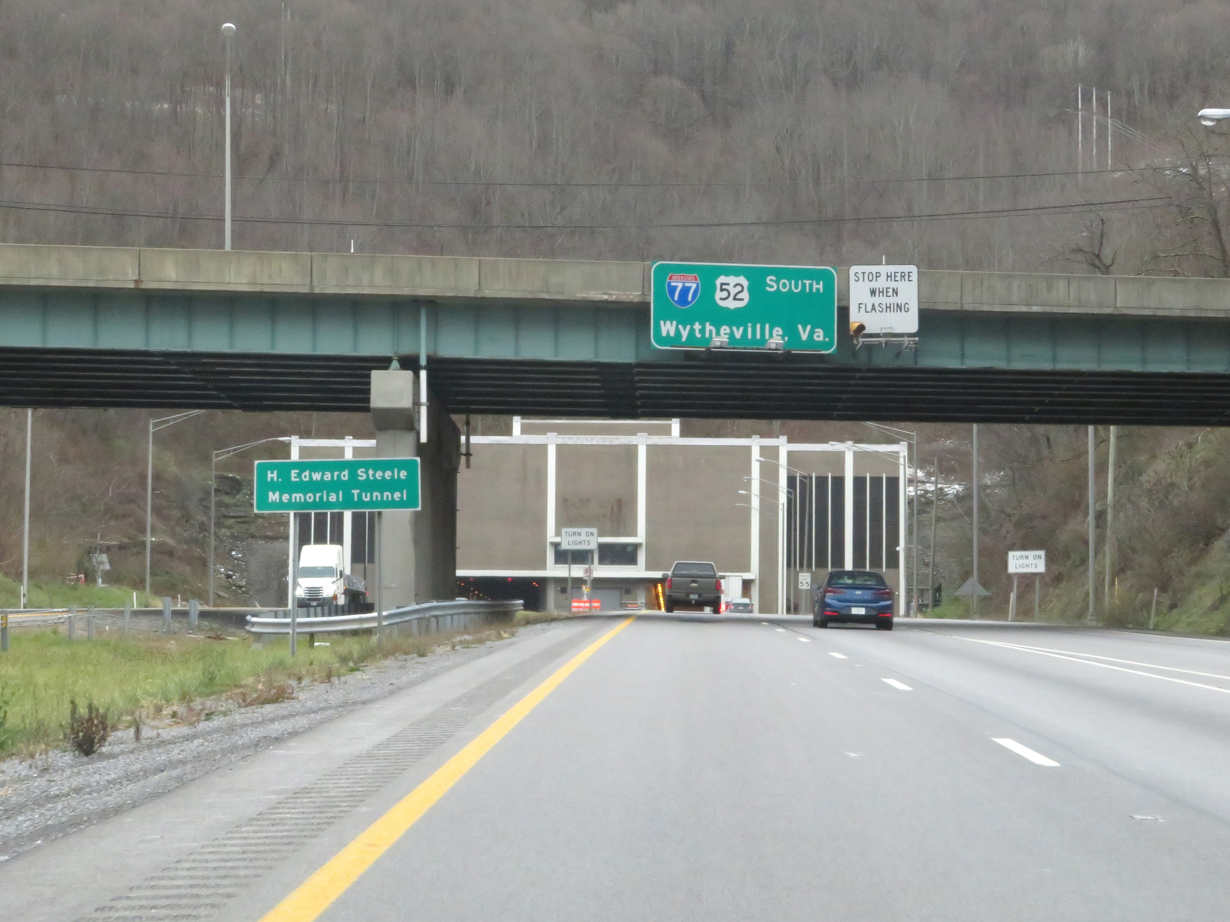 |
The Blue River Mountain Tunnel is also known as the H. Edward Steele Memorial Tunnel. (Photo taken 12/4/20). |
 |
This sign reminds motorists to turn on their headlights before entering the tunnel. (Photo taken 12/4/20). |
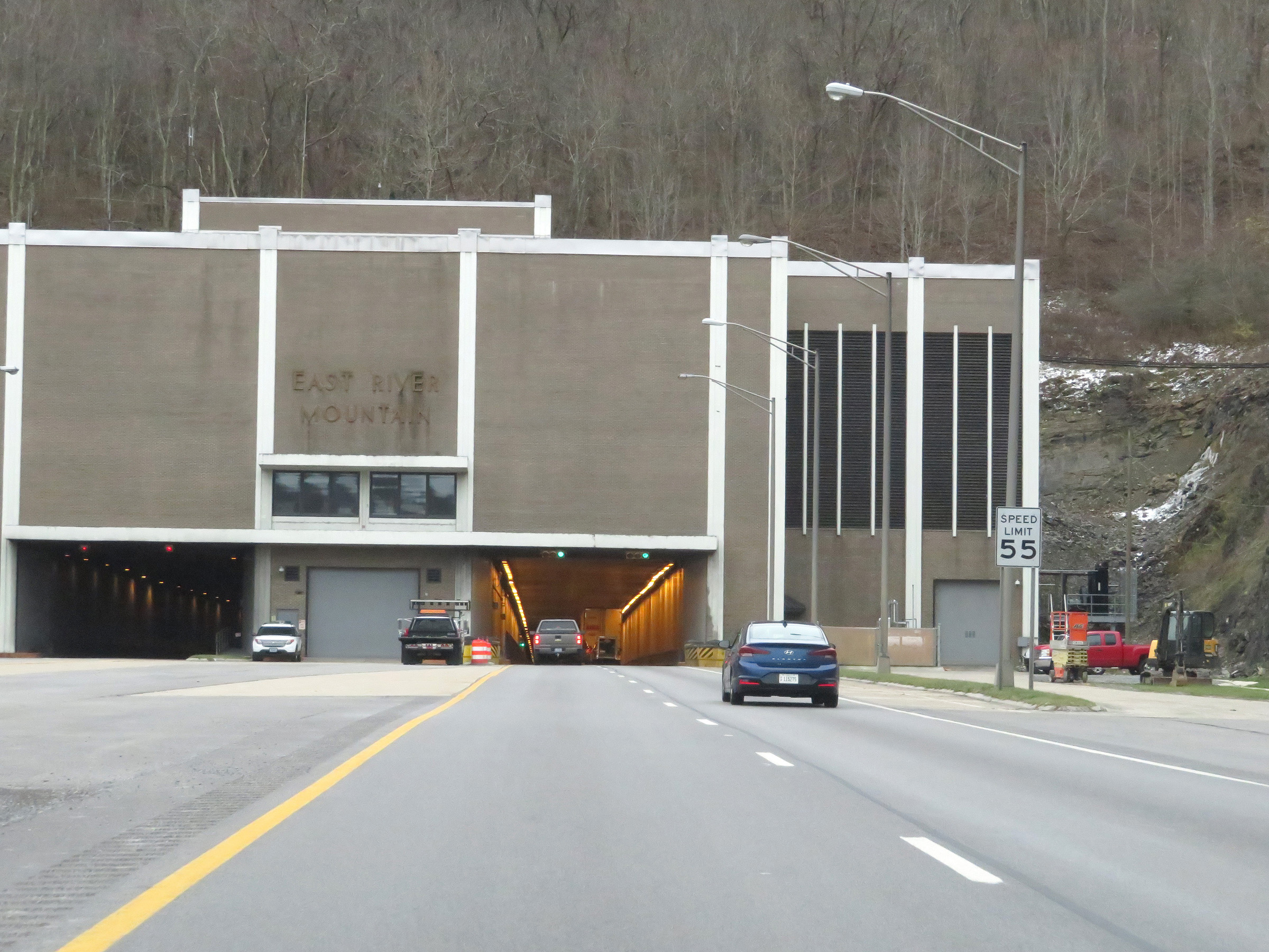 |
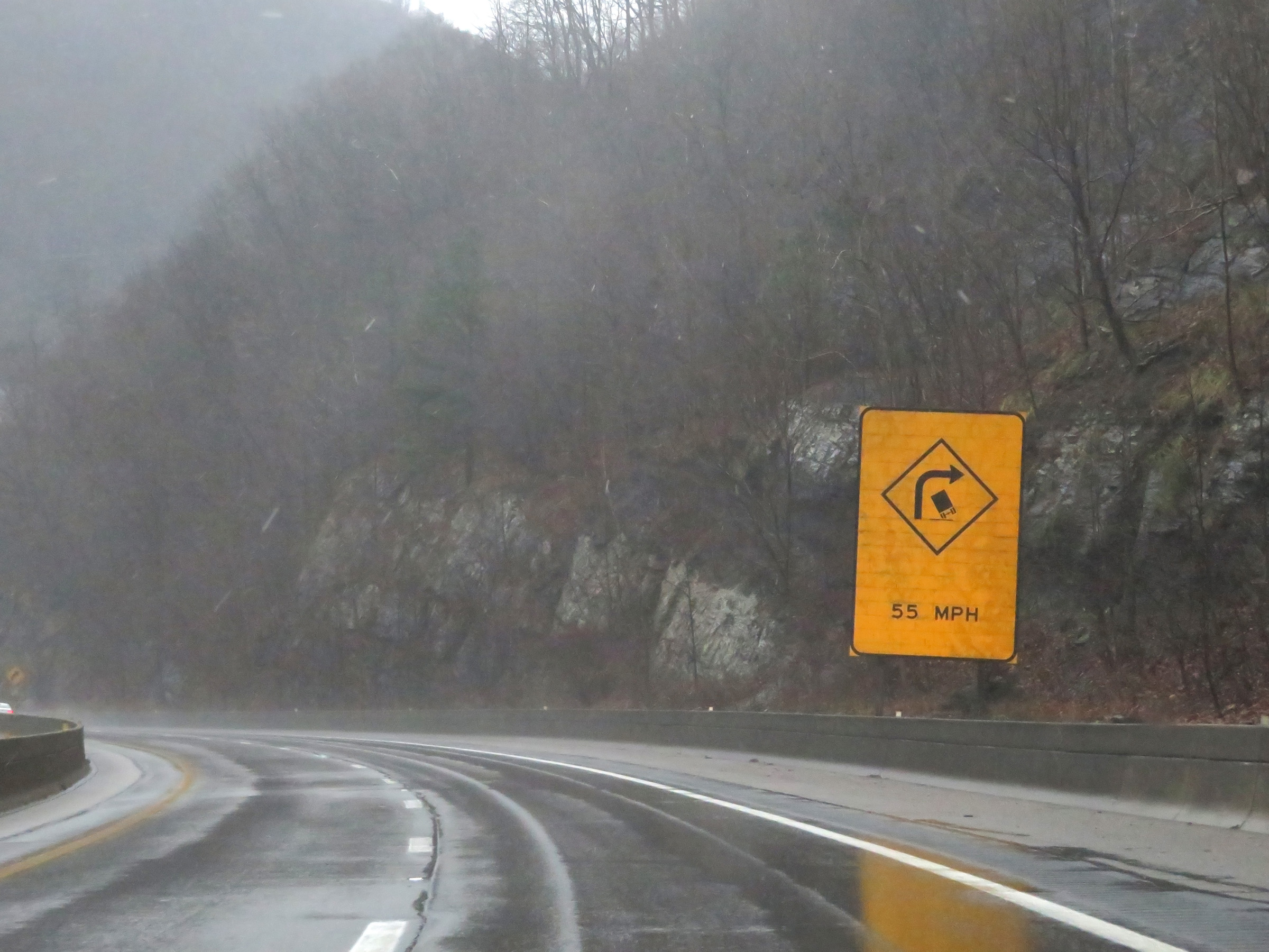
The speed limit decreases to 55 mph on Interstate 77 South as it prepares to enter the East River Mountain Tunnel. (Photo taken 12/4/20). |
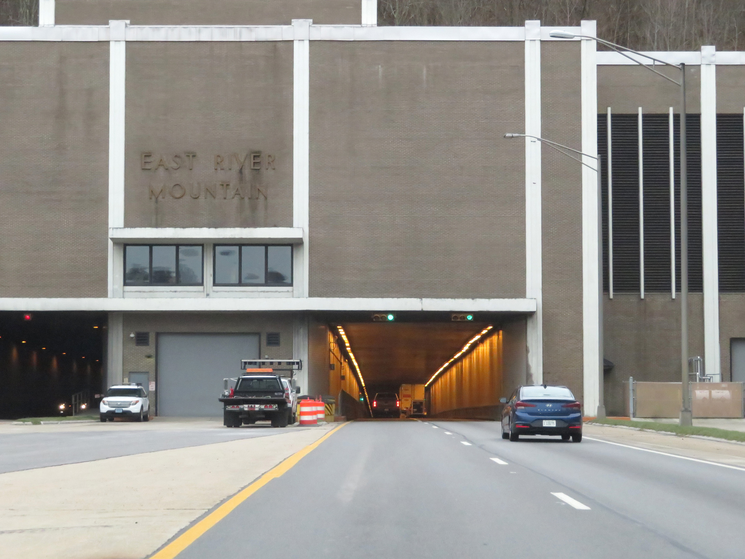 |
View on Interstate 77 South as it enters the East River Mountain Tunnel. (Photo taken 12/4/20). |
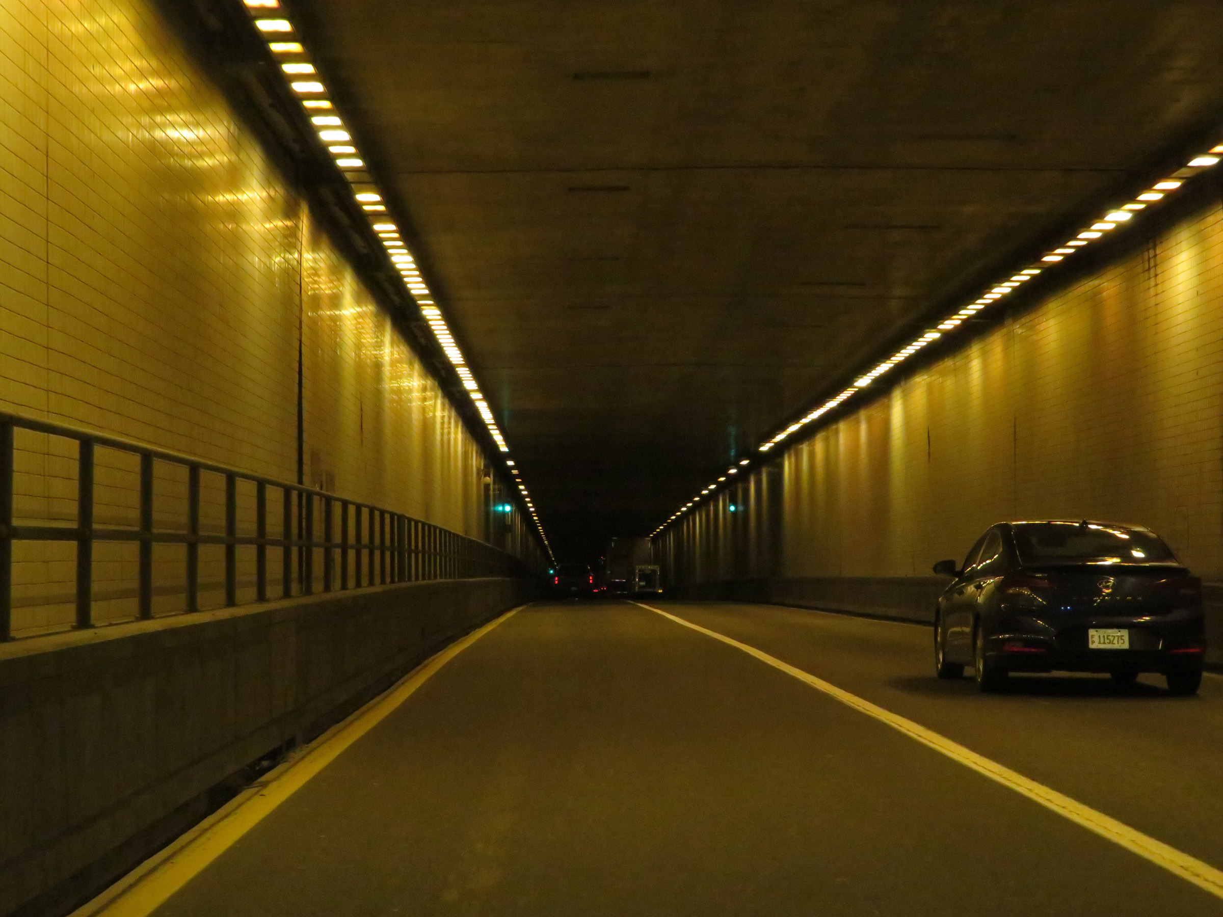 |
Interstate 77 South in the East River Mountain Tunnel. (Photo taken 12/4/20). |
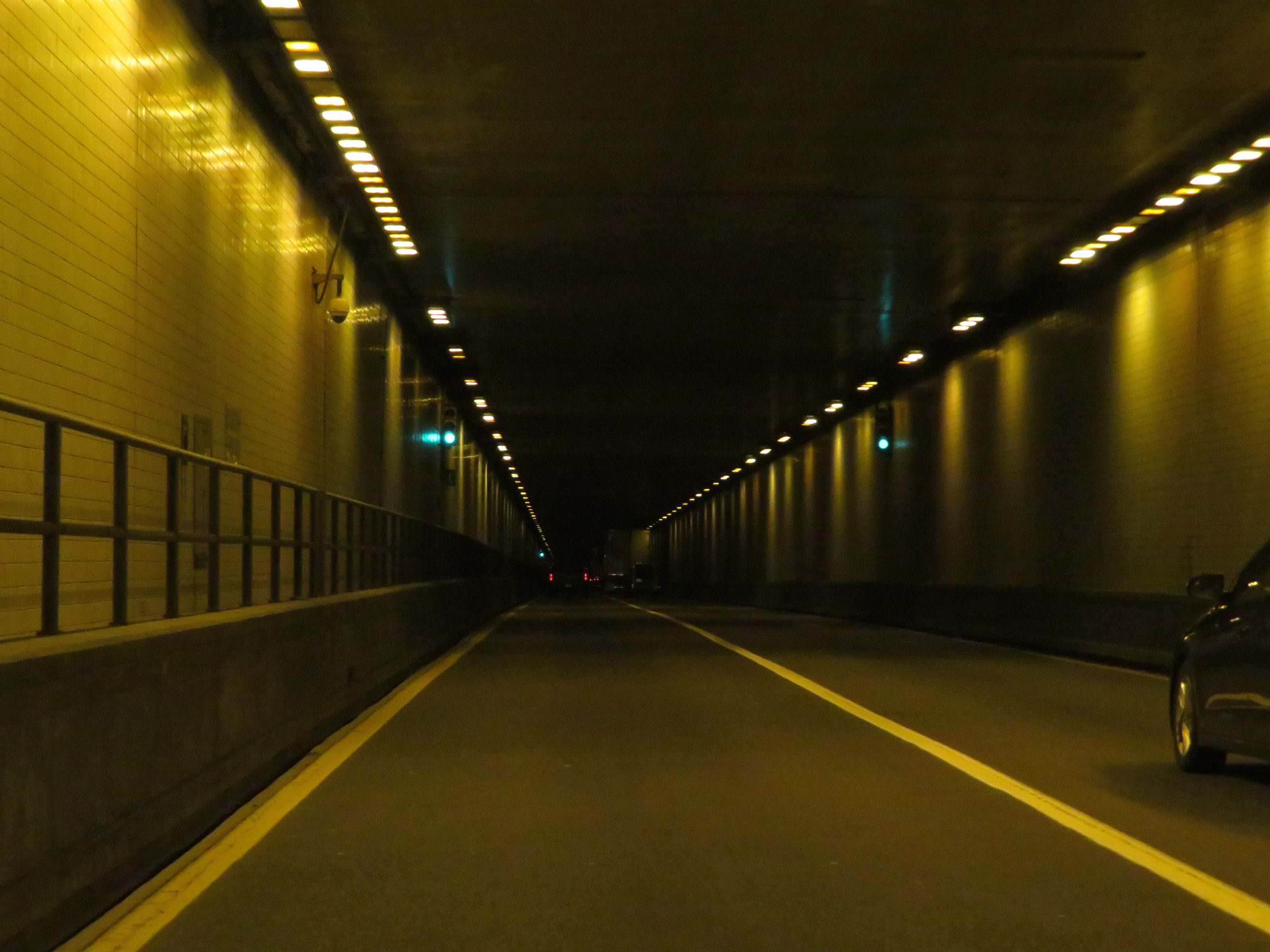 |
View on Interstate 77 South inside the East River Mountain tunnel approaching the Virginia state line, which occurs about halfway through the tunnel. (Photo taken 12/4/20). |
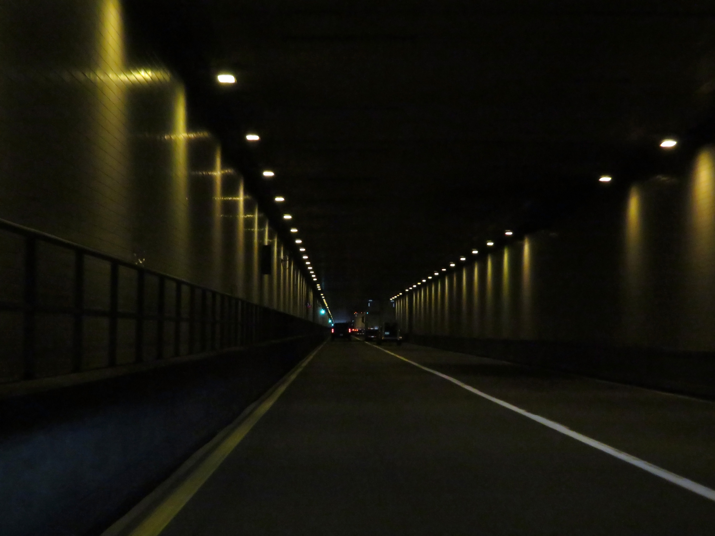 |
Interstate 77 South as it enters Virginia inside the East River Mountain Tunnel. (Photo taken 12/4/20). |