Road Information |
||
 |
||
| Total Mileage in State: | 297 miles | |
| Eastern End: | At Idaho state line | |
| Western End: | At Edgar Martinez Dr / 4th Ave S, in Seattle | |
| Mileage covered in Photos: | 297 miles | |
| Counties covered in Photos: | Spokane, Lincoln, Adams, Grant, Kittitas, King | |
| Major Junctions in Photos: | US 195, in Spokane US 395, near Ritzville I-82, in Ellensburg I-405, in Bellevue I-5, in Seattle |
|
| Control Cities in Photos: | Spokane, Ritzville, Moses Lake, Ellensburg, Cle Elum, Issaquah, Bellevue, Seattle | |
Westbound
- Section 1: Idaho Border to Spokane (Exit 279)
- Section 2: Spokane (Exit 279) to Ritzville (Exit 206)
- Section 3: Ritzville (Exit 206) to Vantage (Exit 136)
- Section 4: Vantage (Exit 136) to Cle Elum (Exit 84)
- Section 5: Cle Elum (Exit 84) to North Bend (Exit 31)
- Section 6: North Bend (Exit 31) to Seattle (Western Terminus)
Section 1: Idaho Border to Spokane (Exit 279)
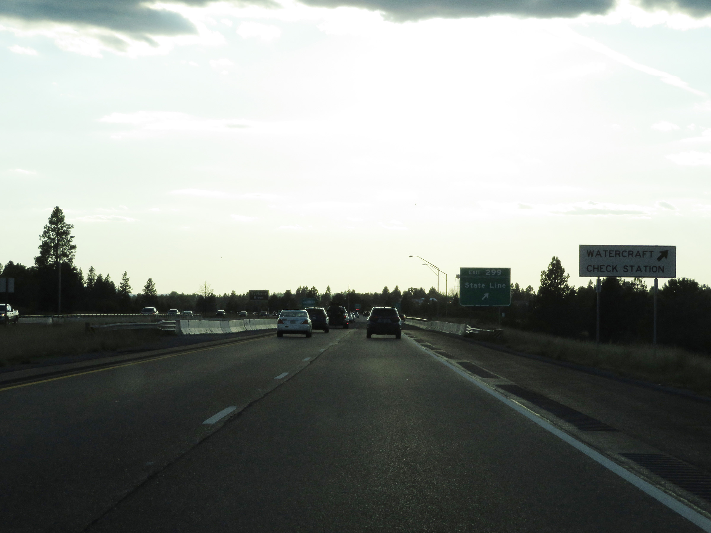 |
As Interstate 90 West prepares to enter Washington State from Idaho, this sign alerts motorists that a Watercraft Check Station exists off Exit 299 ahead. (Photo taken 9/21/19). |
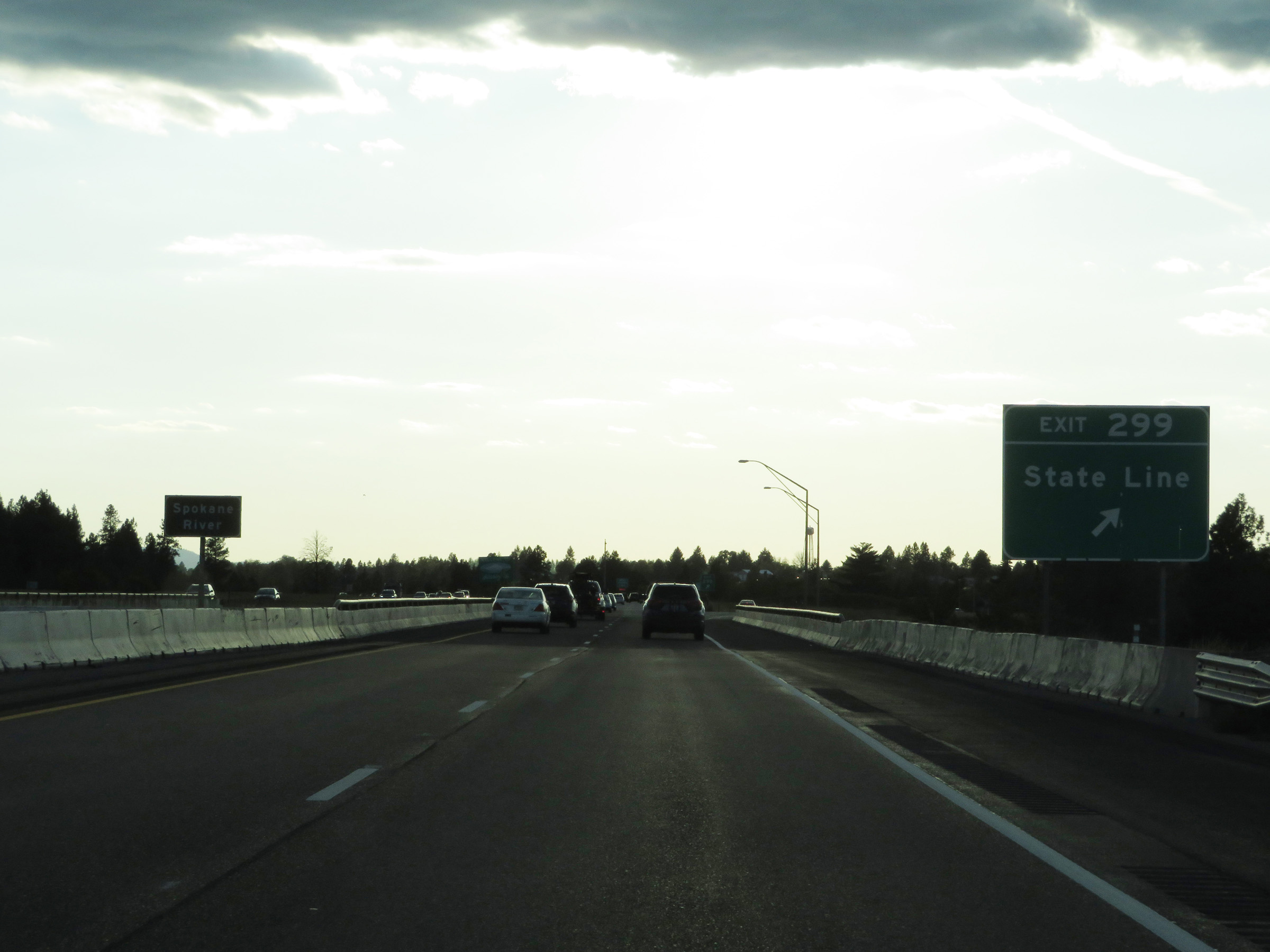 |
Interstate 90 West at Exit 299: State Line (Photo taken 9/21/19). |
 |
Washington welcome sign on the median as Interstate 90 West enters the Evergreen State from Idaho. (Photo taken 9/21/19). |
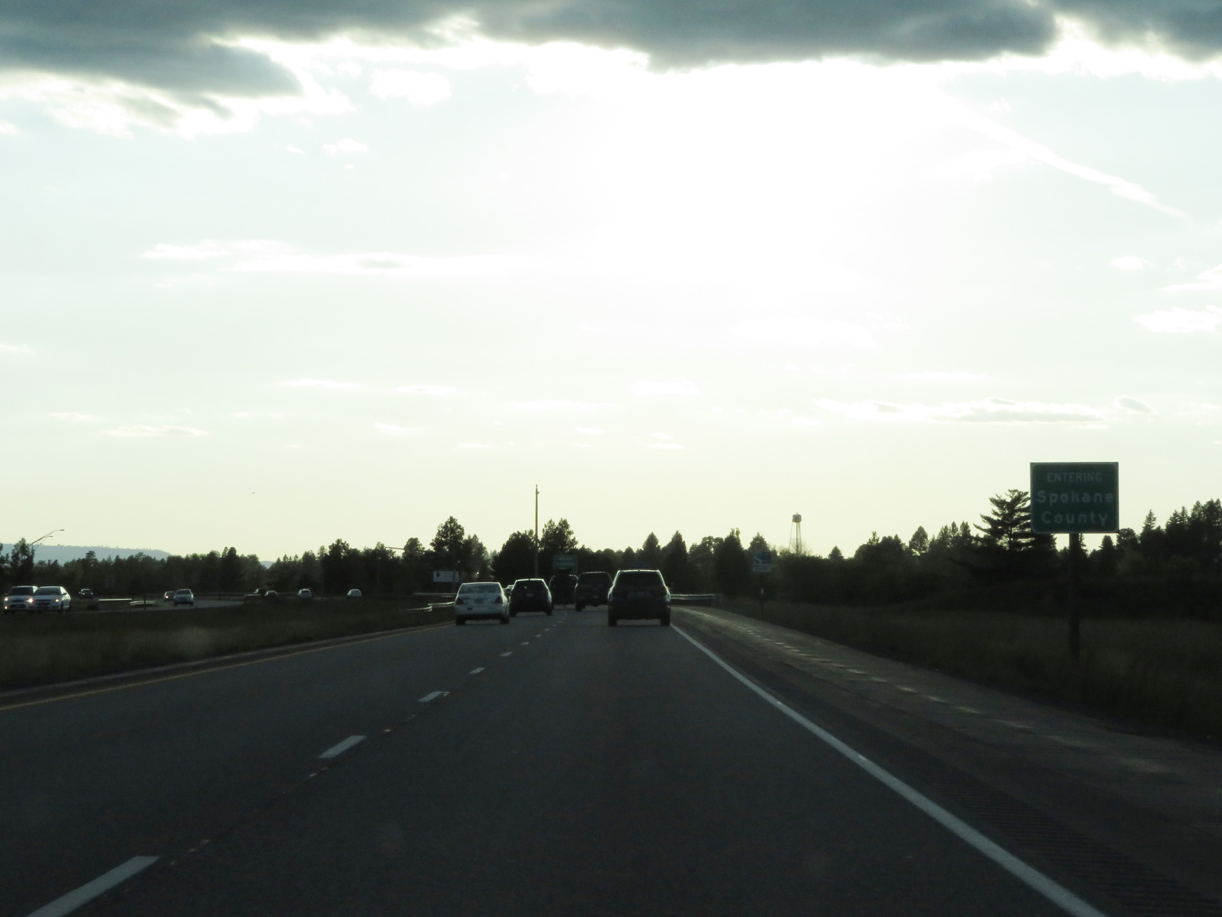 |
Interstate 90 West in Washington starts out in Spokane County. (Photo taken 9/21/19). |
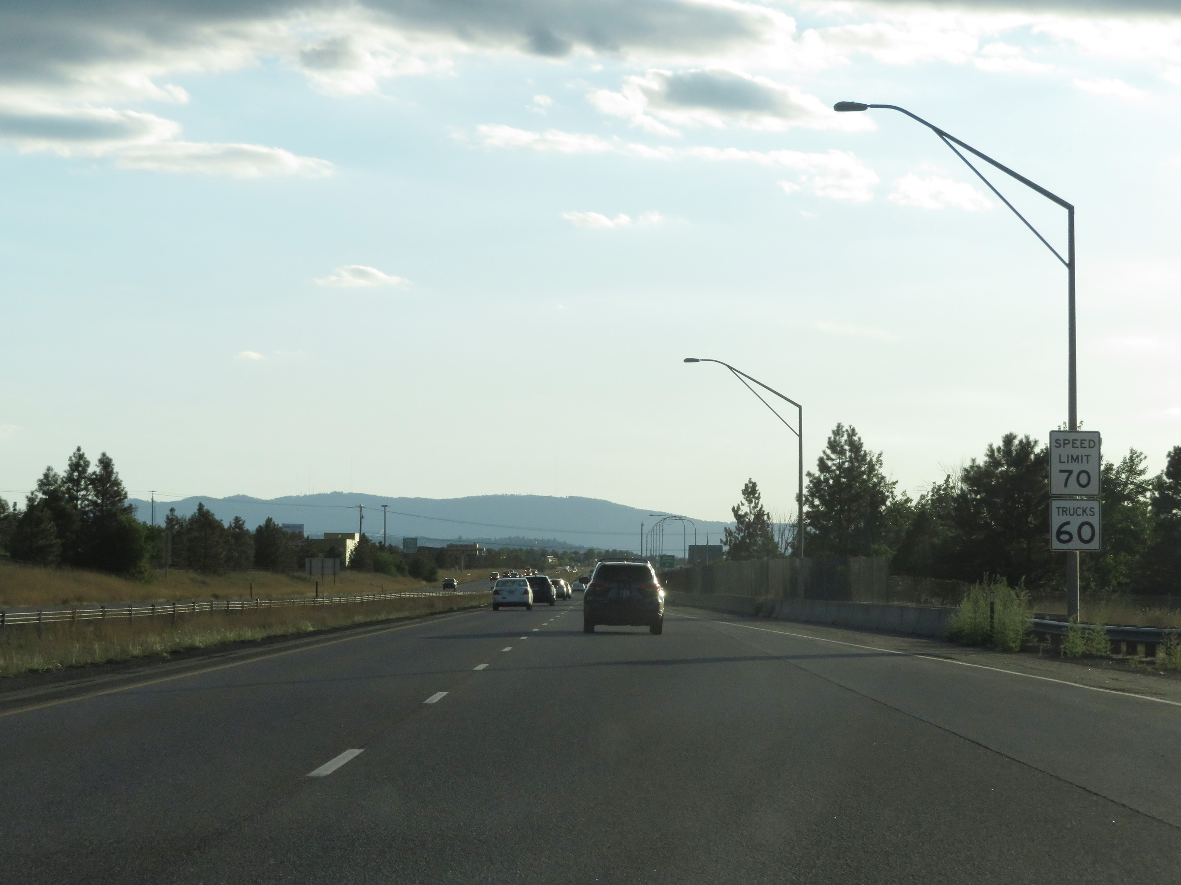 |
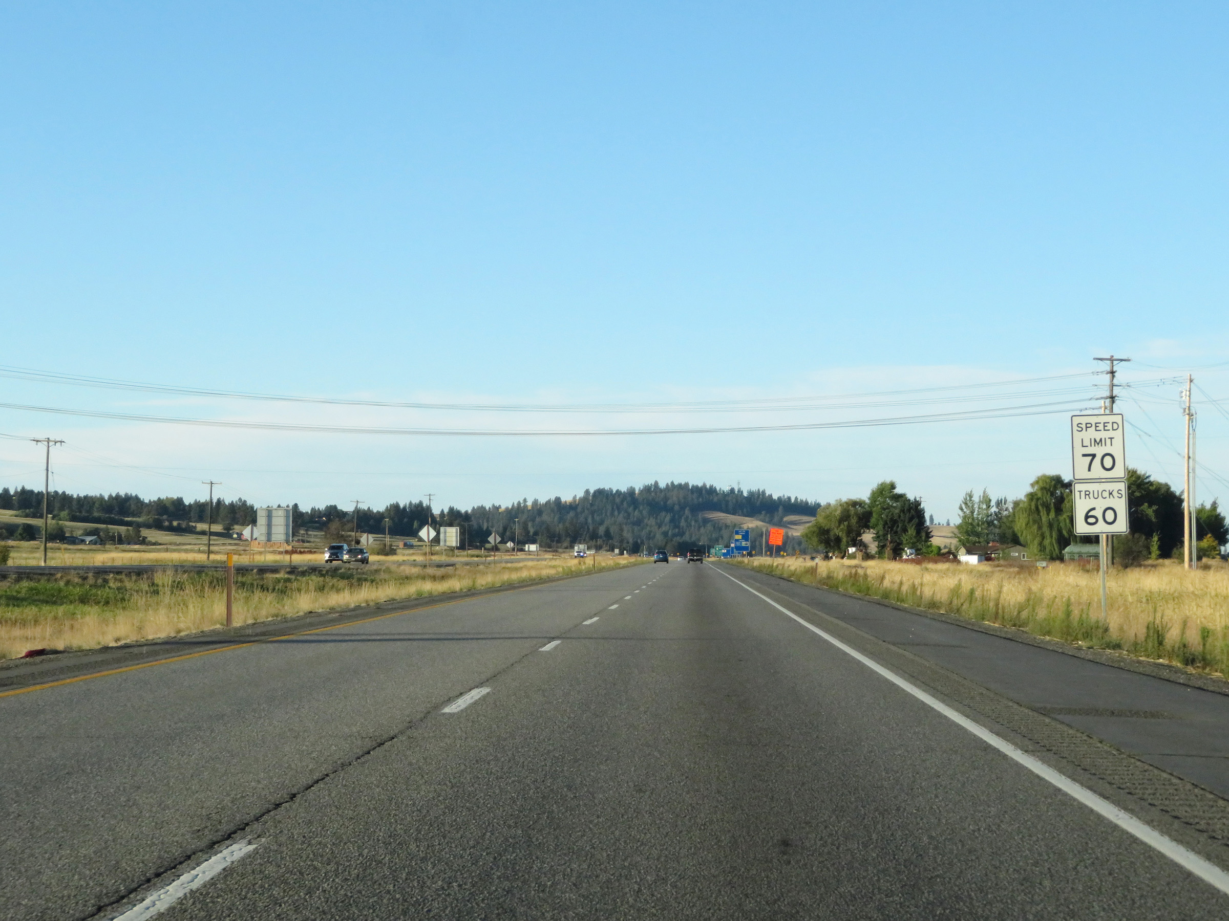
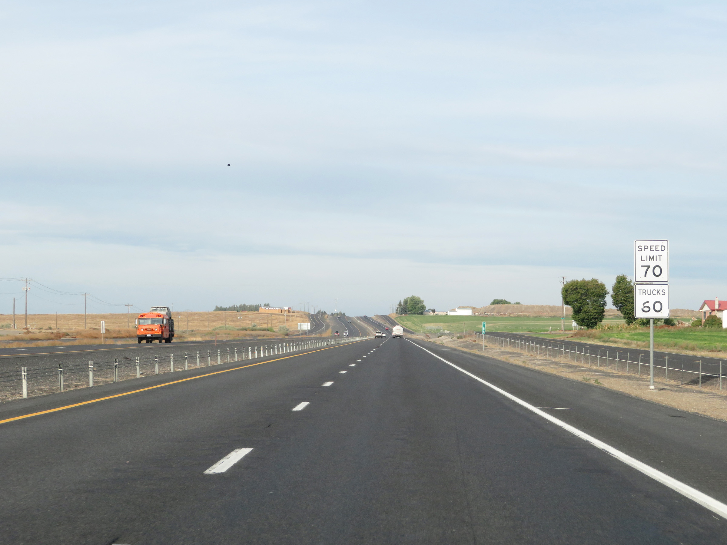
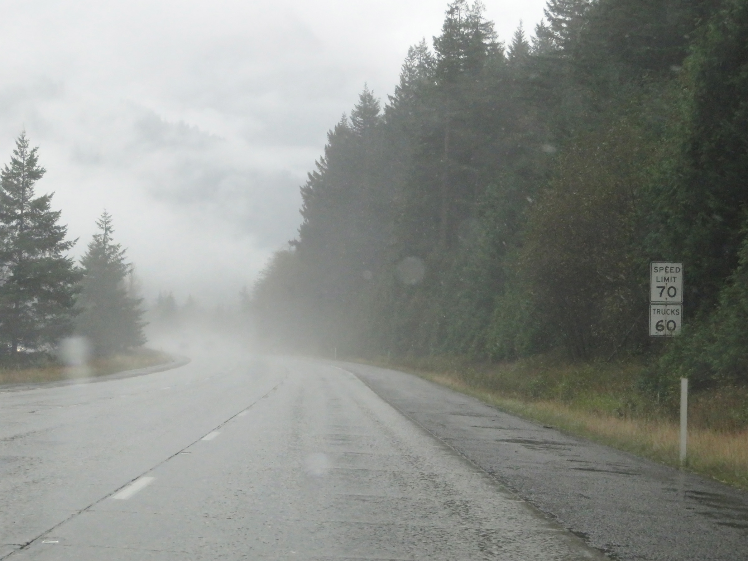
The speed limits on Interstate 90 West start out at 70 mph for automobiles and 60 mph for trucks. These are the standard speed limits on most rural Interstate highways in Washington State. (Photo taken 9/21/19). |
 |
Weigh Station on Interstate 90 West in Spokane County, shorty after crossing the state line. (Photo taken 9/21/19). |
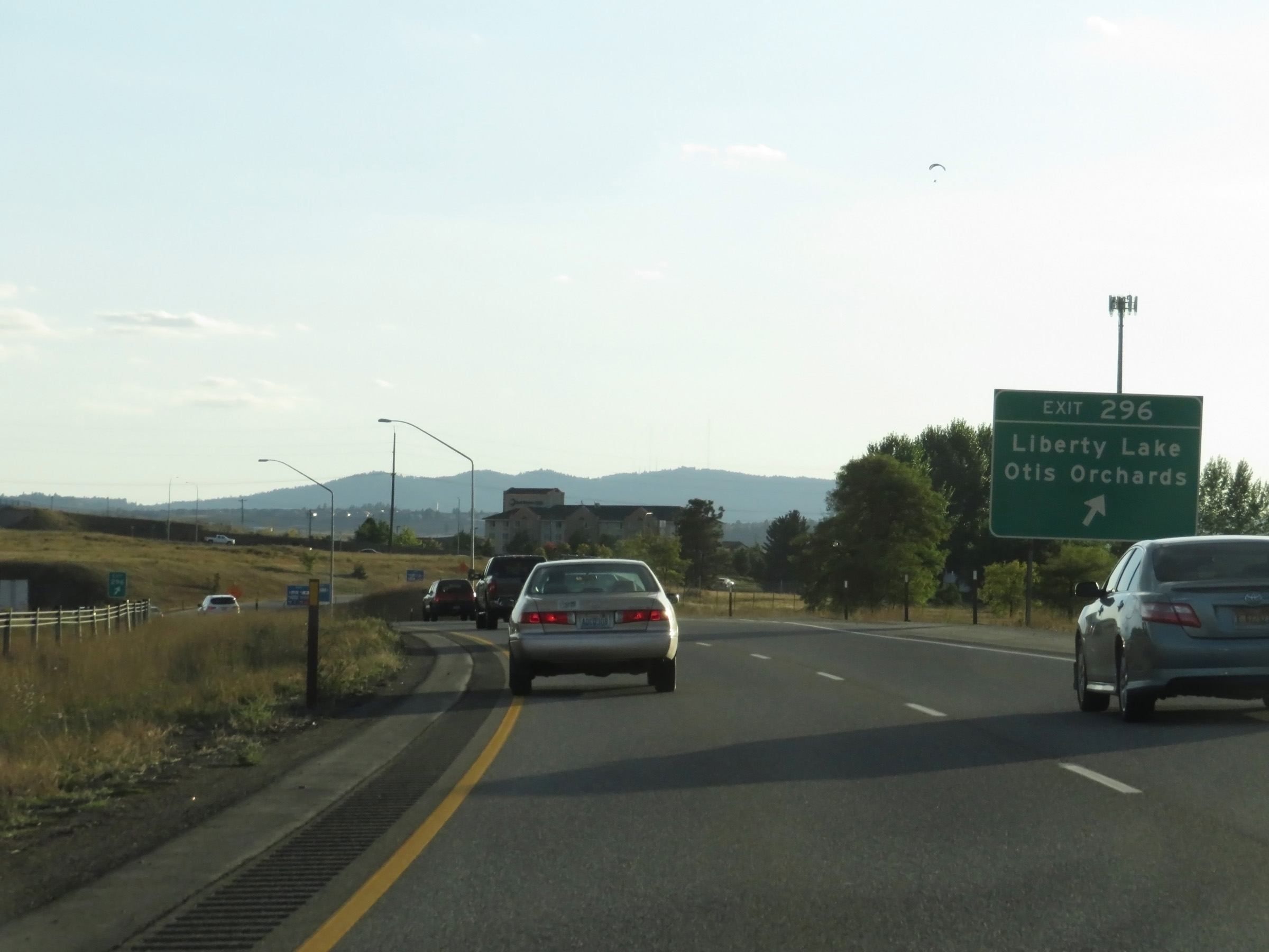 |
Interstate 90 West at Exit 296: Liberty Lake / Otis Orchards (Photo taken 9/21/19). |
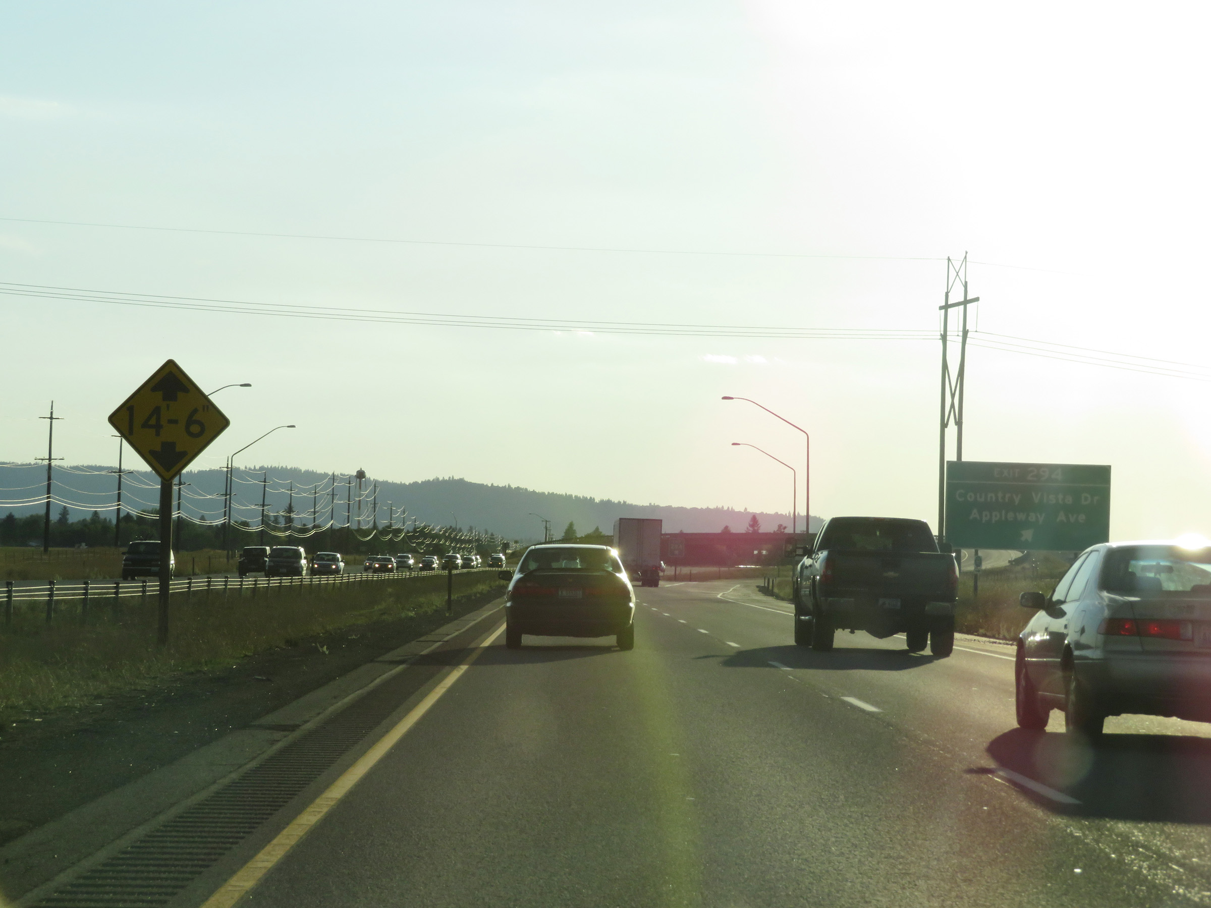 |
Interstate 90 West at Exit 294: Country Vista Dr / Appleway Ave (Photo taken 9/21/19). |
 |
Interstate 90 West at Exit 293: Interstate 90 Business Loop - Barker Rd (Photo taken 9/21/19). |
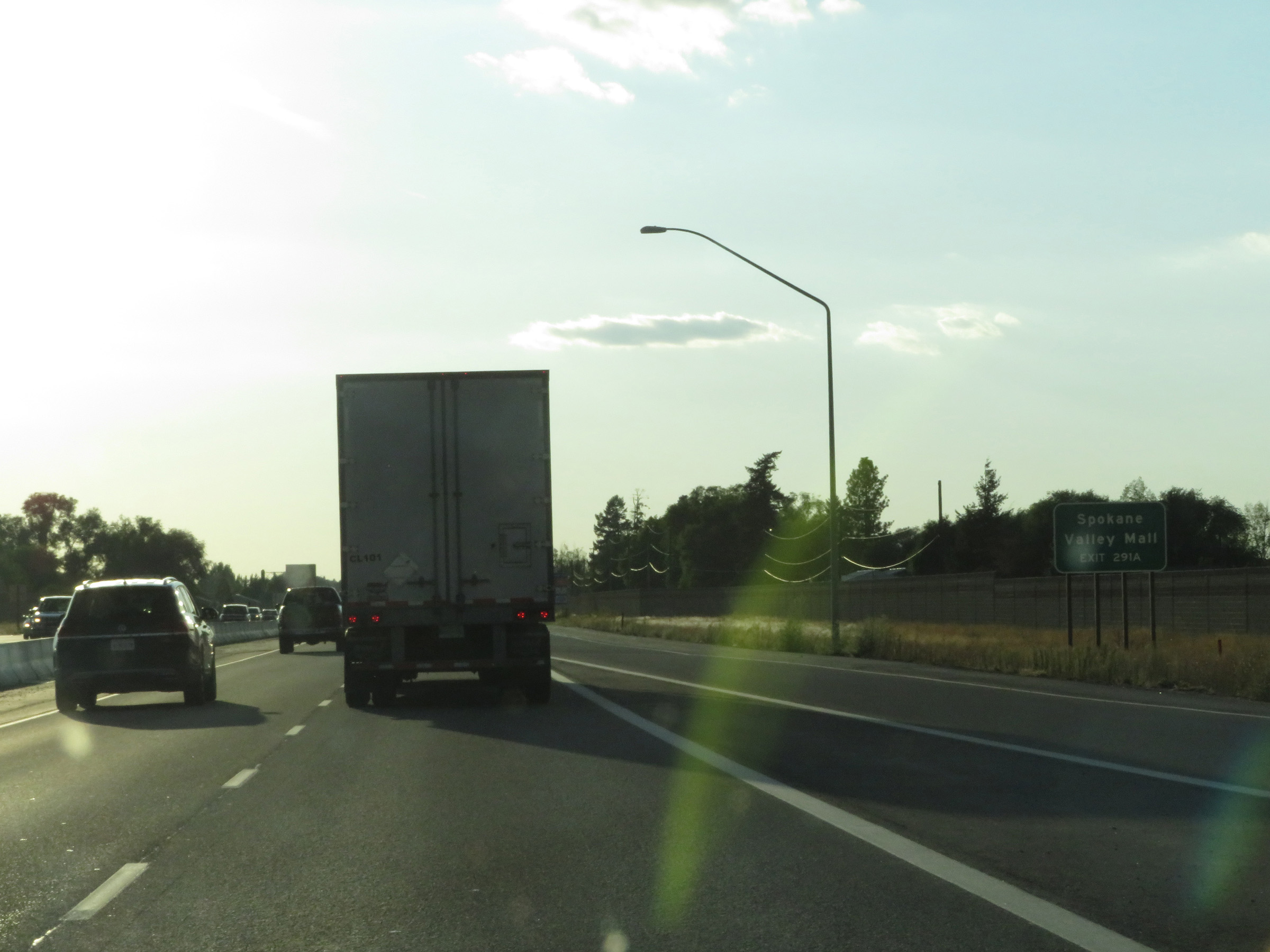 |
Take Exit 291A to Spokane Valley Mall. (Photo taken 9/21/19). |
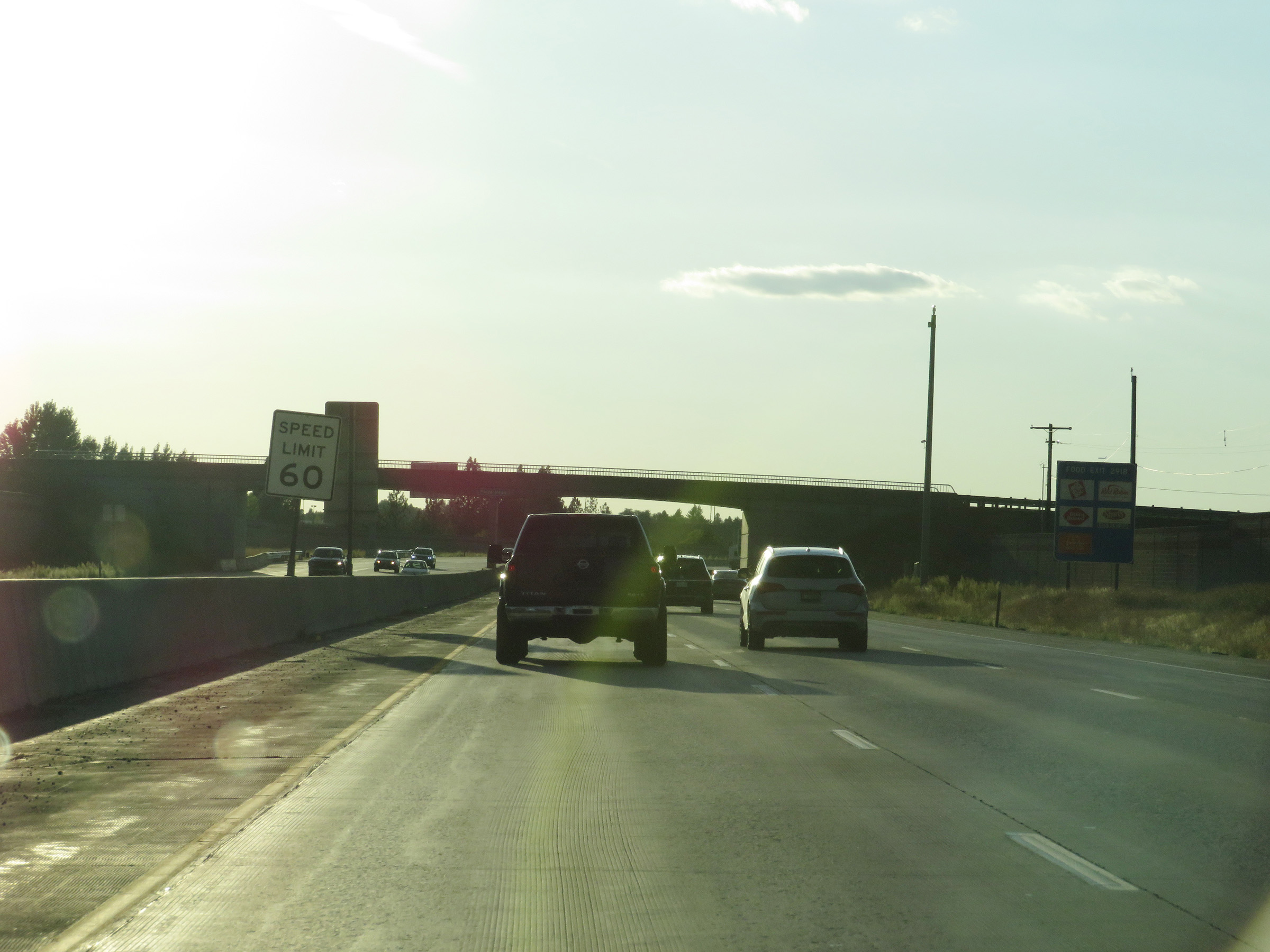 |
As Interstate 90 West enters the Spokane area, the speed limit decreases to 60 mph for all traffic. (Photo taken 9/21/19). |
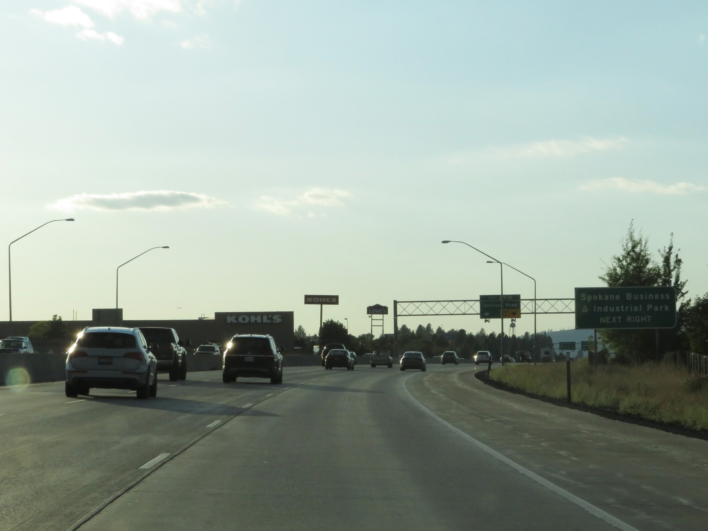 |
Take Exit 291B to Spokane Business & Industrial Park. (Photo taken 9/21/19). |
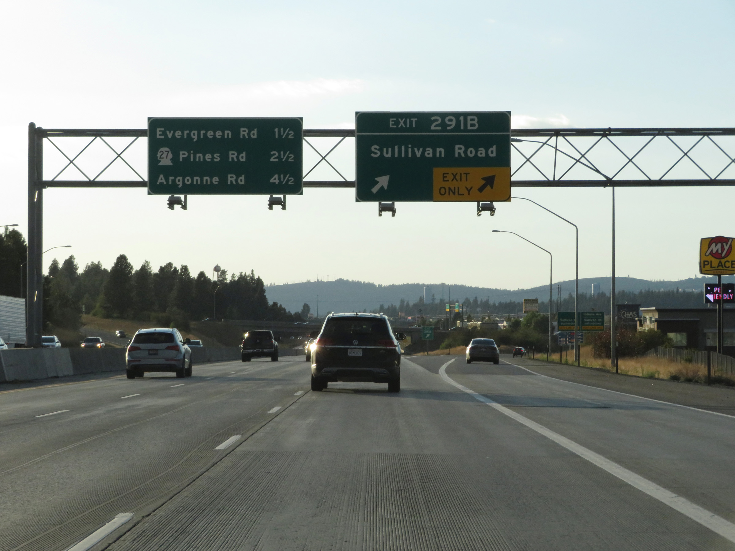 |
Interstate 90 West at Exit 291B: Sullivan Road (Photo taken 9/21/19). |
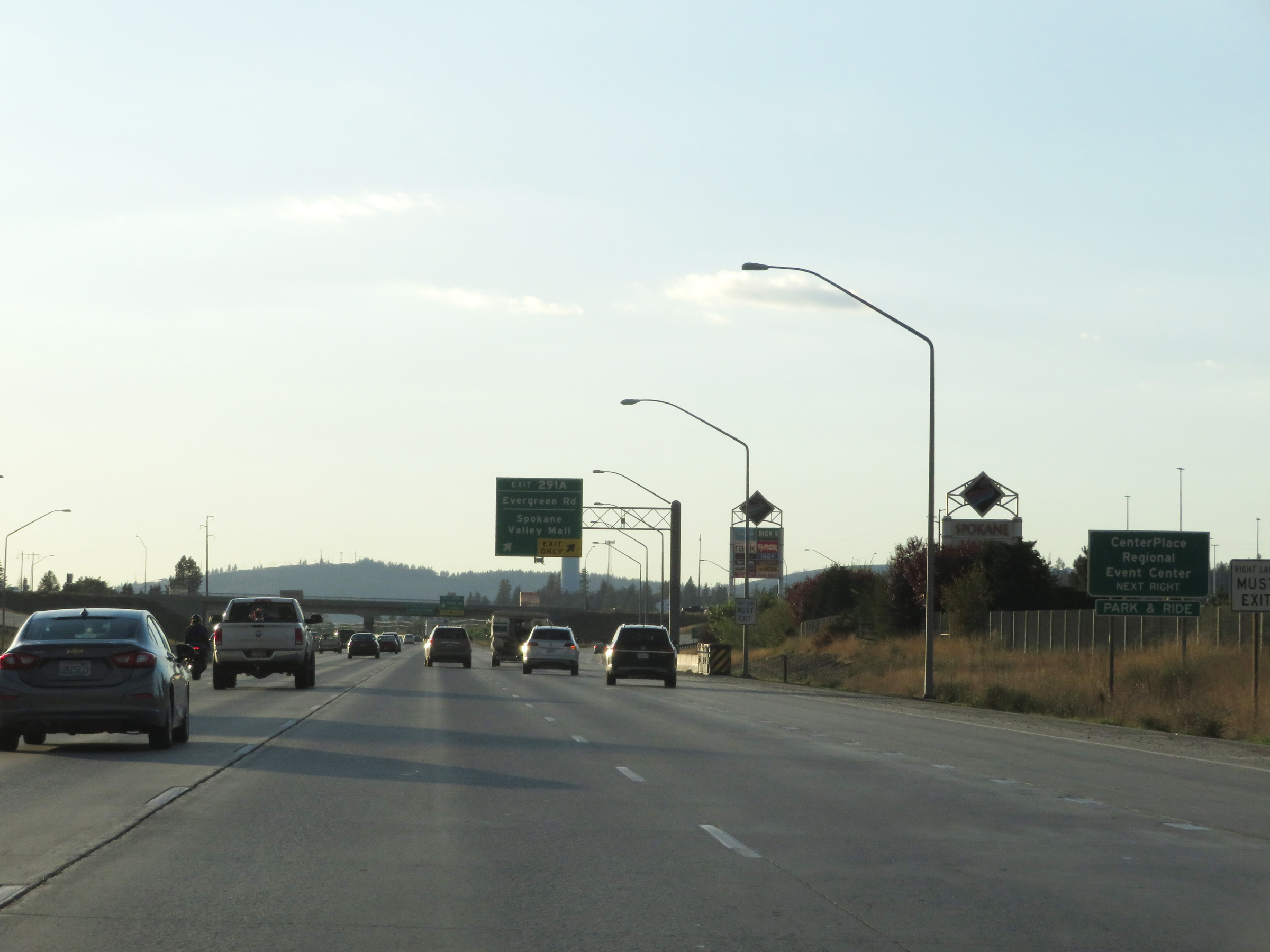 |
Take Exit 291A to CenterPlace Regional Event Center. (Photo taken 9/21/19). |
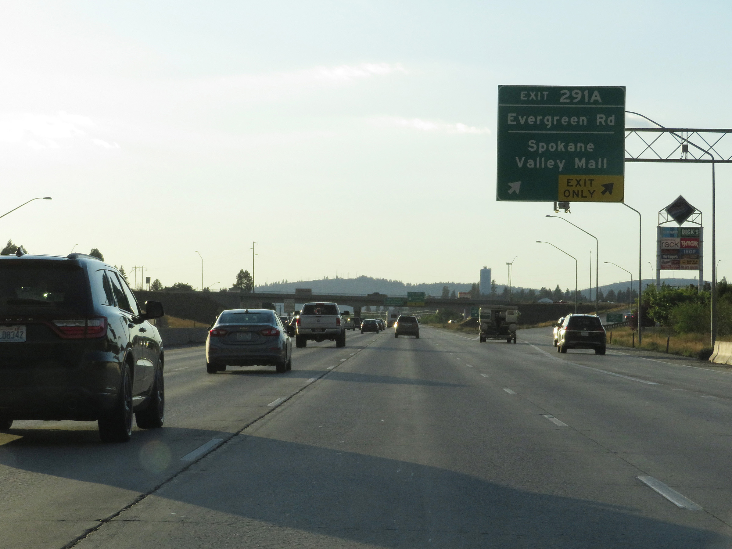 |
Interstate 90 West at Exit 291A: Evergreen Rd / Spokane Valley Mall (Photo taken 9/21/19). |
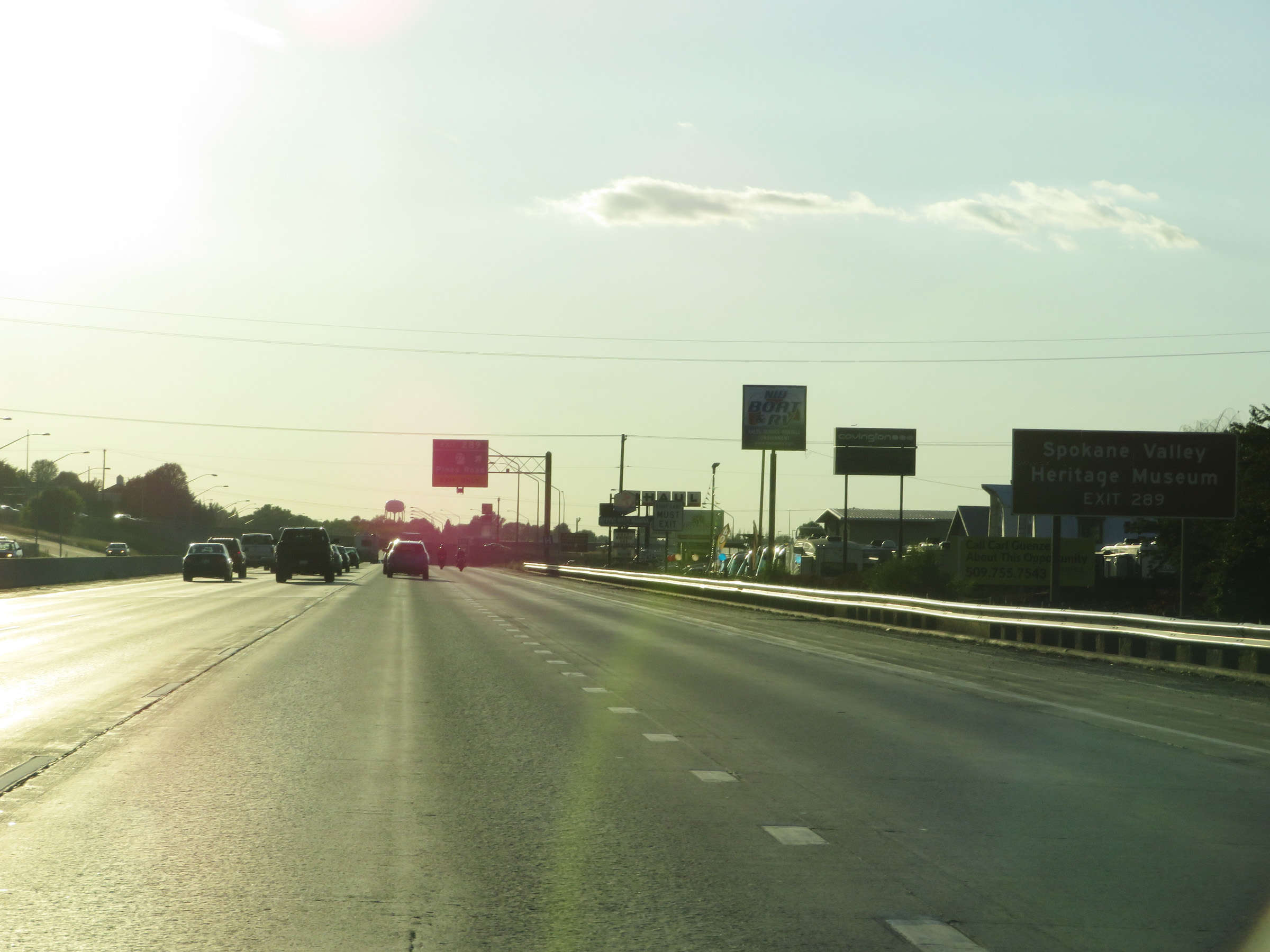 |
Take Exit 289 to the Spokane Valley Heritage Museum. (Photo taken 9/21/19). |
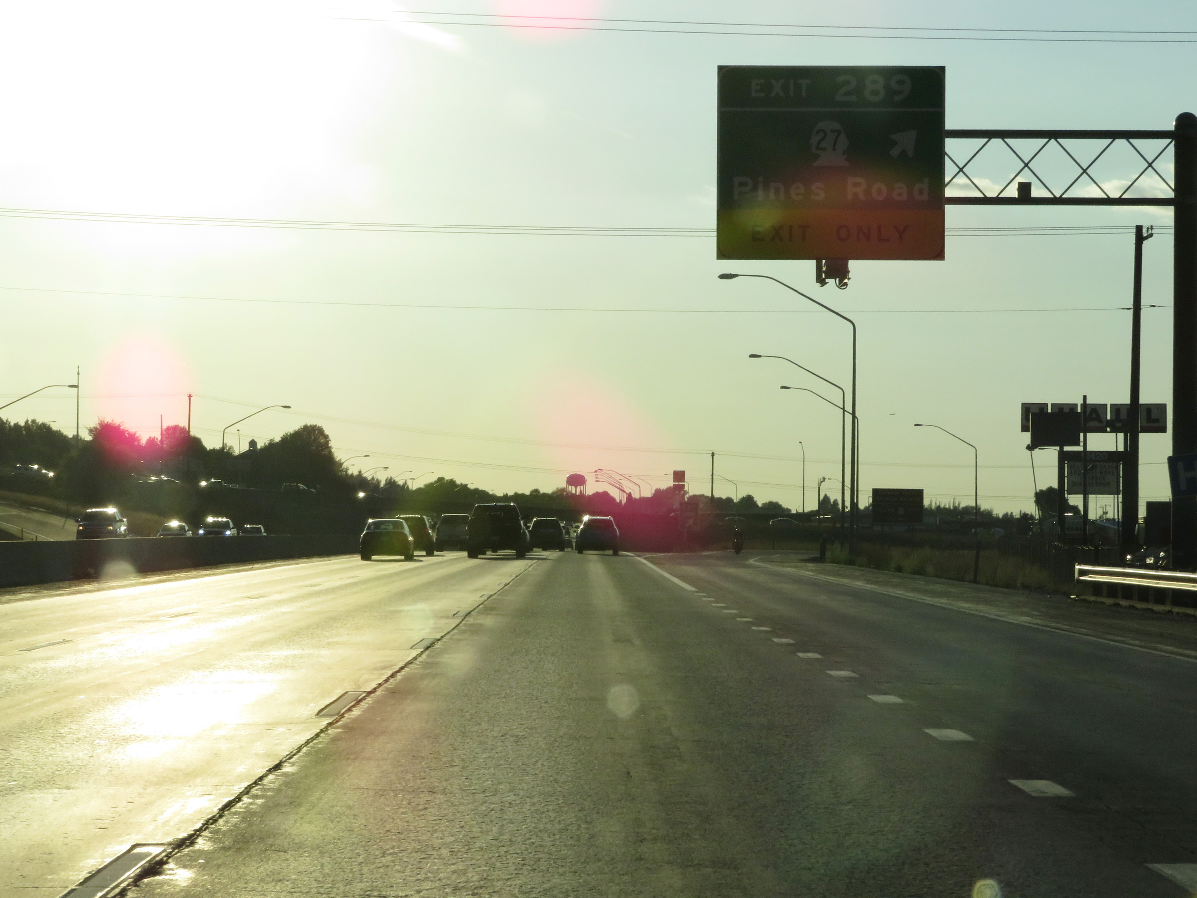 |
Interstate 90 West at Exit 289: WA 27 - Pines Road (Photo taken 9/21/19). |
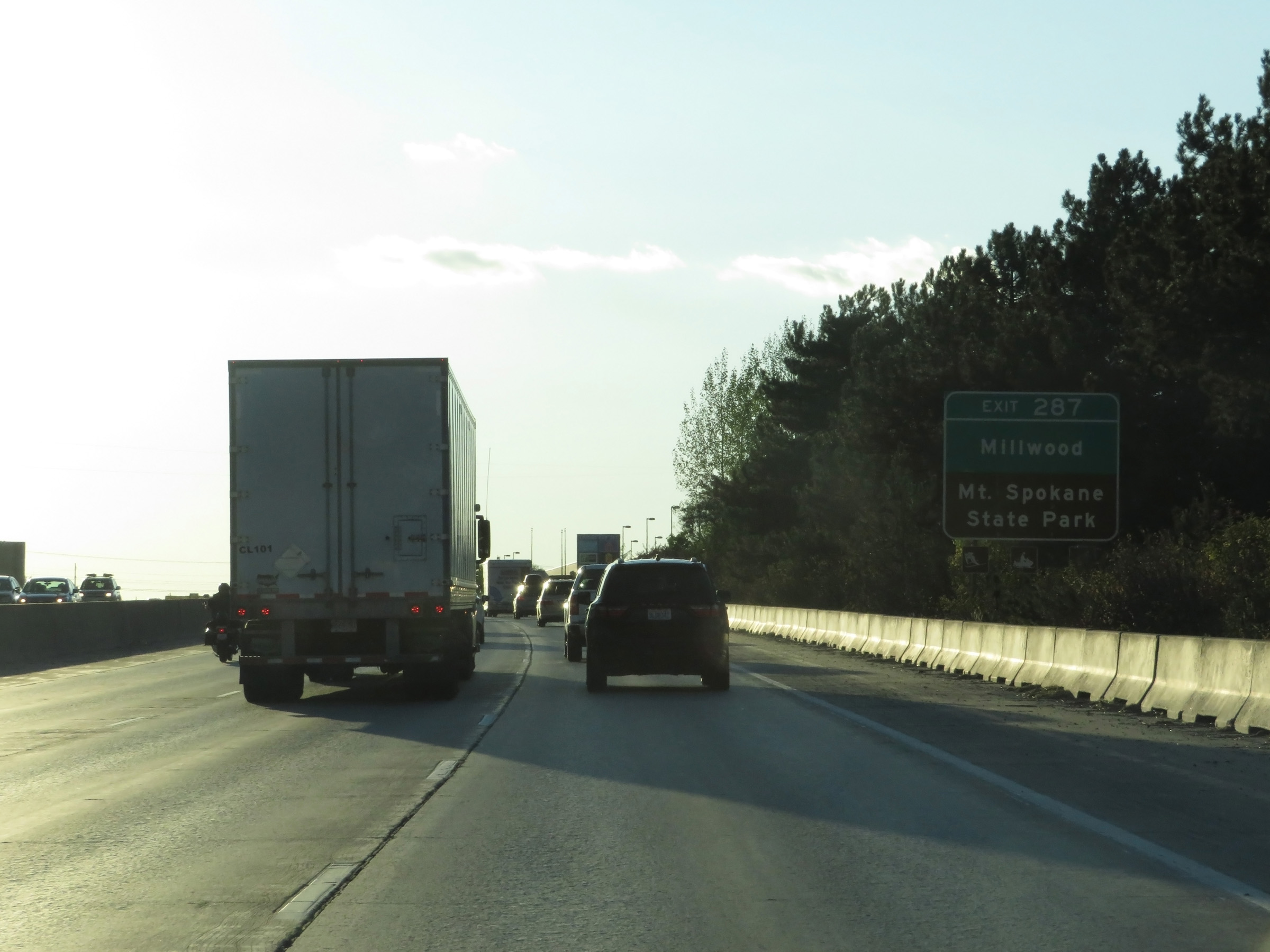 |
Take Exit 287 to Millwood and Mount Spokane State Park. (Photo taken 9/21/19). |
 |
Interstate 90 West at Exit 287: Argonne Rd (Photo taken 9/21/19). |
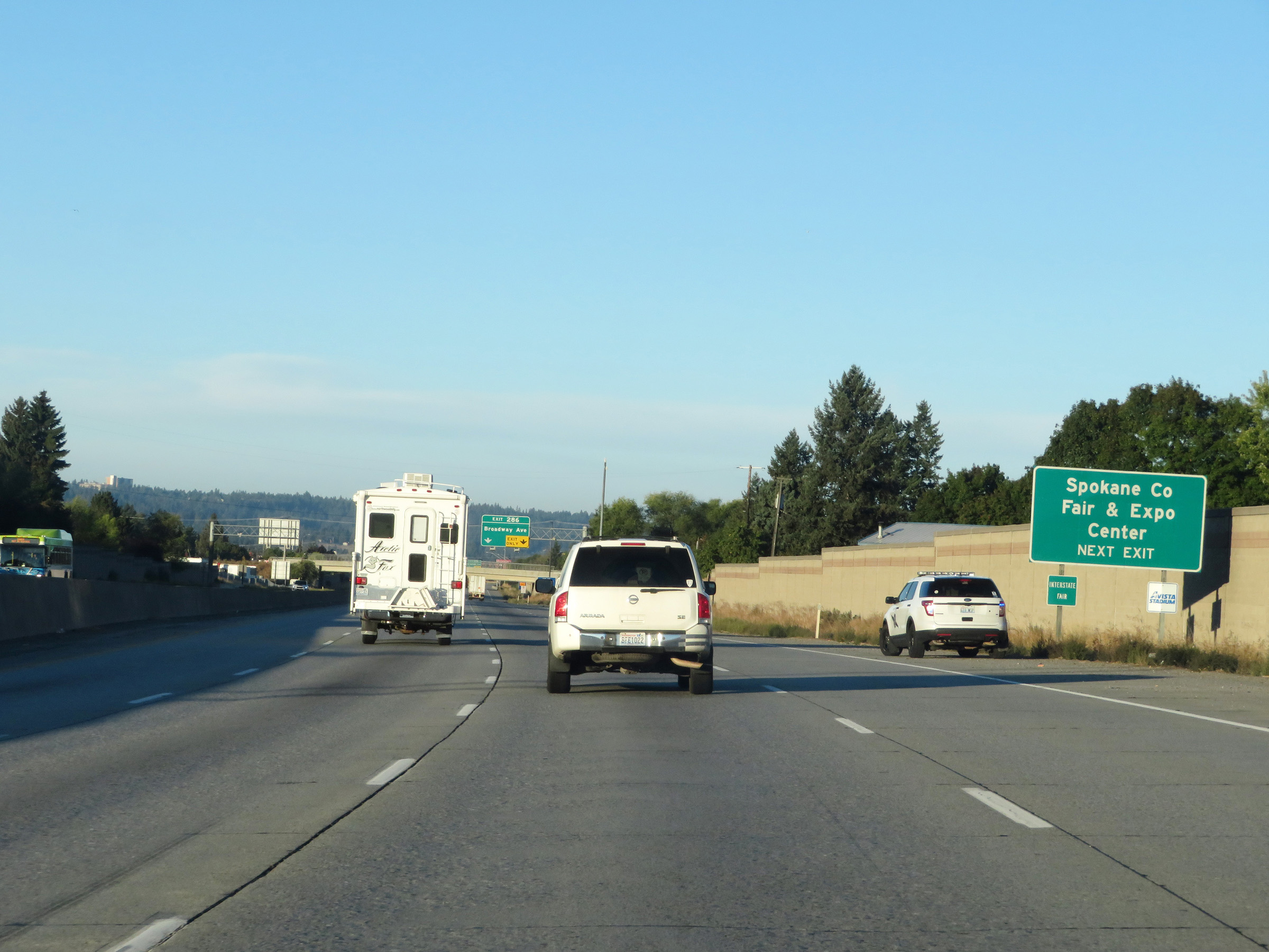 |
Take Exit 286 to the Spokane County Fair & Expo Center. (Photo taken 9/22/19). |
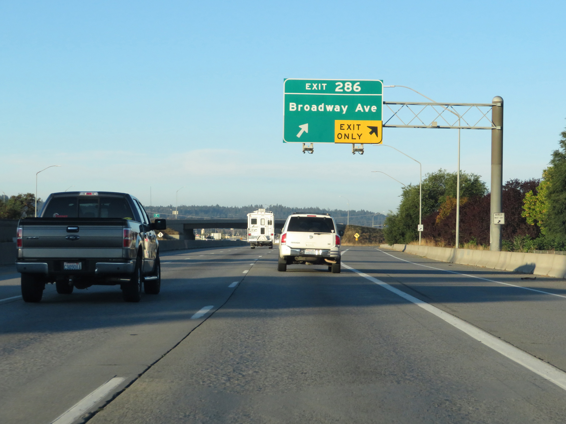 |
Interstate 90 West at Exit 286: Broadway Ave (Photo taken 9/22/19). |
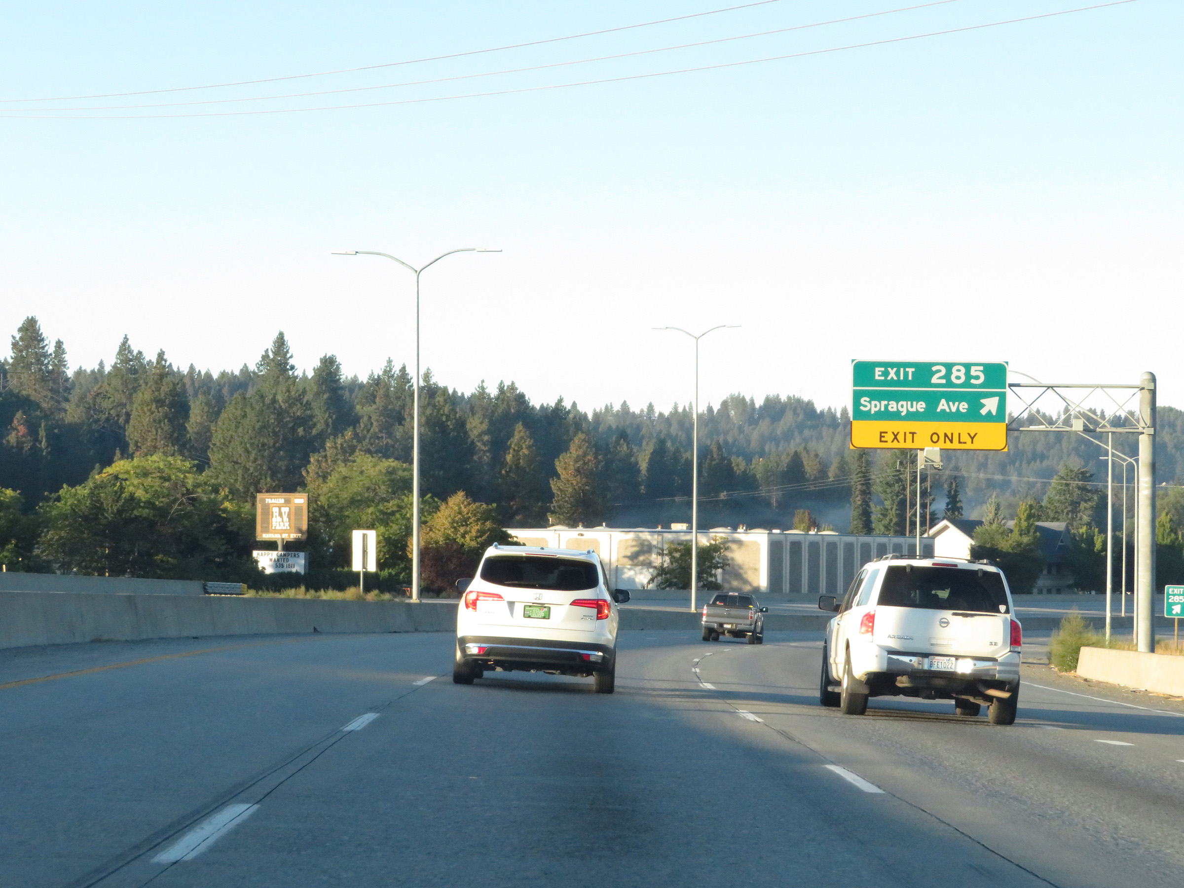 |
Interstate 90 West at Exit 285: Sprague Ave (Photo taken 9/22/19). |
 |
Take Exit 283B to Spokane Community College. (Photo taken 9/22/19). |
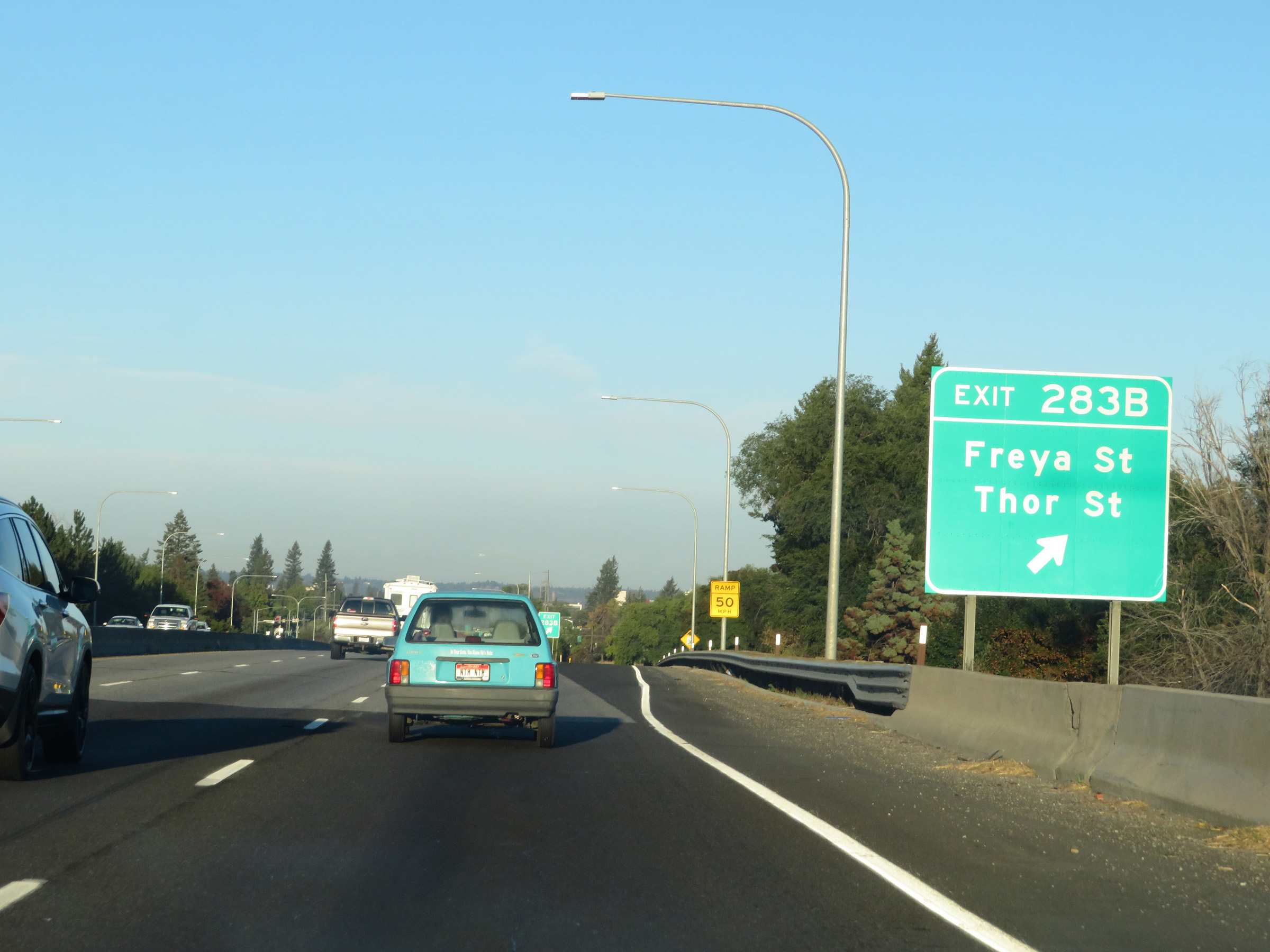 |
Interstate 90 West at Exit 283B: Freya St / Thor St (Photo taken 9/22/19). |
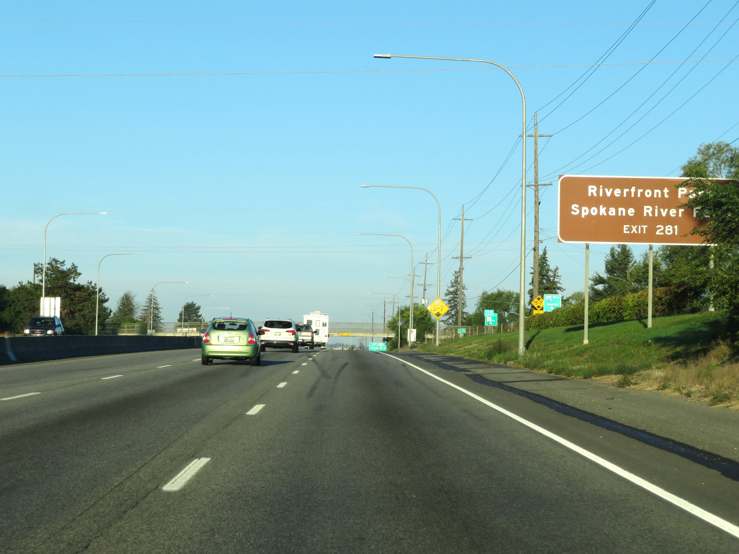 |
Take Exit 281 to Riverfront Park and Spokane River Falls. (Photo taken 9/22/19). |
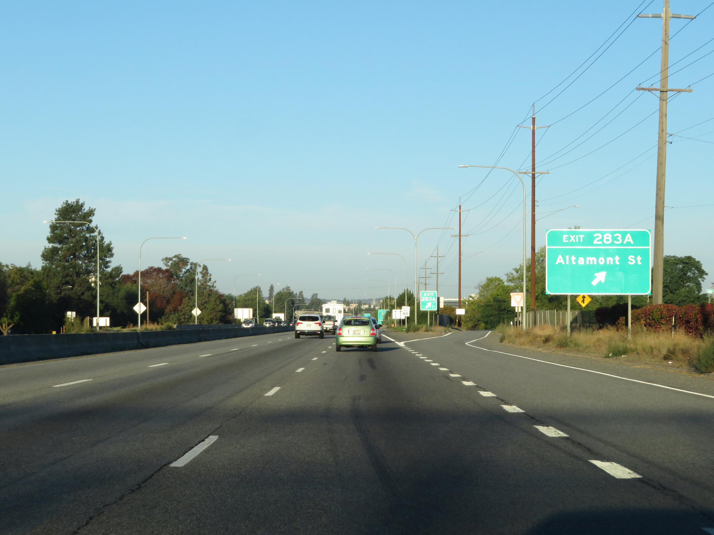 |
Interstate 90 West at Exit 283A: Altamont St (Photo taken 9/22/19). |
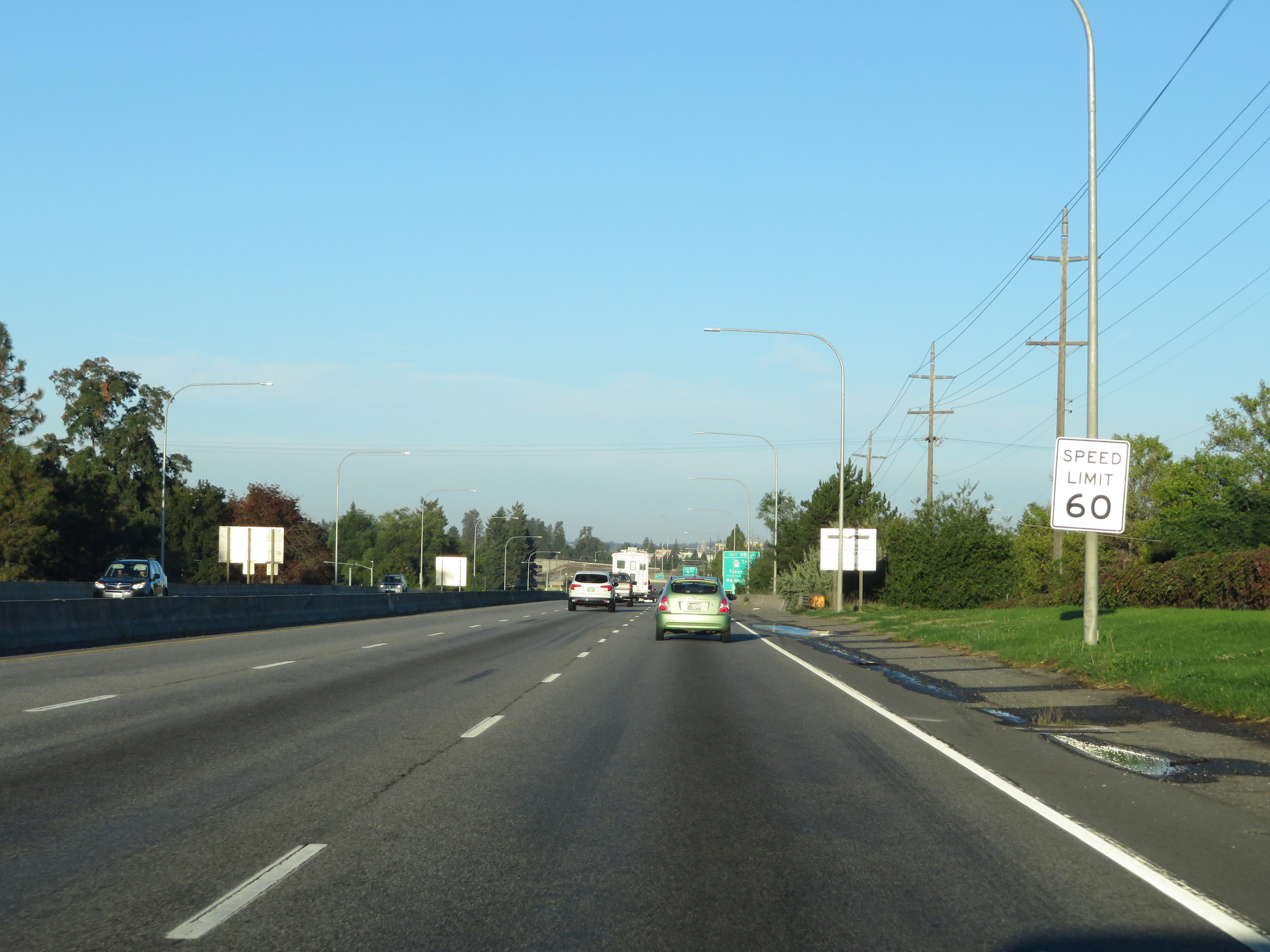 |
The speed limit remains 60 mph for all traffic. (Photo taken 9/22/19). |
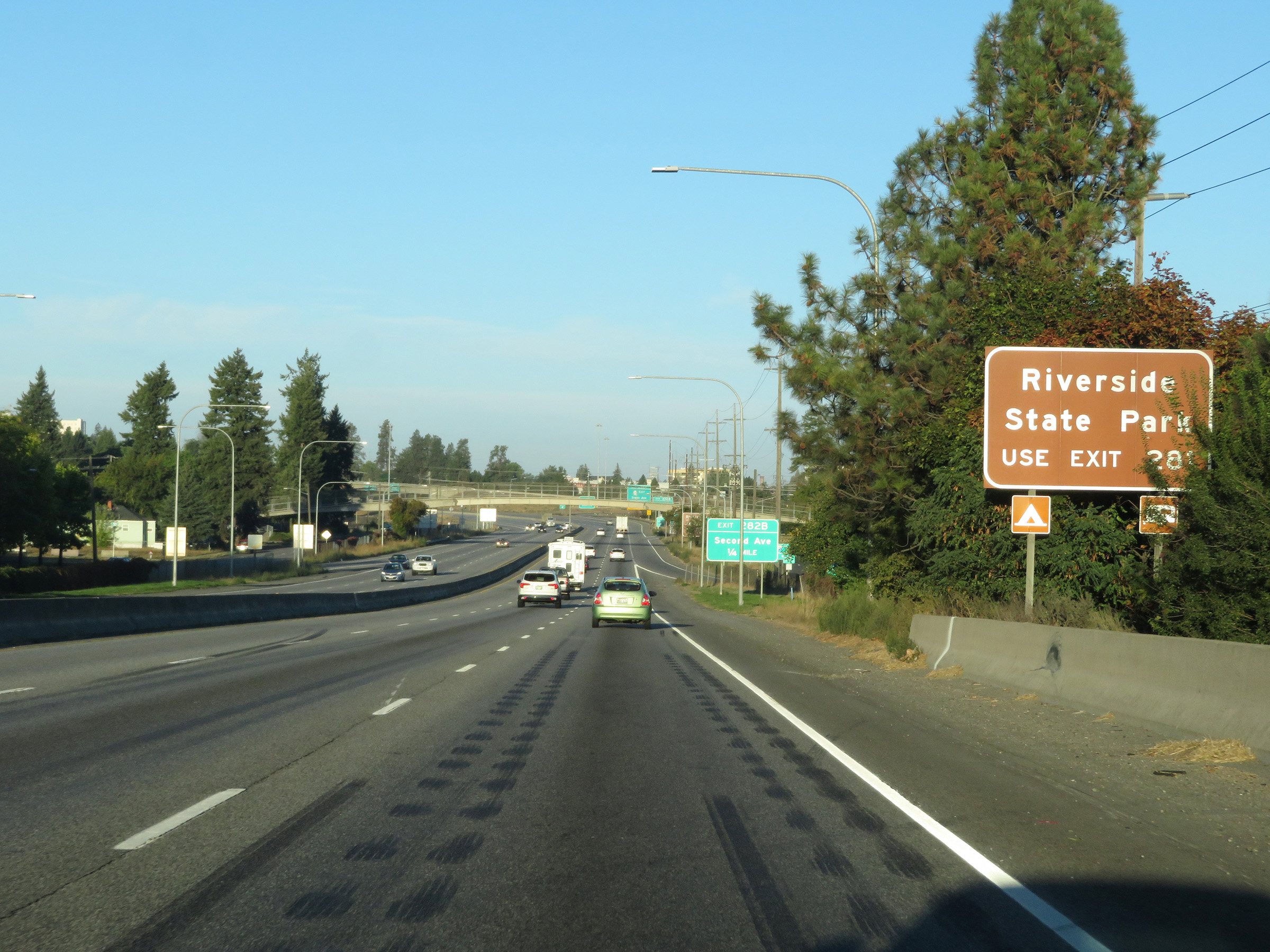 |
Traffic to Riverside State Park should use Exit 281. (Photo taken 9/22/19). |
 |
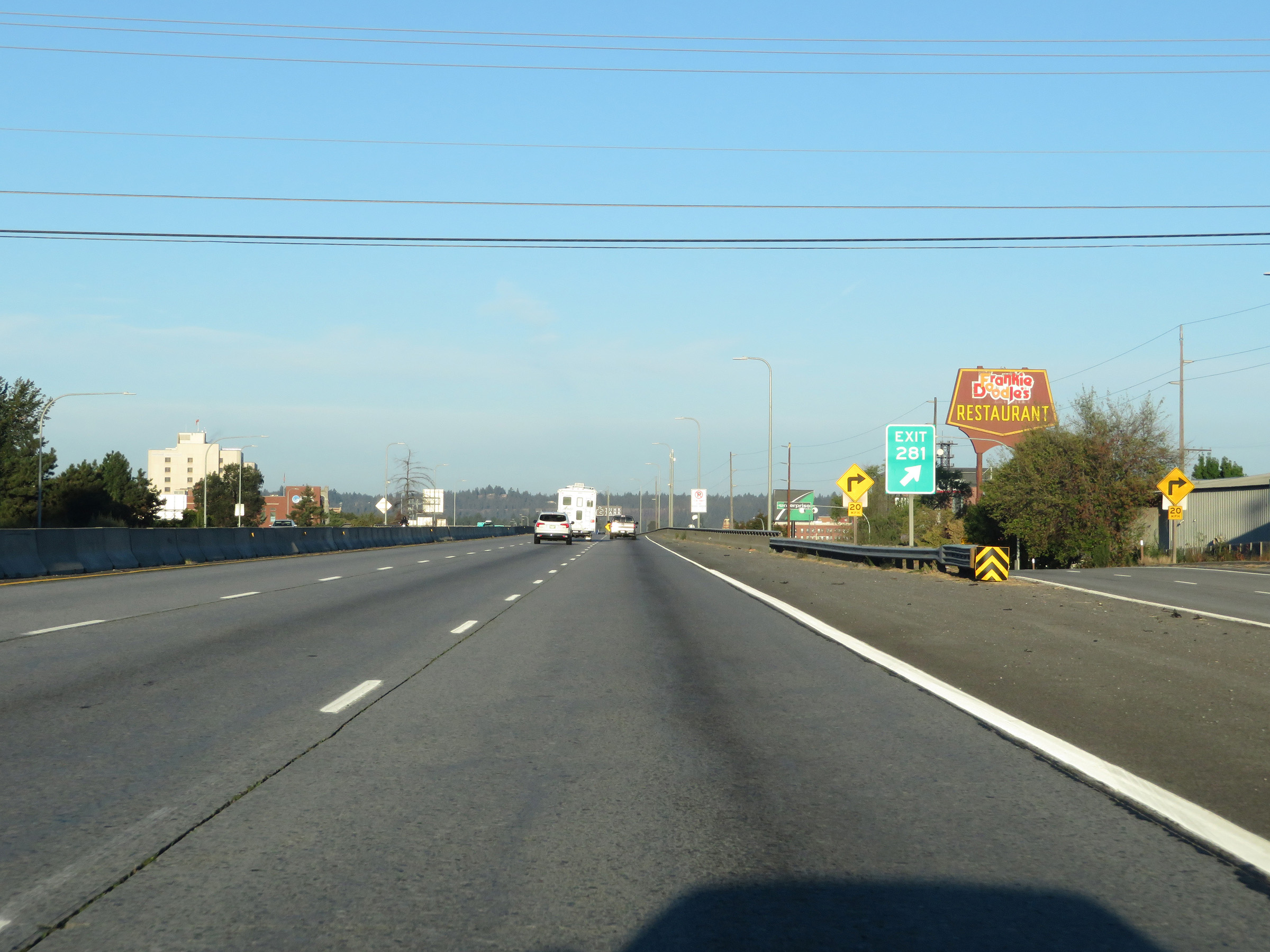
Take Exit 280A to Spokane Arena and the Northwest Museum of Arts & Culture. (Photo taken 9/22/19). |
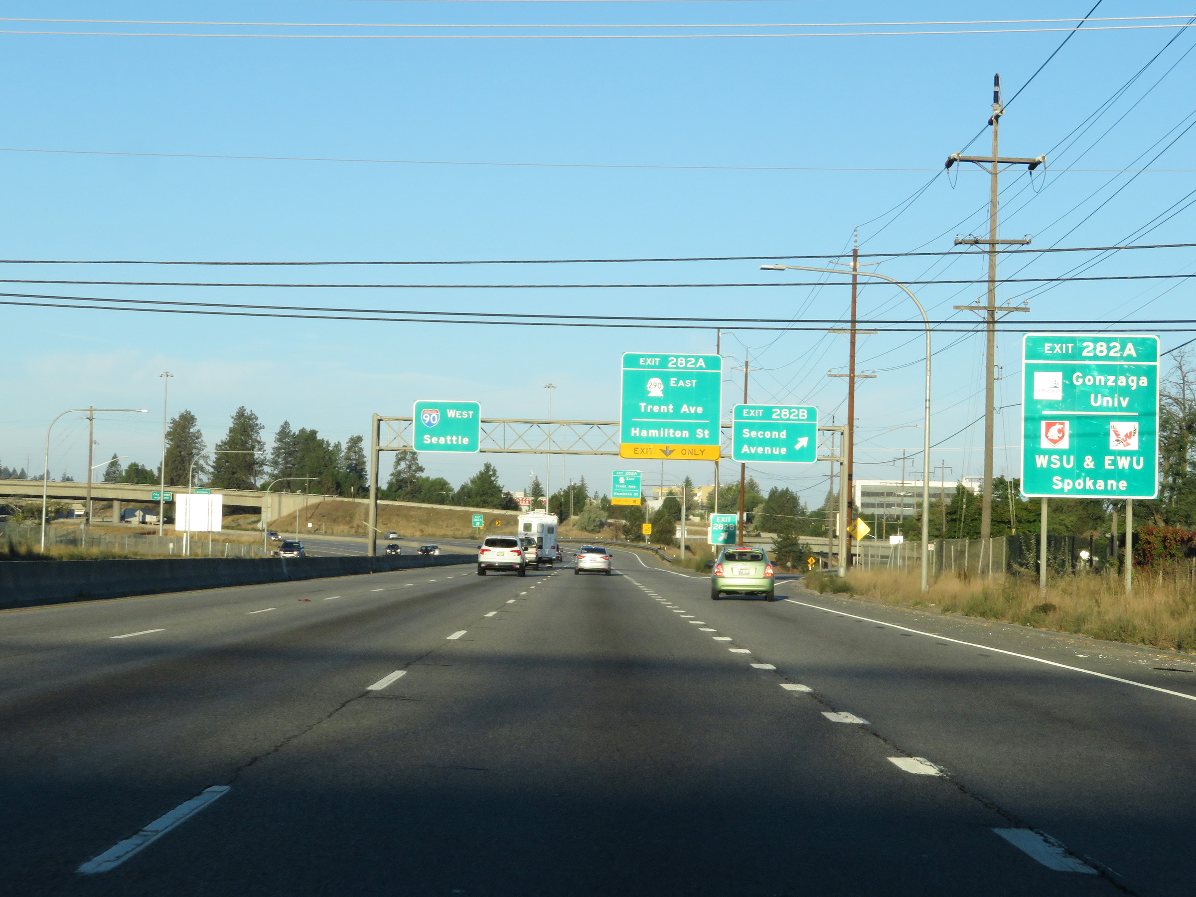 |
Take Exit 282A to Gonzaga University and the Spokane Campuses of Washington State University and Eastern Washington University. (Photo taken 9/22/19). |
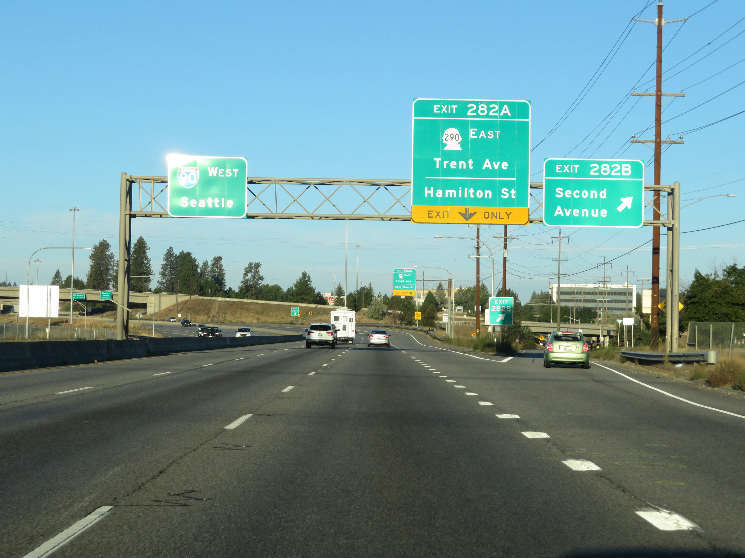 |
Interstate 90 West at Exit 282B: Second Avenue (Photo taken 9/22/19). |
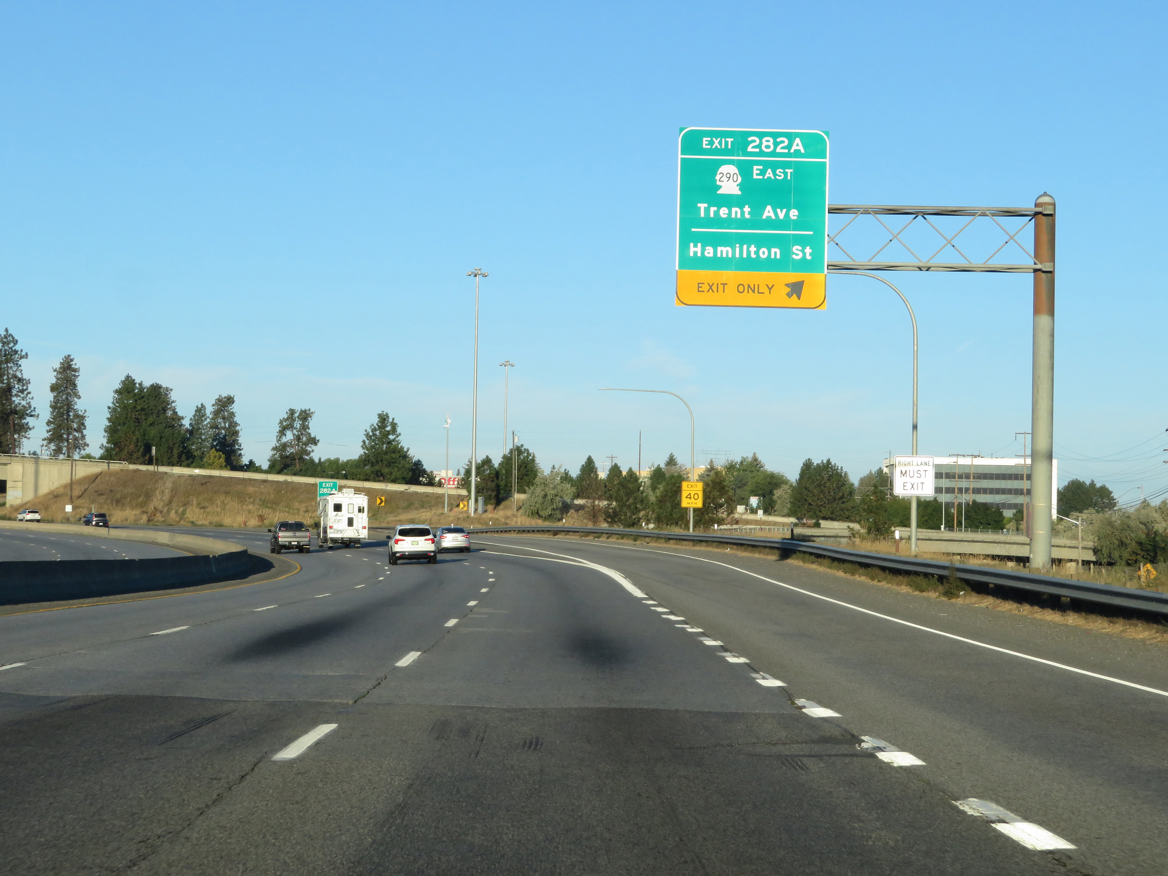 |
Interstate 90 West at Exit 282A: WA 290 East - Trent Ave / Hamilton St (Photo taken 9/22/19). |
 |
Spokane City Center can be accessed via either of the next 2 exits. (Photo taken 9/22/19). |
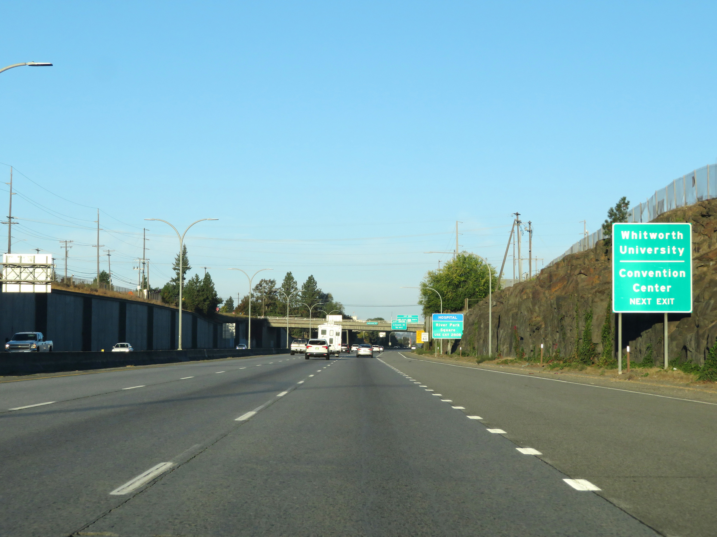 |
Take Exit 281 to Whitworth University and the Convention Center. (Photo taken 9/22/19). |
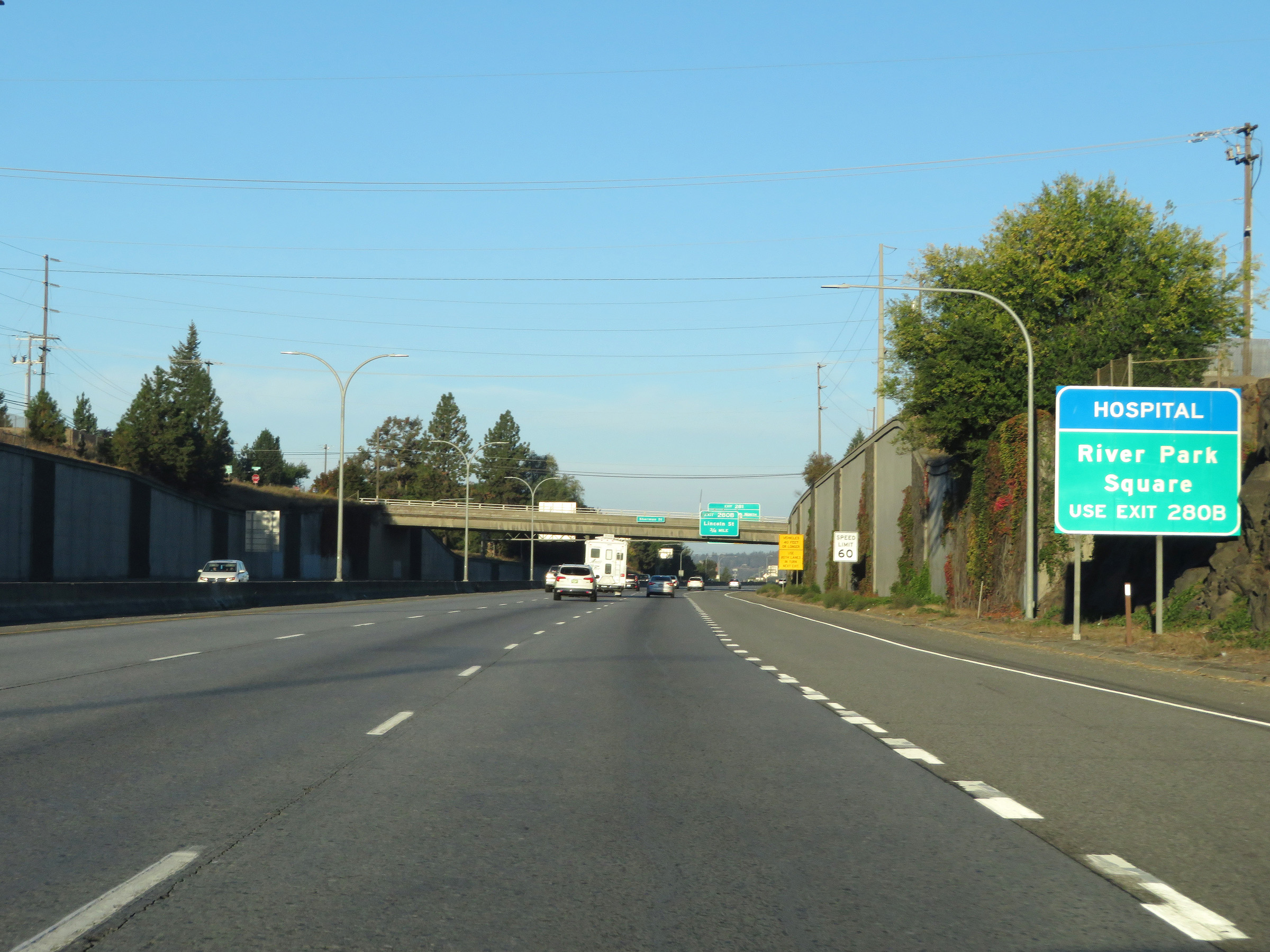 |
Take Exit 280B to River Park Square. (Photo taken 9/22/19). |
 |
Interstate 90 West at Exit 281: Newport / Colville / Division Street (Photo taken 9/22/19). |
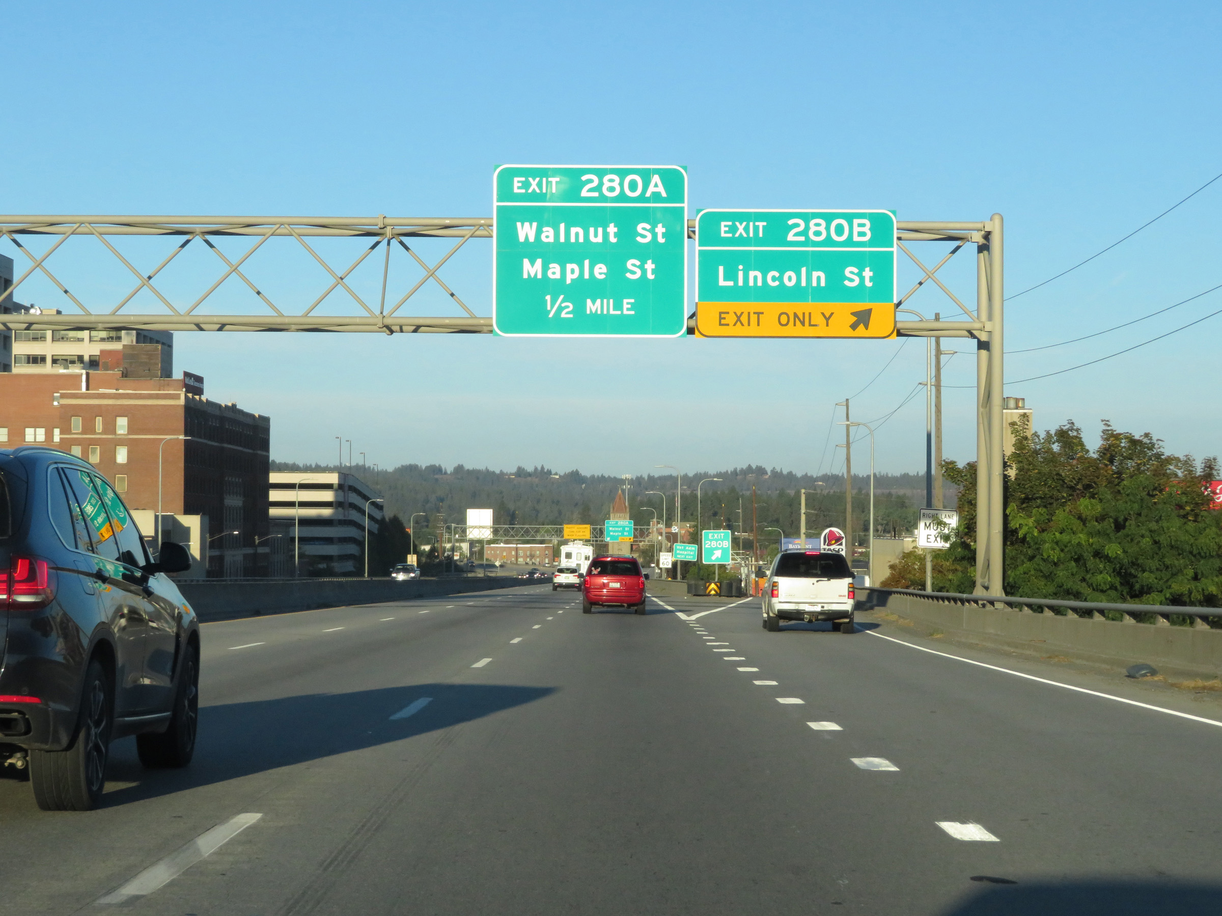 |
Interstate 90 West at Exit 280B: Lincoln St (Photo taken 9/22/19). |
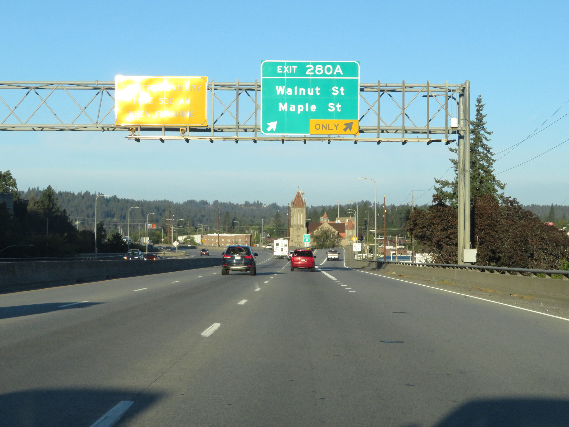 |
Interstate 90 West at Exit 280A: Walnut St / Maple St (Photo taken 9/22/19). |
 |
Interstate 90 West reassurance shield. (Photo taken 9/22/19). |
 |
Interstate 90 West at Exit 279: US 195 South - Colfax / Pullman (Photo taken 9/22/19). |
Section 2: Spokane (Exit 279) to Ritzville (Exit 206)
 |
Interstate 90 West approaching Exit 277 - 1 mile. (Photo taken 9/22/19). |
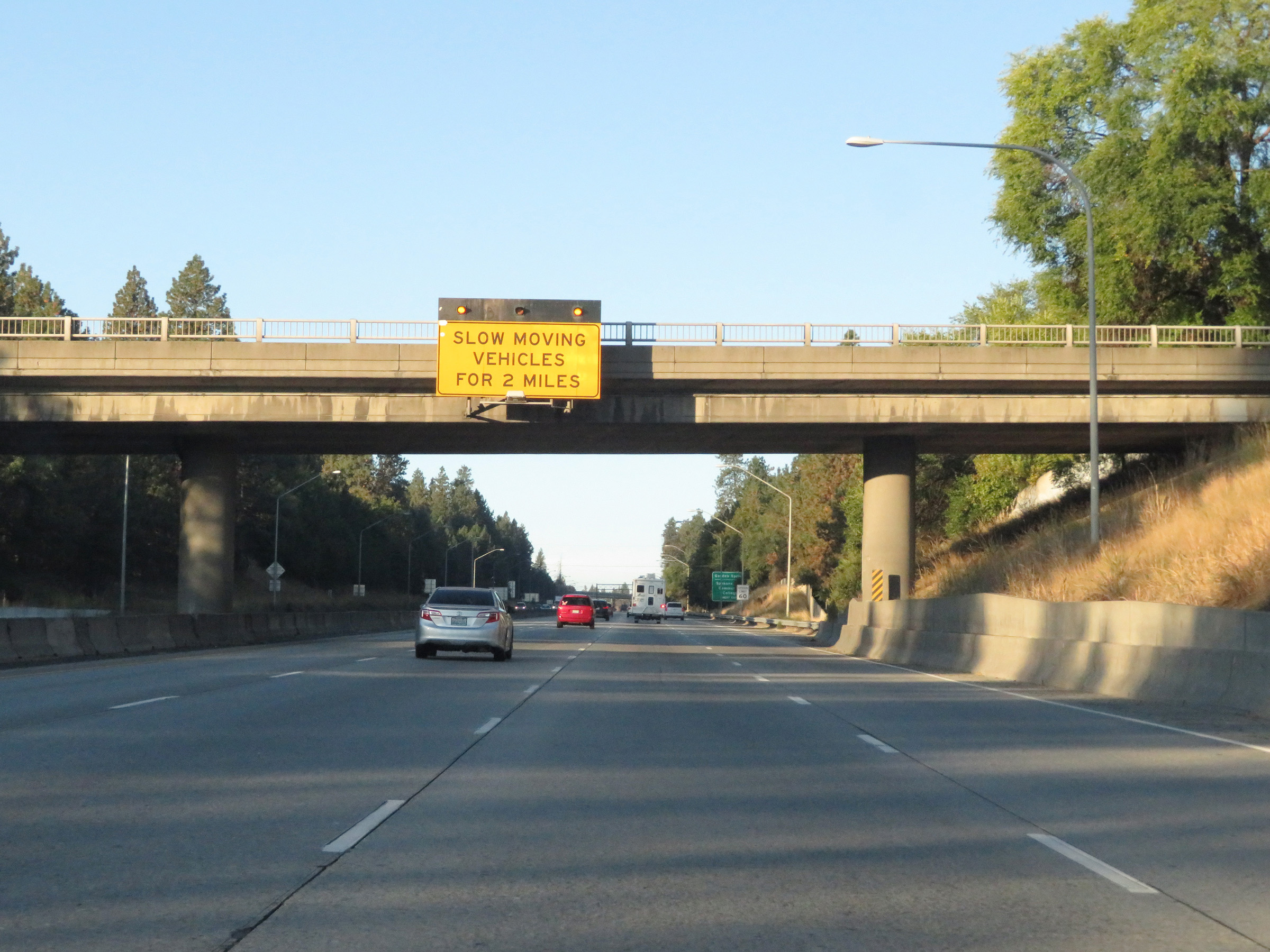 |
As Interstate 90 West begins to climb out of the Spokane Valley, this overhead sign warns motorists to watch for slow moving vehicles going up the hill for the next 2 miles. (Photo taken 9/22/19). |
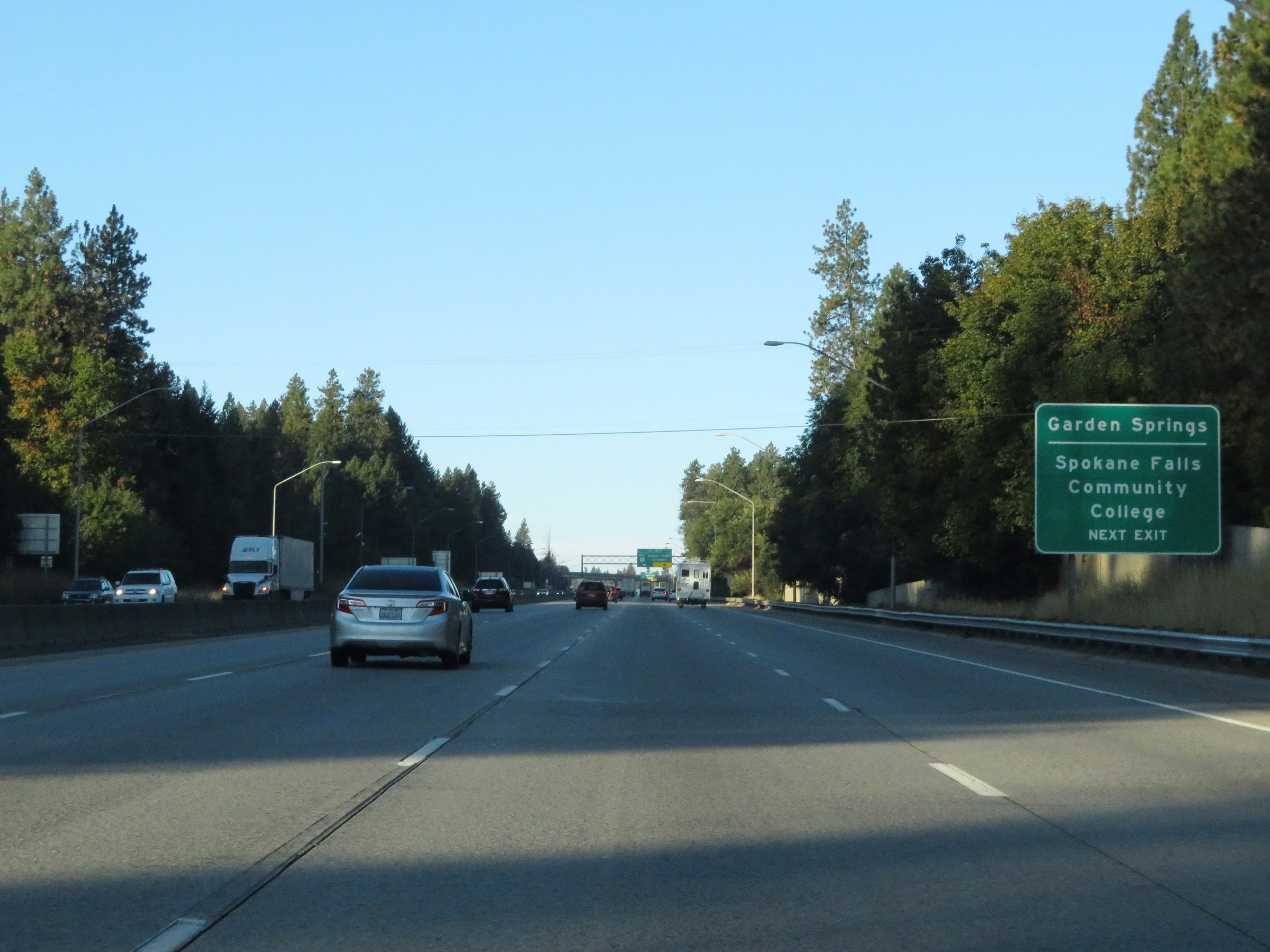 |
Take Exit 277 to Garden Springs and Spokane Falls Community College. (Photo taken 9/22/19). |
 |
Also take Exit 277 to Airway Heights and Fairchild AFB. (Photo taken 9/22/19). |
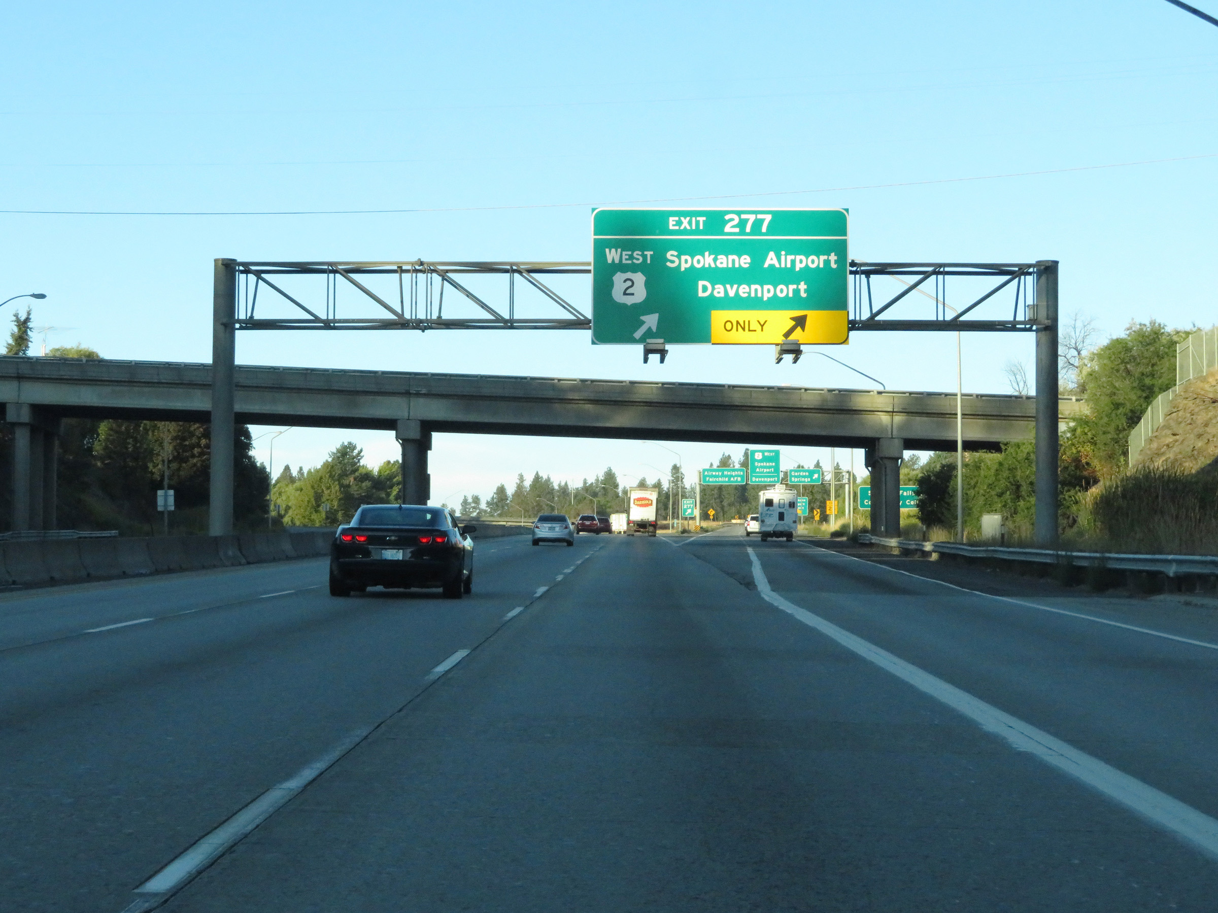 |
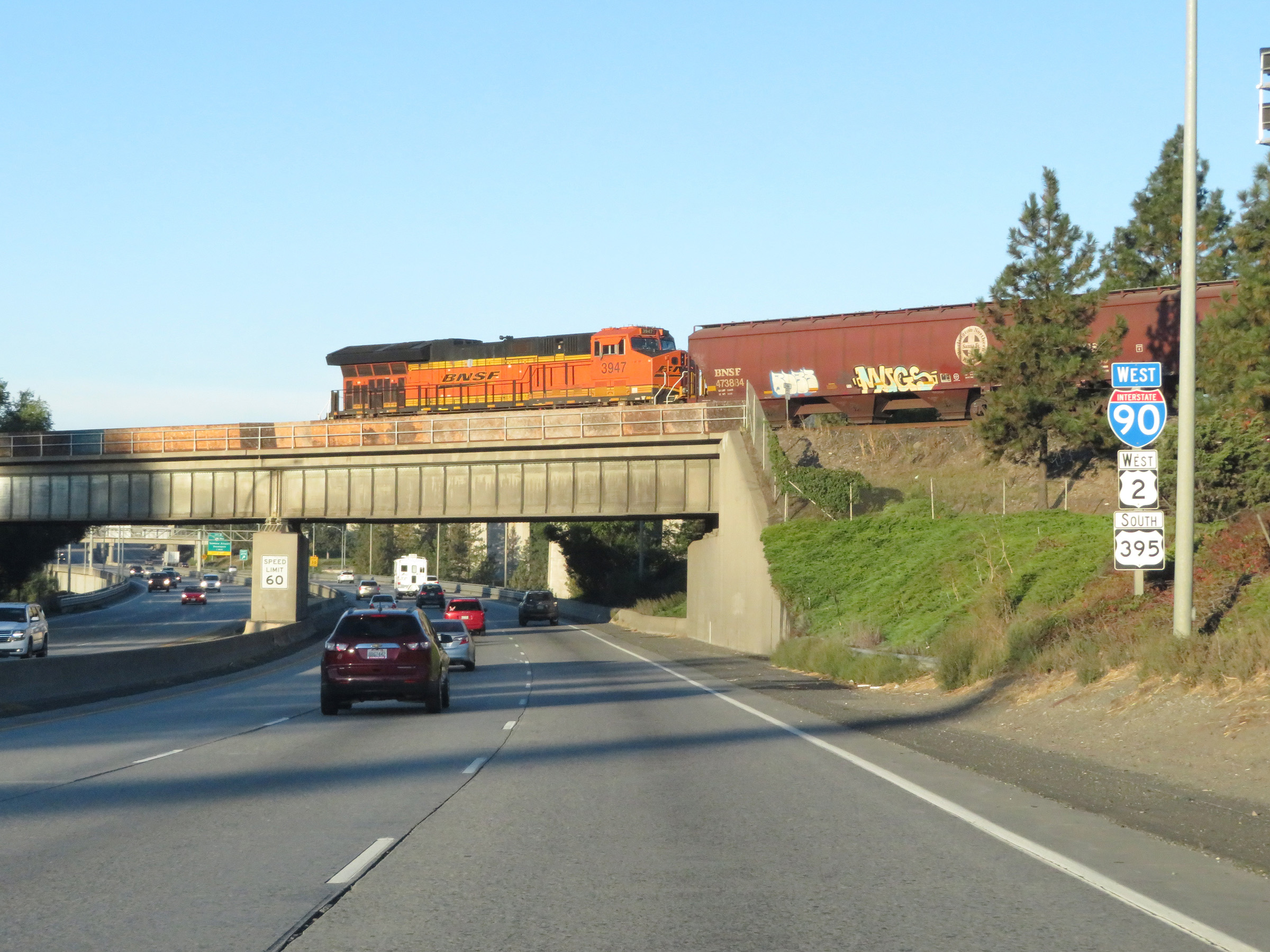
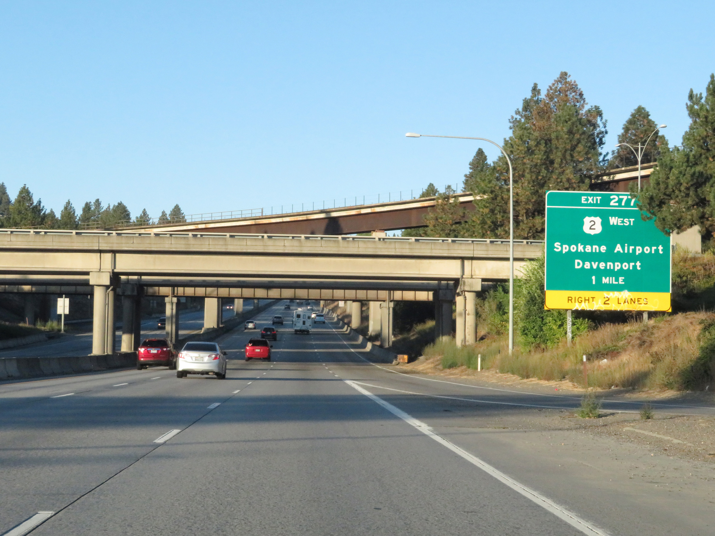
Interstate 90 West at Exit 277: US 2 West - Spokane Airport / Davenport (Photo taken 9/22/19). |
 |
Beyond Exit 277, the speed limit for automobiles on Interstate 90 West increases to 70 mph once again. As usual, the truck speed limit remains 60 mph. (Photo taken 9/22/19). |
 |
Take Exit 276 to the Air - Army National Guard. (Photo taken 9/22/19). |
 |
Interstate 90 West at Exit 276: Geiger Blvd / Grove Road (Photo taken 9/22/19). |
 |
Another Interstate 90 West reassurance shield. (Photo taken 9/22/19). |
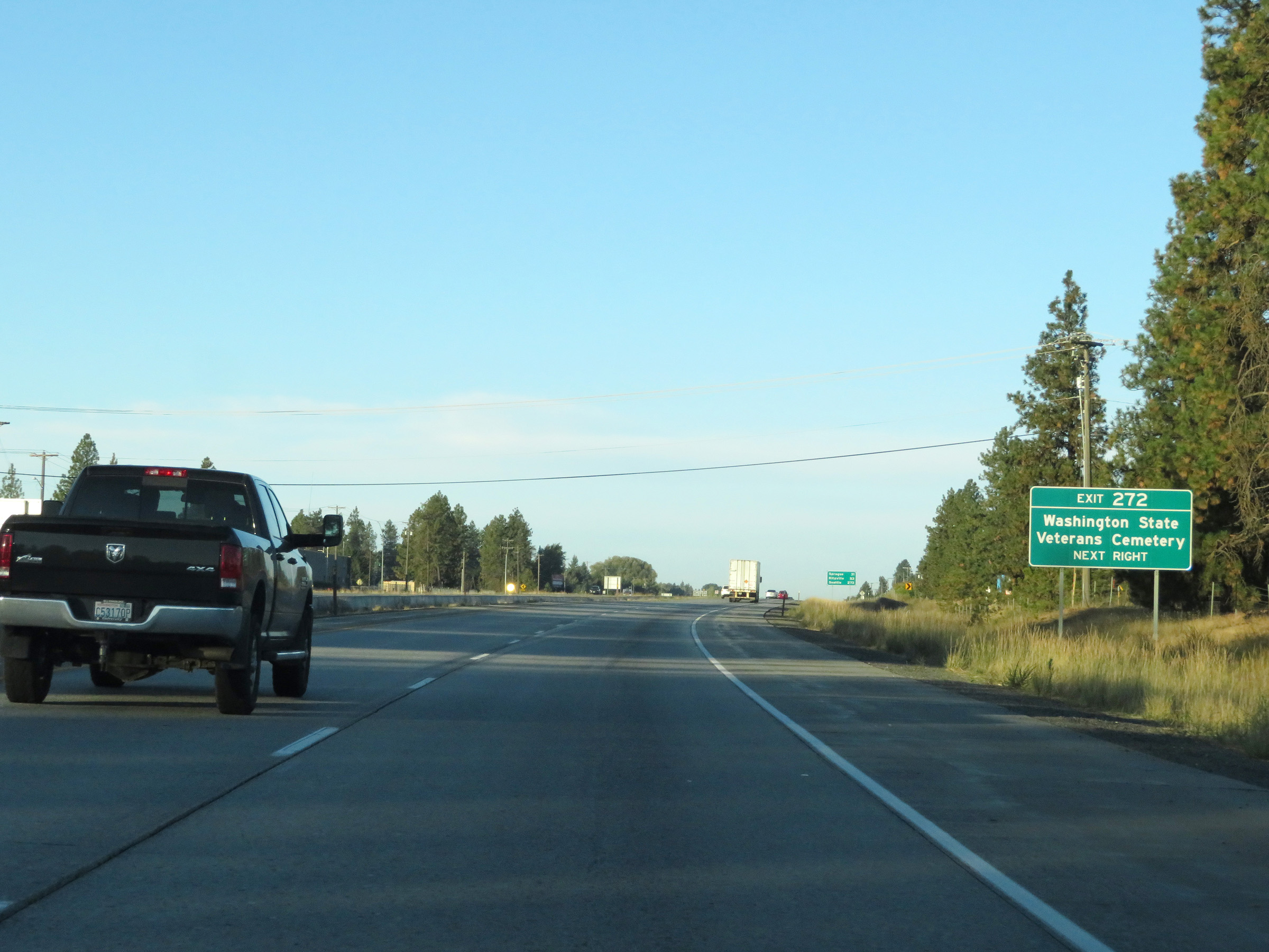 |
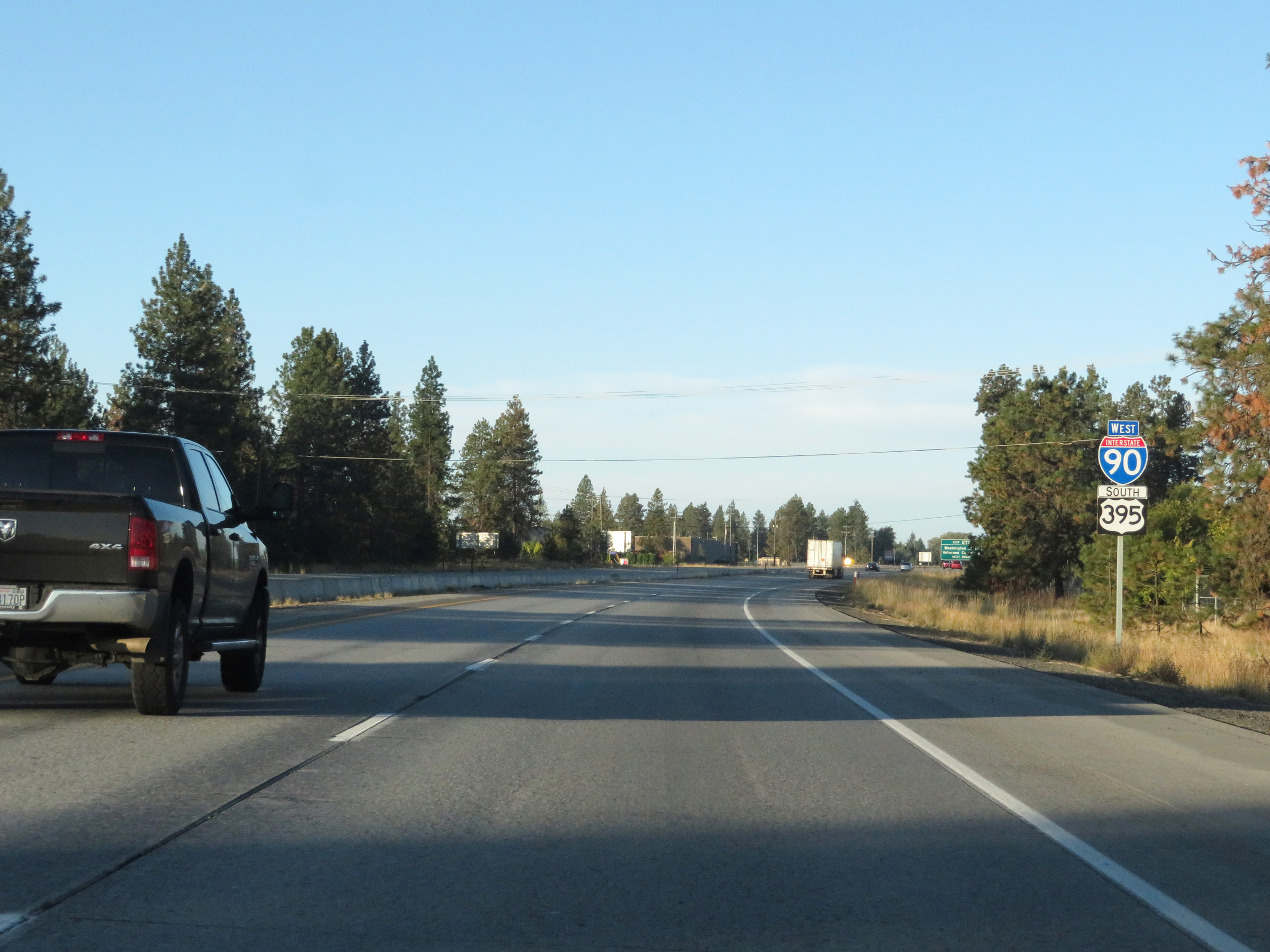
Take Exit 272 to the Washington State Veterans Cemetery. (Photo taken 9/22/19). |
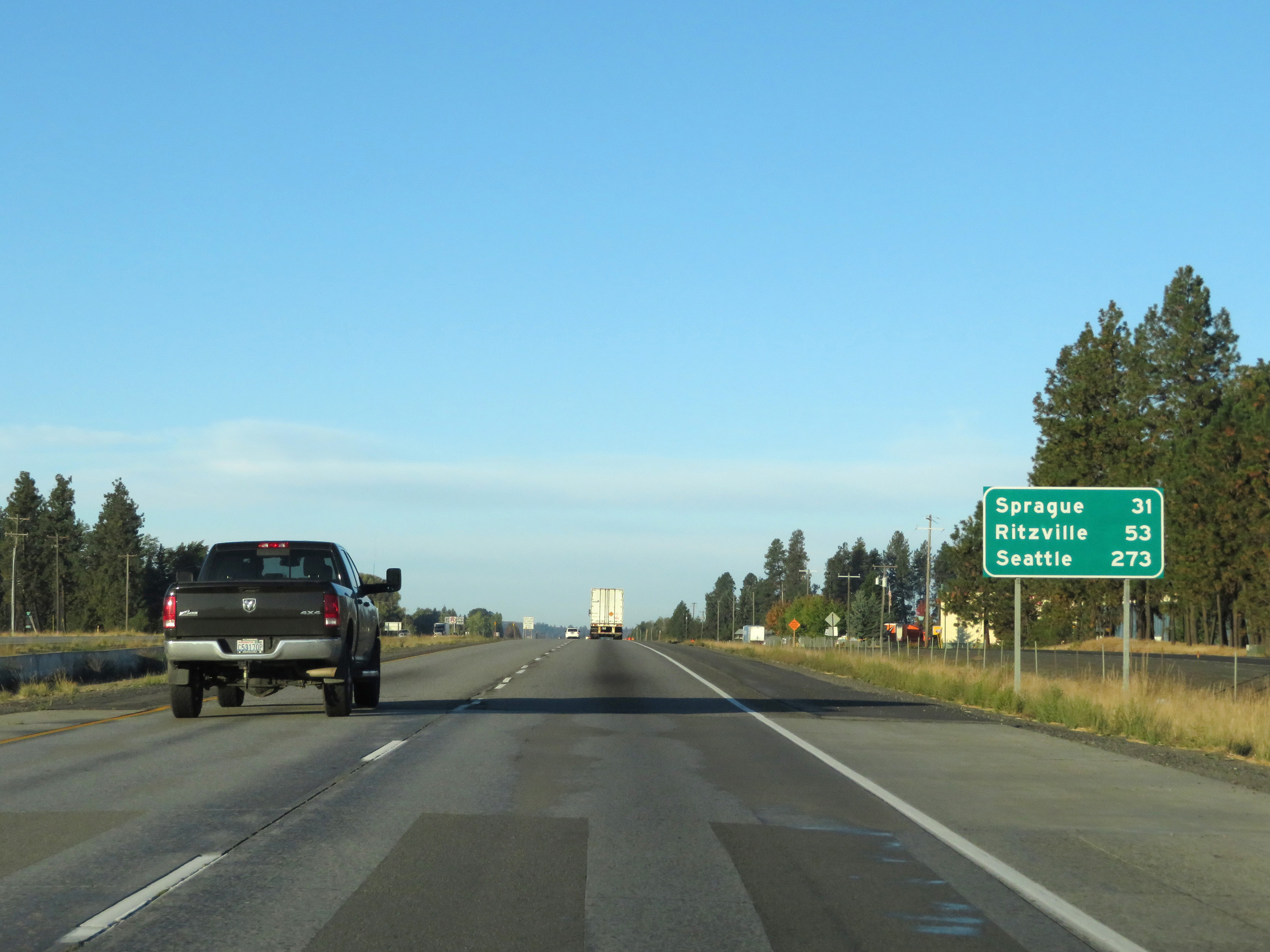 |
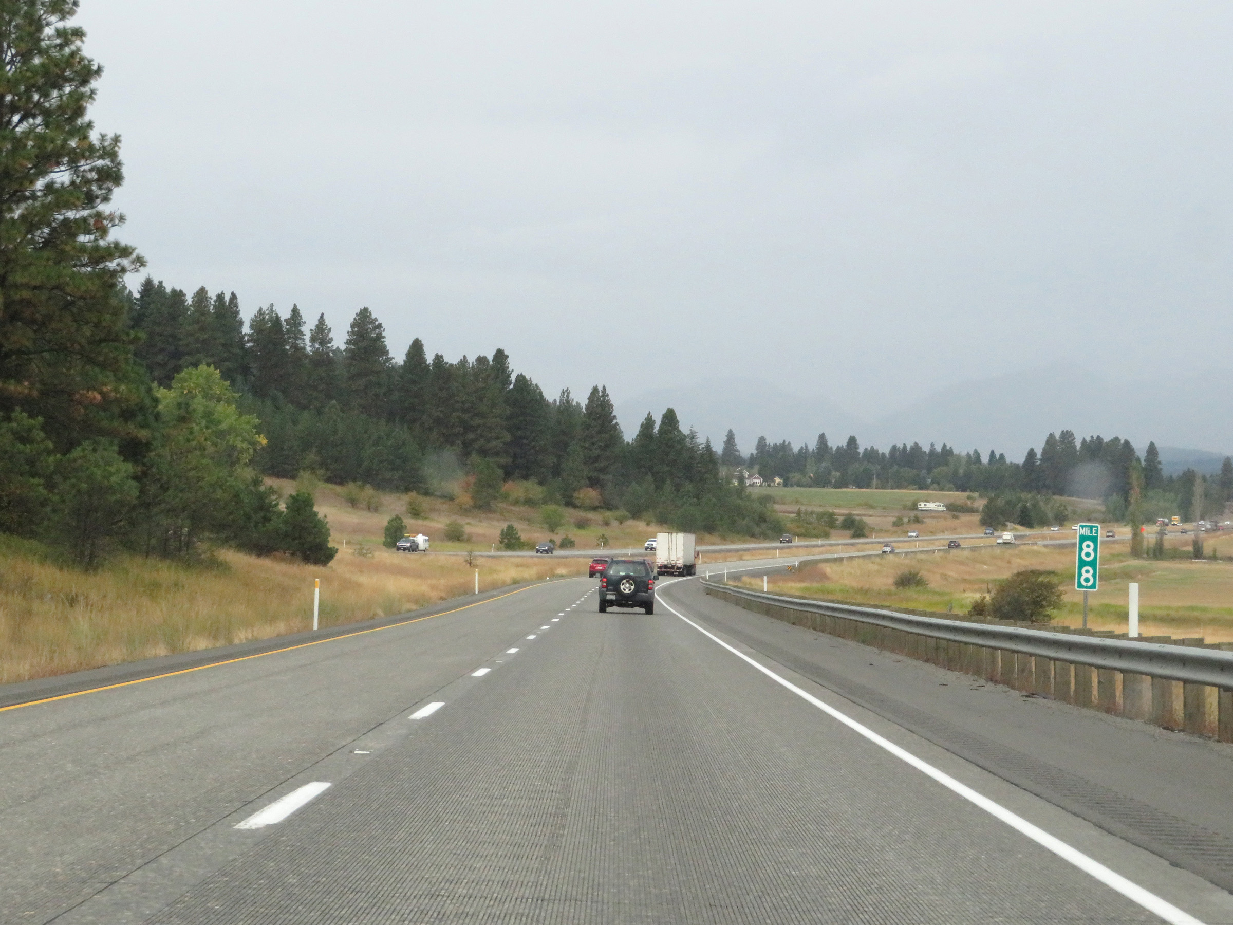
Mileage sign on Interstate 90 West. It's 31 miles to Sprague, 53 miles to Ritzville, and 273 miles to Seattle. (Photo taken 9/22/19). |
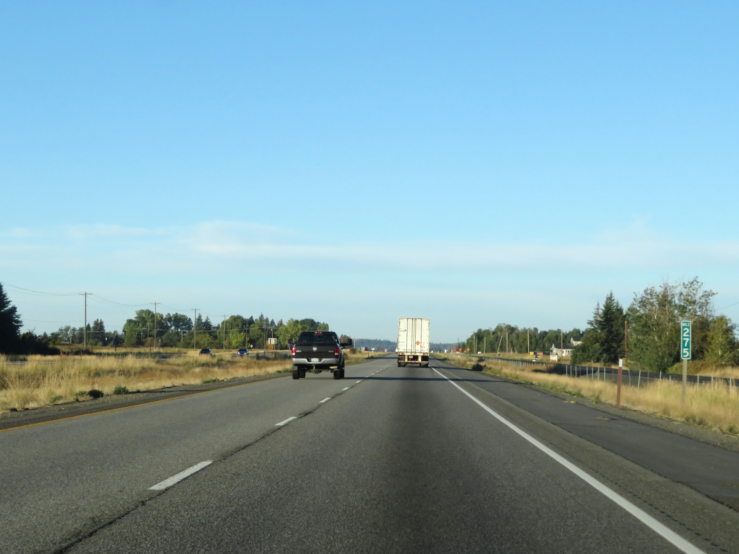 |
View on Interstate 90 West at mile marker 275. (Photo taken 9/22/19). |
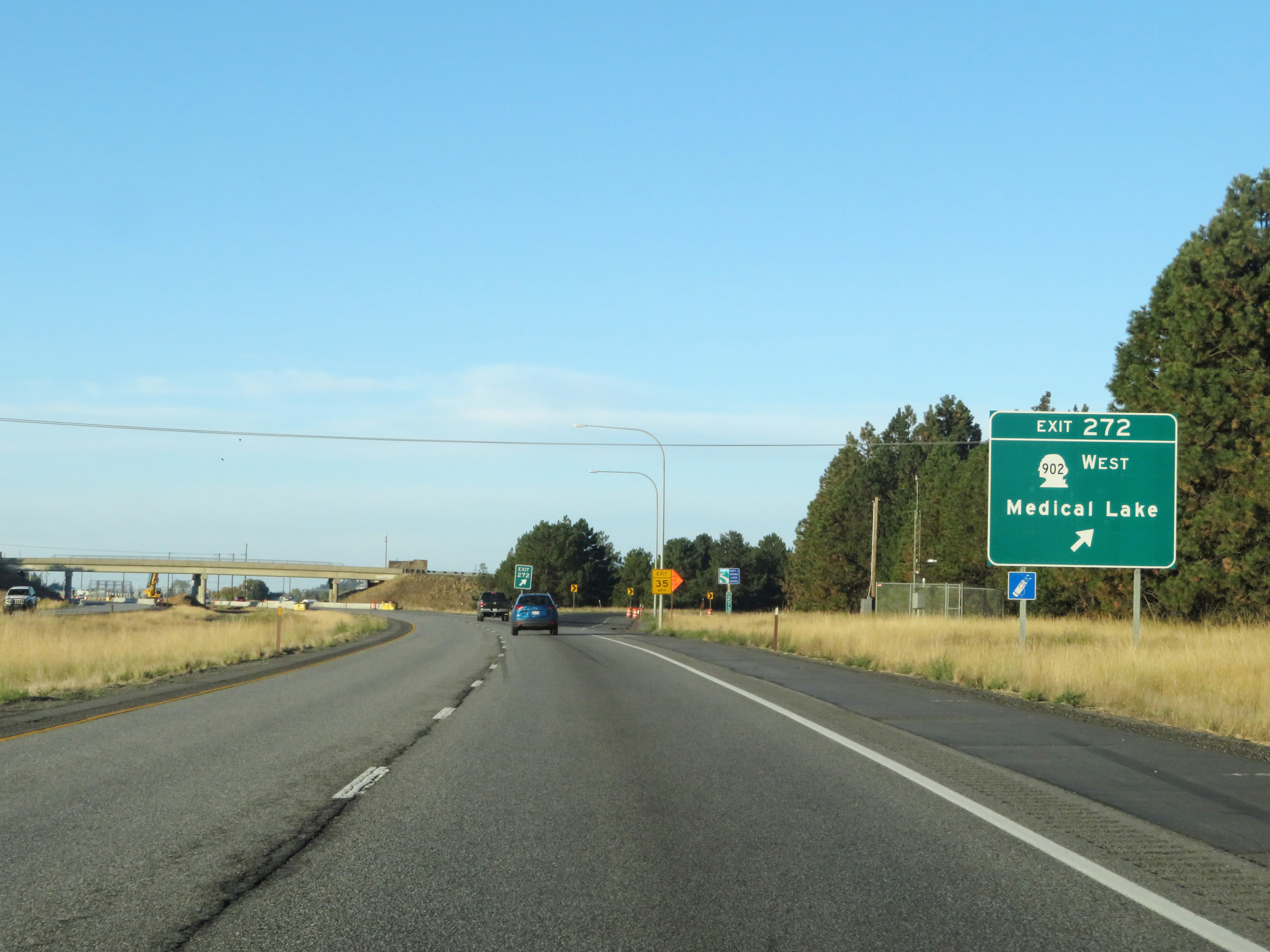 |
Interstate 90 West at Exit 272: WA 902 West - Medical Lake (Photo taken 9/22/19). |
 |
The speed limits remain the rural standard 70 mph for automobiles and 60 mph for trucks. (Photo taken 9/22/19). |
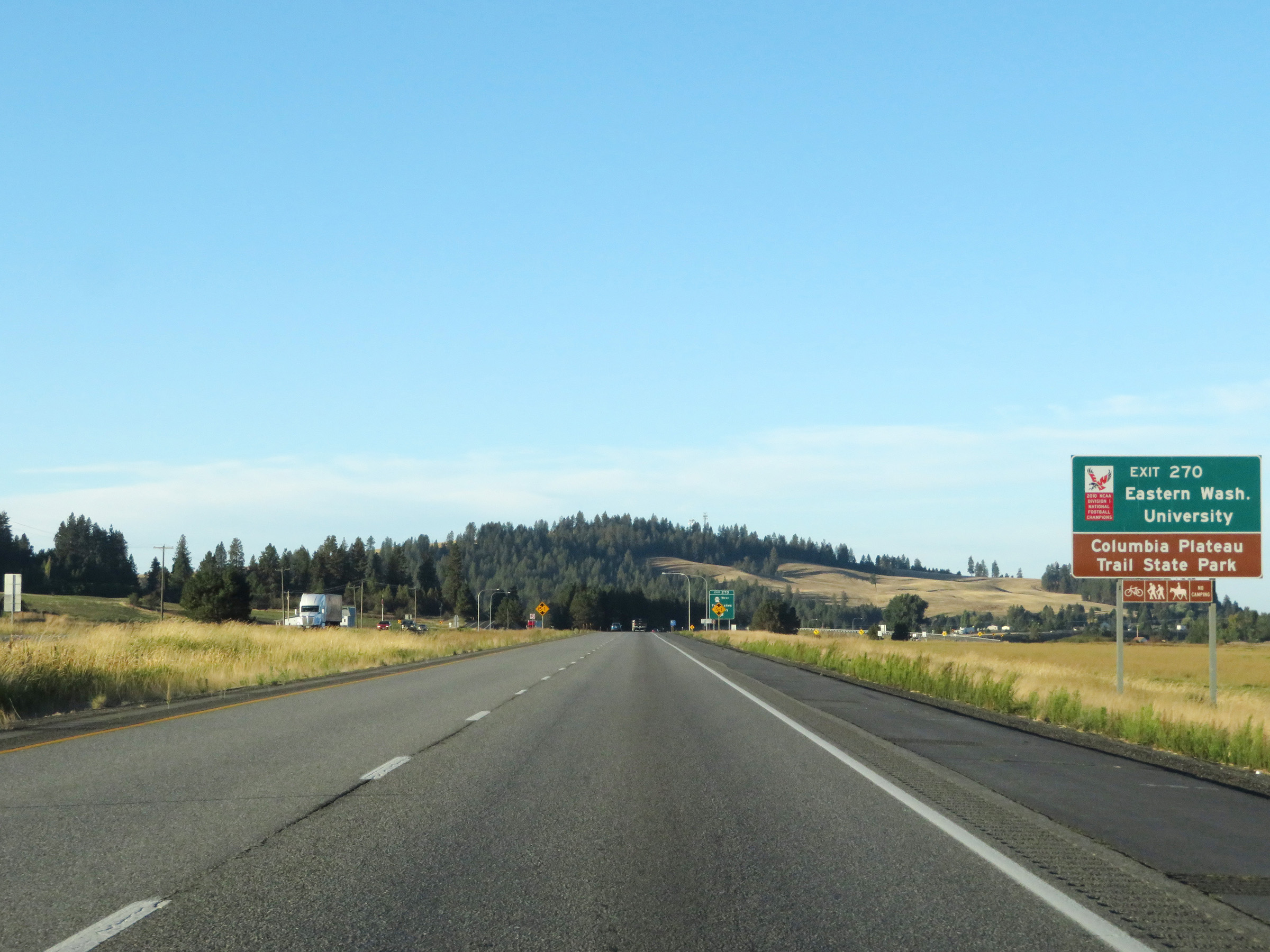 |
Take Exit 270 to Eastern Washington University and Columbia Plateau Trail State Park. (Photo taken 9/22/19). |
 |
Interstate 90 West at Exit 270: WA 904 West - Four Lakes / Cheney (Photo taken 9/22/19). |
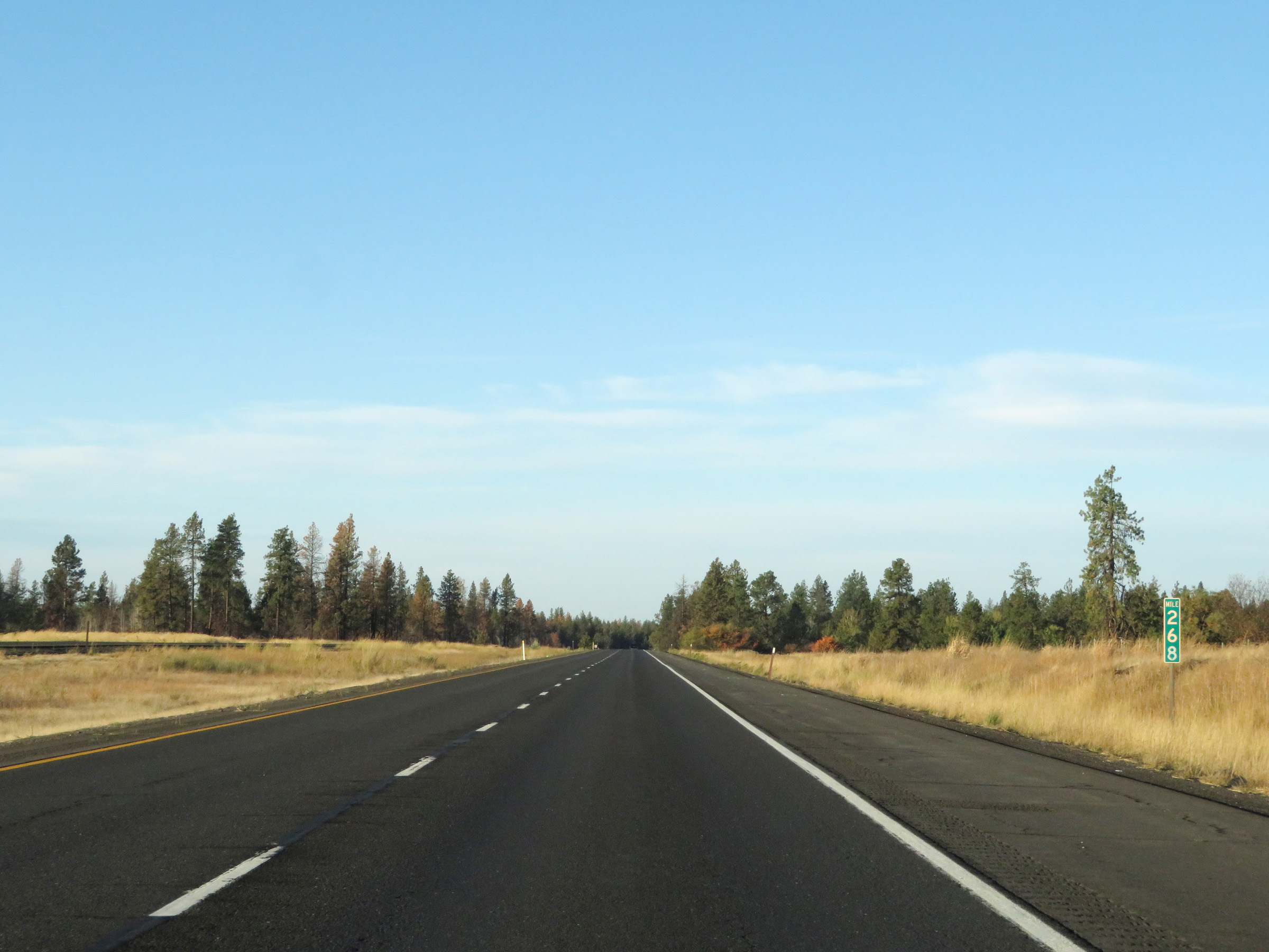 |
Mile marker 268 on Interstate 90 West in Spokane County. (Photo taken 9/22/19). |
 |
View on Interstate 90 West at mile marker 266. (Photo taken 9/22/19). |
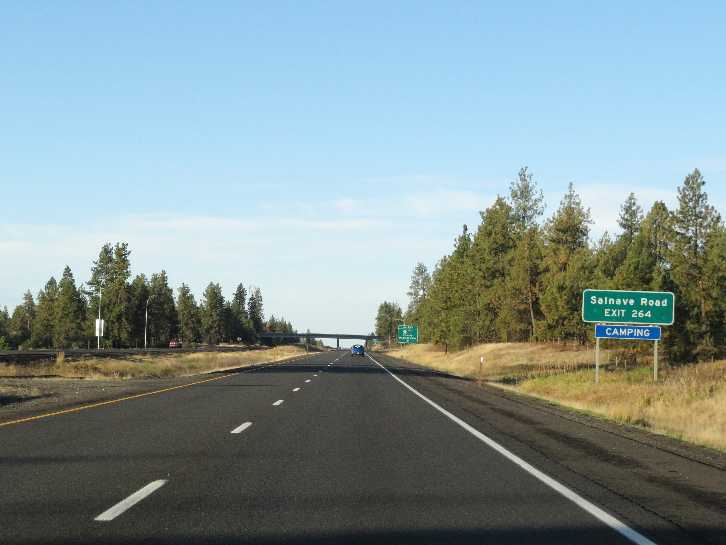 |
Take Exit 264 to Salnave Road. (Photo taken 9/22/19). |
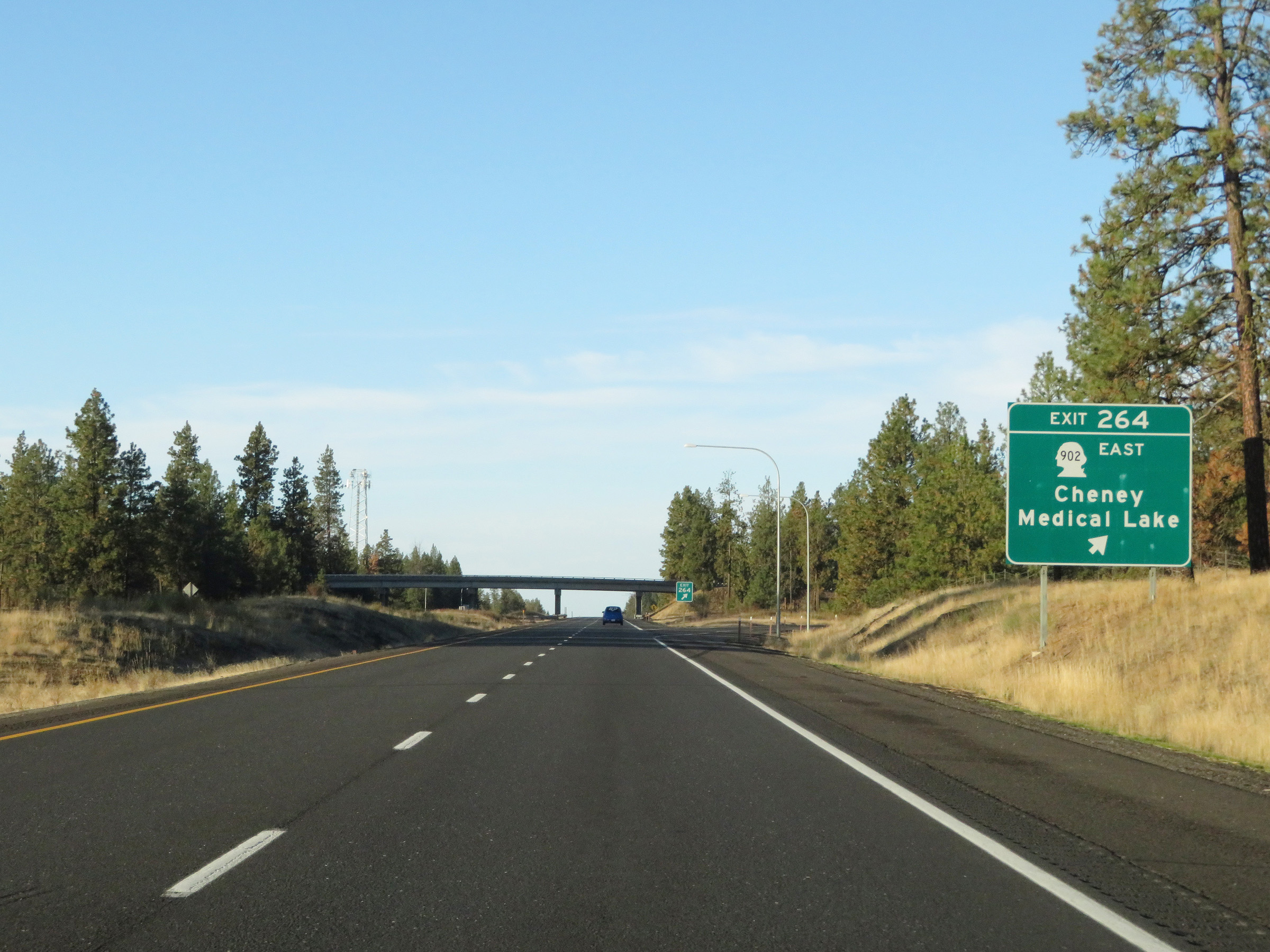 |
Interstate 90 West at Exit 264: WA 902 West - Cheney / Medical Lake (Photo taken 9/22/19). |
 |
Interstate 90 West reassurance shield. (Photo taken 9/22/19). |
 |
View on Interstate 90 West at mile marker 263. (Photo taken 9/22/19). |
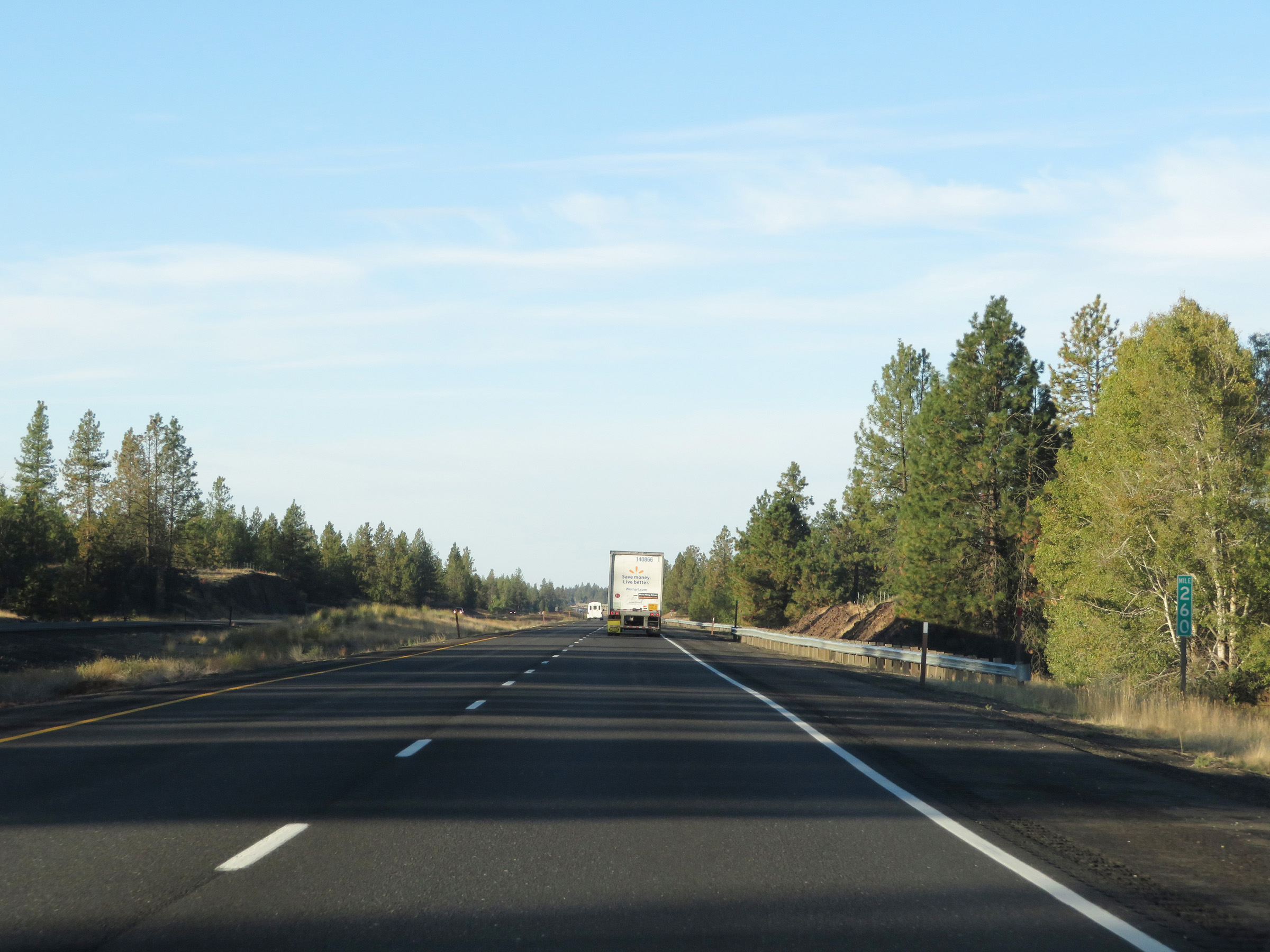 |
Interstate 90 West at mile marker 260. (Photo taken 9/22/19). |
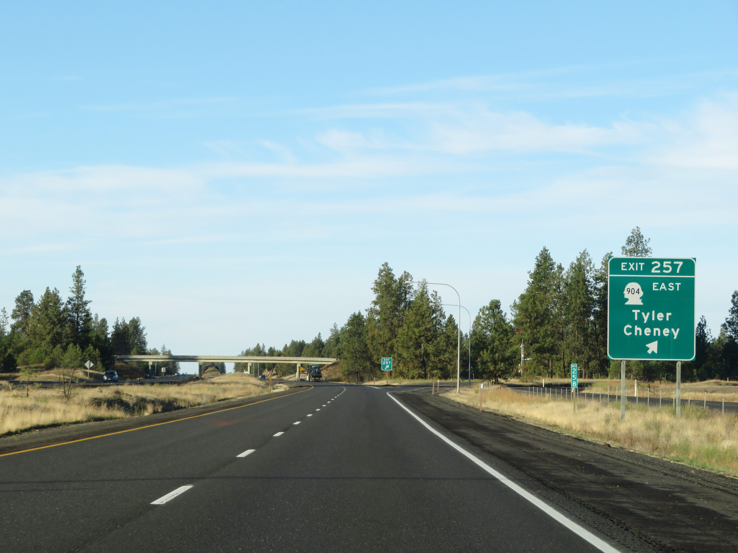 |
Interstate 90 West at Exit 257: WA 904 East - Tyler / Cheney (Photo taken 9/22/19). |
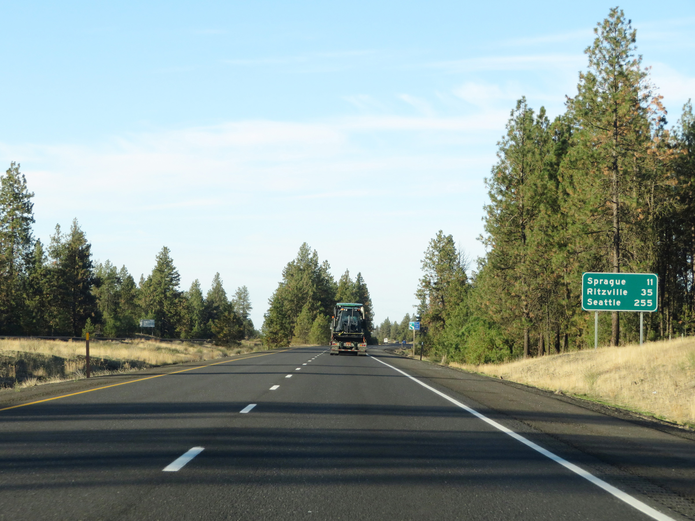 |
Another mileage sign on Interstate 90 West. It's 11 miles to Sprague, 35 miles to Ritzville, and 255 miles to Seattle. (Photo taken 9/22/19). |
 |
View on Interstate 90 West at mile marker 256. (Photo taken 9/22/19). |
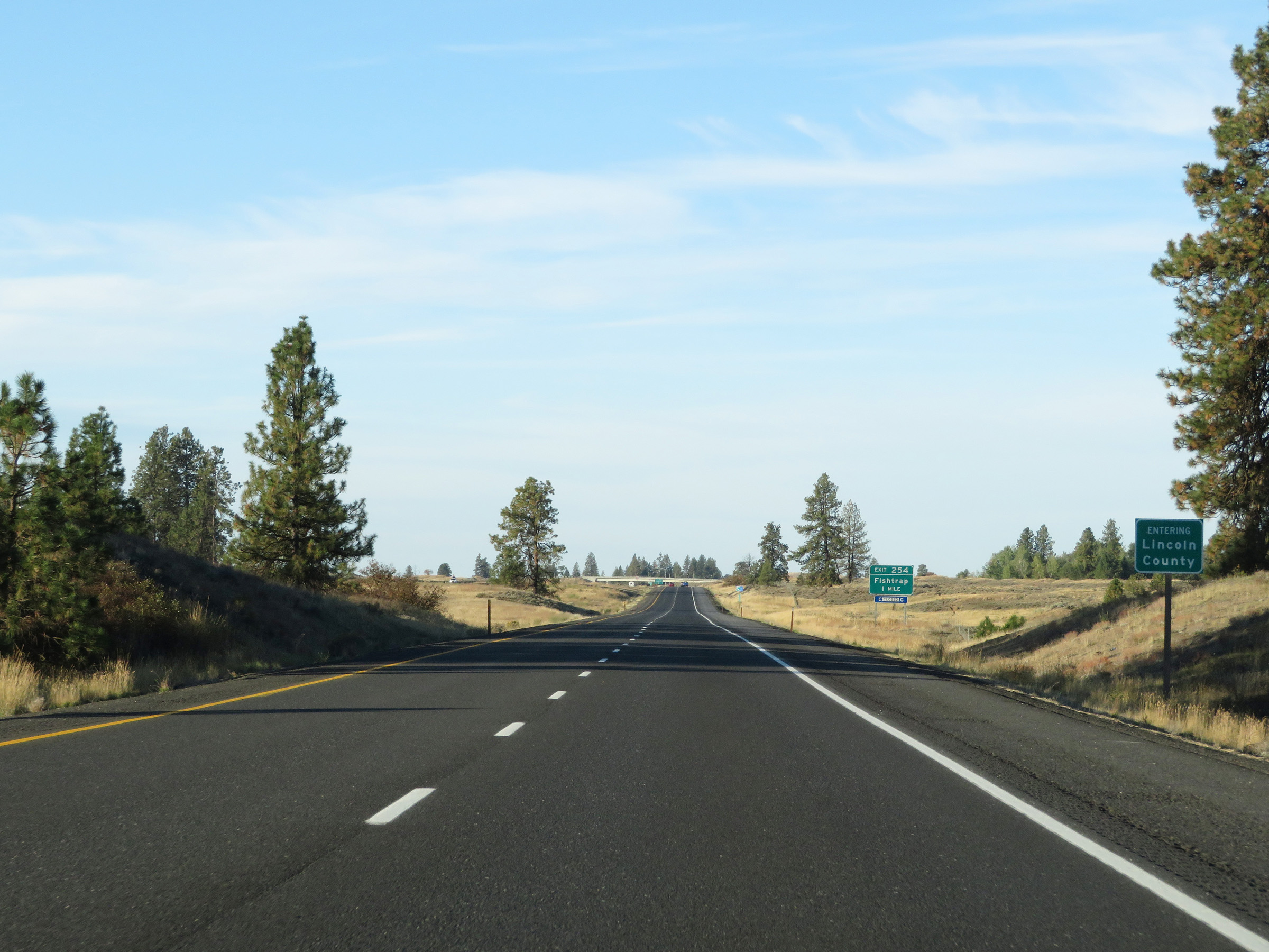 |
Interstate 90 West as it enters Lincoln County. (Photo taken 9/22/19). |
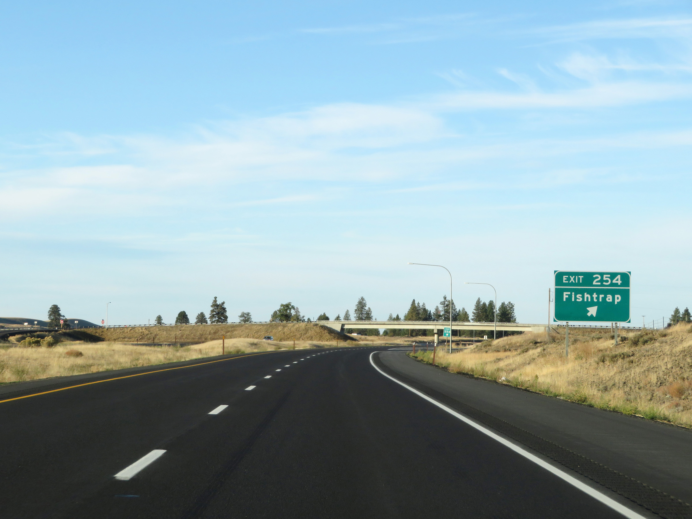 |
Interstate 90 West at Exit 254: Fishtrap (Photo taken 9/22/19). |
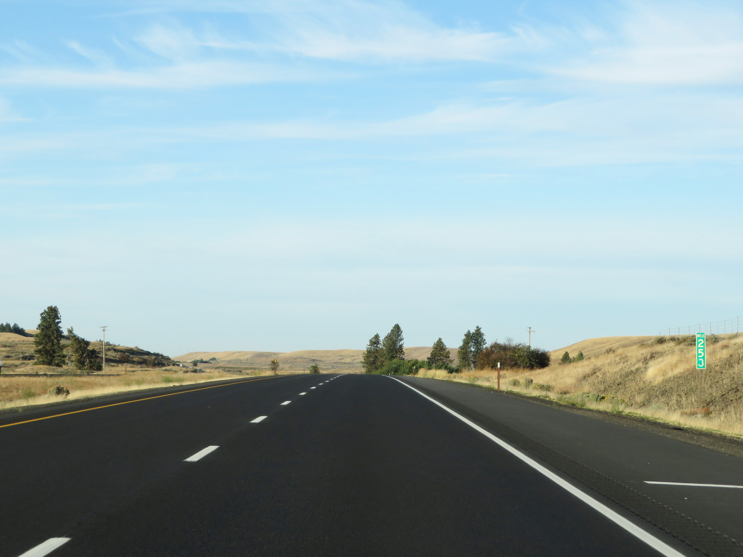 |
Mile marker 253 on Interstate 90 West in Lincoln County. (Photo taken 9/22/19). |
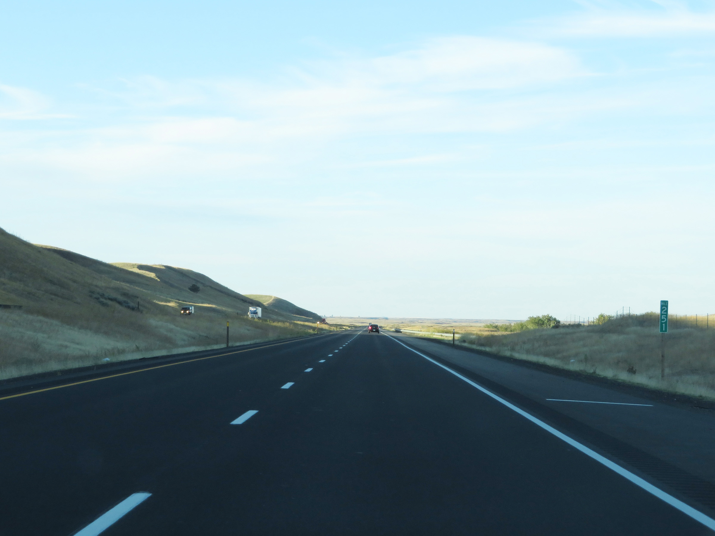 |
View on Interstate 90 West at mile marker 251. (Photo taken 9/22/19). |
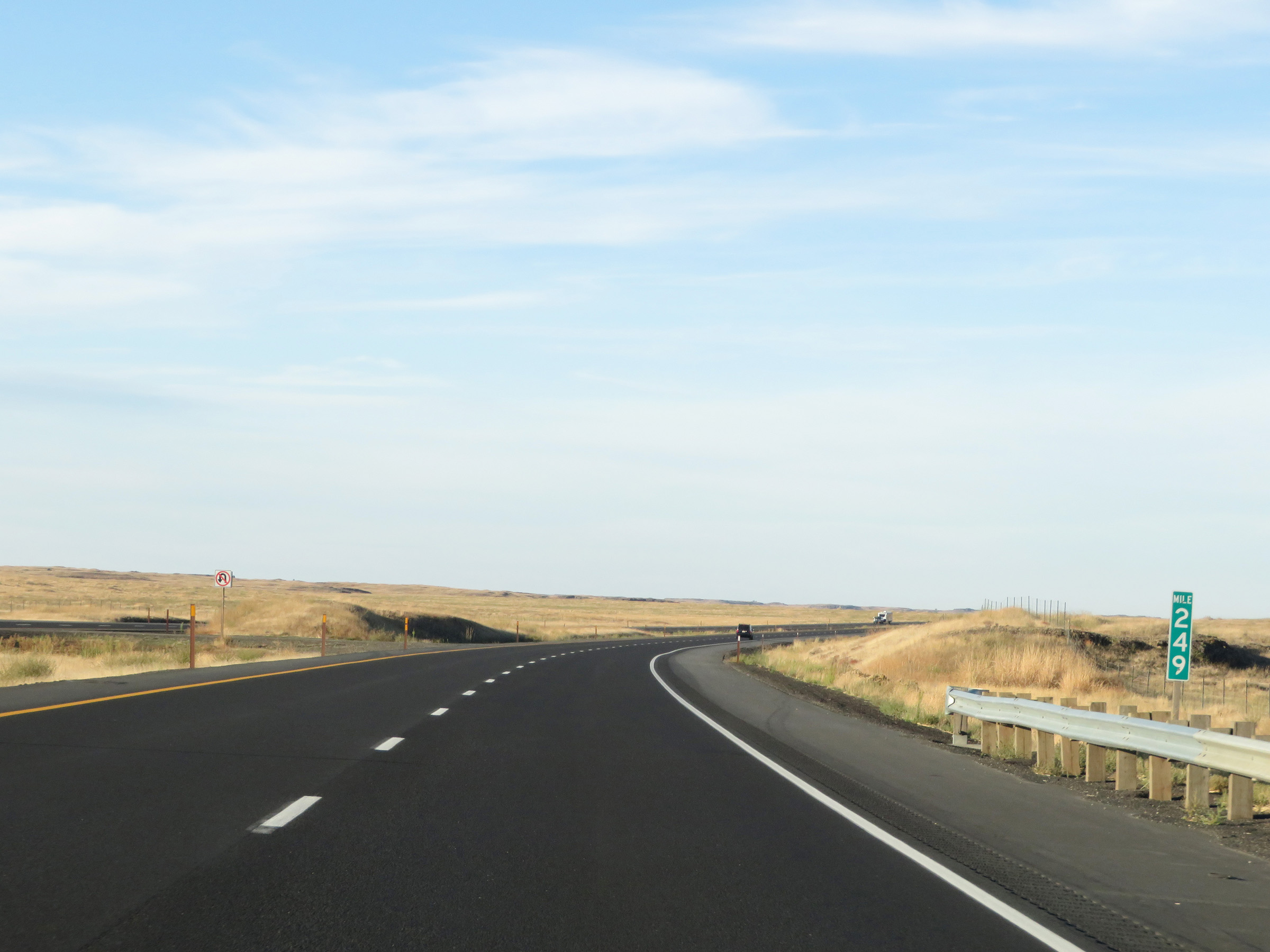 |
Interstate 90 West at mile marker 249. (Photo taken 9/22/19). |
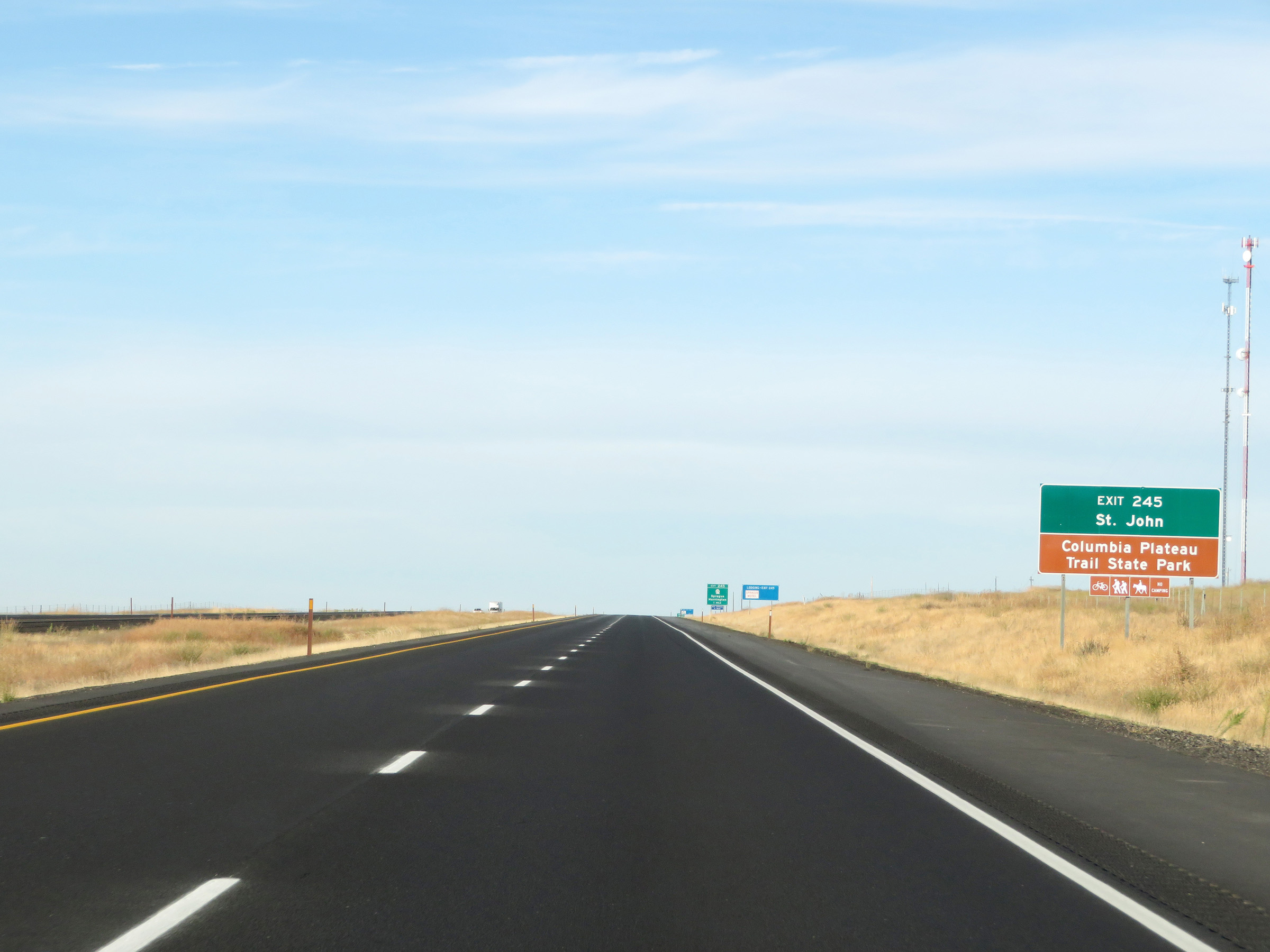 |
Take Exit 245 to St. John and Columbia Plateau Trail State Park. (Photo taken 9/22/19). |
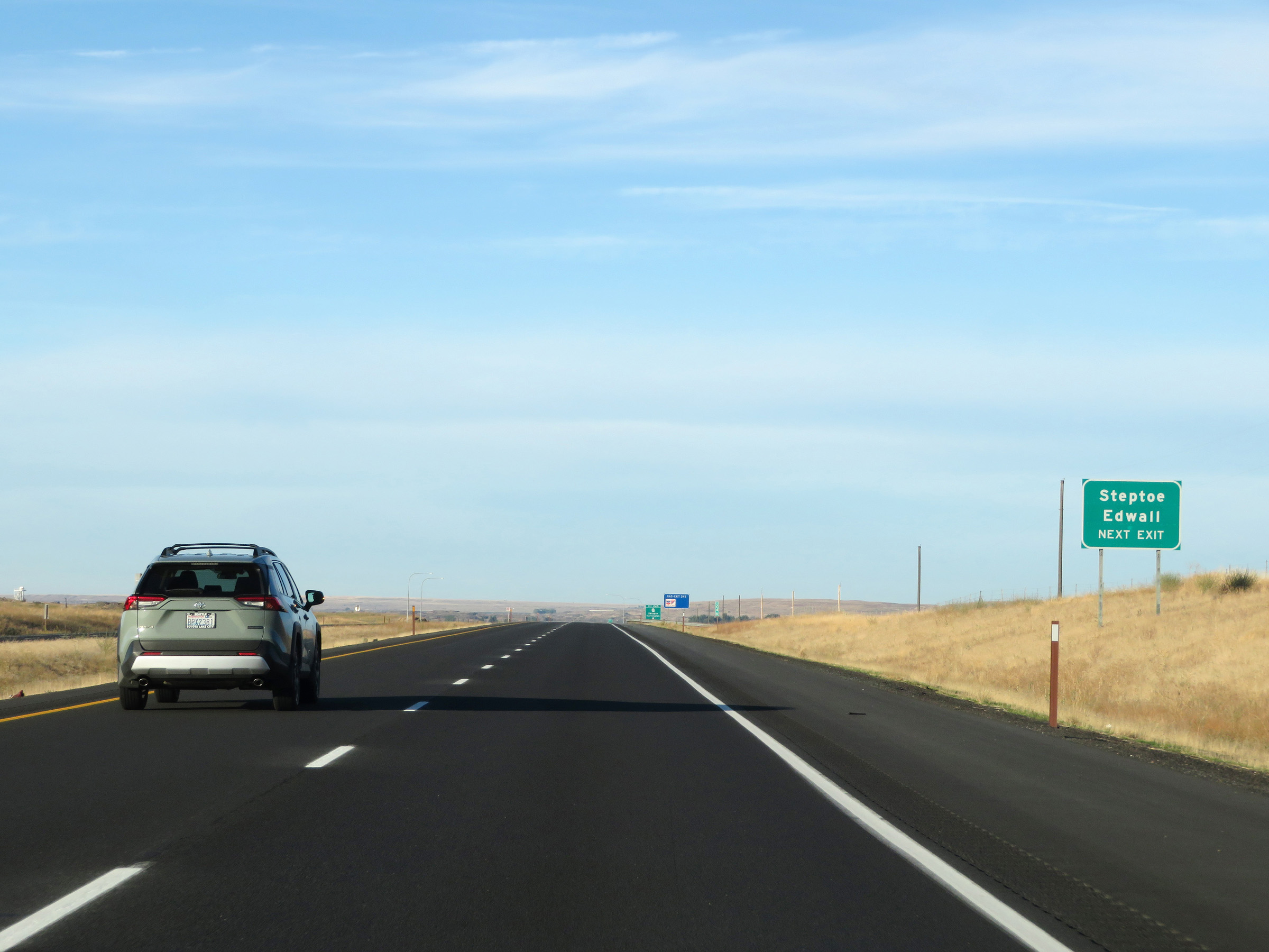 |
Also take Exit 245 to Steptoe and Edwall. (Photo taken 9/22/19). |
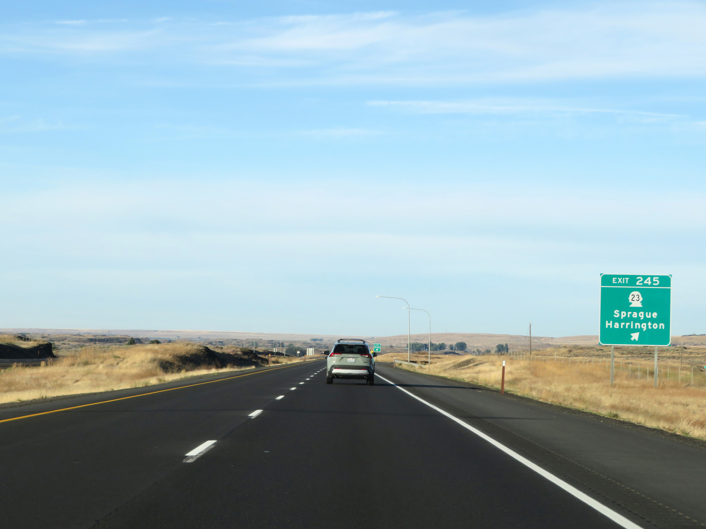 |
Interstate 90 West at Exit 245: WA 23 - Sprague / Harrington (Photo taken 9/22/19). |
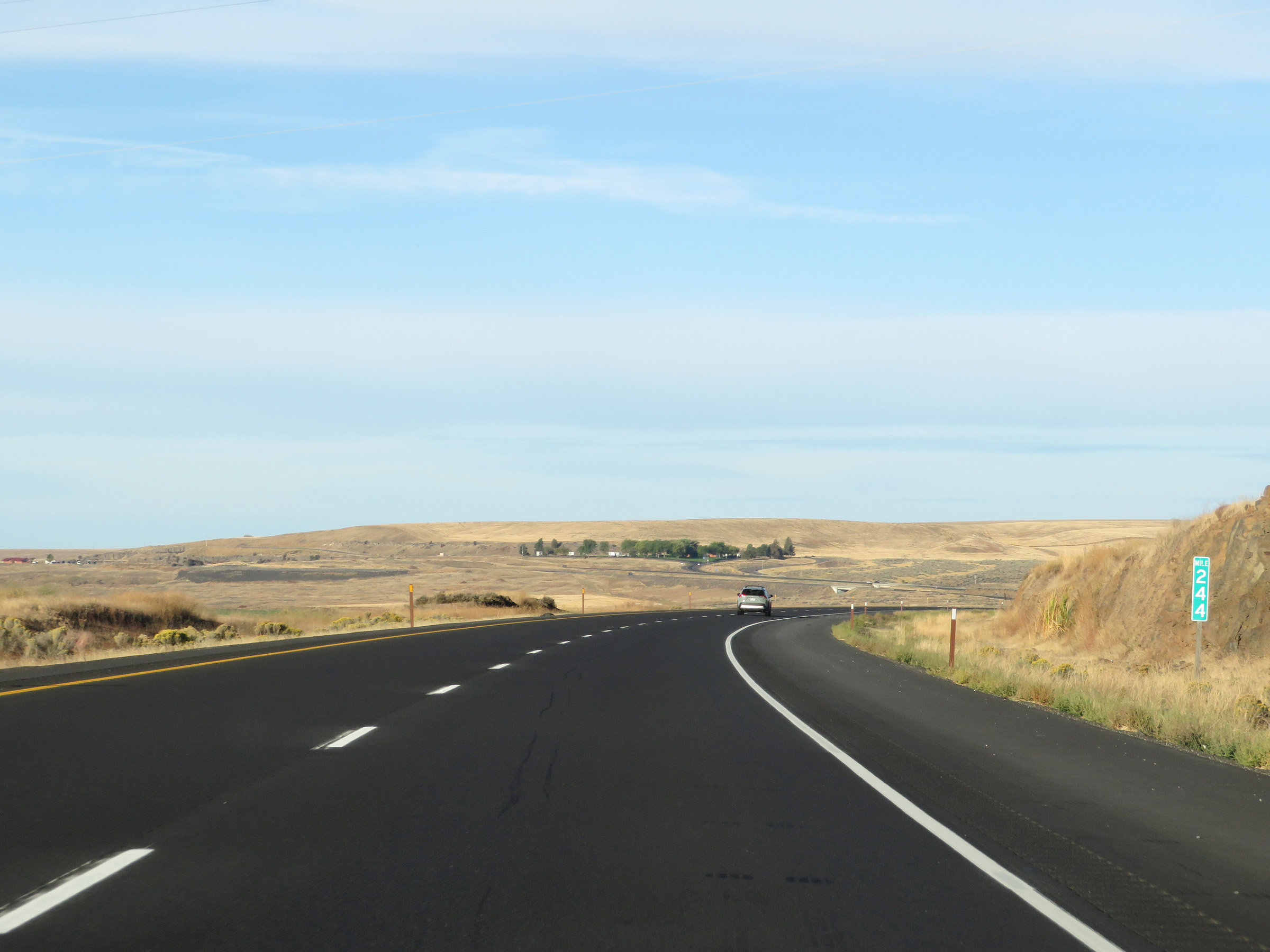 |
View on Interstate 90 West at mile marker 244. (Photo taken 9/22/19). |
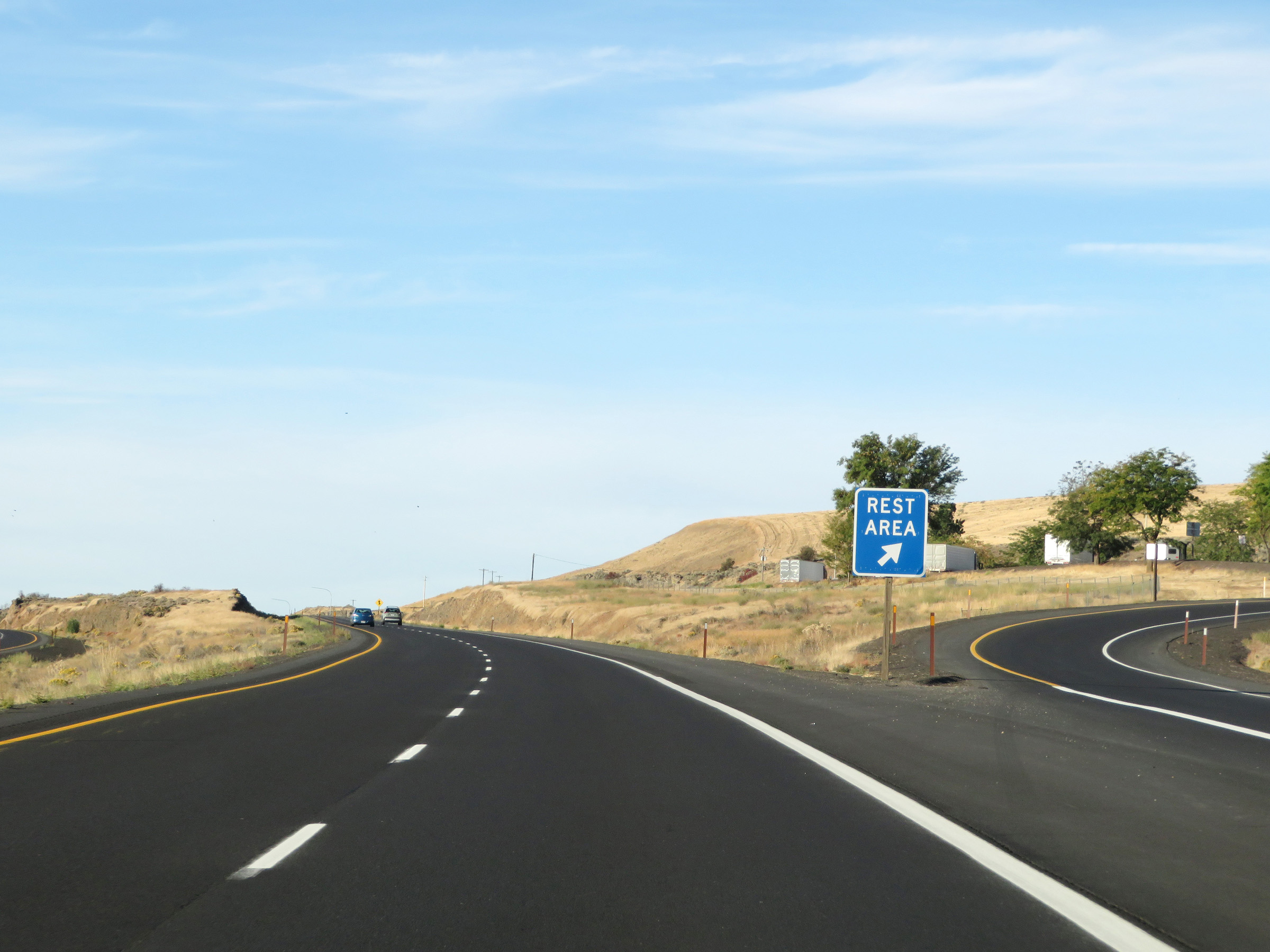 |
Rest Area on Interstate 90 West in Lincoln County. (Photo taken 9/22/19). |
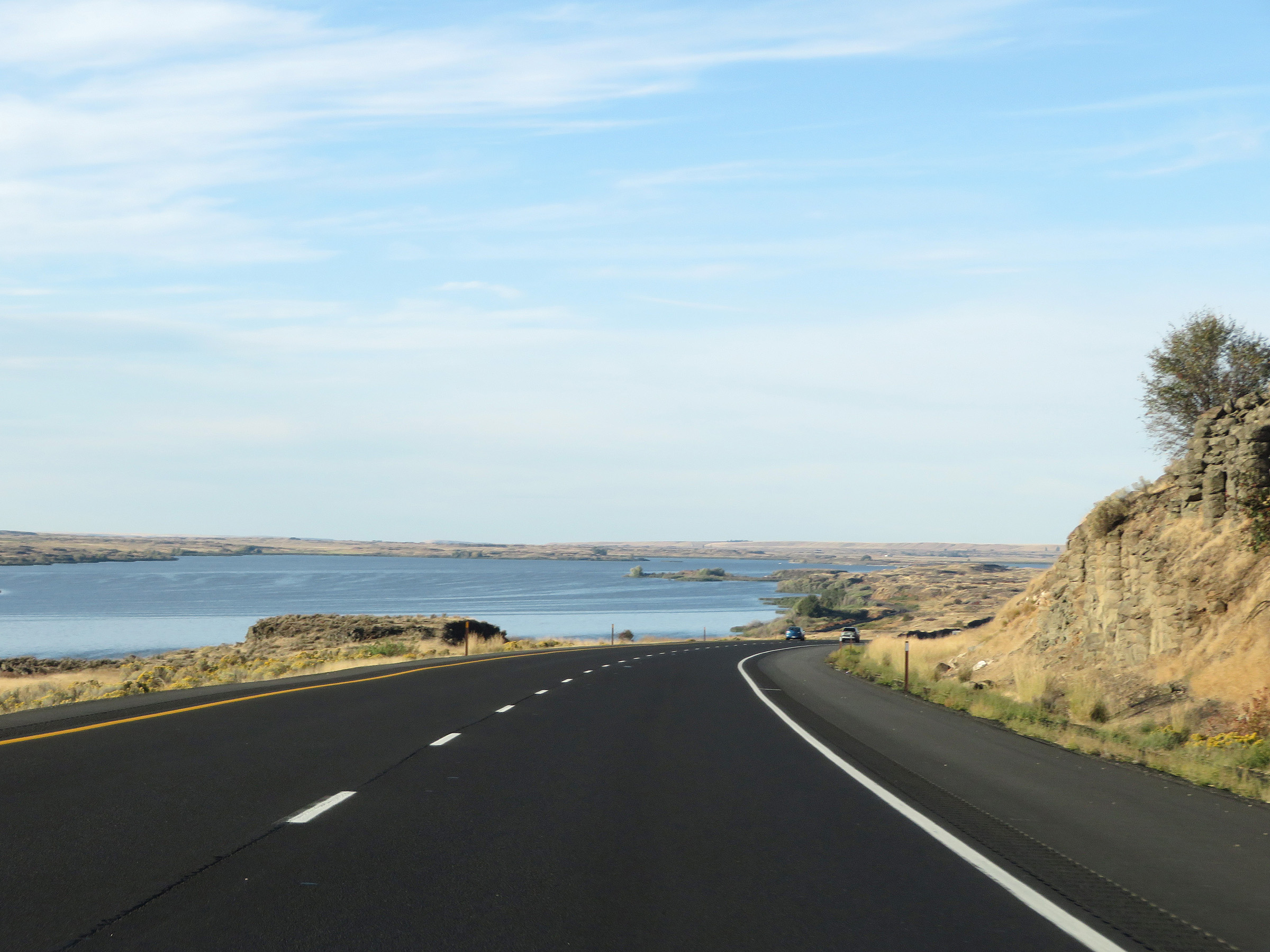 |
Here, we get a nice view of Sprague Lake on Interstate 90 West. (Photo taken 9/22/19). |
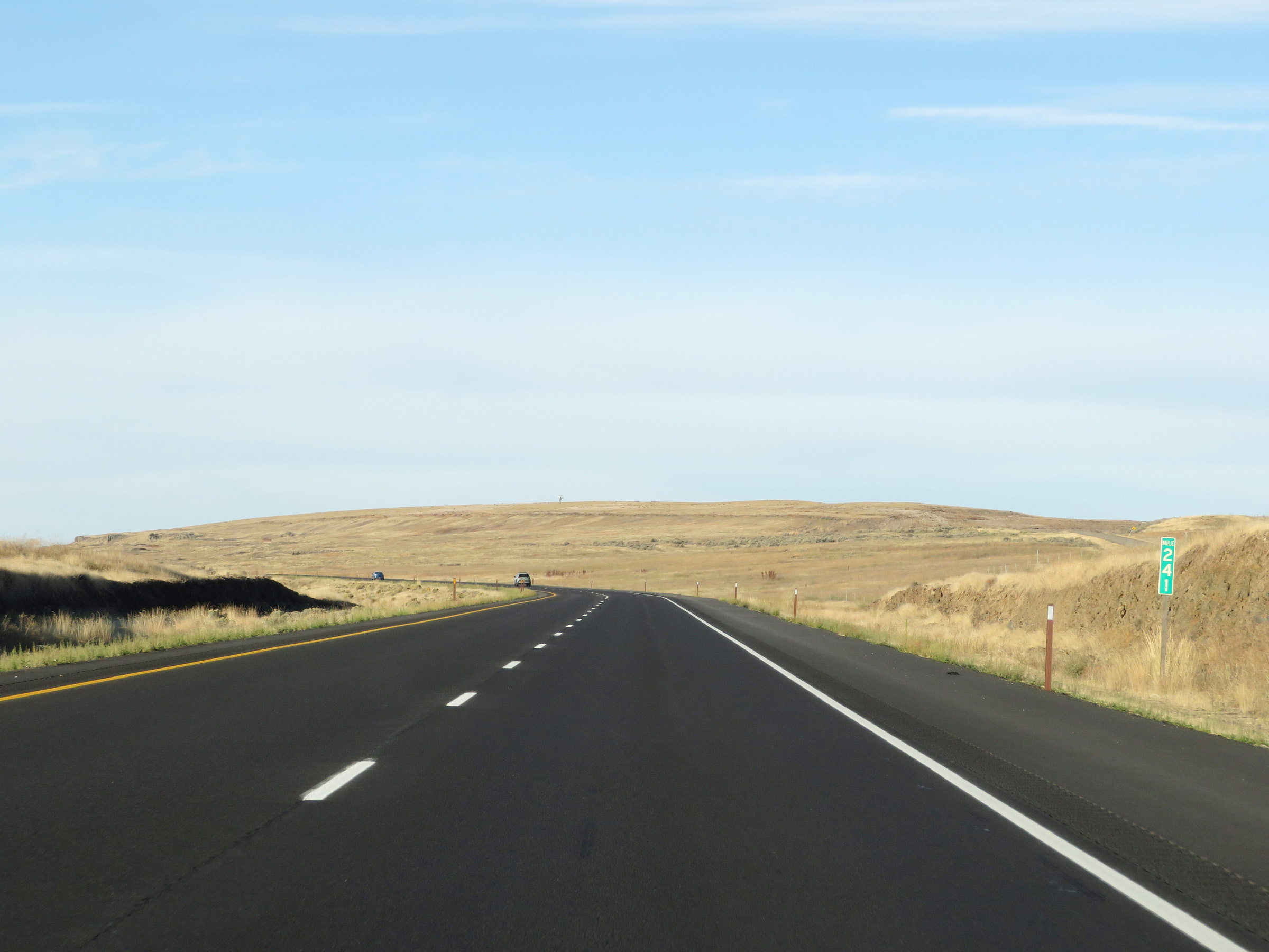 |
Interstate 90 West at mile marker 241. (Photo taken 9/22/19). |
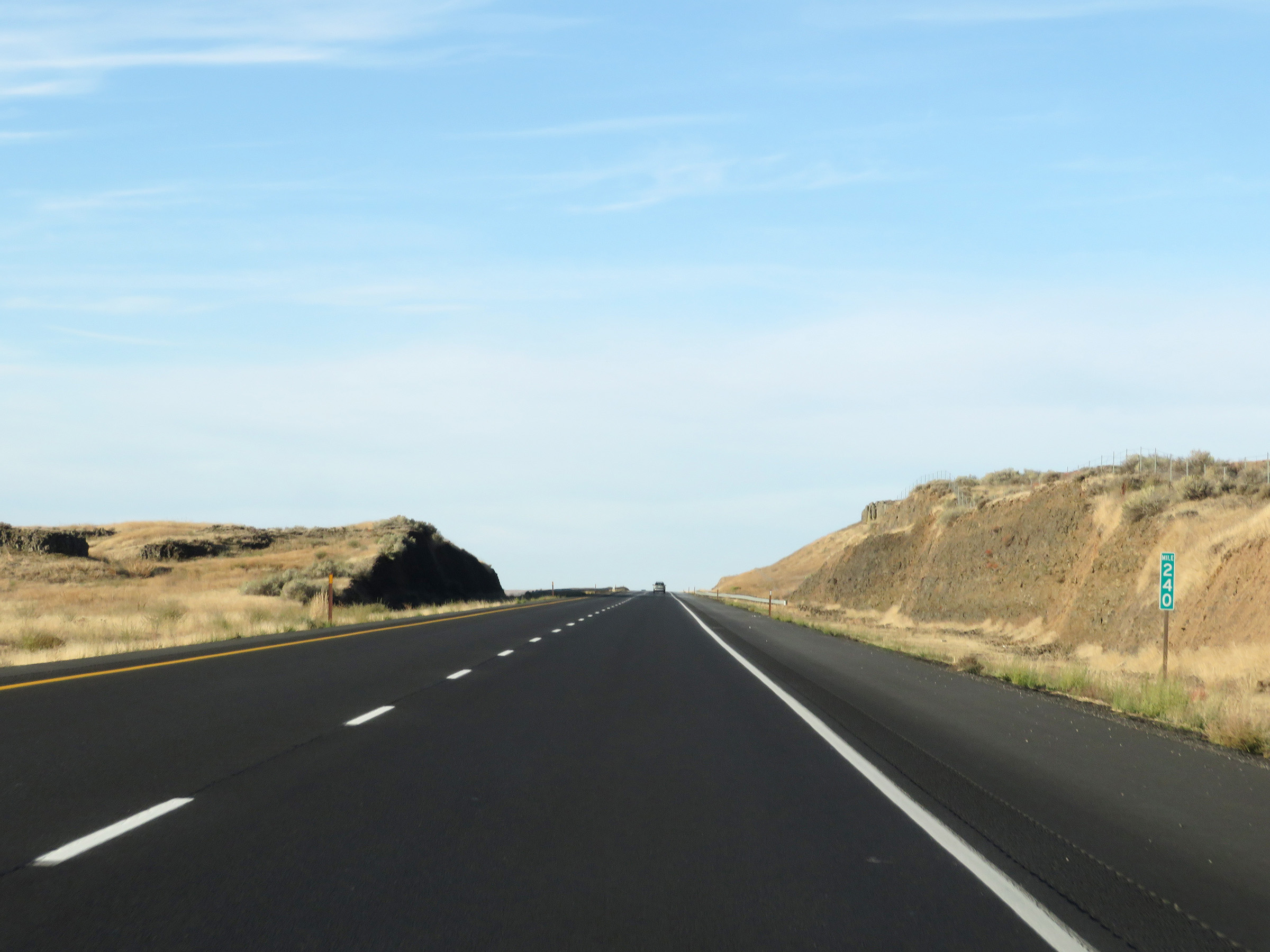 |
Mile marker 240 on Interstate 90 West in Lincoln County. (Photo taken 9/22/19). |
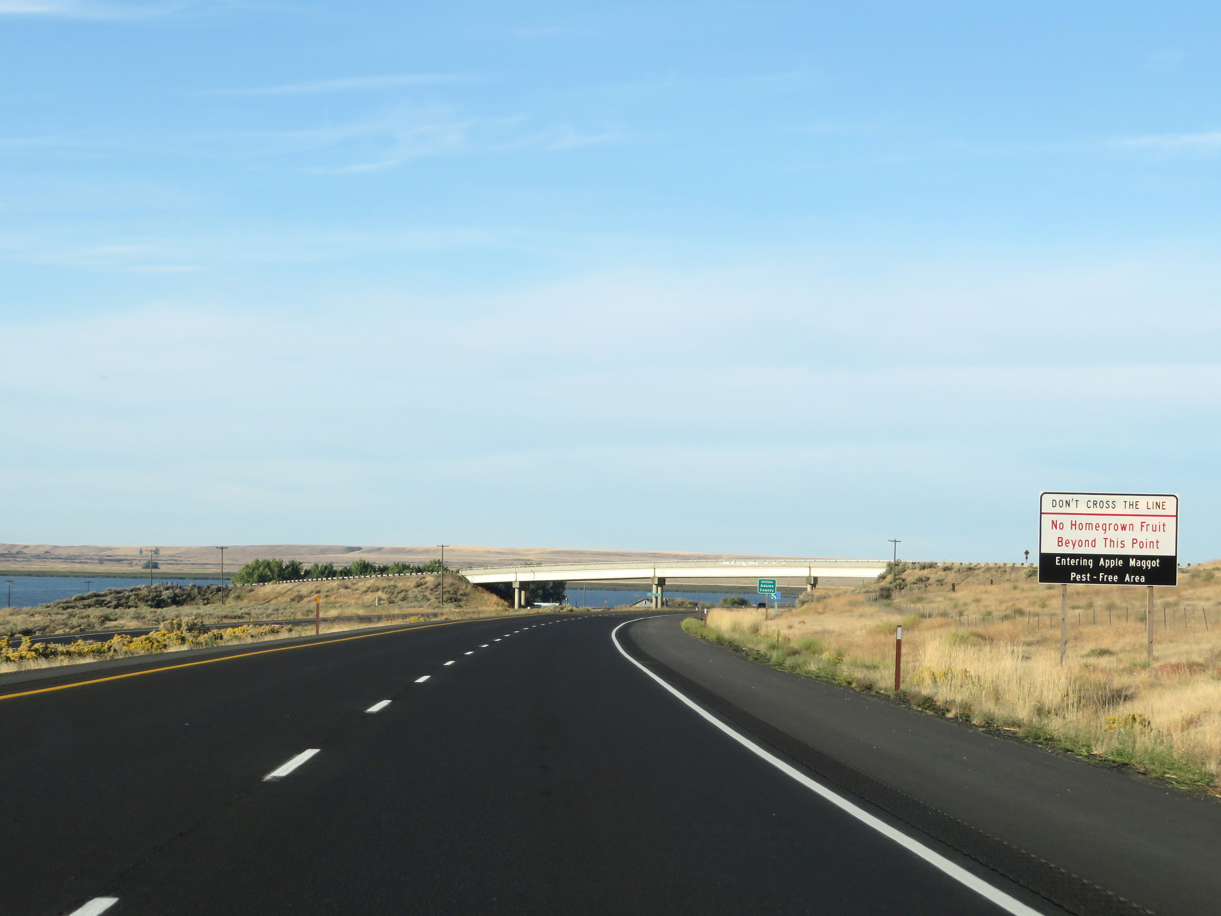 |
Approaching the Adams County line, this sign warns that homegrown fruit is prohibited beyond this point due to it being an Apple Maggot Pest-Free Area. (Photo taken 9/22/19). |
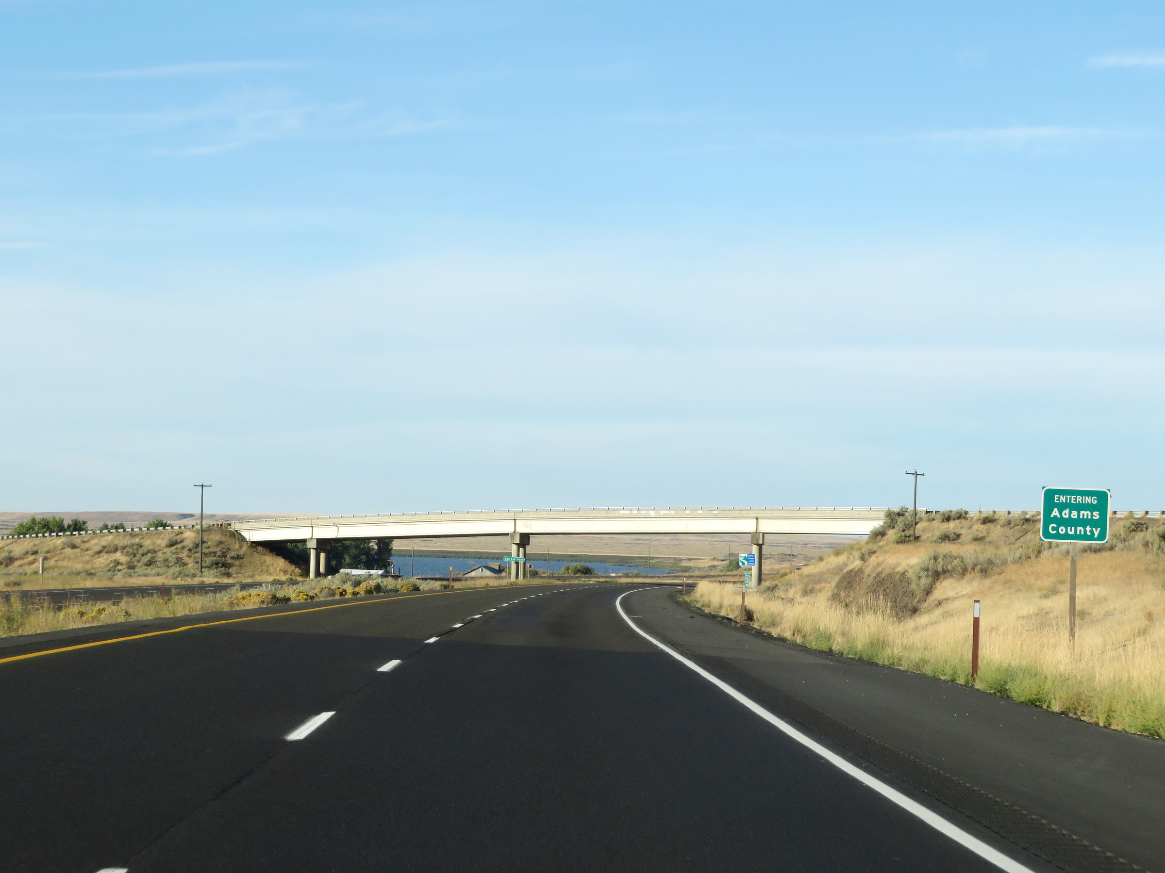 |
Interstate 90 West as it enters Adams County. (Photo taken 9/22/19). |
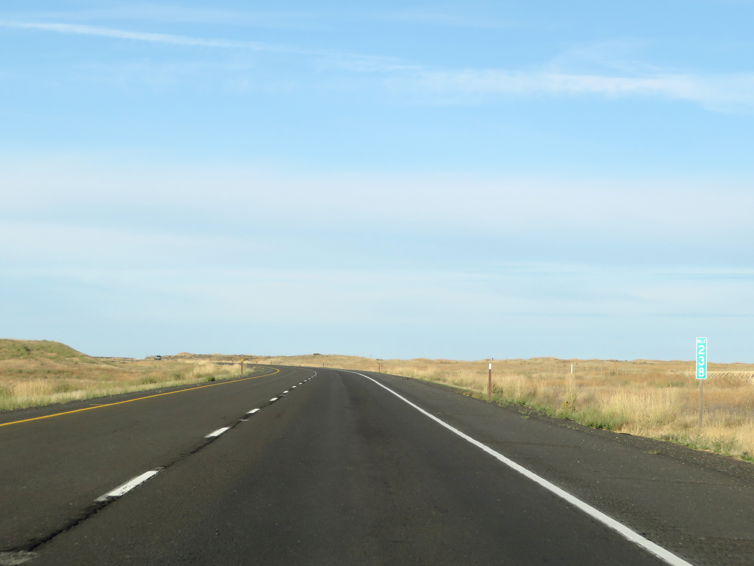 |
View on Interstate 90 West at mile marker 238. (Photo taken 9/22/19). |
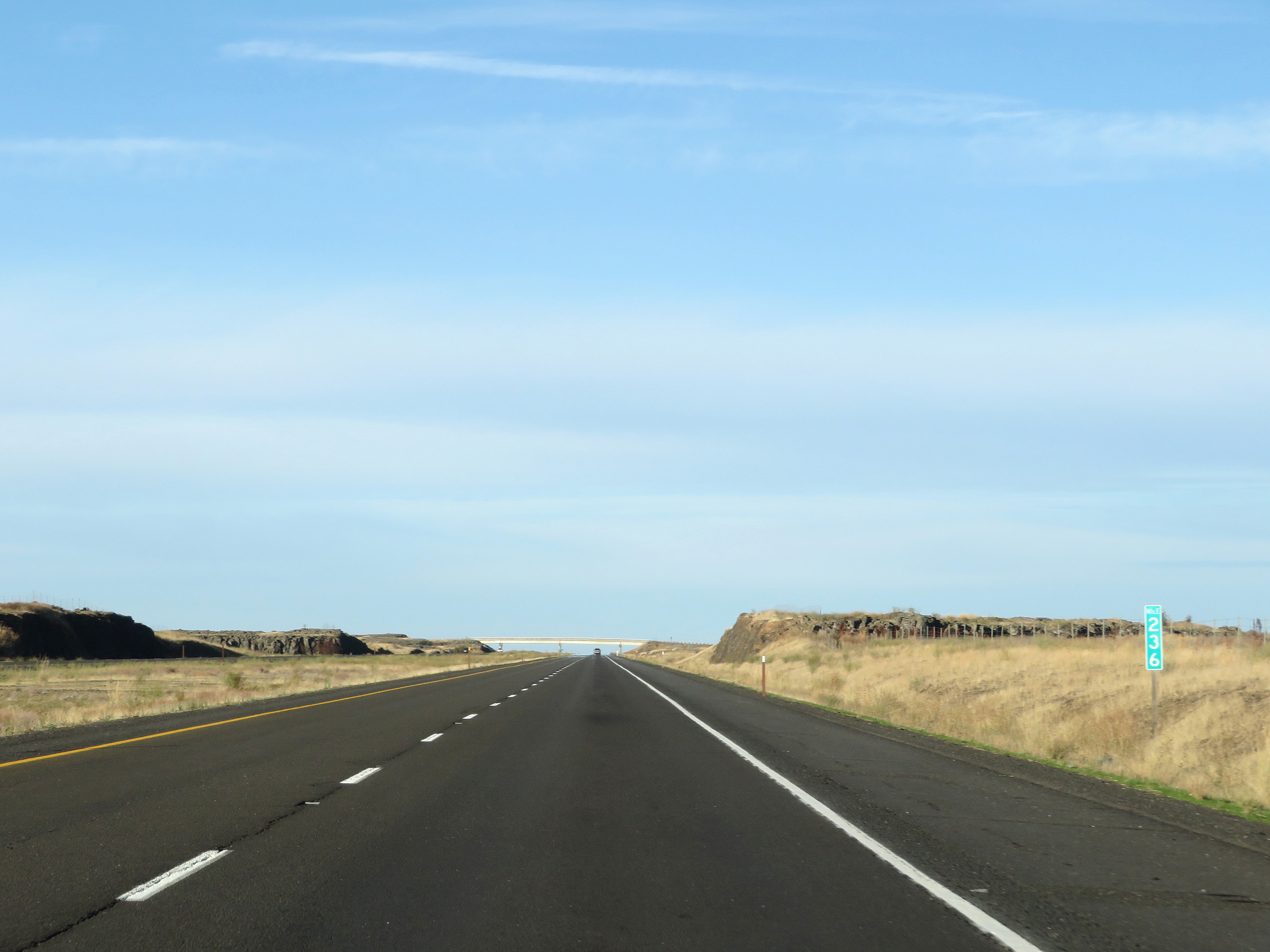 |
Interstate 90 West at mile marker 236. (Photo taken 9/22/19). |
 |
Mile marker 234 on Interstate 90 West in Adams County. (Photo taken 9/22/19). |
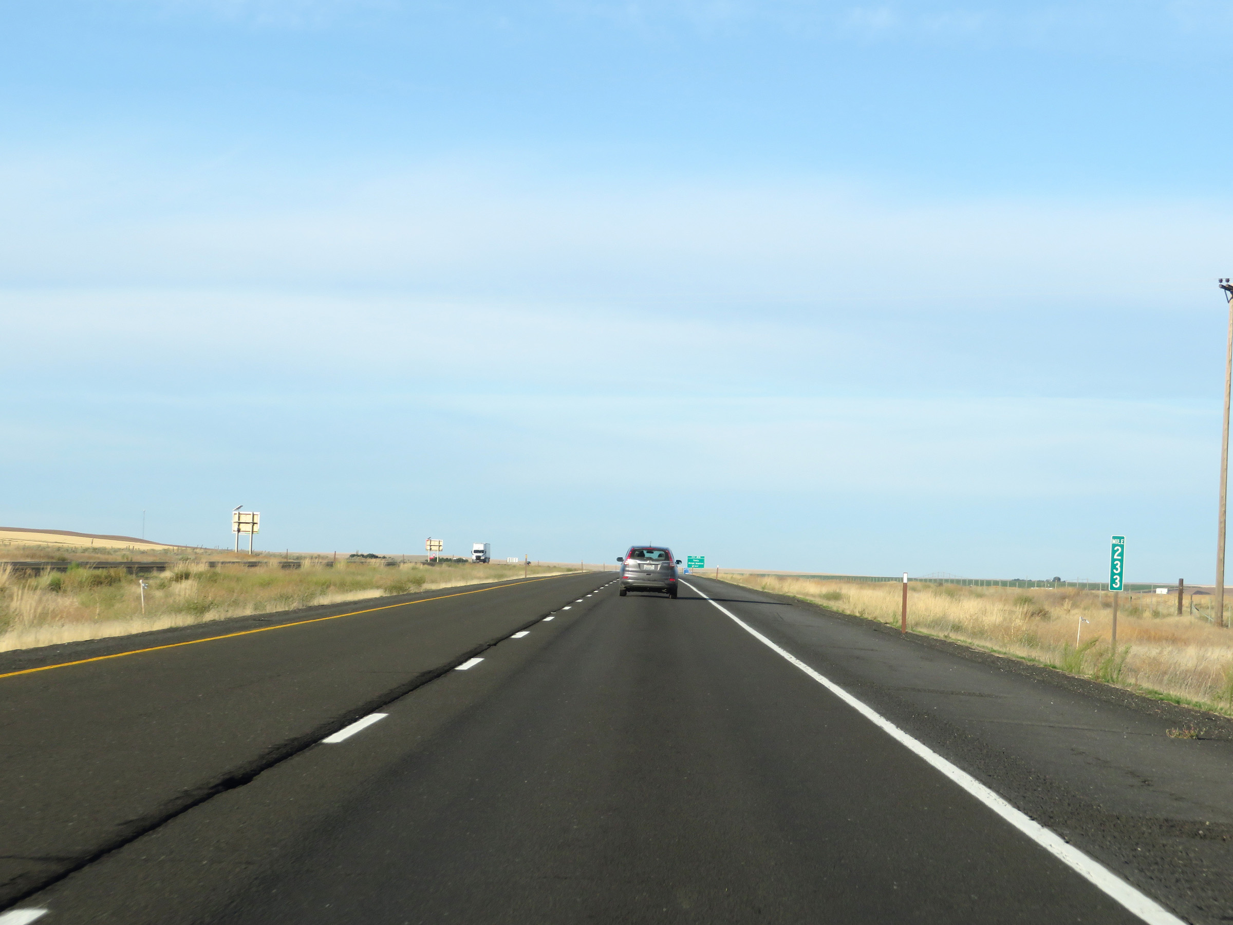 |
View on Interstate 90 West at mile marker 233. (Photo taken 9/22/19). |
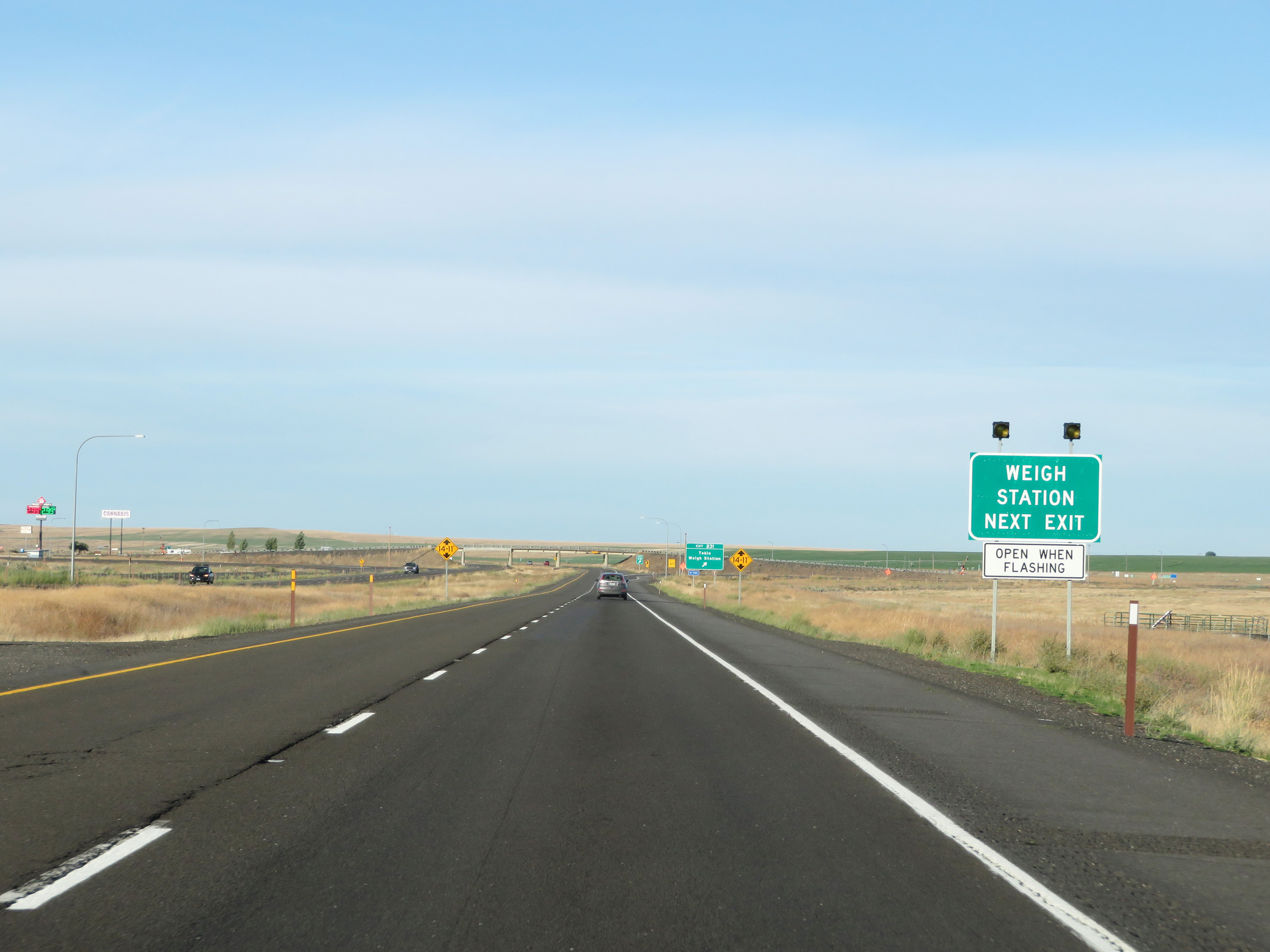 |
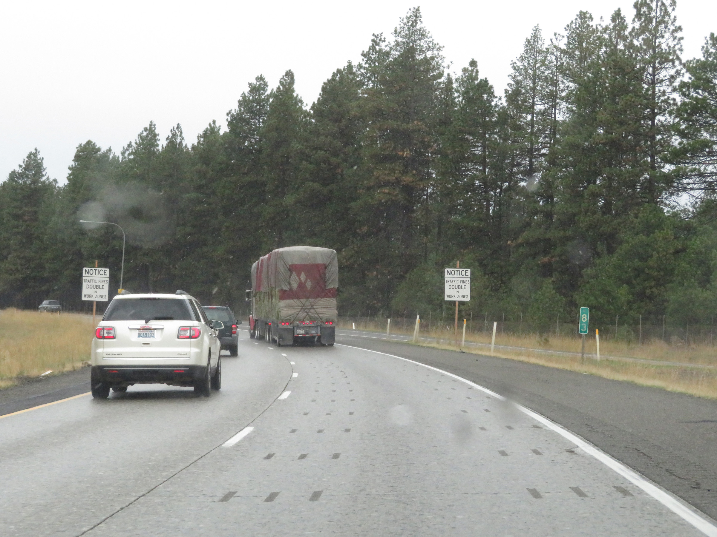
A Weigh Station exits off Exit 231 ahead. When the lights on this sign are flashing, the scales are open and all trucks must take Exit 231. (Photo taken 9/22/19). |
 |
Interstate 90 West at Exit 231: Tokio / Weigh Station (Photo taken 9/22/19). |
 |
The speed limits remain 70 mph for automobiles and 60 mph for trucks. (Photo taken 9/22/19). |
 |
Another Interstate 90 West reassurance shield. (Photo taken 9/22/19). |
 |
View on Interstate 90 West at mile marker 230. (Photo taken 9/22/19). |
 |
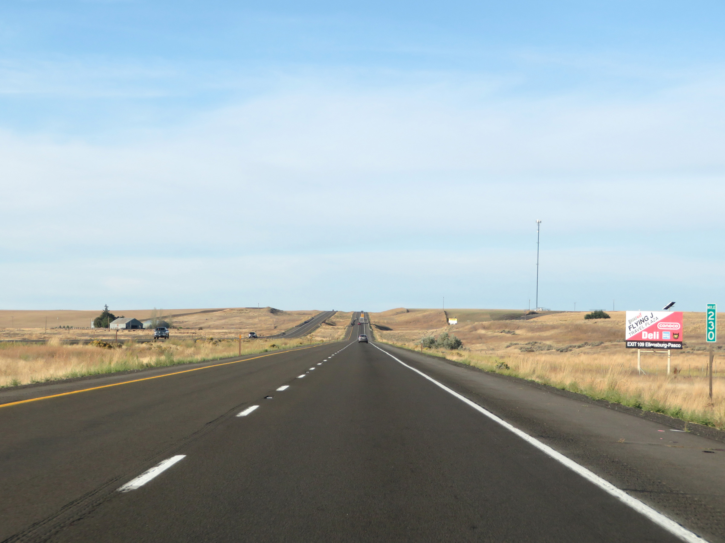
Mile marker 228 on Interstate 90 West in Adams County. (Photo taken 9/22/19). |
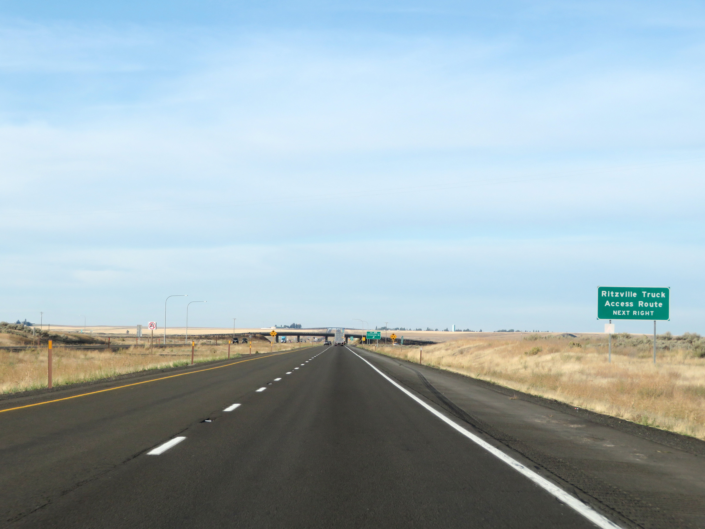 |
Trucks to Ritzville should use Exit 226 ahead. (Photo taken 9/22/19). |
 |
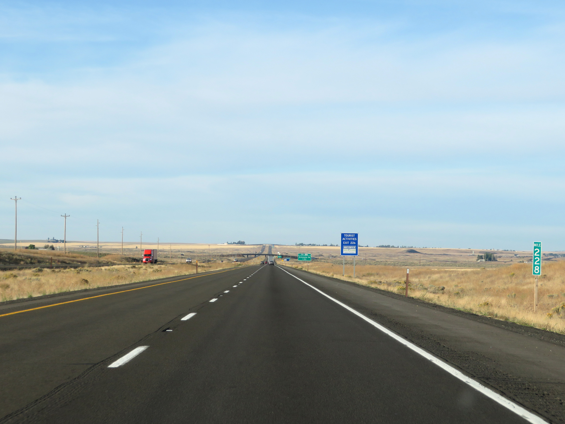
Interstate 90 West at Exit 226: Schoessler Rd (Photo taken 9/22/19). |
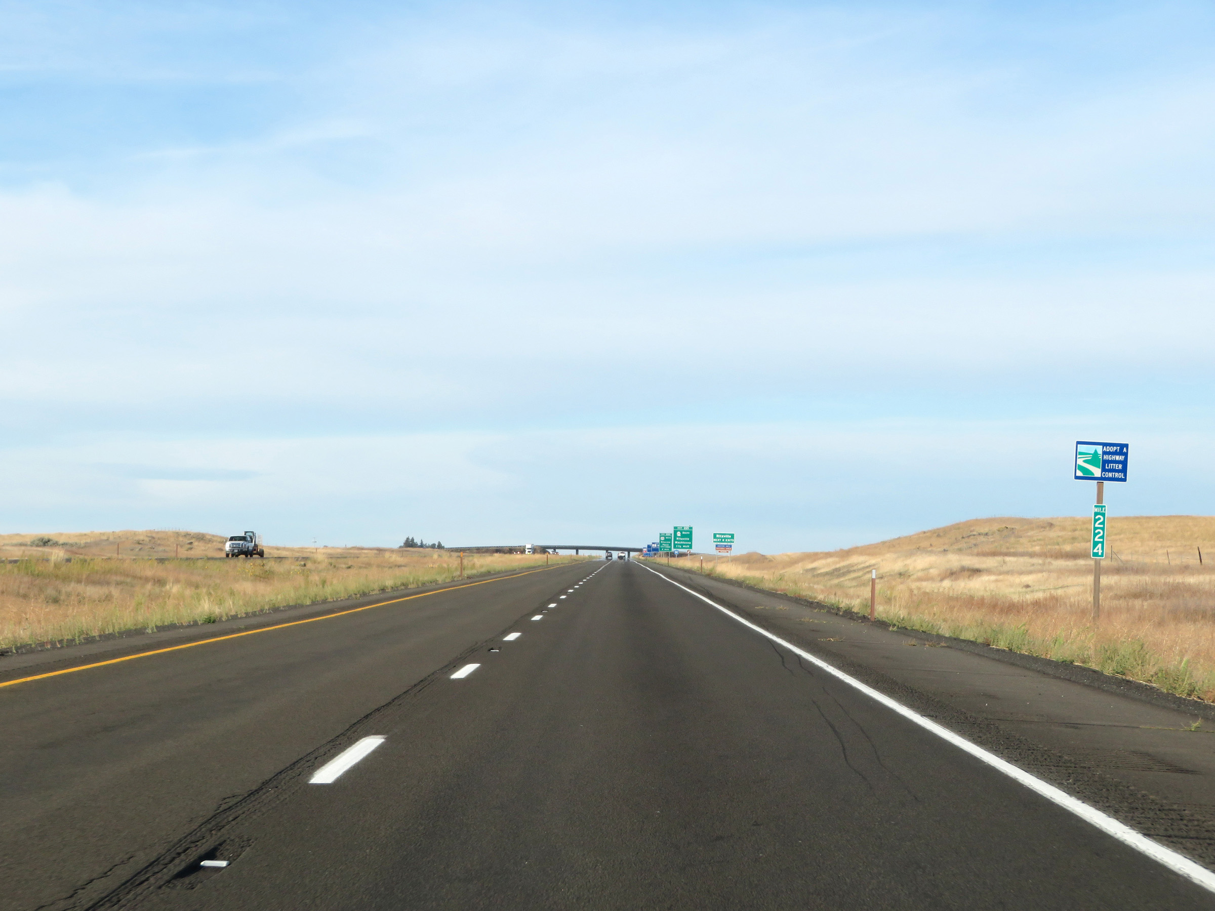 |
Interstate 90 West at mile marker 224. (Photo taken 9/22/19). |
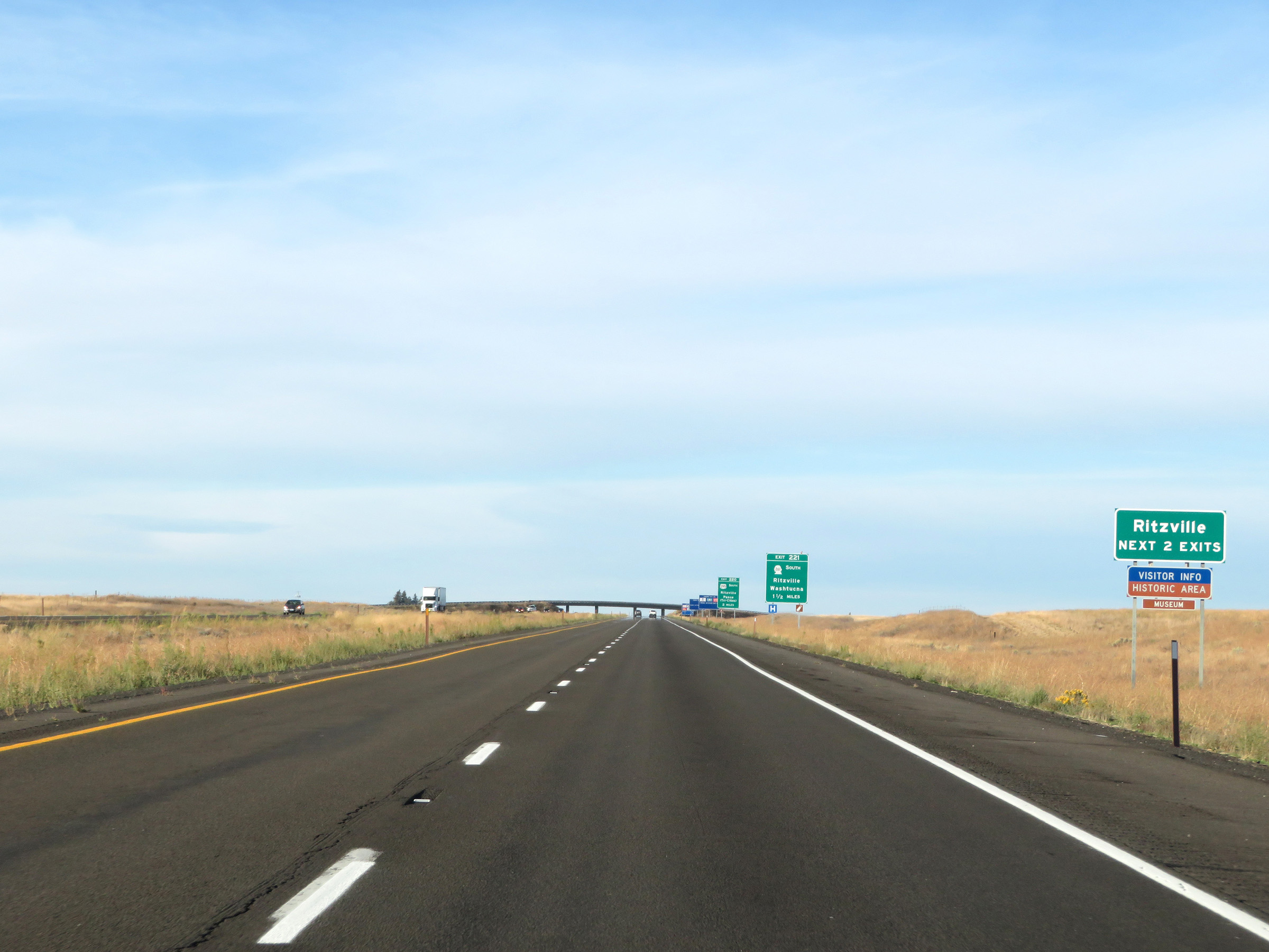 |
Take either of the next 2 exits to Ritzville. (Photo taken 9/22/19). |
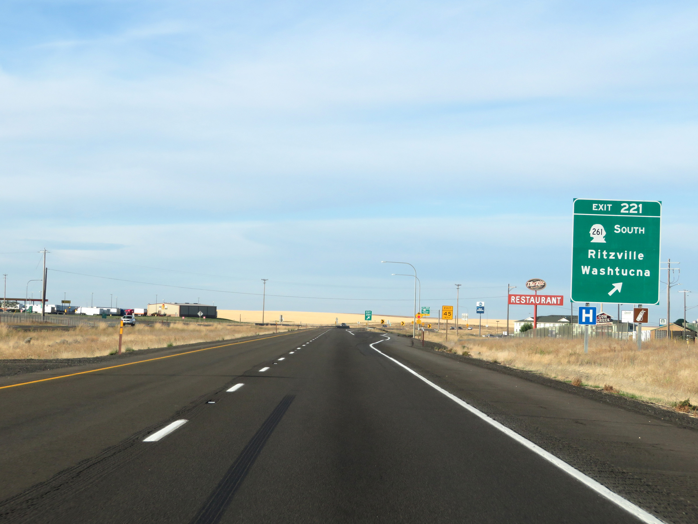 |
Interstate 90 West at Exit 221: WA 261 South - Ritzville / Washtucna (Photo taken 9/22/19). |
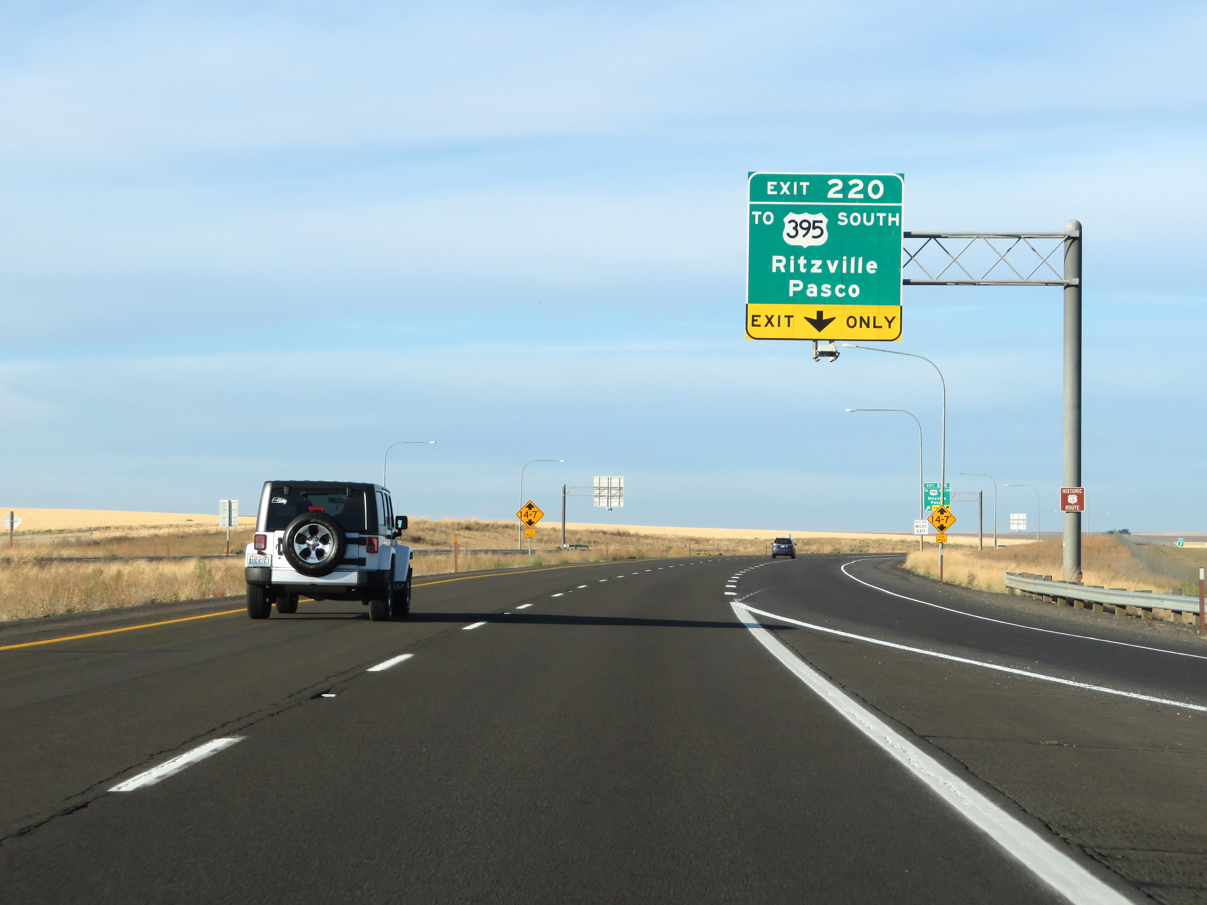 |
Interstate 90 West approaching the departure of US 395 South via Exit 220 - 1/4 mile. (Photo taken 9/22/19). |
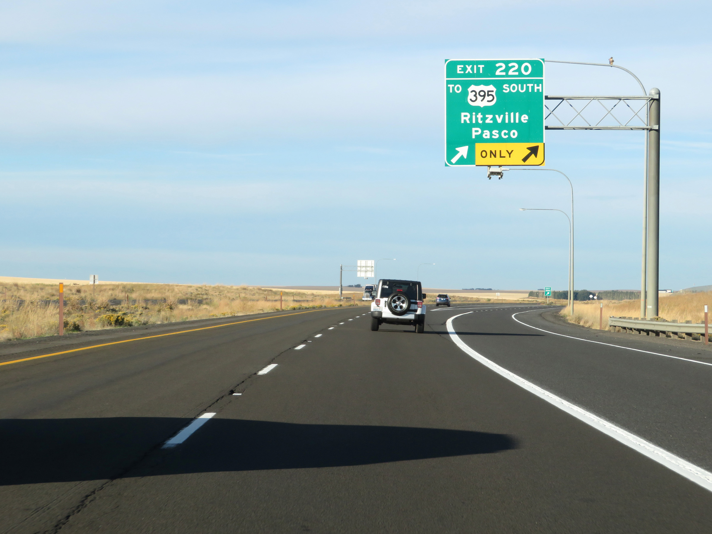 |
Interstate 90 West at Exit 220: To US 395 South - Ritzville / Pasco (Photo taken 9/22/19). |
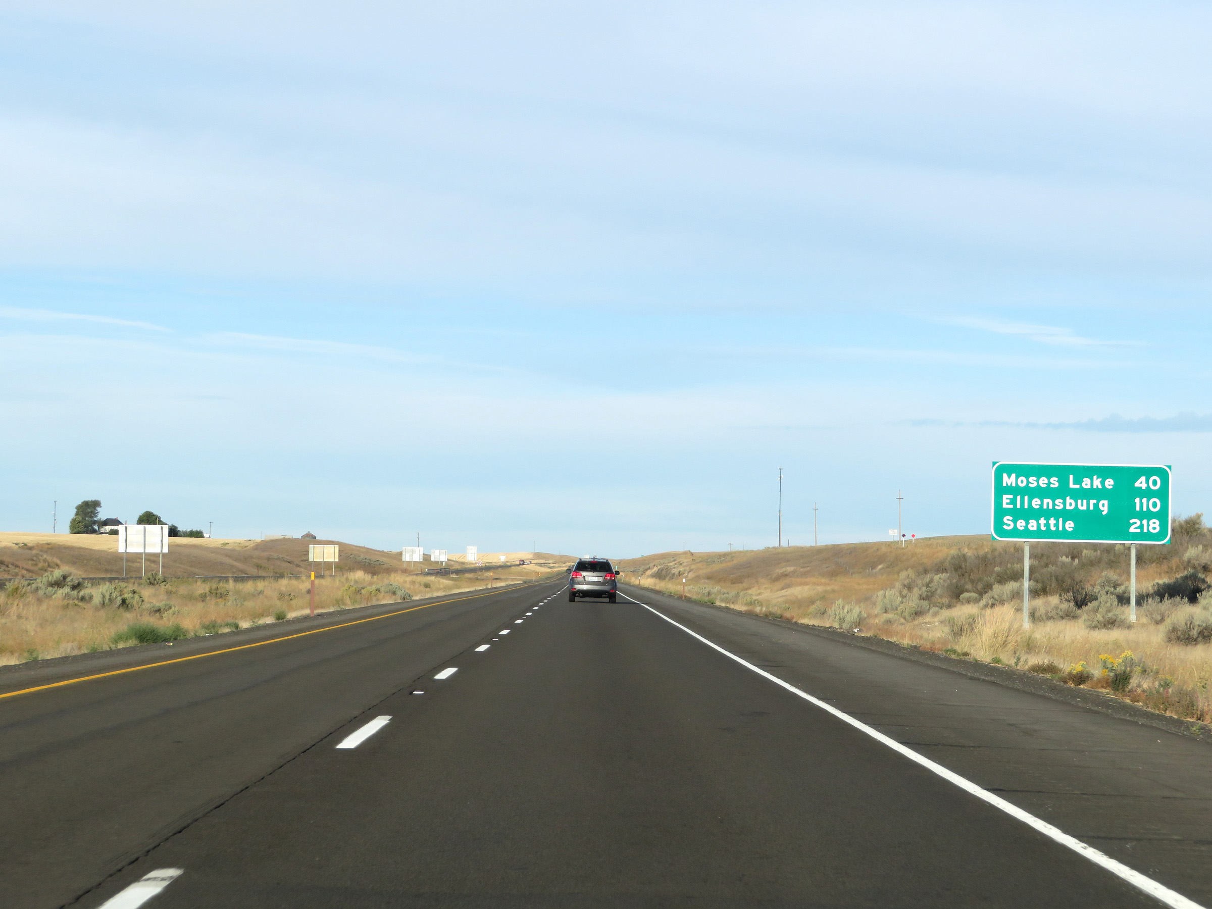 |
Mileage sign on Interstate 90 West in Ritzville. It's 40 miles to Moses Lake, 110 miles to Ellensburg, and 218 miles to Seattle. (Photo taken 9/22/19). |
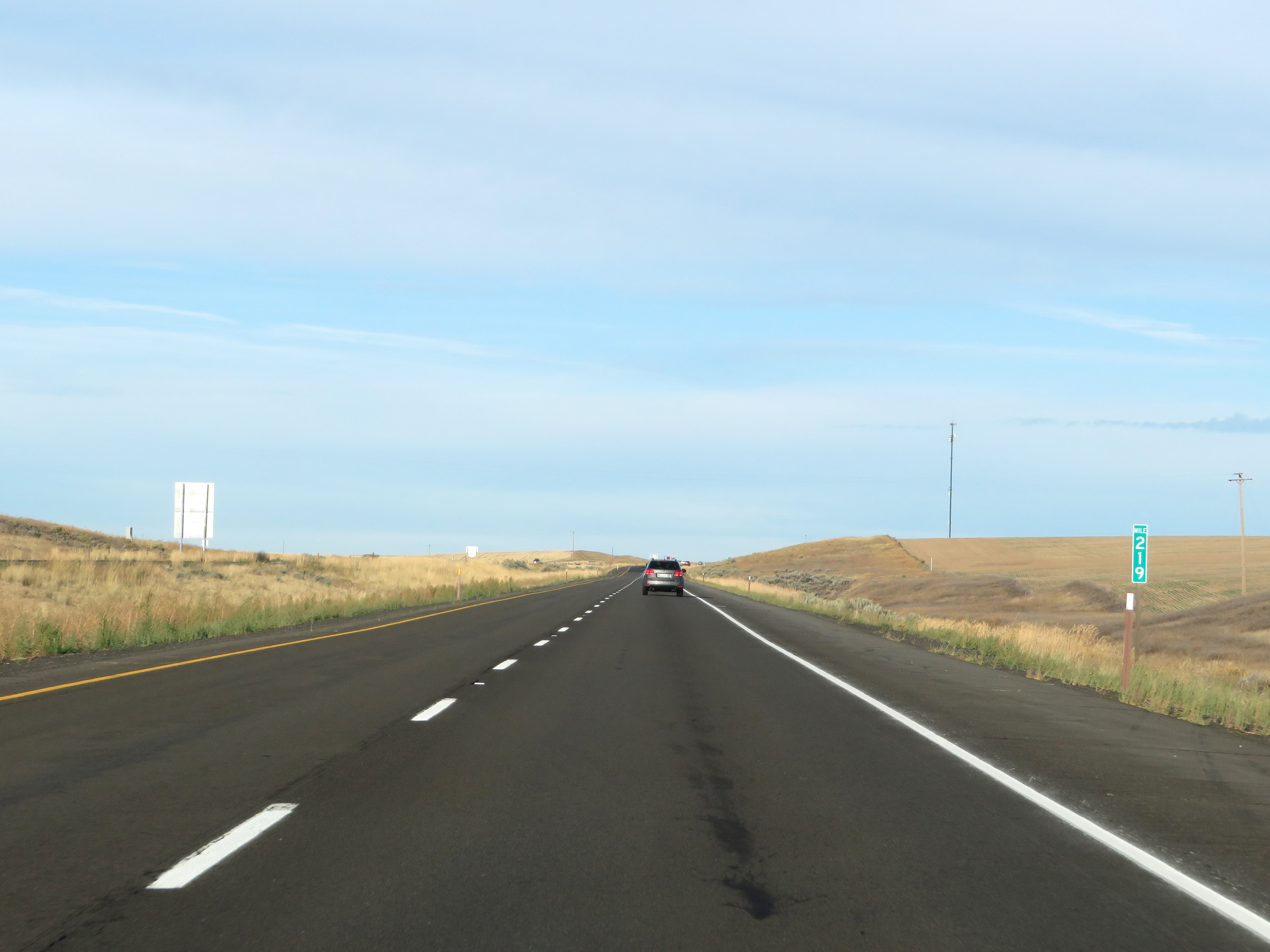 |
View on Interstate 90 West at mile marker 219. (Photo taken 9/22/19). |
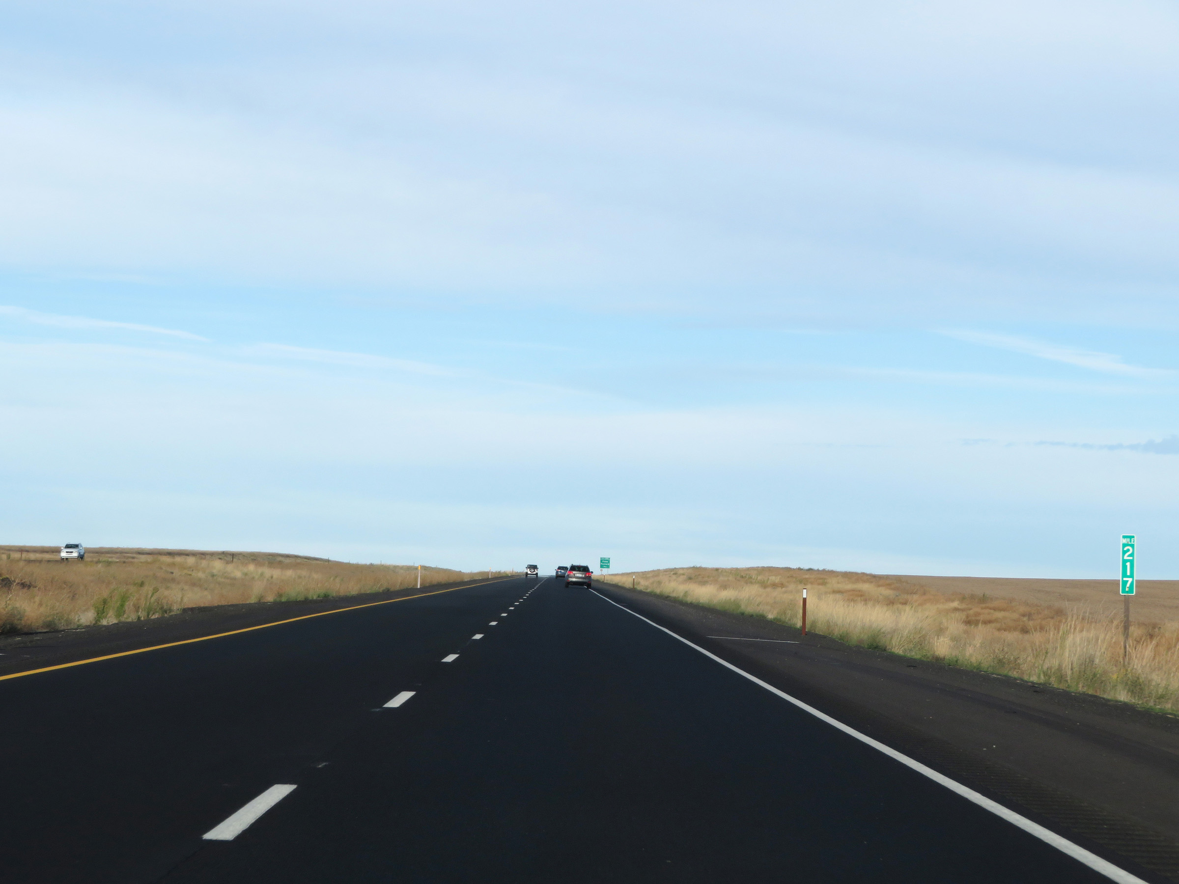 |
Interstate 90 West at mile marker 217. (Photo taken 9/22/19). |
 |
Interstate 90 West at Exit 215: Paha / Packard (Photo taken 9/22/19). |
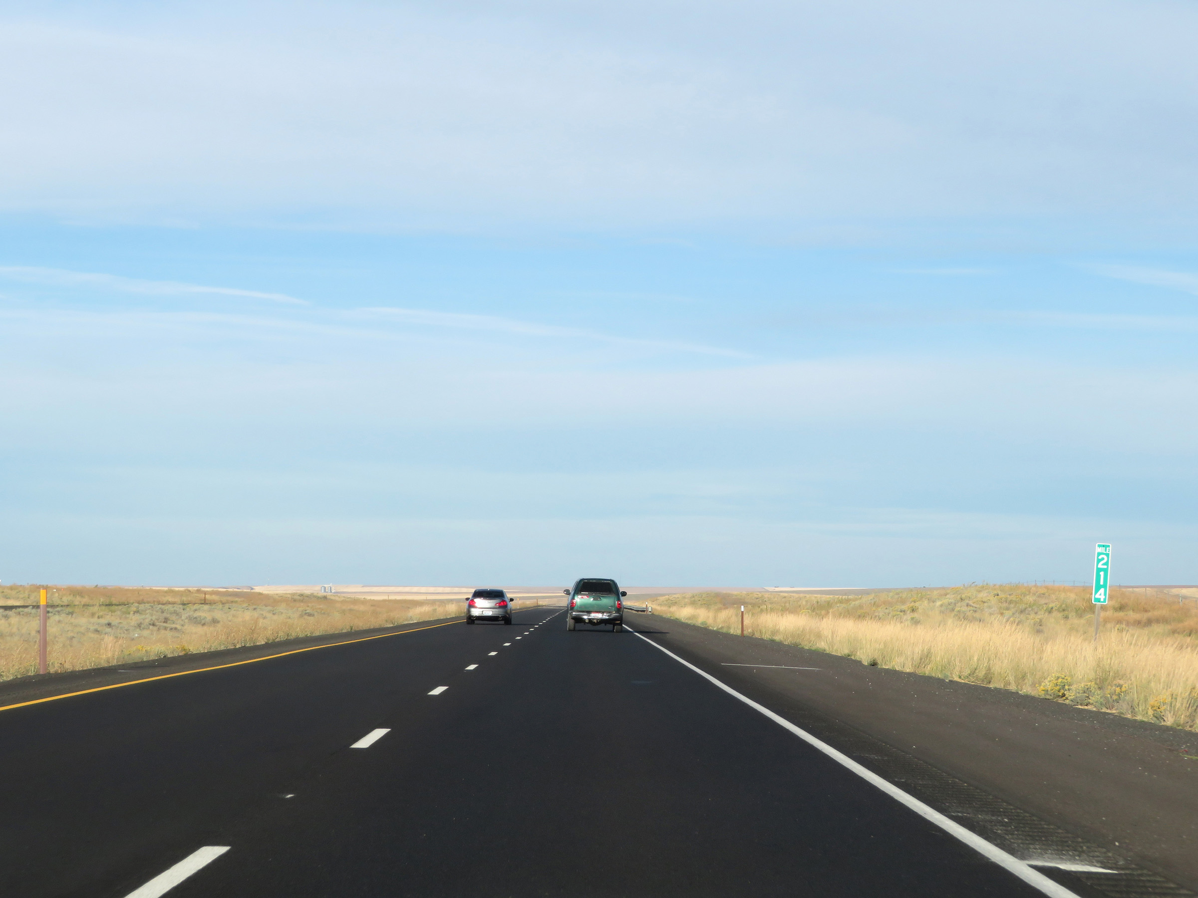 |
Mile marker 214 on Interstate 90 West in Adams County. (Photo taken 9/22/19). |
 |
View on Interstate 90 West at mile marker 211. (Photo taken 9/22/19). |
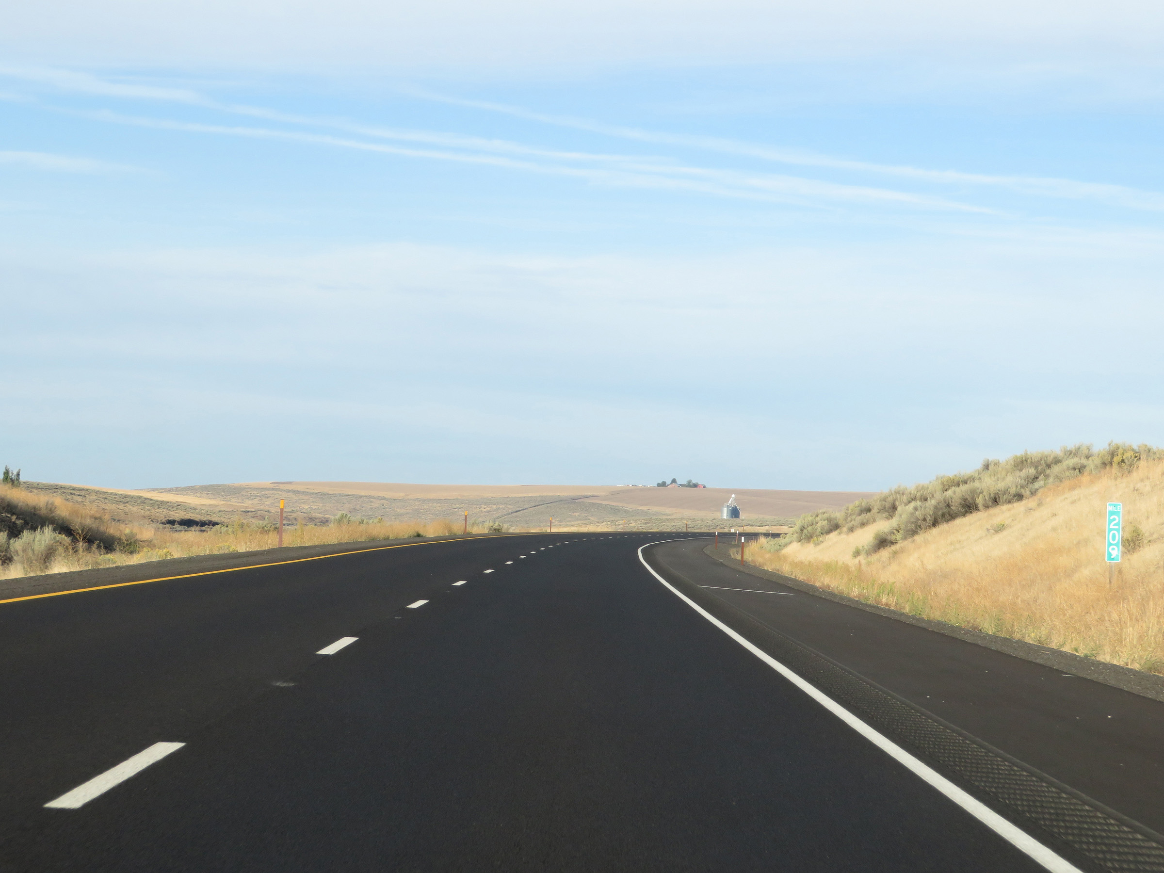 |
Interstate 90 West at mile marker 209. (Photo taken 9/22/19). |
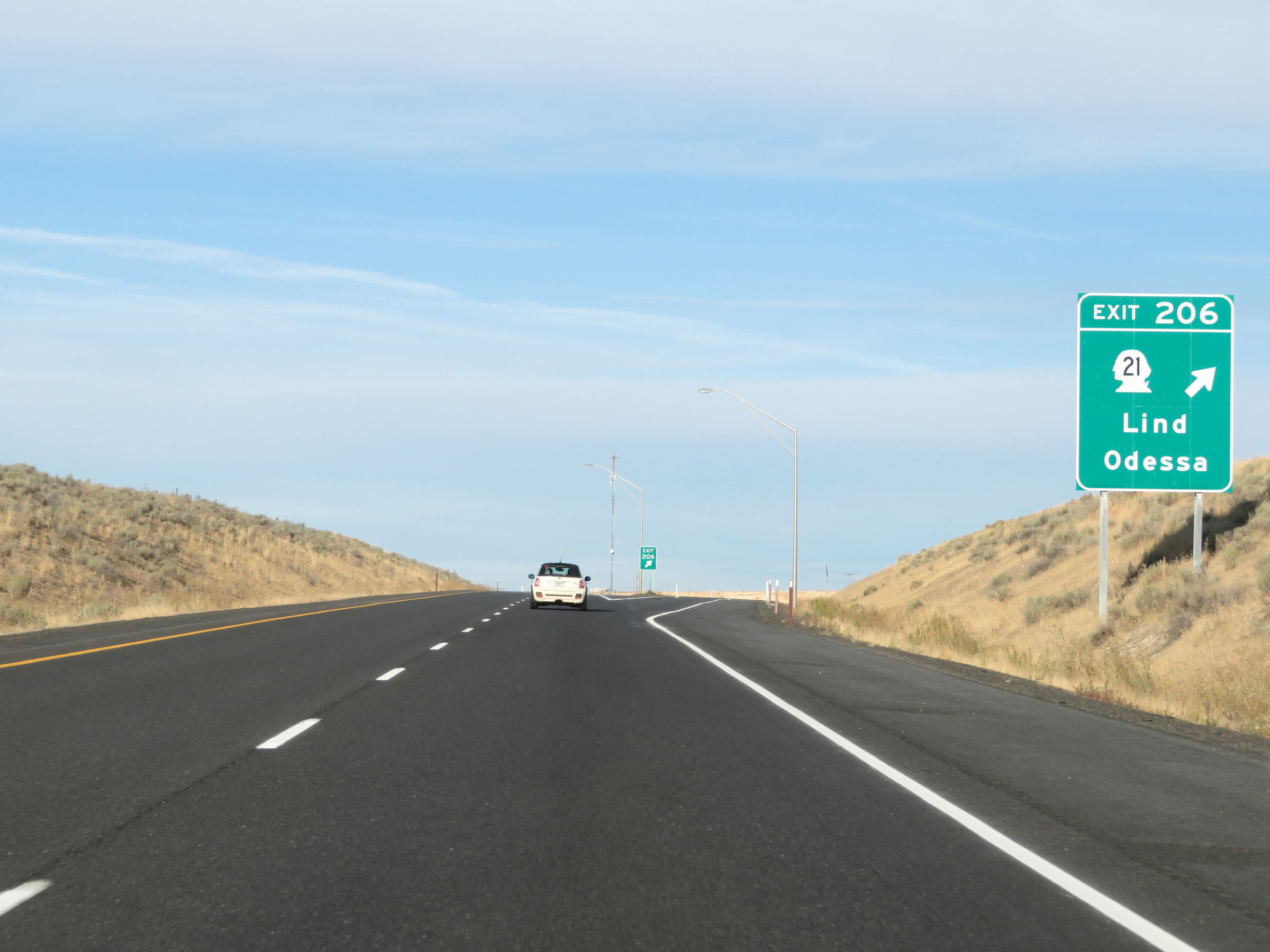 |
Interstate 90 West at Exit 206: WA 21 - Lind / Odessa (Photo taken 9/22/19). |
Section 3: Ritzville (Exit 206) to Vantage (Exit 136)
 |
Interstate 90 West at mile marker 204. (Photo taken 9/22/19). |
 |
View on Interstate 90 West at mile marker 203. (Photo taken 9/22/19). |
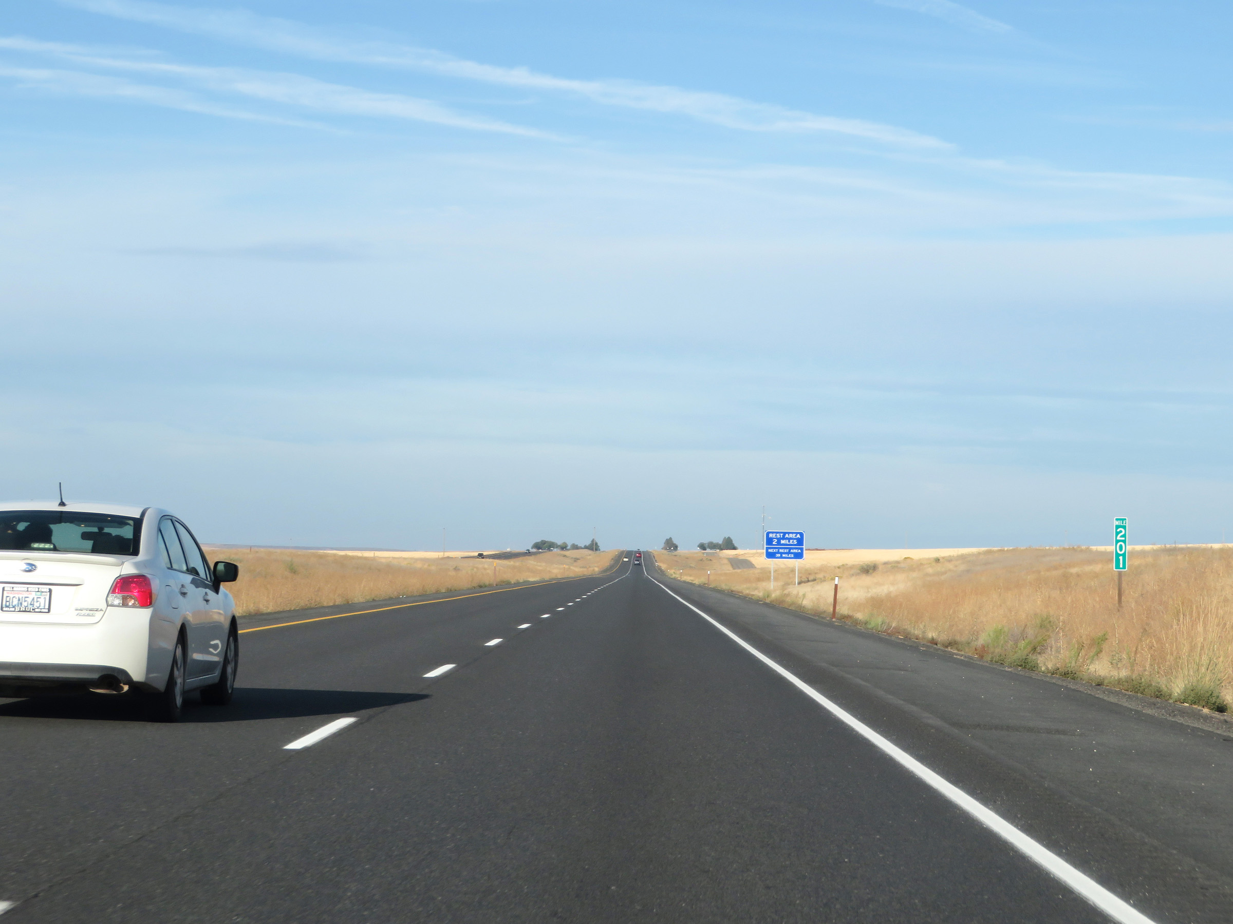 |
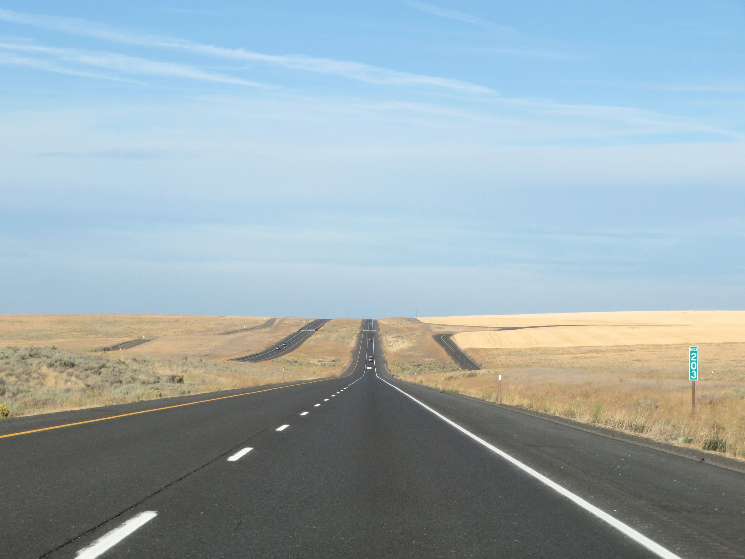
Mile marker 201 on Interstate 90 West in Adams County. (Photo taken 9/22/19). |
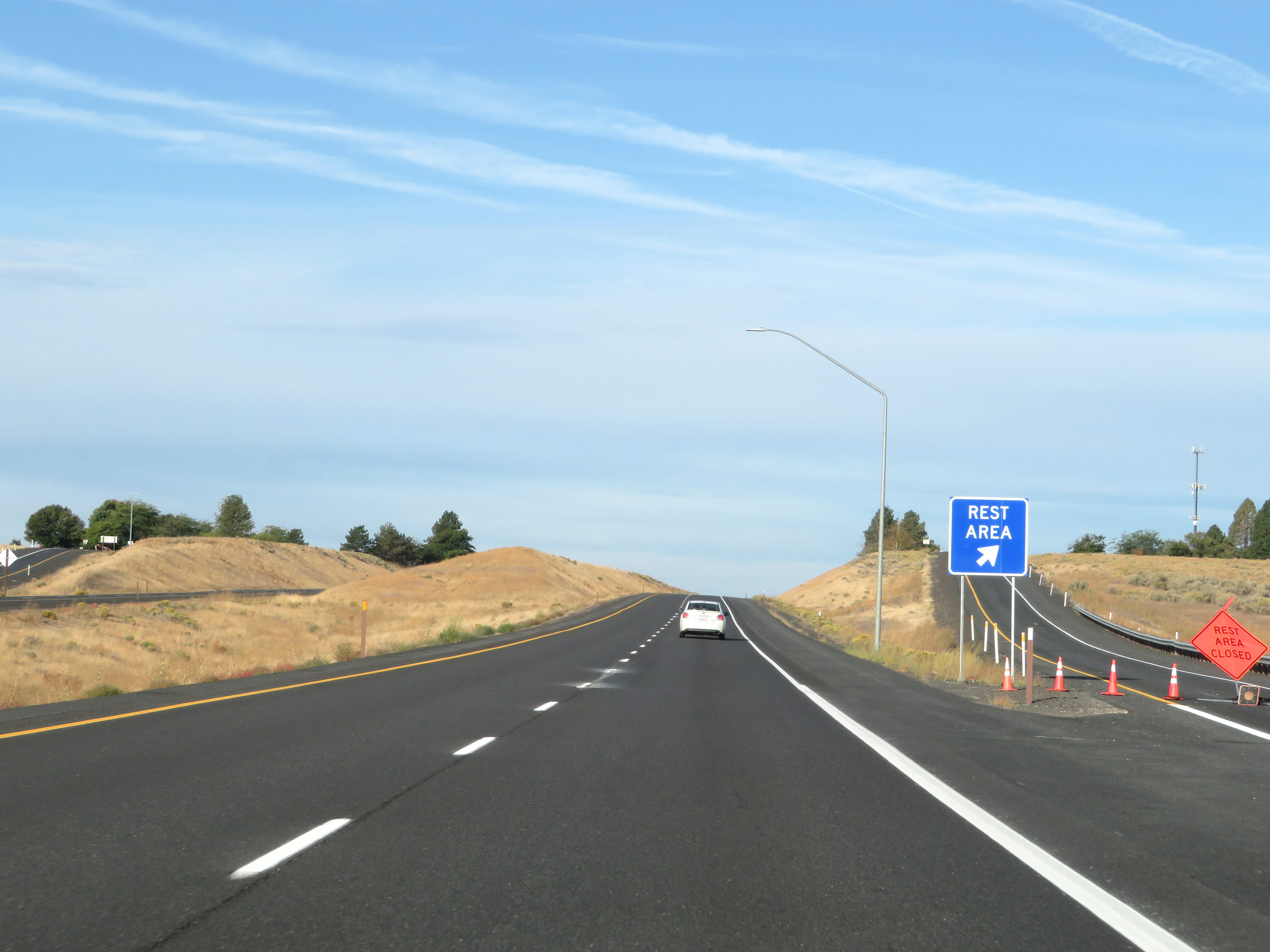 |
Rest Area on Interstate 90 West in western Adams County. (Photo taken 9/22/19). |
 |
Interstate 90 West reassurance shield. (Photo taken 9/22/19). |
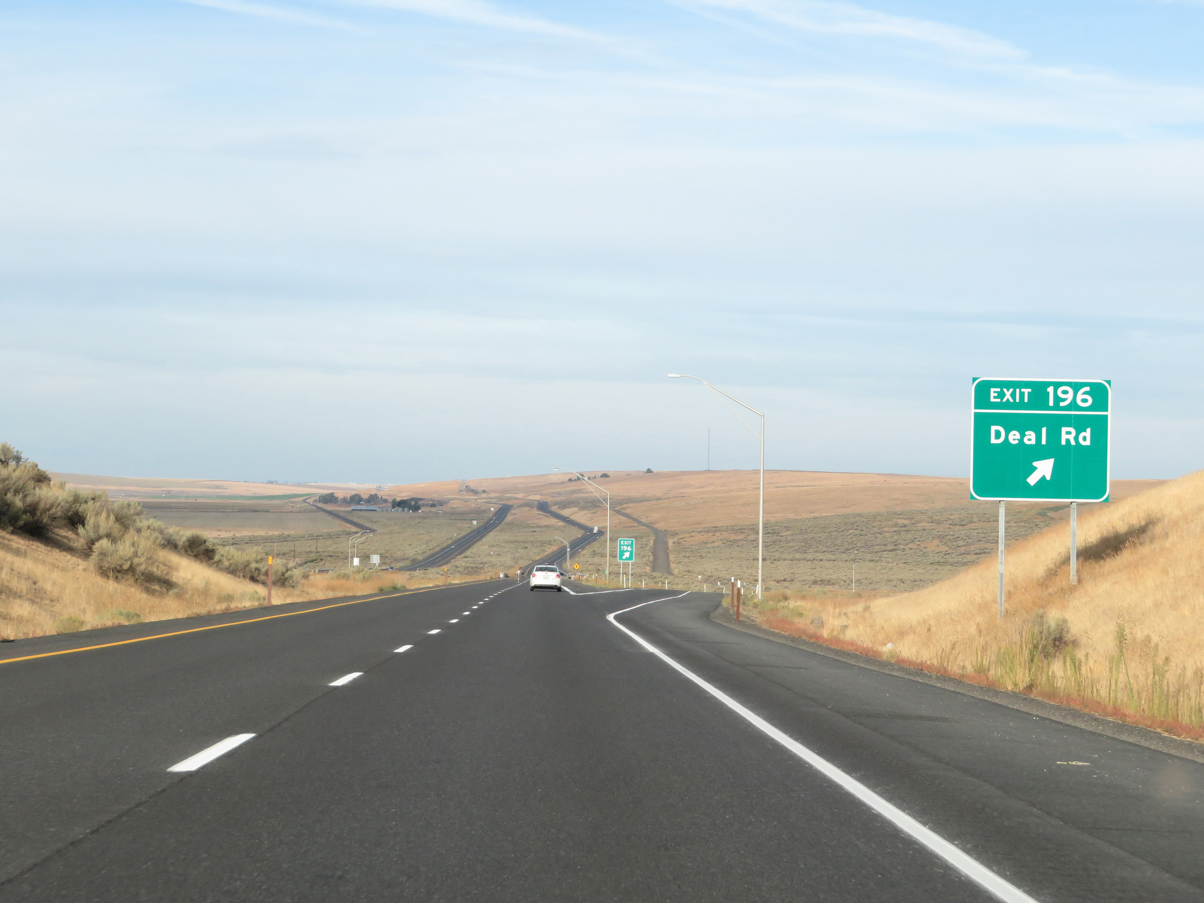 |
Interstate 90 West at Exit 196: Deal Rd (Photo taken 9/22/19). |
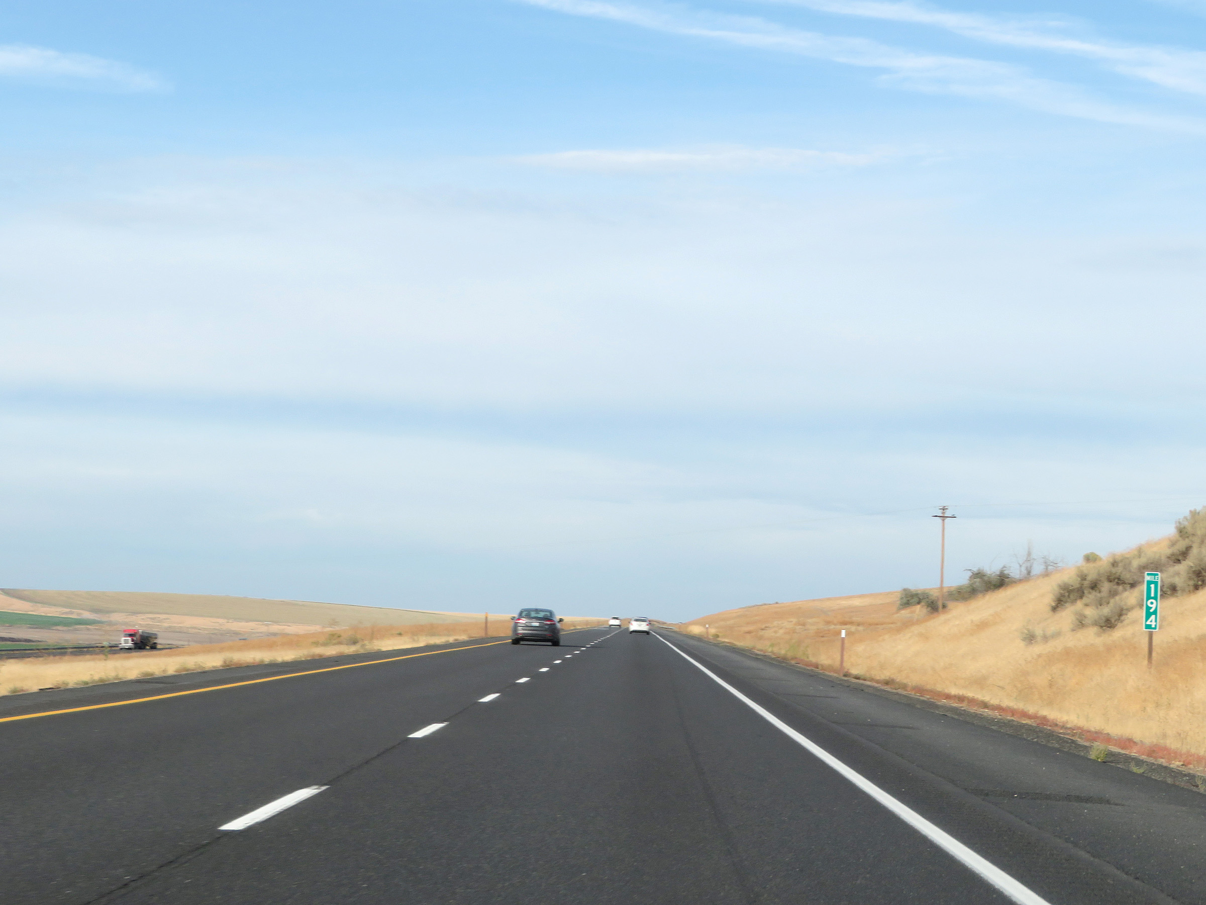 |
Mile marker 194 on Interstate 90 West in Adams County. (Photo taken 9/22/19). |
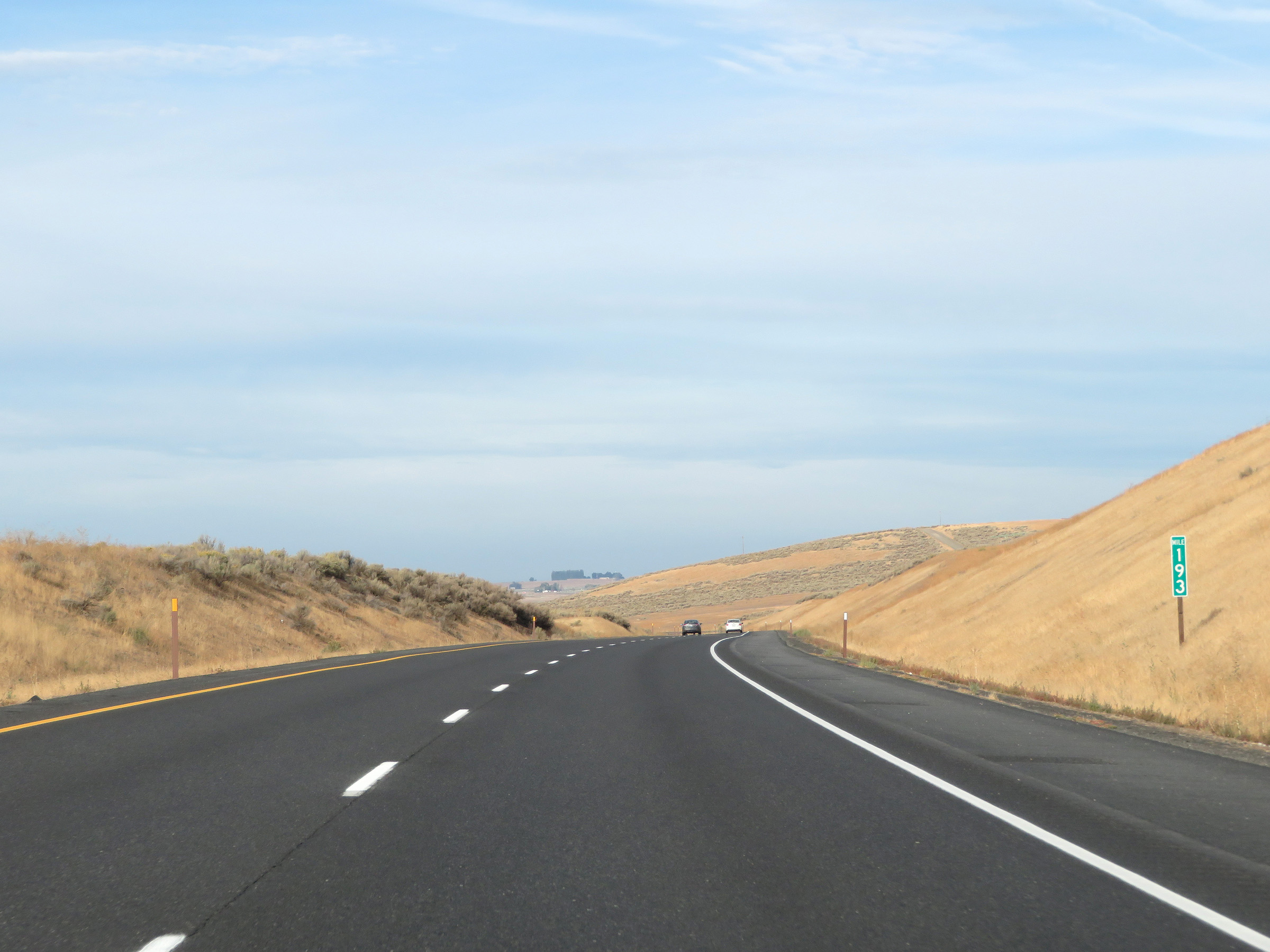 |
View on Interstate 90 West at mile marker 193. (Photo taken 9/22/19). |
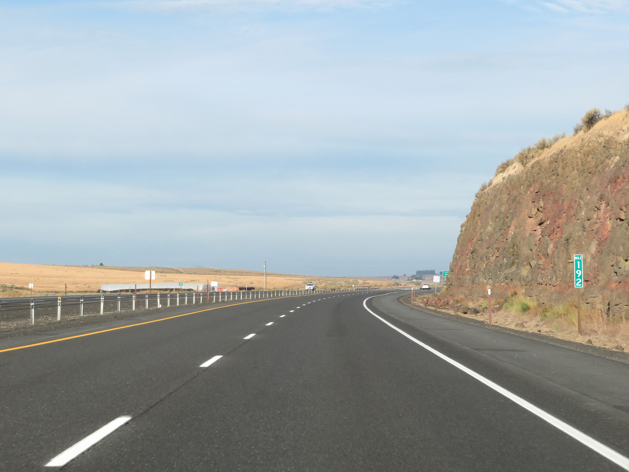 |
Interstate 90 West at mile marker 192. (Photo taken 9/22/19). |
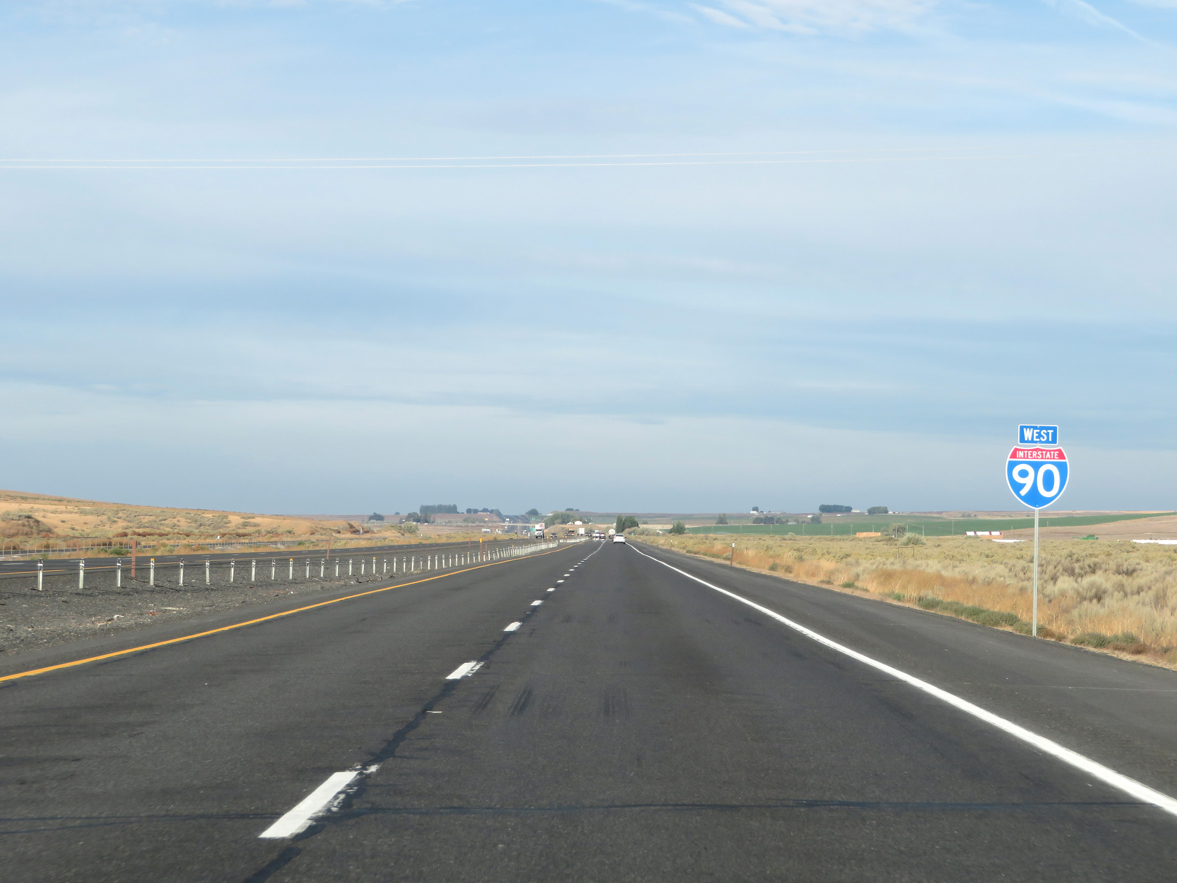
 |
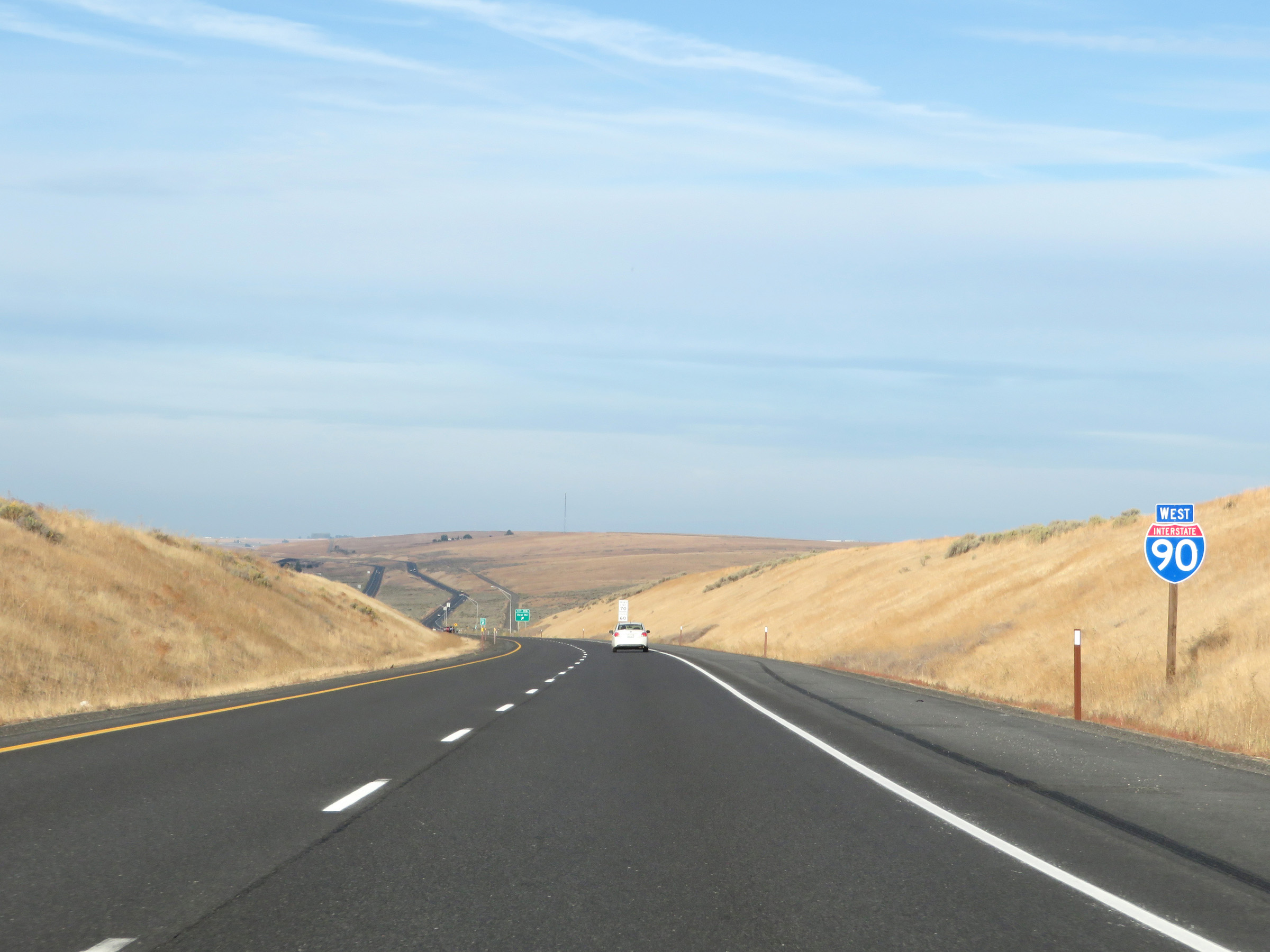
Interstate 90 West enters Grant County just beyond mile marker 192. (Photo taken 9/22/19). |
 |
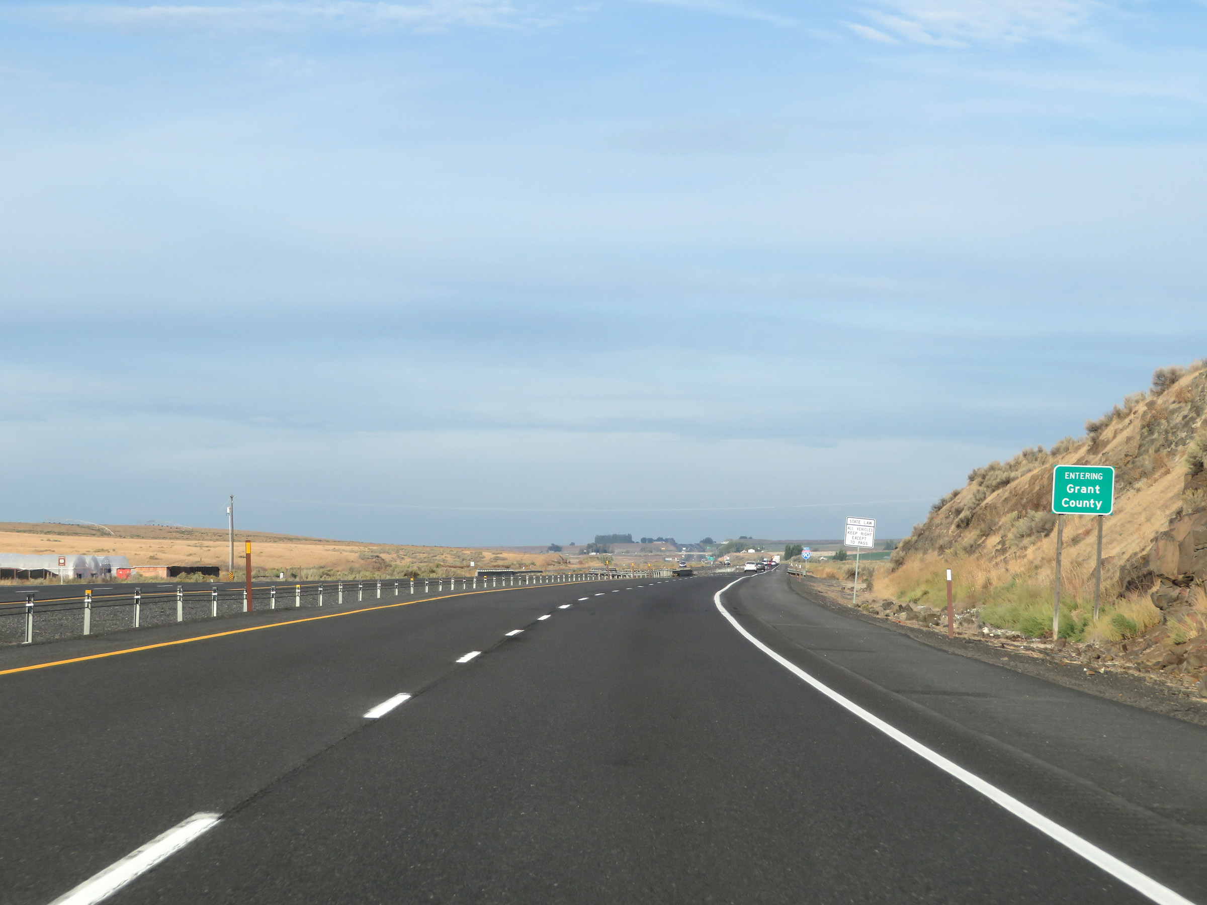
Another Interstate 90 West reassurance shield upon entering Grant County. (Photo taken 9/22/19). |
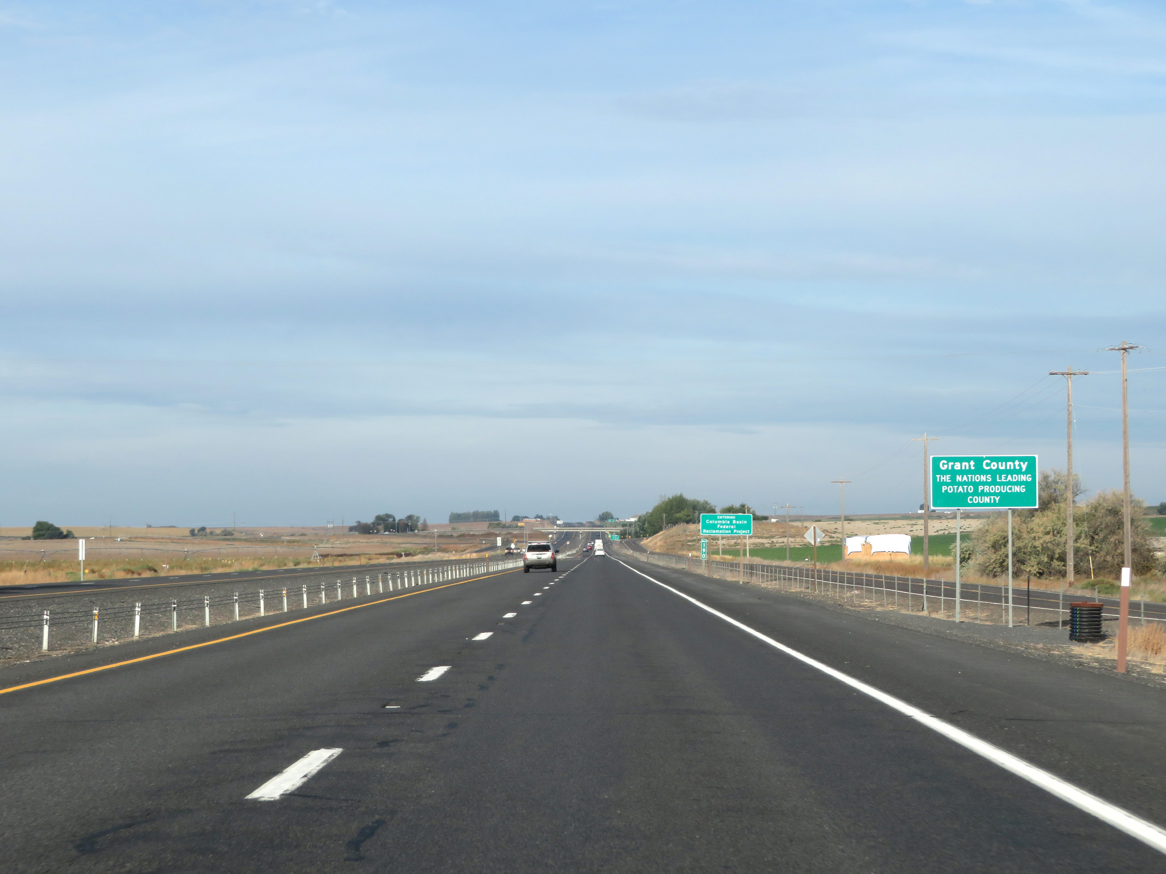 |
As this sign reads, Grant County is the top potato producing county in the US. (Photo taken 9/22/19). |
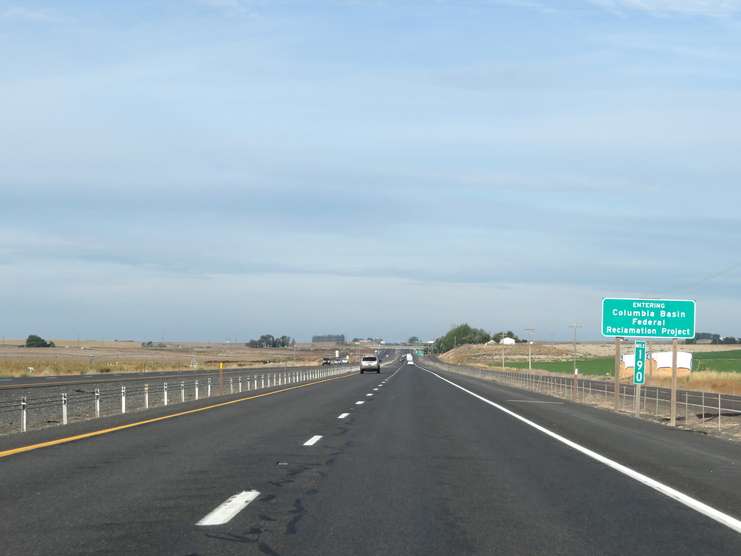 |
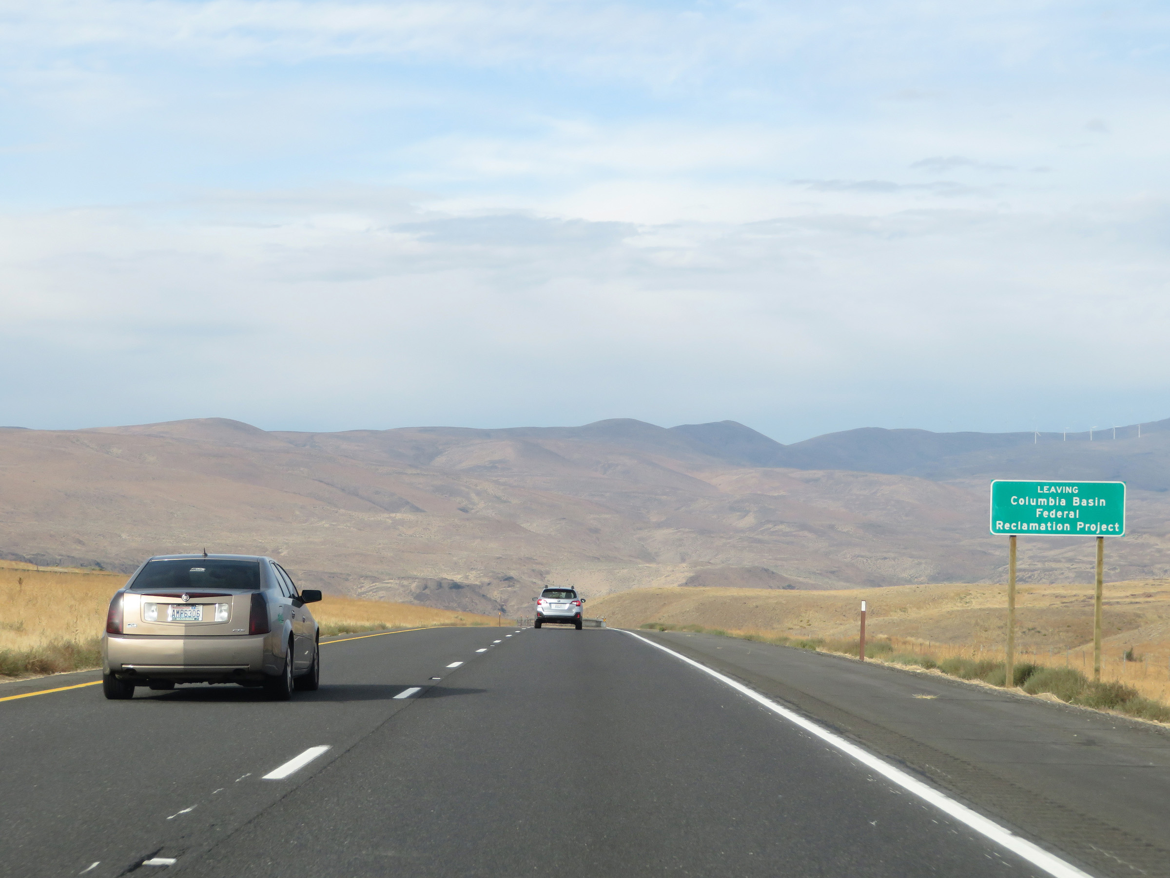
At mile marker 190, Interstate 90 West enters the Columbia Basin Federal Reclamation Project. (Photo taken 9/22/19). |
 |
Interstate 90 West at Exit 188: Warden / U Rd NE/SE (Photo taken 9/22/19). |
 |
Speed limits signs at mile marker 188. The speed limits remain the rural standard 70 mph for autos and 60 mph for trucks. (Photo taken 9/22/19). |
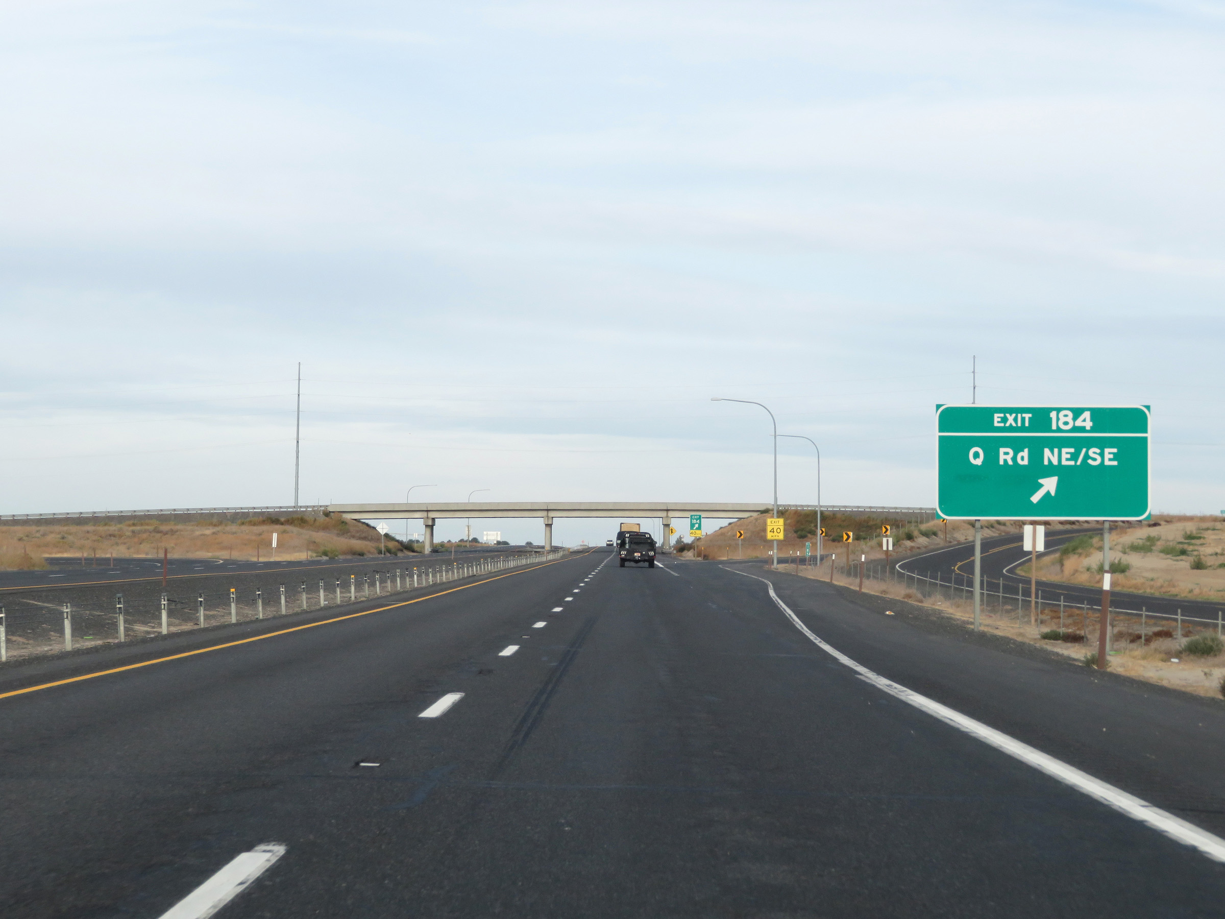 |
Interstate 90 West at Exit 184: Q Rd NE/SE (Photo taken 9/22/19). |
 |
Interstate 90 West at Exit 182: Wheeler / O Rd NE/SE (Photo taken 9/22/19). |
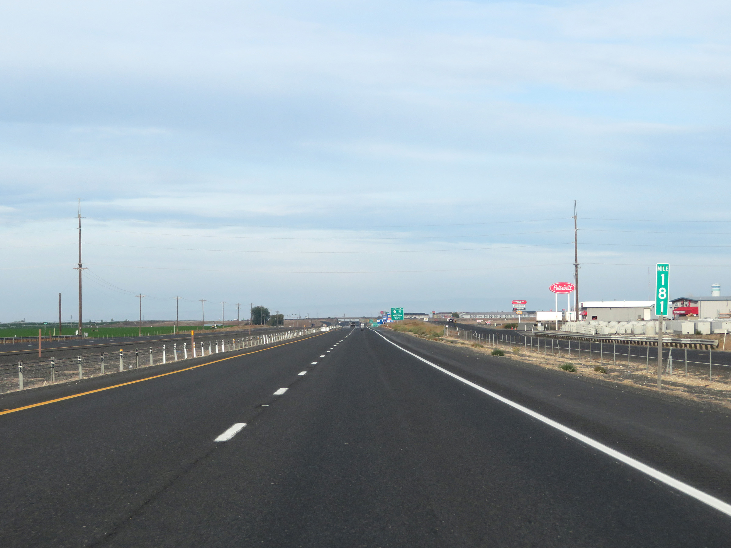 |
View on Interstate 90 West at mile marker 181. (Photo taken 9/22/19). |
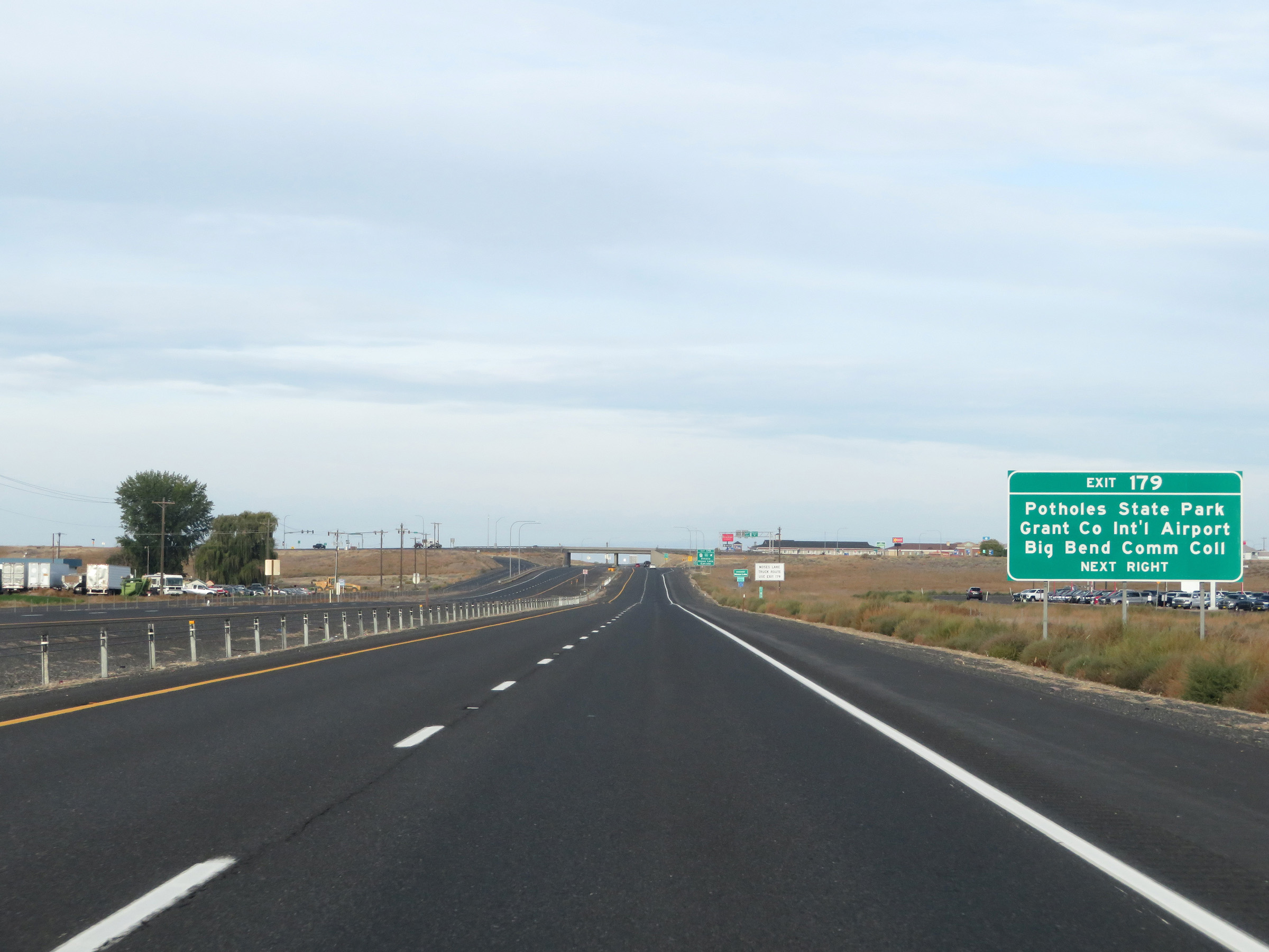 |
Take Exit 179 to Potholes State Park, Grant County International Airport, and Big Bend Community College. (Photo taken 9/22/19). |
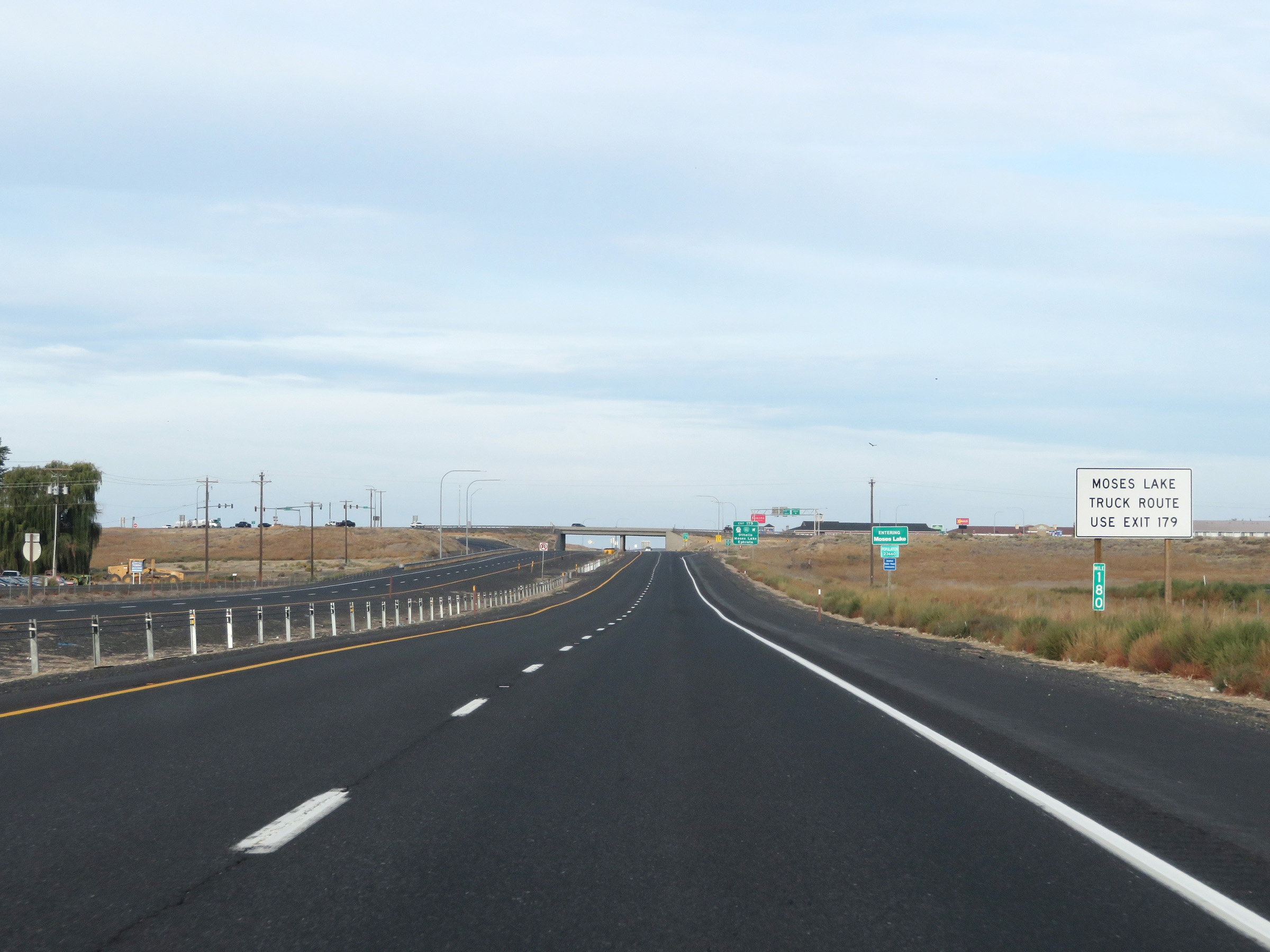 |
Trucks to Moses Lake should use Exit 179 ahead. (Photo taken 9/22/19). |
 |
Interstate 90 West at Exit 179: WA 17 / Interstate 90 Business Loop - Othello / Moses Lake / Ephrata (Photo taken 9/22/19). |
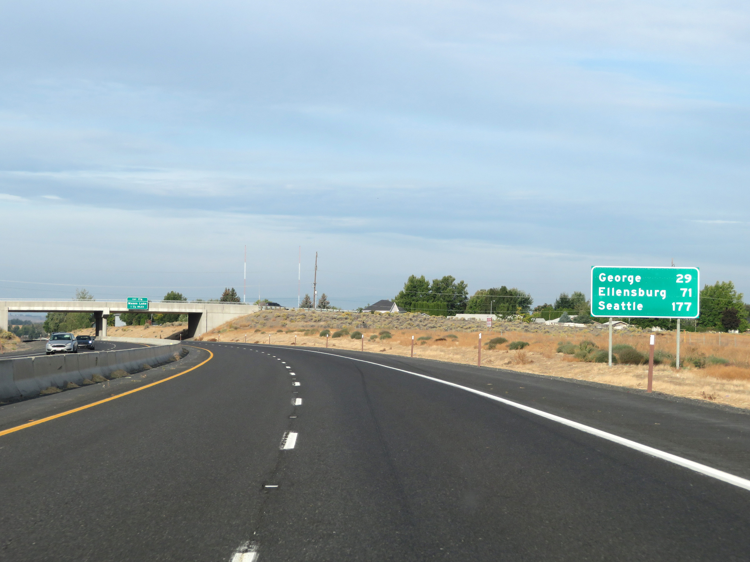 |
Mileage sign on Interstate 90 West in Moses Lake. It's 29 miles to George, 71 miles to Ellensburg, and 177 miles to Seattle. (Photo taken 9/22/19). |
 |
Interstate 90 West approaching Exit 176 - 1 1/2 miles. (Photo taken 9/22/19). |
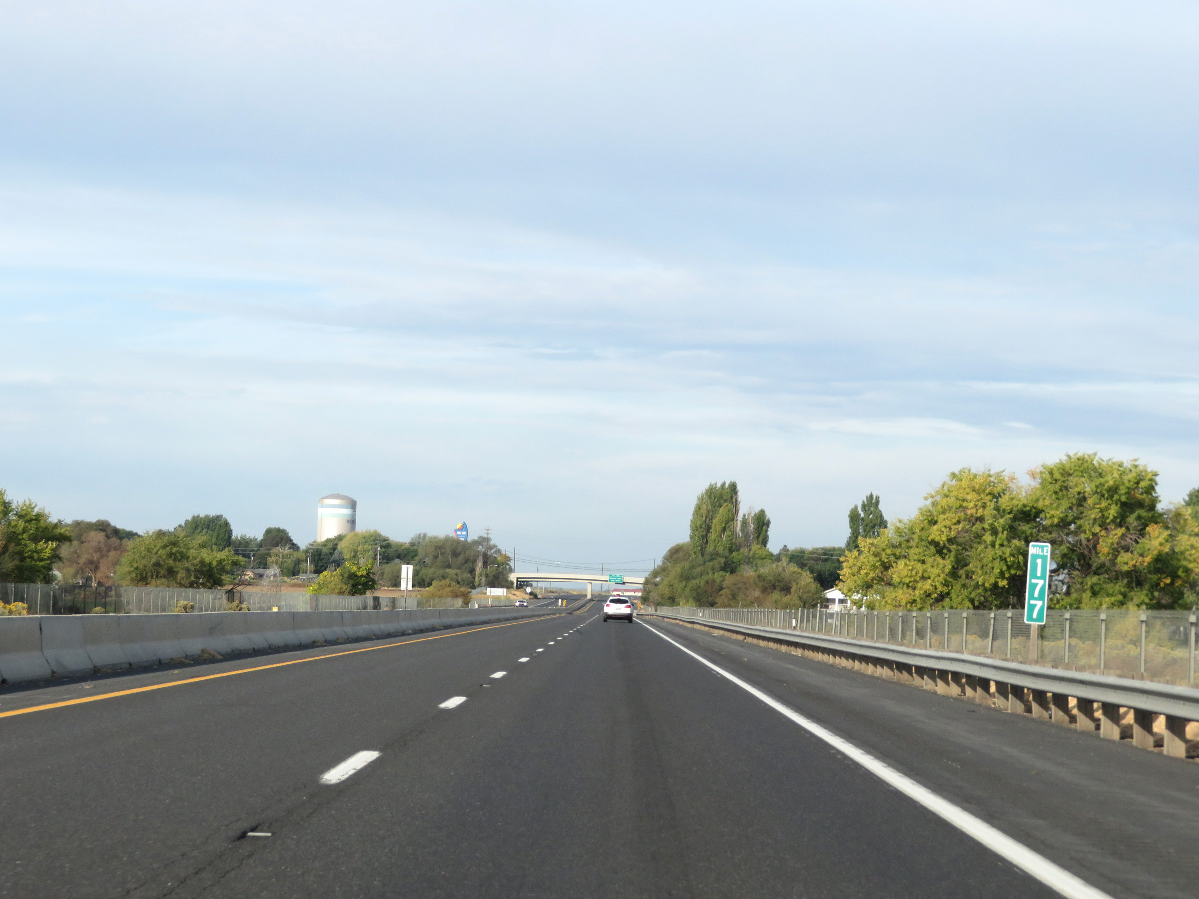 |
View on Interstate 90 West at mile marker 177 in Moses Lake. (Photo taken 9/22/19). |
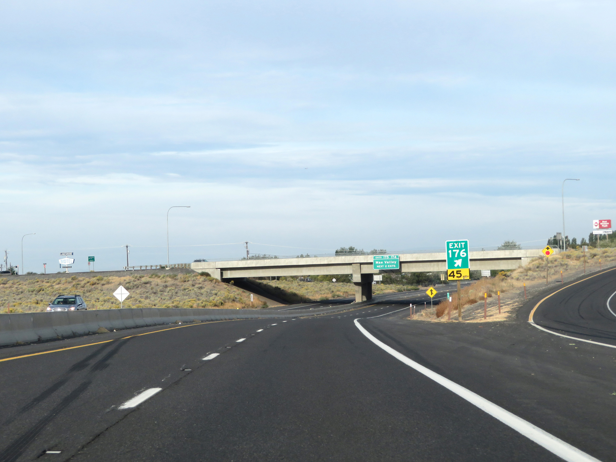 |
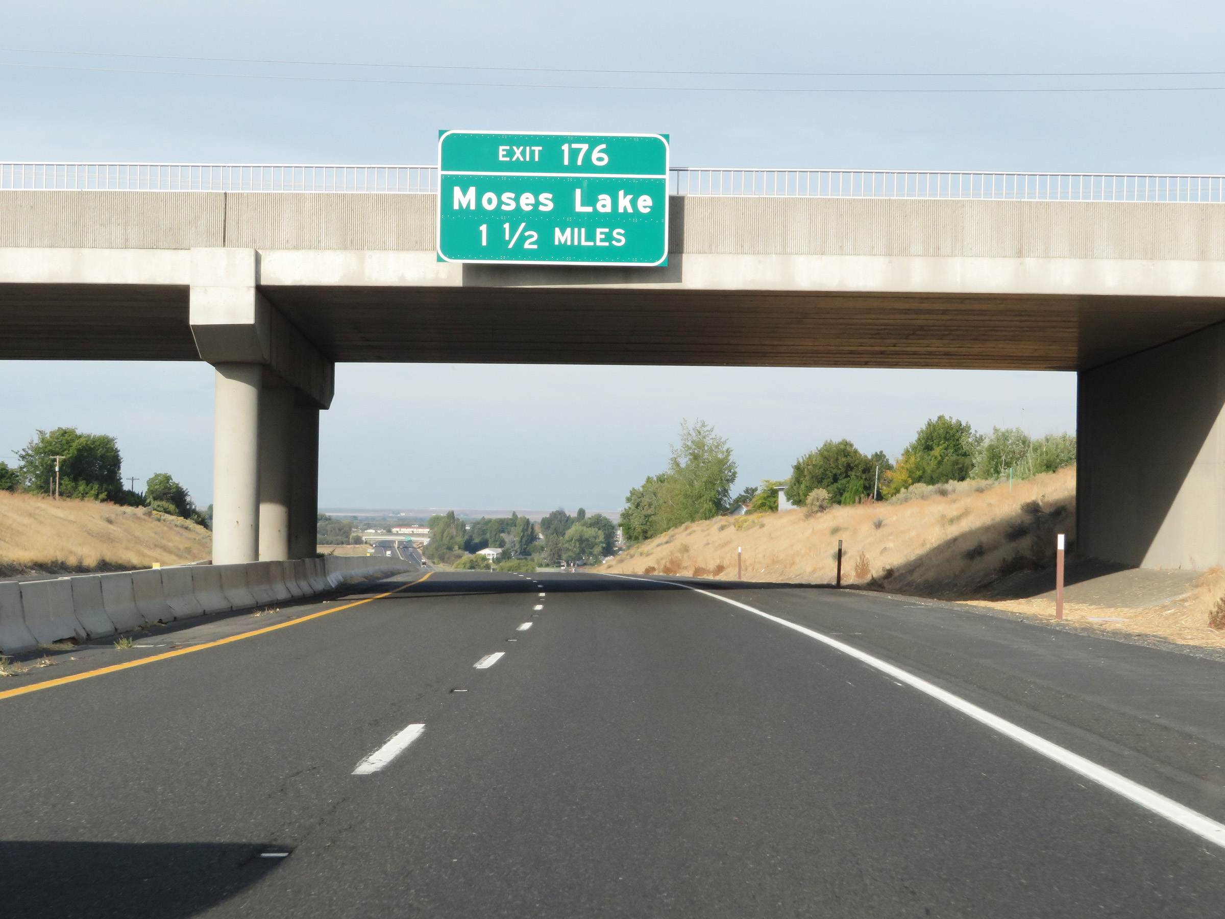
Interstate 90 West at Exit 176: Moses Lake (Photo taken 9/22/19). |
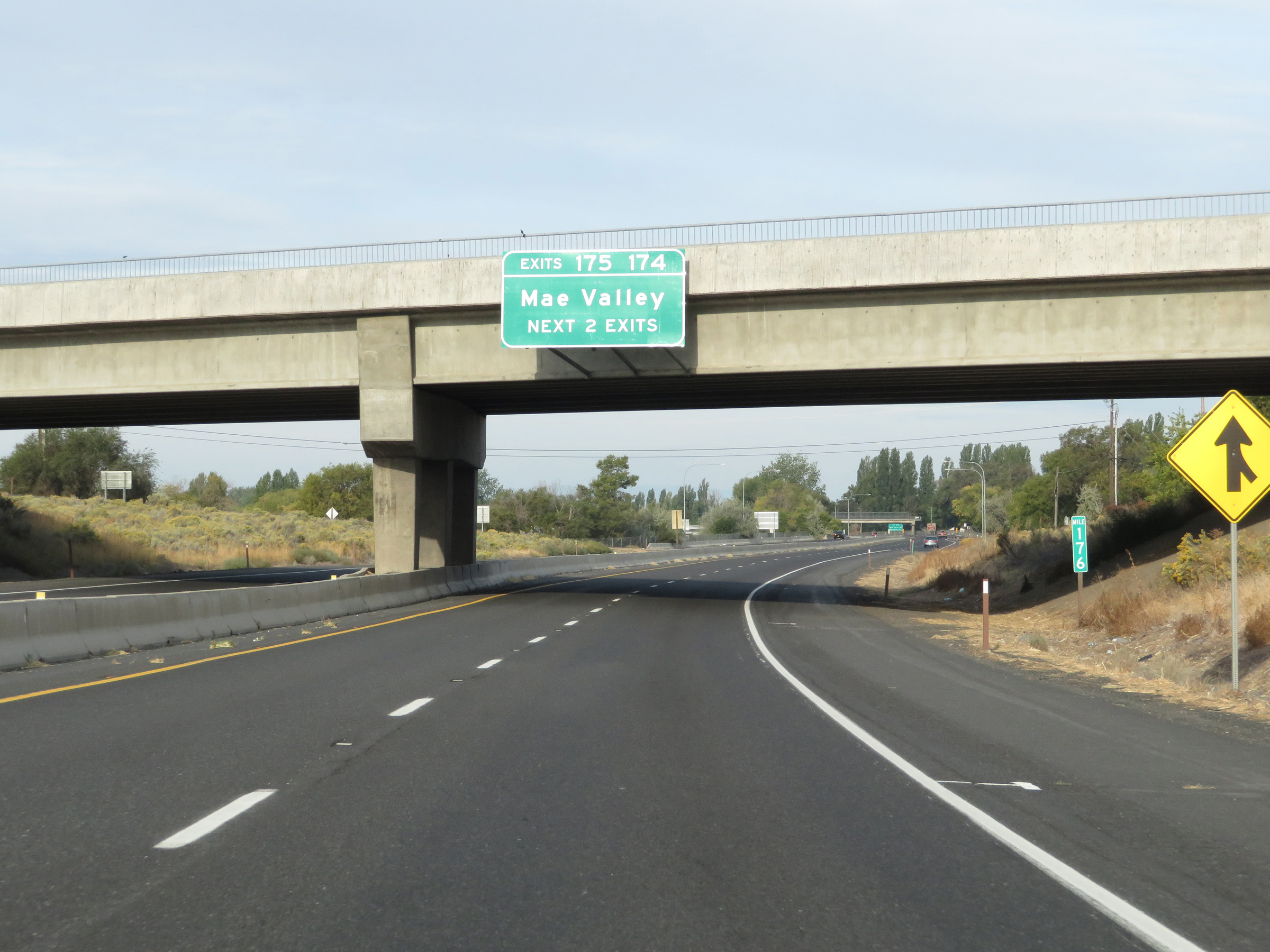 |
Take either of the next 2 exits to Mae Valley. (Photo taken 9/22/19). |
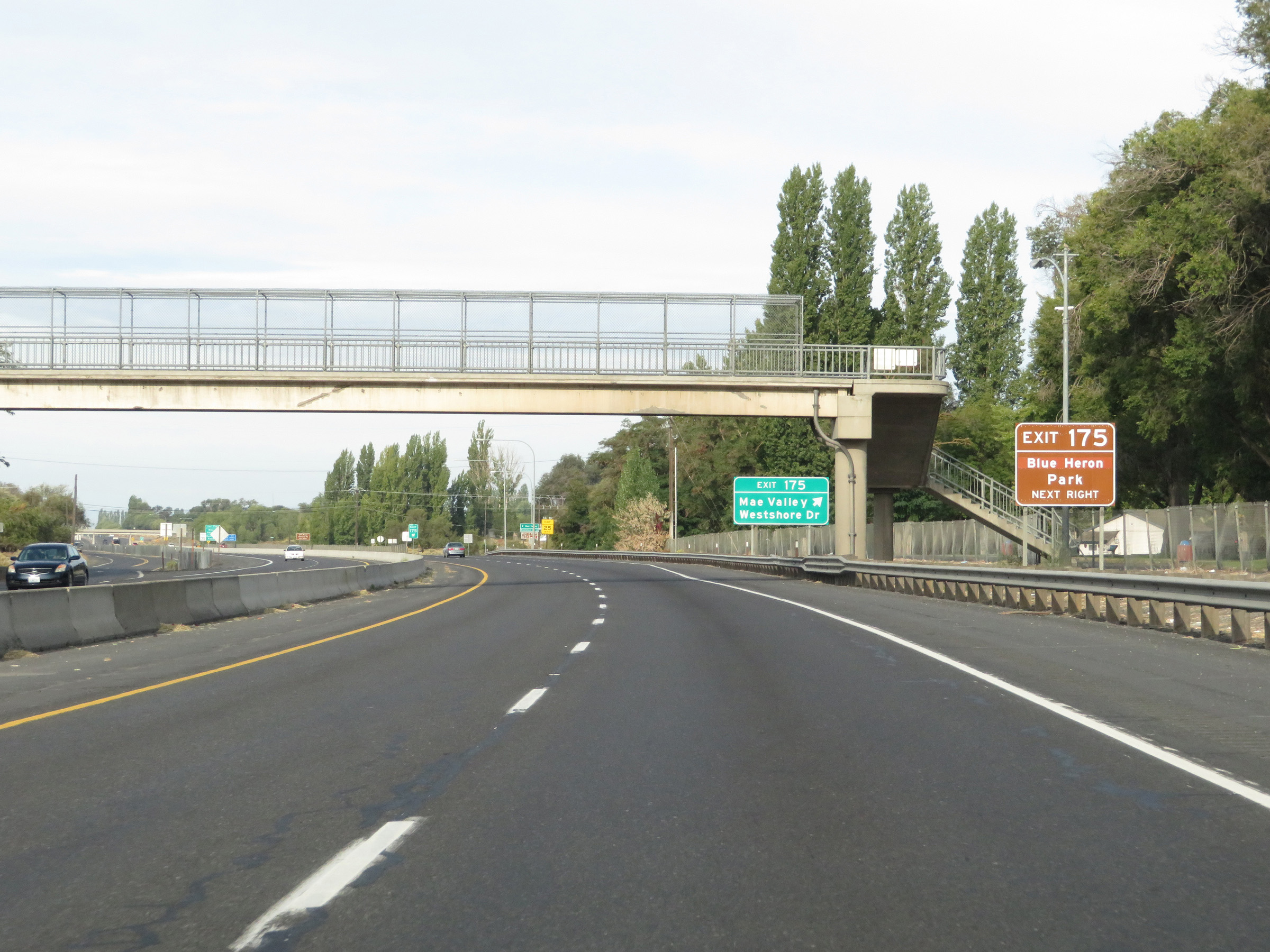 |
Take Exit 175 to Blue Heron Park. (Photo taken 9/22/19). |
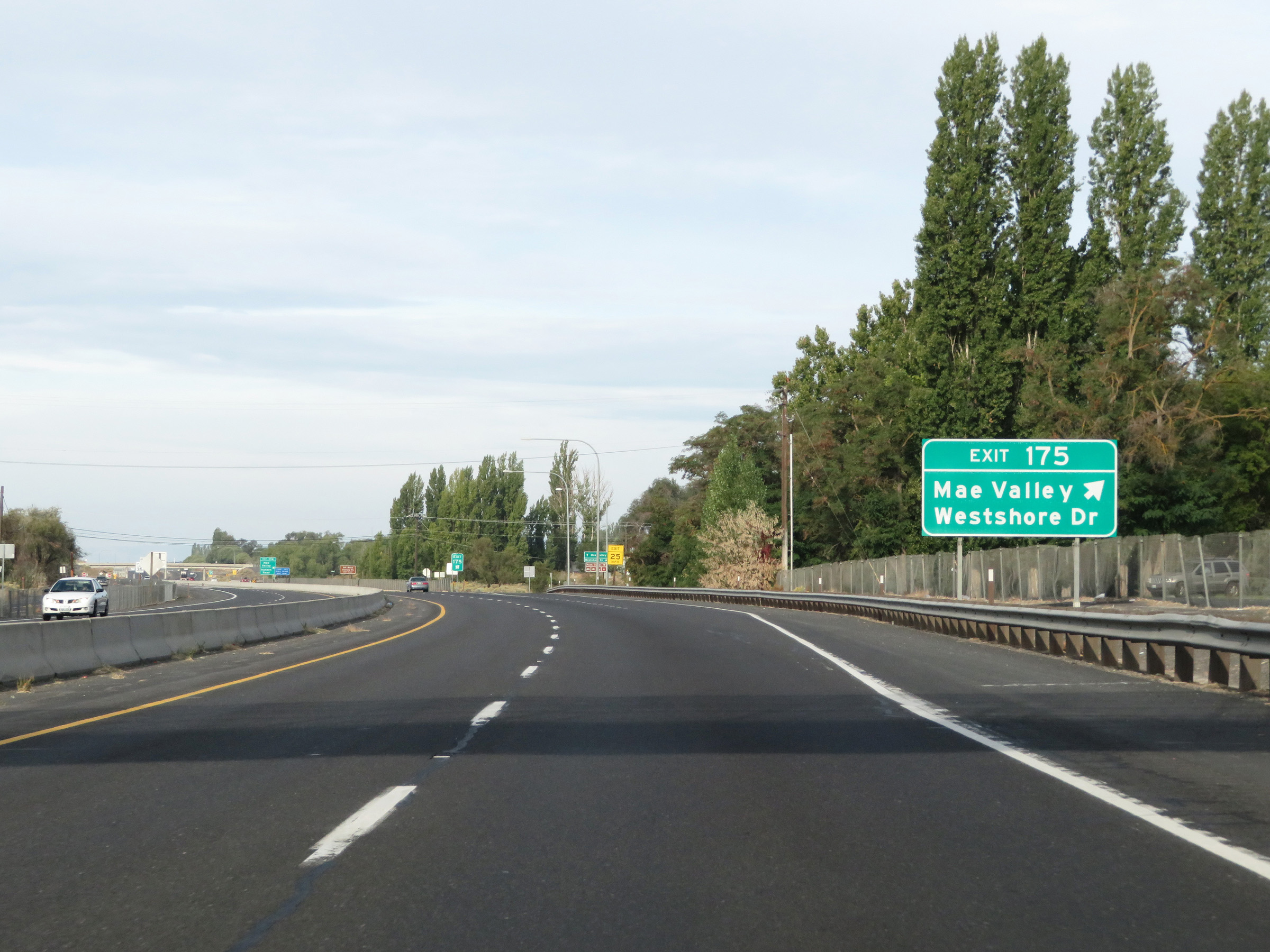 |
Interstate 90 West at Exit 175: Mae Valley / Westshore Dr (Photo taken 9/22/19). |
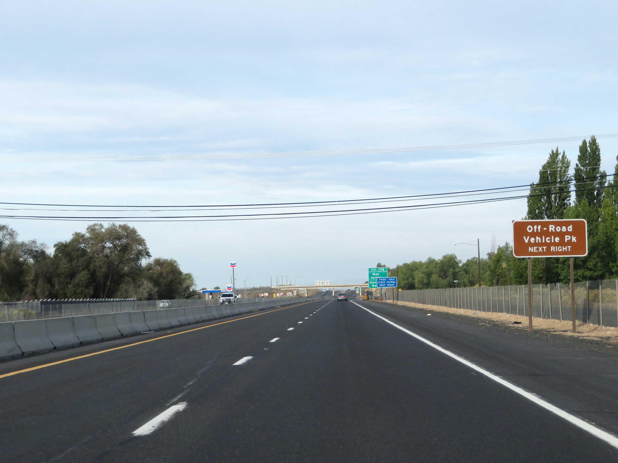 |
Take Exit 174 to the Off-Road Vehicle Park. (Photo taken 9/22/19). |
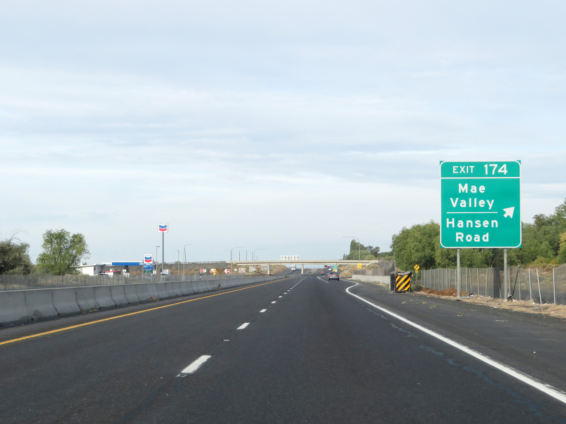 |
Interstate 90 West at Exit 174: Mae Valley / Hansen Road (Photo taken 9/22/19). |
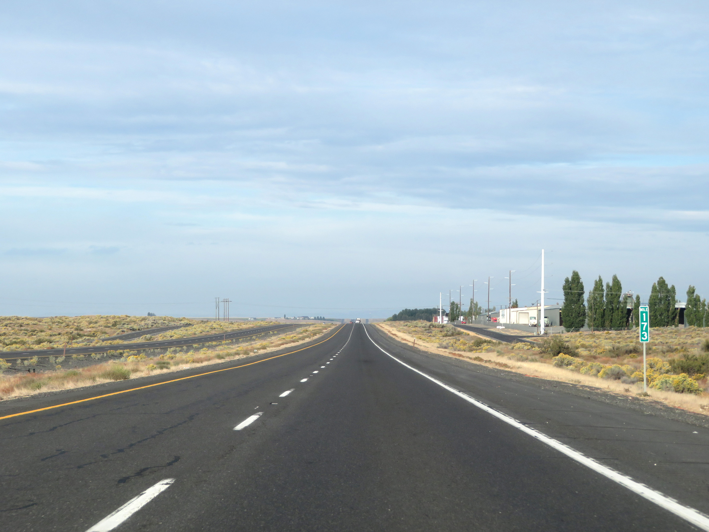 |
View on Interstate 90 West at mile marker 173. (Photo taken 9/22/19). |
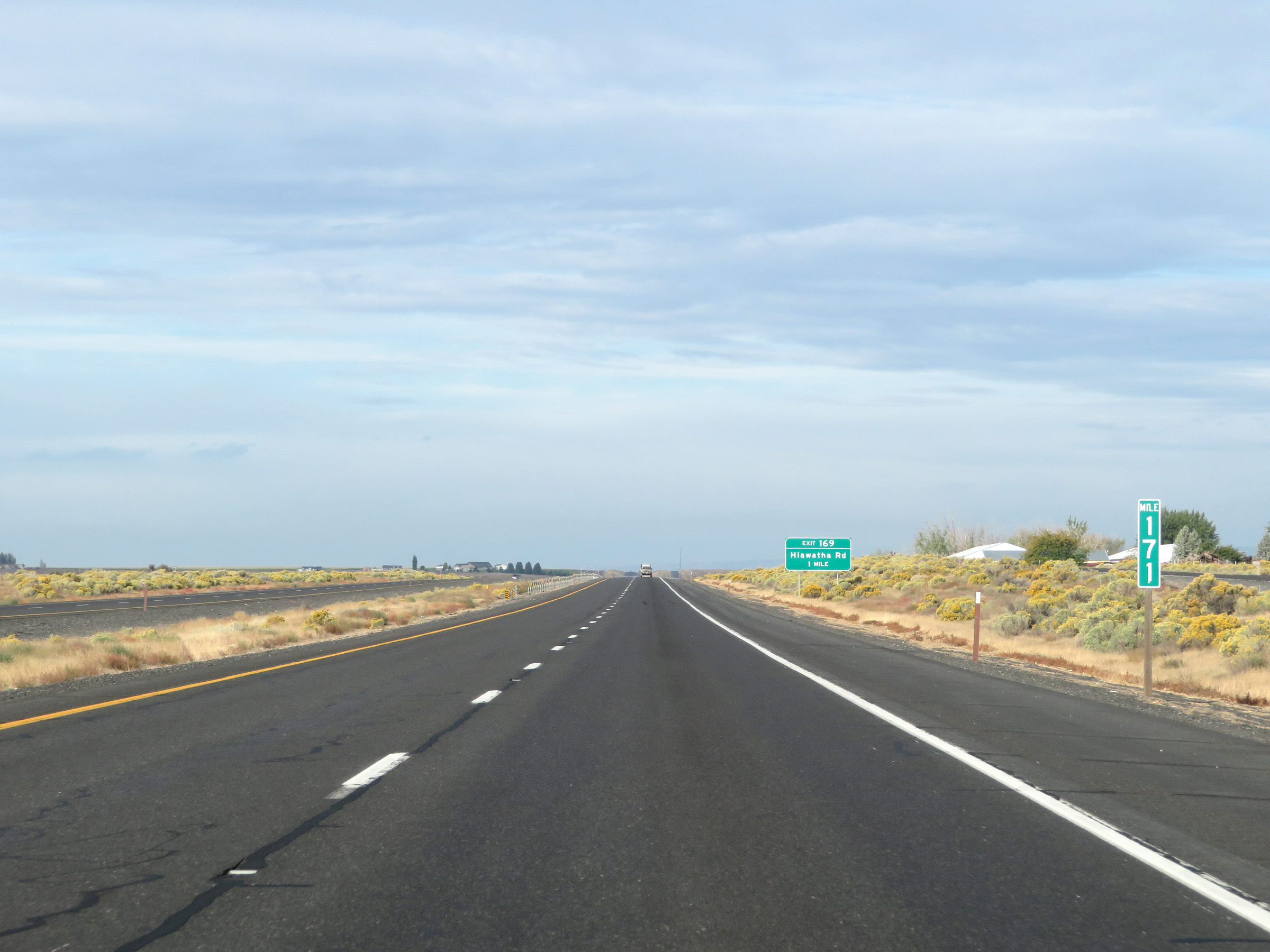 |
Mile marker 171 on Interstate 90 West in Grant County. (Photo taken 9/22/19). |
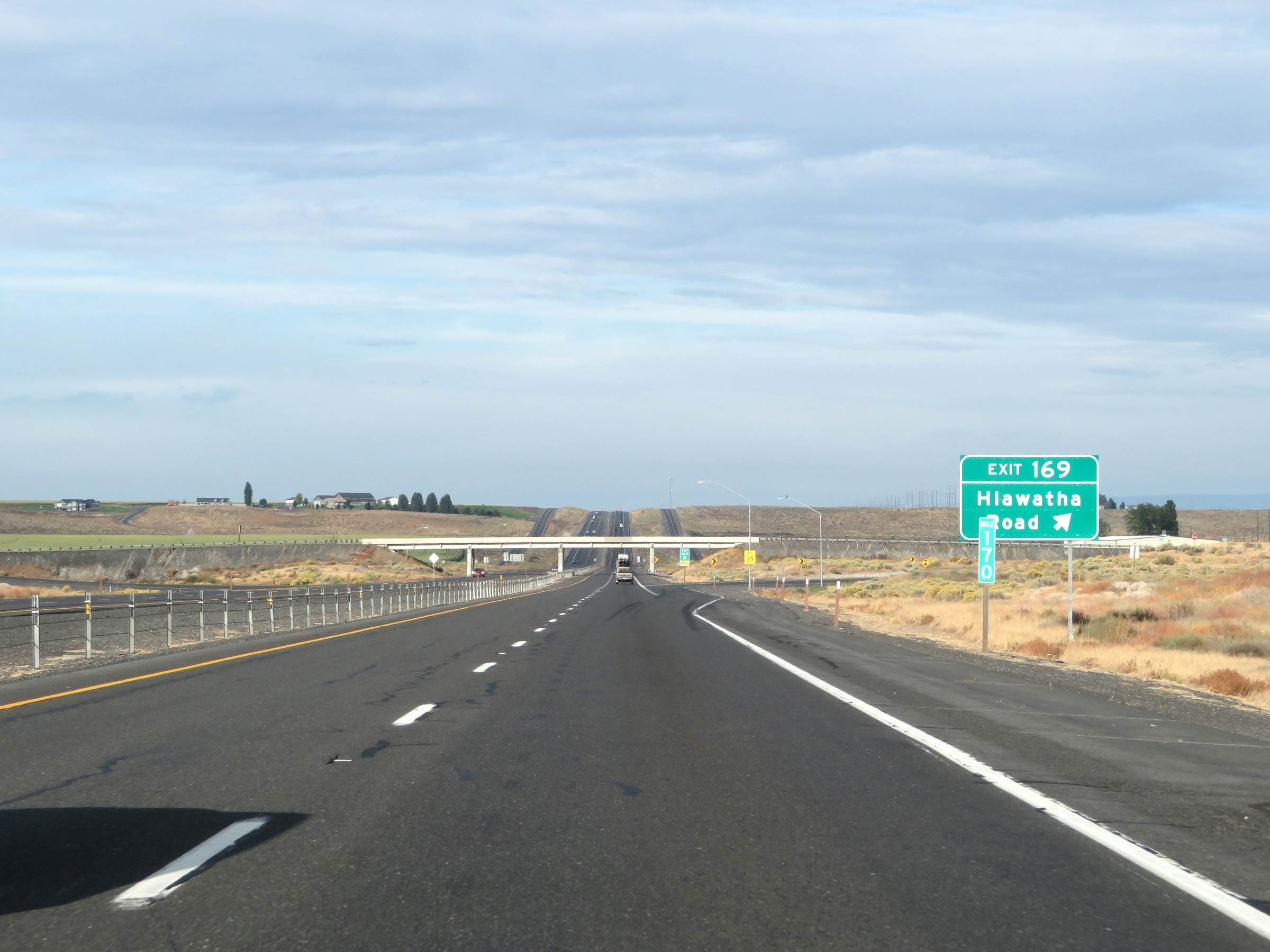 |
Interstate 90 West at Exit 169: Hiawatha Road (Photo taken 9/22/19). |
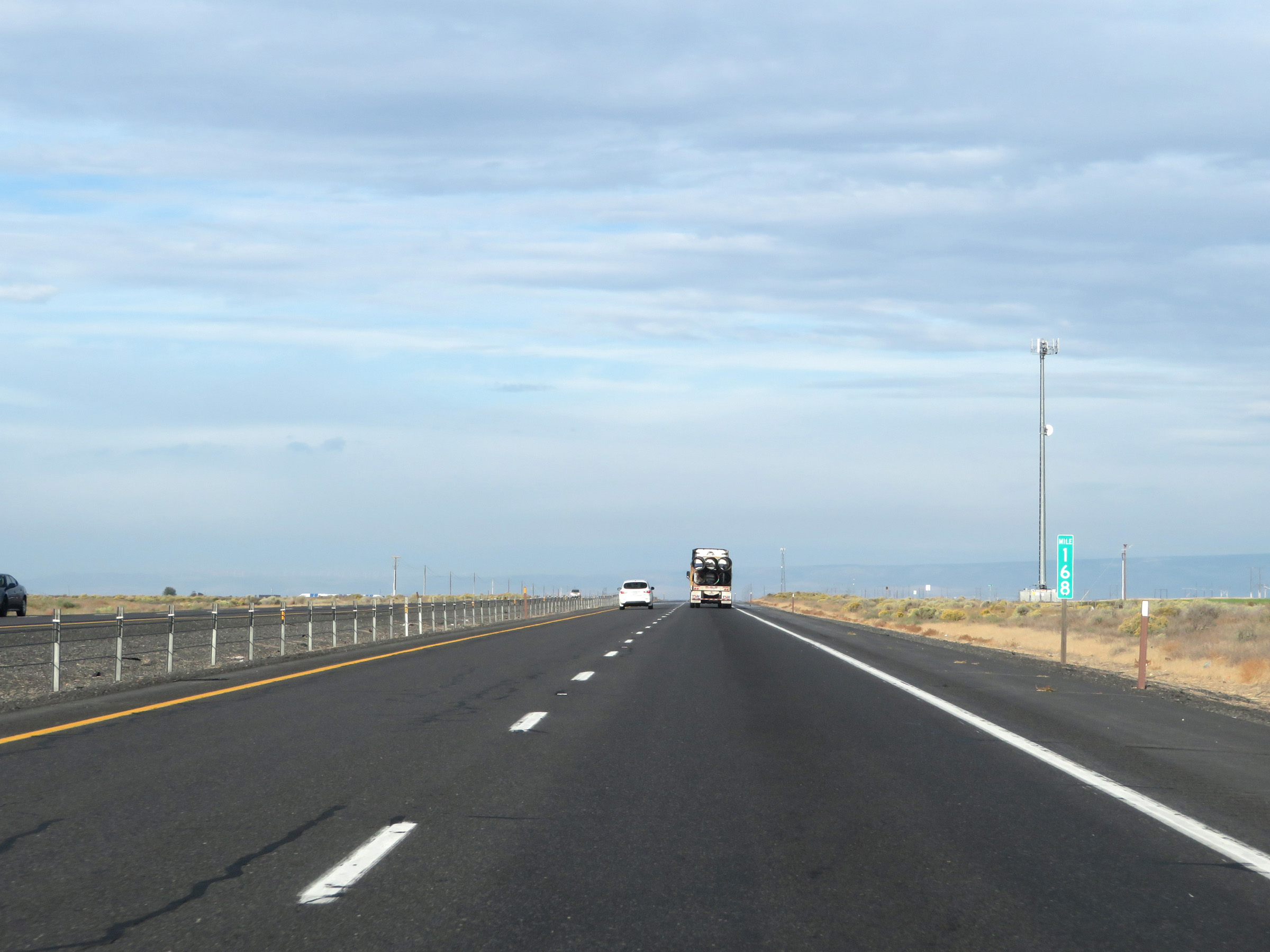 |
Interstate 90 West at mile marker 168. (Photo taken 9/22/19). |
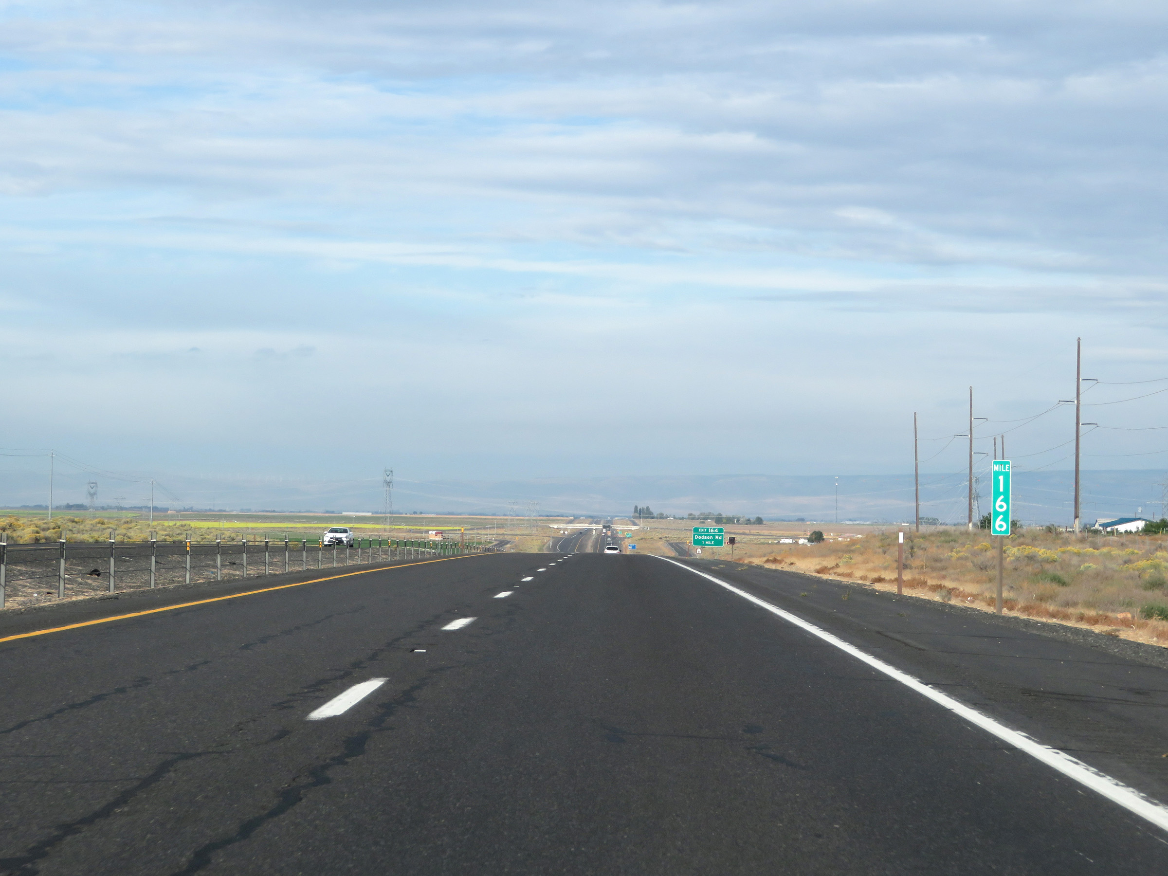 |
View on Interstate 90 West at mile marker 166. (Photo taken 9/22/19). |
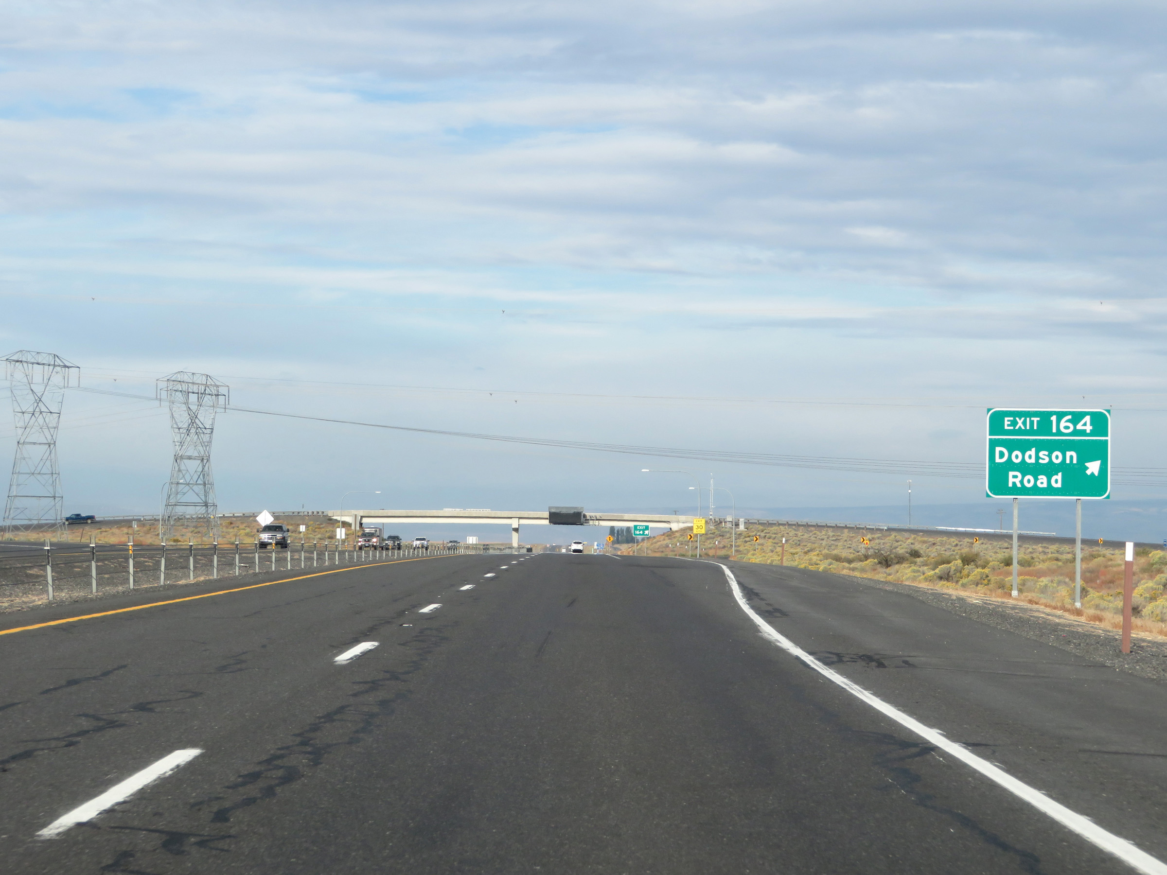 |
Interstate 90 West at Exit 164: Dodson Road (Photo taken 9/22/19). |
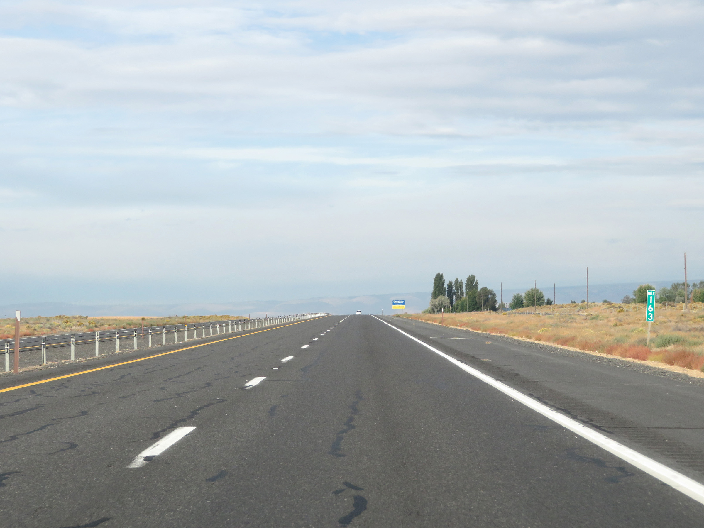 |
Mile marker 163 on Interstate 90 West in Grant County. (Photo taken 9/22/19). |
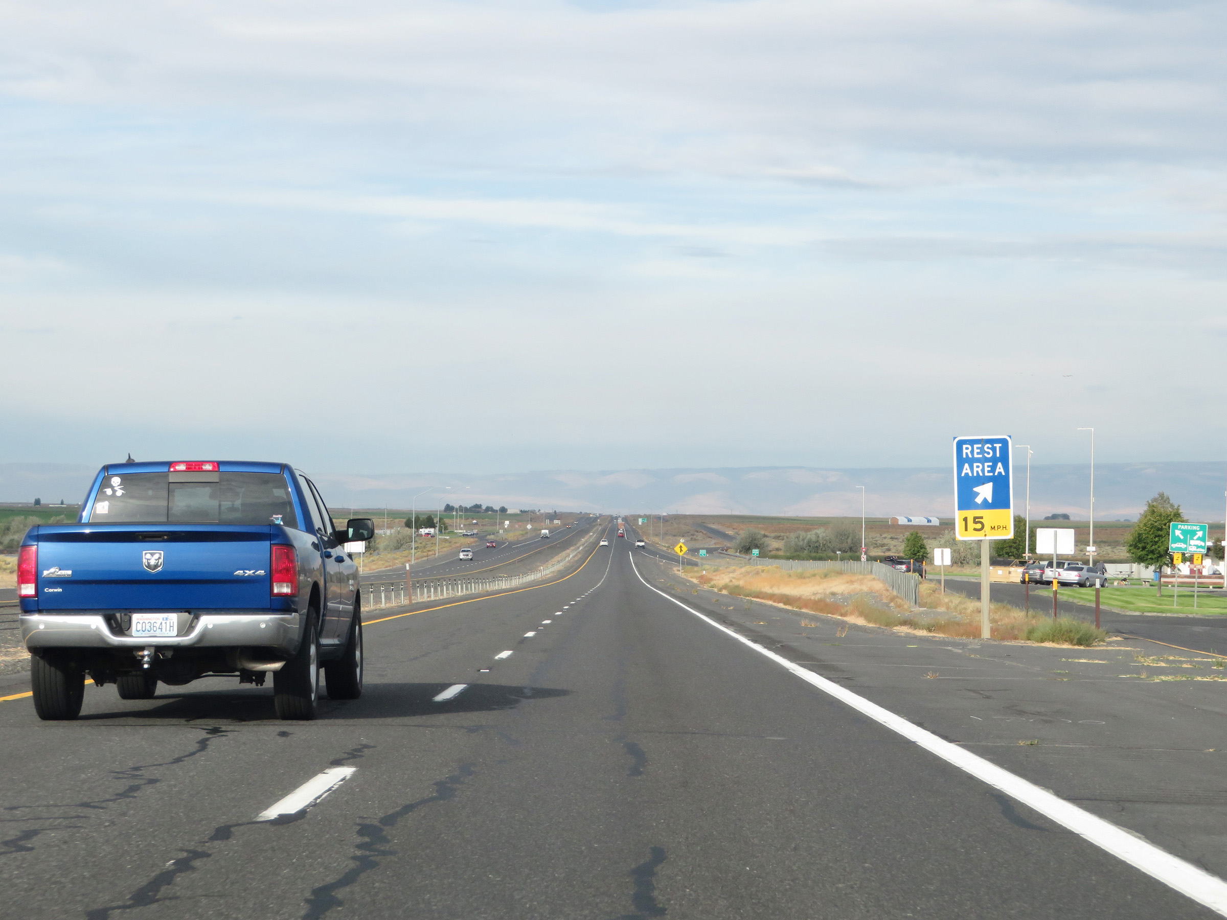 |
Rest Area on Interstate 90 West in Grant County. (Photo taken 9/22/19). |
 |
Interstate 90 West at mile marker 160. (Photo taken 9/22/19). |
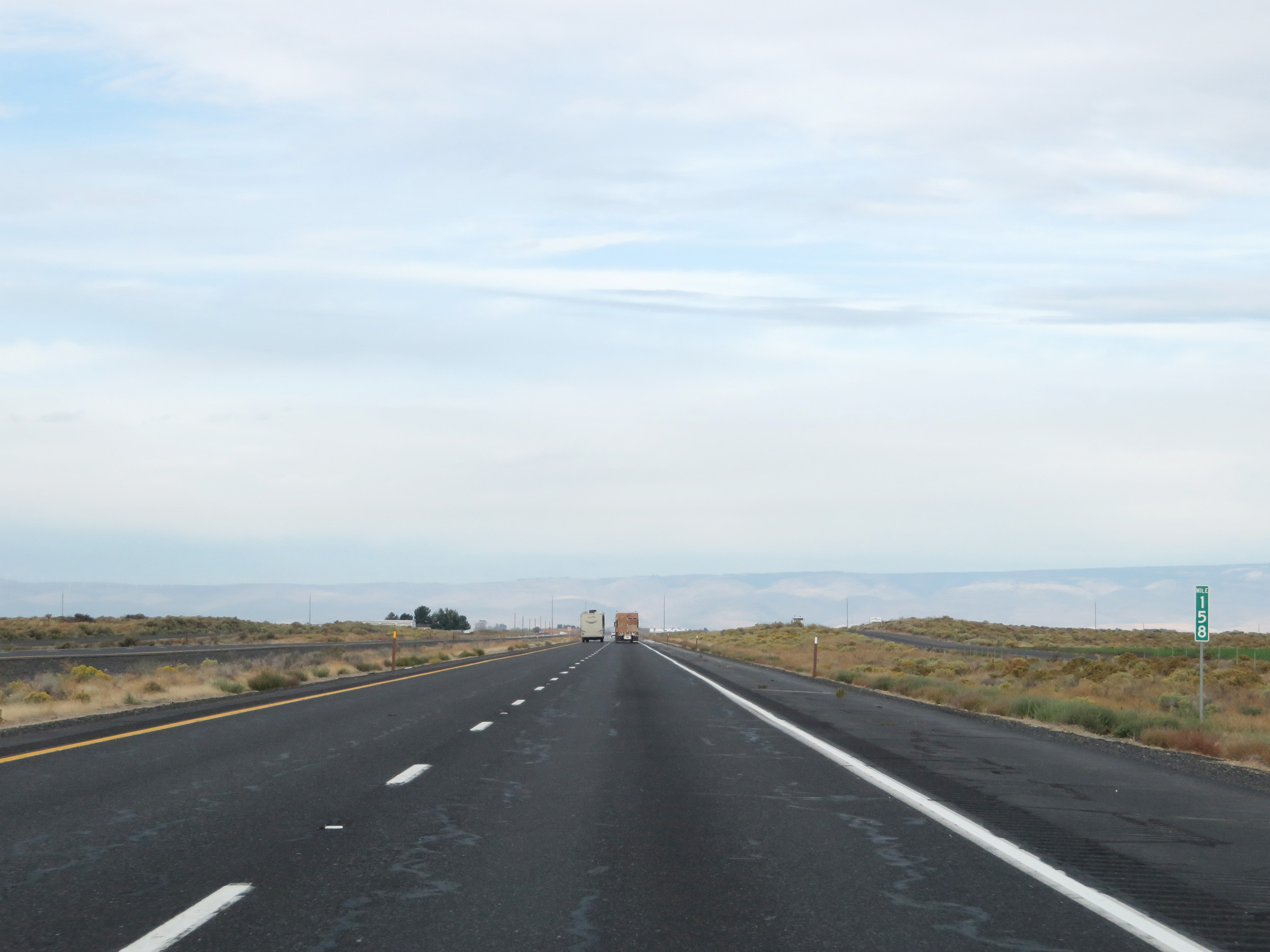 |
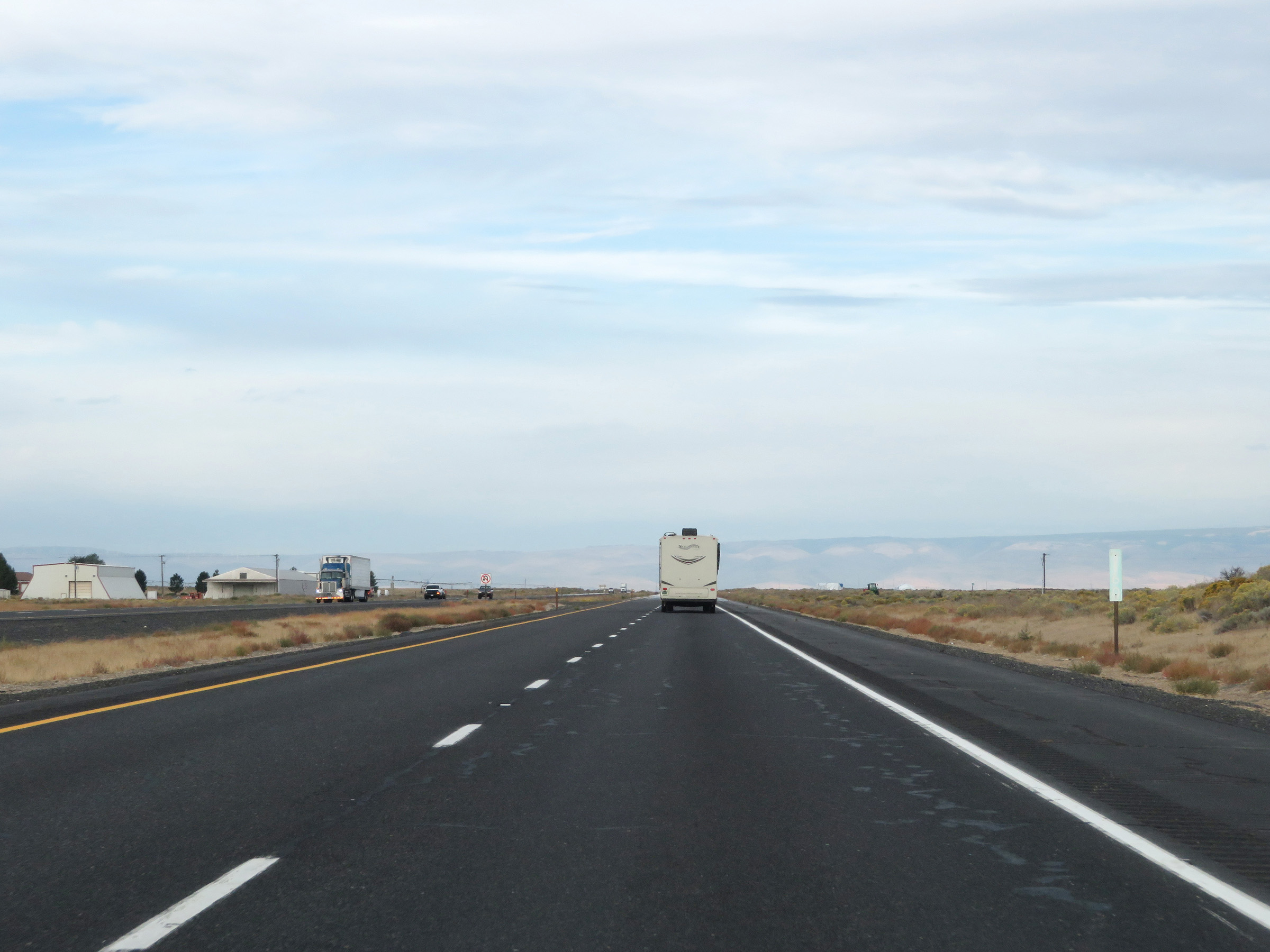
View on Interstate 90 West at mile marker 158. (Photo taken 9/22/19). |
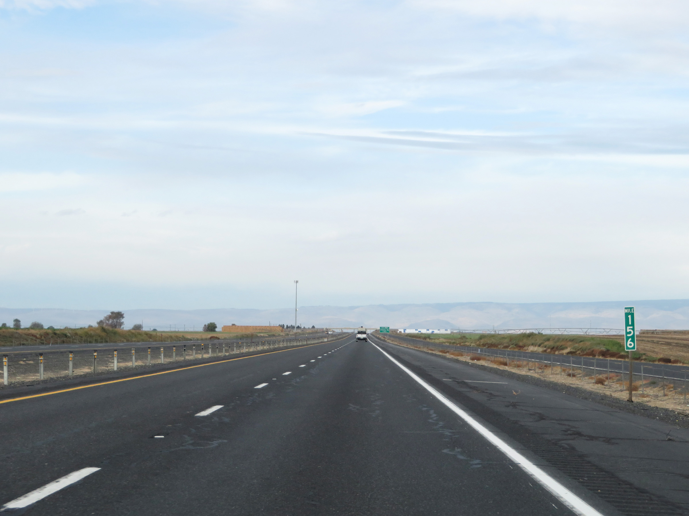 |
Interstate 90 West at mile marker 156. (Photo taken 9/22/19). |
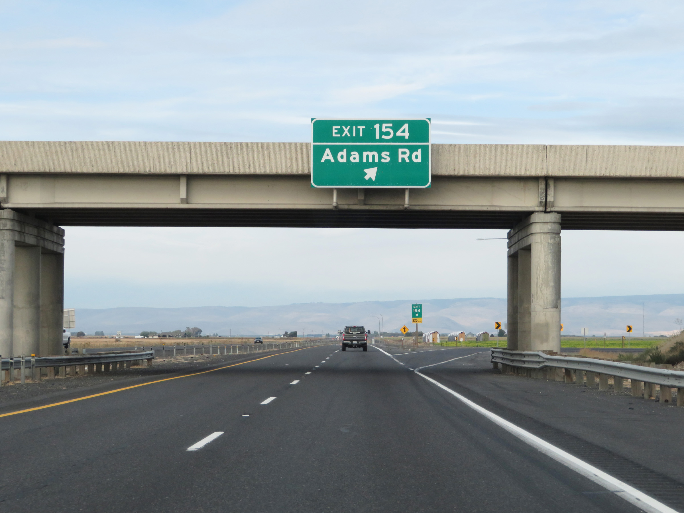 |
Interstate 90 West at Exit 154: Adams Rd (Photo taken 9/22/19). |
 |
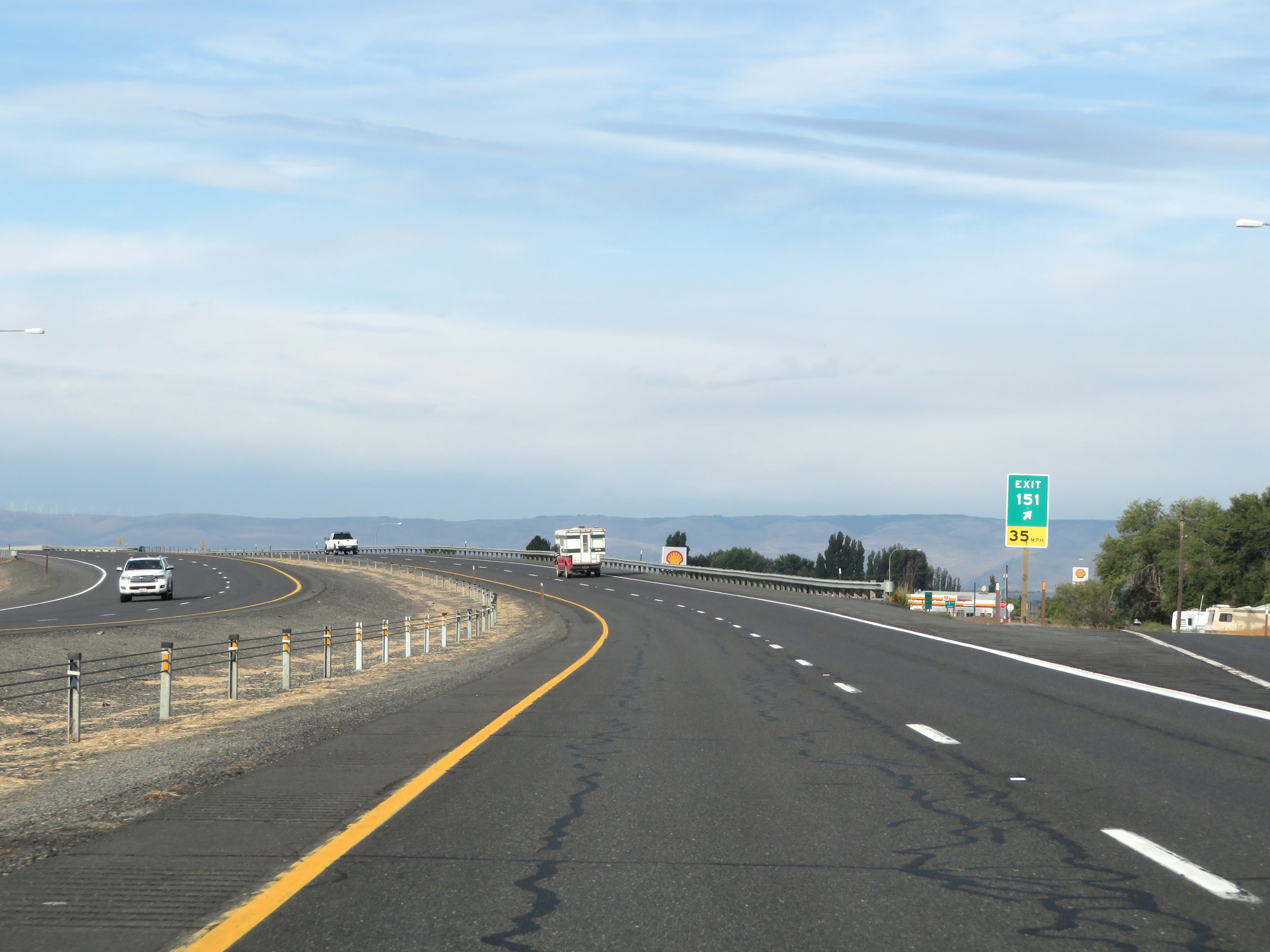
Interstate 90 West approaching Exit 151 - 1 mile. (Photo taken 9/22/19). |
 |
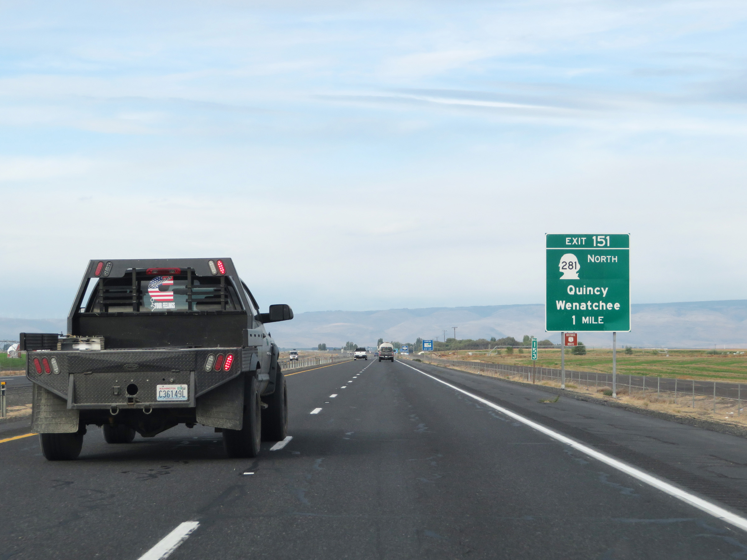
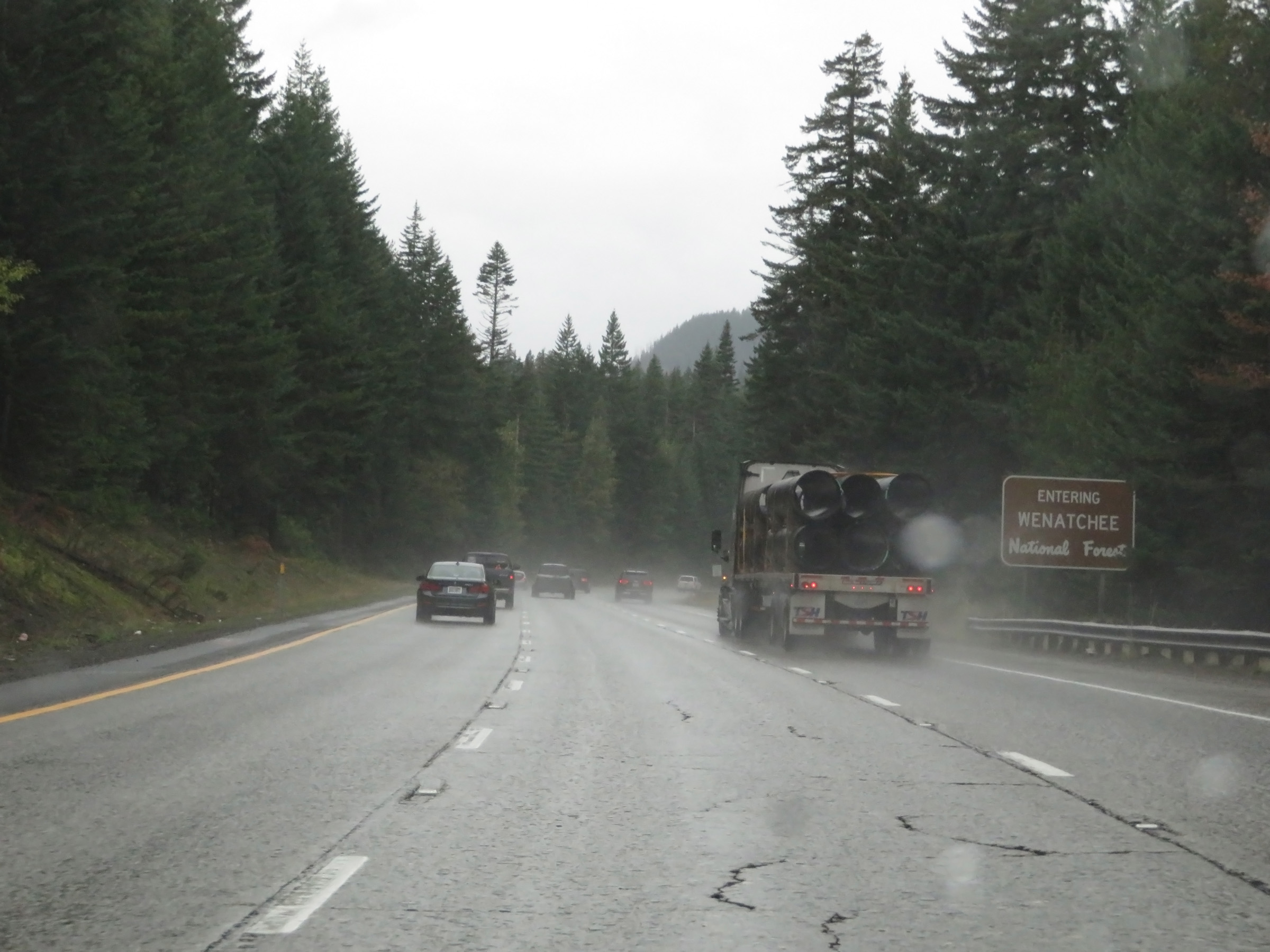
Interstate 90 West at Exit 151: WA 281 North - Quincy / Wenatchee (Photo taken 9/22/19). |
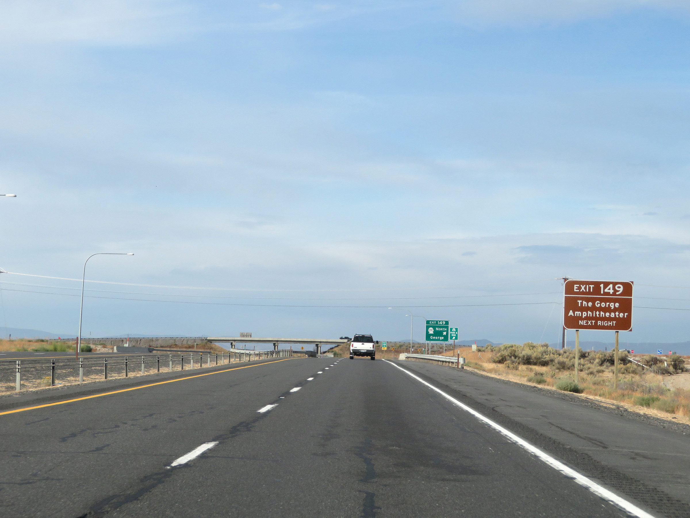 |
Take Exit 149 to The Gorge Amphitheater. (Photo taken 9/22/19). |
 |
Interstate 90 West at Exit 149: WA 281 North - George (Photo taken 9/22/19). |
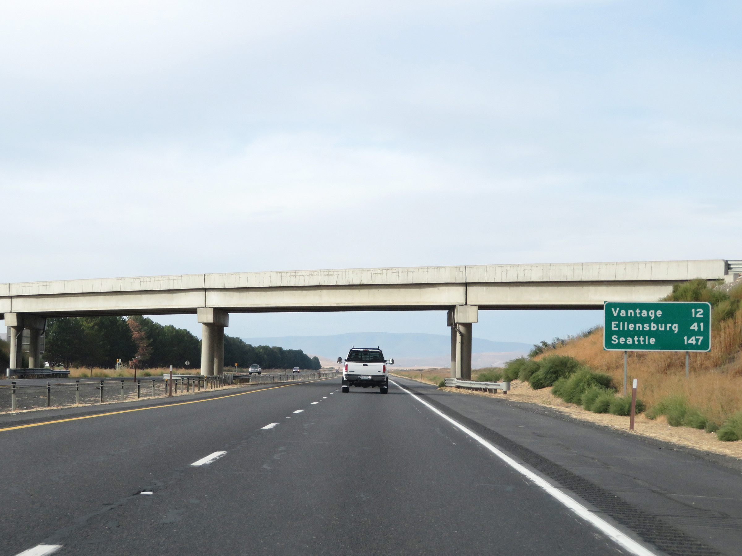 |
Mileage sign on Interstate 90 West. It's 12 miles to Vantage, 41 miles to Ellensburg, and 147 miles to Seattle. (Photo taken 9/22/19). |
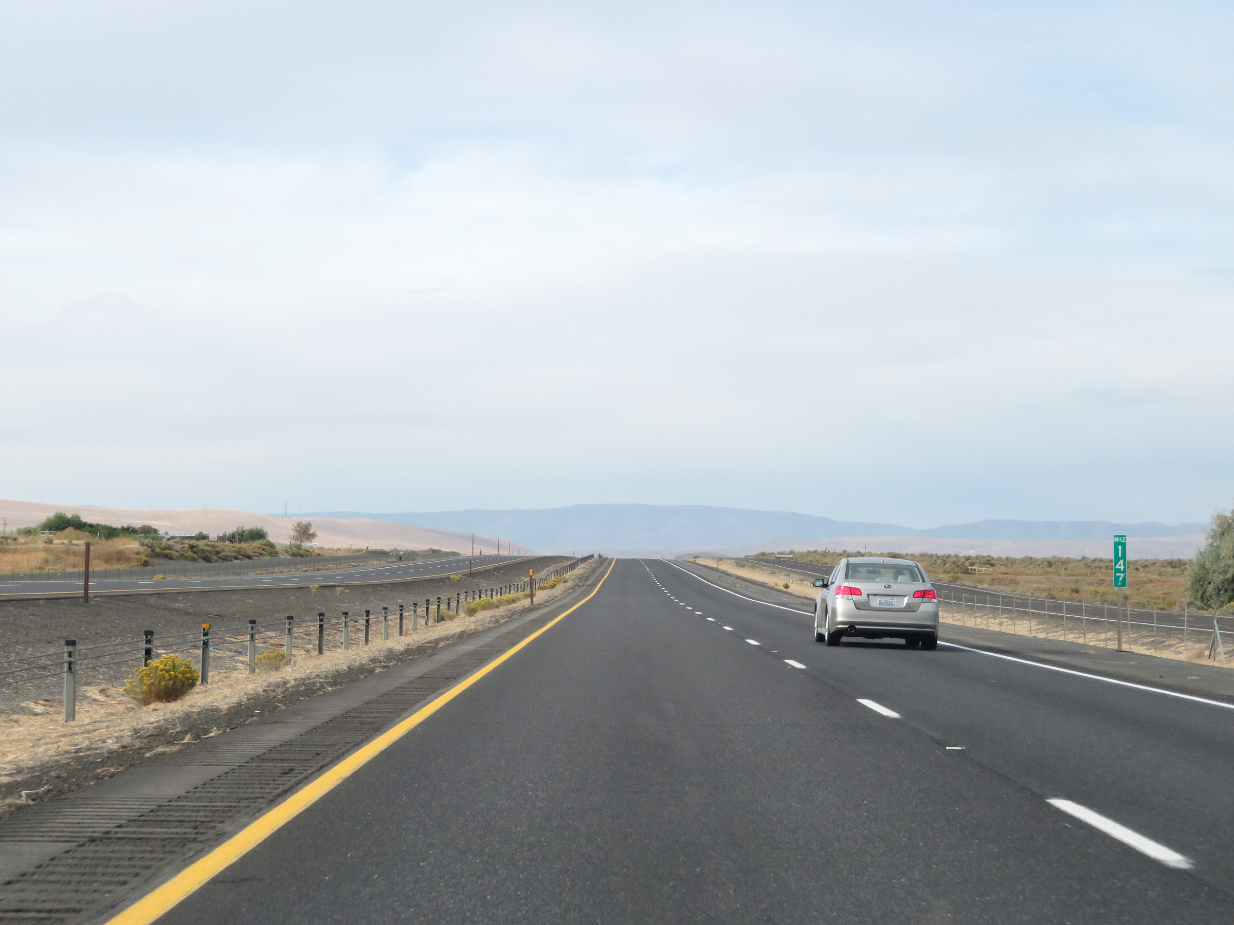 |
View on Interstate 90 West at mile marker 147. (Photo taken 9/22/19). |
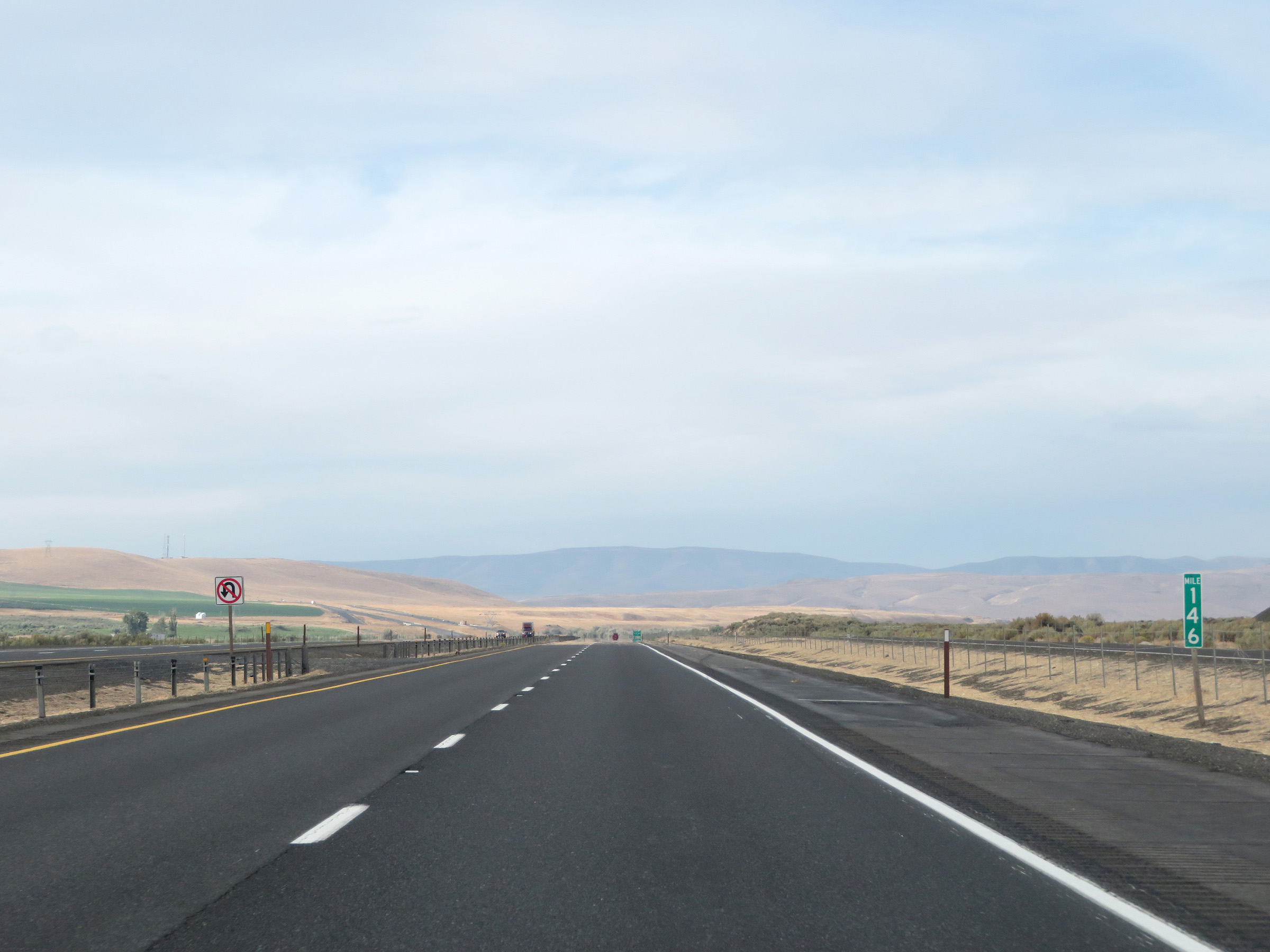 |
Mile marker 146 on Interstate 90 West in Grant County. (Photo taken 9/22/19). |
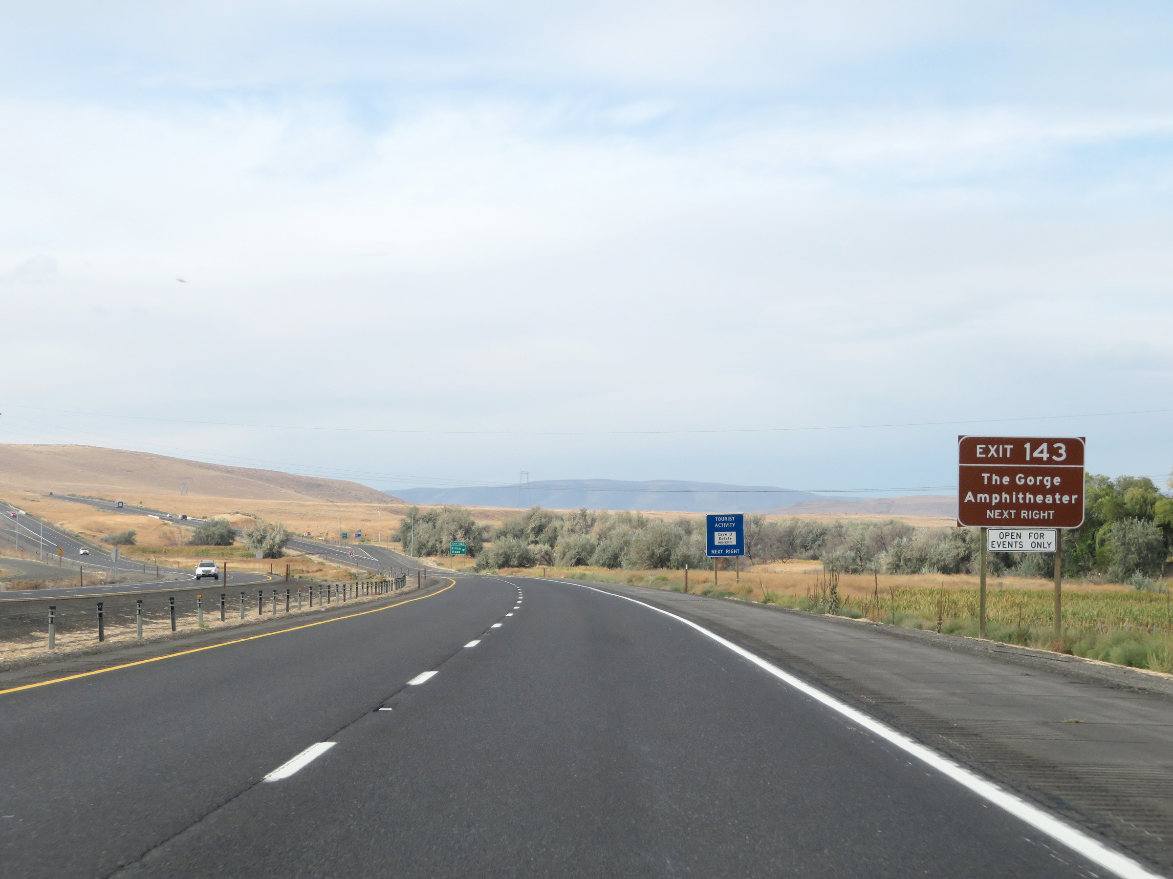 |
The Gorge Amphitheater can also be accessed via Exit 143. (Photo taken 9/22/19). |
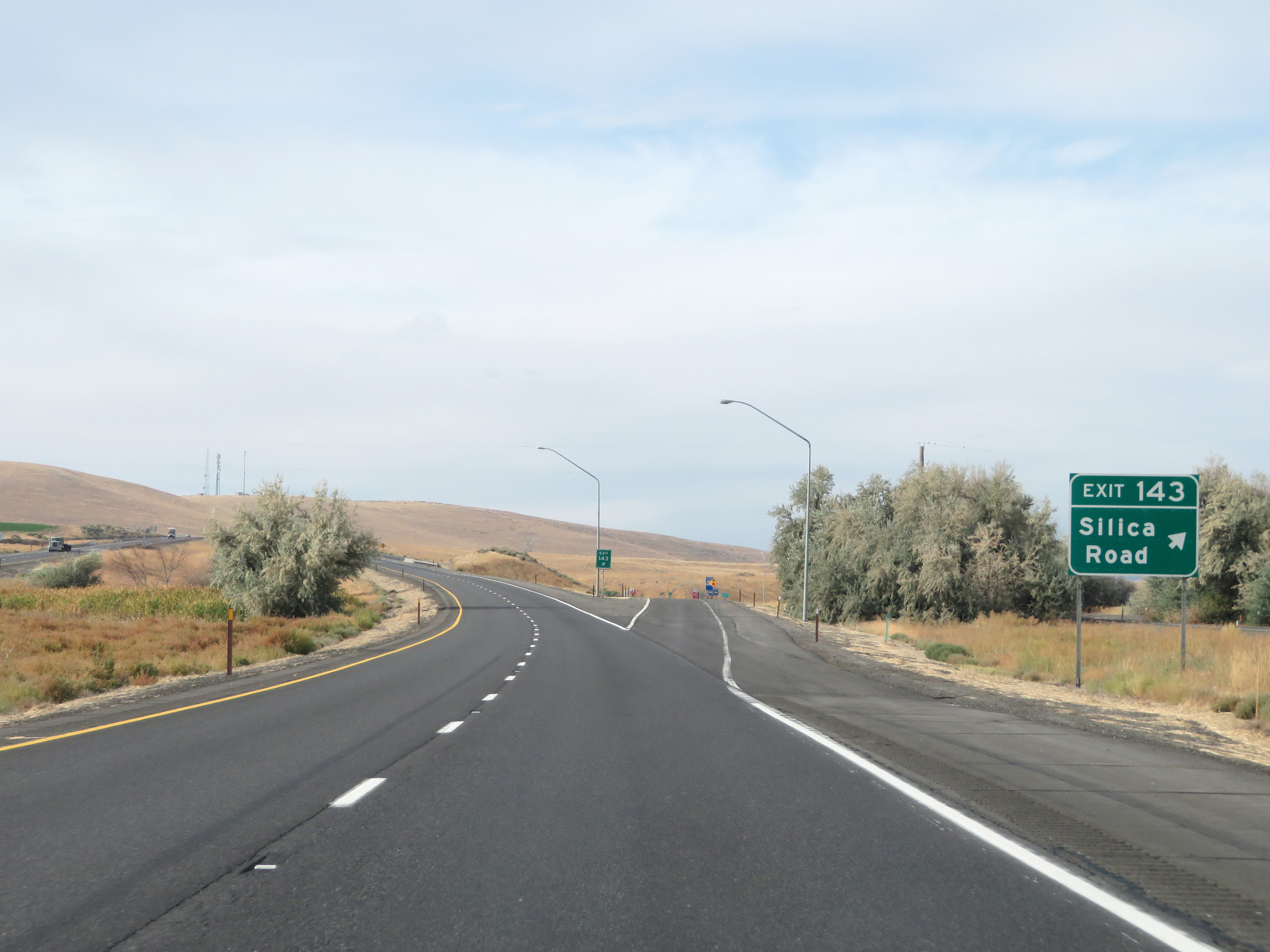 |
Interstate 90 West at Exit 143: Silica Road (Photo taken 9/22/19). |
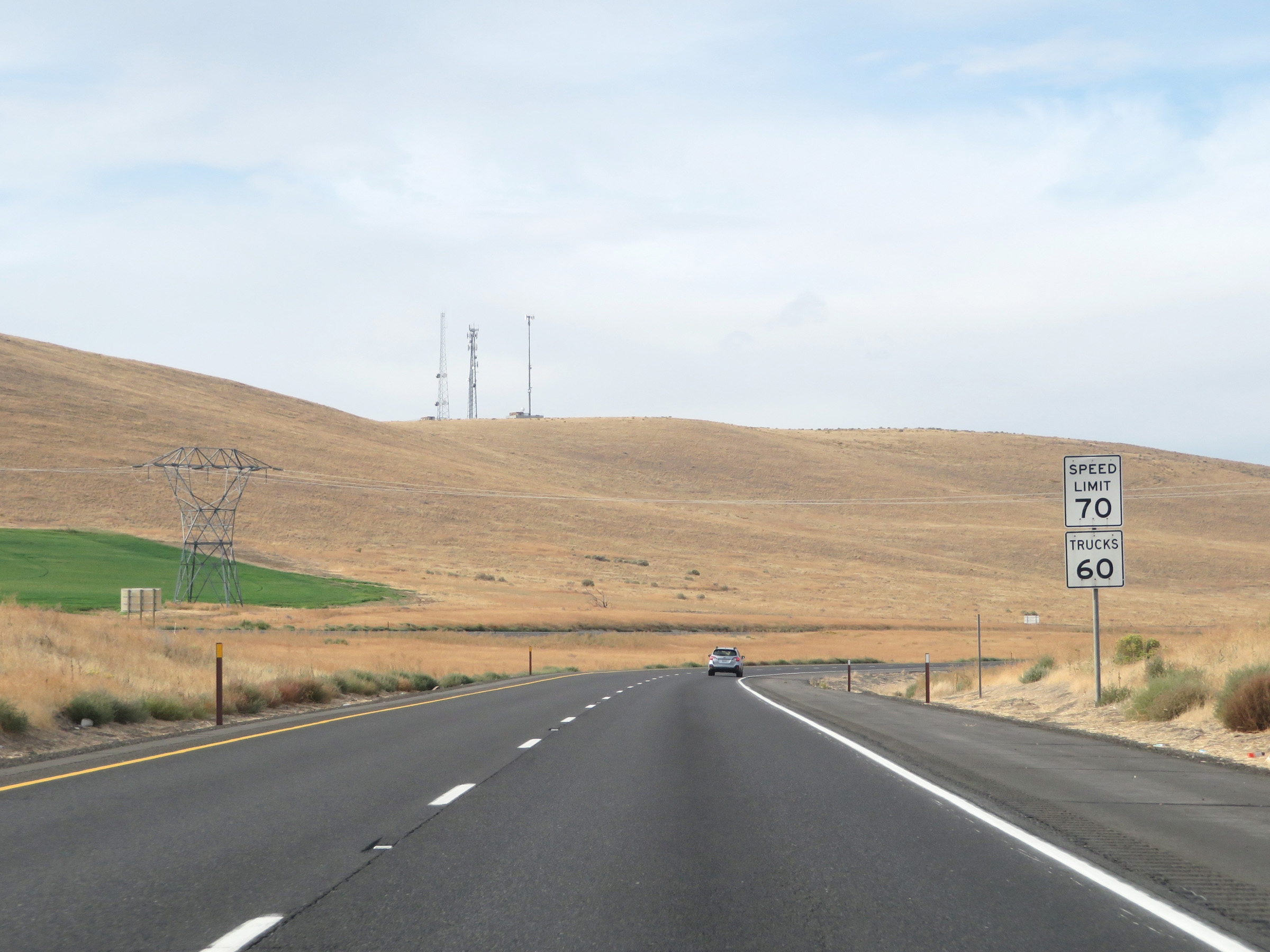 |
The speed limits on Interstate 90 West remain 70 mph for automobiles and 60 mph for trucks. (Photo taken 9/22/19). |
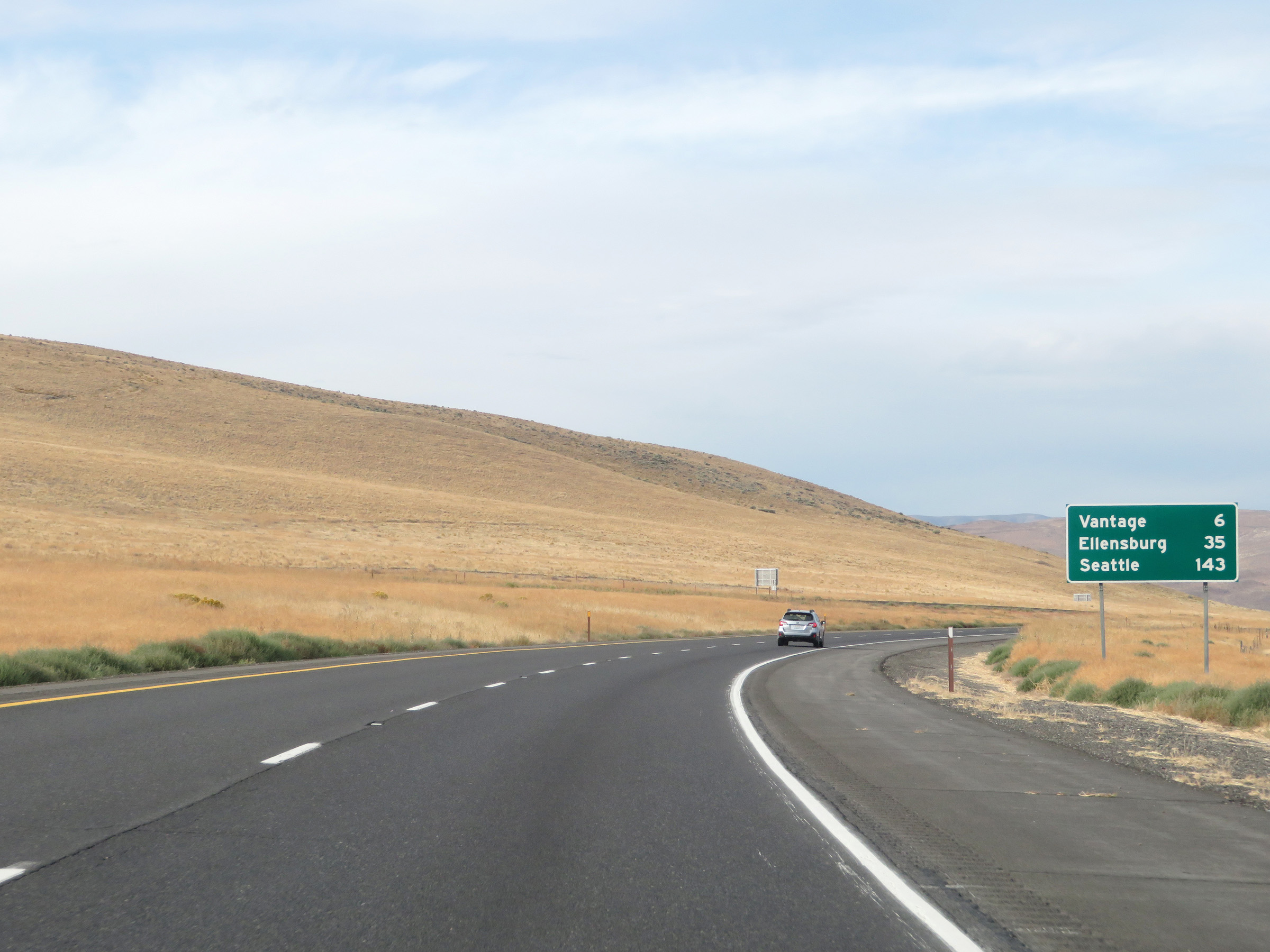 |
Another mileage sign on Interstate 90 West. It's 6 miles to Vantage, 35 miles to Ellensburg, and 143 miles to Seattle. (Photo taken 9/22/19). |
 |
View on Interstate 90 West as it leaves the Columbia Basin Federal Reclamation Project. (Photo taken 9/22/19). |
 |
View of the Columbia River Gorge straight ahead as Interstate 90 West prepares to curve to the south ahead. (Photo taken 9/22/19). |
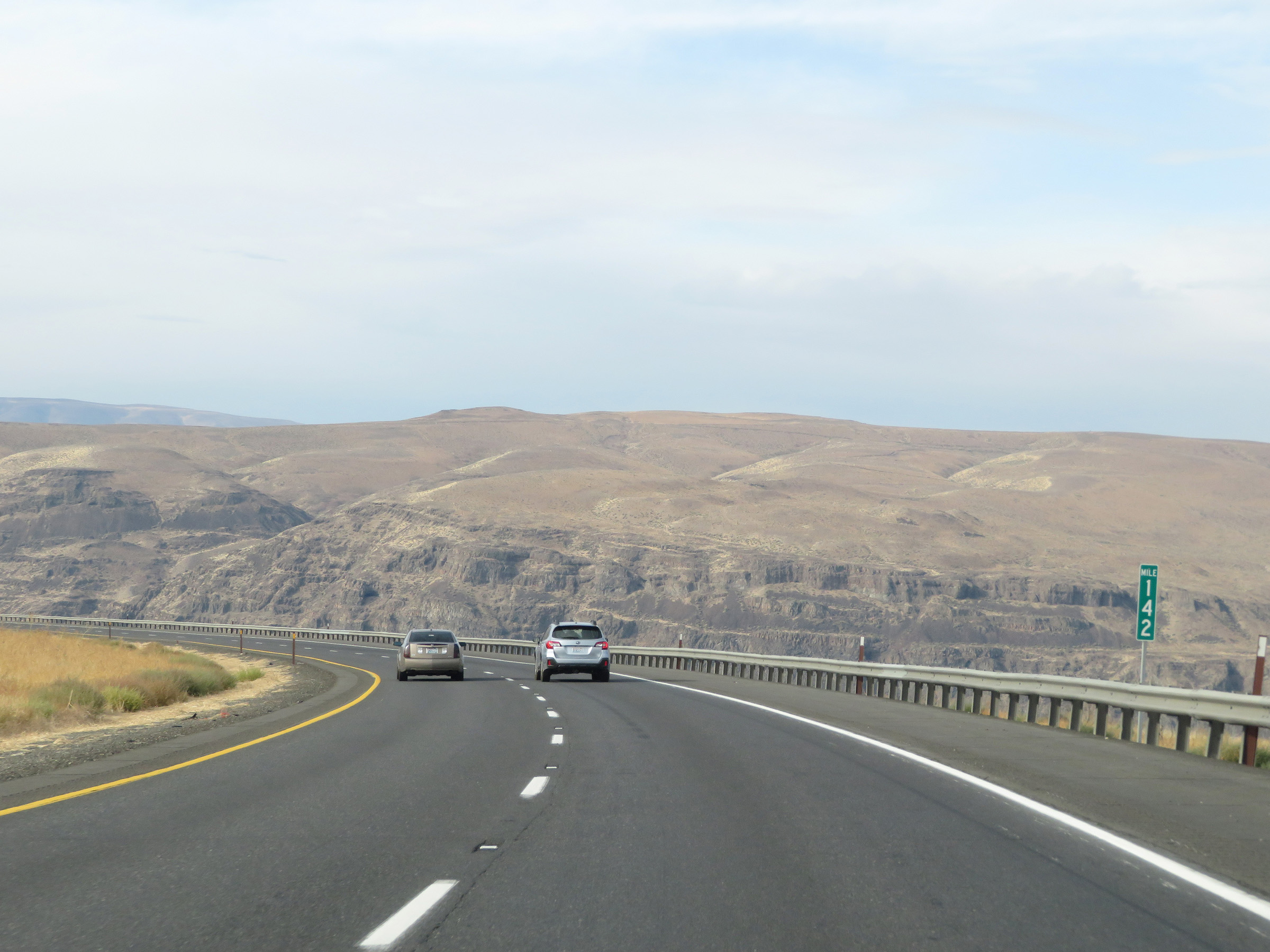 |
At mile marker 142, Interstate 90 West curves to the south. It will run south for a couple of miles before crossing the Columbia River. (Photo taken 9/22/19). |
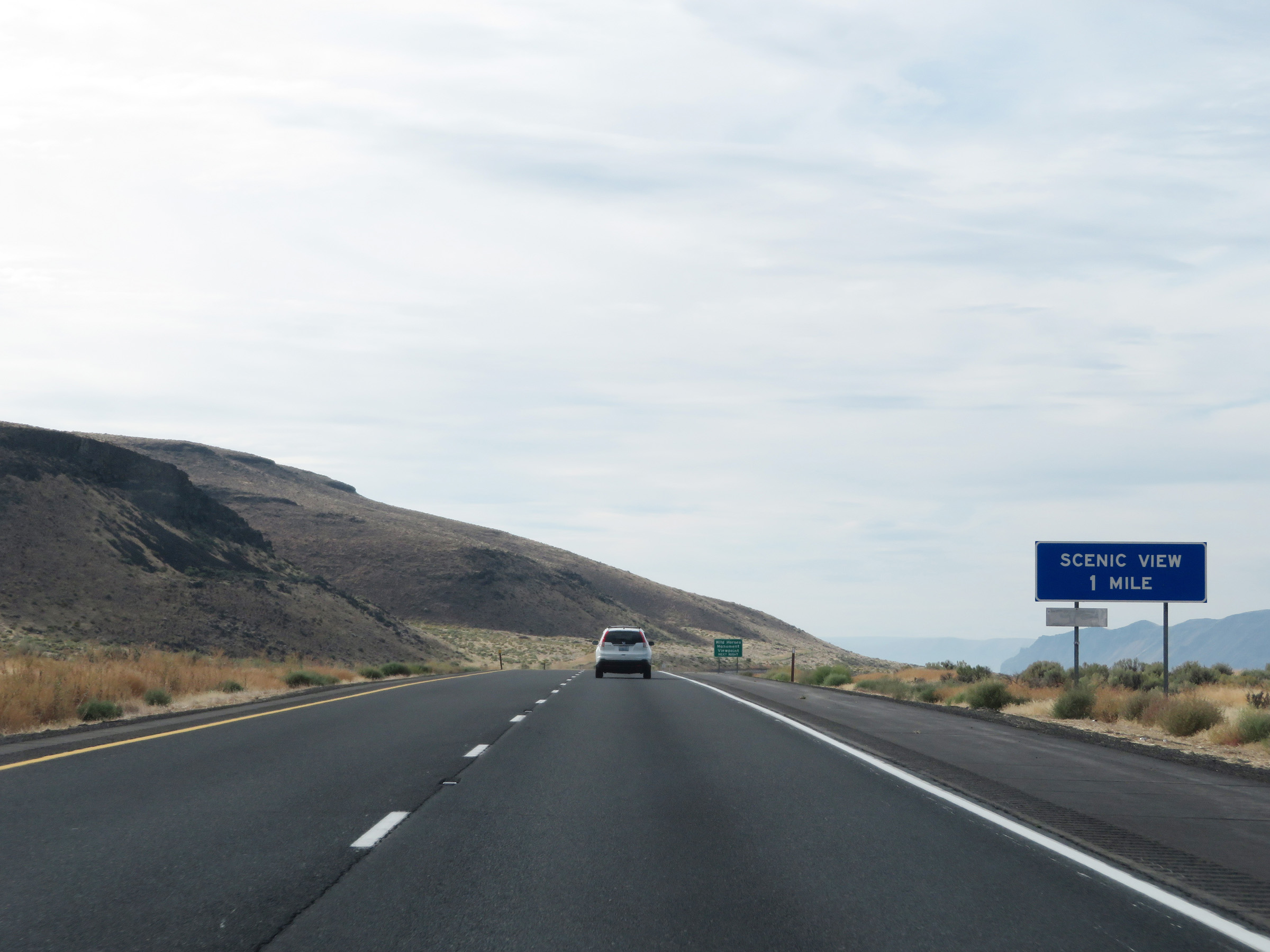 |
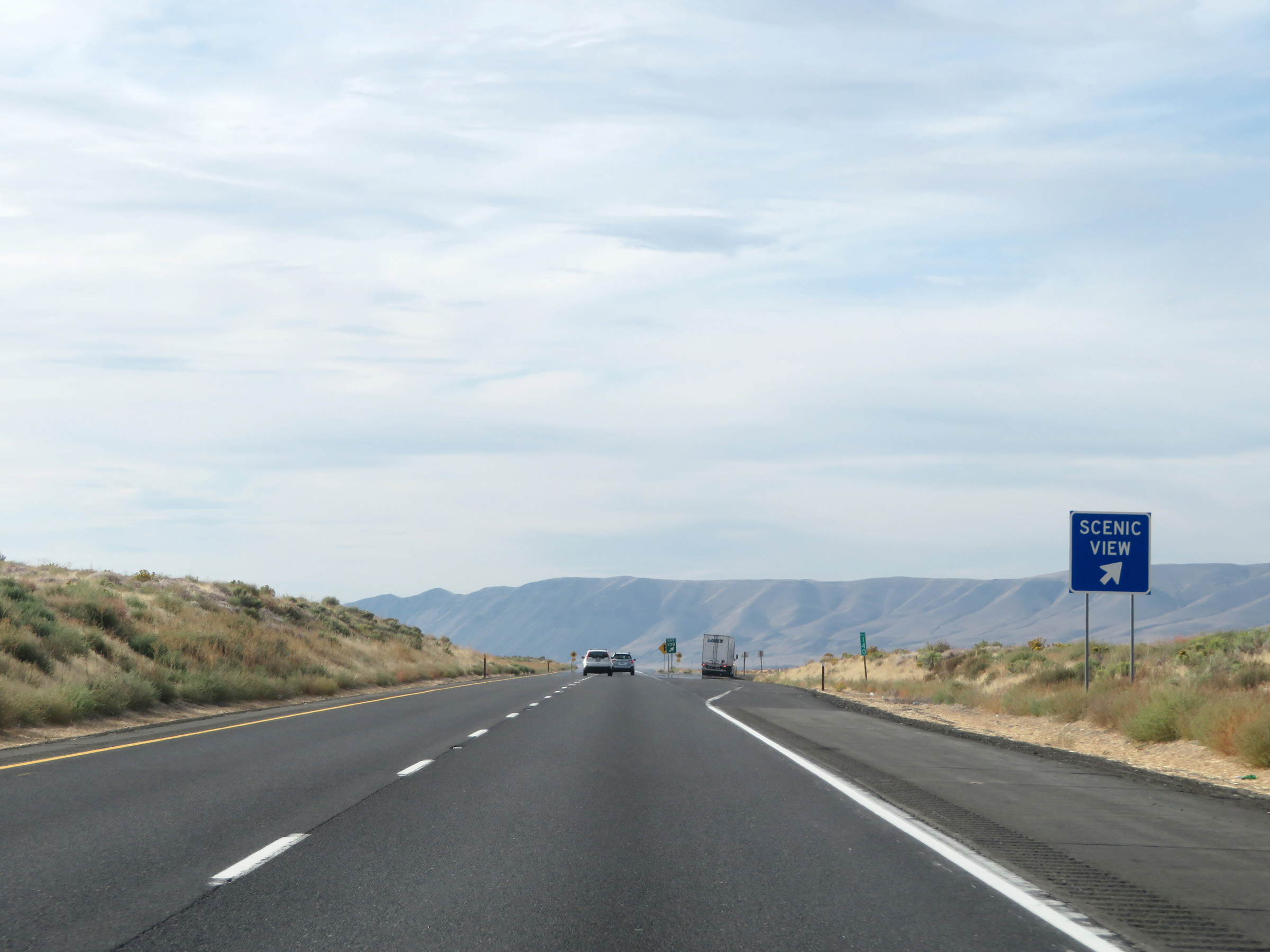
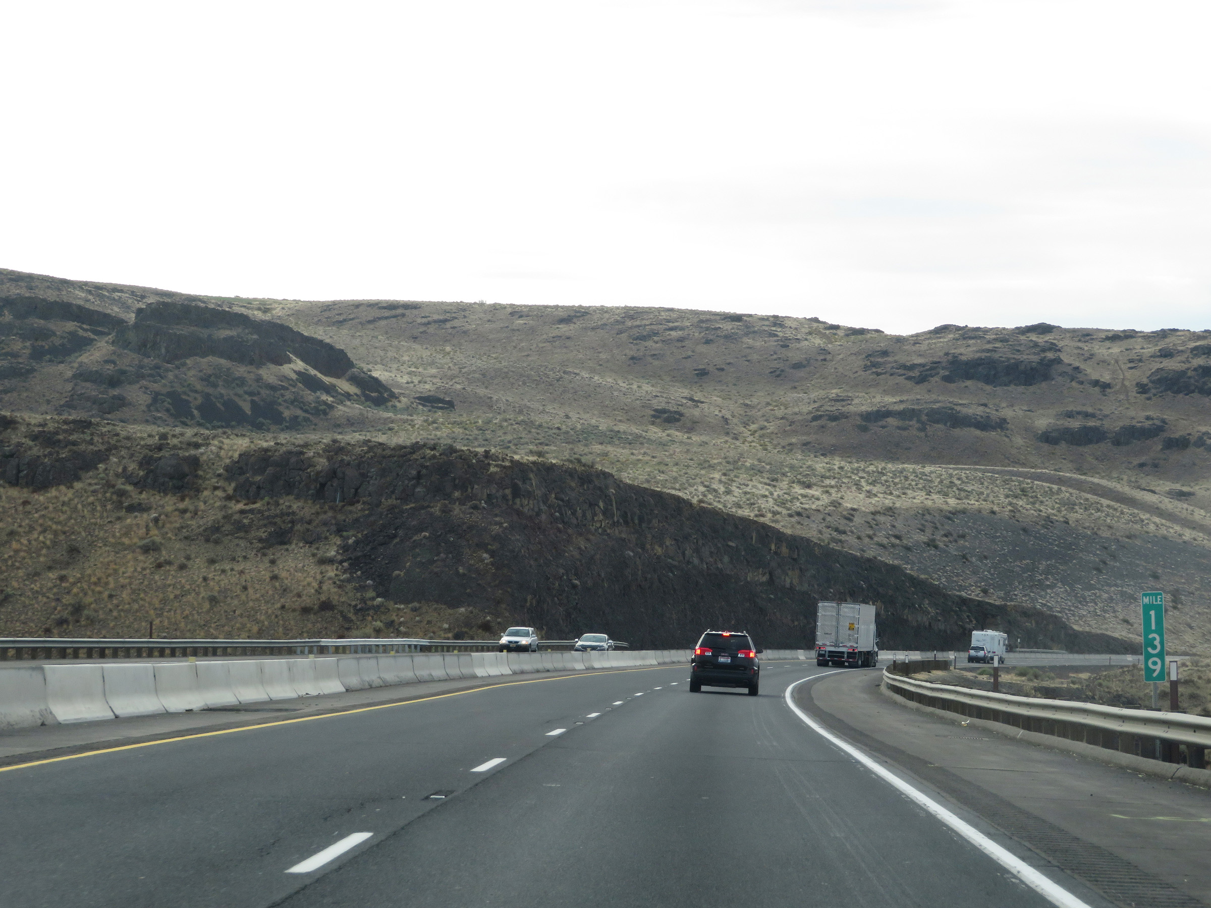
Interstate 90 West approaching Exit 139, which is a Scenic View are 1 mile ahead. (Photo taken 9/22/19). |
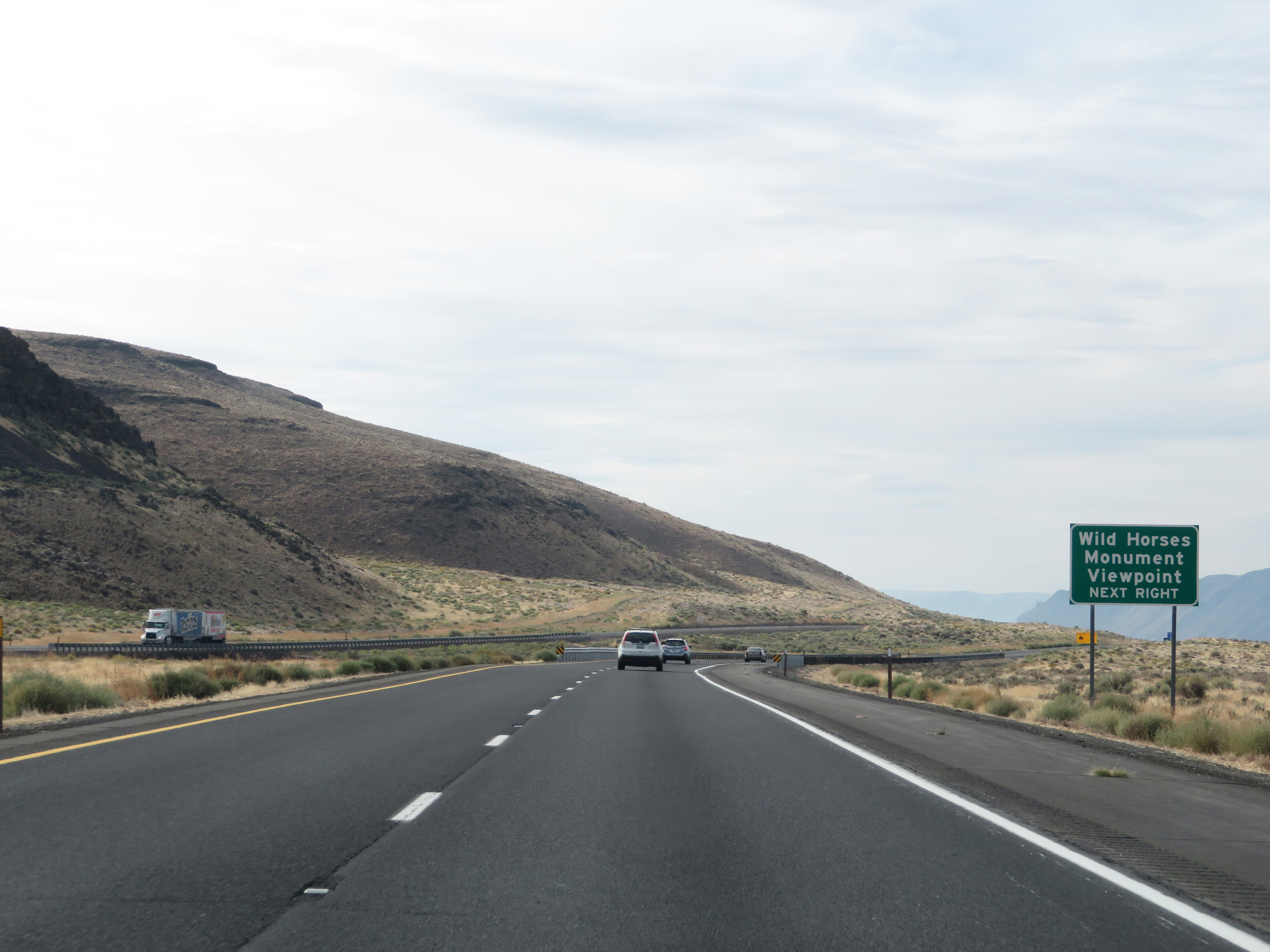 |
Take Exit 139 (Scenic View Area) to the Wild Horses Monument Viewpoint. (Photo taken 9/22/19). |
 |
This warning sign shows that Interstate 90 West will traverse a 5% downgrade ahead which will last for 2 miles. At the bottom of the grade, I-90 West will curve sharply to the west once again where it will cross the Columbia River. (Photo taken 9/22/19). |
 |
Interstate 90 West at Exit 139: Scenic View Area (Photo taken 9/22/19). |
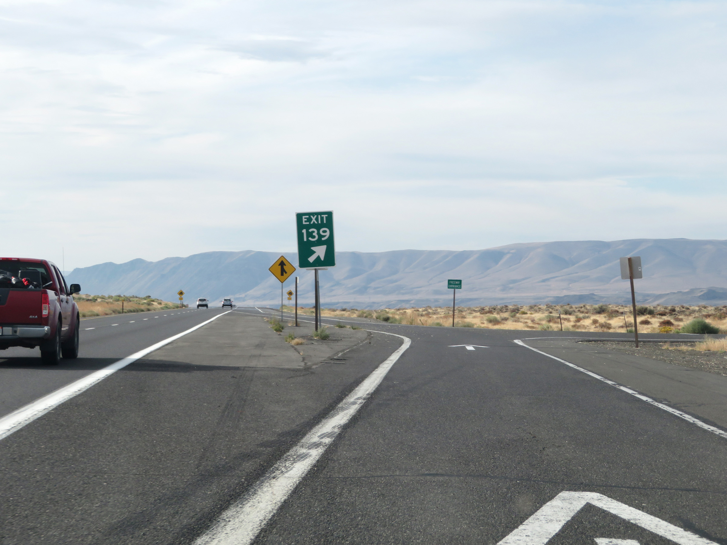 |
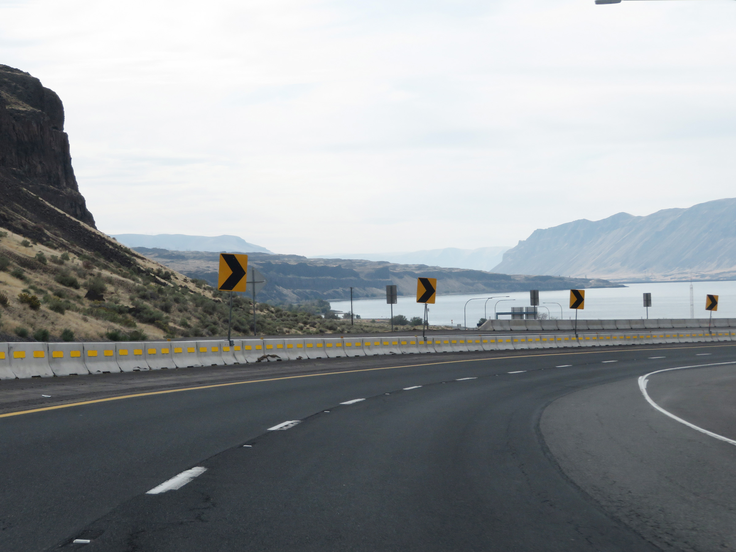
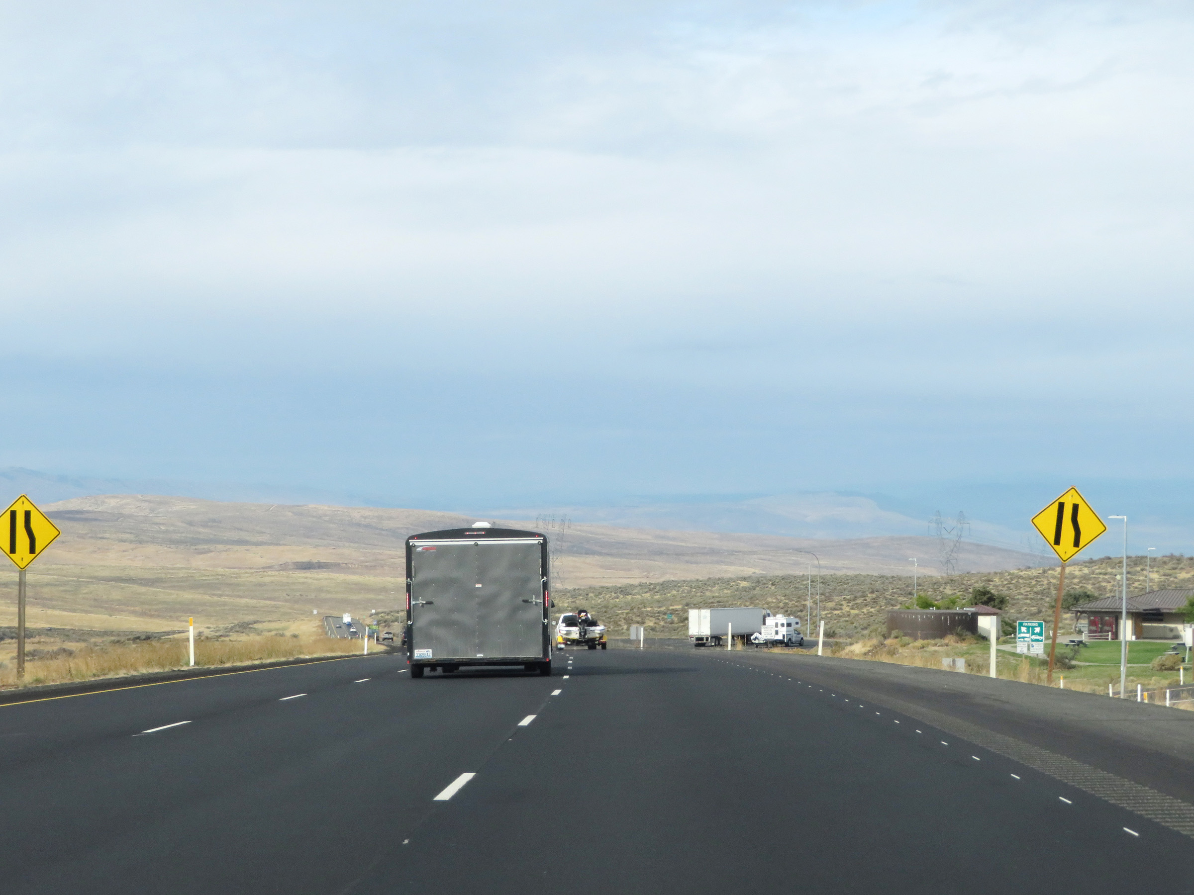
Gore point signage for Exit 139 as its ramp enters the Scenic View Area. This is a highly recommended quick stop along Interstate 90 in Washington, as it provides great views of the Columbia River Gorge. (Photo taken 9/22/19). |
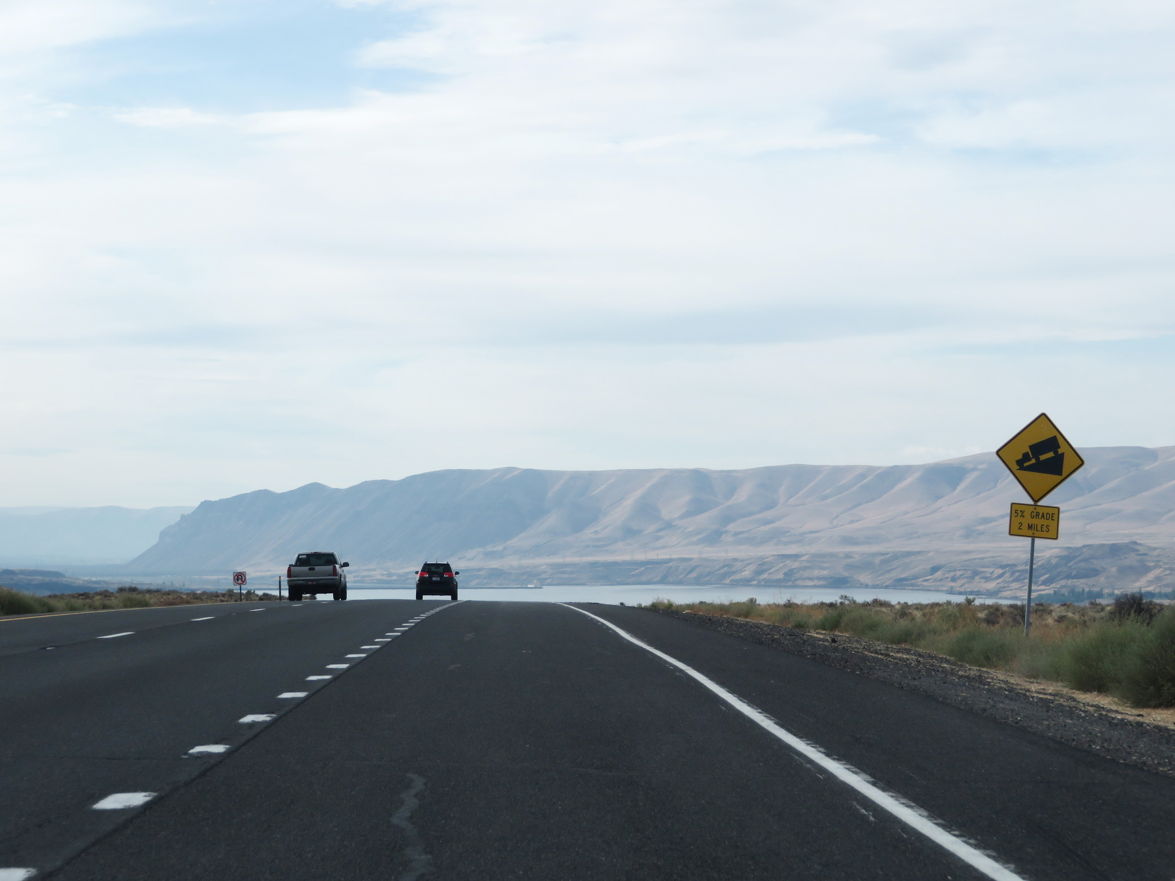 |
Just beyond Exit 139, the 5% downgrade begins and will last for the next 2 miles. (Photo taken 9/22/19). |
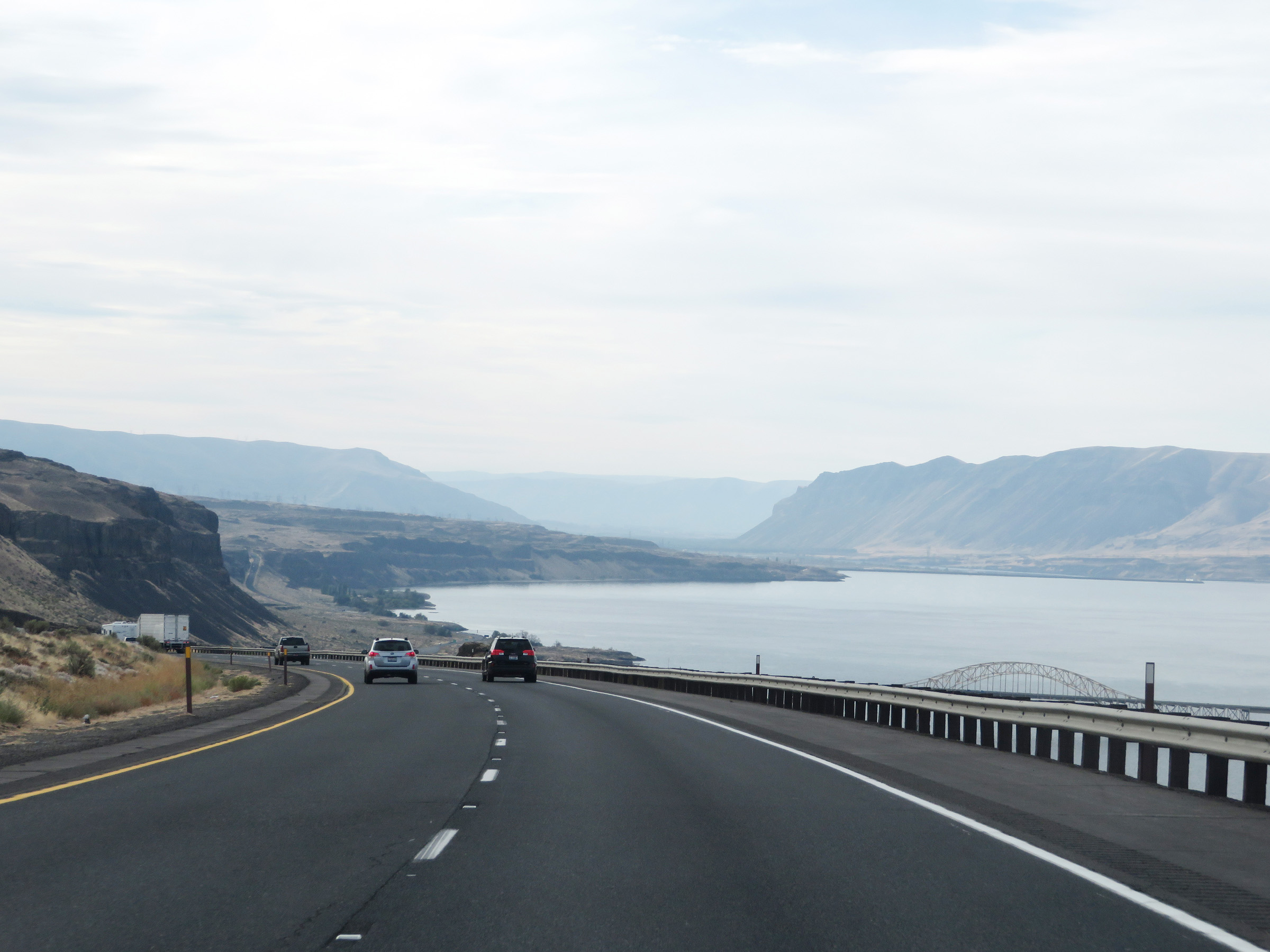 |
View on Interstate 90 West as it goes down the 5% grade and provides this view of the Columbia River. (Photo taken 9/22/19). |
 |
Interstate 90 West at mile marker 139, continuing down the grade. (Photo taken 9/22/19). |
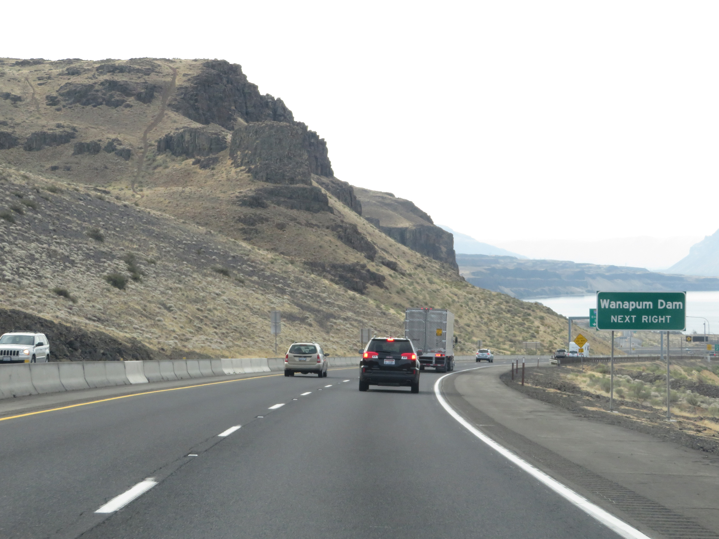 |
Take Exit 137 to Wanapum Dam. (Photo taken 9/22/19). |
 |
Interstate 90 West at Exit 137: WA 26 East / To WA 243 - Othello / Richland (Photo taken 9/22/19). |
 |
Another view on Interstate 90 West descending the 5% downgrade alongside the Columbia River. (Photo taken 9/22/19). |
 |
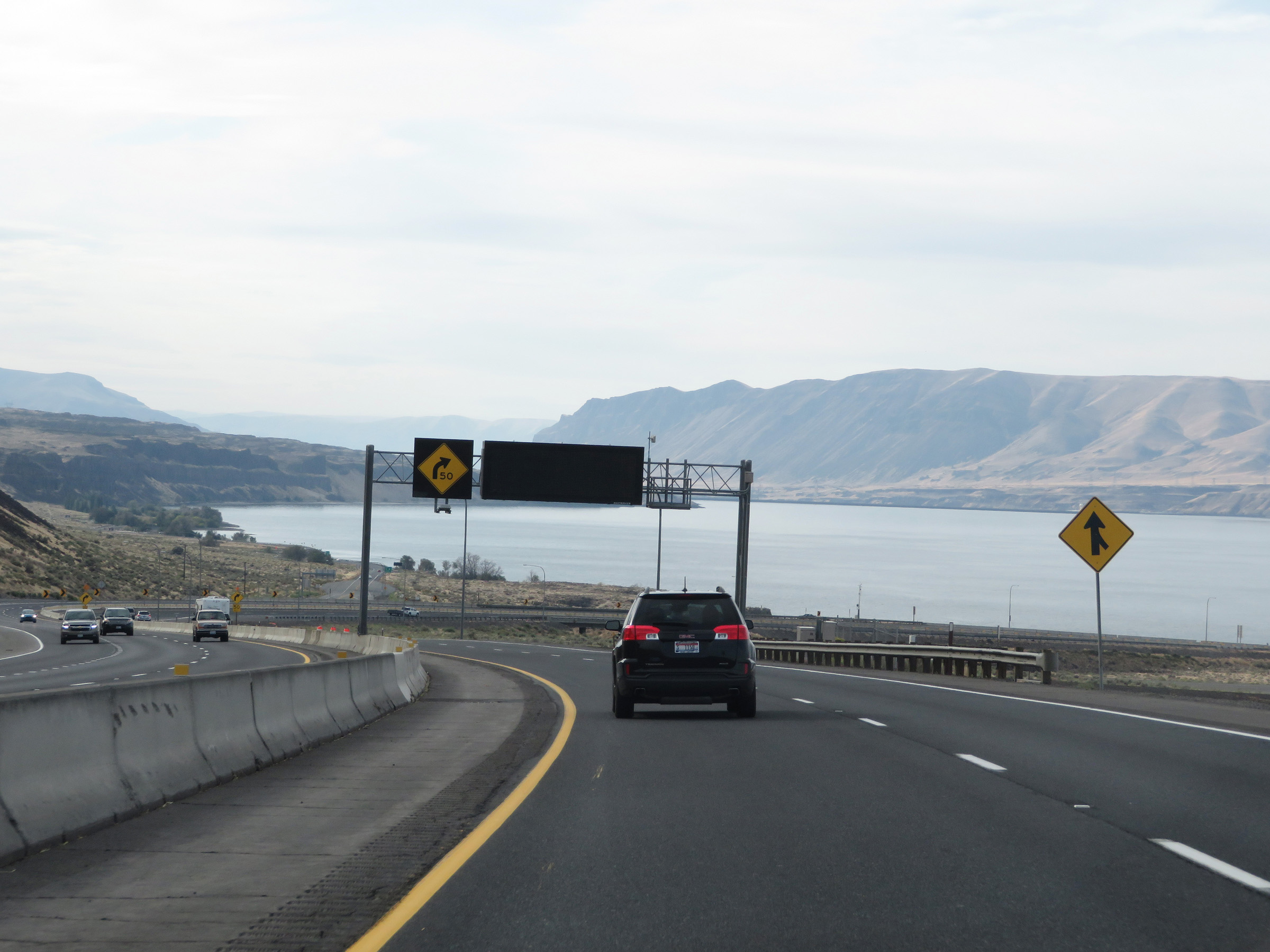
Interstate 90 West as it prepares to curve sharply to the west in preparation for crossing the Columbia River. (Photo taken 9/22/19). |
 |
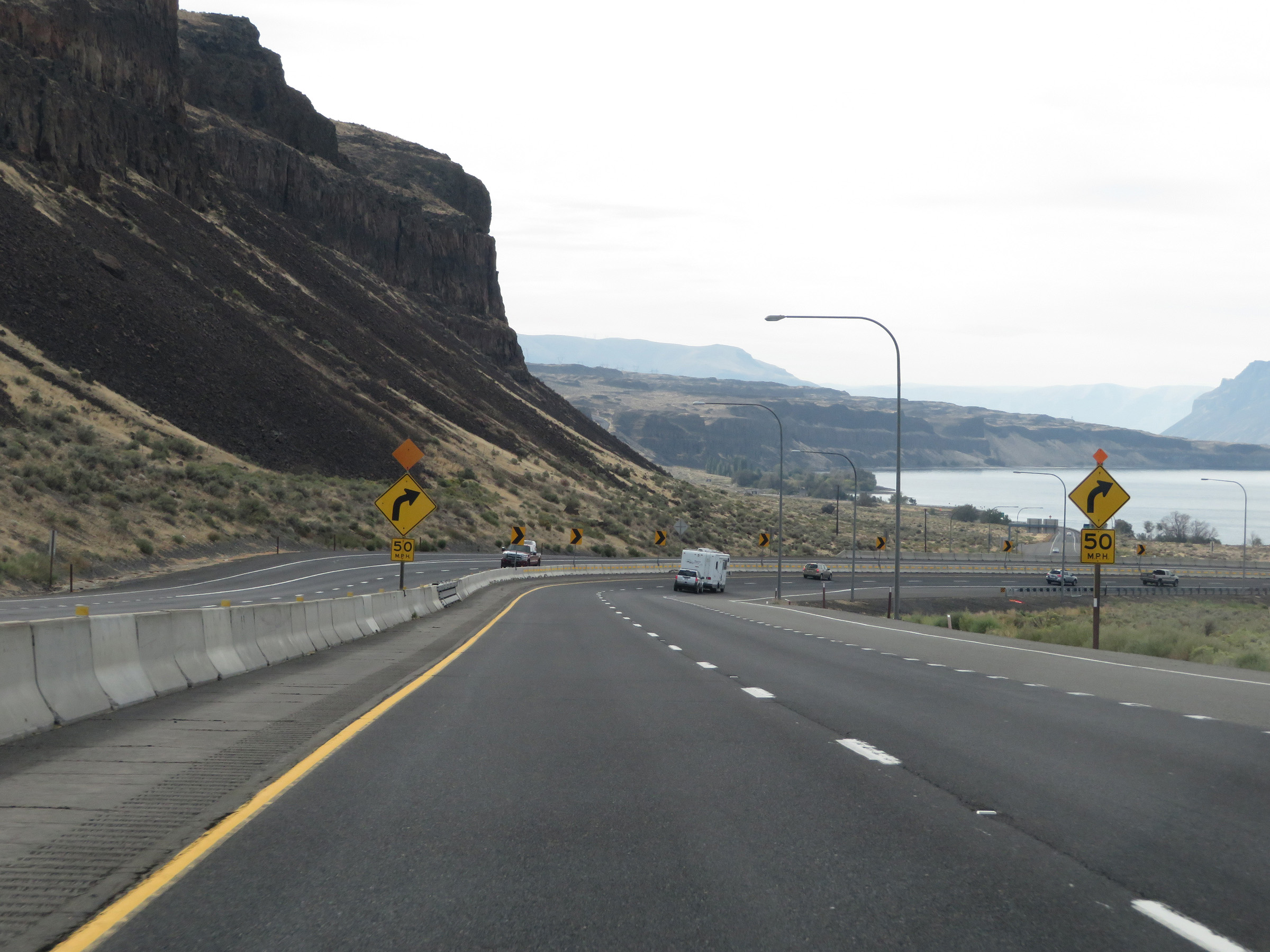
View on Interstate 90 West as it traverses the sharp curve to the west and prepares to cross the Columbia River. (Photo taken 9/22/19). |
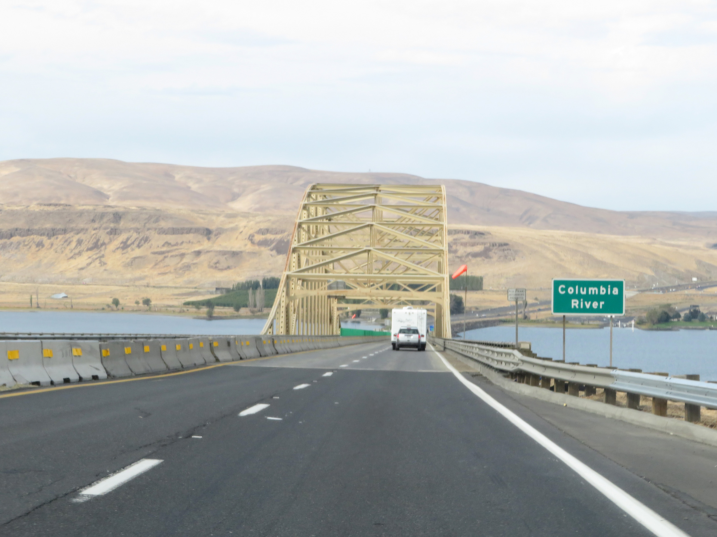 |
Now facing westbound once again, Interstate 90 West starts across the Vantage Bridge over the Columbia River. (Photo taken 9/22/19). |
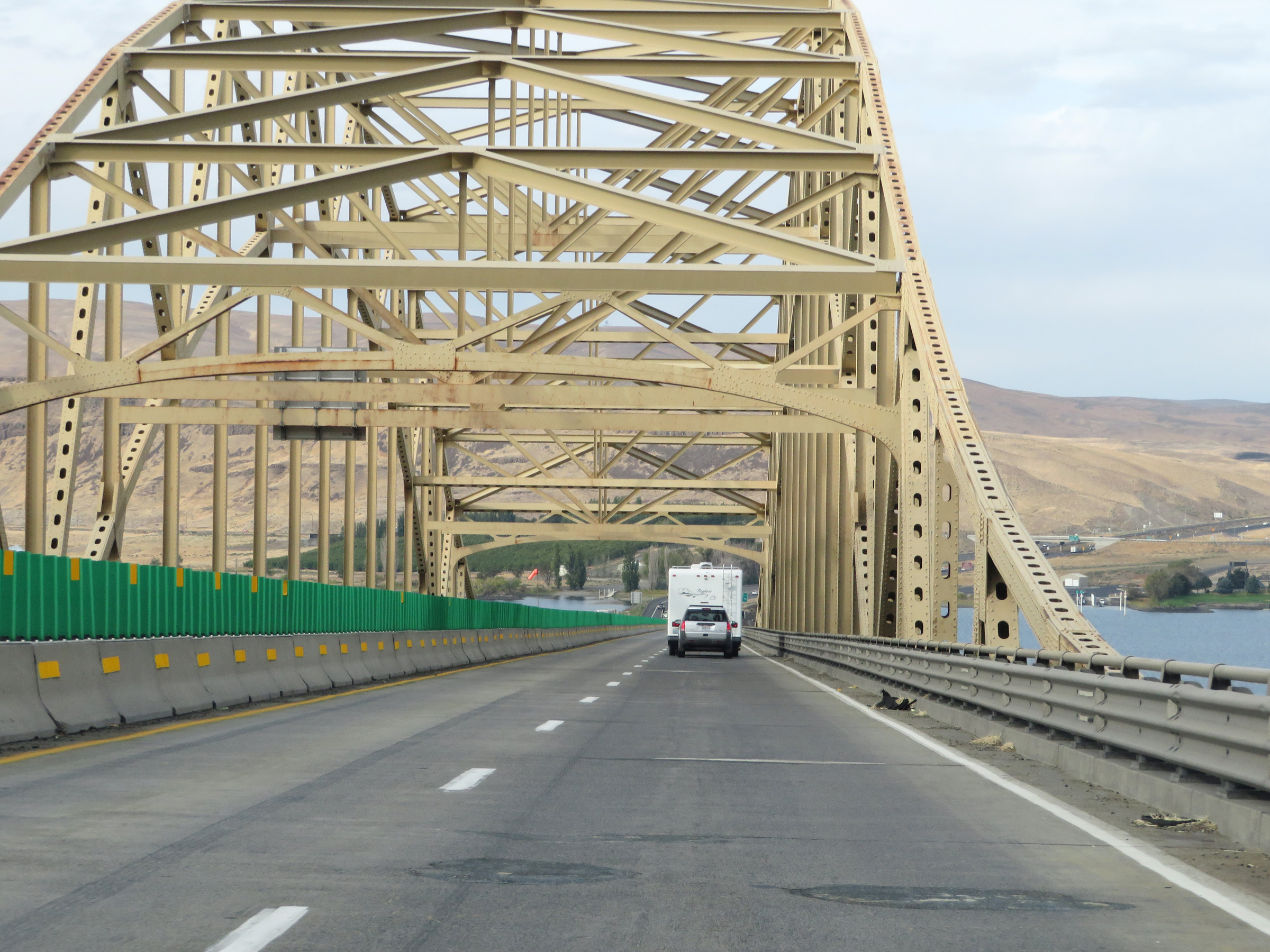 |
Interstate 90 West as it crosses the Columbia River on the Vantage Bridge. (Photo taken 9/22/19). |
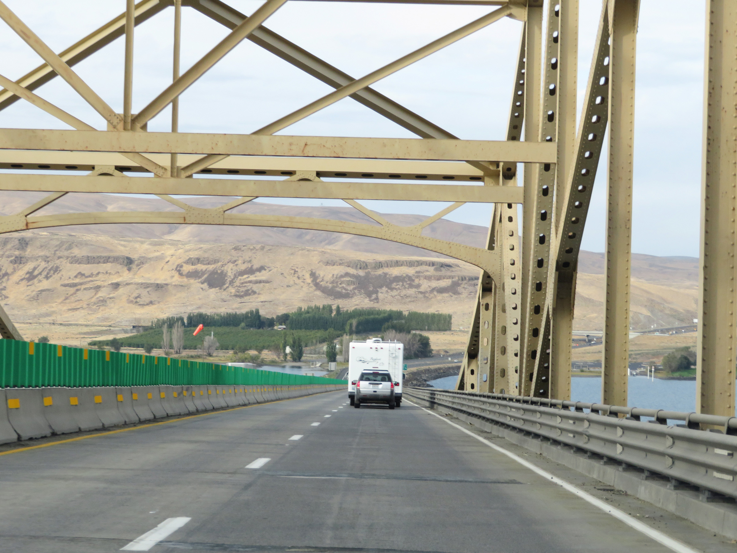 |
Another view on the Vantage Bridge on Interstate 90 West. (Photo taken 9/22/19). |
 |
View on Interstate 90 West as it descends to the west side of the Columbia River on the Vantage Bridge. (Photo taken 9/22/19). |
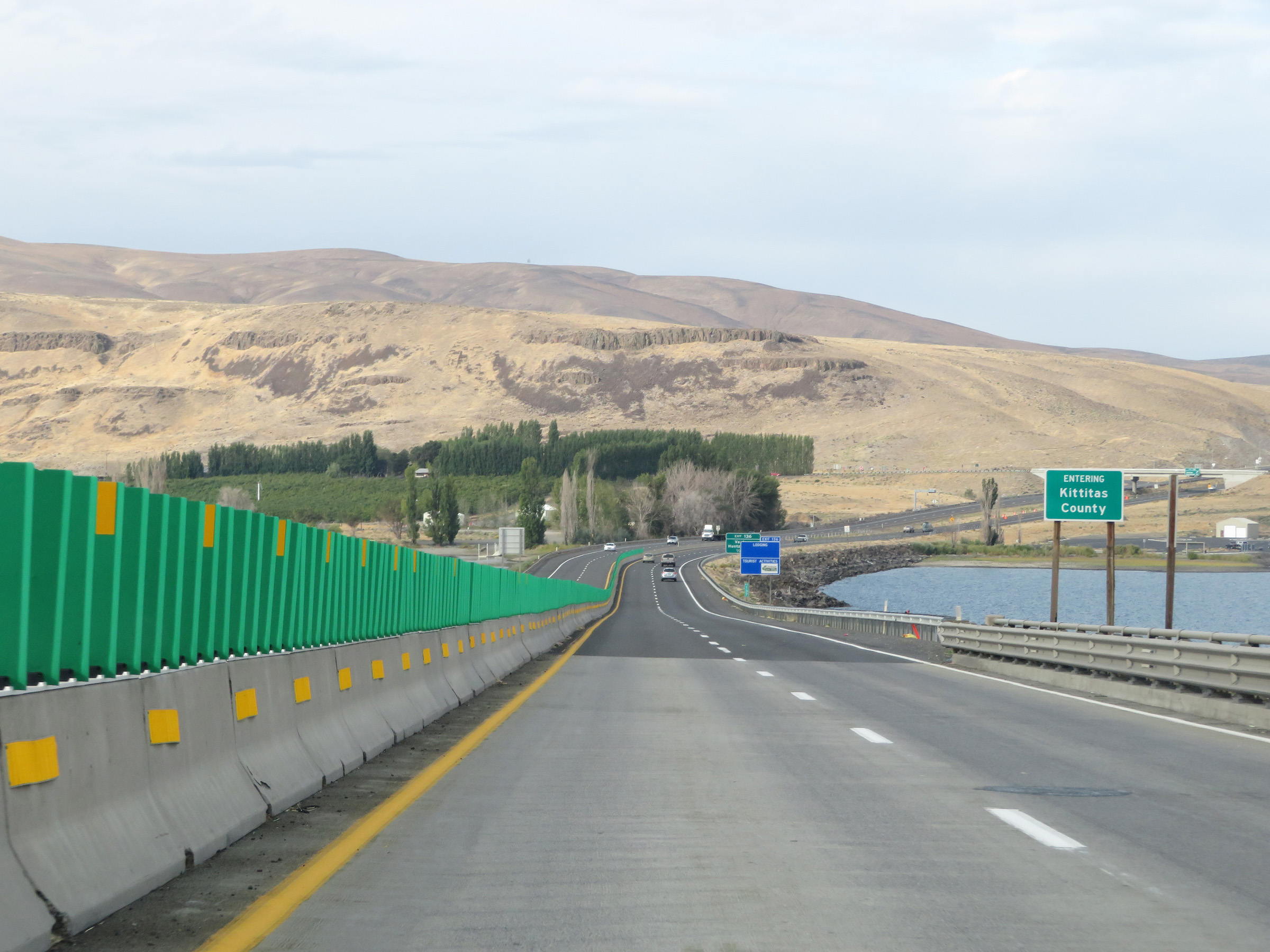 |
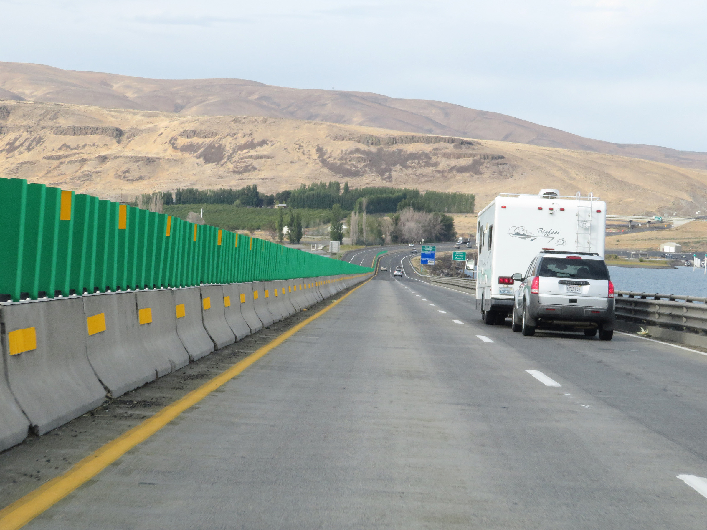
Upon crossing the Columbia River, Interstate 90 West enters Kittitas County. (Photo taken 9/22/19). |
 |
View on Interstate 90 West at mile marker 137 as it touches back down to solid ground on the west side of the Columbia River. (Photo taken 9/22/19). |
 |
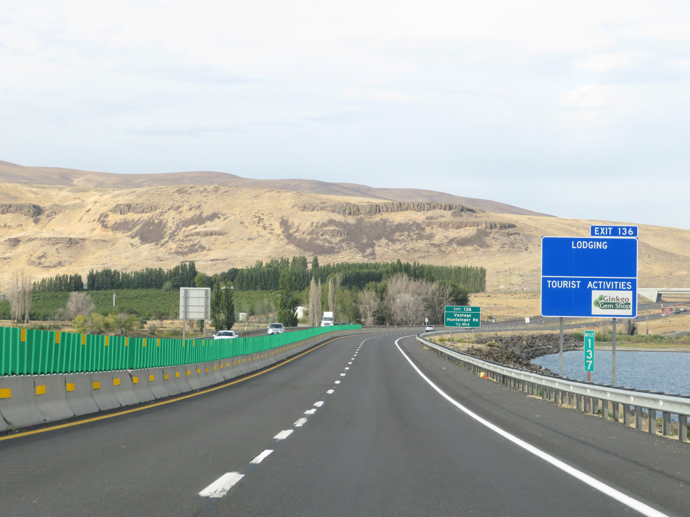
Take Exit 136 to Ginkgo Petrified Forest State Park and Palouse To Cascades State Park Trail. (Photo taken 9/22/19). |
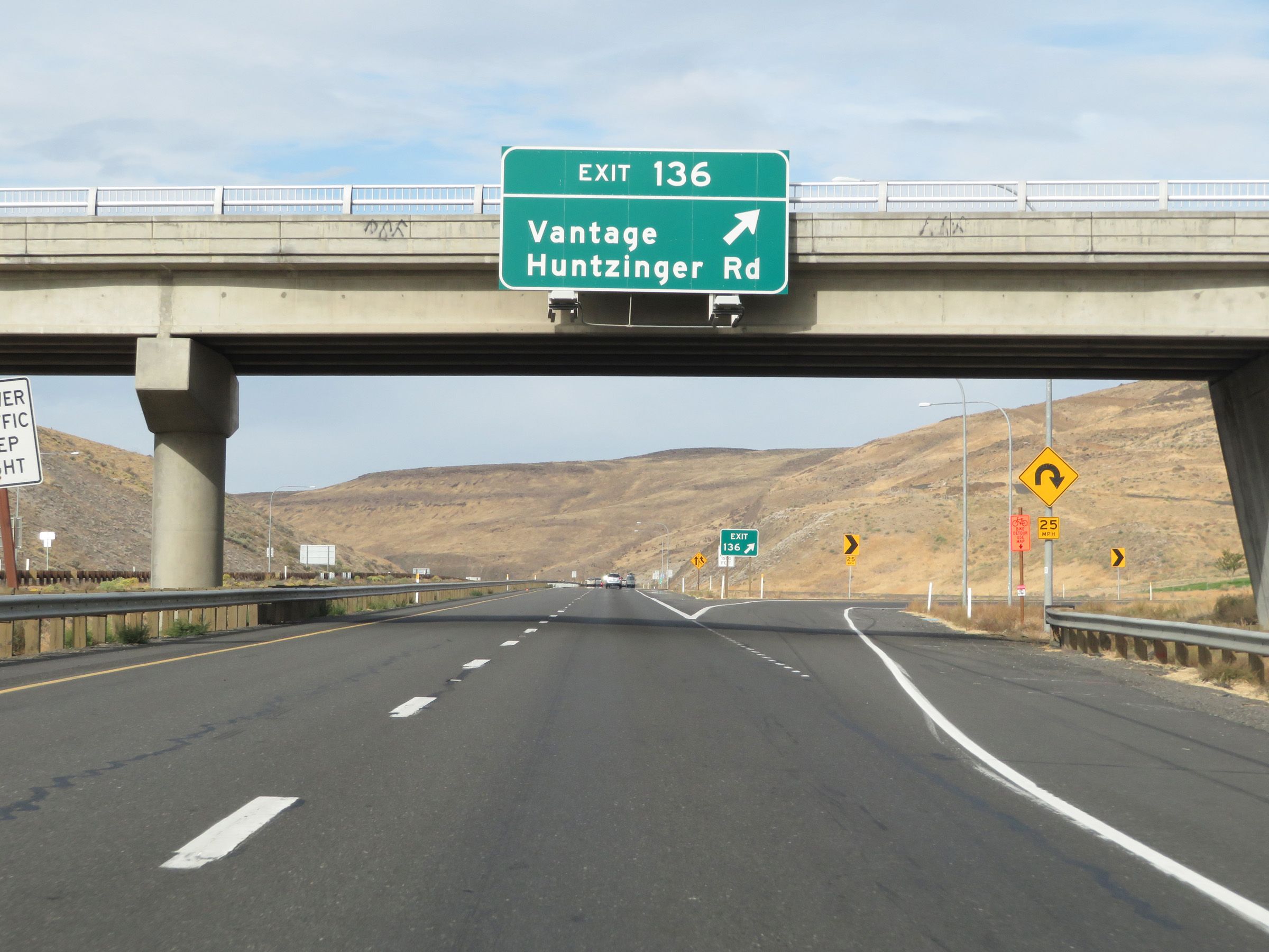 |
Interstate 90 West at Exit 136: Vantage / Huntzinger Rd (Photo taken 9/22/19). |
Section 4: Vantage (Exit 136) to Cle Elum (Exit 84)
 |
At mile marker 136, Interstate 90 West begins to climb up out of the Columbia River Gorge up what is known as Ryegrass Mountain. The on ramp from Exit 136 continues as a truck climbing lane. (Photo taken 9/22/19). |
 |
The speed limits remain 70 mph for automobiles and 60 mph for trucks on Interstate 90 West as it climbs Ryegrass Mountain. (Photo taken 9/22/19). |
 |
View on Interstate 90 West at mile marker 135. (Photo taken 9/22/19). |
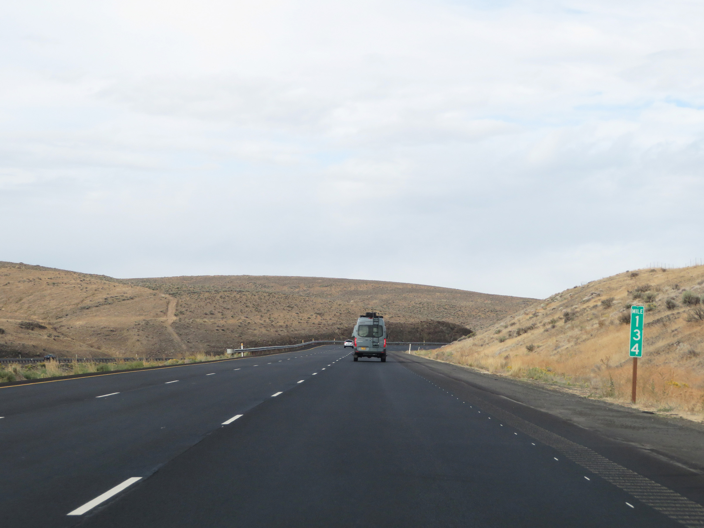 |
Mile marker 134 on Interstate 90 West in Kittitas County as it climbs Ryegrass Mountain. (Photo taken 9/22/19). |
 |
Interstate 90 West at mile marker 133. (Photo taken 9/22/19). |
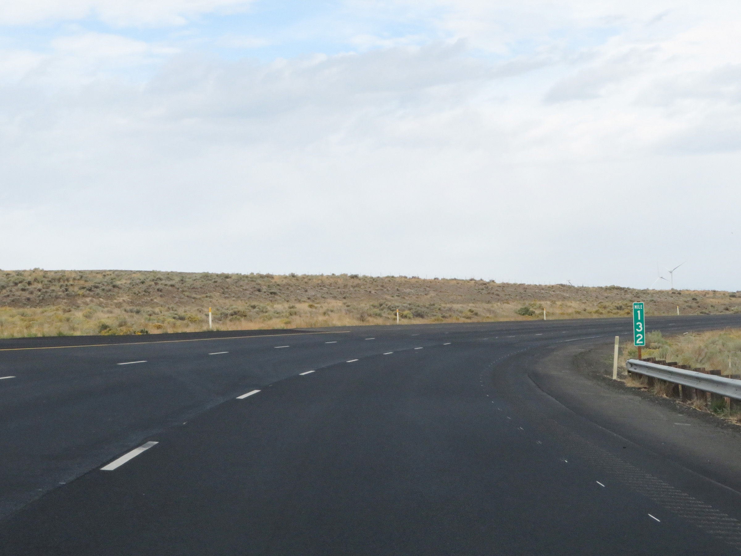 |
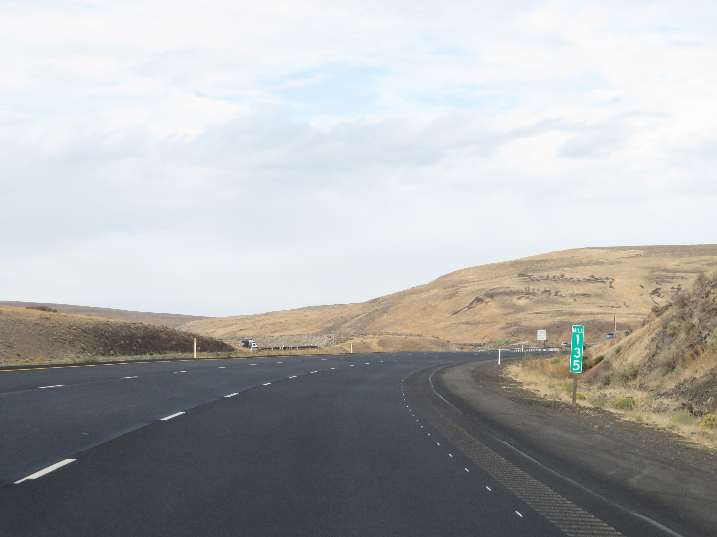
View on Interstate 90 West at mile marker 132. (Photo taken 9/22/19). |
 |
View on Interstate 90 West climbing Ryegrass Mountain. (Photo taken 9/22/19). |
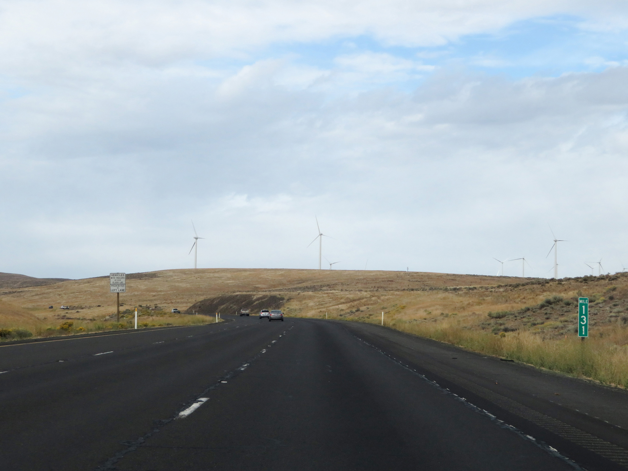 |
Interstate 90 West at mile marker 131. (Photo taken 9/22/19). |
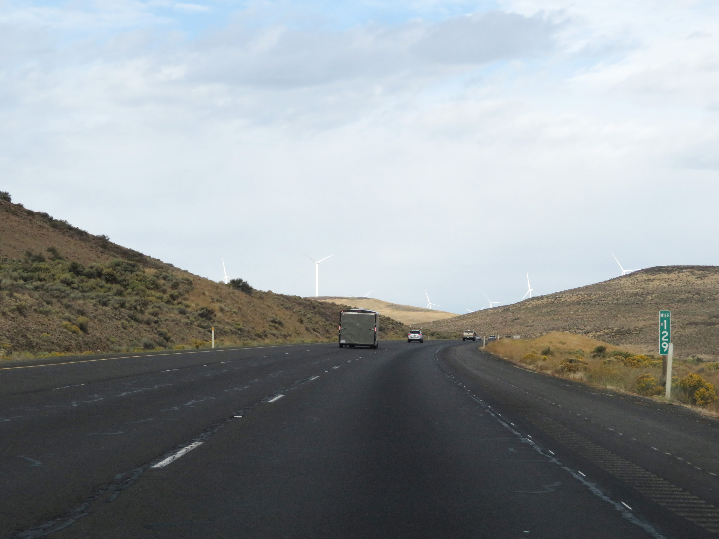 |
Mile marker 129 on Interstate 90 West in Kittitas County as it continues to climb Ryegrass Mountain. (Photo taken 9/22/19). |
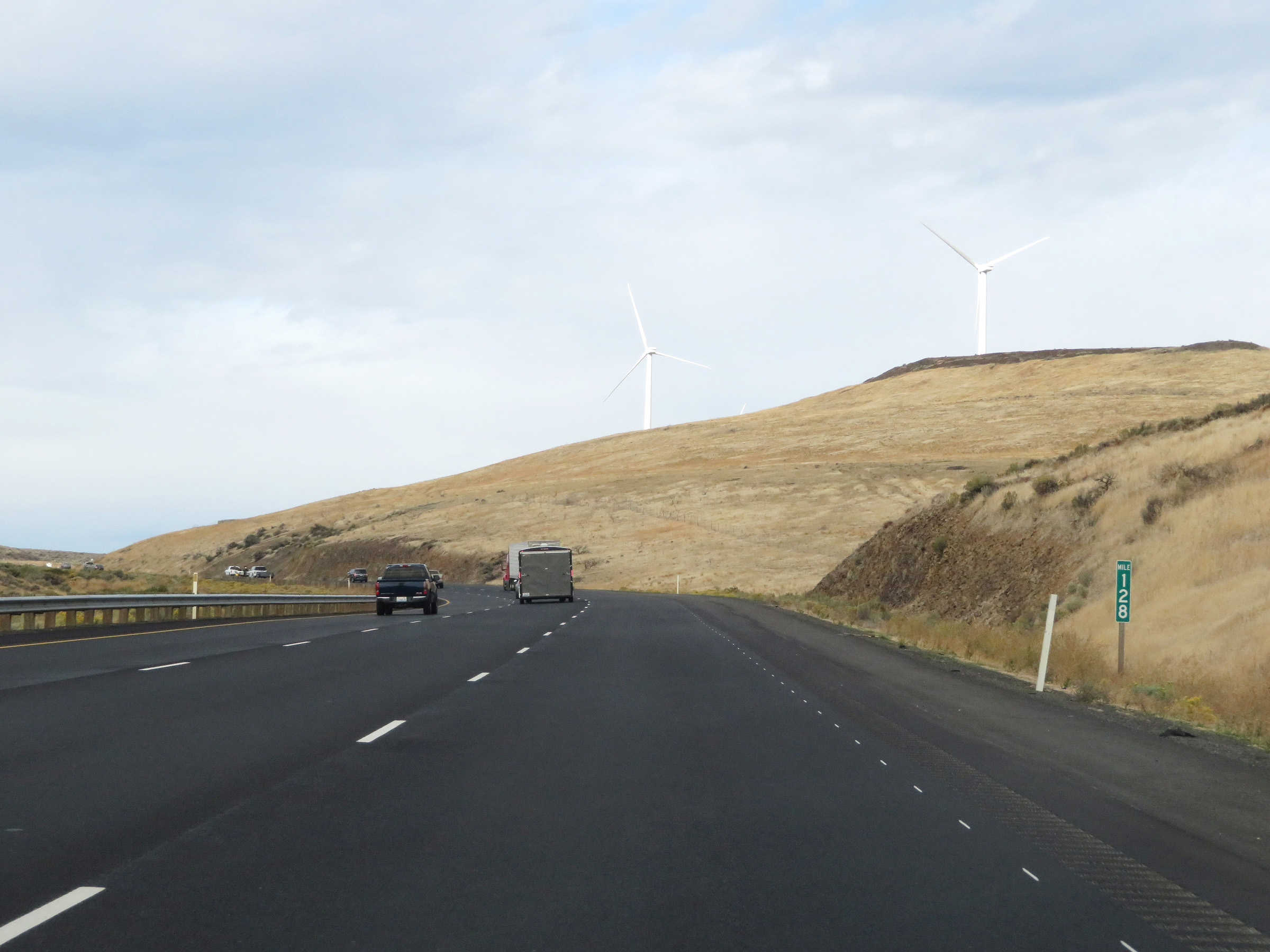 |
View on Interstate 90 West at mile marker 128. (Photo taken 9/22/19). |
 |
Interstate 90 West at mile marker 127. About one more mile of climbing to get to the summit of Ryegrass Mountain. (Photo taken 9/22/19). |
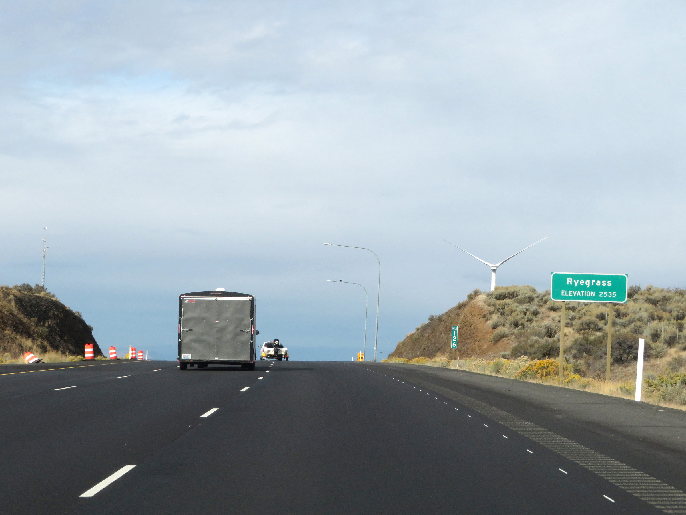 |
At mile marker 126, Interstate 90 West reaches the summit of Ryegrass Mountain. The elevation at the summit is 2,535 feet. (Photo taken 9/22/19). |
 |
Rest Area on Interstate 90 West in Kittitas County at the summit of Ryegrass Mountain. (Photo taken 9/22/19). |
 |
Now that Interstate 90 West has reached the summit of Ryegrass Mountain, the truck climbing lane comes to an end at the Rest Area. (Photo taken 9/22/19). |
 |
Interstate 90 West at mile marker 125. (Photo taken 9/22/19). |
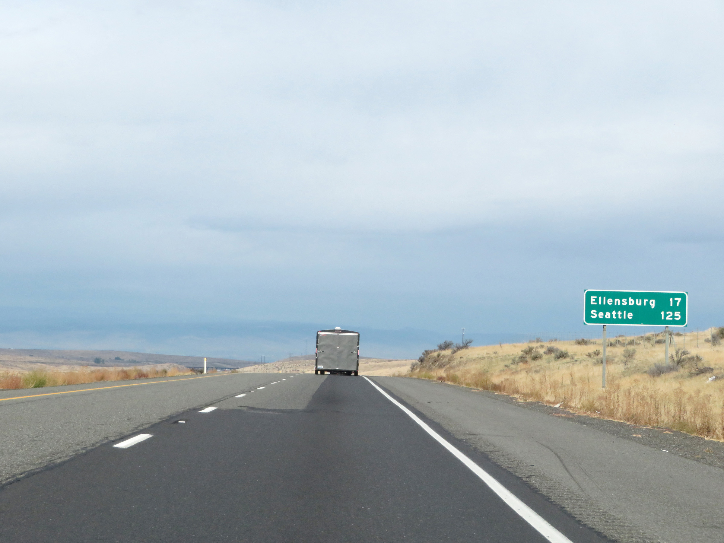 |
Mileage sign on Interstate 90 West. It's 17 miles to Ellensburg and 125 miles to Seattle. (Photo taken 9/22/19). |
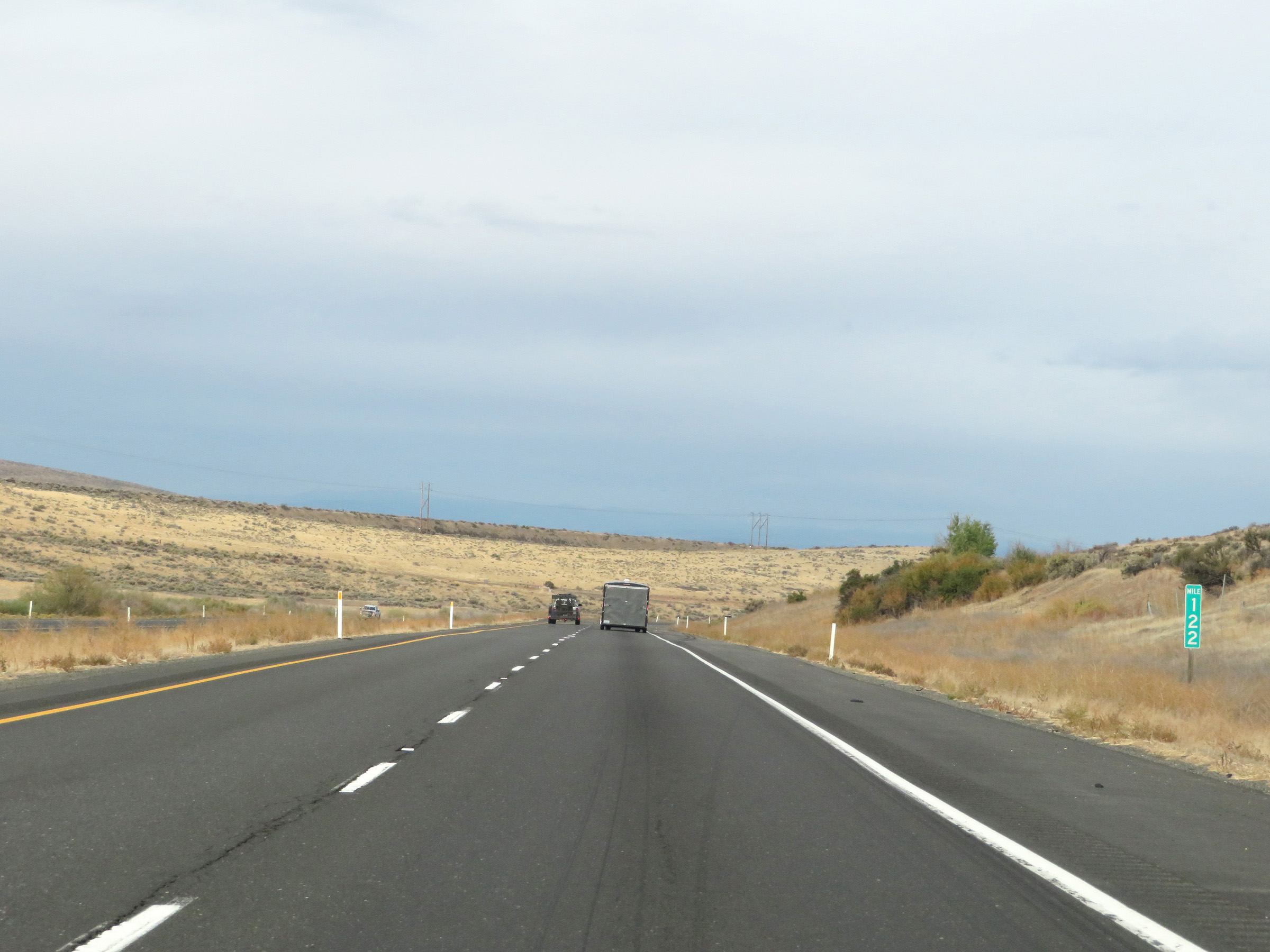 |
View on Interstate 90 West at mile marker 122. (Photo taken 9/22/19). |
 |
View on Interstate 90 West. (Photo taken 9/22/19). |
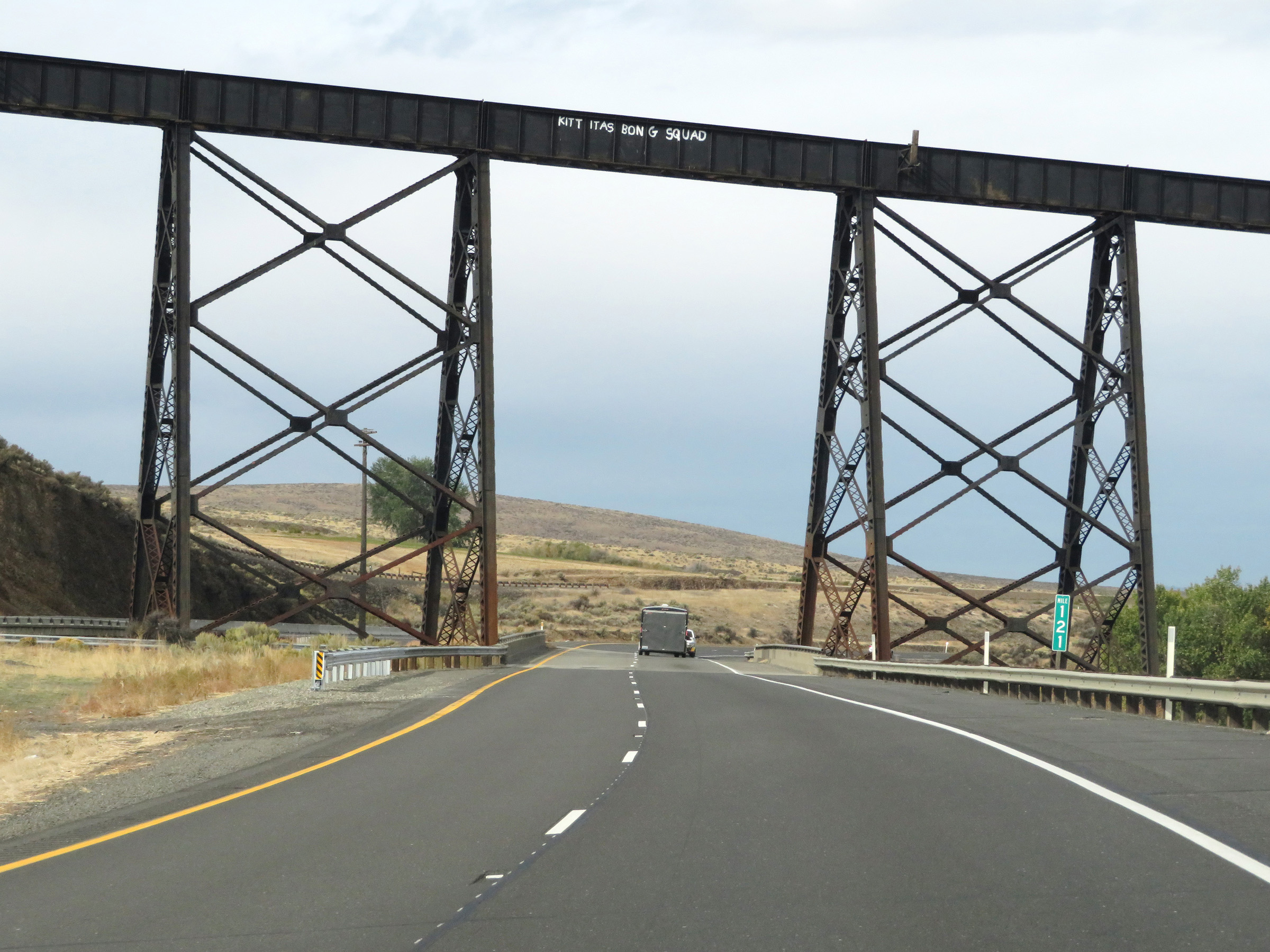 |
Mile marker 121 on Interstate 90 West in Kittitas County. (Photo taken 9/22/19). |
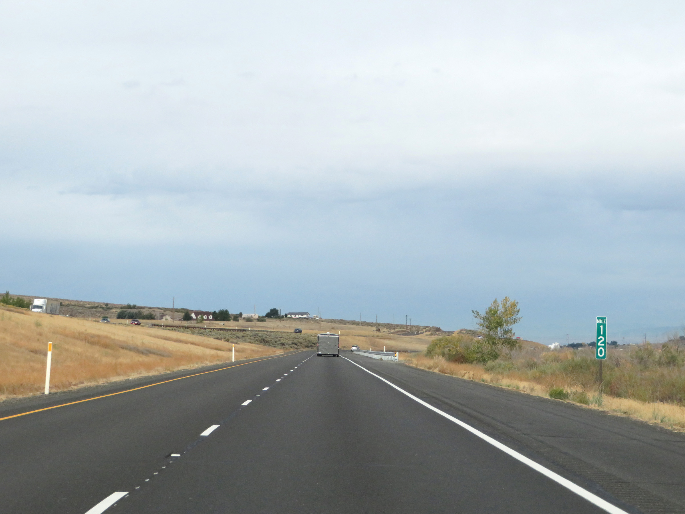 |
Interstate 90 West at mile marker 120. (Photo taken 9/22/19). |
 |
View on Interstate 90 West at mile marker 120. (Photo taken 9/22/19). |
 |
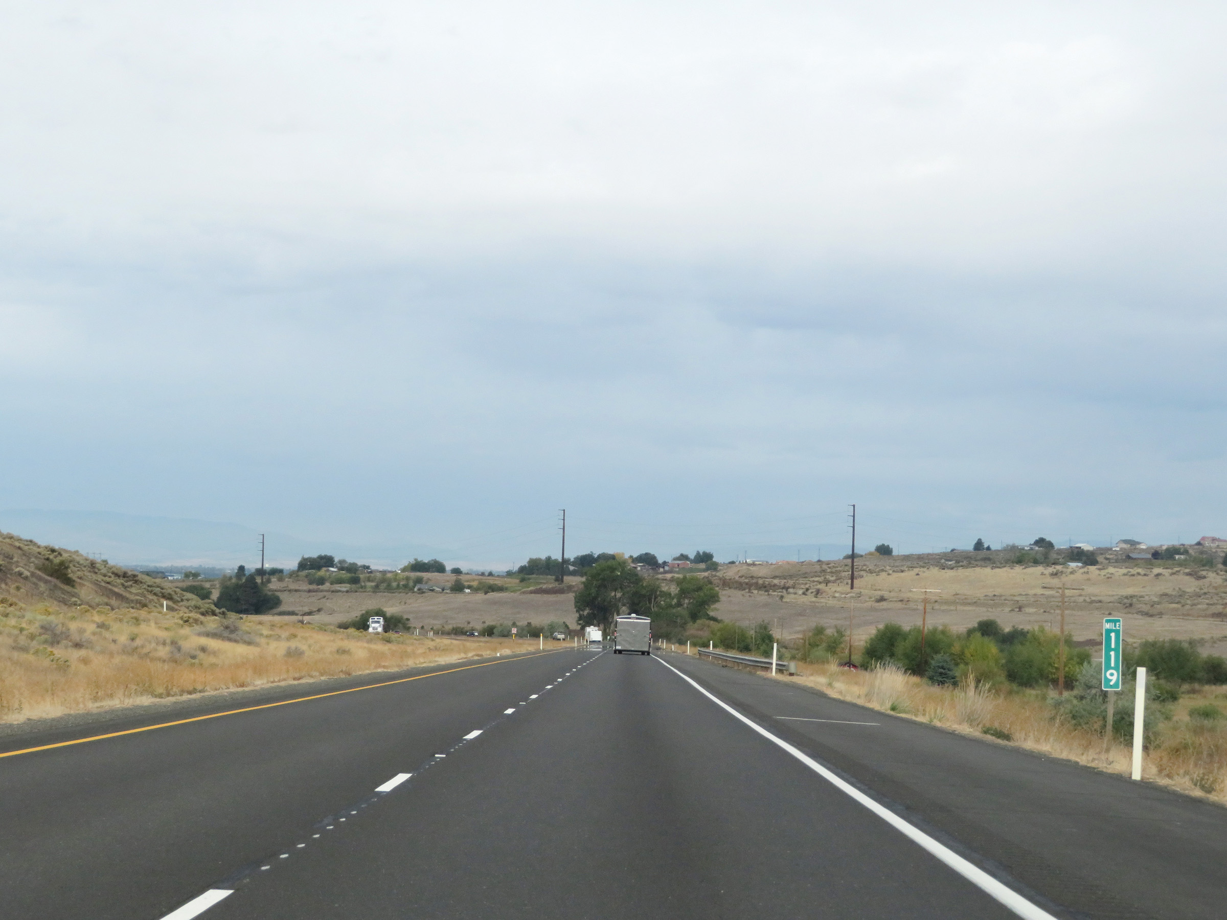
Interstate 90 West at mile marker 117. (Photo taken 9/22/19). |
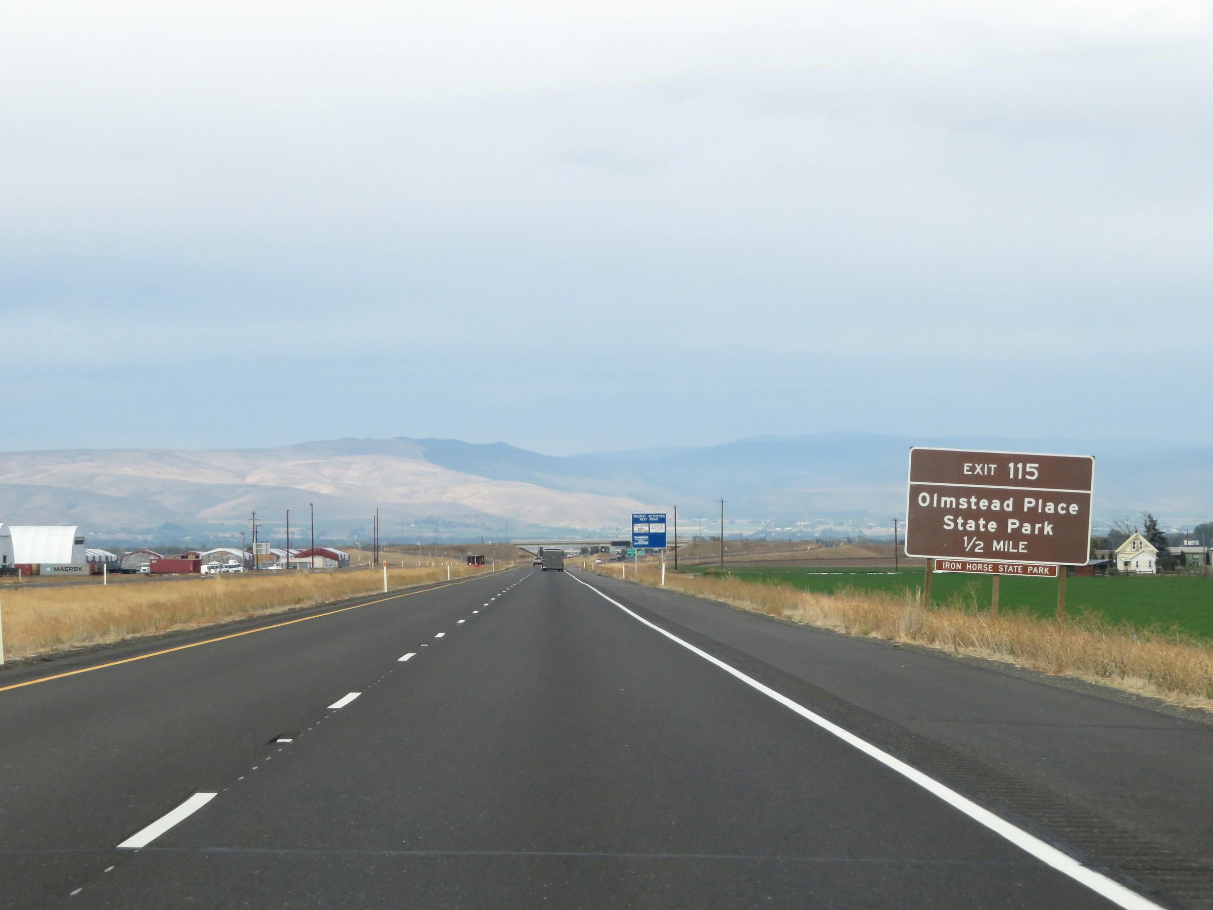 |
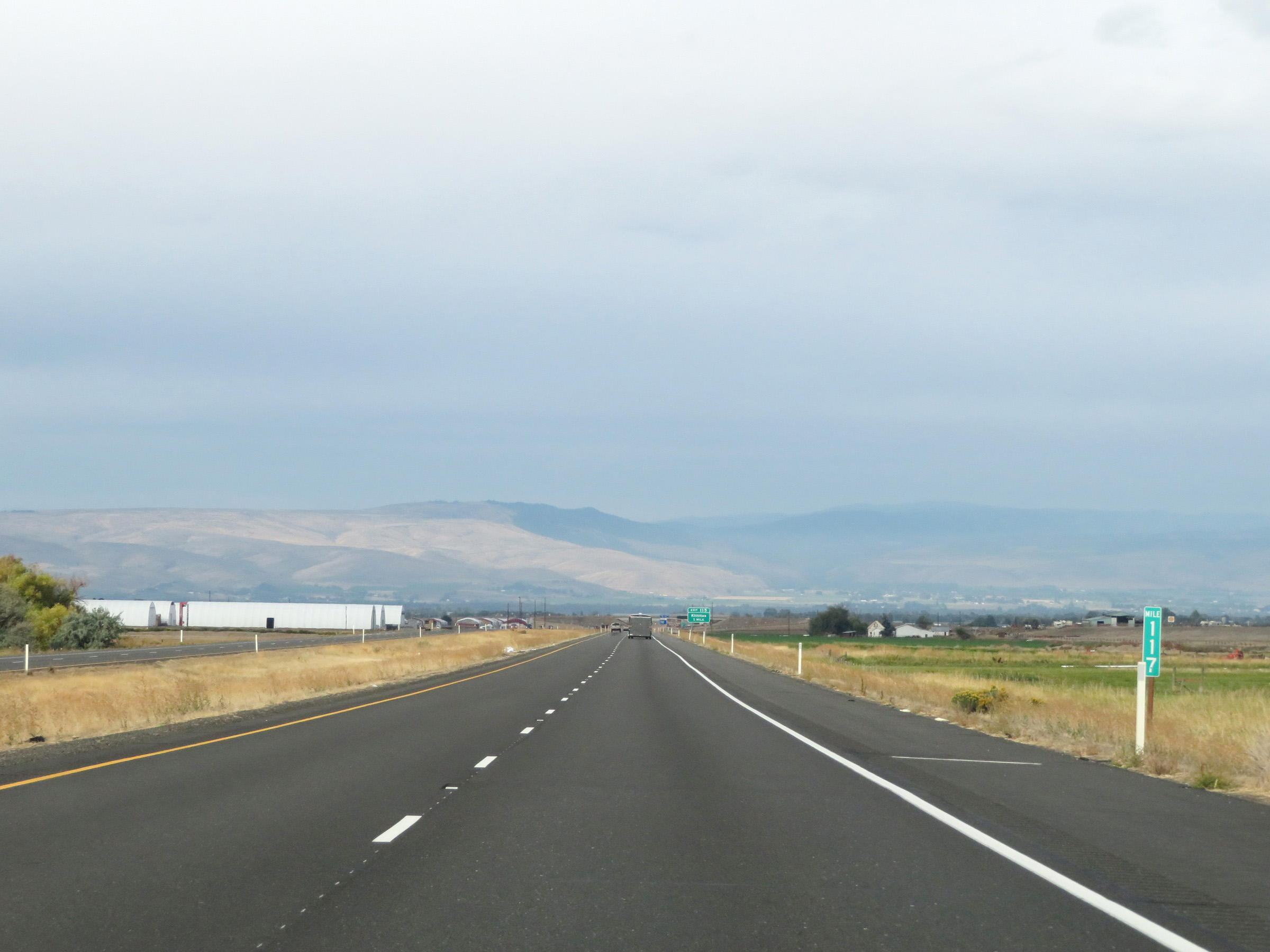
Take Exit 115 to Olmstead Place State Park. (Photo taken 9/22/19). |
 |
Interstate 90 West at Exit 115: Kittitas (Photo taken 9/22/19). |
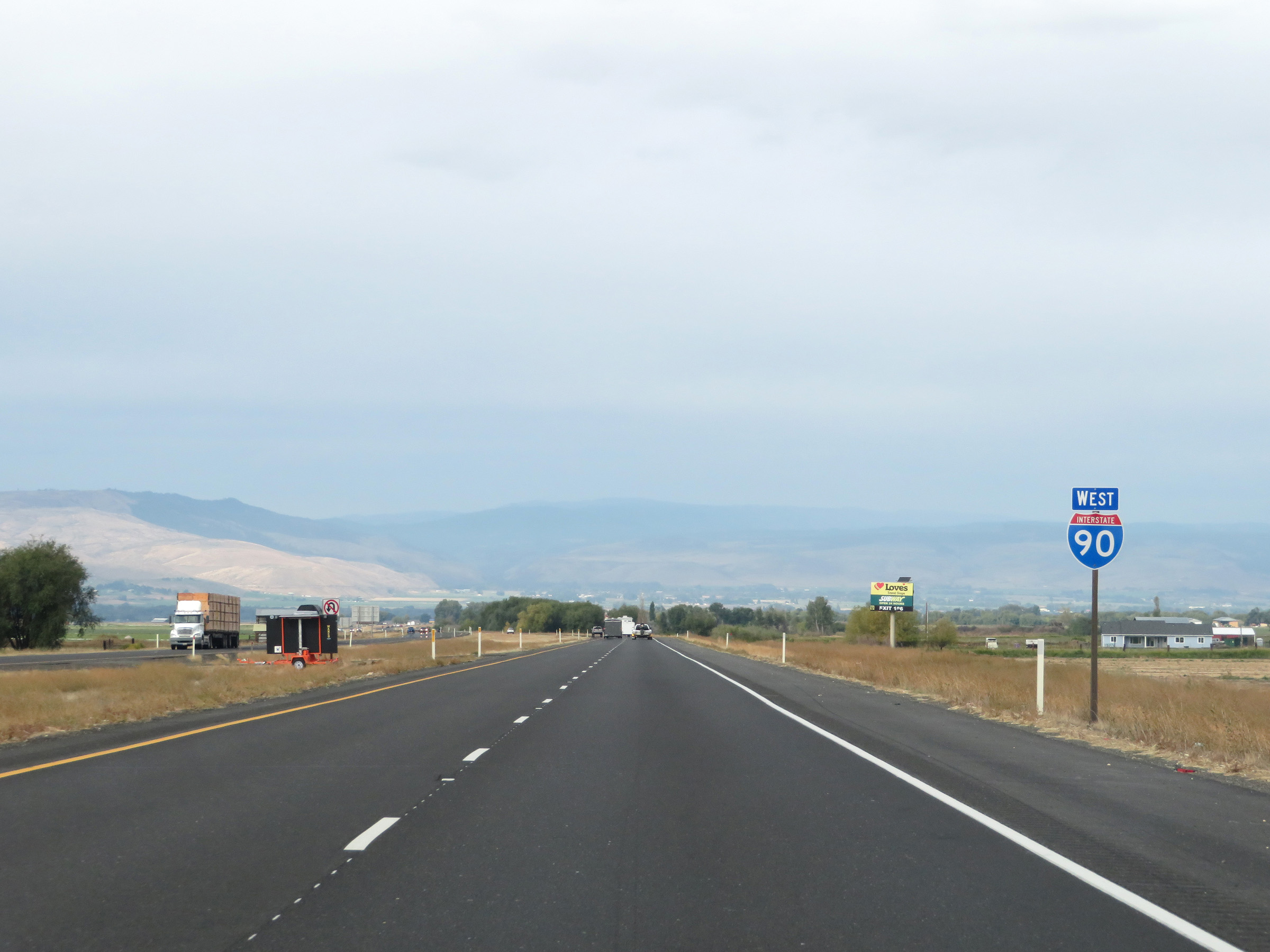 |
Another Interstate 90 West reassurance shield. (Photo taken 9/22/19). |
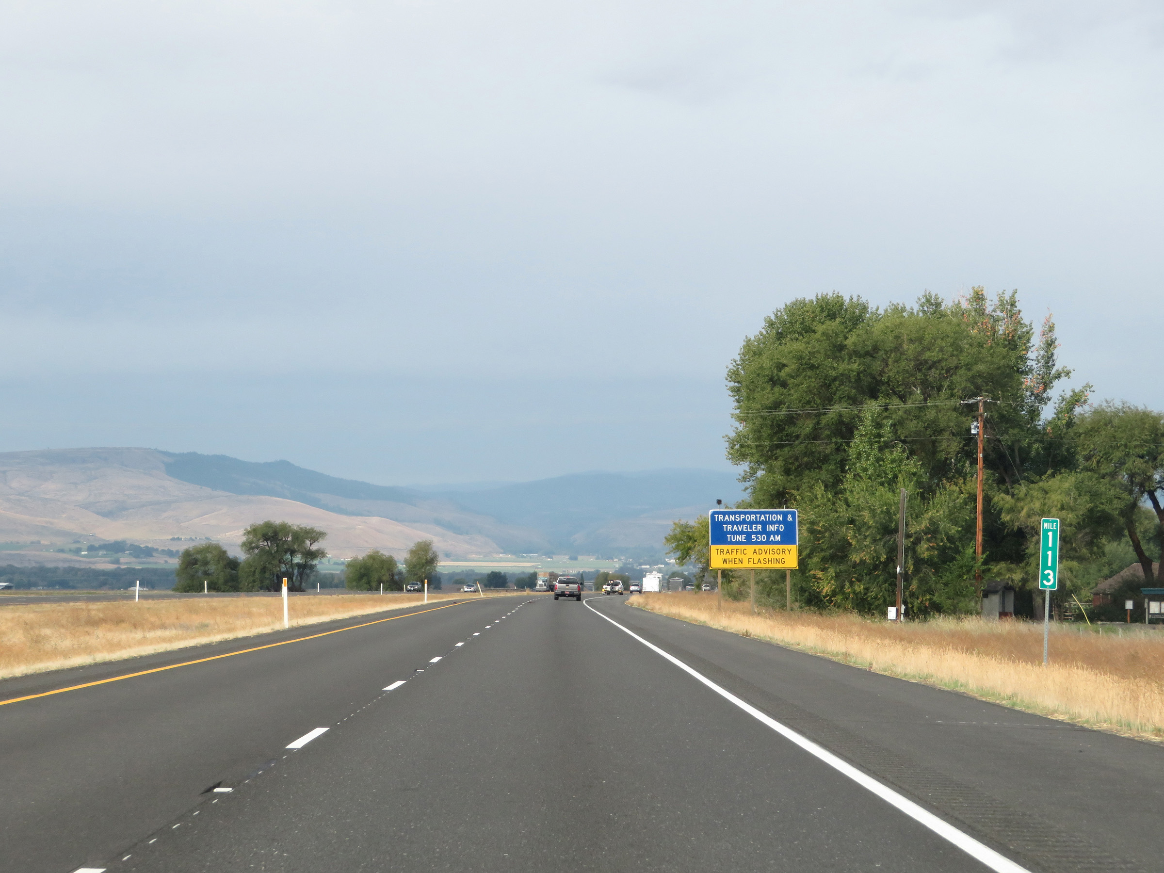 |
View on Interstate 90 West at mile marker 113. (Photo taken 9/22/19). |
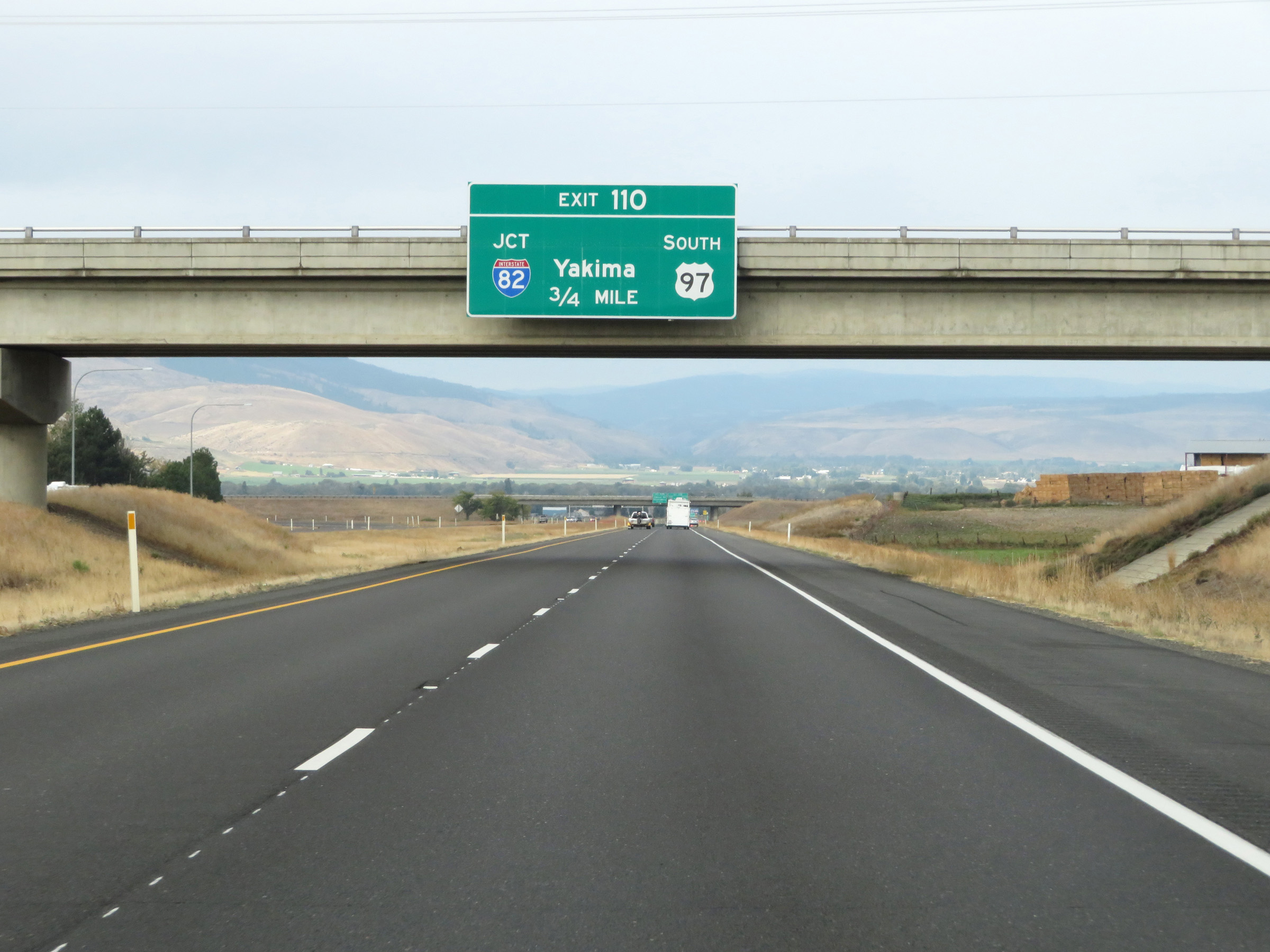 |
Interstate 90 West approaching Exit 110 - 3/4 mile. (Photo taken 9/22/19). |
 |
Interstate 90 West at Exit 110: Interstate 82 East / US 97 South - Yakima (Photo taken 9/22/19). |
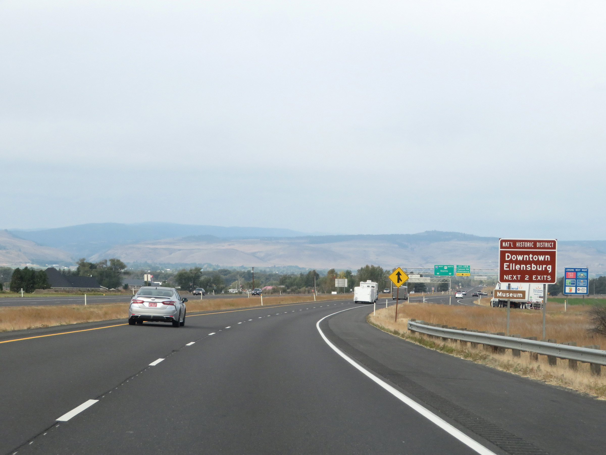 |
Take either of the next 2 exits to Downtown Ellensburg National Historic District. (Photo taken 9/22/19). |
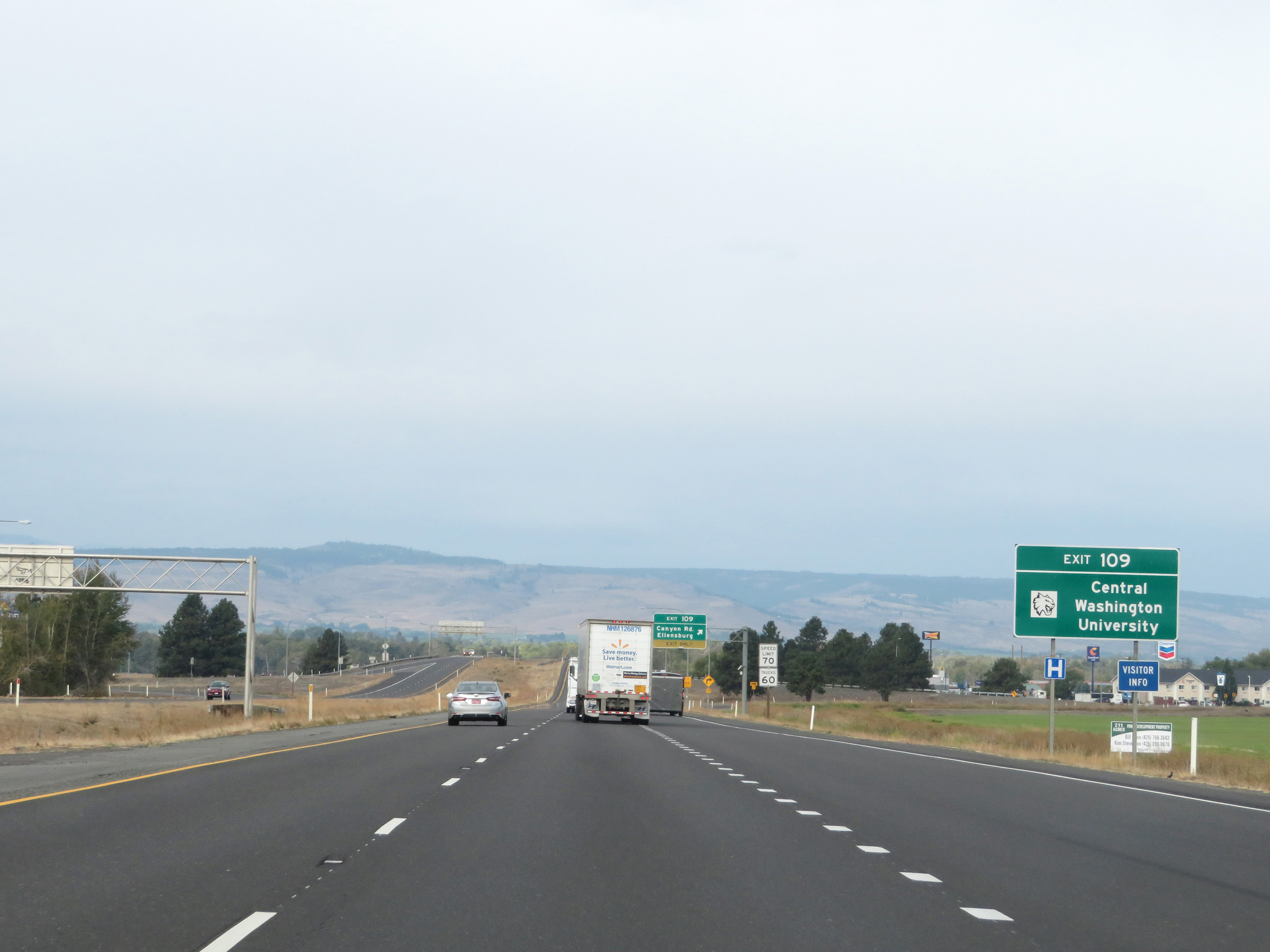 |
Take Exit 109 to Central Washington University. (Photo taken 9/22/19). |
 |
Interstate 90 West at Exit 109: Canyon Rd / Ellensburg (Photo taken 9/22/19). |
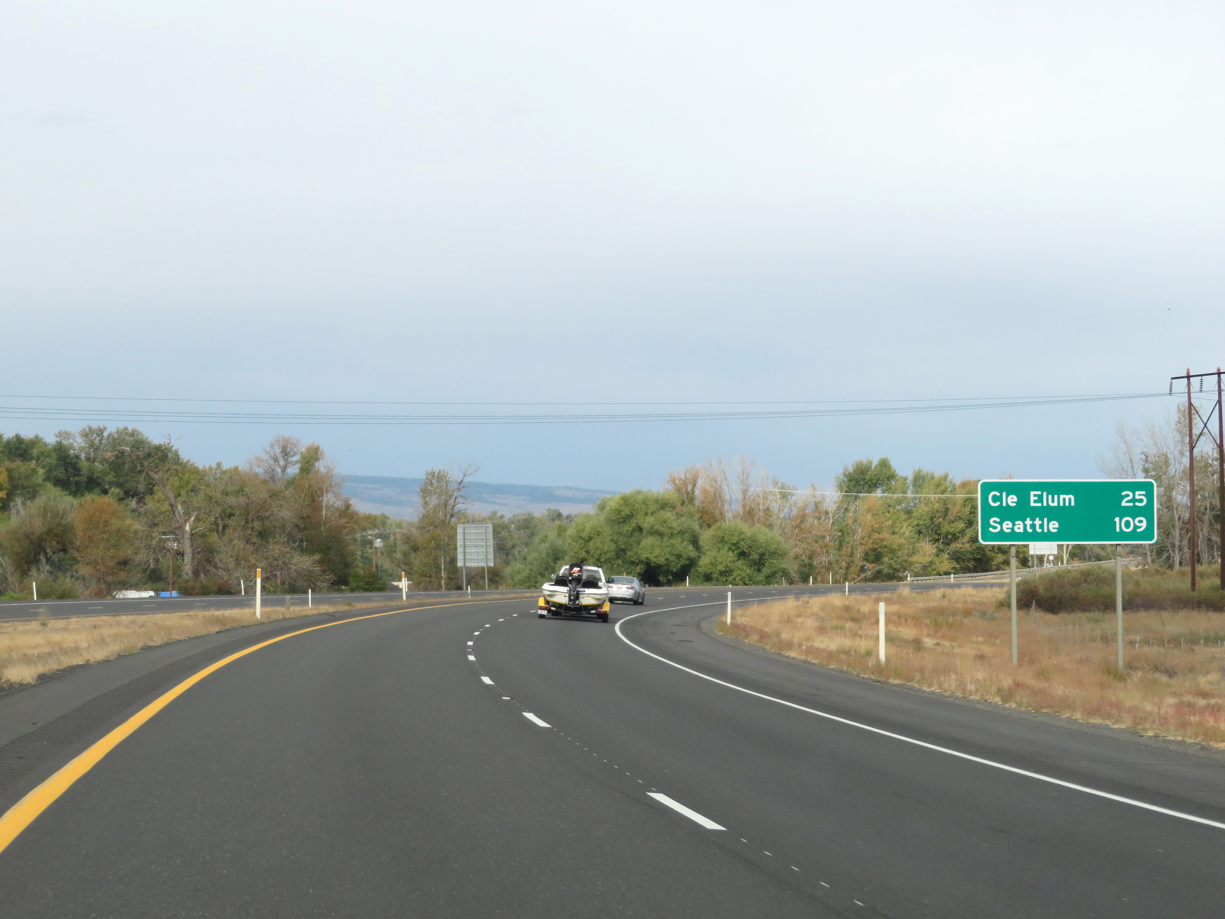 |
Another mileage sign on Interstate 90 West in Ellensburg. It's 25 miles to Cle Elum and 109 miles to Seattle. (Photo taken 9/22/19). |
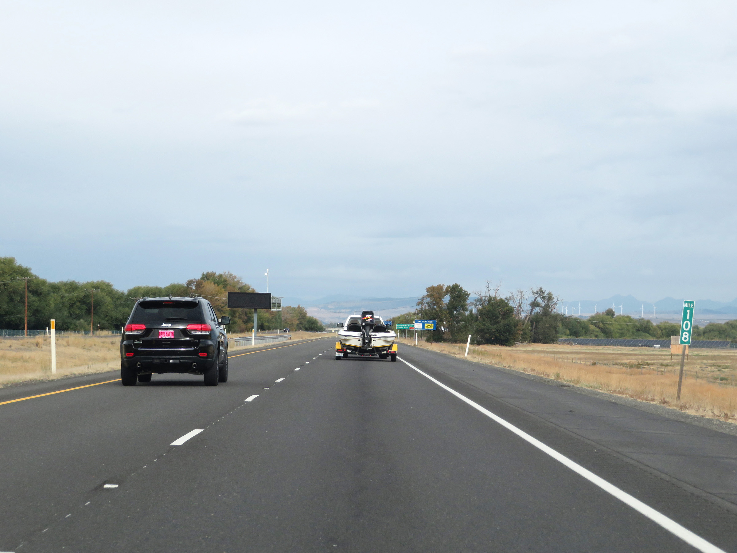 |
Mile marker 108 on Interstate 90 West in Kittitas County. (Photo taken 9/22/19). |
 |
This sign dynamically displays the current estimated travel time to the summit of Snoqualmie Pass, which is 55 miles ahead on Interstate 90 West. (Photo taken 9/22/19). |
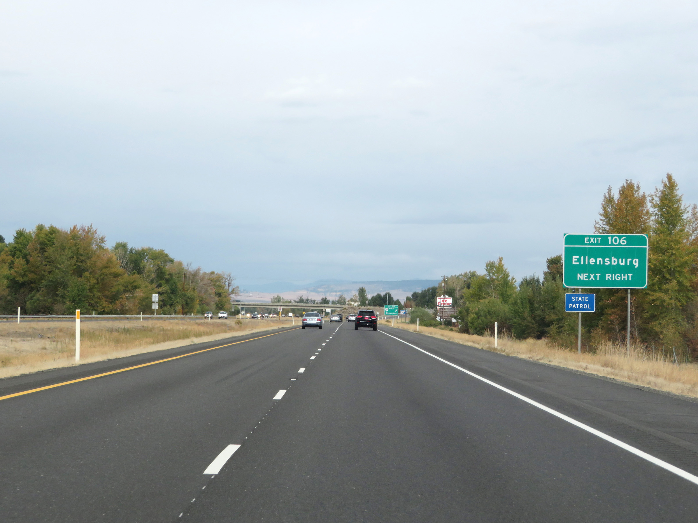 |
Take Exit 106 to Ellensburg. (Photo taken 9/22/19). |
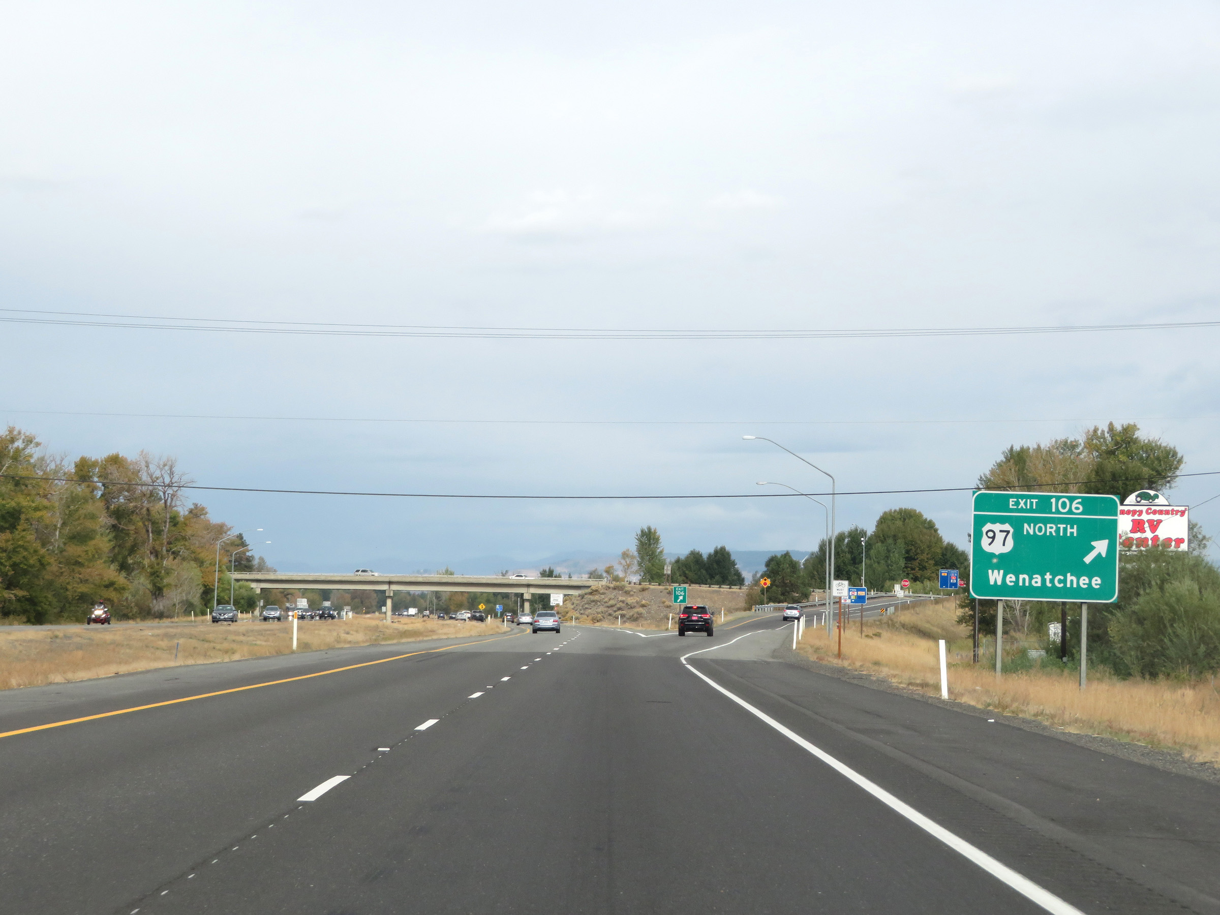 |
Interstate 90 West at Exit 106: US 97 North - Wenatchee (Photo taken 9/22/19). |
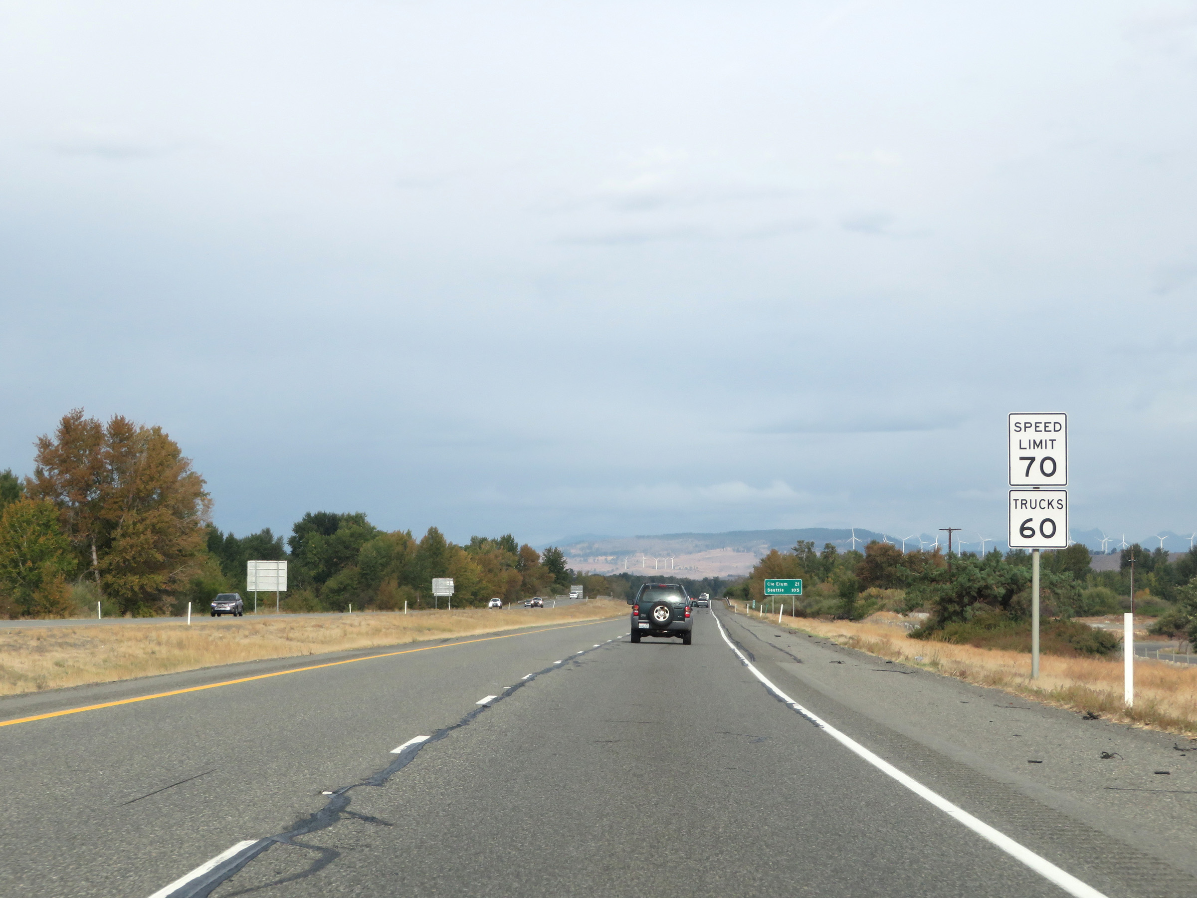 |
The speed limits remain the rural standard 70 mph for autos and 60 mph for trucks. (Photo taken 9/22/19). |
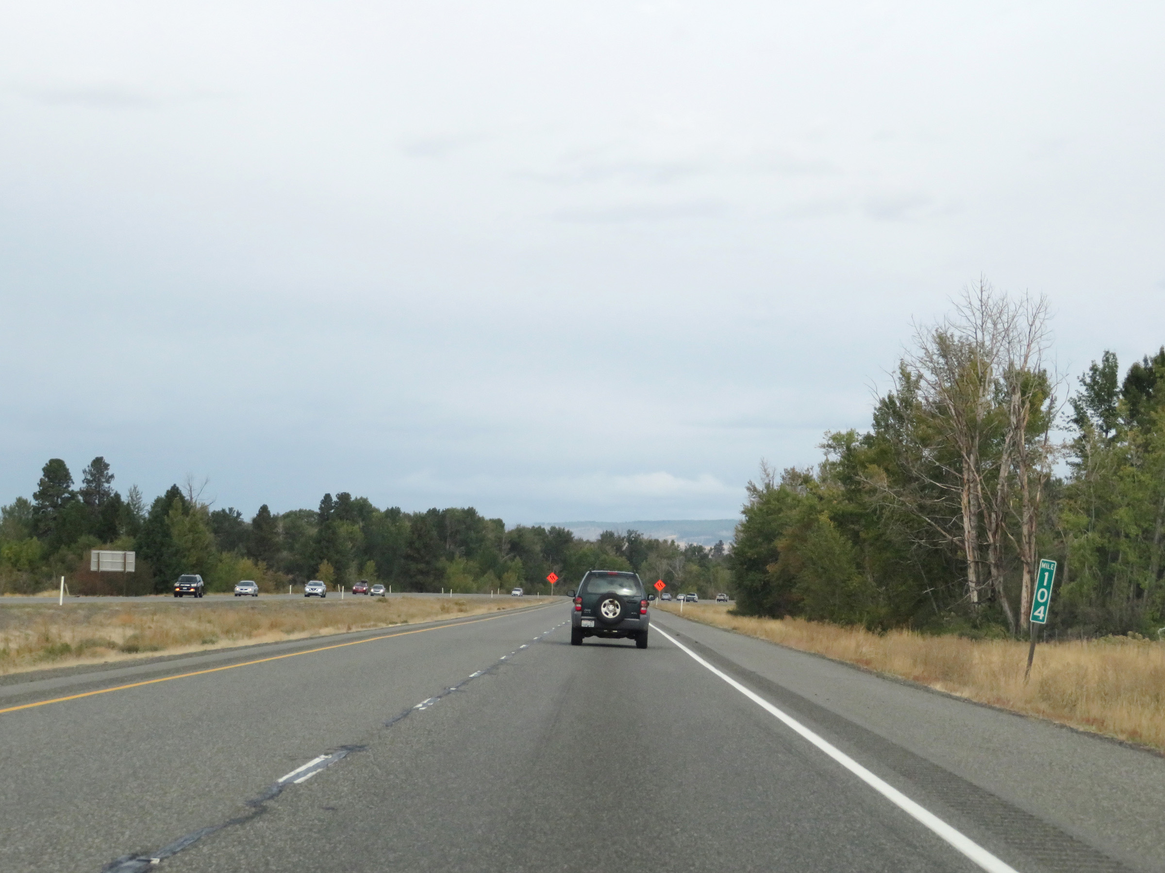 |
Interstate 90 West at mile marker 104. (Photo taken 9/22/19). |
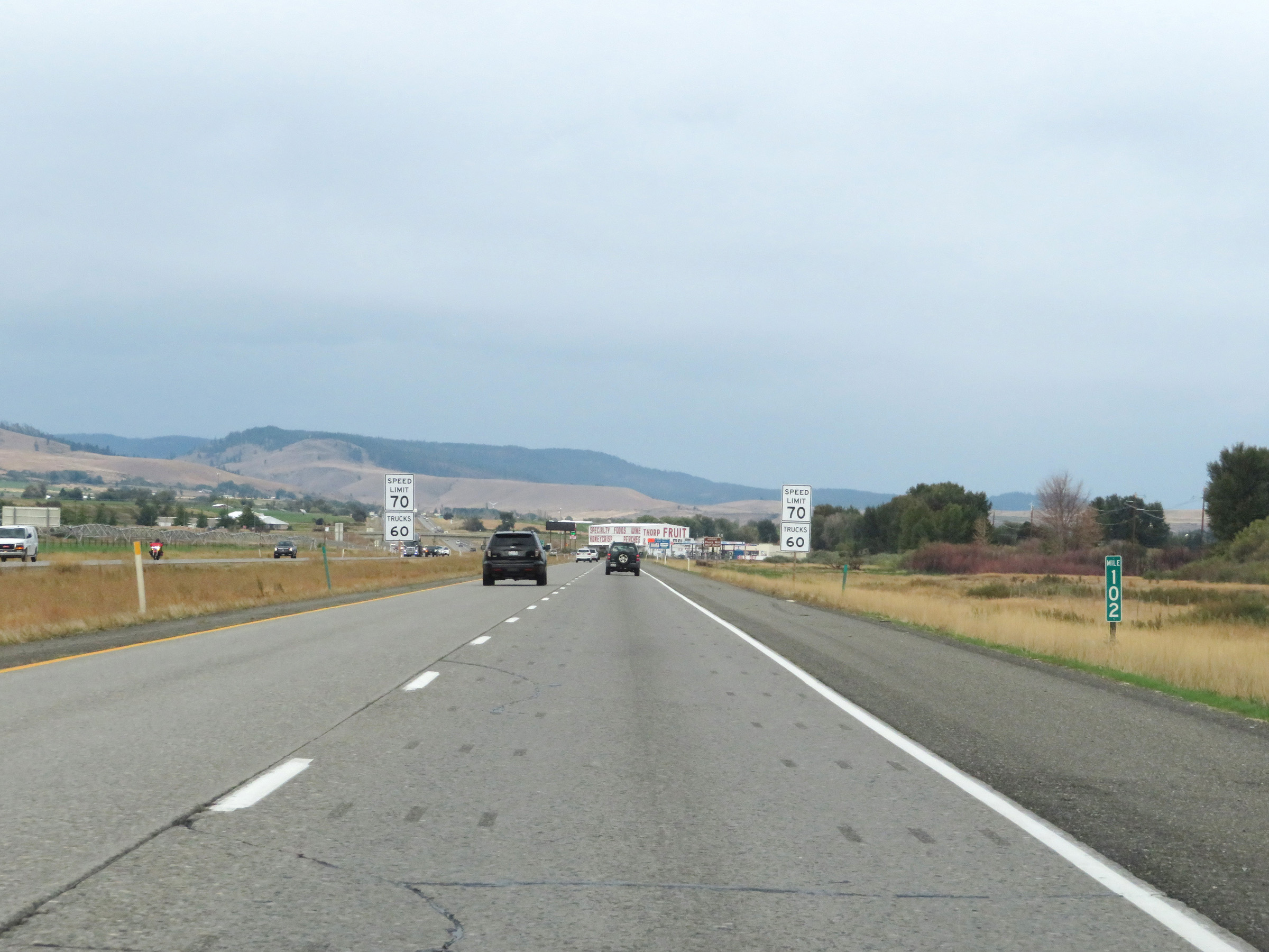 |
View on Interstate 90 West at mile marker 102. (Photo taken 9/22/19). |
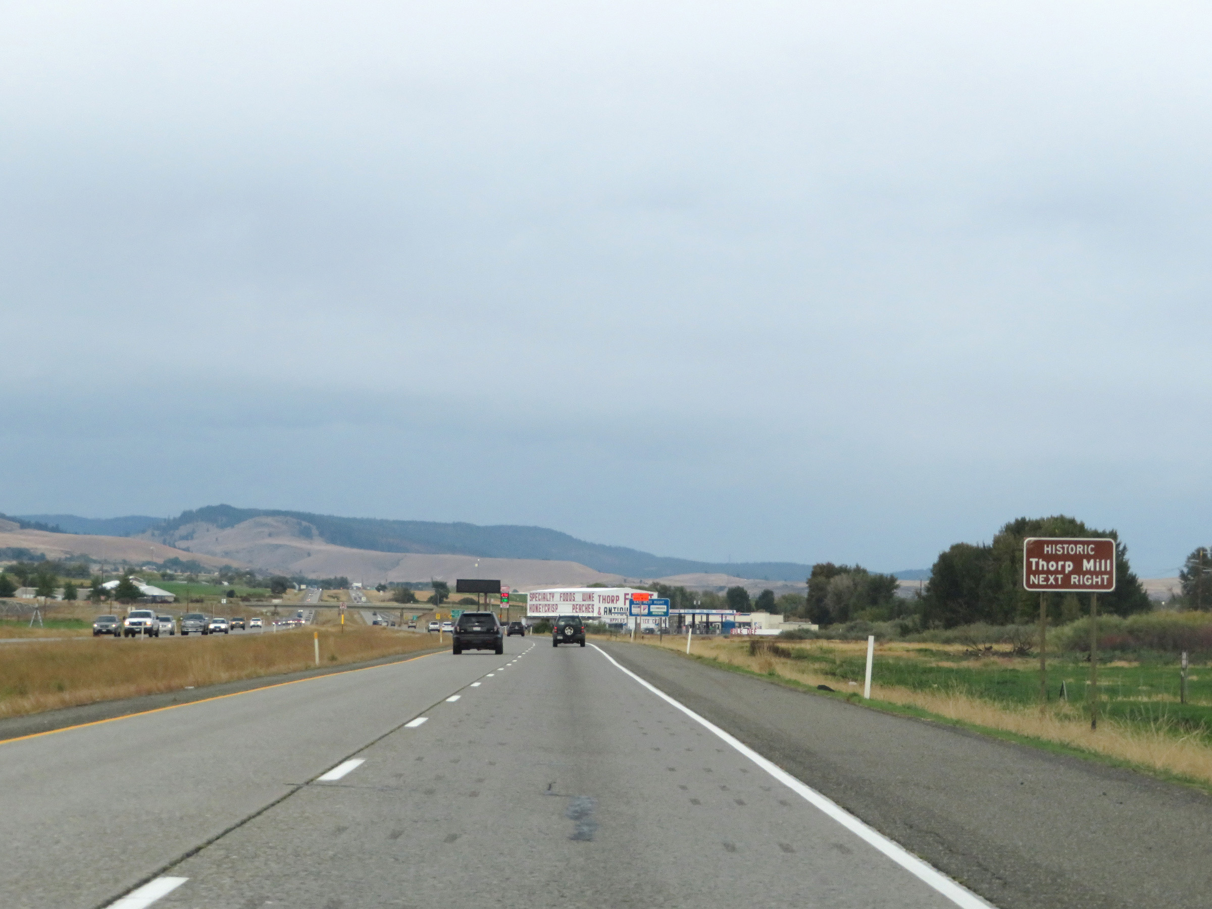 |
Take Exit 101 to Historic Thorp Mill. (Photo taken 9/22/19). |
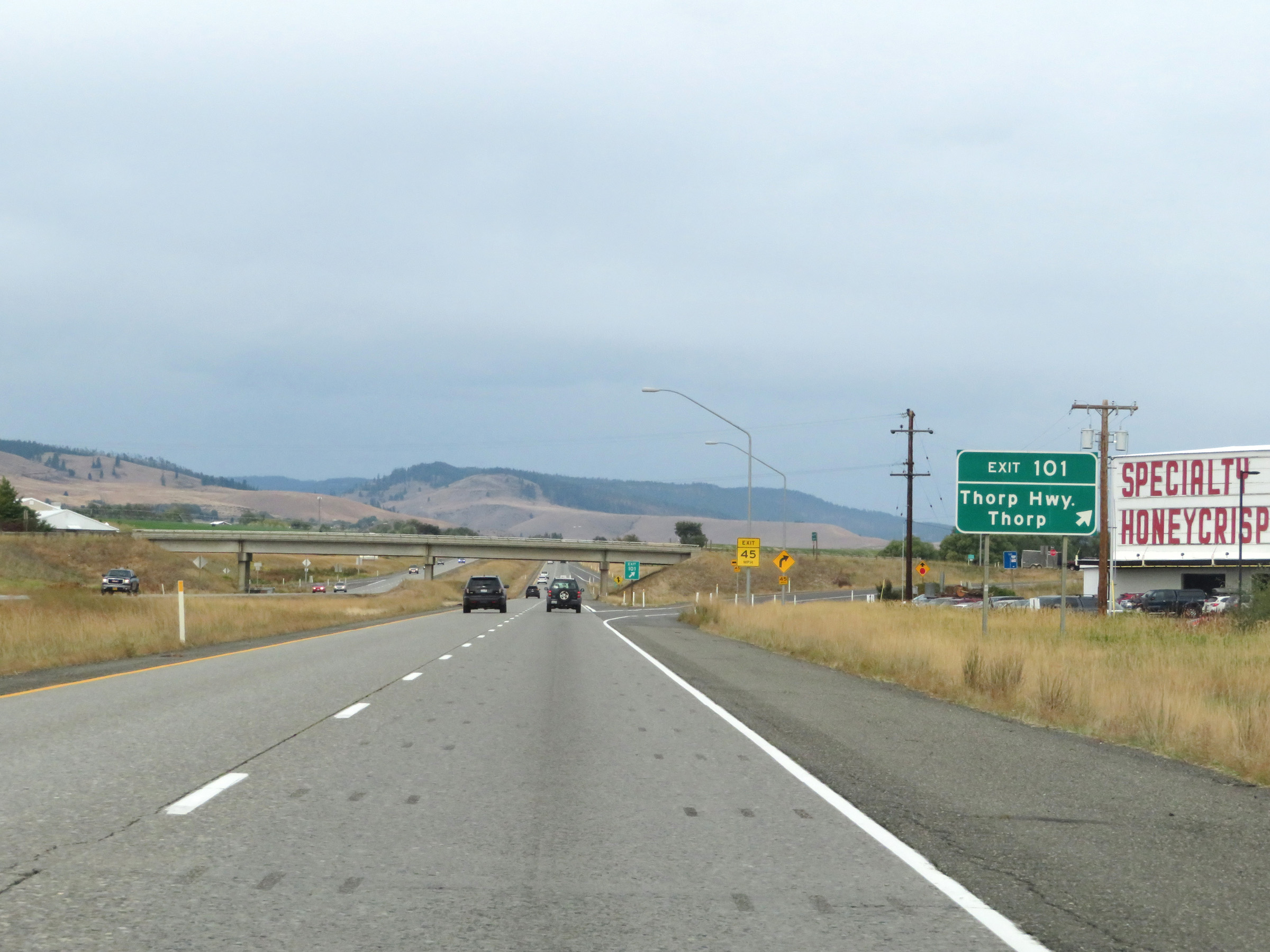 |
Interstate 90 West at Exit 101: Thorp Hwy / Thorp (Photo taken 9/22/19). |
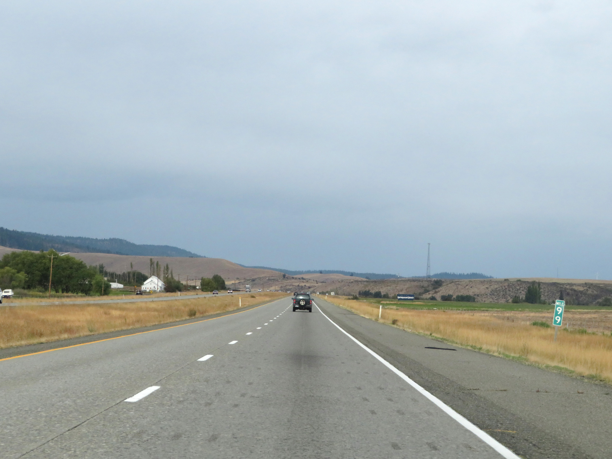 |
Interstate 90 West at mile marker 99. (Photo taken 9/22/19). |
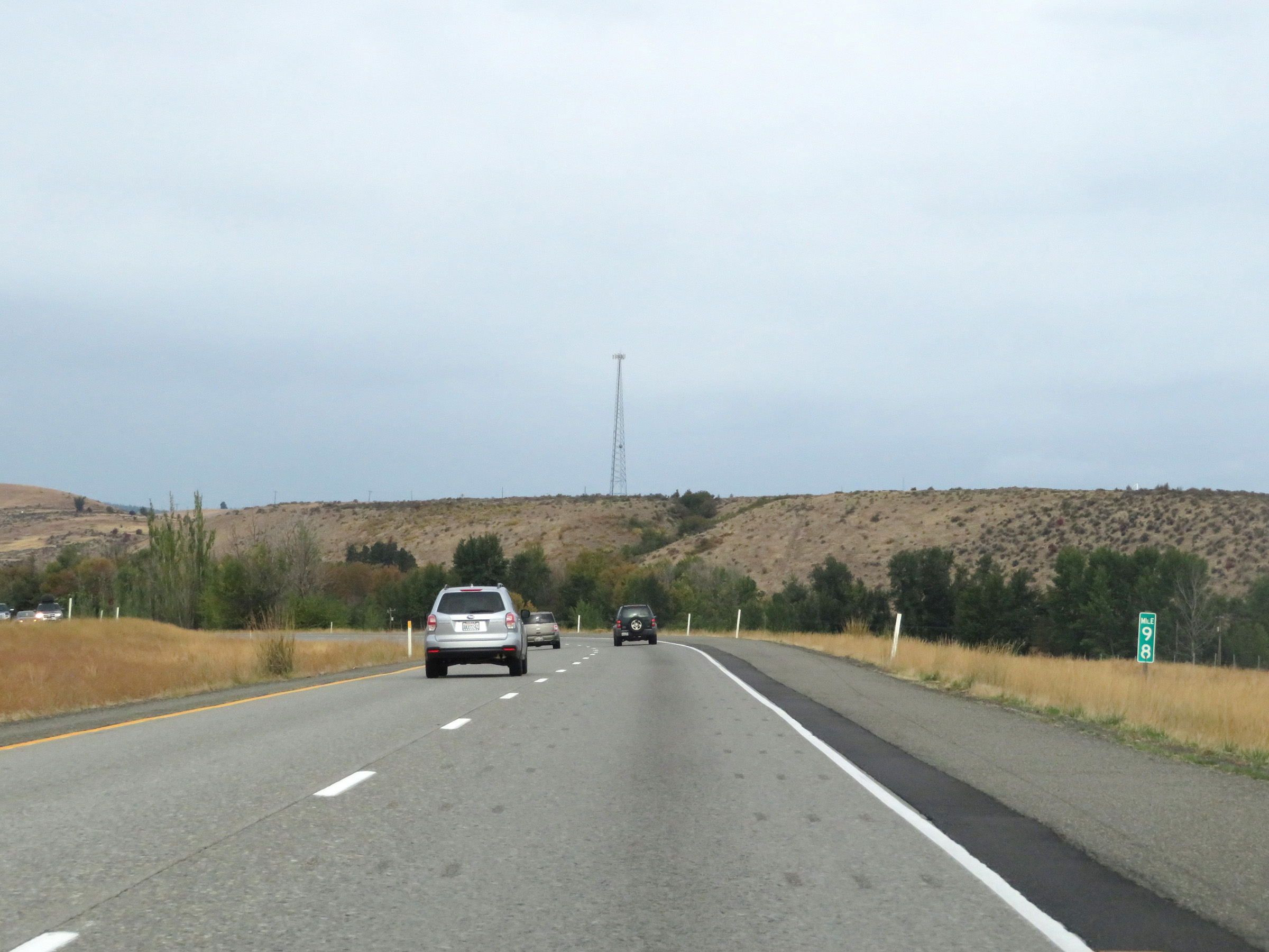 |
View on Interstate 90 West at mile marker 98. (Photo taken 9/22/19). |
 |
Near mile marker 75, a truck climbing lane appears as Interstate 90 West begins to climb what is known as Elk Heights. (Photo taken 9/22/19). |
 |
View on Interstate 90 West at mile marker 96 as it climbs Elk Heights. (Photo taken 9/22/19). |
 |
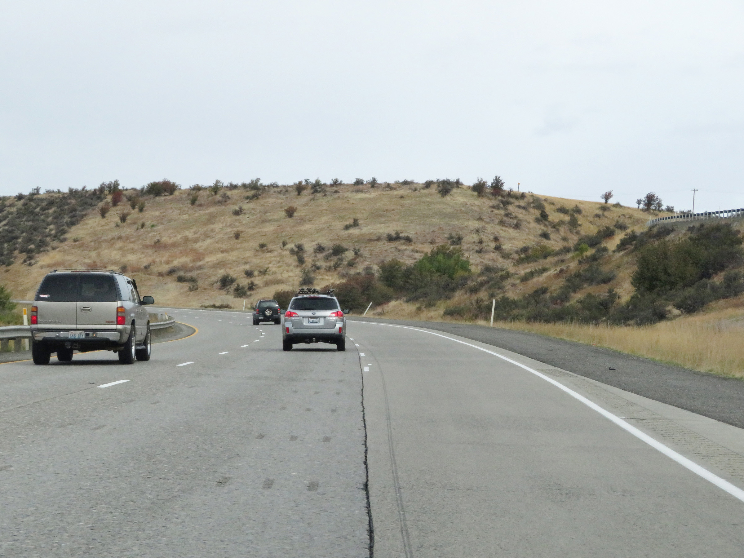
Interstate 90 West at mile marker 95. (Photo taken 9/22/19). |
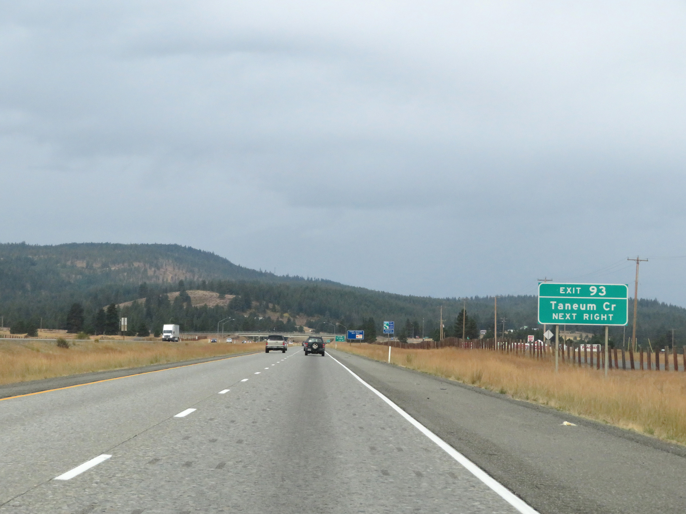 |
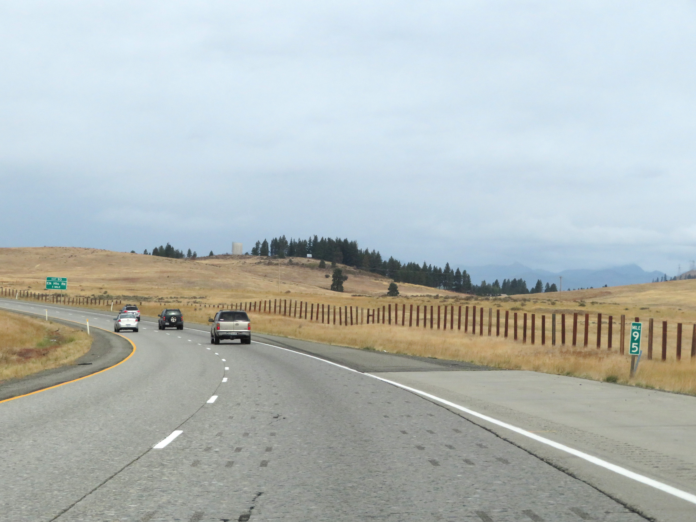
Take Exit 93 to Teneum Creek. (Photo taken 9/22/19). |
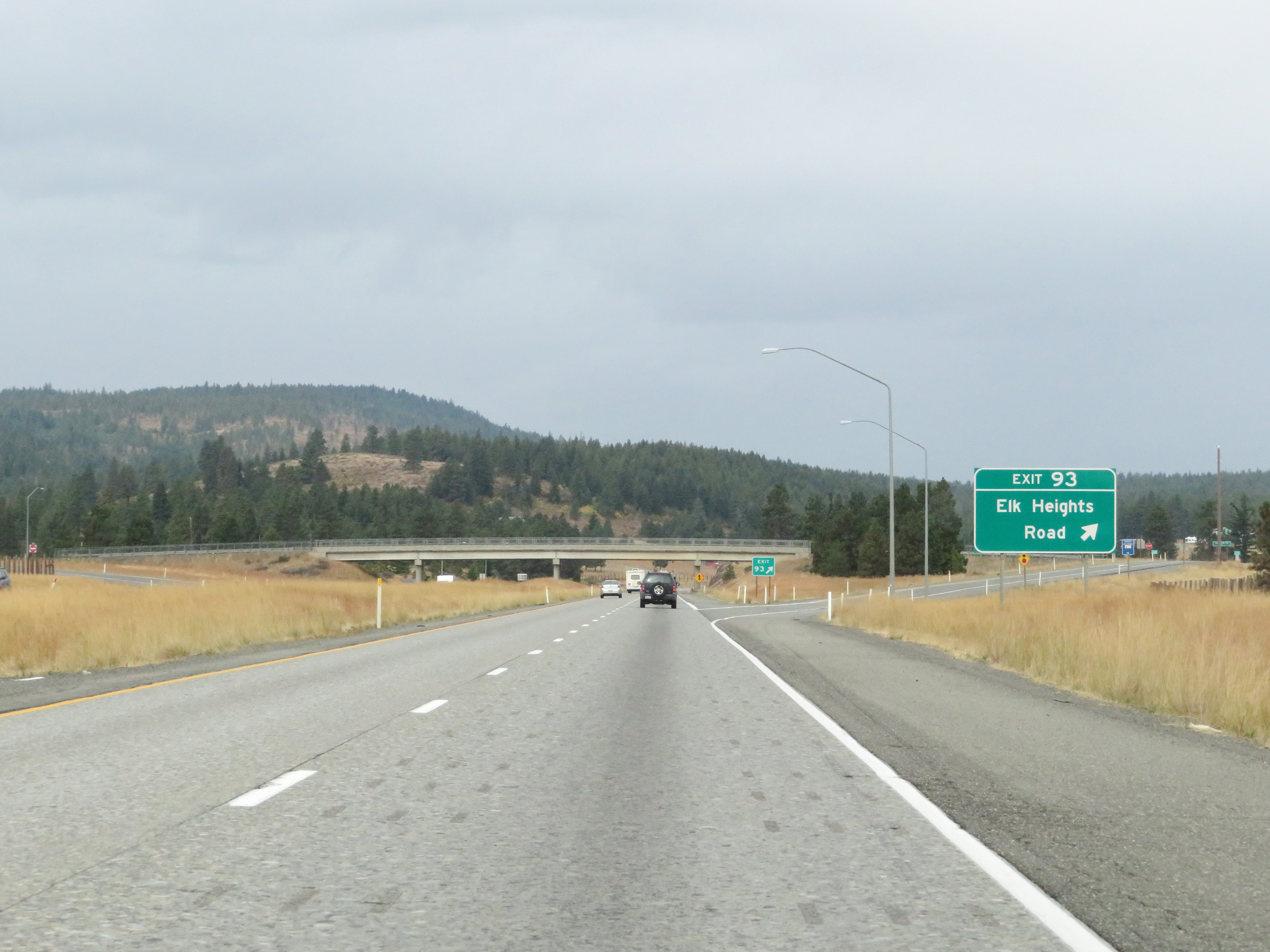 |
Interstate 90 West at Exit 93: Elk Heights Road (Photo taken 9/22/19). |
 |
Another Interstate 90 West reassurance shield. (Photo taken 9/22/19). |
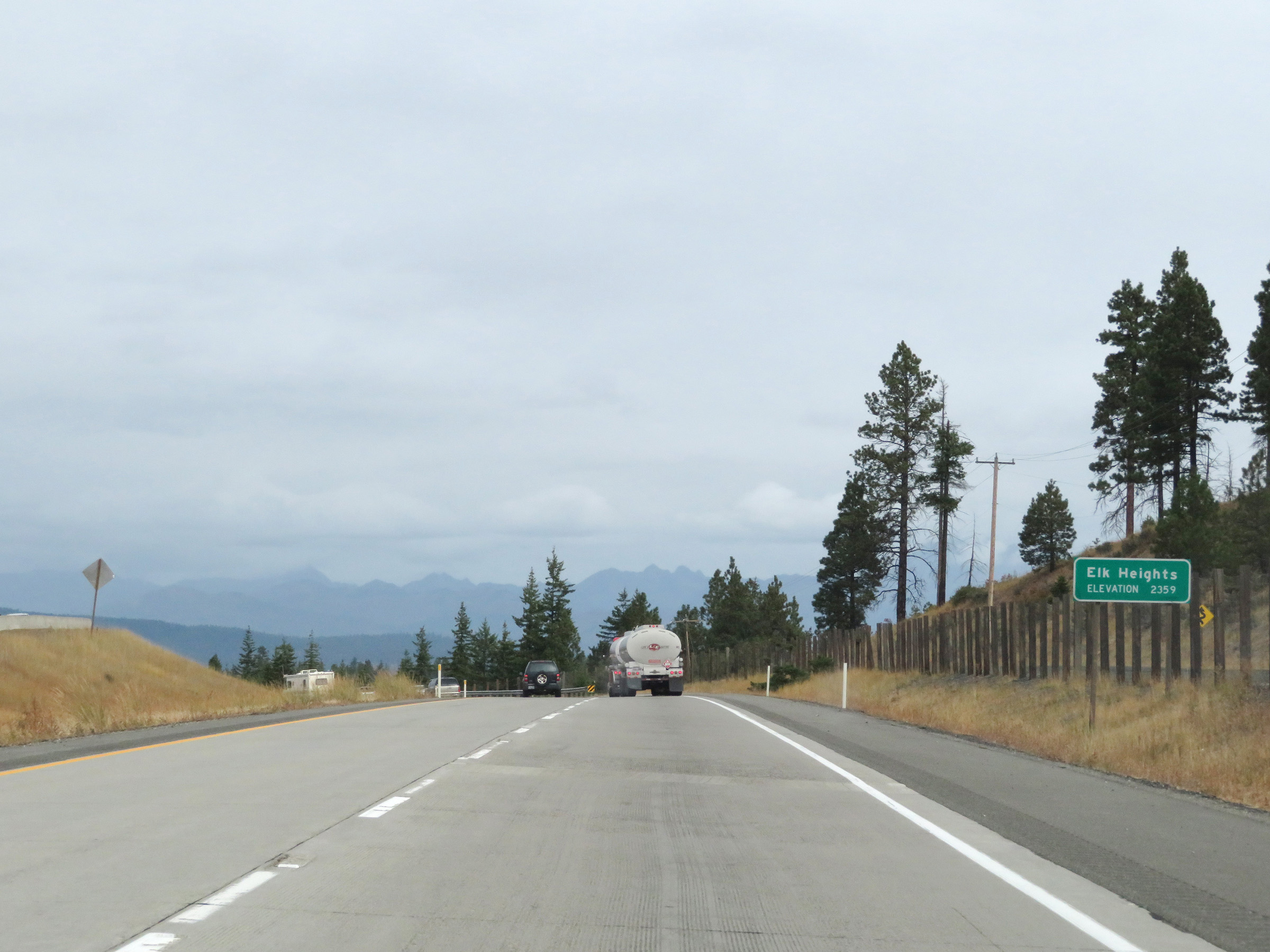 |
Interstate 90 West reaches the summit of Elk Heights at an elevation of 2,359 feet. (Photo taken 9/22/19). |
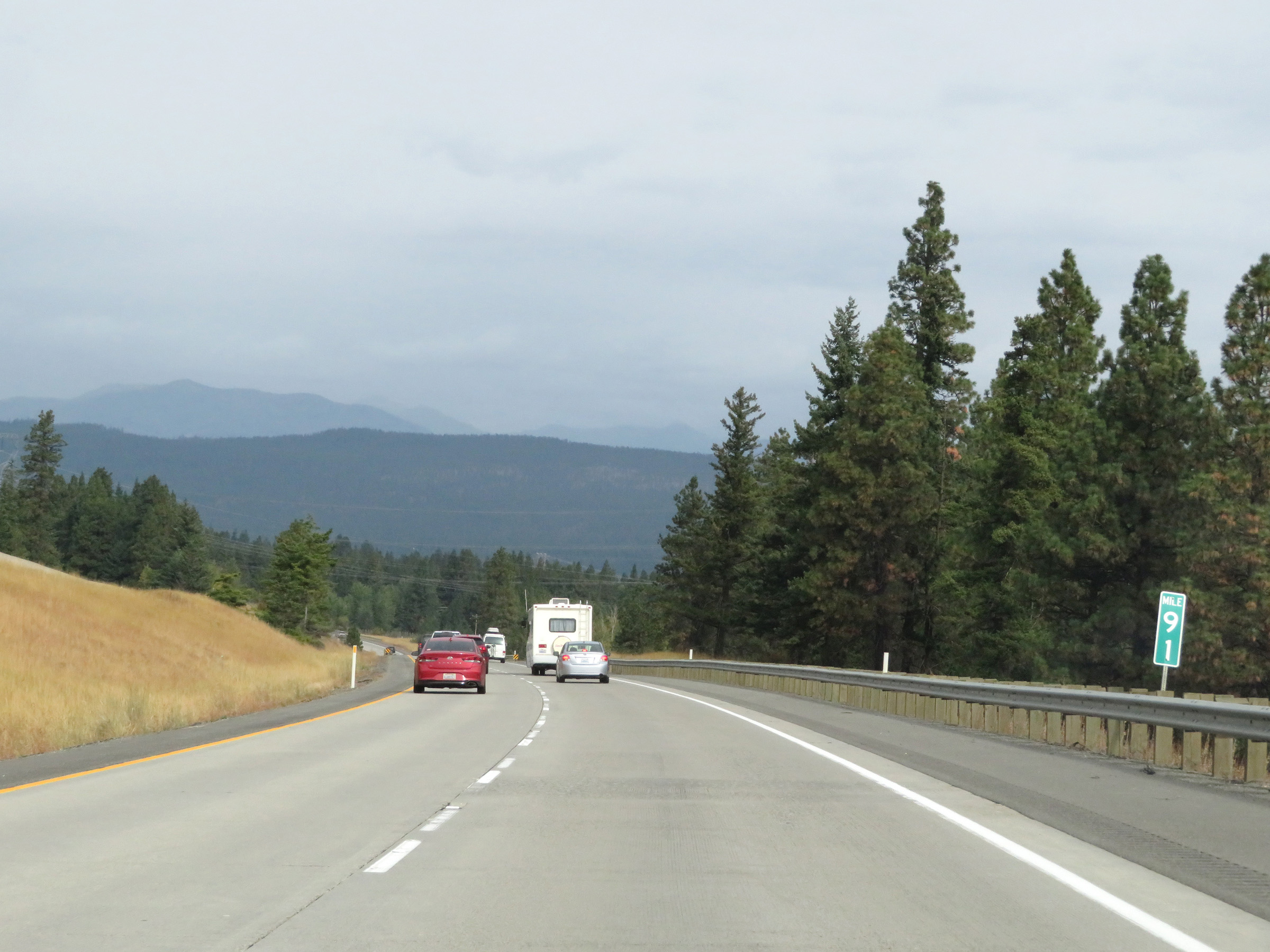 |
View on Interstate 90 West at mile marker 91. (Photo taken 9/22/19). |
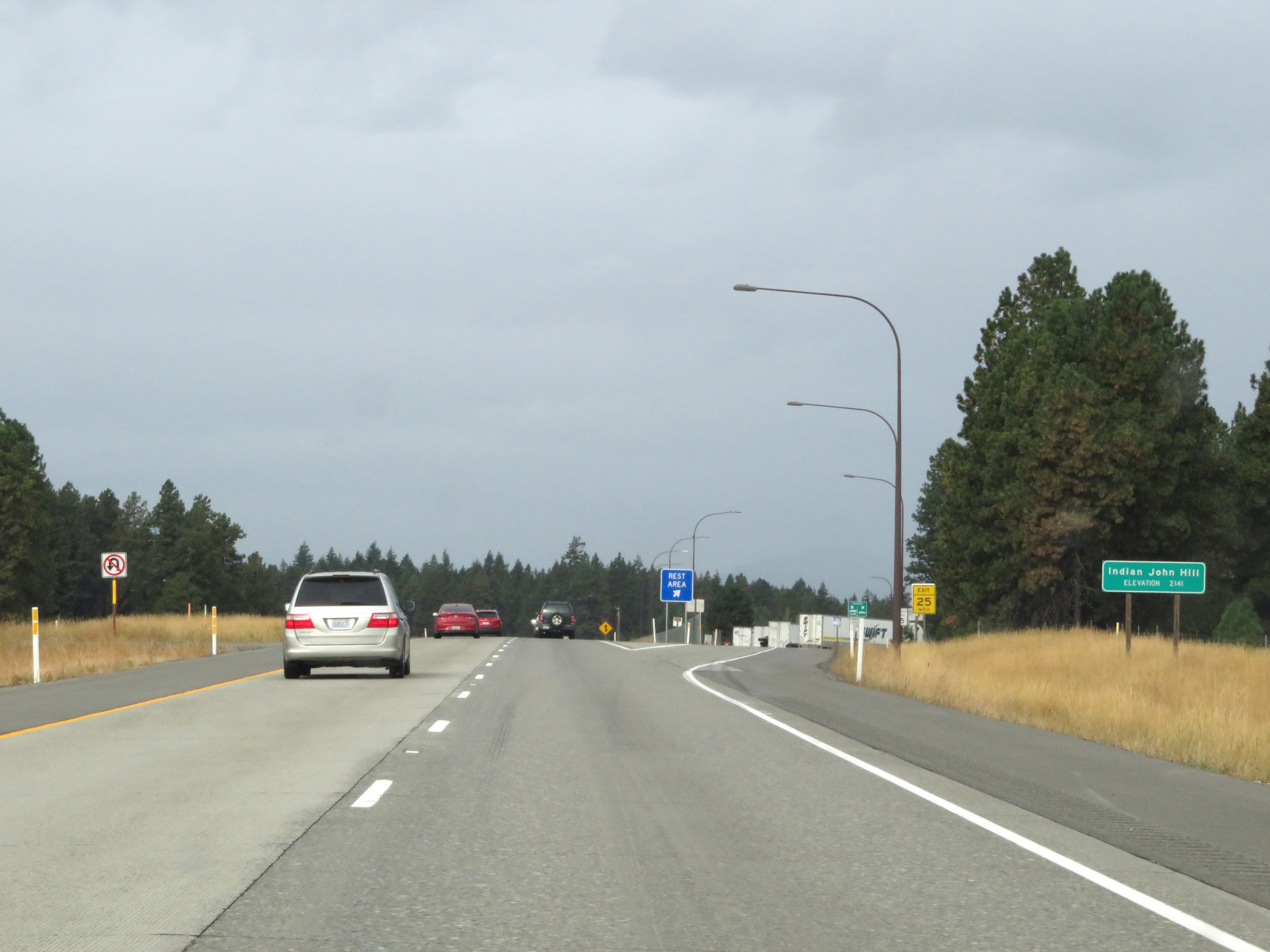 |
Rest Area on Interstate 90 West in Kittitas County at the summit of Indian John Hill, which is at an elevation of 2,141. (Photo taken 9/22/19). |
 |
Interstate 90 West at mile marker 88. (Photo taken 9/22/19). |
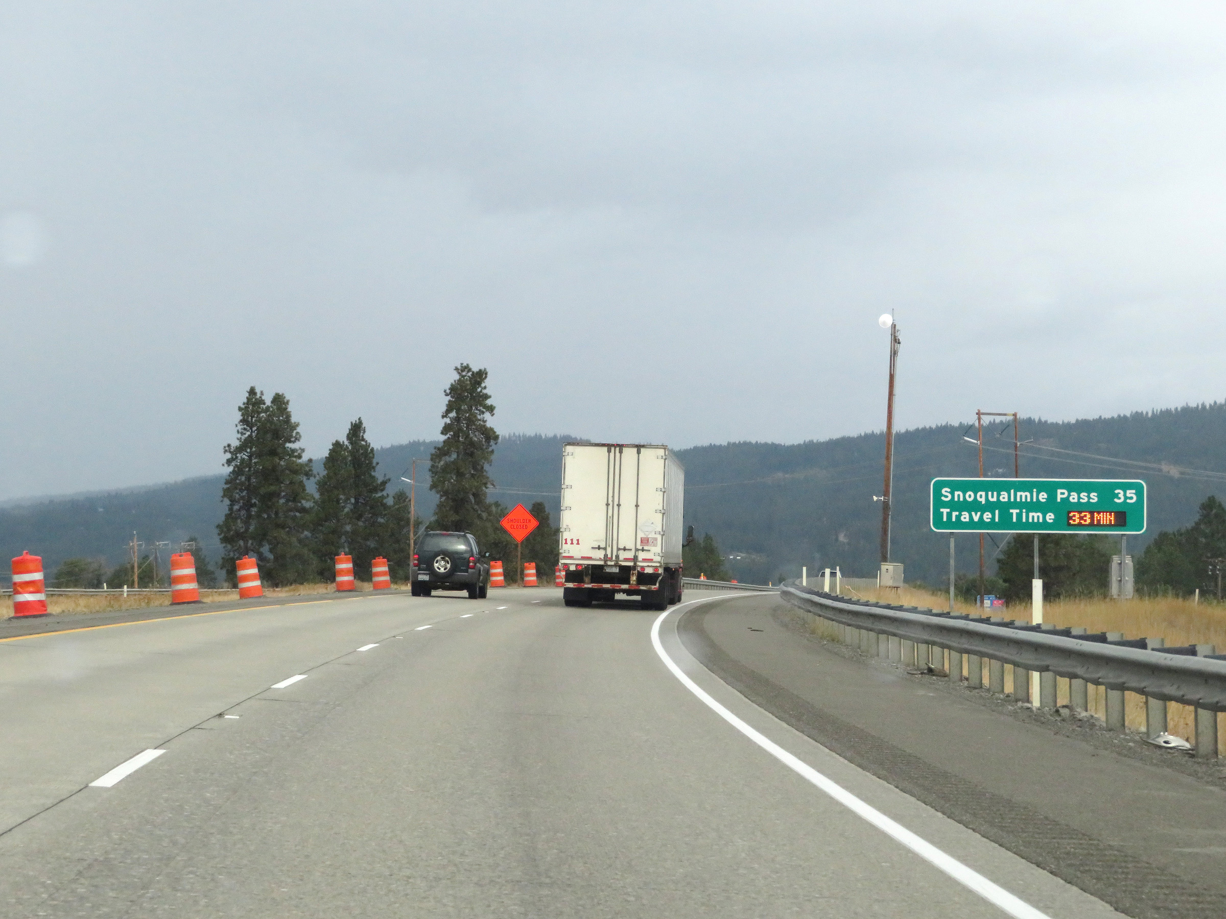 |
Another digital mileage sign showing the current estimated travel time to the summit of Snoqualmie Pass, which is now 35 miles ahead. (Photo taken 9/22/19). |
 |
Take Exit 85 to Leavenworth. (Photo taken 9/22/19). |
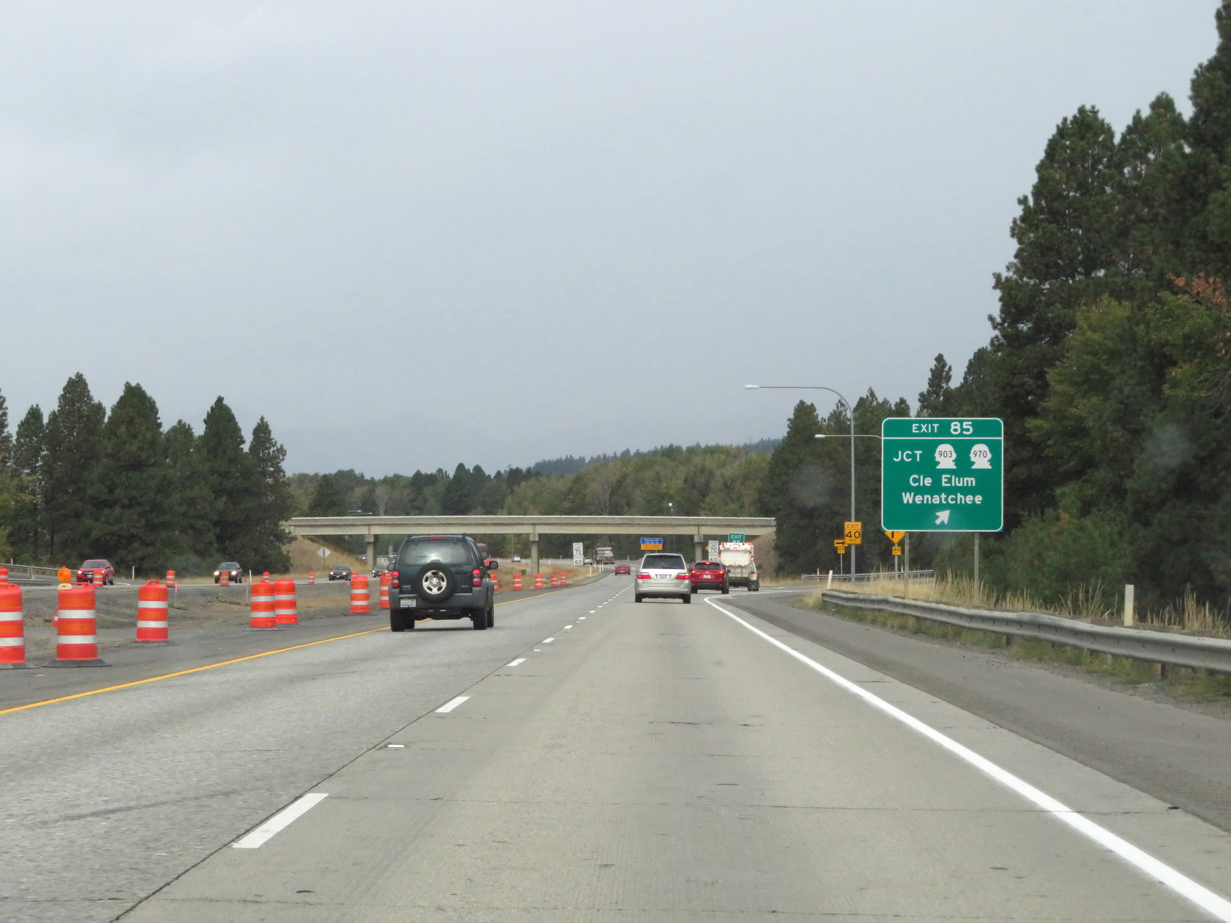 |
Interstate 90 West at Exit 85: WA 903 / WA 970 - Cle Elum / Wenatchee (Photo taken 9/22/19). |
 |
Take Exit 84 to South Cle Elum. (Photo taken 9/22/19). |
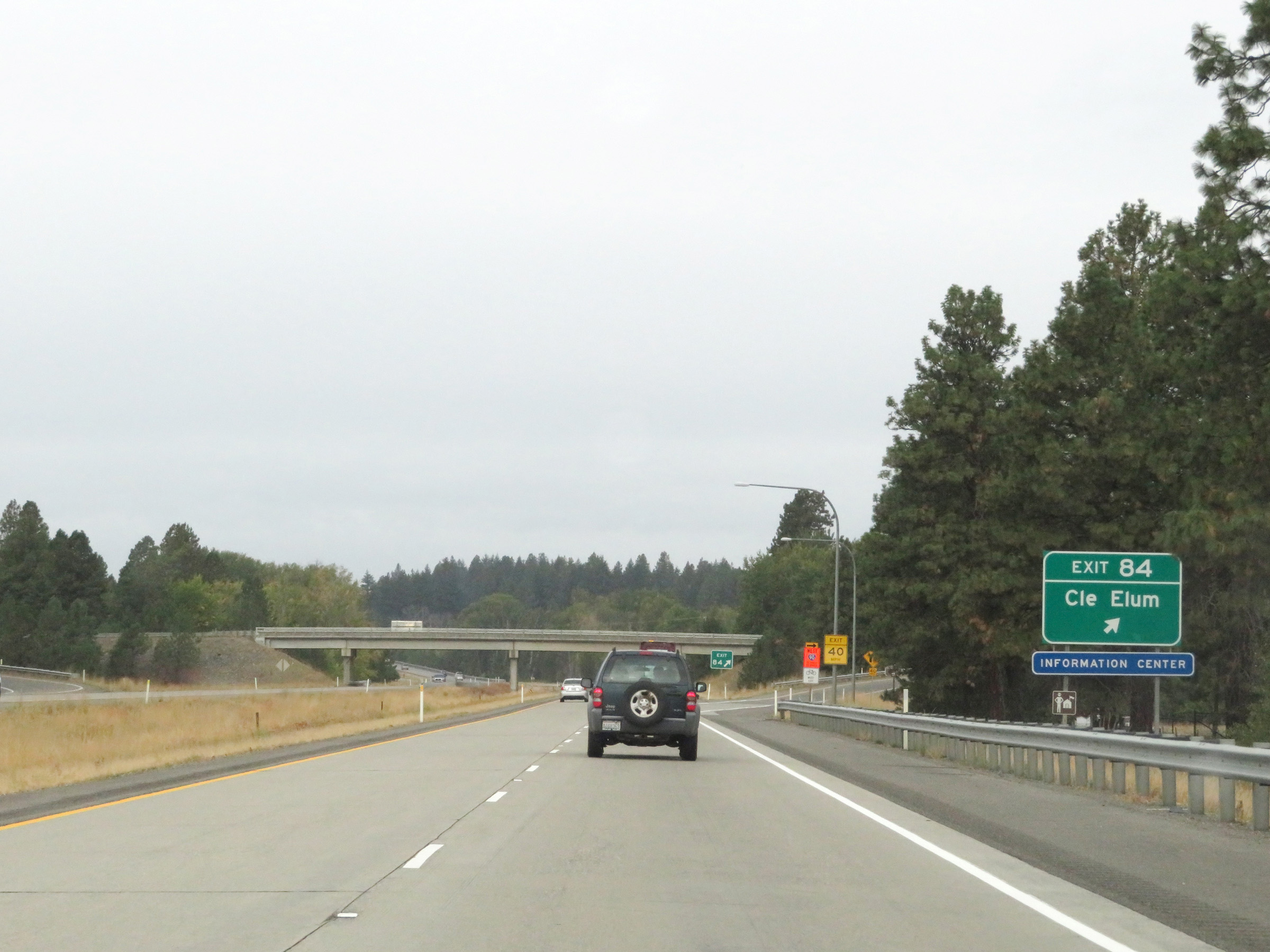 |
Interstate 90 West at Exit 84: Cle Elum (Photo taken 9/22/19). |
Section 5: Cle Elum (Exit 84) to North Bend (Exit 31)
 |
Mile marker 83 on Interstate 90 West in Kittitas County. (Photo taken 9/22/19). |
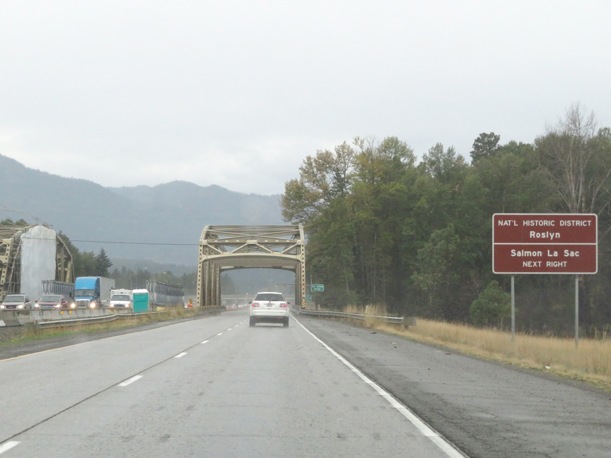 |
Take Exit 80 to Roslyn National Historic District and Salmon La Sac. Ahead, Interstate 90 West crosses the Cle Elum River. (Photo taken 9/22/19). |
 |
Interstate 90 West at Exit 80: Roslyn / Suncadia (Photo taken 9/22/19). |
 |
Weigh Station on Interstate 90 West in Kittitas County. (Photo taken 9/22/19). |
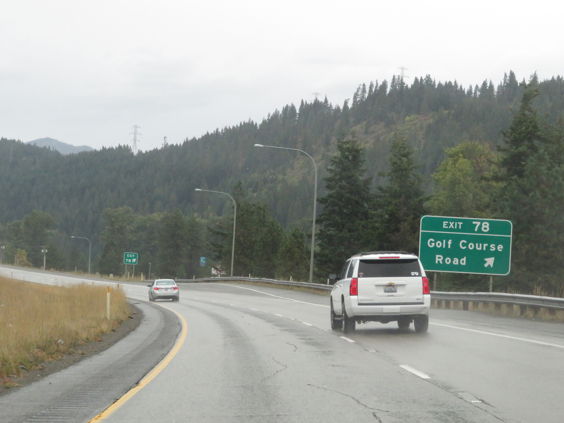 |
Interstate 90 West at Exit 78: Golf Course Road (Photo taken 9/22/19). |
 |
View on Interstate 90 West at mile marker 76. (Photo taken 9/22/19). |
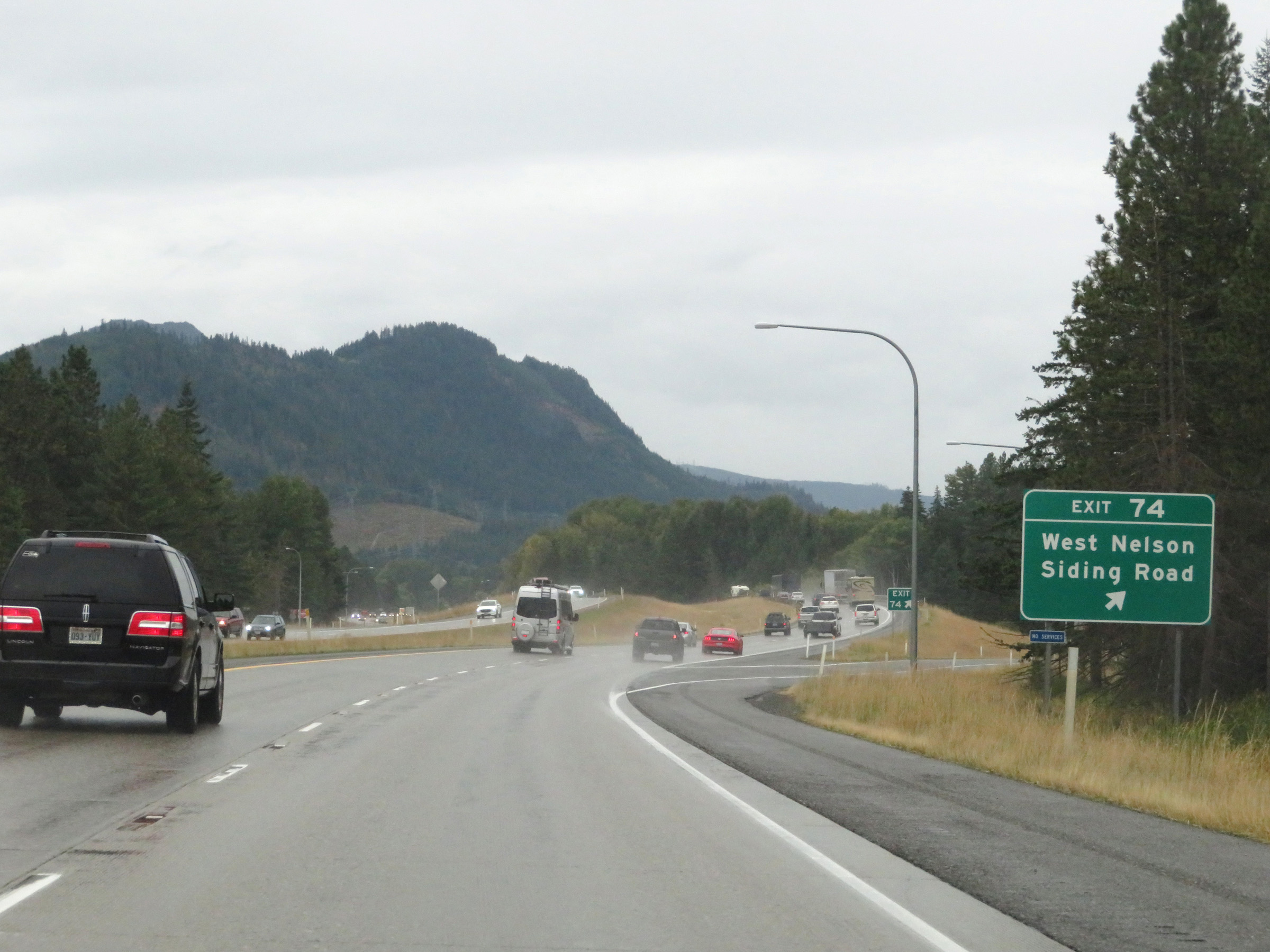 |
Interstate 90 West at Exit 74: West Nelson Siding Road (Photo taken 9/22/19). |
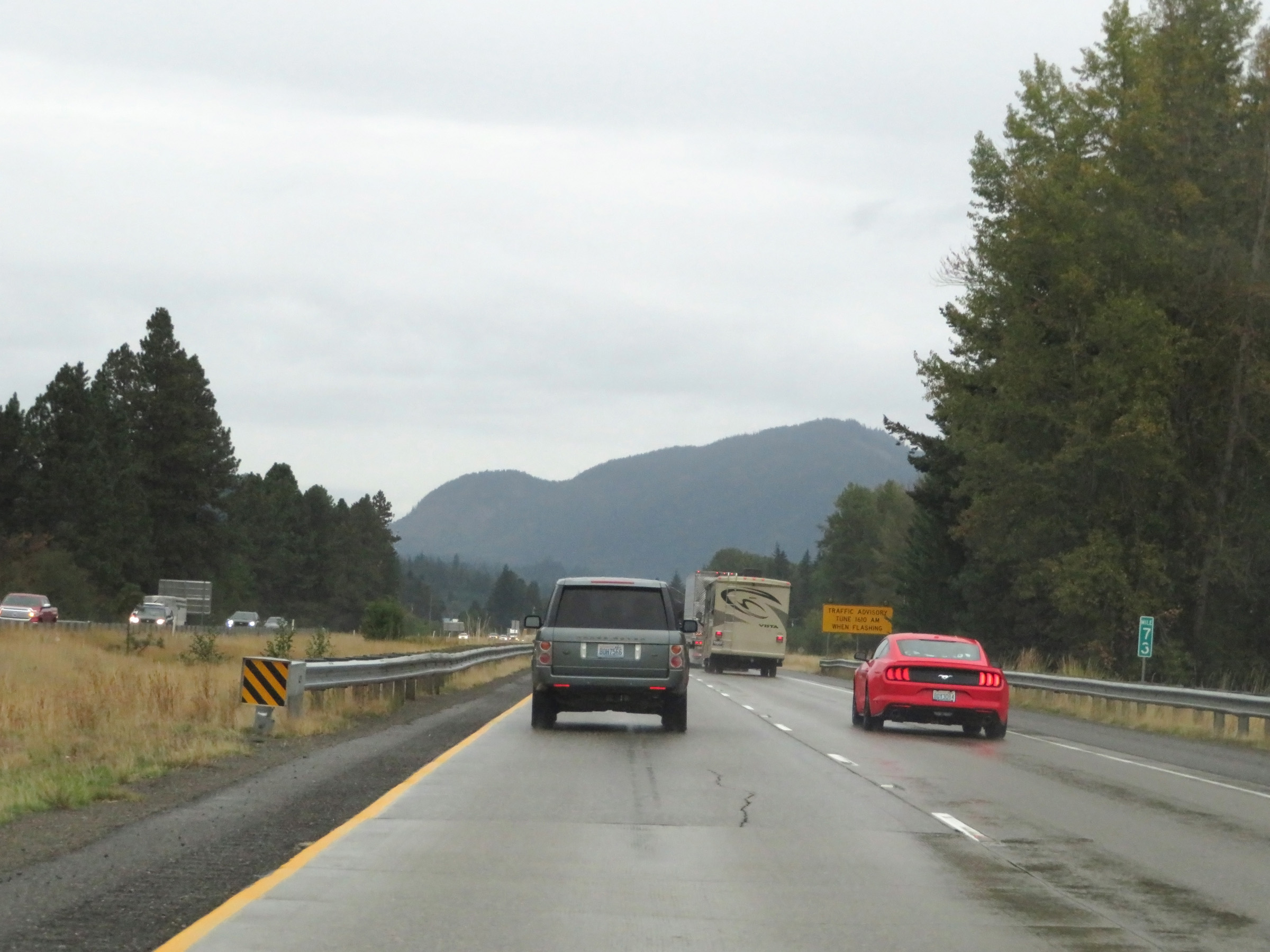 |
Interstate 90 West at mile marker 73. (Photo taken 9/22/19). |
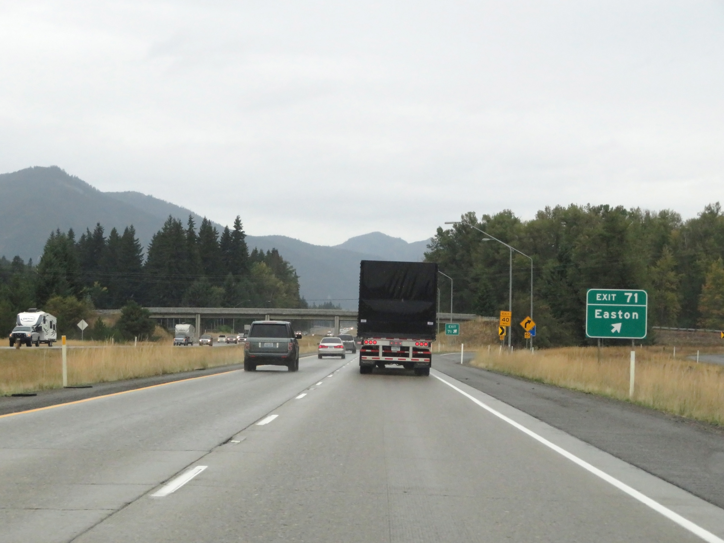 |
Interstate 90 West at Exit 71: Easton (Photo taken 9/22/19). |
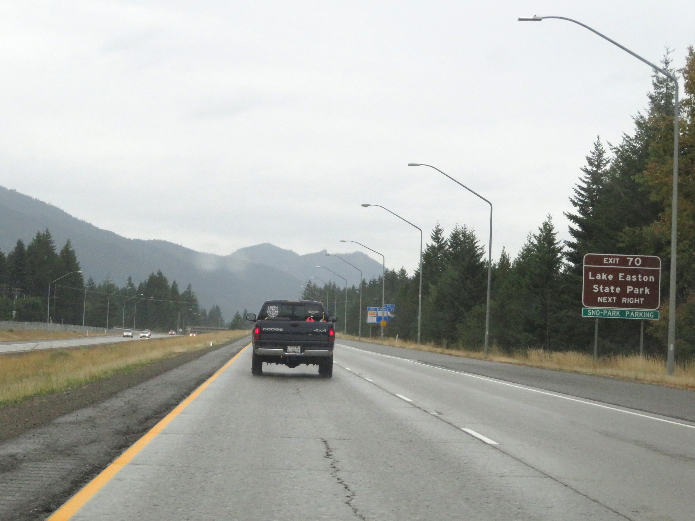 |
Take Exit 70 to Lake Easton State Park. (Photo taken 9/22/19). |
 |
Interstate 90 West at Exit 70: Easton / Sparks Rd (Photo taken 9/22/19). |
 |
Ahead, as Interstate 90 West begins its long climb of Snoqualmie Pass, variable speed limits are used. (Photo taken 9/22/19). |
 |
Interstate 90 West as it enters Wenatchee National Forest and climbs Snoqualmie Pass. (Photo taken 9/22/19). |
 |
View on Interstate 90 West as it makes its way up Snoqualmie Pass. (Photo taken 9/22/19). |
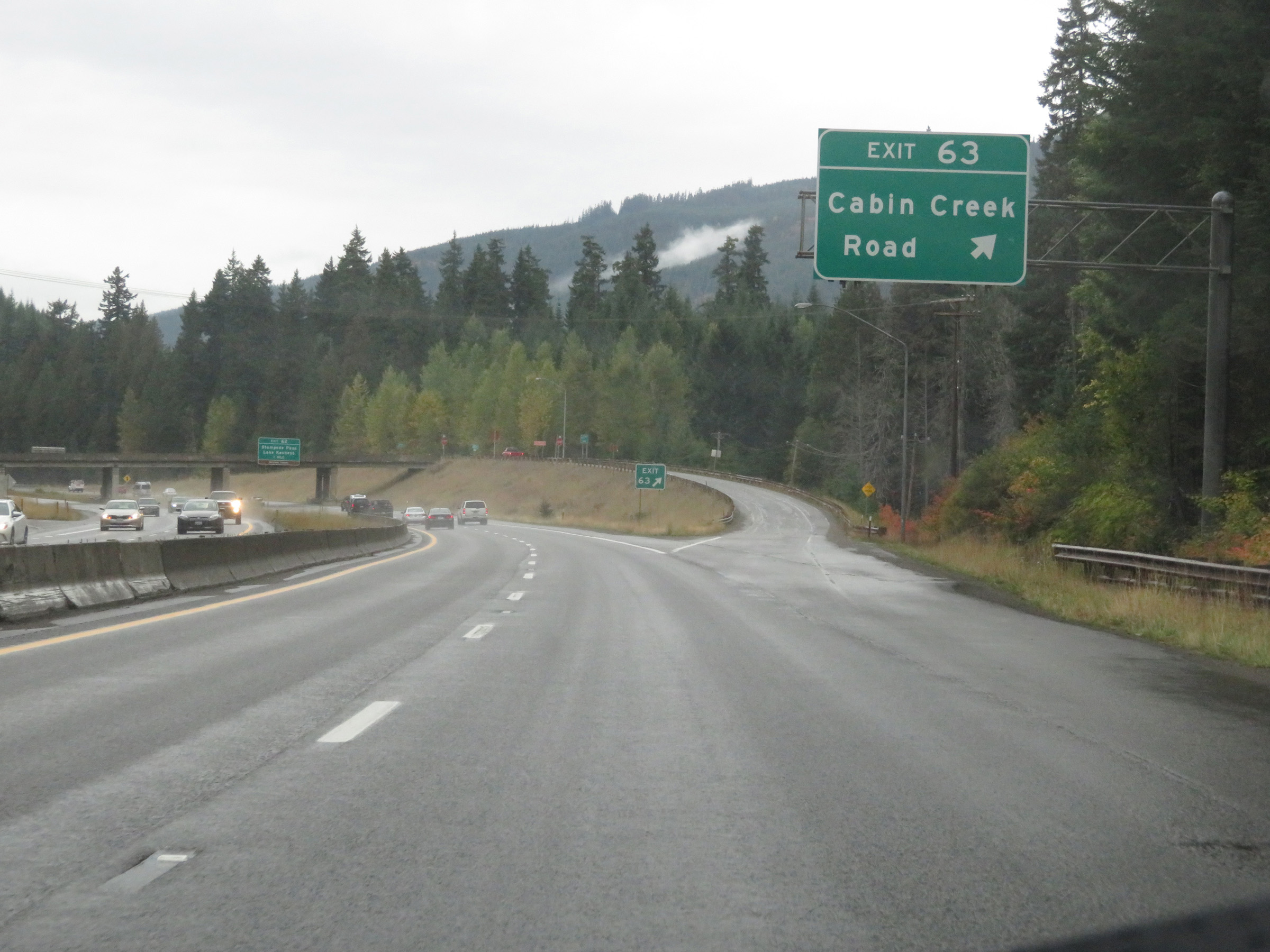 |
Interstate 90 West at Exit 63: Cabin Creek Road (Photo taken 9/22/19). |
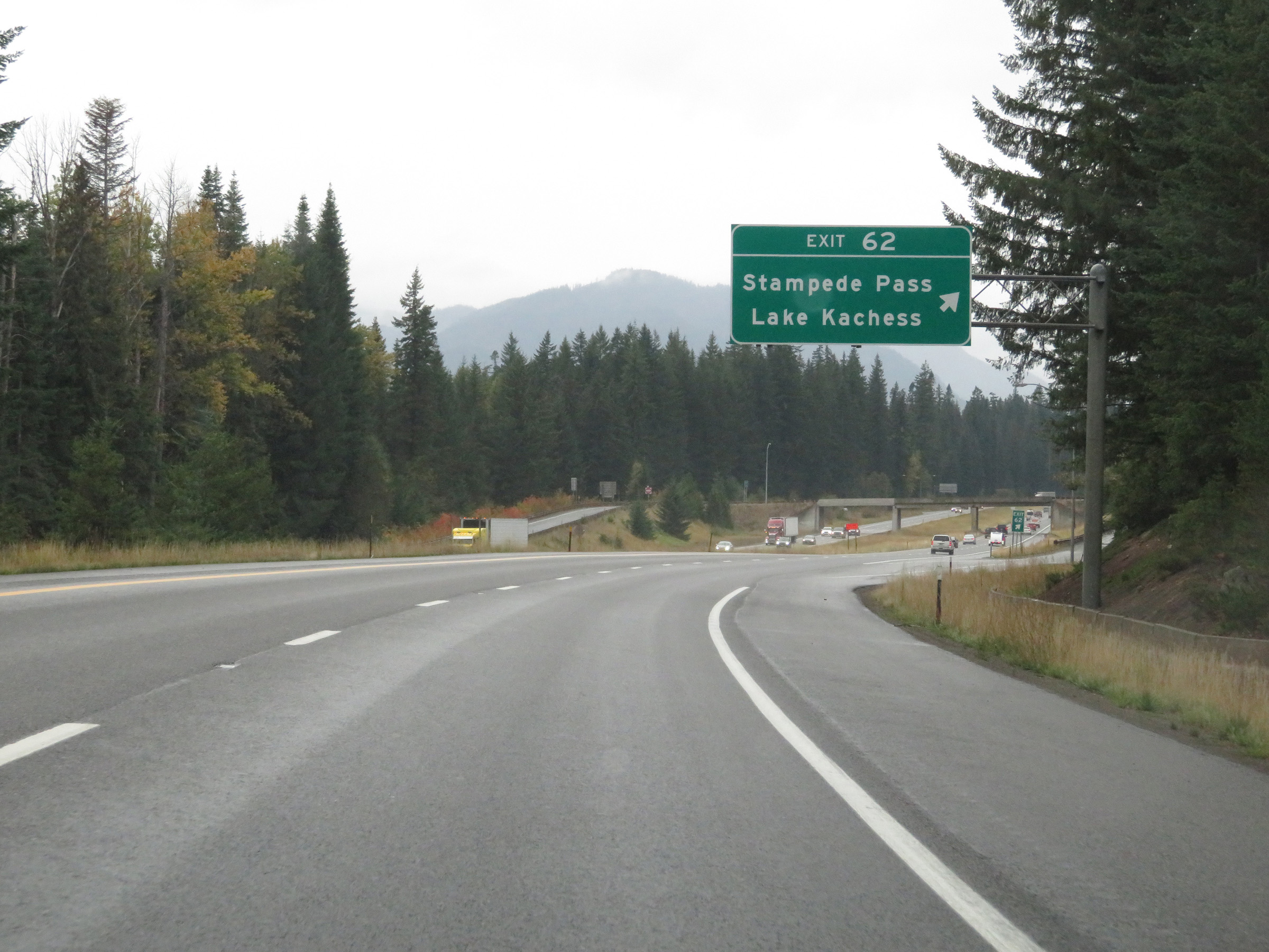 |
Interstate 90 West at Exit 62: Stampede Pass / Lake Kachess (Photo taken 9/22/19). |
 |
Interstate 90 West reassurance shield. (Photo taken 9/22/19). |
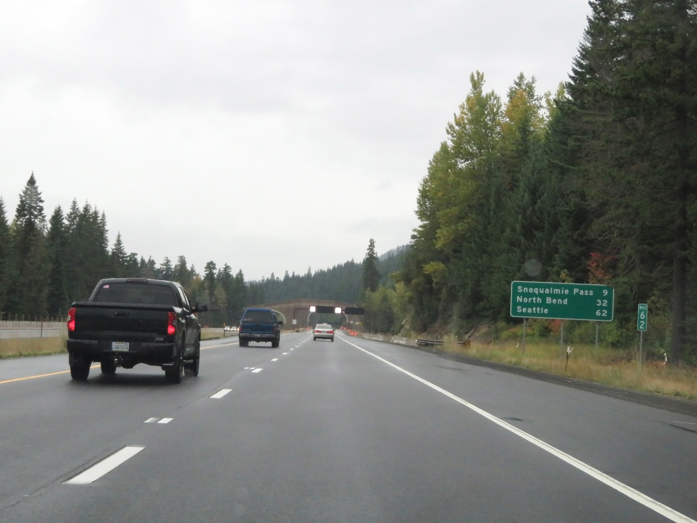 |
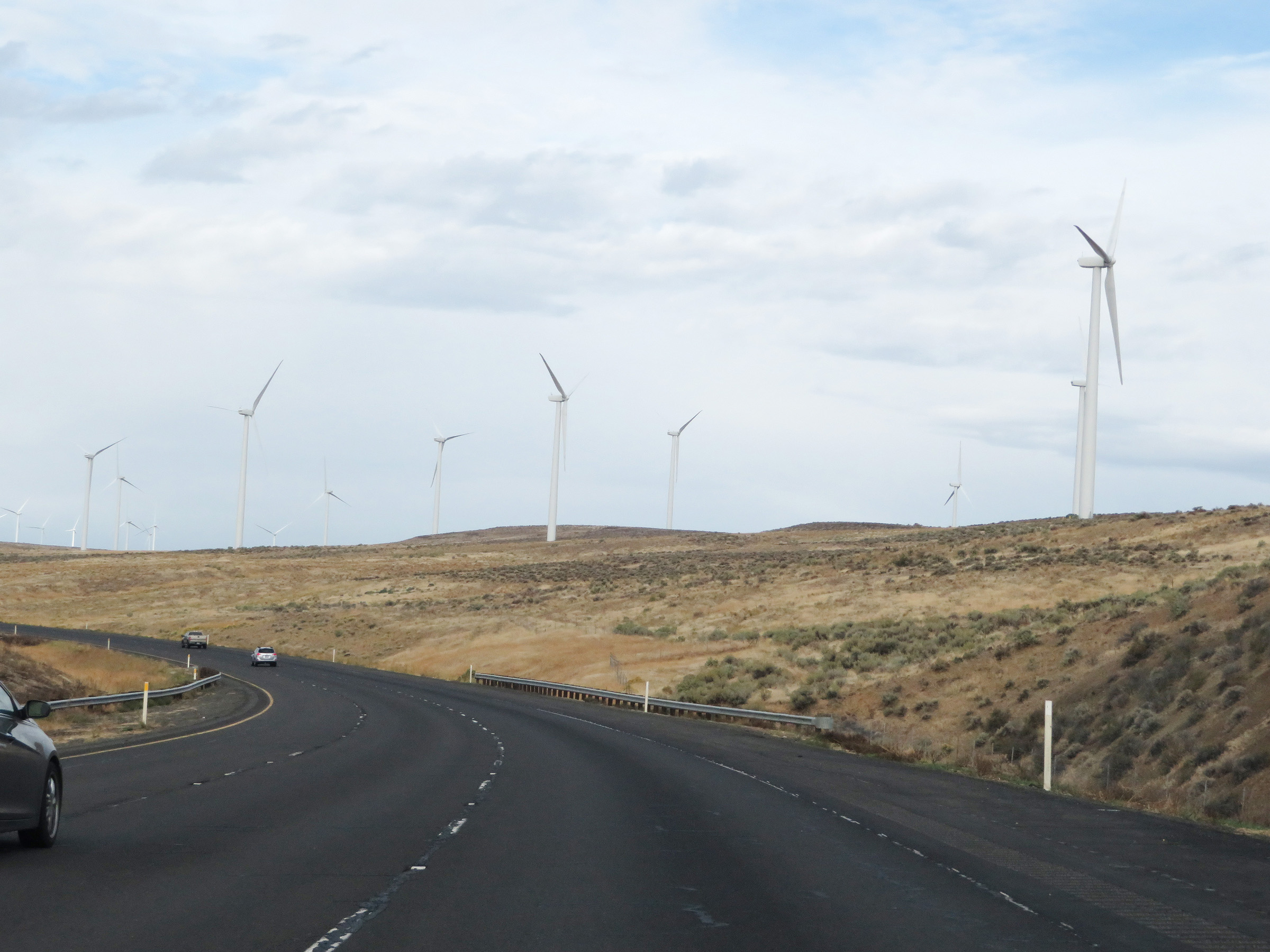
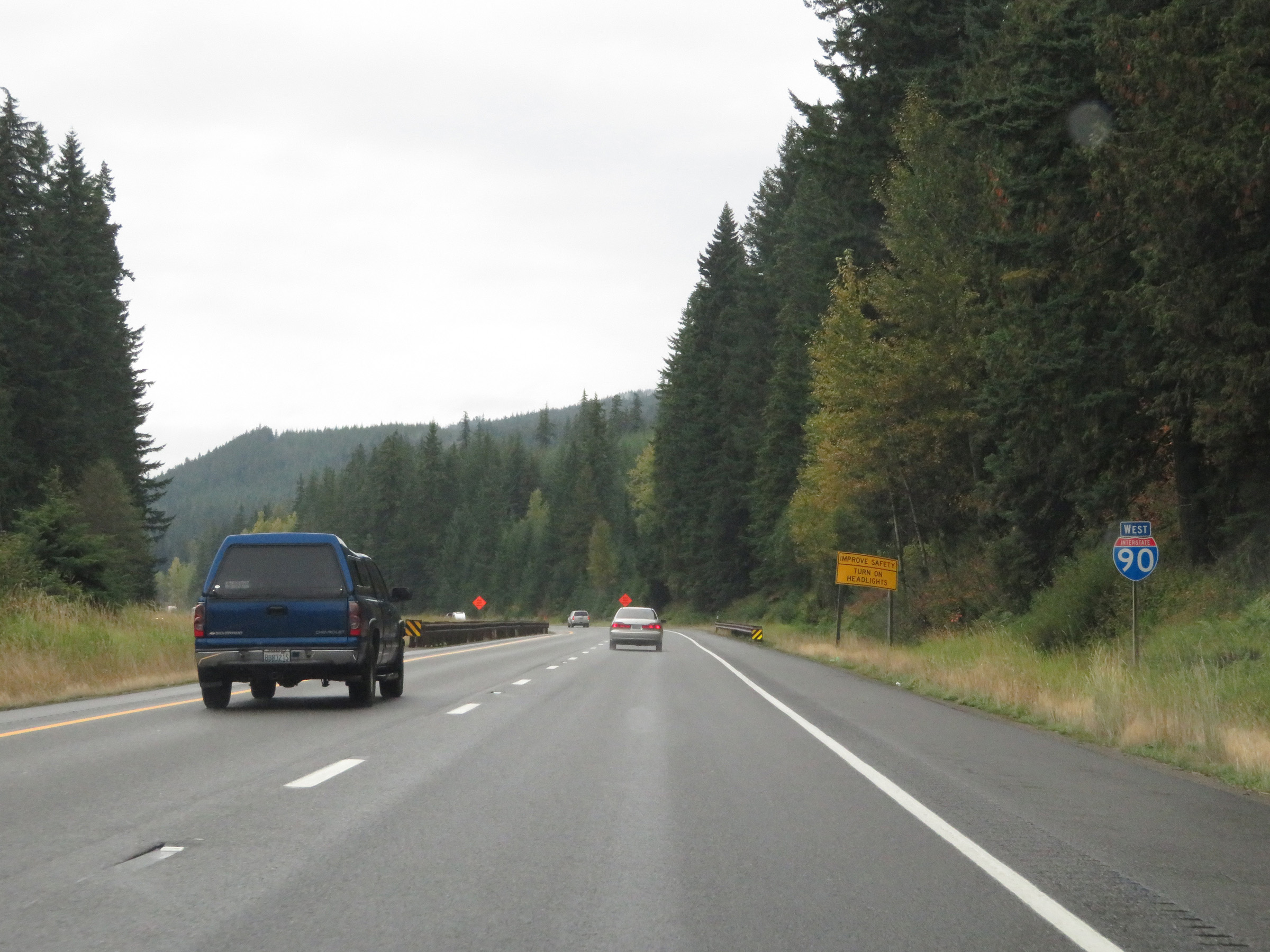
Mileage sign at mile marker 62. It's 9 miles to the summit of Snoqualmie Pass, 32 miles to North Bend, and 62 miles to Seattle. (Photo taken 9/22/19). |
 |
As Interstate 90 West makes its way up Snoqualmie Pass, there are multiple Chain-Up Areas on the shoulder like the one seen here. (Photo taken 9/22/19). |
 |
View on Interstate 90 West as it continues up the gradual climb of Snoqualmie Pass. (Photo taken 9/22/19). |
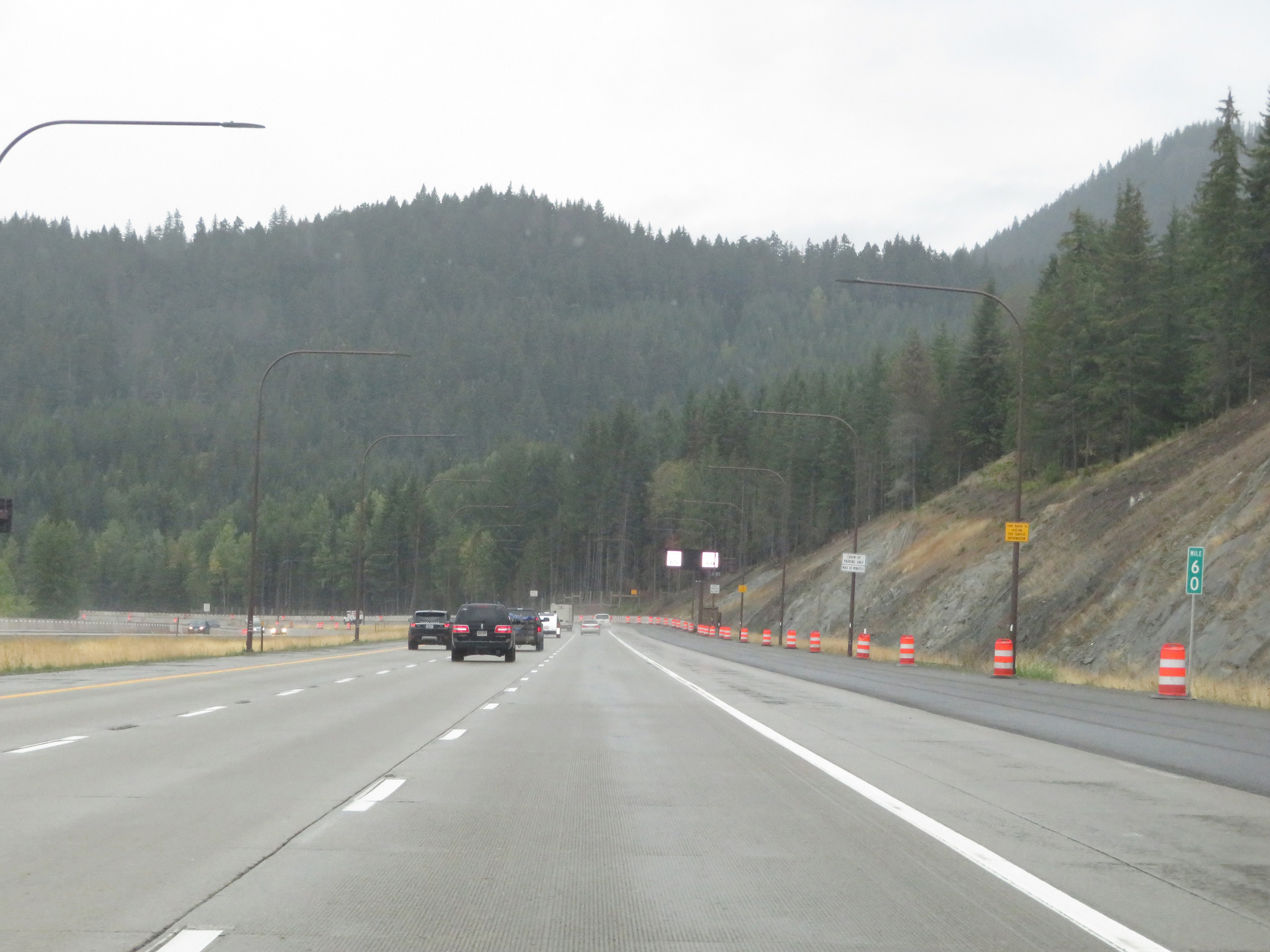 |
View on Interstate 90 West at mile marker 60, as we see more Chain-Up Areas on the shoulder. (Photo taken 9/22/19). |
 |
Interstate 90 West at mile marker 59. (Photo taken 9/22/19). |
 |
View on Interstate 90 West at mile marker 58. (Photo taken 9/22/19). |
 |
Another Chain-Up Area on the should as Interstate 90 West continues to climb Snoqualmie Pass. (Photo taken 9/22/19). |
 |
Interstate 90 West at mile marker 56, as we see the Chain-Up Areas on the shoulder continue. (Photo taken 9/22/19). |
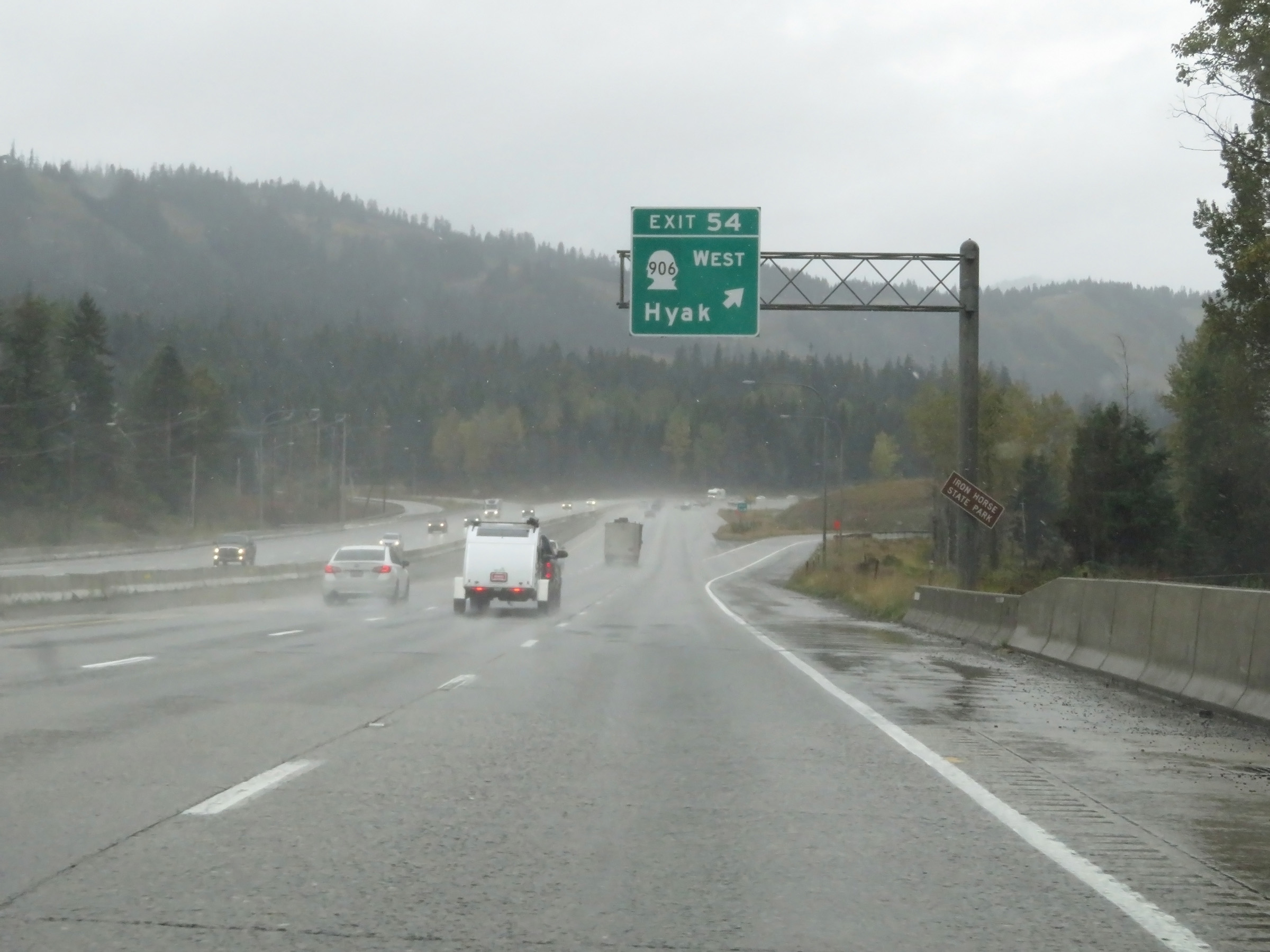 |
Interstate 90 West at Exit 54: WA 906 West - Hyak (Photo taken 9/22/19). |
 |
View on Interstate 90 West as it begins to approach the summit of Snoqualmie Pass. (Photo taken 9/22/19). |
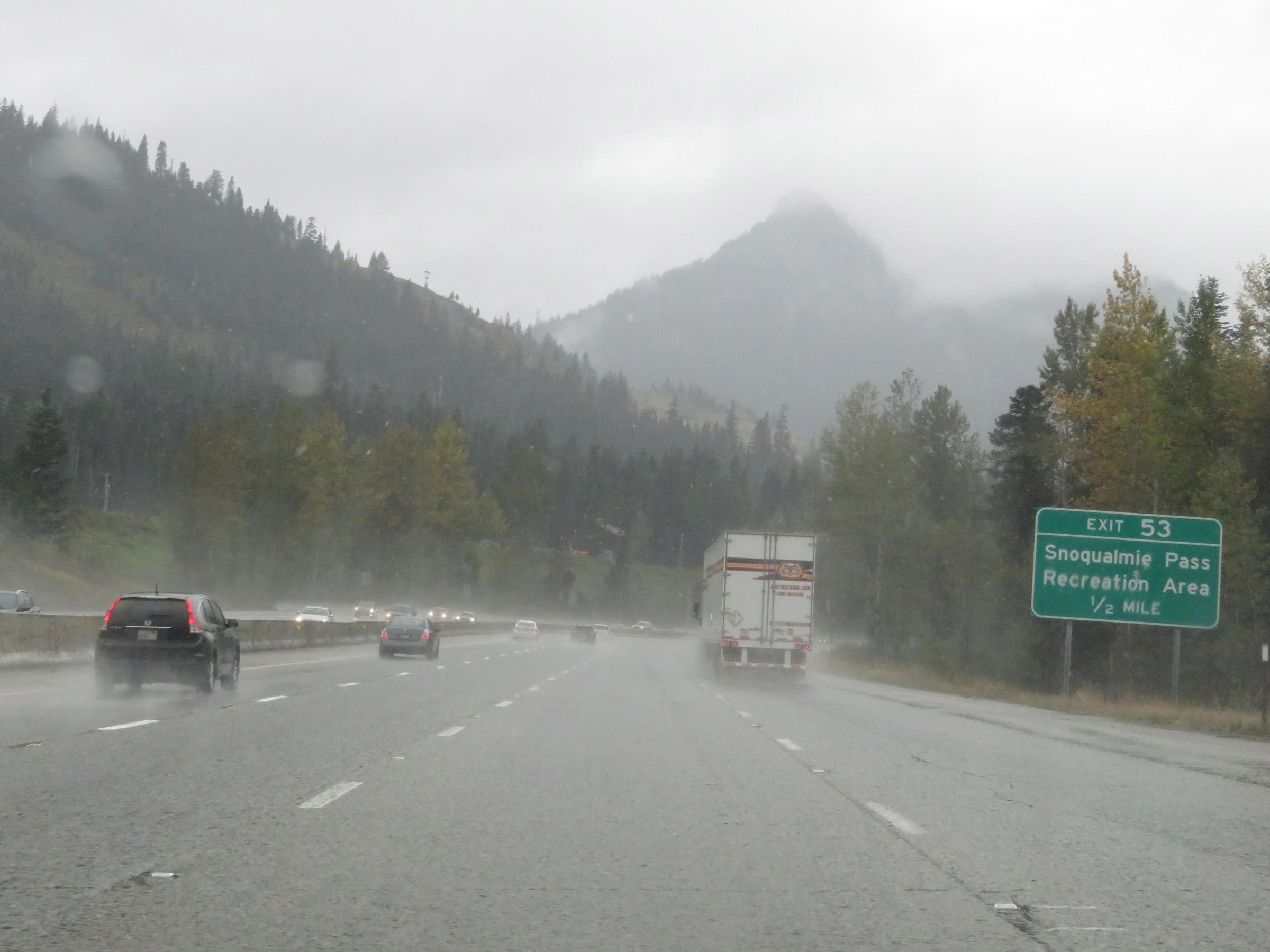 |
Take Exit 53 to Snoqualmie Pass Recreation Area. (Photo taken 9/22/19). |
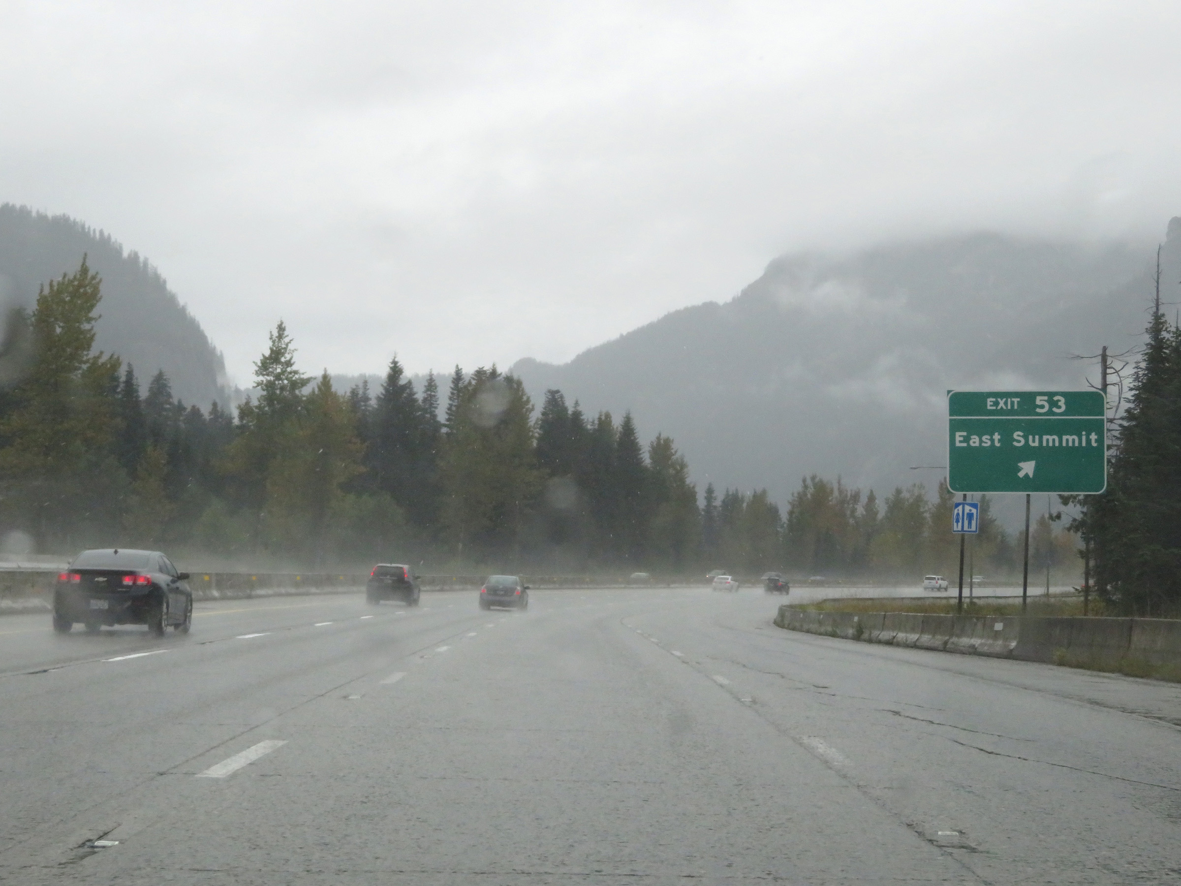 |
Interstate 90 West at Exit 53: East Summit (Photo taken 9/22/19). |
 |
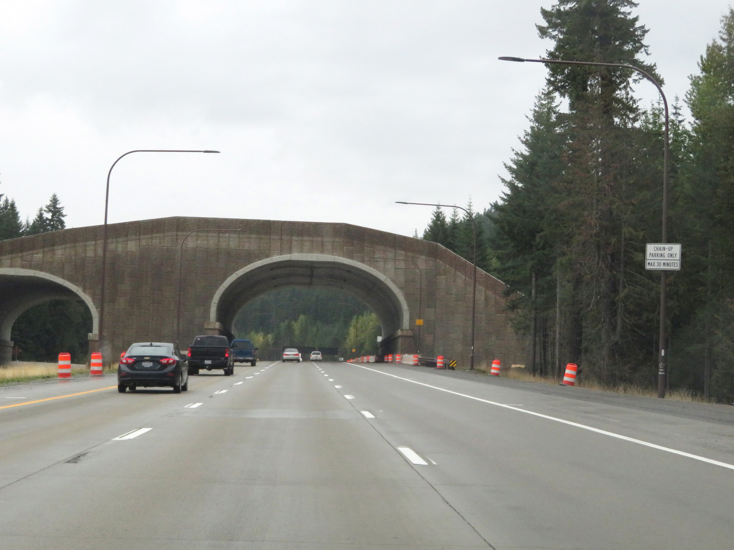
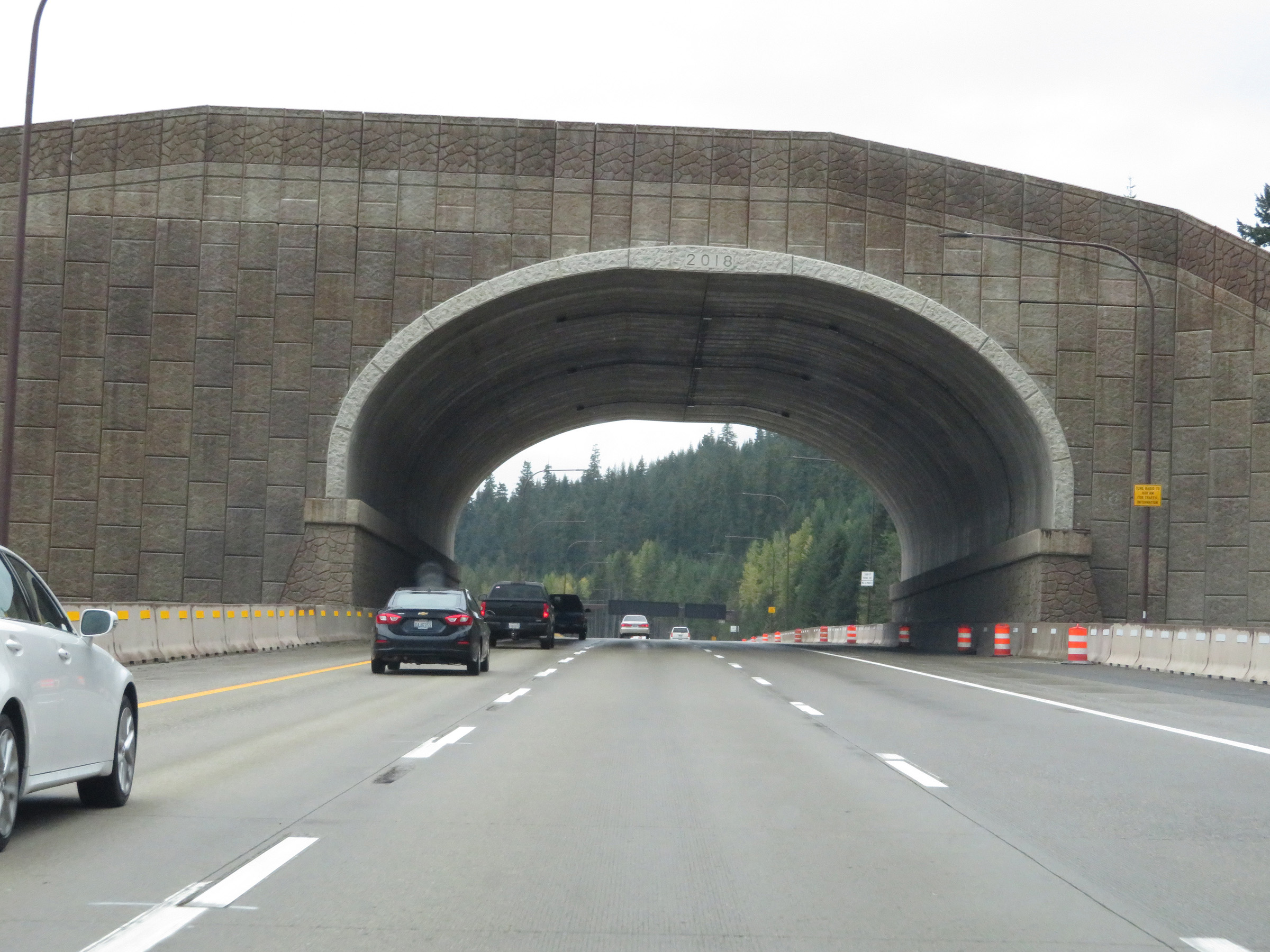
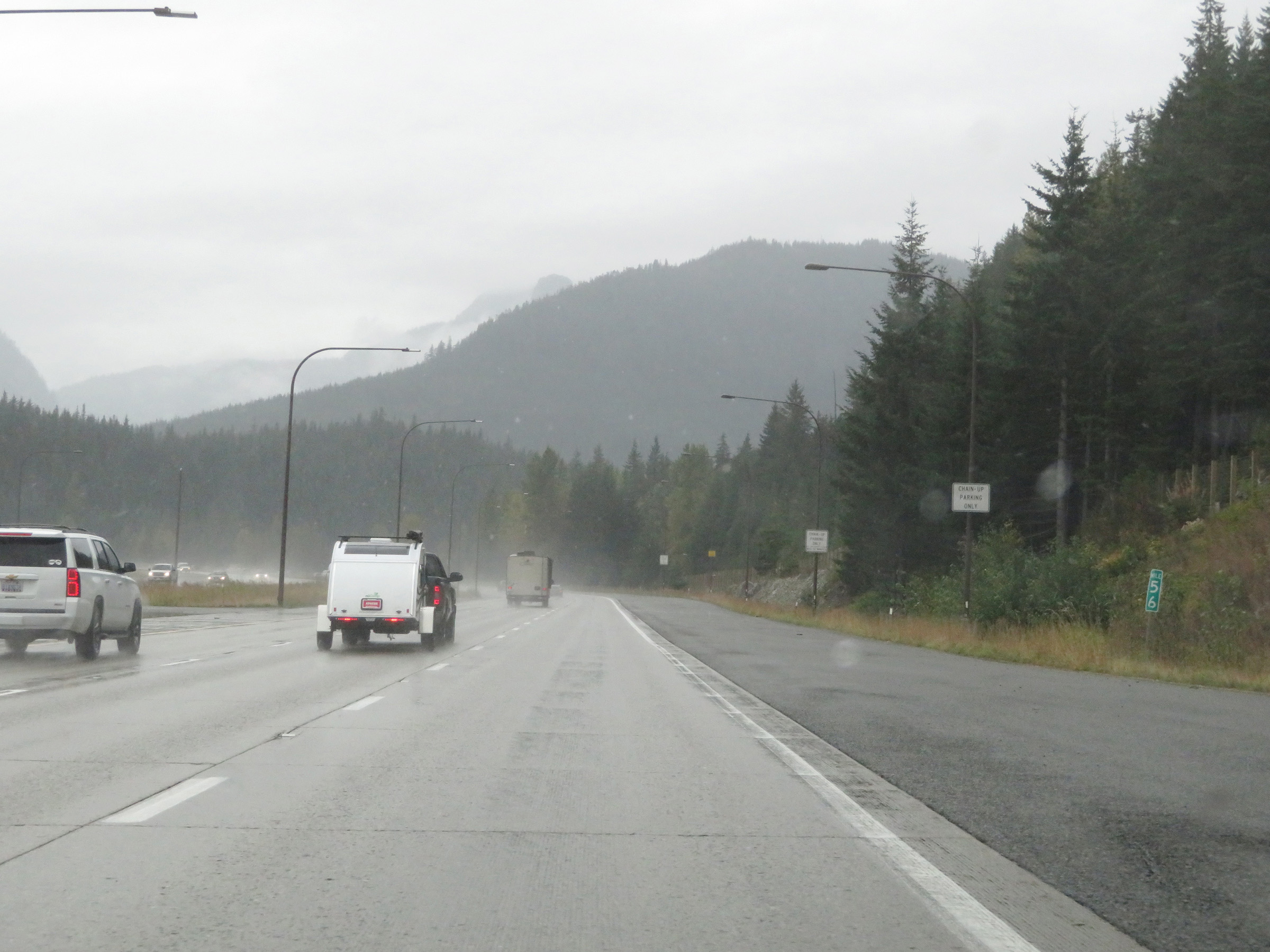
Near the top of Snoqualmie Pass, Interstate 90 West enters King County. (Photo taken 9/22/19). |
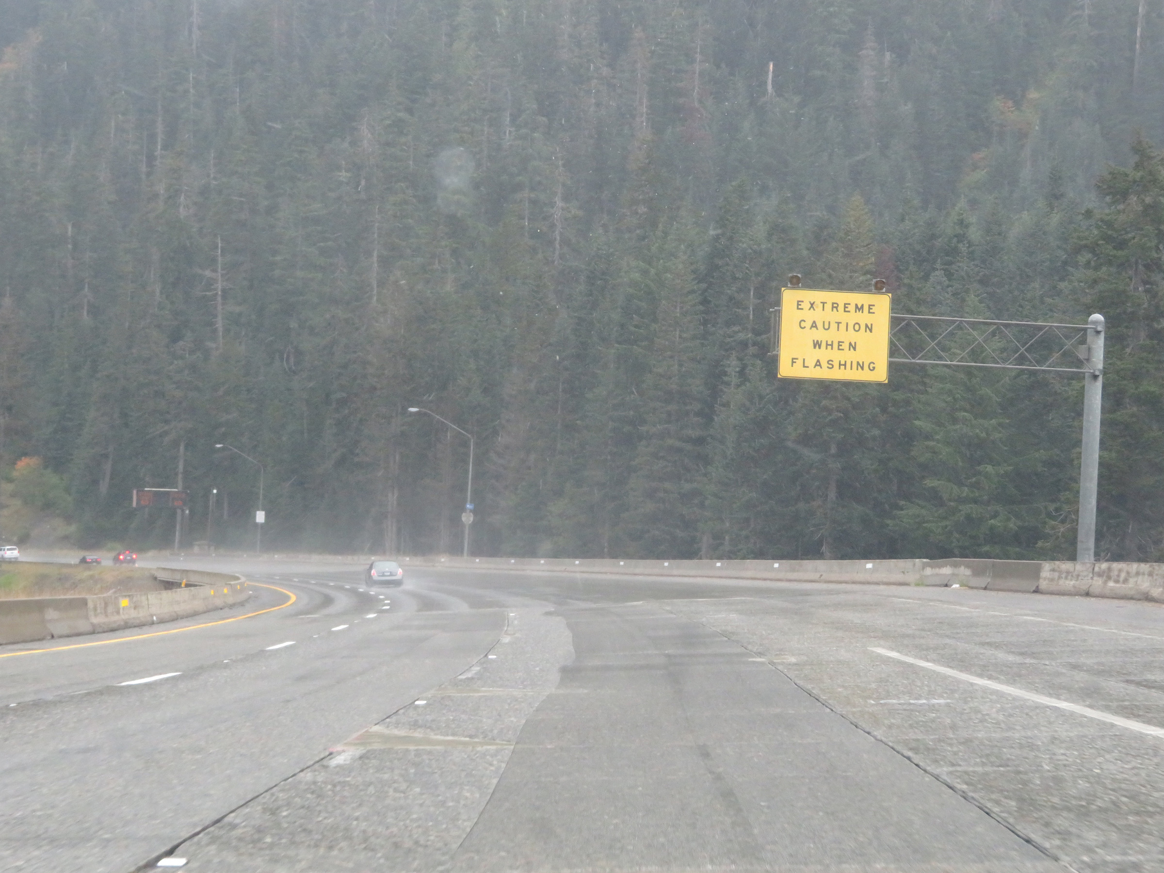 |
At the summit of Snoqualmie Pass, this warning sign states that motorists should use extreme caution descending the west side of the mountain when its lights are flashing. (Photo taken 9/22/19). |
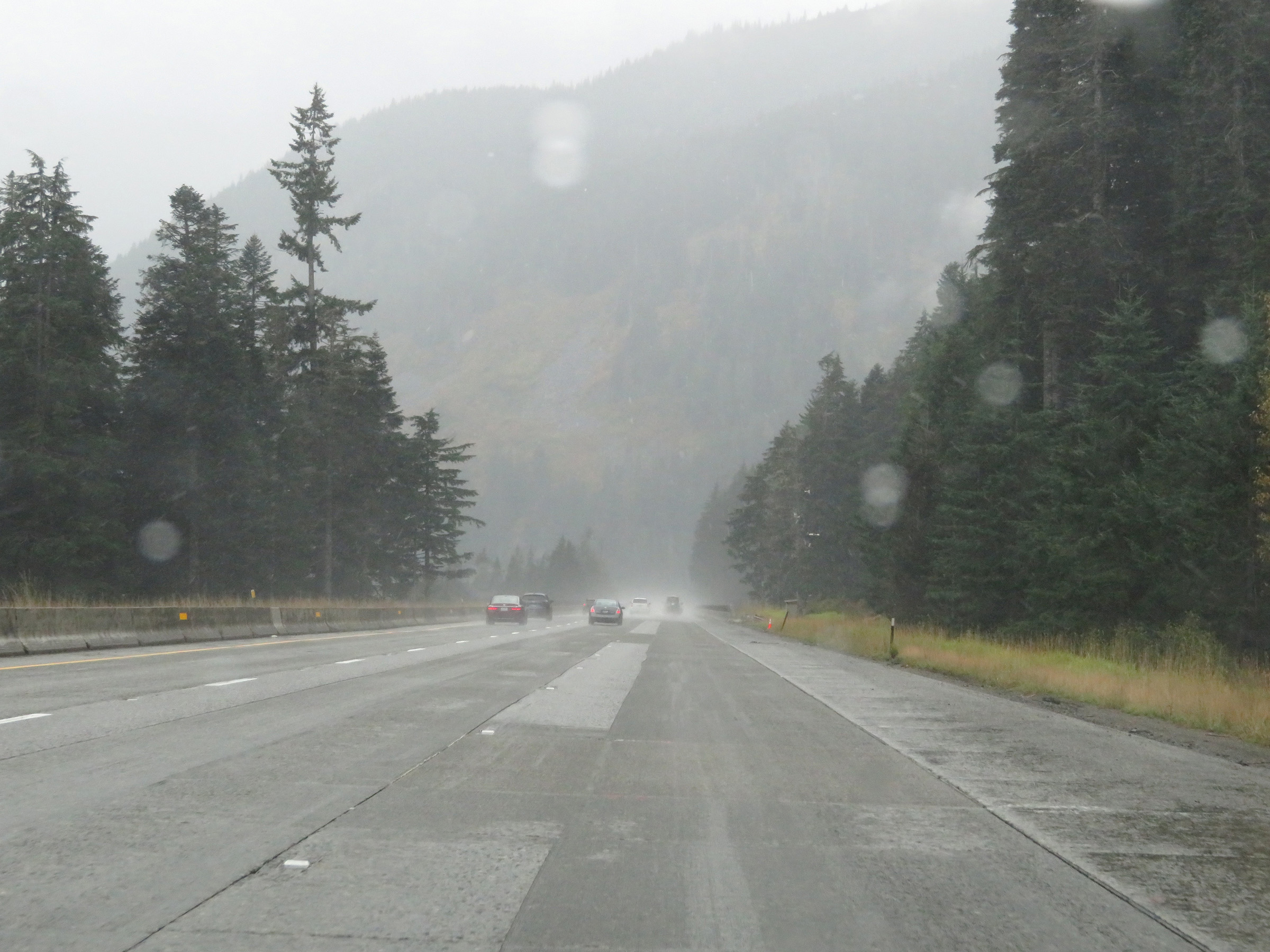 |
View on Interstate 90 West as it descends the west side of Snoqualmie Pass. (Photo taken 9/22/19). |
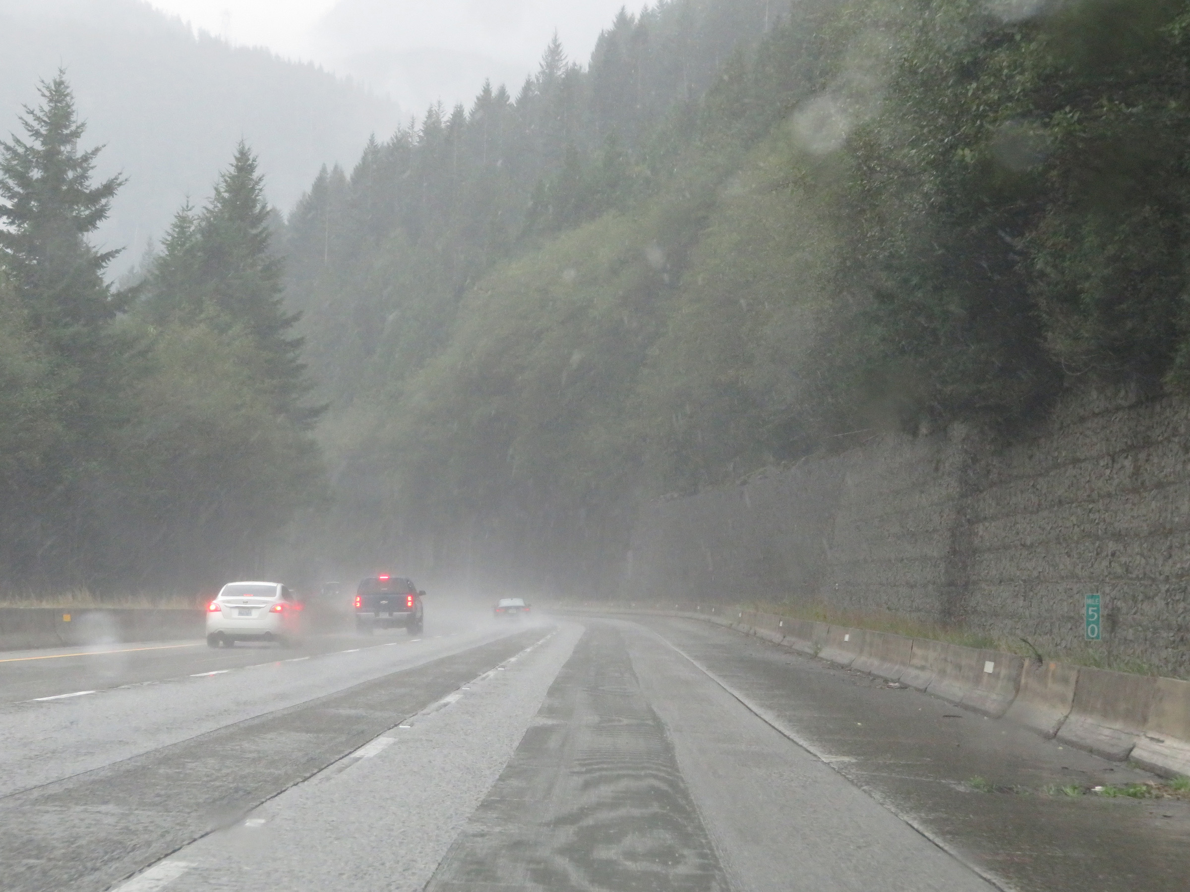 |
View on Interstate 90 West at mile marker 50. (Photo taken 9/22/19). |
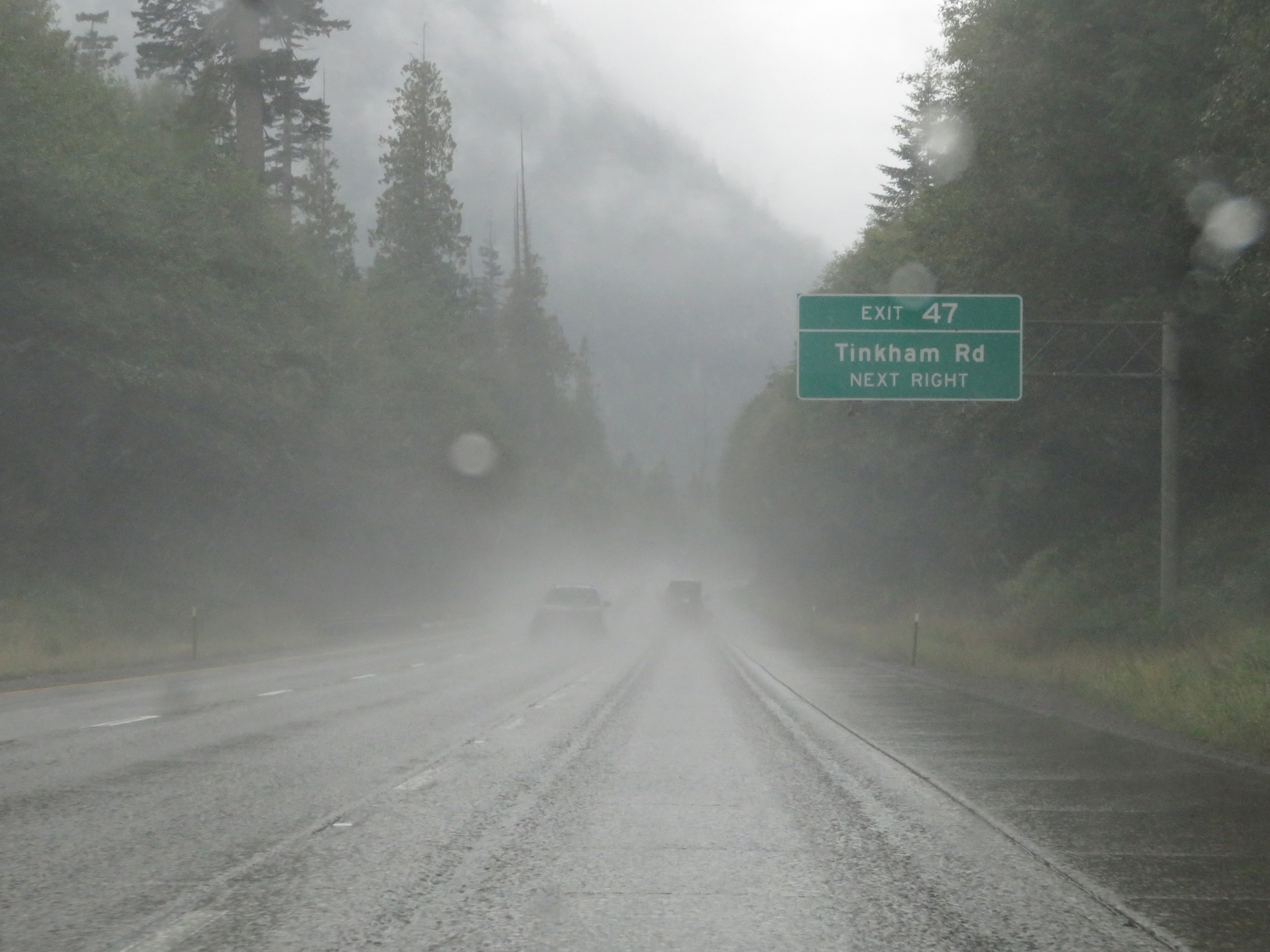 |
Take Exit 47 to Tinkham Rd. (Photo taken 9/22/19). |
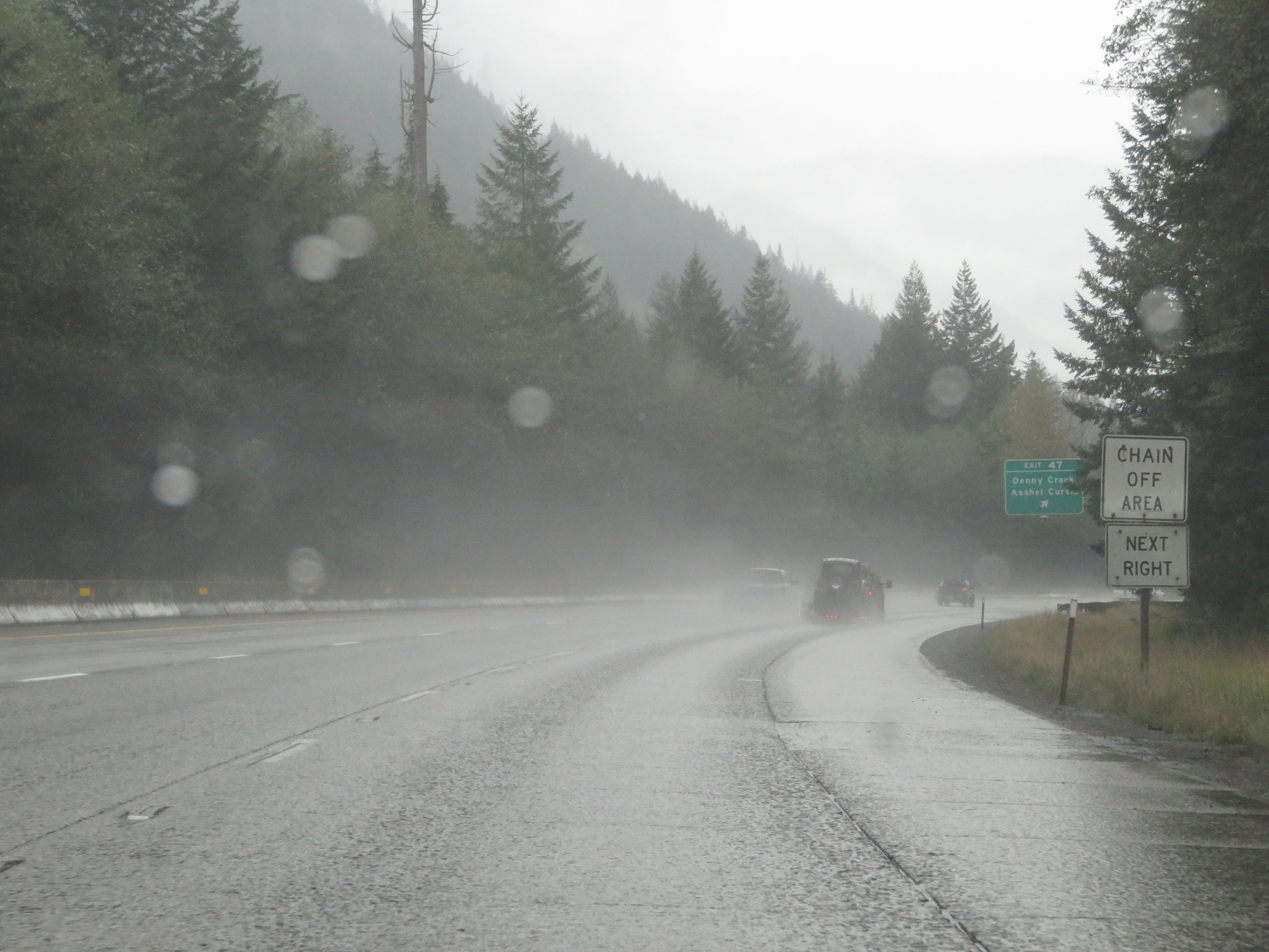 |
A Chain Removal Area exits off Exit 47 ahead. (Photo taken 9/22/19). |
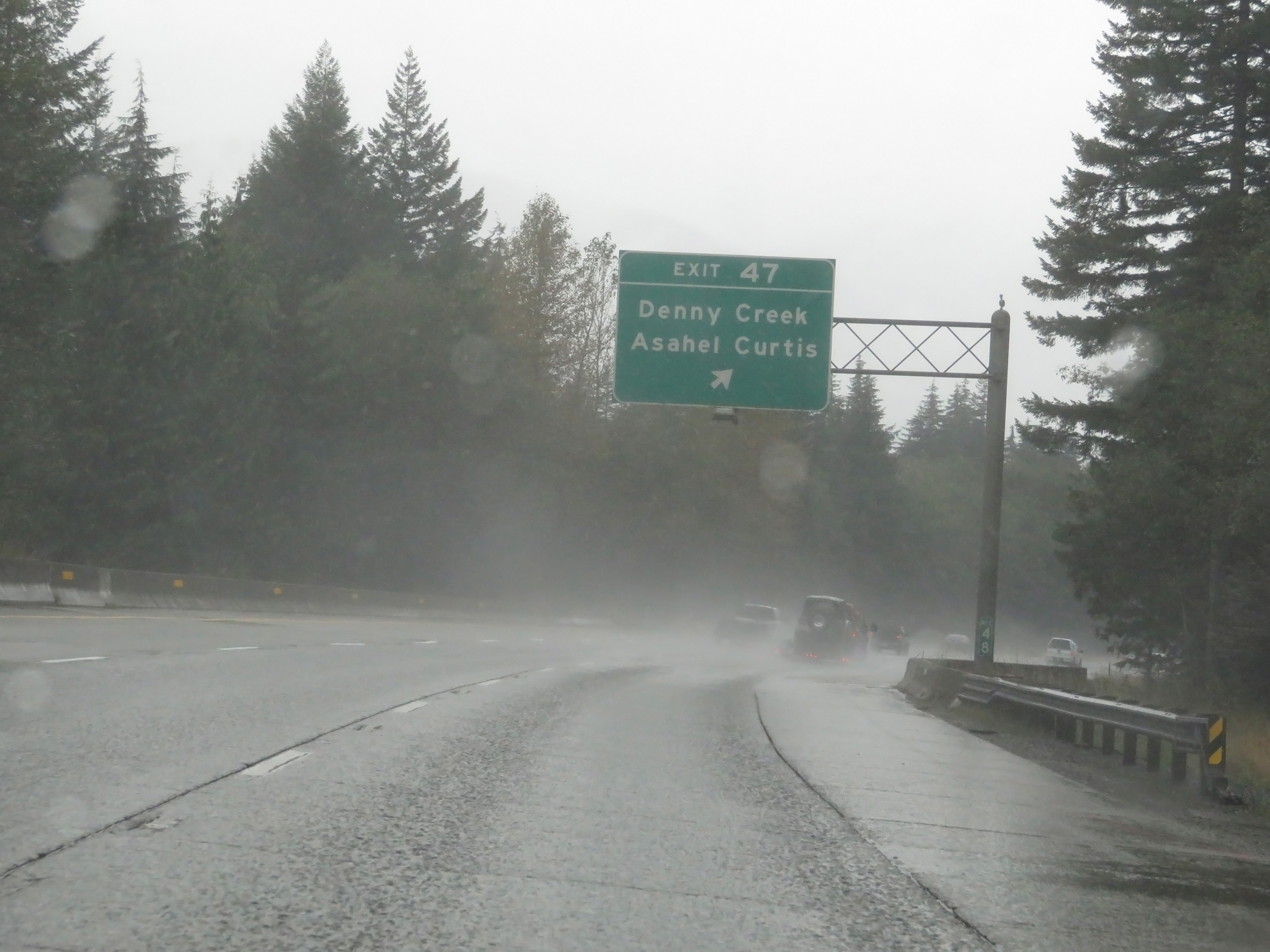 |
Interstate 90 West at Exit 47: Denny Creek / Asahel Curtis (Photo taken 9/22/19). |
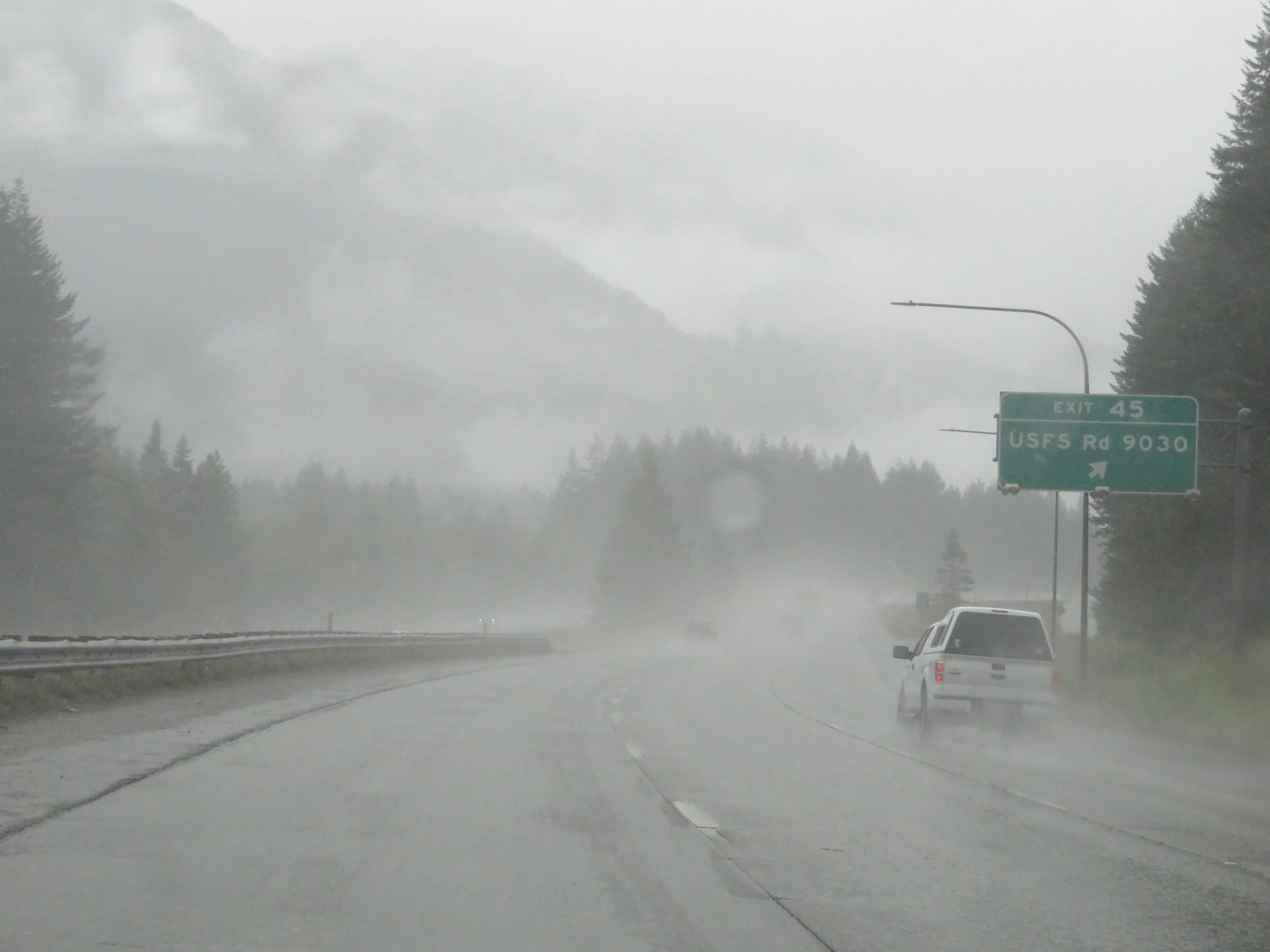 |
Interstate 90 West at Exit 45: US Forest Service Rd 9030 (Photo taken 9/22/19). |
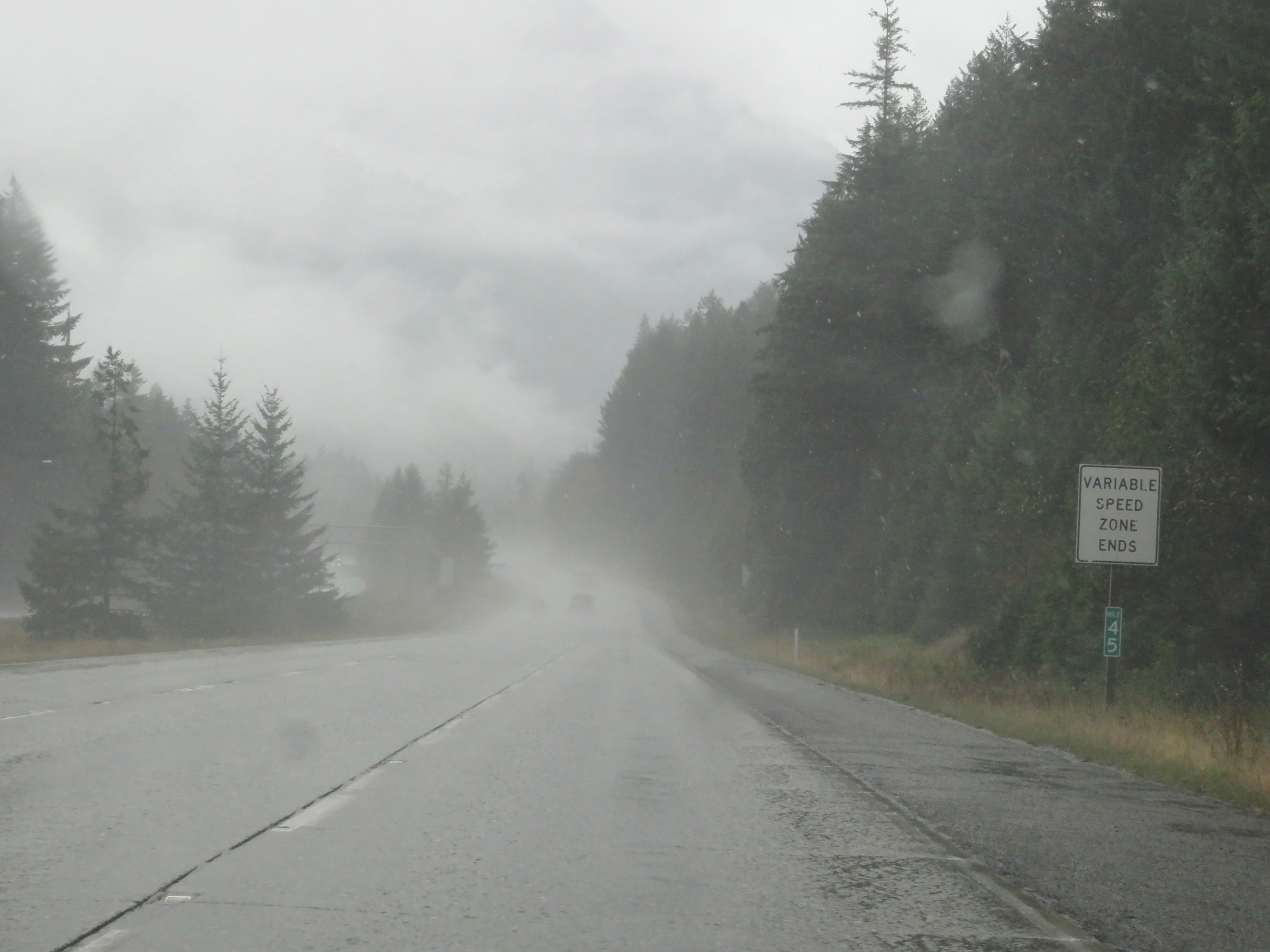 |
As this sign at mile marker 45 reads, the variable speed limit zone comes to an end at this point. (Photo taken 9/22/19). |
 |
The speed limits return to being the rural standard 70 mph for automobiles and 60 mph for trucks. (Photo taken 9/22/19). |
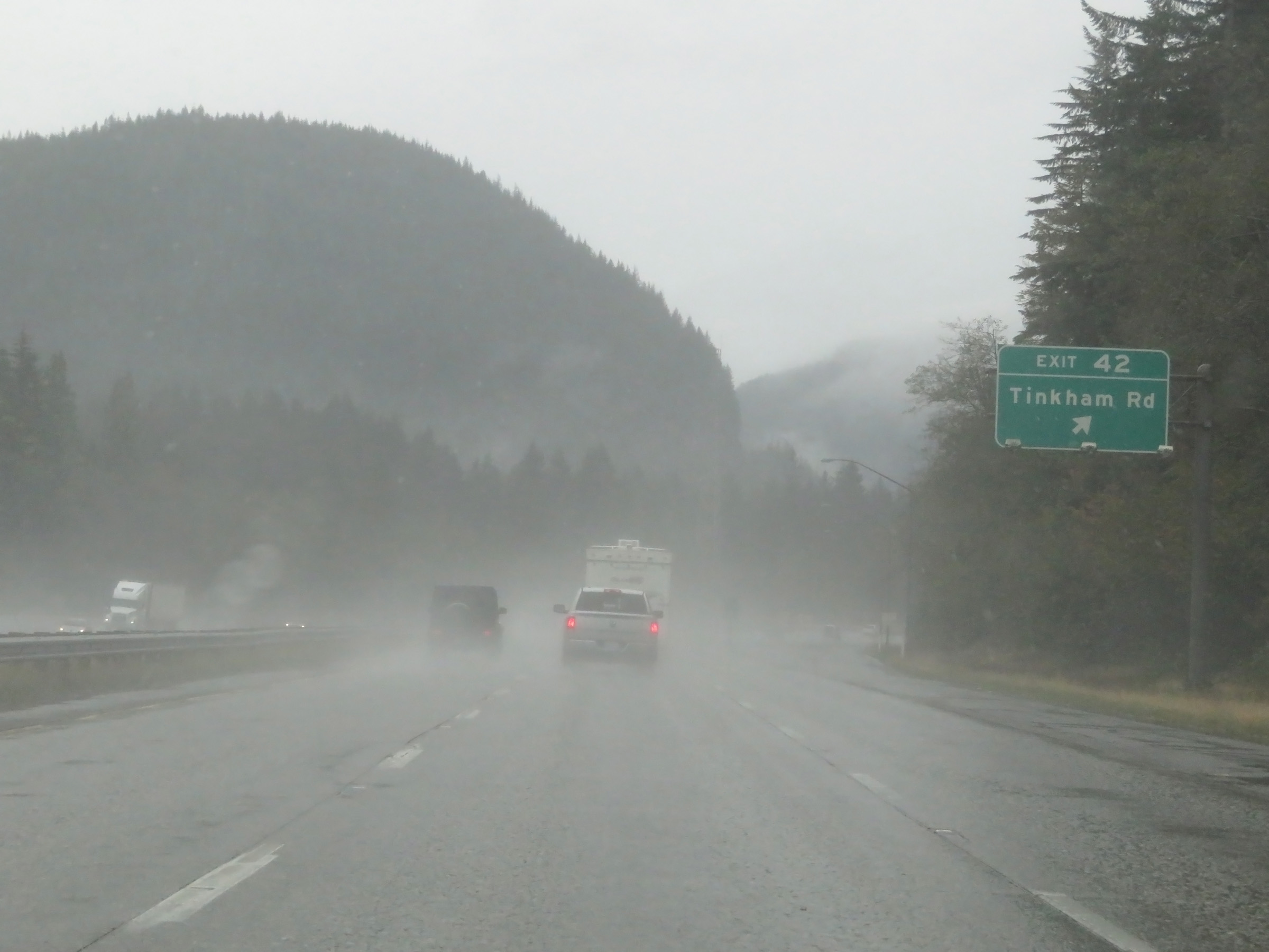 |
Interstate 90 West at Exit 42: Tinkham Rd (Photo taken 9/22/19). |
 |
Mileage sign on Interstate 90 West descending Snoqualmie Pass. It's 12 miles to North Bend and 41 miles to Seattle. (Photo taken 9/22/19). |
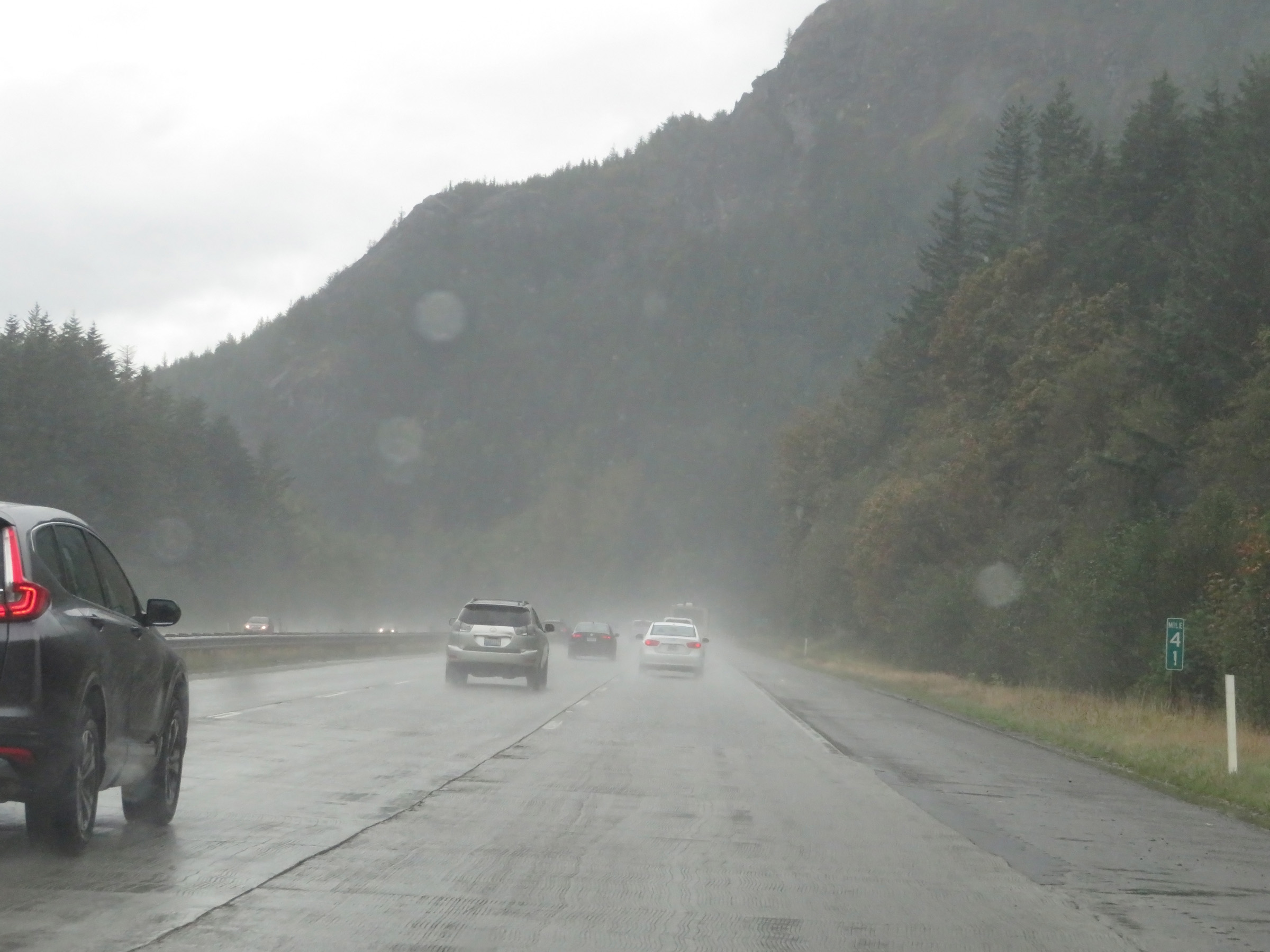 |
View on Interstate 90 West at mile marker 41. (Photo taken 9/22/19). |
 |
Interstate 90 West approaching Exit 38 - 1 mile. (Photo taken 9/22/19). |
 |
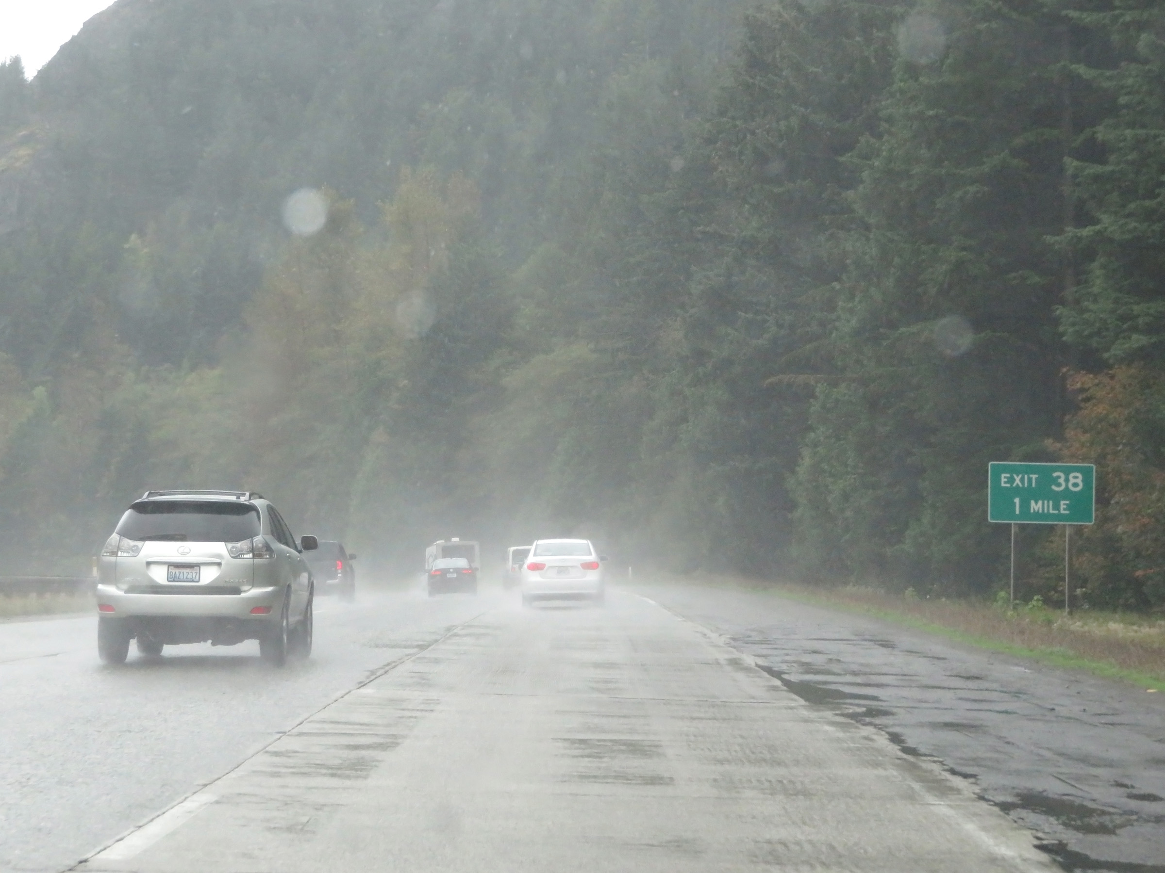
Take Exit 38 to the Washington State Fire Training Academy and Olallie State Park. (Photo taken 9/22/19). |
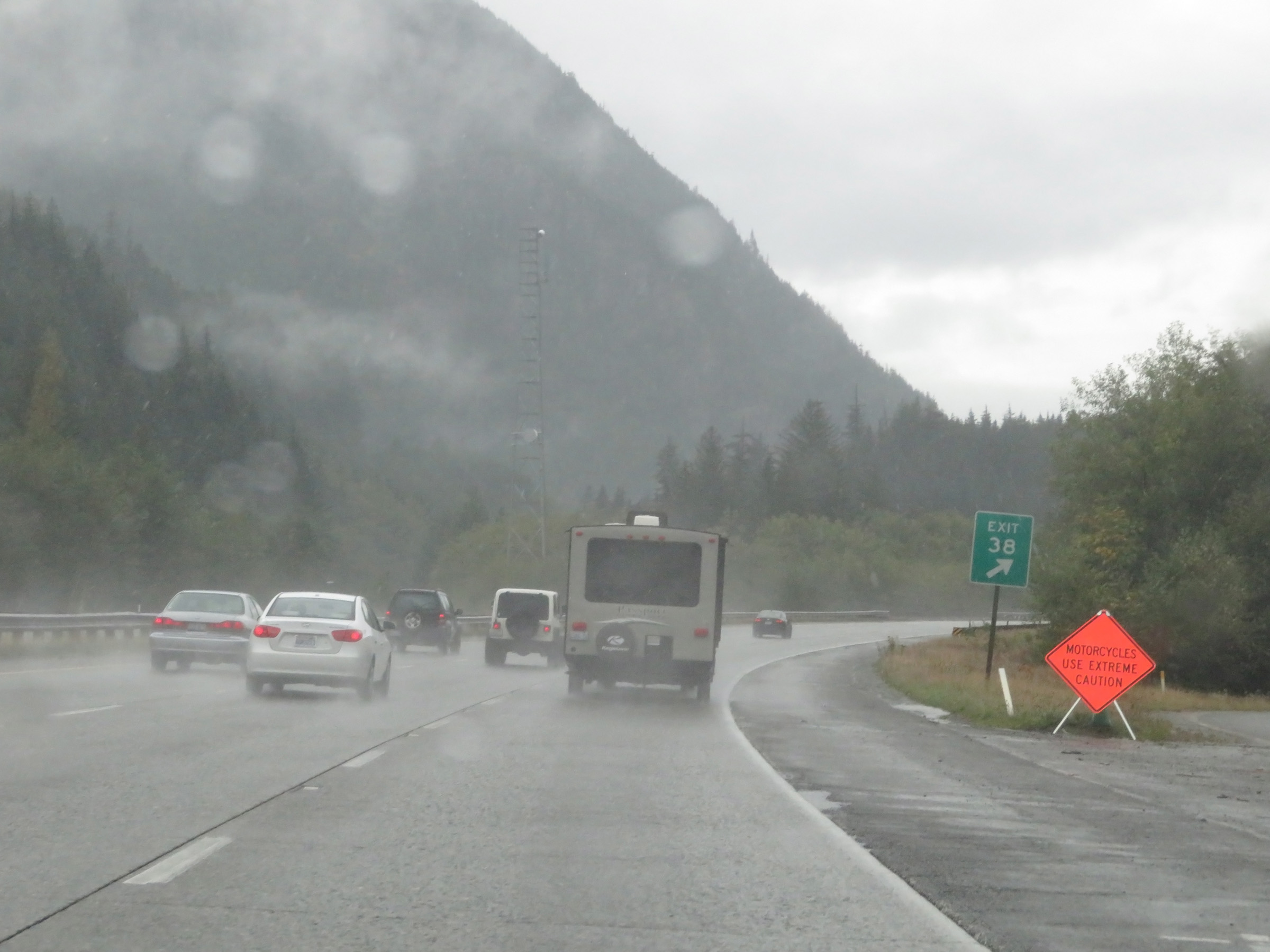 |
Interstate 90 West at Exit 38: (No Name) (Photo taken 9/22/19). |
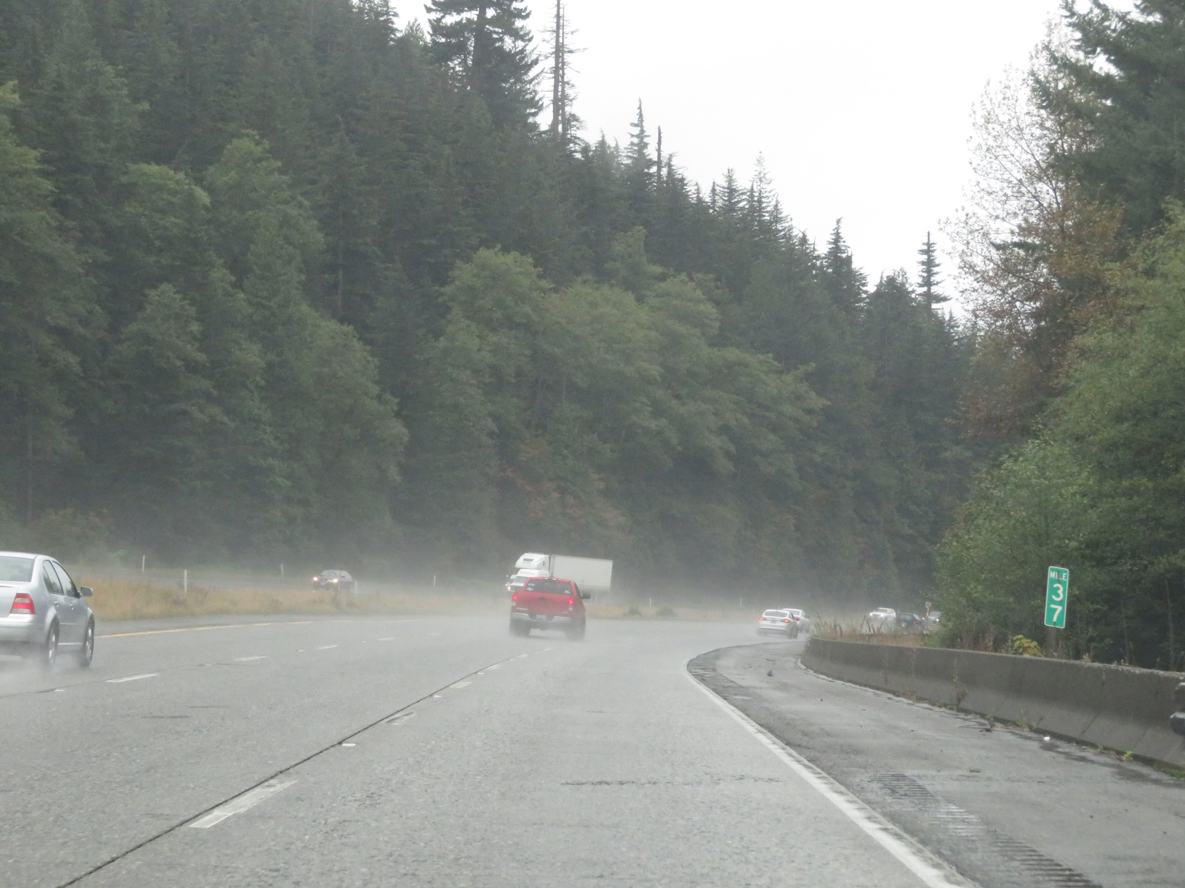 |
View on Interstate 90 West at mile marker 37. (Photo taken 9/22/19). |
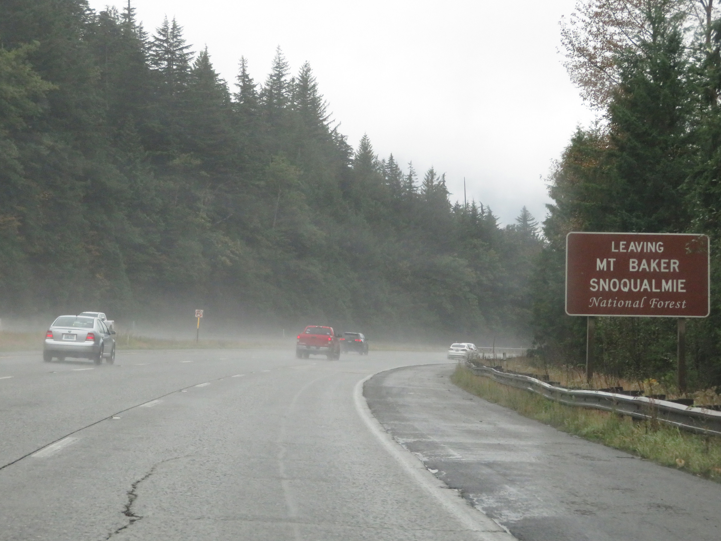 |
Interstate 90 West as it leaves Mt. Baker-Snoqualmie National Forest. (Photo taken 9/22/19). |
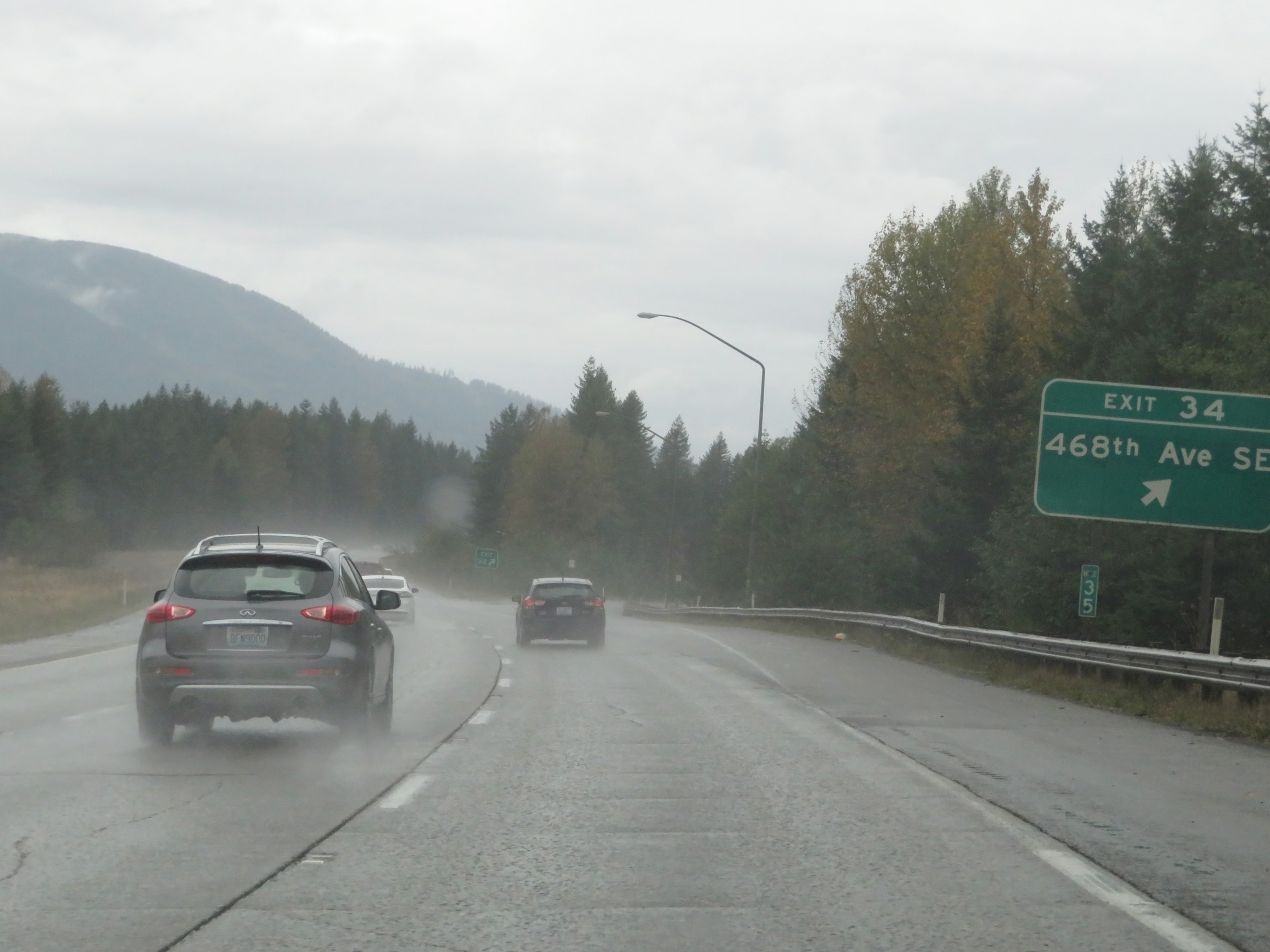 |
Interstate 90 West at Exit 34: 468th Ave SE (Photo taken 9/22/19). |
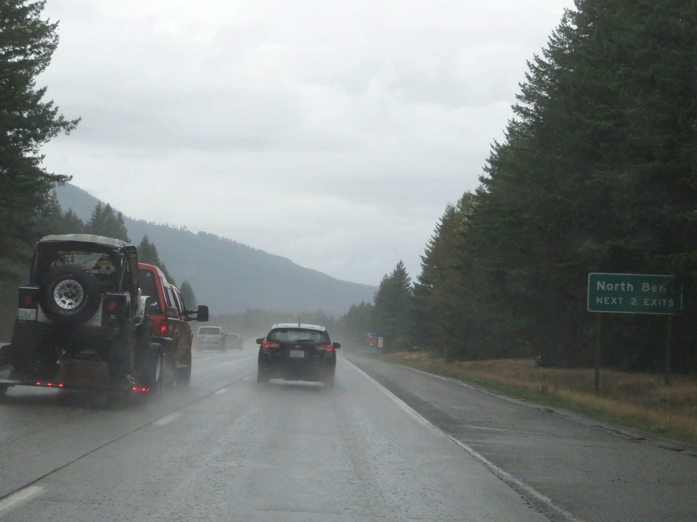 |
Take either of the next 2 exits to North Bend. (Photo taken 9/22/19). |
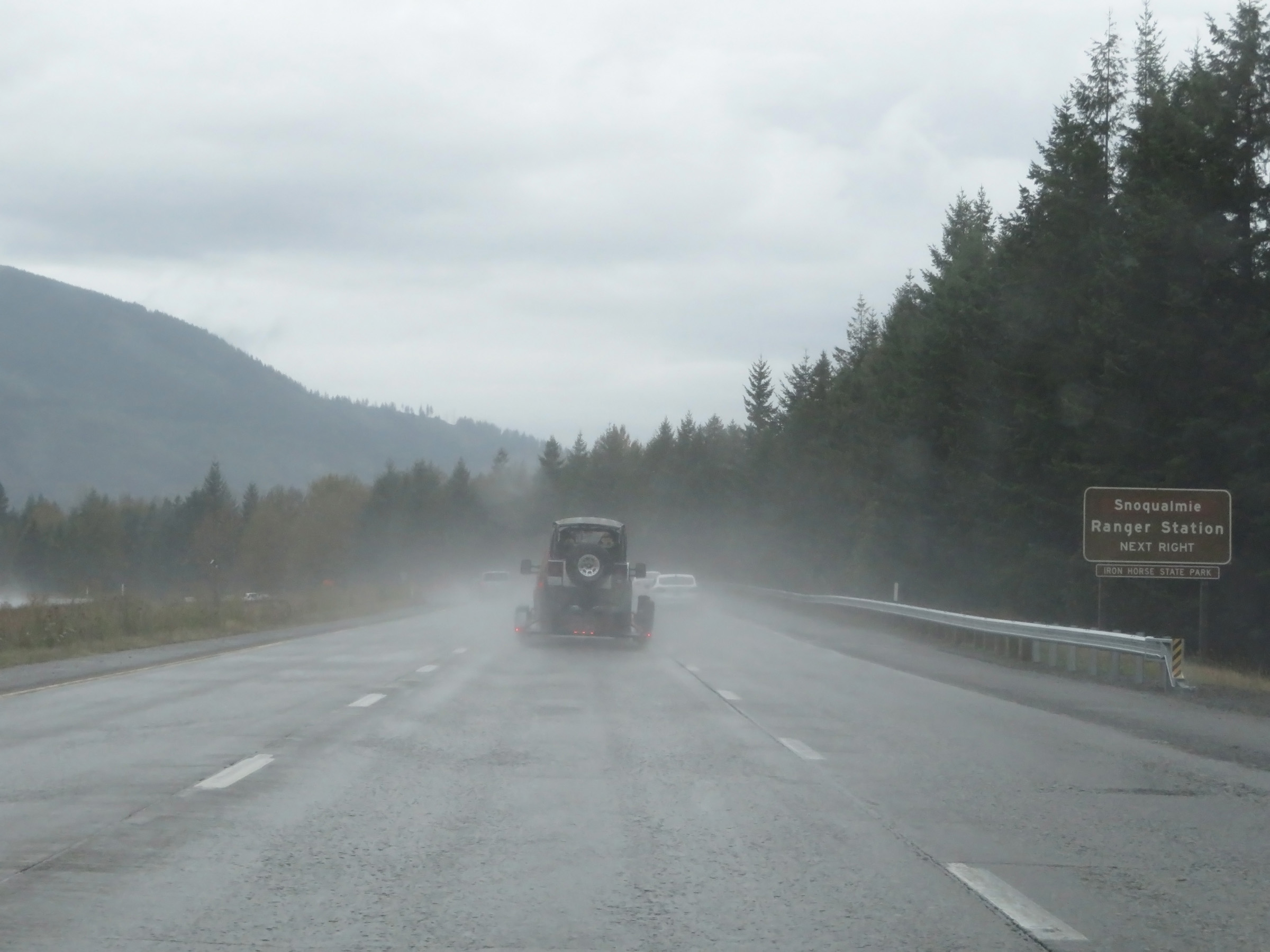 |
Take Exit 32 to Snoqualmie Ranger Station. (Photo taken 9/22/19). |
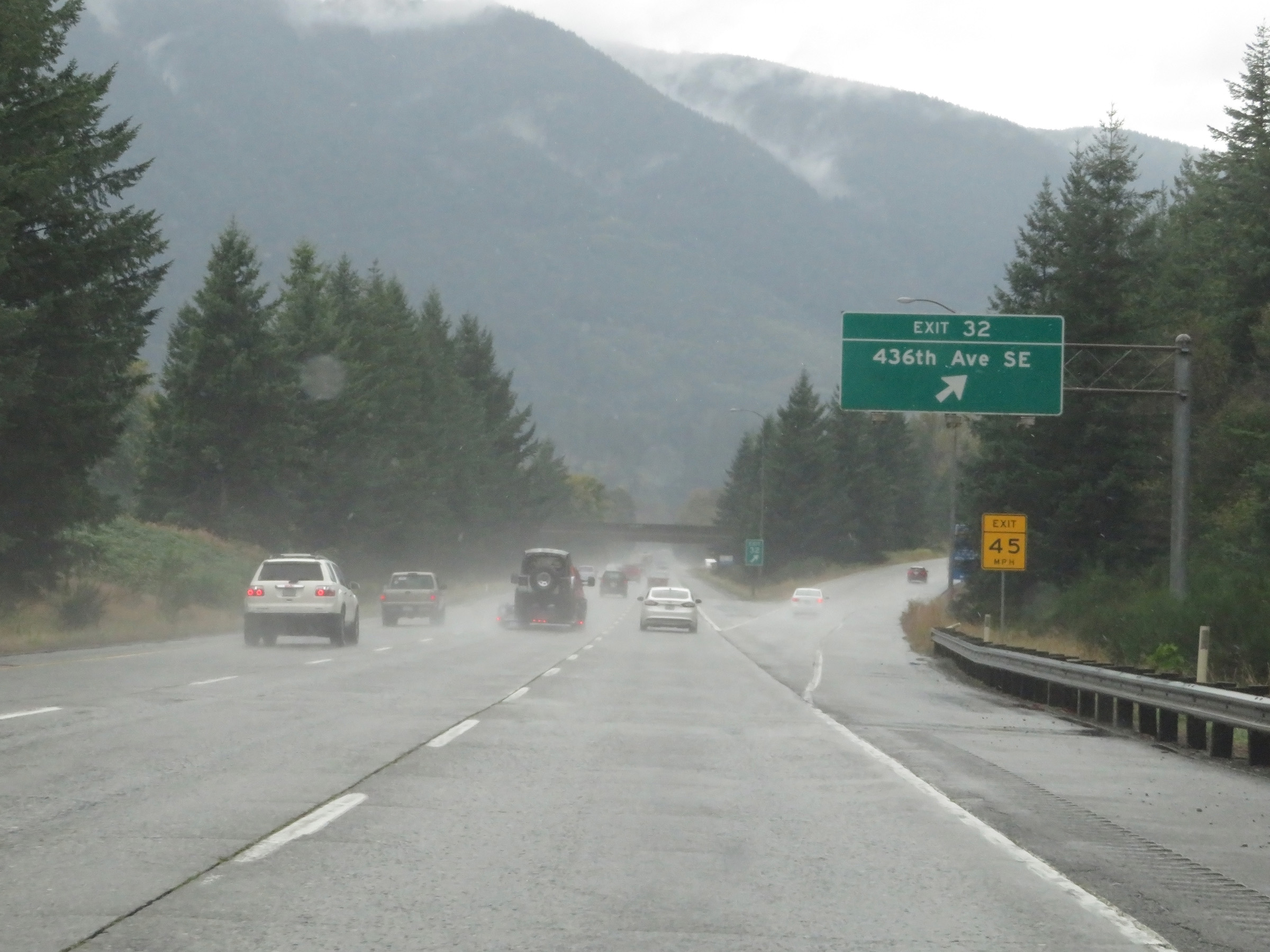 |
Interstate 90 West at Exit 32: 436th Ave SE (Photo taken 9/22/19). |
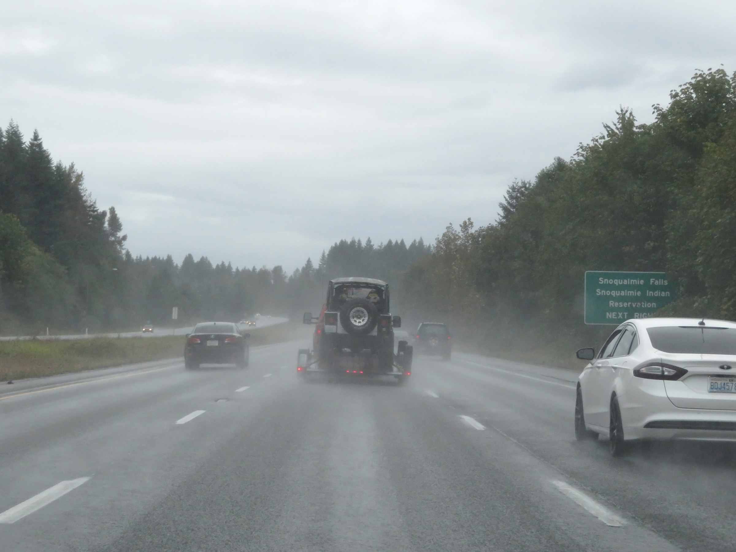 |
Take Exit 31 to Snoqualmie Falls and Snoqualmie Indian Reservation. (Photo taken 9/22/19). |
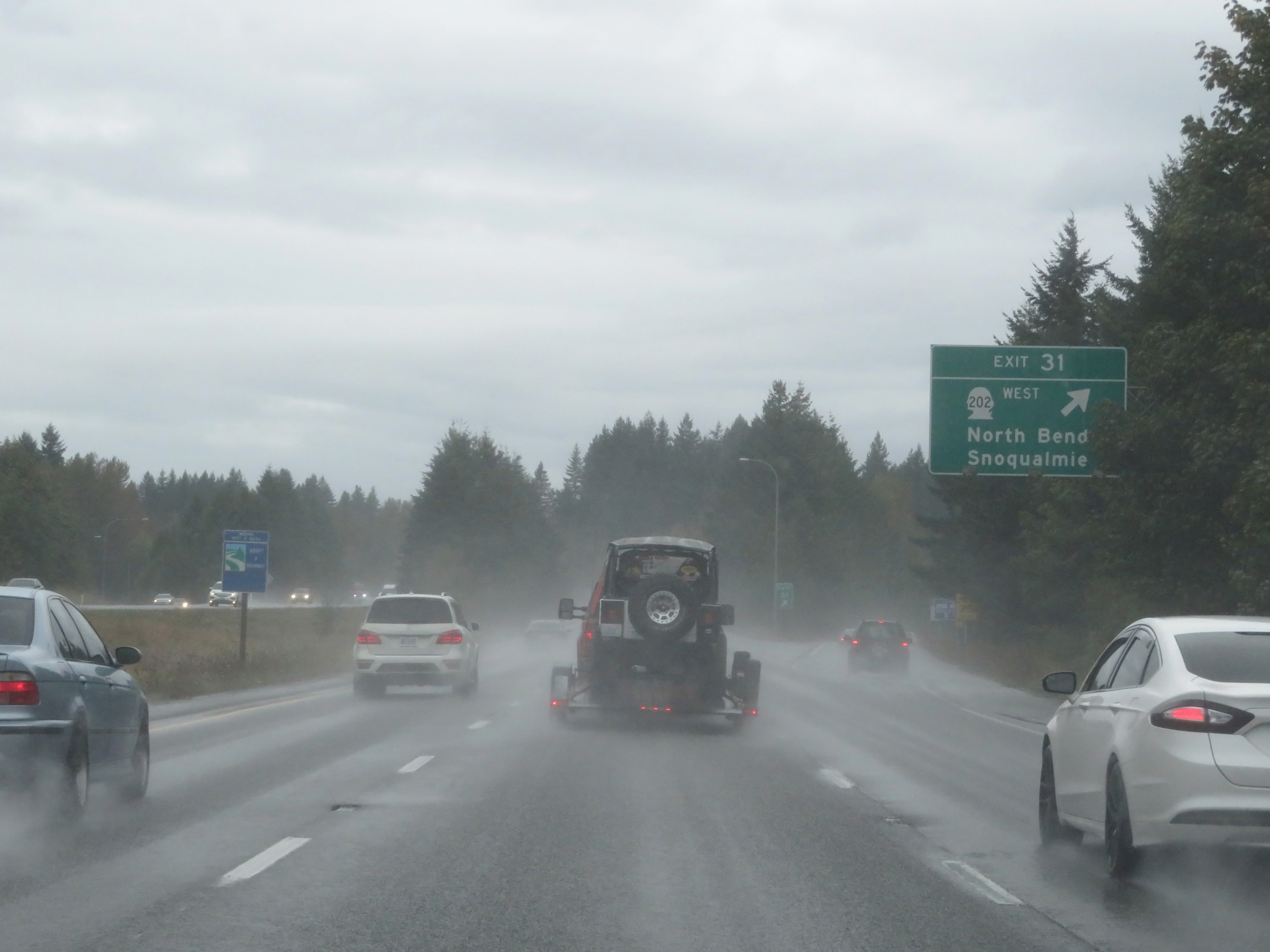 |
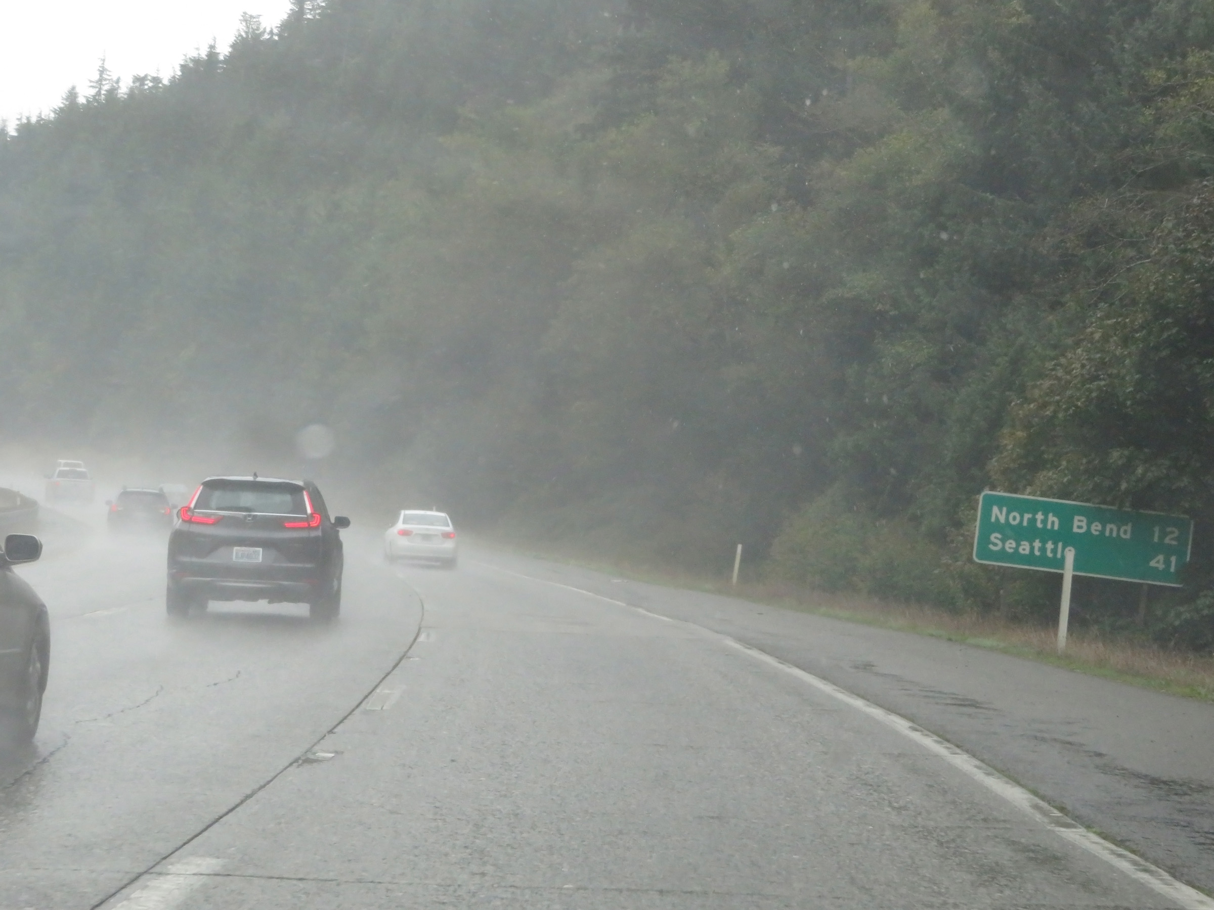
Interstate 90 West at Exit 31: WA 202 West - North Bend / Snoqualmie (Photo taken 9/22/19). |
Section 6: North Bend (Exit 31) to Seattle (Western Terminus)
 |
View on Interstate 90 West at mile marker 29. (Photo taken 9/22/19). |
 |
A Weigh Station exists off Exit 25 ahead. When this sign is showing it is open, all trucks and commercial vehicles must exit. (Photo taken 9/22/19). |
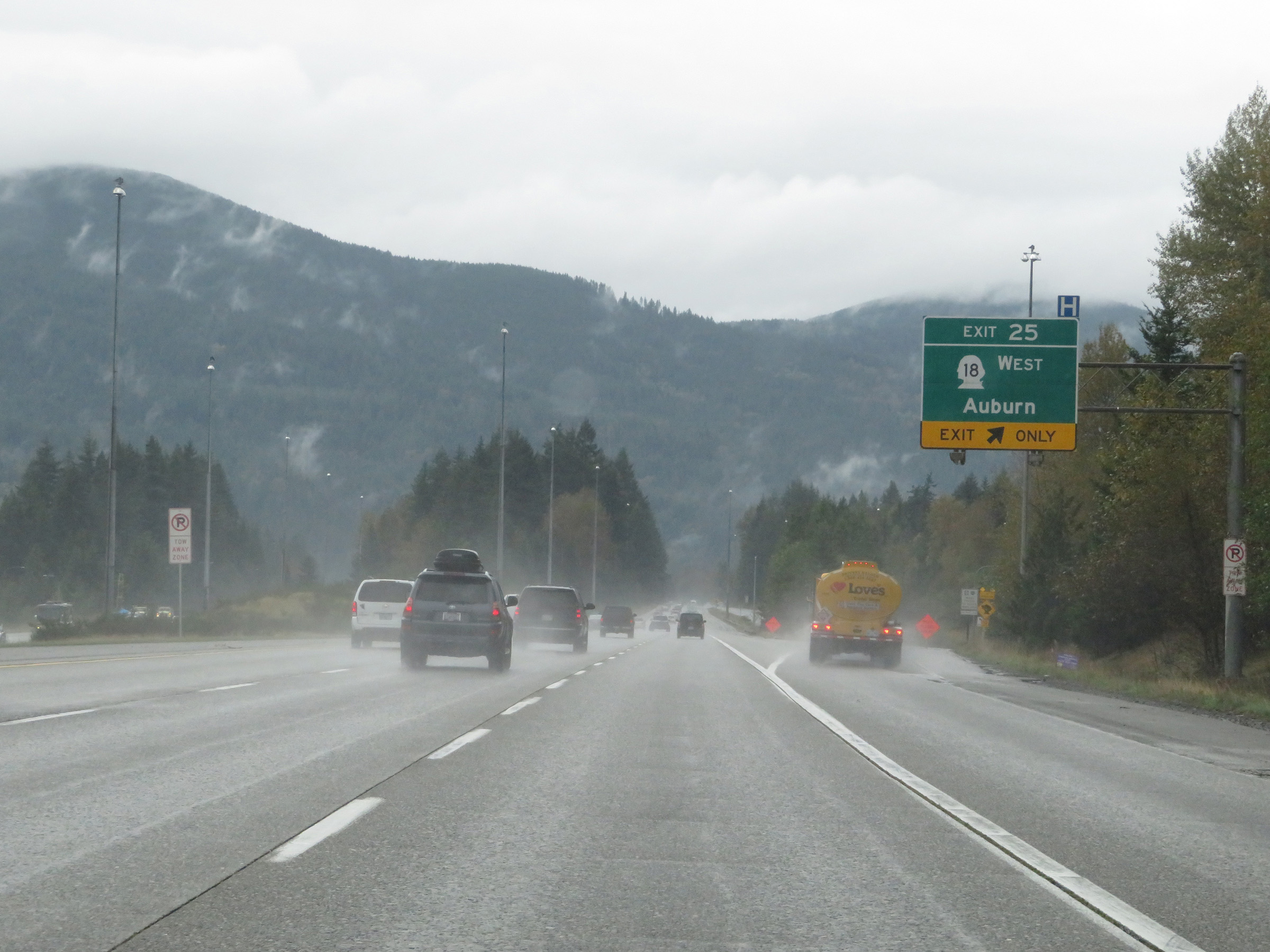 |
Interstate 90 West at Exit 25: WA 18 West - Auburn (Photo taken 9/22/19). |
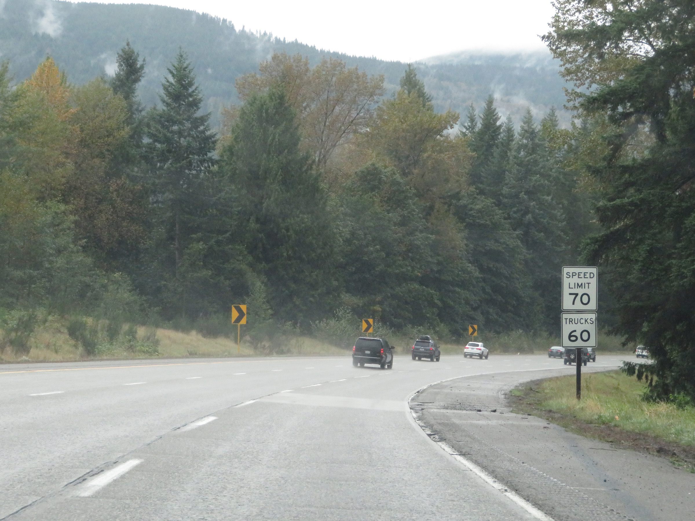 |
Speed limit signs on Interstate 90 West. The speed limits are 70 mph for automobiles and 60 mph for trucks. (Photo taken 9/22/19). |
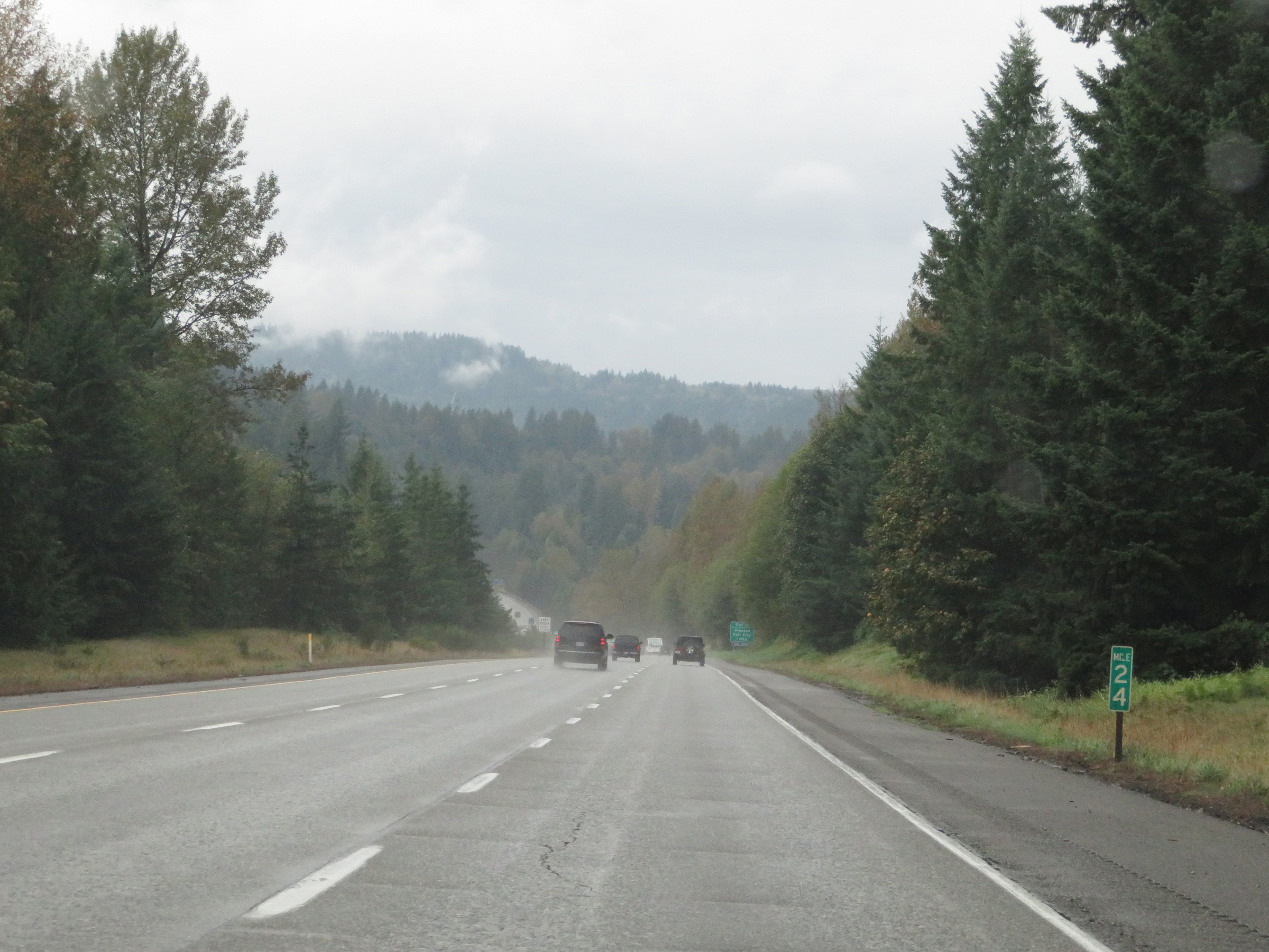 |
Mile marker 24 on Interstate 90 West in King County. (Photo taken 9/22/19). |
 |
Interstate 90 West at Exit 22: Preston / Fall City (Photo taken 9/22/19). |
 |
View on Interstate 90 West at mile marker 21. (Photo taken 9/22/19). |
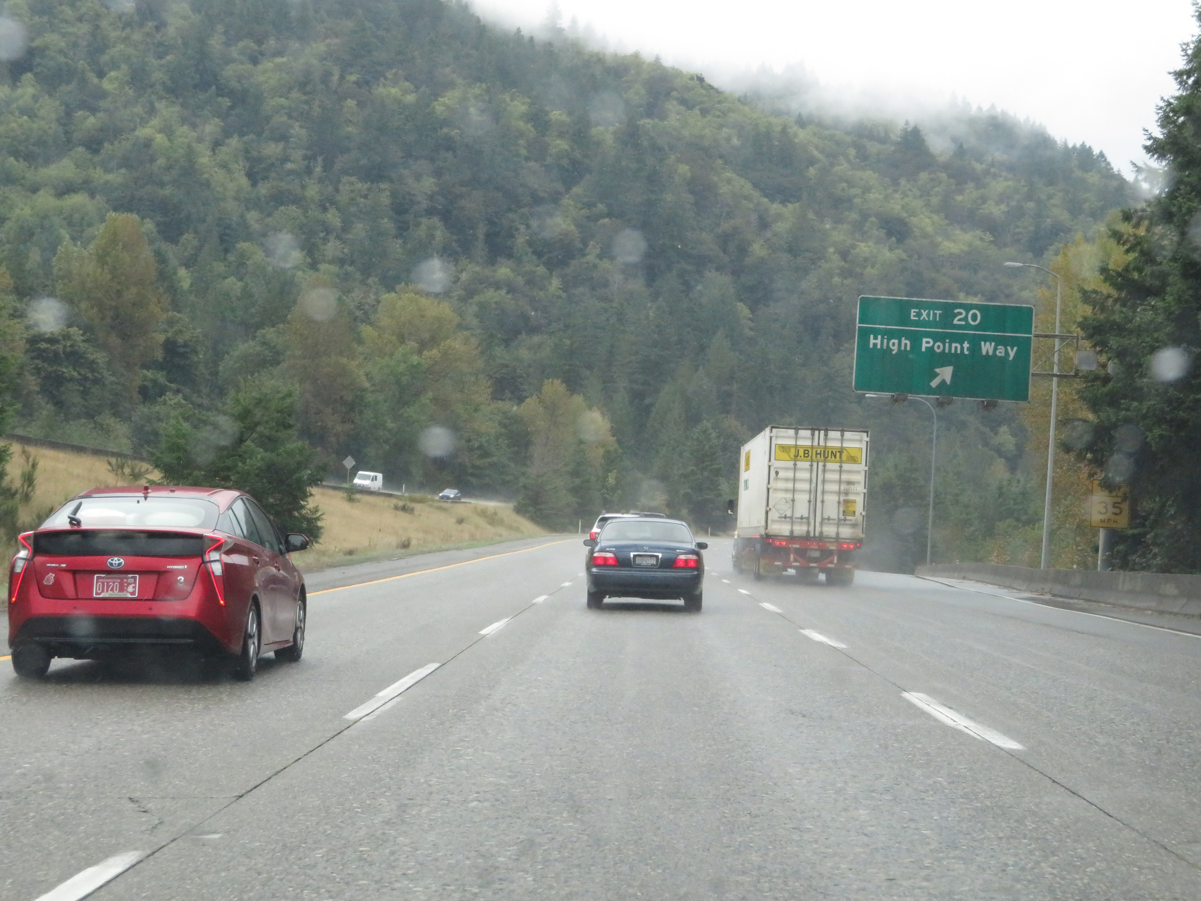 |
Interstate 90 West at Exit 20: High Point Way (Photo taken 9/22/19). |
 |
Take any of the next 3 exits to Issaquah. (Photo taken 9/22/19). |
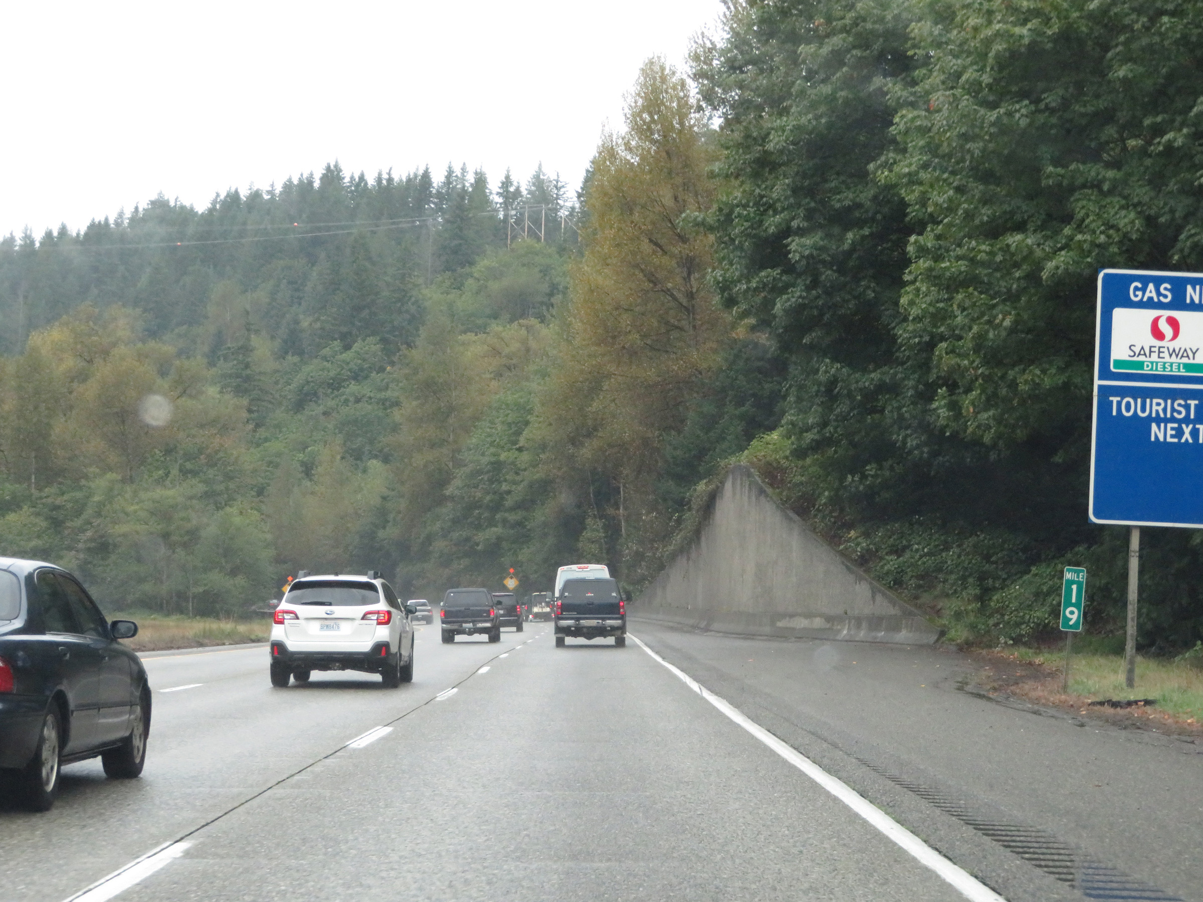 |
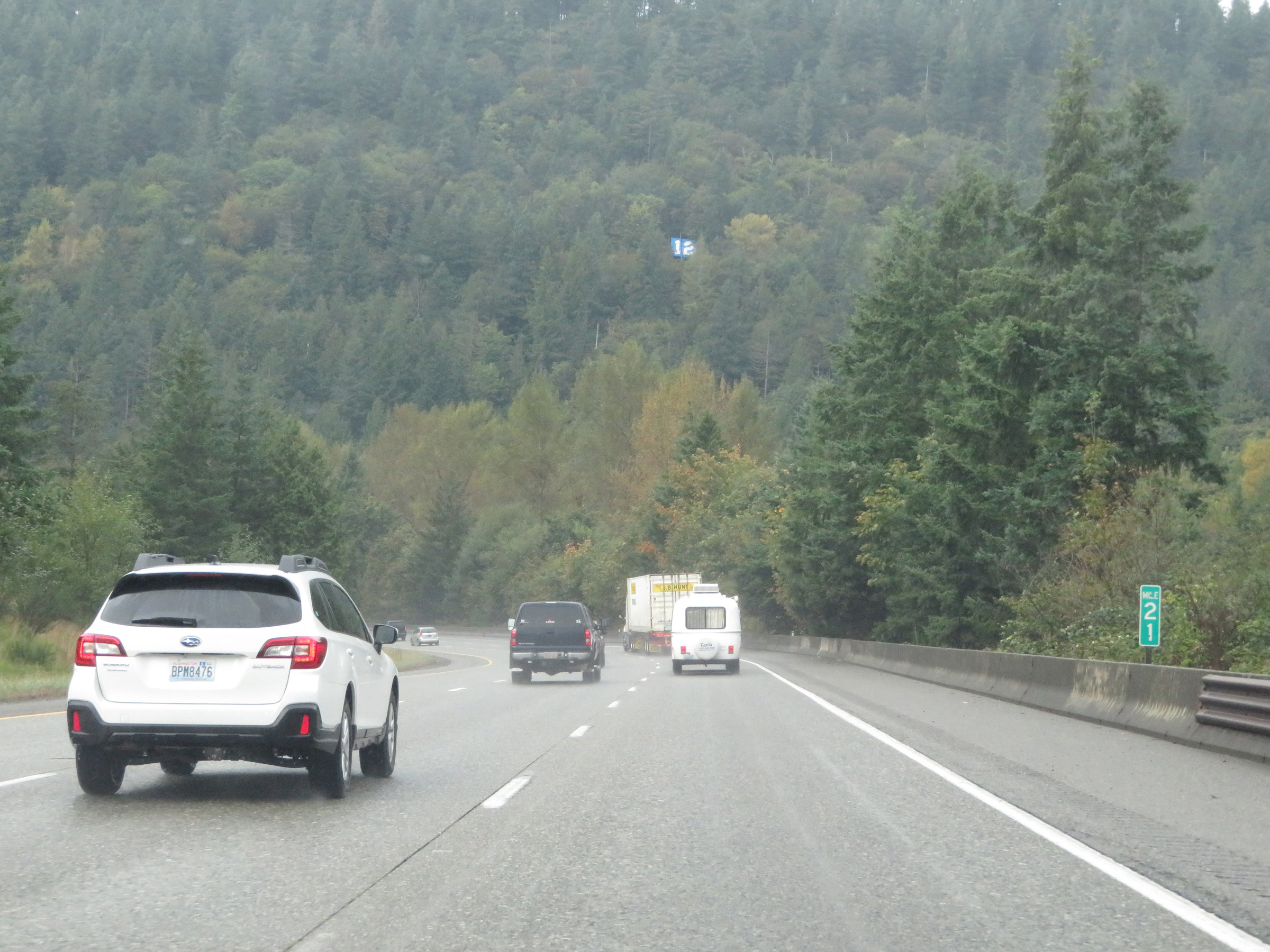
View on Interstate 90 West at mile marker 19. (Photo taken 9/22/19). |
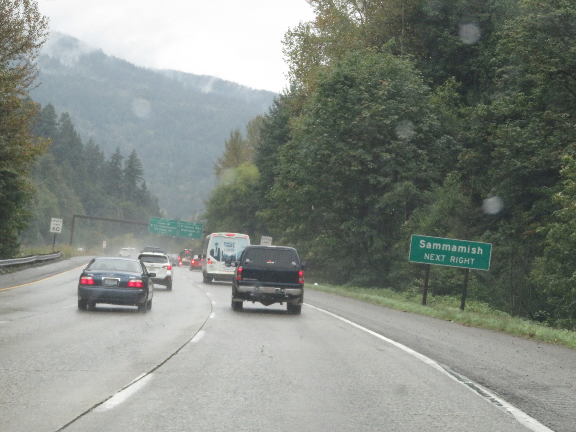 |
Take Exit 18 to Sammamish. (Photo taken 9/22/19). |
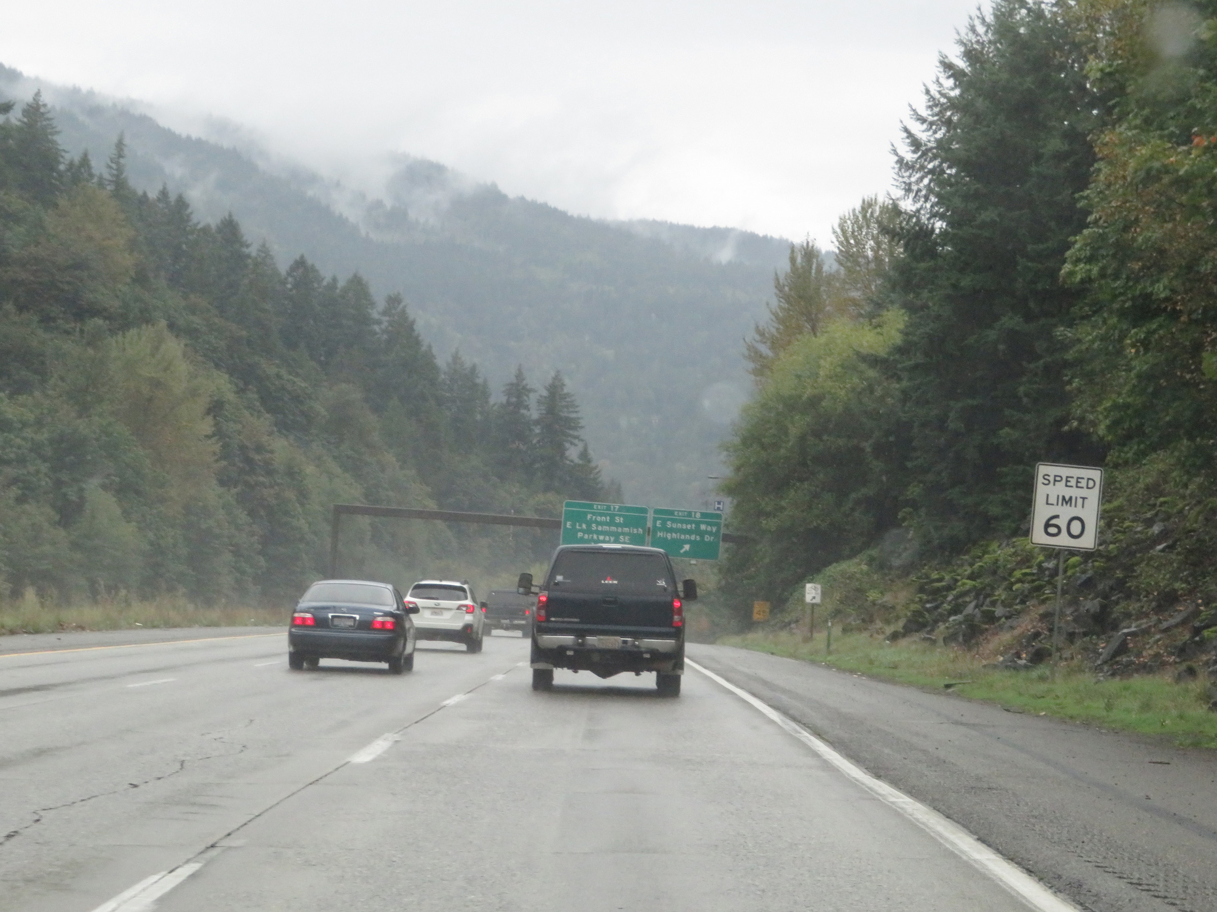 |
Approaching Exit 18, the speed limit for automobiles decreases to 60 mph. It remains 60 mph for trucks. (Photo taken 9/22/19). |
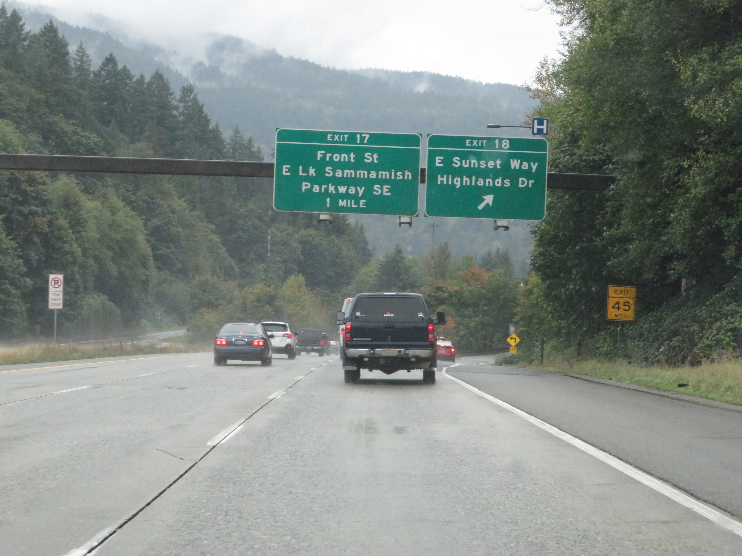 |
Interstate 90 West at Exit 18: East Sunset Way / Highlands Dr (Photo taken 9/22/19). |
 |
Interstate 90 West at Exit 17: Front St / East Lake Sammamish Parkway SE (Photo taken 9/22/19). |
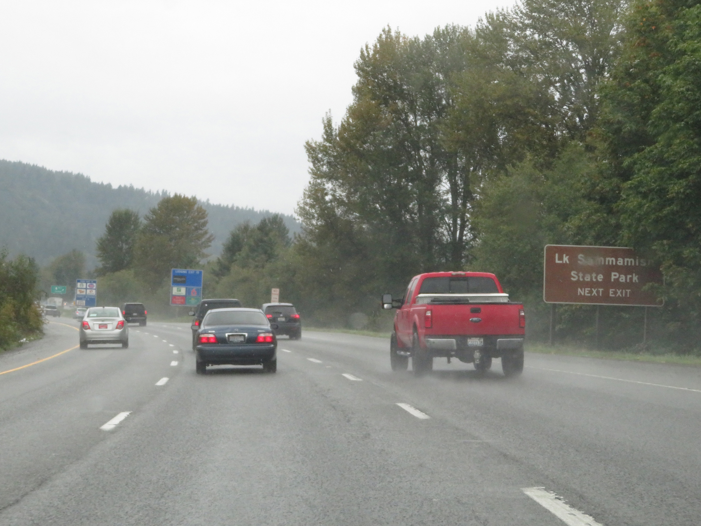 |
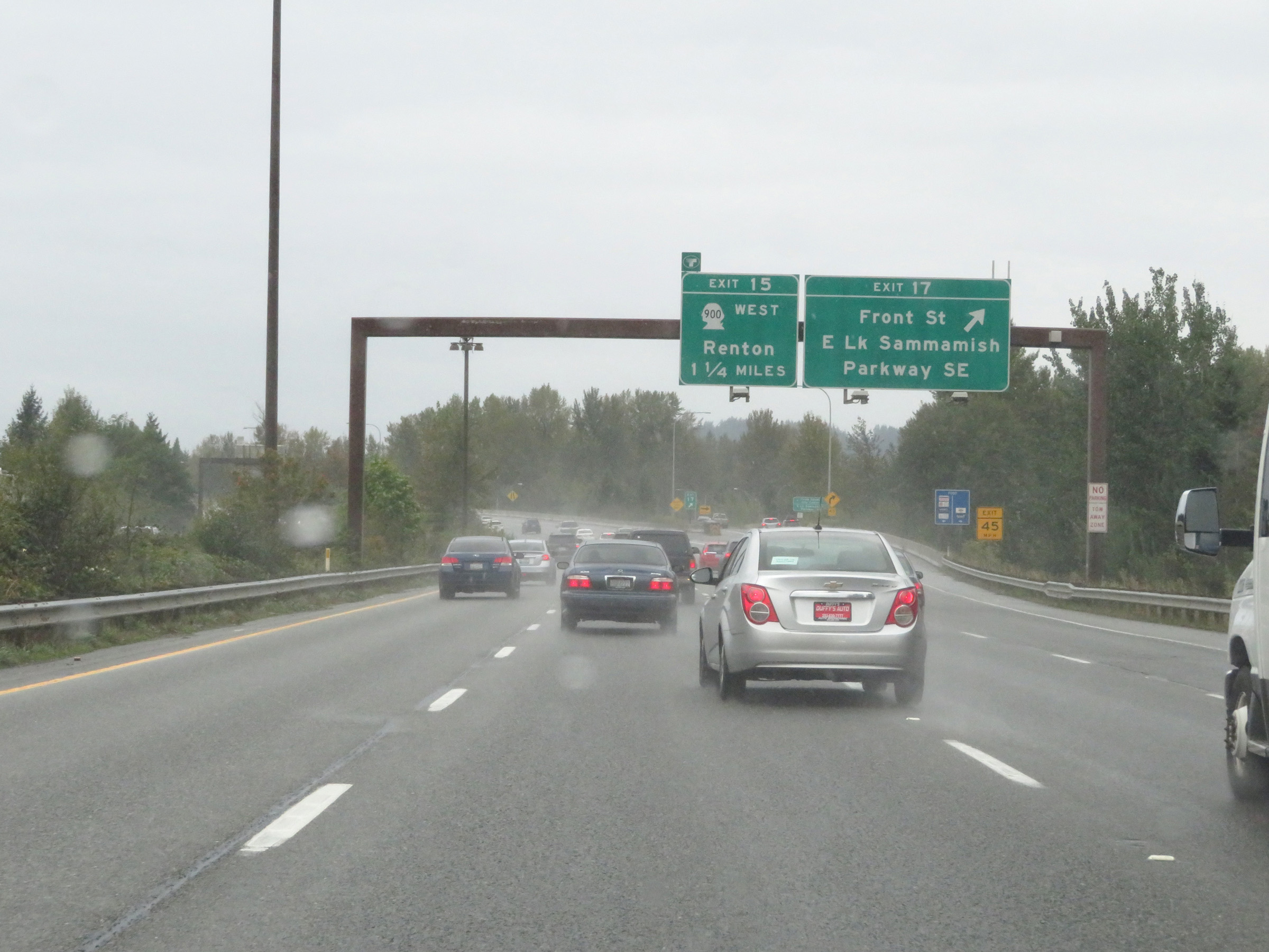
Take Exit 15 to Lake Sammamish State Park. (Photo taken 9/22/19). |
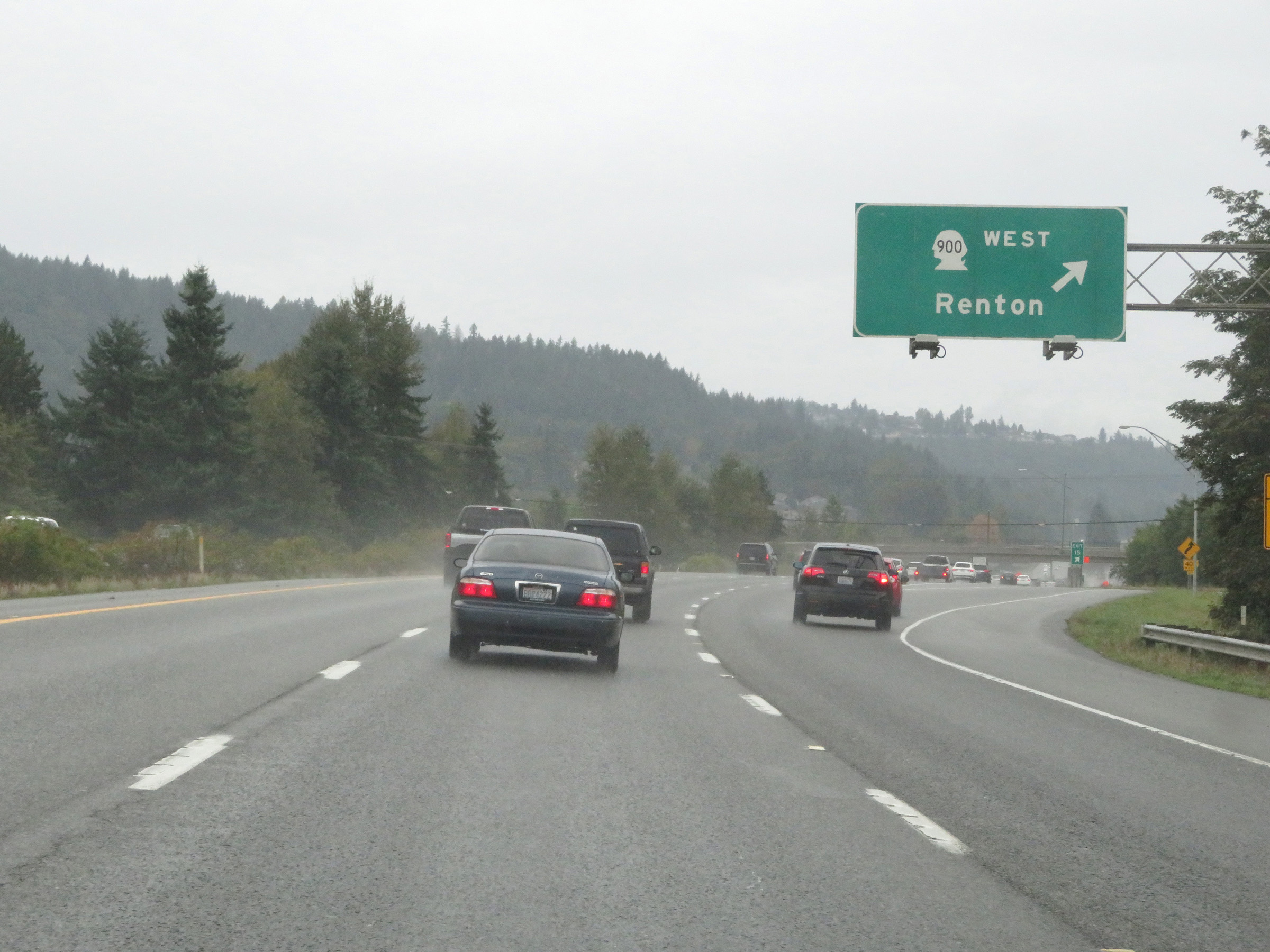 |
Interstate 90 West at Exit 15: WA 900 West - Renton (Photo taken 9/22/19). |
 |
Interstate 90 West at Exit 13: West Lake Sammamish / Lakemont Blvd SE / SE Newport Way (Photo taken 9/22/19). |
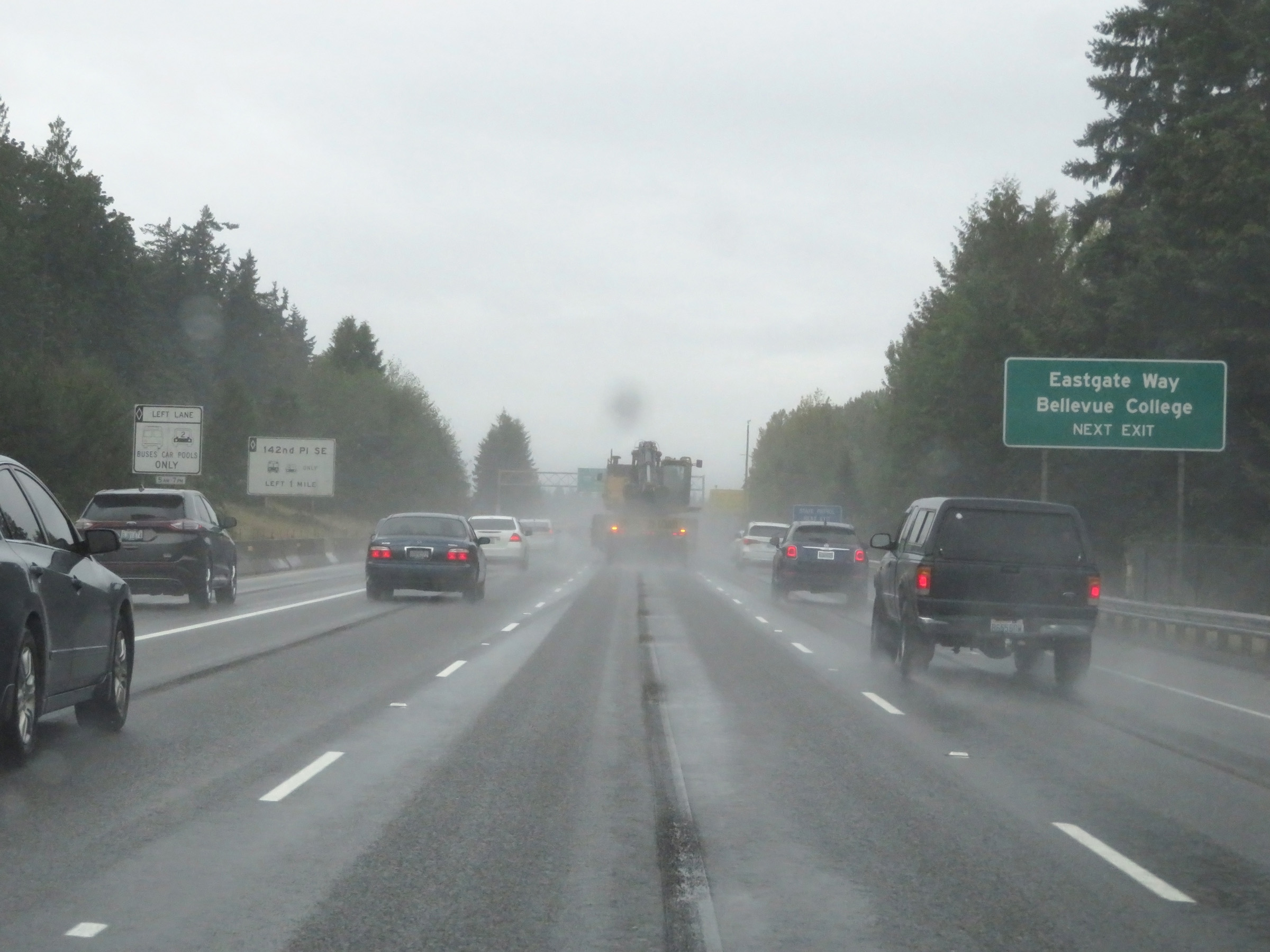 |
Take Exit 11 to Eastgate Way and Bellevue College. (Photo taken 9/22/19). |
 |
Interstate 90 West at Exit 11: 148th Ave SE / 150th Ave SE (Photo taken 9/22/19). |
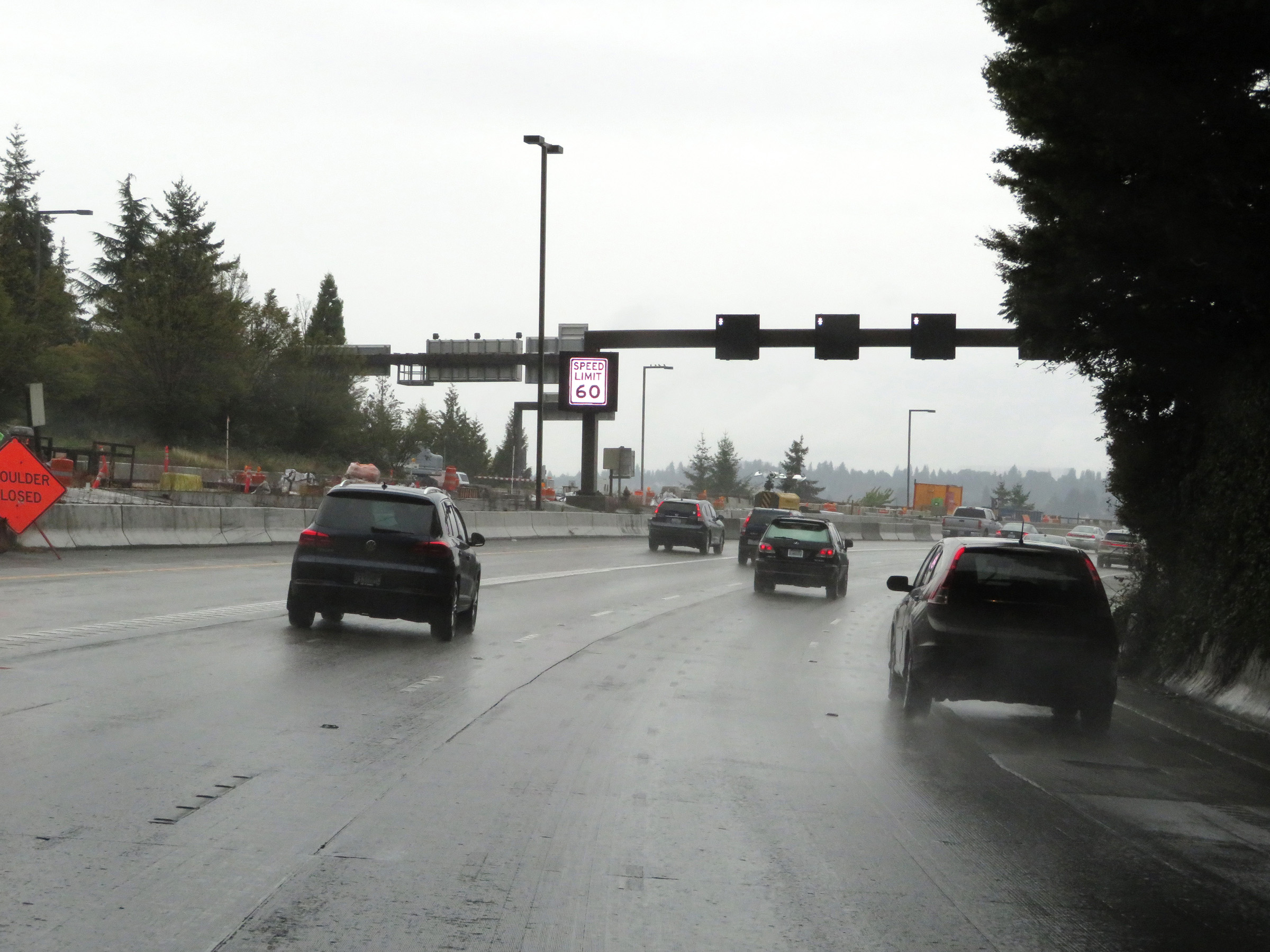
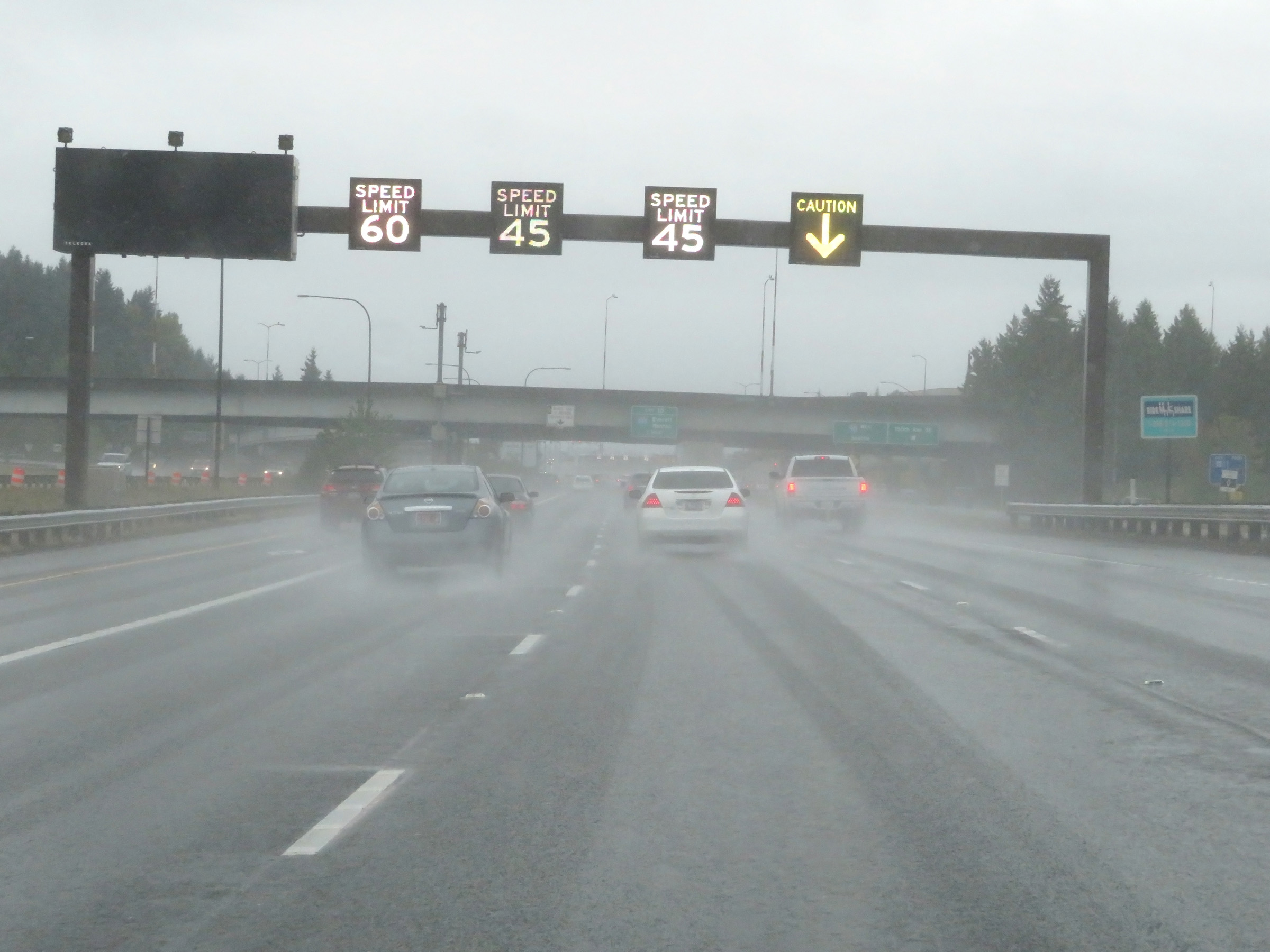 |
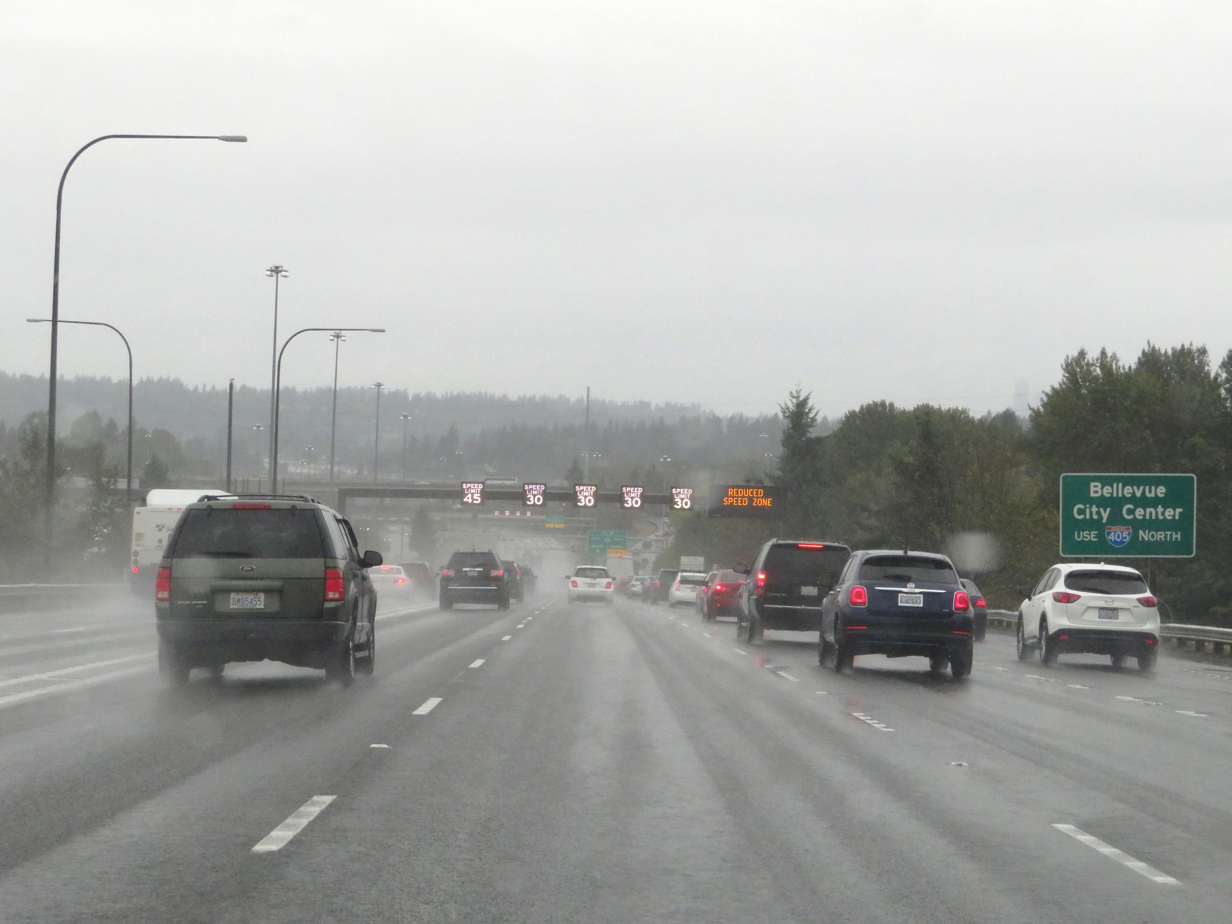
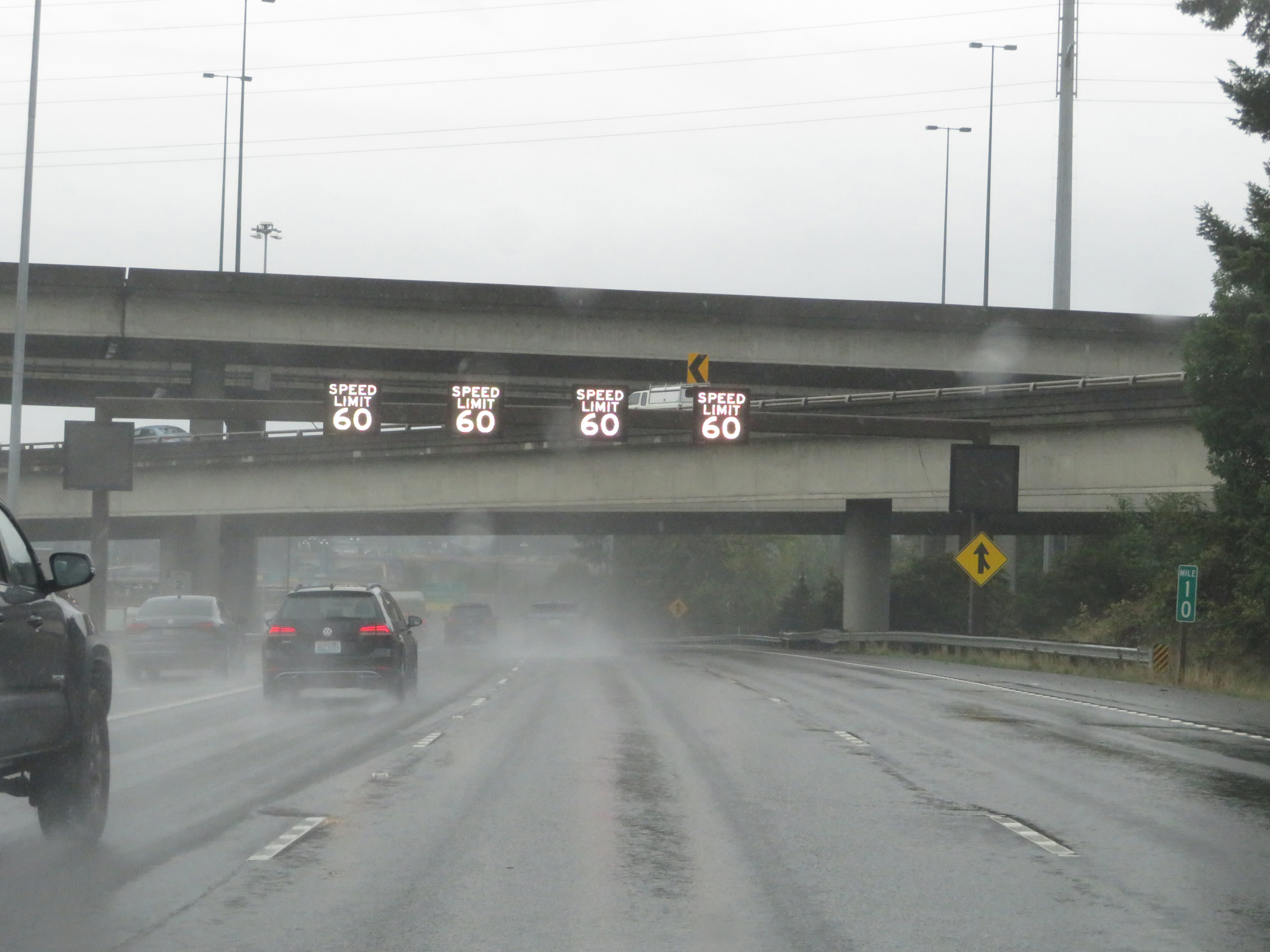
Variable speed limits are used again on Interstate 90 West nearing Bellevue. There is a variable speed limit for each lane. (Photo taken 9/22/19). |
 |
Interstate 90 West approaching Exit 10 - 1 mile. The left lane becomes a HOV lane for buses and vehicles with two or more persons in them from 5 AM to 7 PM. (Photo taken 9/22/19). |
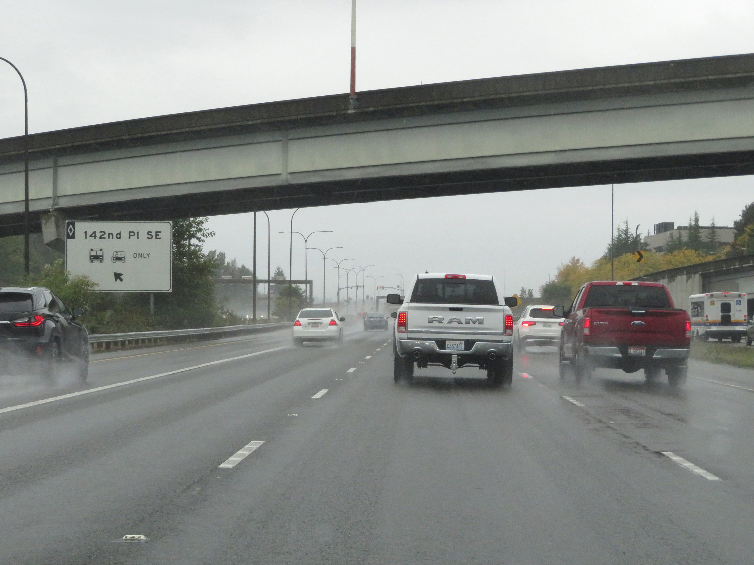 |
HOV lane exit to 142nd Place SE. (Photo taken 9/22/19). |
 |
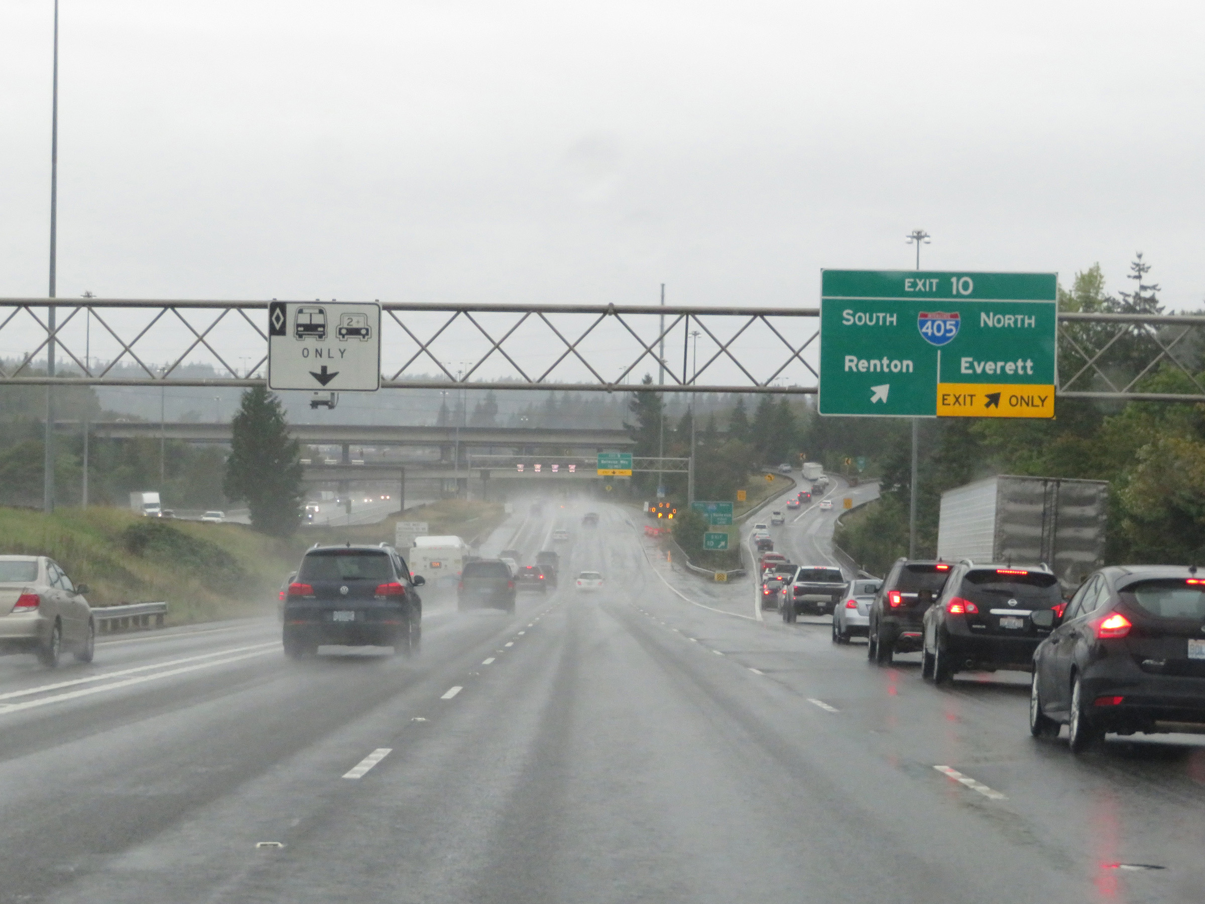
Take Exit 10 and follow Interstate 405 North to Bellevue City Center. (Photo taken 9/22/19). |
 |
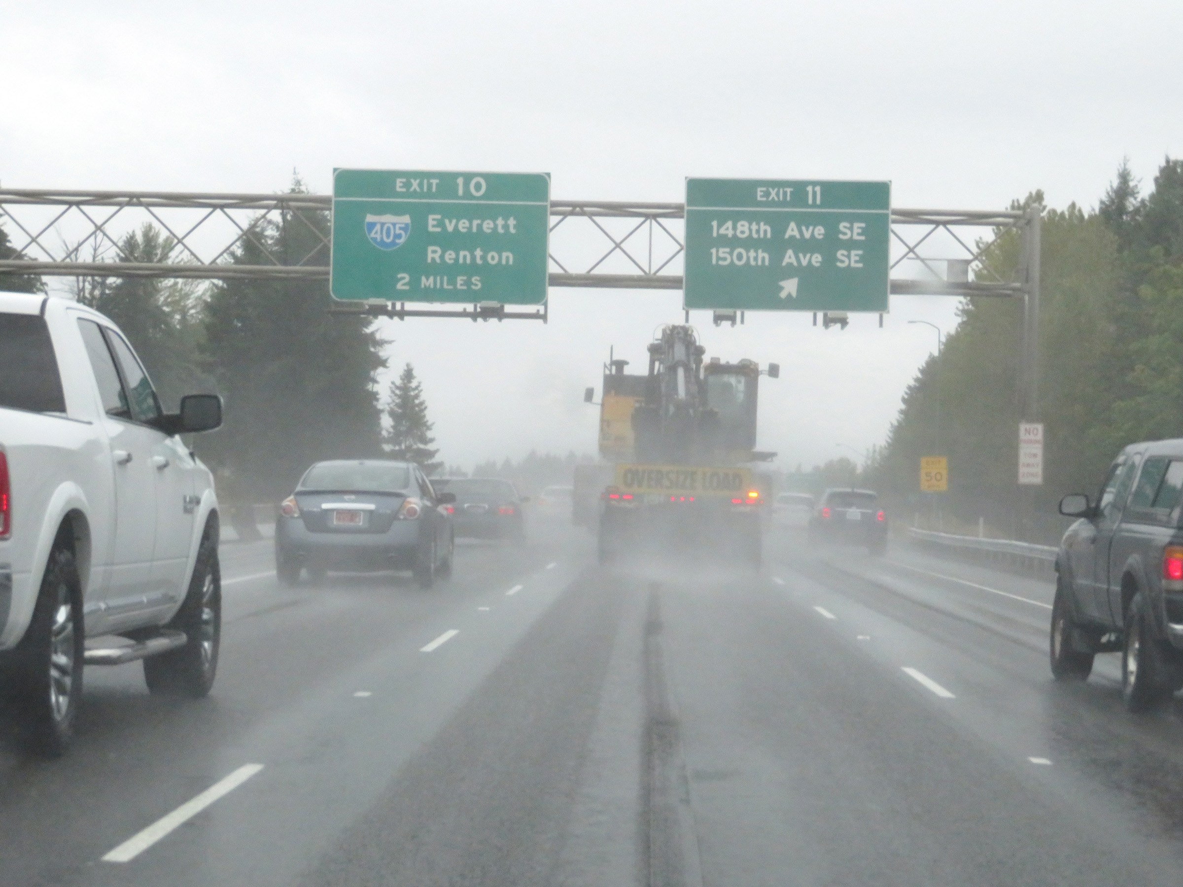
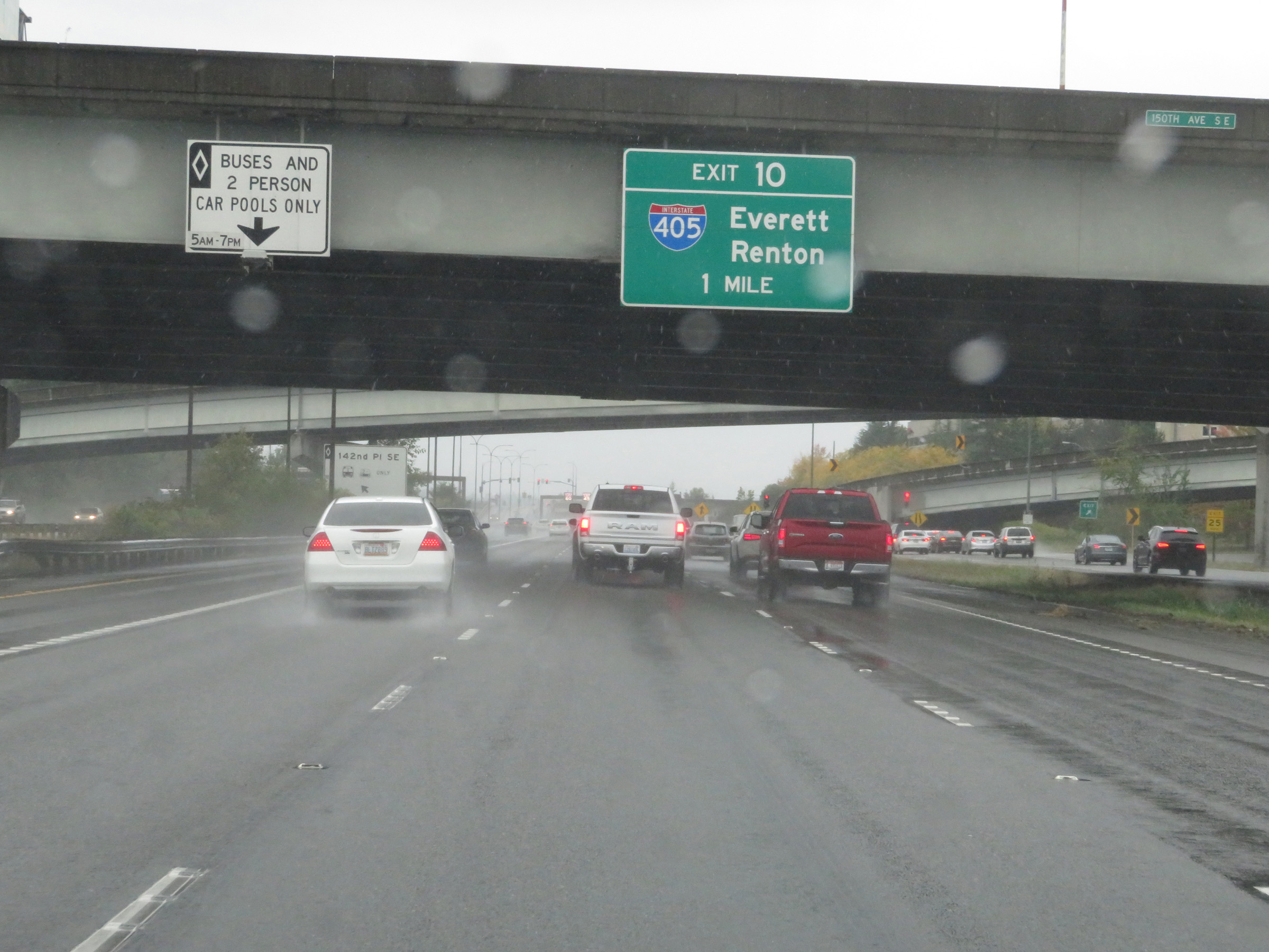
Interstate 90 West at Exit 10: Interstate 405 - Renton / Everett (Photo taken 9/22/19). |
 |
View on Interstate 90 West at mile marker 10, as it passes under Interstate 405 and the ramps to and from it. (Photo taken 9/22/19). |
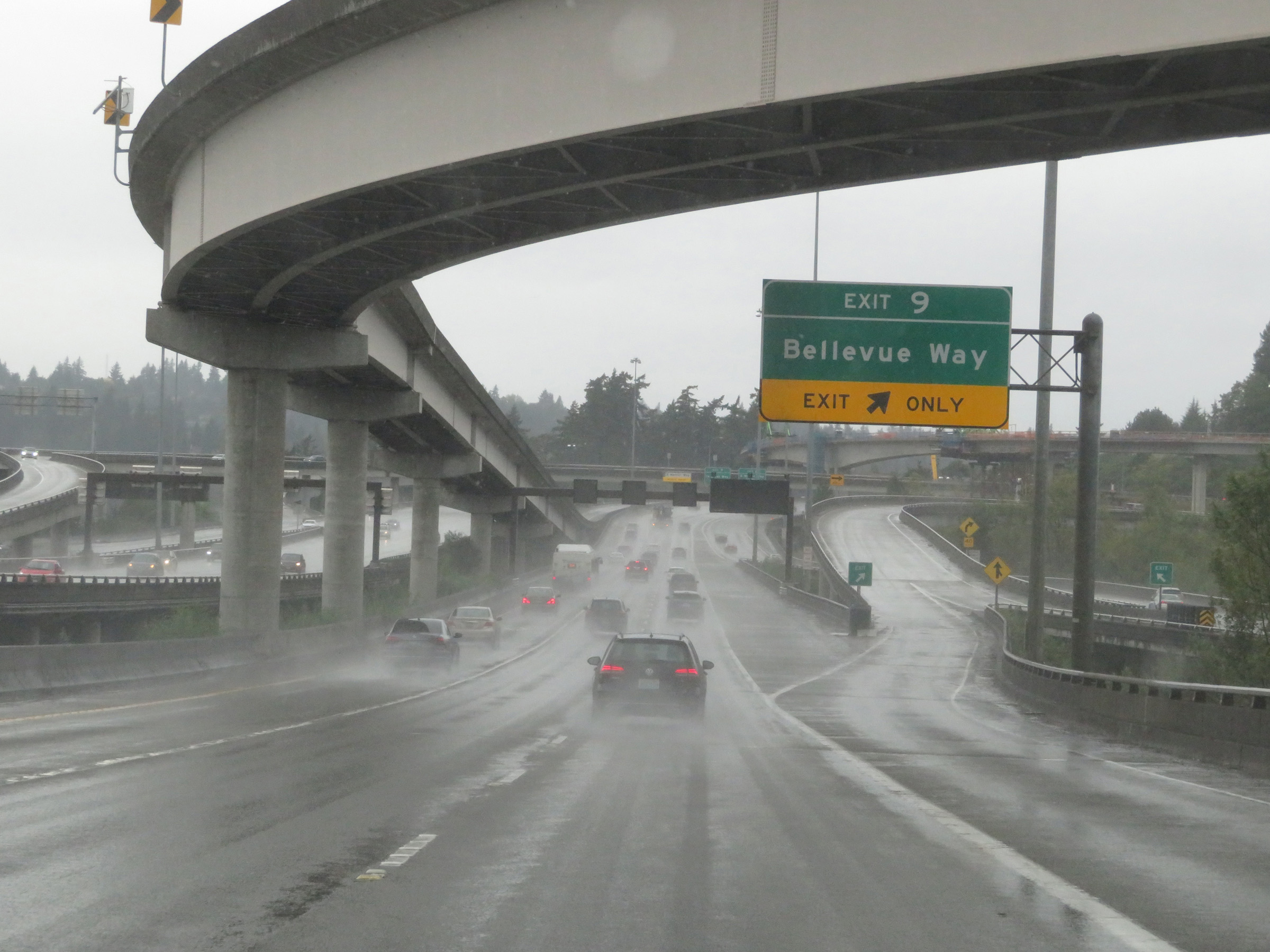 |
Interstate 90 West at Exit 9: Bellevue Way (Photo taken 9/22/19). |
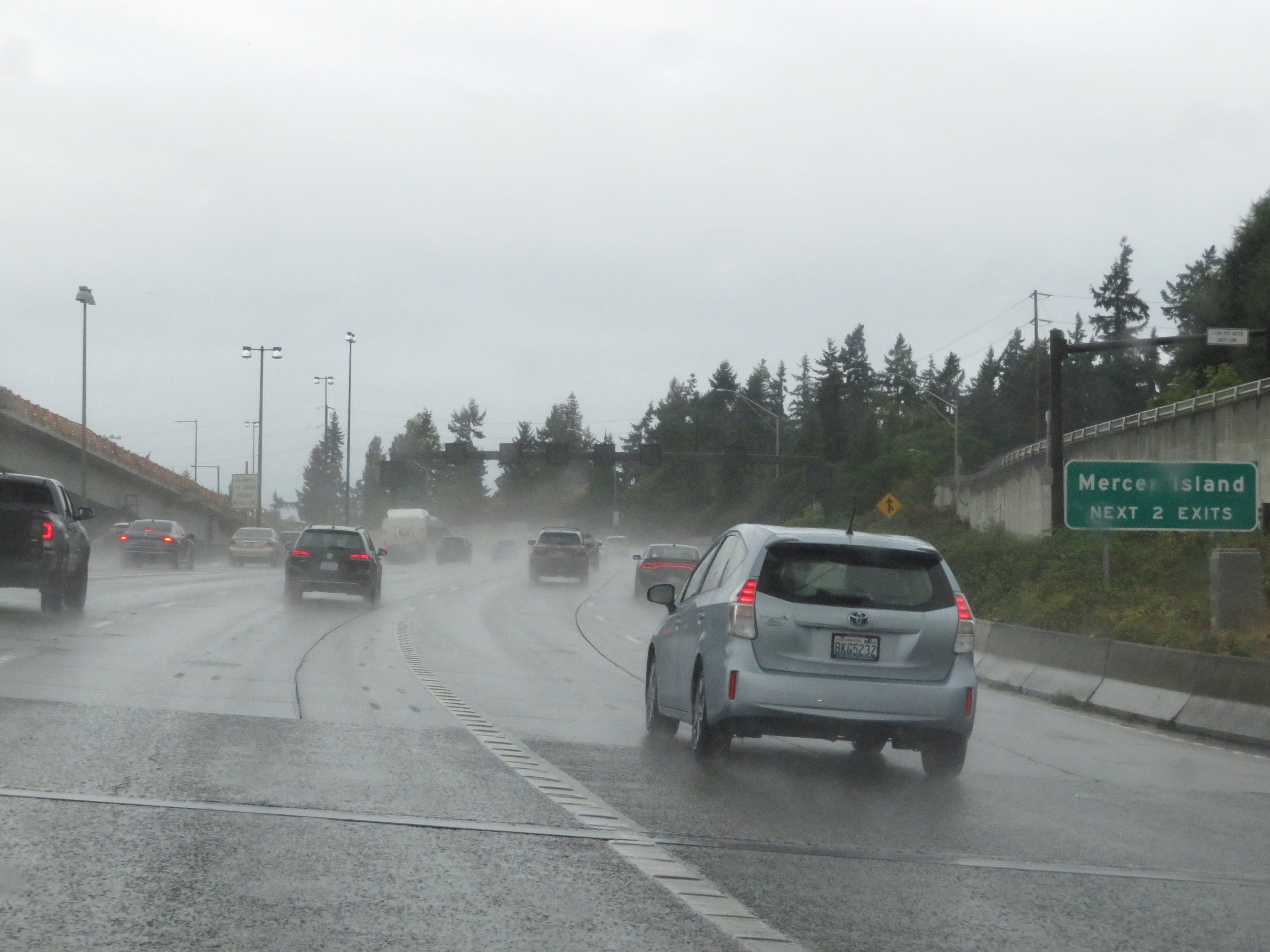 |
Take either of the next 2 exits to Mercer Island. (Photo taken 9/22/19). |
 |
Interstate 90 West at Exit 8: East Mercer Way (Photo taken 9/22/19). |
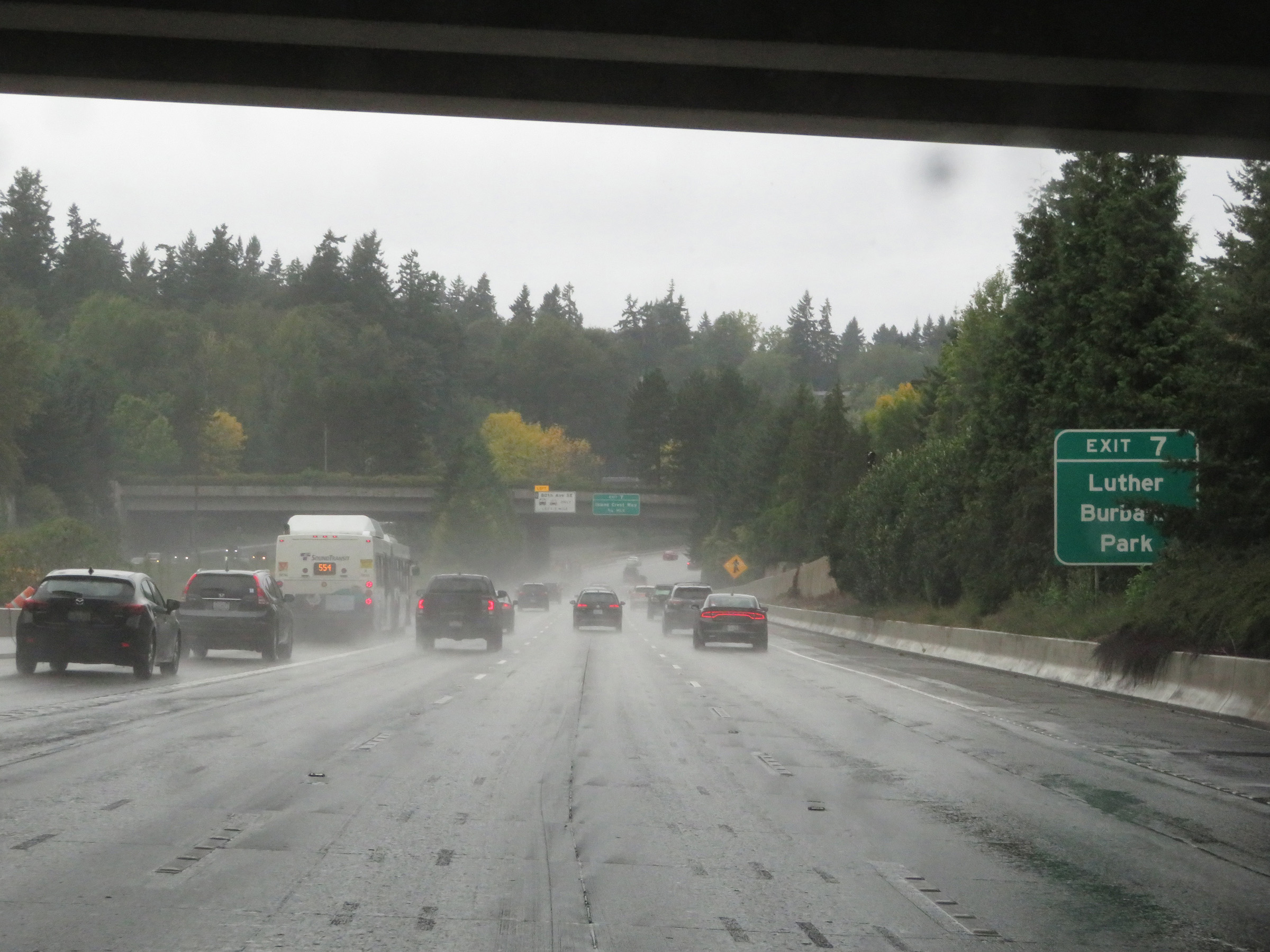 |
Take Exit 7 to Luther Burbank Park. (Photo taken 9/22/19). |
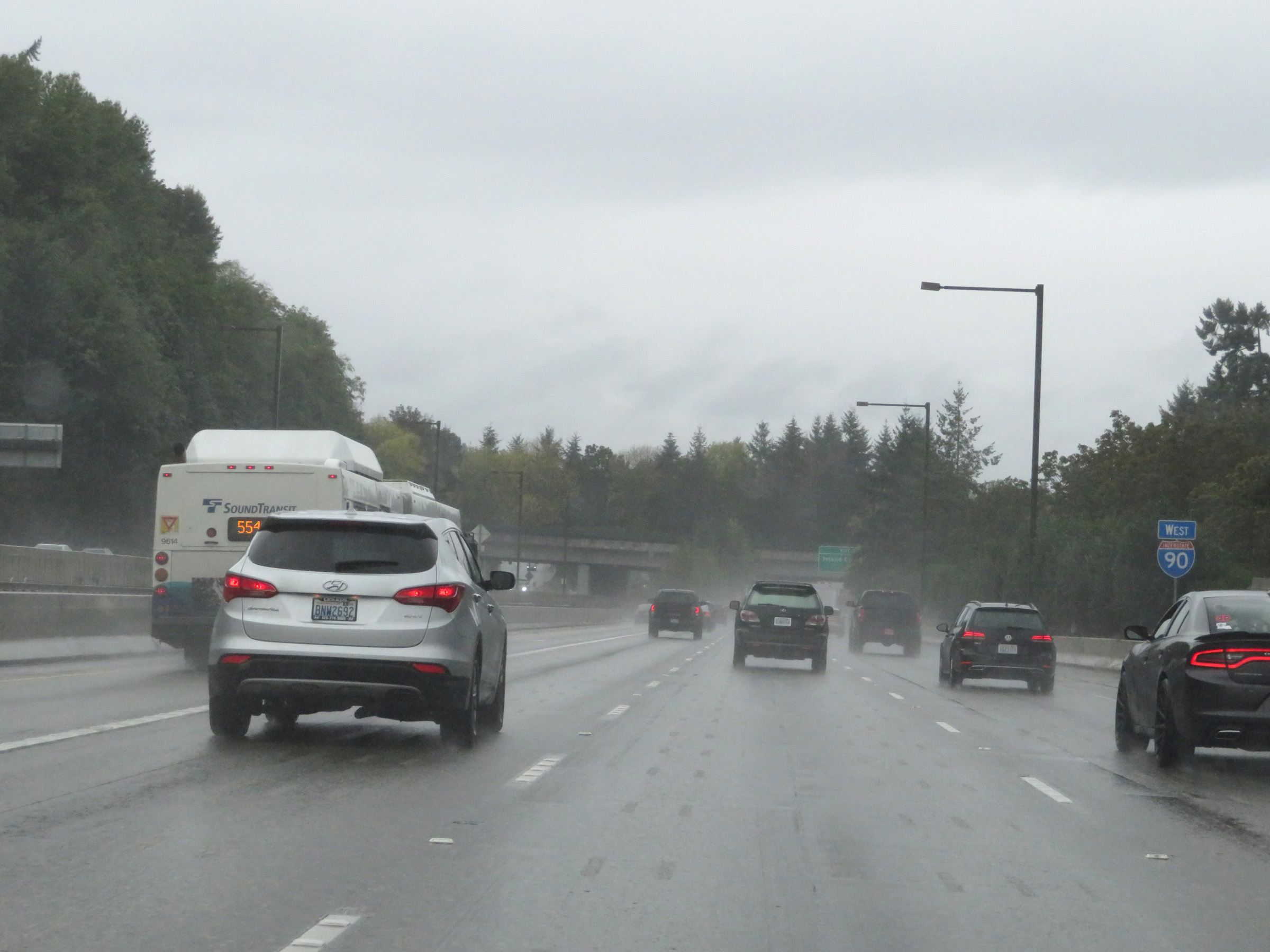 |
Interstate 90 West reassurance shield approaching Exit 7 in Mercer Island. (Photo taken 9/22/19). |
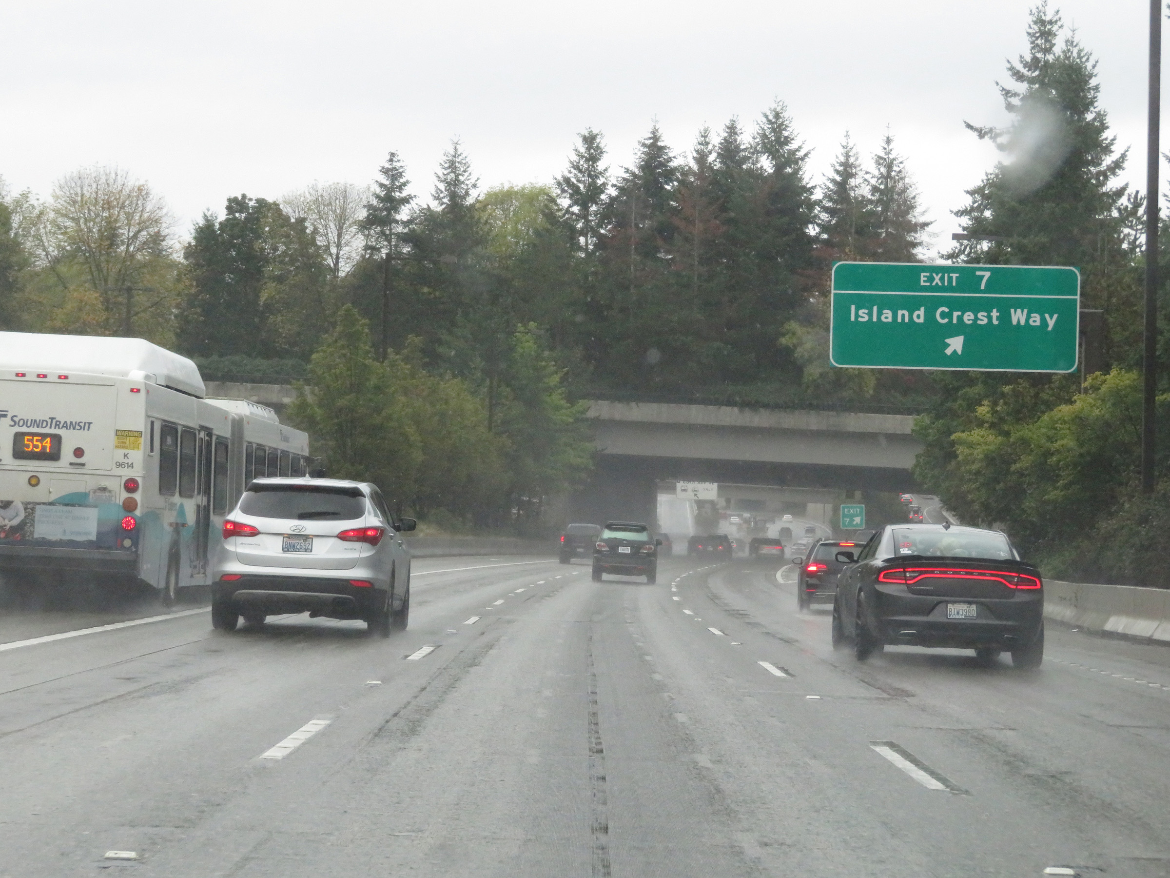 |
Interstate 90 West at Exit 7: Island Crest Way (Photo taken 9/22/19). |
 |
Interstate 90 West at a HOV lane Exit to 80th Ave SE. (Photo taken 9/22/19). |
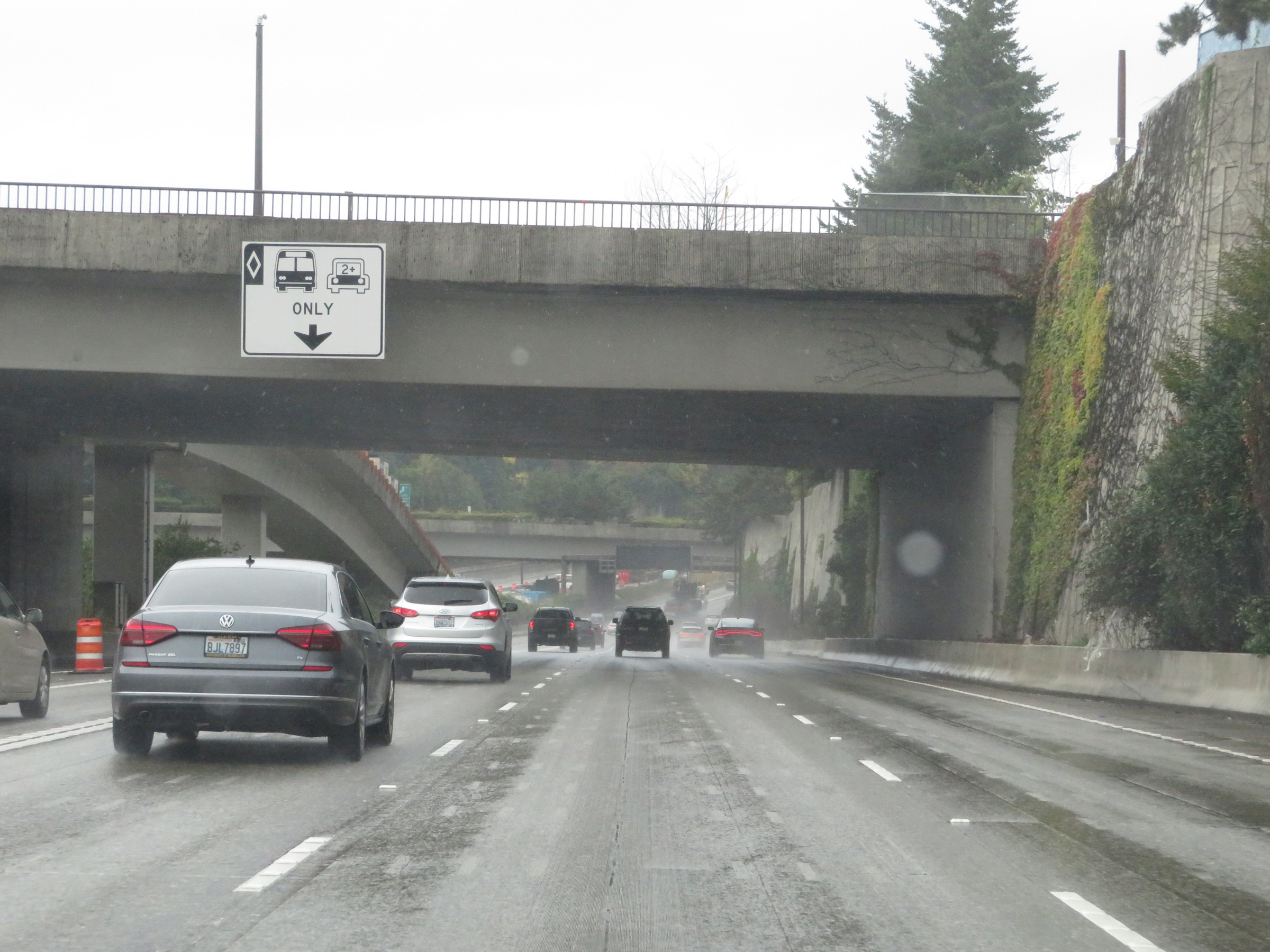 |
Again, the left lane on this part of Interstate 90 West is a HOV lane which is only to be used by buses and carpools of 2 or more persons from 5 AM to 7 PM. (Photo taken 9/22/19). |
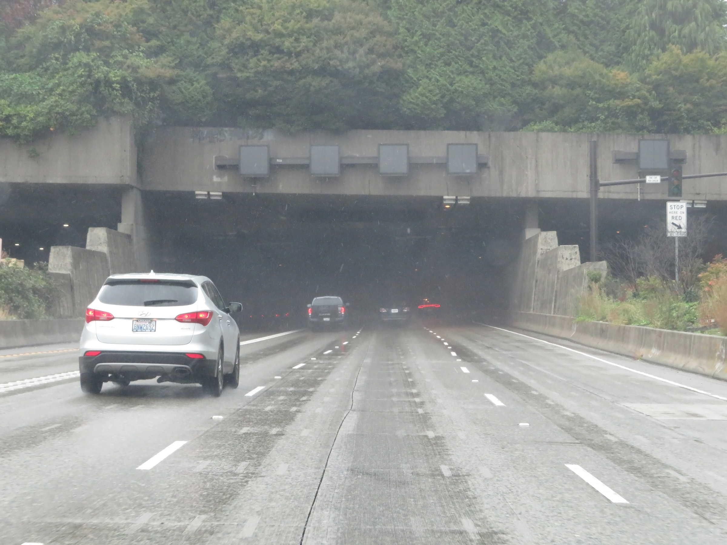 |
View on Interstate 90 West as it prepares to tunnel under Aubrey Davis Park on Mercer Island. (Photo taken 9/22/19). |
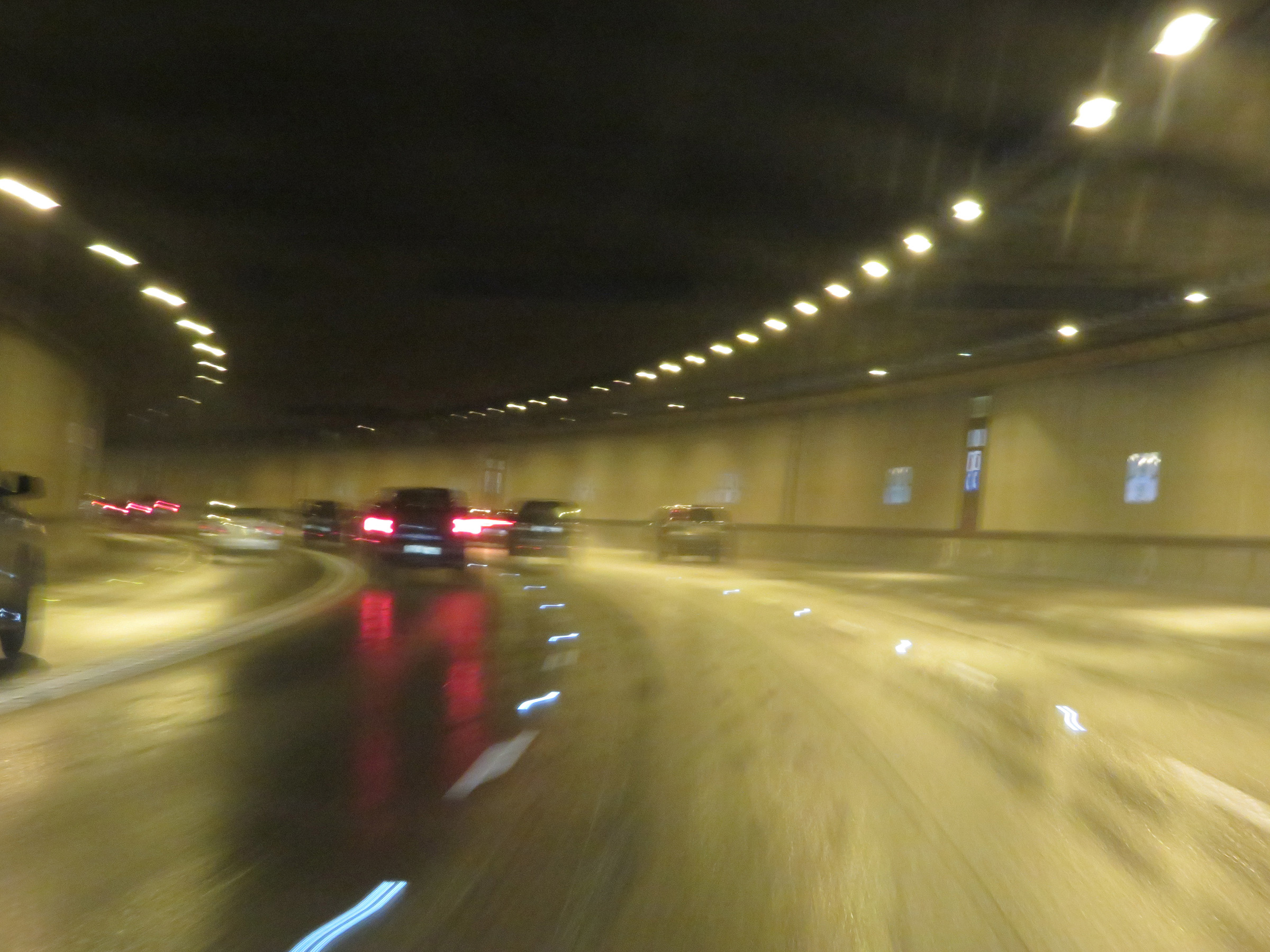 |
Attempted view inside the tunnel under Aubrey Davis Park on Mercer Island. (Photo taken 9/22/19). |
 |
Another view from inside the tunnel under Aubrey Davis Park on Interstate 90 West on Mercer Island. (Photo taken 9/22/19). |
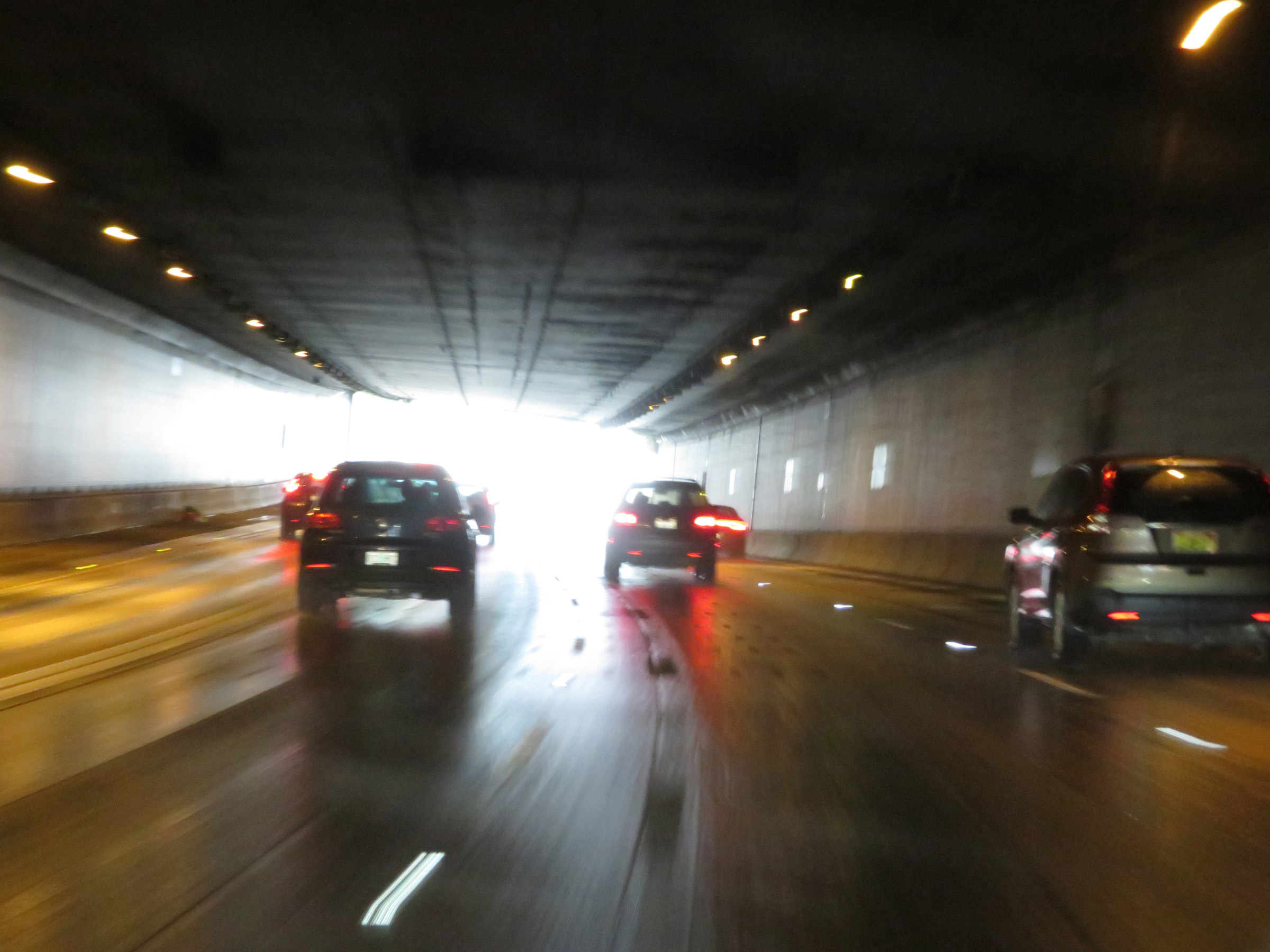
 |
Emerging on the west end of the tunnel, we see that variable speed limits are still in use. (Photo taken 9/22/19). |
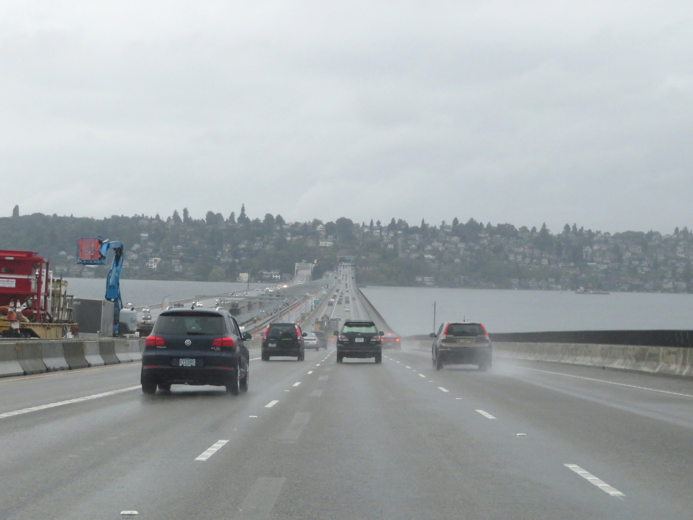 |
View on Interstate 90 West as it prepares to cross the Homer M. Hadley Bridge over Lake Washington from Mercer Island to Seattle. (Photo taken 9/22/19). |
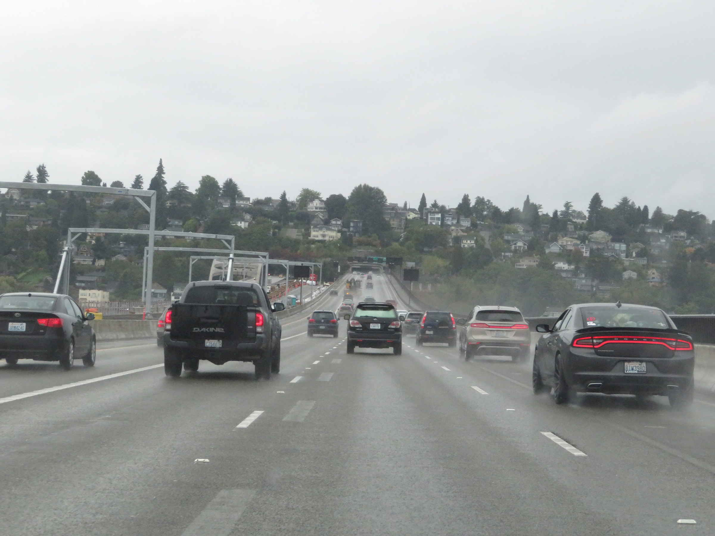 |
Interstate 90 West as it crosses Lake Washington on the Homer M. Hadley Bridge. (Photo taken 9/22/19). |
 |
Interstate 90 West approaching Exits 3A-B - 3/4 mile. First, I-90 West will pass through another tunnel which goes under both Sam Smith Park and Jimi Hendrix Park. (Photo taken 9/22/19). |
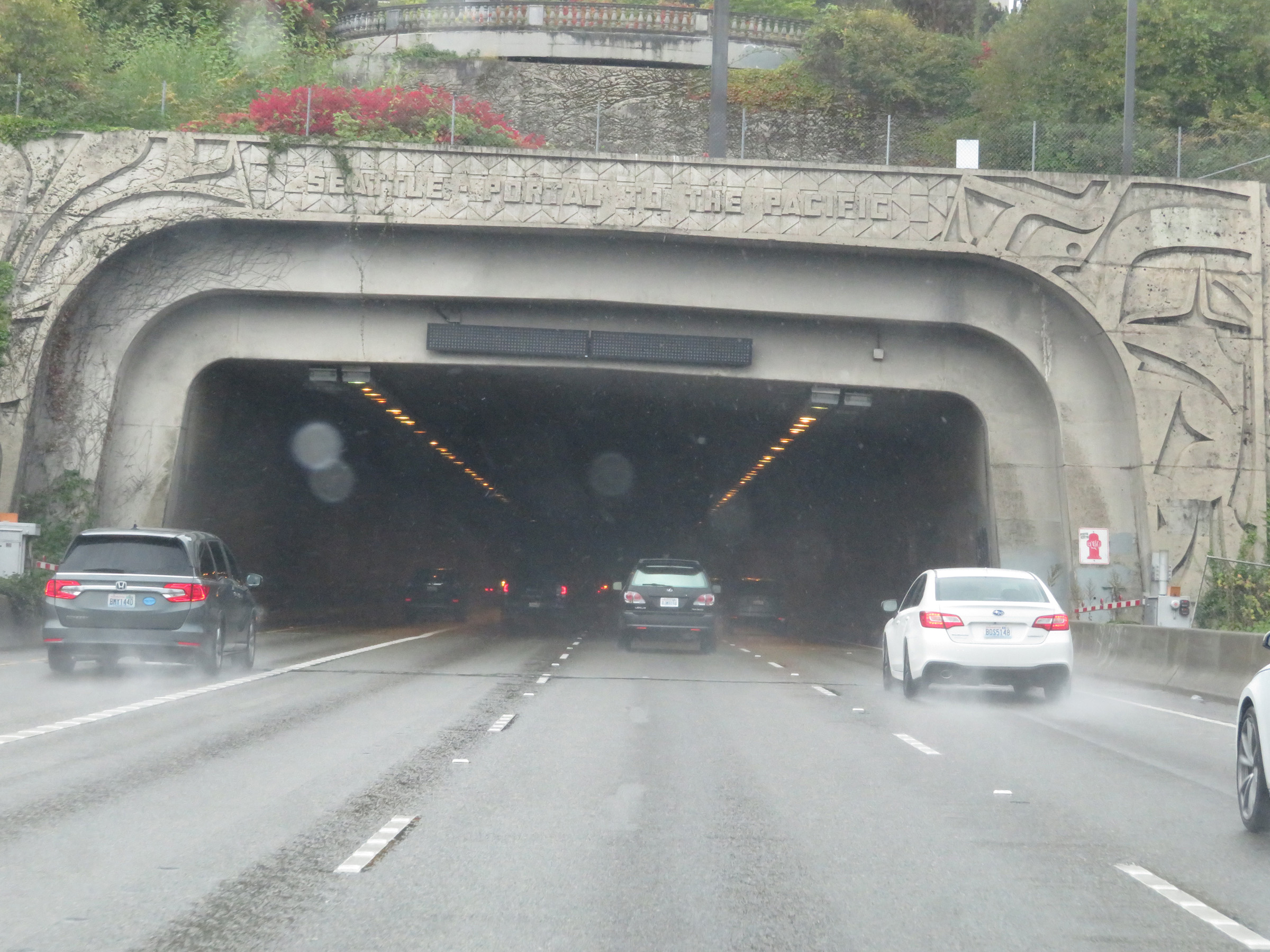 |
Interstate 90 West as it prepares to enter the Mt. Baker Tunnel, which will carry I-90 traffic into the Seattle city limits. (Photo taken 9/22/19). |
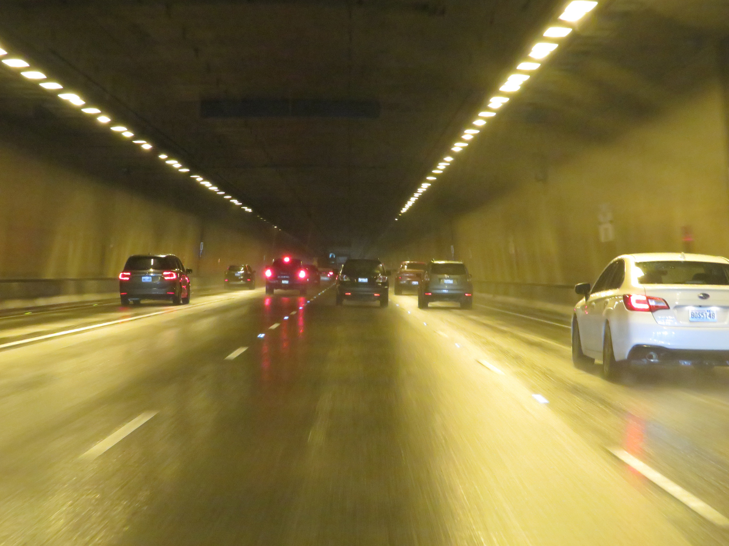 |
View on Interstate 90 West inside the Mt. Baker Tunnel under Sam Smith Park and Jimi Hendrix Park. (Photo taken 9/22/19). |
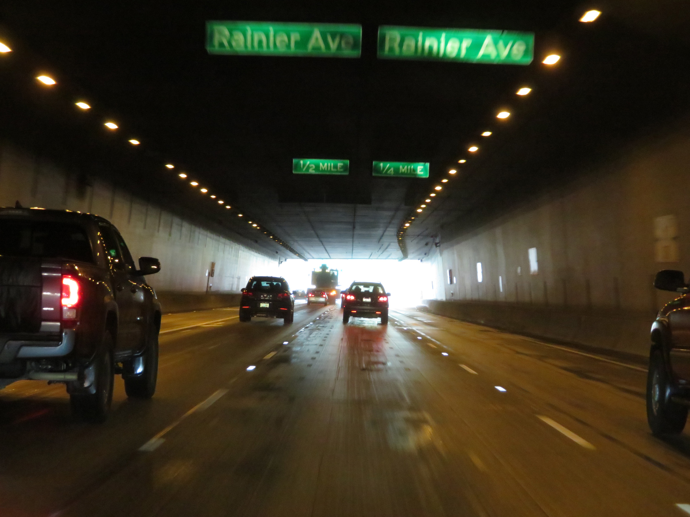 |
As the tunnel exit approaches, traffic to Exits 3A-B (Rainier Ave) should keep right. (Photo taken 9/22/19). |
 |
Interstate 90 West at Exit 3B: Rainier Ave North; Exit 3A: Rainier Ave South (Photo taken 9/22/19). |
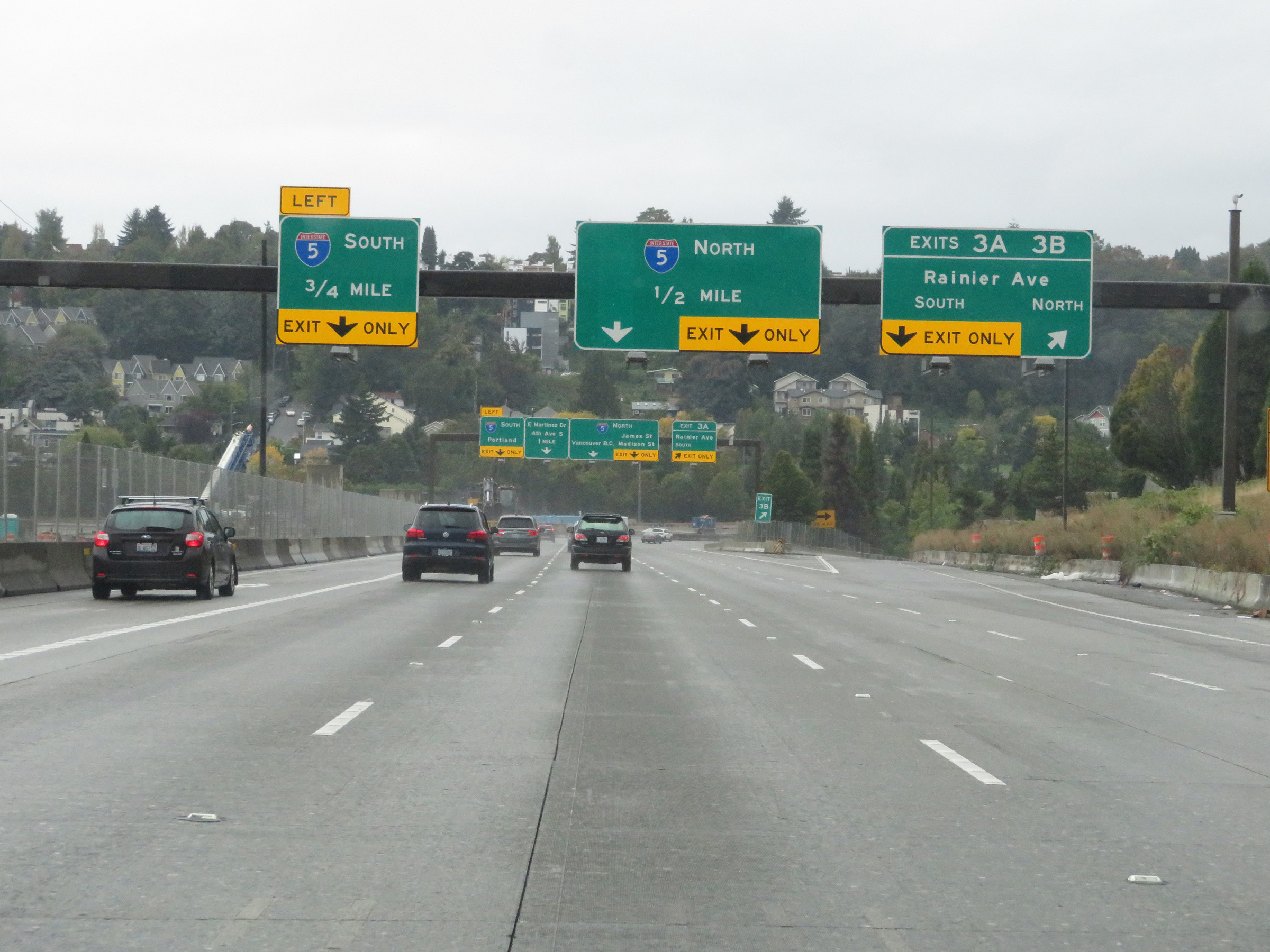
 |
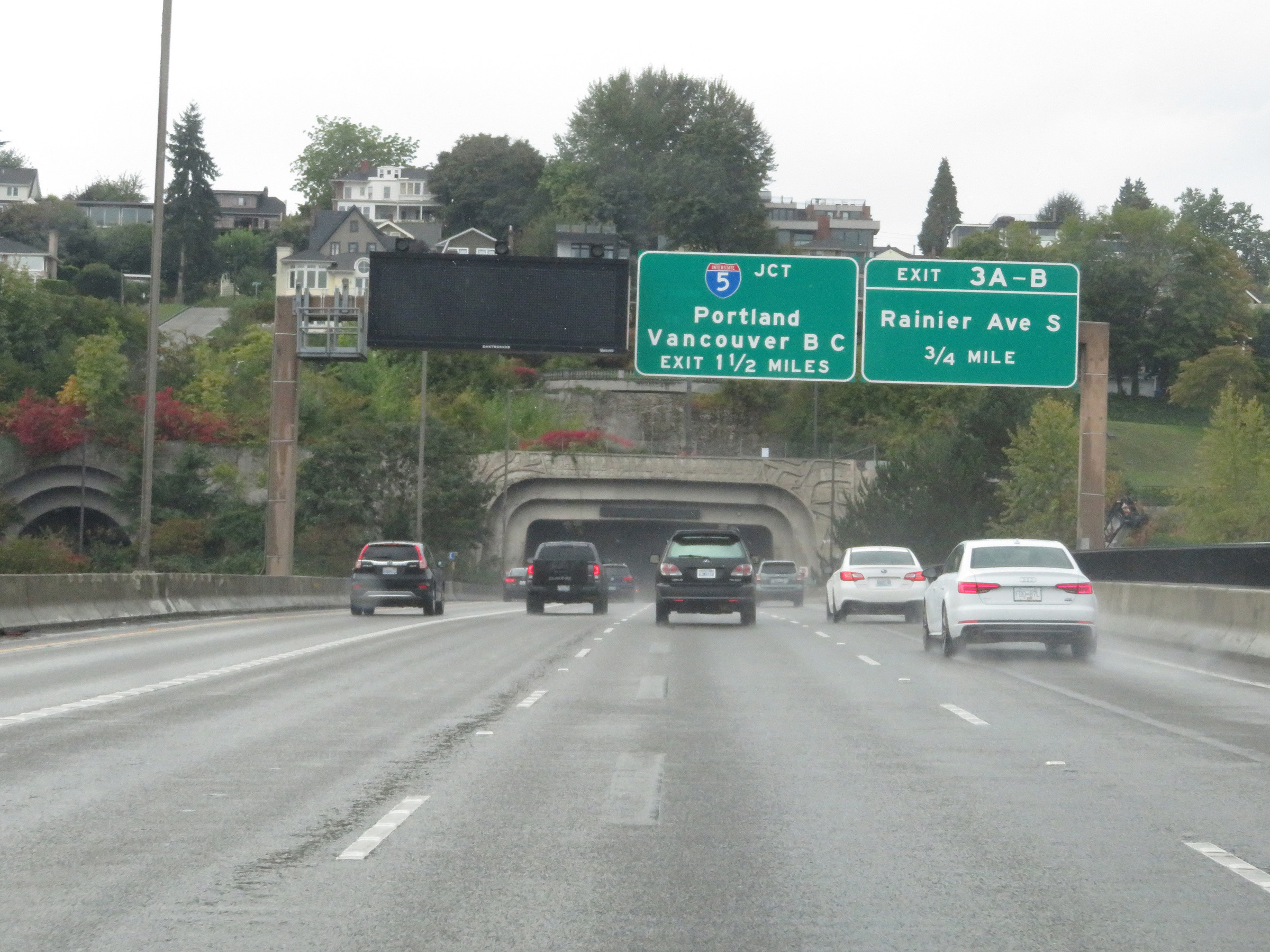
Interstate 90 West approaching the junction of Interstate 5 in Seattle. Traffic to I-5 North should use the right lane while traffic to I-5 South toward Tacoma and Portland should keep left. (Photo taken 9/22/19). |
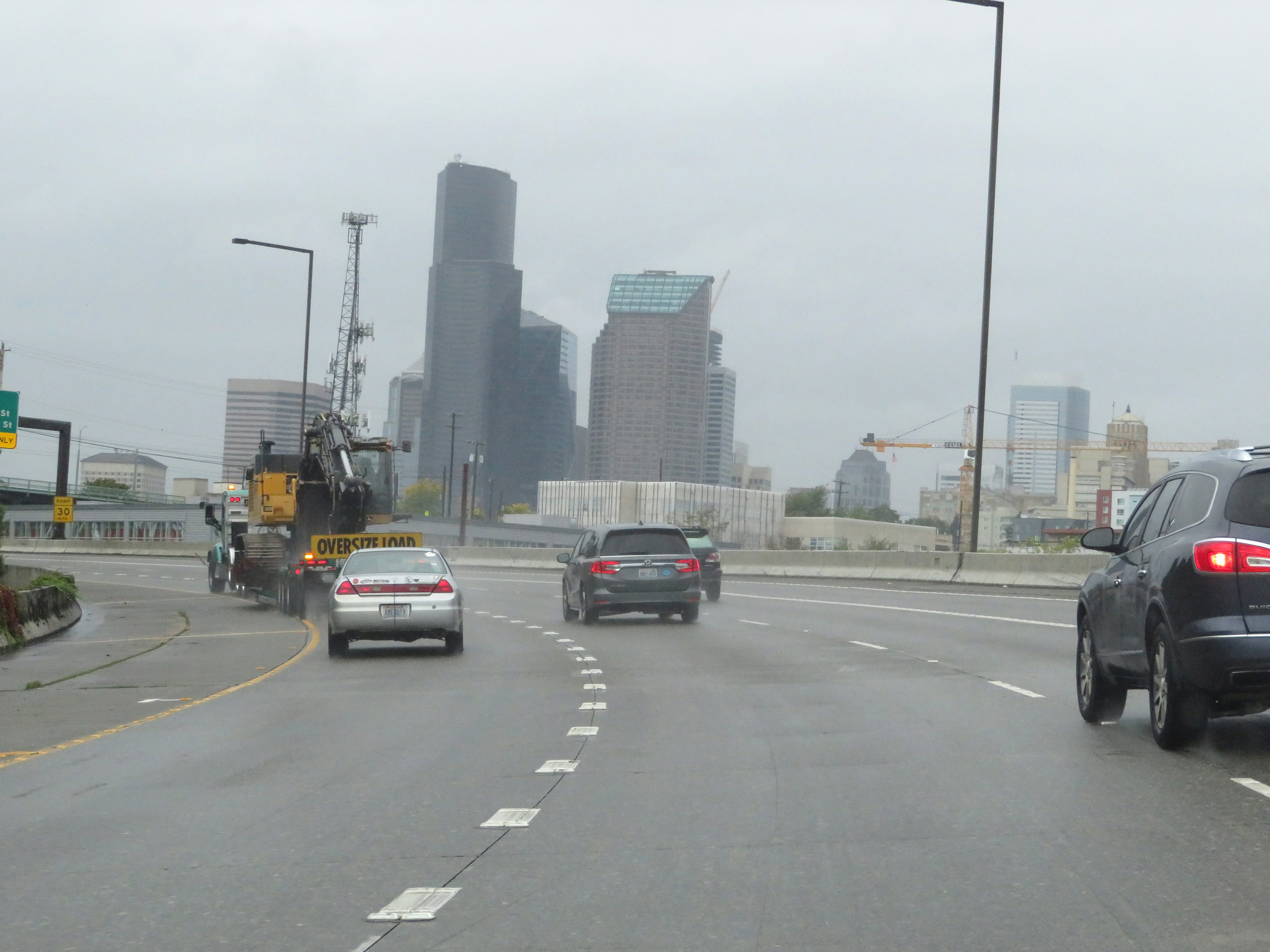 |
View of the Seattle skyline on Interstate 90 West approaching the junction of Interstate 5. (Photo taken 9/22/19). |
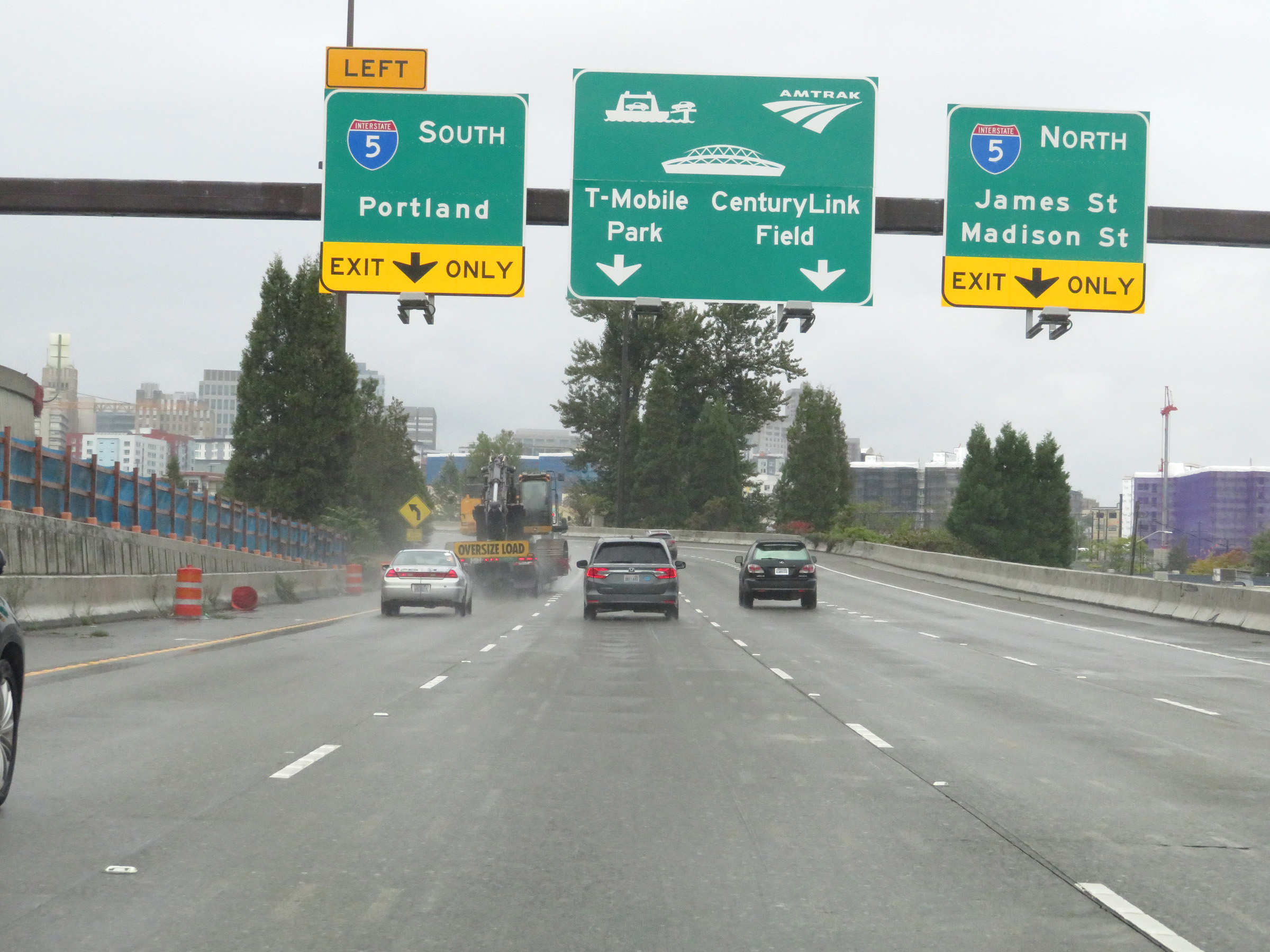
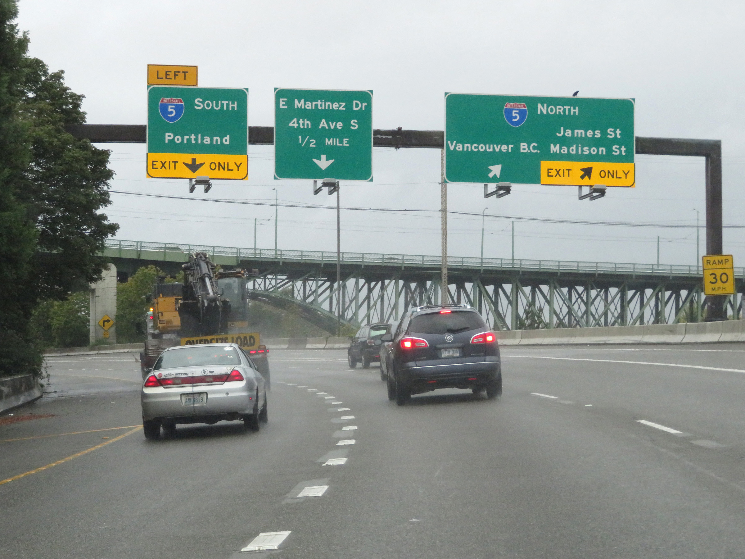 |
Interstate 90 West at Exit 2C: Interstate 5 North - Vancouver, BC / James St / Madison St (Photo taken 9/22/19). |
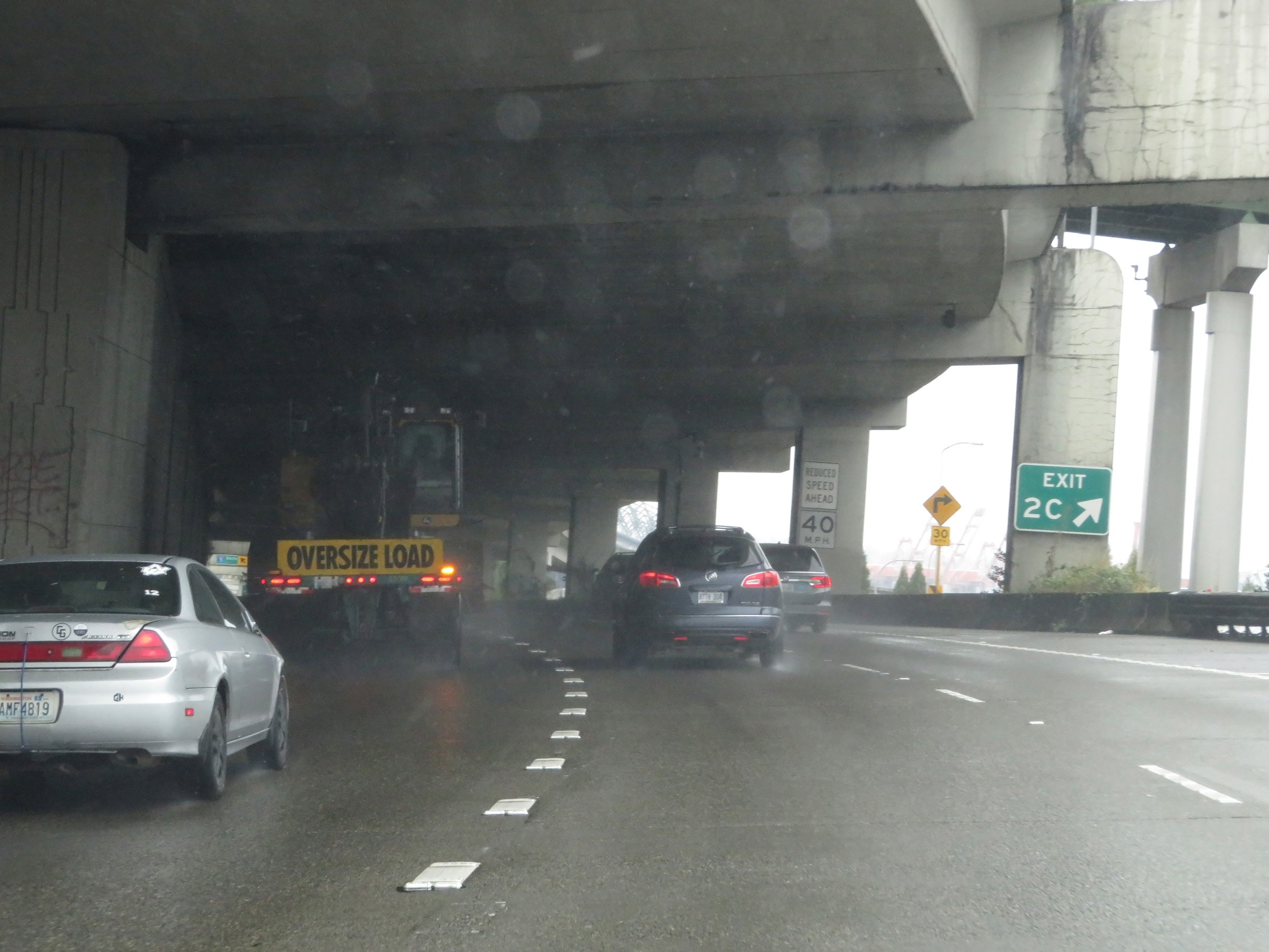 |
Gore point signage for Exit 2C to Interstate 5 North. The speed limit on Interstate 90 West will decrease to 40 mph ahead as its westbound lanes become decked under its eastbound lanes. (Photo taken 9/22/19). |
 |
Approaching Exit 2B (Interstate 5 South), the speed limit on Interstate 90 West decreases to 40 mph. (Photo taken 9/22/19). |
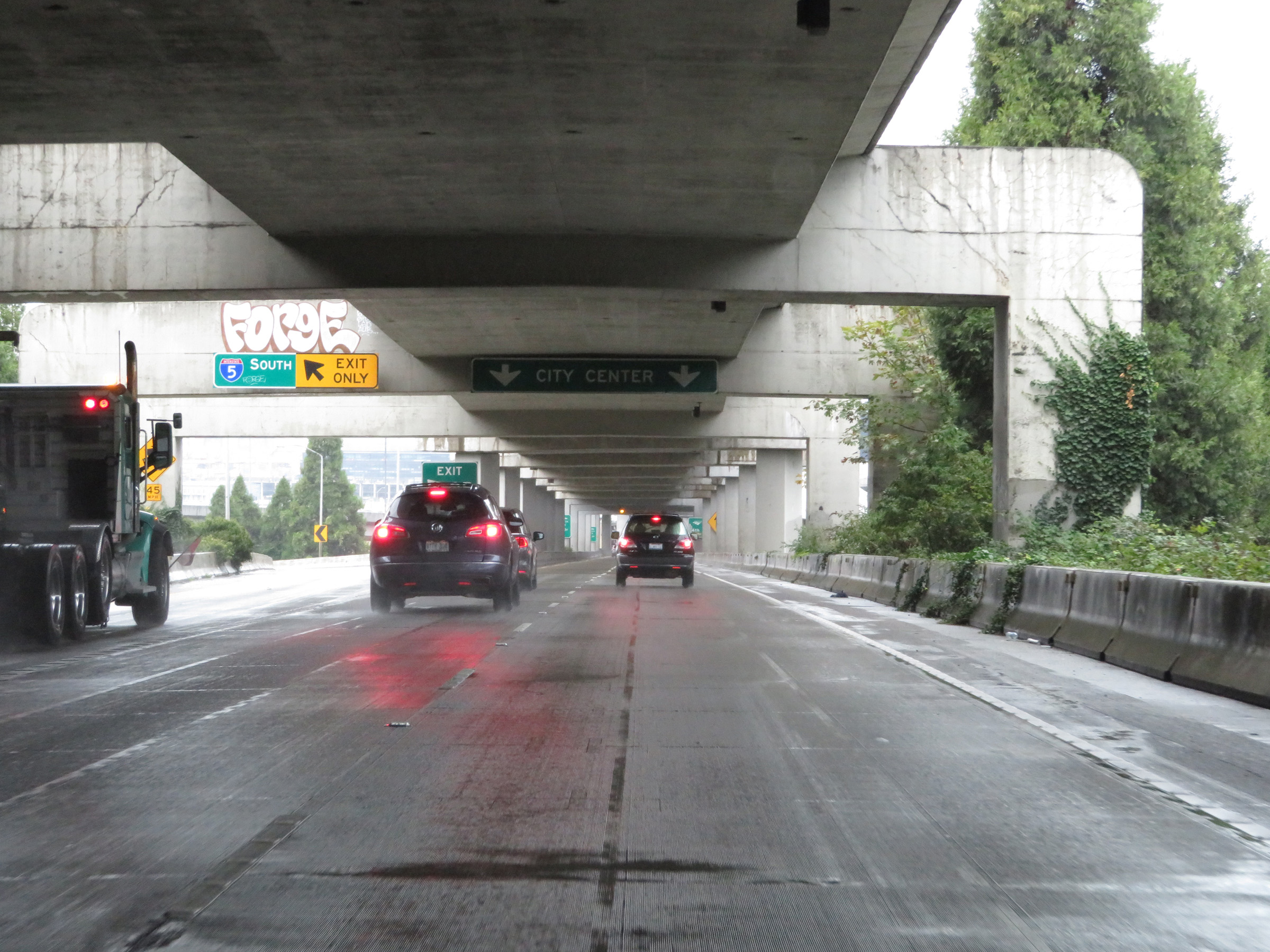 |
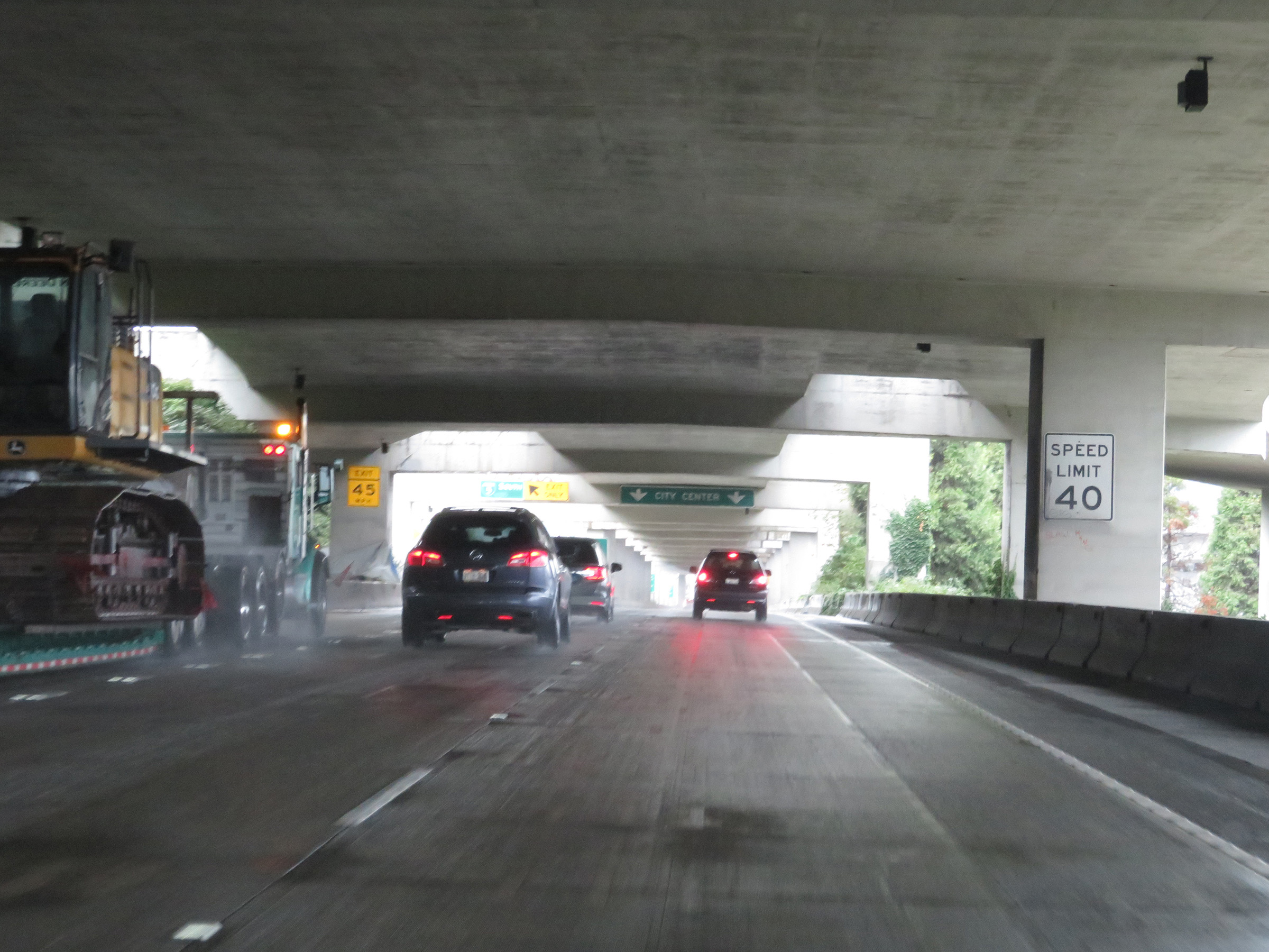
Interstate 90 West at Exit 2B: Interstate 5 South - Tacoma / Portland (Photo taken 9/22/19). |
 |
Gore point signage for Exit 2B as the westbound lanes of Interstate 90 continue toward downtown Seattle. (Photo taken 9/22/19). |
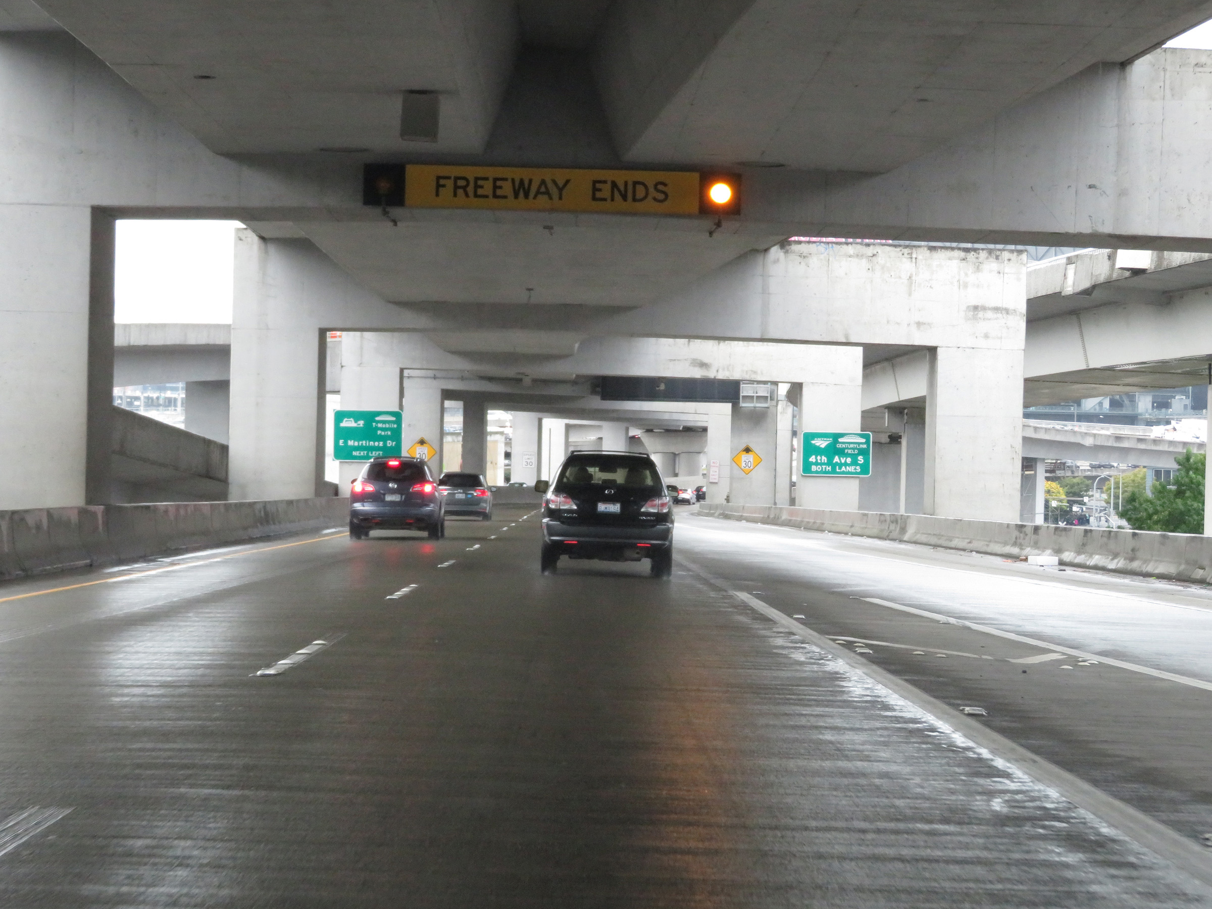 |
As this overhead signage shows, Interstate 90 West will end ahead. (Photo taken 9/22/19). |
 |
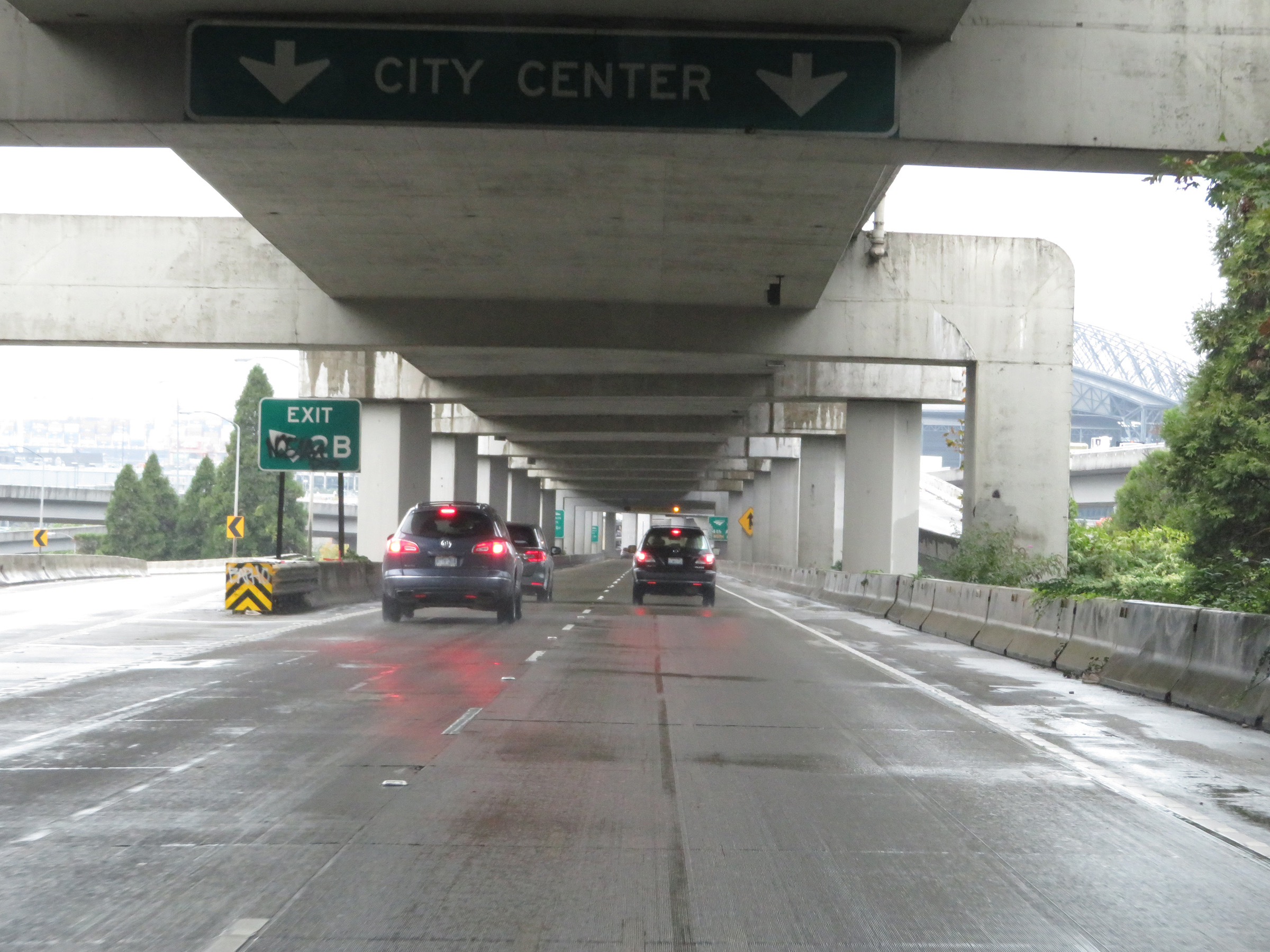
Approaching the national western terminus of Interstate 90 in Seattle, traffic to Edgar Martinez Dr and T-Mobile Park should keep left. Traffic to 4th Ave S and CenturyLink Field can use either lane. (Photo taken 9/22/19). |
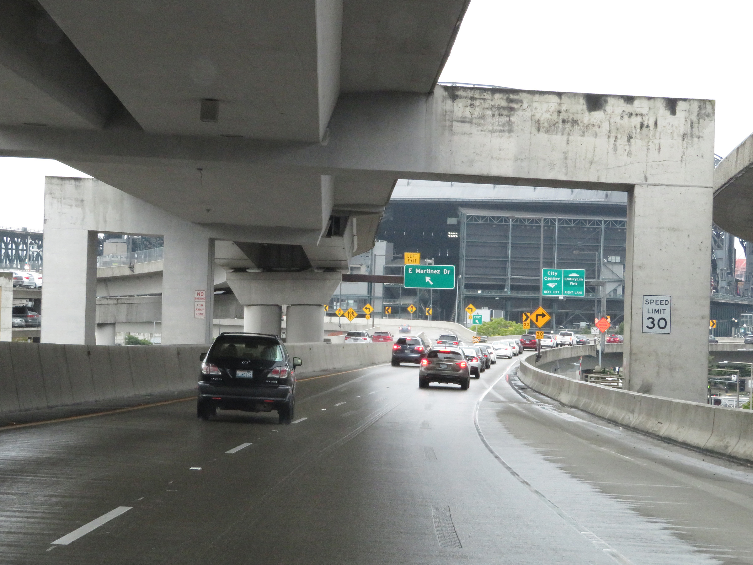 |
As Interstate 90 approaches its national western terminus in downtown Seattle, the speed limit decreases to 30 mph. (Photo taken 9/22/19). |
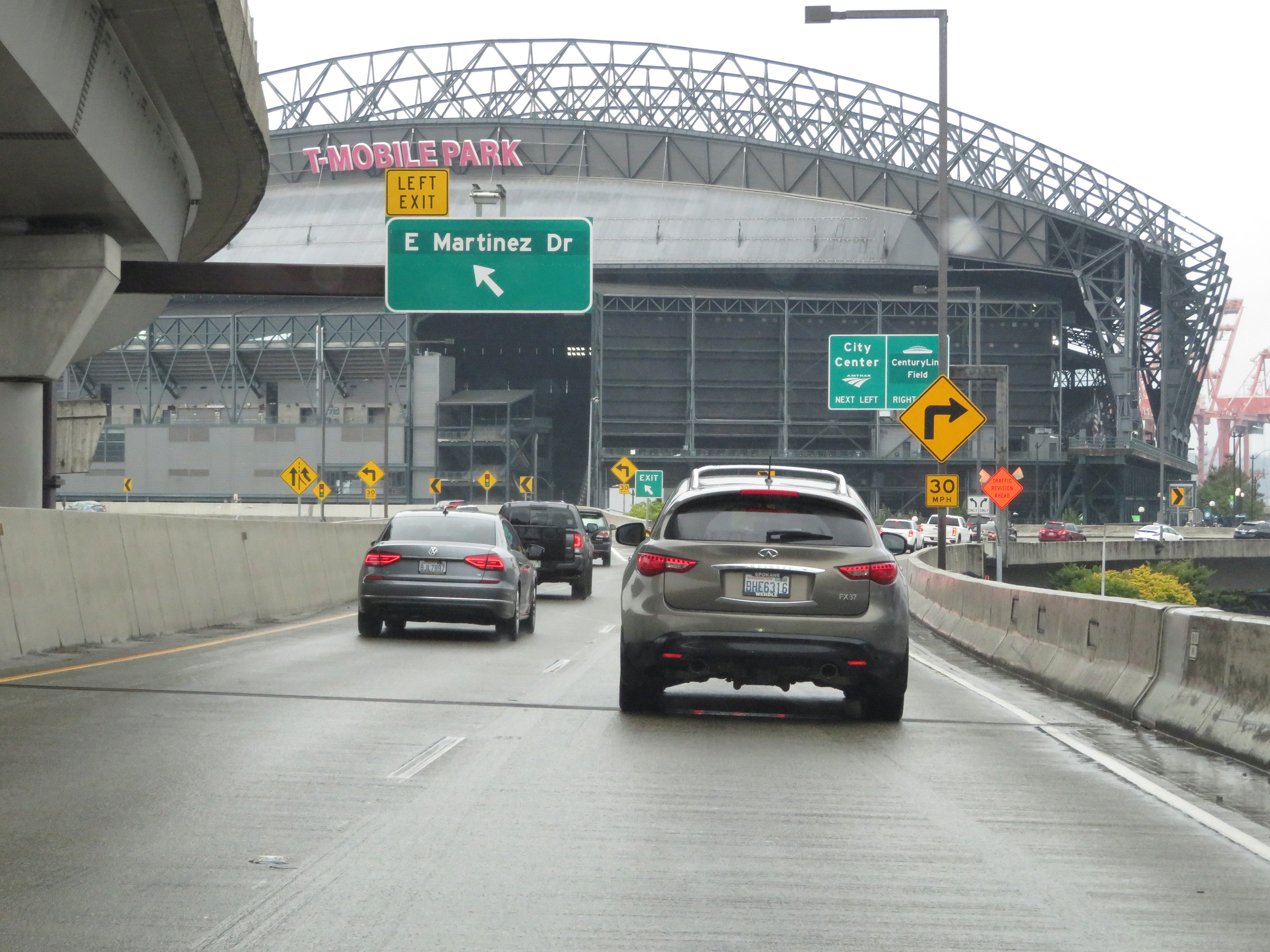 |
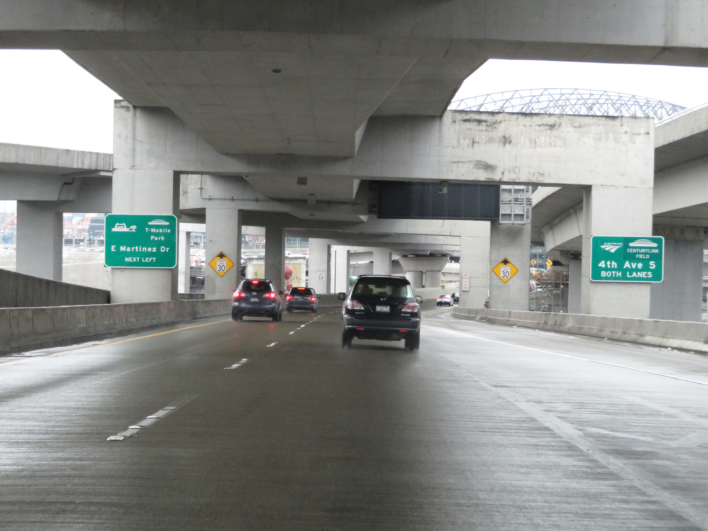
Interstate 90 West at Exit 1A: Edgar Martinez Dr (Photo taken 9/22/19). |
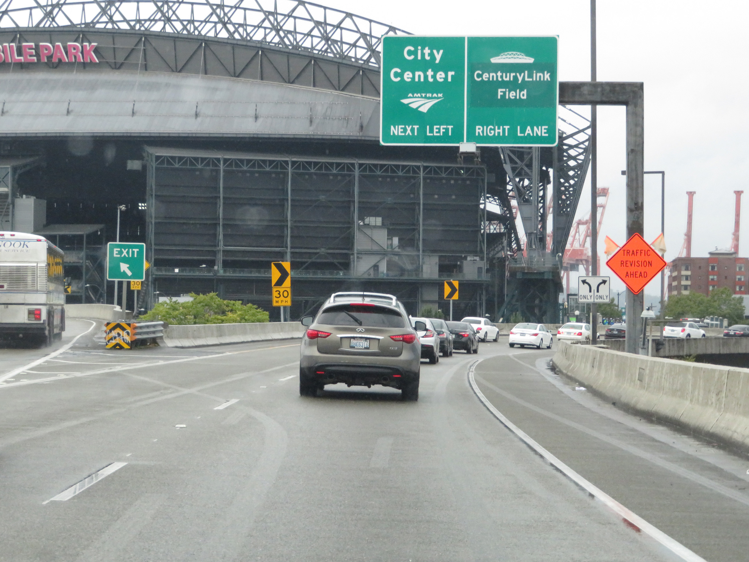 |
The two remaining lanes of Interstate 90 West become a ramp to 4th Ave S beyond the ramp to Edgar Martinez Dr. (Photo taken 9/22/19). |
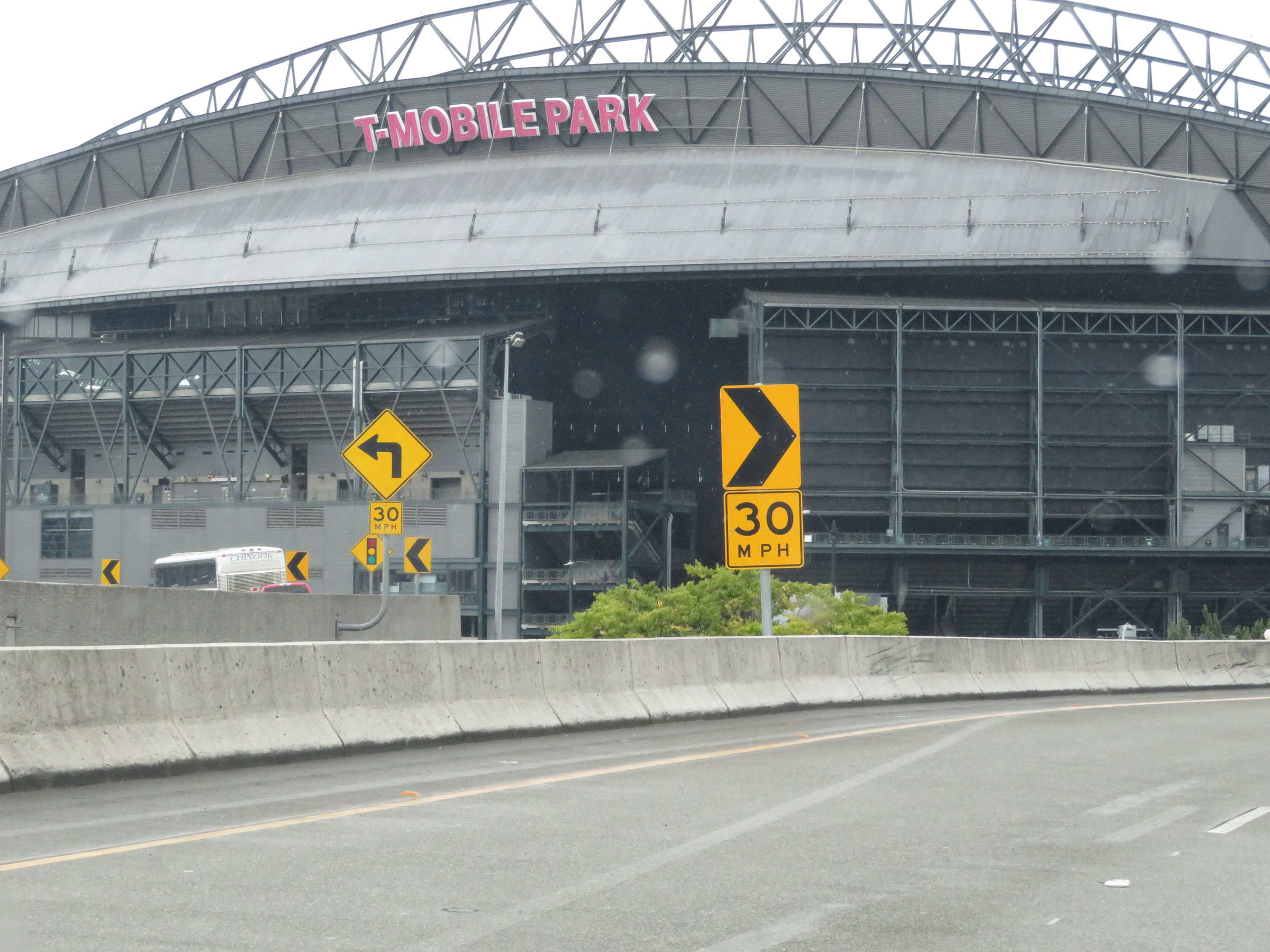 |
A close-up view of T-Mobile Park at the western terminus of Interstate 90 in downtown Seattle. (Photo taken 9/22/19). |
 |
The two lanes from Interstate 90 West continue to loop as a ramp to 4th Ave S. (Photo taken 9/22/19). |
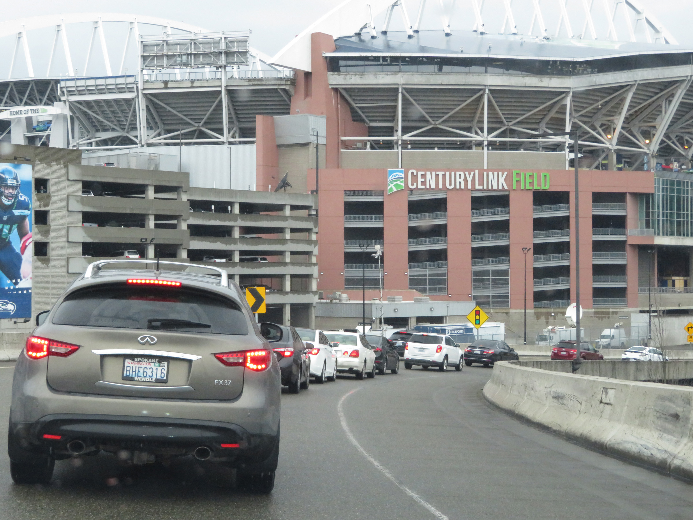 |
A view of CenturyLink Field at the western terminus of Interstate 90 in downtown Seattle. (Photo taken 9/22/19). |
 |
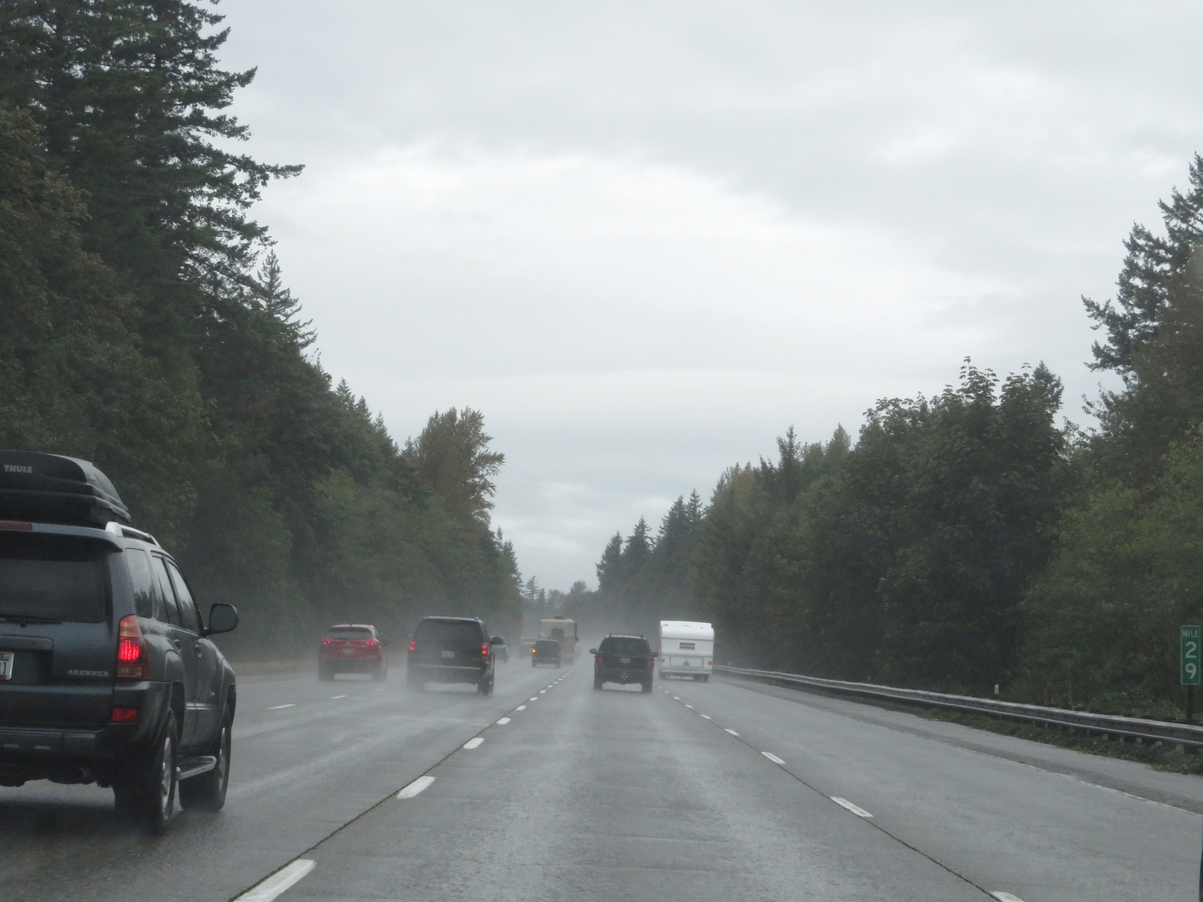
Interstate 90 West is last referenced here, at mile marker 2 on the ramp to 4th Ave S. I'm not sure why I-90 ends at mile marker 2, but I would imagine it has to do with the alignment originally being planned to run 2 miles further to the west in Seattle. (Photo taken 9/22/19). |
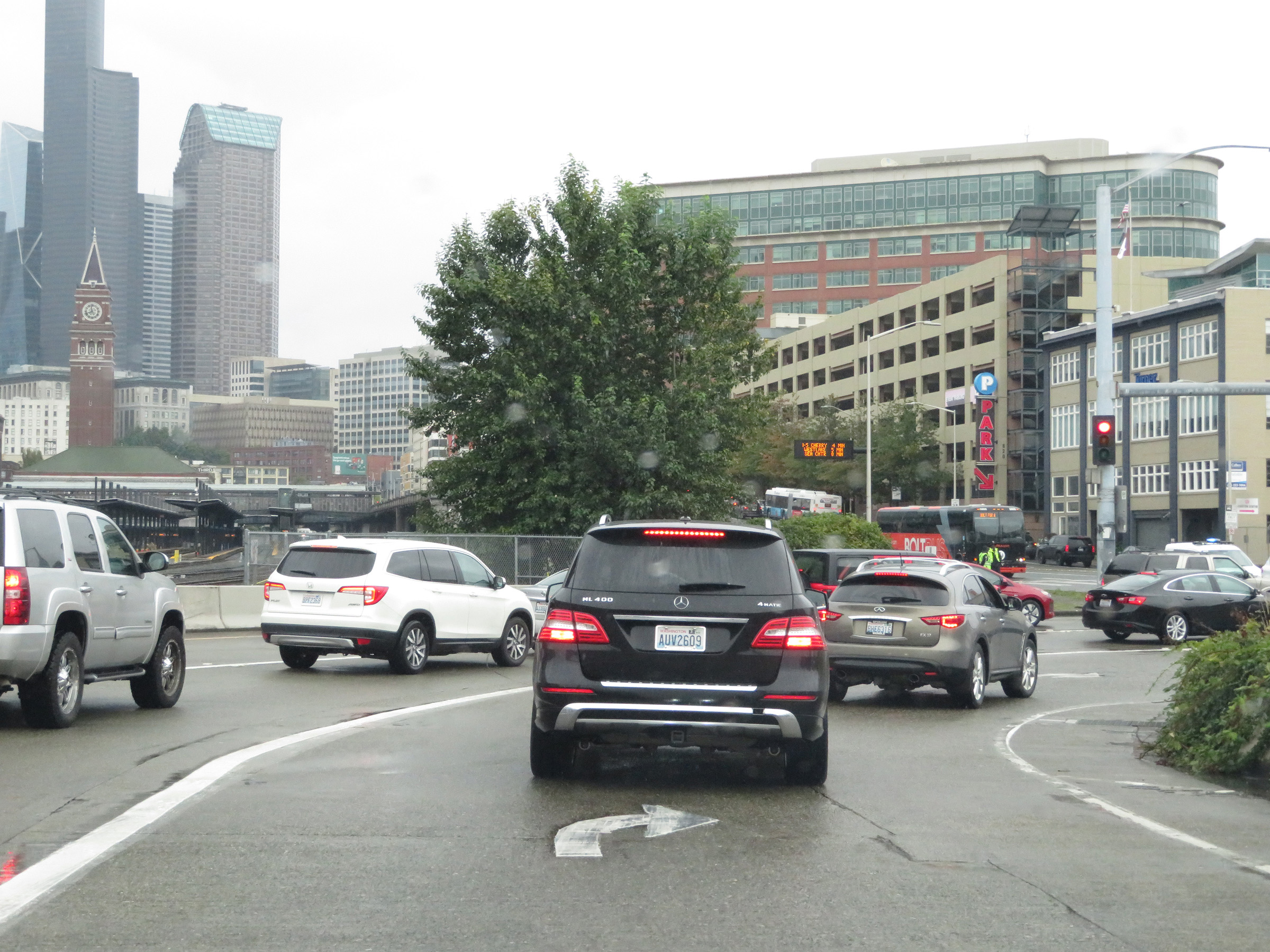 |
One final look at the national western terminus of Interstate 90 in downtown Seattle. (Photo taken 9/22/19). |