Road Information |
||
 |
||
| Total Mileage in State: | 297 miles | |
| Eastern End: | At Idaho state line | |
| Western End: | At Edgar Martinez Dr / 4th Ave S, in Seattle | |
| Mileage covered in Photos: | 297 miles | |
| Counties covered in Photos: | King, Kittitas, Grant, Adams, Lincoln, Spokane | |
| Major Junctions in Photos: | I-5, in Seattle I-405, in Bellevue I-82, in Ellensburg US 395, near Ritzville US 195, in Spokane |
|
| Control Cities in Photos: | Seattle, Bellevue, Issaquah, Cle Elum, Ellensburg, Moses Lake, Ritzville, Spokane | |
Eastbound
- Section 1: Seattle to North Bend (Exit 31)
- Section 2: North Bend (Exit 31) to Cle Elum (Exit 84)
- Section 3: Cle Elum (Exit 84) to Vantage (Exit 137)
- Section 4: Vantage (Exit 137) to Moses Lake (Exit 179)
- Section 5: Moses Lake (Exit 179) to Spokane (Exit 279)
- Section 6: Spokane (Exit 279) to Idaho Border
Section 1: Seattle to North Bend (Exit 31)
 |
At 4th Ave S in Seattle, Interstate 90 East makes its national beginning. (Photo taken 9/21/19). |
 |
After turning left from 4th Ave S, Interstate 90 East is first acknowledged nationally with this reassurance shield 1/2 mile from the junction of Interstate 5. (Photo taken 9/21/19). |
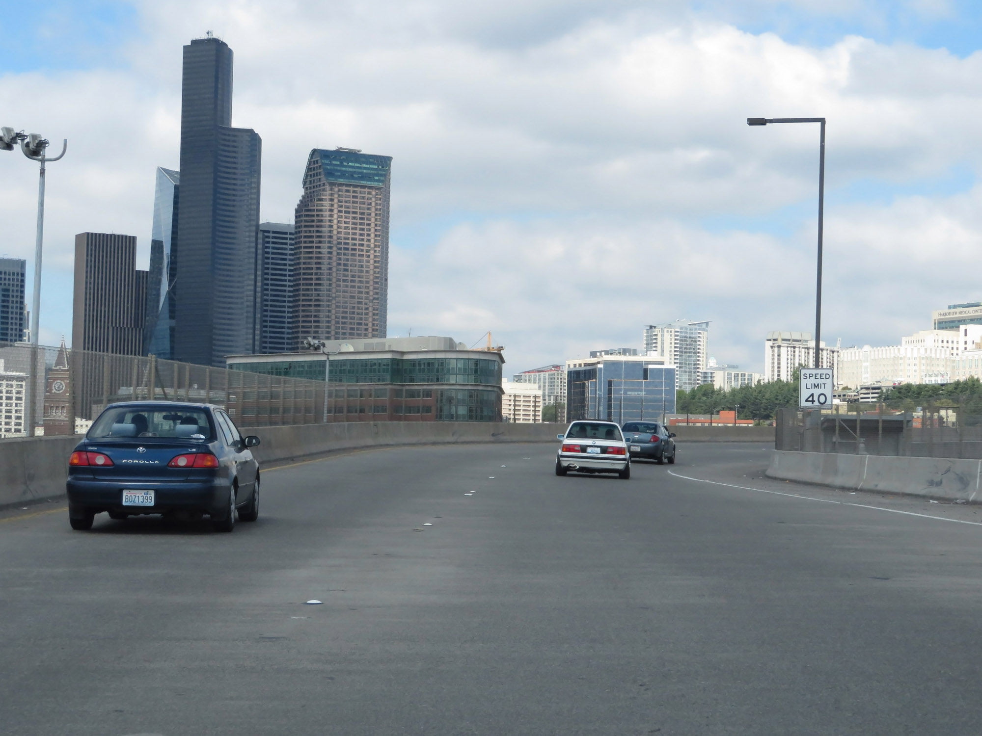 |
A view of downtown Seattle as Interstate 90 East begins, curiously starting at mile marker 2. I don't know why that is. (Photo taken 9/21/19). |
 |
The speed limit on Interstate 90 East starts out at 40 mph in downtown Seattle, as it curves to the west to leave downtown and meet Interstate 5. (Photo taken 9/21/19). |
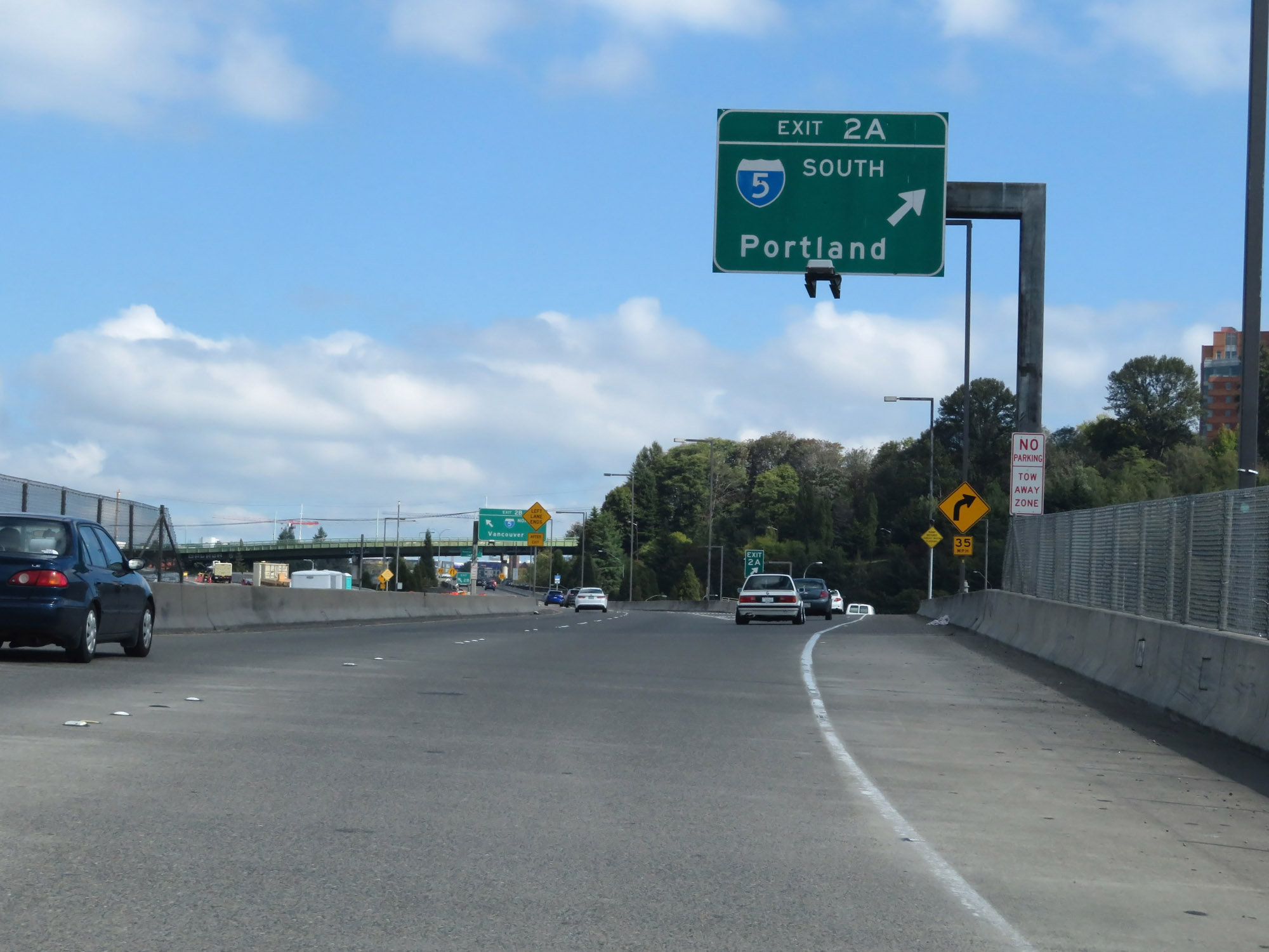 |
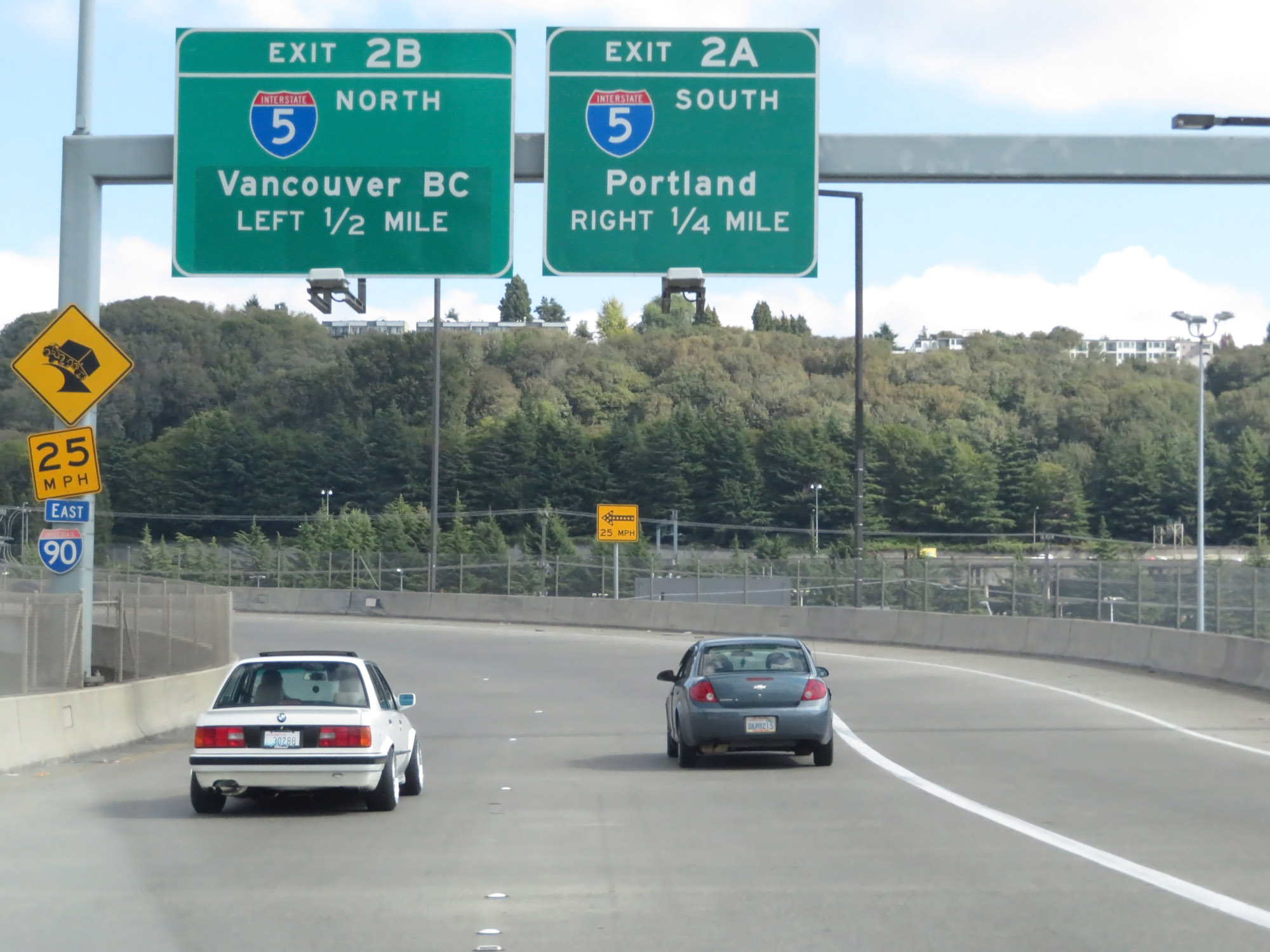
Interstate 90 East at Exit 2A: Interstate 5 South - Portland. As I said, the mileage and exit numbers for Interstate 90 in Washington start out at 2, for reasons which I don't know. (Photo taken 9/21/19). |
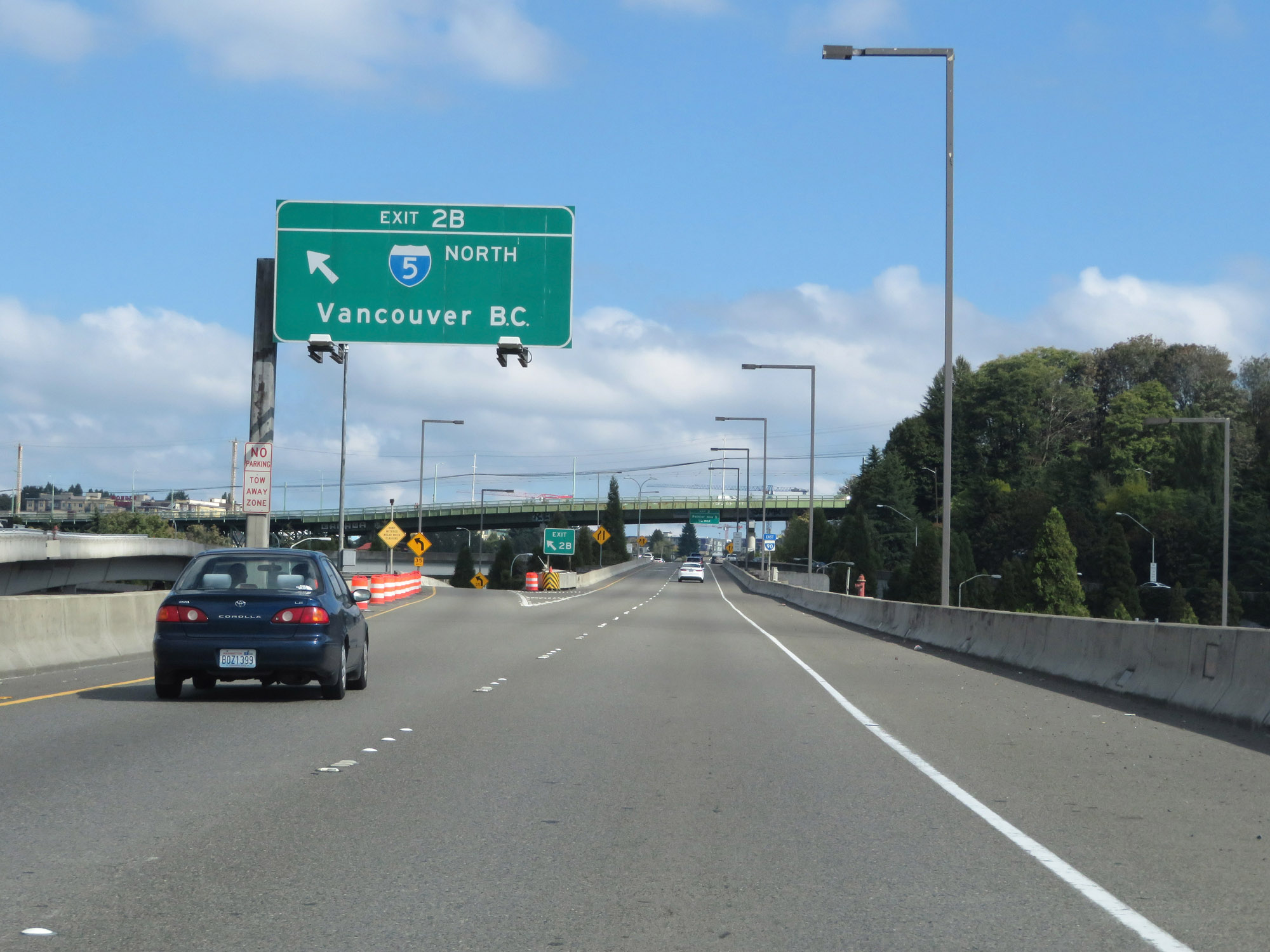 |
Interstate 90 East at Exit 2B: Interstate 5 North - Vancouver, BC (Photo taken 9/21/19). |
 |
Interstate 90 East reassurance shield as it passes over Interstate 5 in Seattle. (Photo taken 9/21/19). |
 |
Interstate 90 East becomes reduced to a single lane here briefly as it prepares to merge with the ramps from Interstate 5. (Photo taken 9/21/19). |
 |
Interstate 90 East as traffic from Interstate 5 North merges in on the right and Interstate 5 South traffic merges on the left. (Photo taken 9/21/19). |
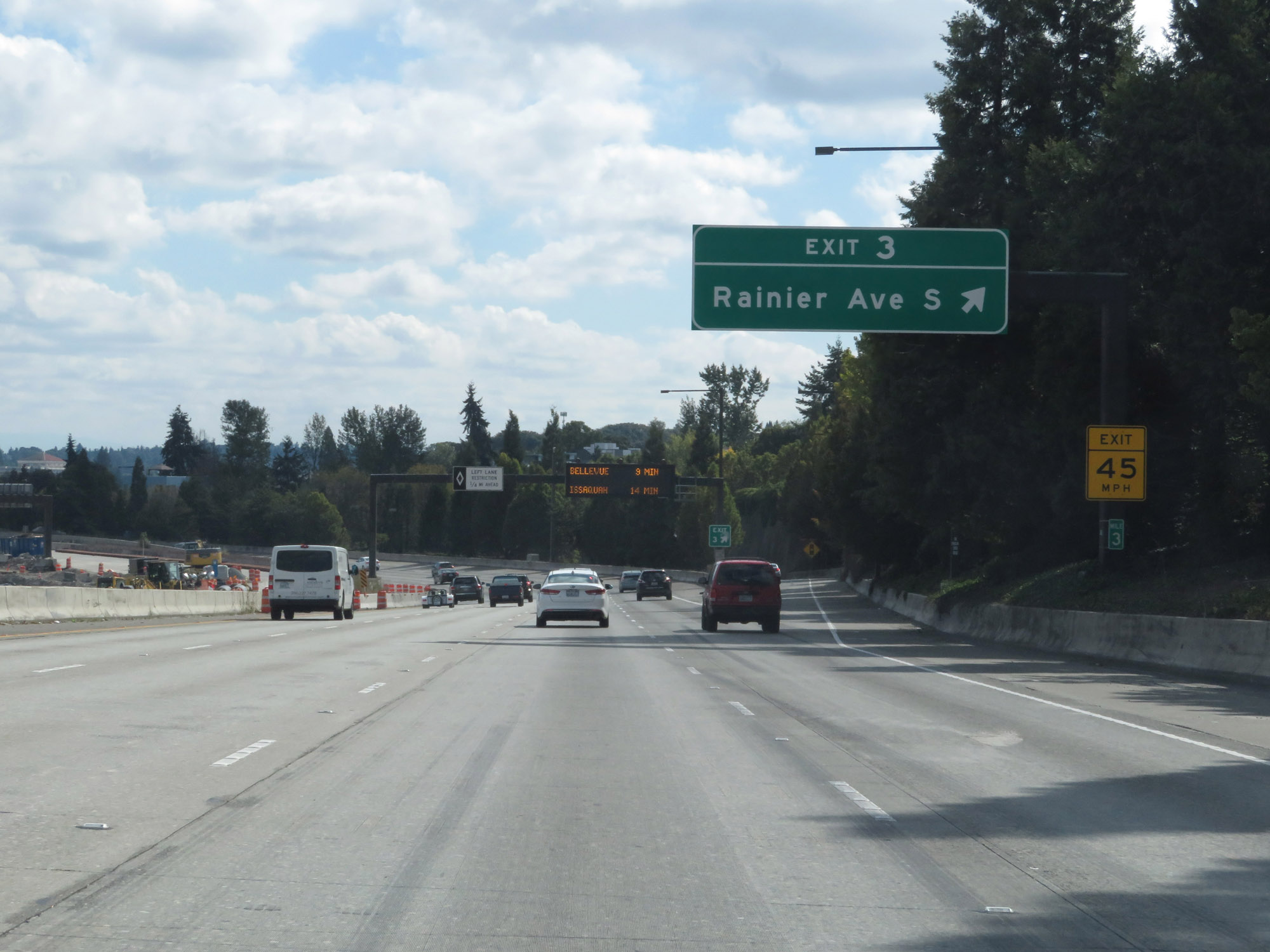 |
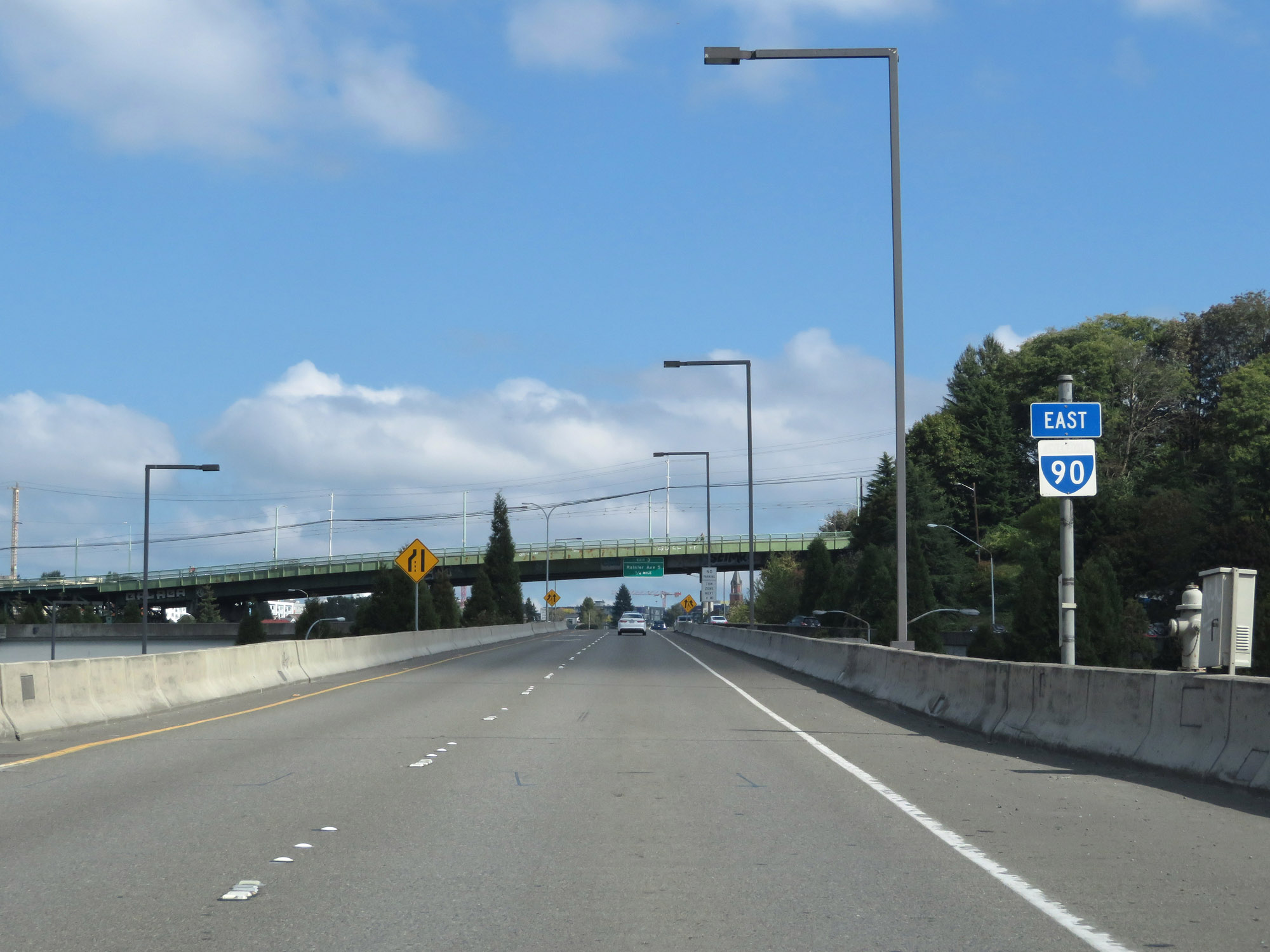
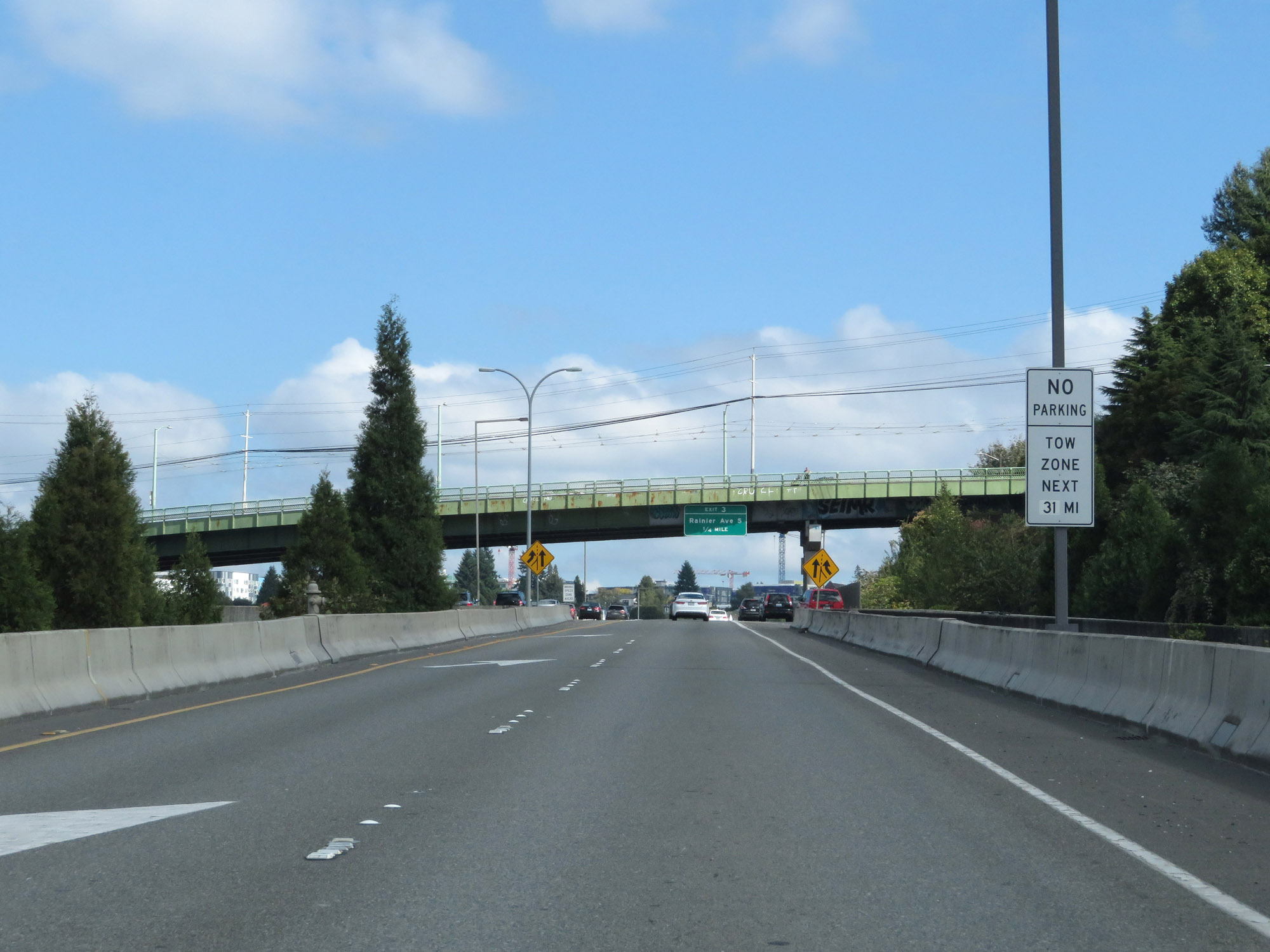
Interstate 90 East at Exit 3: Rainier Ave S (Photo taken 9/21/19). |
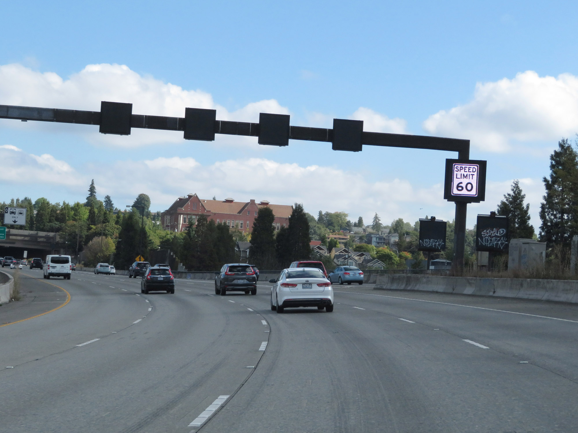 |
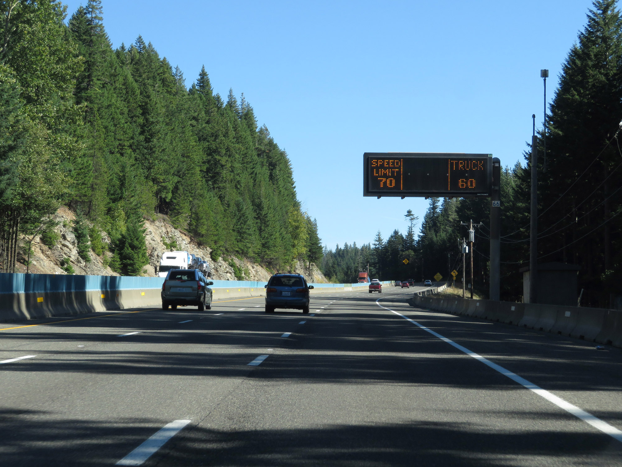
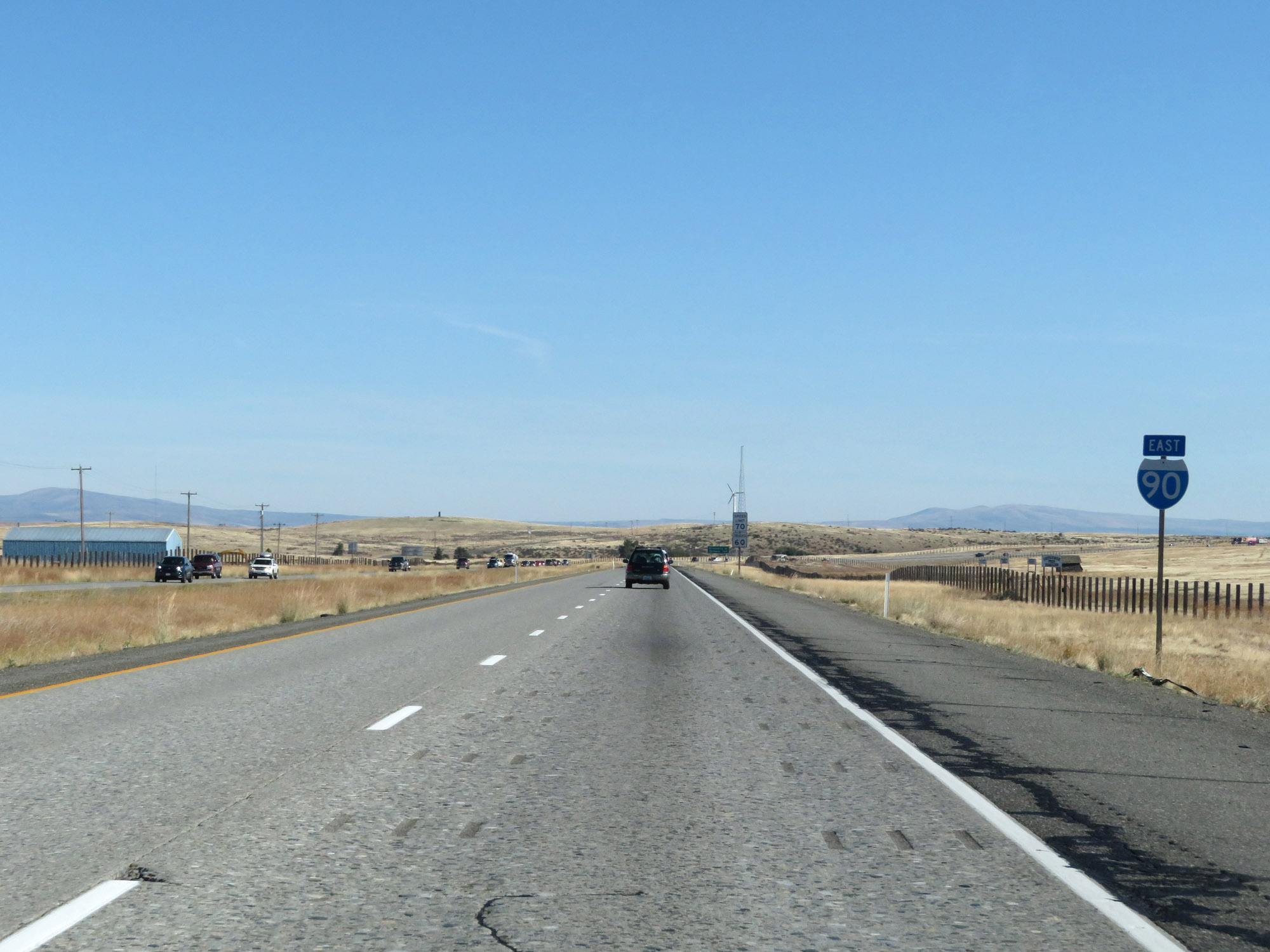
East of Interstate 5, variable speed limits are used on Interstate 90 East. During normal traffic conditions, the speed limit is 60 mph as shown here. (Photo taken 9/21/19). |
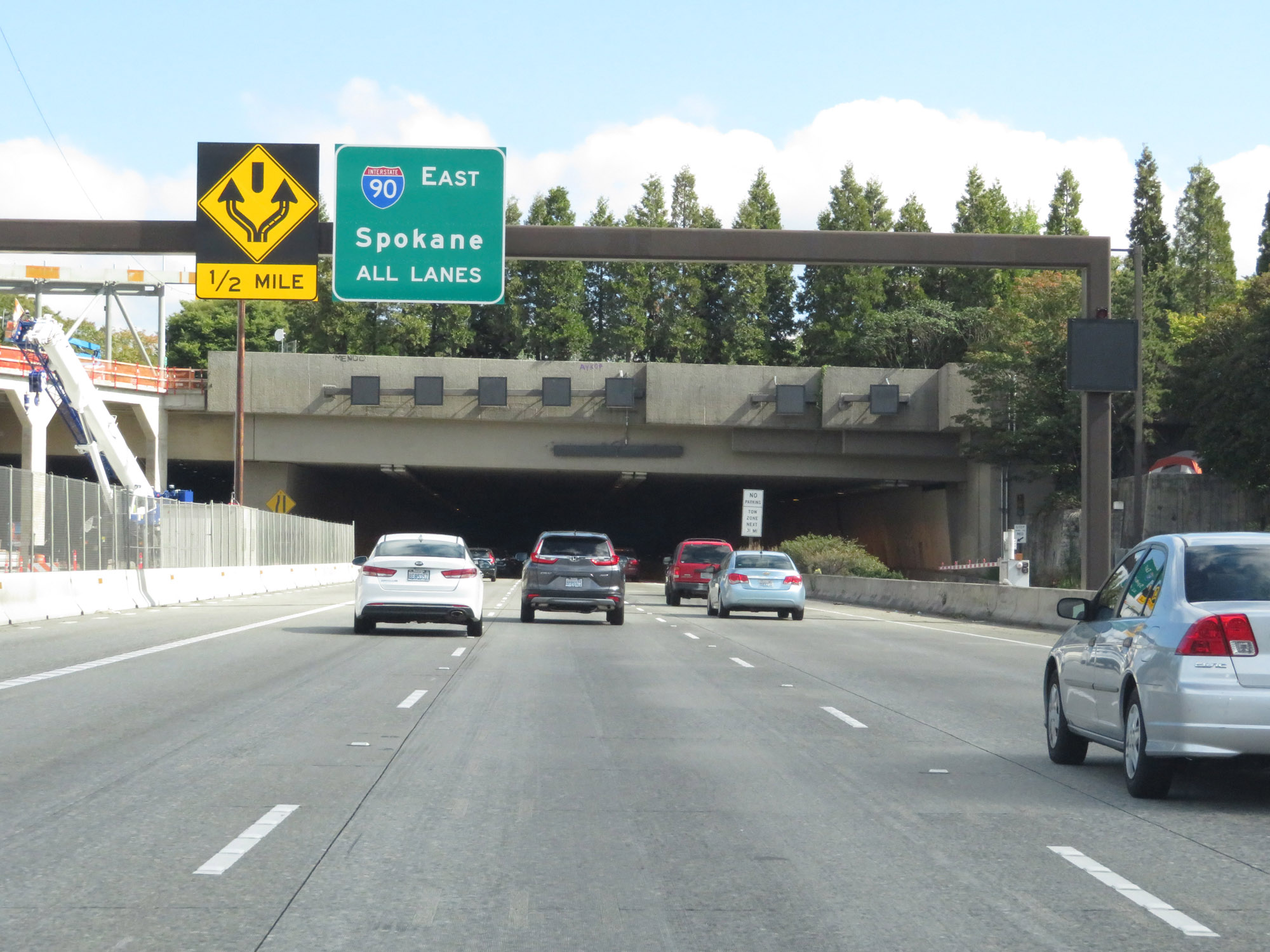 |
Interstate 90 East approaching the entrance to the Mt. Baker Tunnel. Inside the tunnel, I-90's eastbound lanes will split, then rejoin. All lanes go through to continue on Interstate 90 East. (Photo taken 9/21/19). |
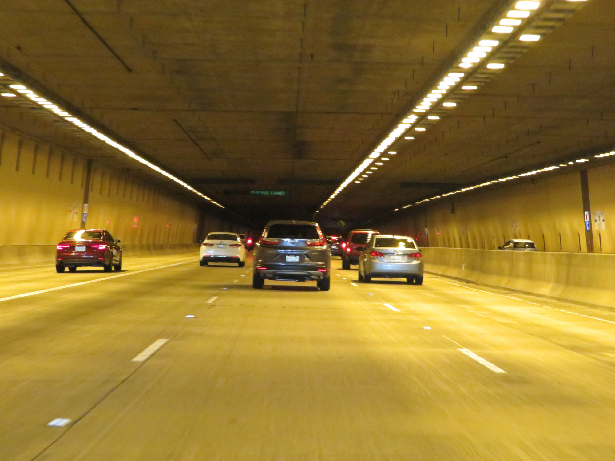 |
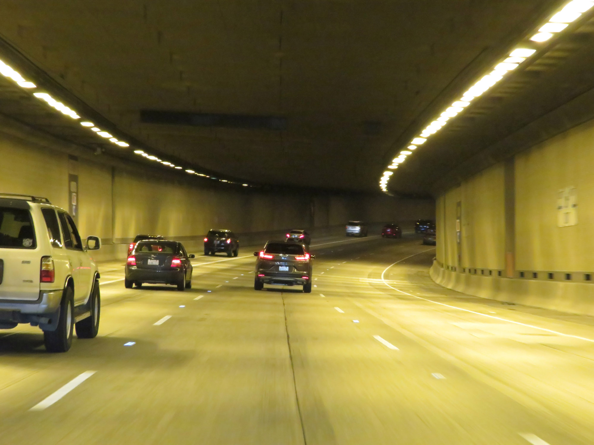
View inside the Mt. Baker Tunnel on Interstate 90 East. (Photo taken 9/21/19). |
 |
Interstate 90 East as the lanes split inside the Mt. Baker Tunnel. (Photo taken 9/21/19). |
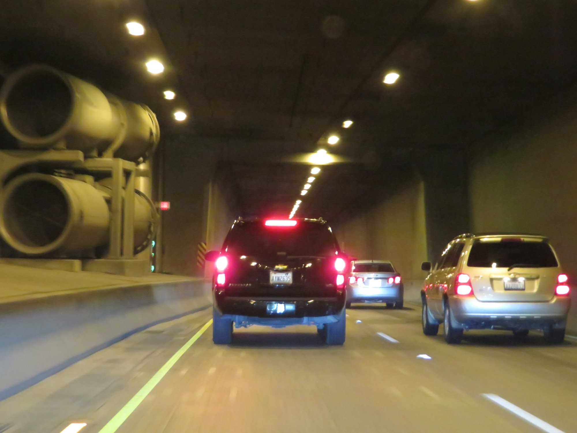 |
Another view inside the Mt. Baker Tunnel. (Photo taken 9/21/19). |
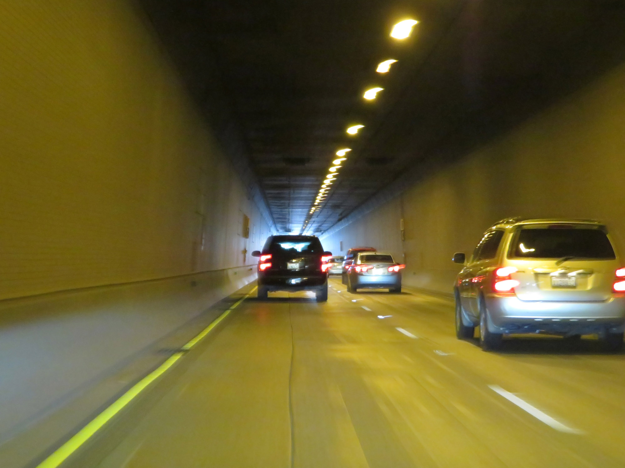 |
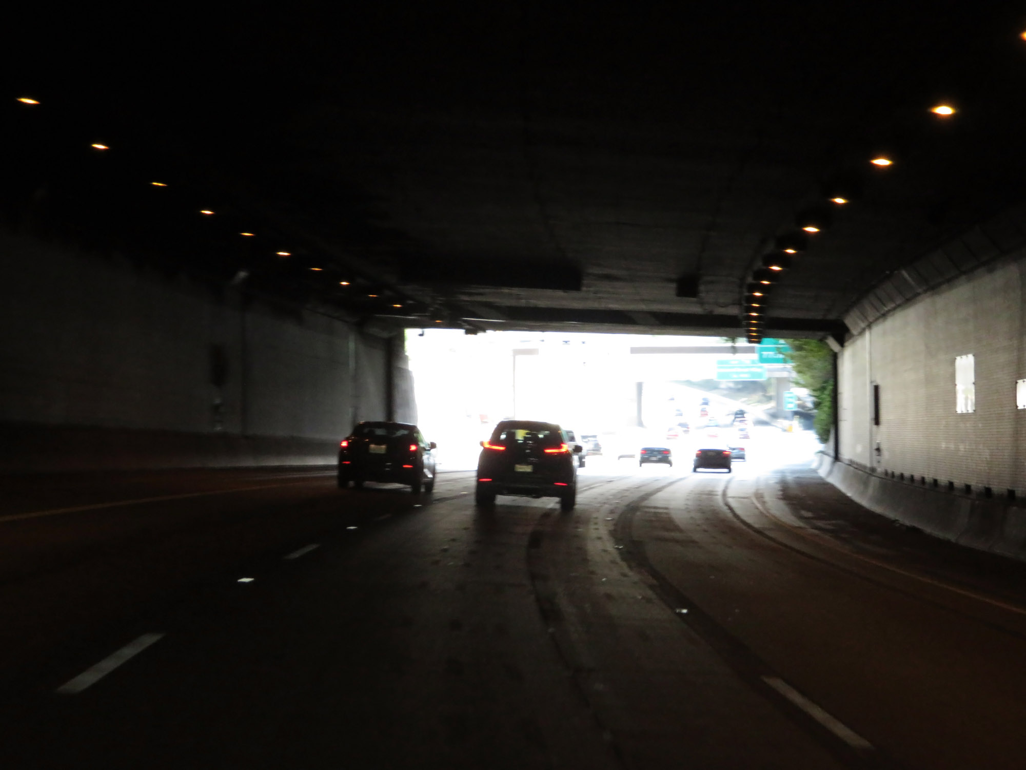
View inside the Mt. Baker Tunnel on Interstate 90 East as its eastern exit comes into view. (Photo taken 9/21/19). |
 |
Interstate 90 East as it exits the Mt. Baker Tunnel. (Photo taken 9/21/19). |
 |
Upon exiting the tunnel, the eastbound lanes of Interstate 90 rejoin one another once again. (Photo taken 9/21/19). |
 |
View on Interstate 90 East approaching the Lacey V. Murrow Bridge, which will carry I-90's eastbound lanes over Lake Washington ahead. (Photo taken 9/21/19). |
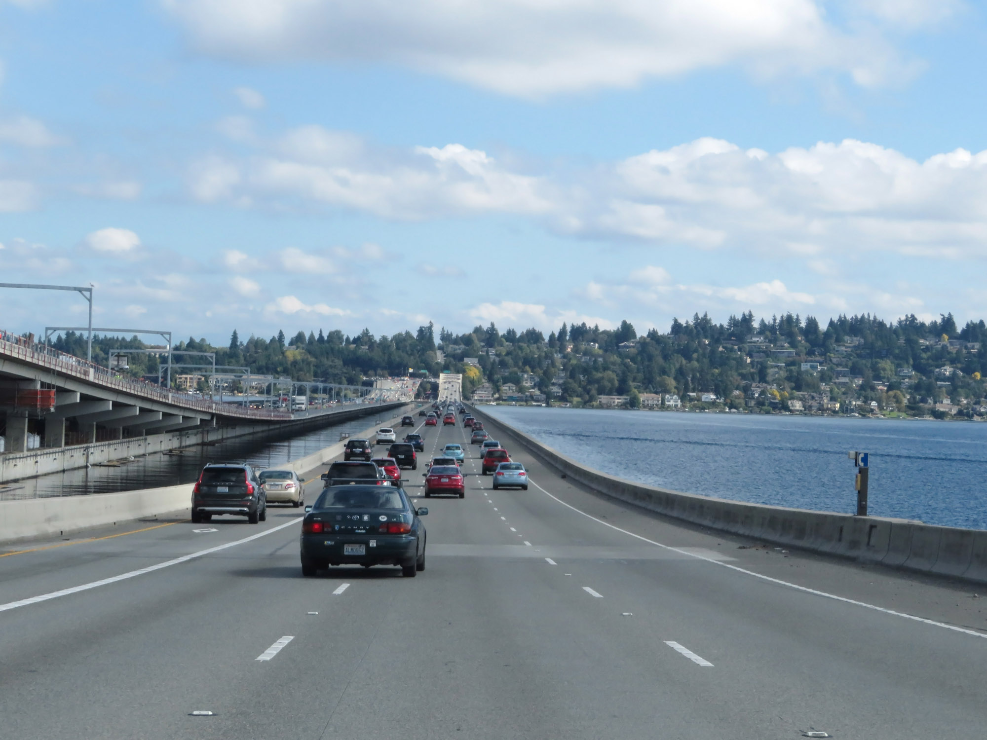 |
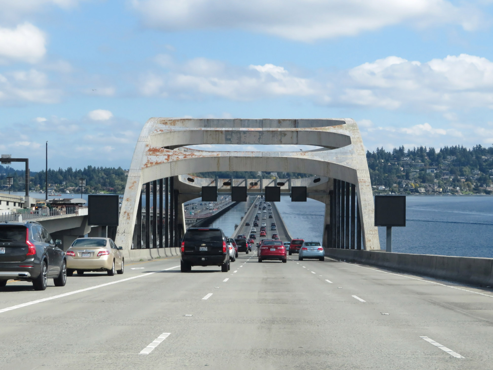
Interstate 90 East as it starts across the Lacey V. Murrow Bridge over Lake Washington. The bridge connects Mercer Island to Seattle. (Photo taken 9/21/19). |
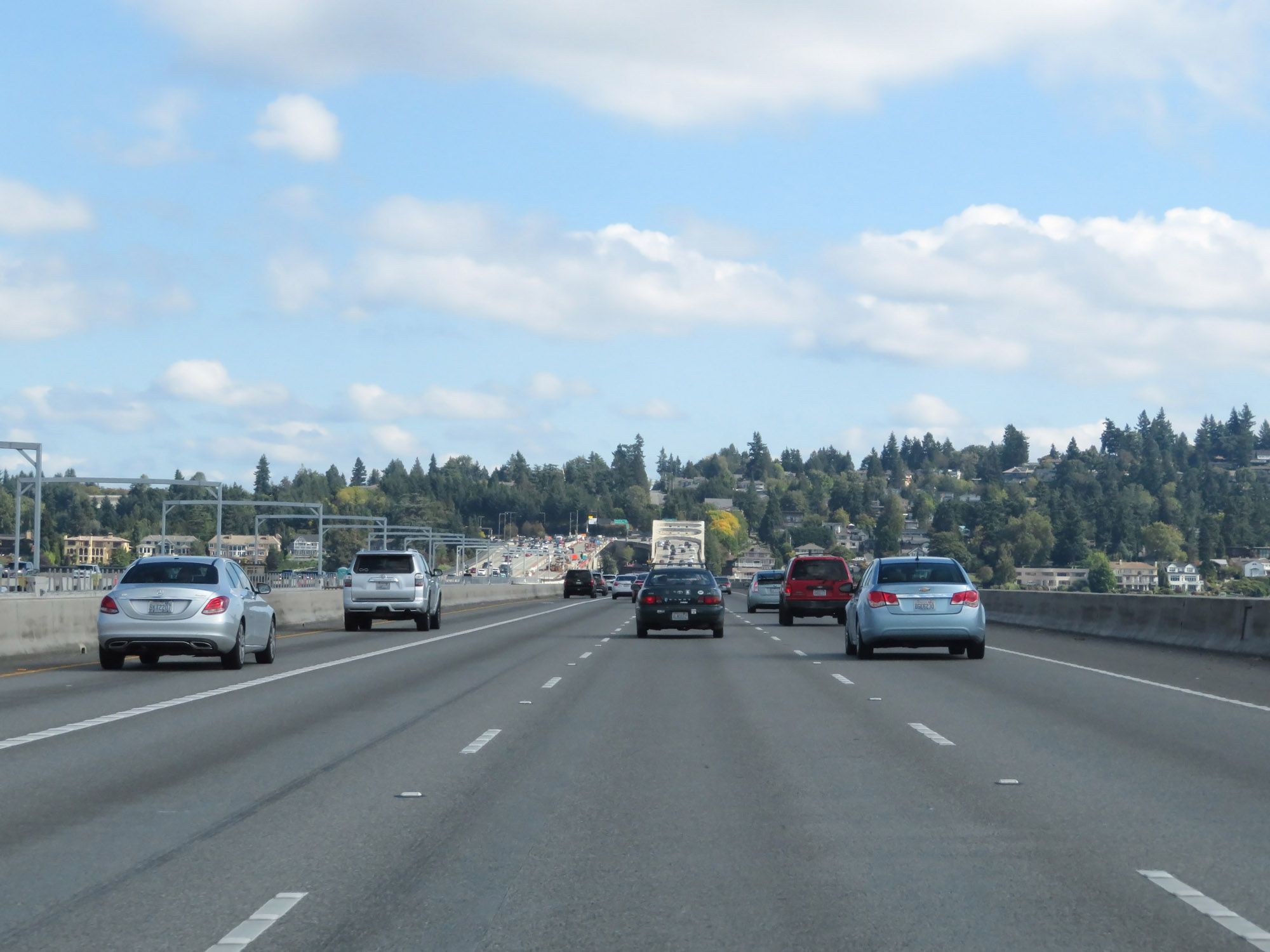 |
Another view on the Lacey V. Murrow Bridge approaching Mercer Island. (Photo taken 9/21/19). |
 |
Interstate 90 East on the Lacey V. Murrow Bridge as it nears Mercer Island. (Photo taken 9/21/19). |
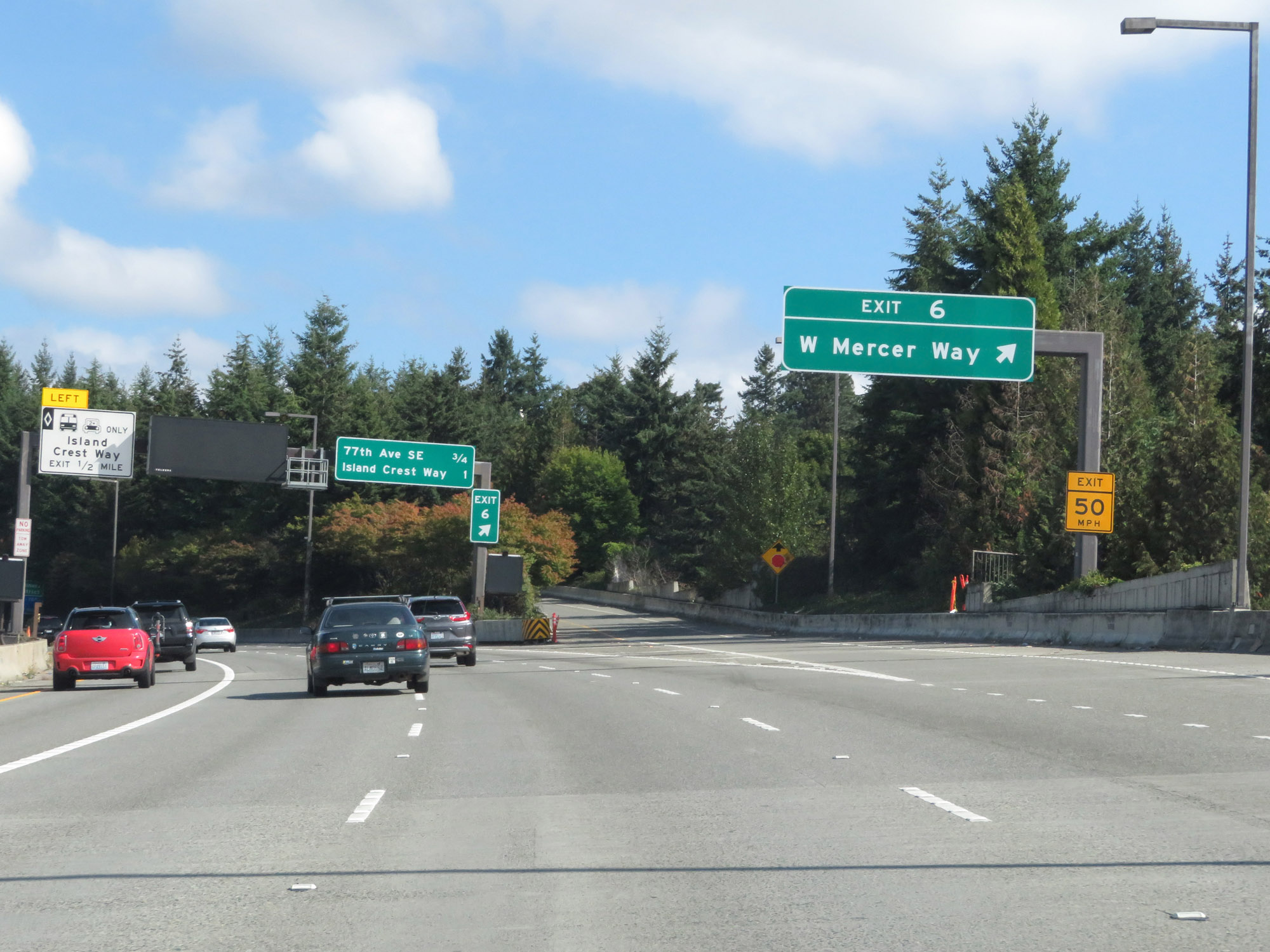 |
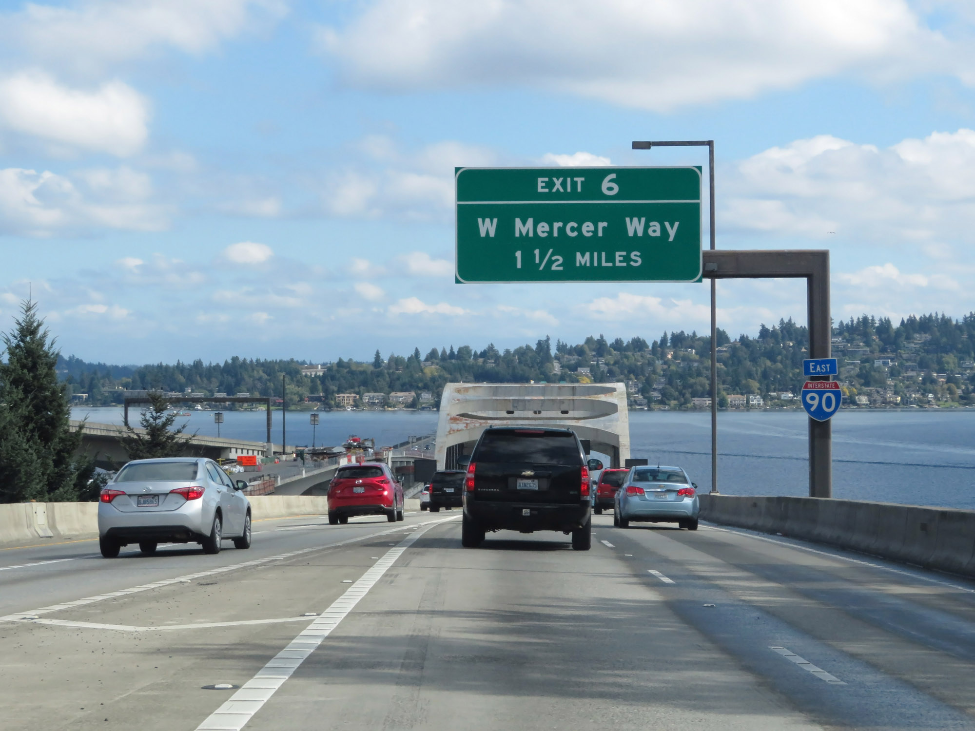
Interstate 90 East at Exit 6: W Mercer Way (Photo taken 9/21/19). |
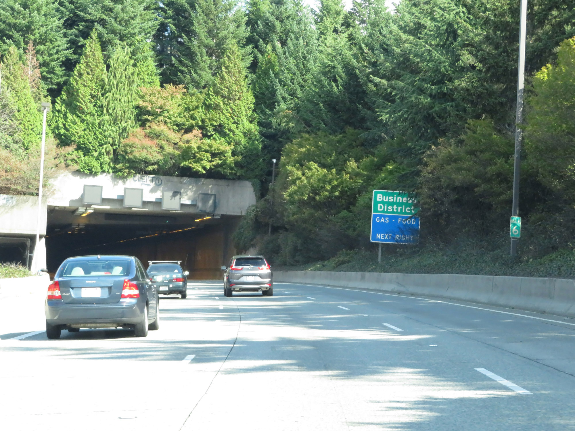 |
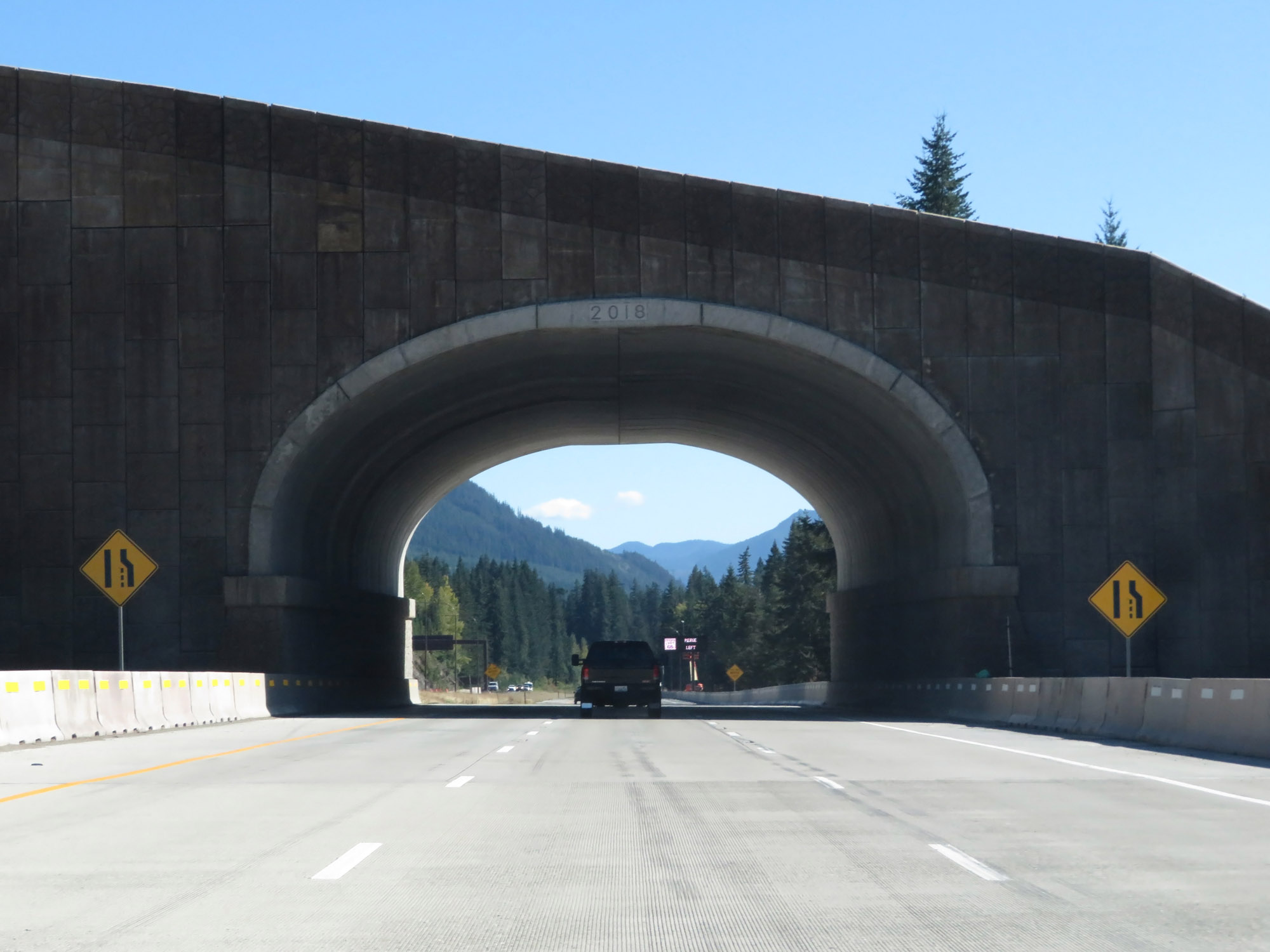
Interstate 90 East at mile marker 6, as it prepares to enter another tunnel which will carry traffic underneath Aubrey Davis Park. (Photo taken 9/21/19). |
 |
View on Interstate 90 East as it prepares to enter the tunnel under Aubrey Davis Park on Mercer Island. (Photo taken 9/21/19). |
 |
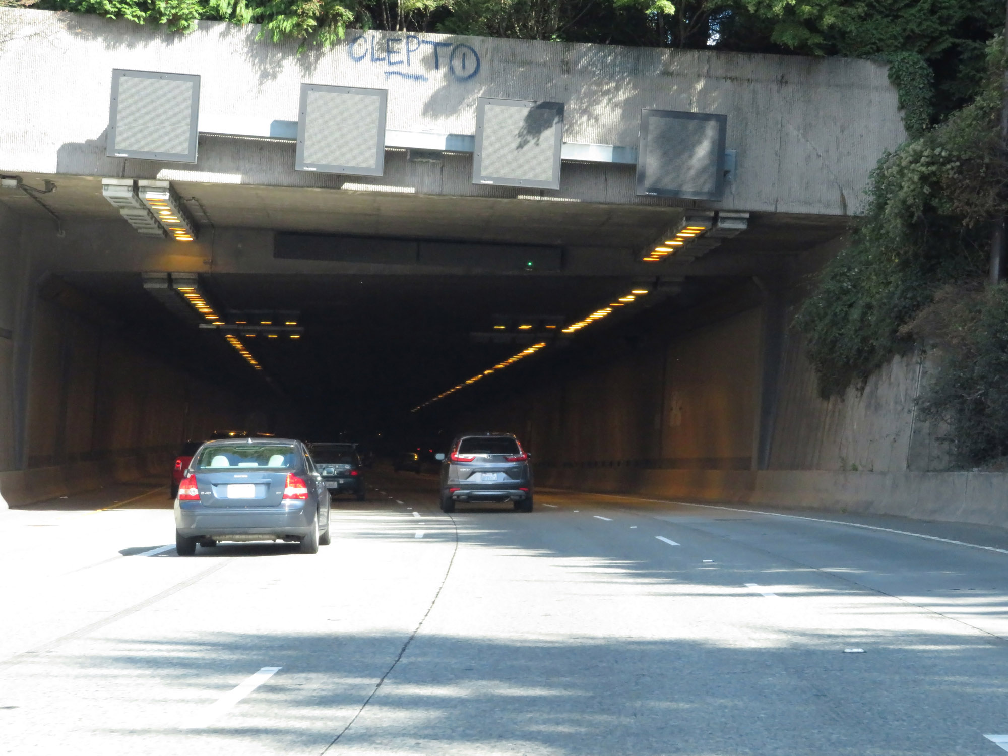
View inside the tunnel under Aubrey Davis Park. (Photo taken 9/21/19). |
 |
Exiting the tunnel under Aubrey Davis Park. (Photo taken 9/21/19). |
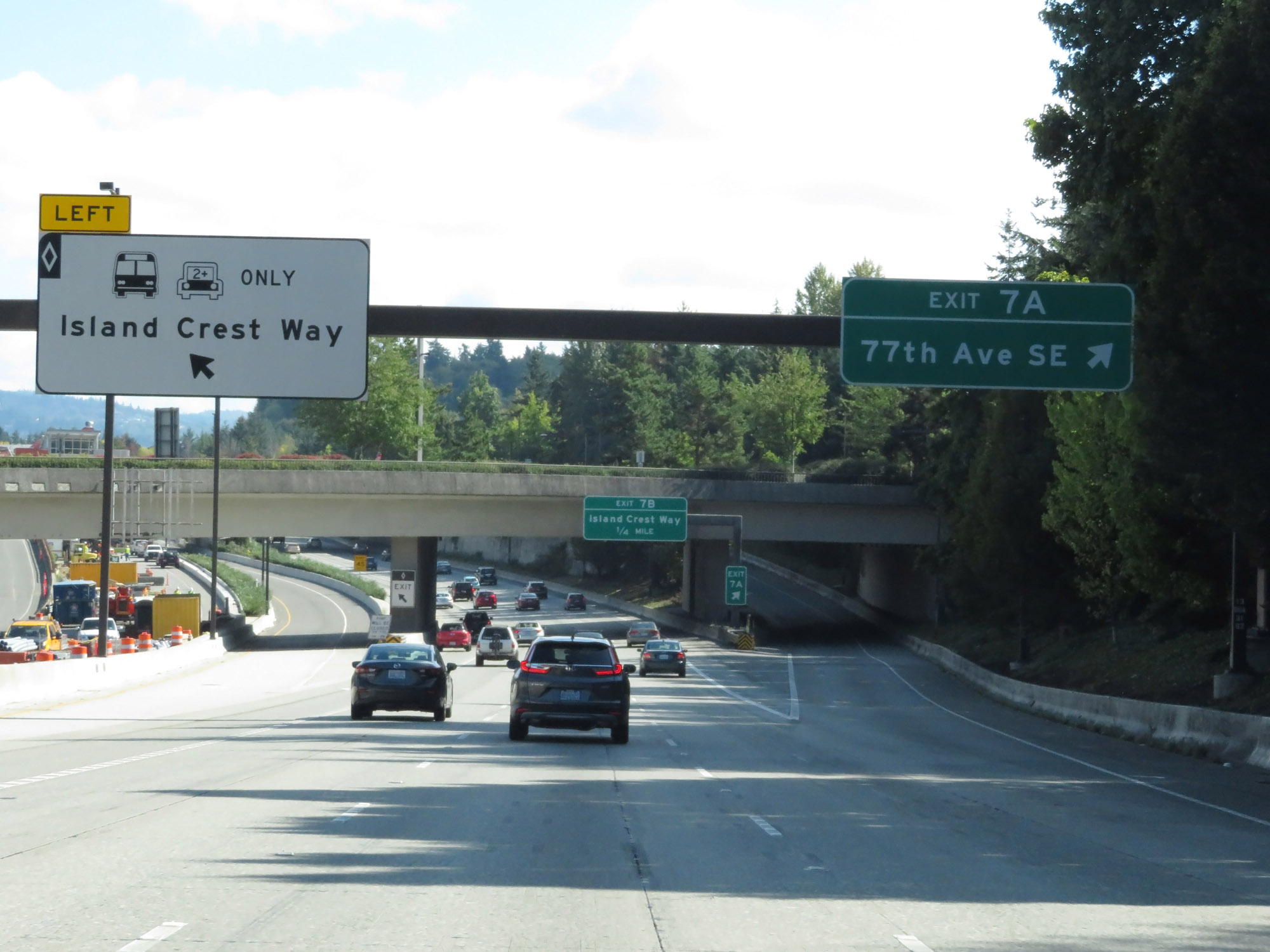 |
Interstate 90 East at Exit 7A: 77th Ave SE (Photo taken 9/21/19). |
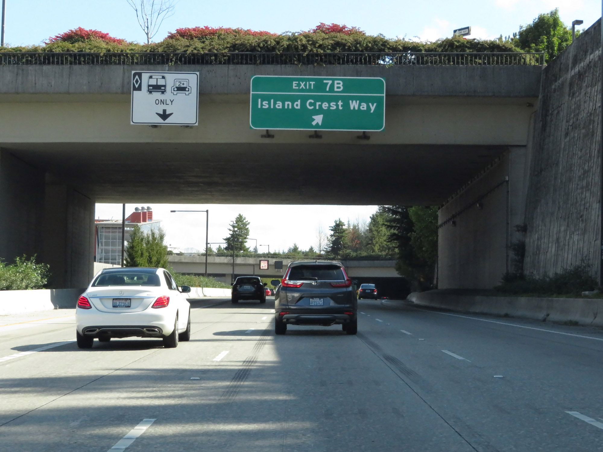 |
Interstate 90 East at Exit 7B: Island Crest Way (Photo taken 9/21/19). |
 |
Variable speed limits remain in effect. (Photo taken 9/21/19). |
 |
Overhead mileage sign listing the distances to the three upcoming interchanges on Interstate 90 East. (Photo taken 9/21/19). |
 |
Interstate 90 East reassurance shield. (Photo taken 9/21/19). |
 |
Interstate 90 East at Exit 8: E Mercer Way (Photo taken 9/21/19). |
 |
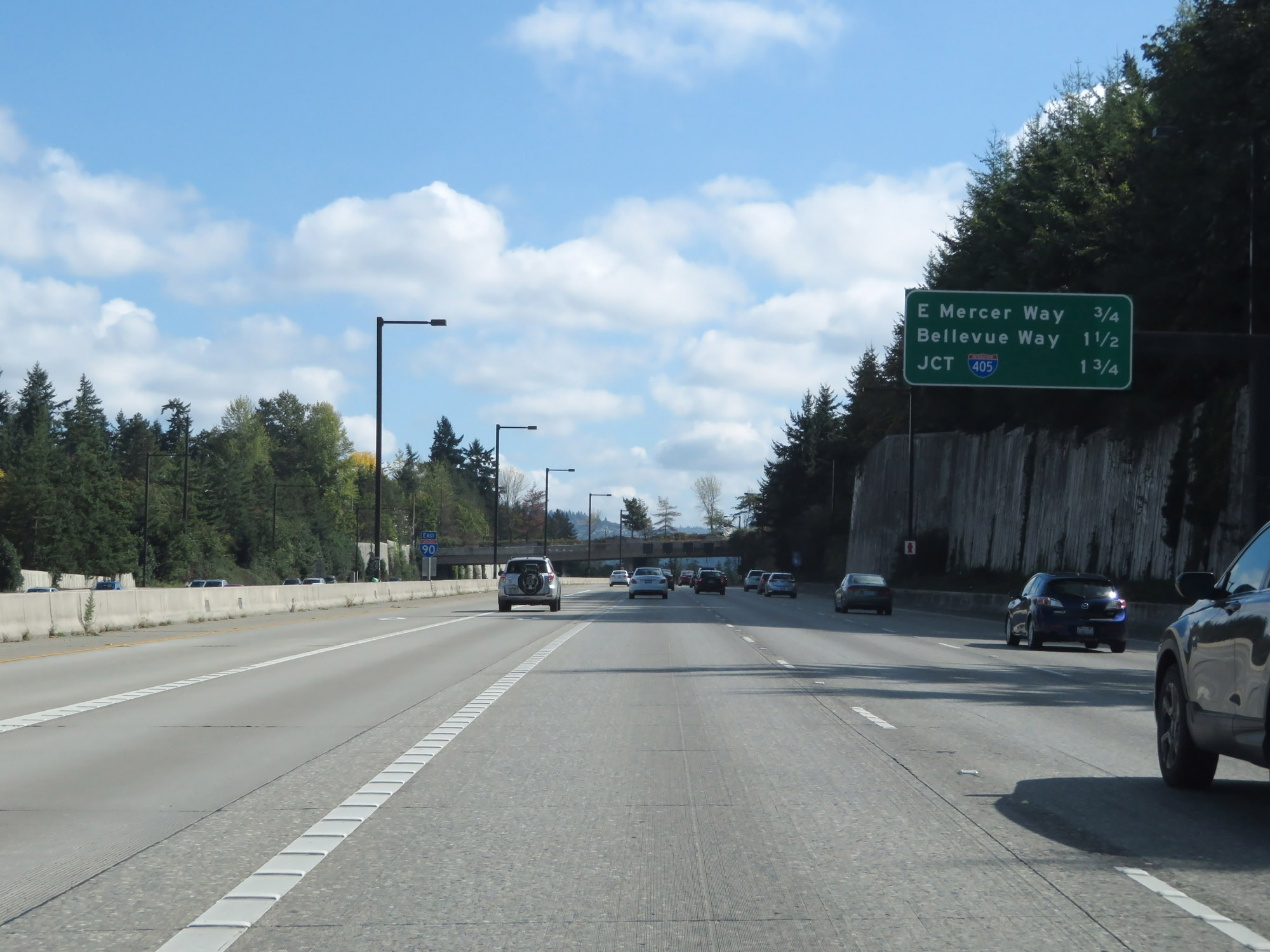
Interstate 90 East approaching Exit 10A - 3/4 mile. (Photo taken 9/21/19). |
 |
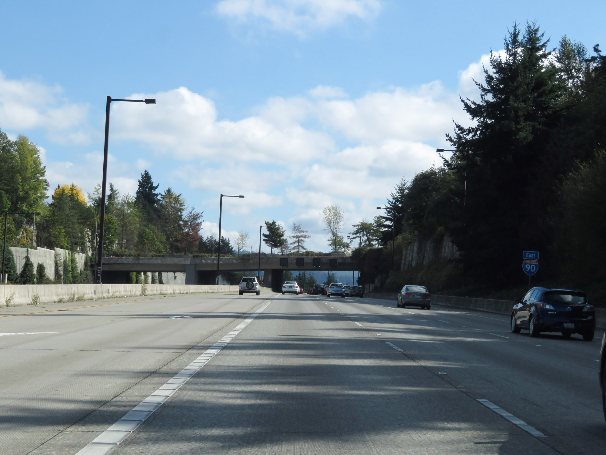
Interstate 90 East at Exit 9: Bellevue Way (Photo taken 9/21/19). |
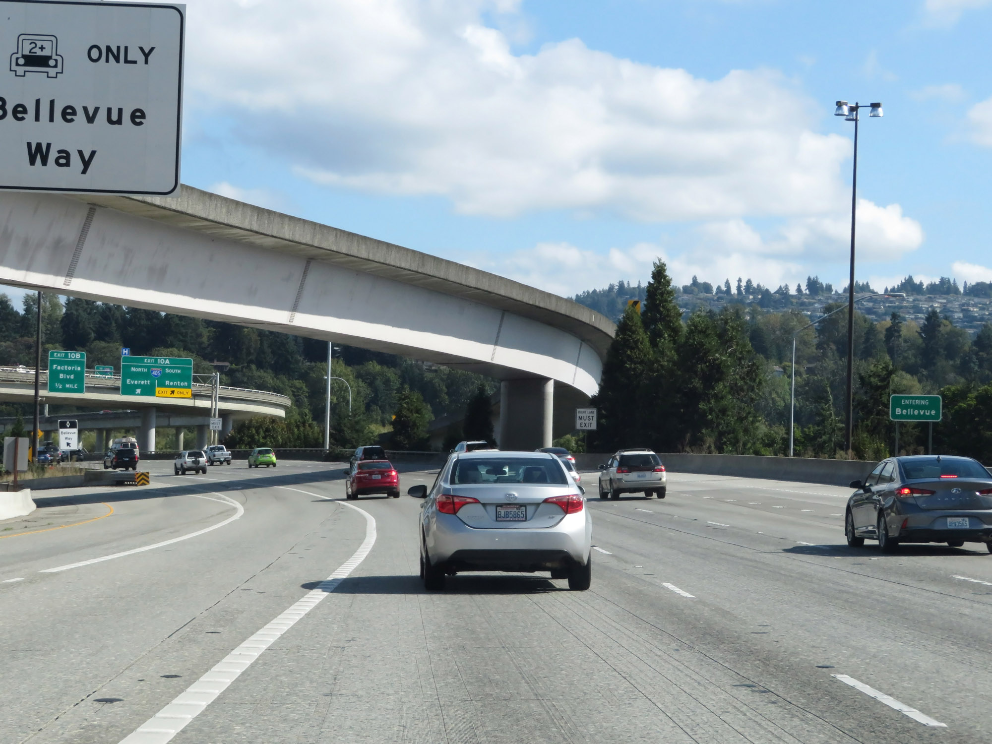 |
Interstate 90 East as it enters the Bellevue city limits. (Photo taken 9/21/19). |
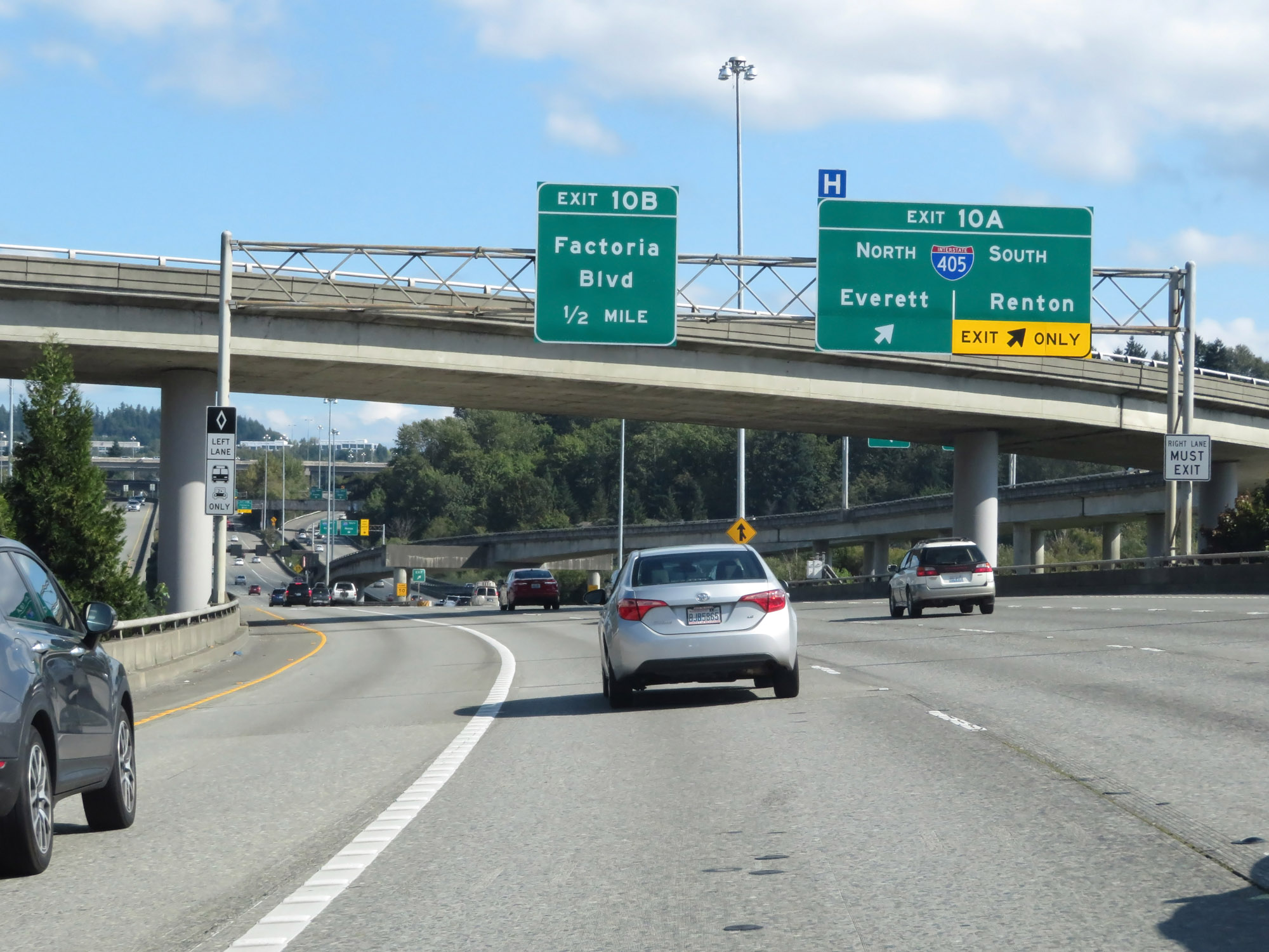 |
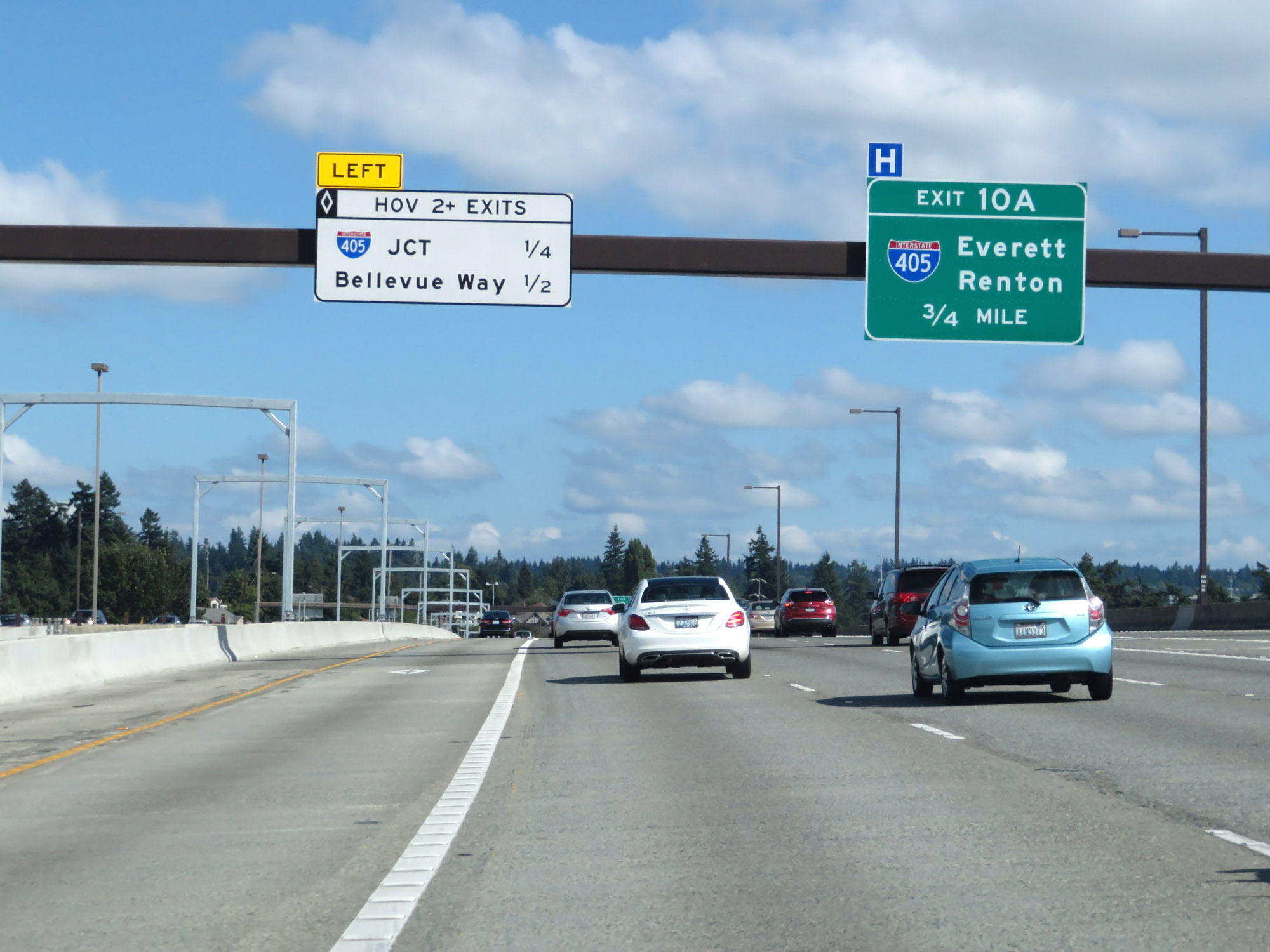
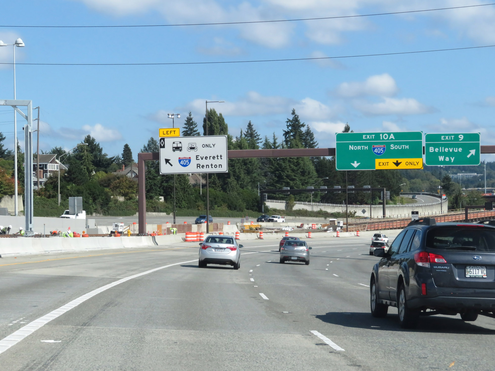
Interstate 90 East at Exit 10A: Interstate 405 - Everett / Renton (Photo taken 9/21/19). |
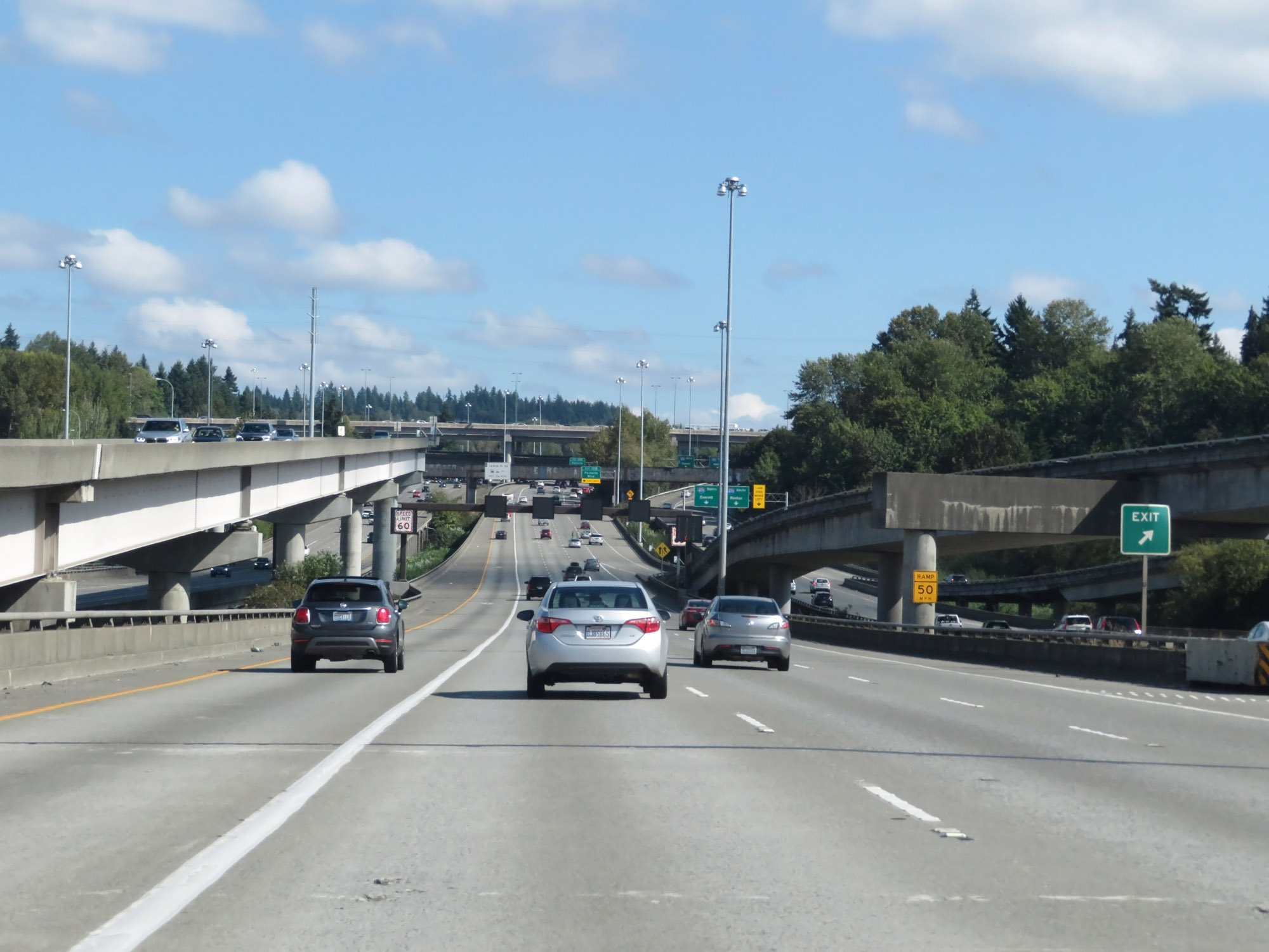 |
View on Interstate 90 East at the interchange with Interstate 405 in Bellevue. (Photo taken 9/21/19). |
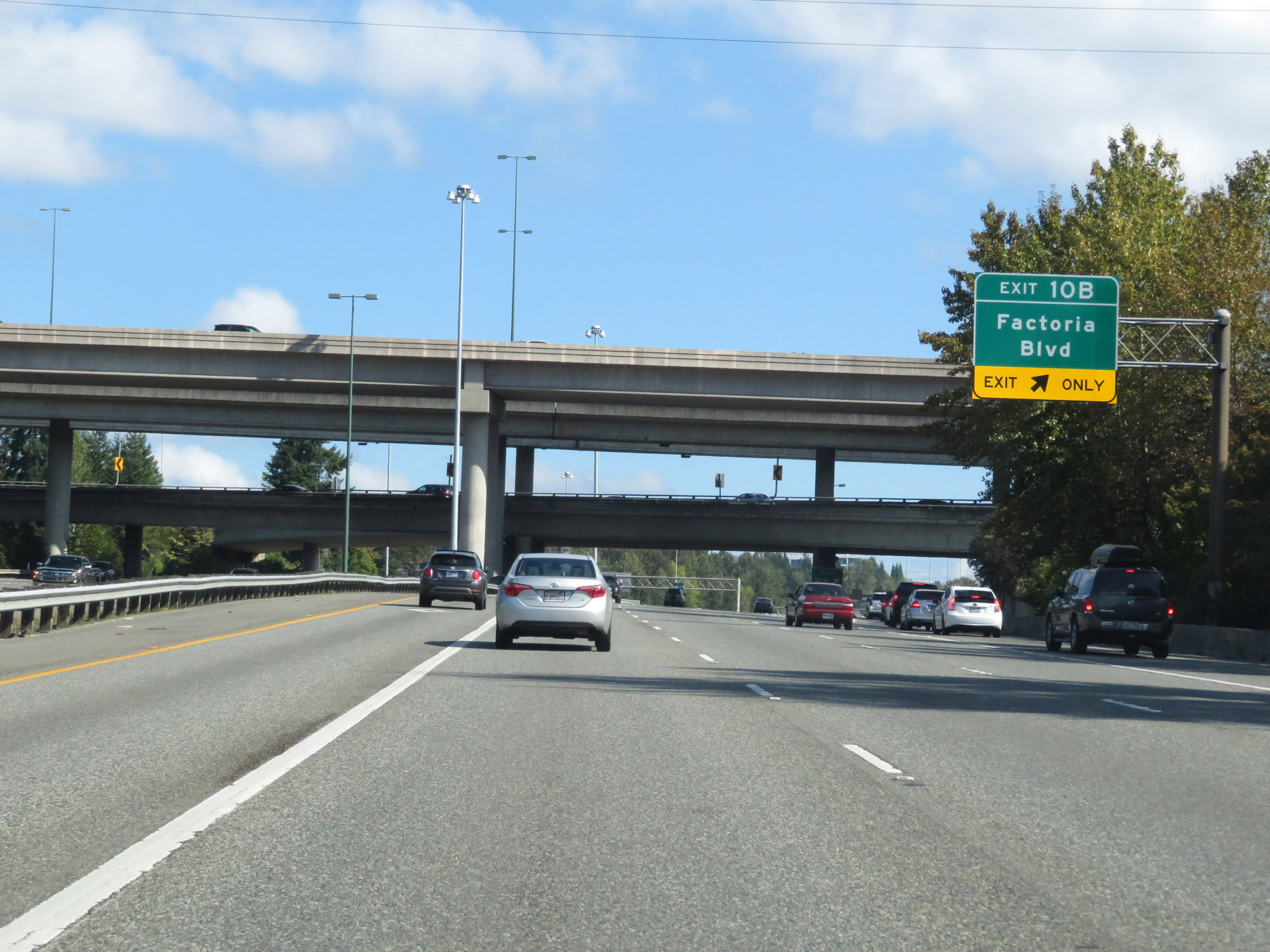 |
Interstate 90 East at Exit 10B: Factoria Blvd (Photo taken 9/21/19). |
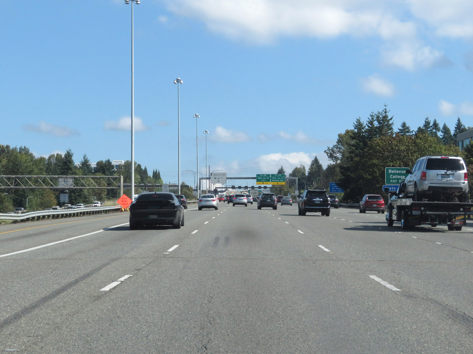 |
Take Exit 11A to Bellevue College. (Photo taken 9/21/19). |
 |
Interstate 90 East at Exit 11A: 150th Ave SE / Eastgate Way (Photo taken 9/21/19). |
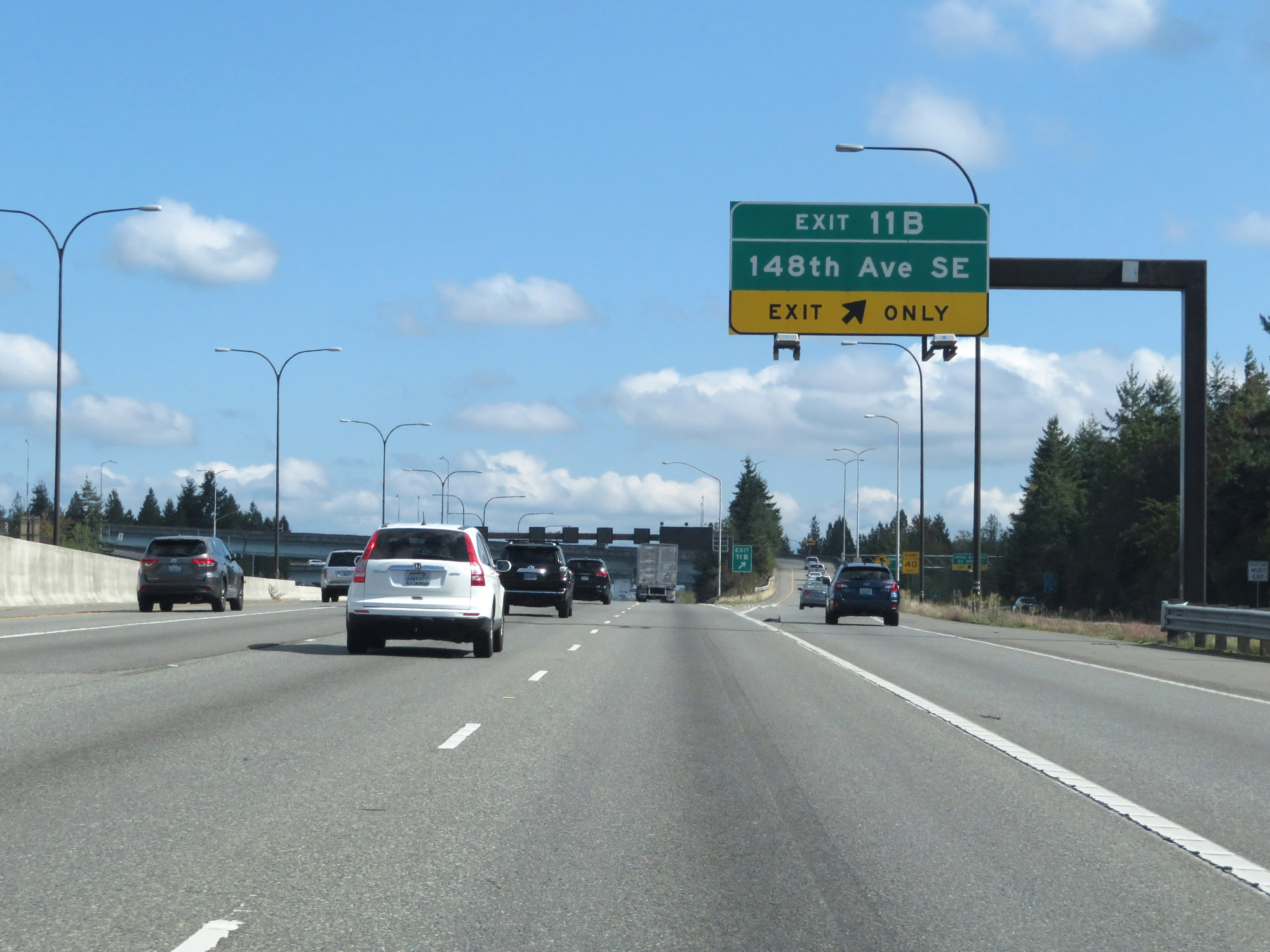 |
Interstate 90 East at Exit 11B: 148th Ave SE (Photo taken 9/21/19). |
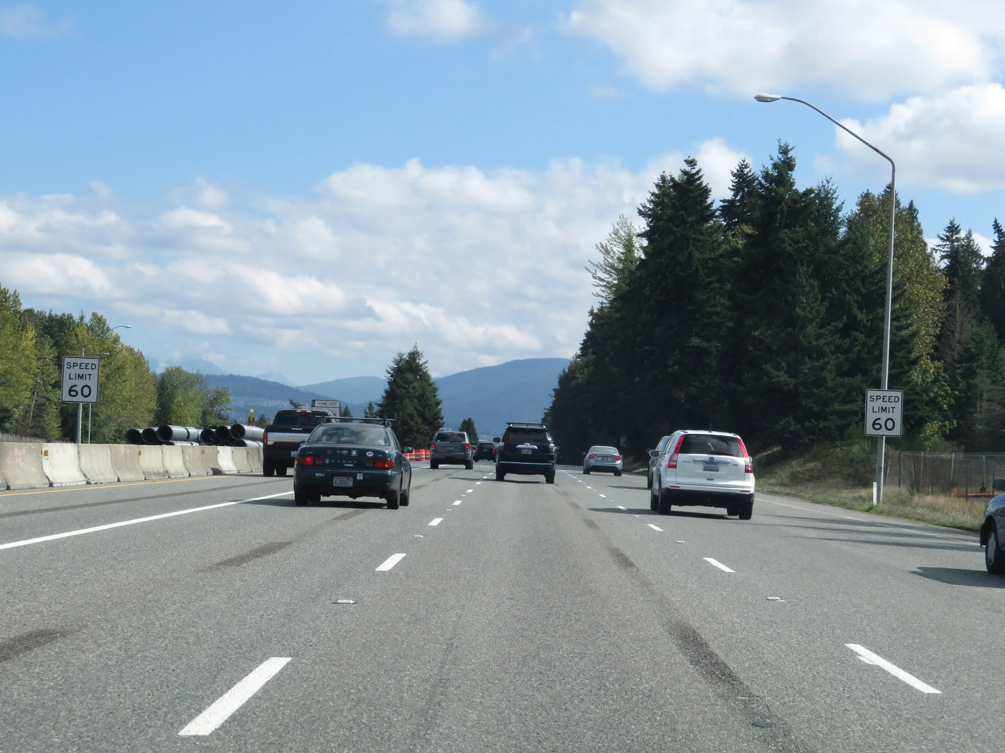 |
The variable speed limits come to an end east of Exit 11B and a static speed limit of 60 mph is posted. (Photo taken 9/21/19). |
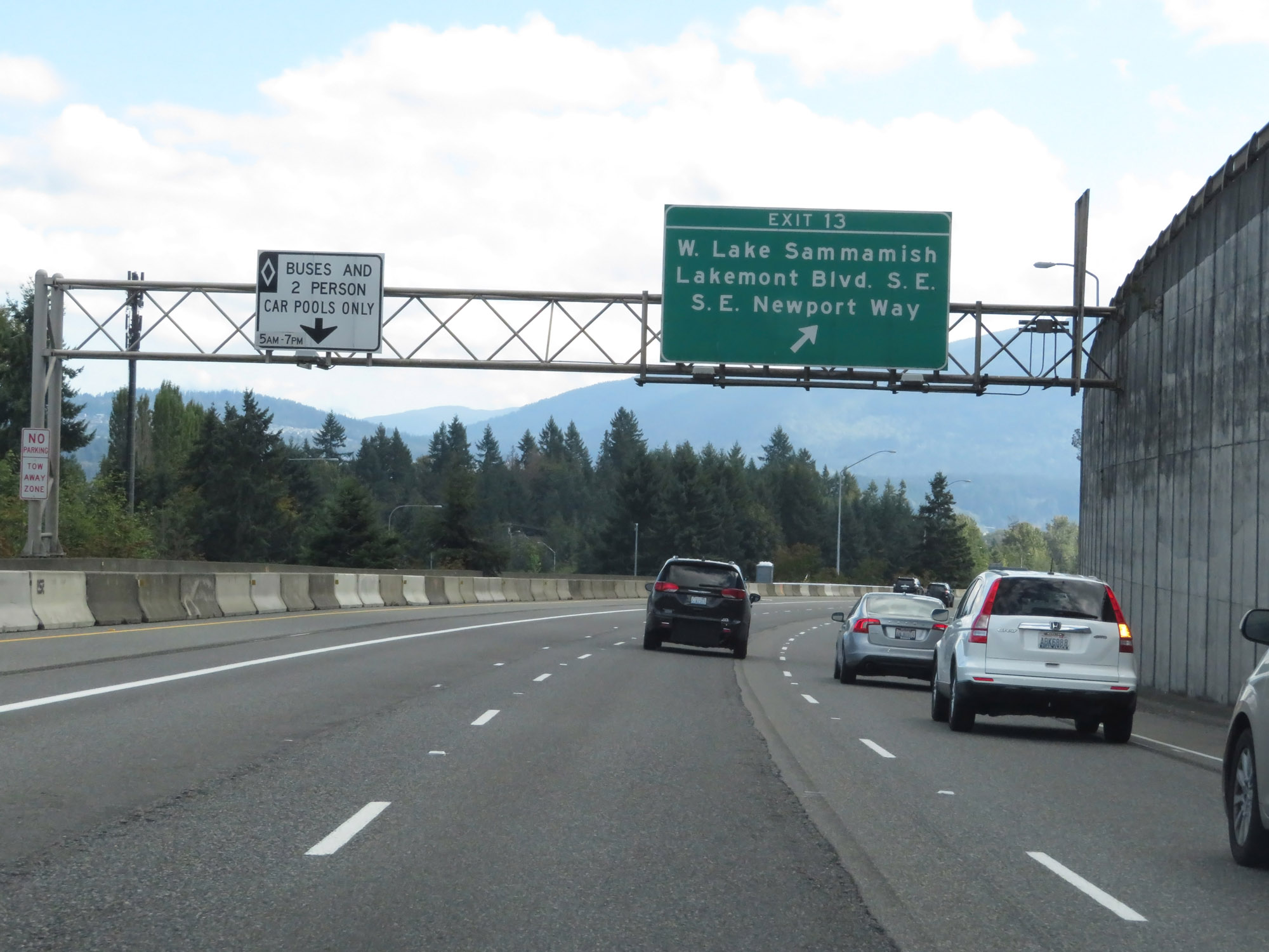 |
Interstate 90 East at Exit 13: W Lake Sammamish / Lakemont Blvd SE / SE Newport Way (Photo taken 9/21/19). |
 |
View on Interstate 90 East at mile marker 14. (Photo taken 9/21/19). |
 |
Take Exit 15 to Lake Sammamish State Park. (Photo taken 9/21/19). |
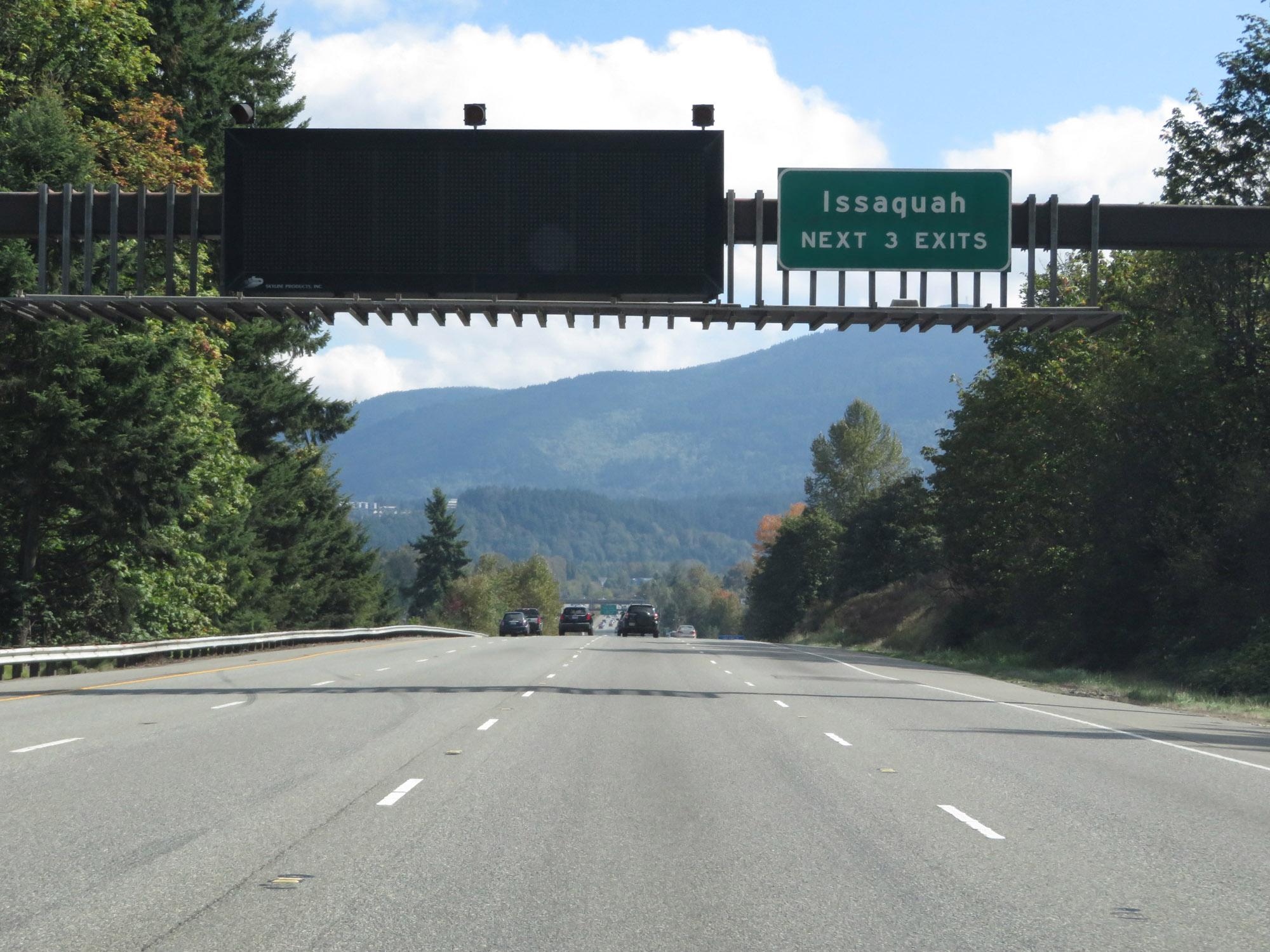 |
Take any of the next 3 exits to Issaquah. (Photo taken 9/21/19). |
 |
Interstate 90 East at Exit 15: WA 900 West - 17th Ave NW (Photo taken 9/21/19). |
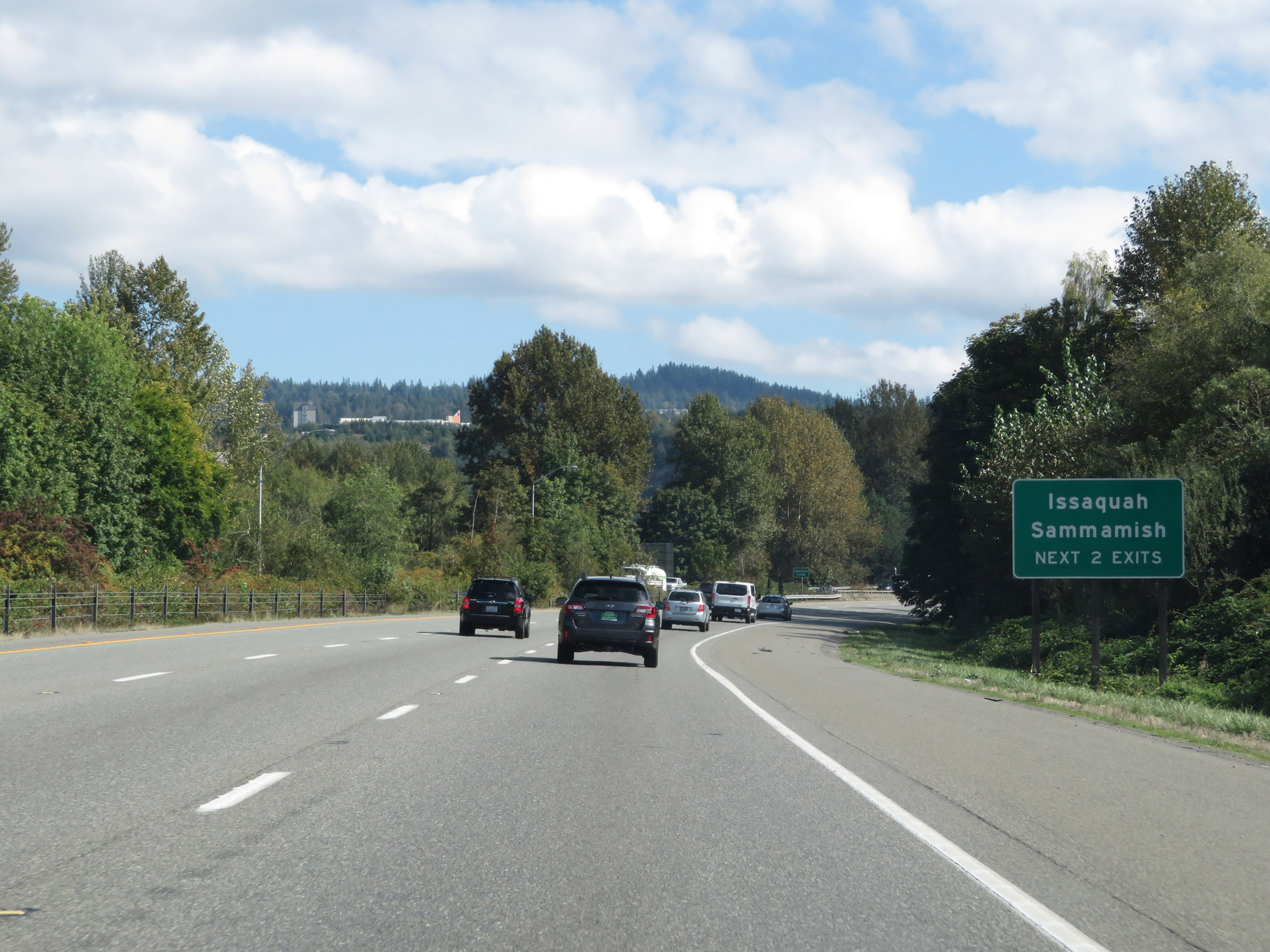 |
Take either of the next 2 exits to Issaquah and Sammamish. (Photo taken 9/21/19). |
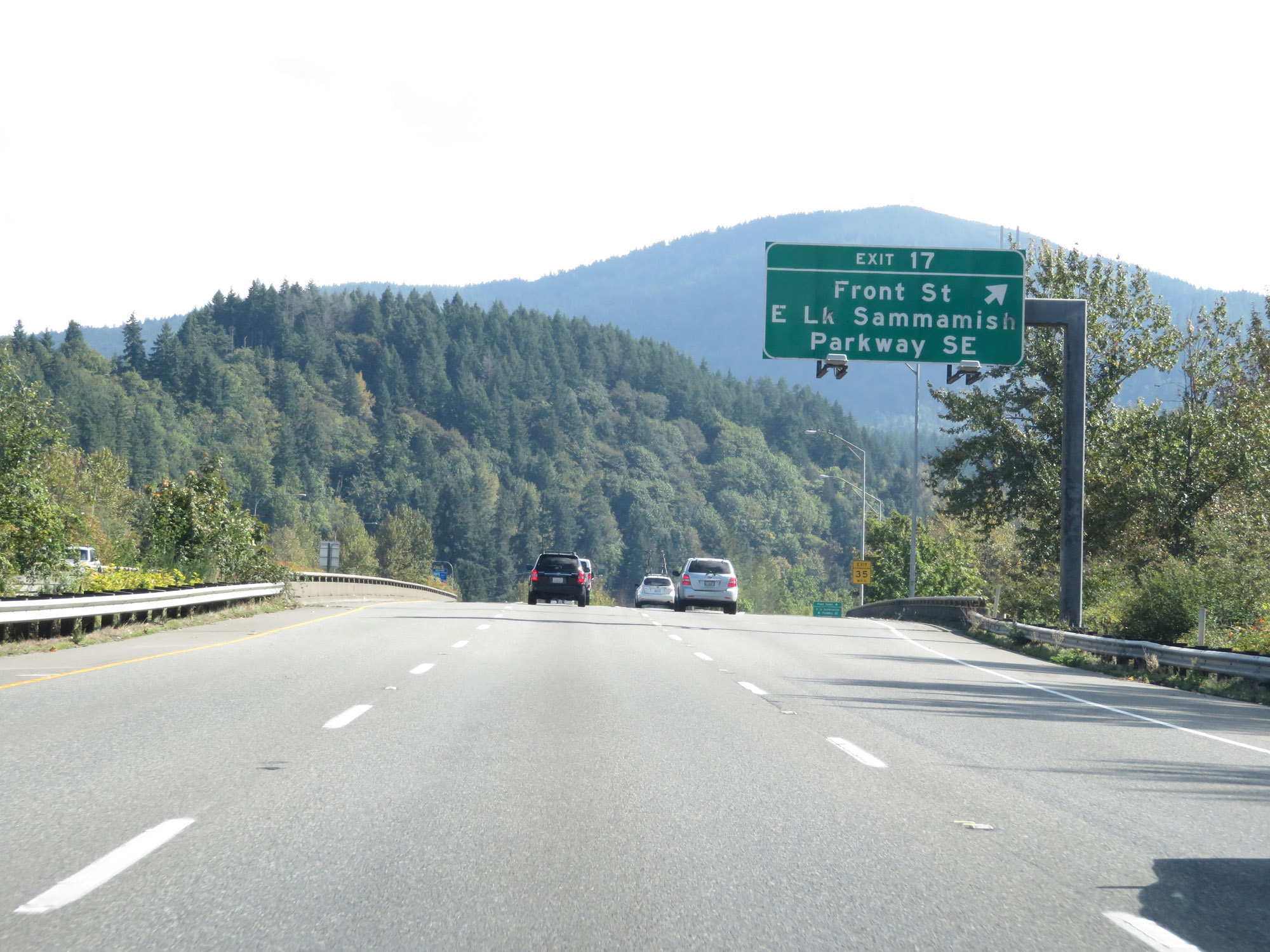 |
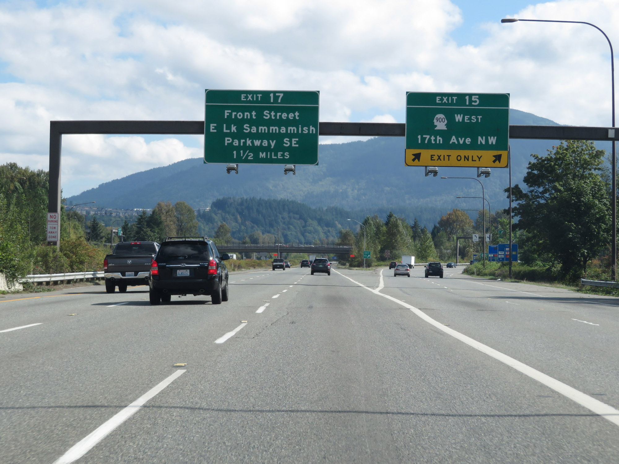
Interstate 90 East at Exit 17: Front St / E Lake Sammamish Parkway SE (Photo taken 9/21/19). |
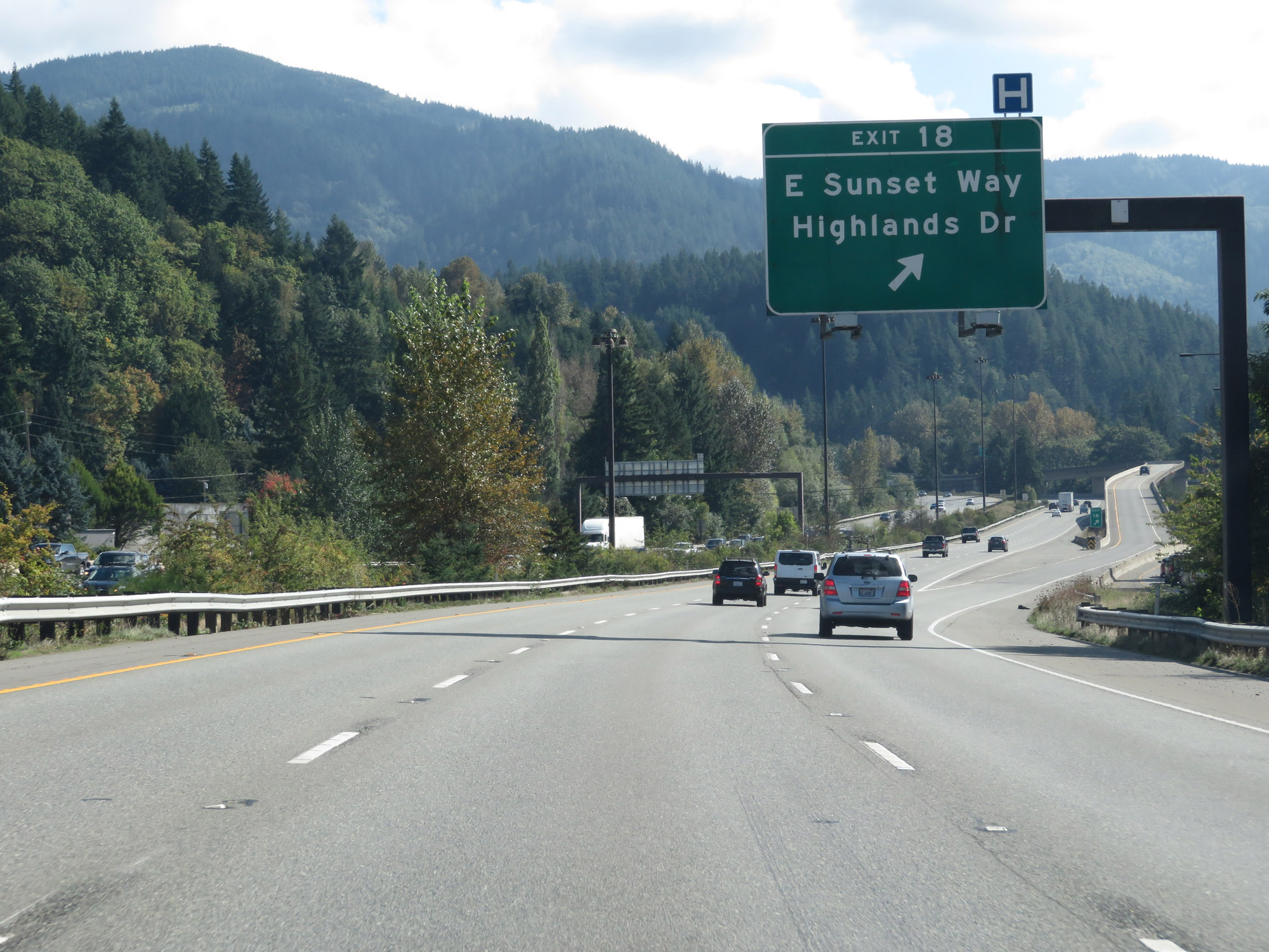 |
Interstate 90 East at Exit 18: E Sunset Way / Highlands Dr (Photo taken 9/21/19). |
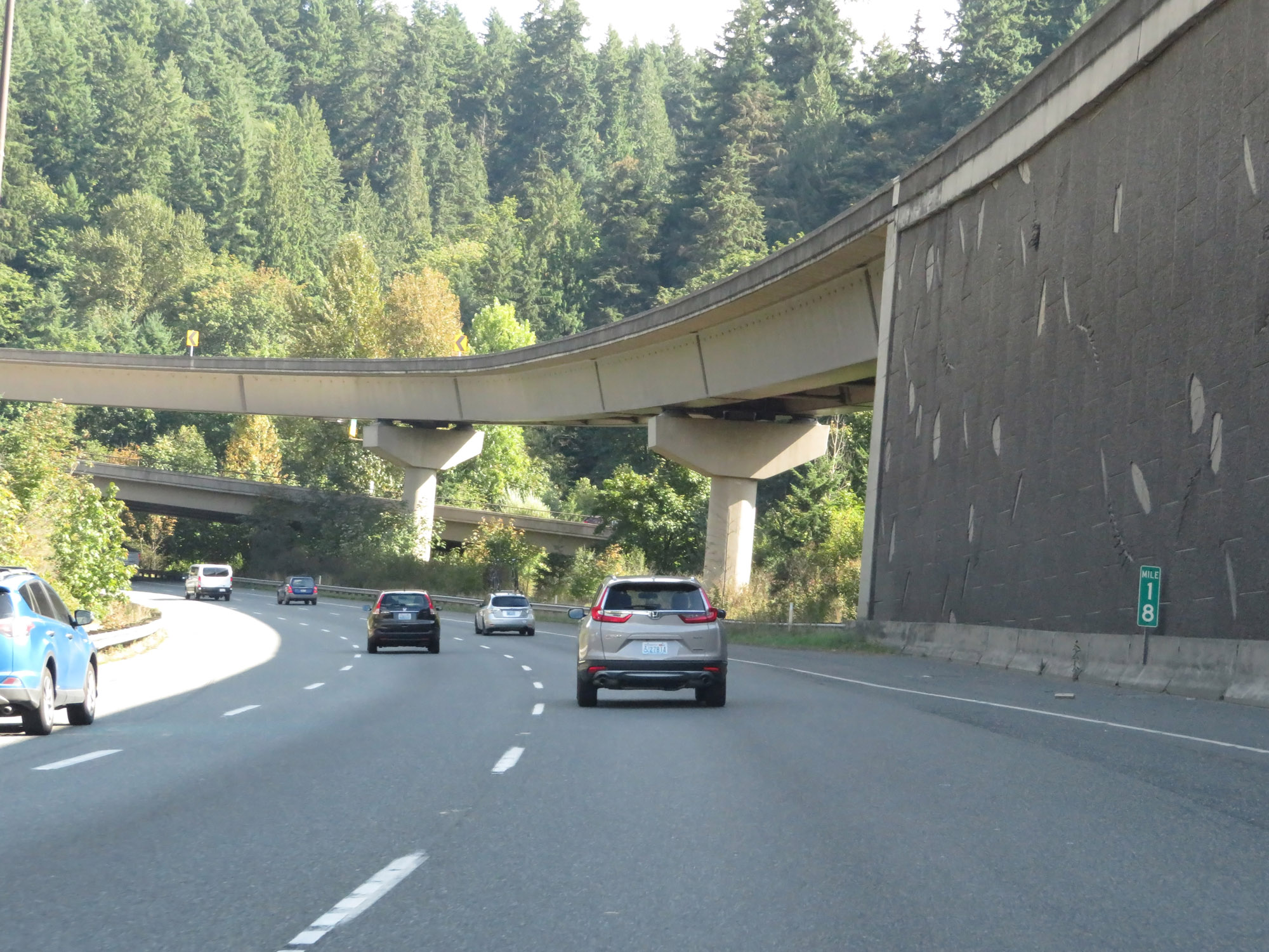 |
Interstate 90 East at mile marker 18. (Photo taken 9/21/19). |
 |
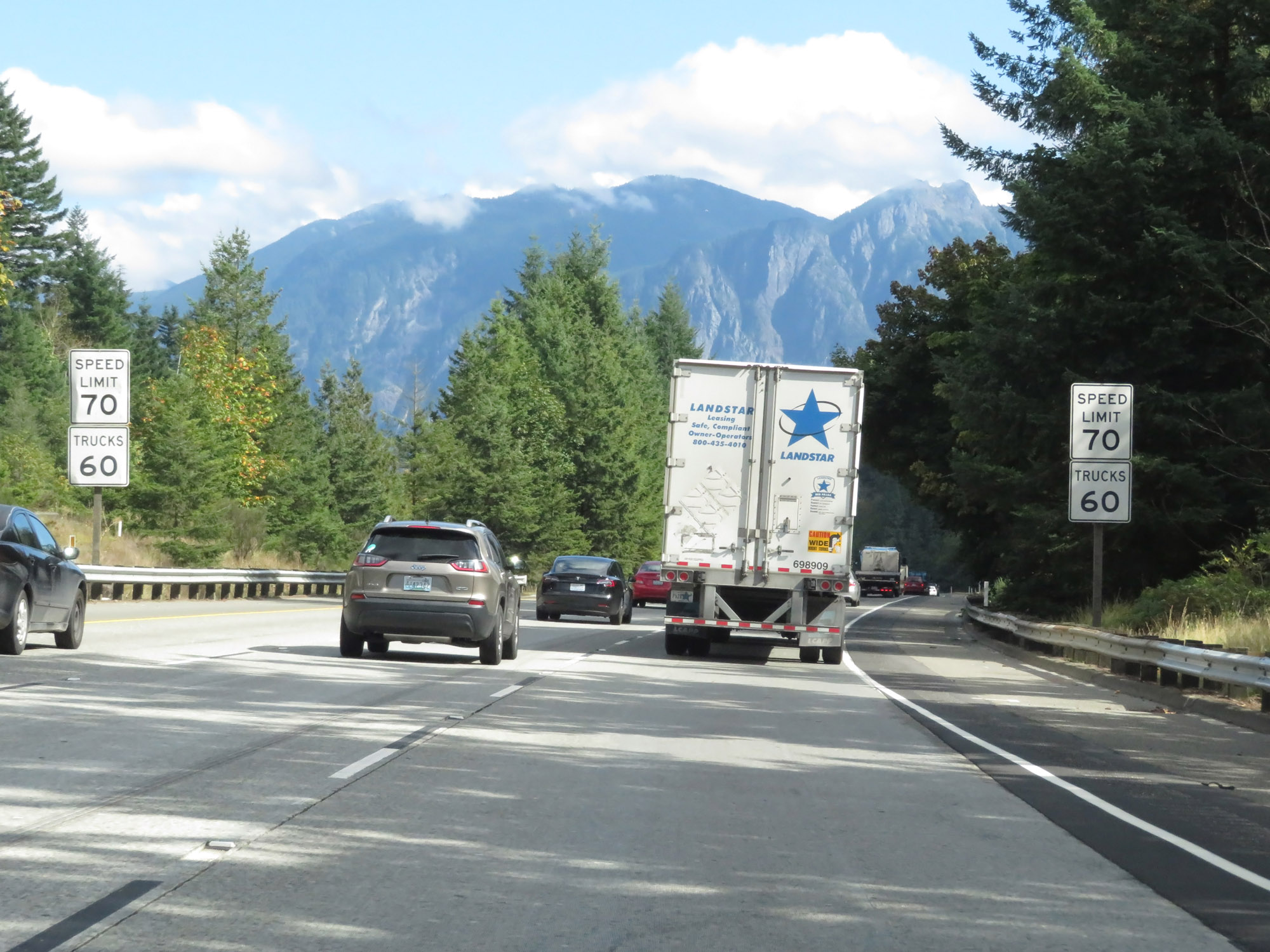
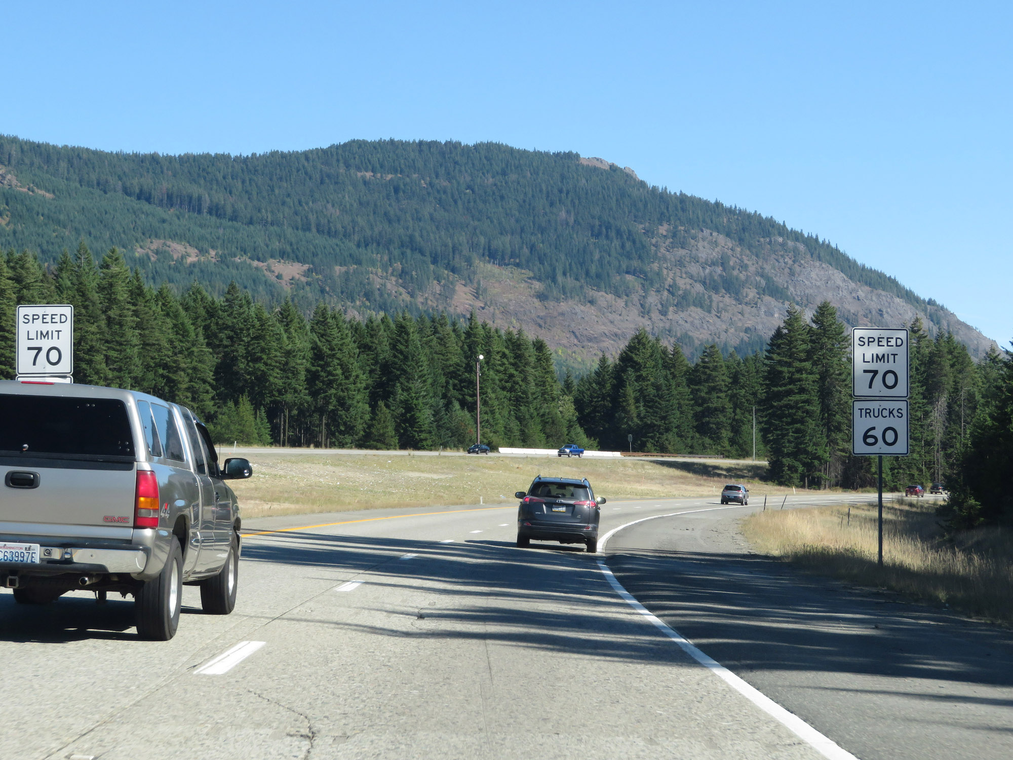
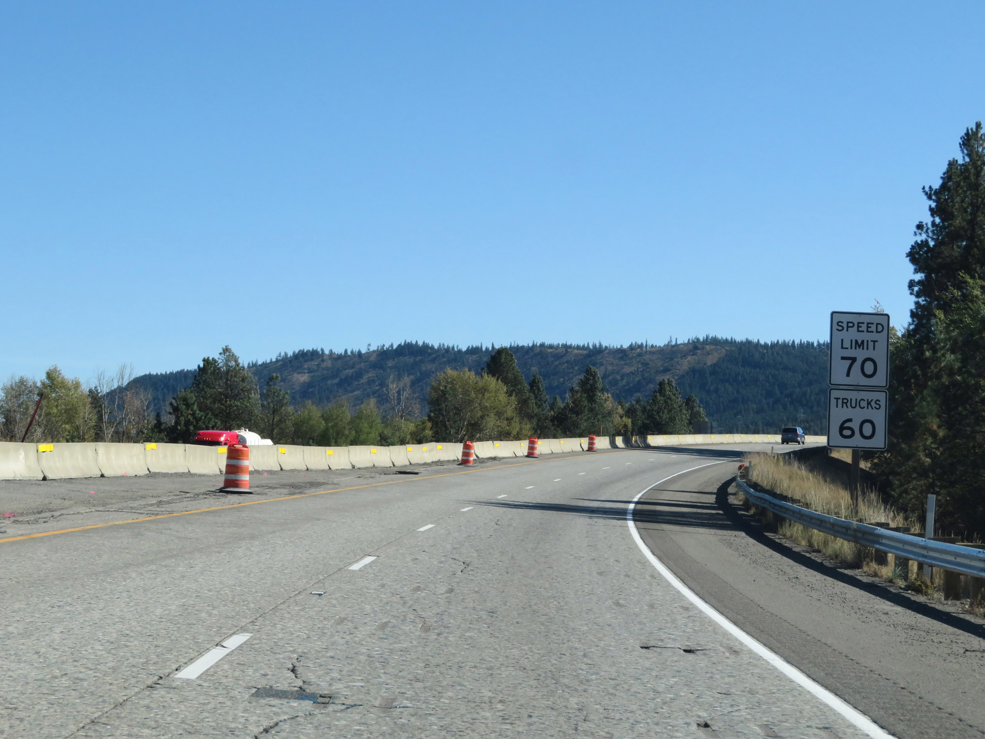
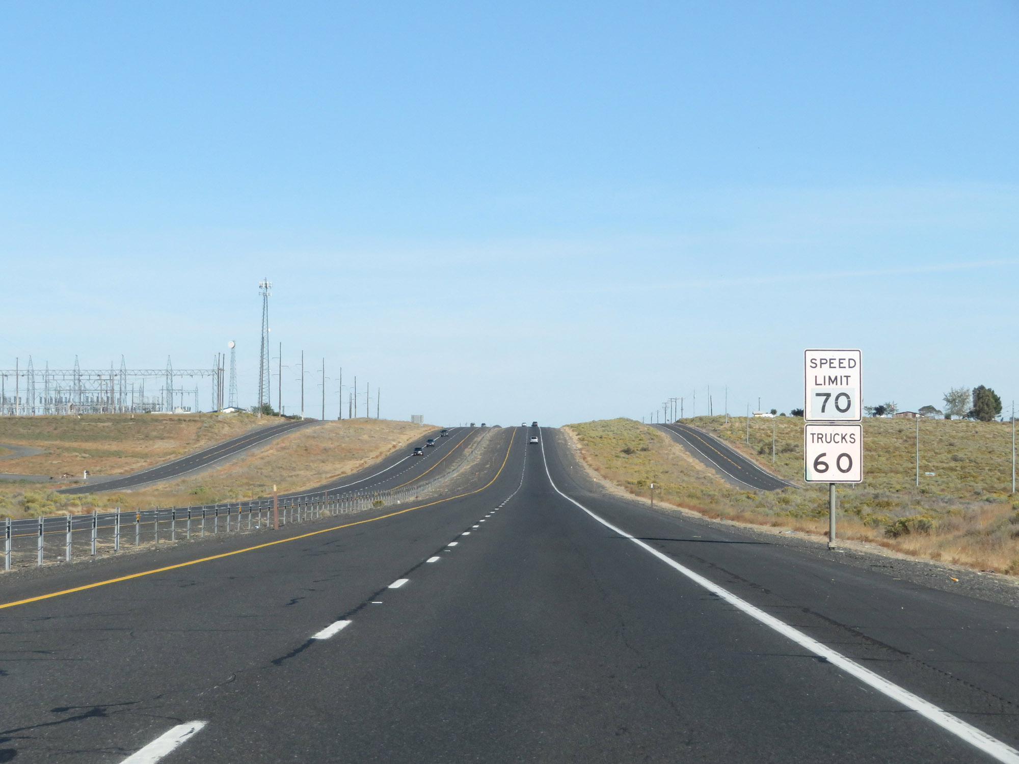
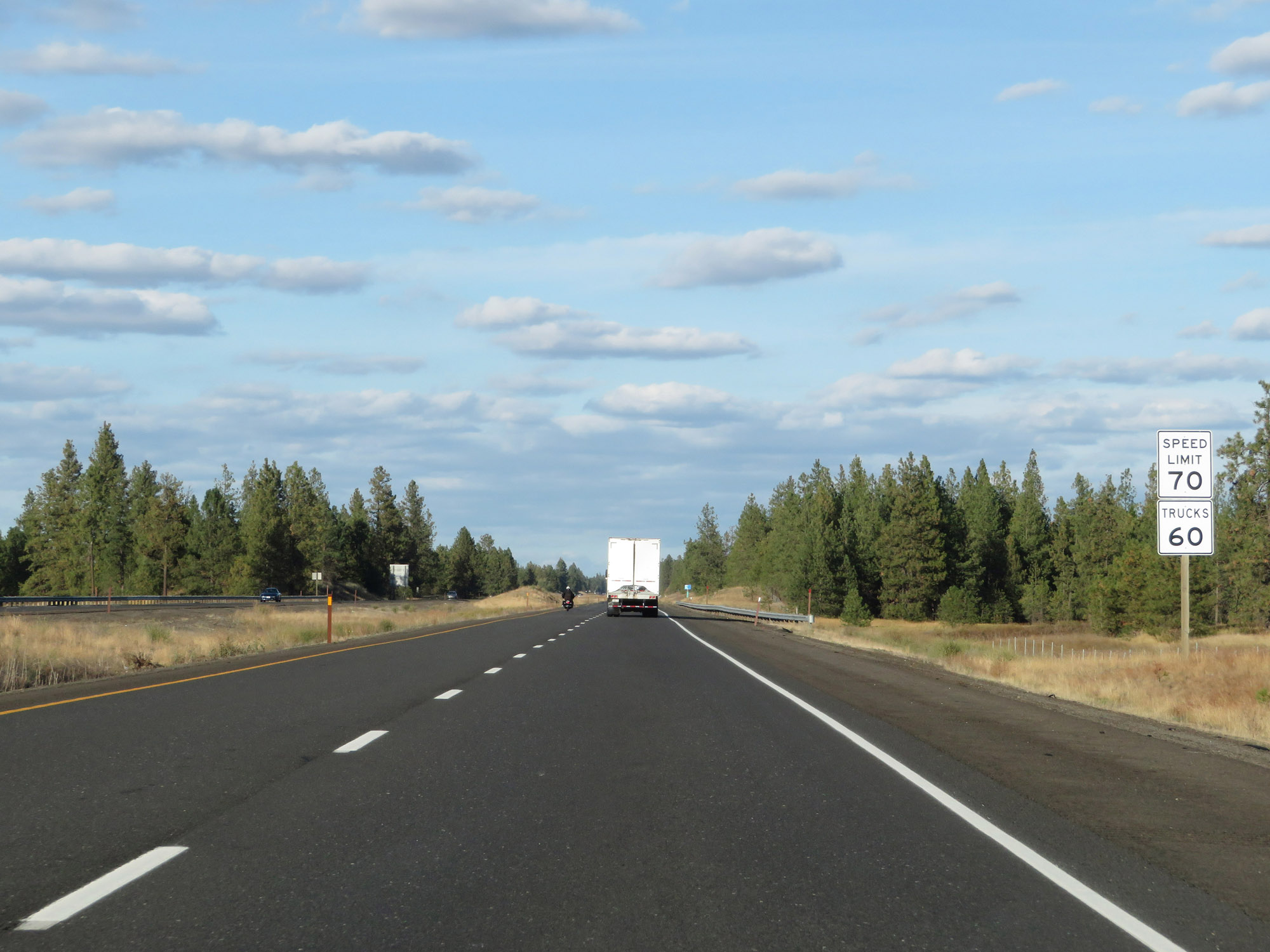
East of mile marker 18, the speed limits increase to 70 mph for automobiles and 60 mph for trucks. These are the standard speed limits on most rural Interstate highways in Washington State. (Photo taken 9/21/19). |
 |
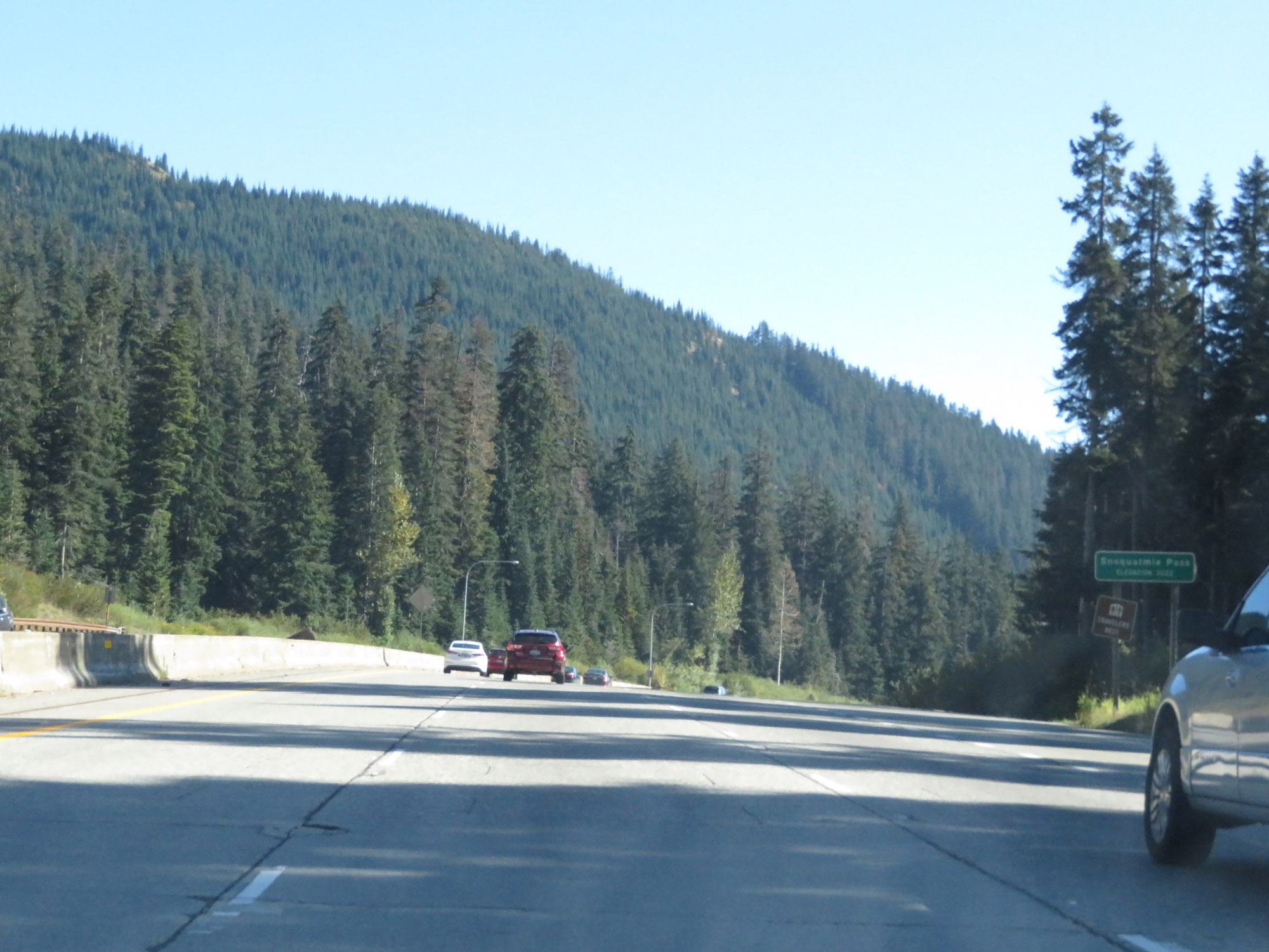
Interstate 90 East at mile marker 19, as it begins a long, steady climb up the beautiful Snoqualmie Pass. (Photo taken 9/21/19). |
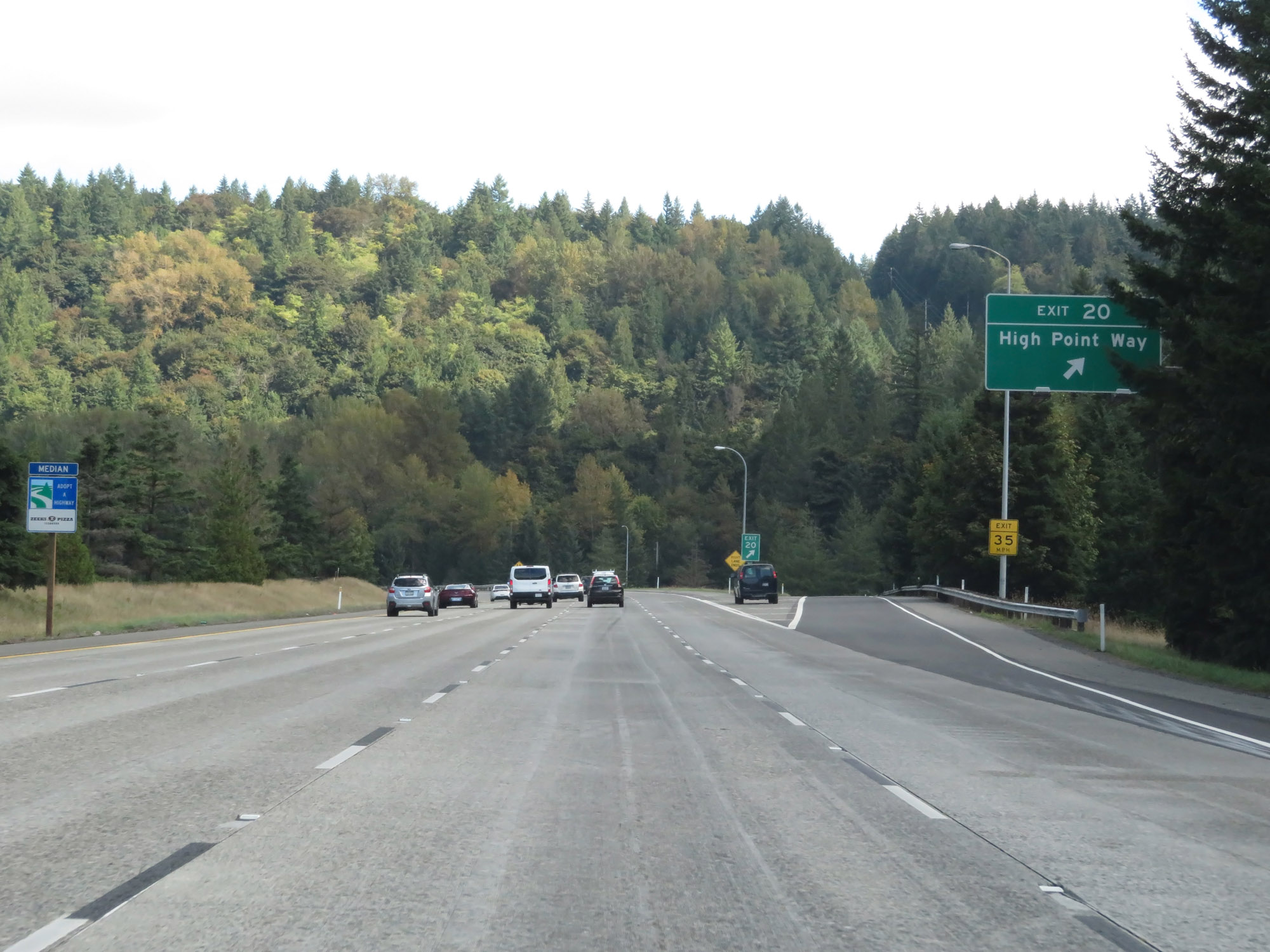 |
Interstate 90 East at Exit 20: High Point Way (Photo taken 9/21/19). |
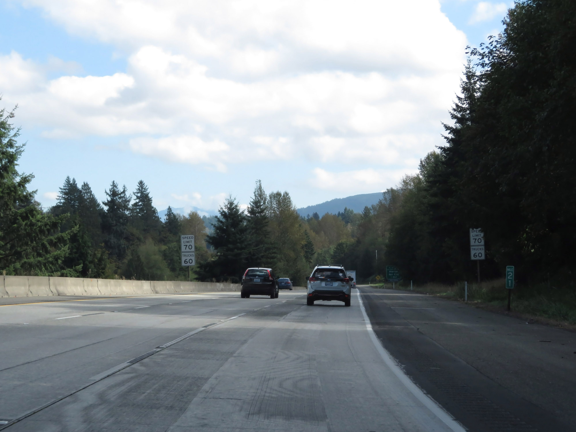 |
View on Interstate 90 East at mile marker 21. (Photo taken 9/21/19). |
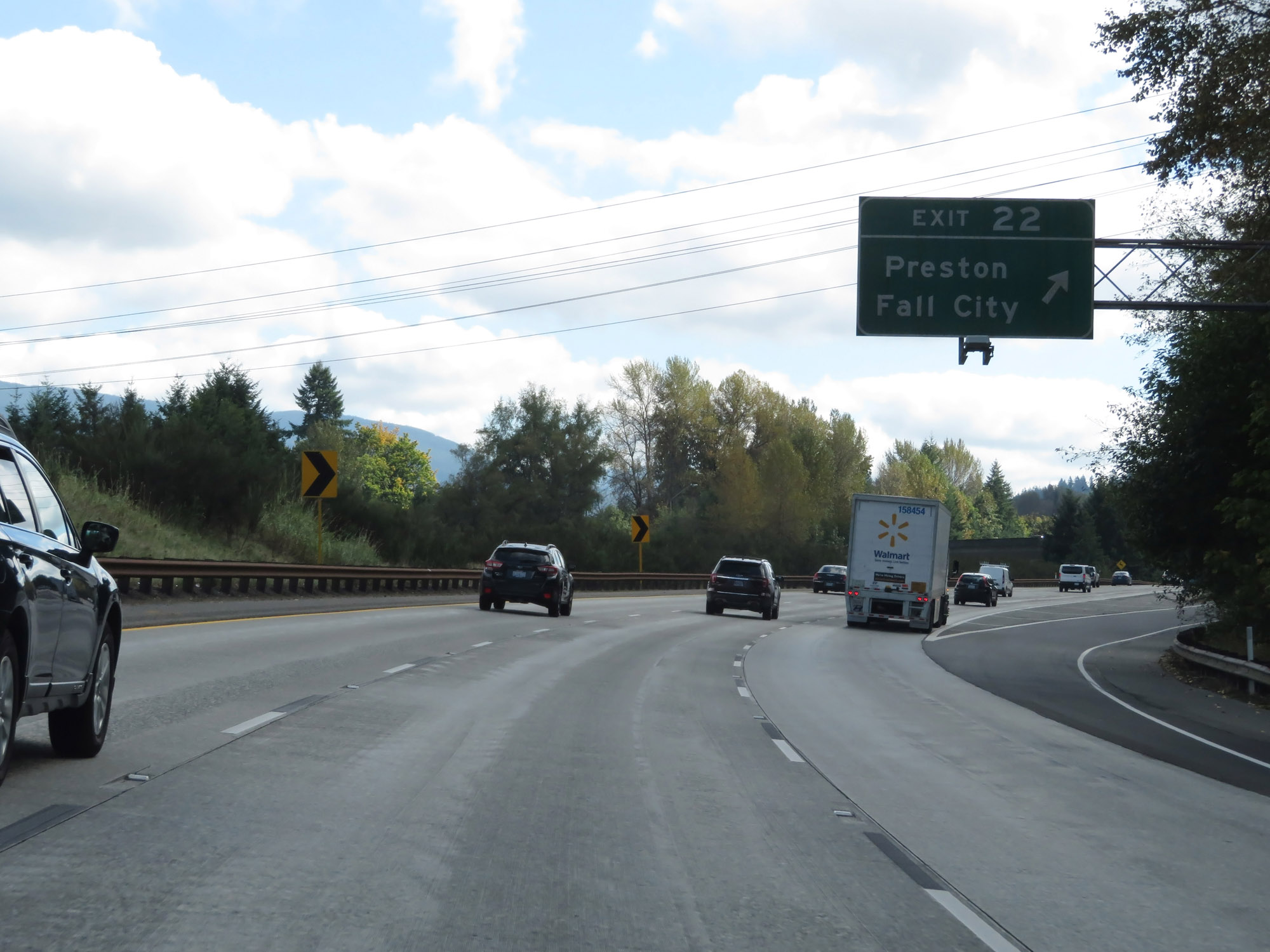 |
Interstate 90 East at Exit 22: Preston / Fall City (Photo taken 9/21/19). |
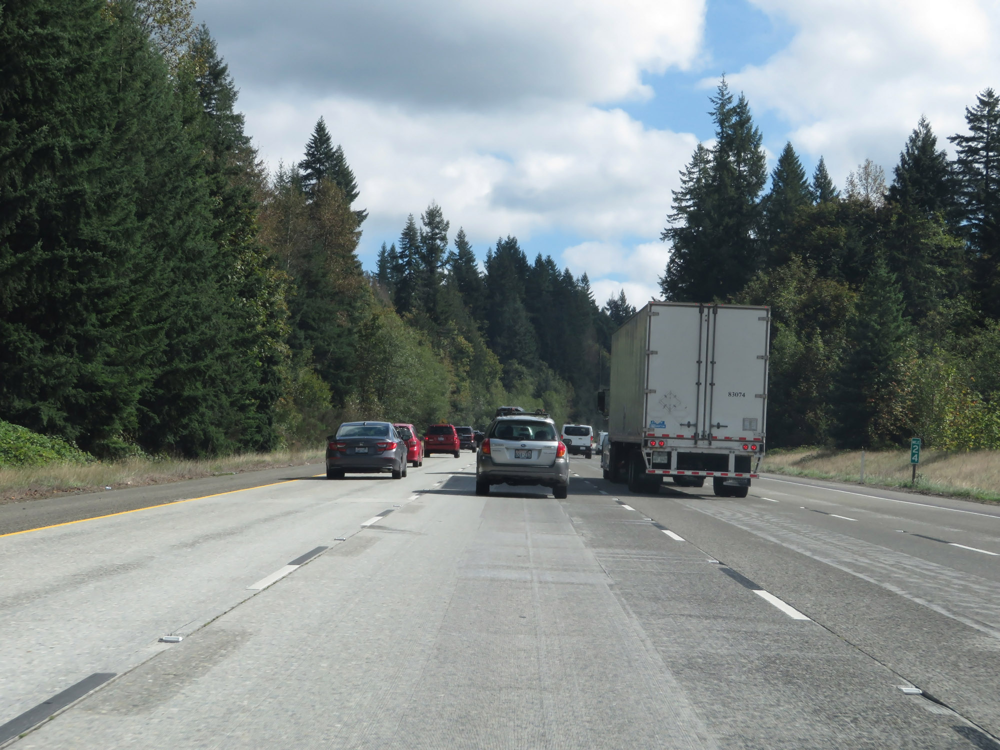 |
Interstate 90 East at mile marker 24. (Photo taken 9/21/19). |
 |
Take Exit 25 to Snoqualmie Historic District and Snoqualmie Falls. (Photo taken 9/21/19). |
 |
Interstate 90 East at Exit 25: WA 18 West - Snoqualmie Pkwy (Photo taken 9/21/19). |
 |
The speed limits remain 70 mph for cars and 60 mph for trucks. (Photo taken 9/21/19). |
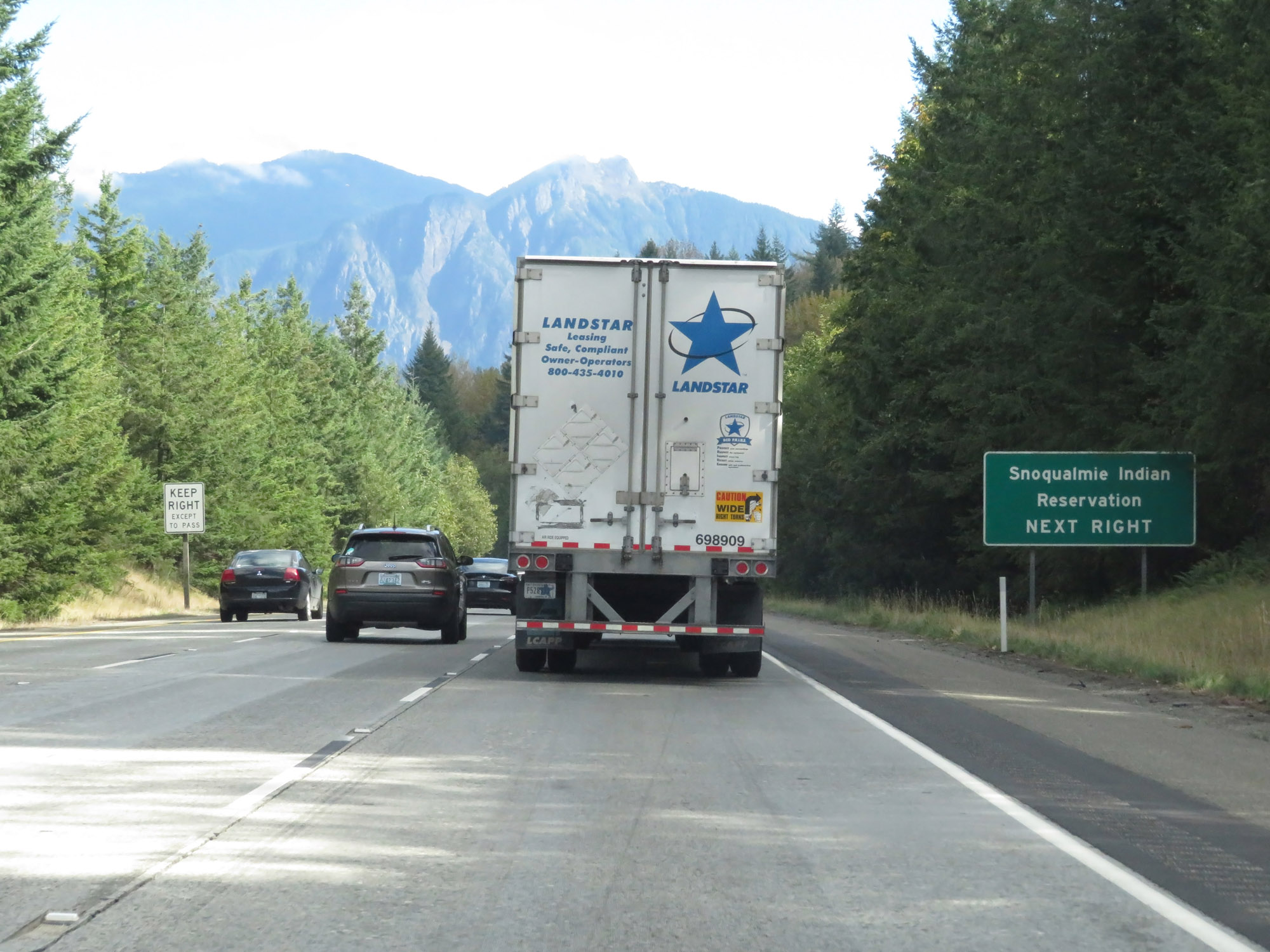 |
Take Exit 27 to Snoqualmie Indian Reservation. (Photo taken 9/21/19). |
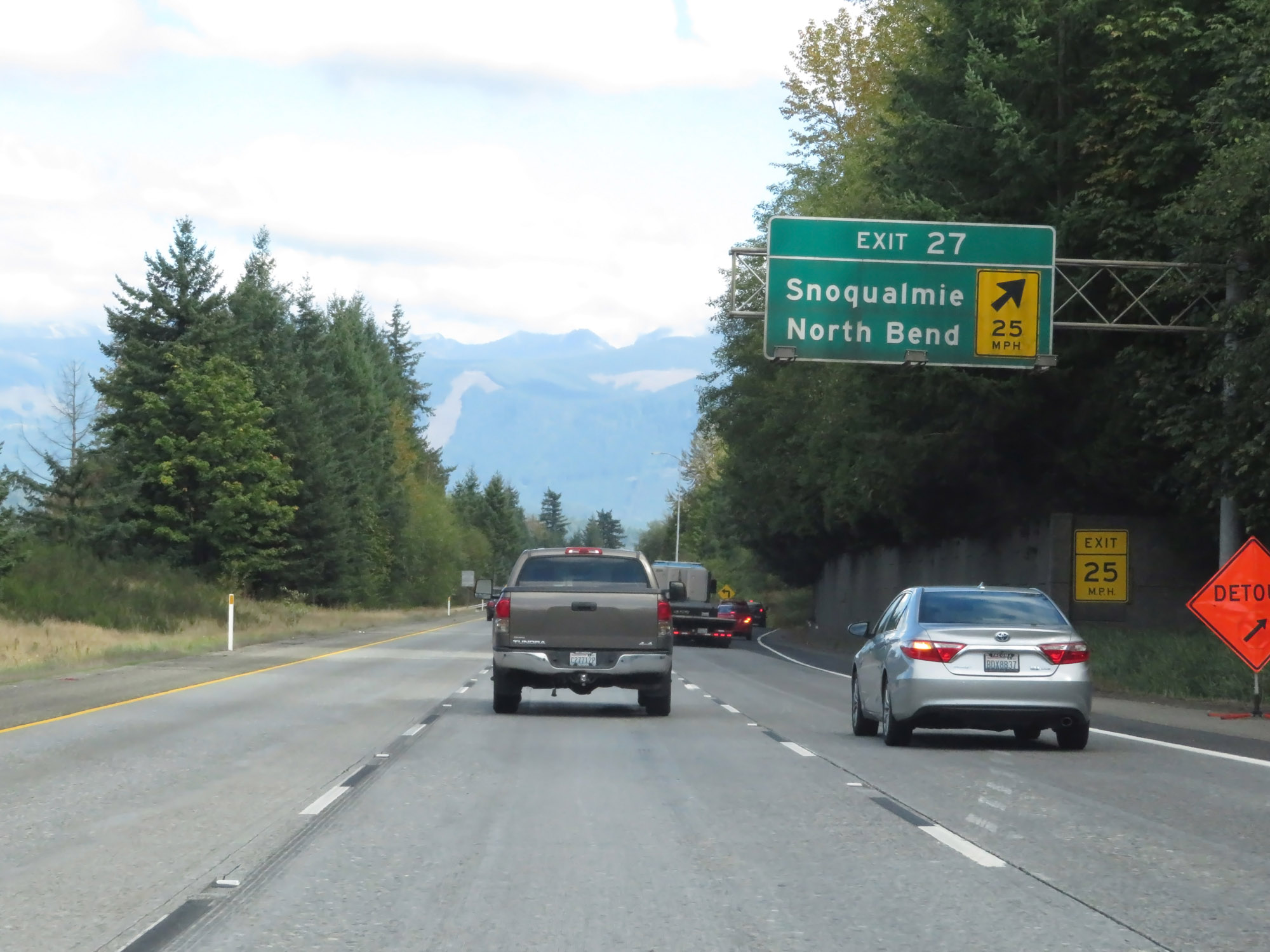 |
Interstate 90 East at Exit 27: Snoqualmie / North Bend (Photo taken 9/21/19). |
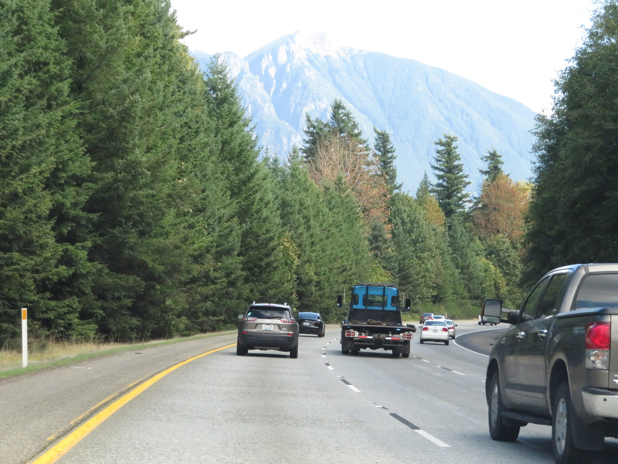 |
View on Interstate 90 East as it continues to climb Snoqualmie Pass. (Photo taken 9/21/19). |
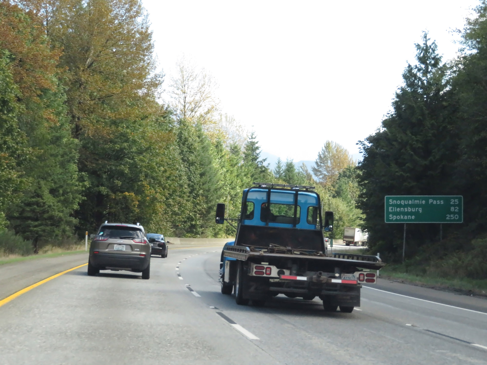 |
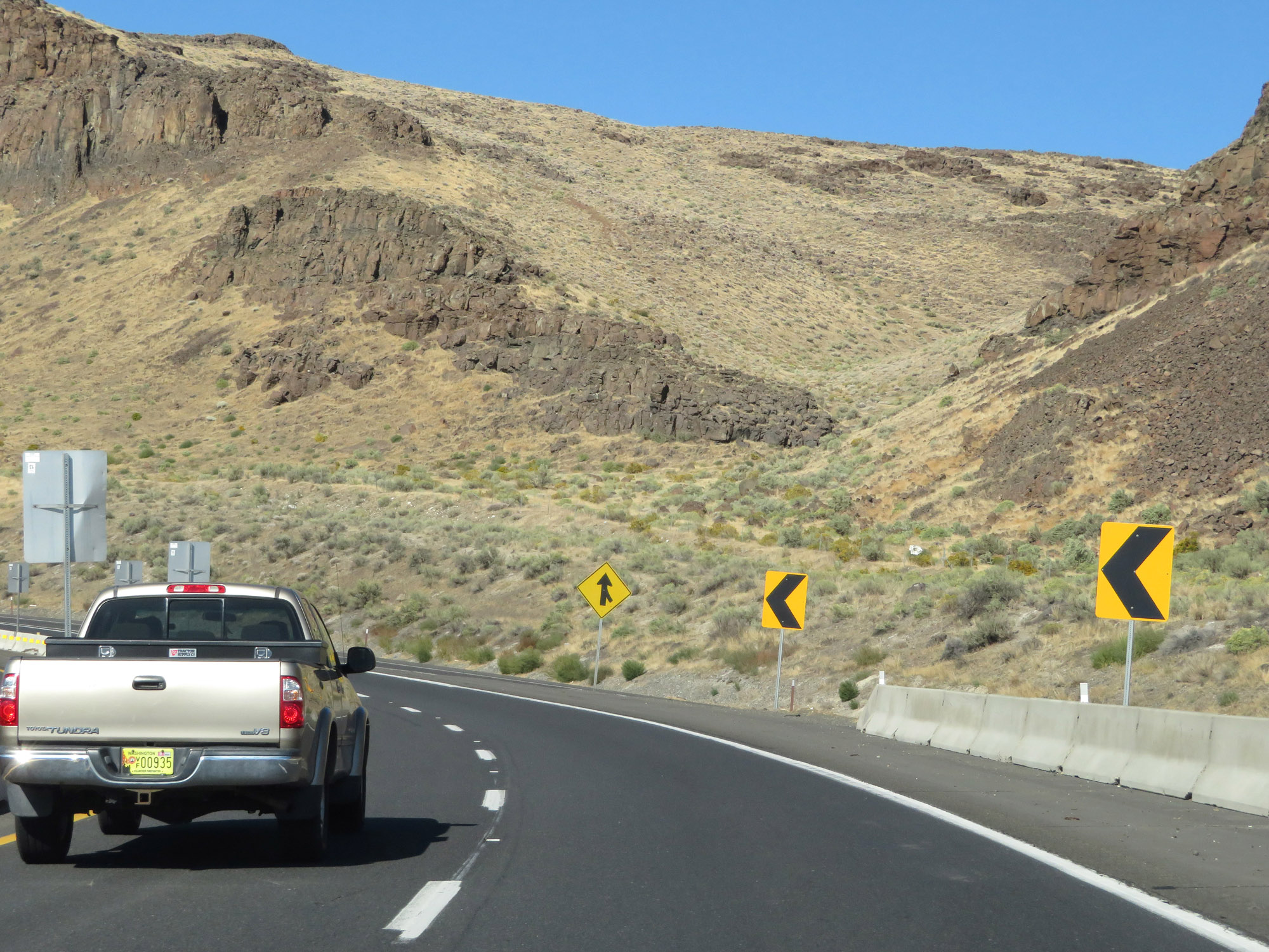
Mileage sign on Interstate 90 East. It's 25 miles to the summit of Snoqualmie Pass, 82 miles to Ellensburg, and 250 miles to Spokane. (Photo taken 9/21/19). |
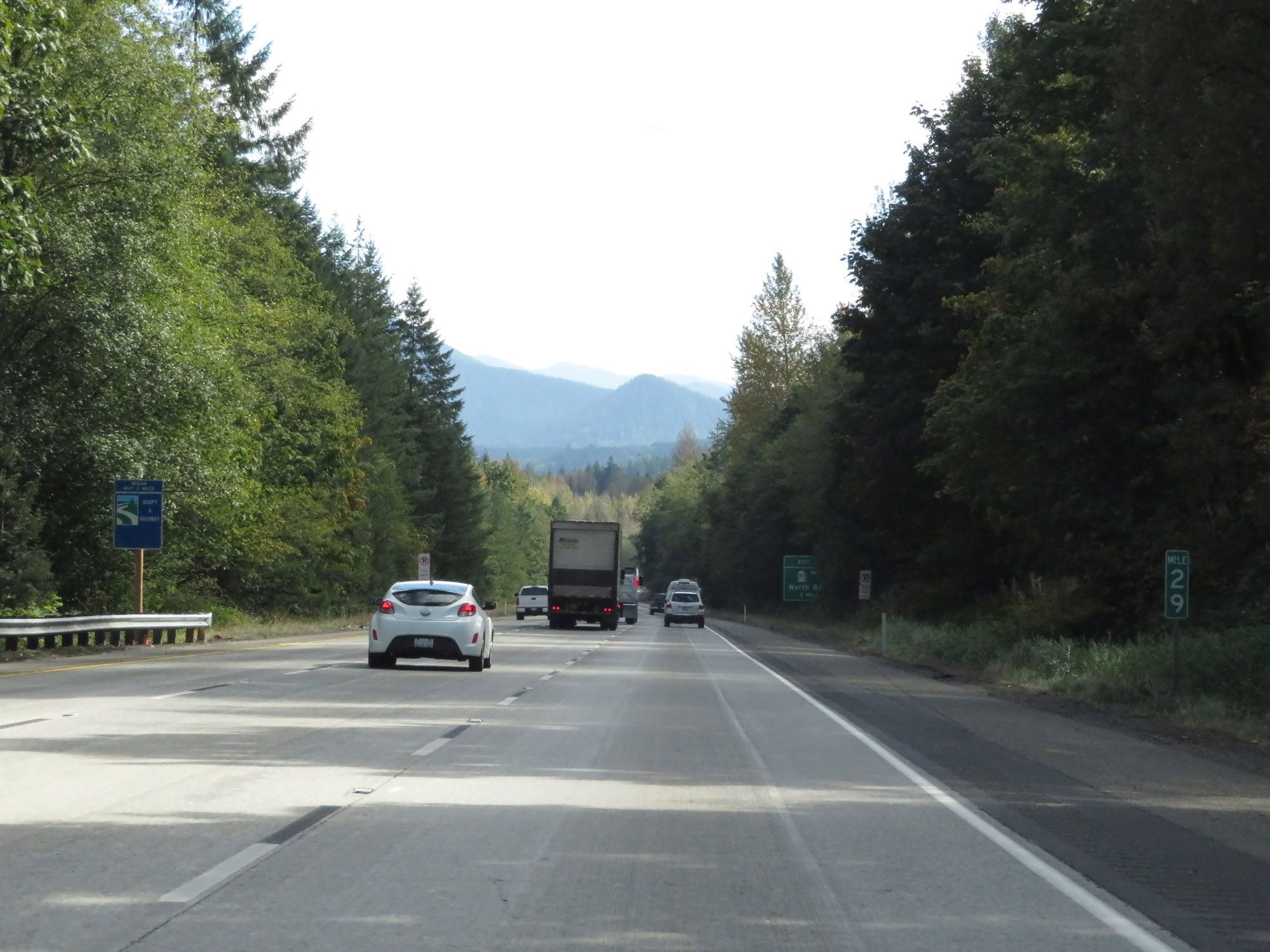 |
Interstate 90 East at mile marker 29. (Photo taken 9/21/19). |
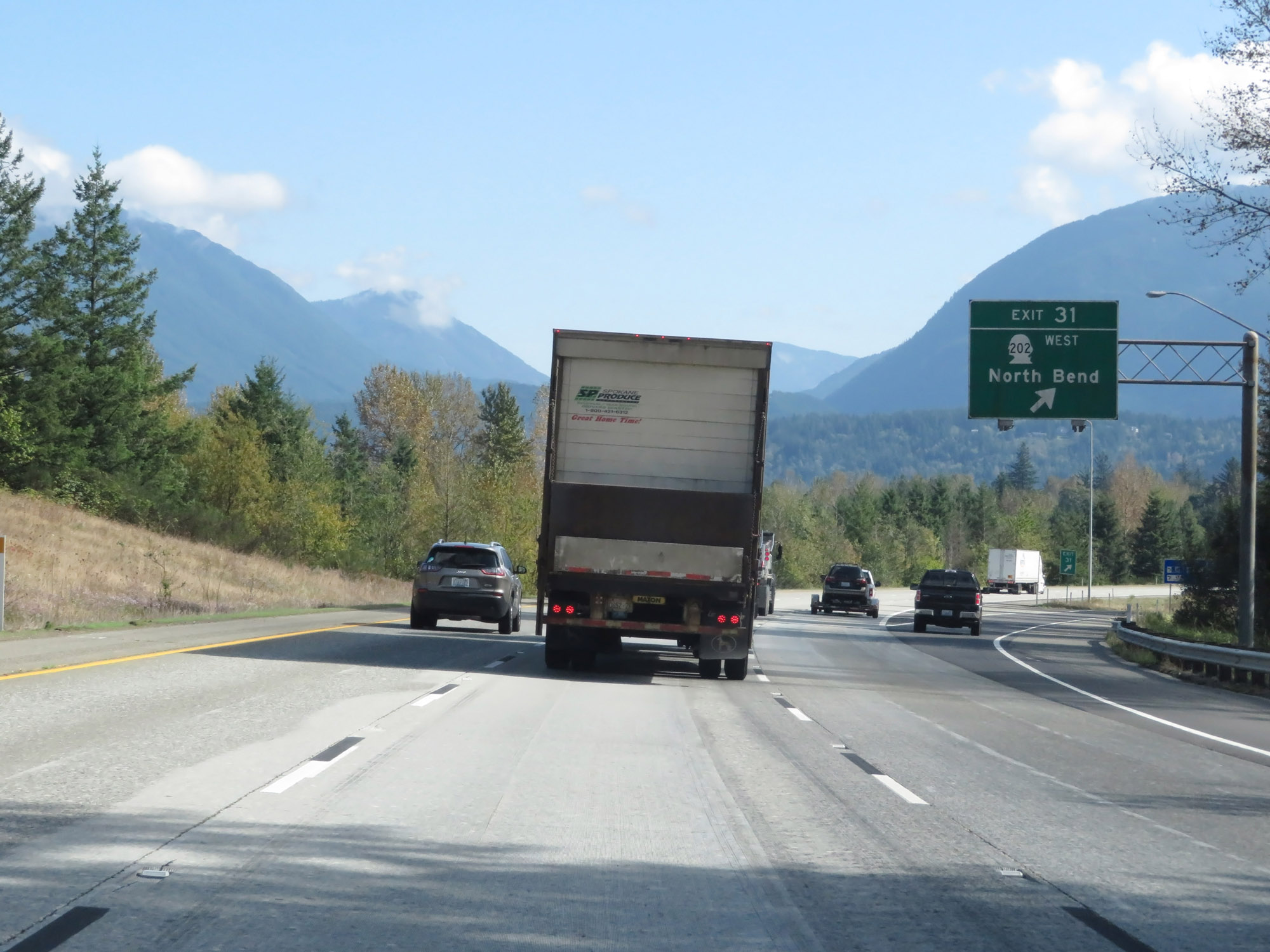 |
Interstate 90 East at Exit 31: WA 202 West - North Bend (Photo taken 9/21/19). |
Section 2: North Bend (Exit 31) to Cle Elum (Exit 84)
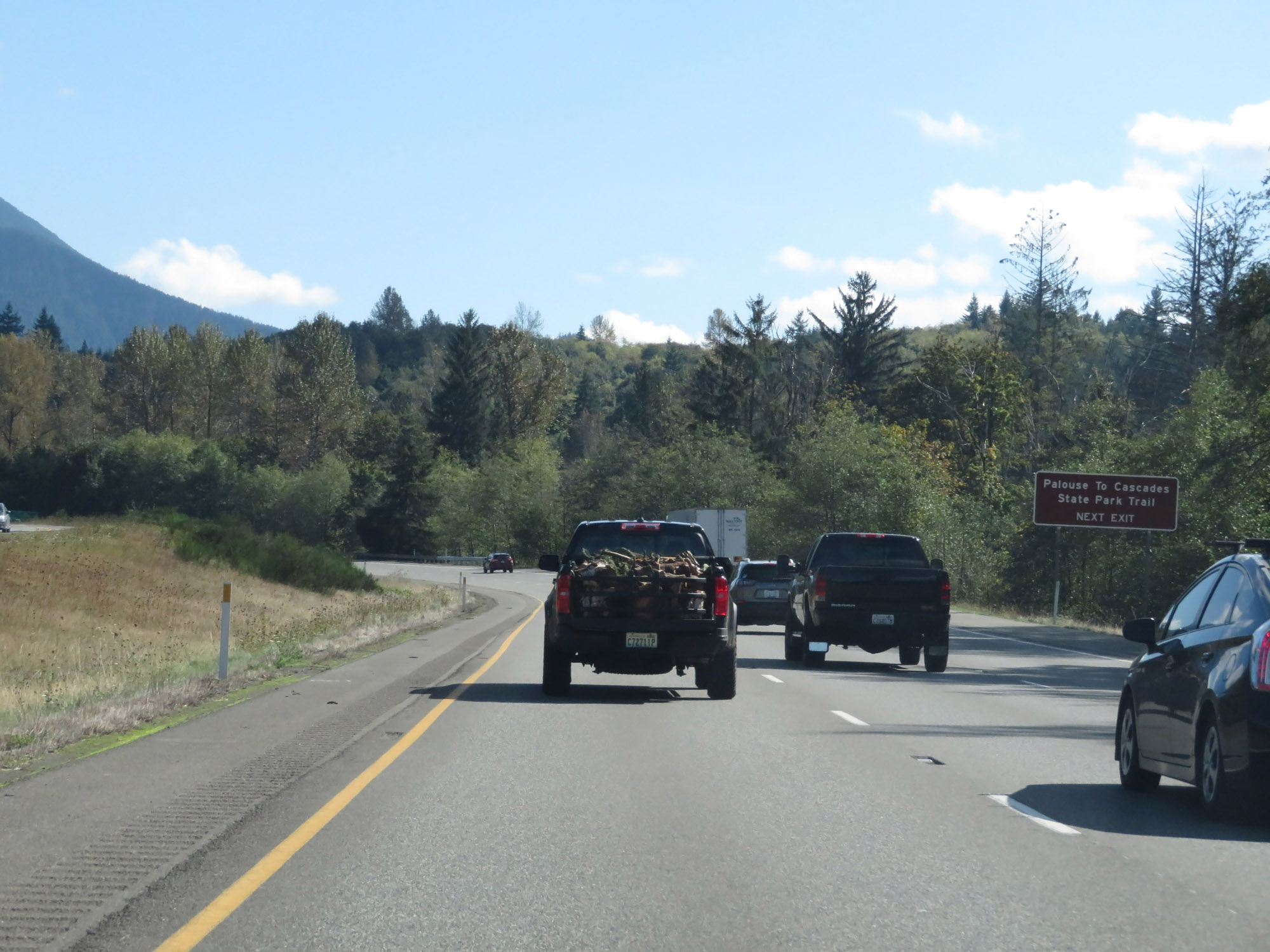 |
Take Exit 32 to Palouse To Cascades State Park Trail. (Photo taken 9/21/19). |
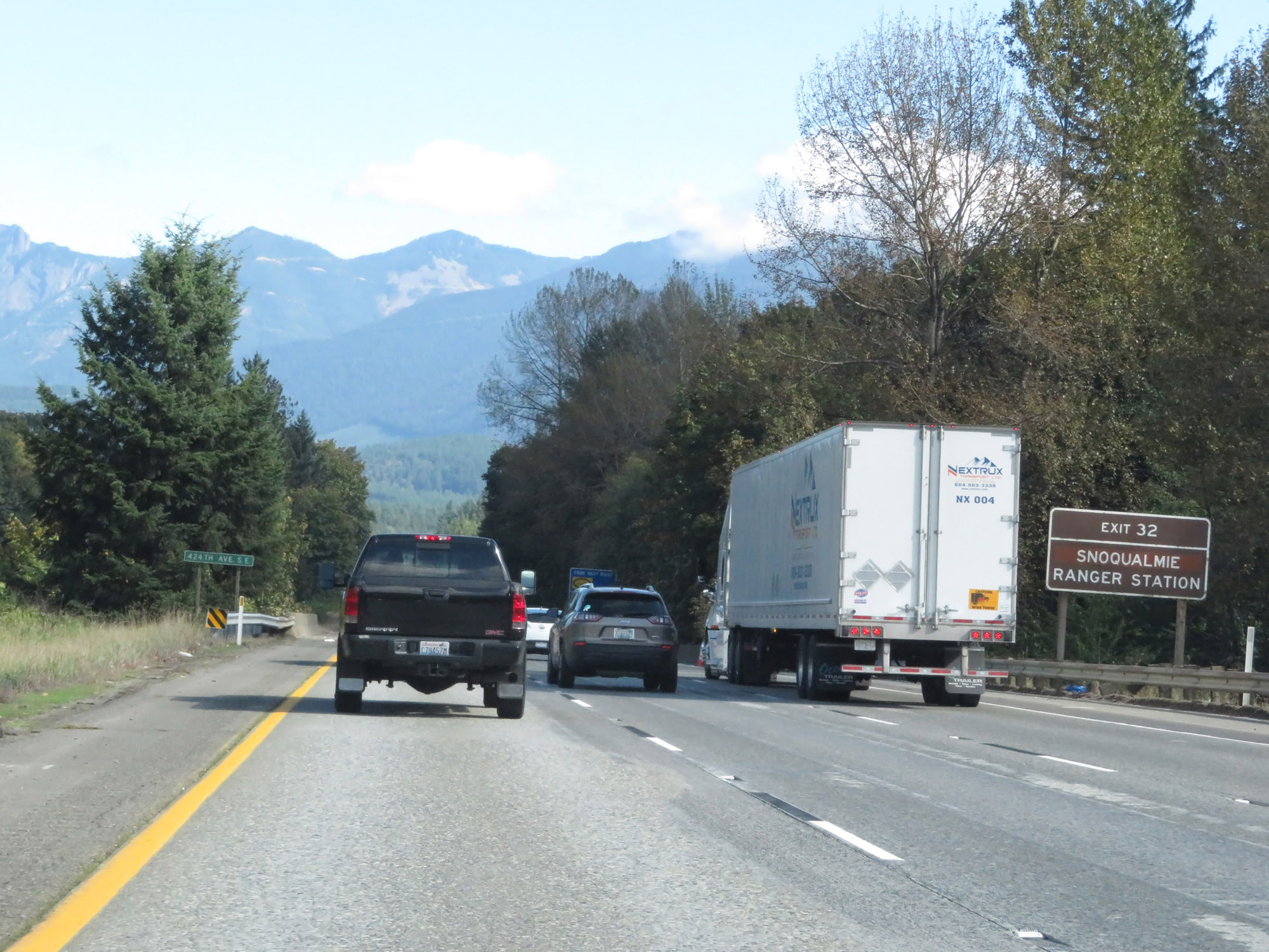 |
Also take Exit 32 to the Snoqualmie Ranger Station. (Photo taken 9/21/19). |
 |
Interstate 90 East at Exit 32: 436th Ave SE (Photo taken 9/21/19). |
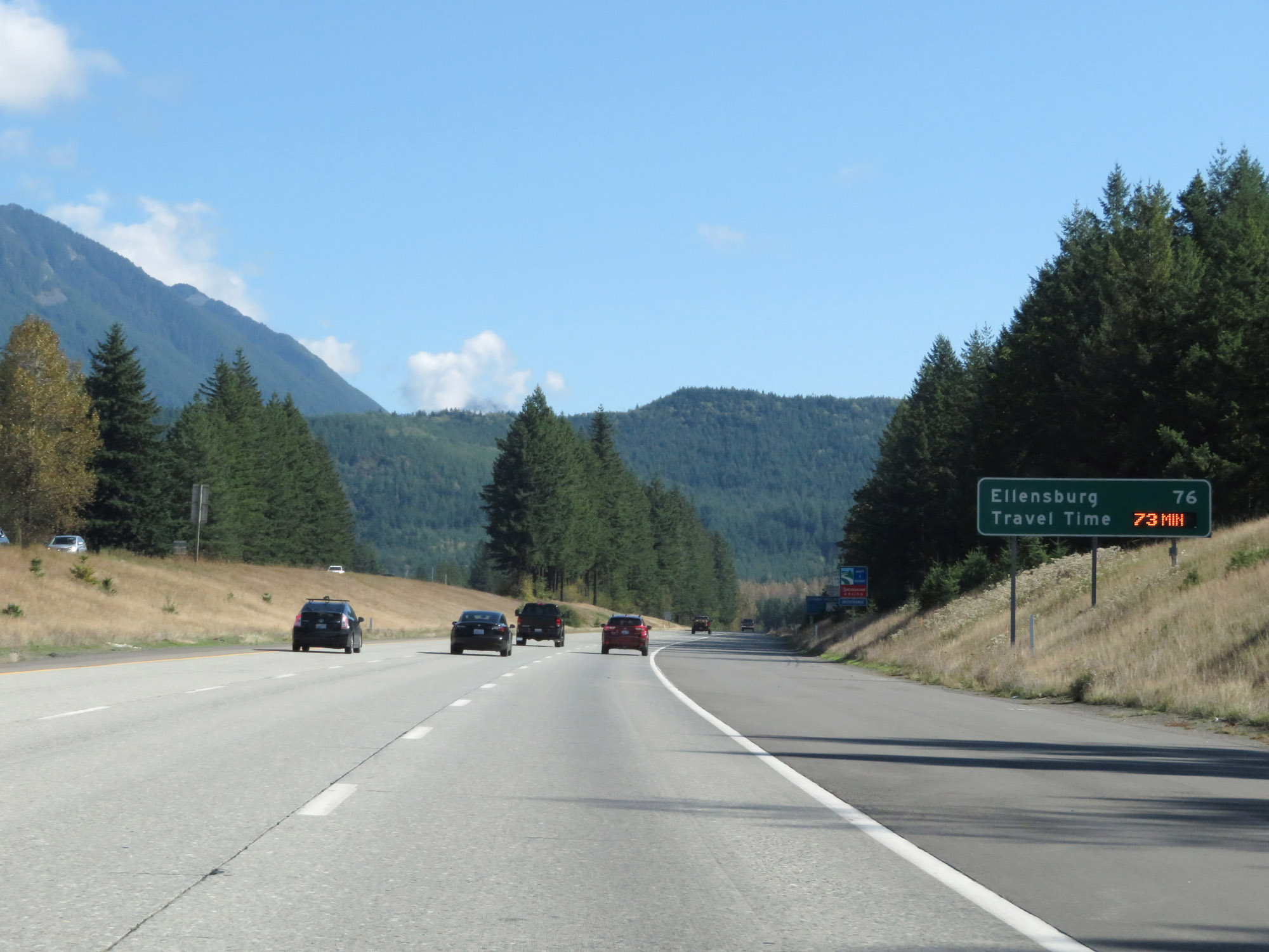 |
This sign dynamically shows the estimated travel time to Ellensburg from this point, which is 76 miles ahead. (Photo taken 9/21/19). |
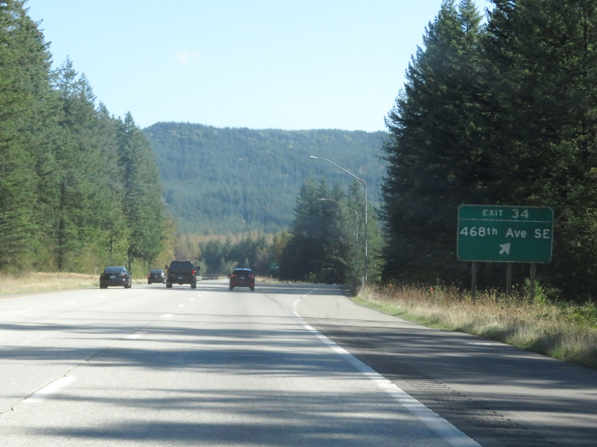 |
Interstate 90 East at Exit 34: 468th Ave SE (Photo taken 9/21/19). |
 |
View on Interstate 90 East at mile marker 35. (Photo taken 9/21/19). |
 |
Interstate 90 East at mile marker 36. (Photo taken 9/21/19). |
 |
Take Exit 38 to Washington State Fire Training Academy. (Photo taken 9/21/19). |
 |
Interstate 90 East at Exit 38: (No Name) (Photo taken 9/21/19). |
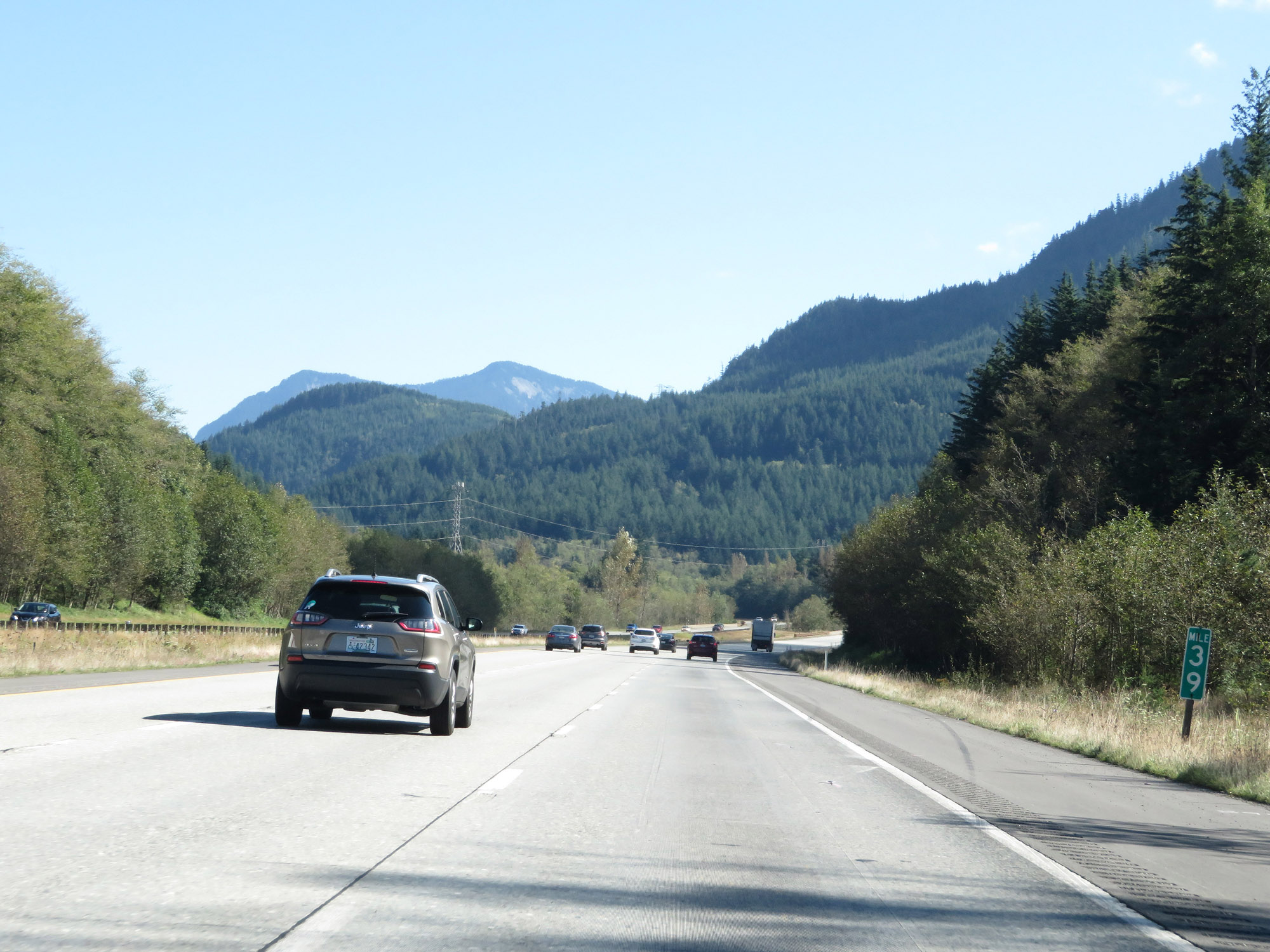 |
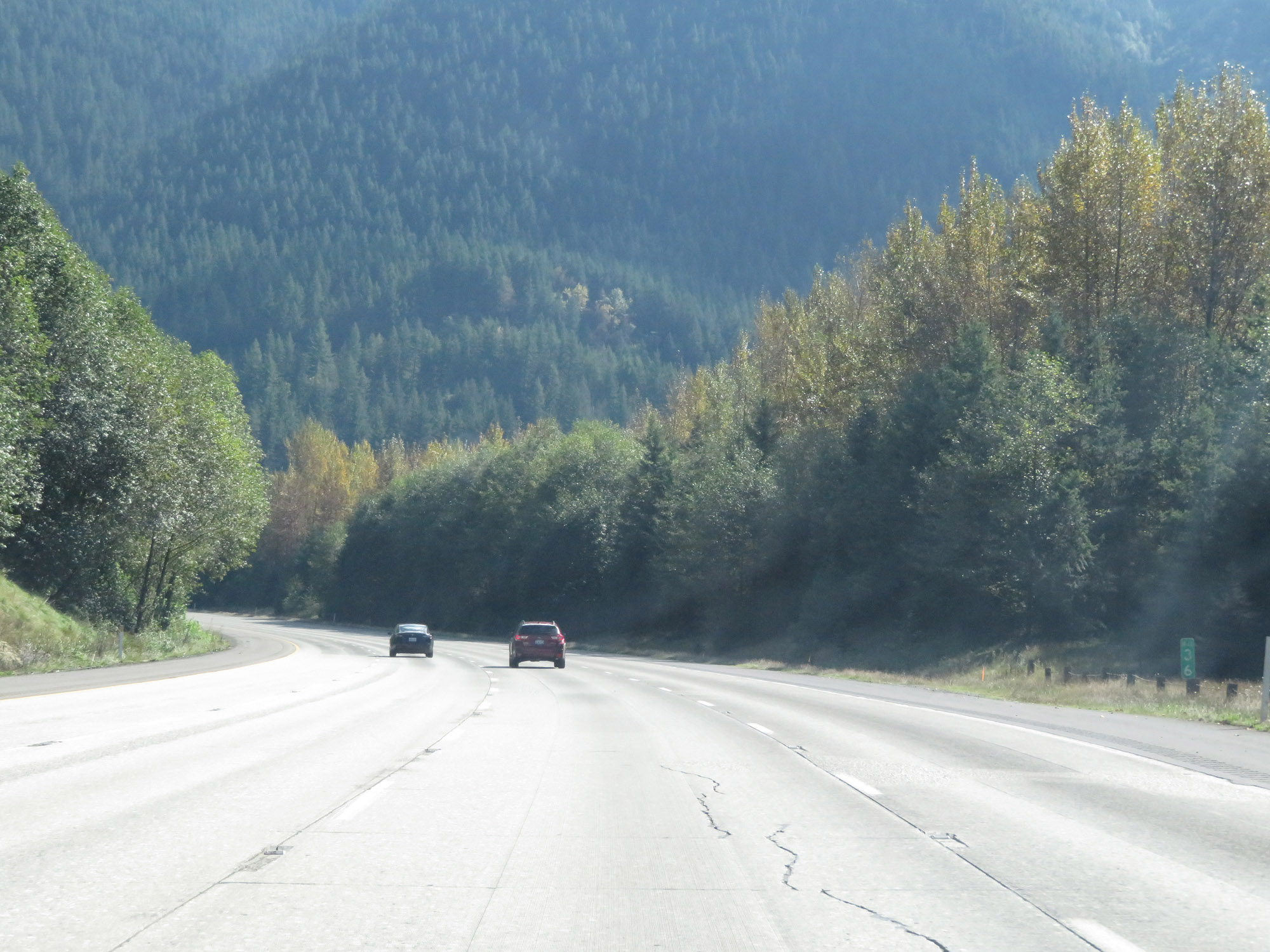
View on Interstate 90 East at mile marker 39. (Photo taken 9/21/19). |
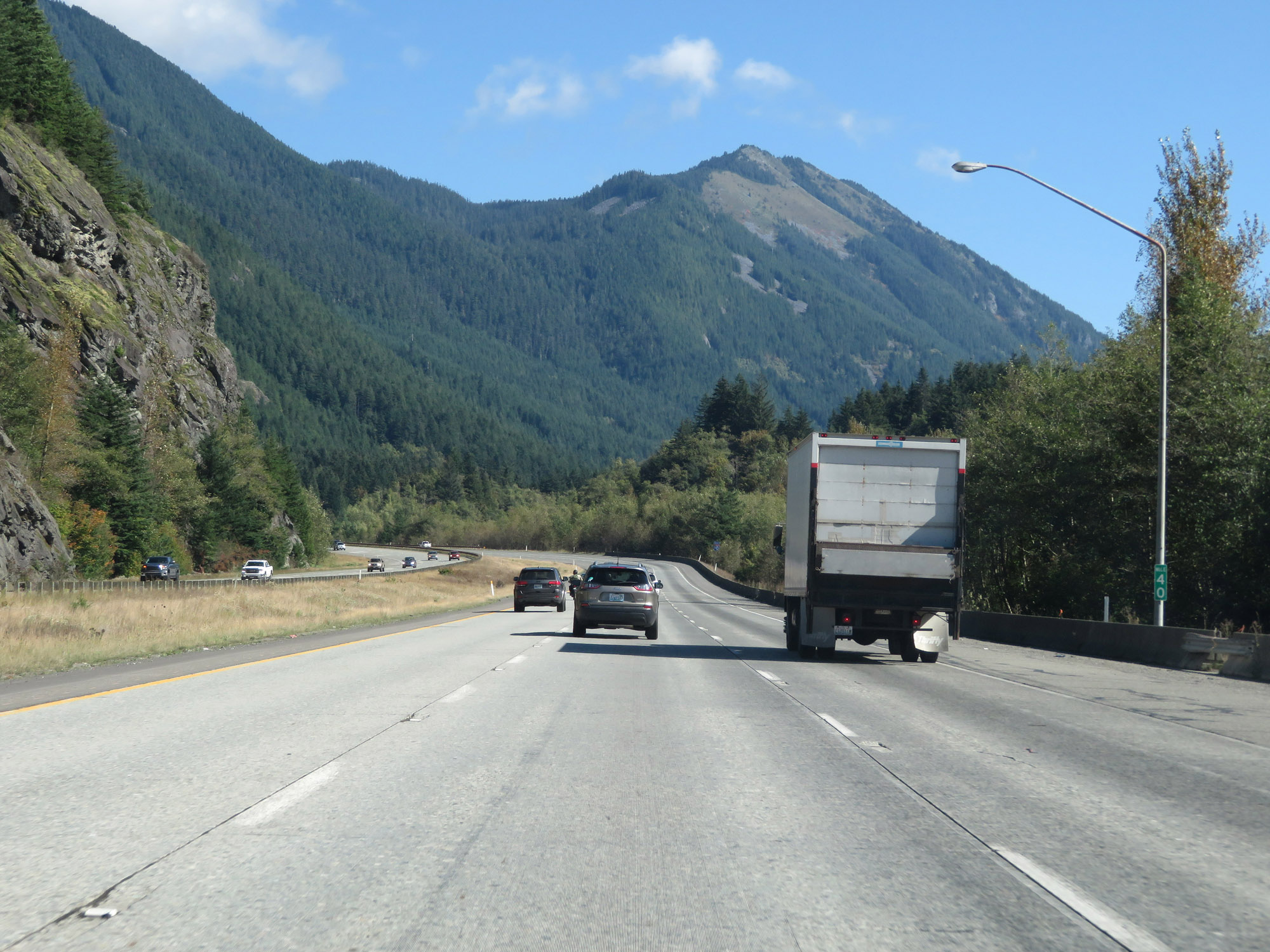 |
Interstate 90 East at mile marker 40. (Photo taken 9/21/19). |
 |
Another view on Interstate 90 East as it continues to climb Snoqualmie Pass at mile marker 41. (Photo taken 9/21/19). |
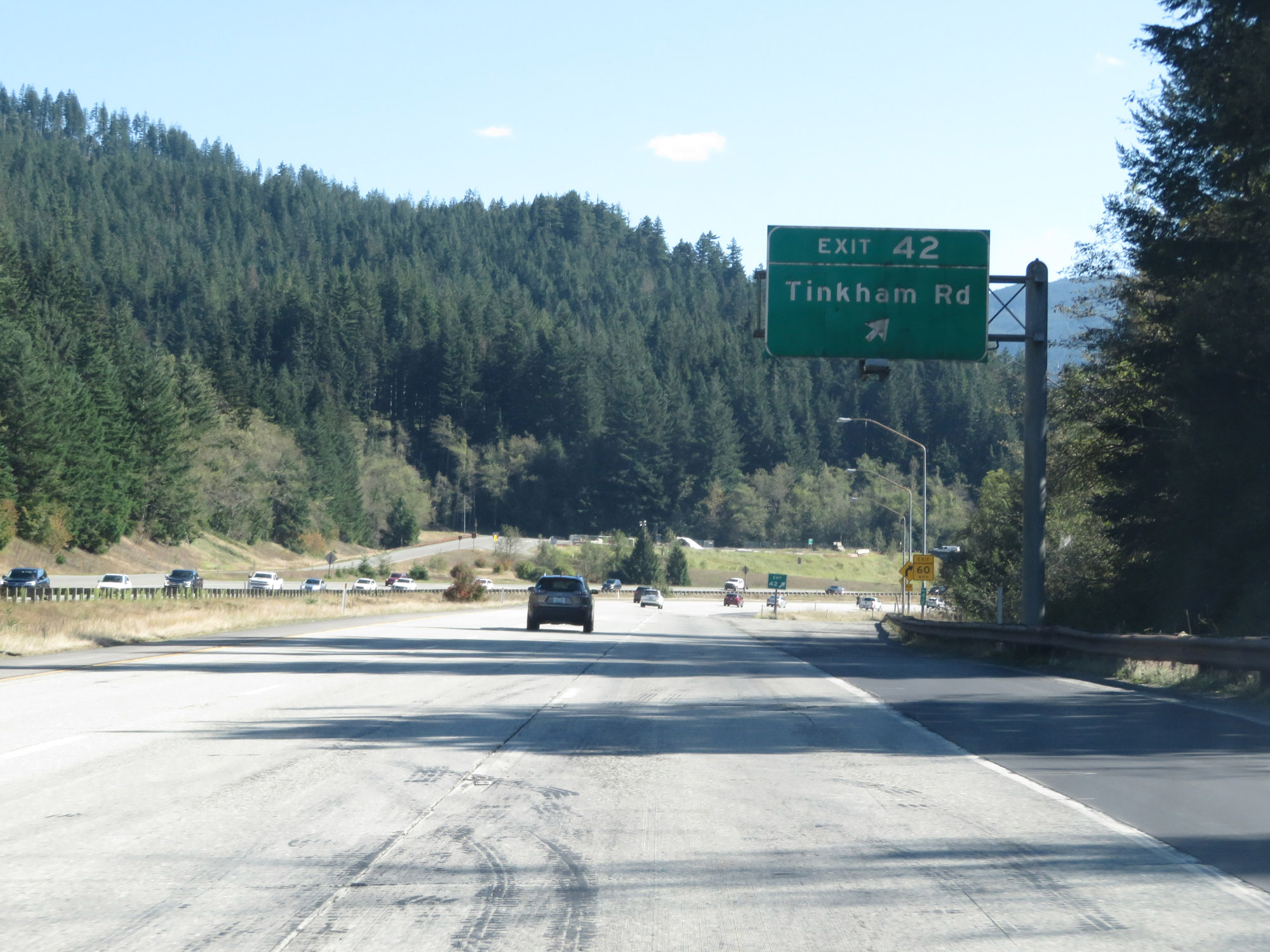 |
Interstate 90 East at Exit 42: Tinkham Rd (Photo taken 9/21/19). |
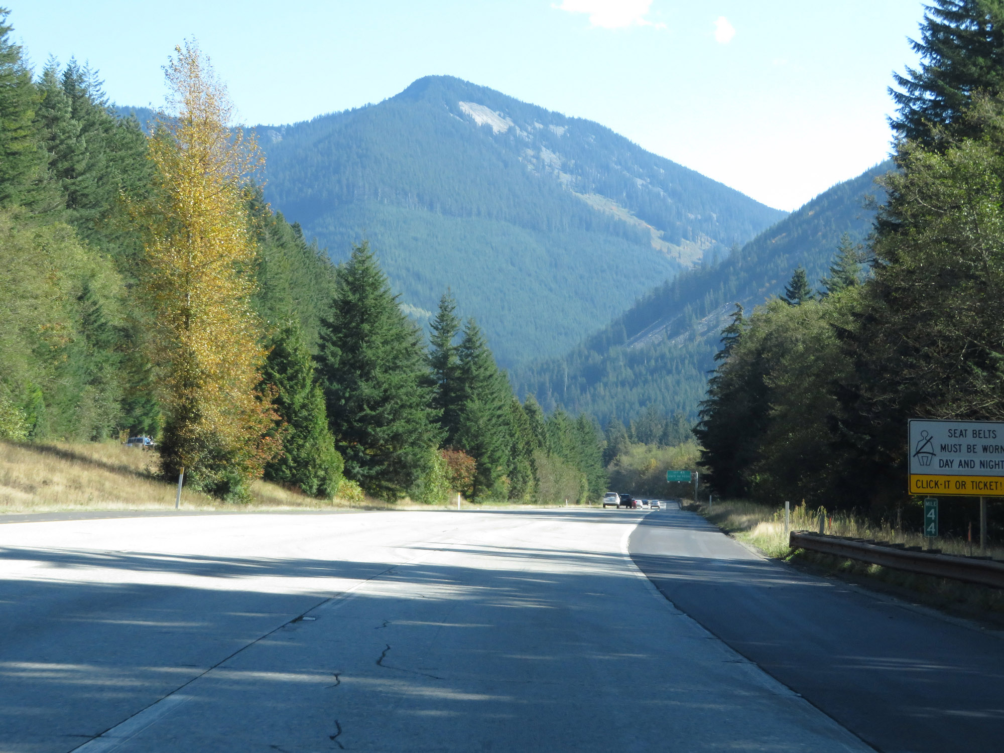 |
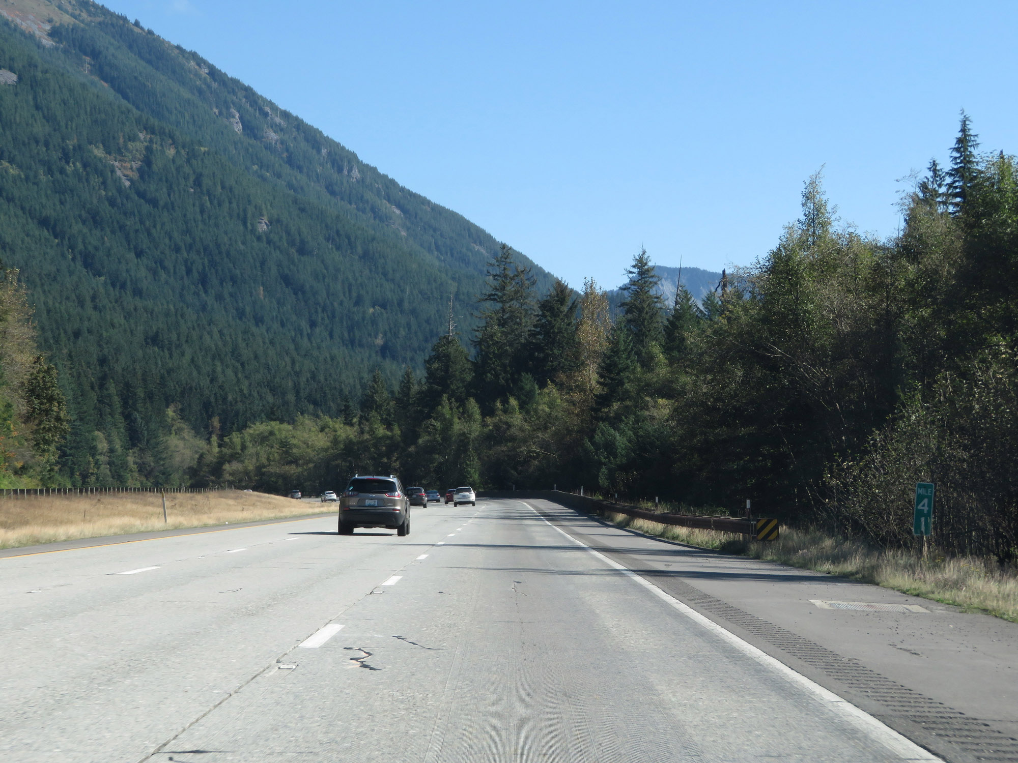
Interstate 90 East at mile marker 44. (Photo taken 9/21/19). |
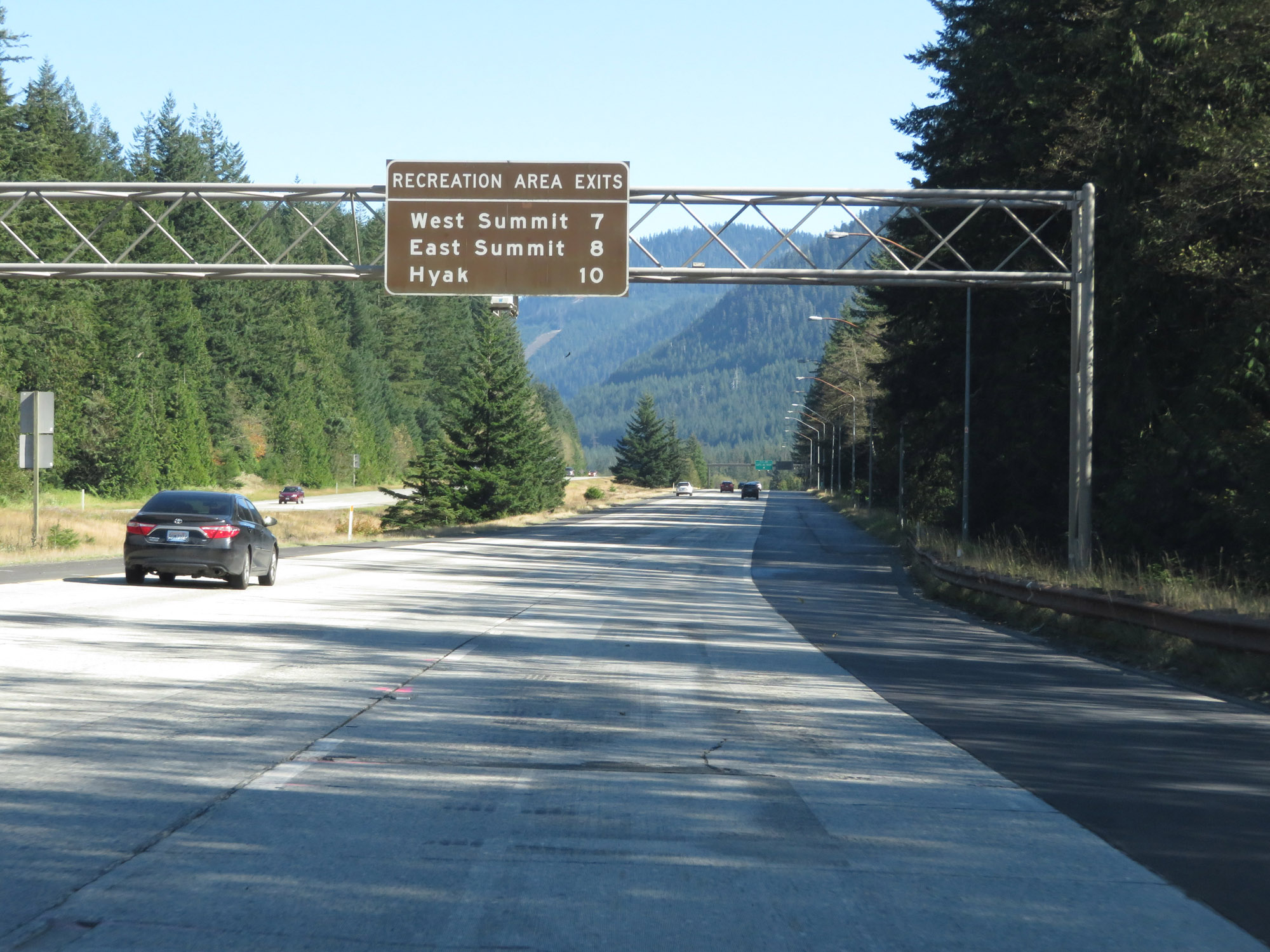 |
Overhead mileage sign listing the distances to the upcoming exits to the various recreation areas on Snoqualmie Pass. (Photo taken 9/21/19). |
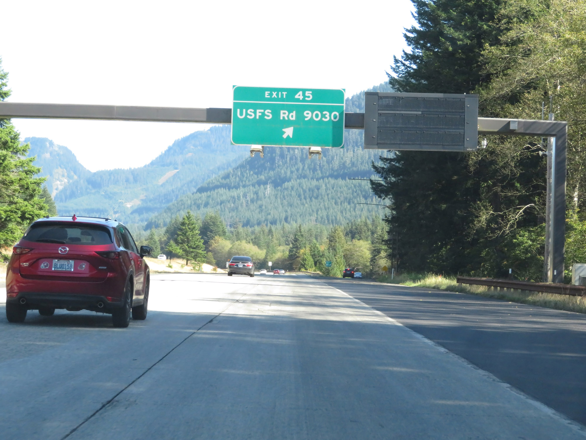 |
Interstate 90 East at Exit 45: USFS Rd 9030 (Photo taken 9/21/19). |
 |
Interstate 90 East reassurance shield. (Photo taken 9/21/19). |
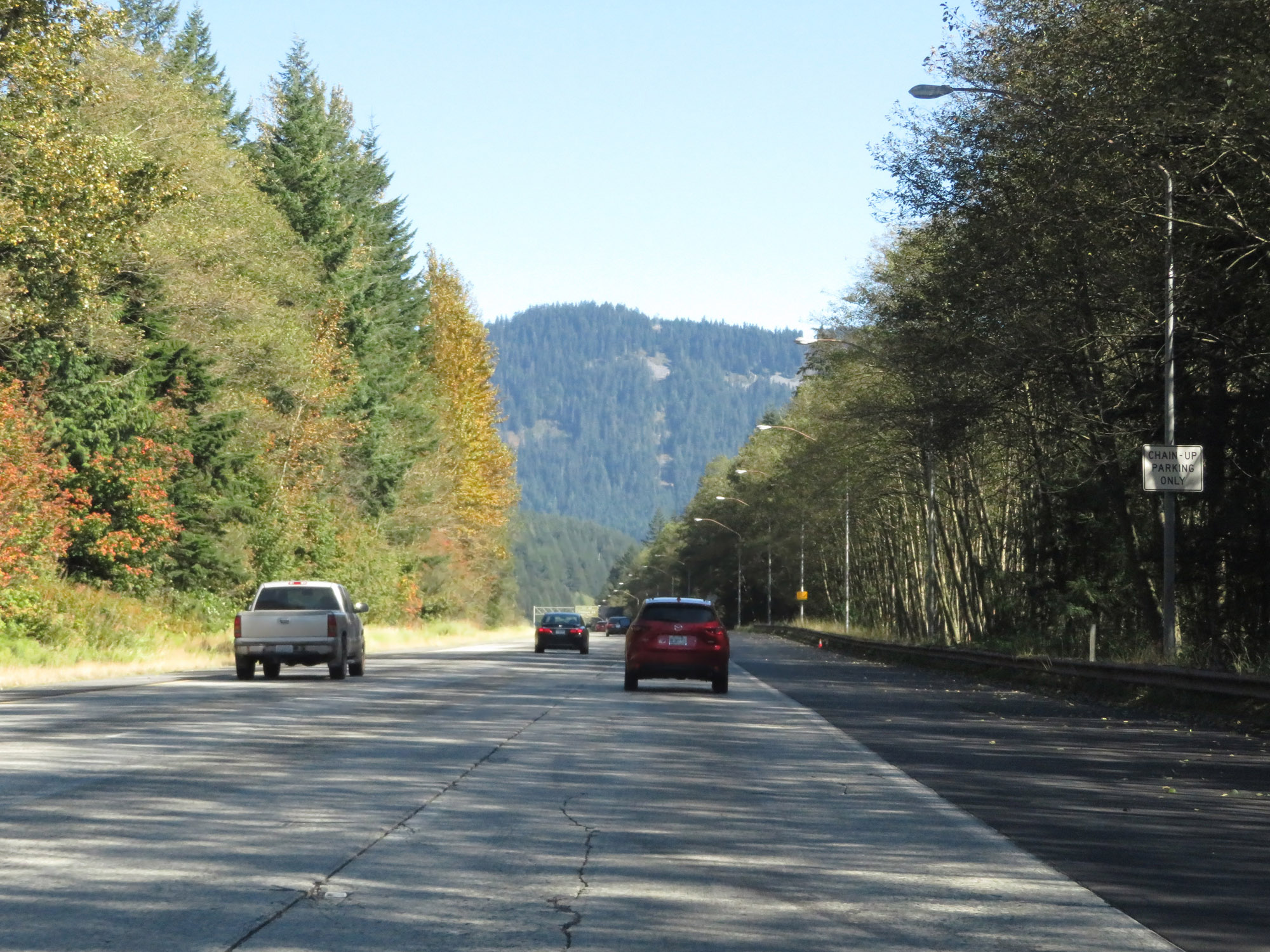 |
Trucks can use the shoulder at this point for chain installation. (Photo taken 9/21/19). |
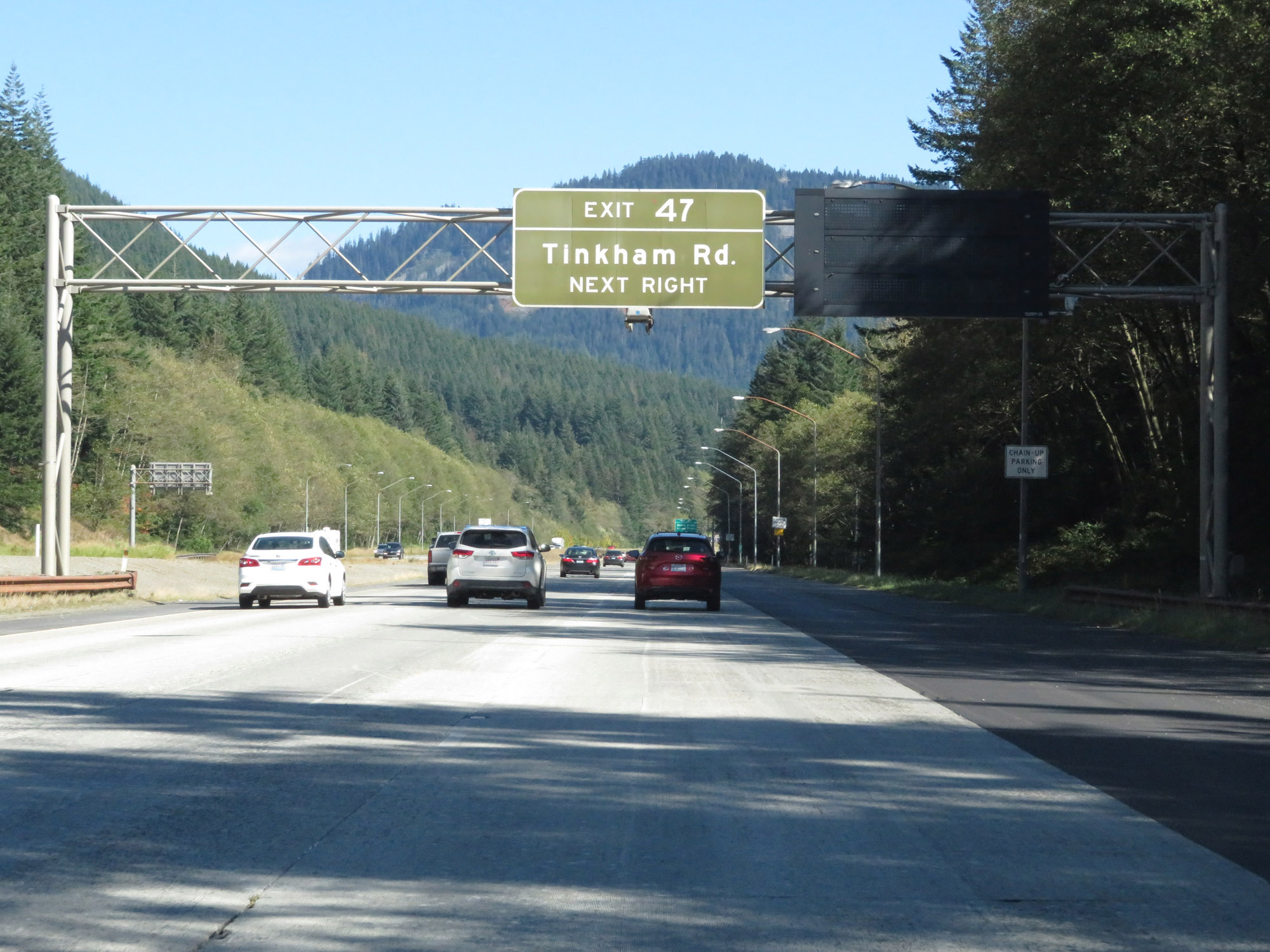 |
Take Exit 47 to Tinkham Rd. (Photo taken 9/21/19). |
 |
Interstate 90 East at Exit 47: Denny Creek / Asahel Curtis (Photo taken 9/21/19). |
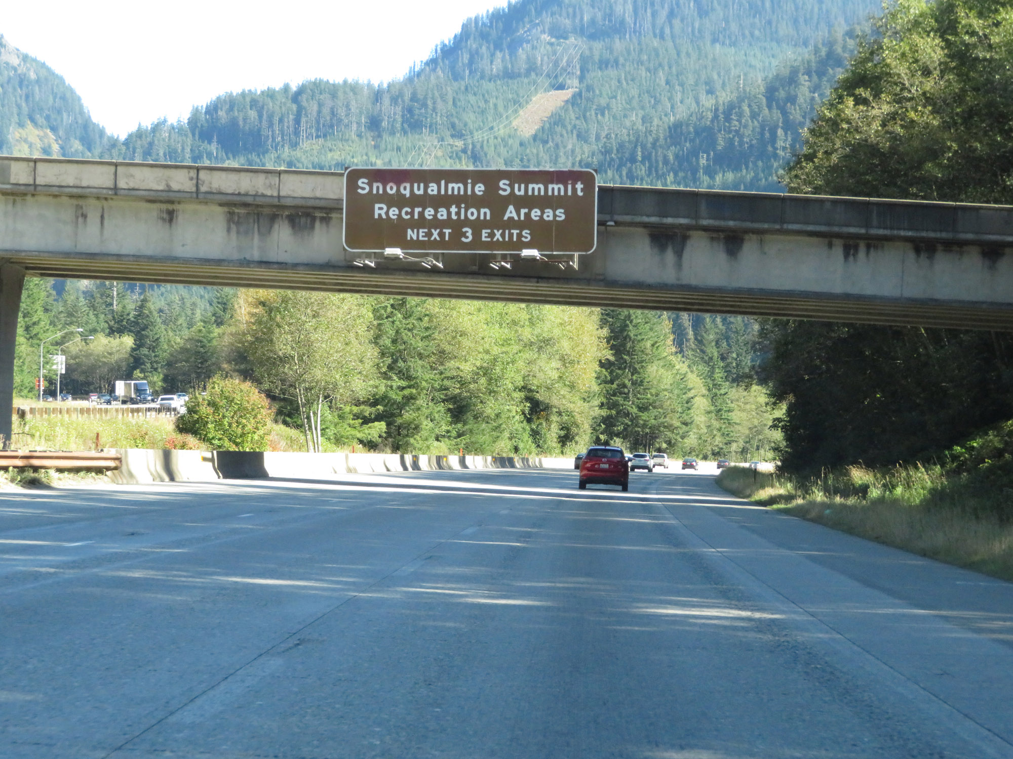 |
Take any of the next 3 exits to the various Snoqualmie Summit Recreation Areas. (Photo taken 9/21/19). |
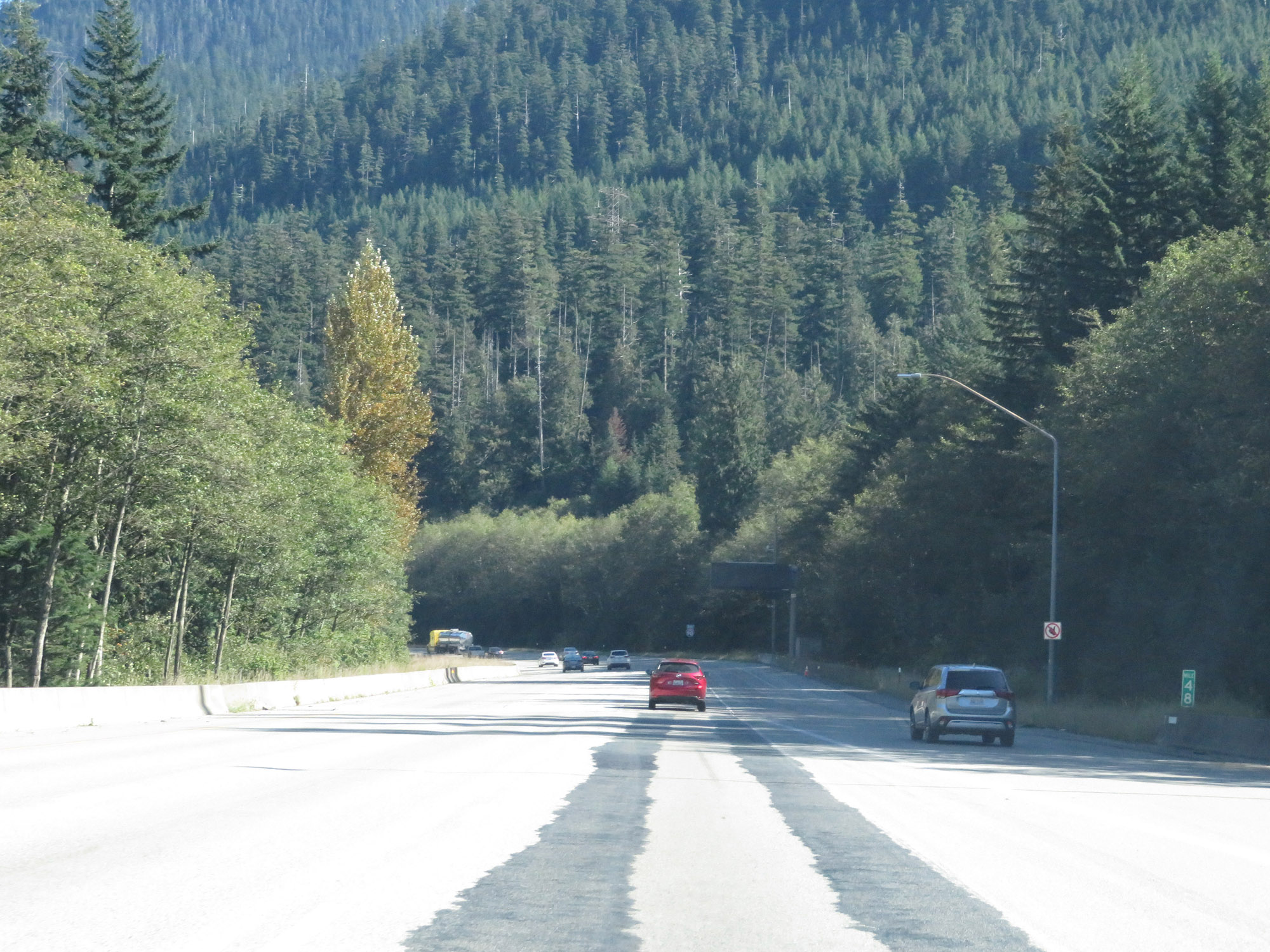 |
View on Interstate 90 East at mile marker 48. (Photo taken 9/21/19). |
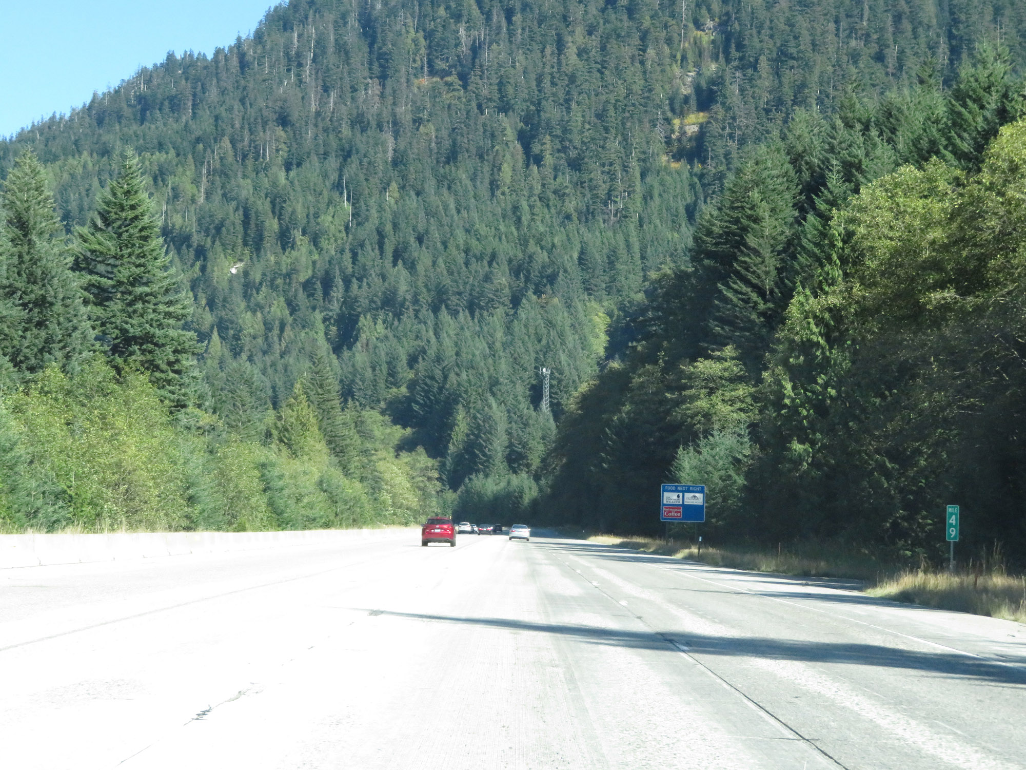 |
Interstate 90 East at mile marker 49. (Photo taken 9/21/19). |
 |
Interstate 90 East at mile marker 50, nearing the summit of Snoqualmie Pass. (Photo taken 9/21/19). |
 |
Interstate 90 East at mile marker 51, approaching the summit of Snoqualmie Pass. (Photo taken 9/21/19). |
 |
Looking to the north, this is a view of the westbound lanes of Interstate 90. (Photo taken 9/21/19). |
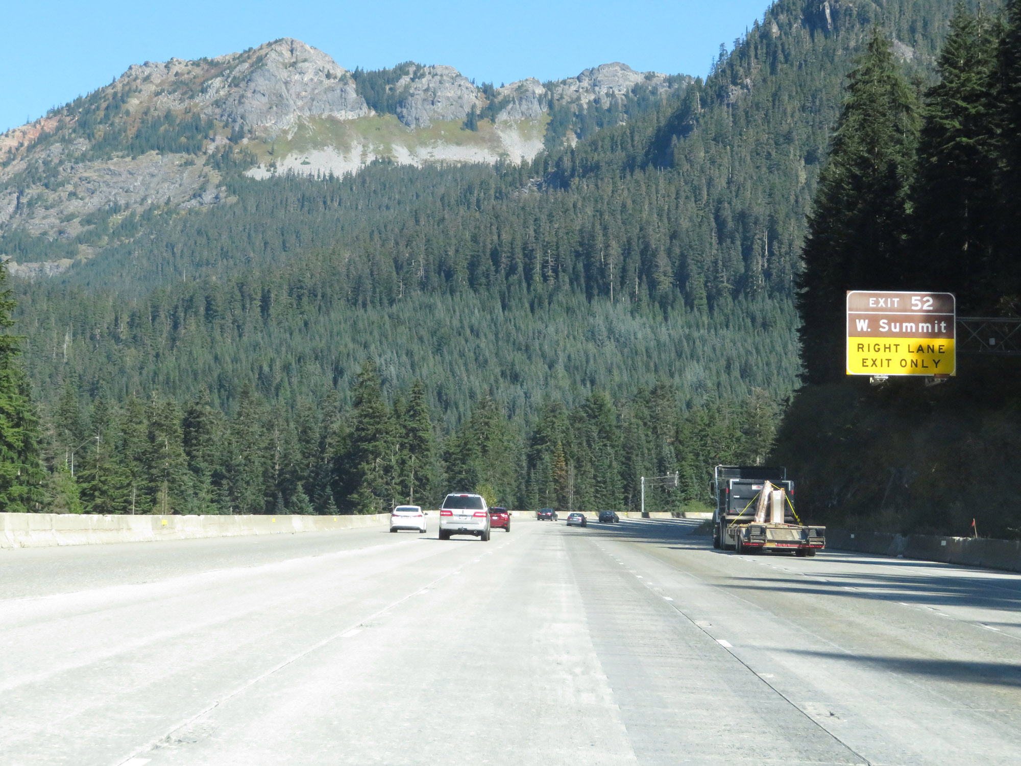 |
Interstate 90 East approaching Exit 52 and the summit of Snoqalmie Pass. (Photo taken 9/21/19). |
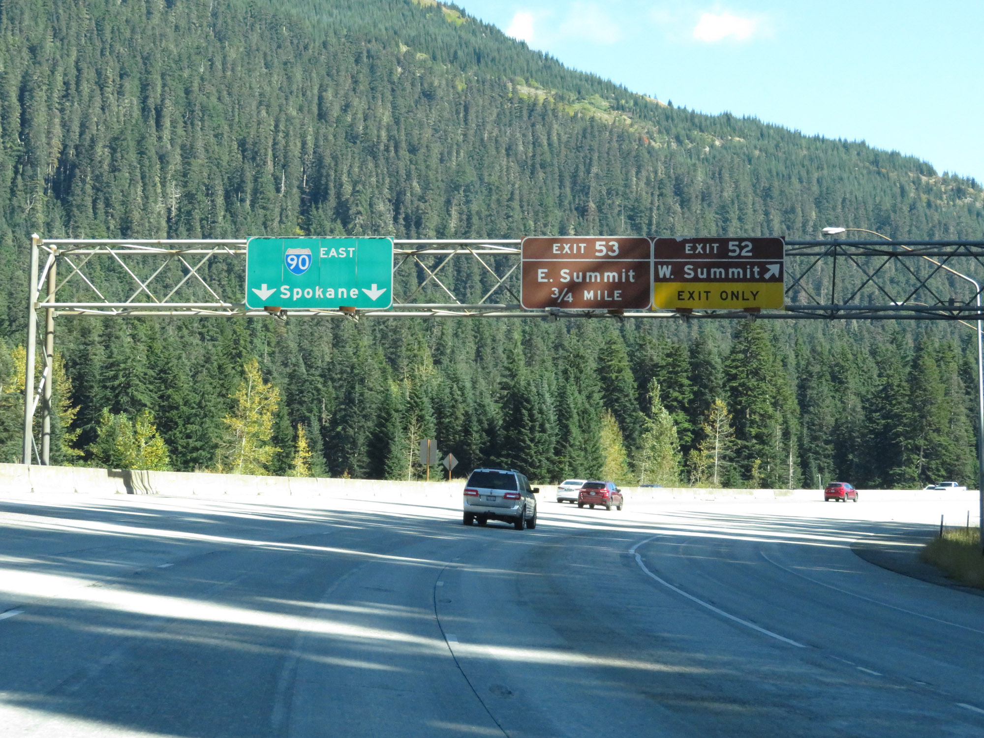 |
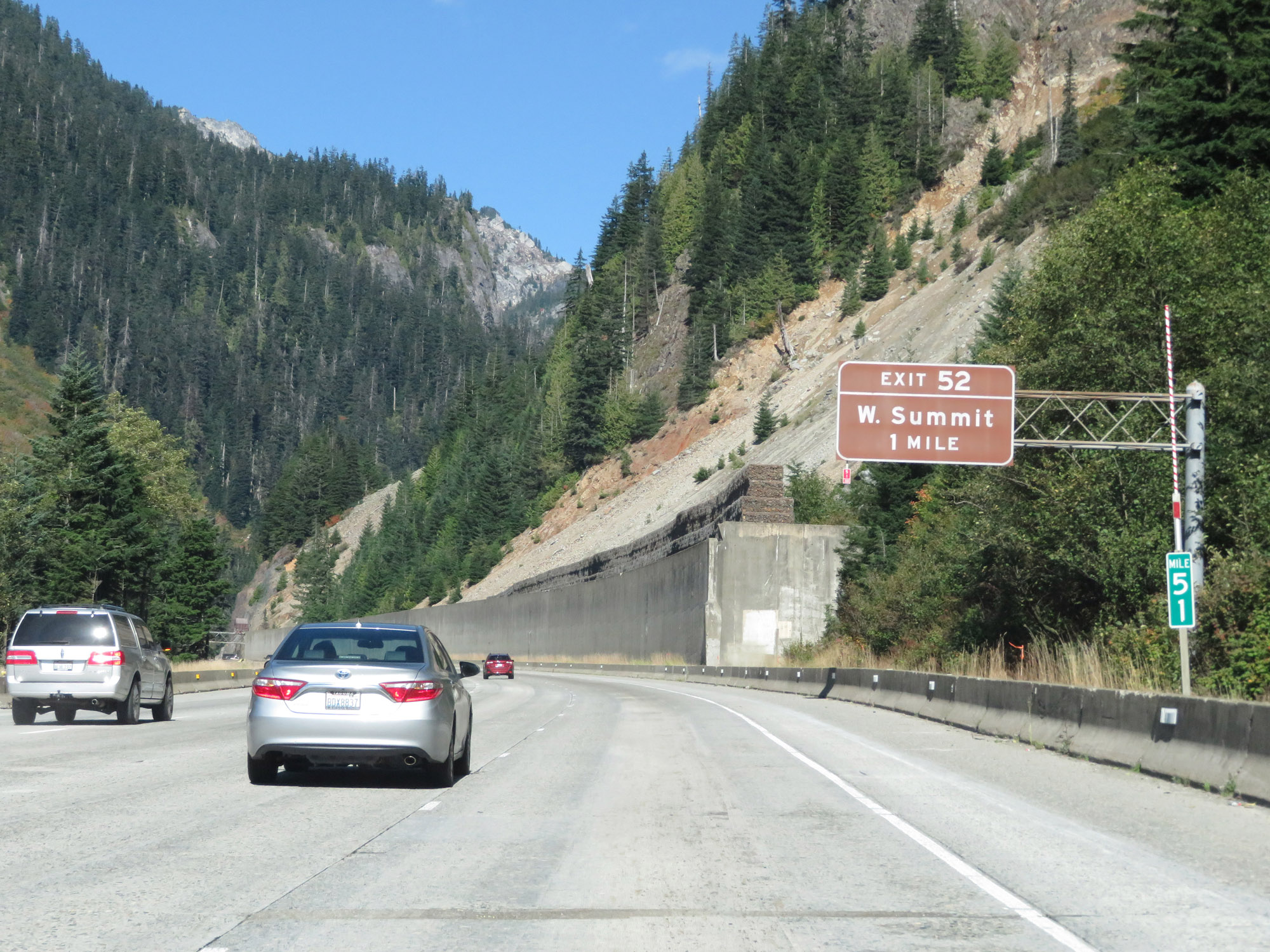
Interstate 90 East at Exit 52: W Summit (Photo taken 9/21/19). |
 |
Just beyond Exit 52, Interstate 90 East reaches the summit of Snoqualmie Pass. (Photo taken 9/21/19). |
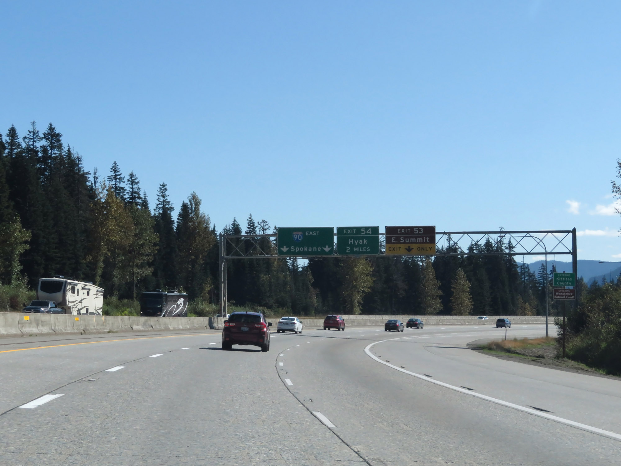 |
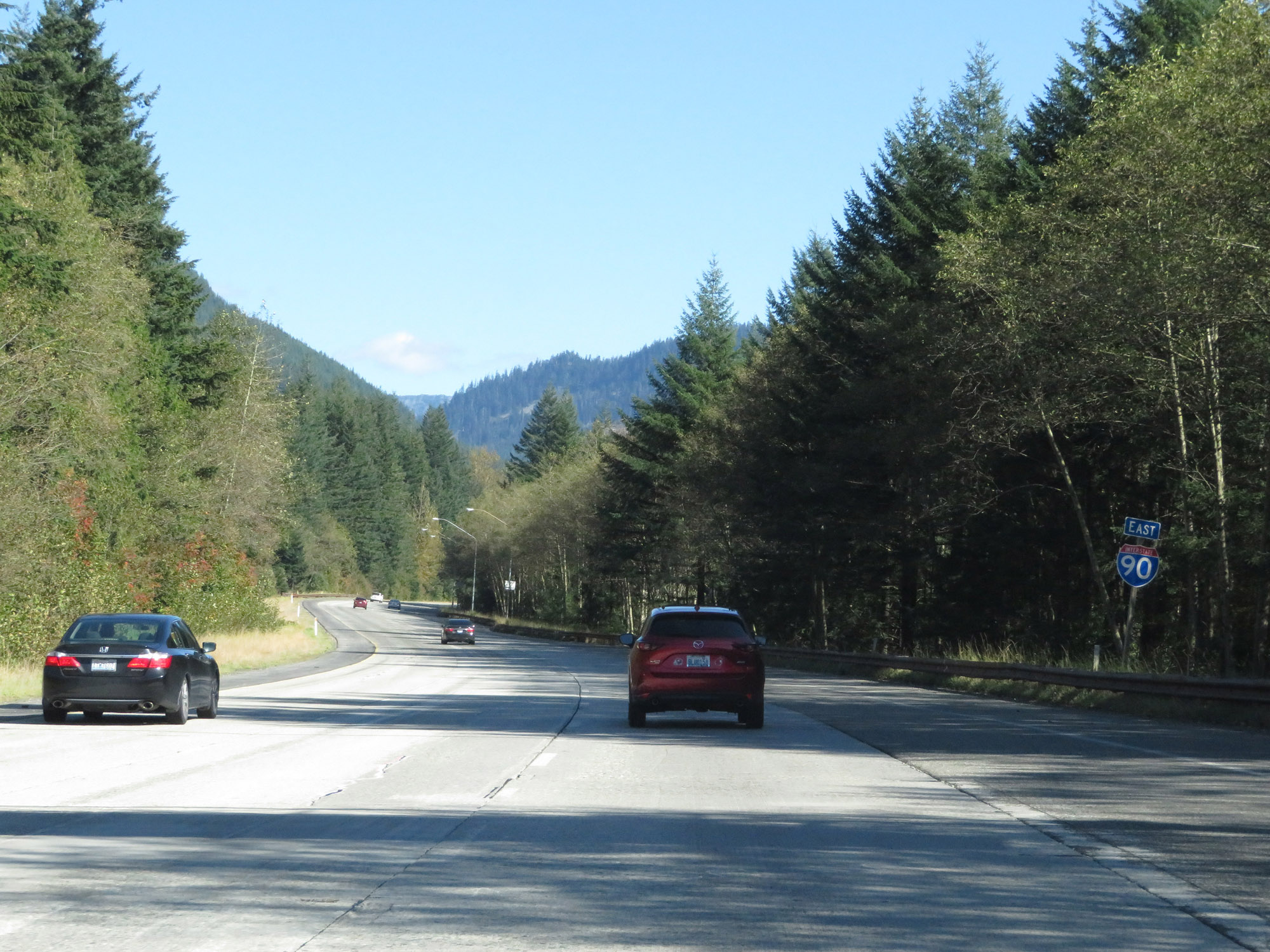
Approaching Exit 53, Interstate 90 East enters Kittitas County and Wenatchee National Forest. (Photo taken 9/21/19). |
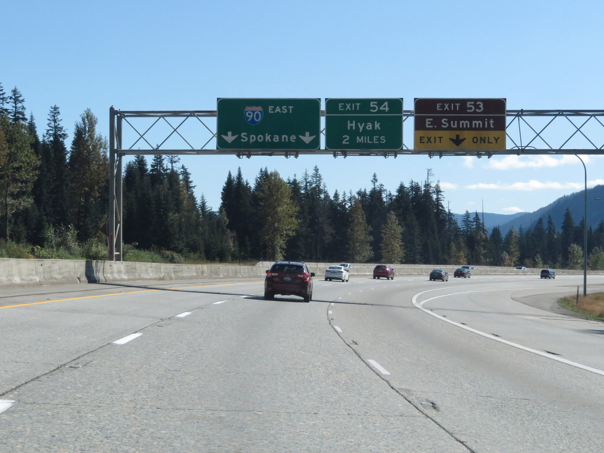 |
Interstate 90 East at Exit 53: E Summit (Photo taken 9/21/19). |
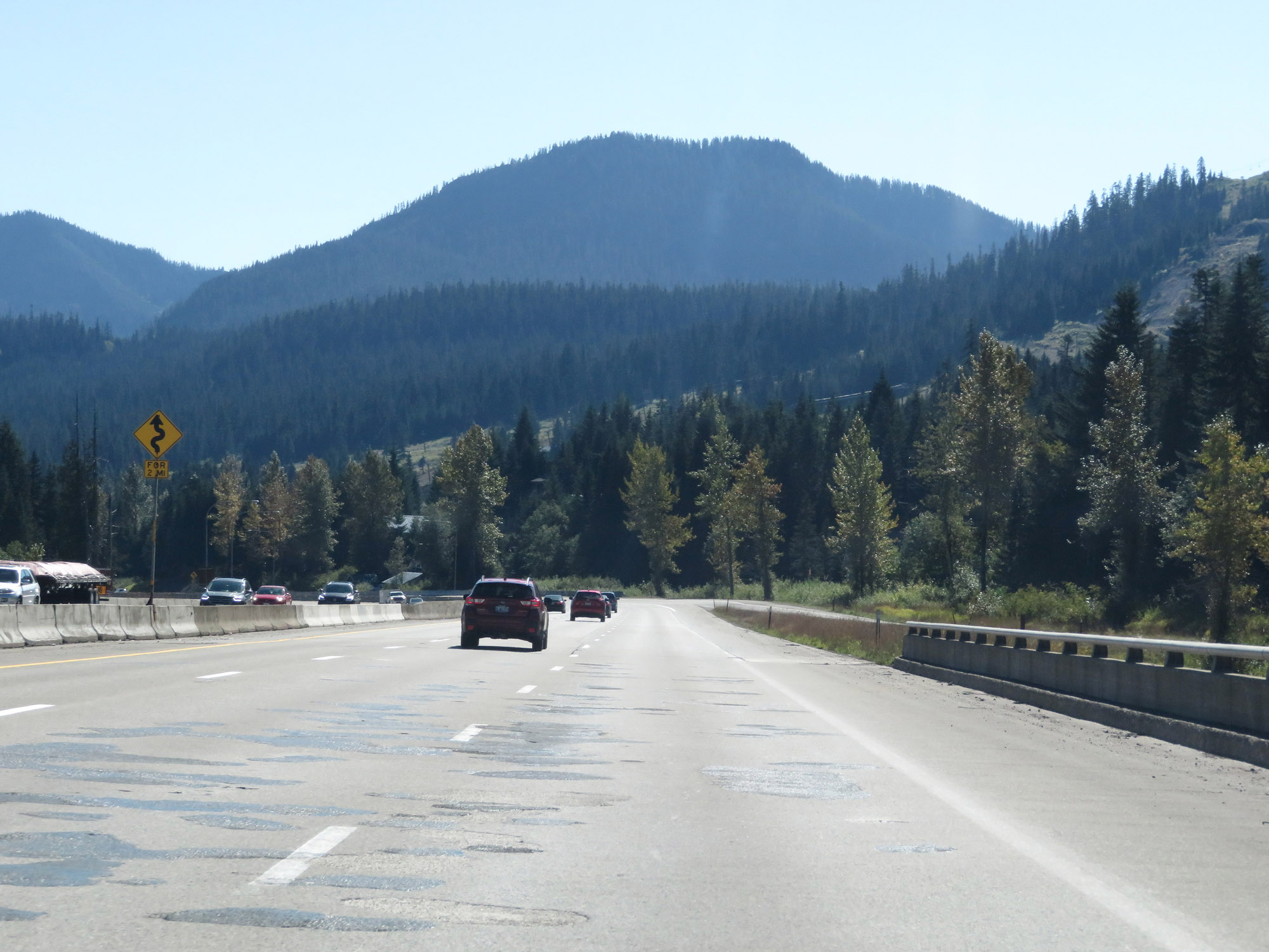 |
This sign warns that Interstate 90 East will traverse a few curves ahead for the next 2 miles as it descends Snoqualmie Pass. (Photo taken 9/21/19). |
 |
View on Interstate 90 East at mile marker 54. (Photo taken 9/21/19). |
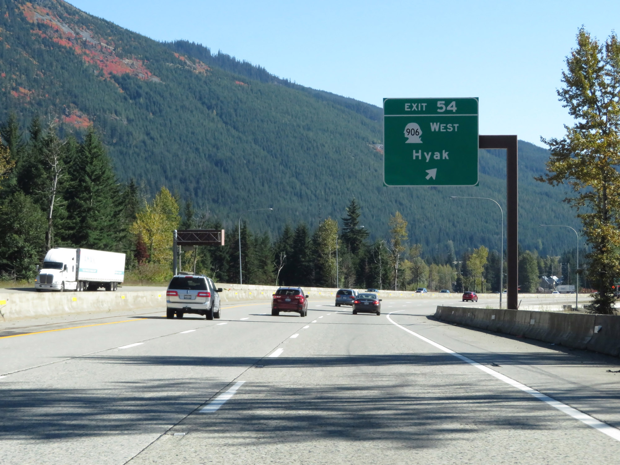 |
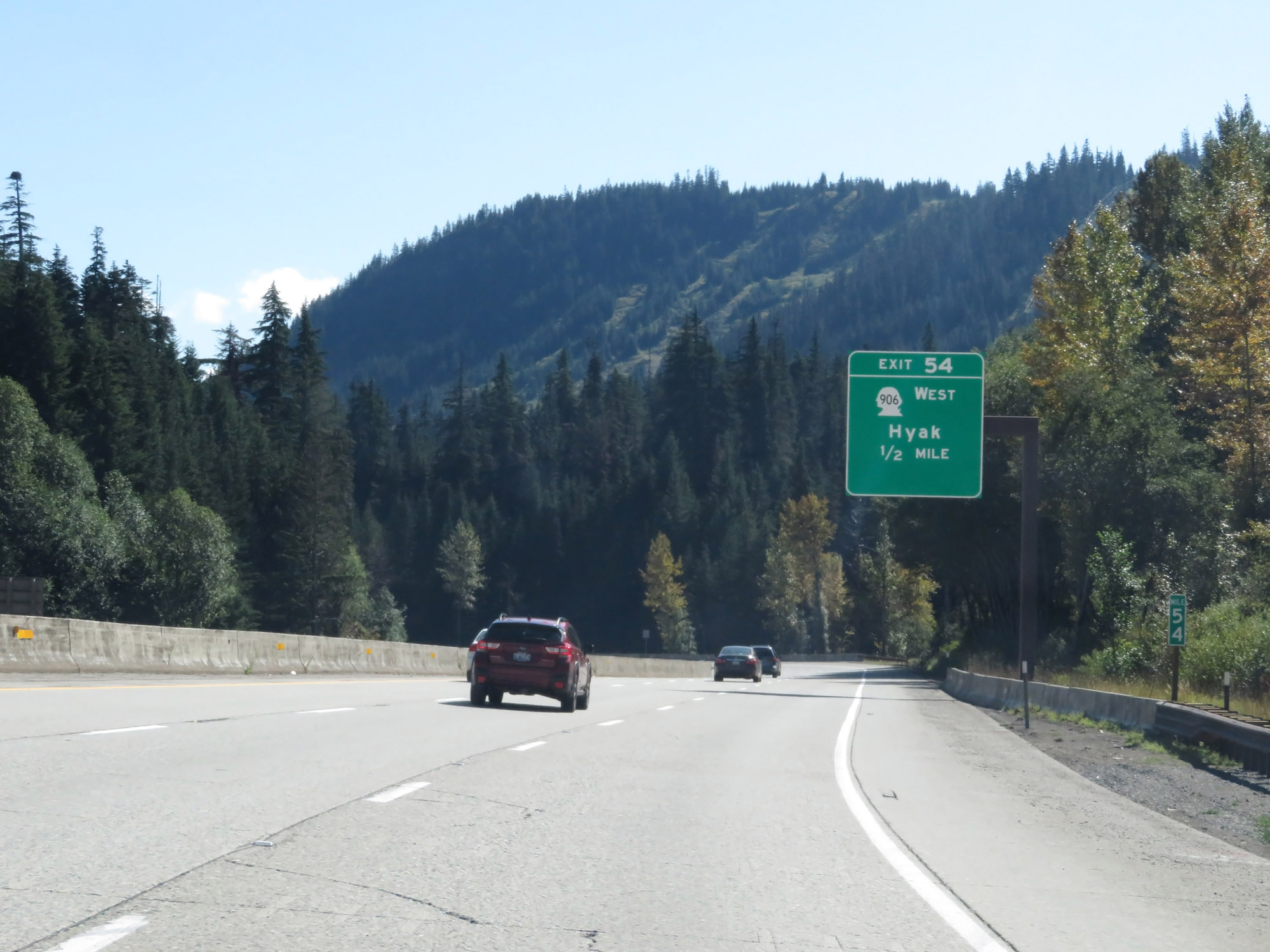
Interstate 90 East at Exit 54: WA 906 West - Hyak (Photo taken 9/21/19). |
 |
Descending Snoqualmie Pass on Interstate 90 East, variable speed limits are used once again. (Photo taken 9/21/19). |
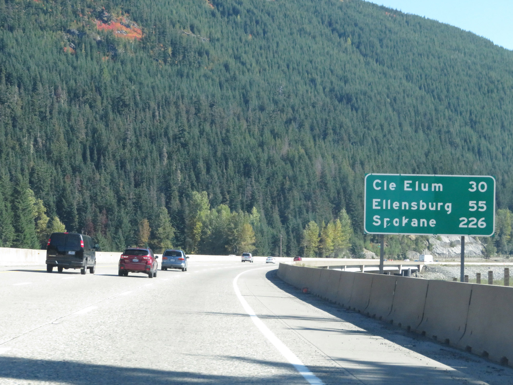 |
Mileage sign on Interstate 90 East. It's 20 miles to Cle Elum, 55 miles to Ellensburg, and 226 miles to Spokane. (Photo taken 9/21/19). |
 |
View on Interstate 90 East at mile marker 56. (Photo taken 9/21/19). |
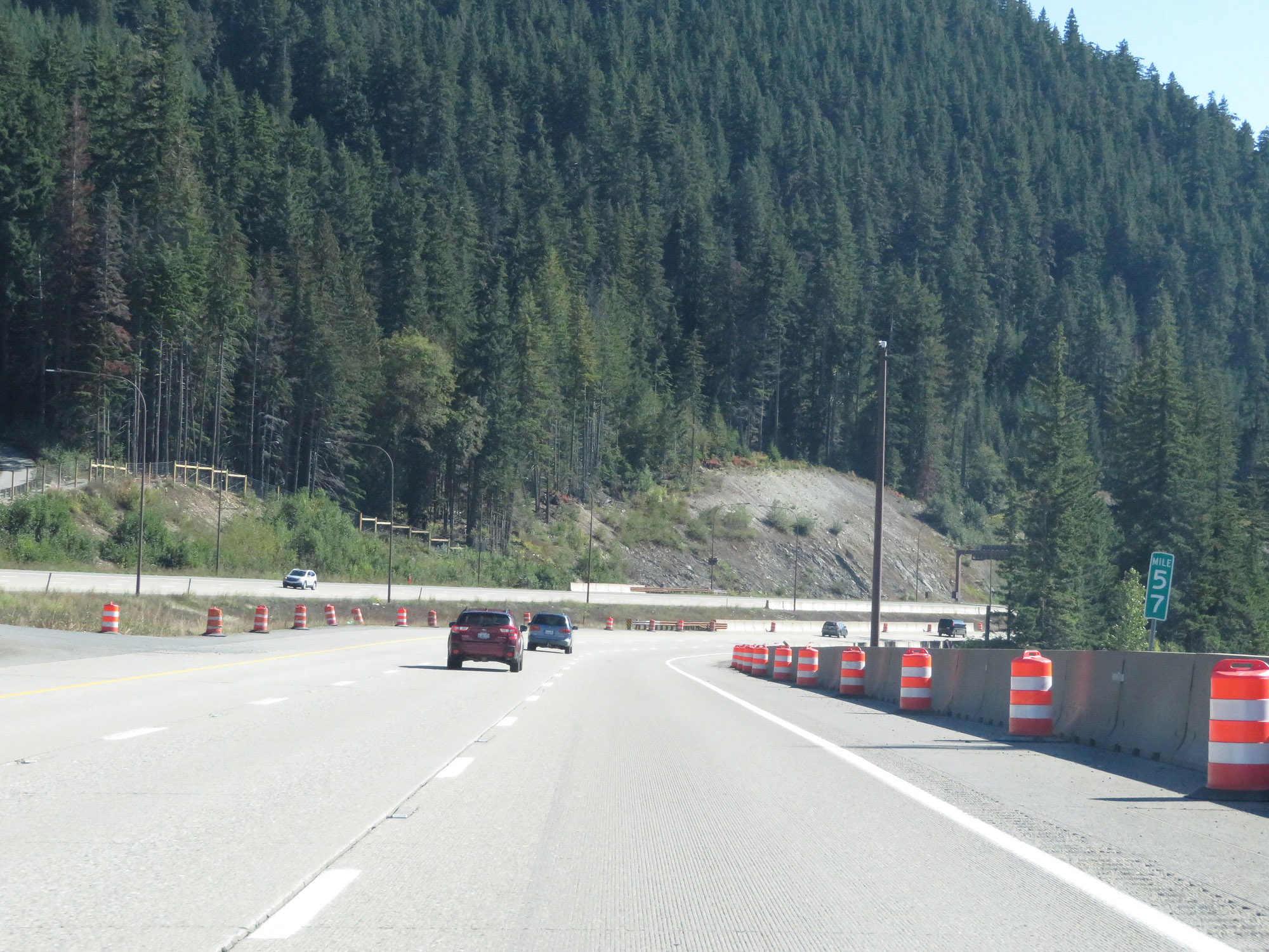 |
Interstate 90 East at mile marker 57. (Photo taken 9/21/19). |
 |
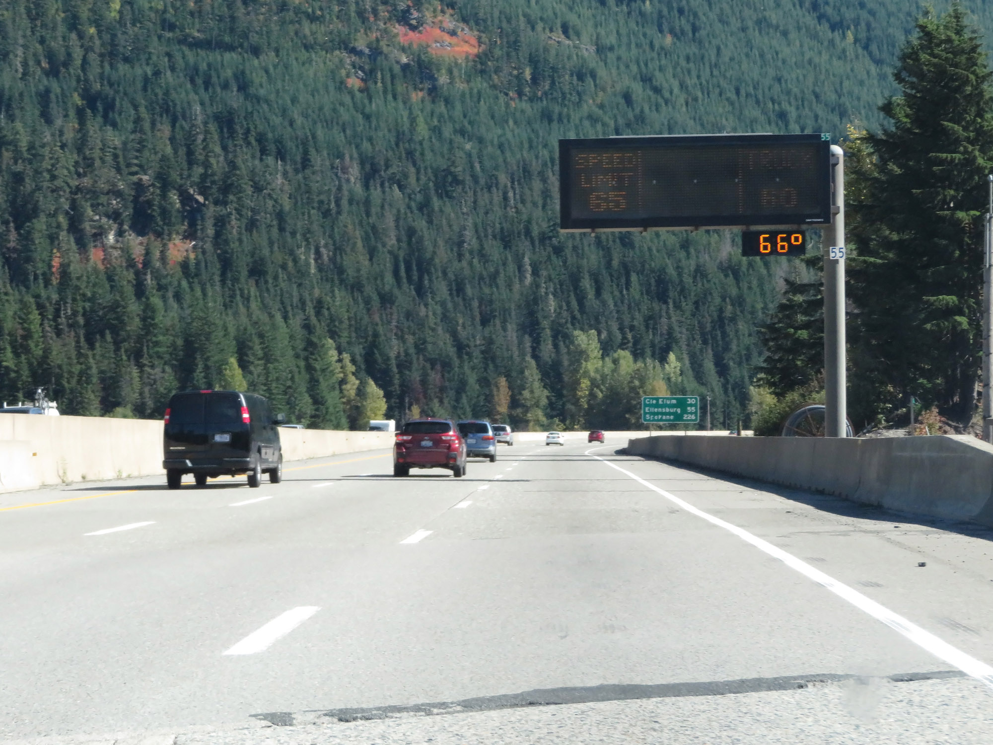
Variable speed limits remain in effect. Notice that even in good conditions, the speed limit for cars was decreased to 65 mph. (Photo taken 9/21/19). |
 |
Interstate 90 East at mile marker 58, as it continues its gradual descent from Snoqualmie Pass. (Photo taken 9/21/19). |
 |
View on Interstate 90 East at mile marker 59. (Photo taken 9/21/19). |
 |
Interstate 90 East at mile marker 61. (Photo taken 9/21/19). |
 |
View on Interstate 90 East, as it finally is reduced to two lanes. (Photo taken 9/21/19). |
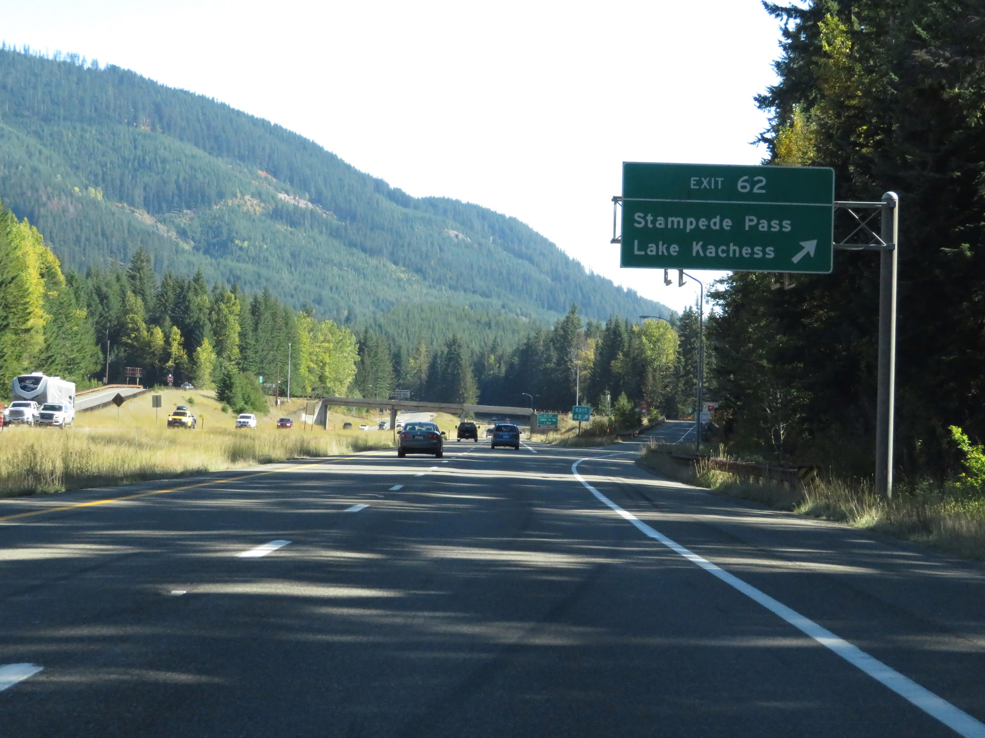 |
Interstate 90 East at Exit 62: Stampede Pass / Lake Kachess (Photo taken 9/21/19). |
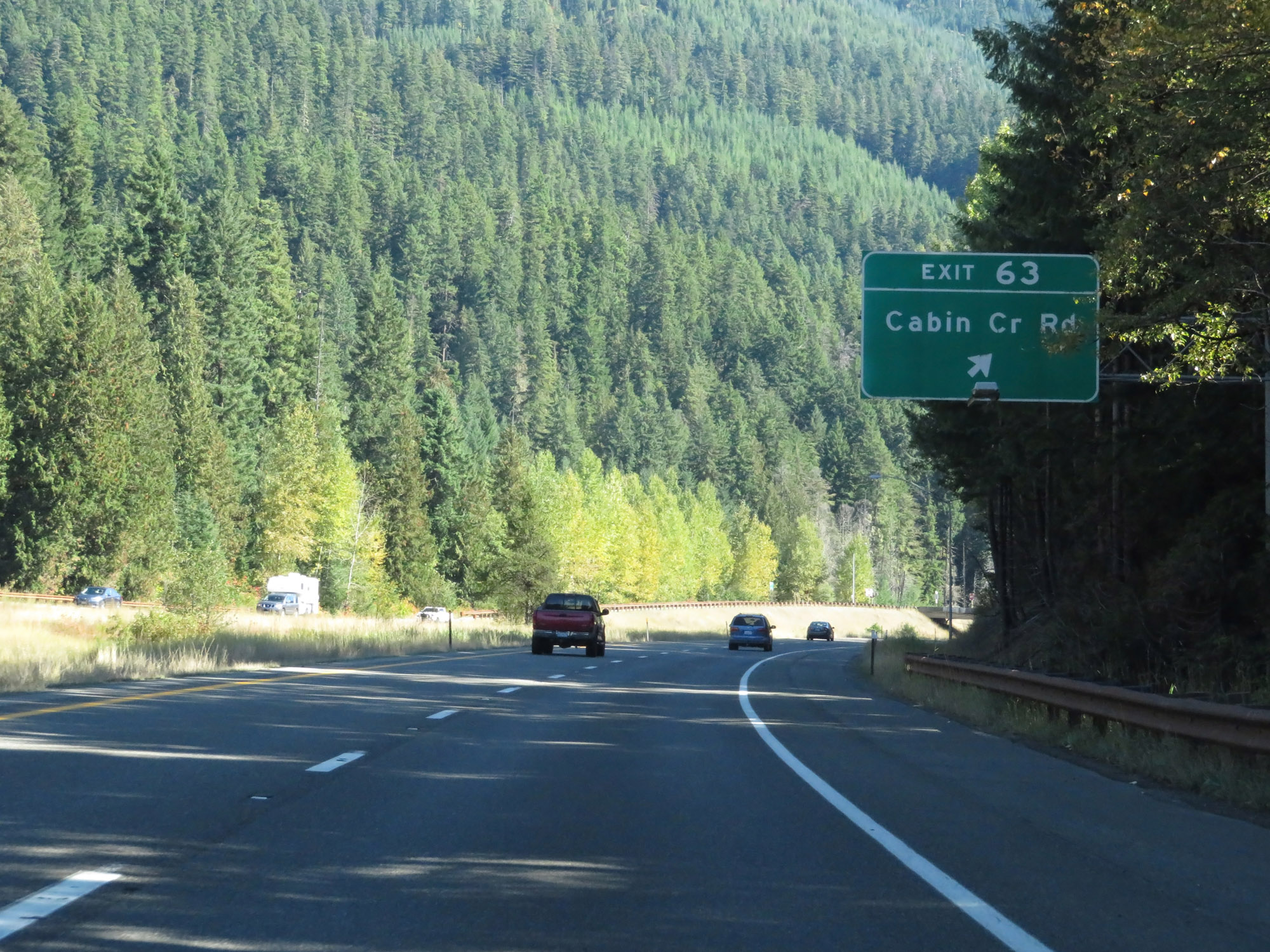 |
Interstate 90 East at Exit 63: Cabin Creek Rd (Photo taken 9/21/19). |
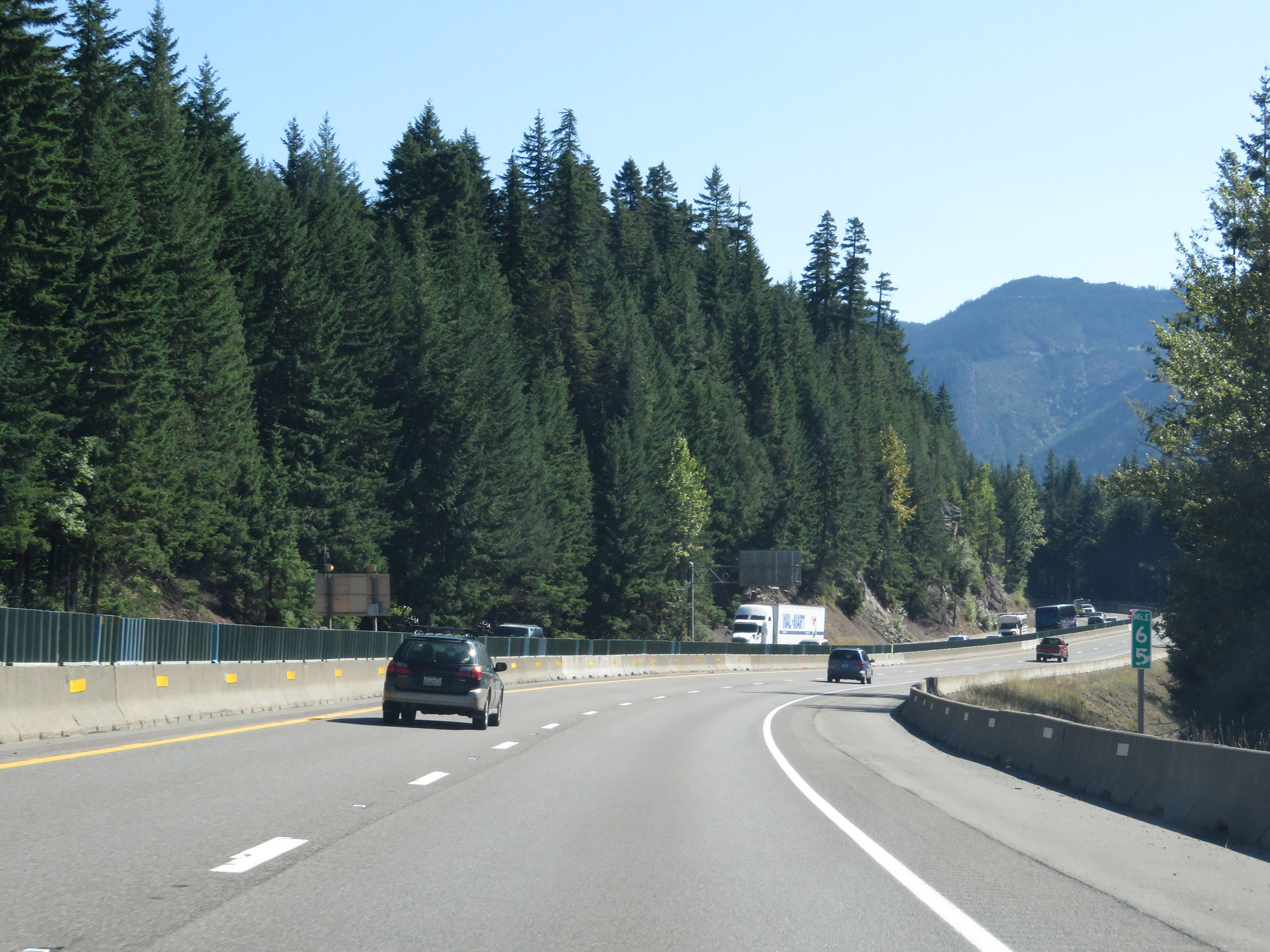 |
View on Interstate 90 East at mile marker 65. (Photo taken 9/21/19). |
 |
Variable speed limits remain in effect. However, in these good conditions, the speed limit for cars is increased to the standard 70 mph. (Photo taken 9/21/19). |
 |
Interstate 90 East at mile marker 67. (Photo taken 9/21/19). |
 |
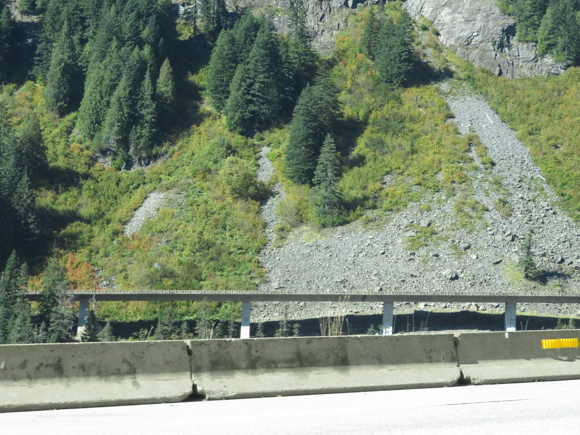
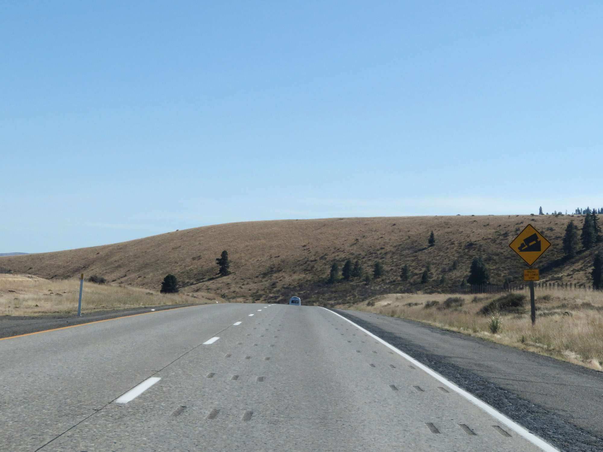
Interstate 90 East as it continues down Snoqualmie Pass. A steeper than usual grade exists ahead, marked by these warning signs. (Photo taken 9/21/19). |
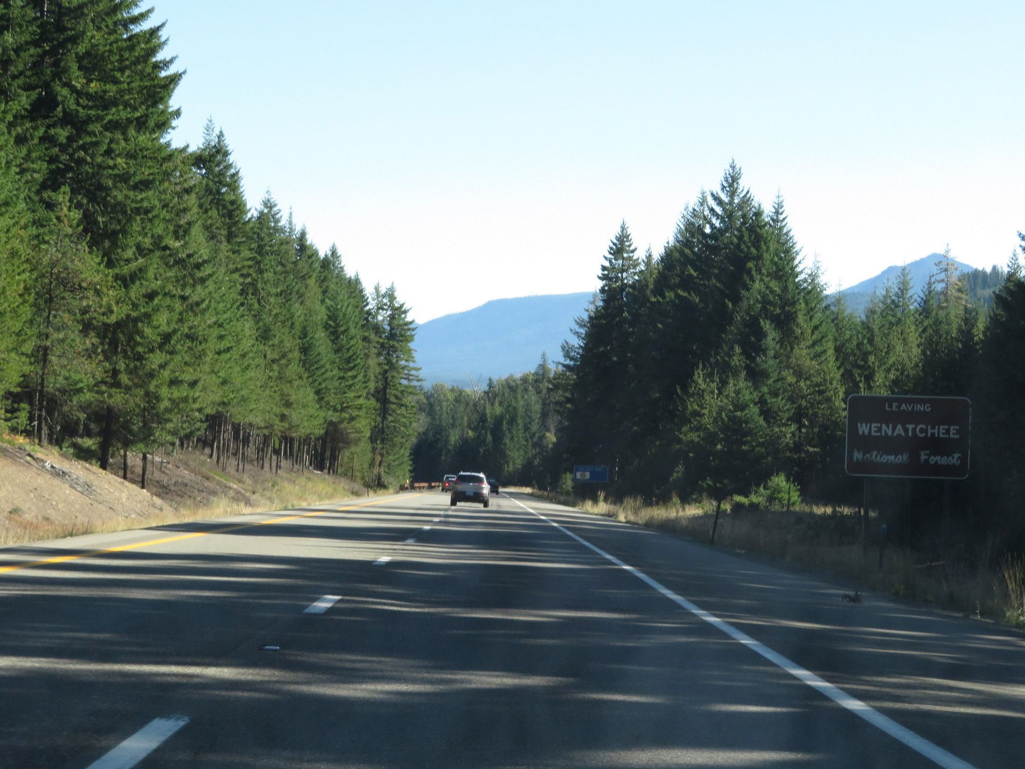 |
Interstate 90 East as it leaves Wenatchee National Forest. (Photo taken 9/21/19). |
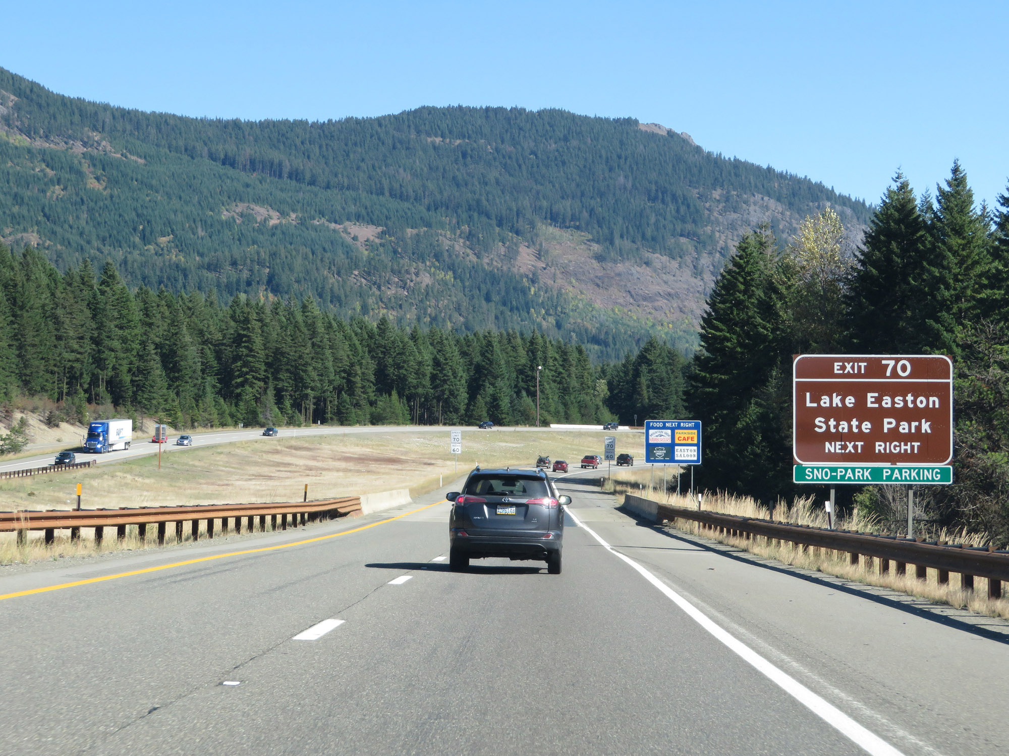 |
Take Exit 70 to Lake Easton State Park. (Photo taken 9/21/19). |
 |
Approaching Exit 70, the variable speed limits come to an end. The standard rural speed limits of 70 mph for cars and 60 mph for trucks resume. (Photo taken 9/21/19). |
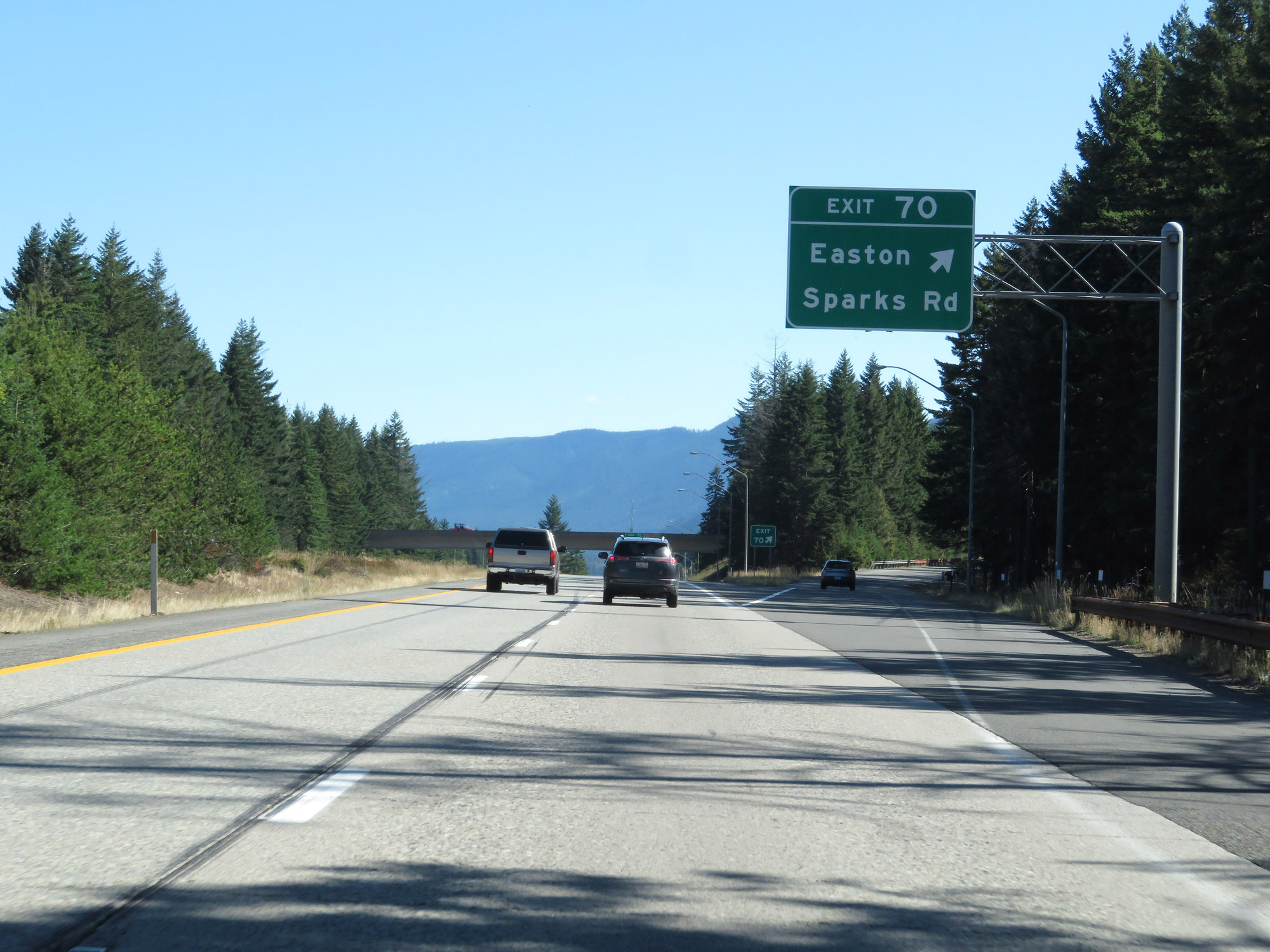 |
Interstate 90 East at Exit 70: Easton / Sparks Rd (Photo taken 9/21/19). |
 |
Interstate 90 East reassurance shield. (Photo taken 9/21/19). |
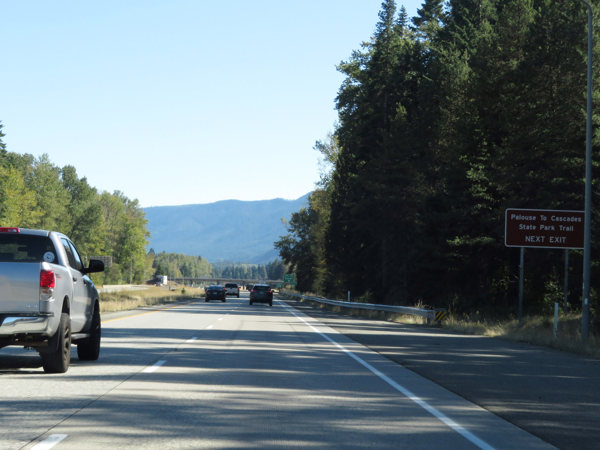 |
Take Exit 71 to Palouse To Cascades State Park Trail. (Photo taken 9/21/19). |
 |
Interstate 90 East at Exit 71: Easton (Photo taken 9/21/19). |
 |
View on Interstate 90 East at mile marker 72. (Photo taken 9/21/19). |
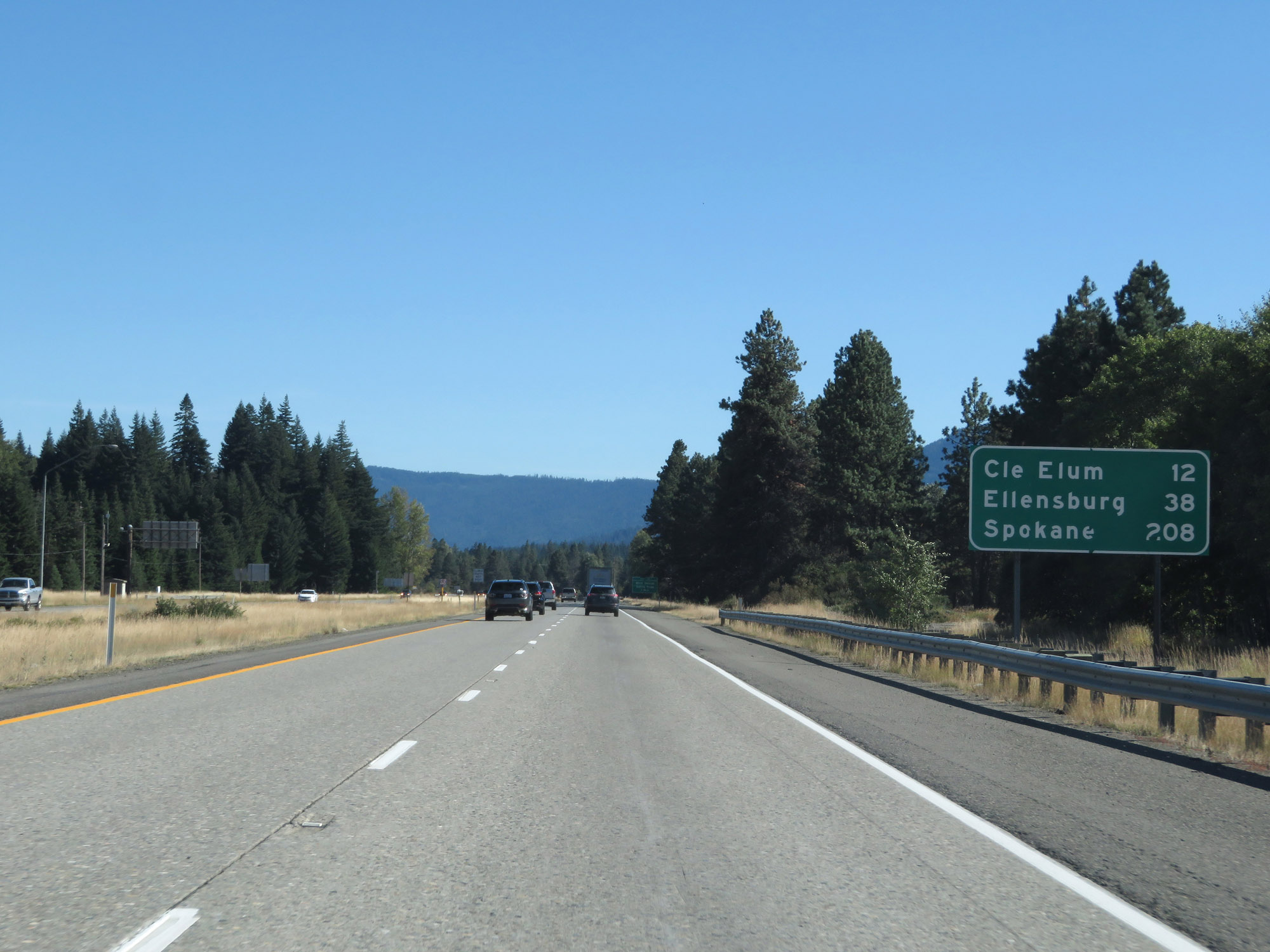 |
Mileage sign on Interstate 90 East. It's 12 miles to Cle Elum, 38 miles to Ellensburg, and 208 miles to Spokane. (Photo taken 9/21/19). |
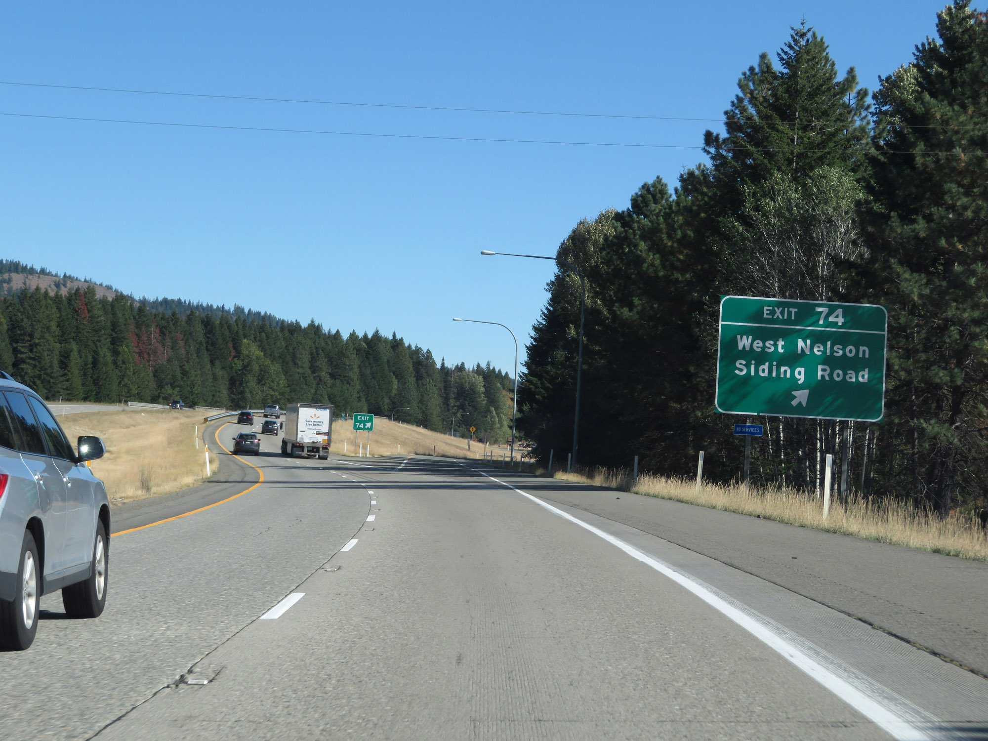 |
Interstate 90 East at Exit 74: West Nelson Siding Road (Photo taken 9/21/19). |
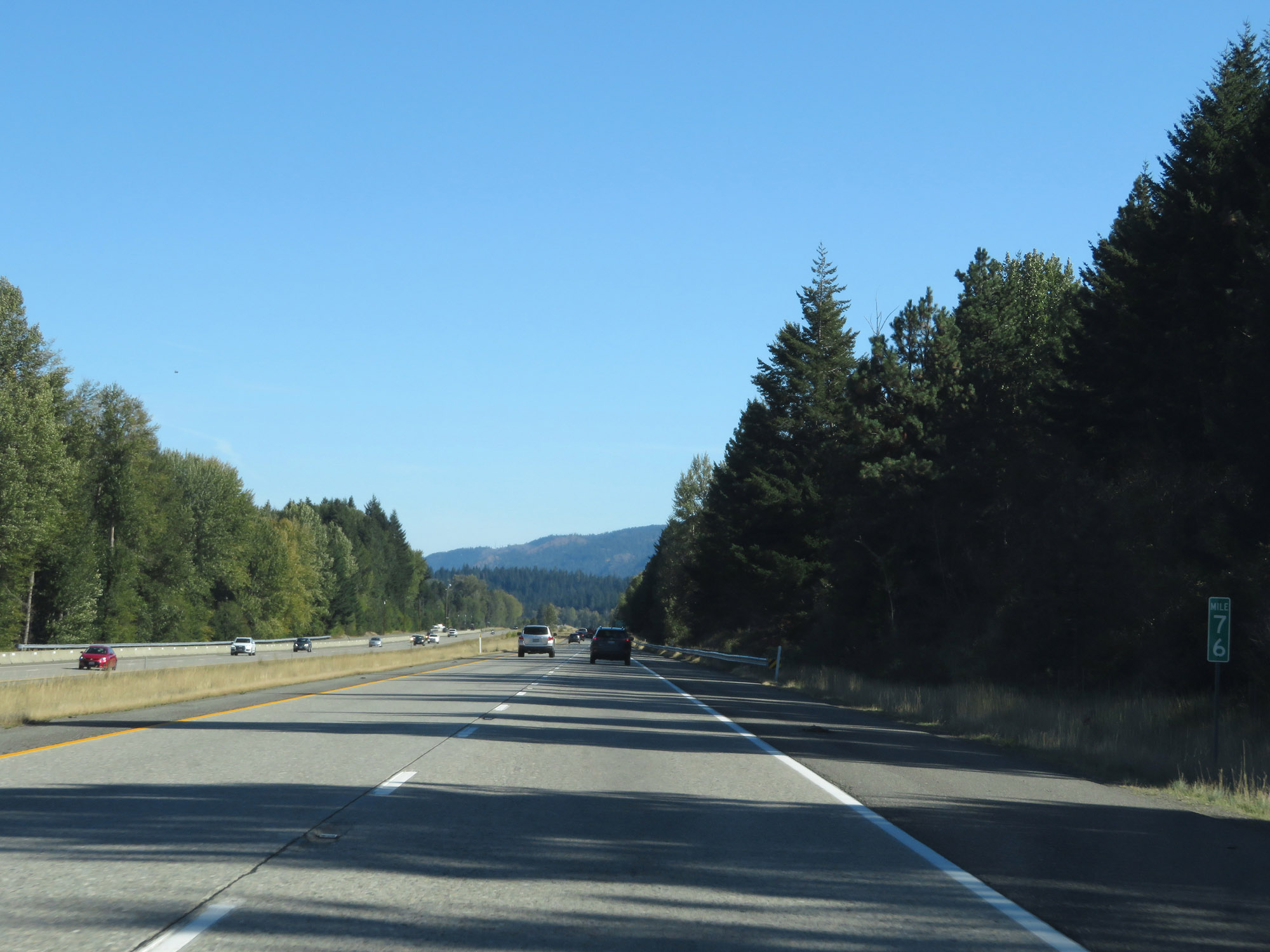 |
Interstate 90 East at mile marker 76. (Photo taken 9/21/19). |
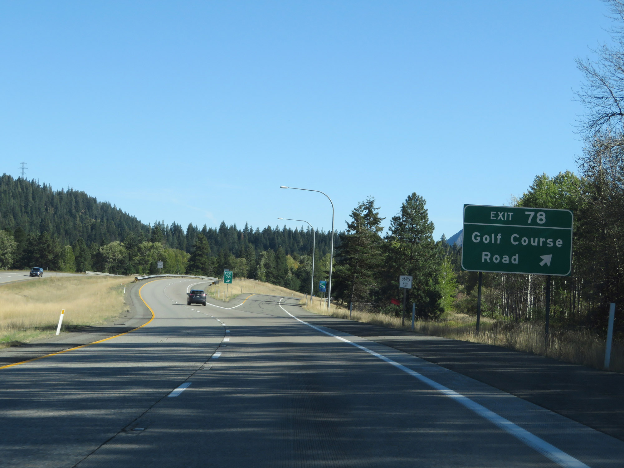 |
Interstate 90 East at Exit 78: Golf Course Road (Photo taken 9/21/19). |
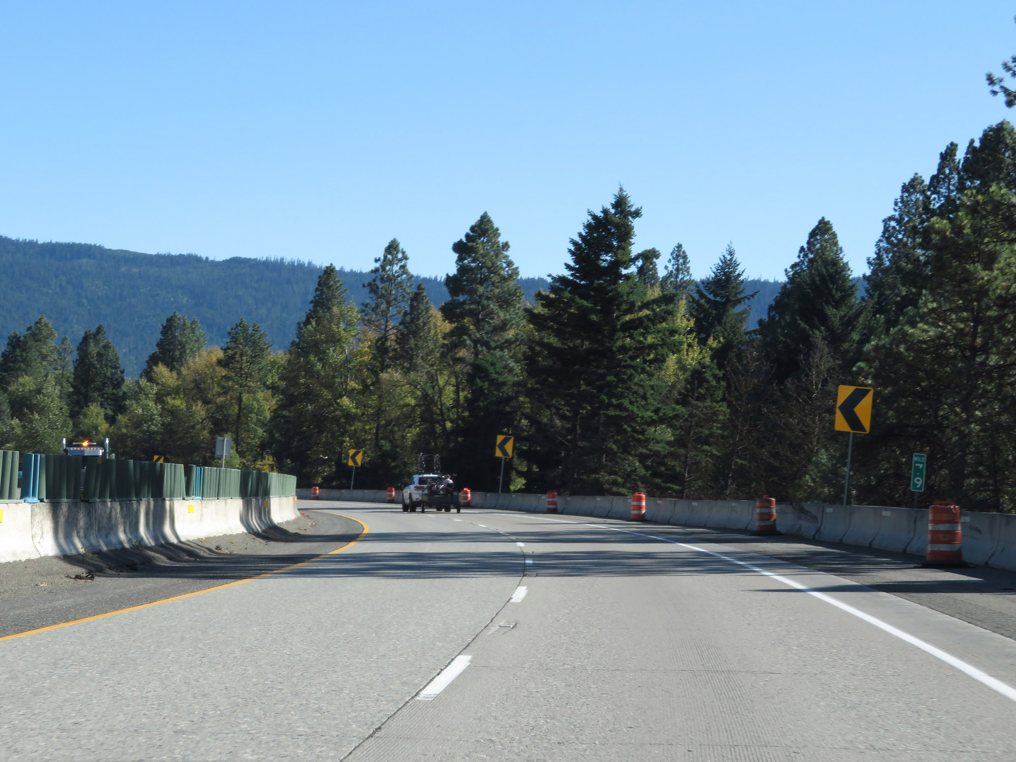 |
View on Interstate 90 East at mile marker 79. (Photo taken 9/21/19). |
 |
Weigh Station on Interstate 90 East in Kittitas County. (Photo taken 9/21/19). |
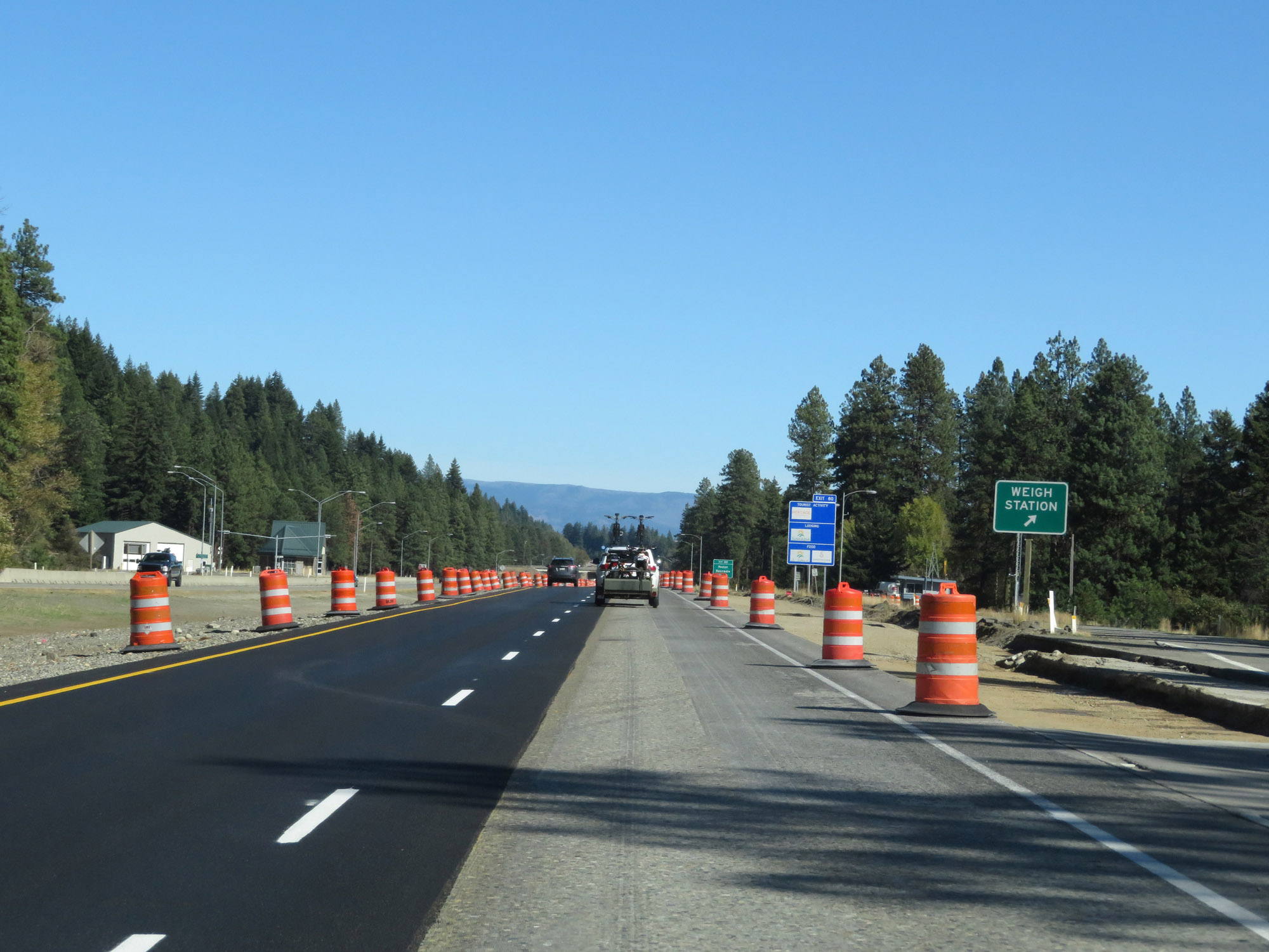
 |
Interstate 90 East approaching Exit 80 - 1/2 mile. (Photo taken 9/21/19). |
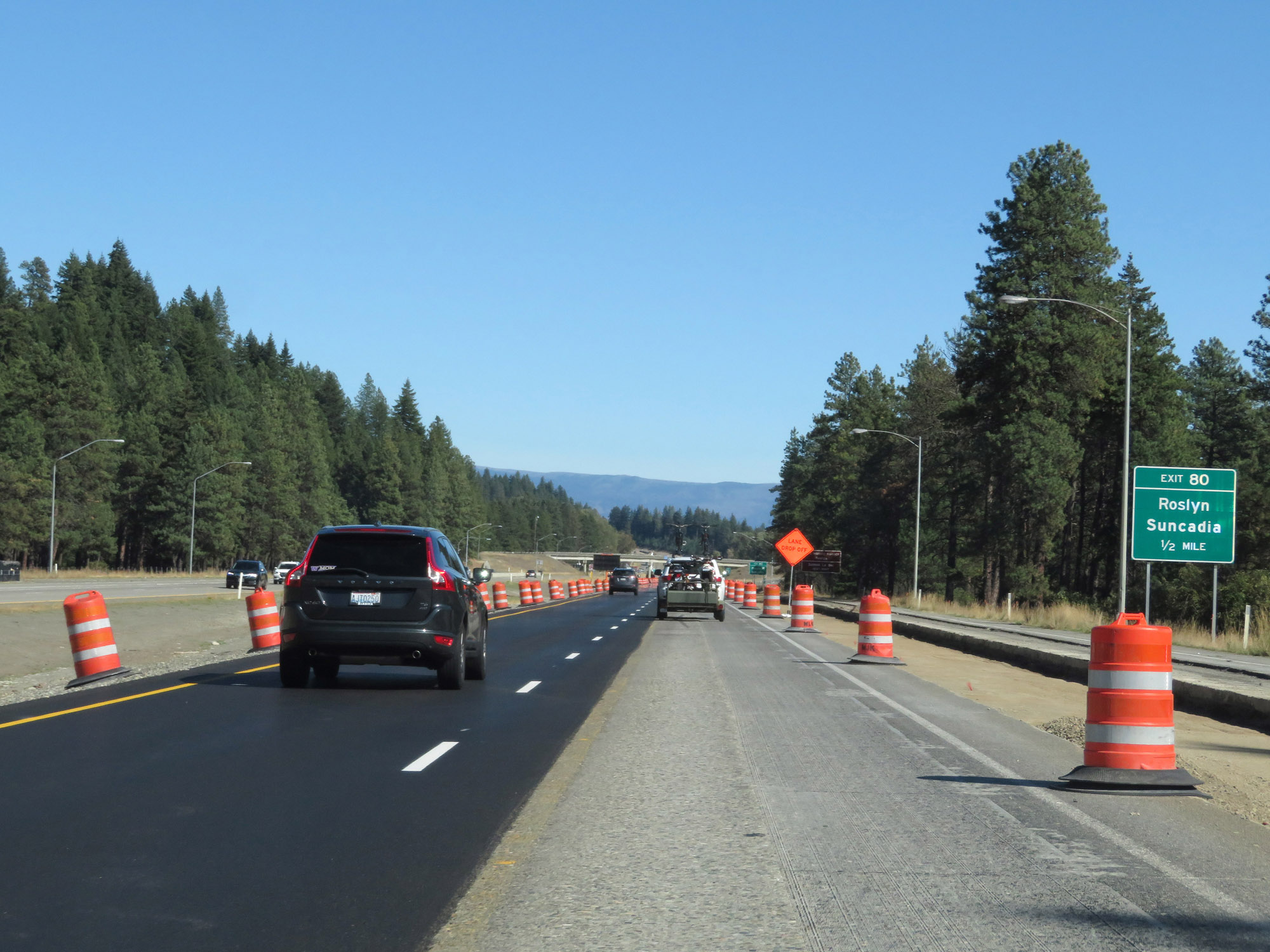
 |
Take Exit 80 to Roslyn National Historic District and Salmon La Sac. (Photo taken 9/21/19). |
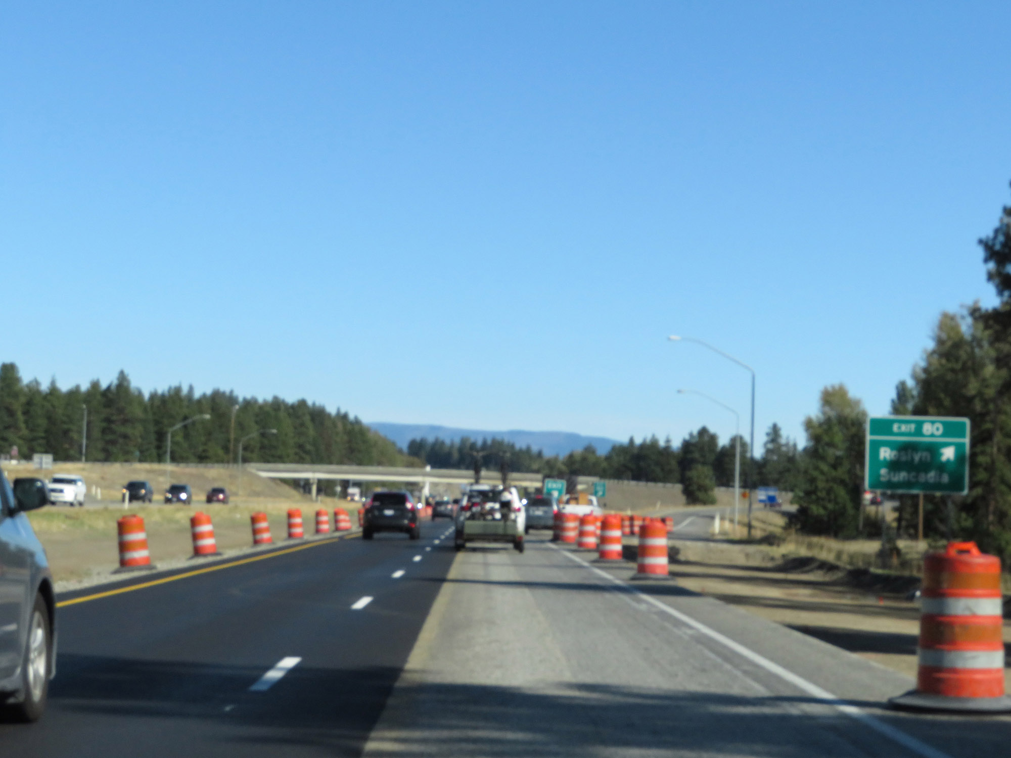 |
Interstate 90 East at Exit 80: Roslyn / Suncadia (Photo taken 9/21/19). |
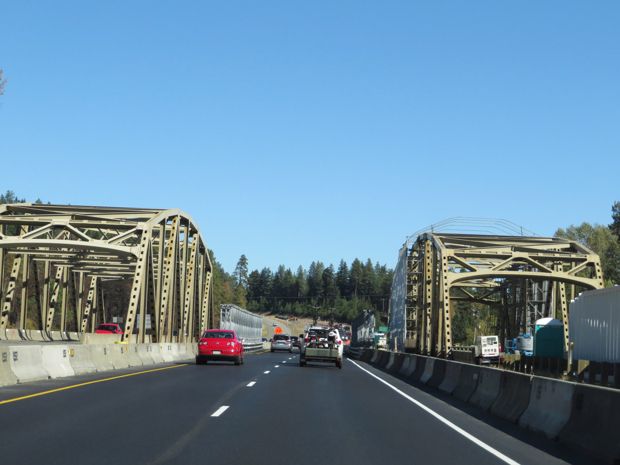 |
View on Interstate 90 East. (Photo taken 9/21/19). |
 |
Interstate 90 East at mile marker 82. (Photo taken 9/21/19). |
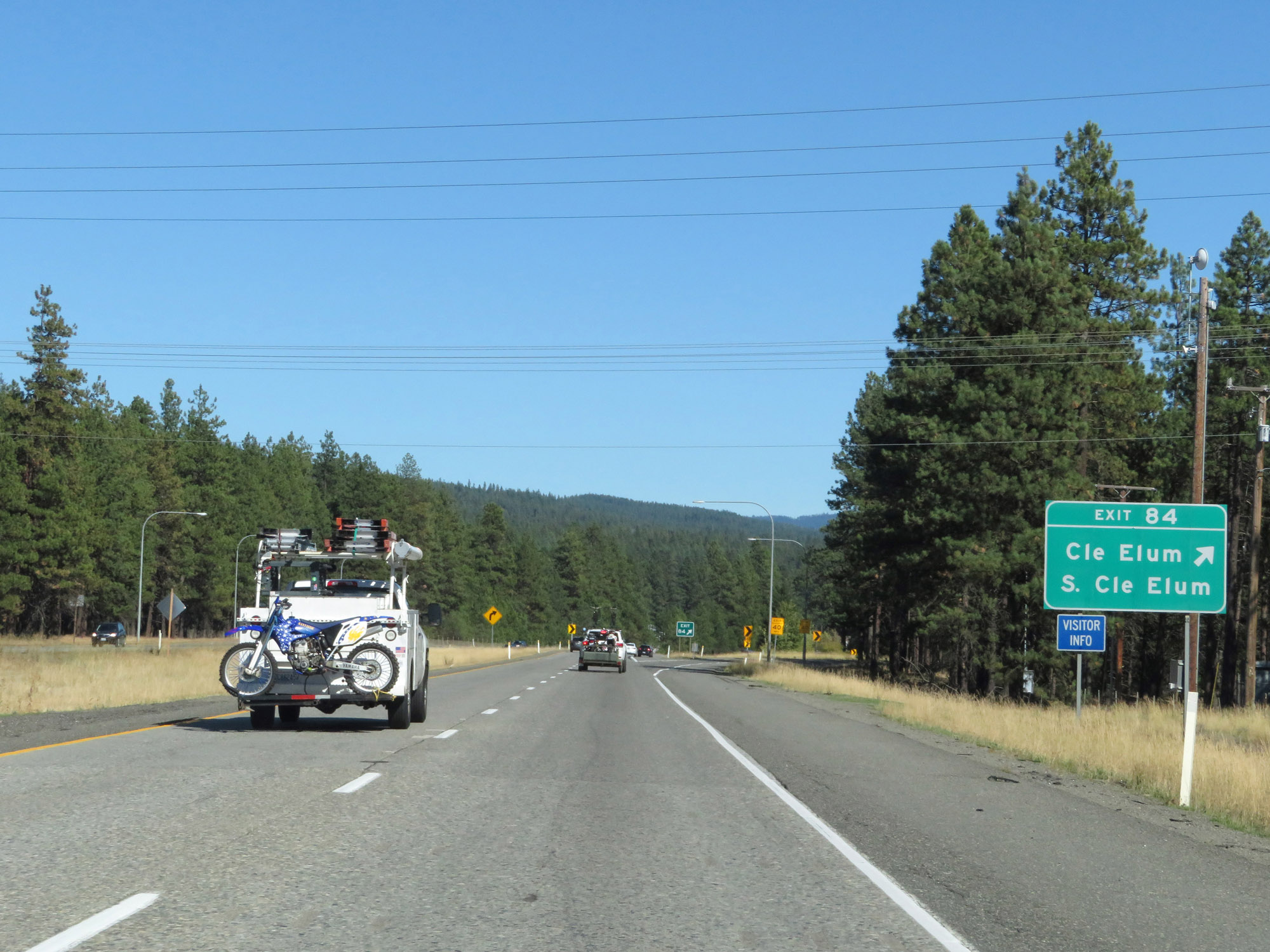 |
Interstate 90 East at Exit 84: Cle Elum / S Cle Elum (Photo taken 9/21/19). |
Section 3: Cle Elum (Exit 84) to Vantage (Exit 137)
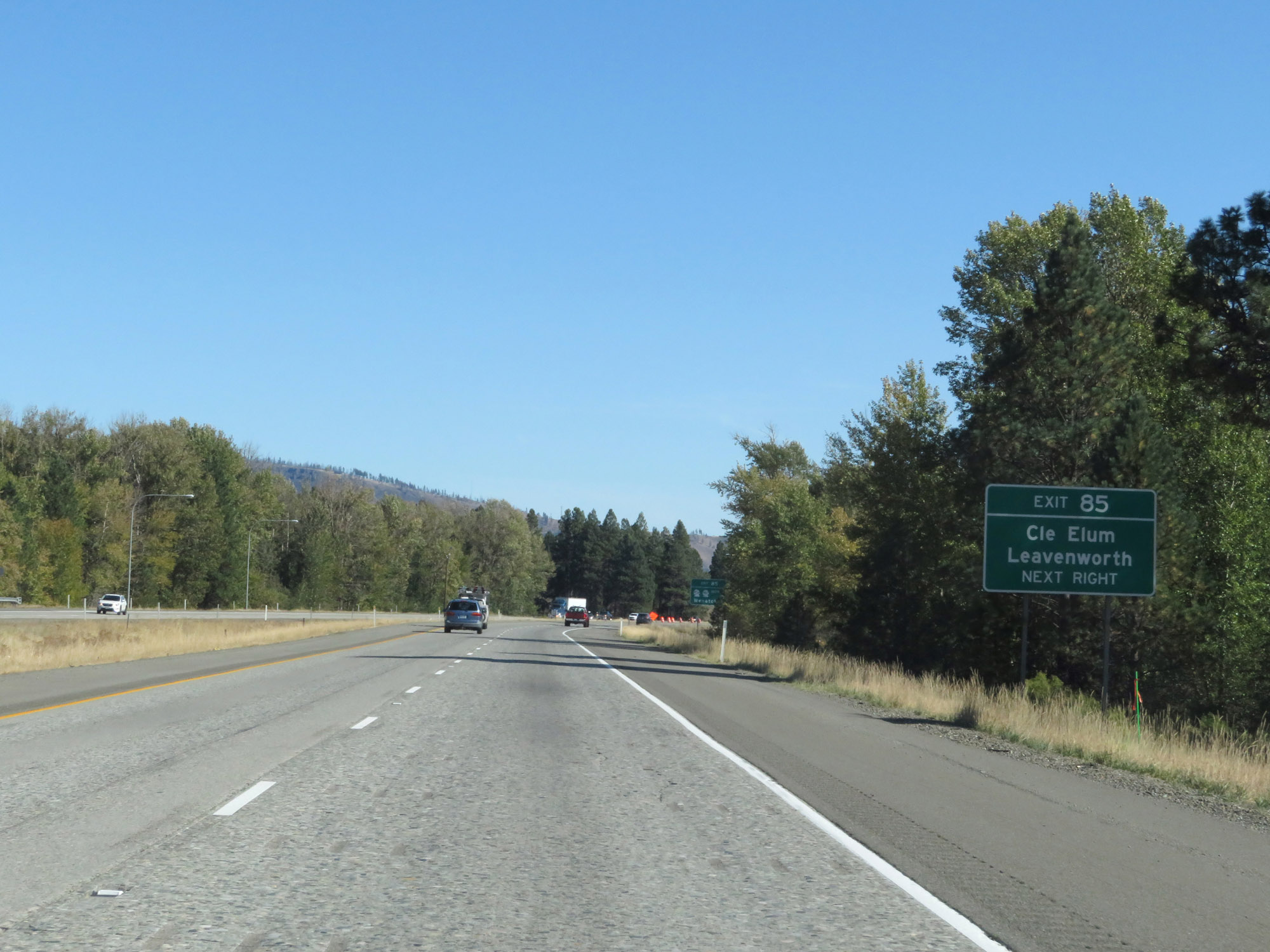 |
Take Exit 85 to Cle Elum and Leavenworth. (Photo taken 9/21/19). |
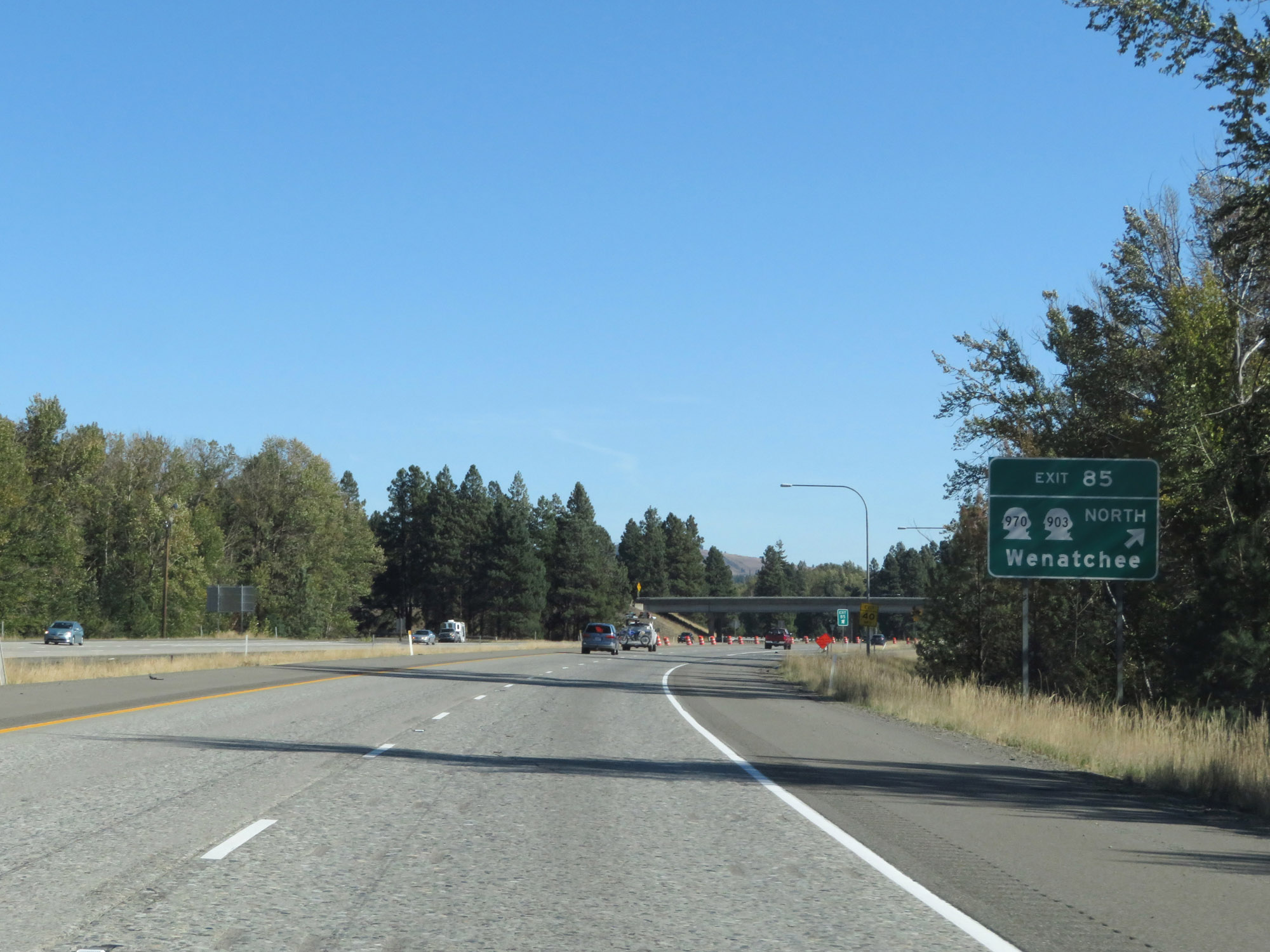 |
Interstate 90 East at Exit 85: WA 970 / WA 903 North - Wenatchee (Photo taken 9/21/19). |
 |
The speed limits remain 70 mph for automobiles and 60 mph for trucks. (Photo taken 9/21/19). |
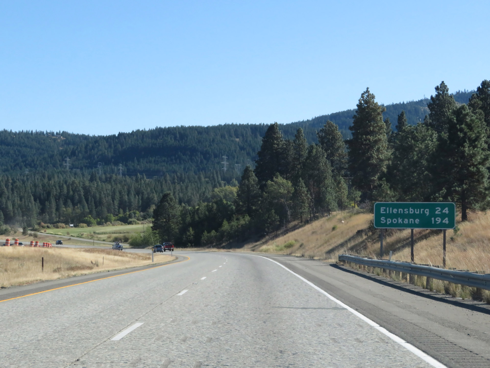 |
Mileage sign on Interstate 90 East. It's 24 miles to Ellensburg and 194 miles to Spokane. (Photo taken 9/21/19). |
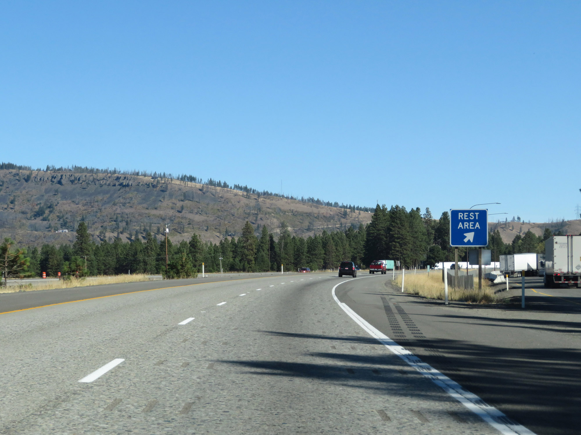 |
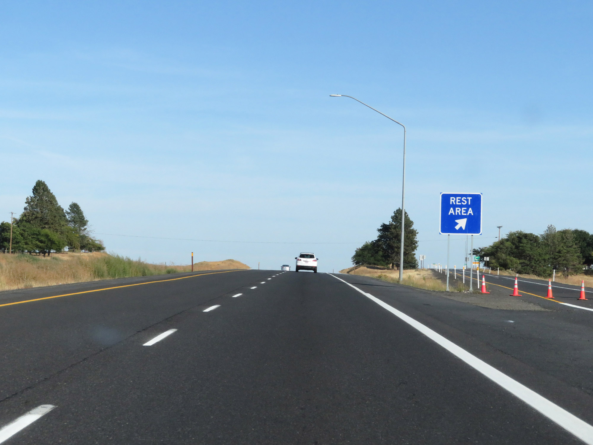
Rest Area on Interstate 90 East in Kittitas County. (Photo taken 9/21/19). |
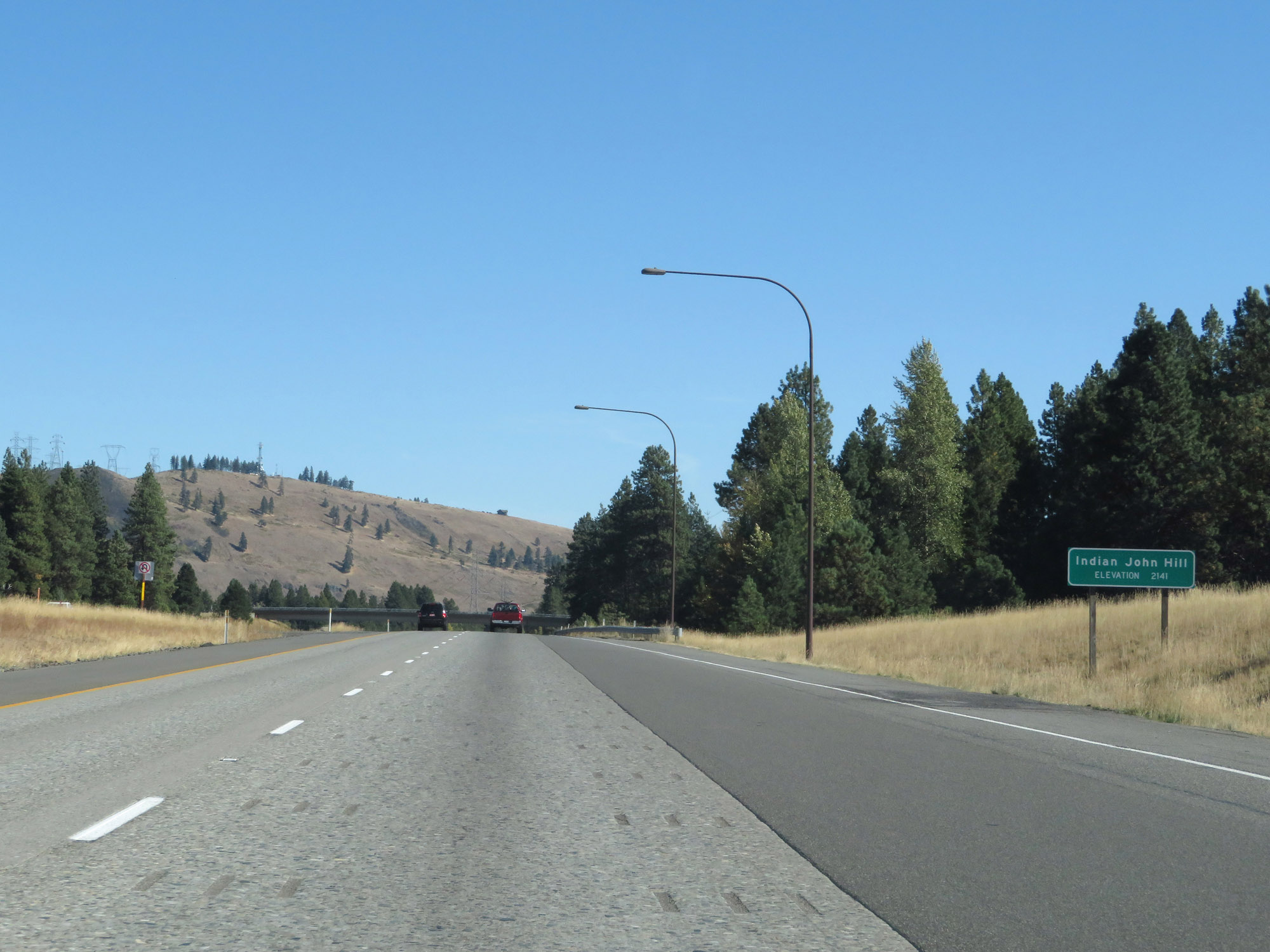 |
Interstate 90 East at the summit of Indian John Hill, which is at an elevation of 2,141 feet. (Photo taken 9/21/19). |
 |
Interstate 90 East at mile marker 90. (Photo taken 9/21/19). |
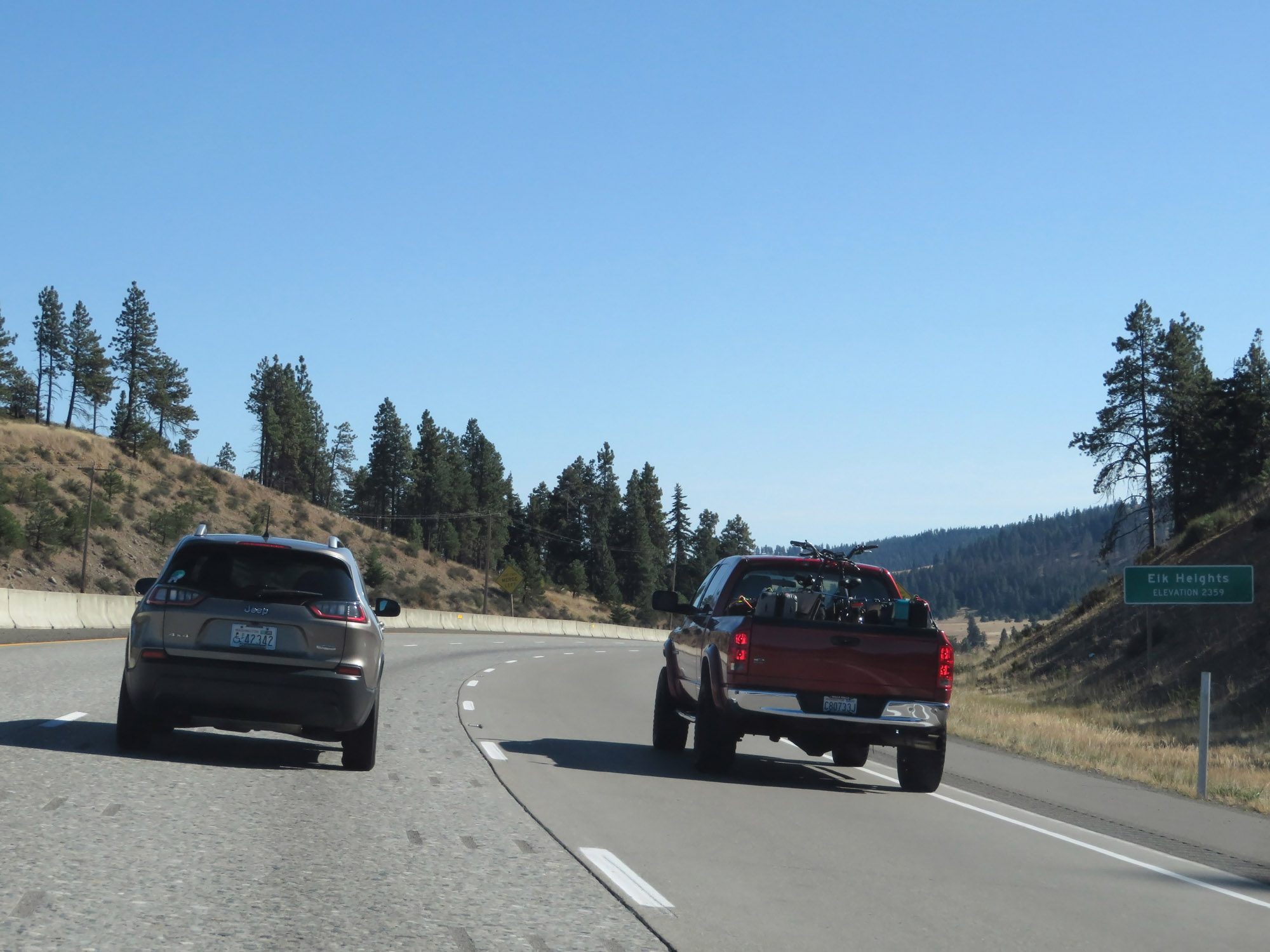 |
Interstate 90 East reaches an elevation of 2,359 feet here, at Elk Heights. (Photo taken 9/21/19). |
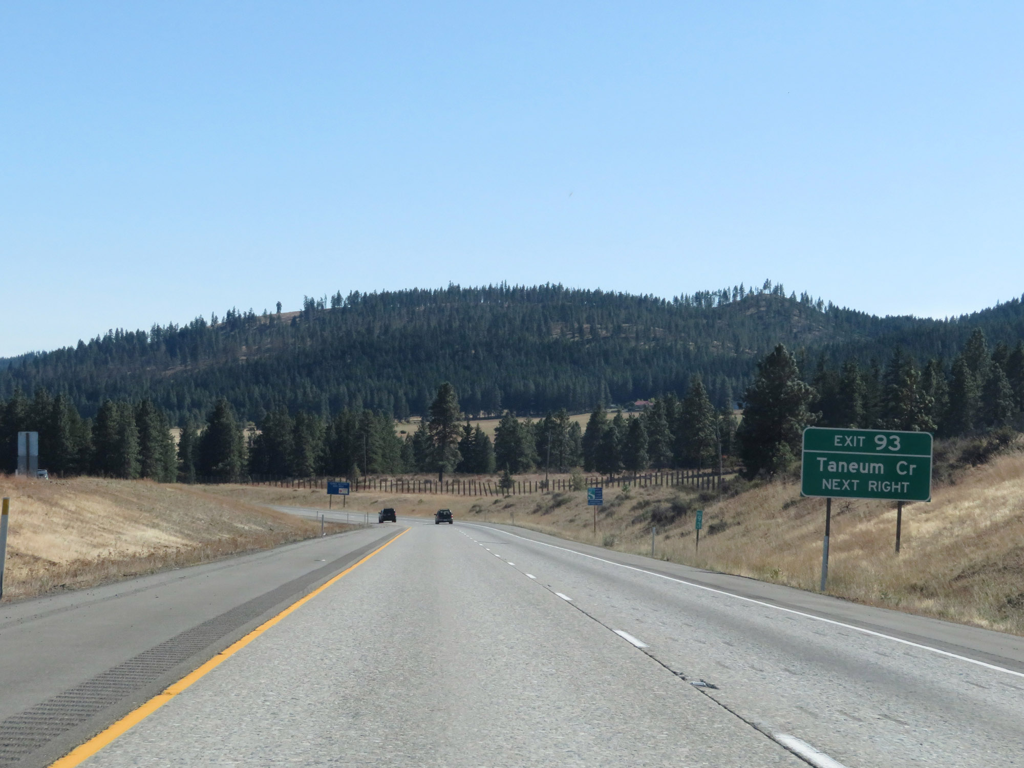 |
Take Exit 93 to Taneum Creek. (Photo taken 9/21/19). |
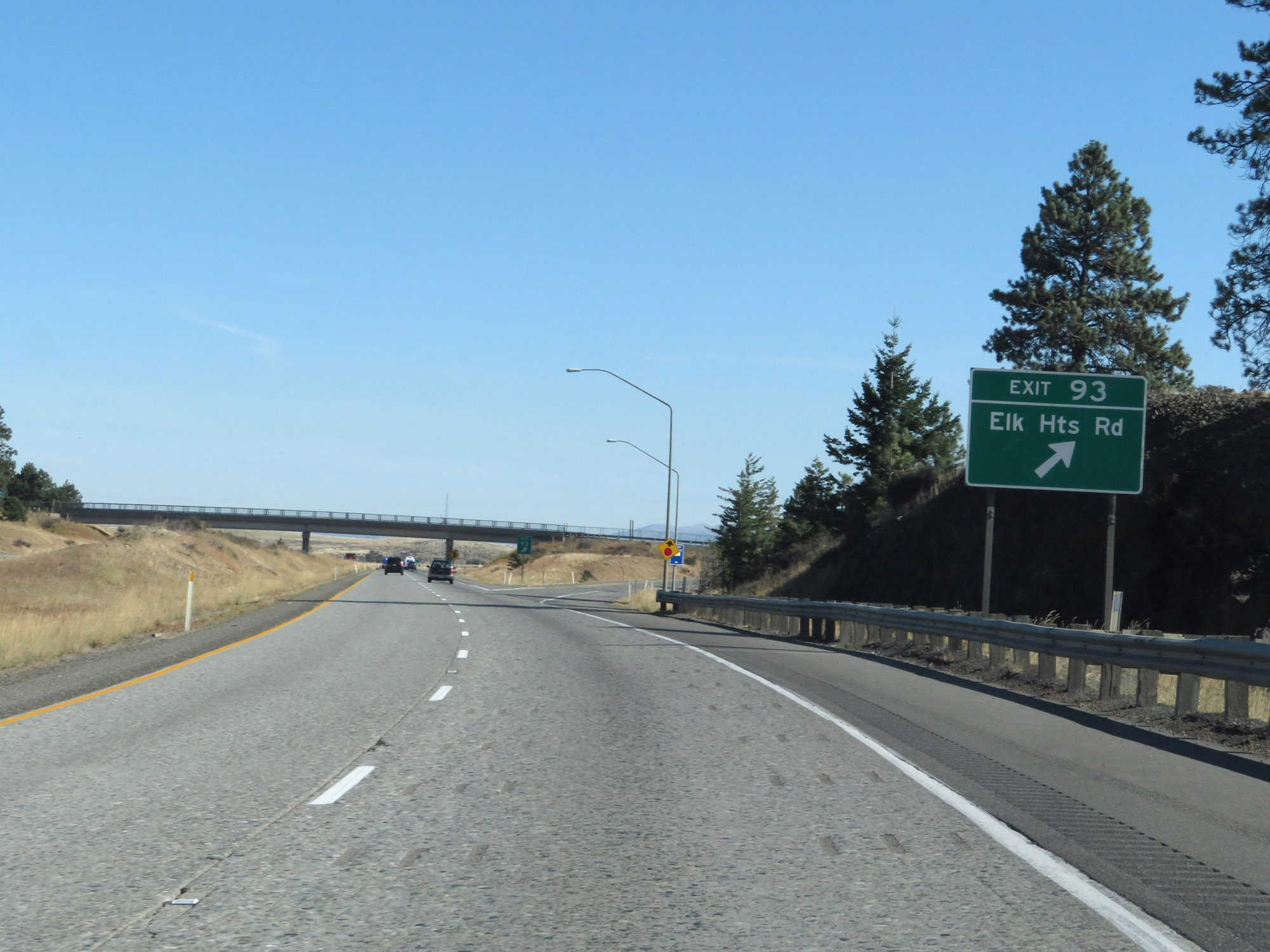 |
Interstate 90 East at Exit 93: Elk Heights Rd (Photo taken 9/21/19). |
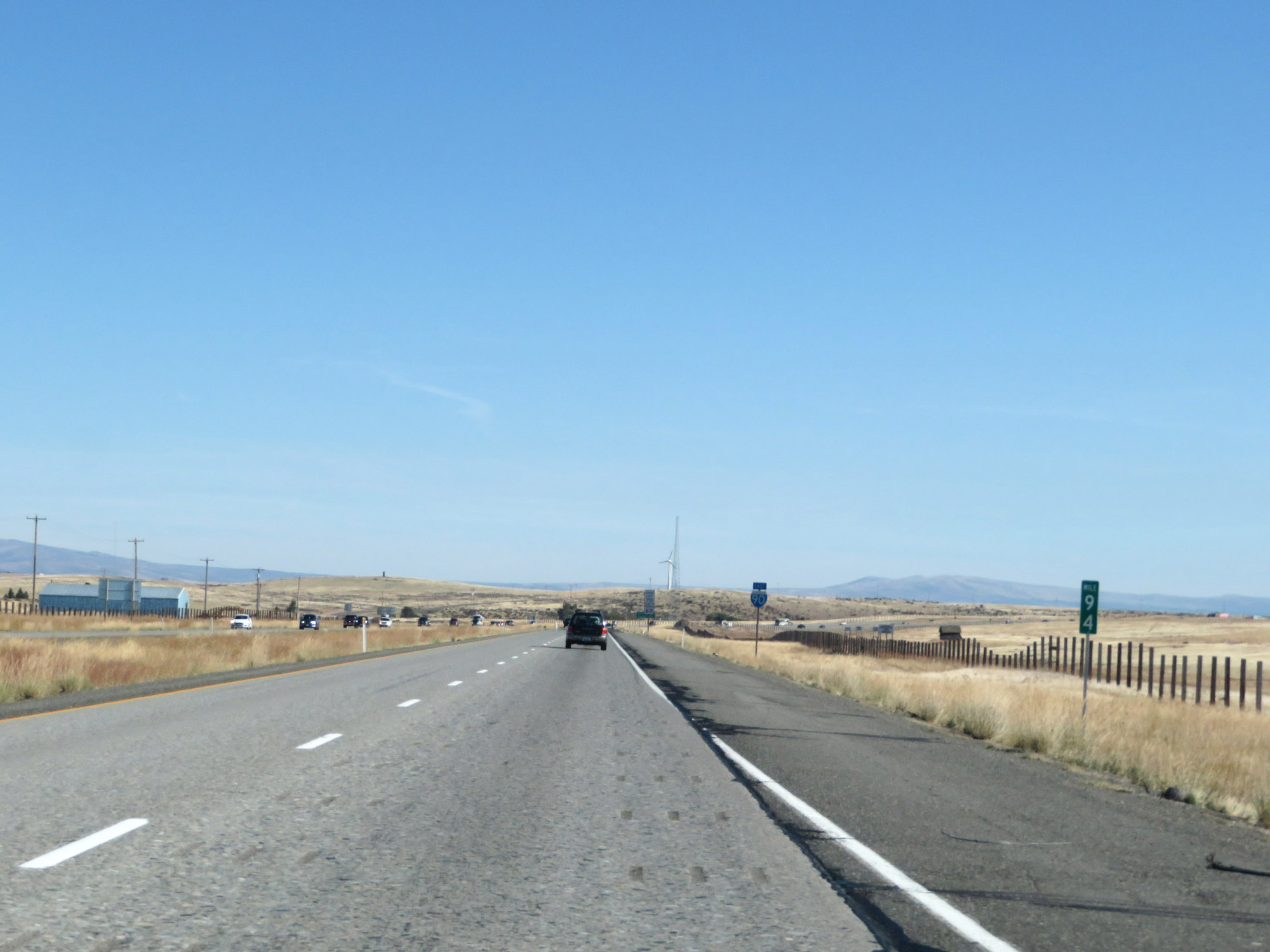 |
Interstate 90 East at mile marker 94. (Photo taken 9/21/19). |
 |
Interstate 90 East reassurance shield. (Photo taken 9/21/19). |
 |
View on Interstate 90 East at mile marker 95. (Photo taken 9/21/19). |
 |
This warning sign near mile marker 95.5 indicates a steep downgrade ahead. Length and steepness are not specified. (Photo taken 9/21/19). |
 |
Interstate 90 East at mile marker 96. (Photo taken 9/21/19). |
 |
Interstate 90 East at mile marker 99. (Photo taken 9/21/19). |
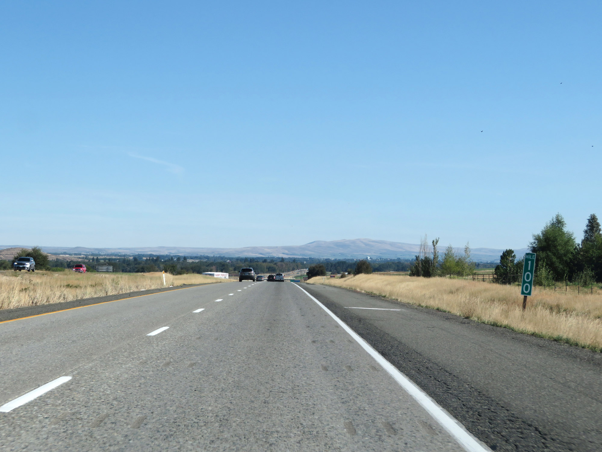 |
View on Interstate 90 East at mile marker 100. (Photo taken 9/21/19). |
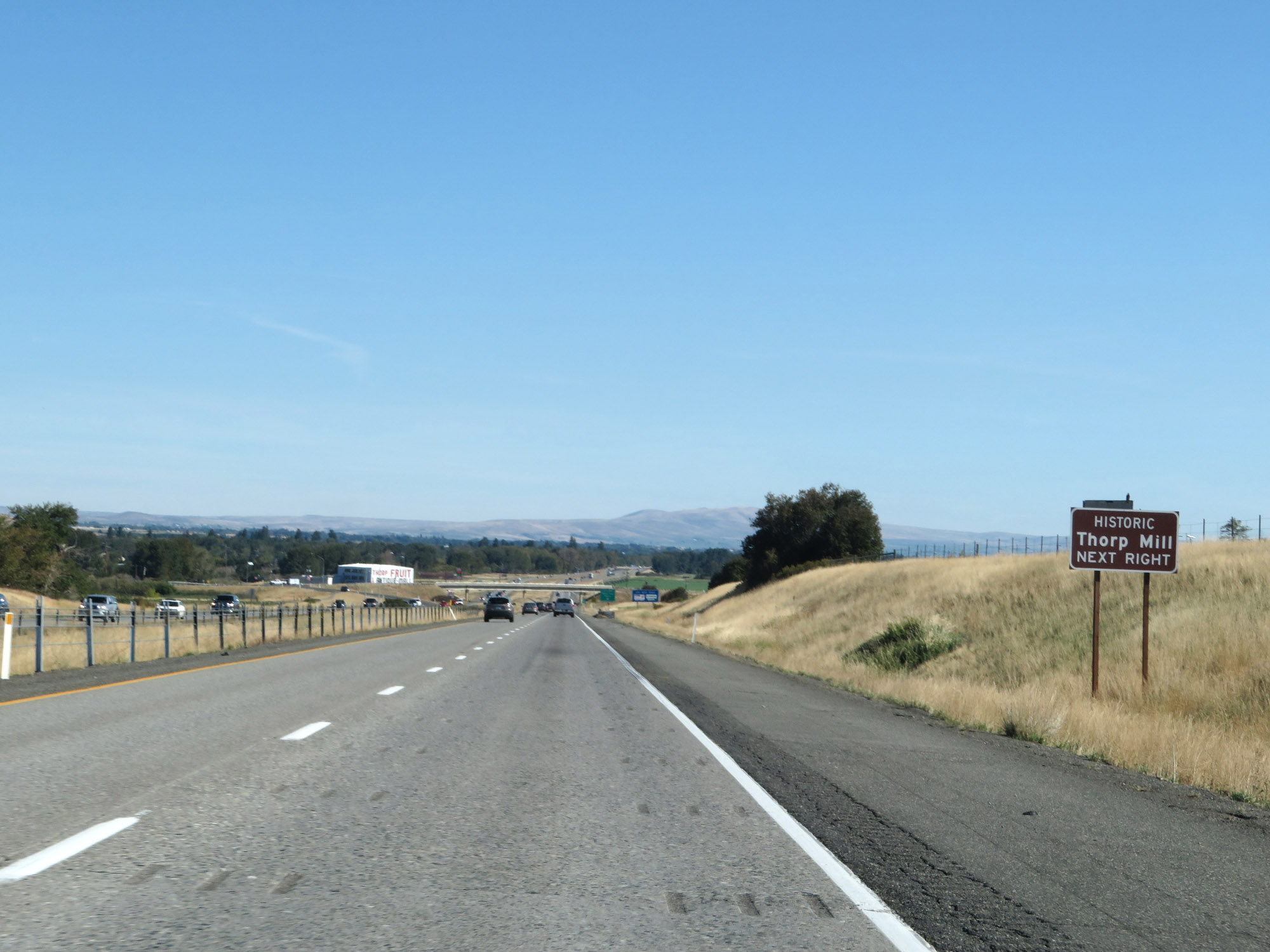 |
Take Exit 101 to Historic Thorp Mill. (Photo taken 9/21/19). |
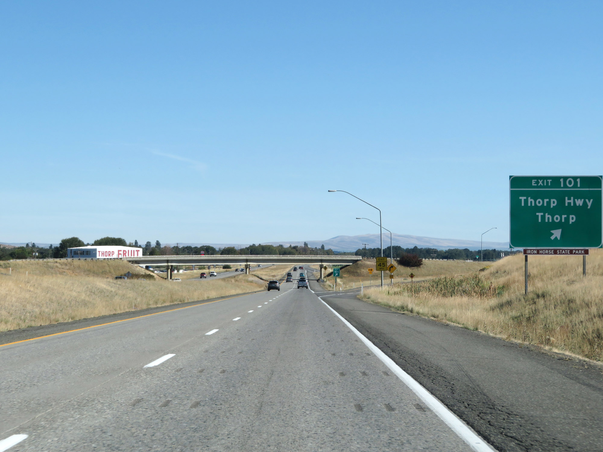 |
Interstate 90 East at Exit 101: Thorp Hwy / Thorp (Photo taken 9/21/19). |
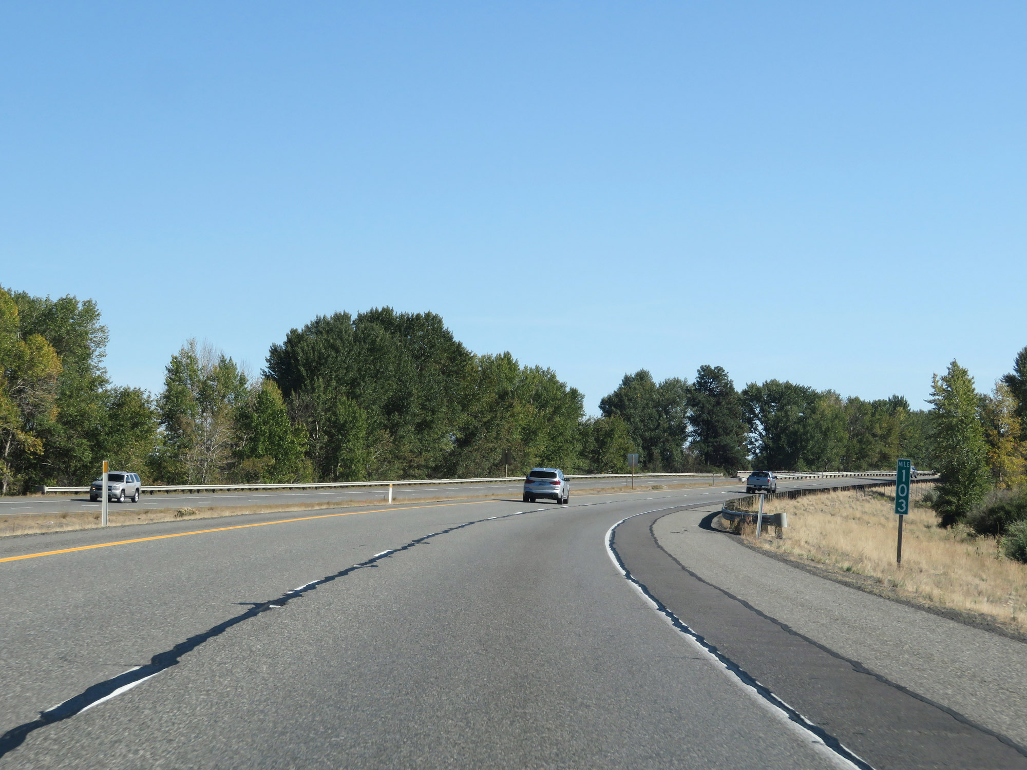 |
Interstate 90 East at mile marker 103. (Photo taken 9/21/19). |
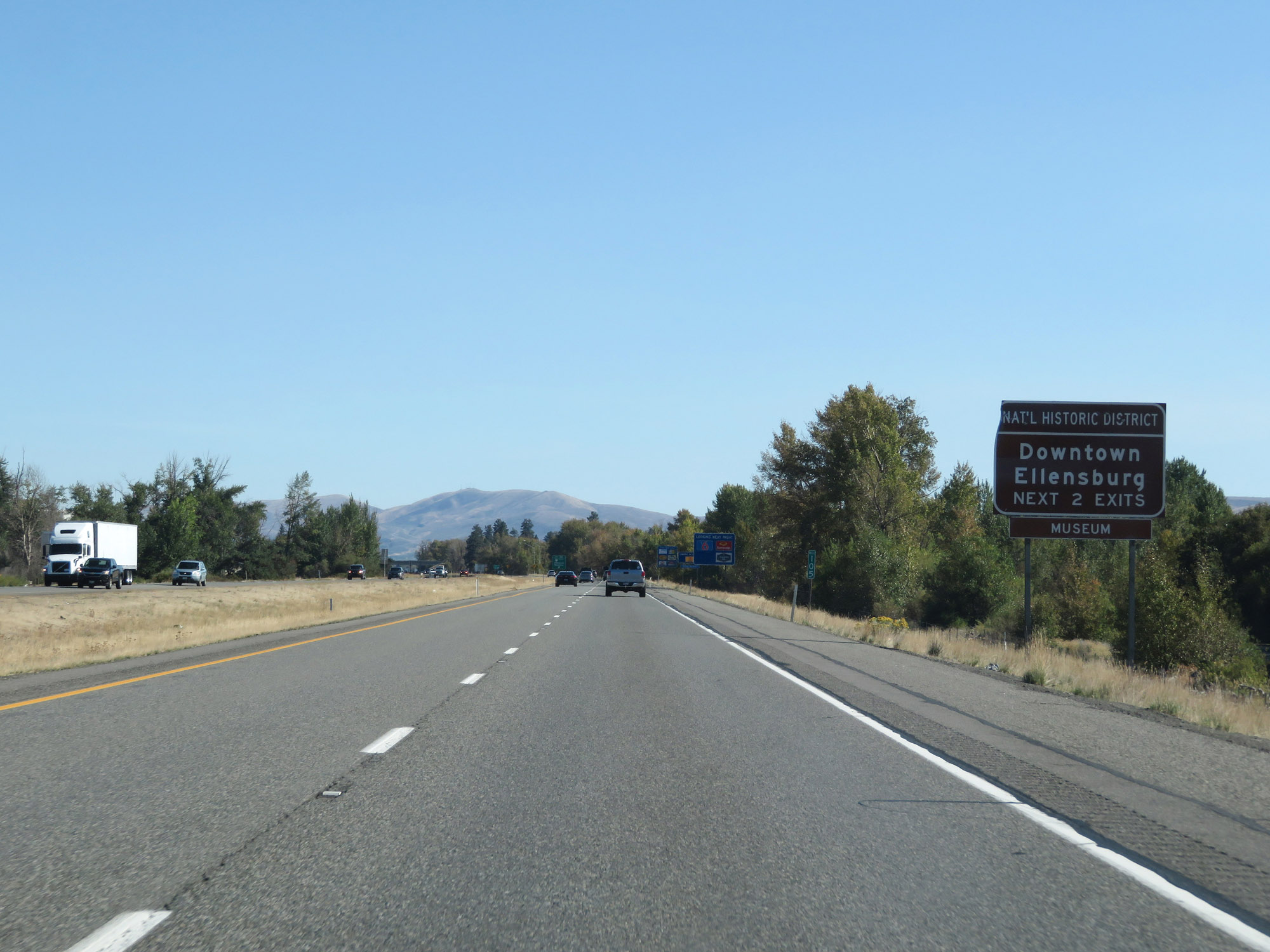 |
Take either of the next 2 exits to Downtown Ellensburg. (Photo taken 9/21/19). |
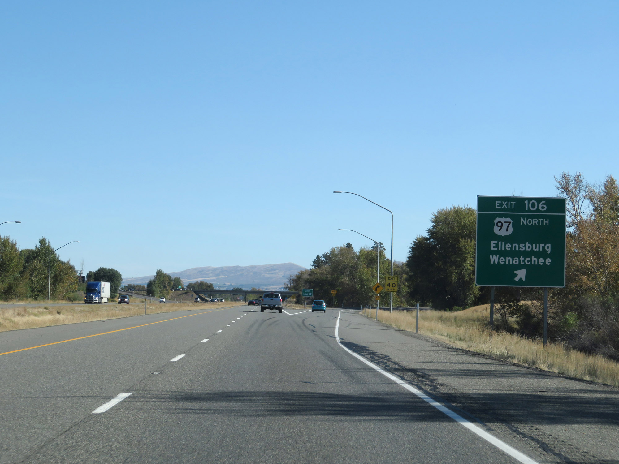 |
Interstate 90 East at Exit 106: US 97 North - Ellensburg / Wenatchee (Photo taken 9/21/19). |
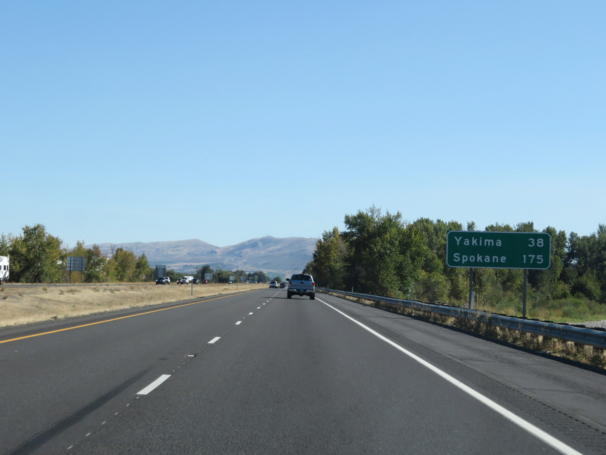 |
Mileage sign on Interstate 90 East. It's 38 miles to Yakima (via Interstate 82 East) and 175 miles to Spokane. (Photo taken 9/21/19). |
 |
Interstate 90 East at mile marker 108. (Photo taken 9/21/19). |
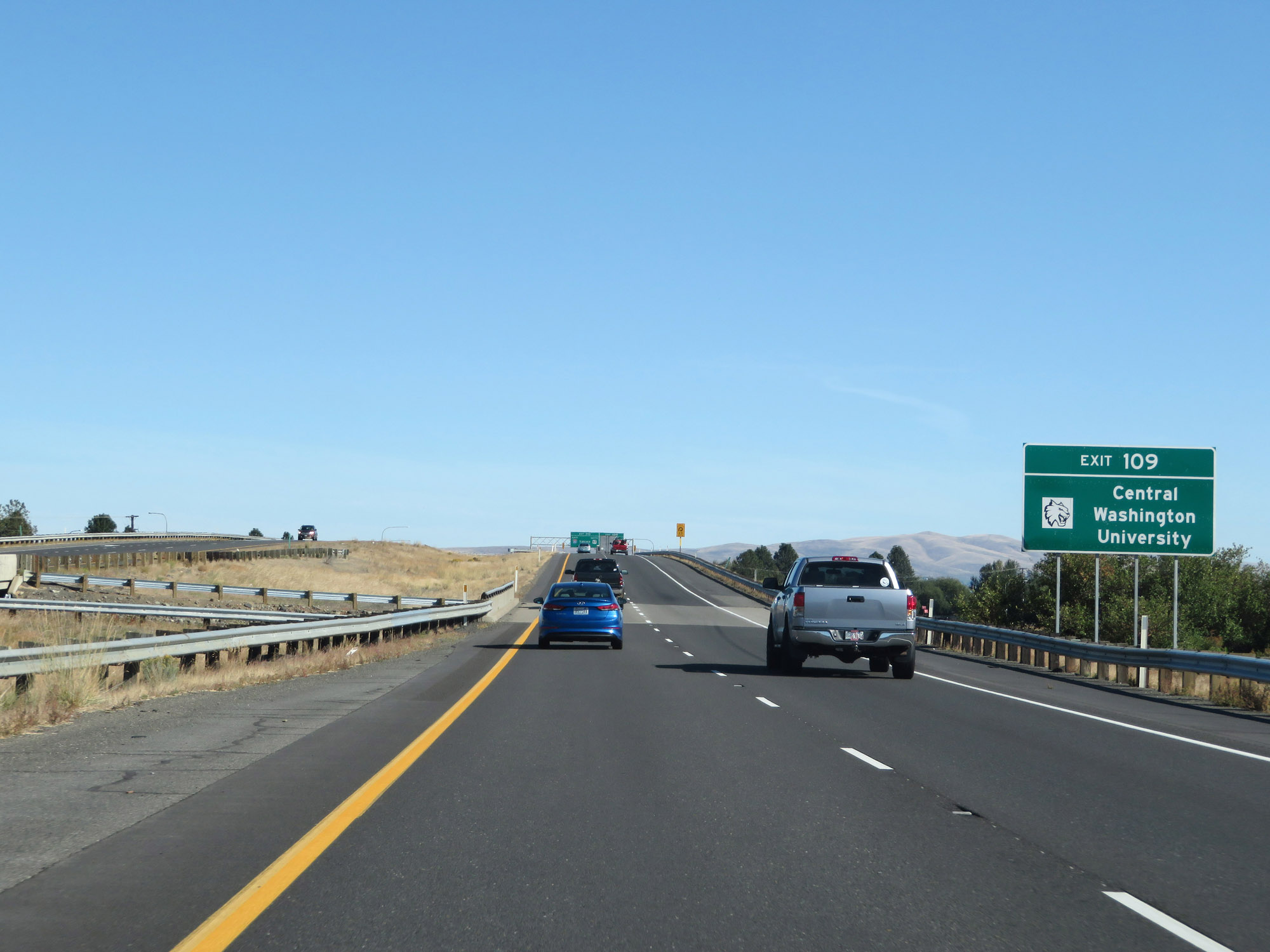 |
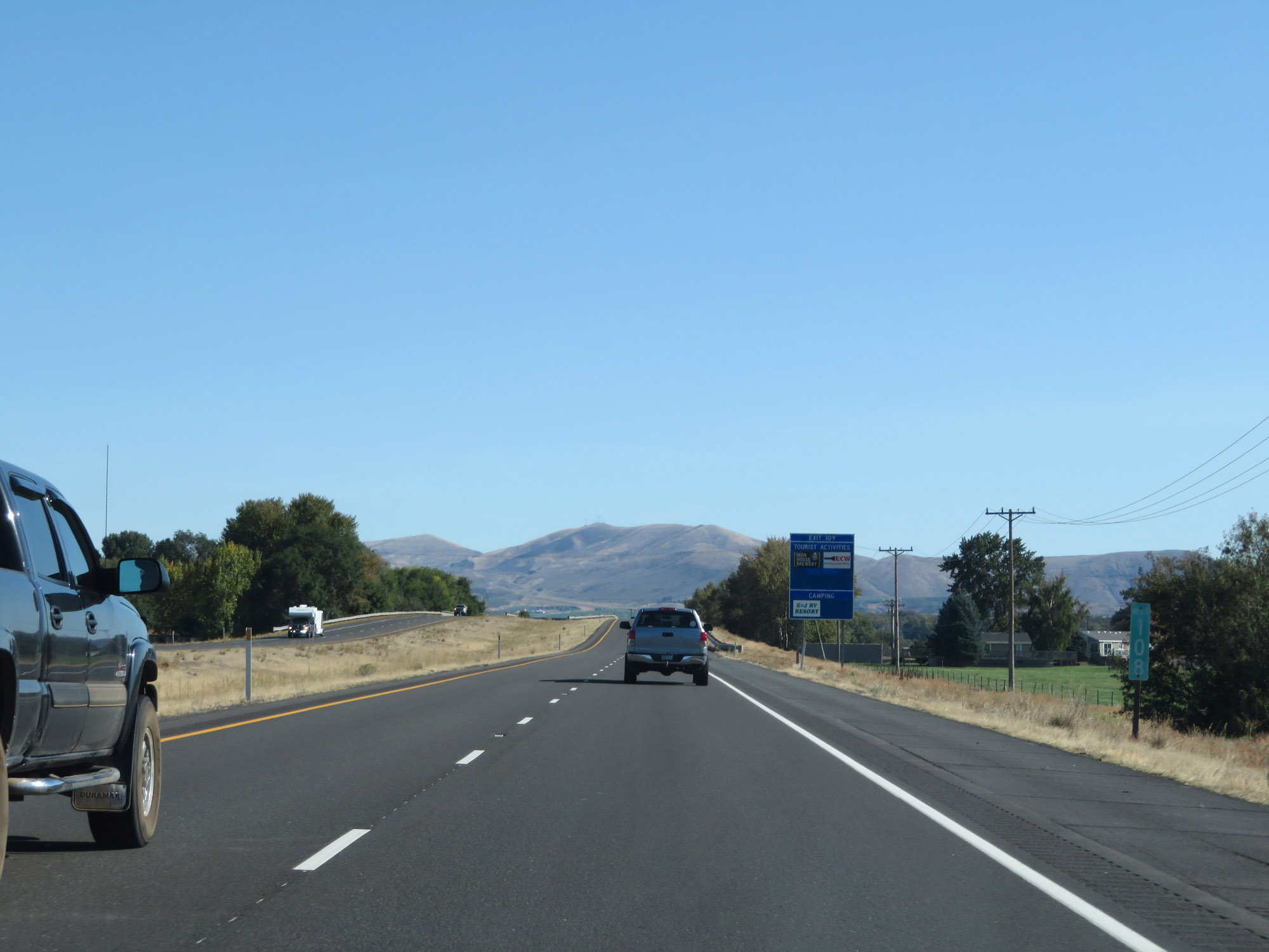
Take Exit 109 to Central Washington University. (Photo taken 9/21/19). |
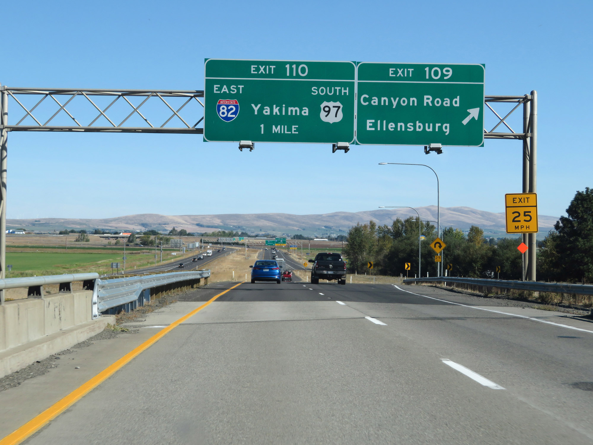 |
Interstate 90 East at Exit 109: Canyon Road / Ellensburg (Photo taken 9/21/19). |
 |
Interstate 90 East approaching Exit 110 - 1/2 mile. (Photo taken 9/21/19). |
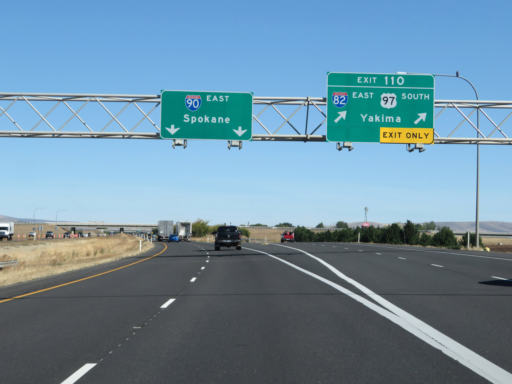 |
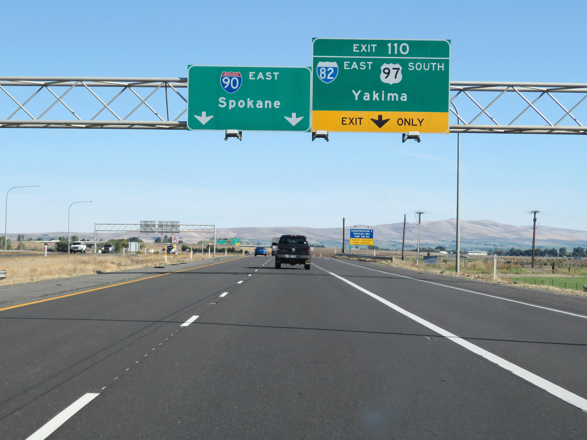
Interstate 90 East at Exit 110: Interstate 82 East / US 97 South - Yakima (Photo taken 9/21/19). |
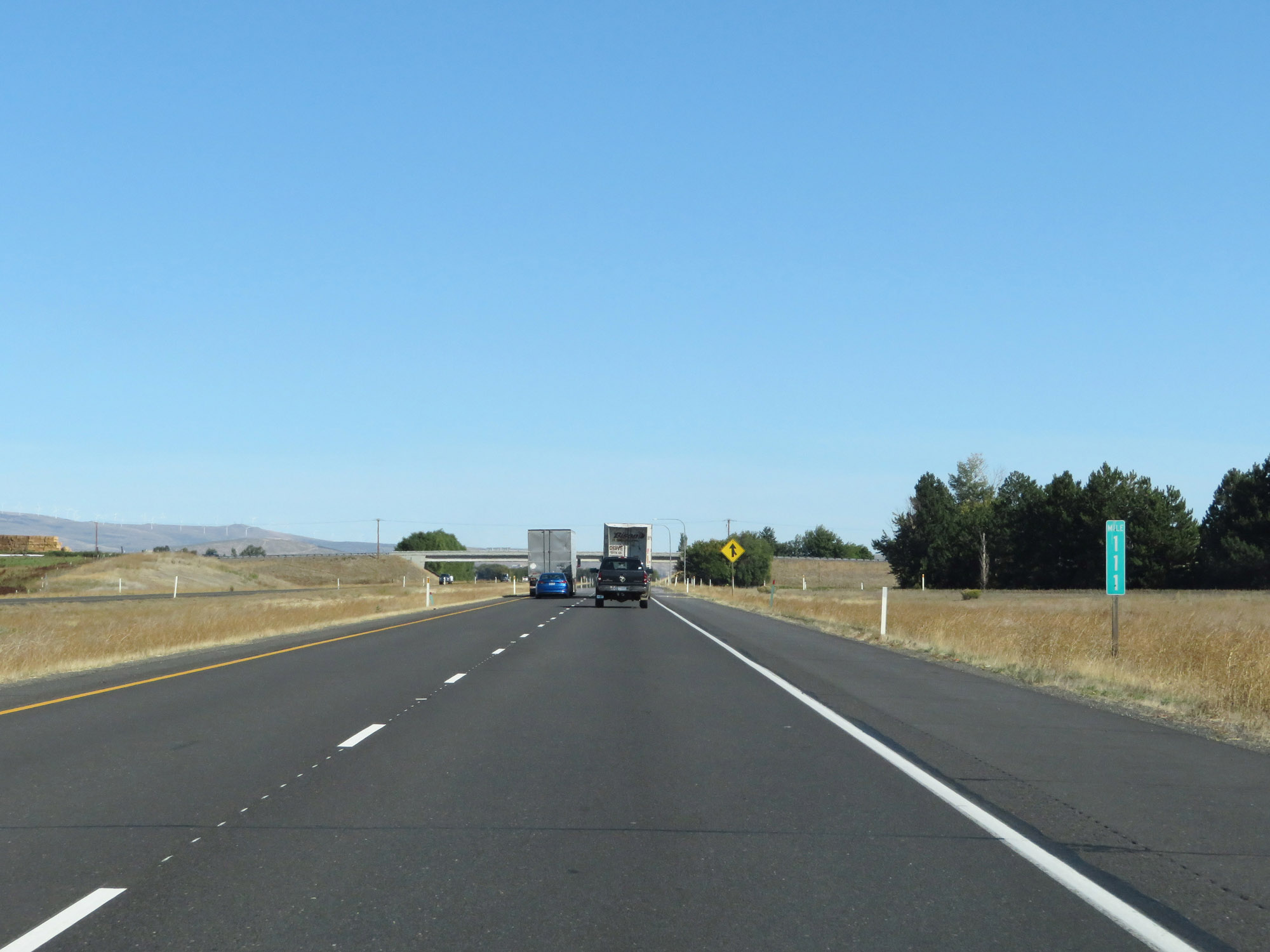 |
View on Interstate 90 East at mile marker 111, as traffic from Interstate 82 West prepares to merge in from the right. (Photo taken 9/21/19). |
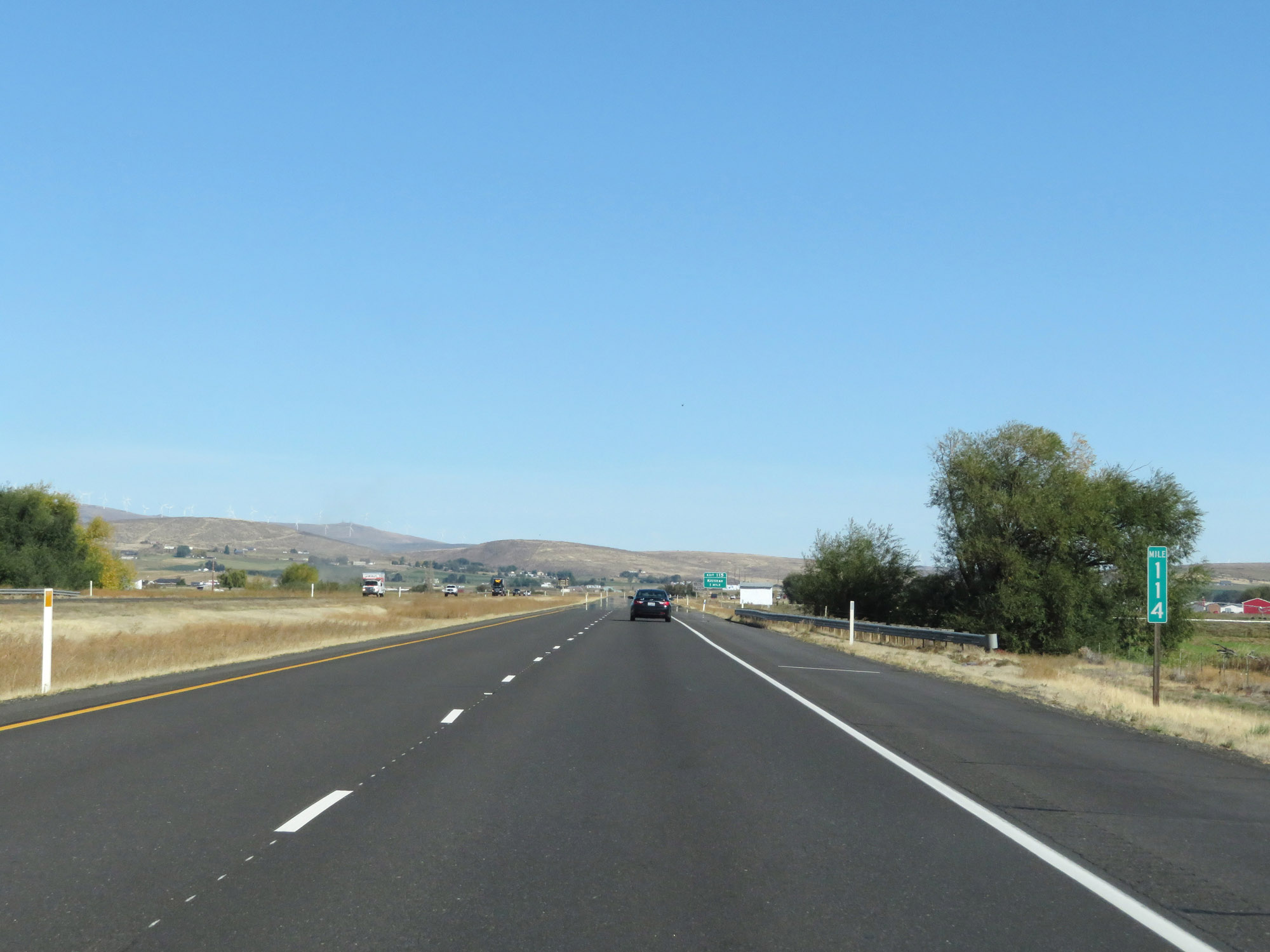 |
Interstate 90 East at mile marker 114. (Photo taken 9/21/19). |
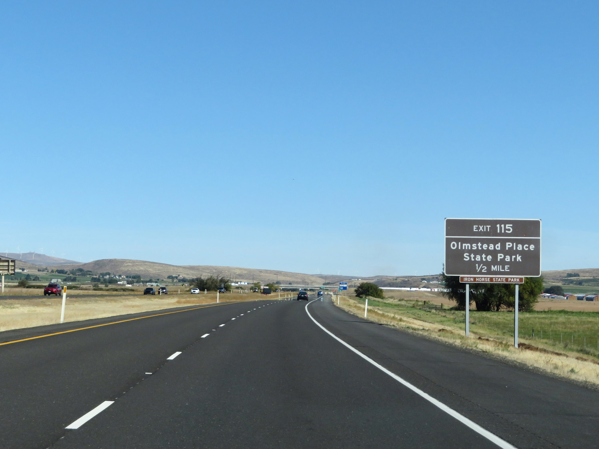 |
Take Exit 115 to Olmstead Place State Park. (Photo taken 9/21/19). |
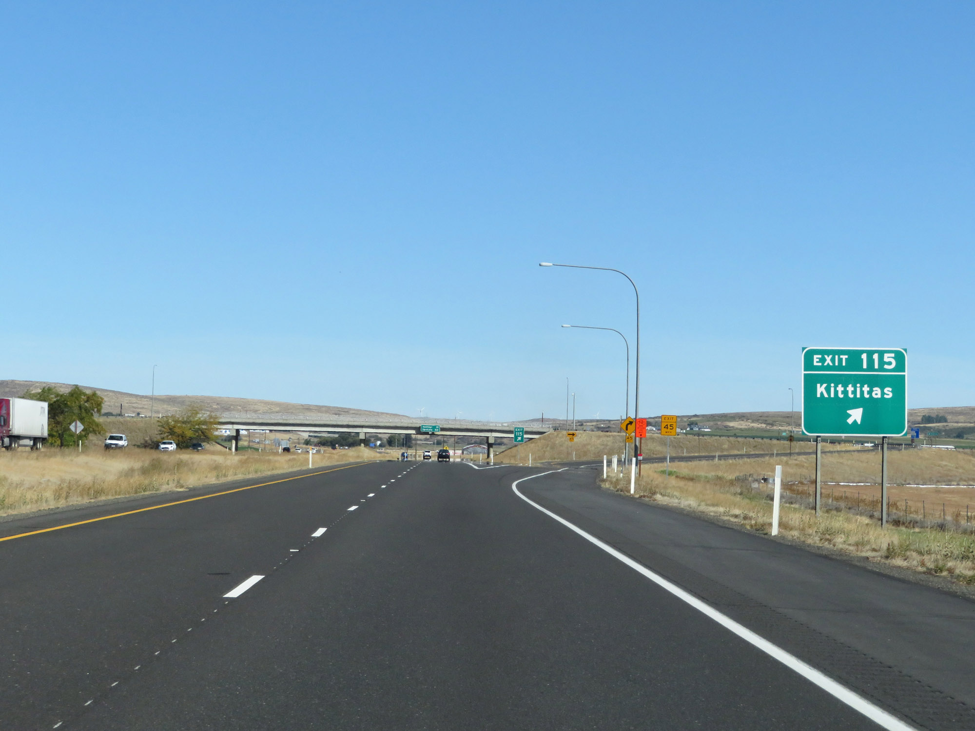 |
Interstate 90 East at Exit 115: Kittitas (Photo taken 9/21/19). |
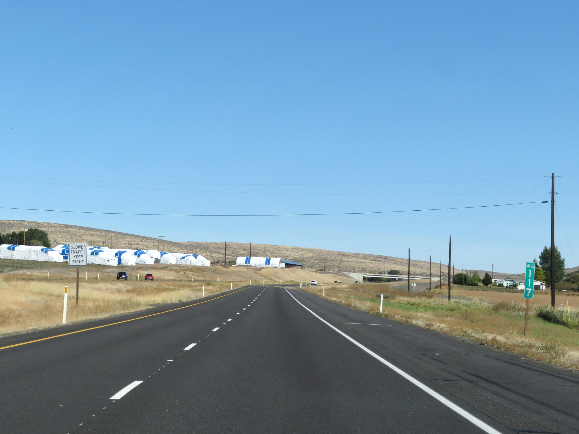 |
Interstate 90 East at mile marker 117. (Photo taken 9/21/19). |
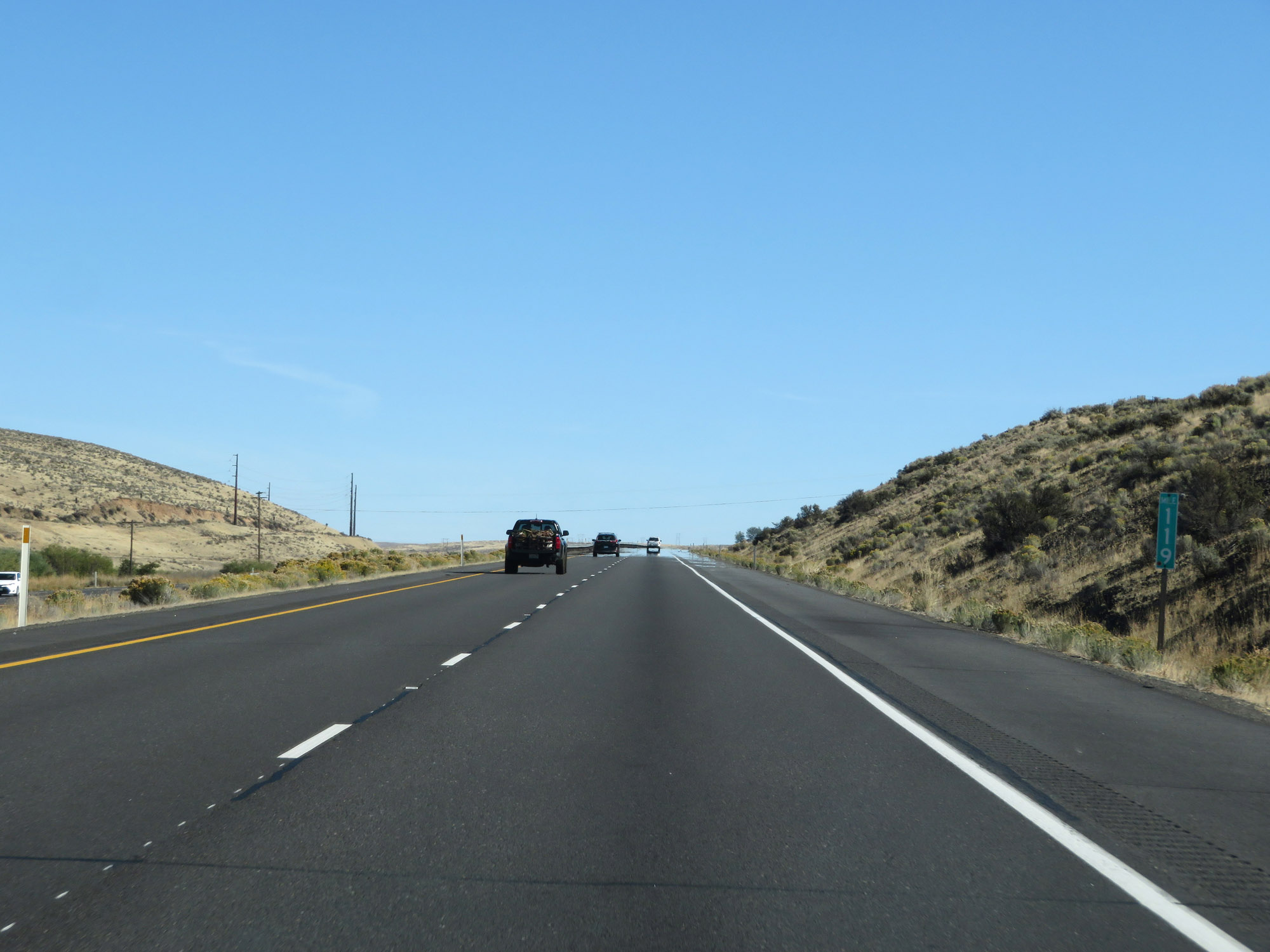 |
Interstate 90 East at mile marker 119. (Photo taken 9/21/19). |
 |
View on Interstate 90 East near mile marker 121. (Photo taken 9/21/19). |
 |
Interstate 90 East at mile marker 123. (Photo taken 9/21/19). |
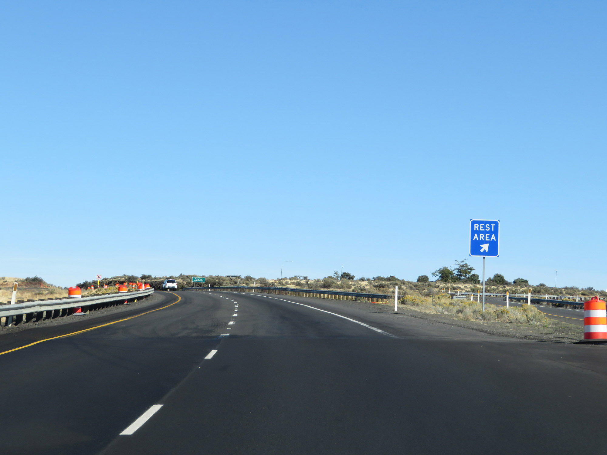 |
Another Rest Area on Interstate 90 East in Kittitas County. (Photo taken 9/21/19). |
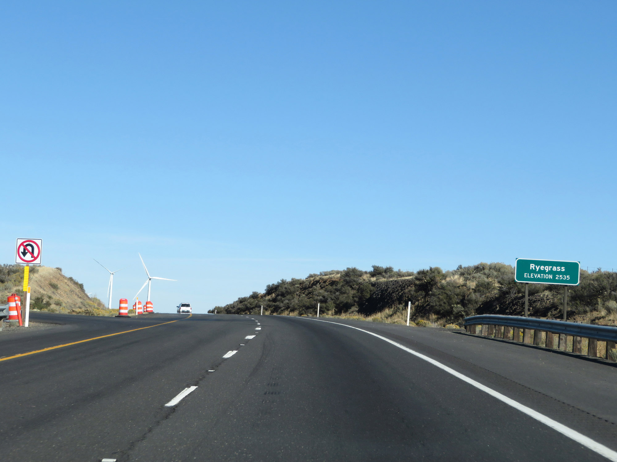 |
Interstate 90 East reaches an elevation of 2,535 feet at Ryegrass Summit, seen here. (Photo taken 9/21/19). |
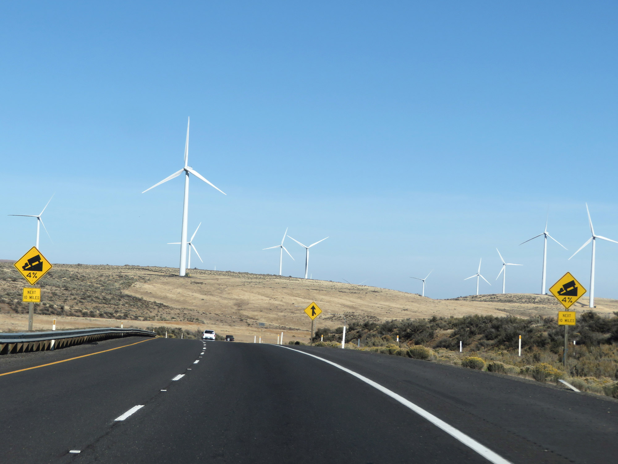 |
Continuing east from Ryegrass Summit, these signs warn that Interstate 90 East will traverse a 4% downgrade for the next 10 miles as it heads down to the Columbia River. (Photo taken 9/21/19). |
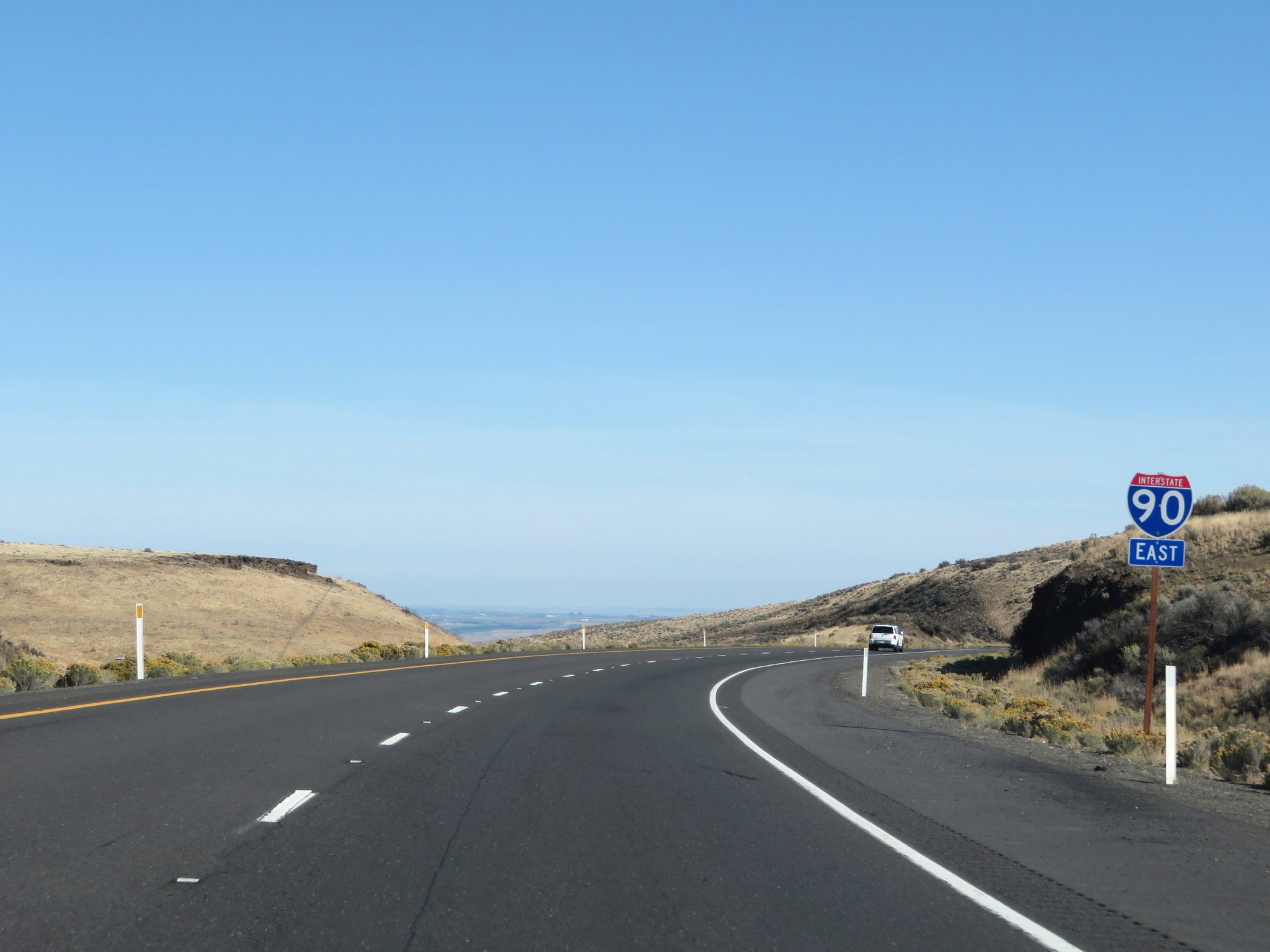 |
Another Interstate 90 East reassurance shield as it starts down the long, gradual grade to the Columbia River. (Photo taken 9/21/19). |
 |
The speed limits remain 70 mph for cars and 60 mph for trucks. (Photo taken 9/21/19). |
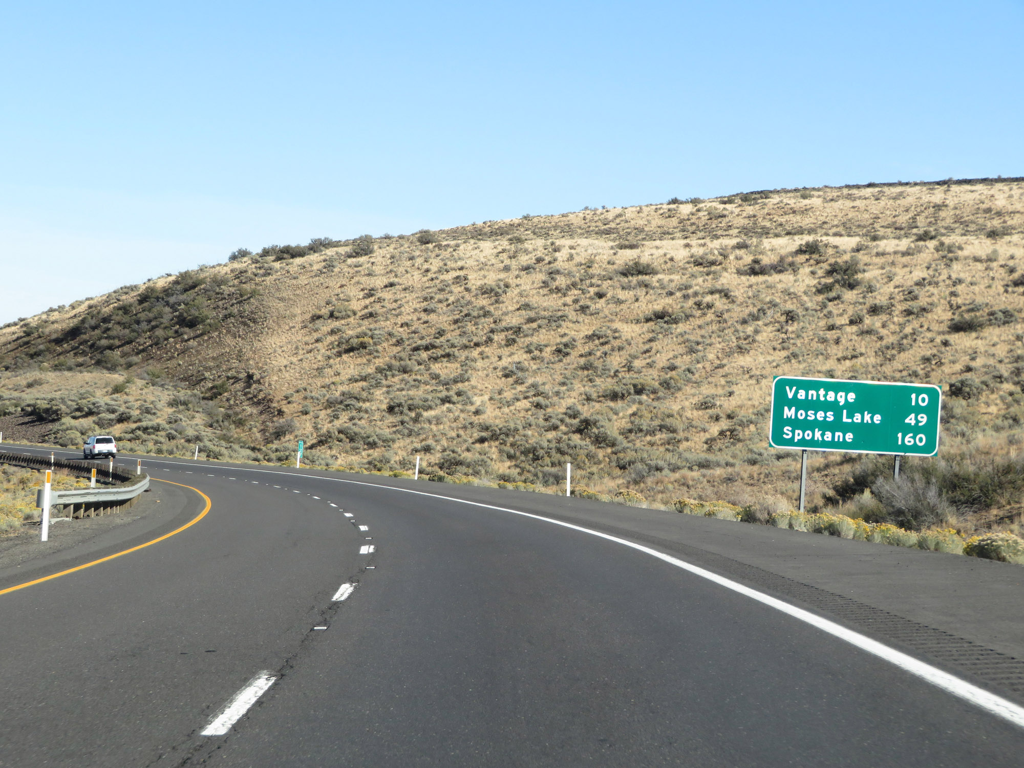 |
Mileage sign on Interstate 90 East. It's 10 miles to Vantage, 49 miles to Moses Lake, and 160 miles to Spokane. (Photo taken 9/21/19). |
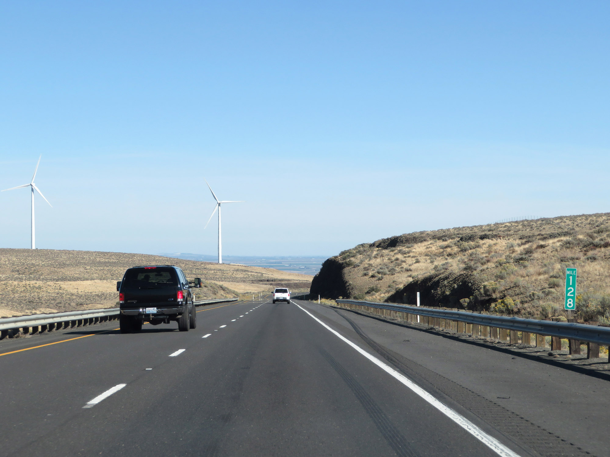 |
View on Interstate 90 East at mile marker 128. (Photo taken 9/21/19). |
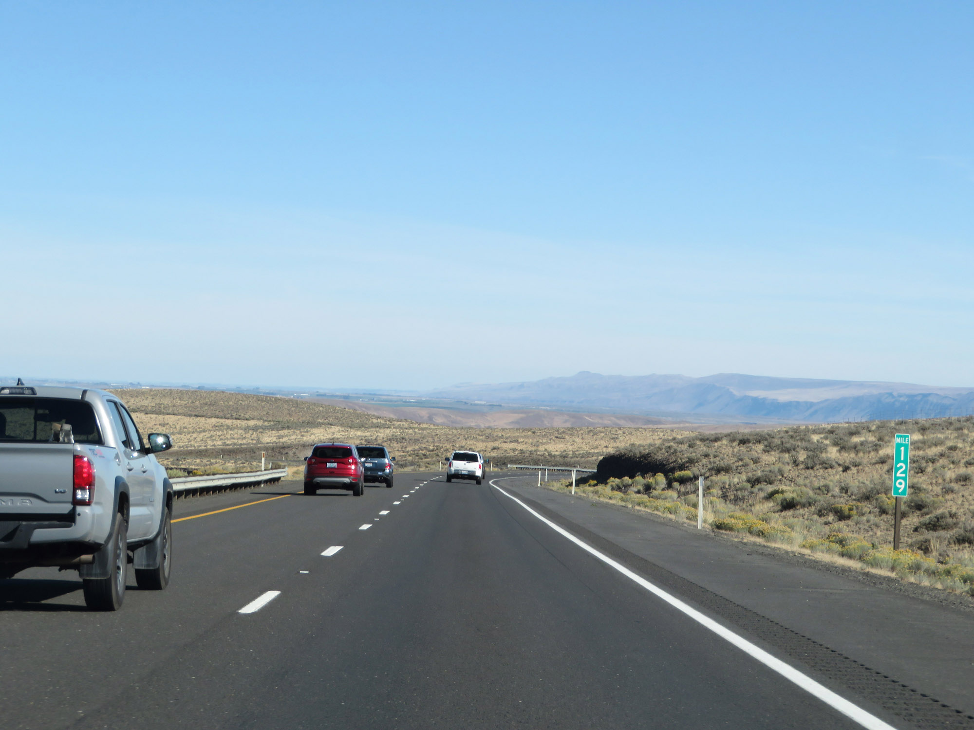 |
Interstate 90 East at mile marker 129. (Photo taken 9/21/19). |
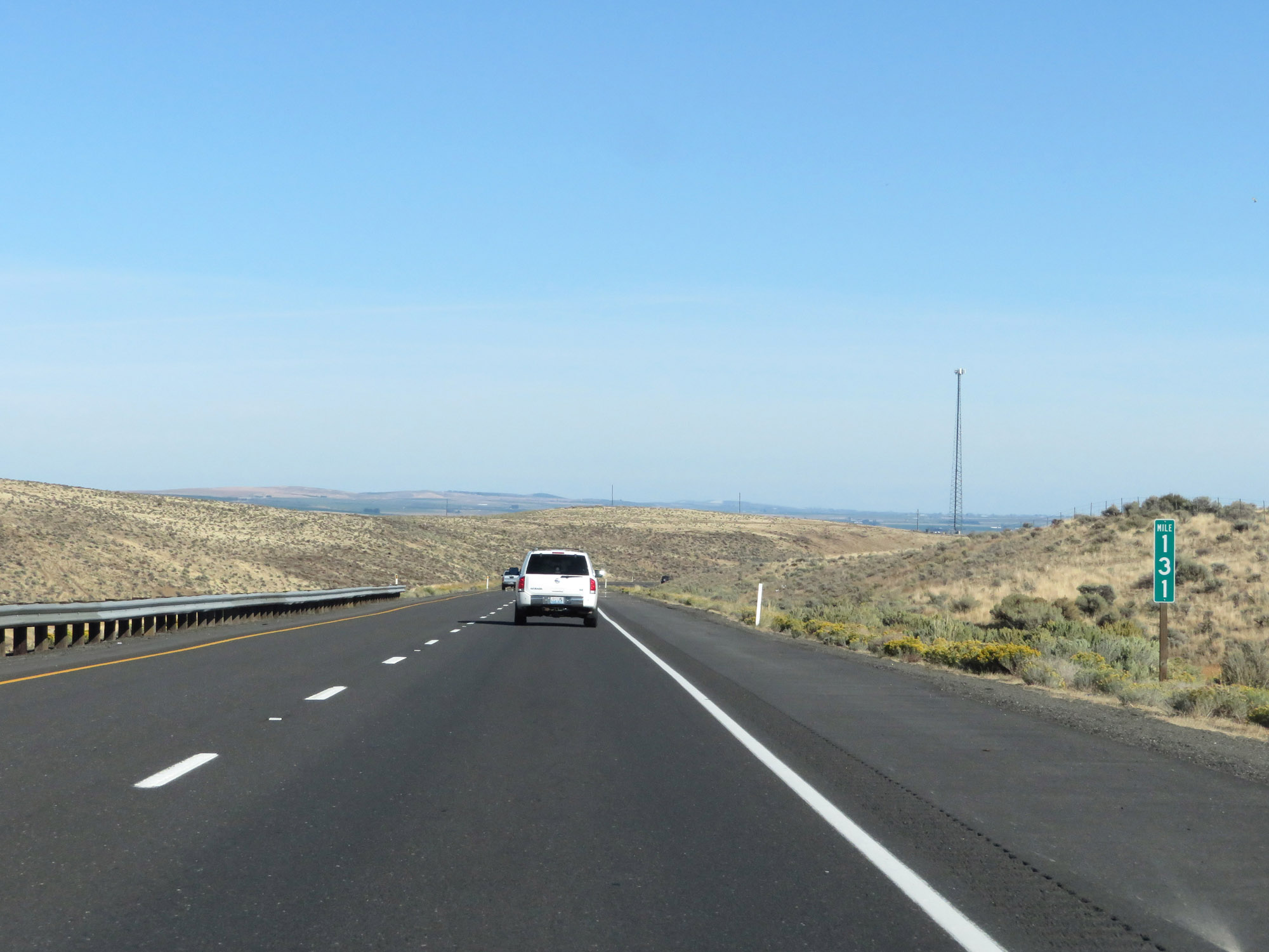 |
Interstate 90 East at mile marker 131. (Photo taken 9/21/19). |
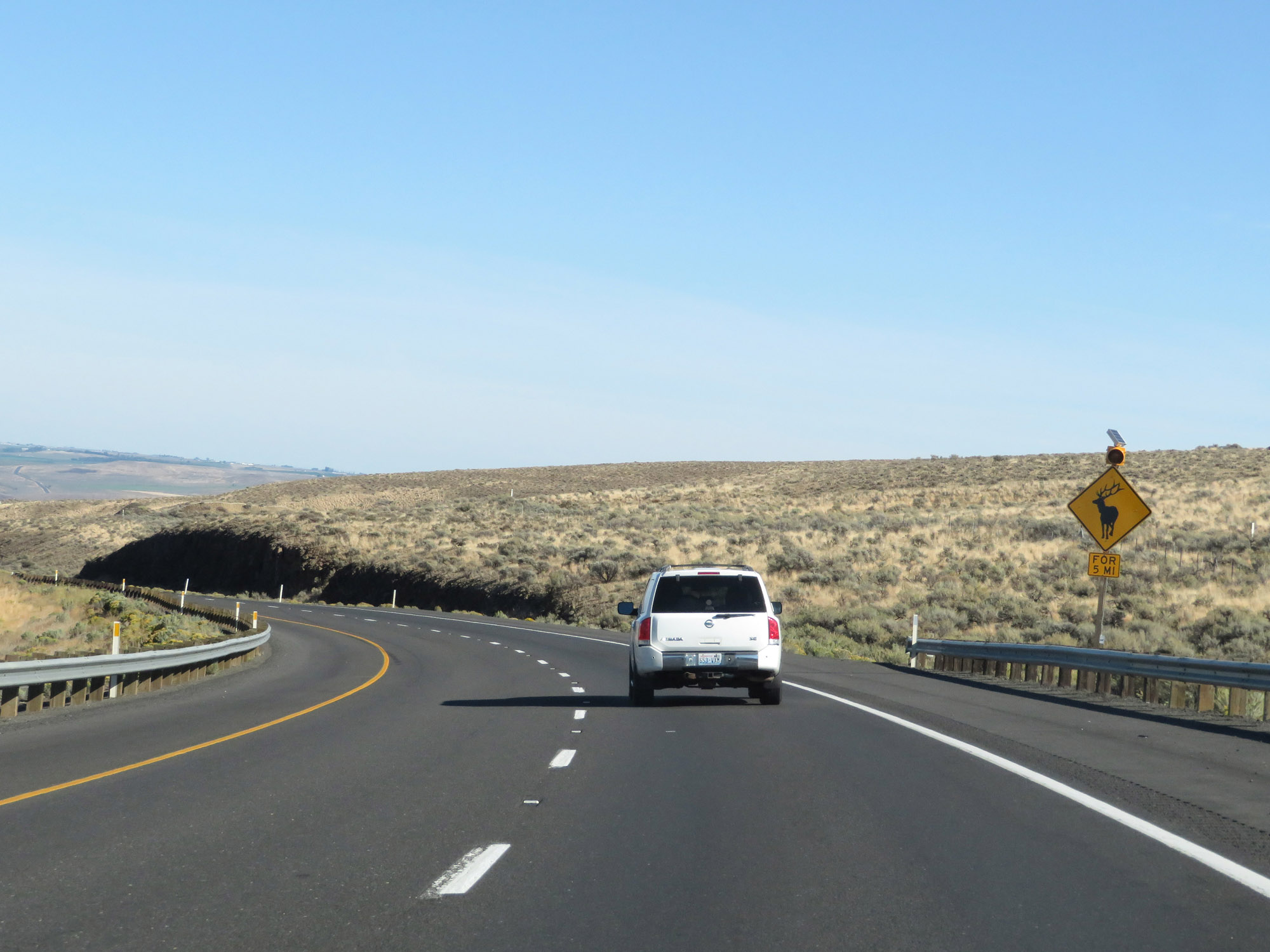 |
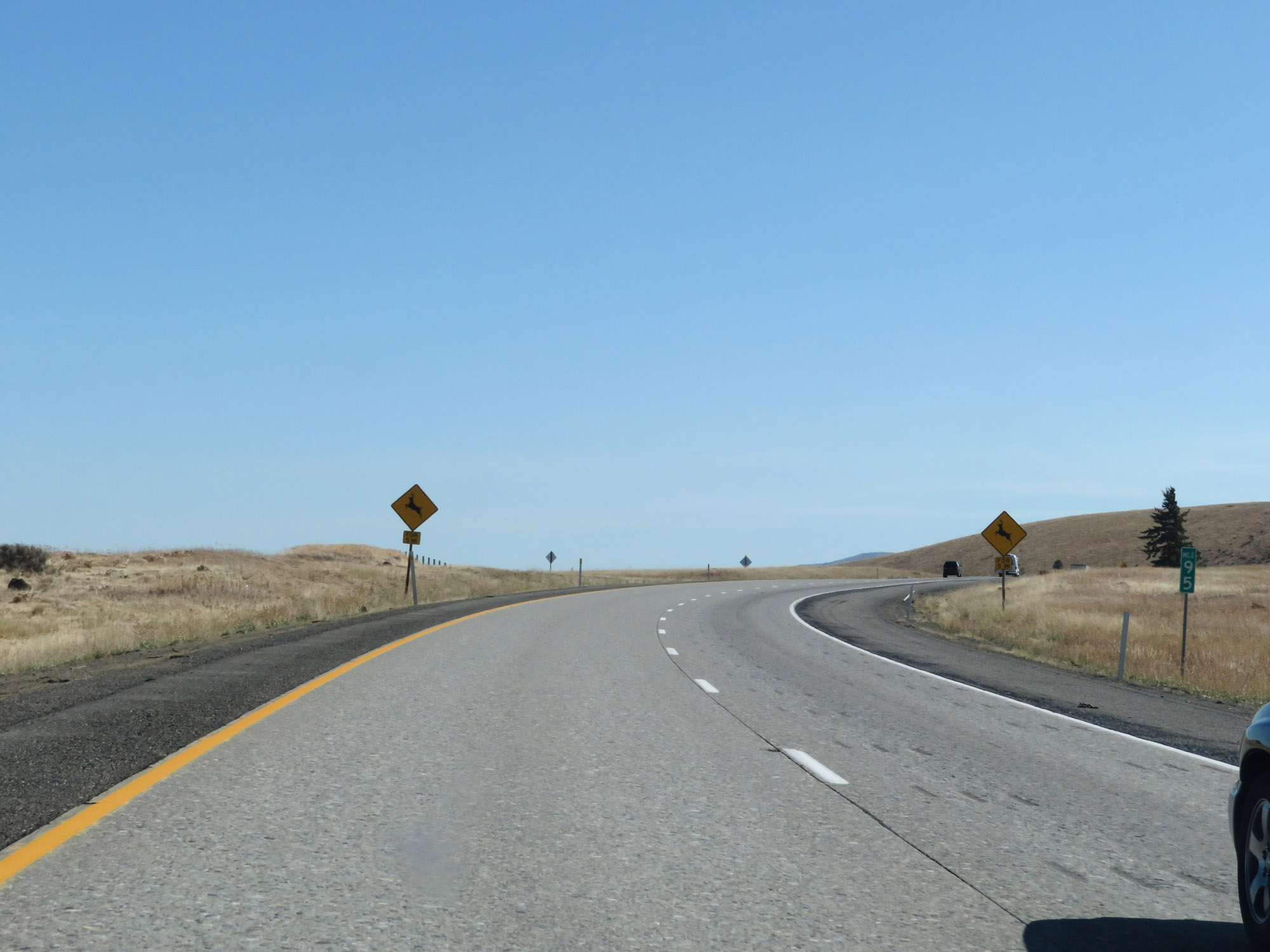
Watch for elk entering the roadway for the next 5 miles. (Photo taken 9/21/19). |
 |
View on Interstate 90 East at mile marker 133. (Photo taken 9/21/19). |
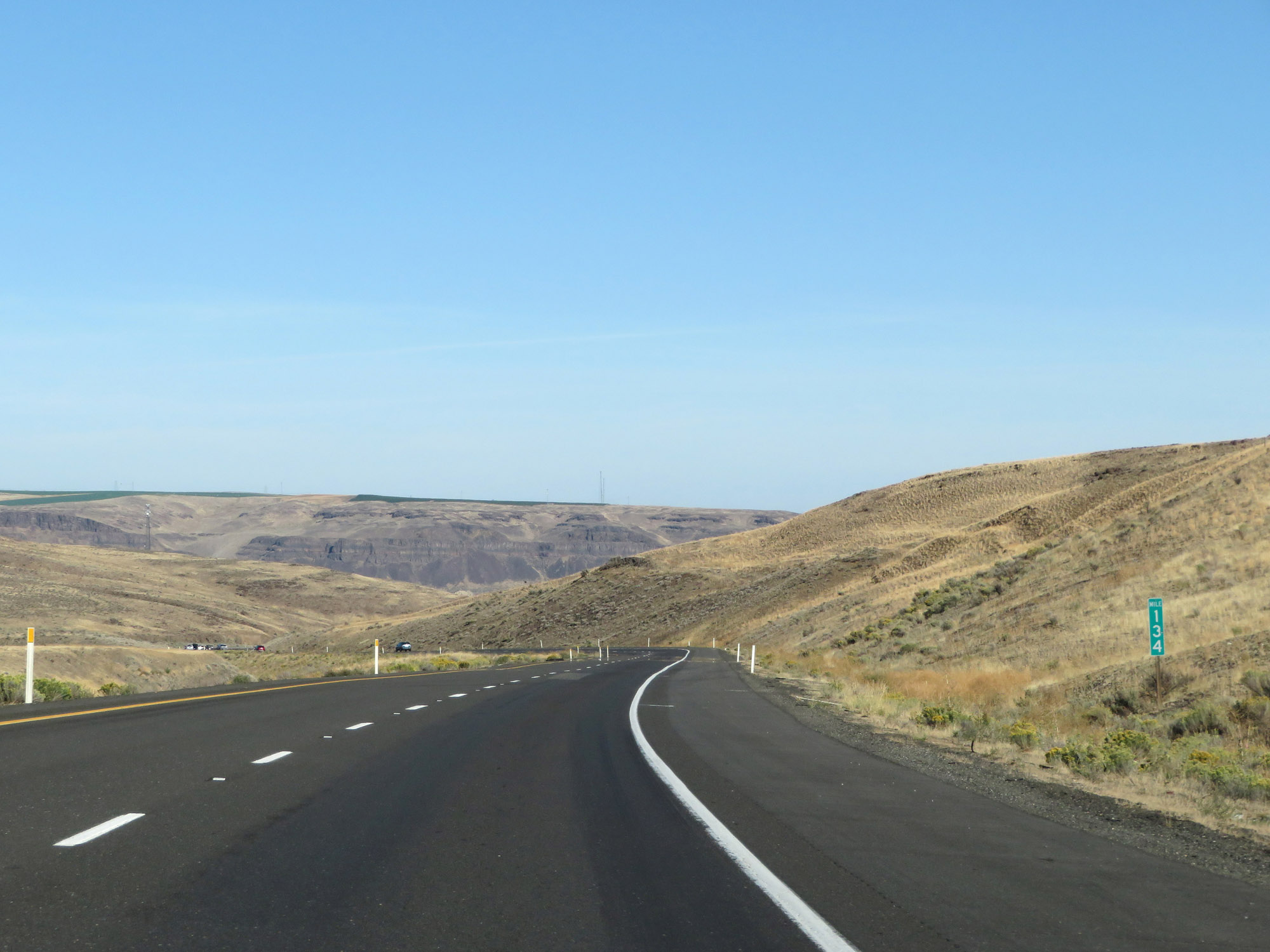 |
Interstate 90 East at mile marker 134. (Photo taken 9/21/19). |
 |
View on Interstate 90 East at mile marker 135. (Photo taken 9/21/19). |
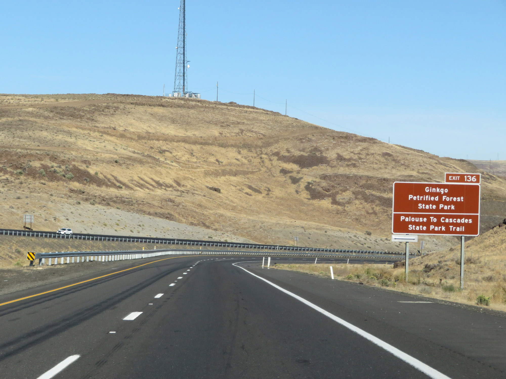 |
Take Exit 136 to Ginkgo Petrified Forest State Park and Palouse To Cascades State Park Trail. (Photo taken 9/21/19). |
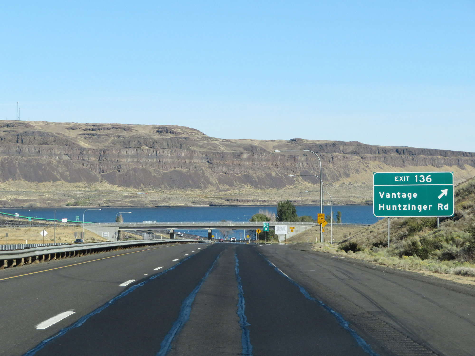 |
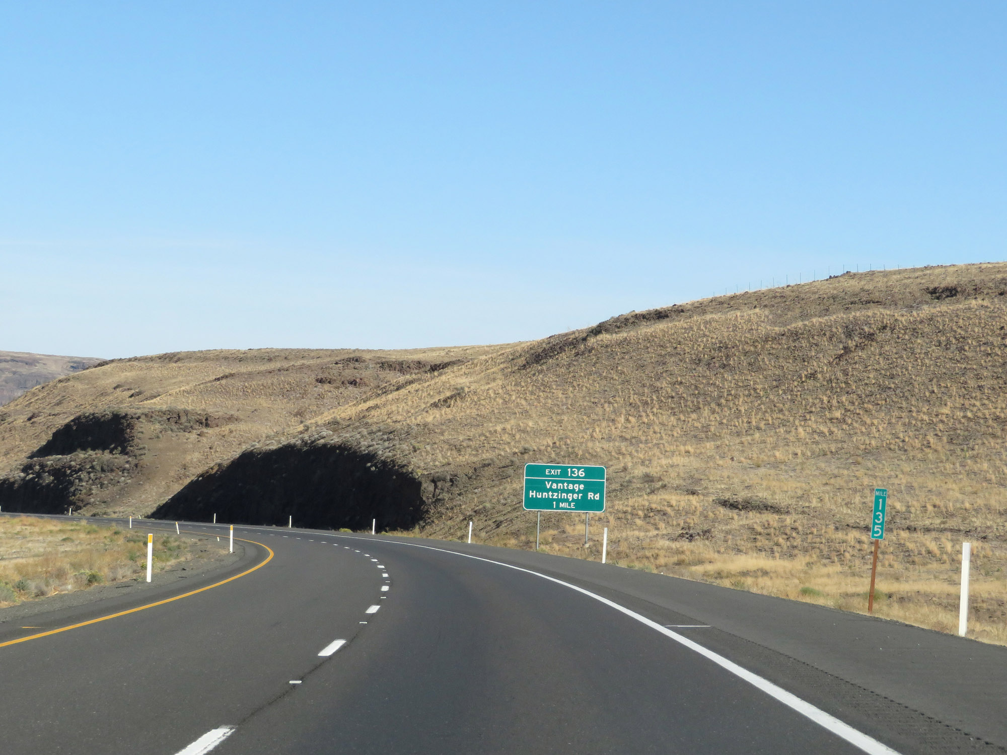
Interstate 90 East at Exit 136: Vantage / Huntzinger Rd (Photo taken 9/21/19). |
 |
Interstate 90 East as the Columbia River comes into view. (Photo taken 9/21/19). |
 |
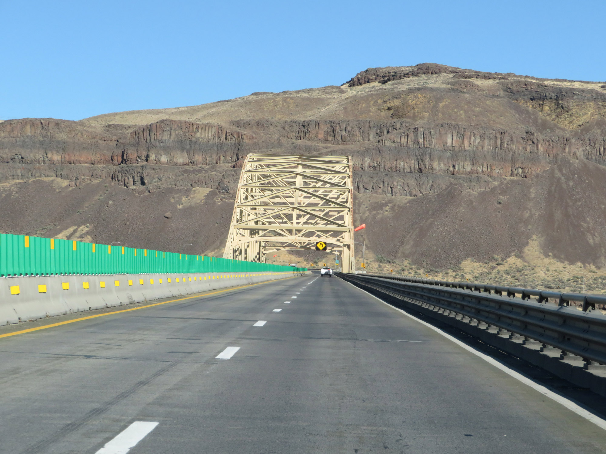
Interstate 90 East reassurance shield as it approaches the Vantage Bridge, which will carry I-90 over the Columbia River. (Photo taken 9/21/19). |
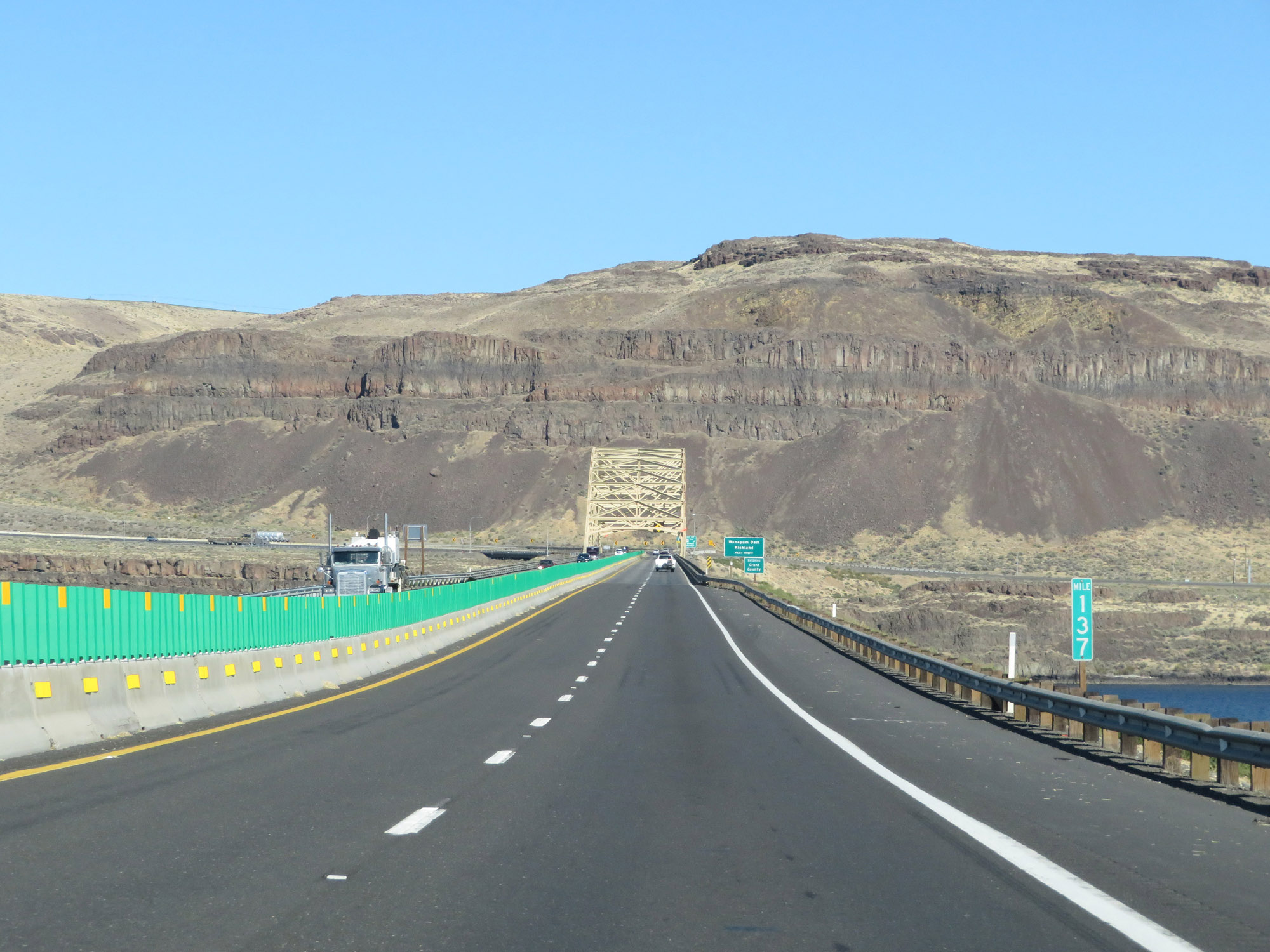 |
View on Interstate 90 East at mile marker 137, crossing the Vantage Bridge over the Columbia River. (Photo taken 9/21/19). |
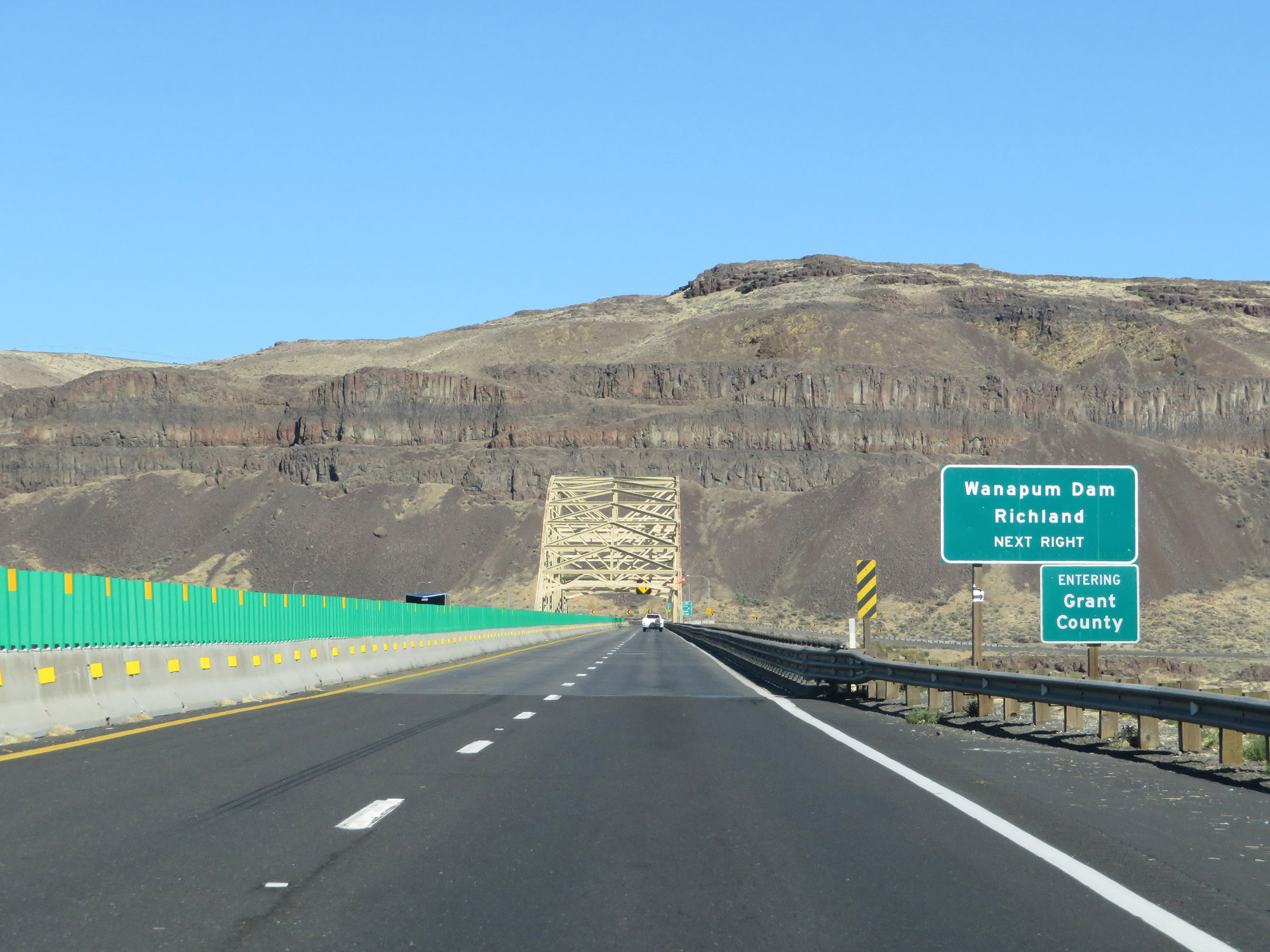 |
While crossing the Columbia River on the Vantage Bridge, Interstate 90 East enters Grant County. Also, take Exit 137 to Wanapum Dam and Richland. (Photo taken 9/21/19). |
 |
View on the Vantage Bridge crossing the Columbia River on Interstate 90 East. (Photo taken 9/21/19). |
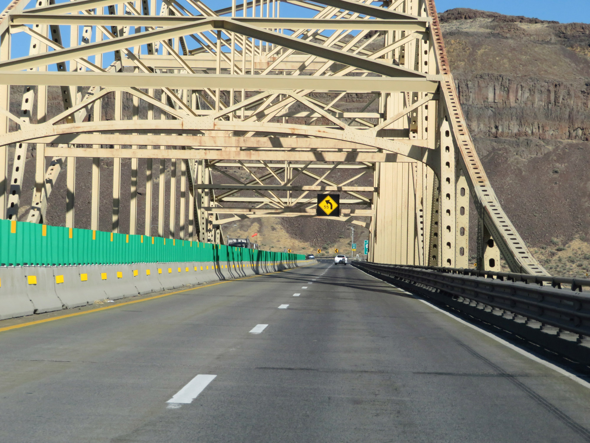 |
Another view on the Vantage Bridge over the Columbia River. (Photo taken 9/21/19). |
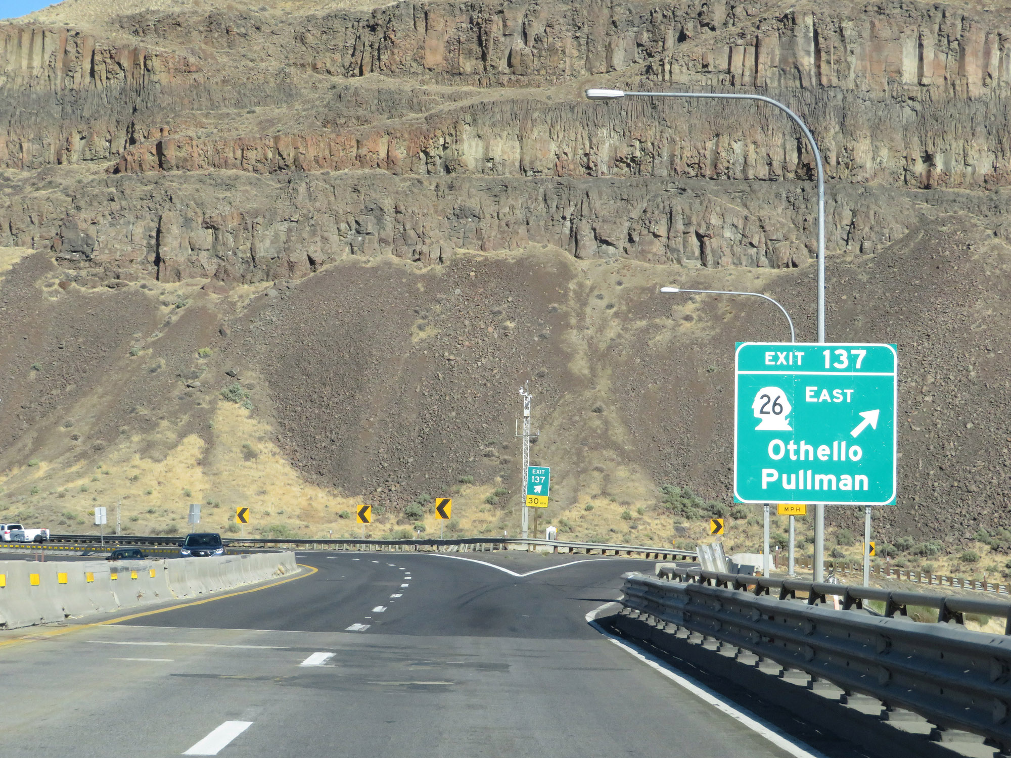 |
Interstate 90 East at Exit 137: WA 26 East - Othello / Pullman (Photo taken 9/21/19). |
Section 4: Vantage (Exit 137) to Moses Lake (Exit 179)
 |
Interstate 90 East makes a sharp curve to the north just beyond Exit 137. (Photo taken 9/21/19). |
 |
View on Interstate 90 East as it curves to the north on the east side of the Columbia River. (Photo taken 9/21/19). |
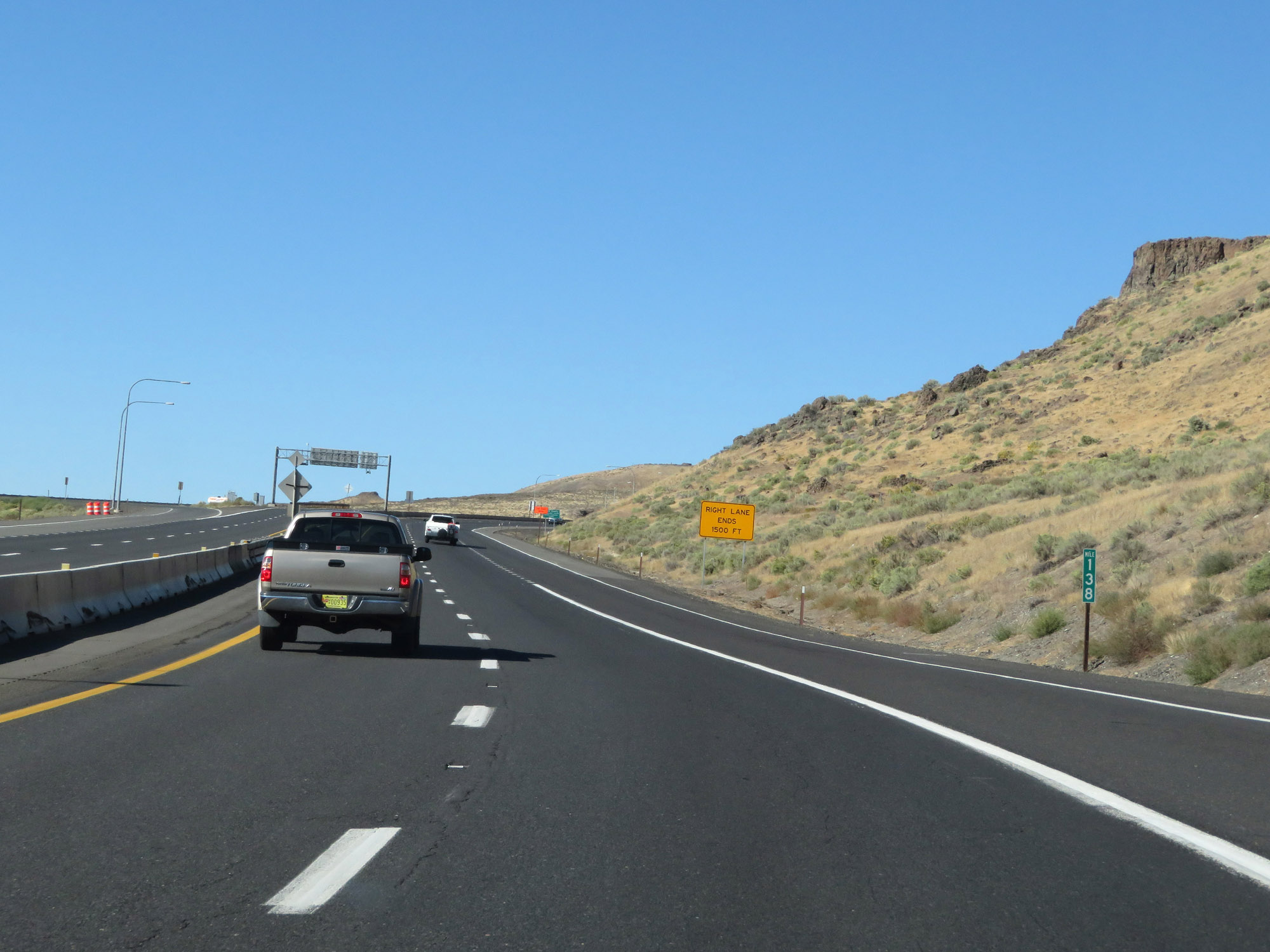 |
Interstate 90 East at mile marker 138. (Photo taken 9/21/19). |
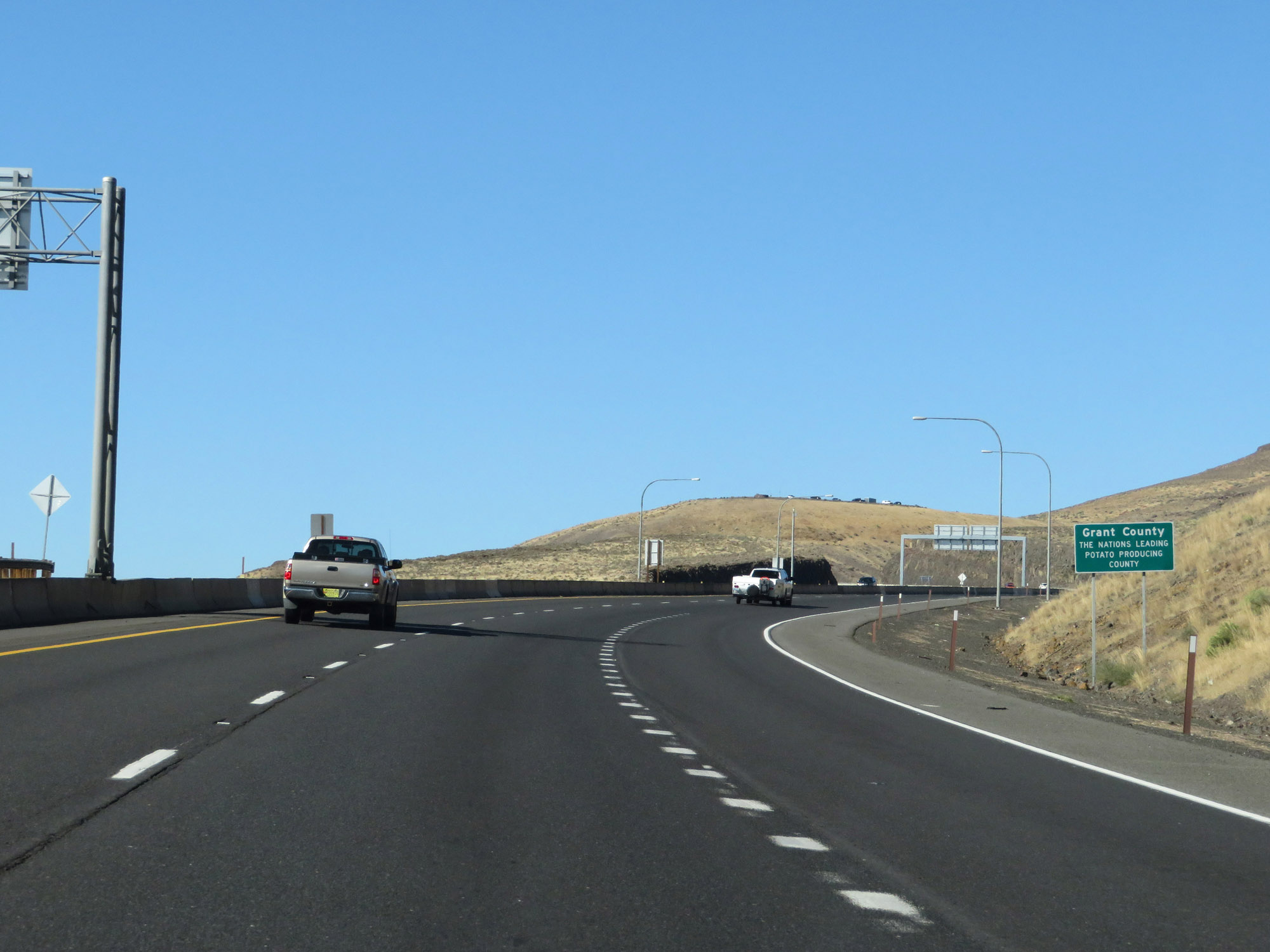 |
As this sign reads, Grant County is the nation's leading potato producing county. I found this to be an interesting little piece of trivia. (Photo taken 9/21/19). |
 |
The speed limits remain 70 mph for cars and 60 mph for trucks. (Photo taken 9/21/19). |
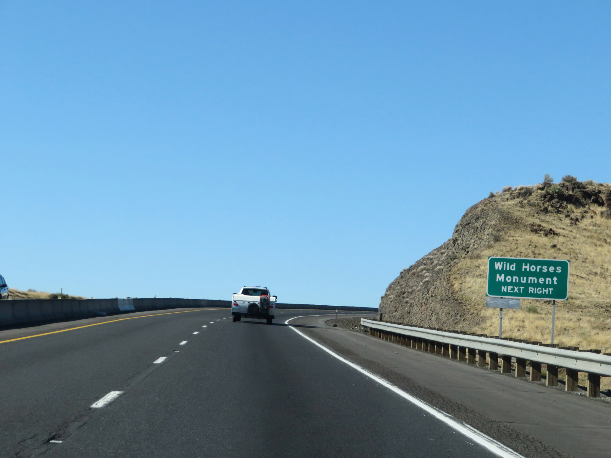 |
Take Exit 139 to the Wild Horses Monument. (Photo taken 9/21/19). |
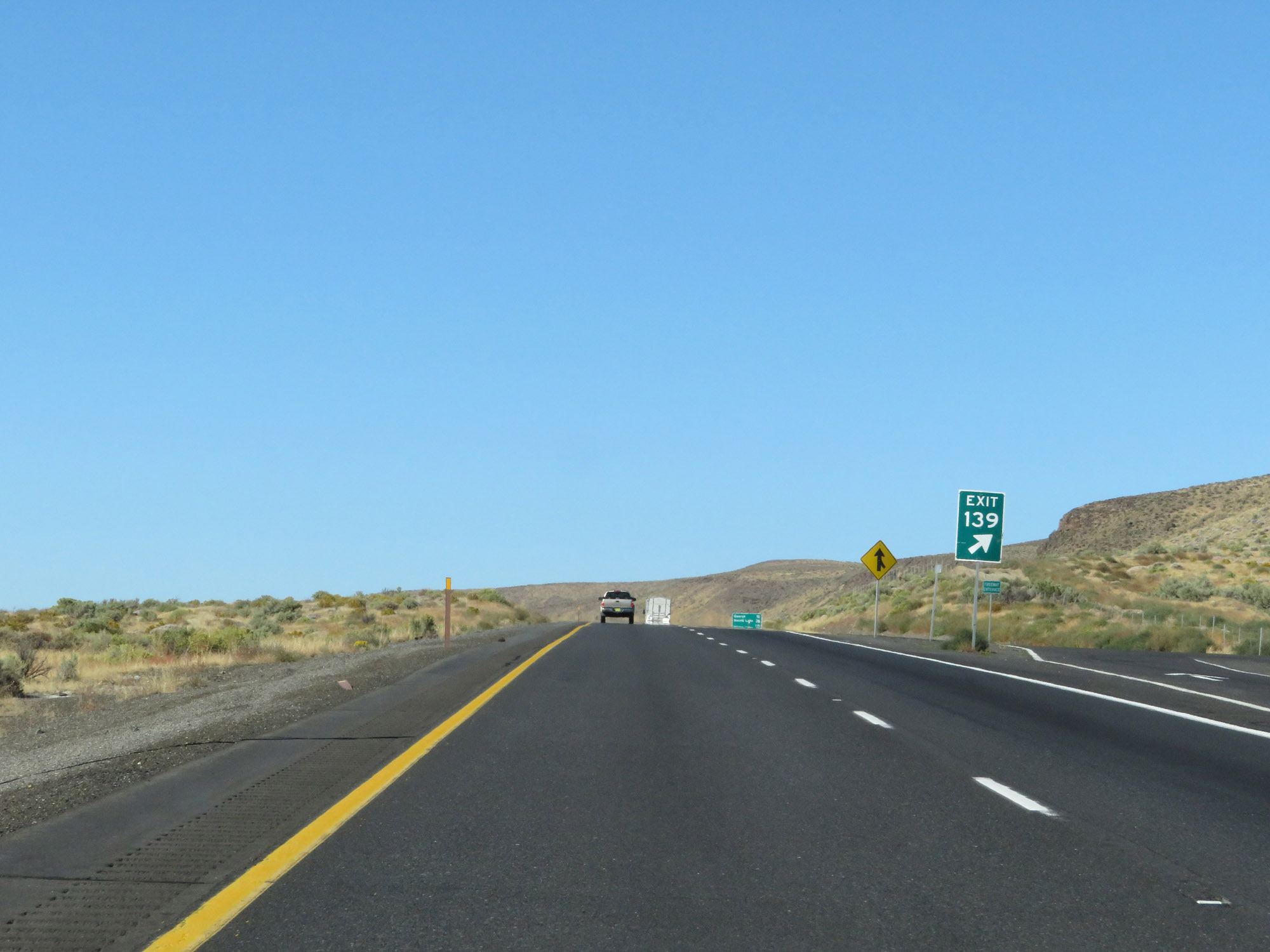 |
Interstate 90 East at Exit 139: Scenic View (Photo taken 9/21/19). |
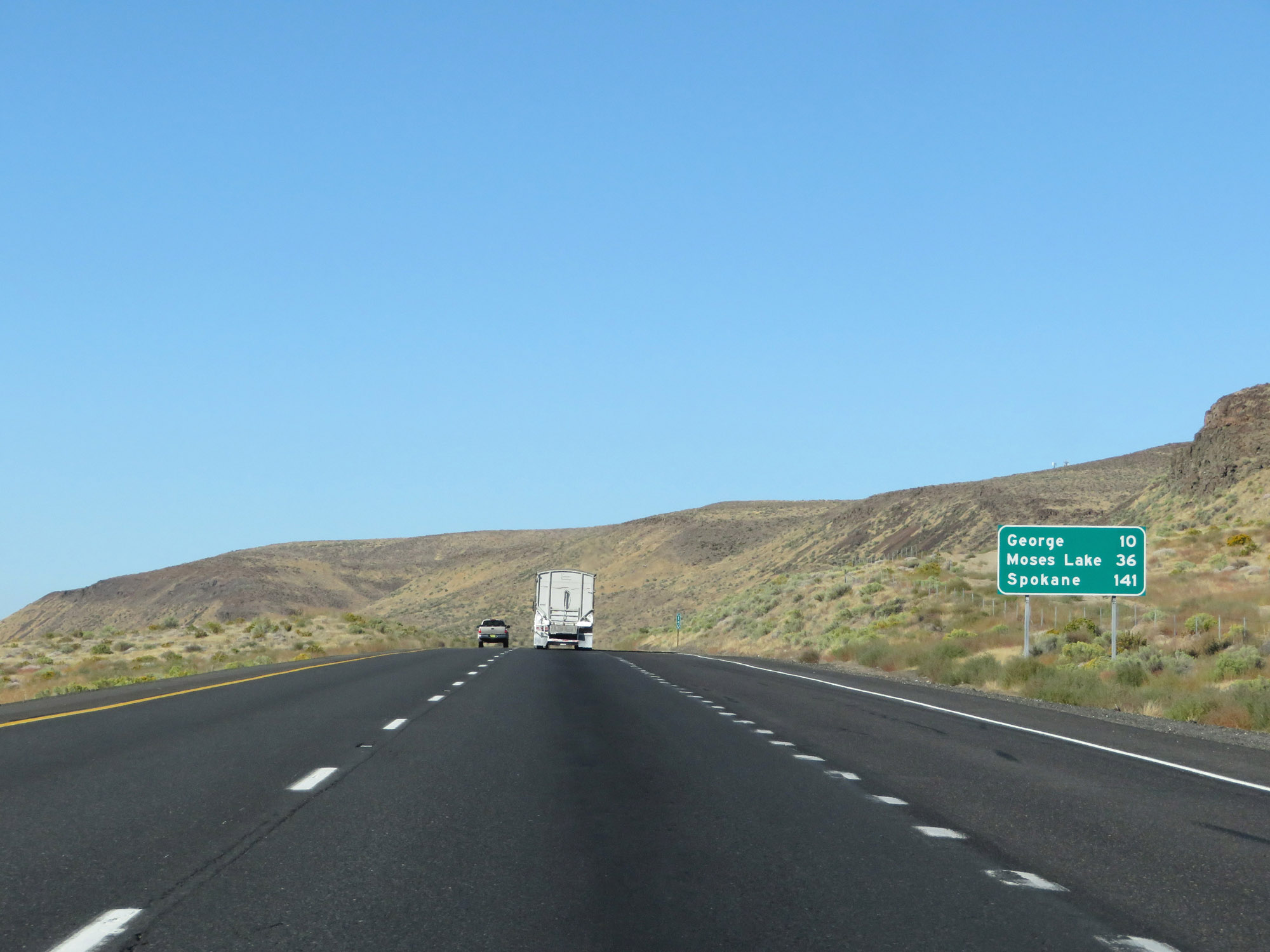 |
Mileage sign on Interstate 90 East. It's 10 miles to George, 36 miles to Moses Lake, and 141 miles to Spokane. (Photo taken 9/21/19). |
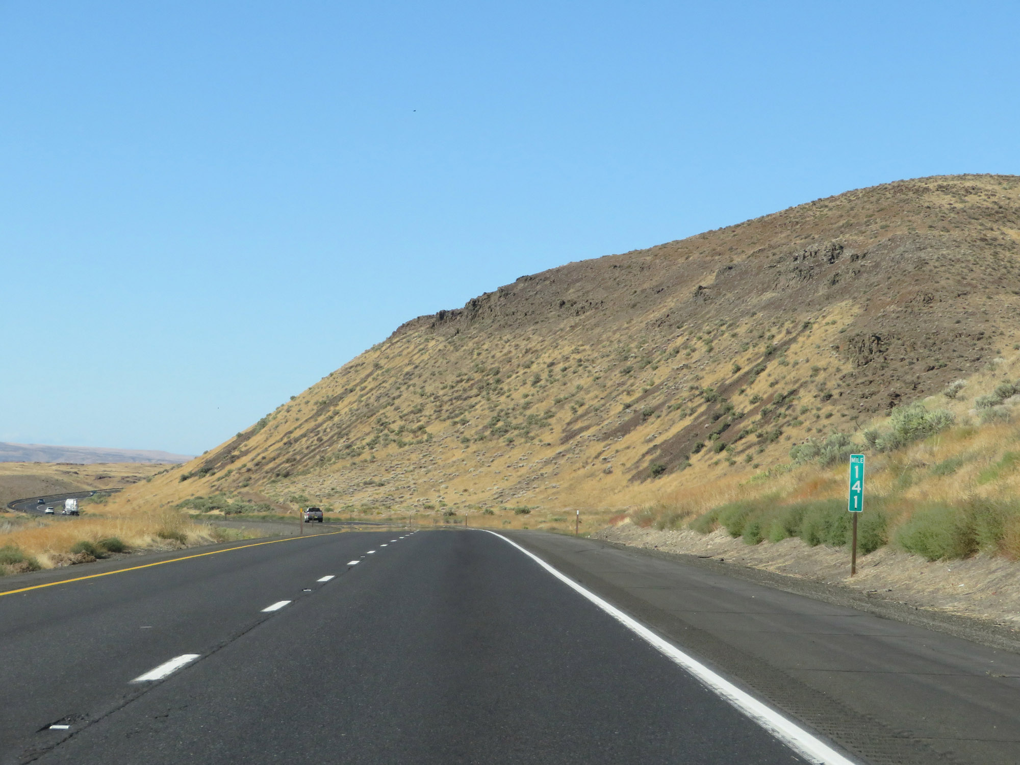 |
View on Interstate 90 East at mile marker 141, still heading north but preparing to curve to the east once again ahead. (Photo taken 9/21/19). |
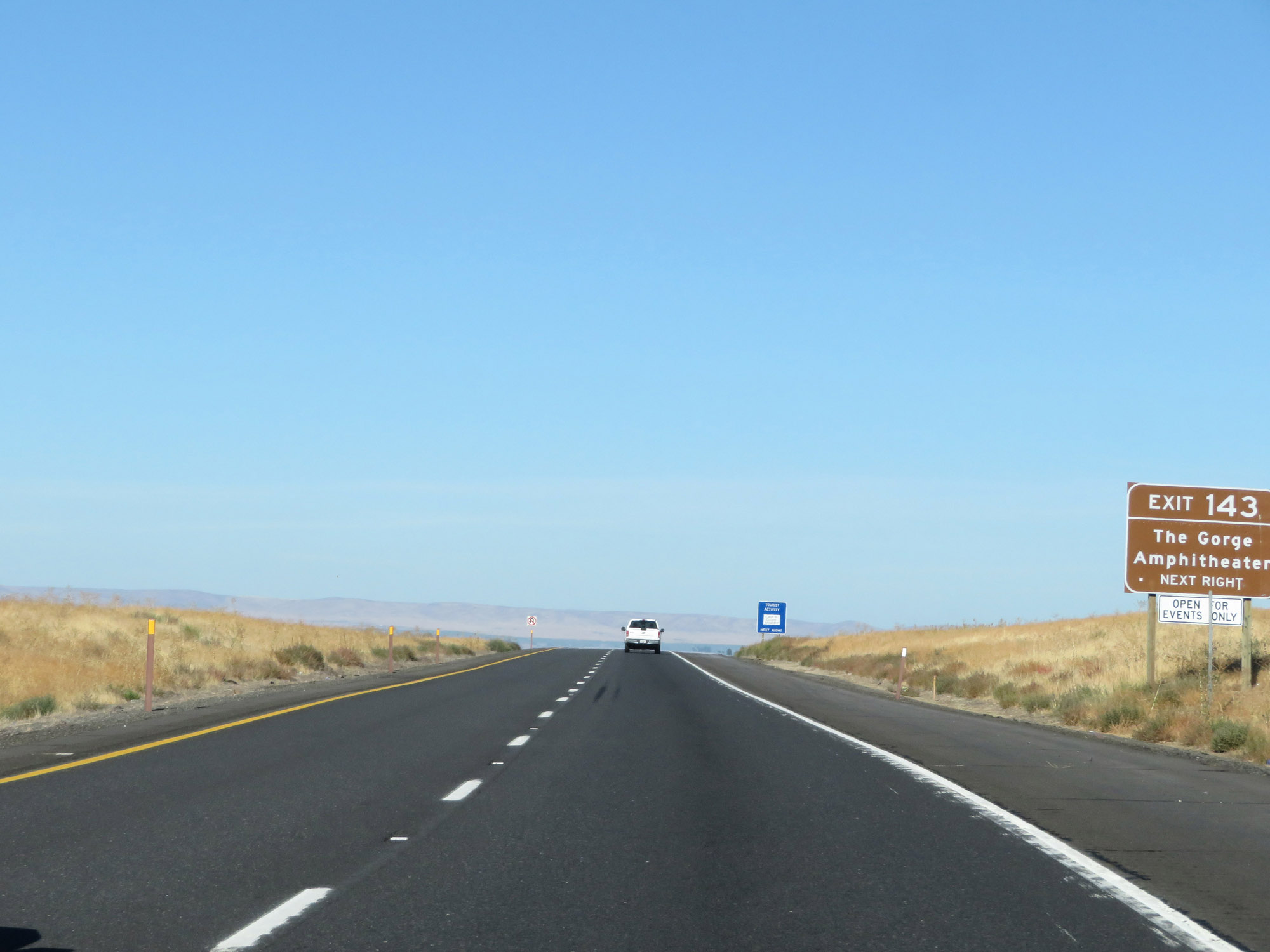 |
Interstate 90 East, now once again heading in an eastbound direction. Take Exit 143 to The Gorge Amphitheater. (Photo taken 9/21/19). |
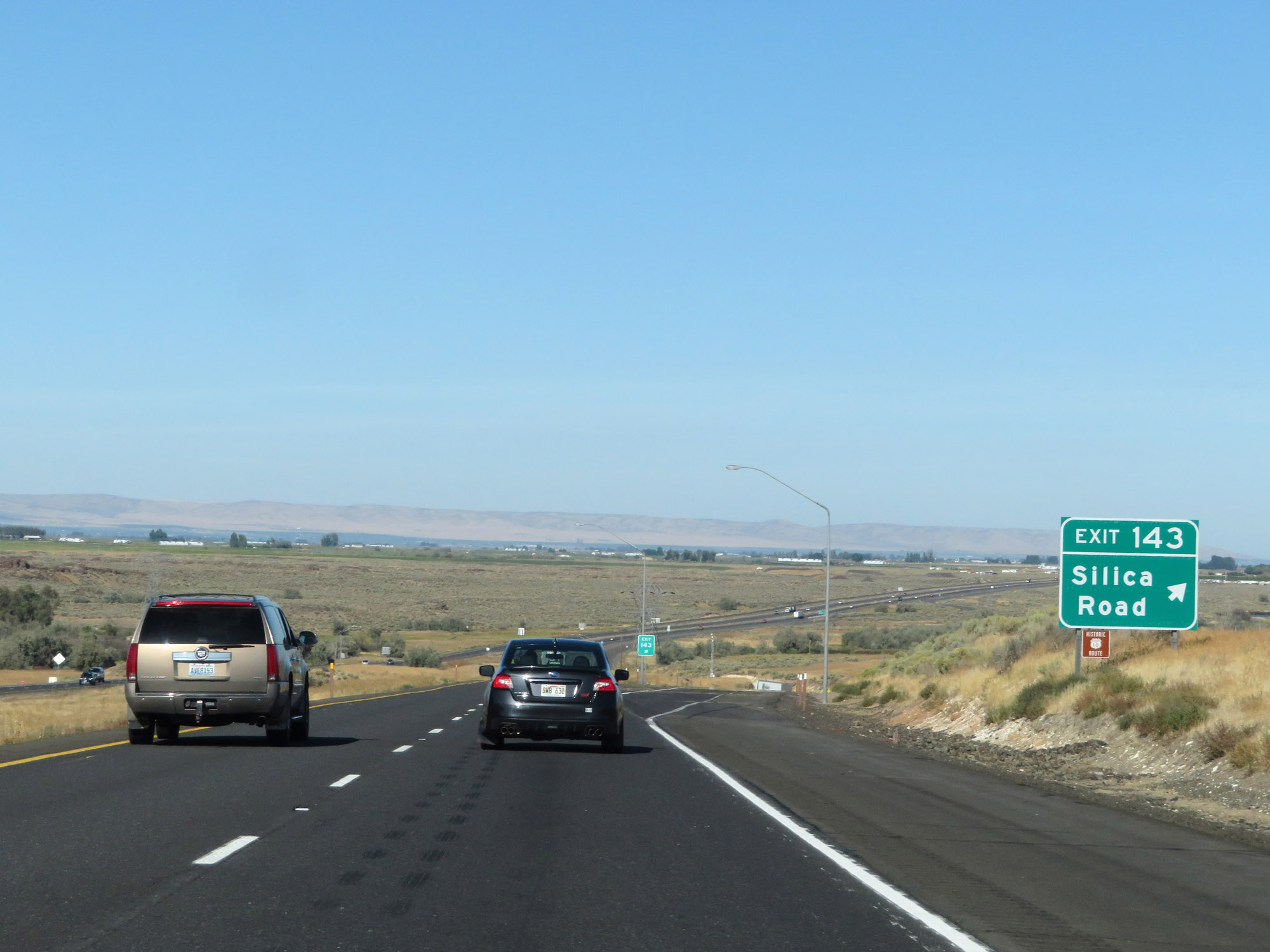 |
Interstate 90 East at Exit 143: Silica Road (Photo taken 9/21/19). |
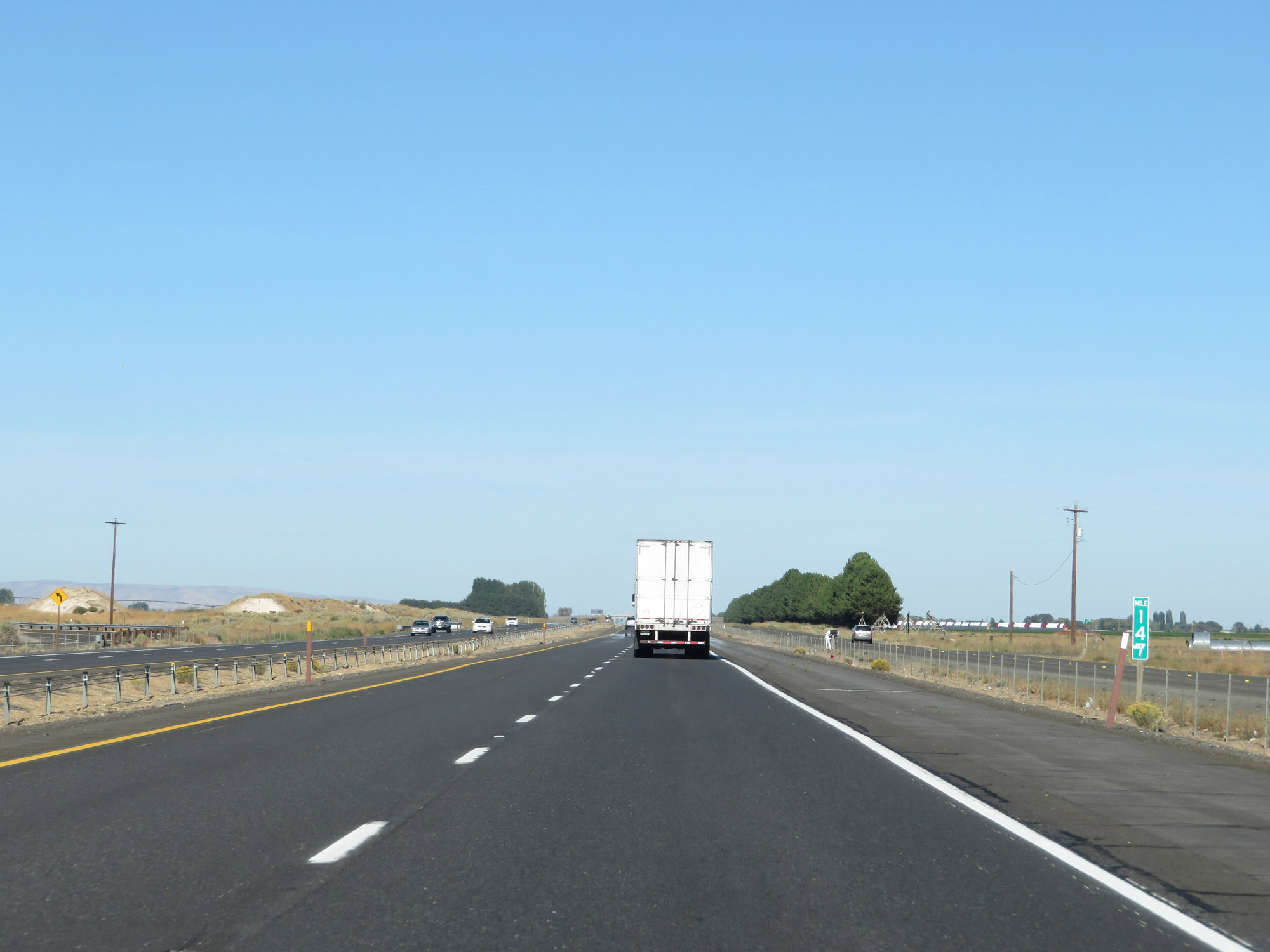 |
View on Interstate 90 East at mile marker 147. (Photo taken 9/21/19). |
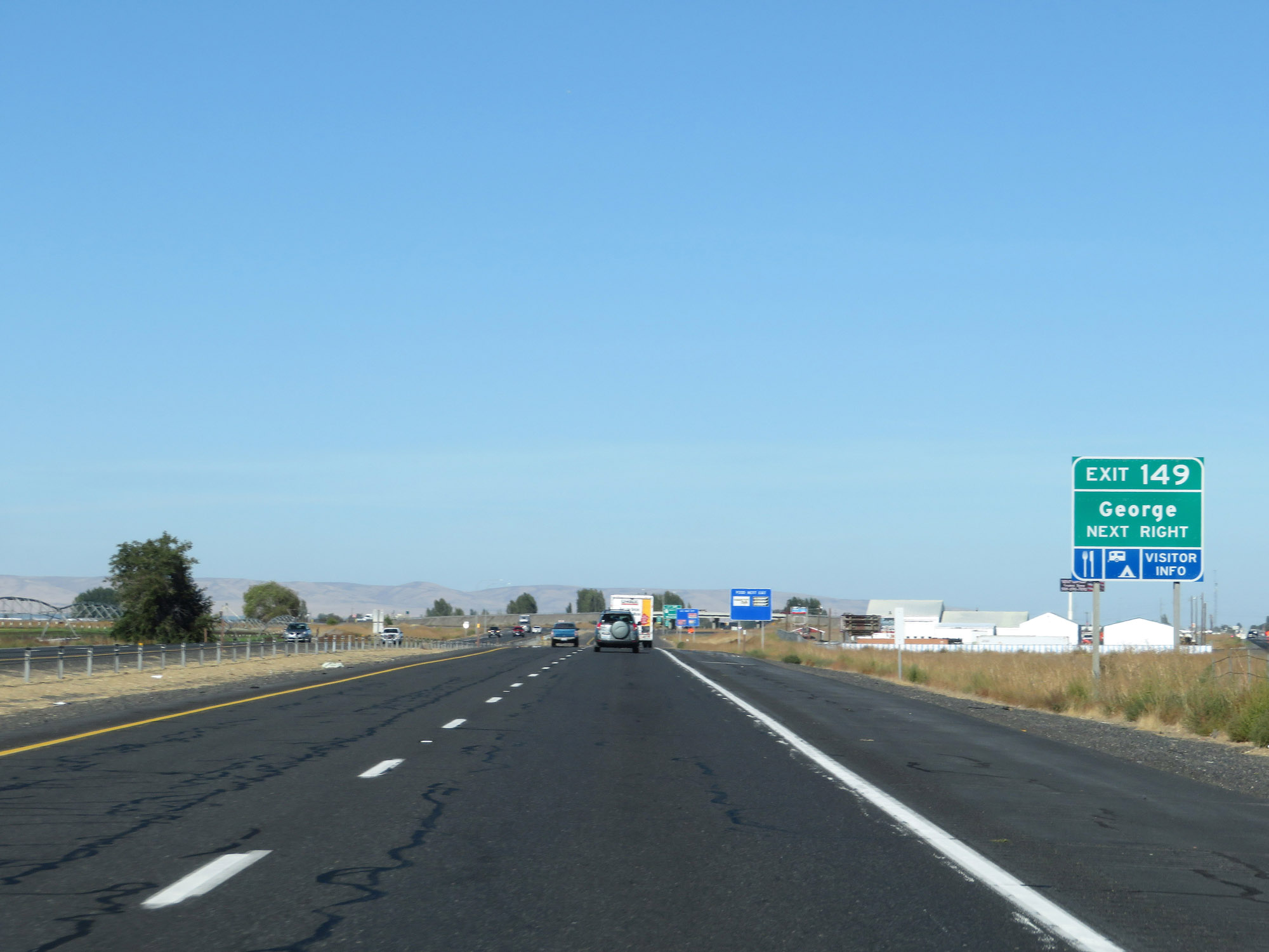 |
Take Exit 149 to George. (Photo taken 9/21/19). |
 |
Interstate 90 East at Exit 149: WA 281 North - Quincy / Wenatchee (Photo taken 9/21/19). |
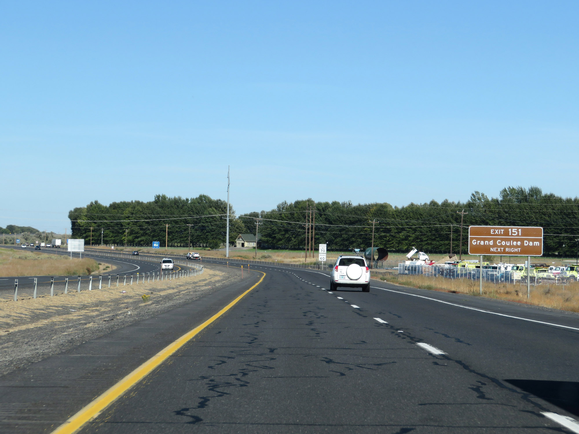 |
Take Exit 151 to Grand Coulee Dam. (Photo taken 9/21/19). |
 |
Interstate 90 East at Exit 151: WA 283 North - Ephrata / Soap Lake (Photo taken 9/21/19). |
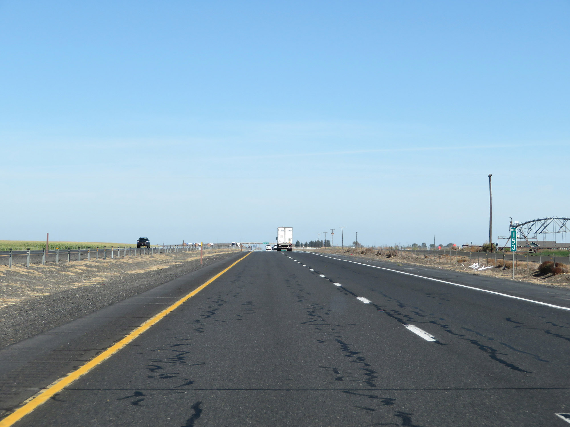 |
Interstate 90 East at mile marker 153. (Photo taken 9/21/19). |
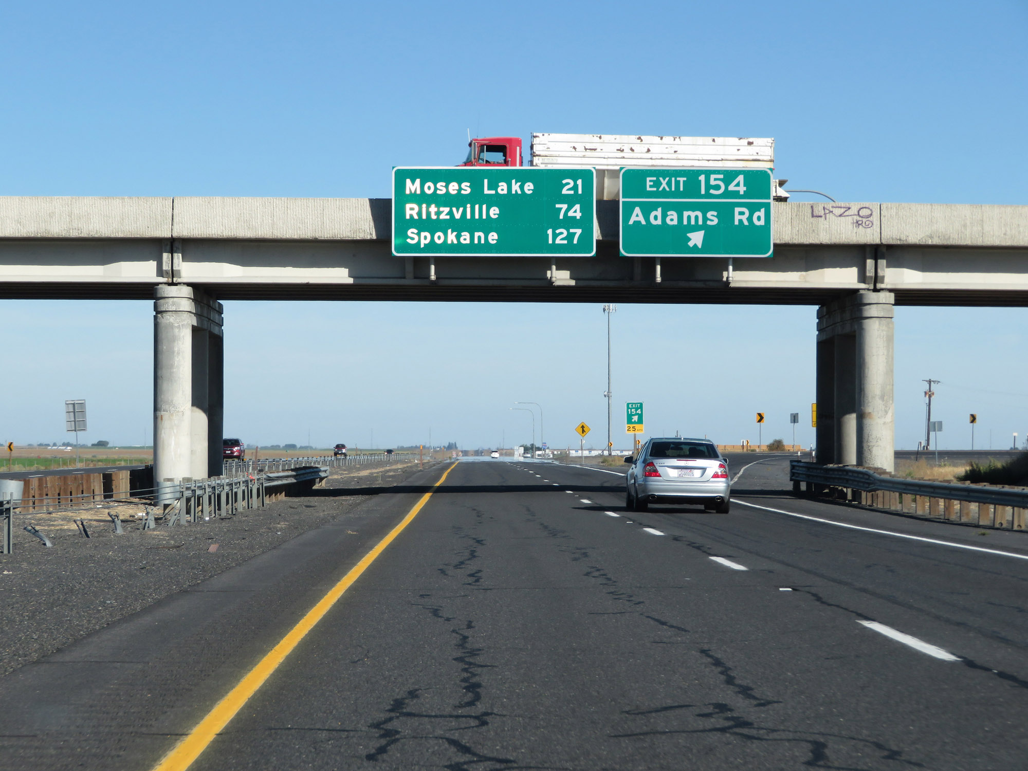 |
Interstate 90 East at Exit 154: Adams Rd (Photo taken 9/21/19). |
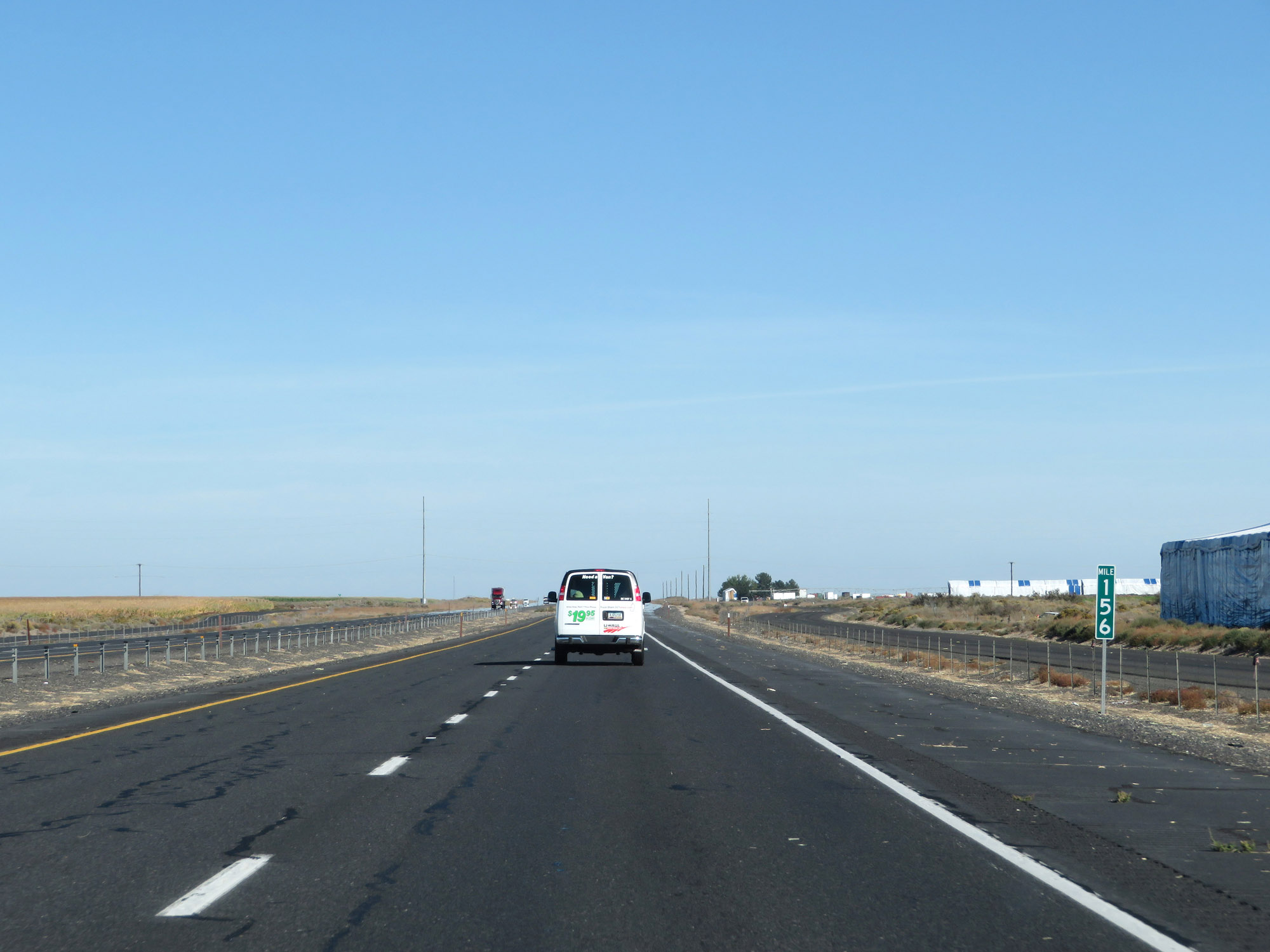 |
Interstate 90 East at mile marker 156. (Photo taken 9/21/19). |
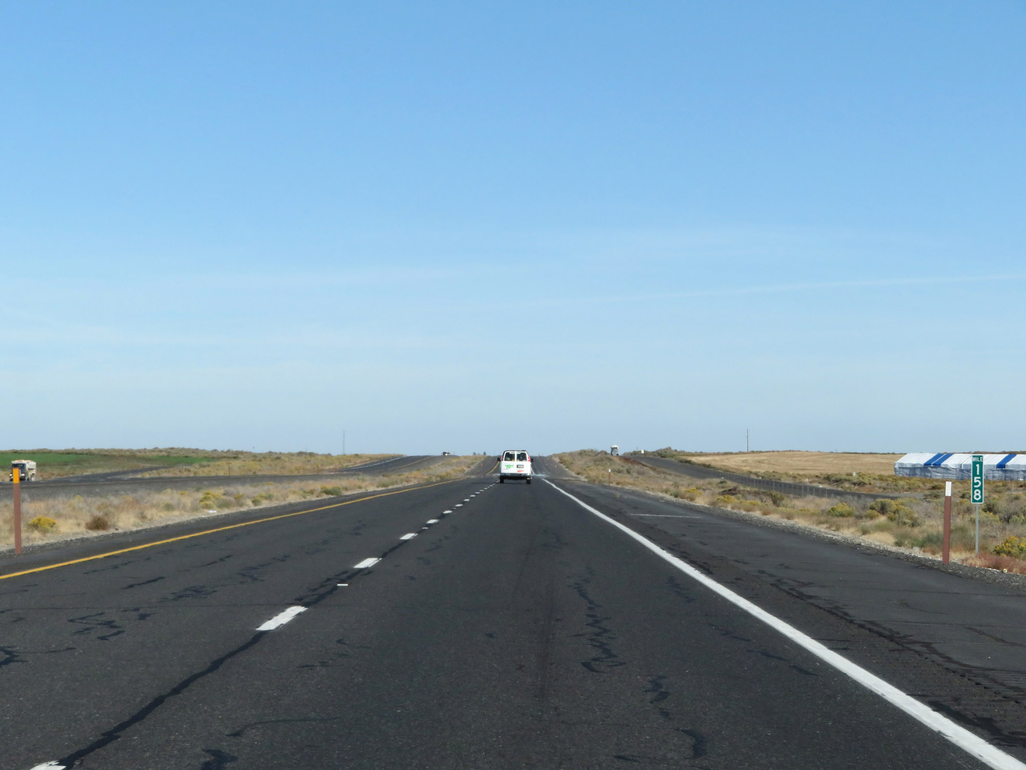 |
View on Interstate 90 East at mile marker 158. (Photo taken 9/21/19). |
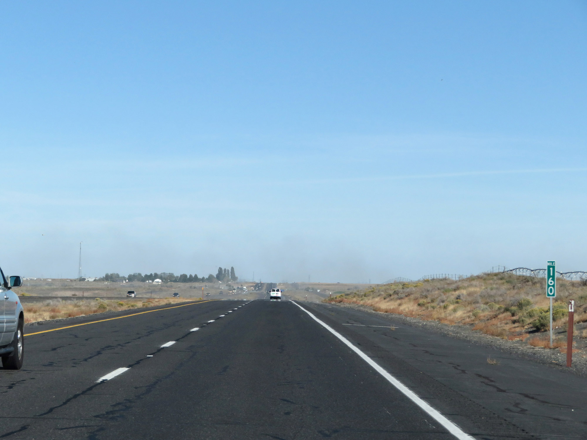 |
Interstate 90 East at mile marker 160. (Photo taken 9/21/19). |
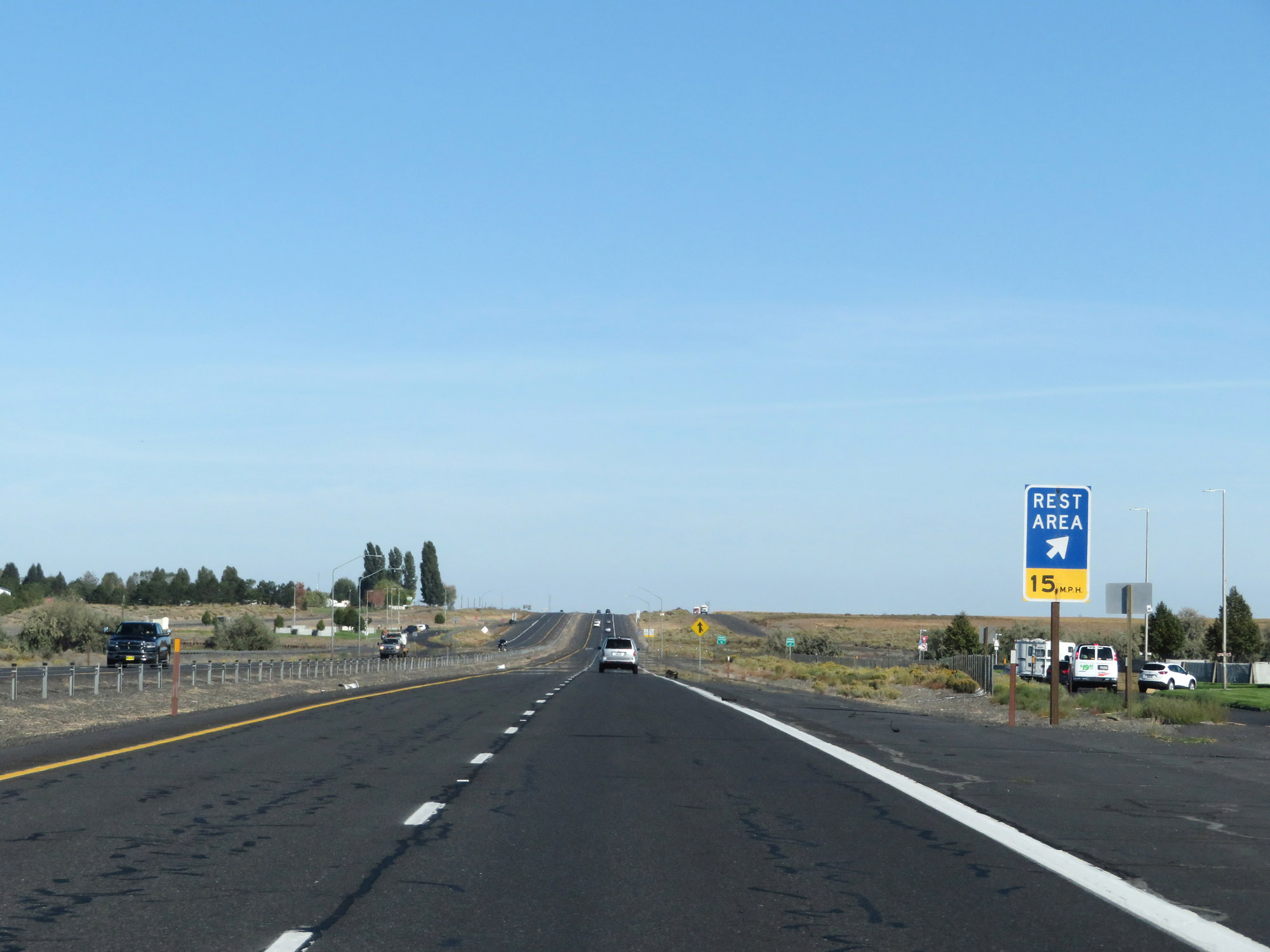 |
Rest Area on Interstate 90 East in Grant County. (Photo taken 9/21/19). |
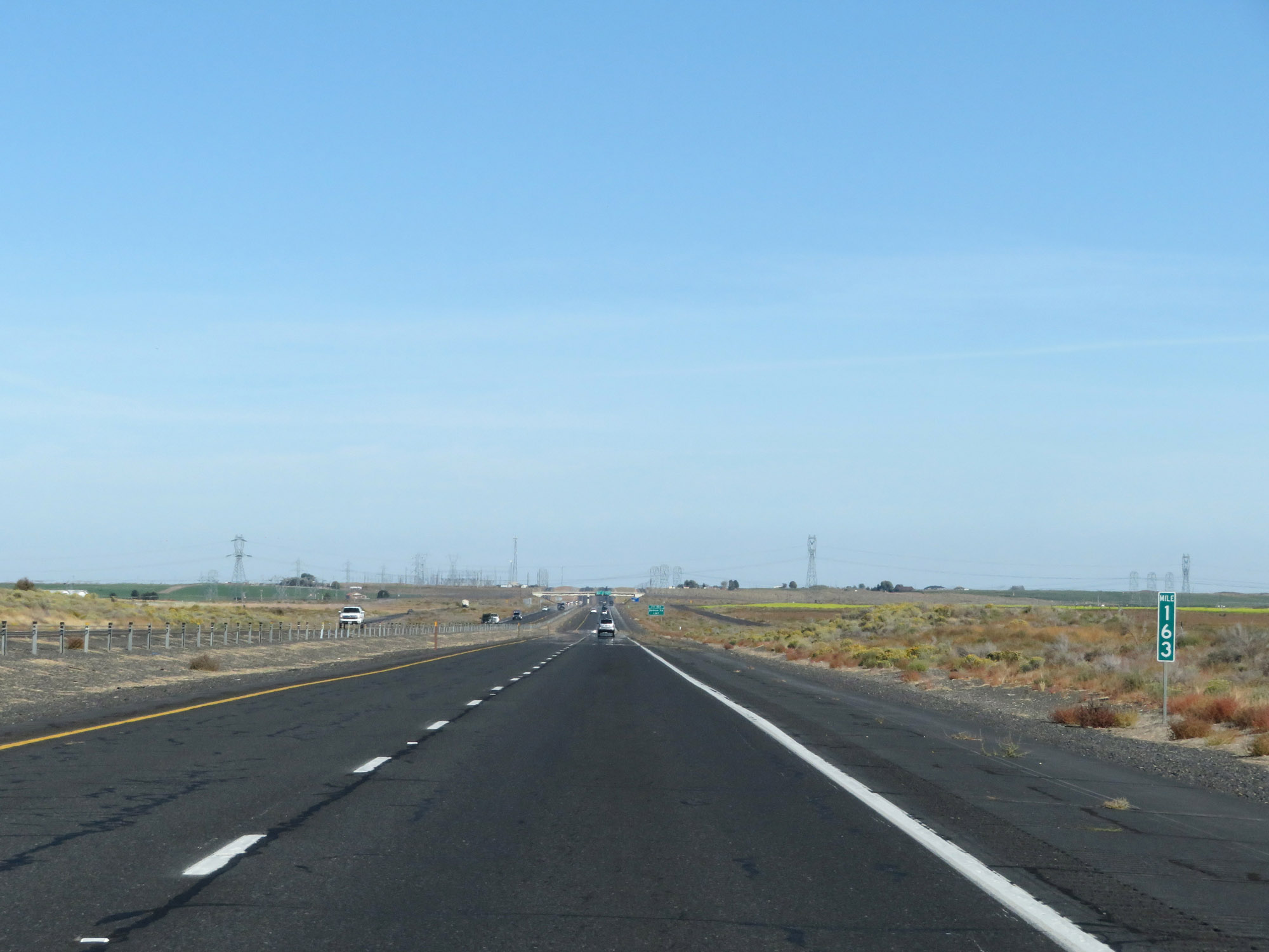 |
View on Interstate 90 East at mile marker 163. (Photo taken 9/21/19). |
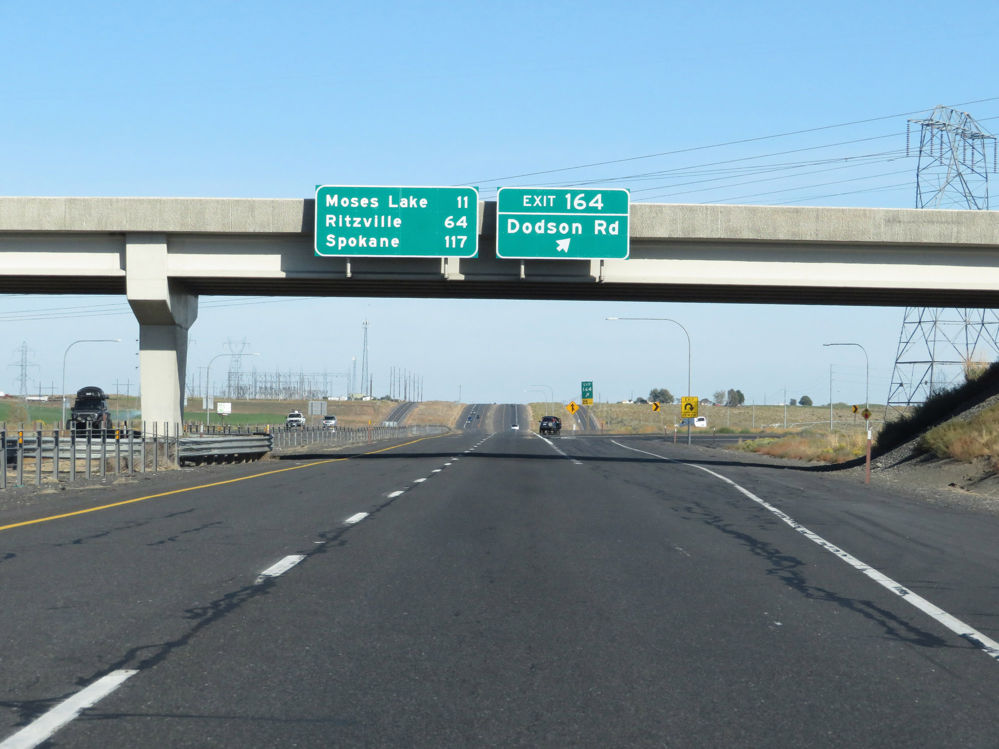 |
Interstate 90 East at Exit 164: Dodson Rd (Photo taken 9/21/19). |
 |
The speed limits remain 70 mph for cars and 60 mph for trucks. These are the standard speed limits on most rural Interstate highways in Washington State. (Photo taken 9/21/19). |
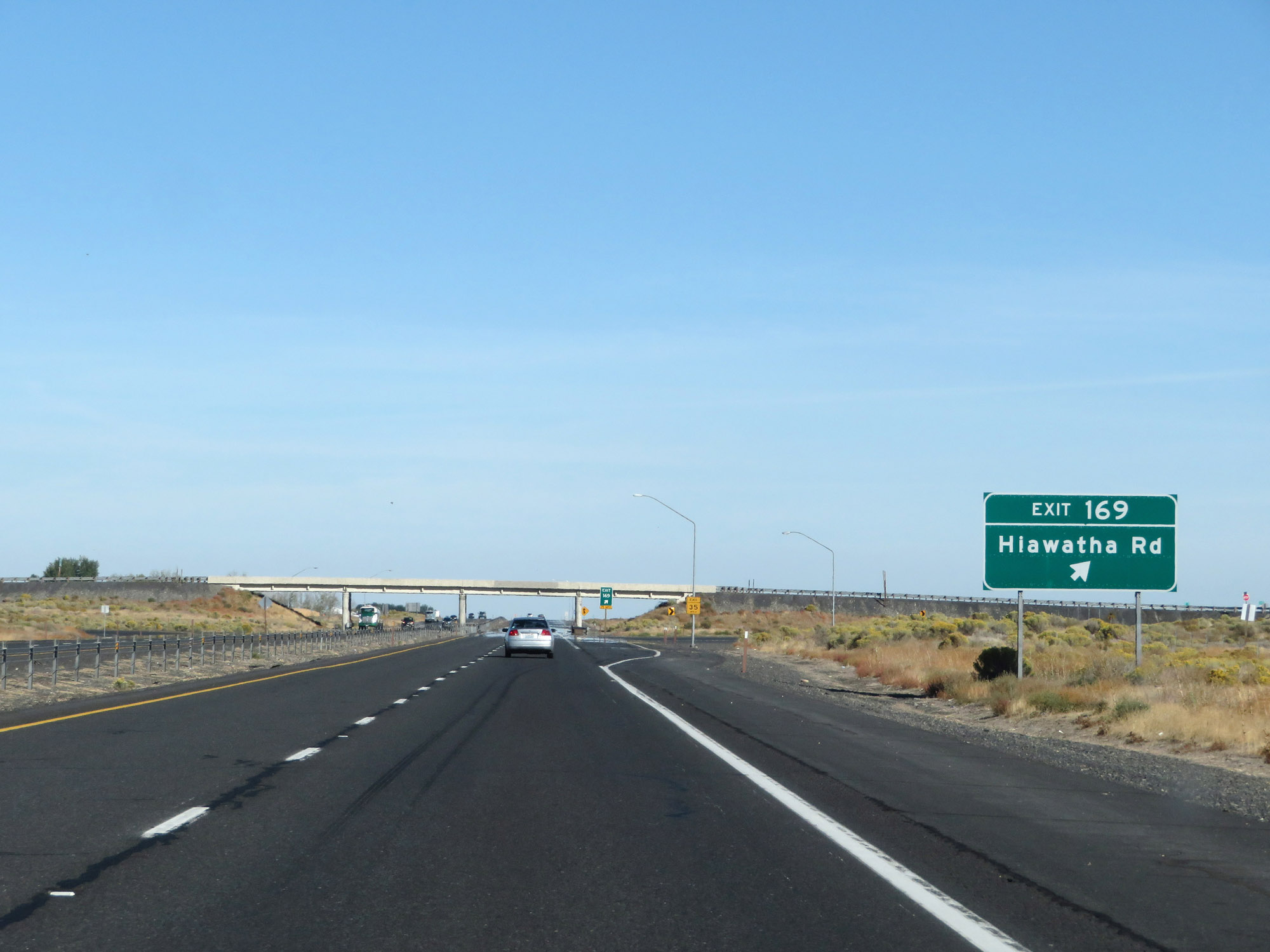 |
Interstate 90 East at Exit 169: Hiawatha Rd (Photo taken 9/21/19). |
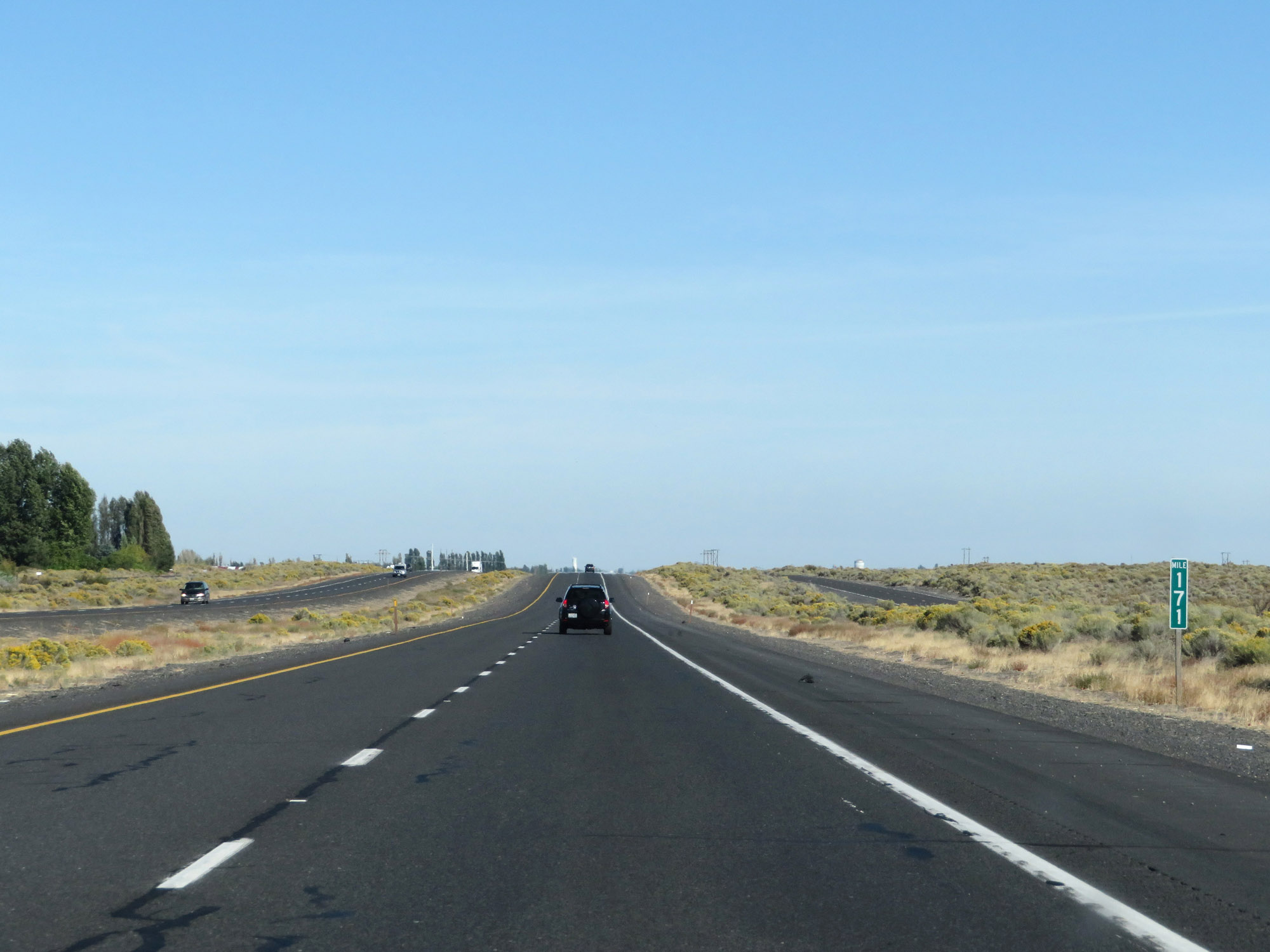 |
Interstate 90 East at mile marker 171. (Photo taken 9/21/19). |
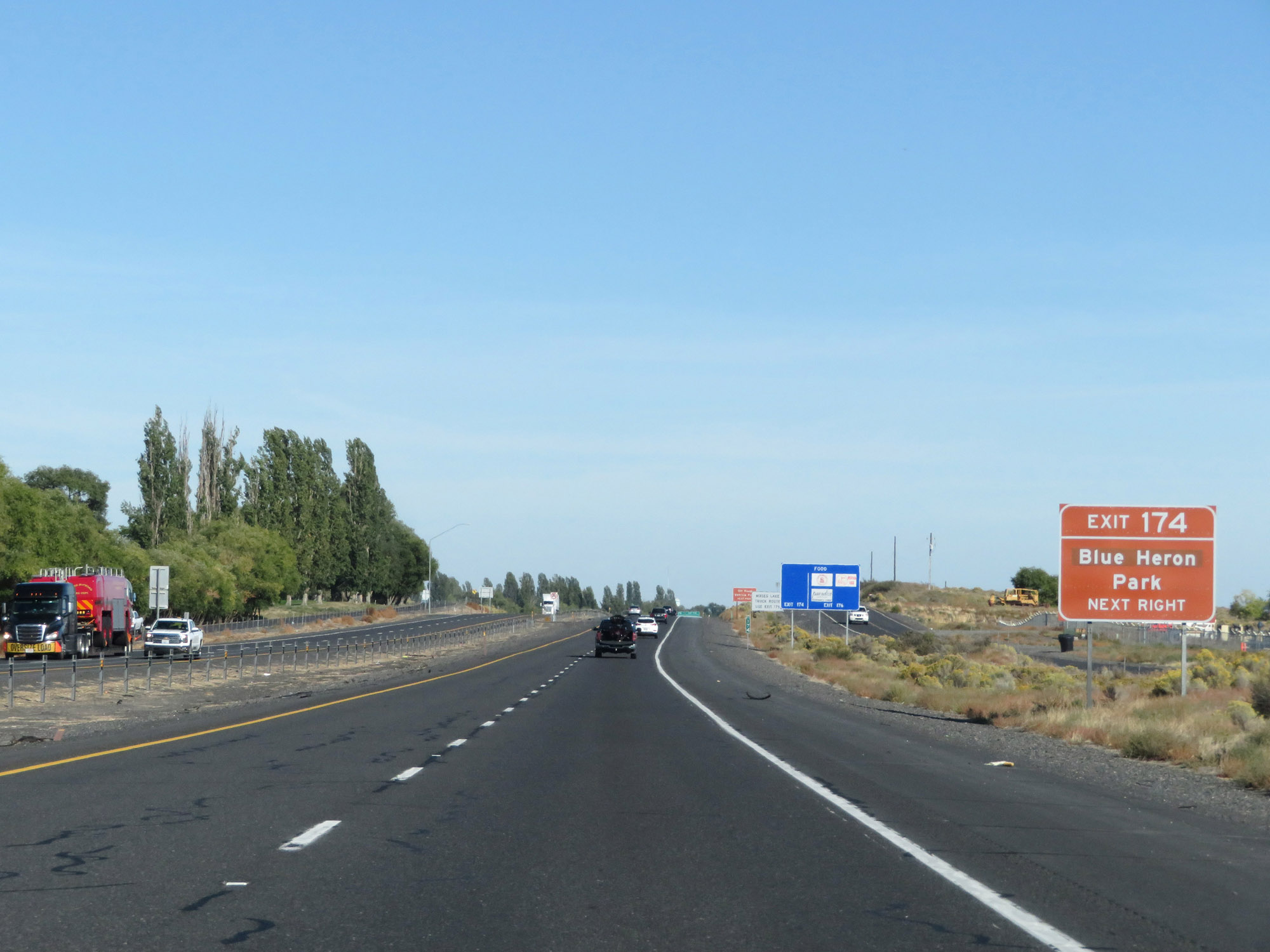 |
Take Exit 174 to Blue Heron Park. (Photo taken 9/21/19). |
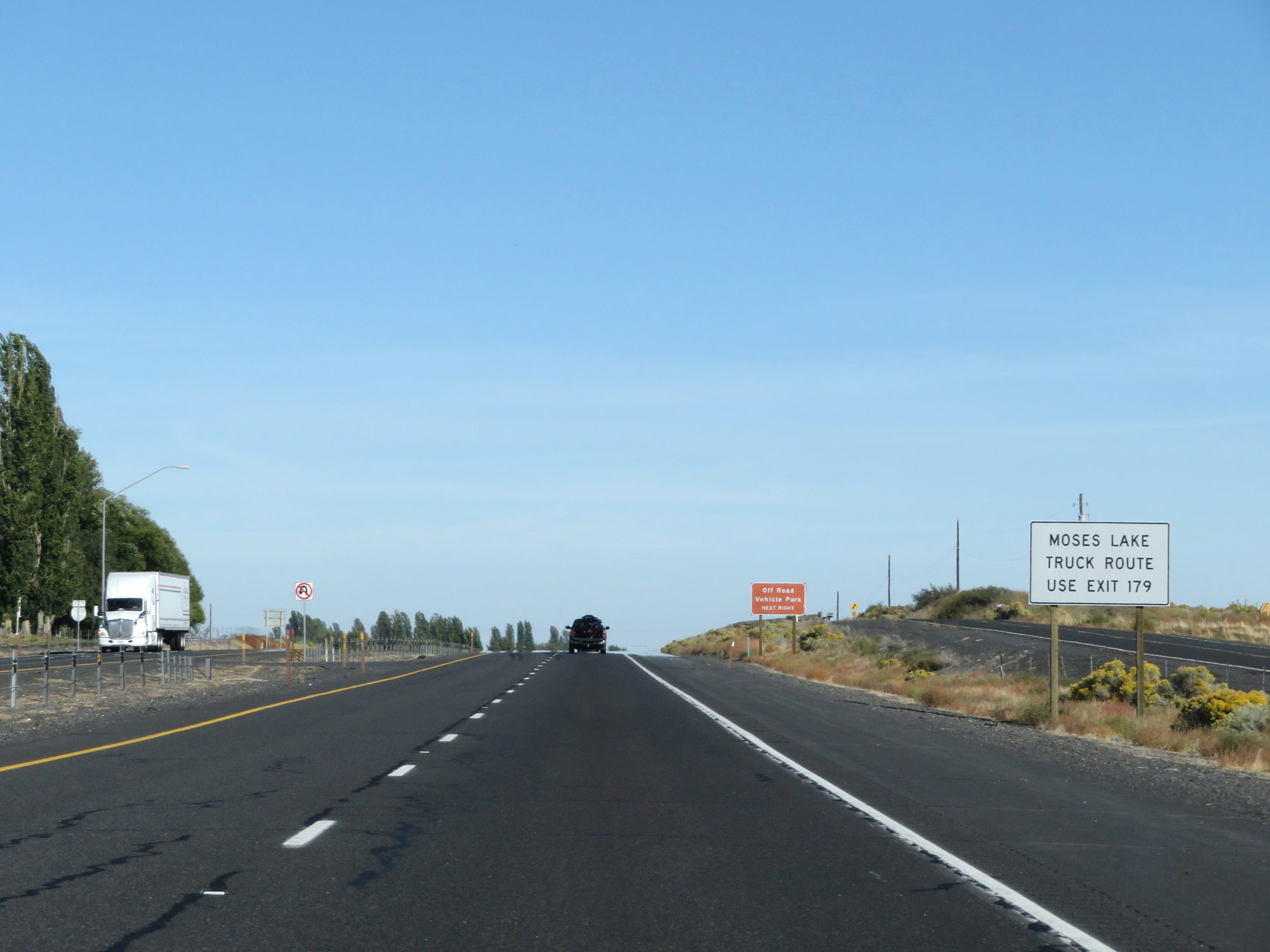 |
Trucks to Moses Lake should use Exit 179. (Photo taken 9/21/19). |
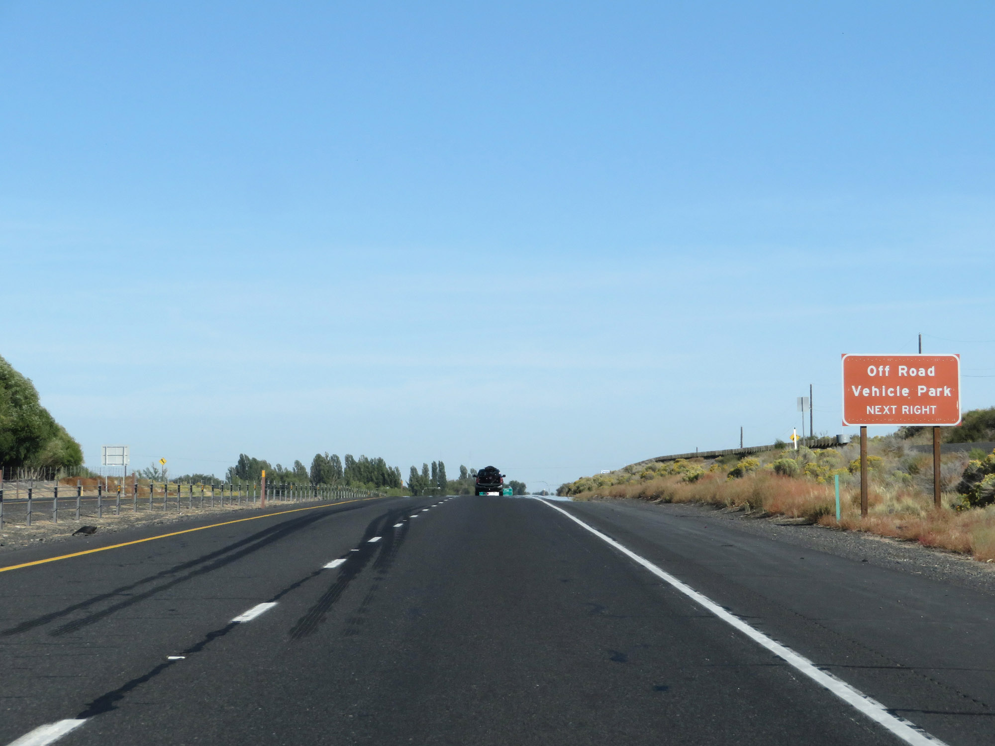 |
Also take Exit 174 to the Off Road Vehicle Park. (Photo taken 9/21/19). |
 |
Interstate 90 East at Exit 174: Mae Valley / Hansen Rd (Photo taken 9/21/19). |
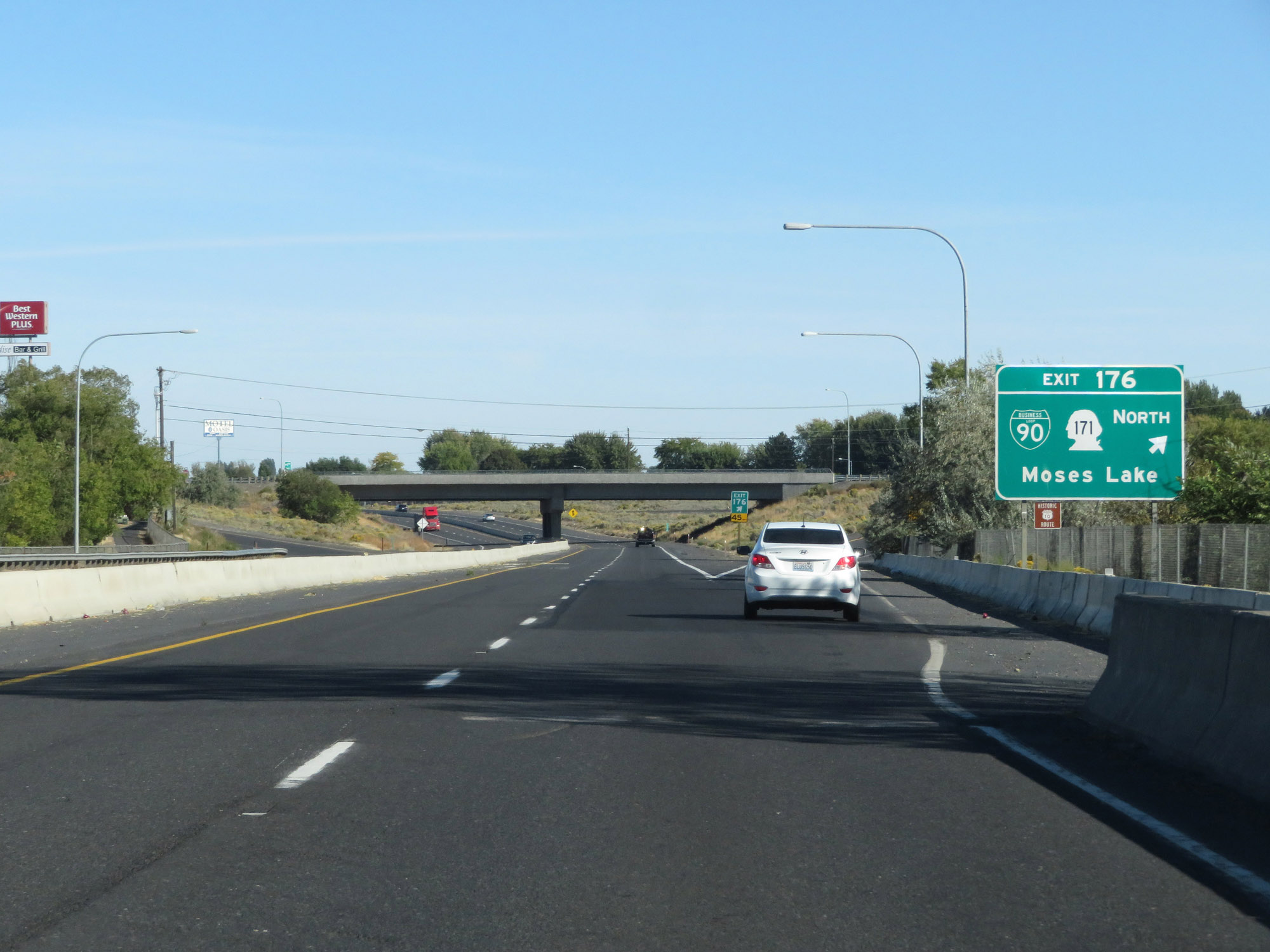 |
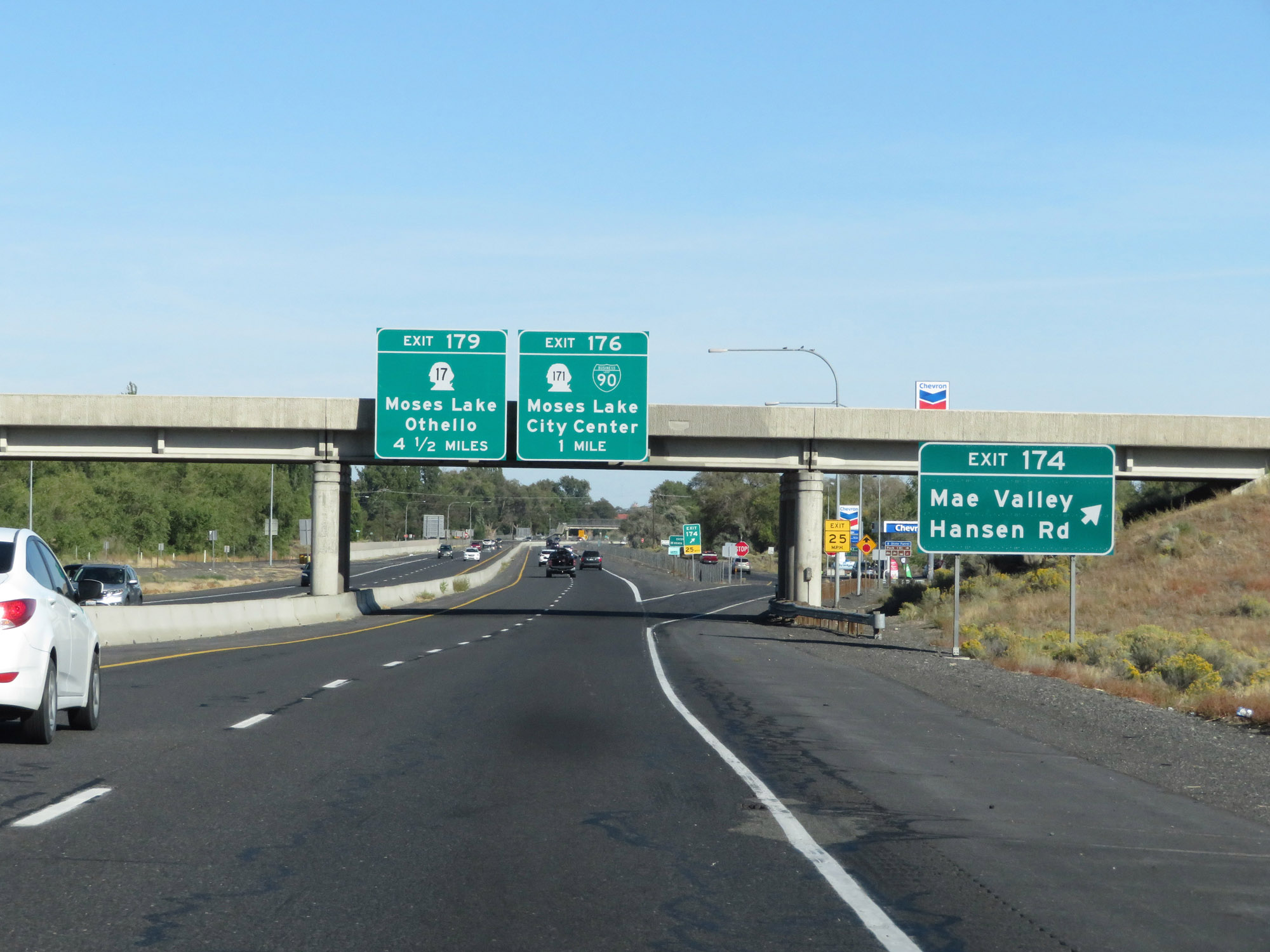
Interstate 90 East at Exit 176: Interstate 90 Business Loop / WA 171 North - Moses Lake (Photo taken 9/21/19). |
 |
Mileage sign on Interstate 90 East. It's 44 miles to Ritzville and 105 miles to Spokane. (Photo taken 9/21/19). |
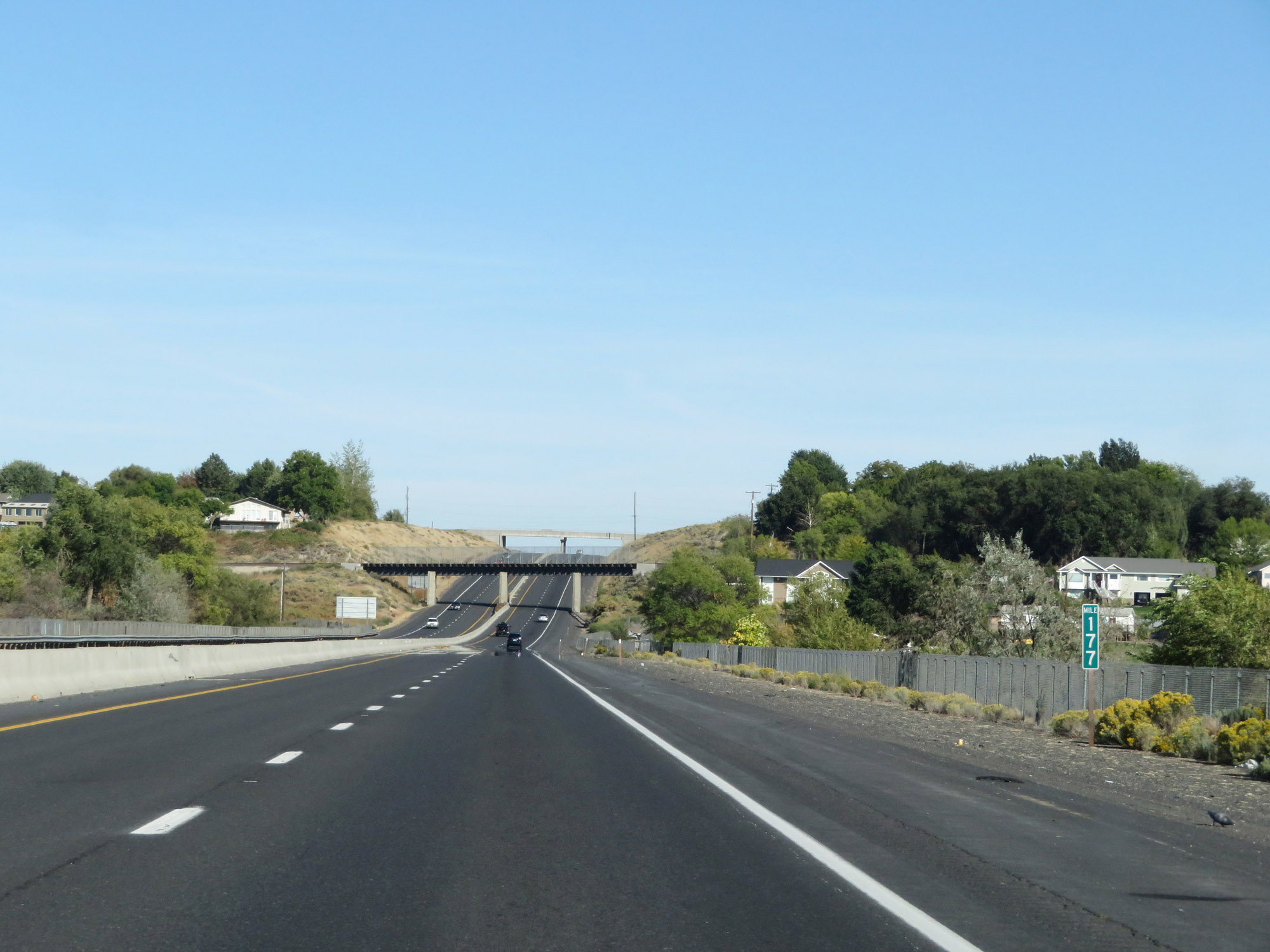 |
View on Interstate 90 East at mile marker 177. (Photo taken 9/21/19). |
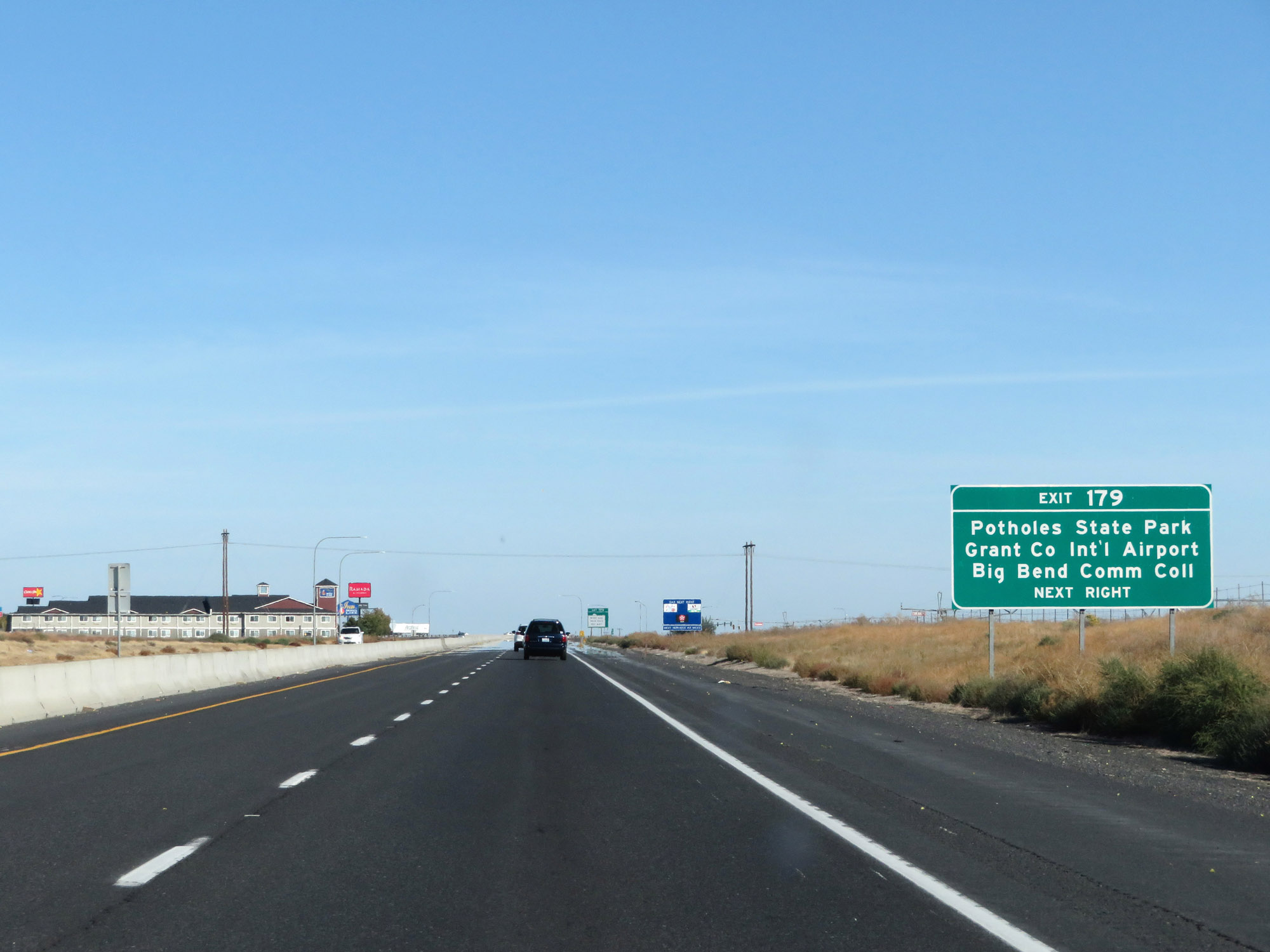 |
Take Exit 179 to Potholes State Park, Grant County International Airport, and Big Bend Community College. (Photo taken 9/21/19). |
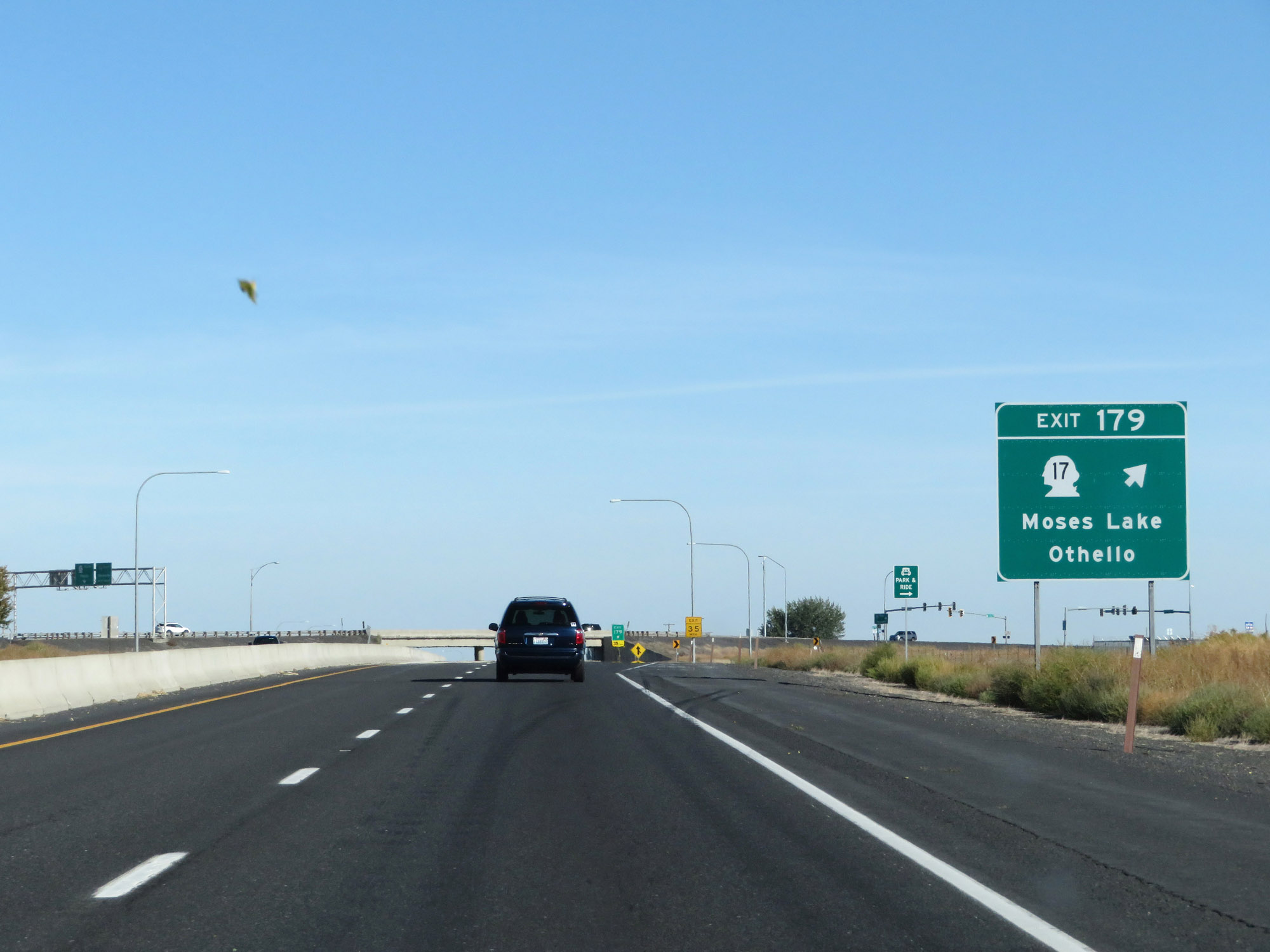 |
Interstate 90 East at Exit 179: WA 17 - Moses Lake / Othello (Photo taken 9/21/19). |
Section 5: Moses Lake (Exit 179) to Spokane (Exit 279)
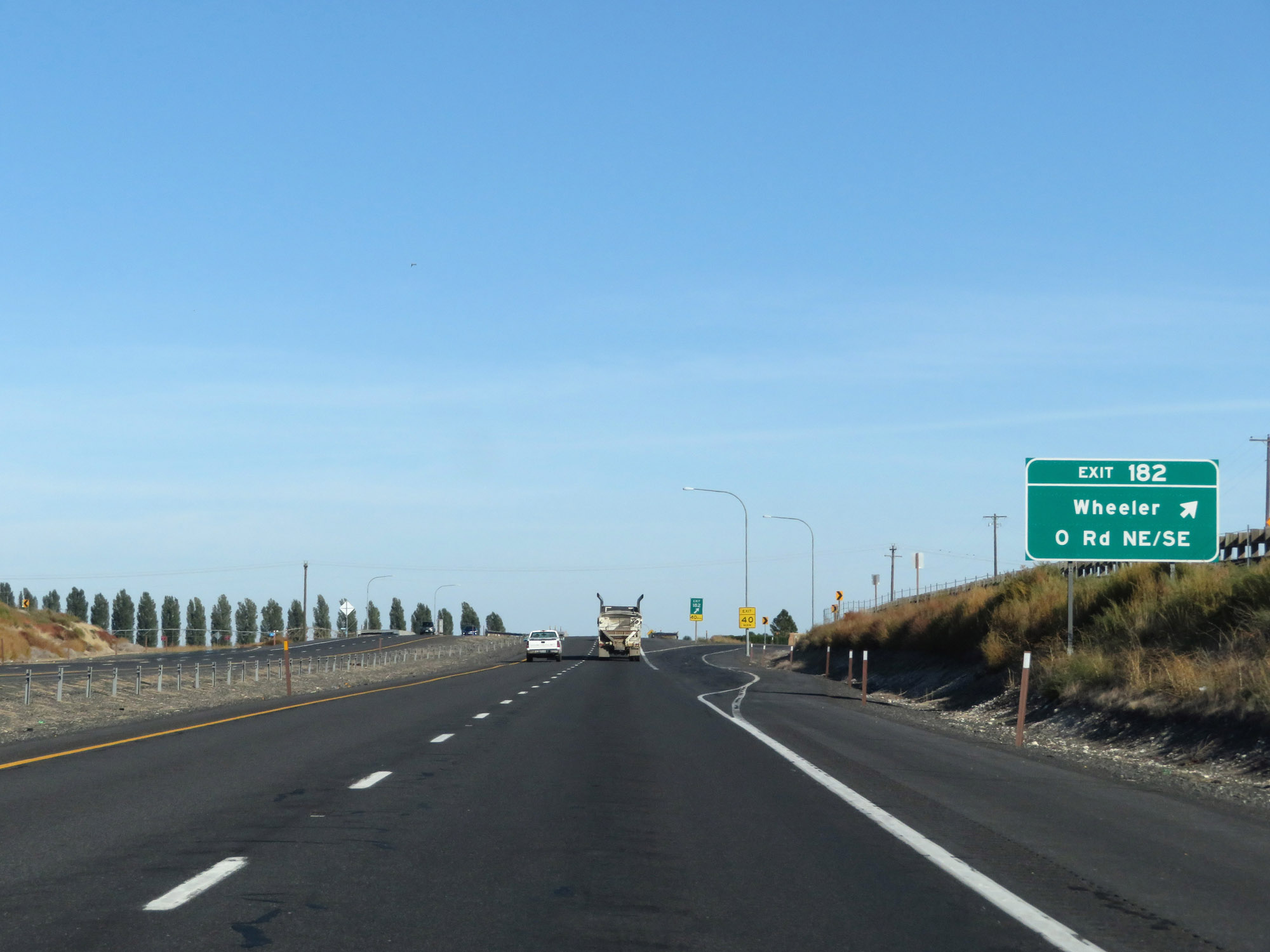 |
Interstate 90 East at Exit 182: Wheeler / O Rd NE/SE (Photo taken 9/21/19). |
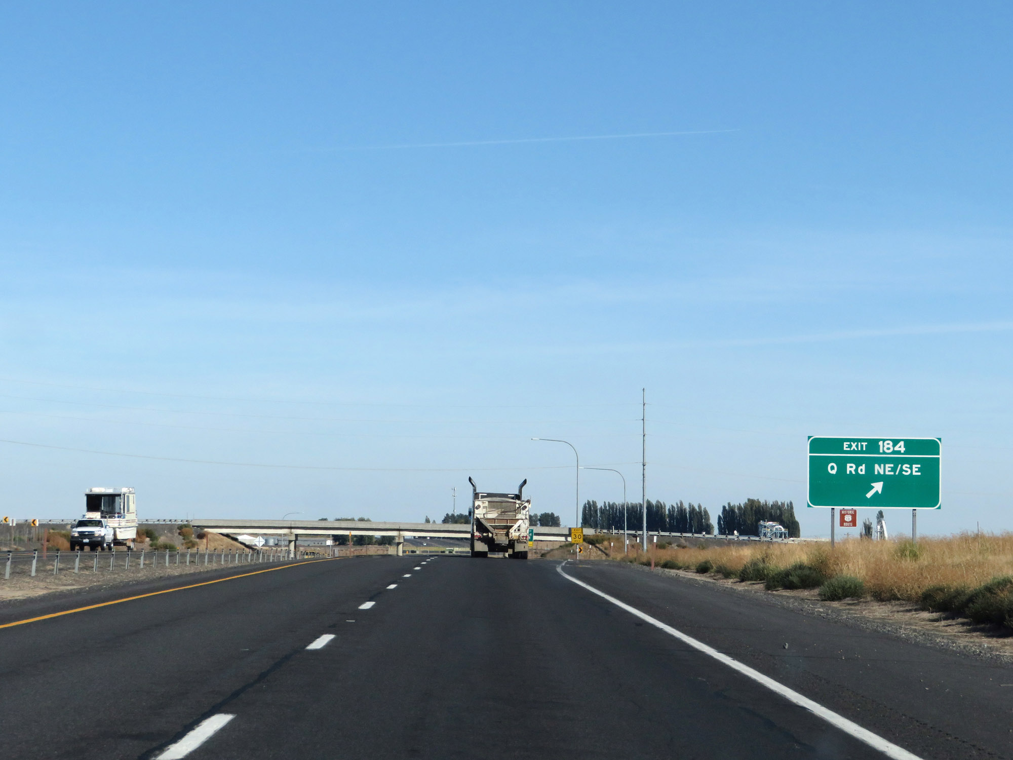 |
Interstate 90 East at Exit 184: Q Rd NE/SE (Photo taken 9/21/19). |
 |
Interstate 90 East at Exit 188: Warden / U Rd NE/SE (Photo taken 9/21/19). |
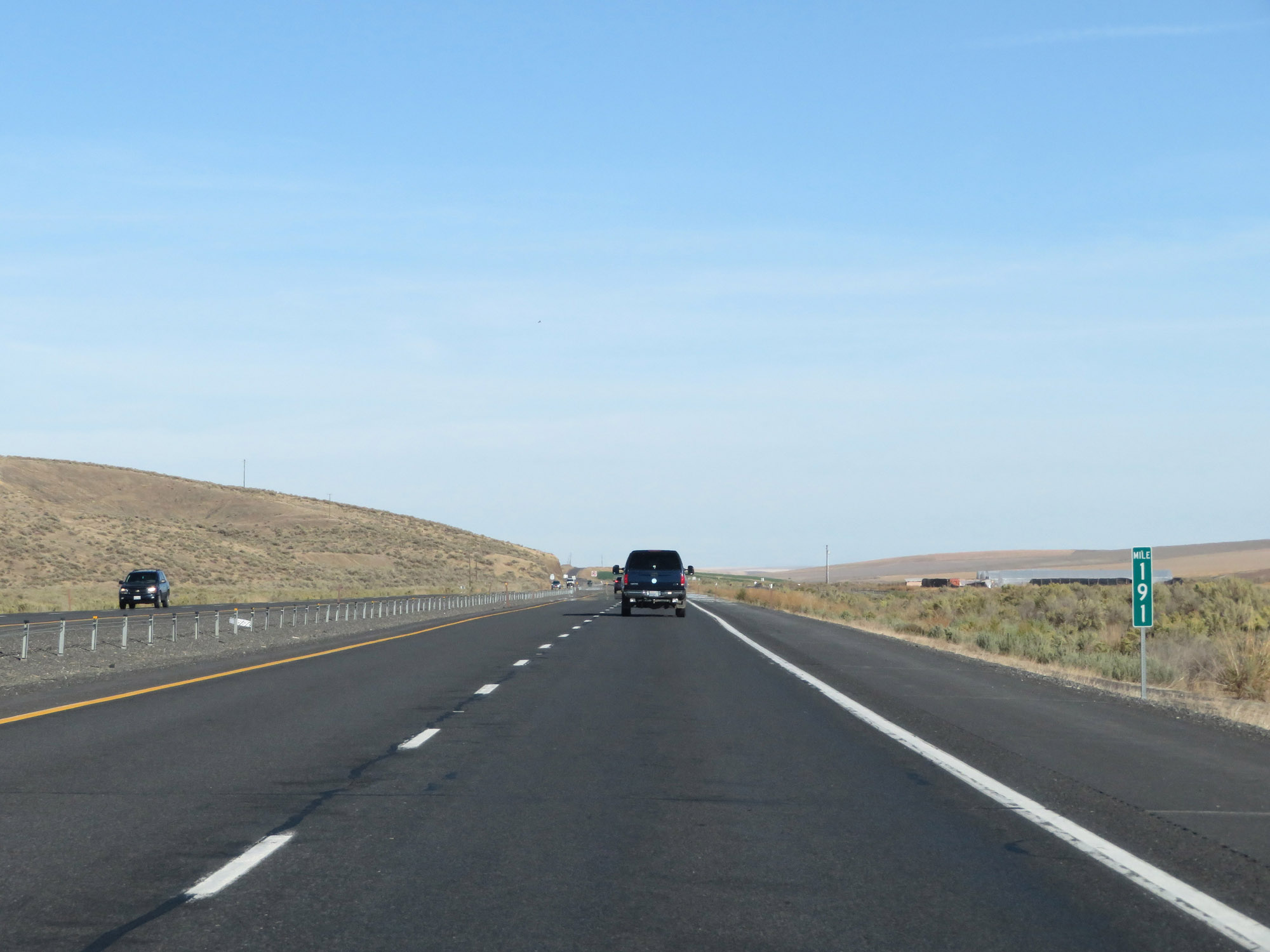 |
View on Interstate 90 East at mile marker 191. (Photo taken 9/21/19). |
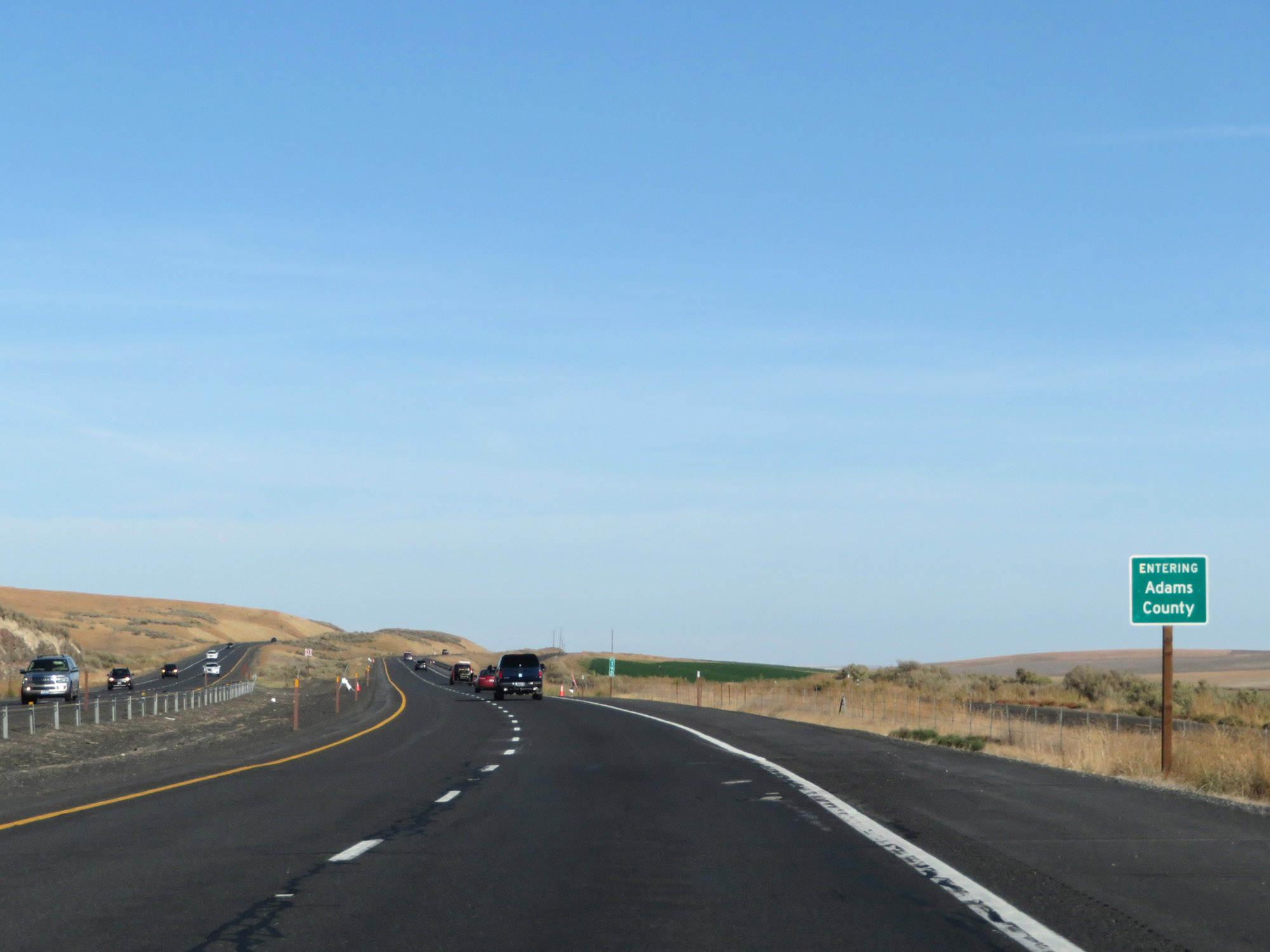 |
Entering Adams County on Interstate 90 East at mile marker 192. (Photo taken 9/21/19). |
 |
Interstate 90 East at mile marker 194. (Photo taken 9/21/19). |
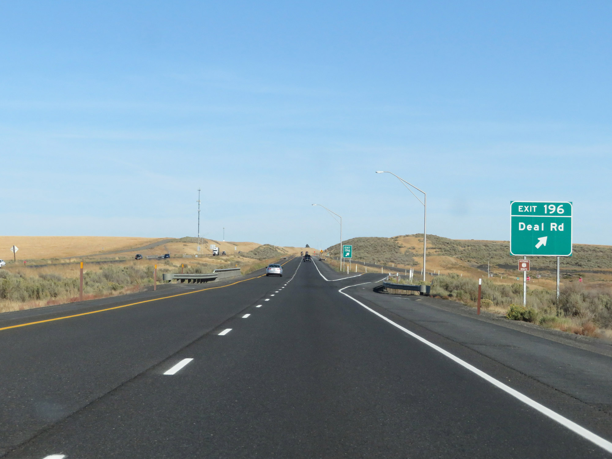 |
Interstate 90 East at Exit 196: Deal Rd (Photo taken 9/21/19). |
 |
Rest Area on Interstate 90 East in Adams County. (Photo taken 9/21/19). |
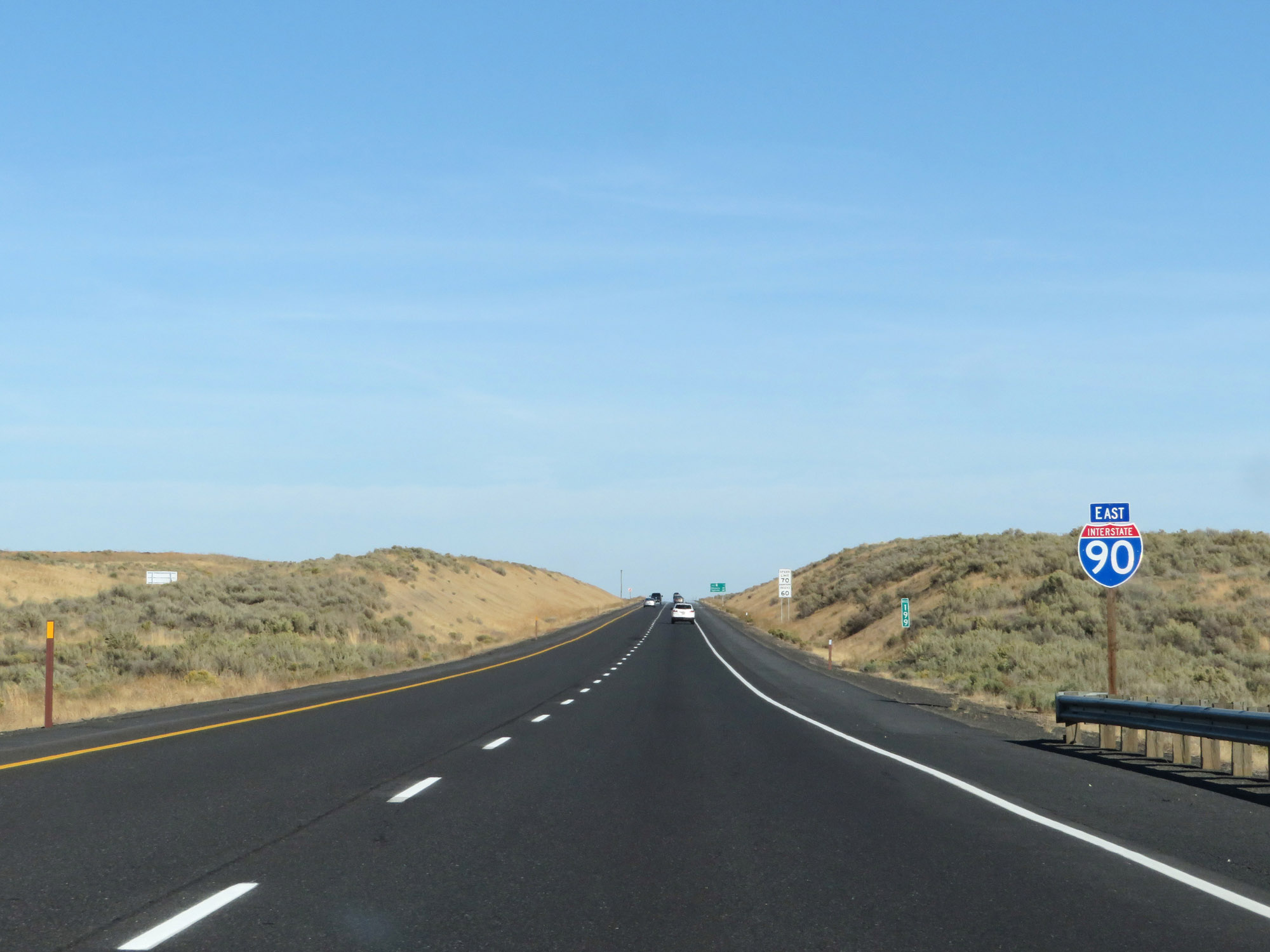 |
Interstate 90 East reassurance shield at mile marker 199. (Photo taken 9/21/19). |
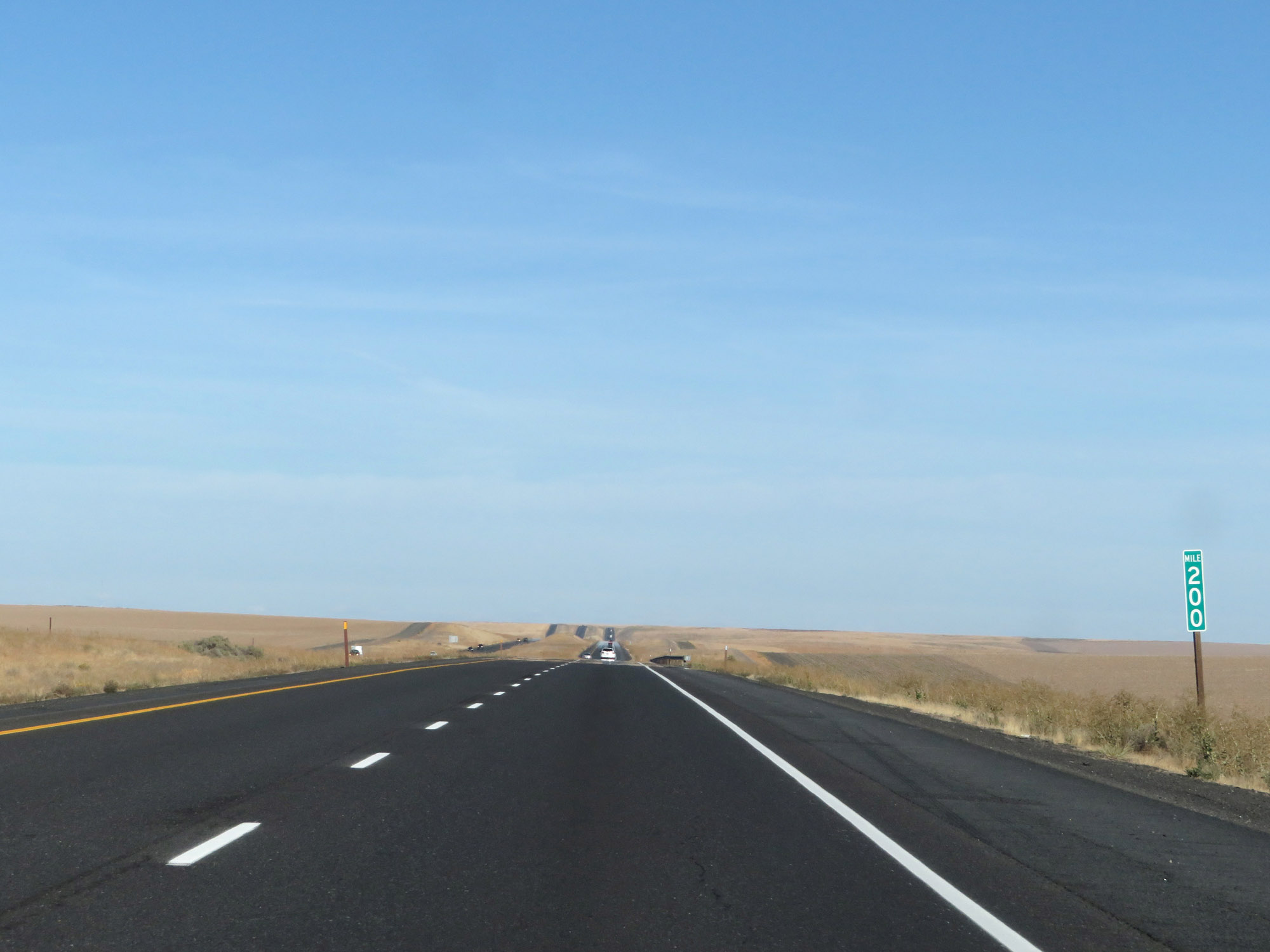 |
Interstate 90 East at mile marker 200. (Photo taken 9/21/19). |
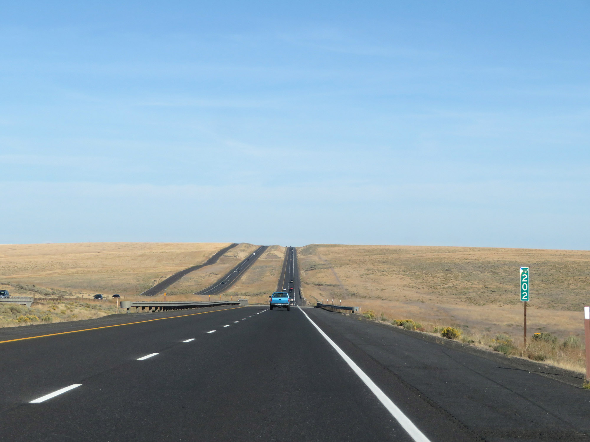 |
View on Interstate 90 East at mile marker 202. (Photo taken 9/21/19). |
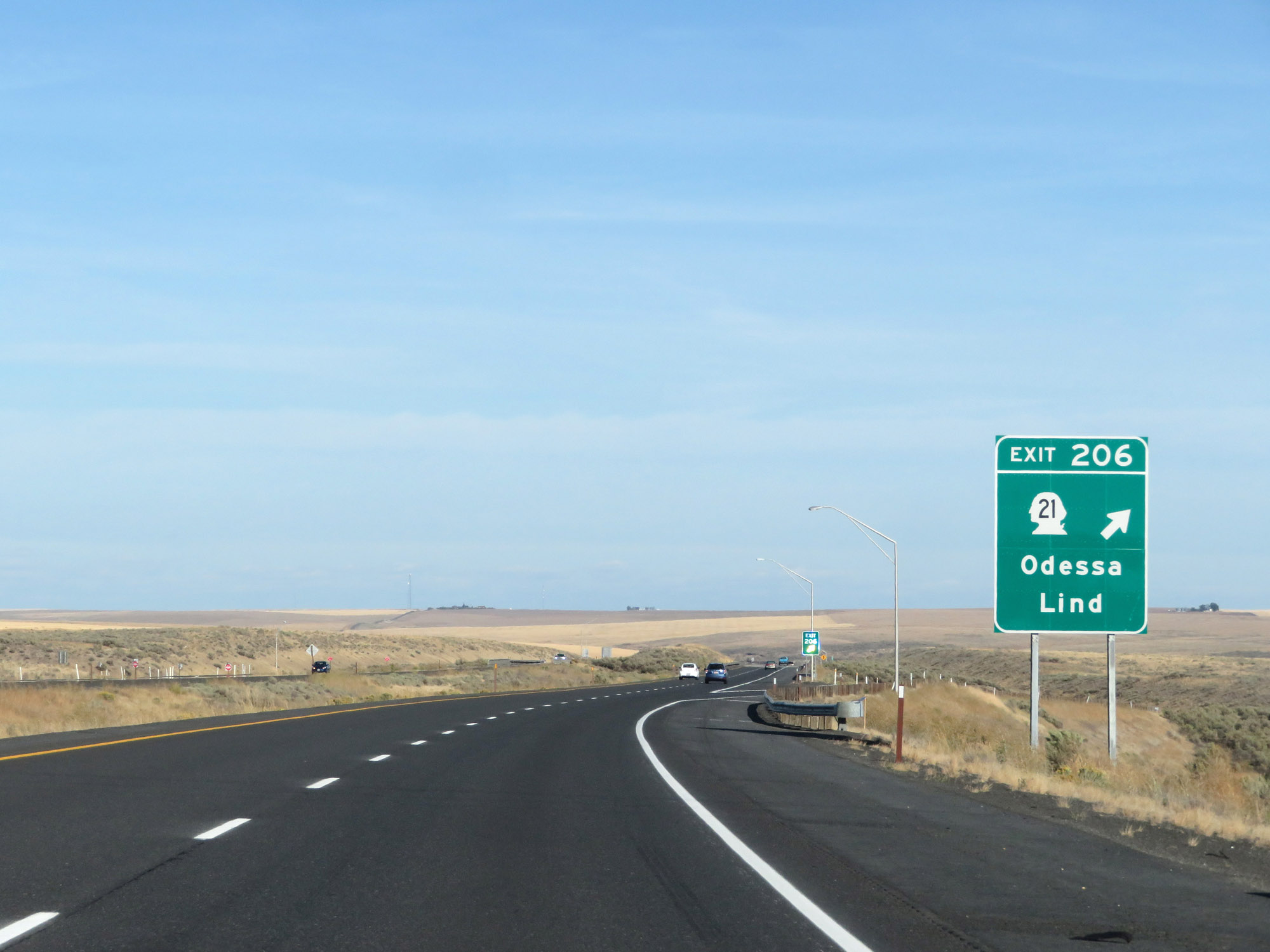 |
Interstate 90 East at Exit 206: WA 21 - Odessa / Lind (Photo taken 9/21/19). |
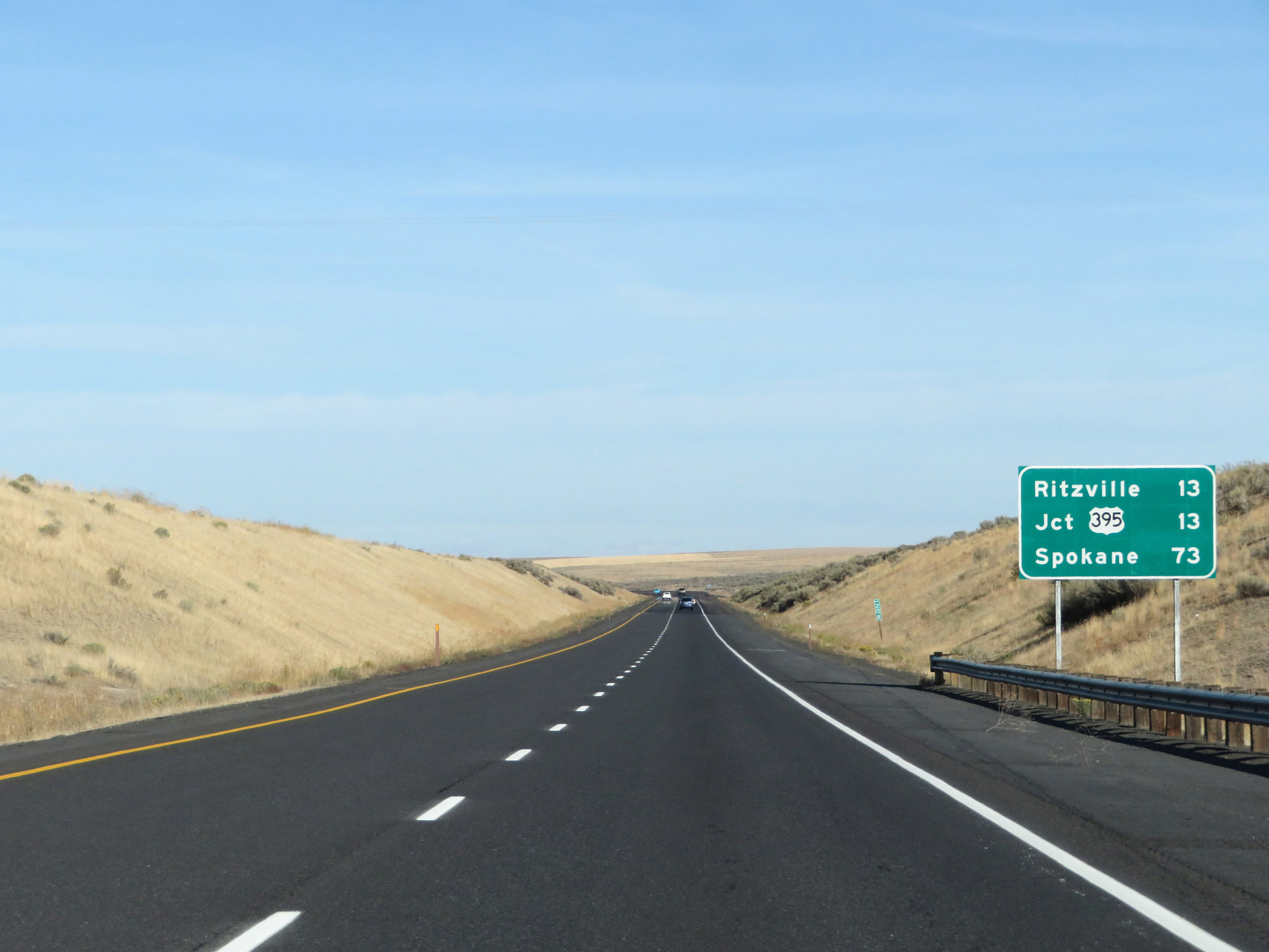 |
Mileage sign on Interstate 90 East. It's 13 miles to Ritzville and the junction of US 395, while its 73 miles to Spokane. (Photo taken 9/21/19). |
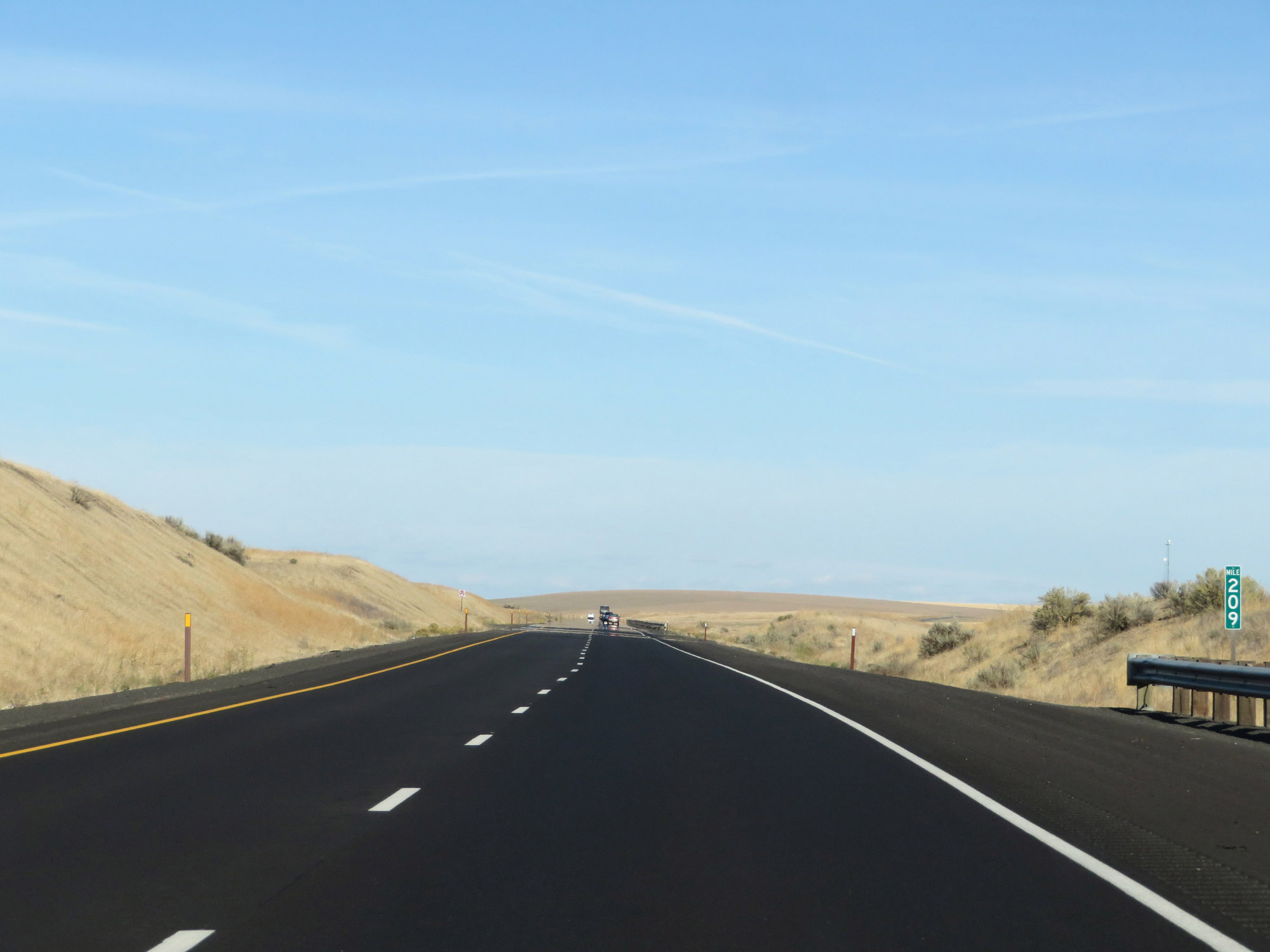 |
Interstate 90 East at mile marker 209. (Photo taken 9/21/19). |
 |
View on Interstate 90 East at mile marker 211. (Photo taken 9/21/19). |
 |
Interstate 90 East at mile marker 212. (Photo taken 9/21/19). |
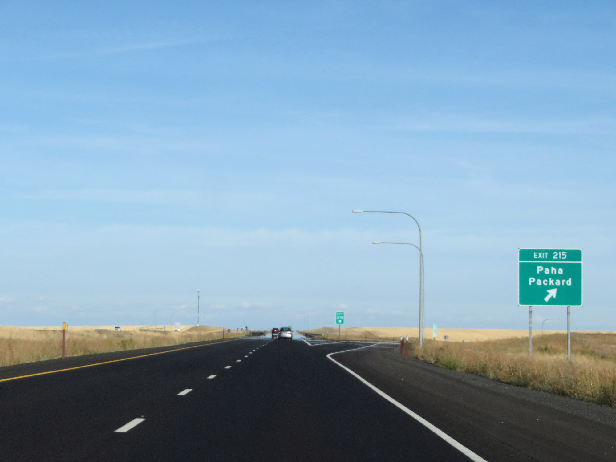 |
Interstate 90 East at Exit 215: Paha / Packard (Photo taken 9/21/19). |
 |
View on Interstate 90 East at mile marker 217. (Photo taken 9/21/19). |
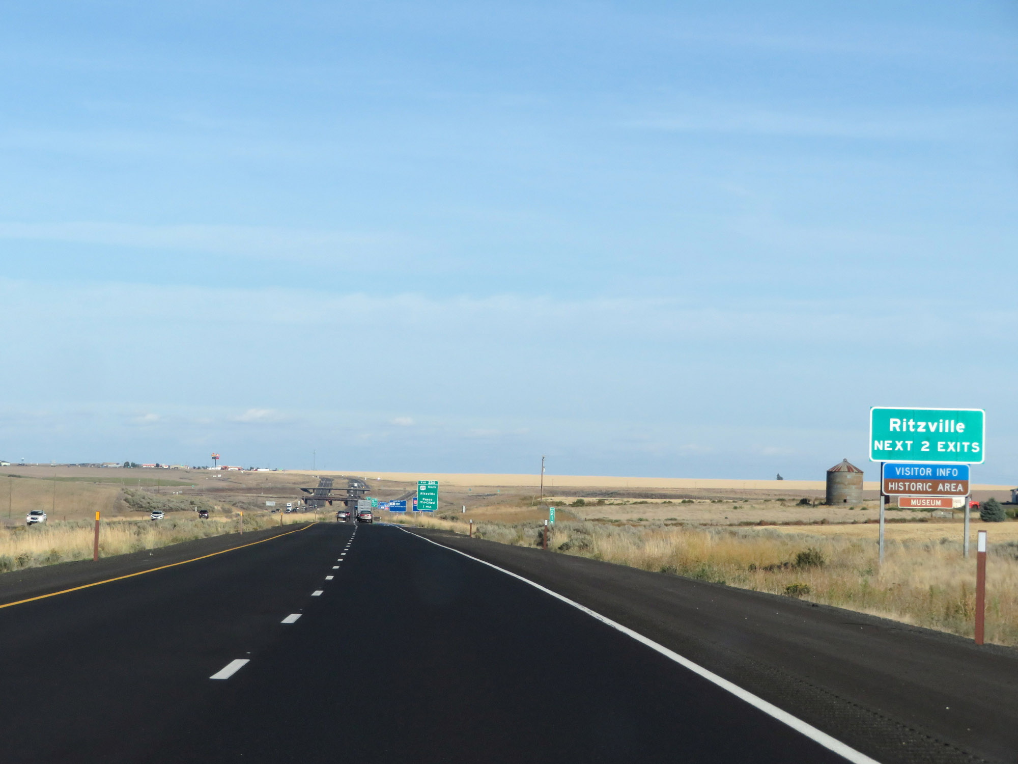 |
Take either of the next 2 exits to Ritzville. (Photo taken 9/21/19). |
 |
Interstate 90 East at Exit 220: US 395 South - Ritzville / Pasco (Tri-Cities) (Photo taken 9/21/19). |
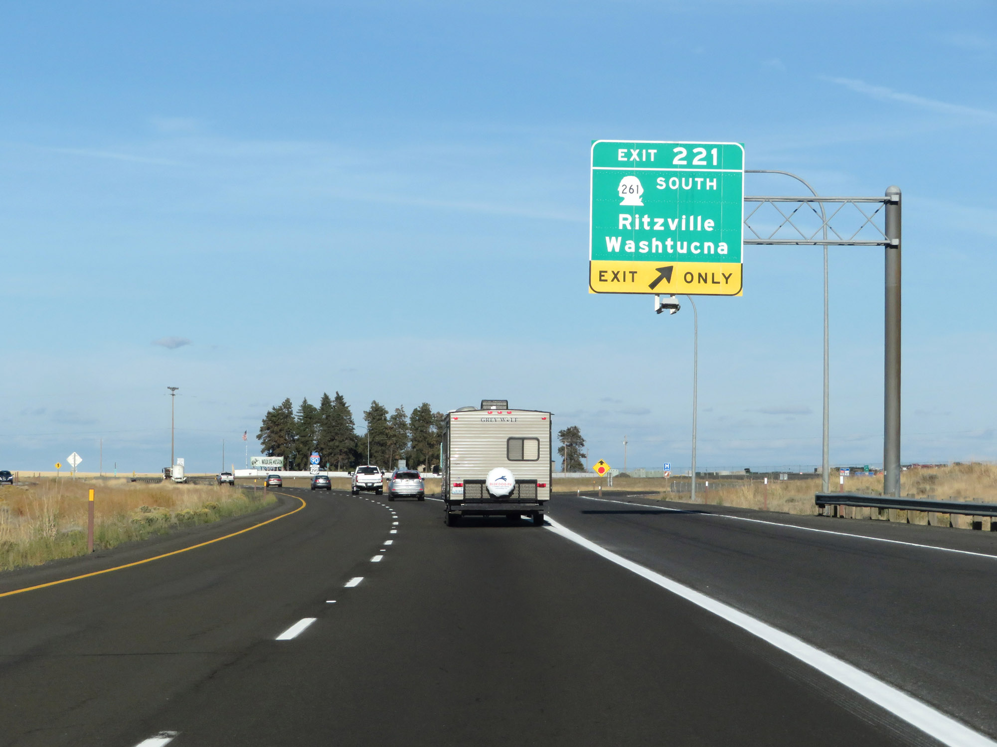 |
Interstate 90 East at Exit 221: WA 261 South - Ritzville / Washtucna (Photo taken 9/21/19). |
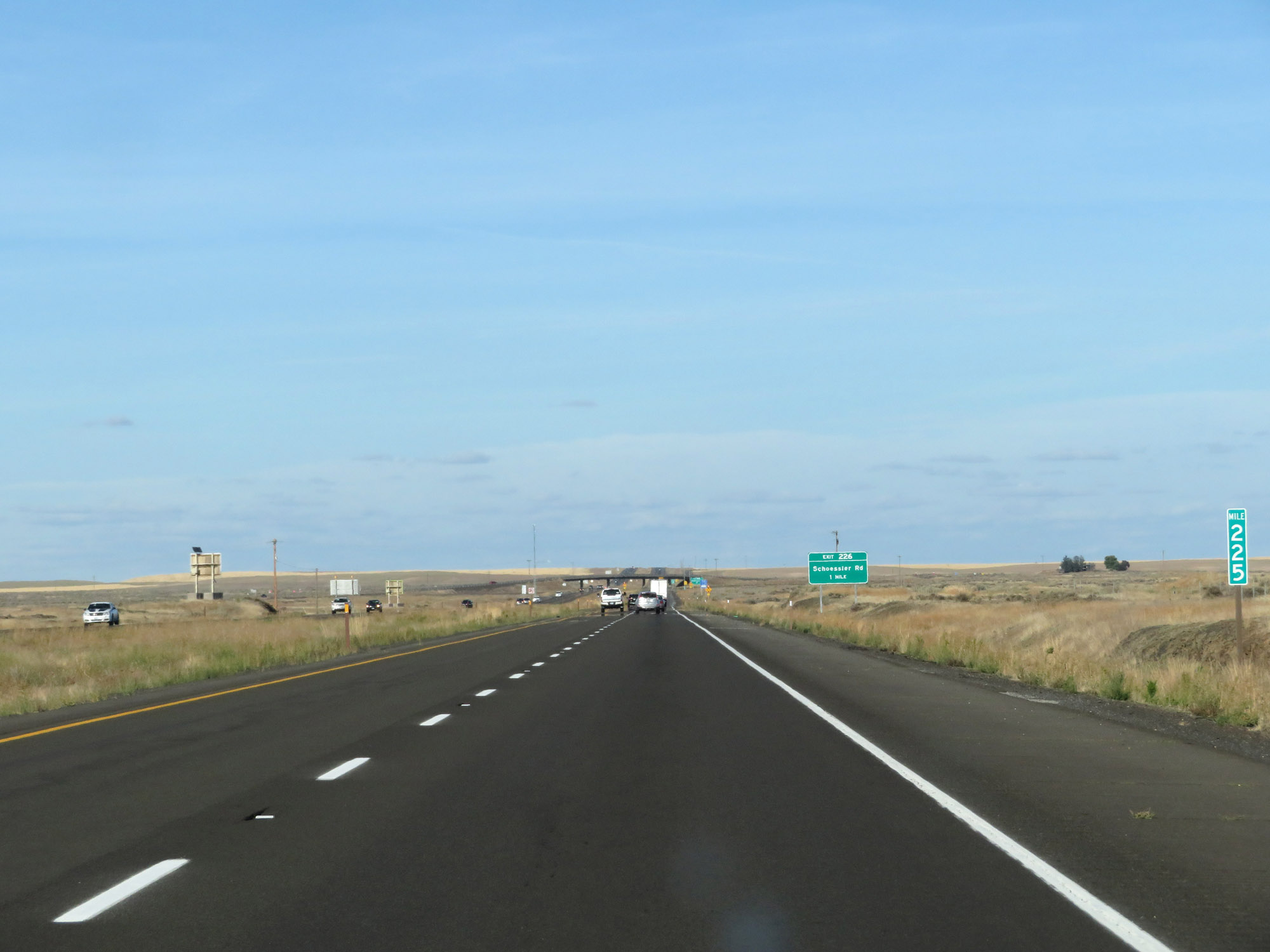 |
Interstate 90 East at mile marker 225. (Photo taken 9/21/19). |
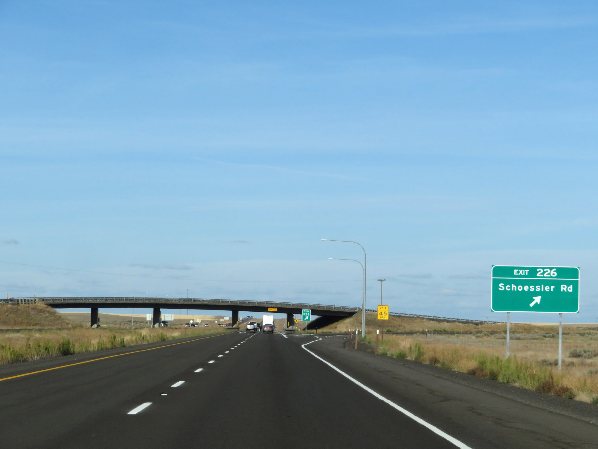 |
Interstate 90 East at Exit 226: Schoessler Rd (Photo taken 9/21/19). |
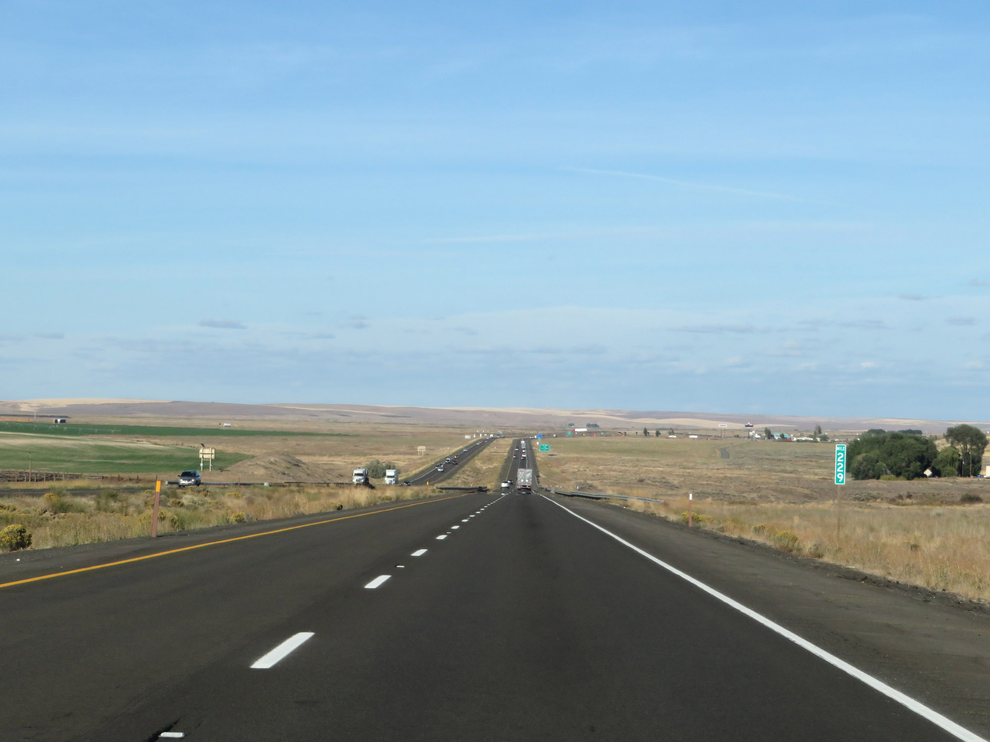 |
View on Interstate 90 East at mile marker 229. (Photo taken 9/21/19). |
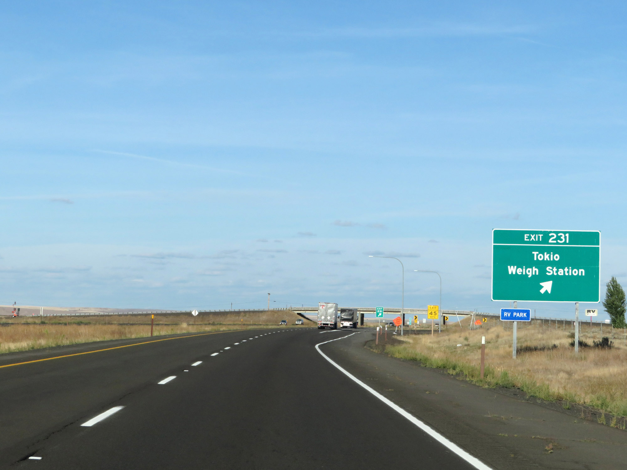 |
Interstate 90 East at Exit 231: Tokio / Weigh Station (Photo taken 9/21/19). |
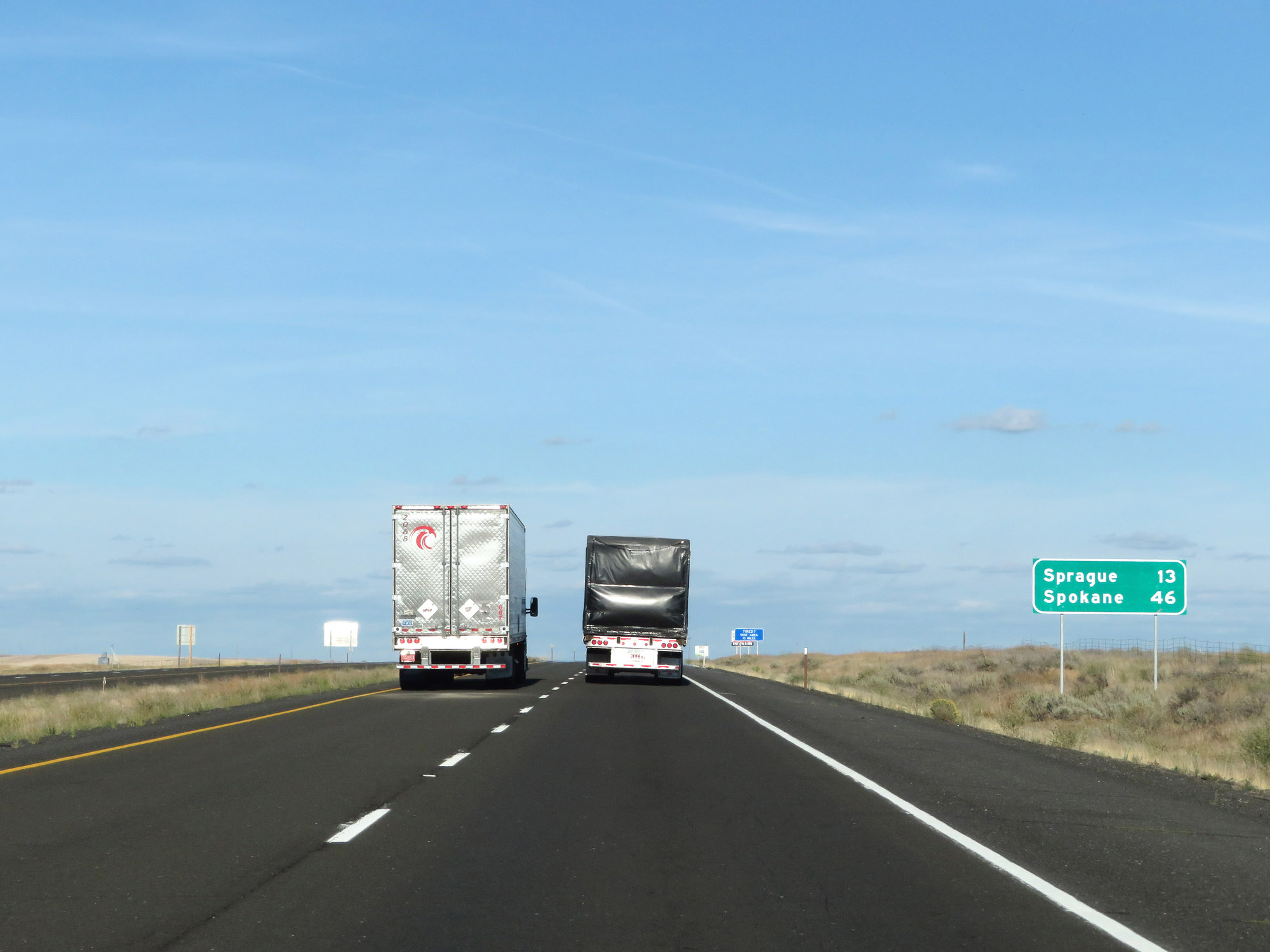 |
Mileage sign on Interstate 90 East. It's 13 miles to Sprague and 46 miles to Spokane. (Photo taken 9/21/19). |
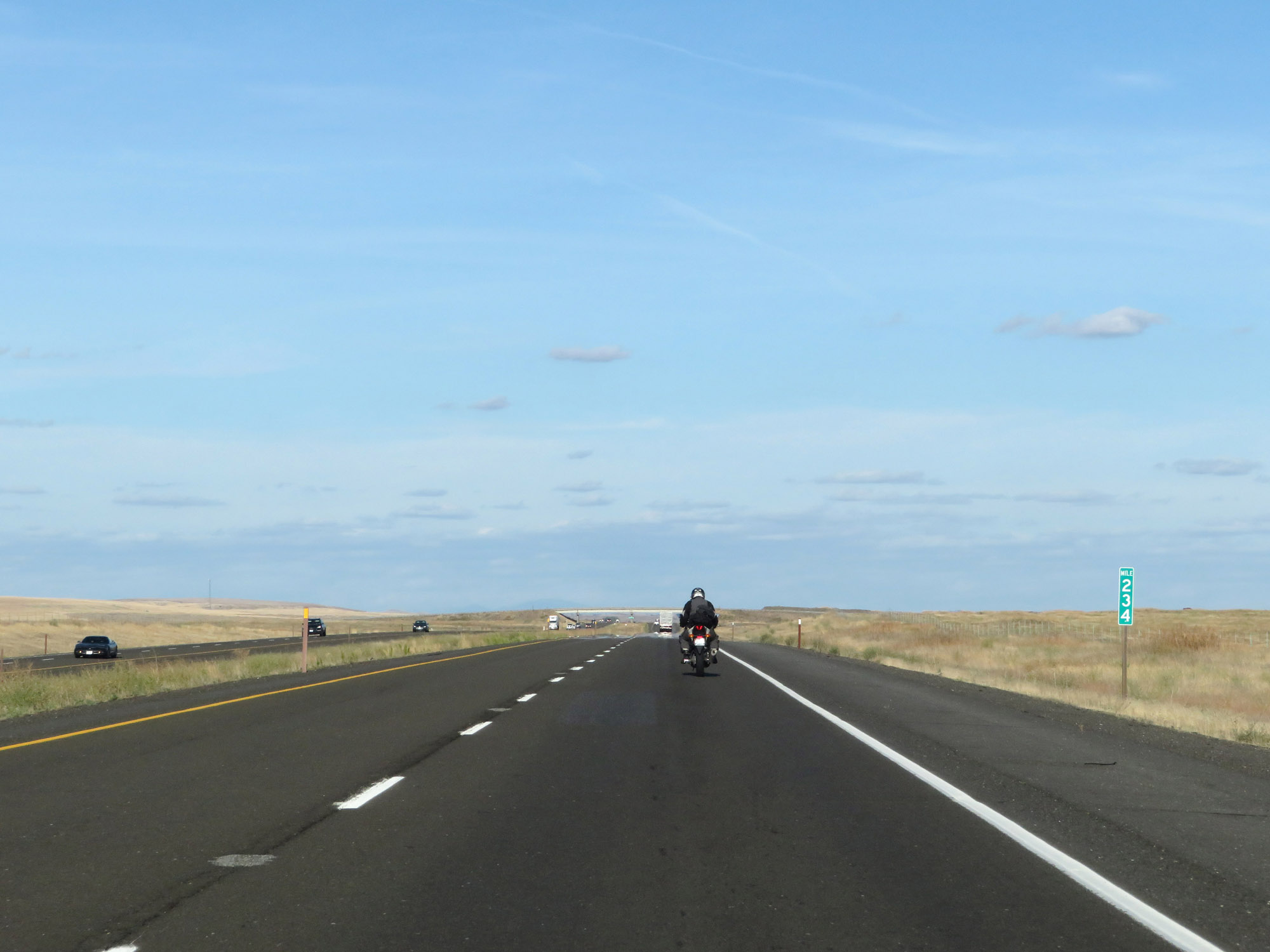 |
View on Interstate 90 East at mile marker 234. (Photo taken 9/21/19). |
 |
Interstate 90 East at mile marker 238. (Photo taken 9/21/19). |
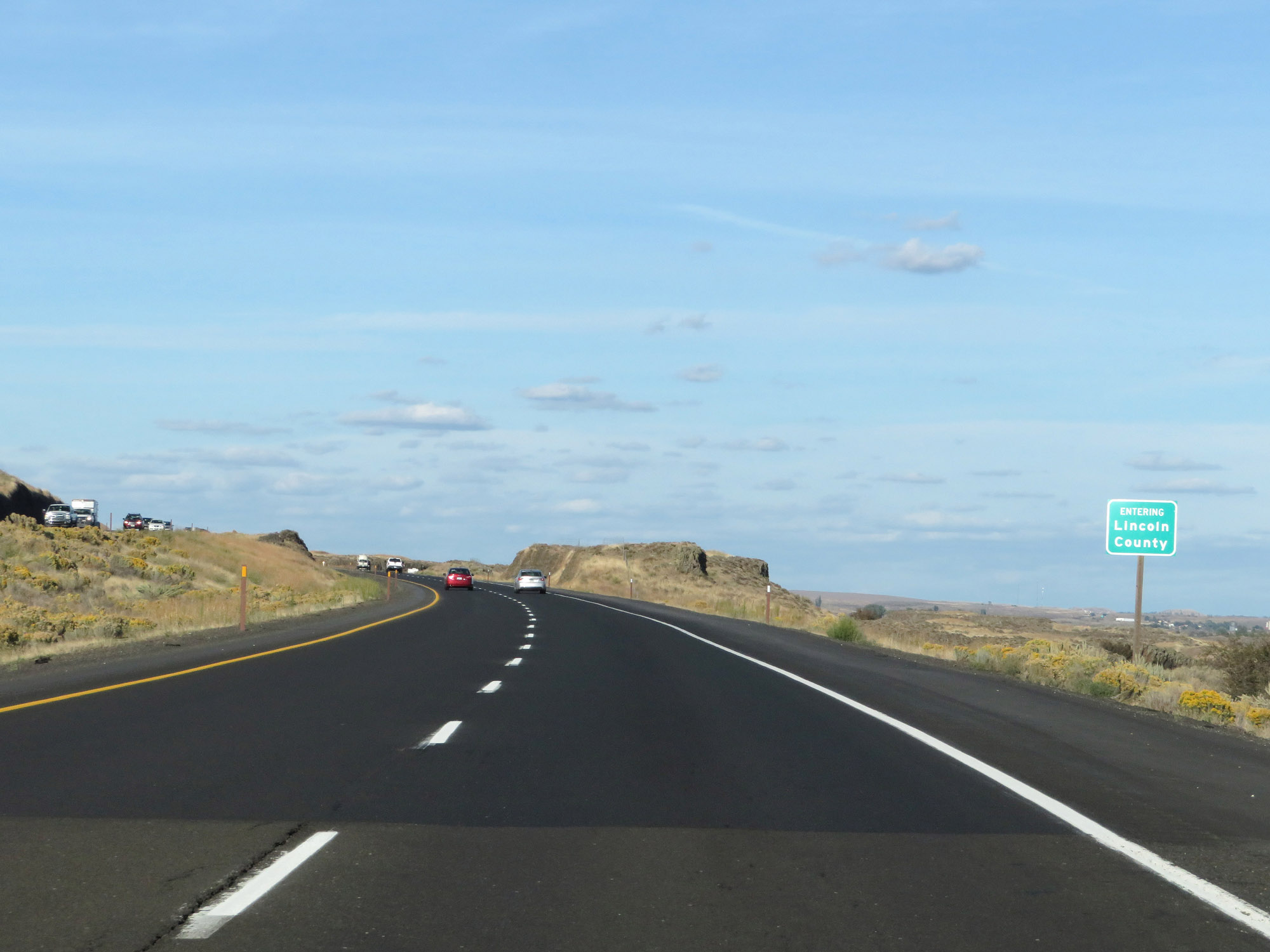 |
Entering Lincoln County on Interstate 90 East. (Photo taken 9/21/19). |
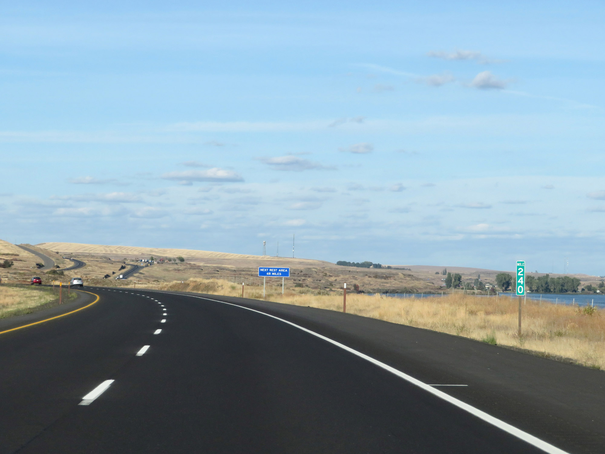 |
Interstate 90 East at mile marker 240. (Photo taken 9/21/19). |
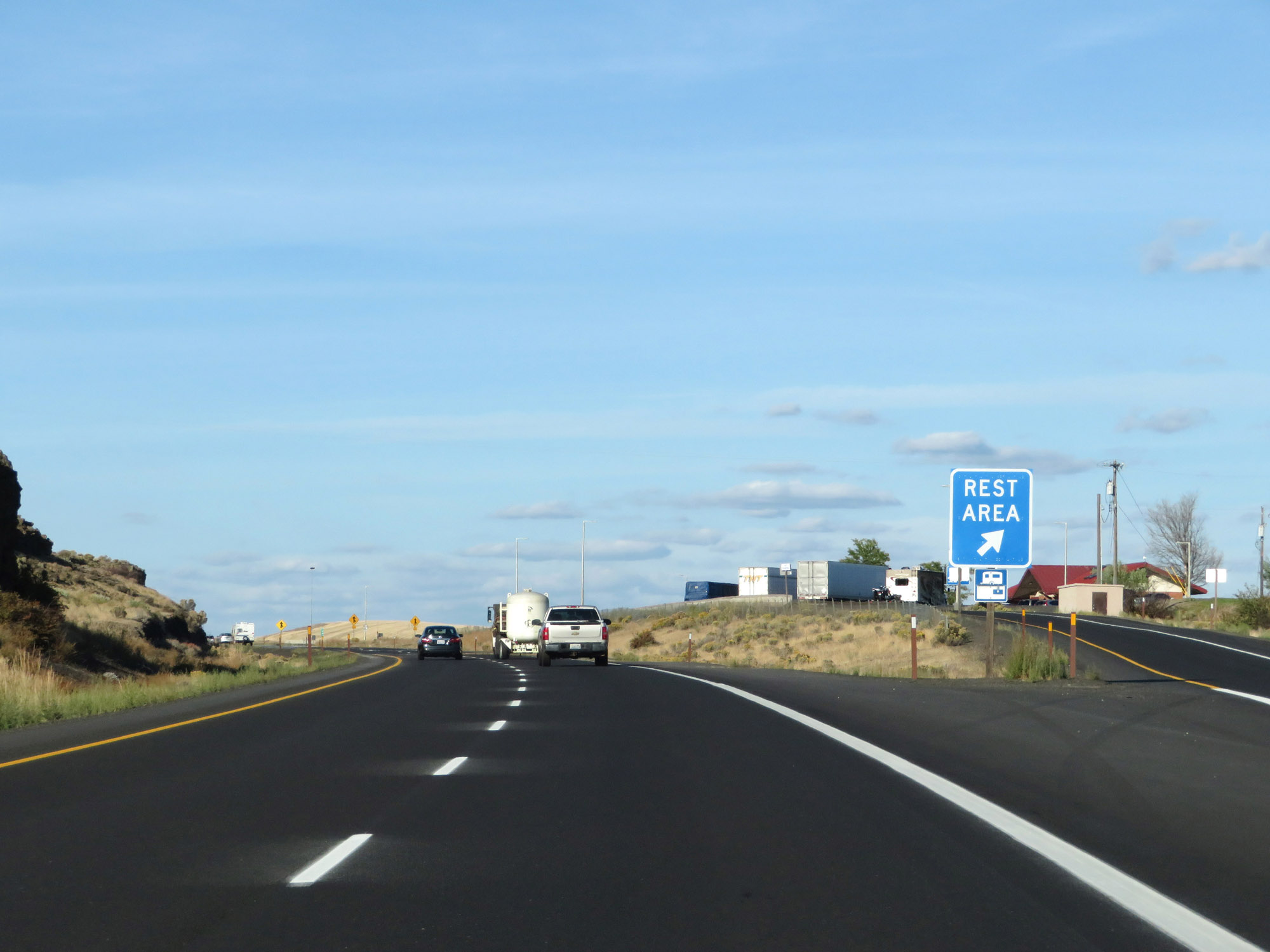 |
Rest Area on Interstate 90 East in Lincoln County. (Photo taken 9/21/19). |
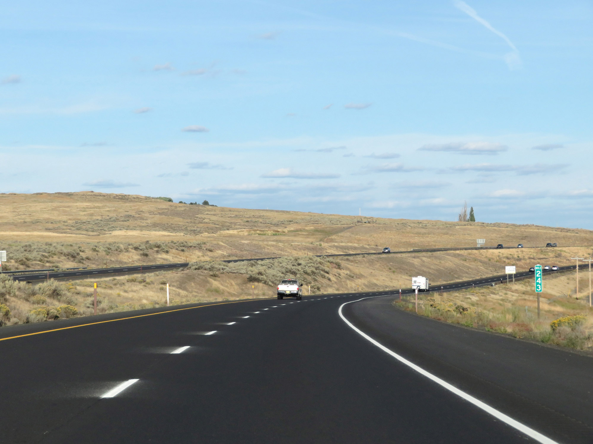 |
Interstate 90 East at mile marker 243. (Photo taken 9/21/19). |
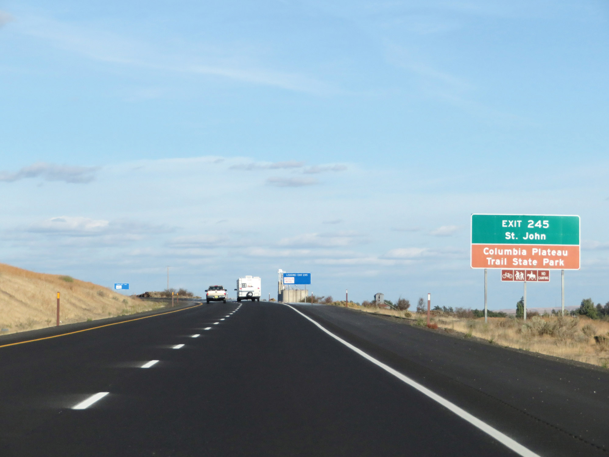 |
Take Exit 245 to St. John and Columbia Plateau Trail State Park. (Photo taken 9/21/19). |
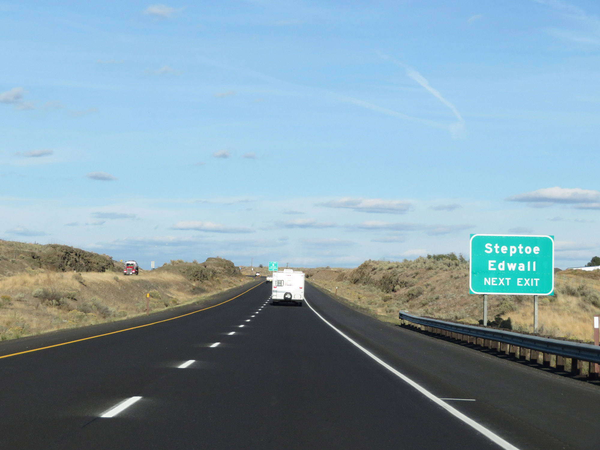 |
Also take Exit 245 to Steptoe and Edwall. (Photo taken 9/21/19). |
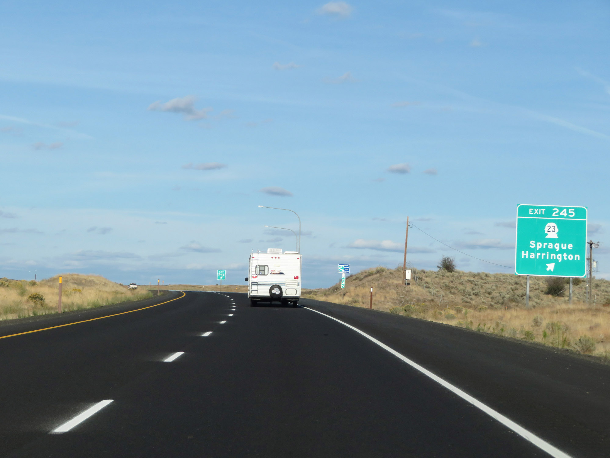 |
Interstate 90 East at Exit 245: WA 23 - Sprague / Harrington (Photo taken 9/21/19). |
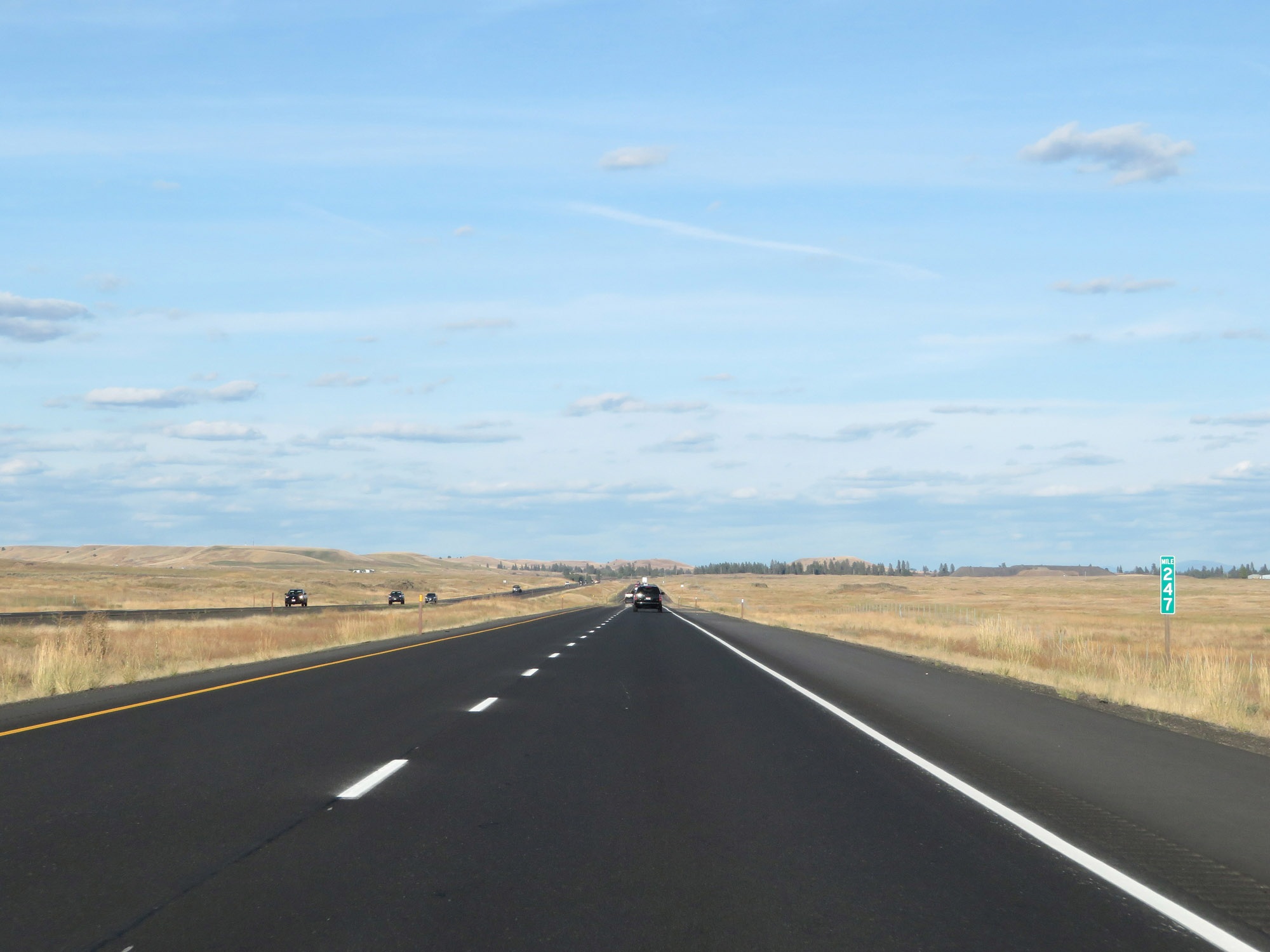 |
View on Interstate 90 East at mile marker 247. (Photo taken 9/21/19). |
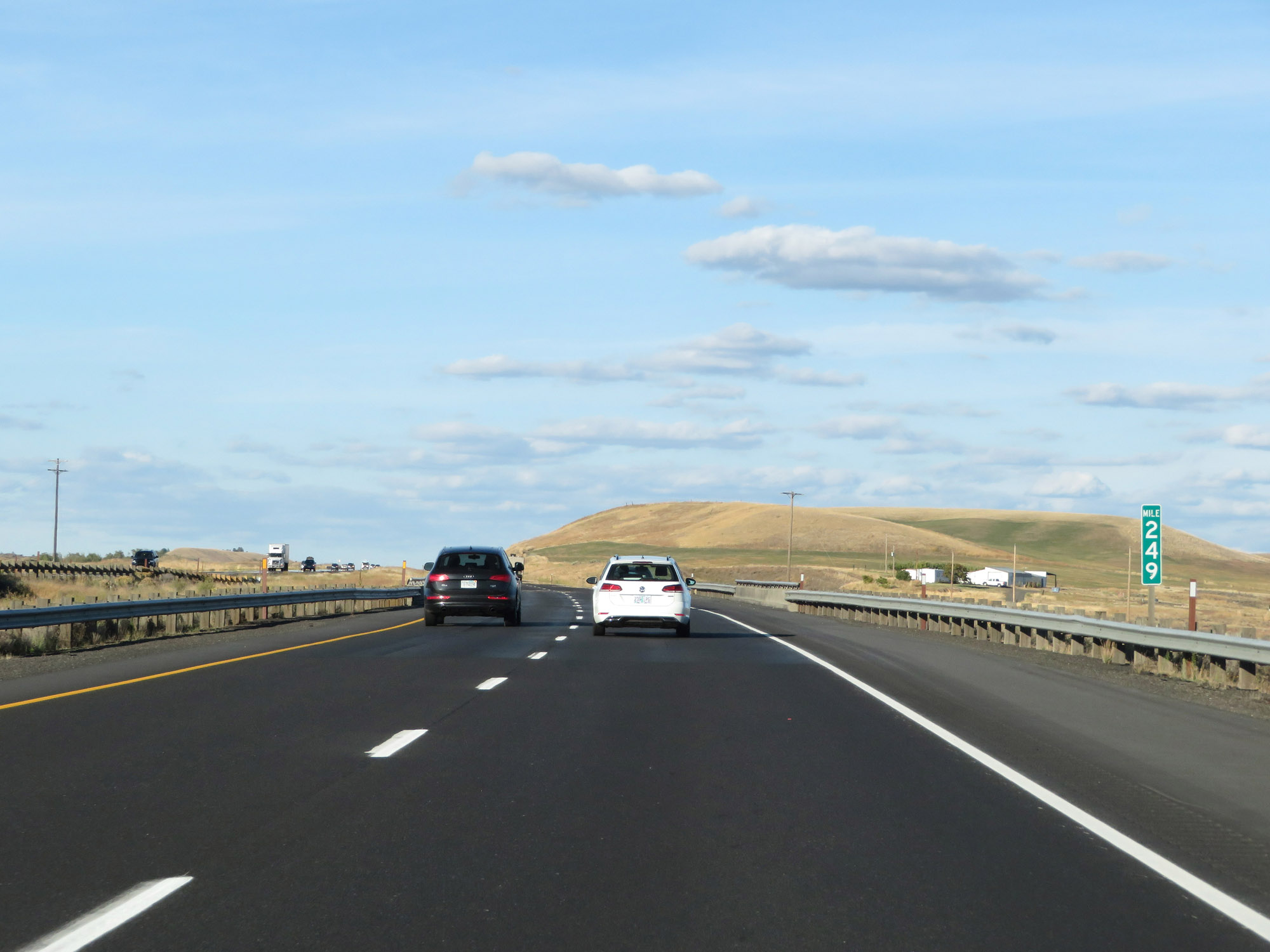 |
Interstate 90 East at mile marker 249. (Photo taken 9/21/19). |
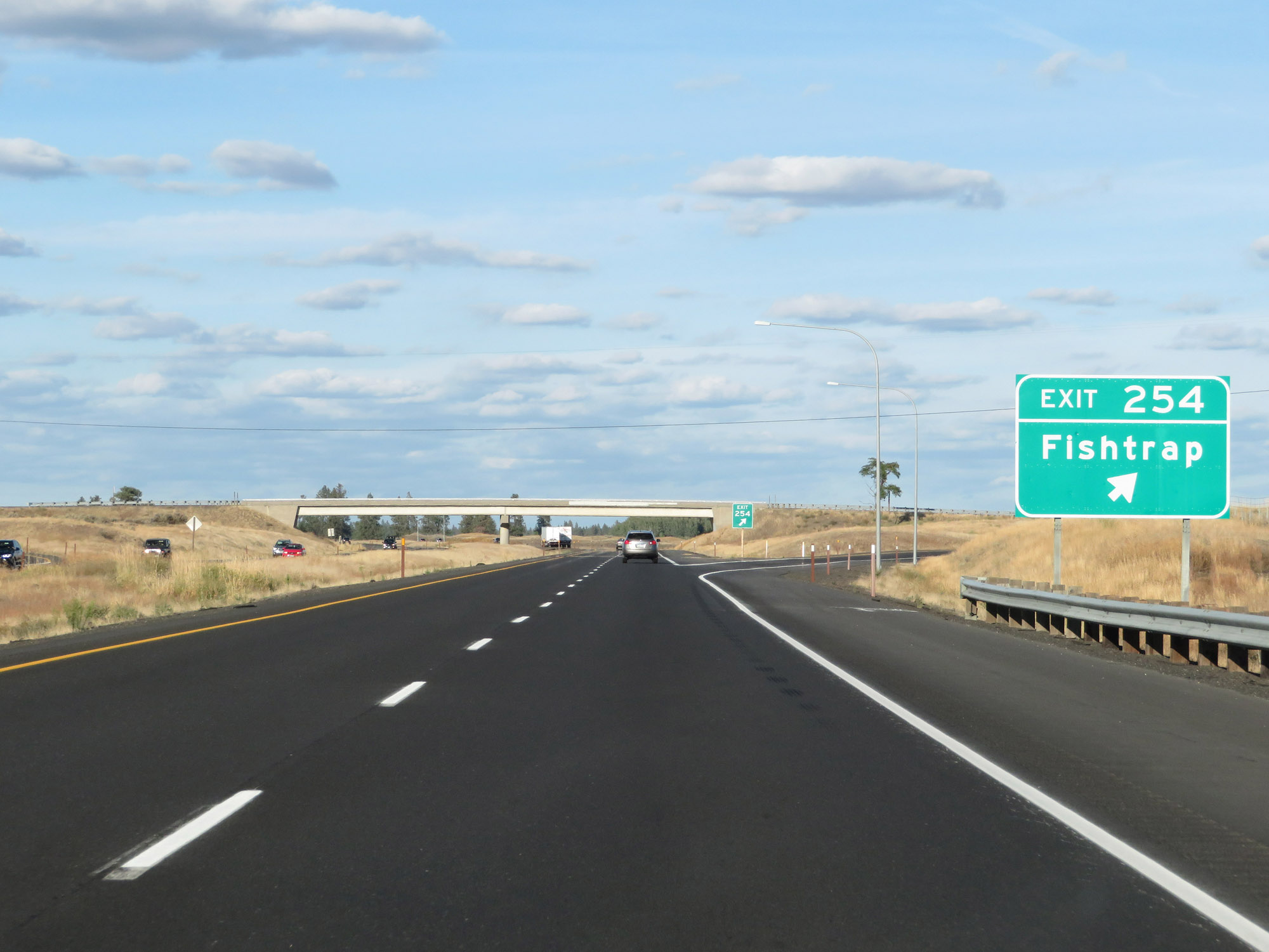 |
Interstate 90 East at Exit 254: Fishtrap (Photo taken 9/21/19). |
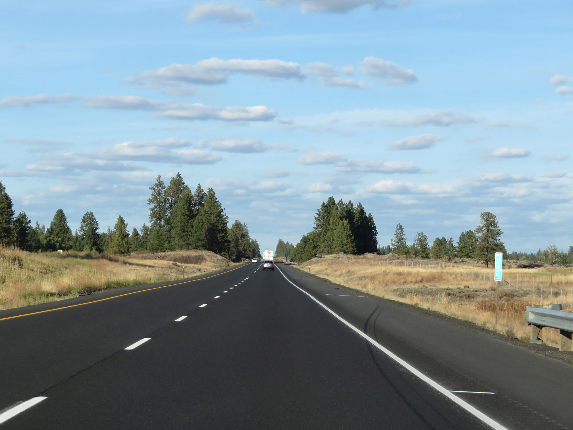 |
View on Interstate 90 East at mile marker 255. (Photo taken 9/21/19). |
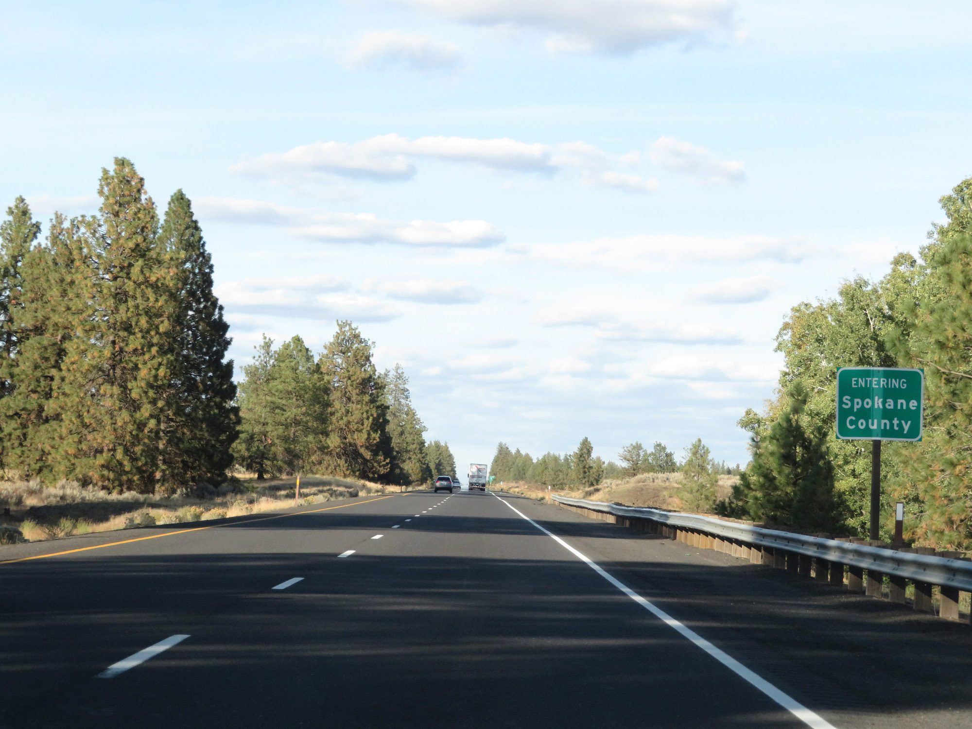 |
Interstate 90 East as it enters Spokane County. (Photo taken 9/21/19). |
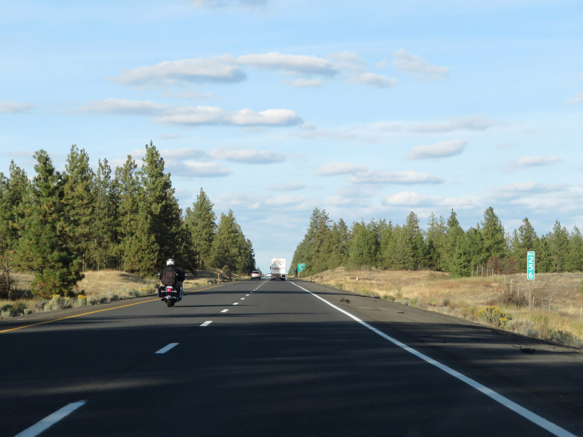 |
Interstate 90 East at mile marker 256. (Photo taken 9/21/19). |
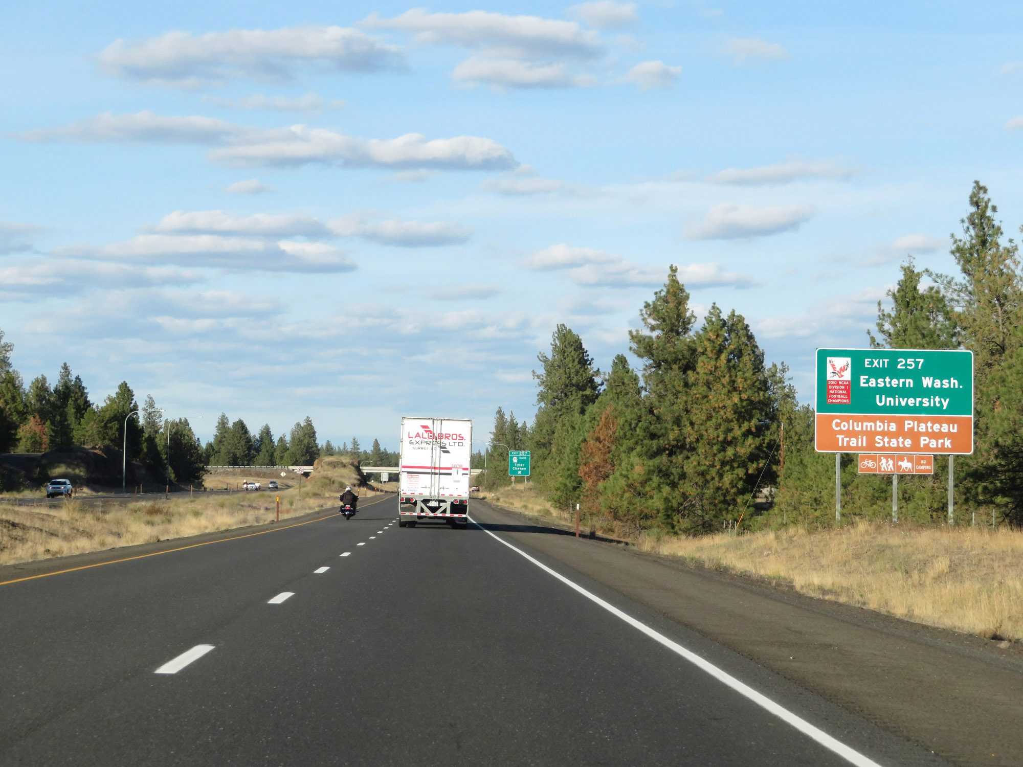 |
Take Exit 257 to Eastern Washington University and Columbia Plateau Trail State Park. (Photo taken 9/21/19). |
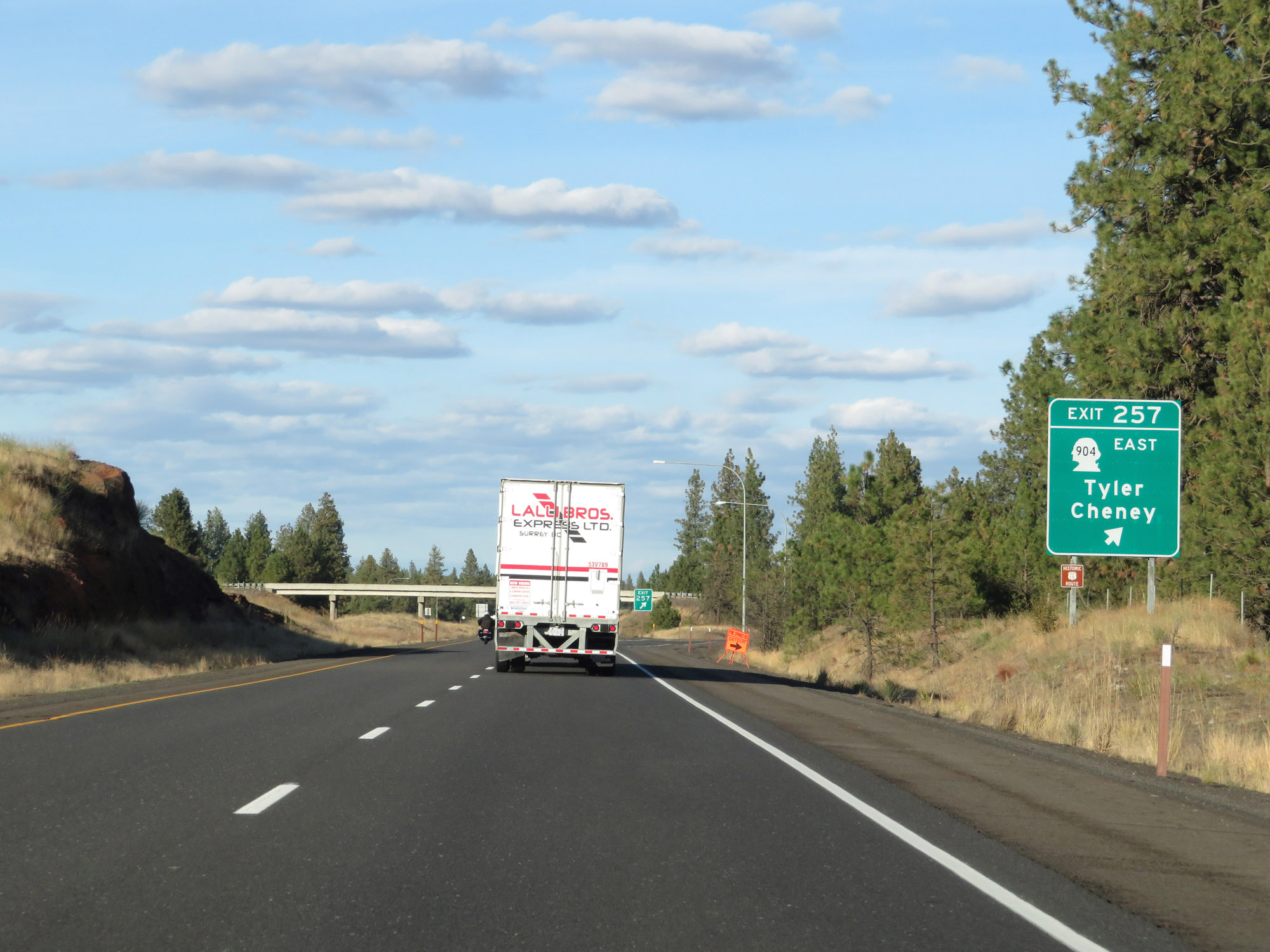 |
Interstate 90 East at Exit 257: WA 904 East - Tyler / Cheney (Photo taken 9/21/19). |
 |
Interstate 90 East reassurance shield. (Photo taken 9/21/19). |
 |
The speed limits remain 70 mph for cars and 60 mph for trucks. These are the standard speed limits on most rural Interstate highway in Washington State. (Photo taken 9/21/19). |
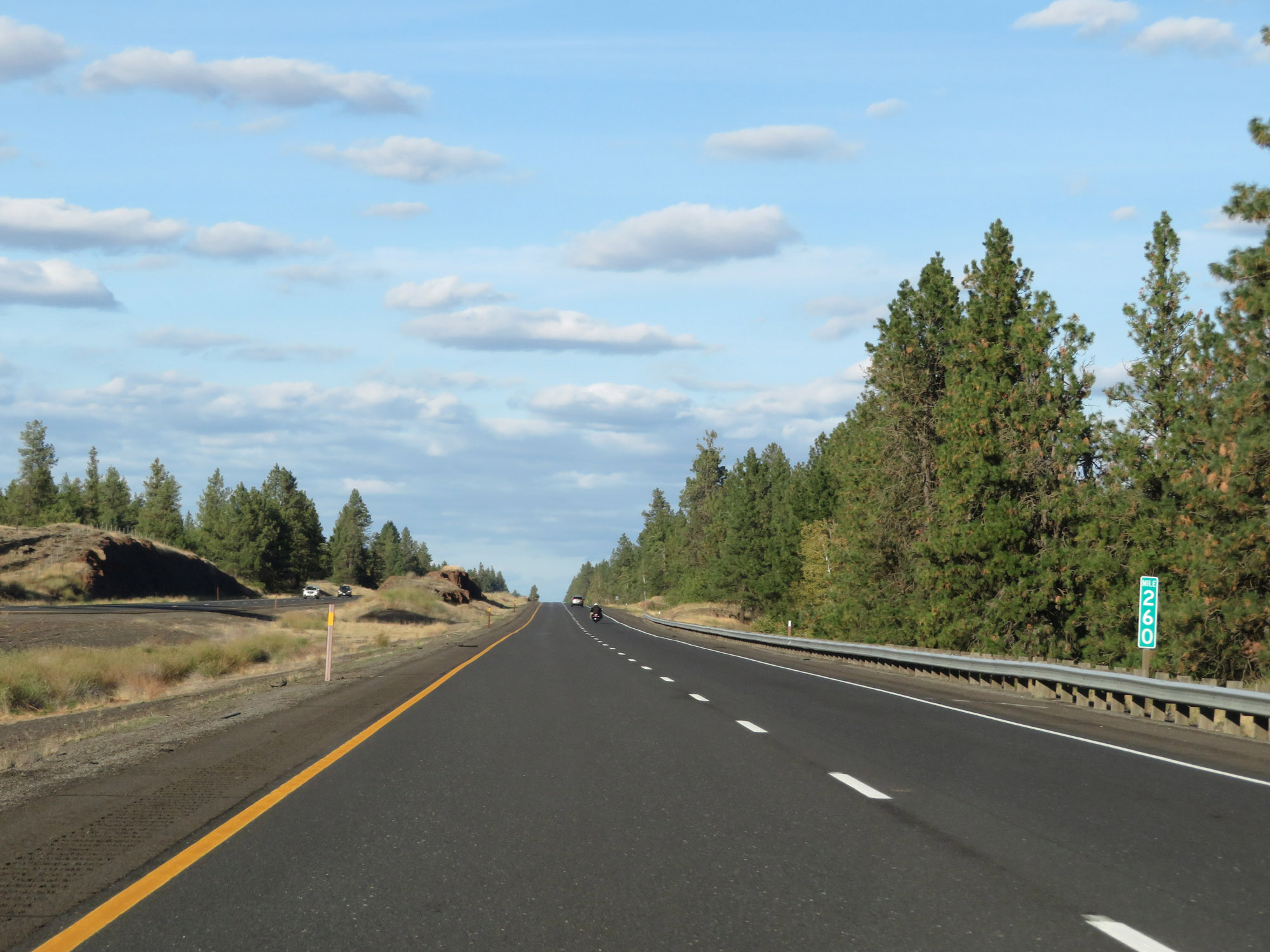 |
View on Interstate 90 East at mile marker 260. (Photo taken 9/21/19). |
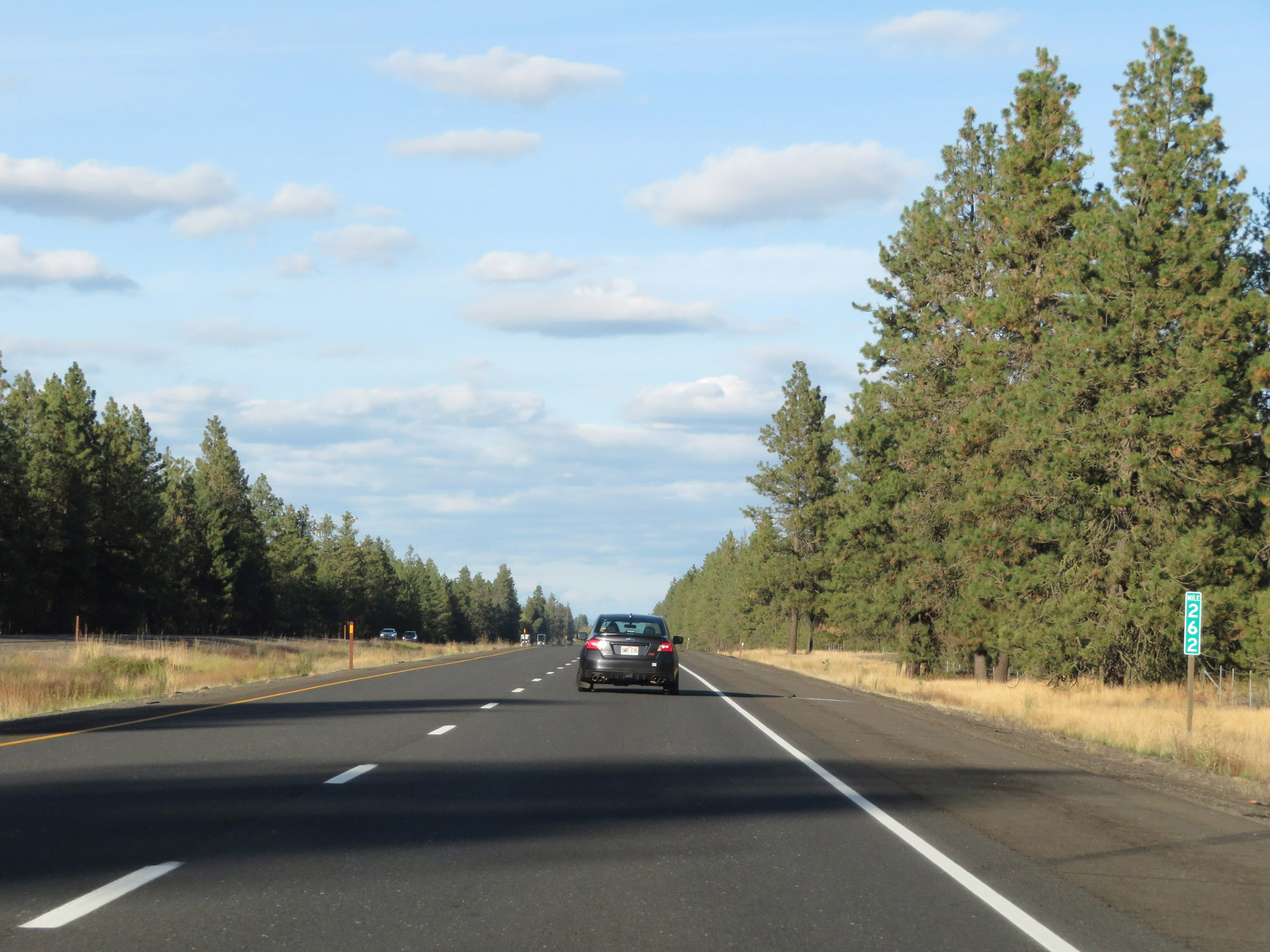 |
Interstate 90 East at mile marker 262. (Photo taken 9/21/19). |
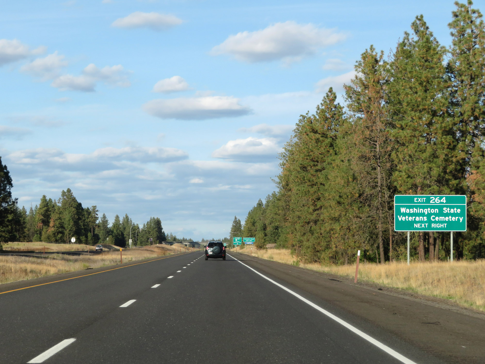 |
Take Exit 264 to Washington State Veterans Cemetery. (Photo taken 9/21/19). |
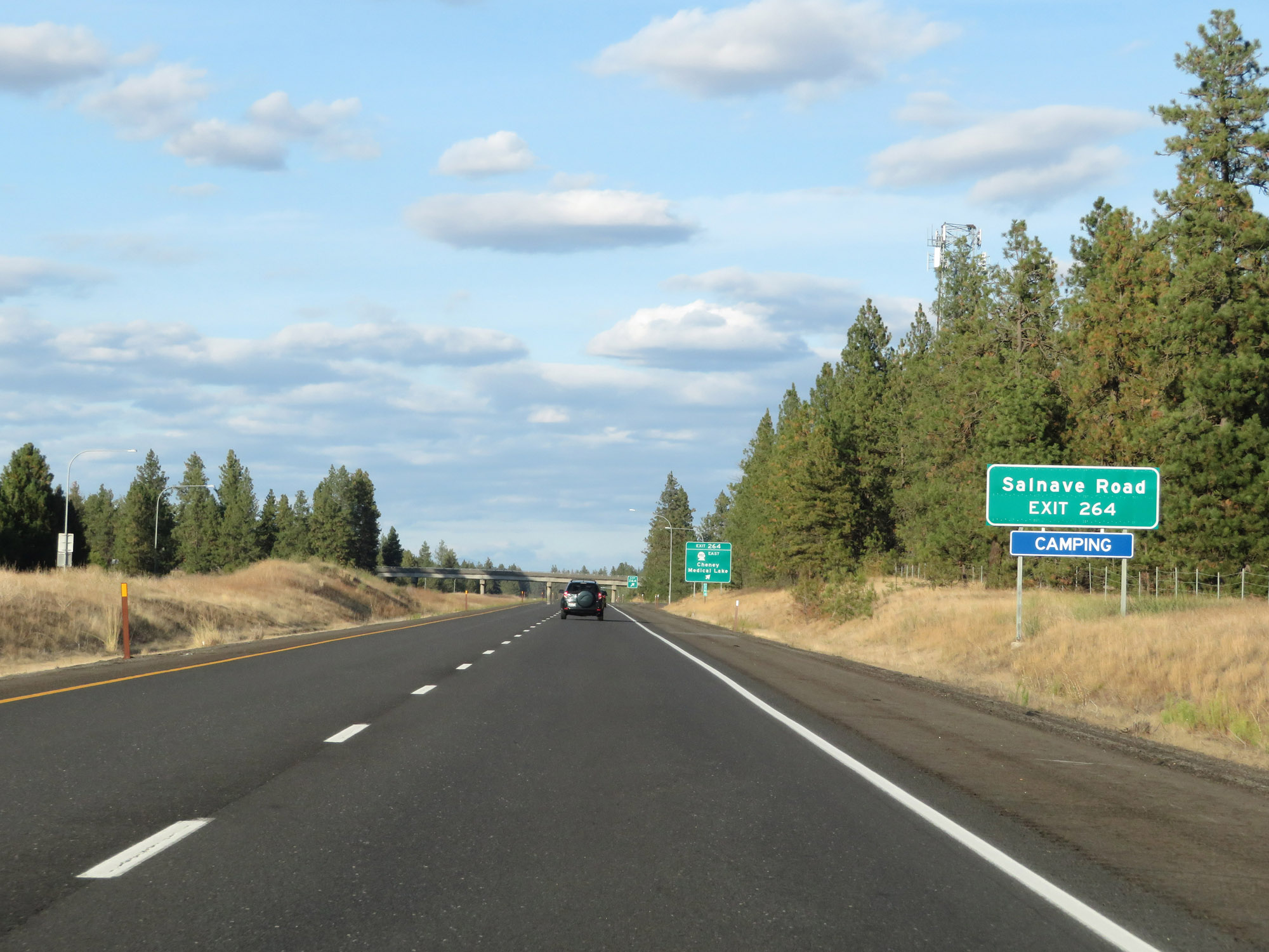 |
Also take Exit 264 to Salnave Road. (Photo taken 9/21/19). |
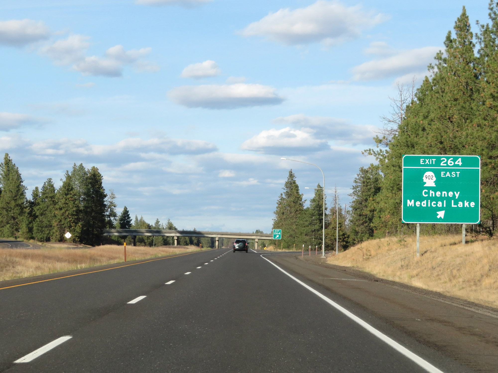 |
Interstate 90 East at Exit 264: WA 902 East - Cheney / Medical Lake (Photo taken 9/21/19). |
 |
Interstate 90 East at mile marker 266. (Photo taken 9/21/19). |
 |
View on Interstate 90 East at mile marker 268. (Photo taken 9/21/19). |
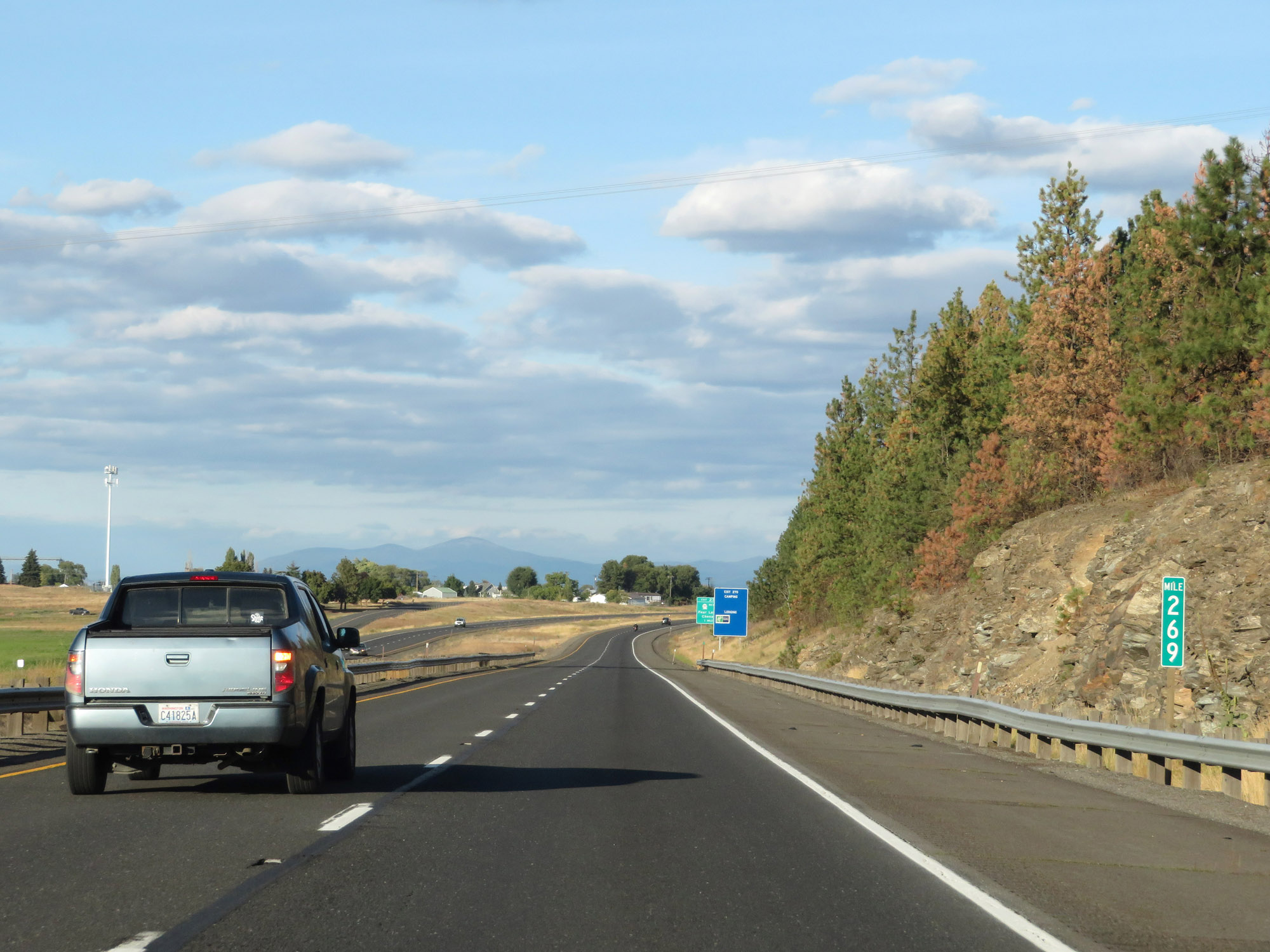 |
Interstate 90 East at mile marker 269. (Photo taken 9/21/19). |
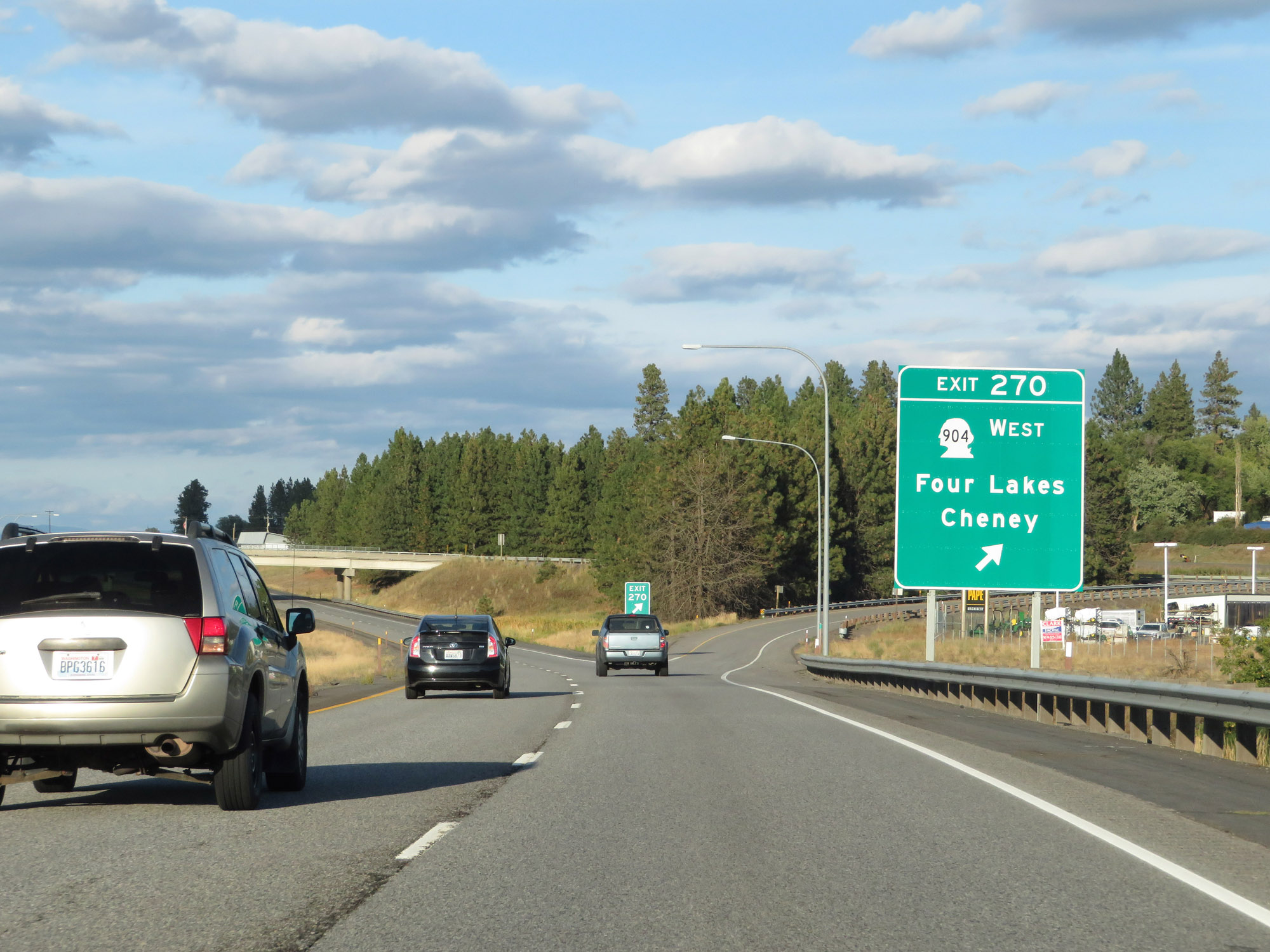 |
Interstate 90 East at Exit 270: WA 904 West - Four Lakes / Cheney (Photo taken 9/21/19). |
 |
Interstate 90 East reassurance shield. (Photo taken 9/21/19). |
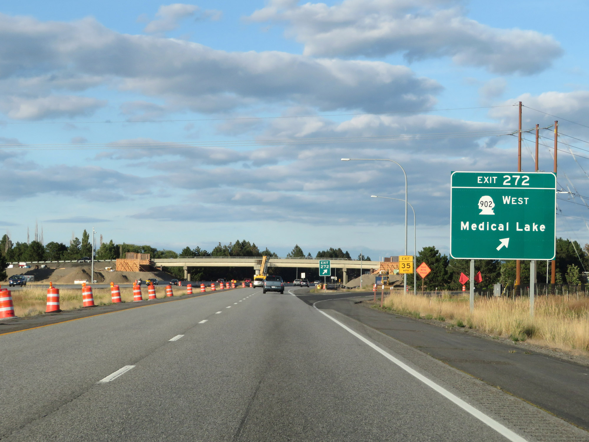 |
Interstate 90 East at Exit 272: WA 902 West - Medical Lake (Photo taken 9/21/19). |
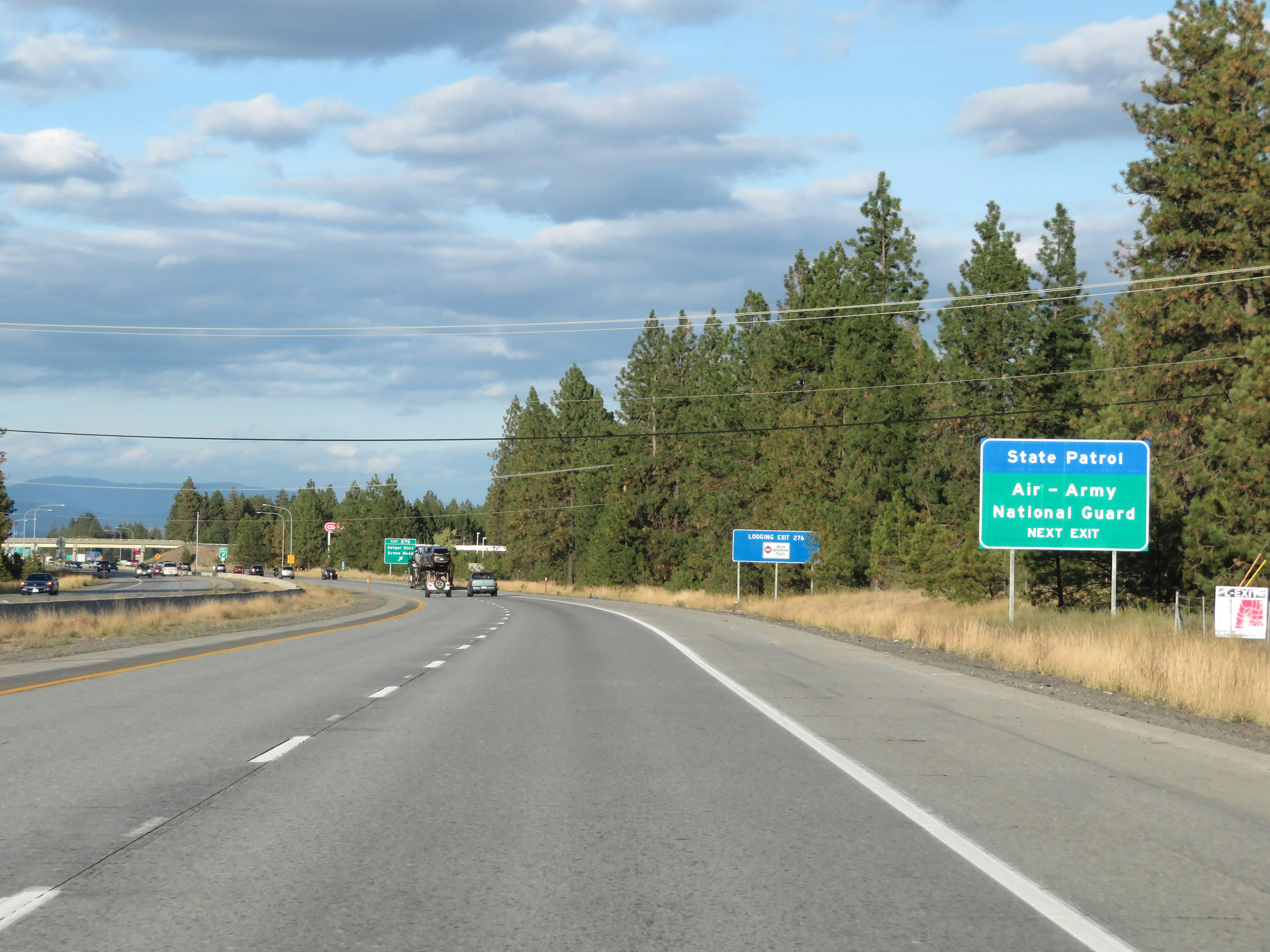 |
Take Exit 276 to the Air-Army National Guard. (Photo taken 9/21/19). |
 |
Interstate 90 East at Exit 276: Geiger Blvd / Grove Road (Photo taken 9/21/19). |
 |
Take Exit 277A to Spokane Falls Community College. (Photo taken 9/21/19). |
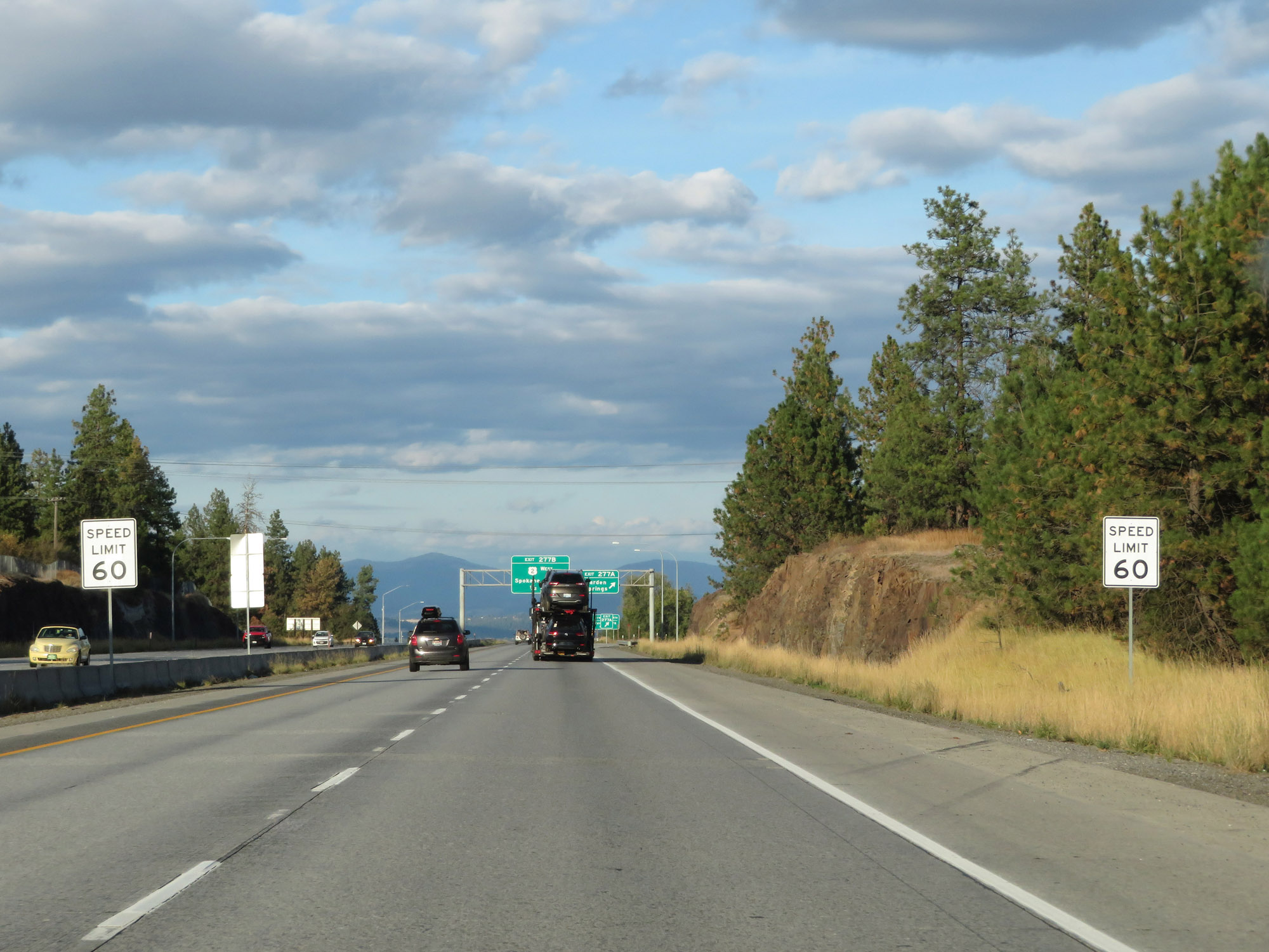 |
Approaching Exit 277A and the Spokane area, the speed limit decreases to 60 mph for all traffic. (Photo taken 9/21/19). |
 |
Interstate 90 East at Exit 277A: Garden Springs (Photo taken 9/21/19). |
 |
Take Exit 277B to Airway Heights and Fairchild AFB. (Photo taken 9/21/19). |
 |
Interstate 90 East as it prepares to traverse a 5% downgrade into downtown Spokane for the next 2 miles. (Photo taken 9/21/19). |
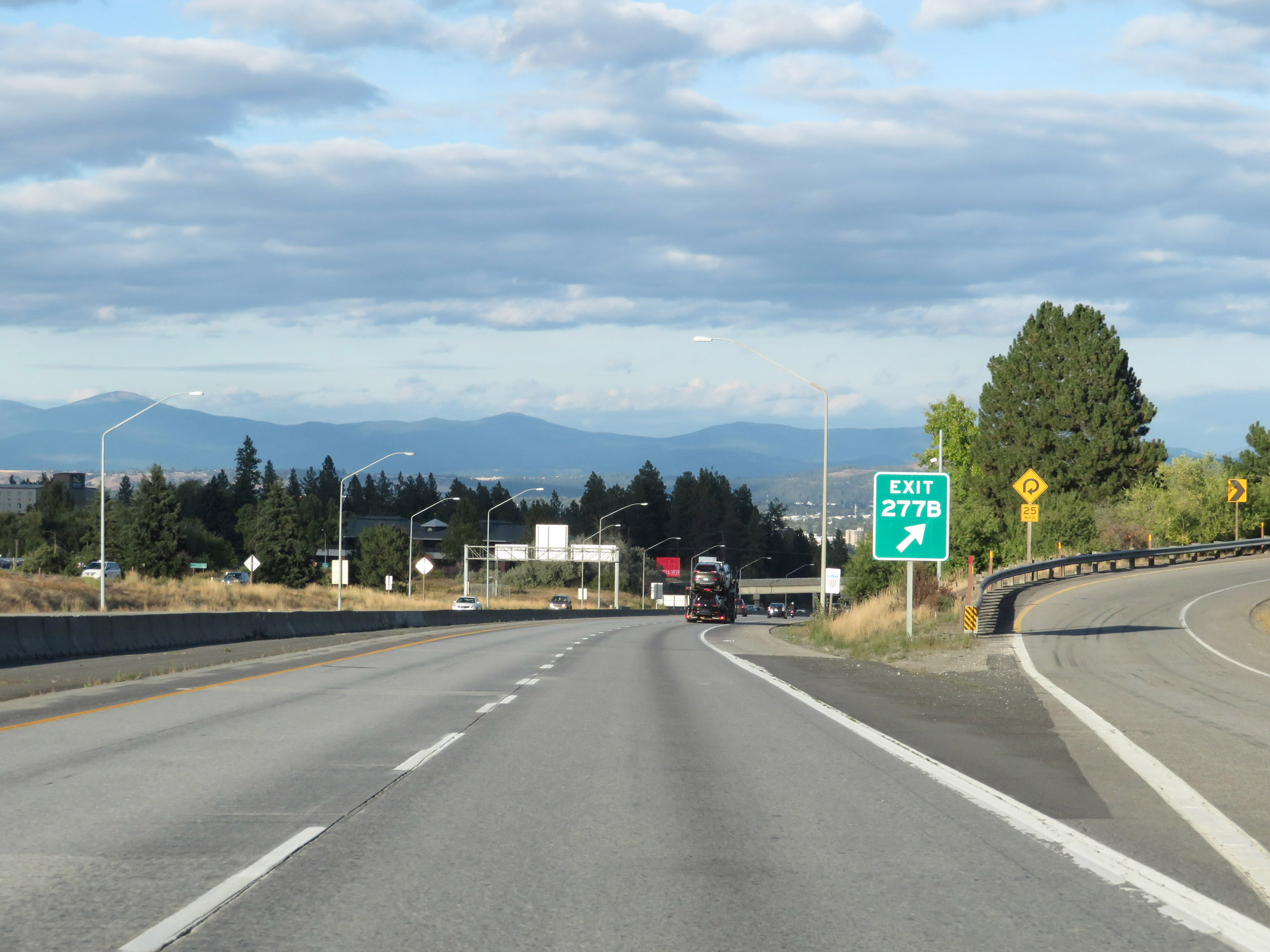 |
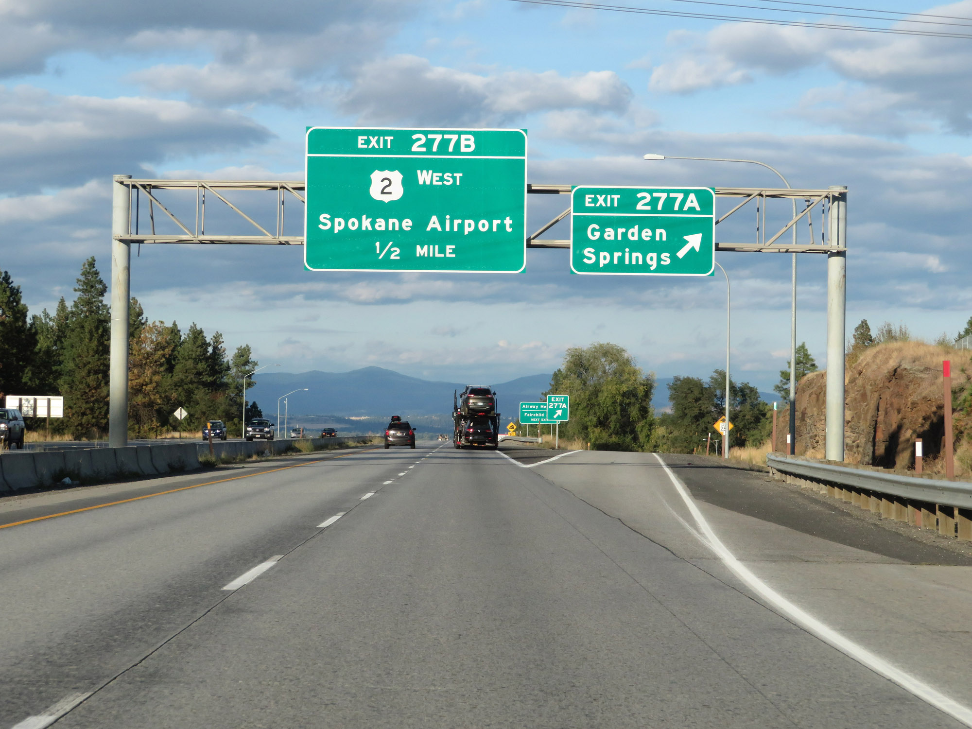
Interstate 90 East at Exit 277B: US 2 West - Spokane Airport / Davenport (Photo taken 9/21/19). |
 |
Interstate 90 East as it begins its downgrade into downtown Spokane. (Photo taken 9/21/19). |
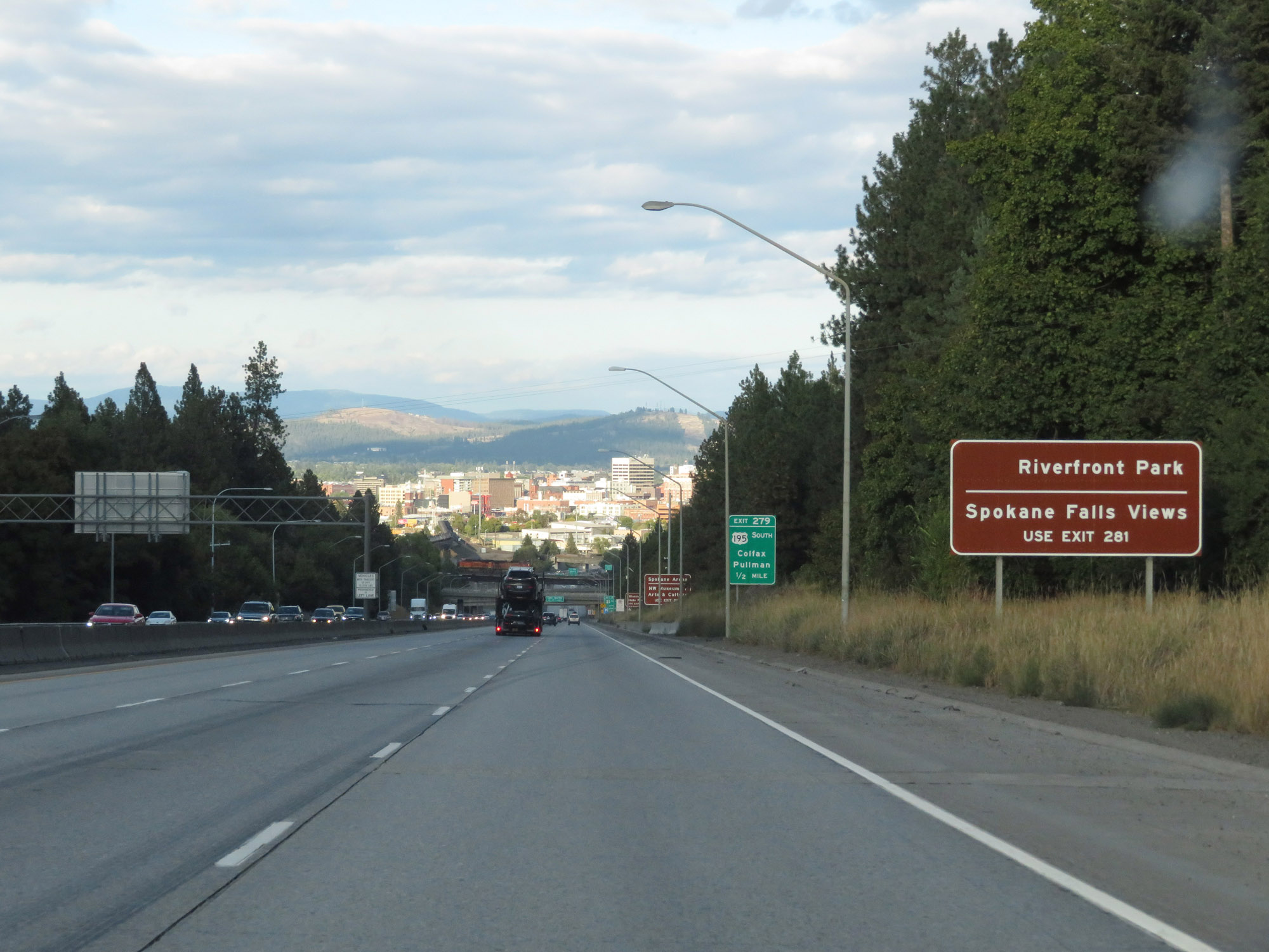 |
Take Exit 281 to Riverfront Park and Spokane Falls Views. (Photo taken 9/21/19). |
 |
Take Exit 280 to Spokane Arena and the NW Museum of Arts & Culture. (Photo taken 9/21/19). |
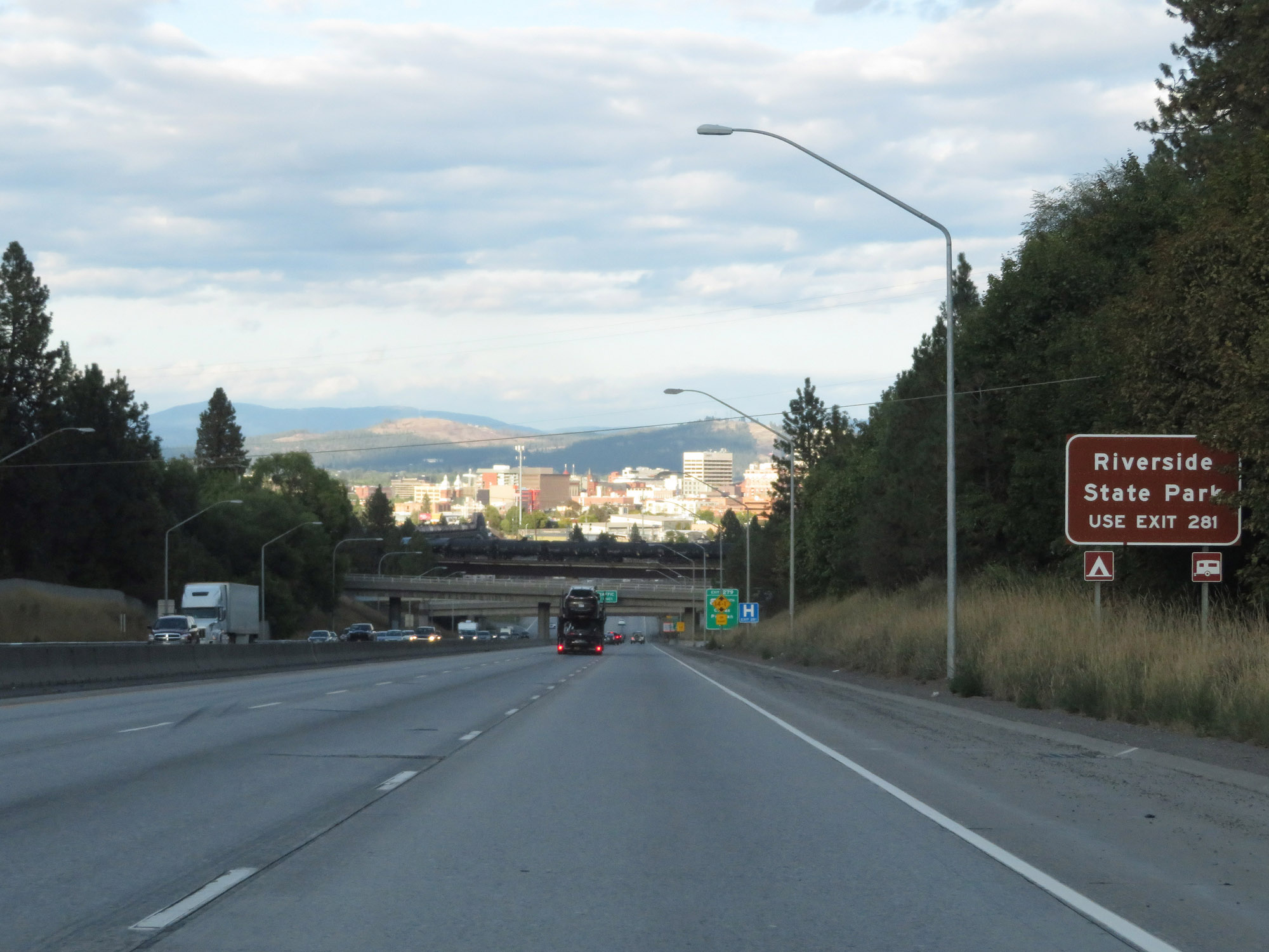 |
Take Exit 281 to Riverside State Park. (Photo taken 9/21/19). |
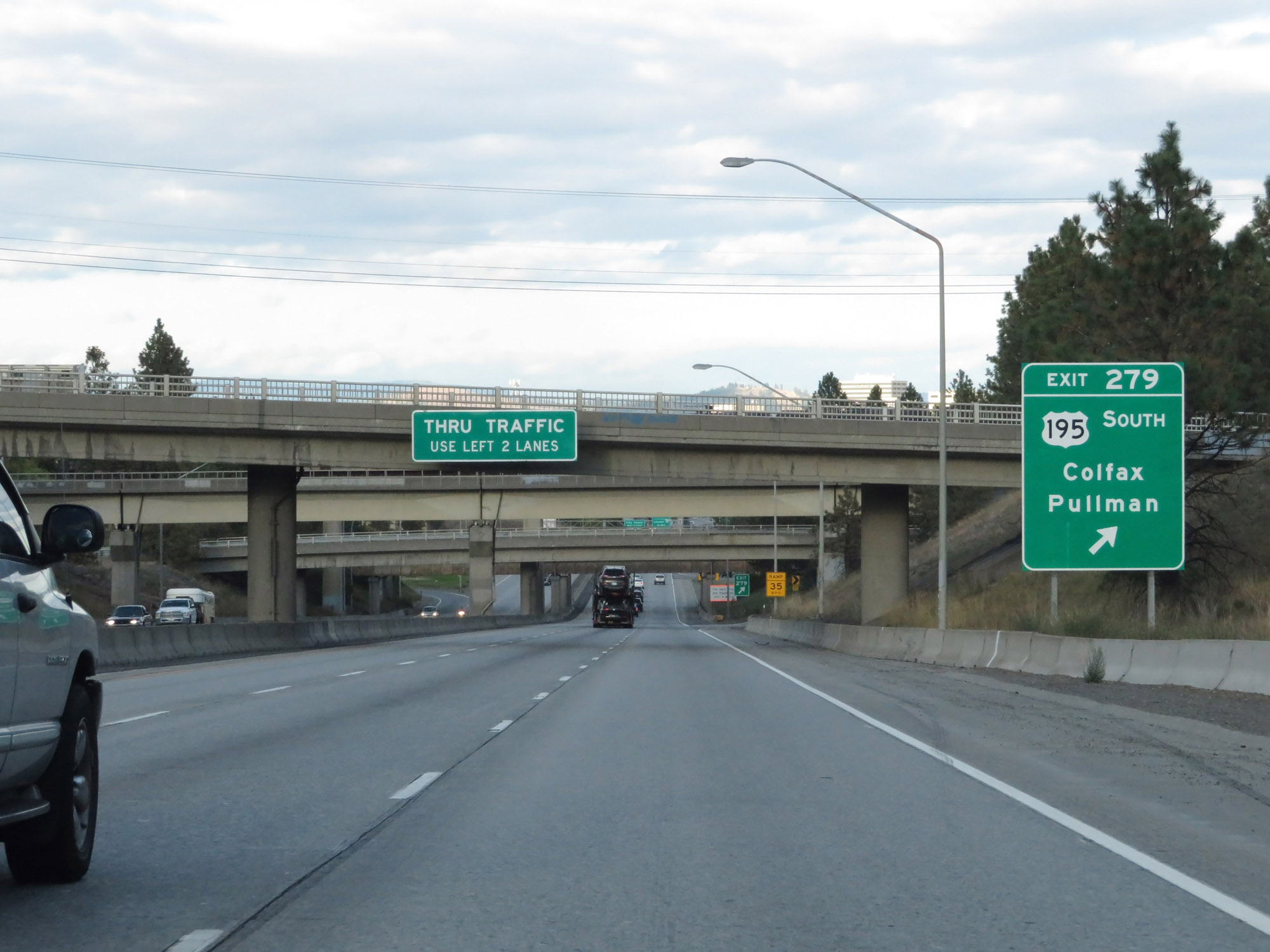 |
Interstate 90 East at Exit 279: US 195 South - Colfax / Pullman (Photo taken 9/21/19). |
Section 6: Spokane (Exit 279) to Idaho Border
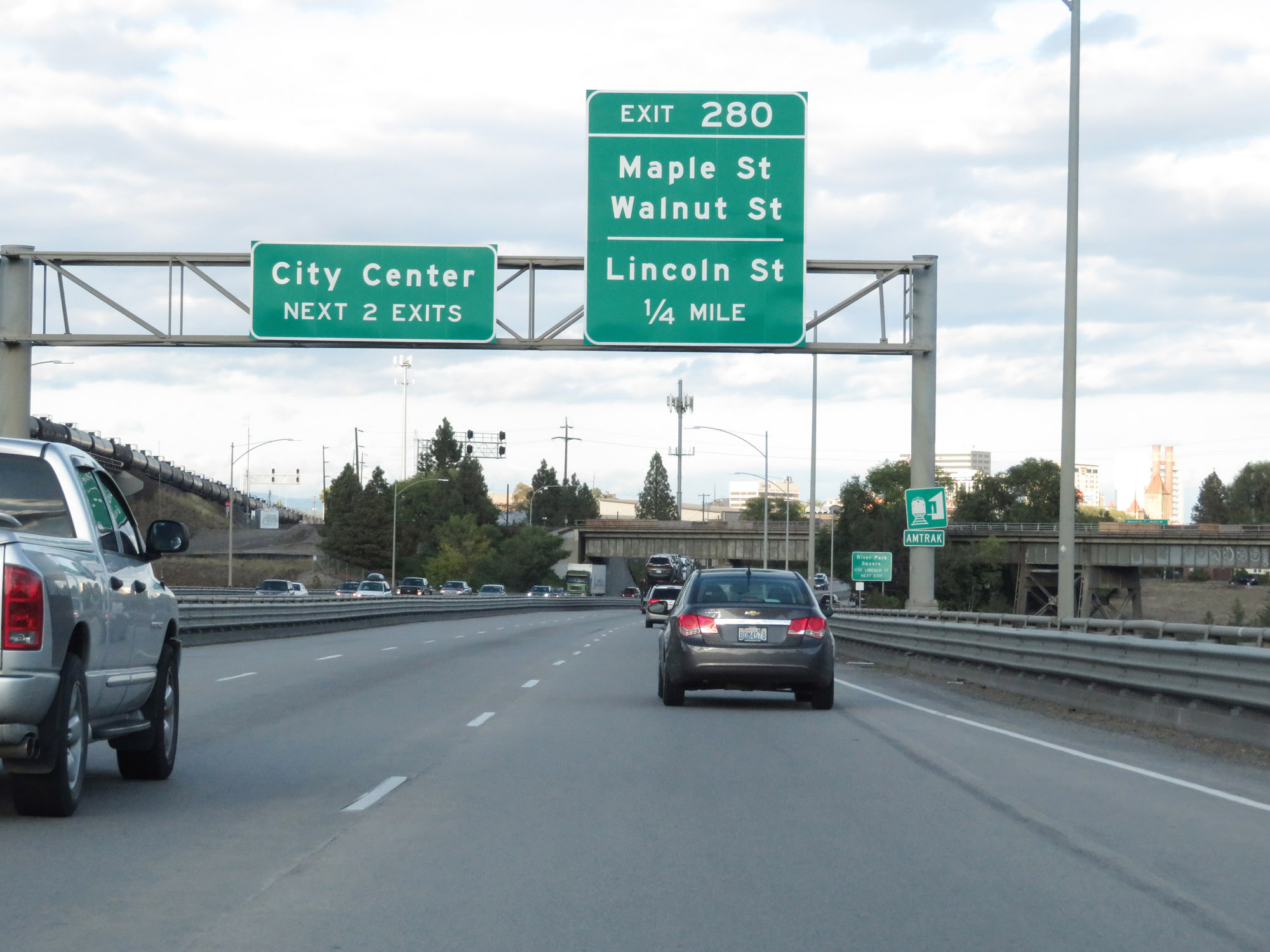 |
Take either of the next 2 exits to City Center. (Photo taken 9/21/19). |
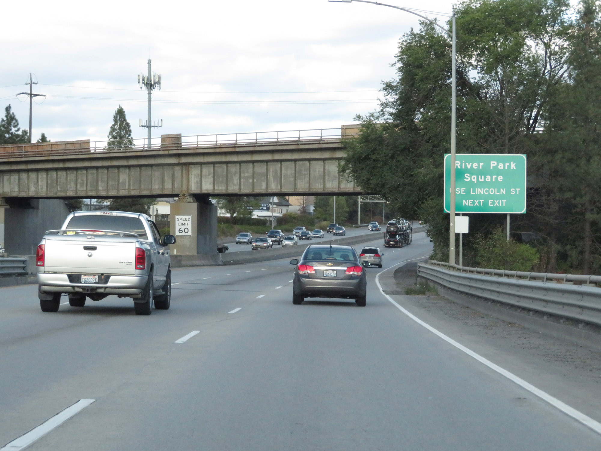 |
Take Exit 280 to River Square Park via Lincoln St. (Photo taken 9/21/19). |
 |
Interstate 90 East at Exit 280: Maple St / Walnut St / Lincoln St (Photo taken 9/21/19). |
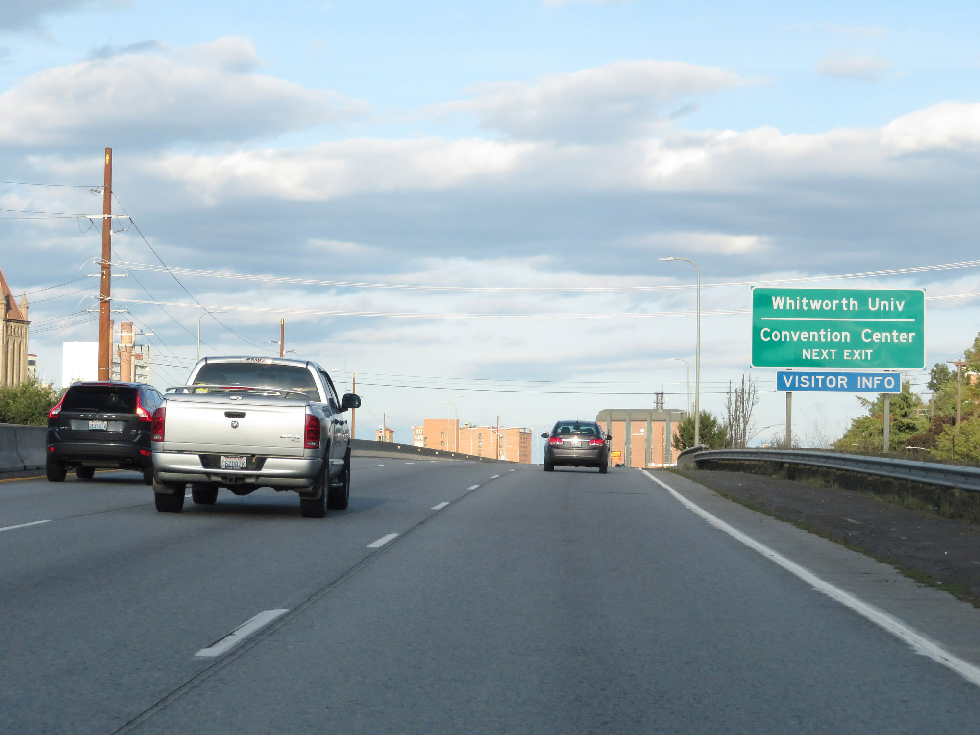 |
Take Exit 281 to Whitworth University and the Convention Center. (Photo taken 9/21/19). |
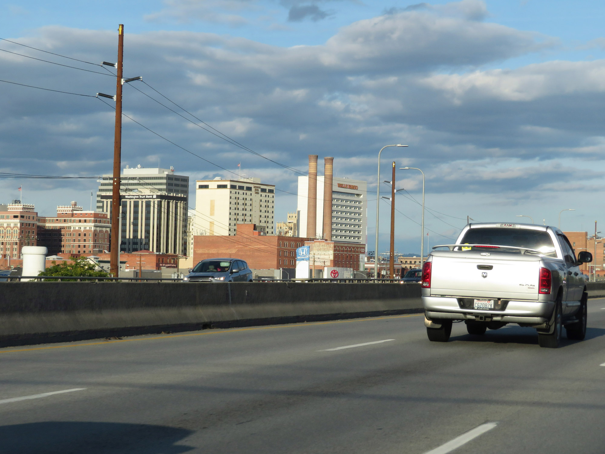 |
View of downtown Spokane on Interstate 90 East, looking to the northeast. (Photo taken 9/21/19). |
 |
Interstate 90 East at Exit 281: US 2 East / US 395 North - Newport / Colville / Division St (Photo taken 9/21/19). |
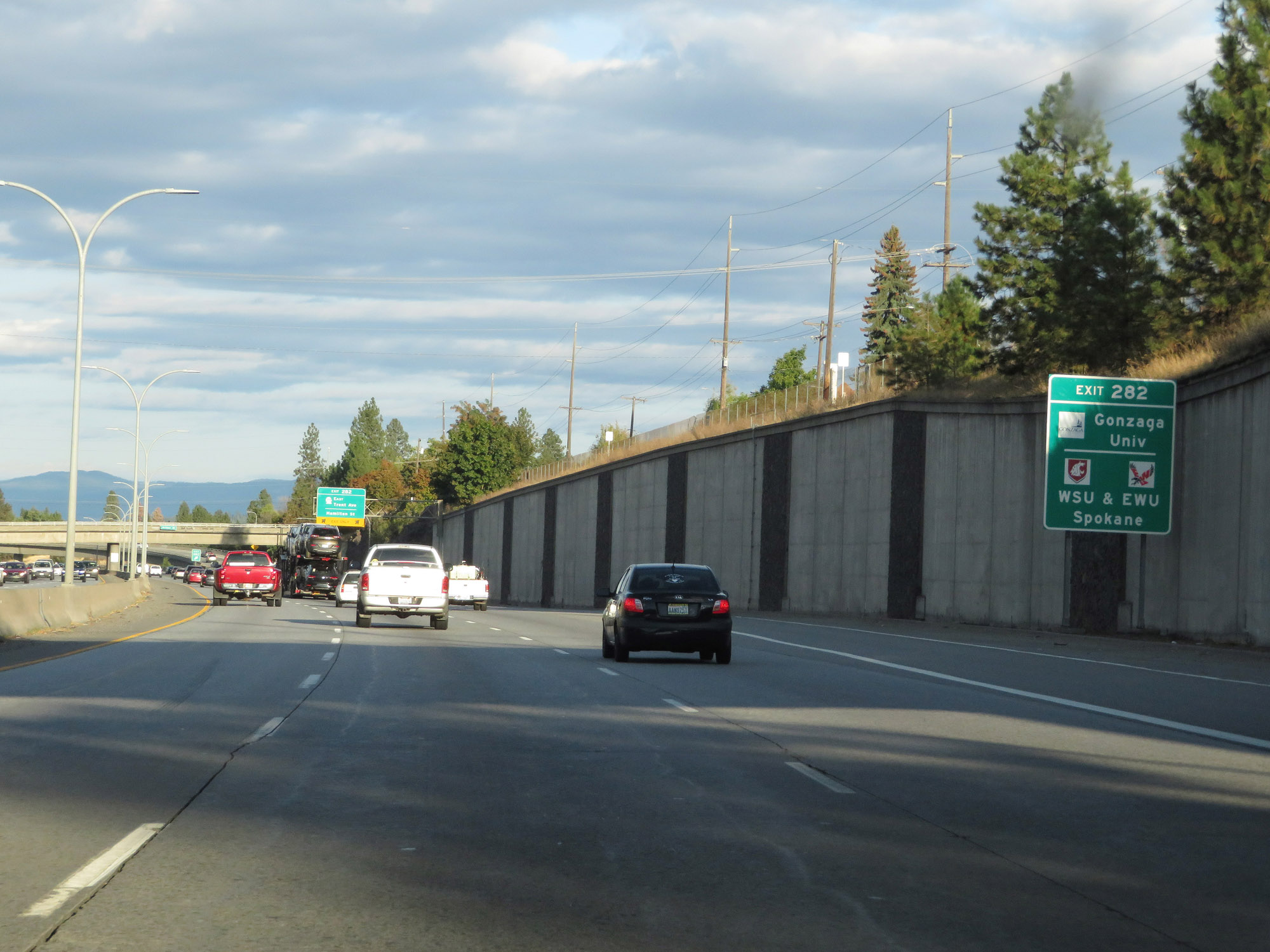 |
Take Exit 282 to Gonzaga University and WSA & EWU Spokane. (Photo taken 9/21/19). |
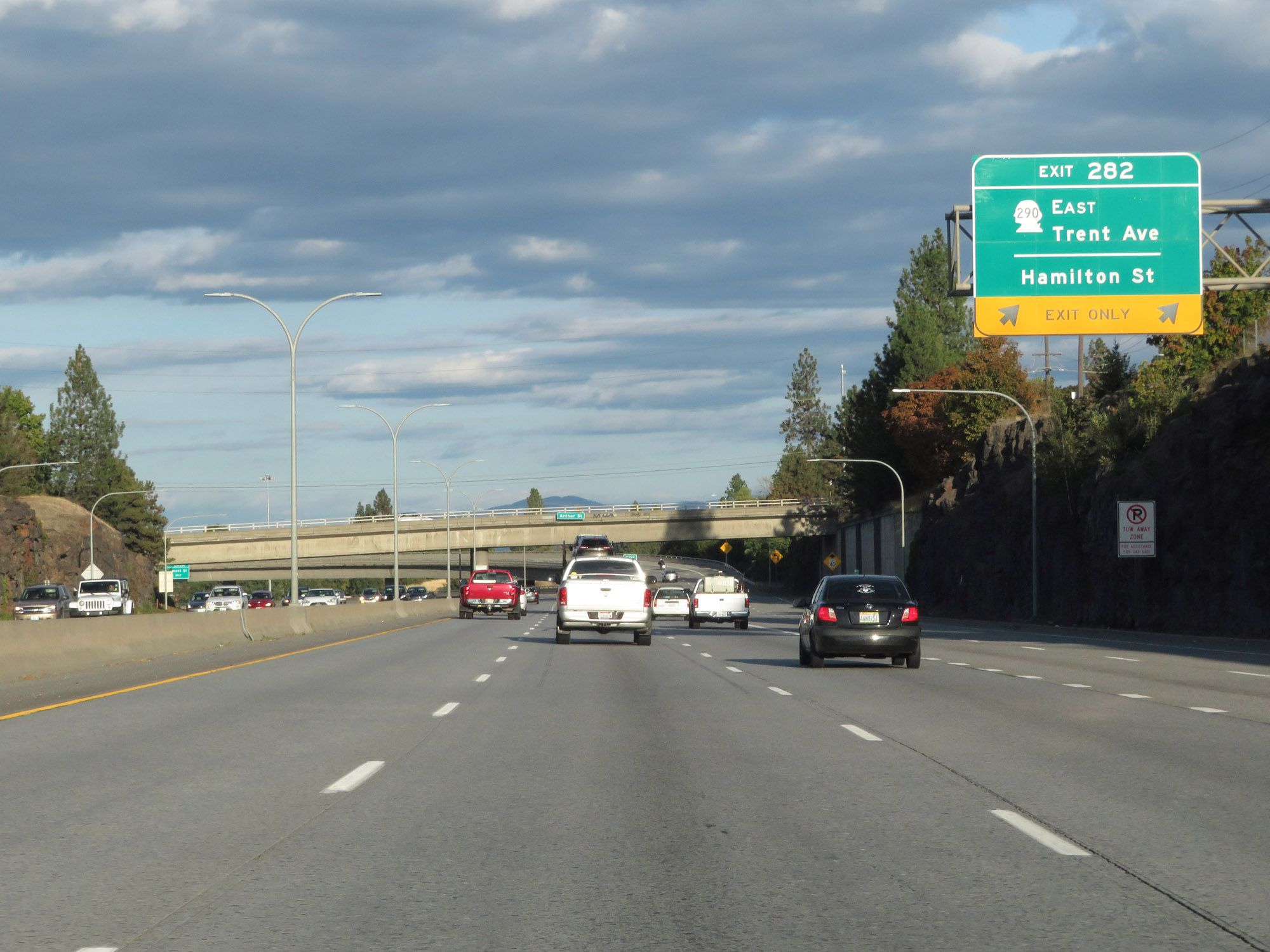 |
Interstate 90 East at Exit 282: WA 290 East - Trent Ave / Hamilton St (Photo taken 9/21/19). |
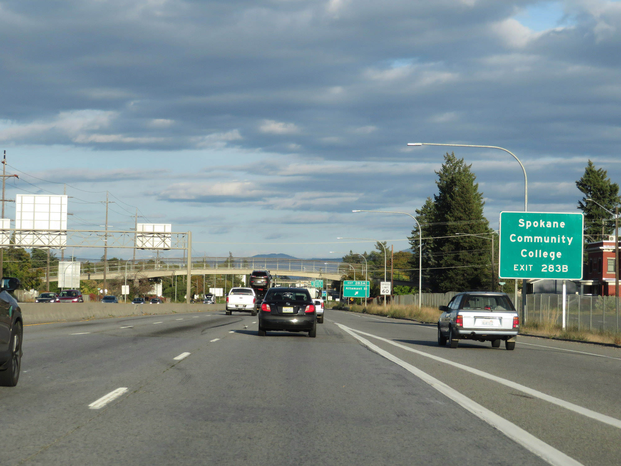 |
Take Exit 283B to Spokane Community College. (Photo taken 9/21/19). |
 |
Interstate 90 East at Exit 283A: Altamont St (Photo taken 9/21/19). |
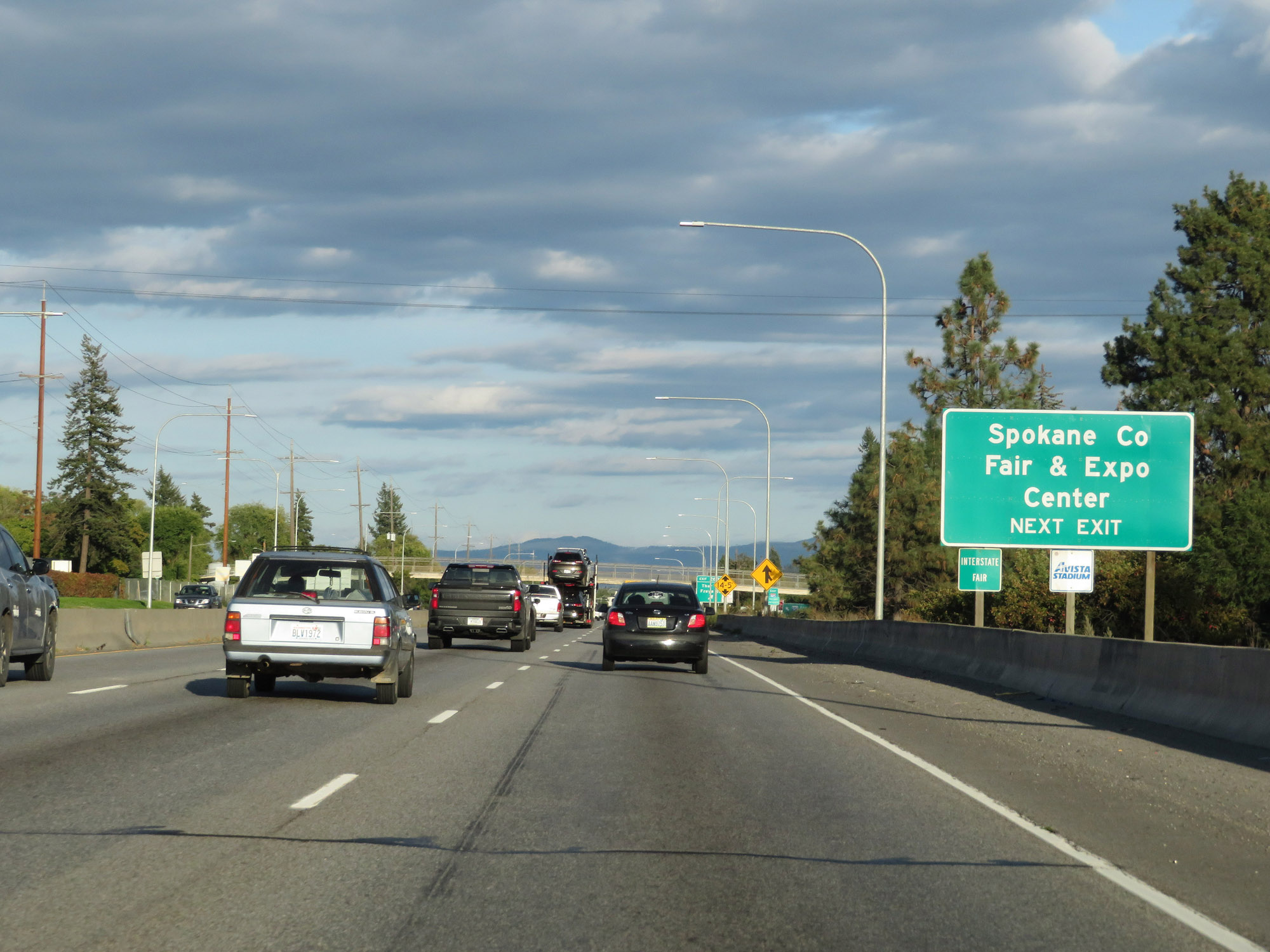 |
Also take Exit 283B to Spokane County Fair & Expo Center. (Photo taken 9/21/19). |
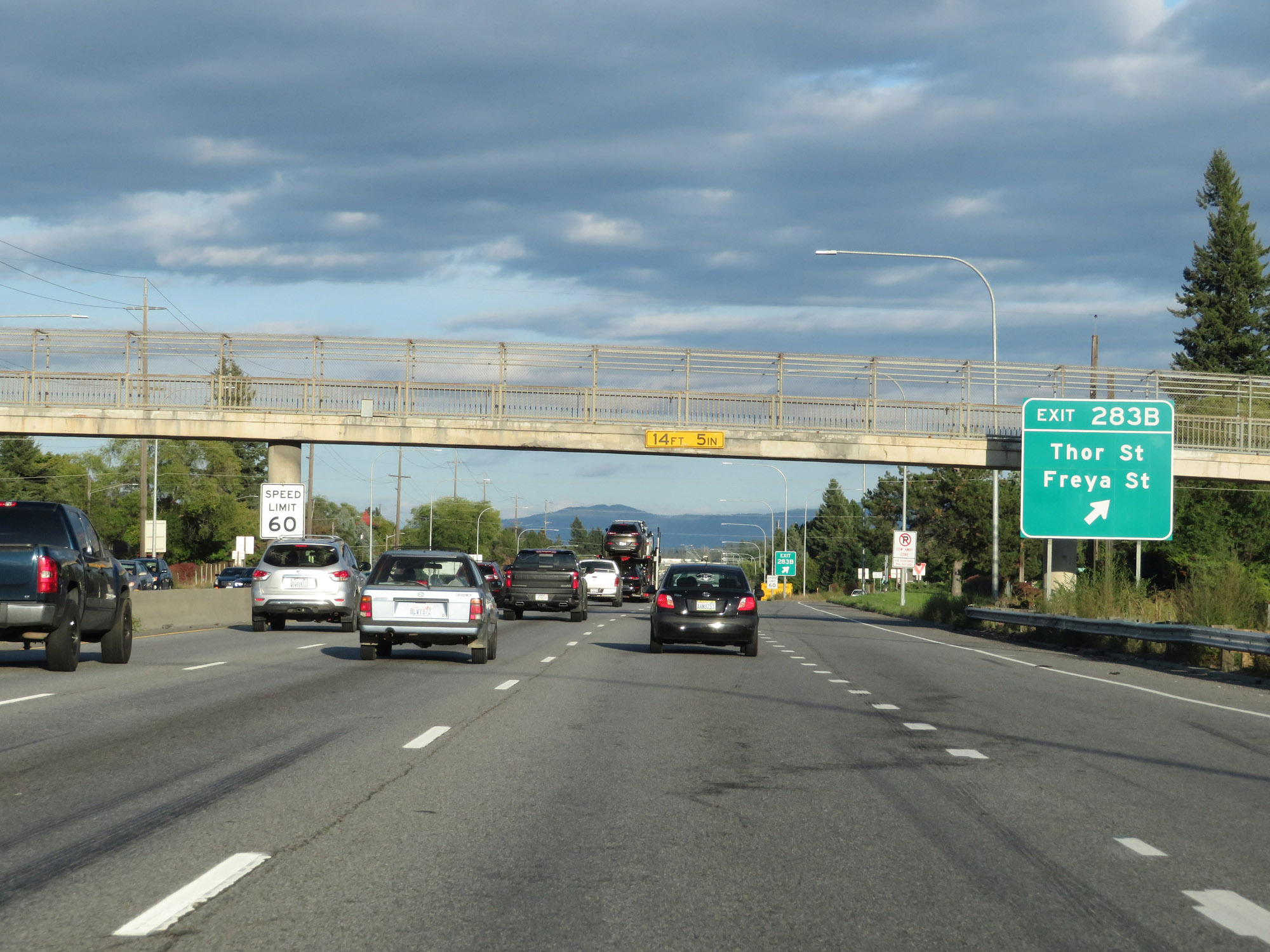 |
Interstate 90 East at Exit 283B: Thor St / Freya St (Photo taken 9/21/19). |
 |
The speed limit remains 60 mph through the Spokane area. (Photo taken 9/21/19). |
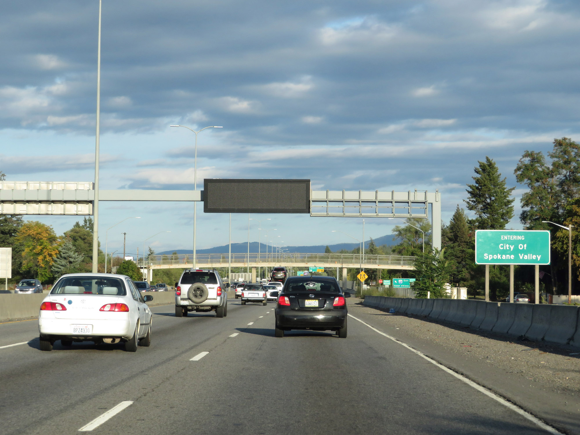 |
Interstate 90 East as it enters the City of Spokane Valley. (Photo taken 9/21/19). |
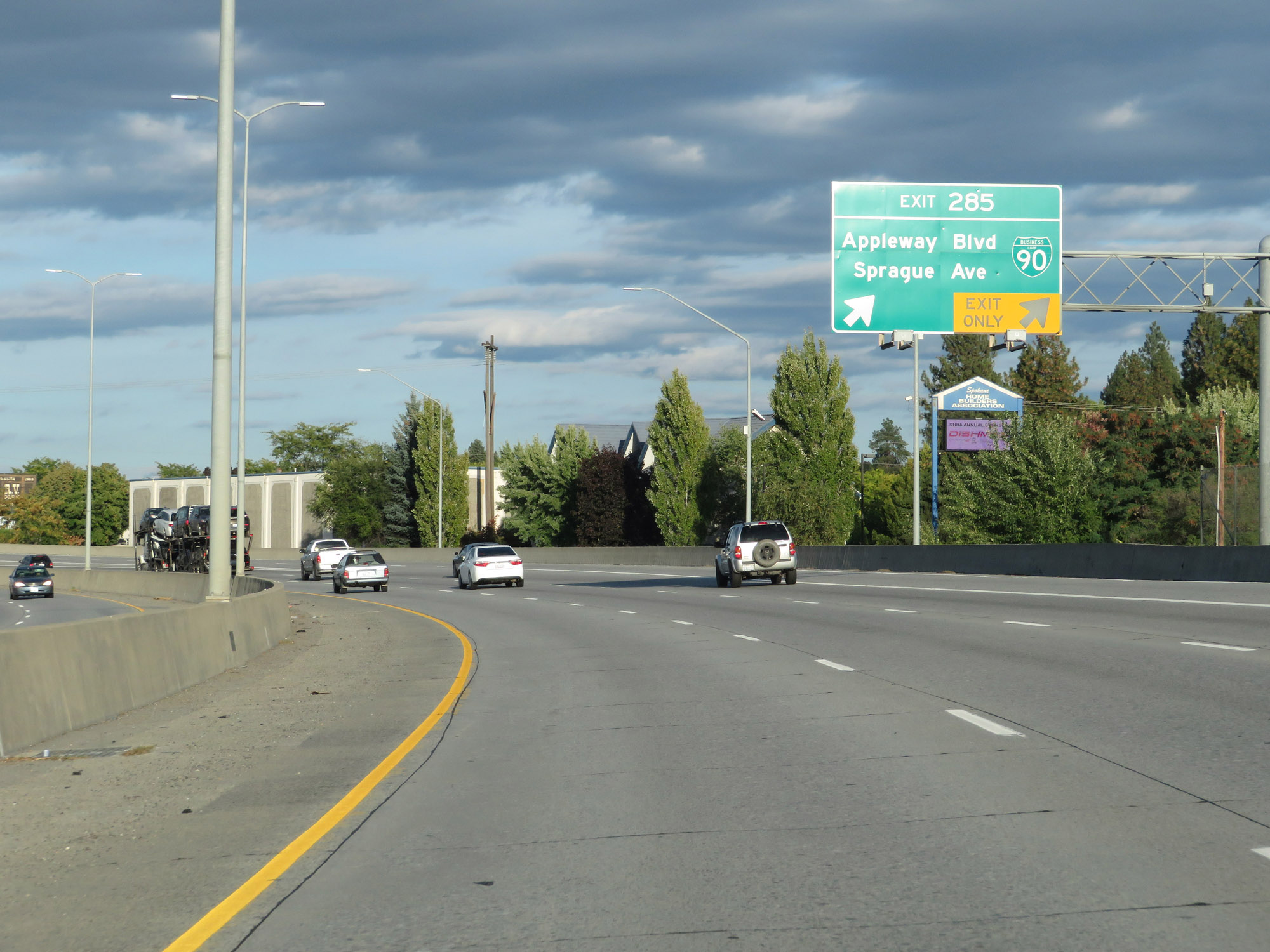 |
Interstate 90 East at Exit 285: Interstate 90 Business Loop - Appleway Blvd / Sprague Ave (Photo taken 9/21/19). |
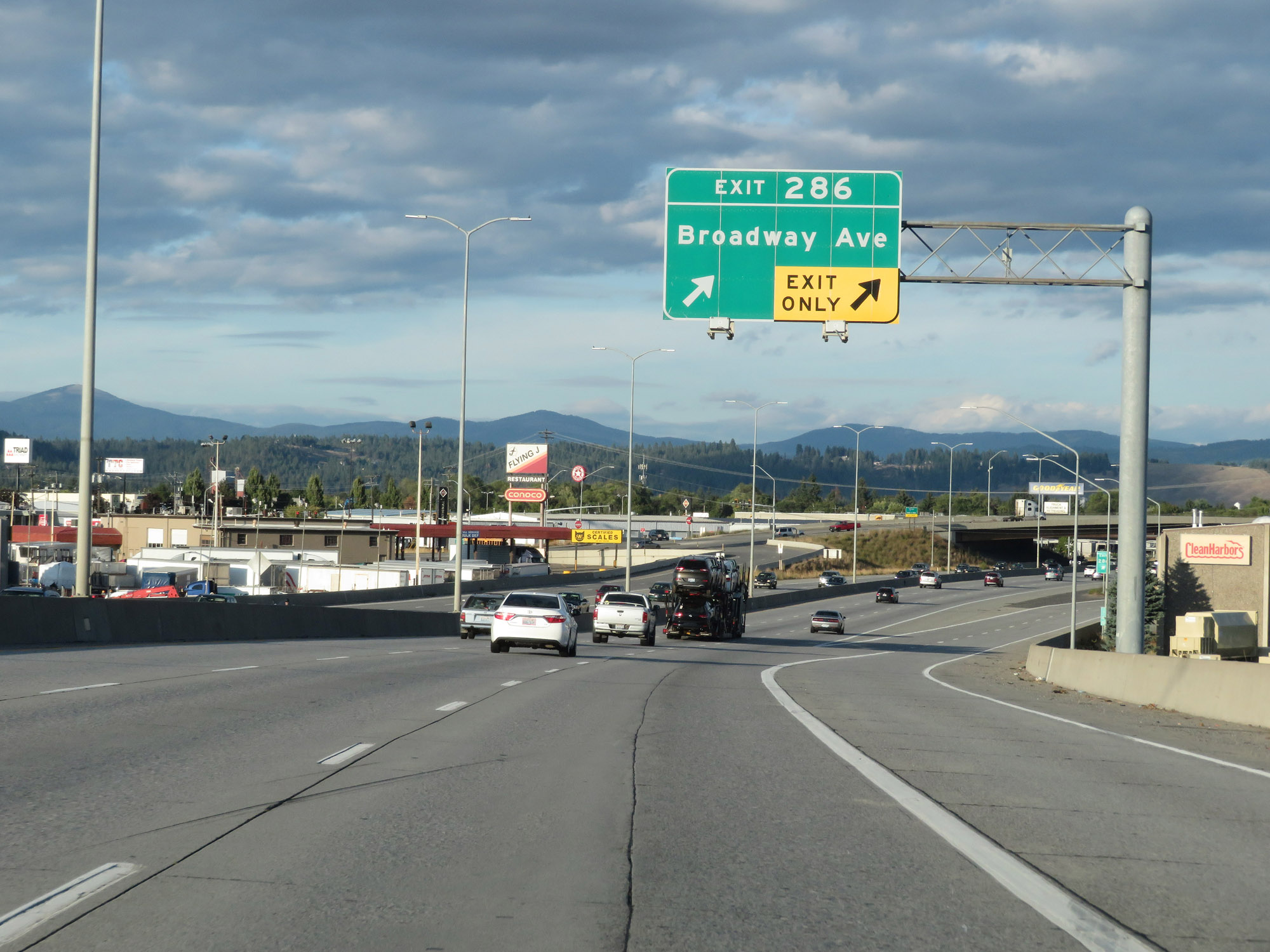 |
Interstate 90 East at Exit 286: Broadway Ave (Photo taken 9/21/19). |
 |
Take Exit 287 to Mt Spokane State Park. (Photo taken 9/21/19). |
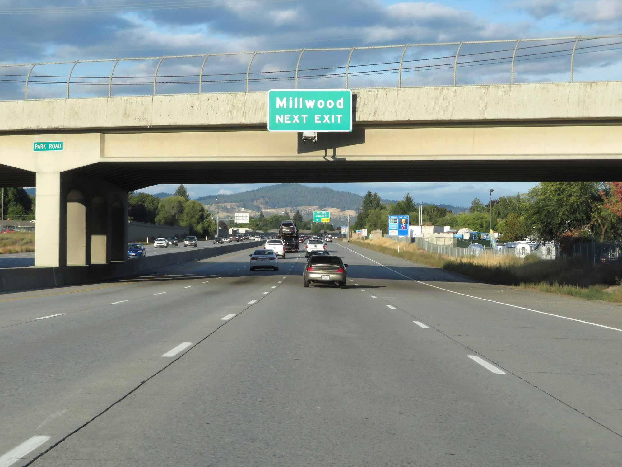 |
Also take Exit 287 to Millwood. (Photo taken 9/21/19). |
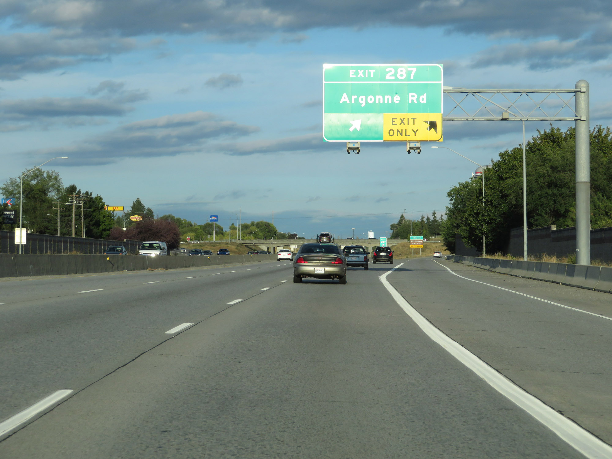 |
Interstate 90 East at Exit 287: Argonne Rd (Photo taken 9/21/19). |
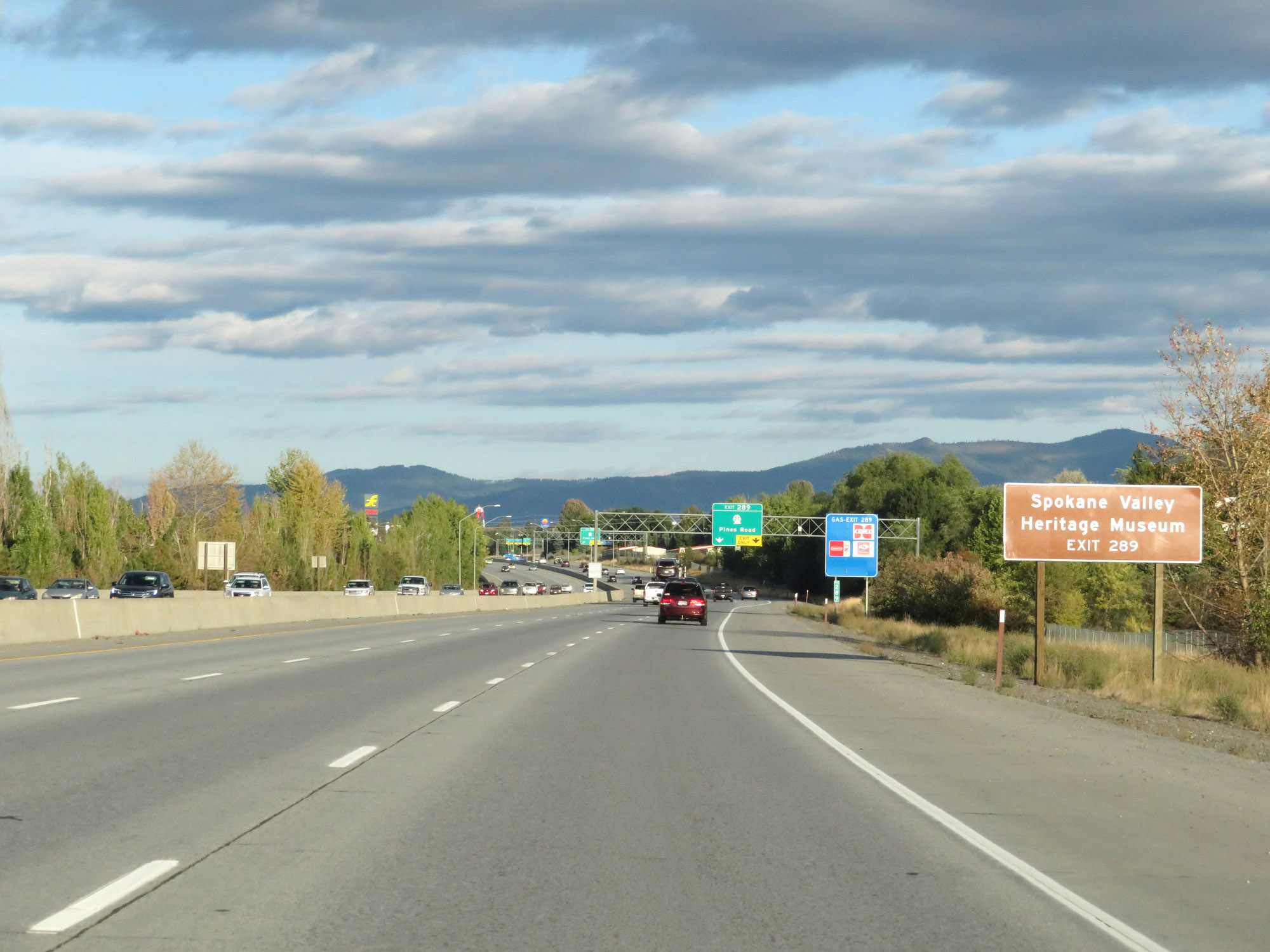 |
Take Exit 289 to Spokane Valley Heritage Museum. (Photo taken 9/21/19). |
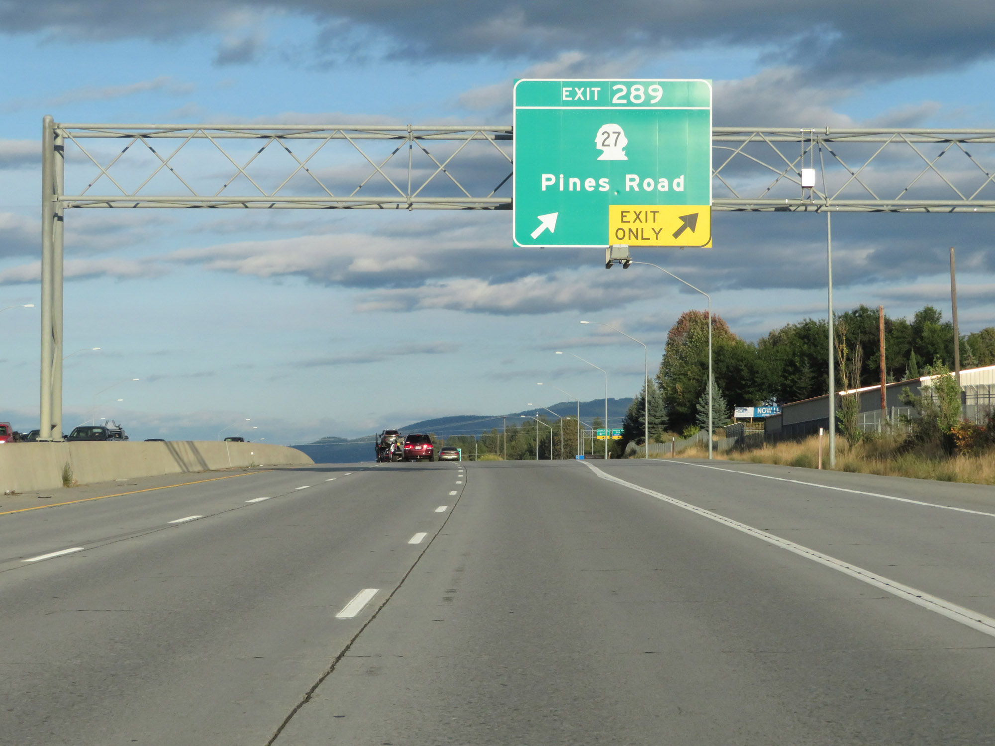 |
Interstate 90 East at Exit 289: WA 27 - Pines Road (Photo taken 9/21/19). |
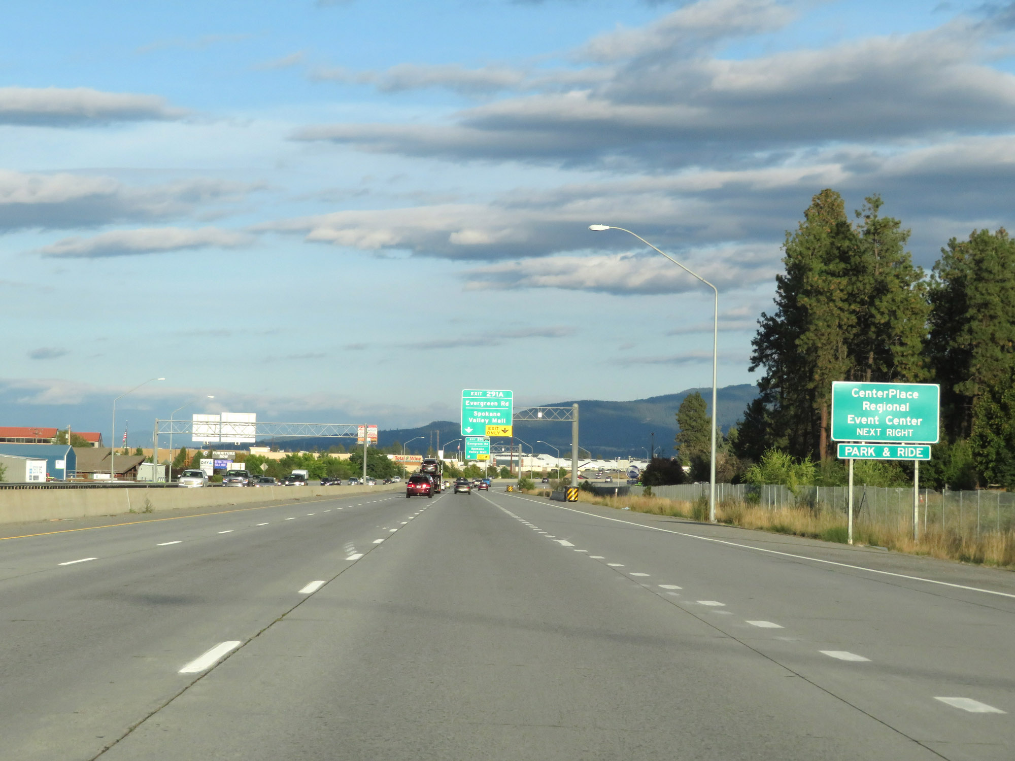 |
Take Exit 291A to CenterPlace Regional Event Center. (Photo taken 9/21/19). |
 |
Interstate 90 East at Exit 291A: Evergreen Rd / Spokane Valley Mall (Photo taken 9/21/19). |
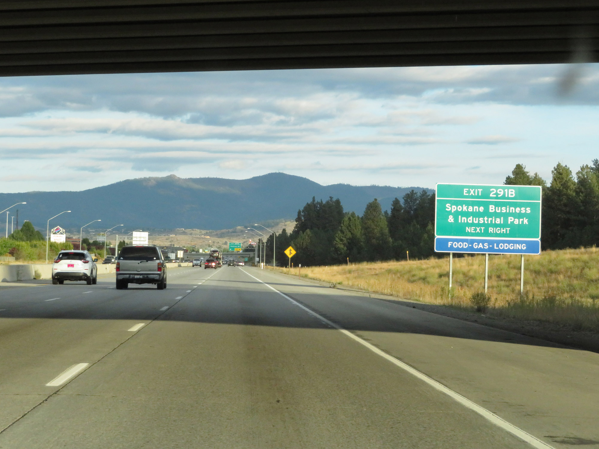 |
Take Exit 291B to Spokane Business & Industrial Park. (Photo taken 9/21/19). |
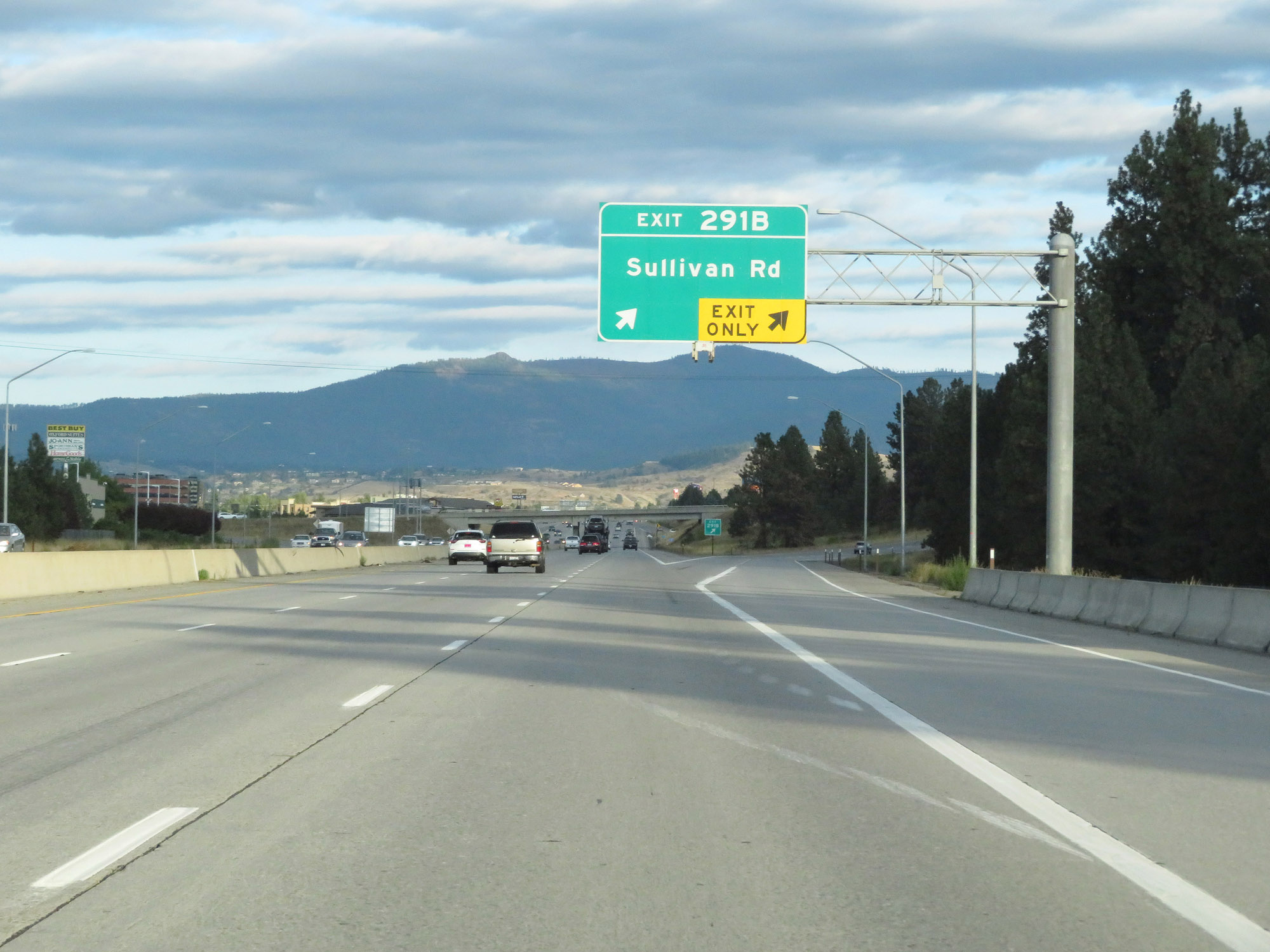 |
Interstate 90 East at Exit 291B: Sullivan Rd (Photo taken 9/21/19). |
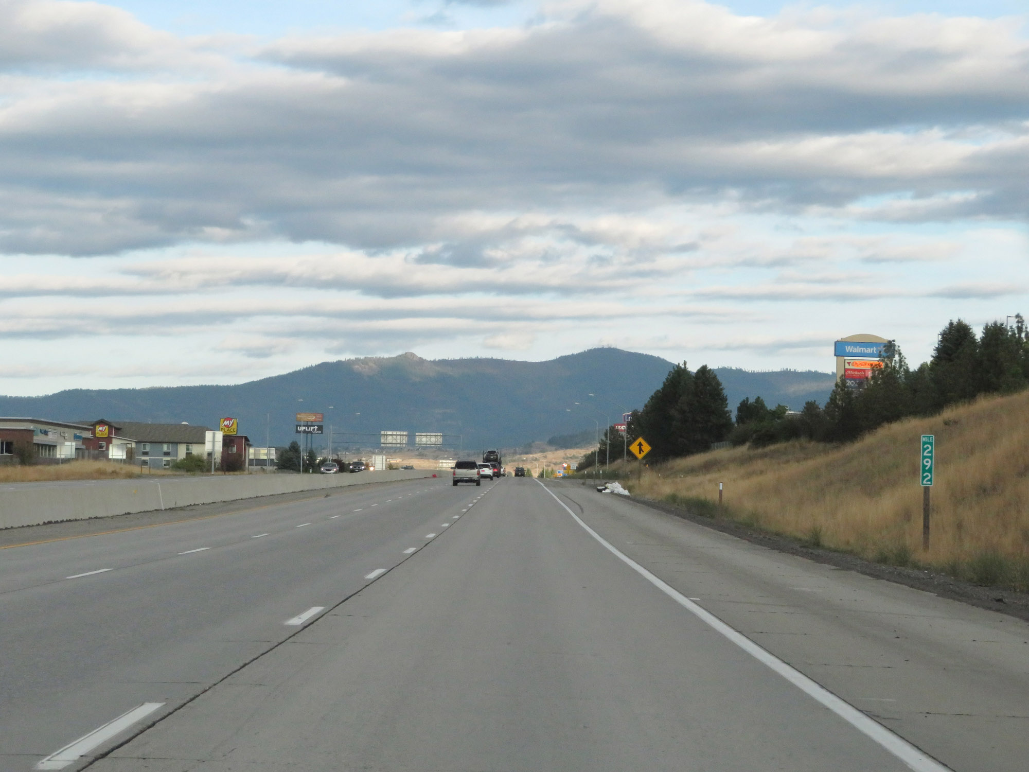 |
View on Interstate 90 East at mile marker 292. (Photo taken 9/21/19). |
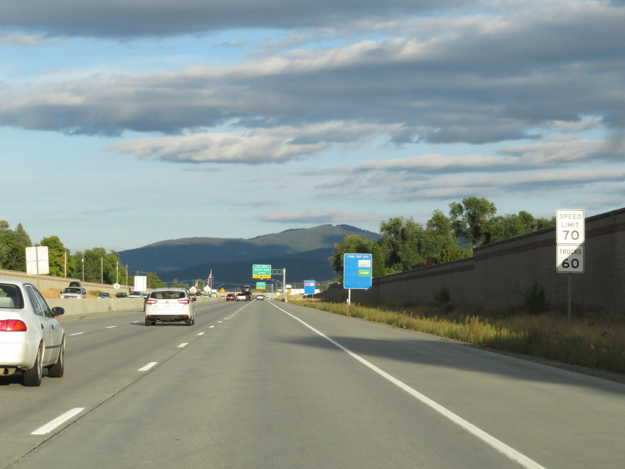 |
Approaching Exit 293, the speed limits increases to 70 mph for cars and 60 mph for trucks once again. (Photo taken 9/21/19). |
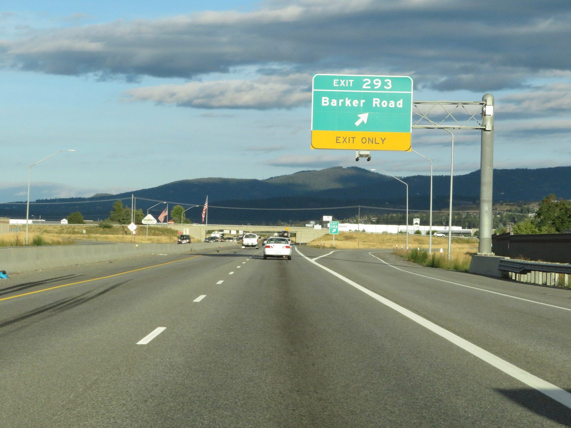 |
Interstate 90 East at Exit 293: Barker Road (Photo taken 9/21/19). |
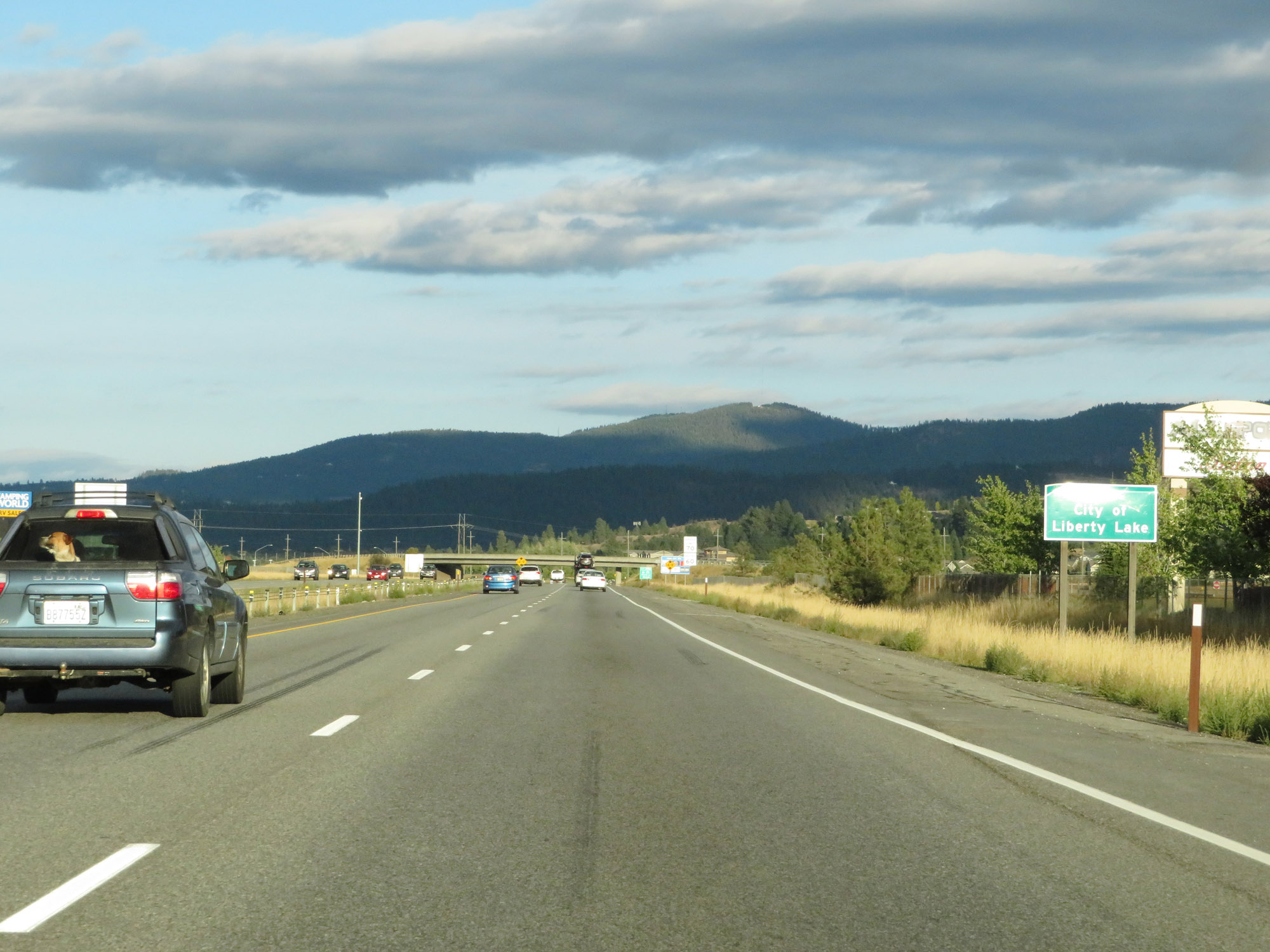 |
Interstate 90 East as it enters the City of Liberty Lake. (Photo taken 9/21/19). |
 |
Interstate 90 East at Exit 296: Liberty Lake / Otis Orchards (Photo taken 9/21/19). |
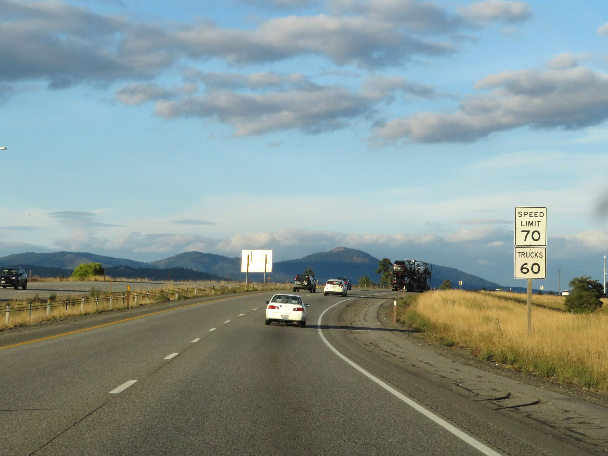 |
The speed limits remain 70 mph for cars and 60 mph for trucks. These are the standard speed limits on most rural Interstate highways in Washington State. (Photo taken 9/21/19). |
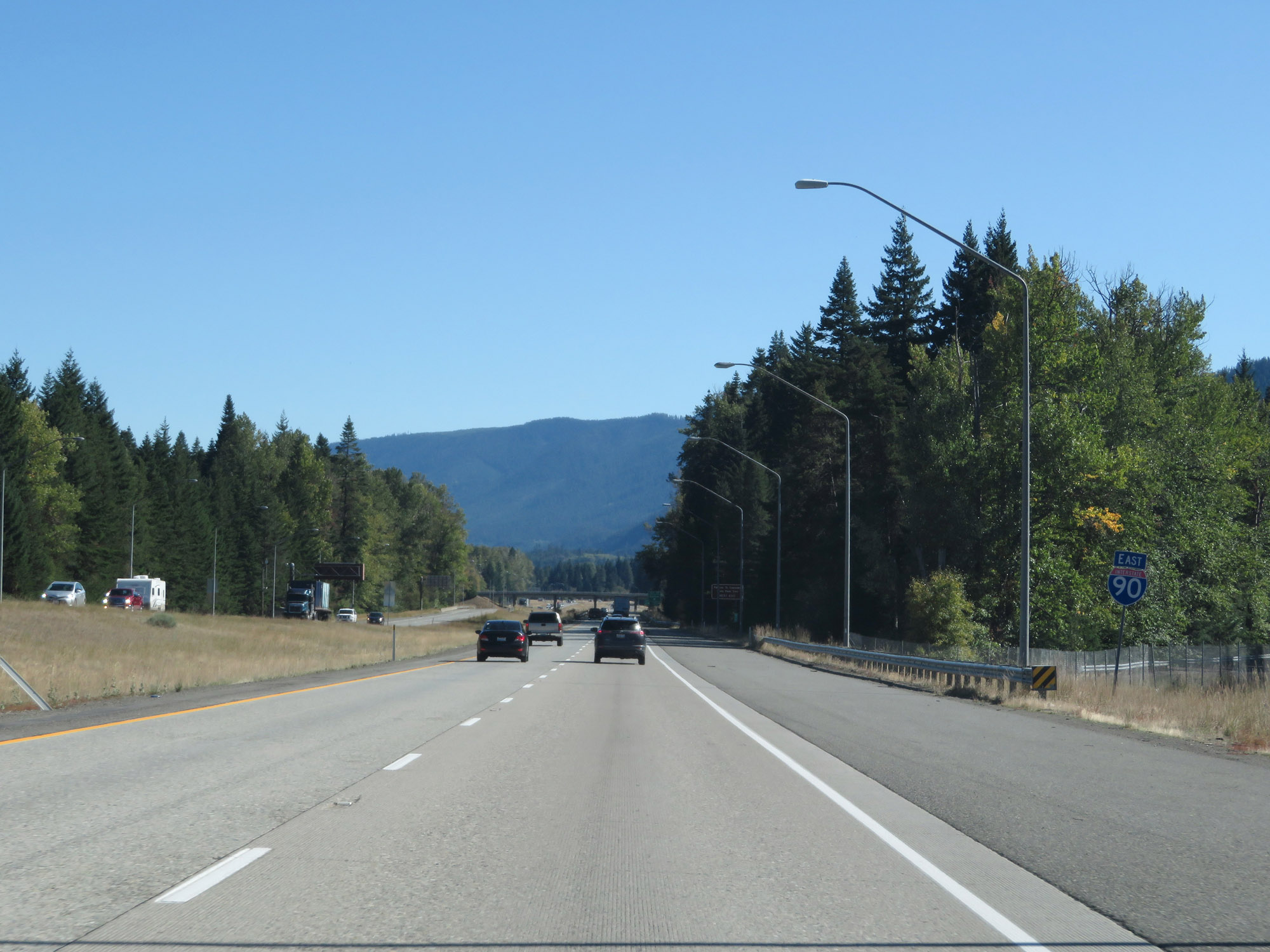
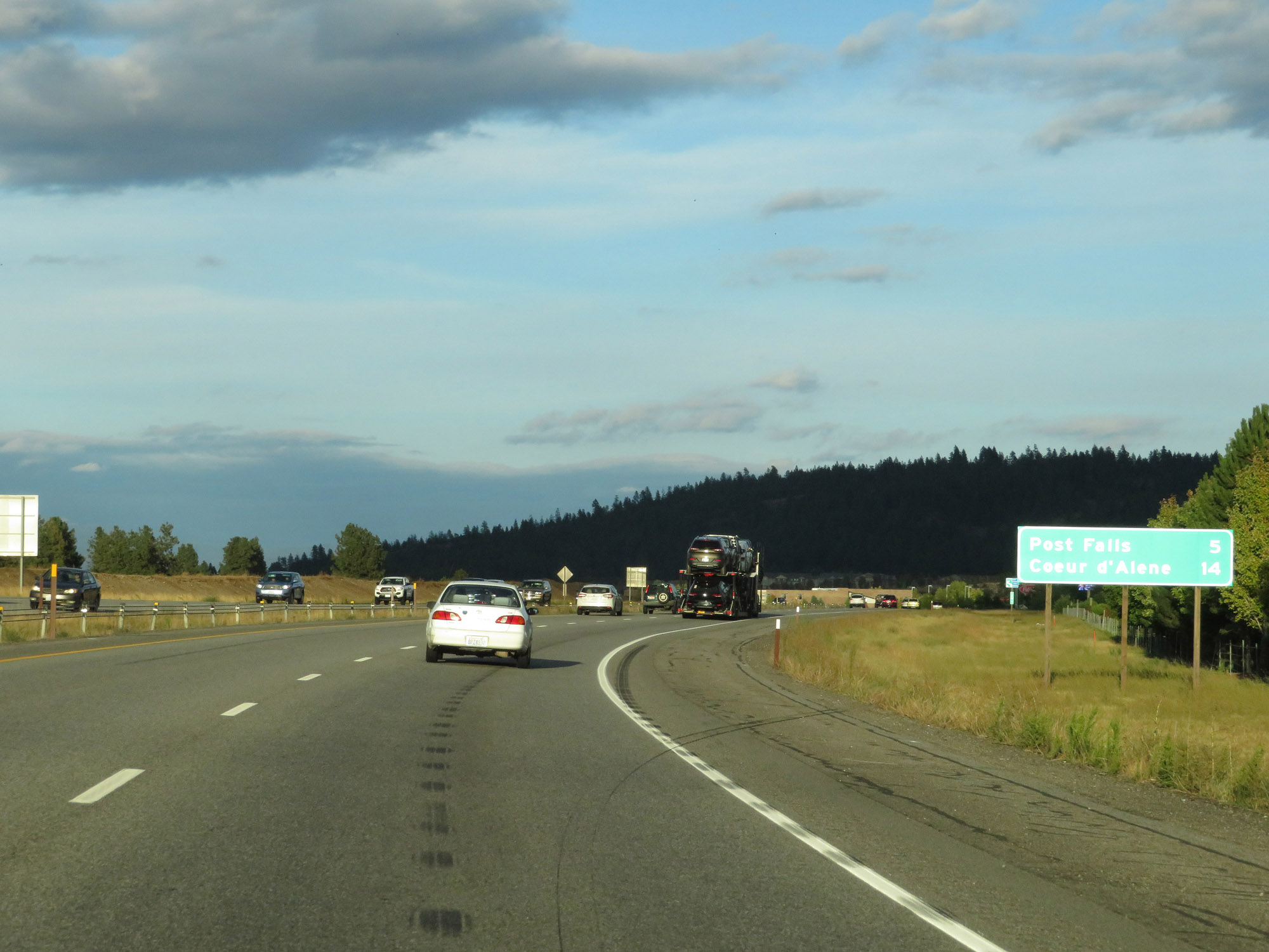 |
Mileage sign on Interstate 90 East. It's 5 miles to Post Falls and 14 miles to Coeur d'Alene. (Photo taken 9/21/19). |
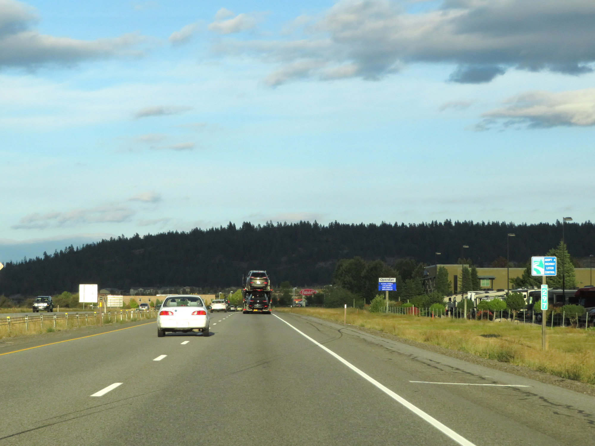 |
Interstate 90 East at mile marker 297. (Photo taken 9/21/19). |
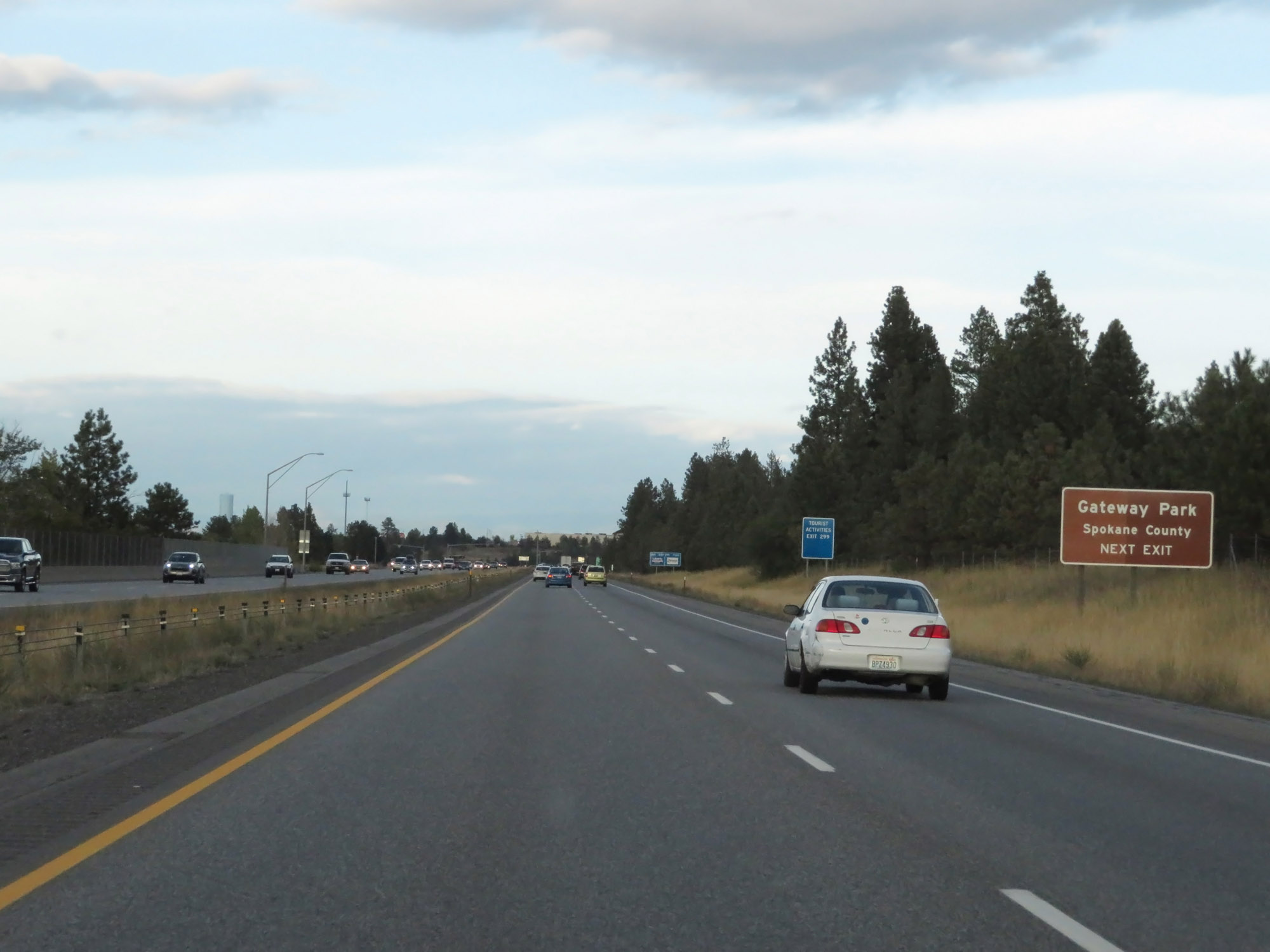 |
Take Exit 299 to Gateway Park. (Photo taken 9/21/19). |
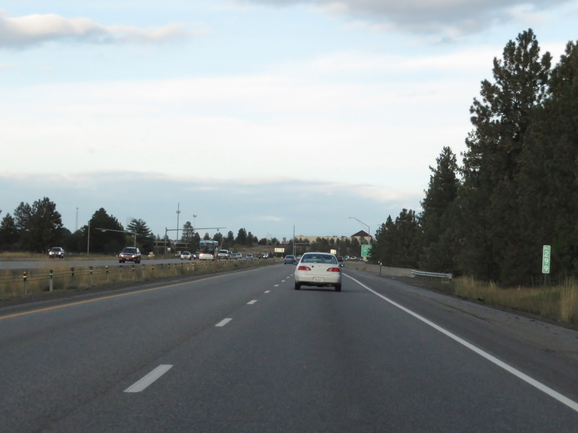 |
Interstate 90 East at mile marker 299. (Photo taken 9/21/19). |
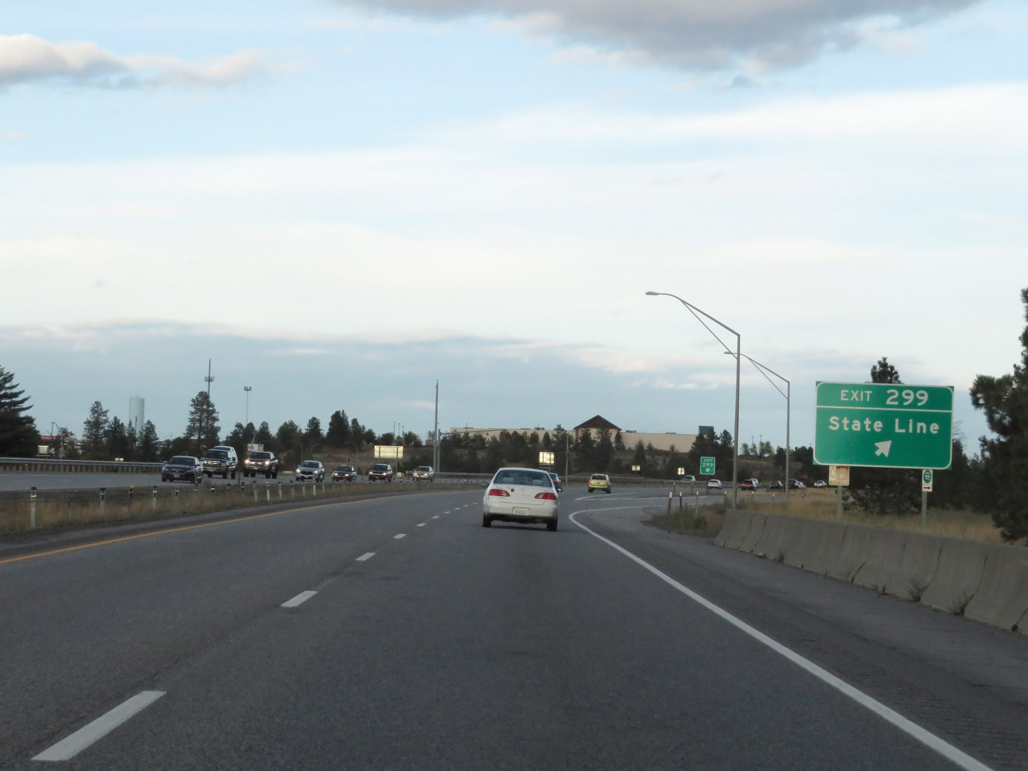 |
Interstate 90 East at Exit 299: State Line (Photo taken 9/21/19). |
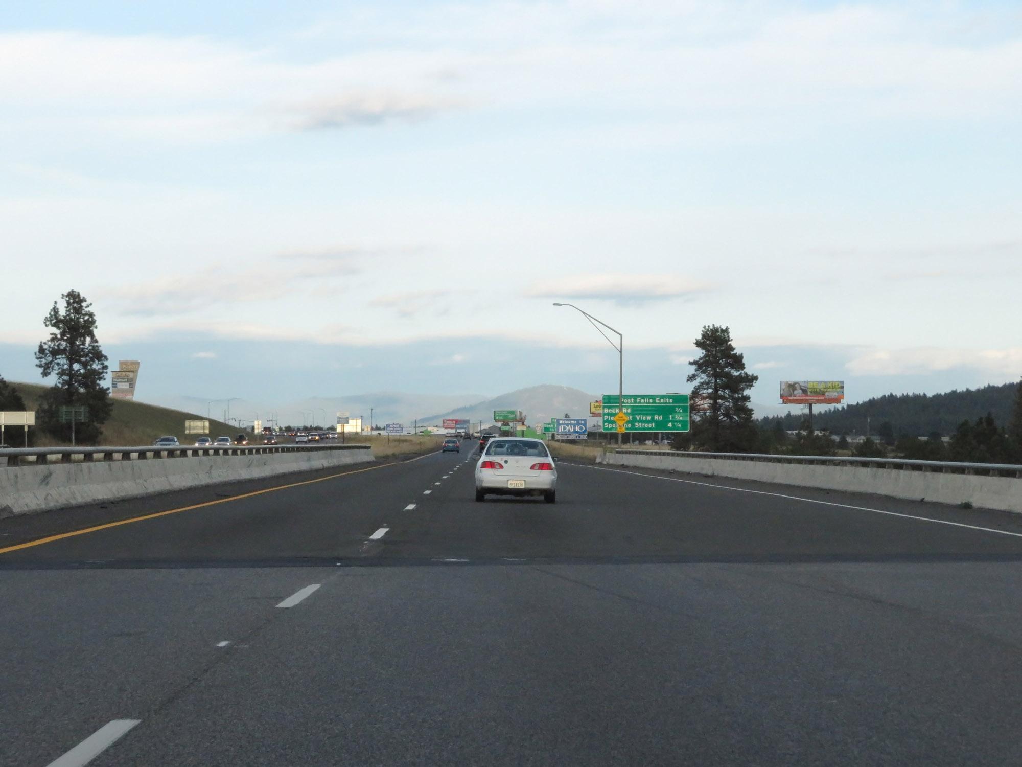 |
View on Interstate 90 East as it prepares to enter Idaho. (Photo taken 9/21/19). |