Road Information |
||
 |
||
| Total Mileage in State: | 120 miles | |
| Eastern End: | At I-80, near Echo | |
| Western End: | At Idaho state line | |
| Mileage covered in Photos: | 120 miles | |
| Counties covered in Photos: | Summit, Morgan, Davis, Weber, Box Elder | |
| Major Junctions in Photos: | US 89, in Uintah I-15 North, in Tremonton |
|
| Control Cities in Photos: | Morgan, Uintah, Riverdale, Tremonton, Snowville | |
Westbound
- Section 1: Interstate 80 to Riverdale (Exit 81)
- Section 2: Riverdale (Exit 81) to Tremonton (Exit 379)
- Section 3: Tremonton (Exit 379) to Idaho Border
Section 1: Interstate 80 to Riverdale (Exit 81)
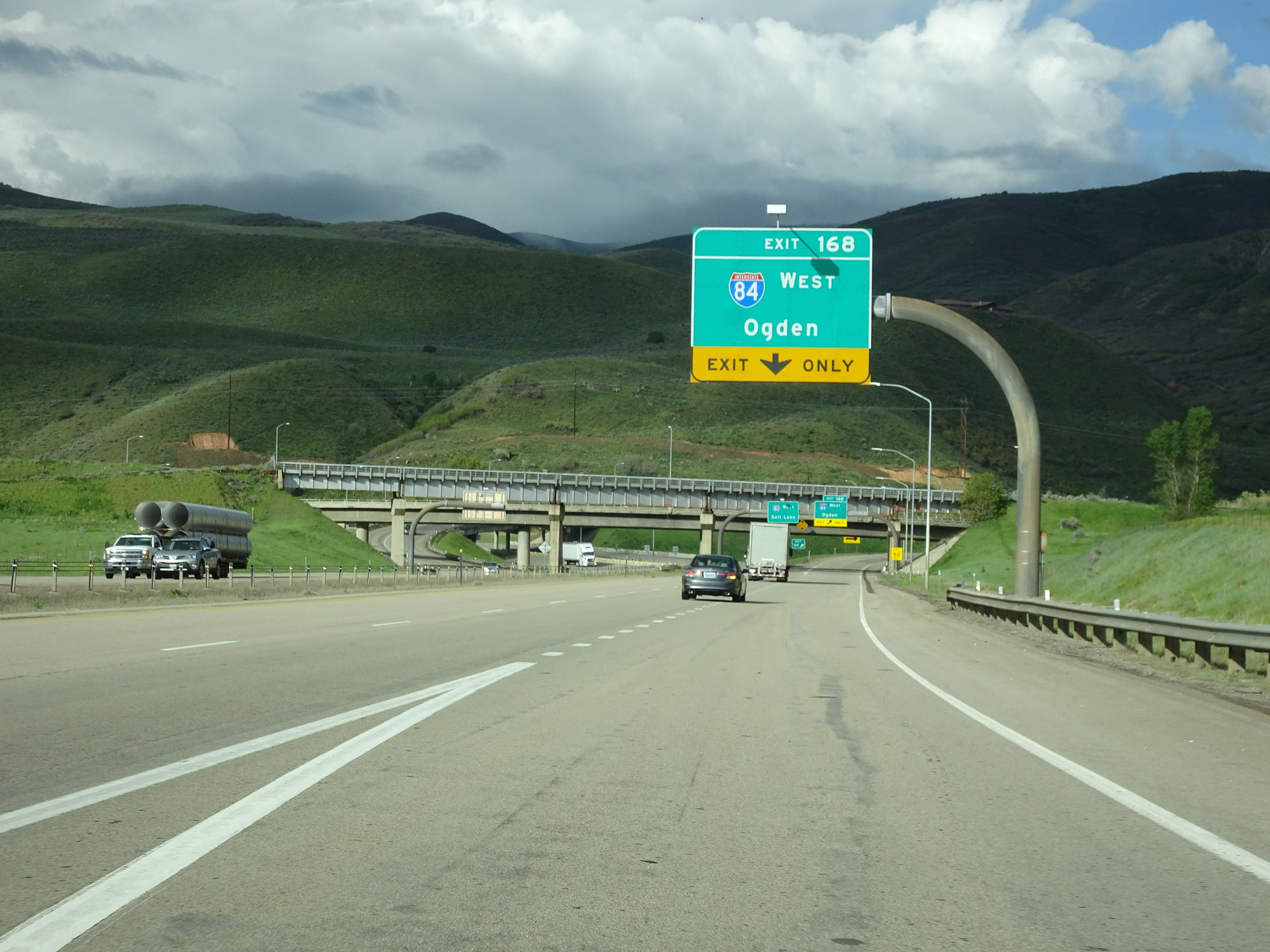 |
The western segment of Interstate 84 West begins at Exit 168 on Interstate 80 West, seen here near Echo, UT. (Photo taken 5/27/16). |
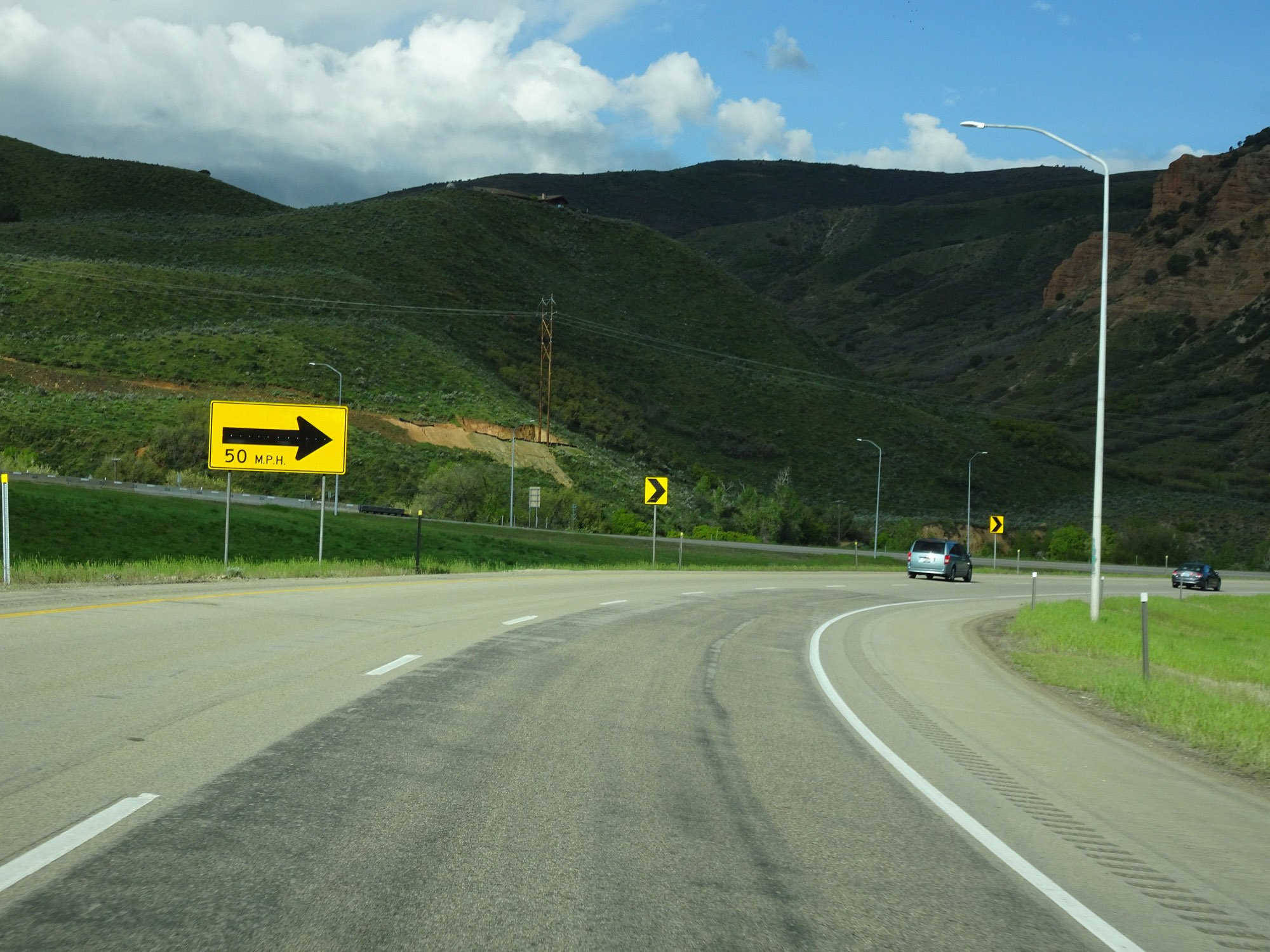 |
The ramp for Exit 168 maintains two lanes at the beginning of Interstate 84 West. (Photo taken 5/27/16). |
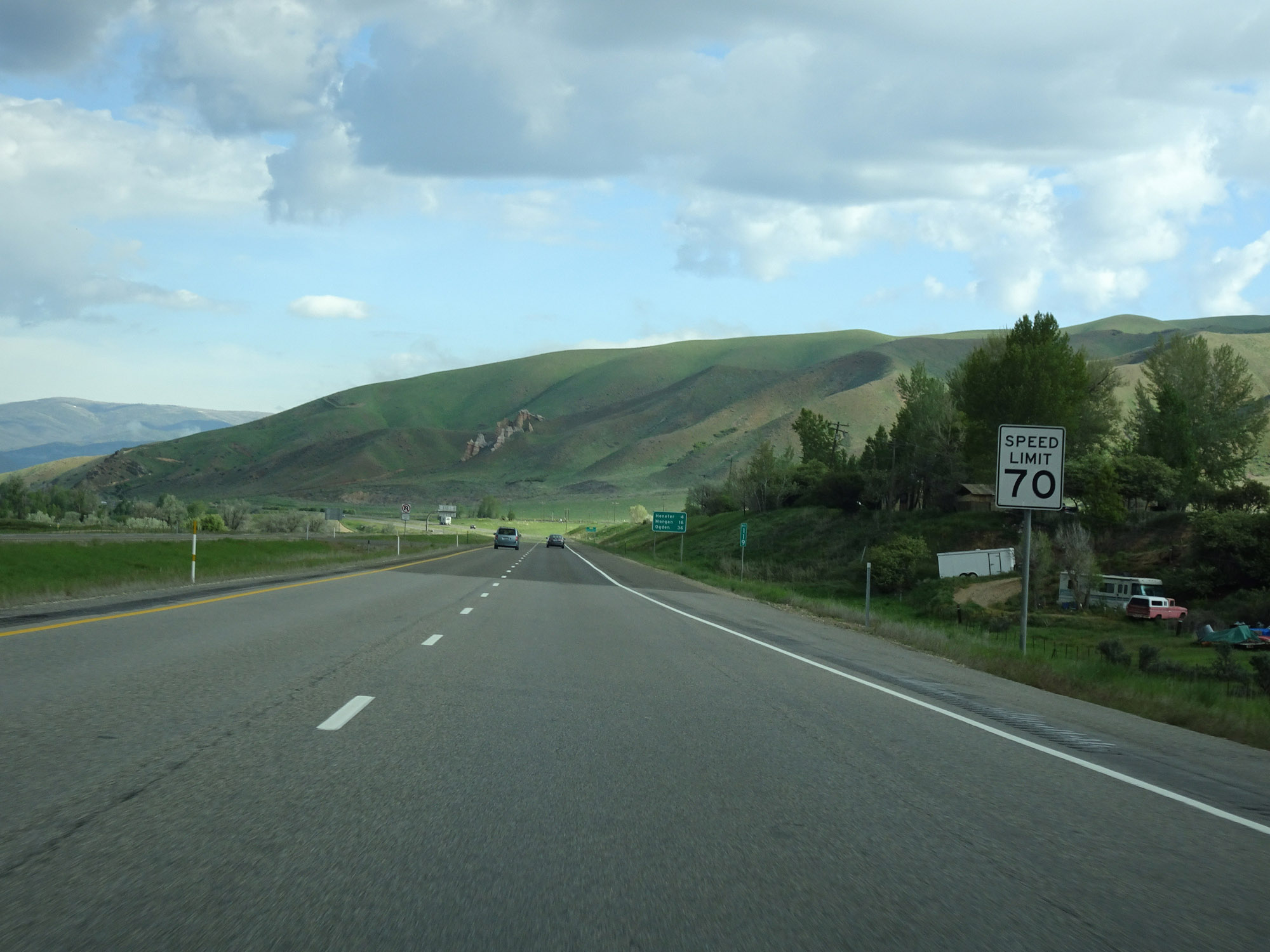 |
The speed limit on Interstate 84 West starts out at 70 mph. (Photo taken 5/27/16). |
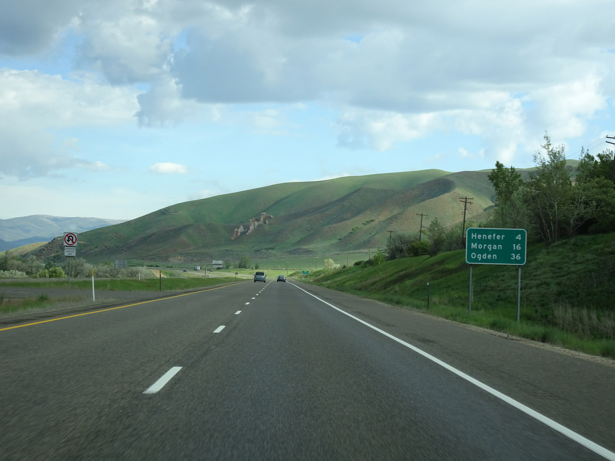 |
Mileage sign on Interstate 84 West. It's 4 miles to Henefer, 16 miles to Morgan, and 36 miles to Ogden. (Photo taken 5/27/16). |
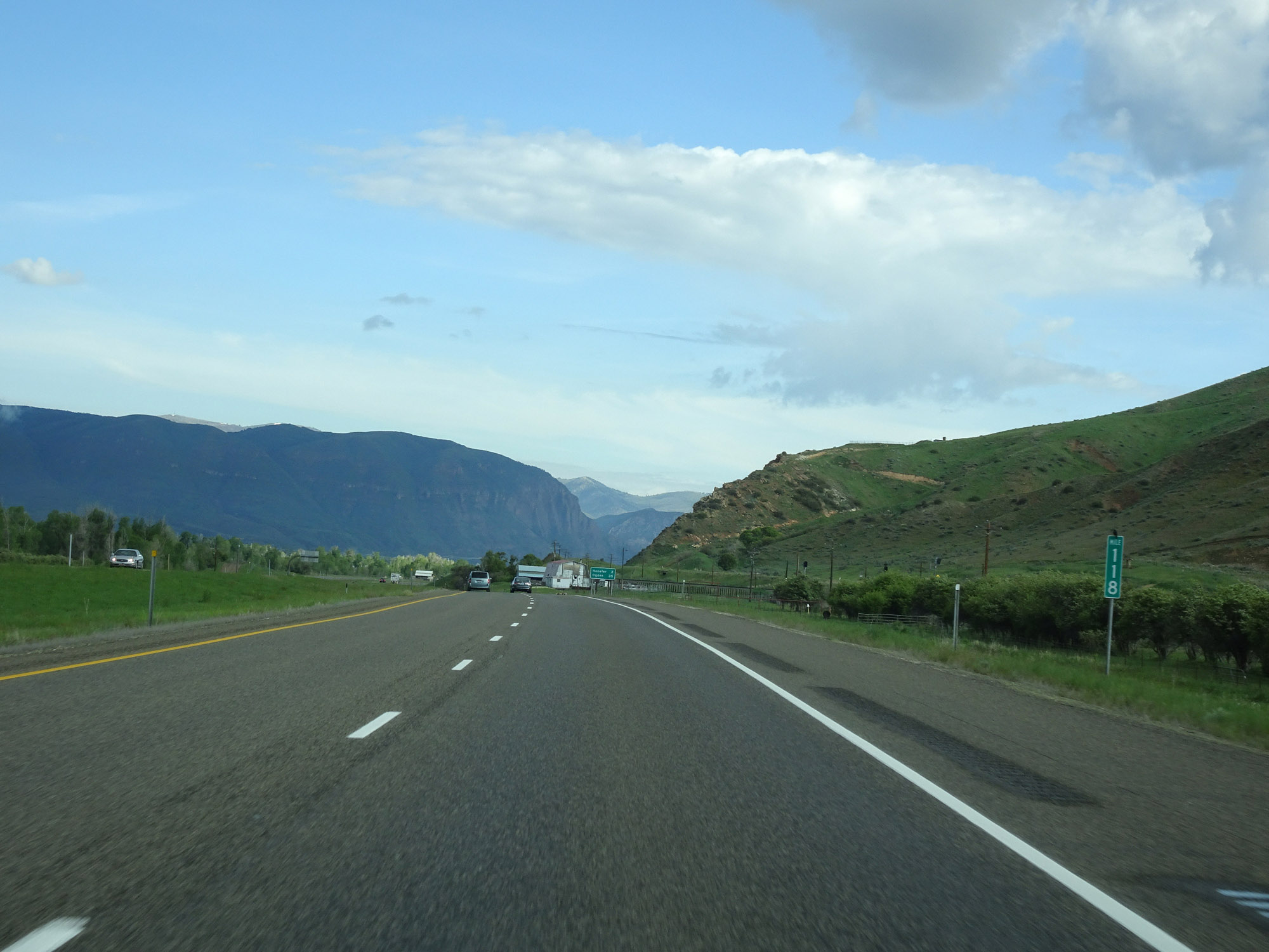 |
Interstate 84 West at mile marker 118. (Photo taken 5/27/16). |
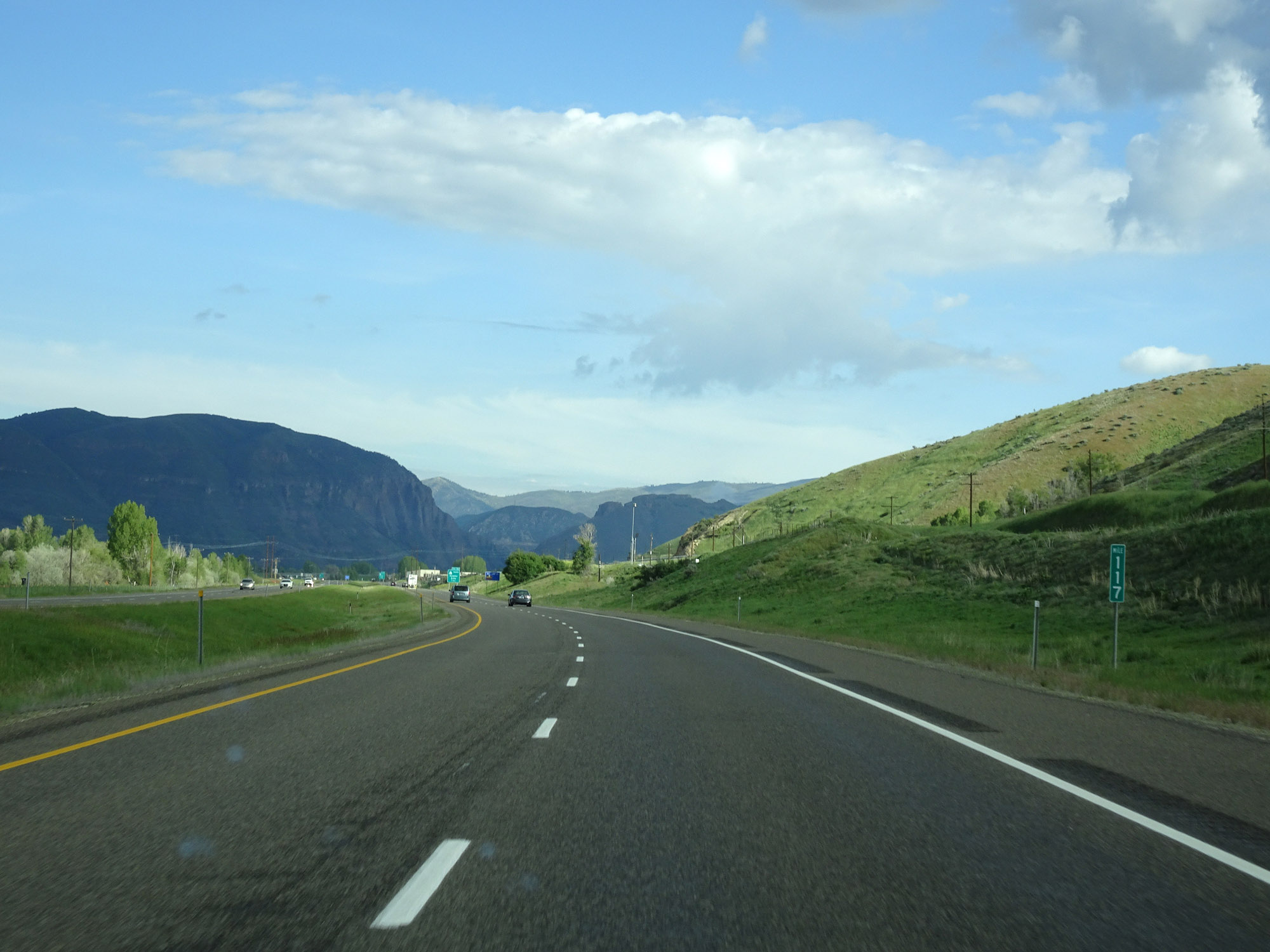 |
View on Interstate 84 West at mile marker 117. (Photo taken 5/27/16). |
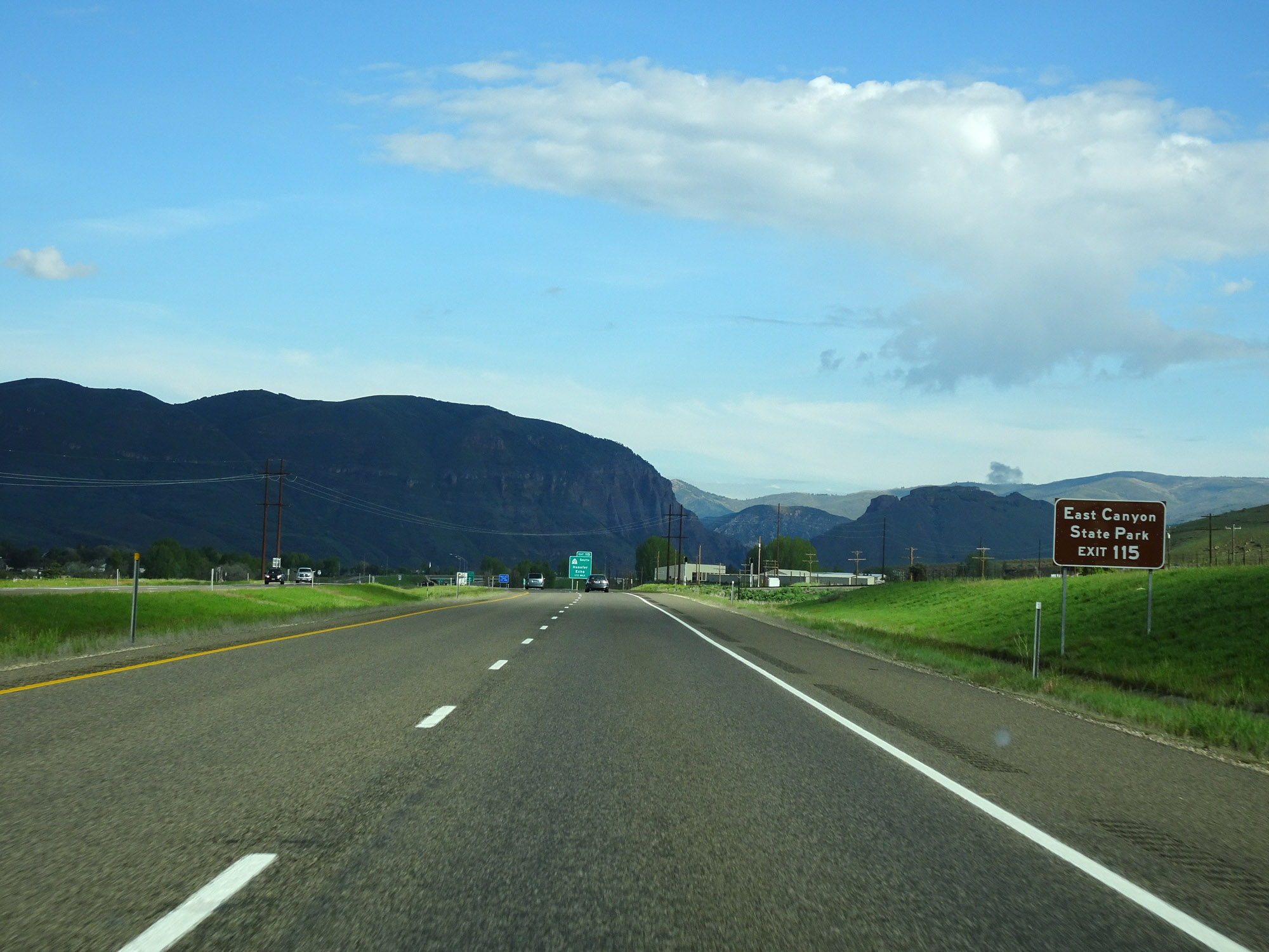 |
Take Exit 115 to East Canyon State Park. (Photo taken 5/27/16). |
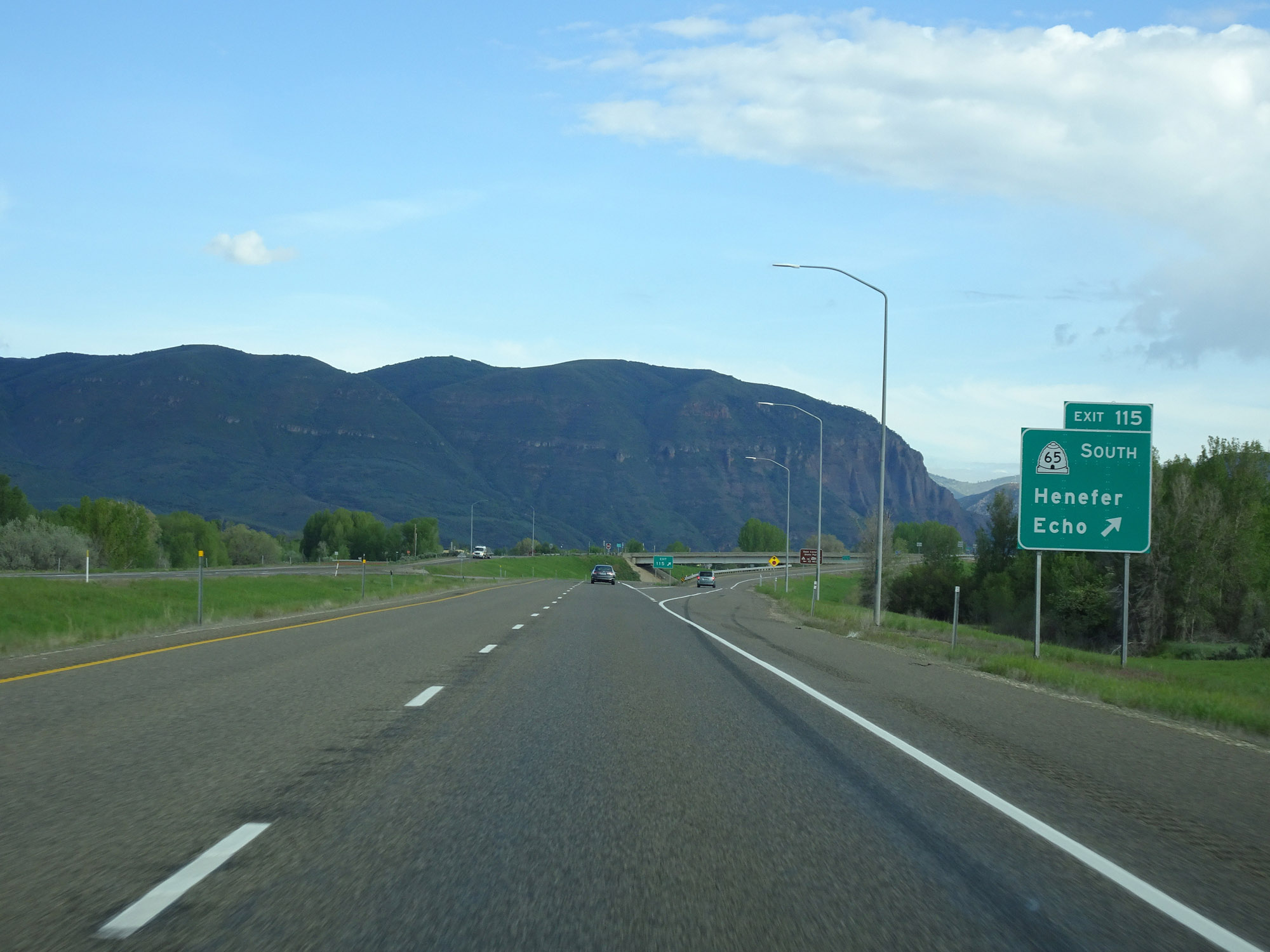 |
Interstate 84 West at Exit 115: UT 65 South - Henefer / Echo (Photo taken 5/27/16). |
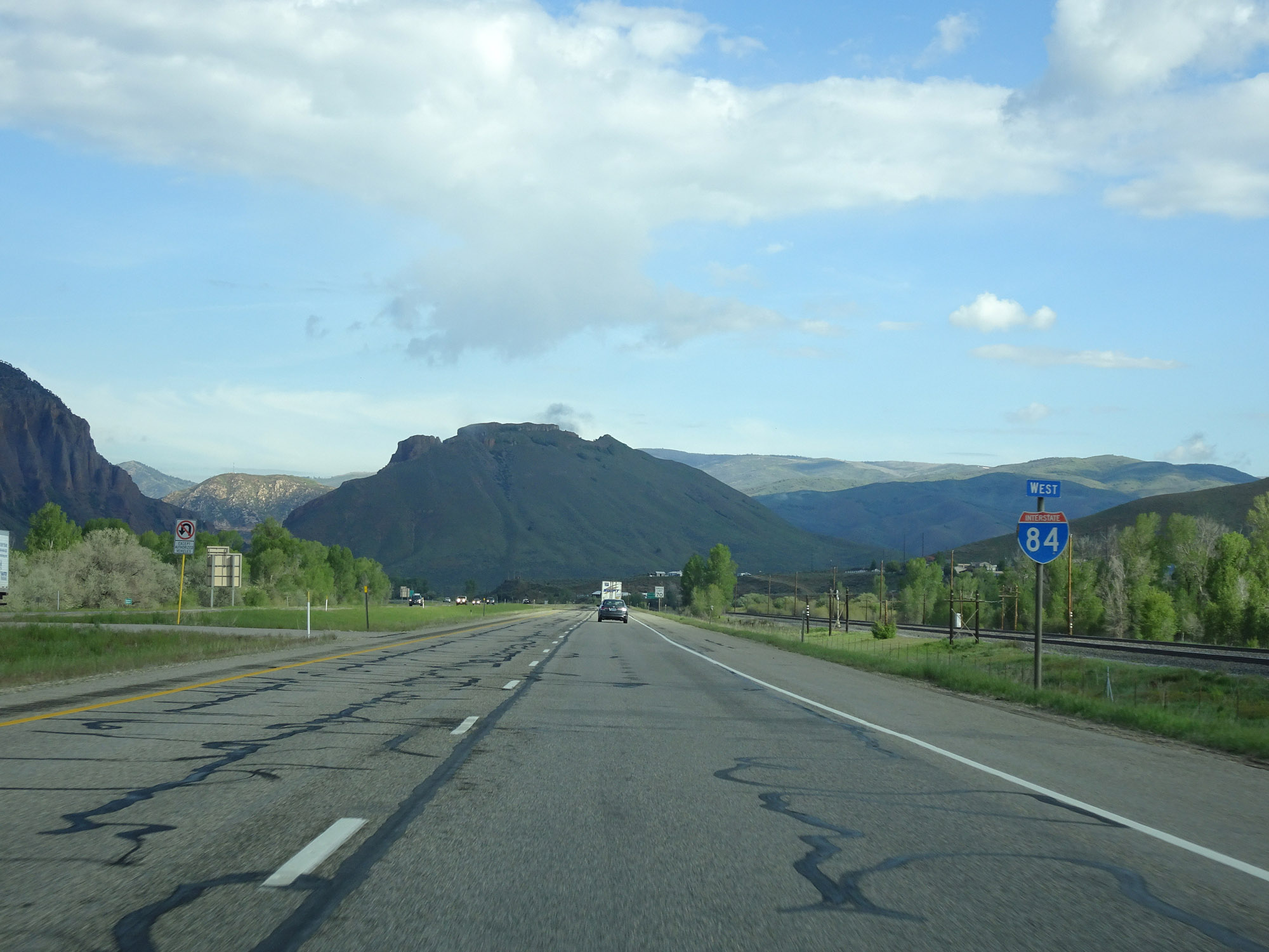 |
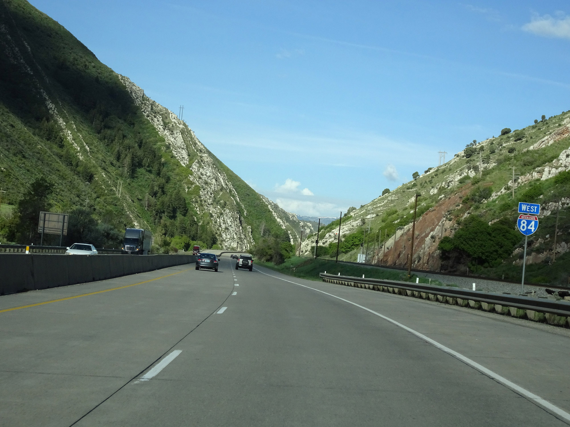
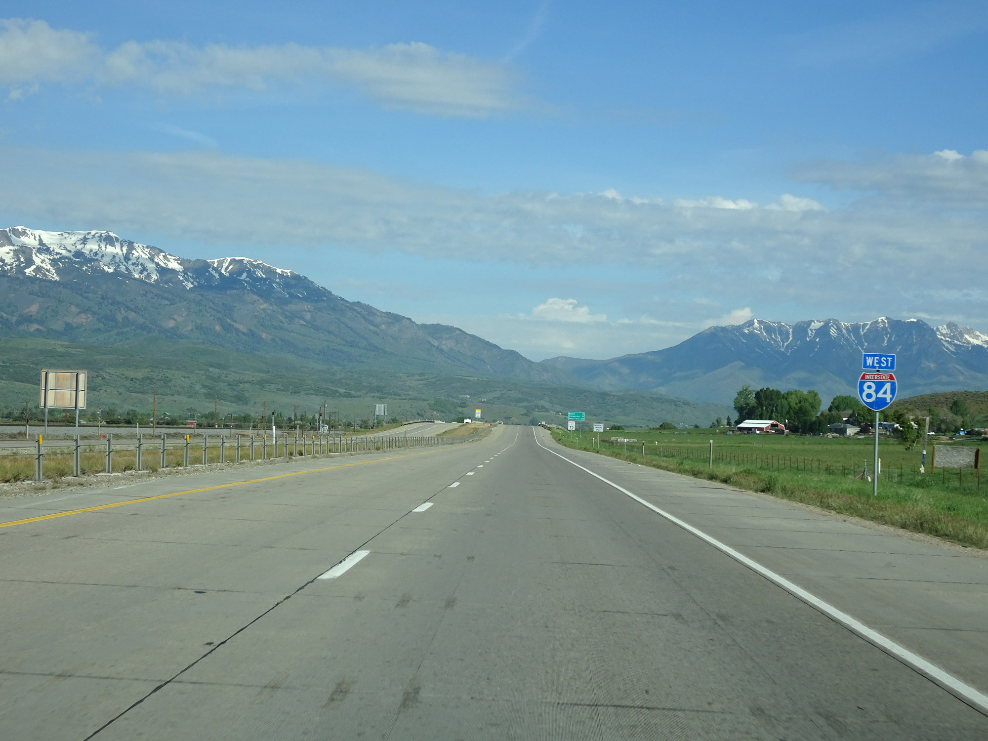
Interstate 84 West reassurance shield. (Photo taken 5/27/16). |
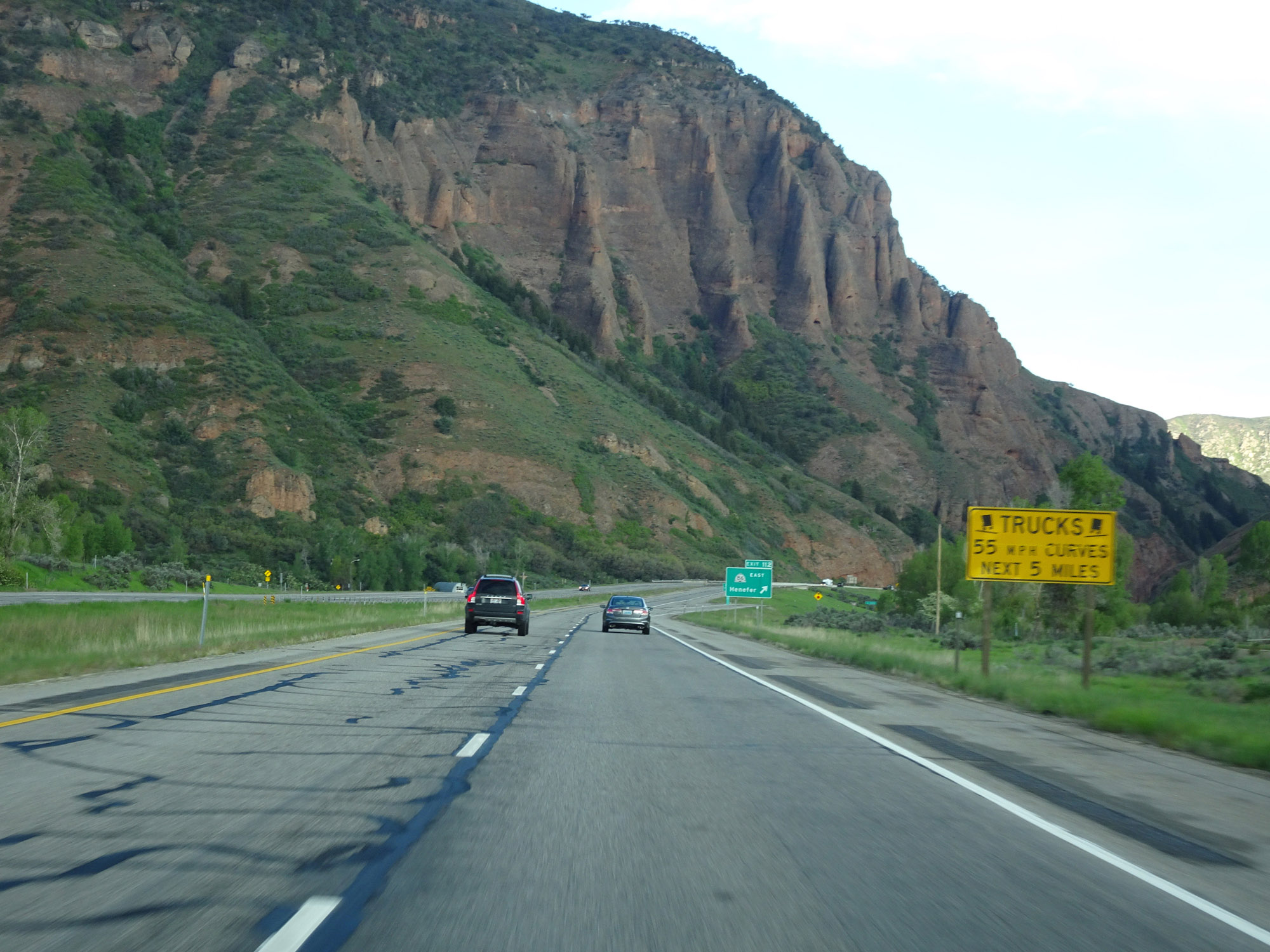 |
Approaching Exit 112, this sign warns trucks of multiple 55 mph curves ahead for the next 5 miles. (Photo taken 5/27/16). |
 |
Interstate 84 West at Exit 112: UT 86 East - Henefer (Photo taken 5/27/16). |
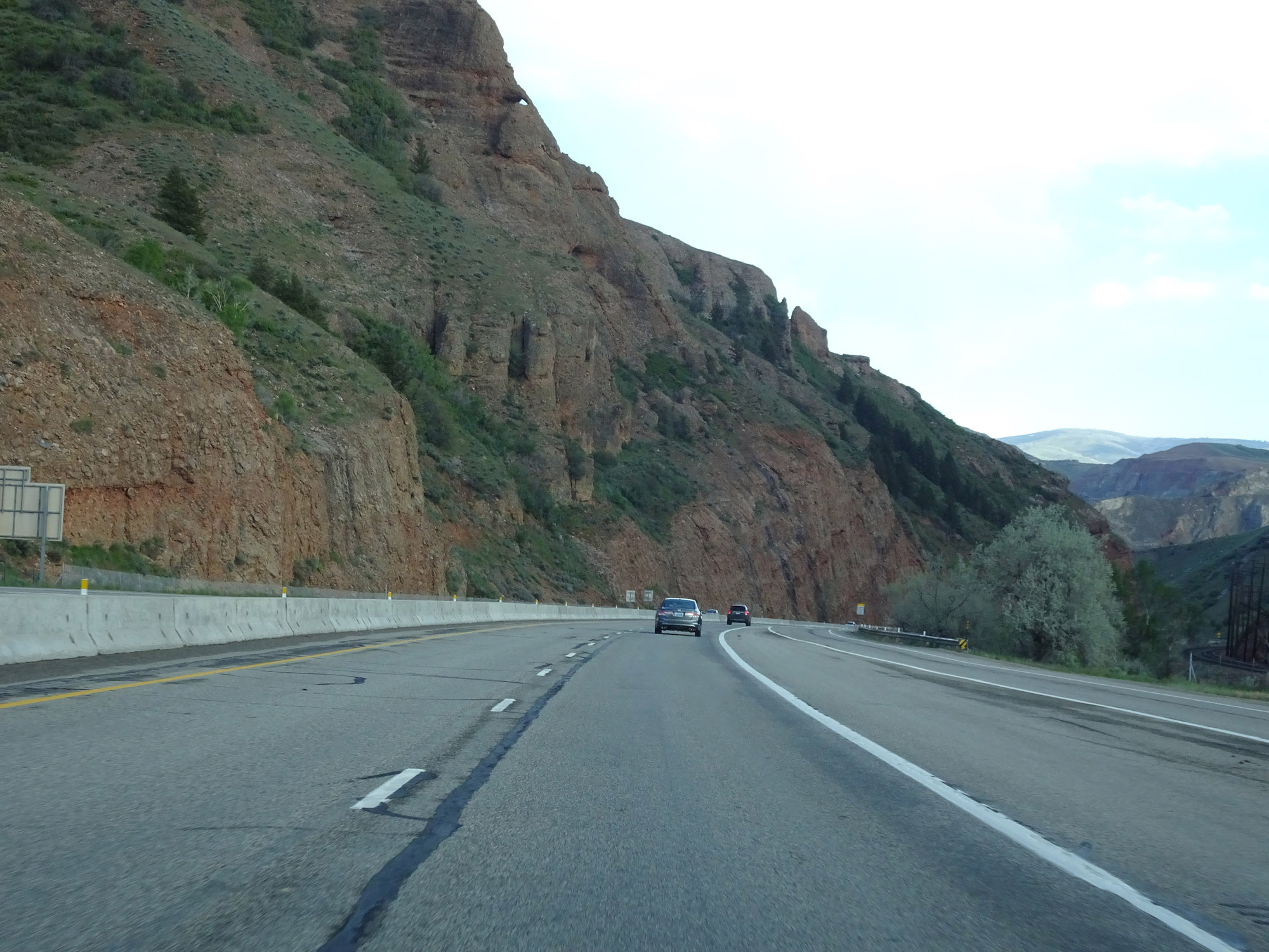 |
View on Interstate 84 West as it prepares to enter more mountainous terrain. (Photo taken 5/27/16). |
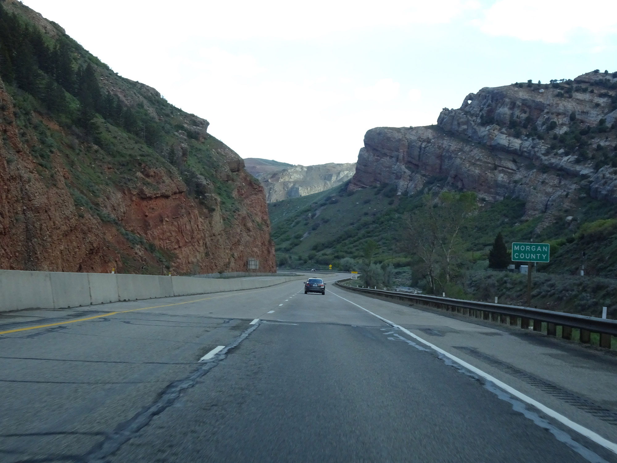 |
Interstate 84 West as it enters Morgan County. (Photo taken 5/27/16). |
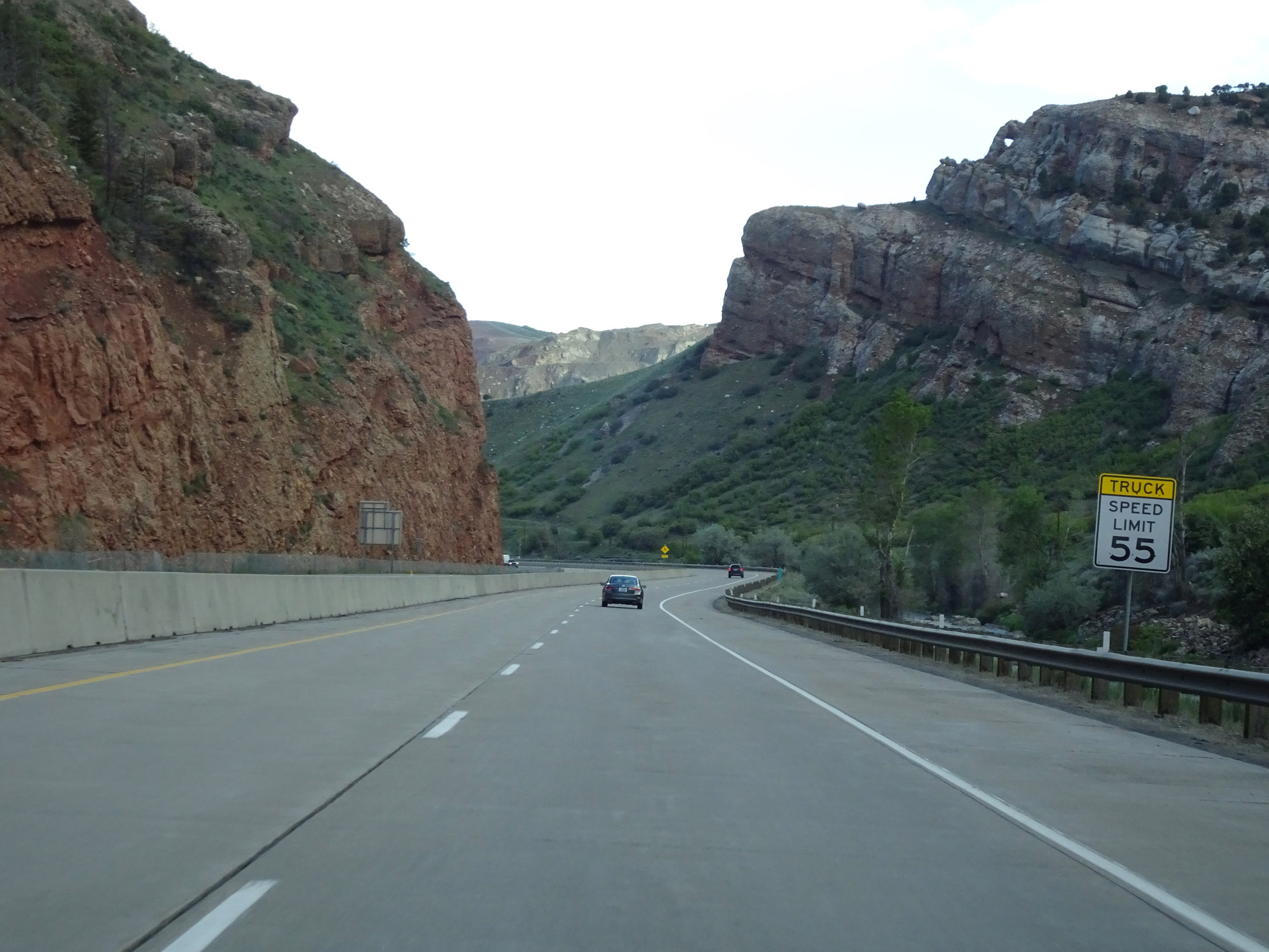 |
Due to the mountainous terrain and 55 mph curves that lie ahead, the truck speed limit is reduced to 55 mph upon entering Morgan County on Interstate 84 West. (Photo taken 5/27/16). |
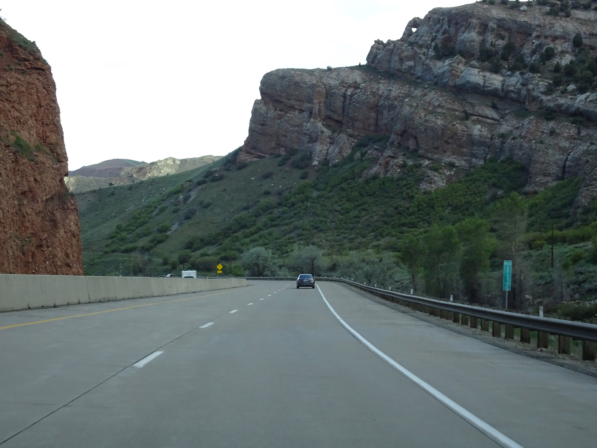 |
Interstate 84 West at mile marker 112. (Photo taken 5/27/16). |
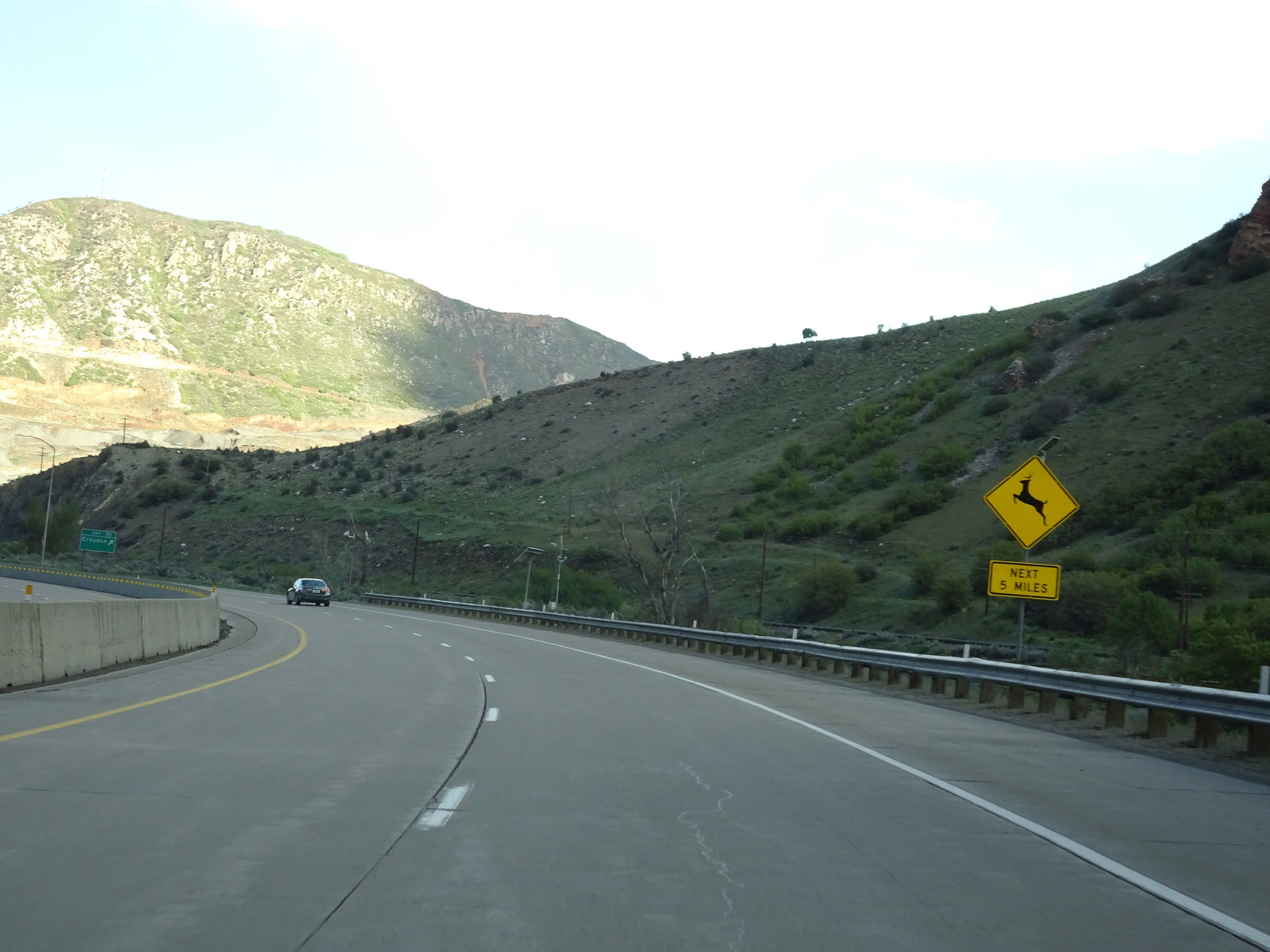 |
Be alert for wildlife crossing the road for the next 5 miles. (Photo taken 5/27/16). |
 |
Interstate 84 West at Exit 111: Croydon (Photo taken 5/27/16). |
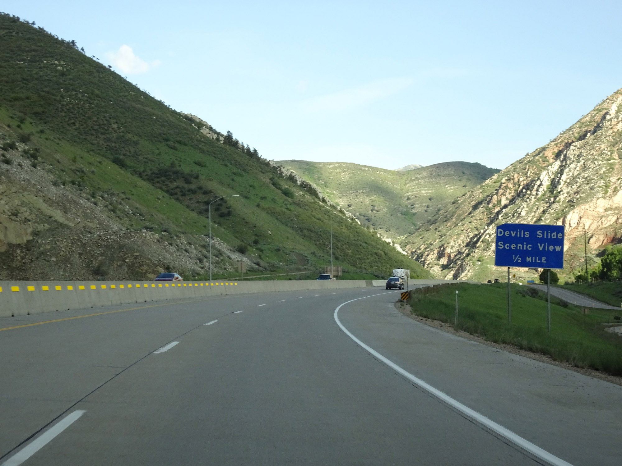 |
Interstate 84 West approaching Devils Slide Scenic View Area - 1/2 mile. (Photo taken 5/27/16). |
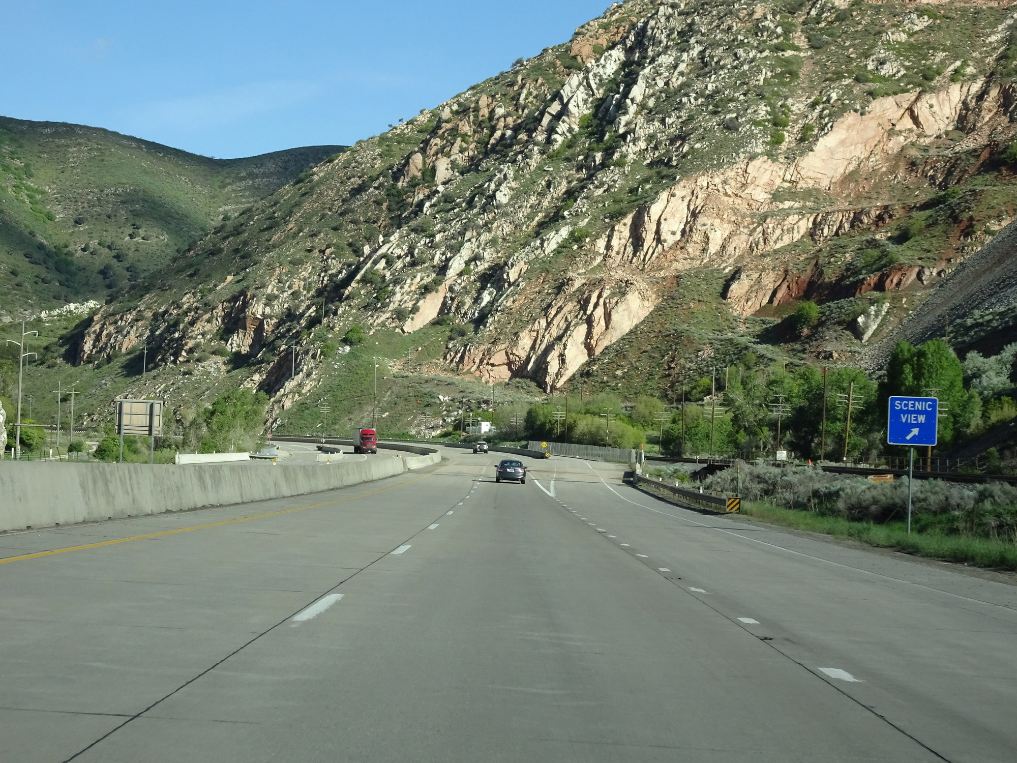 |
Interstate 84 West at Devils Slide Scenic View Area. (Photo taken 5/27/16). |
 |
Interstate 84 West reassurance shield. (Photo taken 5/27/16). |
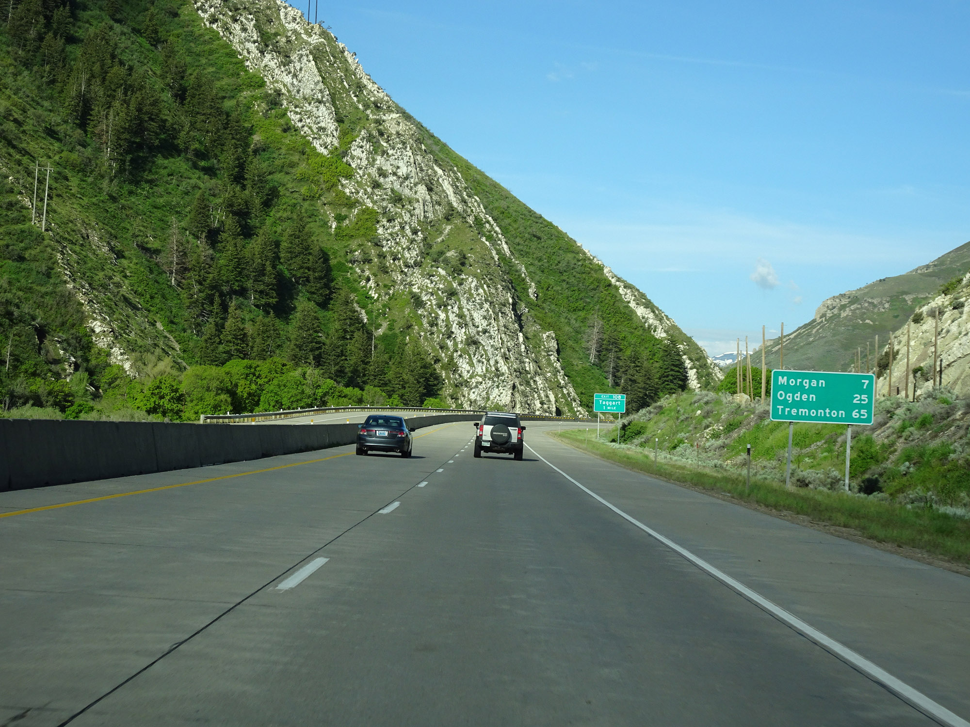 |
Mileage sign on Interstate 84 West. It's 7 miles to Morgan, 25 miles to Ogden, and 65 miles to Tremonton. (Photo taken 5/27/16). |
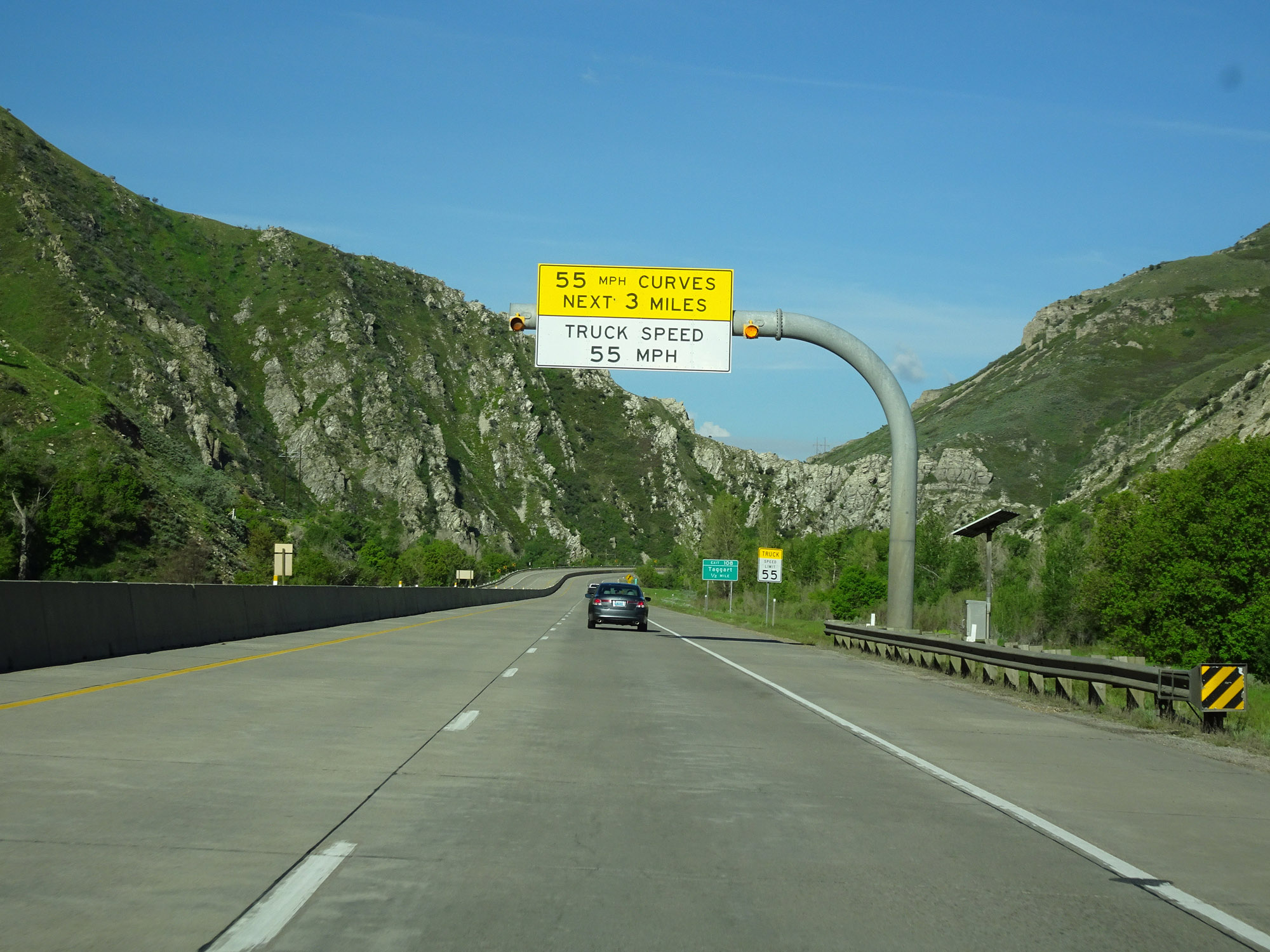 |
The sharp 55 mph curves continue for 3 more miles. (Photo taken 5/27/16). |
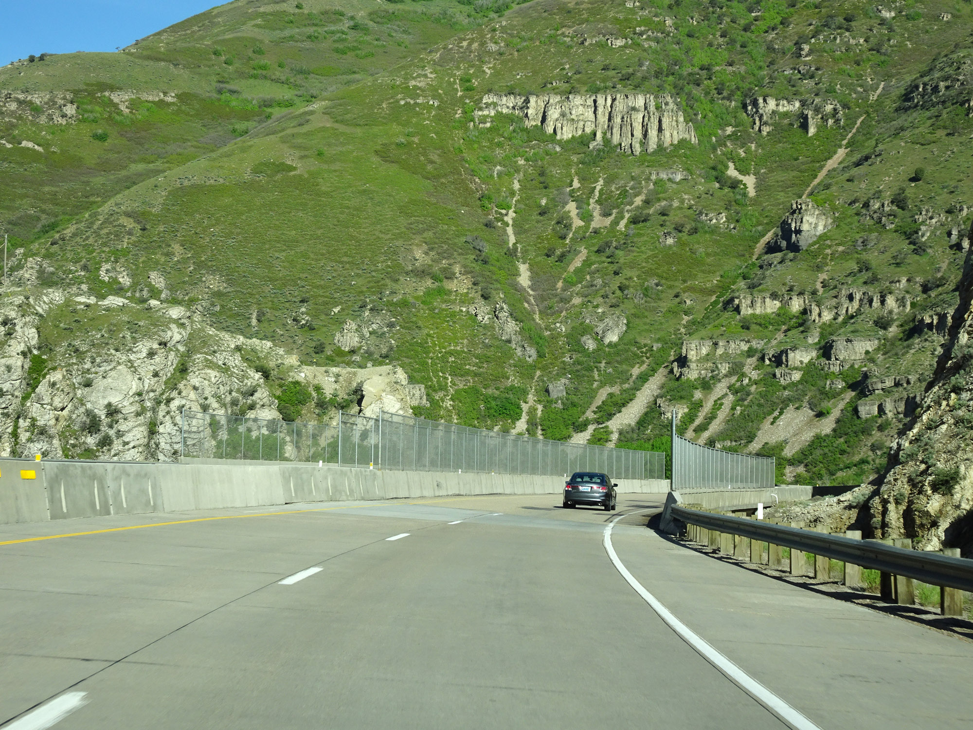 |
View on Interstate 84 West. (Photo taken 5/27/16). |
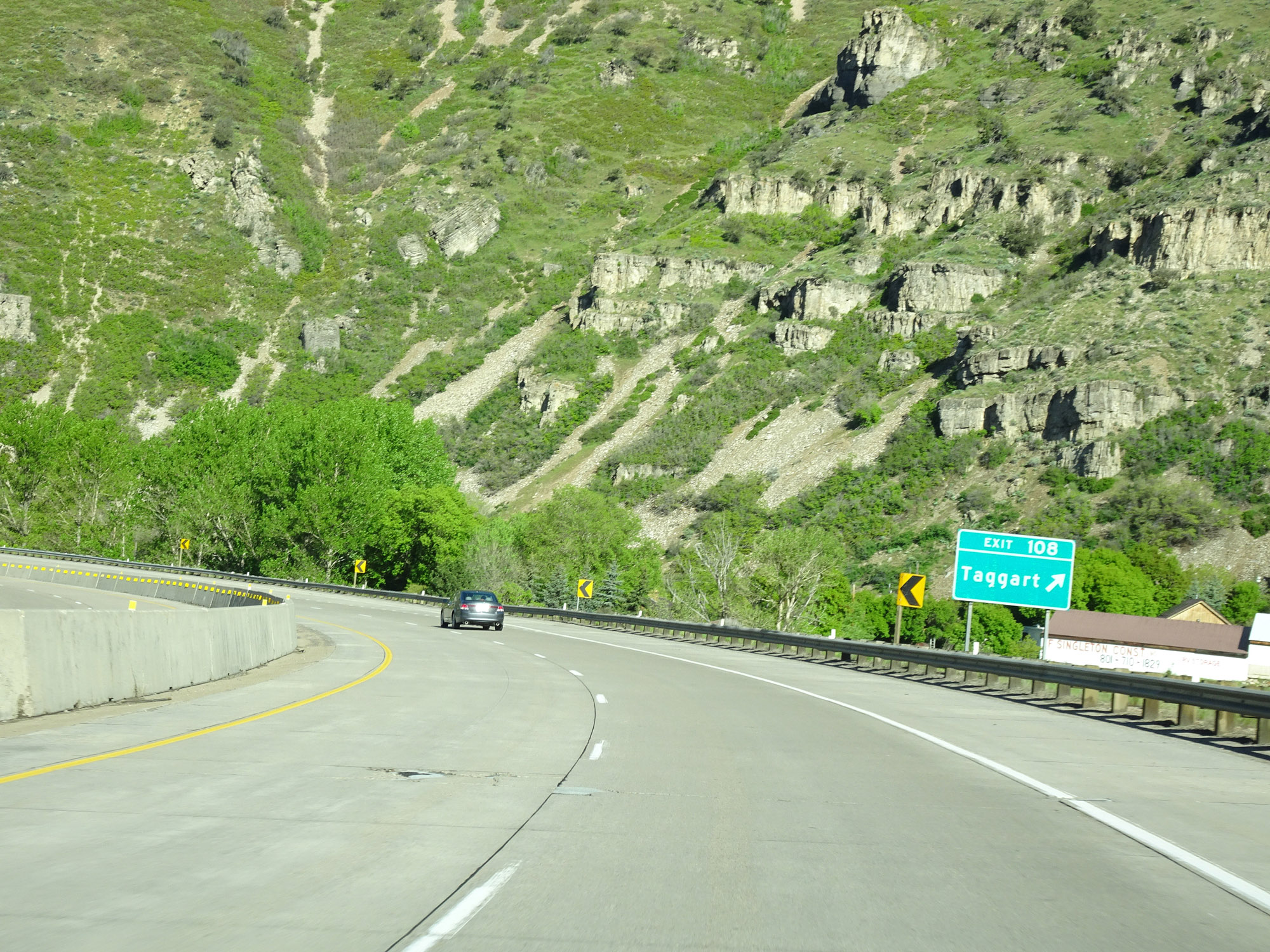 |
Interstate 84 West at Exit 108: Taggart (Photo taken 5/27/16). |
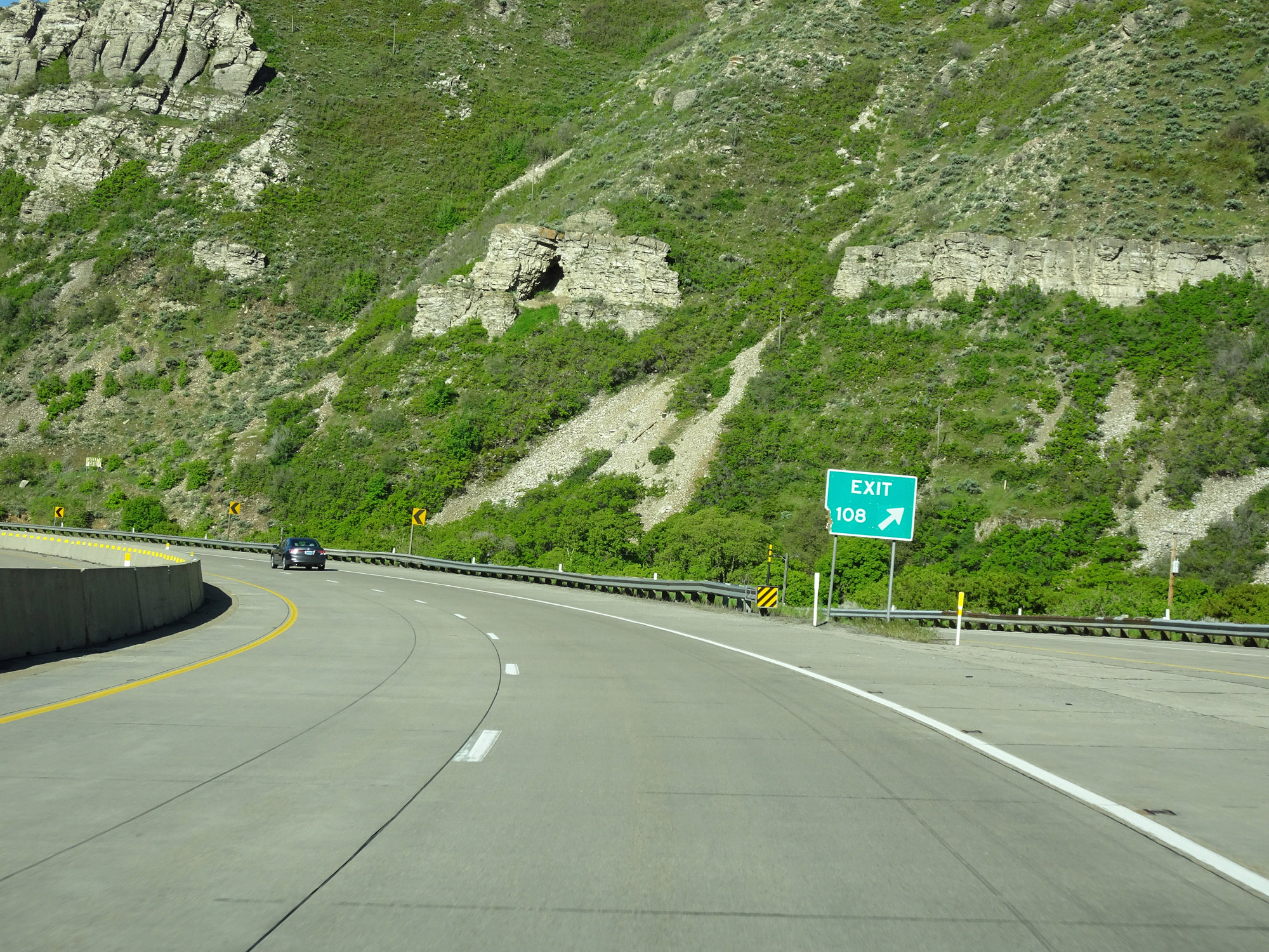 |
Gore point signage for Exit 108. (Photo taken 5/27/16). |
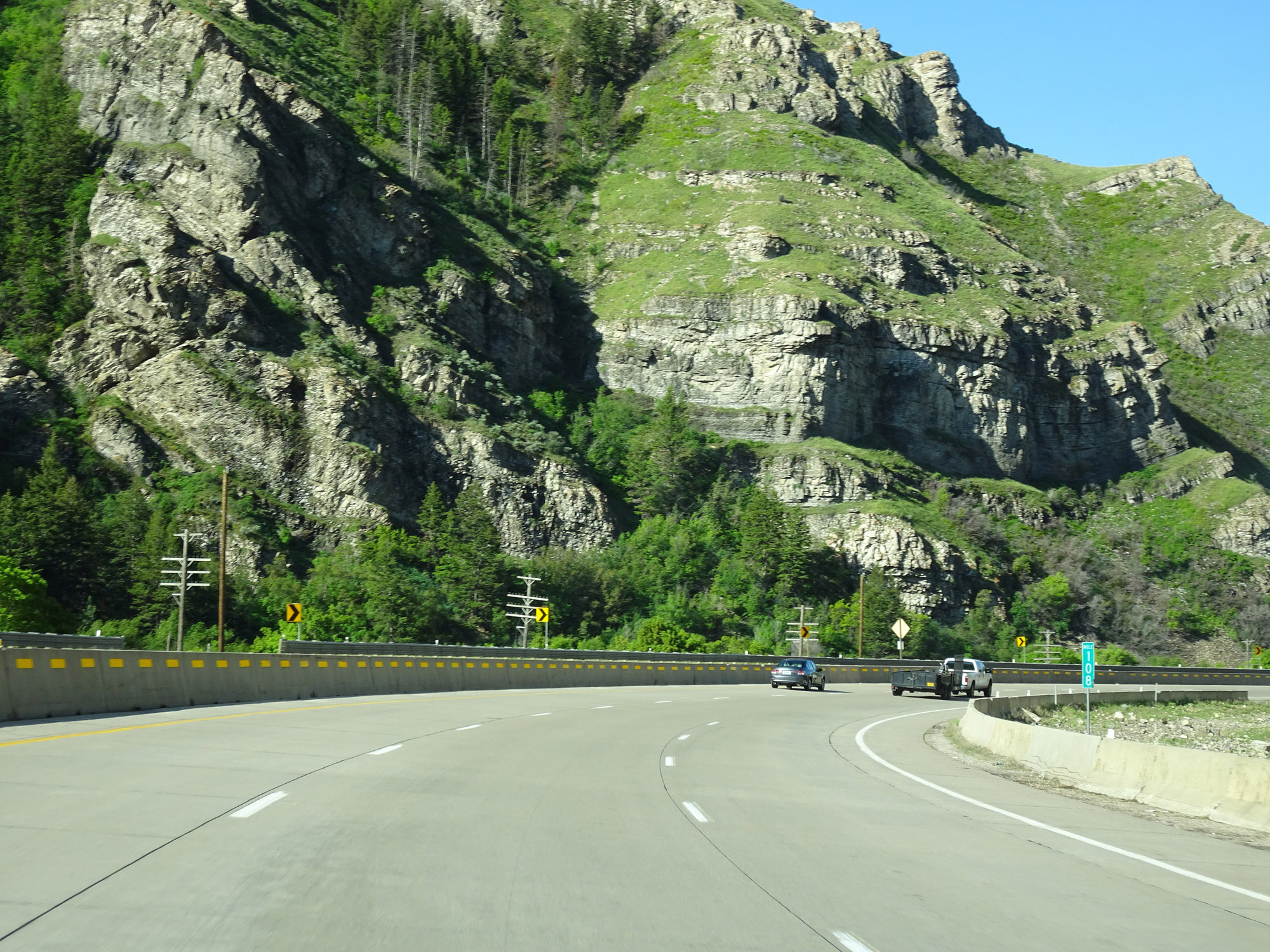 |
View on Interstate 84 West at mile marker 108. (Photo taken 5/27/16). |
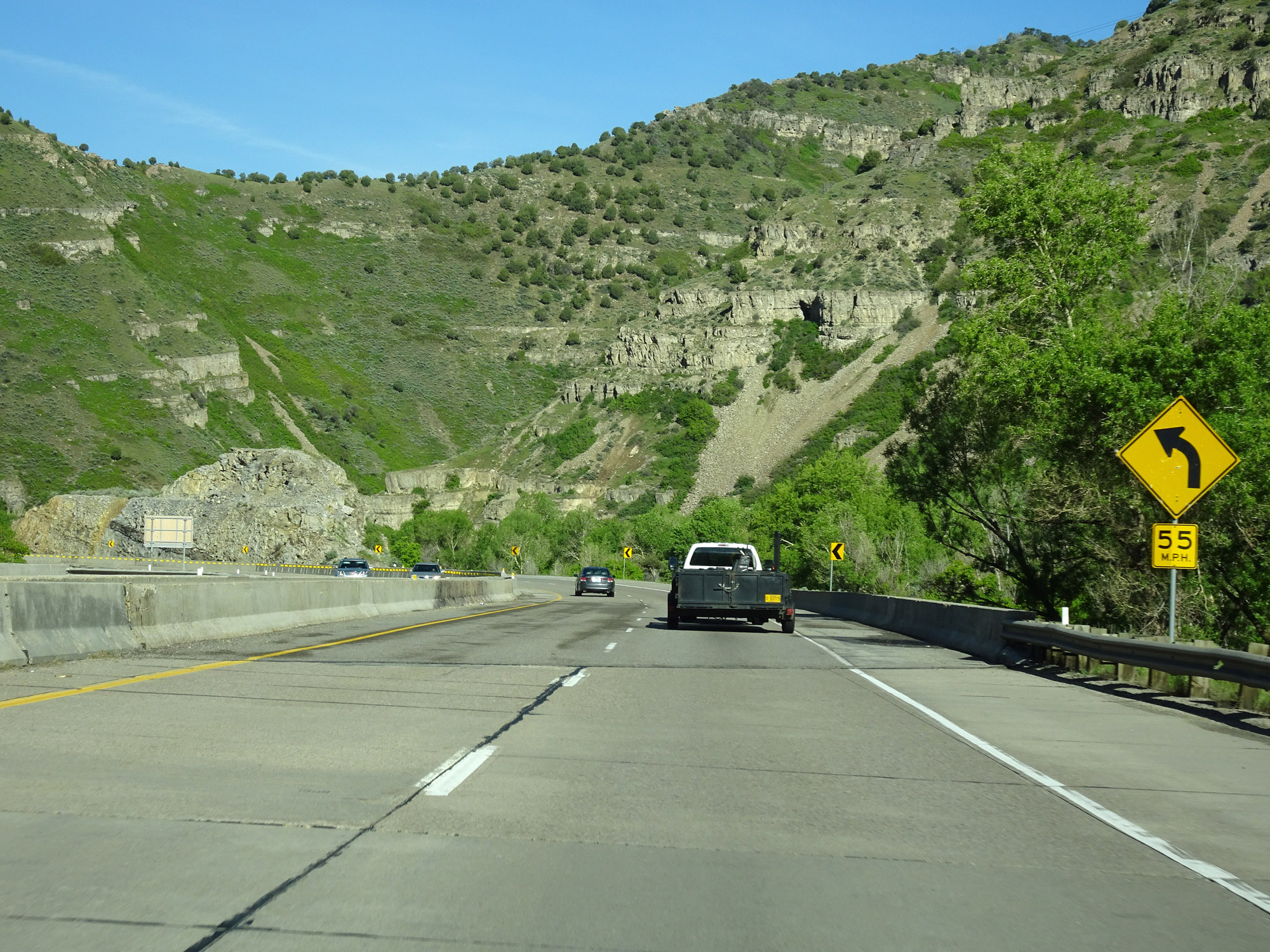 |
The 55 mph curves continue. (Photo taken 5/27/16). |
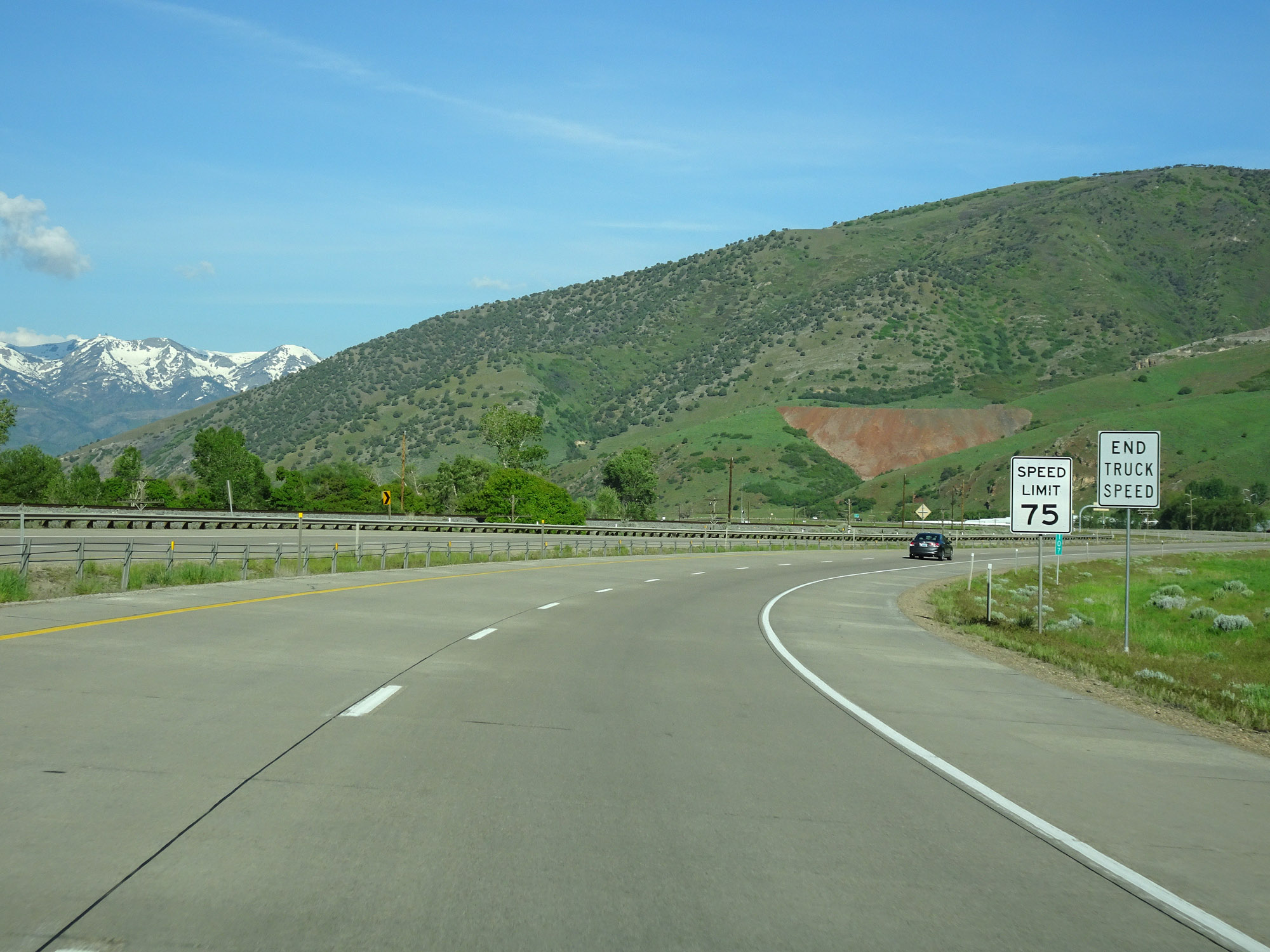 |
Upon exiting the canyon, the speed limit increases to 75 mph and the 55 mph truck speed limit ends. (Photo taken 5/27/16). |
 |
View on Interstate 84 West. (Photo taken 5/27/16). |
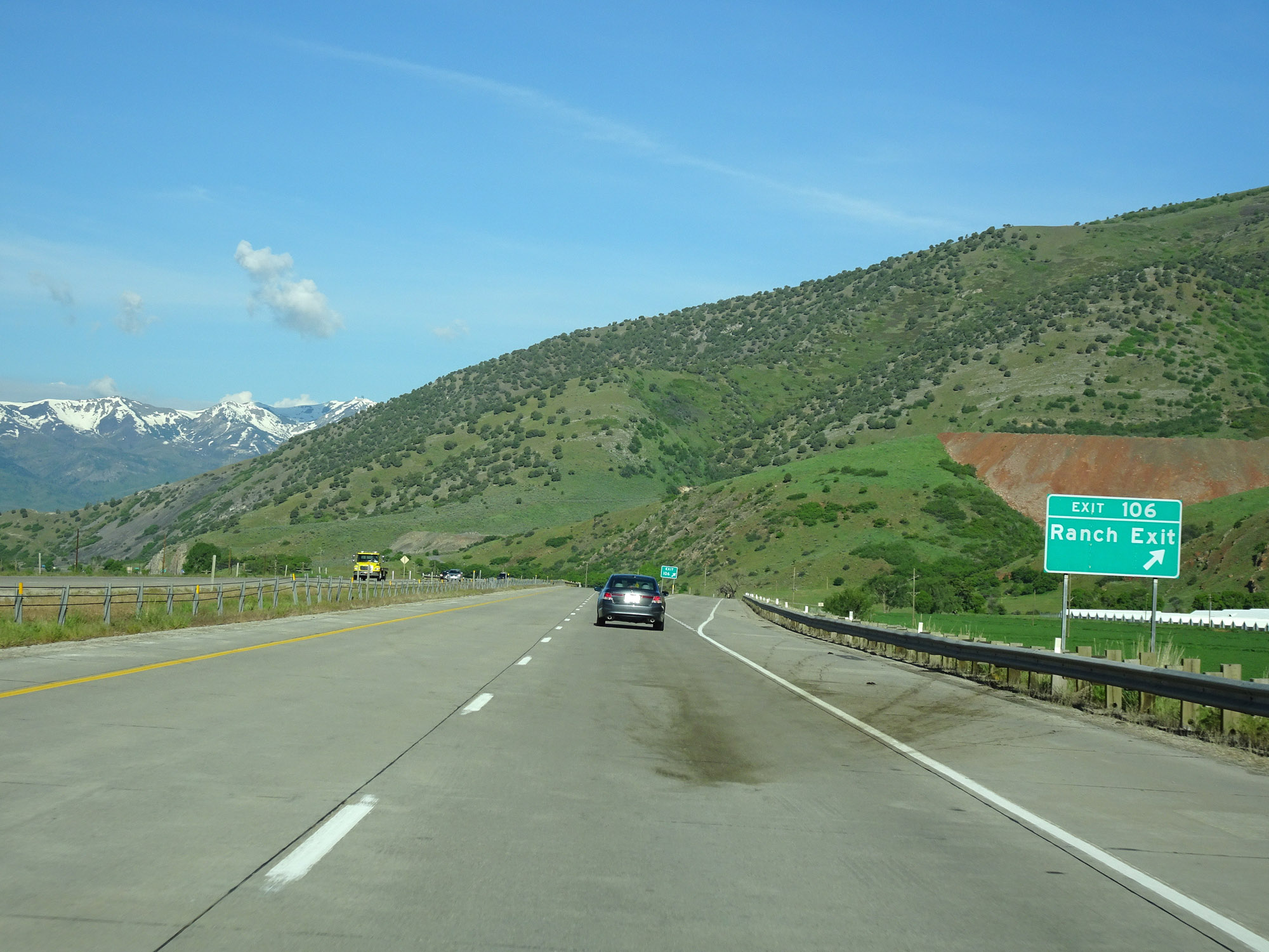 |
Interstate 84 West at Exit 106: Ranch Exit (Photo taken 5/27/16). |
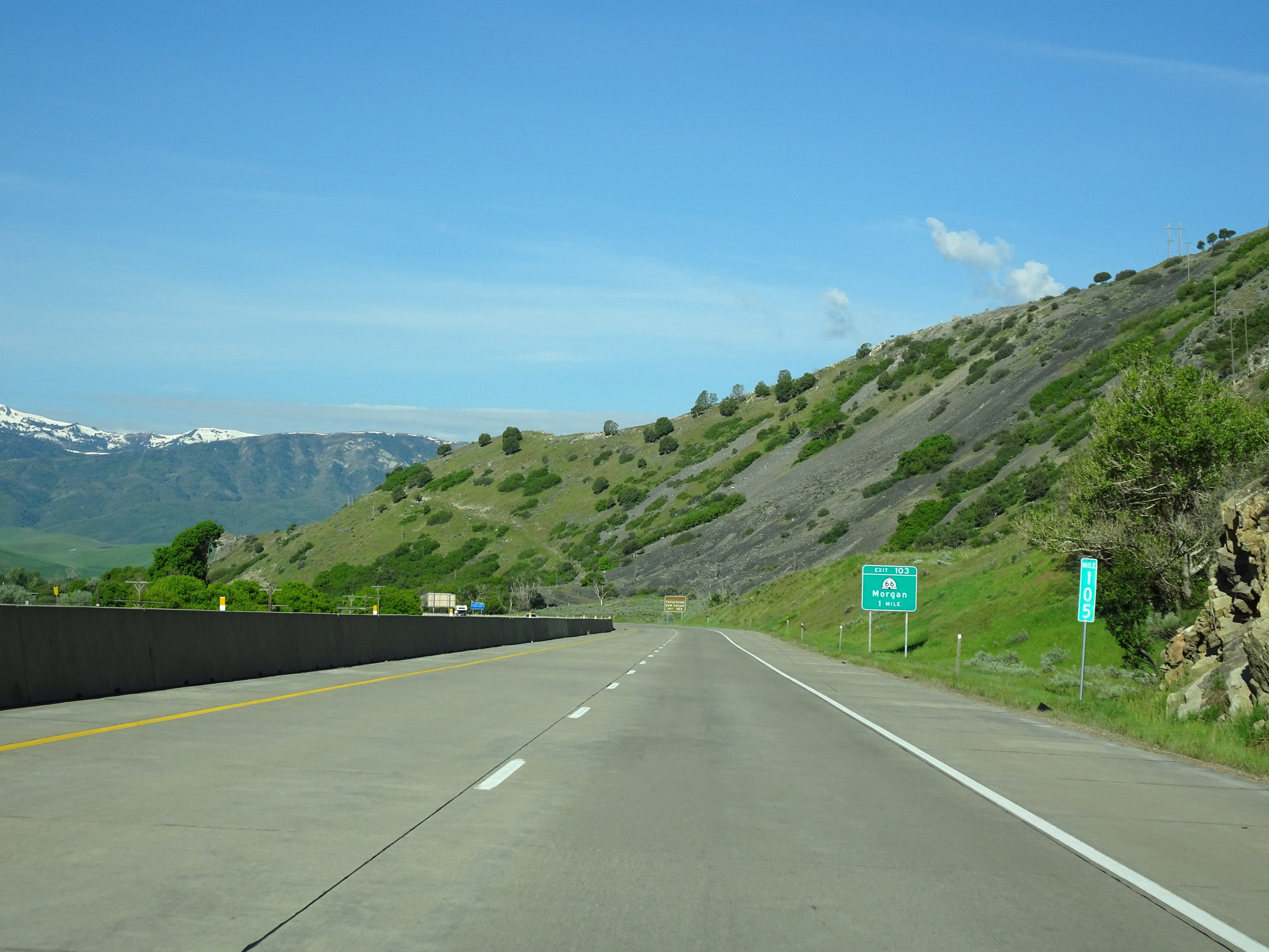 |
Interstate 84 West at mile marker 105. (Photo taken 5/27/16). |
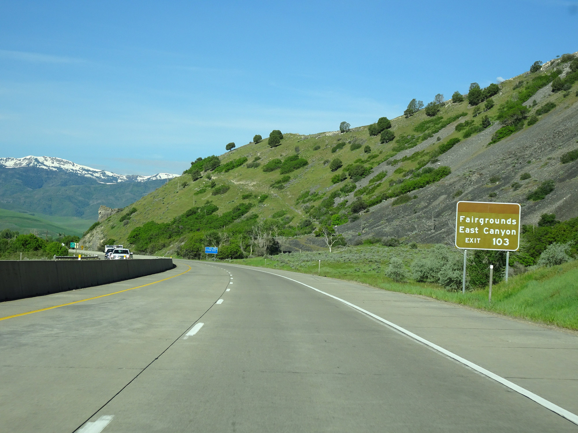 |
Take Exit 103 to the Fairgrounds and East Canyon. (Photo taken 5/27/16). |
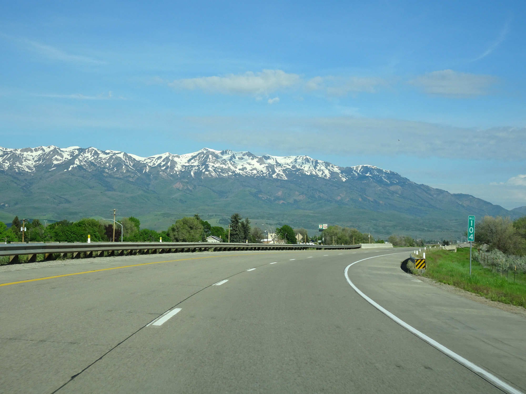 |
View on Interstate 84 West at mile marker 104. (Photo taken 5/27/16). |
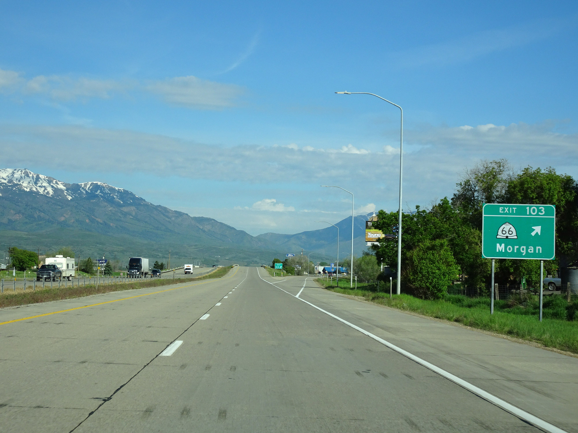 |
Interstate 84 West at Exit 103: UT 66 - Morgan (Photo taken 5/27/16). |
 |
Another Interstate 84 West reassurance shield. (Photo taken 5/27/16). |
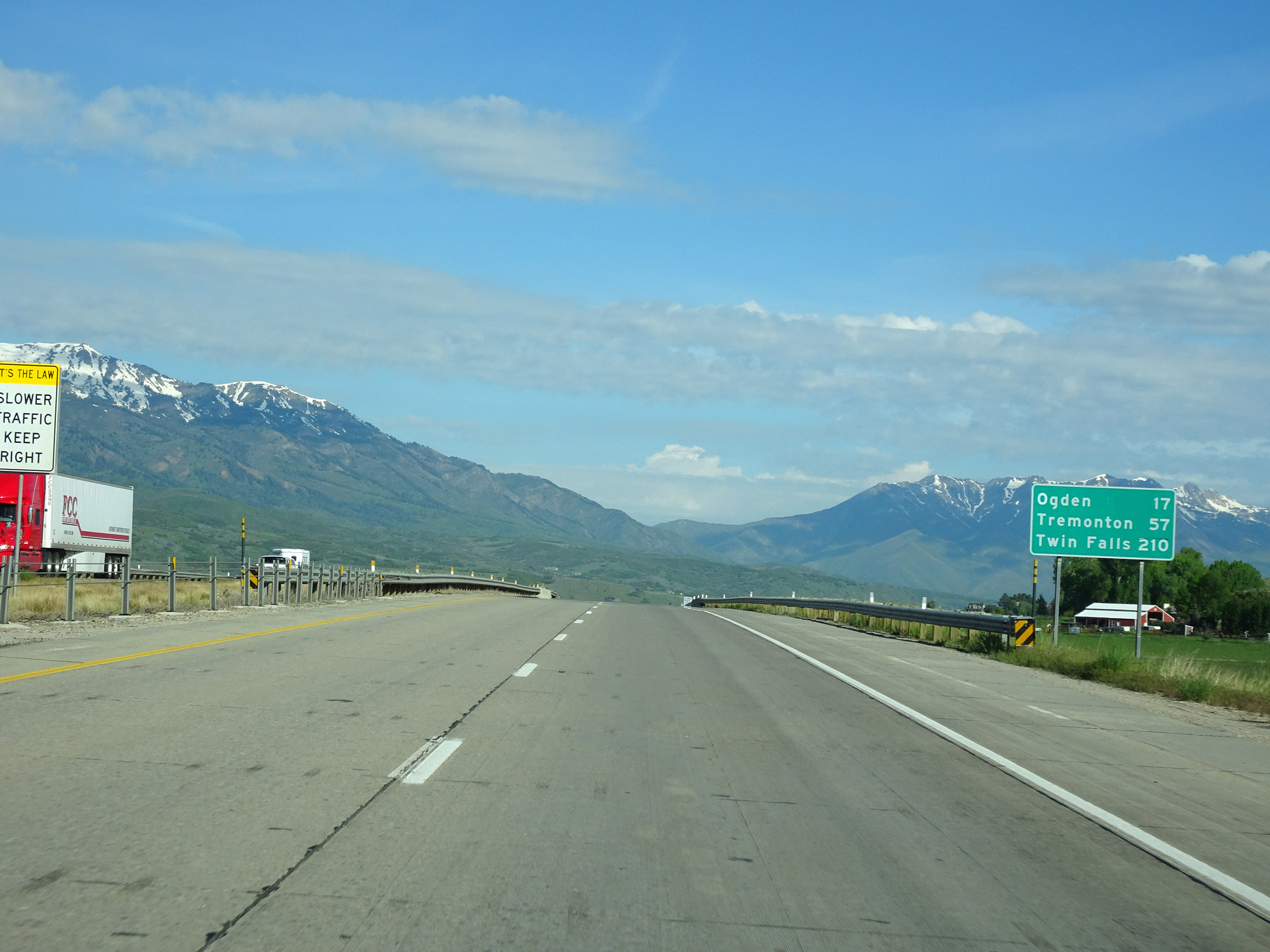 |
Mileage sign on Interstate 84 West. It's 17 miles to Ogden, 57 miles to Tremonton, and 210 miles to Twin Falls. (Photo taken 5/27/16). |
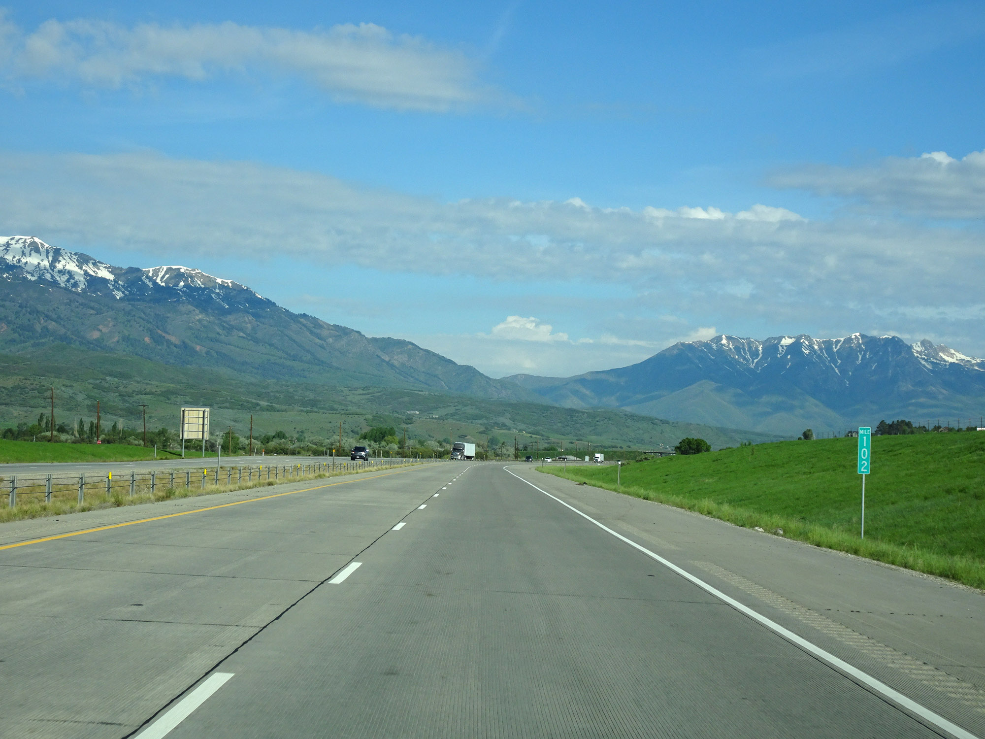 |
Interstate 84 West at mile marker 102. (Photo taken 5/27/16). |
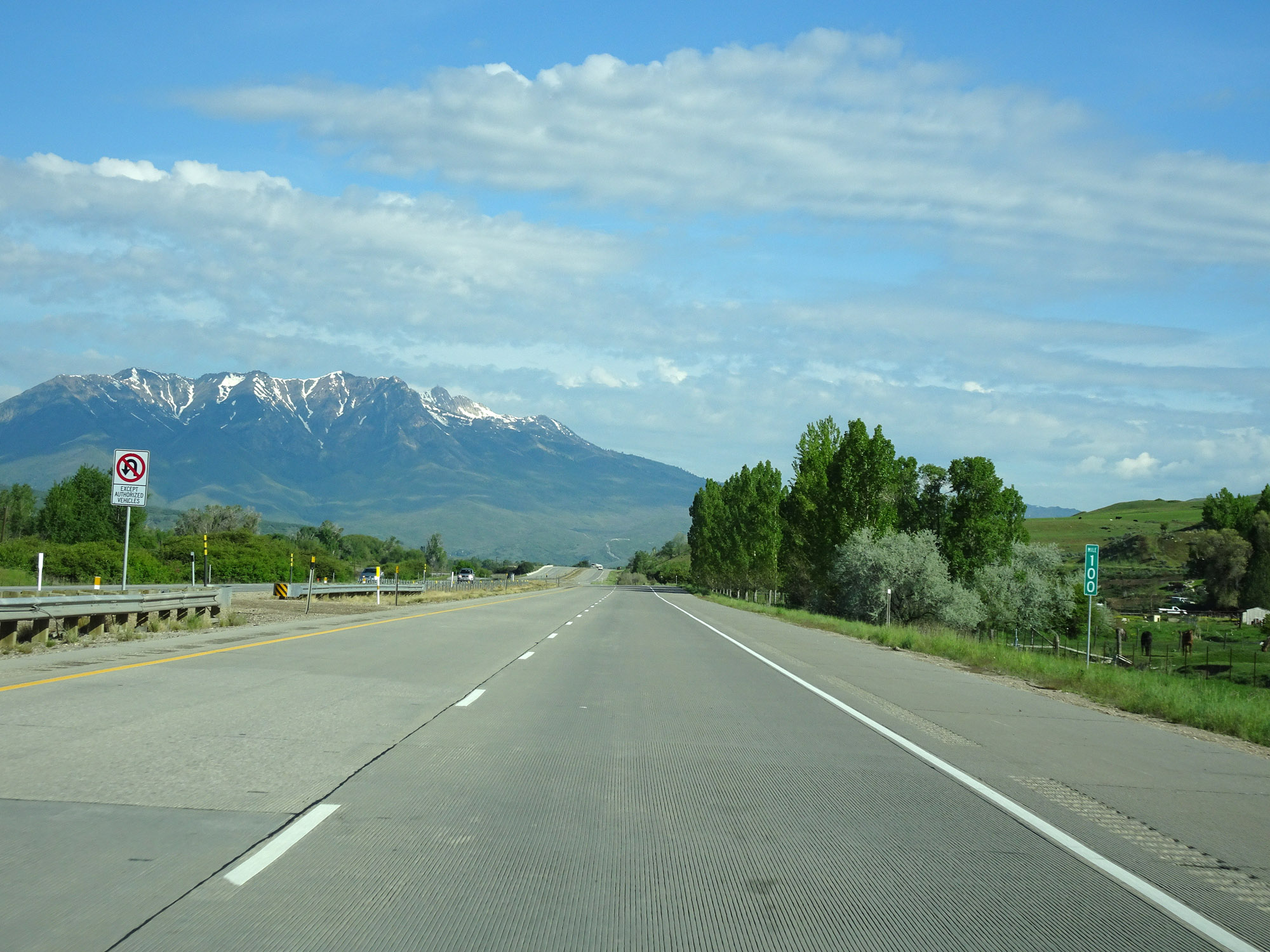 |
View on Interstate 84 West at mile marker 100. (Photo taken 5/27/16). |
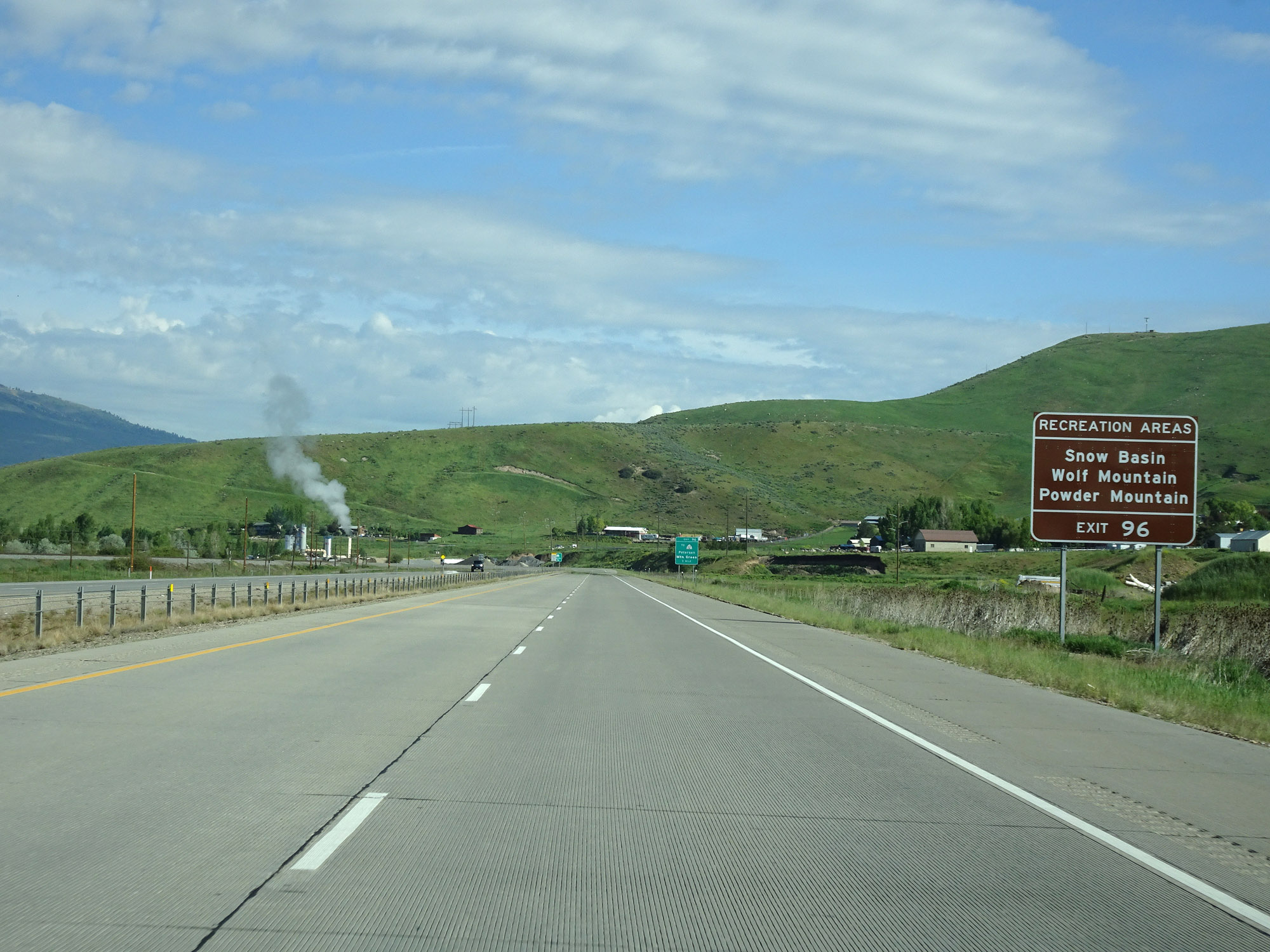 |
Take Exit 96 to the Snow Basin, Wolf Mountain, and Powder Mountain Recreation Areas. (Photo taken 5/27/16). |
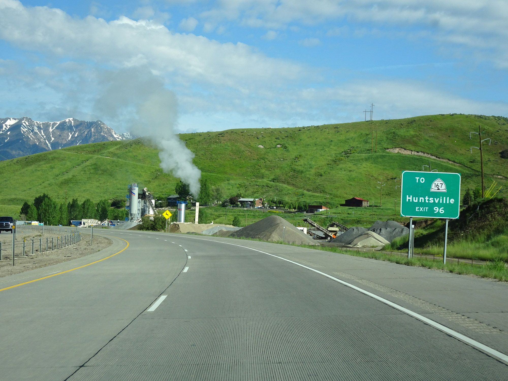 |
Also take Exit 96 to Huntsville. (Photo taken 5/27/16). |
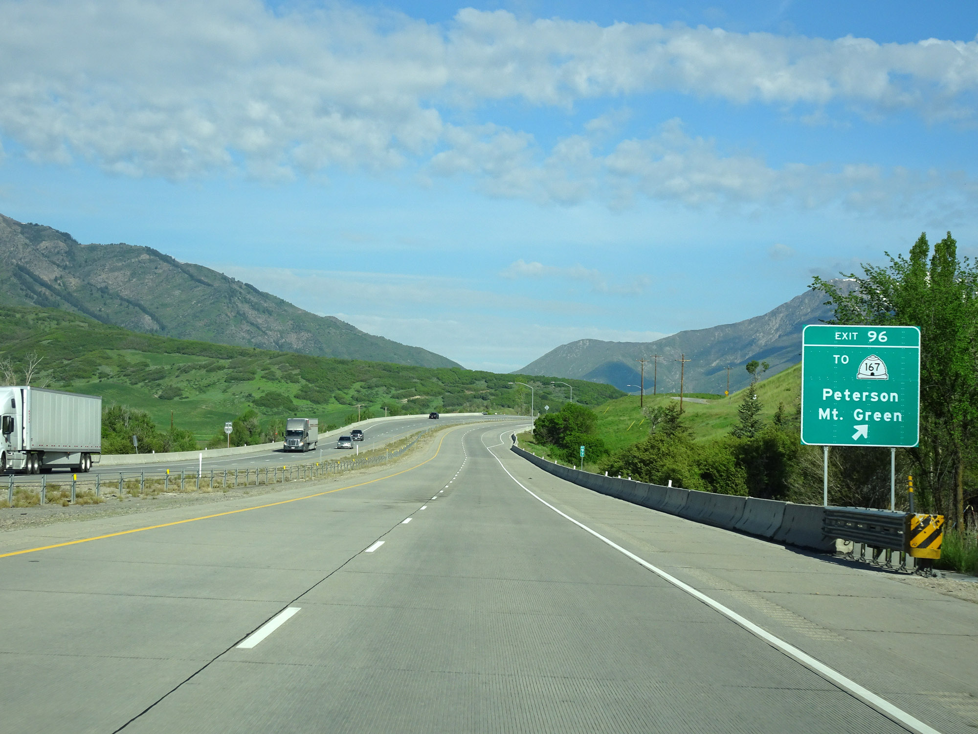 |
Interstate 84 West at Exit 96: To UT 167 - Peterson / Mt. Green (Photo taken 5/27/16). |
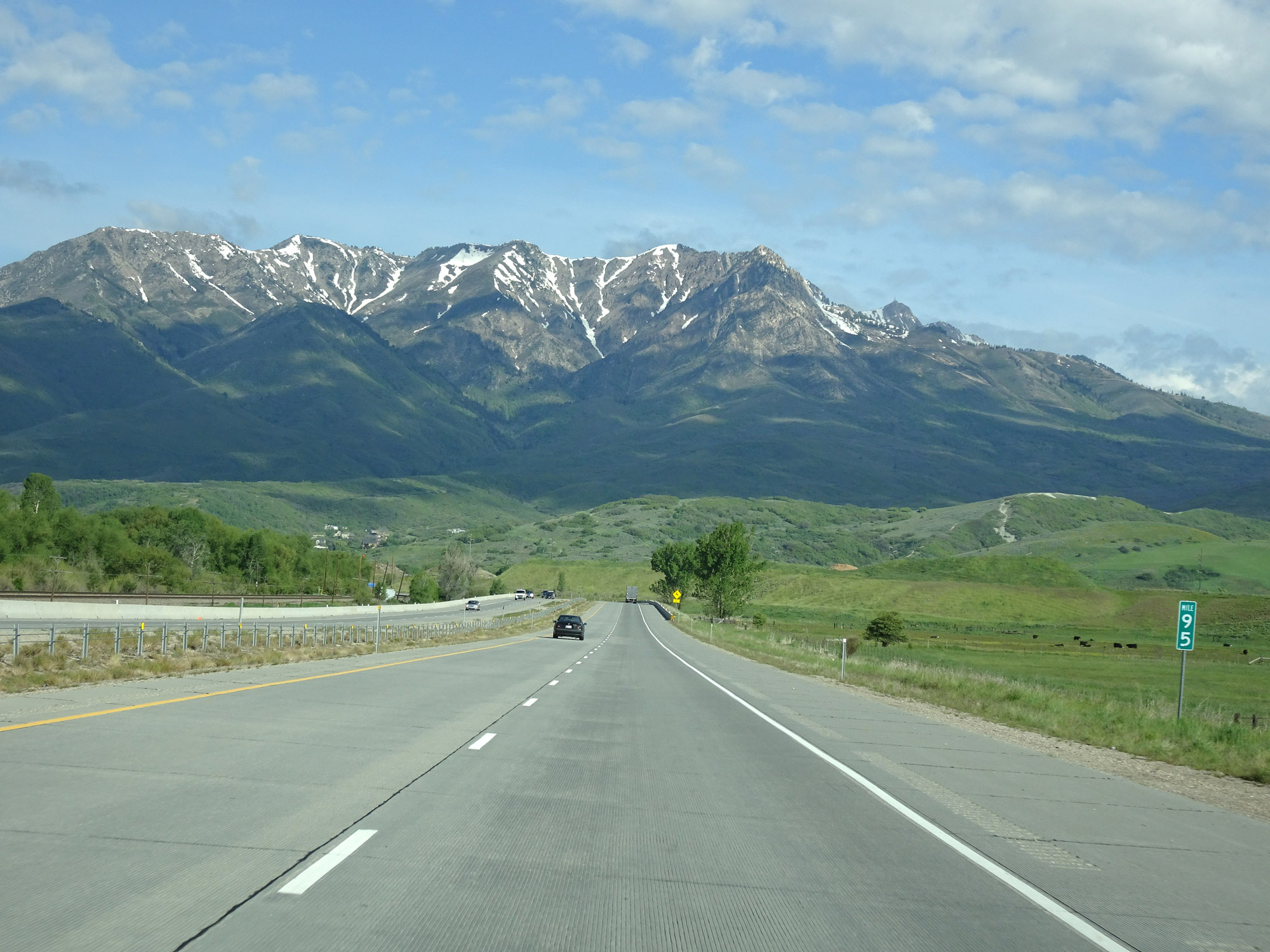 |
View on Interstate 84 West at mile marker 95. (Photo taken 5/27/16). |
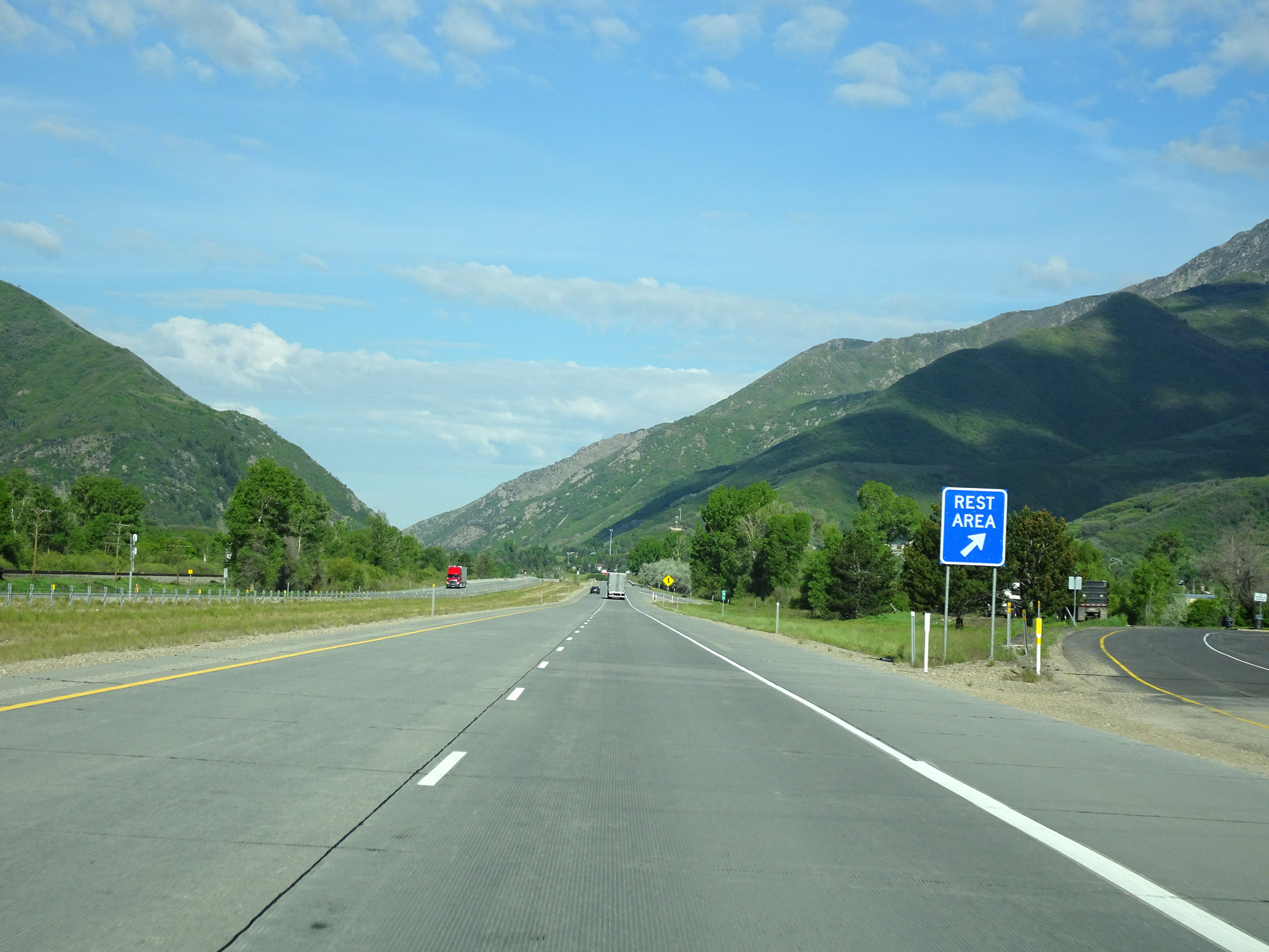 |
Rest Area on Interstate 84 West in Morgan County. (Photo taken 5/27/16). |
 |
Interstate 84 West at mile marker 92. (Photo taken 5/27/16). |
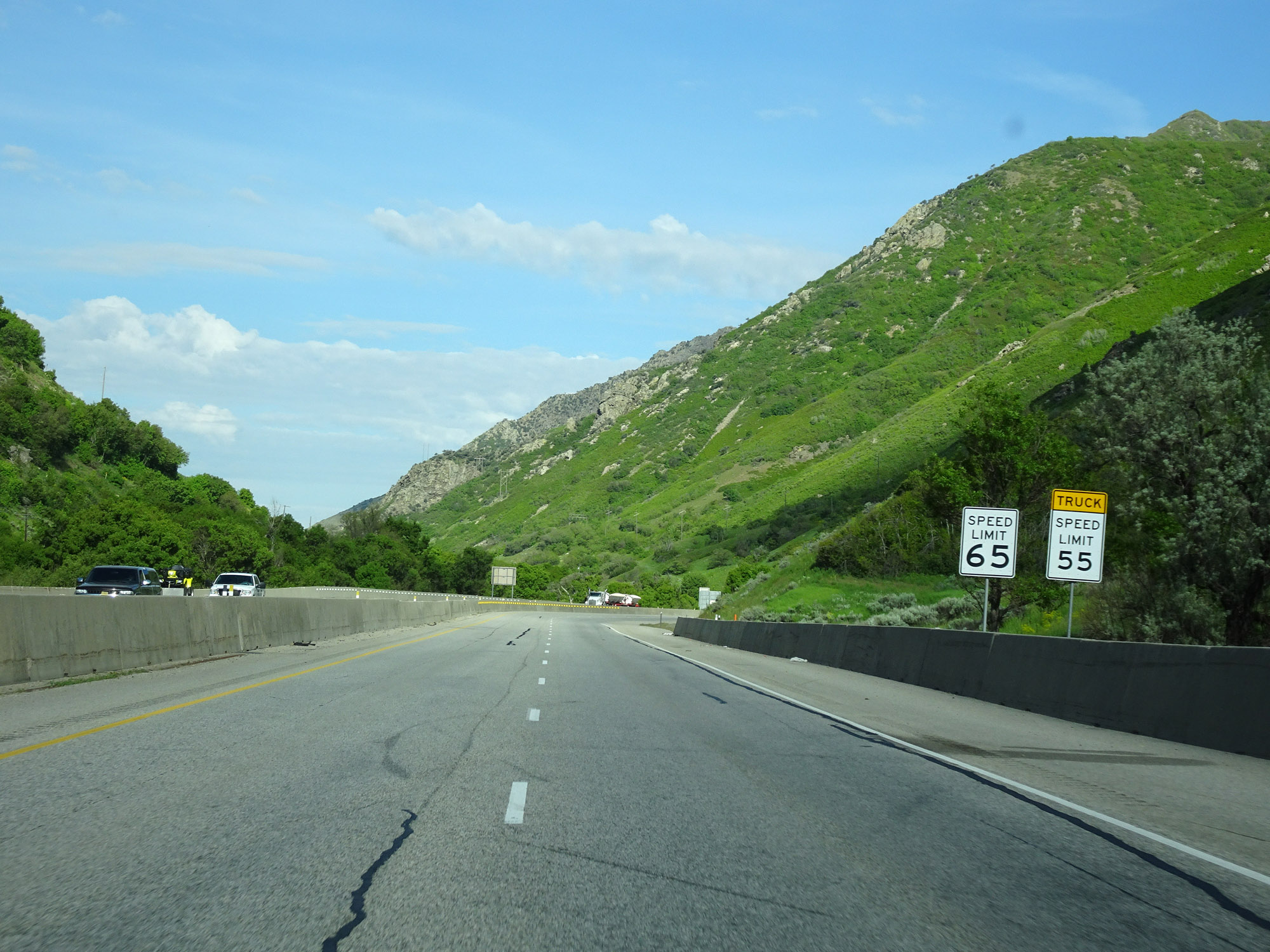 |
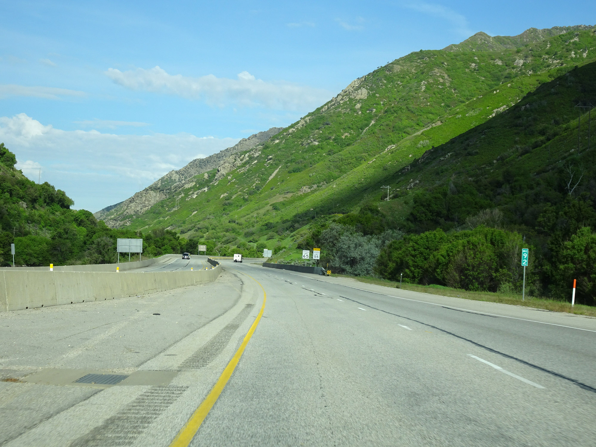
Just beyond mile marker 92, as Interstate 84 West prepares to pass through another canyon, the speed limits decrease to 65 mph for automobiles and 55 mph for trucks. (Photo taken 5/27/16). |
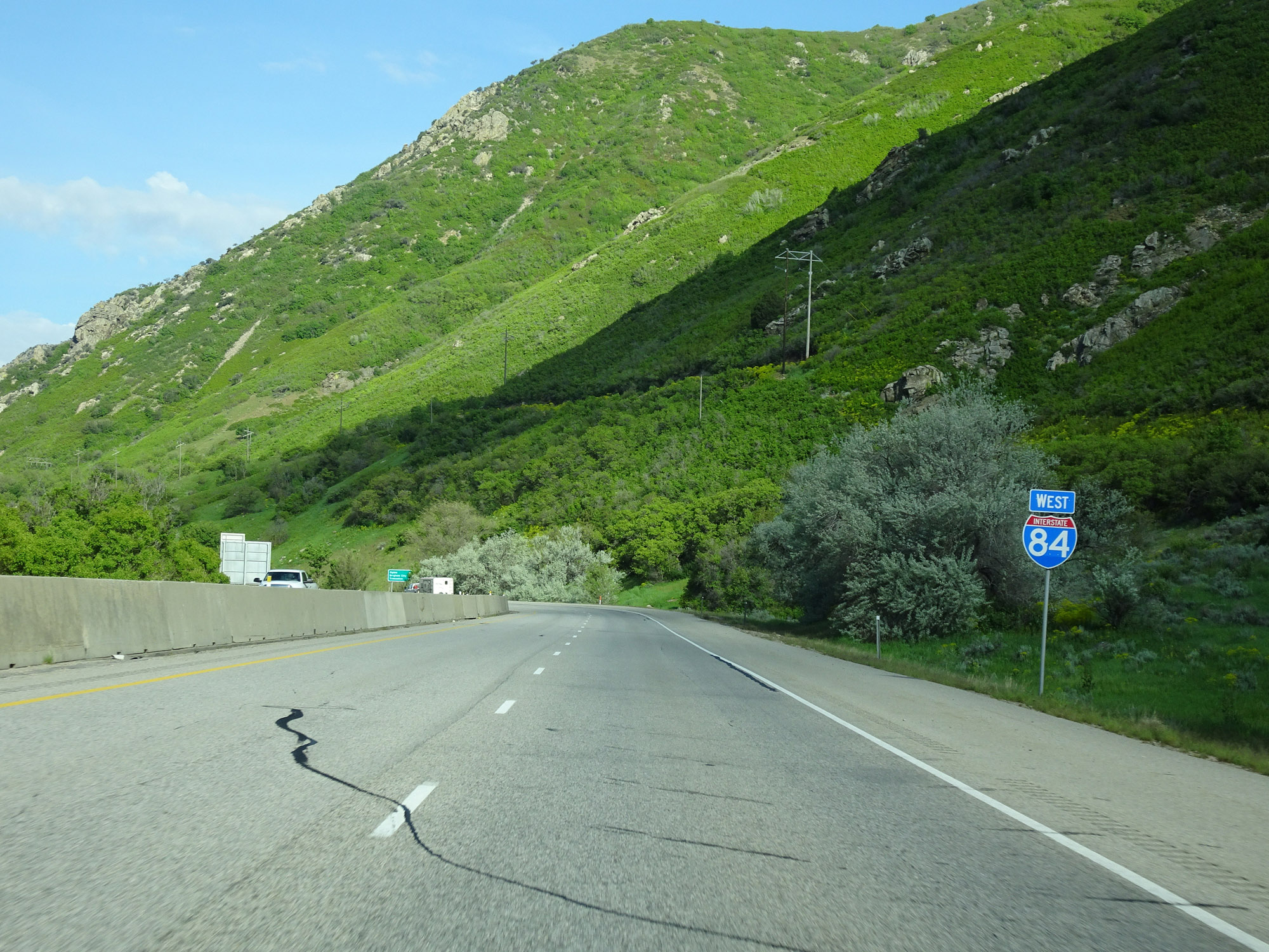 |
Interstate 84 West reassurance shield. (Photo taken 5/27/16). |
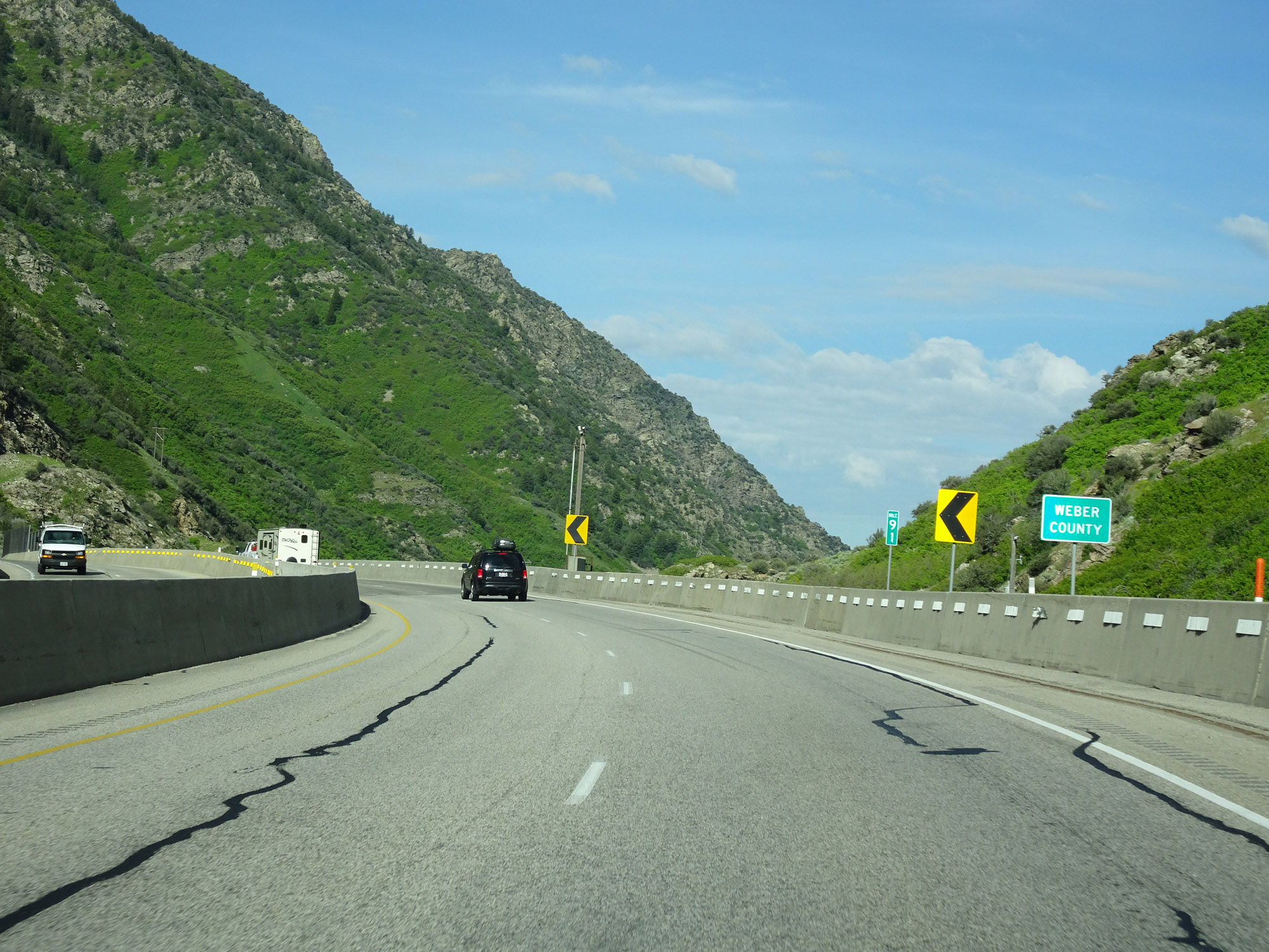 |
At mile marker 91, Interstate 84 West enters Weber County. (Photo taken 5/27/16). |
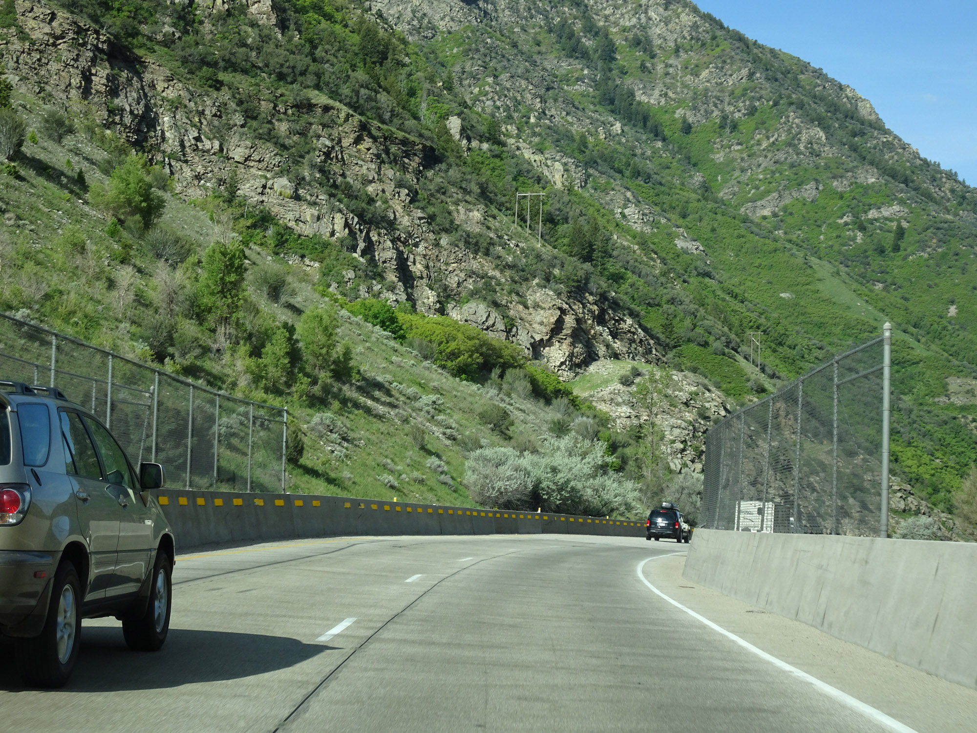 |
View on Interstate 84 West. (Photo taken 5/27/16). |
 |
Another view on Interstate 84 West. (Photo taken 5/27/16). |
 |
Sharp 55 mph curves continue on Interstate 84 West through the canyon. (Photo taken 5/27/16). |
 |
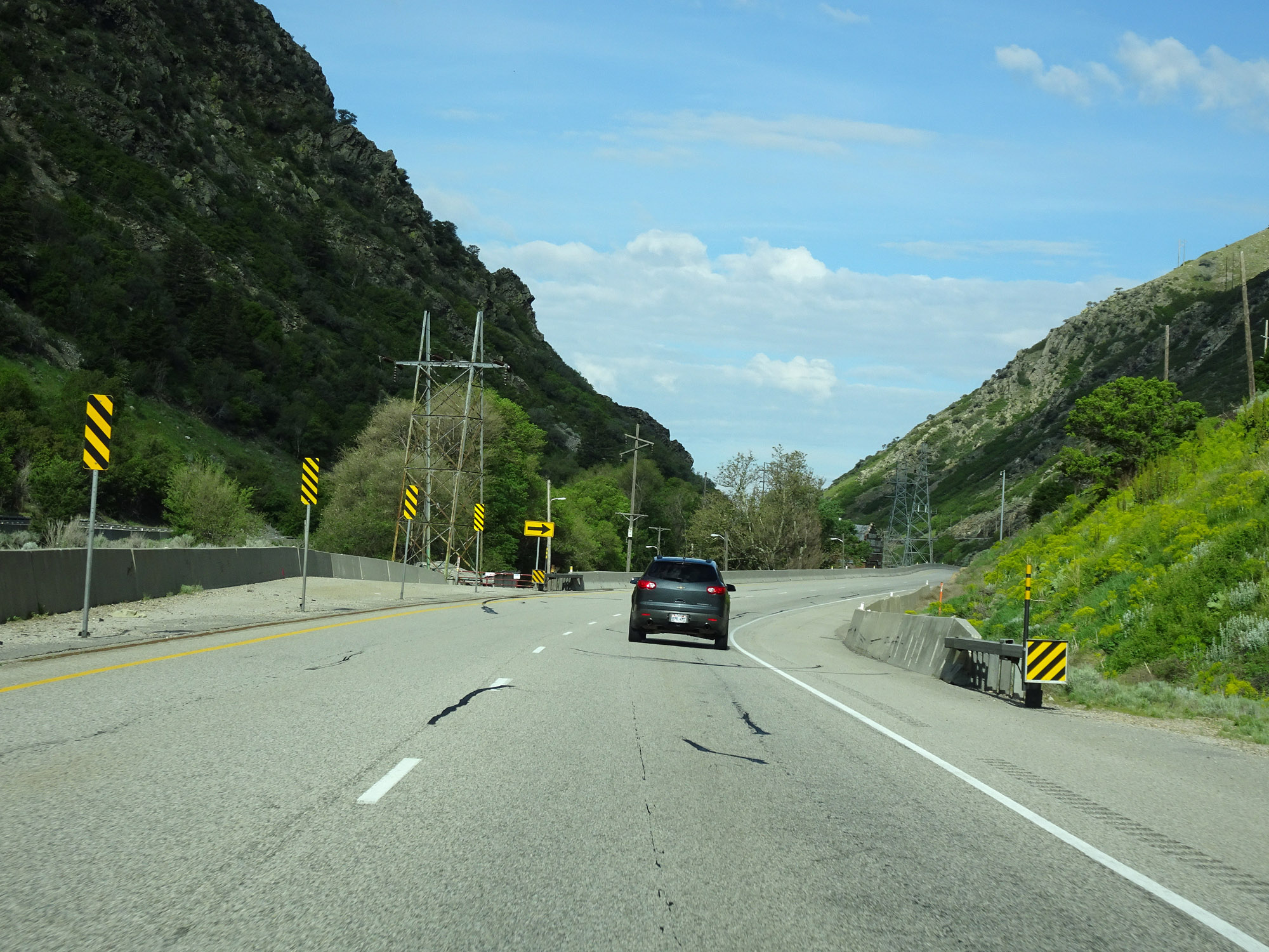
Interstate 84 West at mile marker 89, as it leaves the mountainous terrain and straightens out. (Photo taken 5/27/16). |
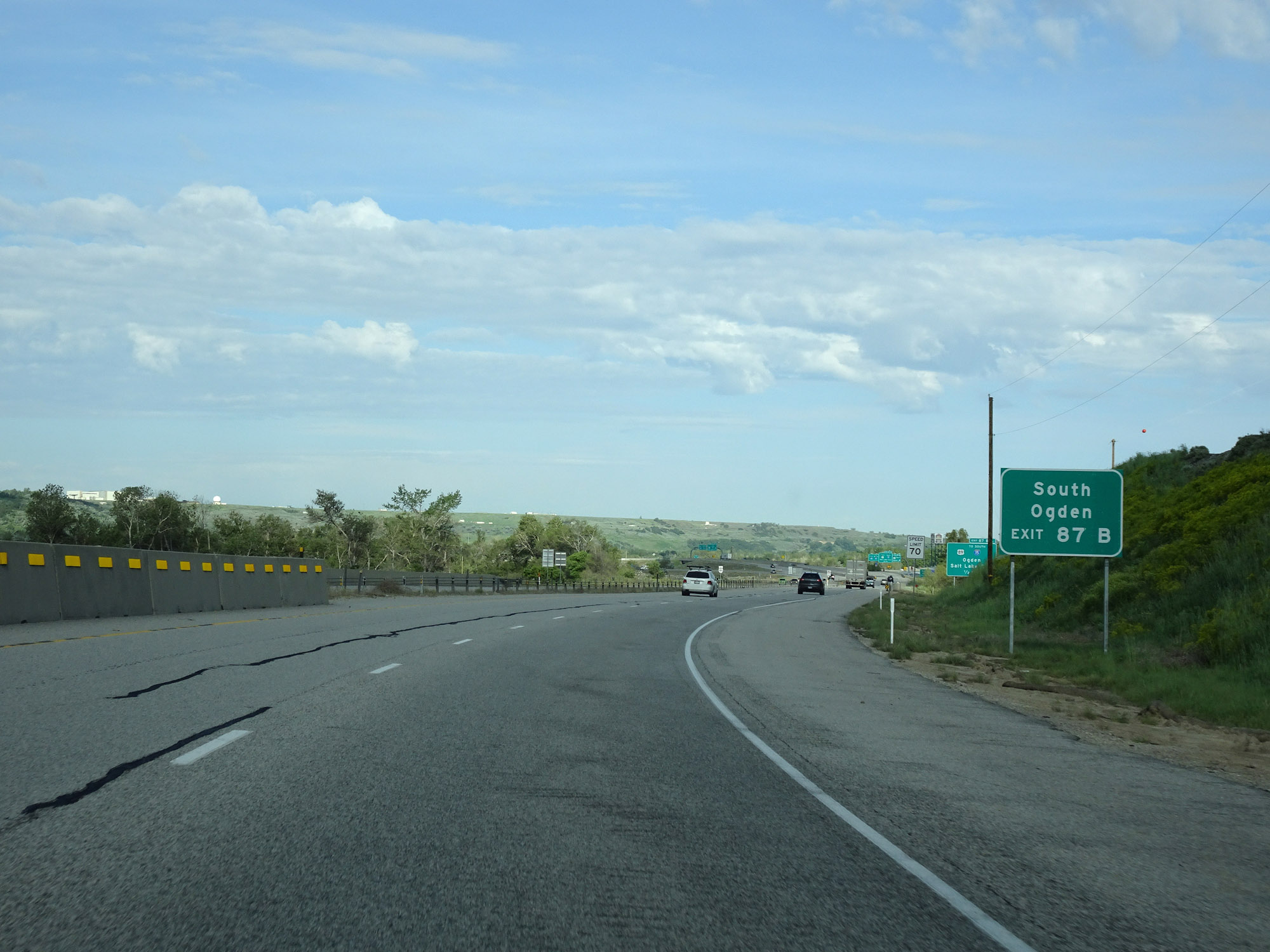 |
Take Exit 87B to South Ogden. (Photo taken 5/27/16). |
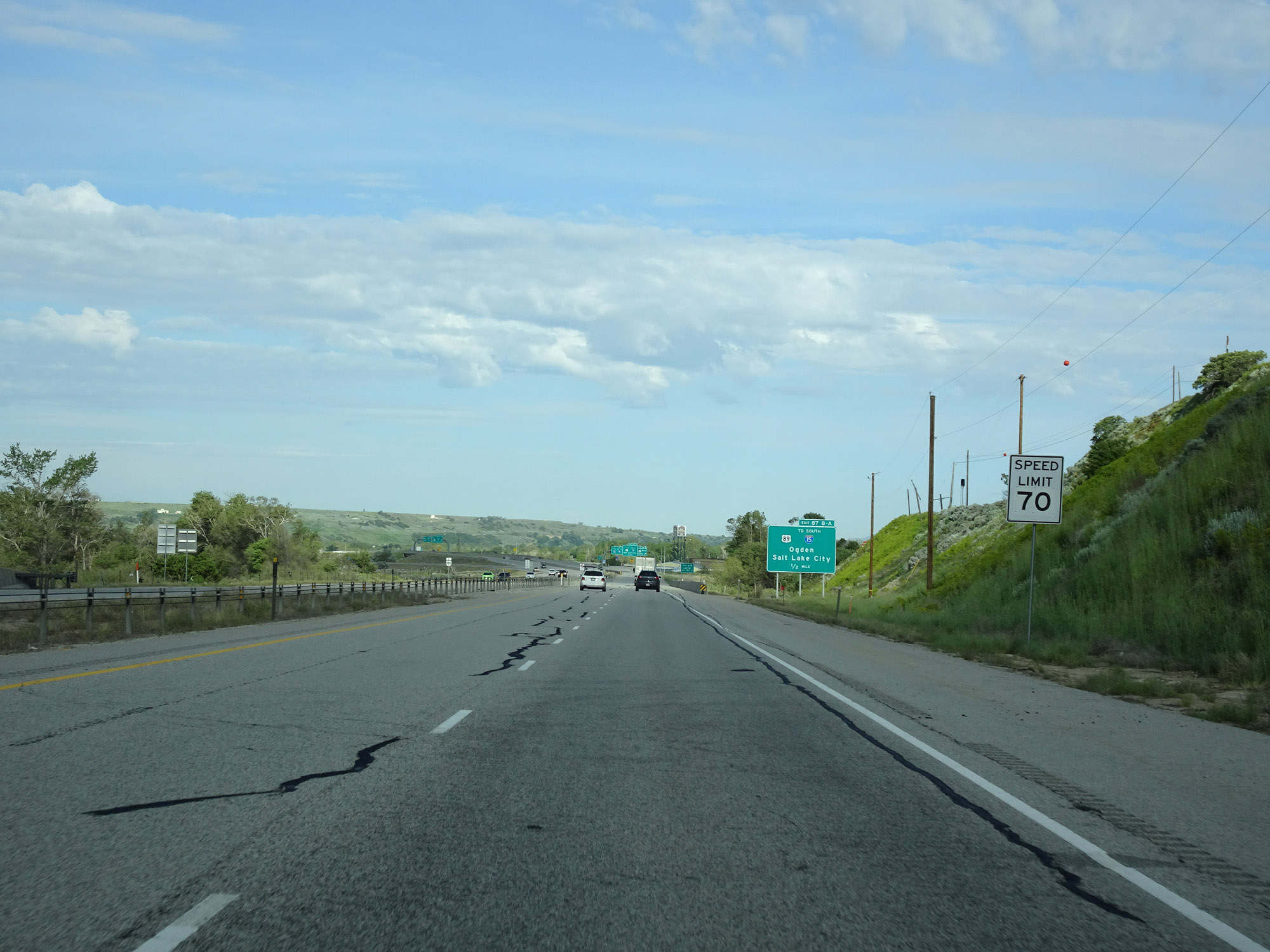 |
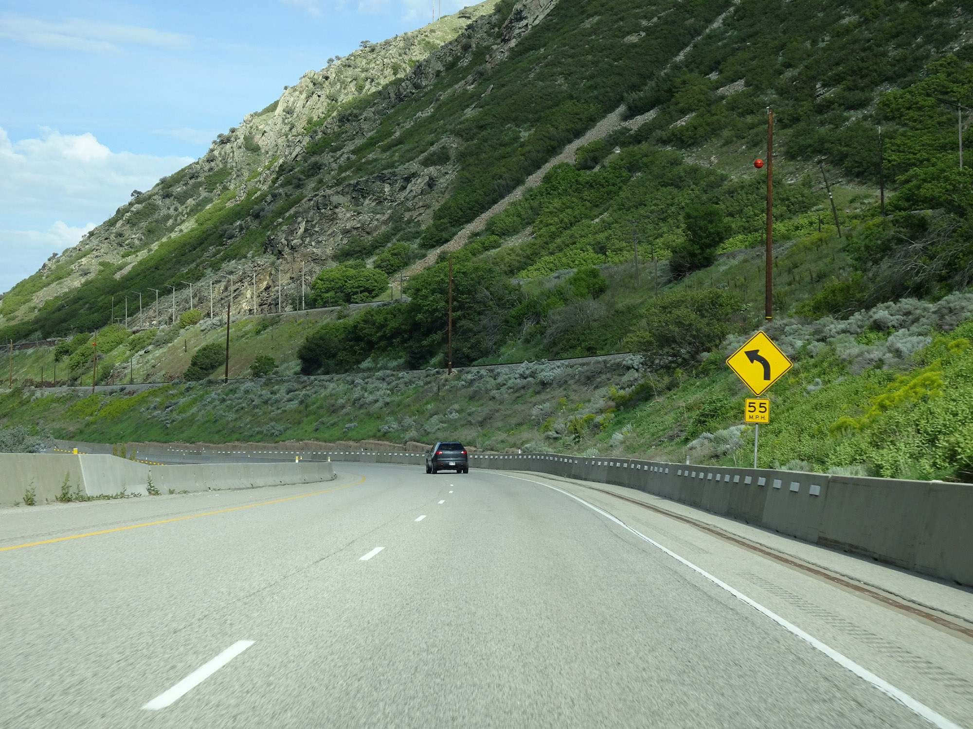
The speed limit increases to 70 mph for all traffic as Interstate 84 West straightens out near Ogden. (Photo taken 5/27/16). |
 |
Take Exit 87A to Hill AFB and Layton. (Photo taken 5/27/16). |
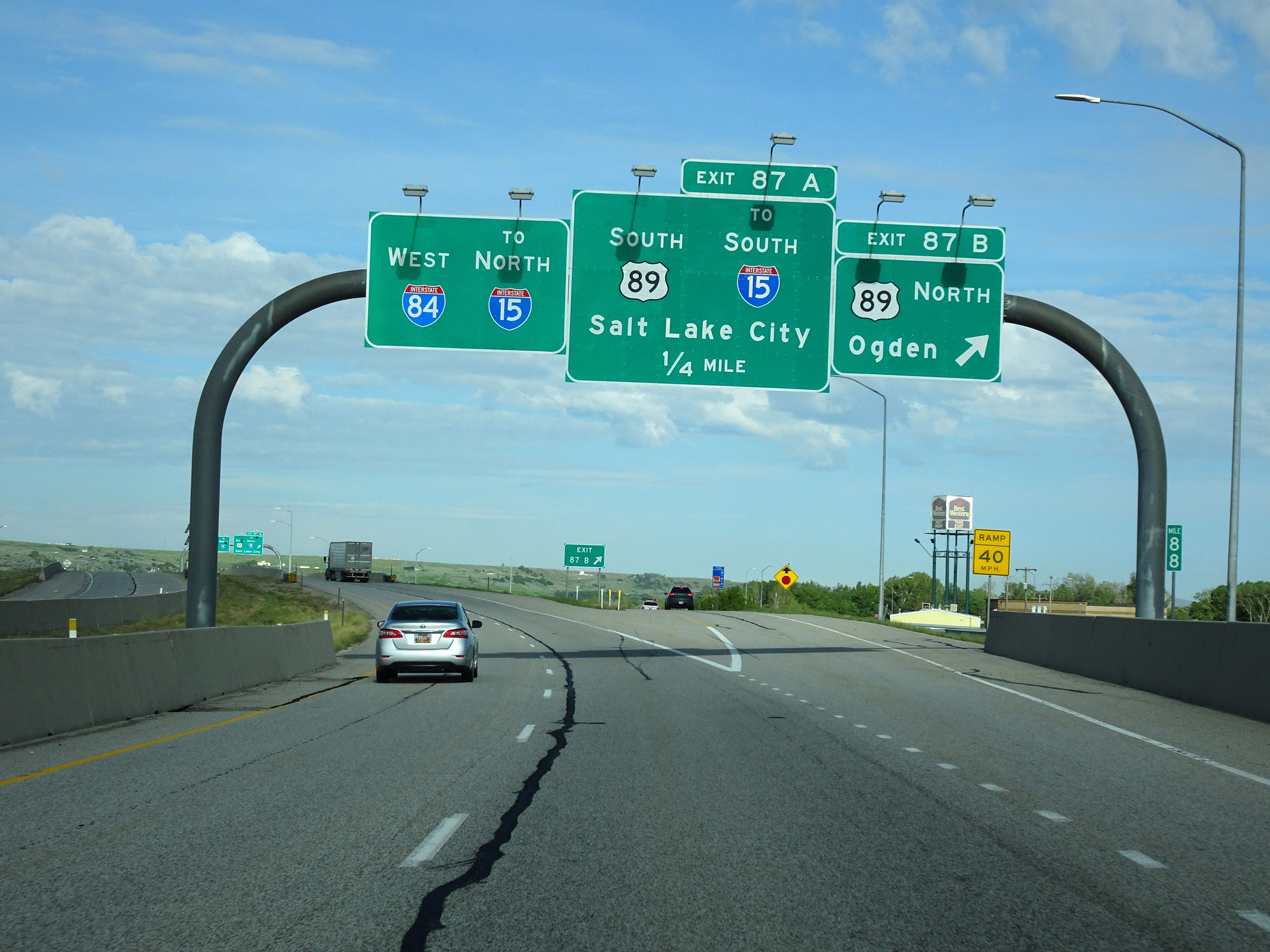 |
Interstate 84 West at Exit 87B: US 89 North - Ogden (Photo taken 5/27/16). |
 |
Interstate 84 West at Exit 87A: US 89 South / To Interstate 15 South - Salt Lake City (Photo taken 5/27/16). |
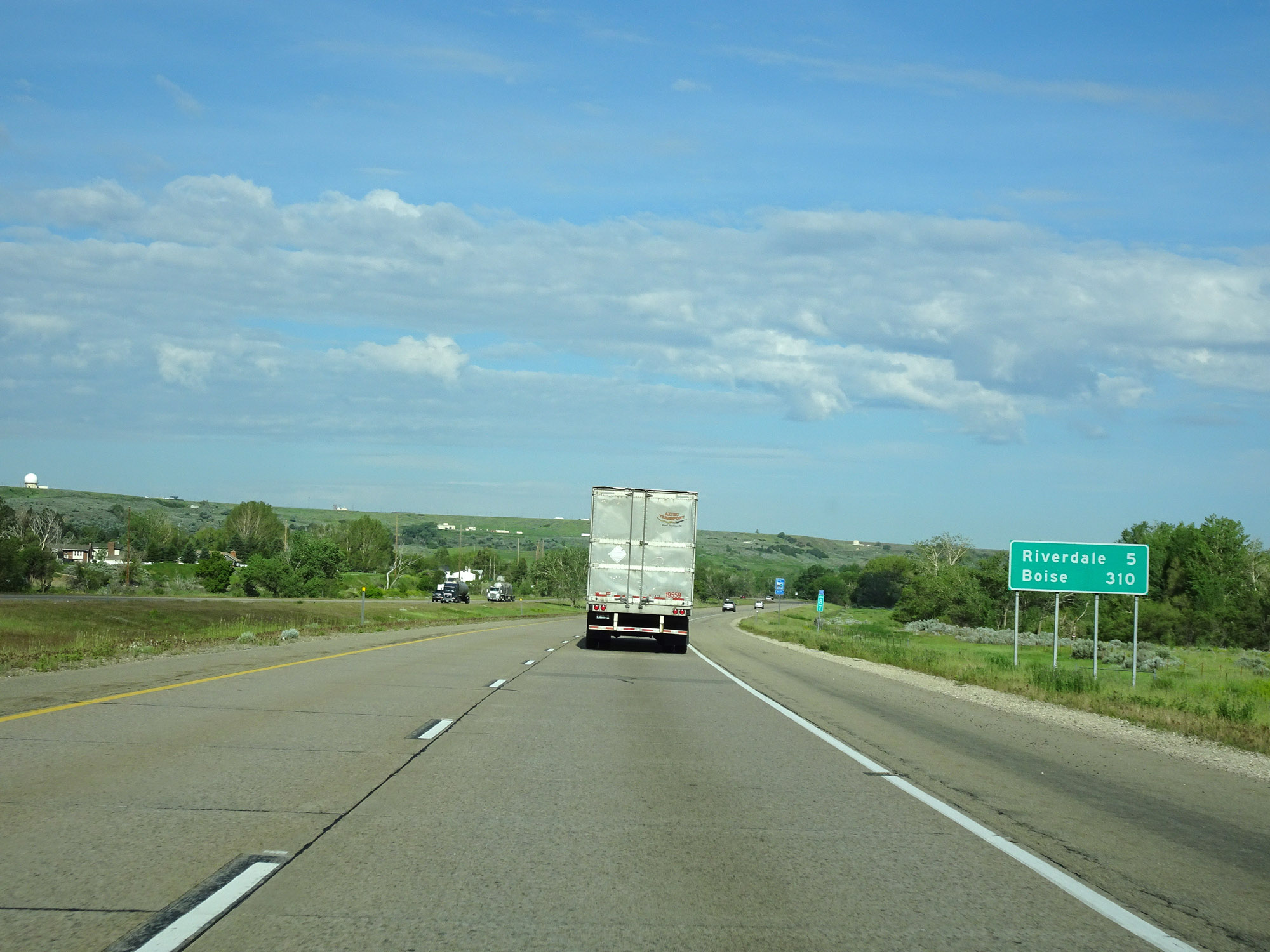 |
Mileage sign on Interstate 84 West. It's 5 miles to Riverdale and 310 miles to Boise. (Photo taken 5/27/16). |
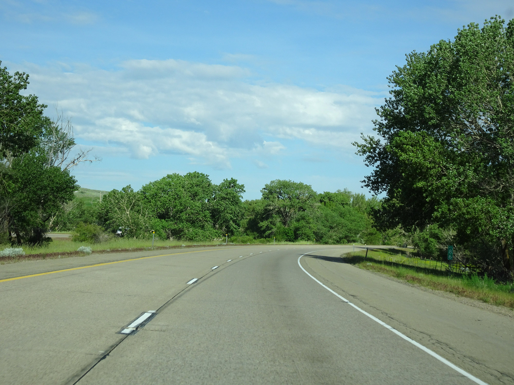 |
View on Interstate 84 West at mile marker 86. (Photo taken 5/27/16). |
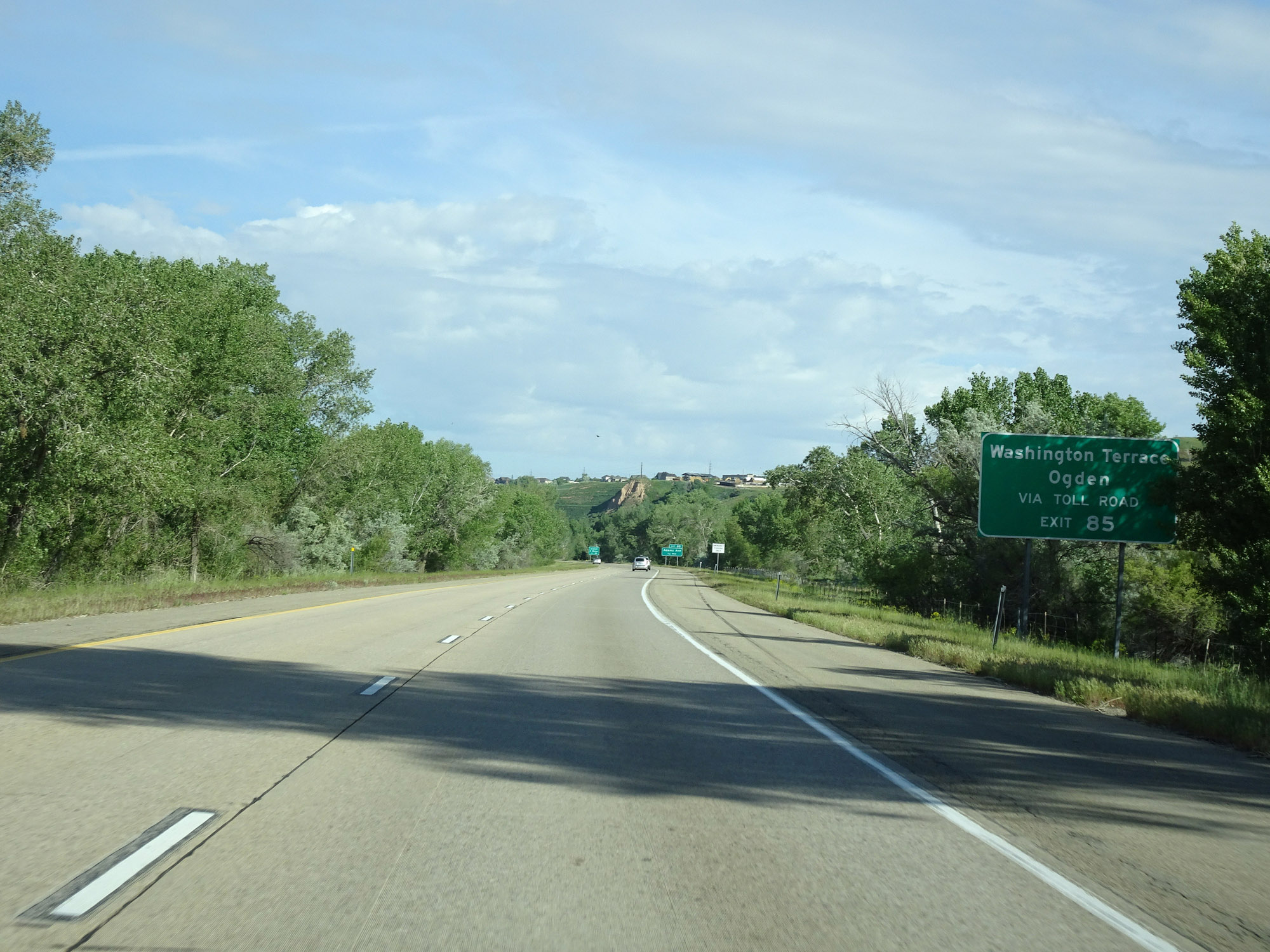 |
Take Exit 85 to Washington Terrace and Ogden via a privately tolled Adams Ave. (Photo taken 5/27/16). |
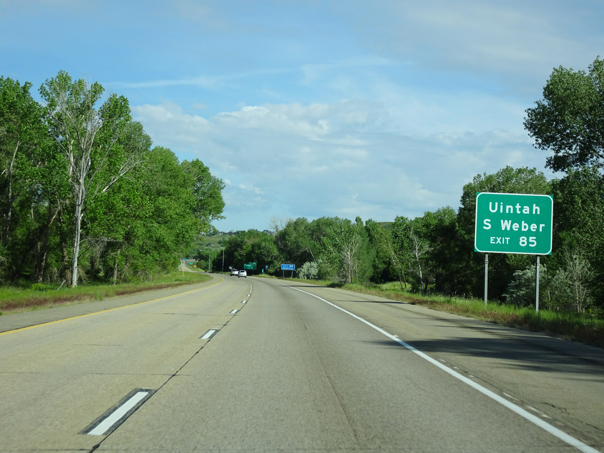 |
Also take Exit 85 to Uintah and South Weber. (Photo taken 5/27/16). |
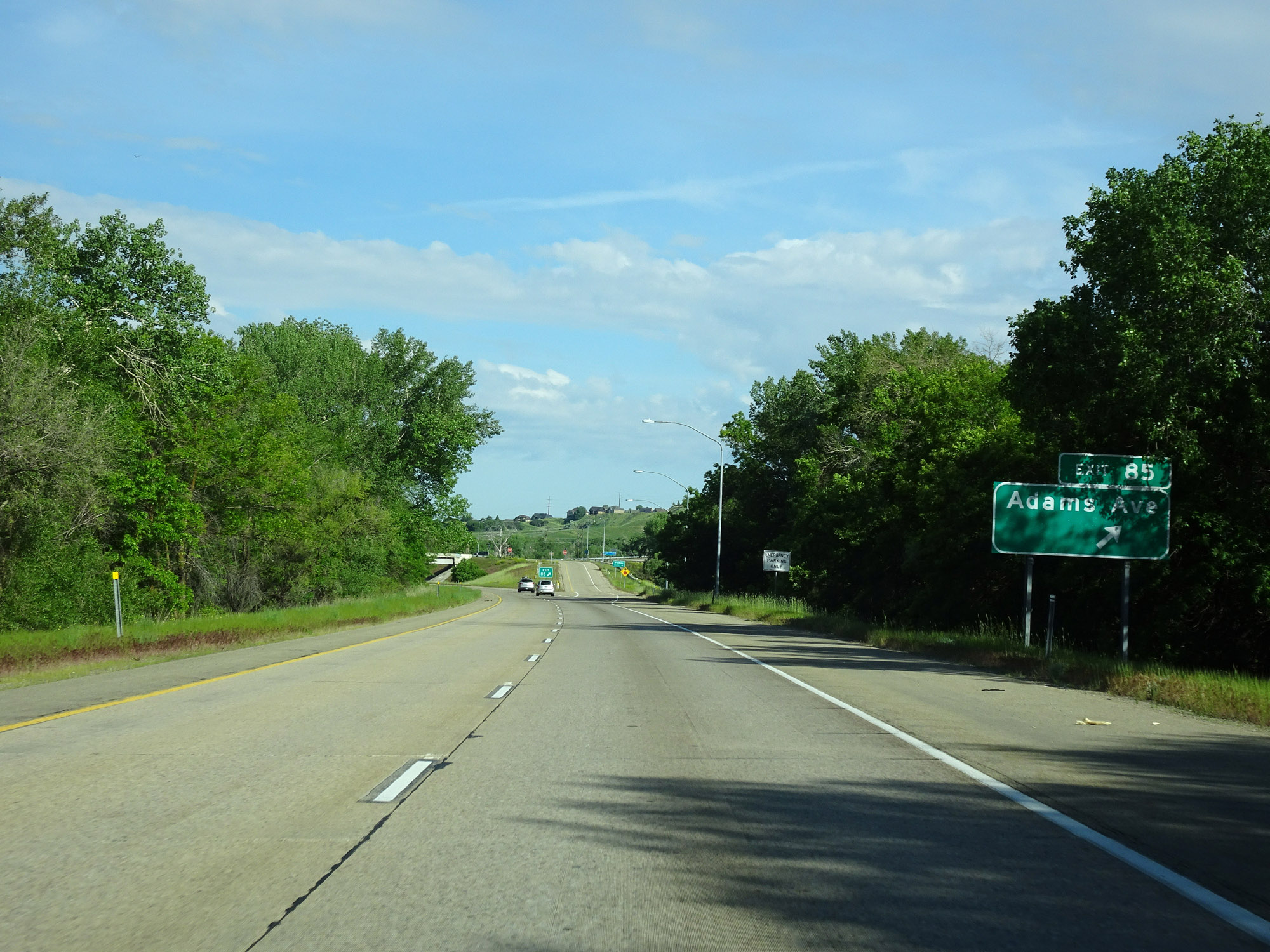 |
Interstate 84 West at Exit 85: Adams Ave (Photo taken 5/27/16). |
 |
Interstate 84 West at mile marker 84. (Photo taken 5/27/16). |
 |
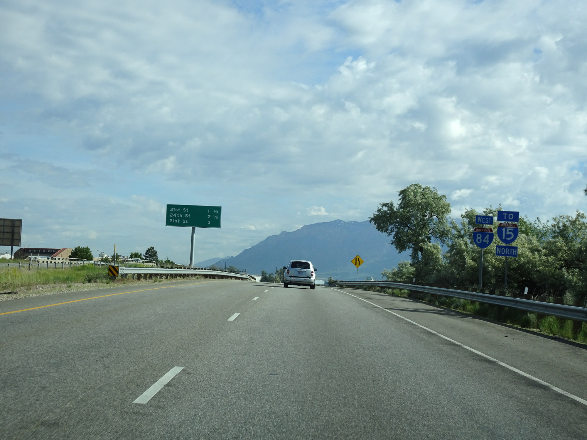
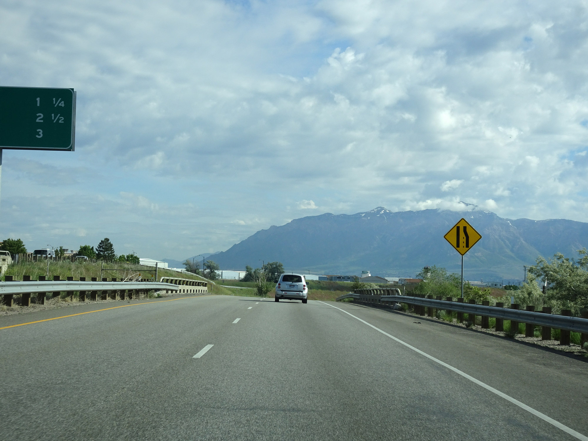
Sign listing the distances to the three upcoming exits to Ogden. (Photo taken 5/27/16). |
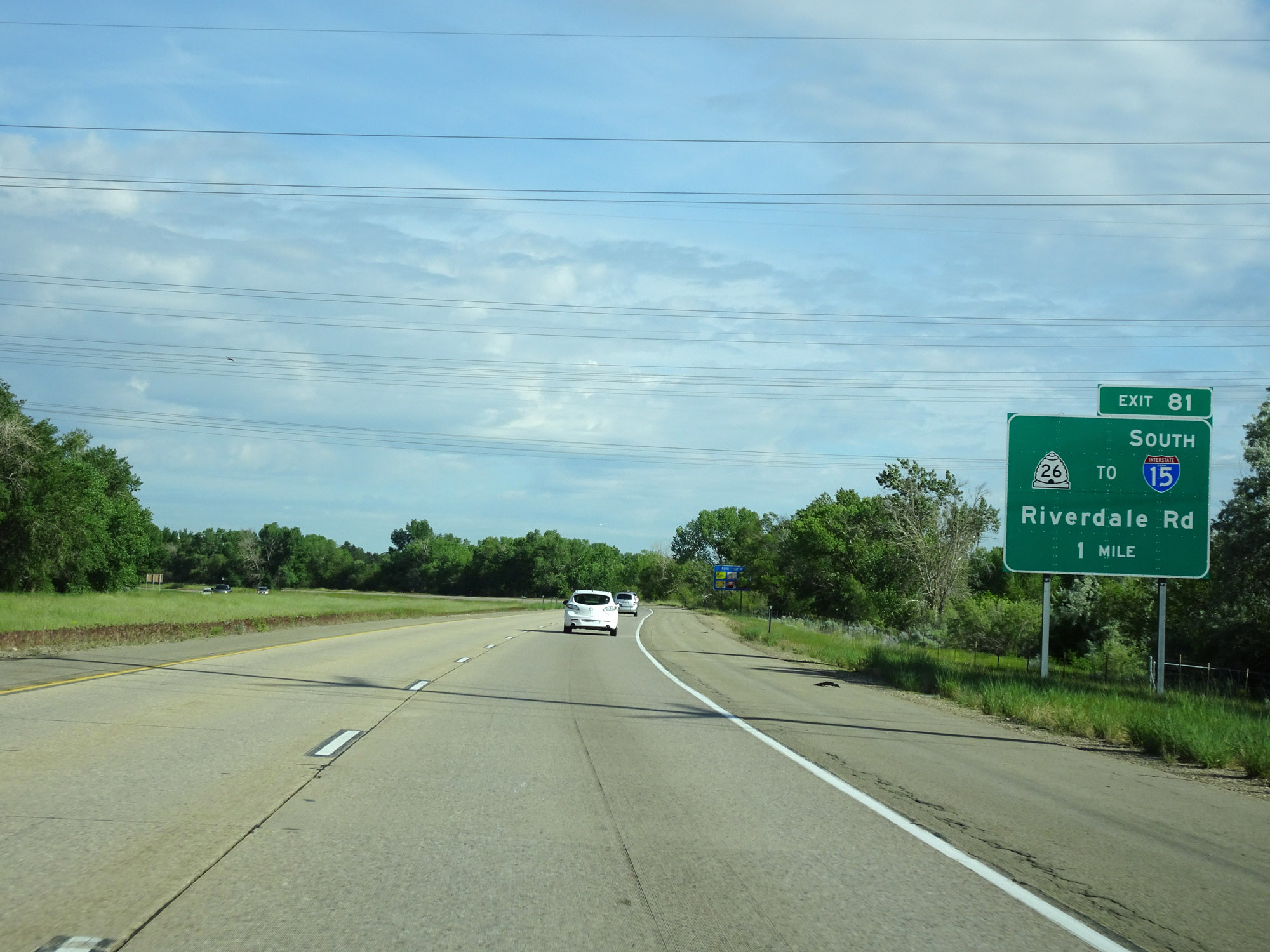 |
Interstate 84 West approaching Exit 81 - 1 mile. (Photo taken 5/27/16). |
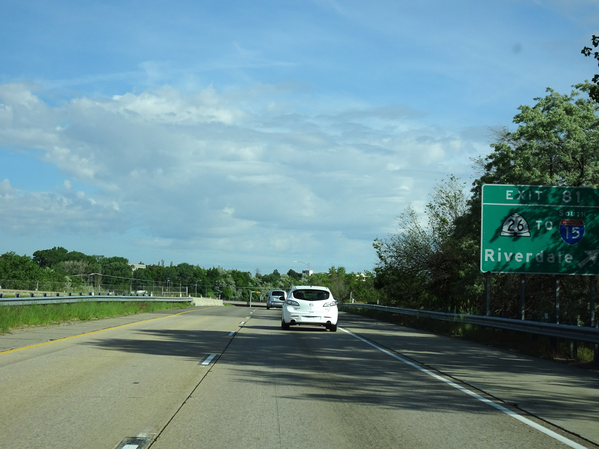 |
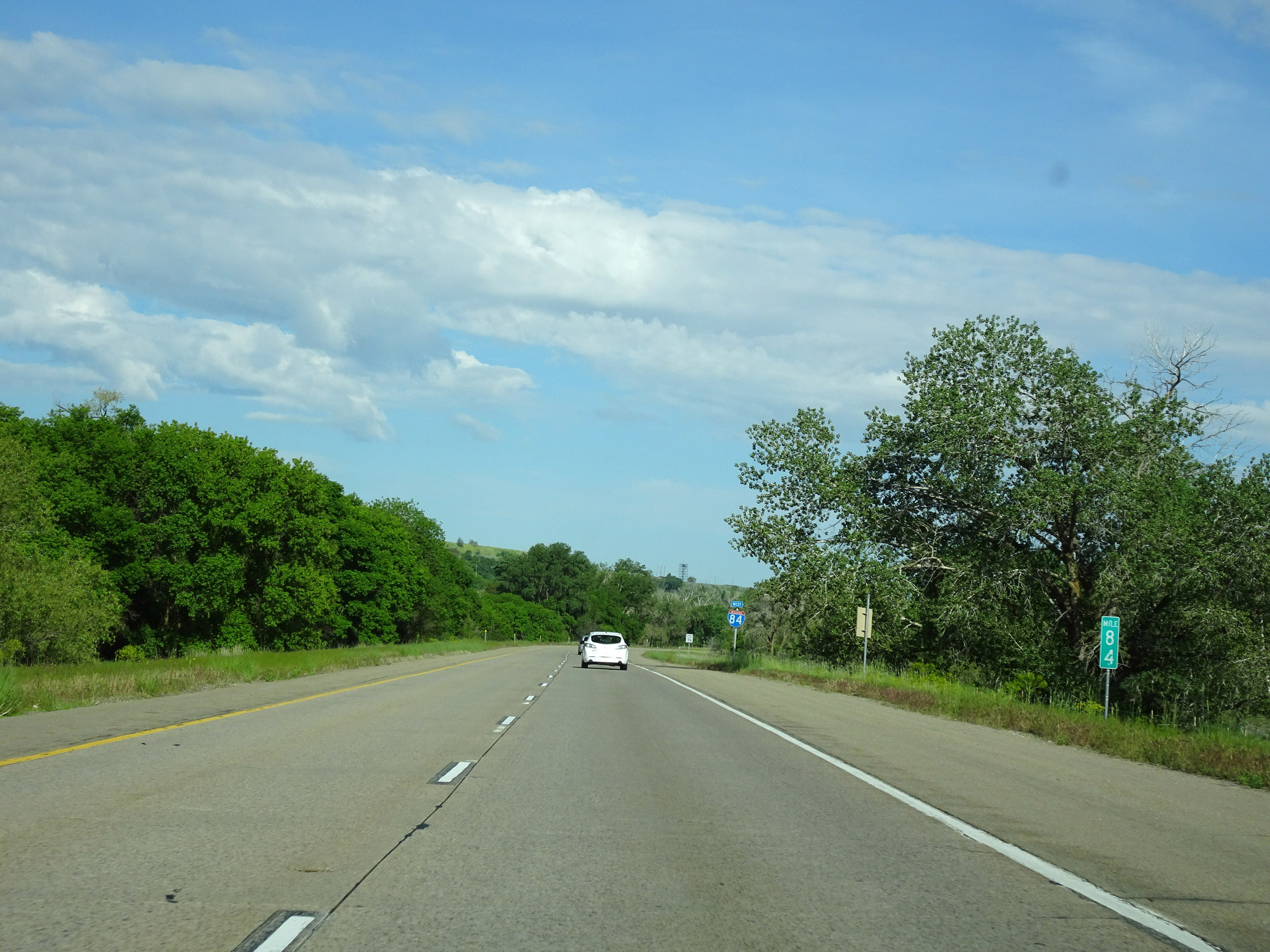
Interstate 84 West at Exit 81: UT 26 / To Interstate 15 South - Riverdale (Photo taken 5/27/16). |
Section 2: Riverdale (Exit 81) to Tremonton (Exit 379)
 |
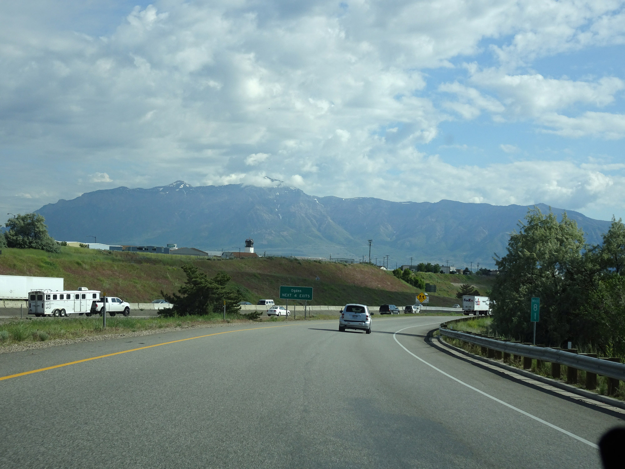
The speed limit remains 70 mph as Interstate 84 West prepares to merge into the northbound lanes of Interstate 15 near Riverdale. (Photo taken 5/27/16). |
 |
Interstate 84 West reassurance shield, along with an Interstate 15 North shield indicating that just ahead, Interstate 84 West will merge into Interstate 15's northbound lanes. I-84 West and I-15 North will run concurrently for the next 38 miles. (Photo taken 5/27/16). |
 |
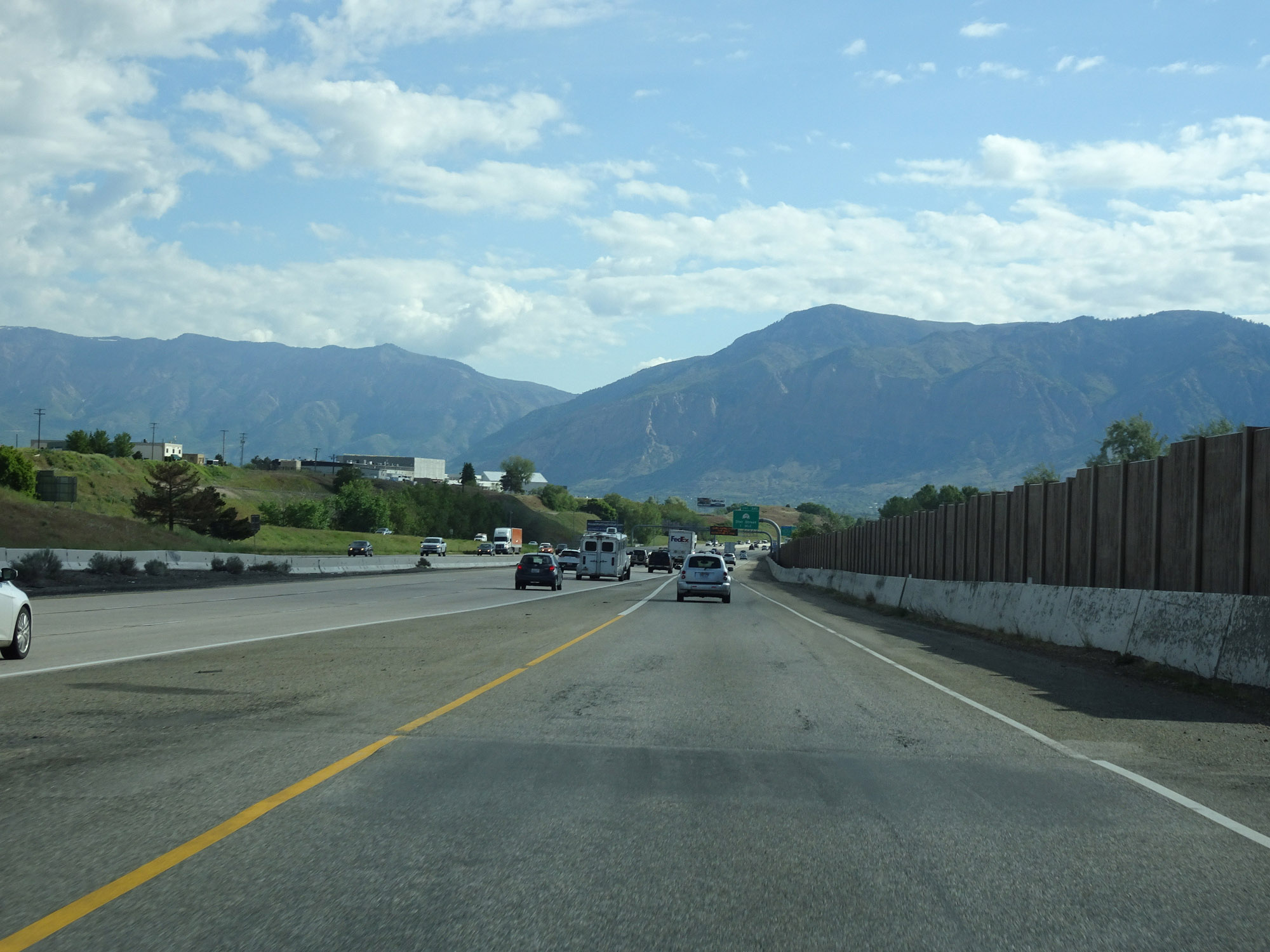
In preparation of merging into Interstate 15 North, Interstate 84 West will be briefly reduced to a single lane ahead. (Photo taken 5/27/16). |
 |
At mile marker 81, Interstate 15 comes into view. (Photo taken 5/27/16). |
 |
Interstate 84 West as it merges into the northbound lanes of Interstate 15, During this 38-mile concurrency, the mileage and exit numbers are based on the mileage of Interstate 15. (Photo taken 5/27/16). |
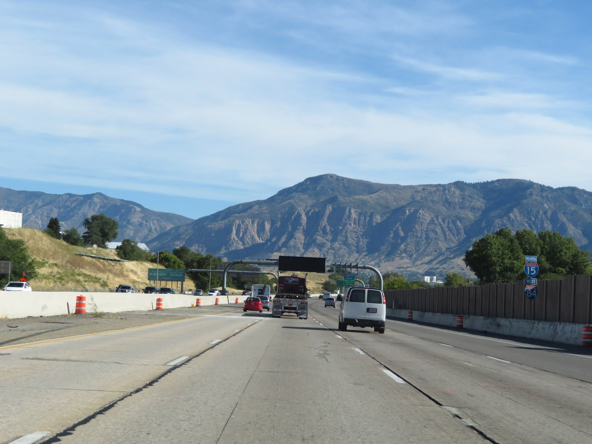 |
Interstate 84 West / Interstate 15 North reassurance shields as the concurrency begins. (Photo taken 9/25/19). |
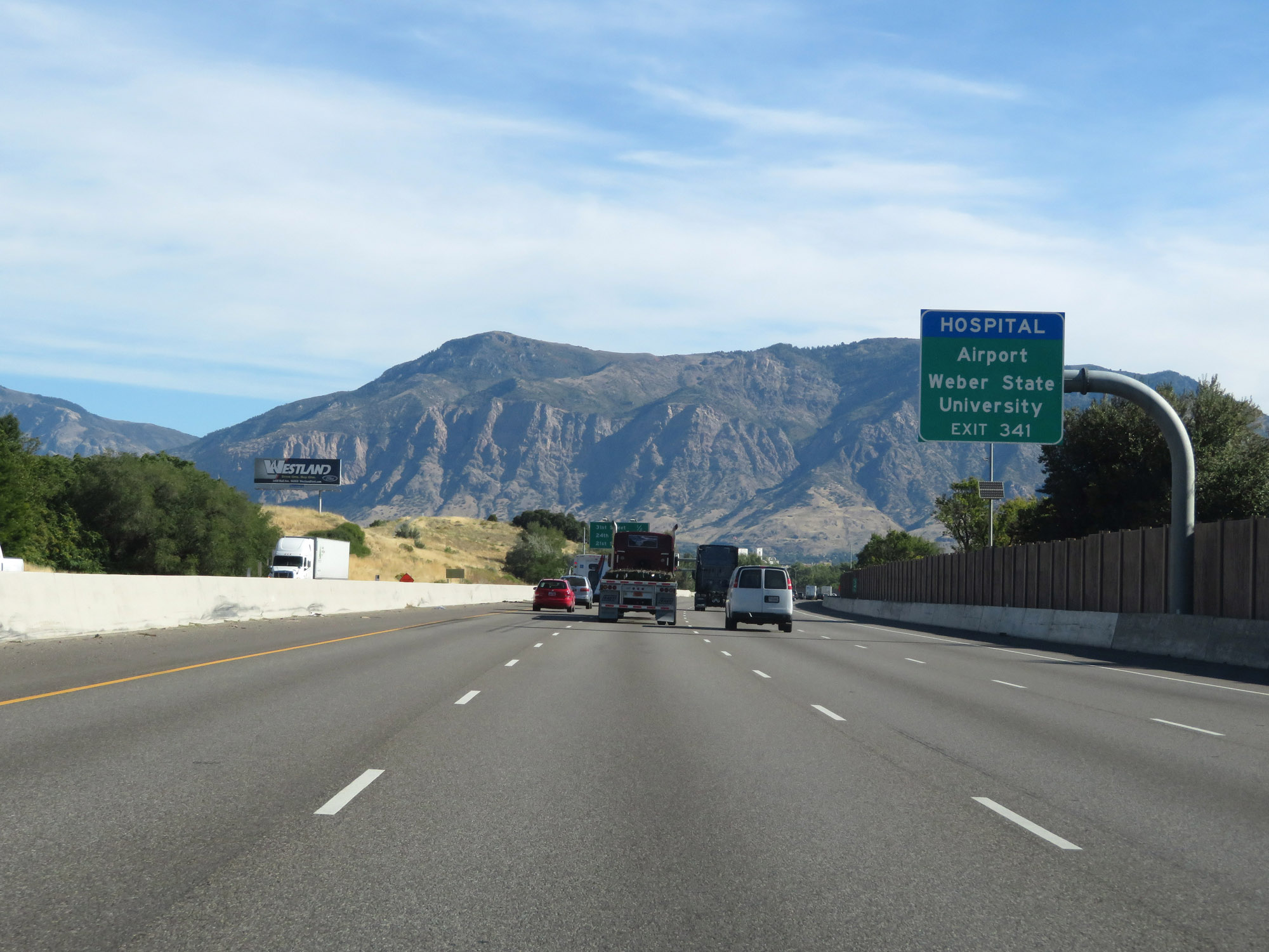 |
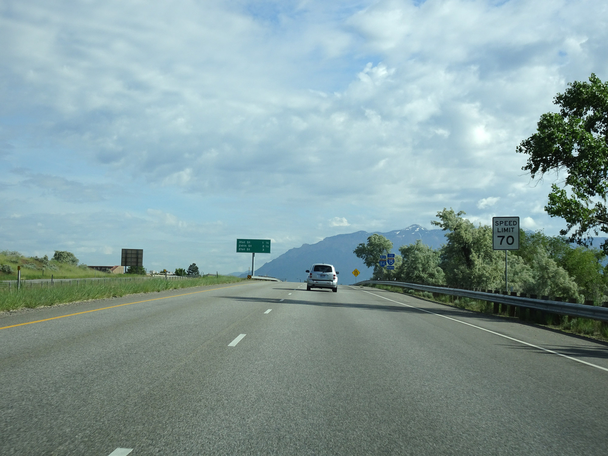
Take Exit 341 to the Airport and Weber State University. (Photo taken 9/25/19). |
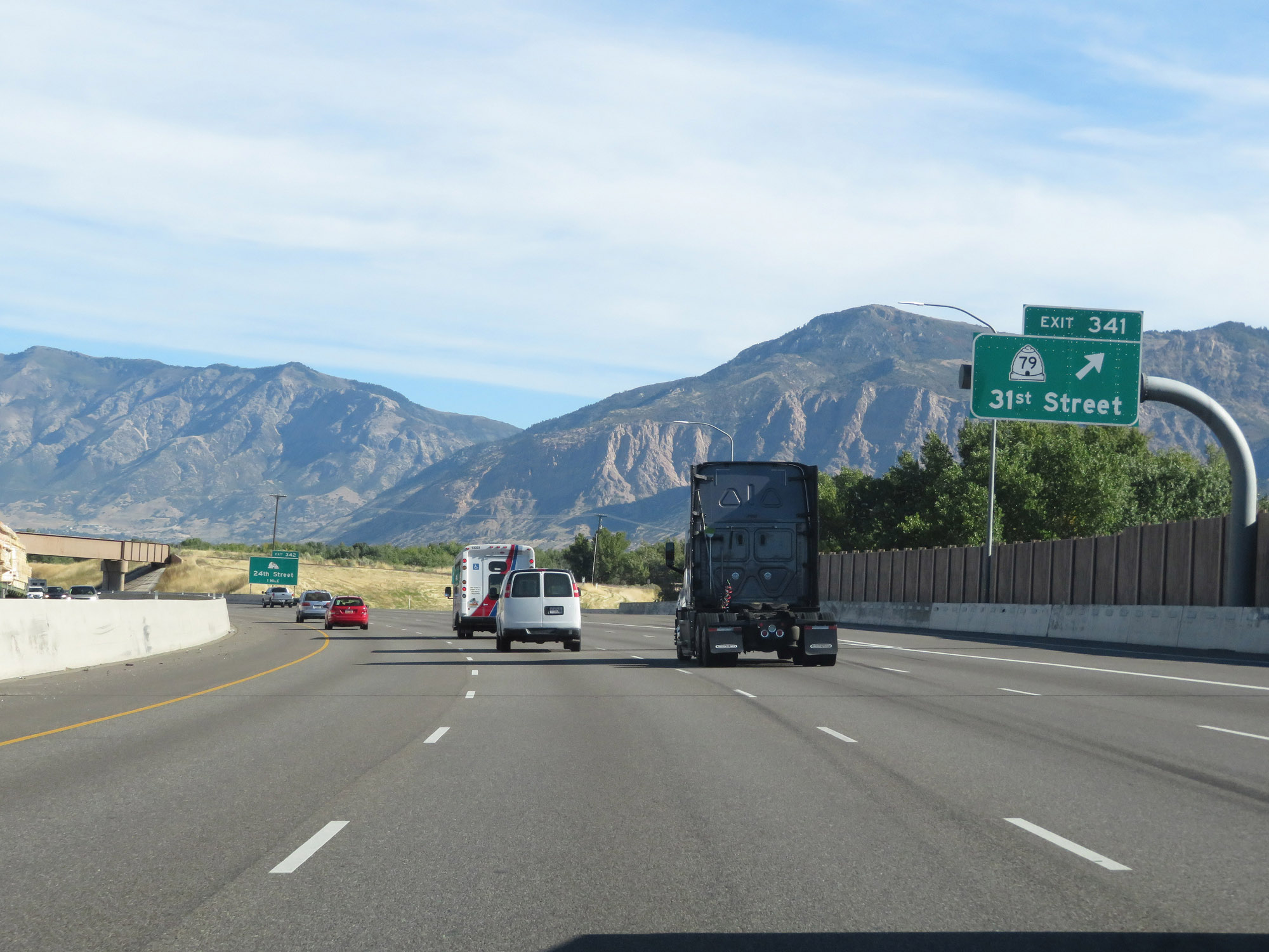 |
Interstate 84 West / Interstate 15 North at Exit 341: UT 79 - 31st Street (Photo taken 9/25/19). |
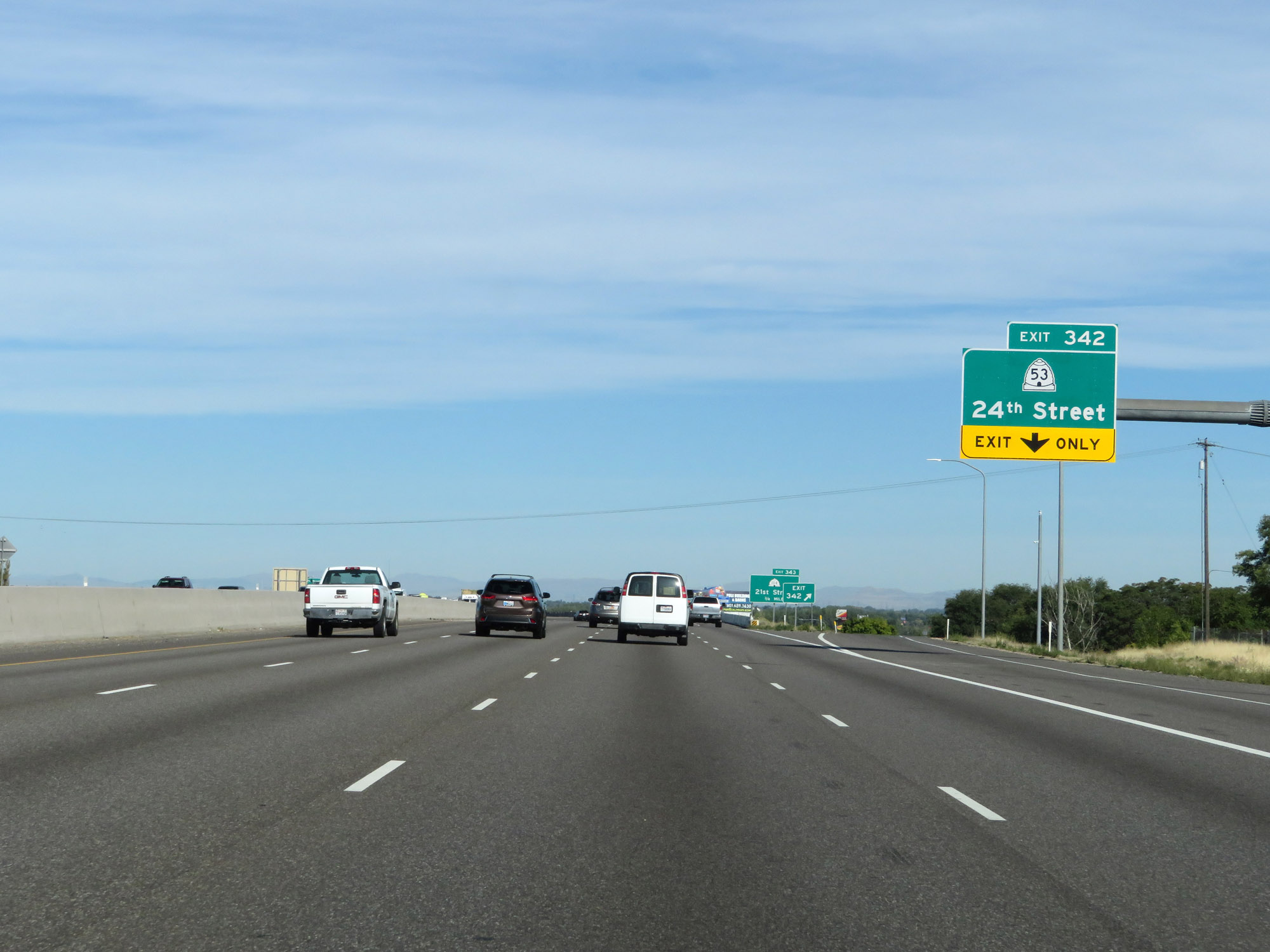 |
Interstate 84 West / Interstate 15 North at Exit 342: UT 53 - 24th Street (Photo taken 9/25/19). |
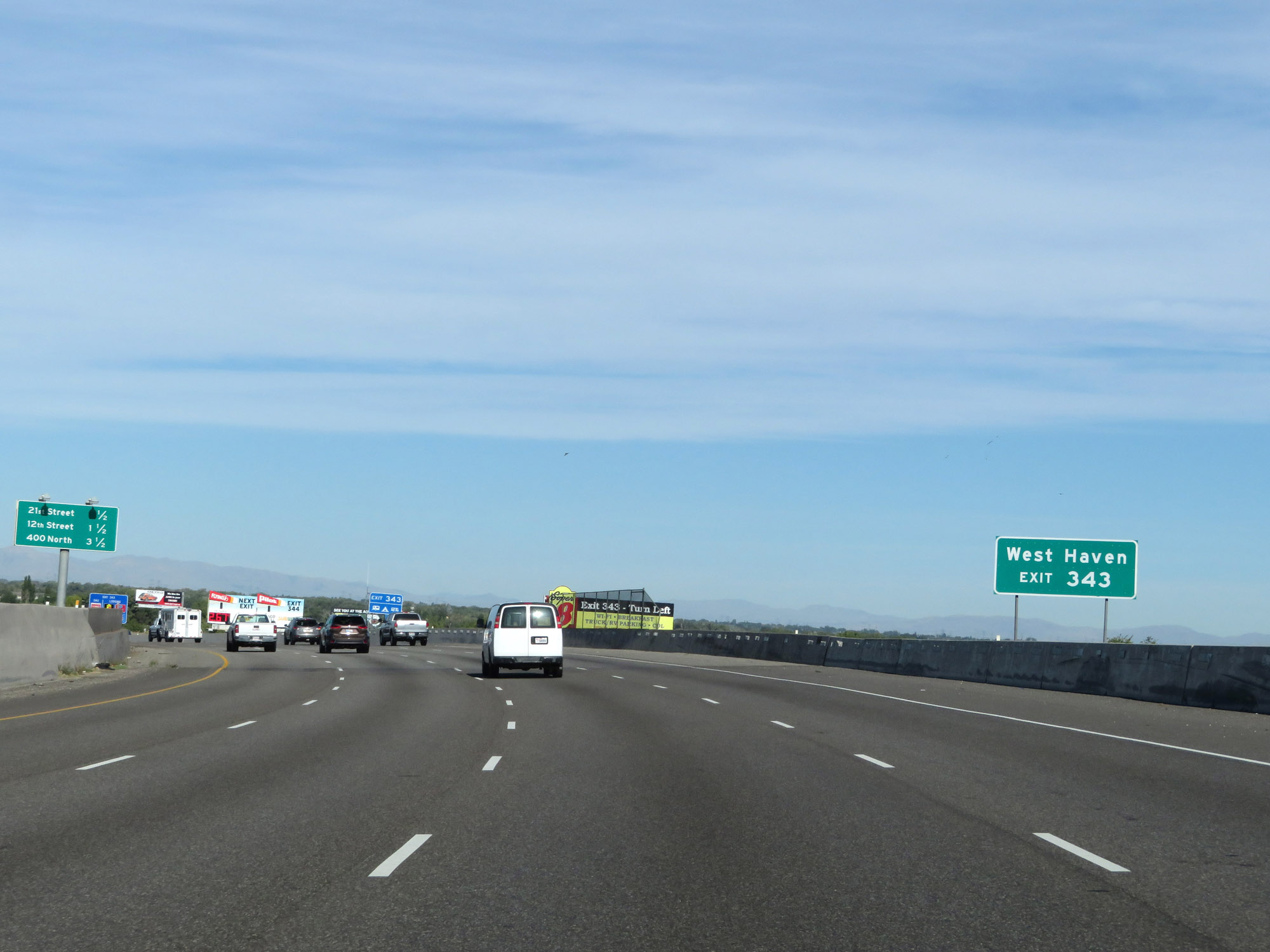 |
Take Exit 343 to West Haven. (Photo taken 9/25/19). |
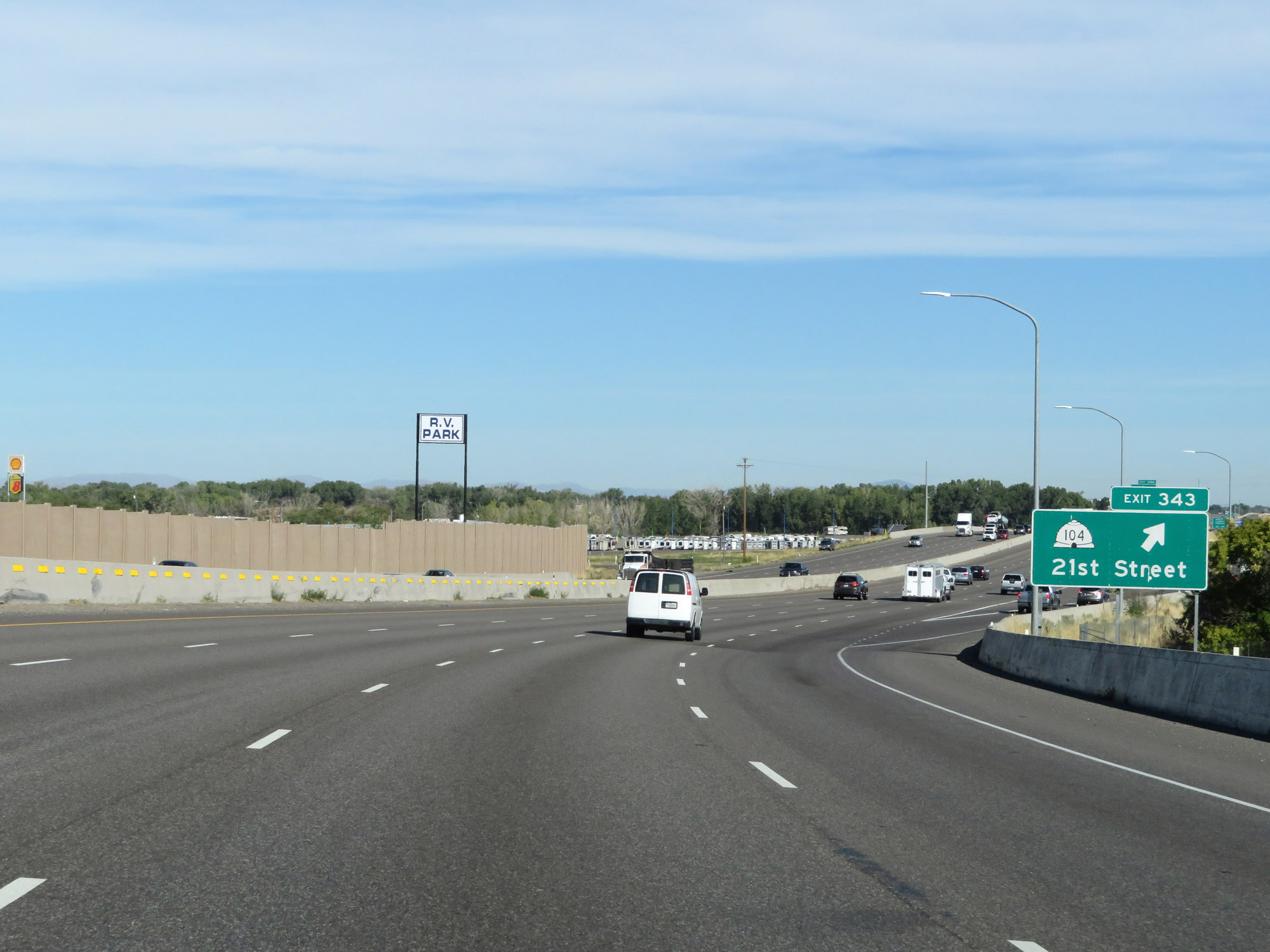 |
Interstate 84 West / Interstate 15 North at Exit 343: UT 104 - 21st Street (Photo taken 9/25/19). |
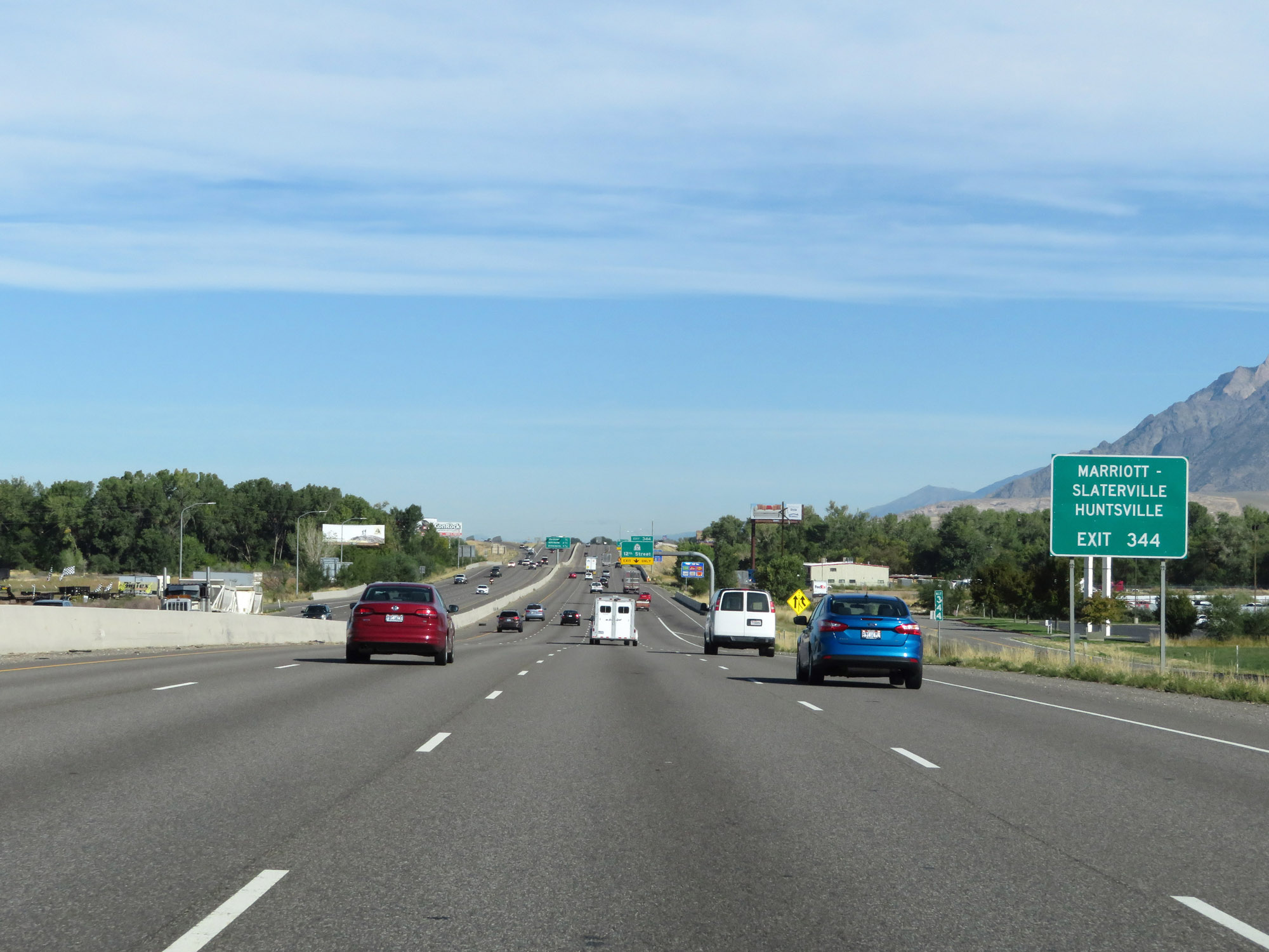 |
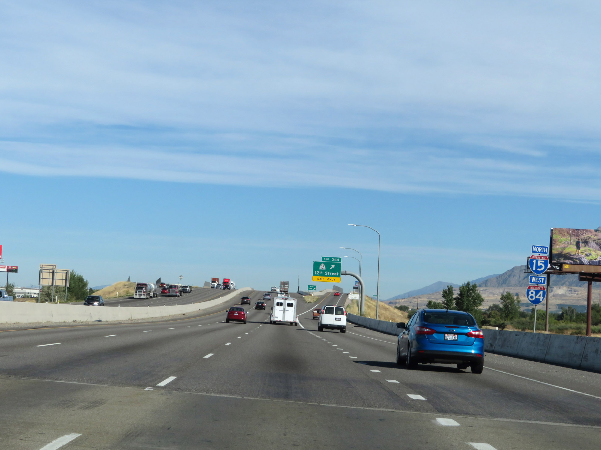
Take Exit 344 to Marriott-Slaterville and Huntsville. (Photo taken 9/25/19). |
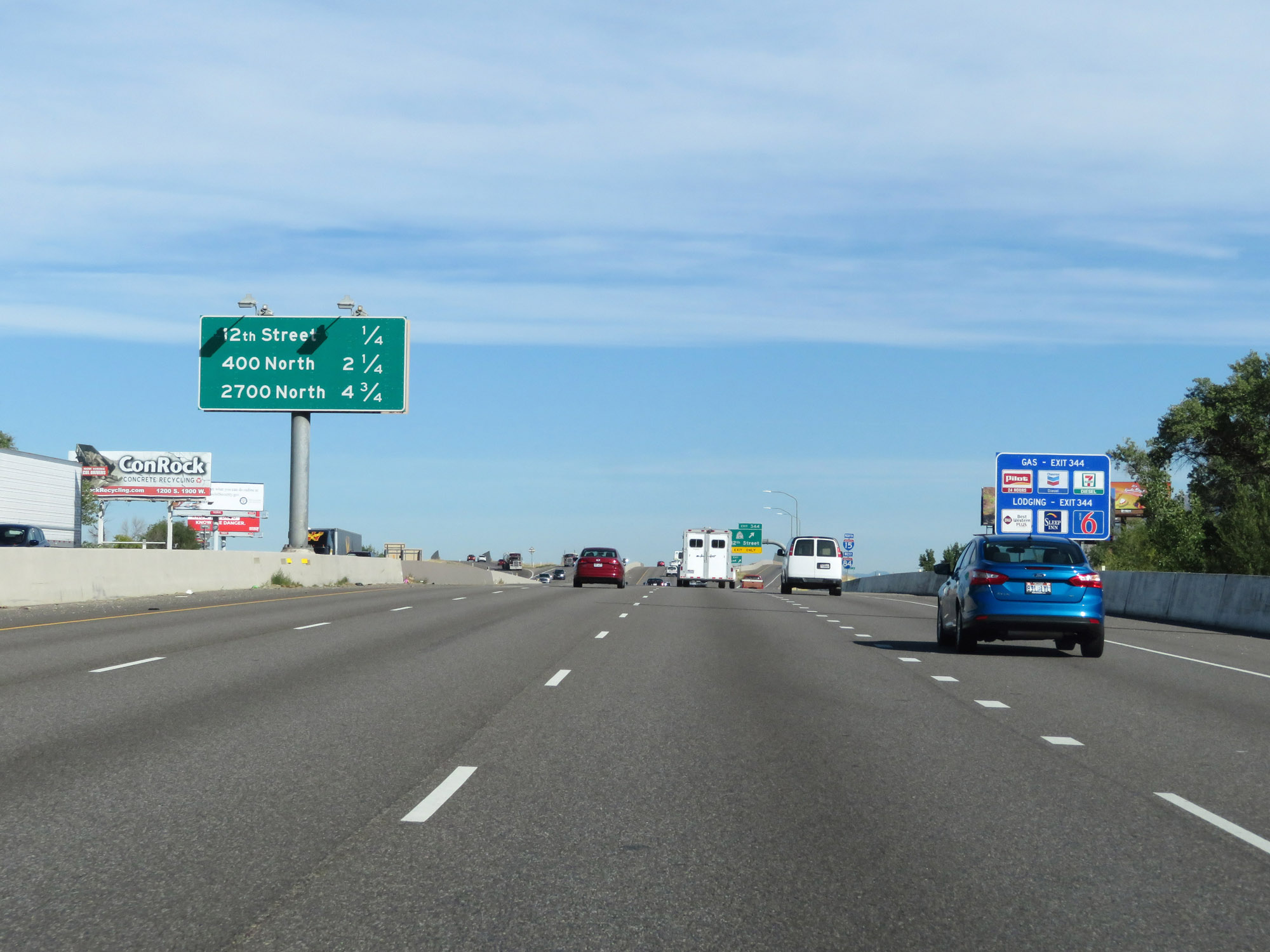 |
Overhead mileage sign on Interstate 84 West / Interstate 15 North listing the distances to the three upcoming exits. (Photo taken 9/25/19). |
 |
Another set of Interstate 84 West / Interstate 15 North reassurance shields. (Photo taken 9/25/19). |
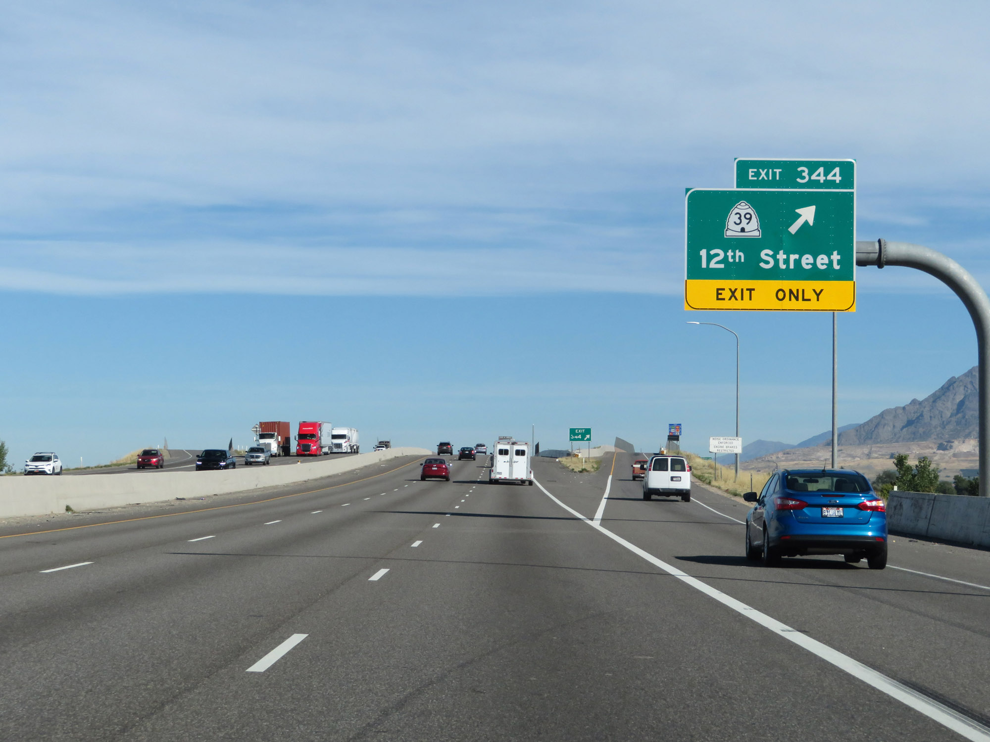 |
Interstate 84 West / Interstate 15 North at Exit 344: UT 39 - 12th Street (Photo taken 9/25/19). |
 |
Take Exit 346 to Marriott-Slaterville. (Photo taken 9/25/19). |
 |
Approaching Exit 346, the speed limit increases to 75 mph. (Photo taken 9/25/19). |
 |
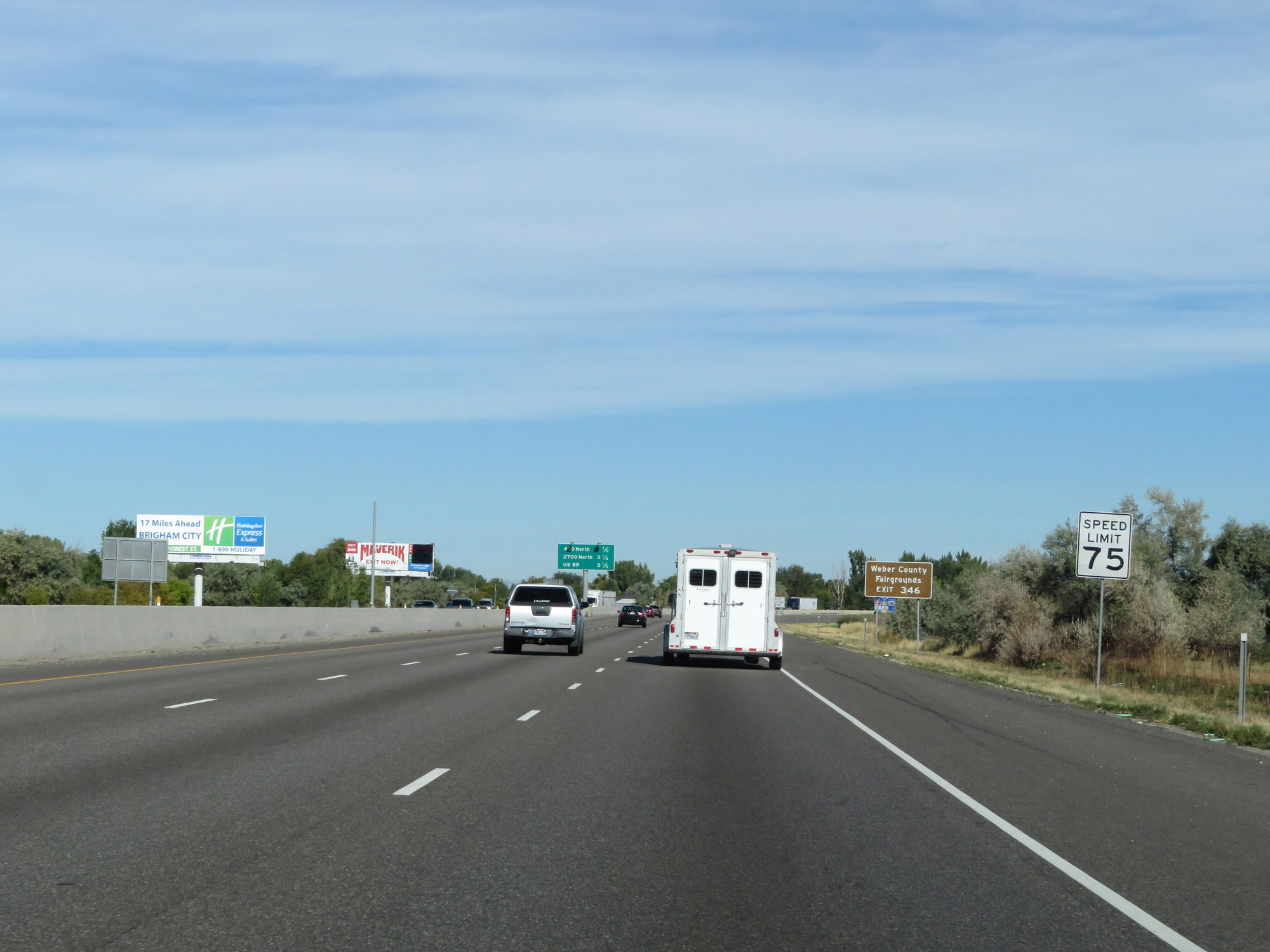
Also take Exit 346 to the Weber County Fairgrounds. (Photo taken 9/25/19). |
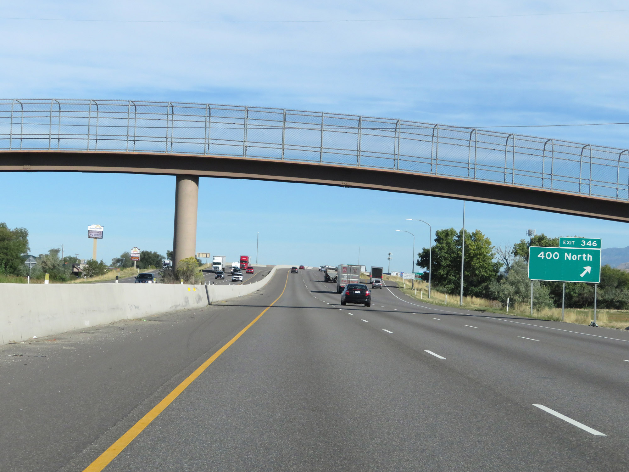 |
Interstate 84 West / Interstate 15 North at Exit 346: 400 North (Photo taken 9/25/19). |
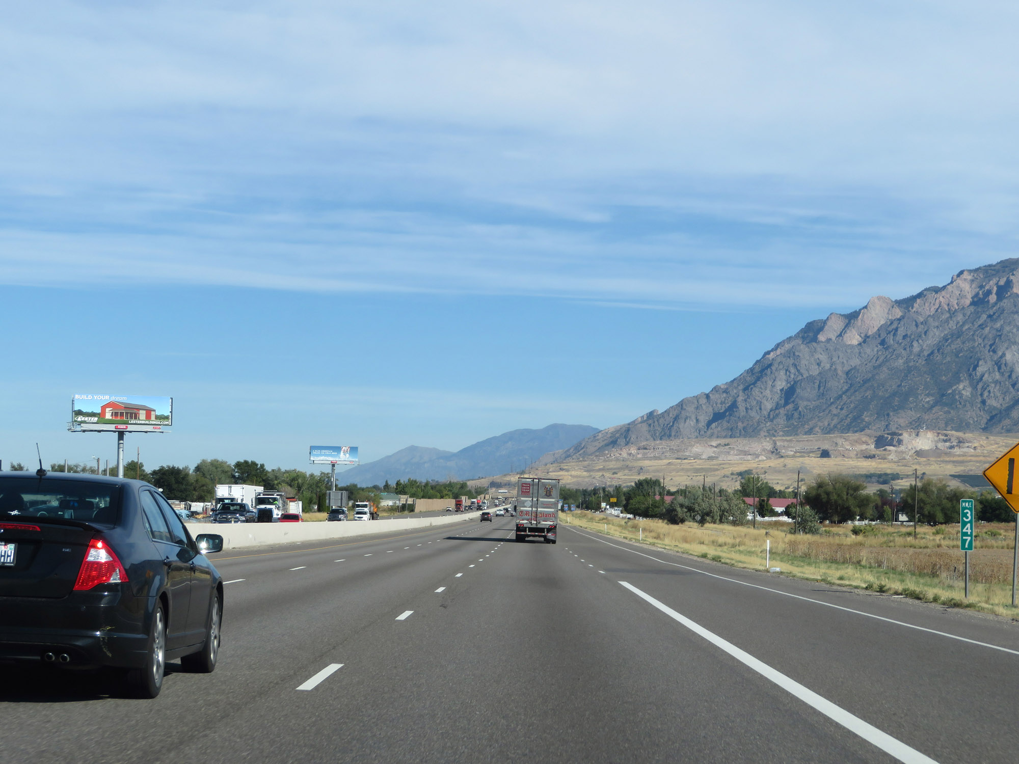 |
View on Interstate 84 West / Interstate 15 North at mile marker 347. (Photo taken 9/25/19). |
 |
Interstate 84 West / Interstate 15 North reassurance shields. (Photo taken 9/25/19). |
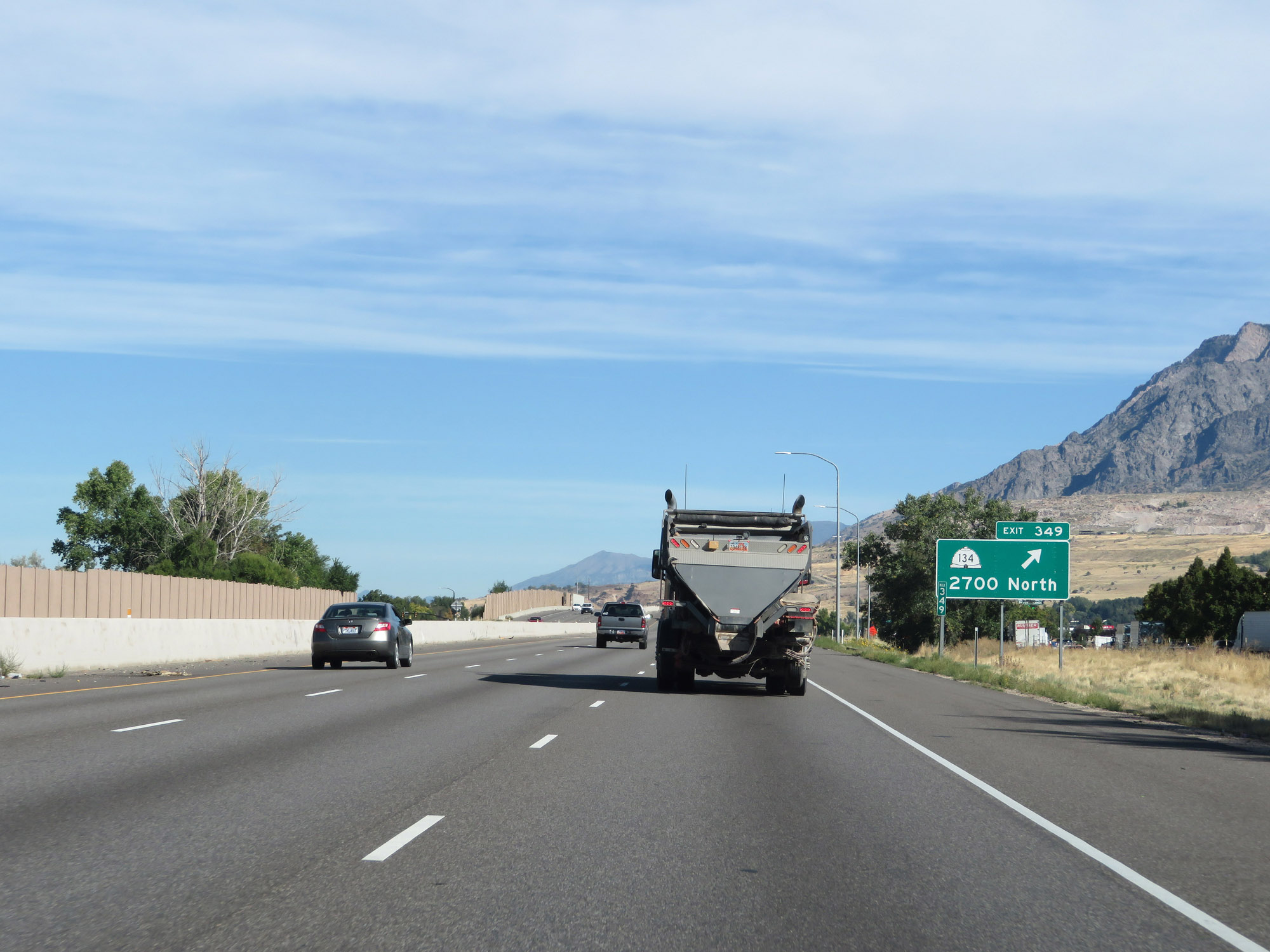 |
Interstate 84 West / Interstate 15 North at Exit 349: UT 134 - 2700 North (Photo taken 9/25/19). |
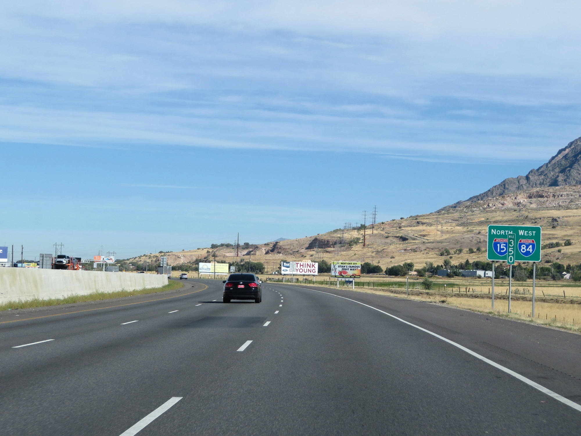 |
State-named reassurance shields on a green backing at mile marker 350. (Photo taken 9/25/19). |
 |
The speed limit remains 75 mph. (Photo taken 9/25/19). |
 |
This sign warns that all vehicles hauling livestock, buses, and commercial vehicles over 10,000 lbs GVW (Gross Vehicle Weight) must stop at the Port of Entry 7 3/4 miles ahead. (Photo taken 9/25/19). |
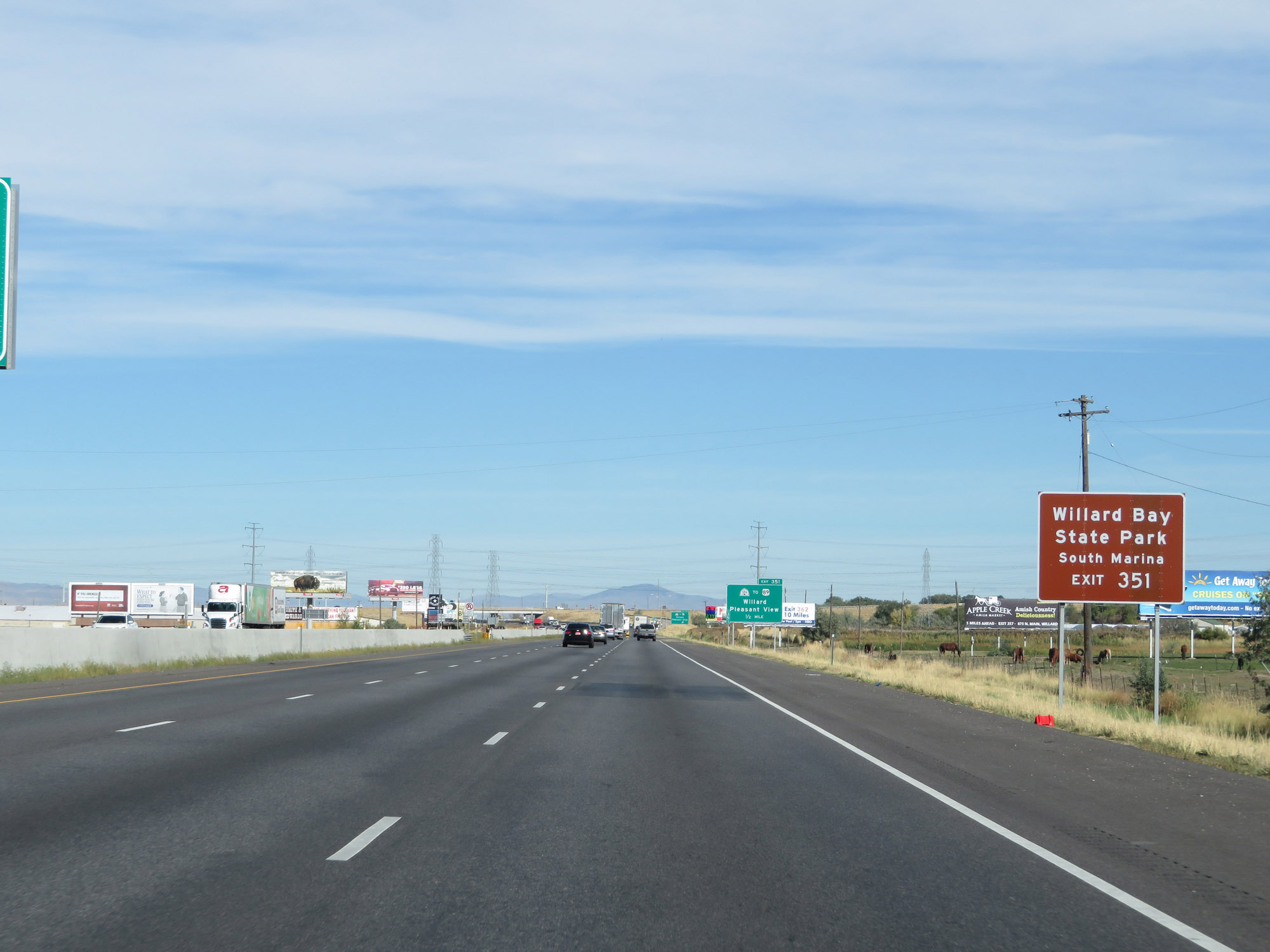 |
Take Exit 351 to Willard Bay State Park South Marina. (Photo taken 9/25/19). |
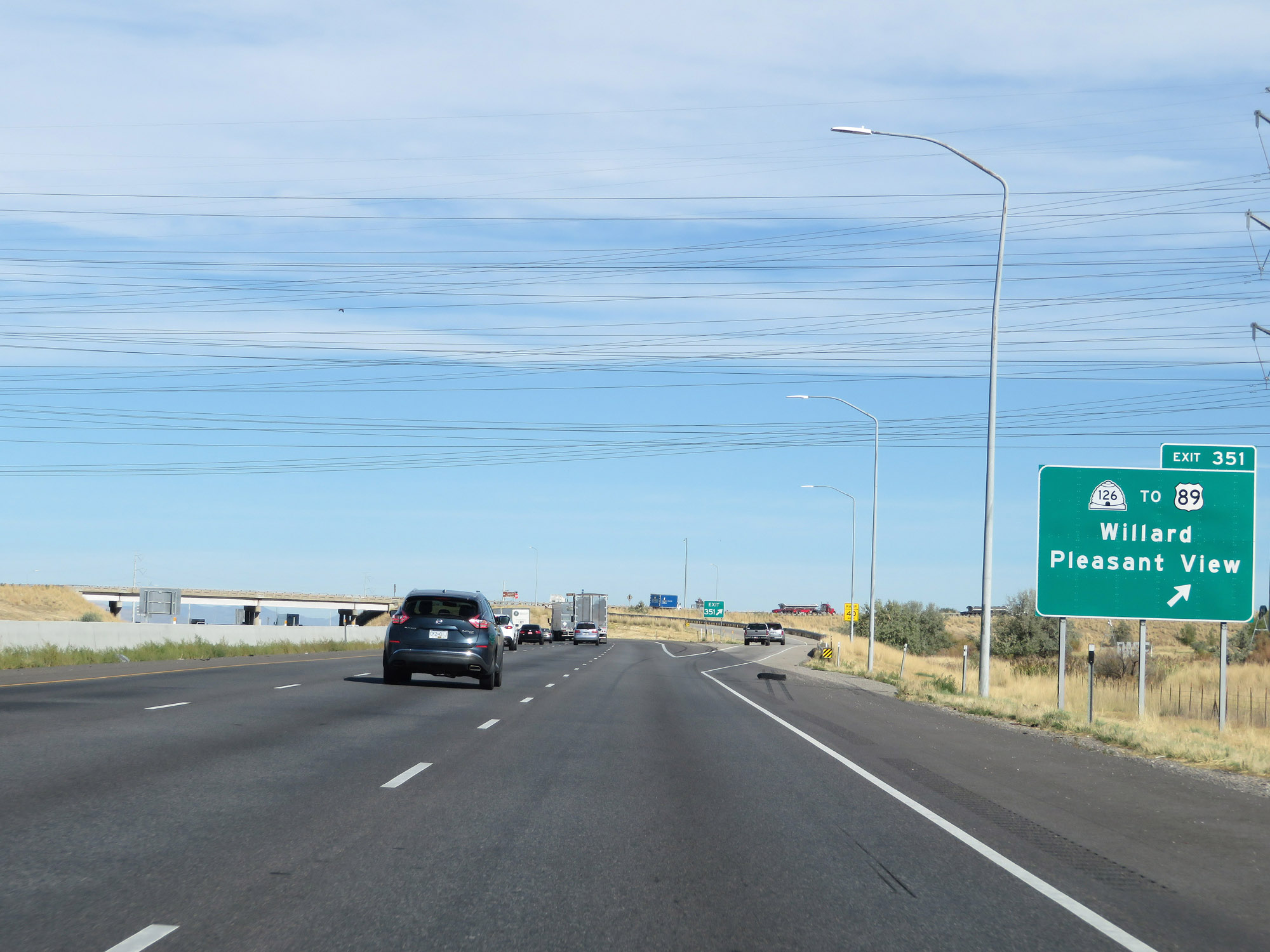 |
Interstate 84 West / Interstate 15 North at Exit 351: UT 126 / To US 89 - Willard / Pleasant View (Photo taken 9/25/19). |
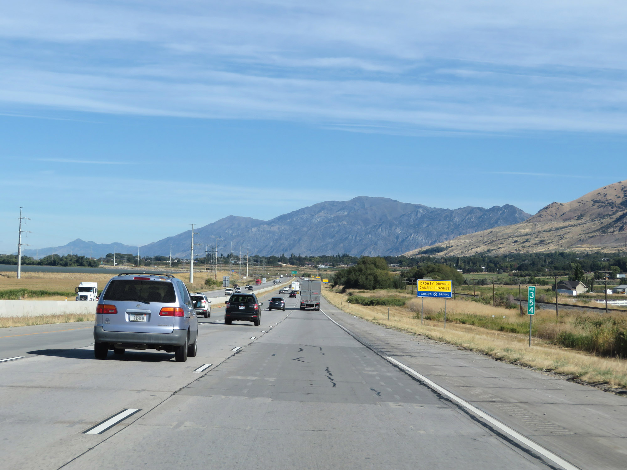 |
Interstate 84 West / Interstate 15 North at mile marker 354. (Photo taken 9/25/19). |
 |
View on Interstate 84 West / Interstate 15 North at mile marker 355. (Photo taken 9/25/19). |
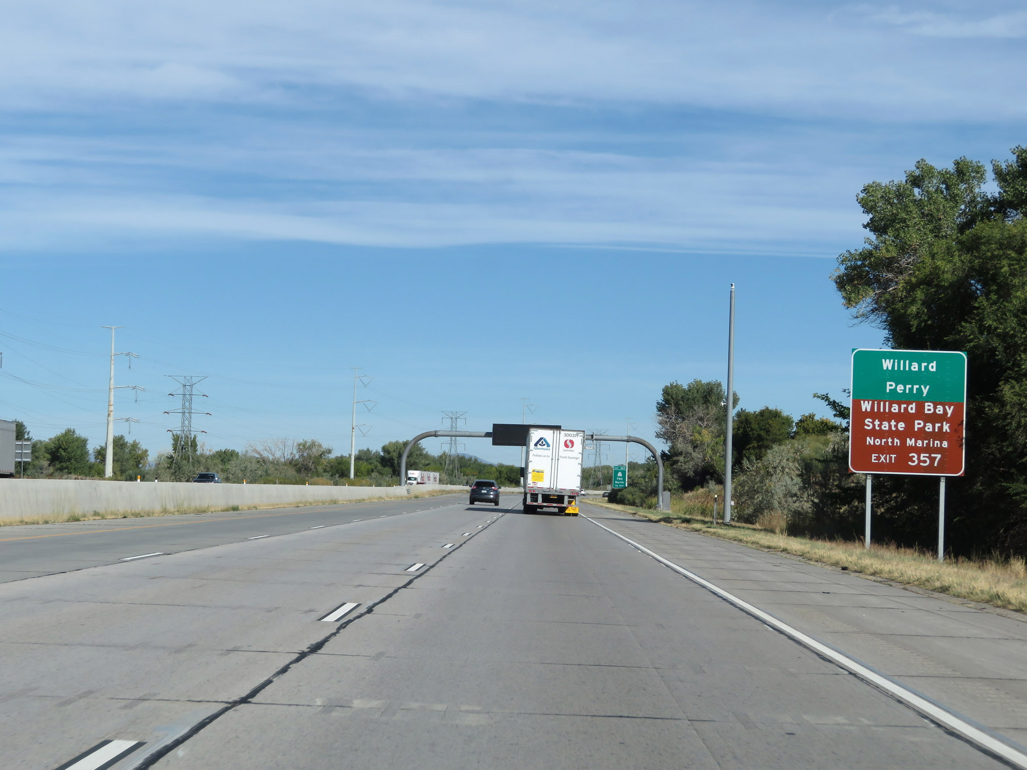 |
Take Exit 357 to Willard, Perry, and Willard Bay State Park North Marina. (Photo taken 9/25/19). |
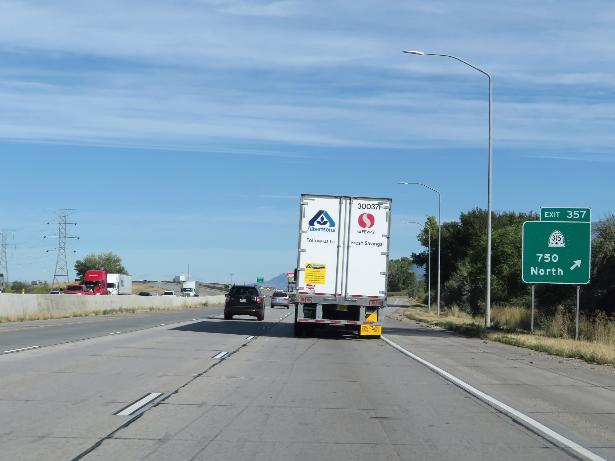 |
Interstate 84 West / Interstate 15 North at Exit 357: UT 315 - 750 North (Photo taken 9/25/19). |
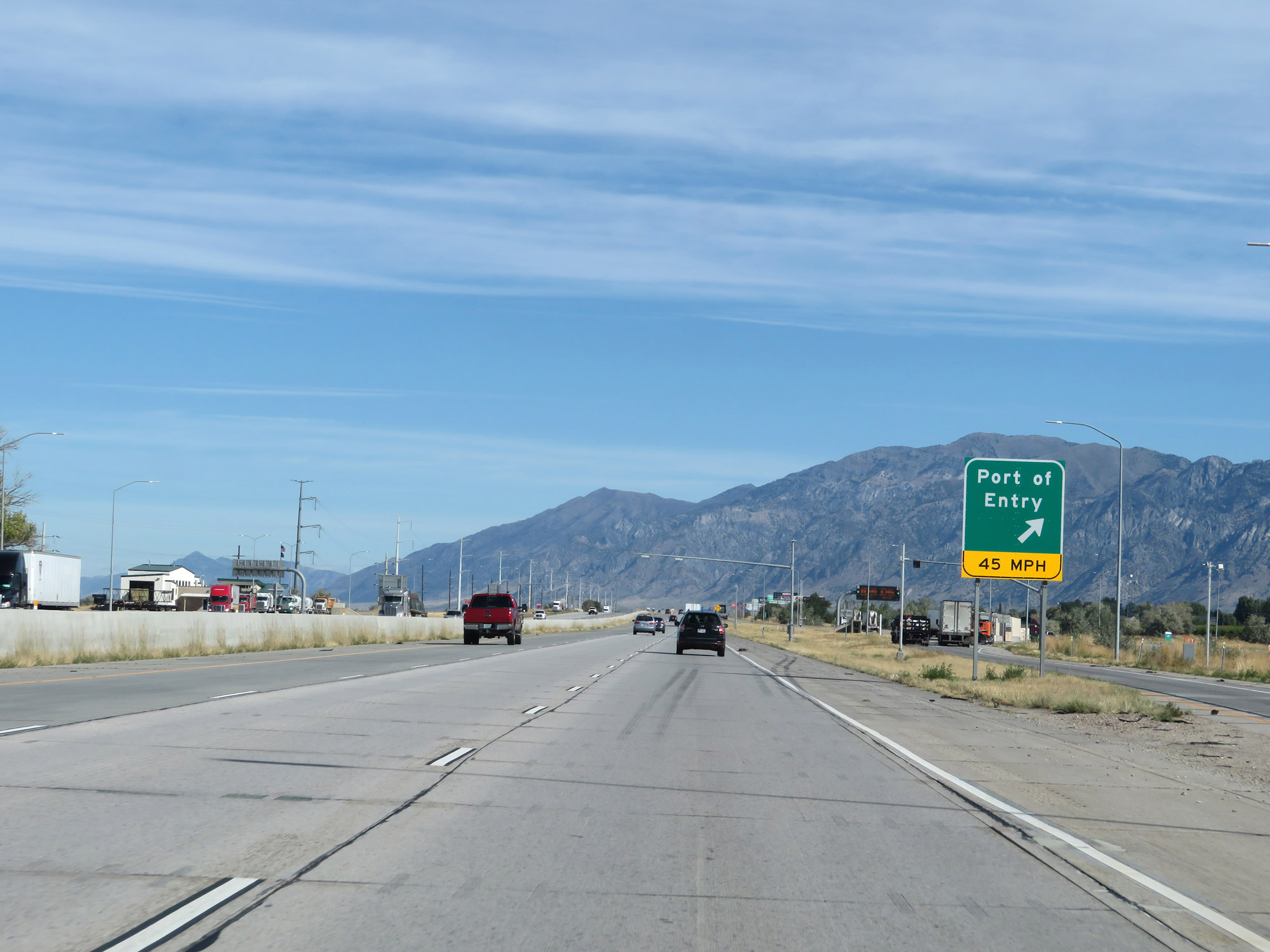 |
Port of Entry on Interstate 84 West / Interstate 15 North in Box Elder County. (Photo taken 9/25/19). |
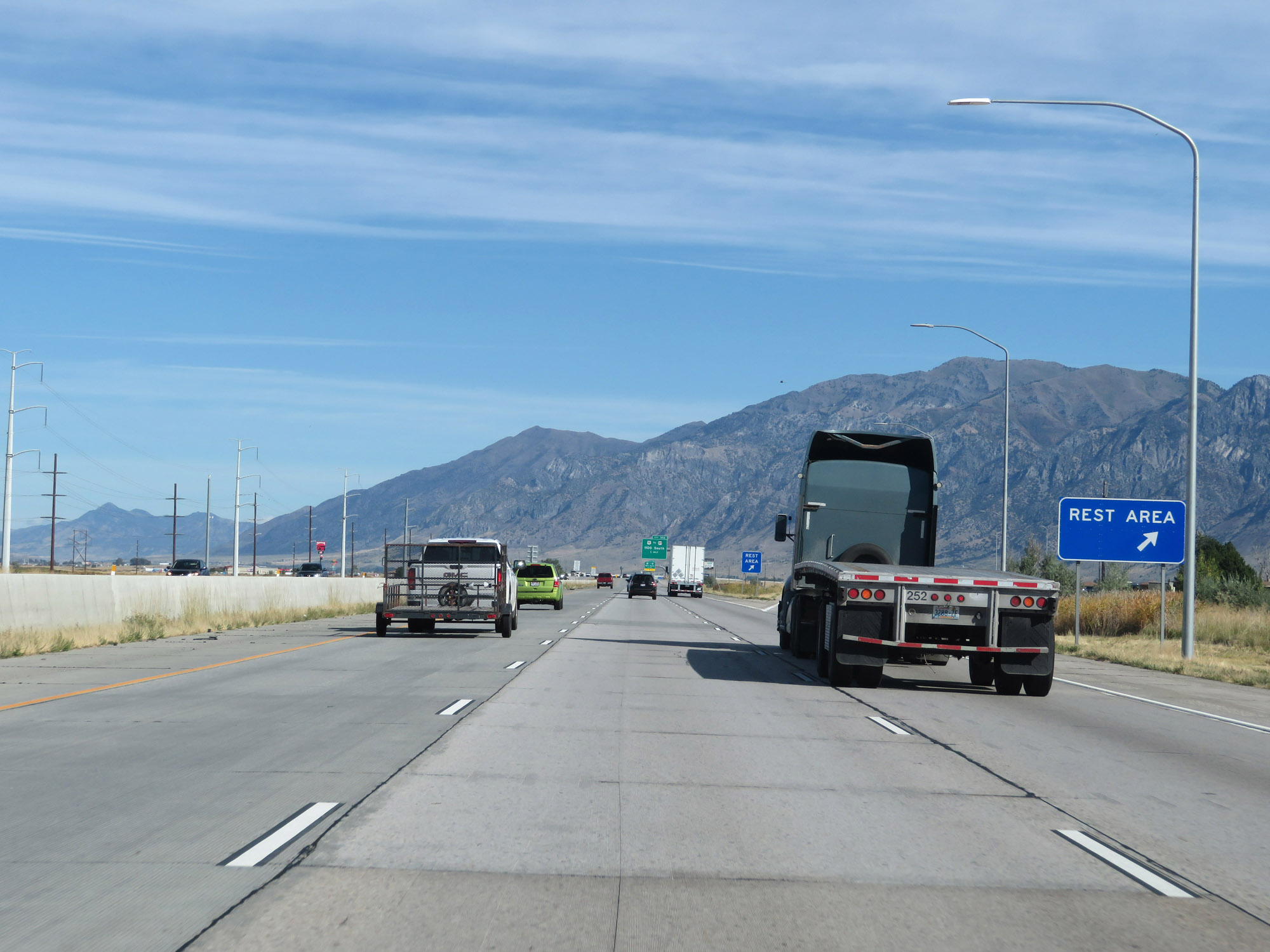 |
Rest Area on Interstate 84 West / Interstate 15 North in Box Elder County. (Photo taken 9/25/19). |
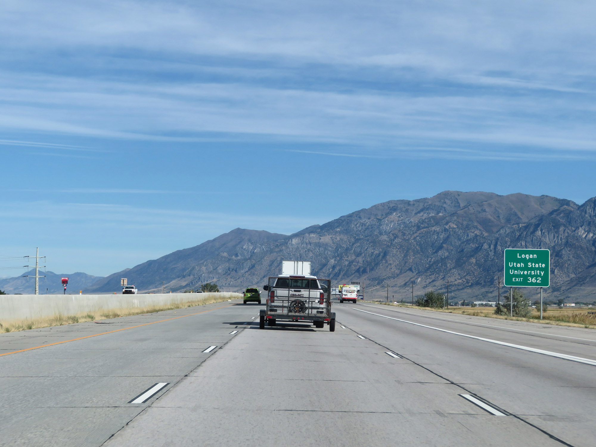 |
Take Exit 362 to Logan and Utah State University. (Photo taken 9/25/19). |
 |
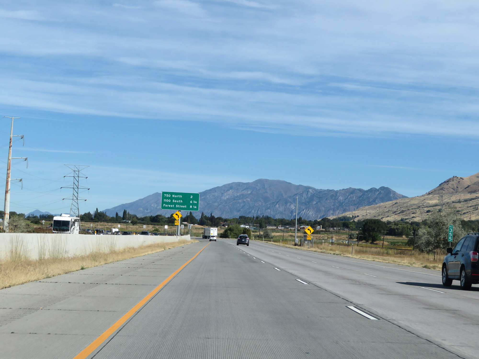
Interstate 84 West / Interstate 15 North at Exit 362: US 91 / To US 89 - 1100 South (Photo taken 9/25/19). |
 |
Take Exit 363 to Bear River Bird Refuge. (Photo taken 9/25/19). |
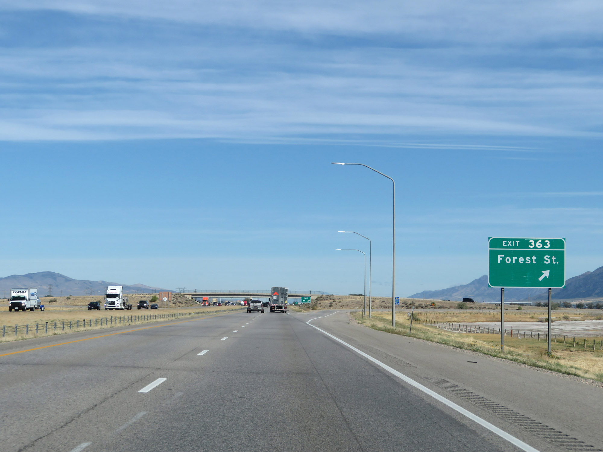 |
Interstate 84 West / Interstate 15 North at Exit 363: Forest St (Photo taken 9/25/19). |
 |
Another set of Interstate 84 West / Interstate 15 North reassurance shields. (Photo taken 9/25/19). |
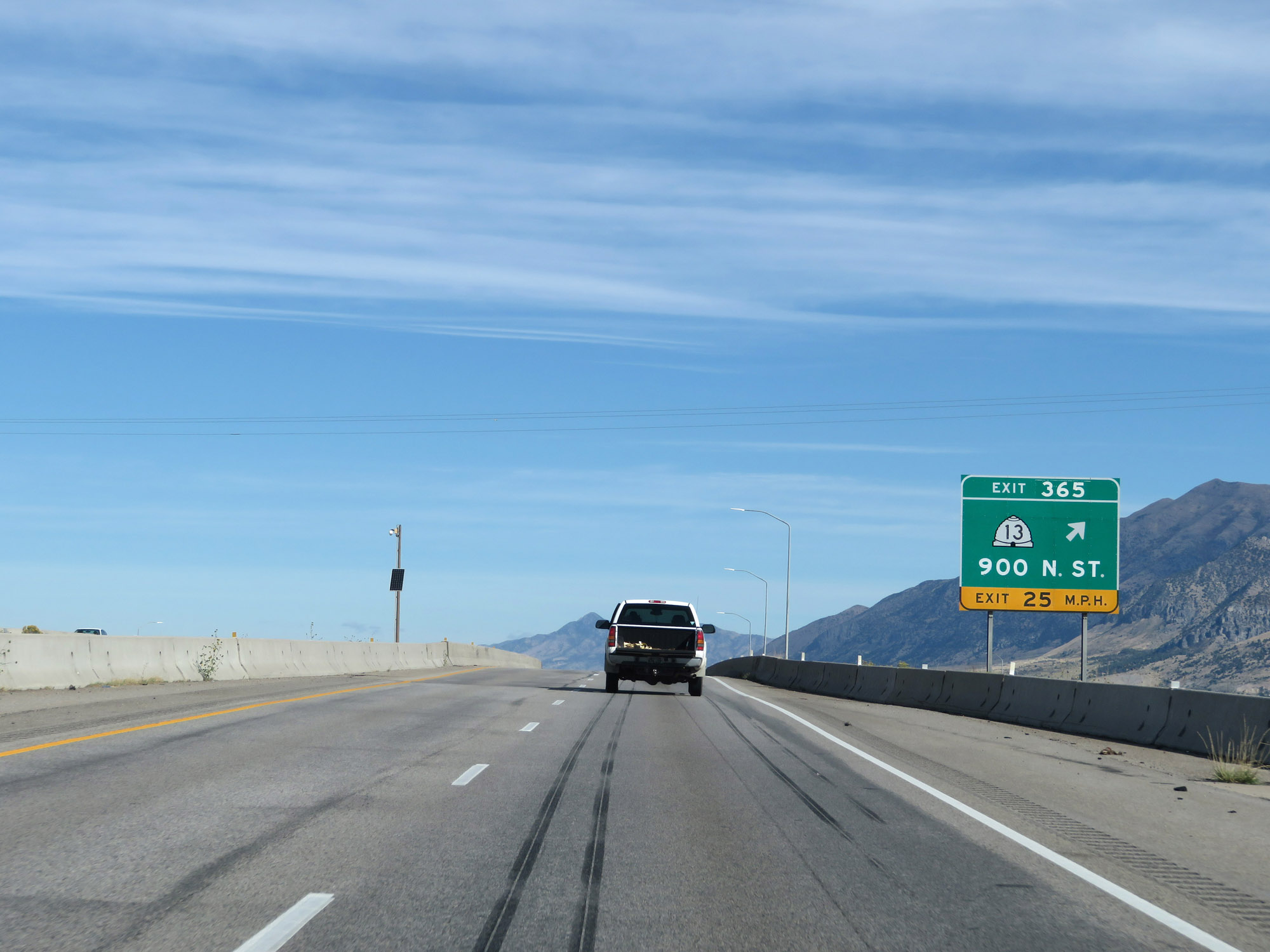 |
Interstate 84 West / Interstate 15 North at Exit 365: UT 13 - 900 N St (Photo taken 9/25/19). |
 |
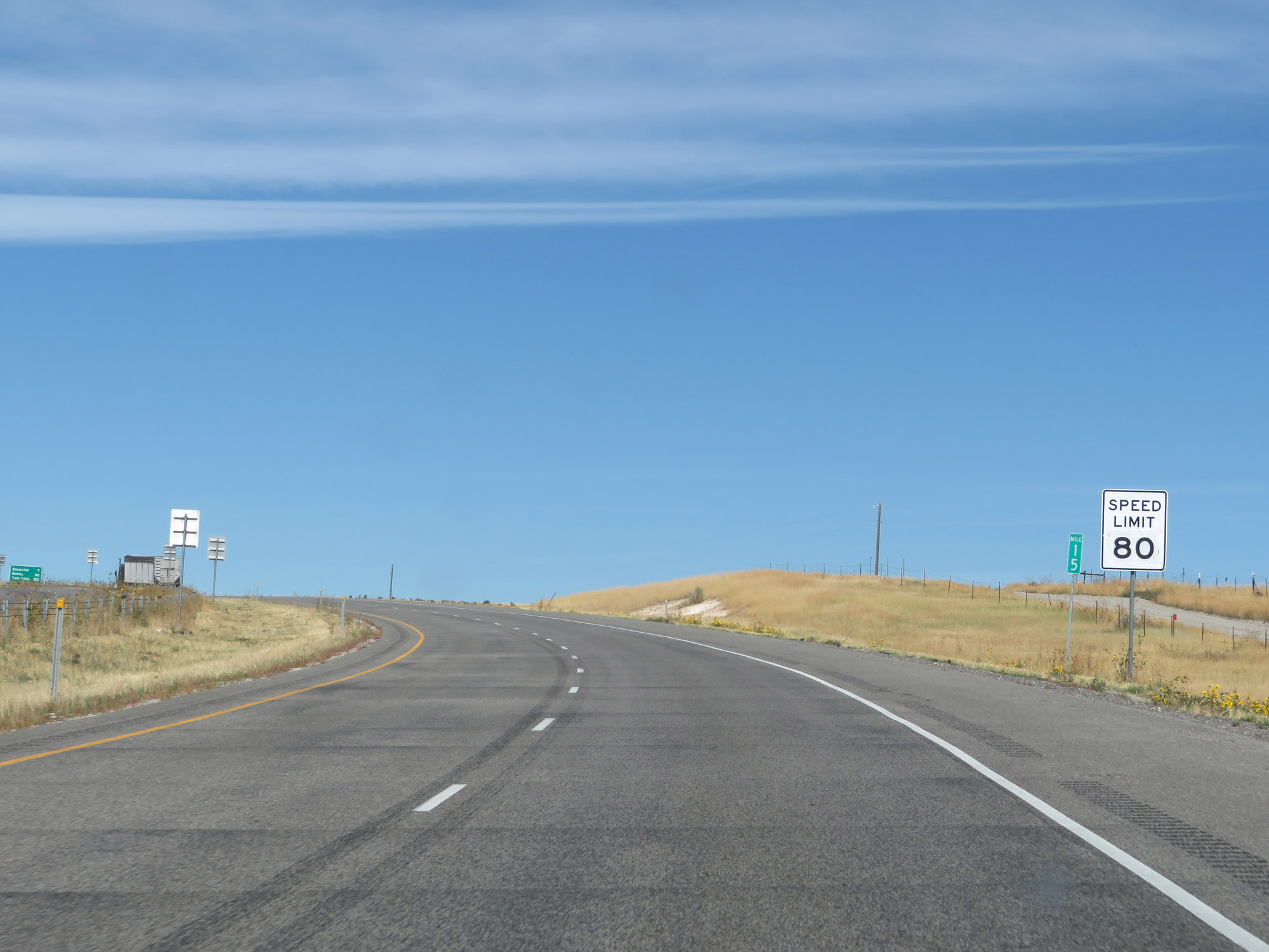
North of Exit 365, the speed limit increases to 80 mph. This is the standard speed limit on most rural Interstate highways in Utah. (Photo taken 9/25/19). |
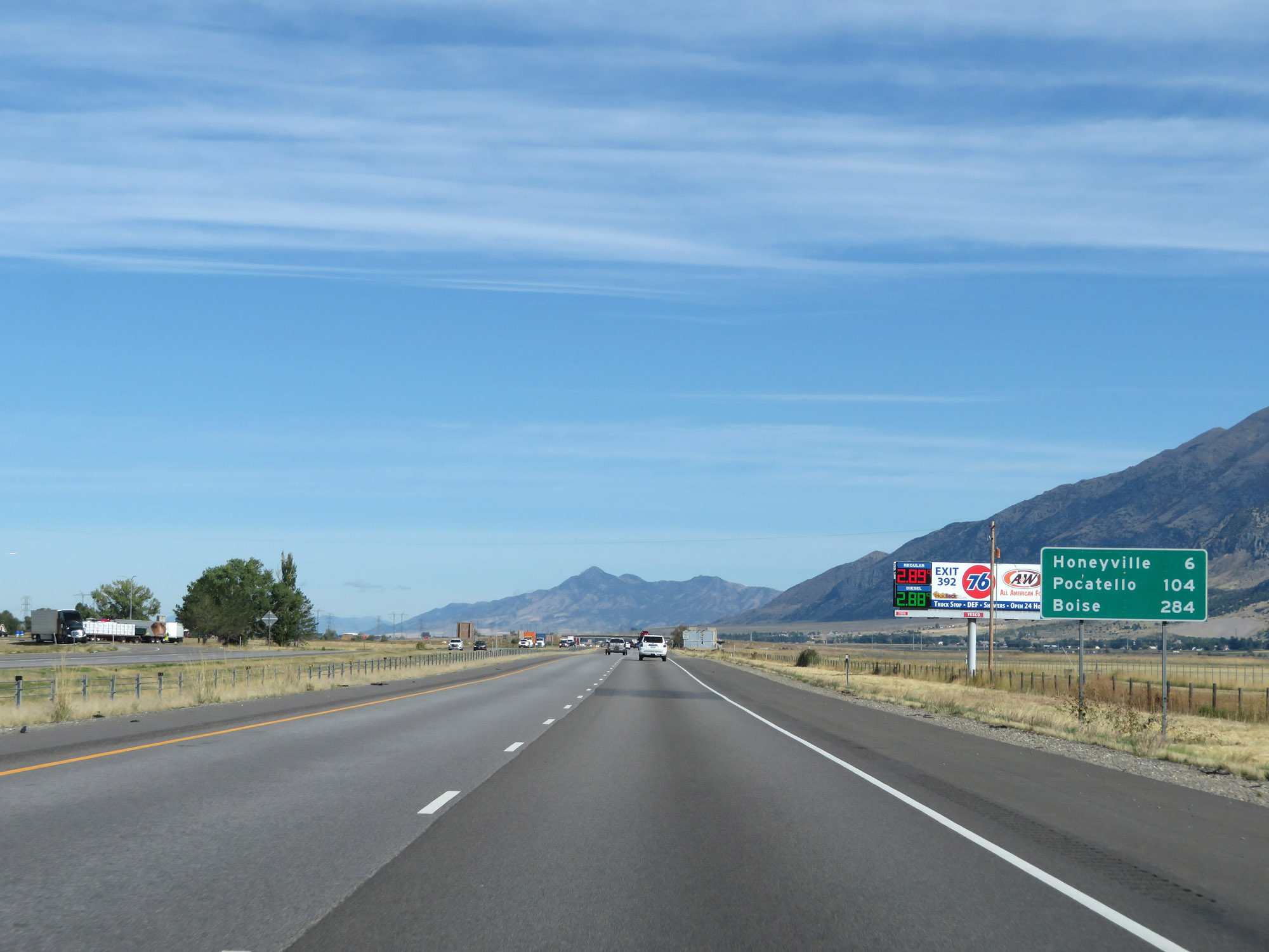 |
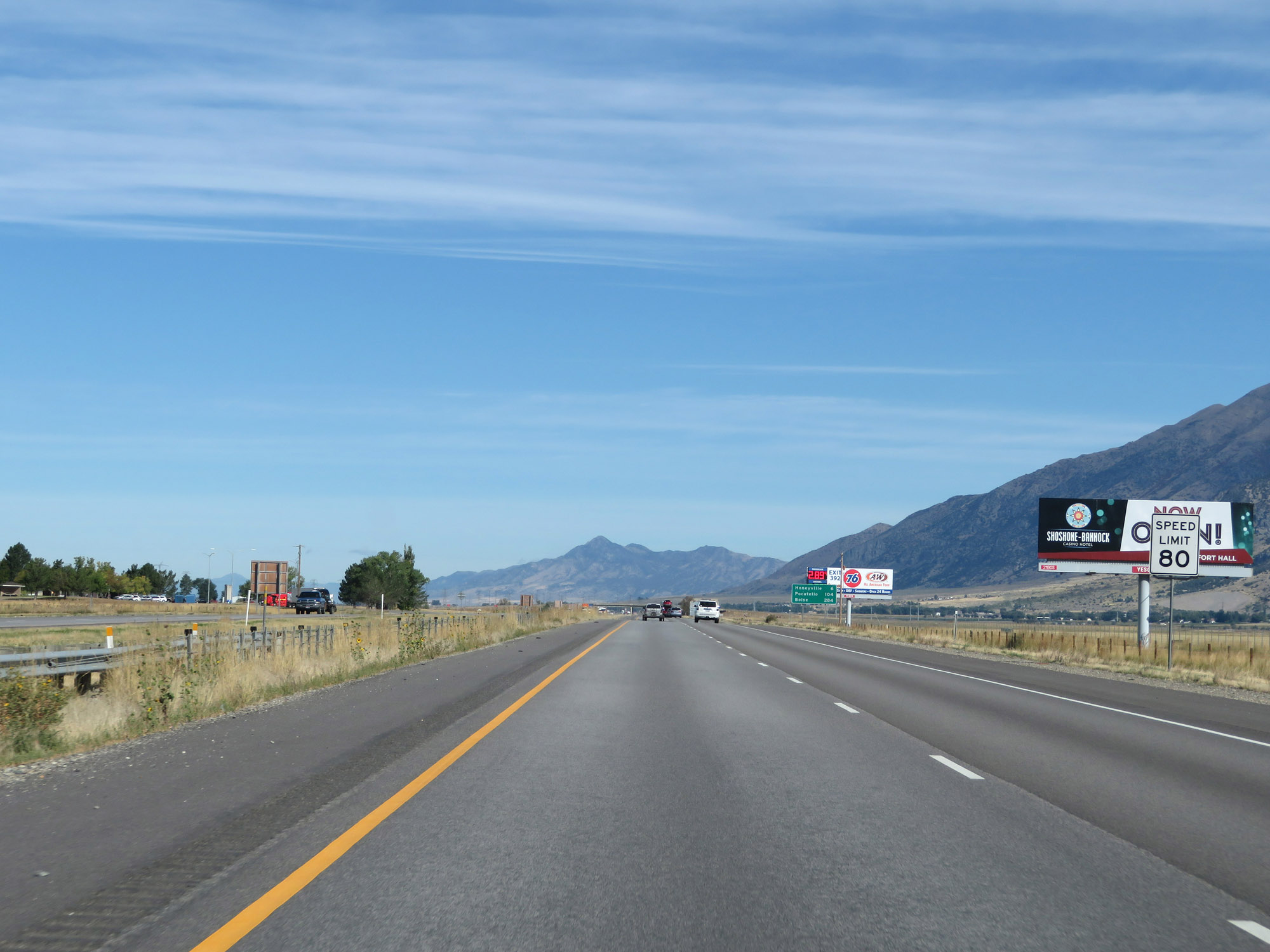
Mileage sign on Interstate 84 West / Interstate 15 North. It's 6 miles to Honeyville, 104 miles to Pocatello, and 284 miles to Boise. (Photo taken 9/25/19). |
 |
View on Interstate 84 West / Interstate 15 North at mile marker 367. (Photo taken 9/25/19). |
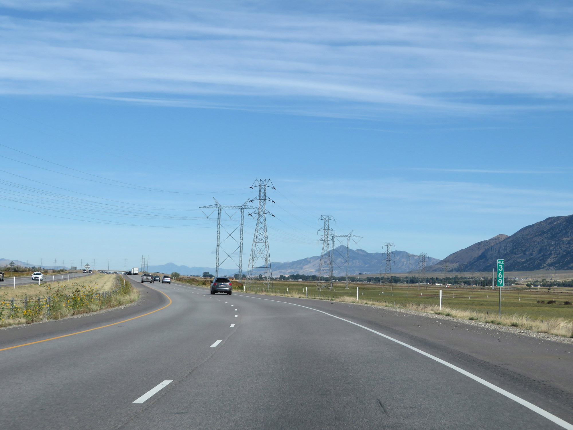 |
Interstate 84 West / Interstate 15 North at mile marker 369. (Photo taken 9/25/19). |
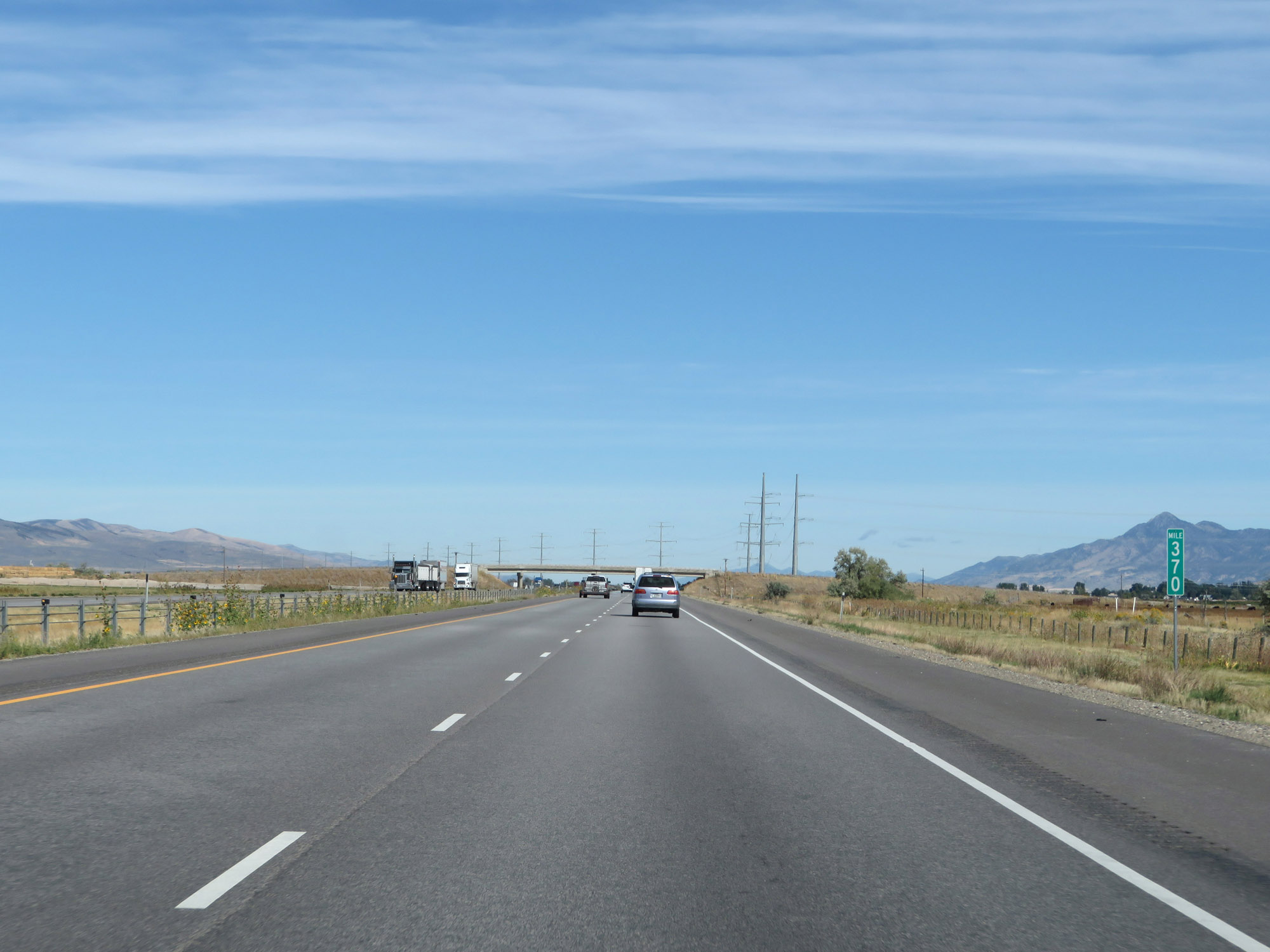 |
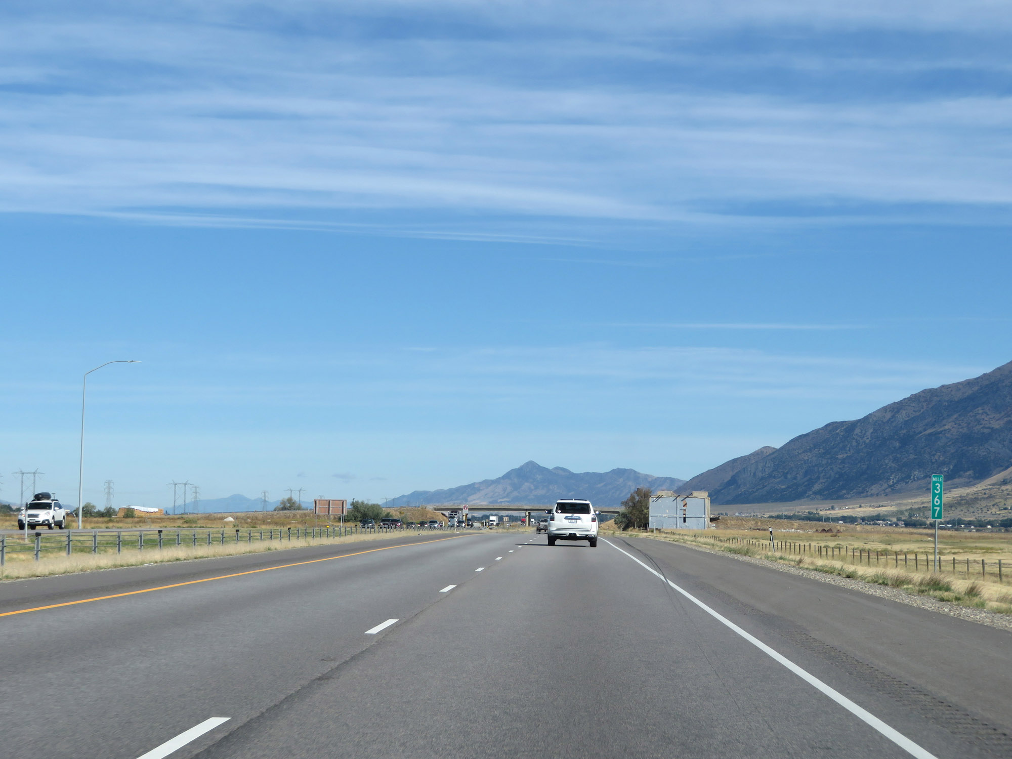
View on Interstate 84 West / Interstate 15 North at mile marker 370. (Photo taken 9/25/19). |
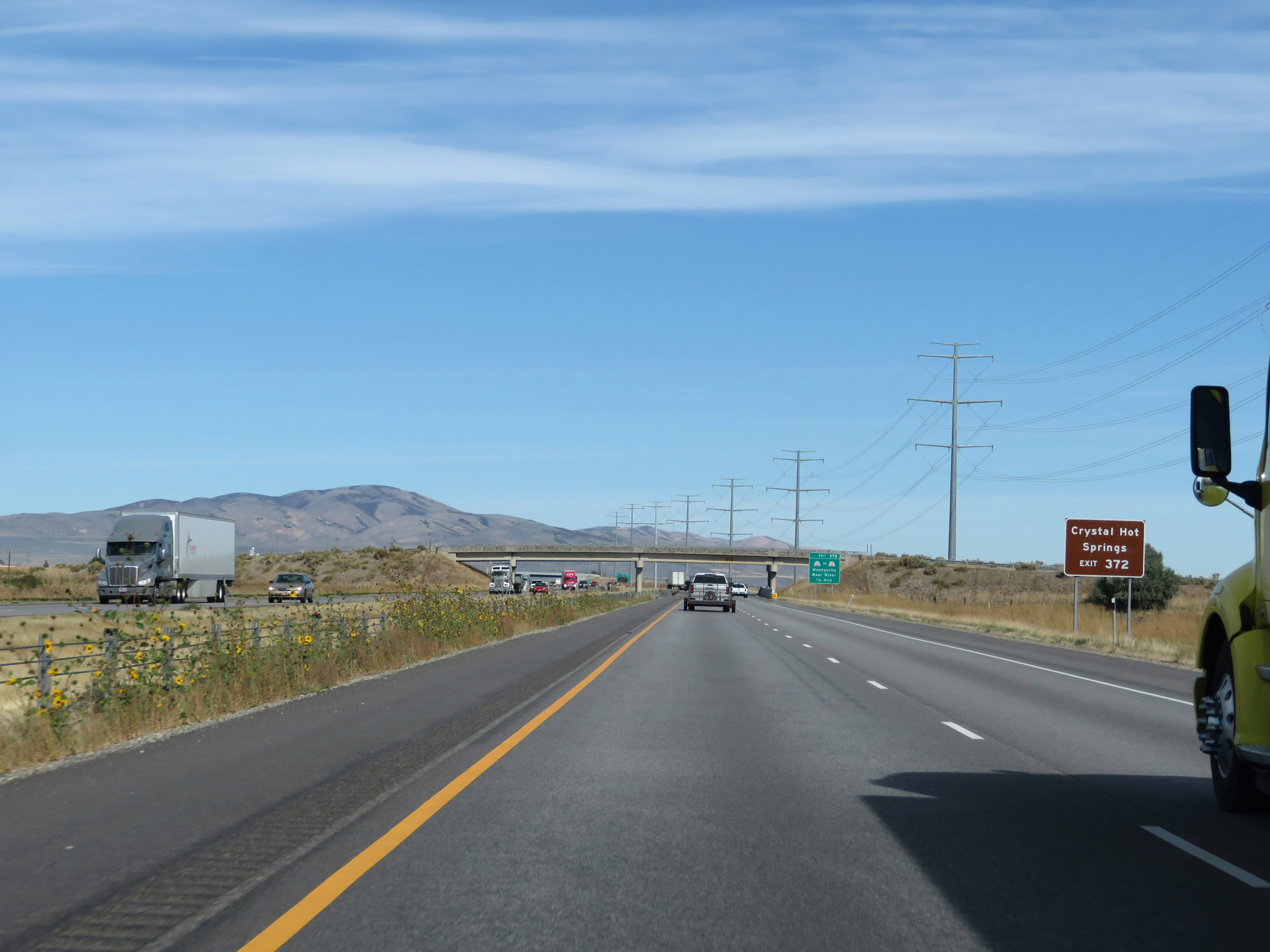 |
Take Exit 372 to Crystal Hot Springs. (Photo taken 9/25/19). |
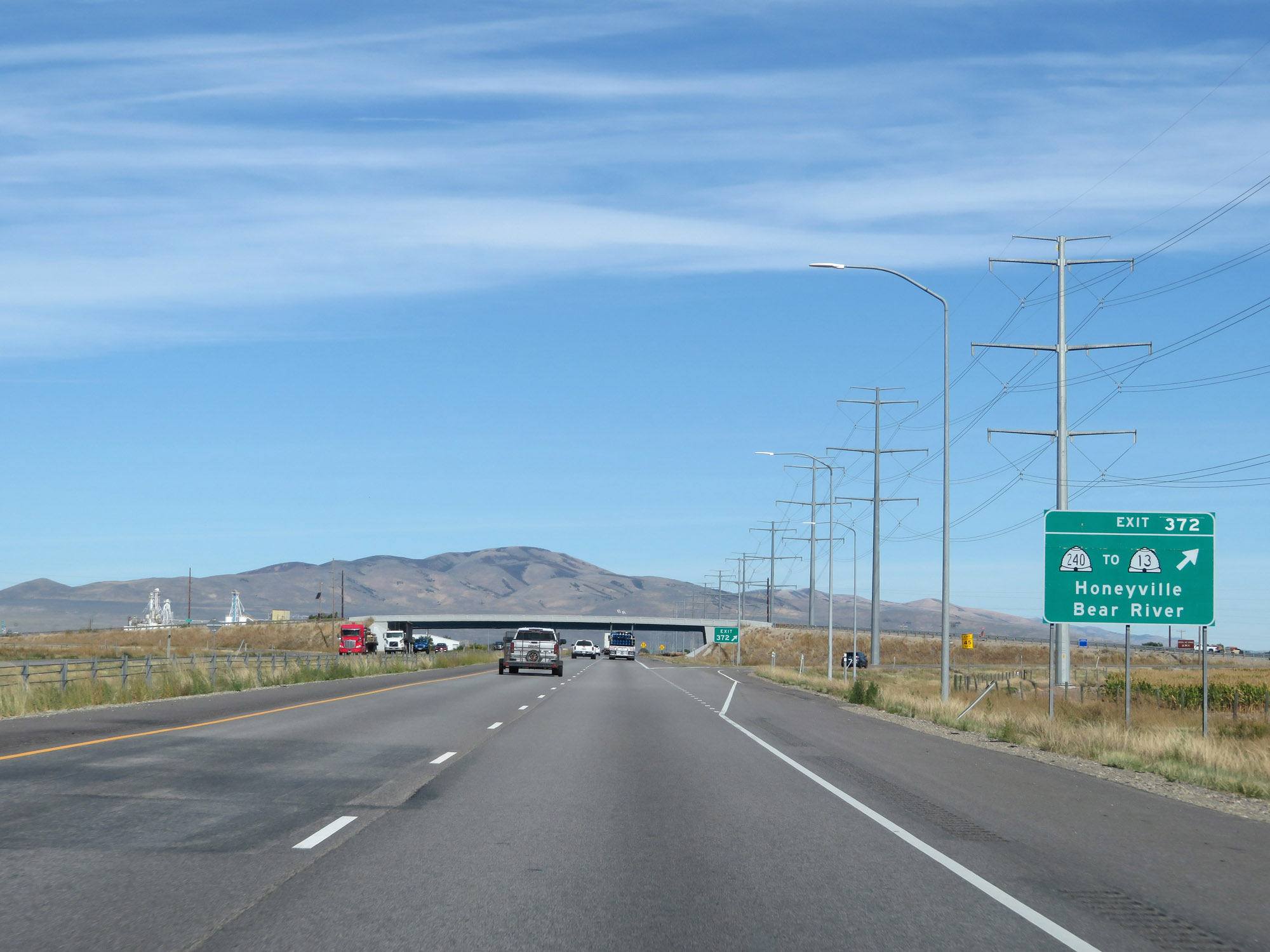 |
Interstate 84 West / Interstate 15 North at Exit 372: UT 240 / To UT 13 - Honeyville / Bear River (Photo taken 9/25/19). |
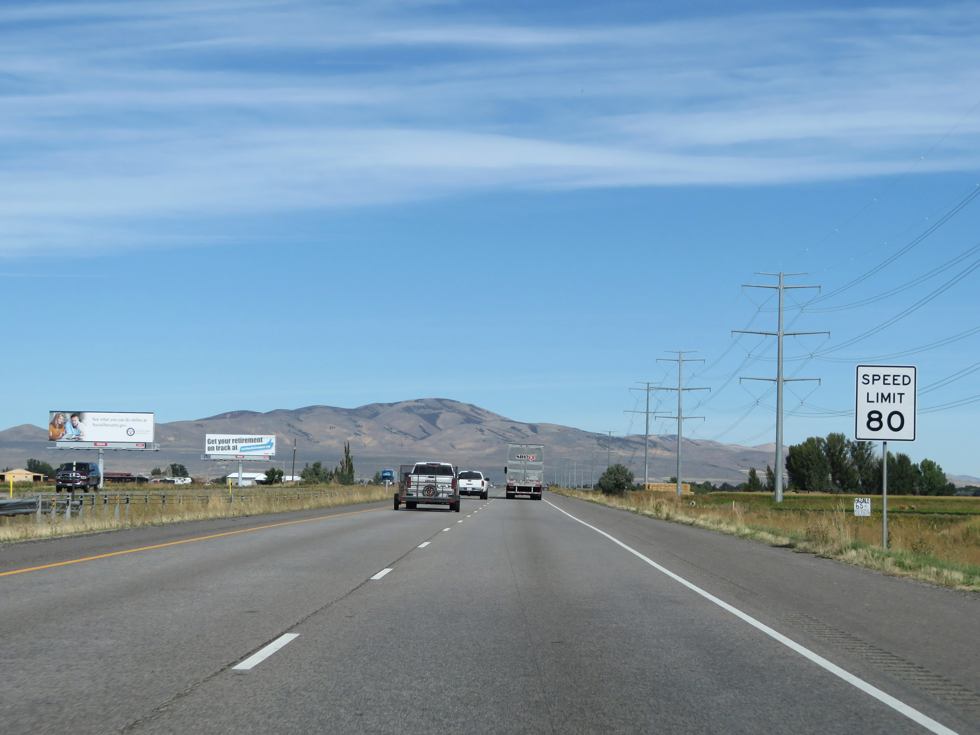 |
The speed limit remains 80 mph. (Photo taken 9/25/19). |
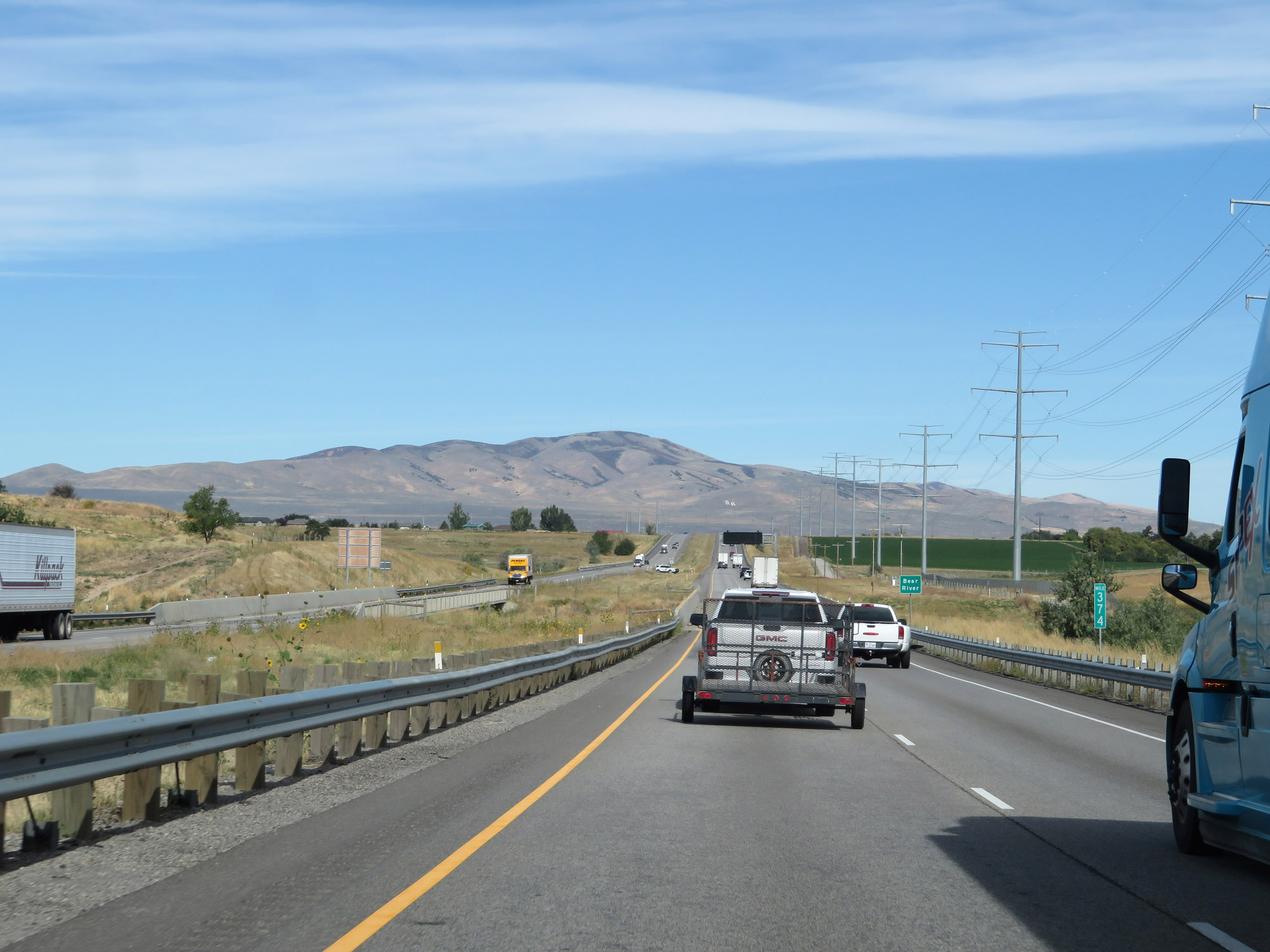 |
Interstate 84 West / Interstate 15 North at mile marker 374. (Photo taken 9/25/19). |
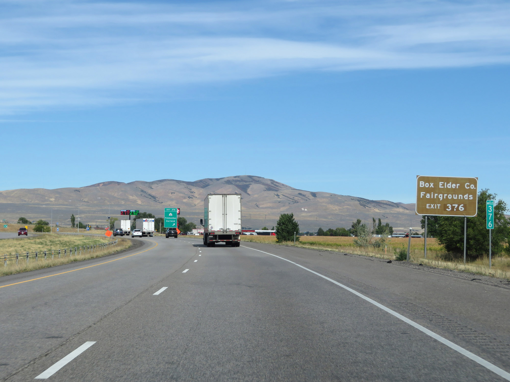 |
Take Exit 376 to the Box Elder County Fairgrounds. (Photo taken 9/25/19). |
 |
Interstate 84 West / Interstate 15 North at Exit 376: UT 13 - Tremonton / Garland (Photo taken 9/25/19). |
 |
One final set of green-backed state-named Interstate 84 West / Interstate 15 North reassurance shields. (Photo taken 9/25/19). |
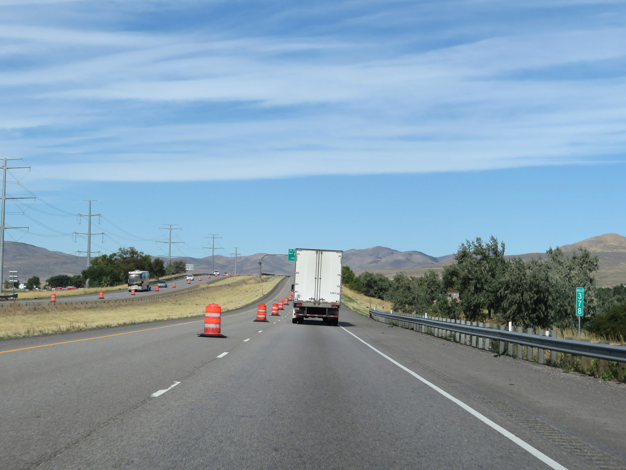 |
Interstate 84 West / Interstate 15 North at mile marker 378. (Photo taken 9/25/19). |
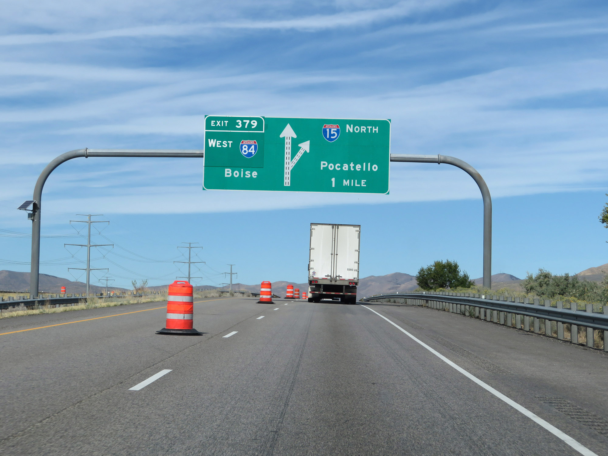 |
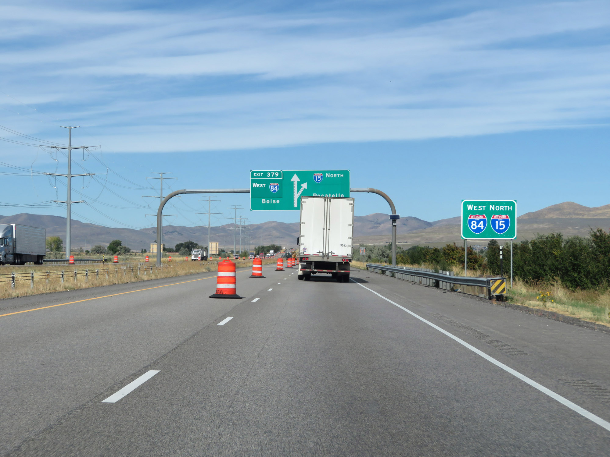
Interstate 84 West / Interstate 15 North approaching Exit 379 - 1 mile. I-84 West traffic should keep to the left. (Photo taken 9/25/19). |
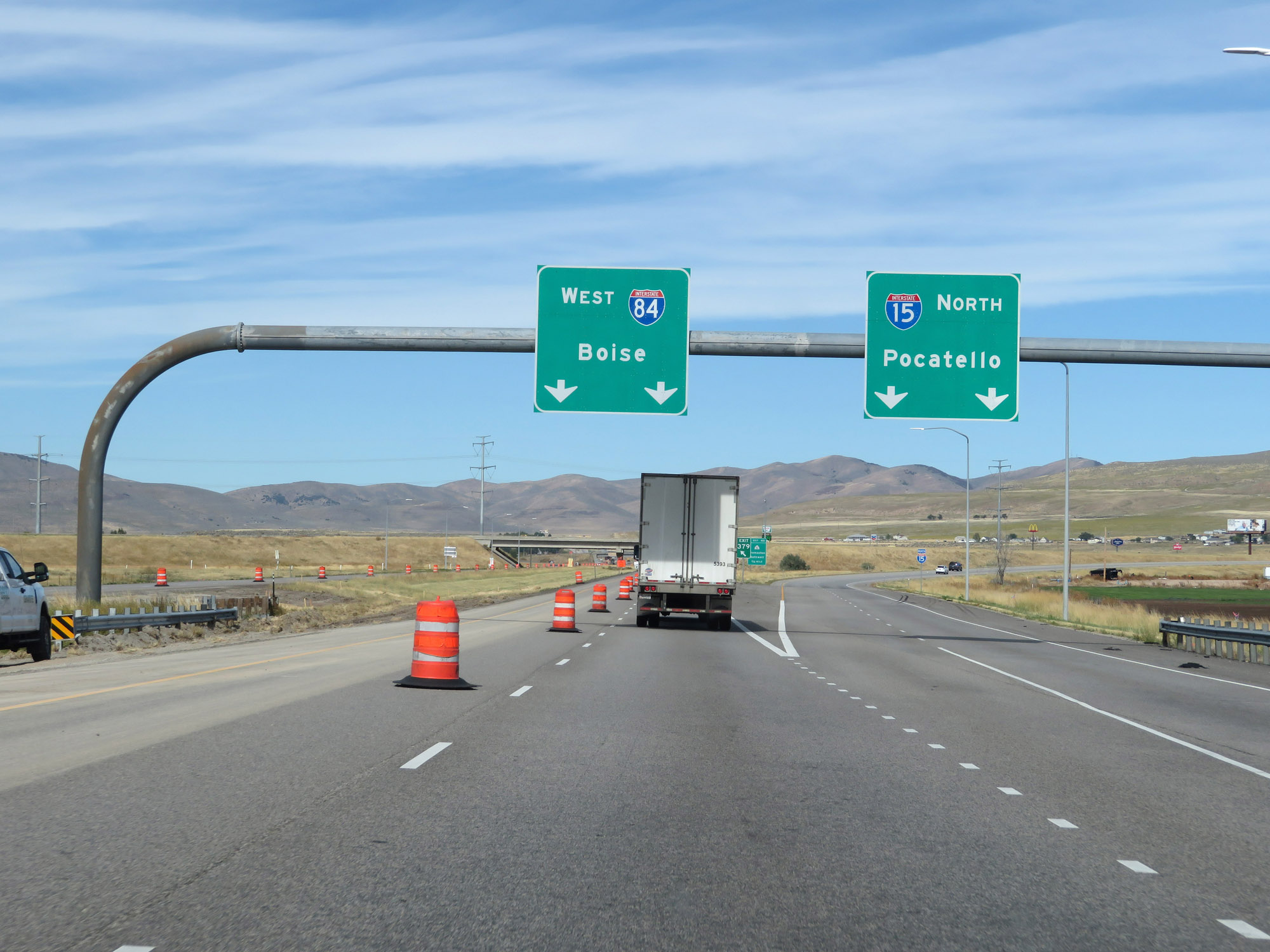 |
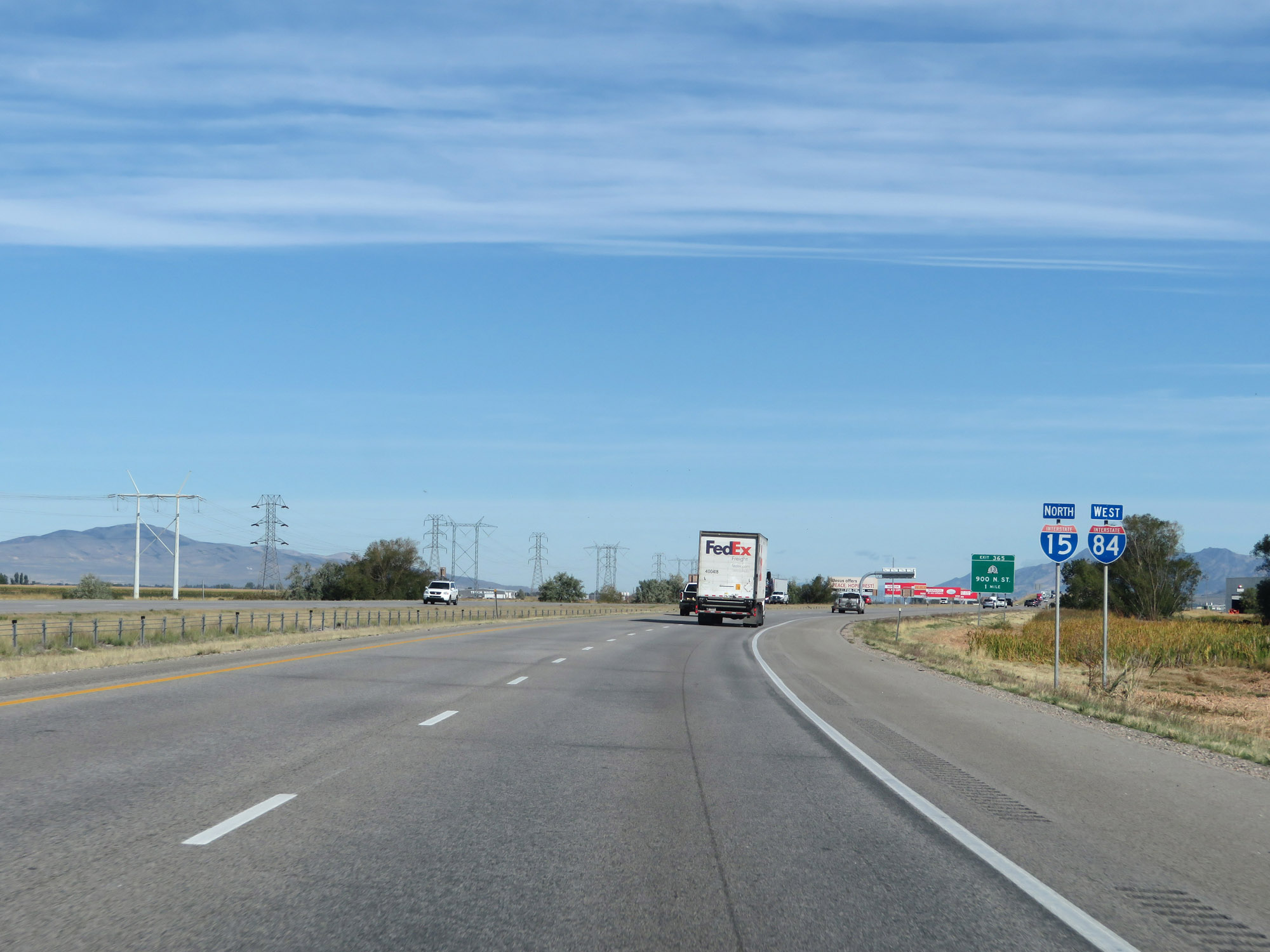
Interstate 84 West / Interstate 15 North at Exit 379: Interstate 84 West - Boise (Photo taken 9/25/19). |
Section 3: Tremonton (Exit 379) to Idaho Border
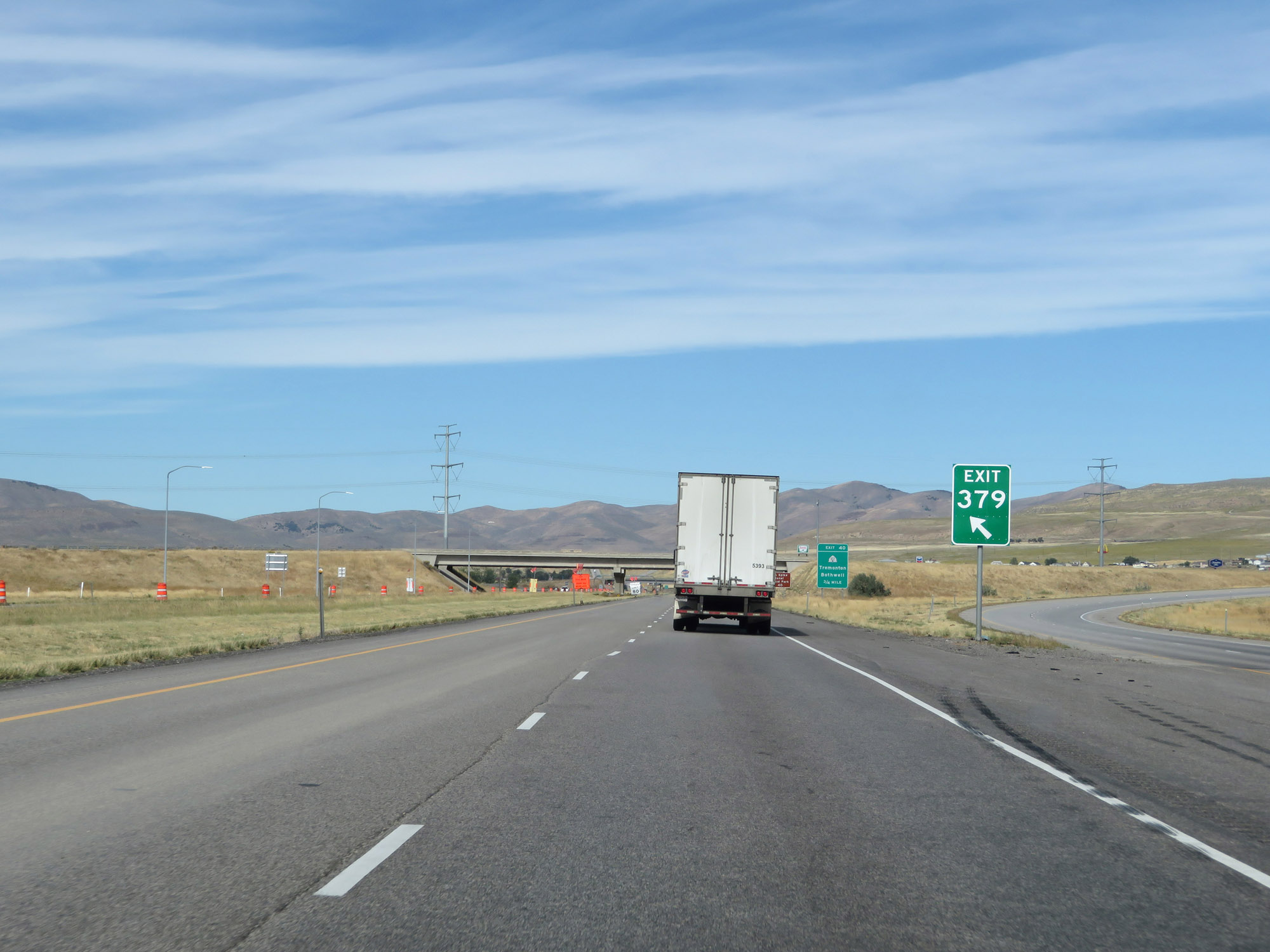 |
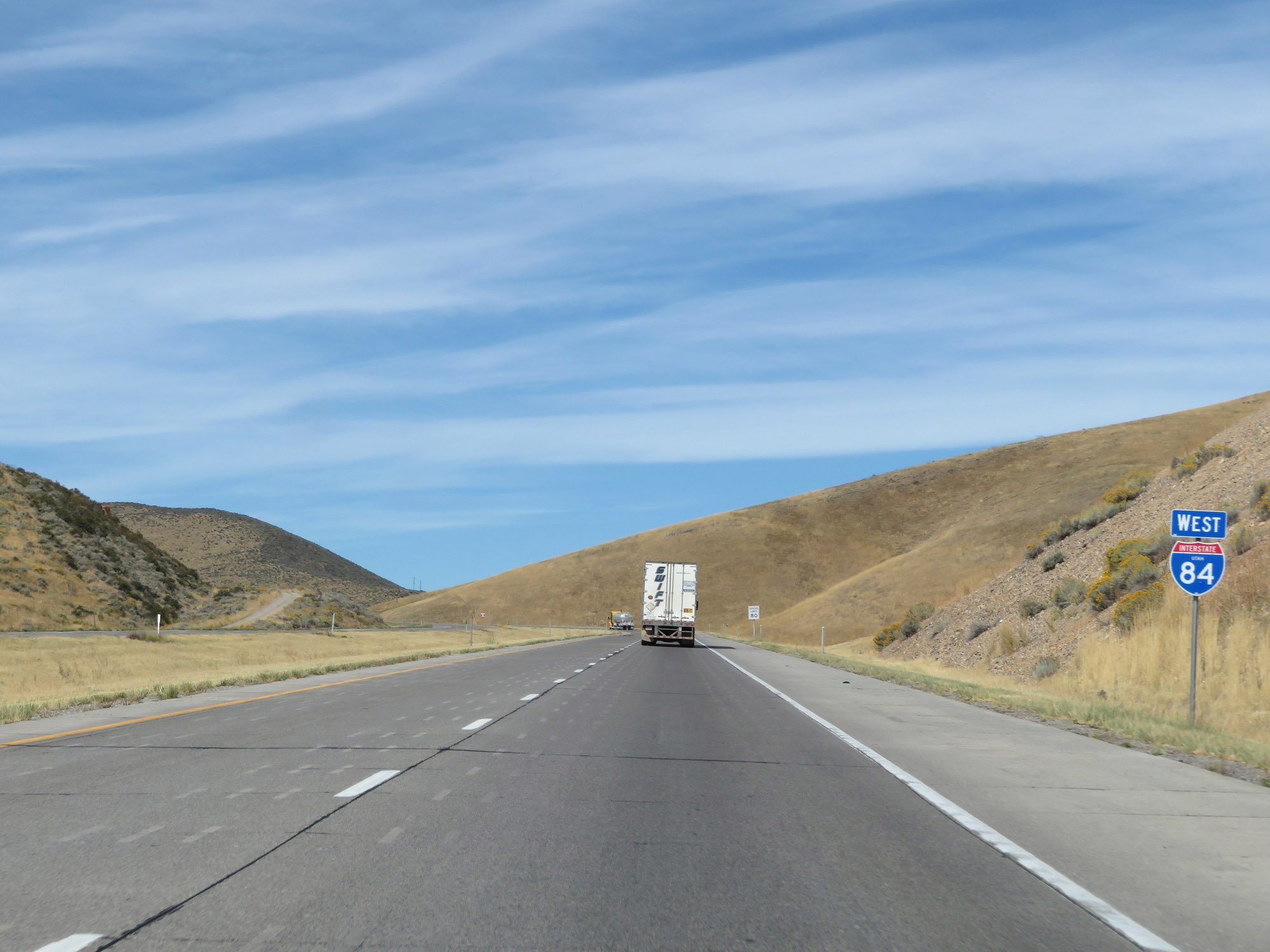
View as Interstate 84 West splits off from Interstate 15 North via Exit 379. (Photo taken 9/25/19). |
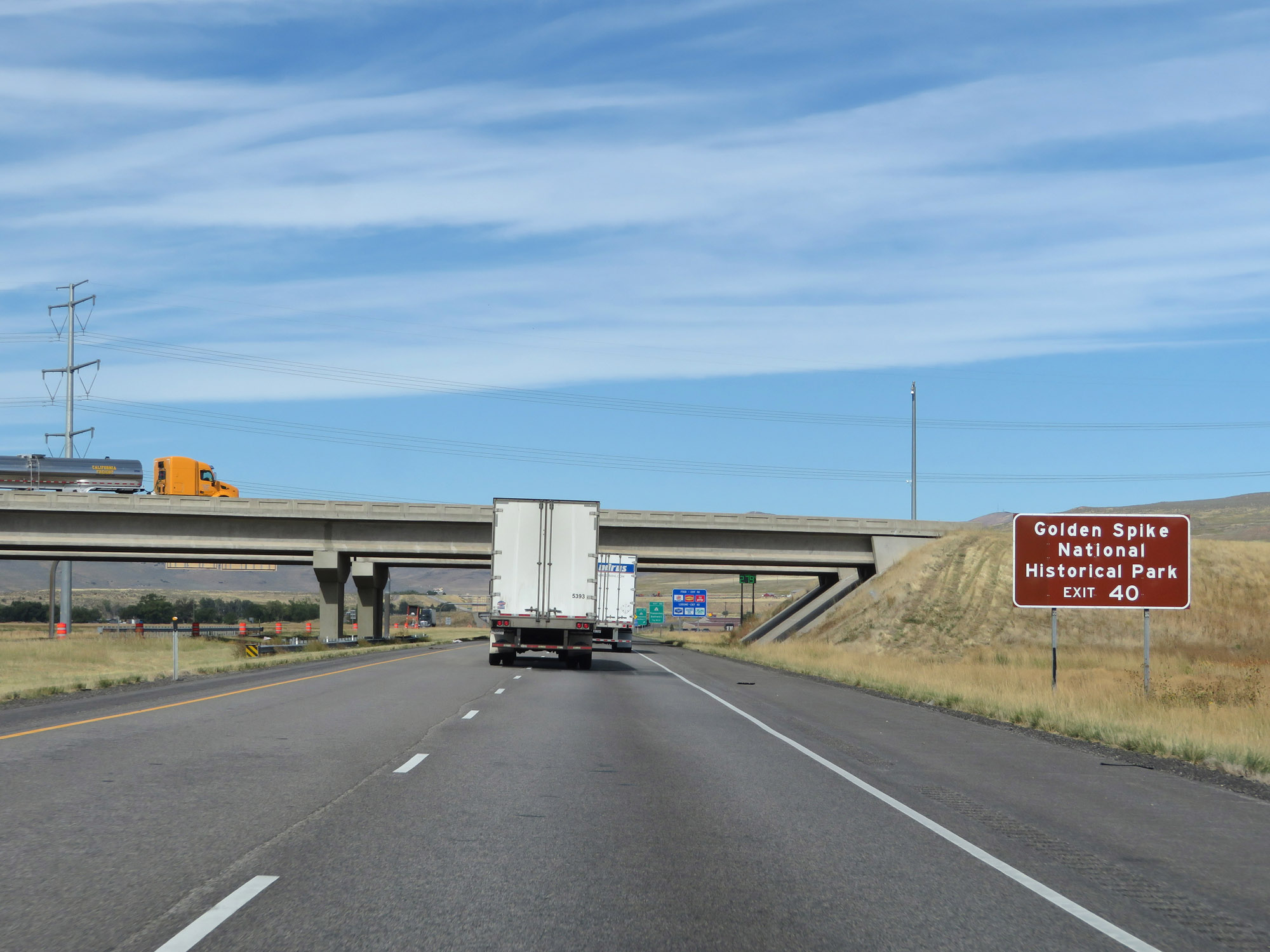 |
Take Exit 40 to Golden Spike National Historical Park. (Photo taken 9/25/19). |
 |
Interstate 84 West at Exit 40: UT 102 - Tremonton / Bothwell (Photo taken 9/25/19). |
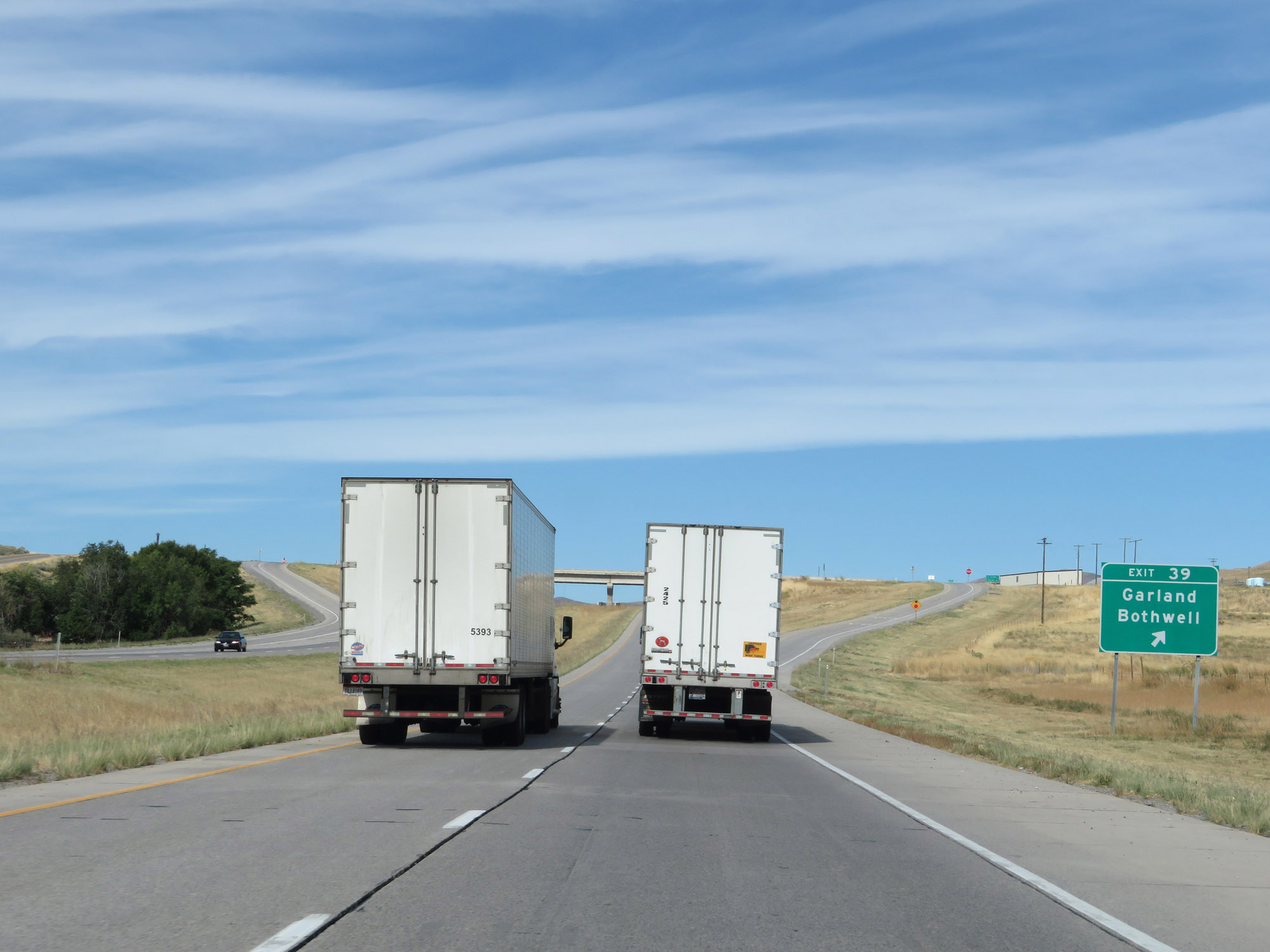 |
Interstate 84 West at Exit 39: Garland / Bothwell (Photo taken 9/25/19). |
 |
Interstate 84 West reassurance shield. (Photo taken 9/25/19). |
 |
The speed limit remains 80 mph. (Photo taken 9/25/19). |
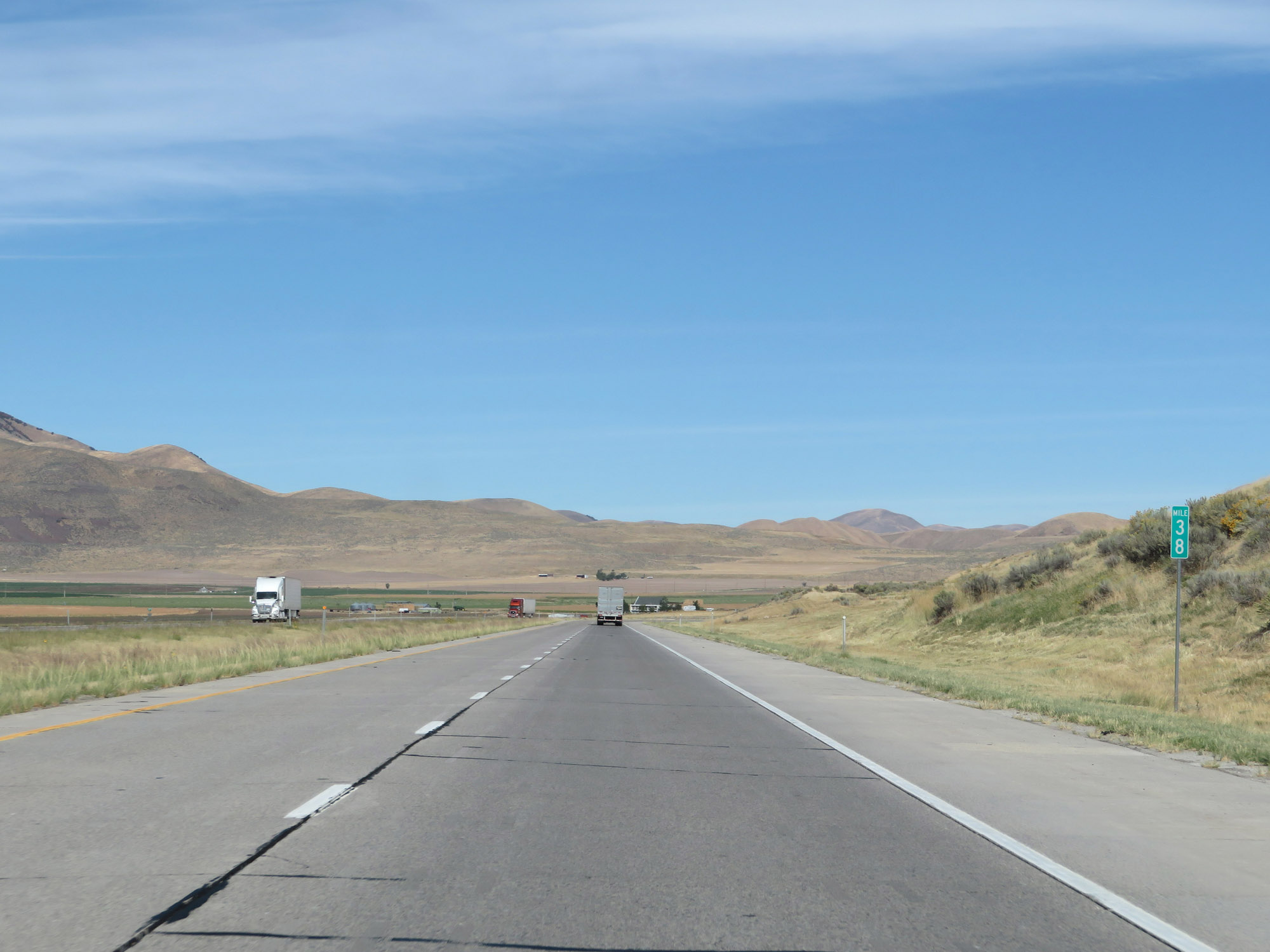 |
View on Interstate 84 West at mile marker 38. (Photo taken 9/25/19). |
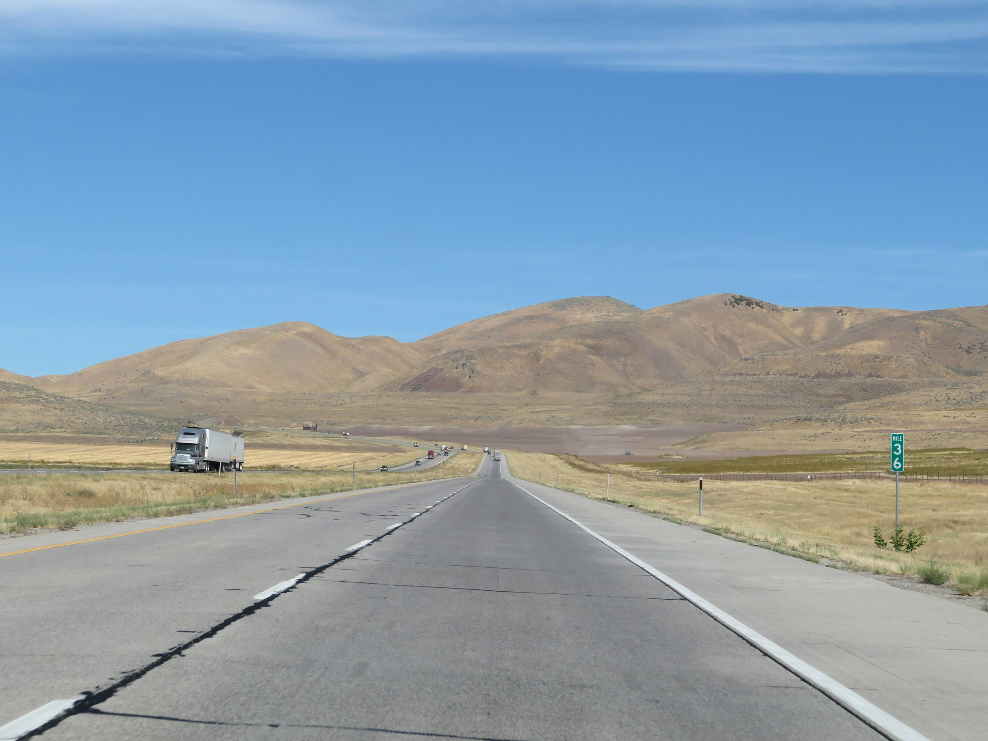 |
Interstate 84 West at mile marker 36. (Photo taken 9/25/19). |
 |
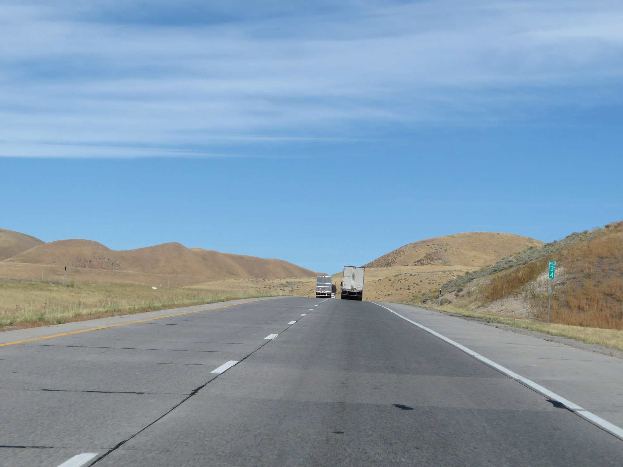
Interstate 84 West at mile marker 35. (Photo taken 9/25/19). |
 |
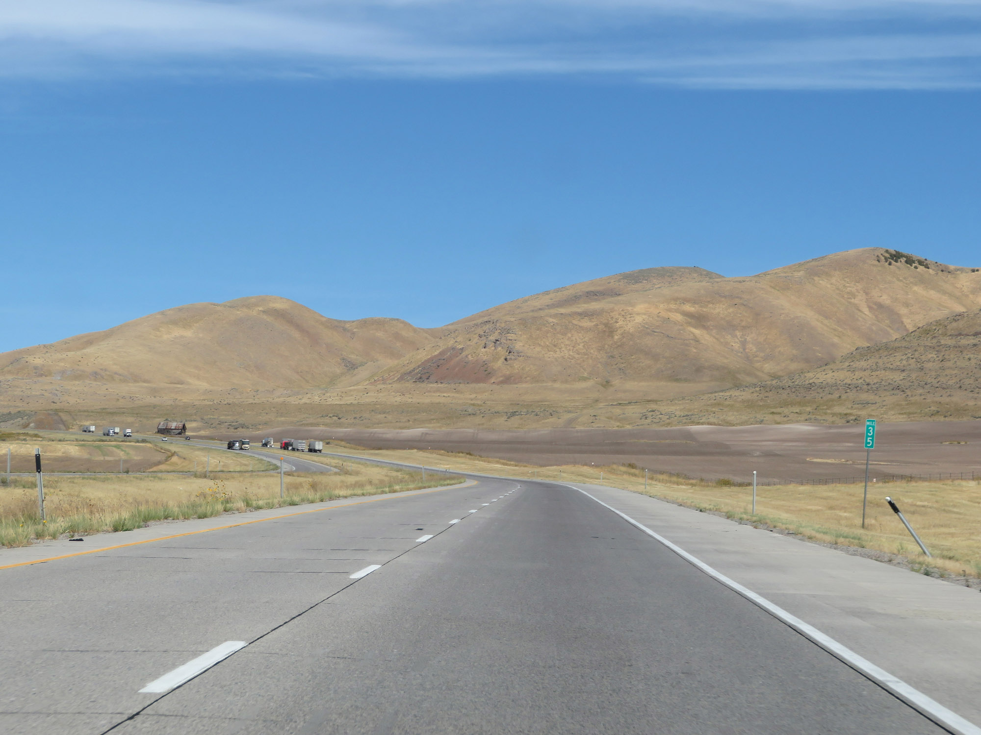
View on Interstate 84 West at mile marker 34. (Photo taken 9/25/19). |
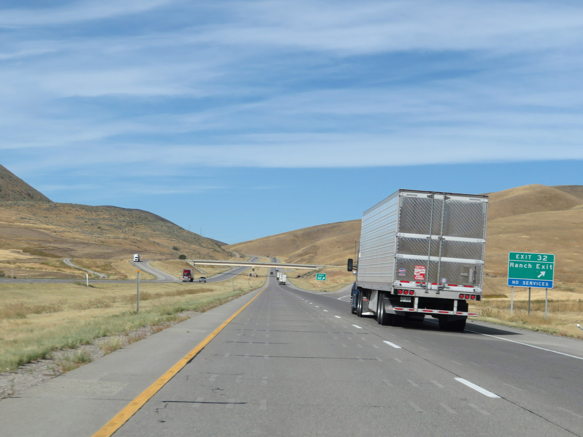 |
Interstate 84 West at Exit 32: Ranch Exit (Photo taken 9/25/19). |
 |
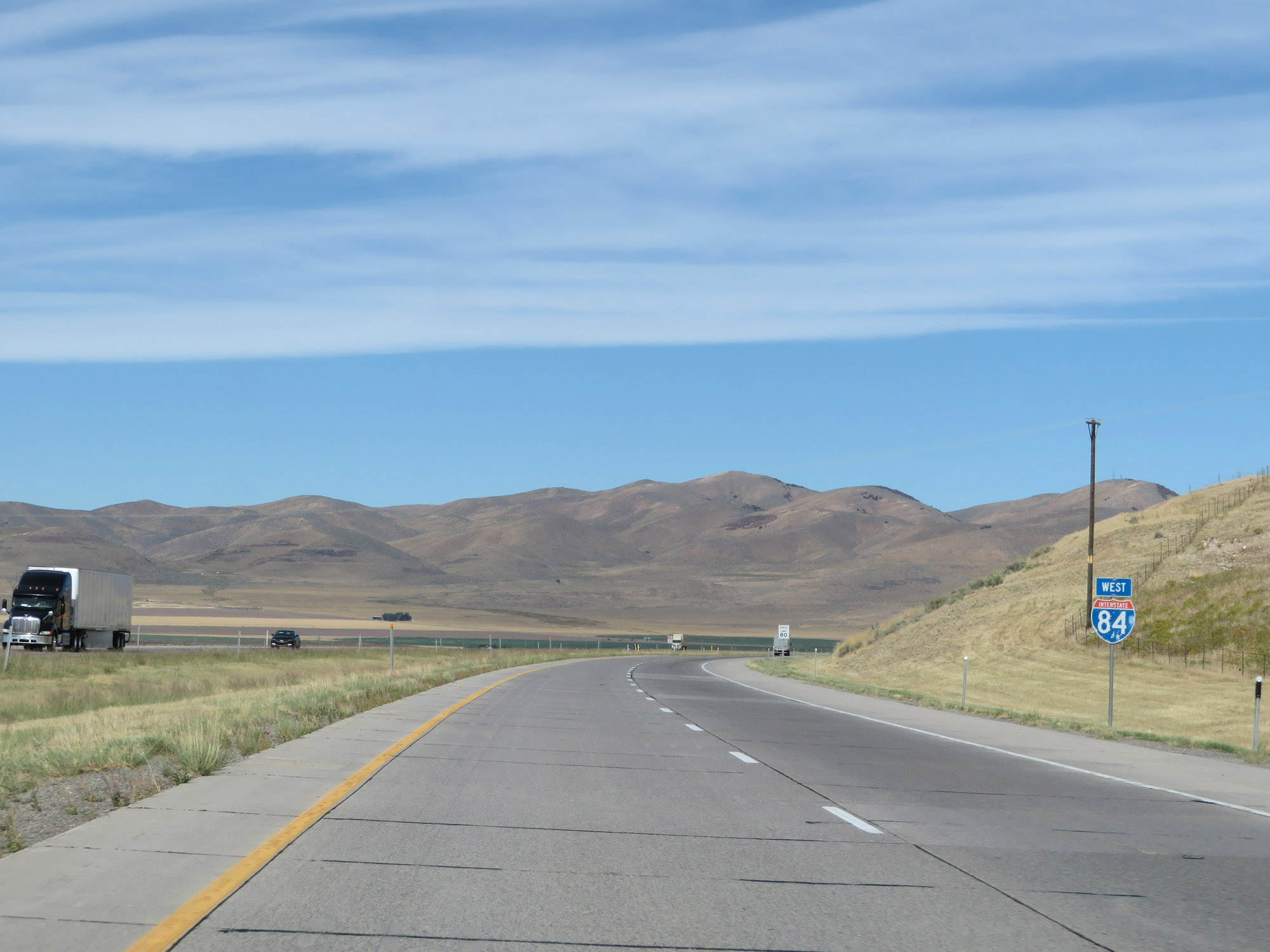
State-named Interstate 84 West reassurance shield. (Photo taken 9/25/19). |
 |
Interstate 84 West at mile marker 31. (Photo taken 9/25/19). |
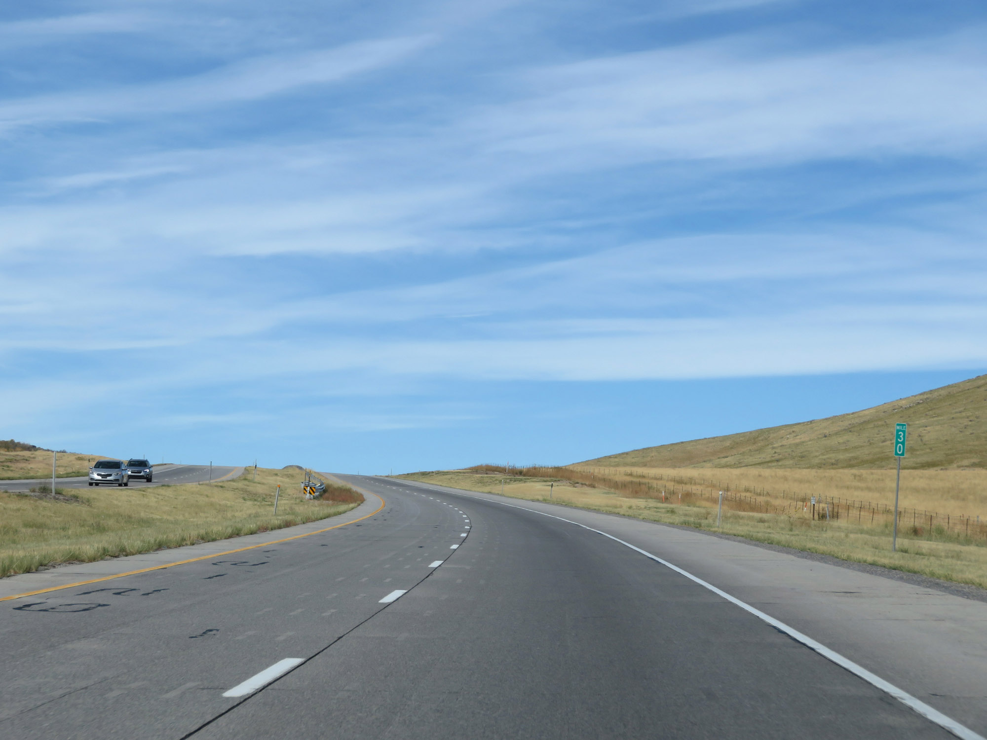 |
View on Interstate 84 West at mile marker 30. (Photo taken 9/25/19). |
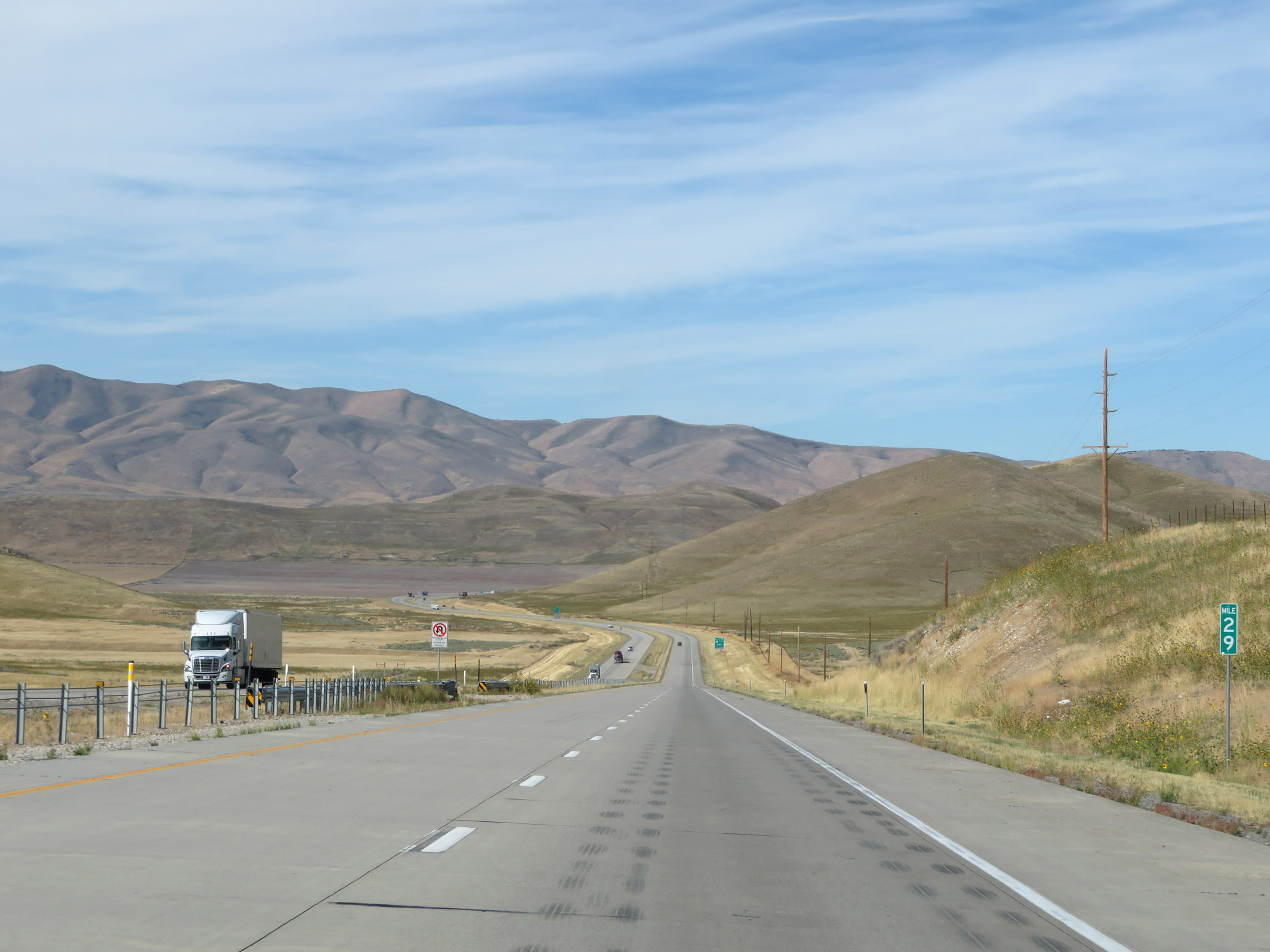 |
Interstate 84 West at mile marker 29. (Photo taken 9/25/19). |
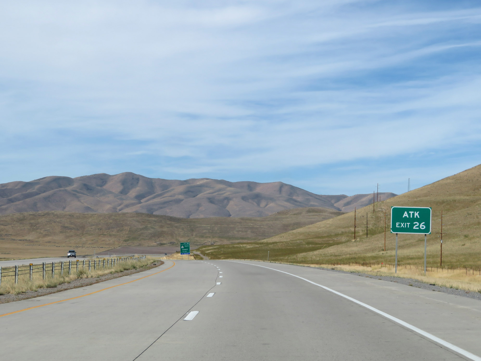 |
Take Exit 26 to ATK. (Photo taken 9/25/19). |
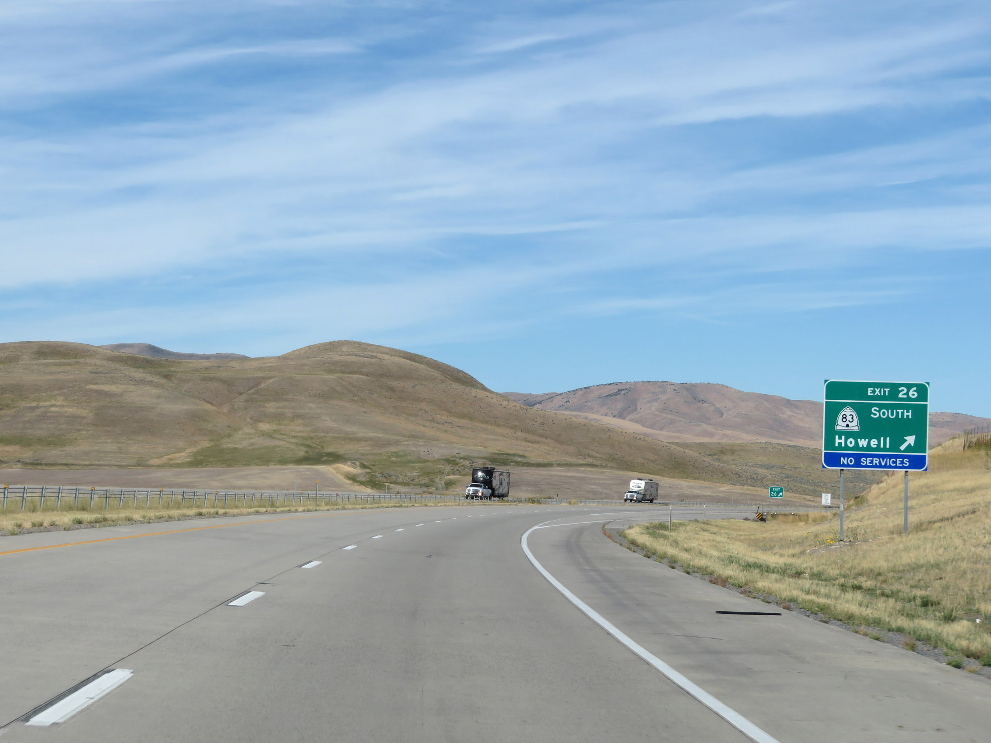 |
Interstate 84 West at Exit 26: UT 83 South - Howell (Photo taken 9/25/19). |
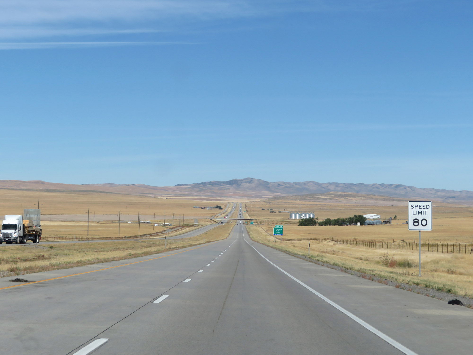 |
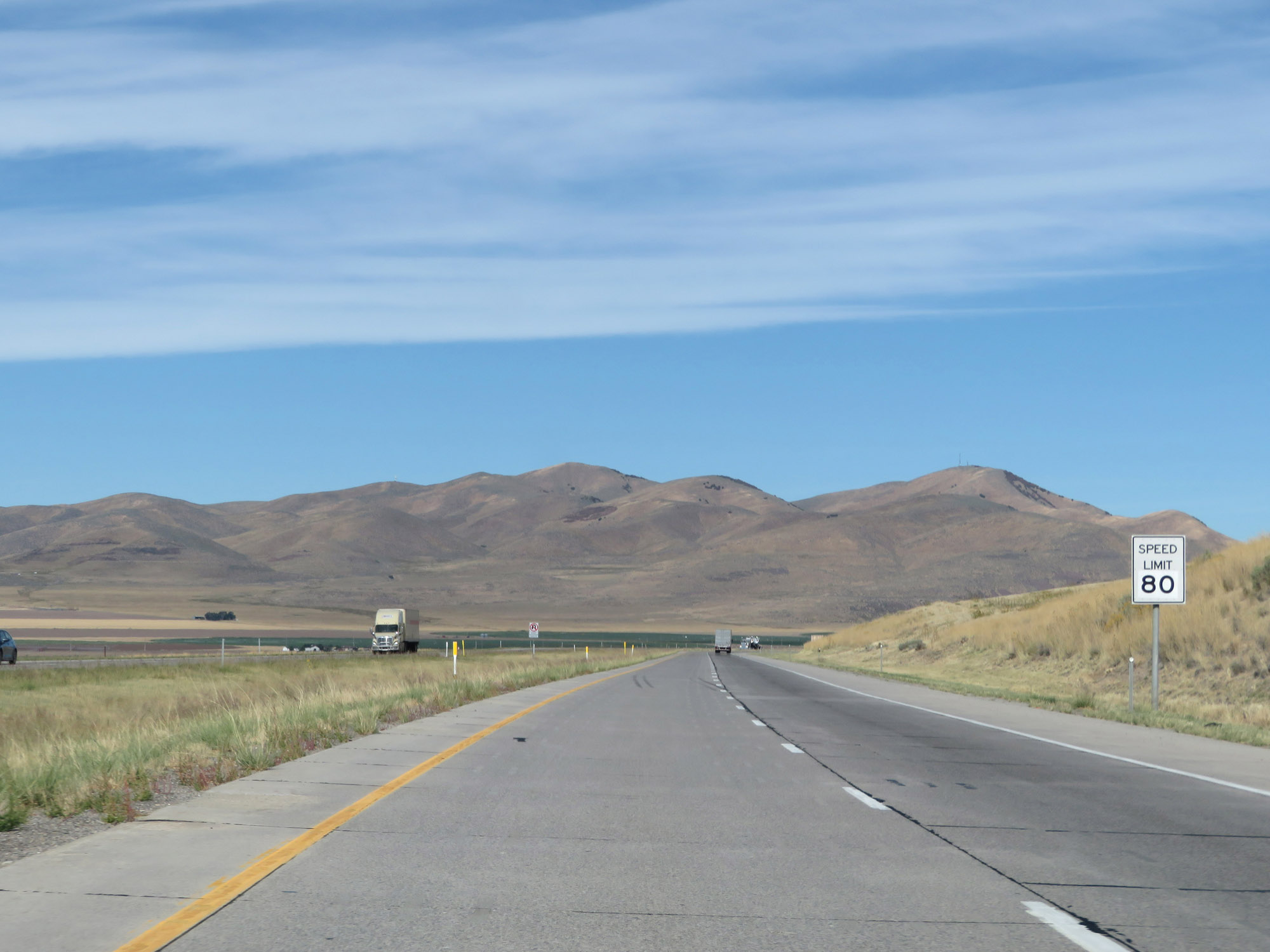
The speed limit remains 80 mph. (Photo taken 9/25/19). |
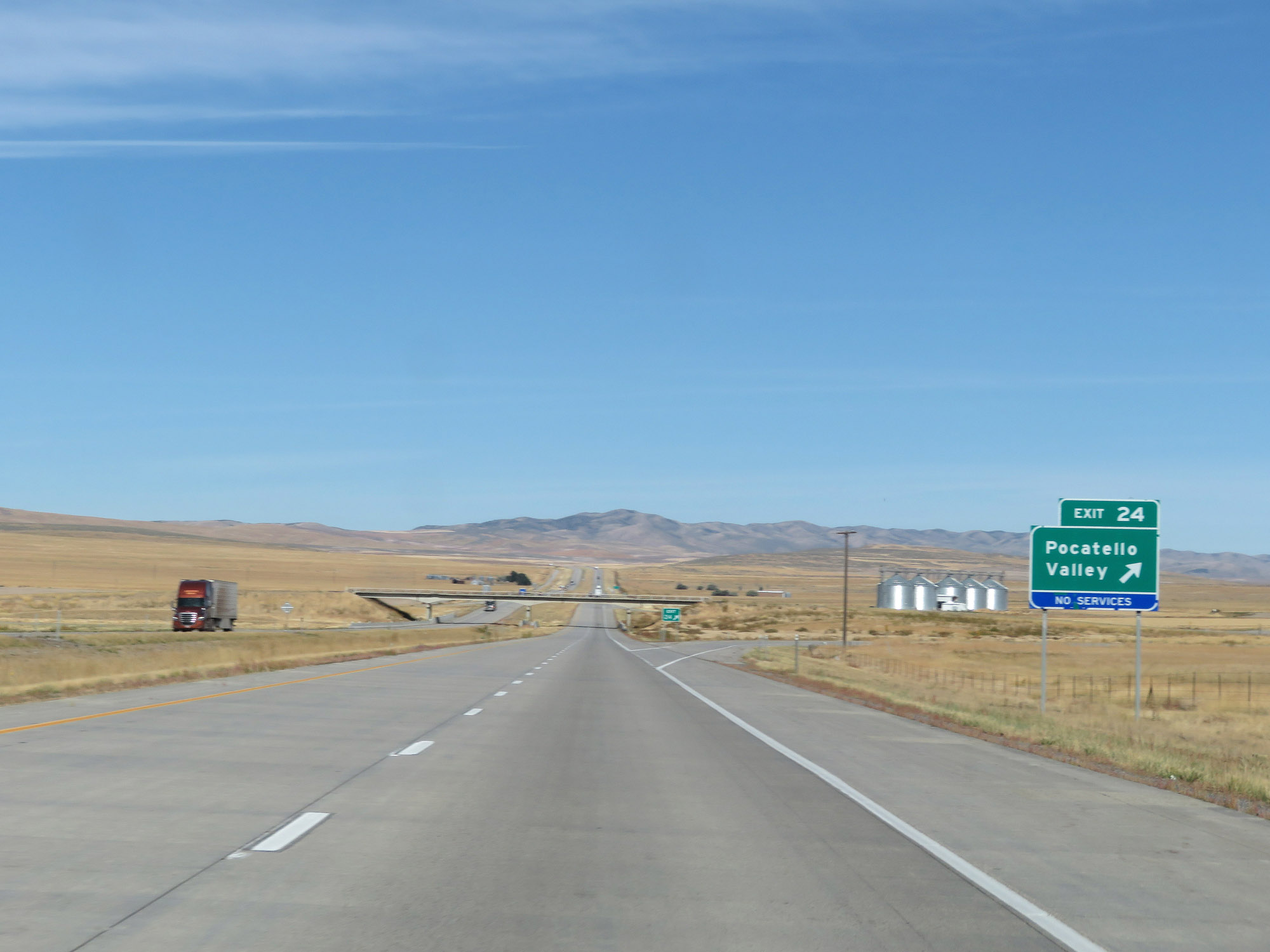 |
Interstate 84 West at Exit 24: Pocatello Valley (Photo taken 9/25/19). |
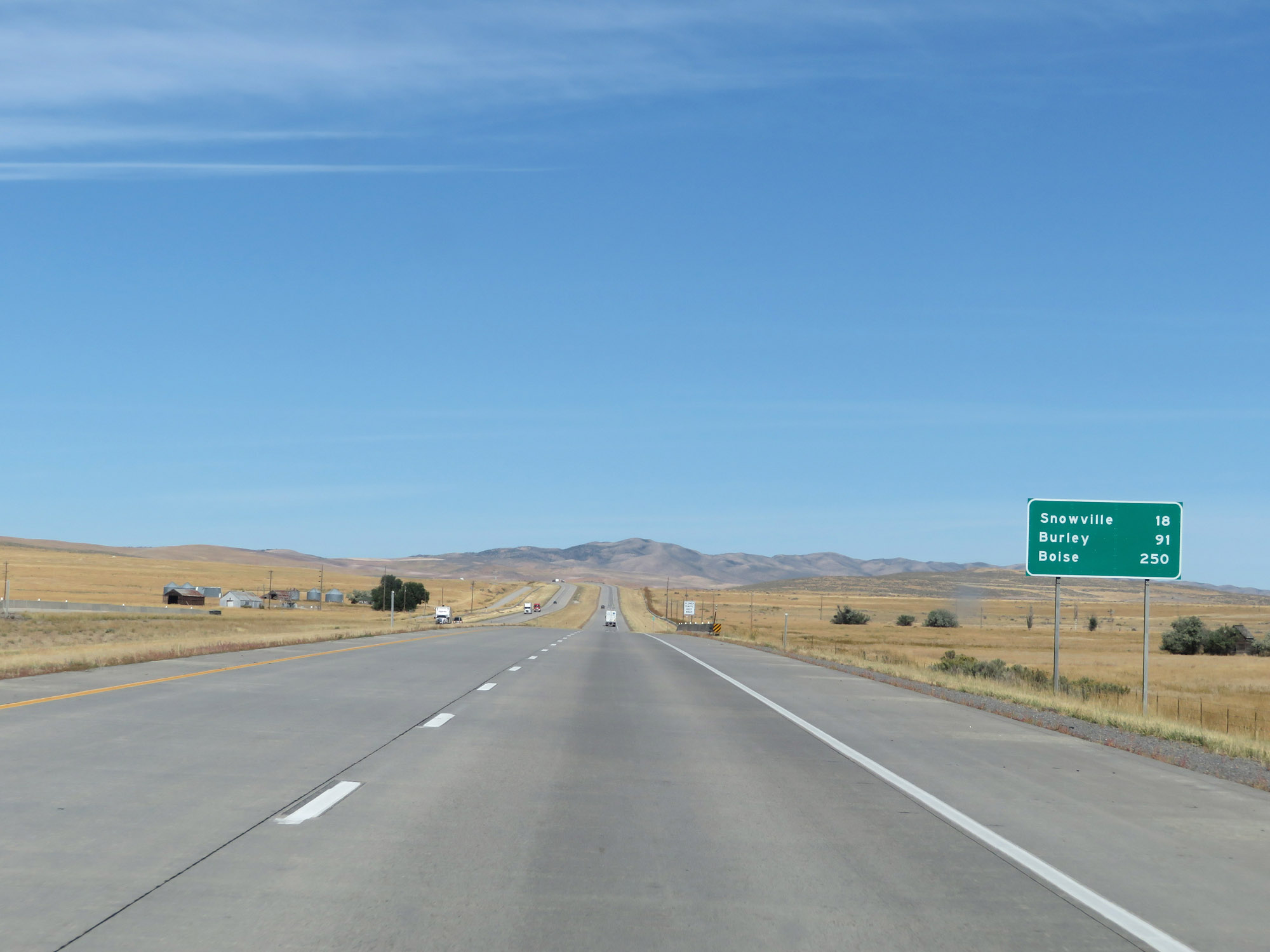 |
Mileage sign on Interstate 84 West. It's 18 miles to Snowville, 91 miles to Burley, and 250 miles to Boise. (Photo taken 9/25/19). |
 |
View on Interstate 84 West at mile marker 23. (Photo taken 9/25/19). |
 |
Interstate 84 West at Exit 20: Blue Creek (Photo taken 9/25/19). |
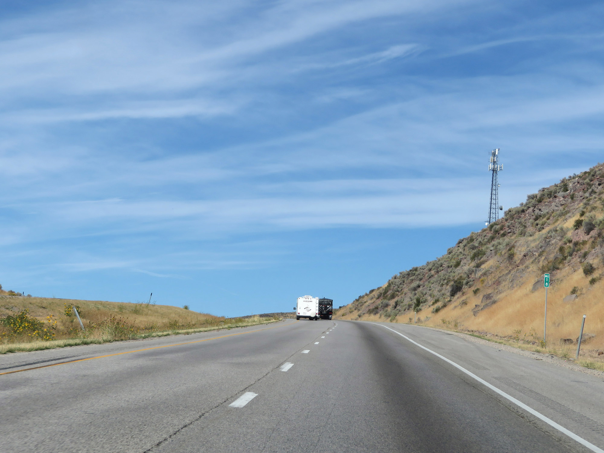 |
Interstate 84 West at mile marker 18. (Photo taken 9/25/19). |
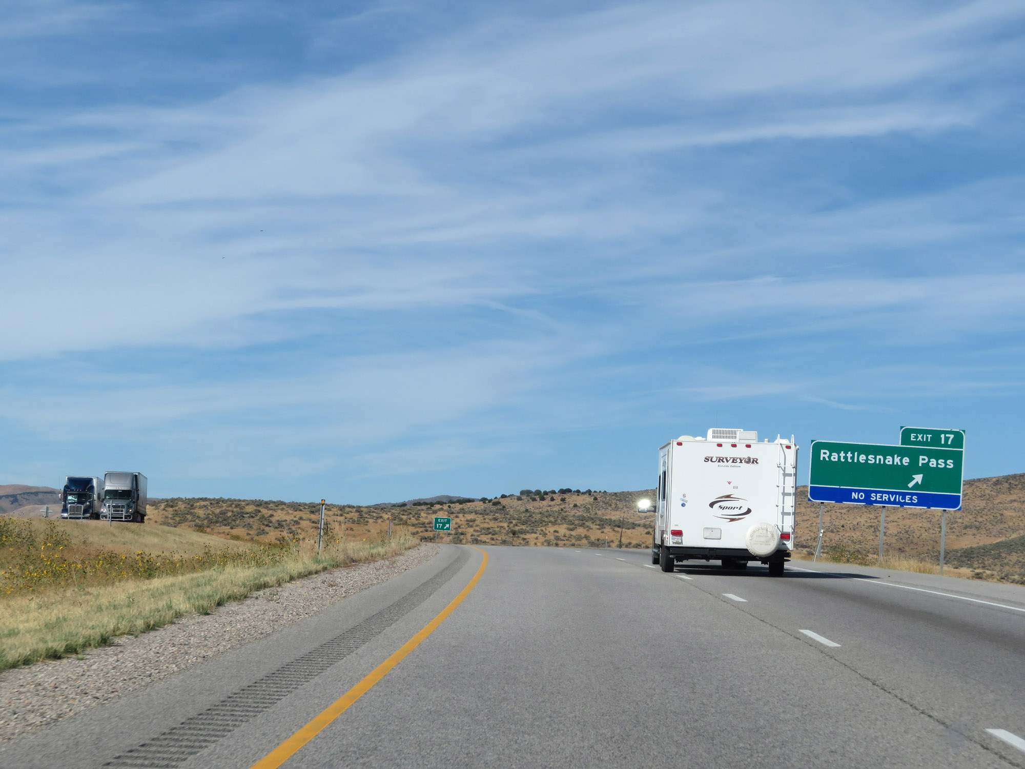 |
Interstate 84 West at Exit 17: Rattlesnake Pass (Photo taken 9/25/19). |
 |
Another Interstate 84 West reassurance shield. (Photo taken 9/25/19). |
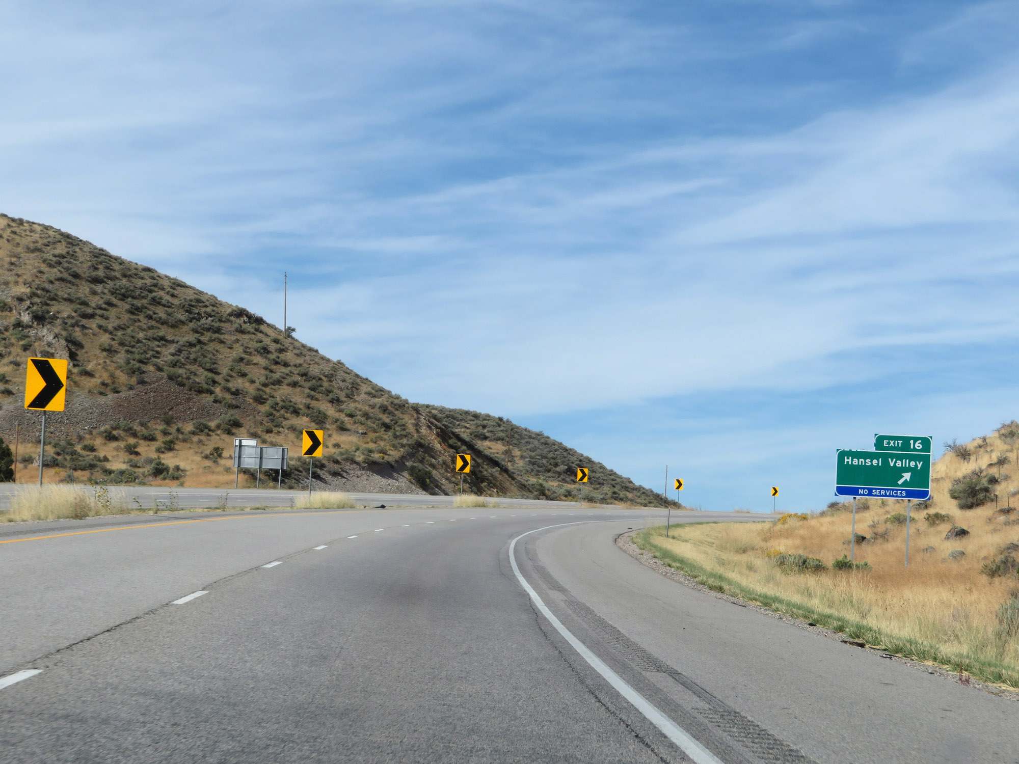 |
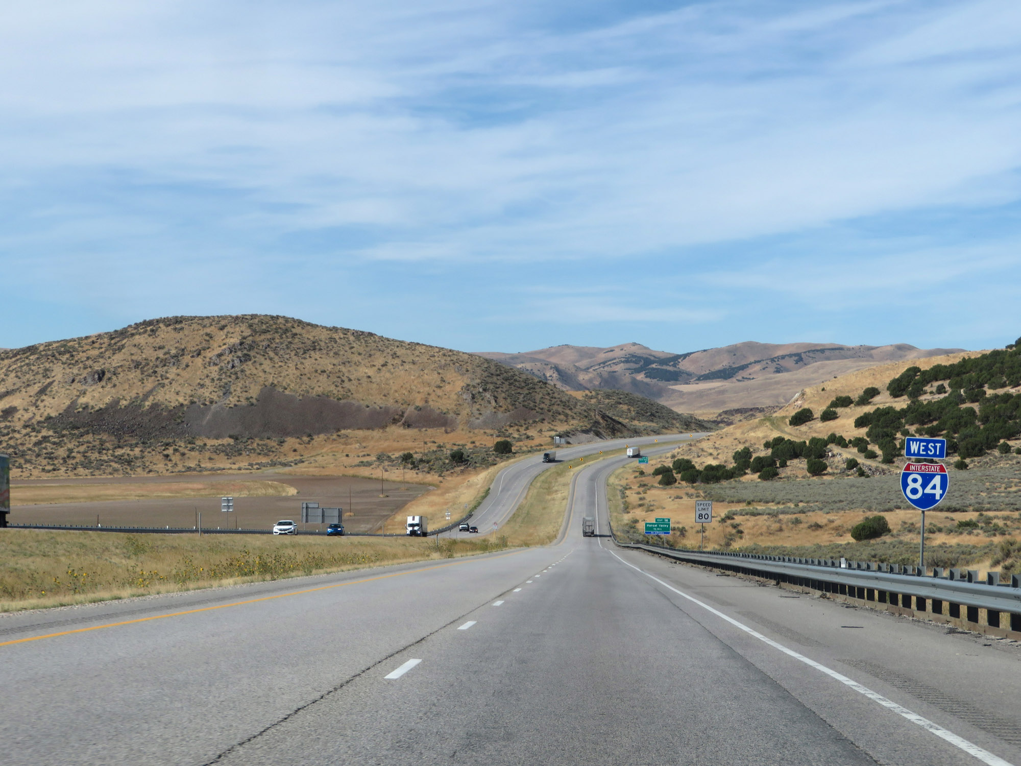
Interstate 84 West at Exit 16: Hansel Valley (Photo taken 9/25/19). |
 |
The speed limit remains 80 mph. (Photo taken 9/25/19). |
 |
View on Interstate 84 West at mile marker 14. (Photo taken 9/25/19). |
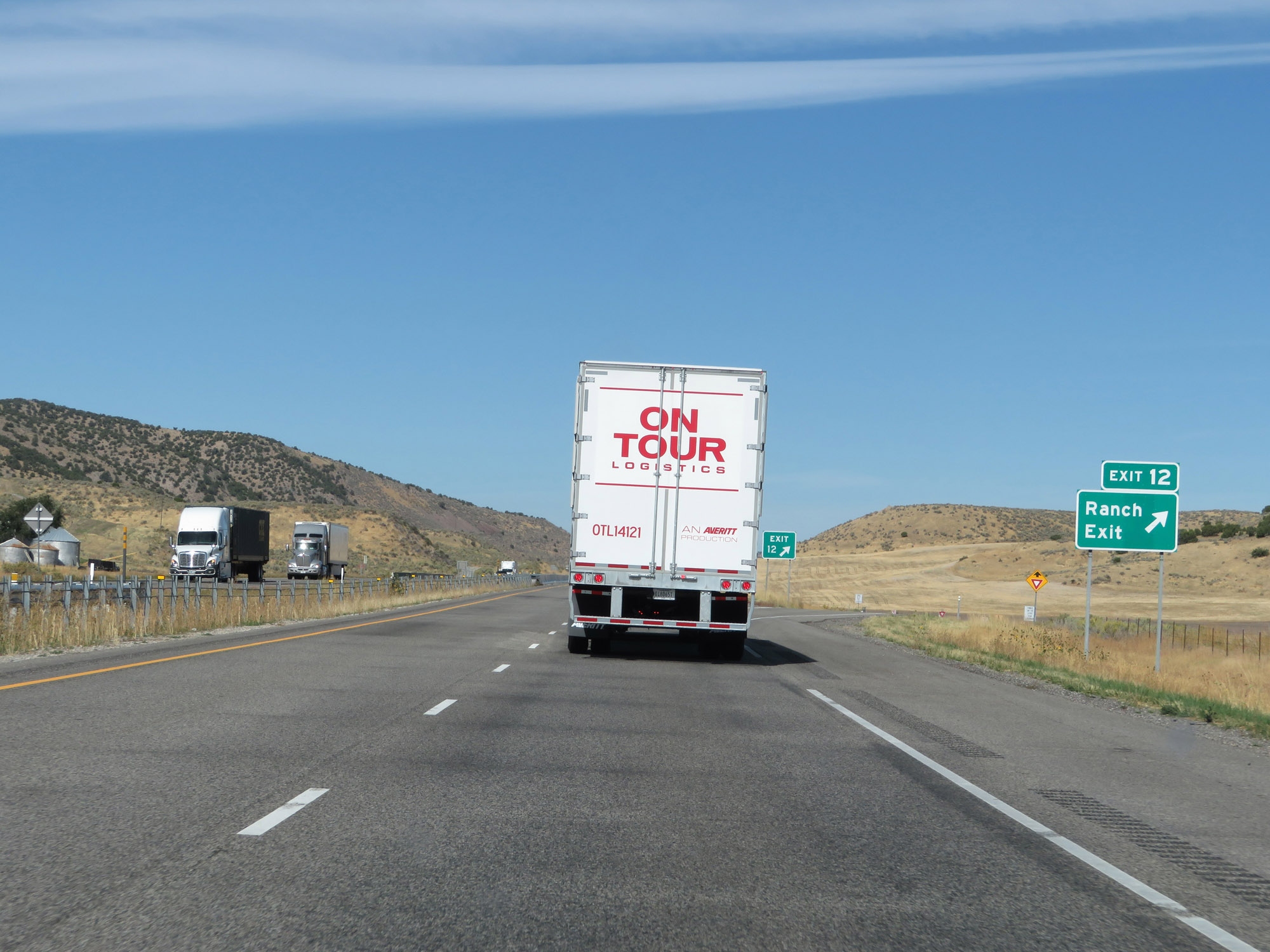 |
Interstate 84 West at Exit 12: Ranch Exit (Photo taken 9/25/19). |
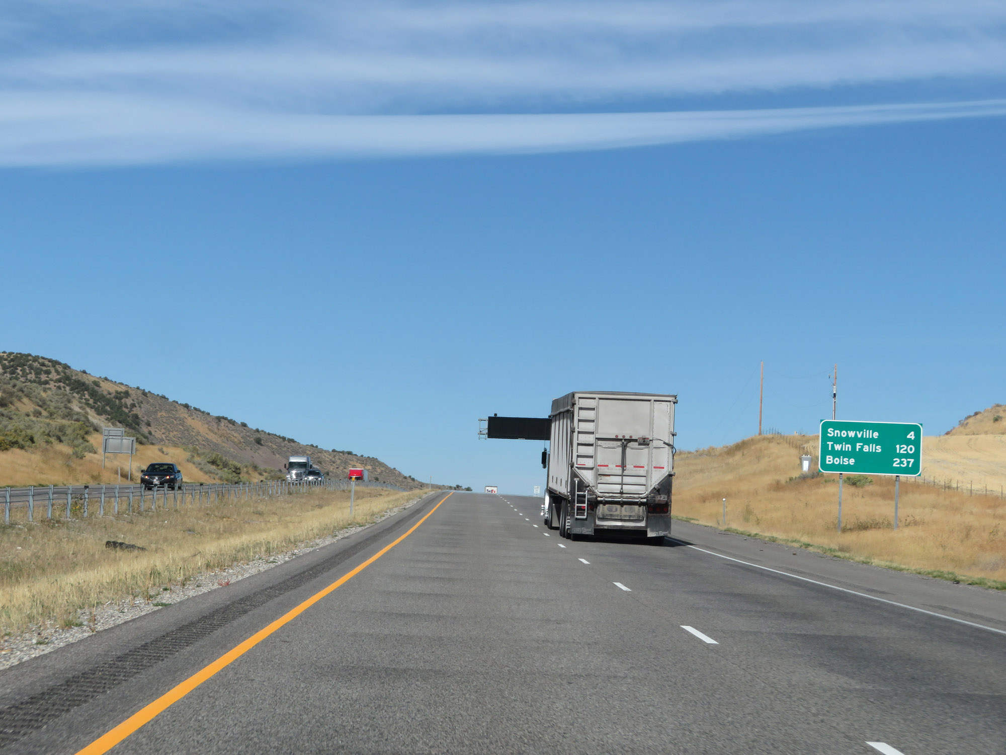 |
Mileage sign on Interstate 84 West. It's 4 miles to Snowville, 120 miles to Twin Falls, and 237 miles to Boise. (Photo taken 9/25/19). |
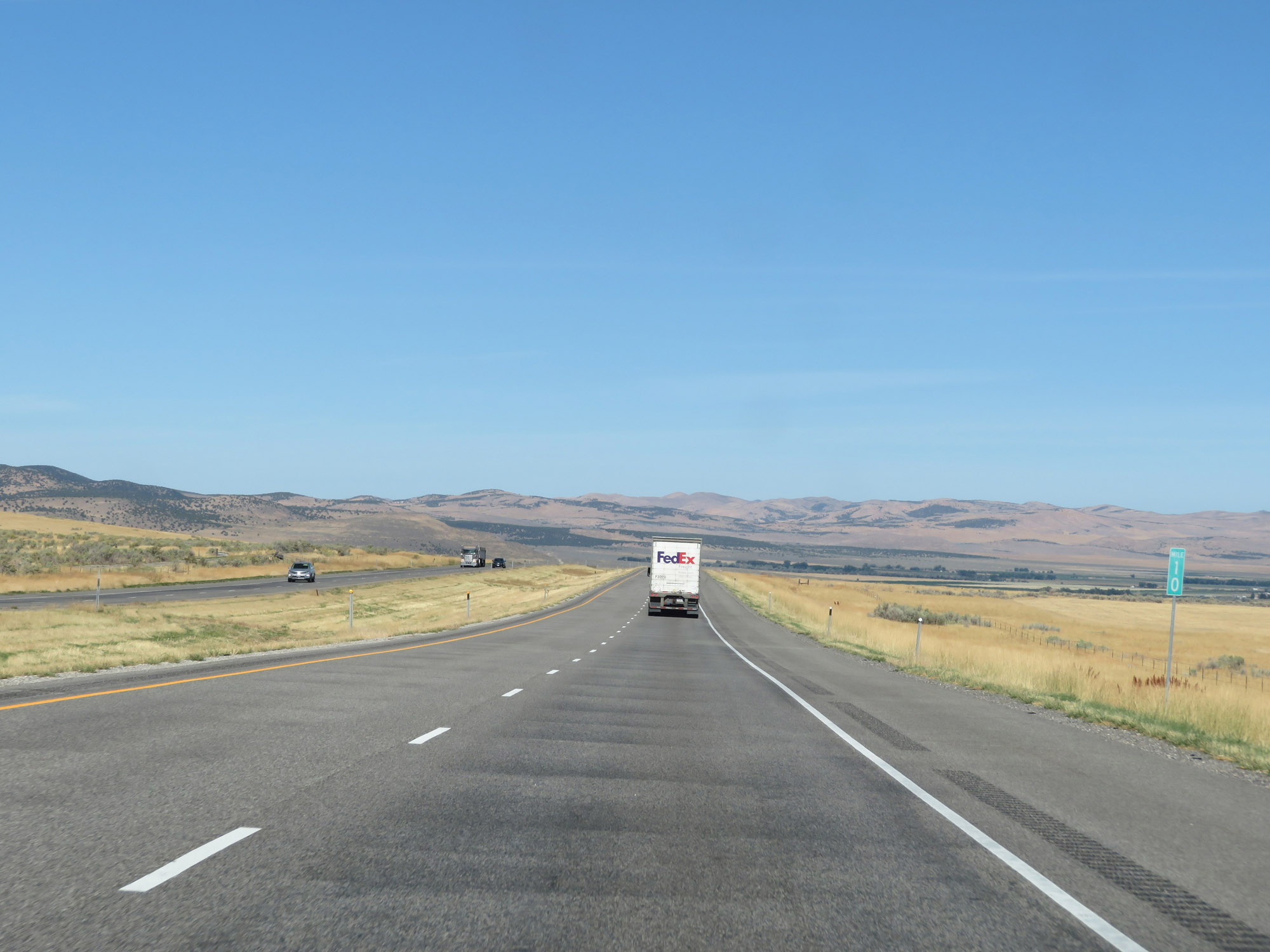 |
Interstate 84 West at mile marker 10. (Photo taken 9/25/19). |
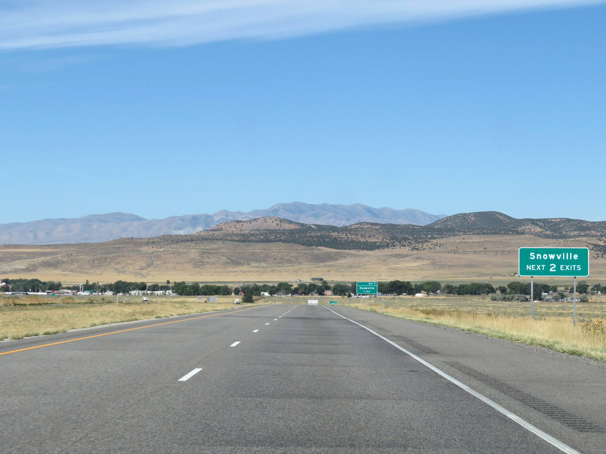 |
Take either of the next 2 exits to Snowville. (Photo taken 9/25/19). |
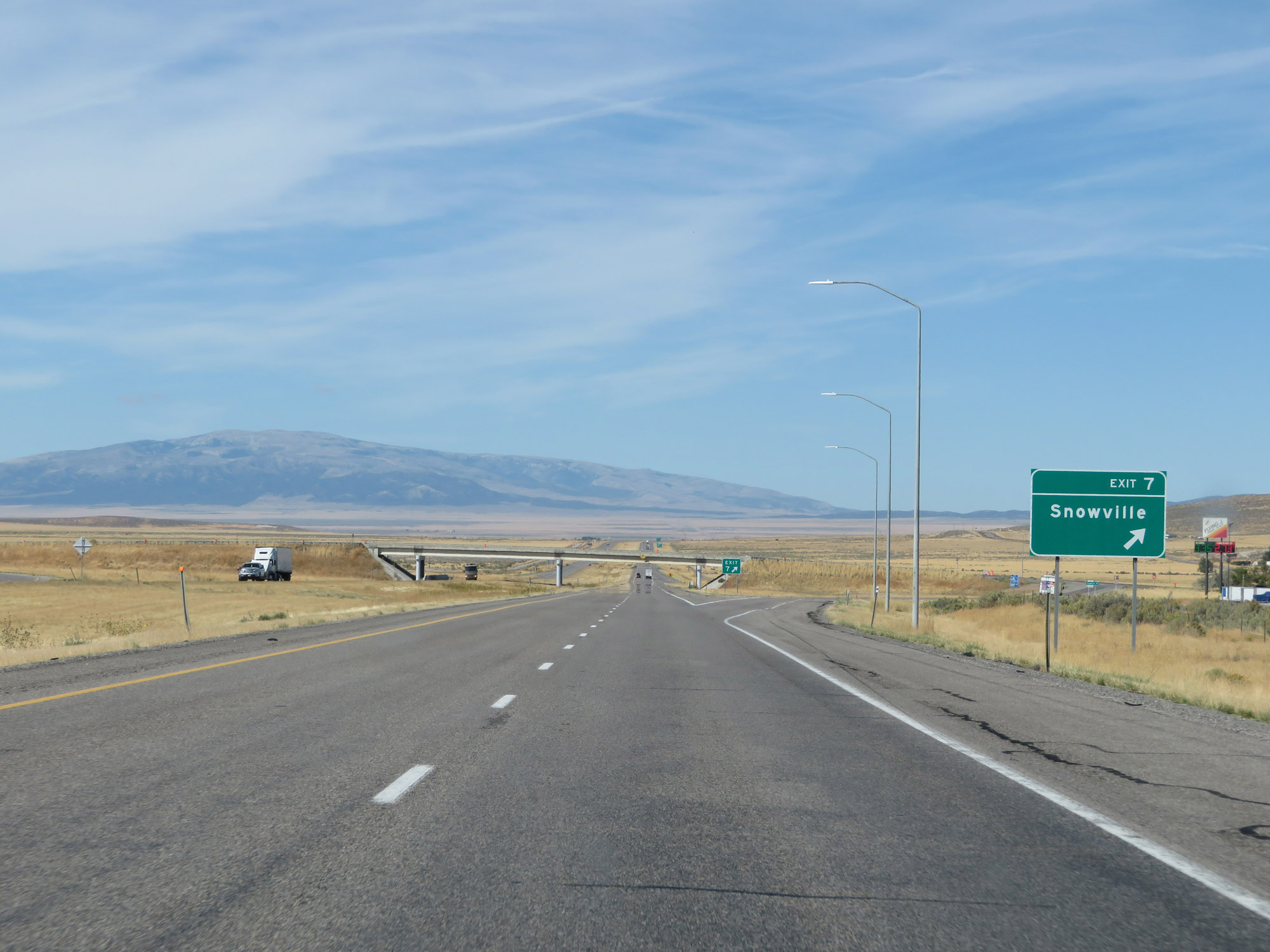 |
Interstate 84 West at Exit 7: Snowville (Photo taken 9/25/19). |
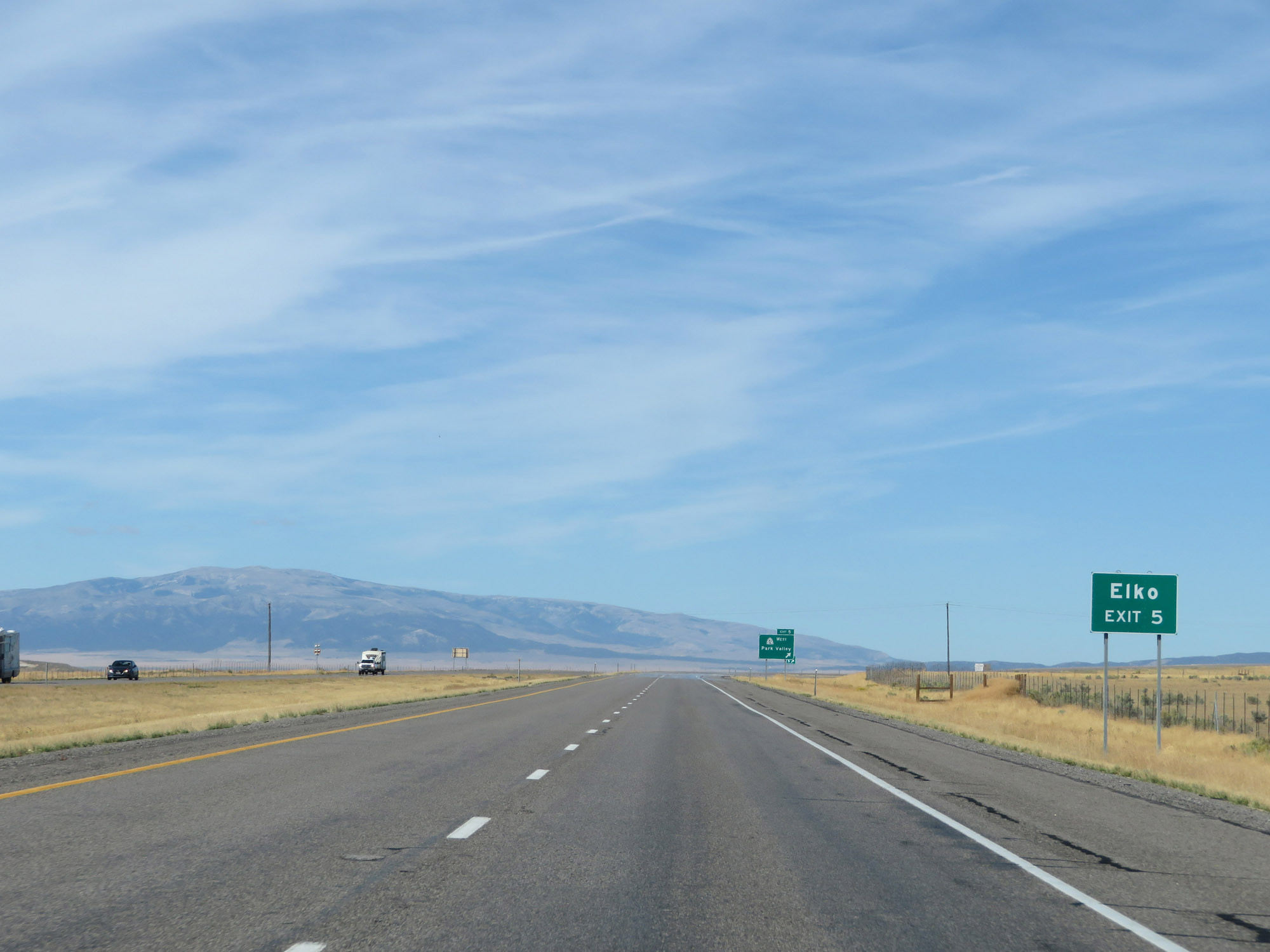 |
Take Exit 5 to Elko. (Photo taken 9/25/19). |
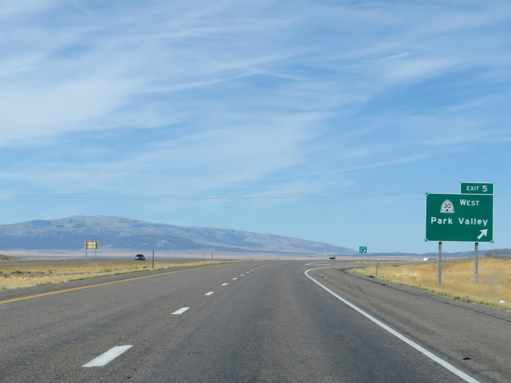 |
Interstate 84 West at Exit 5: UT 30 West - Park Valley (Photo taken 9/25/19). |
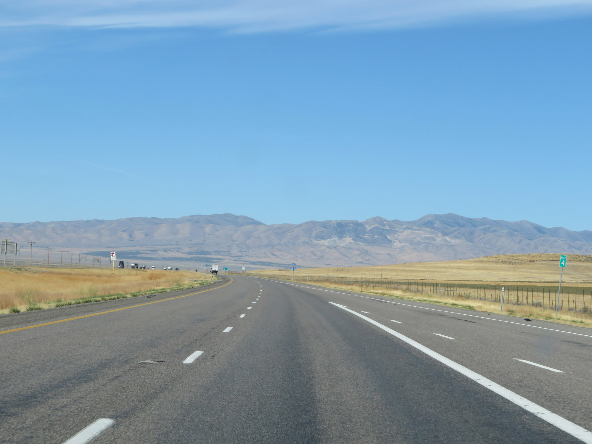 |
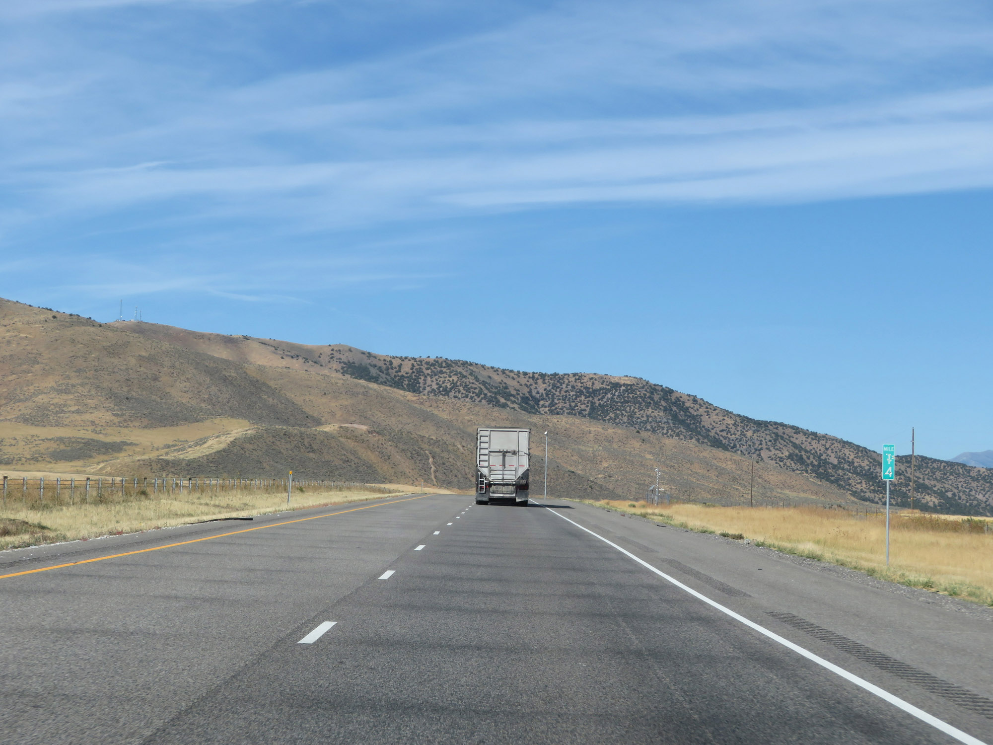
View on Interstate 84 West at mile marker 4. (Photo taken 9/25/19). |
 |
One final Interstate 84 West reassurance shield. (Photo taken 9/25/19). |
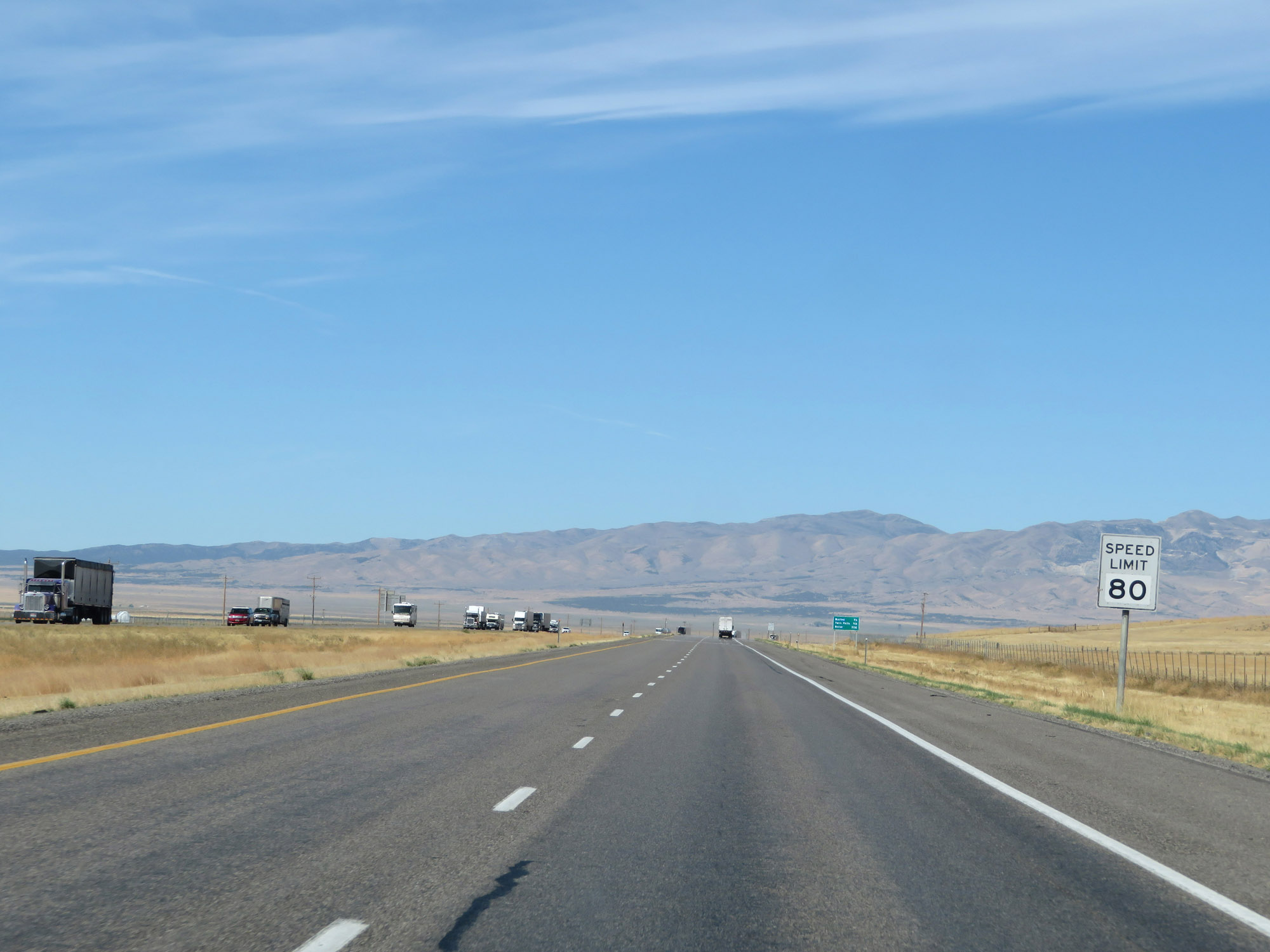 |
The speed limit remains 80 mph. (Photo taken 9/25/19). |
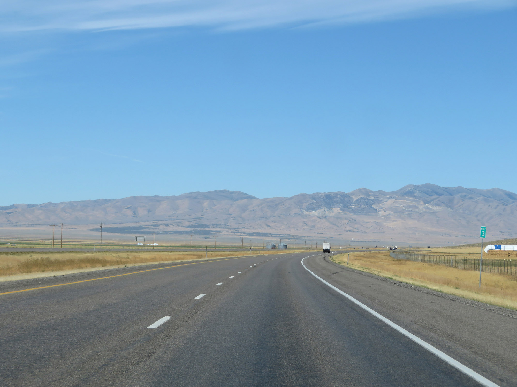 |
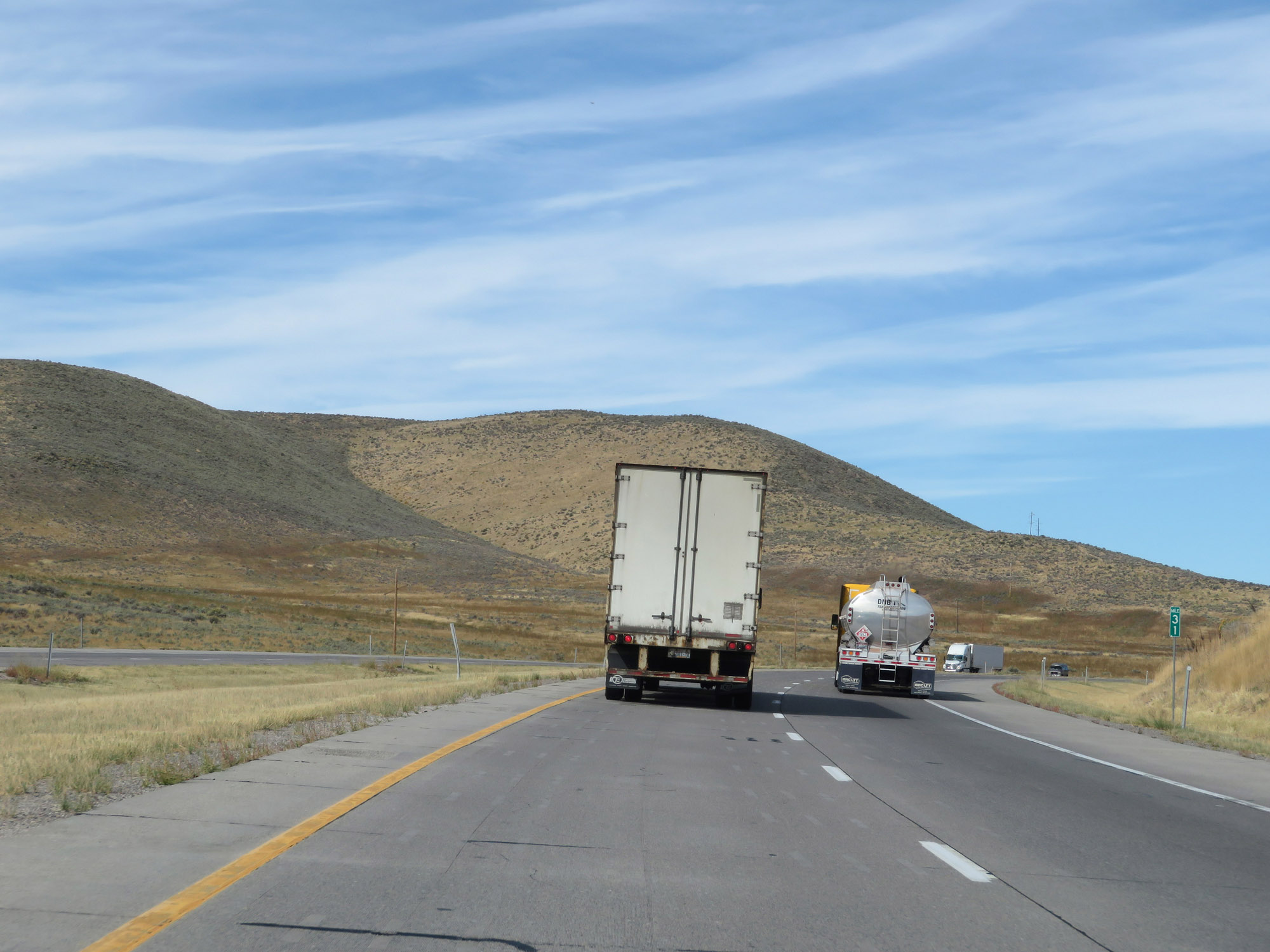
Interstate 84 West at mile marker 3. (Photo taken 9/25/19). |
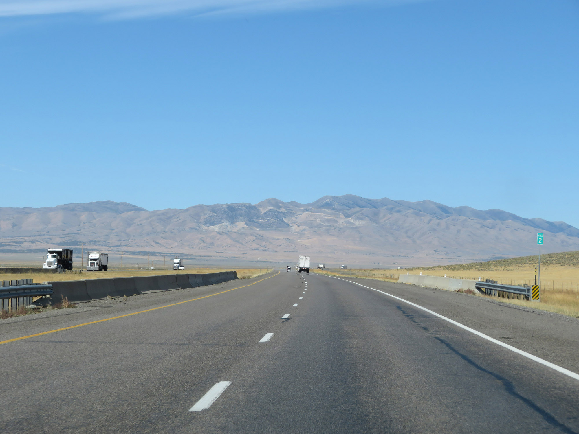 |
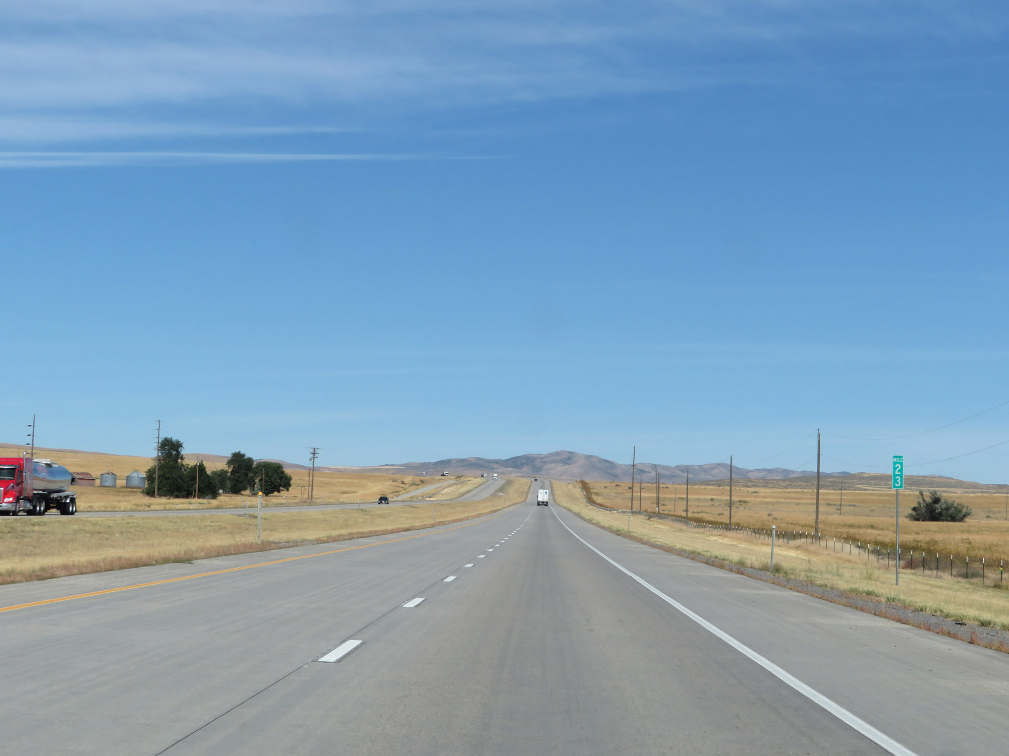
View on Interstate 84 West at mile marker 2. (Photo taken 9/25/19). |
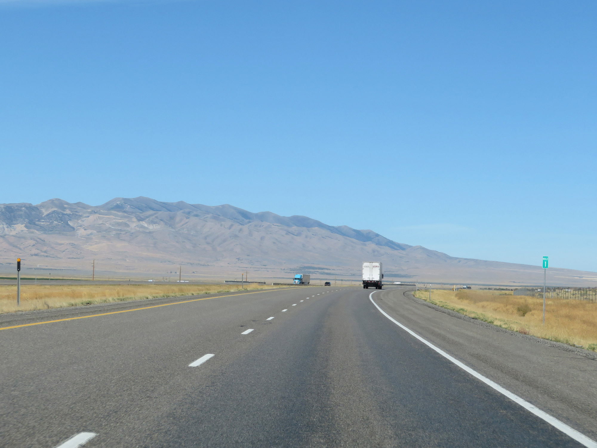 |
Interstate 84 West at mile marker 1. (Photo taken 9/25/19). |
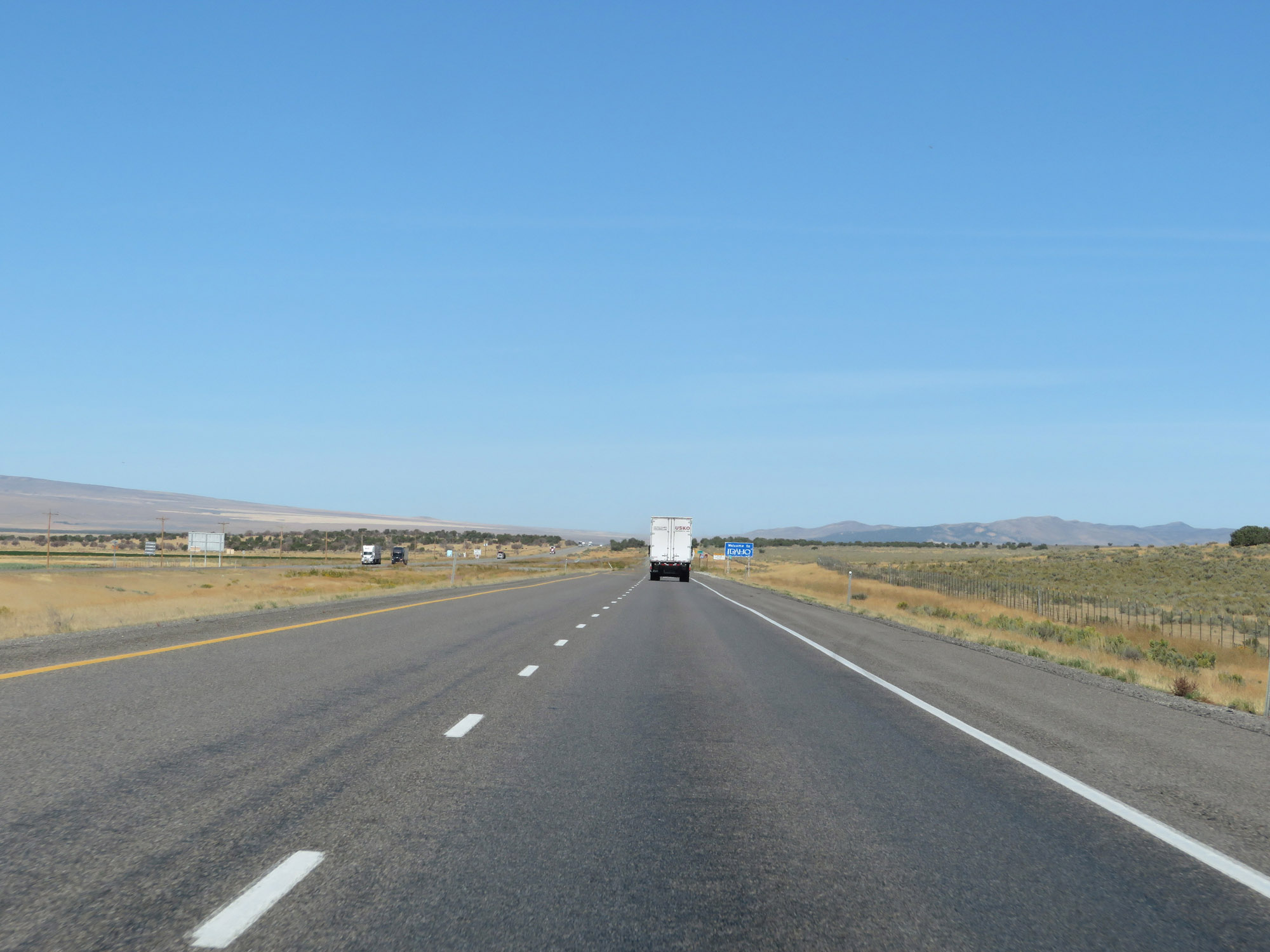 |
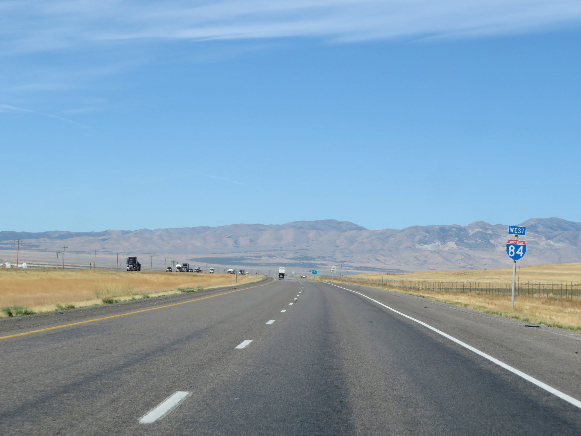
Interstate 84 West as it prepares to enter Idaho just ahead. (Photo taken 9/25/19). |