Road Information |
||
 |
||
| Total Mileage in State: | 120 miles | |
| Eastern End: | At I-80, near Echo | |
| Western End: | At Idaho state line | |
| Mileage covered in Photos: | 120 miles | |
| Counties covered in Photos: | Box Elder, Weber, Davis, Morgan, Summit | |
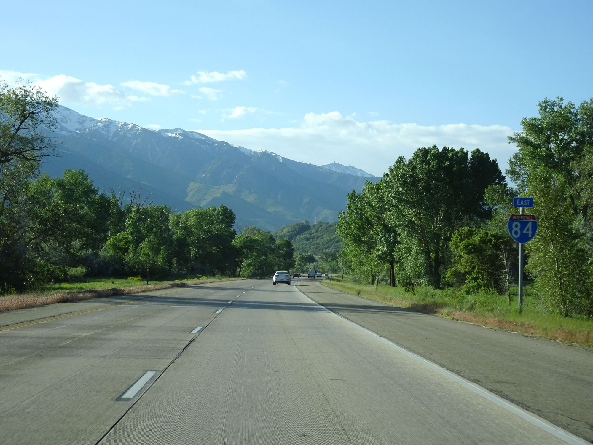
| Major Junctions in Photos: | I-15, near Tremonton US 91, in Willard I-15, in Riverdale US 89, in Uintah I-80, near Echo |
|
| Control Cities in Photos: | Snowville, Tremonton, Riverdale, Uintah, Morgan | |
Eastbound
- Section 1: Idaho Border to Tremonton (Exit 376)
- Section 2: Tremonton (Exit 376) to Riverdale (Exit 81)
- Section 3: Riverdale (Exit 81) to Interstate 80
Section 1: Idaho Border to Tremonton (Exit 376)
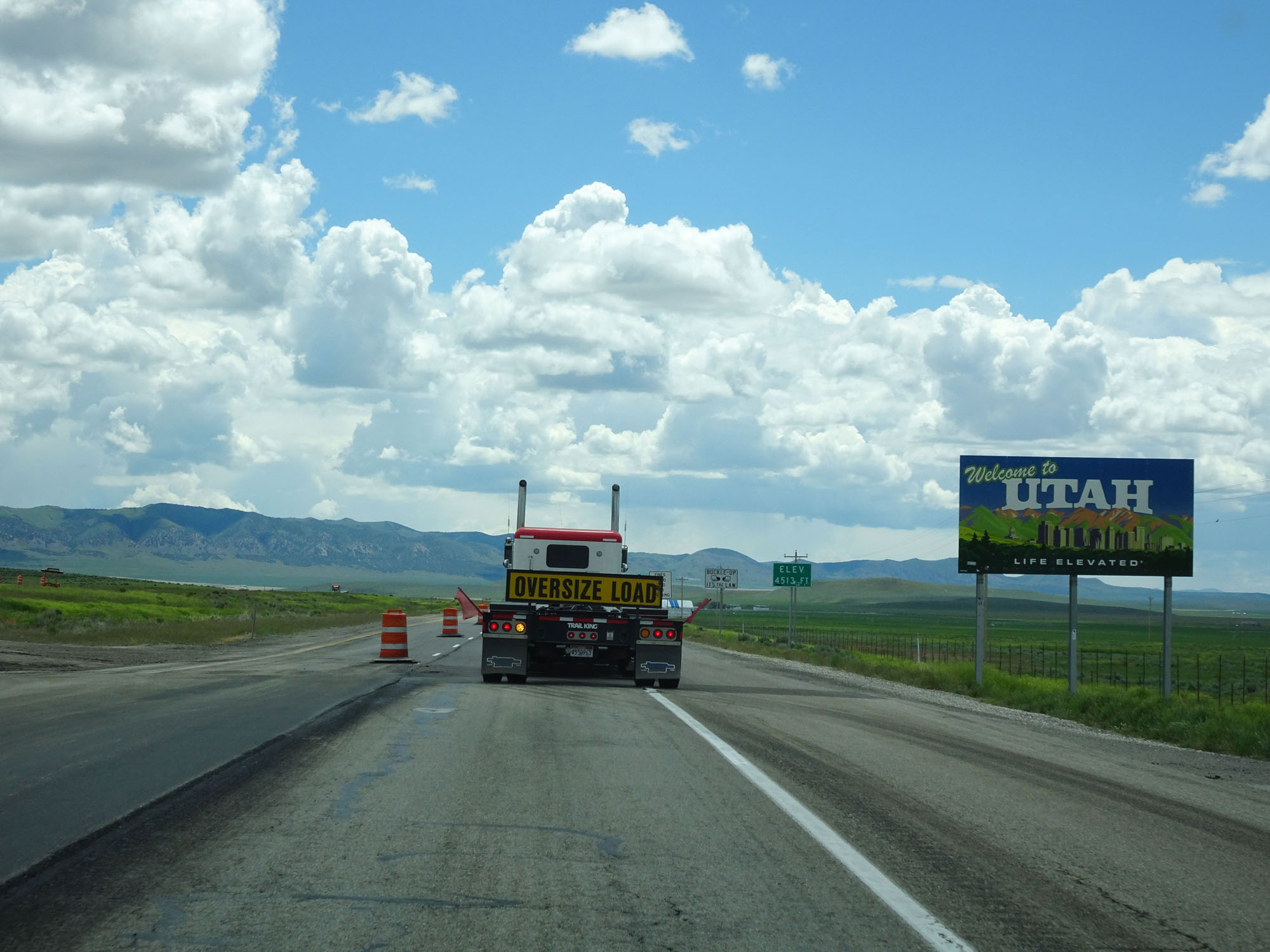 |
Utah welcome sign as Interstate 84 East enters the Beehive State from Idaho. (Photo taken 5/26/16). |
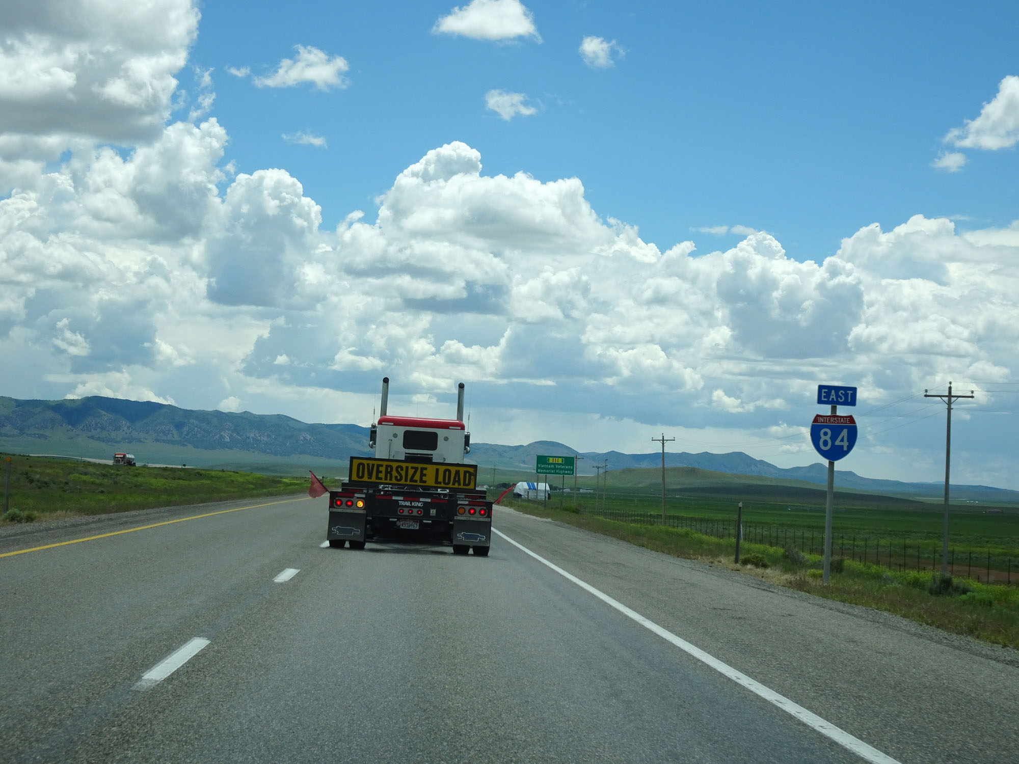 |
Interstate 84 East reassurance shield. (Photo taken 5/26/16). |
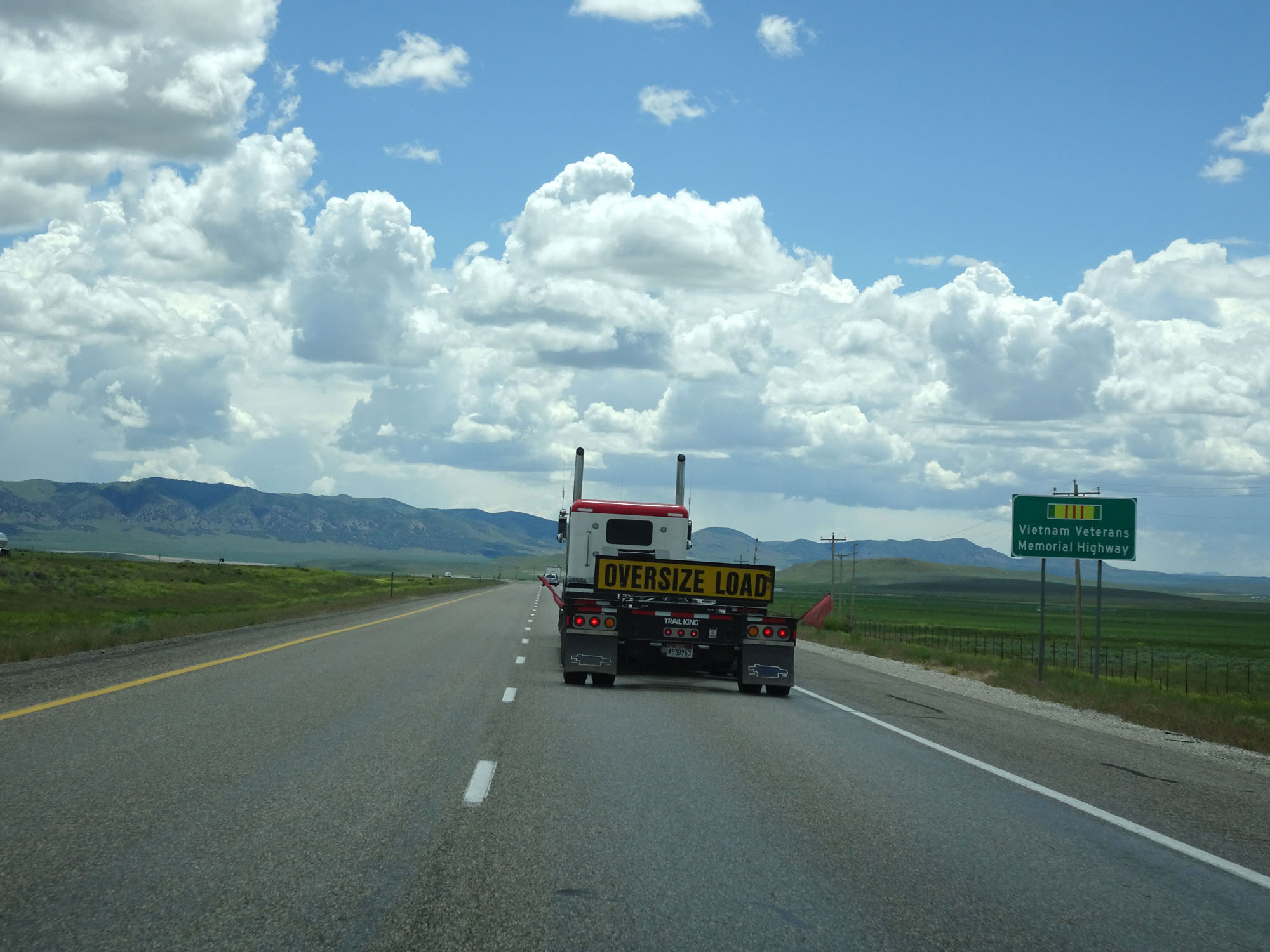 |
Interstate 84 in Utah is also known as the Vietnam Veterans Memorial Highway, as this sign reads. (Photo taken 5/26/16). |
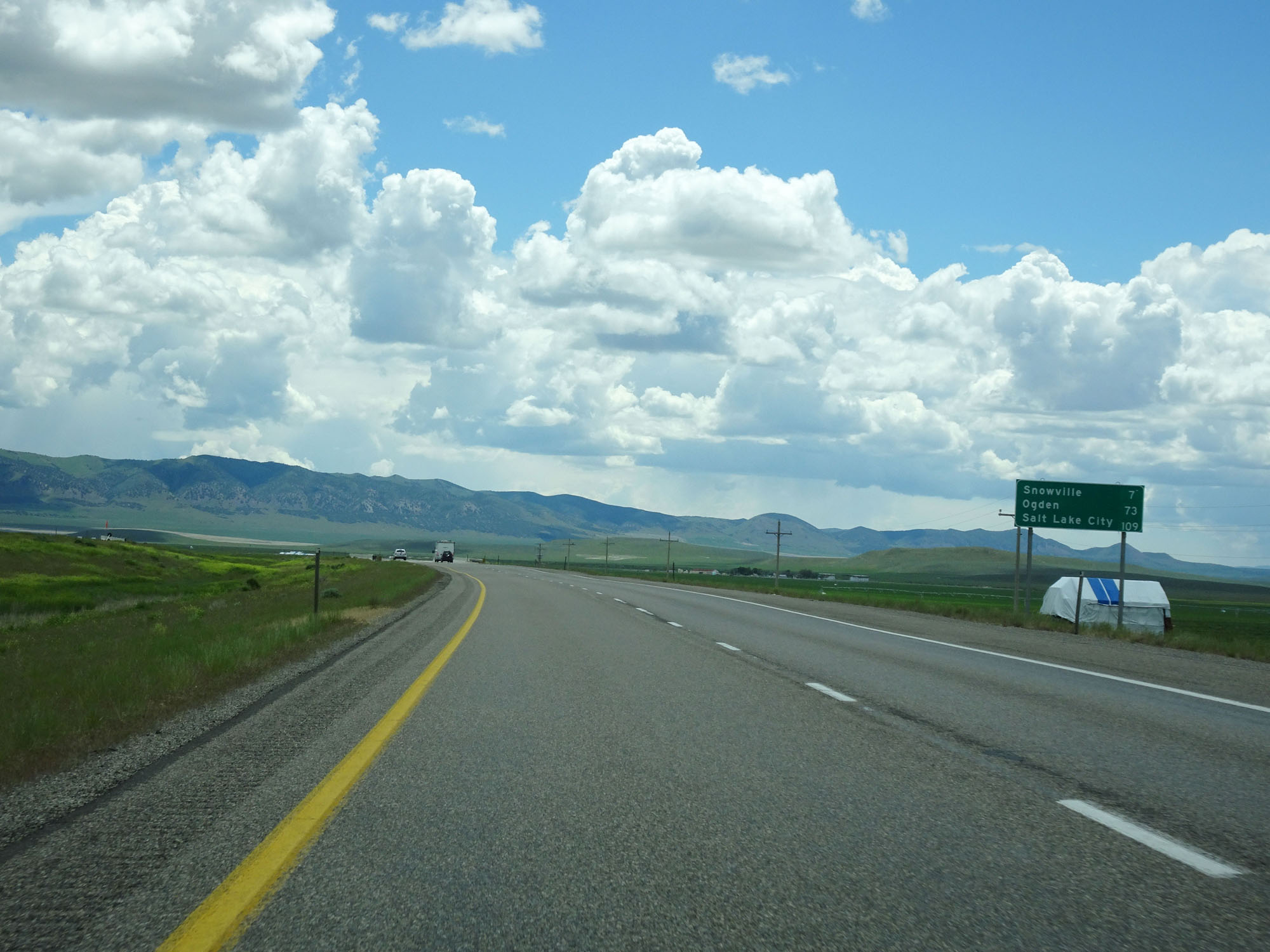 |
Mileage sign on Interstate 84 East. It's 7 miles to Snowville, 73 miles to Ogden, and 109 miles to Salt Lake City. (Photo taken 5/26/16). |
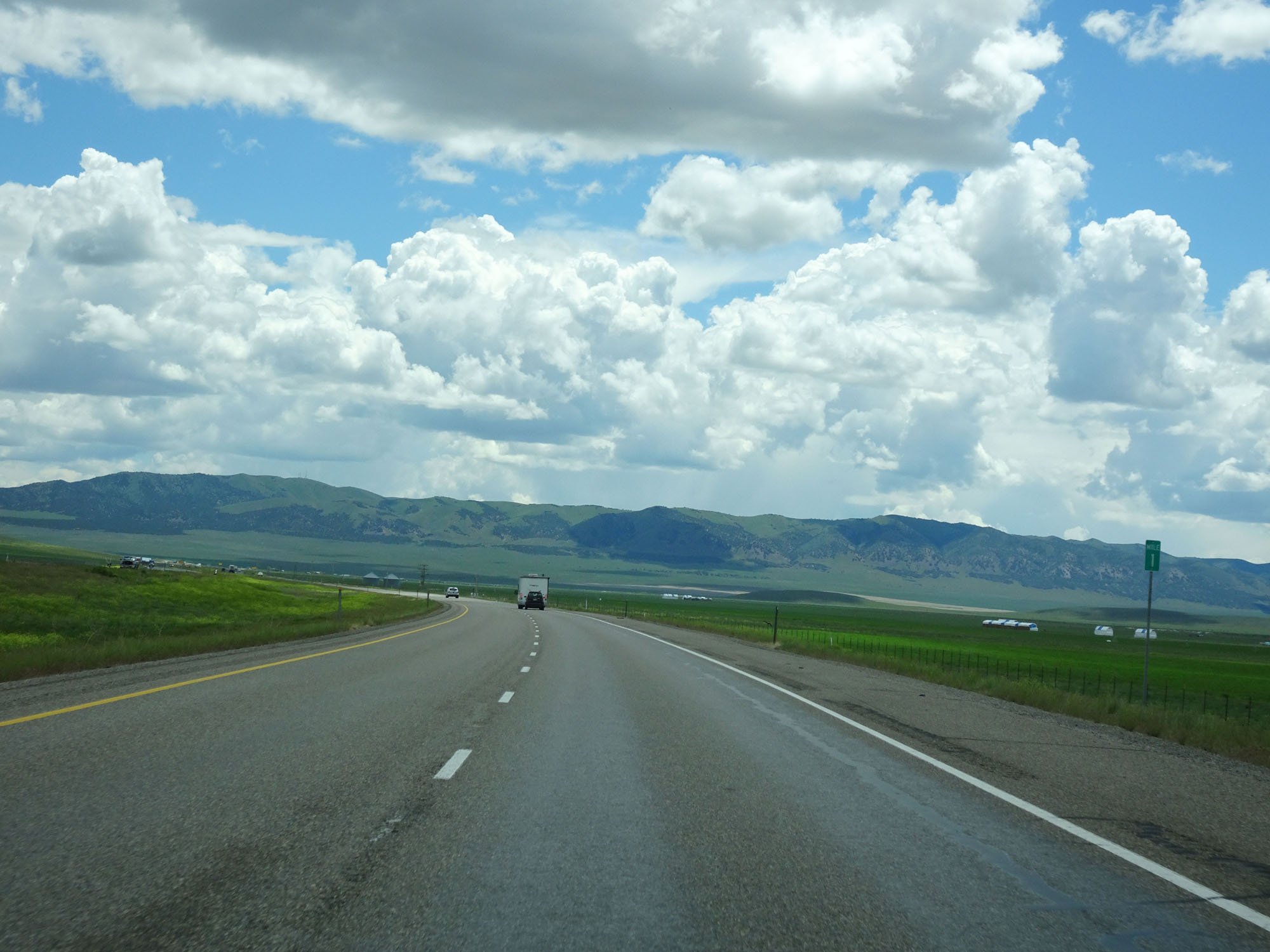 |
Interstate 84 East at mile marker 1. (Photo taken 5/26/16). |
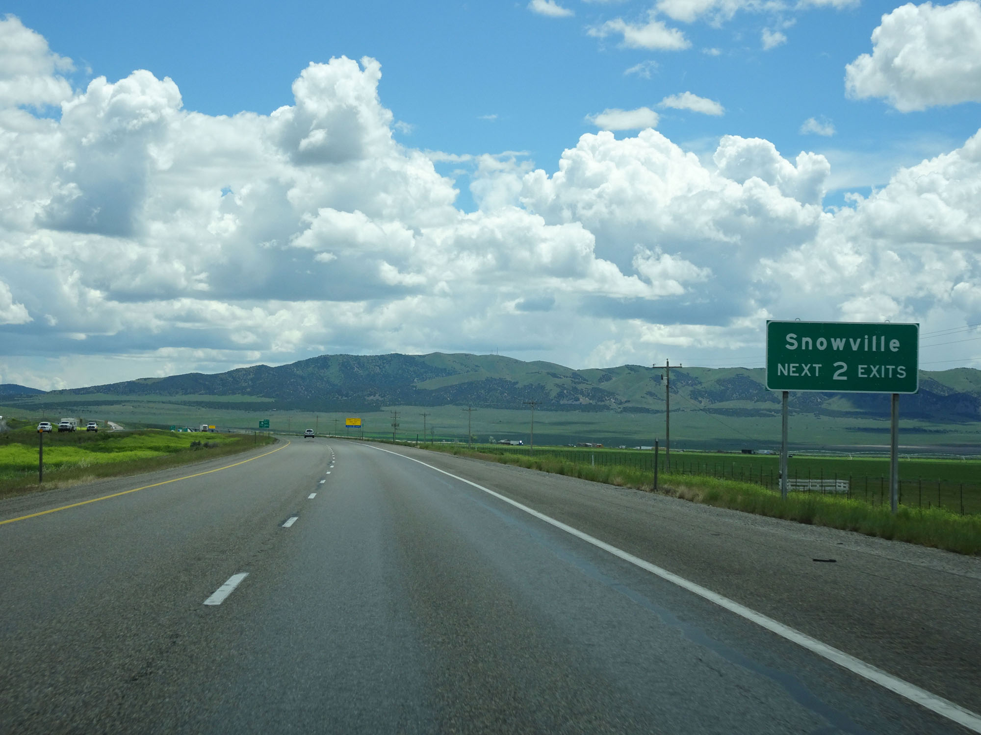 |
Take either of the next 2 exits to Snowville. (Photo taken 5/26/16). |
 |
Interstate 84 East at mile marker 3. (Photo taken 5/26/16). |
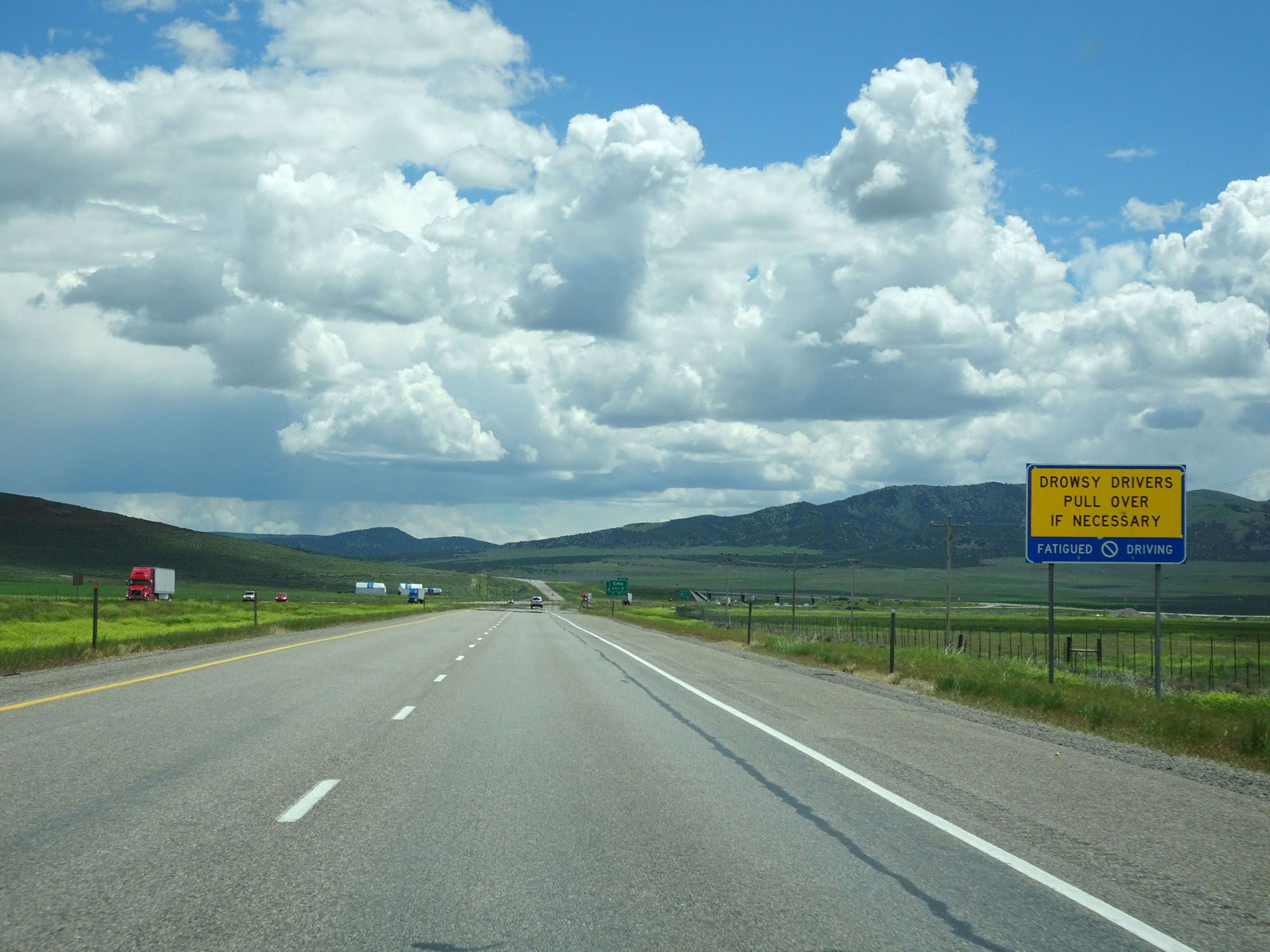 |
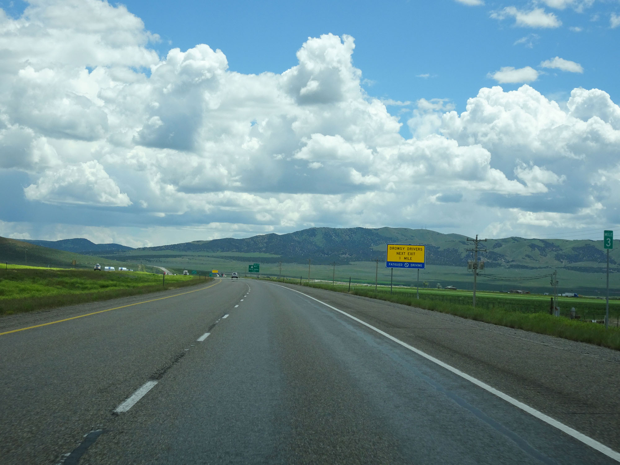
This sign encourages drowsy drivers to stop if necessary. (Photo taken 5/26/16). |
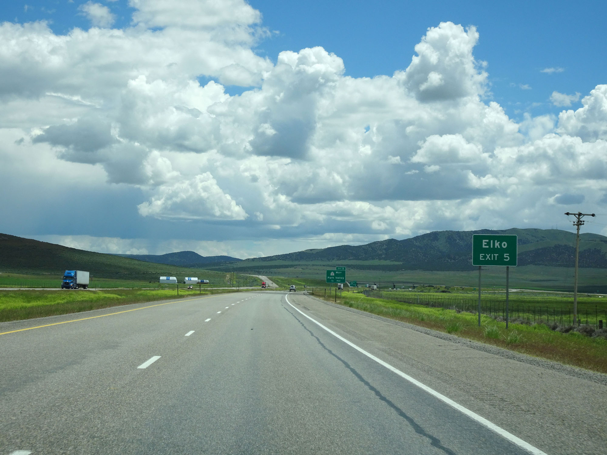 |
Take Exit 5 to Elko. (Photo taken 5/26/16). |
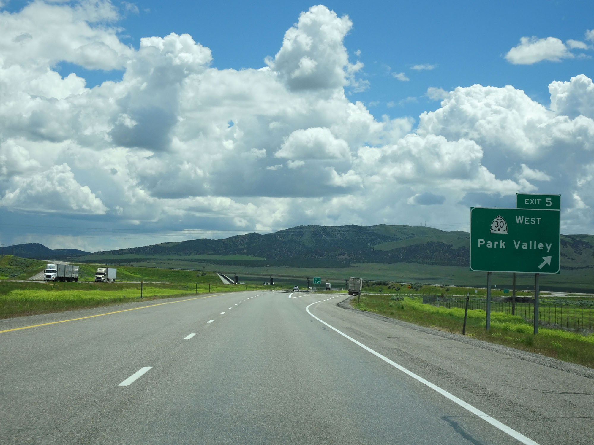 |
Interstate 84 East at Exit 5: UT 30 West - Park Valley (Photo taken 5/26/16). |
 |
Another Interstate 84 East reassurance shield. (Photo taken 5/26/16). |
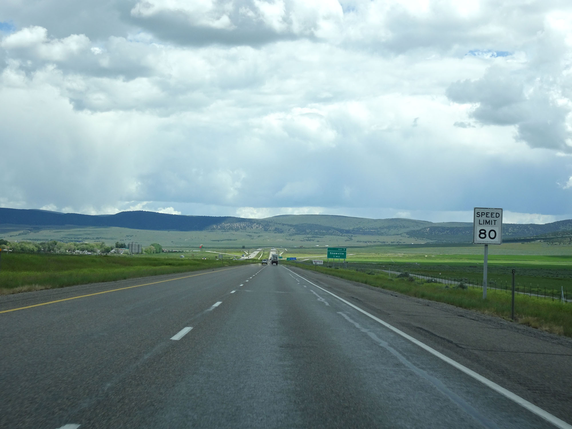 |
The speed limit on most rural Interstate highways in Utah is 80 mph for all traffic, as this sign reads. (Photo taken 5/26/16). |
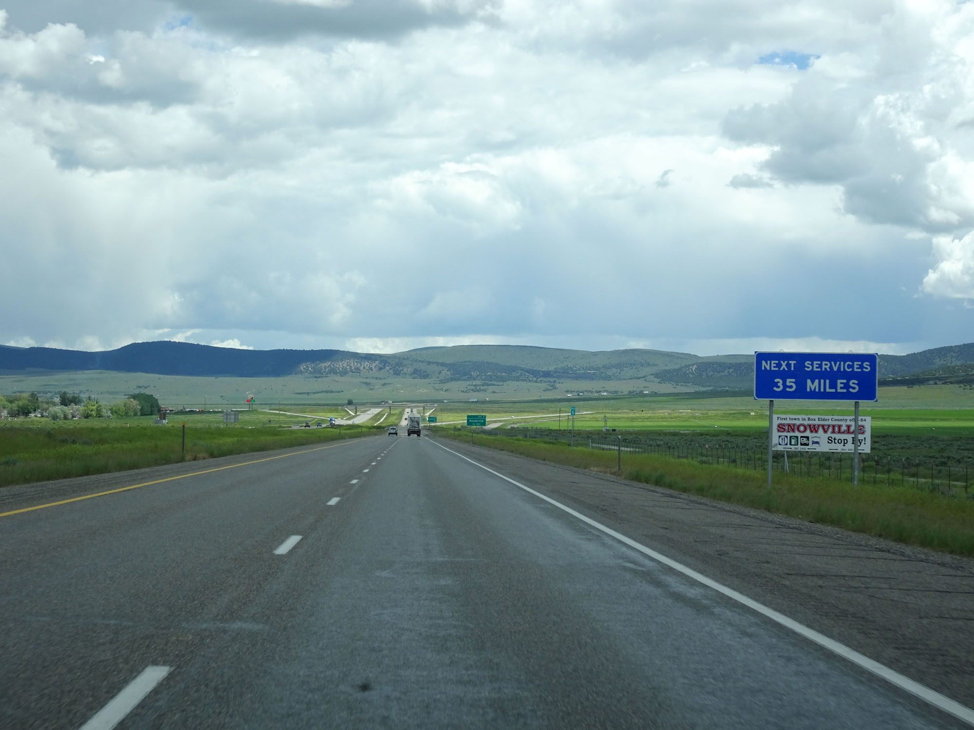 |
The next services beyond the upcoming exit are 35 miles ahead. (Photo taken 5/26/16). |
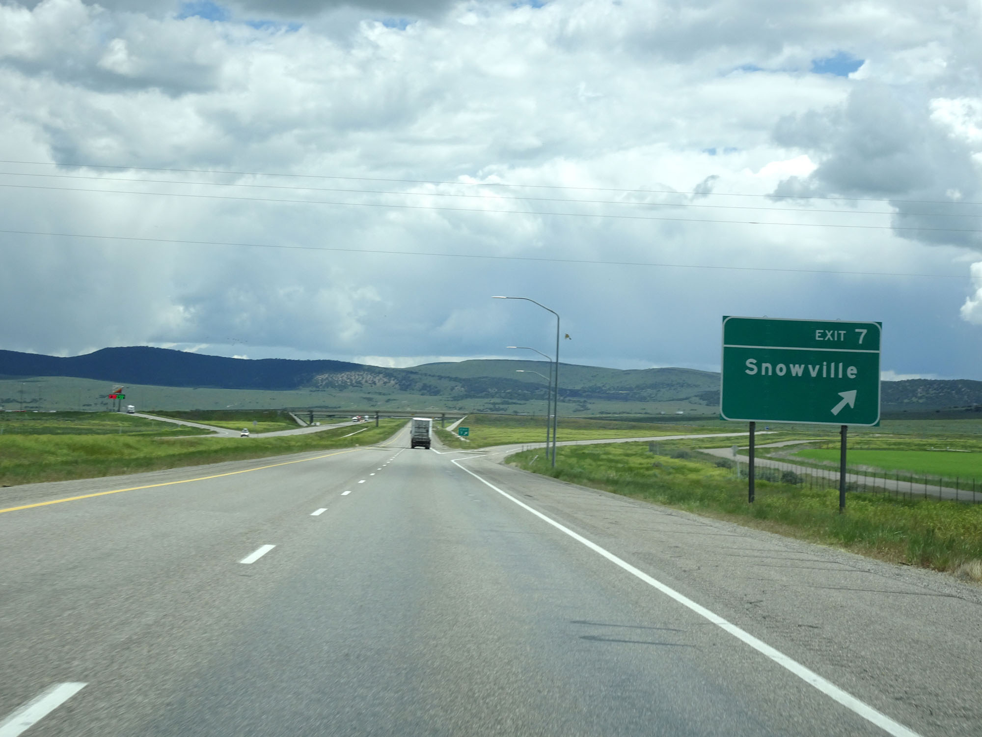 |
Interstate 84 East at Exit 7: Snowville (Photo taken 5/26/16). |
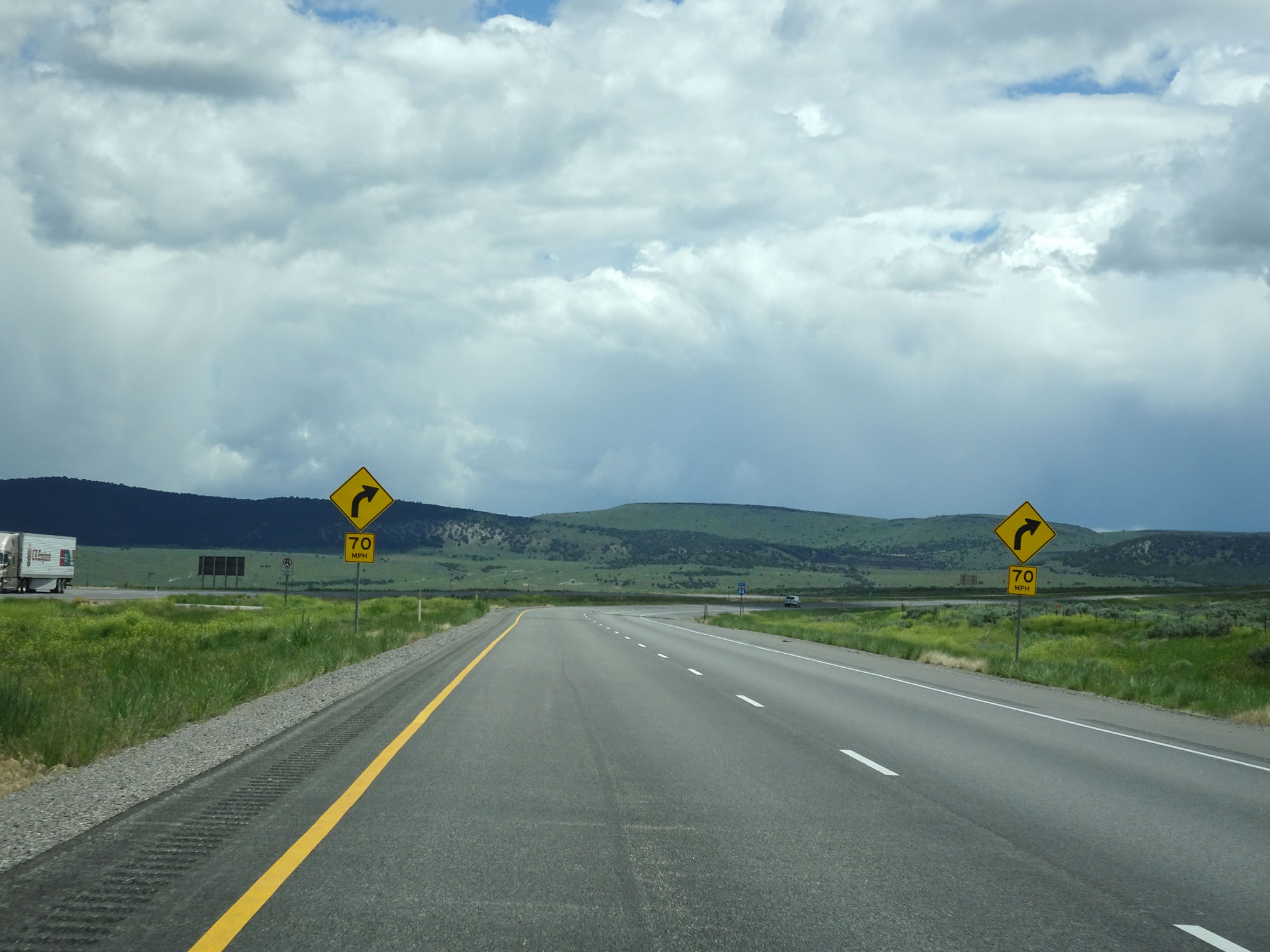 |
View on Interstate 84 East. A 70 mph curve to the right is just ahead. (Photo taken 5/26/16). |
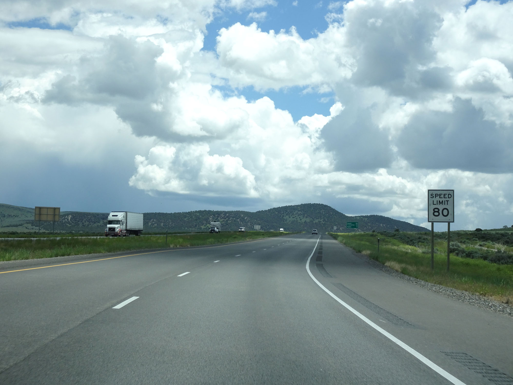 |
The speed limit remains 80 mph. (Photo taken 5/26/16). |
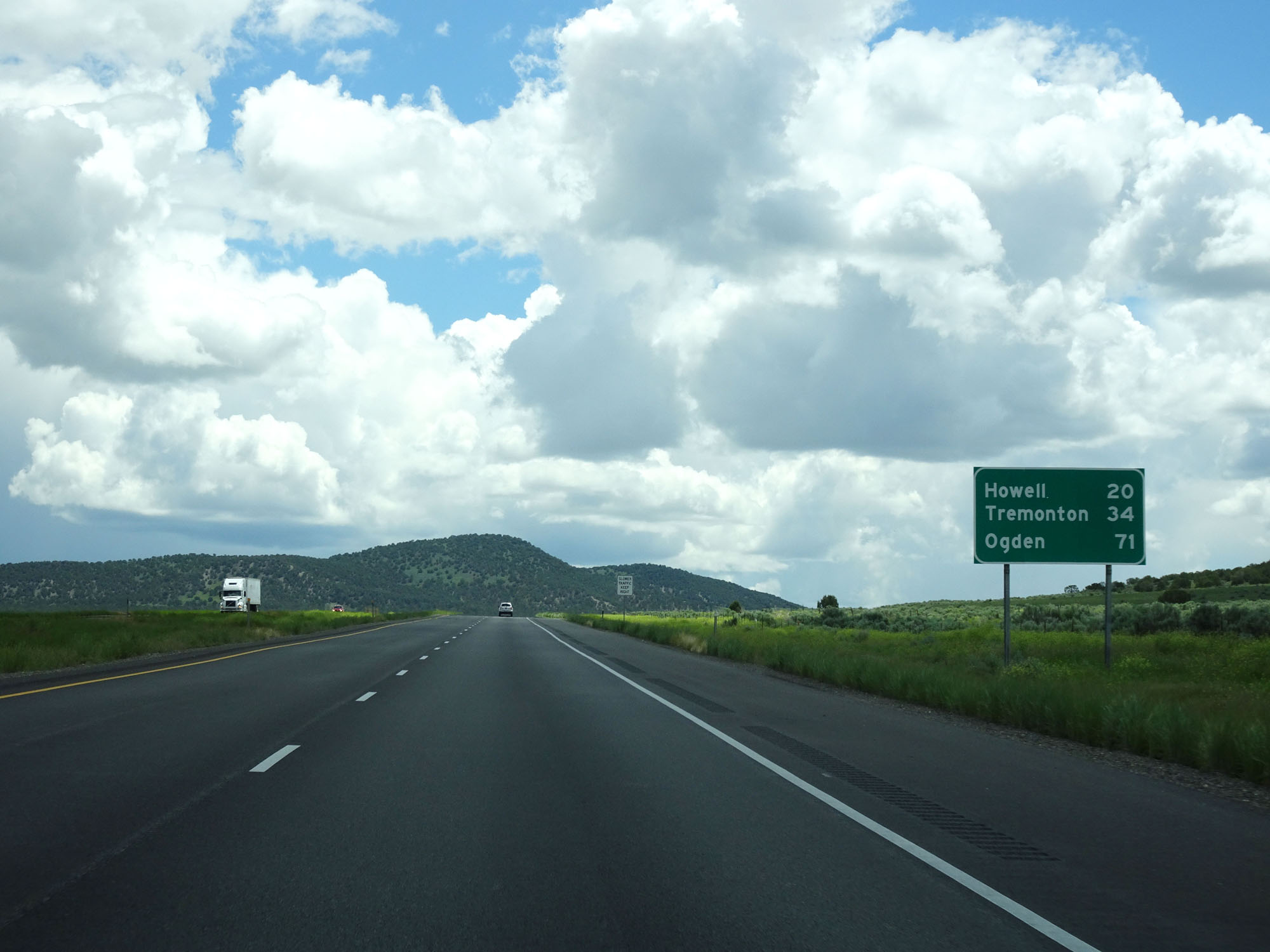 |
Mileage sign on Interstate 84 East. It's 20 miles to Howell, 34 miles to Tremonton, and 71 miles to Ogden. (Photo taken 5/26/16). |
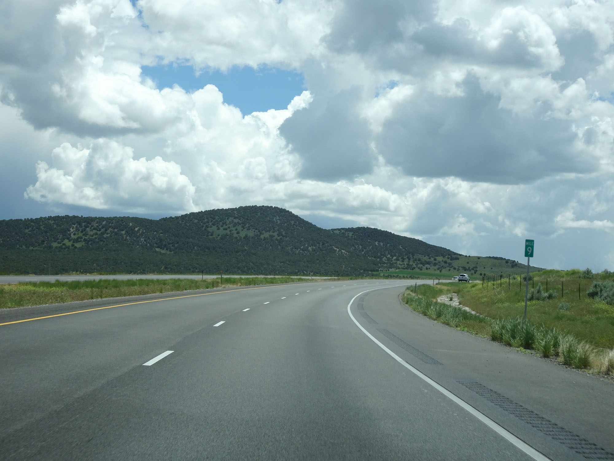 |
Interstate 84 East at mile marker 9. (Photo taken 5/26/16). |
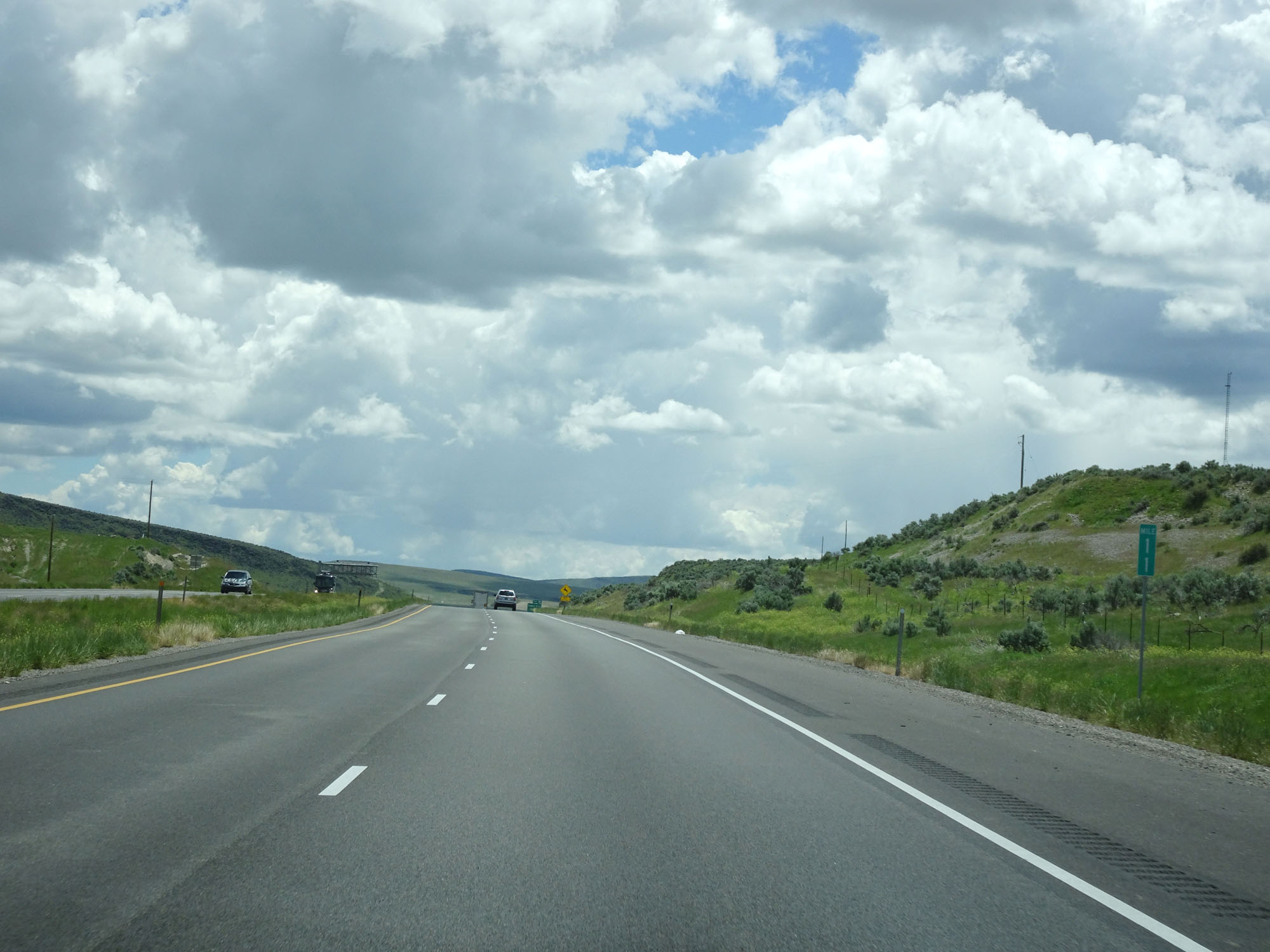 |
Interstate 84 East at mile marker 11. (Photo taken 5/26/16). |
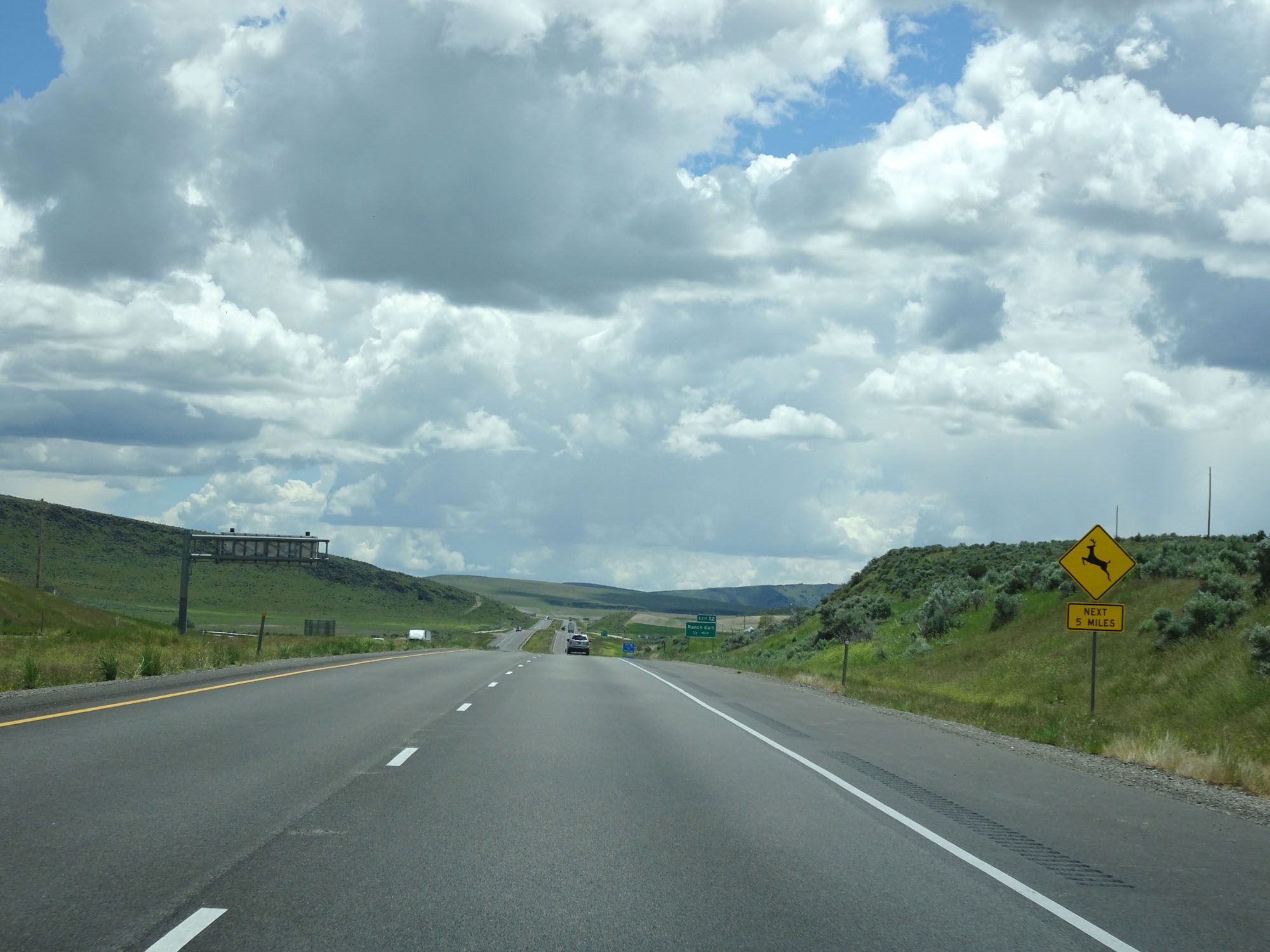 |
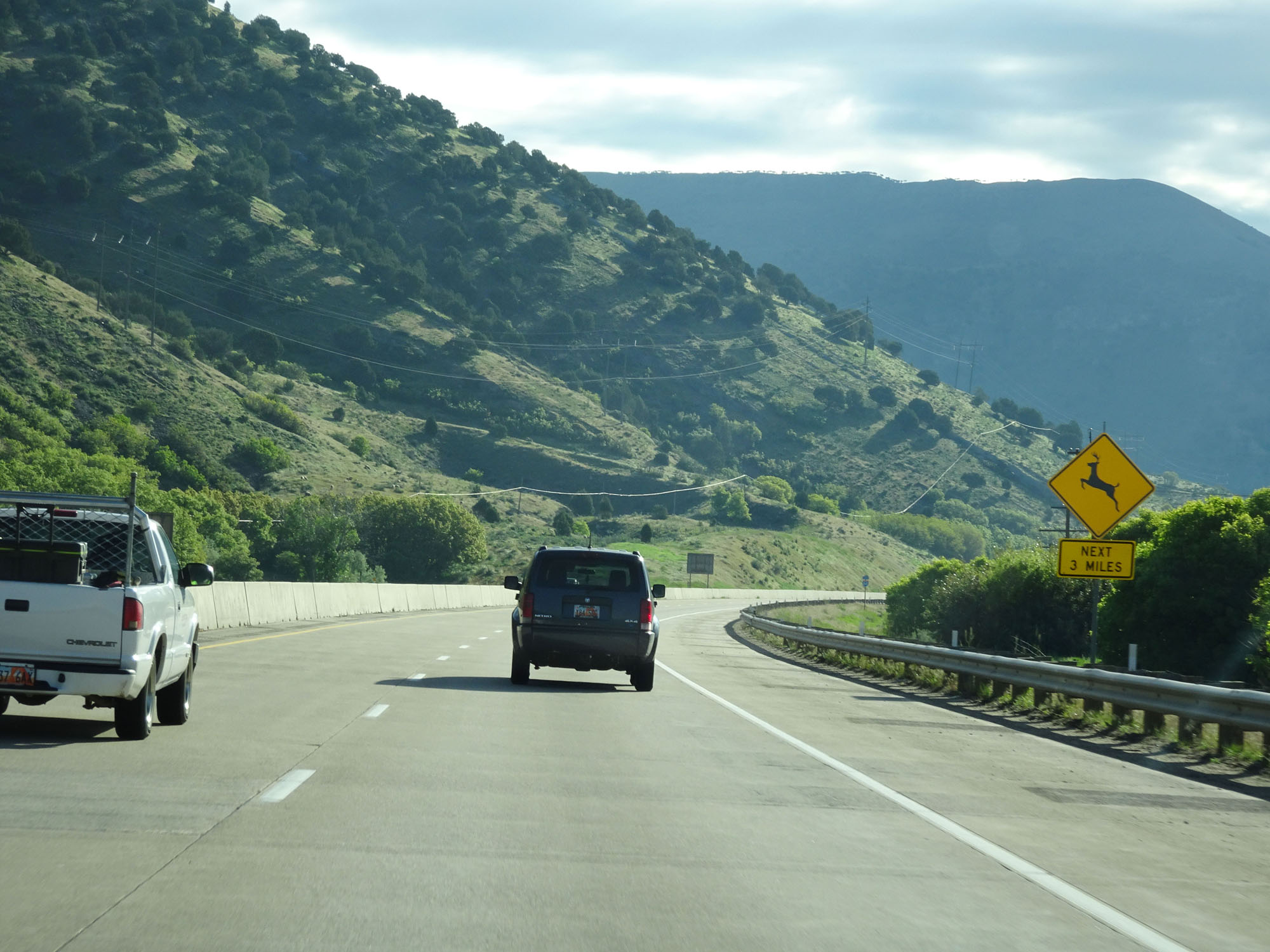
Watch for deer crossing the roadway for the next 5 miles. (Photo taken 5/26/16). |
 |
There are no services available off Exit 12. (Photo taken 5/26/16). |
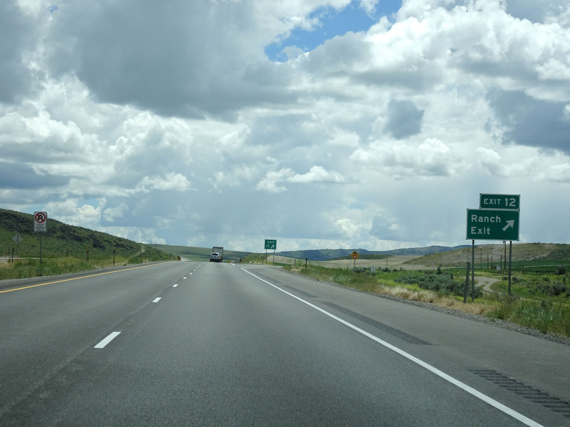 |
Interstate 84 East at Exit 12: Ranch Exit (Photo taken 5/26/16). |
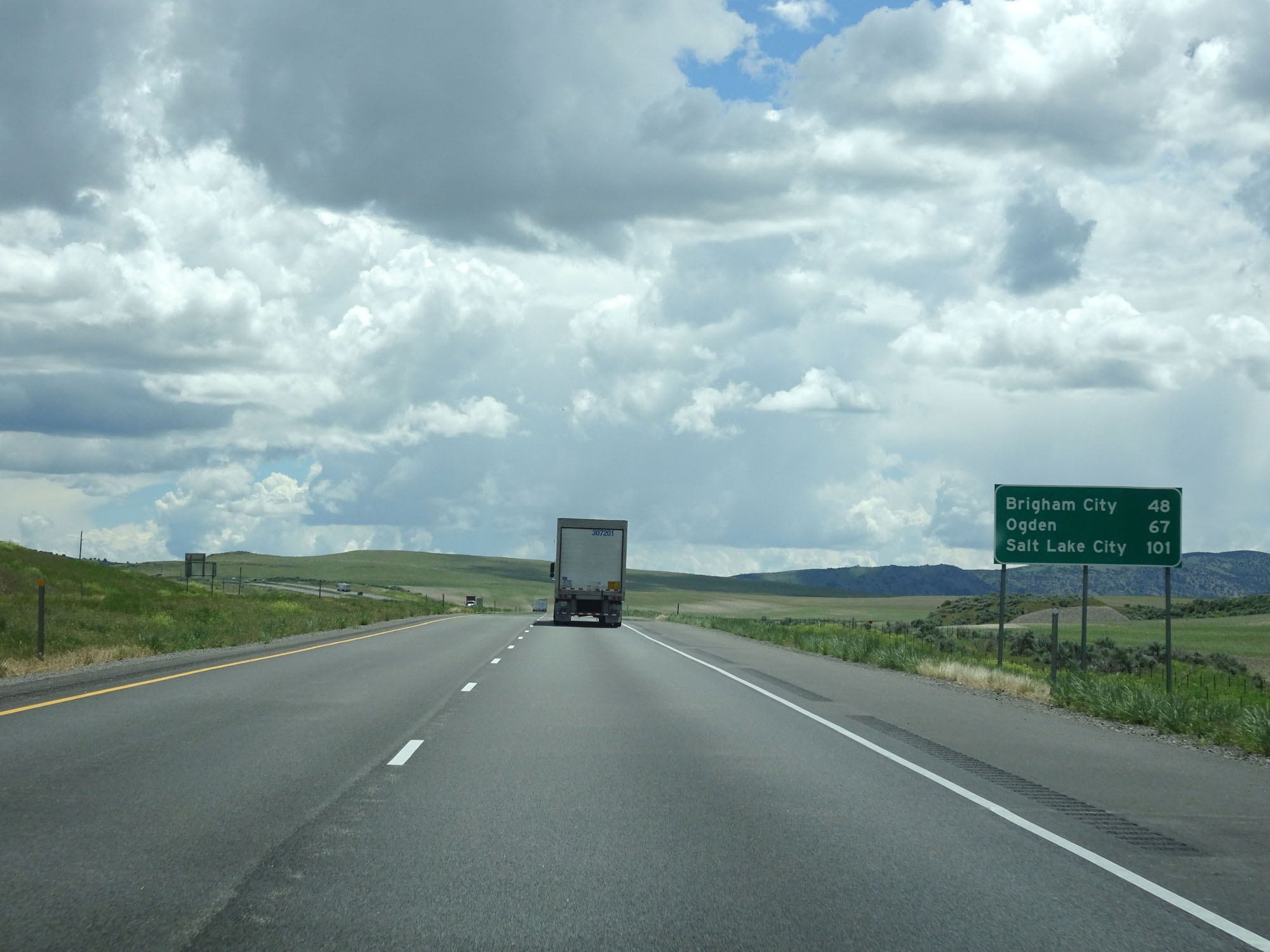 |
Another mileage sign on Interstate 84 East. It's 48 miles to Brigham City, 67 miles to Ogden, and 101 miles to Salt Lake City. (Photo taken 5/26/16). |
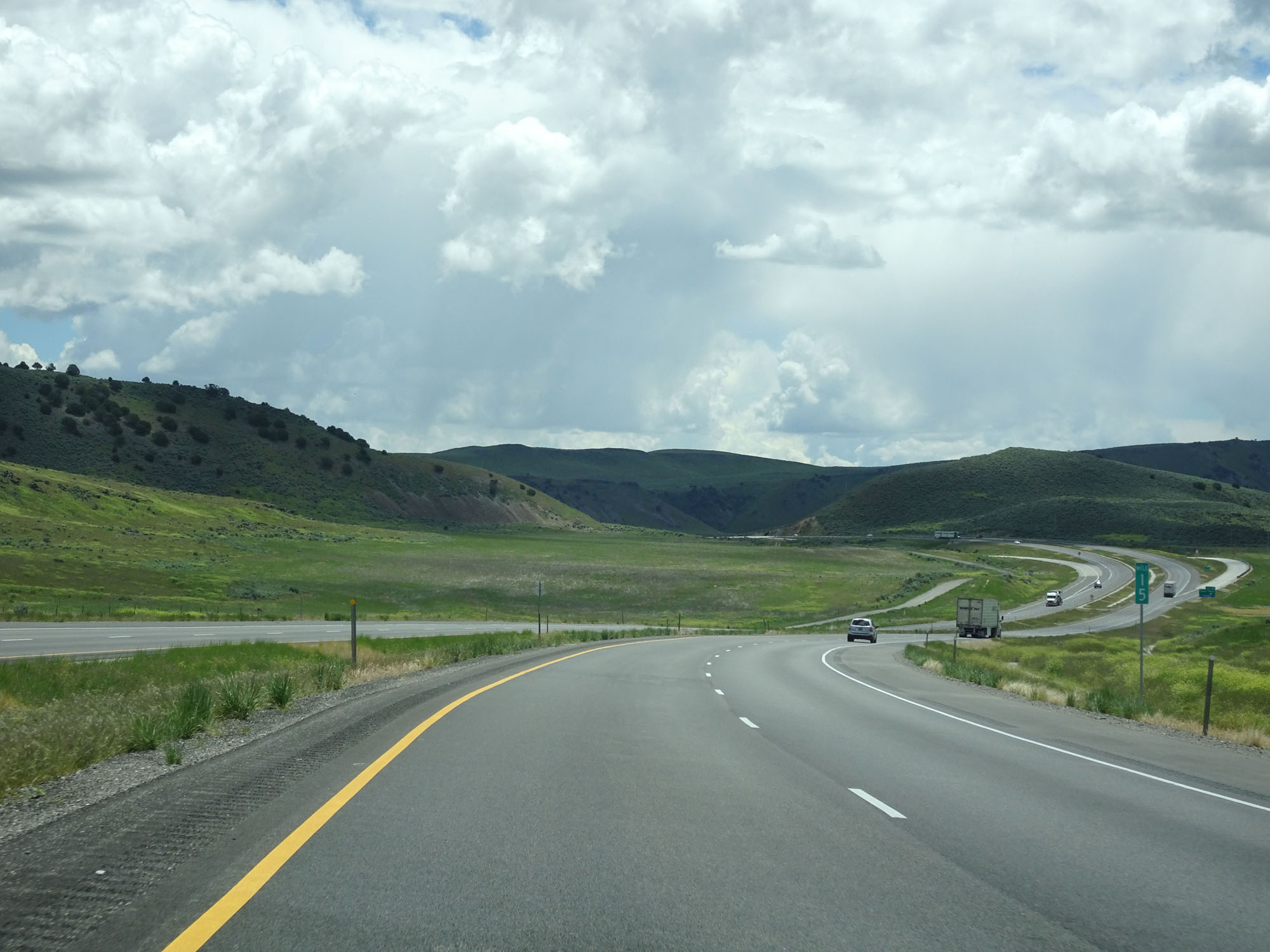 |
Interstate 84 East at mile marker 15. (Photo taken 5/26/16). |
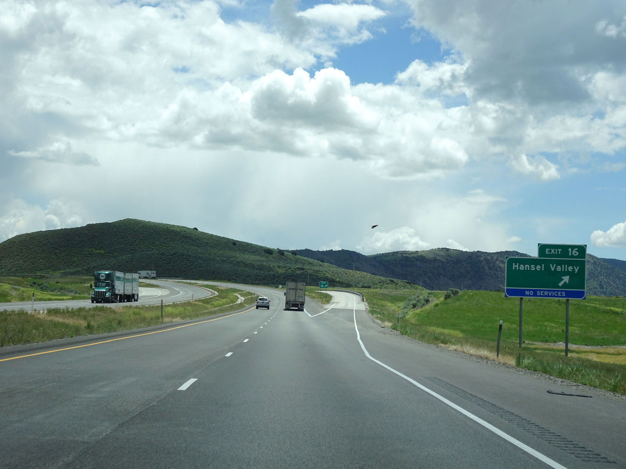 |
Interstate 84 East at Exit 16: Hansel Valley (Photo taken 5/26/16). |
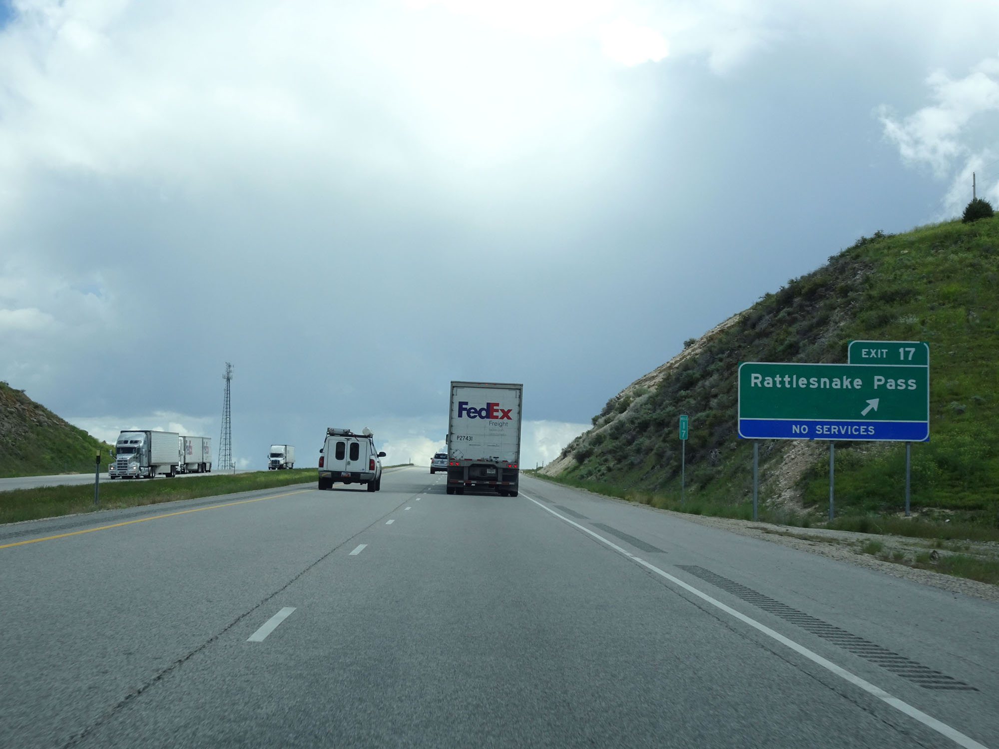 |
Interstate 84 East at Exit 17: Rattlesnake Pass (Photo taken 5/26/16). |
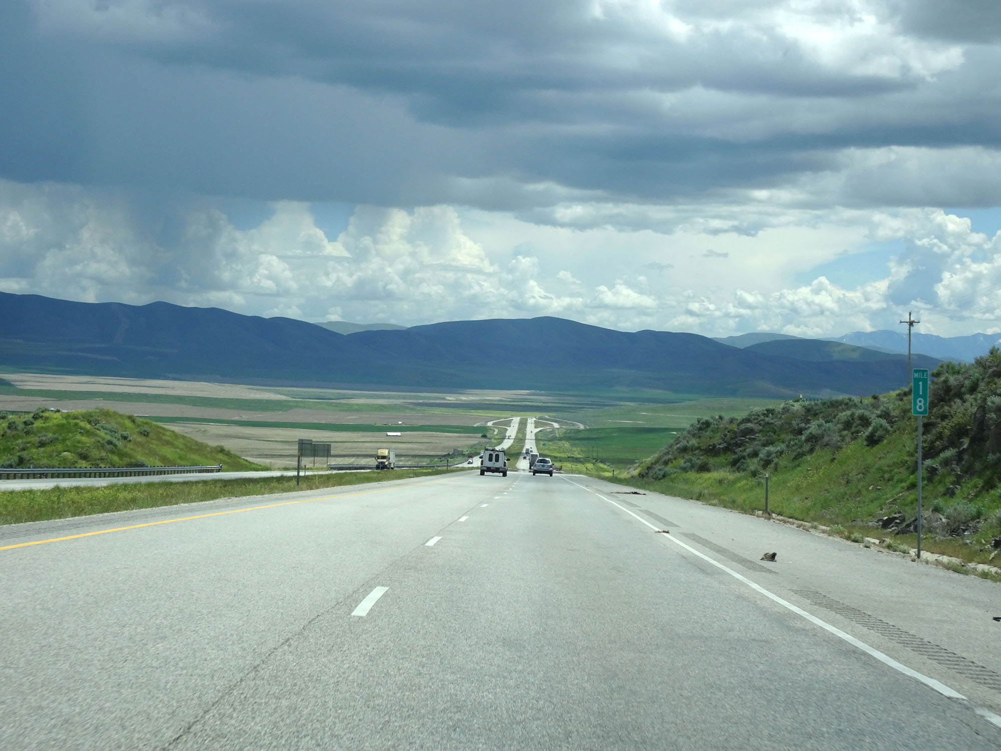 |
Interstate 84 East at mile marker 18. (Photo taken 5/26/16). |
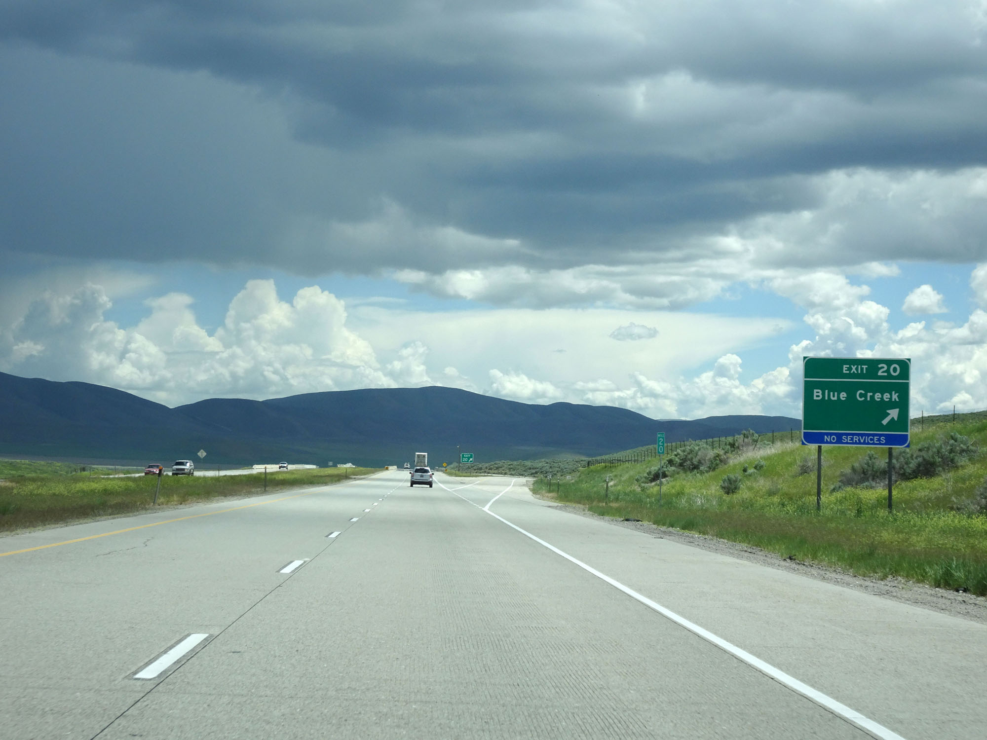 |
Interstate 84 East at Exit 20: Blue Creek (Photo taken 5/26/16). |
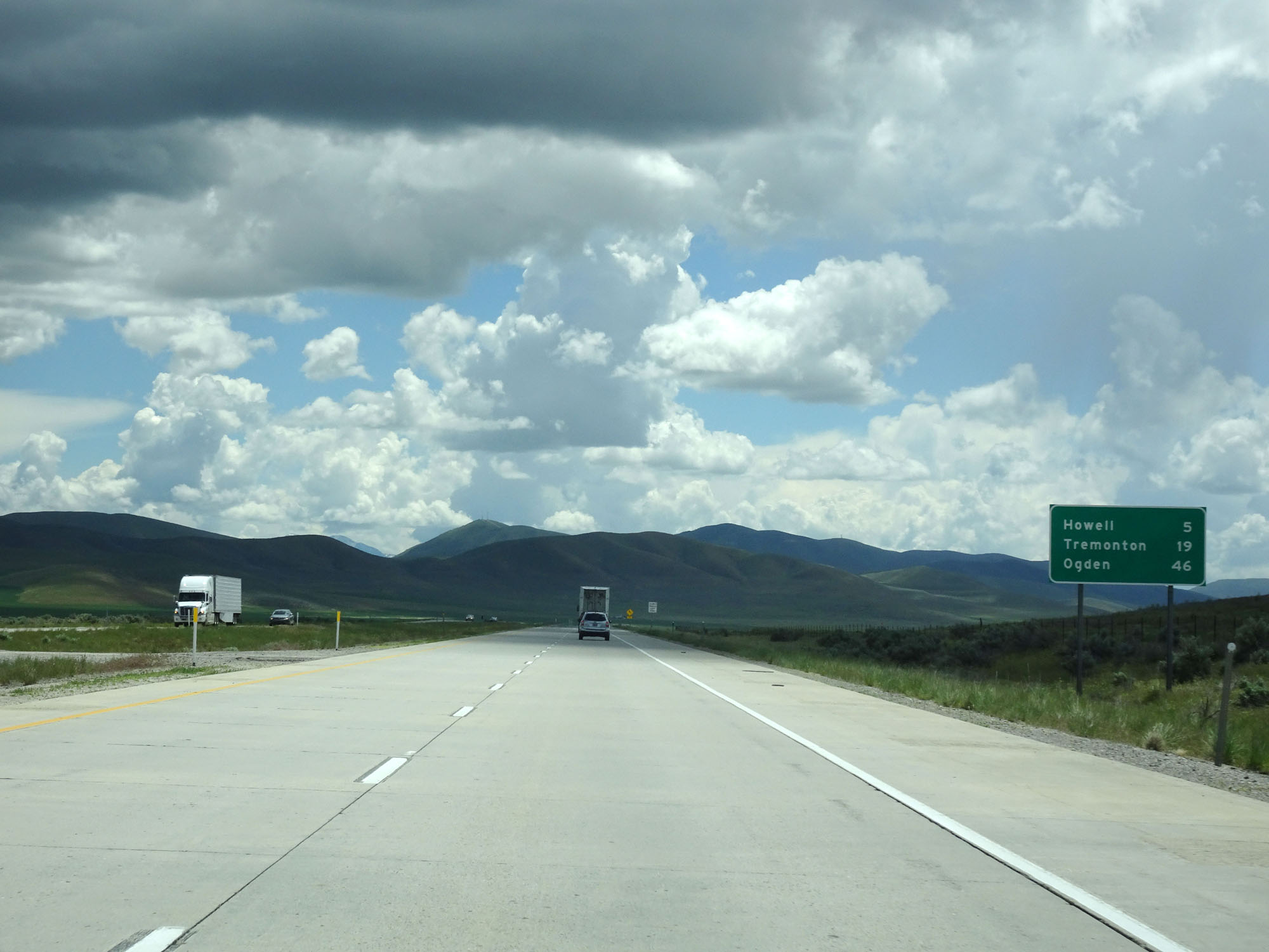 |
Mileage sign on Interstate 84 East. It's 5 miles to Howell, 19 miles to Tremonton, and 46 miles to Ogden. (Photo taken 5/26/16). |
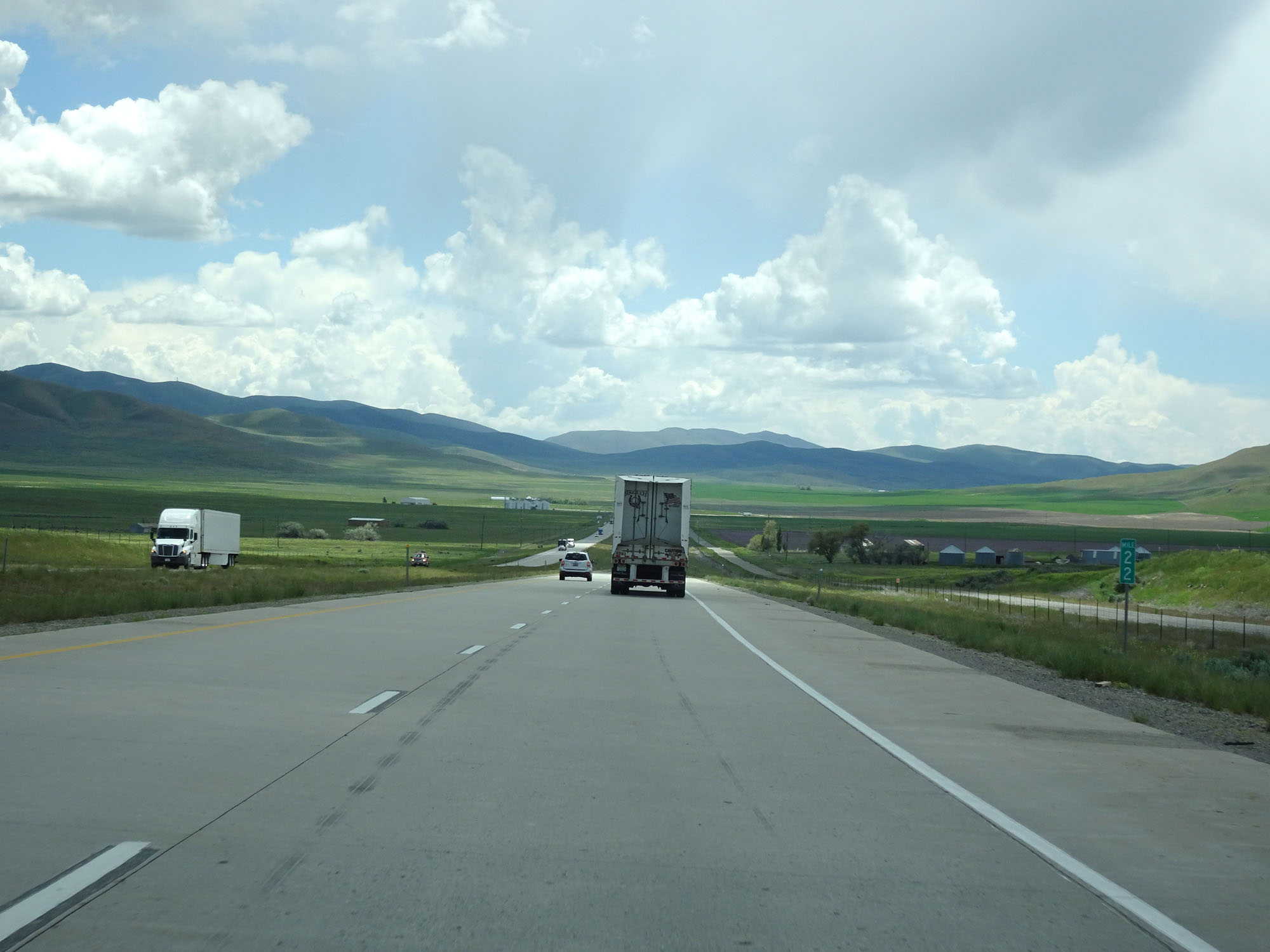 |
Interstate 84 East at mile marker 22. (Photo taken 5/26/16). |
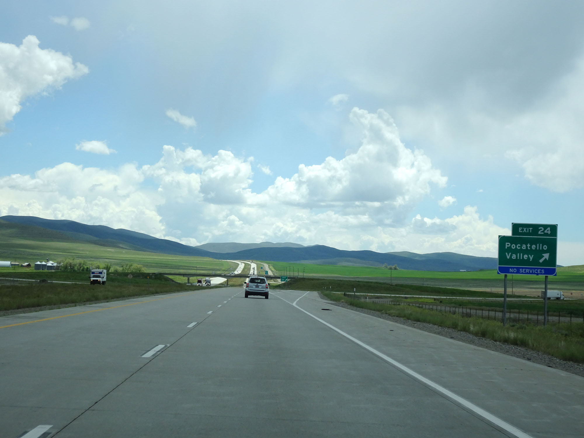 |
Interstate 84 East at Exit 24: Pocatello Valley (Photo taken 5/26/16). |
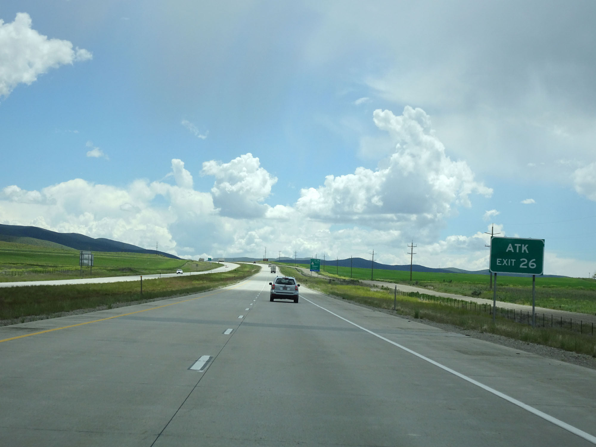 |
Take Exit 26 to ATK. (Photo taken 5/26/16). |
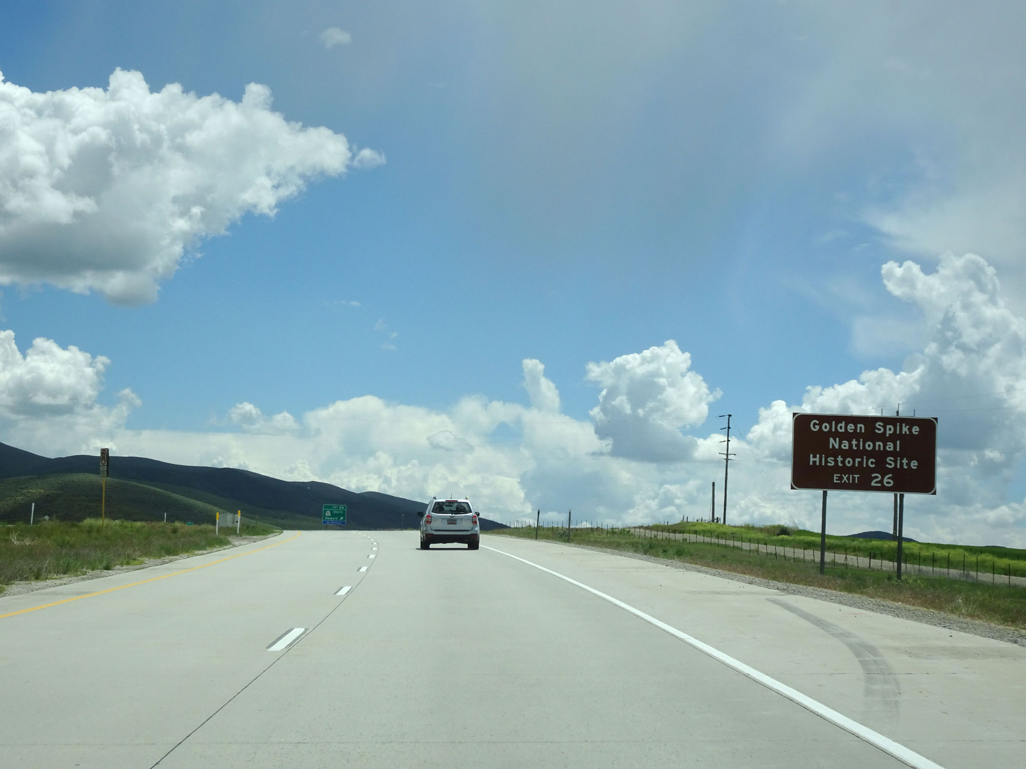 |
Also take Exit 26 to Golden Spike National Historic Site. (Photo taken 5/26/16). |
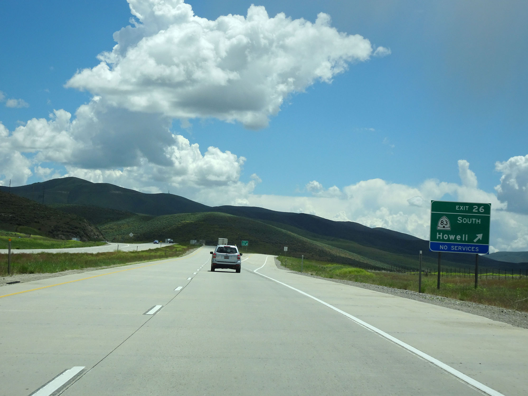 |
Interstate 84 East at Exit 26: UT 83 South - Howell (Photo taken 5/26/16). |
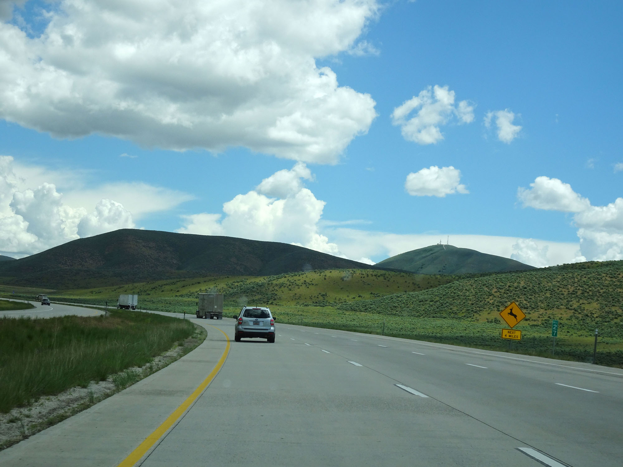 |
Interstate 84 East at mile marker 27. (Photo taken 5/26/16). |
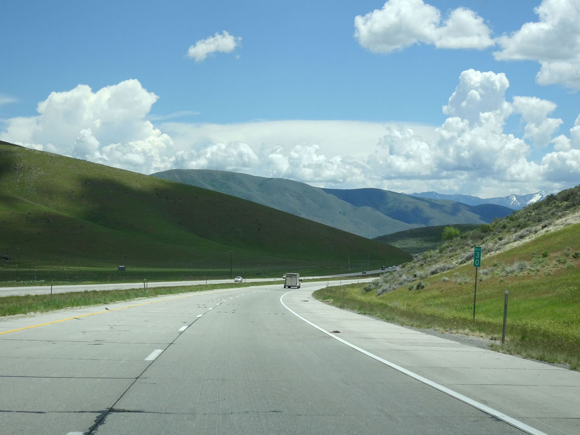 |
Interstate 84 East at mile marker 30. (Photo taken 5/26/16). |
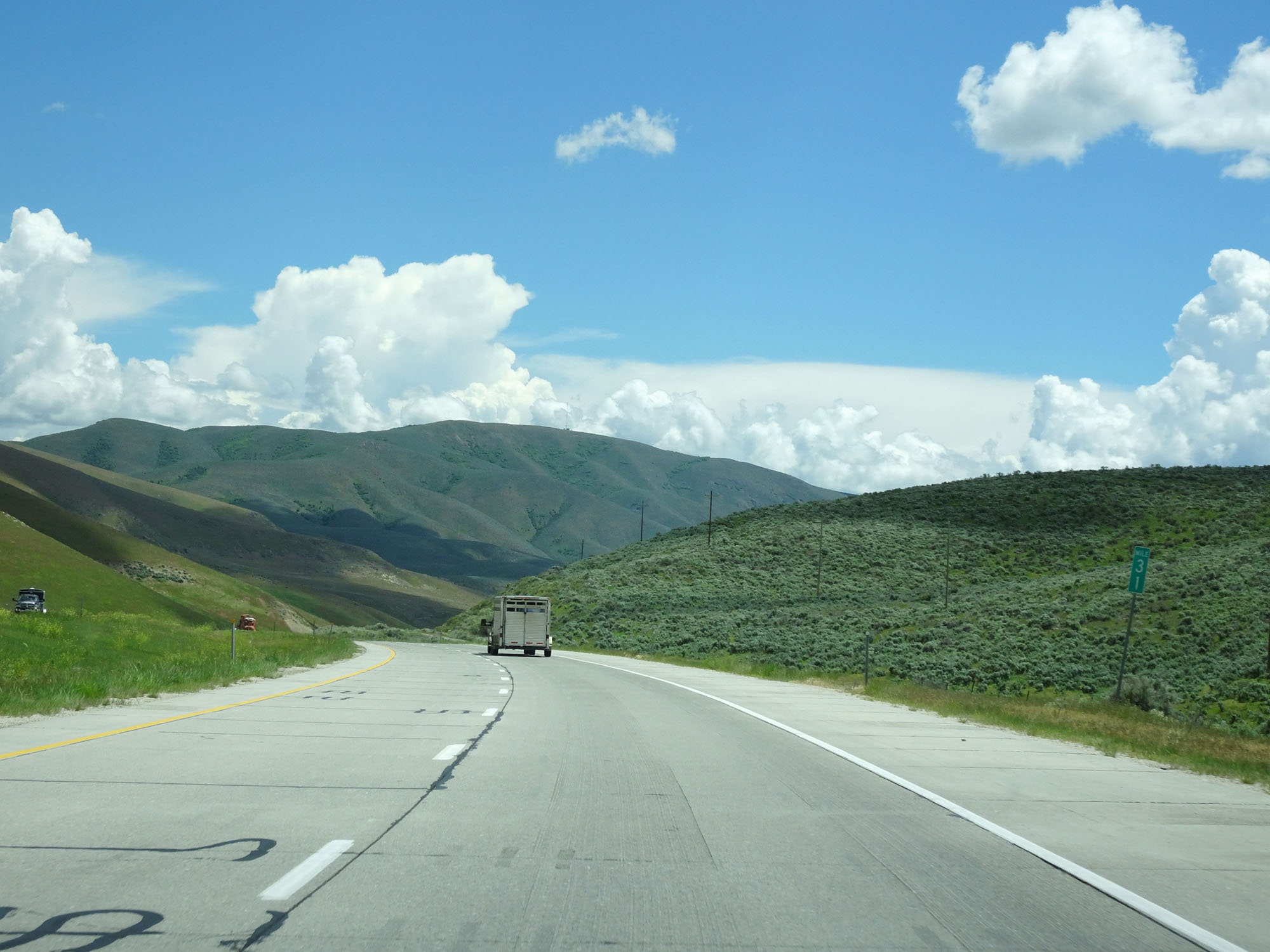 |
Interstate 84 East at mile marker 31. (Photo taken 5/26/16). |
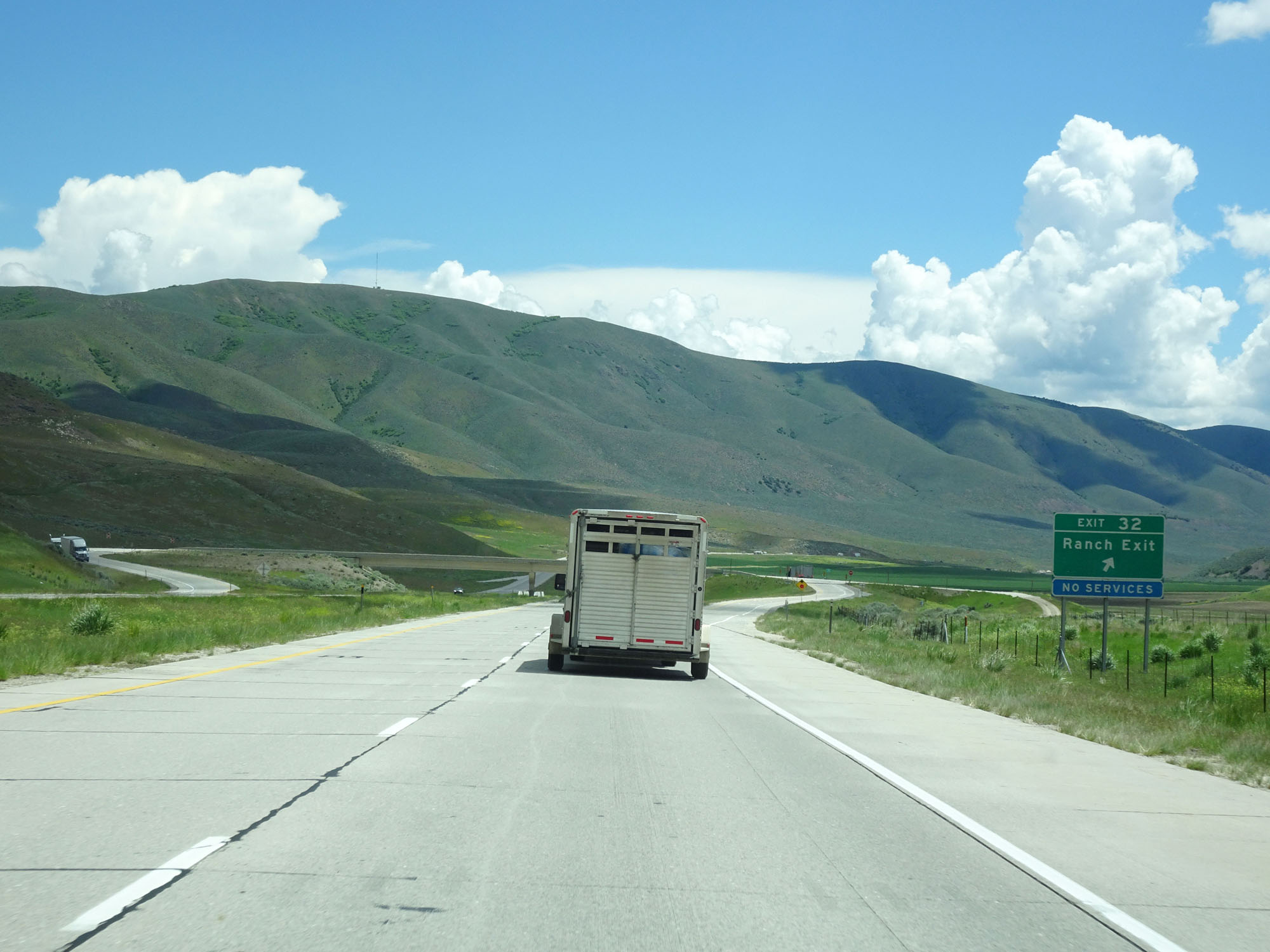 |
Interstate 84 East at Exit 32: Ranch Exit (Photo taken 5/26/16). |
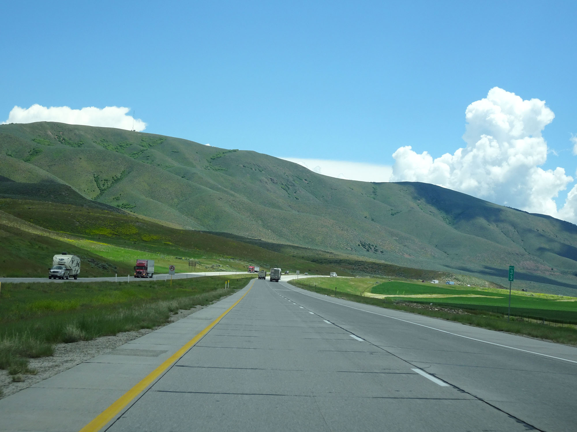 |
Interstate 84 East at mile marker 33. (Photo taken 5/26/16). |
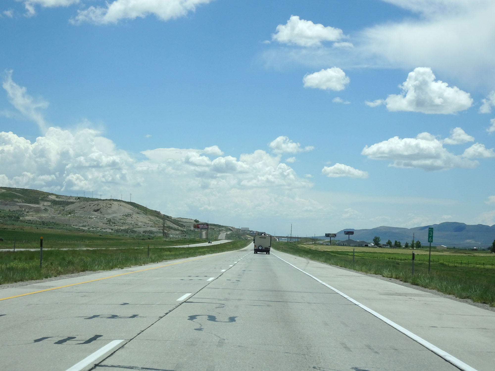 |
Interstate 84 East at mile marker 36. (Photo taken 5/26/16). |
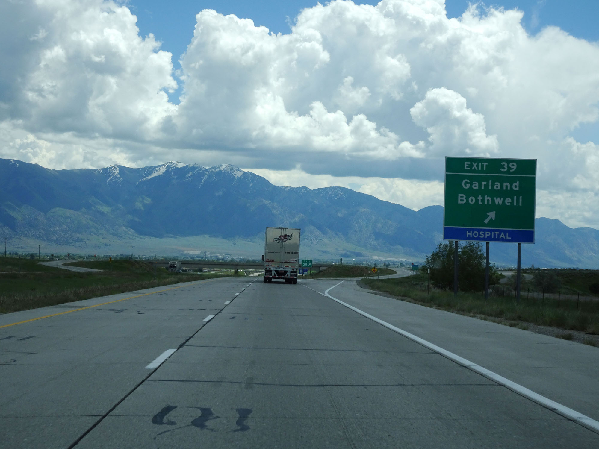 |
Interstate 84 East at Exit 39: Garland / Bothwell (Photo taken 5/26/16). |
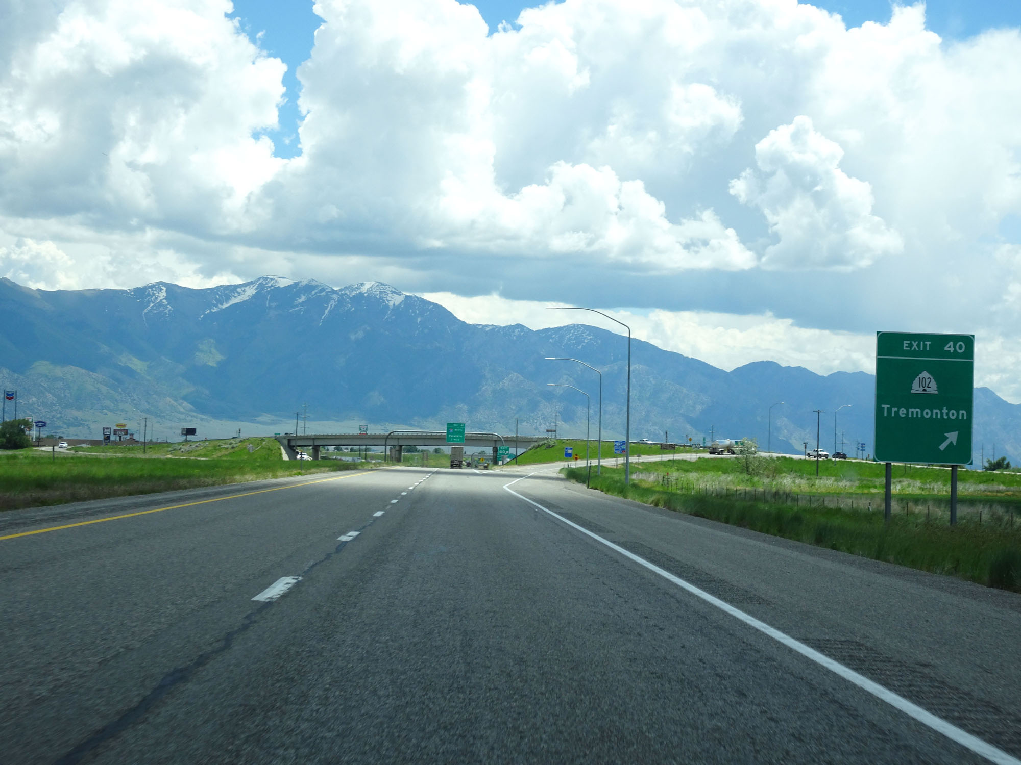 |
Interstate 84 East at Exit 40: UT 102 - Tremonton (Photo taken 5/26/16). |
 |
Interstate 84 East approaching Exit 41 - 1 mile. (Photo taken 5/26/16). |
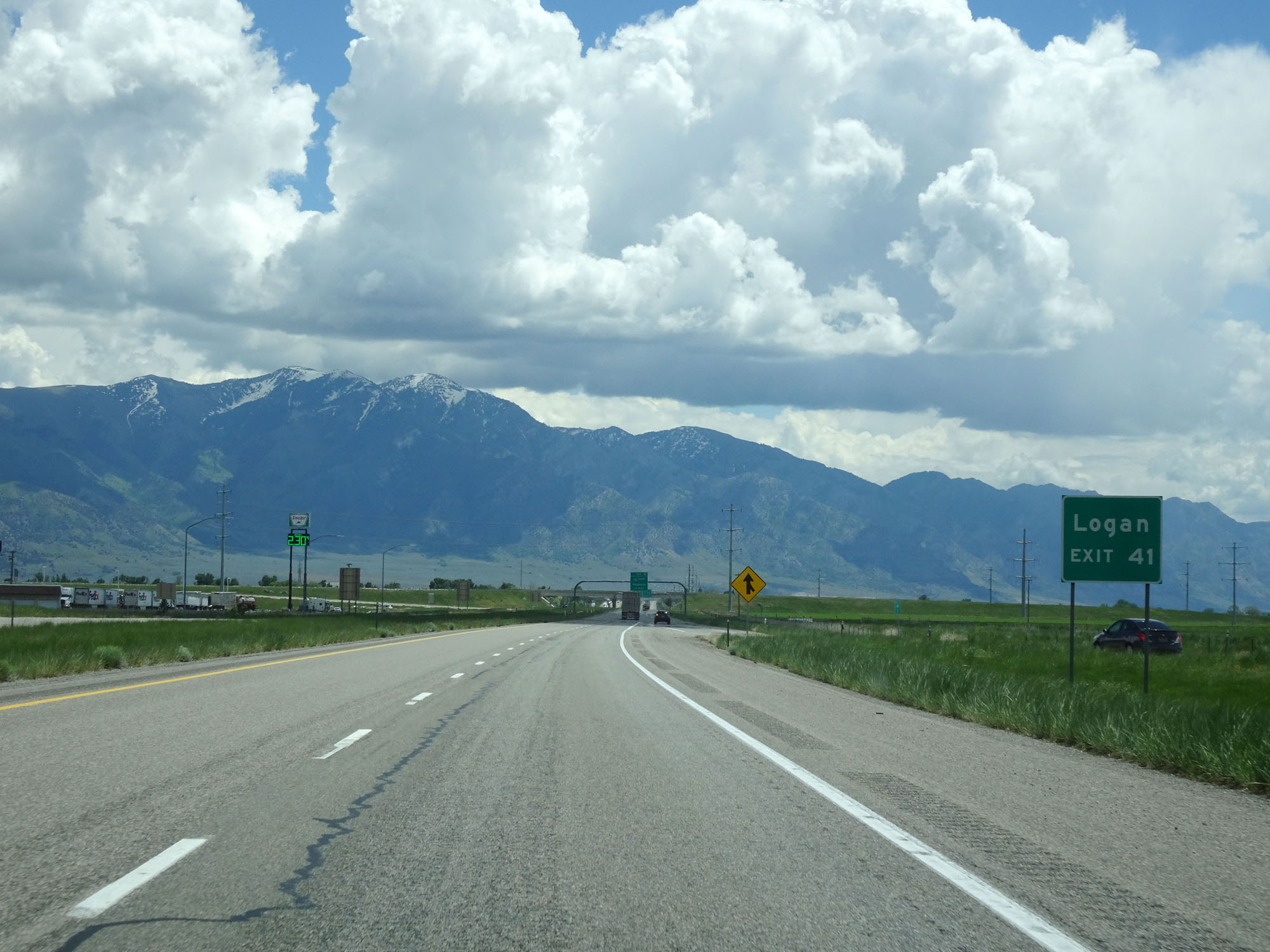 |
Take Exit 41 to Logan. (Photo taken 5/26/16). |
 |
Interstate 84 East reassurance shield. (Photo taken 5/26/16). |
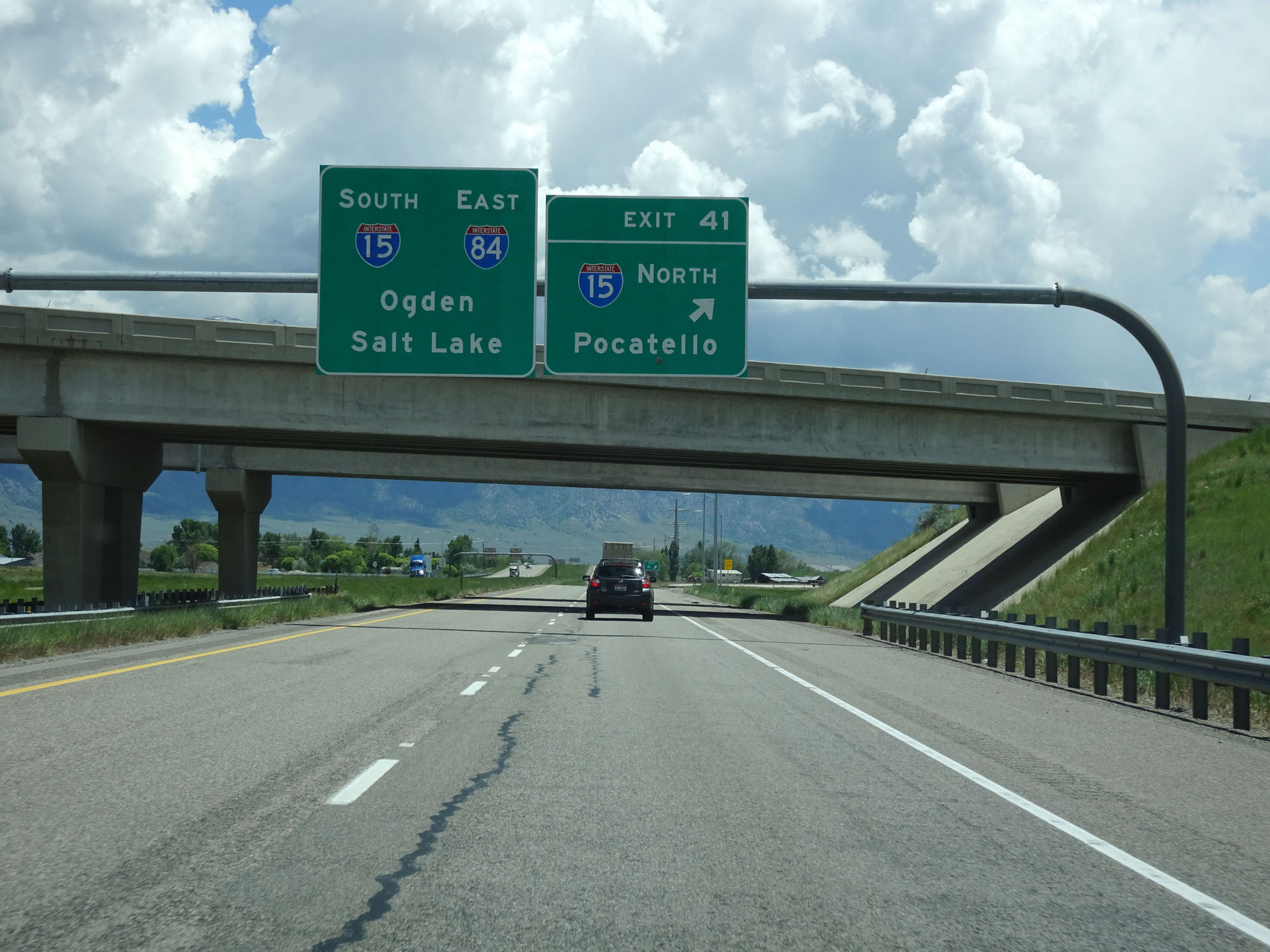 |
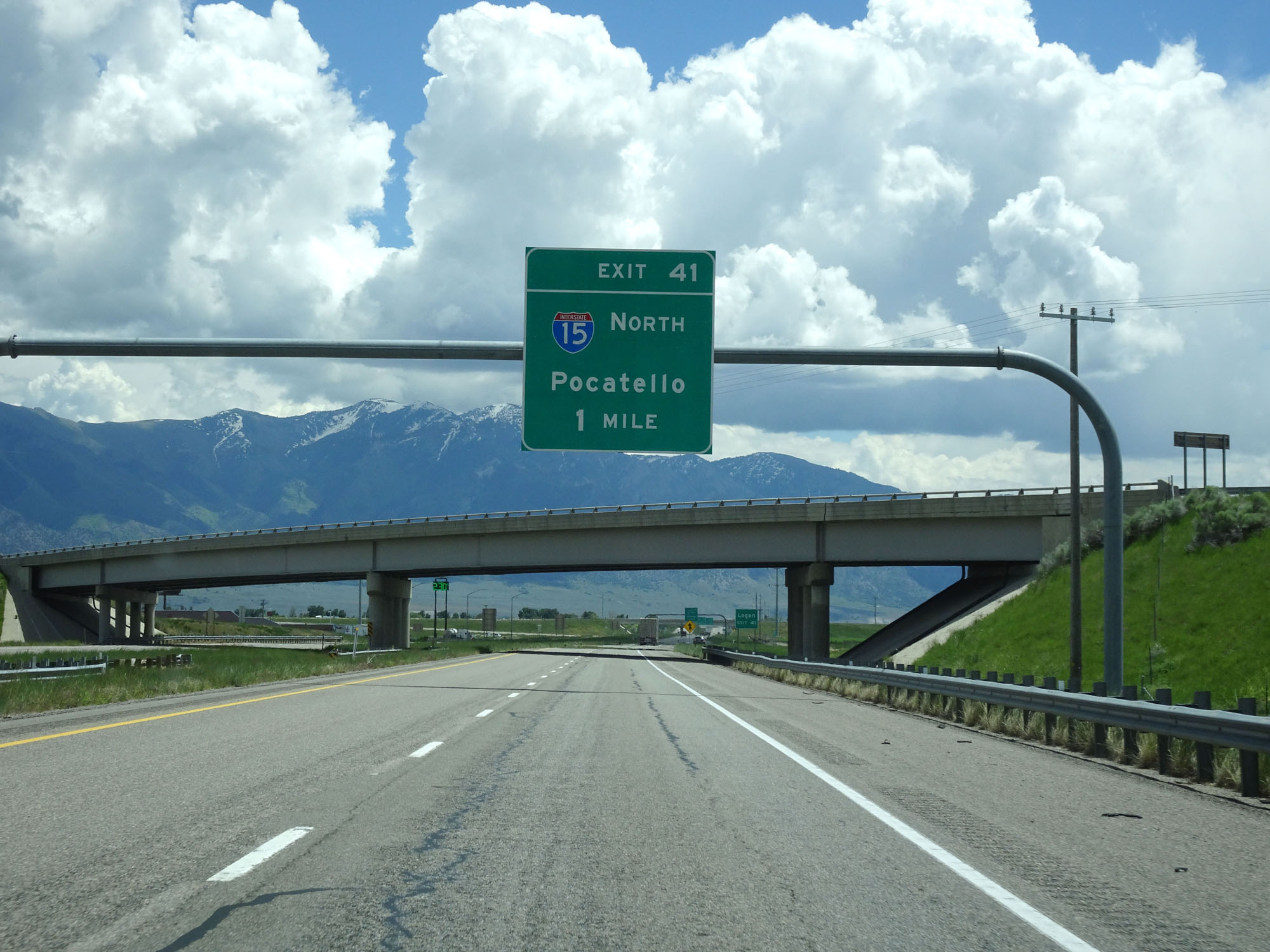
Interstate 84 East at Exit 41: Interstate 15 North - Pocatello (Photo taken 5/26/16). |
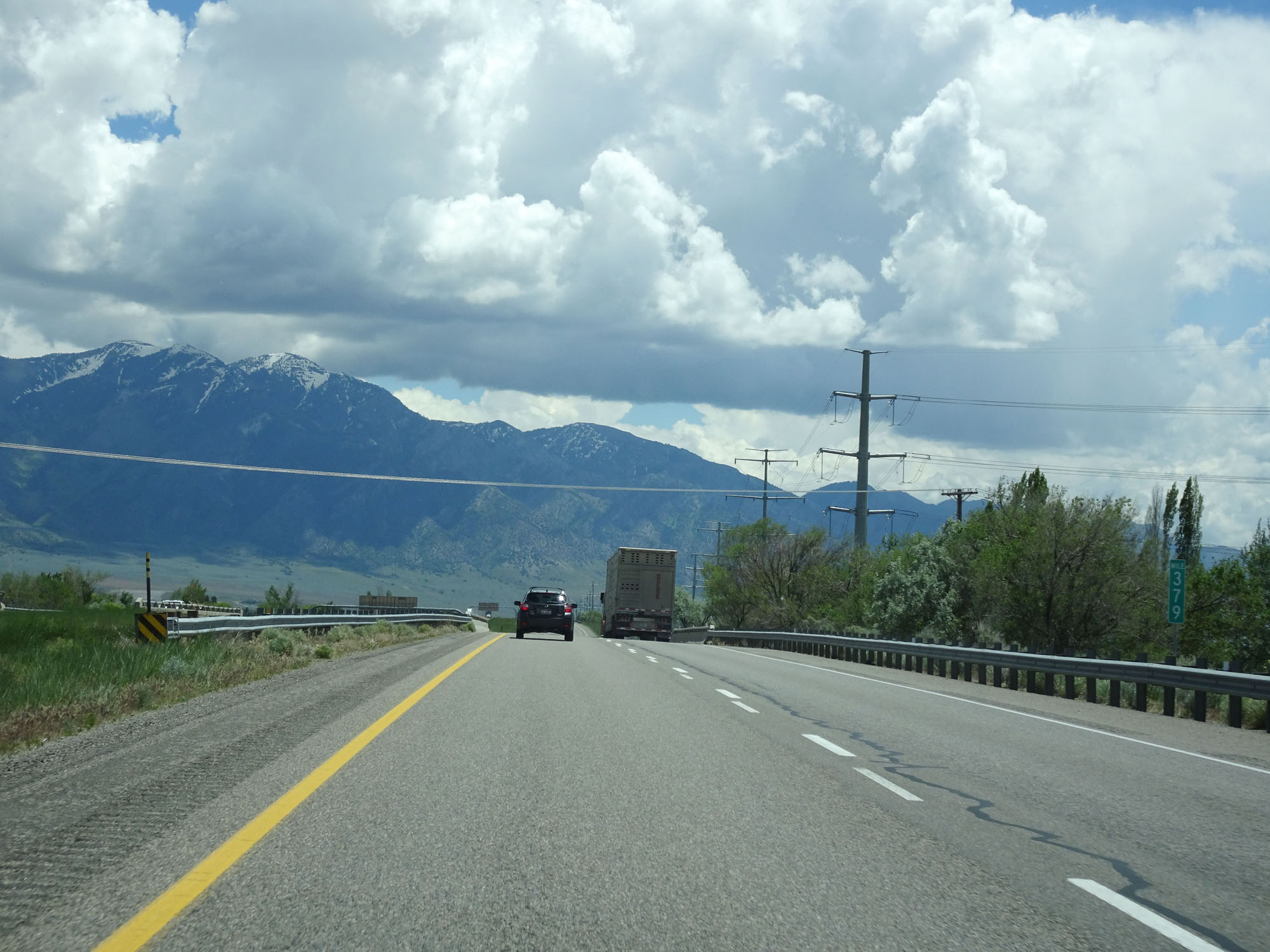 |
Interstate 84 East will run concurrently with Interstate 15 South for about the next 40 miles. Although I-84 has not yet merged into I-15, I-15's mileage appears here at mile marker 379. During the concurrency, I-15's mileage and exit numbers take precedence. (Photo taken 5/26/16). |
 |
Interstate 84 East / Interstate 15 South reassurance shields. (Photo taken 5/26/16). |
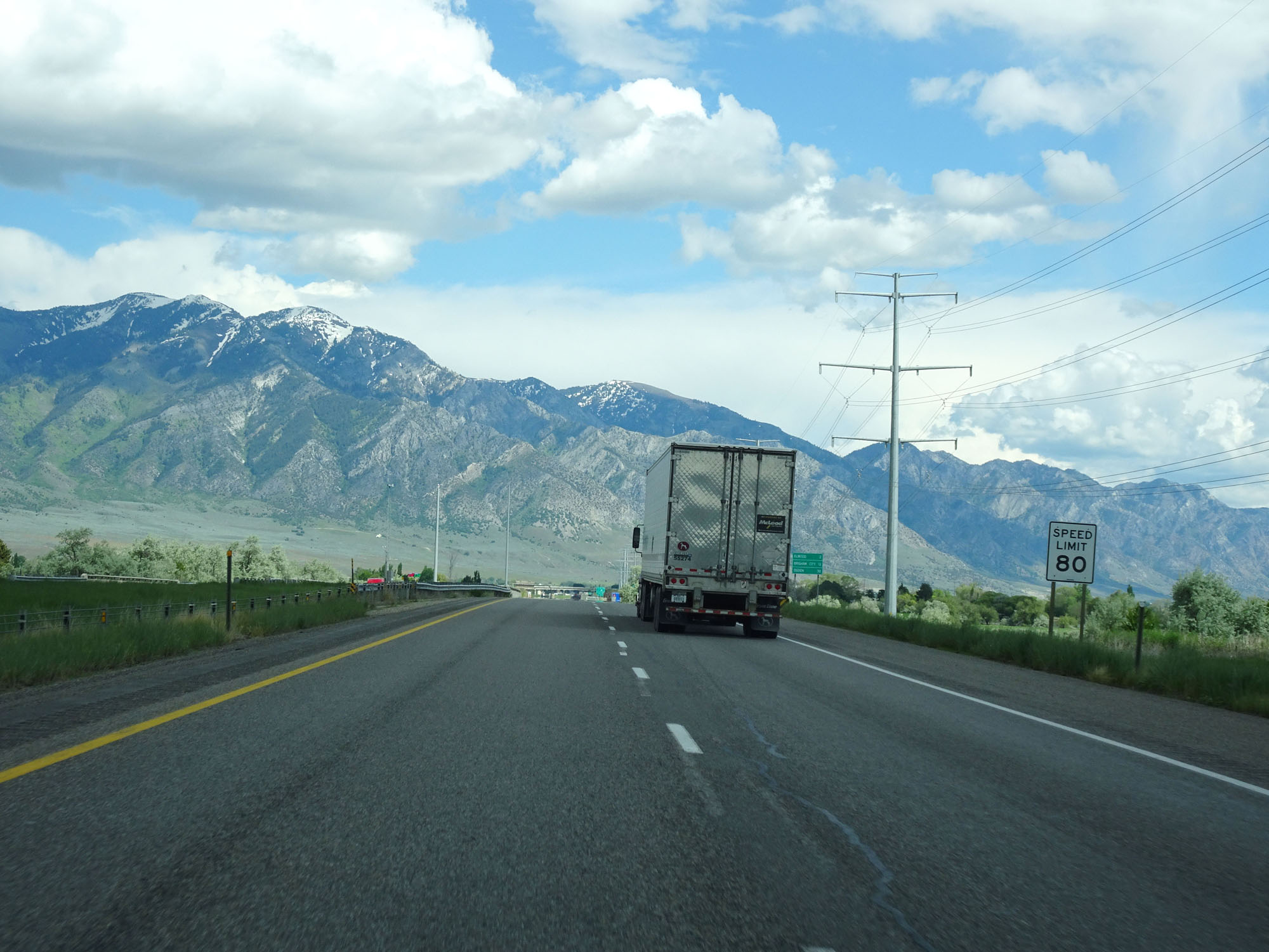 |
The speed limit remains 80 mph for all traffic. (Photo taken 5/26/16). |
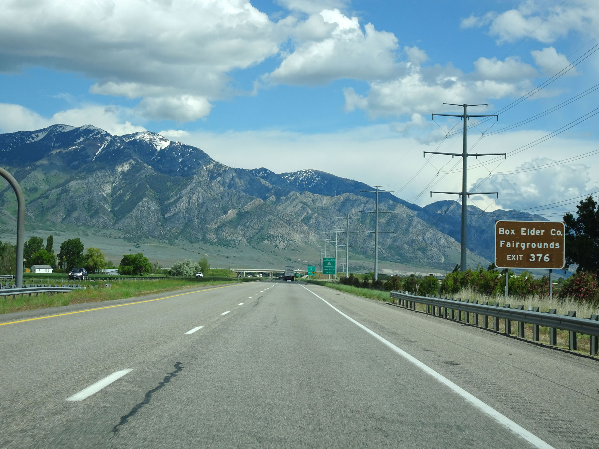 |
Take Exit 376 to the Box Elder County Fairgrounds. (Photo taken 5/26/16). |
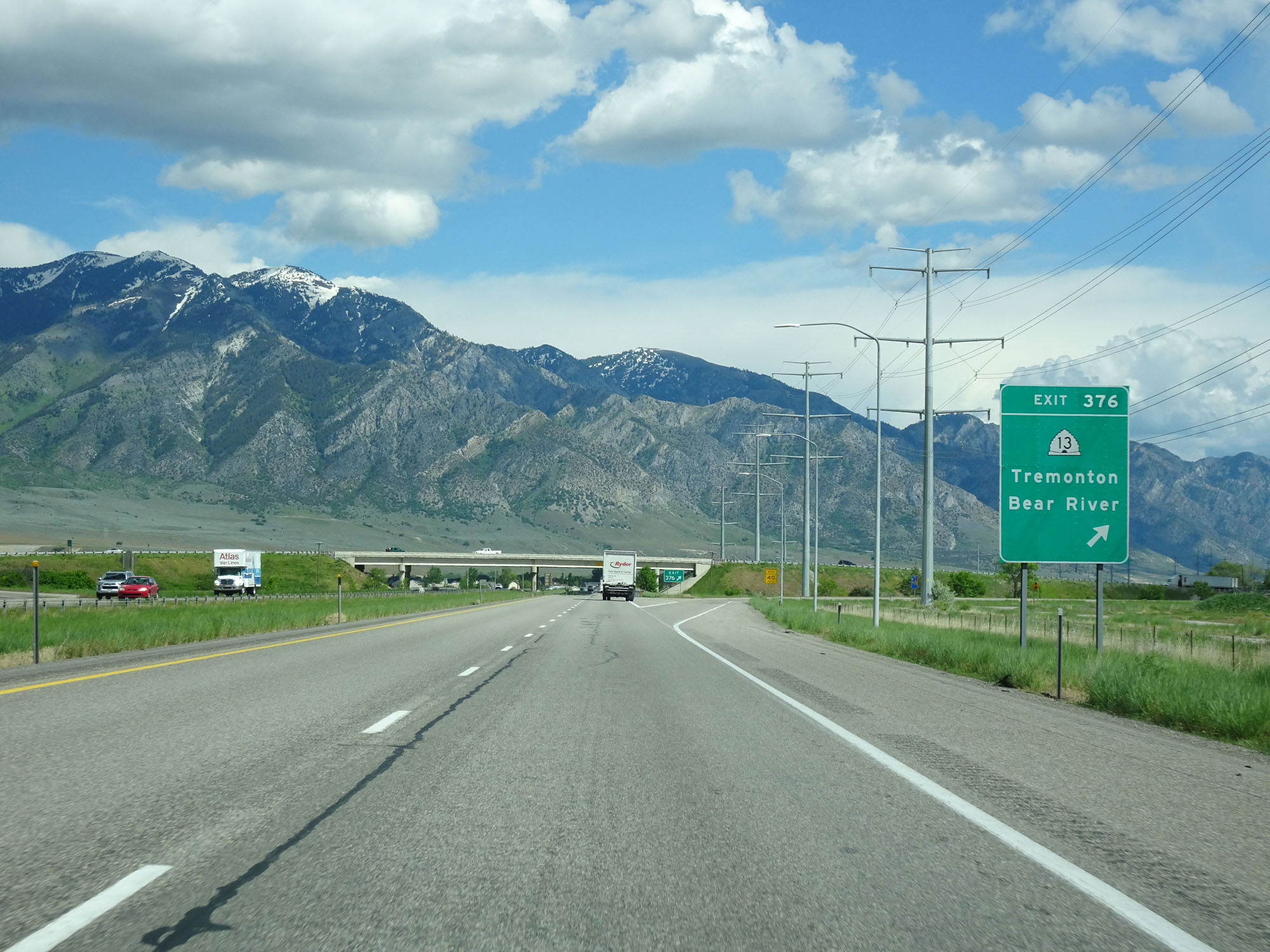 |
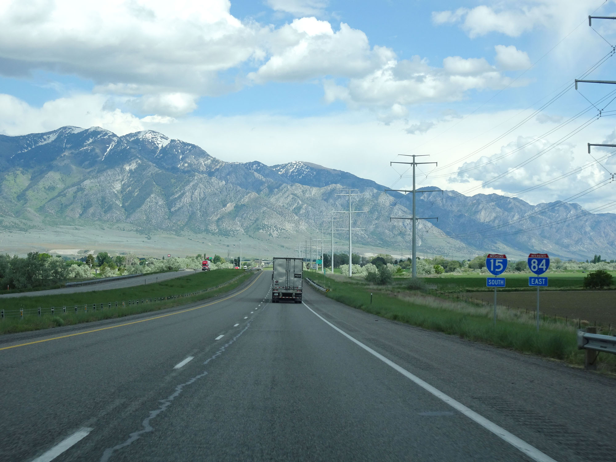
Interstate 84 East / Interstate 15 South at Exit 376: UT 13 - Tremonton / Bear River (Photo taken 5/26/16). |
Section 2: Tremonton (Exit 376) to Riverdale (Exit 81)
 |
Another set of Interstate 84 East / Interstate 15 South reassurance shields. (Photo taken 5/26/16). |
 |
Mileage sign on Interstate 84 East / Interstate 15 South. It's 4 miles to Honeyville, 36 miles to Ogden, and 72 miles to Salt Lake City. (Photo taken 5/26/16). |
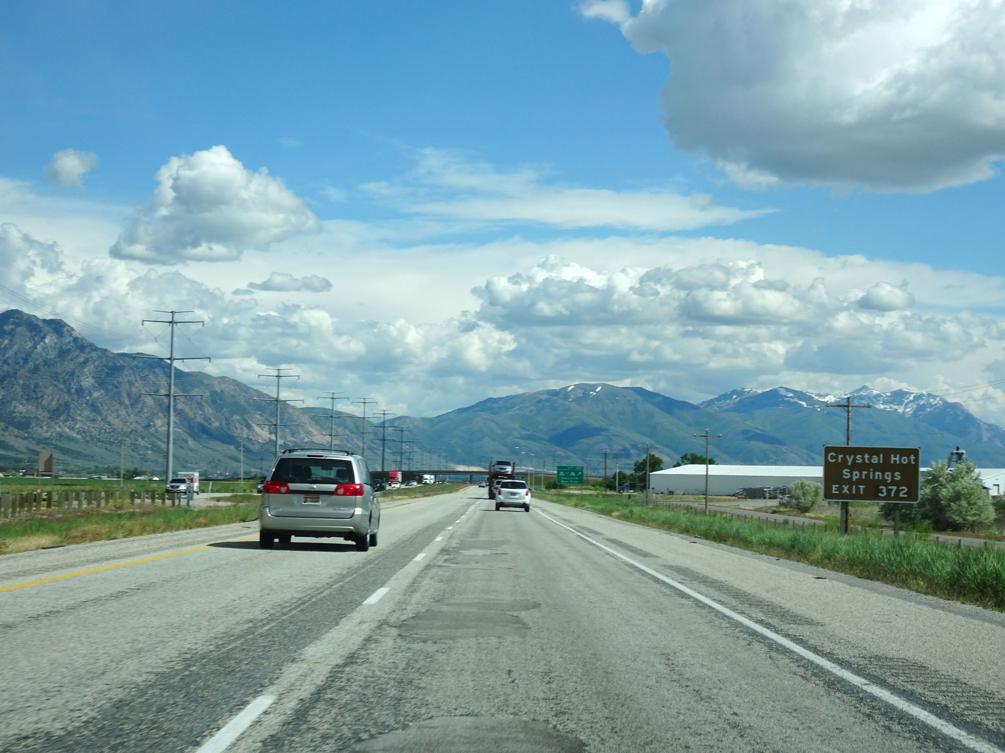 |
Take Exit 372 to Crystal Hot Springs. (Photo taken 5/26/16). |
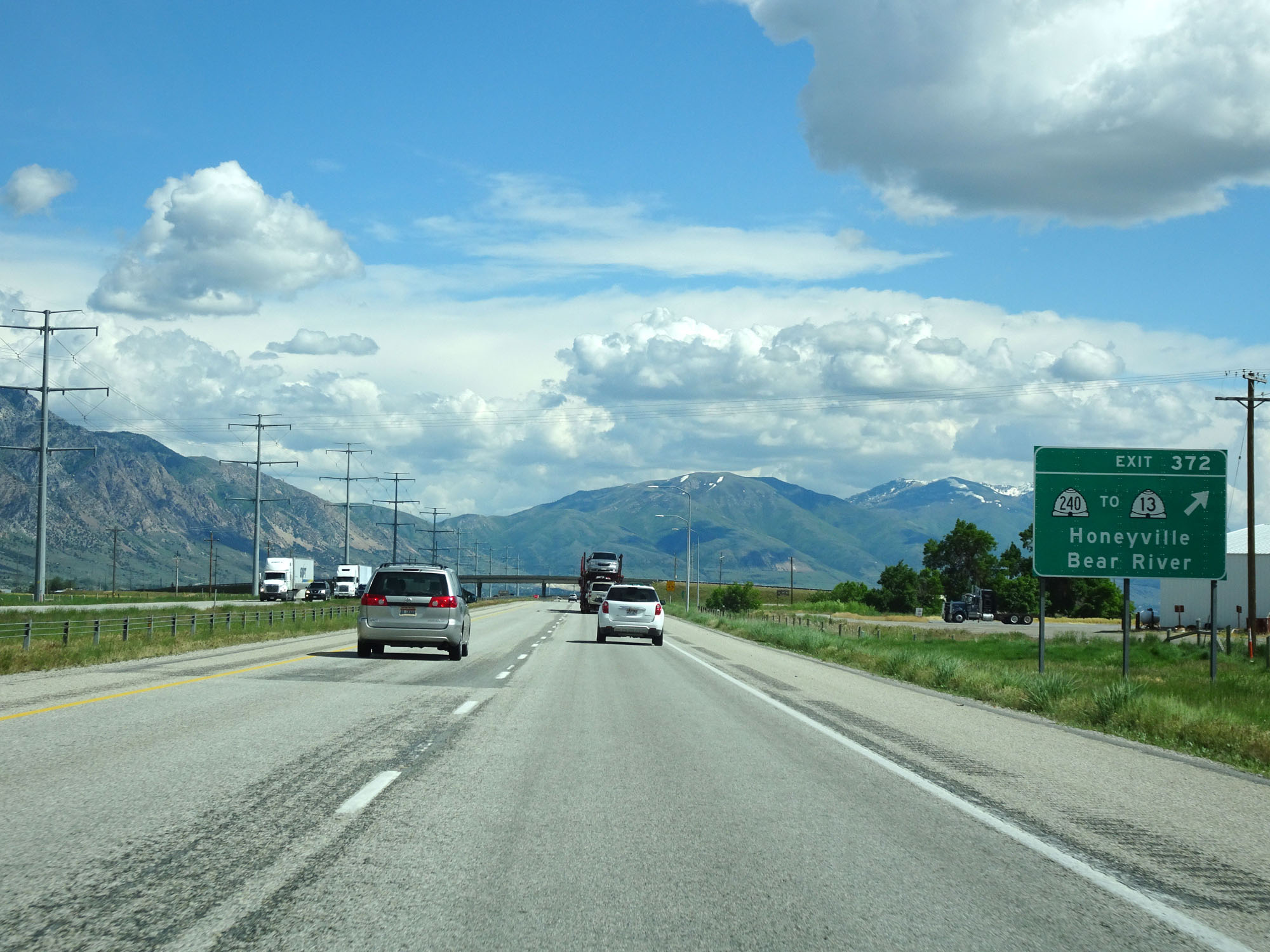 |
Interstate 84 East / Interstate 15 South at Exit 372: UT 240 / To UT 13 - Honeyville / Bear River (Photo taken 5/26/16). |
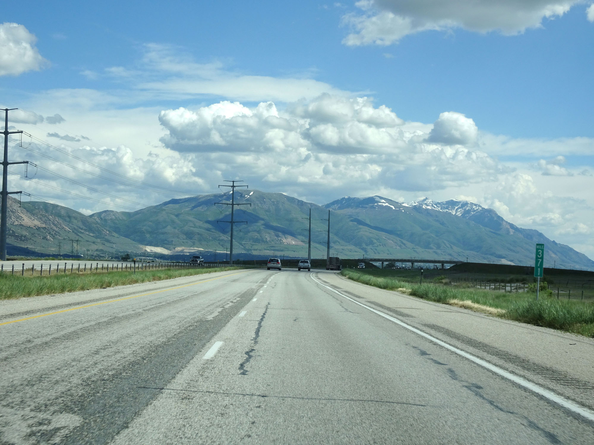 |
Interstate 84 East / Interstate 15 South at mile marker 371. (Photo taken 5/26/16). |
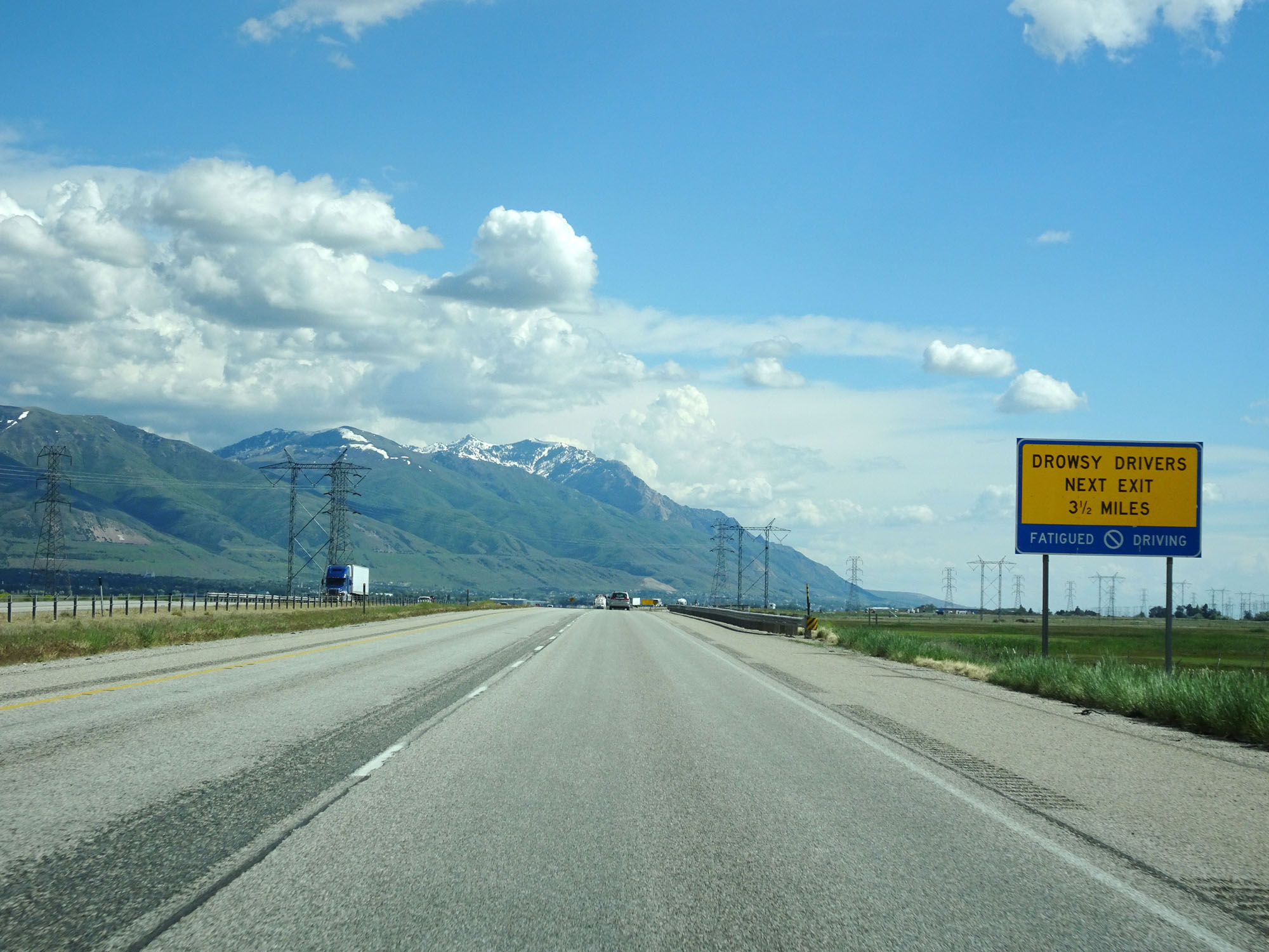 |
This sign warns drowsy drivers that the next exit is 3 1/2 miles ahead and that they should use it if necessary. (Photo taken 5/26/16). |
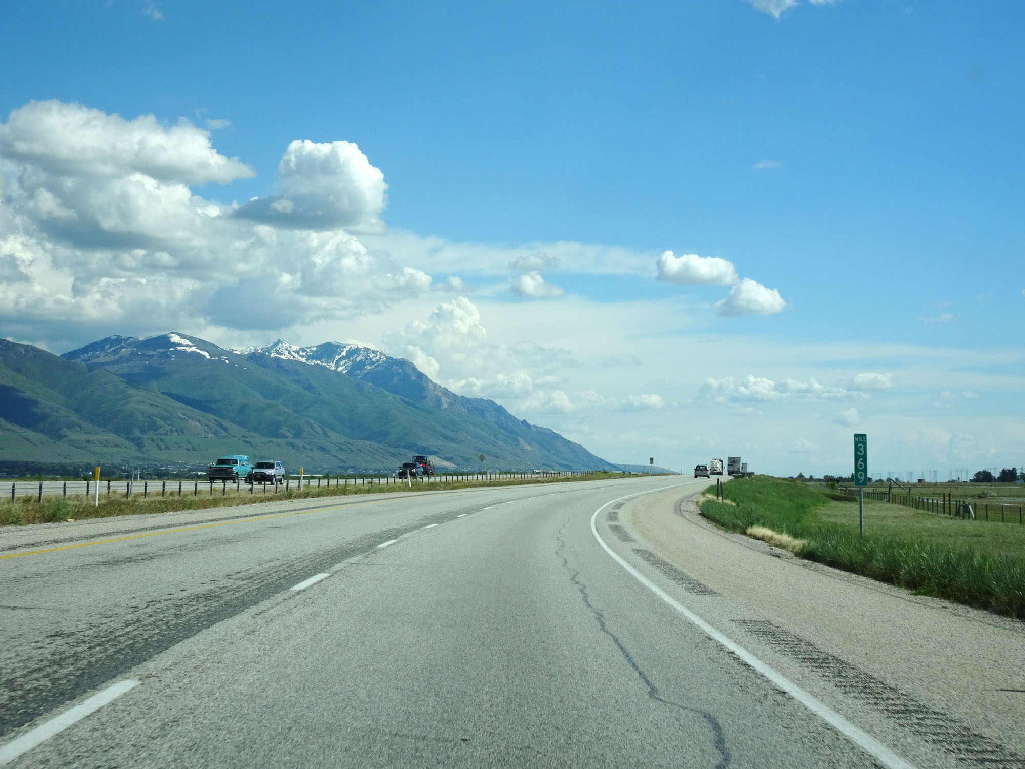 |
Interstate 84 East / Interstate 15 South at mile marker 369. (Photo taken 5/26/16). |
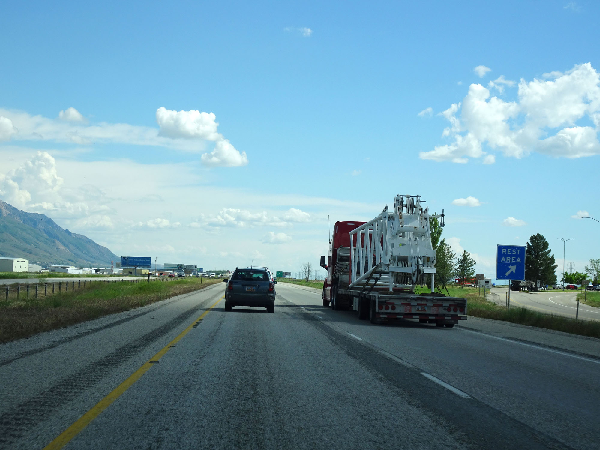 |
Rest Area on Interstate 84 East / Interstate 15 South in Box Elder County. (Photo taken 5/26/16). |
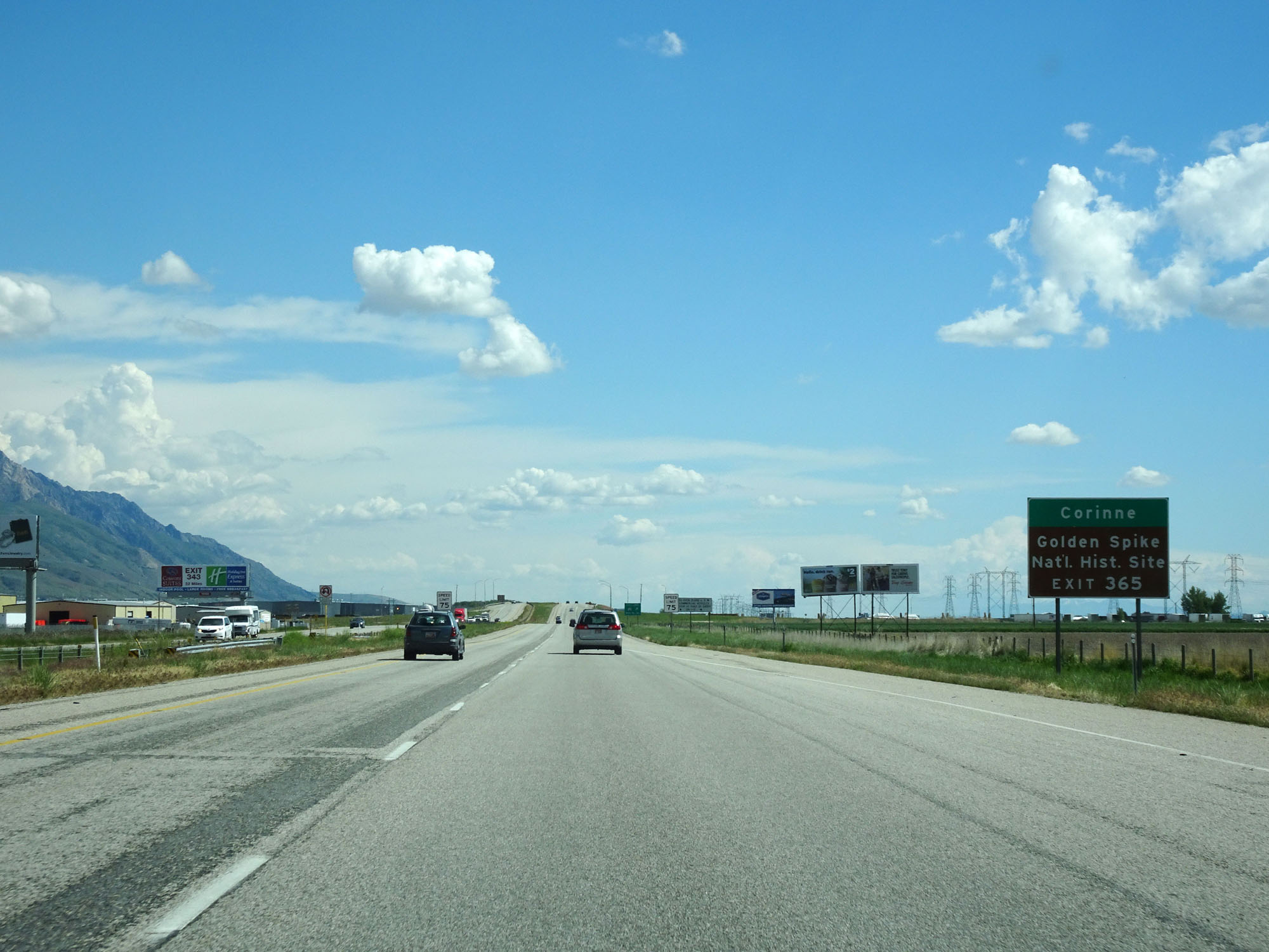 |
Take Exit 365 to Corinne and Golden Spike National Historic Site. (Photo taken 5/26/16). |
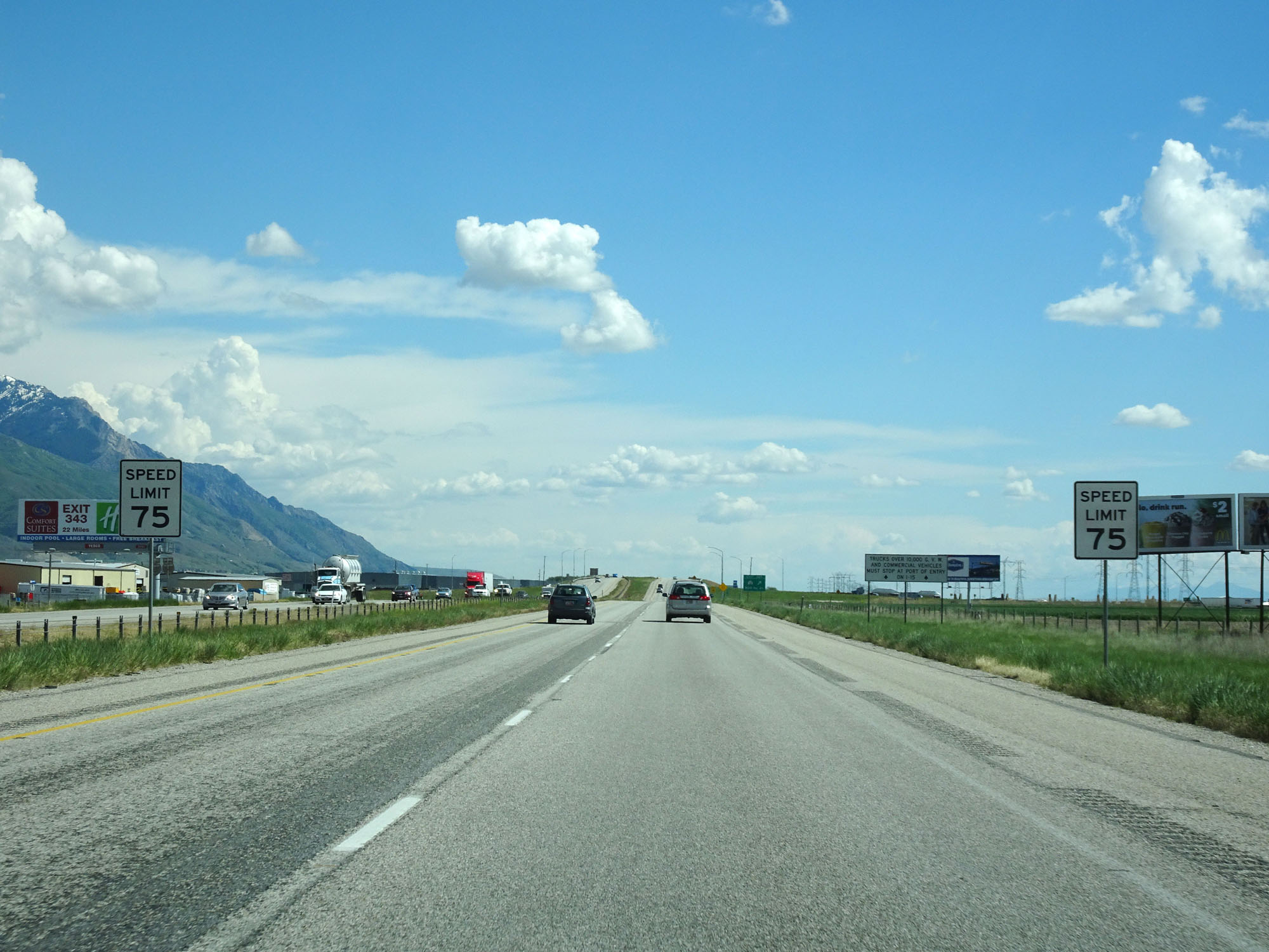 |
Approaching Exit 365, the speed limit decreases to 75 mph for all traffic. (Photo taken 5/26/16). |
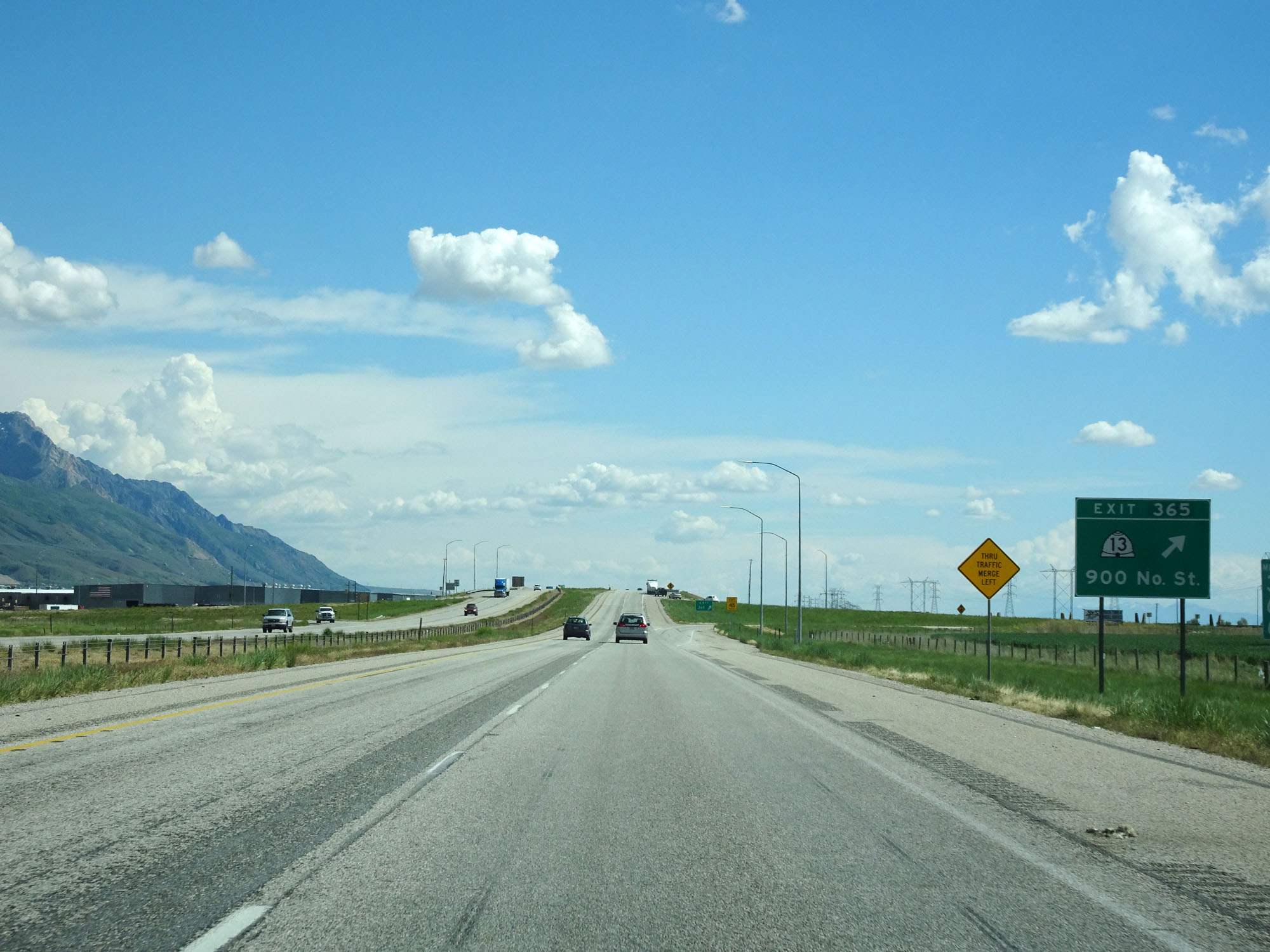 |
Interstate 84 East / Interstate 15 South at Exit 365: UT 13 - 900 North St (Photo taken 5/26/16). |
 |
Interstate 84 East / Interstate 15 South reassurance shields. (Photo taken 5/26/16). |
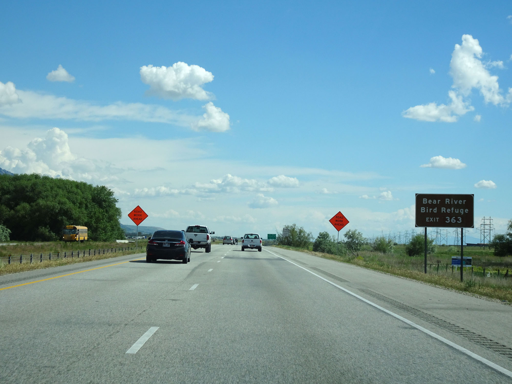 |
Take Exit 363 to Bear River Bird Refuge. (Photo taken 5/26/16). |
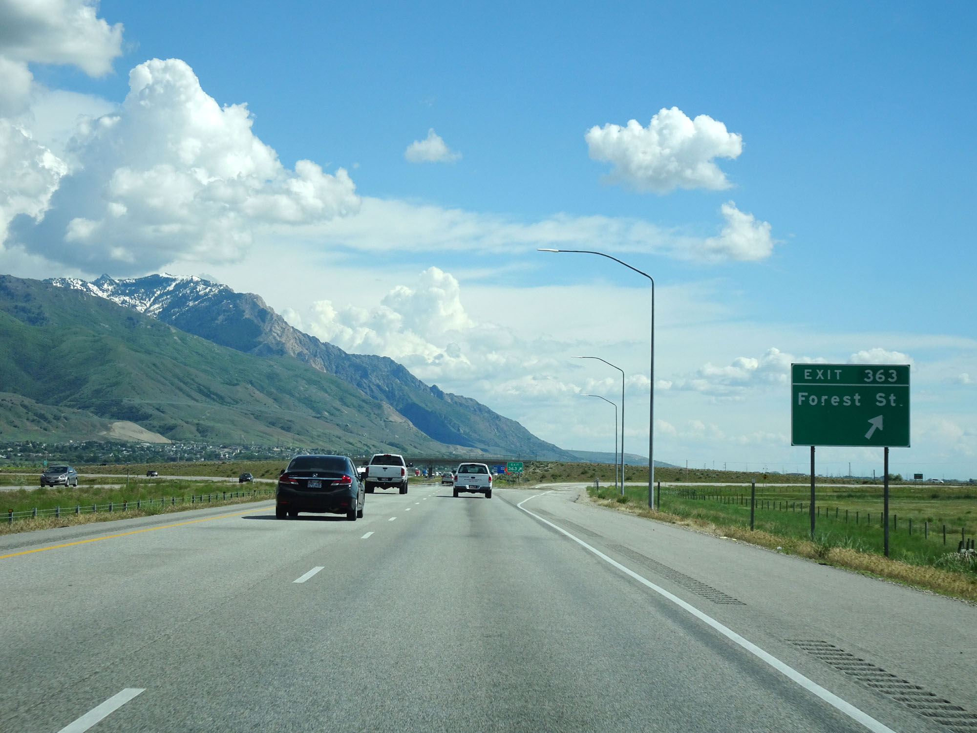 |
Interstate 84 East / Interstate 15 South at Exit 363: Forest St (Photo taken 5/26/16). |
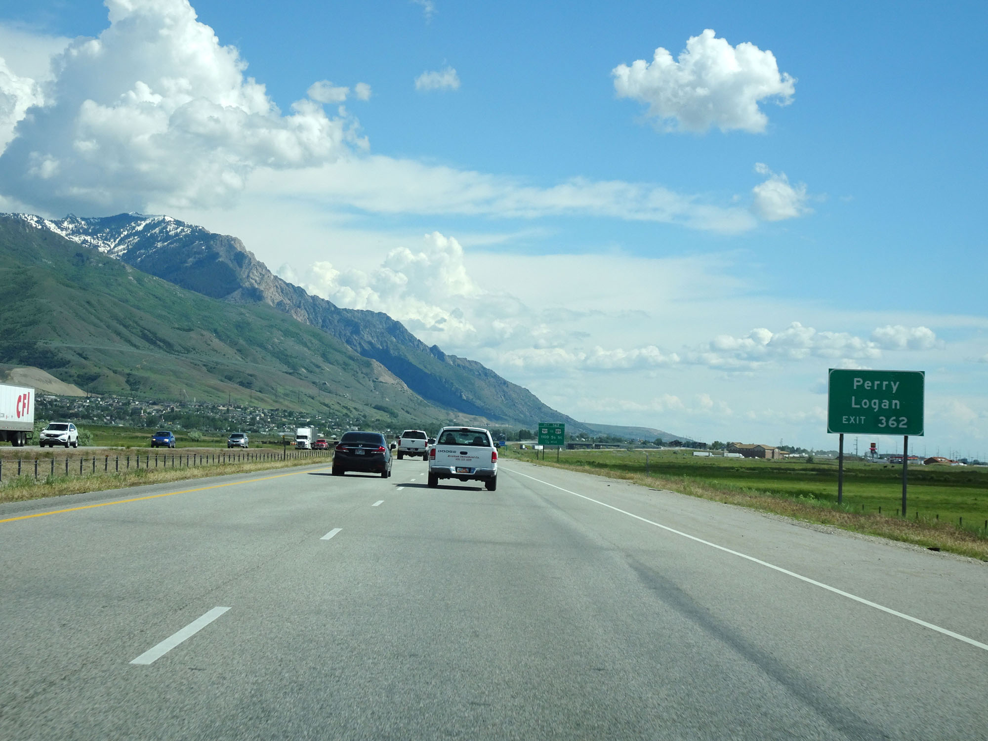 |
Take Exit 362 to Perry and Logan. (Photo taken 5/26/16). |
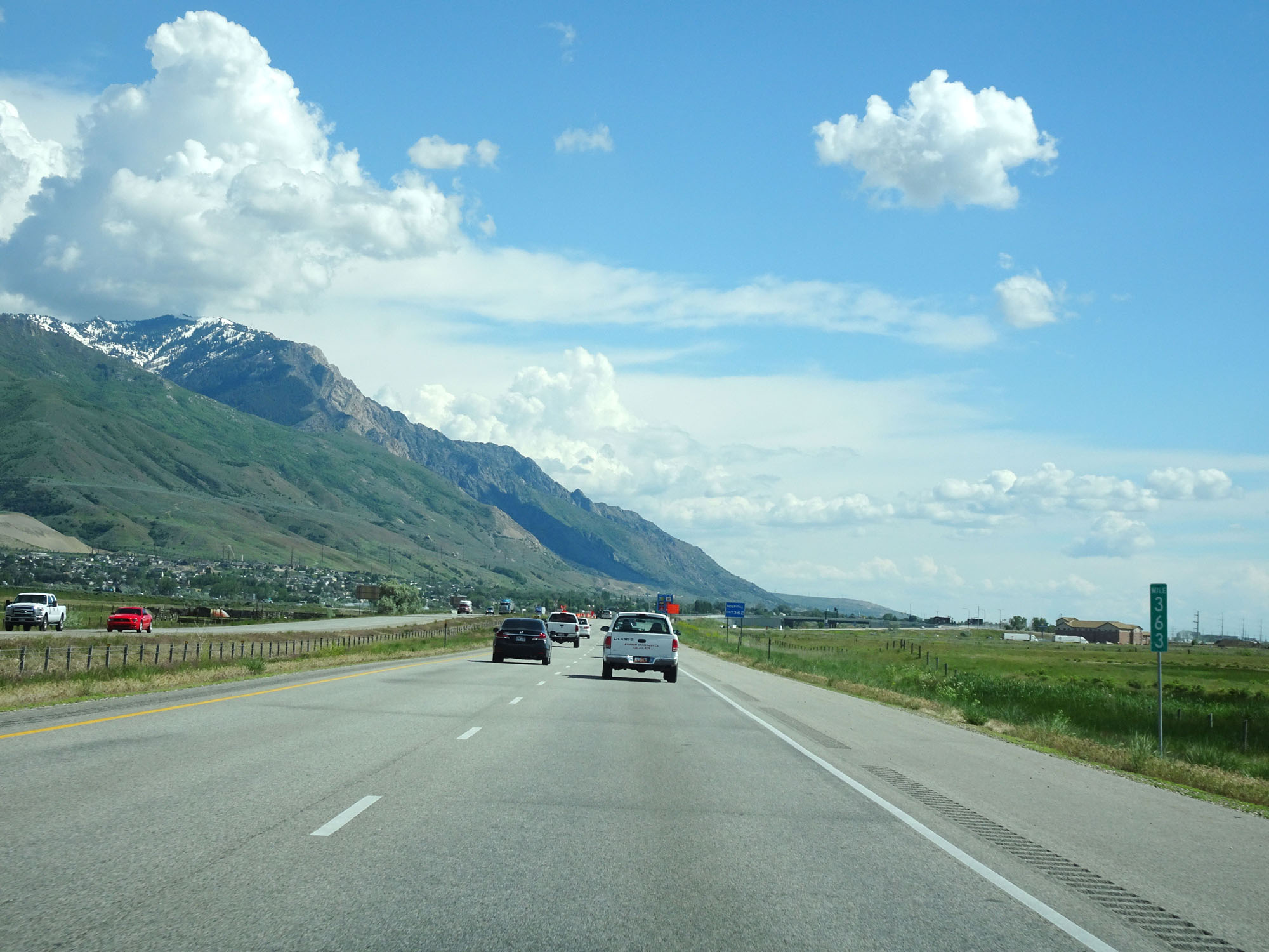 |
Interstate 84 East / Interstate 15 South at mile marker 363. (Photo taken 5/26/16). |
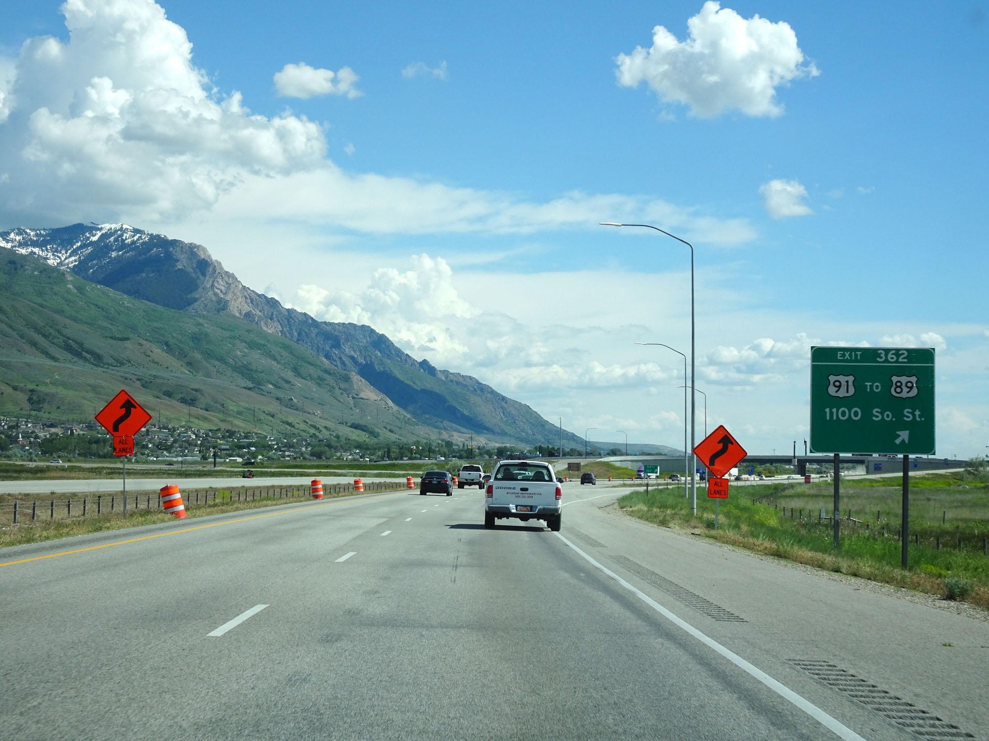 |
Interstate 84 East / Interstate 15 South at Exit 362: US 91 / To US 89 - 1100 South St (Photo taken 5/26/16). |
 |
Mileage sign at mile marker 361. It's 4 miles to Willard and 17 miles to Ogden. (Photo taken 5/26/16). |
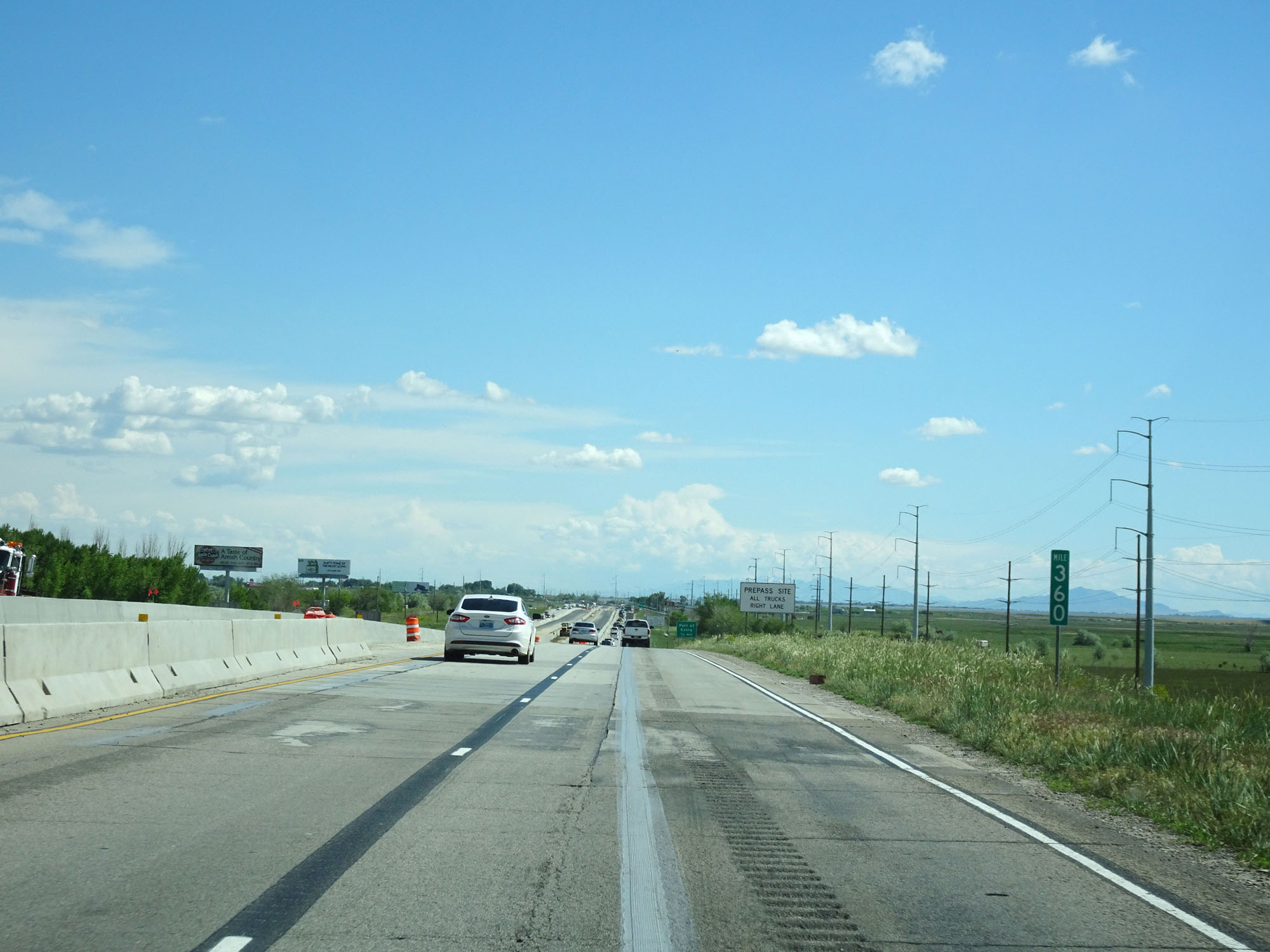 |
Interstate 84 East / Interstate 15 South at mile marker 360. (Photo taken 5/26/16). |
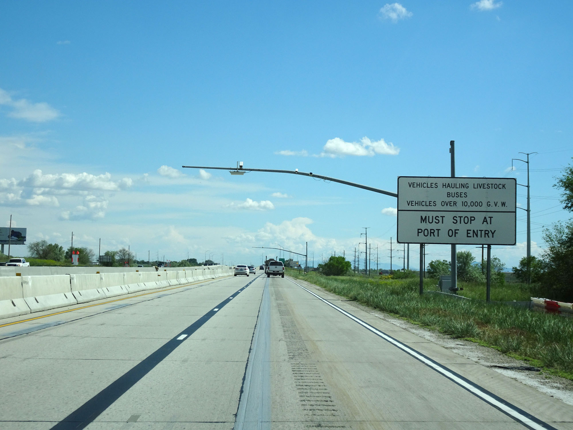 |
Approaching the Port of Entry, this sign states that all vehicles hauling livestock, buses, and over 10,000 lbs GVW must stop. (Photo taken 5/26/16). |
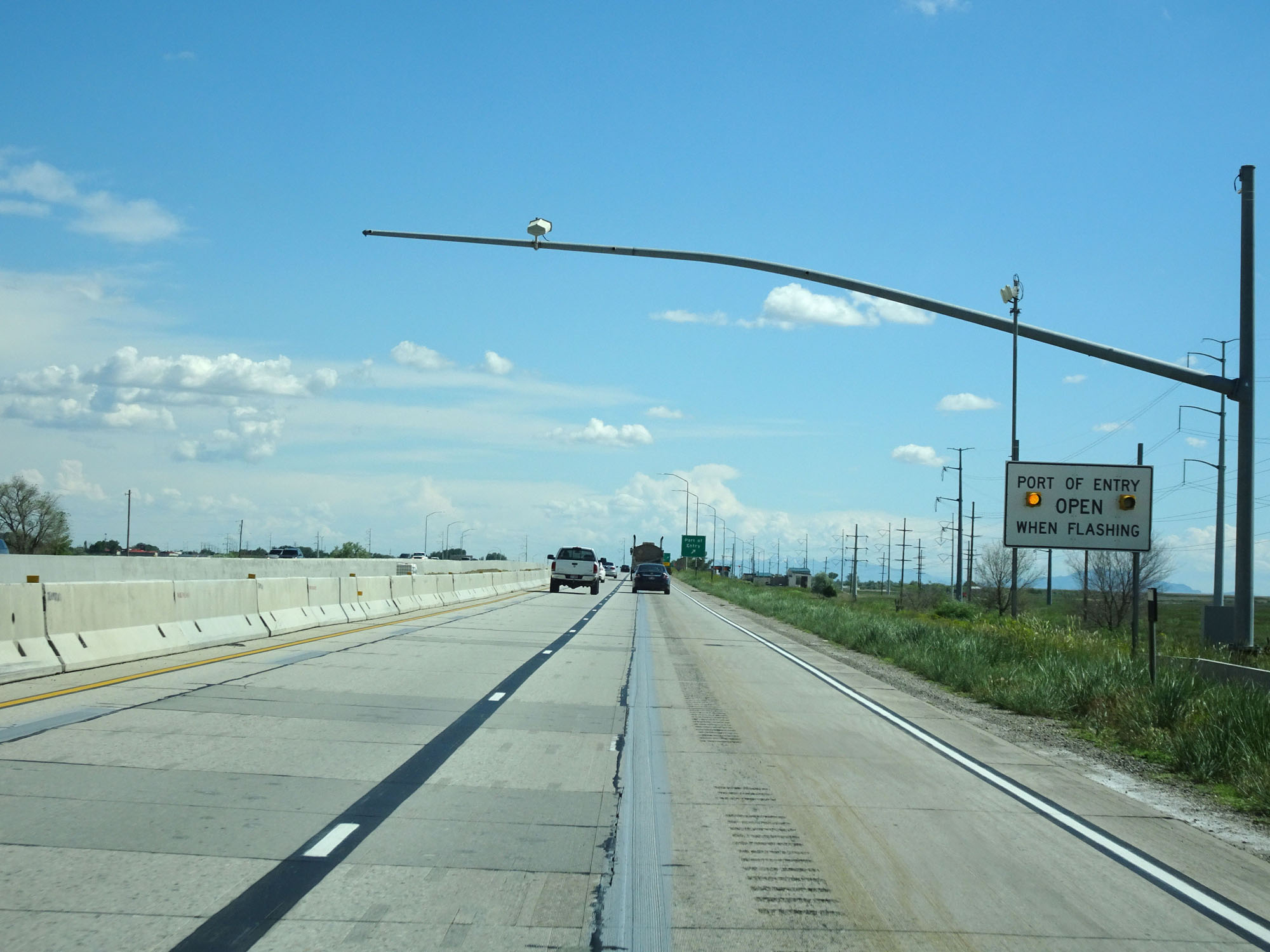 |
When the lights on this sign are flashing, it means the Port of Entry is open ahead. (Photo taken 5/26/16). |
 |
Interstate 84 East / Interstate 15 South at the Port of Entry in Box Elder County. (Photo taken 5/26/16). |
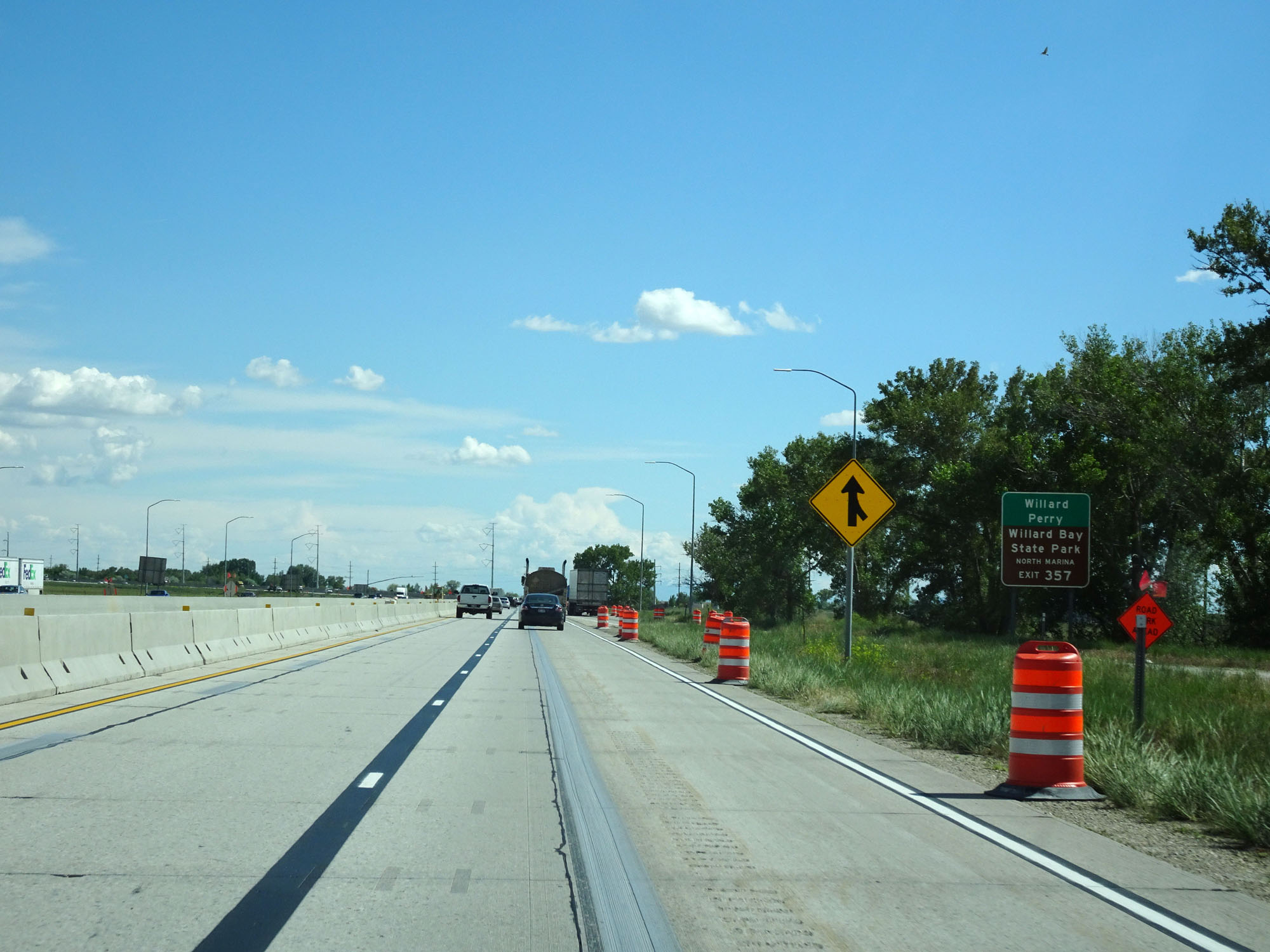 |
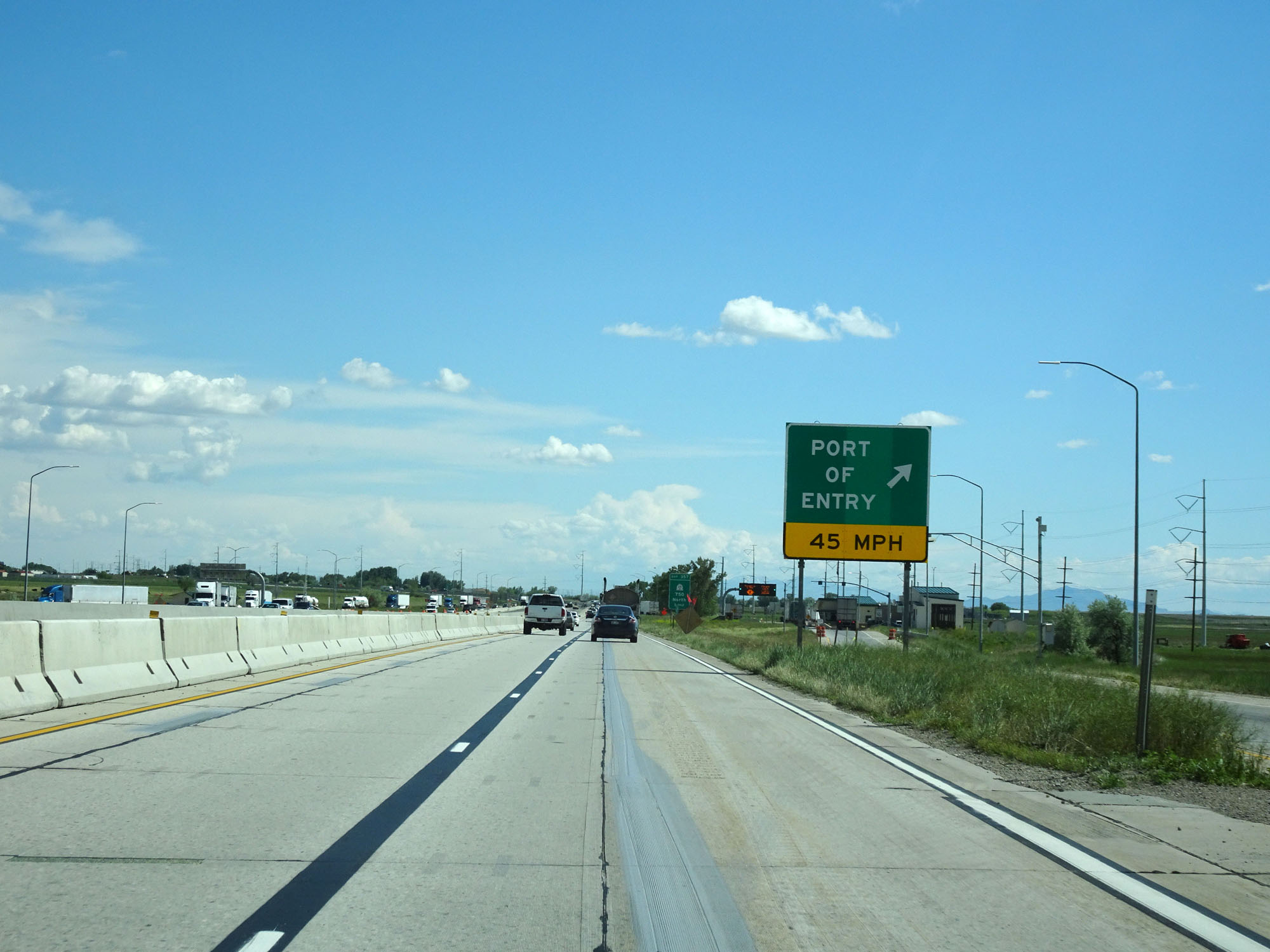
Take Exit 357 to Willard, Perry, and Willard Bay State Park North Marina. (Photo taken 5/26/16). |
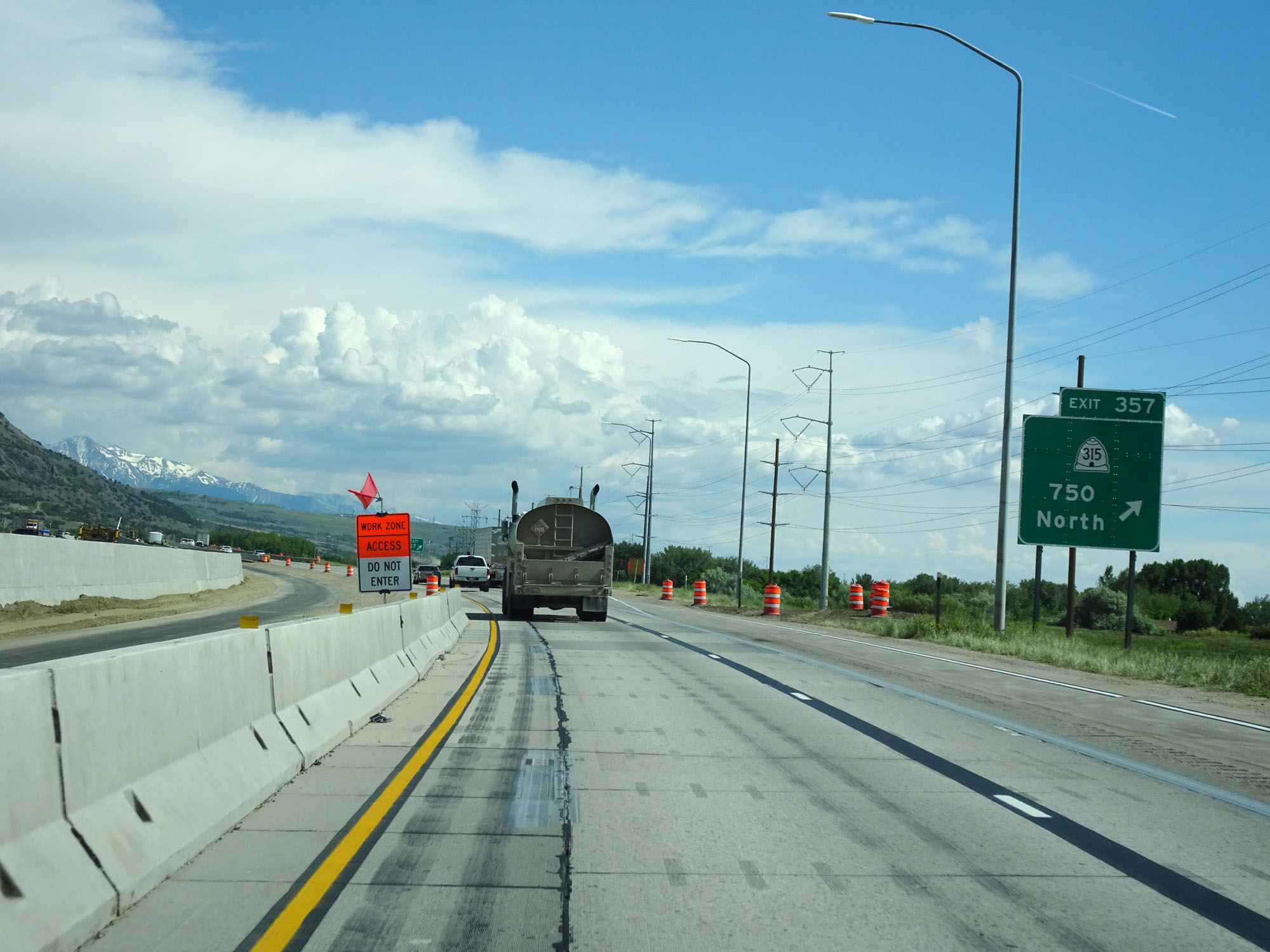 |
Interstate 84 East / Interstate 15 South at Exit 357: UT 315 - 750 North (Photo taken 5/26/16). |
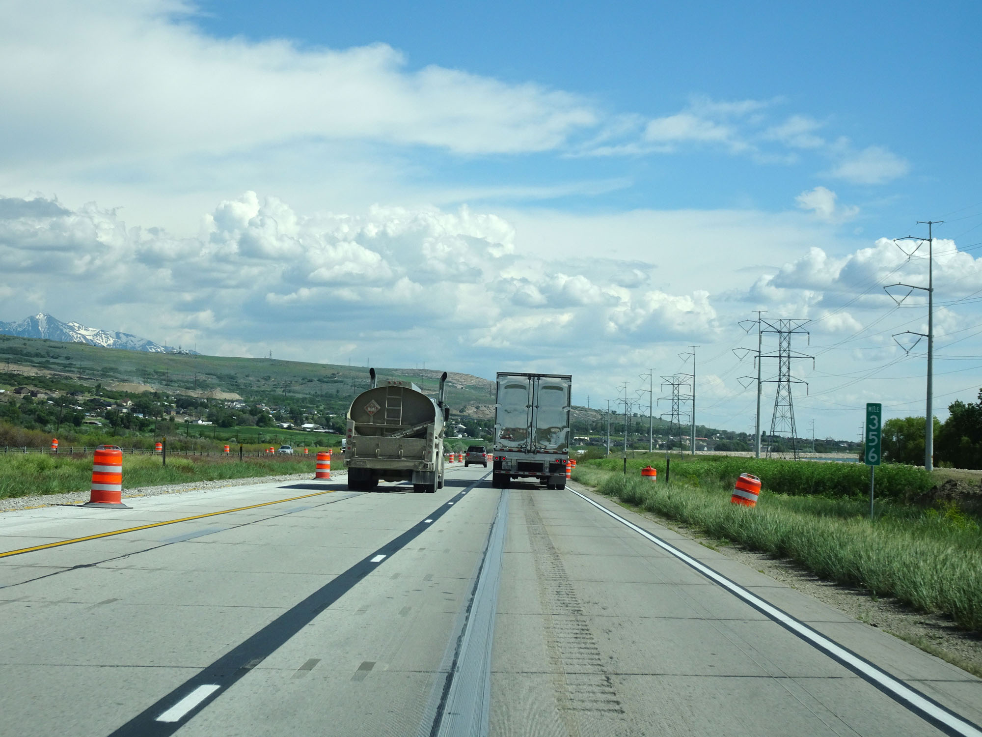 |
Interstate 84 East / Interstate 15 South at mile marker 356. (Photo taken 5/26/16). |
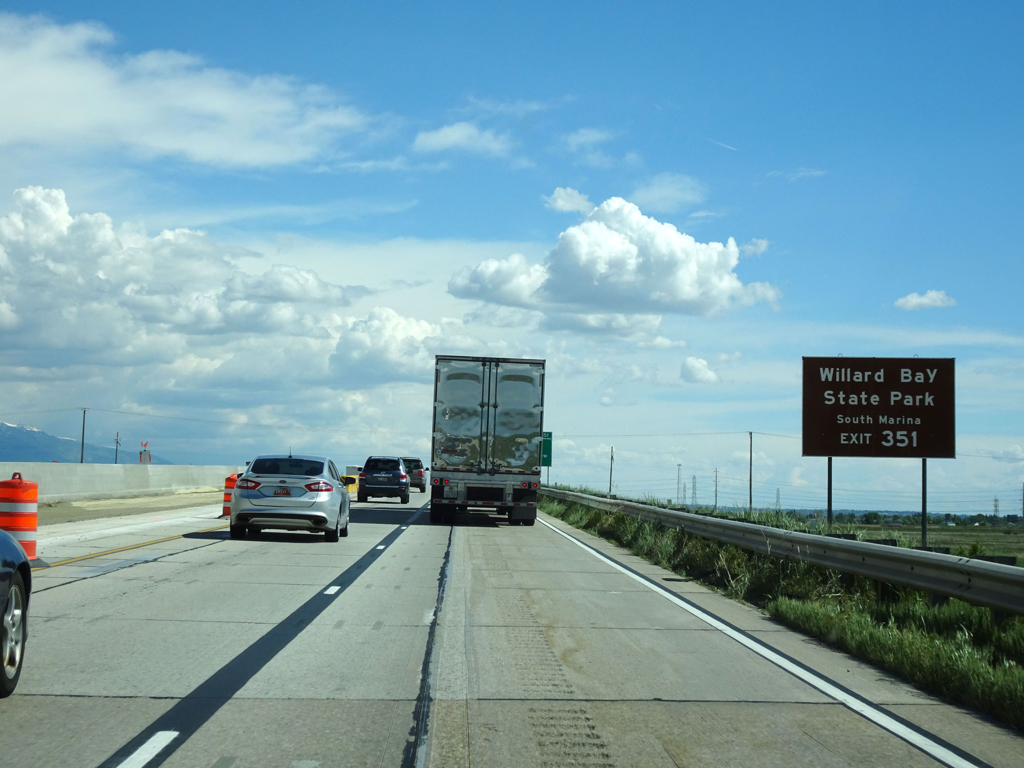 |
Take Exit 351 to Willard Bay State Park South Marina. (Photo taken 5/26/16). |
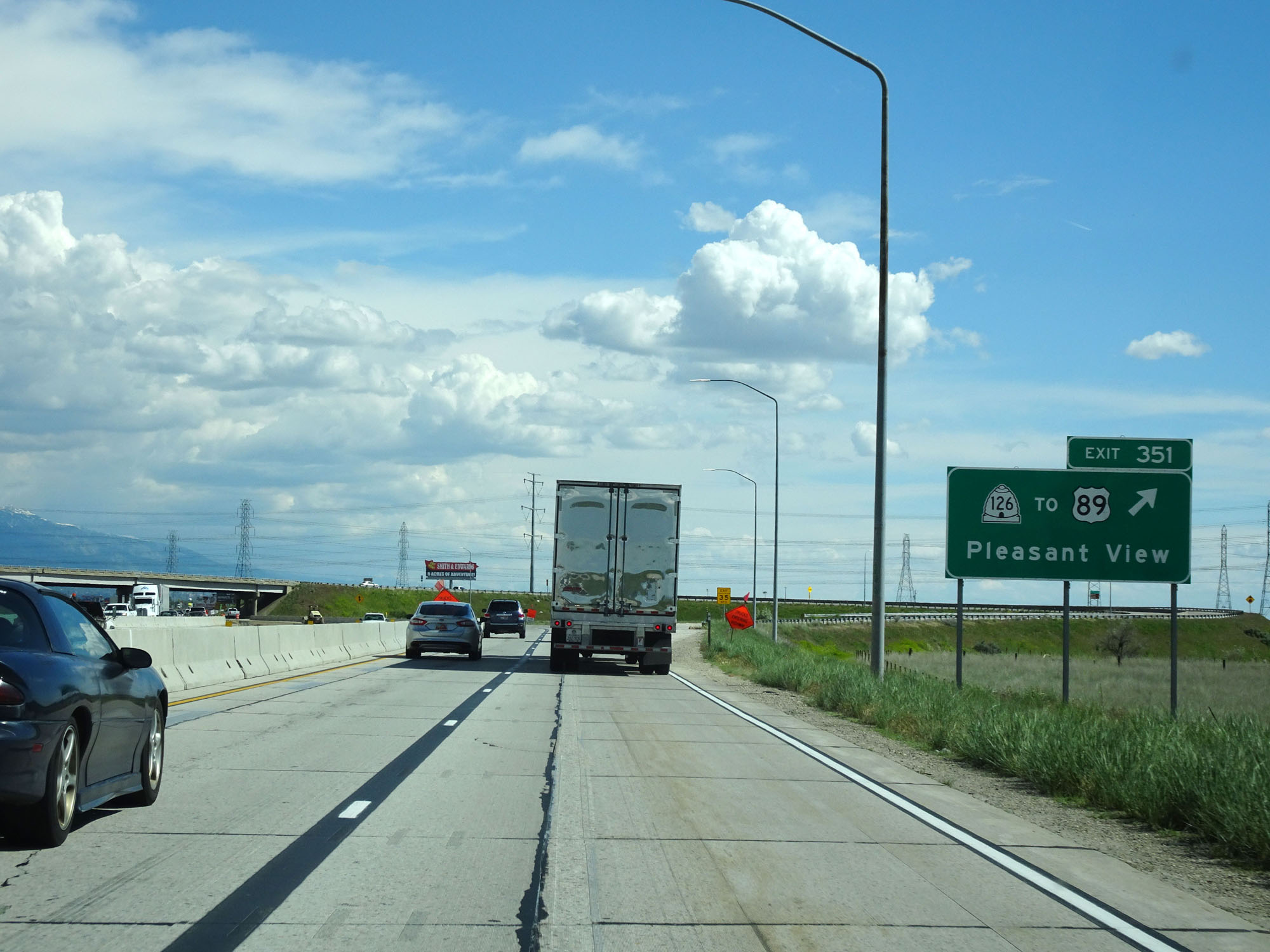 |
Interstate 84 East / Interstate 15 South at Exit 351: UT 126 / To US 89 - Pleasant View (Photo taken 5/26/16). |
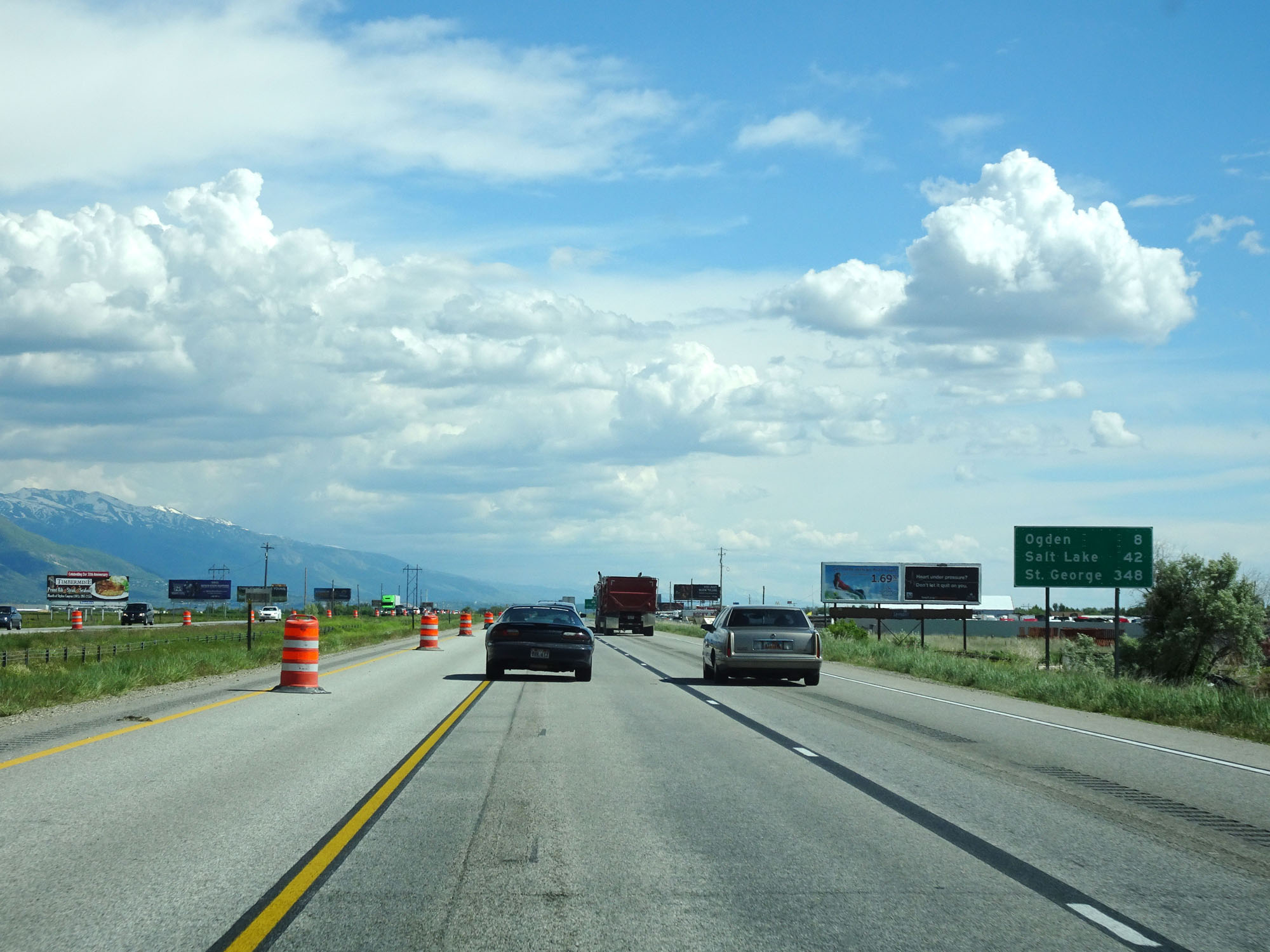 |
Mileage sign on Interstate 84 East / Interstate 15 South. It's 8 miles to Ogden, 42 miles to Salt Lake City, and 348 miles to St George. (Photo taken 5/26/16). |
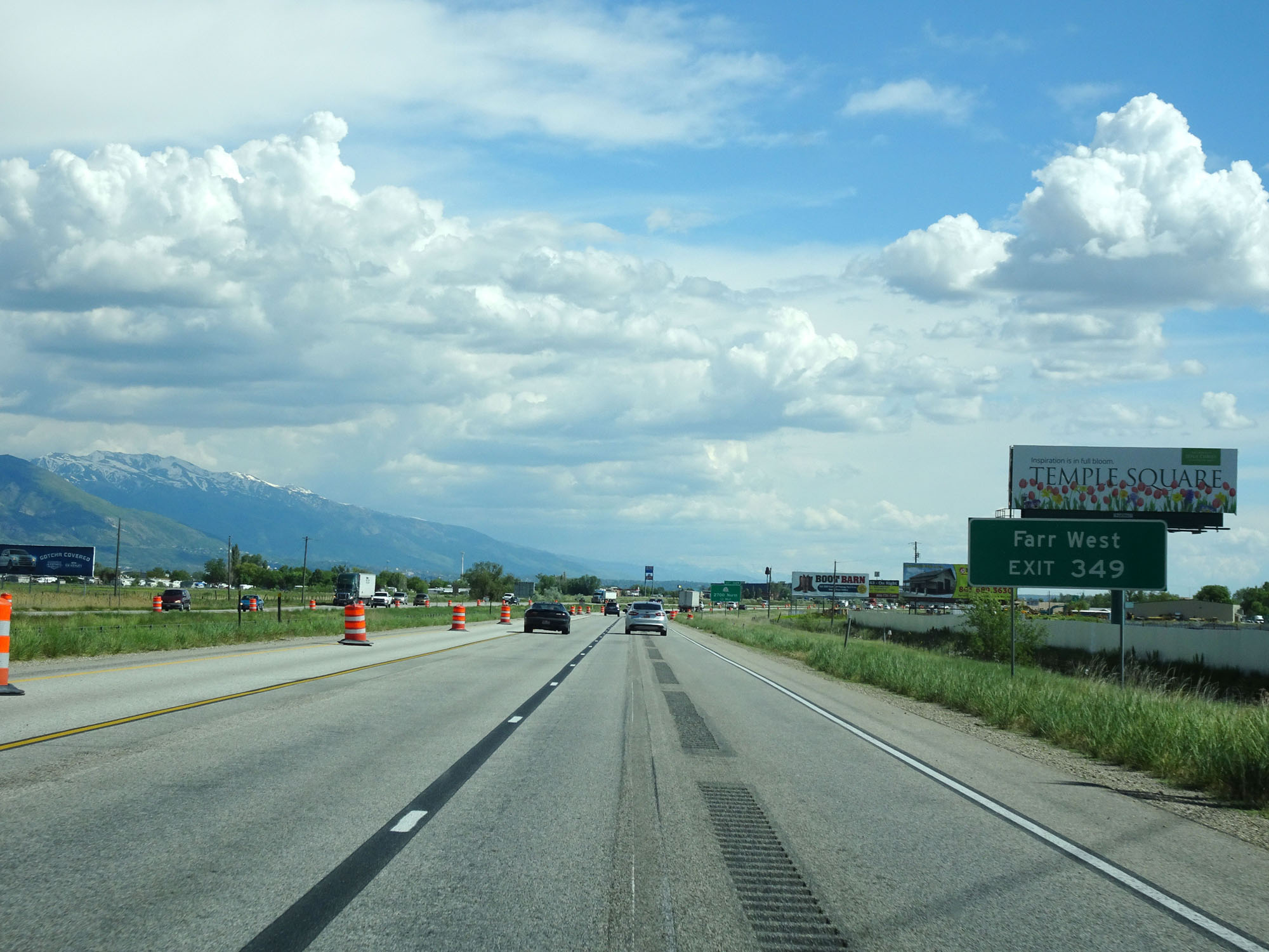 |
Take Exit 349 to Farr West. (Photo taken 5/26/16). |
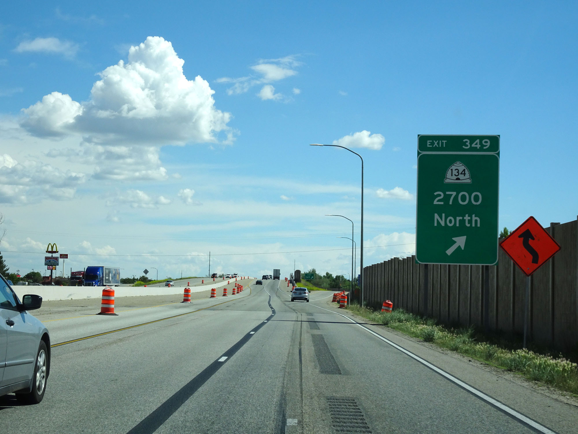 |
Interstate 84 East / Interstate 15 South at Exit 349: UT 134 - 2700 North (Photo taken 5/26/16). |
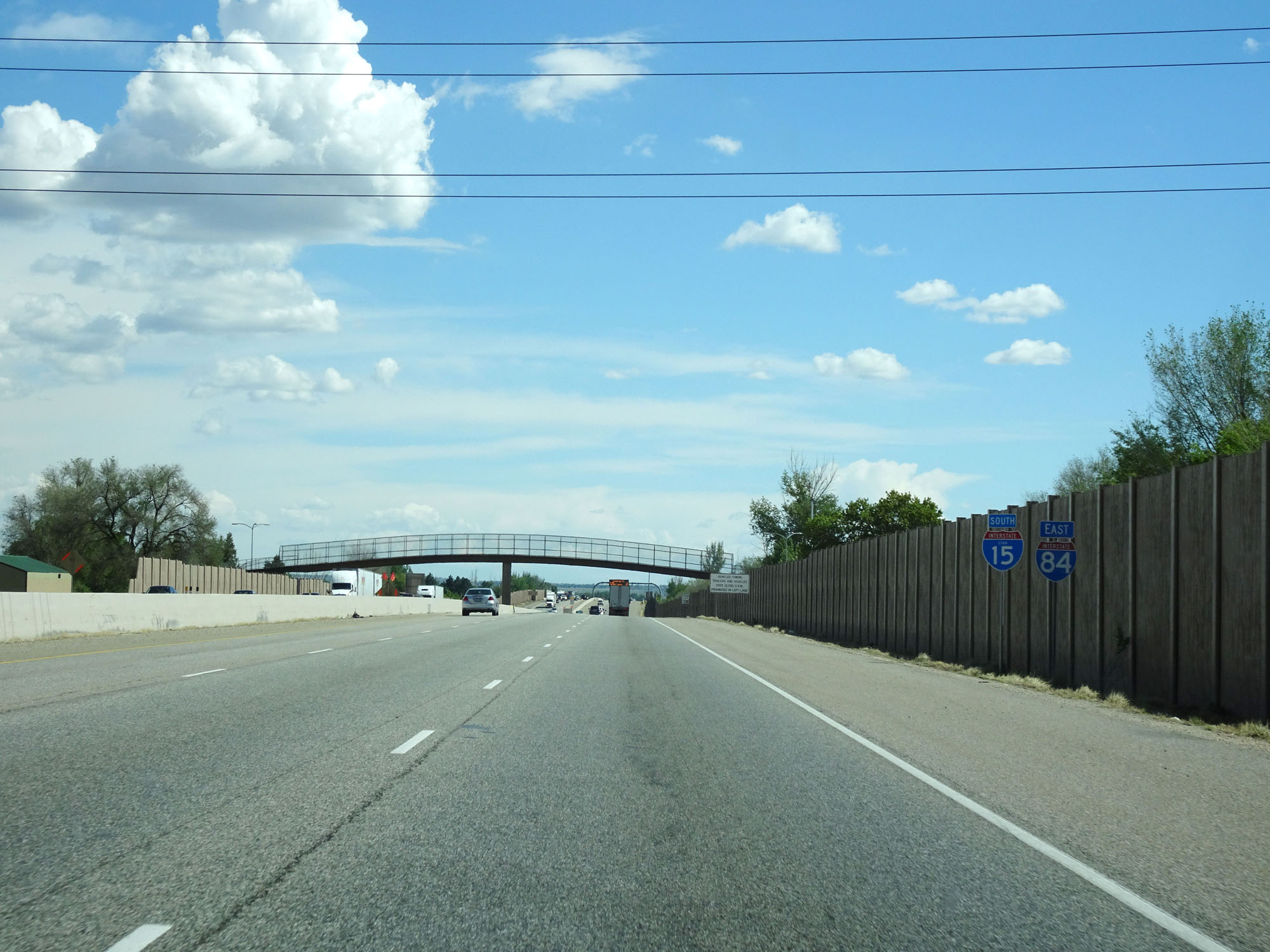 |
Interstate 84 East / Interstate 15 South reassurance shields. Note that this I-15 shield is state-named while the I-84 one is not. (Photo taken 5/26/16). |
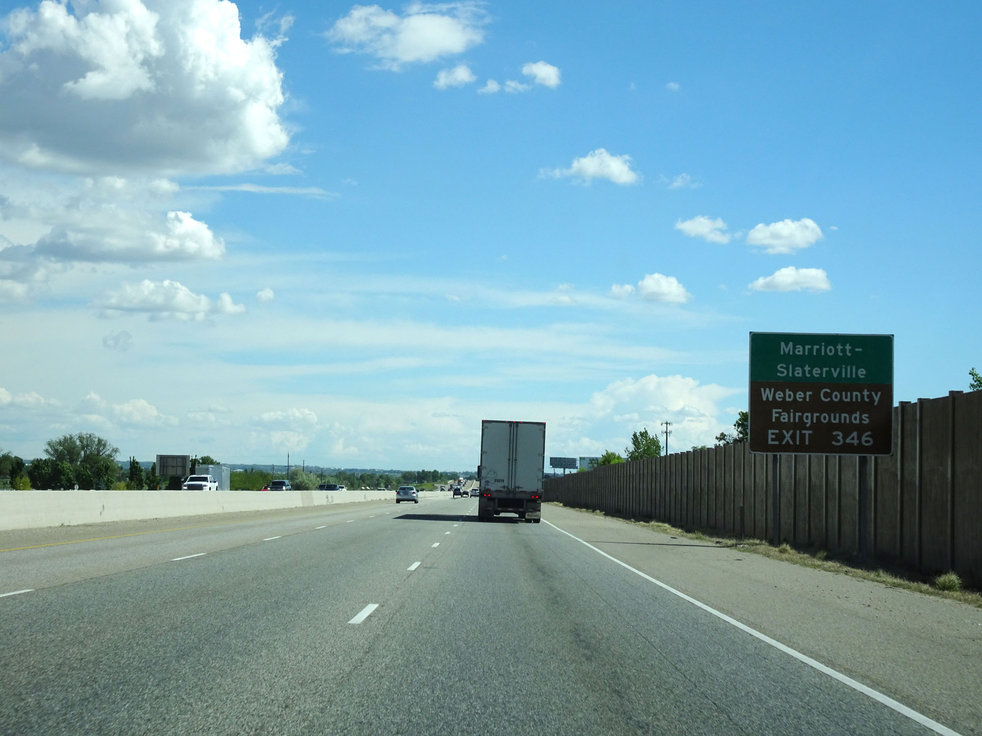 |
Take Exit 346 to Marriott-Slaterville and the Weber County Fairgrounds. (Photo taken 5/26/16). |
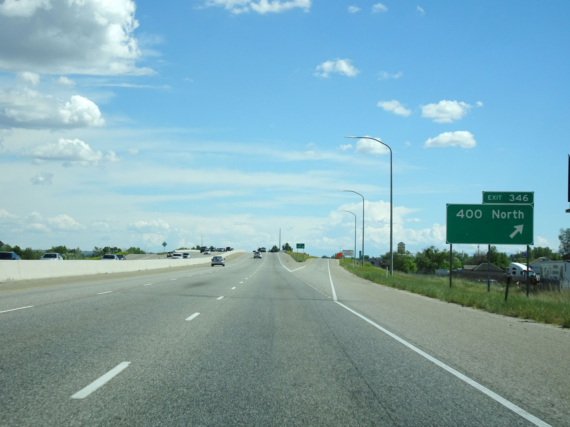 |
Interstate 84 East / Interstate 15 South at Exit 346: 400 North (Photo taken 5/26/16). |
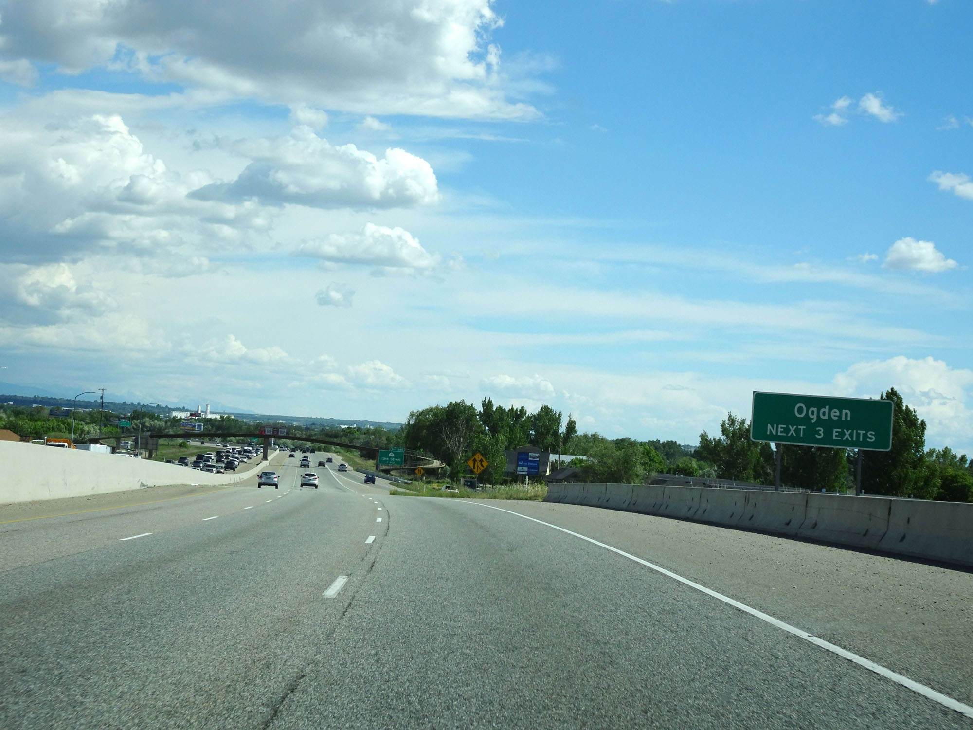 |
Take any of the next 3 exits to Ogden. (Photo taken 5/26/16). |
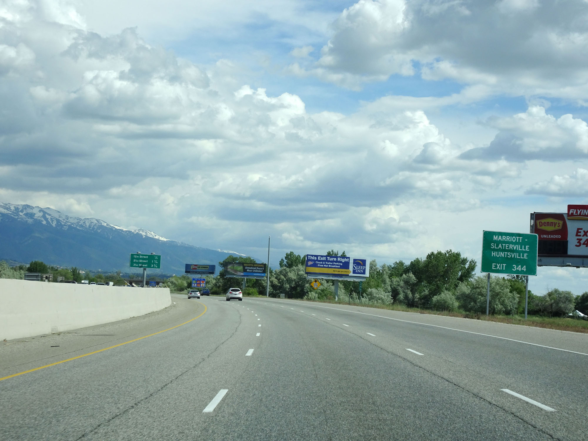 |
Take Exit 344 to Marriott-Slaterville and Huntsville. (Photo taken 5/26/16). |
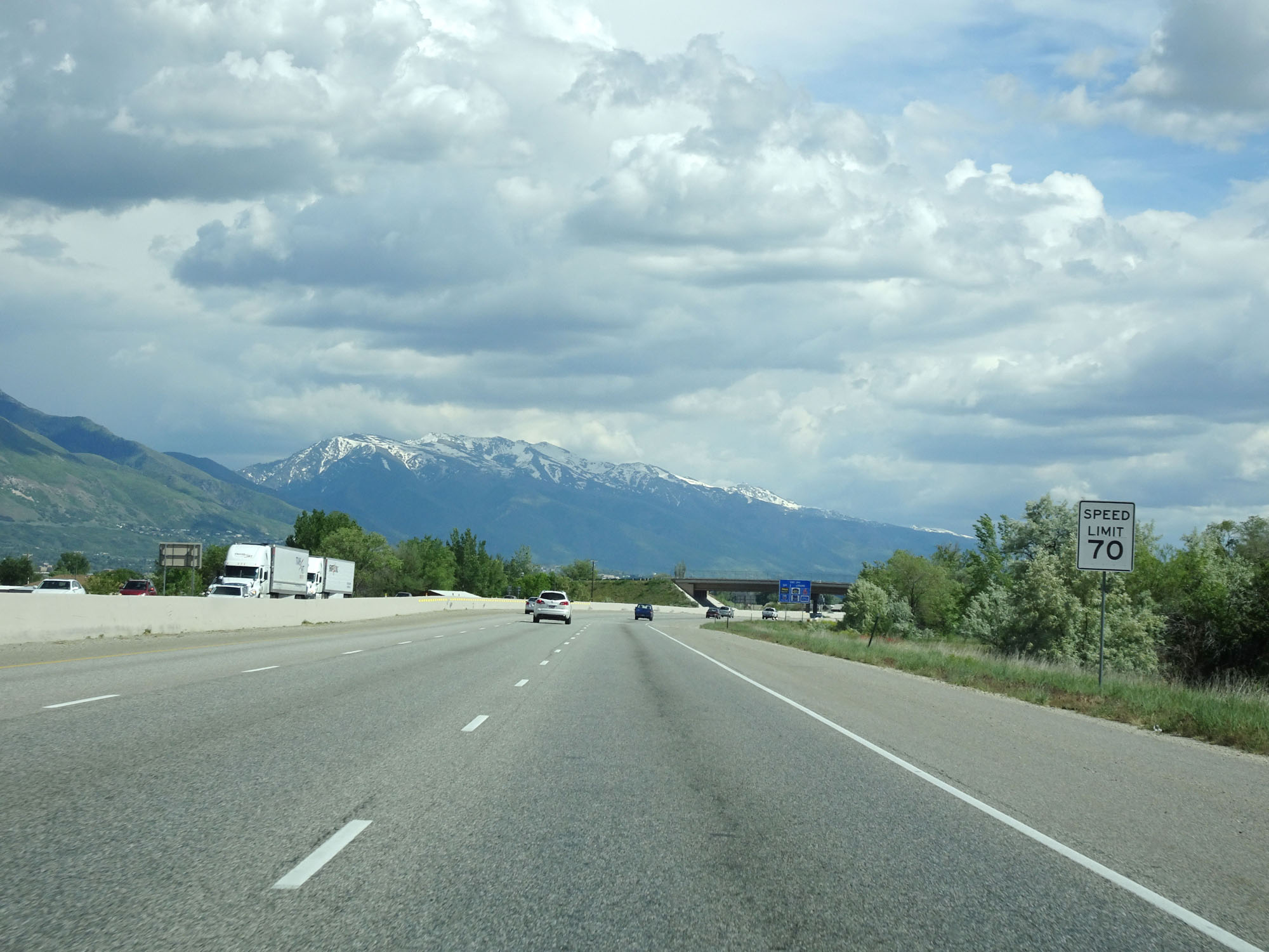 |
Approaching Exit 344, the speed limit decreases to 70 mph for all traffic. (Photo taken 5/26/16). |
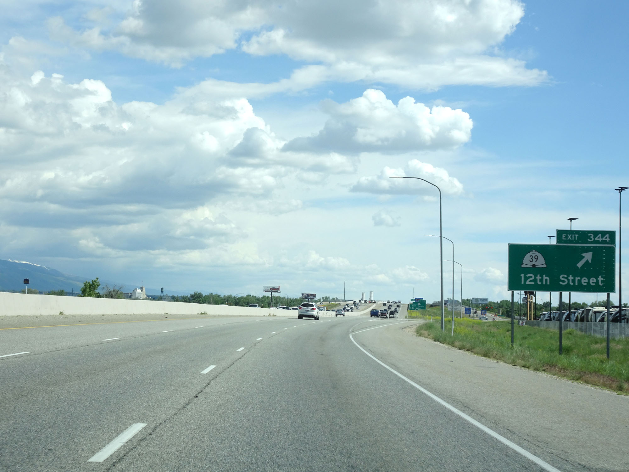 |
Interstate 84 East / Interstate 15 South at Exit 344: UT 39 - 12th Street (Photo taken 5/26/16). |
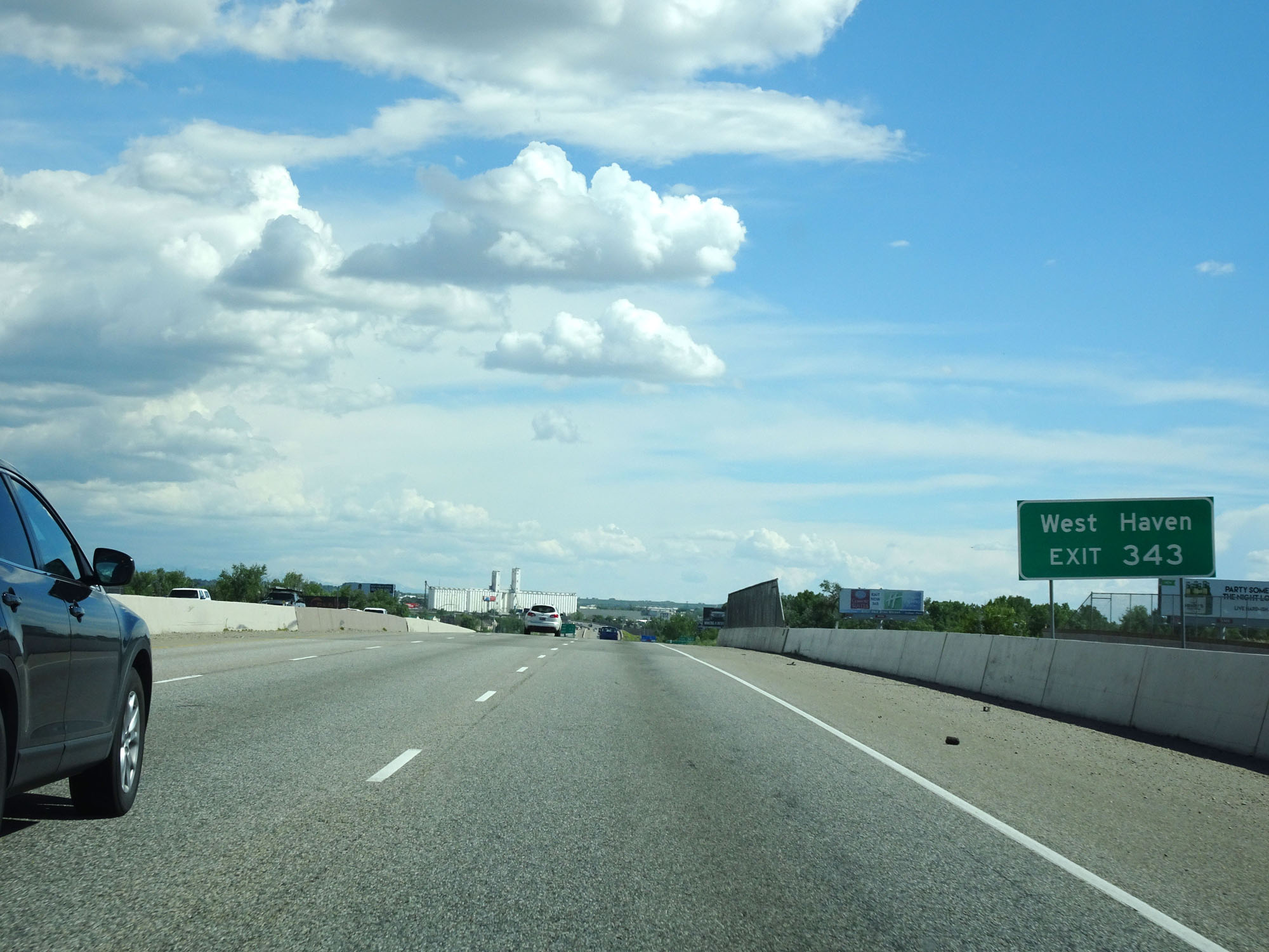 |
Take Exit 343 to West Haven. (Photo taken 5/26/16). |
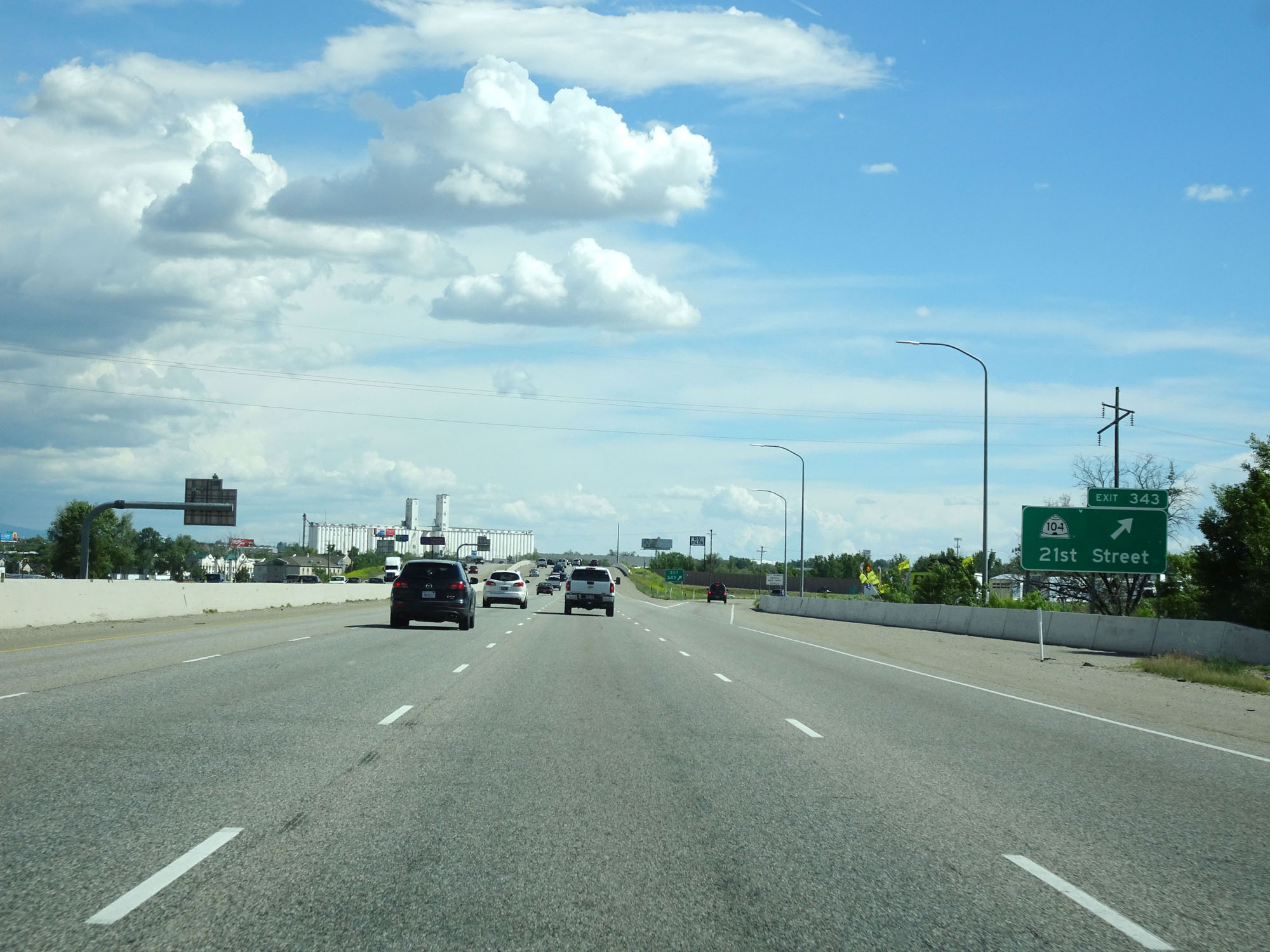 |
Interstate 84 East / Interstate 15 South at Exit 343: UT 104 - 21st Street (Photo taken 5/26/16). |
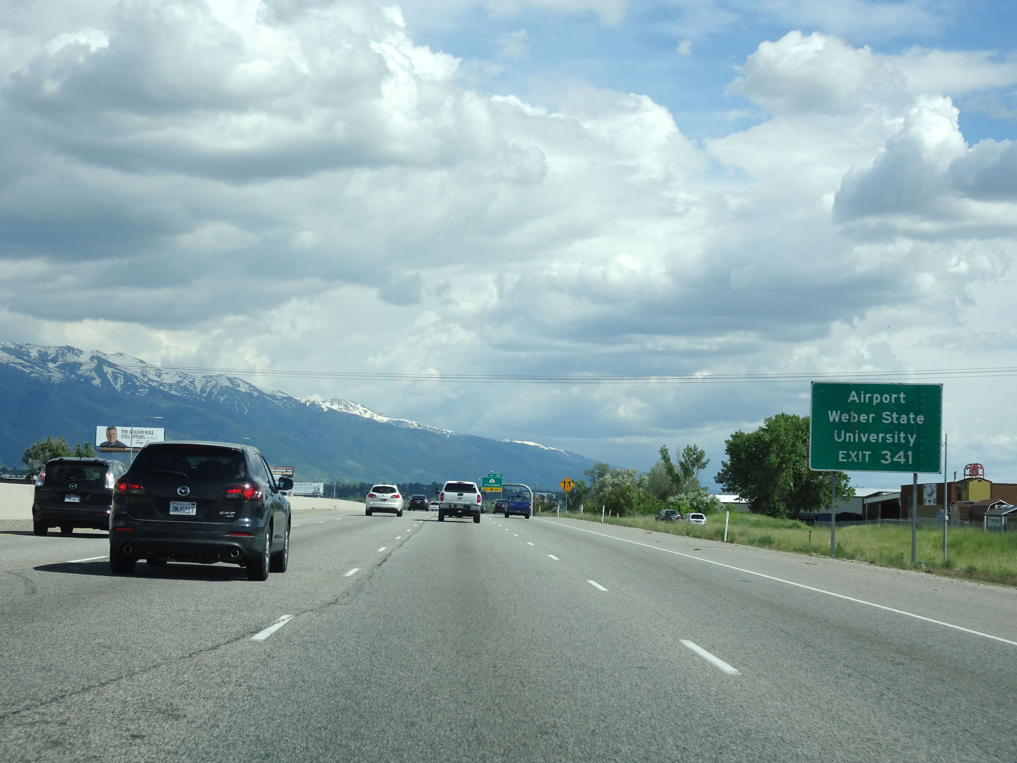 |
Take Exit 341 to the Airport and Weber State University. (Photo taken 5/26/16). |
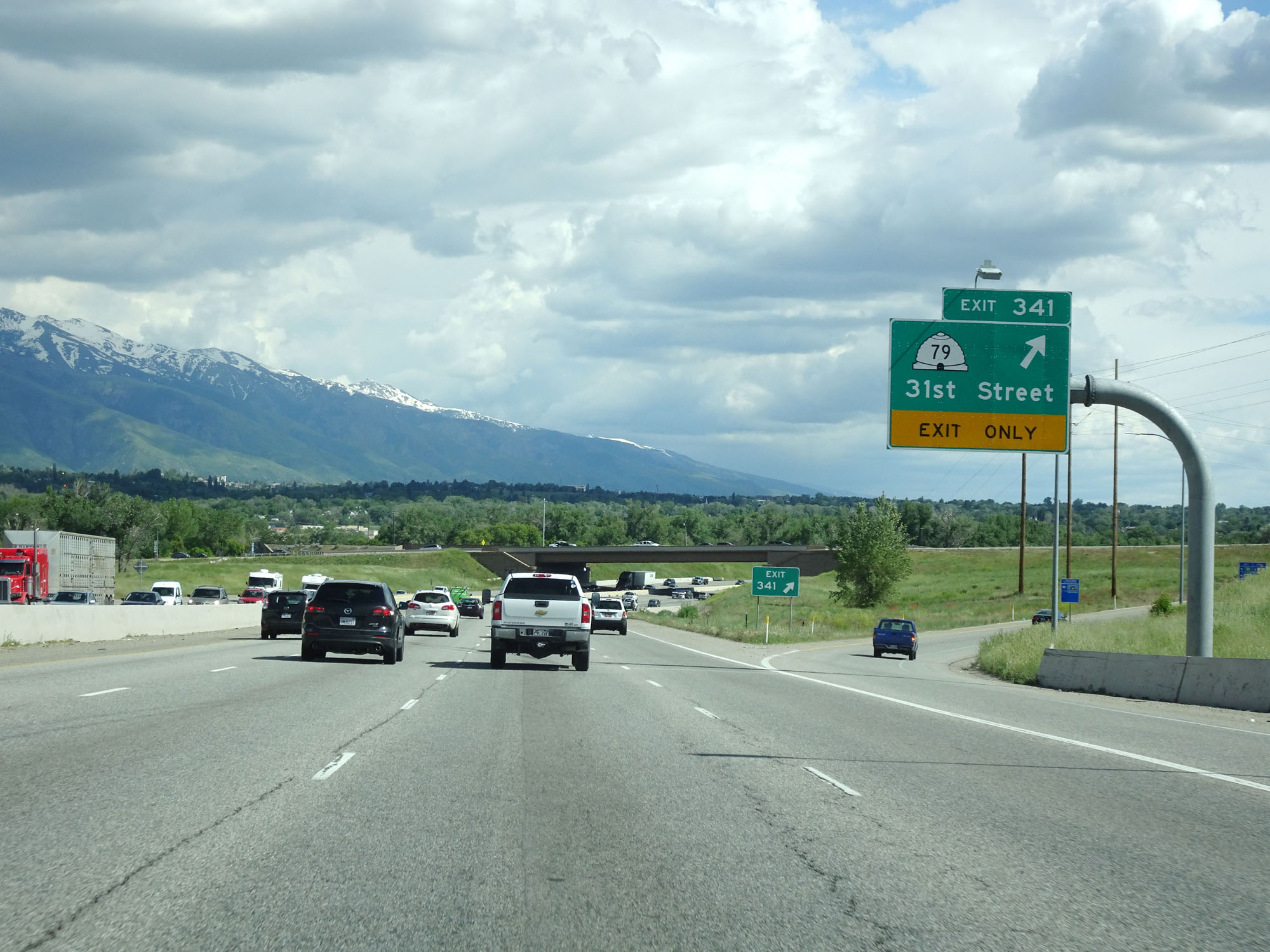 |
Interstate 84 East / Interstate 15 South at Exit 341: UT 79 - 31st Street (Photo taken 5/26/16). |
 |
Interstate 84 East / Interstate 15 South approaching Exit 340 - 1 mile. (Photo taken 5/26/16). |
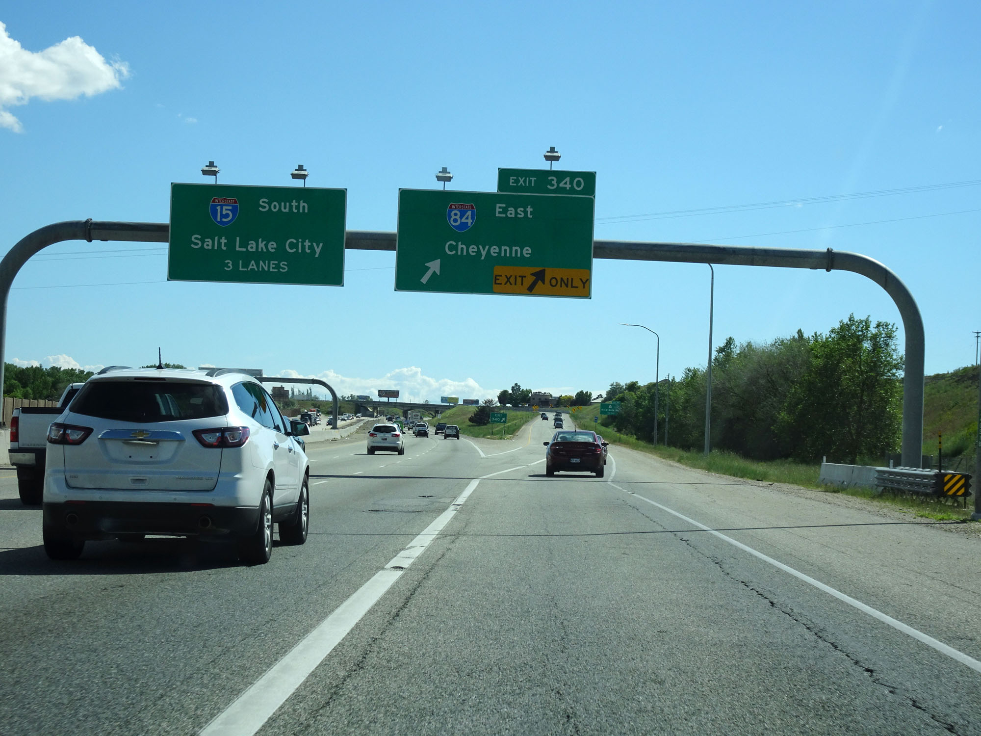 |
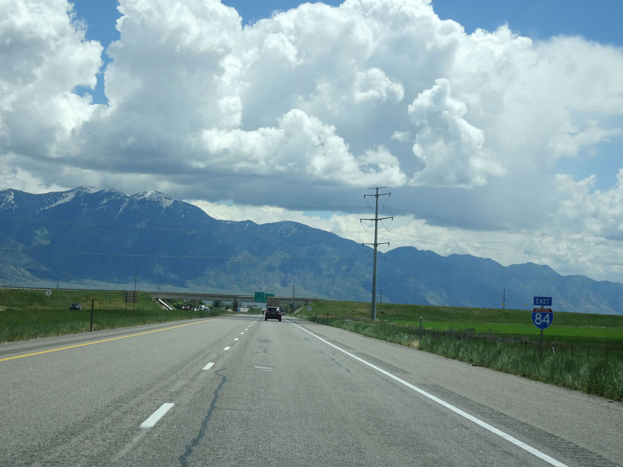
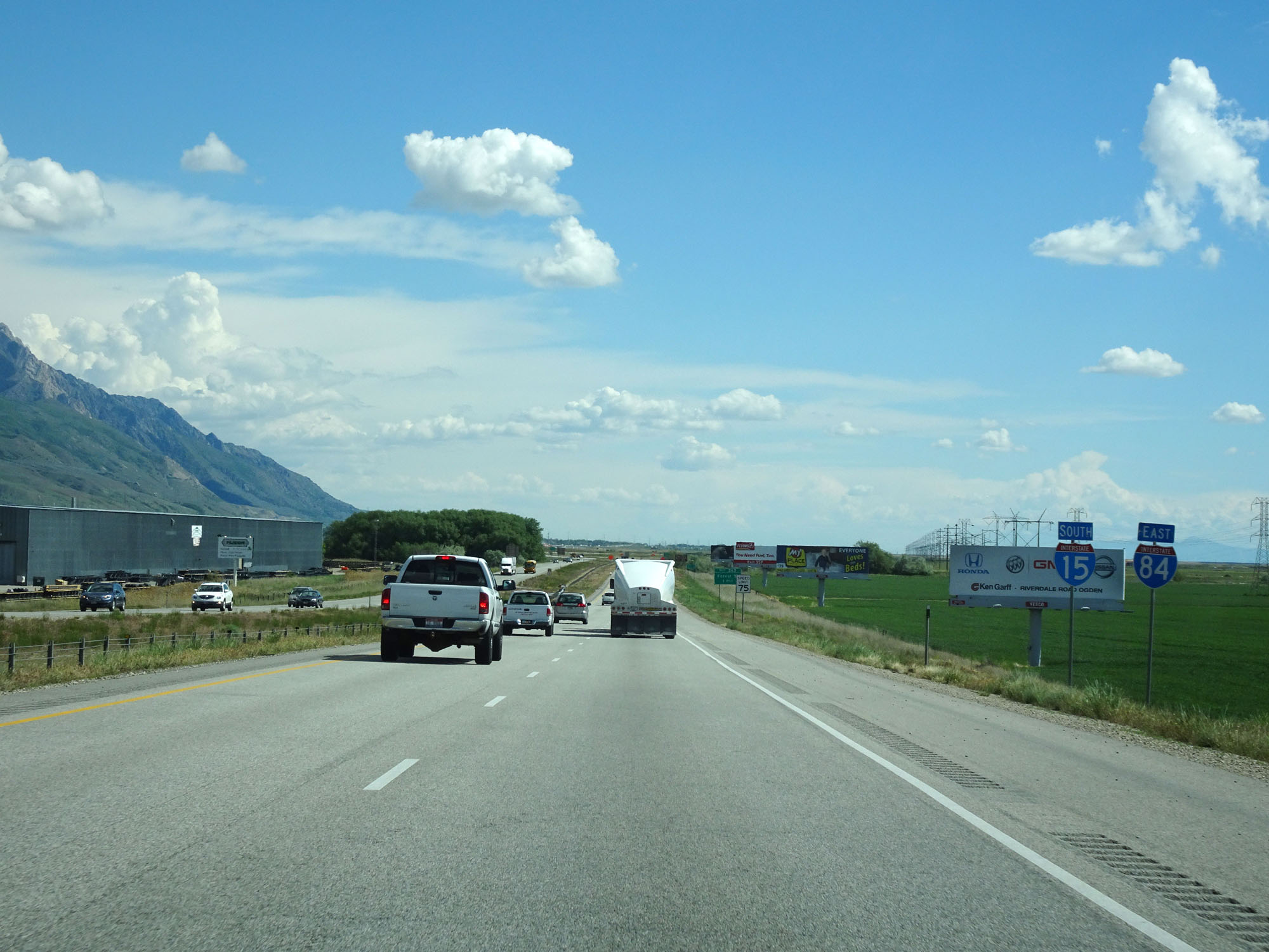
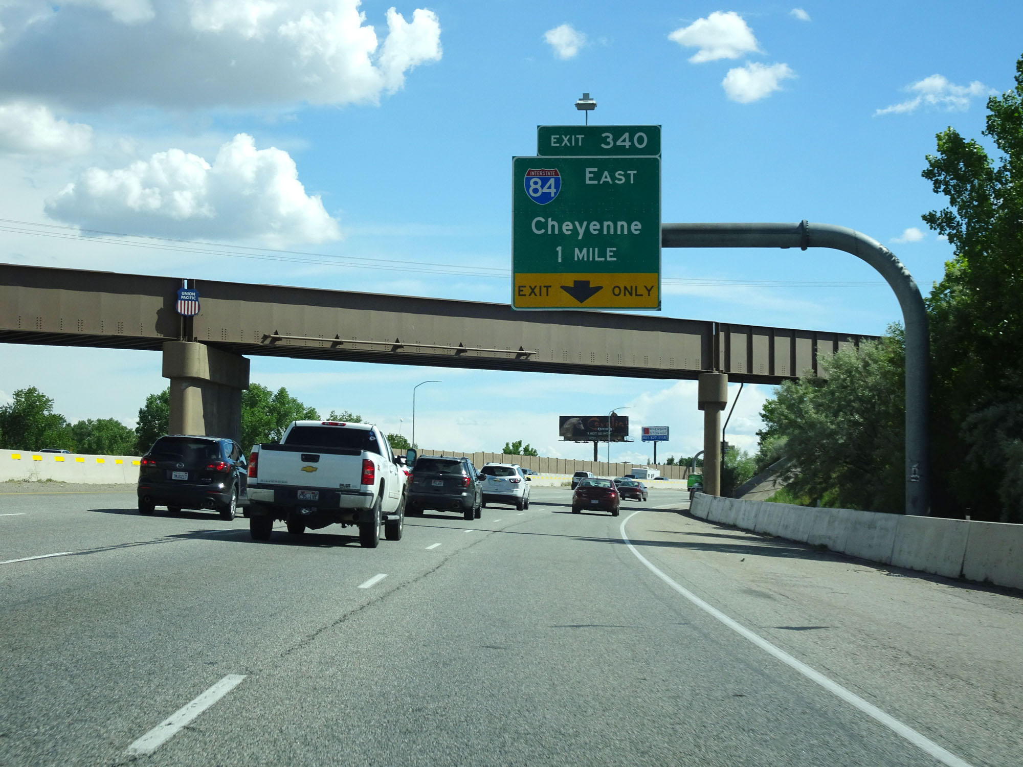
Interstate 84 East / Interstate 15 South at Exit 340: Interstate 84 East - Cheyenne (Photo taken 5/26/16). |
 |
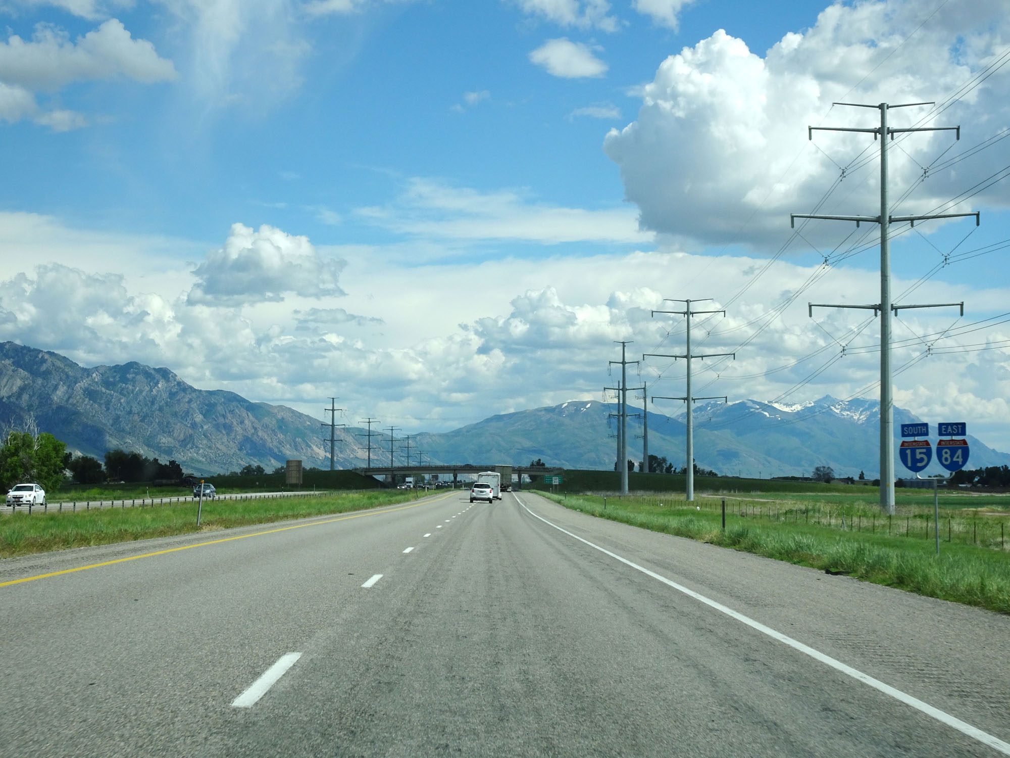
Advance mileage sign for Exit 81 as Interstate 84 East departs from Interstate 15 South. (Photo taken 5/26/16). |
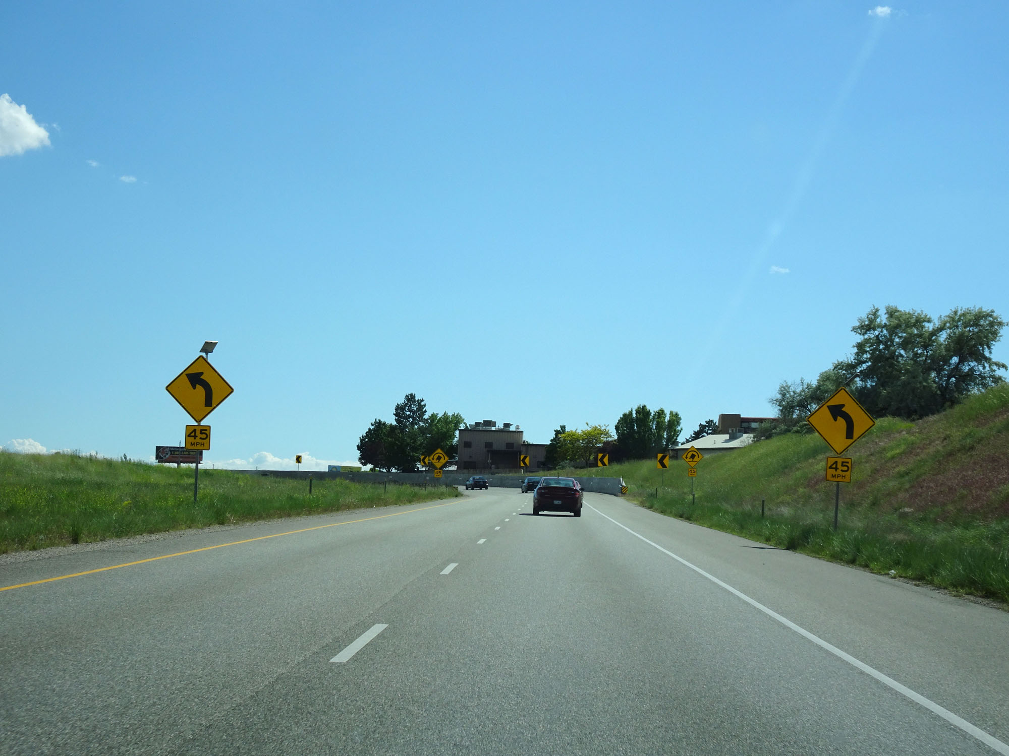 |
View on Interstate 84 East, as it prepares to traverse a sharp 45 mph curve and cross over Interstate 15. (Photo taken 5/26/16). |
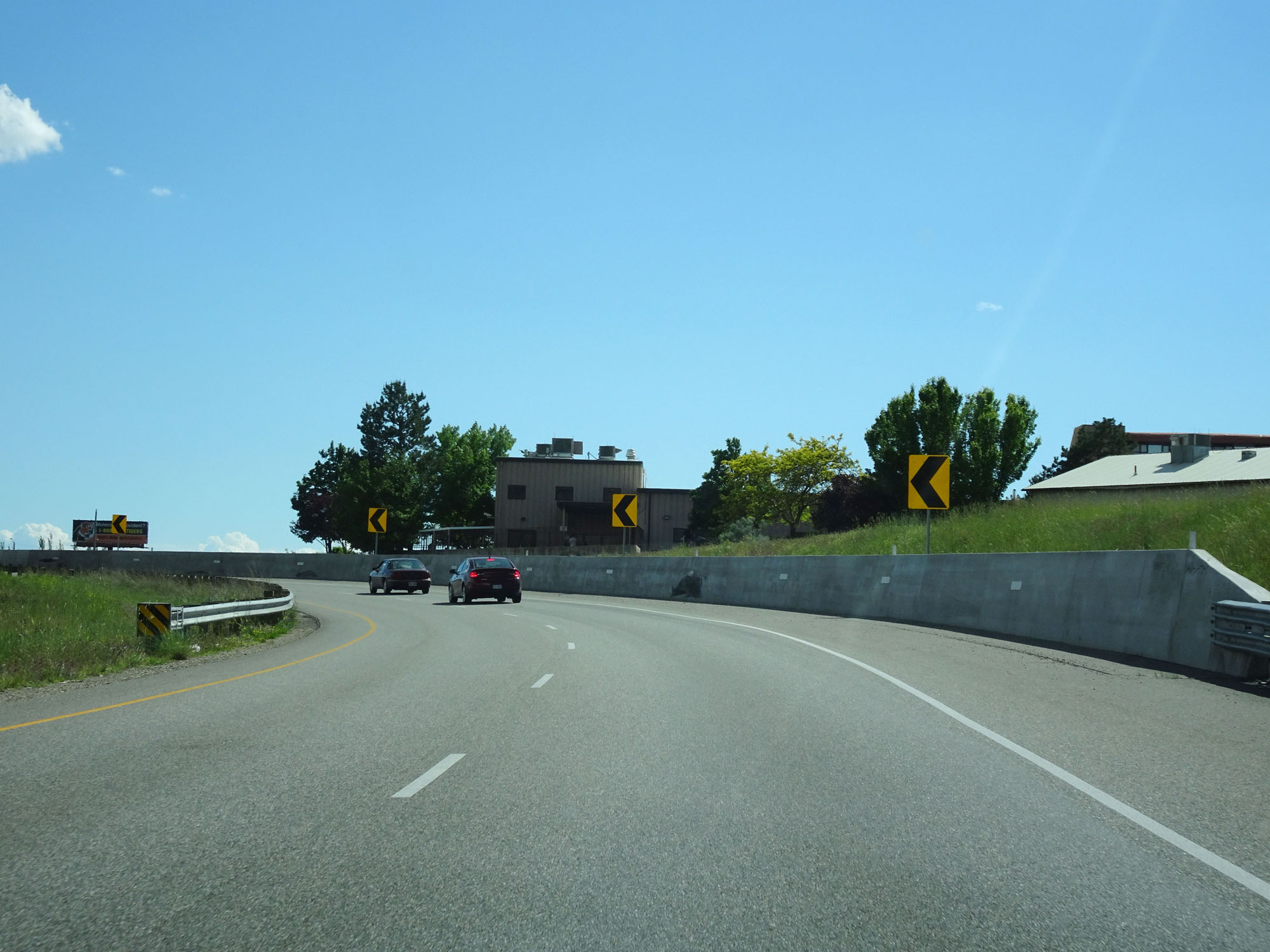 |
Interstate 84 East as it curves to the east and will pass over Interstate 15 ahead. (Photo taken 5/26/16). |
 |
Interstate 84 East at mile marker 81, as it passes over Interstate 15. (Photo taken 5/26/16). |
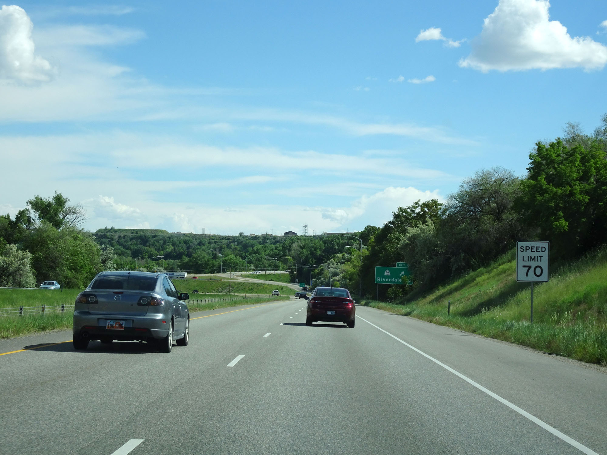 |
The speed limit remains 70 mph throughout the Ogden area. (Photo taken 5/26/16). |
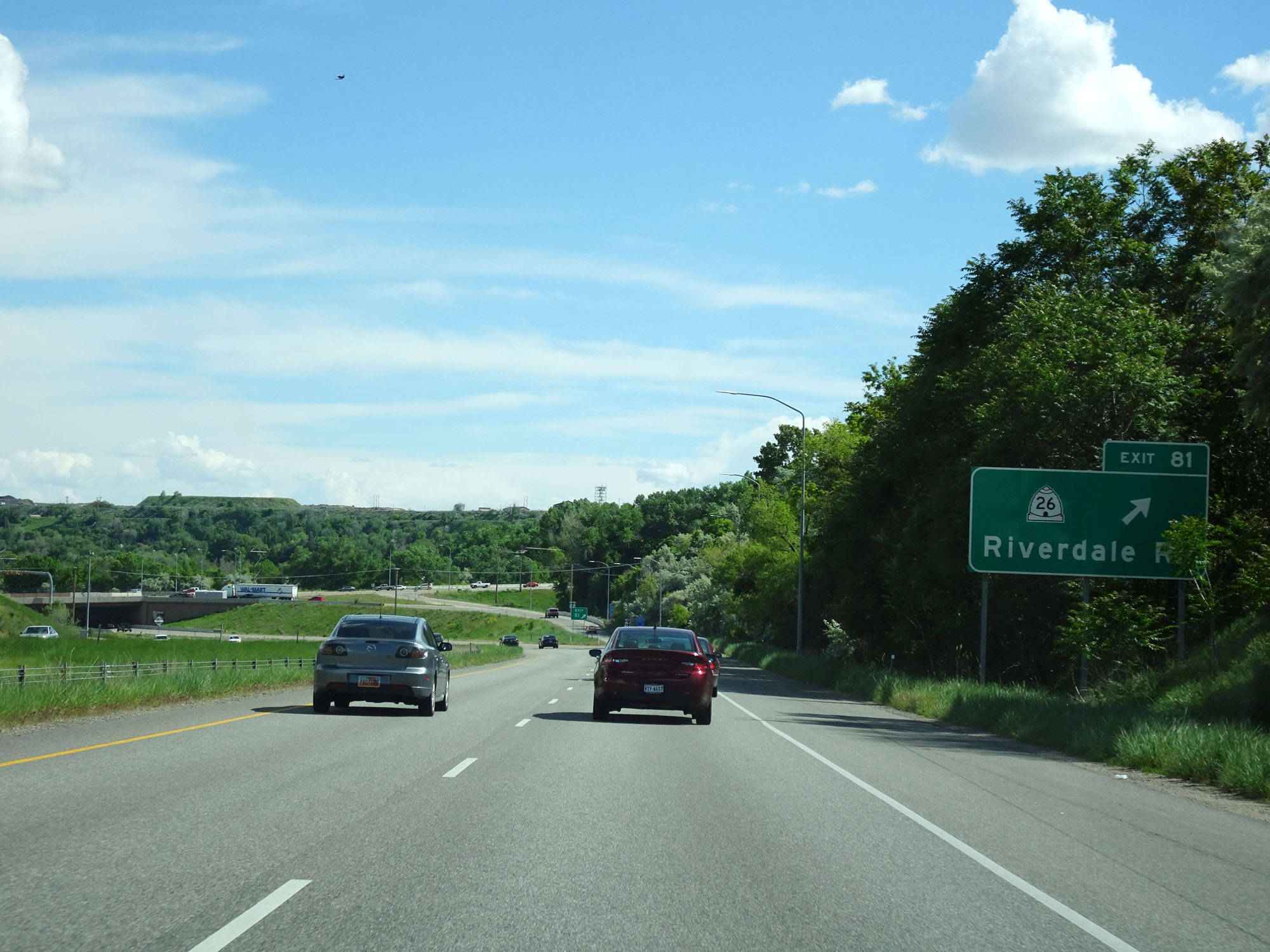 |
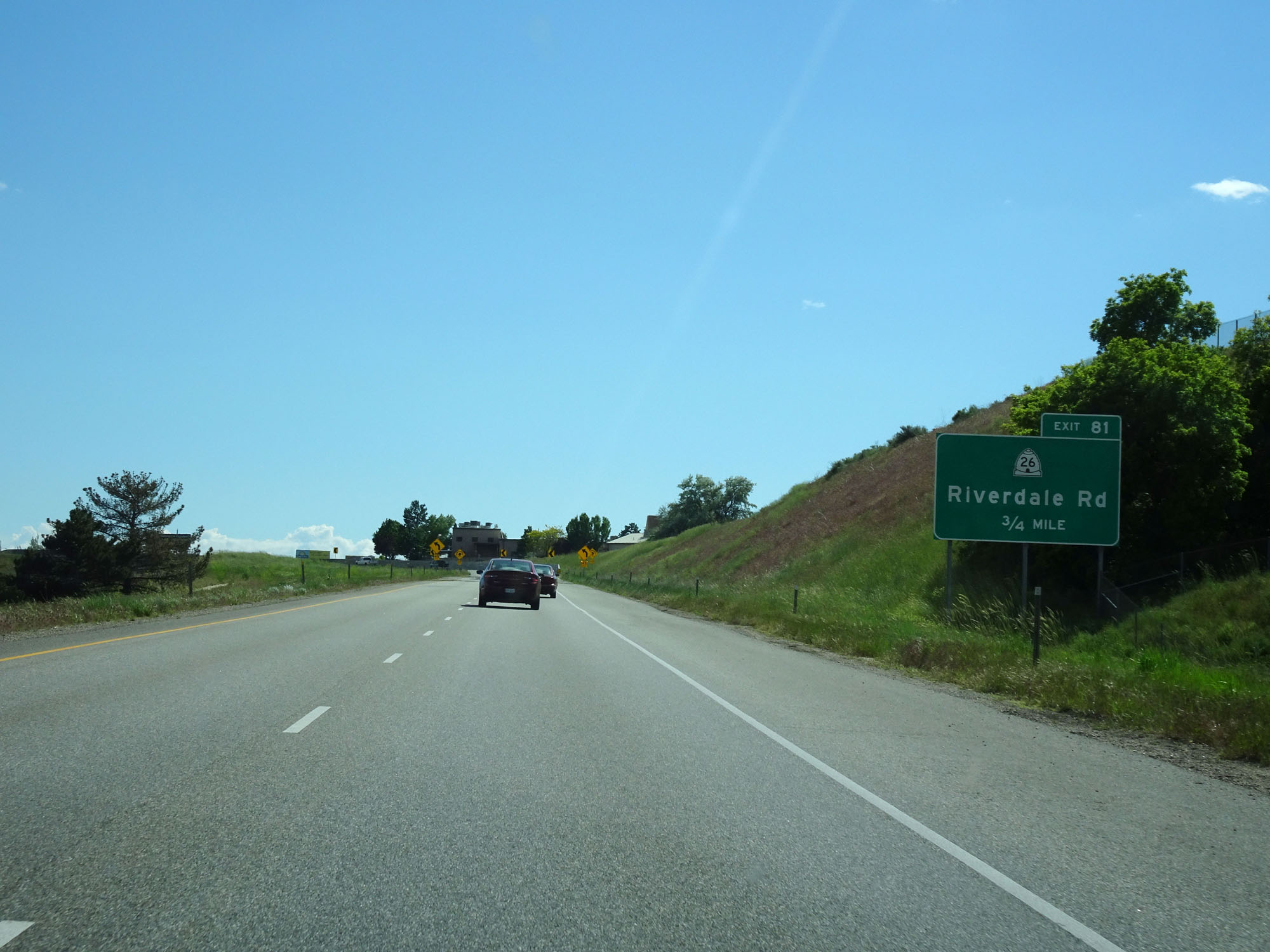
Interstate 84 East at Exit 81: UT 26 - Riverdale Rd (Photo taken 5/26/16). |
Section 3: Riverdale (Exit 81) to Interstate 80
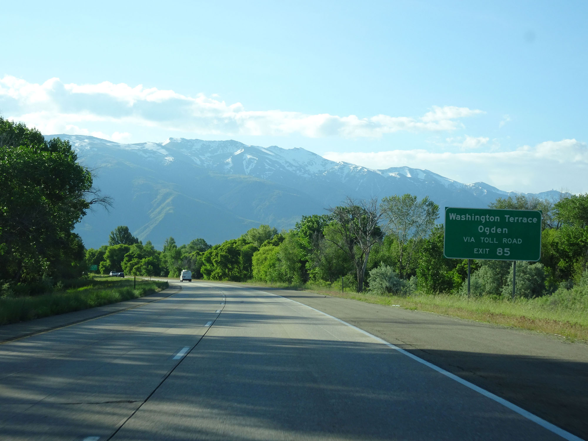 |
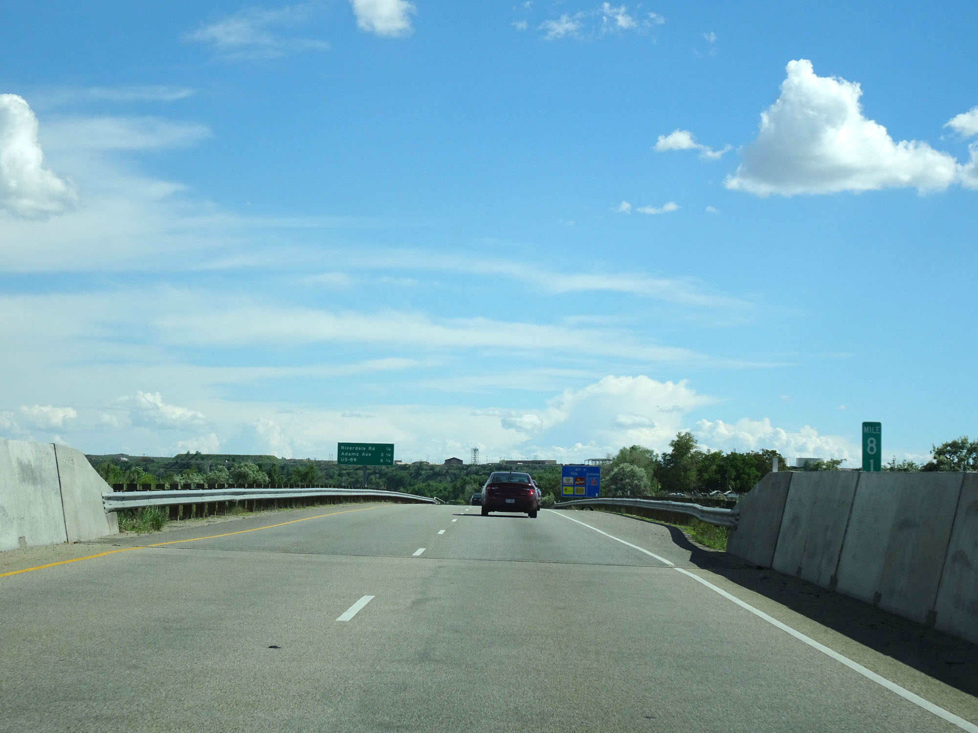
Take Exit 85 to Washington Terrace and Ogden via the Toll Road. (Photo taken 5/27/16). |
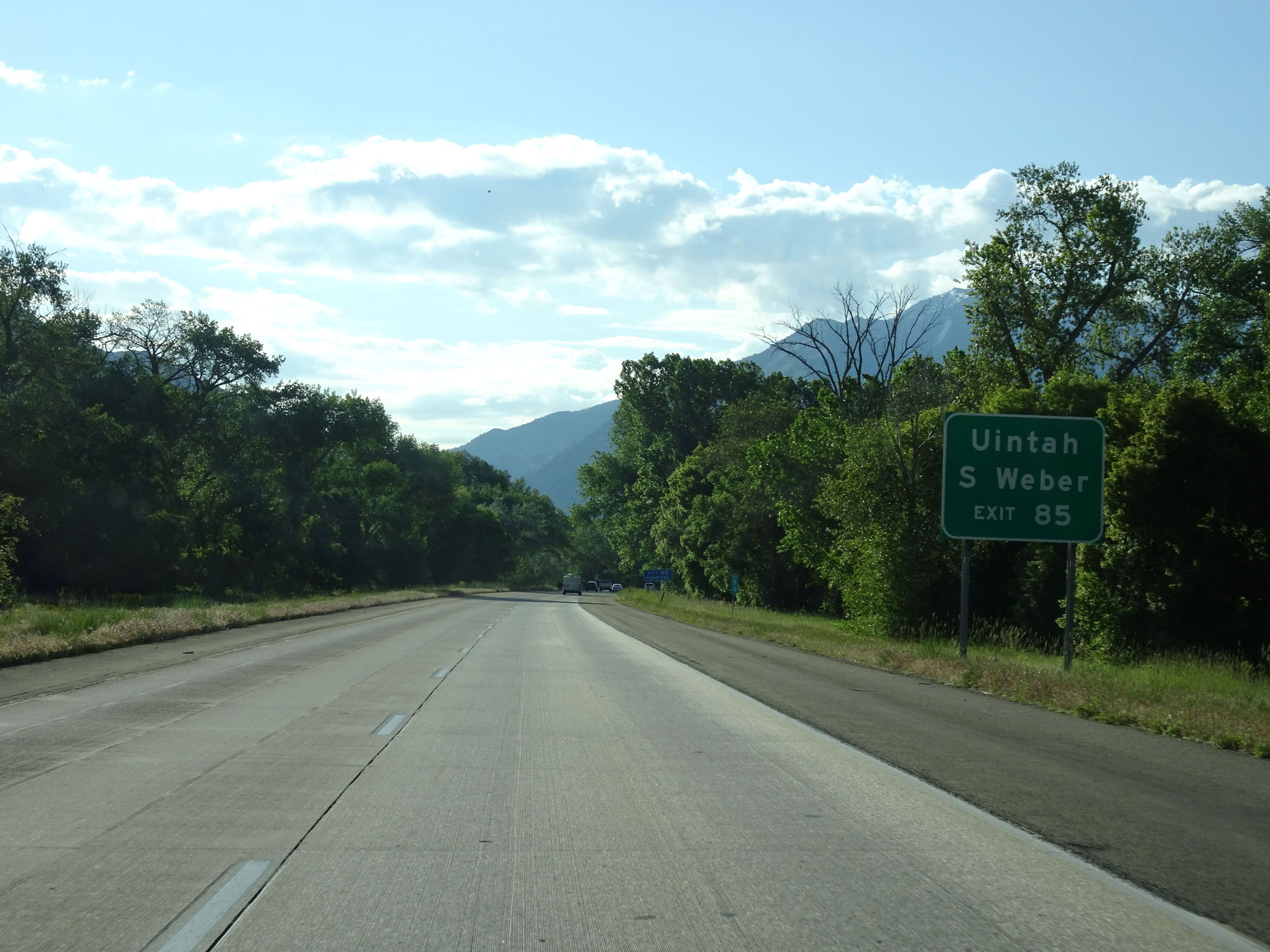 |
Also take Exit 85 to Uintah and S Weber. (Photo taken 5/27/16). |
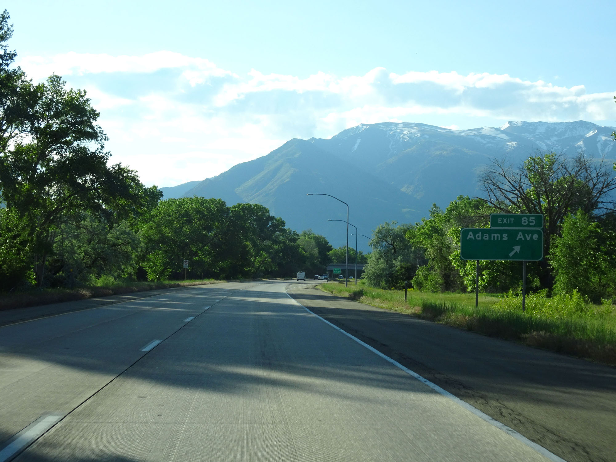 |
Interstate 84 East at Exit 85: Adams Ave (Photo taken 5/27/16). |
 |
Interstate 84 East reassurance shield. (Photo taken 5/27/16). |
 |
Interstate 84 East at mile marker 86. (Photo taken 5/27/16). |
 |
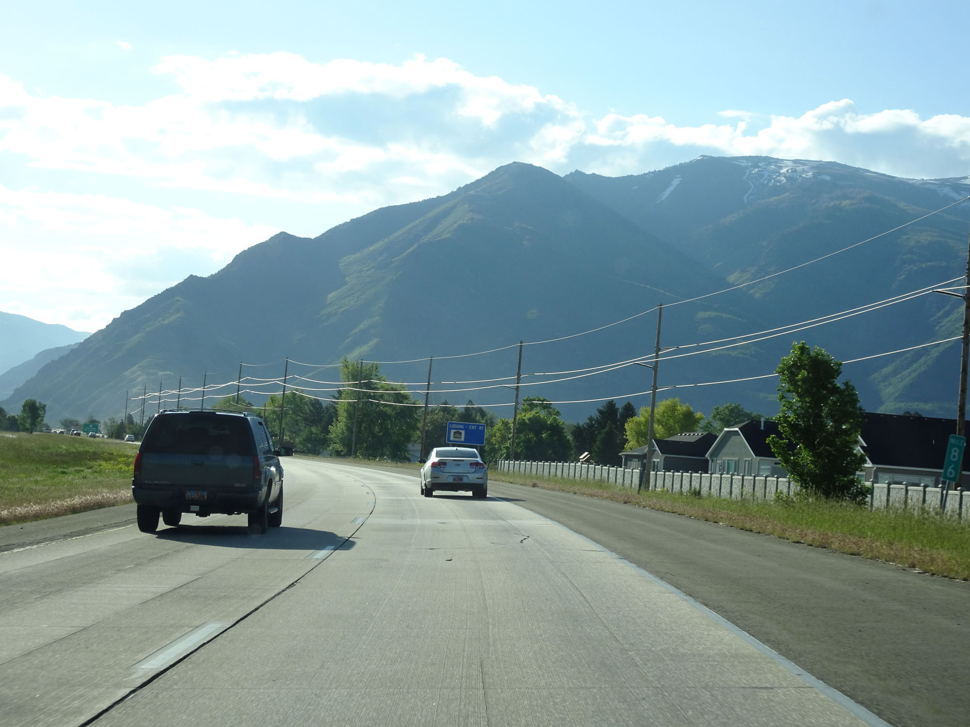
Interstate 84 East approaching Exit 87 - 1 mile. (Photo taken 5/27/16). |
 |
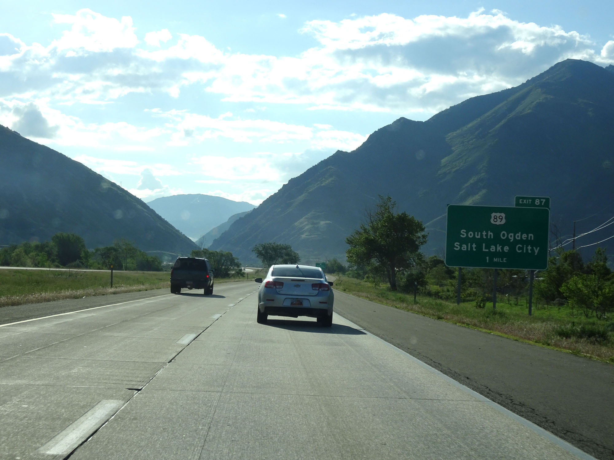
Interstate 84 East at Exit 87: US 89 - South Ogden / Salt Lake City. This one was a total fail. (Photo taken 5/27/16). |
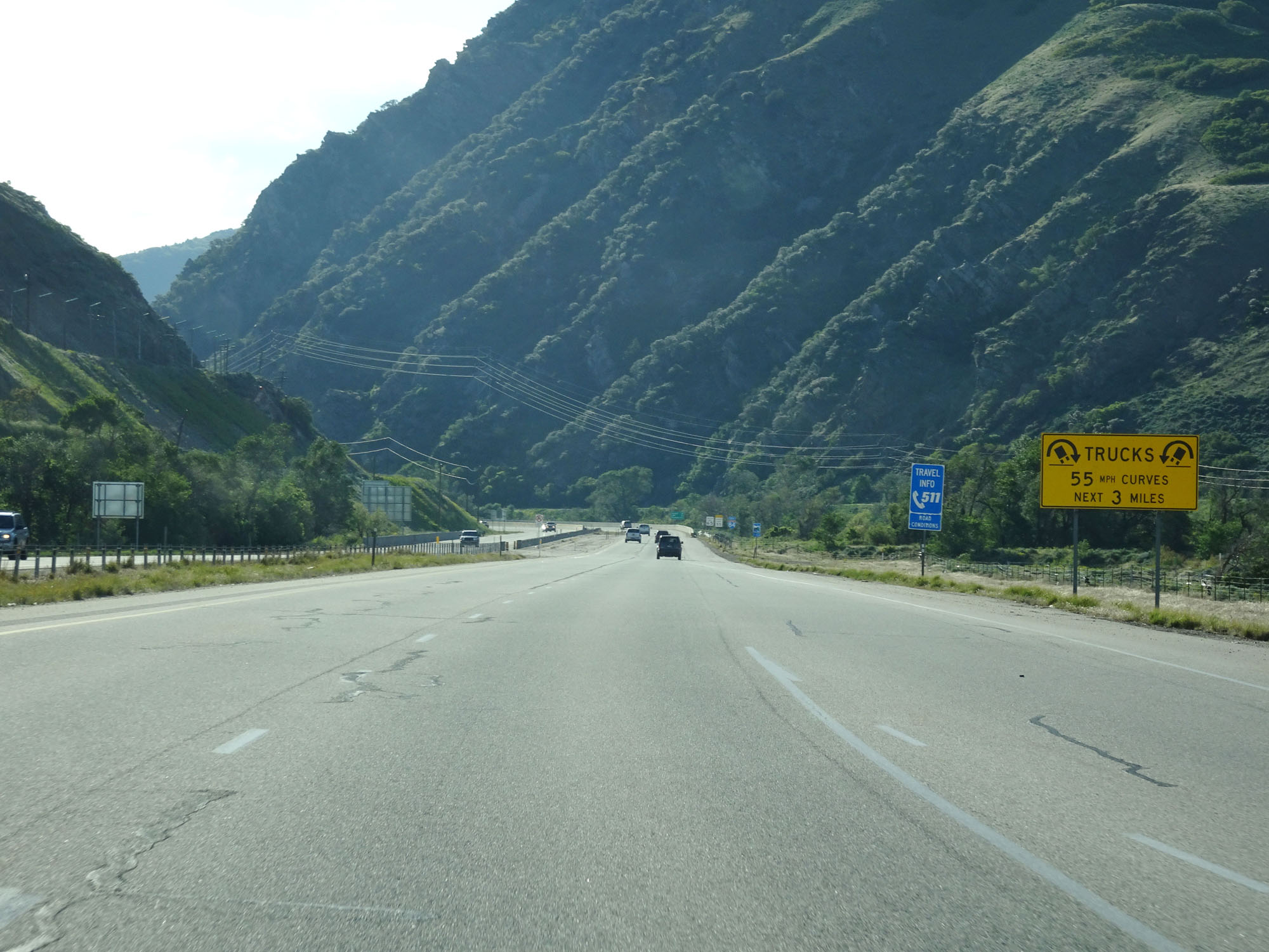 |
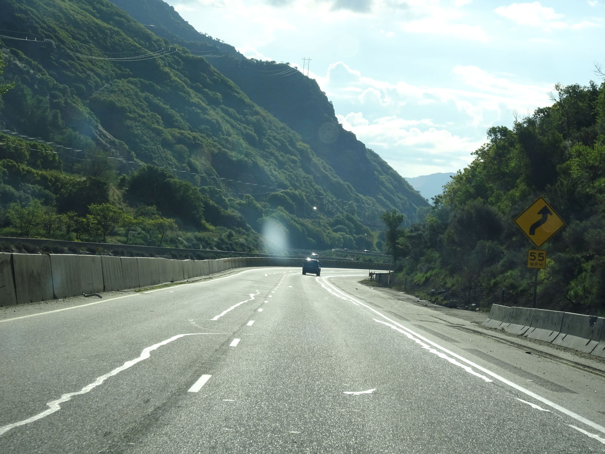
This sign warns trucks that several 55 mph curves exist ahead and last for the next 3 miles. (Photo taken 5/27/16). |
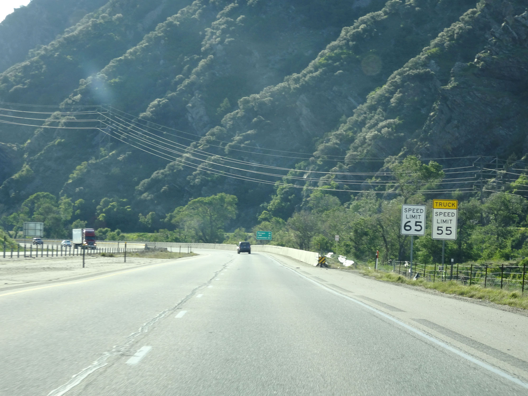 |
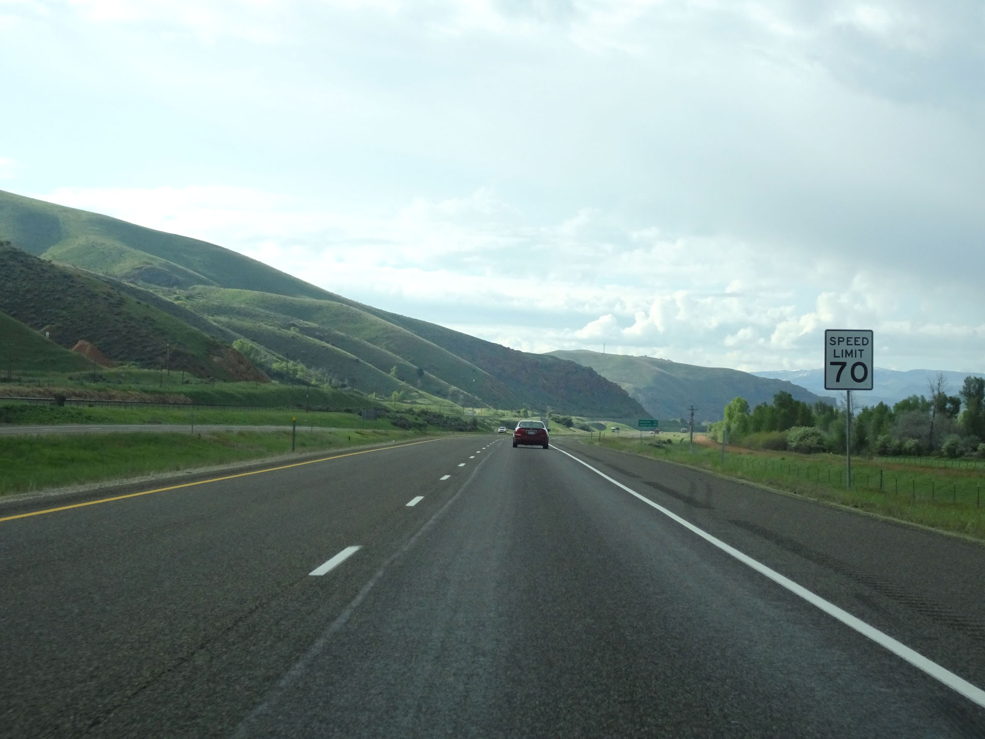
Entering this mountainous stretch, the speed limit decreases to 65 mph for cars and 55 mph for trucks. (Photo taken 5/27/16). |
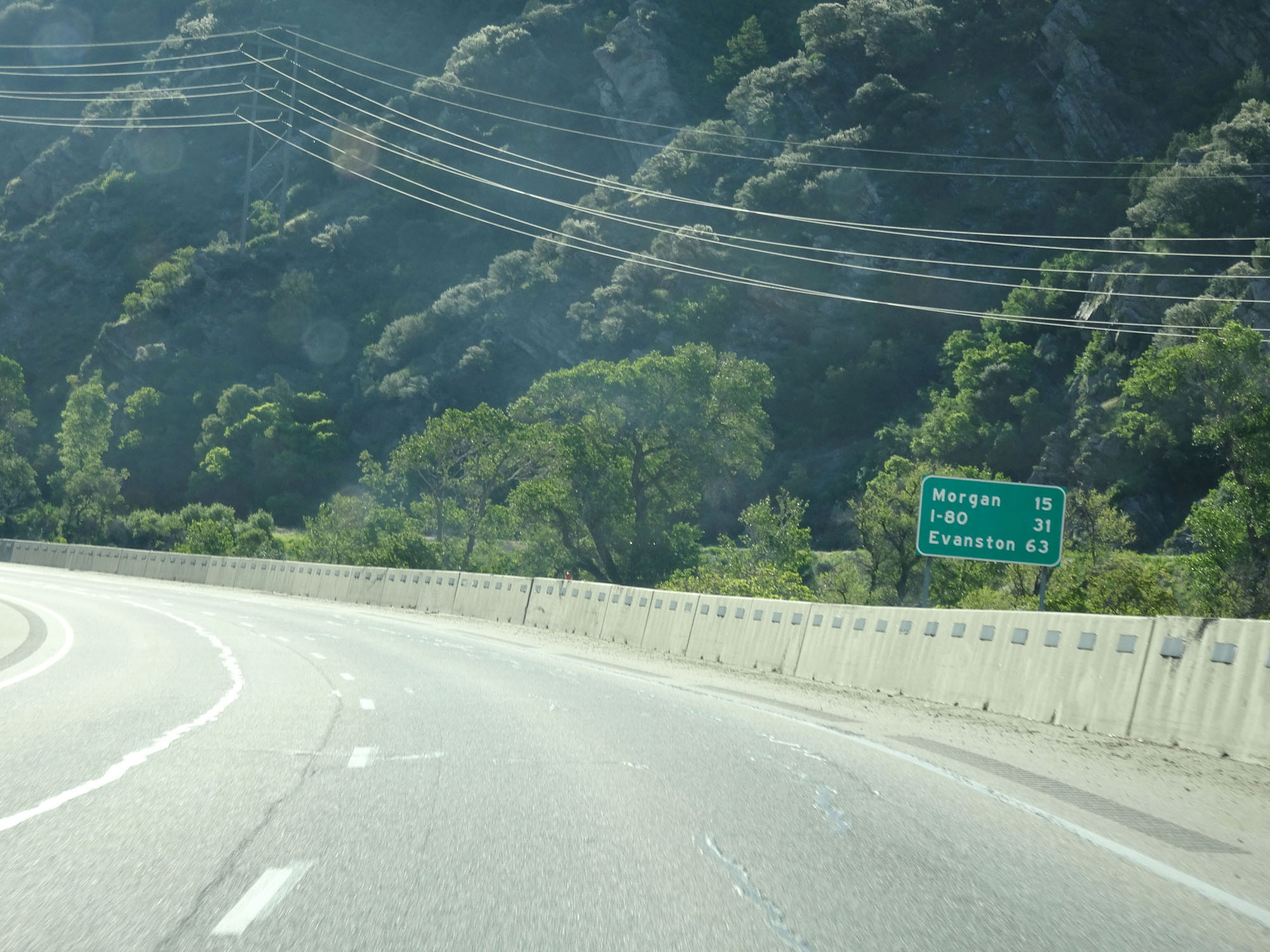 |
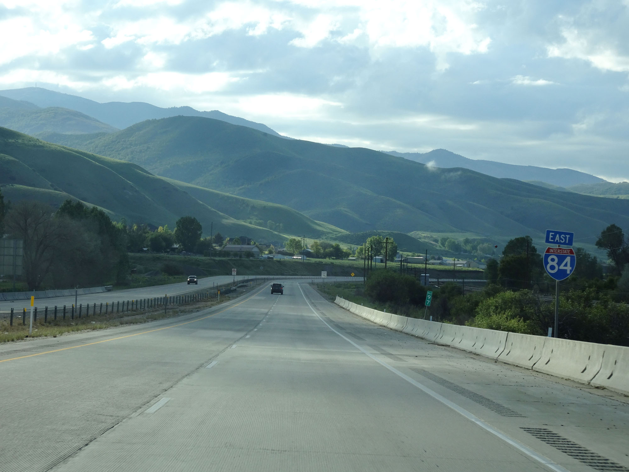
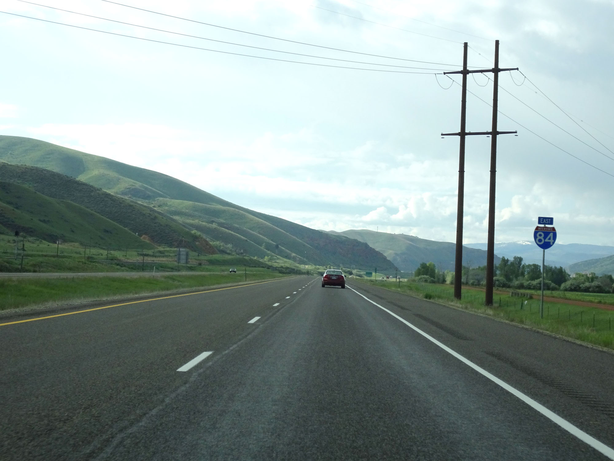
Mileage sign on Interstate 84 East. It's 15 miles to Morgan, 31 miles to the junction of Interstate 80, and 63 miles to Evanston. (Photo taken 5/27/16). |
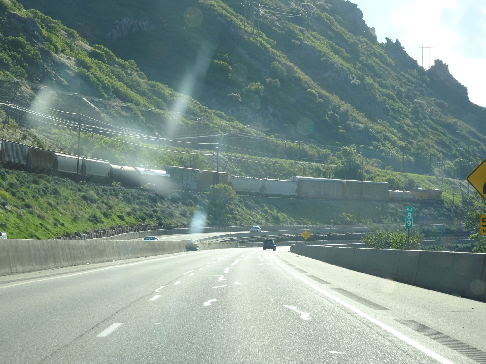 |
Interstate 84 East at mile marker 89. (Photo taken 5/27/16). |
 |
View on Interstate 84 East. More 55 mph curves are just ahead. (Photo taken 5/27/16). |
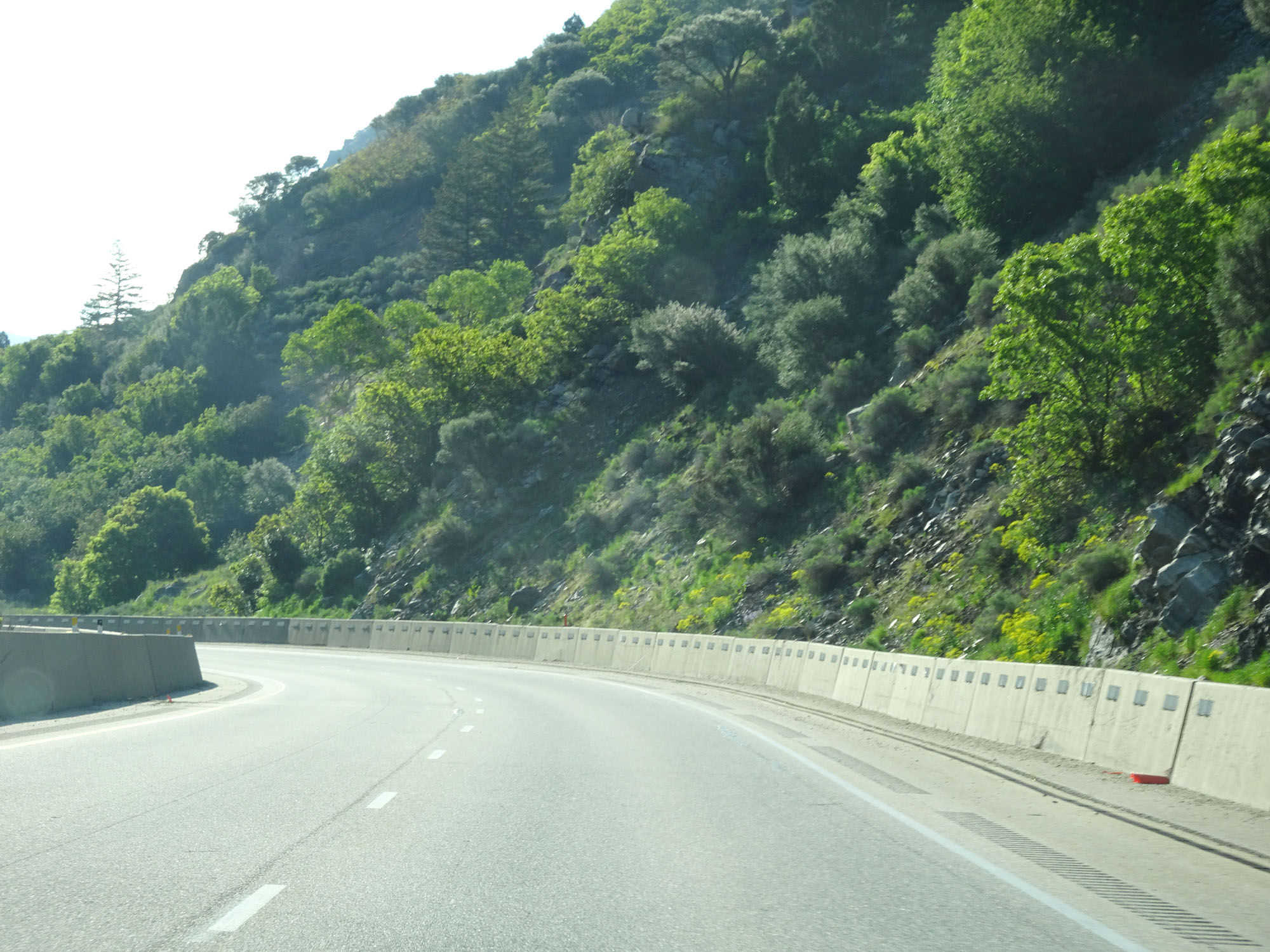 |
Another view on Interstate 84 East. (Photo taken 5/27/16). |
 |
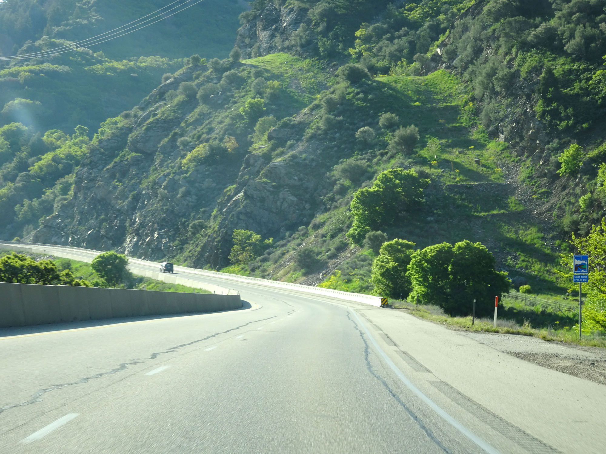
View on Interstate 84 East, continuing through the mountainous terrain. (Photo taken 5/27/16). |
 |
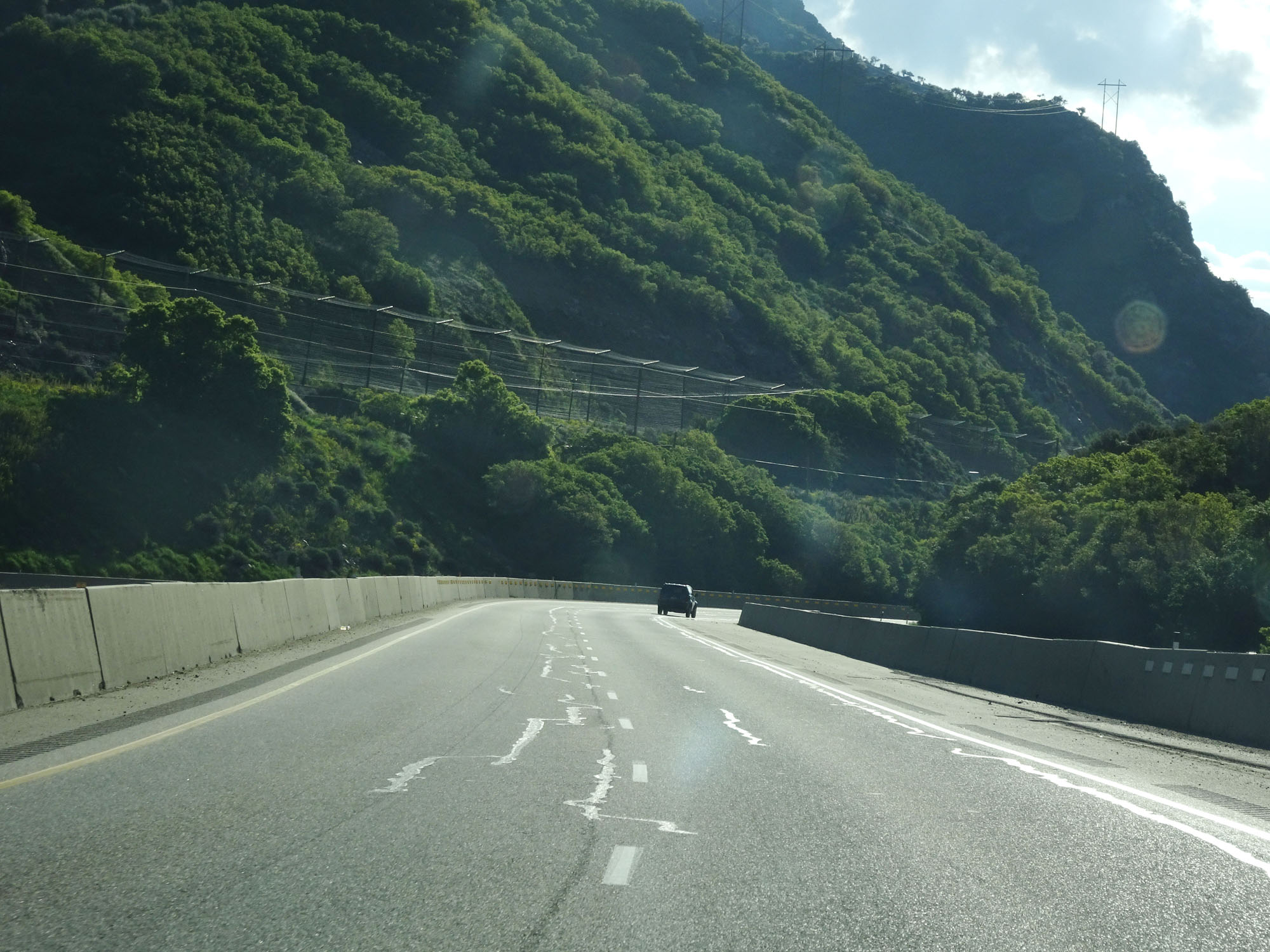
Interstate 84 East at mile marker 90. (Photo taken 5/27/16). |
 |
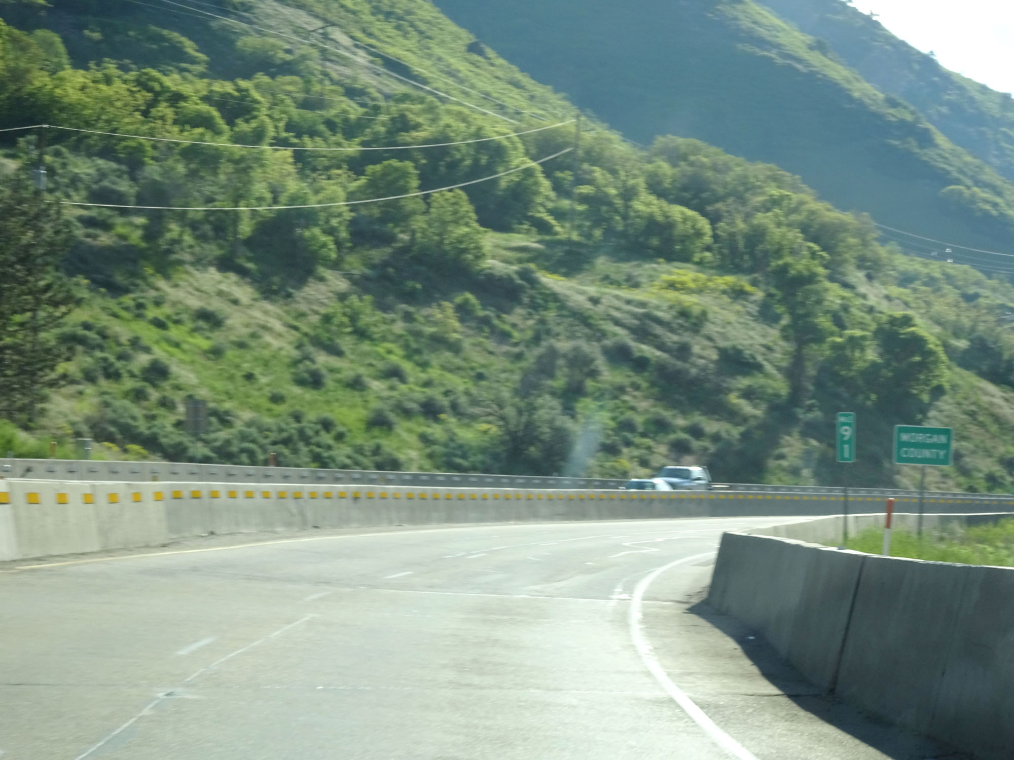
Another view on Interstate 84 East. (Photo taken 5/27/16). |
 |
Interstate 84 East entering Morgan County at mile marker 91. (Photo taken 5/27/16). |
 |
Interstate 84 East at a Rest Area upon entering Morgan County. (Photo taken 5/27/16). |
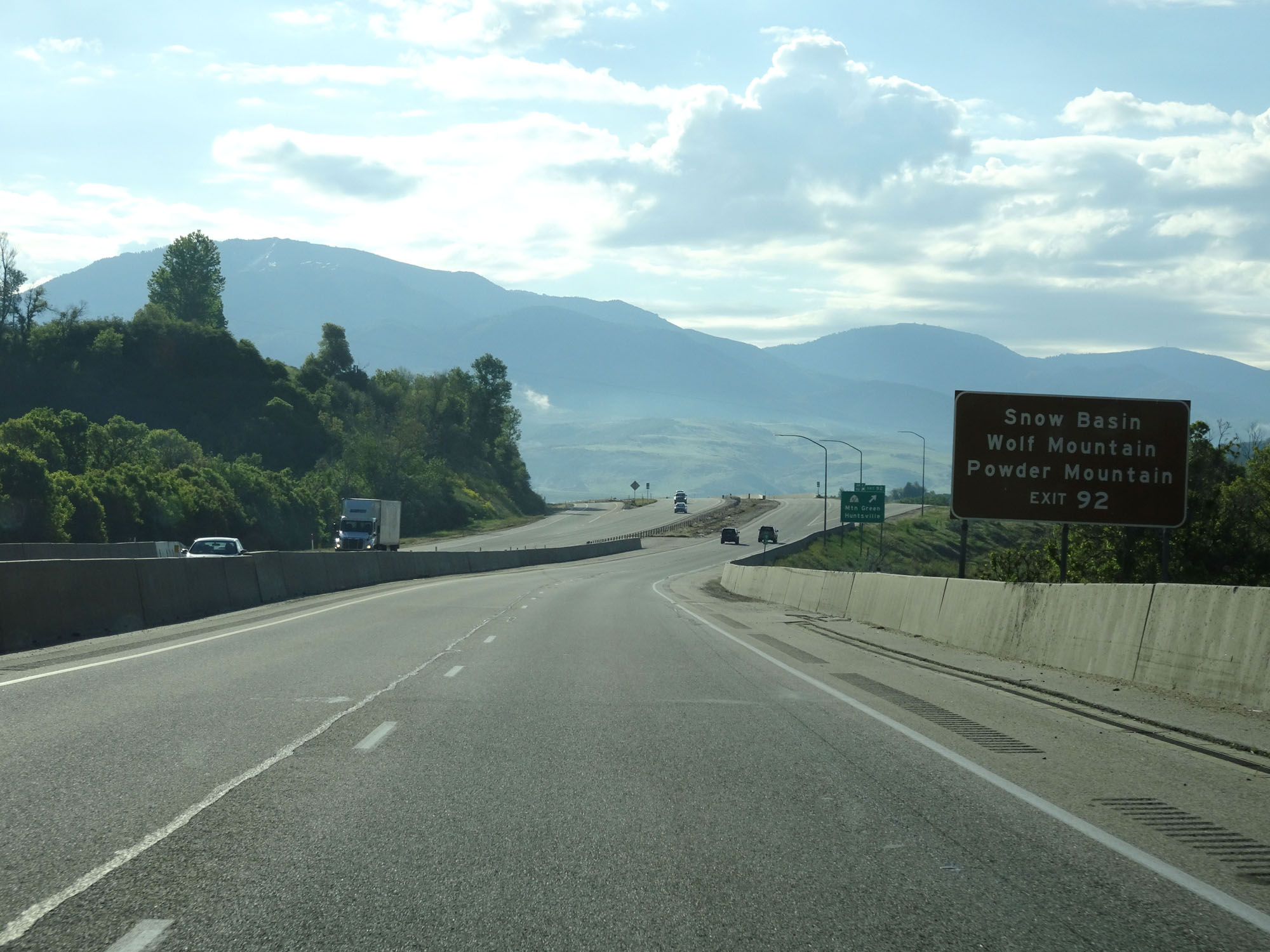 |
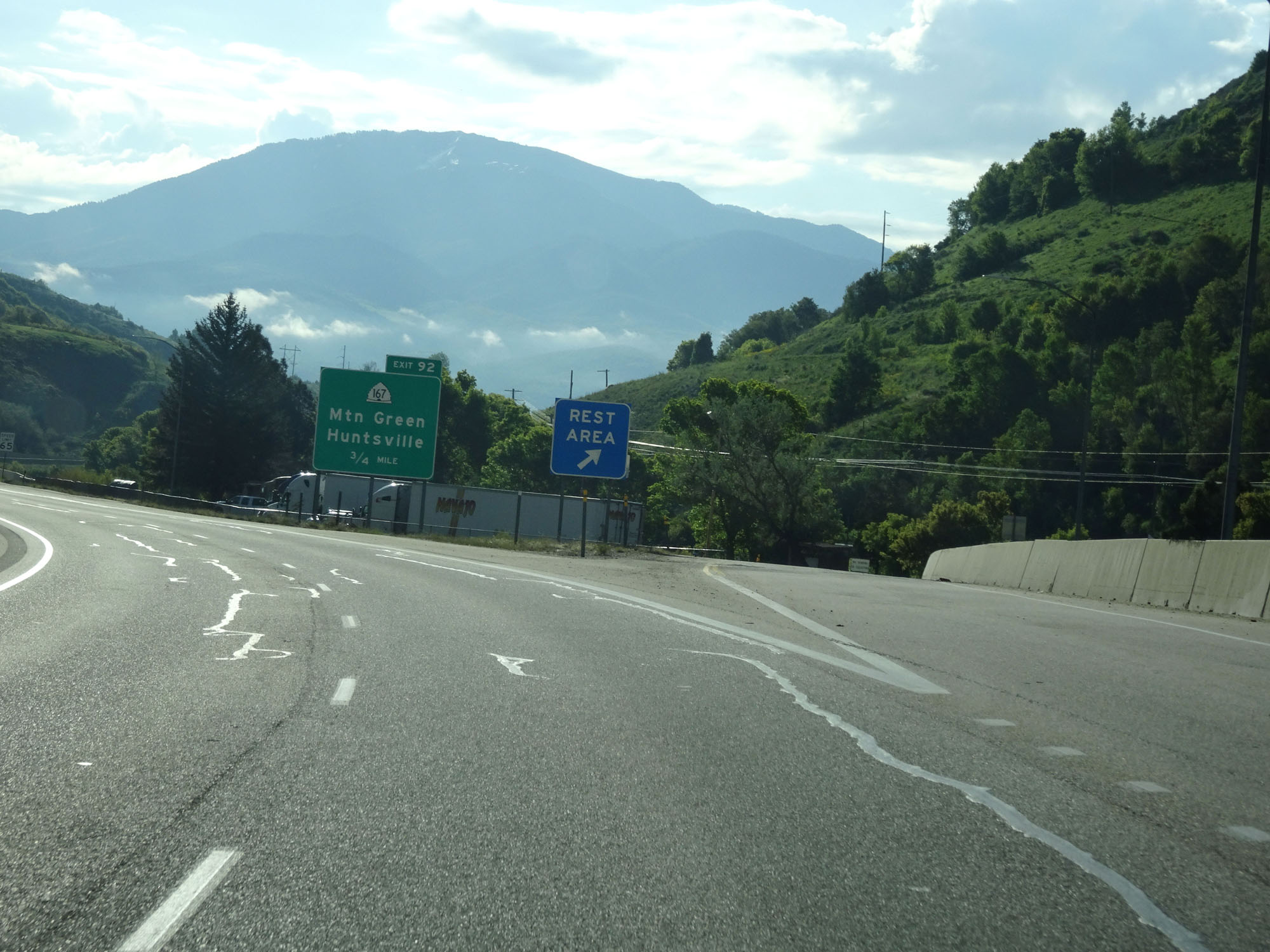
Take Exit 92 to Snow Basin, Wolf Mountain, and Powder Mountain. (Photo taken 5/27/16). |
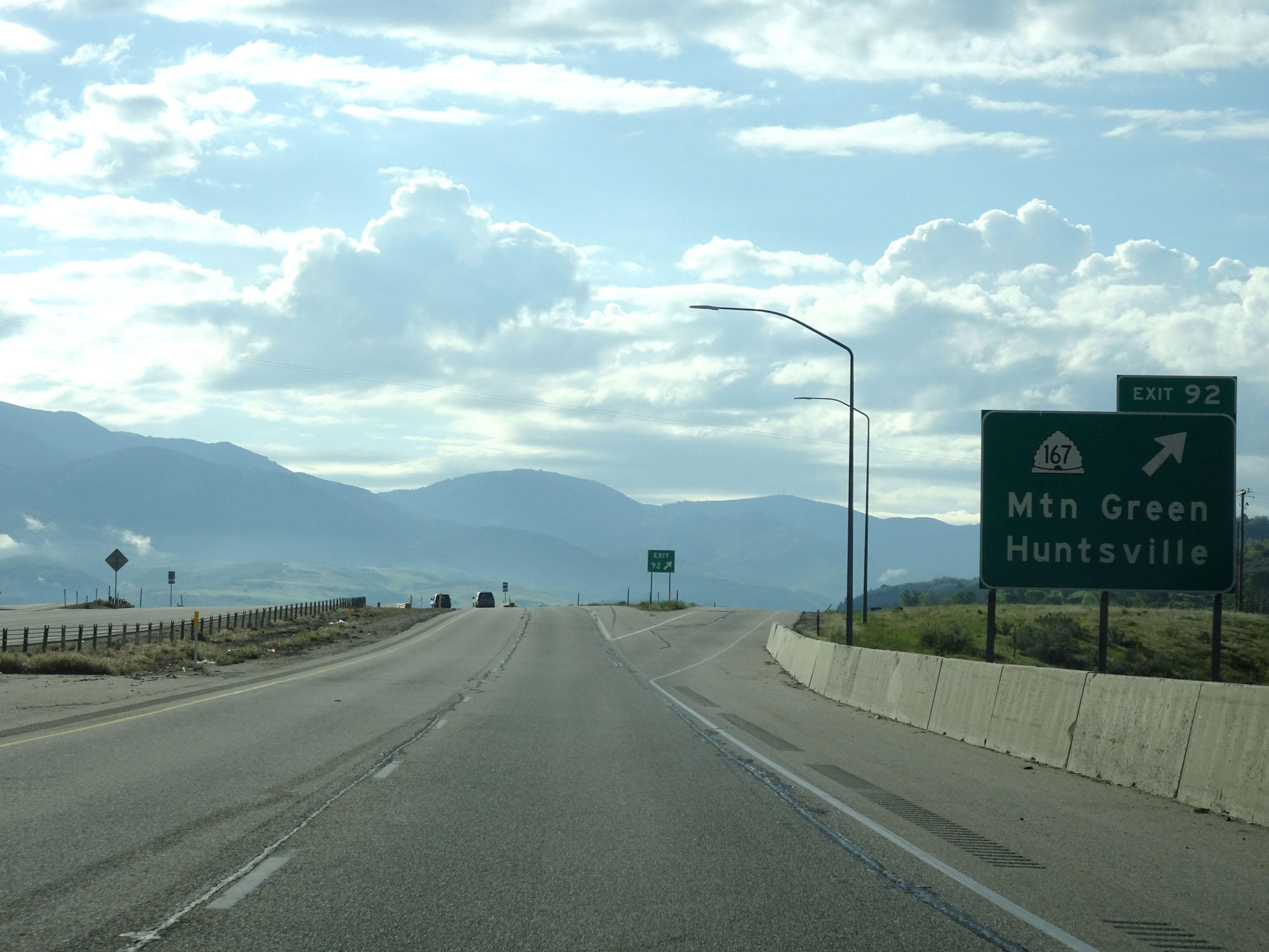 |
Interstate 84 East at Exit 92: UT 167 - Mtn Green / Huntsville (Photo taken 5/27/16). |
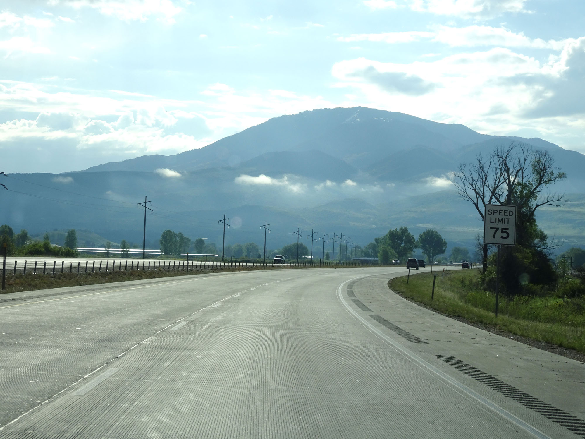 |
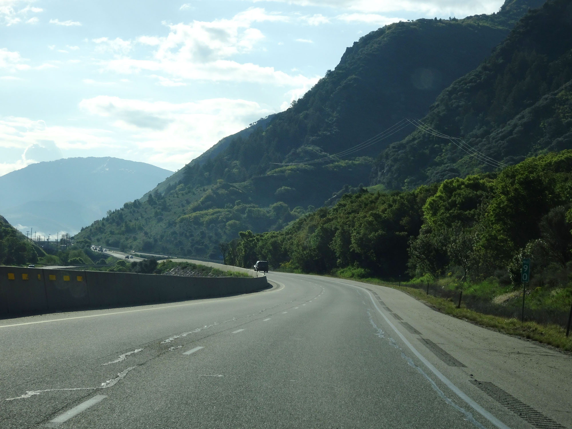
Just east of Exit 92, the speed limit increases to 75 mph for all traffic once again. (Photo taken 5/27/16). |
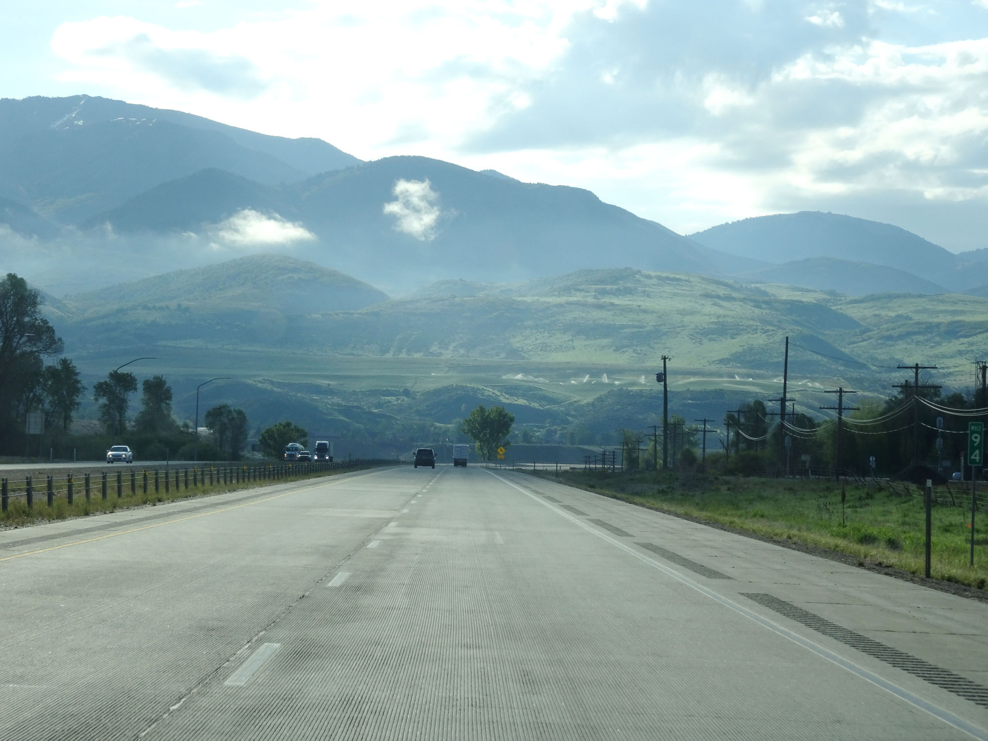 |
Interstate 84 East at mile marker 94. (Photo taken 5/27/16). |
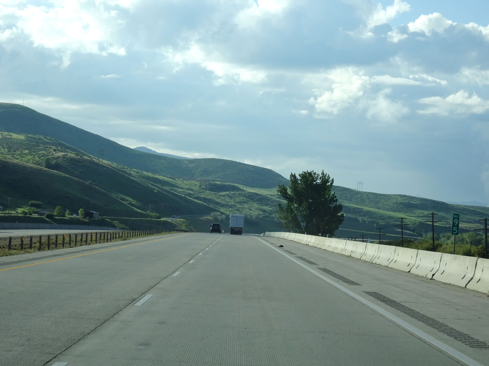 |
Interstate 84 East at mile marker 95. (Photo taken 5/27/16). |
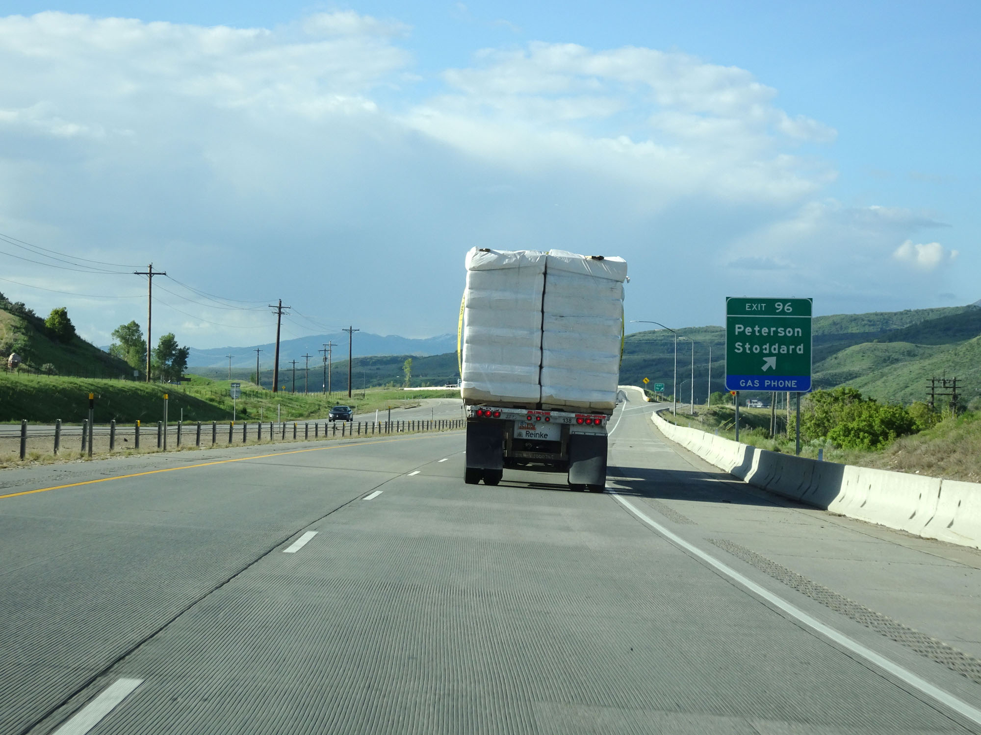 |
Interstate 84 East at Exit 96: Peterson / Stoddard (Photo taken 5/27/16). |
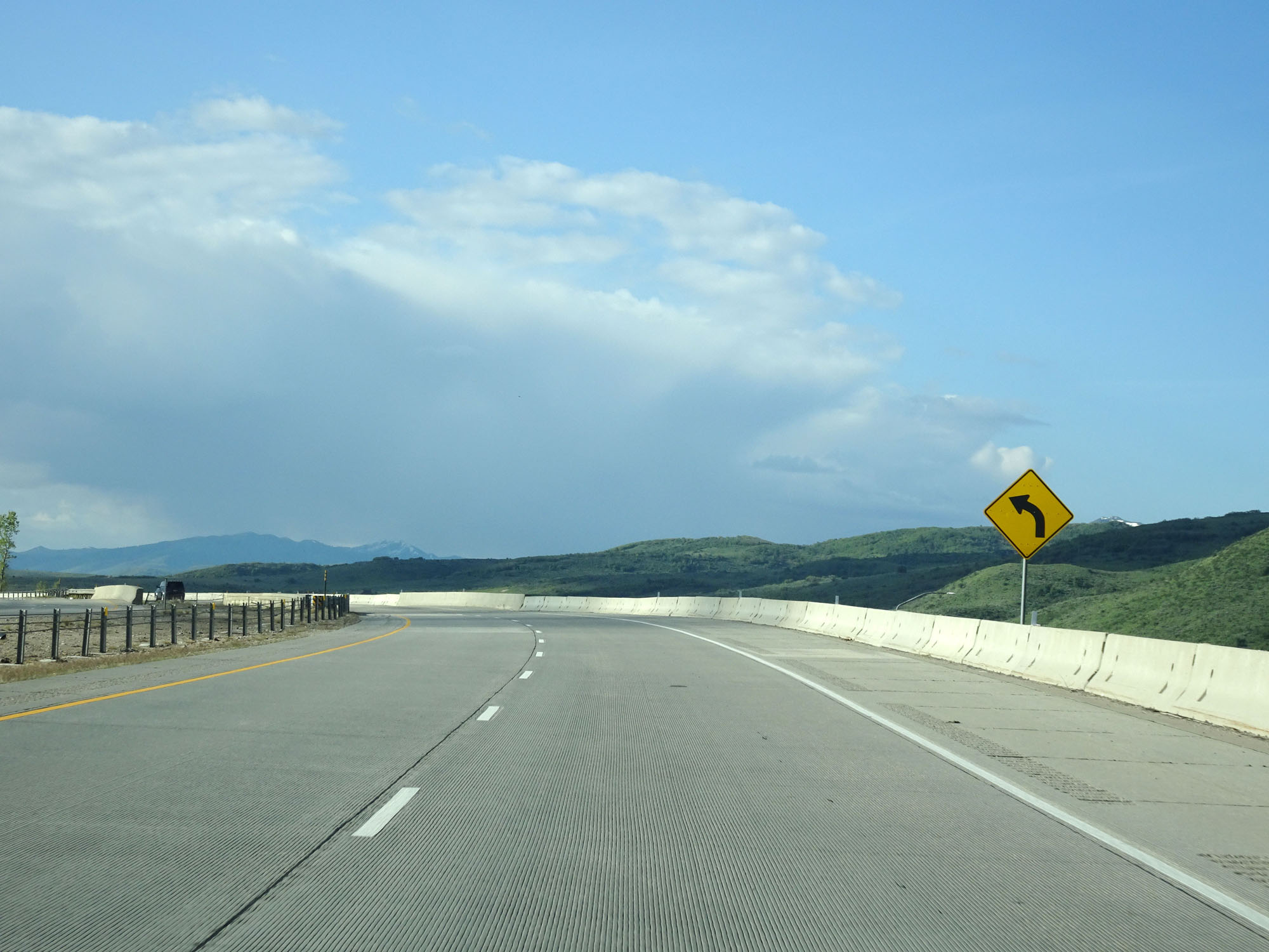 |
View on Interstate 84 East. (Photo taken 5/27/16). |
 |
Interstate 84 East reassurance shield at mile marker 97. (Photo taken 5/27/16). |
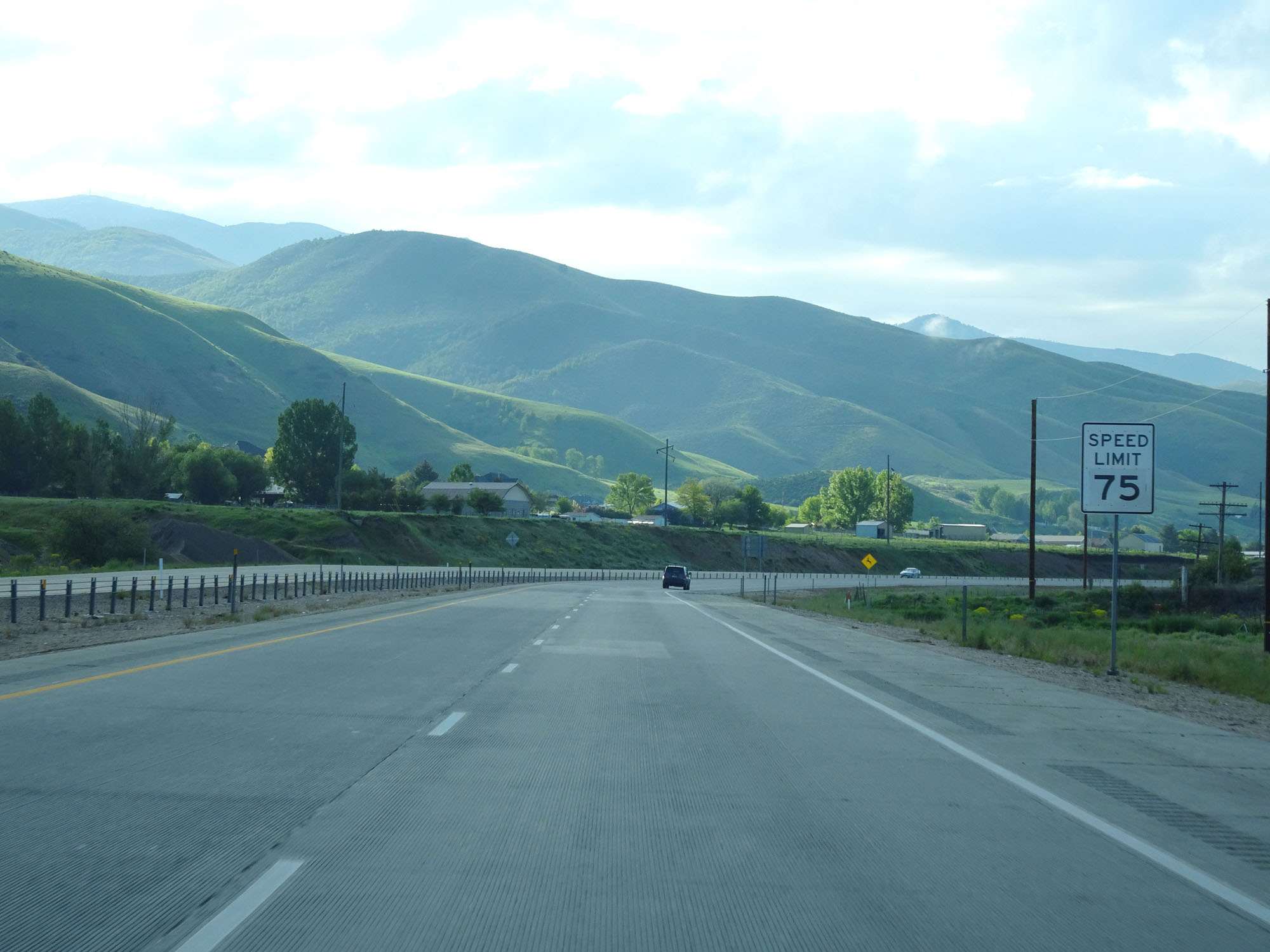 |
Speed Limit - 75 mph. (Photo taken 5/27/16). |
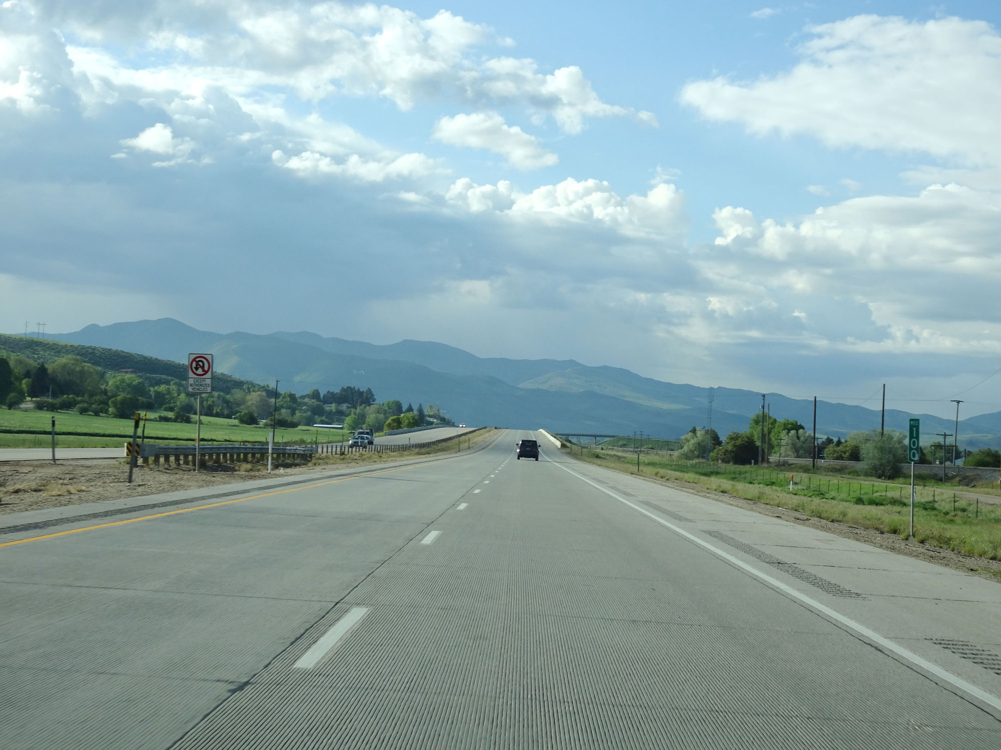 |
Interstate 84 East at mile marker 100. (Photo taken 5/27/16). |
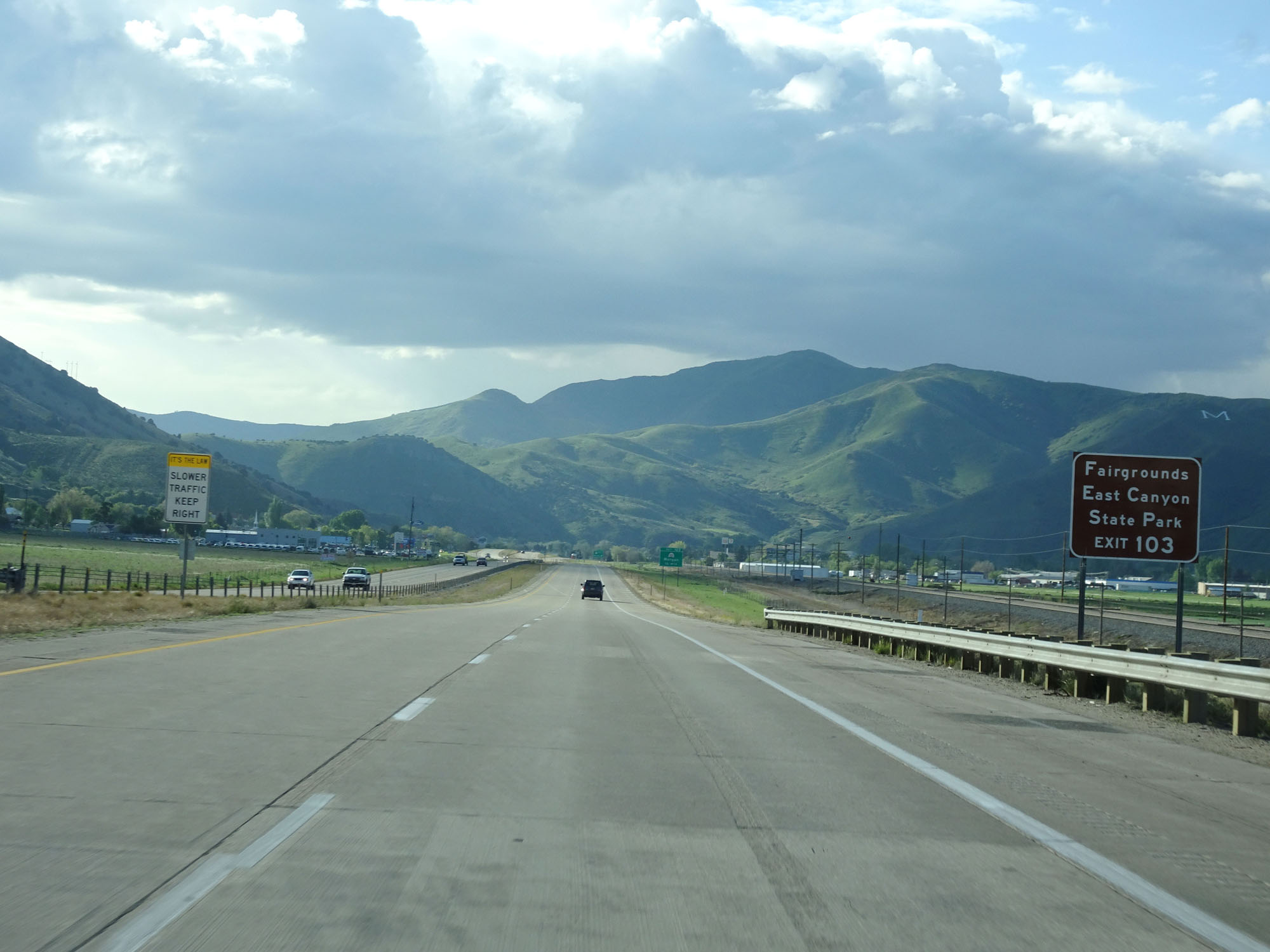 |
Take Exit 103 to the Fairgrounds and East Canyon State Park. (Photo taken 5/27/16). |
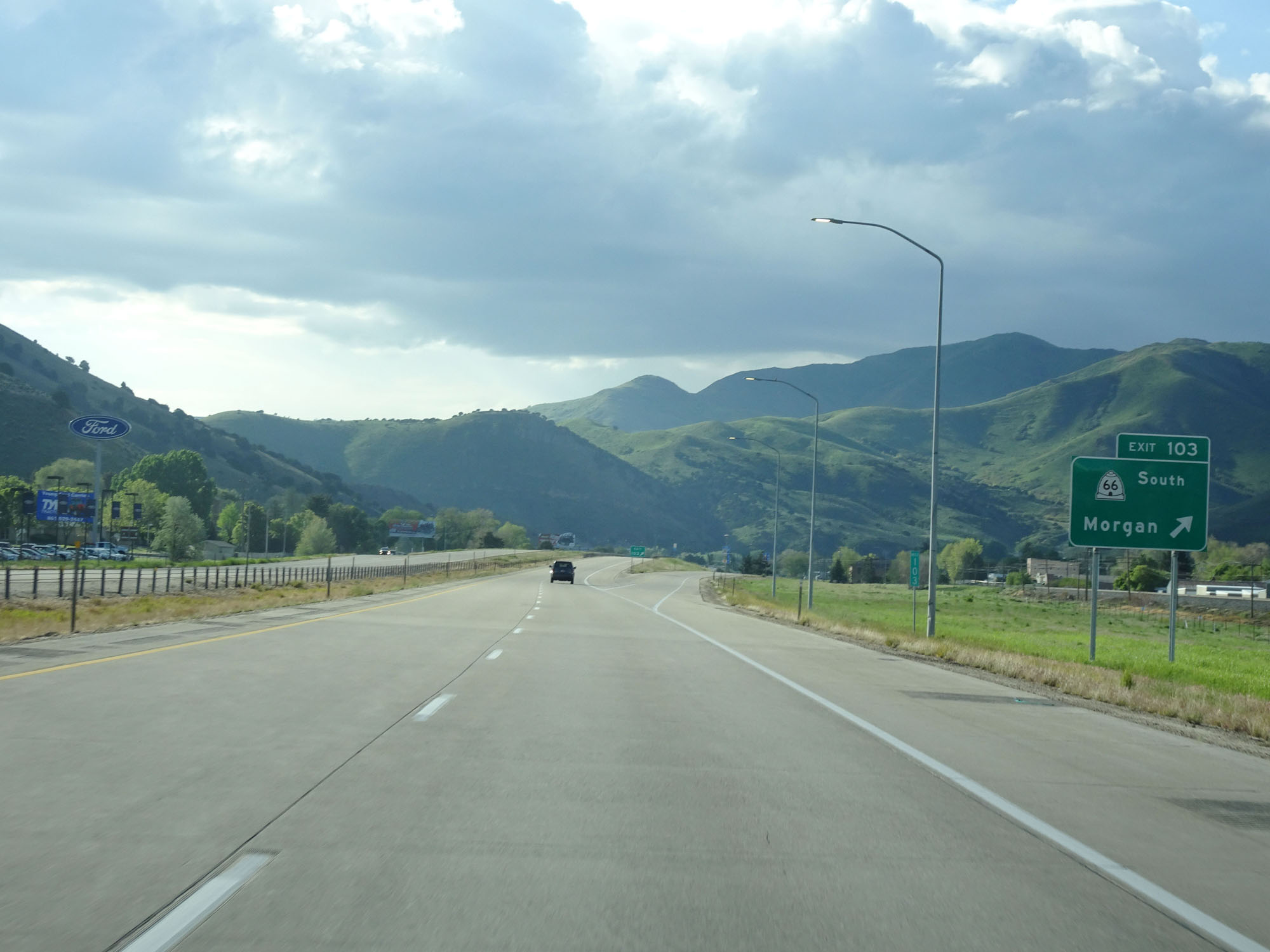 |
Interstate 84 East at Exit 103: UT 66 South - Morgan (Photo taken 5/27/16). |
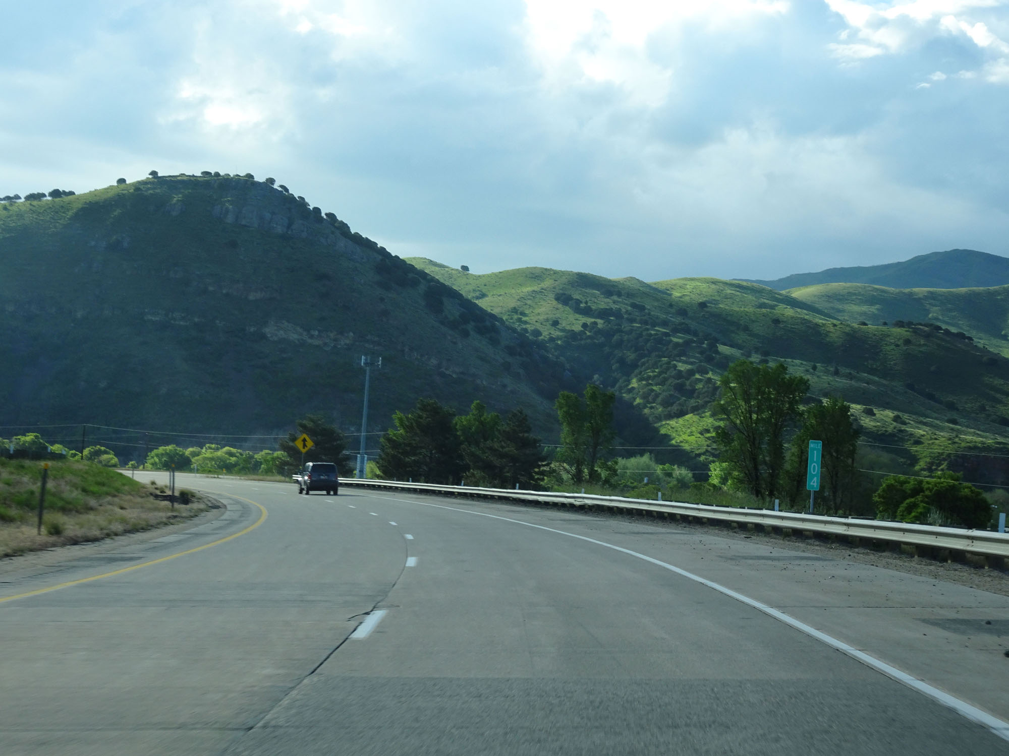 |
Interstate 84 East at mile marker 104. (Photo taken 5/27/16). |
 |
Watch for deer entering the right-of-way for the next 3 miles. (Photo taken 5/27/16). |
 |
Interstate 84 East at mile marker 105. (Photo taken 5/27/16). |
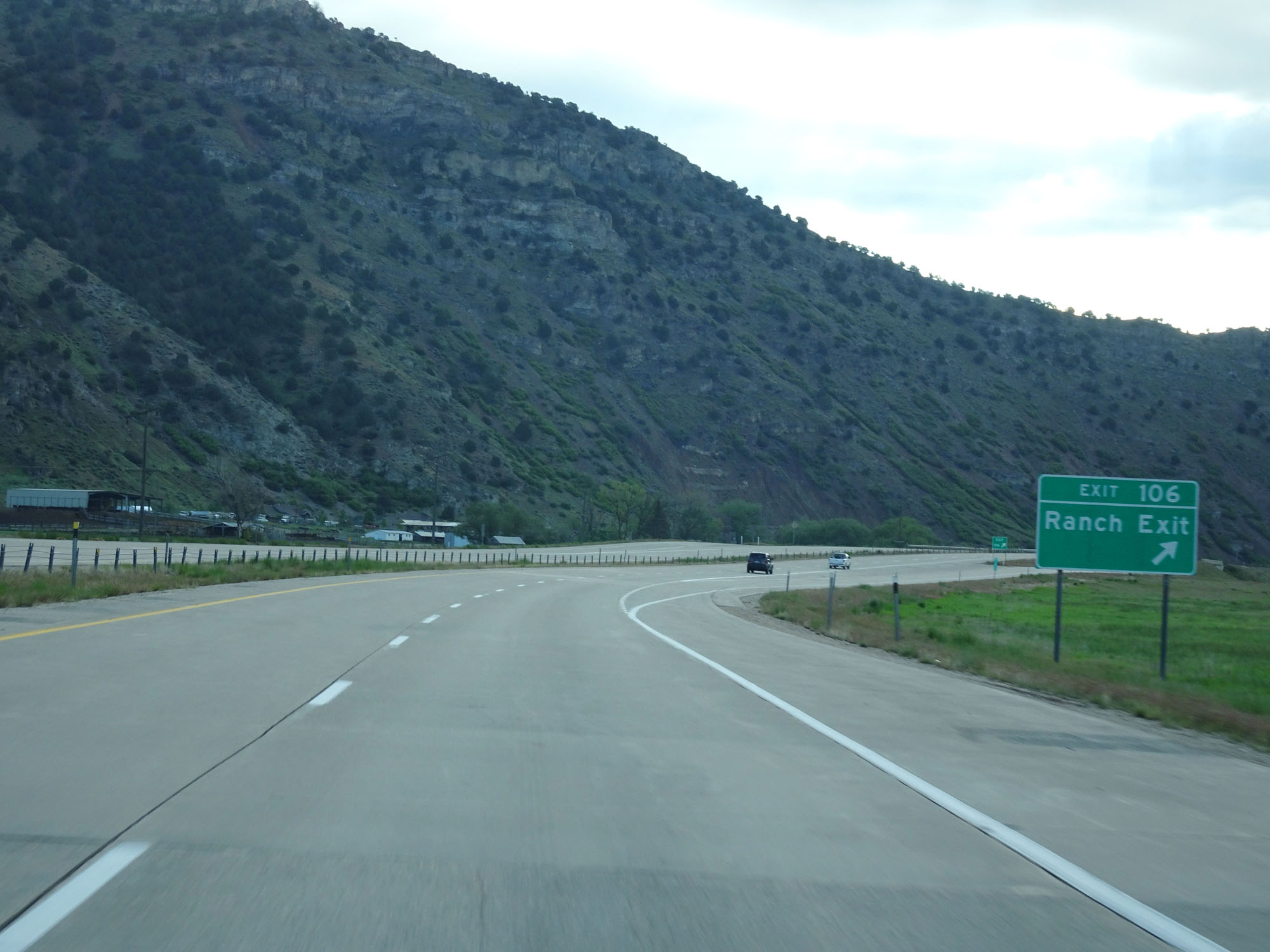 |
Interstate 84 East at Exit 106: Ranch Exit (Photo taken 5/27/16). |
 |
This overhead sign warns of more sharp curves ahead. Once again, the truck speed limit during this stretch is 55 mph. (Photo taken 5/27/16). |
 |
View on Interstate 84 East. (Photo taken 5/27/16). |
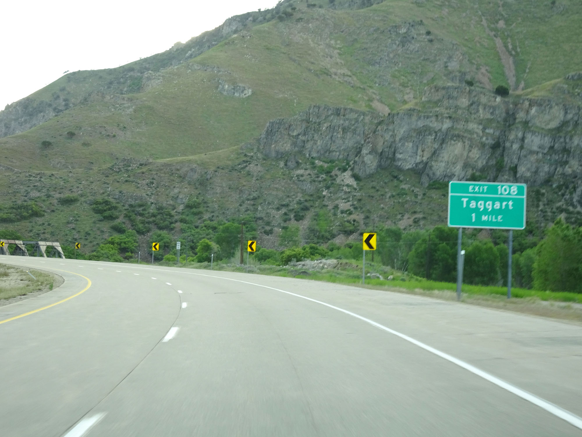 |
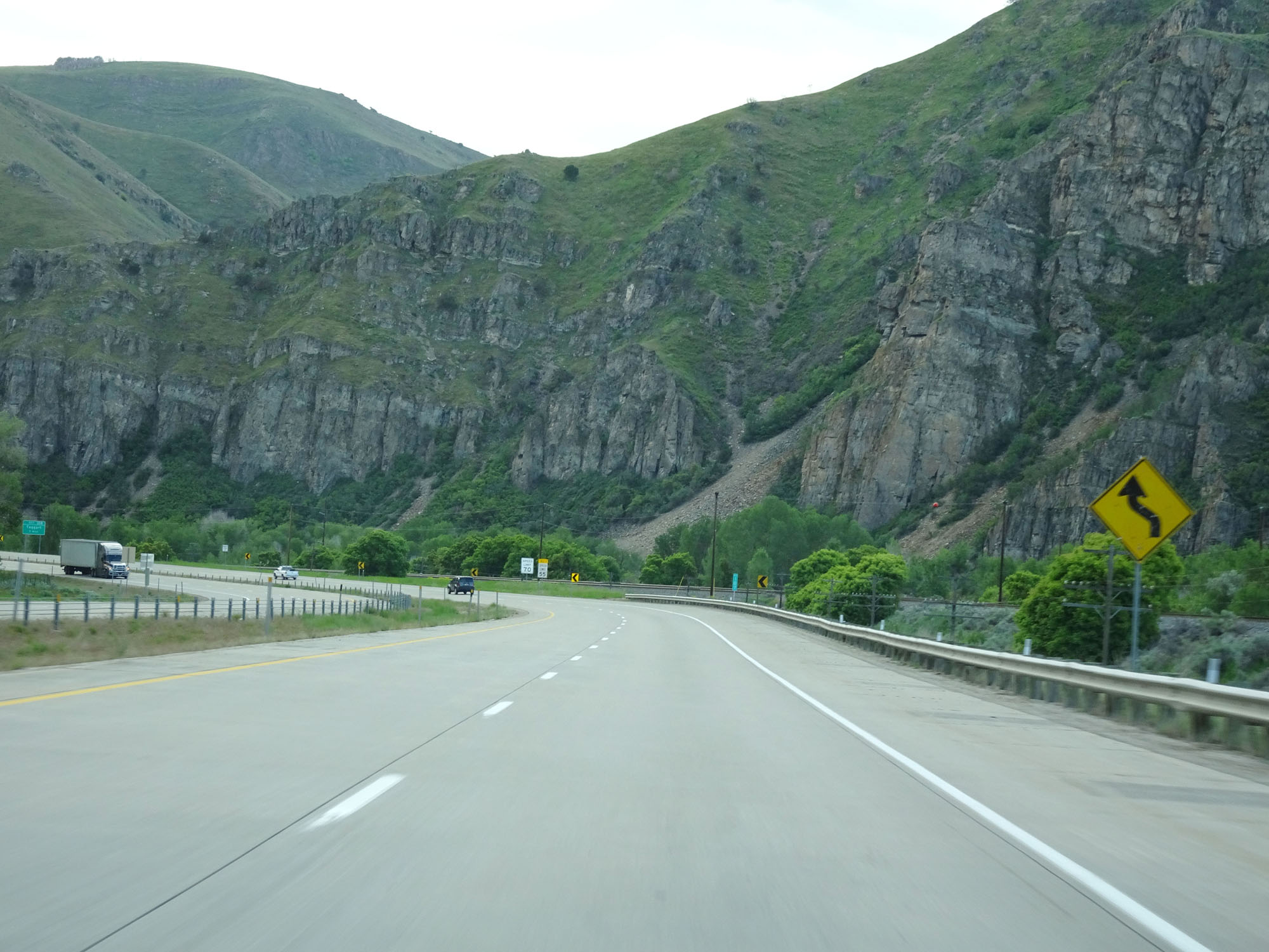
Interstate 84 East approaching Exit 108: Taggart - 1 mile. Due to technical difficulties, I missed the photo of the exit sign itself. (Photo taken 5/27/16). |
 |
Another view on Interstate 84 East. (Photo taken 5/27/16). |
 |
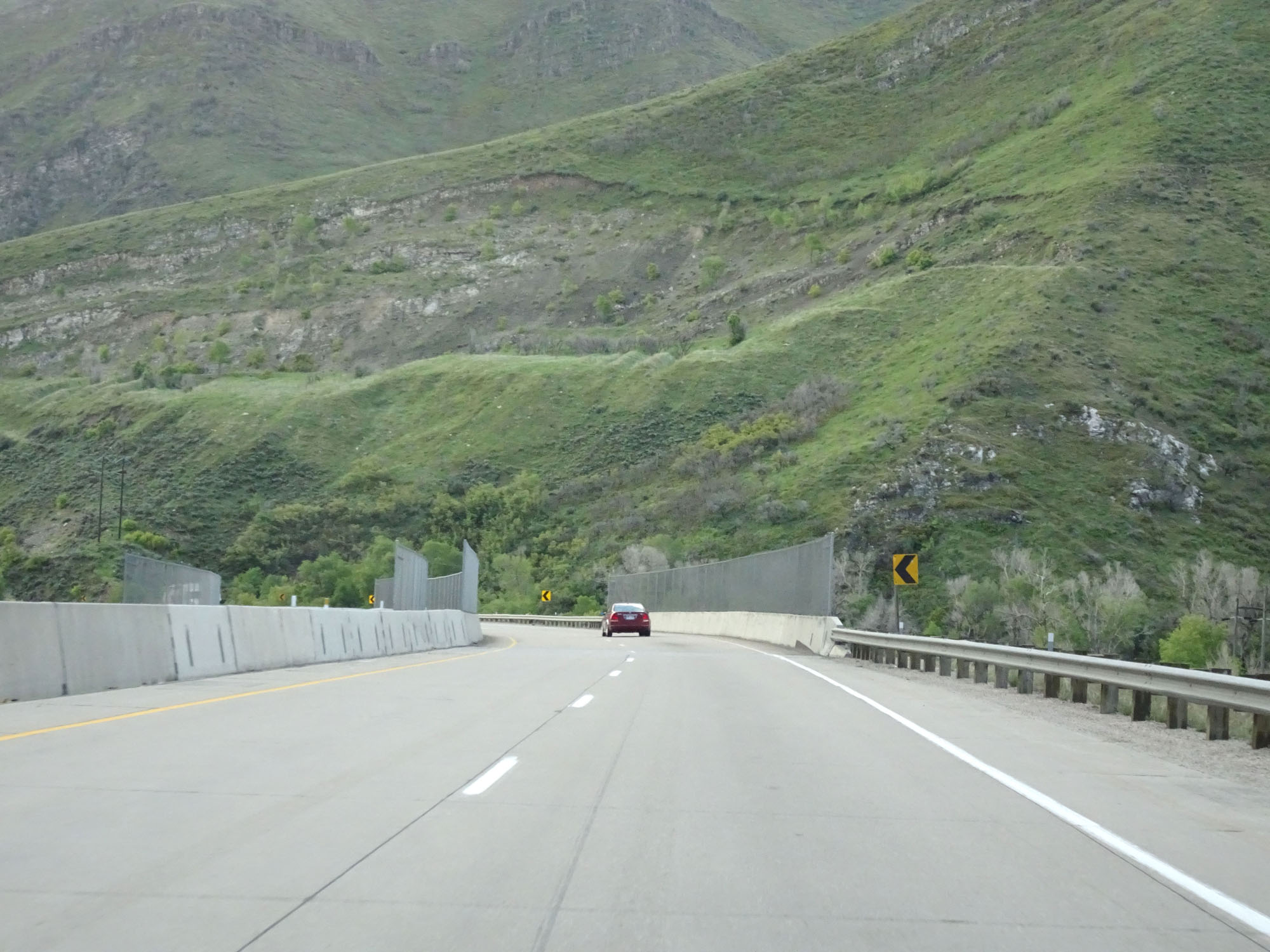
Interstate 84 East at mile marker 109. (Photo taken 5/27/16). |
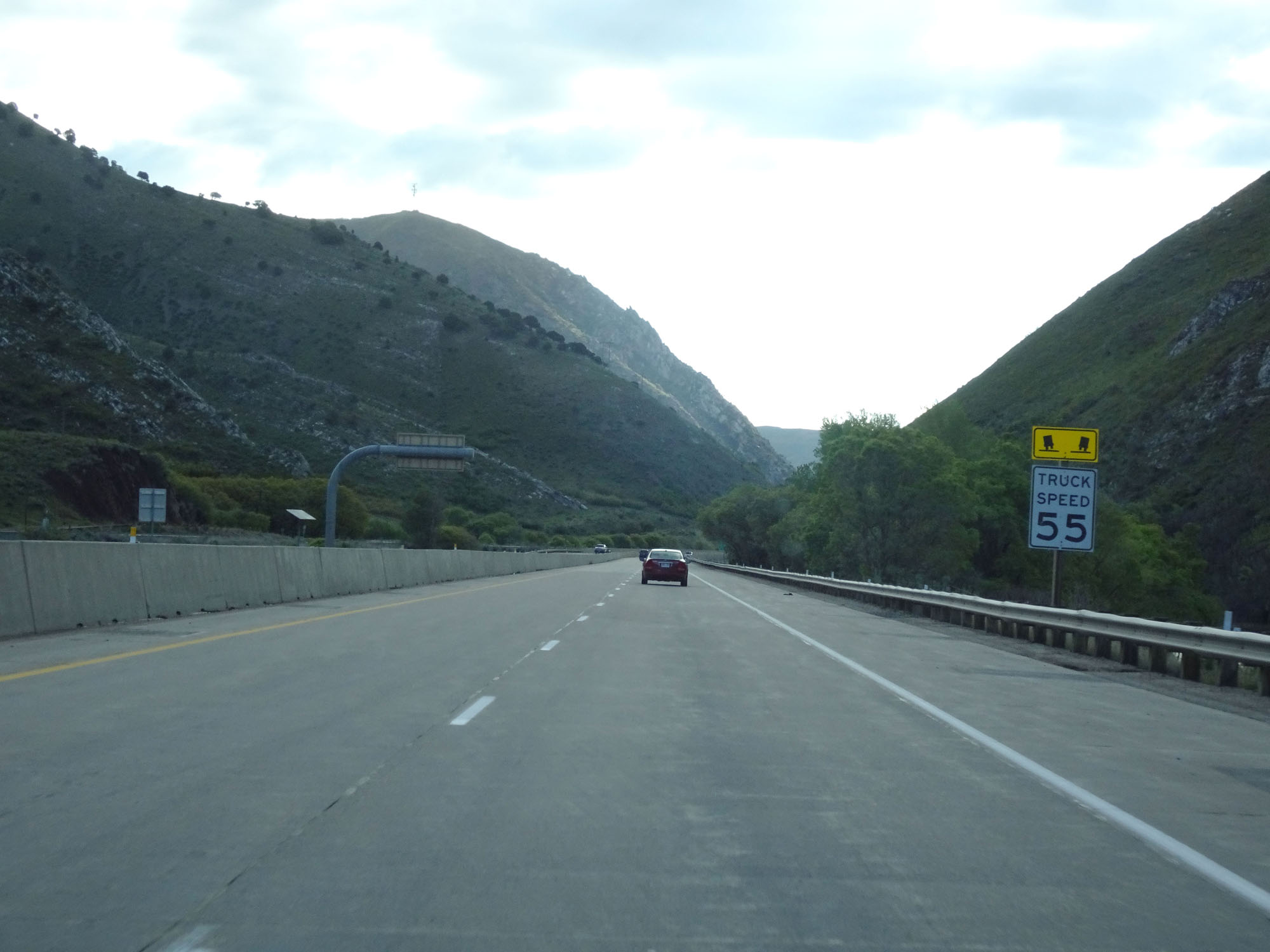 |
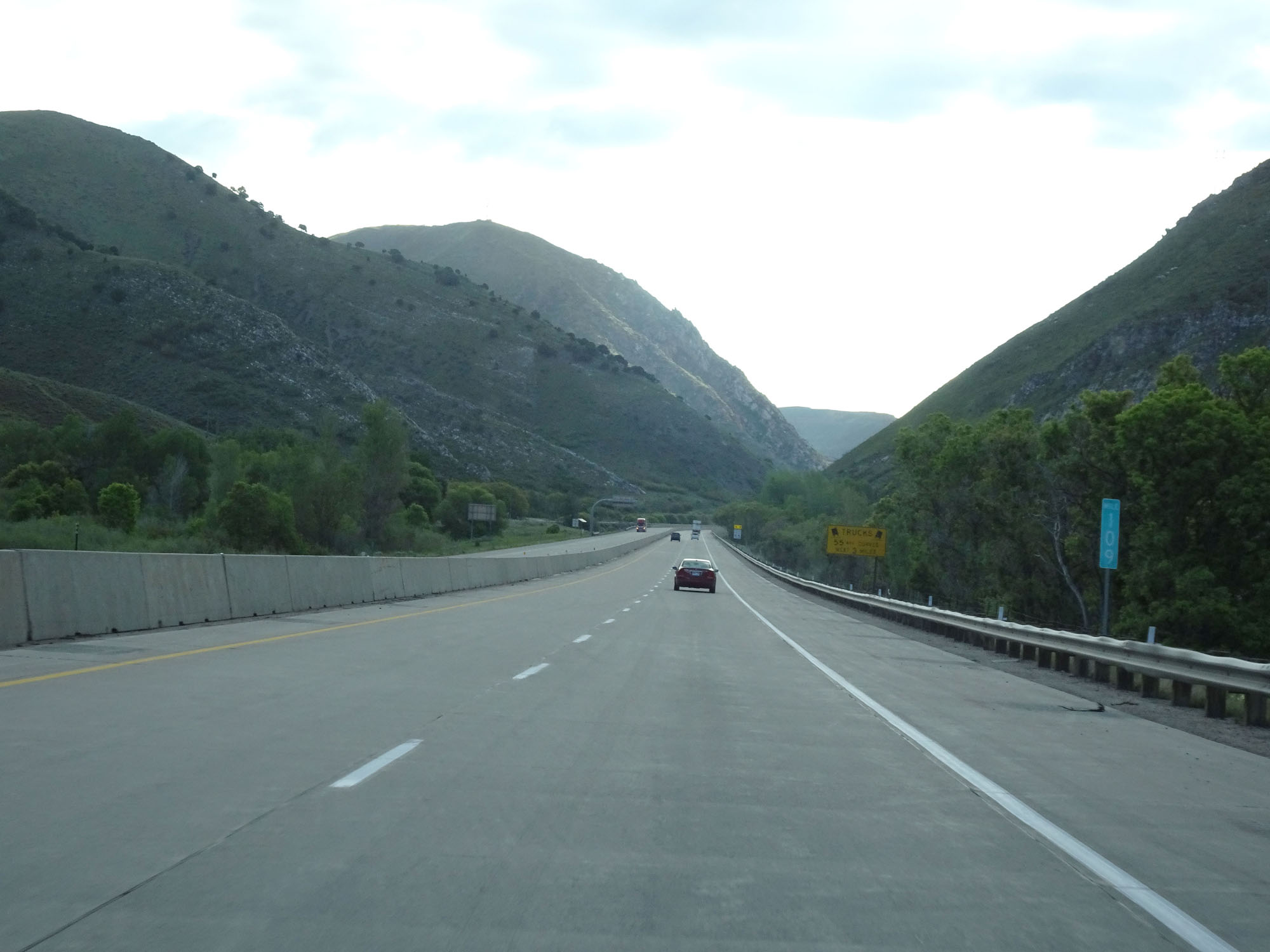
The truck speed limit remains 55 mph. (Photo taken 5/27/16). |
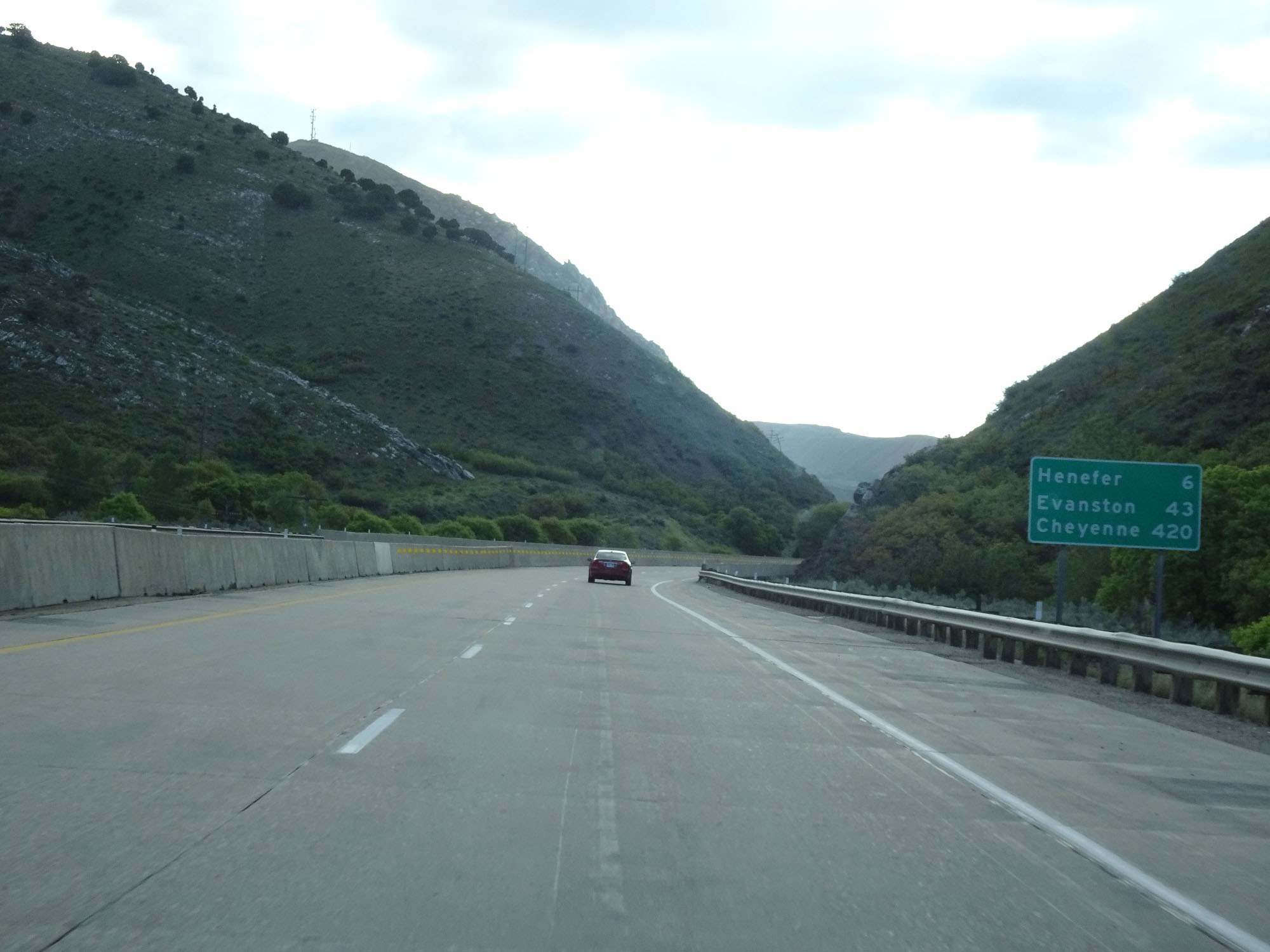 |
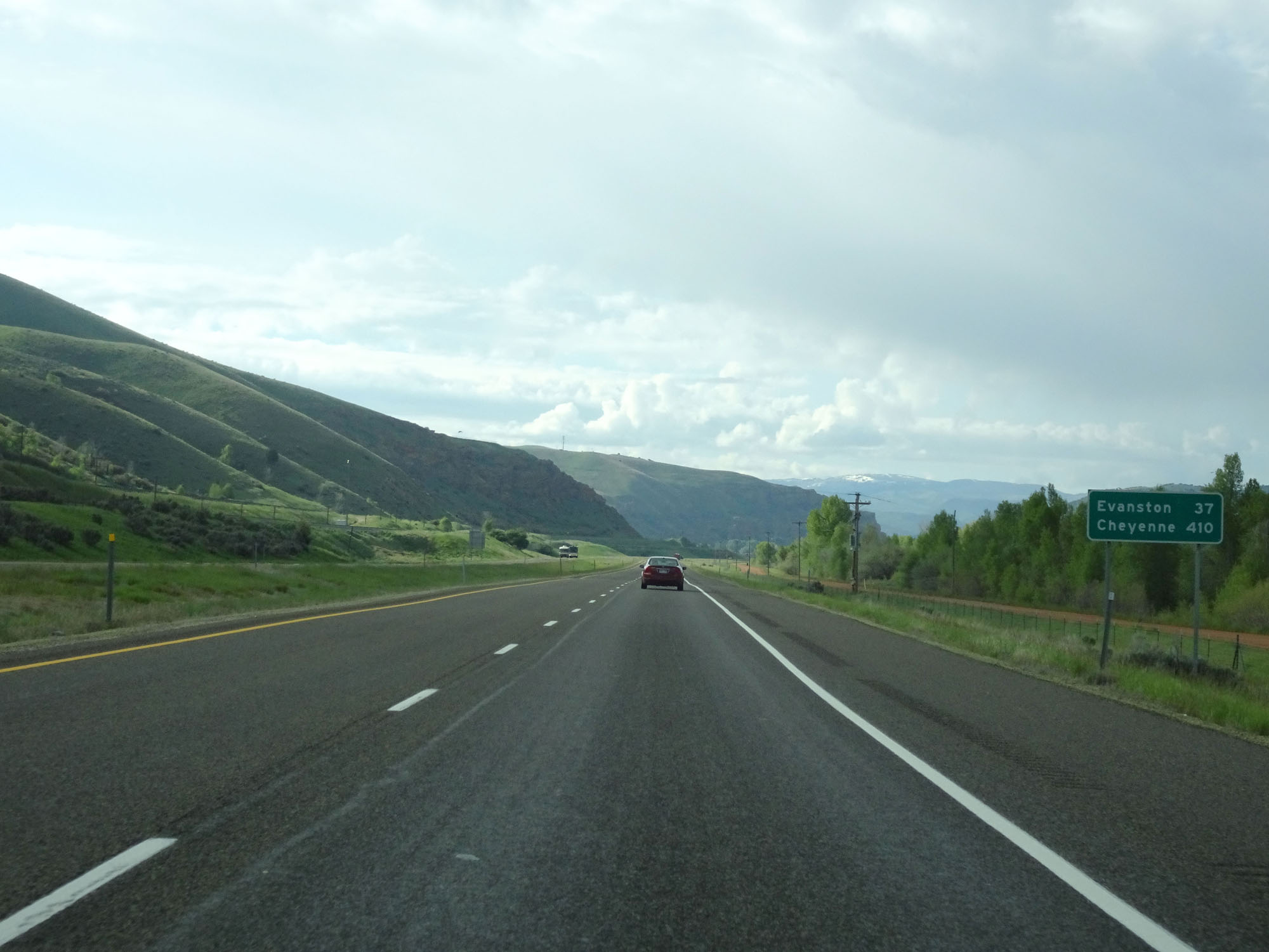
Mileage sign on Interstate 84 East. It's 6 miles to Henefer, 43 miles to Evanston, and 420 miles to Cheyenne. (Photo taken 5/27/16). |
 |
Interstate 84 East at mile marker 110. (Photo taken 5/27/16). |
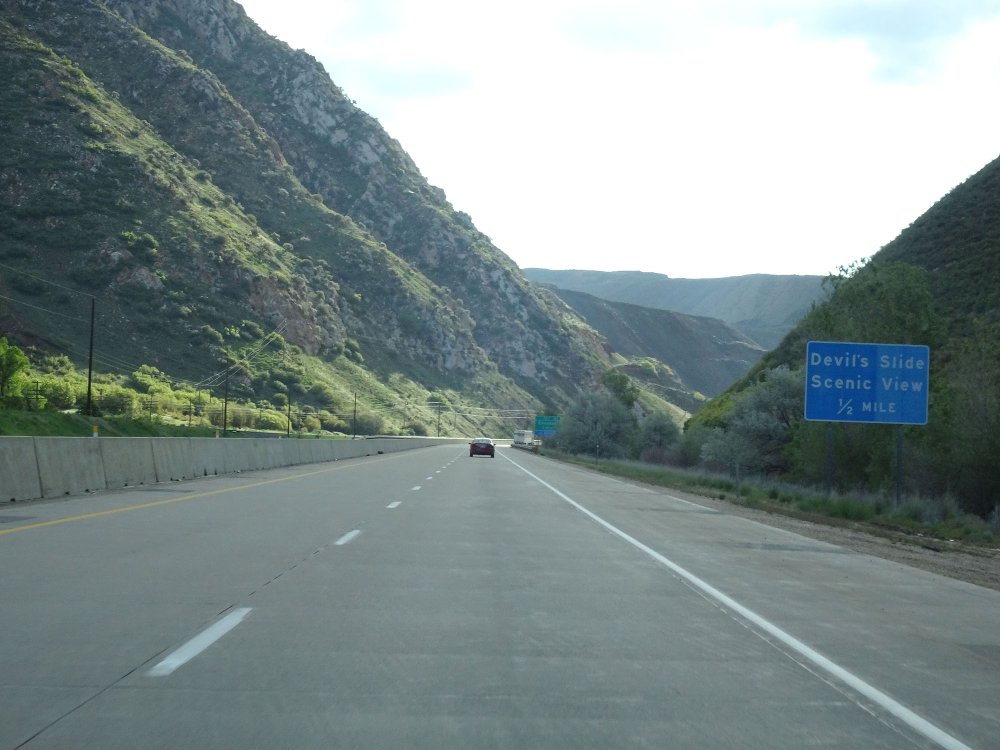 |
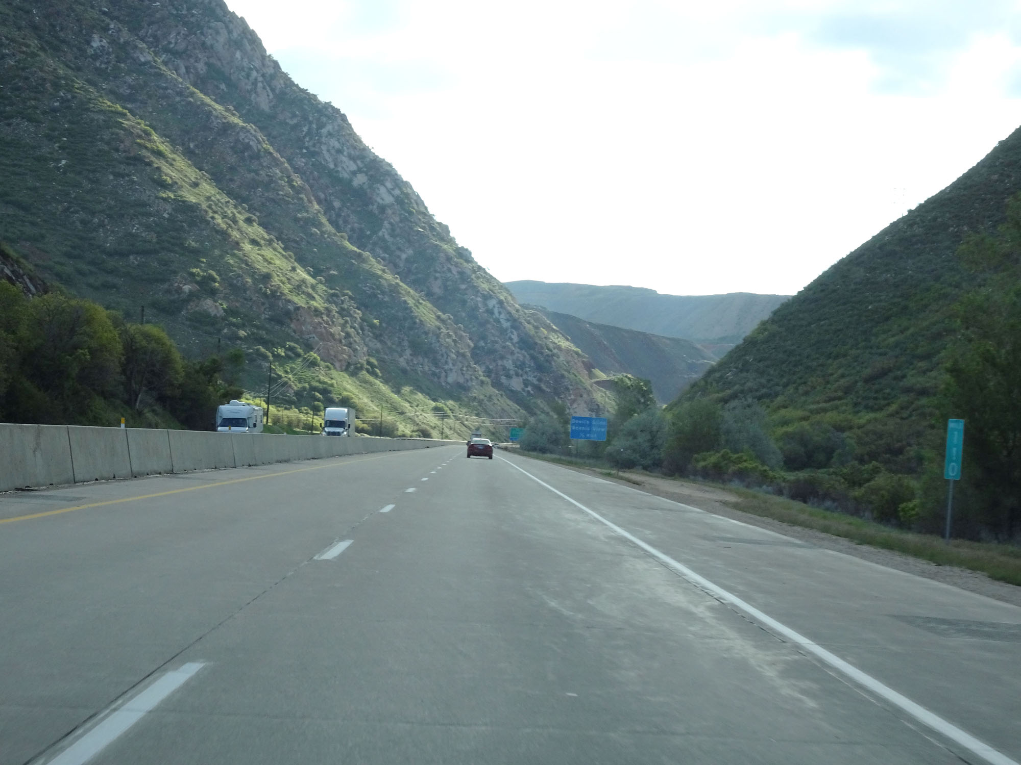
Interstate 84 East approaching Devil's Slide Scenic View - 1/2 mile. (Photo taken 5/27/16). |
 |
Interstate 84 East at Devil's Slide Scenic View. (Photo taken 5/27/16). |
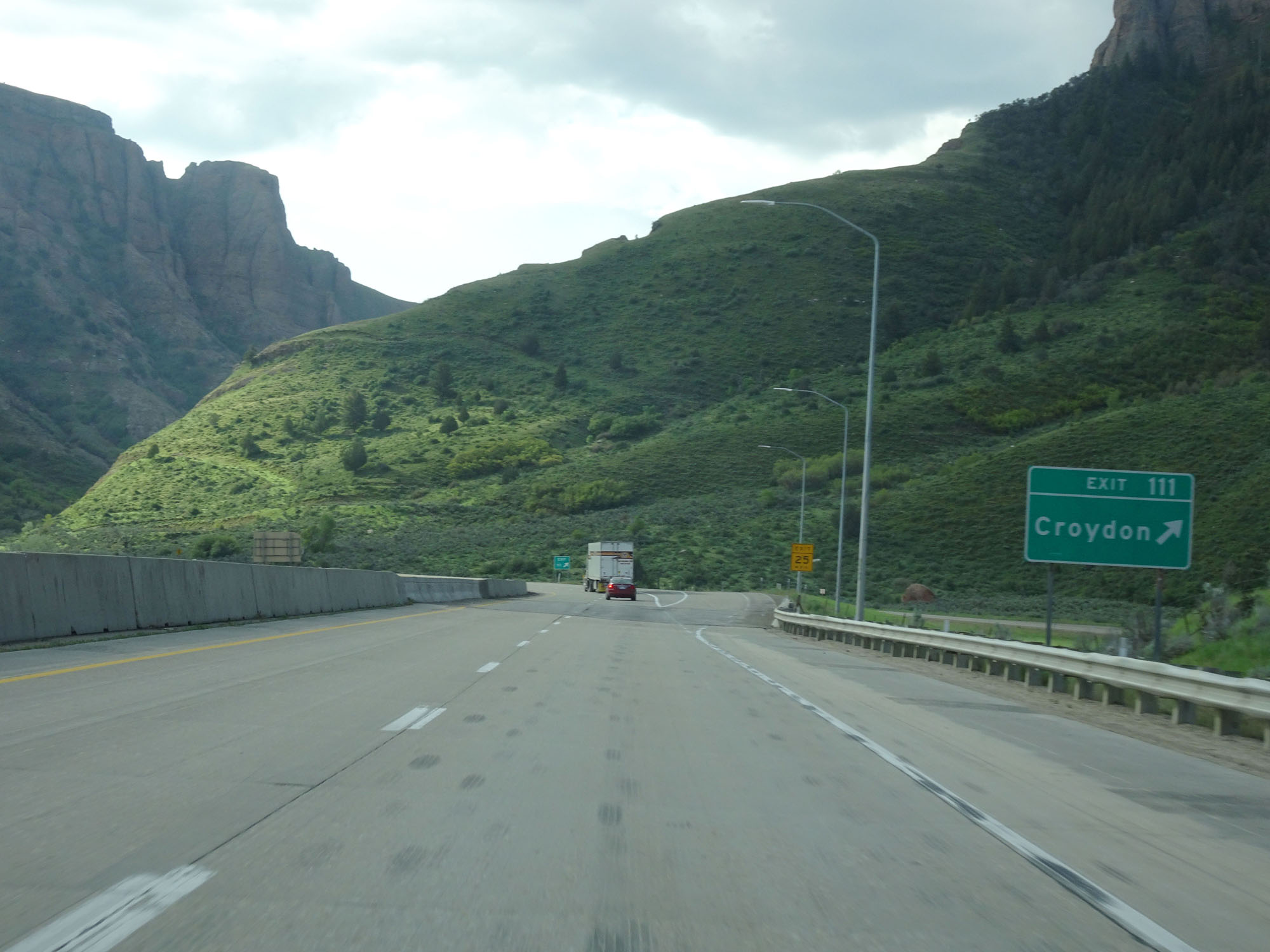 |
Interstate 84 East at Exit 111: Croydon (Photo taken 5/27/16). |
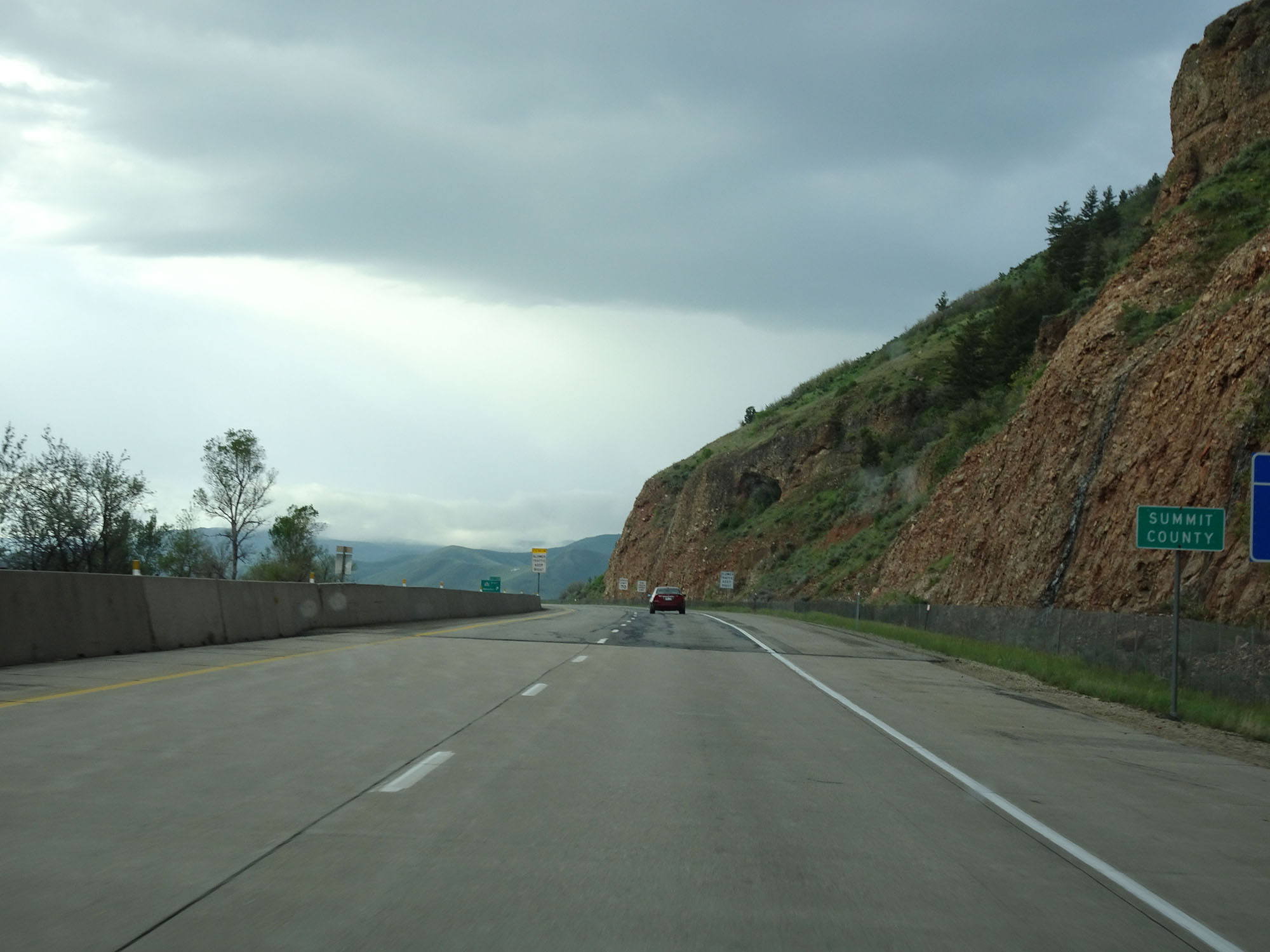 |
Interstate 84 East entering Summit County. (Photo taken 5/27/16). |
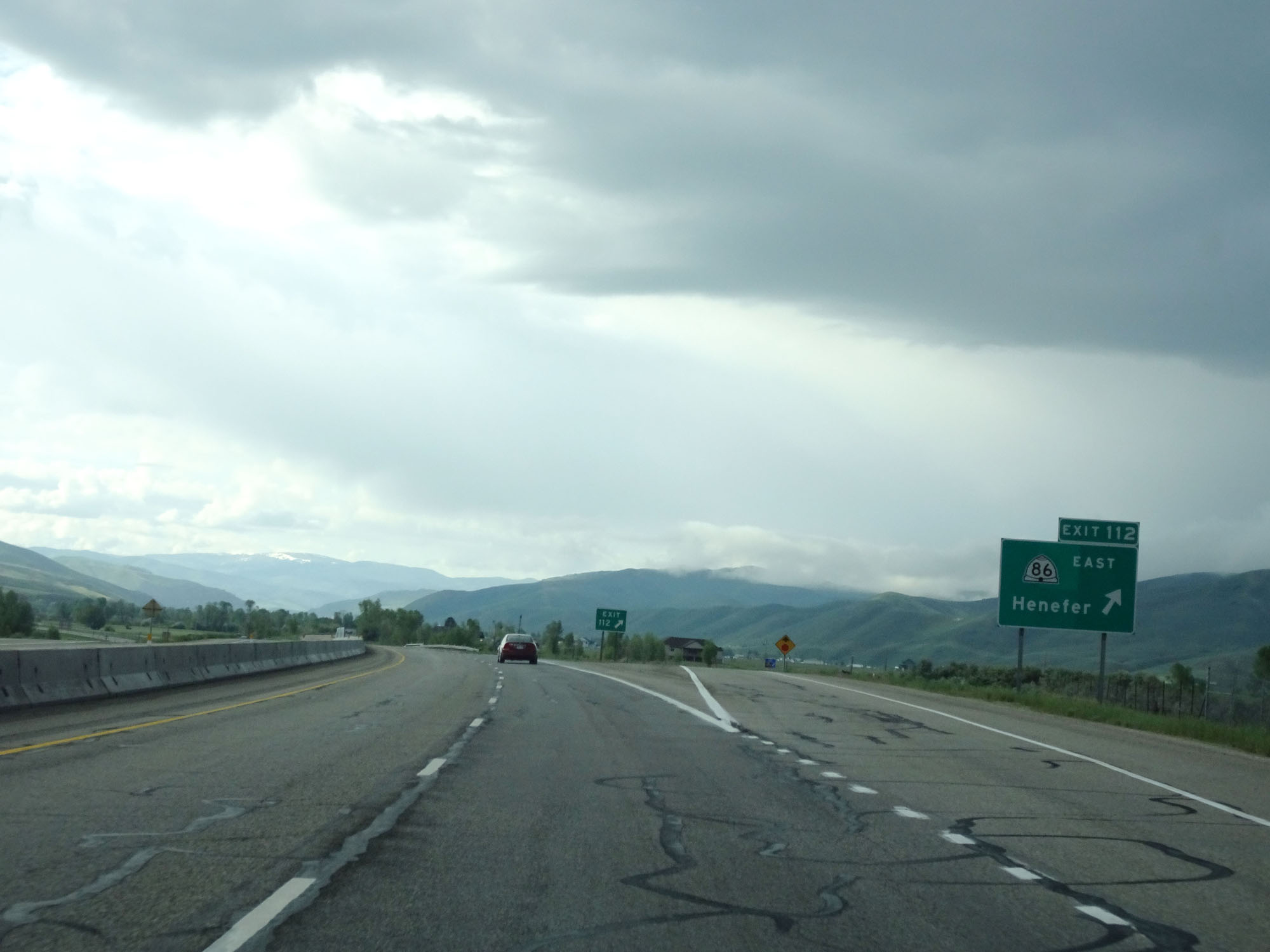 |
Interstate 84 East at Exit 112: UT 86 East - Henefer (Photo taken 5/27/16). |
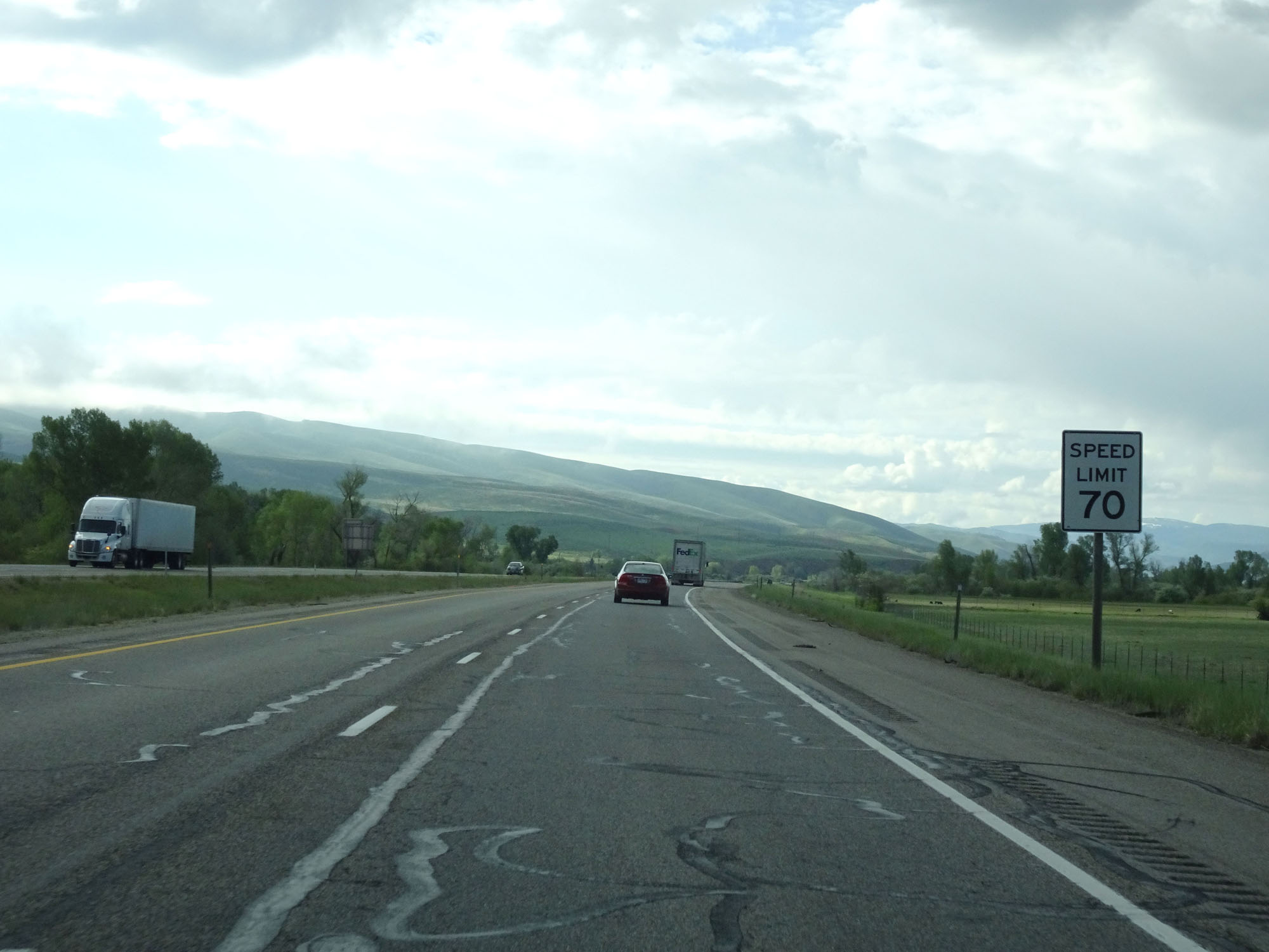 |
East of Exit 112, the speed limit changes to 70 mph for all traffic. (Photo taken 5/27/16). |
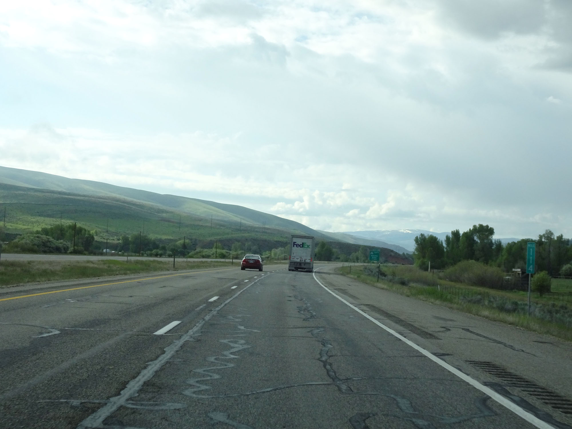 |
Interstate 84 East at mile marker 114. (Photo taken 5/27/16). |
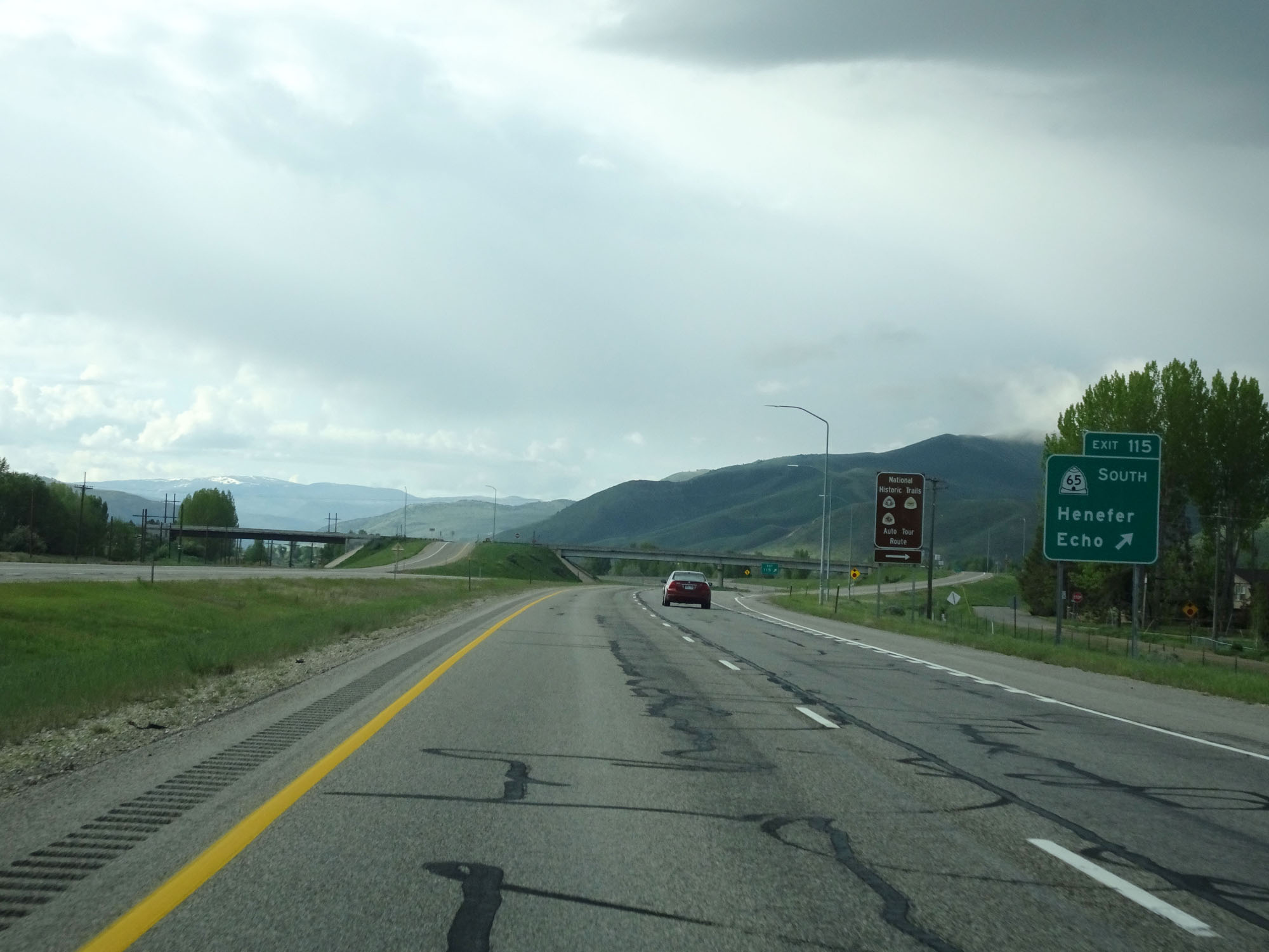 |
Interstate 84 East at Exit 115: UT 65 South - Henefer / Echo (Photo taken 5/27/16). |
 |
Interstate 84 East reassurance shield. (Photo taken 5/27/16). |
 |
The speed limit remains 70 mph for all traffic. (Photo taken 5/27/16). |
 |
Mileage sign on Interstate 84 East. It's 37 miles to Evanston and 410 miles to Cheyenne. (Photo taken 5/27/16). |
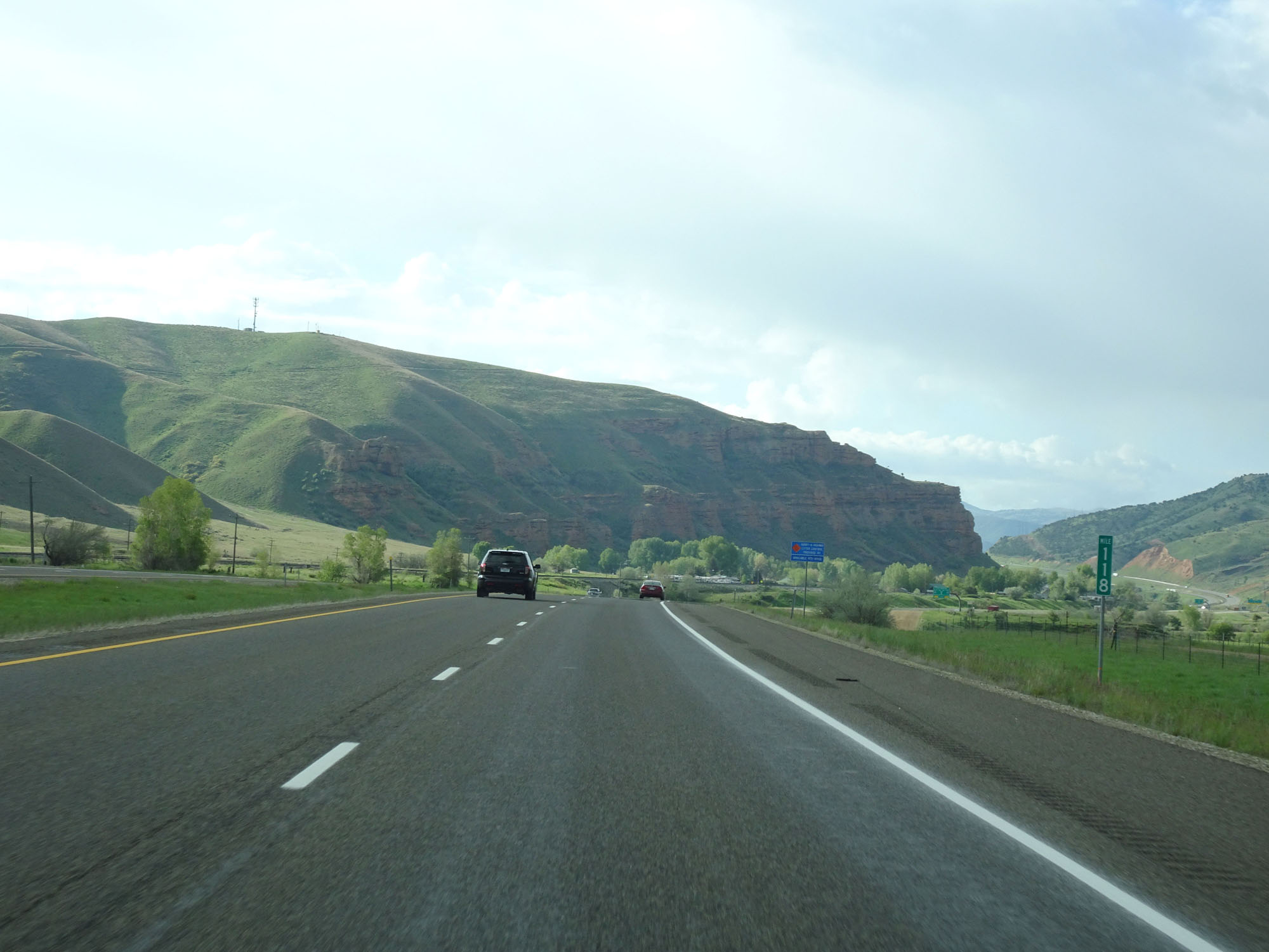 |
Interstate 84 East at mile marker 118. (Photo taken 5/27/16). |
 |
Interstate 84 East approaching its eastern terminus at Exits 120A-B - 1 mile. (Photo taken 5/27/16). |
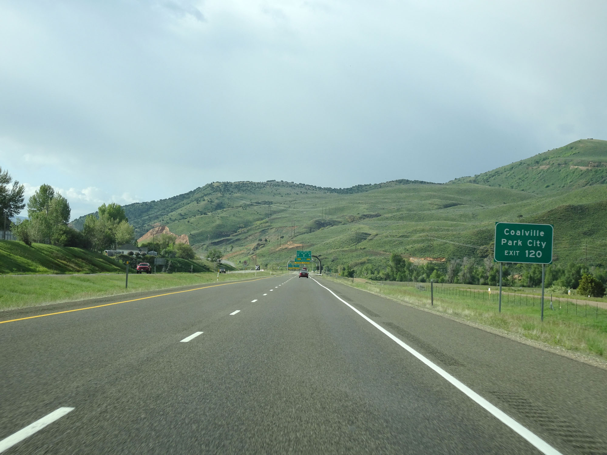 |
Take Exit 120 to Coalville and Park City. (Photo taken 5/27/16). |
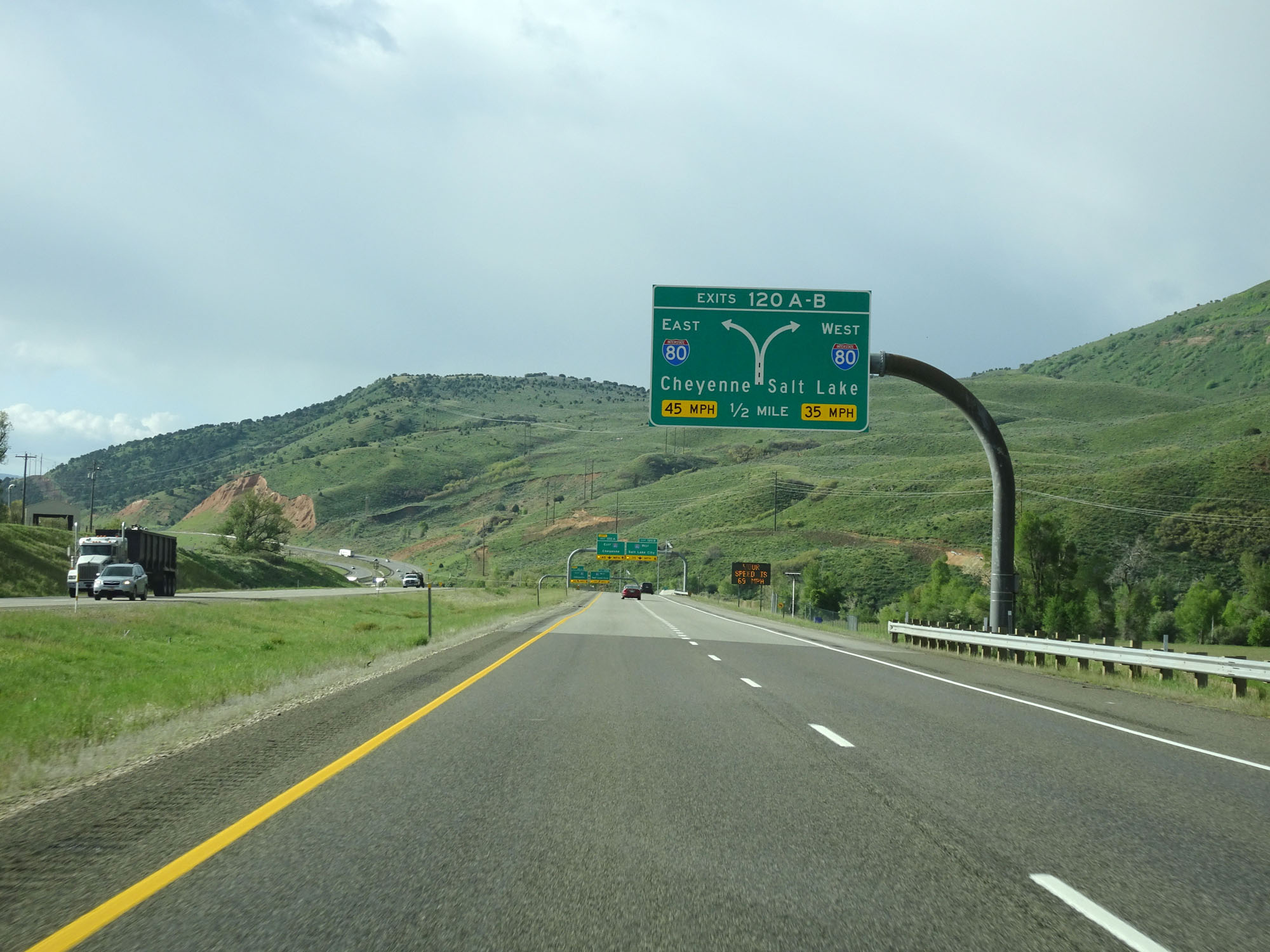 |
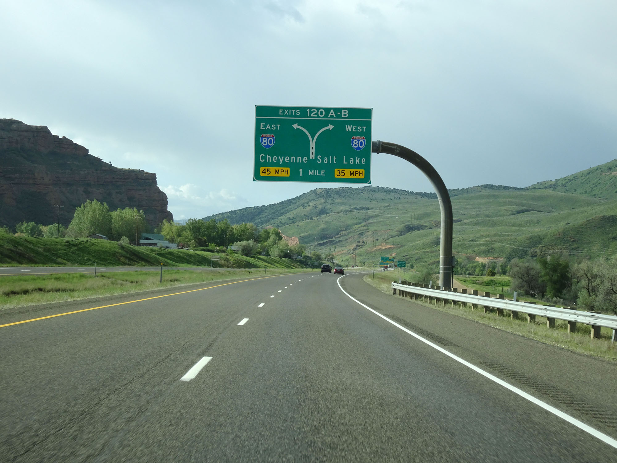
Interstate 84 East approaching Exits 120A-B - 1/2 mile. Be in the left lane for Interstate 80 East toward Cheyenne and the right lane for Interstate 80 West toward Salt Lake City. (Photo taken 5/27/16). |
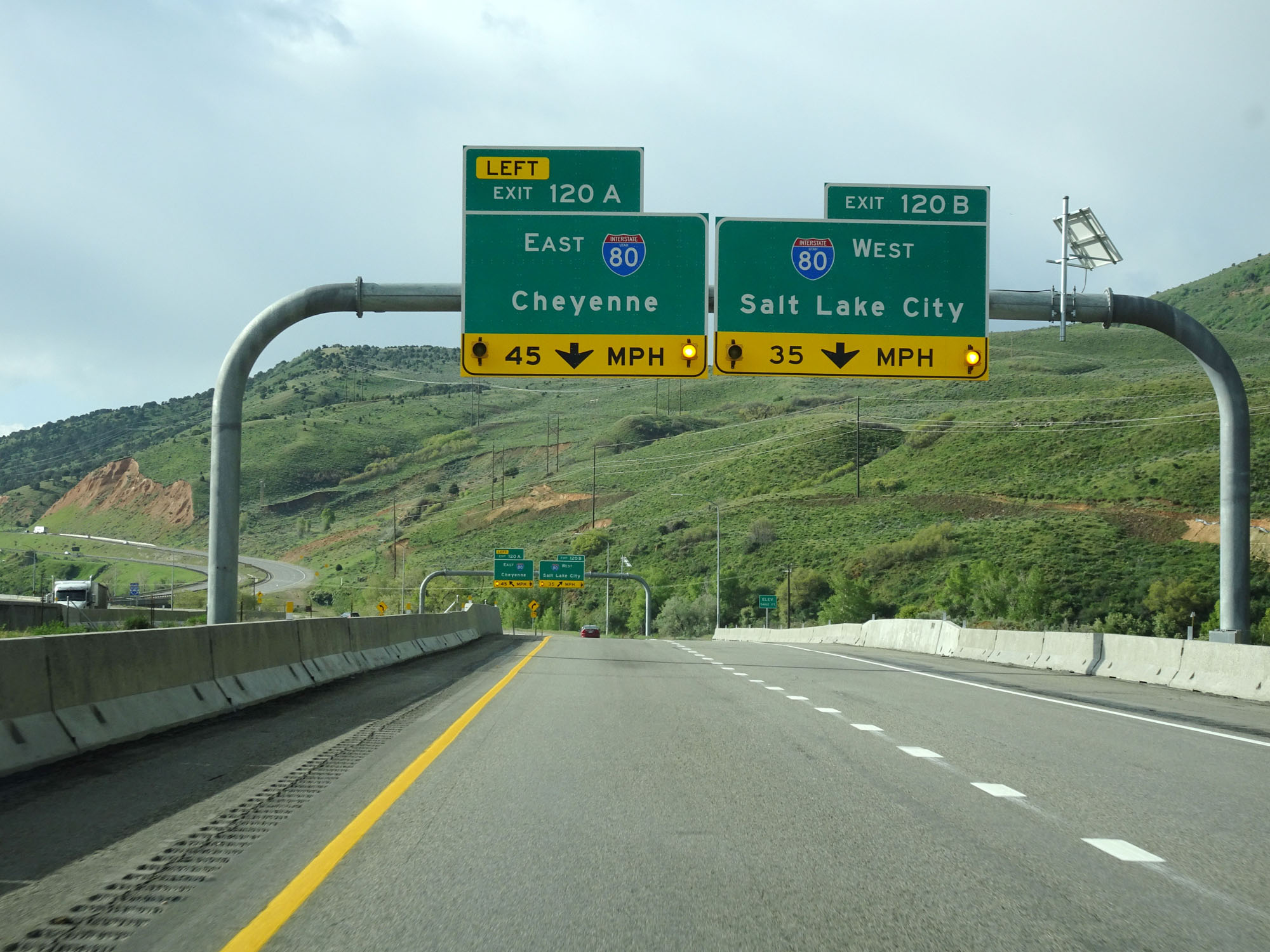 |
Exits 120A-B have sharp ramps and the suggested speeds for them are 45 mph and 35 mph respectively. (Photo taken 5/27/16). |
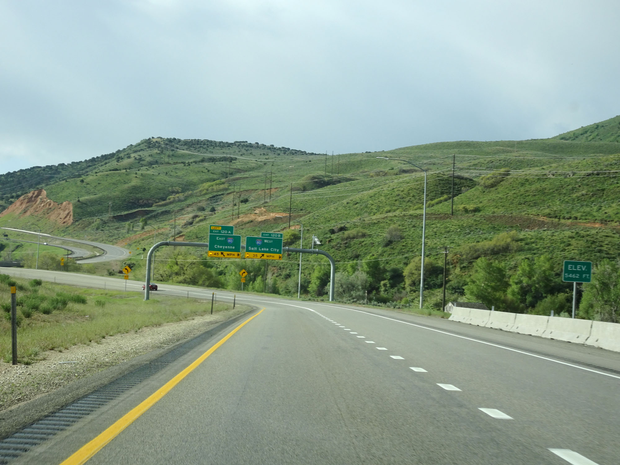 |
Nearing its eastern terminus, Interstate 84 reaches an elevation of 5,462 feet. (Photo taken 5/27/16). |
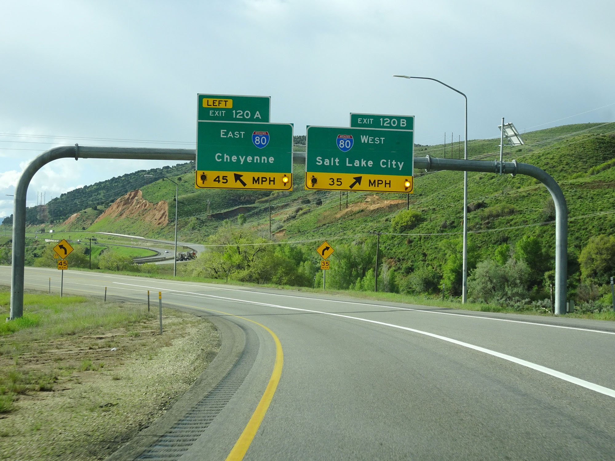 |
Interstate 84 East at Exit 120A: Interstate 80 East - Cheyenne; Exit 120B: Interstate 80 West - Salt Lake City (Photo taken 5/27/16). |
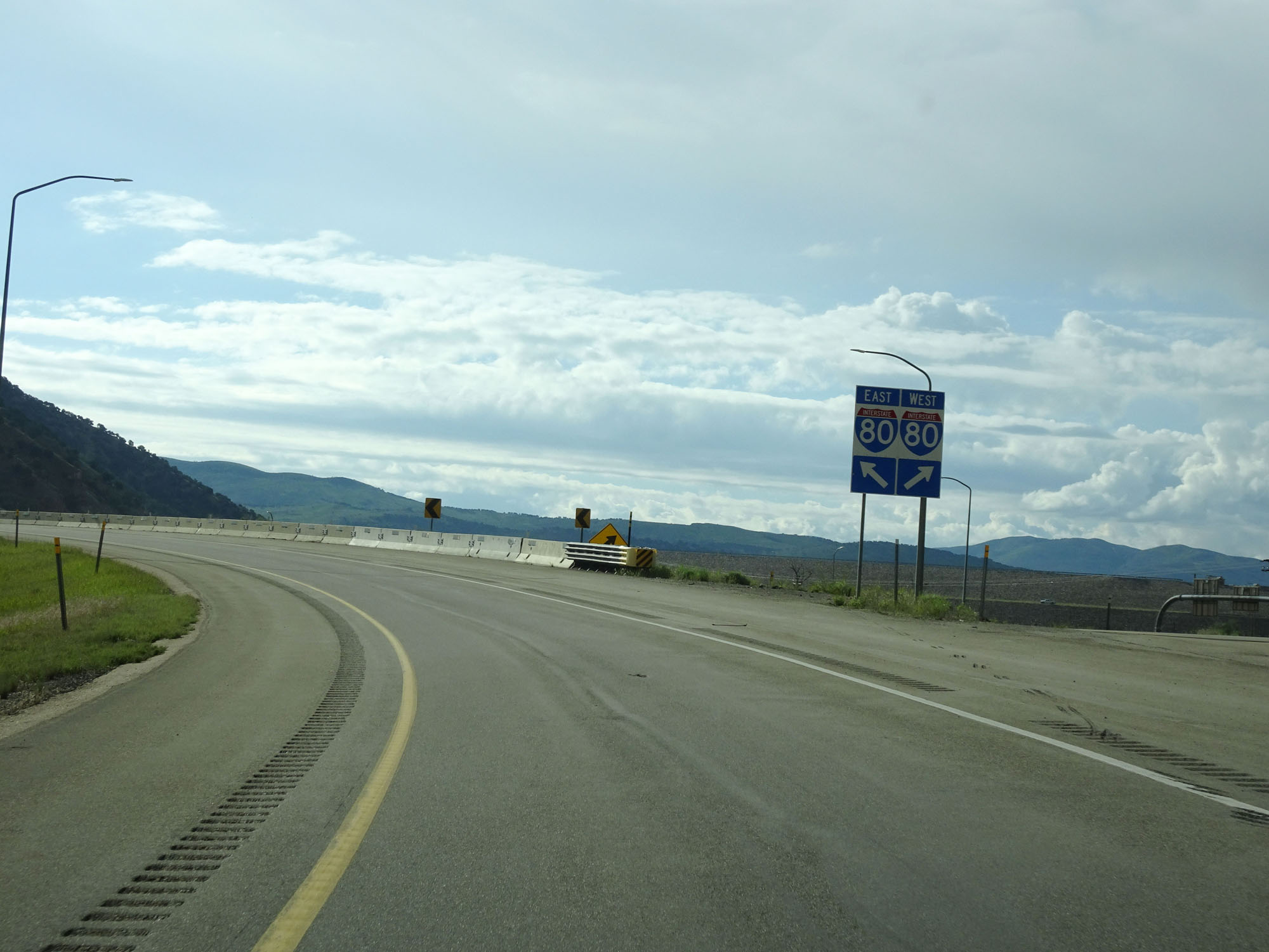 |
View at the split of the ramps for Exits 120A-B at the eastern terminus of Interstate 84 in Utah. (Photo taken 5/27/16). |