Road Information |
||
 |
||
| Total Mileage in State: | 636 miles | |
| Eastern End: | At Louisiana state line | |
| Western End: | At I-10, near Kent | |
| Mileage covered in Photos: | 126 miles | |
| Counties covered in Photos: | Midland, Ector, Crane, Ward, Reeves | |
| Major Junctions in Photos: | US 385, in Odessa US 285, in Pecos I-10, near Kent |
|
| Control Cities in Photos: | Midland, Odessa, Pecos | |
Westbound
- Section 1: Midland (Exit 126) to Pyote (Exit 66)
- Section 2: Pyote (Exit 66) to Interstate 10
Section 1: Midland (Exit 126) to Pyote (Exit 66)
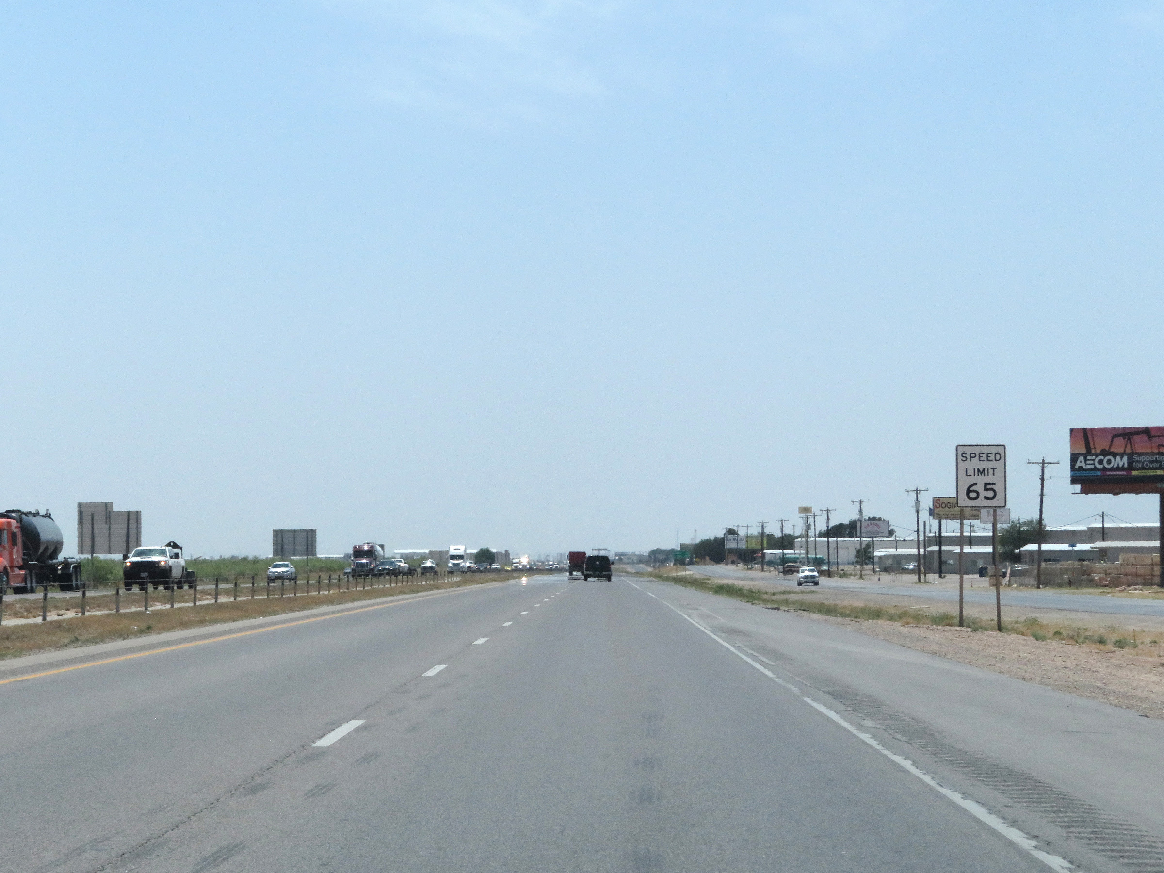 |
The speed limit on Interstate 20 West through the Midland and Odessa areas in 65 mph. (Photo taken 5/19/18). |
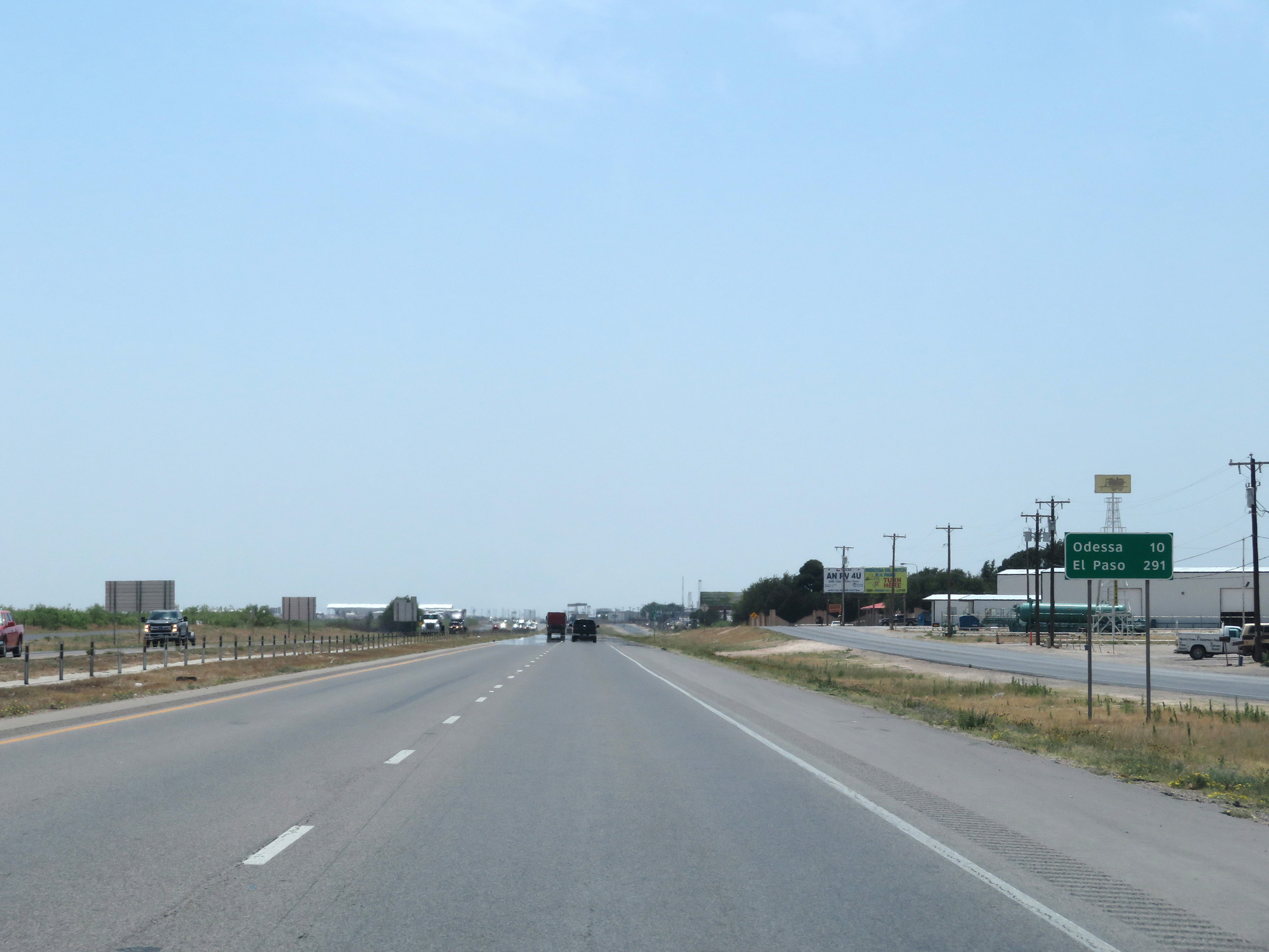 |
Mileage sign on Interstate 20 West. It's 10 miles to Odessa and 291 miles to El Paso. (Photo taken 5/19/18). |
 |
View on Interstate 20 West at mile marker 125. (Photo taken 5/19/18). |
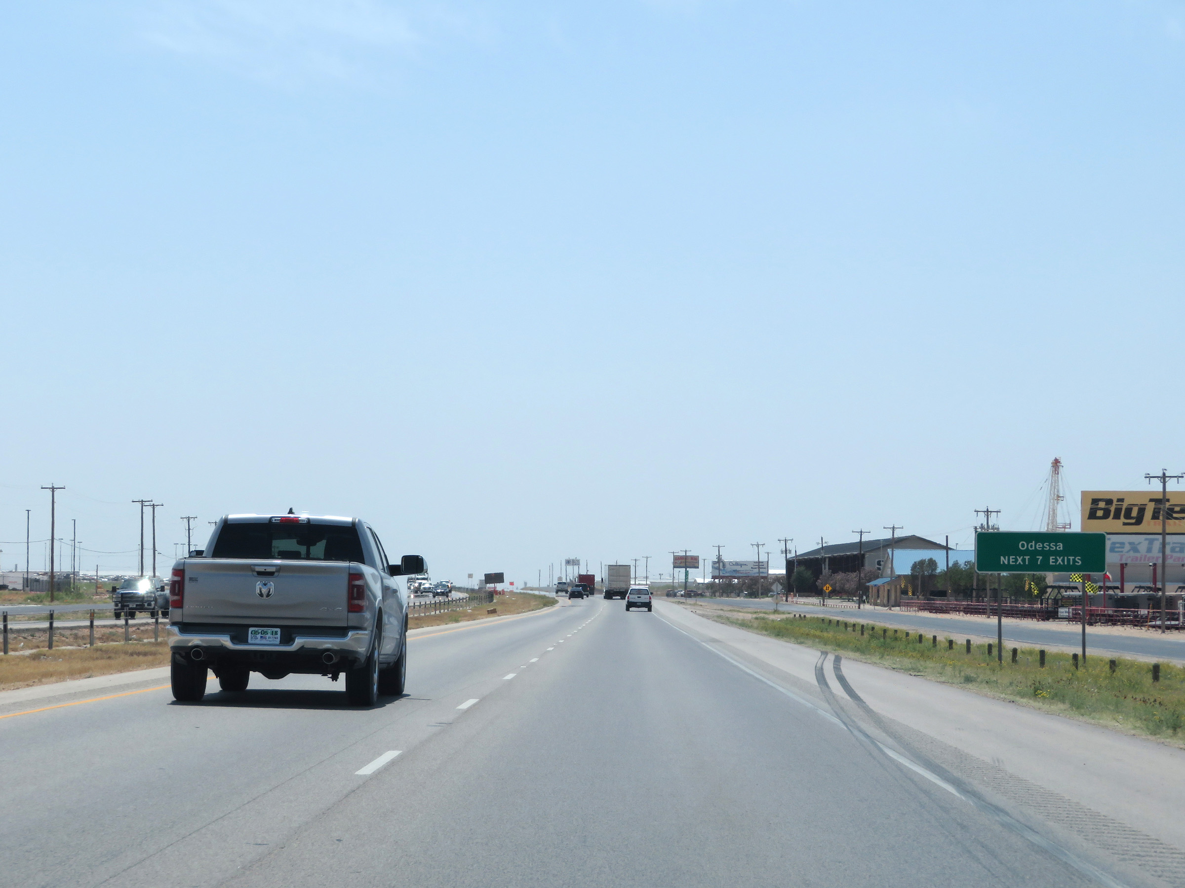 |
Take any of the next 7 exits to Odessa. (Photo taken 5/19/18). |
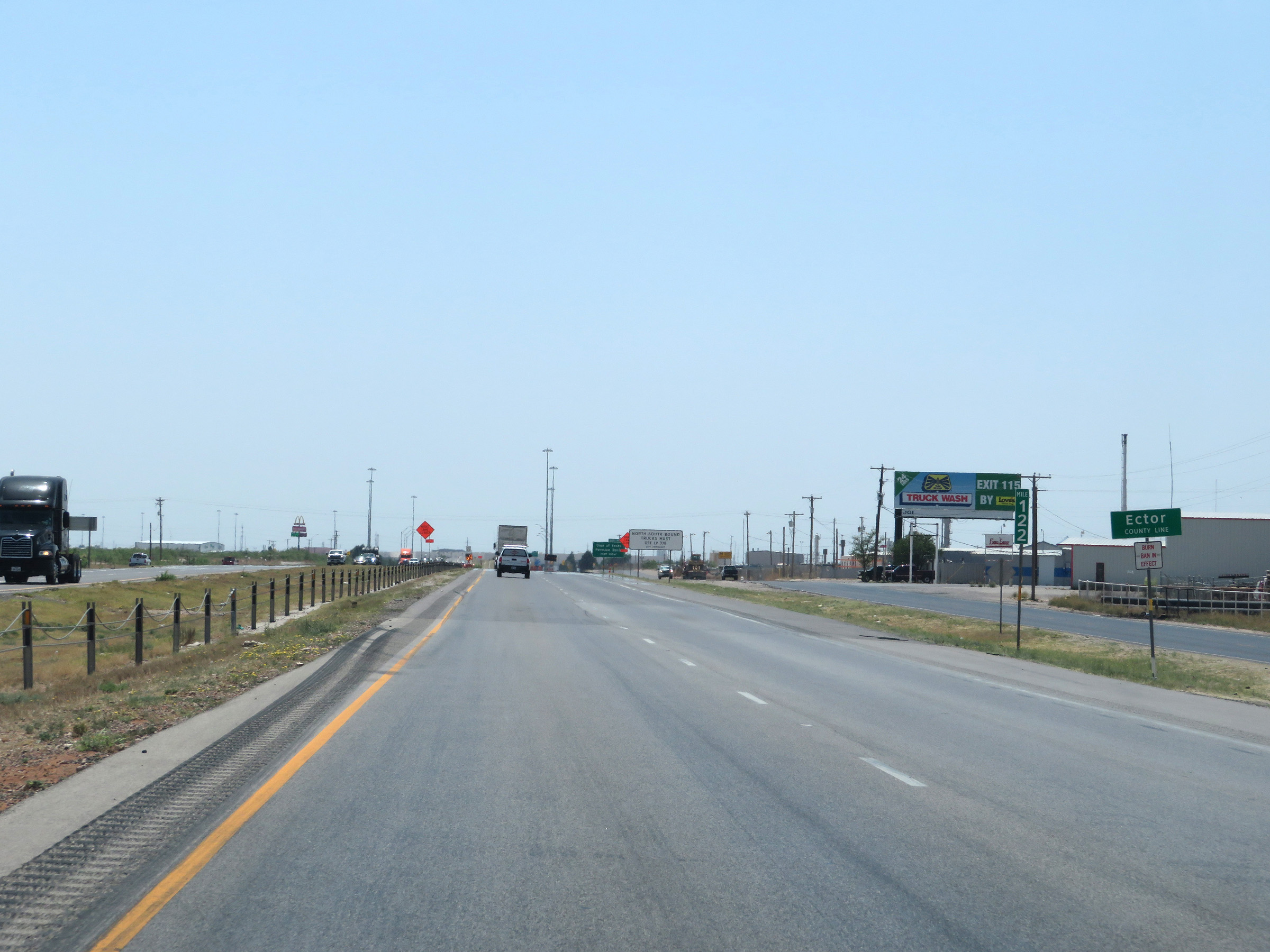 |
At mile marker 122, Interstate 20 West enters Ector County. (Photo taken 5/19/18). |
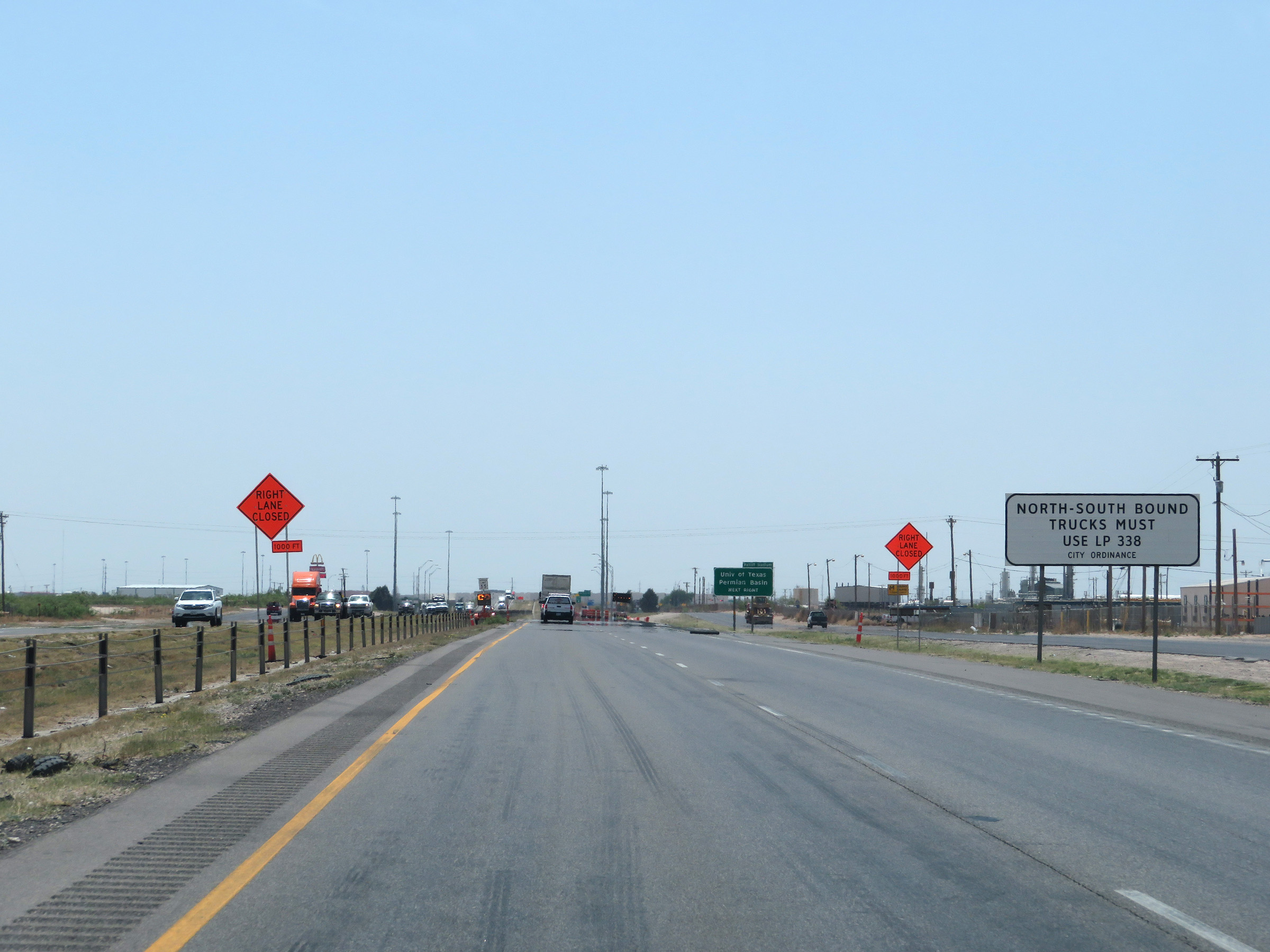 |
All northbound and southbound trucks must use TX Loop 338 via Exit 121. (Photo taken 5/19/18). |
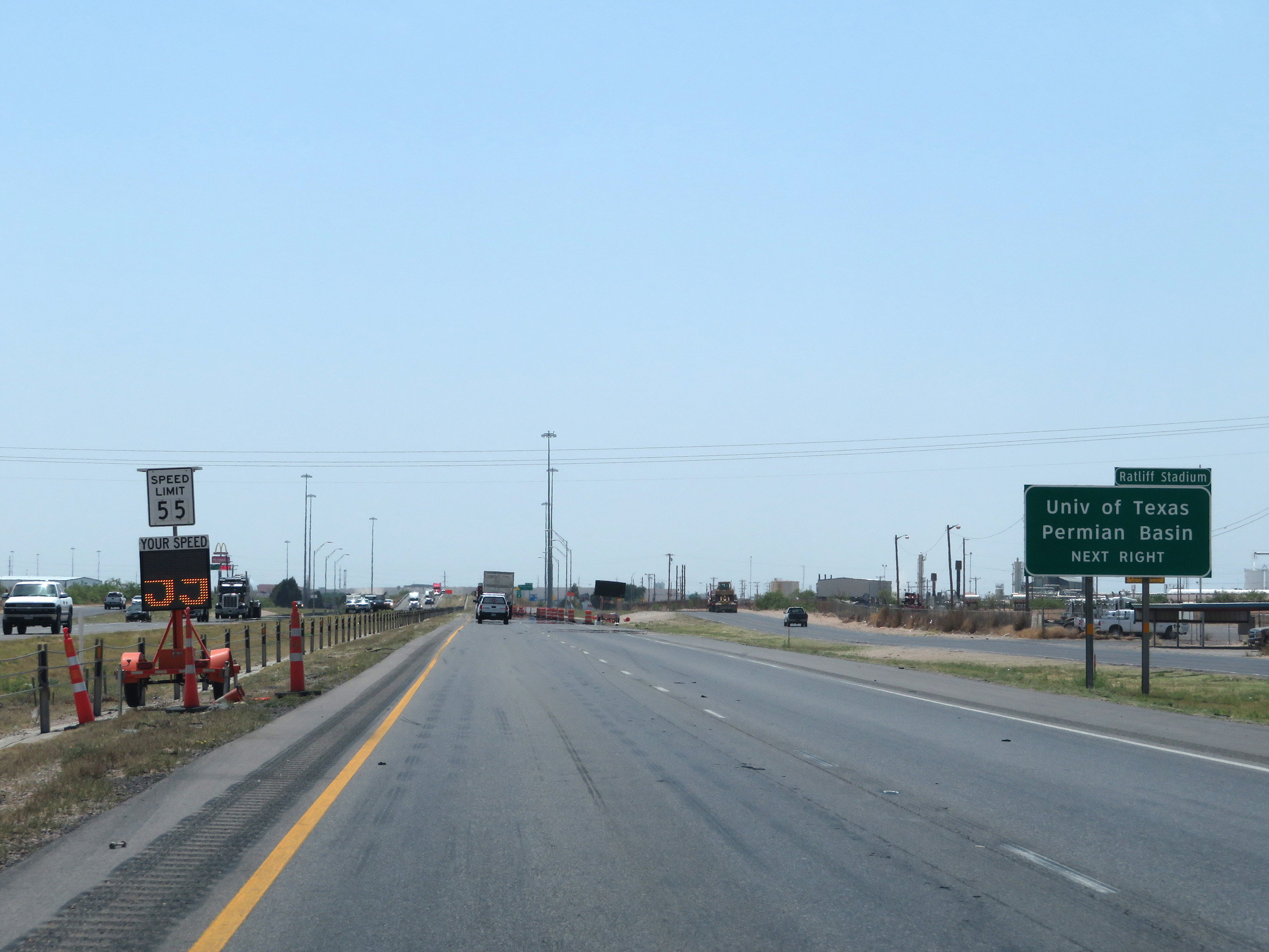 |
Take Exit 121 to the University of Texas Permian Basin. (Photo taken 5/19/18). |
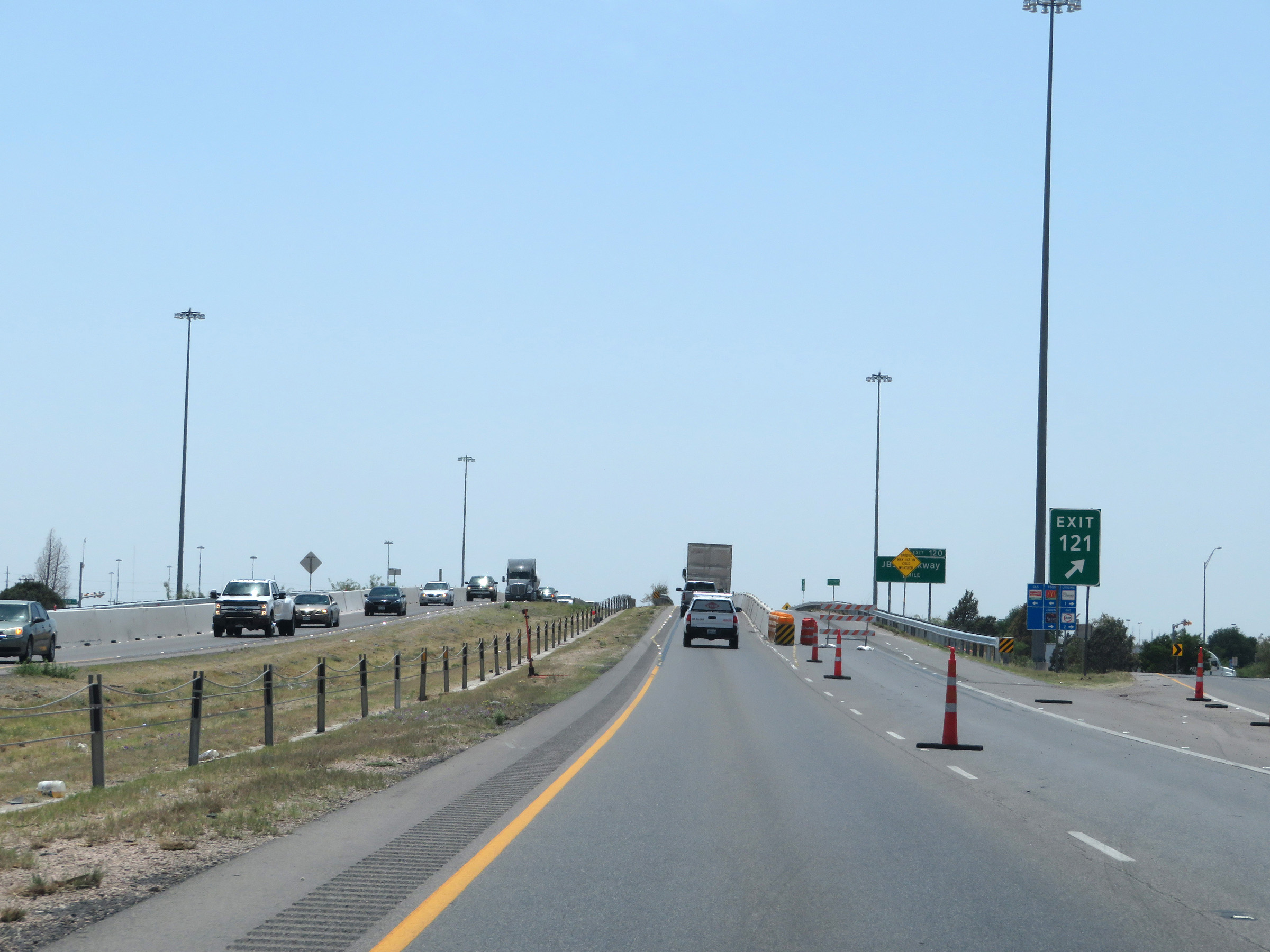 |
Interstate 20 West at Exit 121: TX Loop 338 - Odessa (Photo taken 5/19/18). |
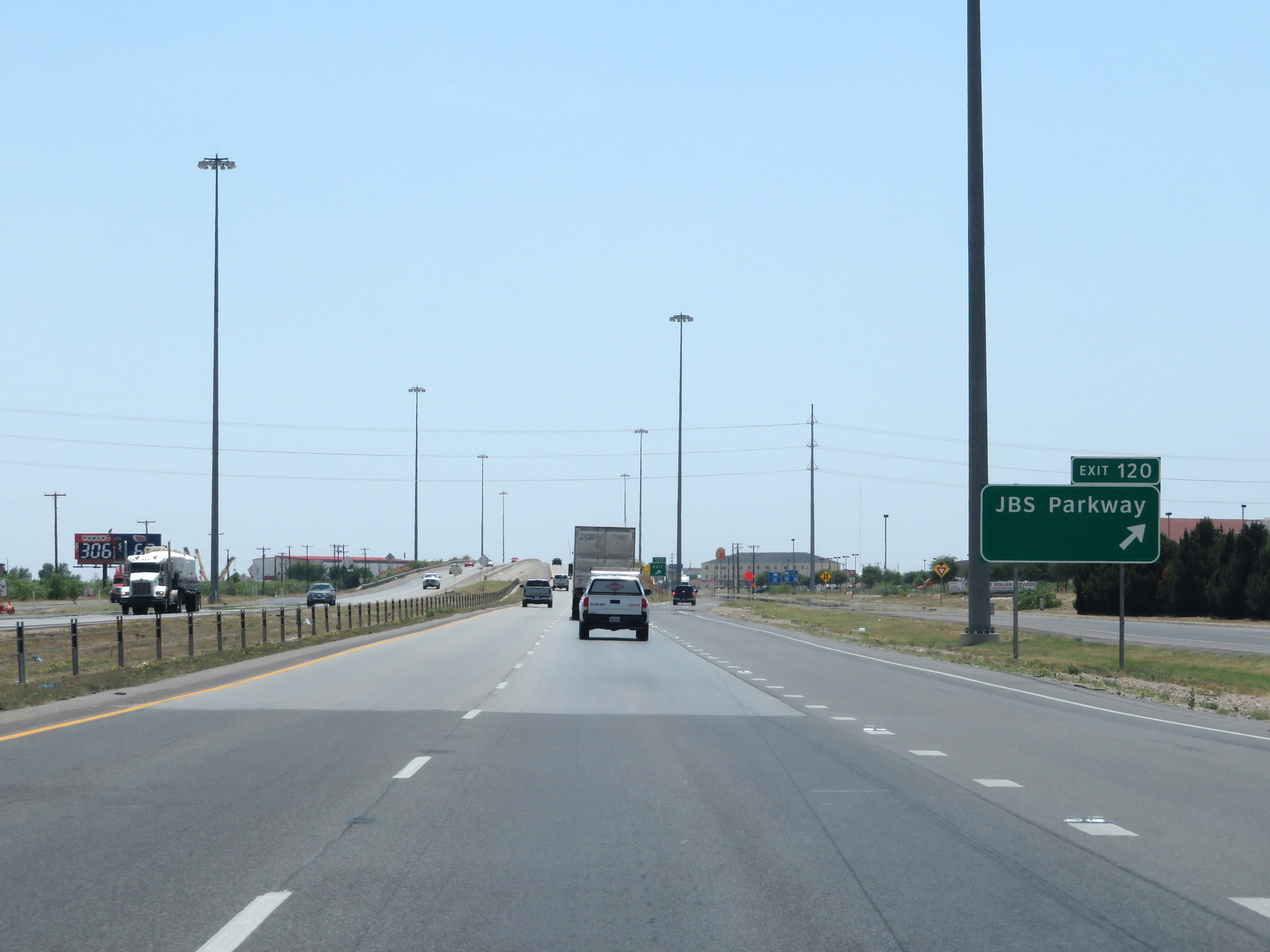 |
Interstate 20 West at Exit 120: JBS Parkway (Photo taken 5/19/18). |
 |
Interstate 20 West approaching Exit 118 - 1 mile. (Photo taken 5/19/18). |
 |
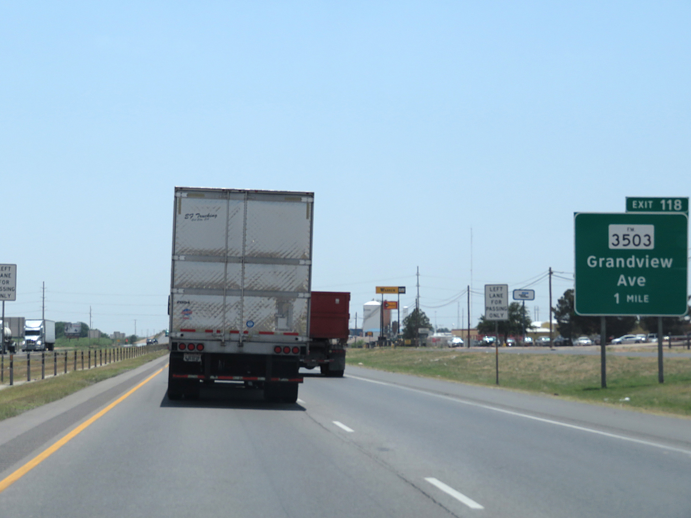
Interstate 20 West at Exit 118: FM 3503 - Grandview Ave (Photo taken 5/19/18). |
 |
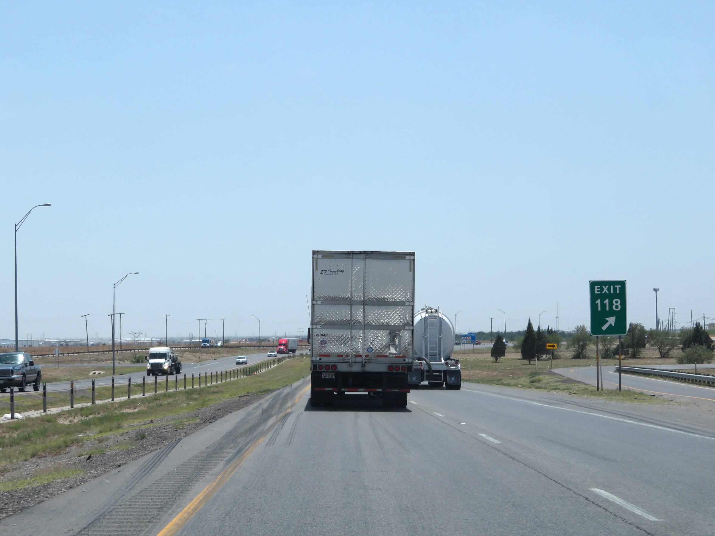
Advance signage for Exit 116 - 3/4 mile. (Photo taken 5/19/18). |
 |
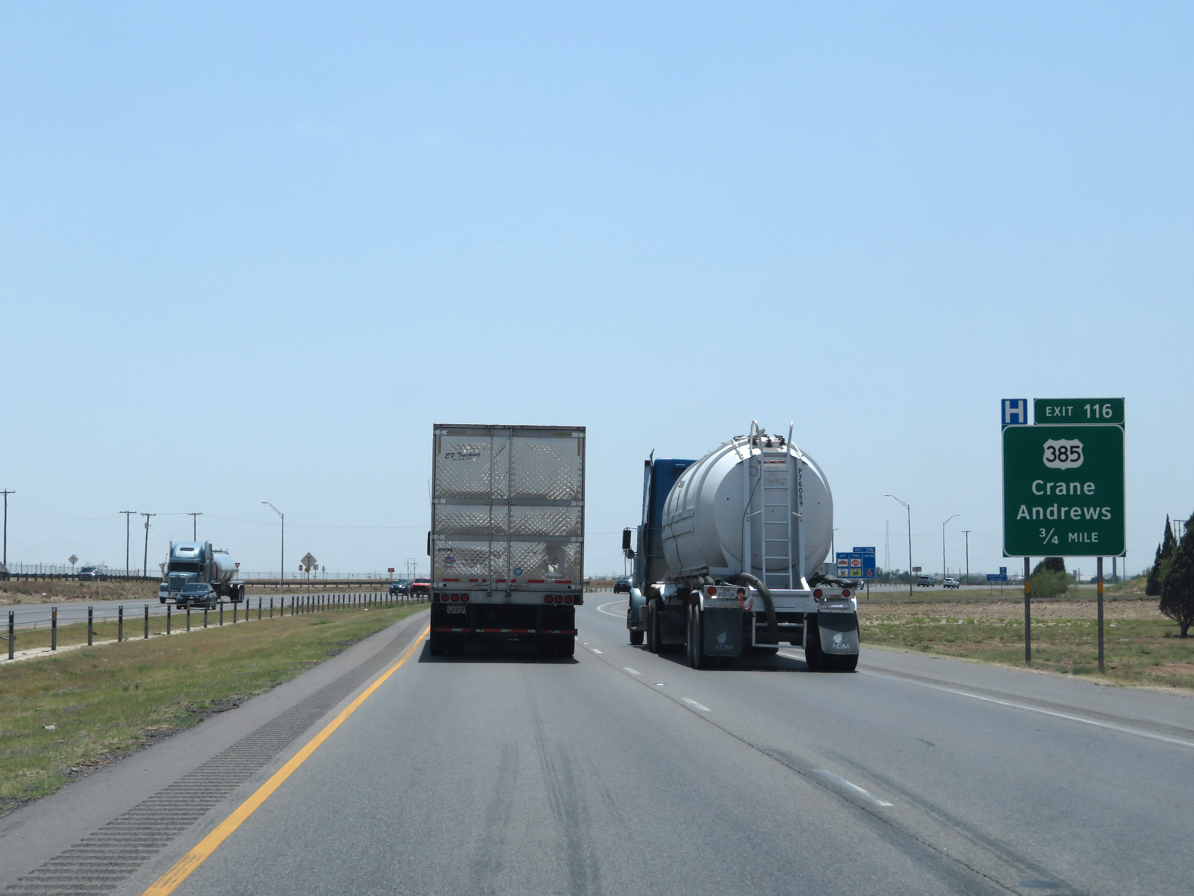
Interstate 20 West at Exit 116: US 385 - Crane / Andrews (Photo taken 5/19/18). |
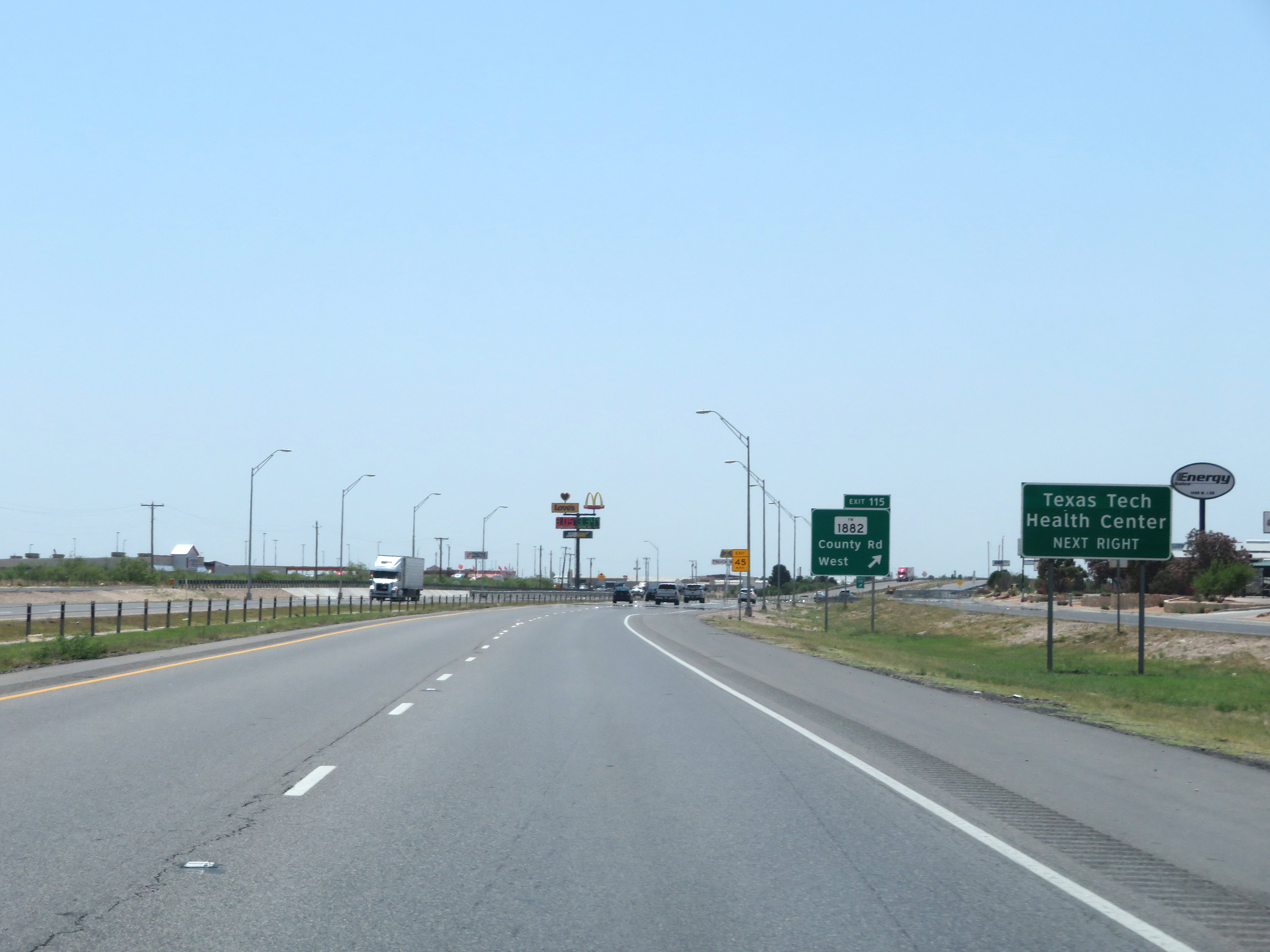 |
Take Exit 115 to Texas Tech Health Center. (Photo taken 5/19/18). |
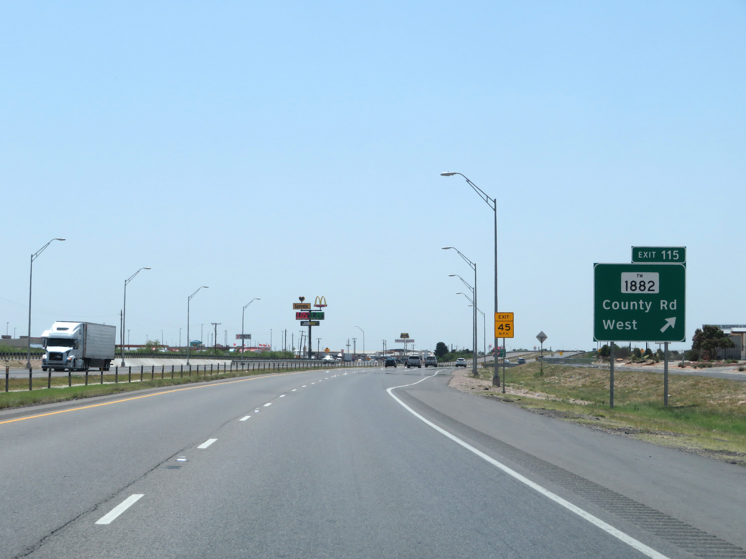 |
Interstate 20 West at Exit 115: FM 1882 - County Rd West (Photo taken 5/19/18). |
 |
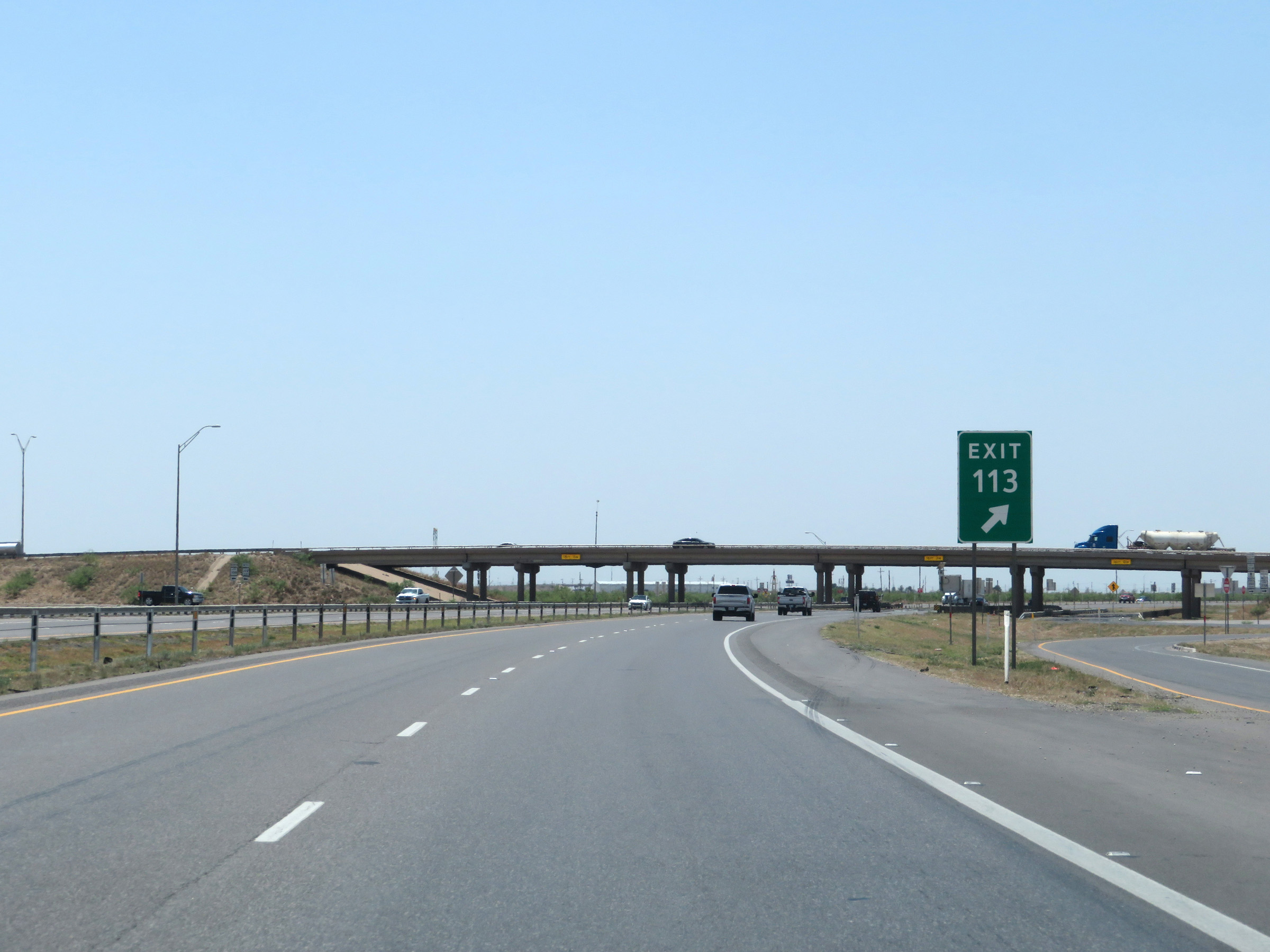
Interstate 20 West approaching Exit 113 - 1/2 mile. (Photo taken 5/19/18). |
 |
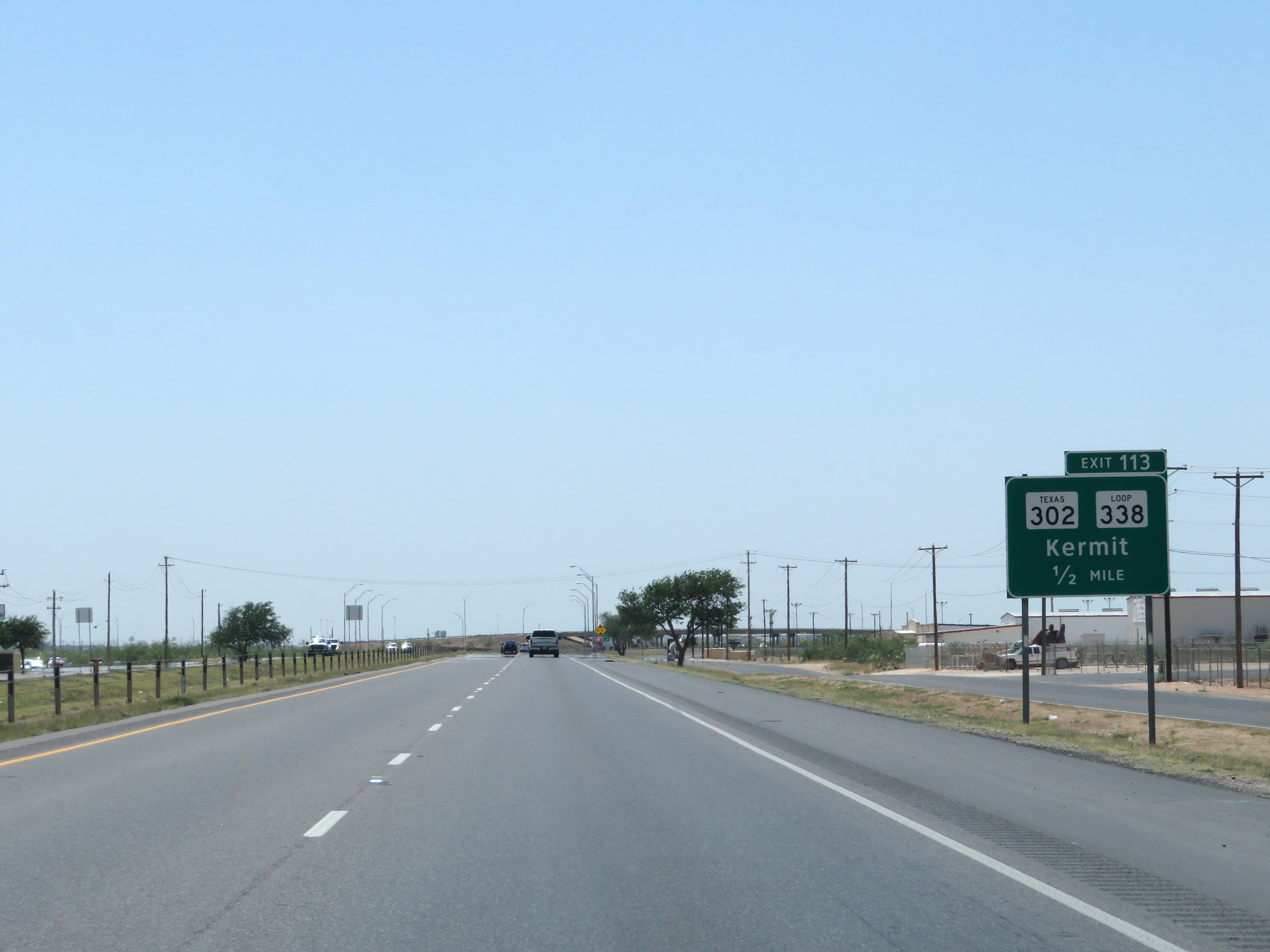
Interstate 20 West at Exit 113: TX 302 / TX Loop 338 - Kermit (Photo taken 5/19/18). |
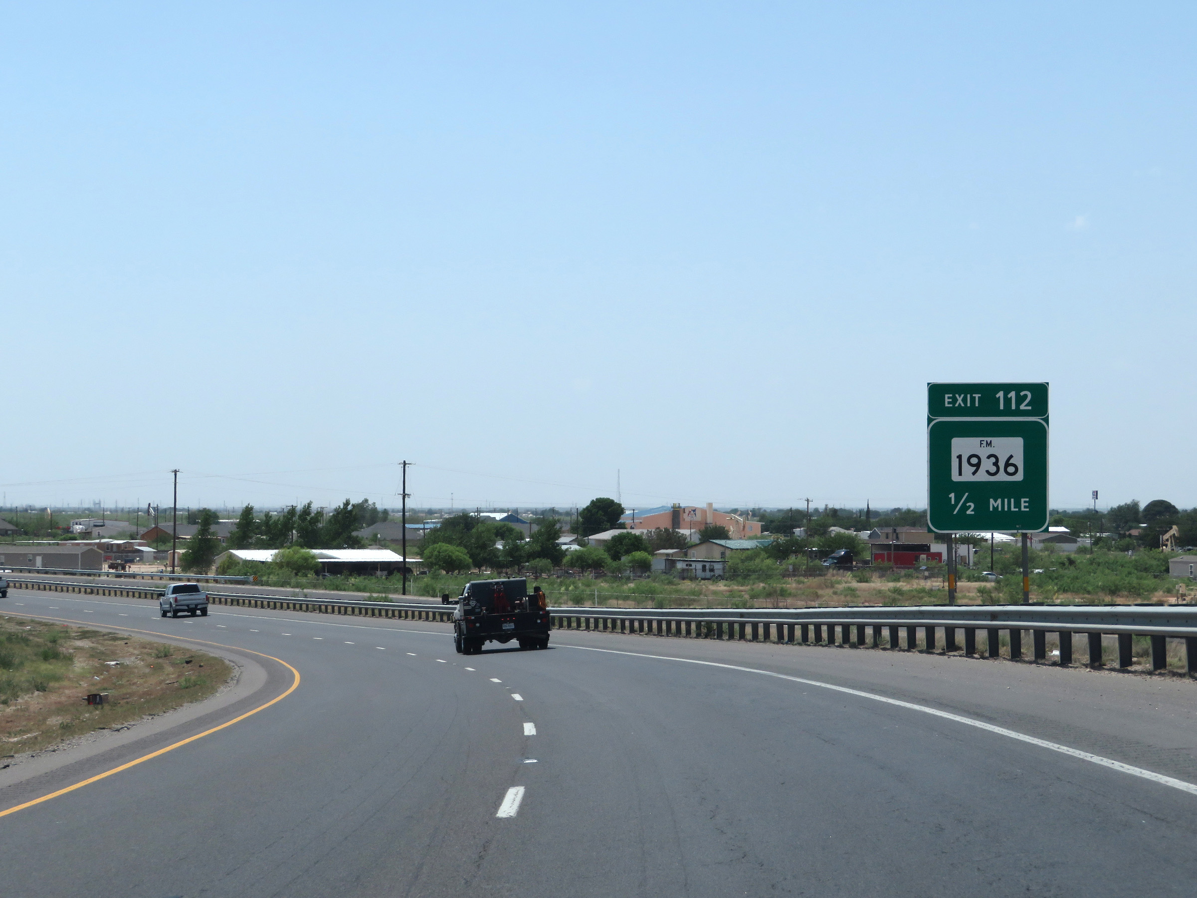 |
Advance signage for Exit 112 - 1/2 mile. (Photo taken 5/19/18). |
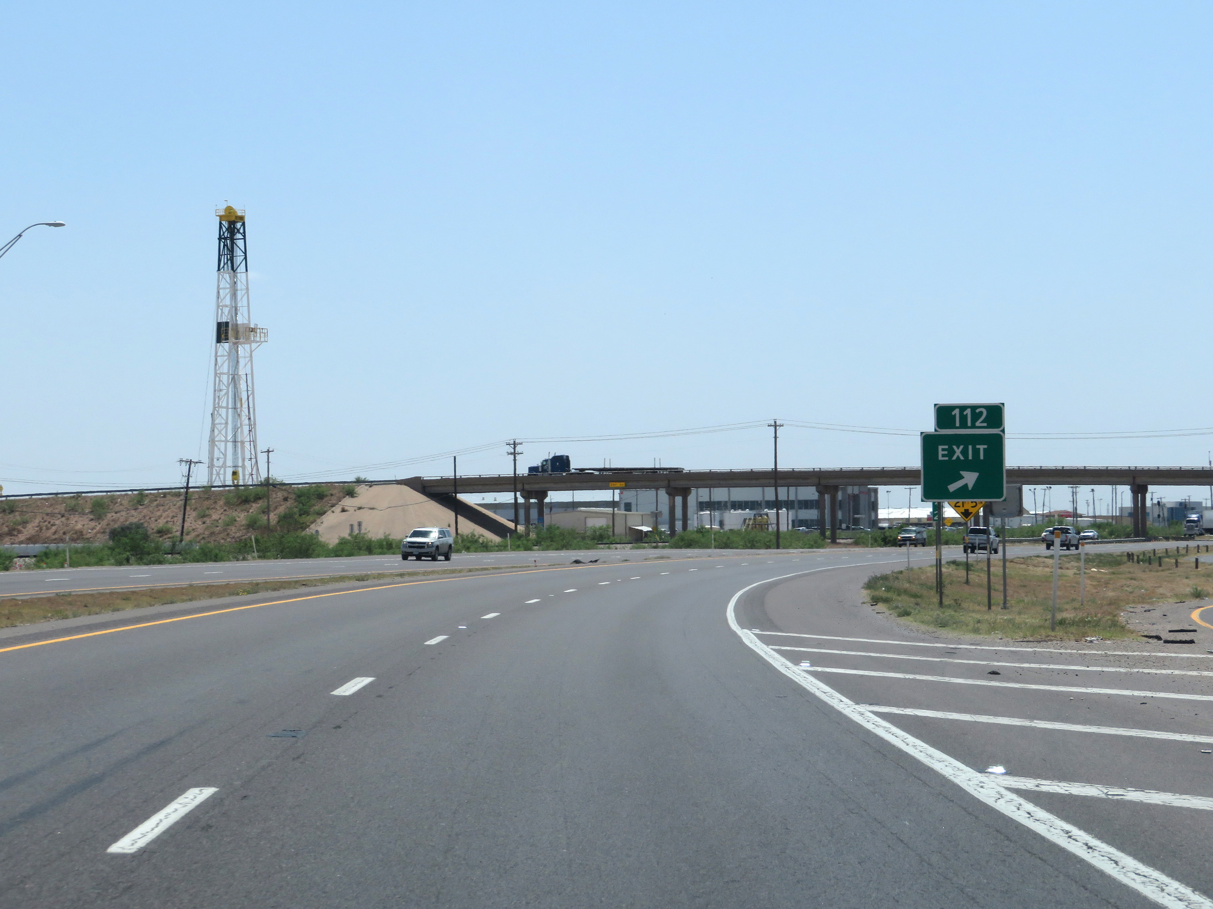 |
Interstate 20 West at Exit 112: FM 1936 (Photo taken 5/19/18). |
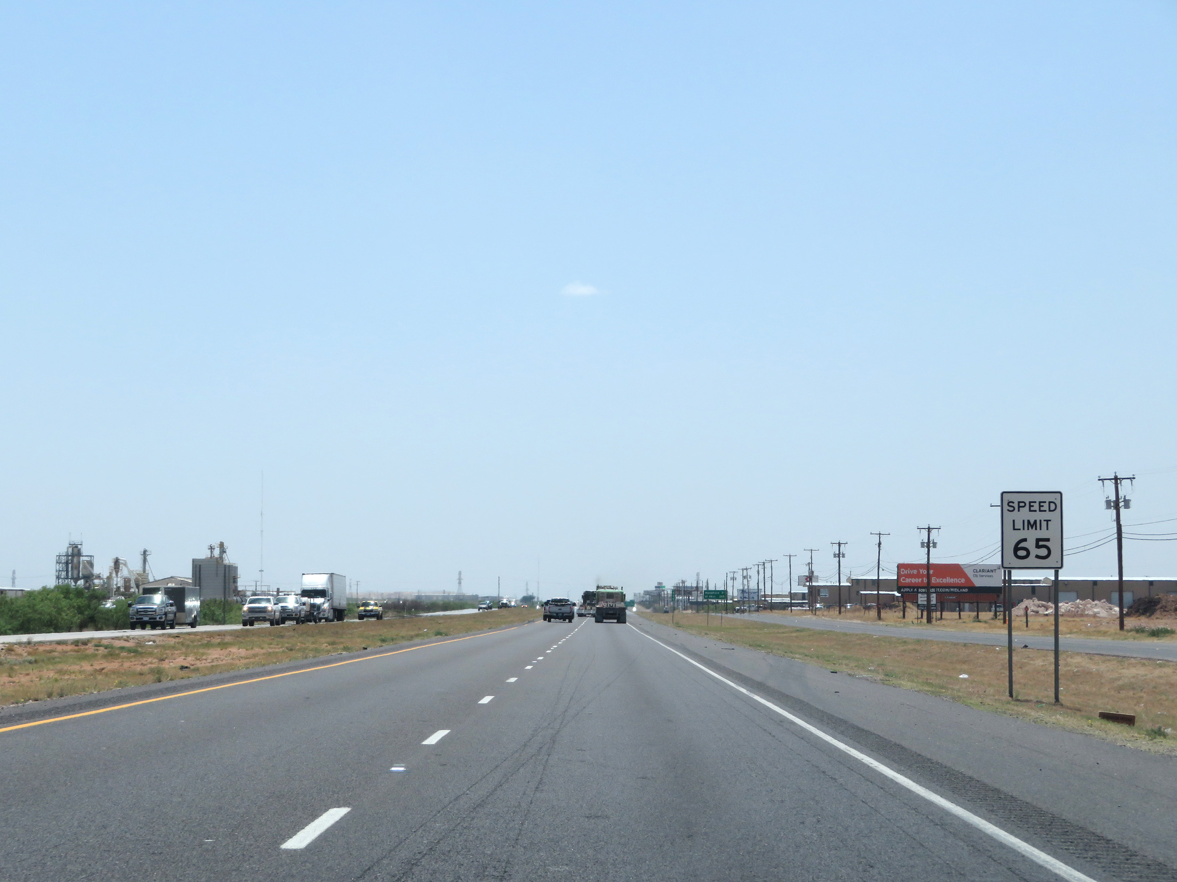 |
The speed limit remains 65 mph on Interstate 20 West through the Odessa area. (Photo taken 5/19/18). |
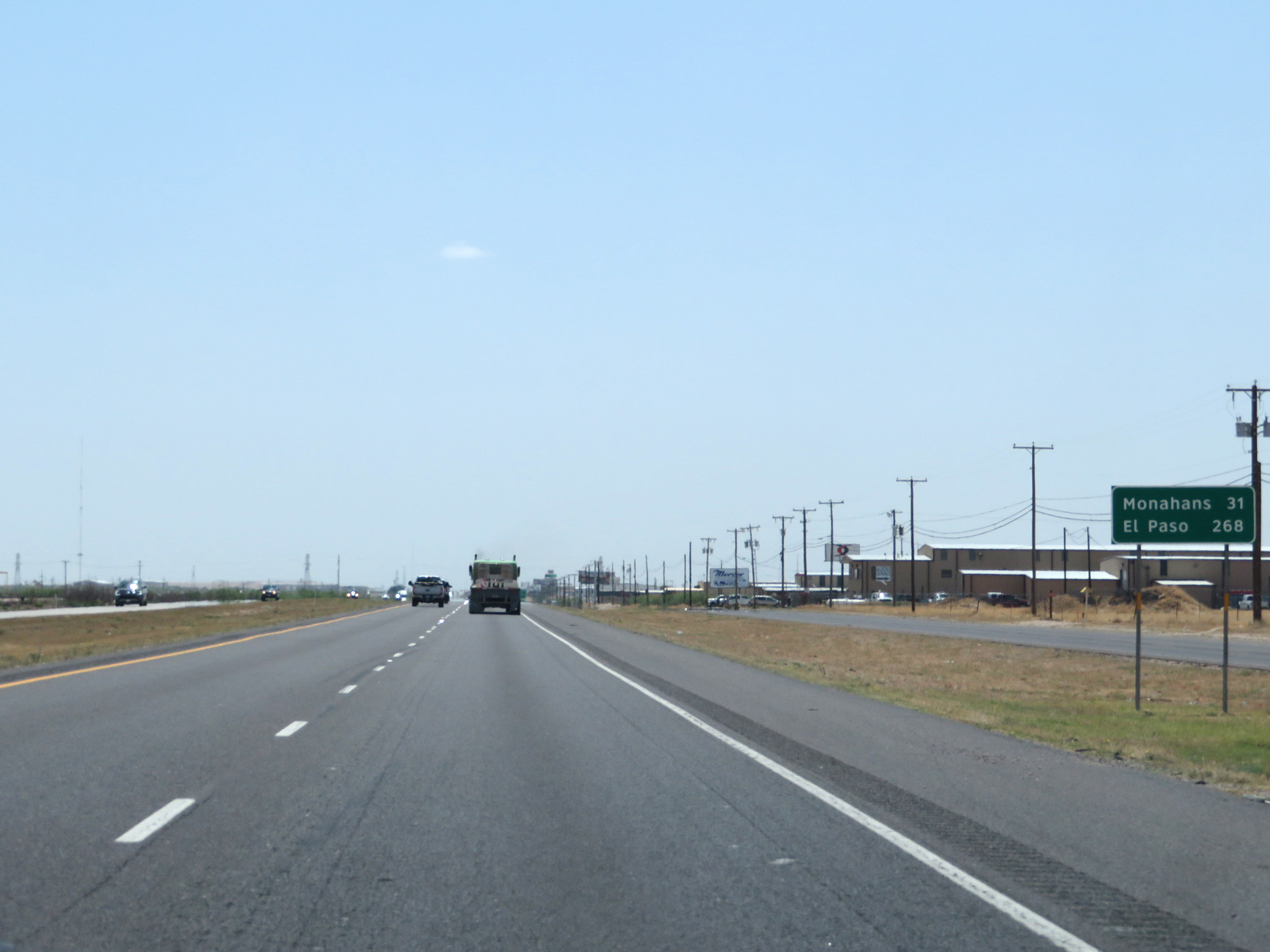 |
Another mileage sign on Interstate 20 West. It's 31 miles to Monahans and 268 miles to El Paso. (Photo taken 5/19/18). |
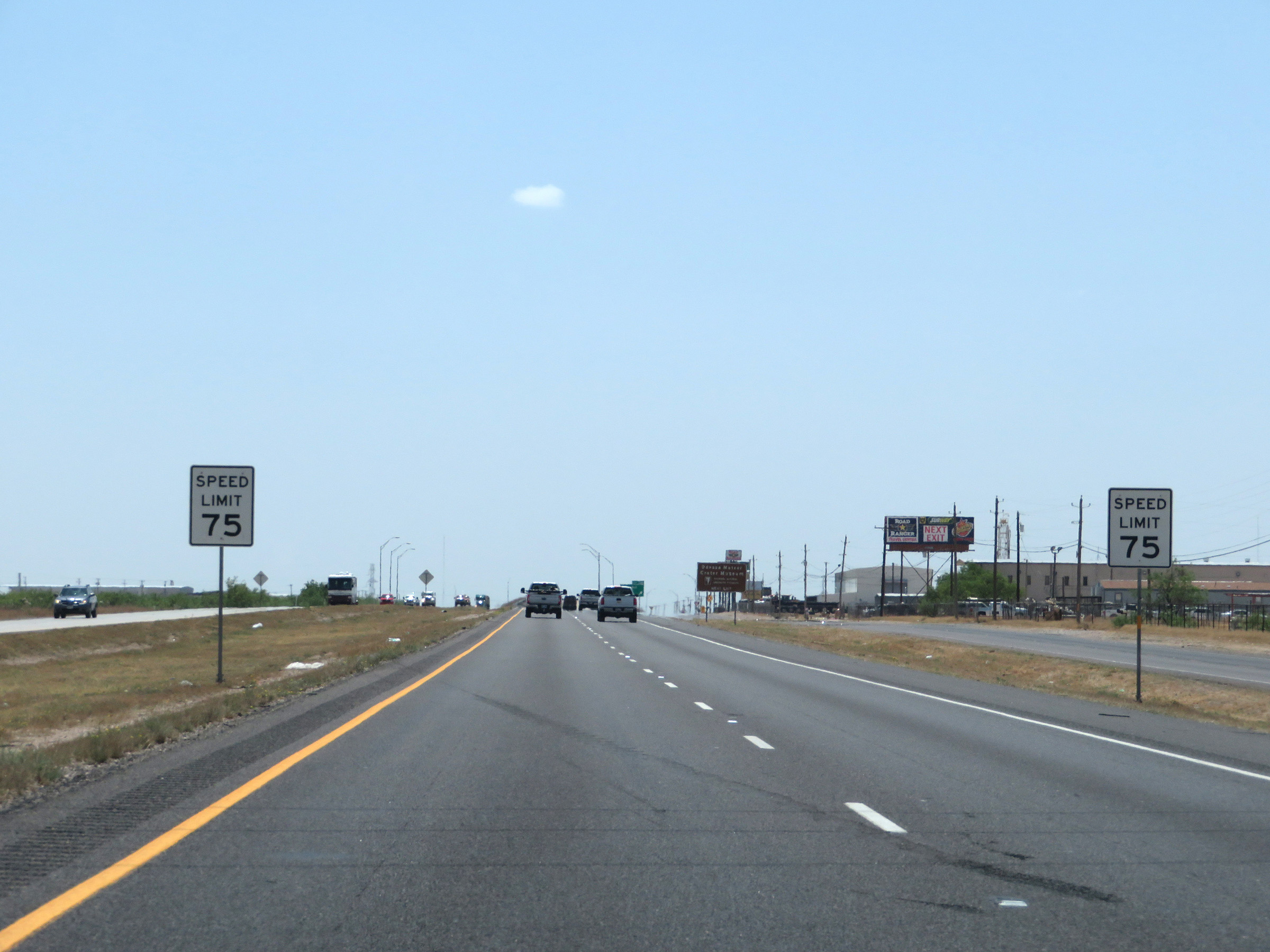 |
Nearing Exit 108, the speed limit increases to 75 mph on Interstate 20 West. (Photo taken 5/19/18). |
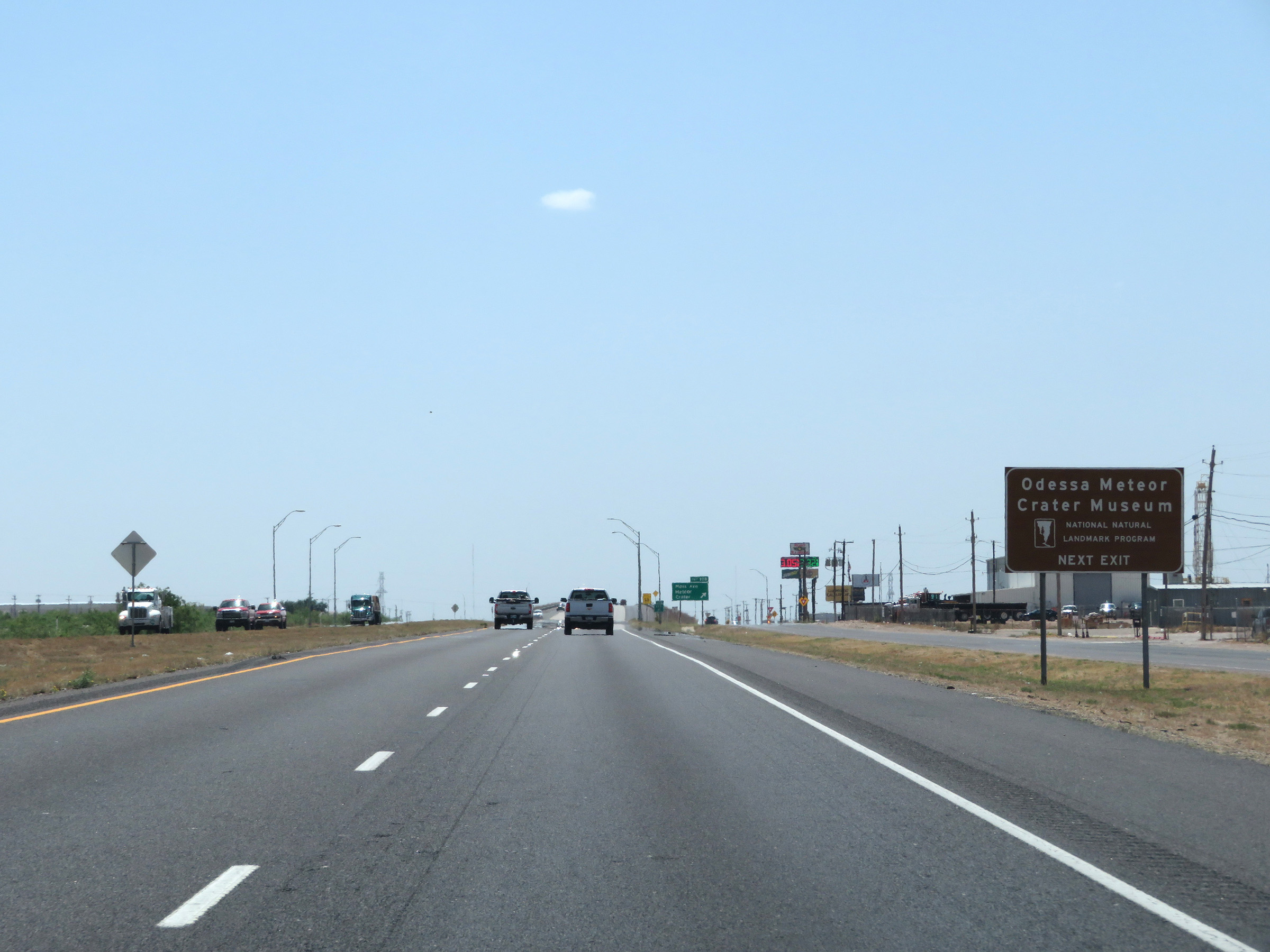 |
Take Exit 108 to the Odessa Meteor Crater Museum. (Photo taken 5/19/18). |
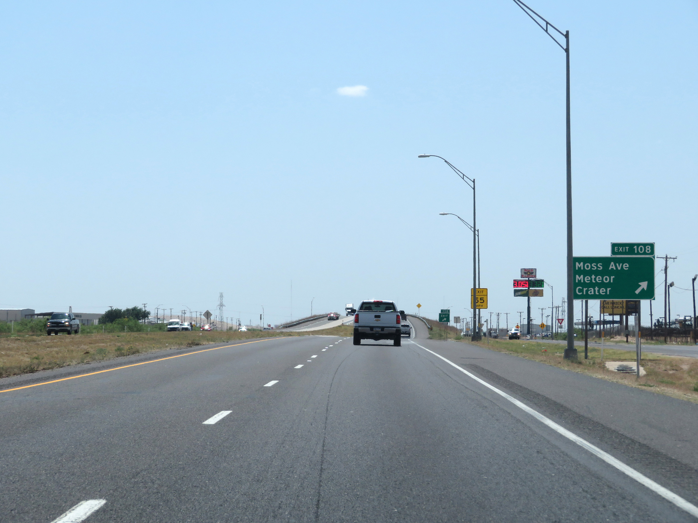 |
Interstate 20 West at Exit 108: Moss Ave / Meteor Crater (Photo taken 5/19/18). |
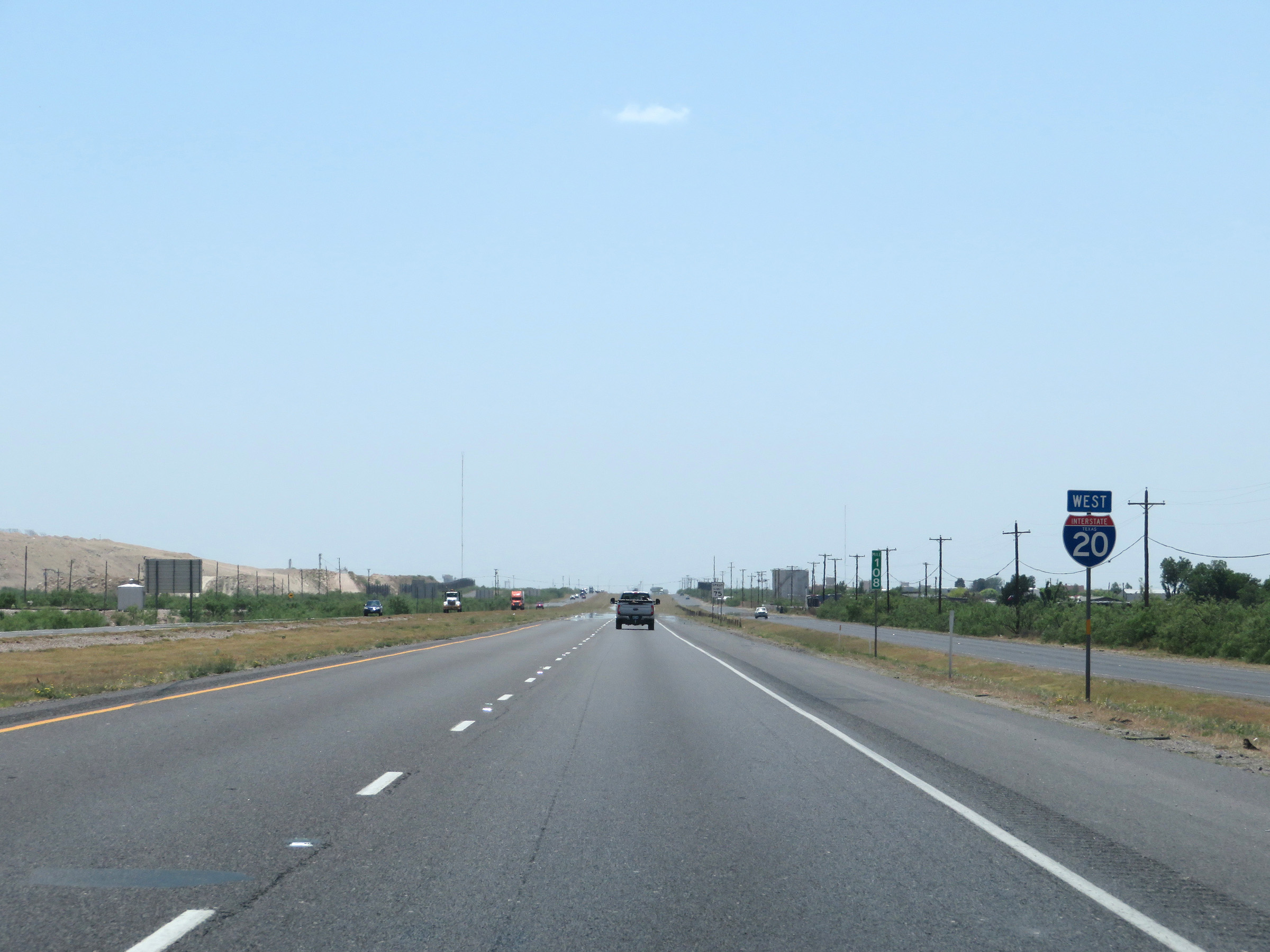 |
State-named Interstate 20 West reassurance shield. (Photo taken 5/19/18). |
 |
View on Interstate 20 West at mile marker 107. (Photo taken 5/19/18). |
 |
Interstate 20 West at Exit 104: FM 866 - Goldsmith (Photo taken 5/19/18). |
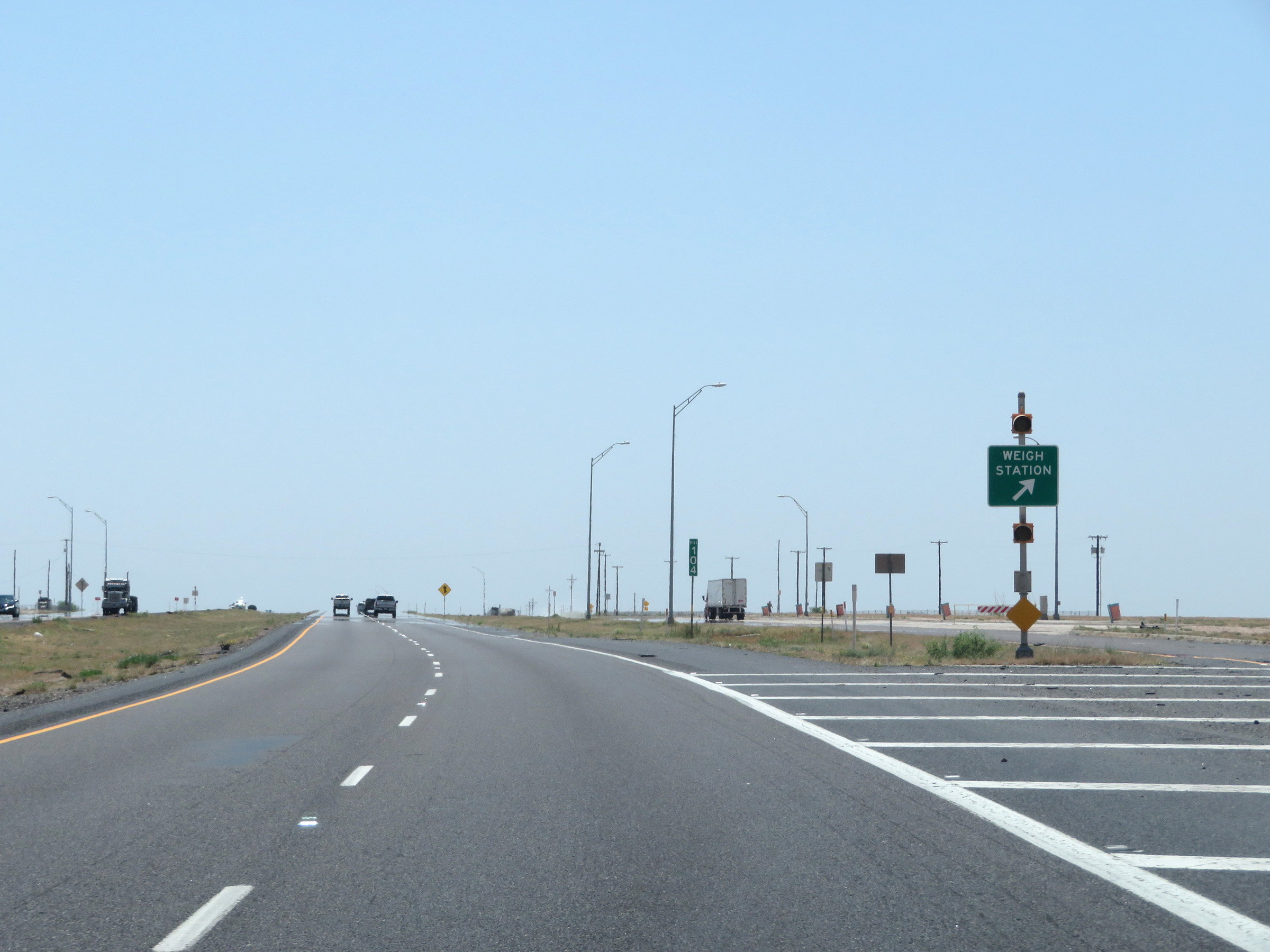 |
Weigh Station on Interstate 20 West at mile marker 104 in Ector County. (Photo taken 5/19/18). |
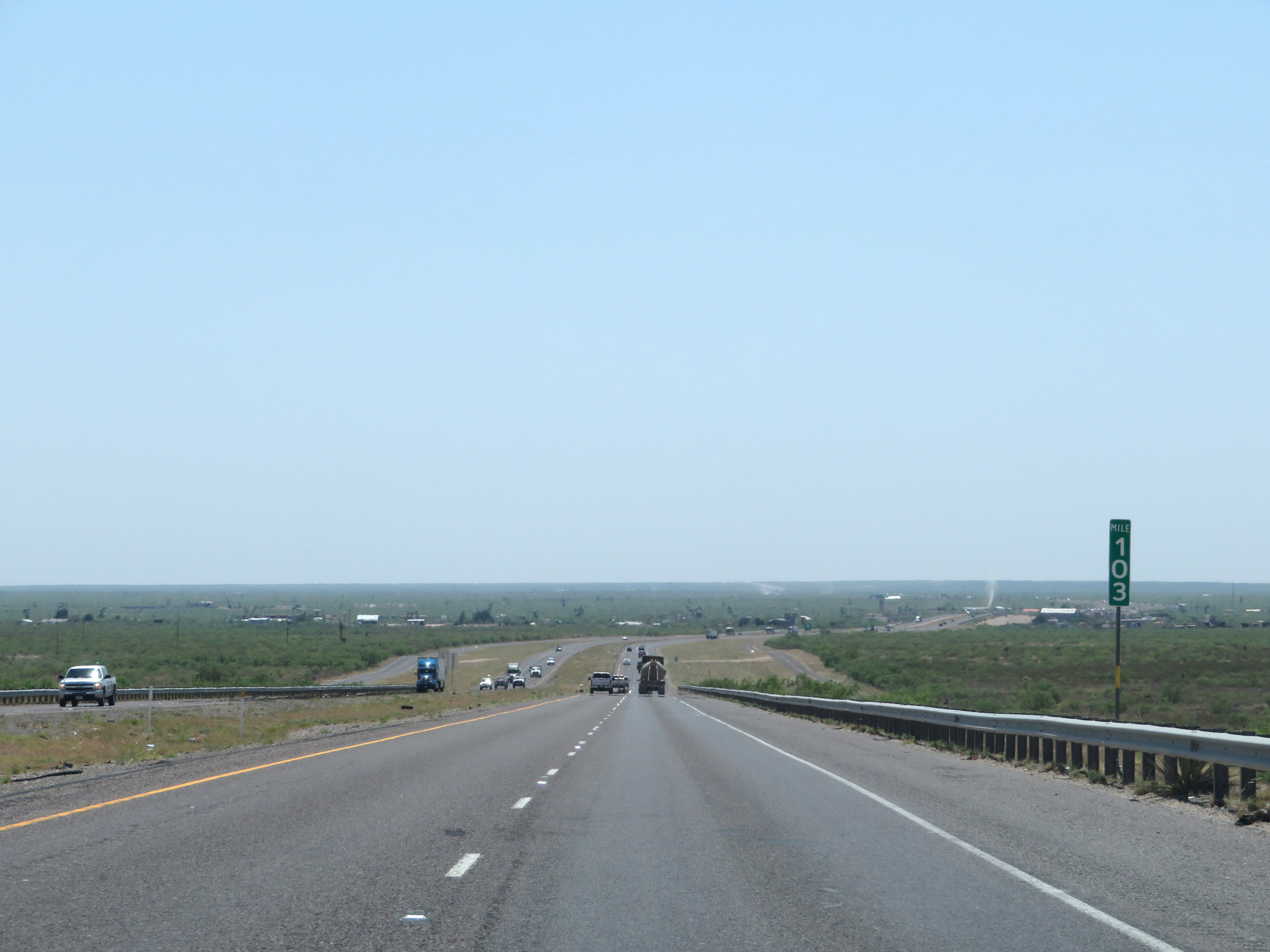 |
Interstate 20 West at mile marker 103. (Photo taken 5/19/18). |
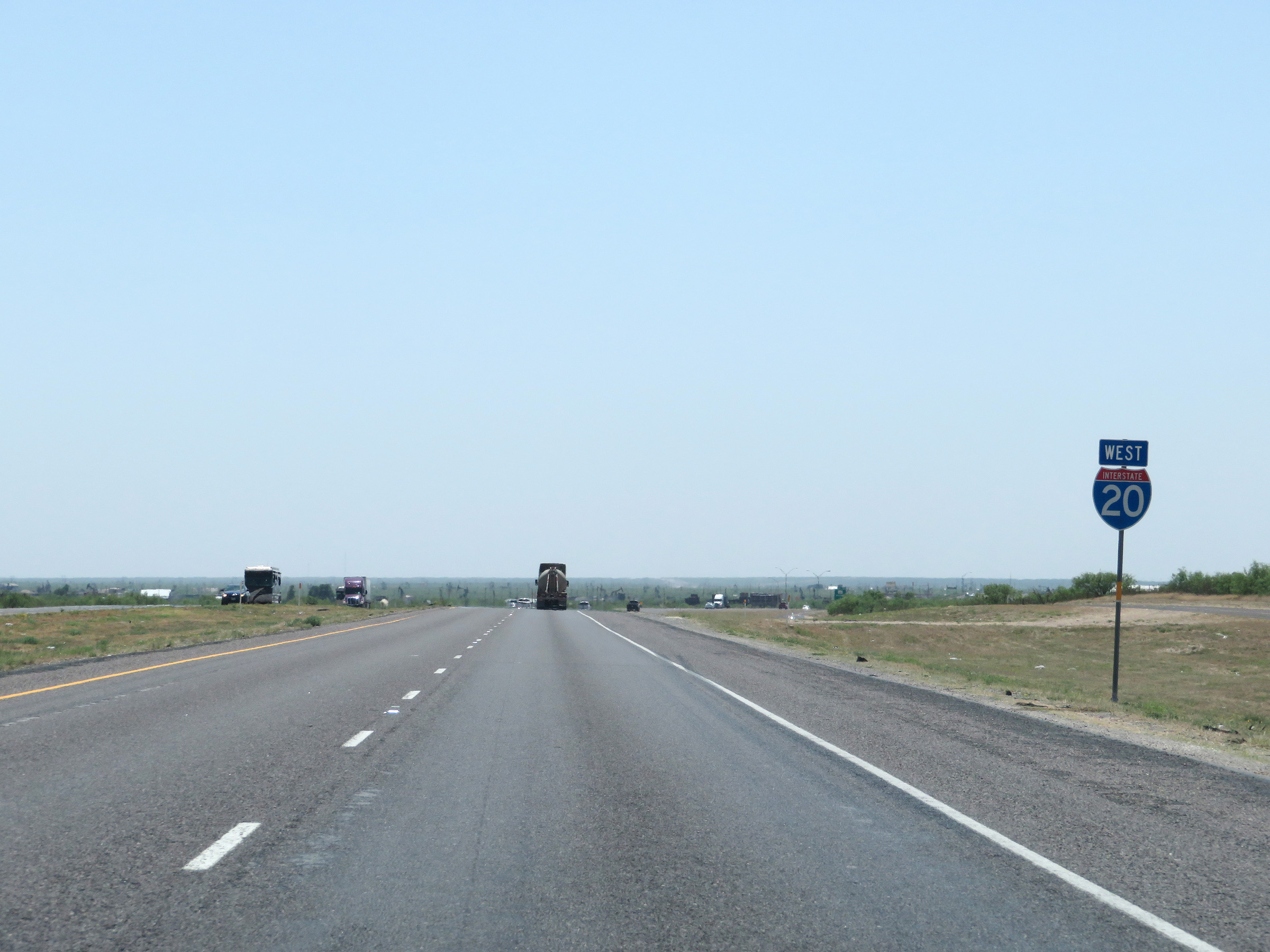 |
Another Interstate 20 West reassurance shield. (Photo taken 5/19/18). |
 |
Interstate 20 West at Exit 101: FM 1601 - Penwell (Photo taken 5/19/18). |
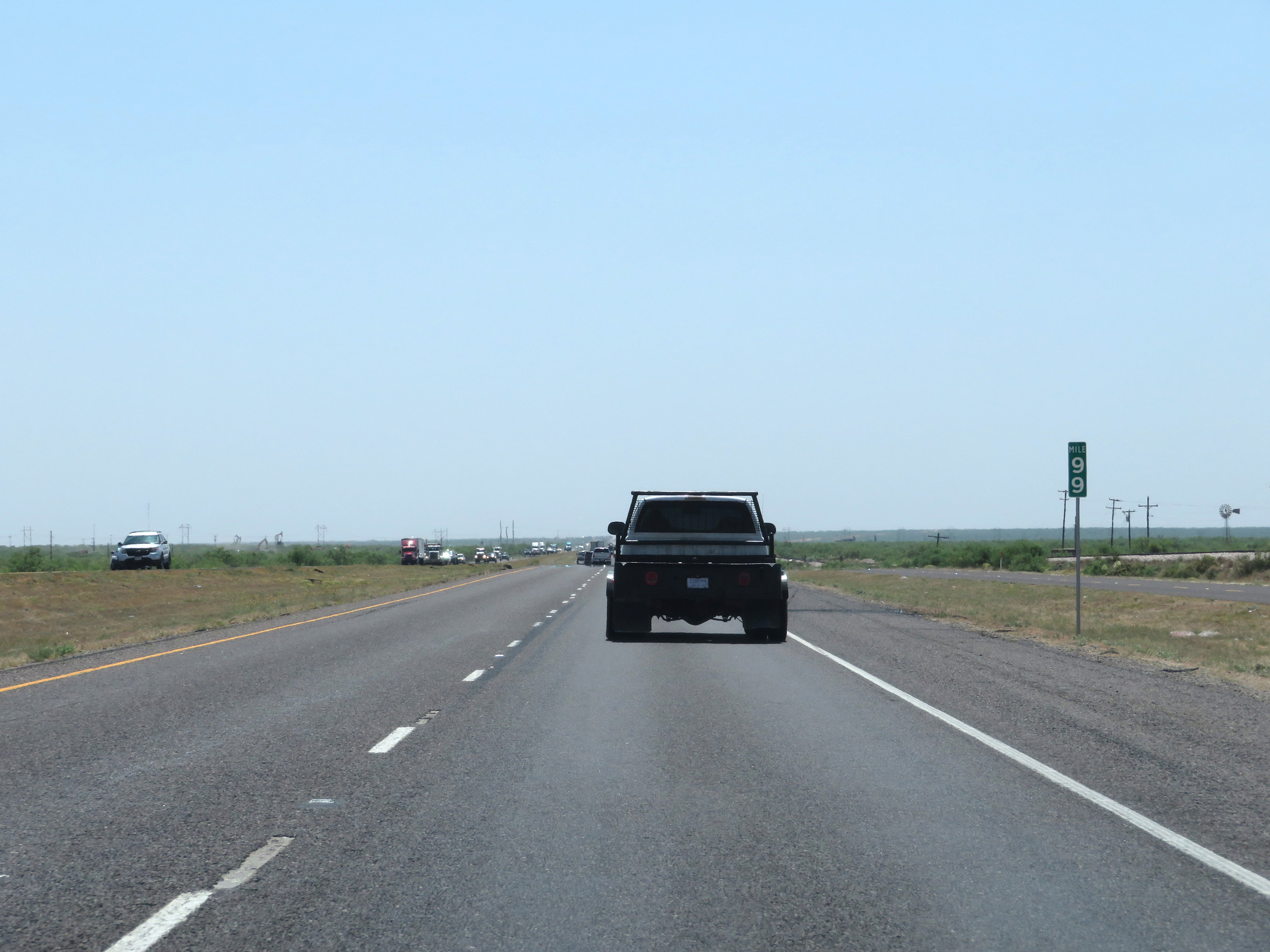 |
Mile marker 99 on Interstate 20 West in Ector County. (Photo taken 5/19/18). |
 |
Interstate 20 West at mile marker 96. (Photo taken 5/19/18). |
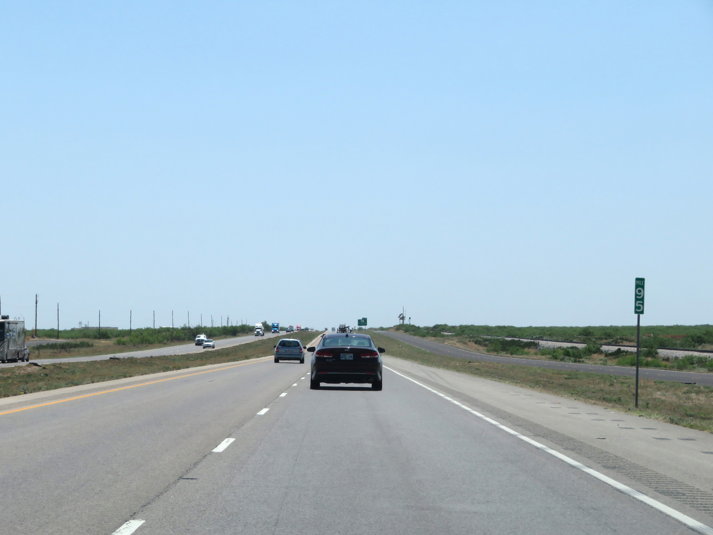 |
View on Interstate 20 West at mile marker 95. (Photo taken 5/19/18). |
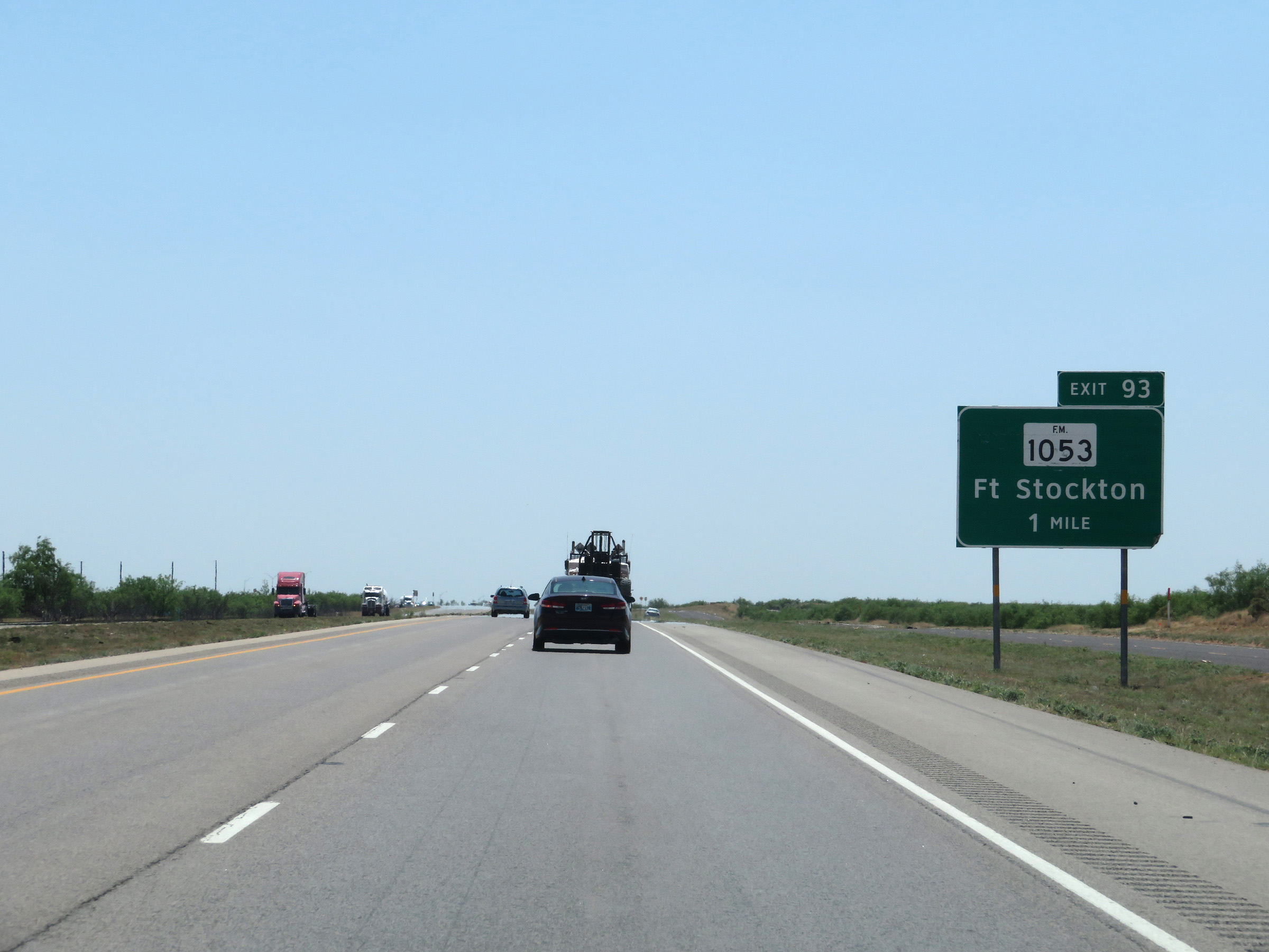 |
Interstate 20 West approaching Exit 93 - 1 mile. (Photo taken 5/19/18). |
 |
Interstate 20 West at Exit 93: FM 1053 - Fort Stockton (Photo taken 5/19/18). |
 |
Mileage sign on Interstate 20 West. It's 11 miles to Monahans, 52 miles to Pecos, and 256 miles to El Paso. (Photo taken 5/19/18). |
 |
View on Interstate 20 West at mile marker 90. (Photo taken 5/19/18). |
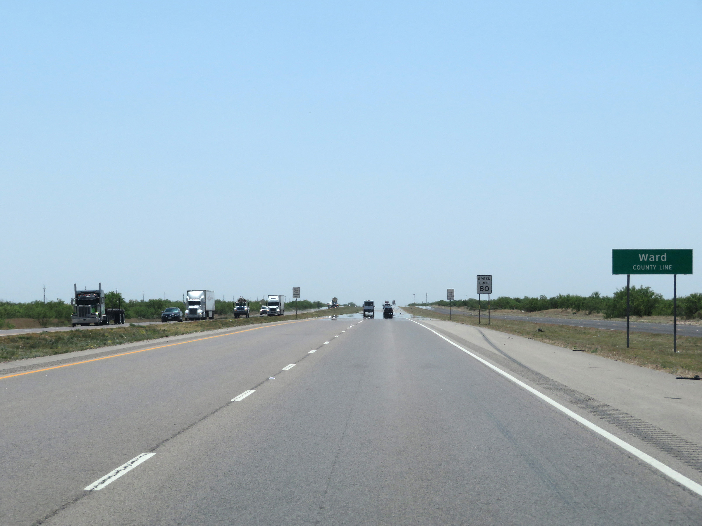 |
Interstate 20 West as it enters Ward County. (Photo taken 5/19/18). |
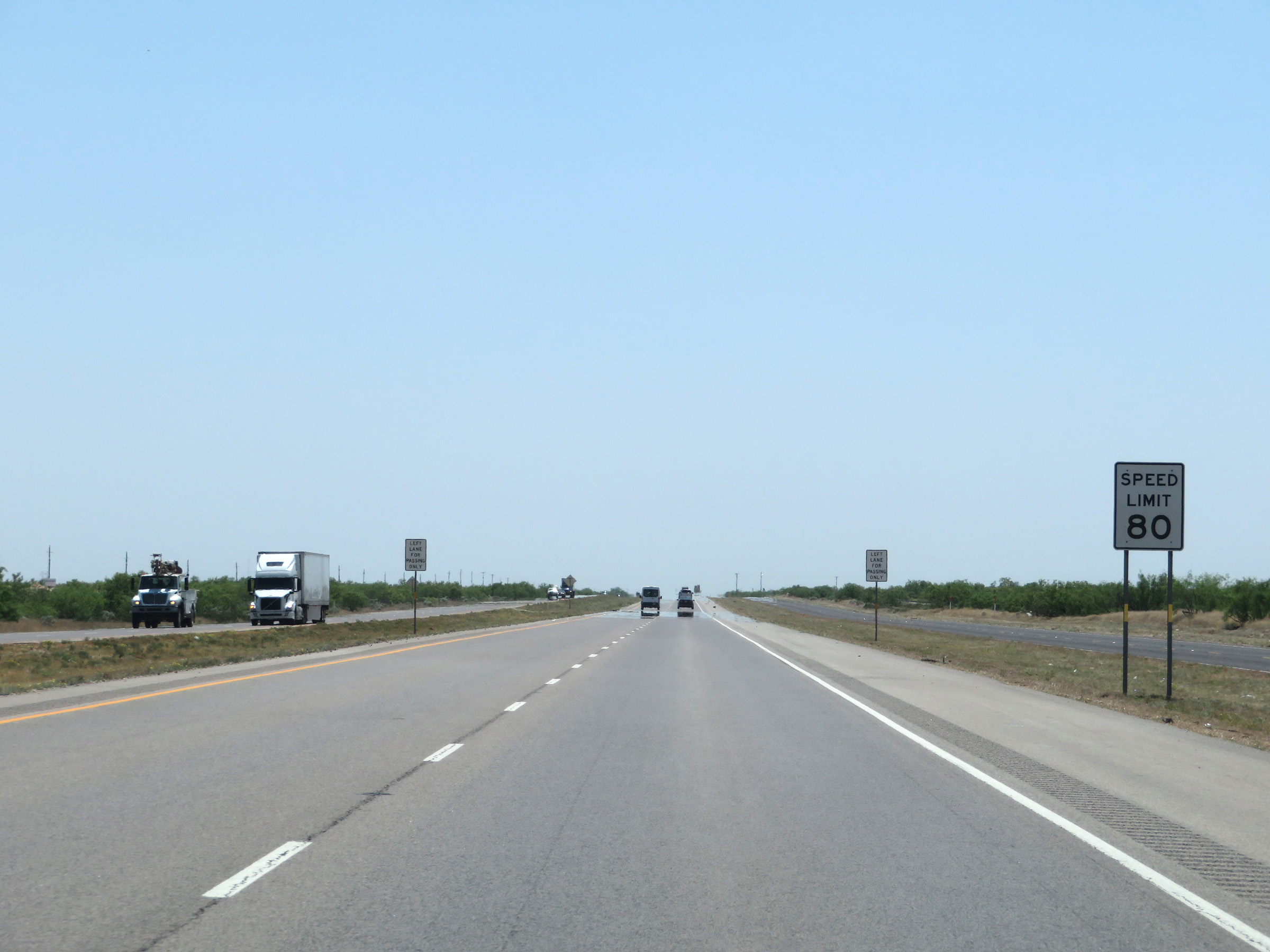 |
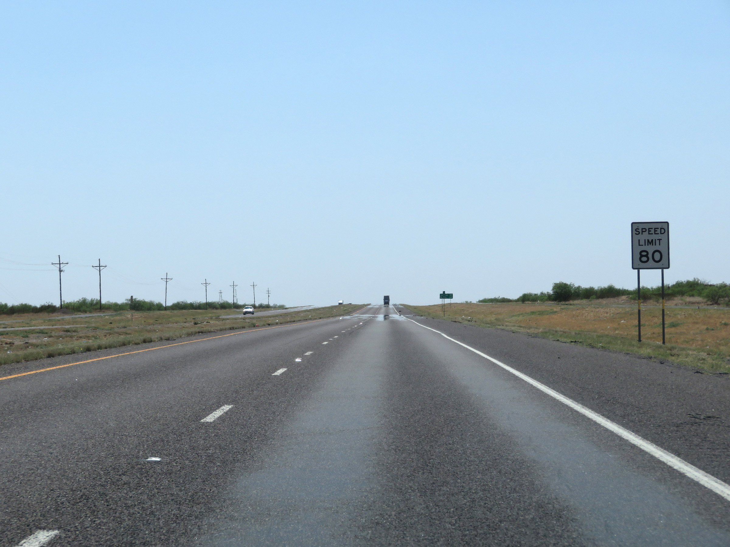
Upon entering Ward County, the speed limit on Interstate 20 West increases to 80 mph. (Photo taken 5/19/18). |
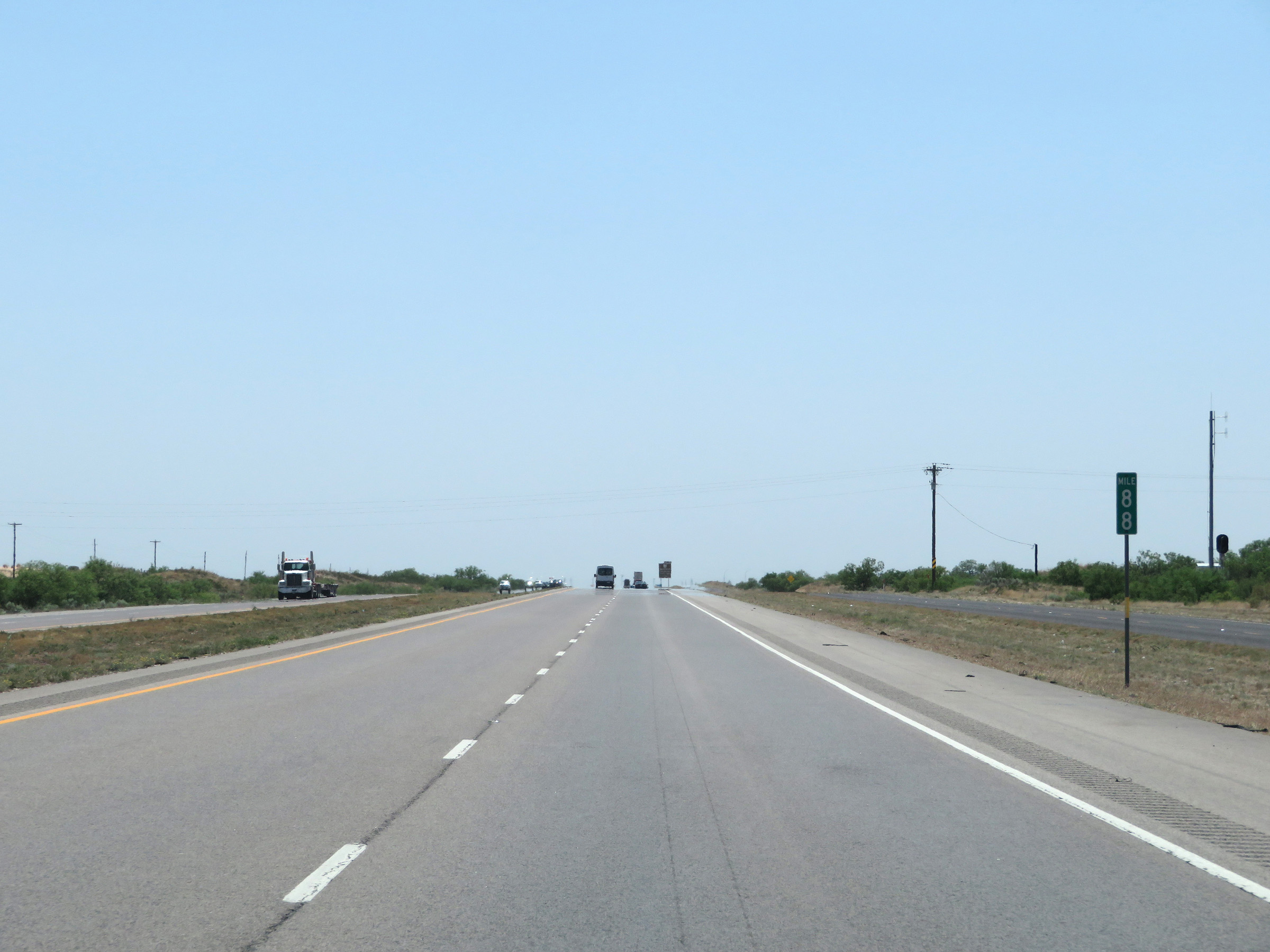 |
Interstate 20 West at mile marker 88. (Photo taken 5/19/18). |
 |
View on Interstate 20 West at mile marker 87. (Photo taken 5/19/18). |
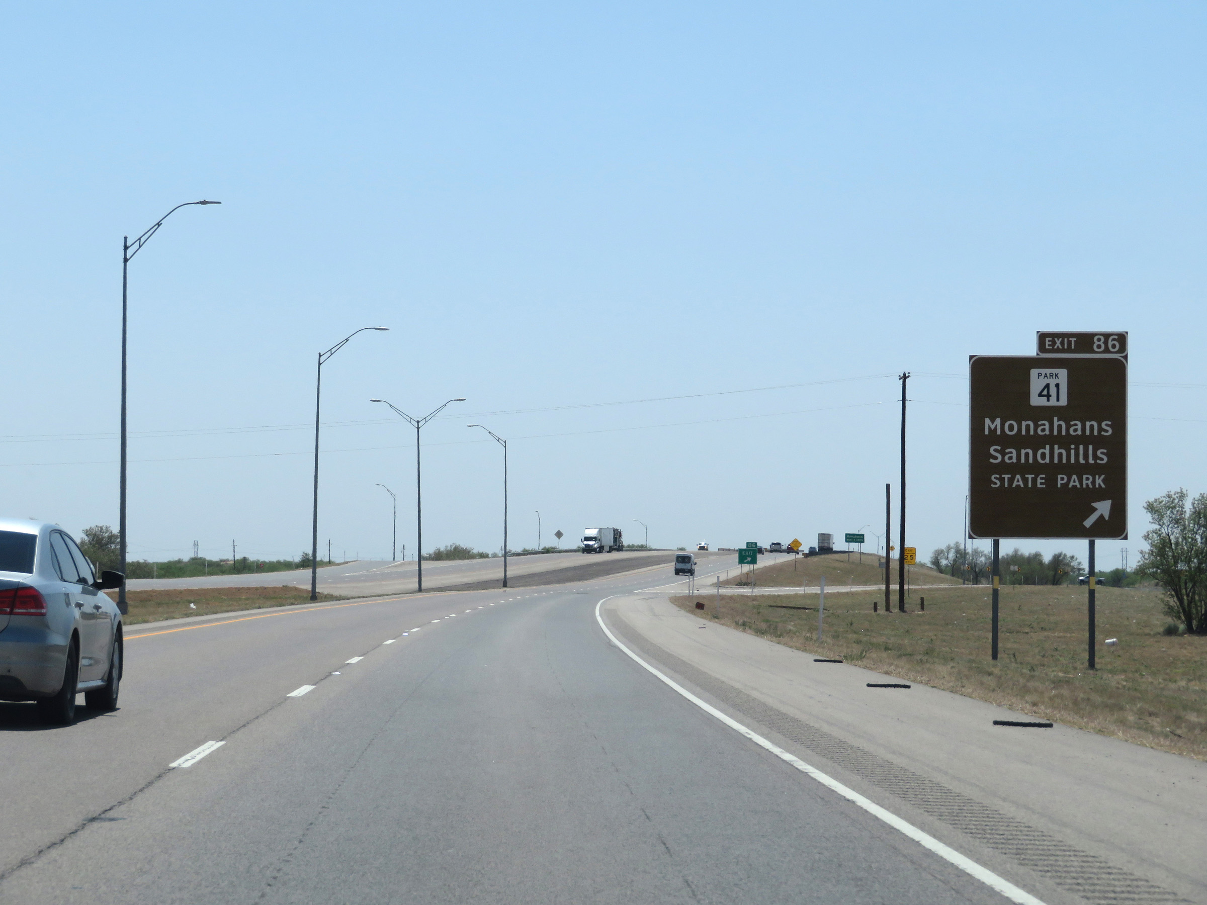 |
Interstate 20 West at Exit 86: TX Park 41 - Monahans Sandhills State Park (Photo taken 5/19/18). |
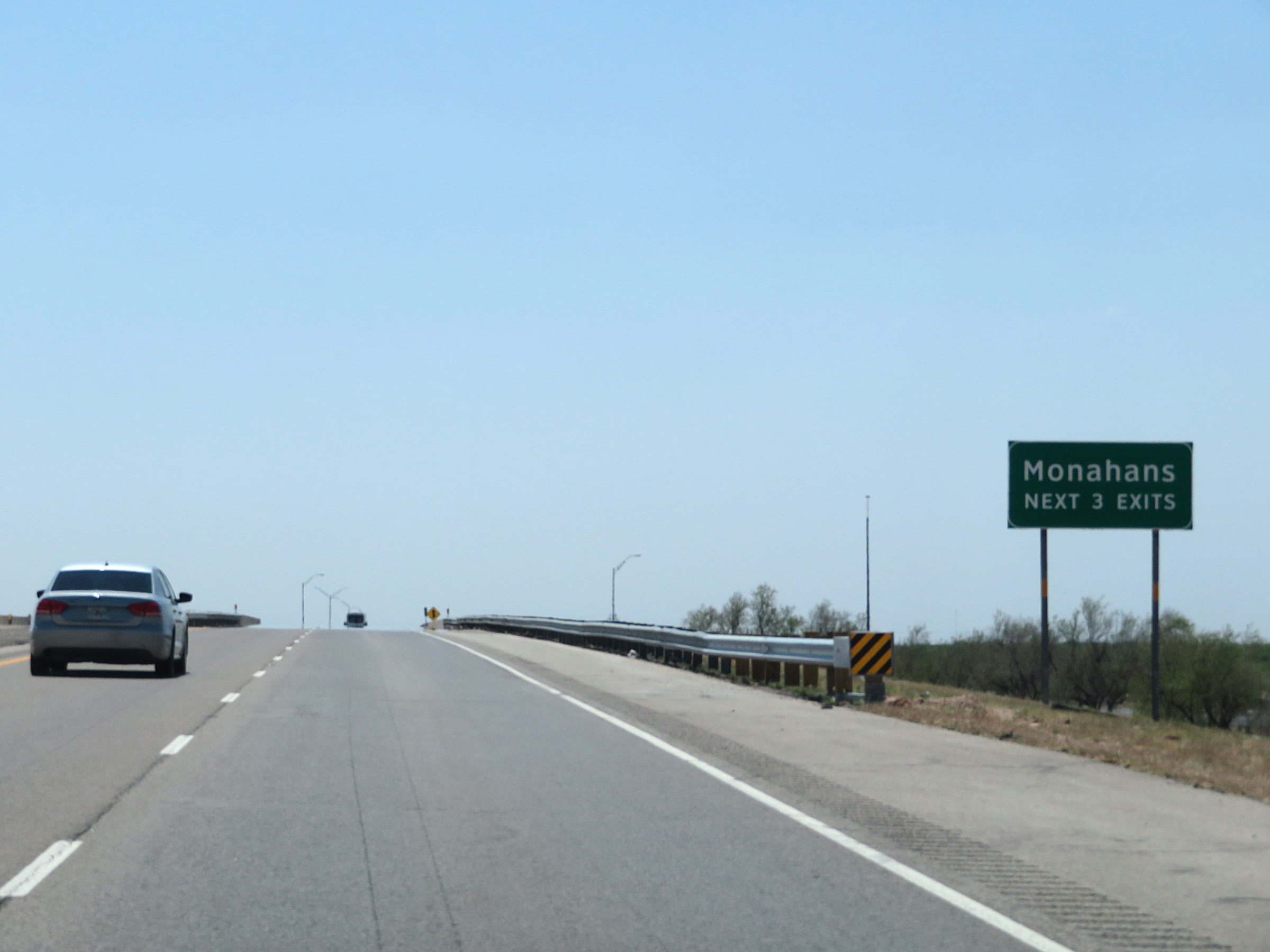 |
Take any of the next 3 exits to Monahans. (Photo taken 5/19/18). |
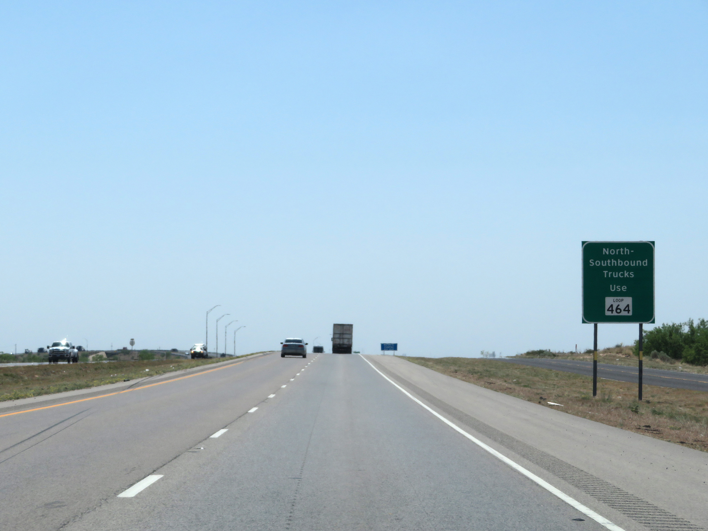 |
All northbound and southbound trucks should use TX Loop 464 via Exit 79. (Photo taken 5/19/18). |
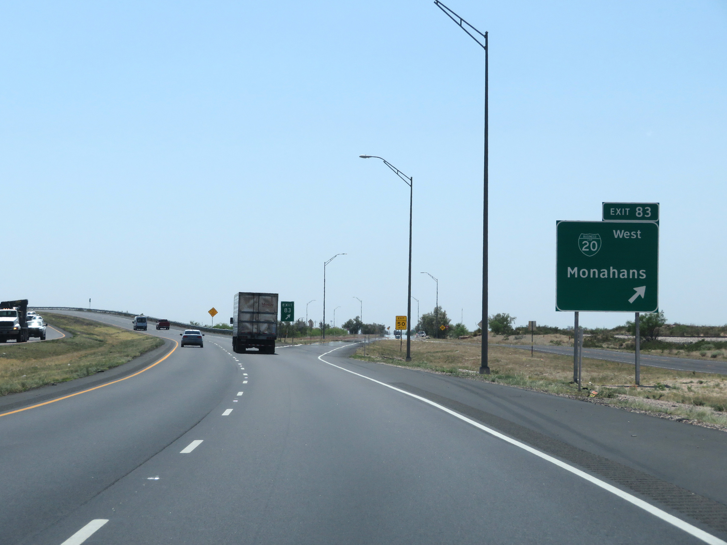 |
Interstate 20 West at Exit 83: Interstate 20 Business Loop West - Monahans (Photo taken 5/19/18). |
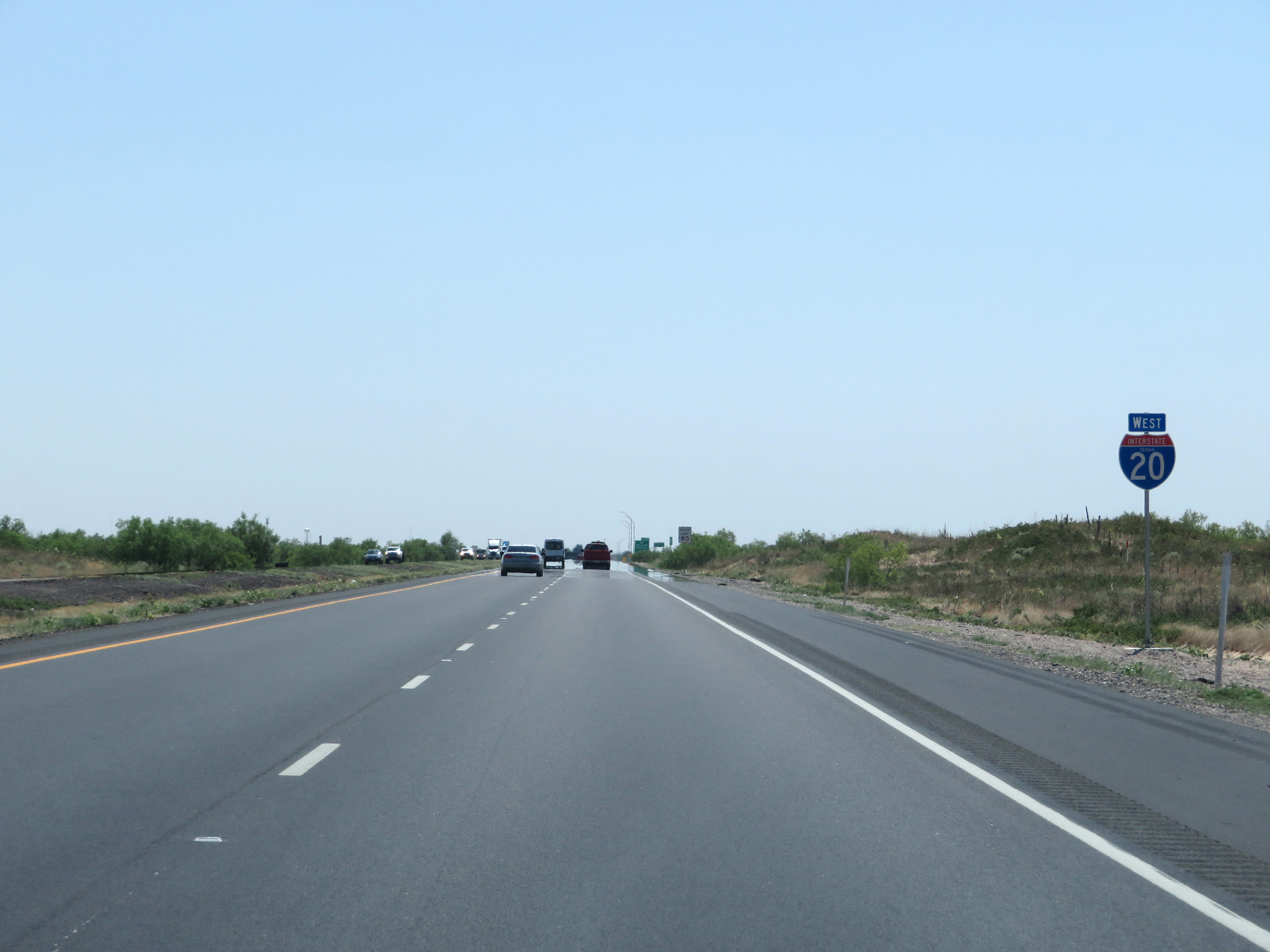 |
State-named Interstate 20 West reassurance shield. (Photo taken 5/19/18). |
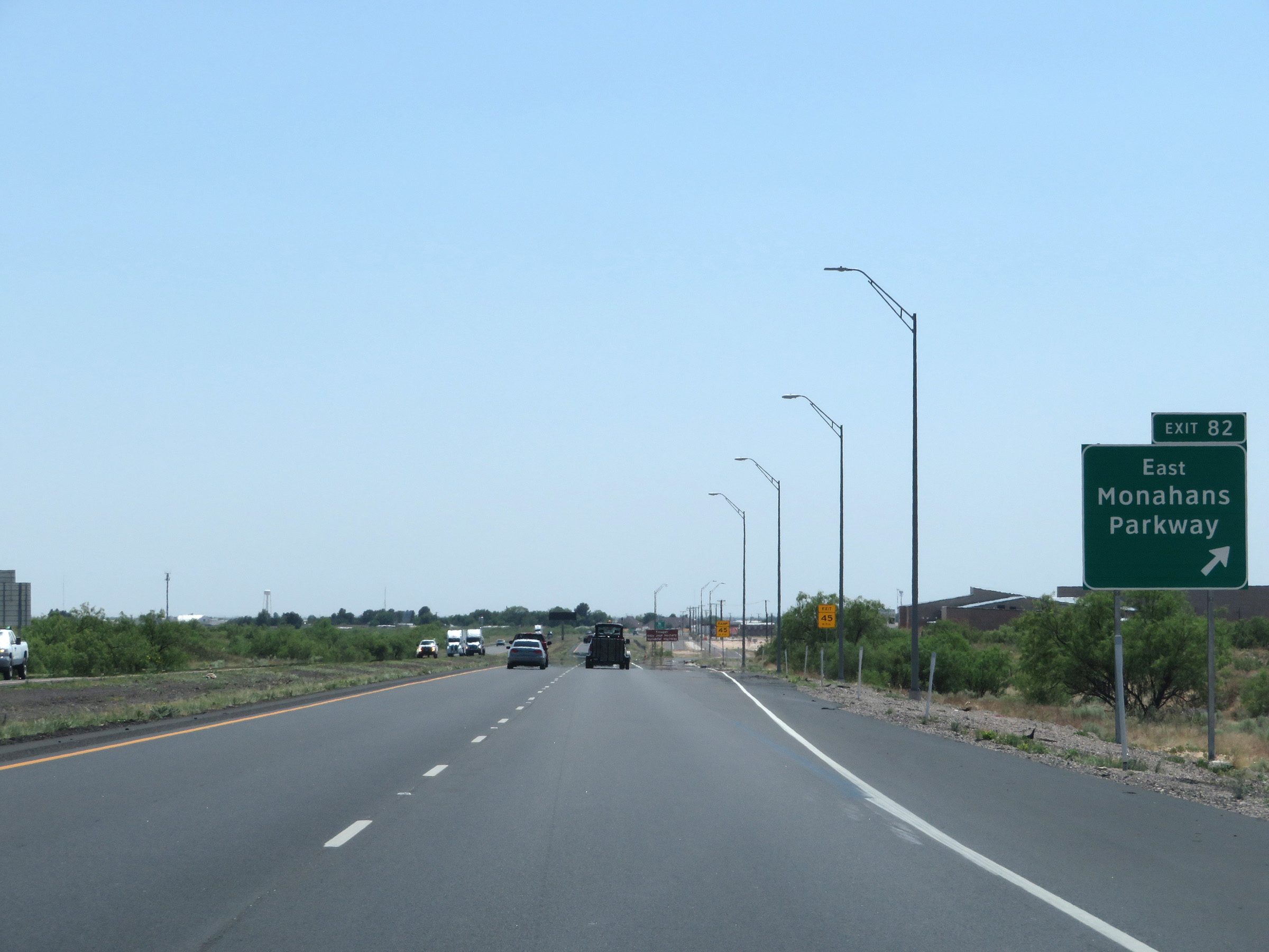 |
Interstate 20 West at Exit 82: Monahans Parkway East (Photo taken 5/19/18). |
 |
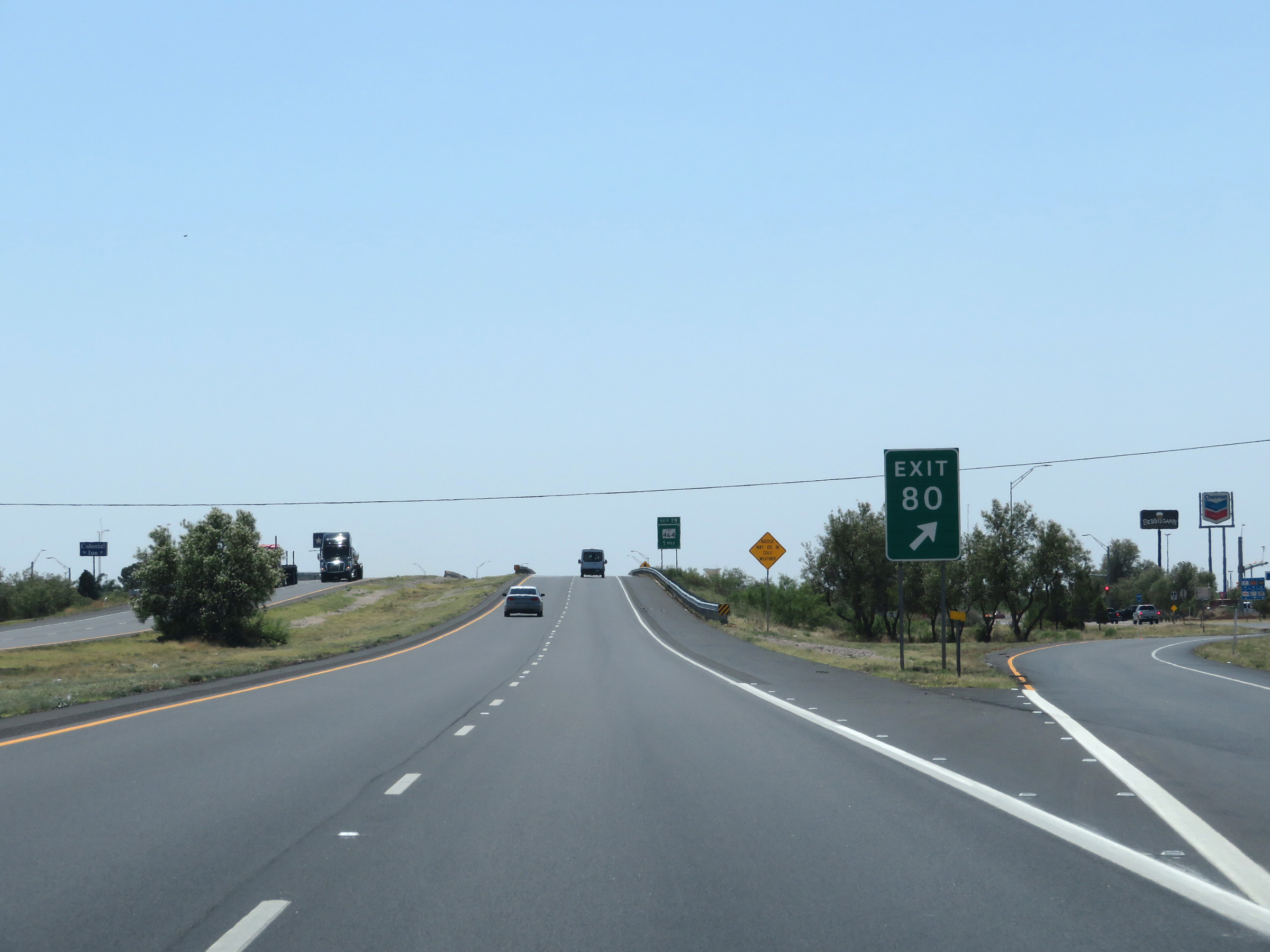
Interstate 20 West approaching Exit 80 - 1 mile. (Photo taken 5/19/18). |
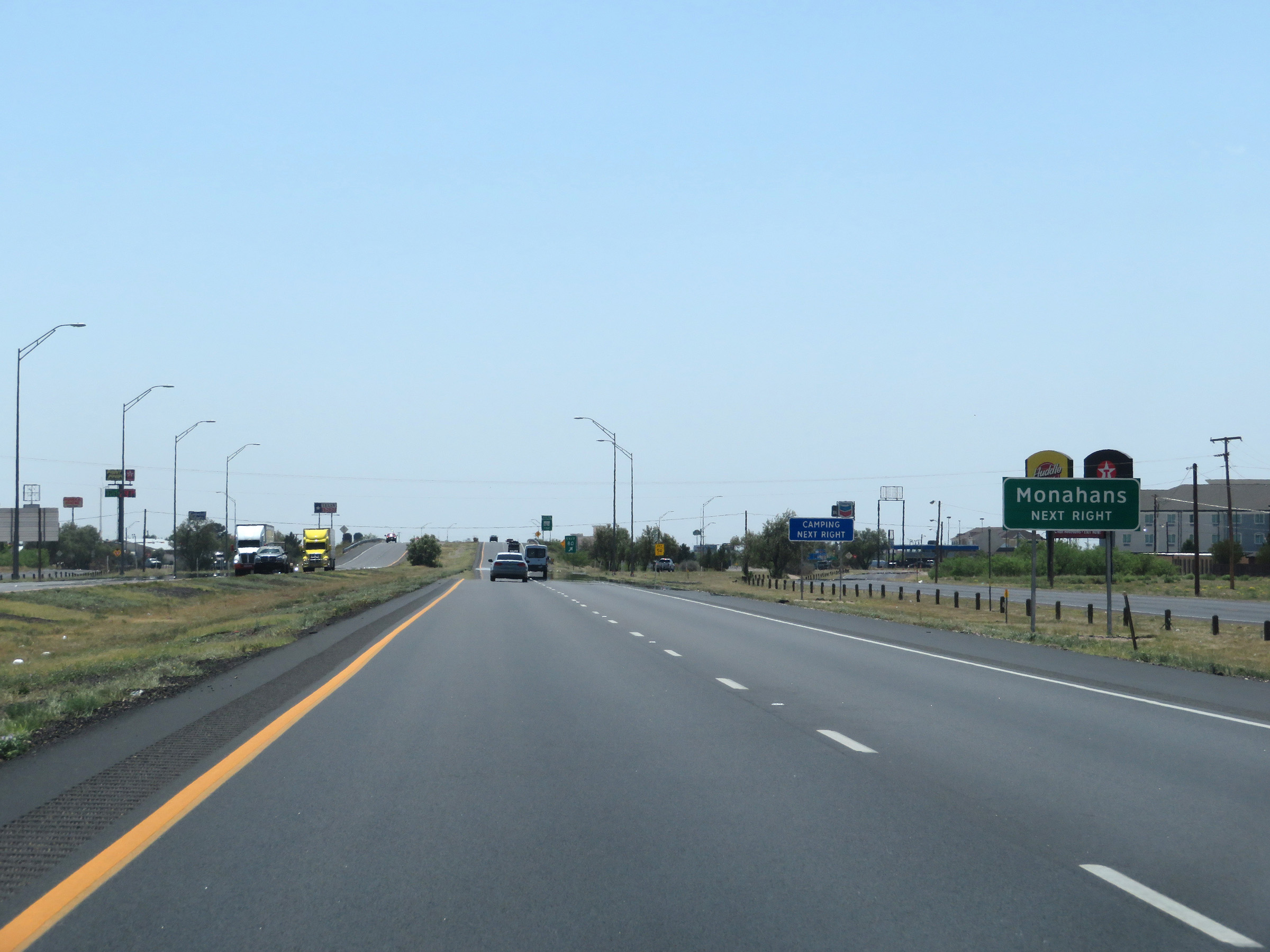 |
Take Exit 80 to Monahans. (Photo taken 5/19/18). |
 |
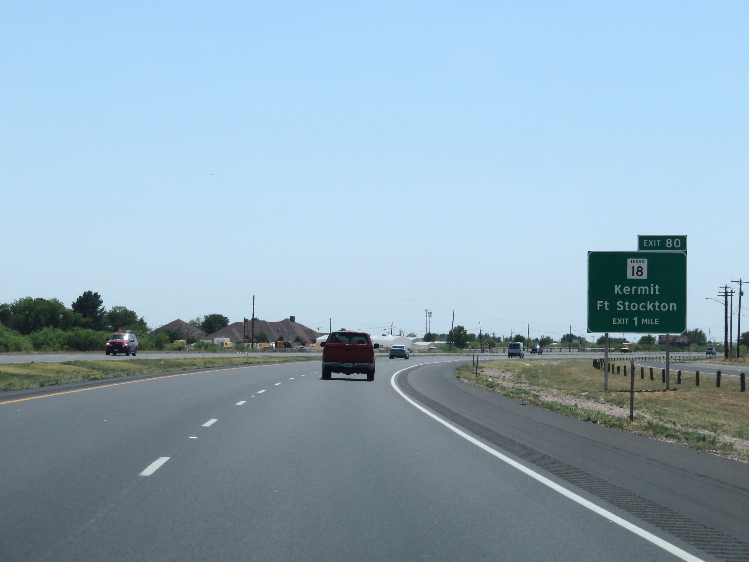
Interstate 20 West at Exit 80: TX 18 - Kermit / Fort Stockton (Photo taken 5/19/18). |
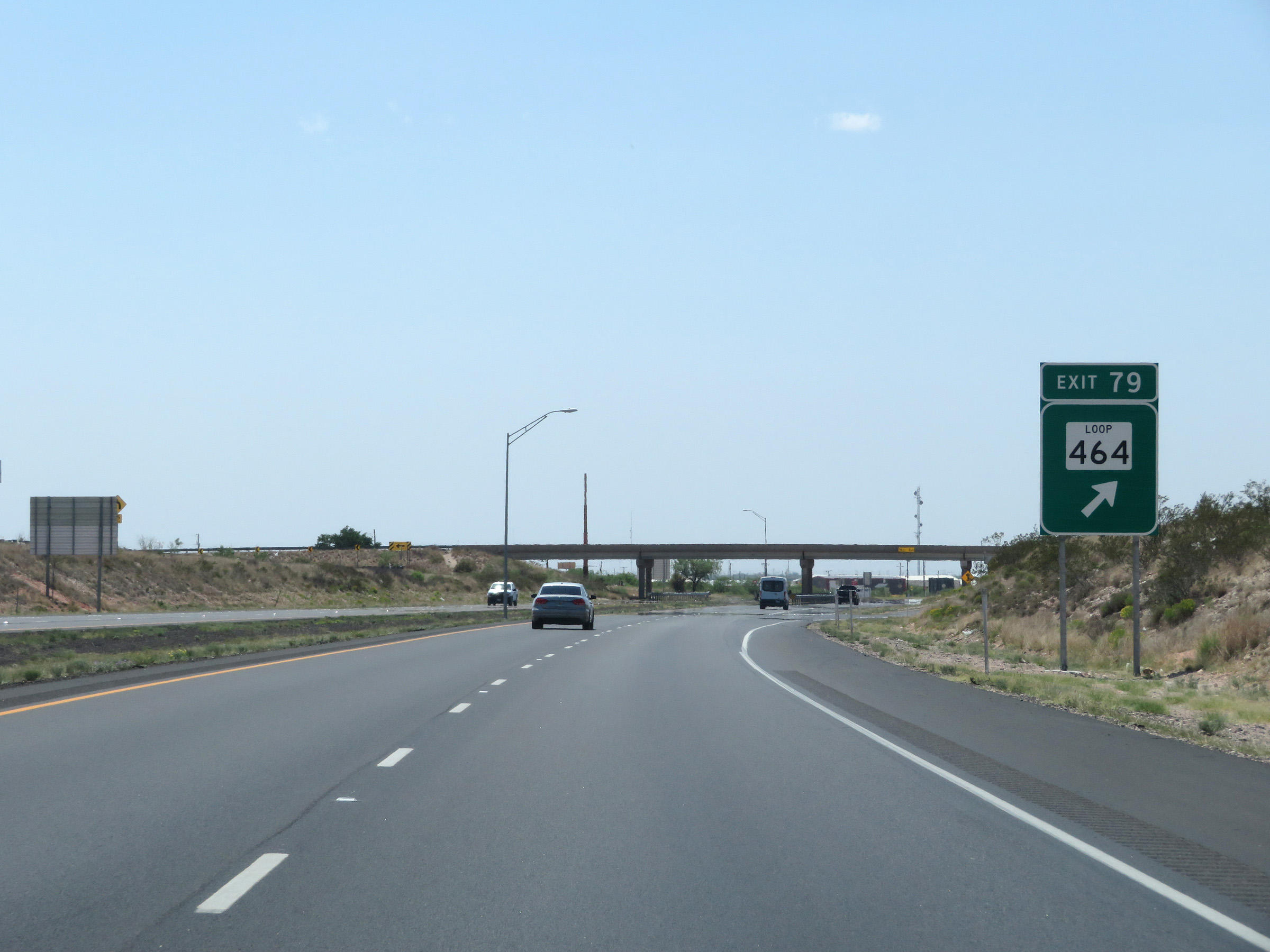 |
Interstate 20 West at Exit 79: TX Loop 464 (Photo taken 5/19/18). |
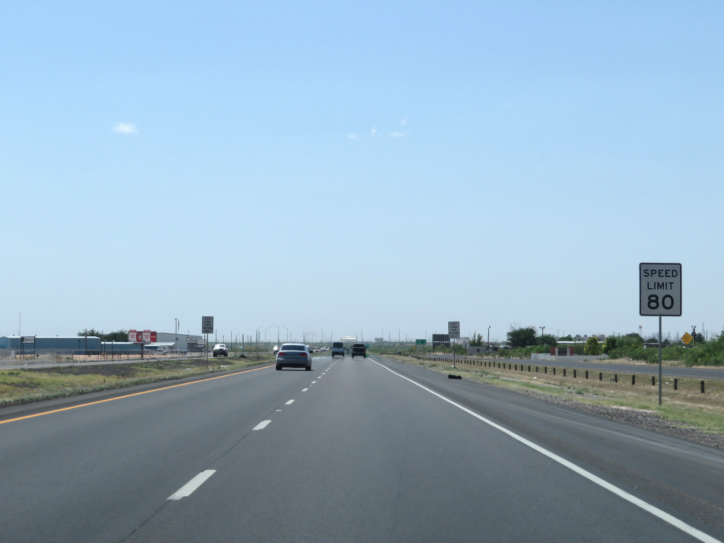 |
The speed limit remains 80 mph. (Photo taken 5/19/18). |
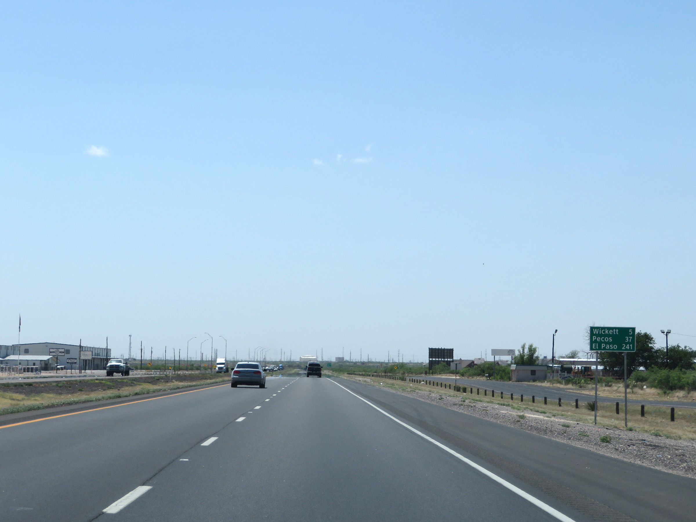 |
Mileage sign on Interstate 20 West. It's 5 miles to Wickett, 37 miles to Pecos, and 241 miles to El Paso. (Photo taken 5/19/18). |
 |
View on Interstate 20 West at mile marker 78. (Photo taken 5/19/18). |
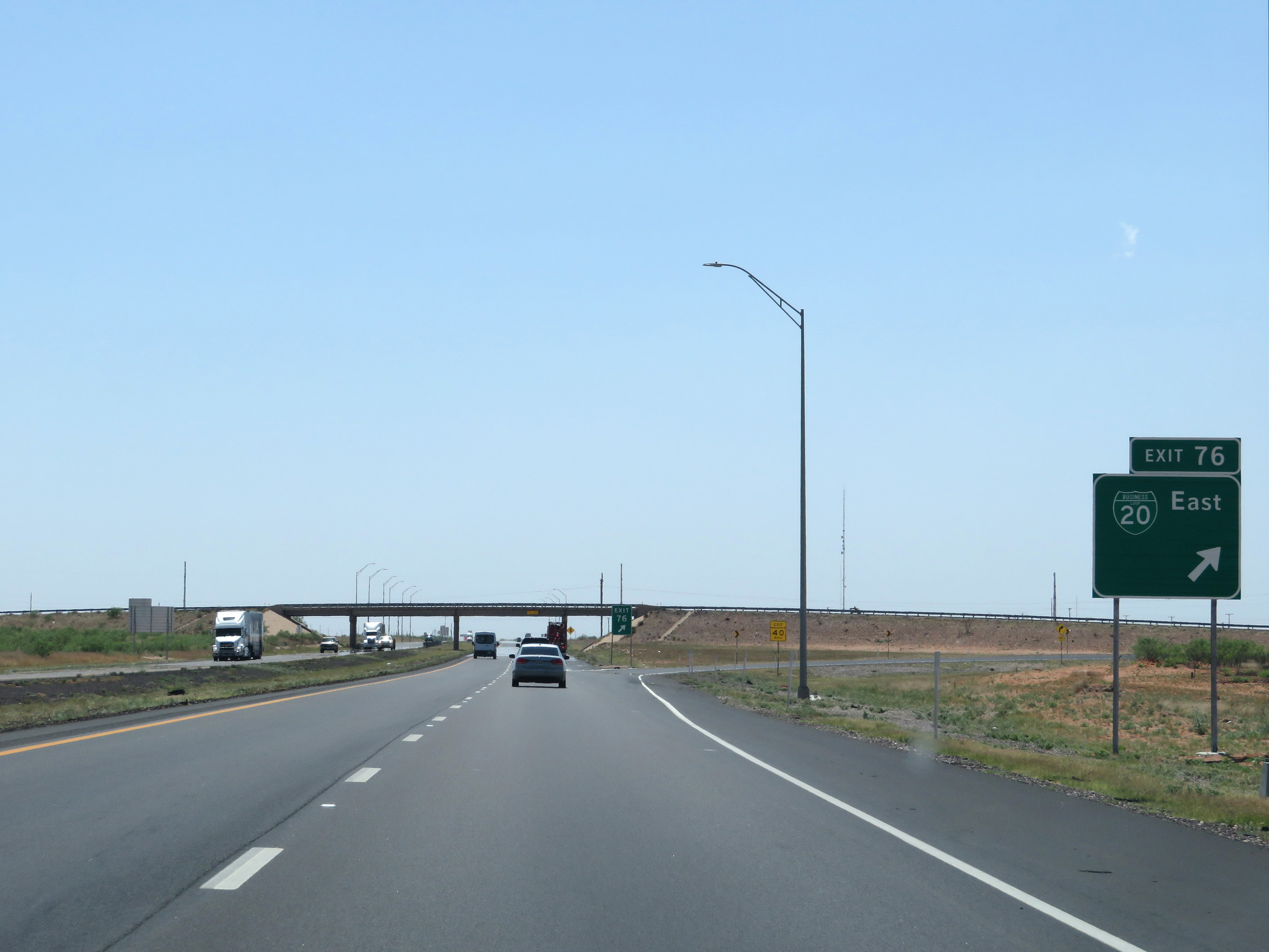 |
Interstate 20 West at Exit 76: Interstate 20 Business Loop East (Photo taken 5/19/18). |
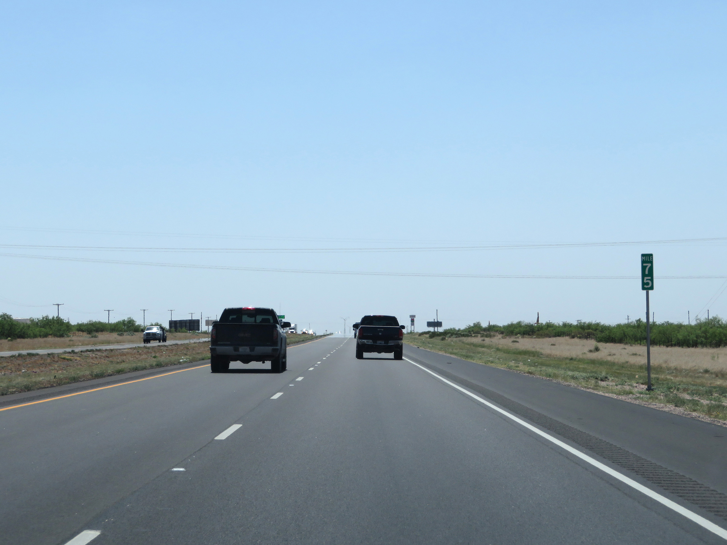 |
Mile marker 75 on Interstate 20 West in Ward County. (Photo taken 5/19/18). |
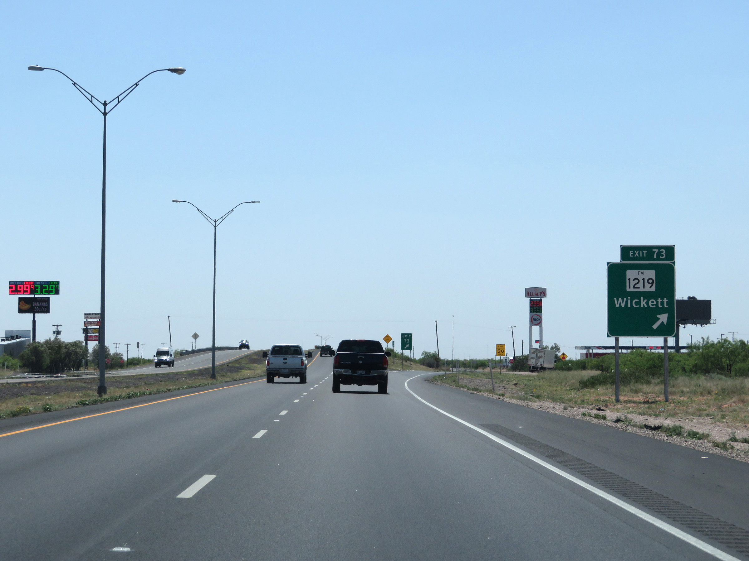 |
Interstate 20 West at Exit 73: FM 1219 - Wickett (Photo taken 5/19/18). |
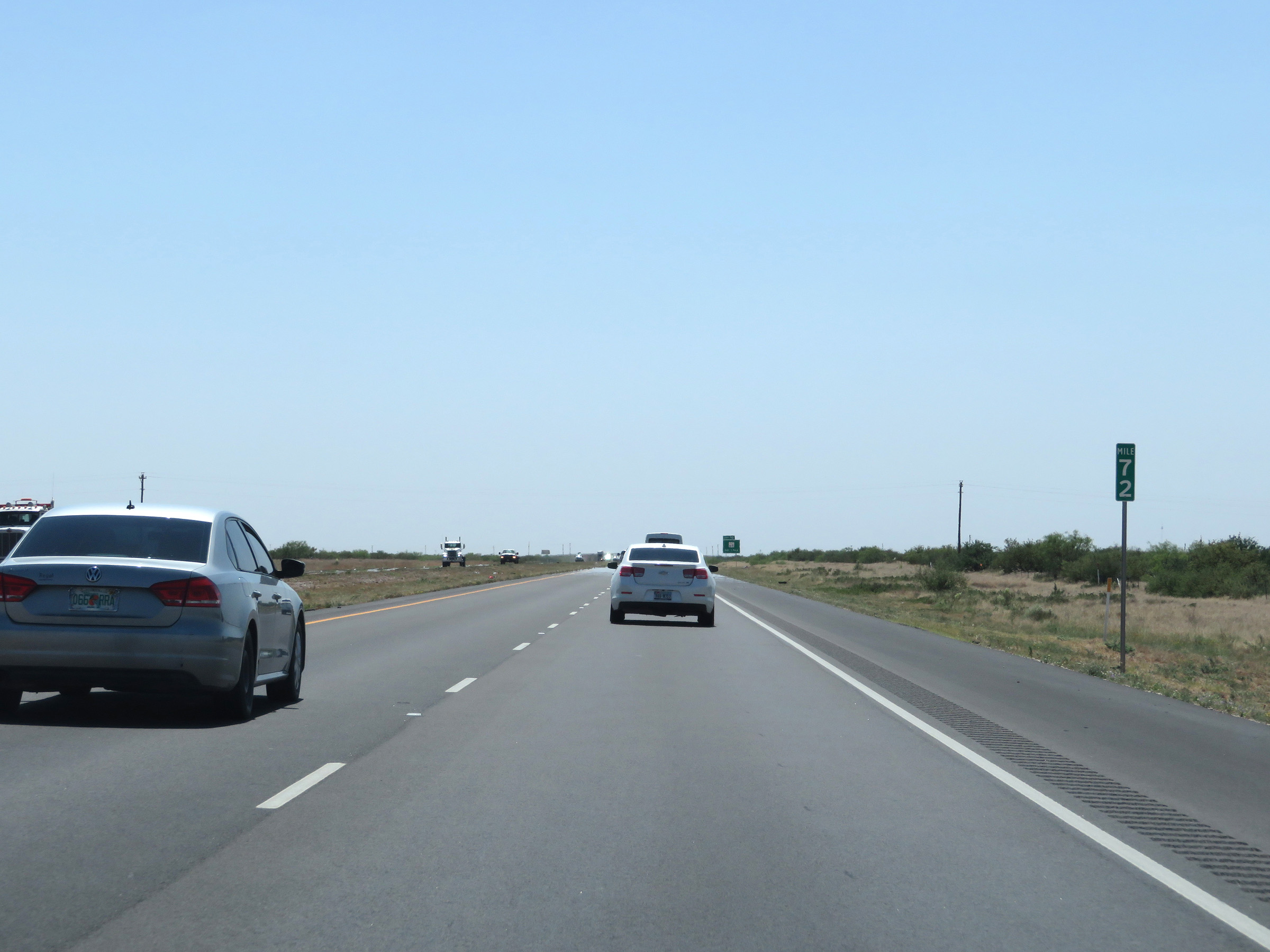 |
View on Interstate 20 West at mile marker 72. (Photo taken 5/19/18). |
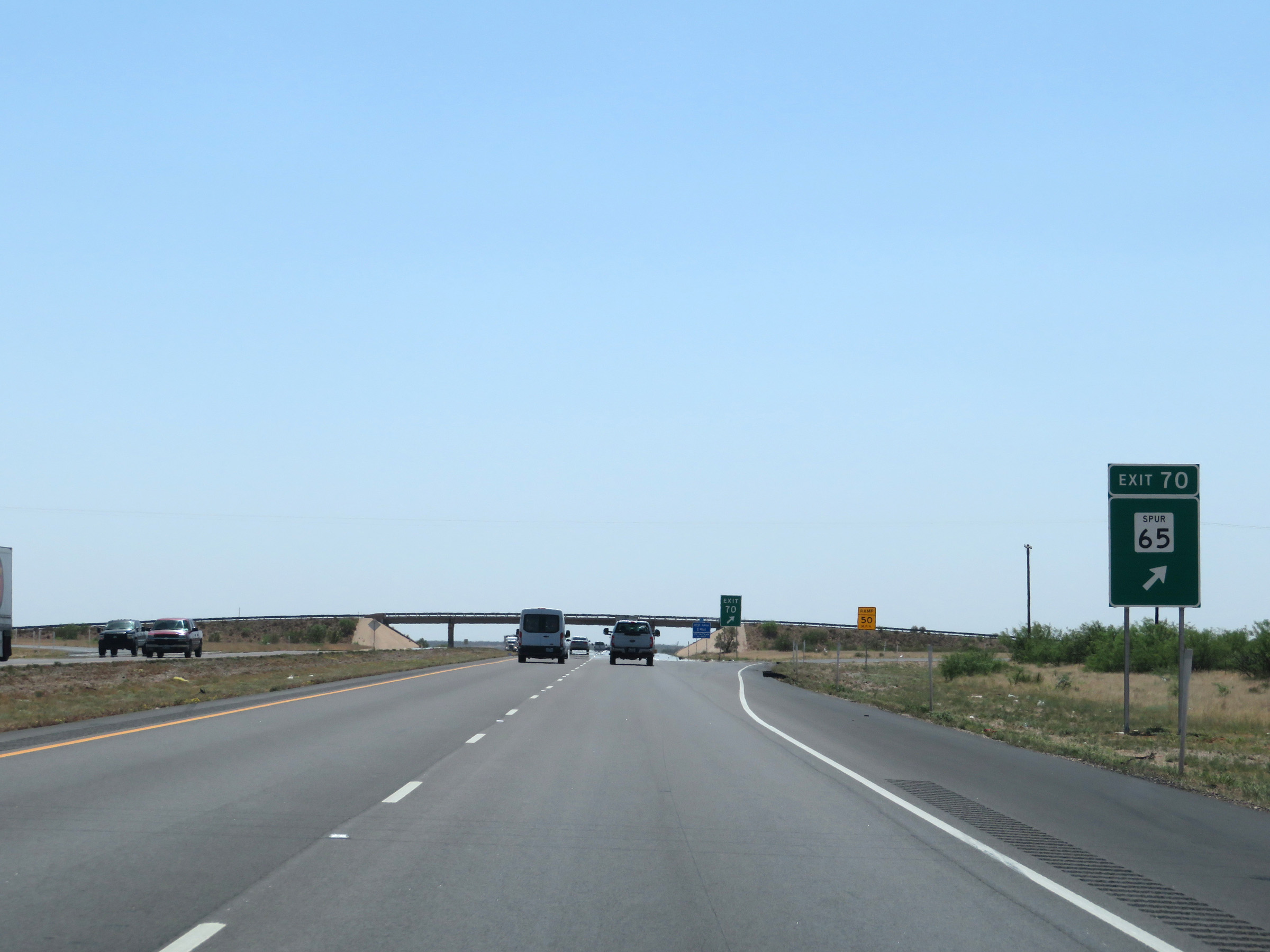 |
Interstate 20 West at Exit 70: TX Spur 65 (Photo taken 5/19/18). |
 |
Rest Area on Interstate 20 West in Ward County. (Photo taken 5/19/18). |
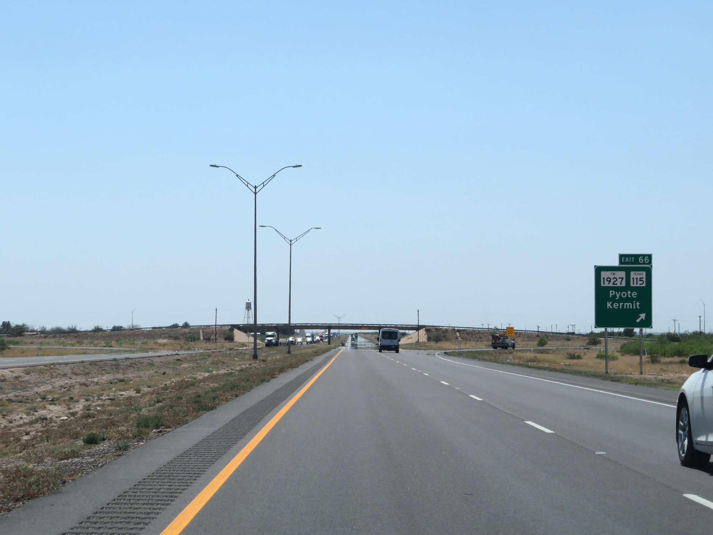 |
Interstate 20 West at Exit 66: FM 1927 / TX 115 - Pyote / Kermit (Photo taken 5/19/18). |
Section 2: Pyote (Exit 66) to Interstate 10
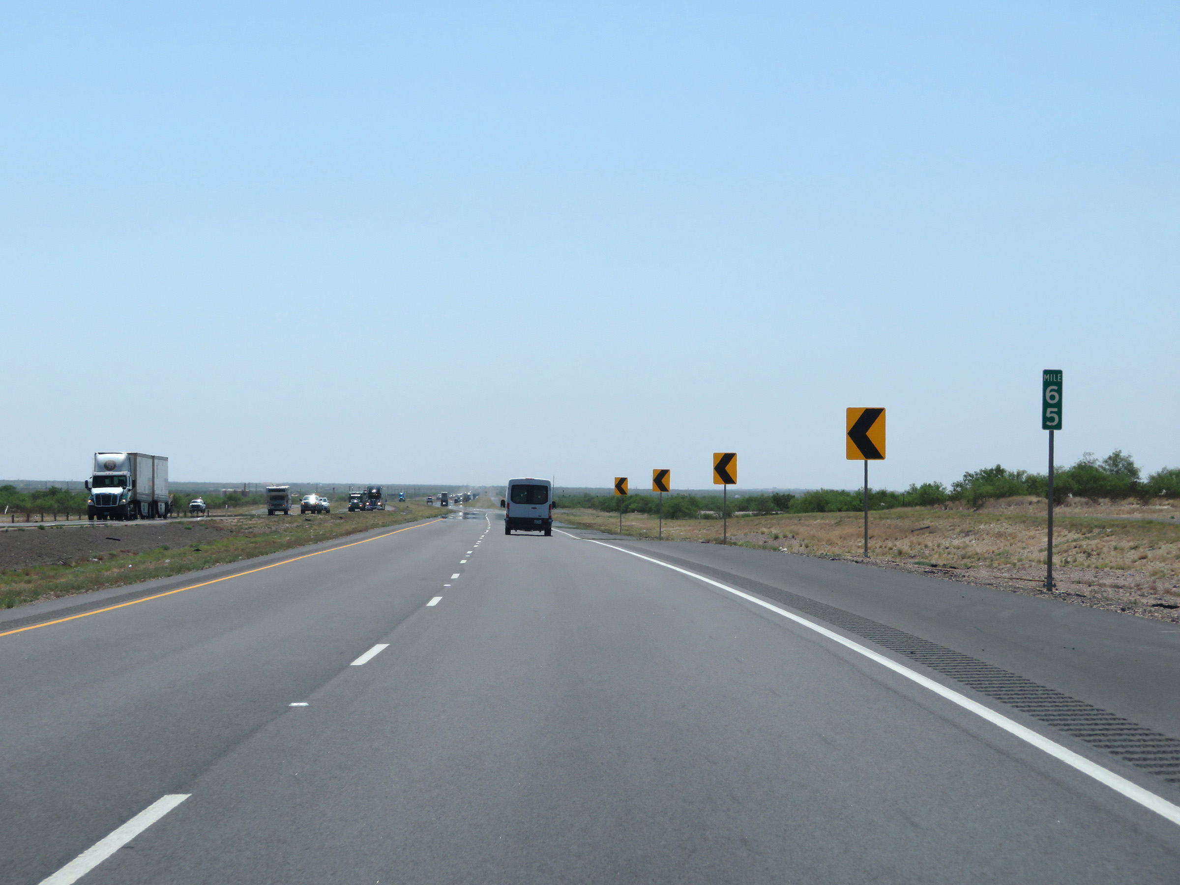 |
Interstate 20 West at mile marker 65. (Photo taken 5/19/18). |
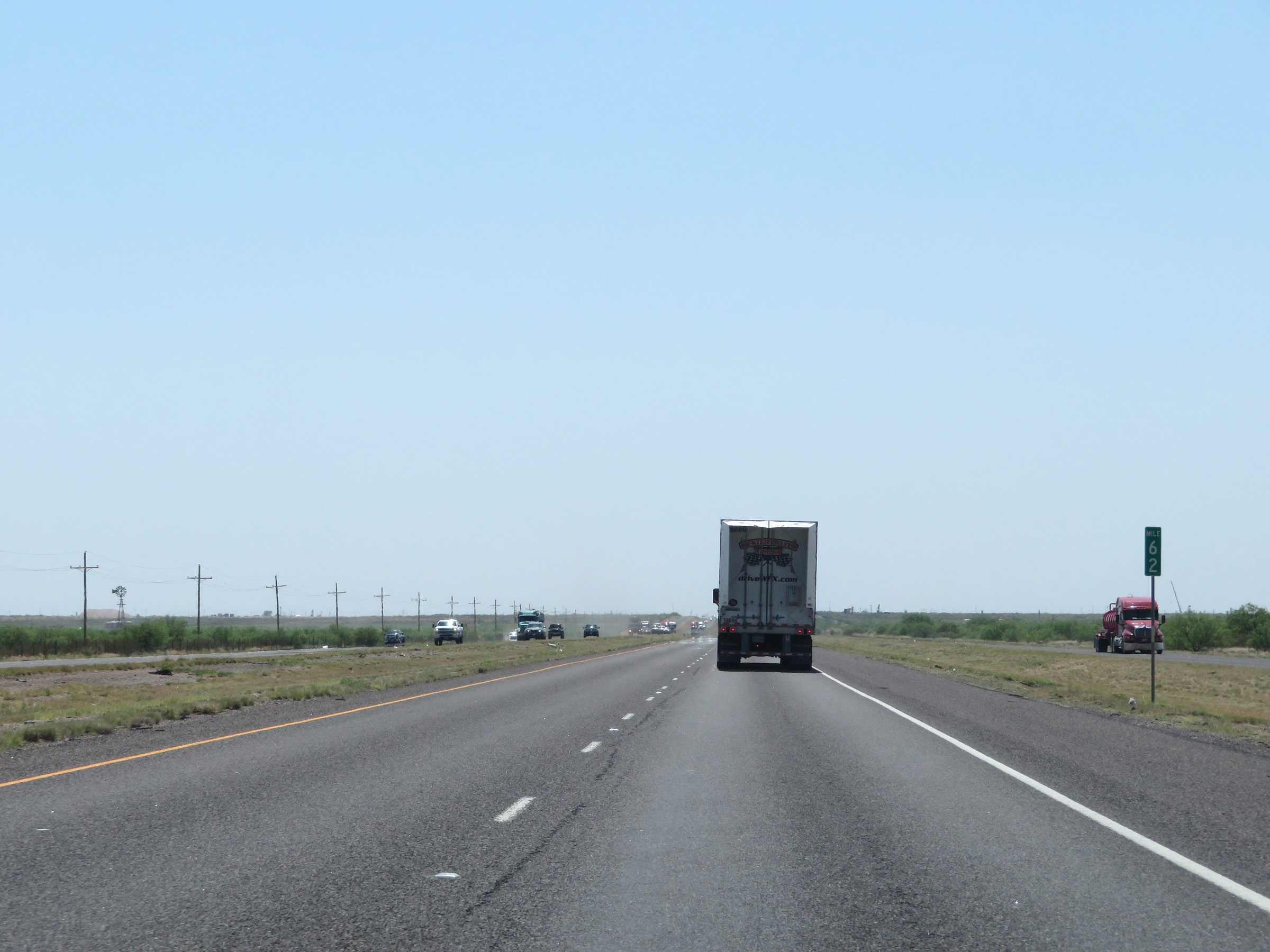 |
Mile marker 62 on Interstate 20 West in Ward County. (Photo taken 5/19/18). |
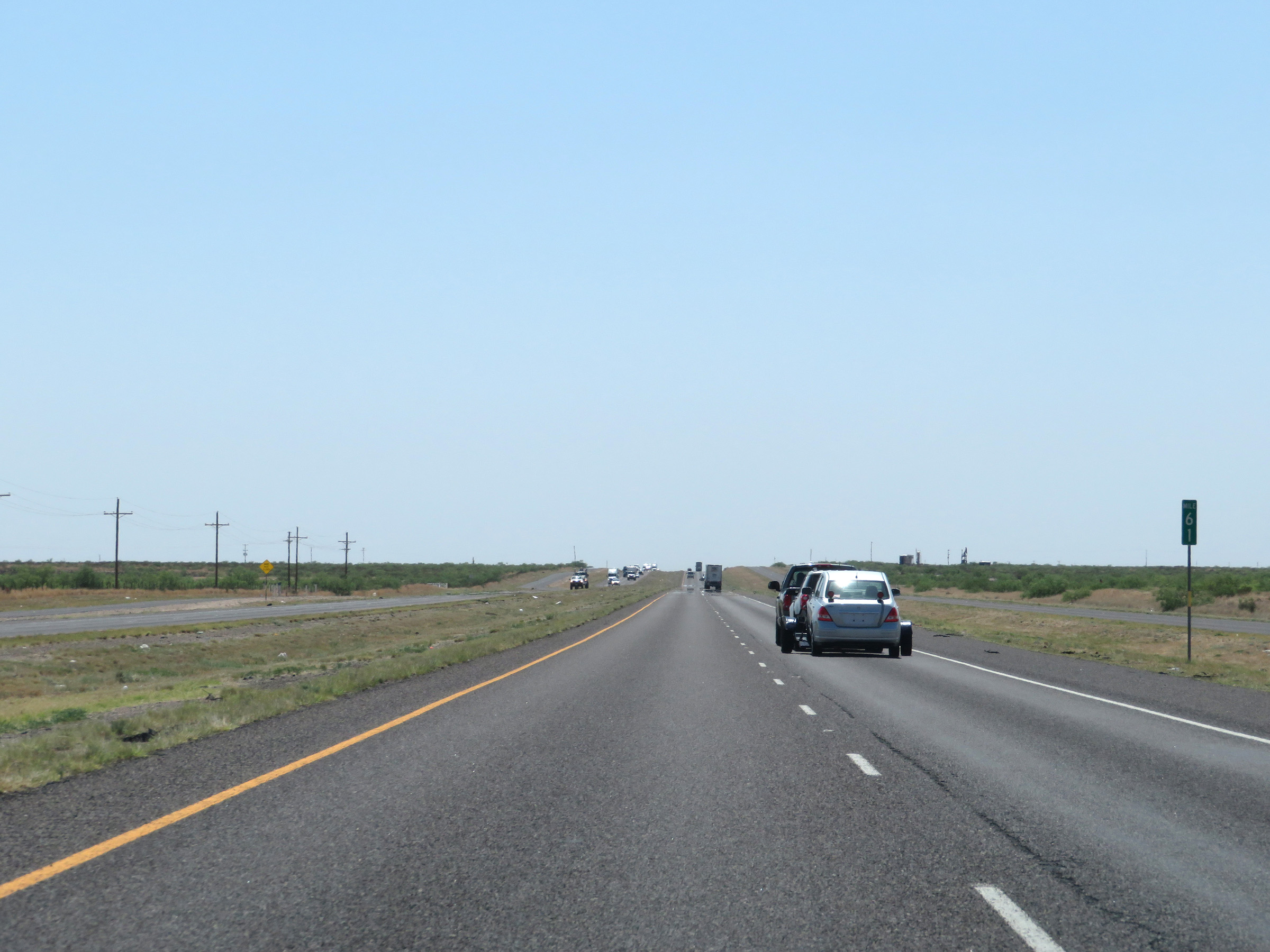 |
View on Interstate 20 West at mile marker 61. (Photo taken 5/19/18). |
 |
Interstate 20 West at mile marker 60. (Photo taken 5/19/18). |
 |
Interstate 20 West at Exit 58: Frontage Rd (Photo taken 5/19/18). |
 |
The speed limit remains 80 mph on Interstate 20 West. (Photo taken 5/19/18). |
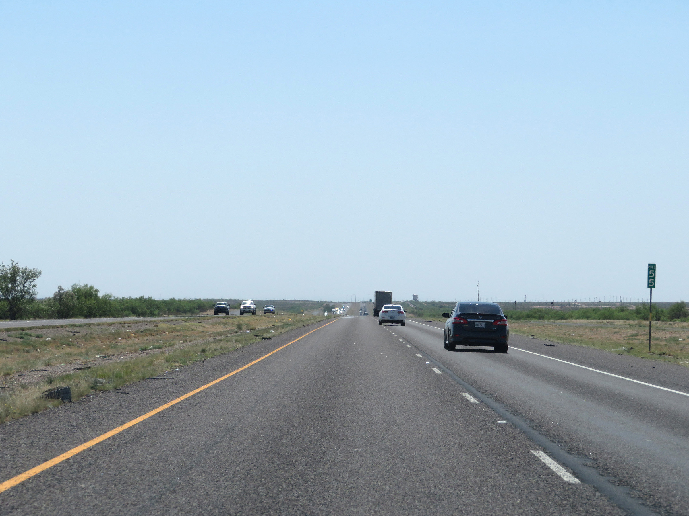 |
Interstate 20 West at mile marker 55. (Photo taken 5/19/18). |
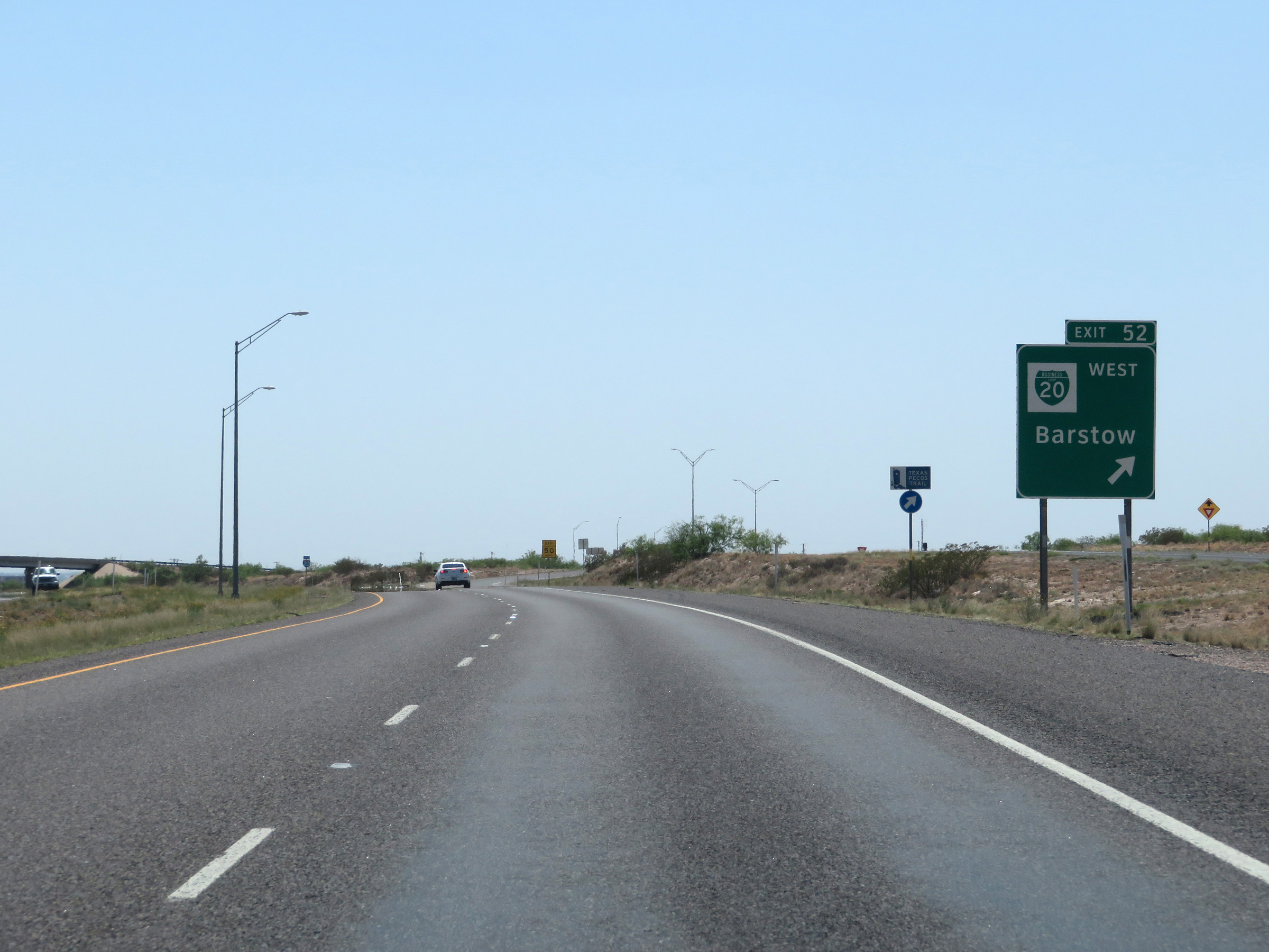 |
Interstate 20 West at Exit 52: Interstate 20 Business Loop West - Barstow (Photo taken 5/19/18). |
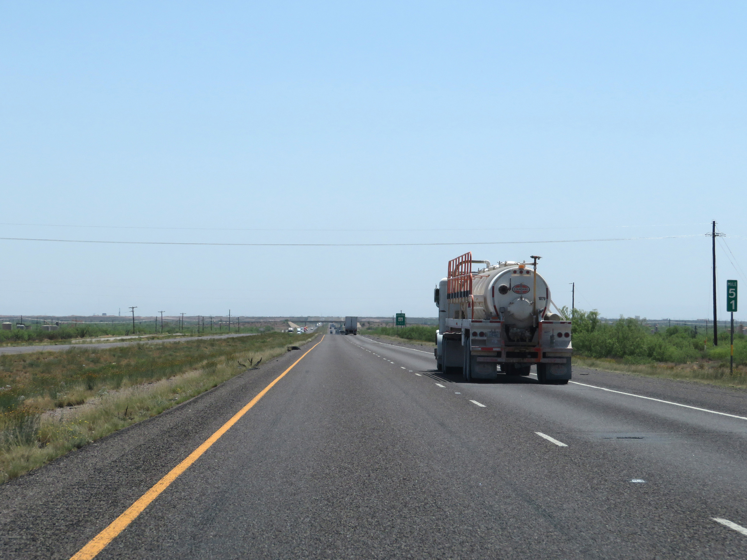 |
View on Interstate 20 West at mile marker 51. (Photo taken 5/19/18). |
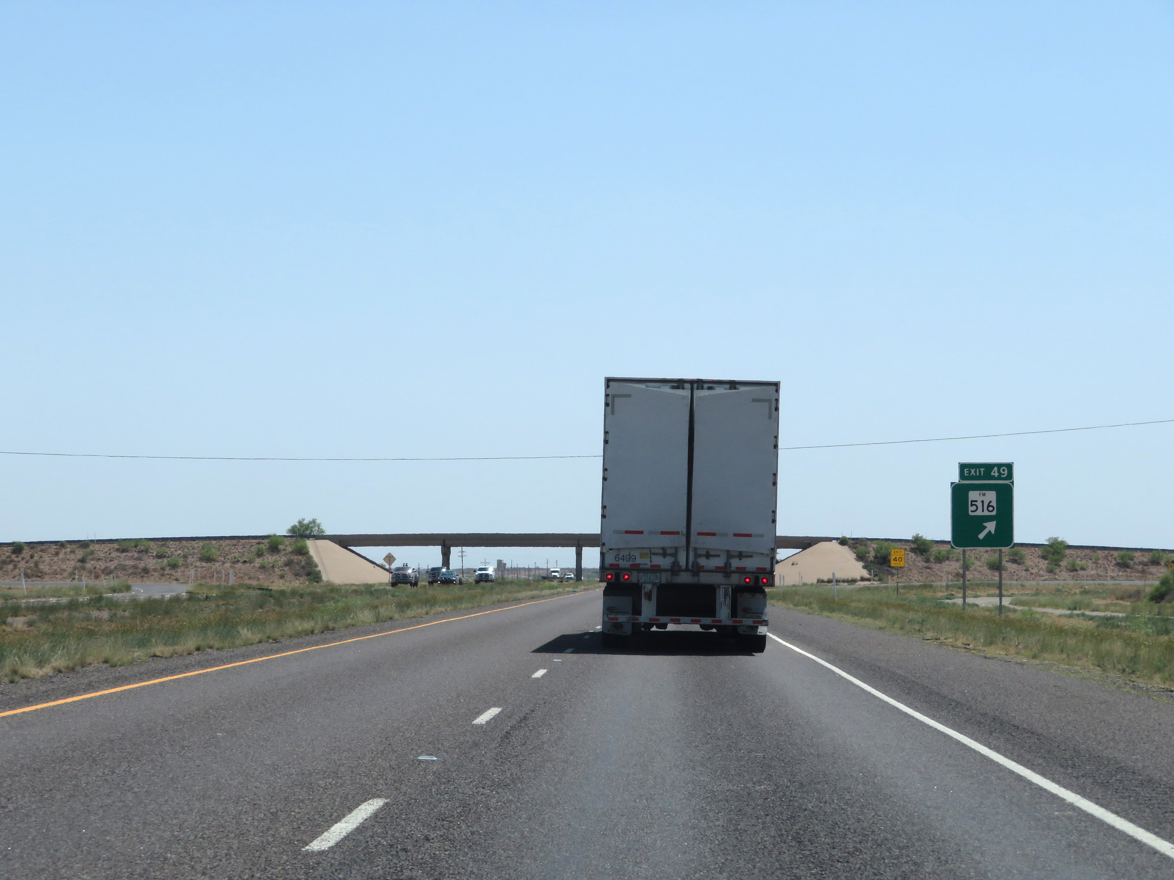 |
Interstate 20 West at Exit 49: FM 516 (Photo taken 5/19/18). |
 |
Another Interstate 20 West reassurance shield. (Photo taken 5/19/18). |
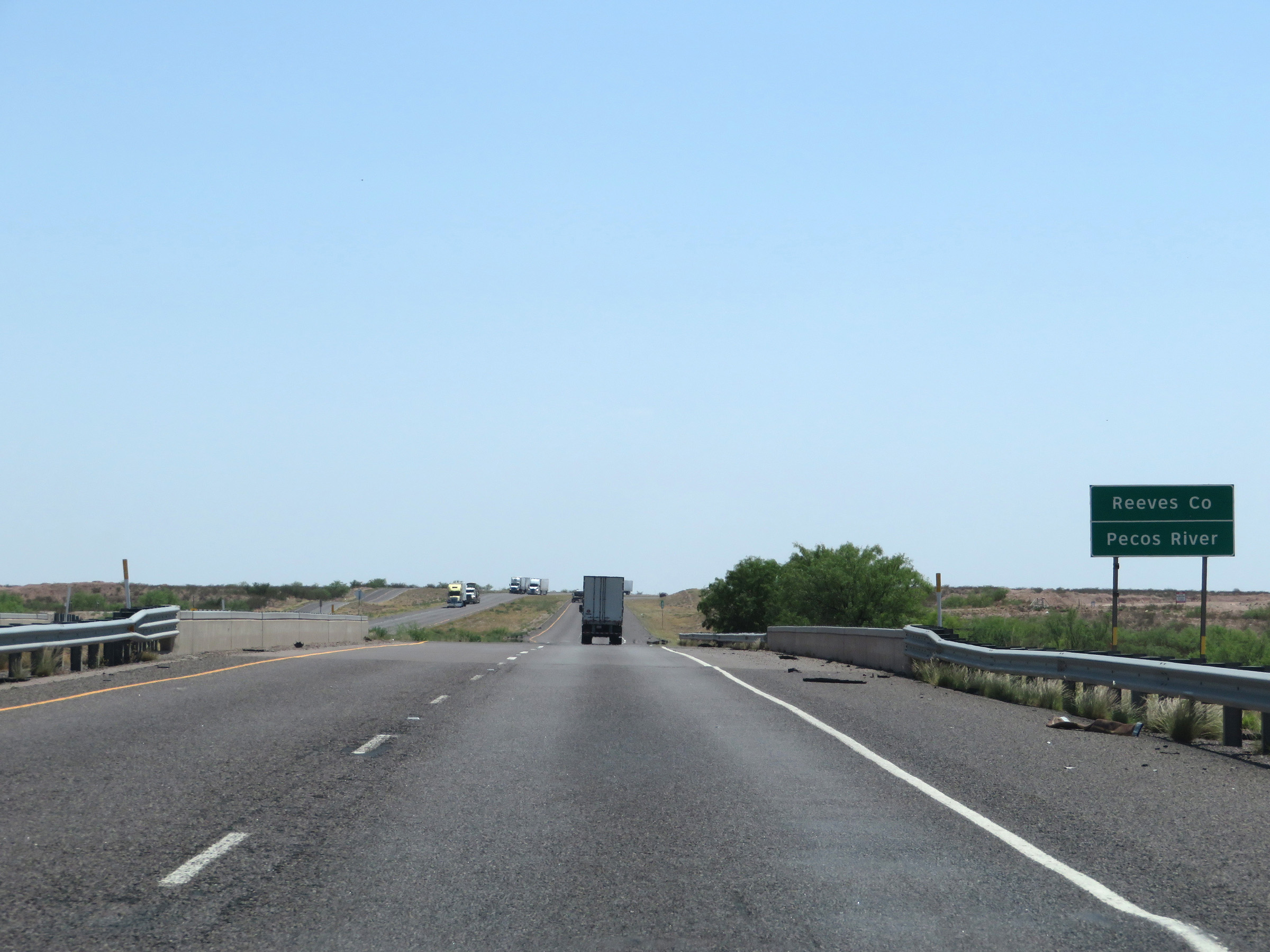 |
Interstate 20 West as it crosses the Pecos River and enters Reeves County. (Photo taken 5/19/18). |
 |
Interstate 20 West at mile marker 48. (Photo taken 5/19/18). |
 |
Take any of the next 4 exits to Pecos. (Photo taken 5/19/18). |
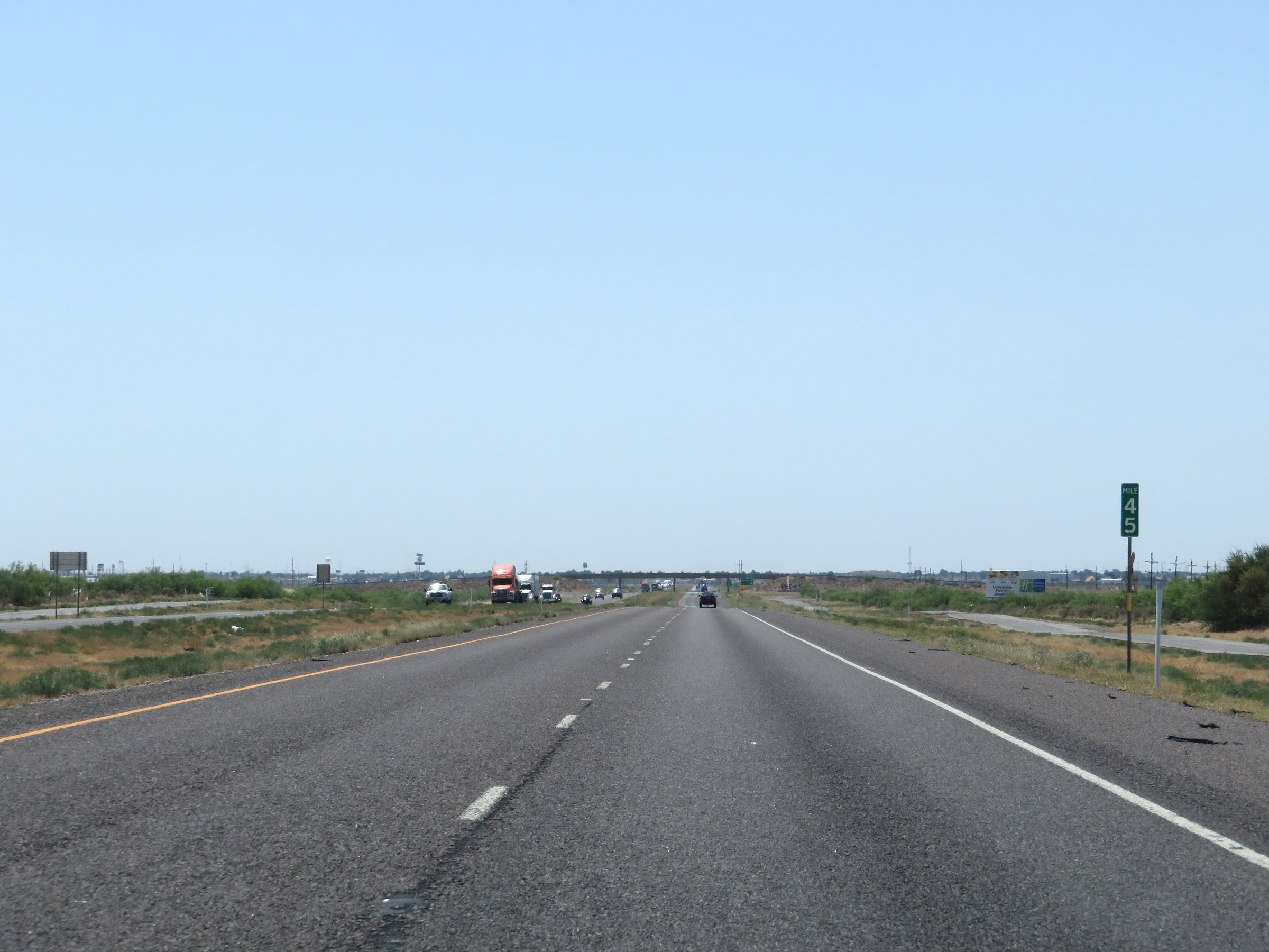 |
View on Interstate 20 West at mile marker 45. (Photo taken 5/19/18). |
 |
Interstate 20 West at Exit 44: Collie Rd (Photo taken 5/19/18). |
 |
Interstate 20 West reassurance shield. (Photo taken 5/19/18). |
 |
The speed limit remains 80 mph through the Pecos area. (Photo taken 5/19/18). |
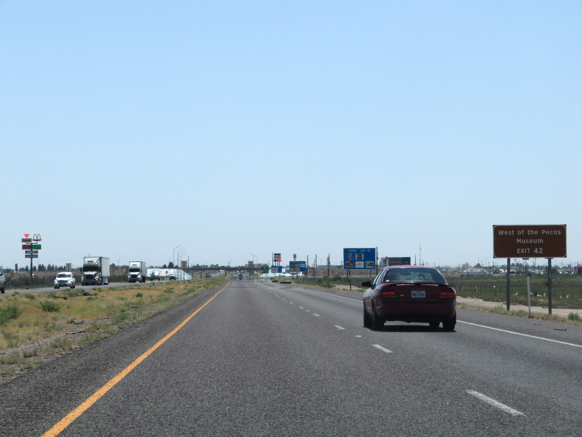 |
Take Exit 42 to the West of the Pecos Museum. (Photo taken 5/19/18). |
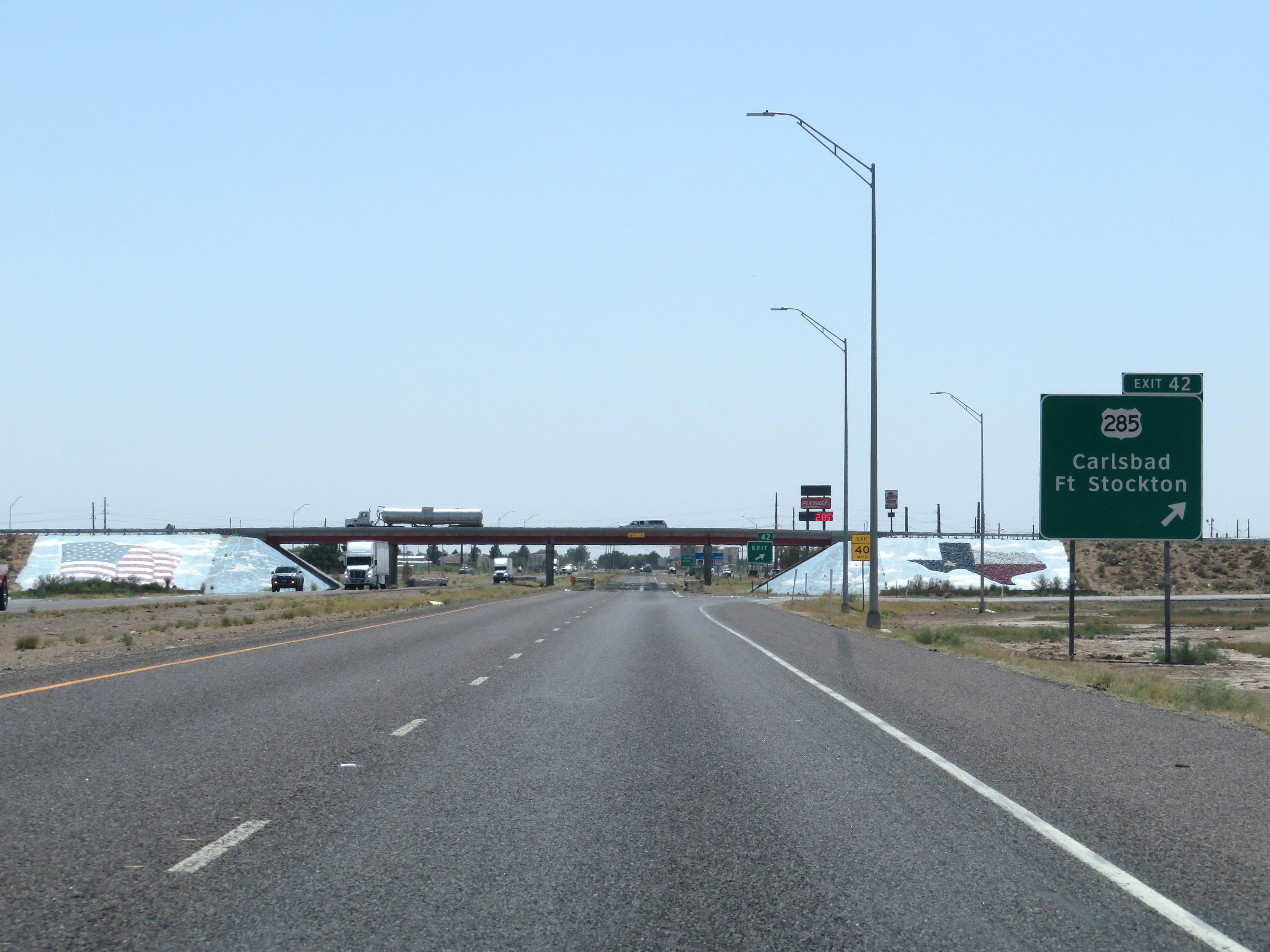 |
Interstate 20 West at Exit 42: US 285 - Carlsbad / Fort Stockton (Photo taken 5/19/18). |
 |
Interstate 20 West at Exit 40: Country Club Drive (Photo taken 5/19/18). |
 |
Interstate 20 West at Exit 39: TX 17 - Balmorhea / Fort Davis (Photo taken 5/19/18). |
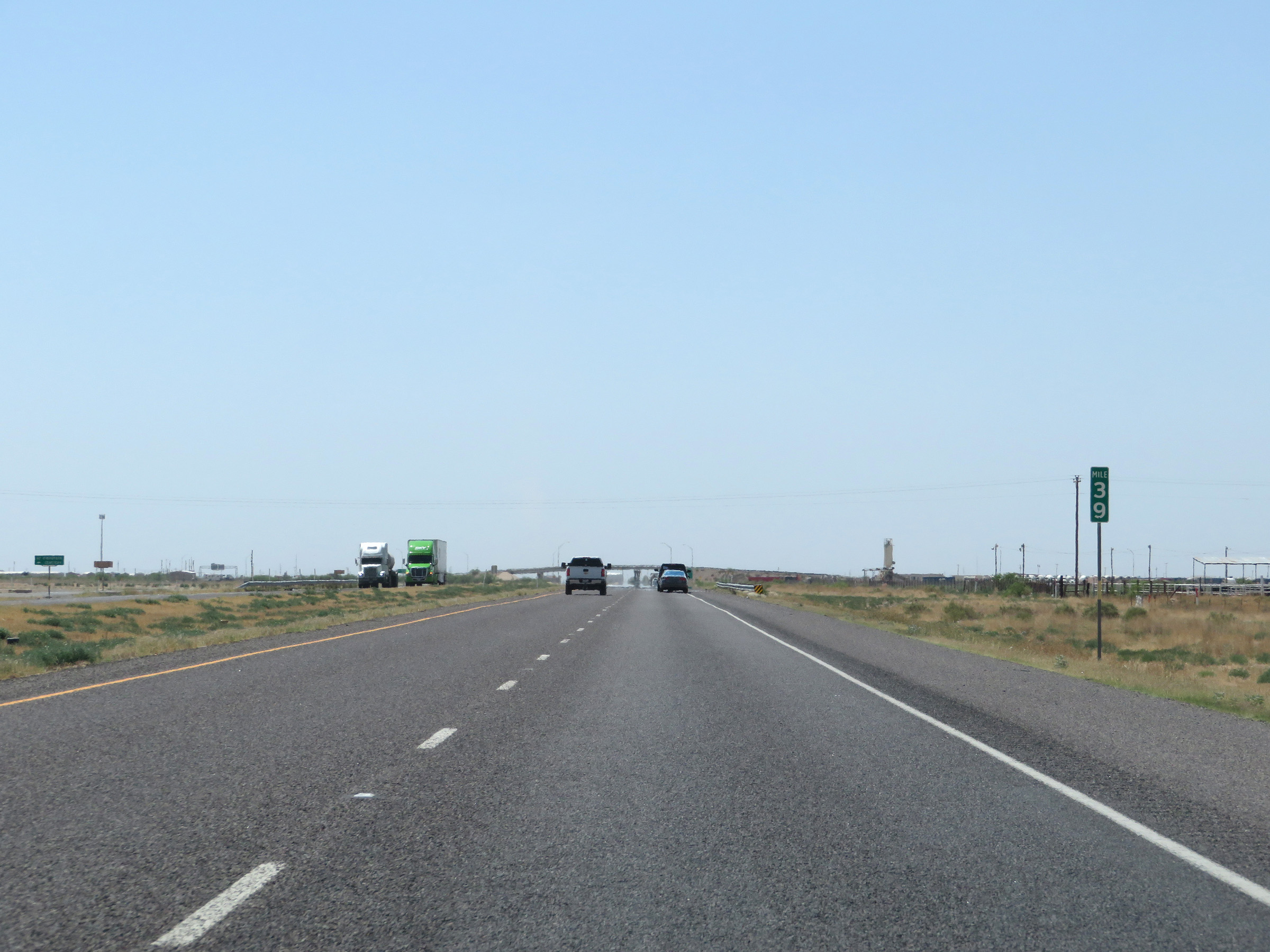 |
View on Interstate 20 West at mile marker 39. (Photo taken 5/19/18). |
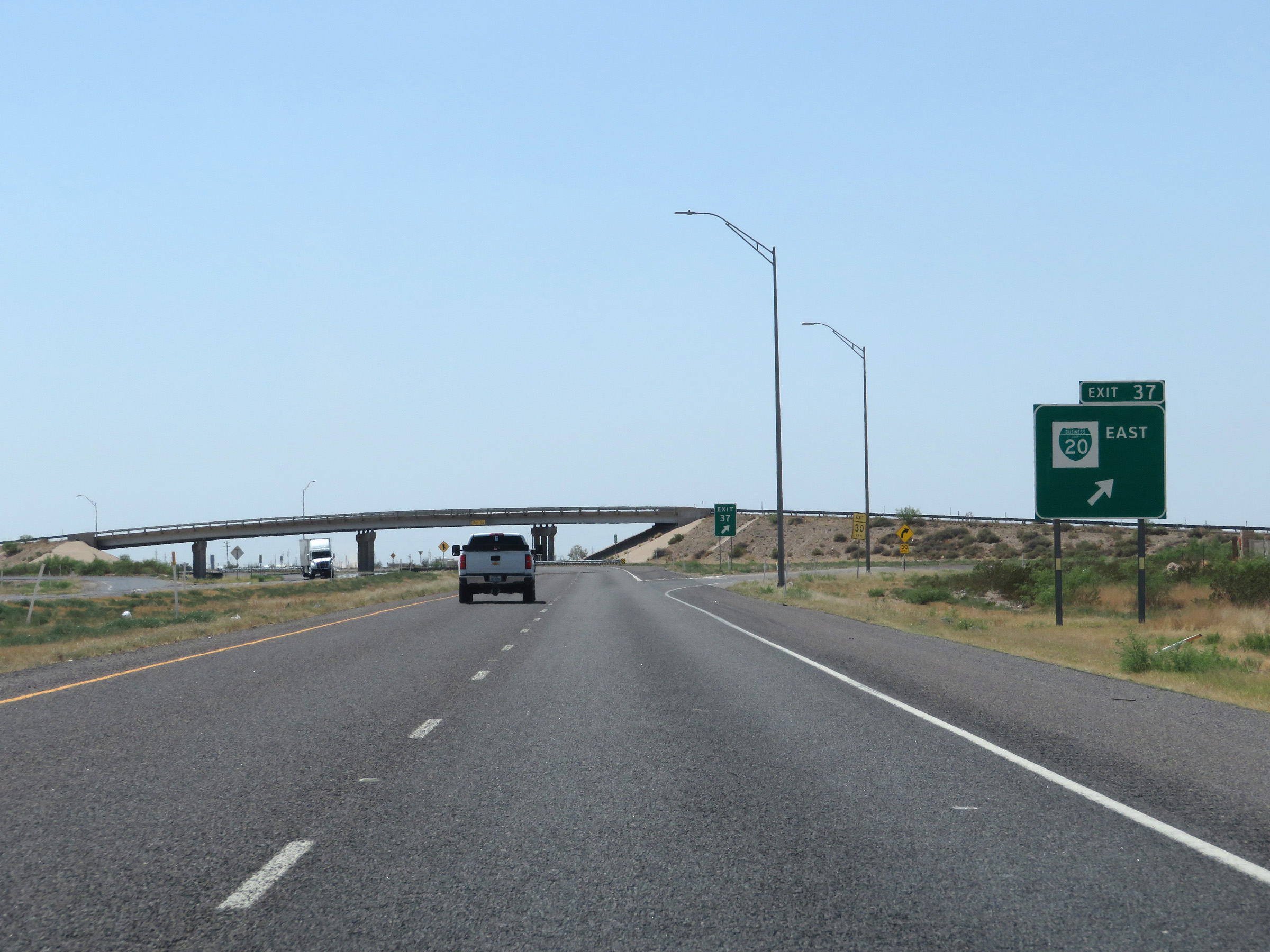 |
Interstate 20 West at Exit 37: Interstate 20 Business Loop East (Photo taken 5/19/18). |
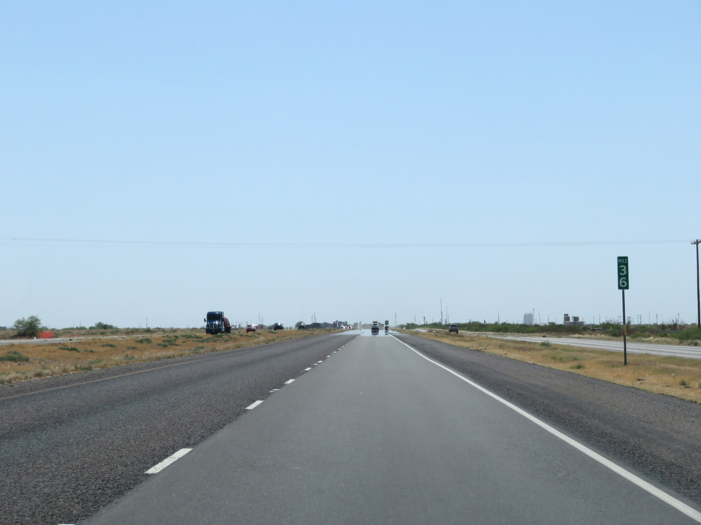 |
Mile marker 36 on Interstate 20 West in Reeves County. (Photo taken 5/19/18). |
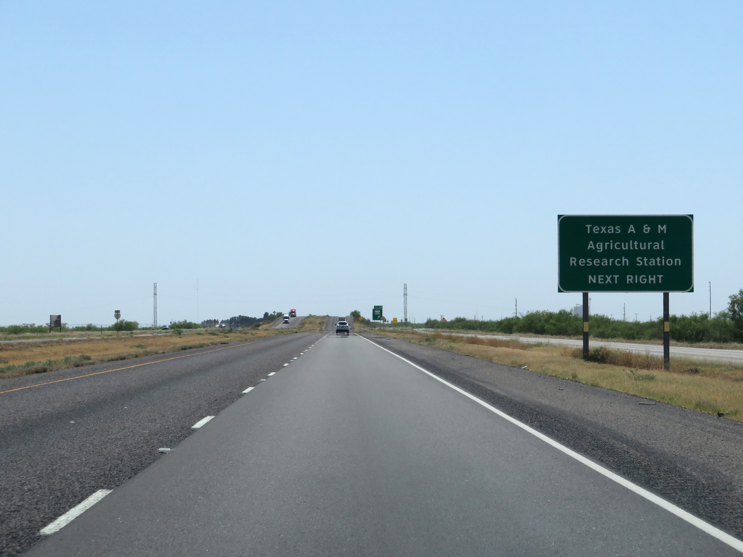 |
Take Exit 33 to the Texas A&M Agricultural Research Station. (Photo taken 5/19/18). |
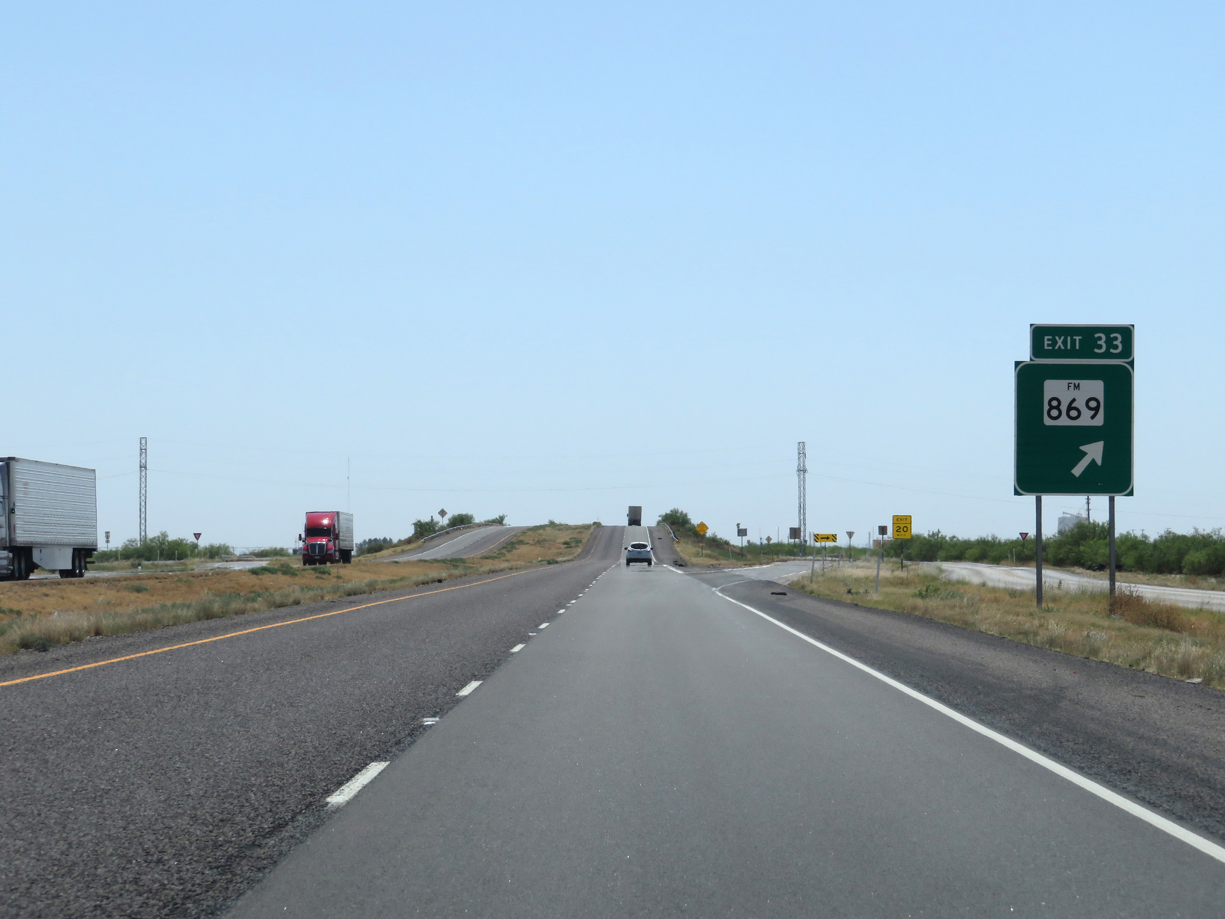 |
Interstate 20 West at Exit 33: FM 869 (Photo taken 5/19/18). |
 |
View on Interstate 20 West at mile marker 31. (Photo taken 5/19/18). |
 |
Interstate 20 West at Exit 29: Shaw Rd (Photo taken 5/19/18). |
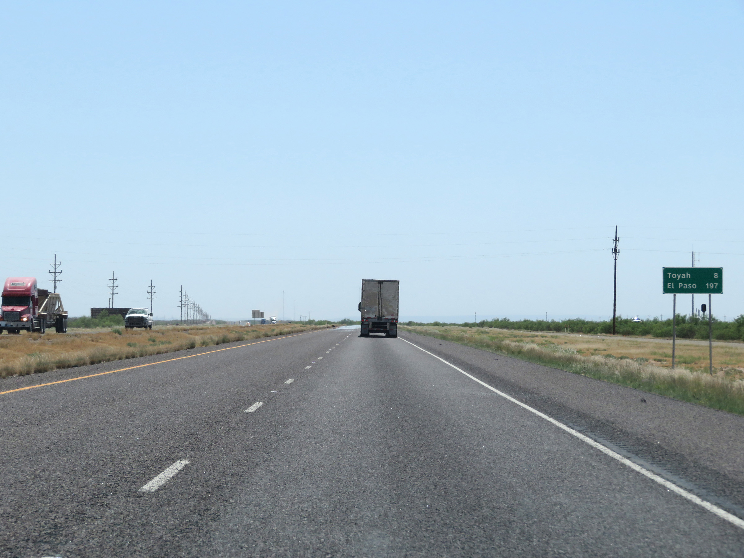 |
Another mileage sign on Interstate 20 West. It's 8 miles to Toyah and 197 miles to El Paso. (Photo taken 5/19/18). |
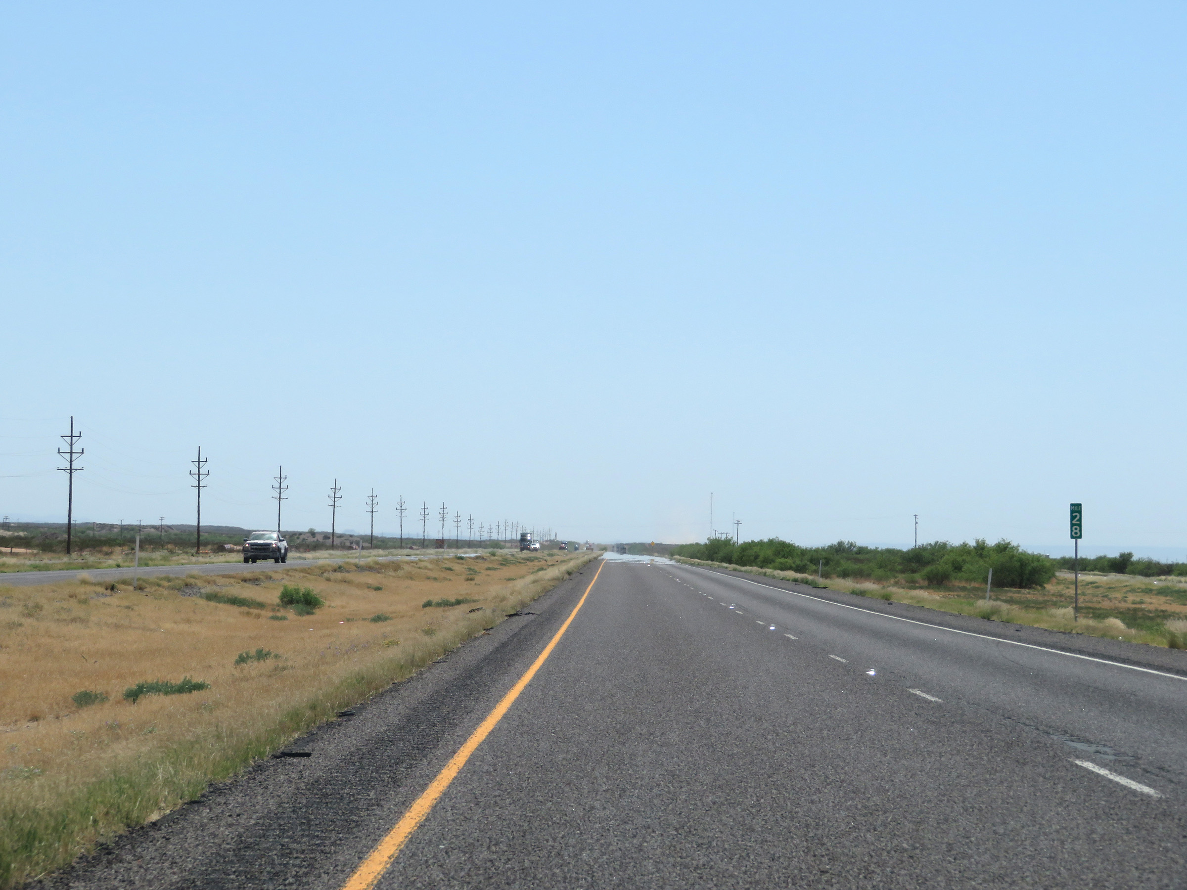 |
Interstate 20 West at mile marker 28. (Photo taken 5/19/18). |
 |
Picnic Area on Interstate 20 West at mile marker 25 in Reeves County. (Photo taken 5/19/18). |
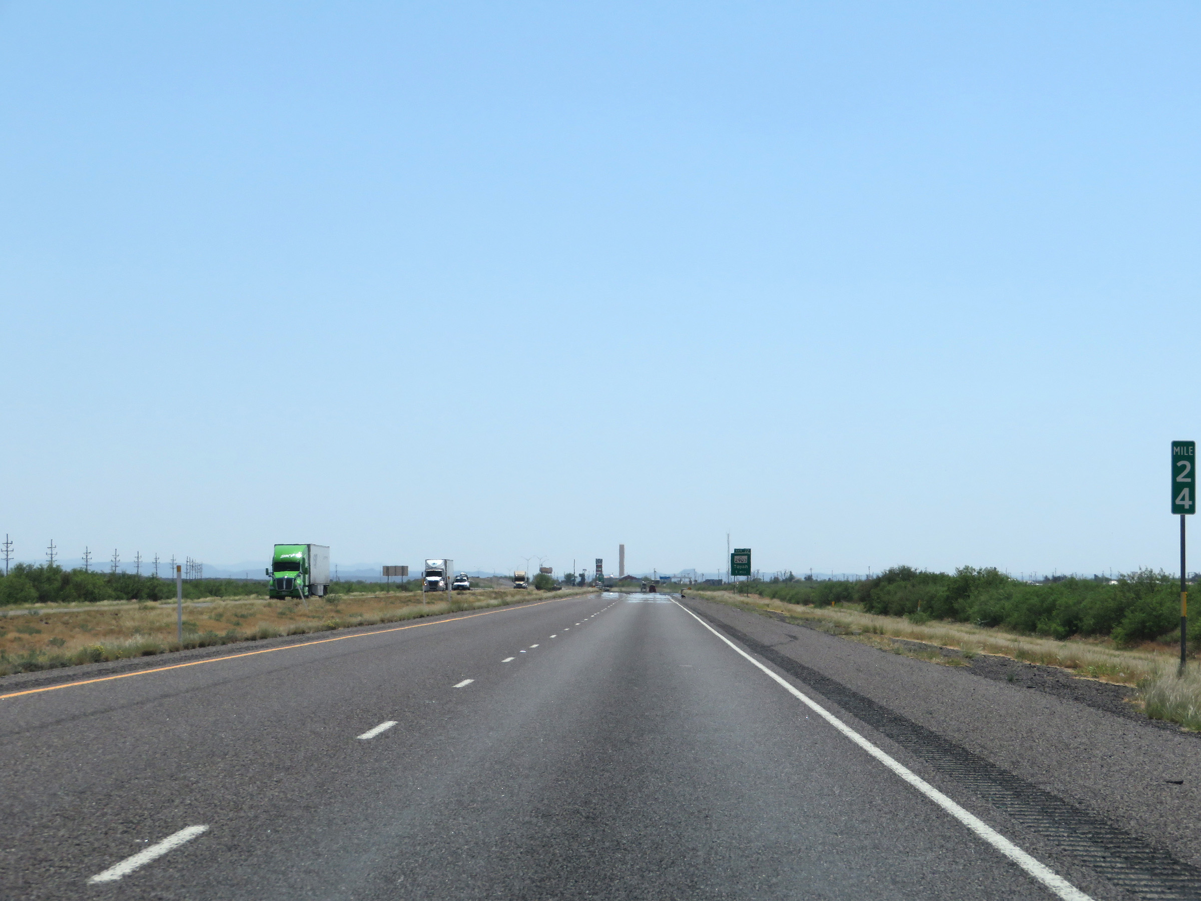 |
View on Interstate 20 West at mile marker 24. (Photo taken 5/19/18). |
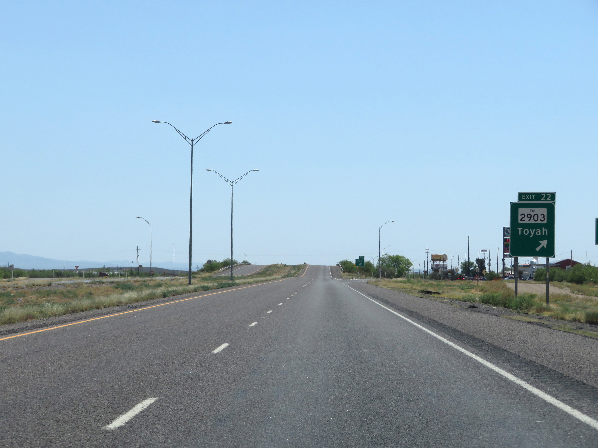 |
Interstate 20 West at Exit 22: FM 2903 - Toyah (Photo taken 5/19/18). |
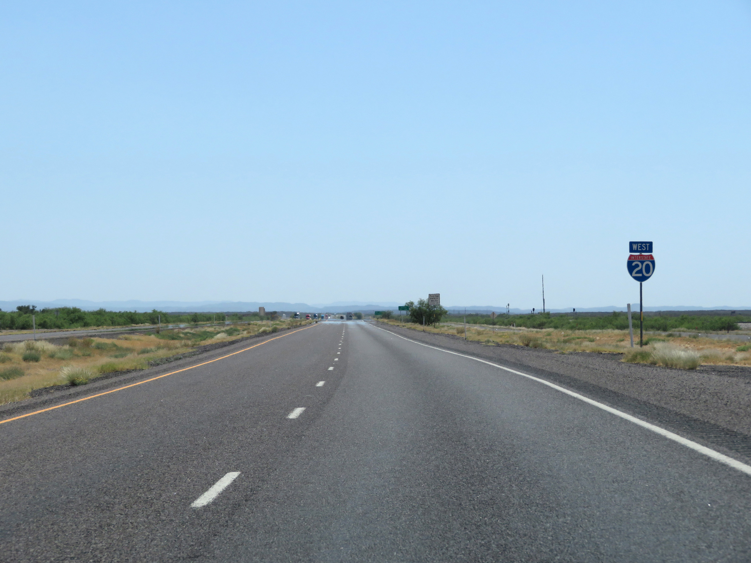 |
Interstate 20 West reassurance shield. (Photo taken 5/19/18). |
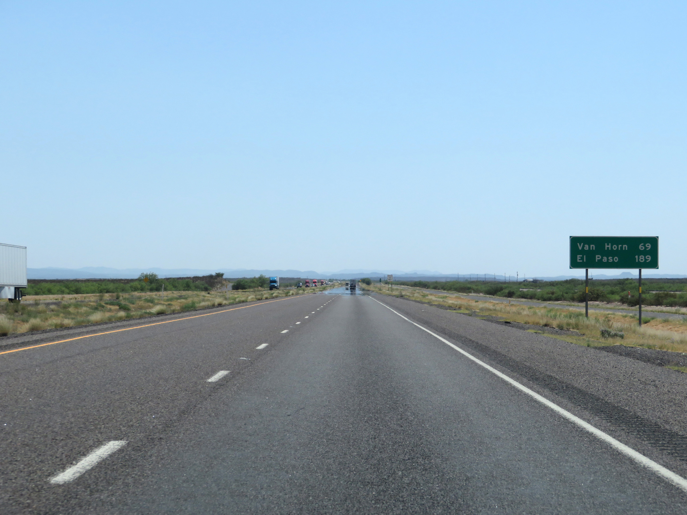 |
Mileage sign on Interstate 20 West. It's 69 miles to Van Horn and 189 miles to El Paso. (Photo taken 5/19/18). |
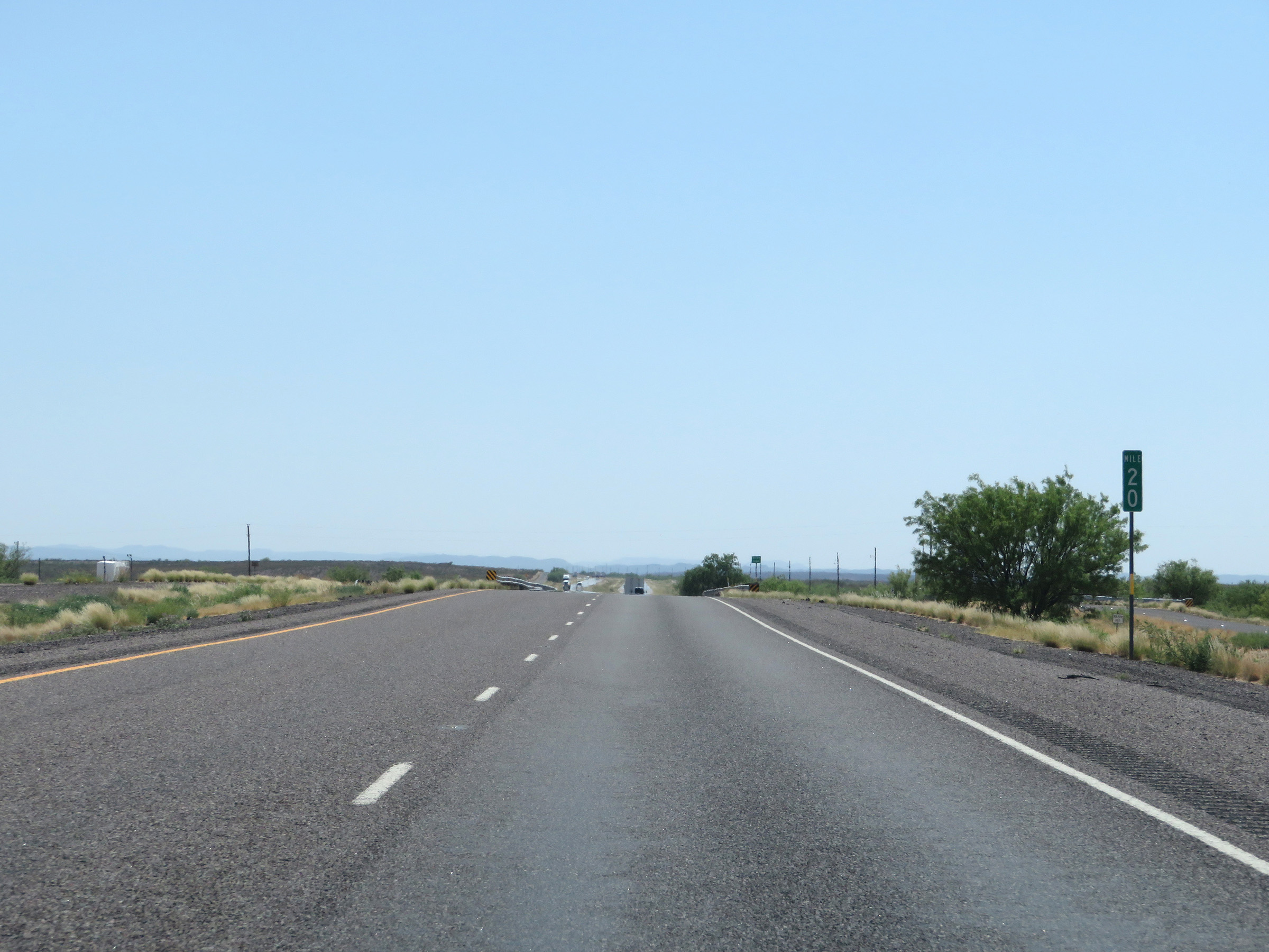 |
Interstate 20 West at mile marker 20. (Photo taken 5/19/18). |
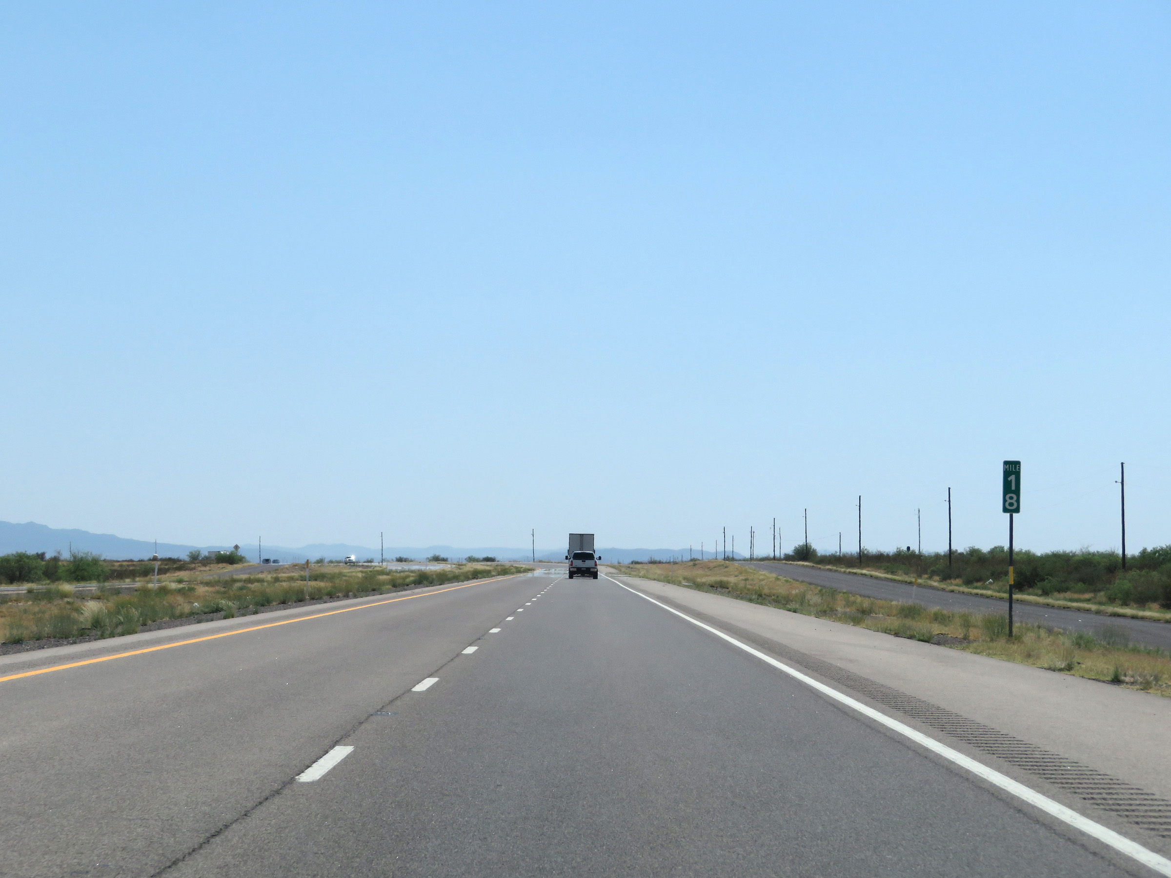 |
View on Interstate 20 West at mile marker 18. (Photo taken 5/19/18). |
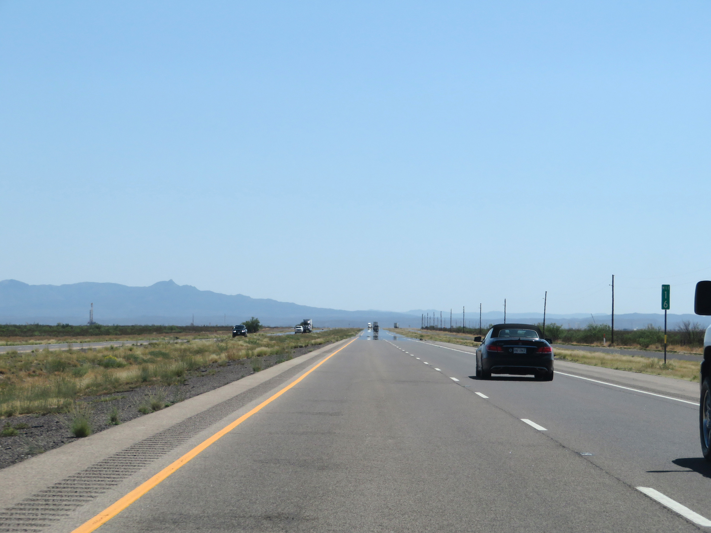 |
Mile marker 16 on Interstate 20 West in Reeves County. (Photo taken 5/19/18). |
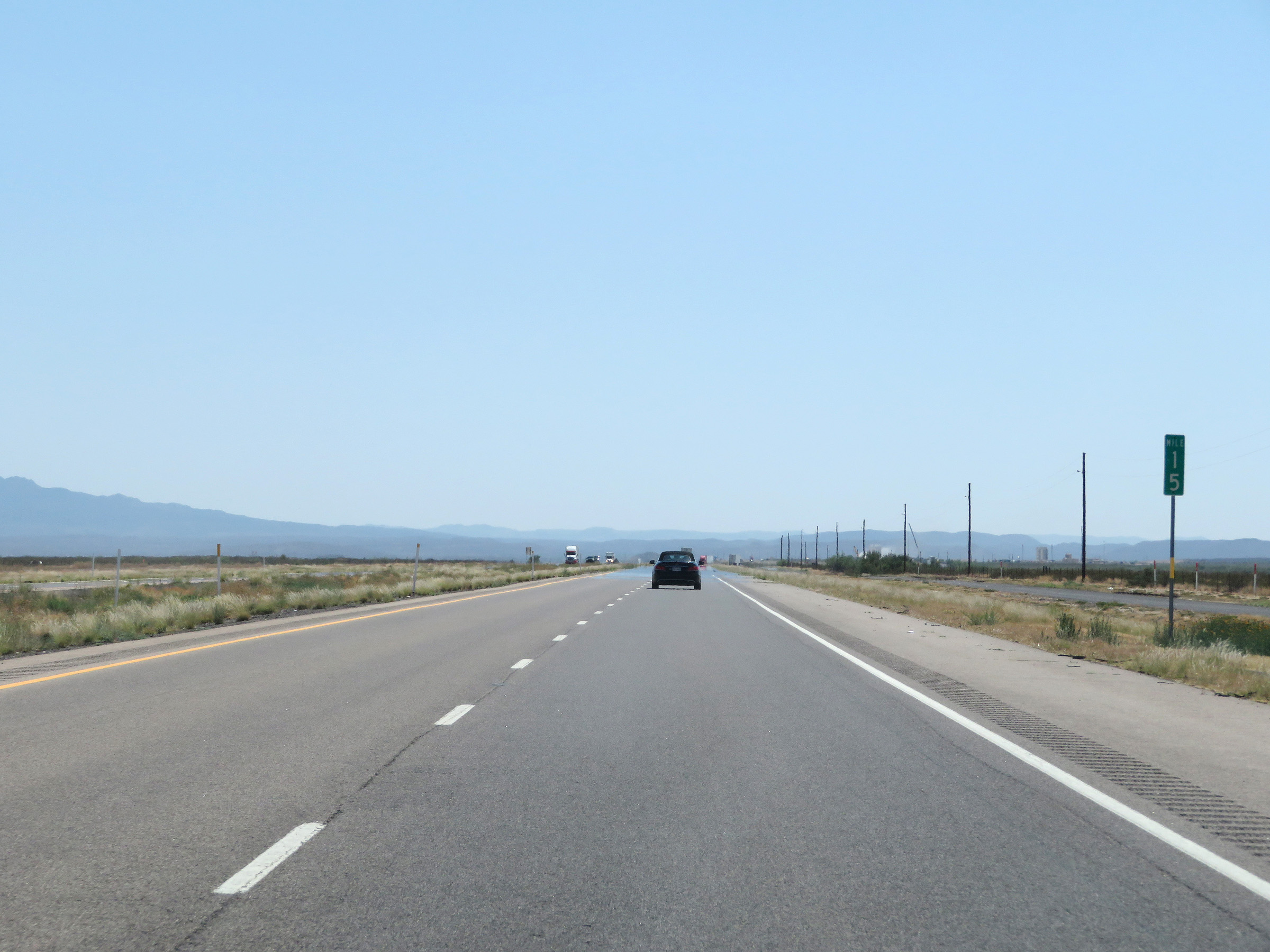 |
Interstate 20 West at mile marker 15. (Photo taken 5/19/18). |
 |
Interstate 20 West at Exit 13: McAlpine Rd (Photo taken 5/19/18). |
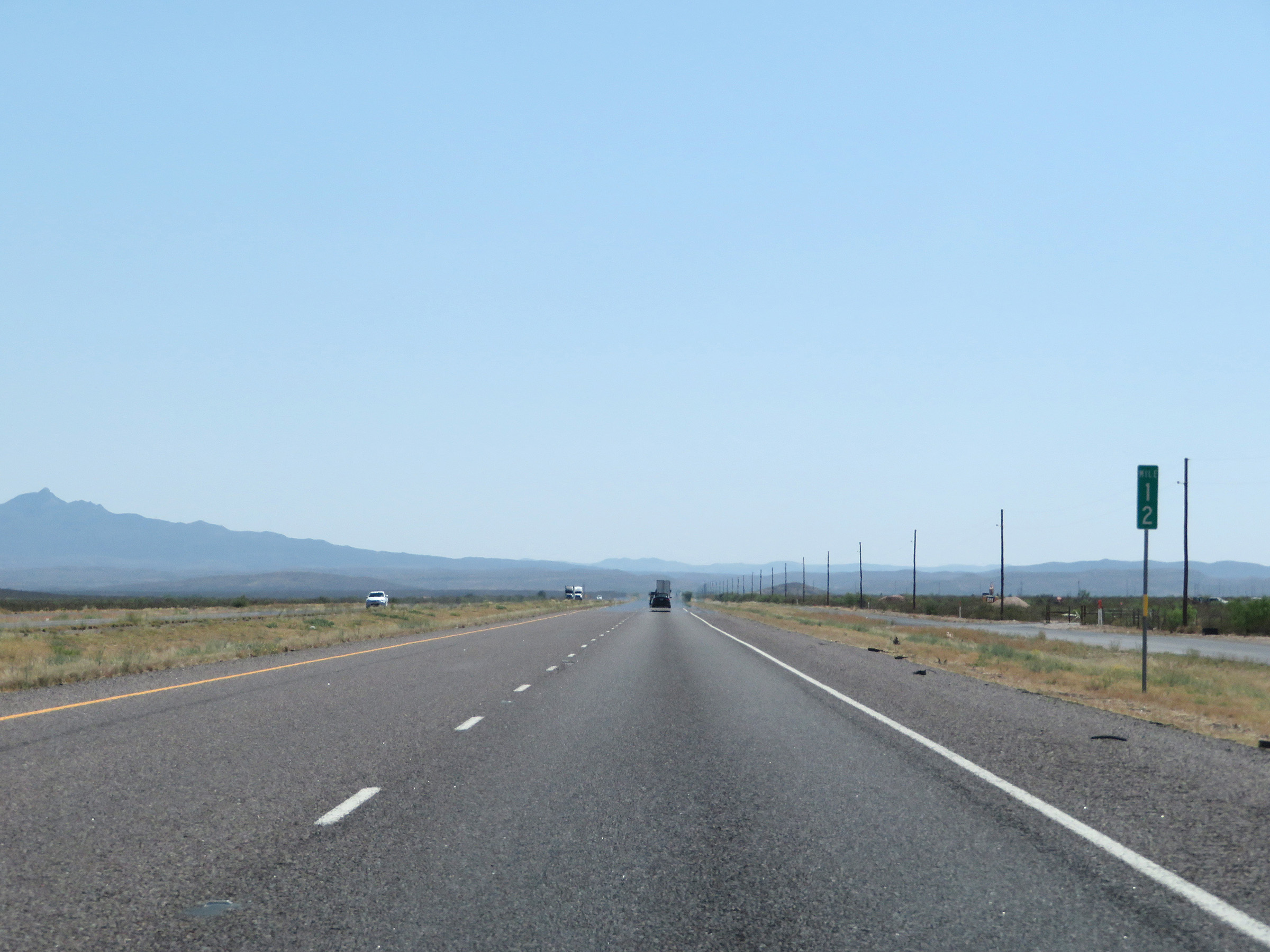 |
View on Interstate 20 West at mile marker 12. (Photo taken 5/19/18). |
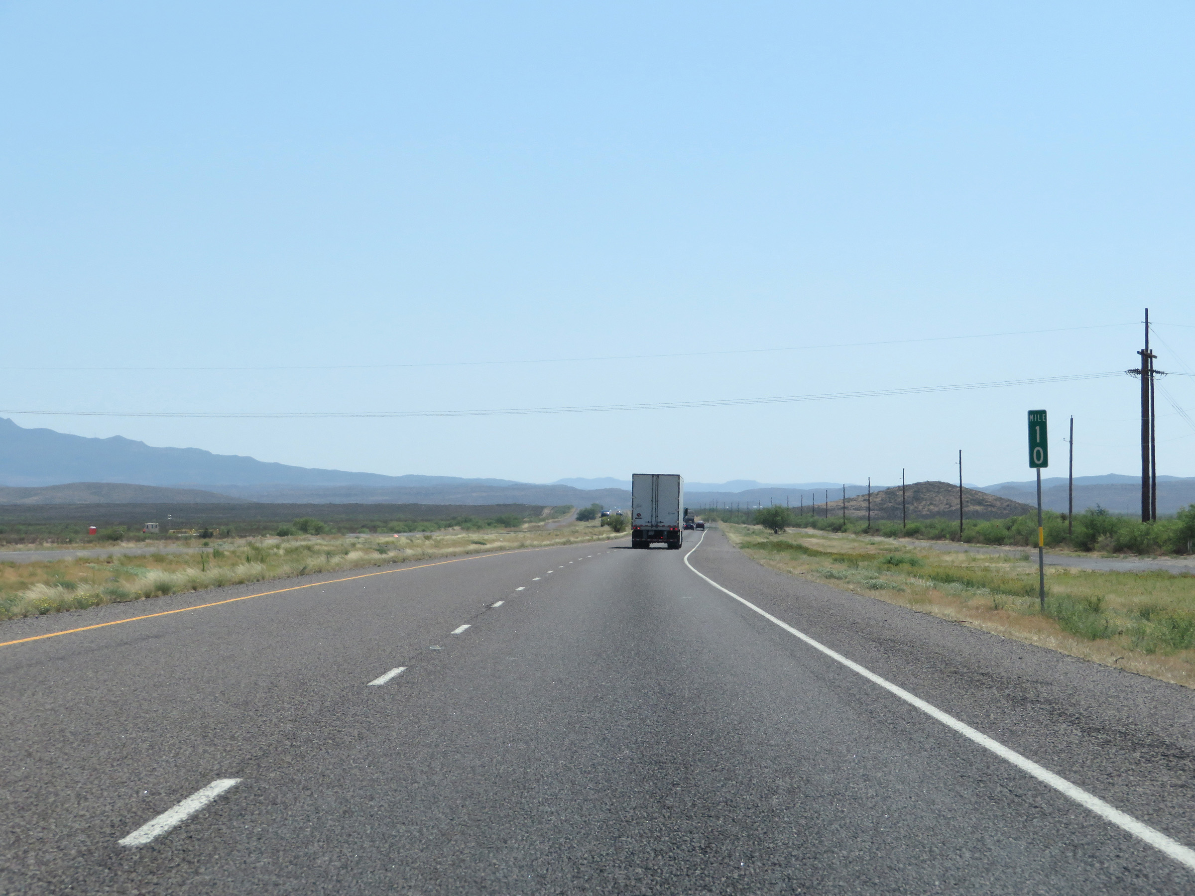 |
Mile marker 10 on Interstate 20 West in Reeves County. (Photo taken 5/19/18). |
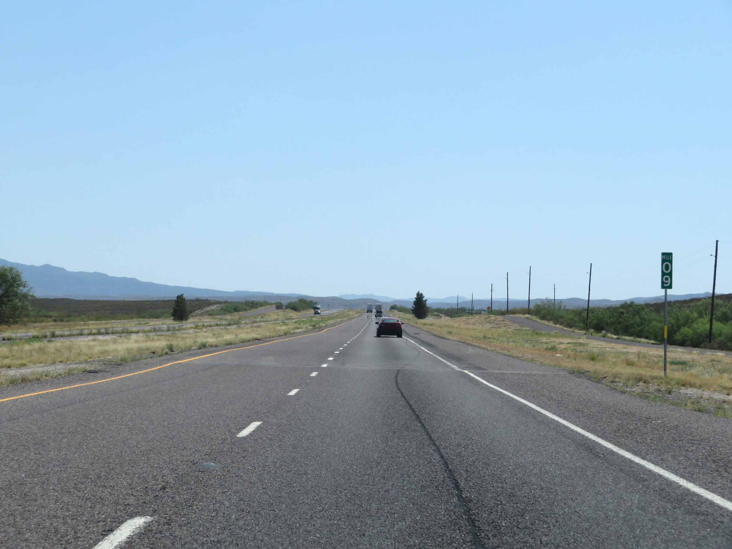 |
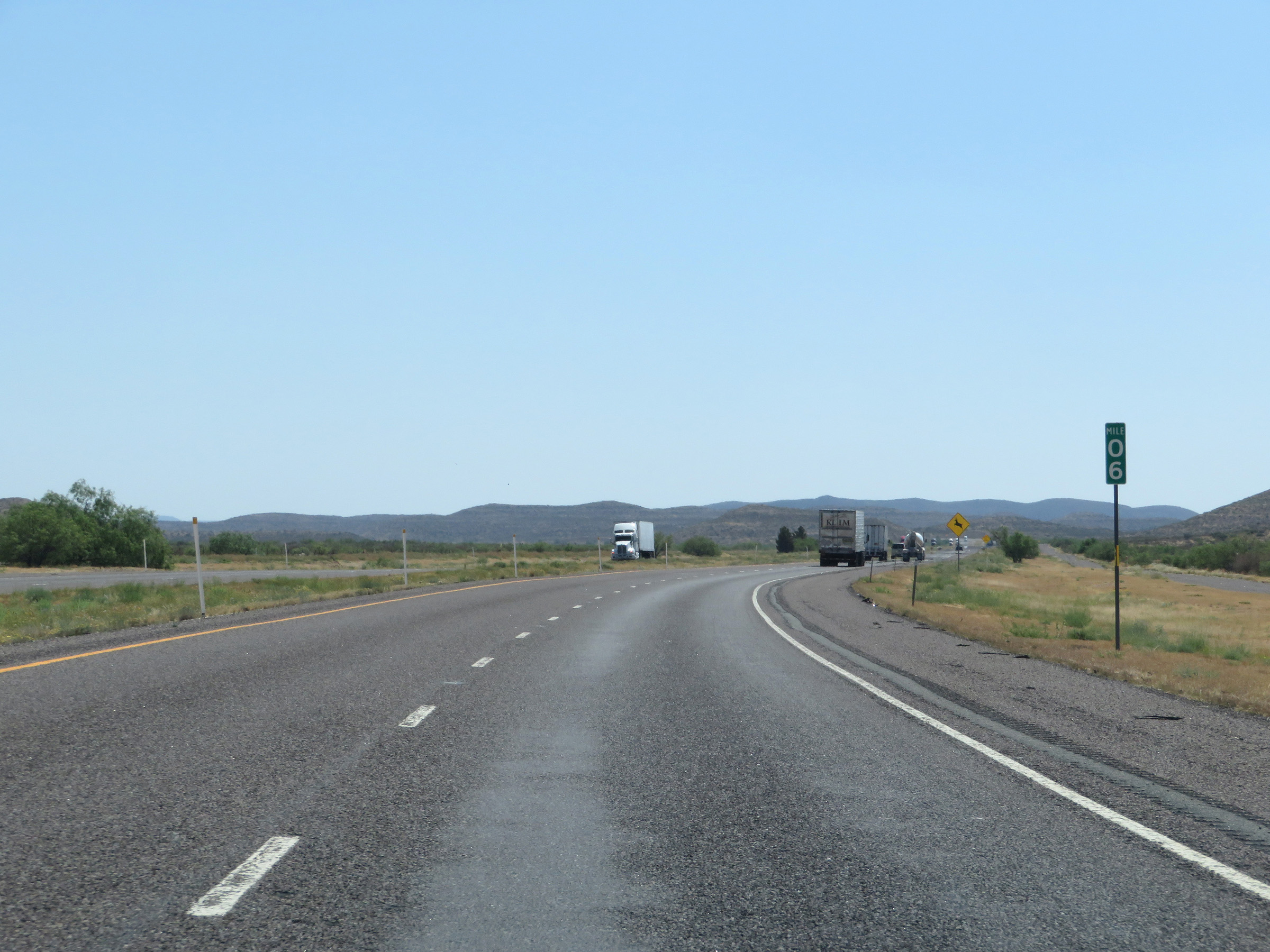
Interstate 20 West at mile marker 9. This final 9-mile stretch of I-20 is one of the only sections of Interstate in the country in which most of the single digit mile markers are posted with a 0 above them. (Photo taken 5/19/18). |
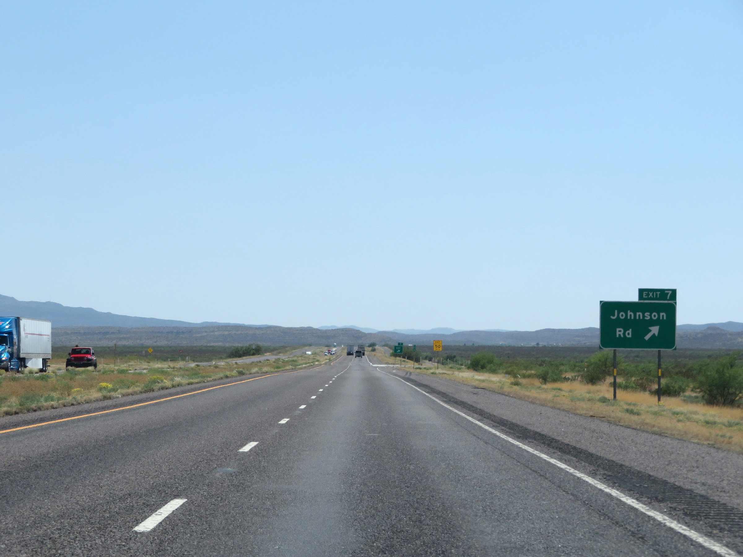 |
Interstate 20 West at Exit 7: Johnson Rd (Photo taken 5/19/18). |
 |
View on Interstate 20 West at mile marker 6. (Photo taken 5/19/18). |
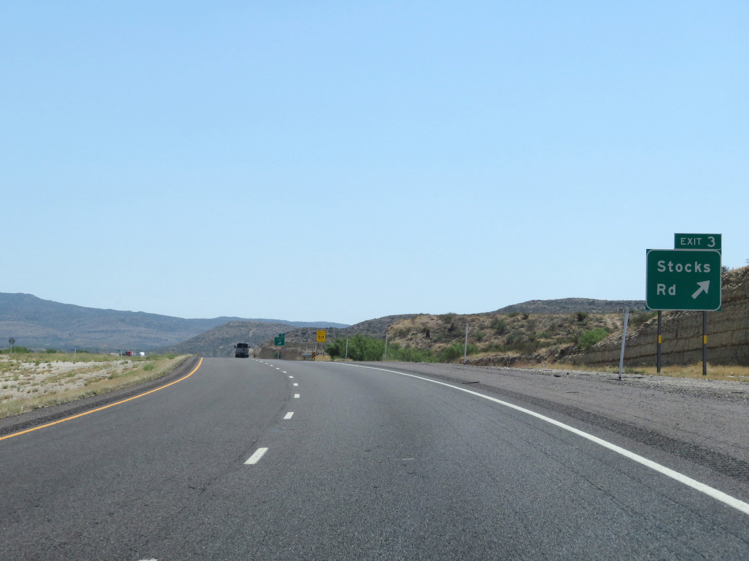 |
Interstate 20 West at Exit 3: Stocks Rd (Photo taken 5/19/18). |
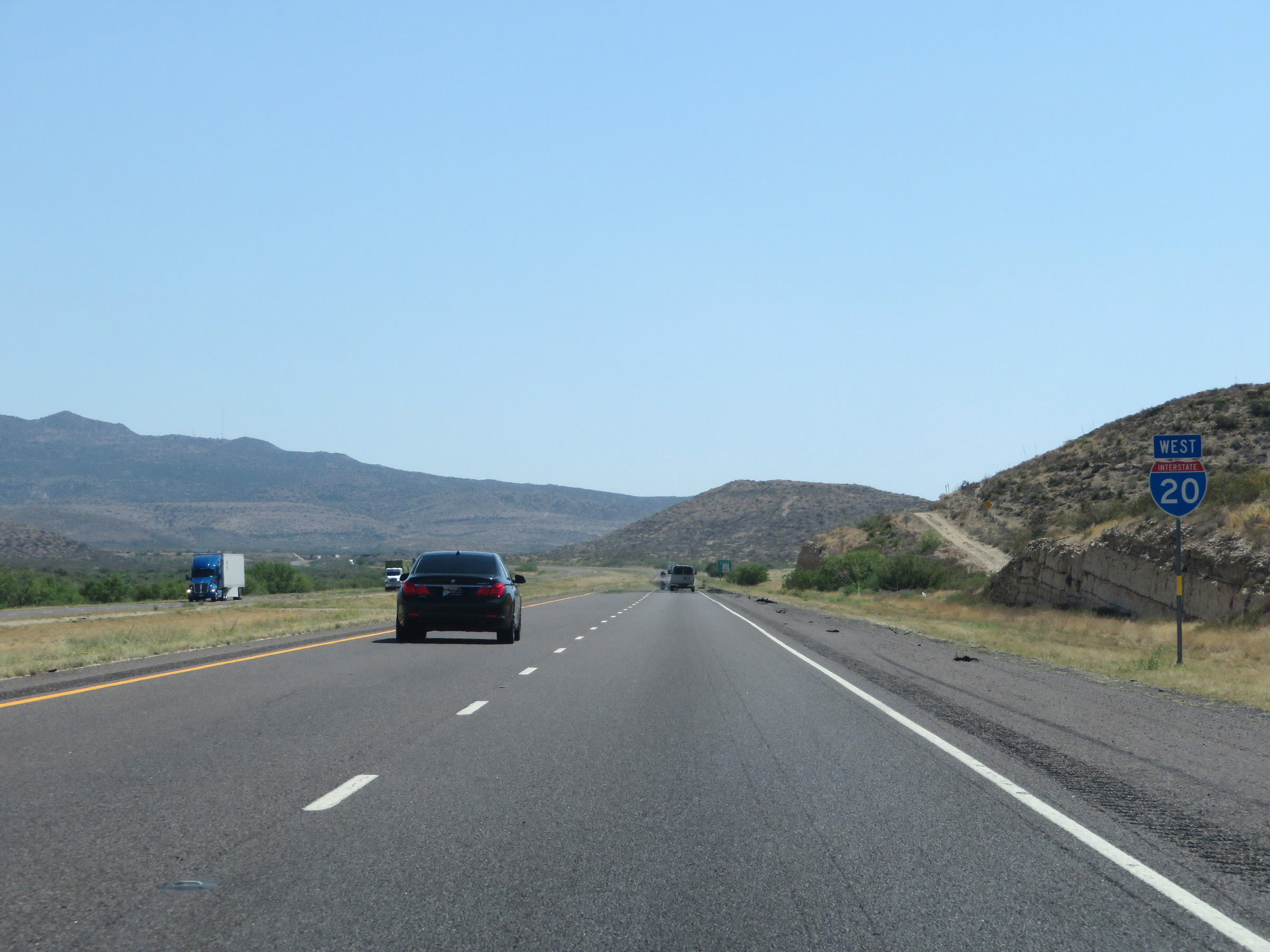 |
One final Interstate 20 West reassurance shield. (Photo taken 5/19/18). |
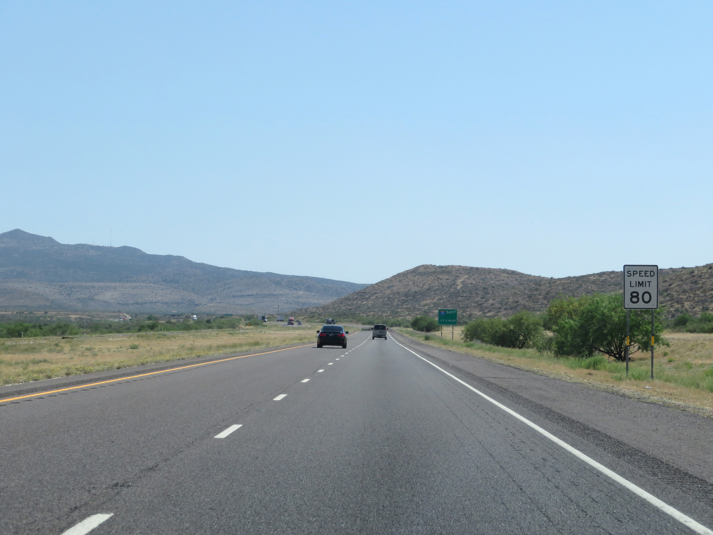 |
The speed limit remains 80 mph. (Photo taken 5/19/18). |
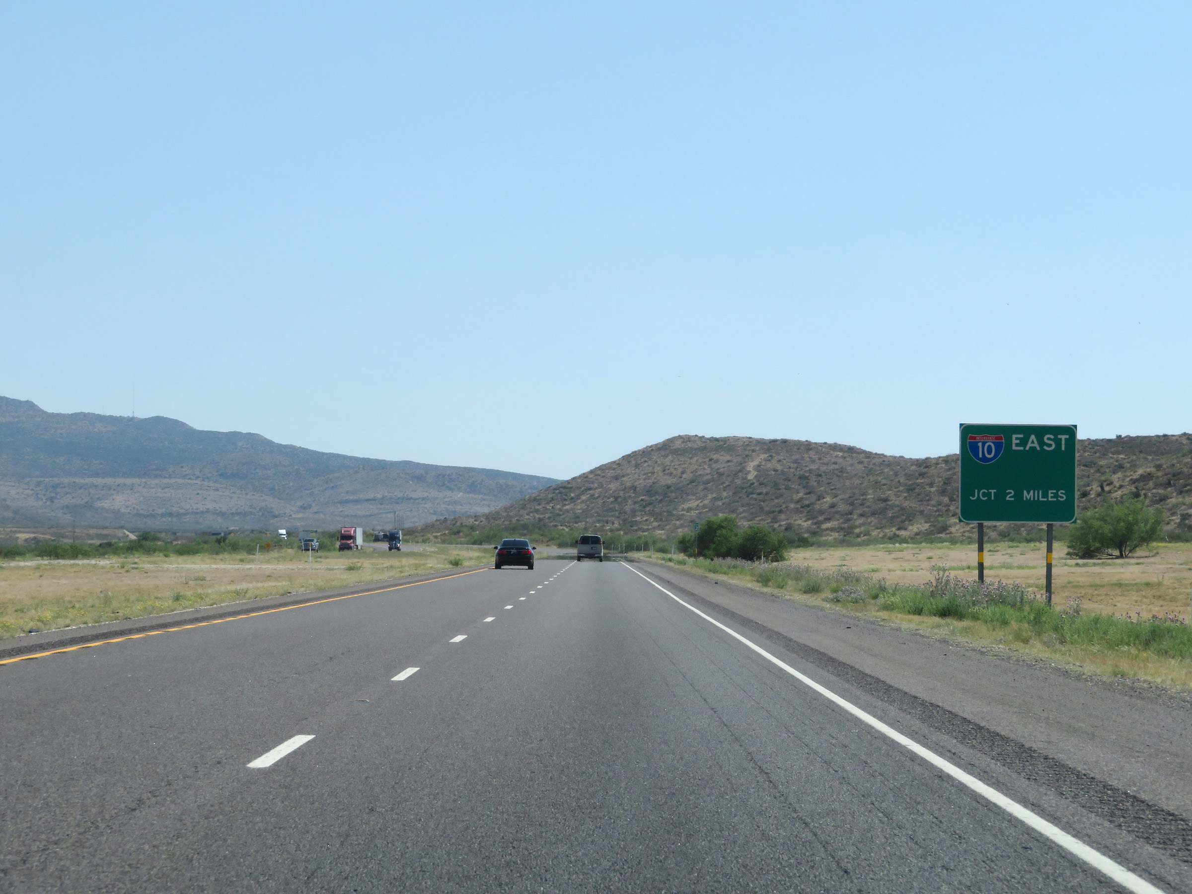 |
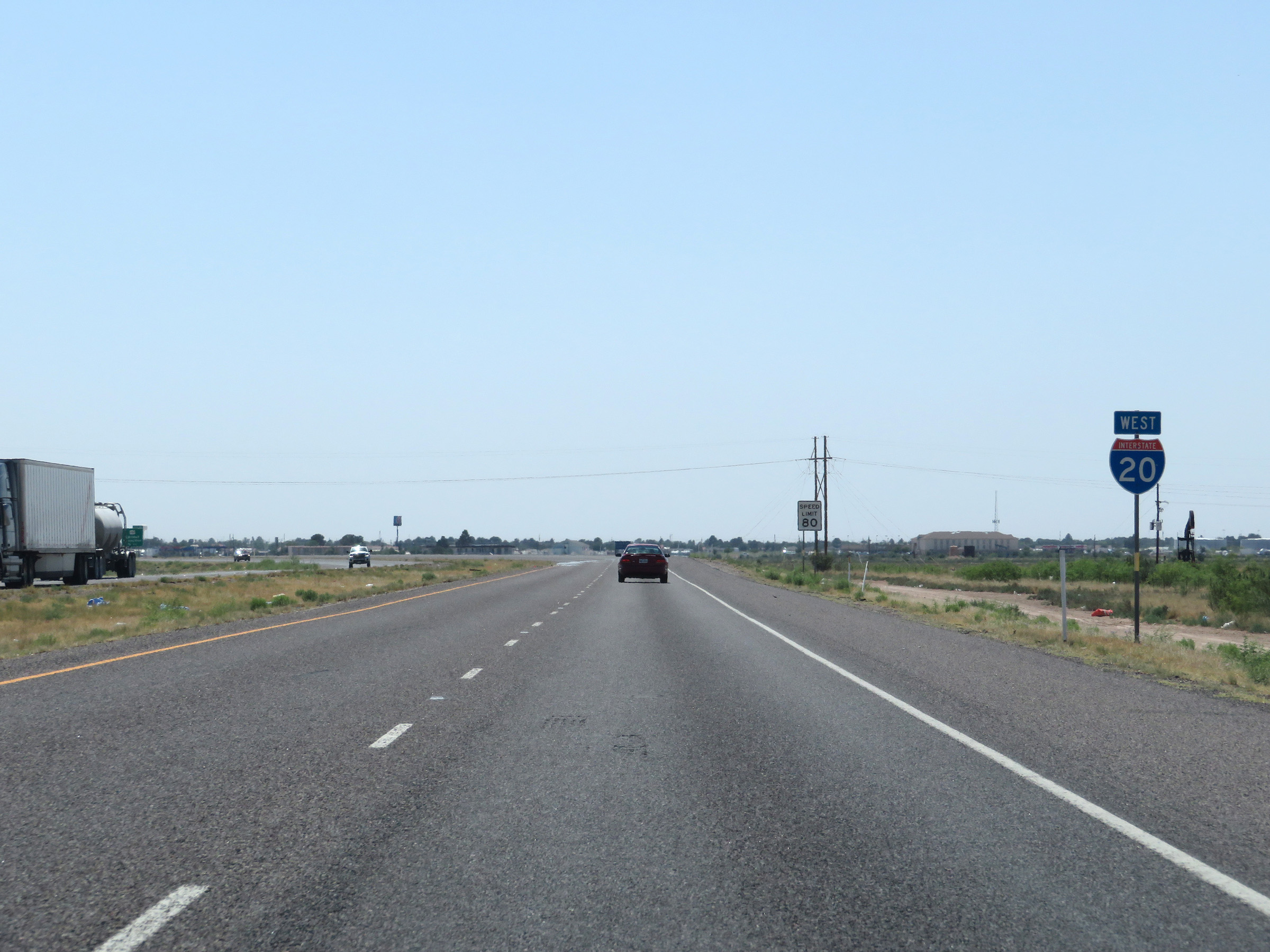
Interstate 20 will reach its national western terminus 2 miles ahead at the junction of Interstate 10. (Photo taken 5/19/18). |
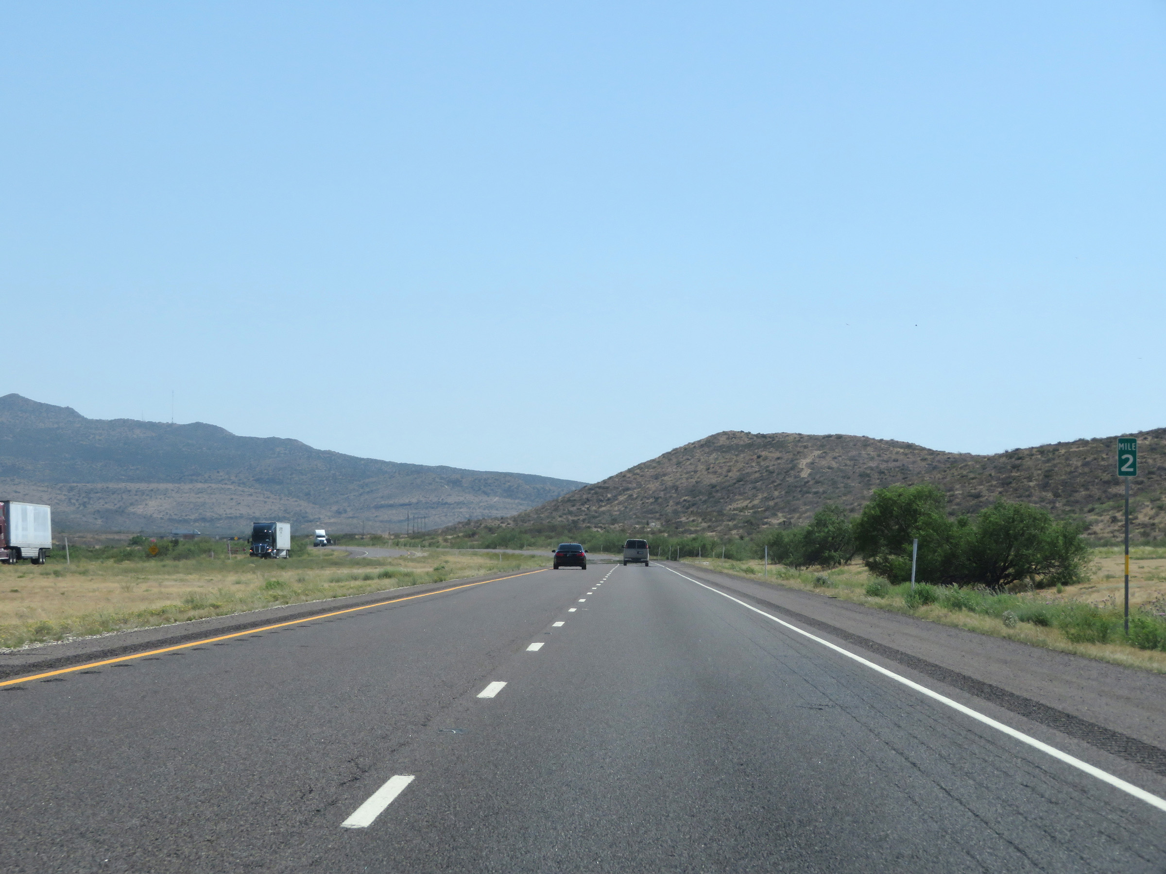 |
Interstate 20 West at mile marker 2. (Photo taken 5/19/18). |
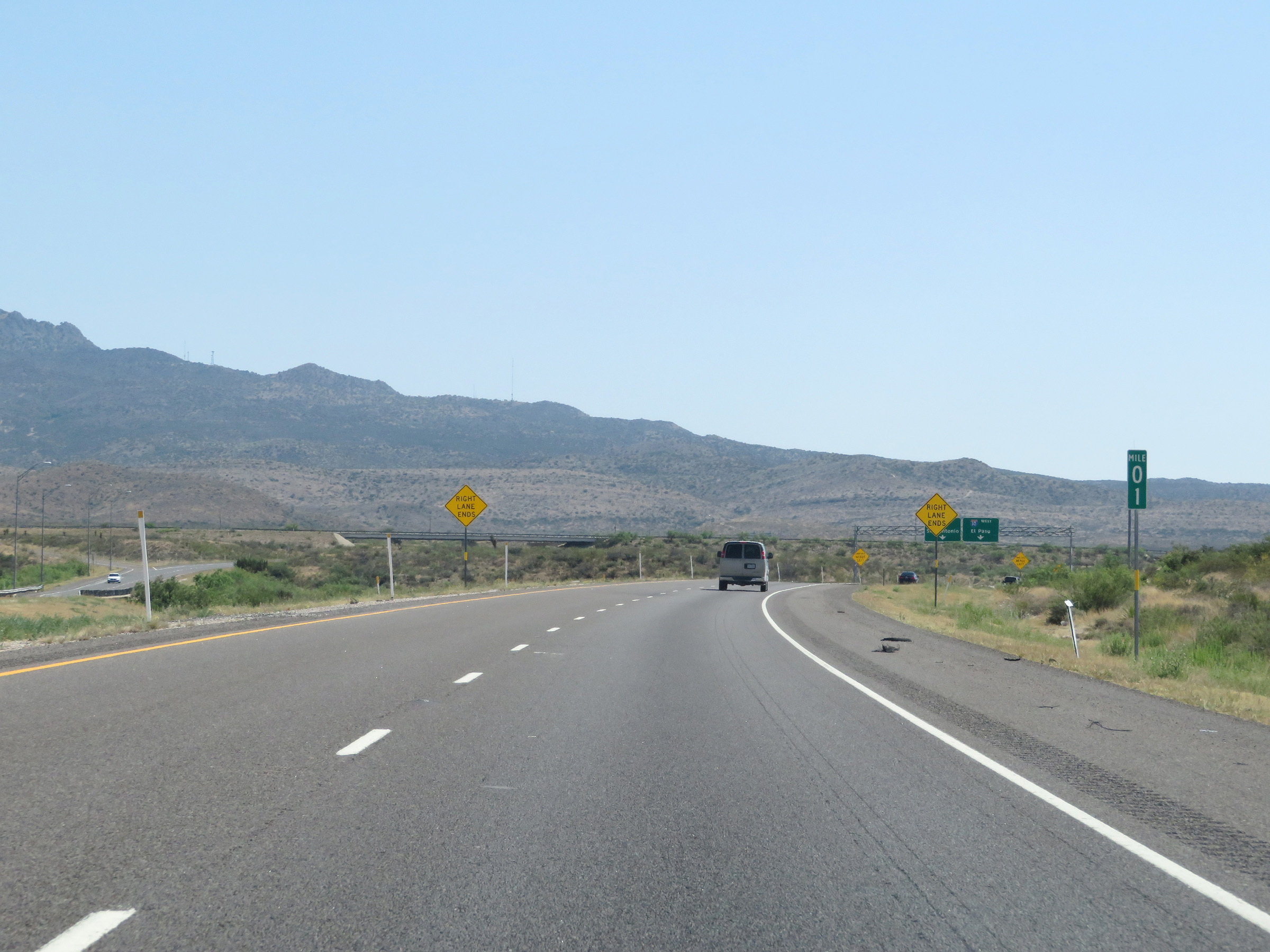 |
View on Interstate 20 West at mile marker 1. (Photo taken 5/19/18). |
 |
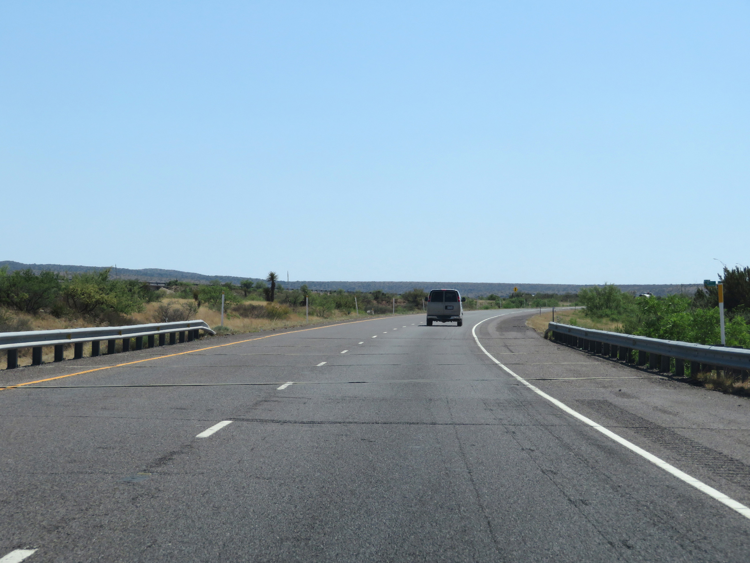
Interstate 20 West as it approaches its national western terminus at the junction of Interstate 10. (Photo taken 5/19/18). |
 |
Just ahead, Interstate 20 West will be reduced to a single lane as it prepares to merge into the westbound lanes of Interstate 10. (Photo taken 5/19/18). |
 |
Here, Interstate 20 West is reduced to a single lane which becomes the ramp to Interstate 10 West. (Photo taken 5/19/18). |
 |
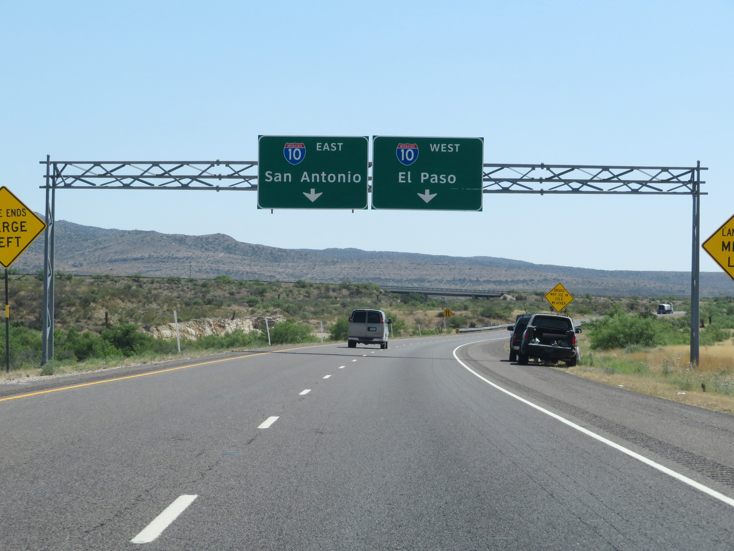
Interstate 20 West as it reaches its national western terminus here near Fort Davis at the junction of Interstate 10 West, noted by mile marker 0. (Photo taken 5/19/18). |
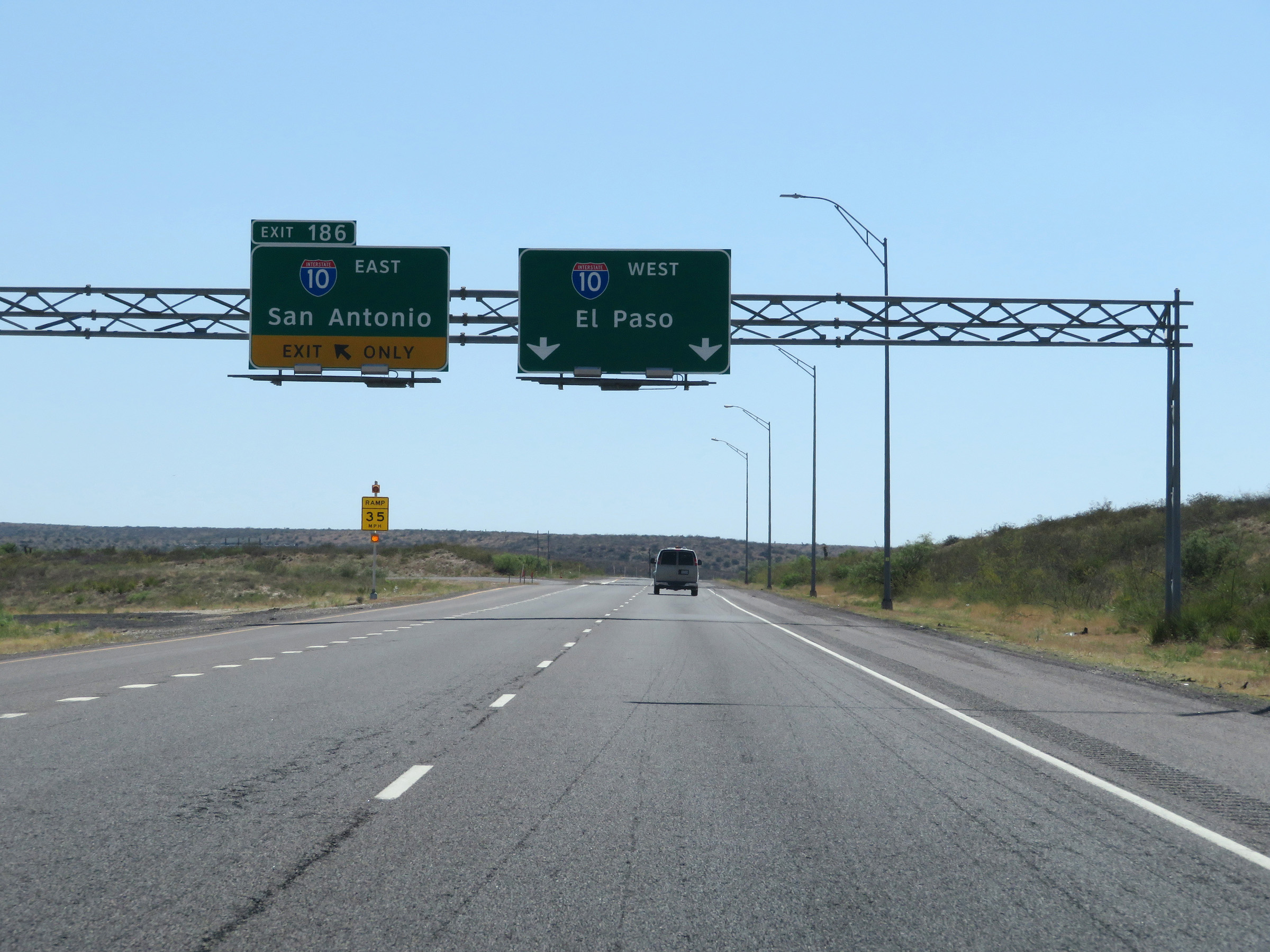 |
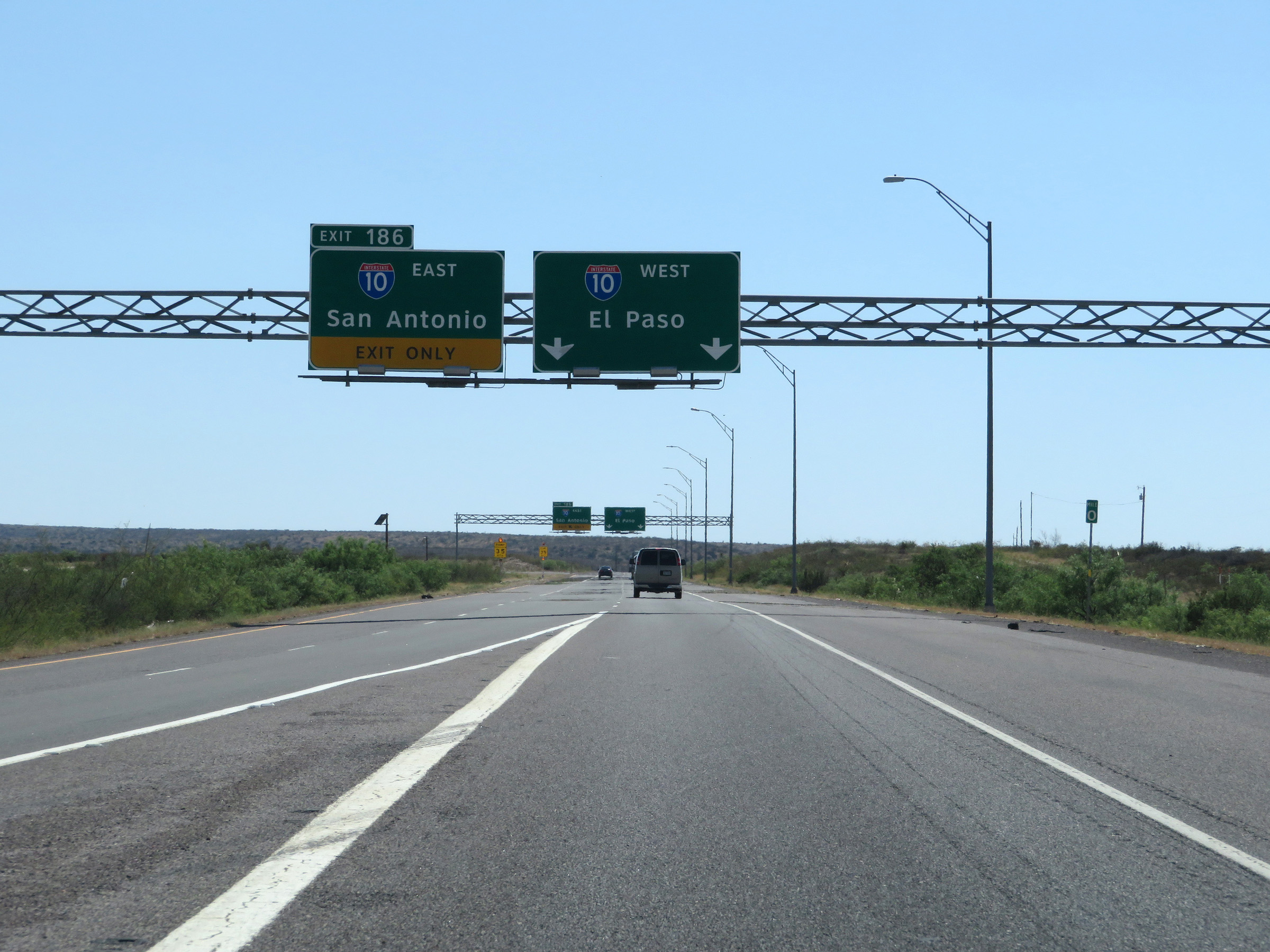
Once on Interstate 10 West, access to Interstate 10 East can be made via Exit 186, seen here on the left. (Photo taken 5/19/18). |