Road Information |
||
 |
||
| Total Mileage in State: | 636 miles | |
| Eastern End: | At Louisiana state line | |
| Western End: | At I-10, near Kent | |
| Mileage covered in Photos: | 636 miles | |
| Counties covered in Photos: | Reeves, Ward, Crane, Ector, Midland, Martin, Howard, Mitchell, Nolan, Taylor, Callahan, Eastland, Erath, Palo Pinto, Parker, Tarrant, Dallas, Kaufman, Van Zandt, Smith, Gregg, Harrison | |
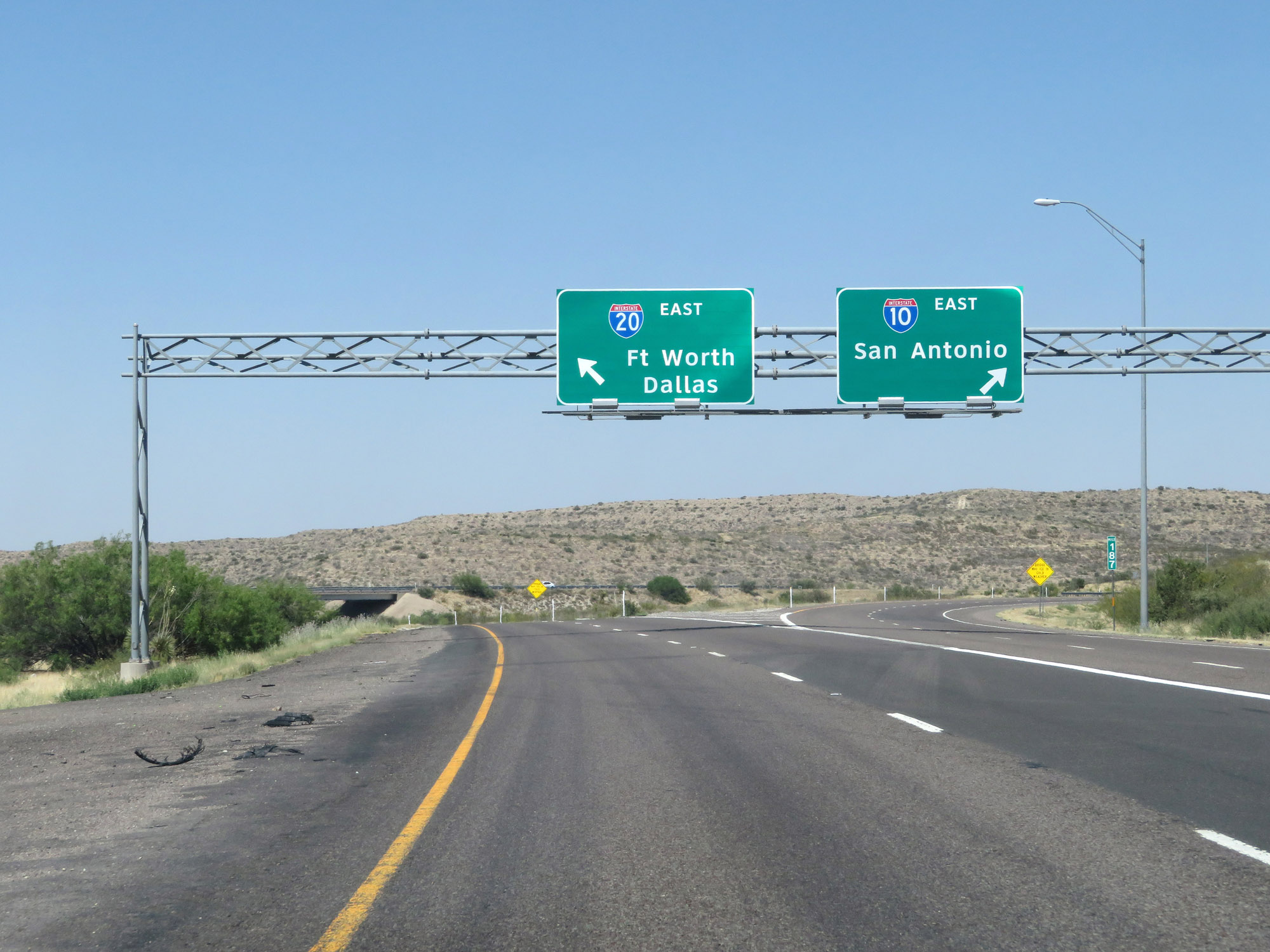
| Major Junctions in Photos: | US 87, in Big Spring I-30, near Fort Worth I-820, in Benbrook I-35W, in Fort Worth I-820, in Kennedale I-35E, in Dallas I-45, in Dallas I-635, near Dallas |
|
| Control Cities in Photos: | Odessa, Midland, Abilene, Weatherford, Fort Worth, Arlington, Dallas, Terrell, Longview | |
Eastbound
- Section 1: Interstate 10 to Odessa (Exit 116)
- Section 2: Odessa (Exit 116) to Big Spring (Exit 179)
- Section 3: Big Spring (Exit 179) to Sweetwater (Exit 247)
- Section 4: Sweetwater (Exit 247) to Abilene (Exit 290)
- Section 5: Abilene (Exit 290) to Weatherford (Exit 406)
- Section 6: Weatherford (Exit 406) to Arlington (Exit 445)
- Section 7: Arlington (Exit 445) to Dallas (Exit 478)
- Section 8: Dallas (Exit 478) to Lindale (Exit 554)
- Section 9: Lindale (Exit 554) to Louisiana Border
Section 1: Interstate 10 to Odessa (Exit 116)
 |
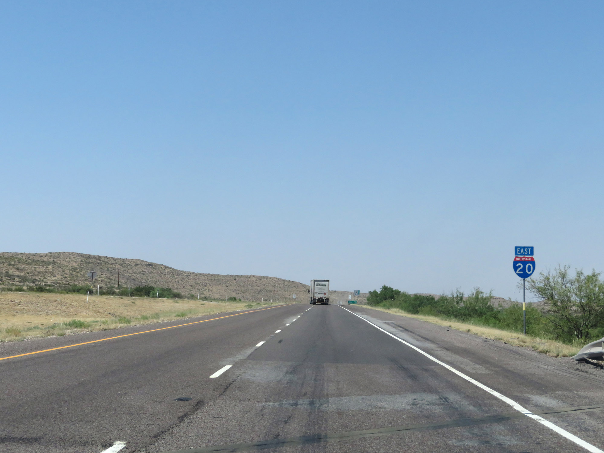
Interstate 20 East begins here, at an unnumbered exit off Interstate 10 East at mile marker 187 near the town of Kent. (Photo taken 5/19/18). |
 |
Interstate 20 East reassurance shield at its beginning. (Photo taken 5/19/18). |
 |
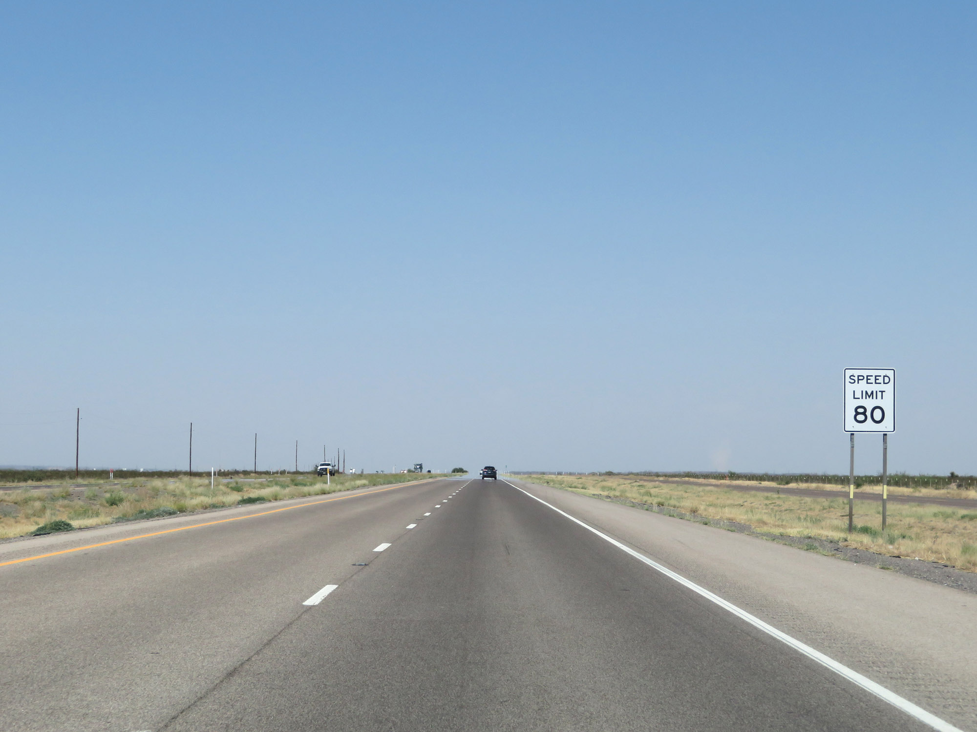
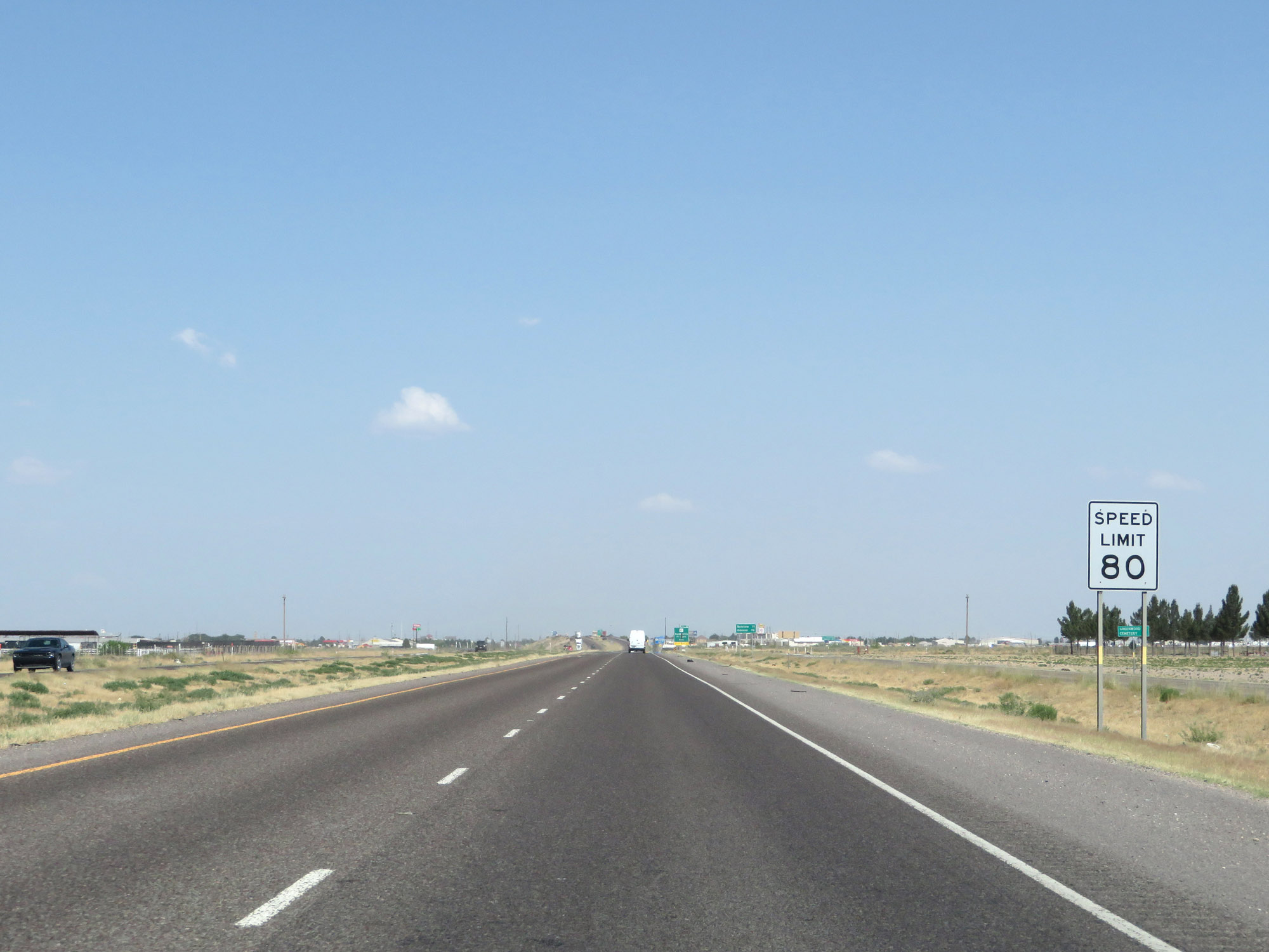
The speed limit on Interstate 20 East starts out at 80 mph. It will remain 80 mph until entering Crane County, just to the west of the Odessa area. (Photo taken 5/19/18). |
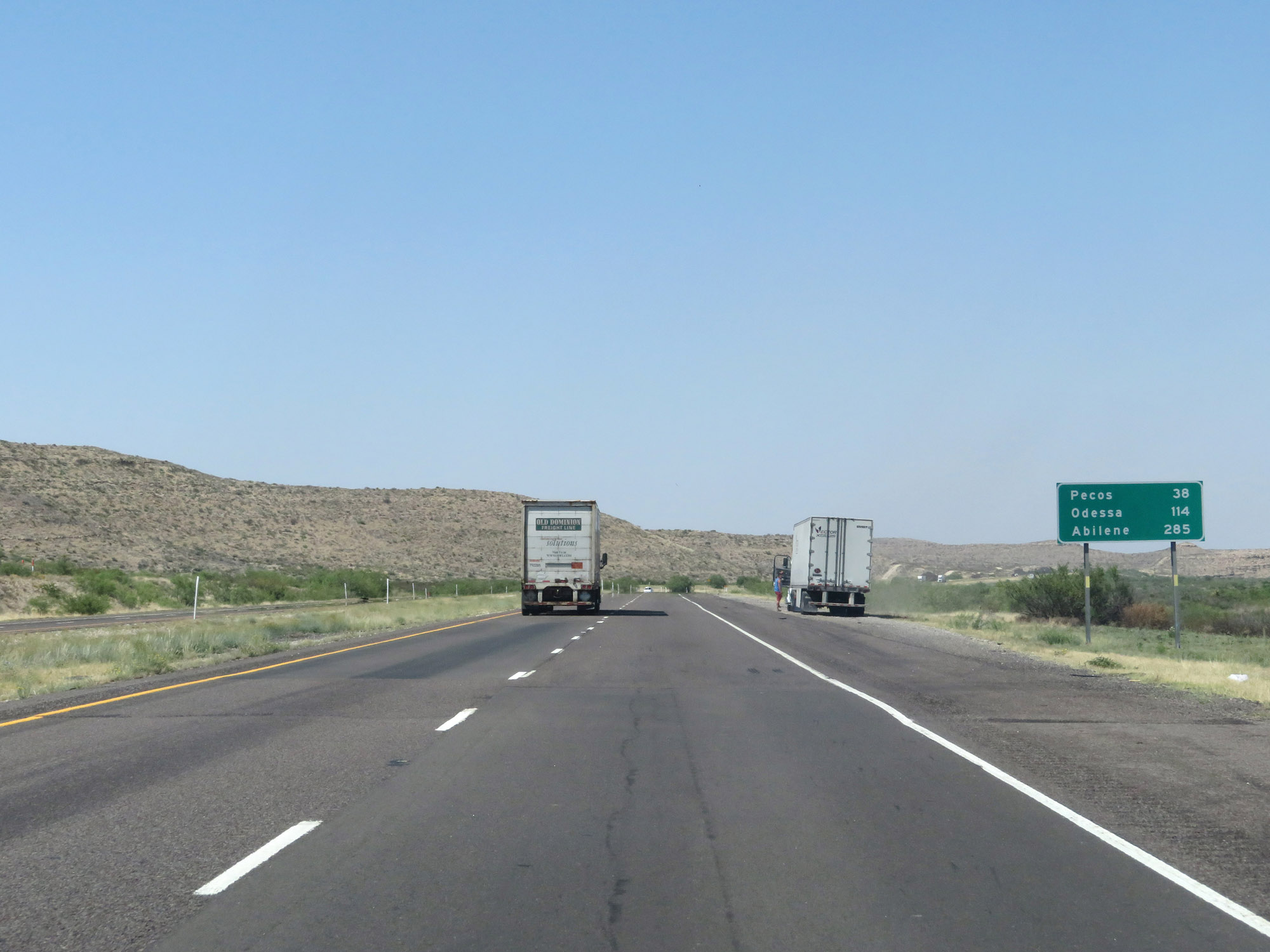 |
Mileage sign on Interstate 20 East. It's 38 miles to Pecos, 114 miles to Odessa, and 285 miles to Abilene. (Photo taken 5/19/18). |
 |
Interstate 20 East at mile marker 2. (Photo taken 5/19/18). |
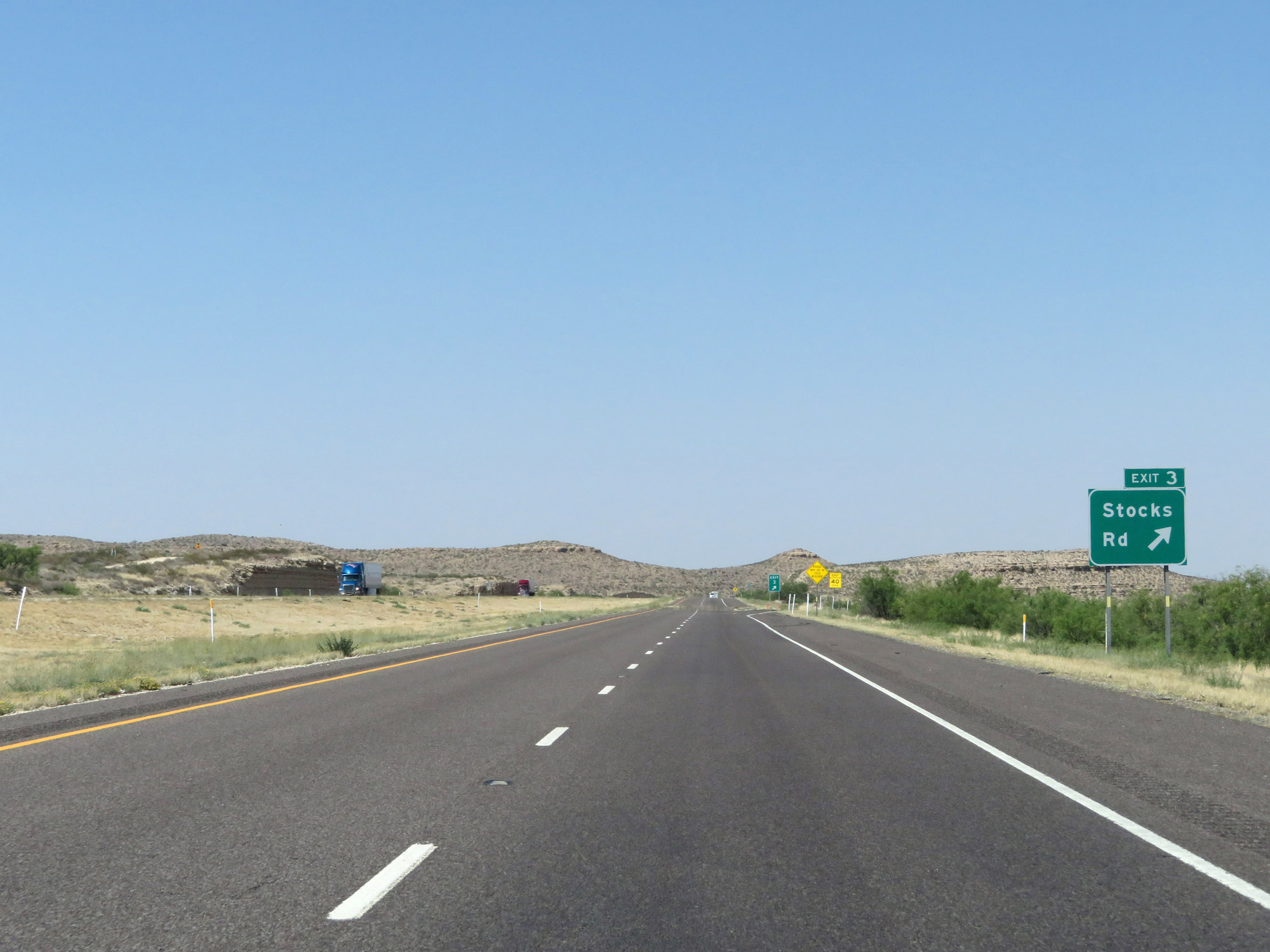 |
Interstate 20 East at Exit 3: Stocks Rd (Photo taken 5/19/18). |
 |
Interstate 20 East at mile marker 6. (Photo taken 5/19/18). |
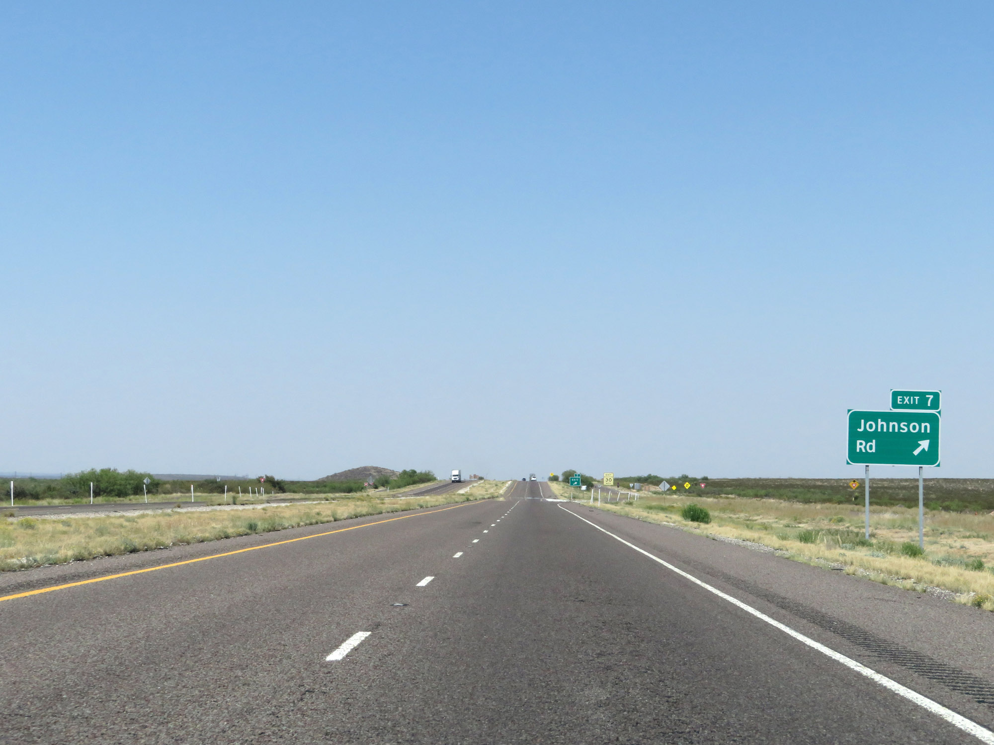 |
Interstate 20 East at Exit 7: Johnson Rd (Photo taken 5/19/18). |
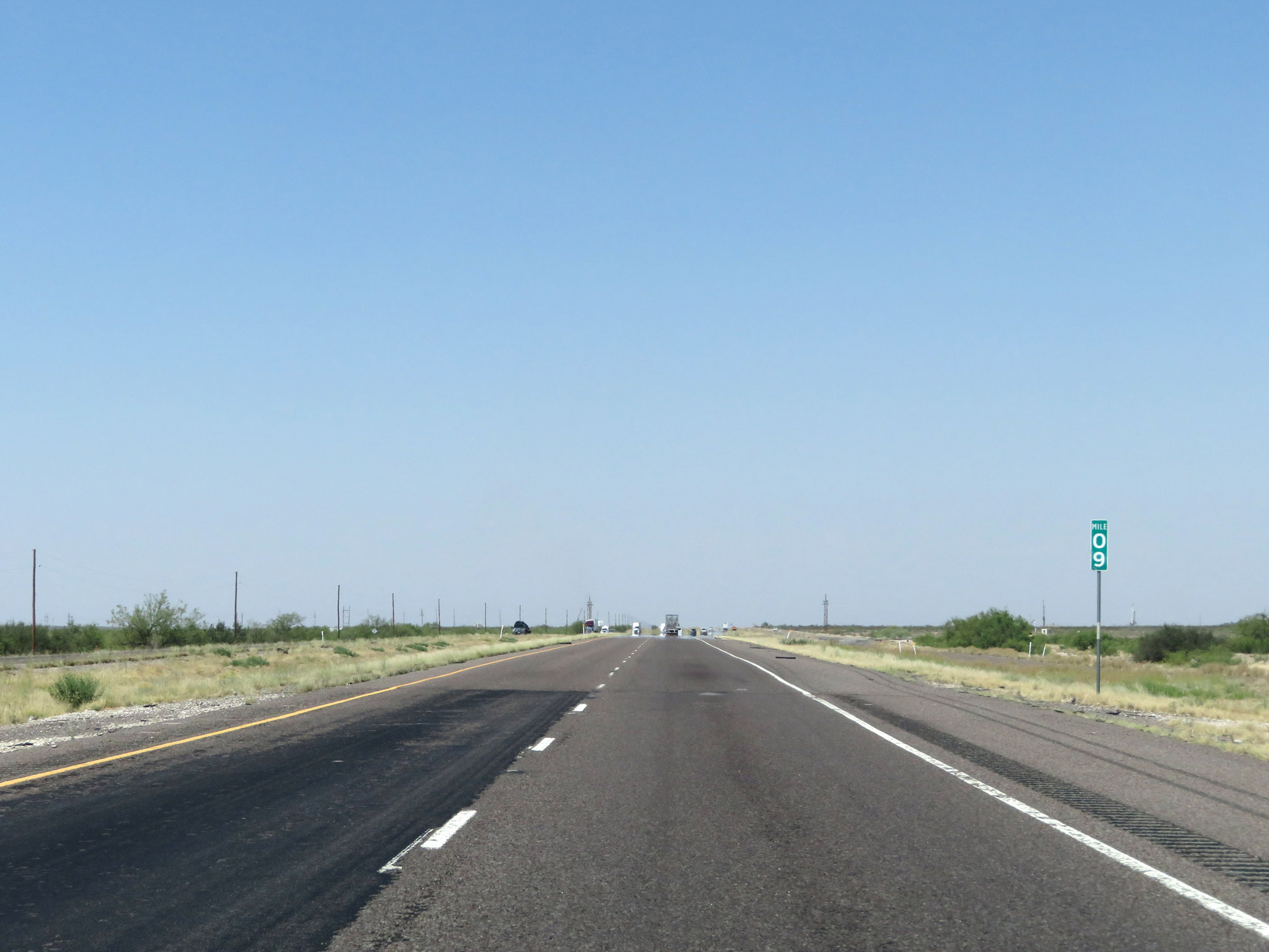 |
Interstate 20 East at mile marker 9. (Photo taken 5/19/18). |
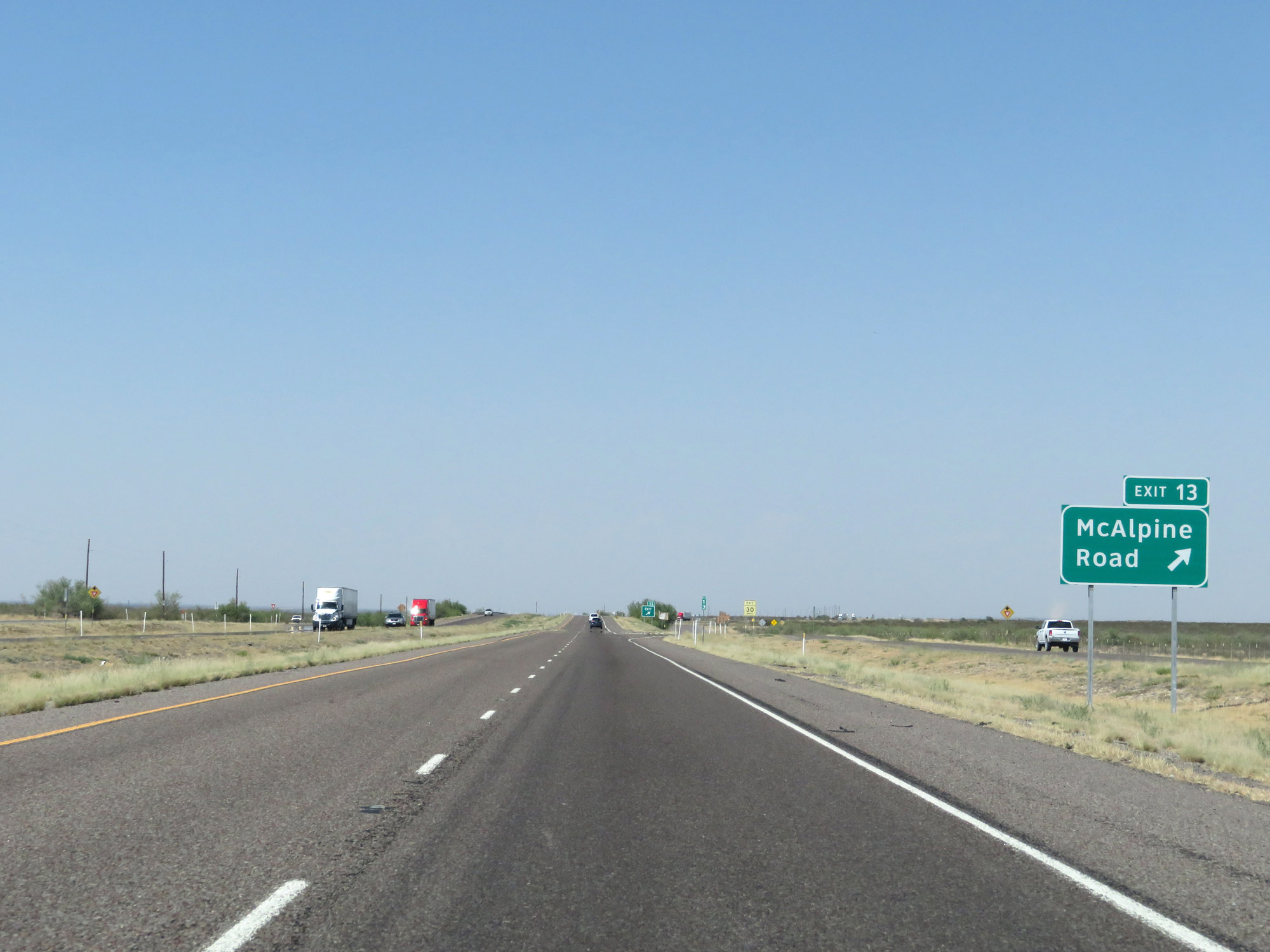 |
Interstate 20 East at Exit 13: McAlpine Road (Photo taken 5/19/18). |
 |
State-named Interstate 20 East reassurance shield. (Photo taken 5/19/18). |
 |
The speed limit remains 80 mph. (Photo taken 5/19/18). |
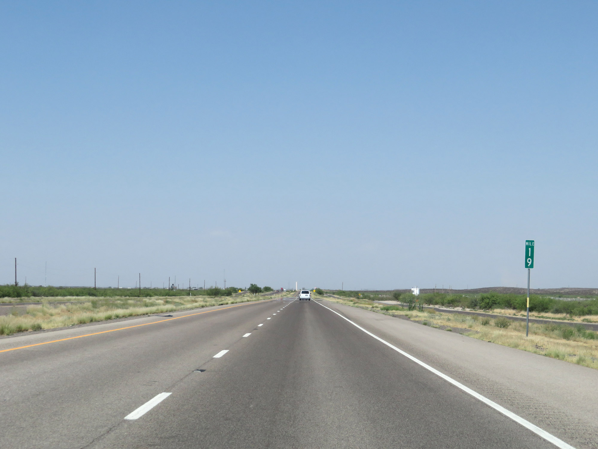 |
Interstate 20 East at mile marker 19. (Photo taken 5/19/18). |
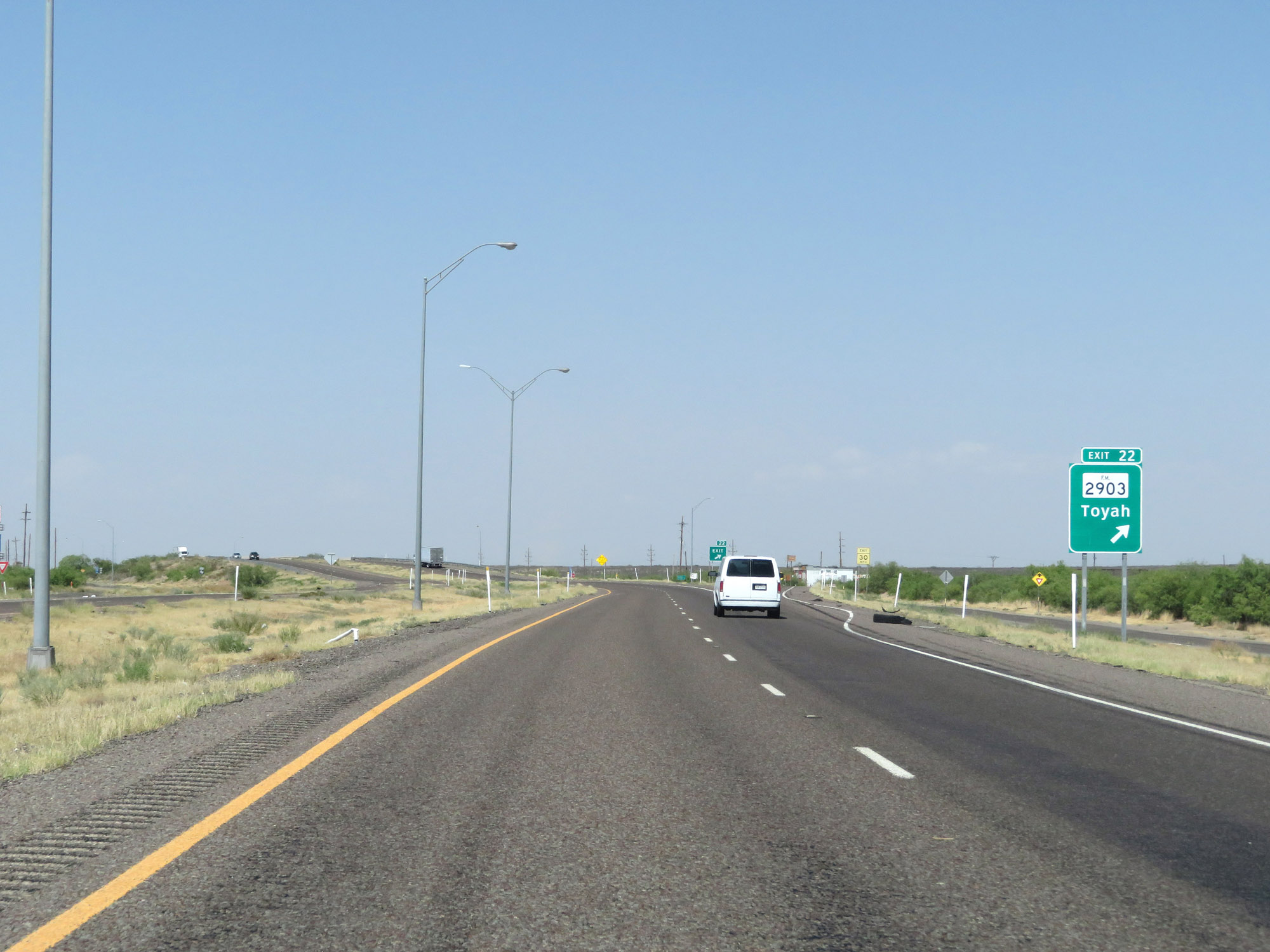 |
Interstate 20 East at Exit 22: FM 2903 - Toyah (Photo taken 5/19/18). |
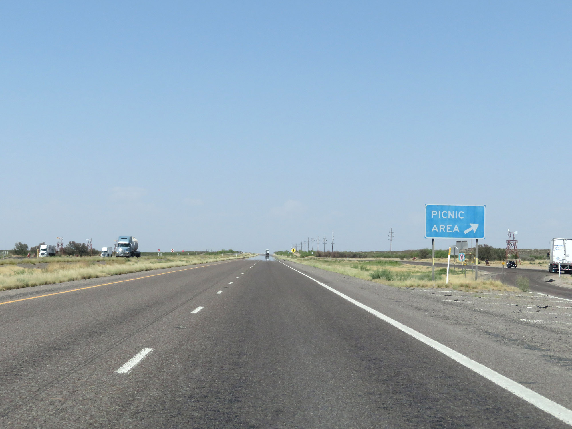 |
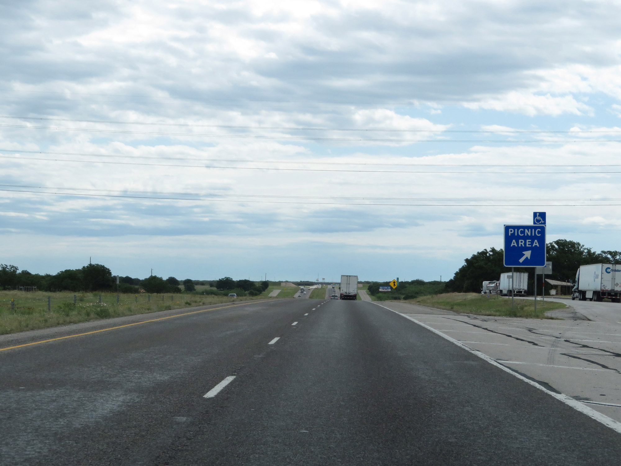
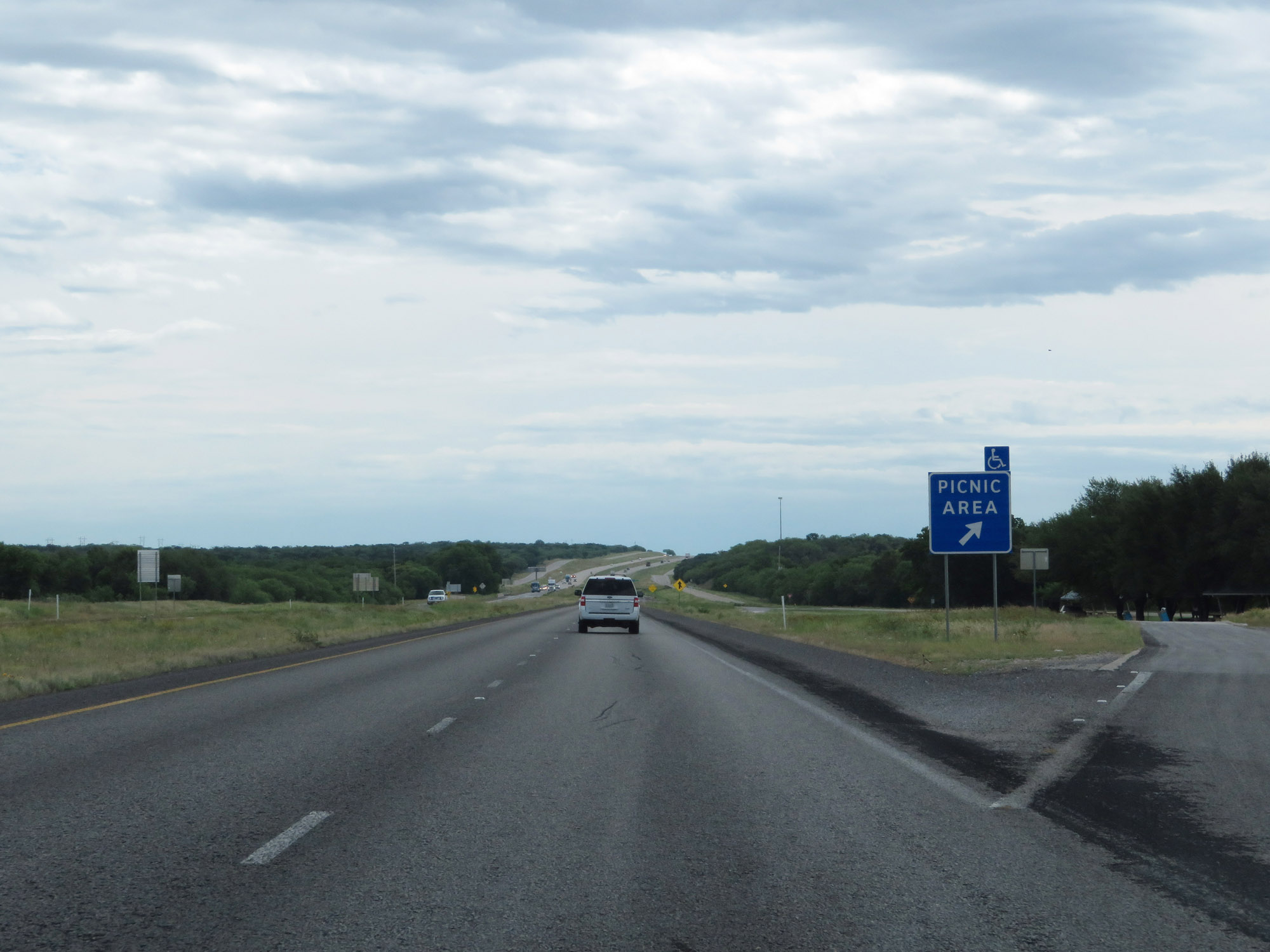
Picnic Area on Interstate 20 East in Reeves County. (Photo taken 5/19/18). |
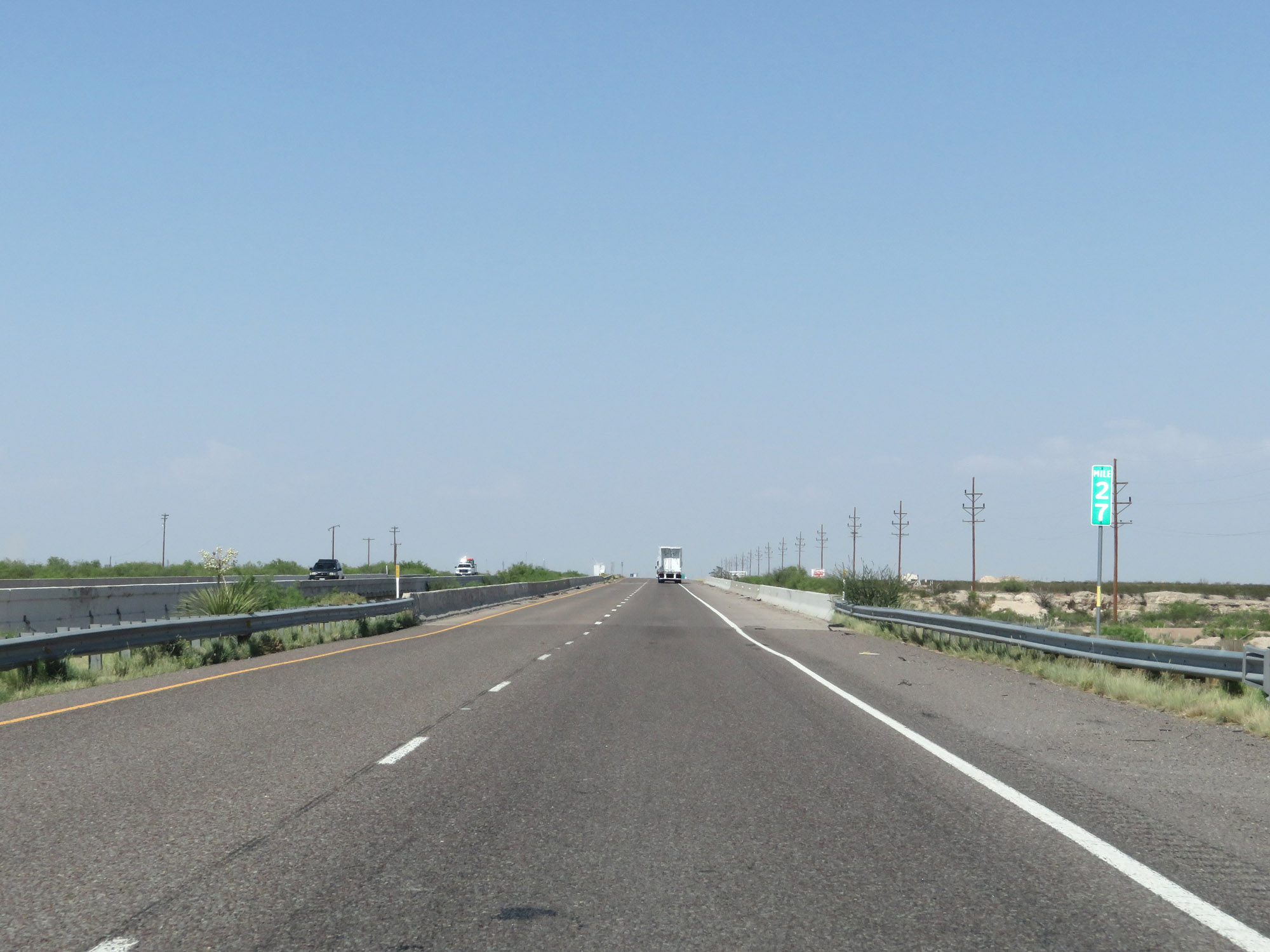 |
Interstate 20 East at mile marker 27. (Photo taken 5/19/18). |
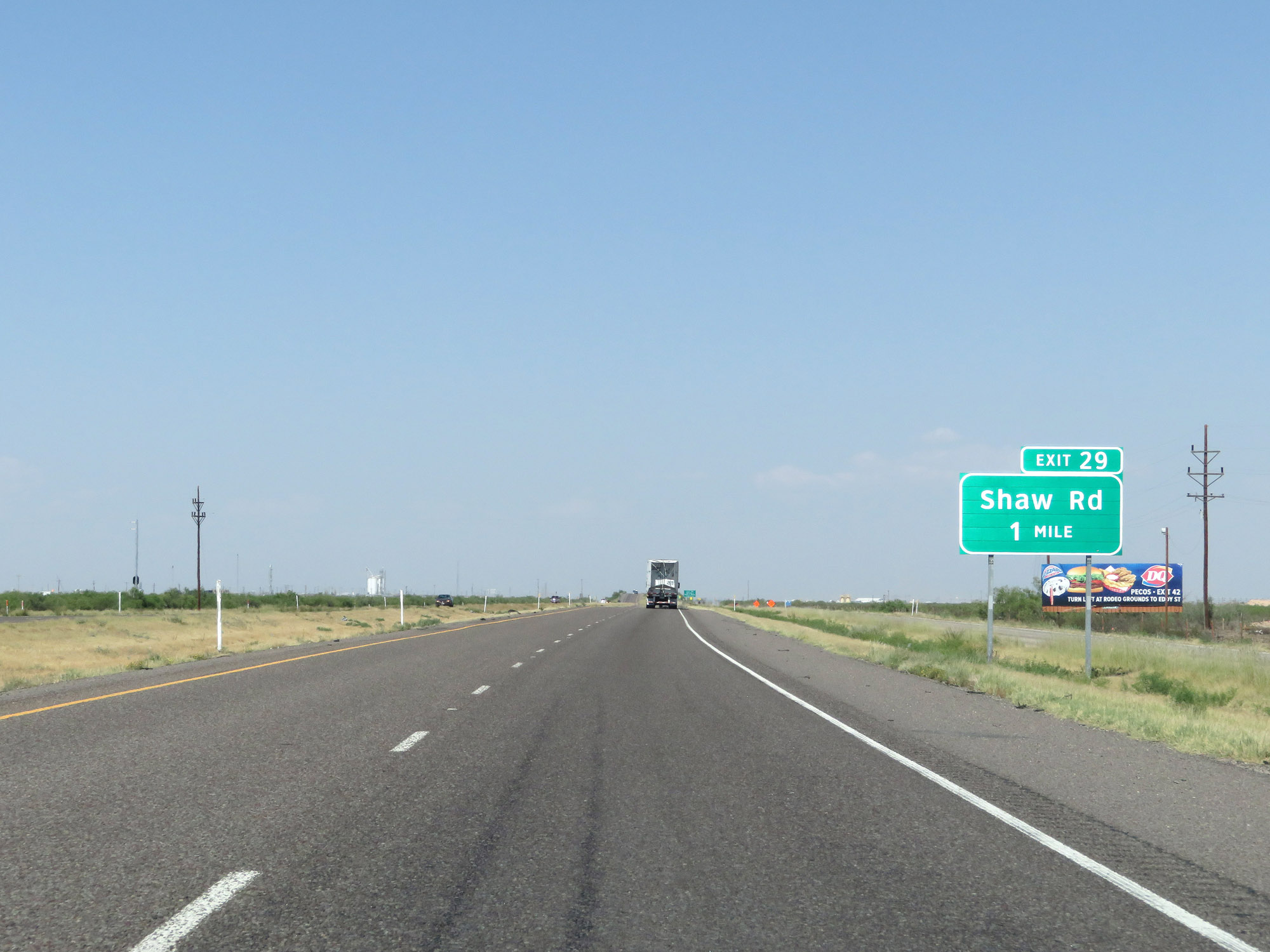 |
Interstate 20 East approaching Exit 29 - 1 mile. (Photo taken 5/19/18). |
 |
Take Exit 29 to Texas A&M Agricultural Research Station. (Photo taken 5/19/18). |
 |
Interstate 20 East at Exit 29: Shaw Rd (Photo taken 5/19/18). |
 |
Interstate 20 East at Exit 33: FM 869 (Photo taken 5/19/18). |
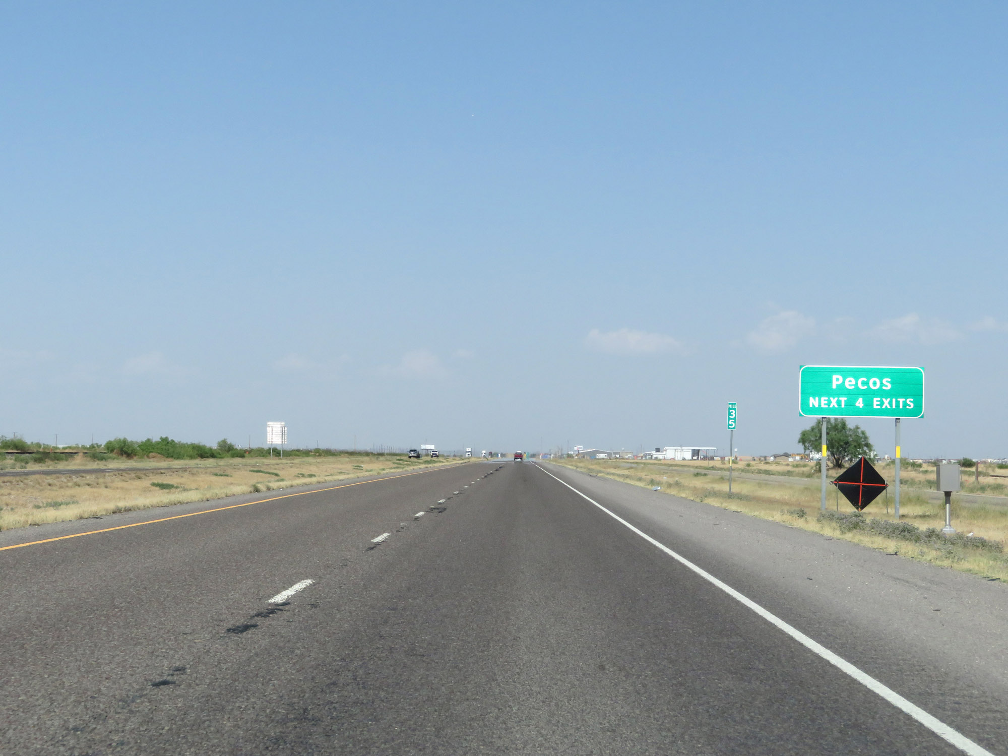 |
Take any of the next 4 exits to Pecos. (Photo taken 5/19/18). |
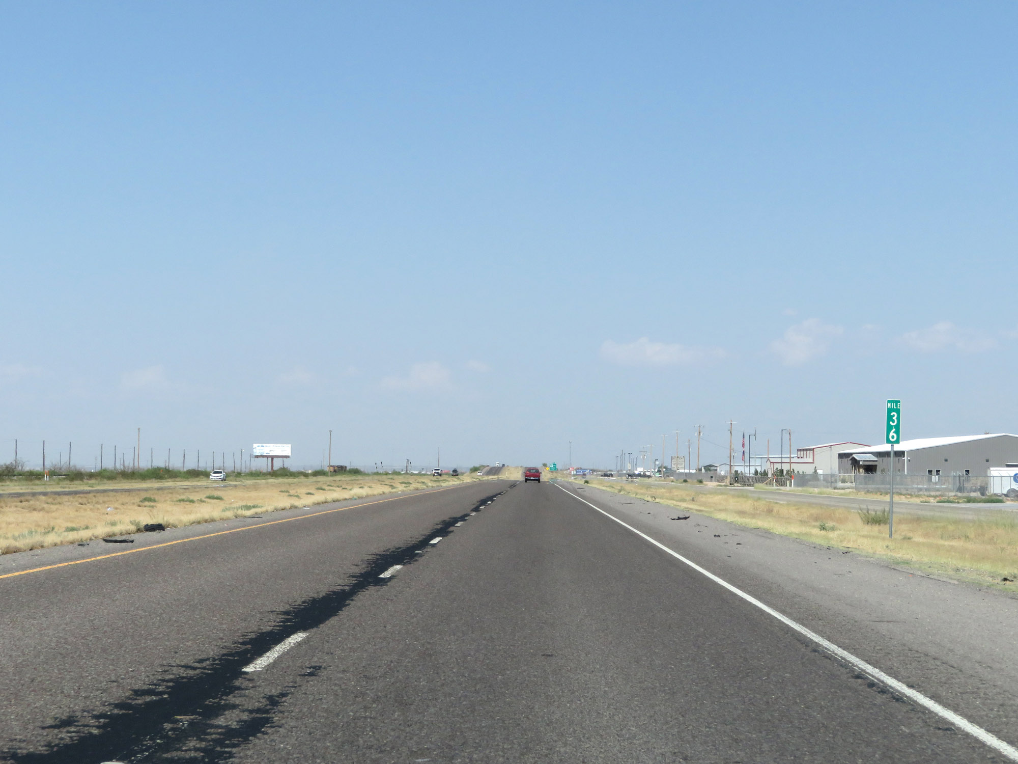 |
Interstate 20 East at mile marker 36. (Photo taken 5/19/18). |
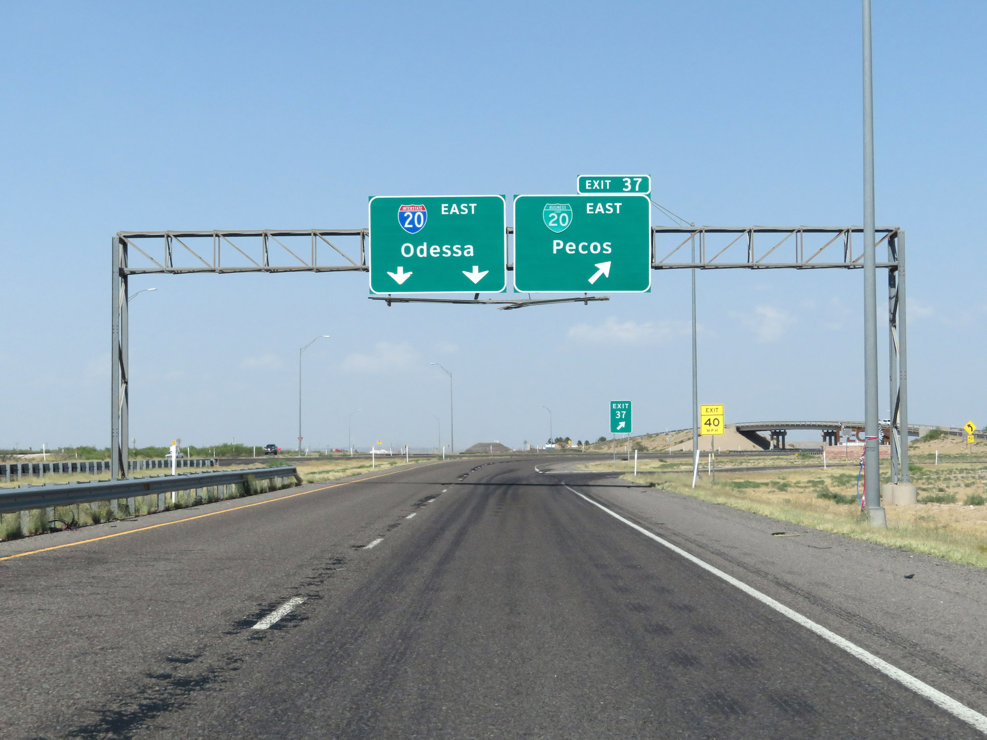 |
Interstate 20 East at Exit 37: Interstate 20 Business Loop East - Pecos (Photo taken 5/19/18). |
 |
The speed limit remains 80 mph through Pecos. (Photo taken 5/19/18). |
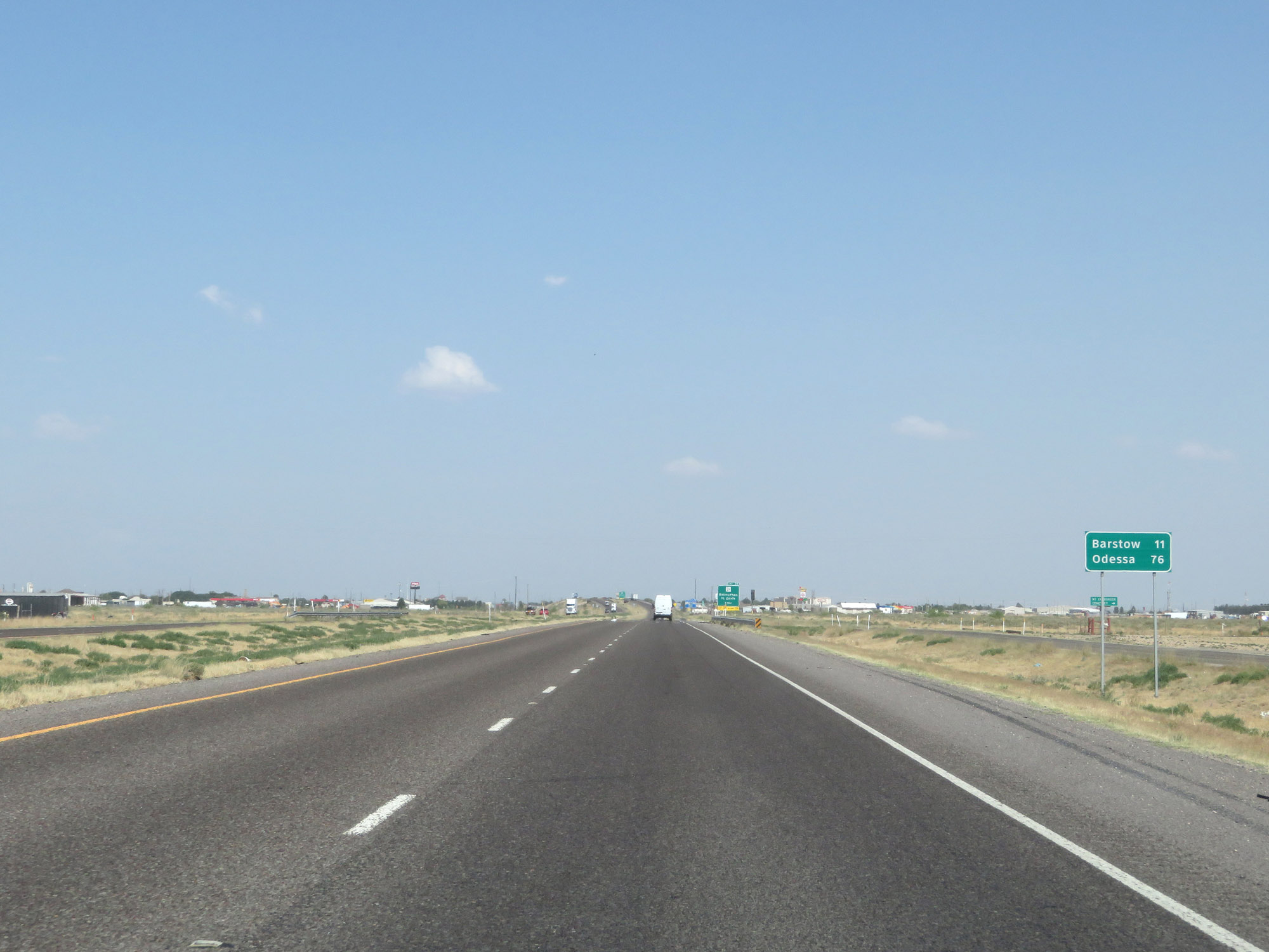 |
Mileage sign on Interstate 20 East. It's 11 miles to Barstow and 76 miles to Odessa. (Photo taken 5/19/18). |
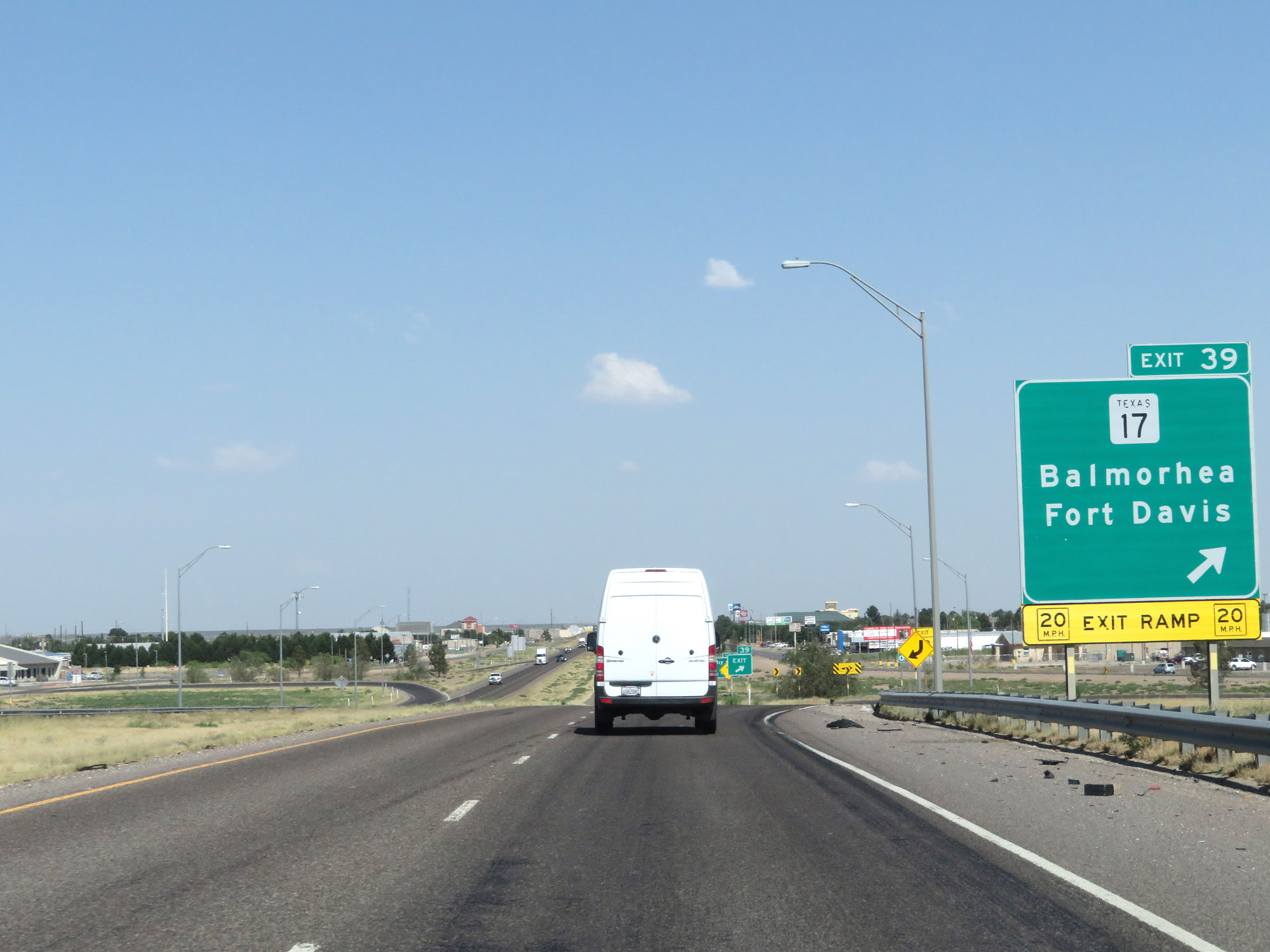 |
Interstate 20 East at Exit 39: TX 17 - Balmorhea / Fort Davis (Photo taken 5/19/18). |
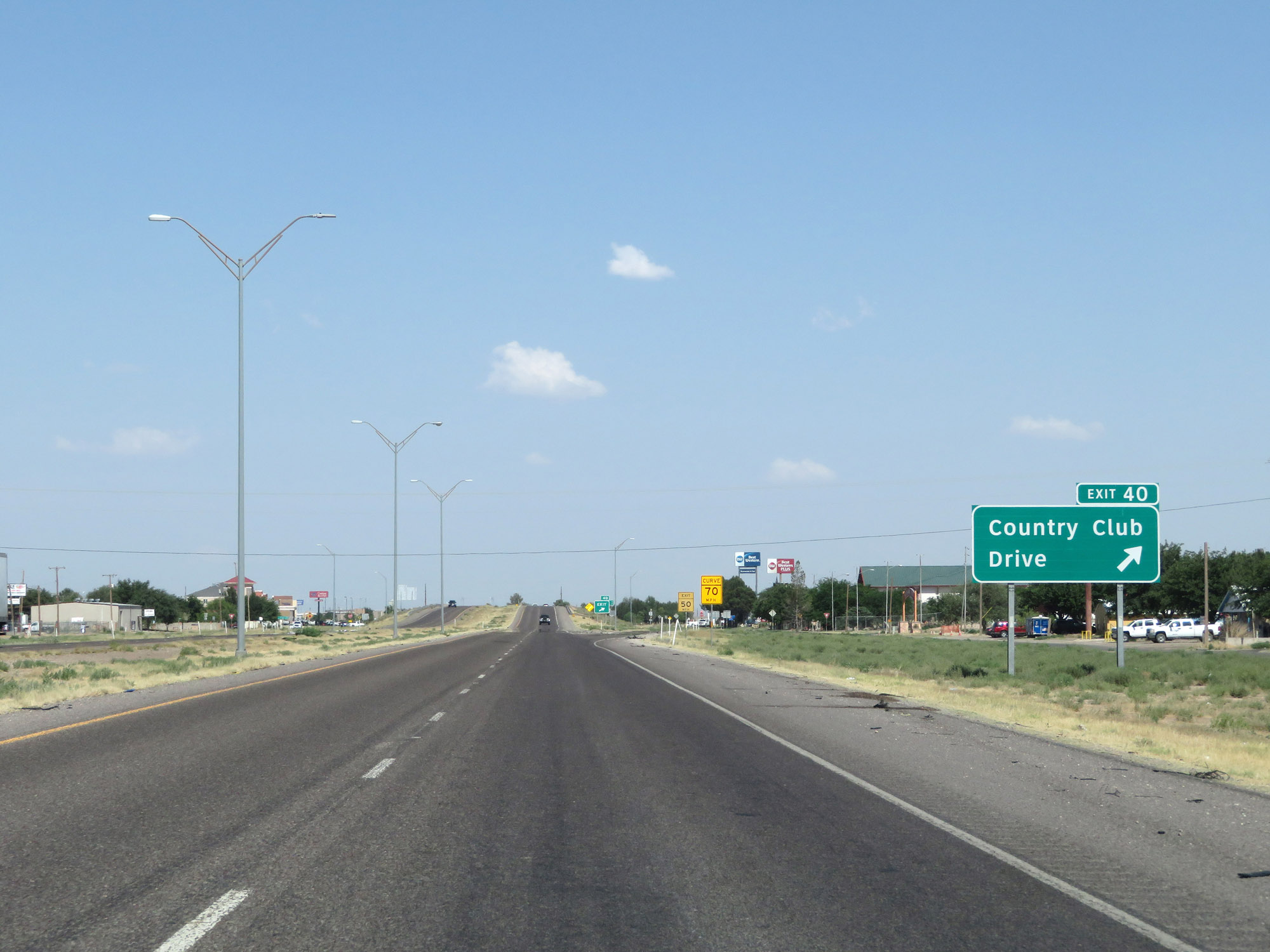 |
Interstate 20 East at Exit 40: Country Club Drive (Photo taken 5/19/18). |
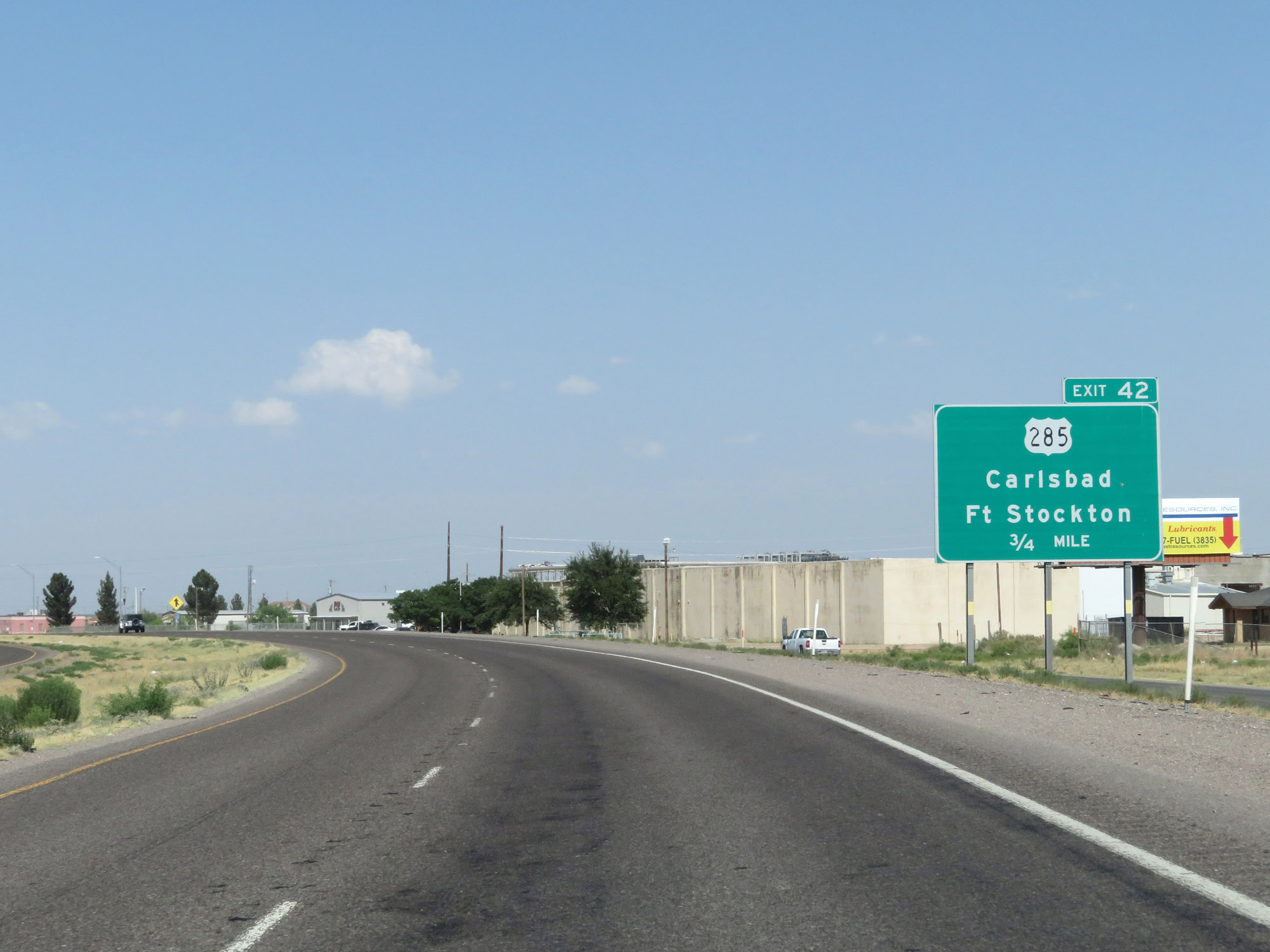 |
Interstate 20 East approaching Exit 42 - 3/4 mile. (Photo taken 5/19/18). |
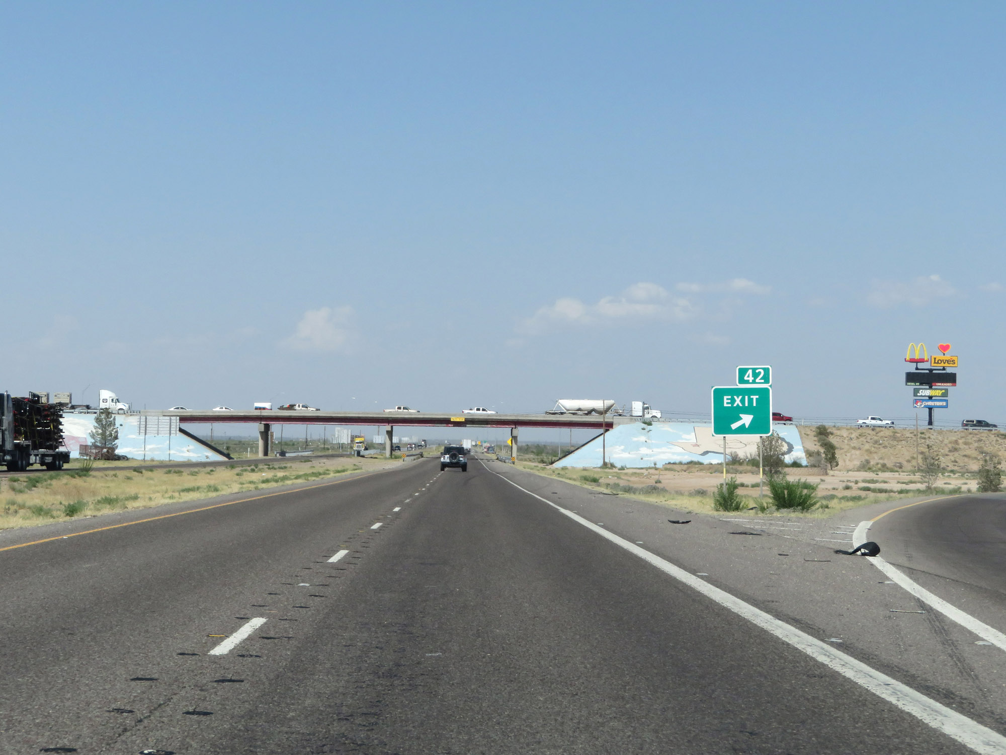 |
Interstate 20 East at Exit 42: US 285 - Carlsbad / Fort Stockton (Photo taken 5/19/18). |
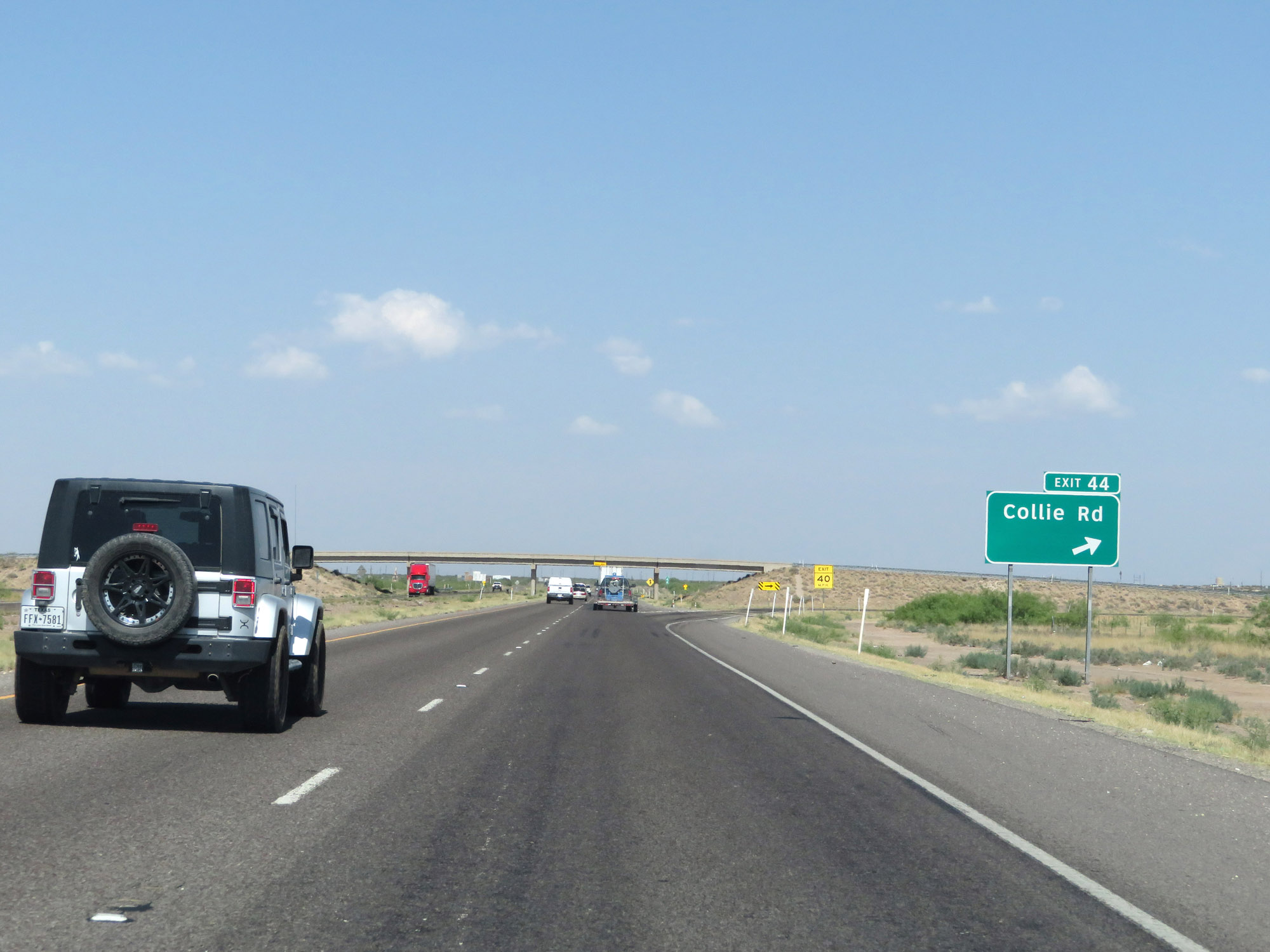 |
Interstate 20 East at Exit 44: Collie Rd (Photo taken 5/19/18). |
 |
Interstate 20 East at mile marker 48. (Photo taken 5/19/18). |
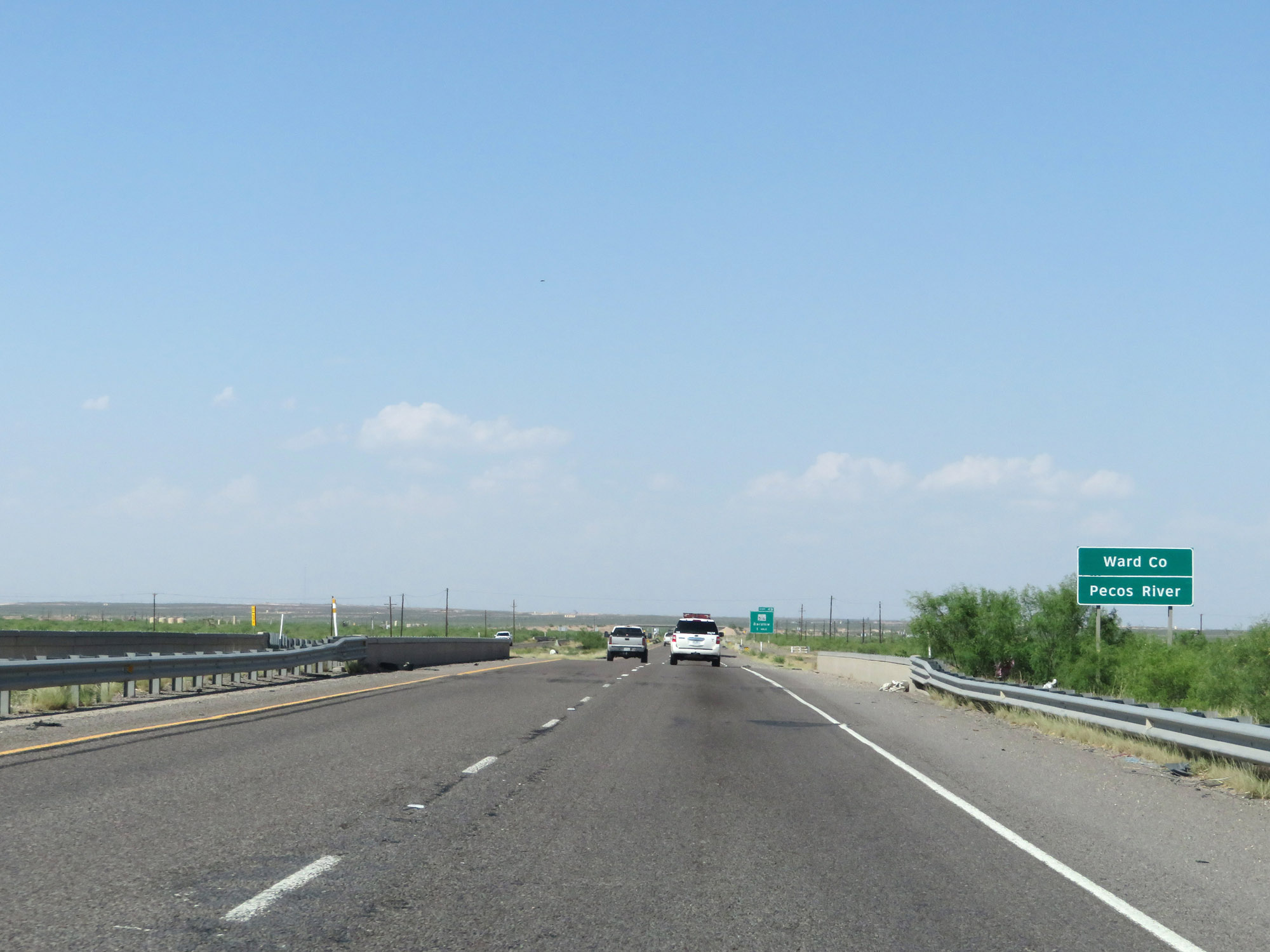 |
Interstate 20 East as it enters Ward County by crossing the Pecos River. (Photo taken 5/19/18). |
 |
Interstate 20 East approaching Exit 49 - 1 mile. (Photo taken 5/19/18). |
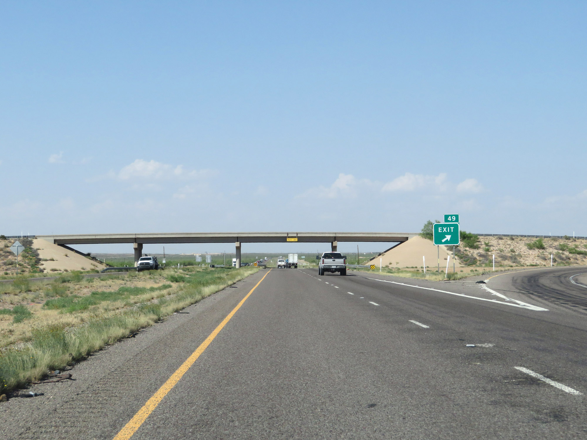 |
Interstate 20 East at Exit 49: FM 516 - Barstow (Photo taken 5/19/18). |
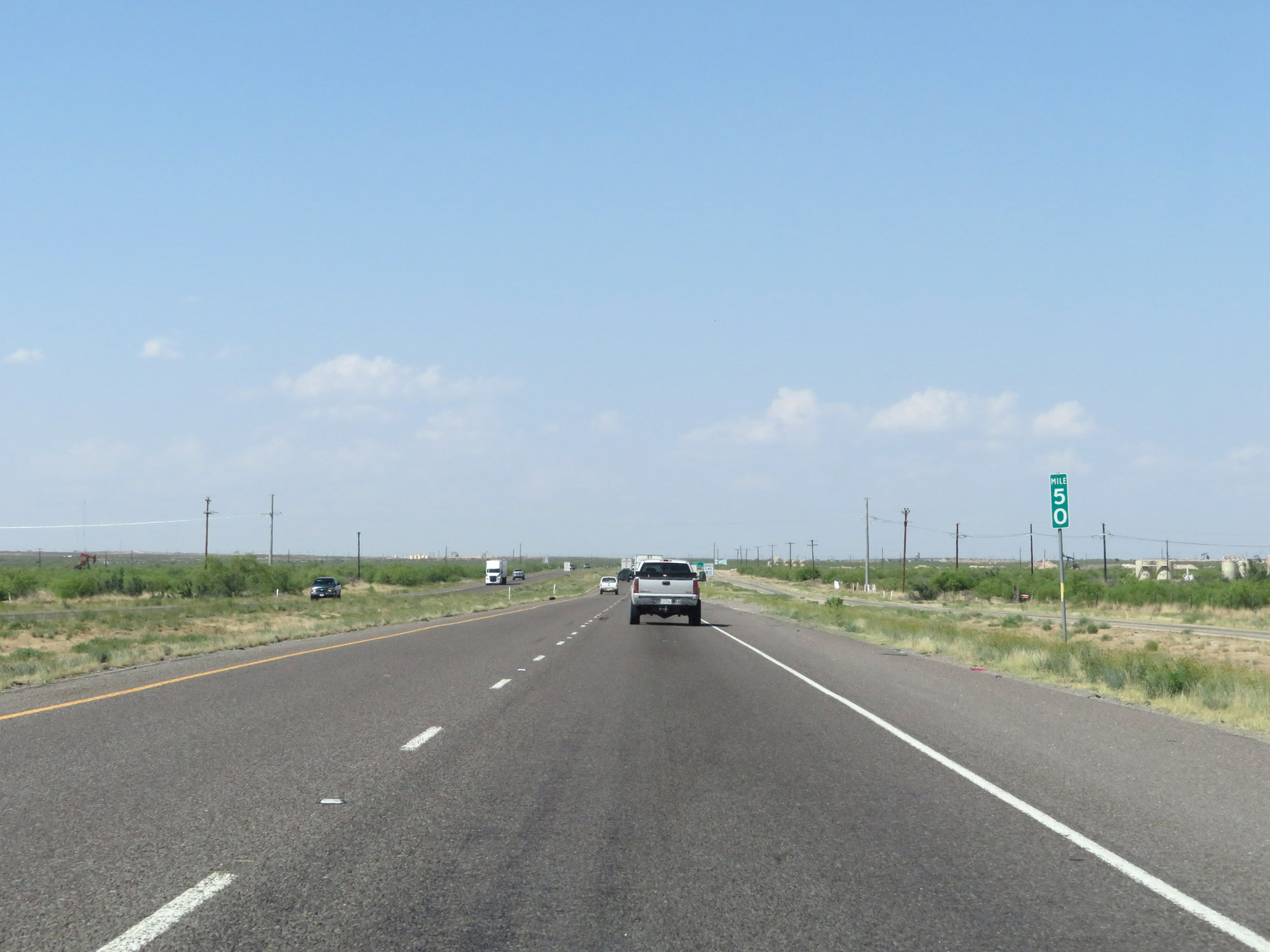 |
Interstate 20 East at mile marker 50. (Photo taken 5/19/18). |
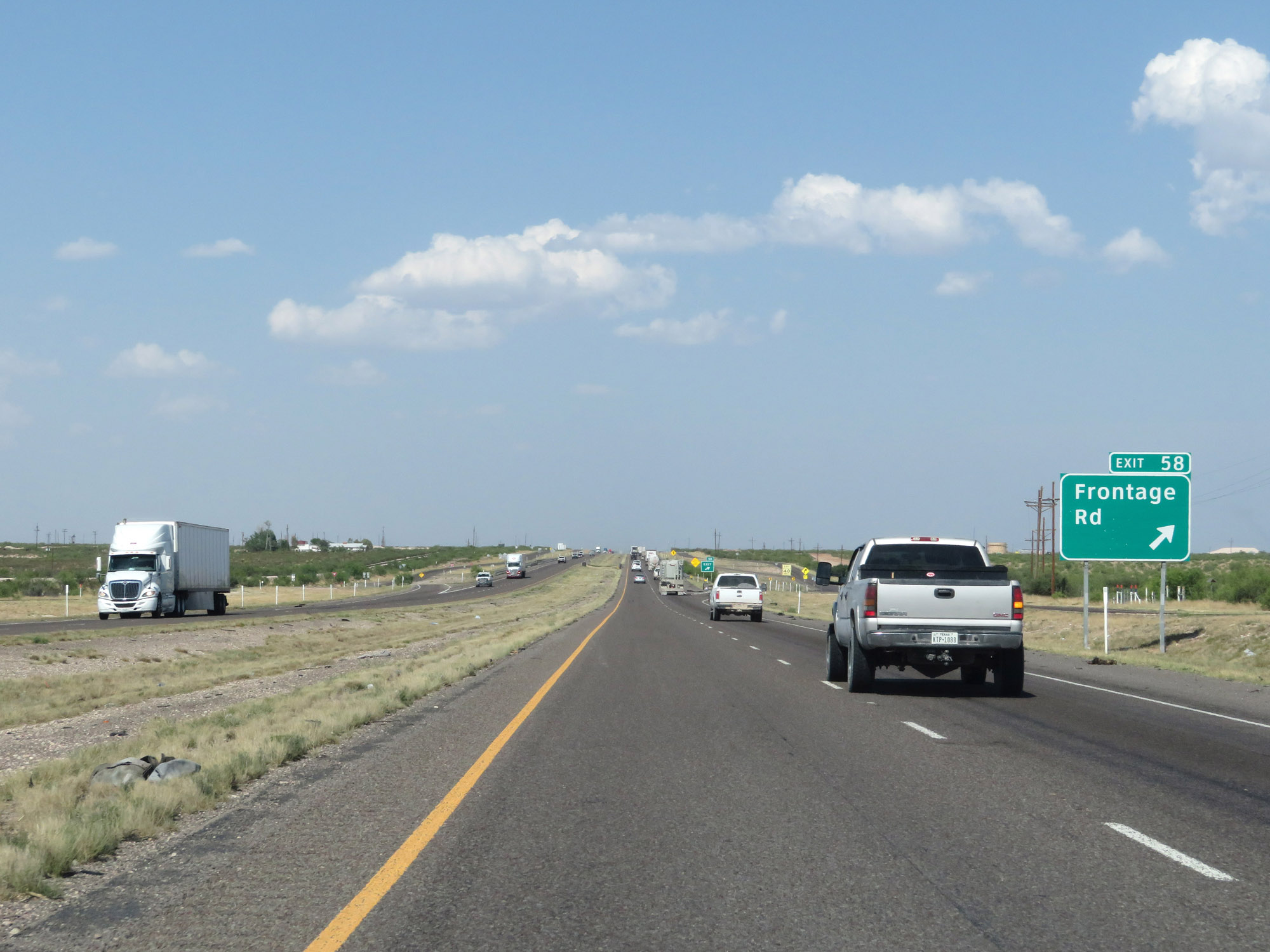 |
Interstate 20 East at Exit 58: Frontage Rd (Photo taken 5/19/18). |
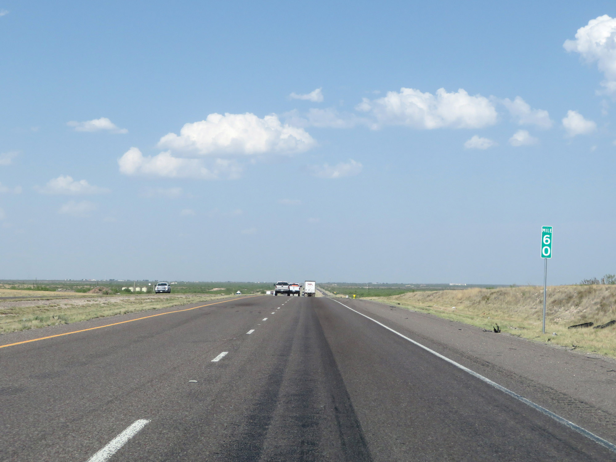 |
Interstate 20 East at mile marker 60. (Photo taken 5/19/18). |
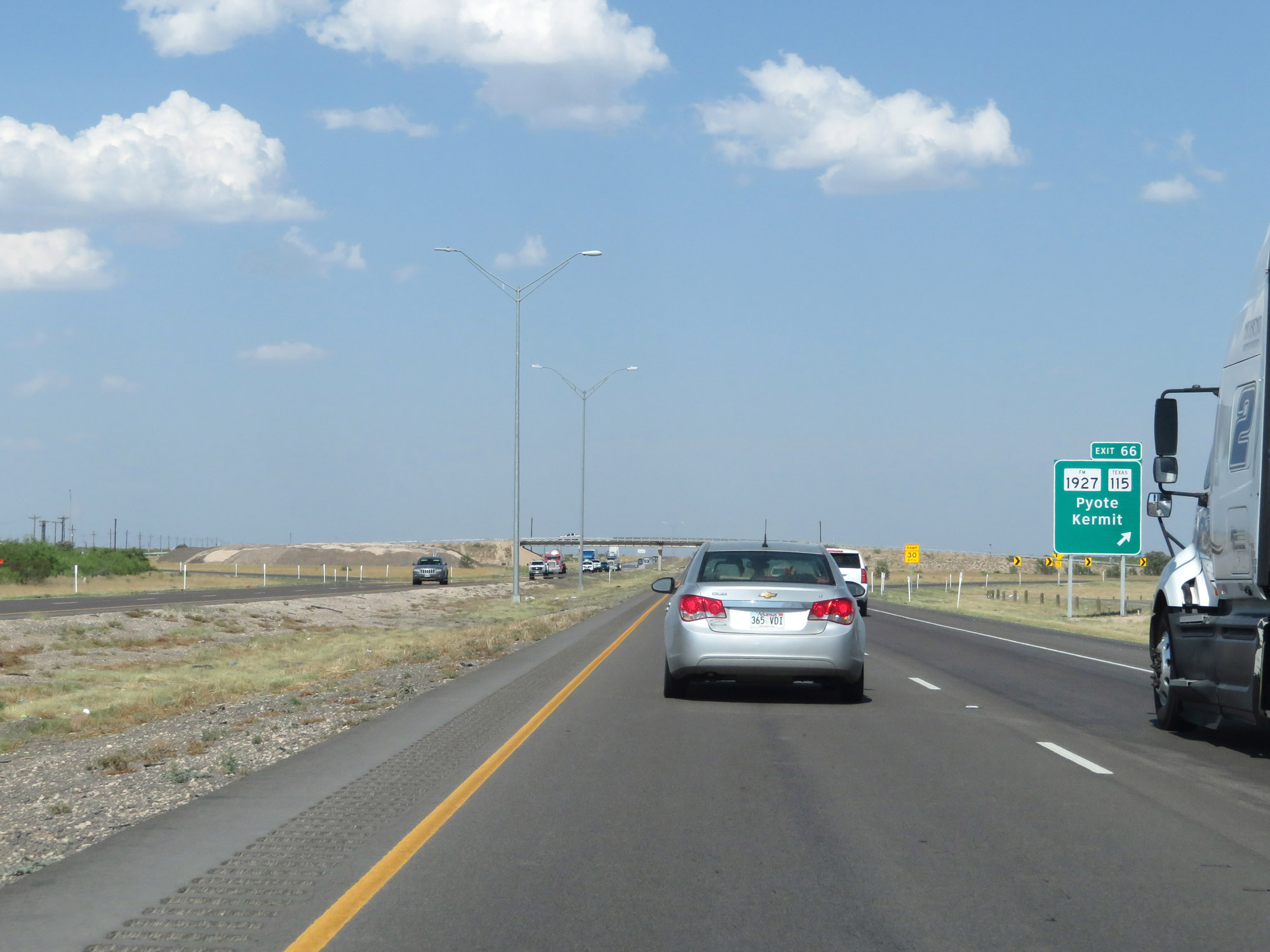 |
Interstate 20 East at Exit 66: FM 1927 / TX 115 - Pyote / Kermit (Photo taken 5/19/18). |
 |
Another state-named Interstate 20 East reassurance shield. (Photo taken 5/19/18). |
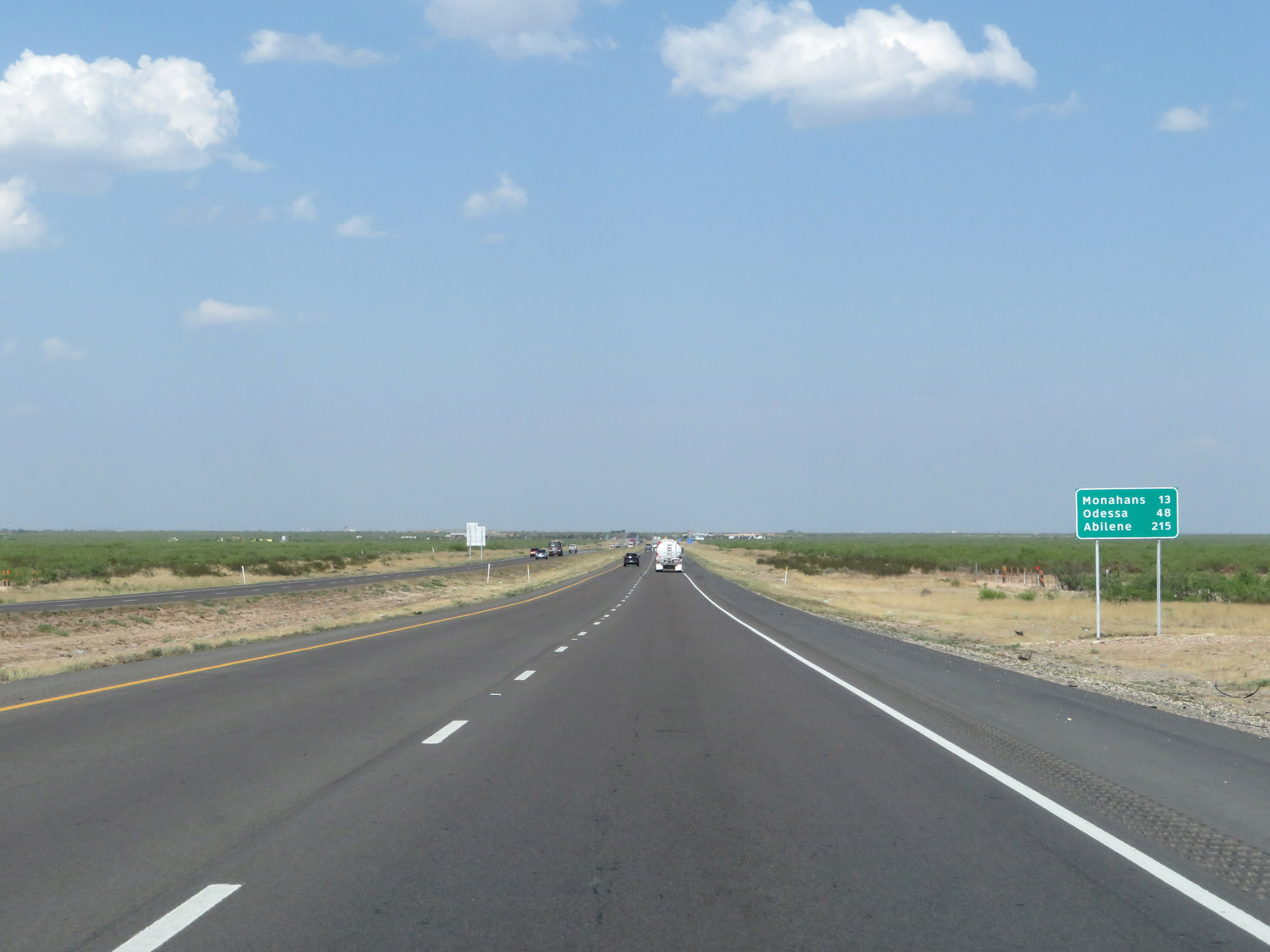 |
Mileage sign on Interstate 20 East. It's 13 miles to Monahans, 48 miles to Odessa, and 215 miles to Abilene. (Photo taken 5/19/18). |
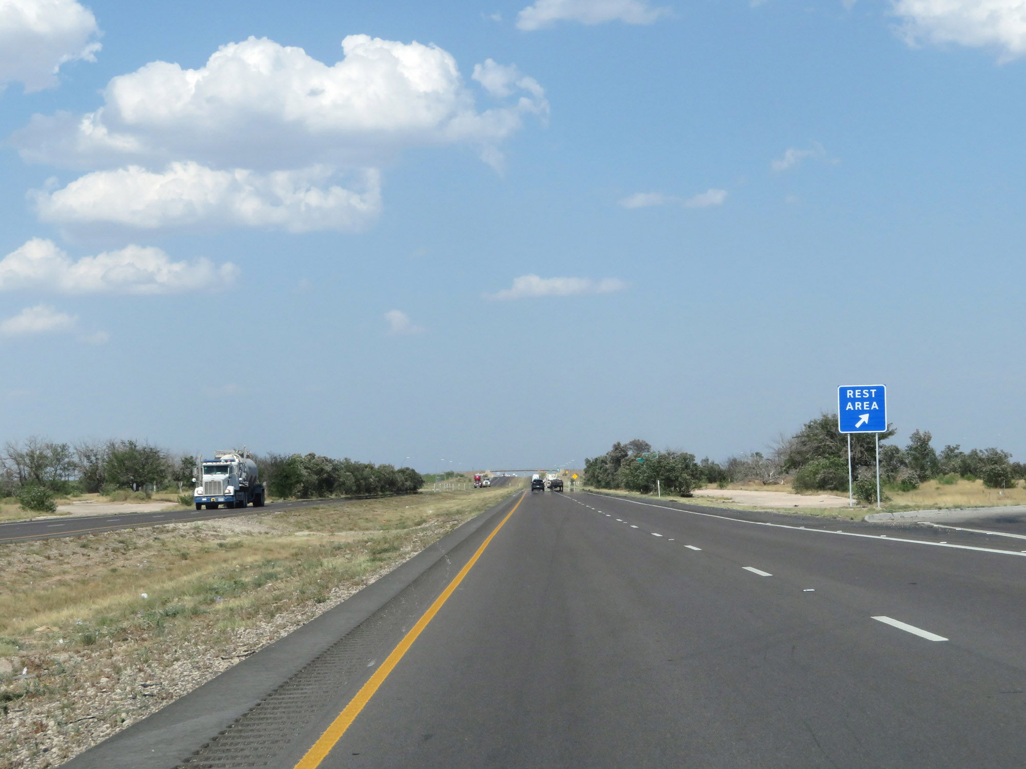 |
Rest Area on Interstate 20 East in Ward County. (Photo taken 5/19/18). |
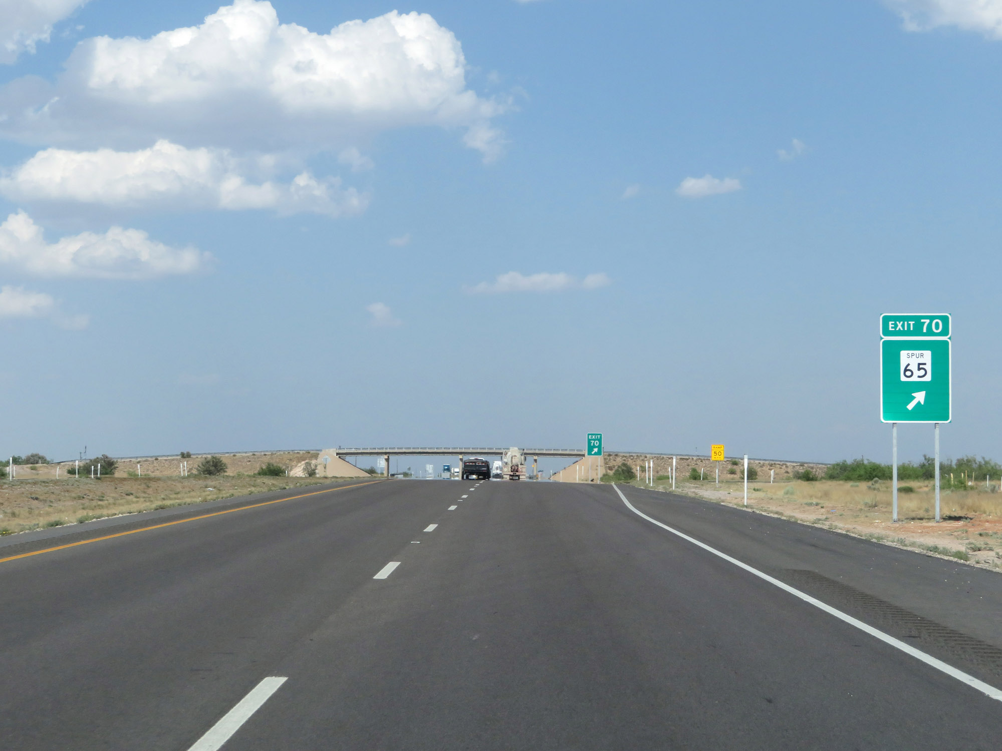 |
Interstate 20 East at Exit 70: TX Spur 65 (Photo taken 5/19/18). |
 |
Interstate 20 East approaching Exit 73 - 1 mile. (Photo taken 5/19/18). |
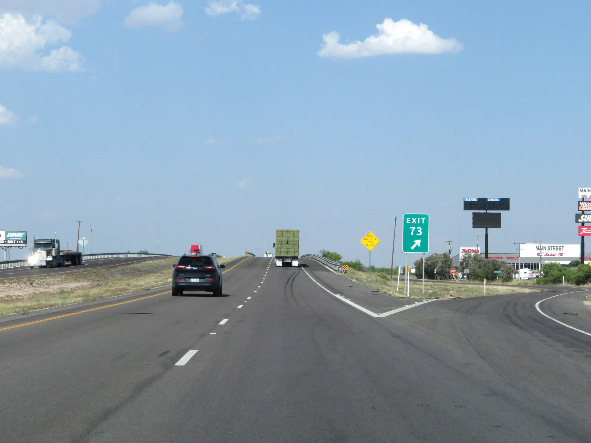 |
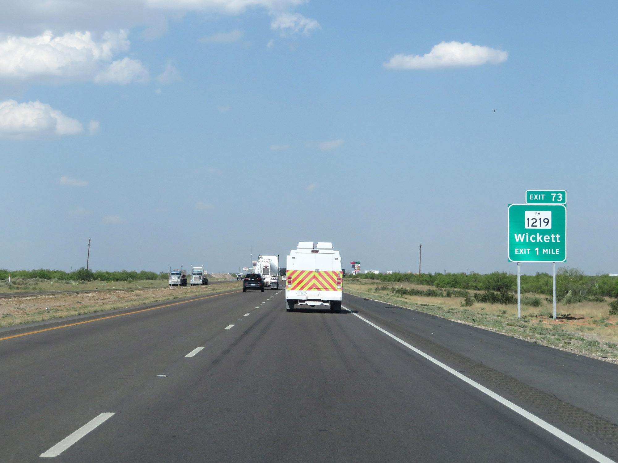
Interstate 20 East at Exit 73: FM 1219 - Wickett (Photo taken 5/19/18). |
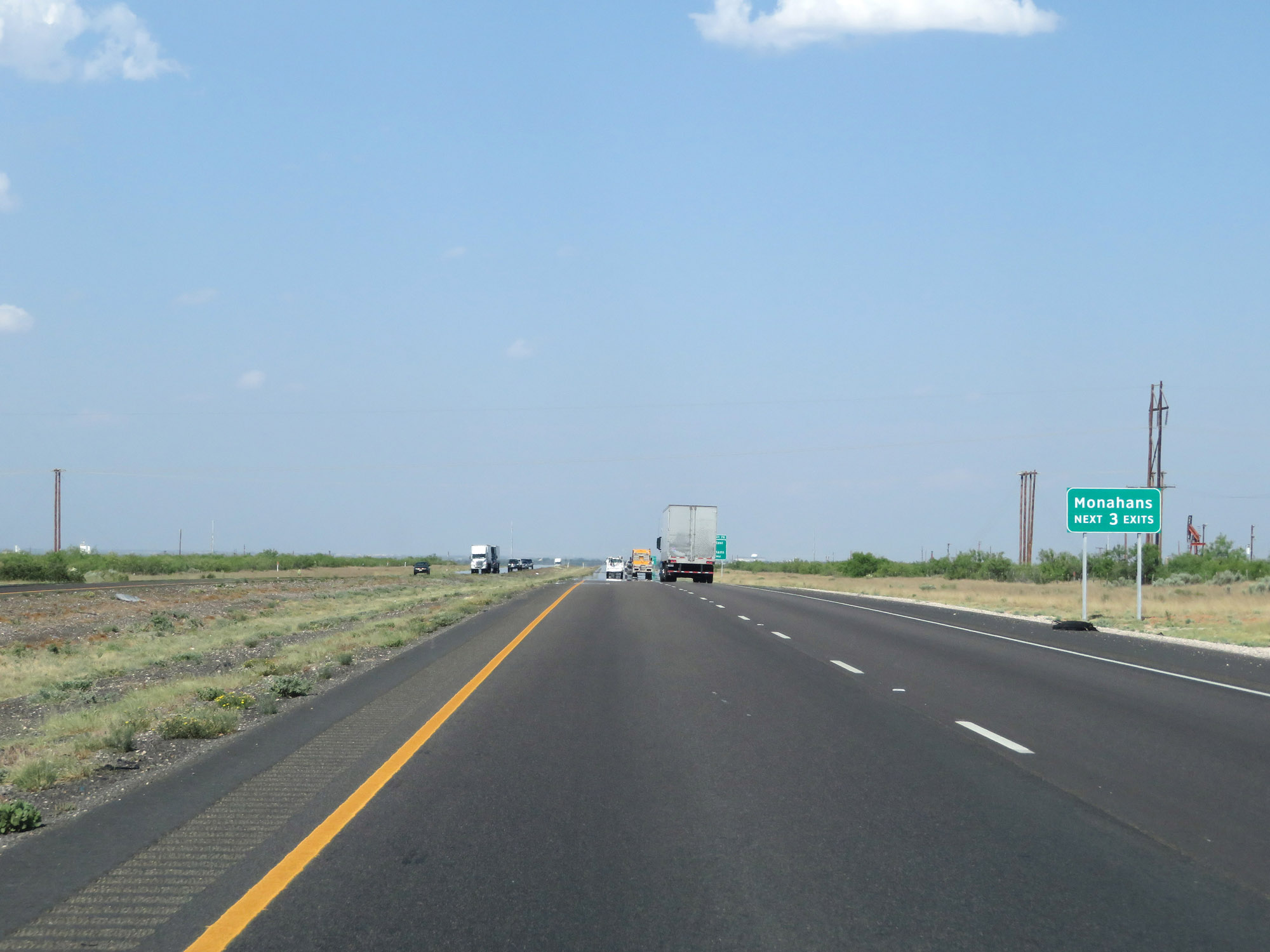 |
Take any of the next 3 exits to Monahans. (Photo taken 5/19/18). |
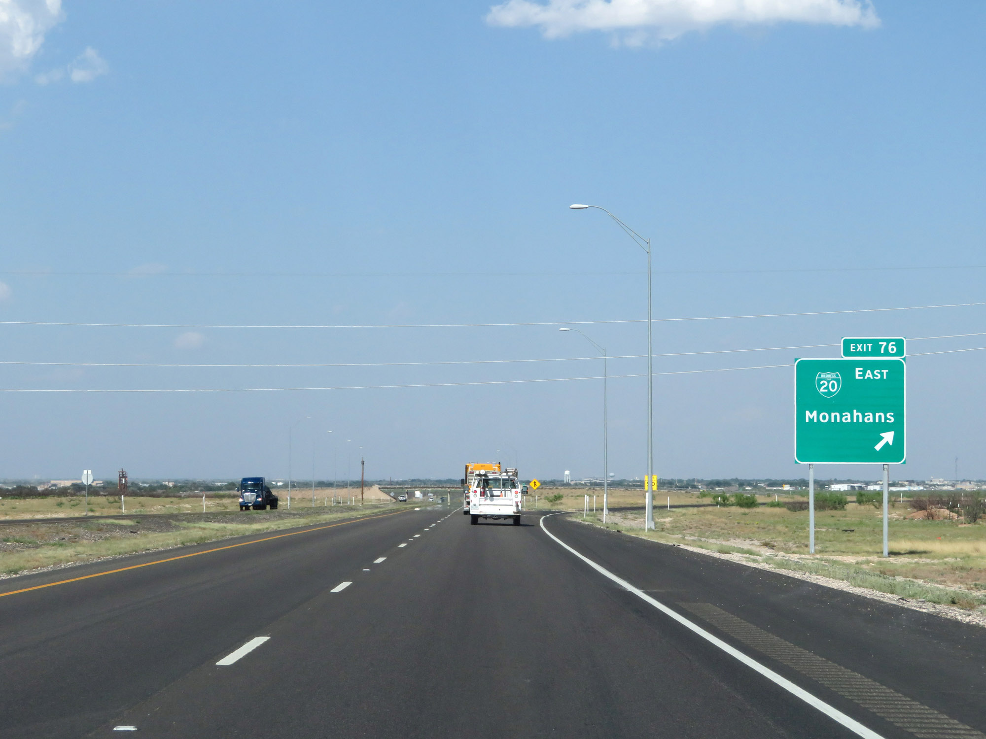 |
Interstate 20 East at Exit 76: Interstate 20 Business Loop East - Monahans (Photo taken 5/19/18). |
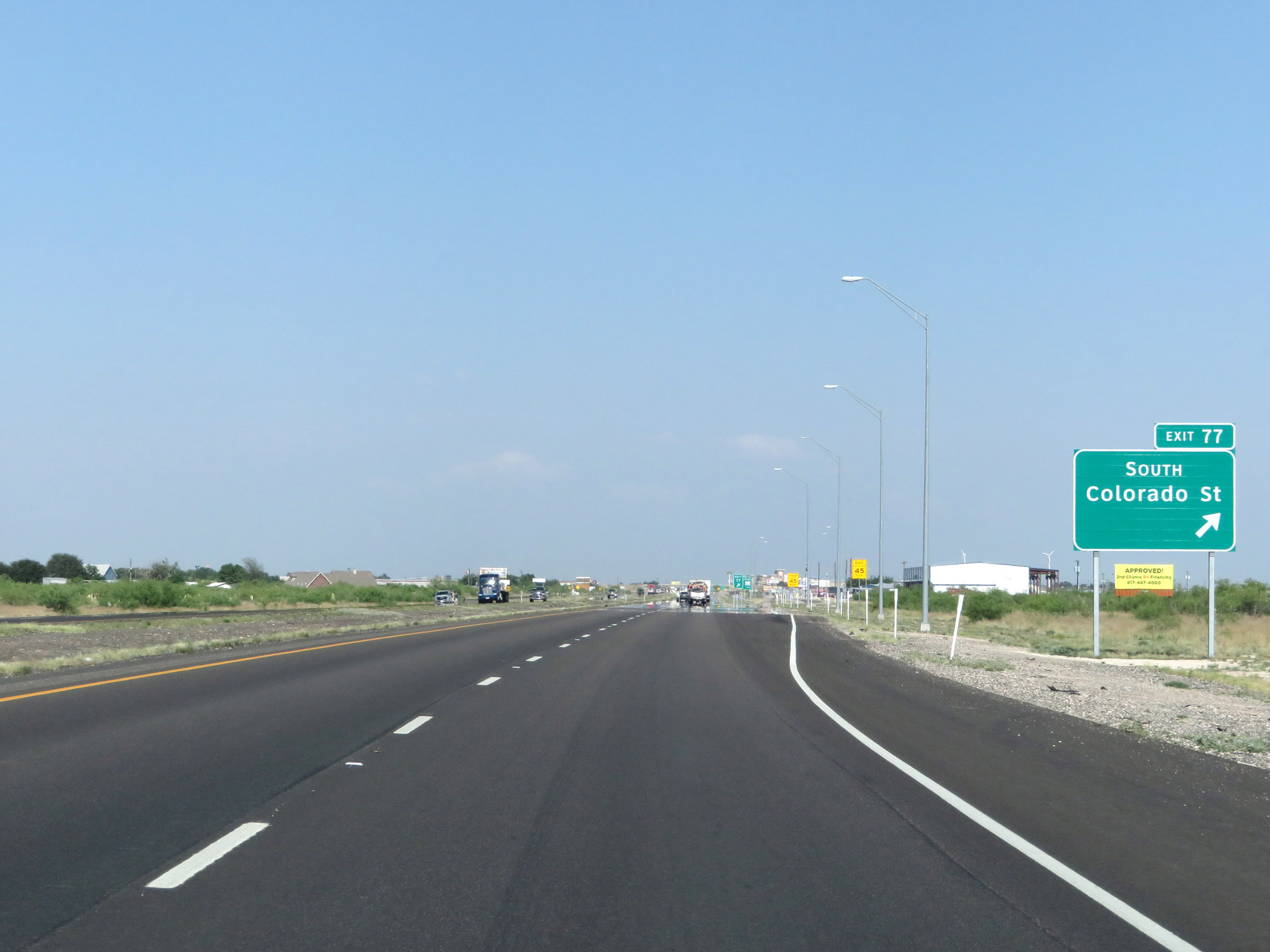 |
Interstate 20 East at Exit 77: Colorado St South (Photo taken 5/19/18). |
 |
Interstate 20 East approaching Exit 79 - 1 mile. (Photo taken 5/19/18). |
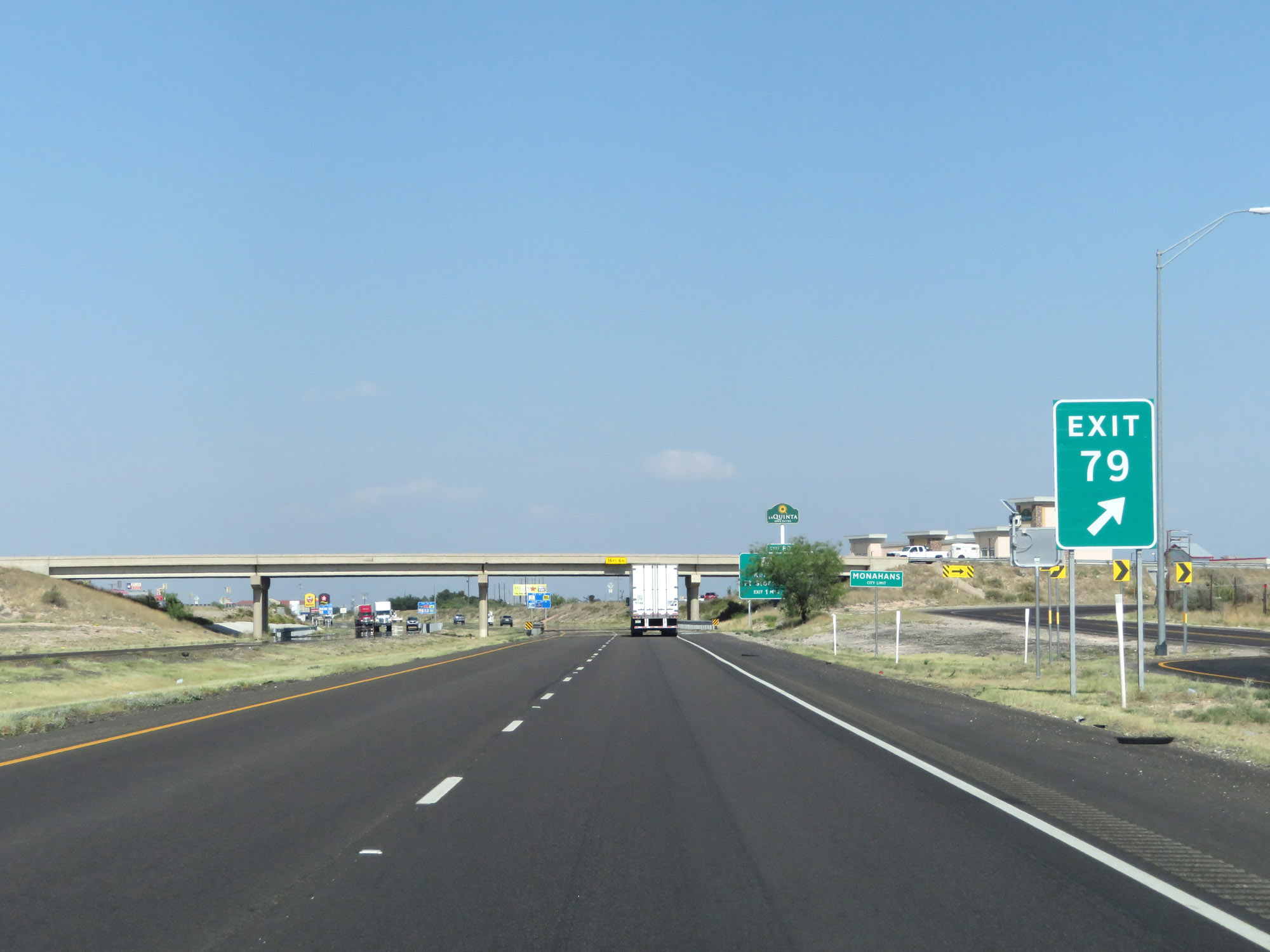 |
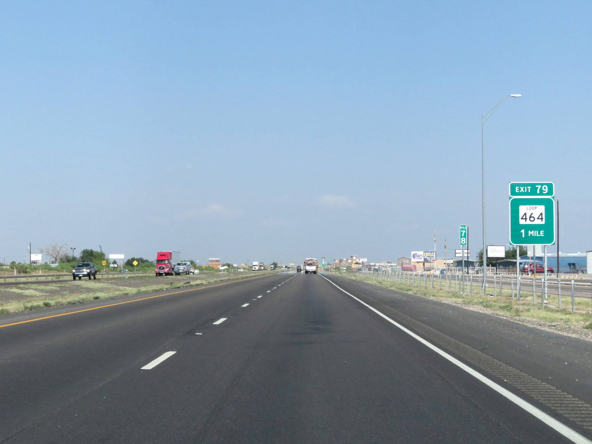
Interstate 20 East at Exit 79: TX Loop 464 (Photo taken 5/19/18). |
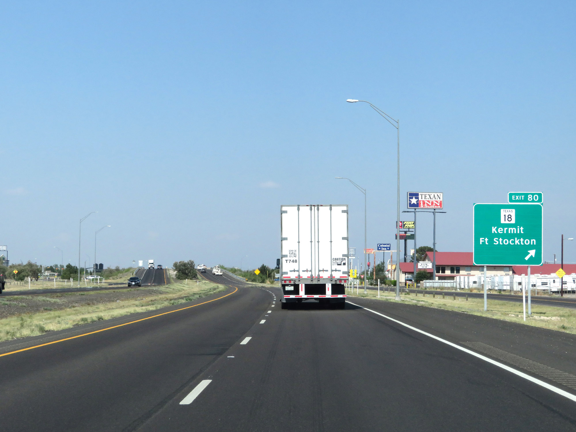 |
Interstate 20 East at Exit 80: TX 18 - Kermit / Fort Stockton (Photo taken 5/19/18). |
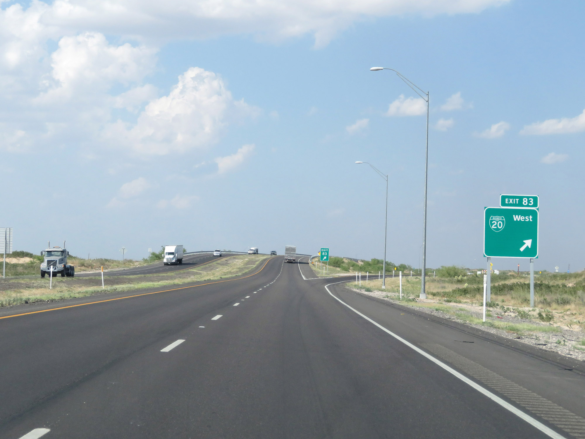 |
Interstate 20 East at Exit 83: Interstate 20 Business Loop West (Photo taken 5/19/18). |
 |
The speed limit remains 80 mph. (Photo taken 5/19/18). |
 |
Interstate 20 East at Exit 86: PR 41 - Monahans Sandhills State Park (Photo taken 5/19/18). |
 |
Interstate 20 East as it enters Crane County at mile marker 89. (Photo taken 5/19/18). |
 |
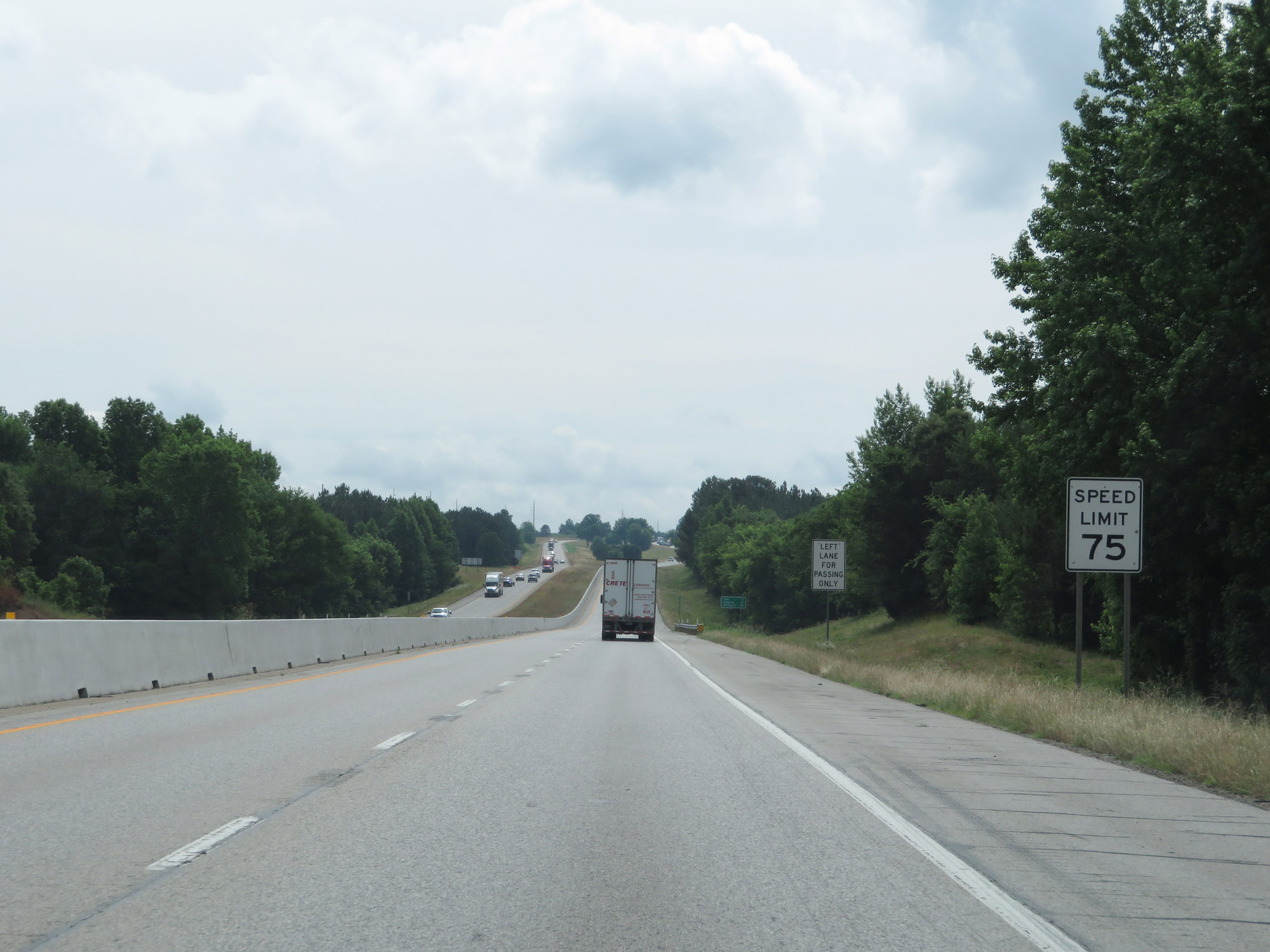
Upon entering Crane County, the speed limit decreases to 75 mph which is the standard speed limit on most rural Interstate highways in Texas. (Photo taken 5/19/18). |
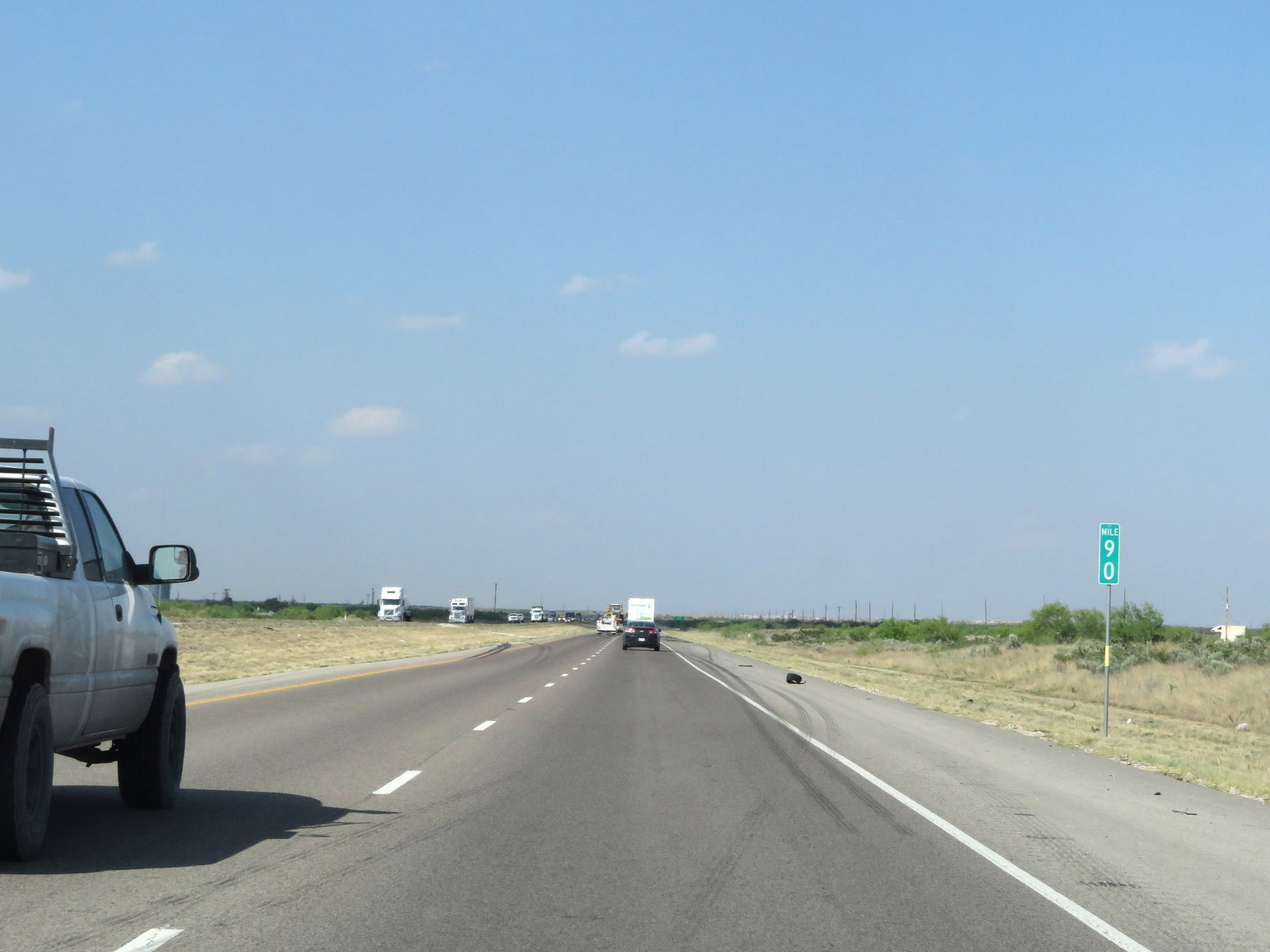 |
Interstate 20 East at mile marker 90. (Photo taken 5/19/18). |
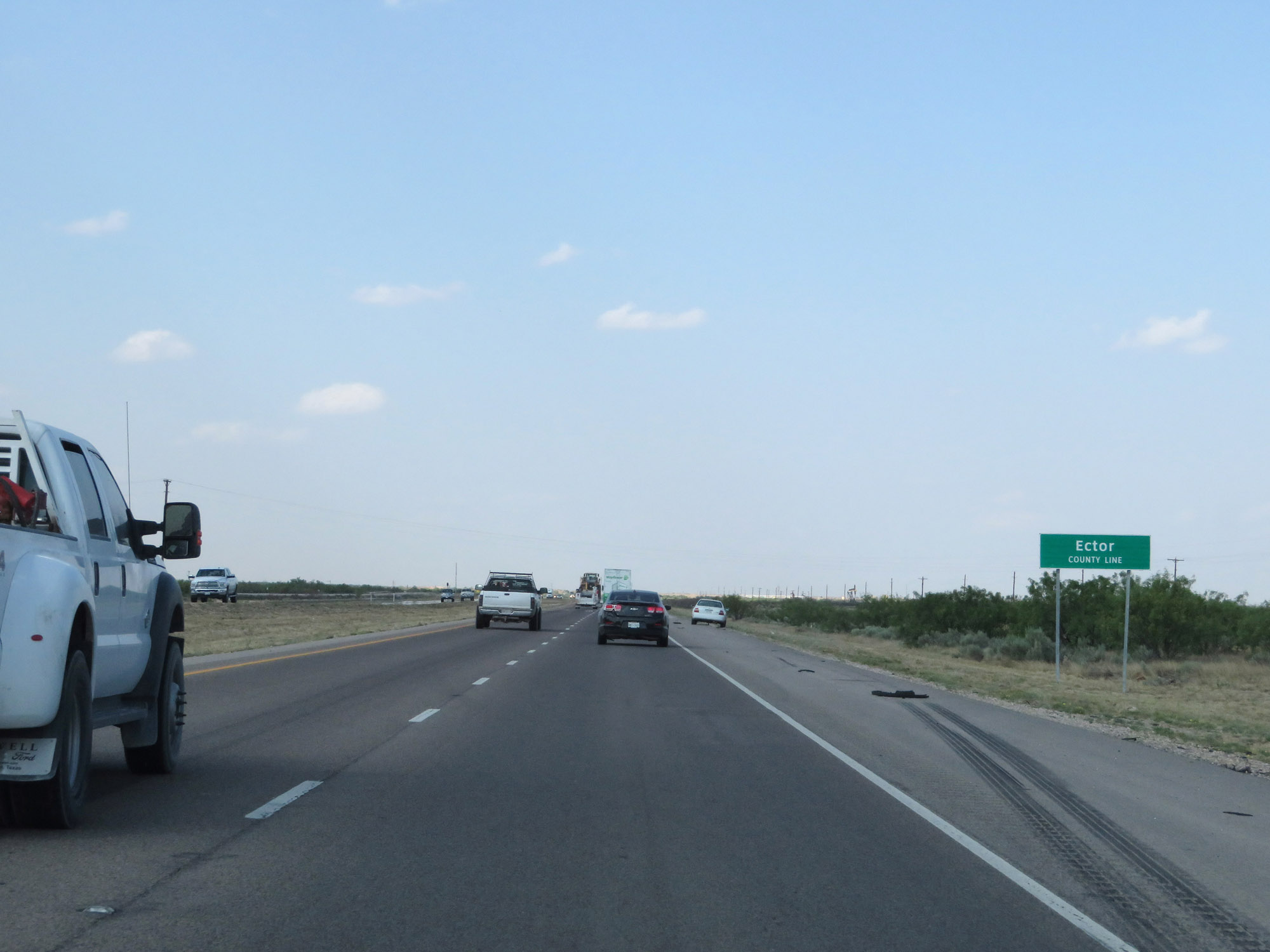 |
After a short time in Crane County, Interstate 20 East enters Ector County. (Photo taken 5/19/18). |
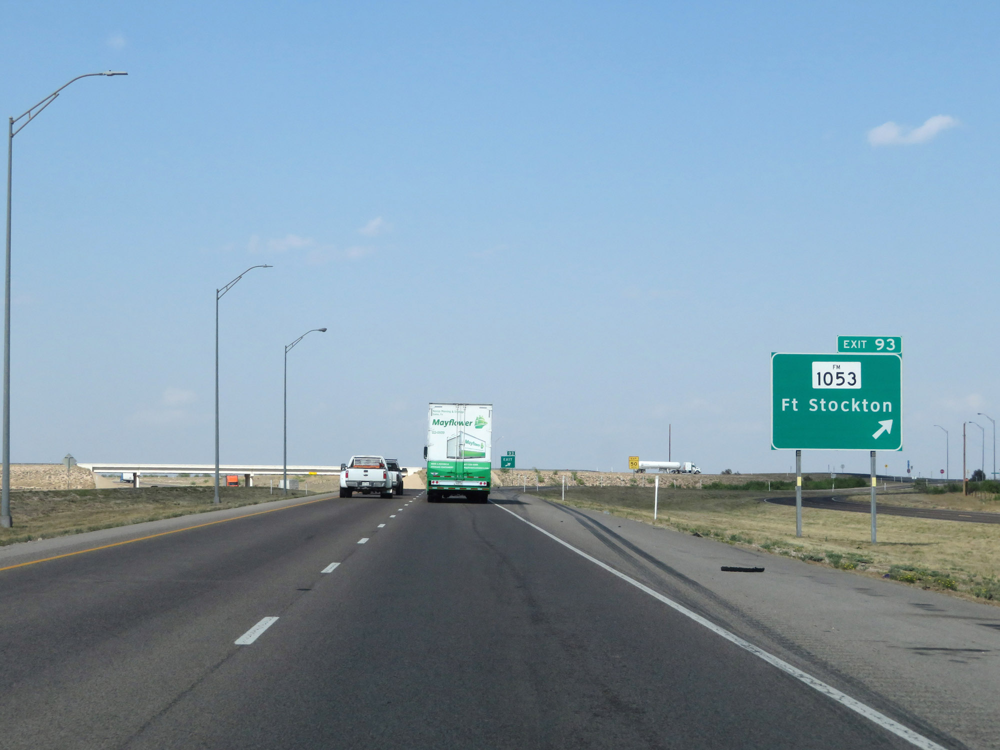 |
Interstate 20 East at Exit 93: FM 1053 - Fort Stockton (Photo taken 5/19/18). |
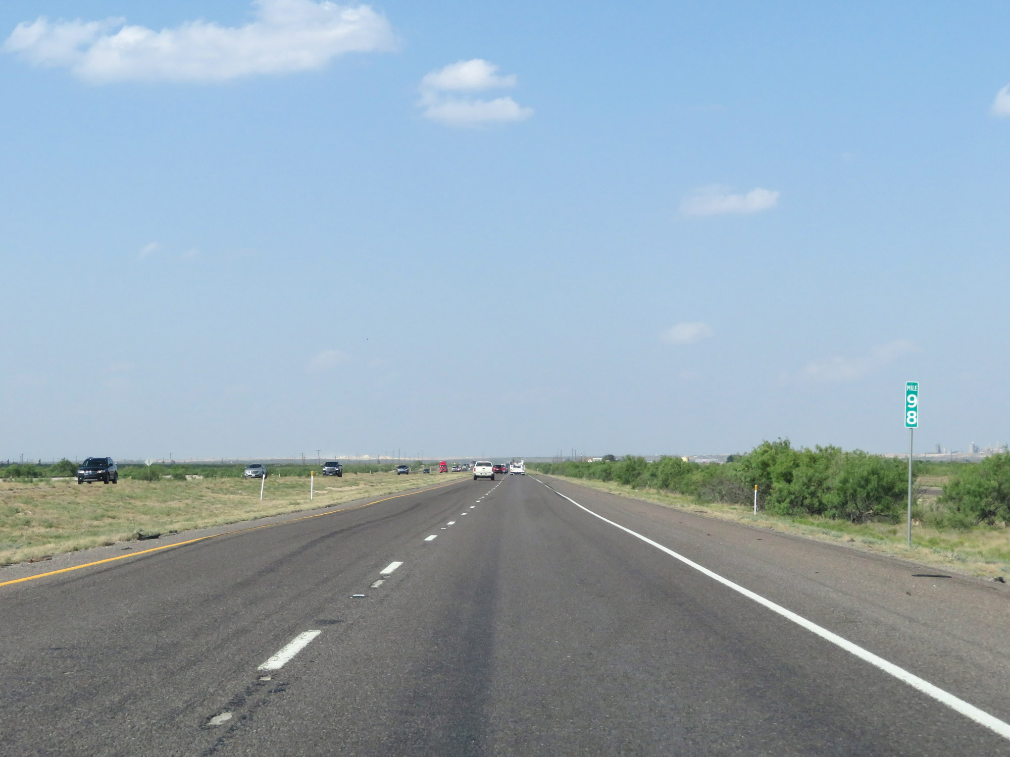 |
Interstate 20 East at mile marker 98. (Photo taken 5/19/18). |
 |
Interstate 20 East at mile marker 100. (Photo taken 5/19/18). |
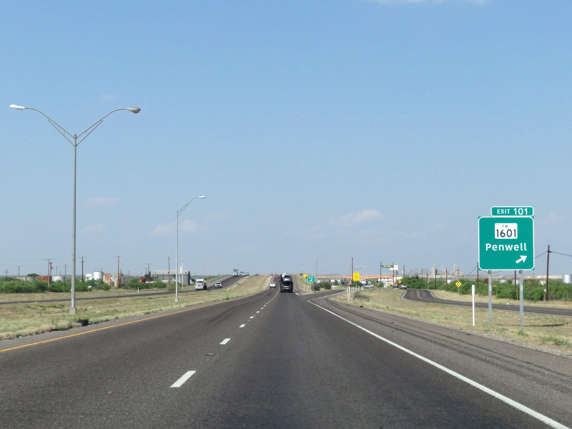 |
Interstate 20 East at Exit 101: FM 1601 - Penwell (Photo taken 5/19/18). |
 |
Interstate 20 East reassurance shield. (Photo taken 5/19/18). |
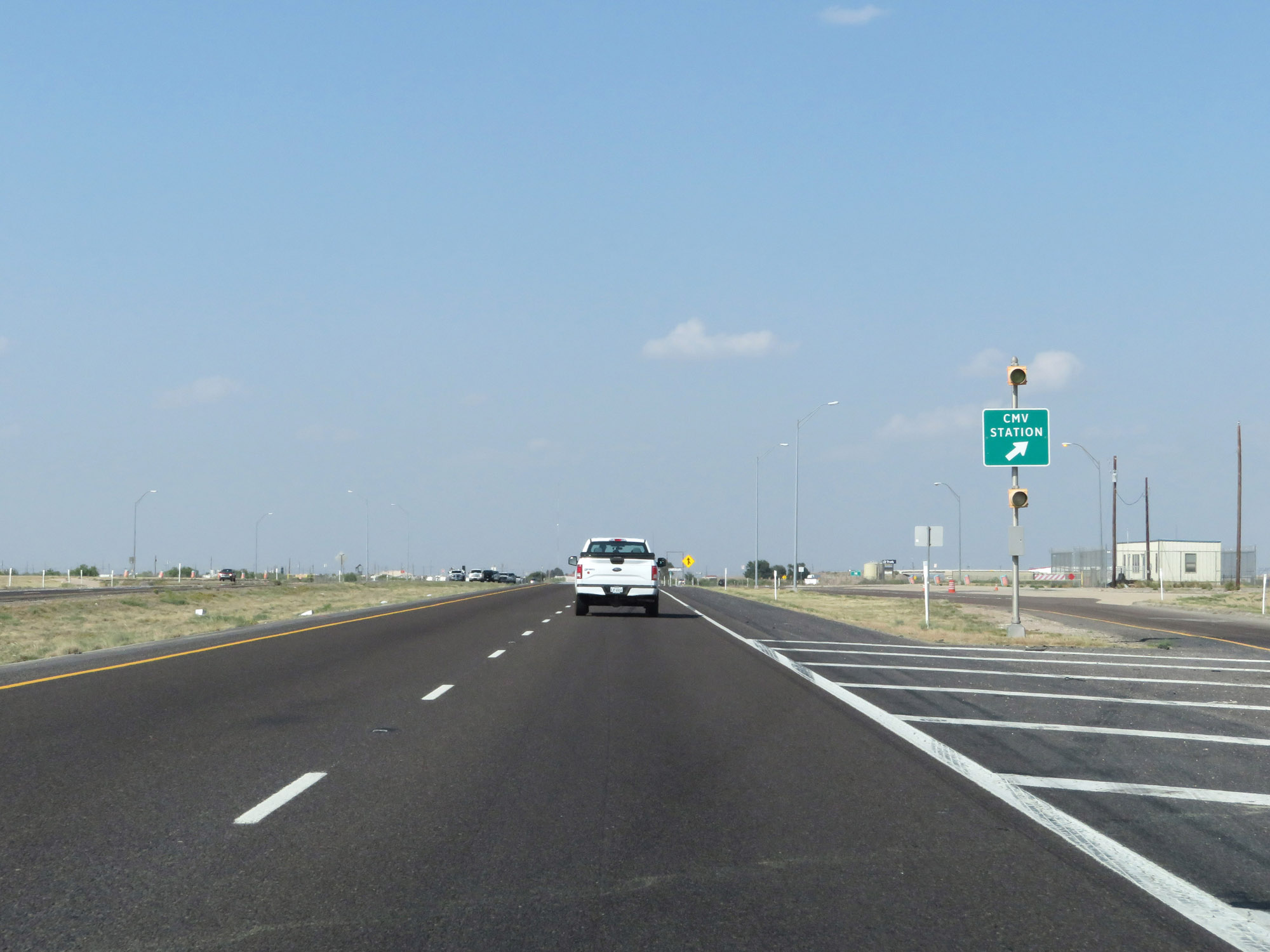 |
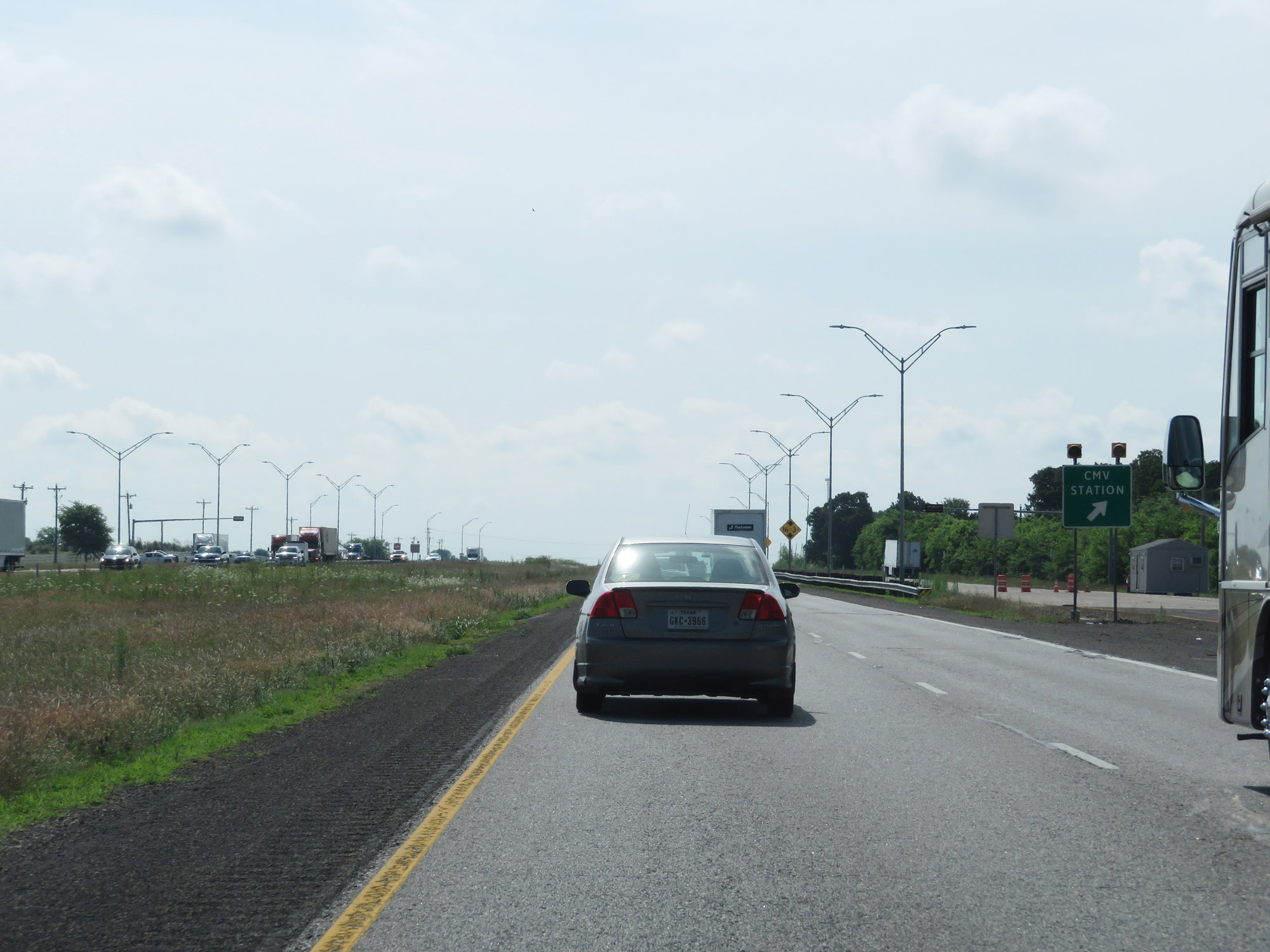
Interstate 20 East at the CMV (Commercial Motor Vehicle) Station in Ector County. (Photo taken 5/19/18). |
 |
Interstate 20 East at Exit 104: FM 866 - Goldsmith (Photo taken 5/19/18). |
 |
Interstate 20 East at mile marker 106. (Photo taken 5/19/18). |
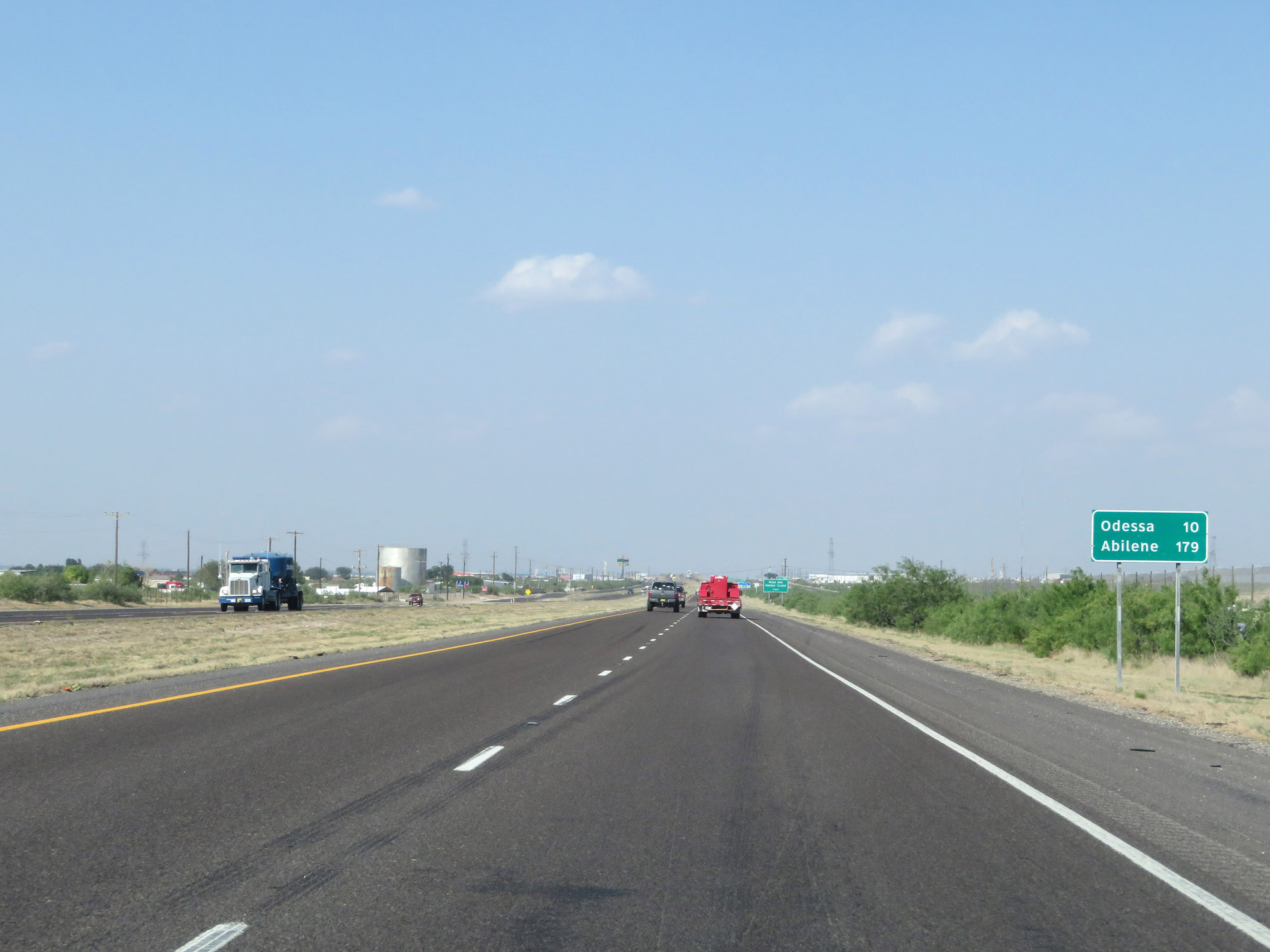 |
Mileage sign on Interstate 20 East. It's 10 miles to Odessa and 179 miles to Abilene. (Photo taken 5/19/18). |
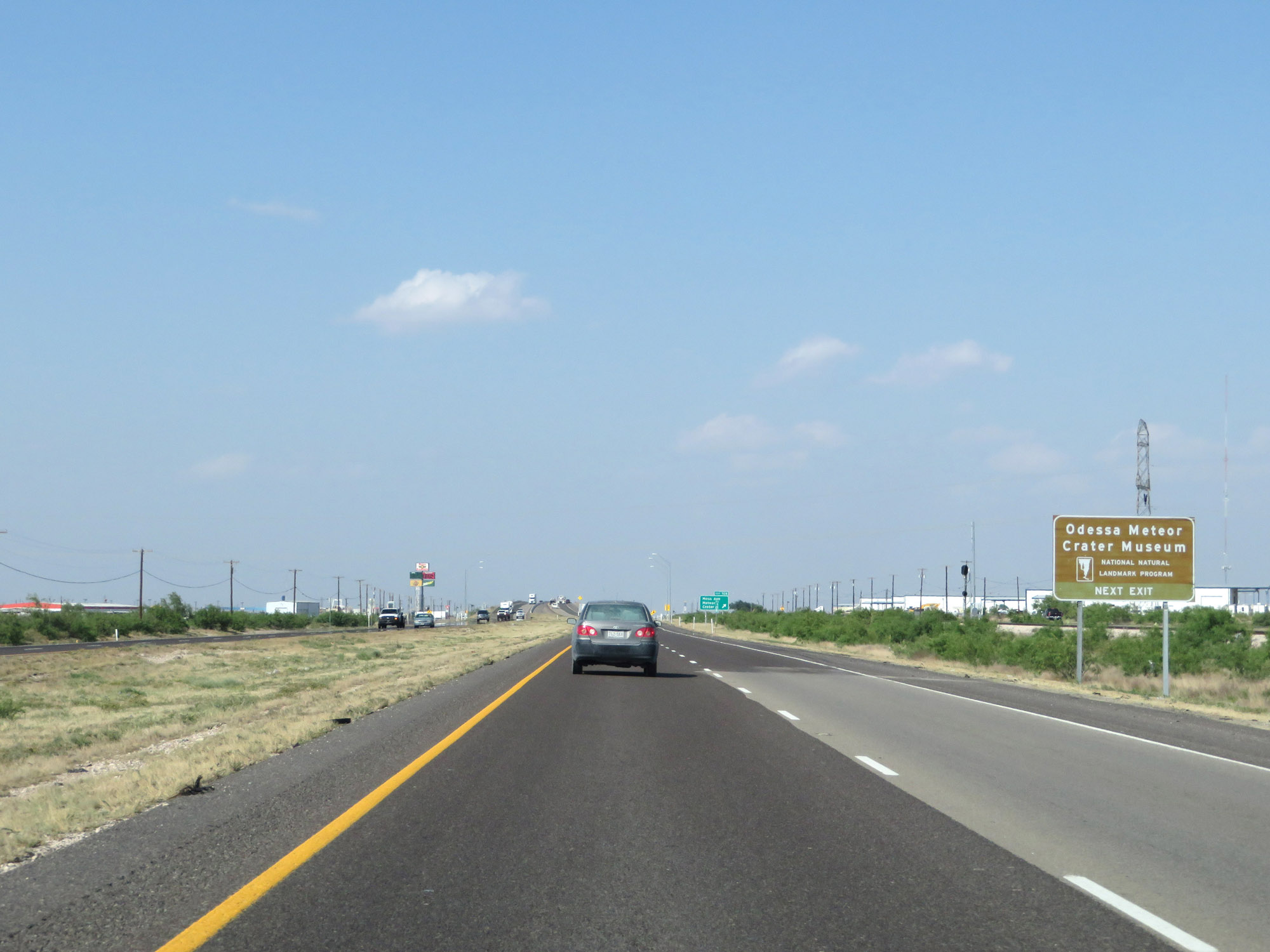 |
Take Exit 108 to the Odessa Meteor Crater Museum. (Photo taken 5/19/18). |
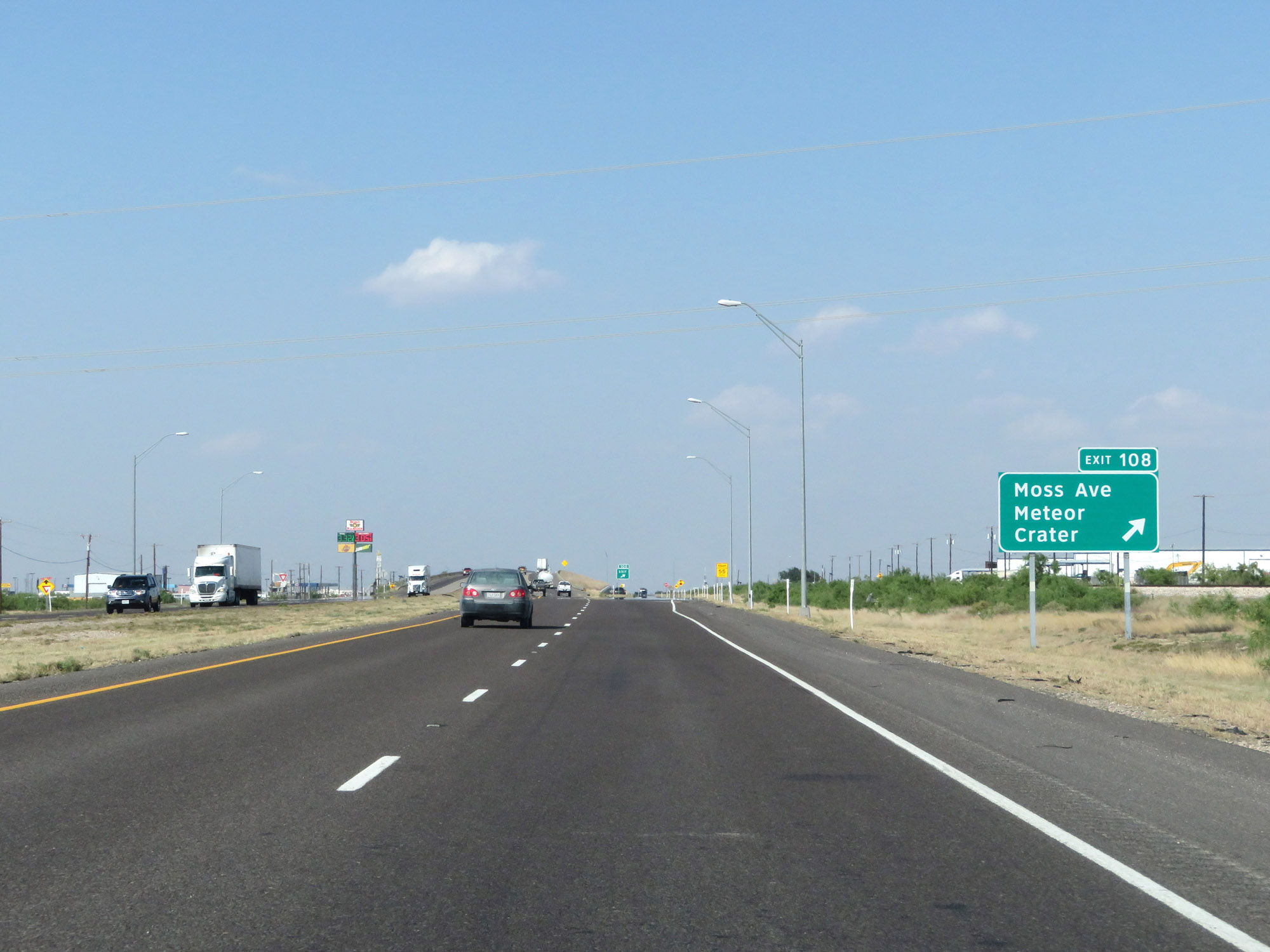 |
Interstate 20 East at Exit 108: Moss Ave / Meteor Crater (Photo taken 5/19/18). |
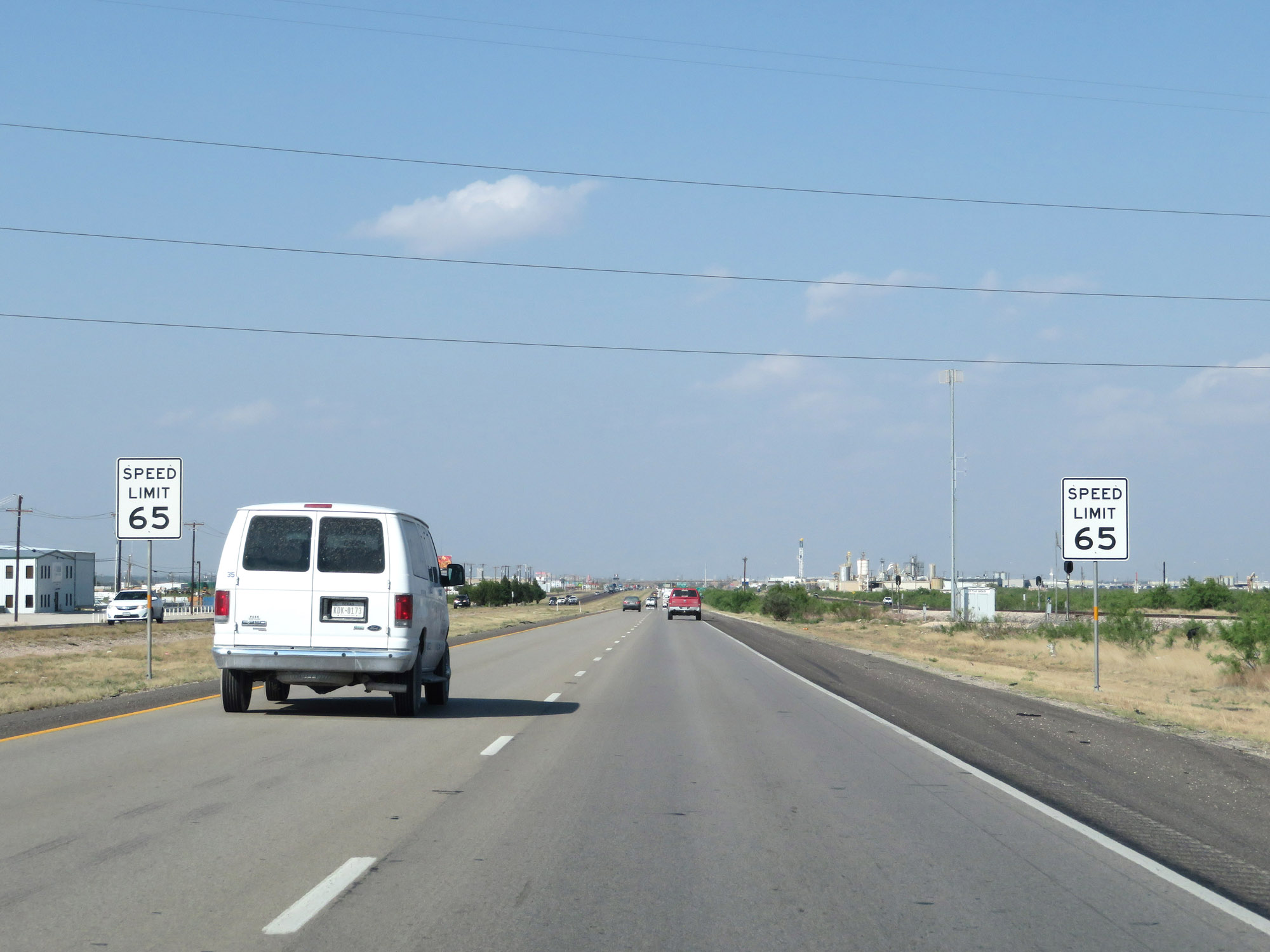 |
East of Exit 108, the speed limit decreases to 65 mph. It remains 65 mph through the Odessa and Midland areas. (Photo taken 5/19/18). |
 |
Take any of the next 7 exits to Odessa. (Photo taken 5/19/18). |
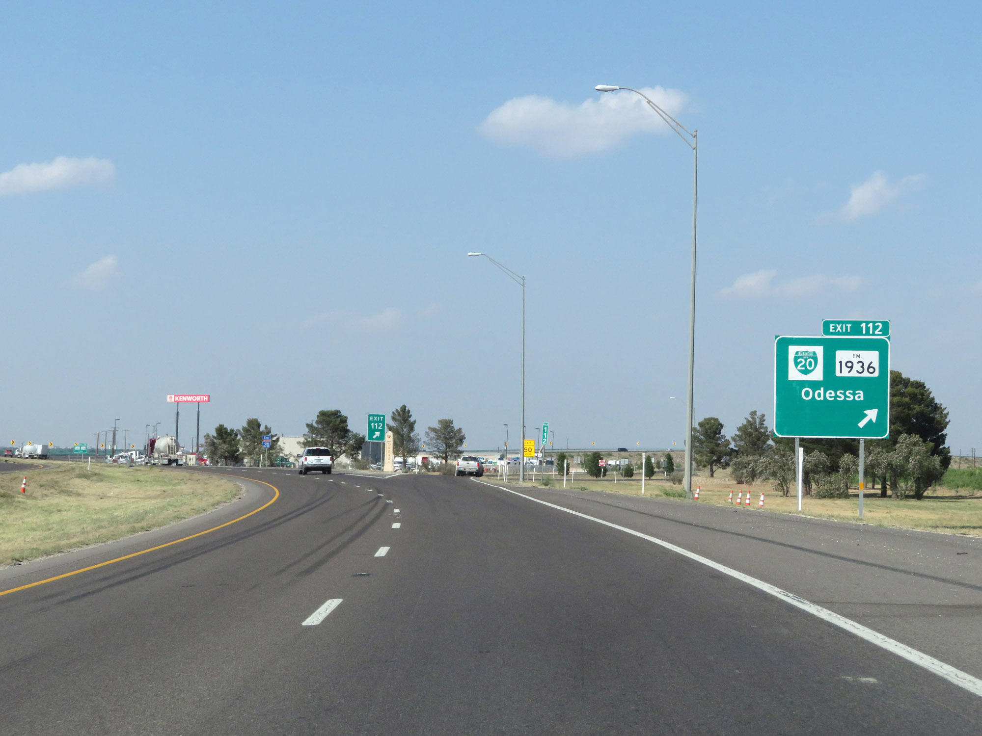 |
Interstate 20 East at Exit 112: Interstate 20 Business Loop / FM 1936 - Odessa (Photo taken 5/19/18). |
 |
A city ordinance requires that all northbound and southbound trucks use TX Loop 338. (Photo taken 5/19/18). |
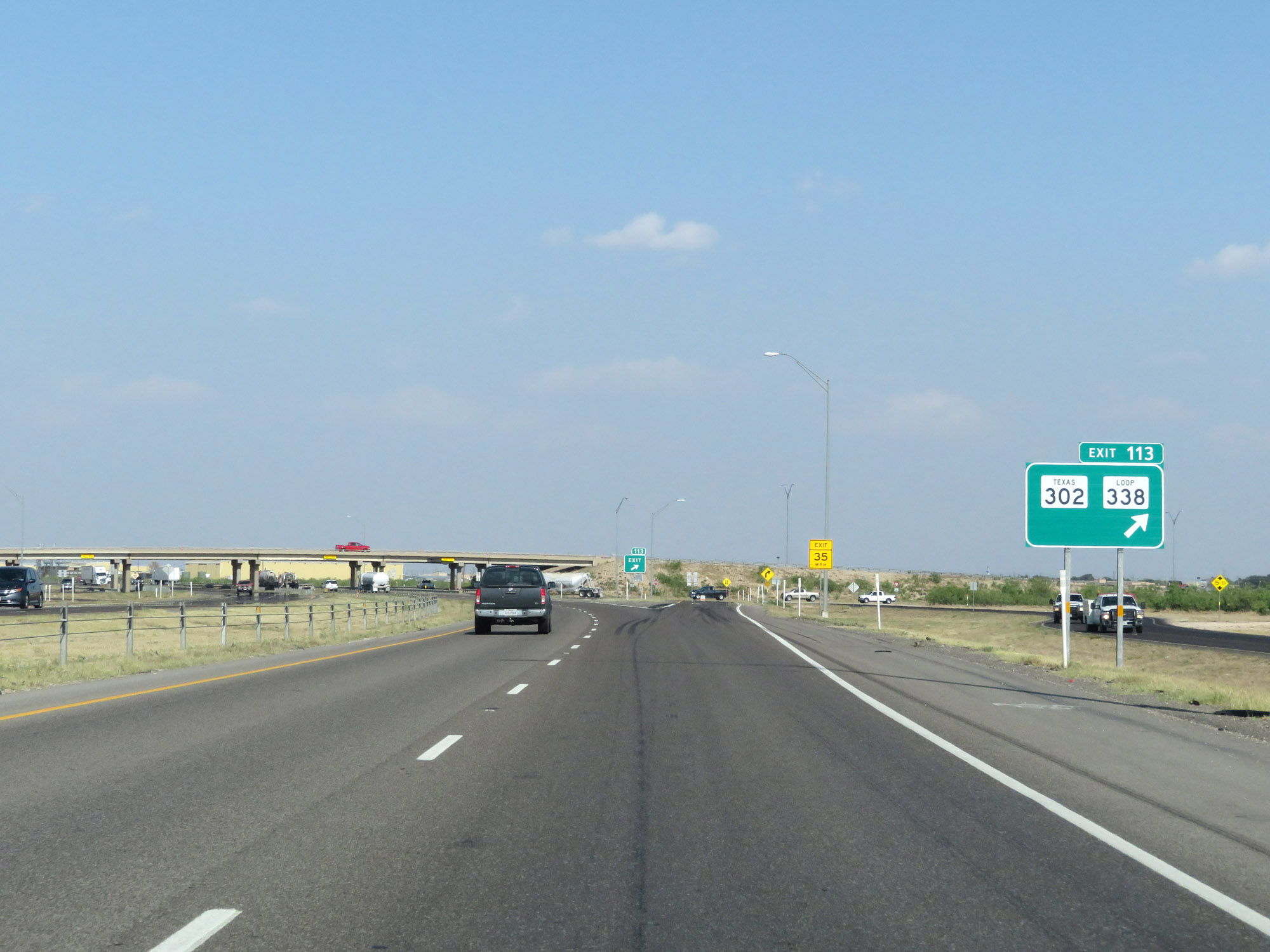 |
Interstate 20 East at Exit 113: TX 302 / TX Loop 338 (Photo taken 5/19/18). |
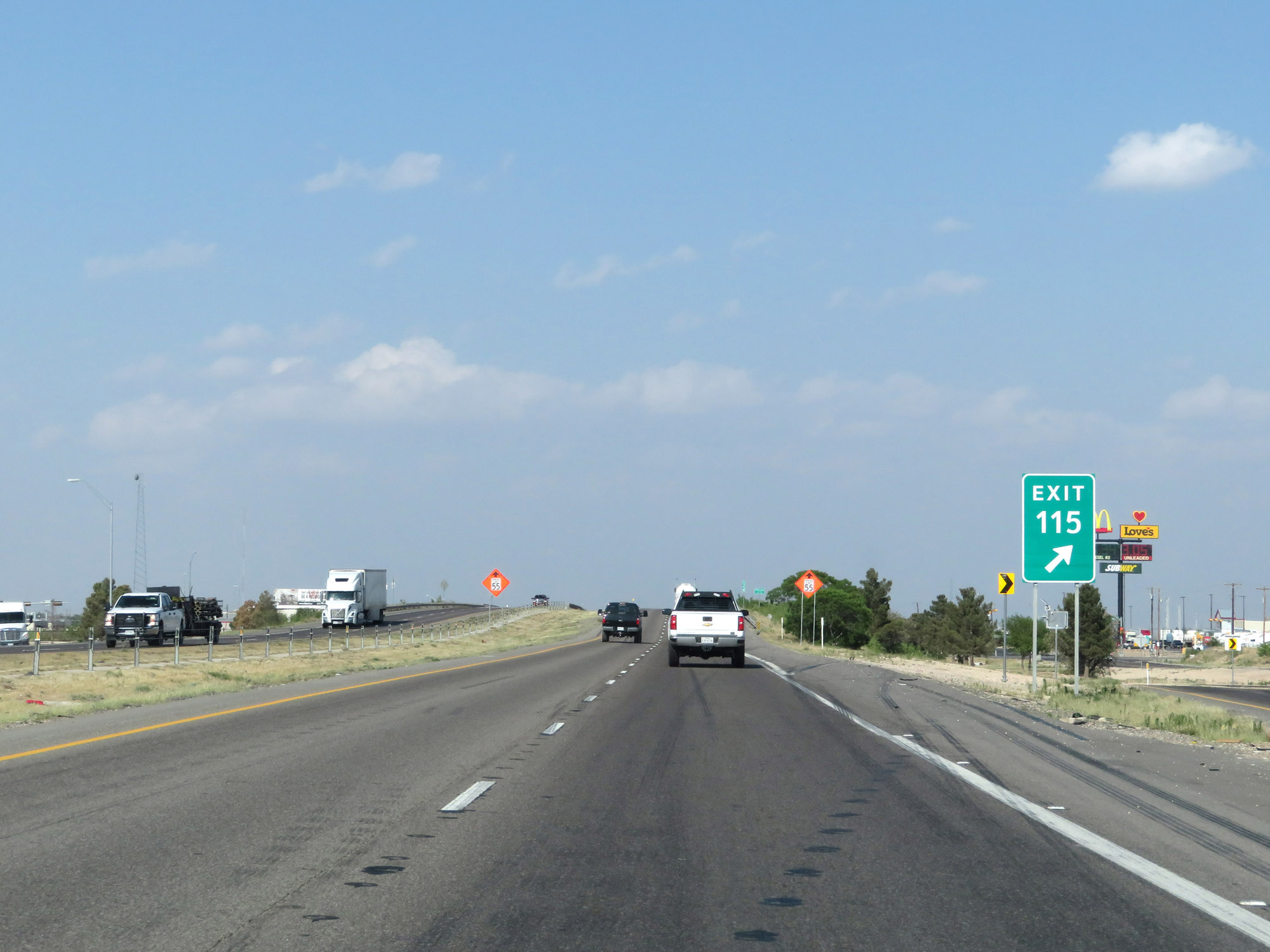 |
Interstate 20 East at Exit 115: FM 1882 (Photo taken 5/19/18). |
 |
Interstate 20 East enters the Odessa city limits at mile marker 115. (Photo taken 5/19/18). |
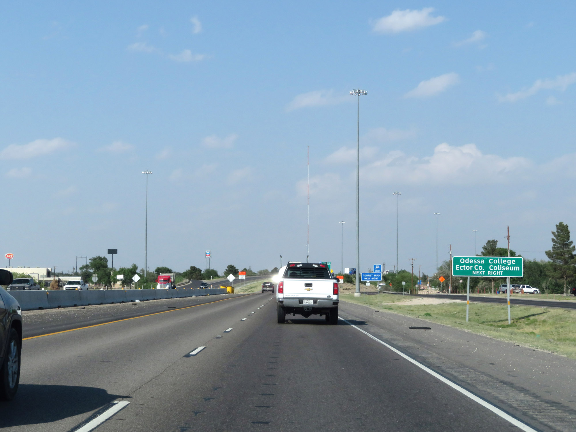 |
Take Exit 116 to Odessa College and the Ector County Coliseum. (Photo taken 5/19/18). |
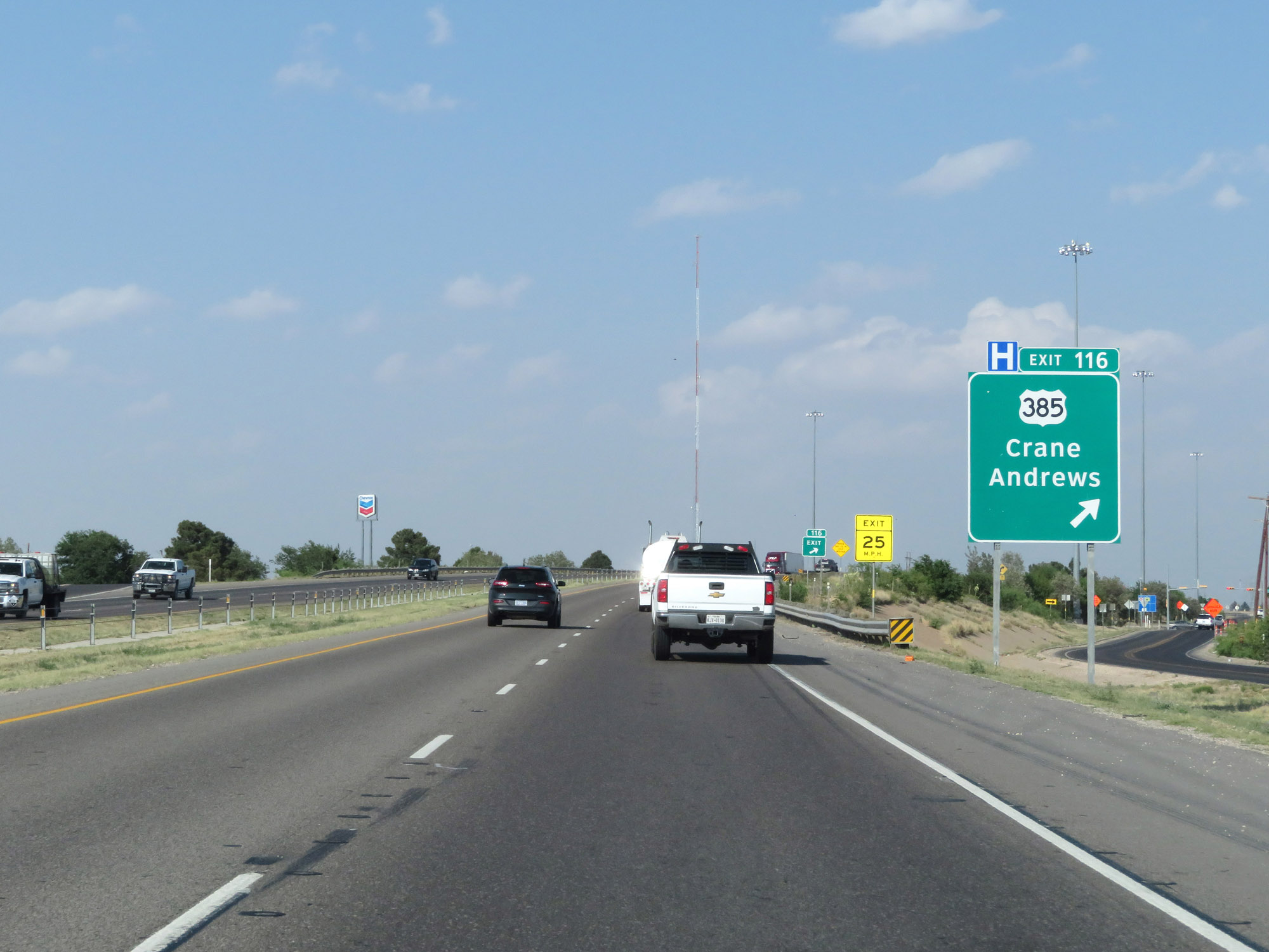 |
Interstate 20 East at Exit 116: US 385 - Crane / Andrews (Photo taken 5/19/18). |
Section 2: Odessa (Exit 116) to Big Spring (Exit 179)
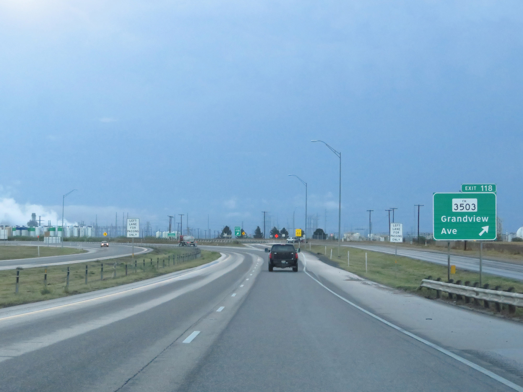 |
Interstate 20 East at Exit 118: FM 3503 - Grandview Ave (Photo taken 5/20/18). |
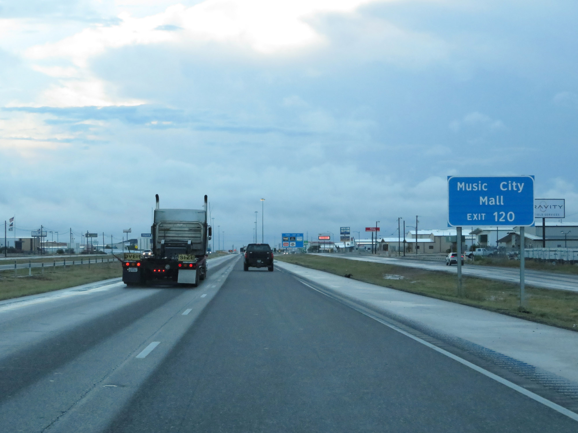 |
Take Exit 120 to Music City Mall. (Photo taken 5/20/18). |
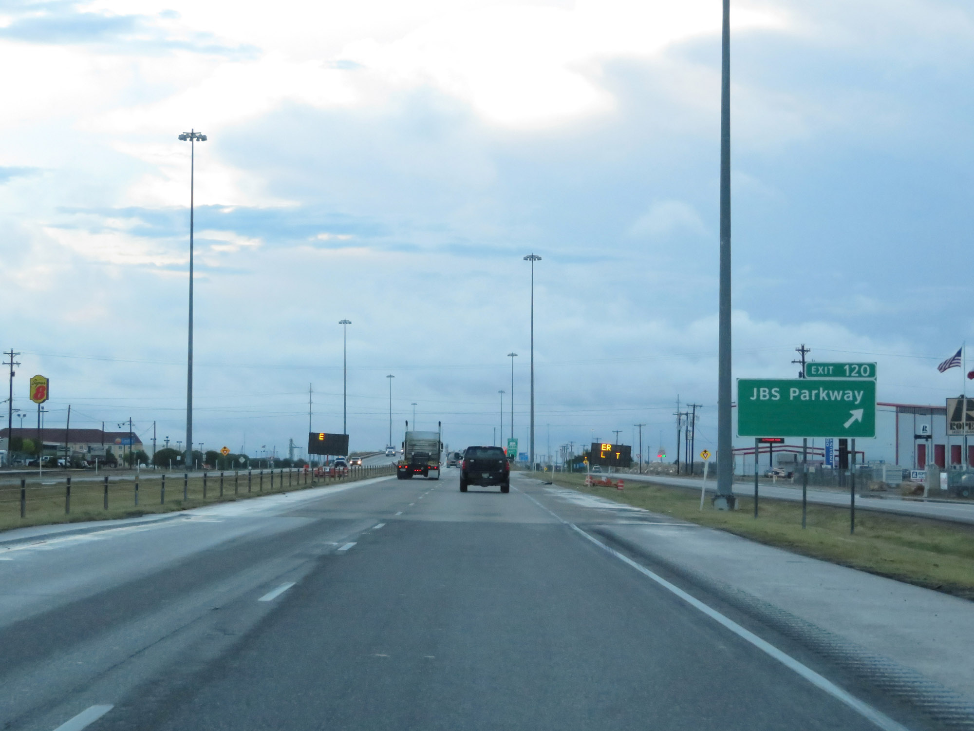 |
Interstate 20 East at Exit 120: JBS Parkway (Photo taken 5/20/18). |
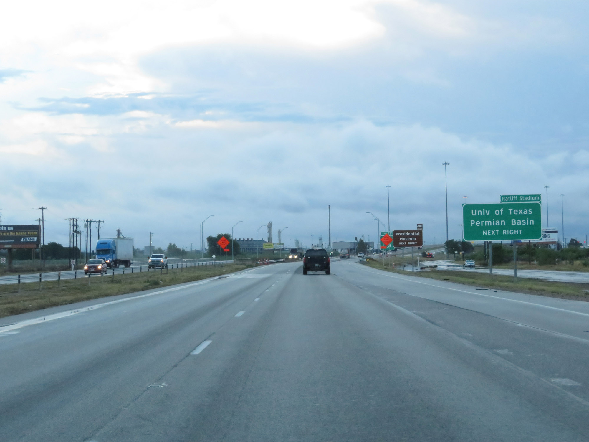 |
Take Exit 121 to Ratliff Stadium and University of Texas Permian Basin. (Photo taken 5/20/18). |
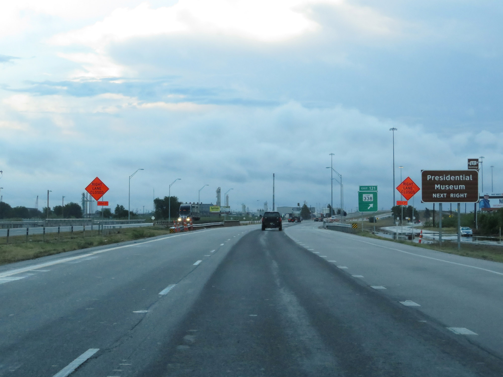 |
Also take Exit 121 to the Presidential Museum. (Photo taken 5/20/18). |
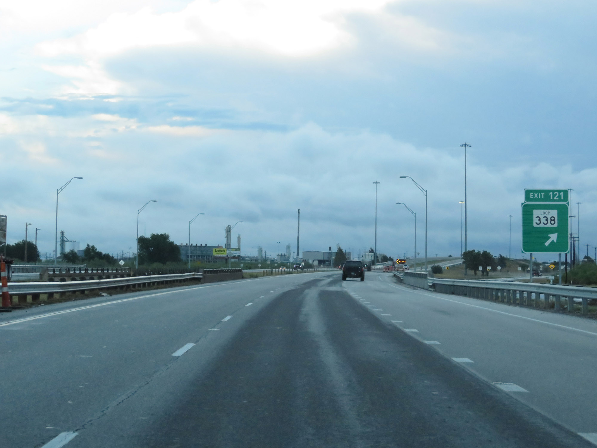 |
Interstate 20 East at Exit 121: TX Loop 338 (Photo taken 5/20/18). |
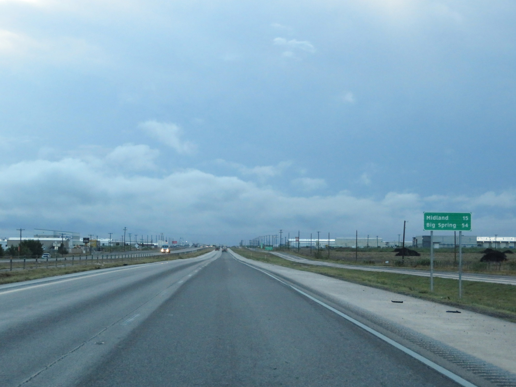 |
Mileage sign on Interstate 20 East. It's 15 miles to Midland and 54 miles to Big Spring. (Photo taken 5/20/18). |
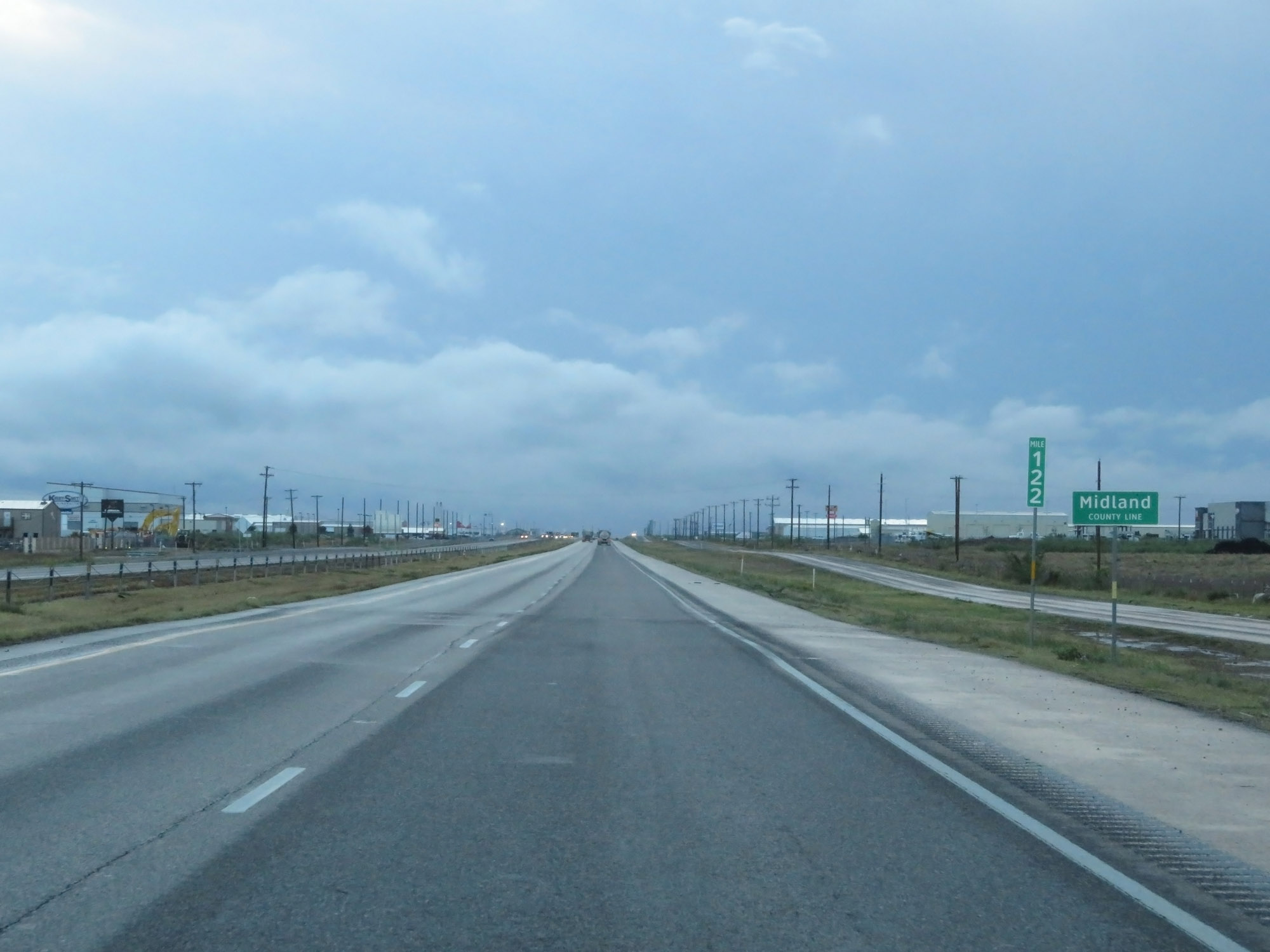 |
At mile marker 122, Interstate 20 East enters Midland County. (Photo taken 5/20/18). |
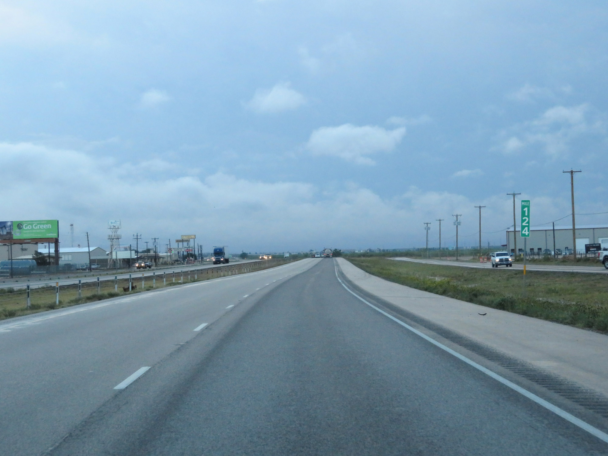 |
Interstate 20 East at mile marker 124. (Photo taken 5/20/18). |
 |
Take Exit 126 to Midland International Air & Space Port. (Photo taken 5/20/18). |
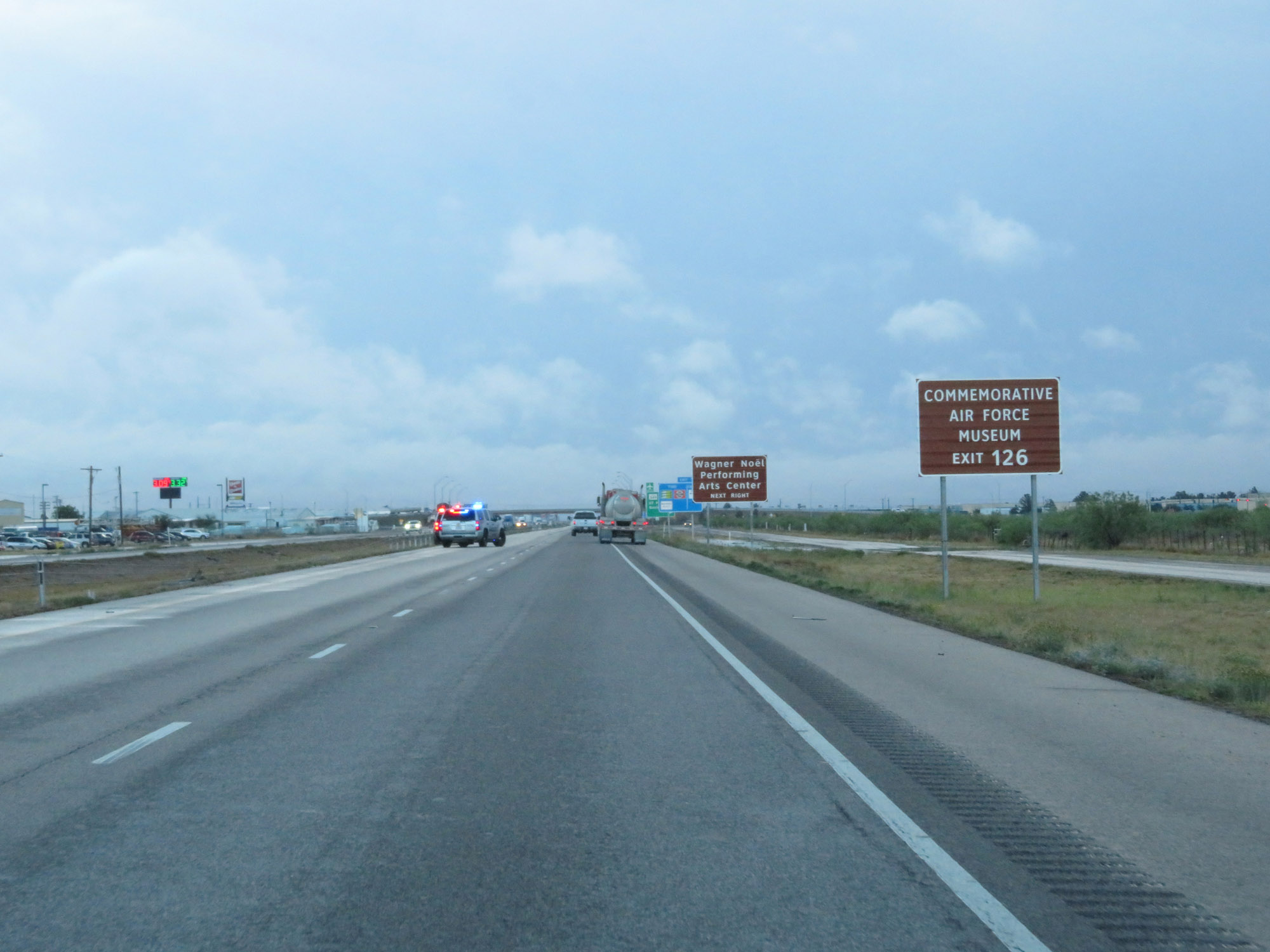 |
Also take Exit 126 to the Commemorative Air Force Museum and Wagner Noel Performing Arts Center. (Photo taken 5/20/18). |
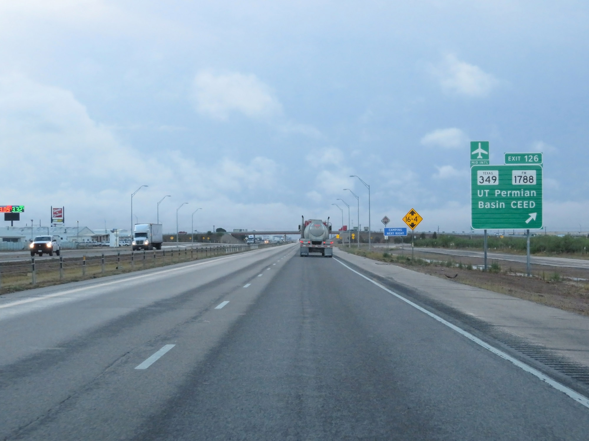 |
Interstate 20 East at Exit 126: TX 349 / FM 1788 - UT Permian Basin CEED (Photo taken 5/20/18). |
 |
The speed limit remains 65 mph throughout the Midland area. (Photo taken 5/20/18). |
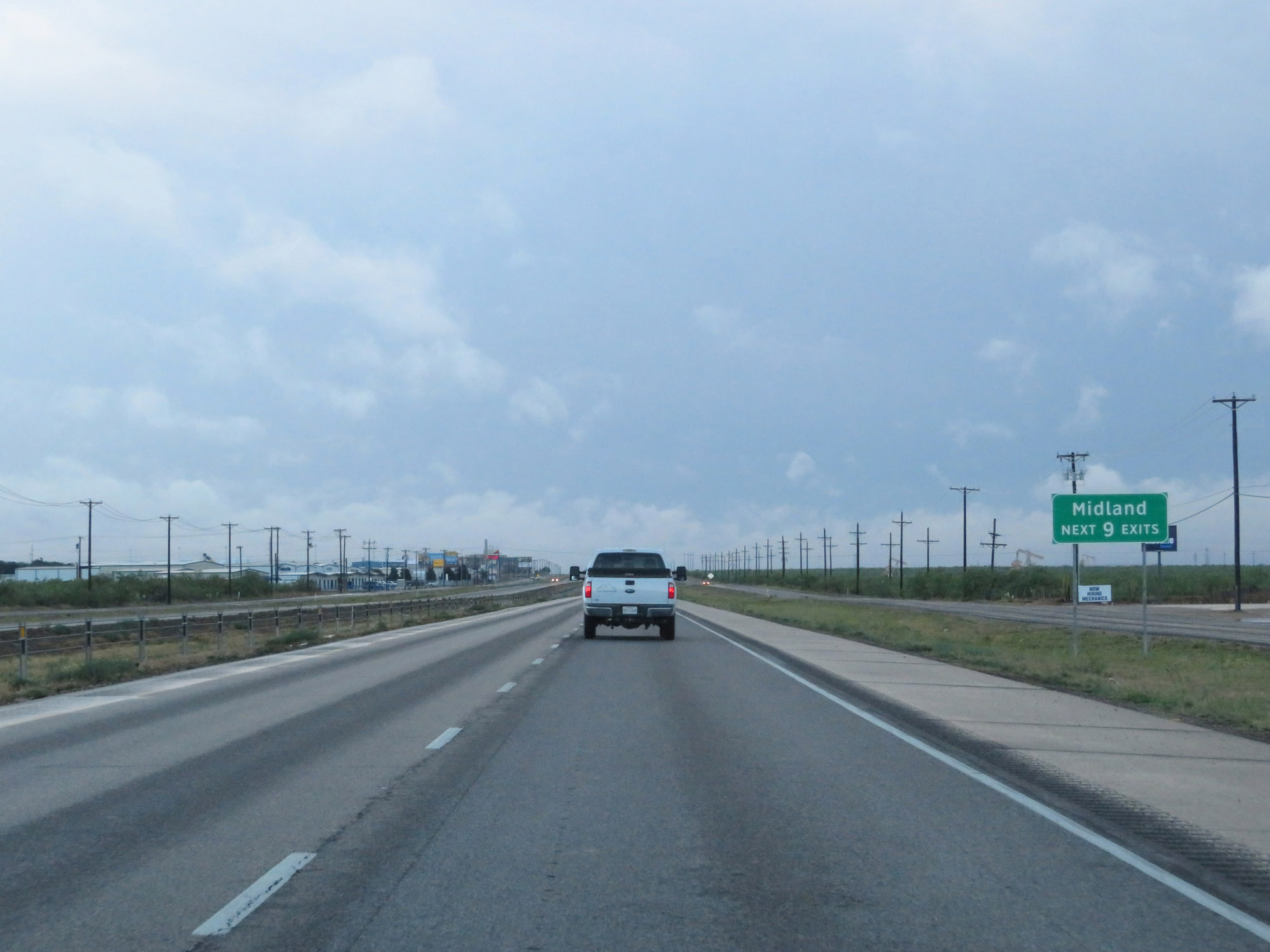 |
Take any of the next 9 exits to Midland. (Photo taken 5/20/18). |
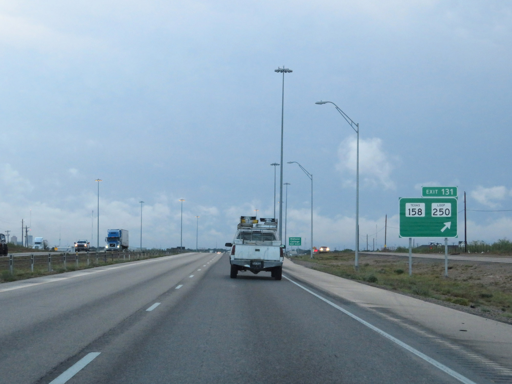 |
Interstate 20 East at Exit 131: TX 158 / TX Loop 250 (Photo taken 5/20/18). |
 |
Interstate 20 East reassurance shield. (Photo taken 5/20/18). |
 |
Interstate 20 East at Exit 134: Midkiff Road (Photo taken 5/20/18). |
 |
Take Exit 135 to Midland County Horseshoe Arena. (Photo taken 5/20/18). |
 |
Interstate 20 East at Exit 135: TX 158 Business - Cotton Flat Rd / Garfield St (Photo taken 5/20/18). |
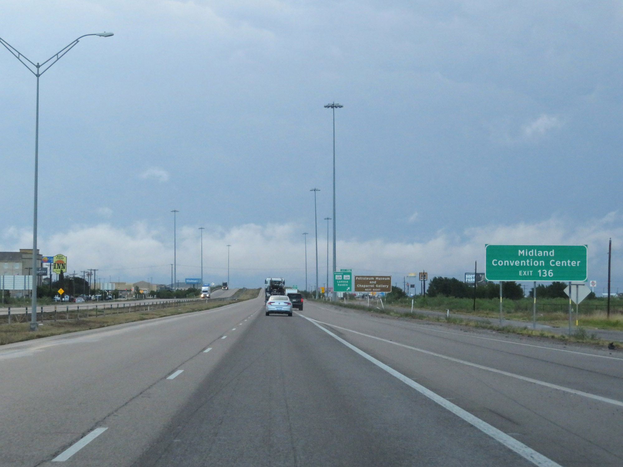 |
Take Exit 136 to Midland Convention Center. (Photo taken 5/20/18). |
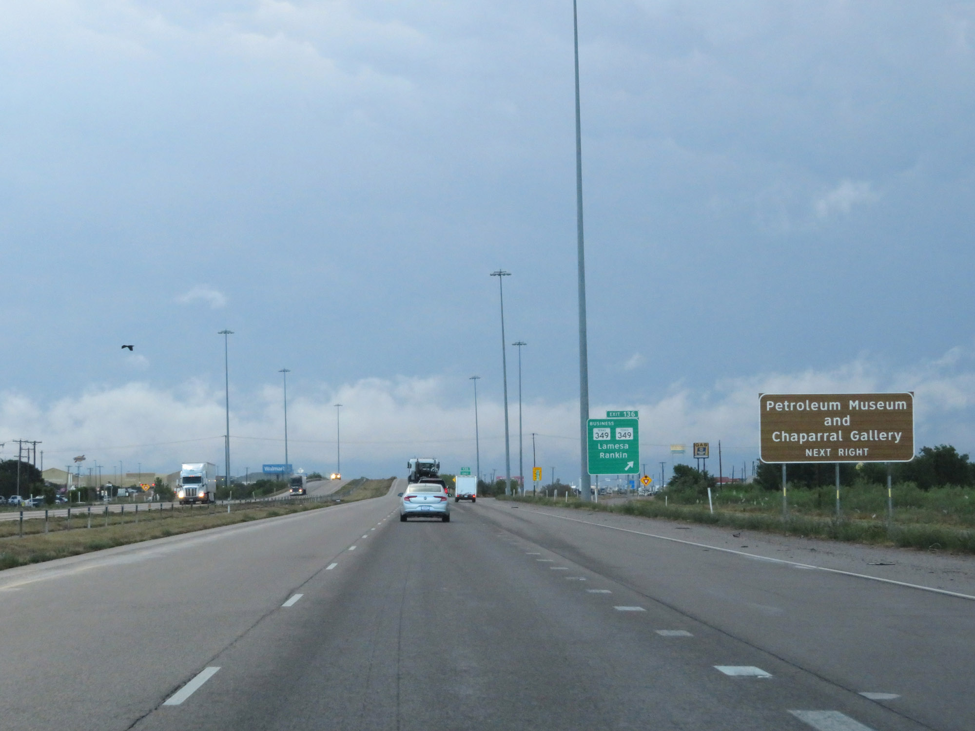 |
Also take Exit 136 to the Petroleum Museum and Chaparral Gallery. (Photo taken 5/20/18). |
 |
Interstate 20 East at Exit 136: TX 349 Business / TX 349 - Lamesa / Rankin (Photo taken 5/20/18). |
 |
Interstate 20 East at Exit 137: Lamesa Road (Photo taken 5/20/18). |
 |
Interstate 20 East at Exit 138: TX 158 / FM 715 - Garden City / San Angelo (Photo taken 5/20/18). |
 |
Interstate 20 East approaching Exit 140 - 3/4 mile. (Photo taken 5/20/18). |
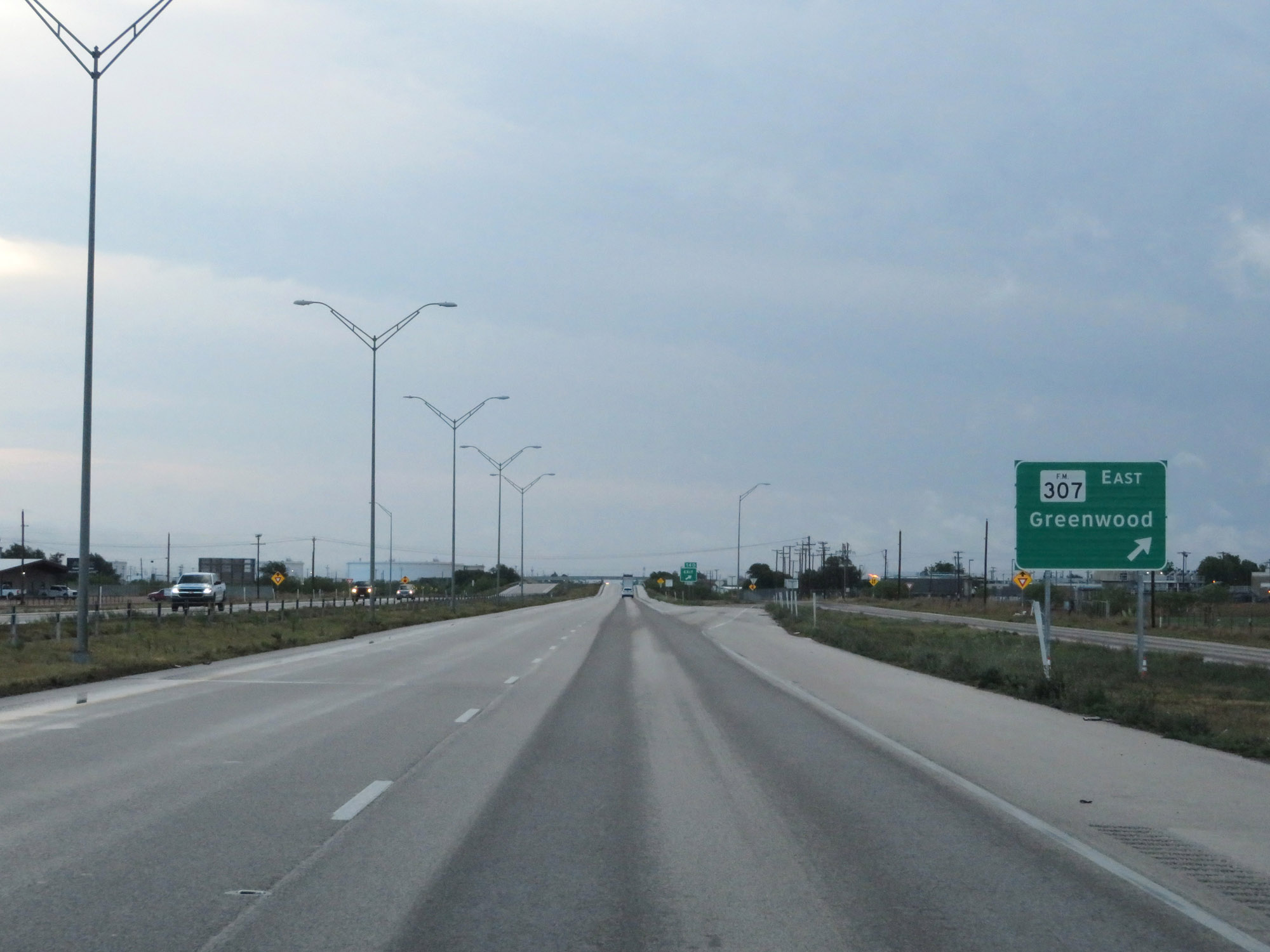 |
Interstate 20 East at Exit 140: FM 307 East - Greenwood (Photo taken 5/20/18). |
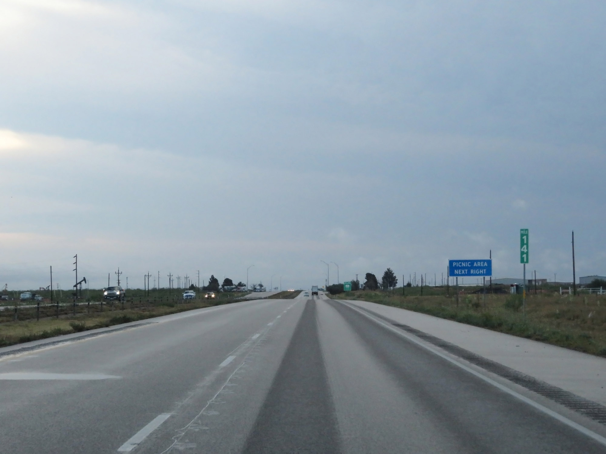 |
Interstate 20 East at mile marker 141. (Photo taken 5/20/18). |
 |
Picnic Area on Interstate 20 East in Midland County. (Photo taken 5/20/18). |
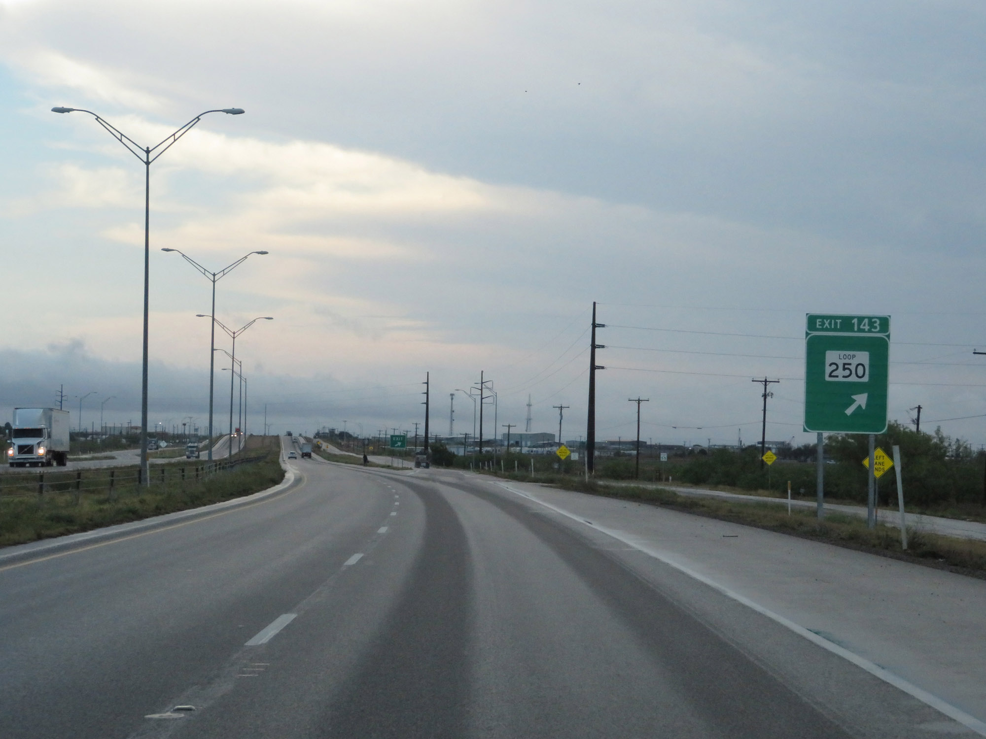 |
Interstate 20 East at Exit 143: TX Loop 250 (Photo taken 5/20/18). |
 |
The speed limit remains 65 mph. (Photo taken 5/20/18). |
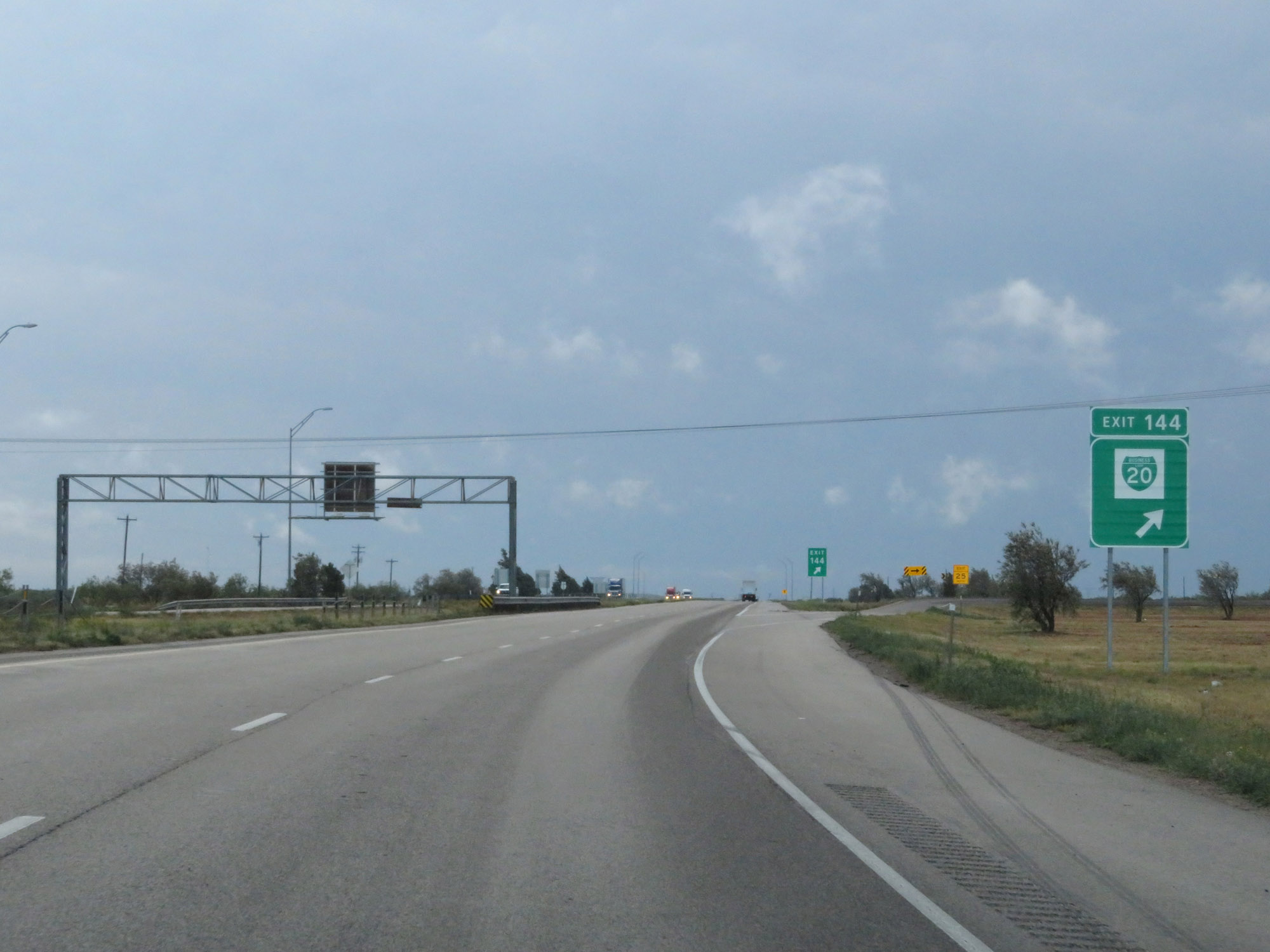 |
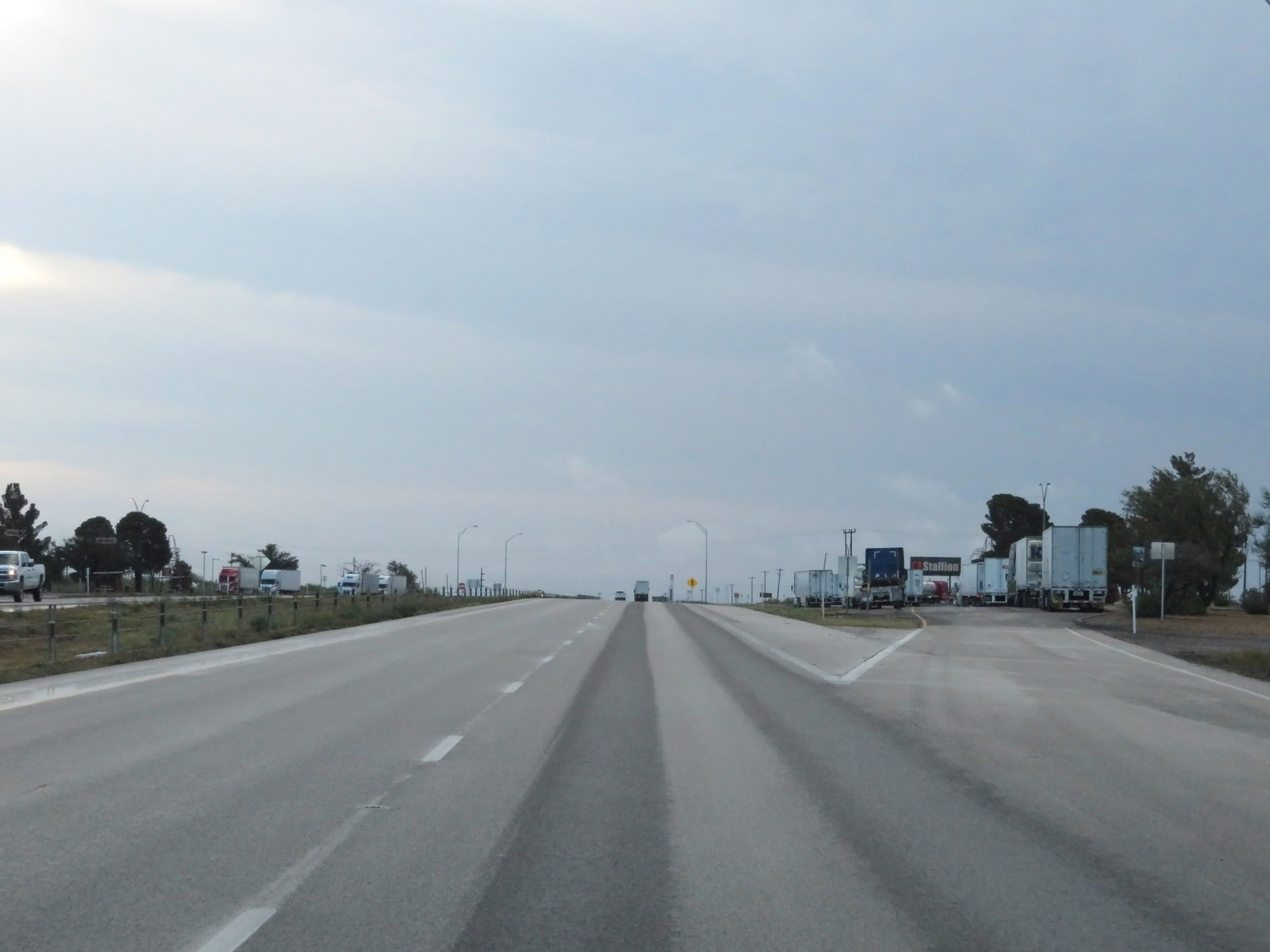
Interstate 20 East at Exit 144: Interstate 20 Business Loop (Photo taken 5/20/18). |
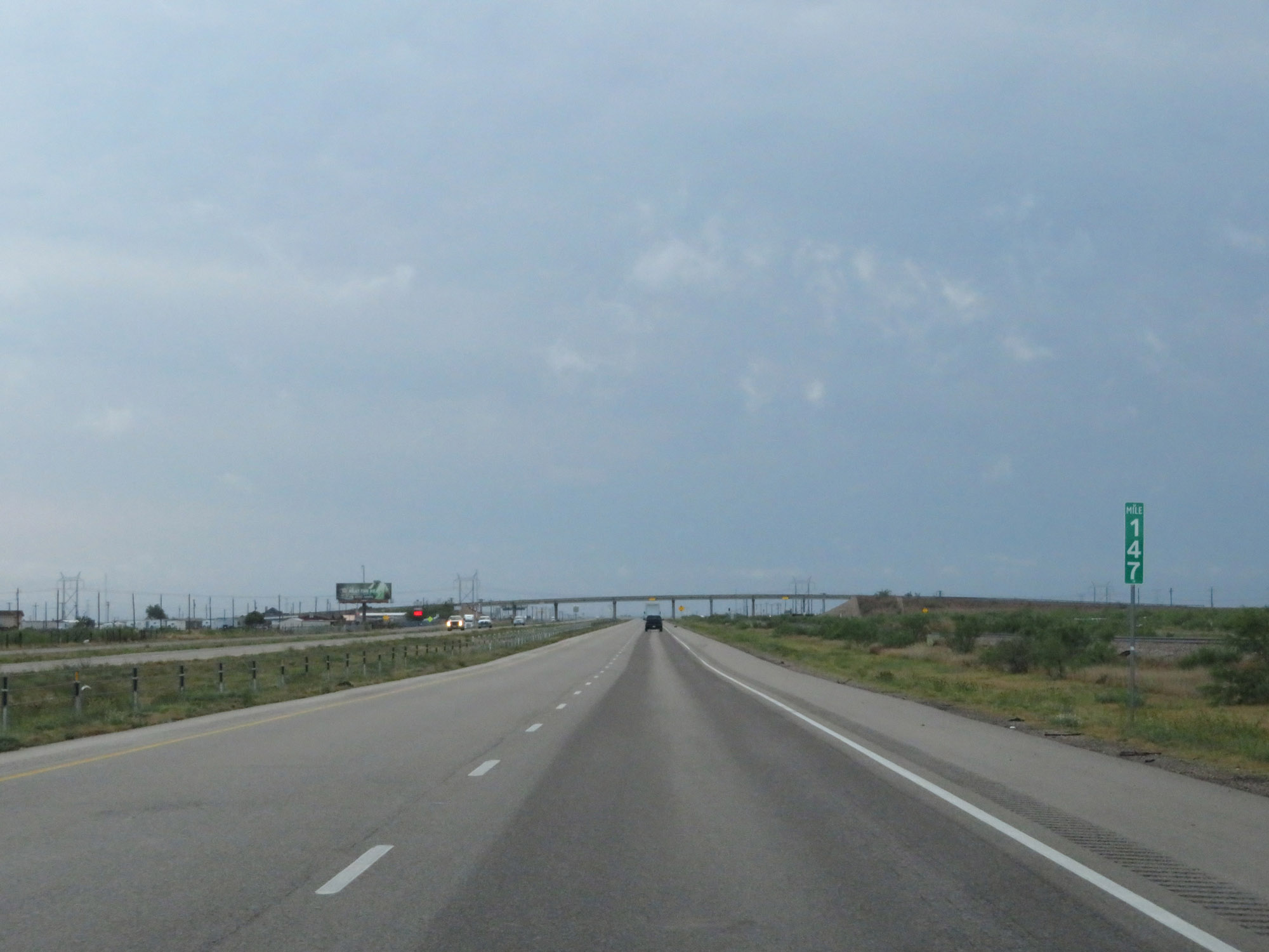 |
Interstate 20 East at mile marker 147. (Photo taken 5/20/18). |
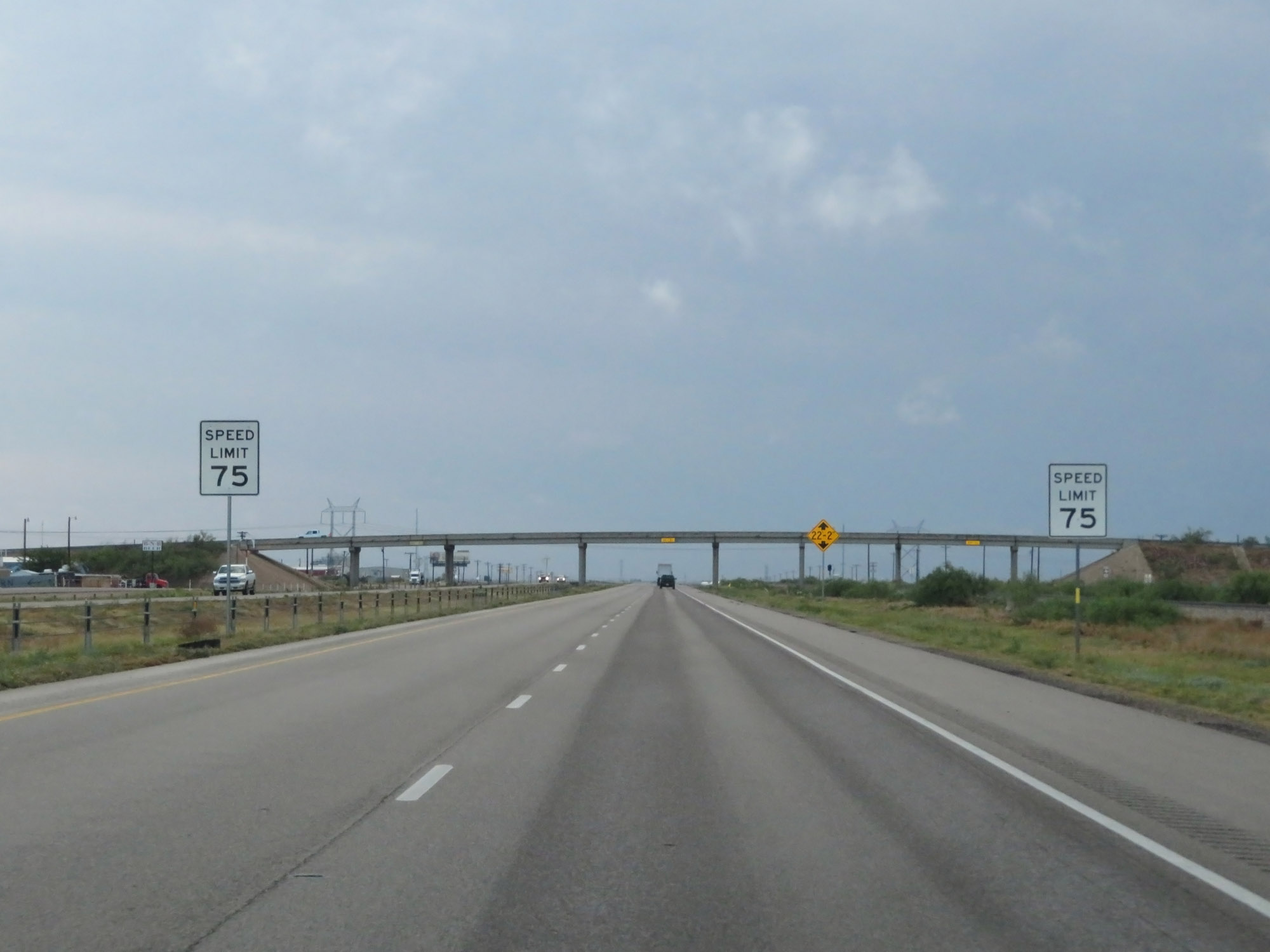 |
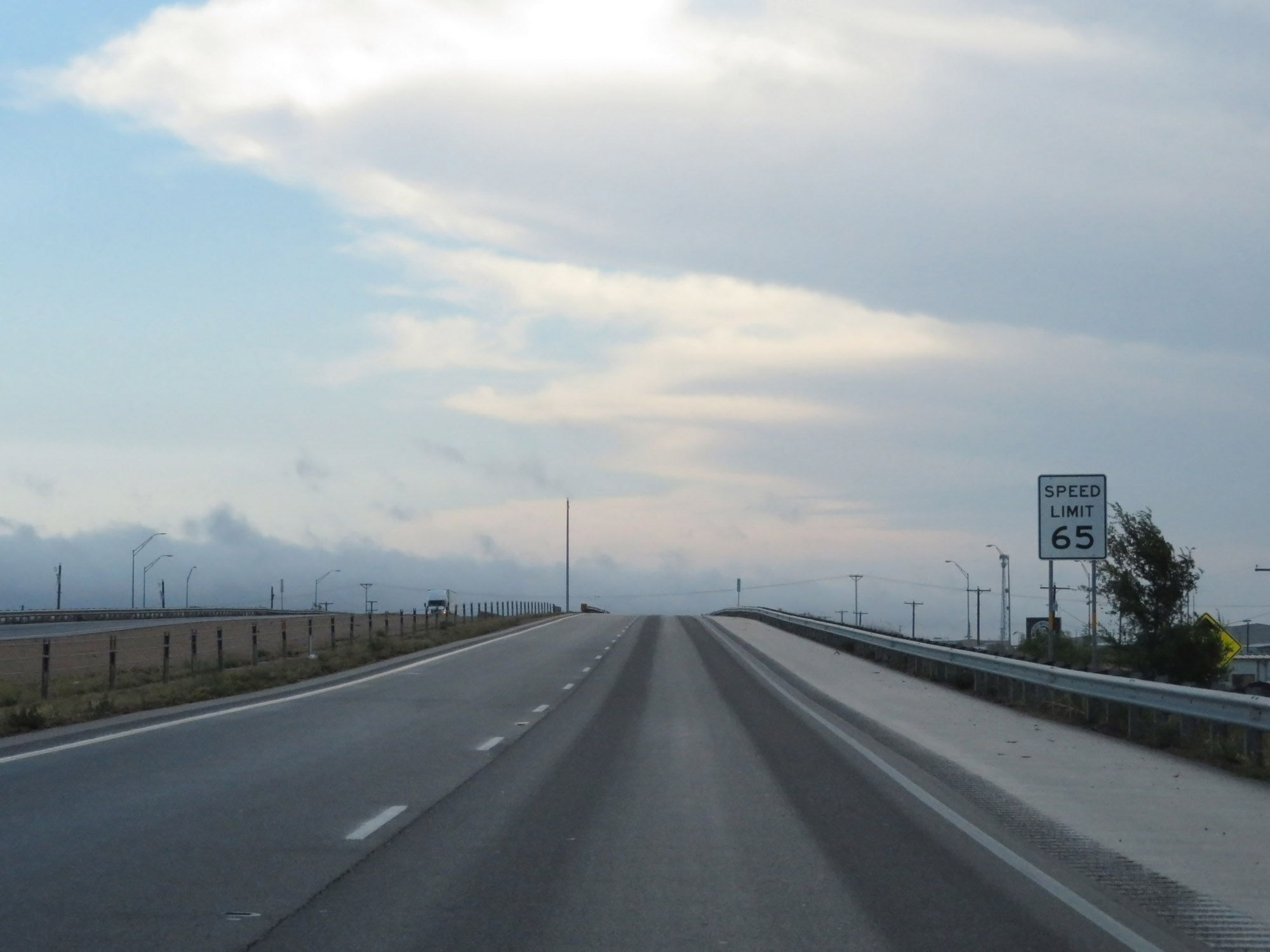
As Interstate 20 East prepares to leave Midland County, the speed limit increases to 75 mph once again. This is the standard speed limit on most rural Interstate highways in Texas. (Photo taken 5/20/18). |
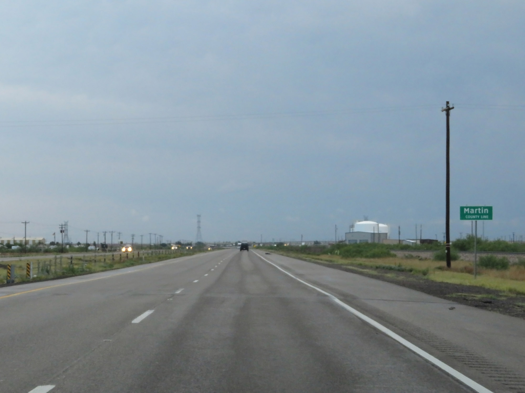 |
Interstate 20 East entering Martin County. (Photo taken 5/20/18). |
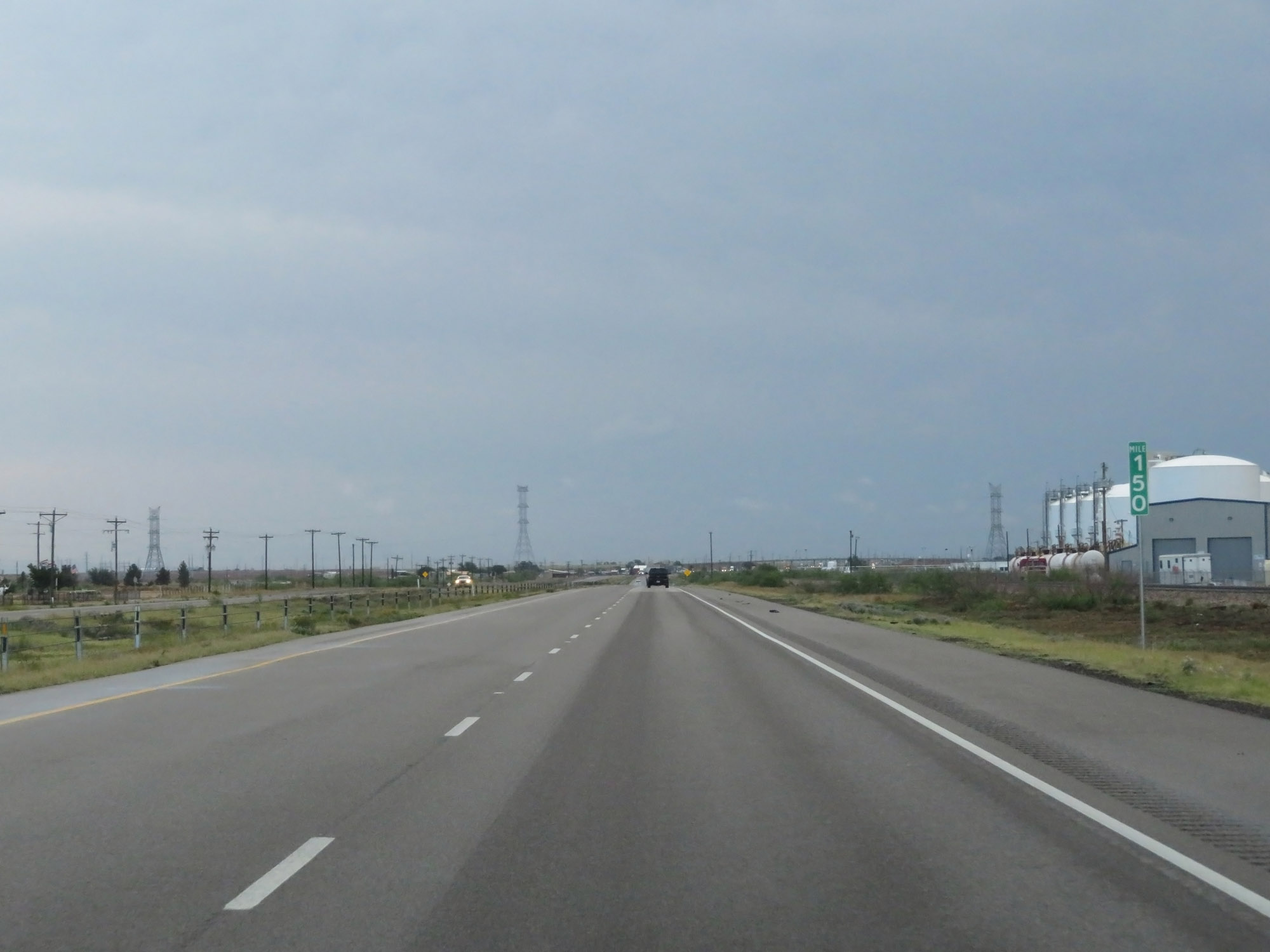 |
Interstate 20 East at mile marker 150. (Photo taken 5/20/18). |
 |
Take either of the next 2 exits to Stanton. (Photo taken 5/20/18). |
 |
Interstate 20 East at Exit 154: Interstate 20 Business Loop East - Stanton (Photo taken 5/20/18). |
 |
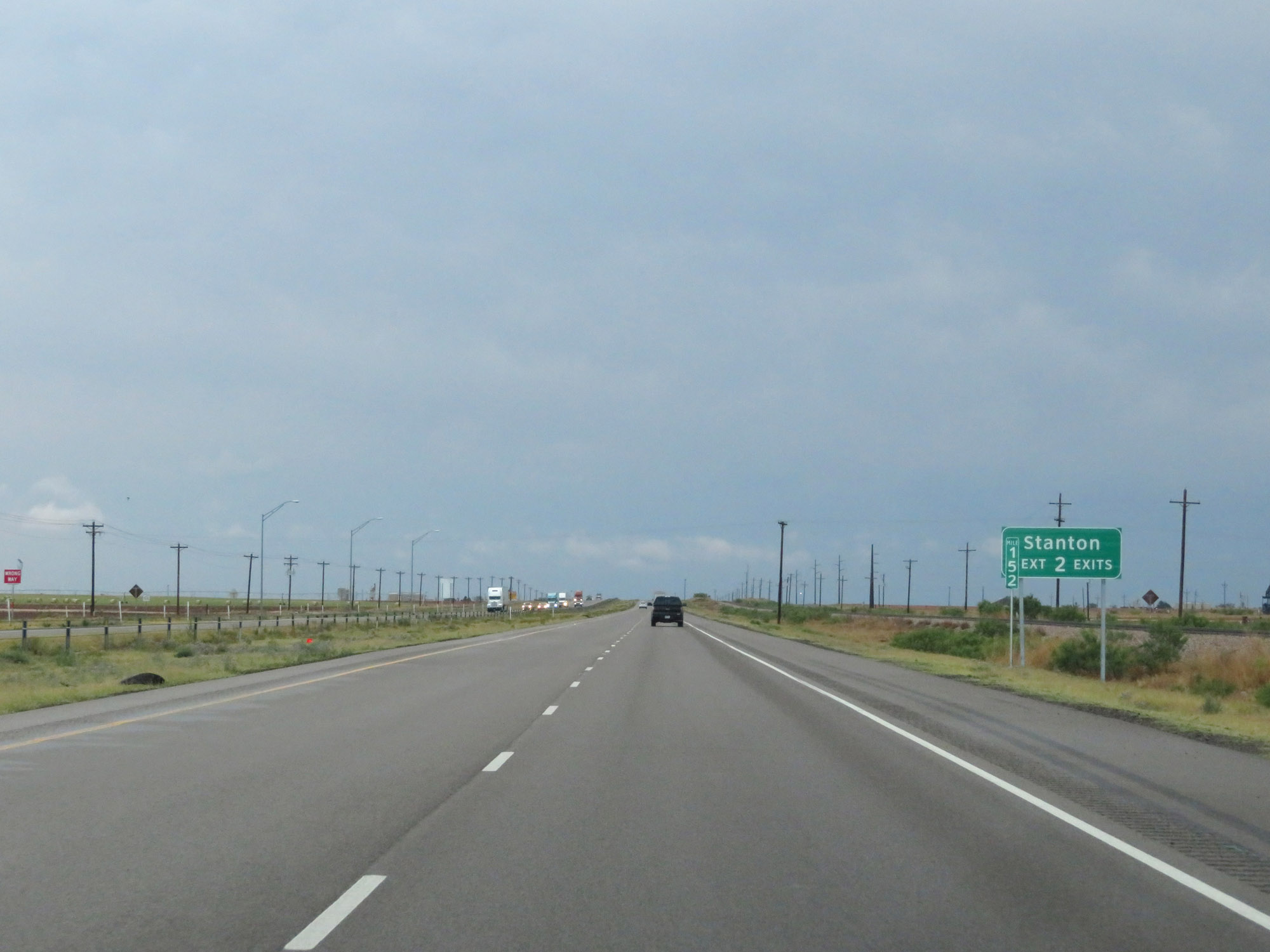
Interstate 20 East approaching Exit 156 - 1 mile. (Photo taken 5/20/18). |
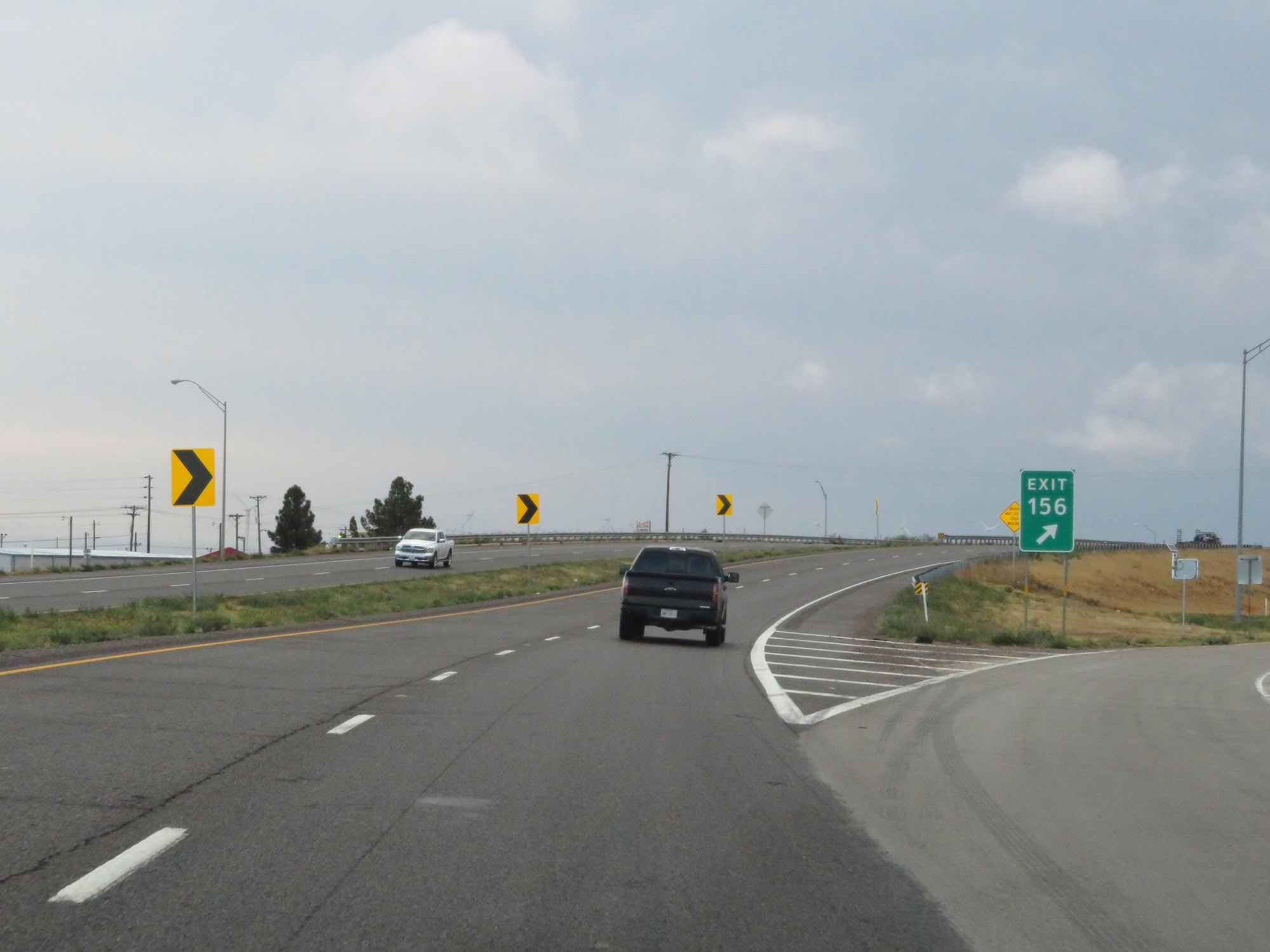 |
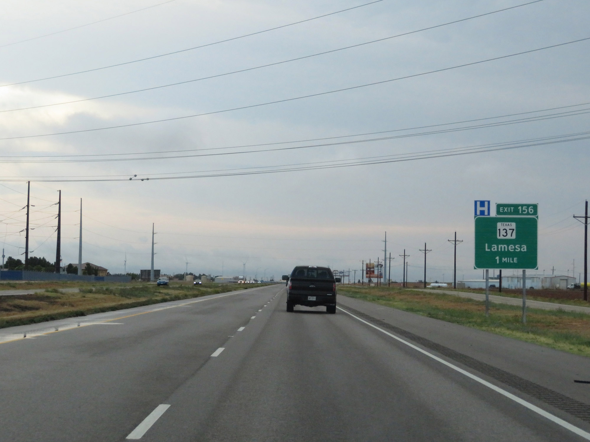
Interstate 20 East at Exit 156: TX 137 - Lamesa (Photo taken 5/20/18). |
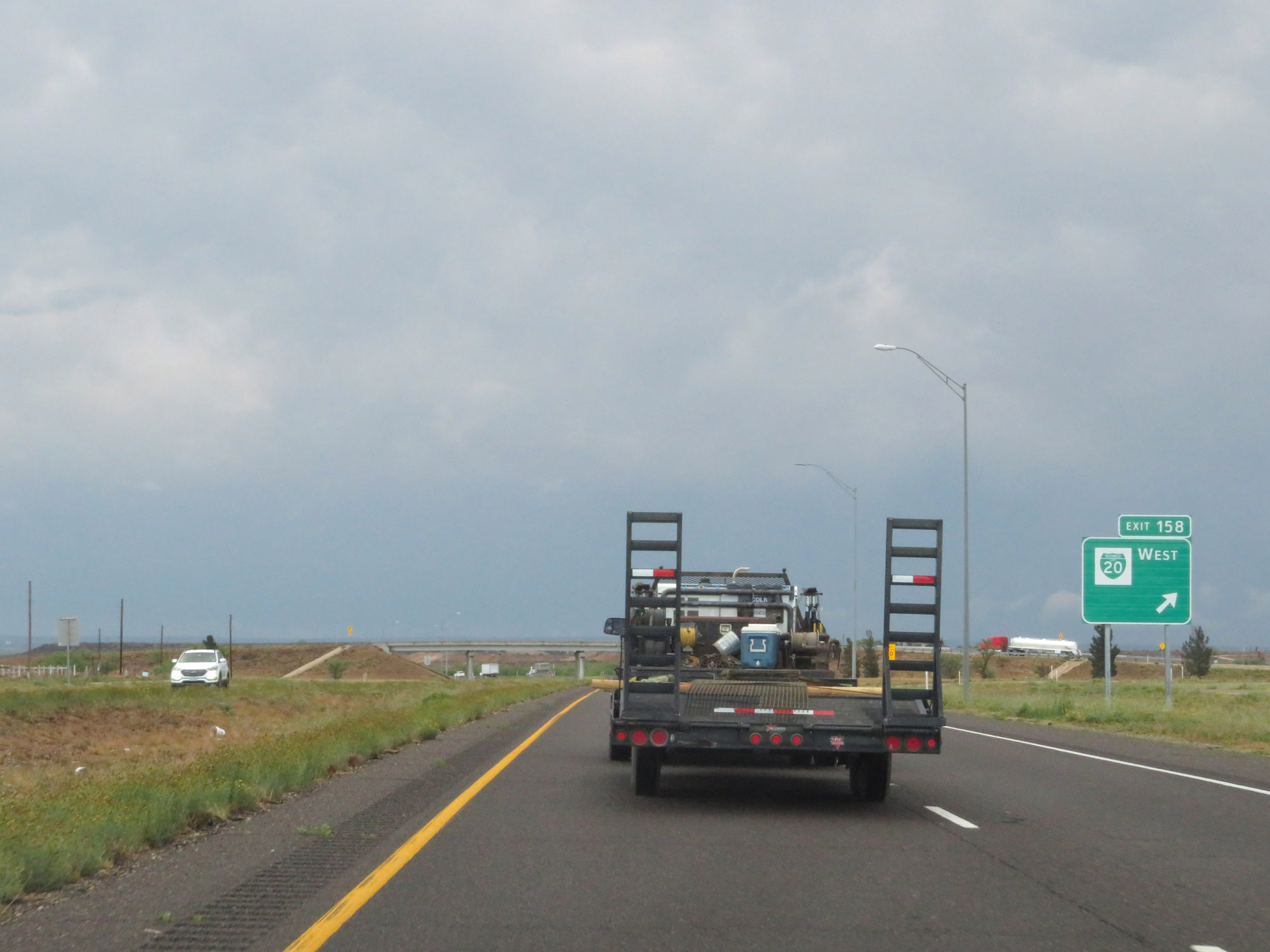 |
Interstate 20 East at Exit 158: Interstate 20 Business Loop West (Photo taken 5/20/18). |
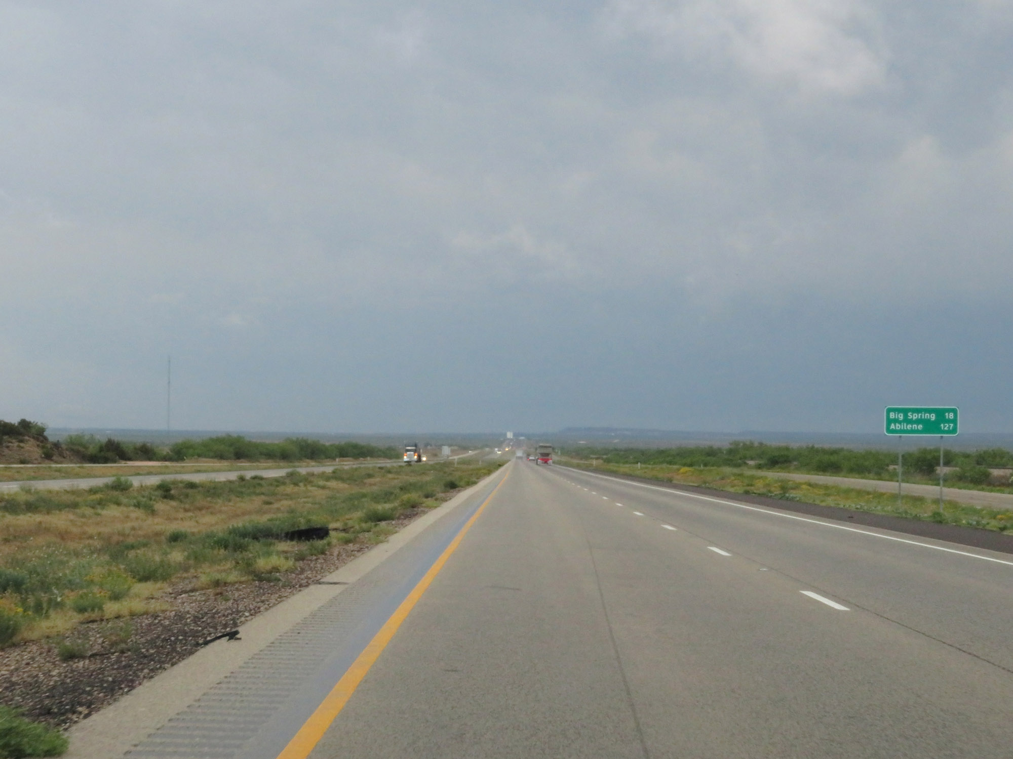 |
Mileage sign on Interstate 20 East. It's 18 miles to Big Spring and 127 miles to Abilene. (Photo taken 5/20/18). |
 |
Interstate 20 East at mile marker 162. (Photo taken 5/20/18). |
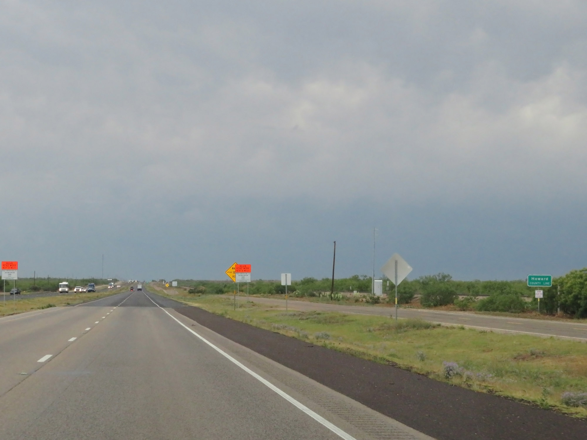 |
Interstate 20 East as it enters Howard County. (Photo taken 5/20/18). |
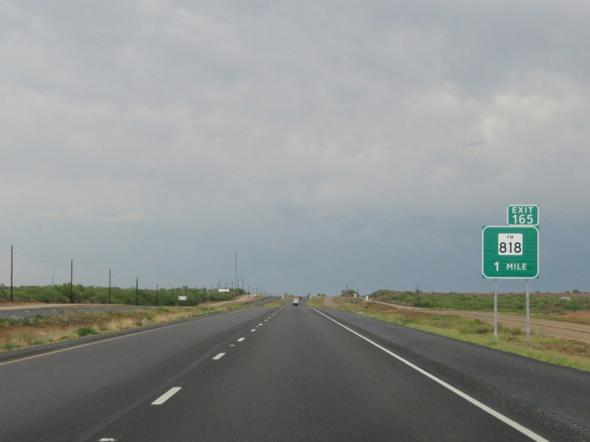 |
Interstate 20 East approaching Exit 165 - 1 mile. (Photo taken 5/20/18). |
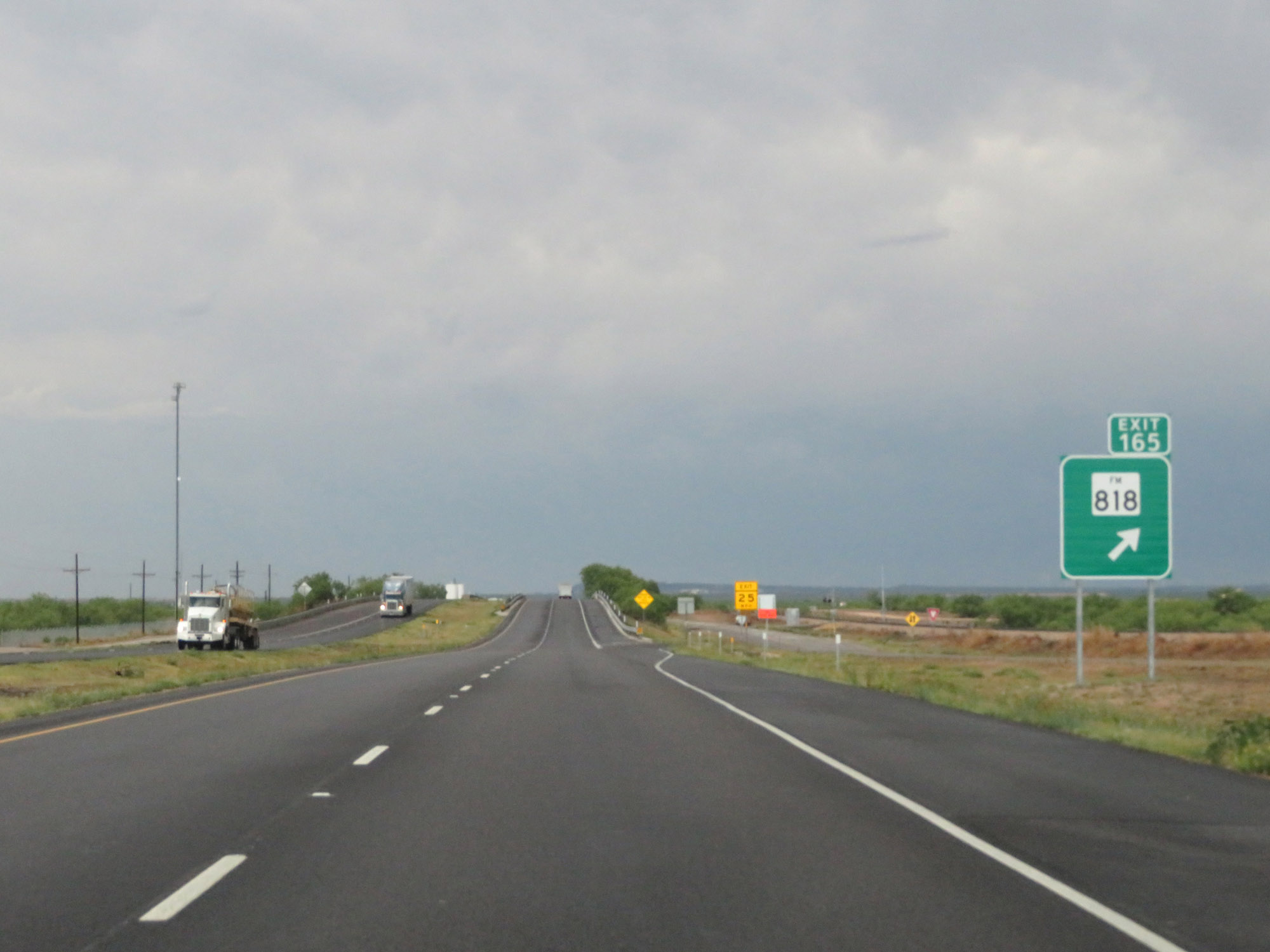 |
Interstate 20 East at Exit 165: FM 818 (Photo taken 5/20/18). |
 |
Picnic Area on Interstate 20 East in Howard County. (Photo taken 5/20/18). |
 |
Interstate 20 East at Exit 169: FM 2599 (Photo taken 5/20/18). |
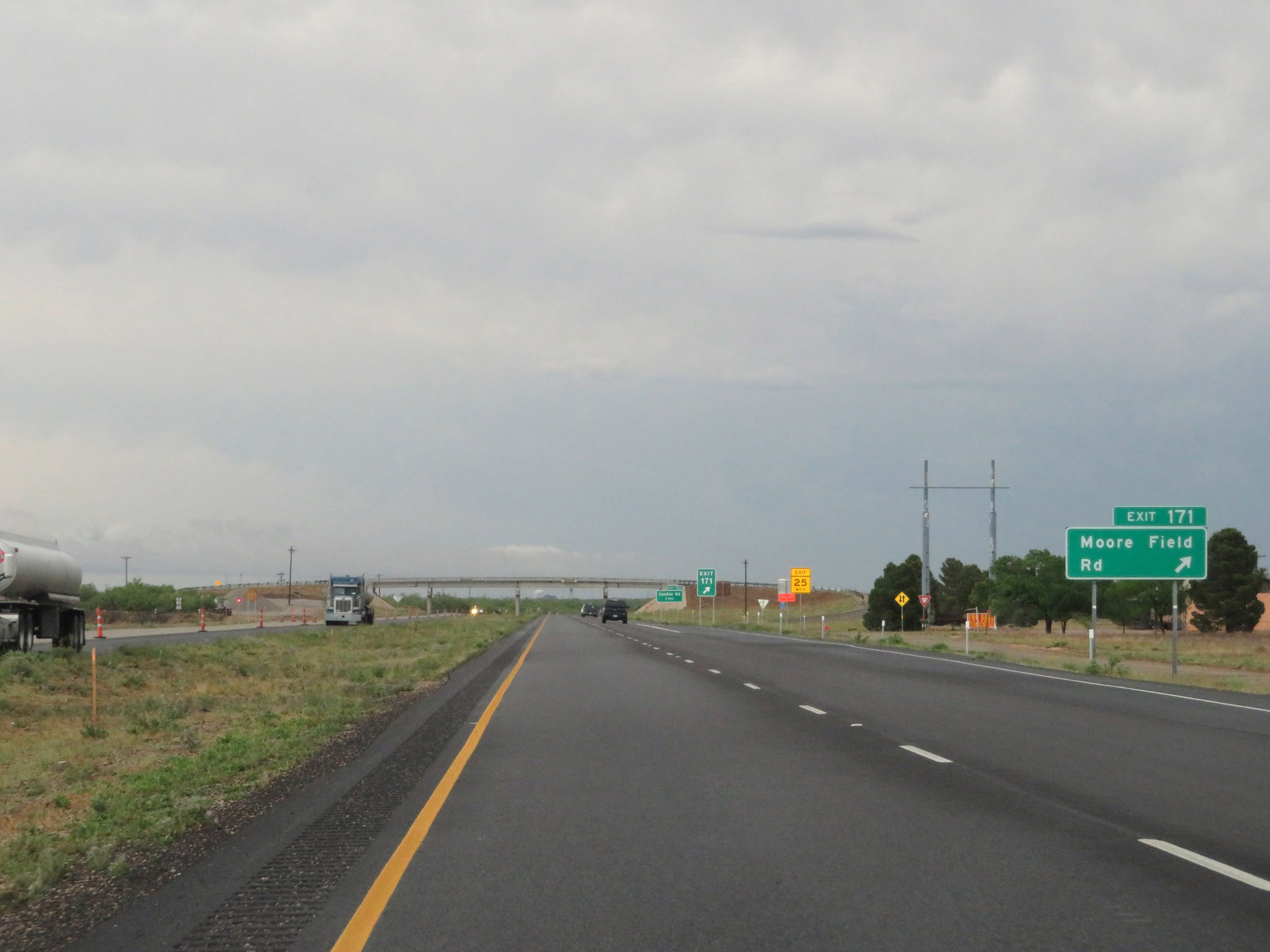 |
Interstate 20 East at Exit 171: Moore Field Rd (Photo taken 5/20/18). |
 |
Interstate 20 East approaching Exit 172 - 1 mile. (Photo taken 5/20/18). |
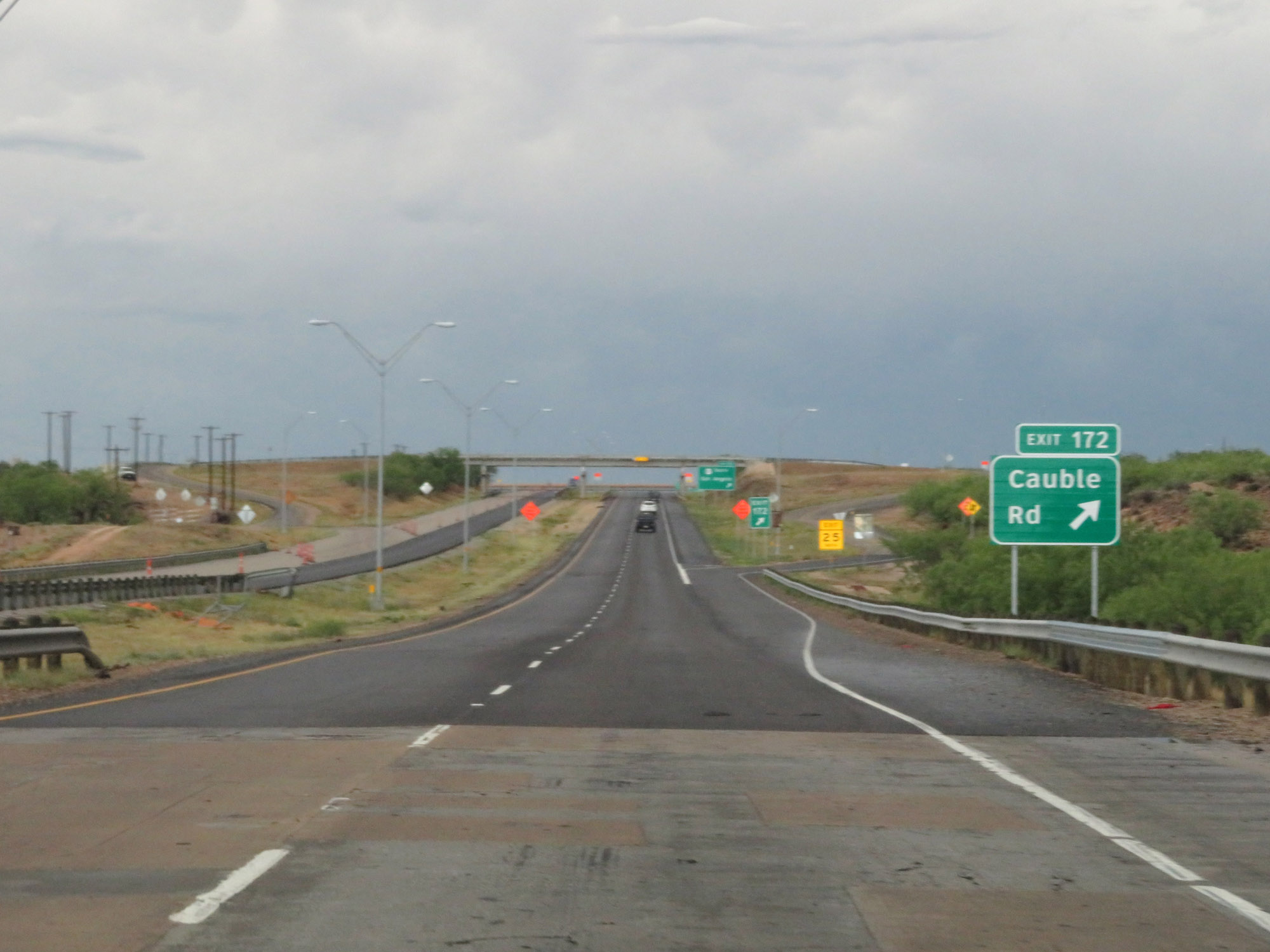 |
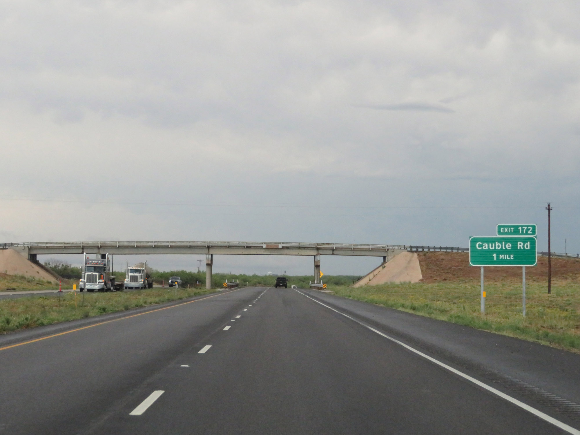
Interstate 20 East at Exit 172: Cauble Rd (Photo taken 5/20/18). |
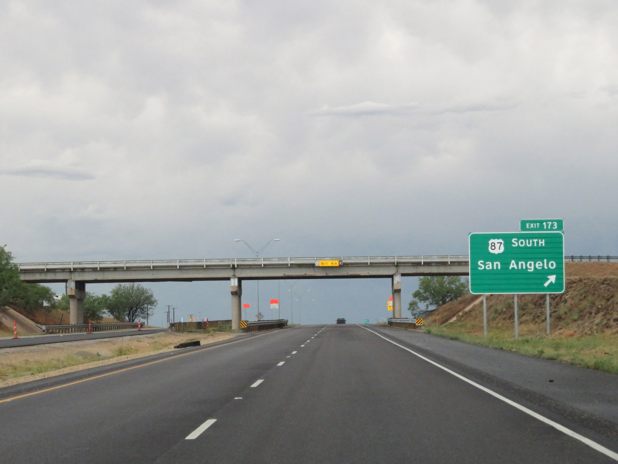 |
Interstate 20 East at Exit 173: US 87 South - San Angelo (Photo taken 5/20/18). |
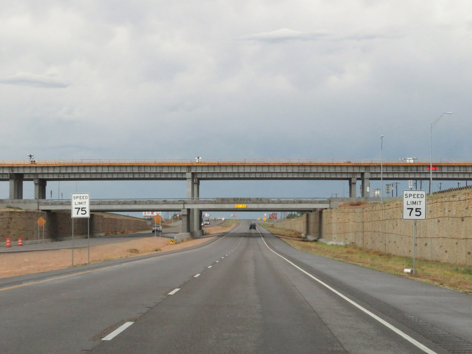 |
The speed limit remains 75 mph through the Big Spring area. (Photo taken 5/20/18). |
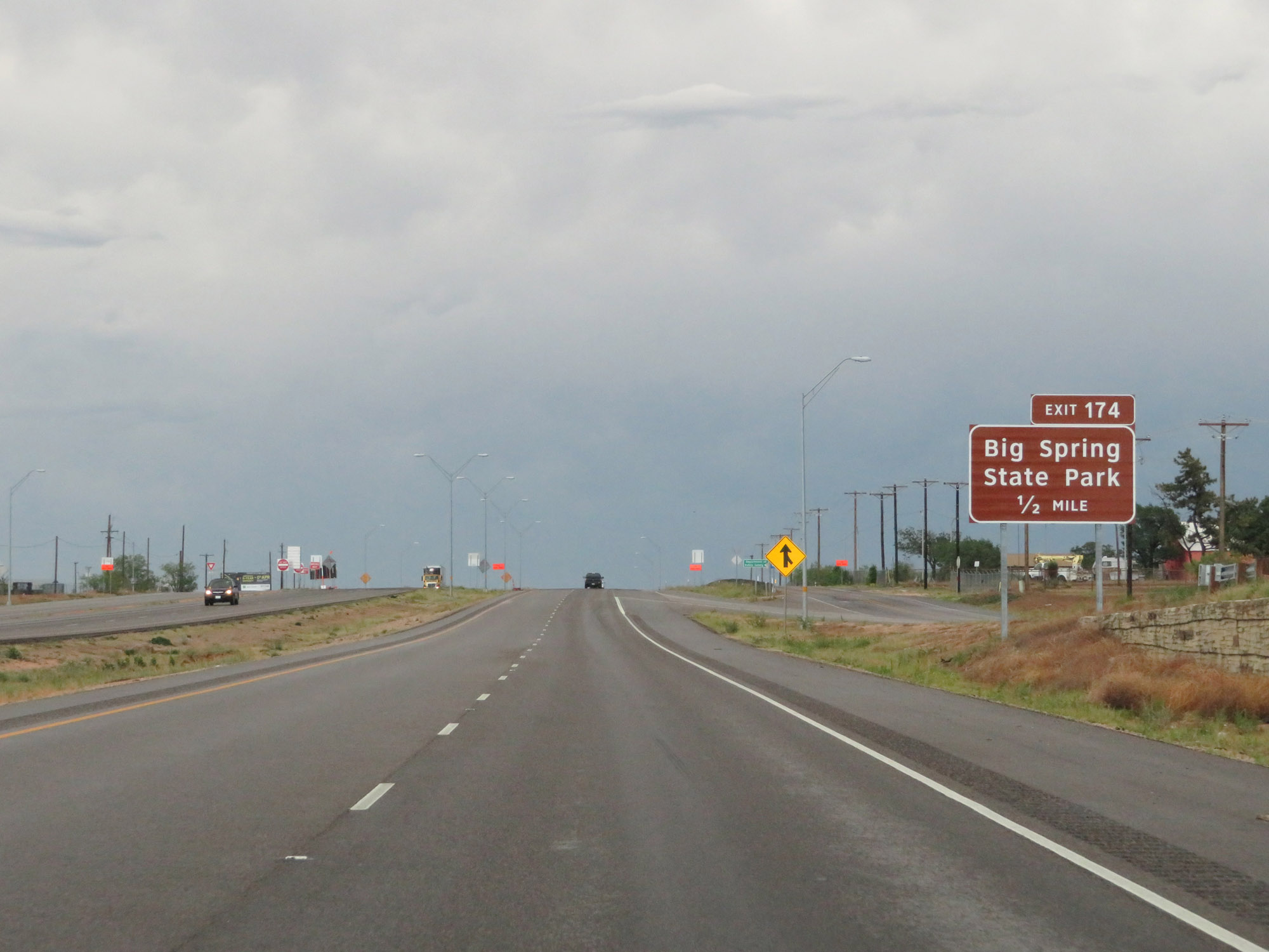 |
Take Exit 174 to Big Spring State Park. (Photo taken 5/20/18). |
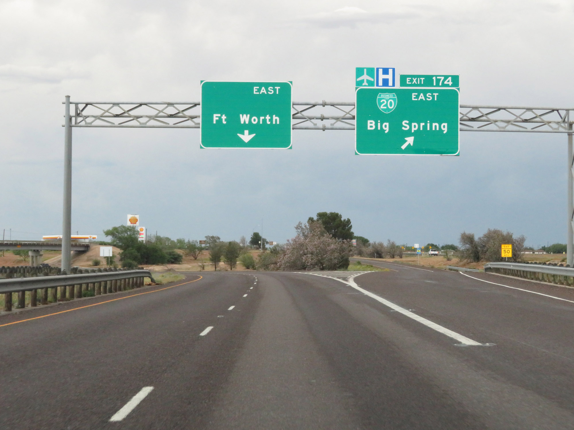 |
Interstate 20 East at Exit 174: Interstate 20 Business Loop East - Big Spring (Photo taken 5/20/18). |
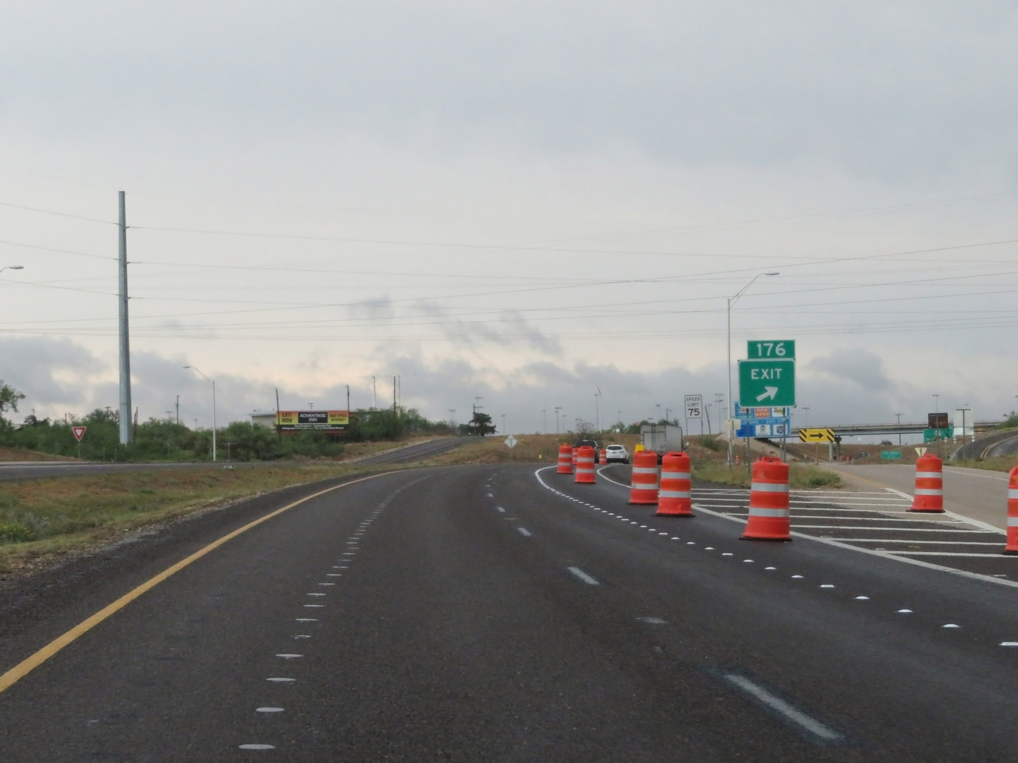 |
Interstate 20 East at Exit 176: TX 176 - Andrews (Photo taken 5/20/18). |
 |
Interstate 20 East approaching Exit 177 - 1/2 mile. (Photo taken 5/20/18). |
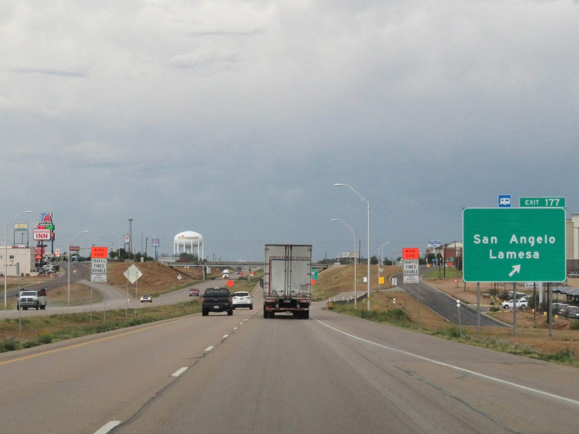 |
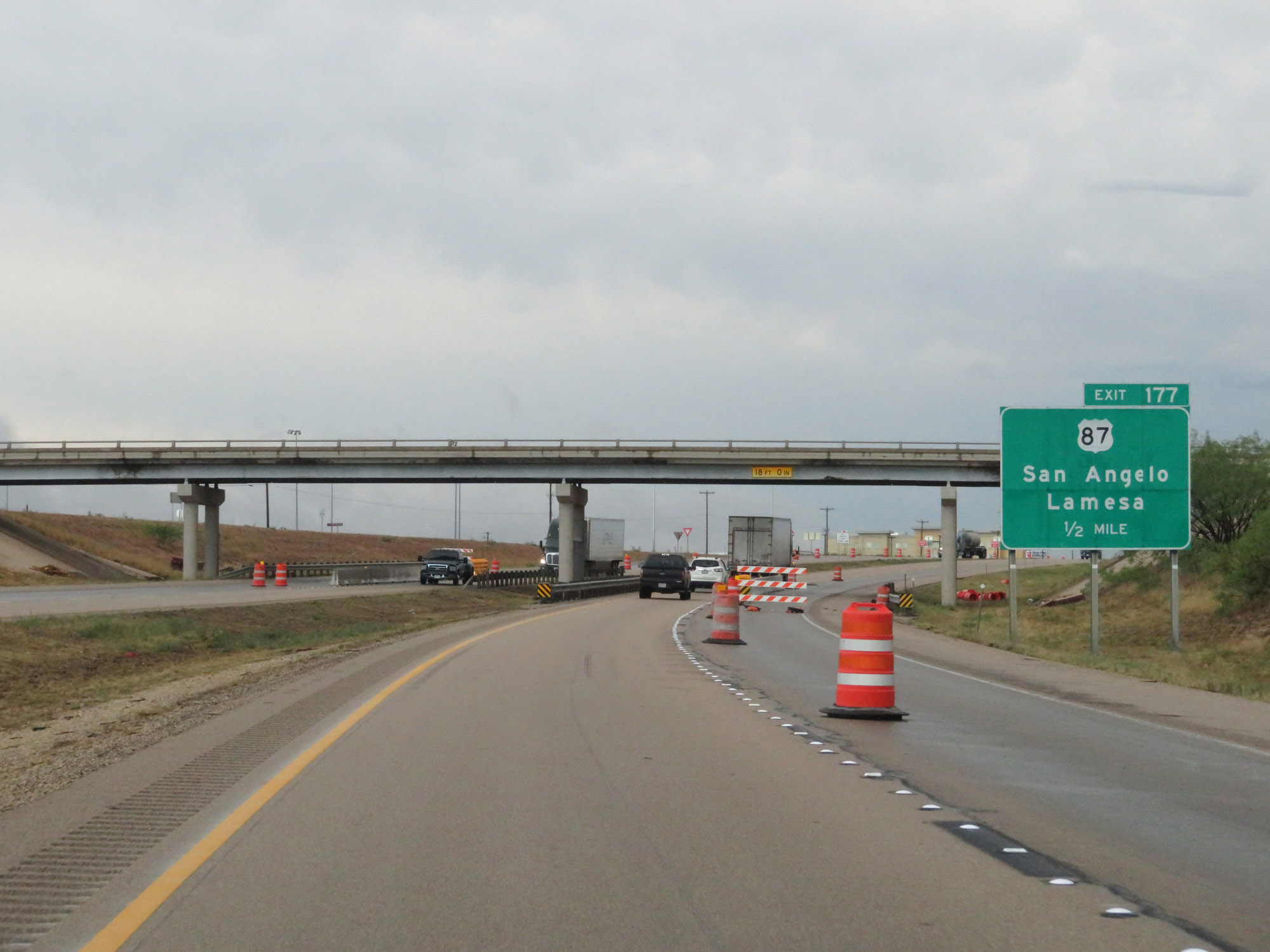
Interstate 20 East at Exit 177: US 87 - San Angelo / Lamesa (Photo taken 5/20/18). |
 |
Interstate 20 East approaching Exit 178 - 3/4 mile. (Photo taken 5/20/18). |
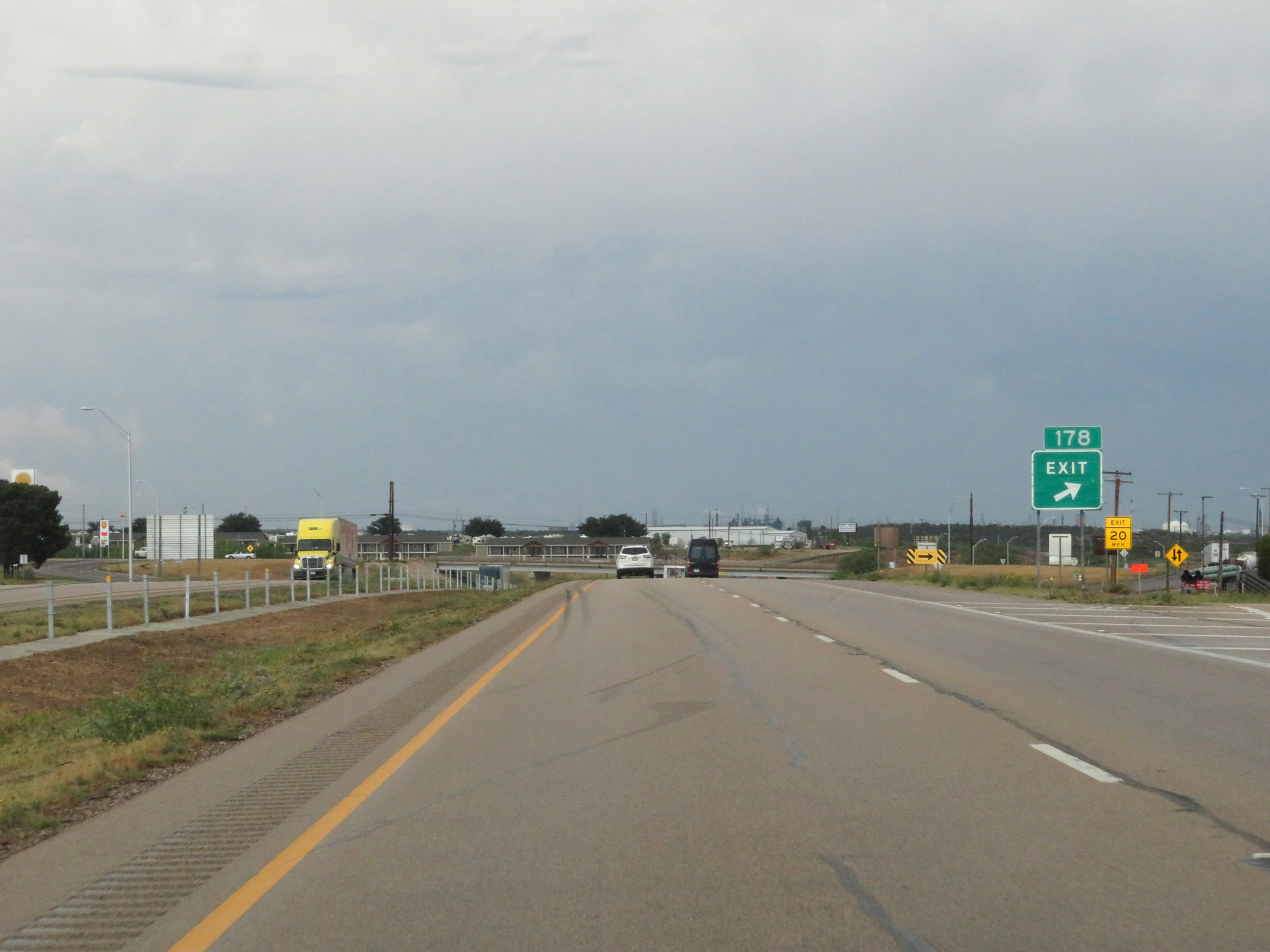 |
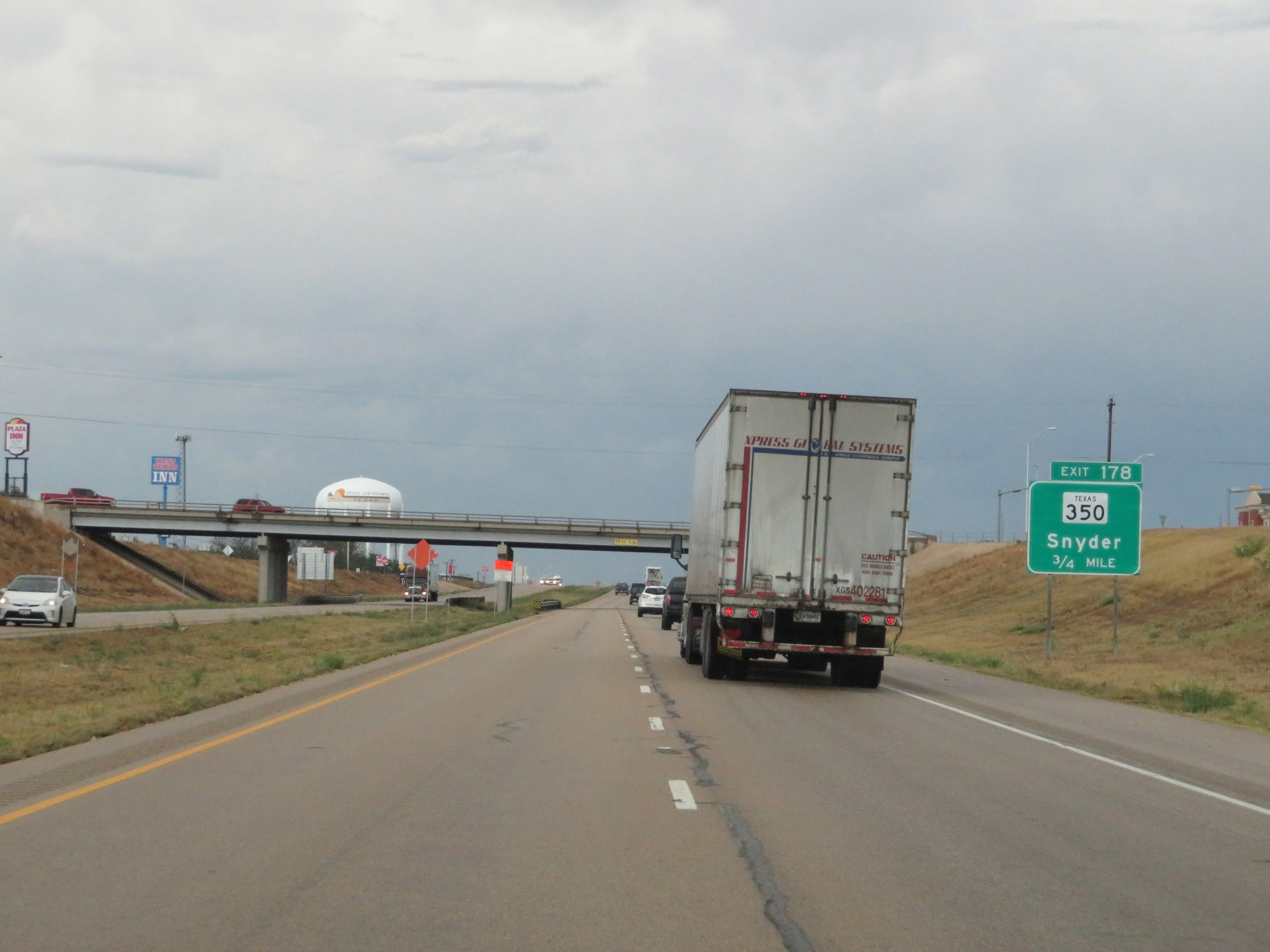
Interstate 20 East at Exit 178: TX 350 - Snyder (Photo taken 5/20/18). |
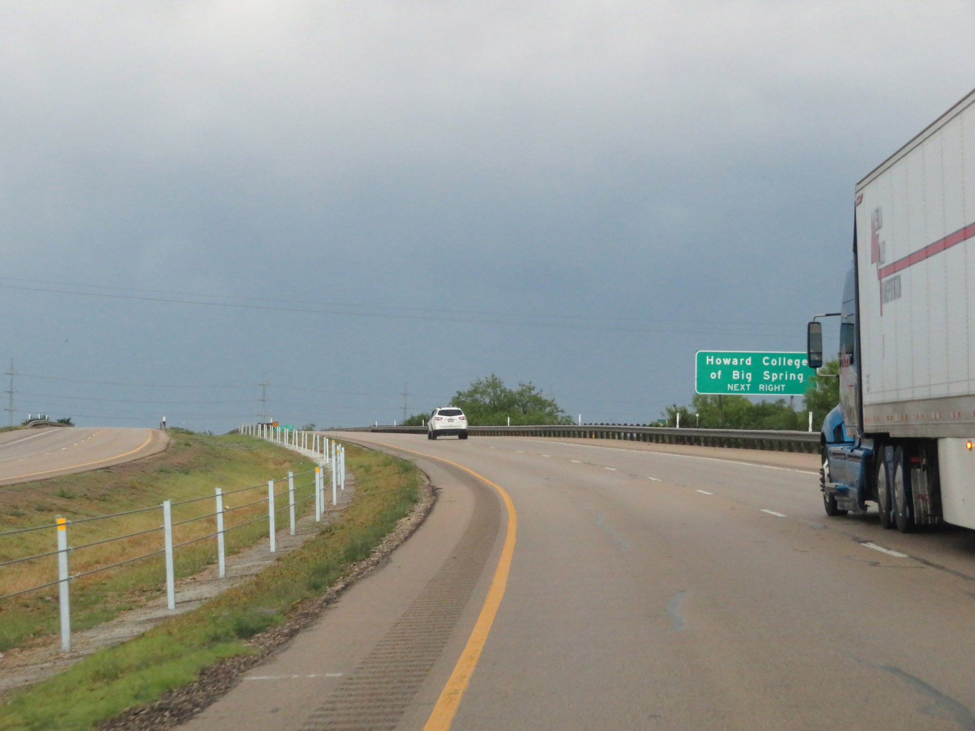 |
Take Exit 179 to Howard College of Big Spring. (Photo taken 5/20/18). |
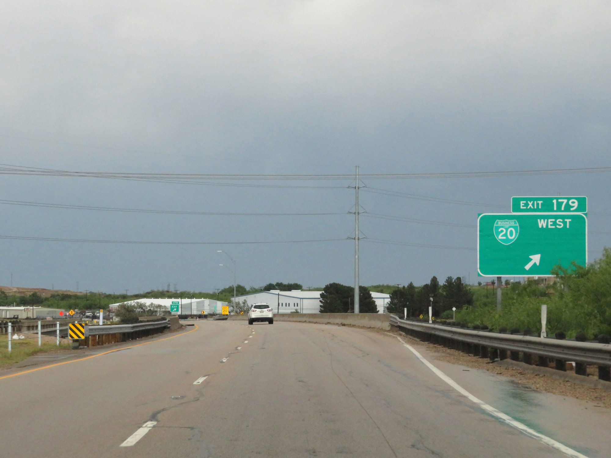 |
Interstate 20 East at Exit 179: Interstate 20 Business Loop West (Photo taken 5/20/18). |
Section 3: Big Spring (Exit 179) to Sweetwater (Exit 247)
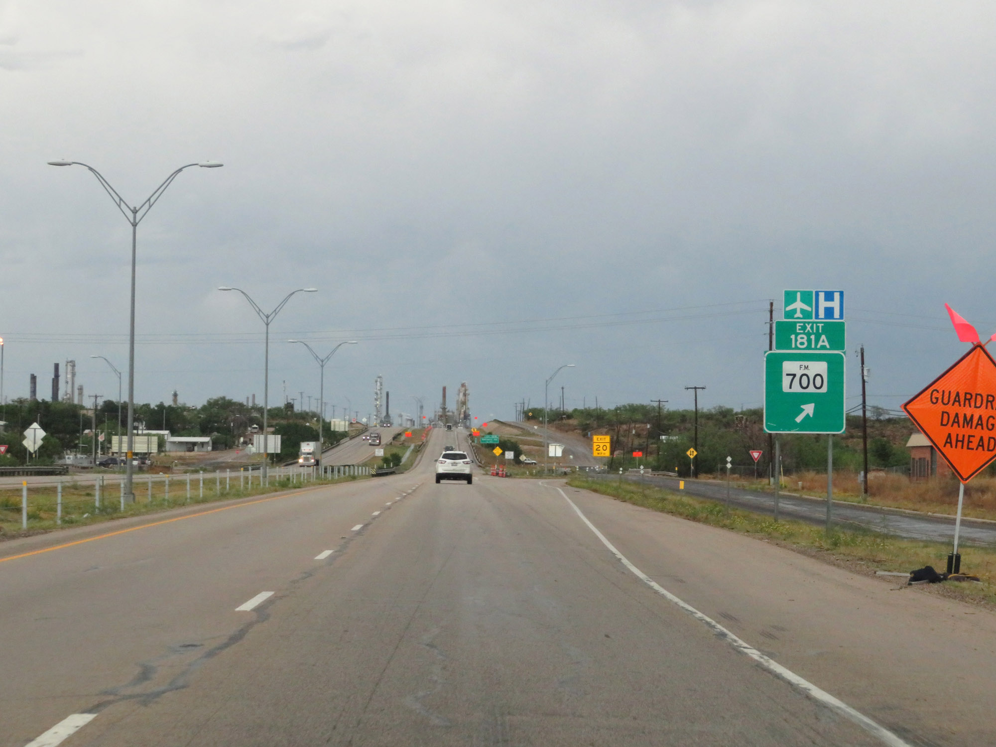 |
Interstate 20 East at Exit 181A: FM 700 (Photo taken 5/20/18). |
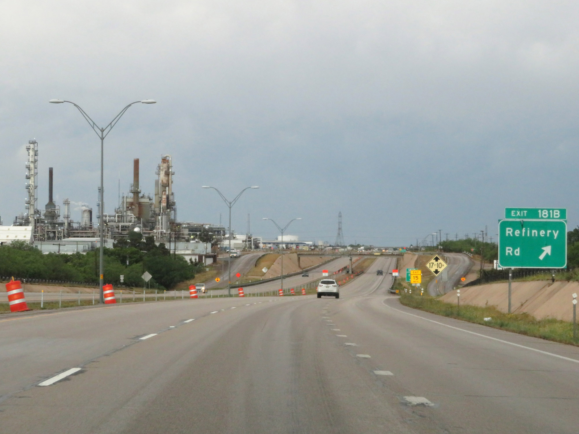 |
Interstate 20 East at Exit 181B: Refinery Rd (Photo taken 5/20/18). |
 |
Interstate 20 East approaching Exit 182 - 1/2 mile. (Photo taken 5/20/18). |
 |
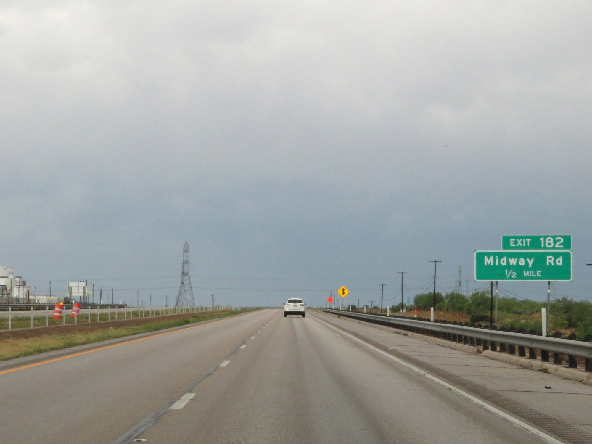
Interstate 20 East at Exit 182: Midway Rd (Photo taken 5/20/18). |
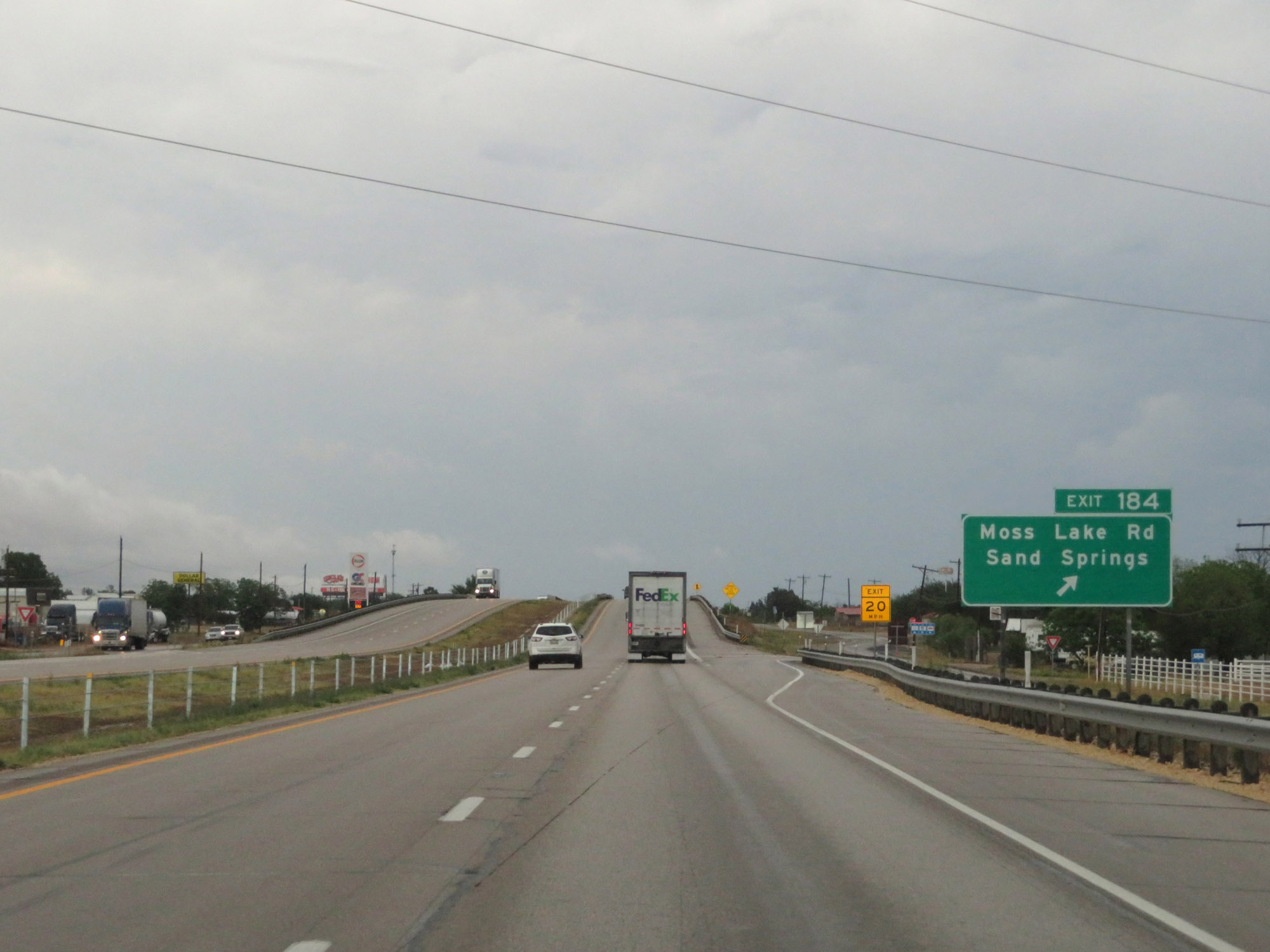 |
Interstate 20 East at Exit 184: Moss Lake Rd / Sand Springs (Photo taken 5/20/18). |
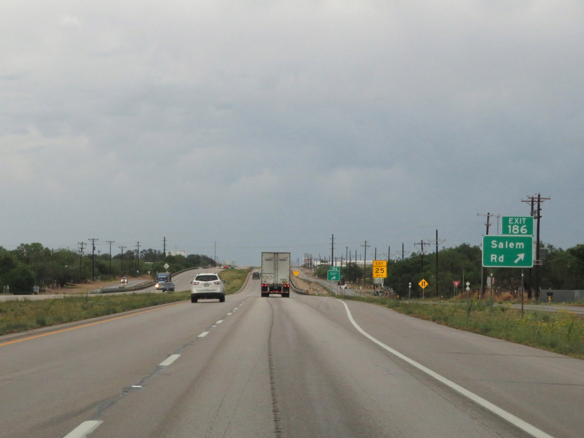 |
Interstate 20 East at Exit 186: Salem Rd (Photo taken 5/20/18). |
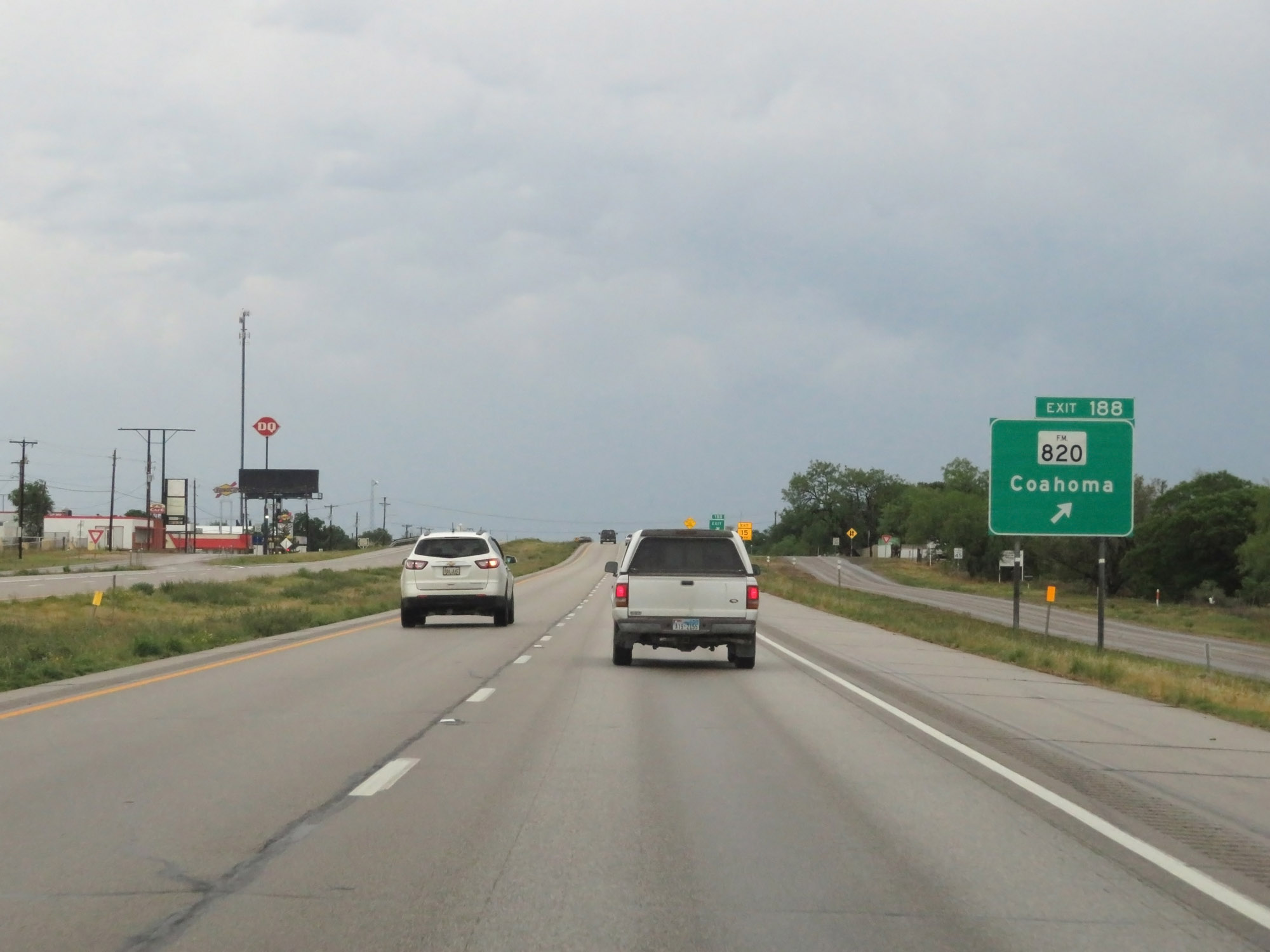 |
Interstate 20 East at Exit 188: FM 820 - Coahoma (Photo taken 5/20/18). |
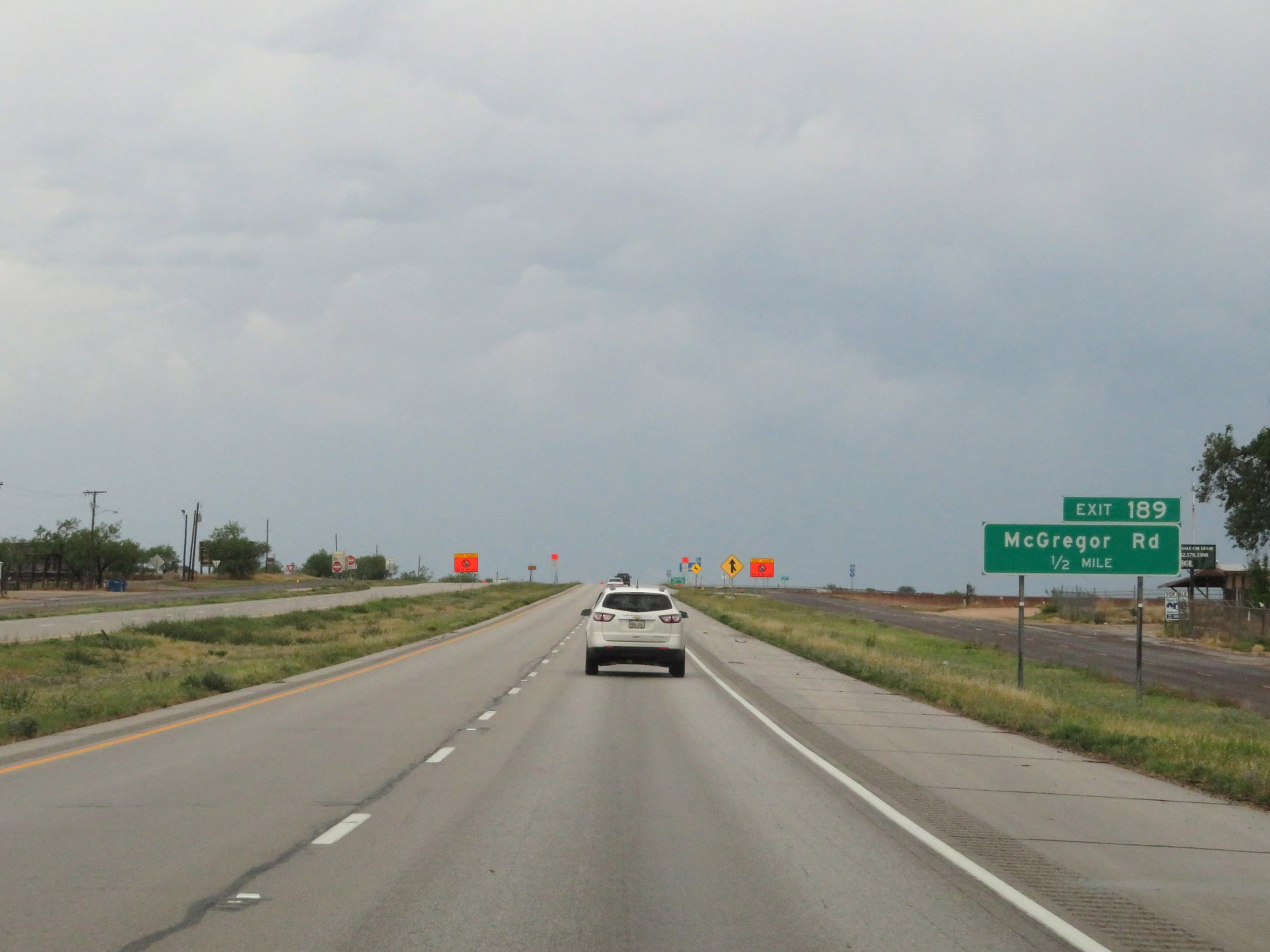 |
Interstate 20 East approaching Exit 189 - 1/2 mile. (Photo taken 5/20/18). |
 |
Interstate 20 East at Exit 189: McGregor Rd (Photo taken 5/20/18). |
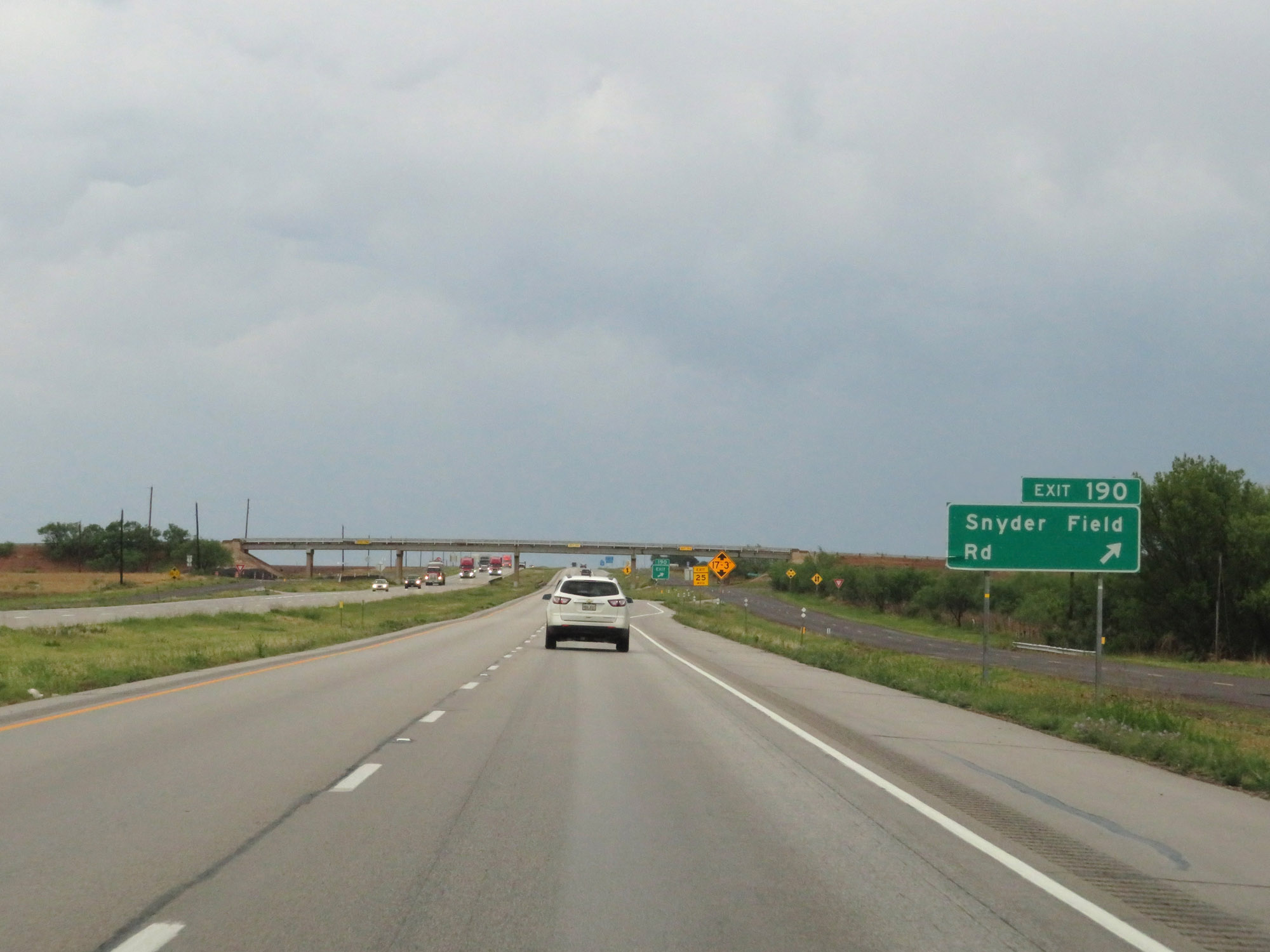 |
Interstate 20 East at Exit 190: Snyder Field Rd (Photo taken 5/20/18). |
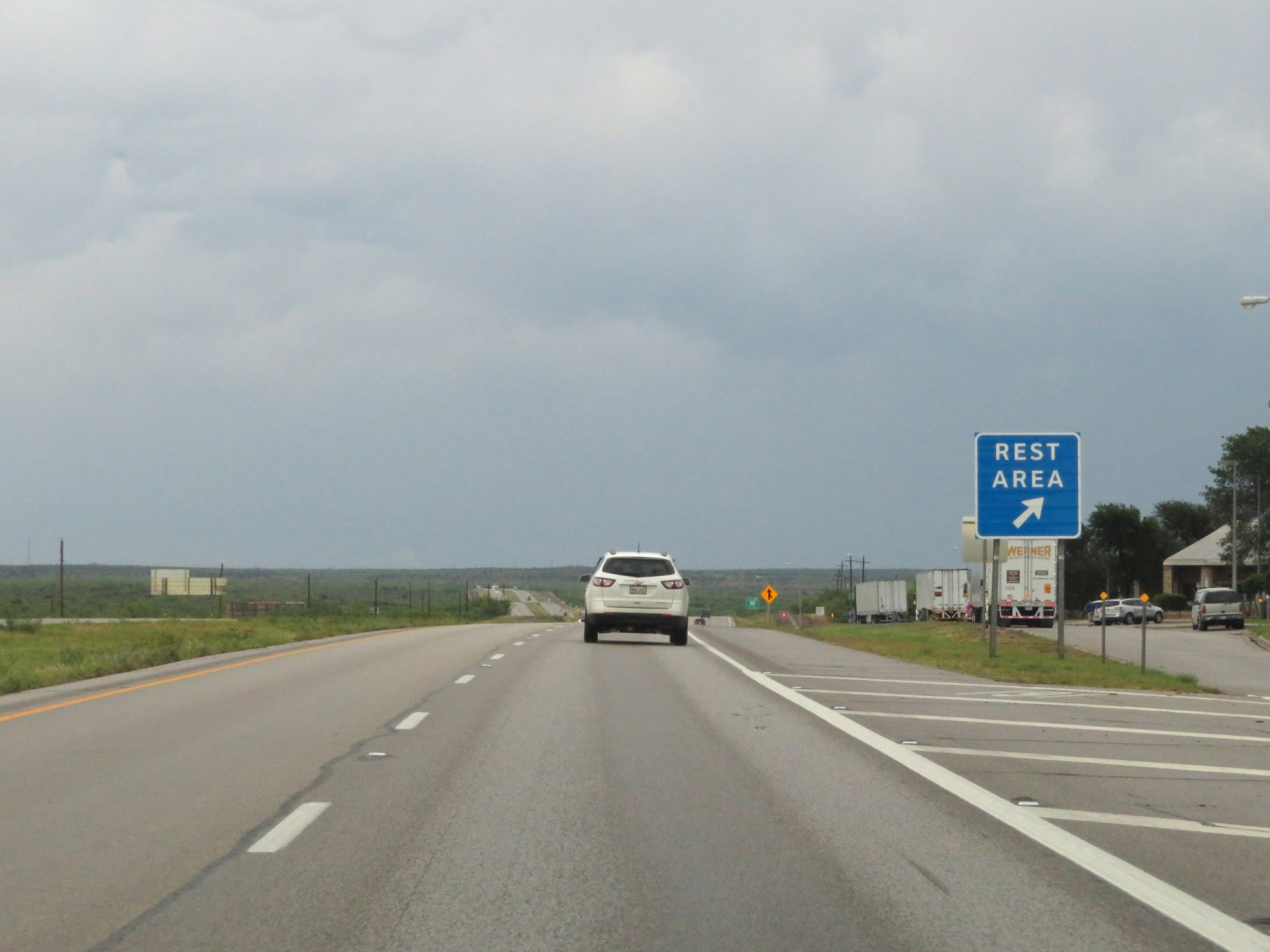 |
Rest Area on Interstate 20 East in Howard County. (Photo taken 5/20/18). |
 |
Interstate 20 East at Exit 192: FM 821 (Photo taken 5/20/18). |
 |
State-named Interstate 20 East reassurance shield. (Photo taken 5/20/18). |
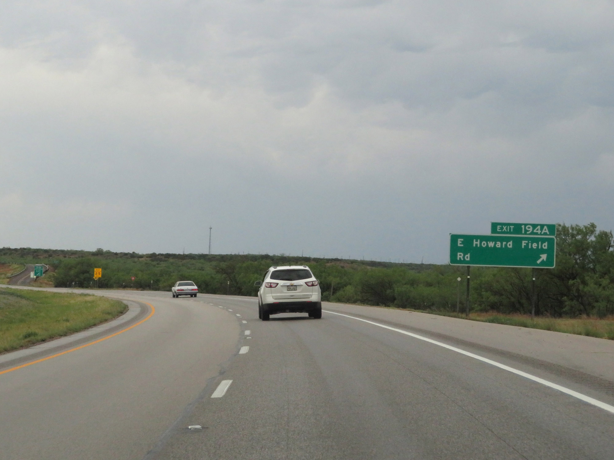 |
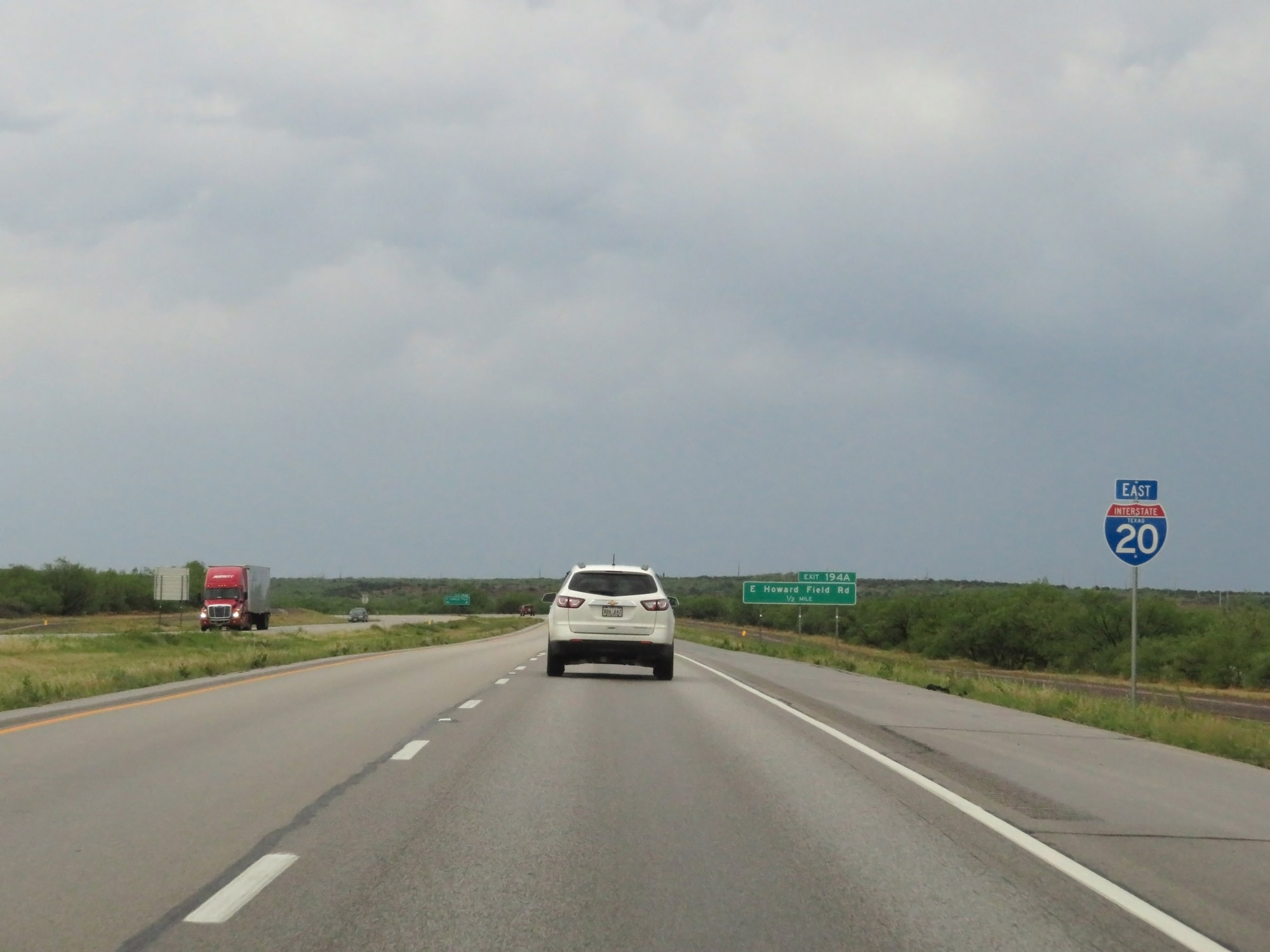
Interstate 20 East at Exit 194A: E Howard Field Rd (Photo taken 5/20/18). |
 |
Interstate 20 East at Exit 195: Frontage Rd (Photo taken 5/20/18). |
 |
Interstate 20 East at mile marker 196. (Photo taken 5/20/18). |
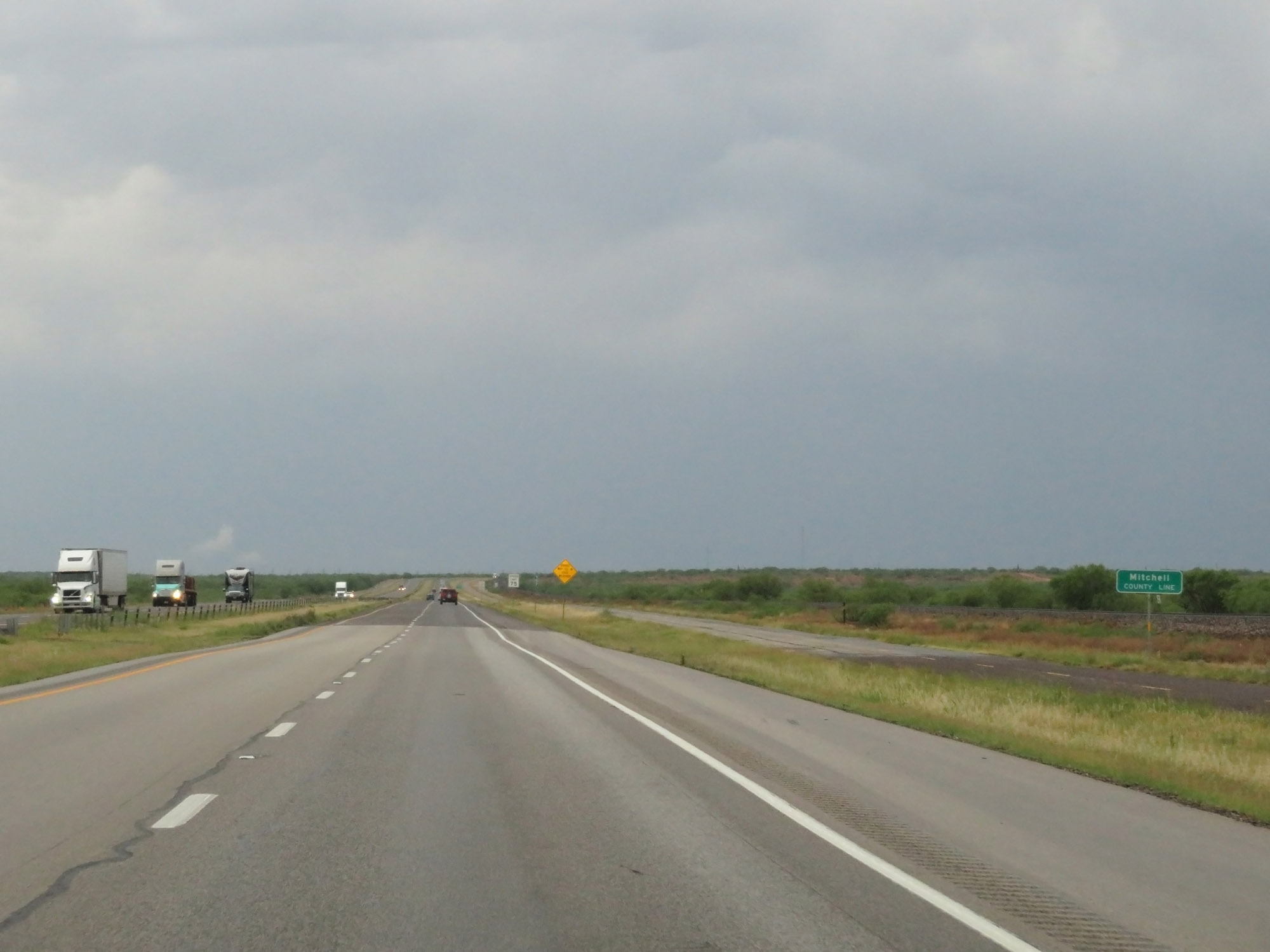 |
Interstate 20 East as it enters Mitchell County. (Photo taken 5/20/18). |
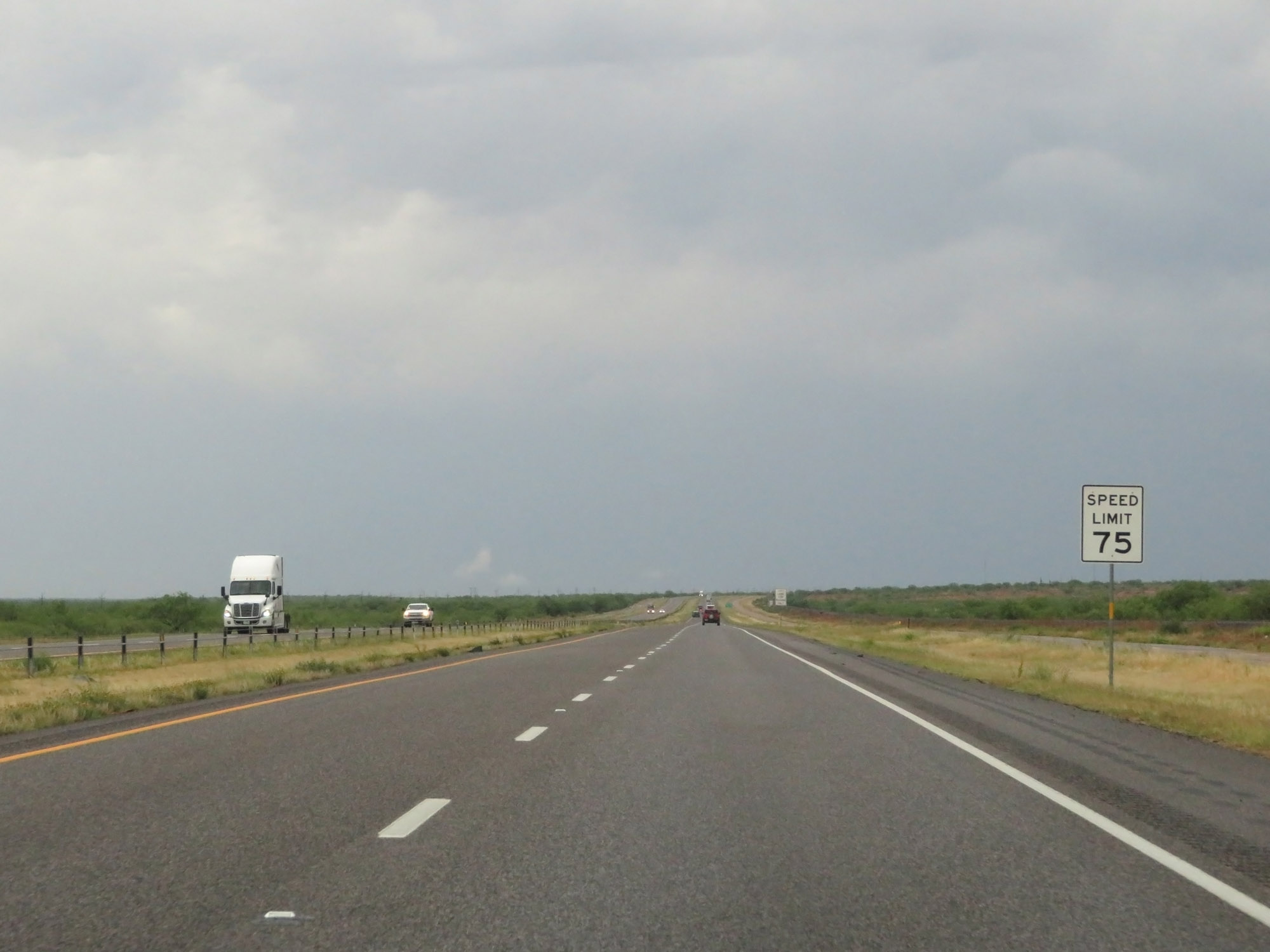 |
The speed limit remains 75 mph. (Photo taken 5/20/18). |
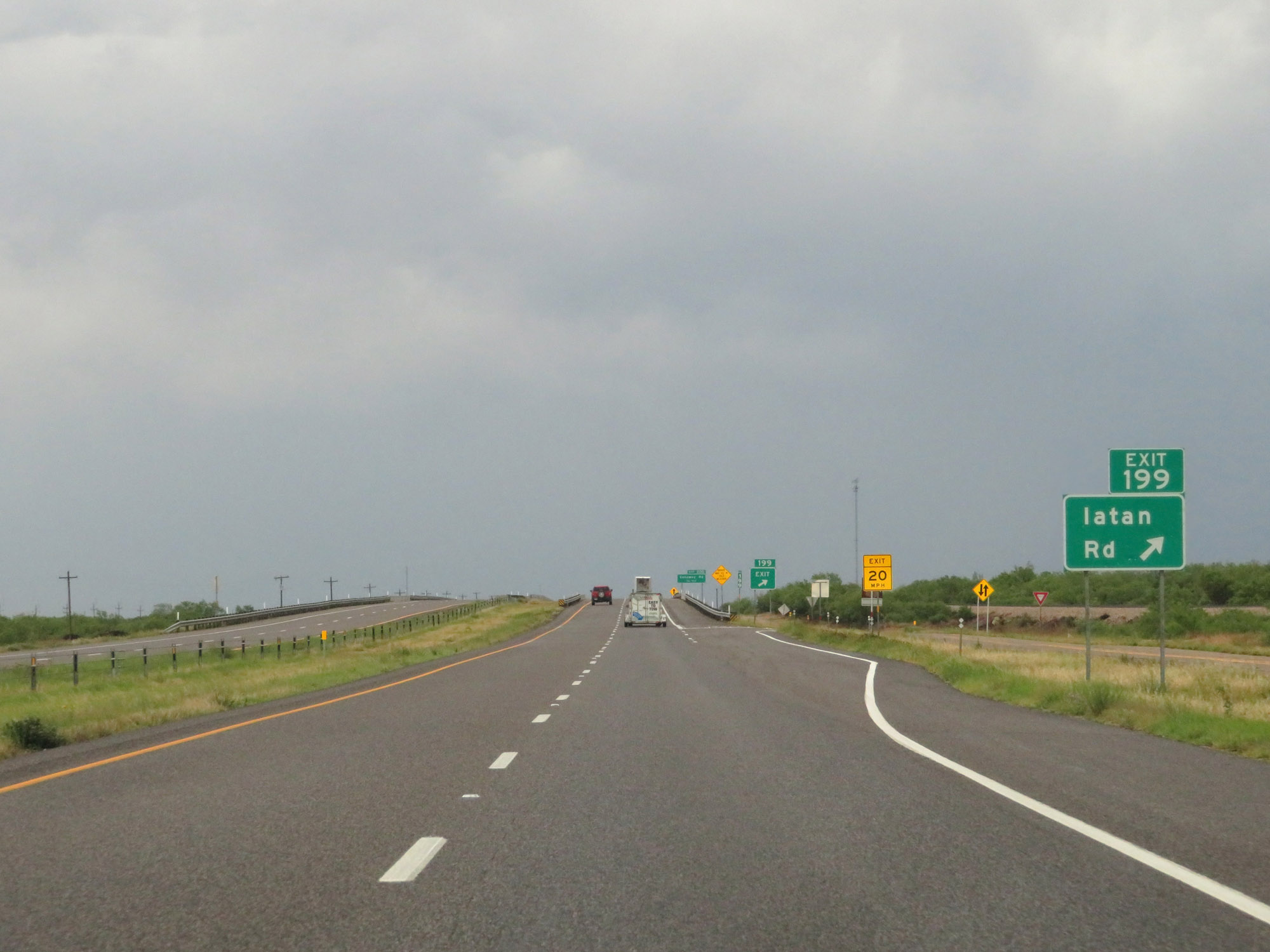 |
Interstate 20 East at Exit 199: Iatan Rd (Photo taken 5/20/18). |
 |
Interstate 20 East at Exit 200: Conaway Rd (Photo taken 5/20/18). |
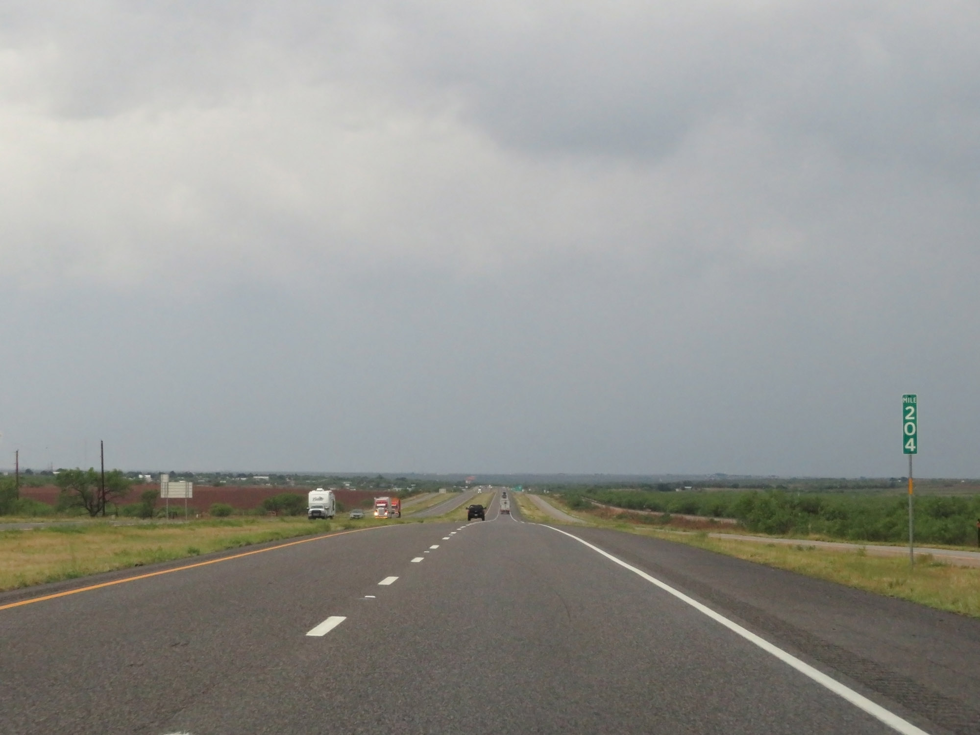 |
Interstate 20 East at mile marker 204. (Photo taken 5/20/18). |
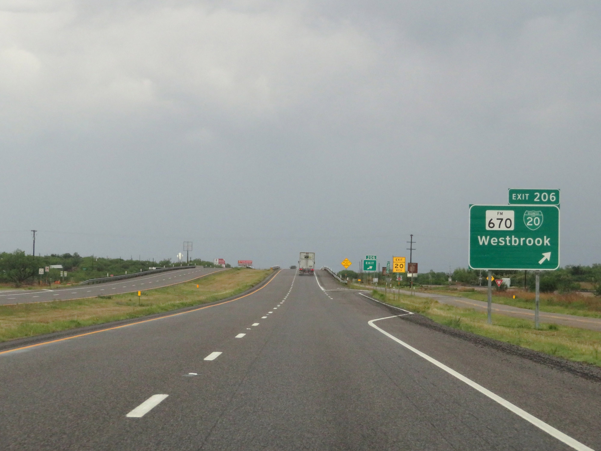 |
Interstate 20 East at Exit 206: FM 670 / Interstate 20 Business Loop - Westbrook (Photo taken 5/20/18). |
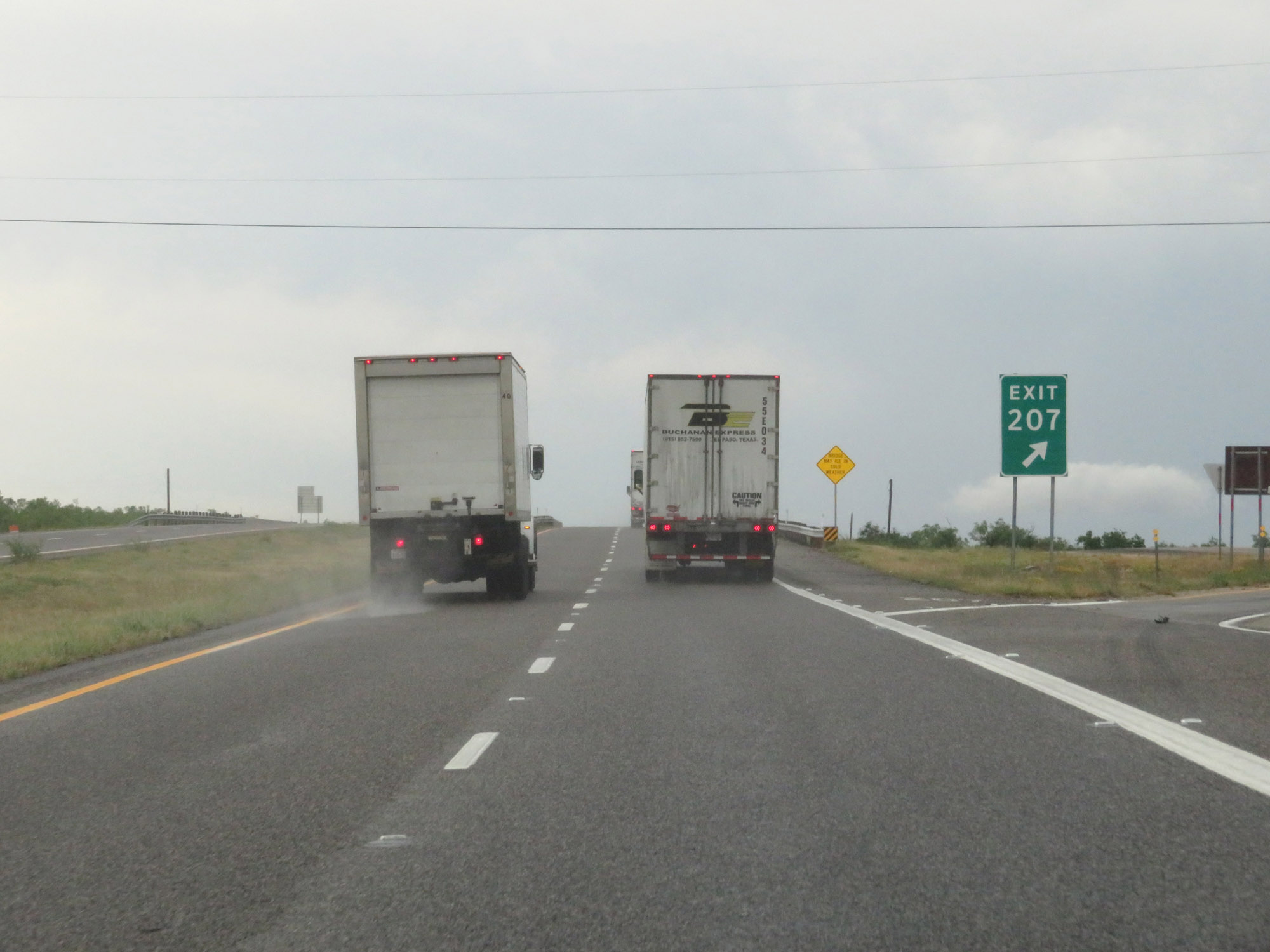 |
Interstate 20 East at Exit 207: Interstate 20 Business Loop West - Westbrook (Photo taken 5/20/18). |
 |
Interstate 20 East at Exit 209: Dorn Rd (Photo taken 5/20/18). |
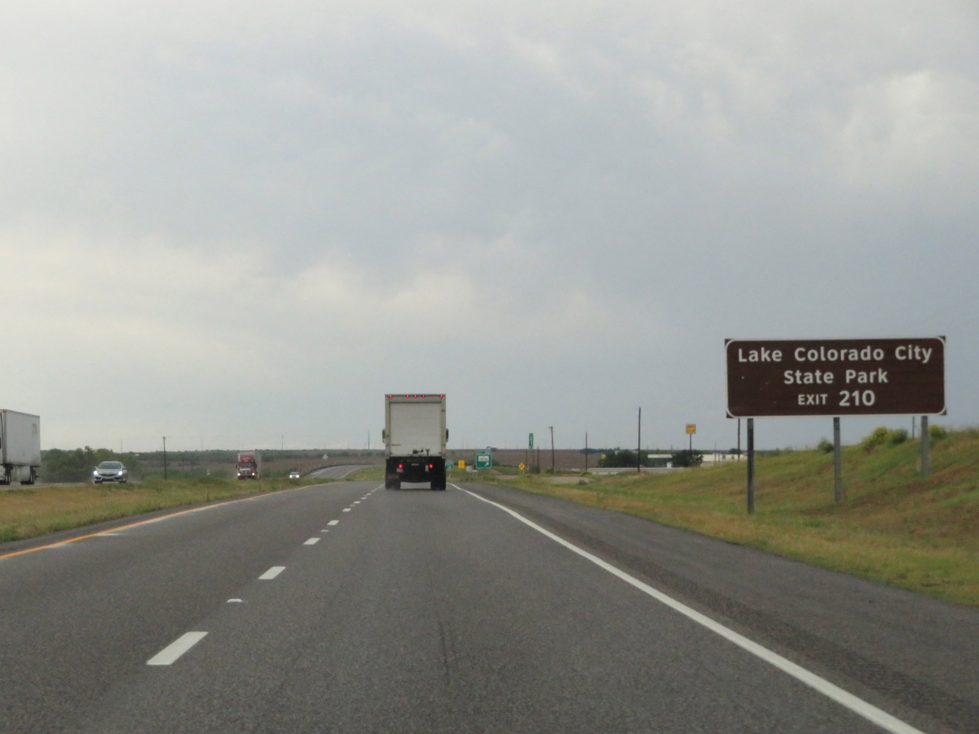 |
Take Exit 210 to Lake Colorado City State Park. (Photo taken 5/20/18). |
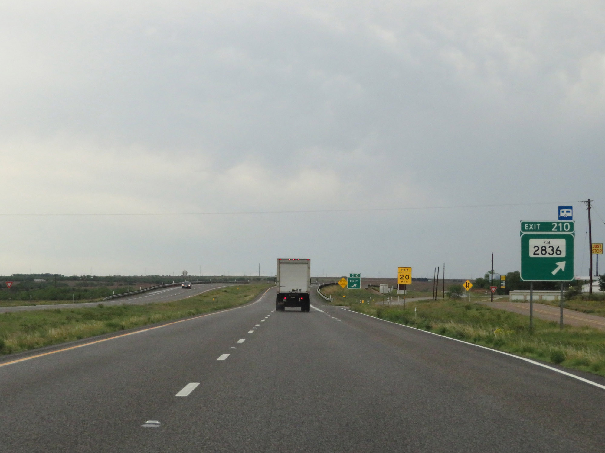 |
Interstate 20 East at Exit 210: FM 2836 (Photo taken 5/20/18). |
 |
Another state-named Interstate 20 East reassurance shield. (Photo taken 5/20/18). |
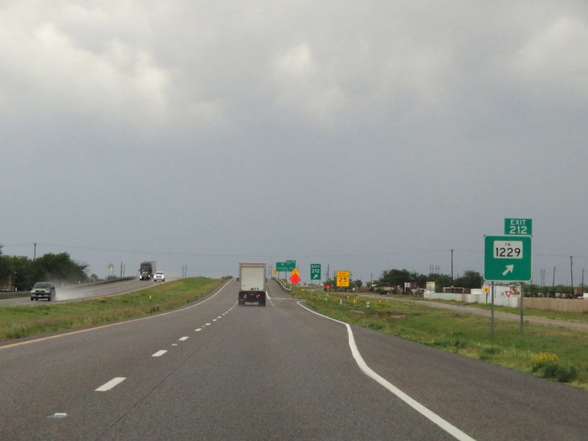 |
Interstate 20 East at Exit 212: FM 1229 (Photo taken 5/20/18). |
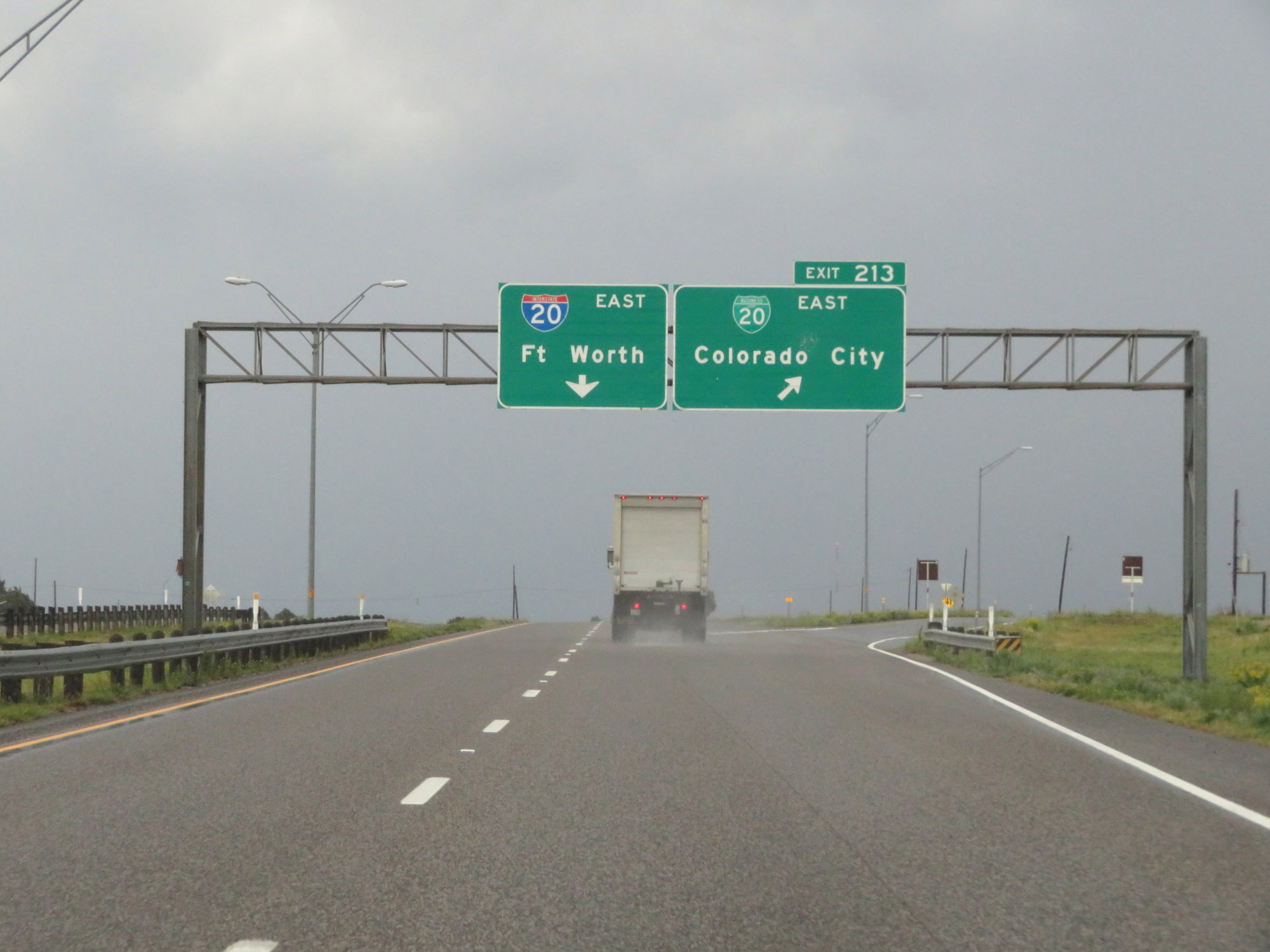 |
Interstate 20 East at Exit 213: Interstate 20 Business Loop East - Colorado City (Photo taken 5/20/18). |
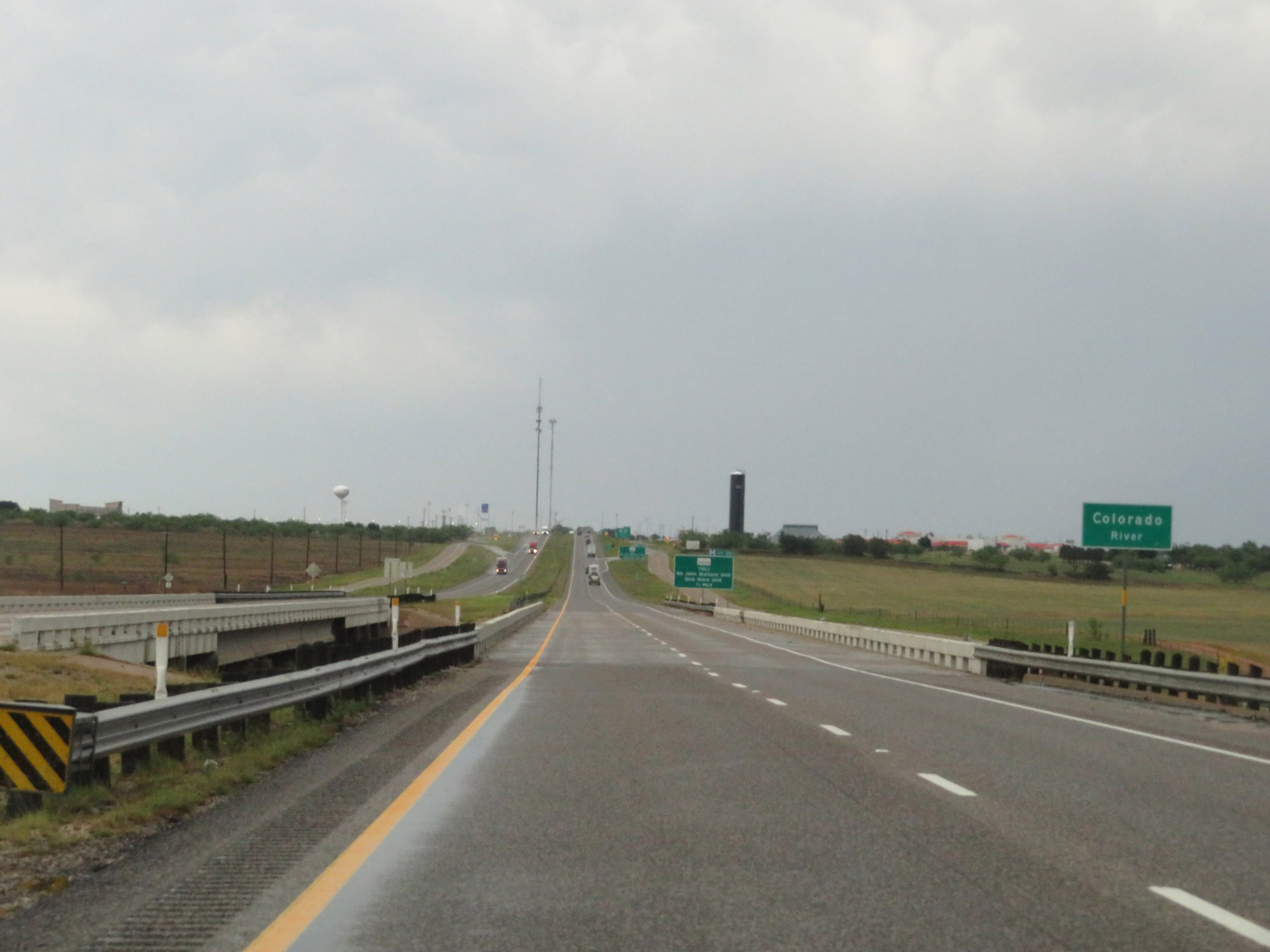 |
Interstate 20 East as it crosses the Colorado River. (Photo taken 5/20/18). |
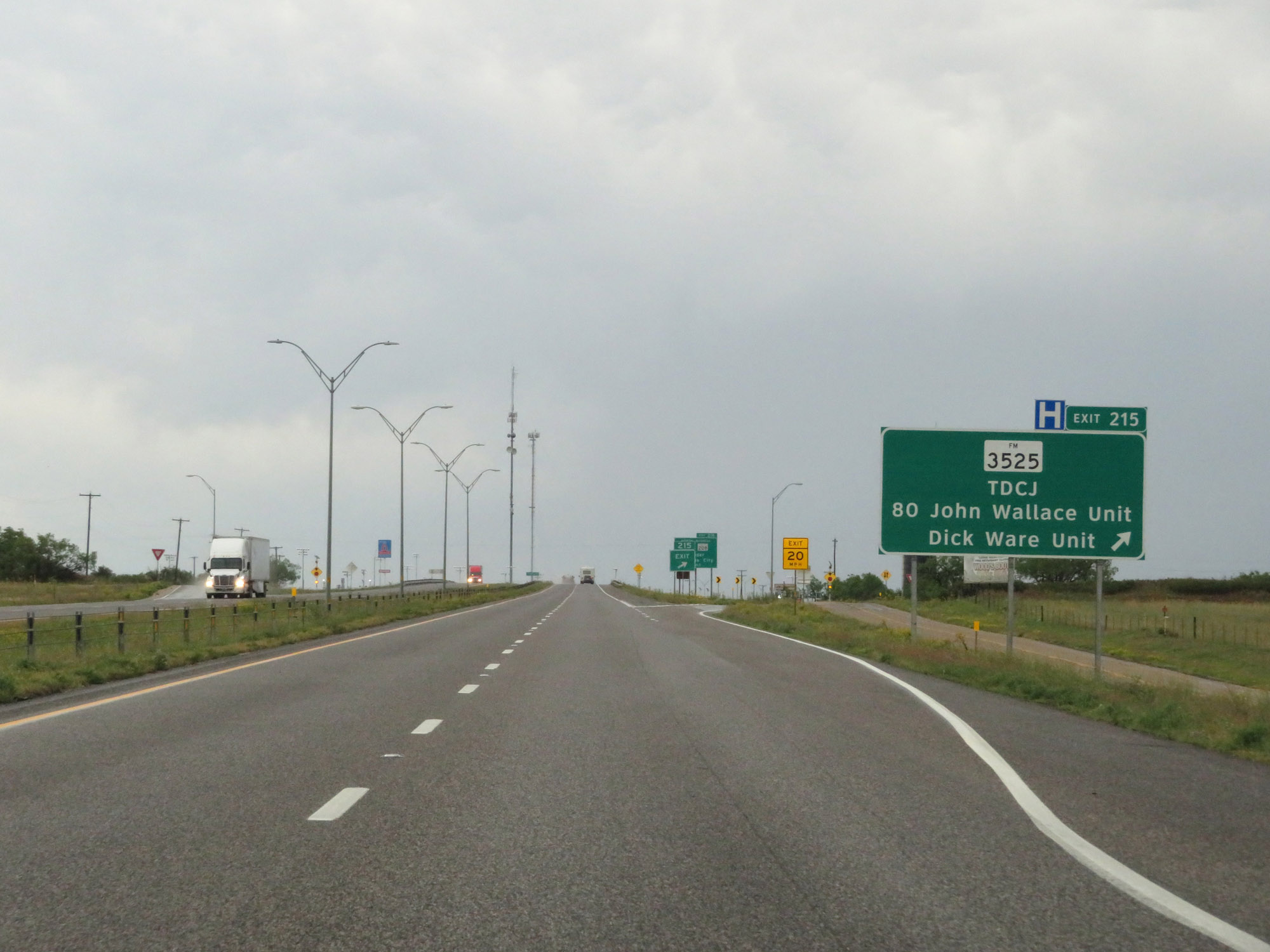 |
Interstate 20 East at Exit 215: FM 3525 - TDCJ / 80 John Wallace Unit / Dick Ware Unit (Photo taken 5/20/18). |
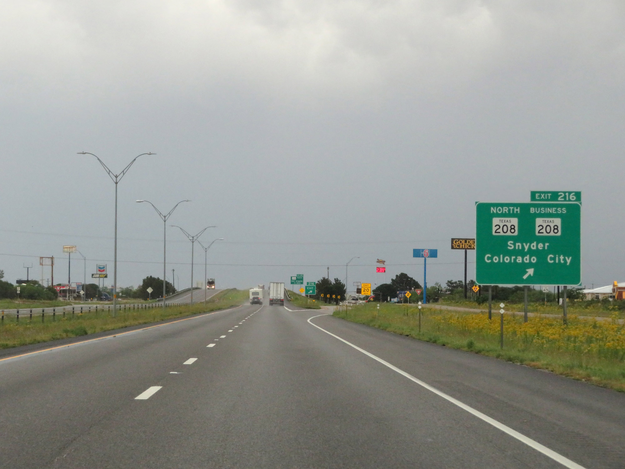 |
Interstate 20 East at Exit 216: TX 208 North / TX 208 Business - Snyder / Colorado City (Photo taken 5/20/18). |
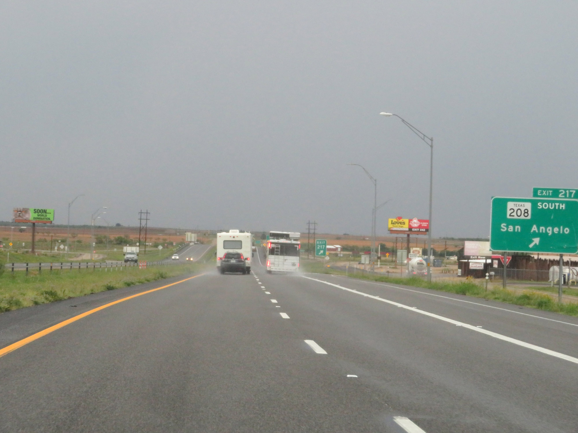 |
Interstate 20 East at Exit 217: TX 208 South - San Angelo (Photo taken 5/20/18). |
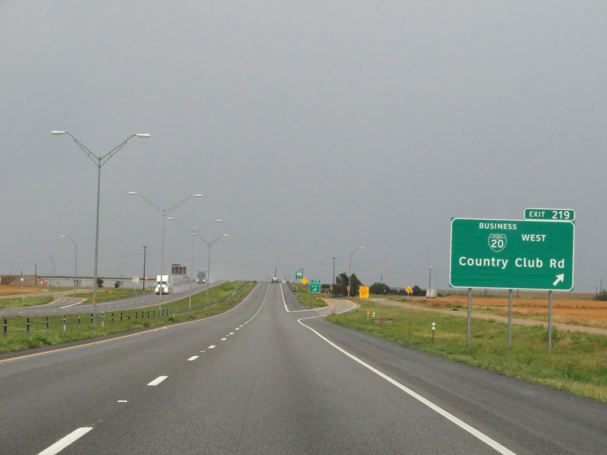 |
Interstate 20 East at Exit 219: Interstate 20 Business Loop West - Country Club Rd (Photo taken 5/20/18). |
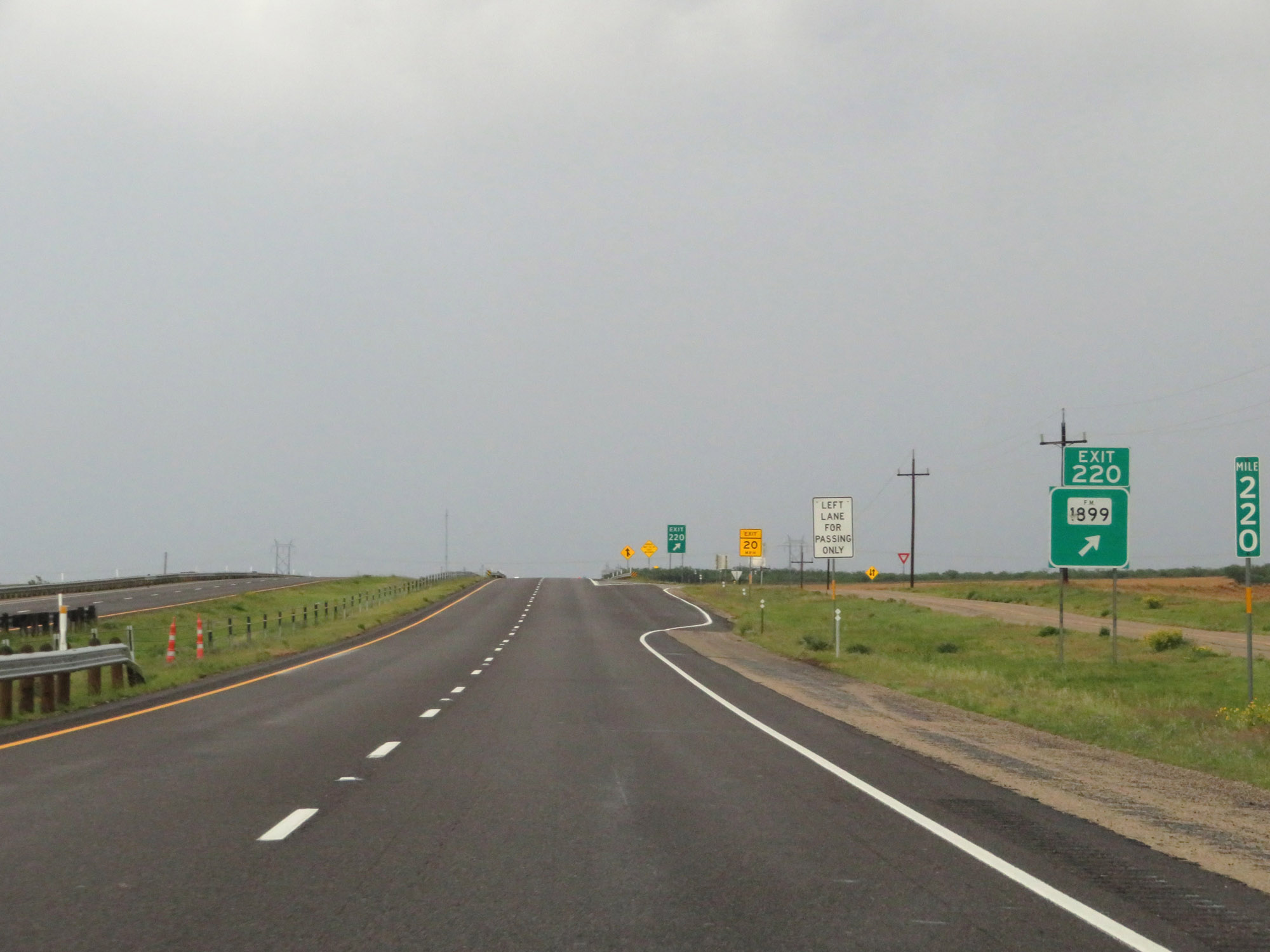 |
Interstate 20 East at Exit 220: FM 1899 (Photo taken 5/20/18). |
 |
Interstate 20 East at Exit 221: Lasky Rd (Photo taken 5/20/18). |
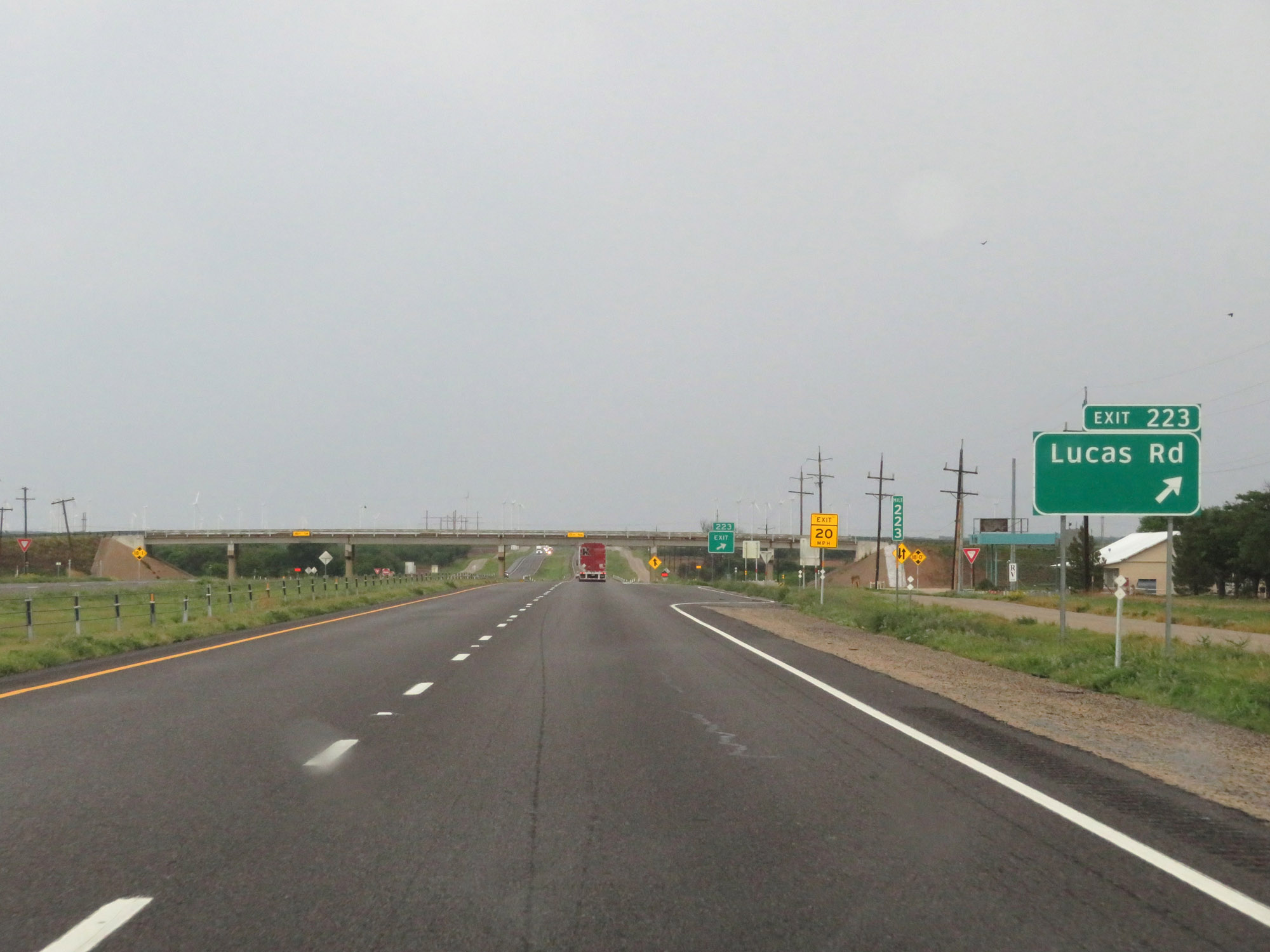 |
Interstate 20 East at Exit 223: Lucas Rd (Photo taken 5/20/18). |
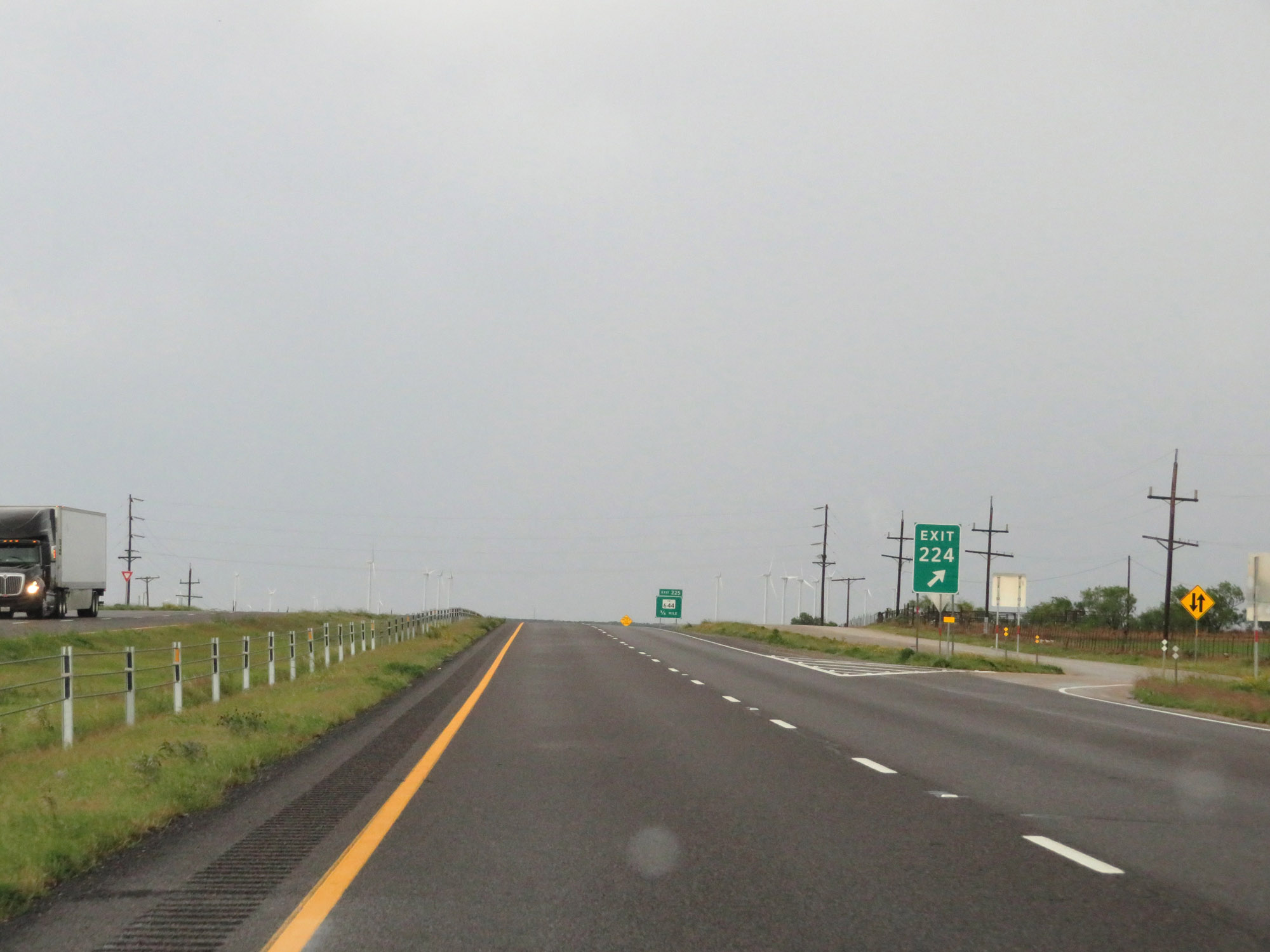 |
Interstate 20 East at Exit 224: Interstate 20 Business Loop East - Loraine (Photo taken 5/20/18). |
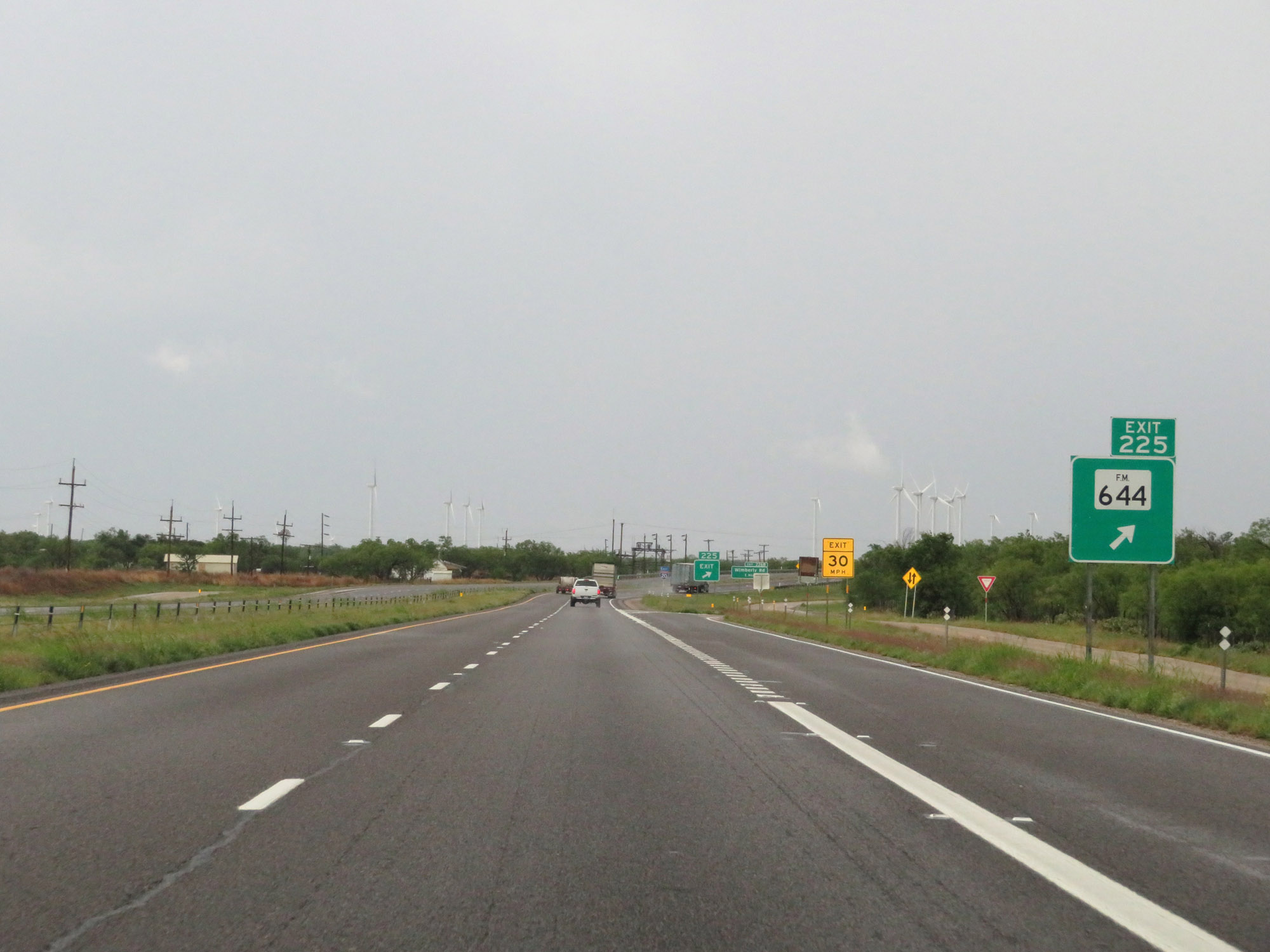 |
Interstate 20 East at Exit 225: FM 644 (Photo taken 5/20/18). |
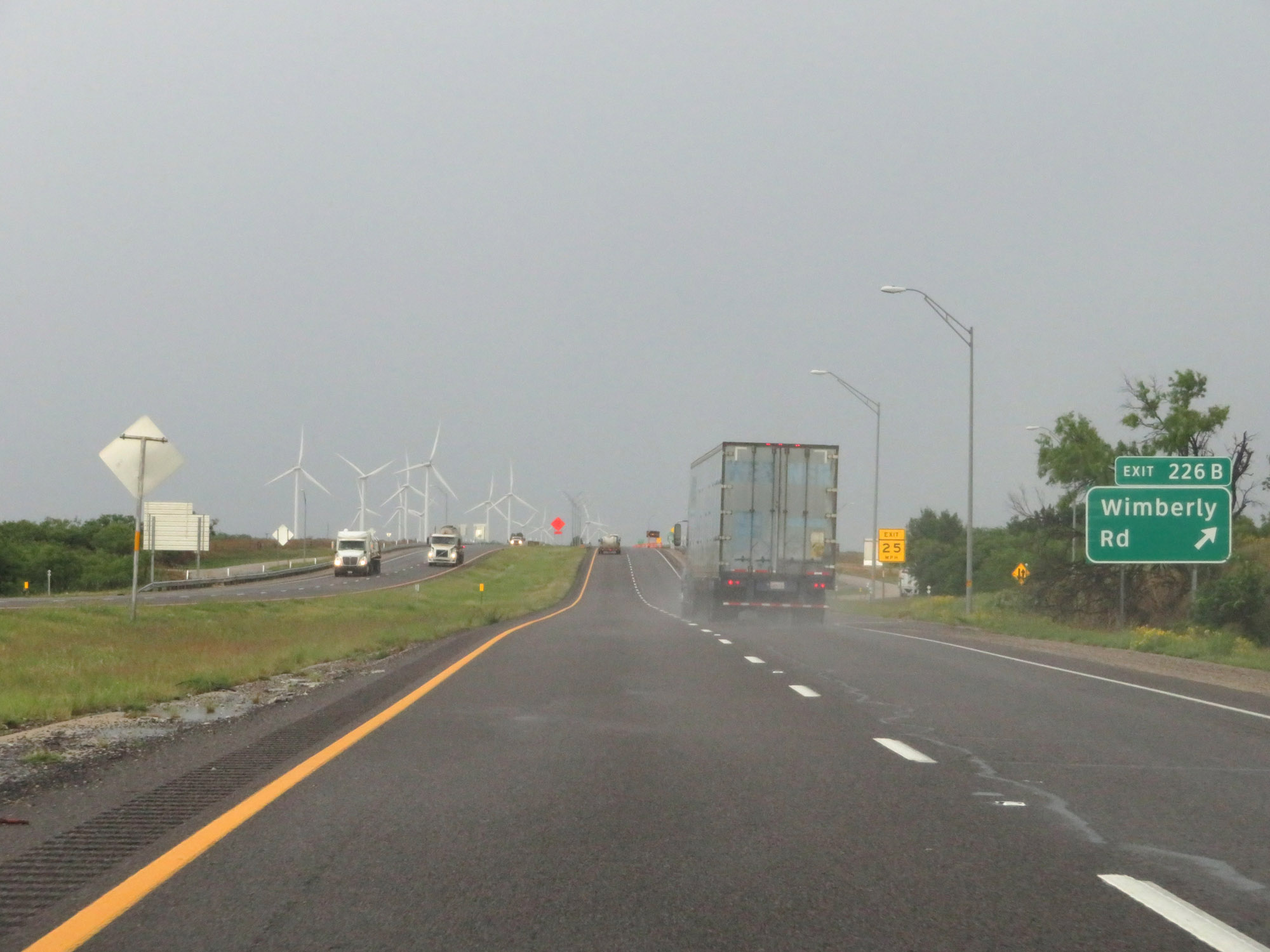 |
Interstate 20 East at Exit 226B: Wimberly Rd (Photo taken 5/20/18). |
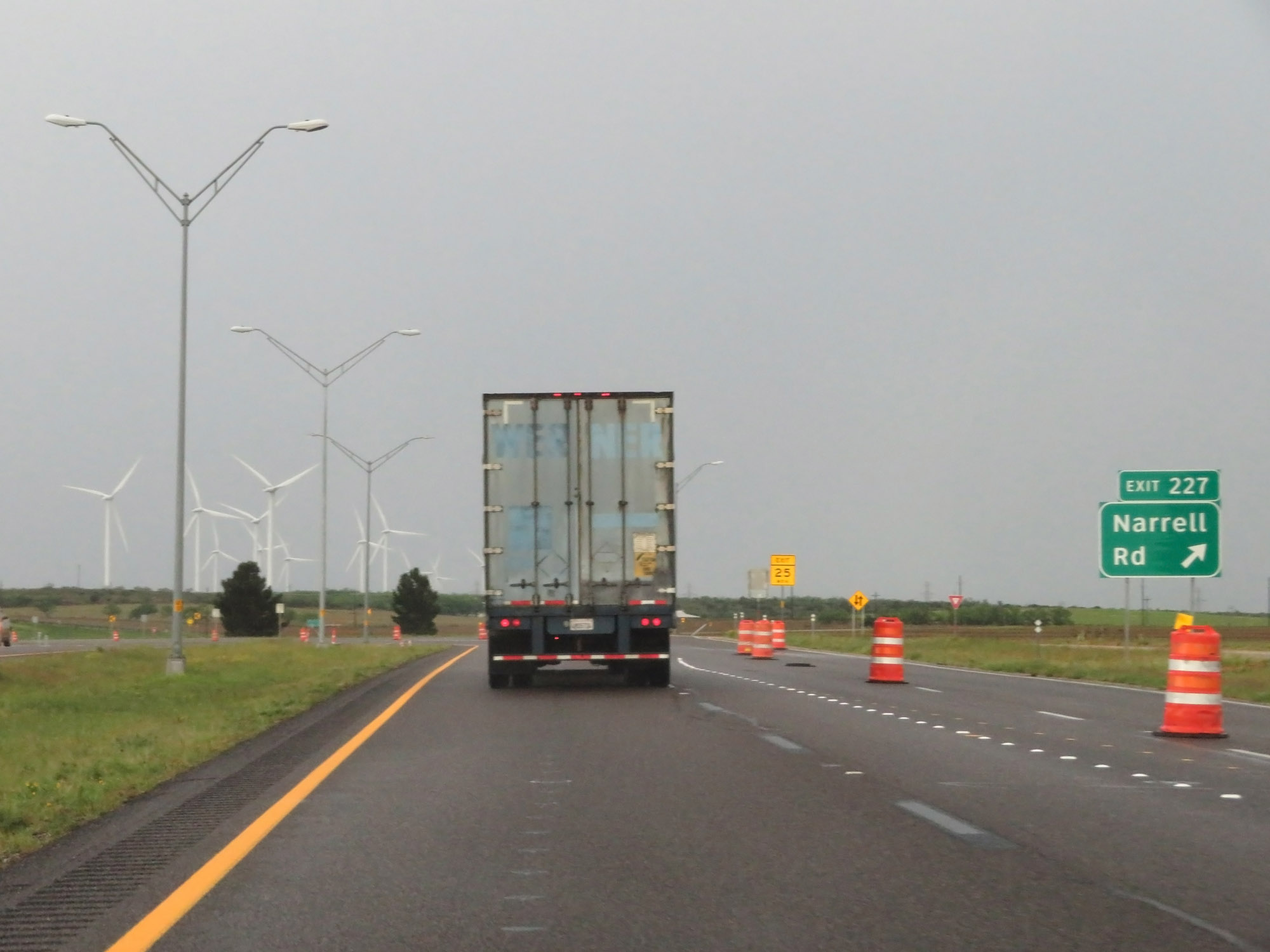 |
Interstate 20 East at Exit 227: Narrell Rd (Photo taken 5/20/18). |
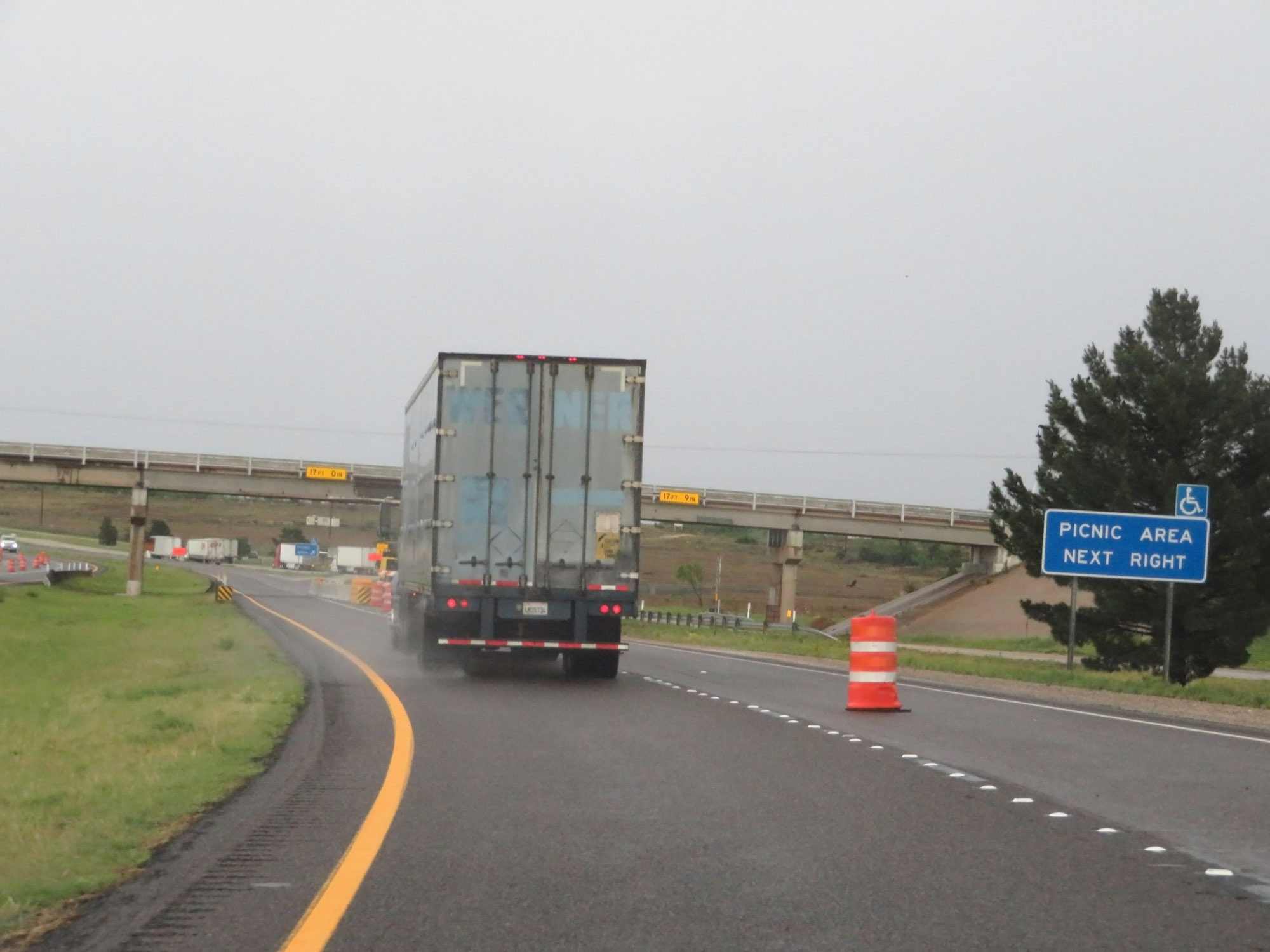 |
Picnic Area on Interstate 20 East in Mitchell County. (Photo taken 5/20/18). |
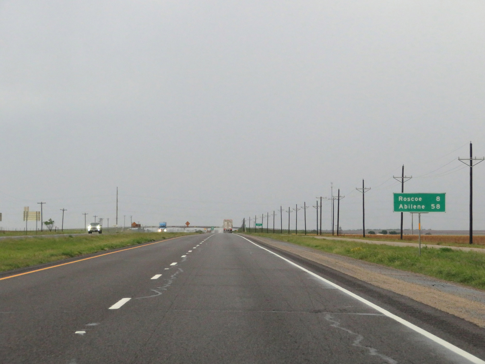 |
Mileage sign on Interstate 20 East. It's 8 miles to Roscoe and 58 miles to Abilene. (Photo taken 5/20/18). |
 |
Interstate 20 East as it enters Nolan County at mile marker 229. (Photo taken 5/20/18). |
 |
Interstate 20 East at Exit 230: FM 1230 (Photo taken 5/20/18). |
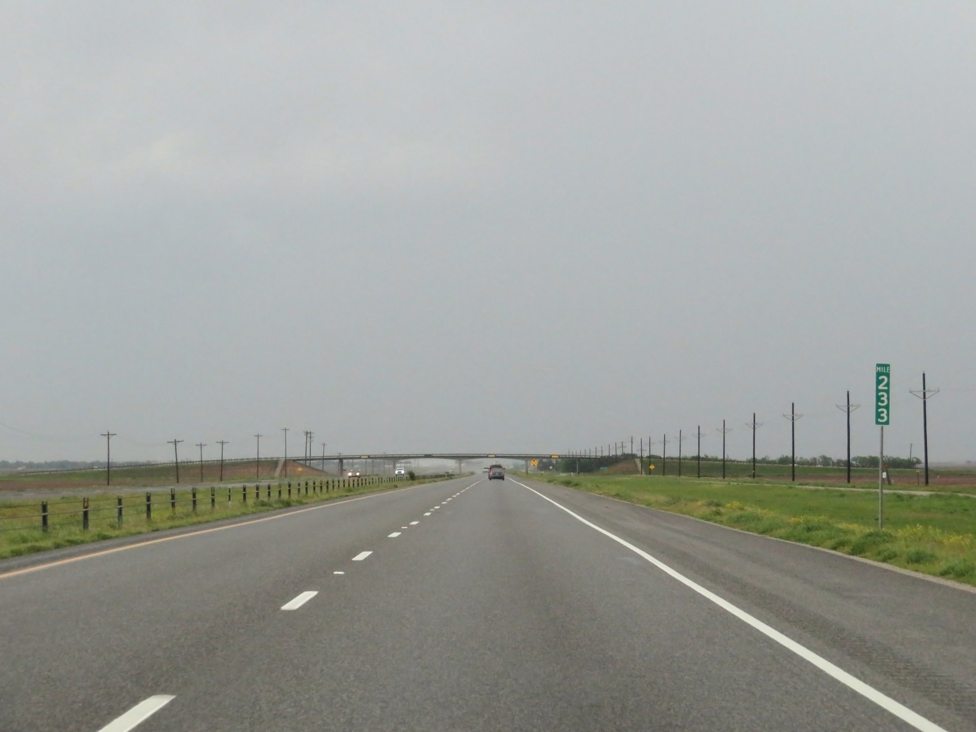 |
Interstate 20 East at mile marker 233. (Photo taken 5/20/18). |
 |
Interstate 20 East at Exit 235: Interstate 20 Business Loop - Roscoe (Photo taken 5/20/18). |
 |
Interstate 20 East reassurance shield. (Photo taken 5/20/18). |
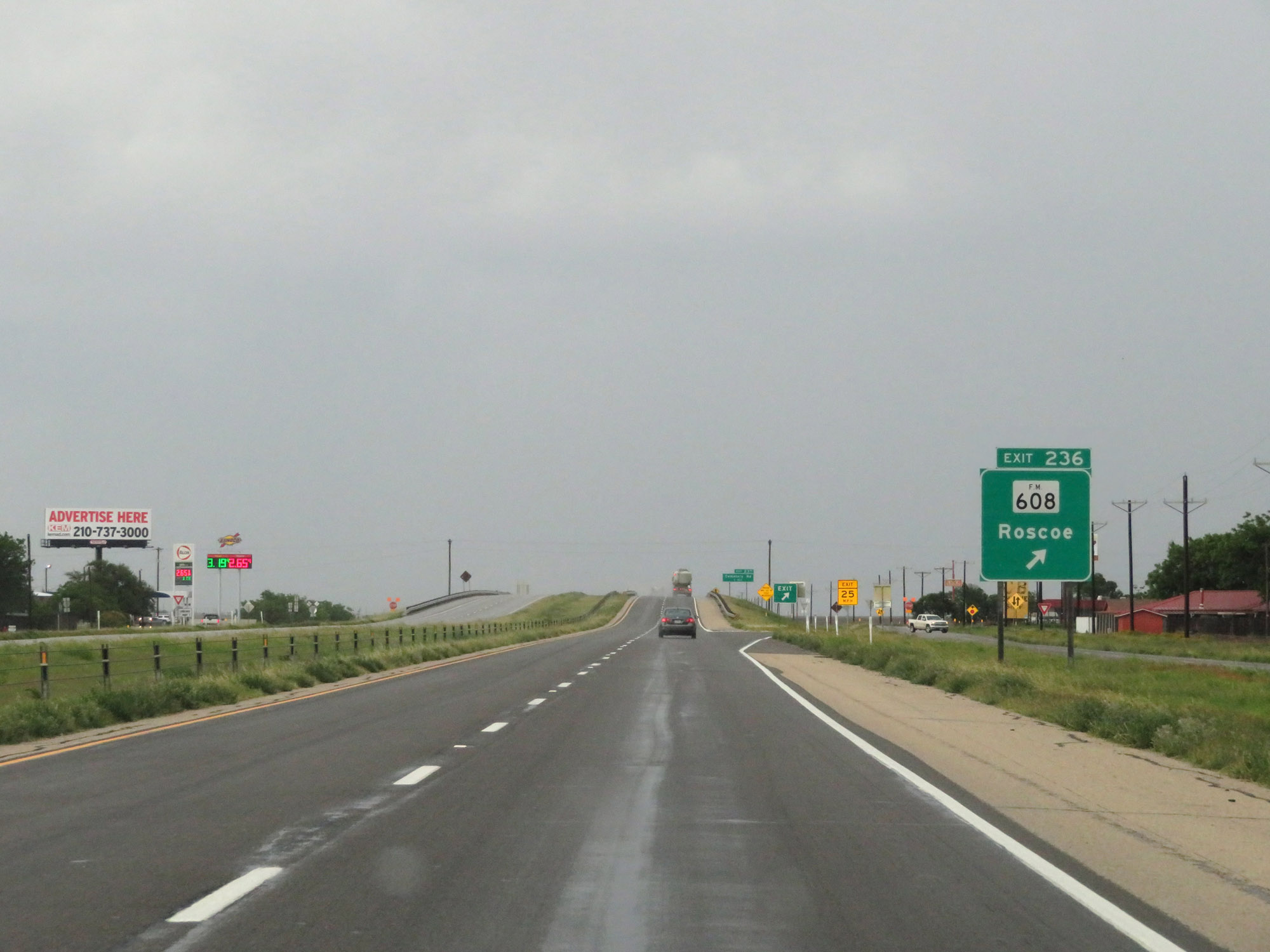 |
Interstate 20 East at Exit 236: FM 608 - Roscoe (Photo taken 5/20/18). |
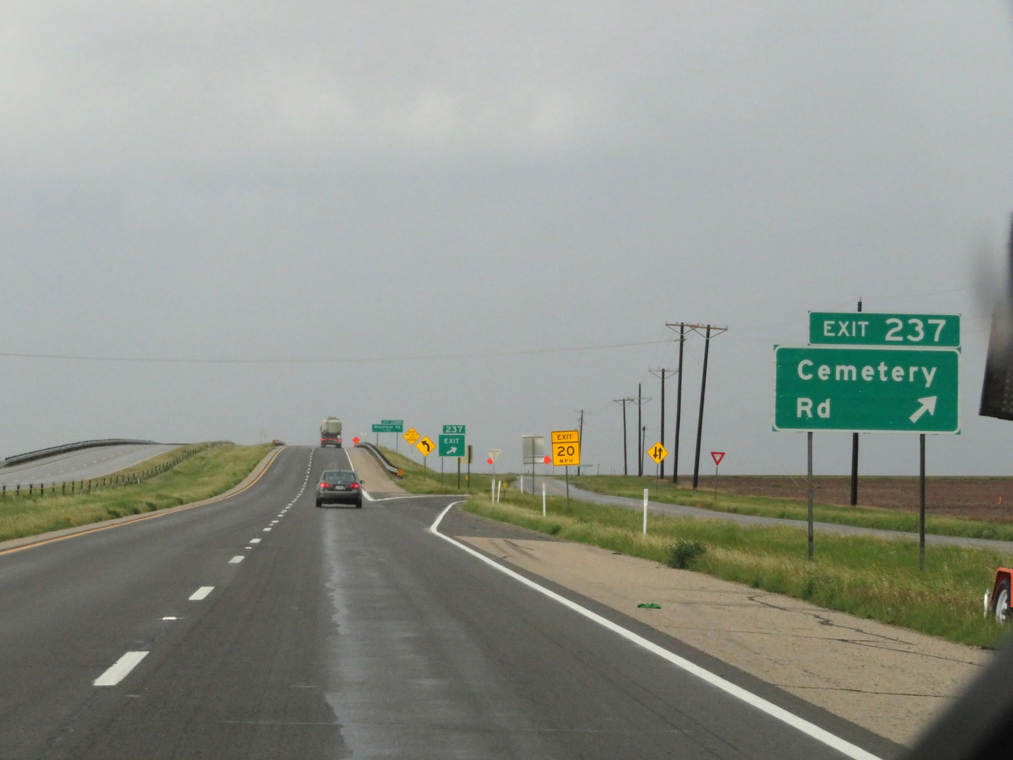 |
Interstate 20 East at Exit 237: Cemetery Rd (Photo taken 5/20/18). |
 |
Interstate 20 East at Exit 238B: Blackland Rd (Photo taken 5/20/18). |
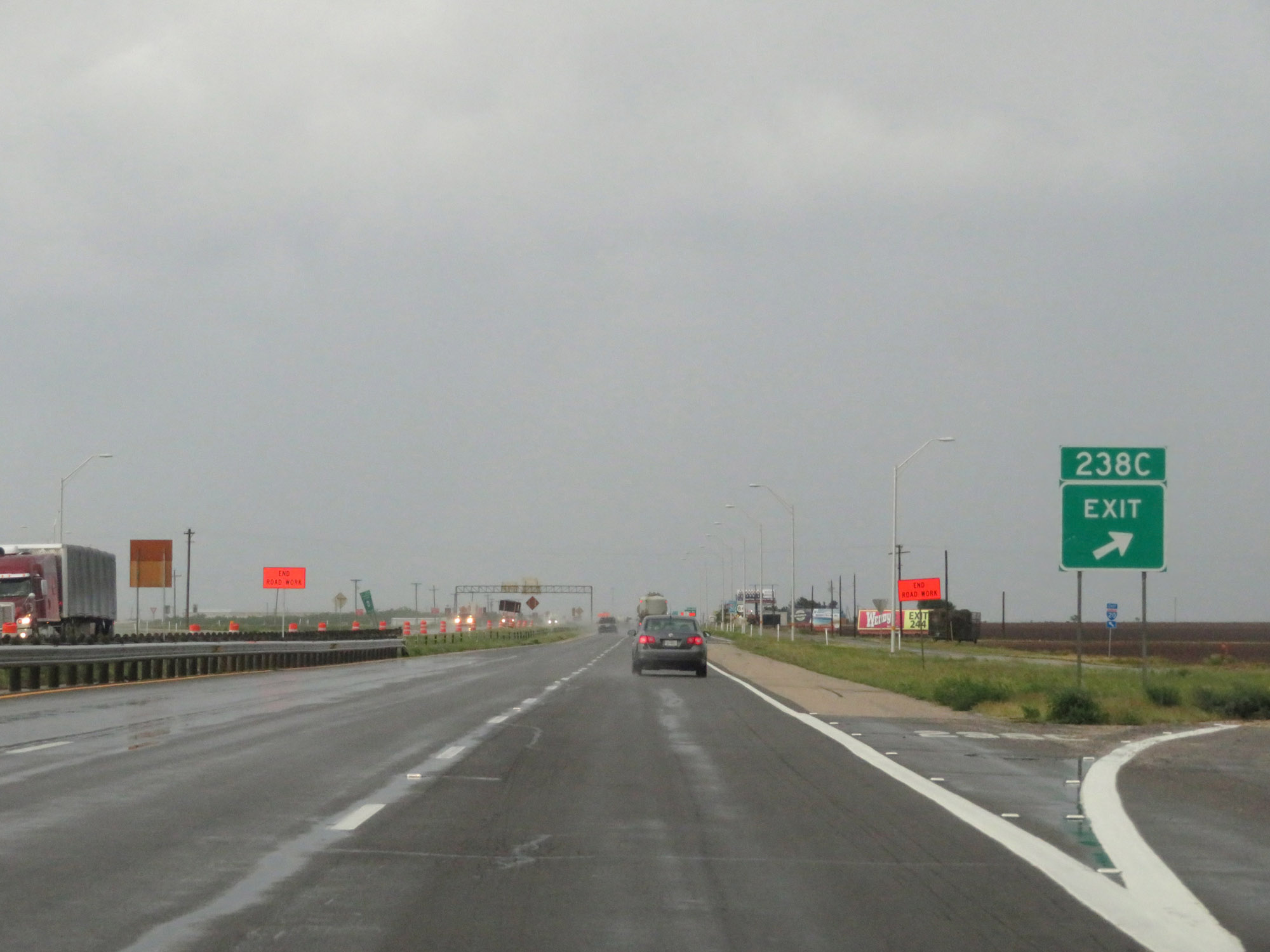 |
Interstate 20 East at Exit 238C: Frontage Rd (Photo taken 5/20/18). |
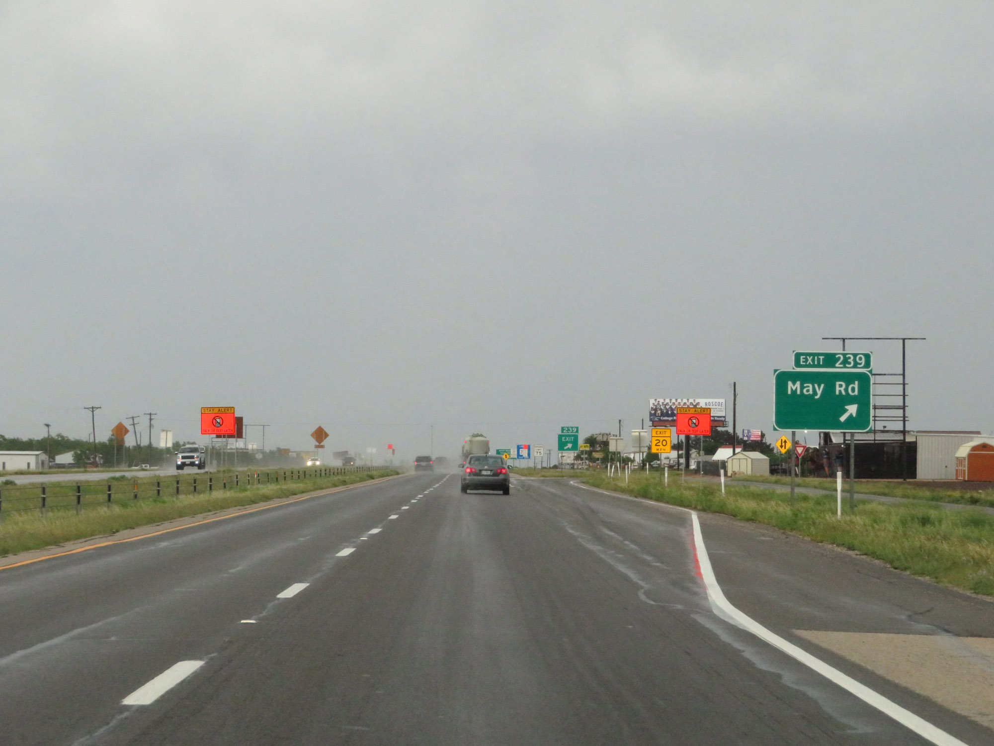 |
Interstate 20 East at Exit 239: May Rd (Photo taken 5/20/18). |
 |
Interstate 20 East at Exit 240: TX Loop 170 (Photo taken 5/20/18). |
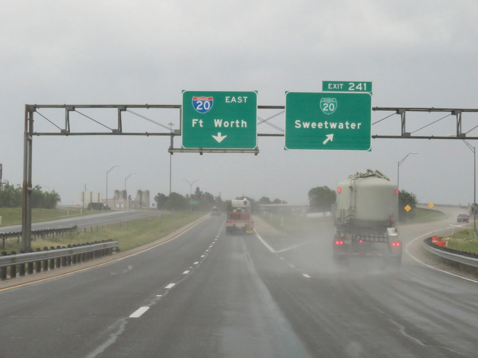 |
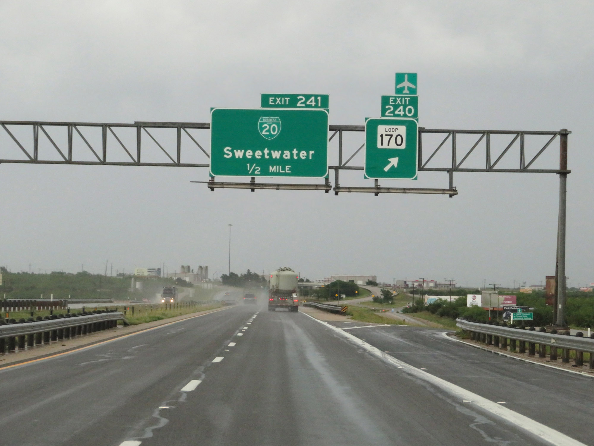
Interstate 20 East at Exit 241: Interstate 20 Business Loop - Sweetwater (Photo taken 5/20/18). |
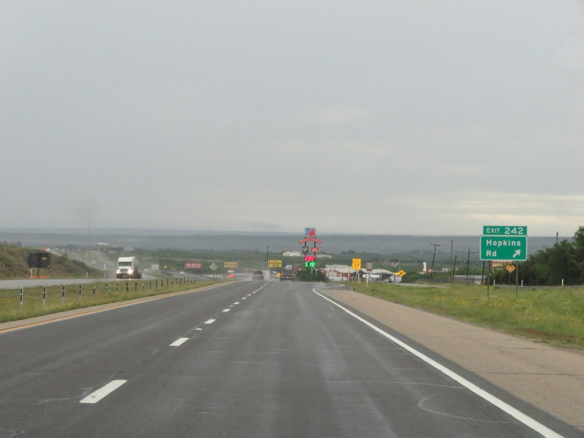 |
Interstate 20 East at Exit 242: Hopkins Rd (Photo taken 5/20/18). |
 |
Interstate 20 East at Exit 243: Hillsdale Rd / Robert Lee St (Photo taken 5/20/18). |
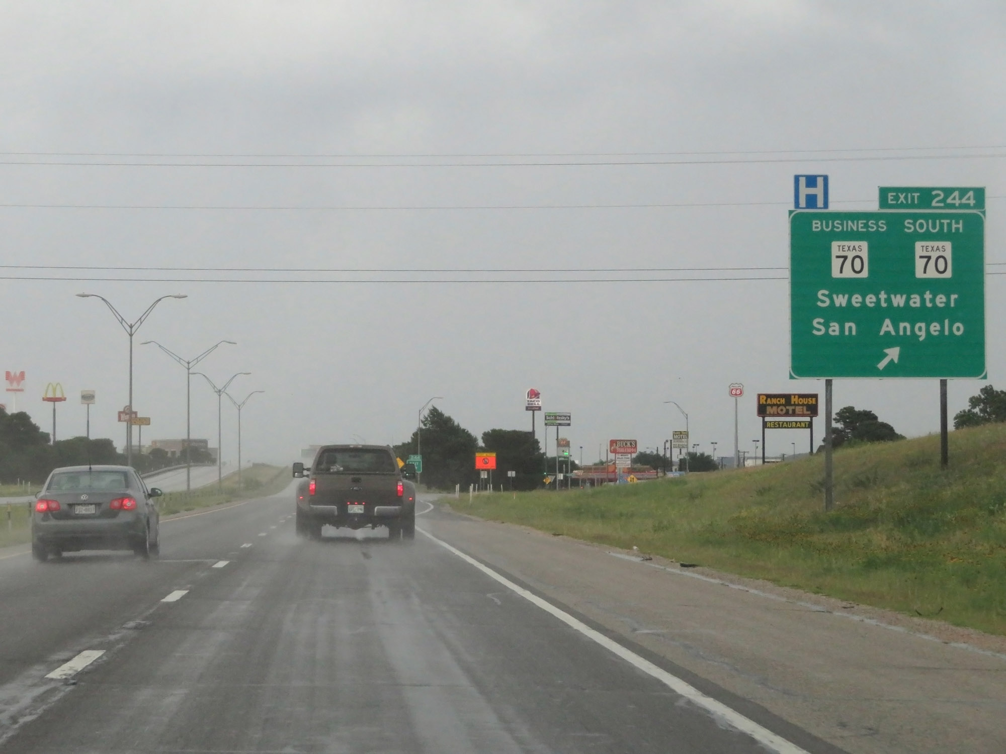 |
Interstate 20 East at Exit 244: TX 70 South / TX 70 Business - Sweetwater / San Angelo (Photo taken 5/20/18). |
 |
Interstate 20 East at Exit 246: Alabama Ave (Photo taken 5/20/18). |
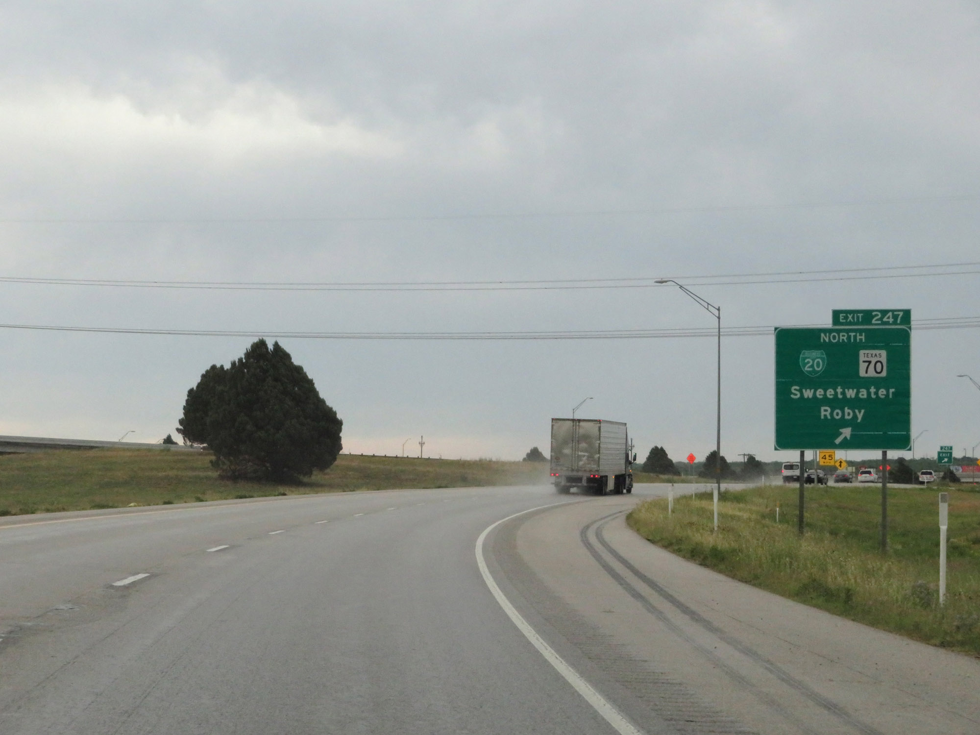 |
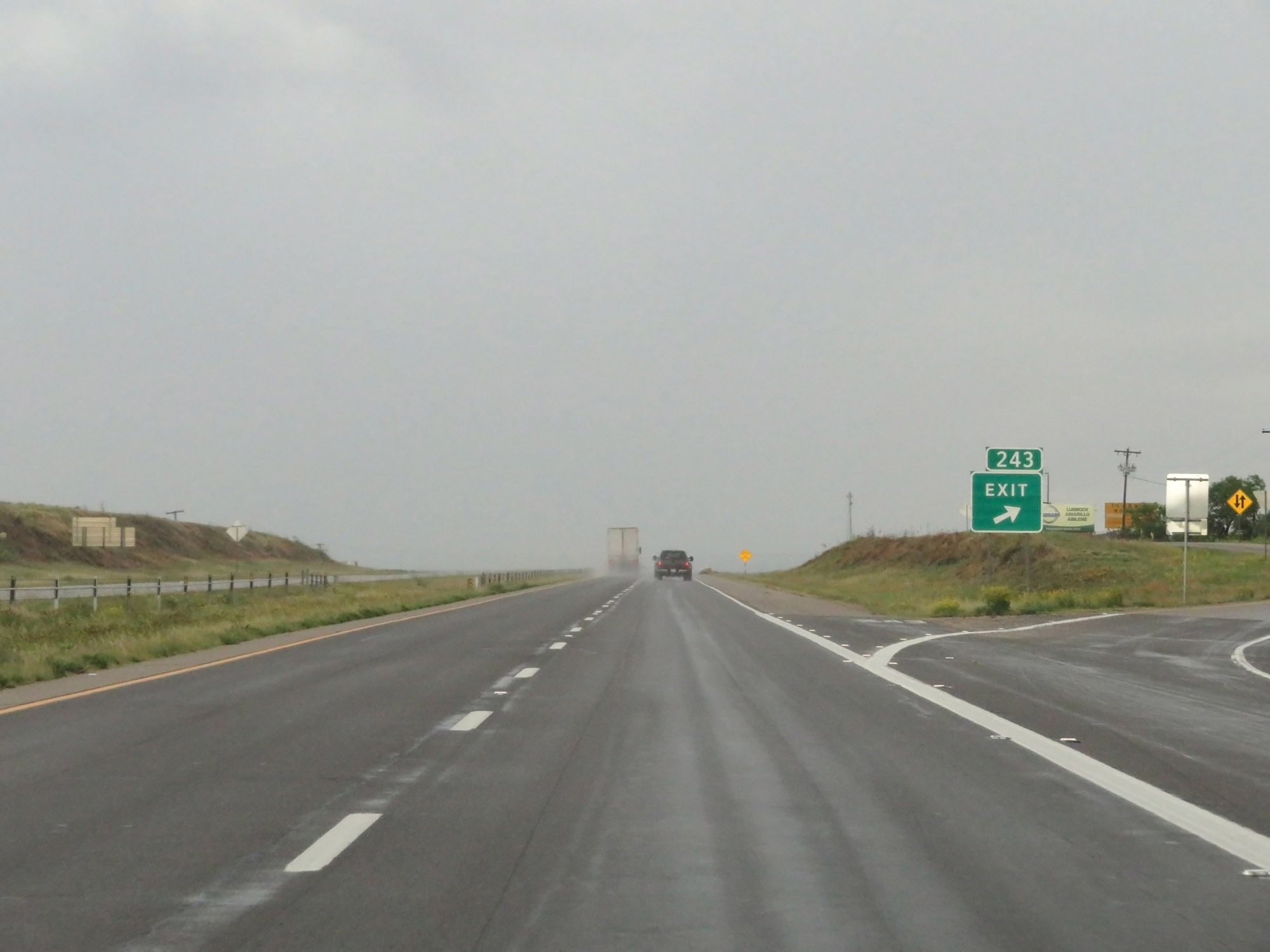
Interstate 20 East at Exit 247: Interstate 20 Business Loop / TX 70 North - Sweetwater / Roby (Photo taken 5/20/18). |
Section 4: Sweetwater (Exit 247) to Abilene (Exit 290)
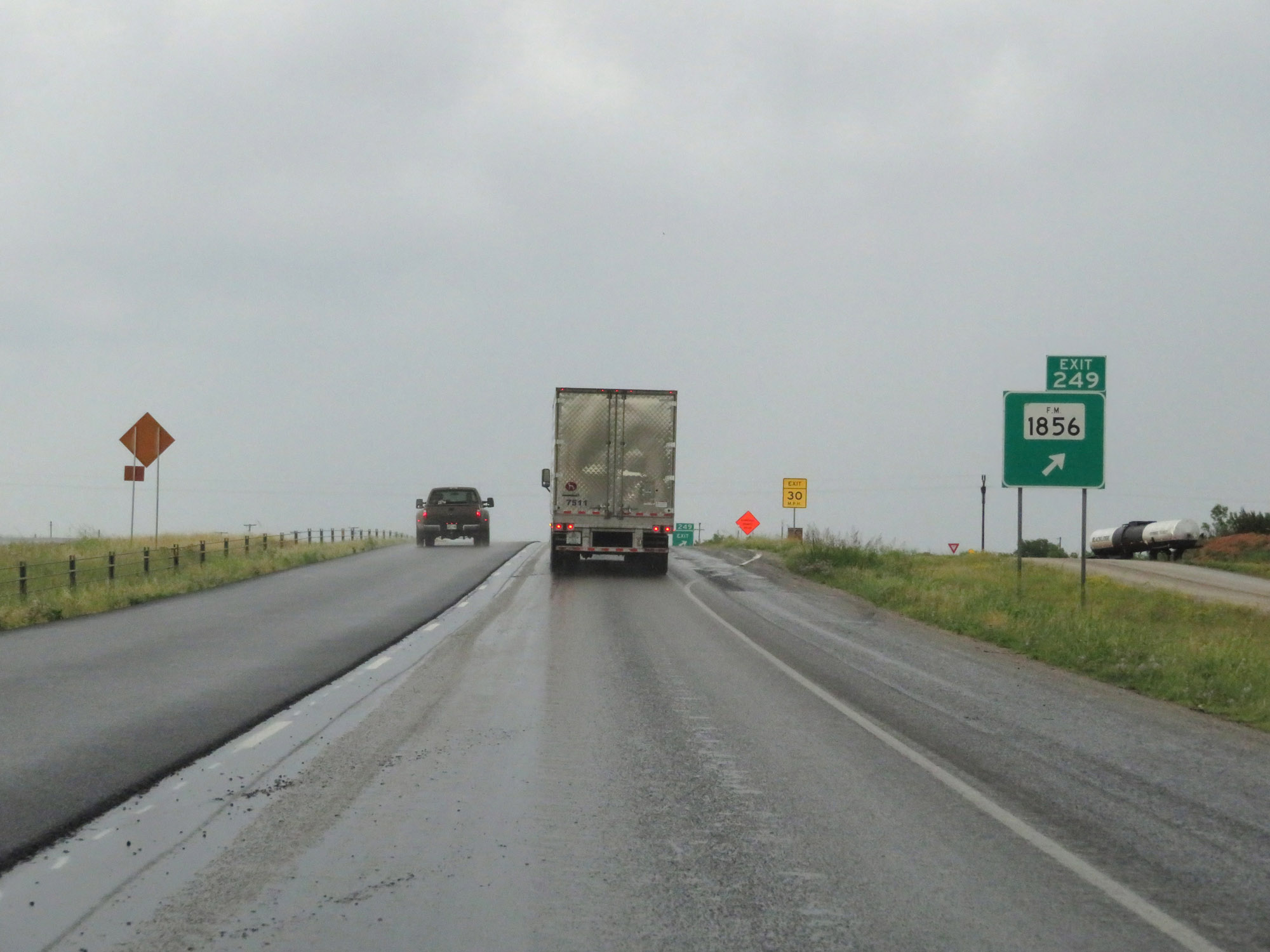 |
Interstate 20 East at Exit 249: FM 1856 (Photo taken 5/20/18). |
 |
Interstate 20 East at Exit 251: Eskota Rd (Photo taken 5/20/18). |
 |
Interstate 20 East at mile marker 252. (Photo taken 5/20/18). |
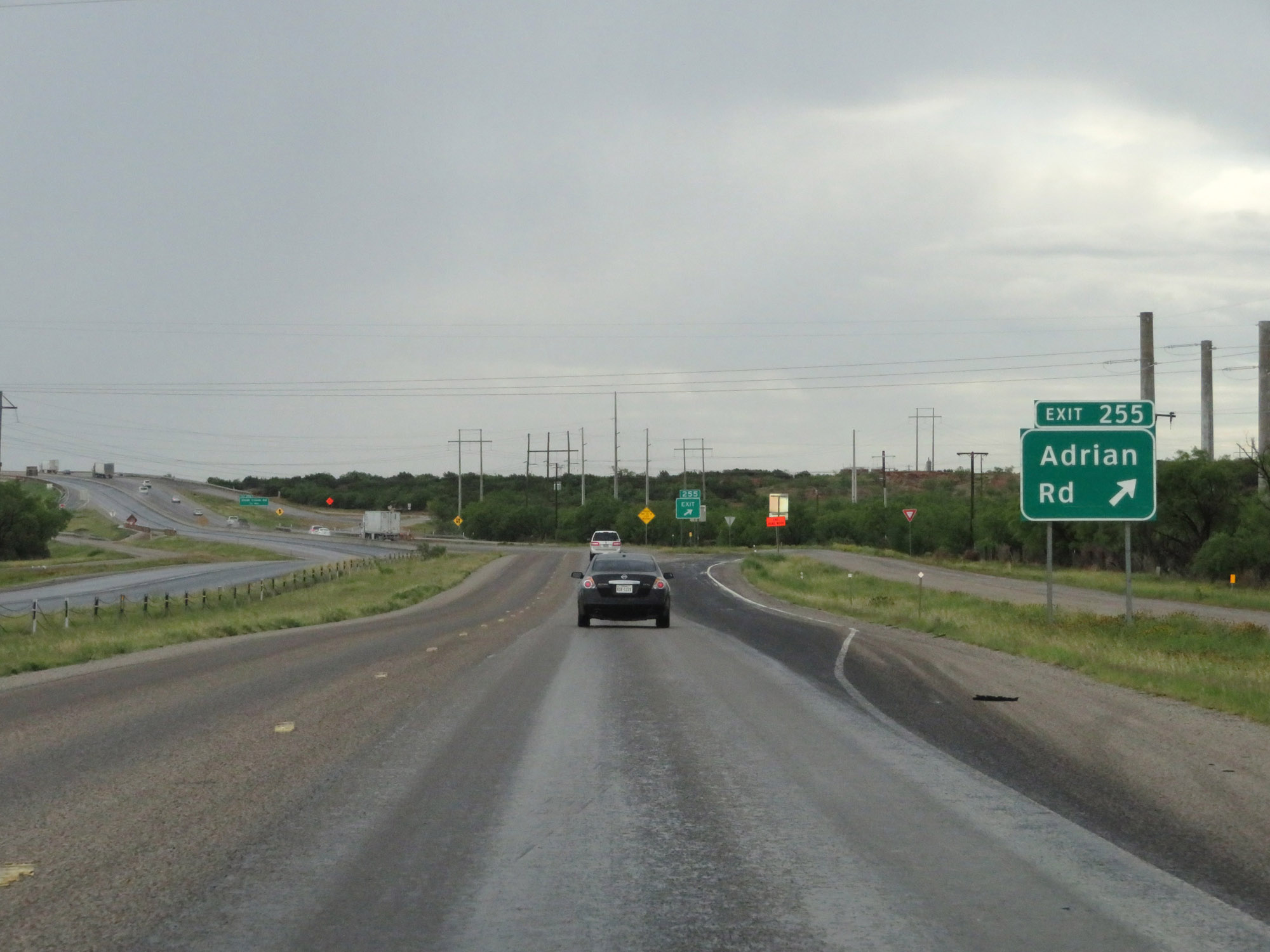 |
Interstate 20 East at Exit 255: Adrian Rd (Photo taken 5/20/18). |
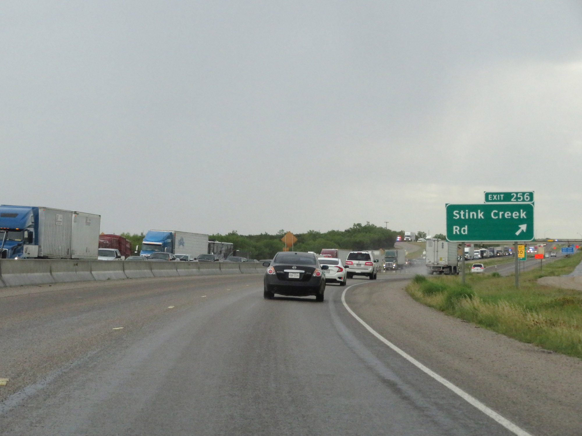 |
Interstate 20 East at Exit 256: Stink Creek Rd (Photo taken 5/20/18). |
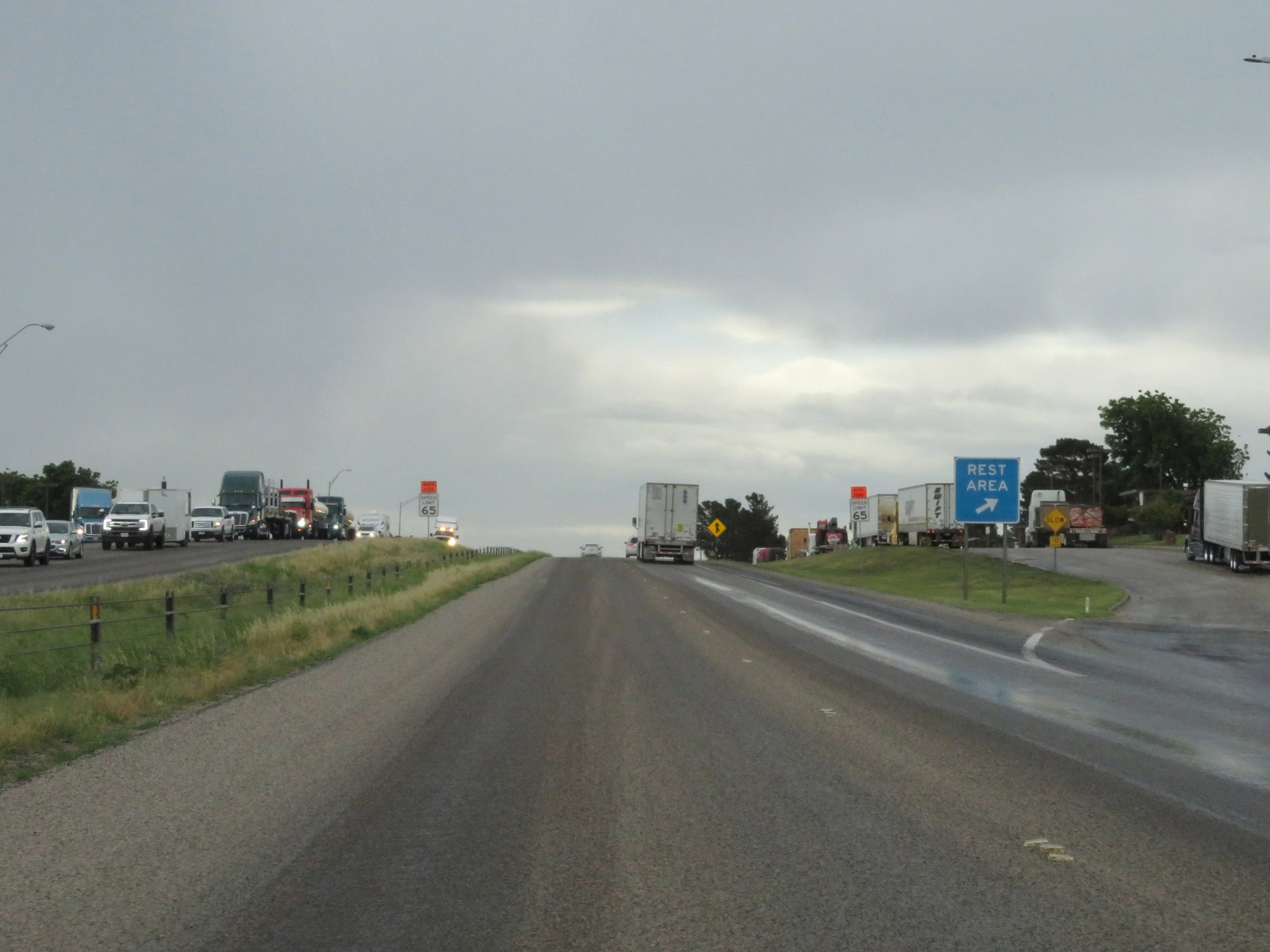 |
Rest Area on Interstate 20 East in Nolan County. (Photo taken 5/20/18). |
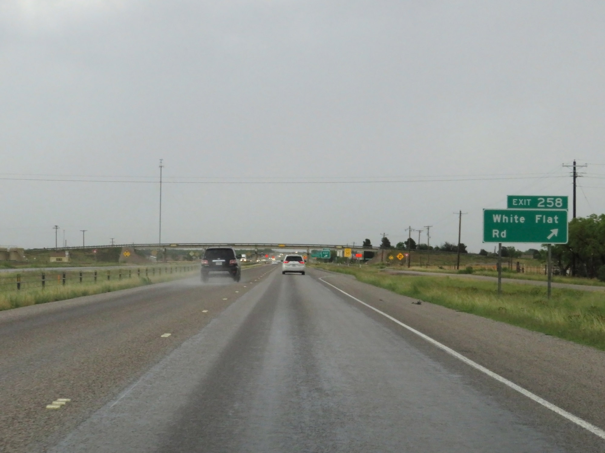 |
Interstate 20 East at Exit 258: White Flat Rd (Photo taken 5/20/18). |
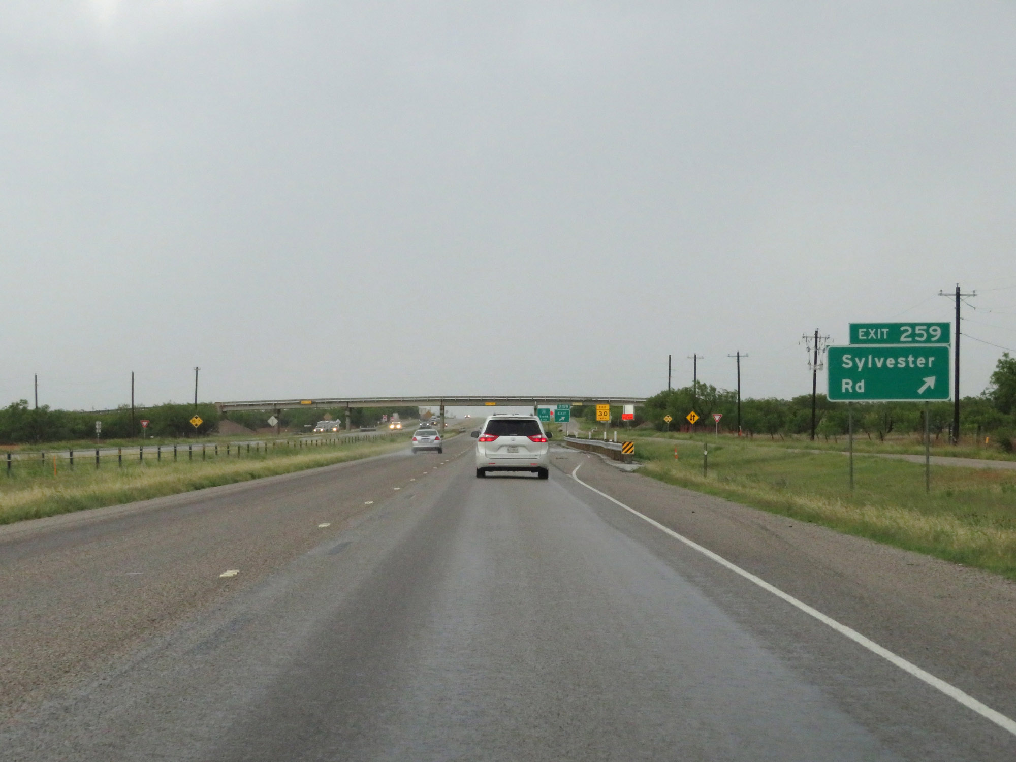 |
Interstate 20 East at Exit 259: Sylvester Rd (Photo taken 5/20/18). |
 |
Interstate 20 East approaching Exit 261 - 1 mile. (Photo taken 5/20/18). |
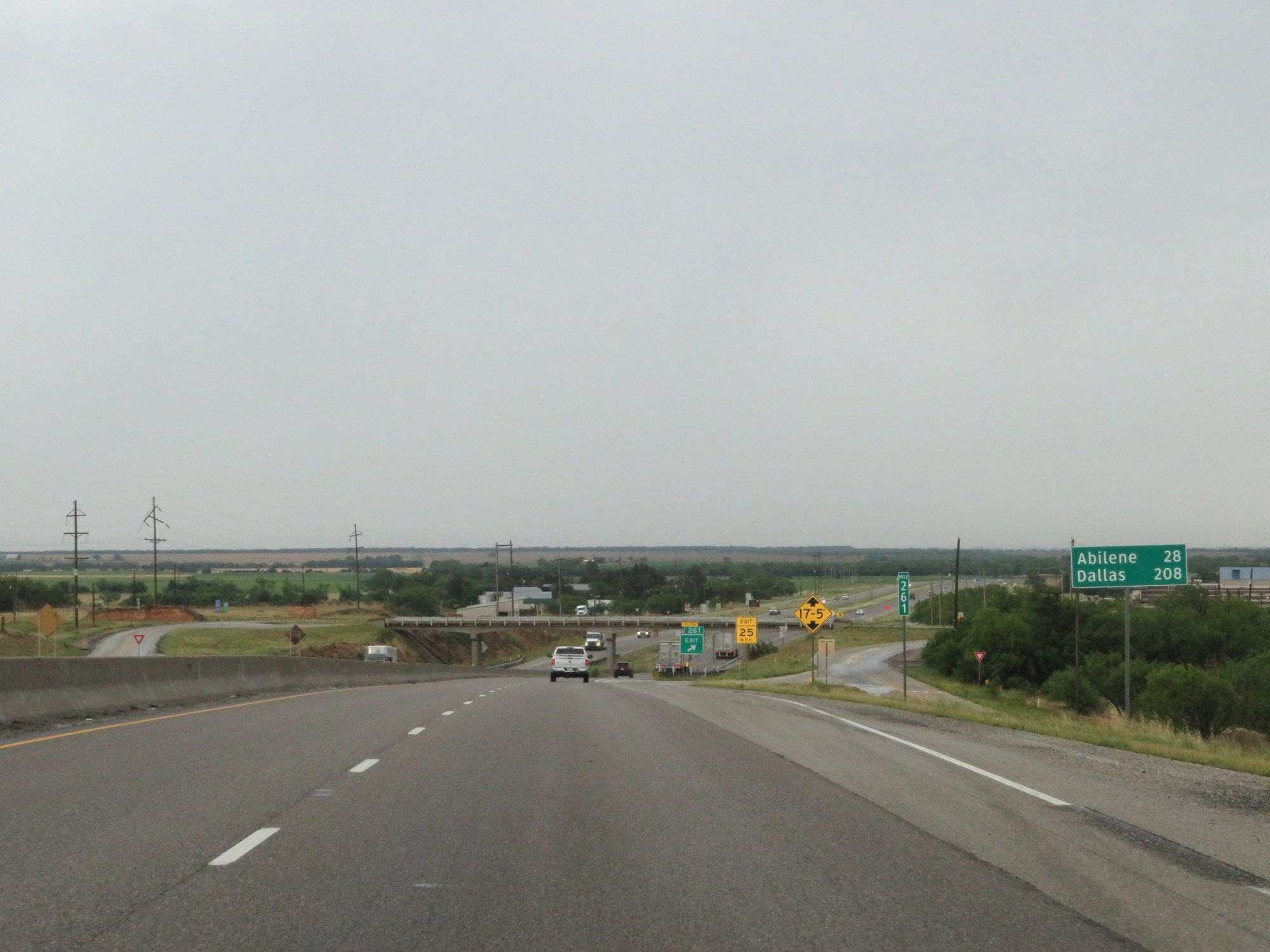 |
Mileage sign at mile marker 261. It's 28 miles to Abilene and 208 miles to Dallas. (Photo taken 5/20/18). |
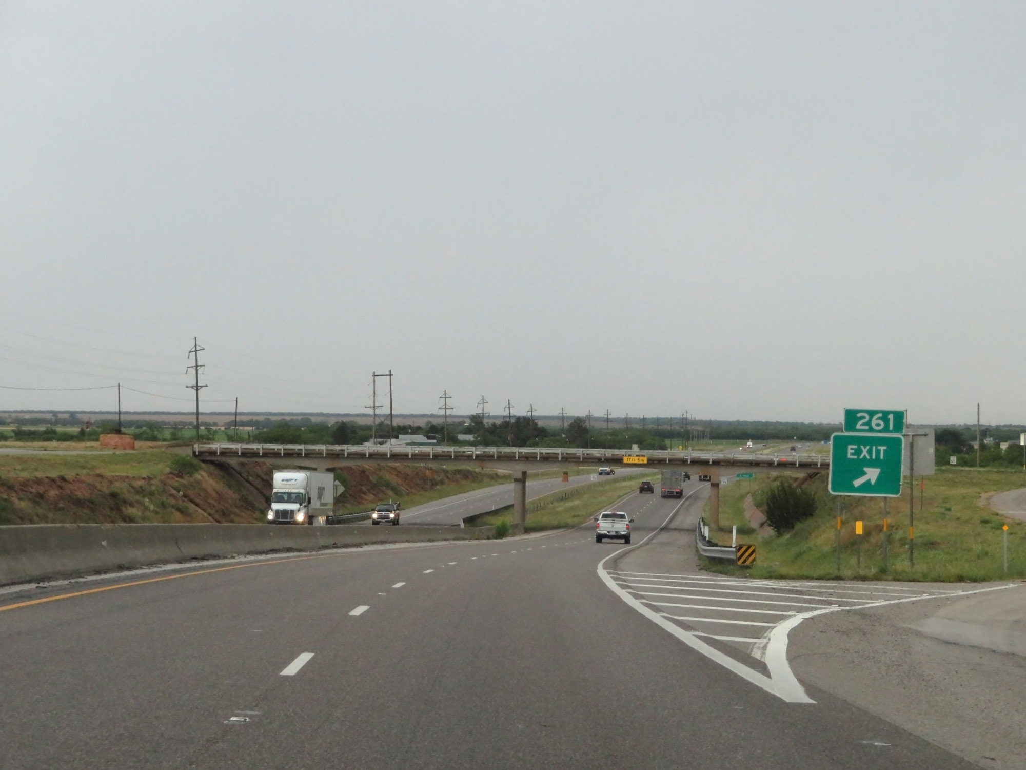 |
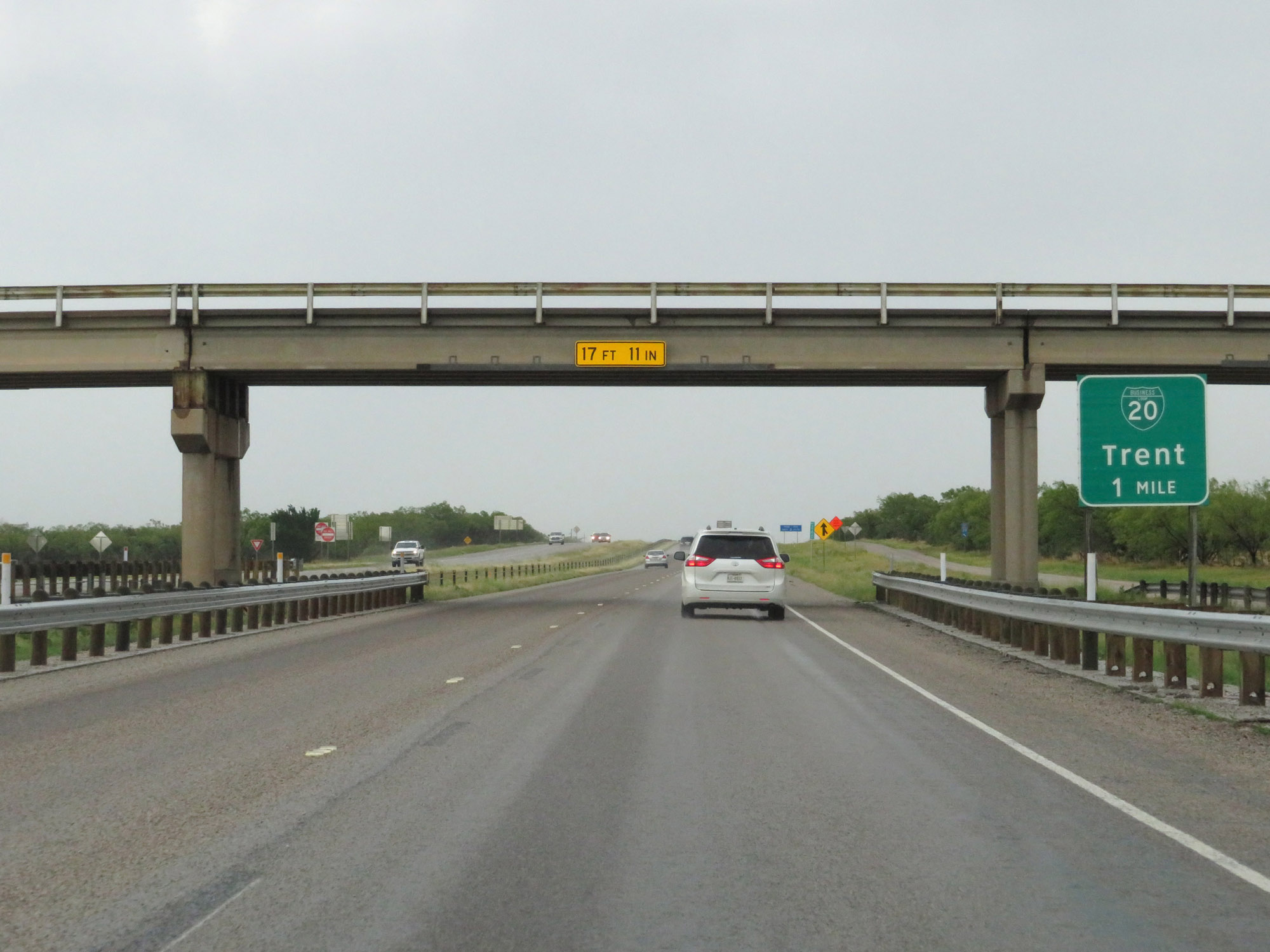
Interstate 20 East at Exit 261: Interstate 20 Business Loop - Trent (Photo taken 5/20/18). |
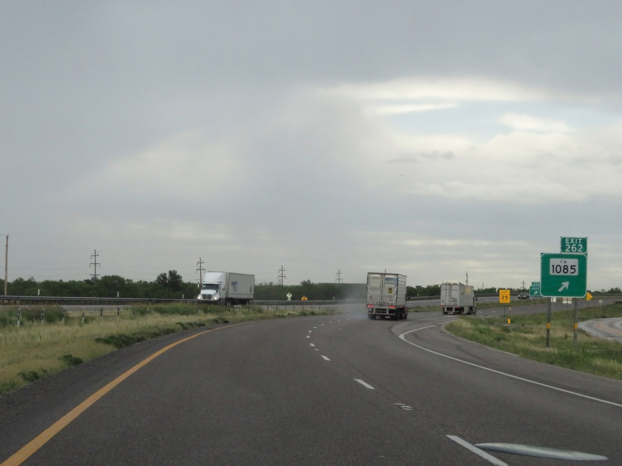 |
Interstate 20 East at Exit 262: FM 1085 (Photo taken 5/20/18). |
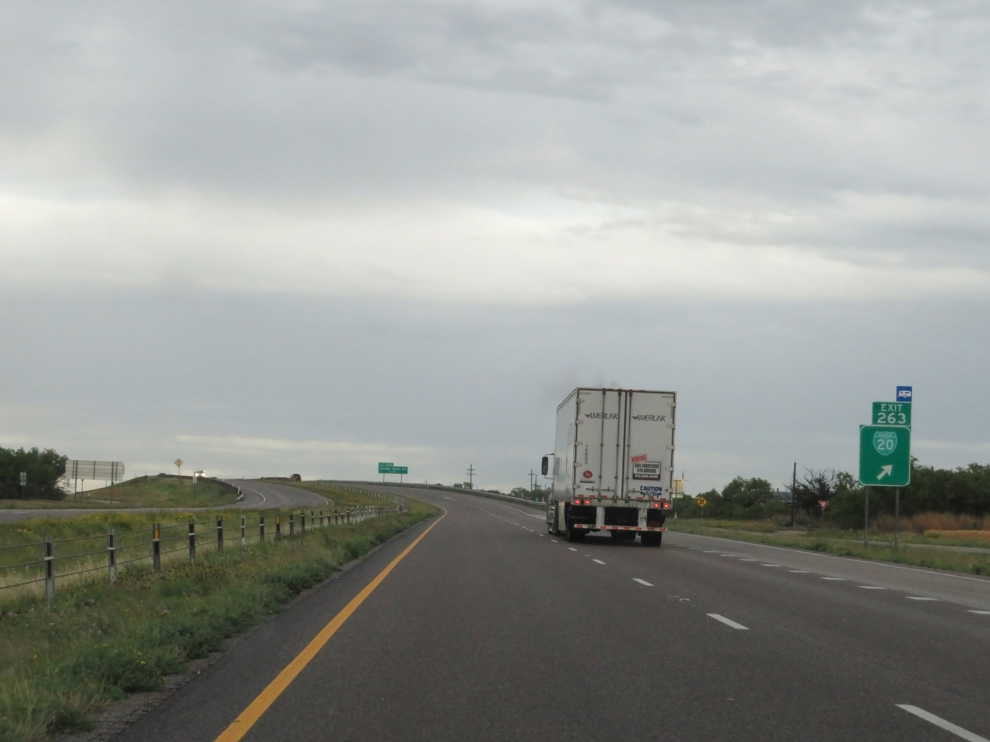 |
Interstate 20 East at Exit 263: Interstate 20 Business Loop (Photo taken 5/20/18). |
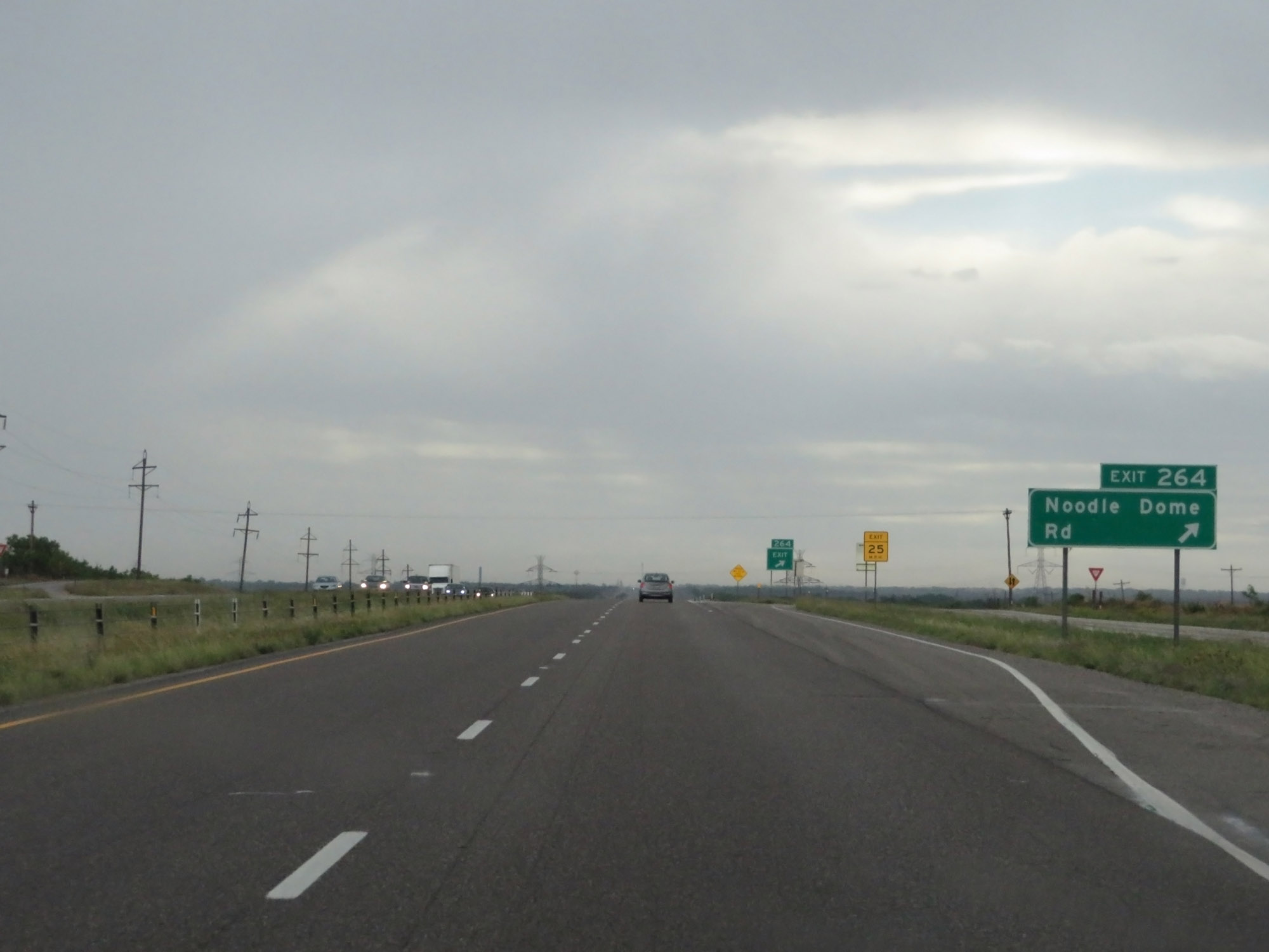 |
Interstate 20 East at Exit 264: Noodle Dome Rd (Photo taken 5/20/18). |
 |
Interstate 20 East at Exit 266: Derstine Rd (Photo taken 5/20/18). |
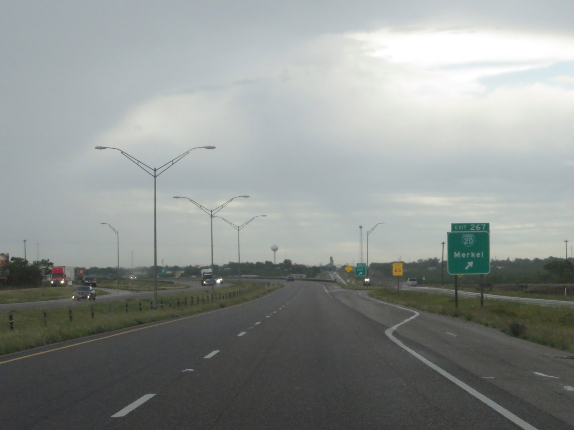 |
Interstate 20 East at Exit 267: Interstate 20 Business Loop - Merkel (Photo taken 5/20/18). |
 |
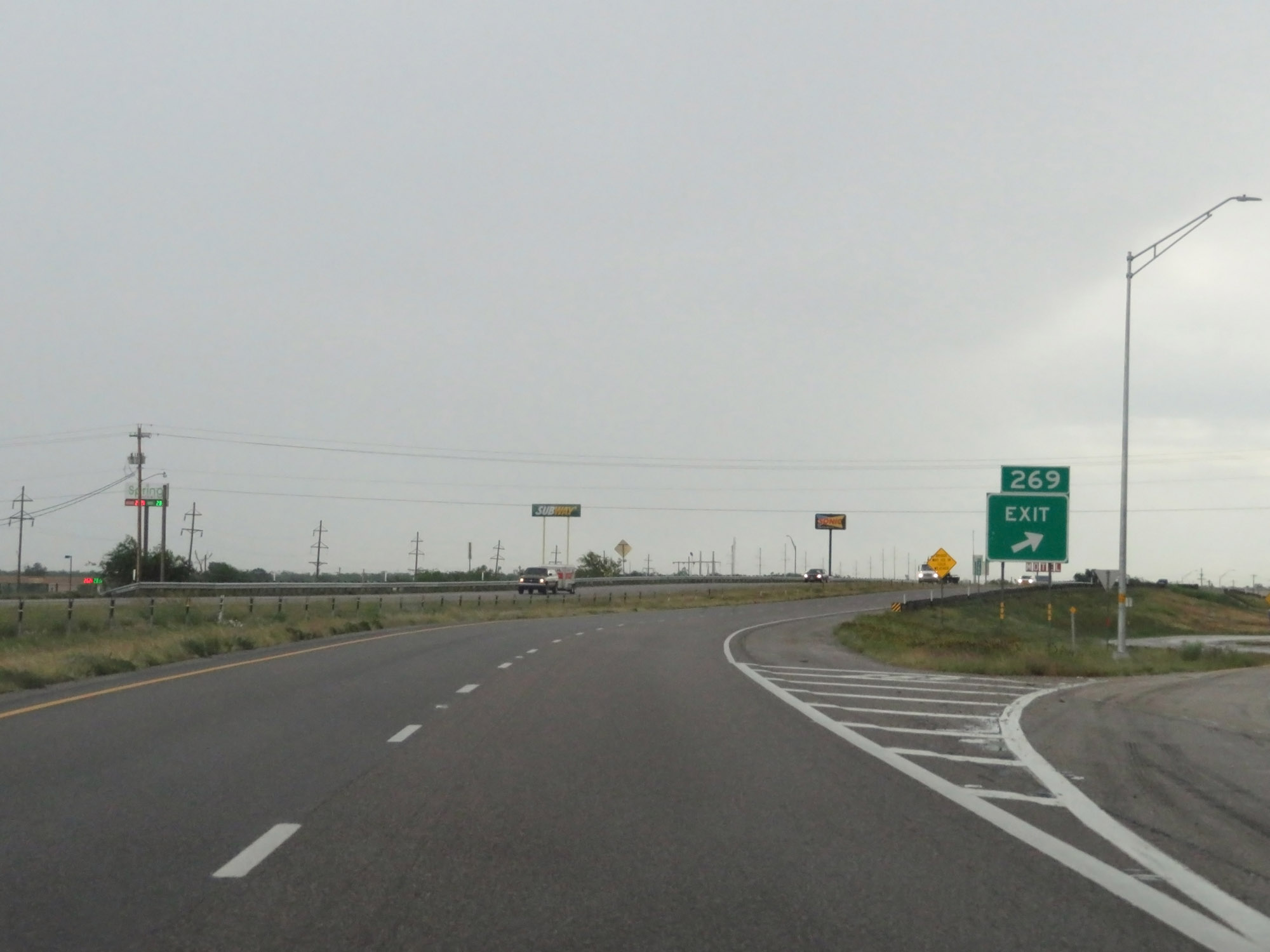
Interstate 20 East approaching Exit 269 - 3/4 mile. (Photo taken 5/20/18). |
 |
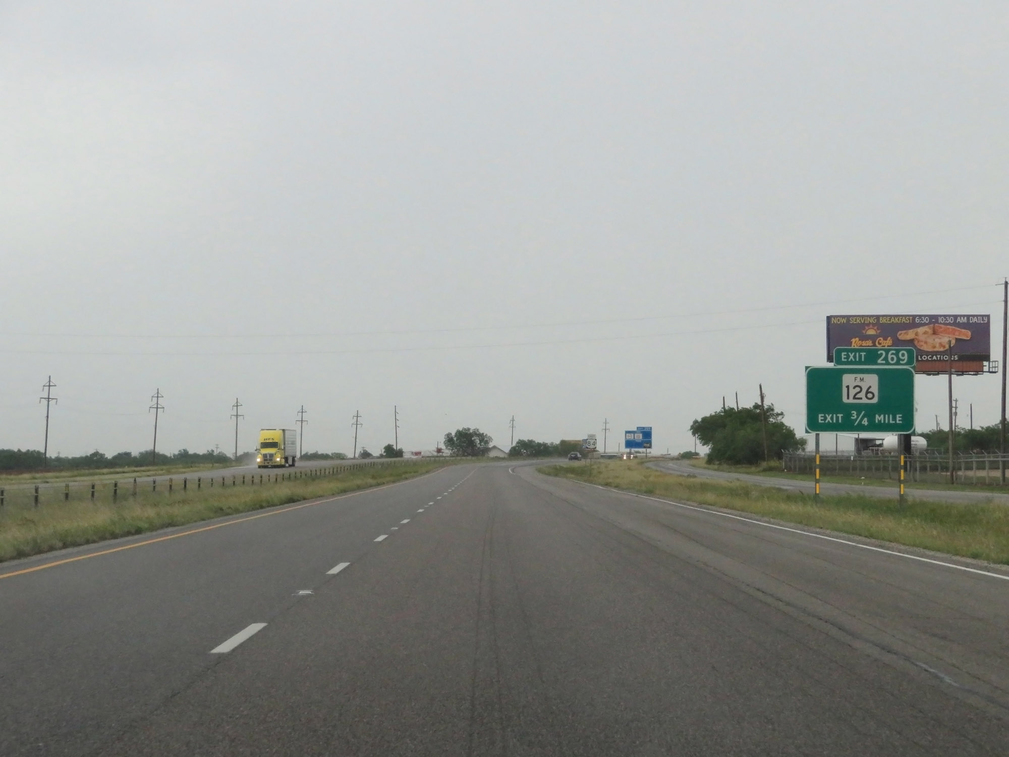
Interstate 20 East at Exit 269: FM 126 (Photo taken 5/20/18). |
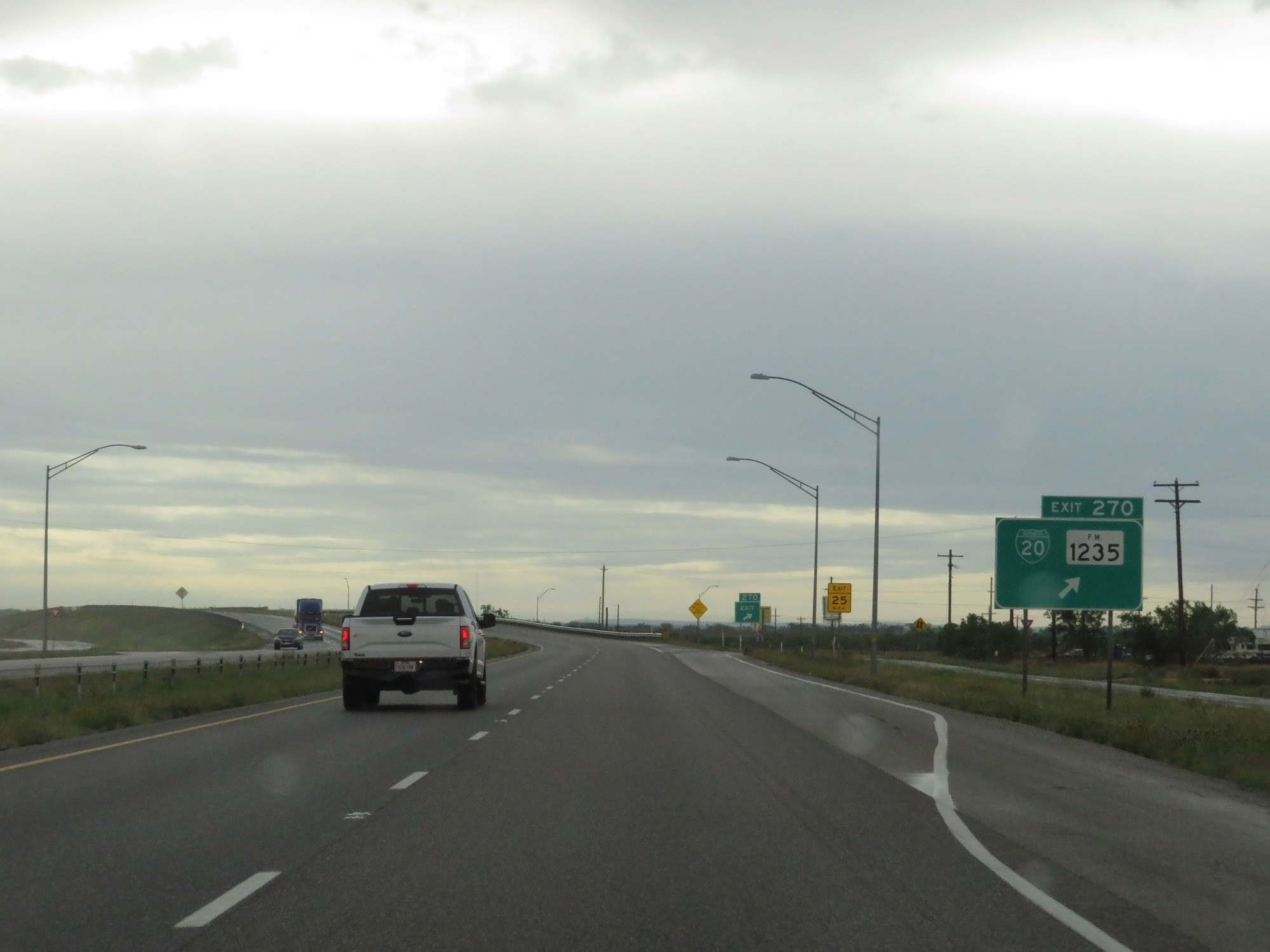 |
Interstate 20 East at Exit 270: Interstate 20 Business Loop / FM 1235 (Photo taken 5/20/18). |
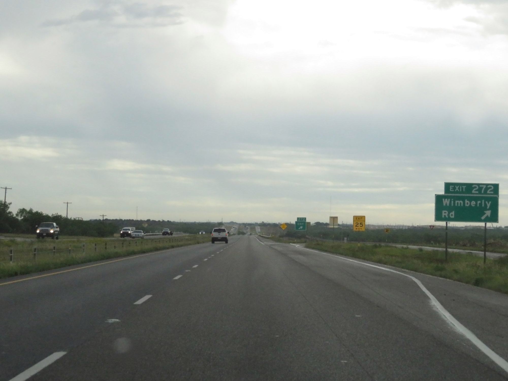 |
Interstate 20 East at Exit 272: Wimberly Rd (Photo taken 5/20/18). |
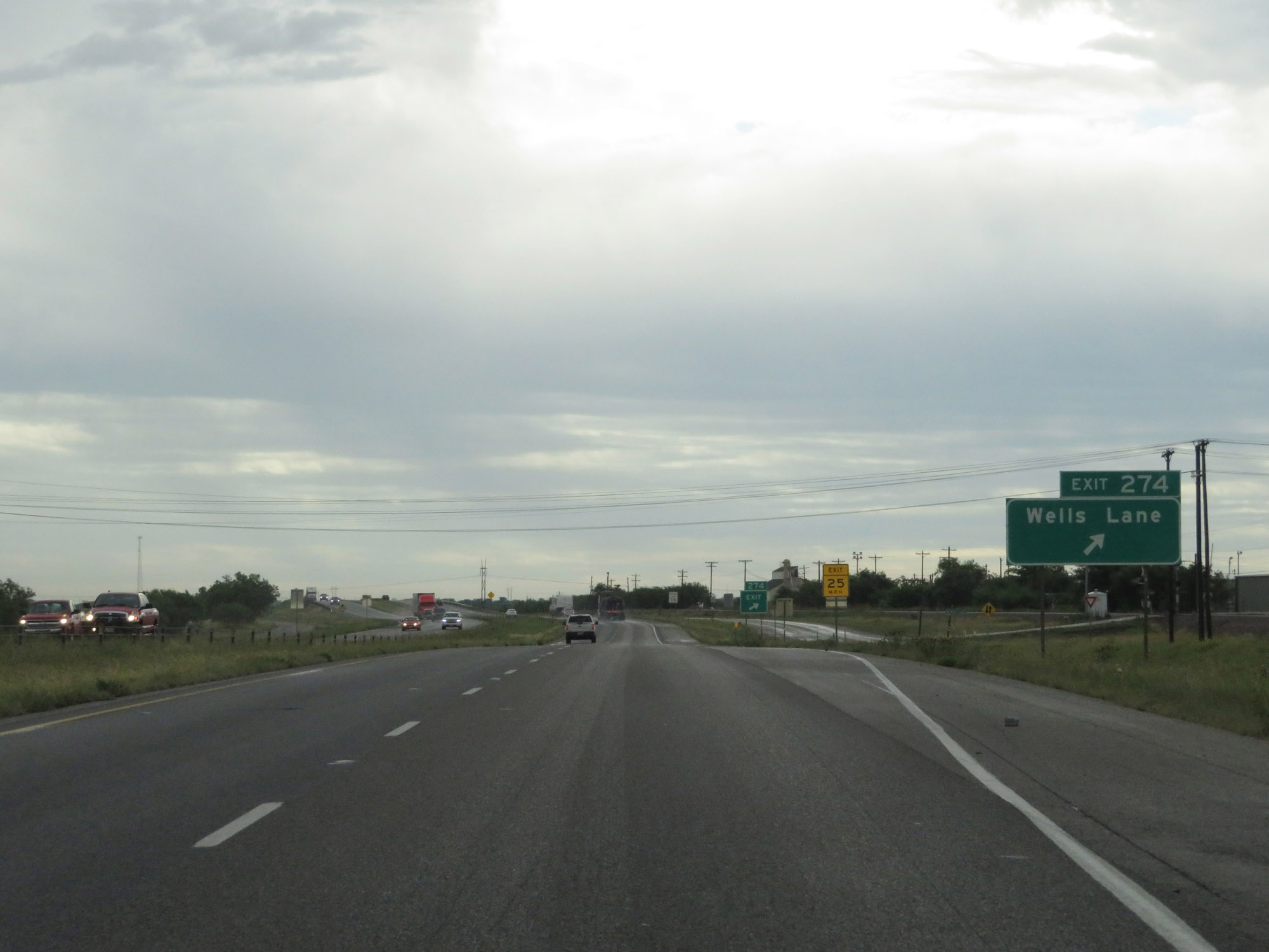 |
Interstate 20 East at Exit 274: Wells Lane (Photo taken 5/20/18). |
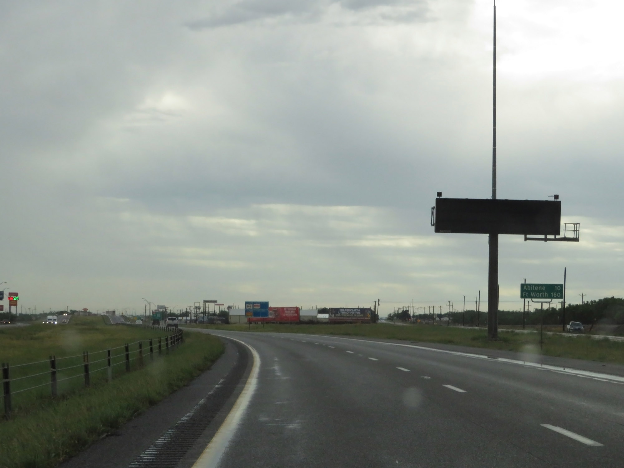 |
Mileage sign on Interstate 20 East. It's 10 miles to Abilene and 160 miles to Fort Worth. (Photo taken 5/20/18). |
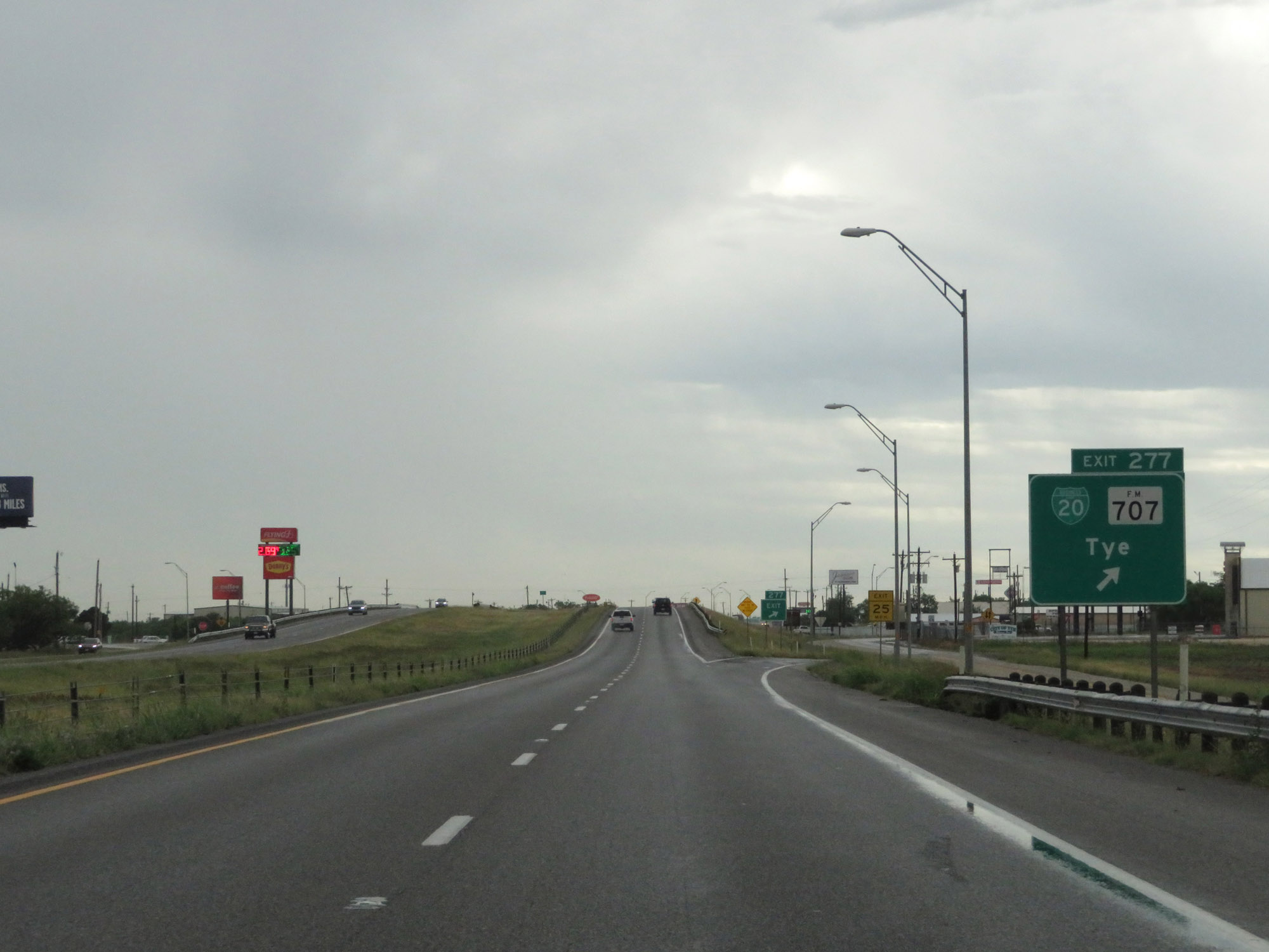 |
Interstate 20 East at Exit 277: Interstate 20 Business Loop / FM 707 - Tye (Photo taken 5/20/18). |
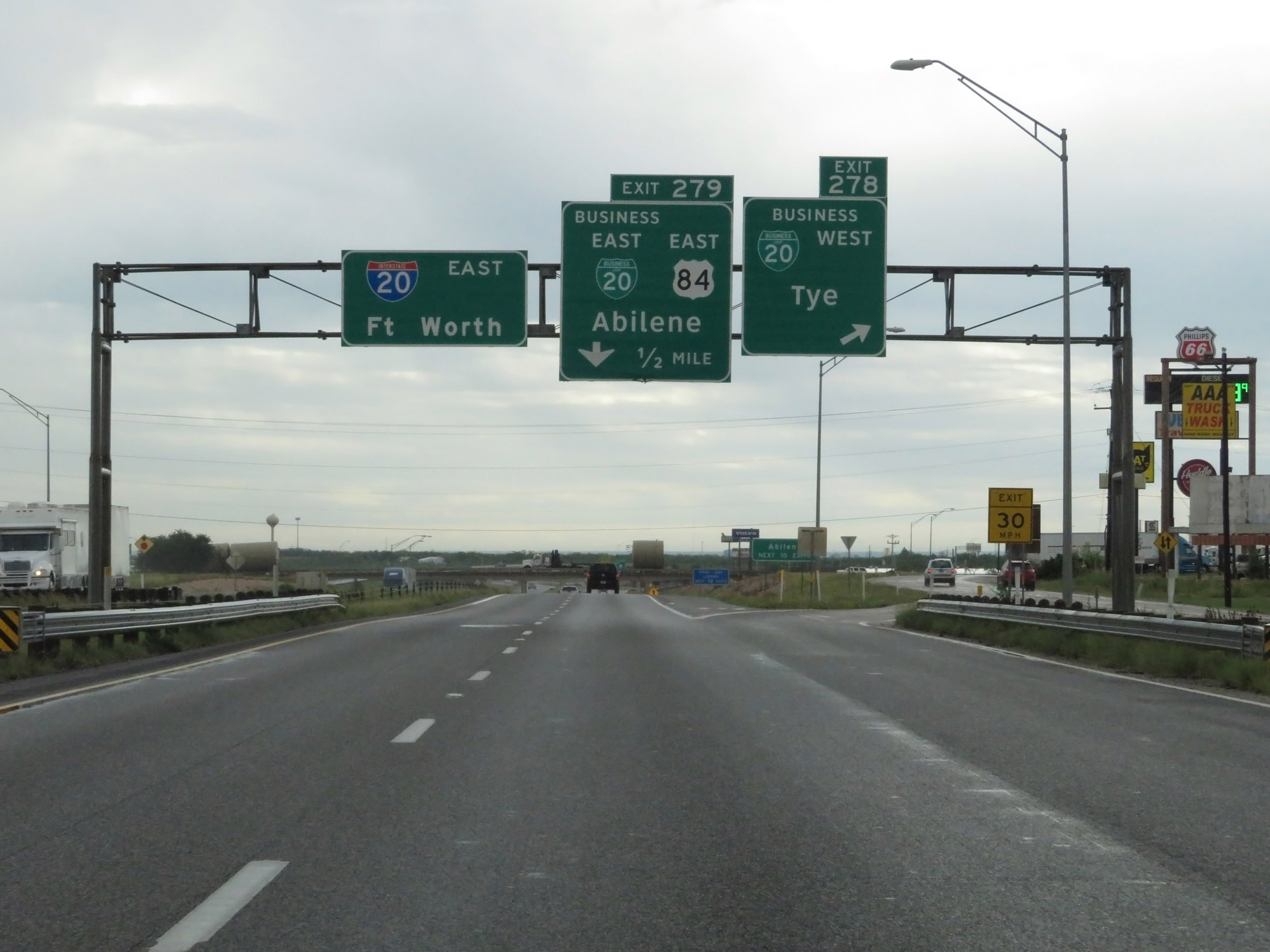 |
Interstate 20 East at Exit 278: Interstate 20 Business Loop West - Tye (Photo taken 5/20/18). |
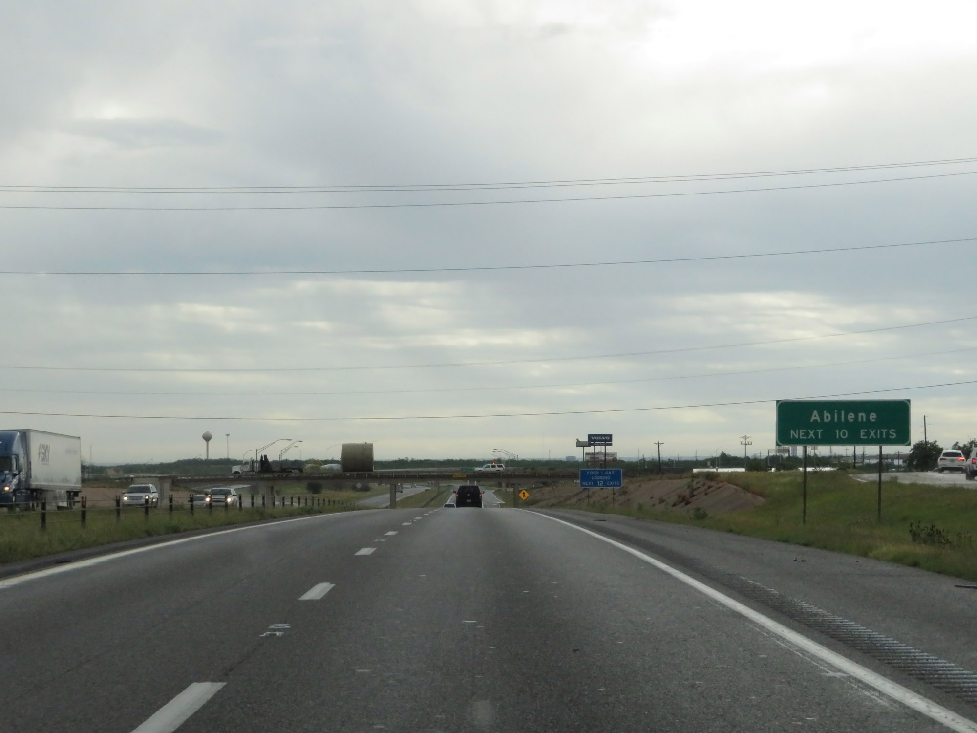 |
Take any of the next 10 exits to Abilene. (Photo taken 5/20/18). |
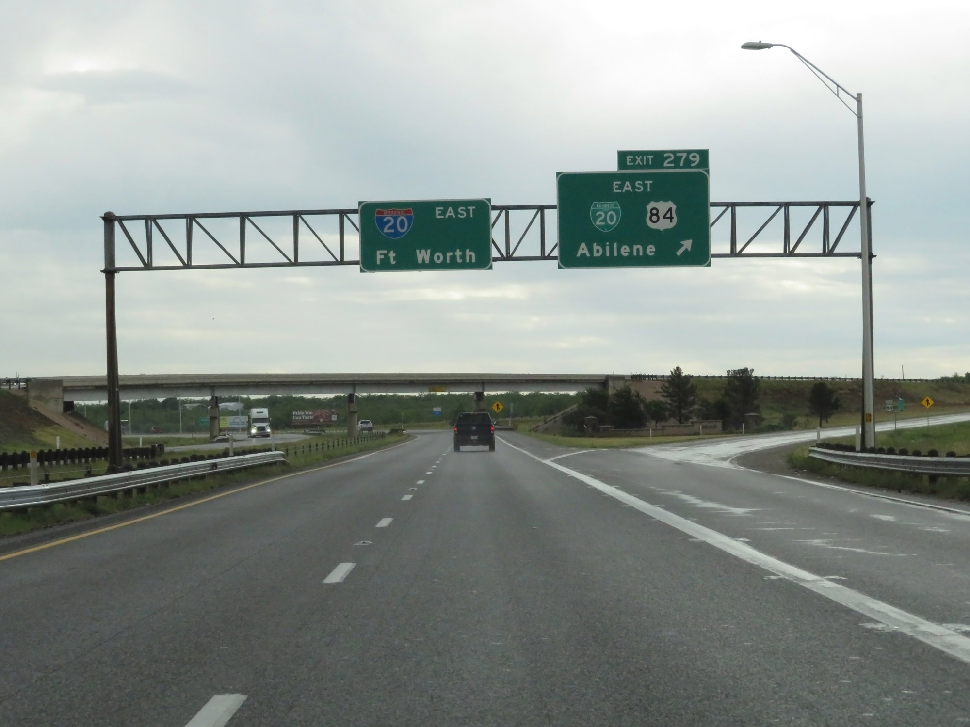 |
Interstate 20 East at Exit 279: Interstate 20 Business Loop East / US 84 East - Abilene (Photo taken 5/20/18). |
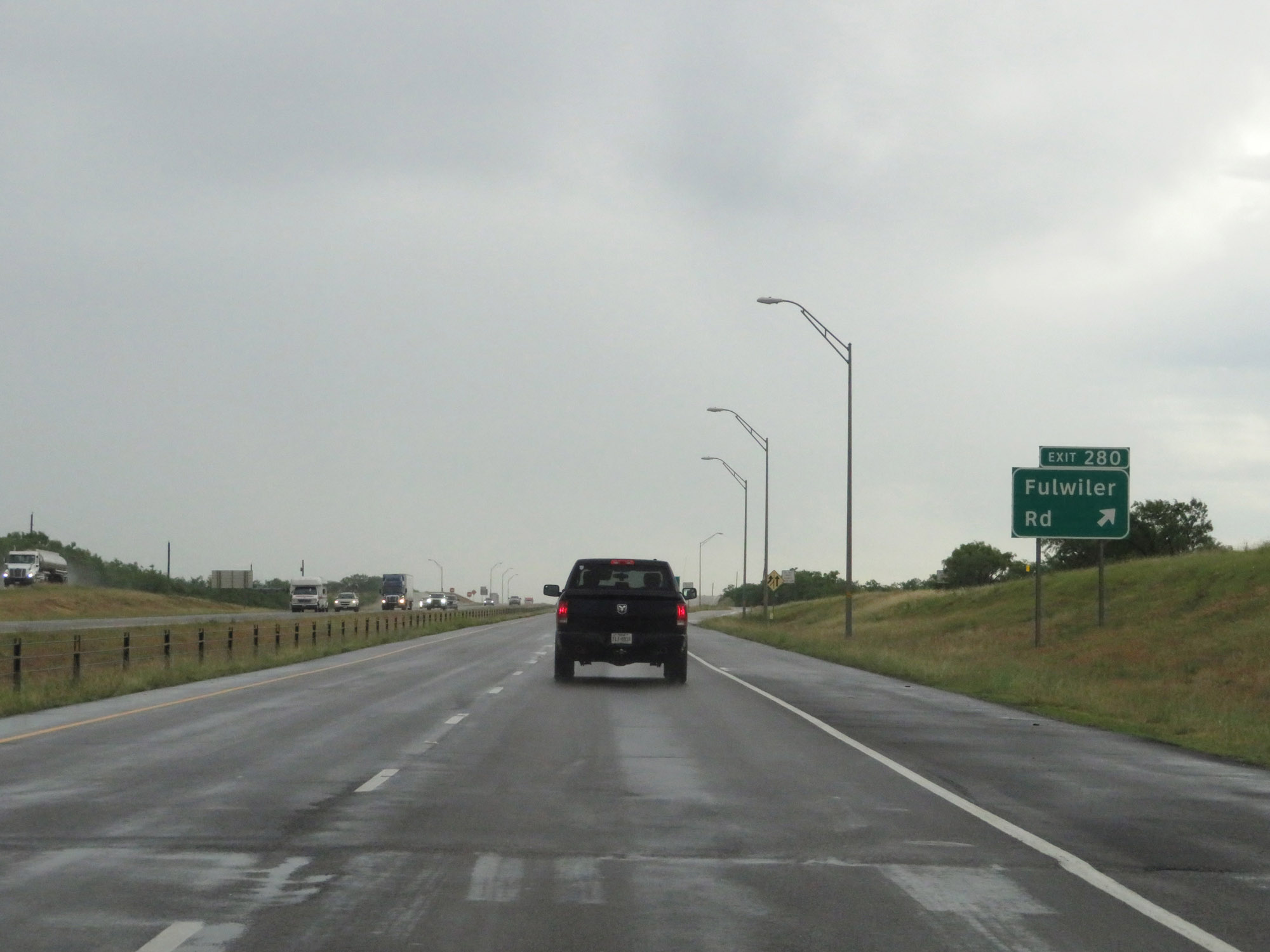 |
Interstate 20 East at Exit 280: Fulwiler Rd (Photo taken 5/20/18). |
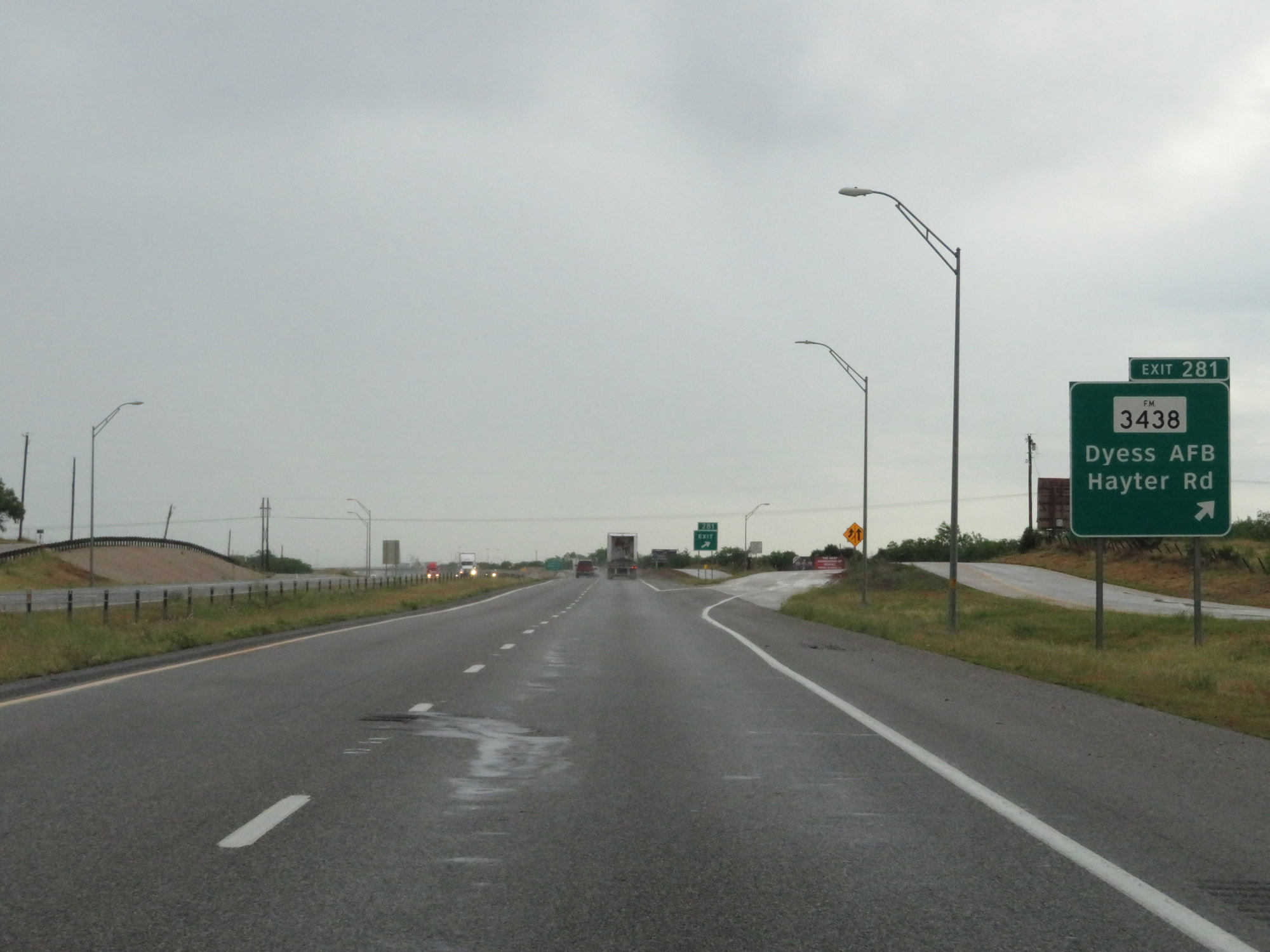 |
Interstate 20 East at Exit 281: FM 3438 - Dyess AFB / Hayter Rd (Photo taken 5/20/18). |
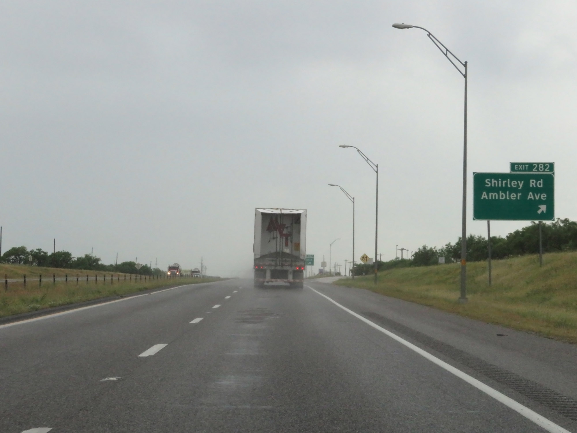 |
Interstate 20 East at Exit 282: Shirley Rd / Ambler Ave (Photo taken 5/20/18). |
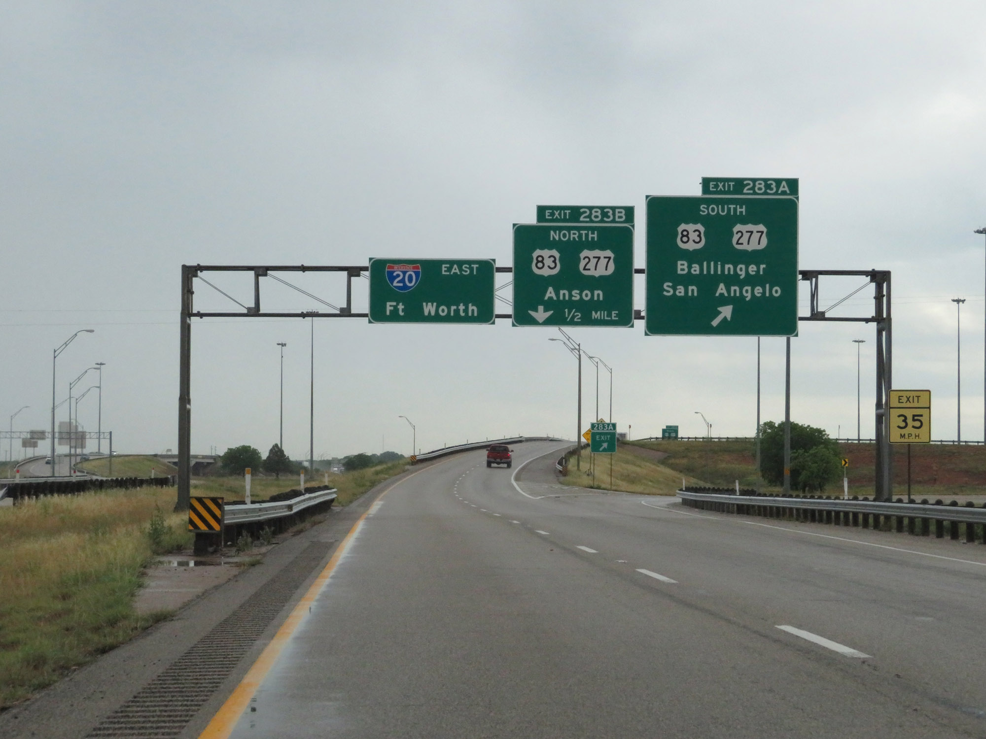 |
Interstate 20 East at Exit 283A: US 83 South / US 277 South - Ballinger / San Angelo (Photo taken 5/20/18). |
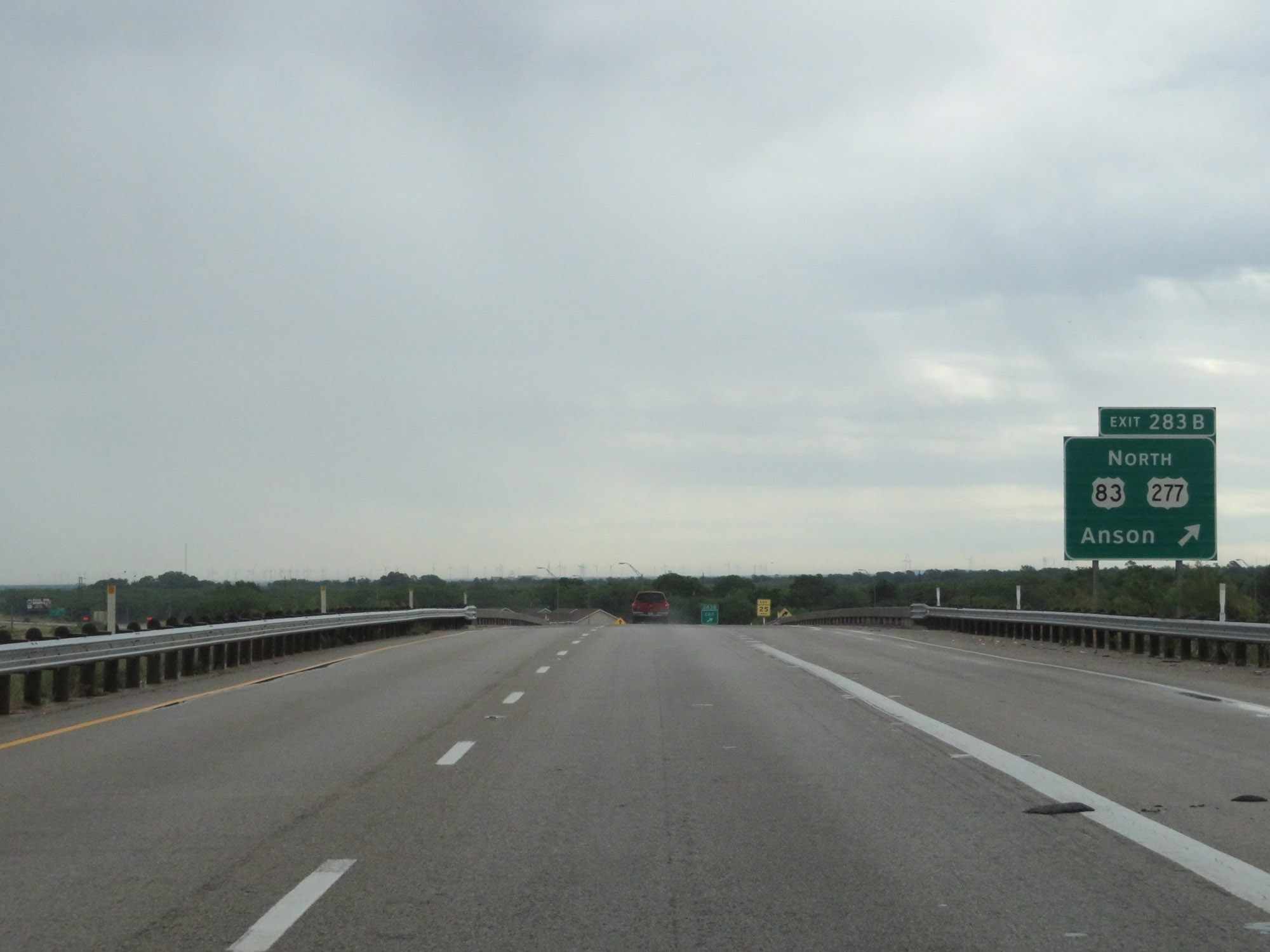 |
Interstate 20 East at Exit 283B: US 83 North / US 277 North - Anson (Photo taken 5/20/18). |
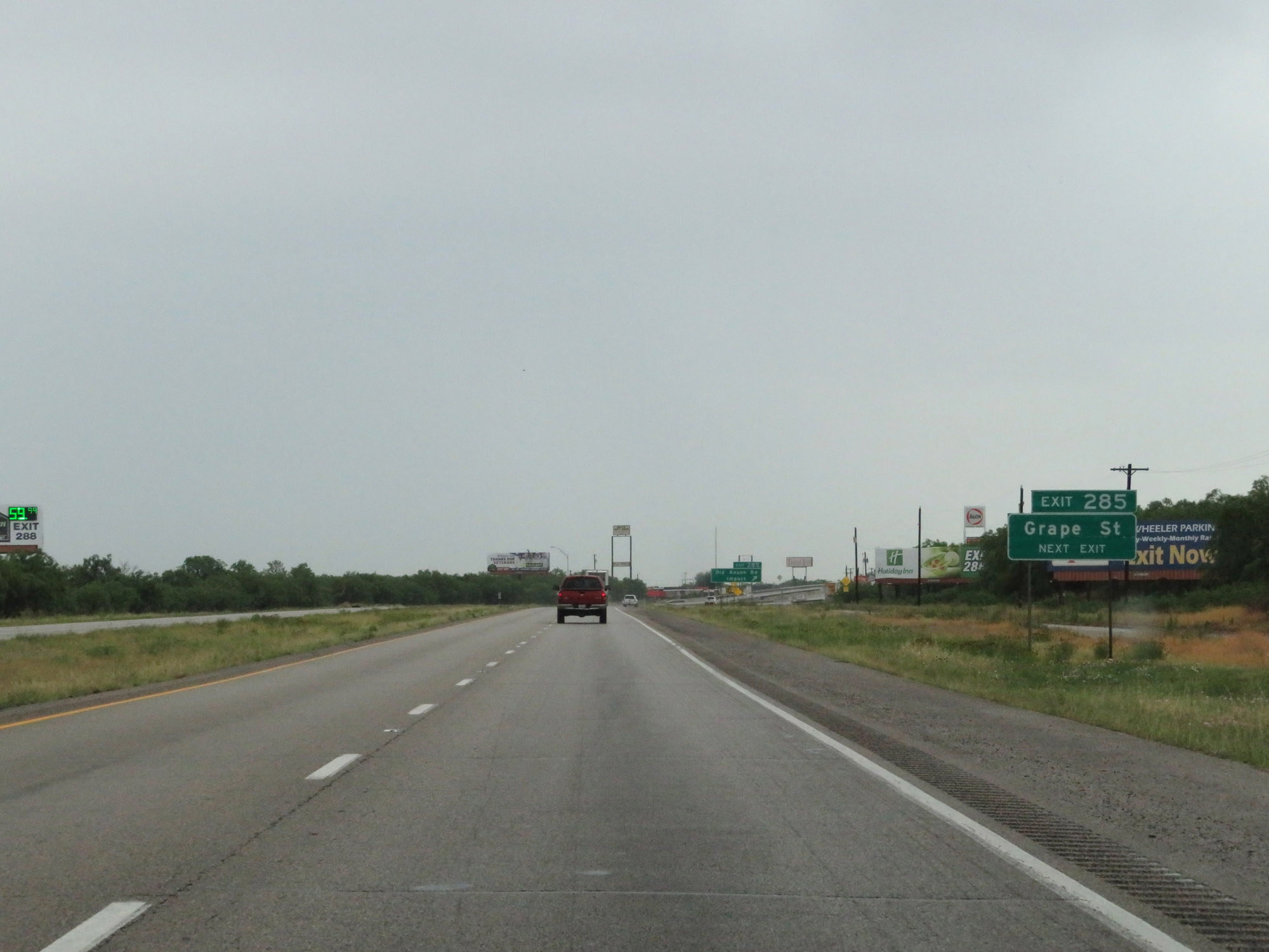 |
Take Exit 285 to Grape St. (Photo taken 5/20/18). |
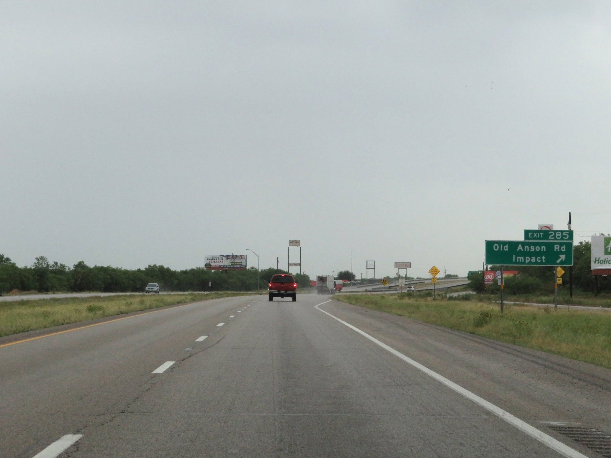 |
Interstate 20 East at Exit 285: Old Anson Rd / Impact (Photo taken 5/20/18). |
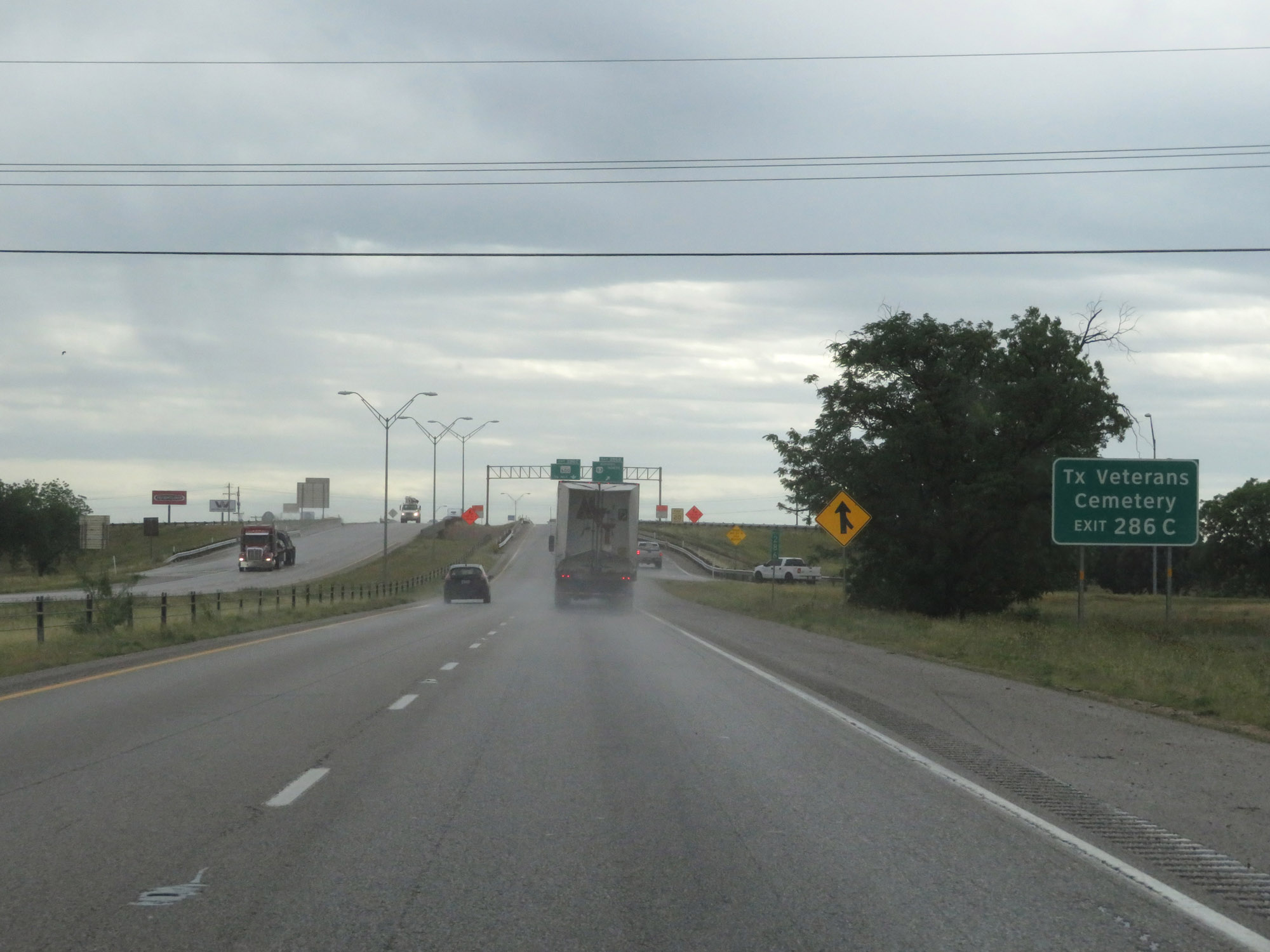 |
Take Exit 286C to the Texas Veterans Cemetery. (Photo taken 5/20/18). |
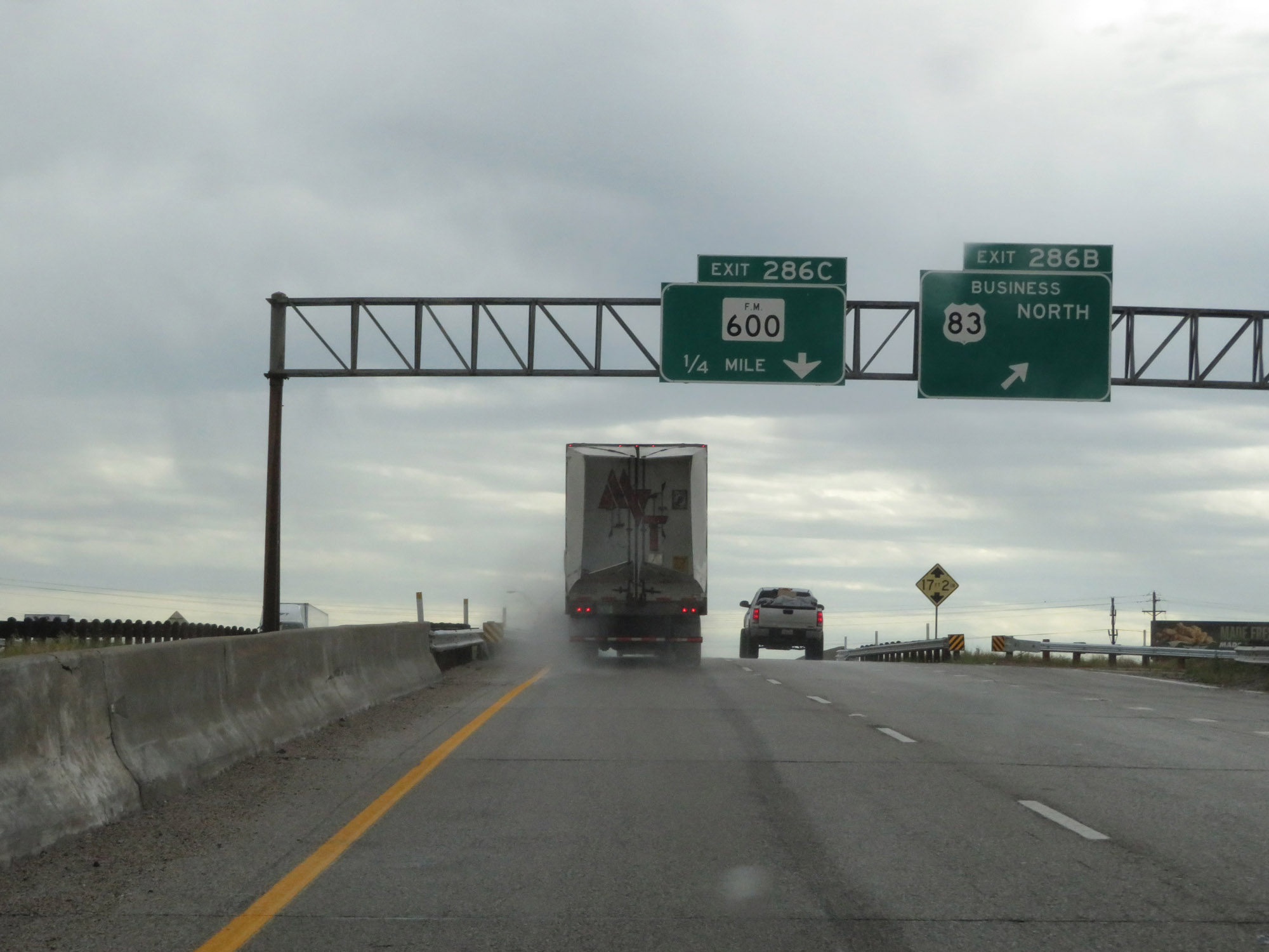 |
Interstate 20 East at Exit 286B: US 83 Business North. I somehow foolishly missed the photos of Exits 286A and 286C, so I apologize for that. (Photo taken 5/20/18). |
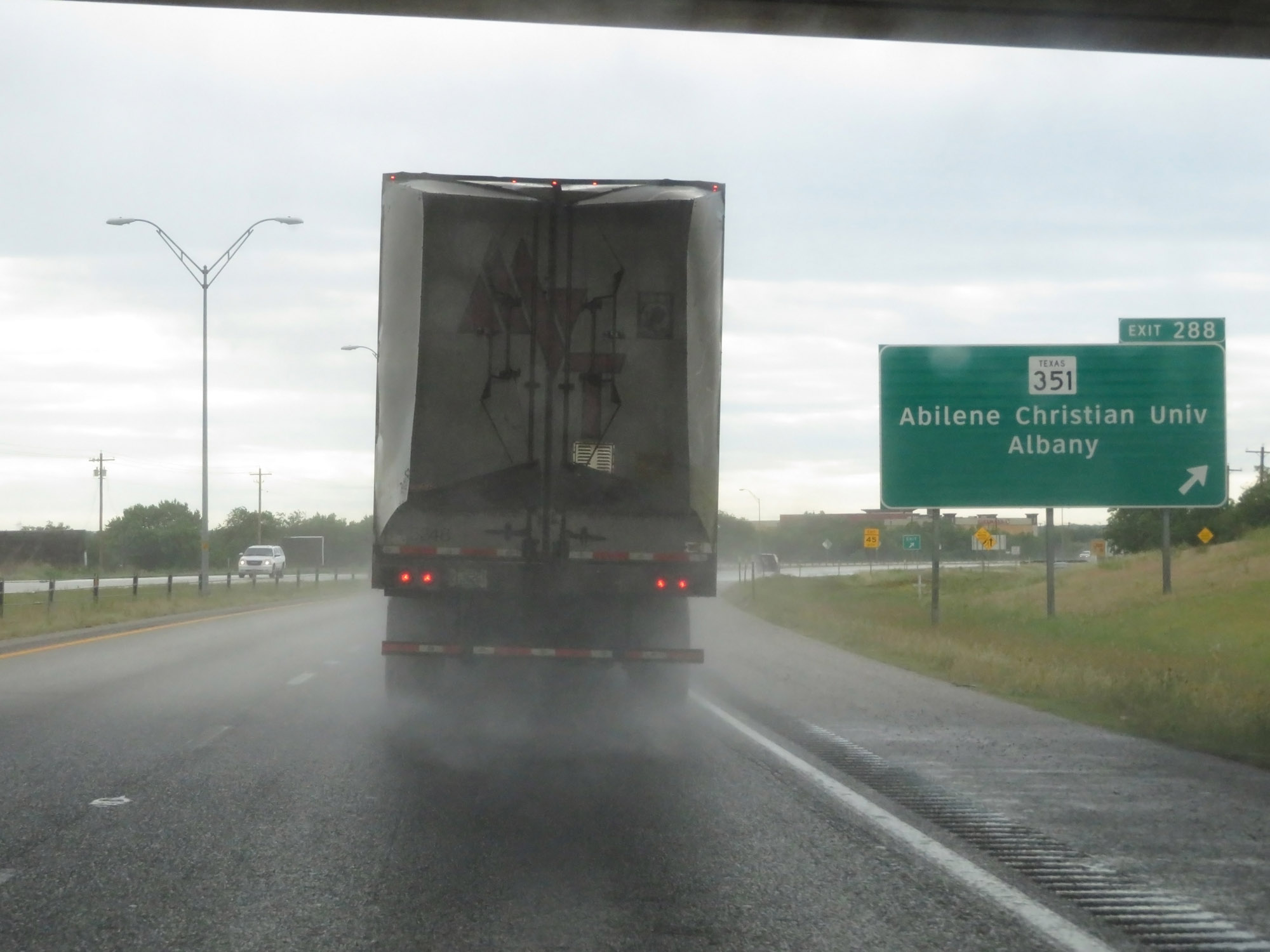 |
Interstate 20 East at Exit 288: TX 351 - Abilene Christian University / Albany (Photo taken 5/20/18). |
 |
Interstate 20 East approaching Exit 290 - 1 mile. (Photo taken 5/20/18). |
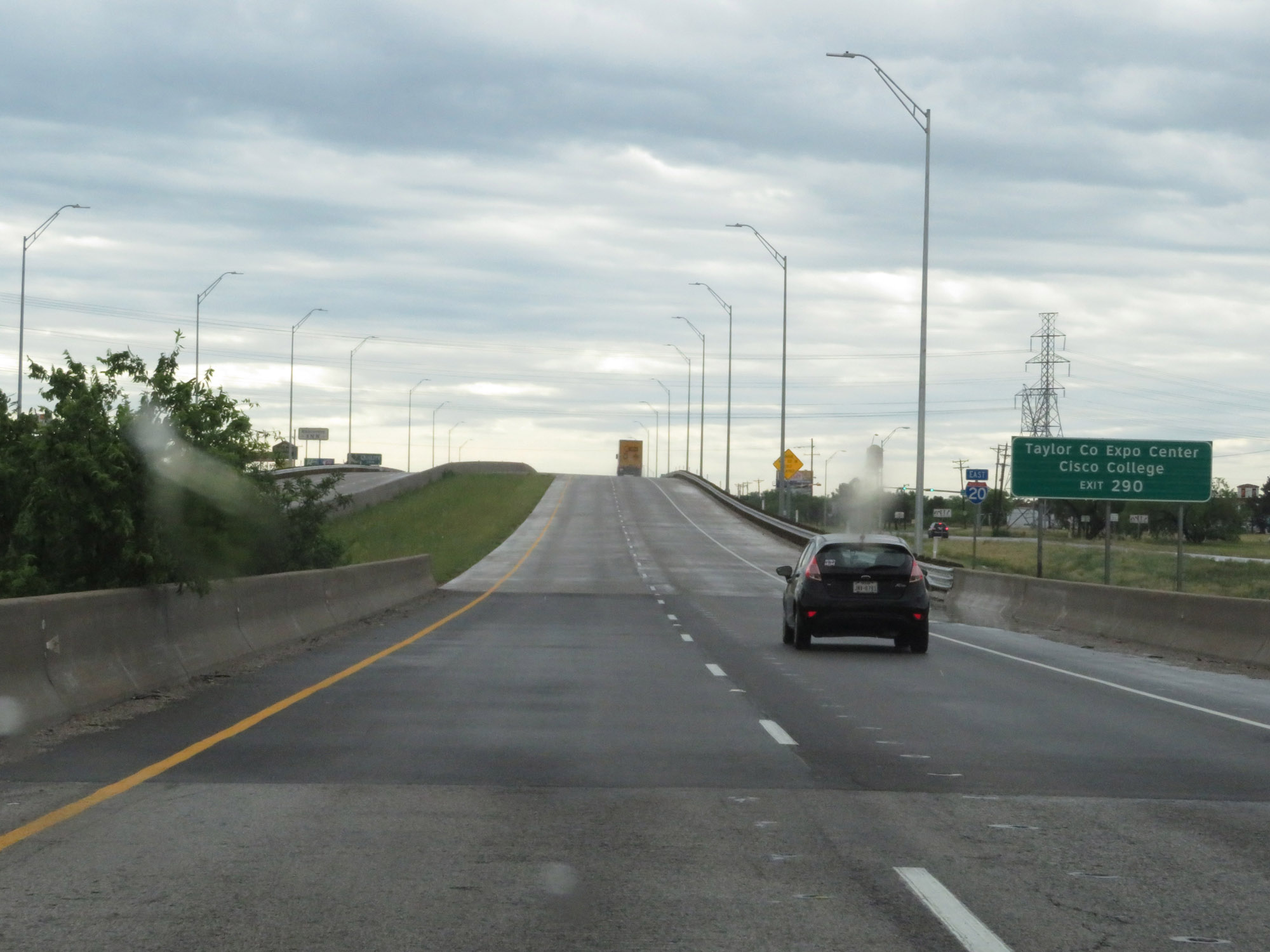 |
Take Exit 290 to Taylor County Expo Center and Cisco College. (Photo taken 5/20/18). |
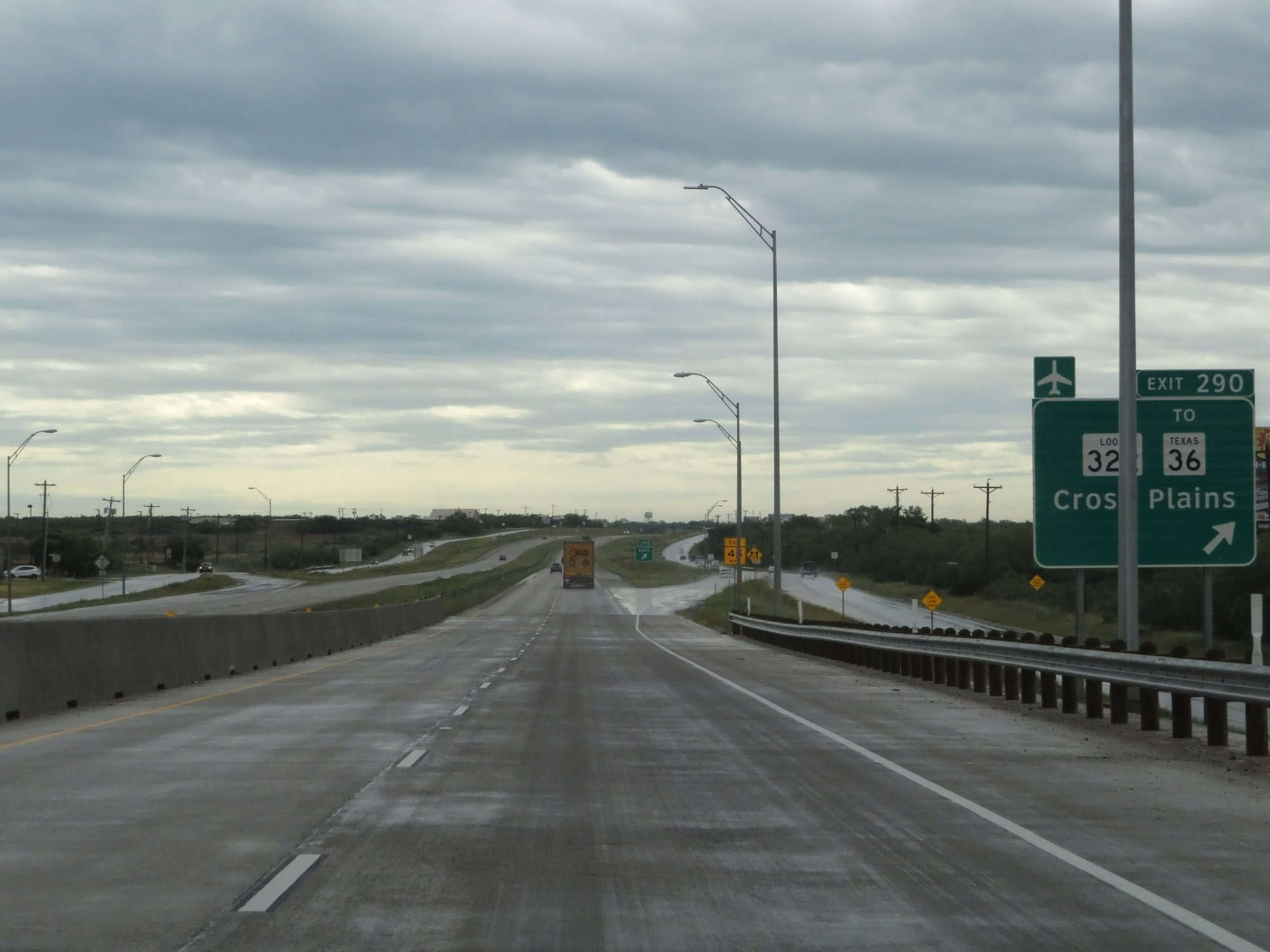 |
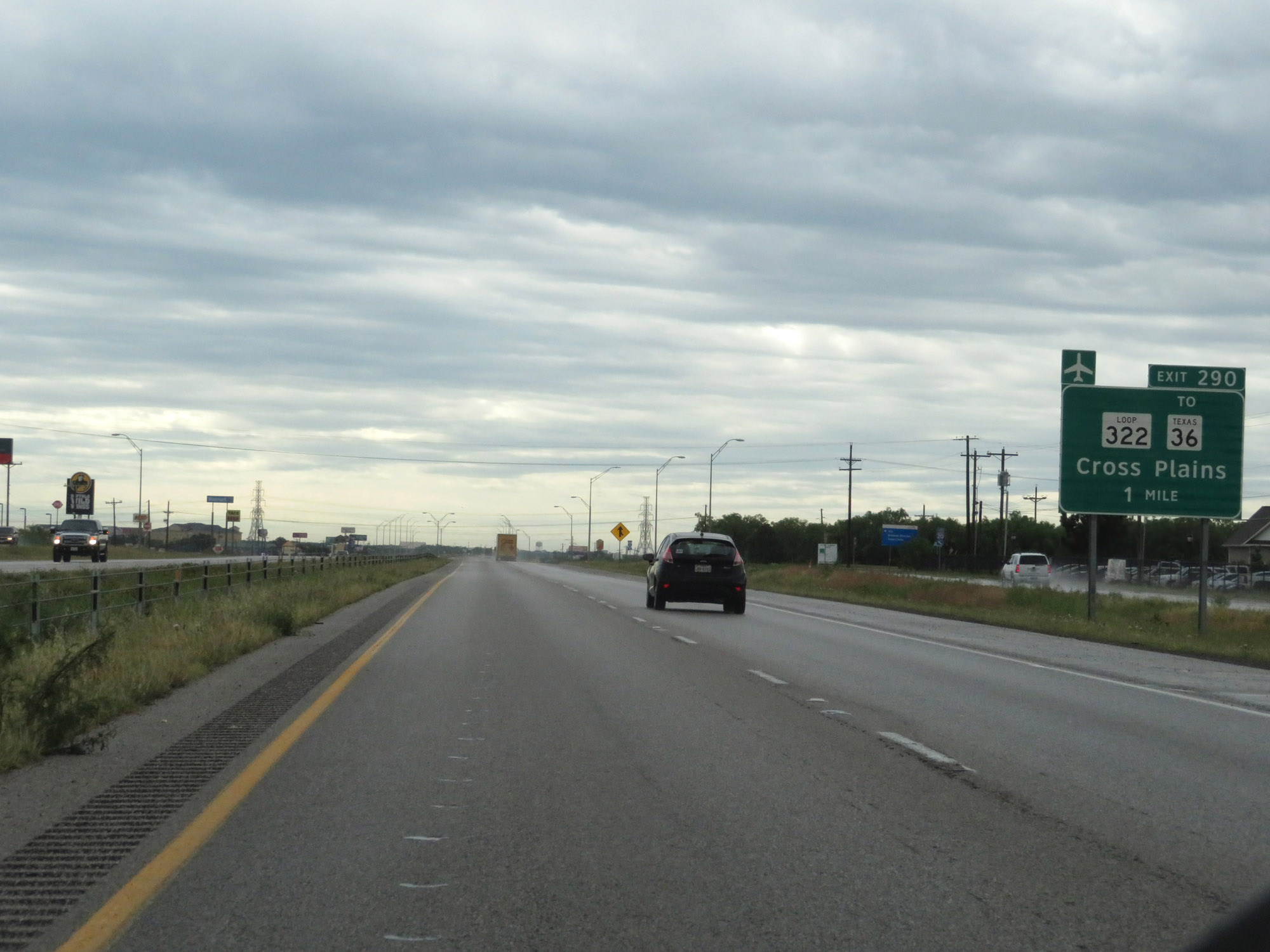
Interstate 20 East at Exit 290: TX Loop 322 / To TX 36 - Cross Plains (Photo taken 5/20/18). |
Section 5: Abilene (Exit 290) to Weatherford (Exit 406)
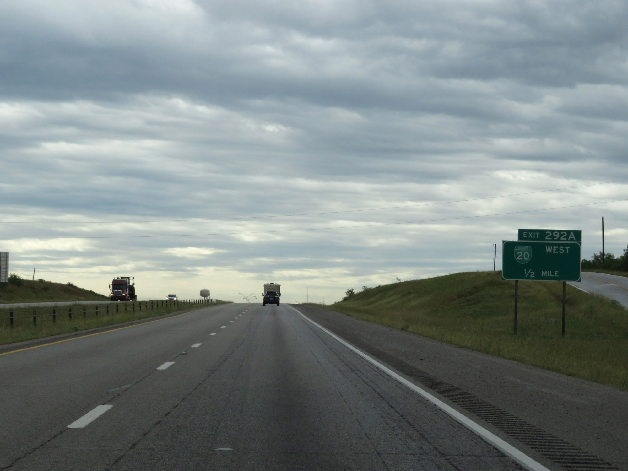 |
Interstate 20 East approaching Exit 292A - 1/2 mile. (Photo taken 5/20/18). |
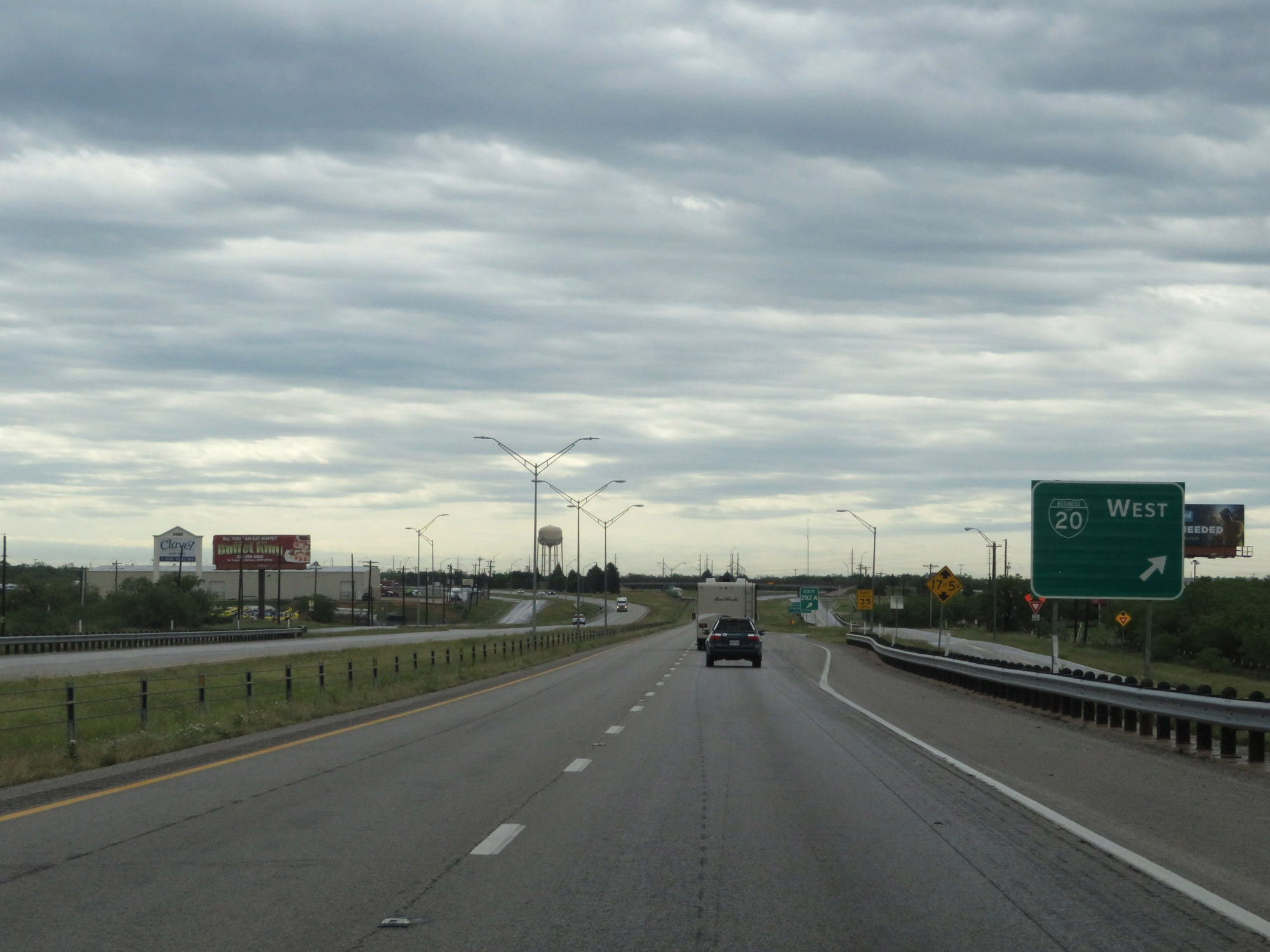 |
Interstate 20 East at Exit 292A: Interstate 20 Business Loop West (Photo taken 5/20/18). |
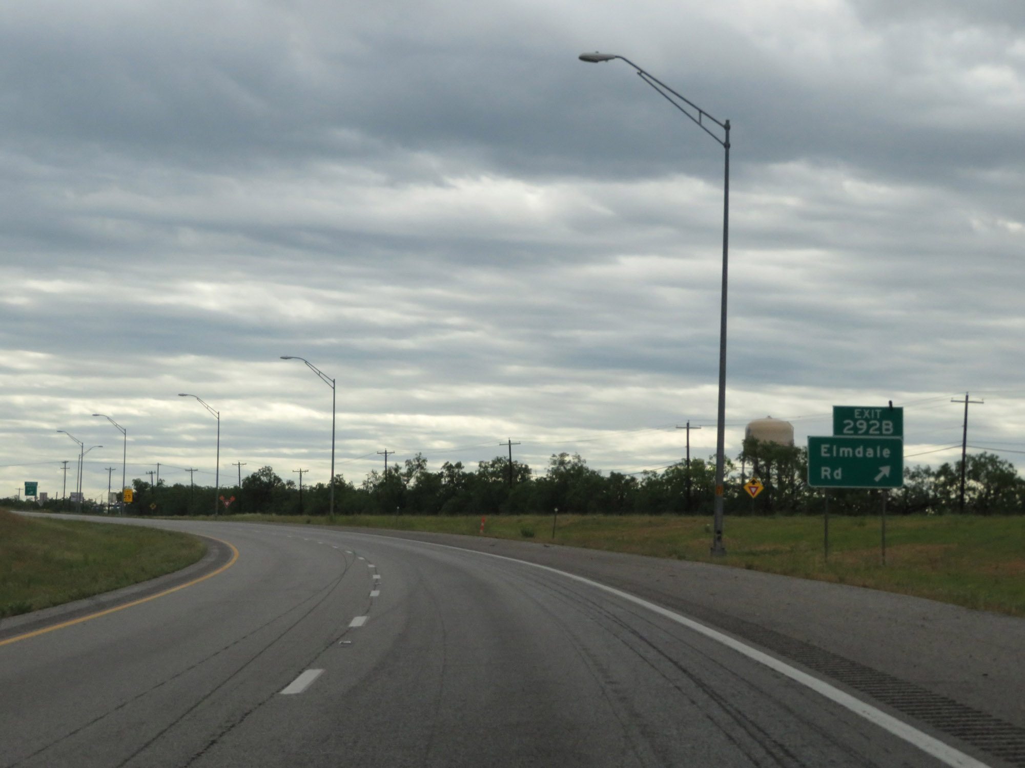 |
Interstate 20 East at Exit 292B: Elmdale Rd (Photo taken 5/20/18). |
 |
Interstate 20 East as it enters Callahan County. (Photo taken 5/20/18). |
 |
The speed limit remains 75 mph. (Photo taken 5/20/18). |
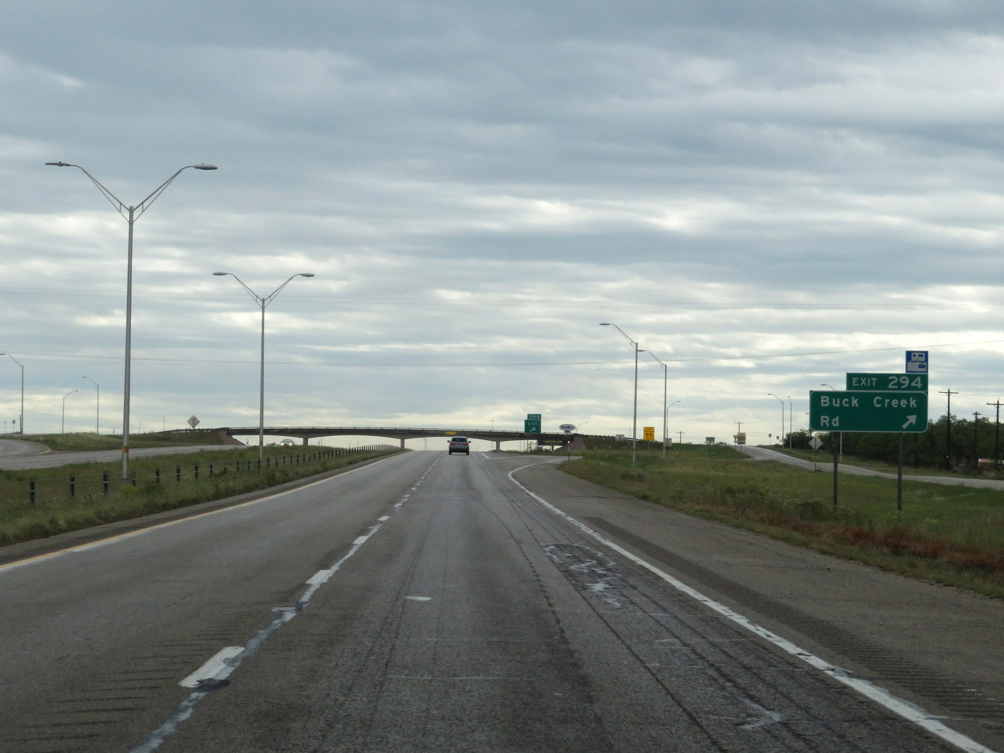 |
Interstate 20 East at Exit 294: Buck Creek Rd (Photo taken 5/20/18). |
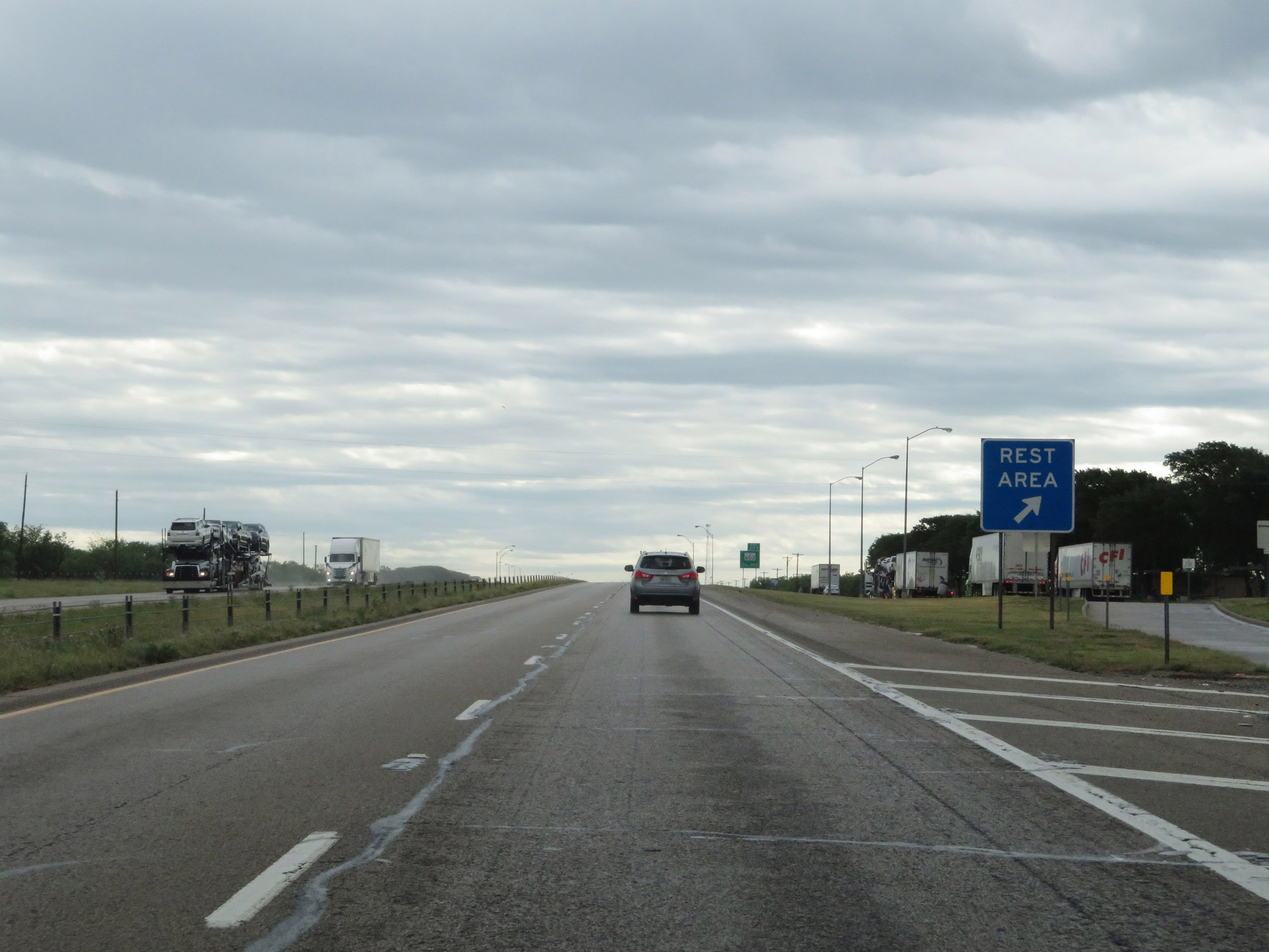 |
Rest Area on Interstate 20 East in Callahan County. (Photo taken 5/20/18). |
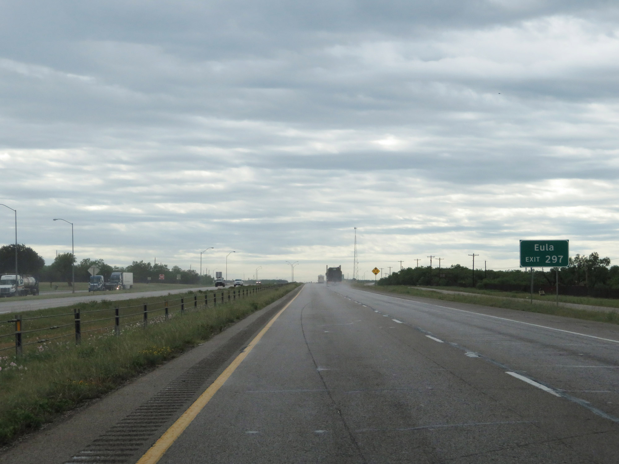 |
Take Exit 297 to Eula. (Photo taken 5/20/18). |
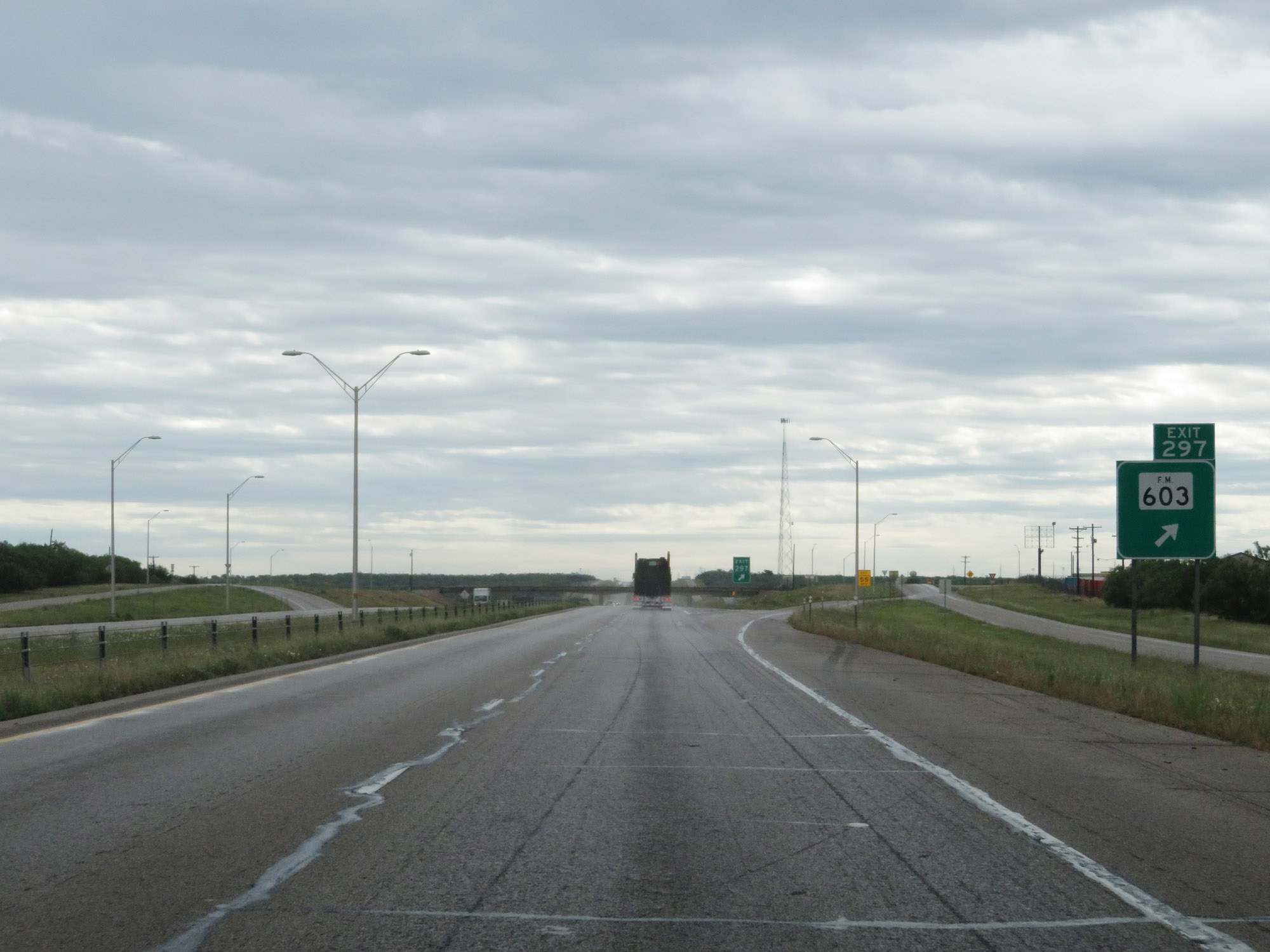 |
Interstate 20 East at Exit 297: FM 603 (Photo taken 5/20/18). |
 |
Interstate 20 East approaching Exit 299 - 1 mile. (Photo taken 5/20/18). |
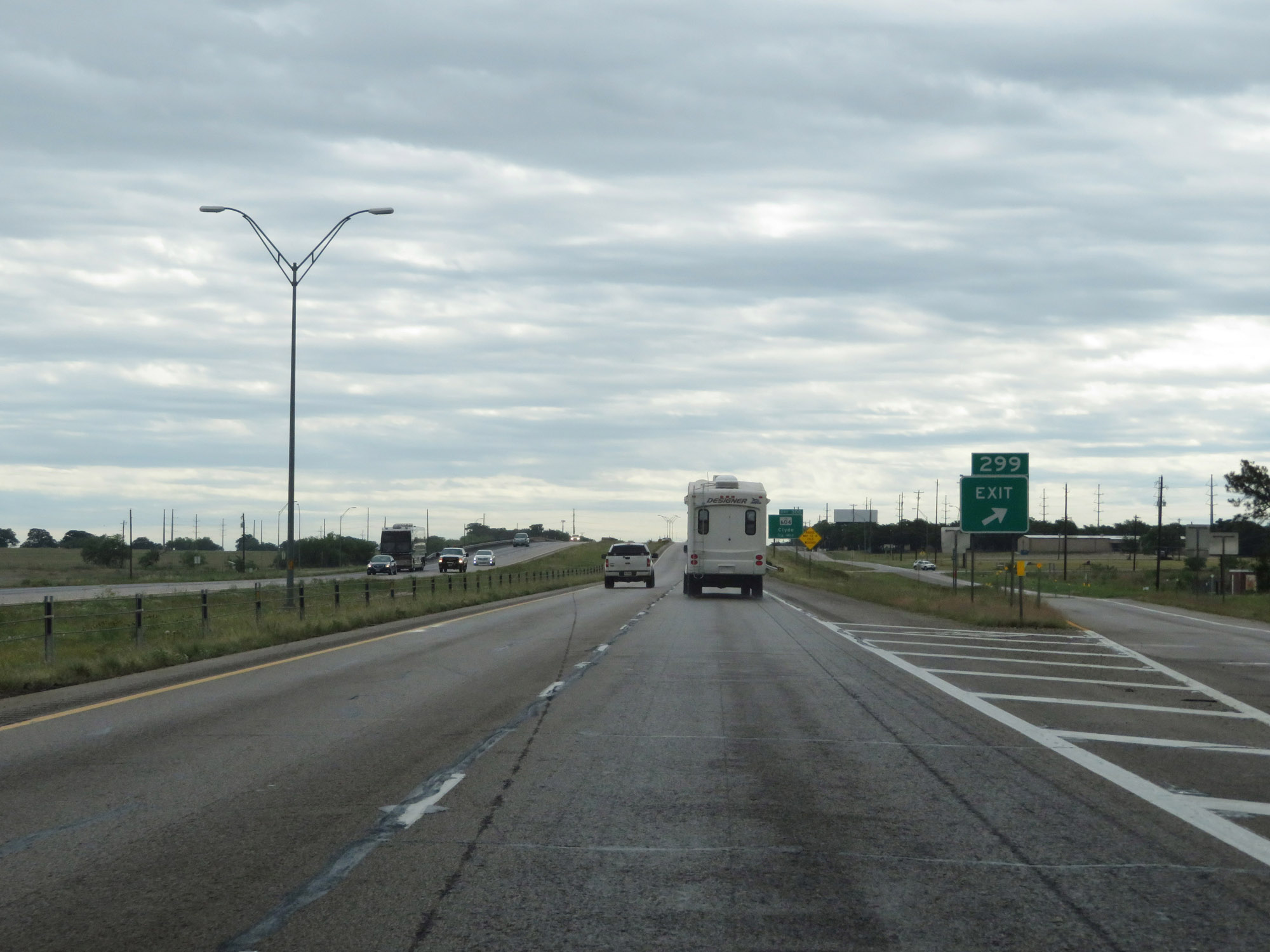 |
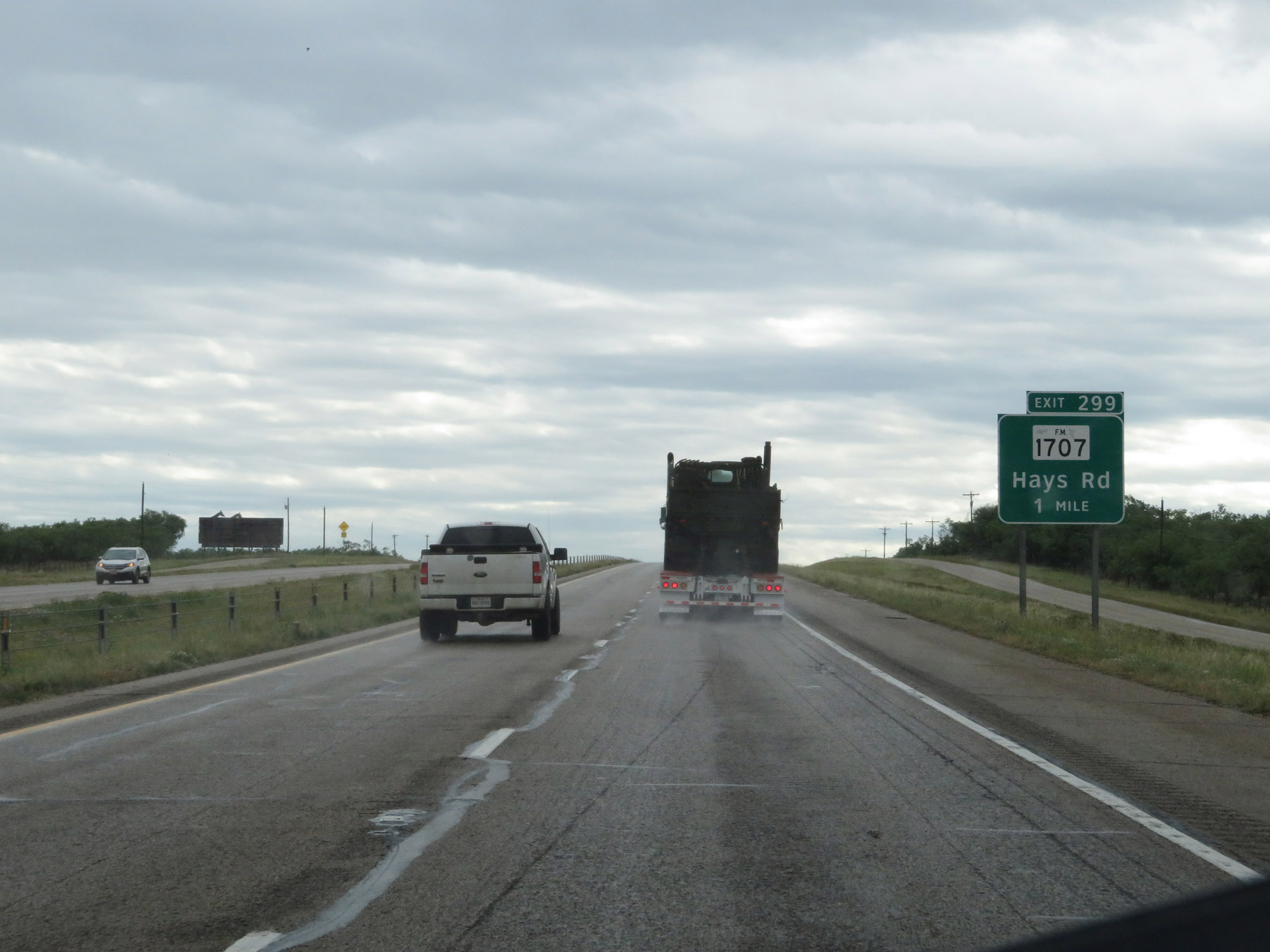
Interstate 20 East at Exit 299: FM 1707 - Hays Rd (Photo taken 5/20/18). |
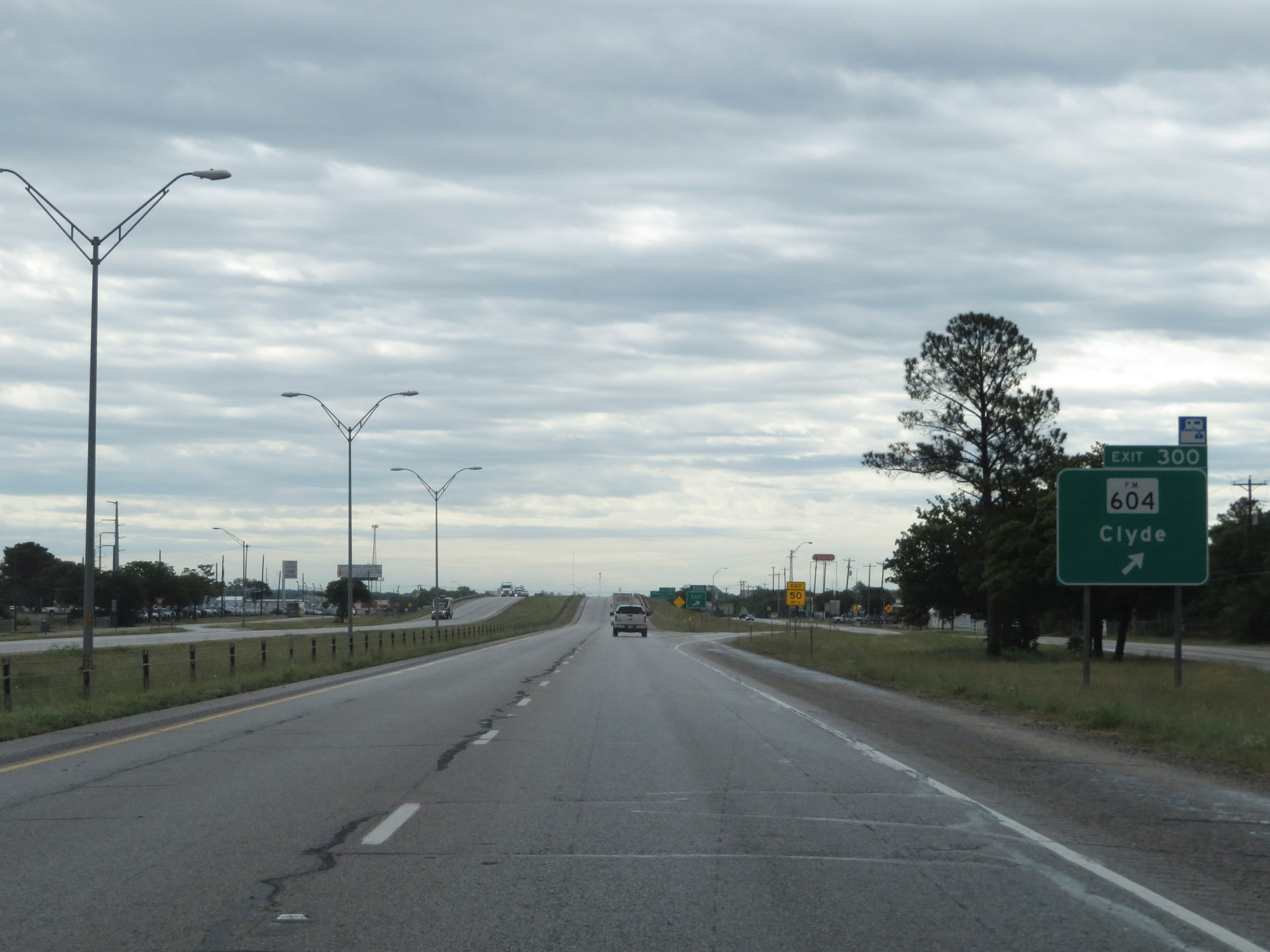 |
Interstate 20 East at Exit 300: FM 604 - Clyde (Photo taken 5/20/18). |
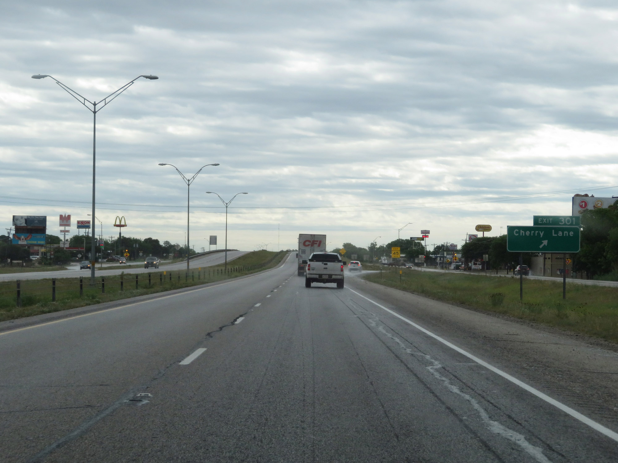 |
Interstate 20 East at Exit 301: Cherry Lane (Photo taken 5/20/18). |
 |
Interstate 20 East reassurance shield. (Photo taken 5/20/18). |
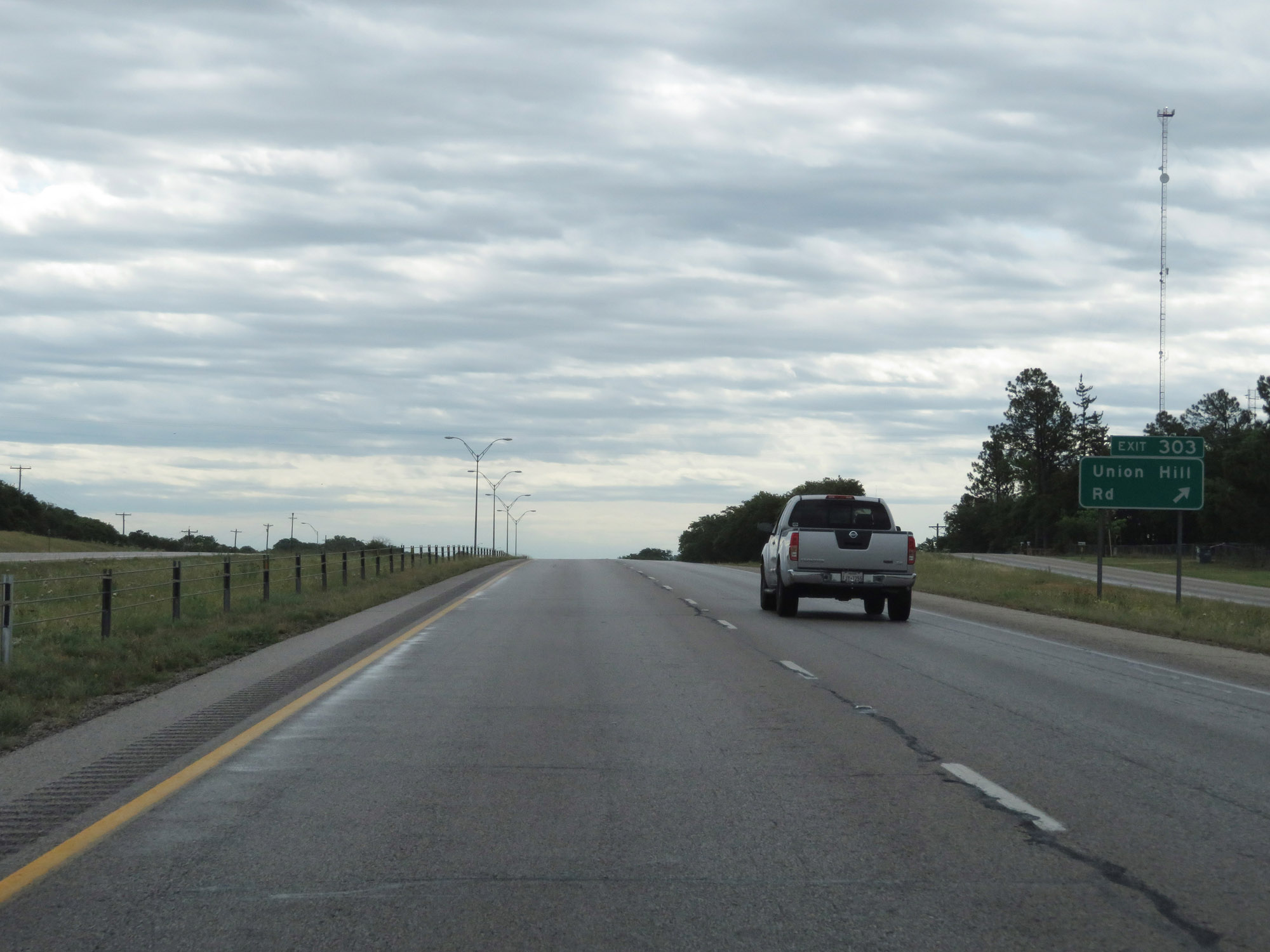 |
Interstate 20 East at Exit 303: Union Hill Rd (Photo taken 5/20/18). |
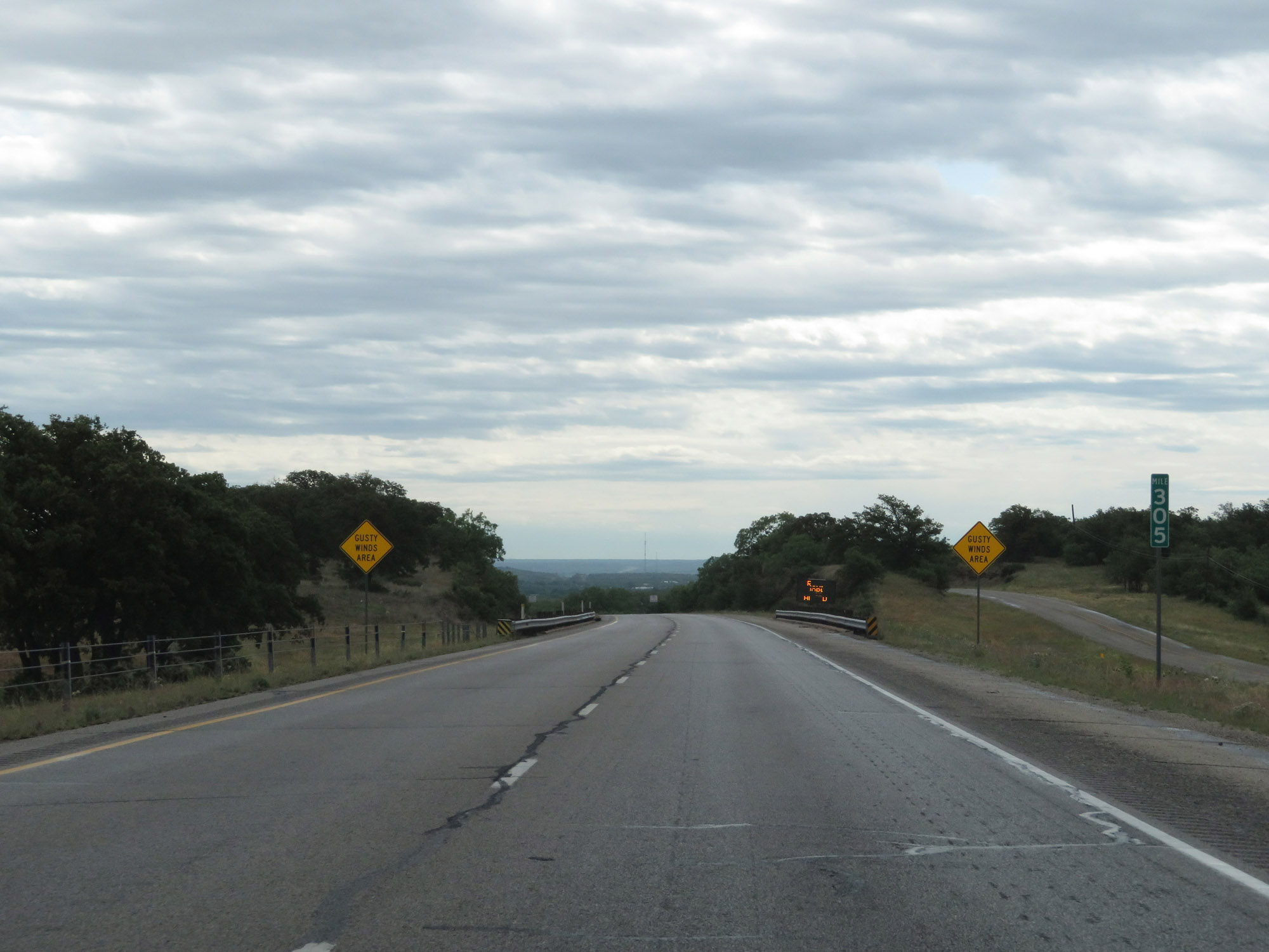 |
Interstate 20 East at mile marker 305. (Photo taken 5/20/18). |
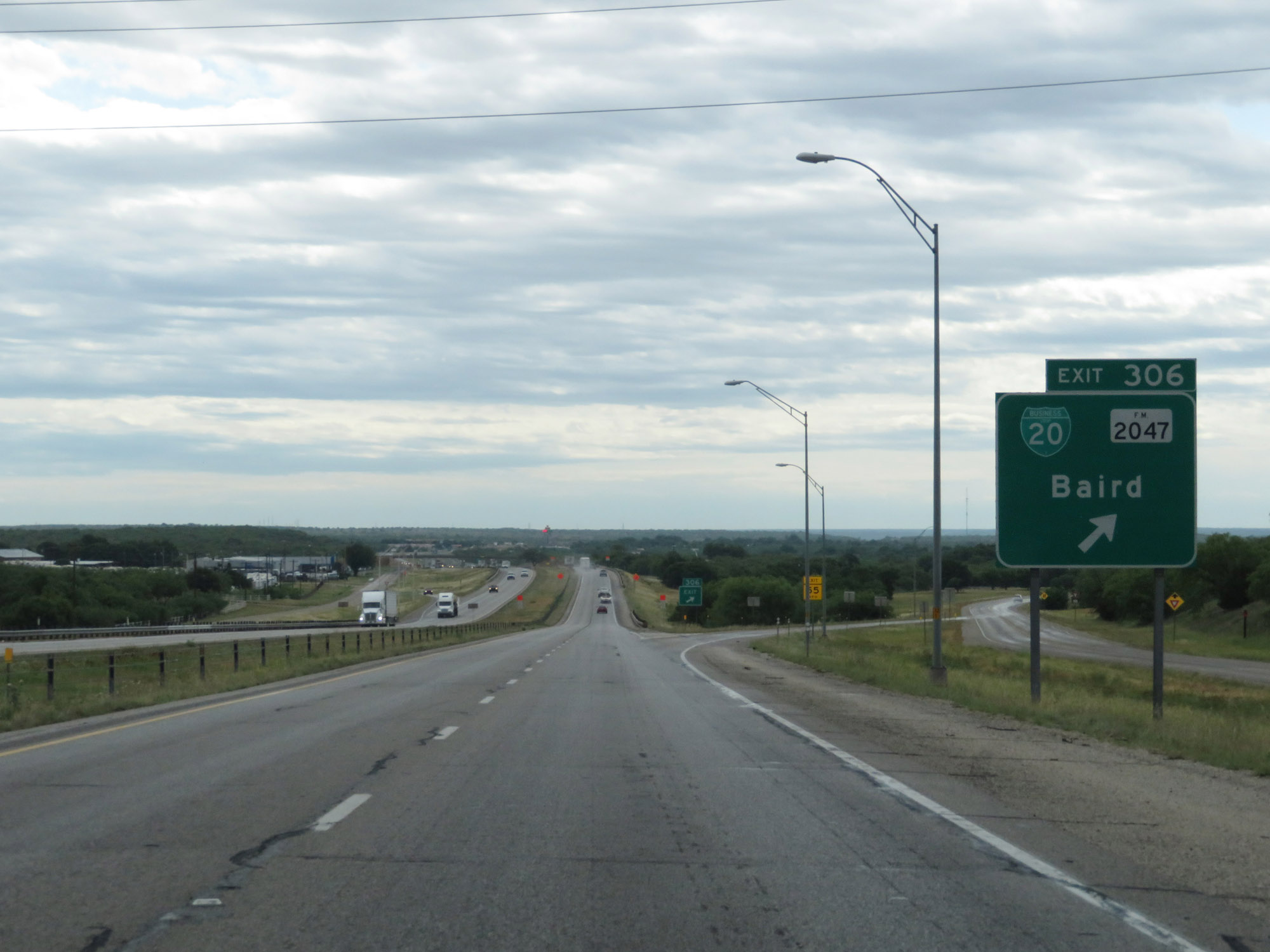 |
Interstate 20 East at Exit 306: Interstate 20 Business Loop / FM 2047 - Baird (Photo taken 5/20/18). |
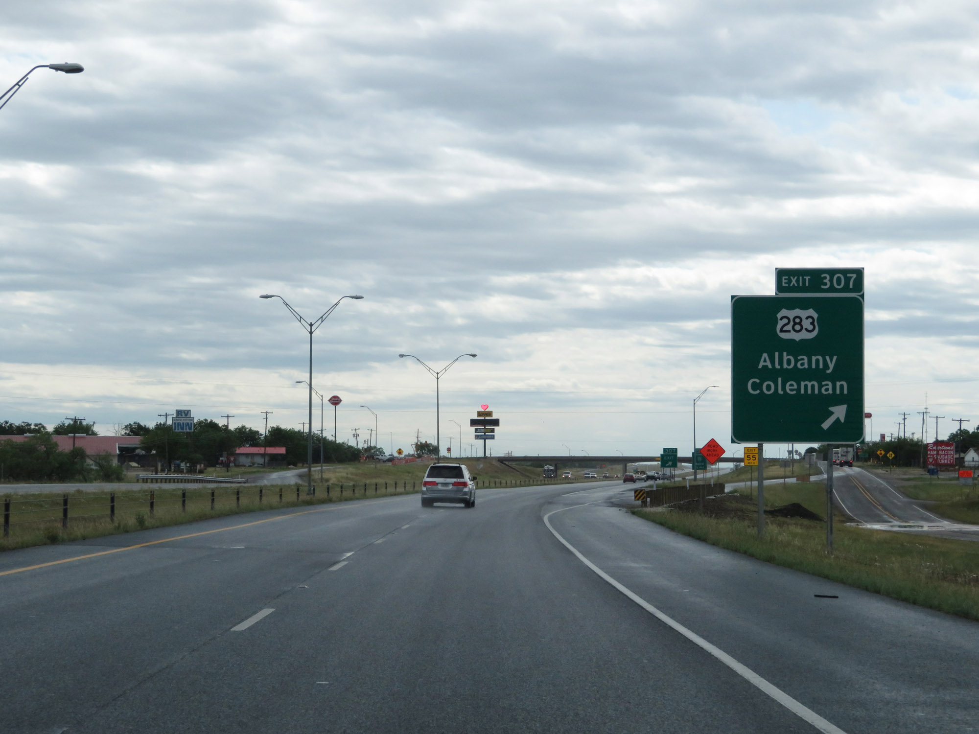 |
Interstate 20 East at Exit 307: US 283 - Albany / Coleman (Photo taken 5/20/18). |
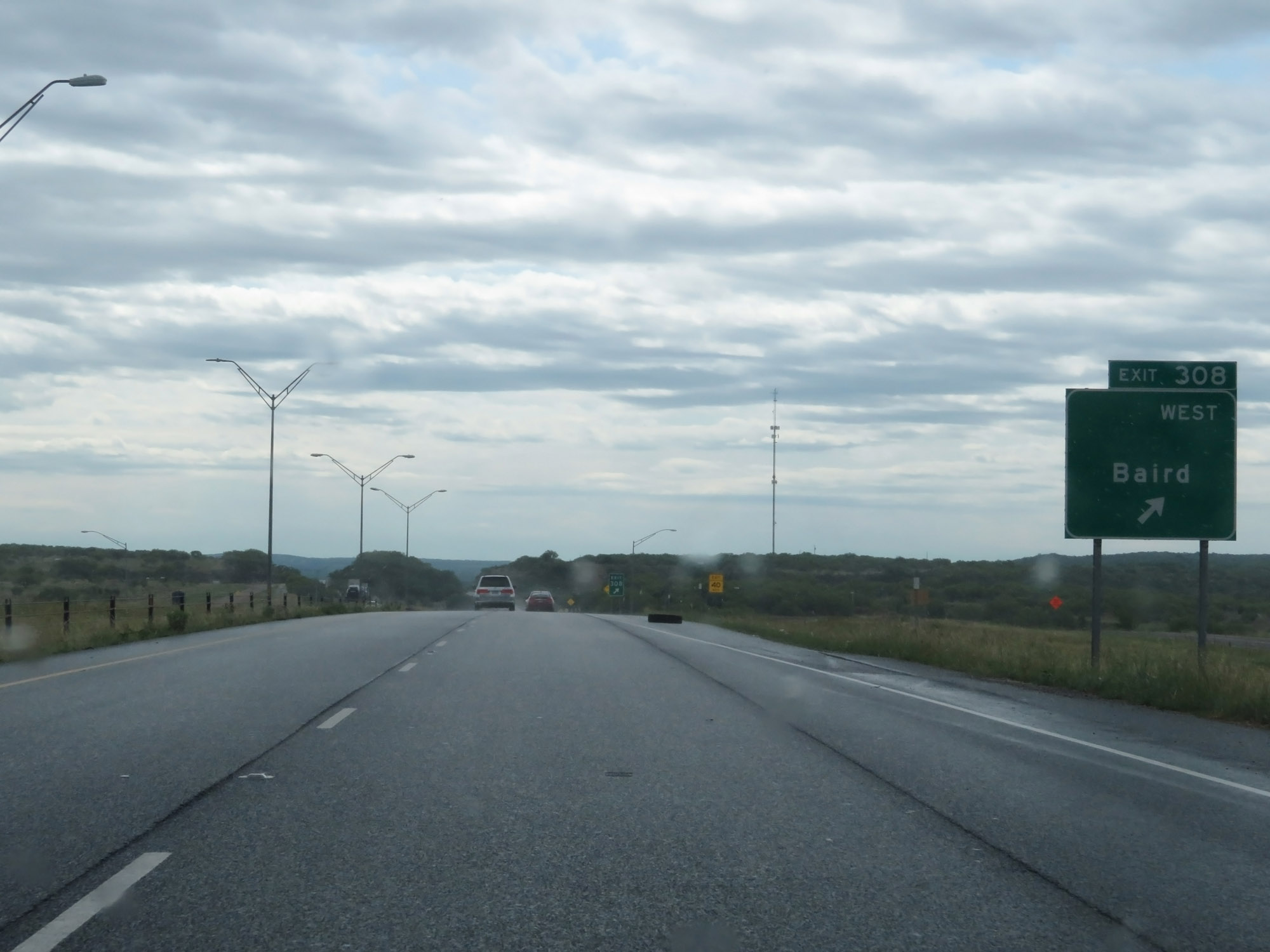 |
Interstate 20 East at Exit 308: Interstate 20 Business Loop West - Baird (Photo taken 5/20/18). |
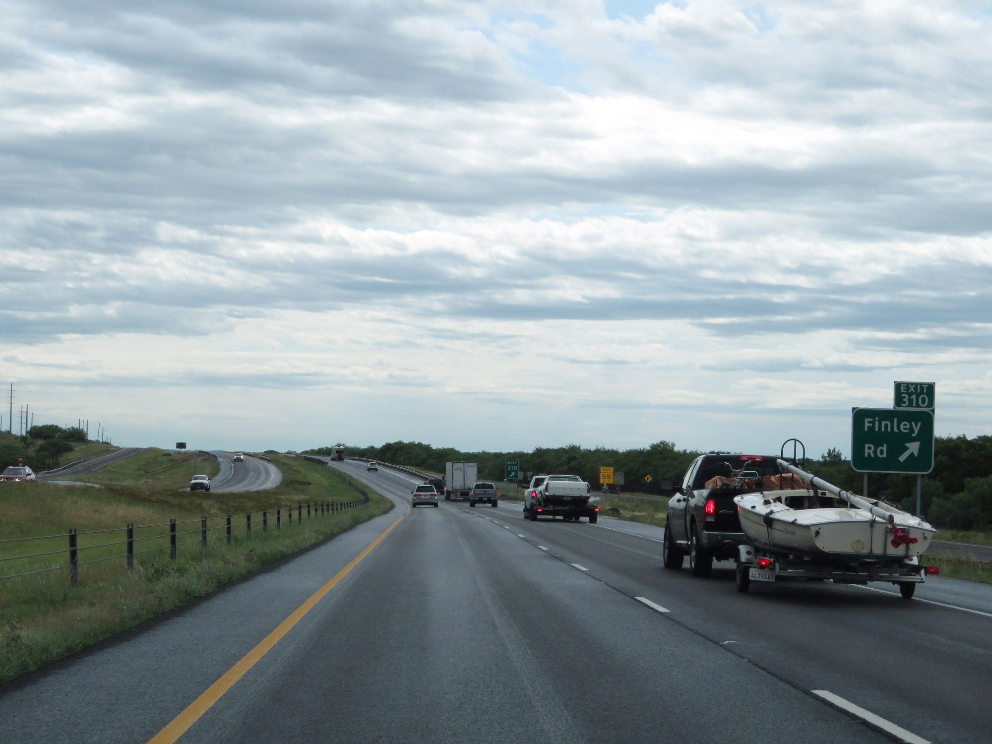 |
Interstate 20 East at Exit 310: Finley Rd (Photo taken 5/20/18). |
 |
Interstate 20 East at Exit 313: FM 2228 (Photo taken 5/20/18). |
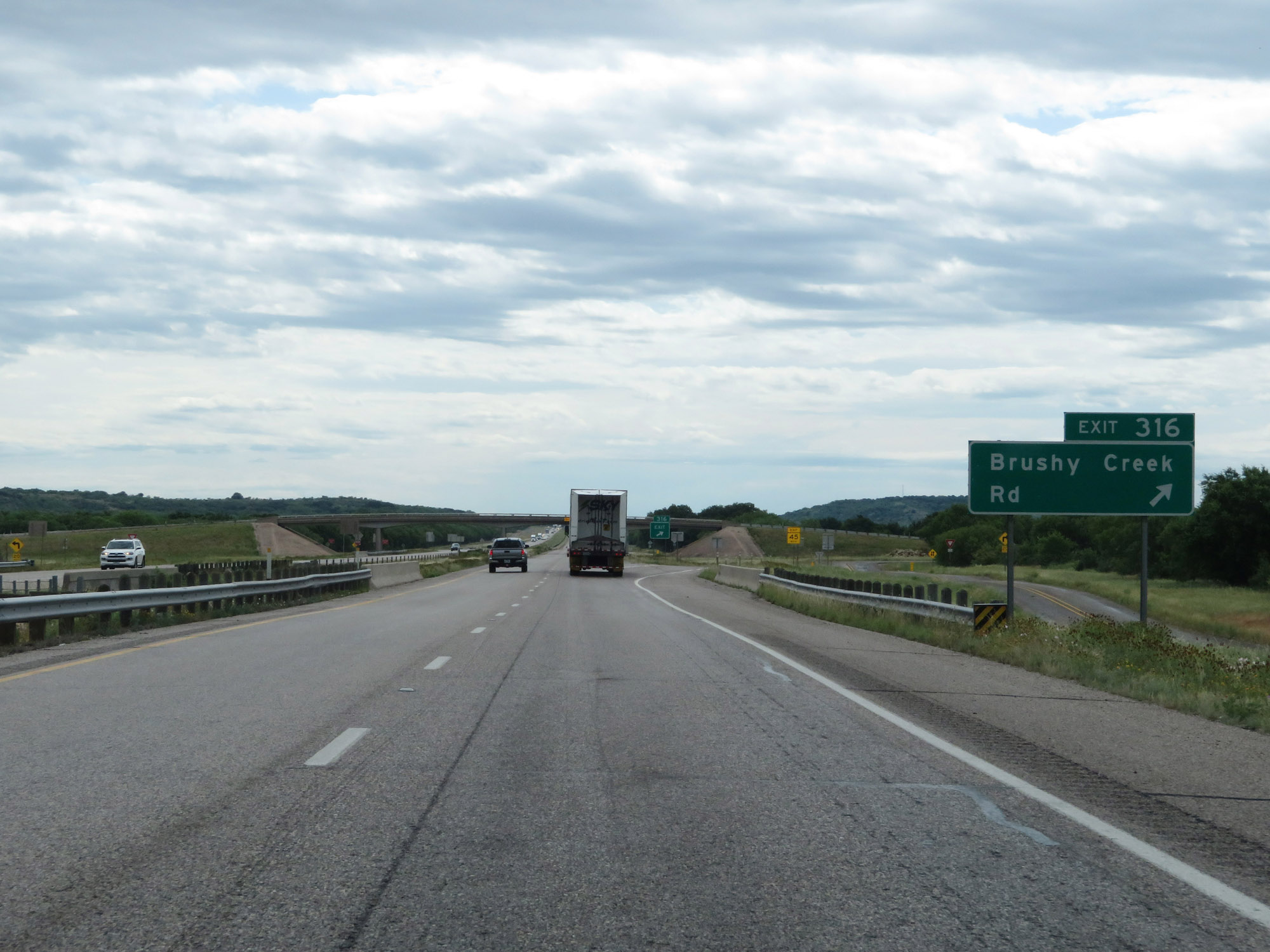 |
Interstate 20 East at Exit 316: Brushy Creek Rd (Photo taken 5/20/18). |
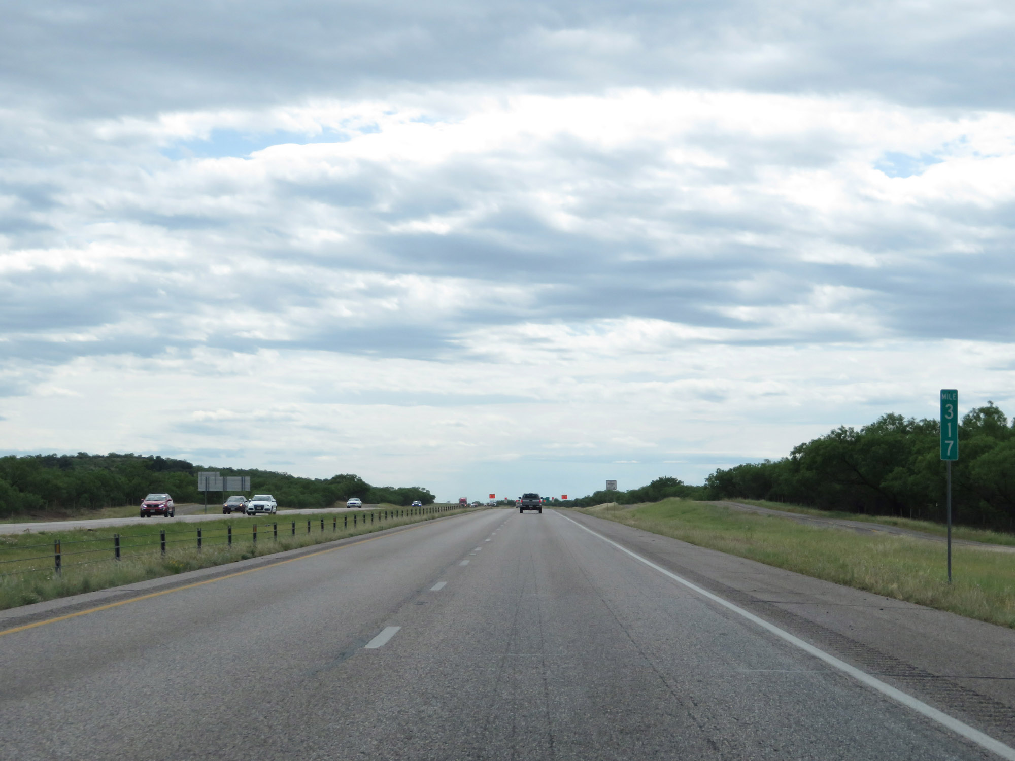 |
Interstate 20 East at mile marker 317. (Photo taken 5/20/18). |
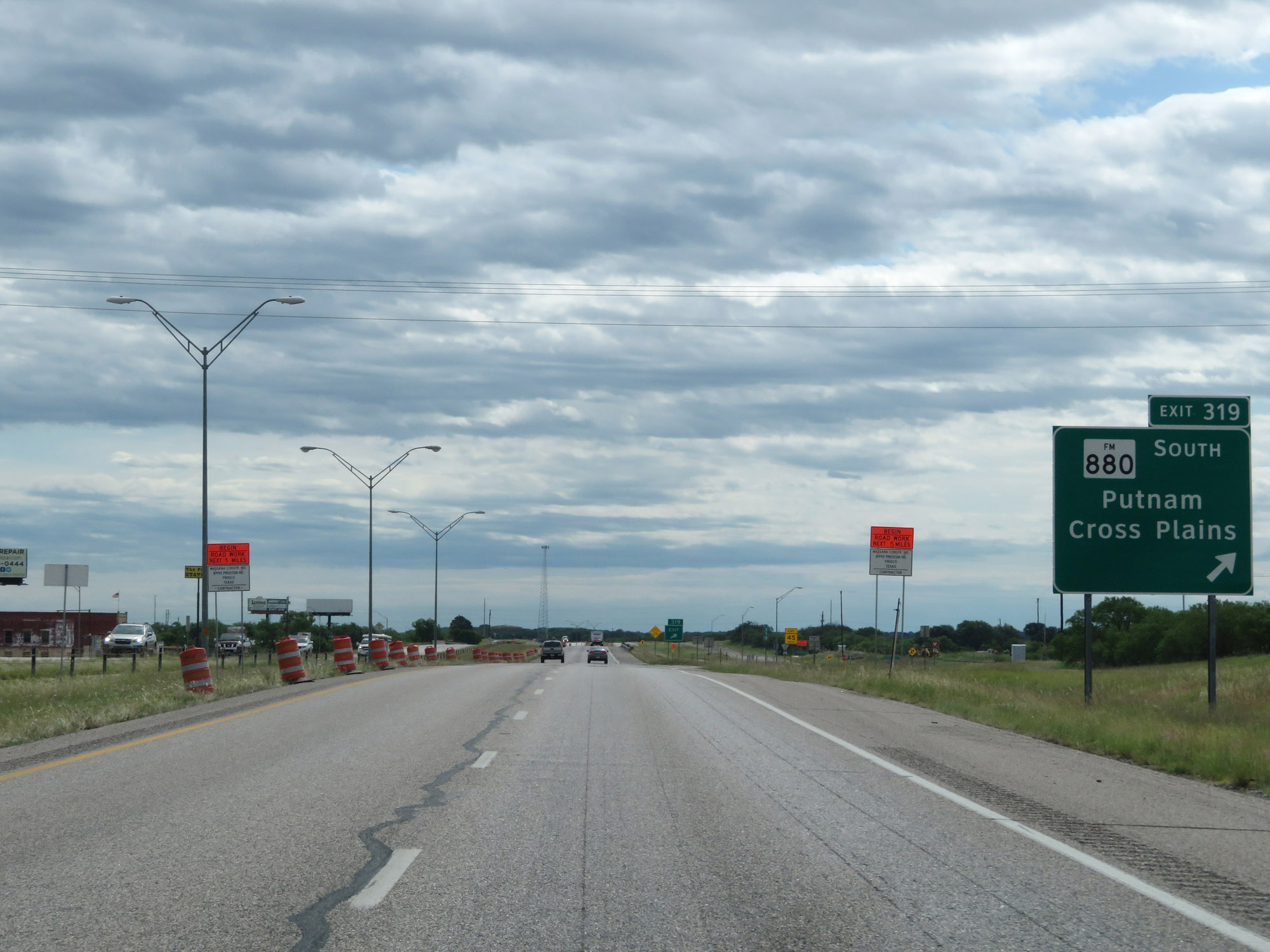 |
Interstate 20 East at Exit 319: FM 880 South - Putnam / Cross Plains (Photo taken 5/20/18). |
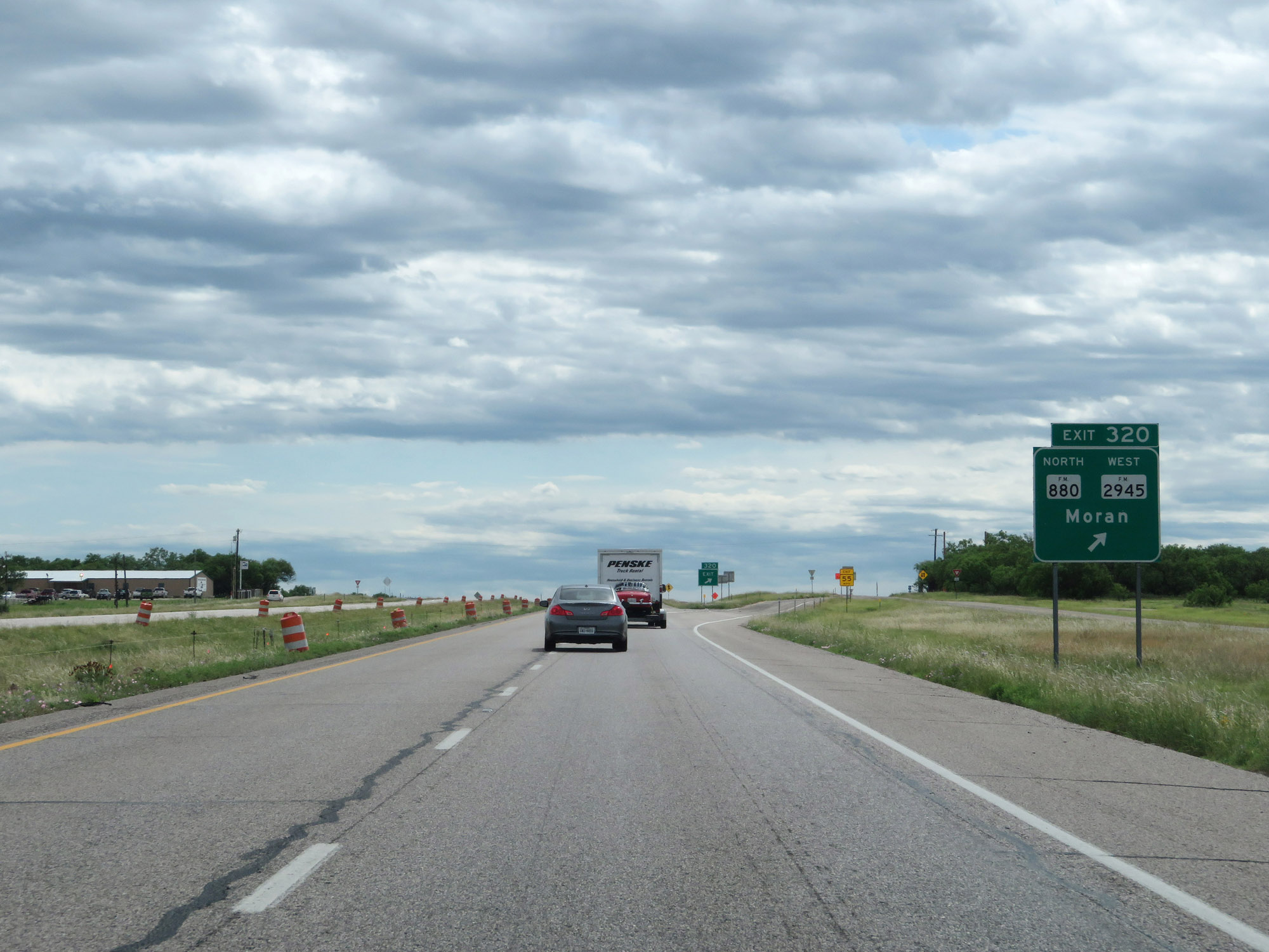 |
Interstate 20 East at Exit 320: FM 880 North / FM 2945 West - Moran (Photo taken 5/20/18). |
 |
Interstate 20 East at mile marker 321. (Photo taken 5/20/18). |
 |
Interstate 20 East at Exit 322: Cooper Creek Rd (Photo taken 5/20/18). |
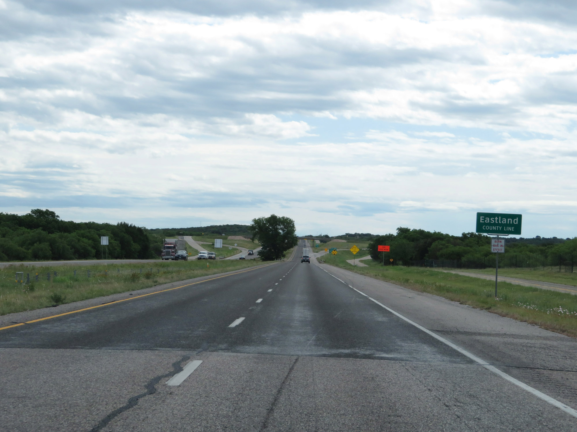 |
Interstate 20 East entering Eastland County. (Photo taken 5/20/18). |
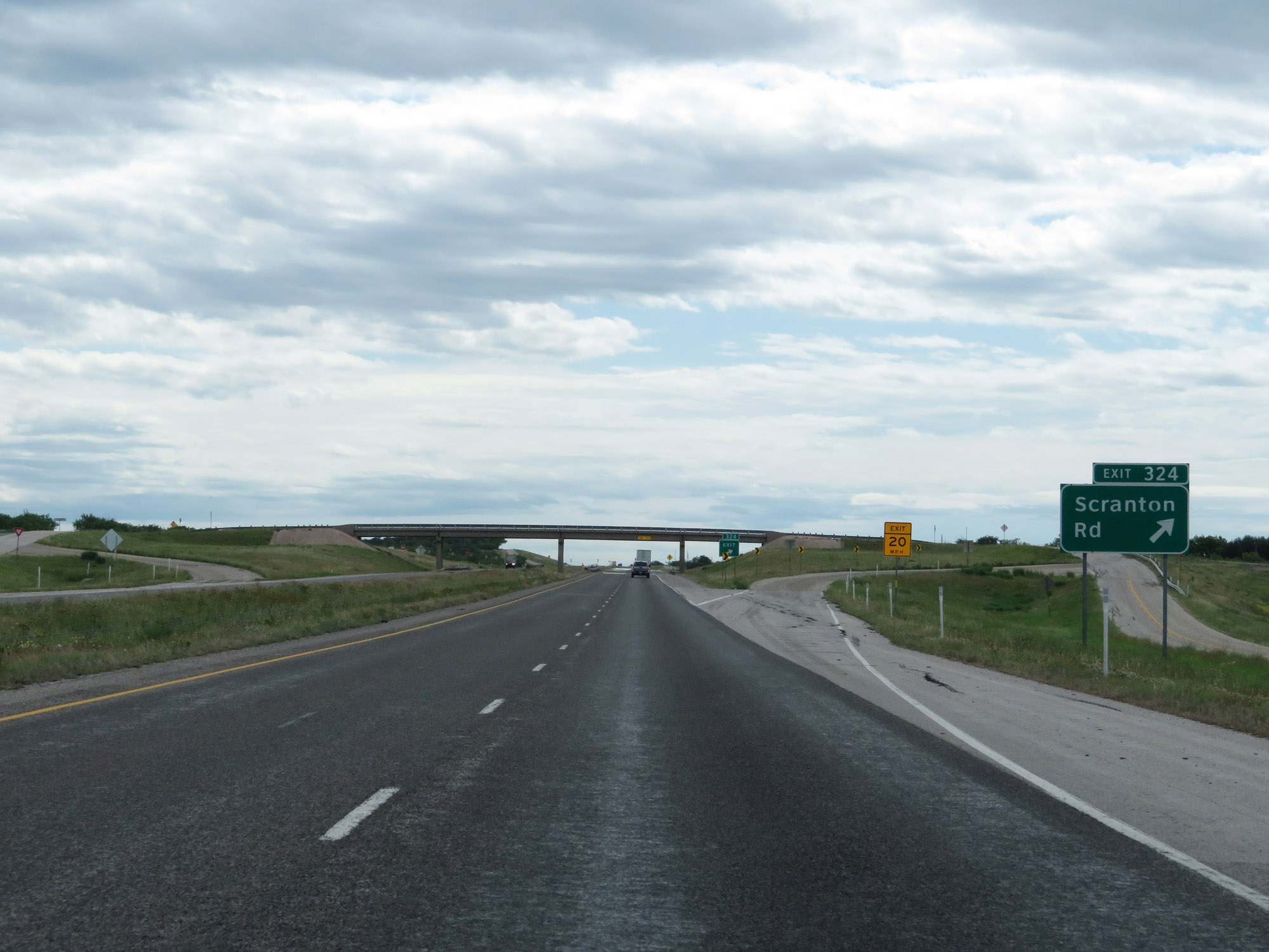 |
Interstate 20 East at Exit 324: Scranton Rd (Photo taken 5/20/18). |
 |
The speed limit remains 75 mph. (Photo taken 5/20/18). |
 |
Picnic Area on Interstate 20 East in Eastland County. (Photo taken 5/20/18). |
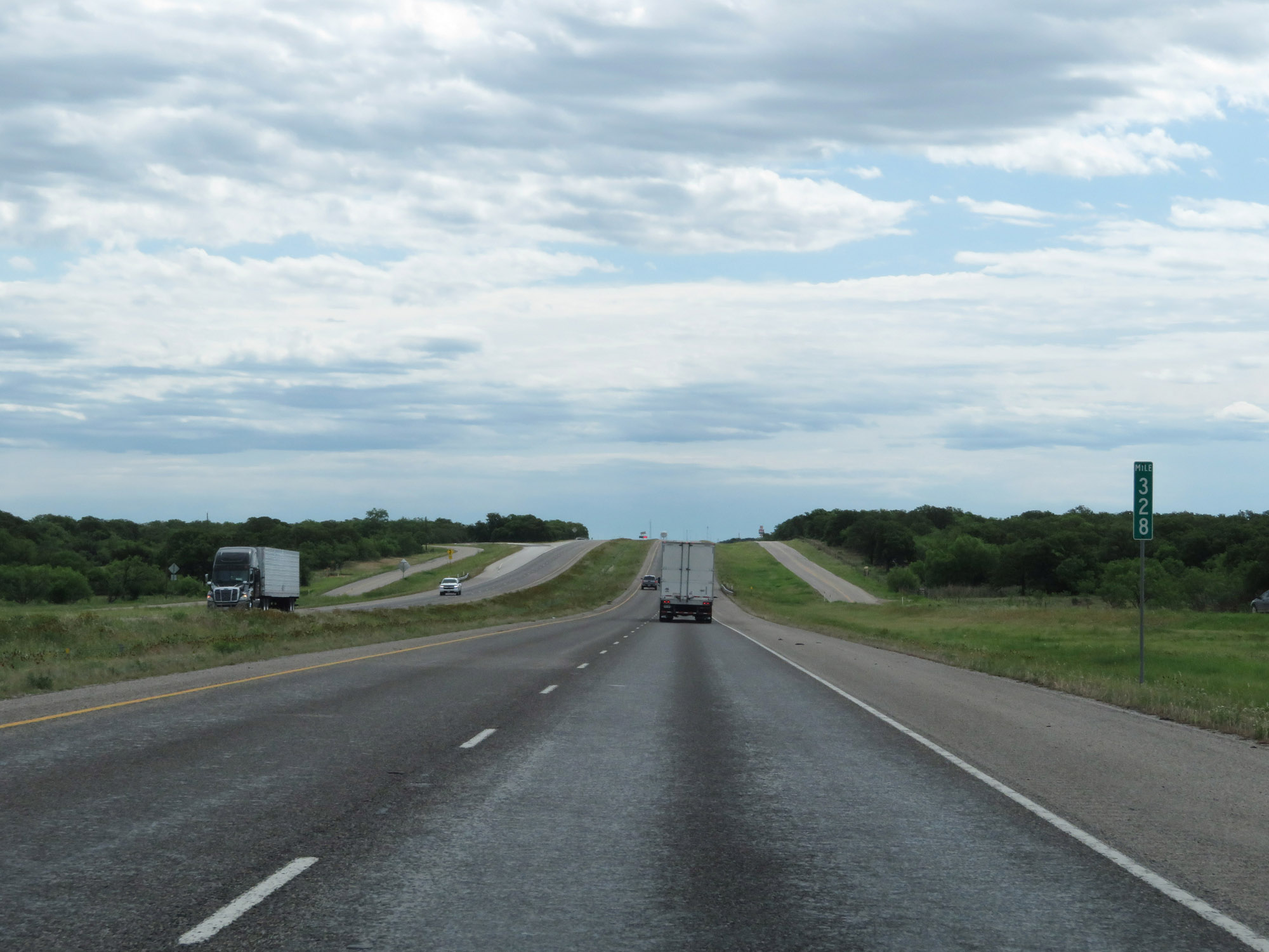 |
Interstate 20 East at mile marker 328. (Photo taken 5/20/18). |
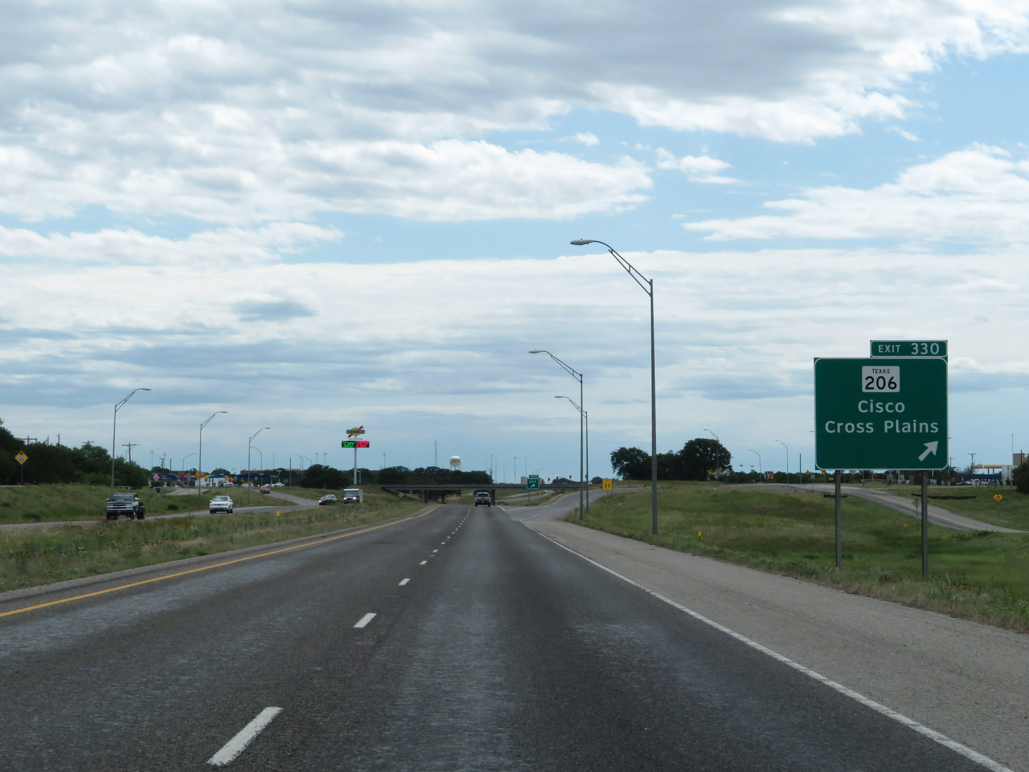 |
Interstate 20 East at Exit 330: TX 206 - Cisco / Cross Plains (Photo taken 5/20/18). |
 |
Interstate 20 East at Exit 332: US 183 - Breckenridge / Brownwood / Albany (Photo taken 5/20/18). |
 |
Interstate 20 East reassurance shield at mile marker 333. (Photo taken 5/20/18). |
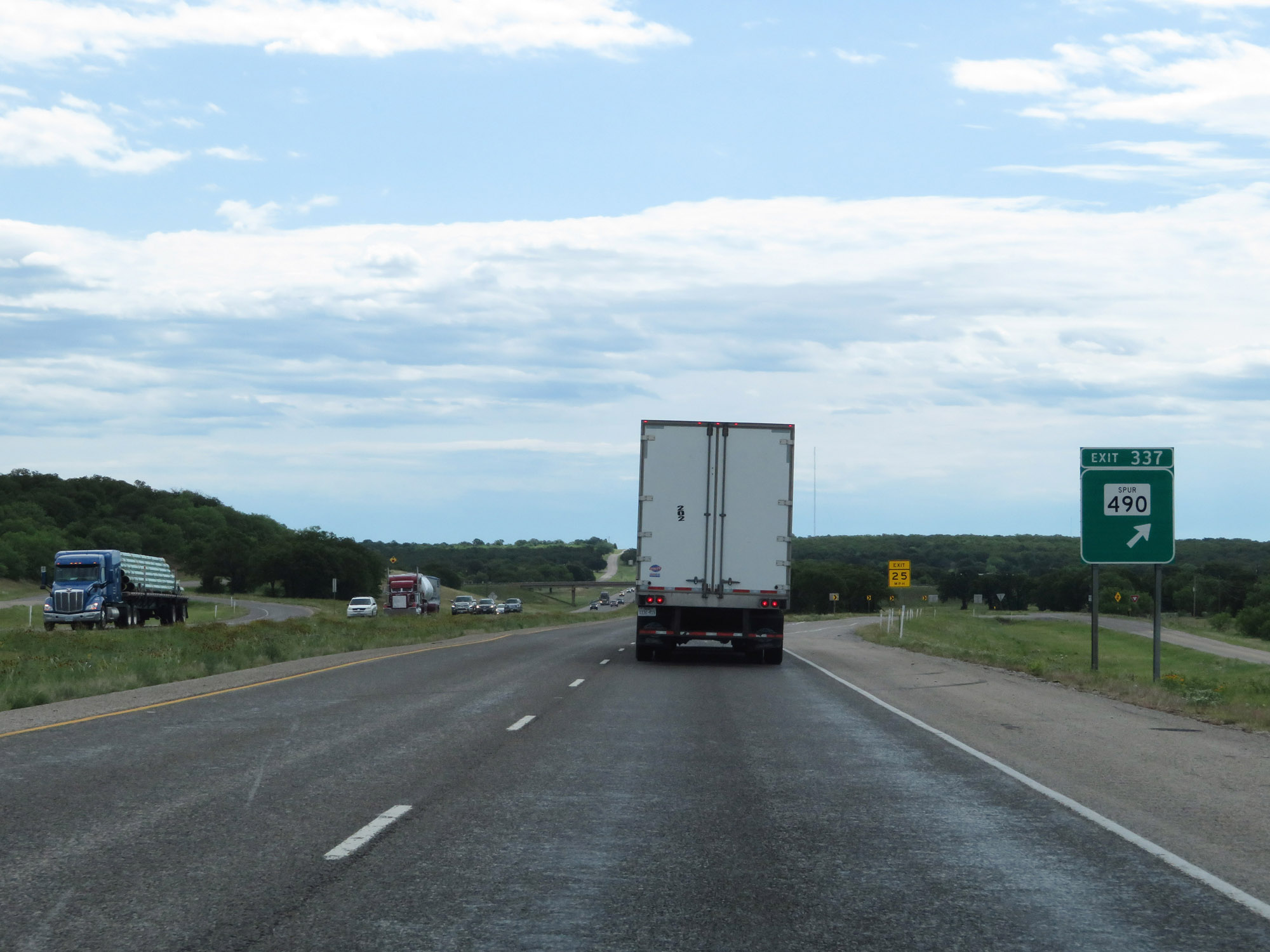 |
Interstate 20 East at Exit 337: TX Spur 490 (Photo taken 5/20/18). |
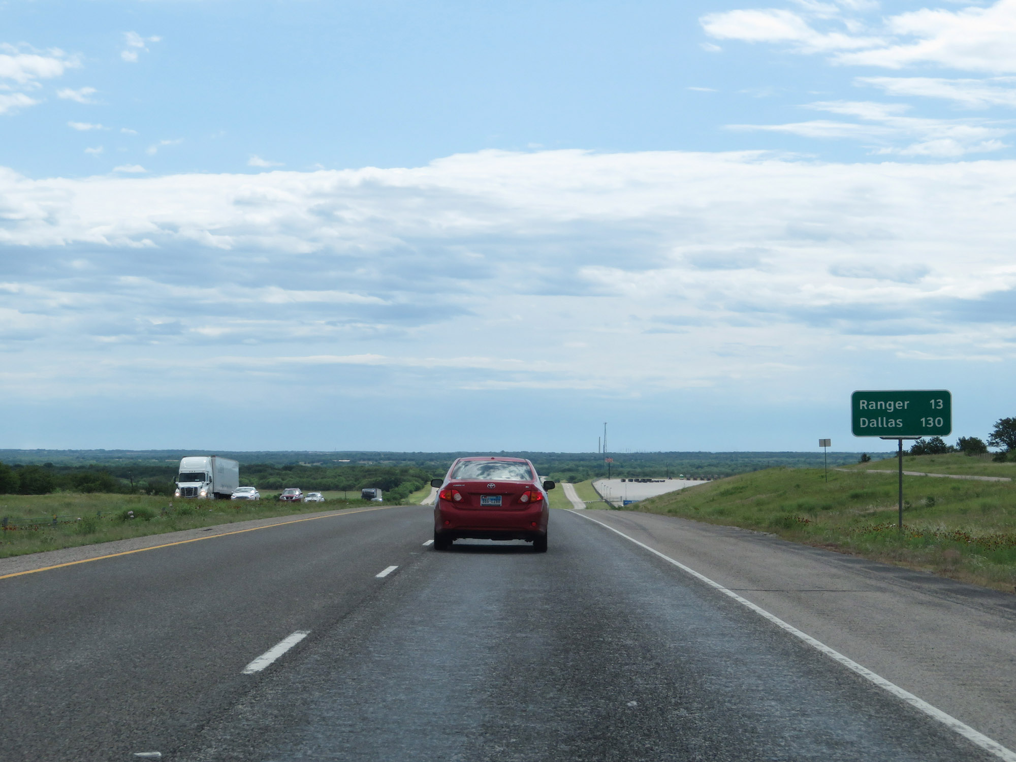 |
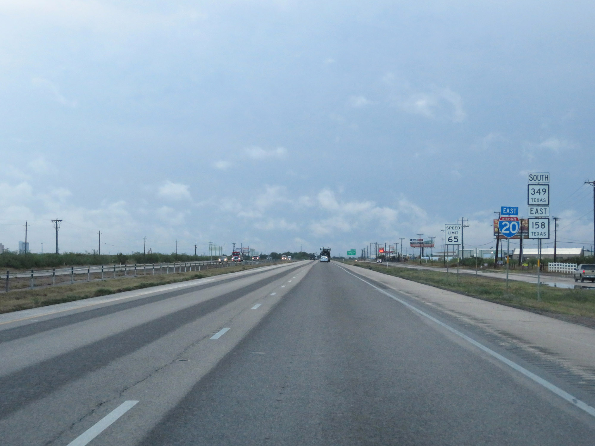
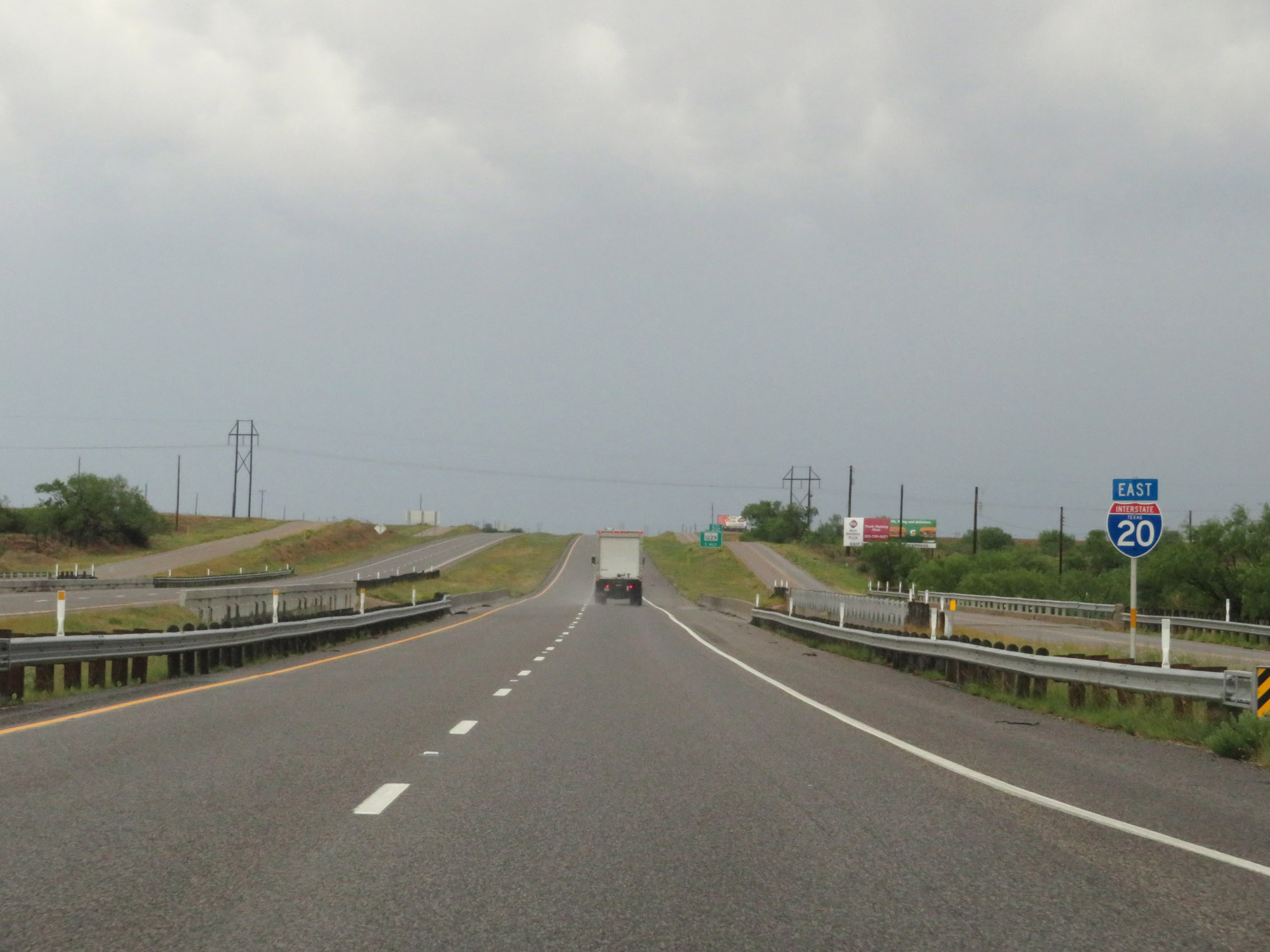
Mileage sign on Interstate 20 East. It's 13 miles to Ranger and 130 miles to Dallas. (Photo taken 5/20/18). |
 |
Interstate 20 East at mile marker 339. (Photo taken 5/20/18). |
 |
Interstate 20 East approaching Exit 340 - 1 mile. (Photo taken 5/20/18). |
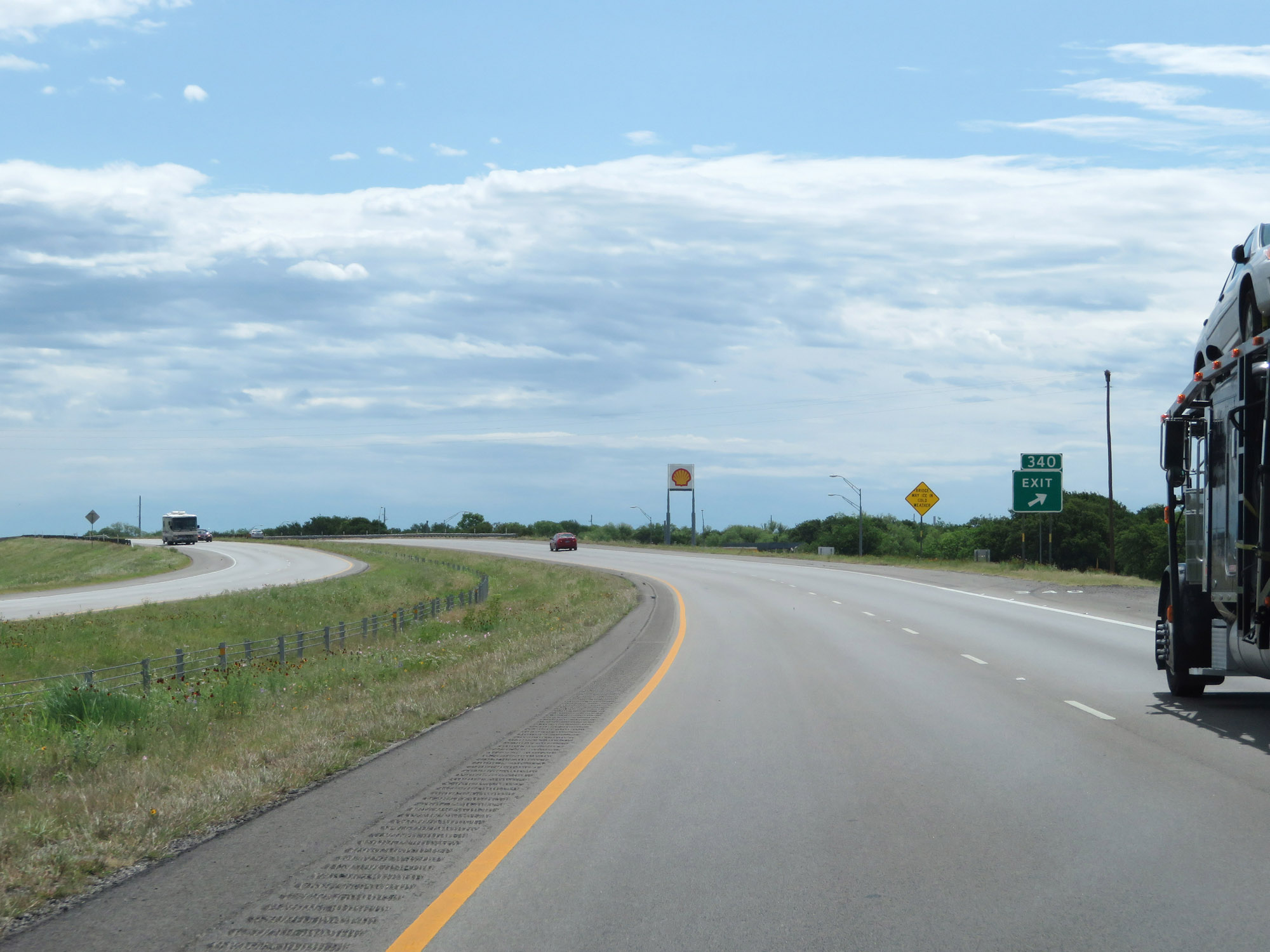 |
Interstate 20 East at Exit 340: TX 6 - Eastland / Gorman / De Leon (Photo taken 5/20/18). |
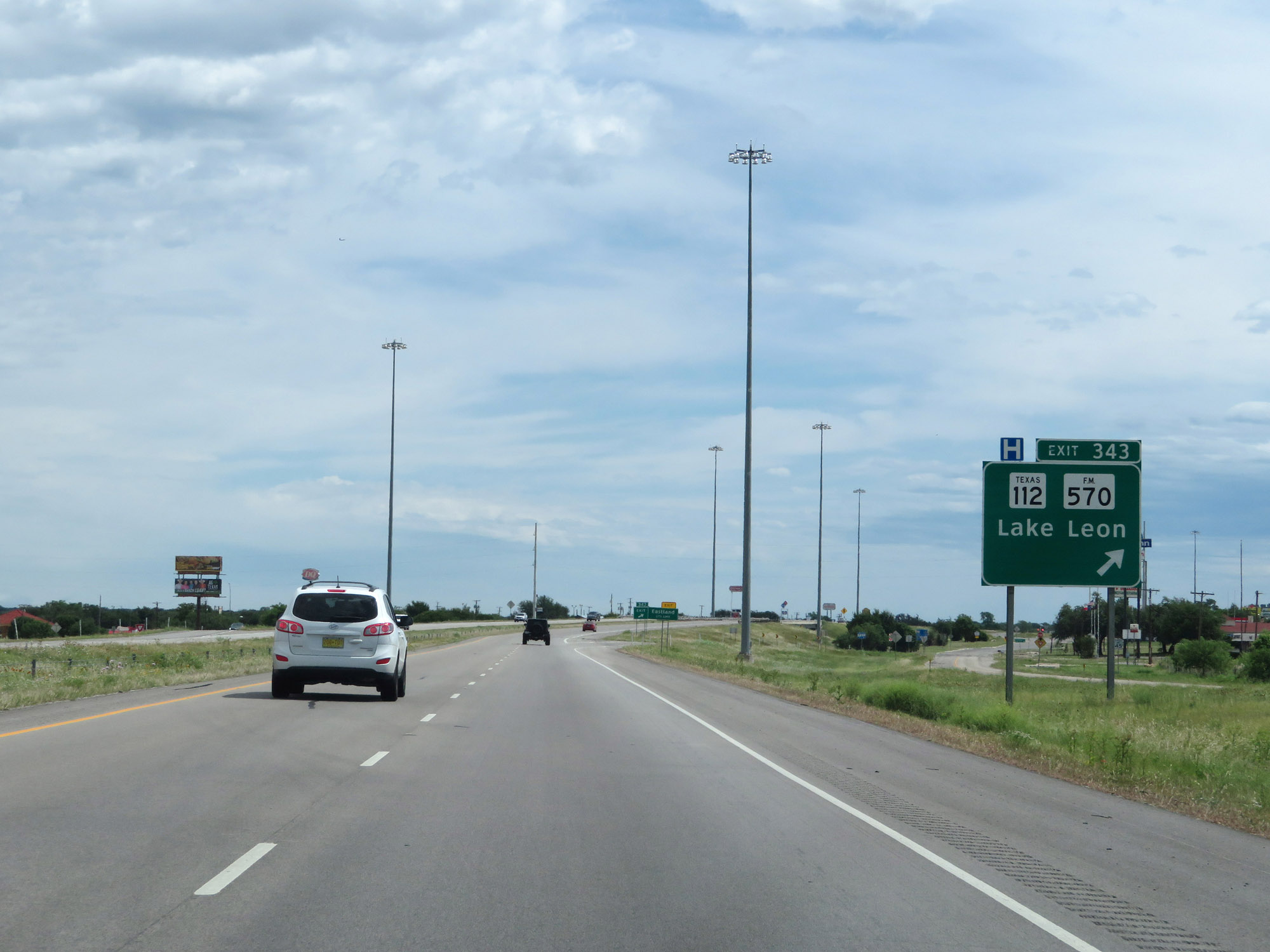 |
Interstate 20 East at Exit 343: TX 112 / FM 570 - Lake Leon (Photo taken 5/20/18). |
 |
Interstate 20 East approaching Exit 345 - 1/2 mile. (Photo taken 5/20/18). |
 |
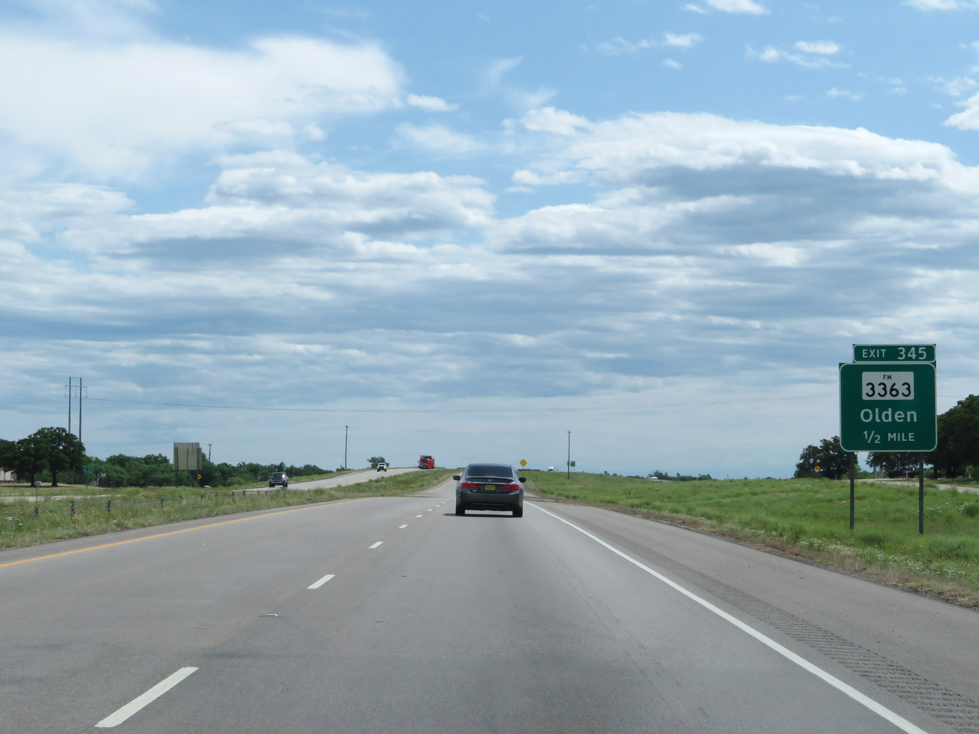
Interstate 20 East at Exit 345: FM 3363 - Olden (Photo taken 5/20/18). |
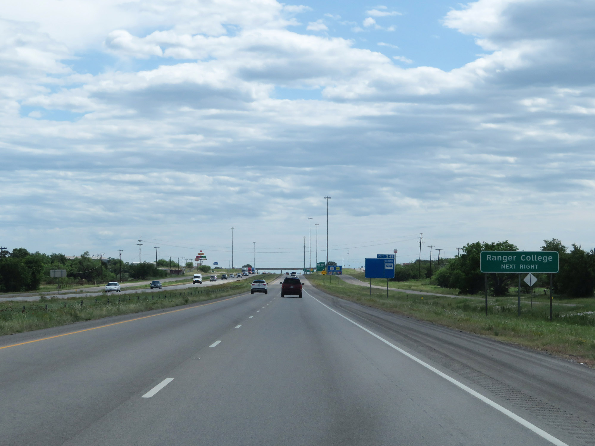 |
Take Exit 349 to Ranger College. (Photo taken 5/20/18). |
 |
Interstate 20 East at Exit 349: TX Loop 254 / FM 2461 - Ranger / Lake Leon (Photo taken 5/20/18). |
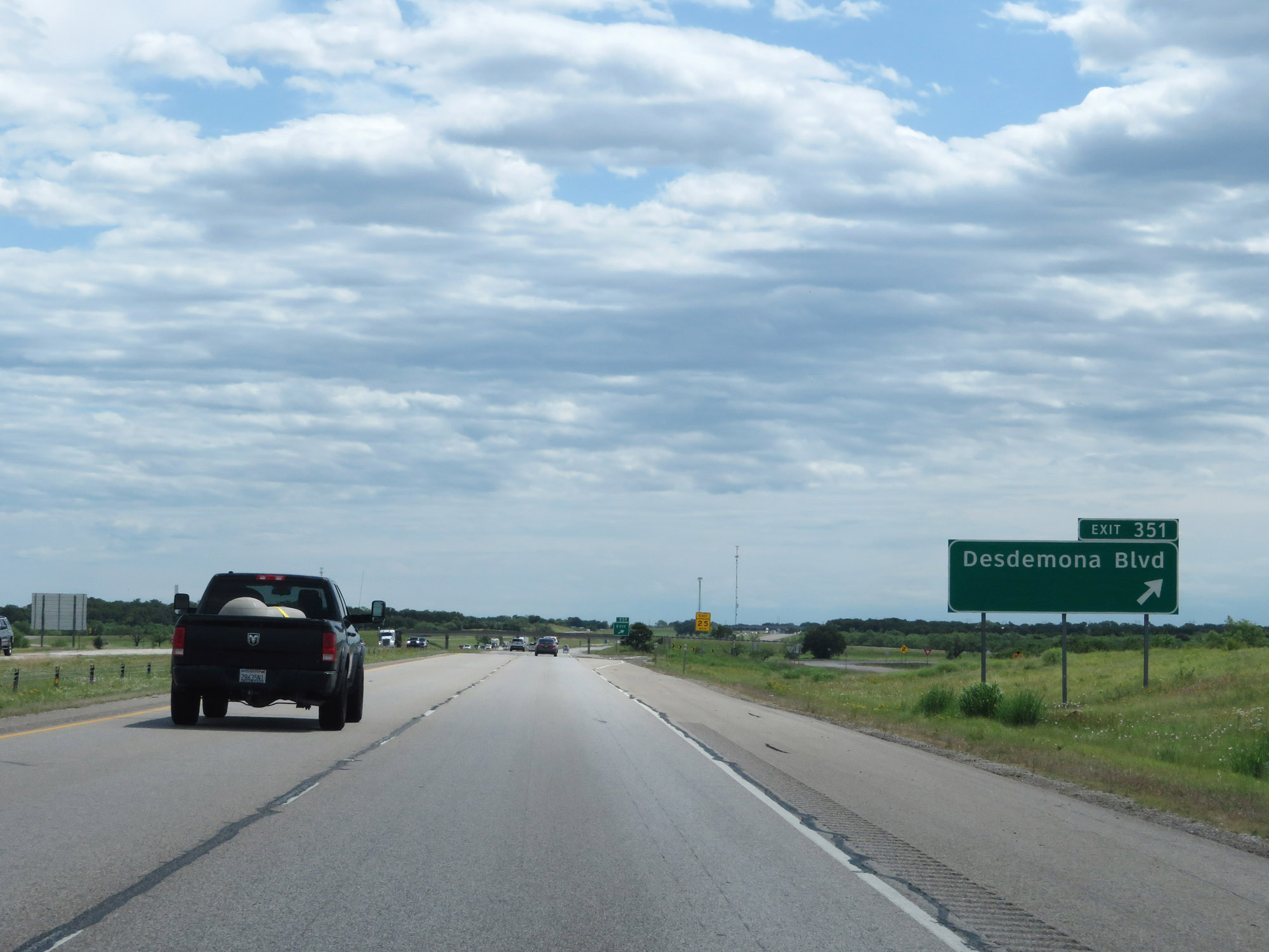 |
Interstate 20 East at Exit 351: Desdemona Blvd (Photo taken 5/20/18). |
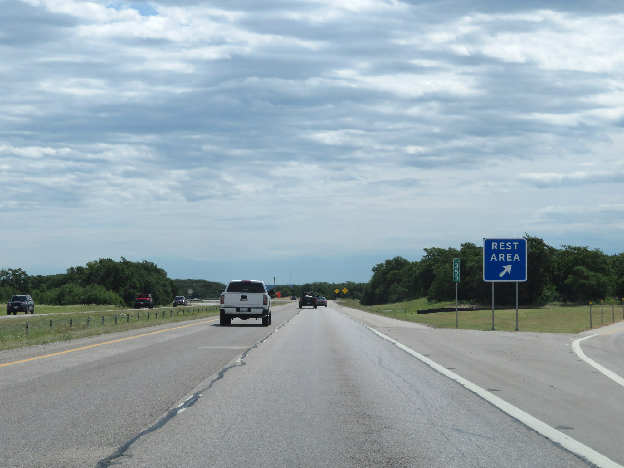 |
Rest Area on Interstate 20 East at mile marker 353 in Eastland County. (Photo taken 5/20/18). |
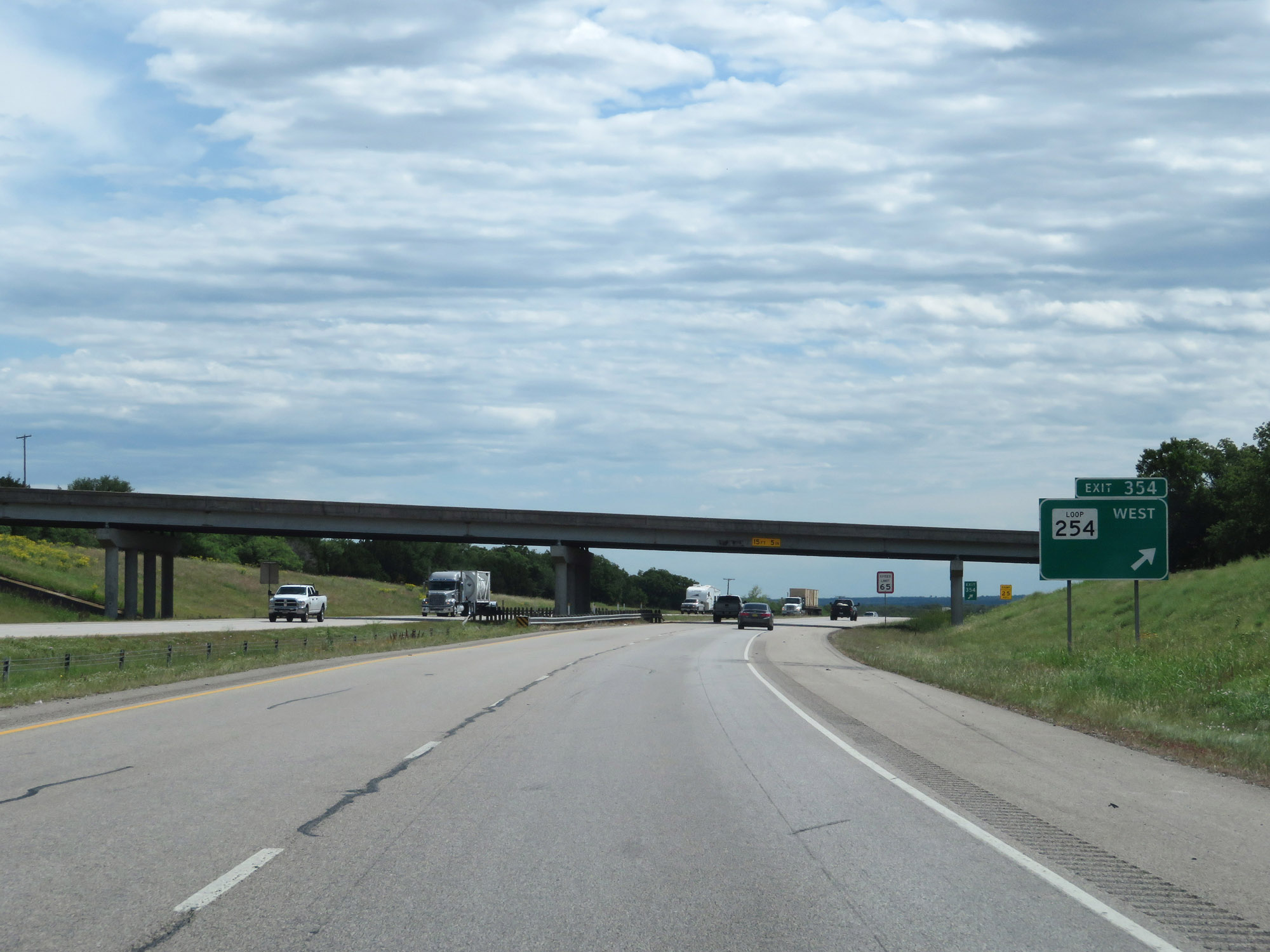 |
Interstate 20 East at Exit 354: TX Loop 254 West (Photo taken 5/20/18). |
 |
At the ramp for Exit 354, the speed limit decreases to 65 mph as Interstate 20 East prepares to traverse a steep downgrade ahead. (Photo taken 5/20/18). |
 |
Interstate 20 East at mile marker 356. (Photo taken 5/20/18). |
 |
Warning sign for a 6% grade, which begins just ahead on Interstate 20 East. (Photo taken 5/20/18). |
 |
Interstate 20 East at mile marker 360, as it heads down the aforementioned 6% grade. (Photo taken 5/20/18). |
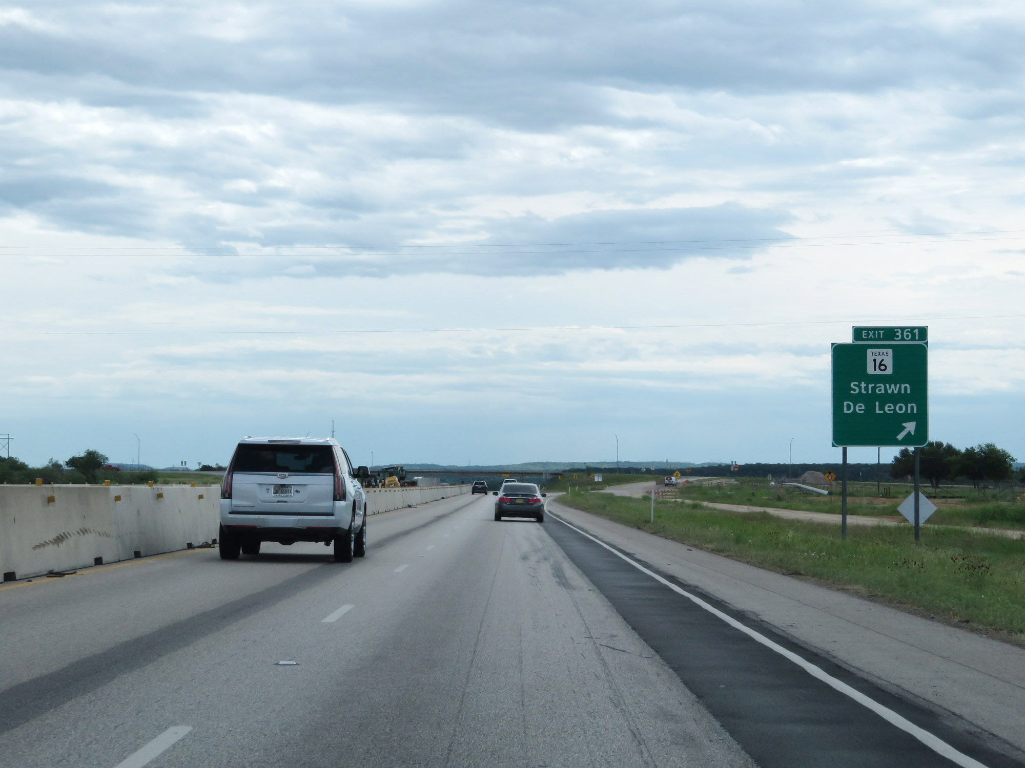 |
Interstate 20 East at Exit 361: TX 16 - Strawn / De Leon (Photo taken 5/20/18). |
 |
Interstate 20 East at Exit 363: Tudor Rd (Photo taken 5/20/18). |
 |
Another Picnic Area on Interstate 20 East in Eastland County. (Photo taken 5/20/18). |
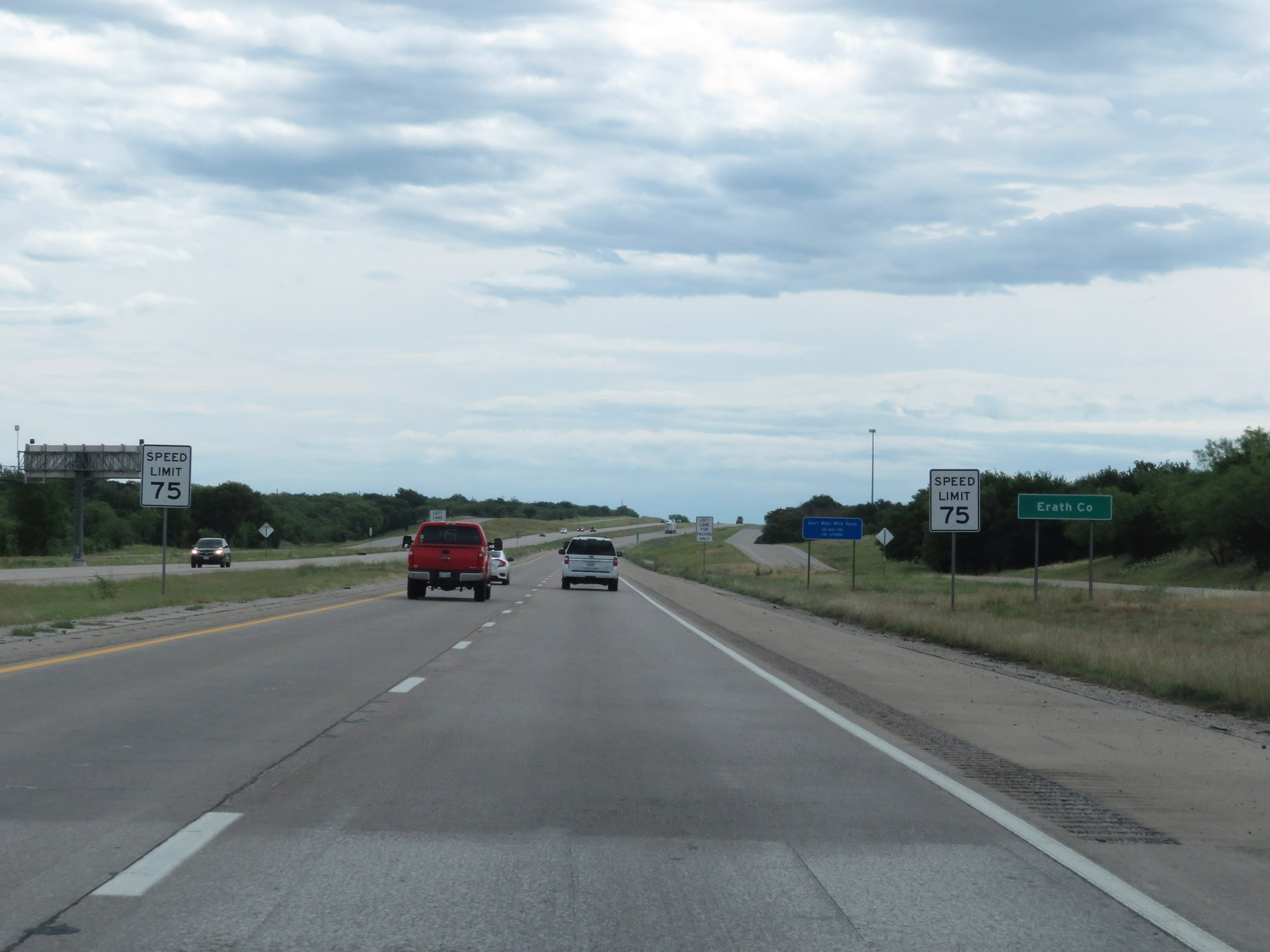 |
Interstate 20 East as it enters Erath County. Upon leaving Eastland County, the standard rural speed limit of 75 mph resumes. (Photo taken 5/20/18). |
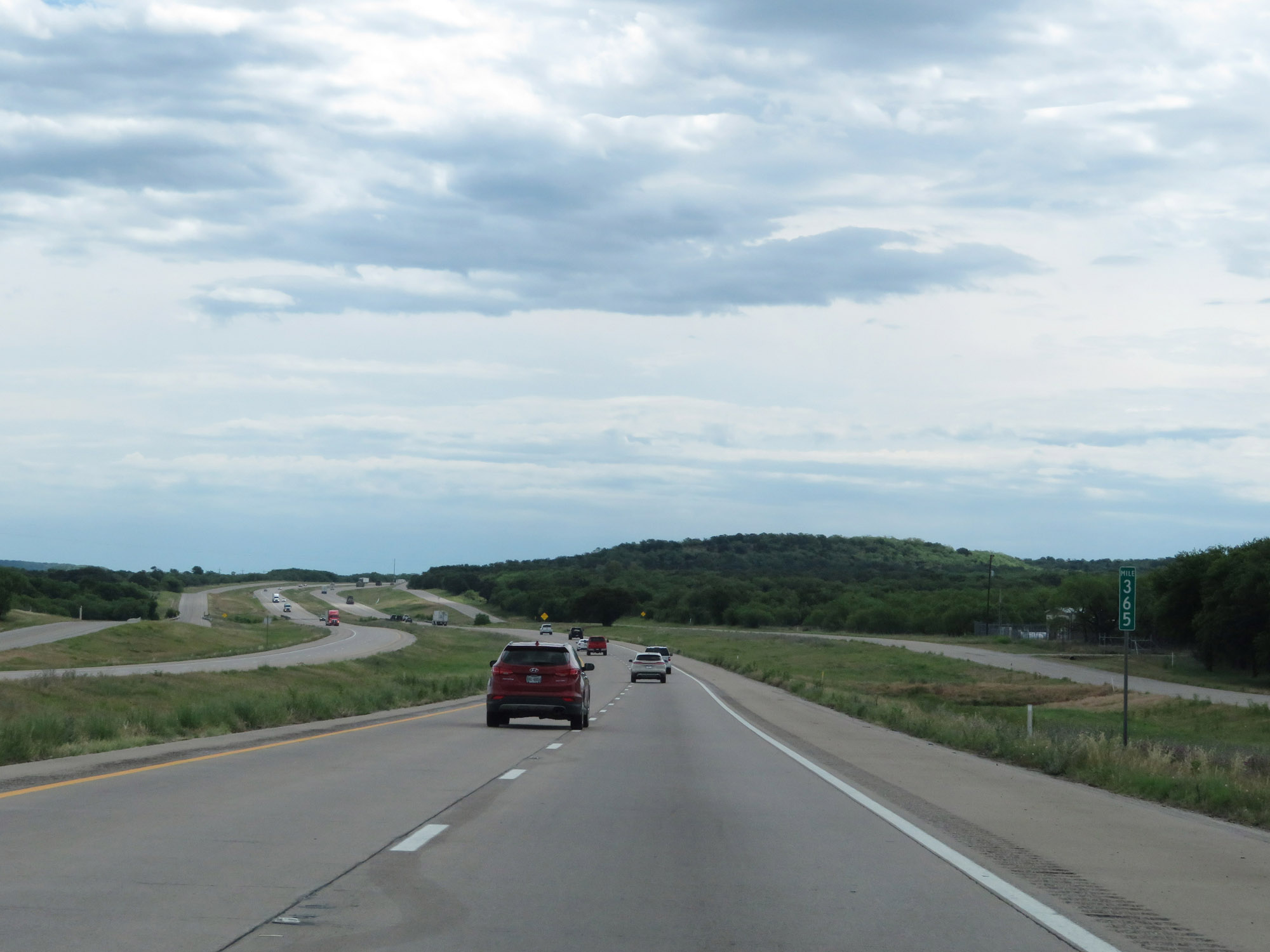 |
Interstate 20 East at mile marker 365. (Photo taken 5/20/18). |
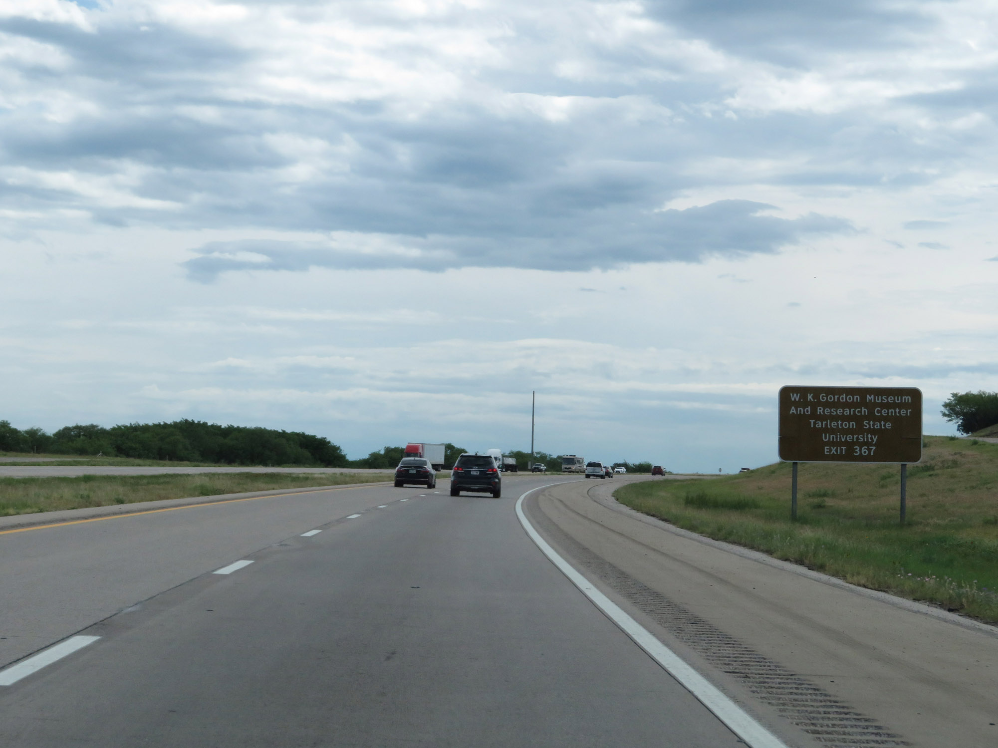 |
Take Exit 367 to W.K. Gordon Museum and Research Center as well as Tarleton State University. (Photo taken 5/20/18). |
 |
Interstate 20 East at Exit 367: TX 108 North - Thurber / Mingus (Photo taken 5/20/18). |
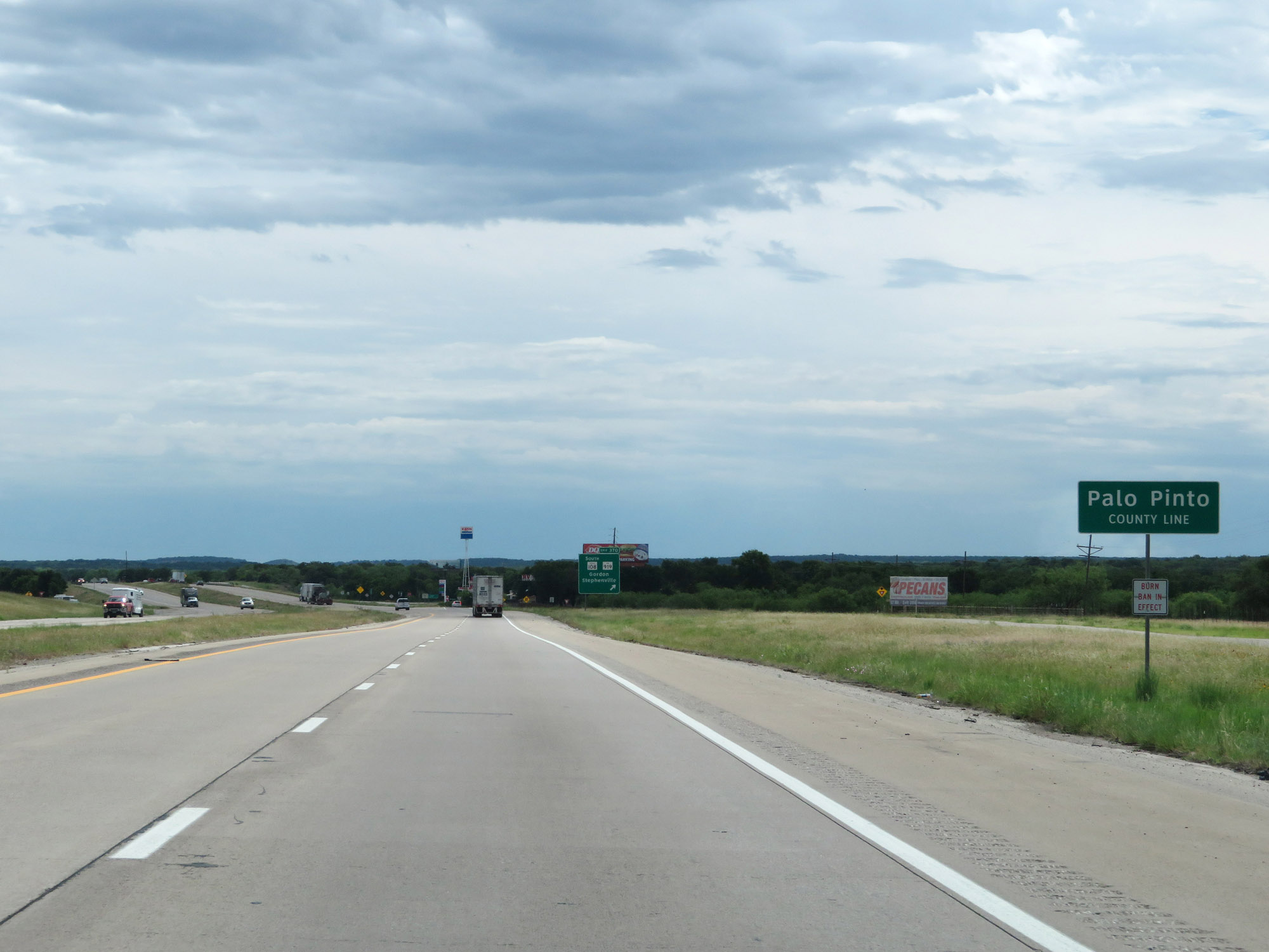 |
Interstate 20 East as it enters Palo Pinto County, after a short stint in Erath County. (Photo taken 5/20/18). |
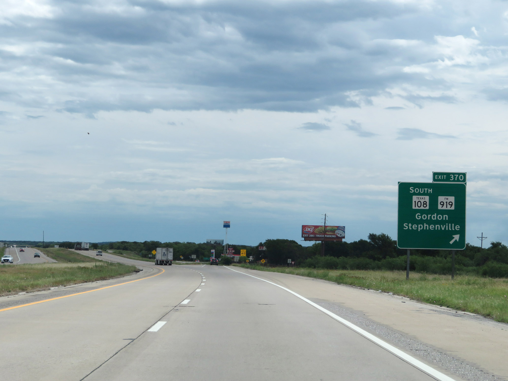 |
Interstate 20 East at Exit 370: TX 108 South / FM 919 - Gordon / Stephenville (Photo taken 5/20/18). |
 |
Interstate 20 East approaching Exit 373 - 1 mile. (Photo taken 5/20/18). |
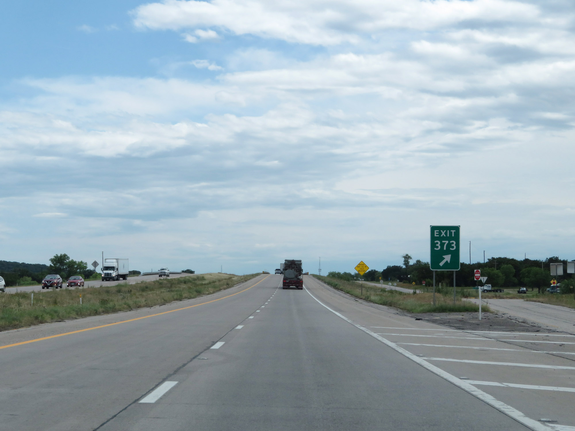 |
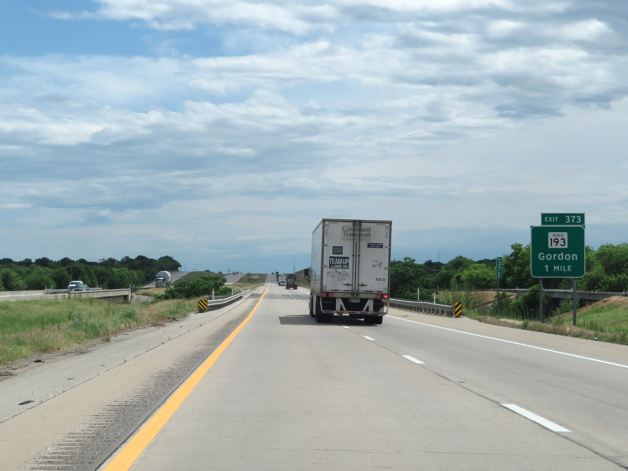
Interstate 20 East at Exit 373: TX 193 - Gordon (Photo taken 5/20/18). |
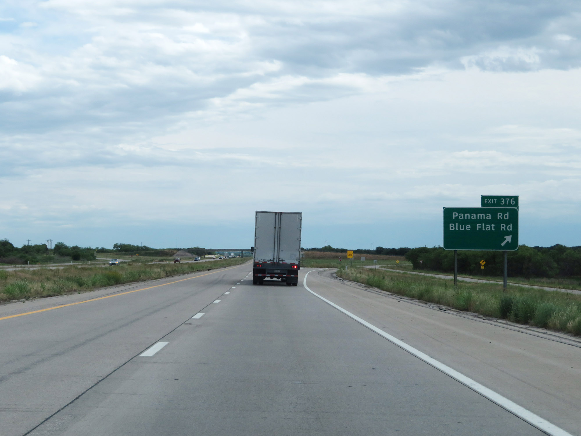 |
Interstate 20 East at Exit 376: Panama Rd / Blue Flat Rd (Photo taken 5/20/18). |
 |
Interstate 20 East reassurance shield. (Photo taken 5/20/18). |
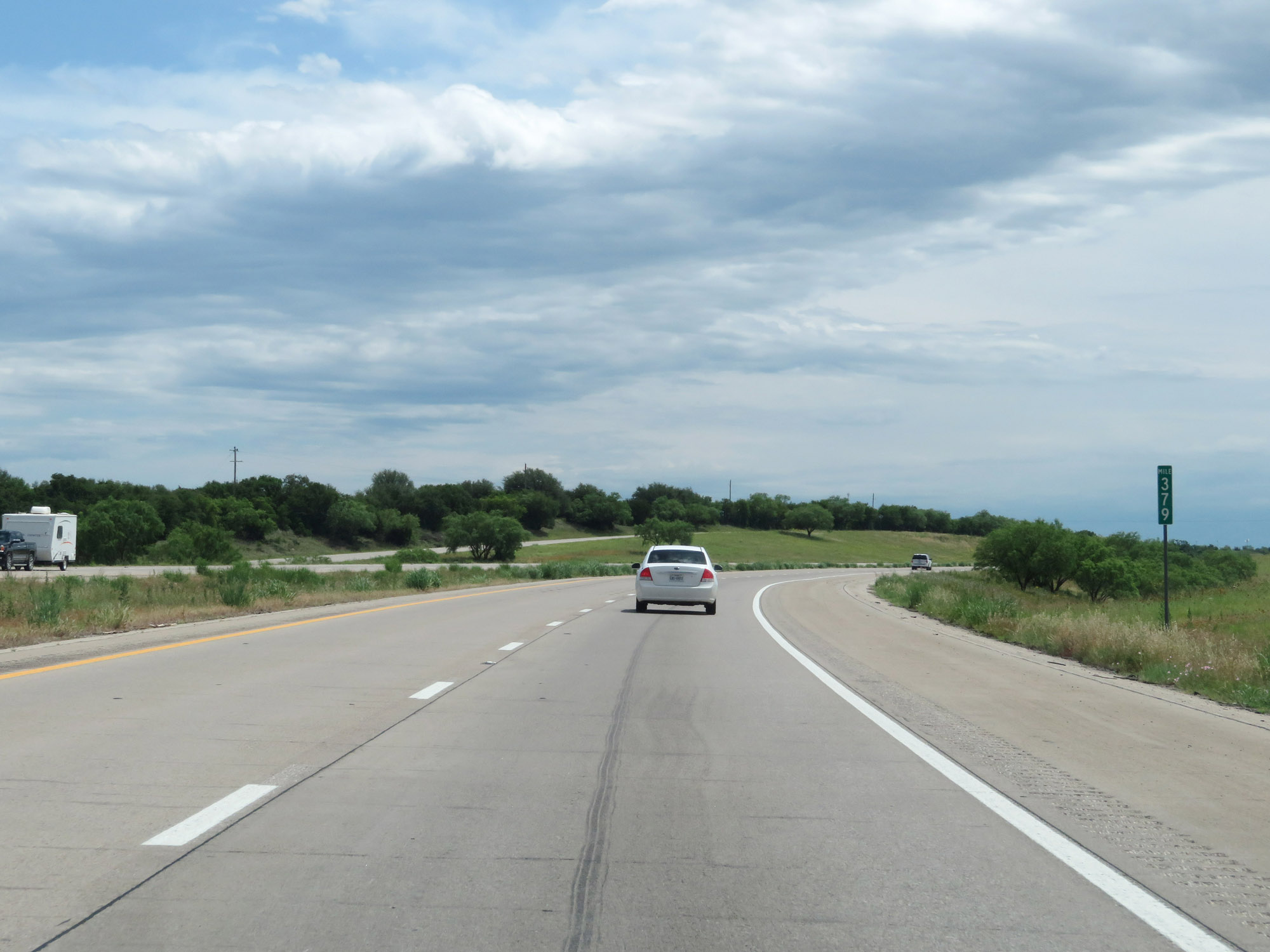 |
Interstate 20 East at mile marker 379. (Photo taken 5/20/18). |
 |
Interstate 20 East at Exit 380: FM 4 - Palo Pinto / Santo-Lipan (Photo taken 5/20/18). |
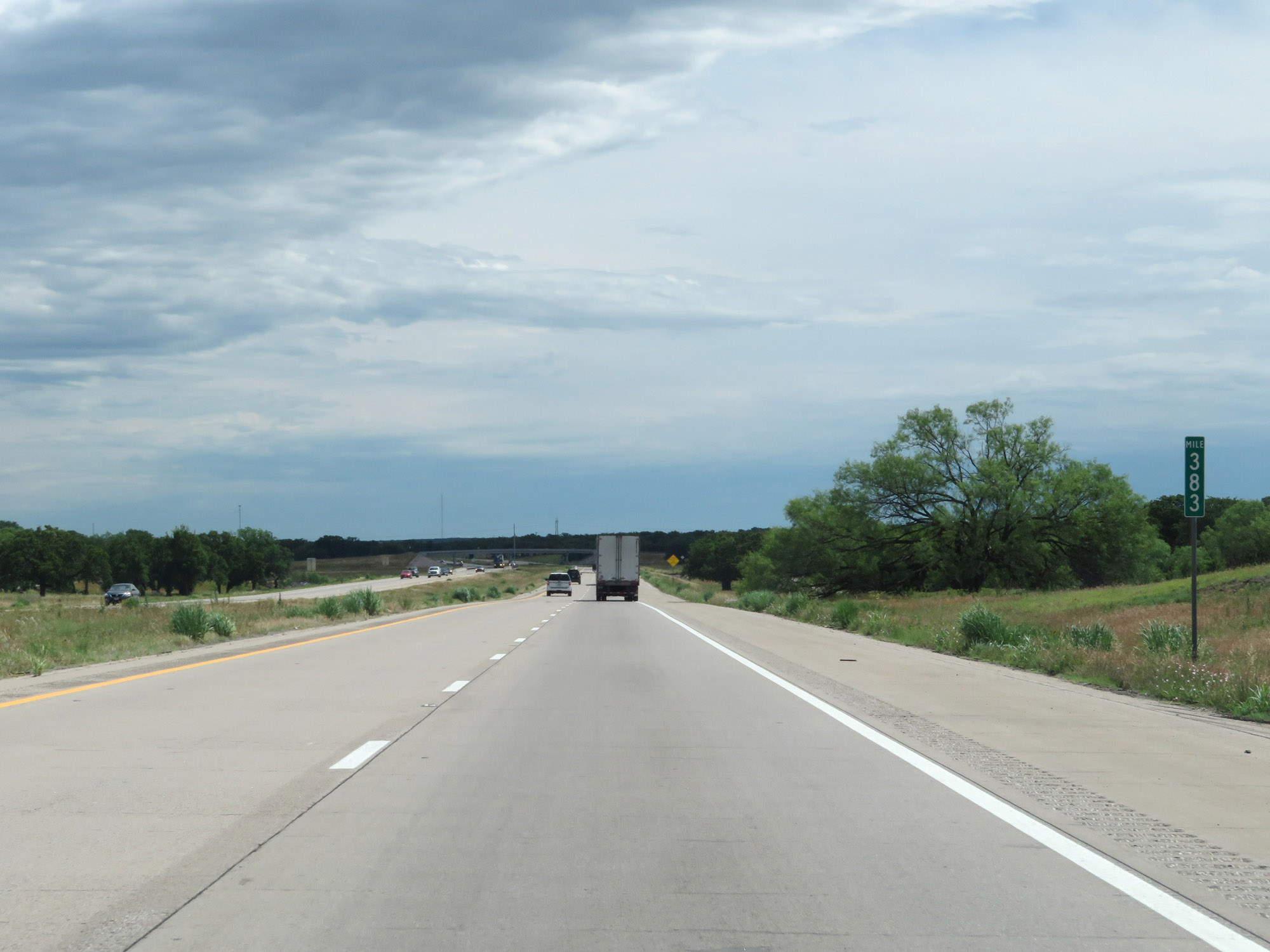 |
Interstate 20 East at mile marker 383. (Photo taken 5/20/18). |
 |
Interstate 20 East approaching Exit 386 - 2 miles. (Photo taken 5/20/18). |
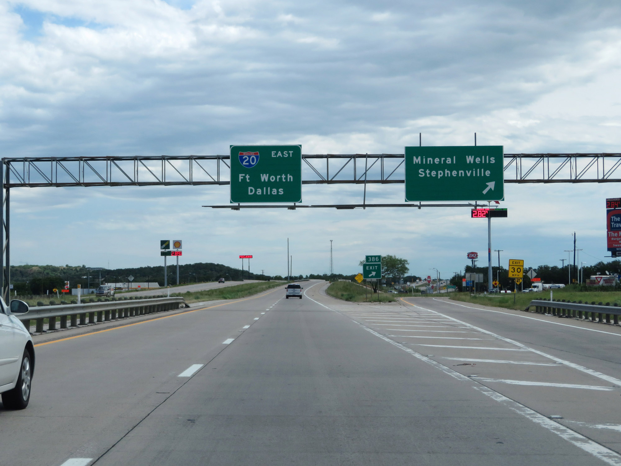 |
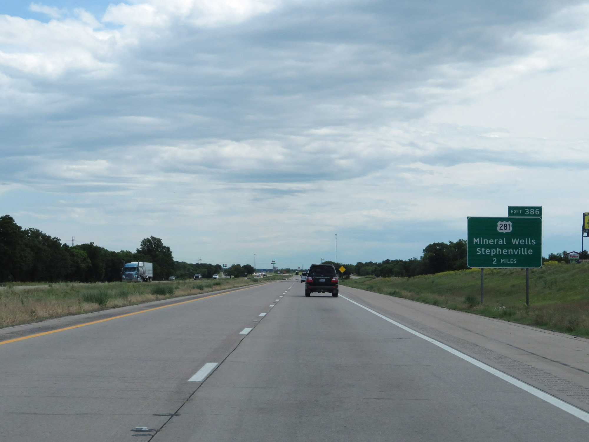
Interstate 20 East at Exit 386: US 281 - Mineral Wells / Stephenville (Photo taken 5/20/18). |
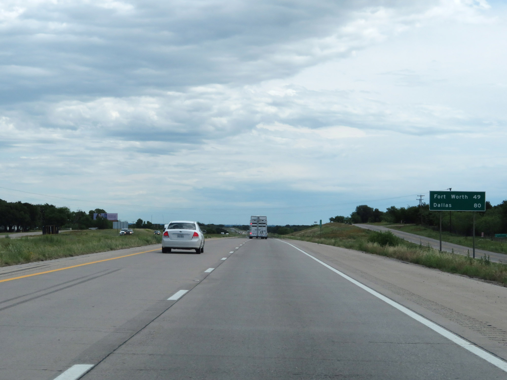 |
Mileage sign on Interstate 20 East. It's 49 miles to Fort Worth and 80 miles to Dallas. (Photo taken 5/20/18). |
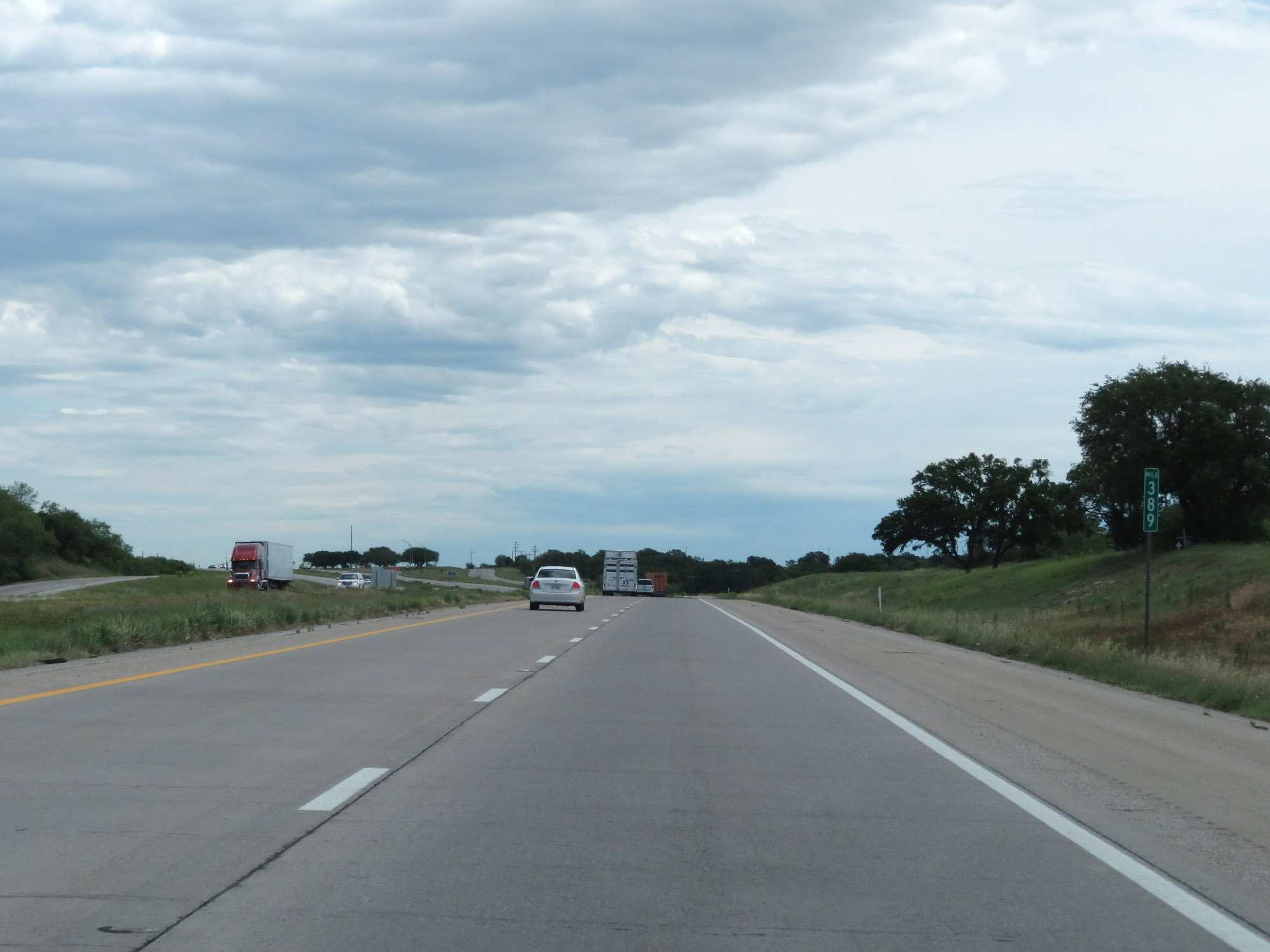 |
Interstate 20 East at mile marker 389. (Photo taken 5/20/18). |
 |
Abandoned Picnic Area on Interstate 20 East in Palo Pinto County. (Photo taken 5/20/18). |
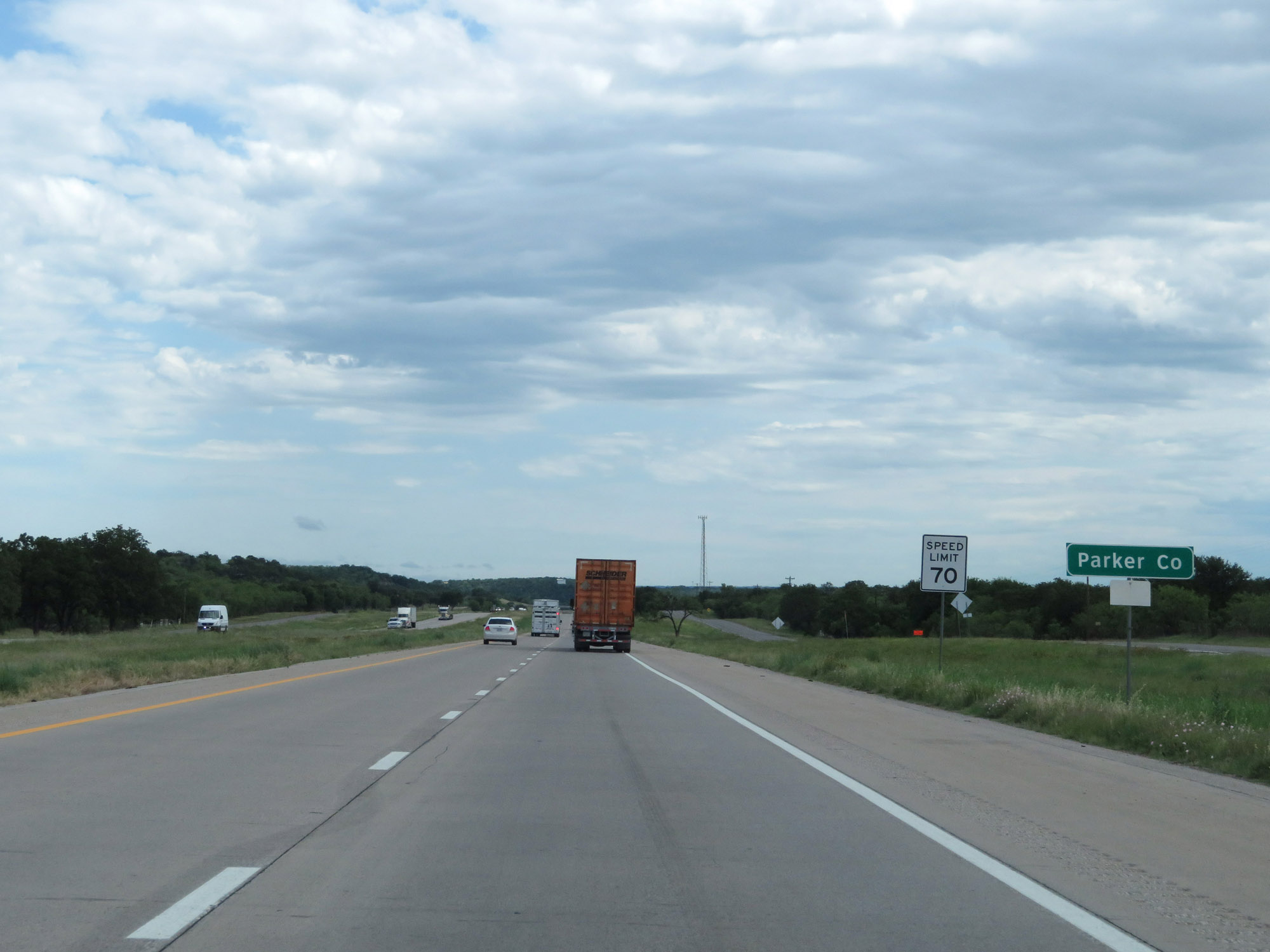 |
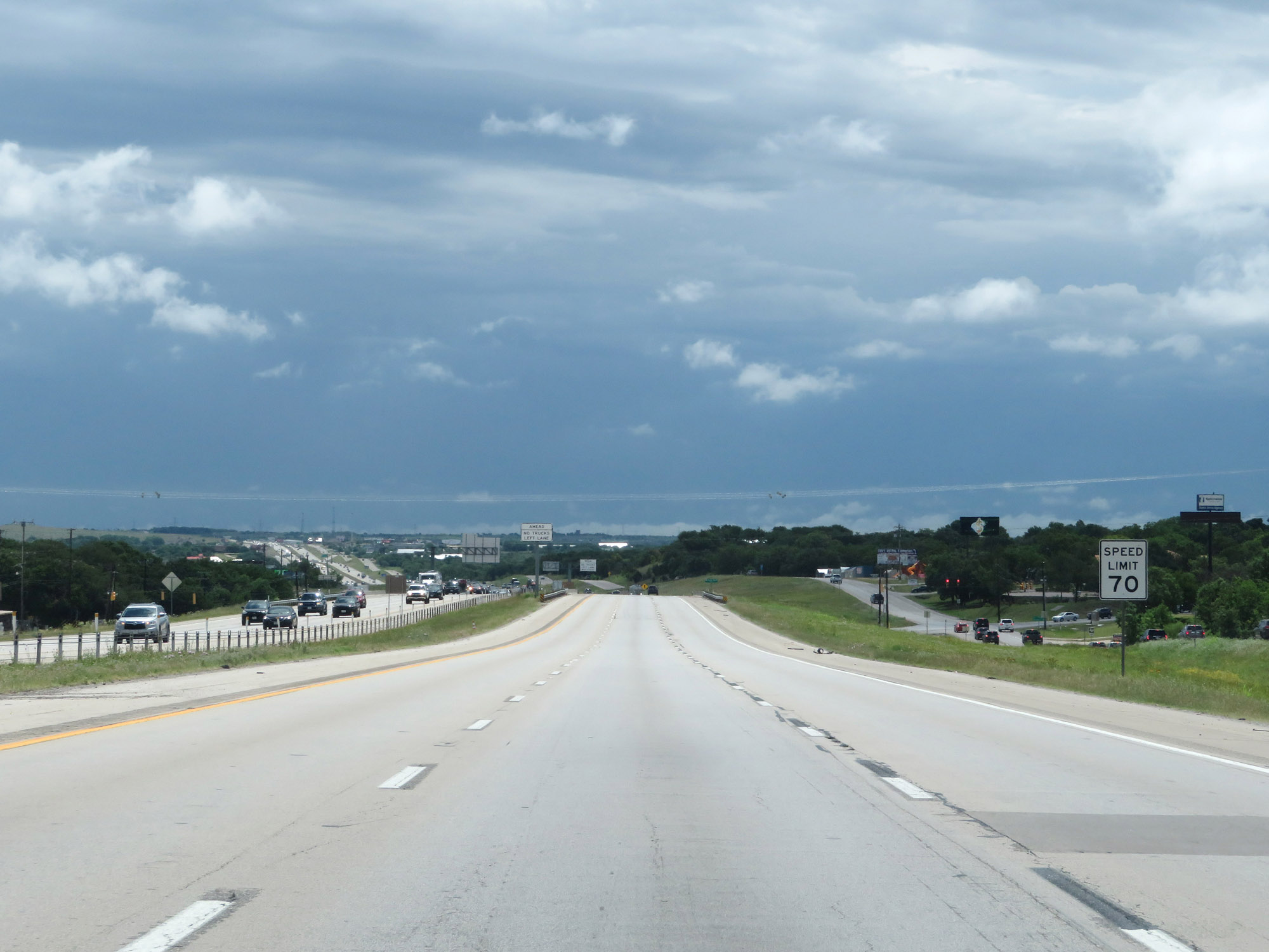
Interstate 20 East as it enters Parker County and the speed limit decreases to 70 mph. (Photo taken 5/20/18). |
 |
Interstate 20 East at Exit 391: Gilbert Pit Rd (Photo taken 5/20/18). |
 |
State-named Interstate 20 East reassurance shield. (Photo taken 5/20/18). |
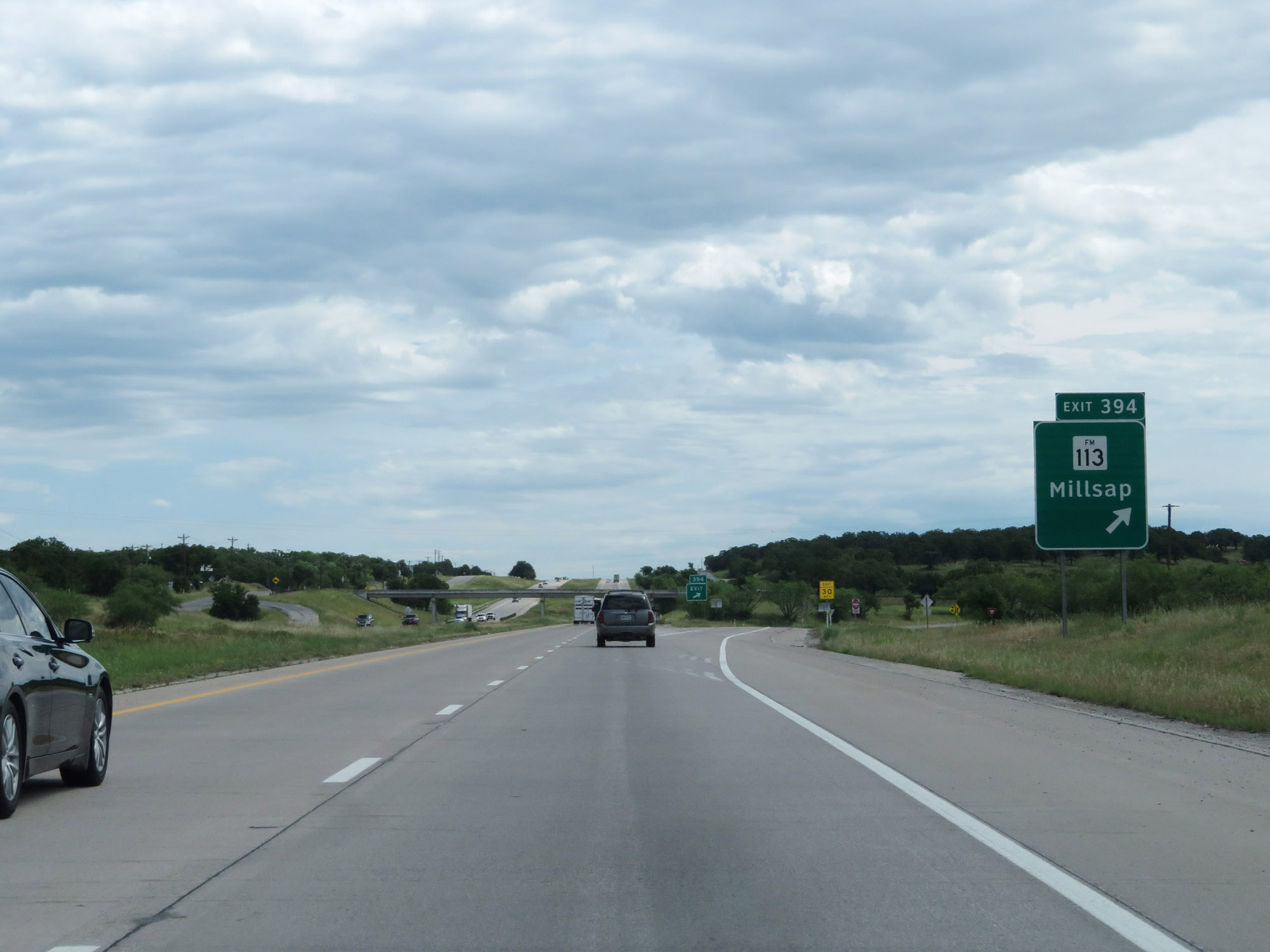 |
Interstate 20 East at Exit 394: FM 113 - Millsap (Photo taken 5/20/18). |
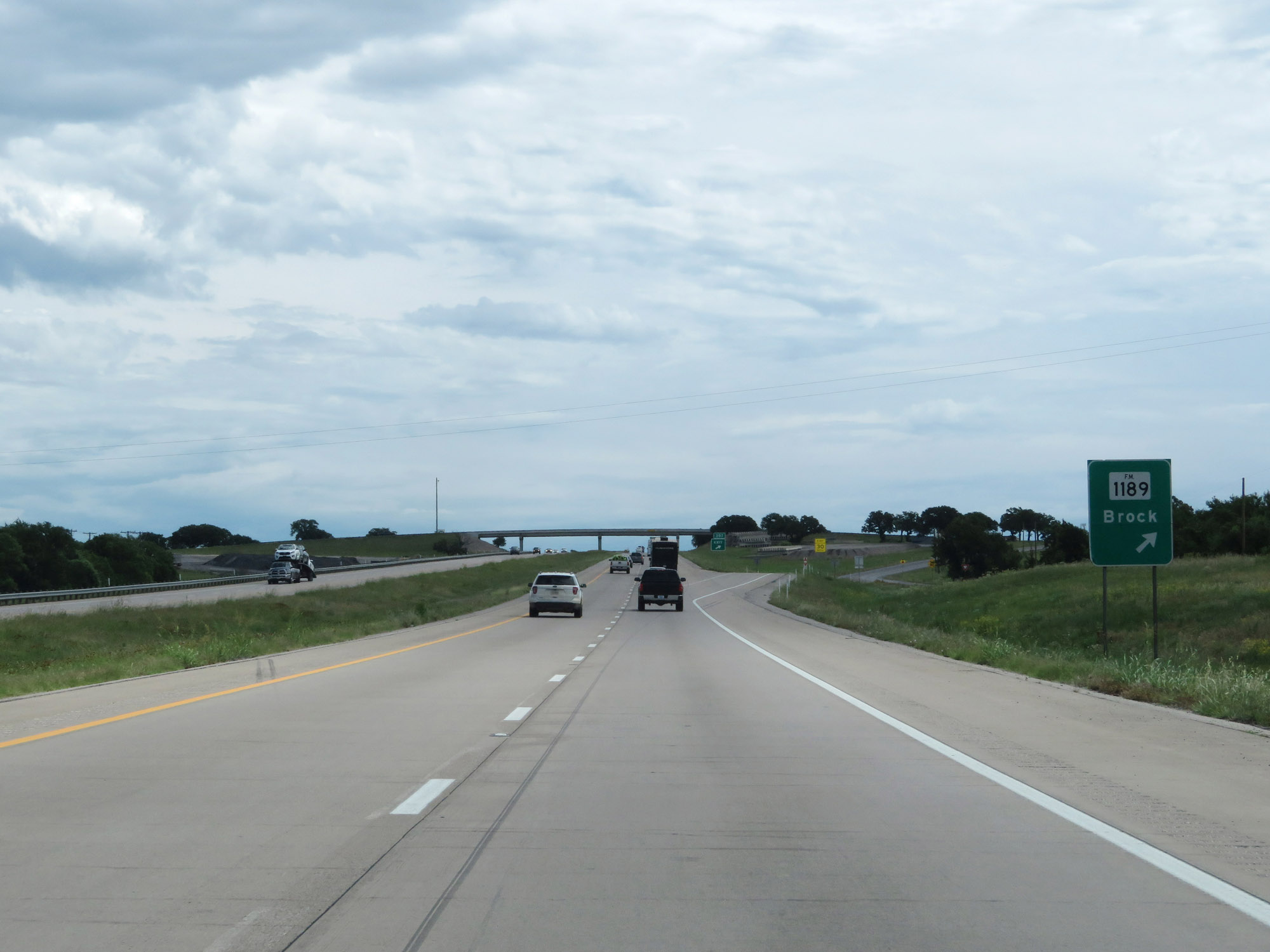 |
Interstate 20 East at Exit 397: FM 1189 - Brock (Photo taken 5/20/18). |
 |
Gore point signage for Exit 397. (Photo taken 5/20/18). |
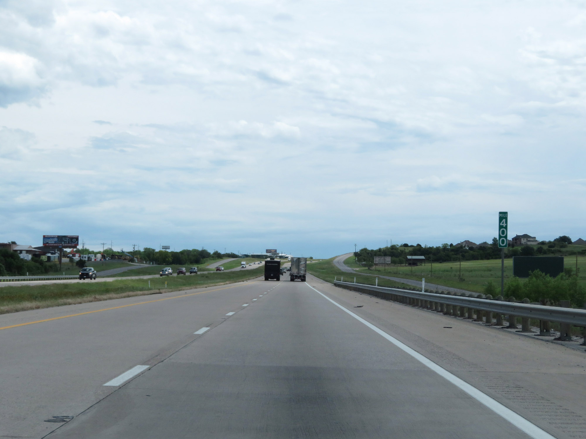 |
Interstate 20 East at mile marker 400. (Photo taken 5/20/18). |
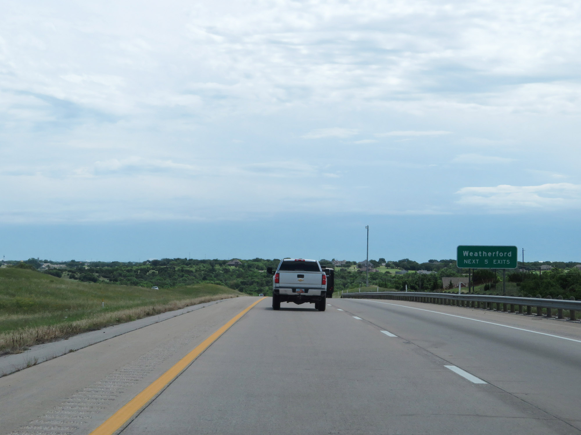 |
Take any of the next 5 exits to Weatherford. (Photo taken 5/20/18). |
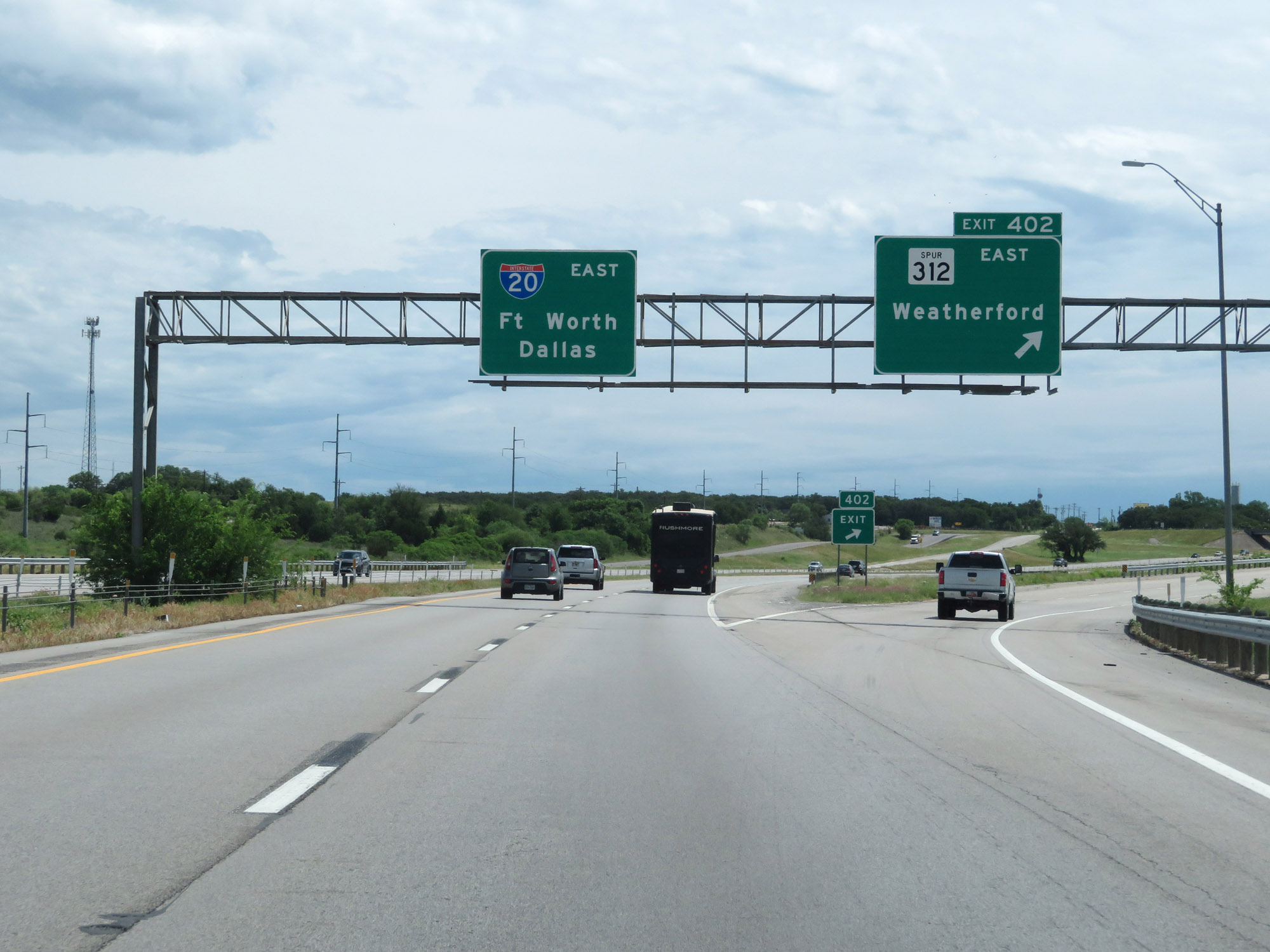 |
Interstate 20 East at Exit 402: TX Spur 312 East - Weatherford (Photo taken 5/20/18). |
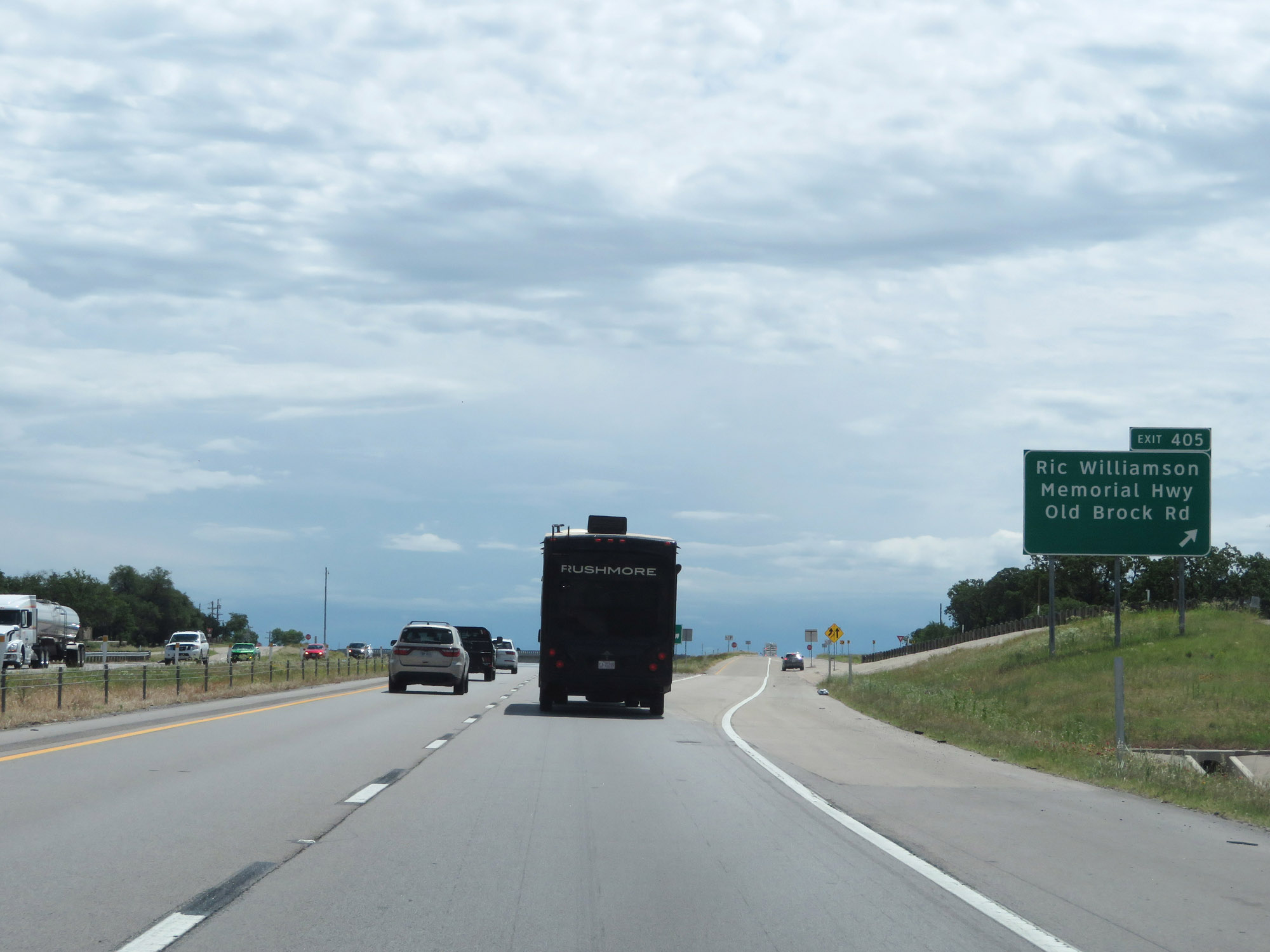 |
Interstate 20 East at Exit 405: Ric Williamson Memorial Hwy / Old Brock Rd (Photo taken 5/20/18). |
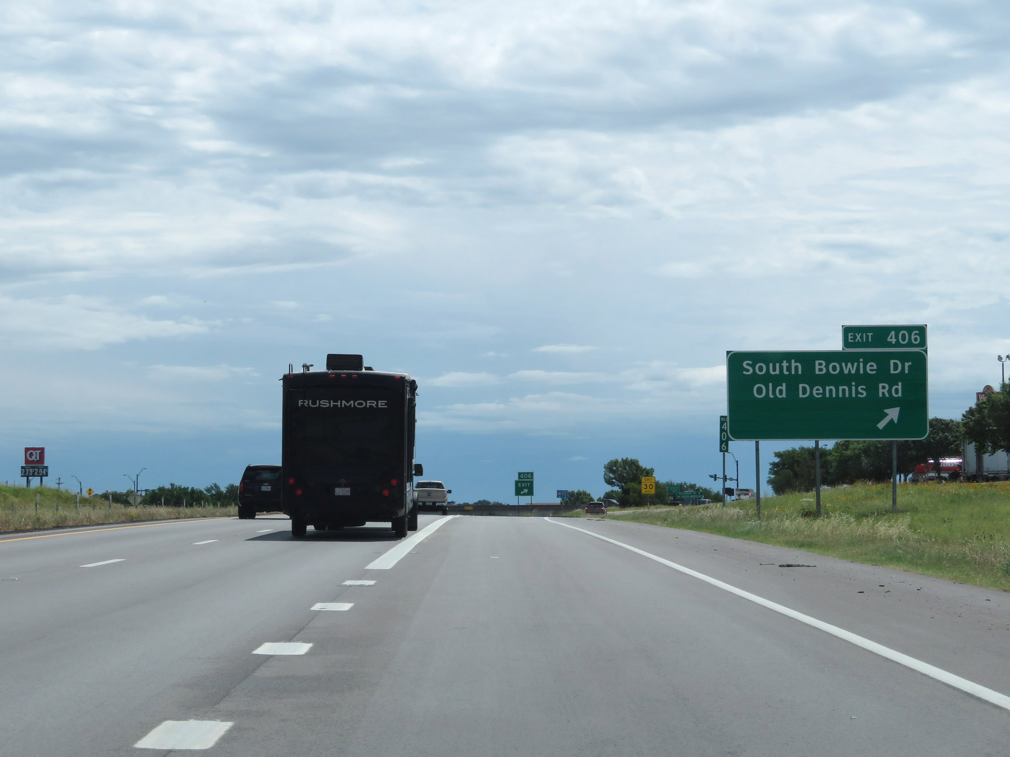 |
Interstate 20 East at Exit 406: South Bowie Dr / Old Dennis Rd (Photo taken 5/20/18). |
Section 6: Weatherford (Exit 406) to Arlington (Exit 445)
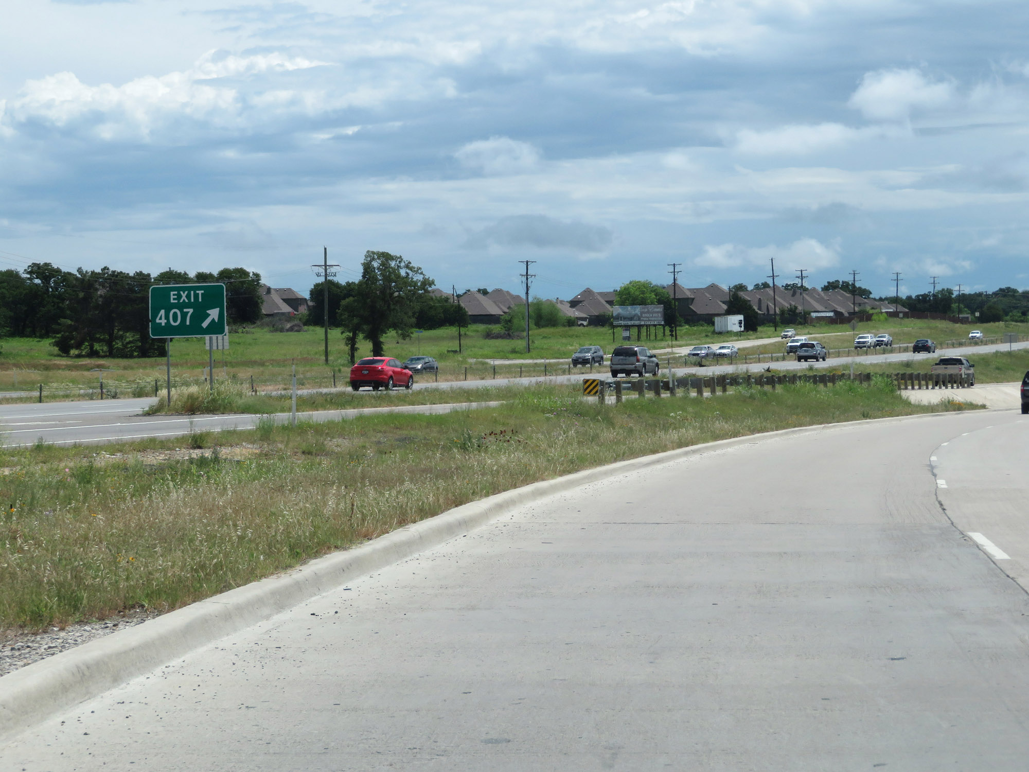 |
Interstate 20 East at Exit 407: FM 1884 - Tin Top Rd (Photo taken 5/20/18). |
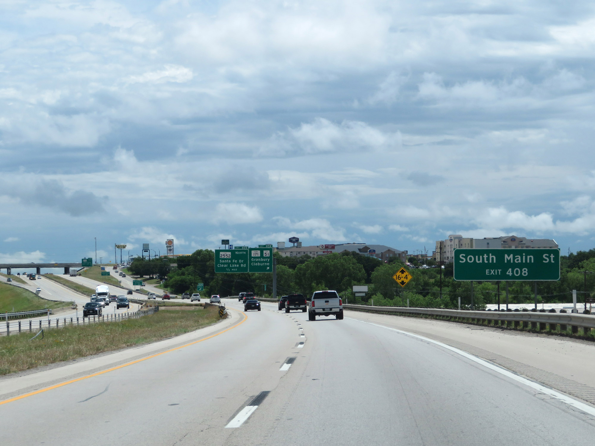 |
Take Exit 408 to South Main St. (Photo taken 5/20/18). |
 |
Interstate 20 East at Exit 408: TX 171 / FM 51 - Granbury / Cleburne (Photo taken 5/20/18). |
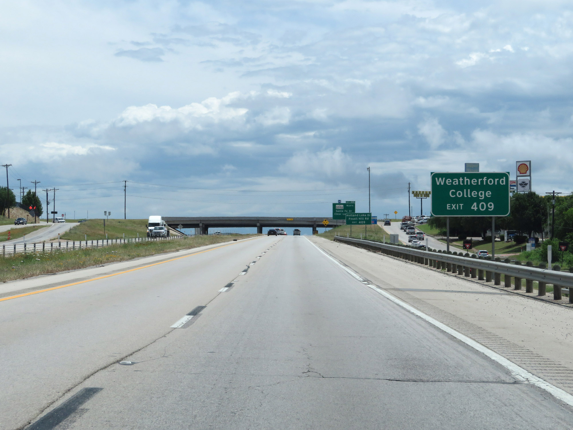 |
Take Exit 409 to Weatherford College. (Photo taken 5/20/18). |
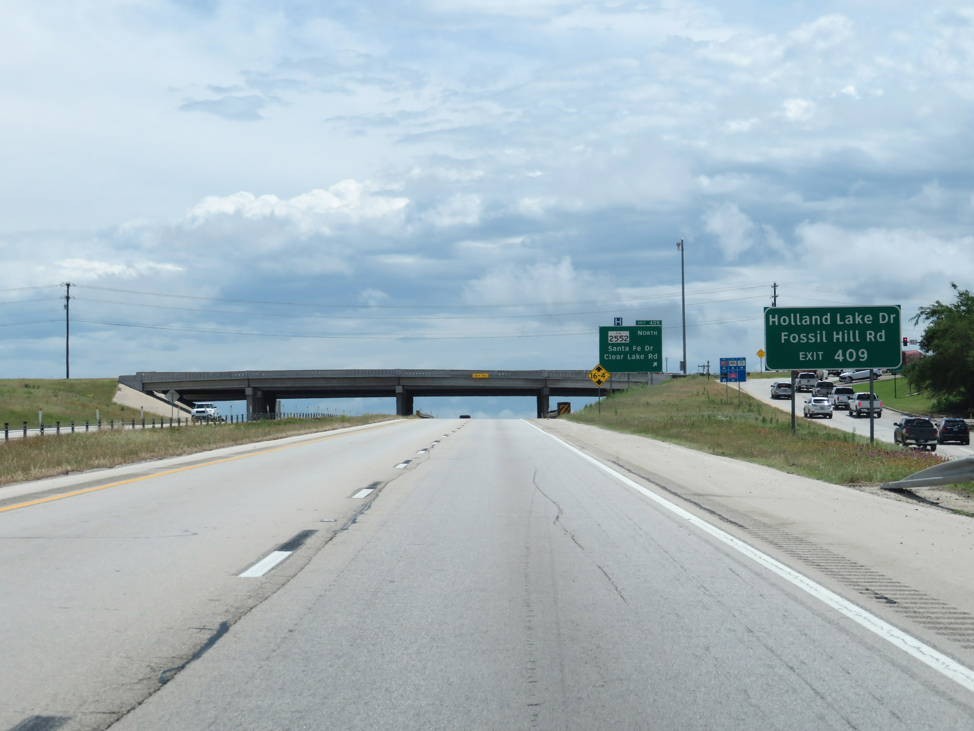 |
Also take Exit 409 to Holland Lake Dr and Fossil Hill Rd. (Photo taken 5/20/18). |
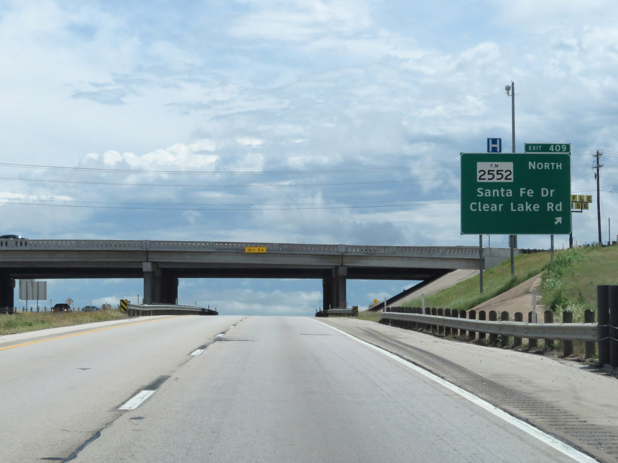 |
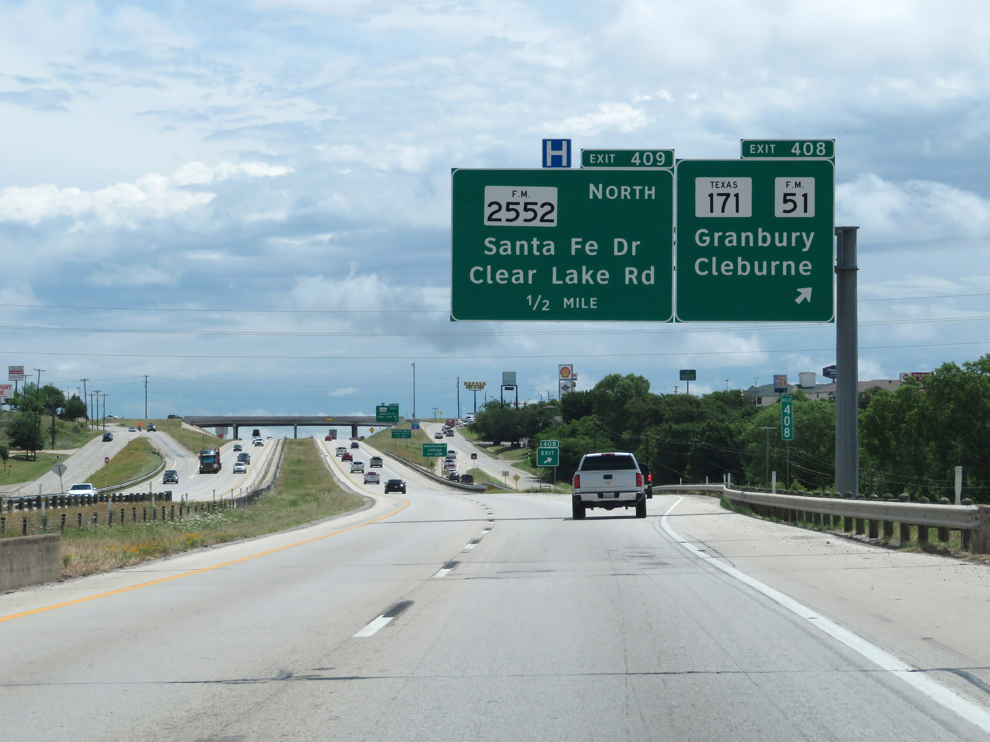
Interstate 20 East at Exit 409: FM 2552 North - Santa Fe Dr / Clear Lake Rd (Photo taken 5/20/18). |
 |
Another state-named Interstate 20 East reassurance shield. (Photo taken 5/20/18). |
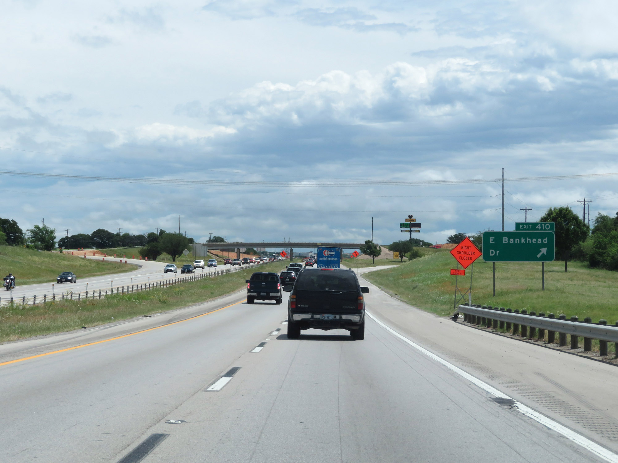 |
Interstate 20 East at Exit 410: E Bankhead Dr (Photo taken 5/20/18). |
 |
Take Exit 413 to Hudson Oaks. (Photo taken 5/20/18). |
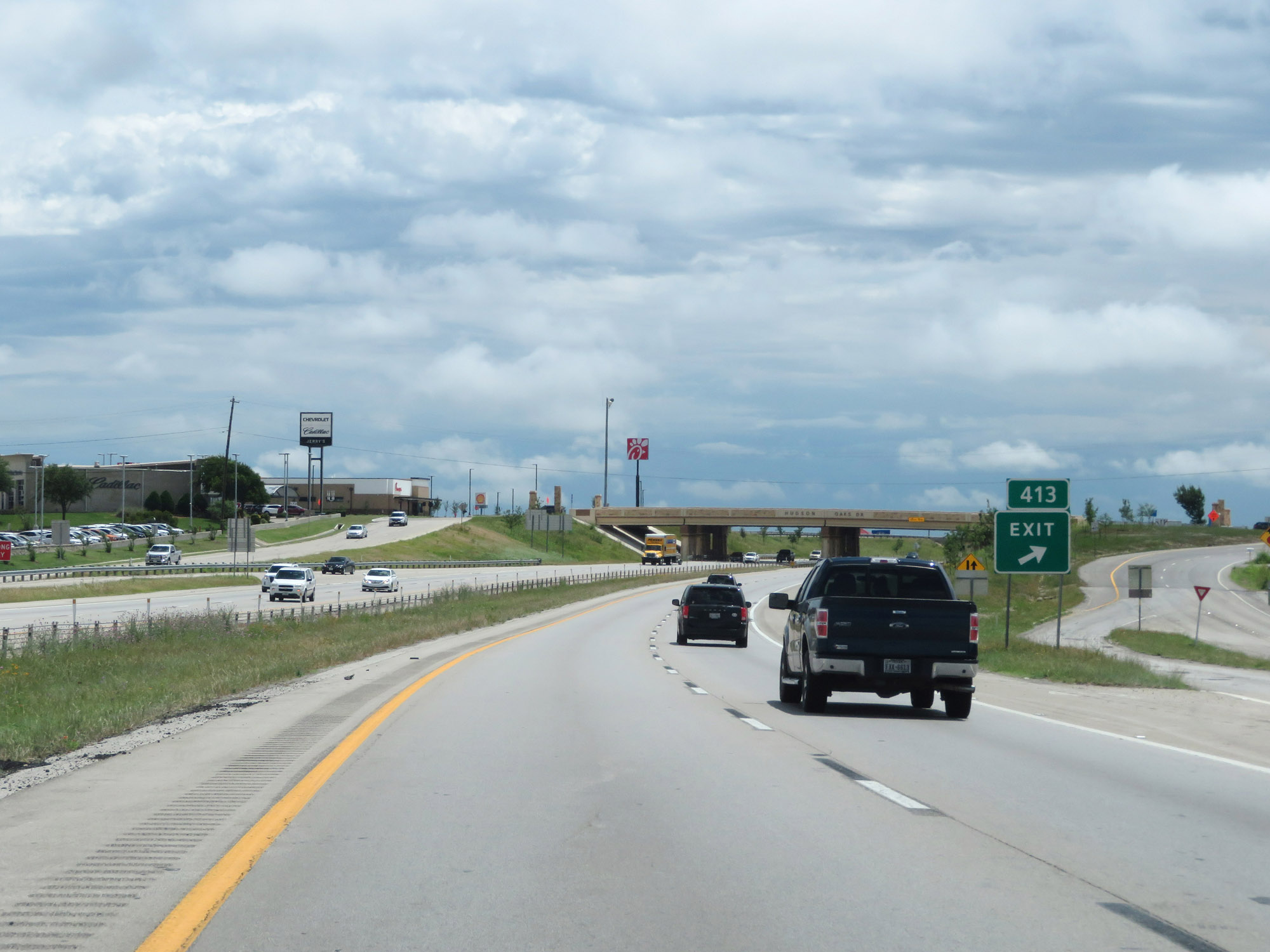 |
Interstate 20 East at Exit 413: Lake Shore Dr (Photo taken 5/20/18). |
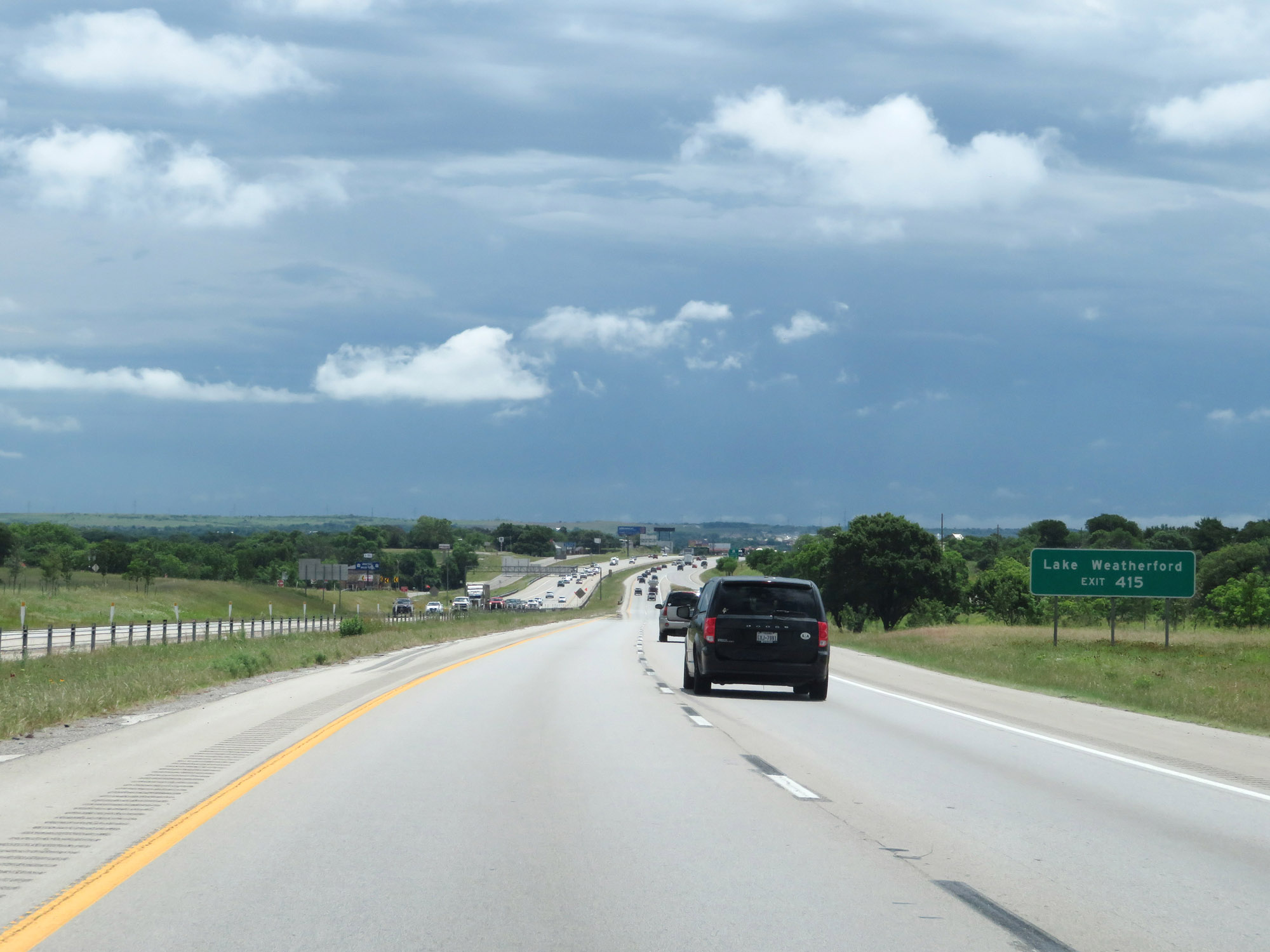 |
Take Exit 415 to Lake Weatherford. (Photo taken 5/20/18). |
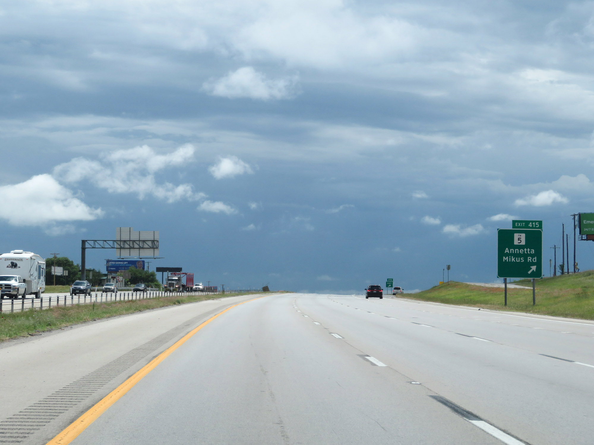 |
Interstate 20 East at Exit 415: FM 5 - Annetta / Mikus Rd (Photo taken 5/20/18). |
 |
The speed limit remains 70 mph through the Weatherford area. (Photo taken 5/20/18). |
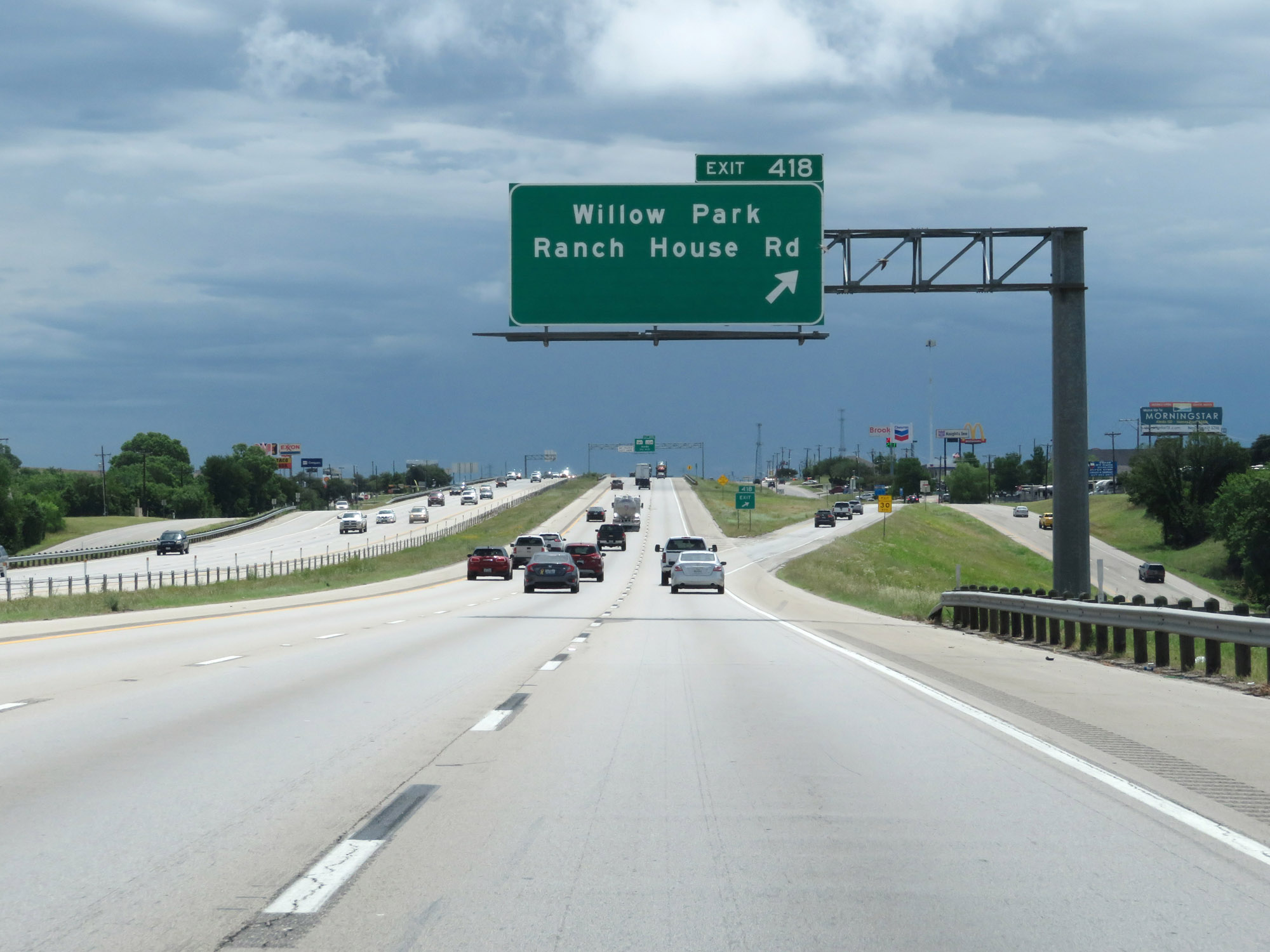 |
Interstate 20 East at Exit 418: Willow Park / Ranch House Rd (Photo taken 5/20/18). |
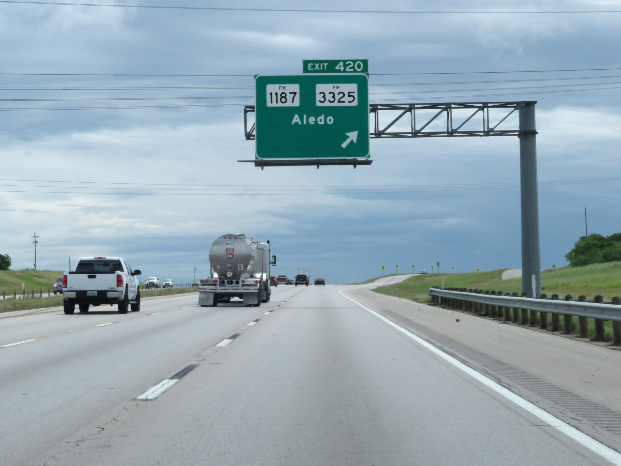 |
Interstate 20 East at Exit 420: FM 1187 / FM 3325 - Aledo (Photo taken 5/20/18). |
 |
Interstate 20 East approaching Exit 421 - 1 1/4 miles. (Photo taken 5/20/18). |
 |
Approaching Exit 421, Interstate 20 East traffic should keep to the right. (Photo taken 5/20/18). |
 |
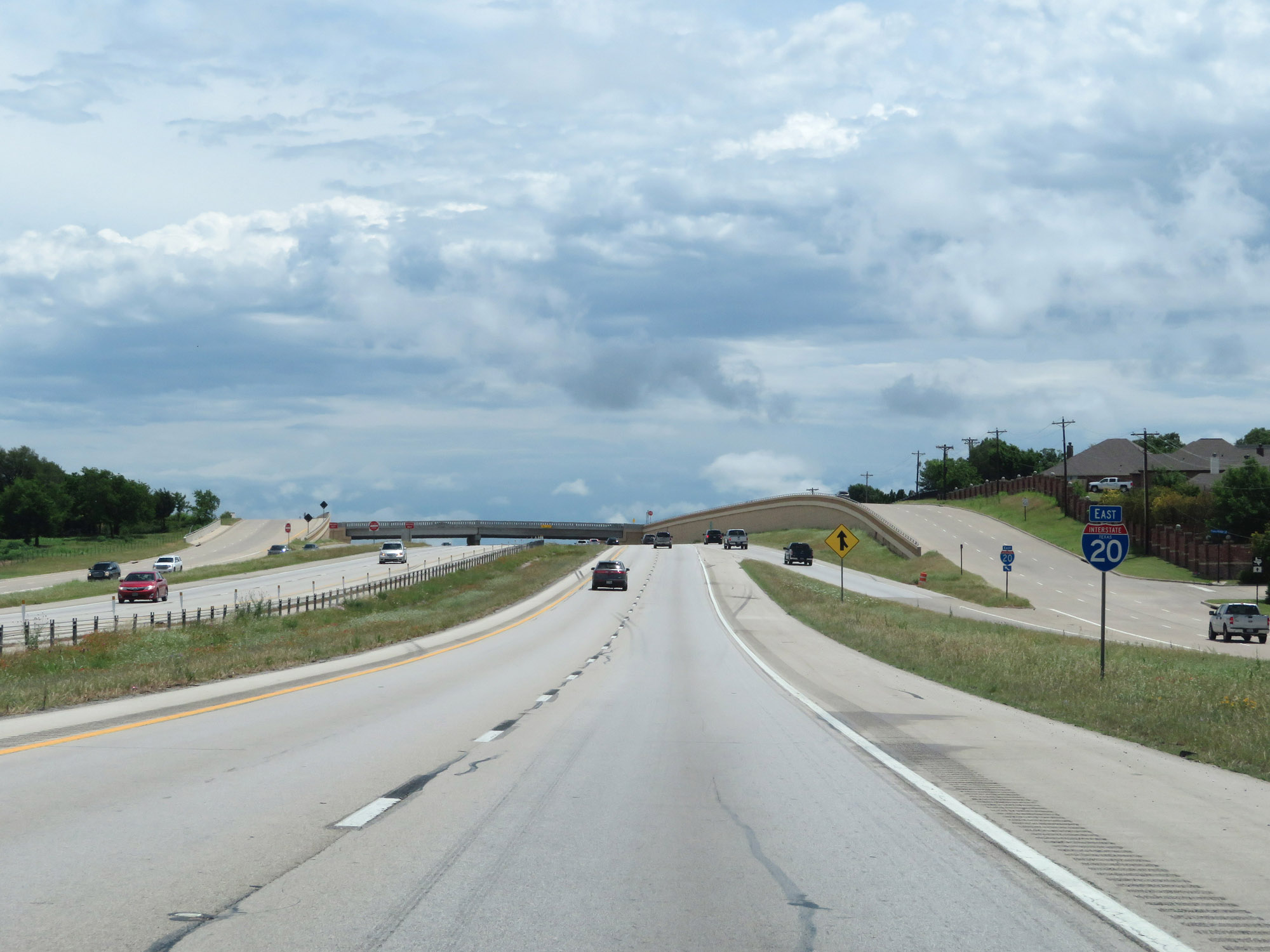
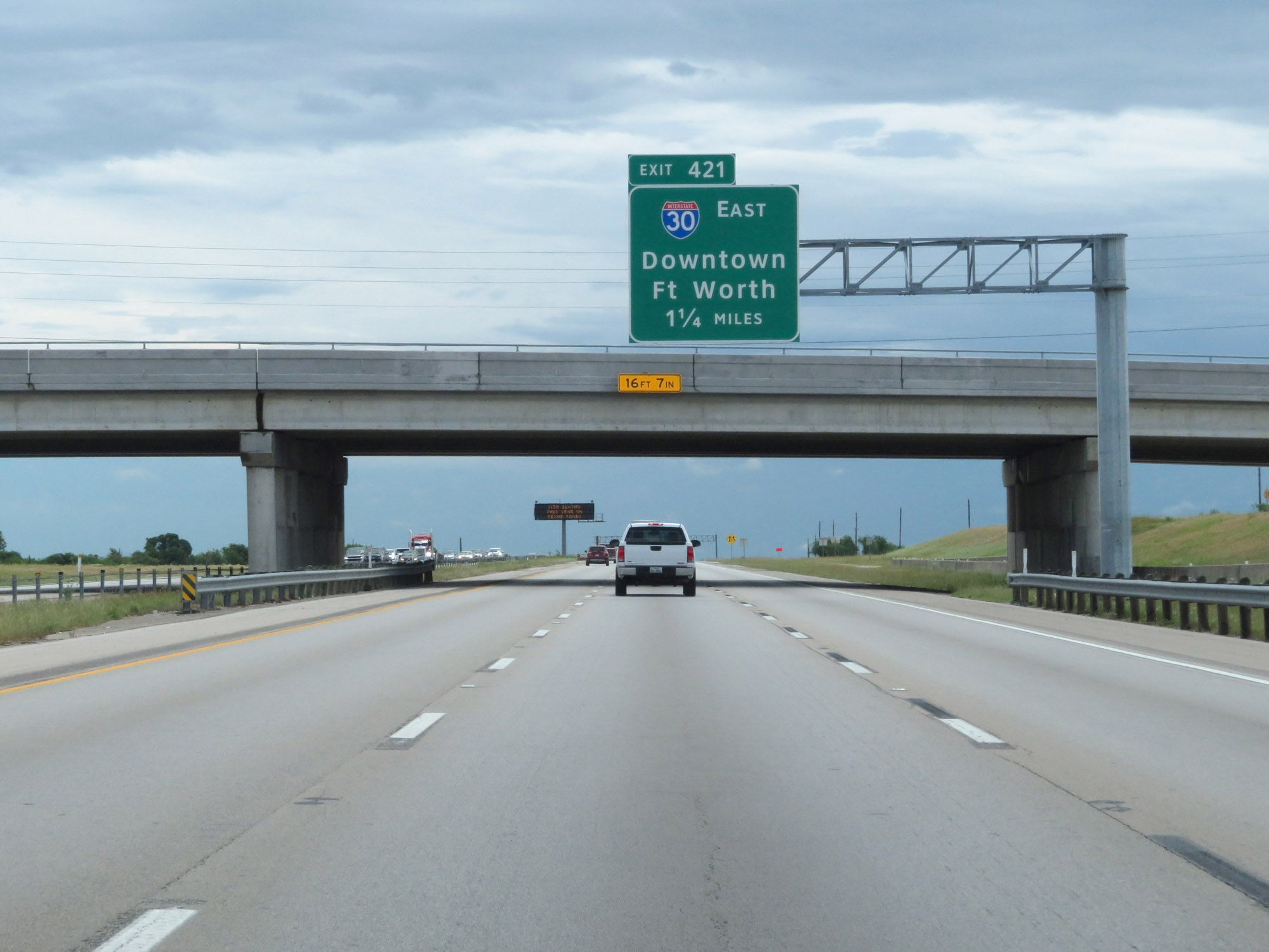
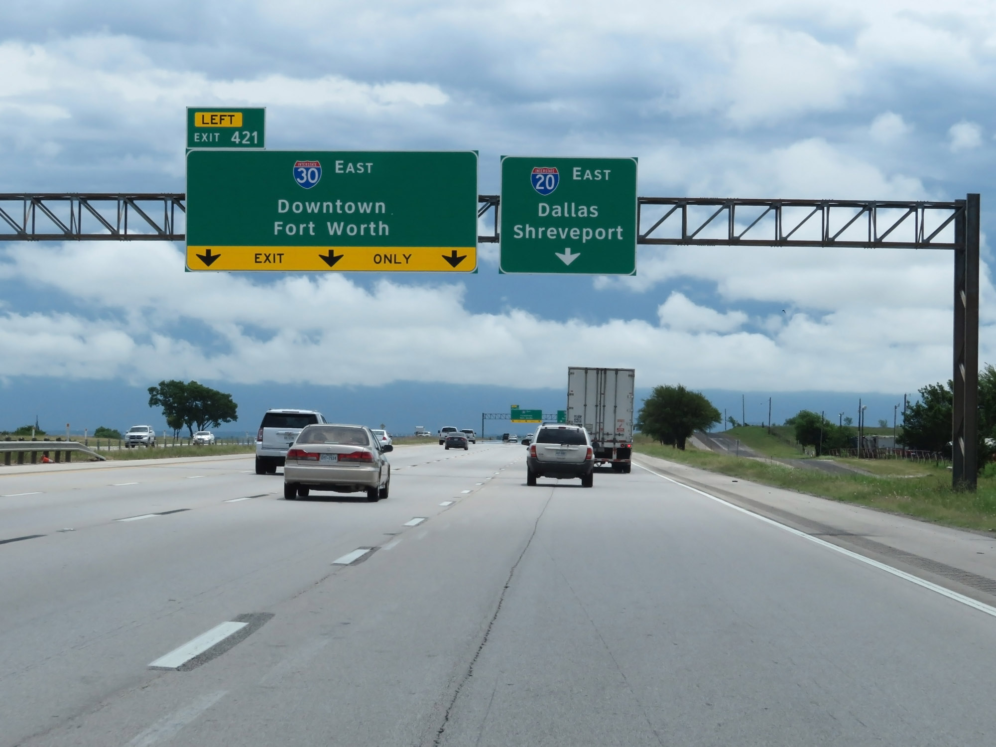
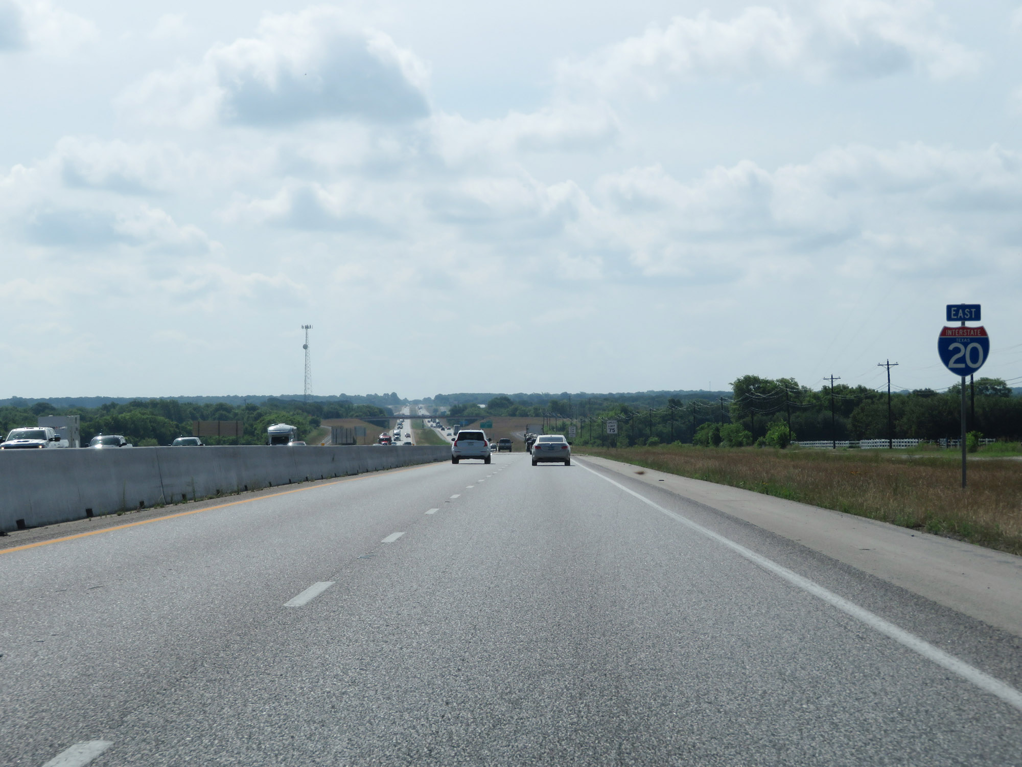
Interstate 20 East at Exit 421: Interstate 30 East - Downtown Fort Worth (Photo taken 5/20/18). |
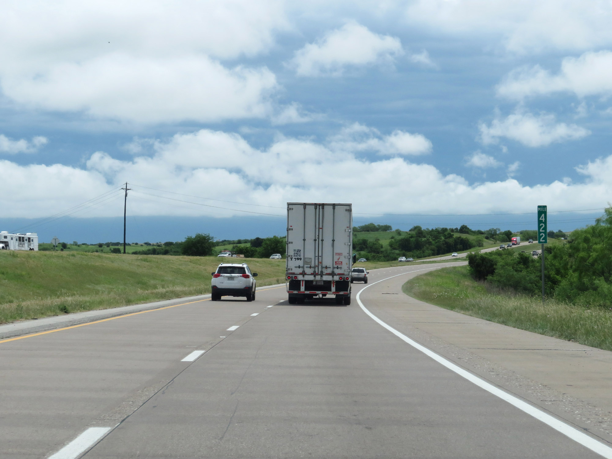 |
Interstate 20 East at mile marker 422. (Photo taken 5/20/18). |
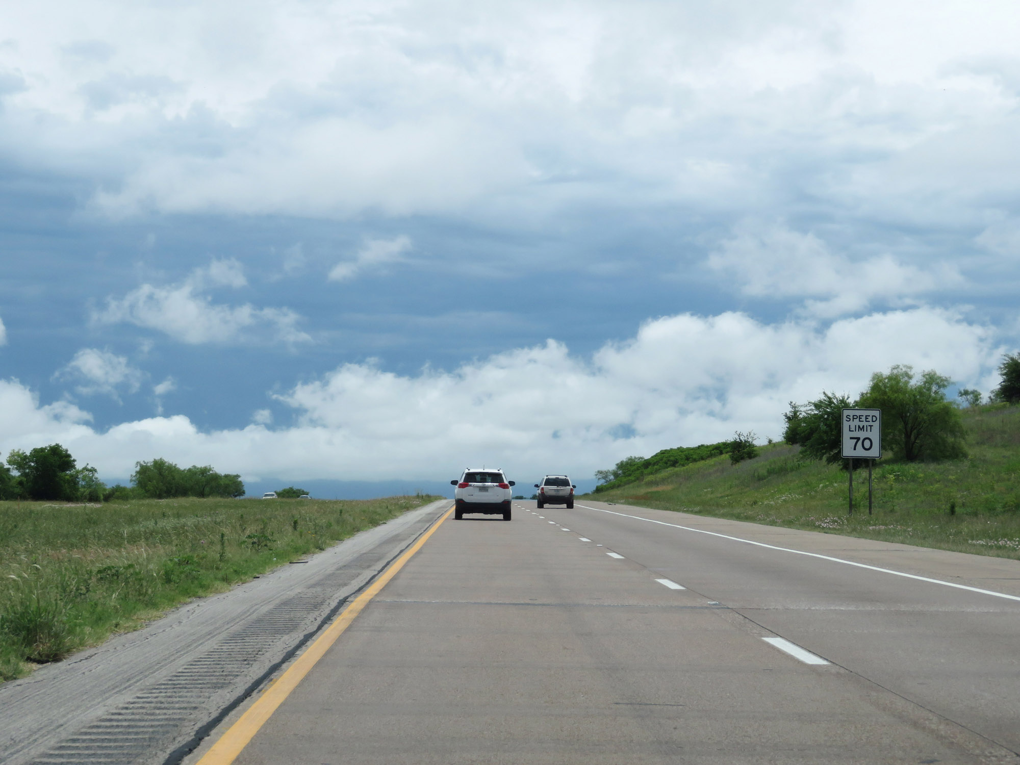 |
The speed limit remains 70 mph on Interstate 20 East. (Photo taken 5/20/18). |
 |
Interstate 20 East as it enters Tarrant County. (Photo taken 5/20/18). |
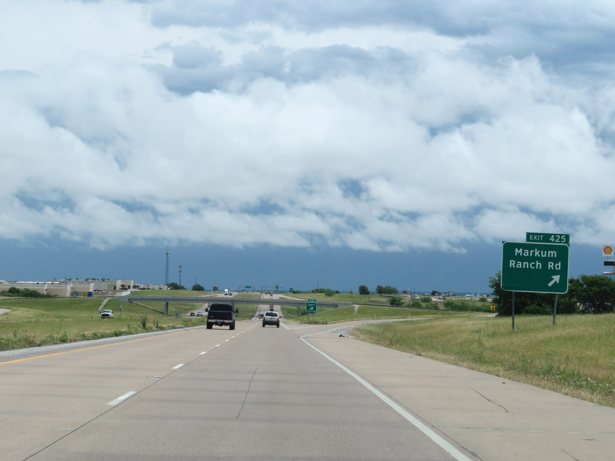 |
Interstate 20 East at Exit 425: Markum Ranch Rd (Photo taken 5/20/18). |
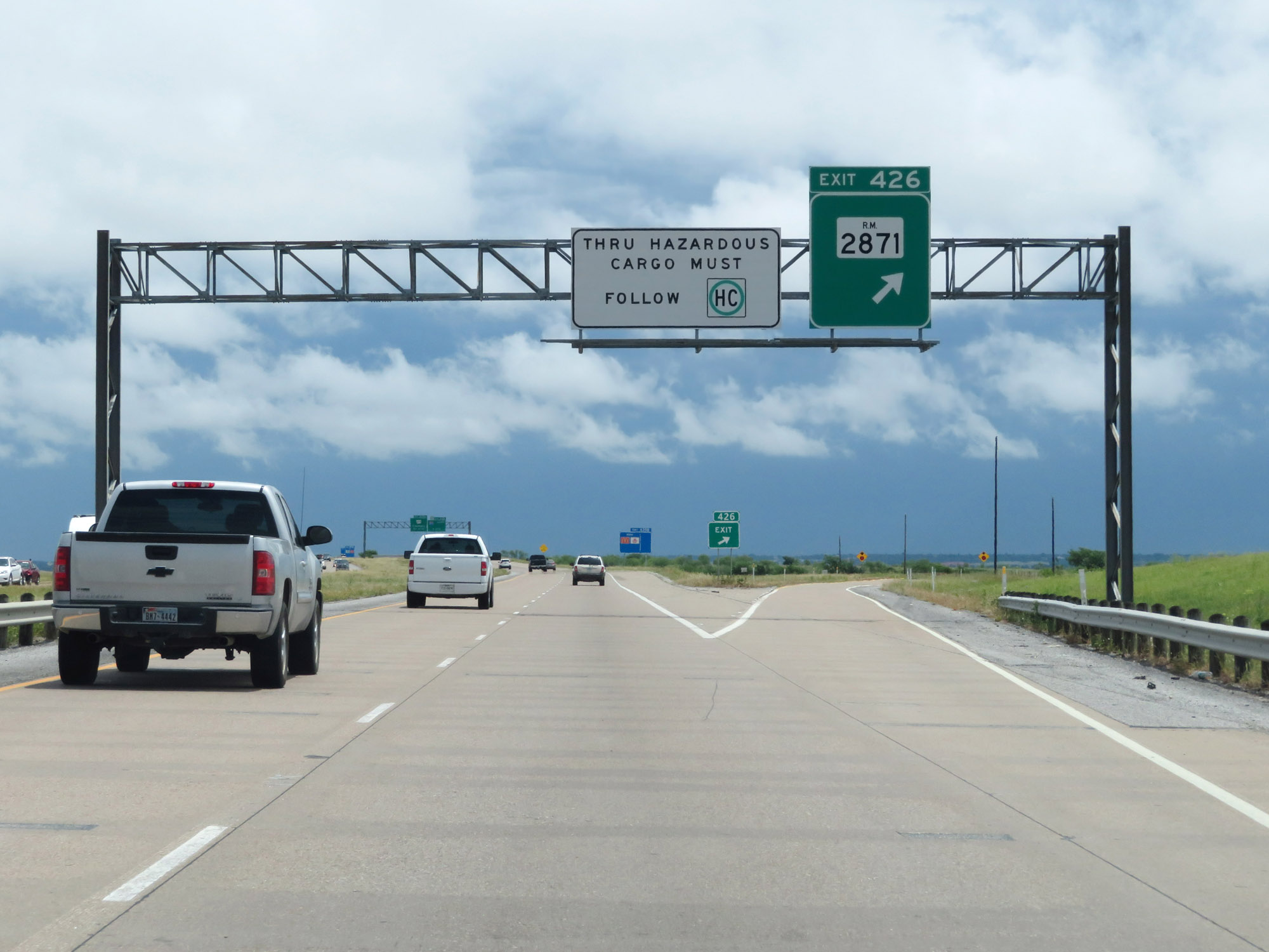 |
Interstate 20 East at Exit 426: RM 2871 (Photo taken 5/20/18). |
 |
Interstate 20 East approaching Exit 428 - 1 mile. (Photo taken 5/20/18). |
 |
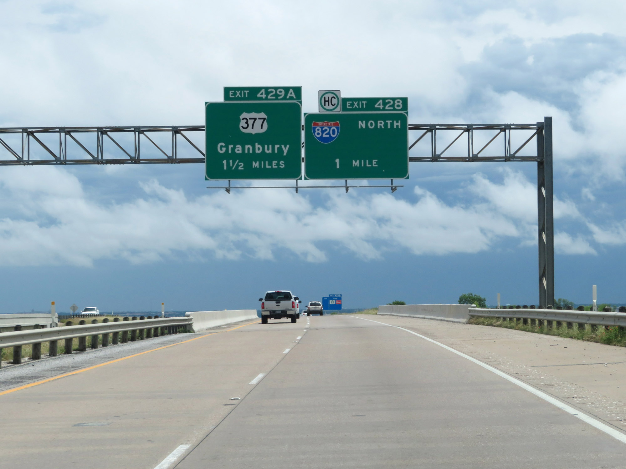
Interstate 20 East at Exit 428: Interstate 820 North (Photo taken 5/20/18). |
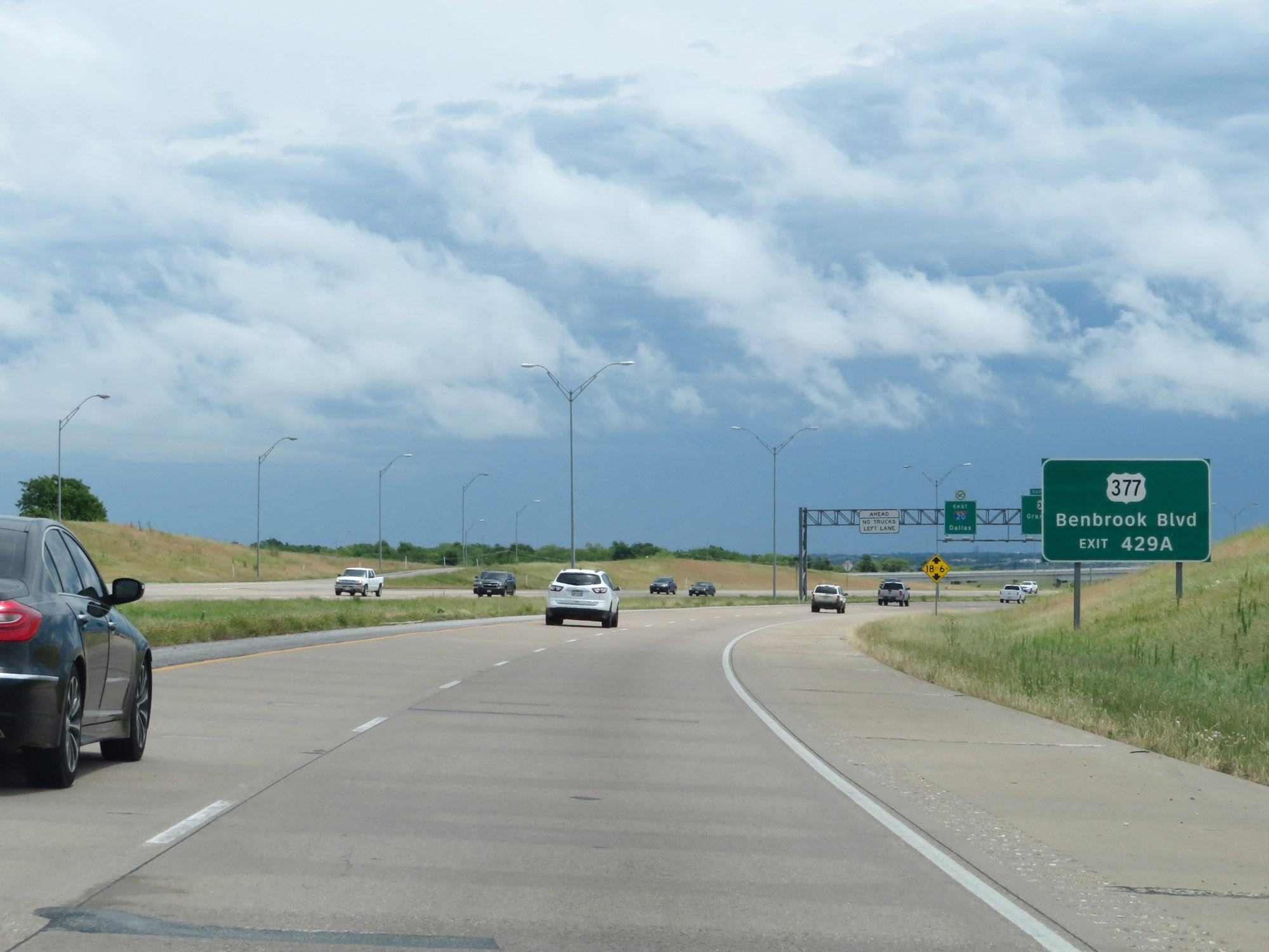 |
Take Exit 429A to Benbrook Blvd. (Photo taken 5/20/18). |
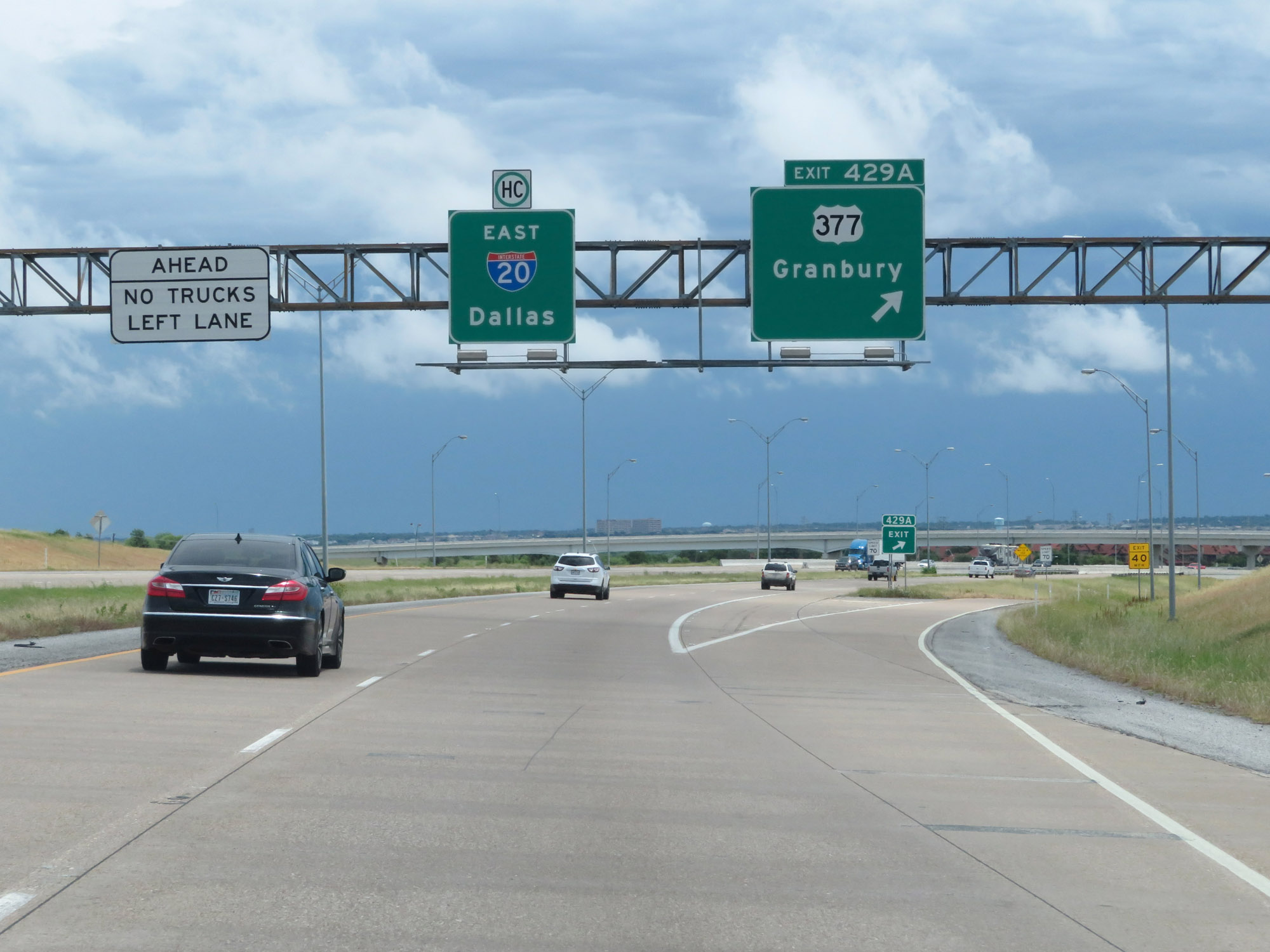 |
Interstate 20 East at Exit 429A: US 377 - Granbury (Photo taken 5/20/18). |
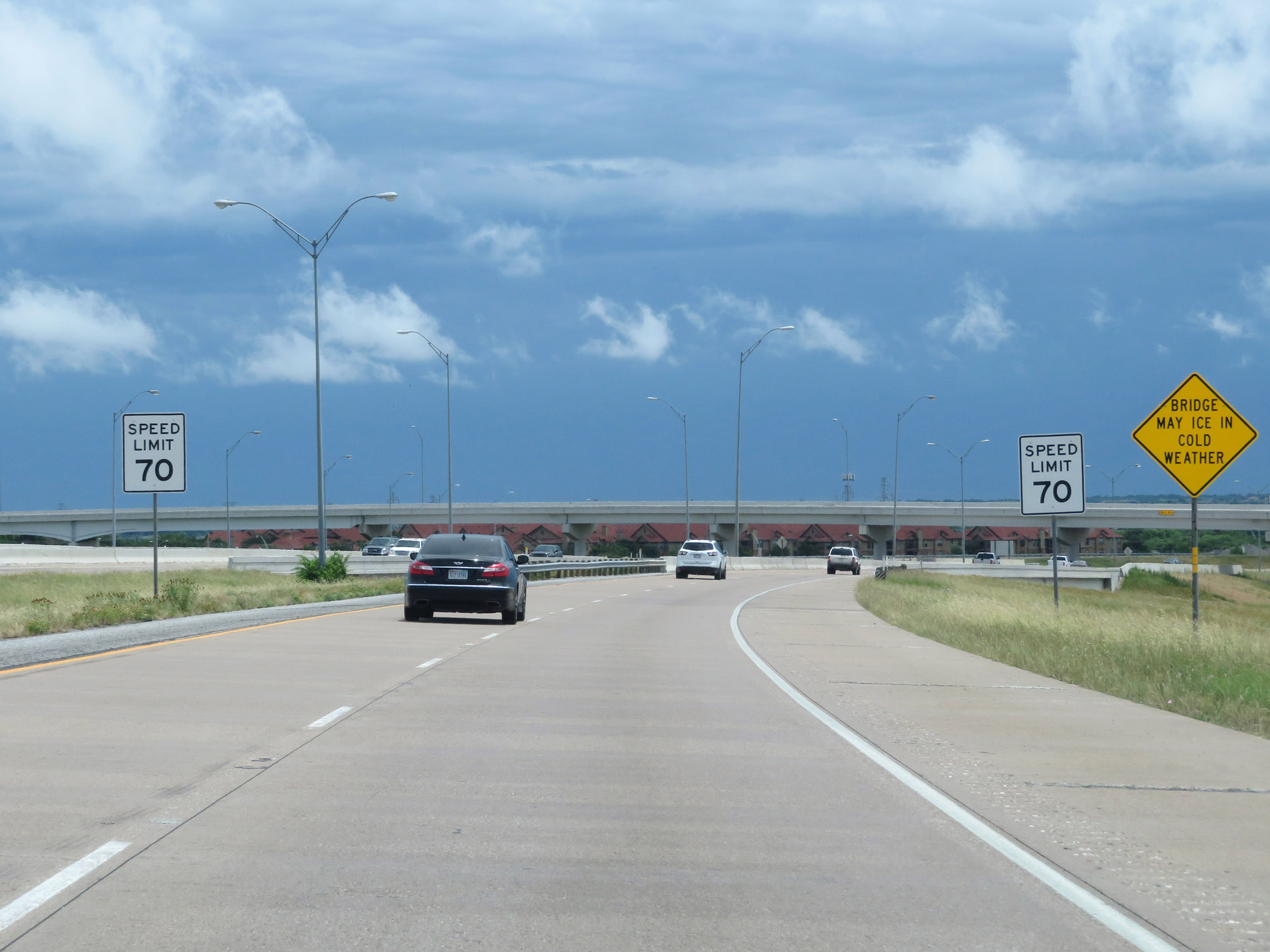 |
The speed limit remains 70 mph through the Fort Worth area on Interstate 20 East. (Photo taken 5/20/18). |
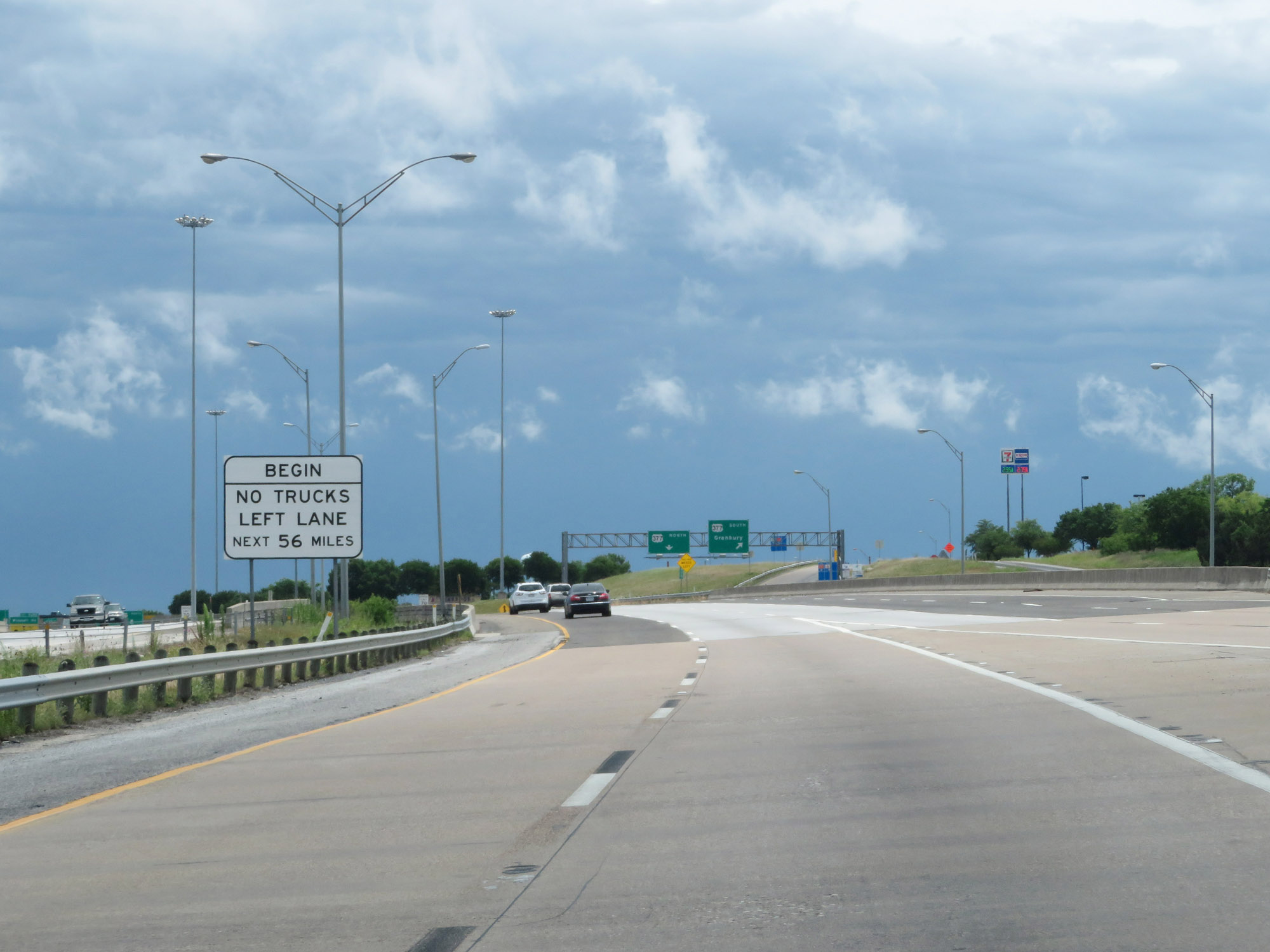 |
Approaching Exit 429B, a truck lane restriction goes into effect which will last for the next 56 miles. During this distance, trucks are prohibited from the left lane. (Photo taken 5/20/18). |
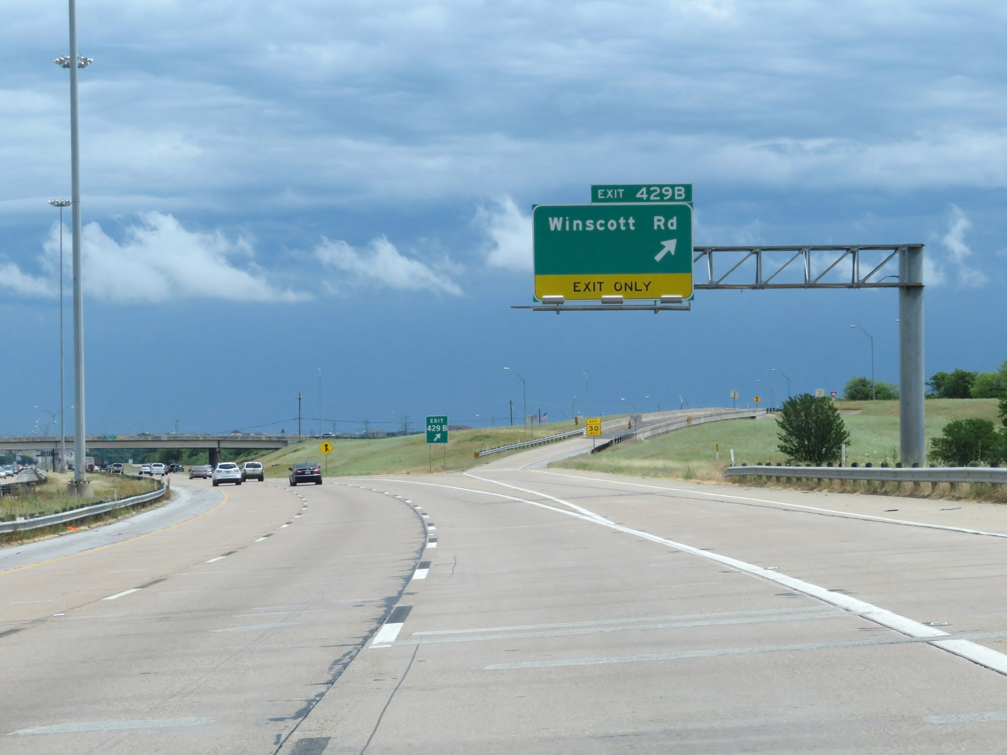 |
Interstate 20 East at Exit 429B: Winscott Rd (Photo taken 5/20/18). |
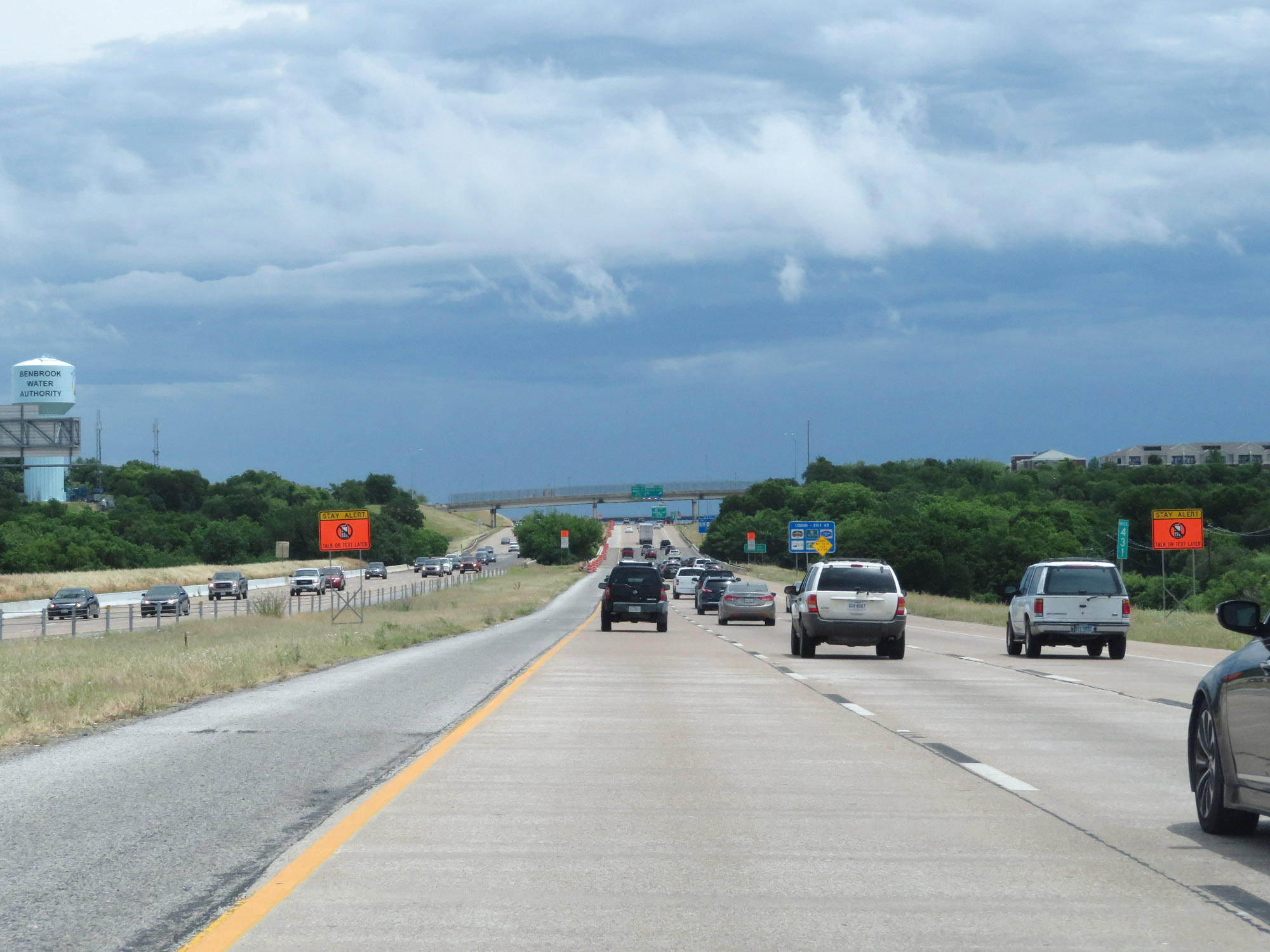 |
Interstate 20 East at mile marker 431. (Photo taken 5/20/18). |
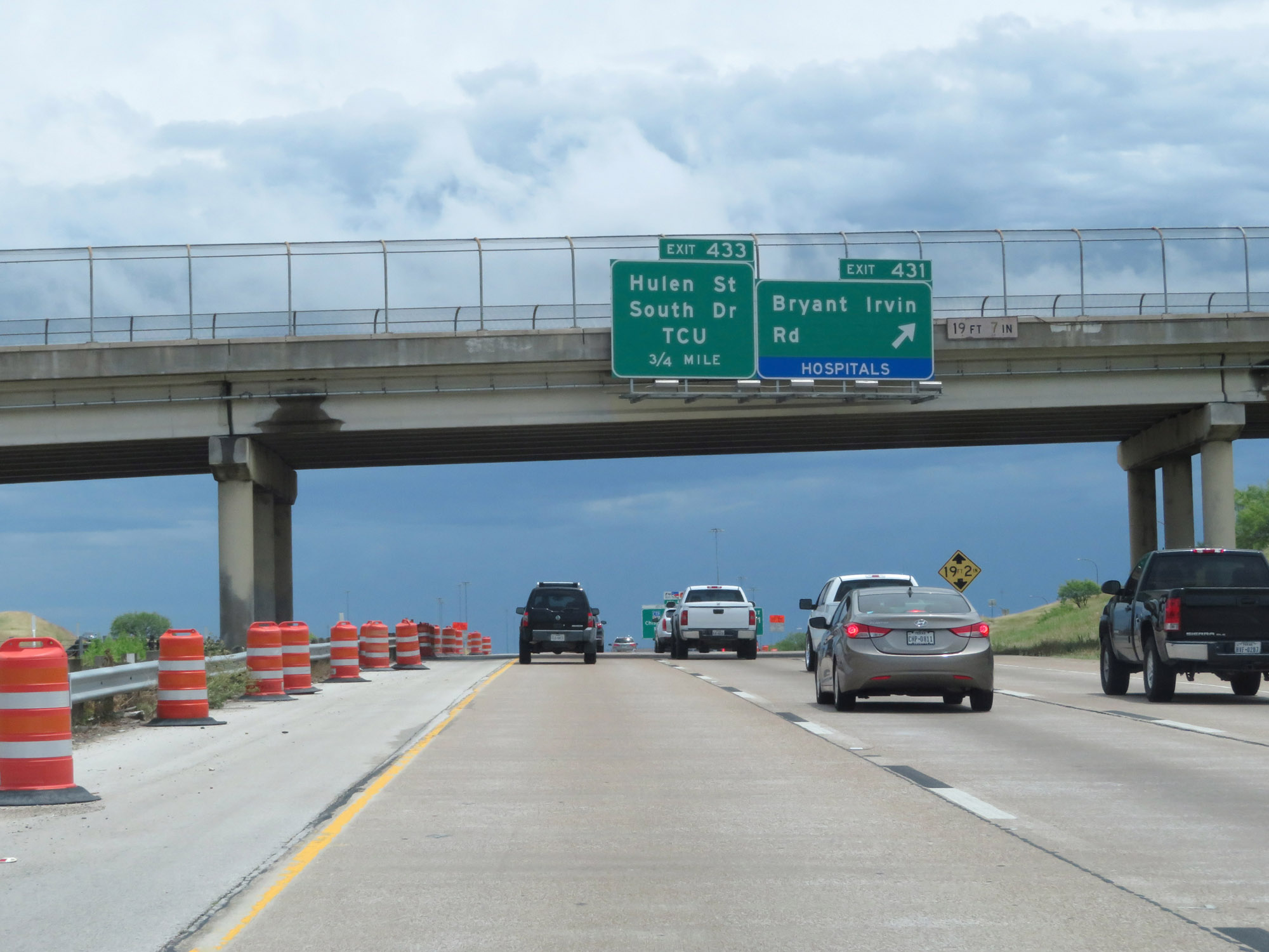 |
Interstate 20 East at Exit 431: Bryant Irvin Rd (Photo taken 5/20/18). |
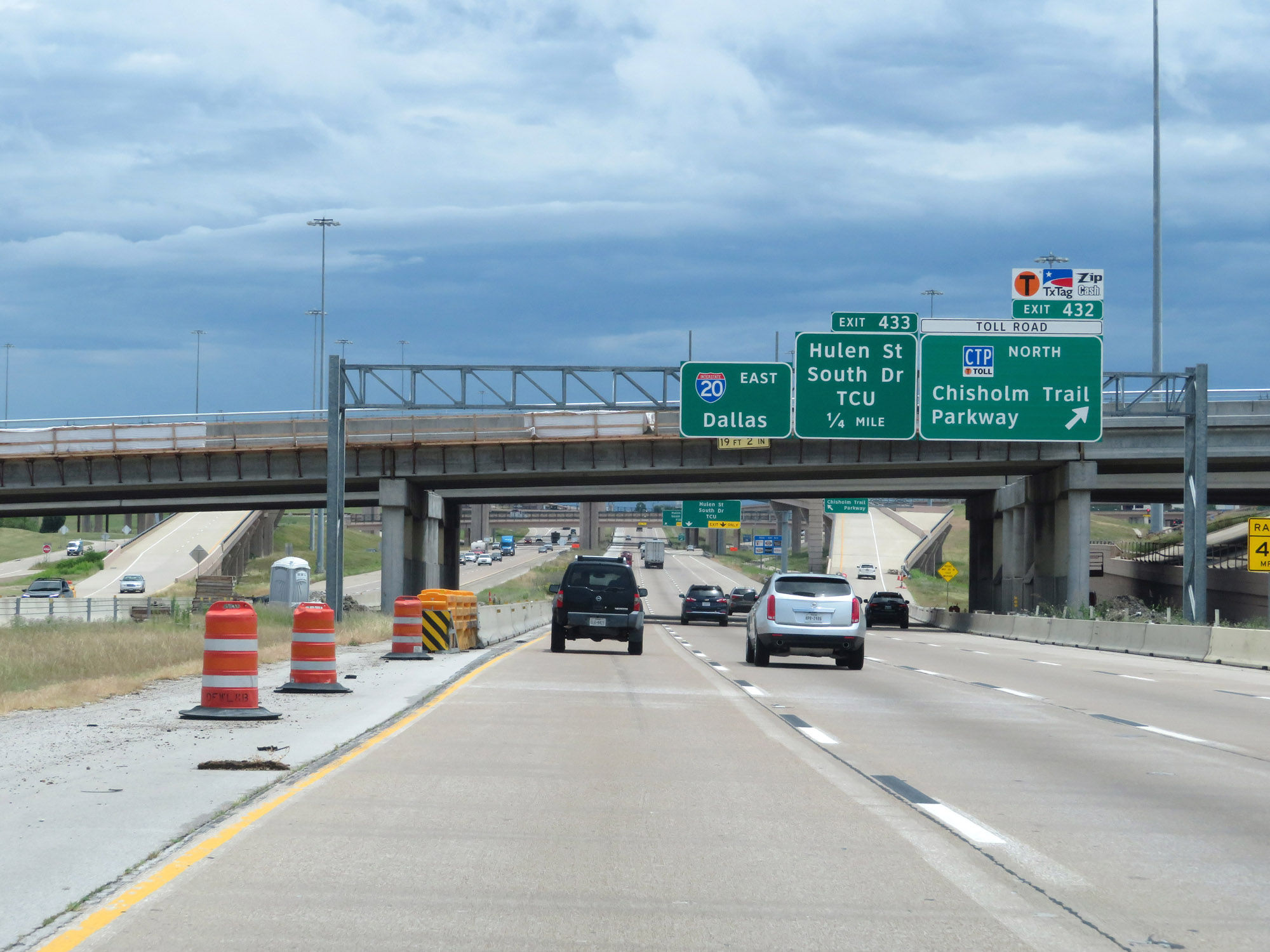 |
Interstate 20 East at Exit 432: Chisholm Trail Parkway North (Photo taken 5/20/18). |
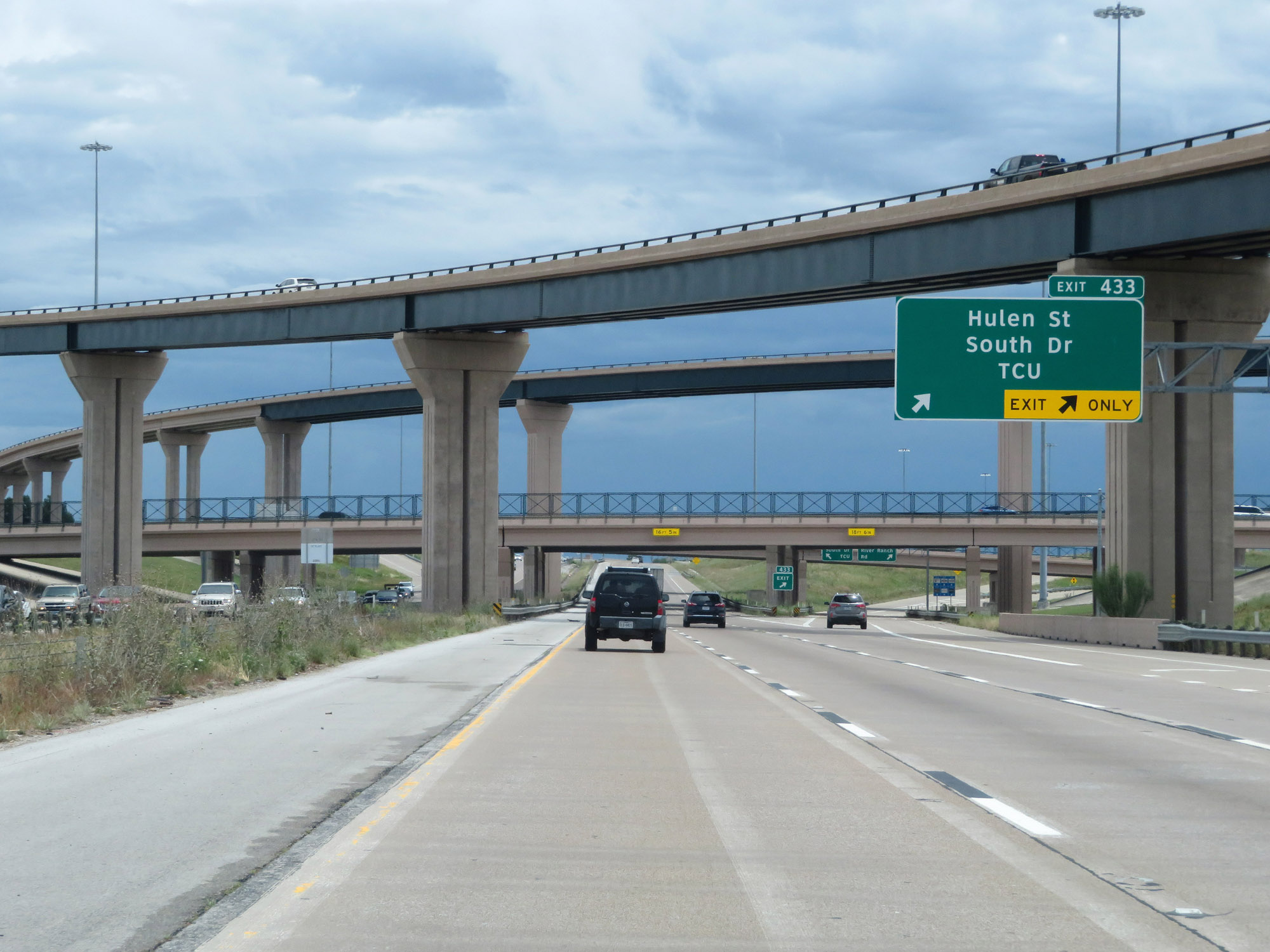 |
Interstate 20 East at Exit 433: Hulen St / South Dr / TCU (Photo taken 5/20/18). |
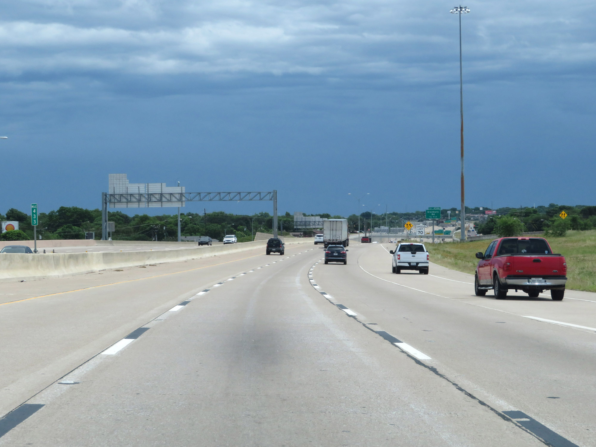 |
Interstate 20 East at mile marker 433. (Photo taken 5/20/18). |
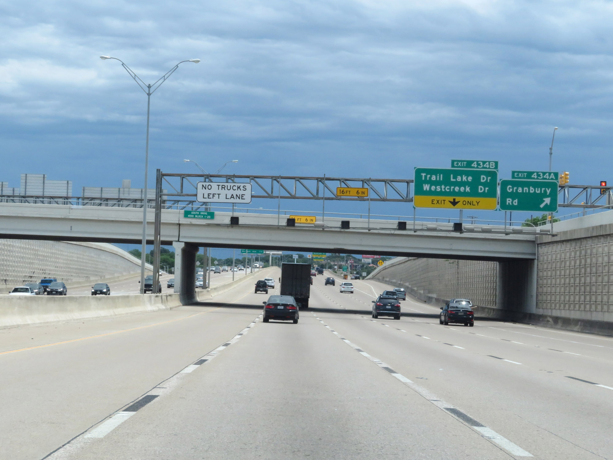 |
Interstate 20 East at Exit 434A: Granbury Rd (Photo taken 5/20/18). |
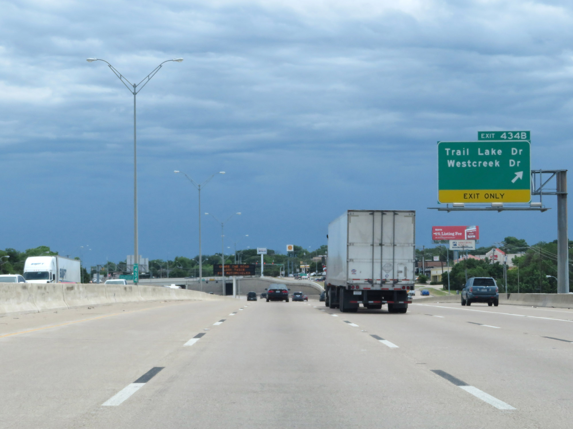 |
Interstate 20 East at Exit 434B: Trail Lake Dr / Westcreek Dr (Photo taken 5/20/18). |
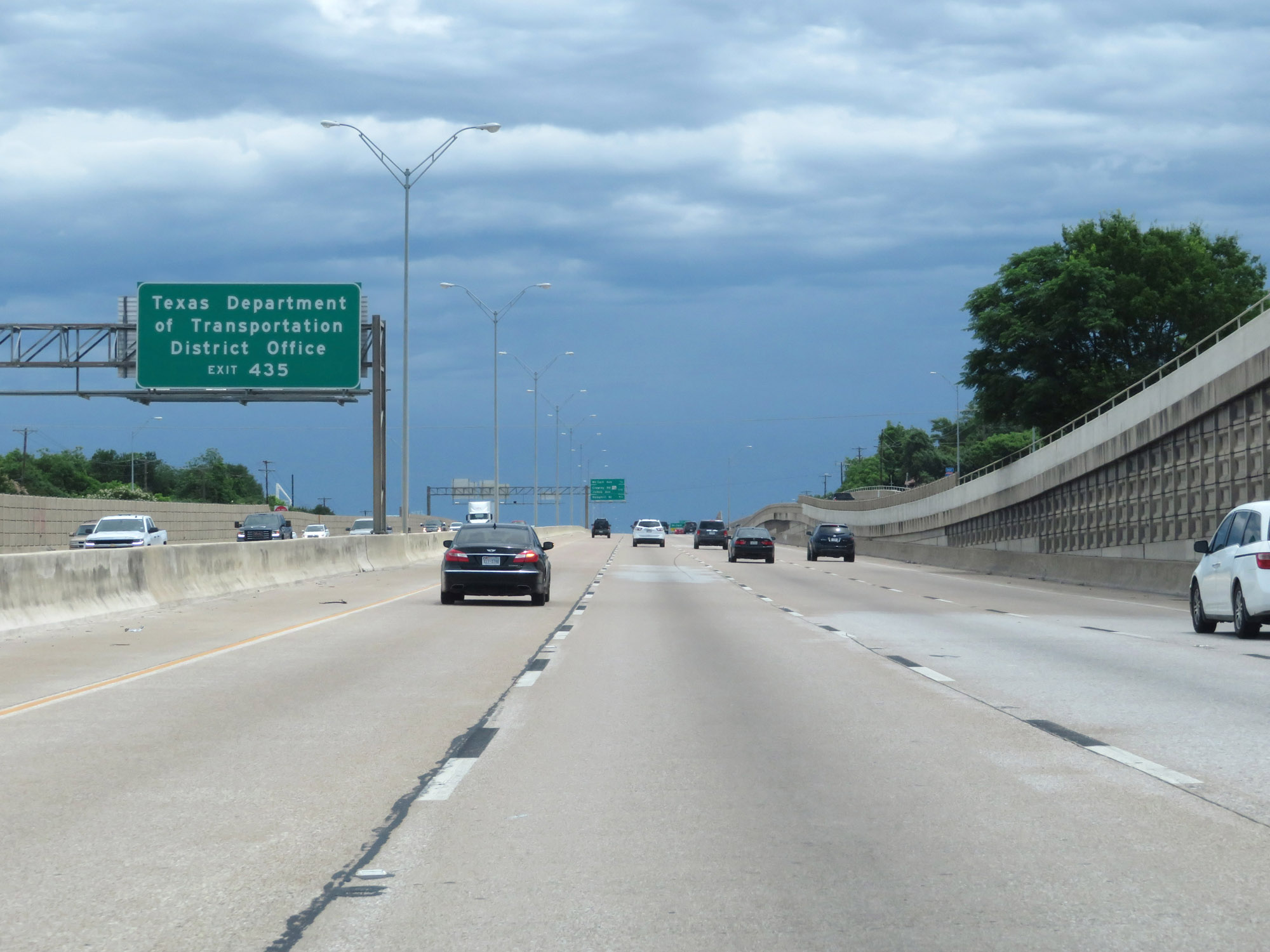 |
Take Exit 435 to the Texas Department of Transportation District Office. (Photo taken 5/20/18). |
 |
Interstate 20 East at Exit 435: McCart Ave (Photo taken 5/20/18). |
 |
Interstate 20 East approaching Exit 437 - 1 1/2 miles. (Photo taken 5/20/18). |
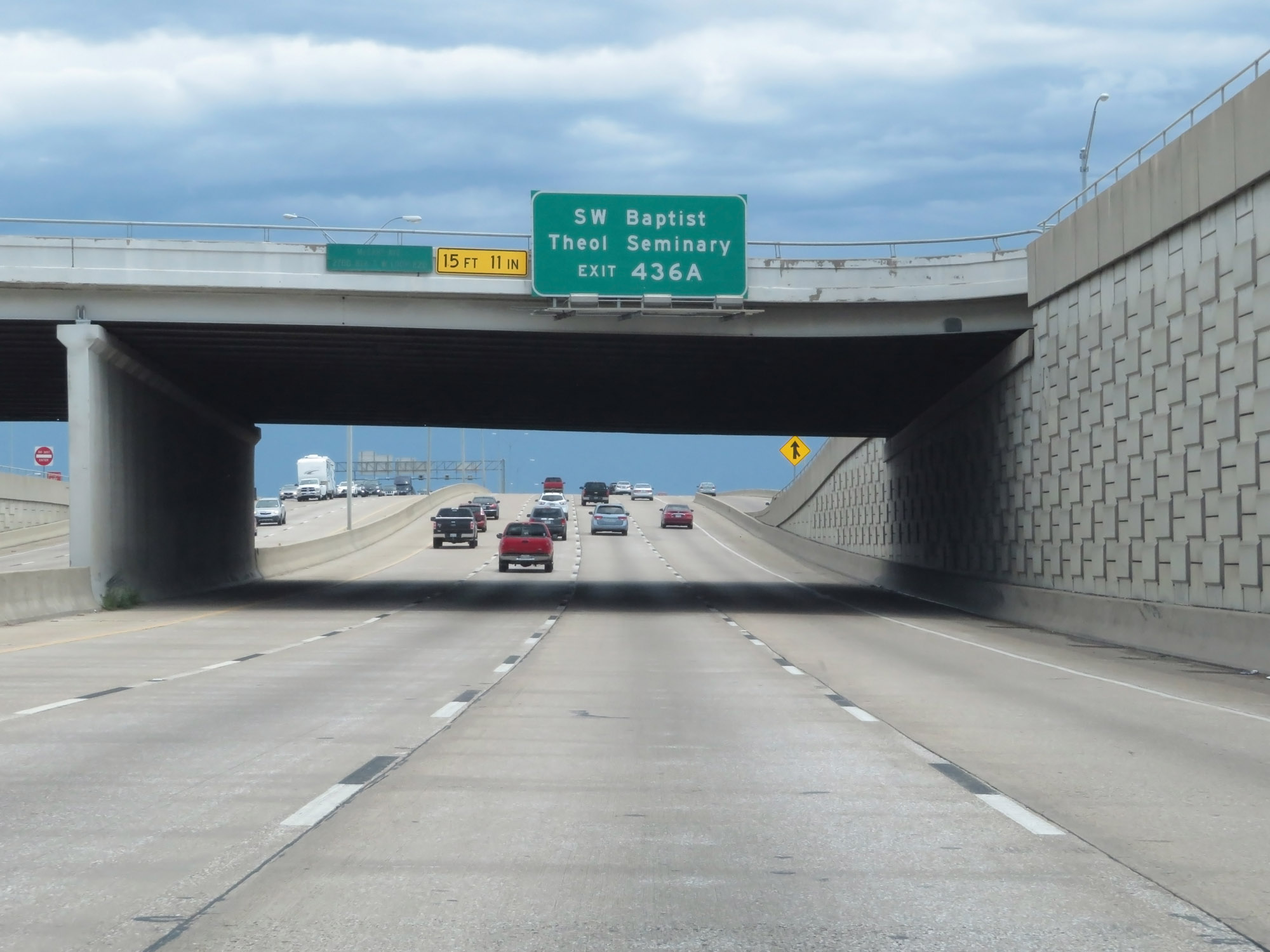 |
Take Exit 436A to SW Baptist Theological Seminary. (Photo taken 5/20/18). |
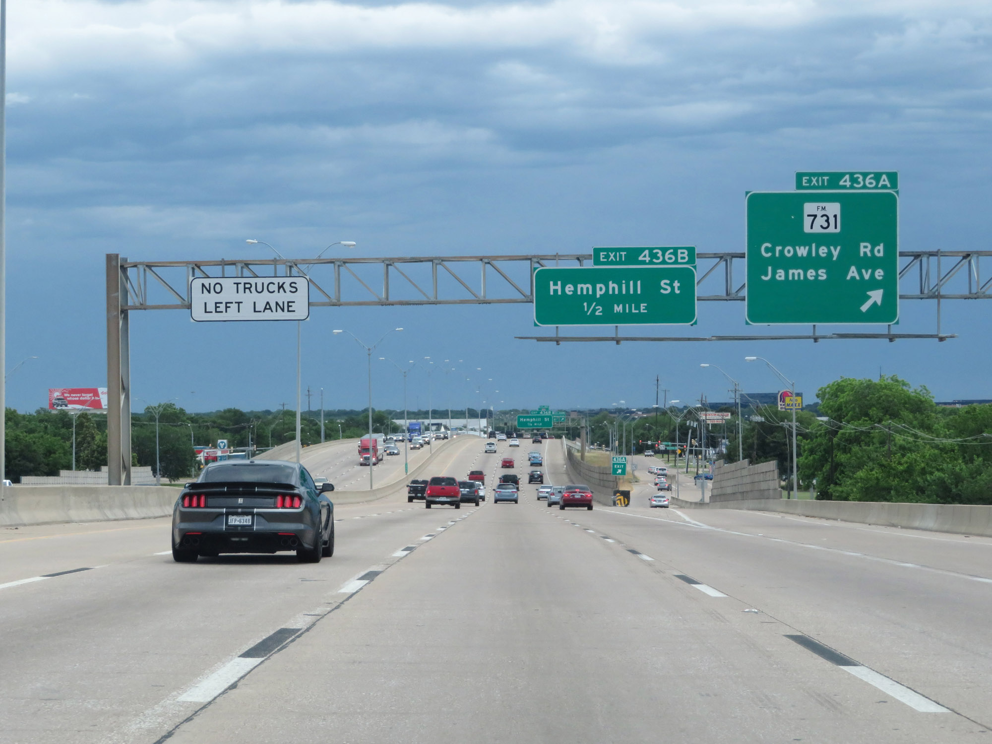 |
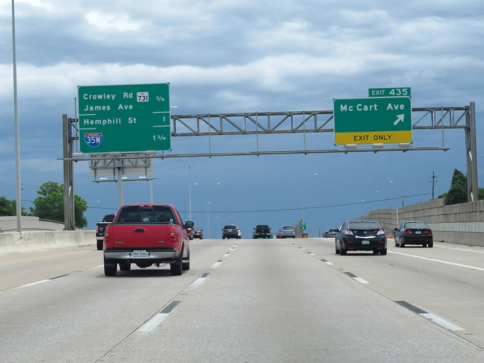
Interstate 20 East at Exit 436A: FM 731 - Crowley Rd / James Ave (Photo taken 5/20/18). |
 |
Interstate 20 East at Exit 436B: Hemphill St (Photo taken 5/20/18). |
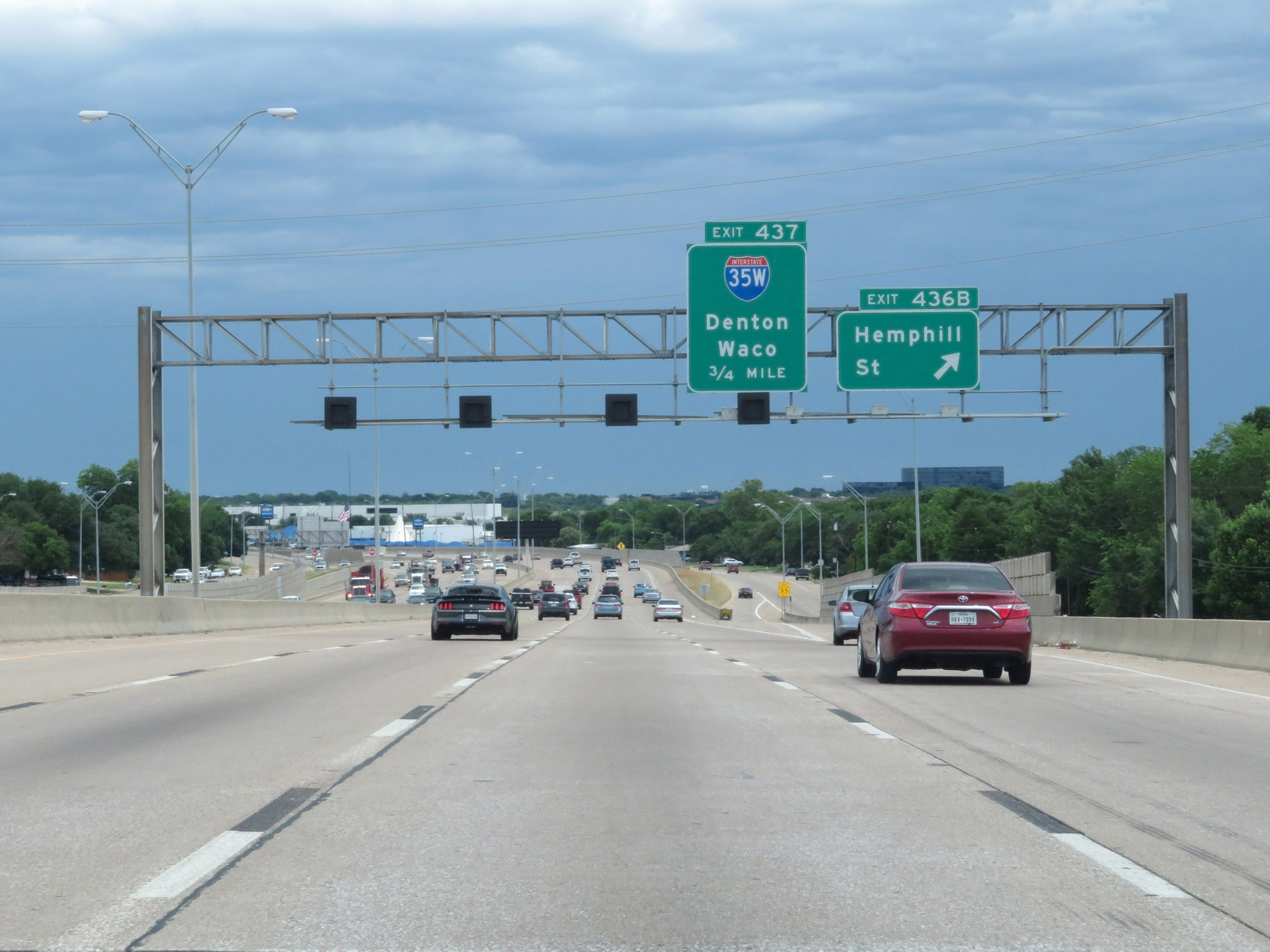
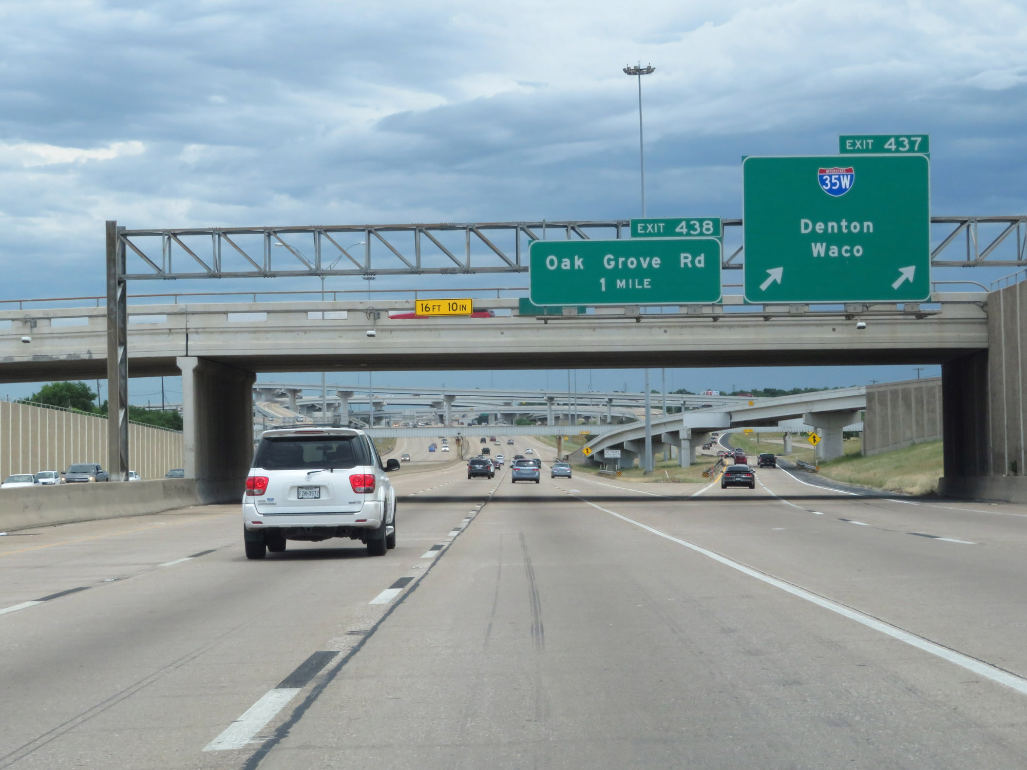 |
Interstate 20 East at Exit 437: Interstate 35W - Denton / Waco (Photo taken 5/20/18). |
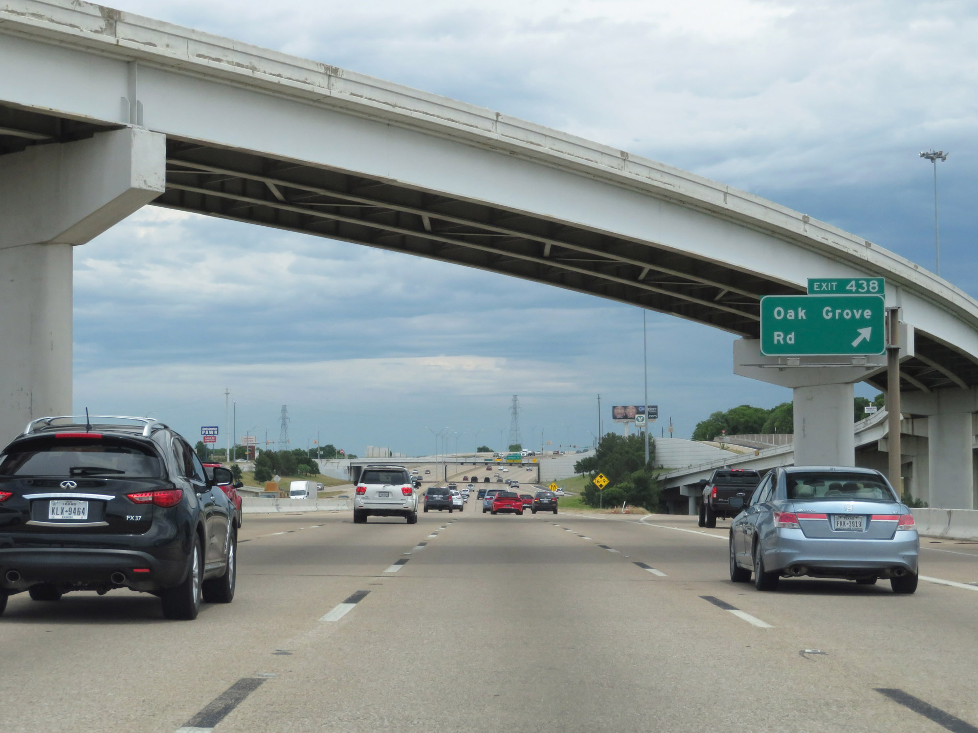 |
Interstate 20 East at Exit 438: Oak Grove Rd (Photo taken 5/20/18). |
 |
Take Exit 439 to TCC South Campus Resource Connection. (Photo taken 5/20/18). |
 |
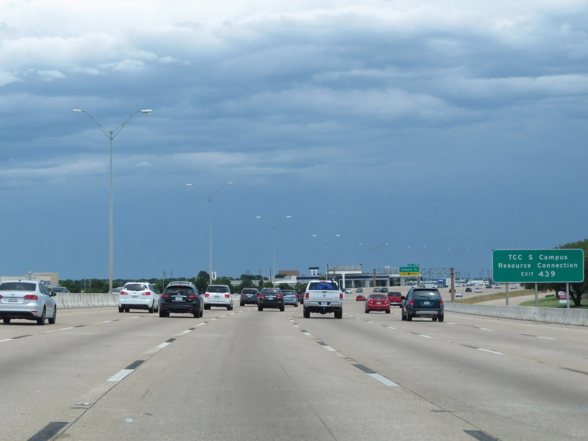
Interstate 20 East at Exit 439: Campus Dr (Photo taken 5/20/18). |
 |
Take any of the next 3 exits to Forest Hill. (Photo taken 5/20/18). |
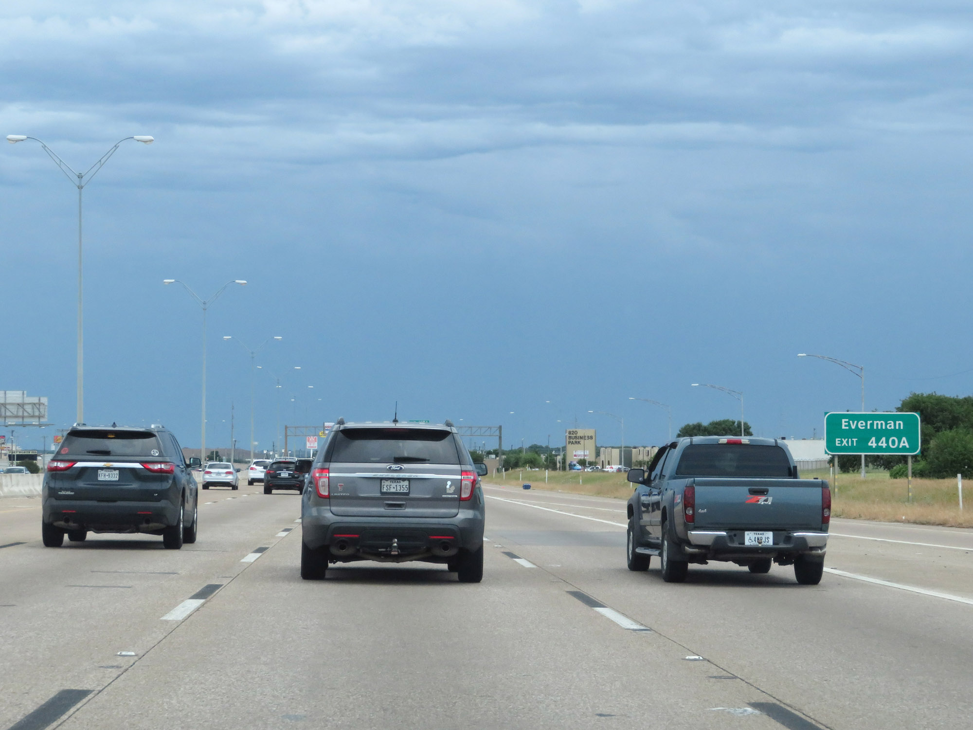 |
Take Exit 440A to Everman. (Photo taken 5/20/18). |
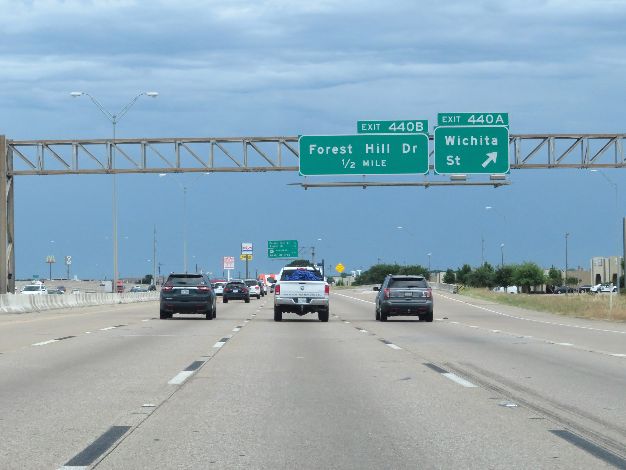 |
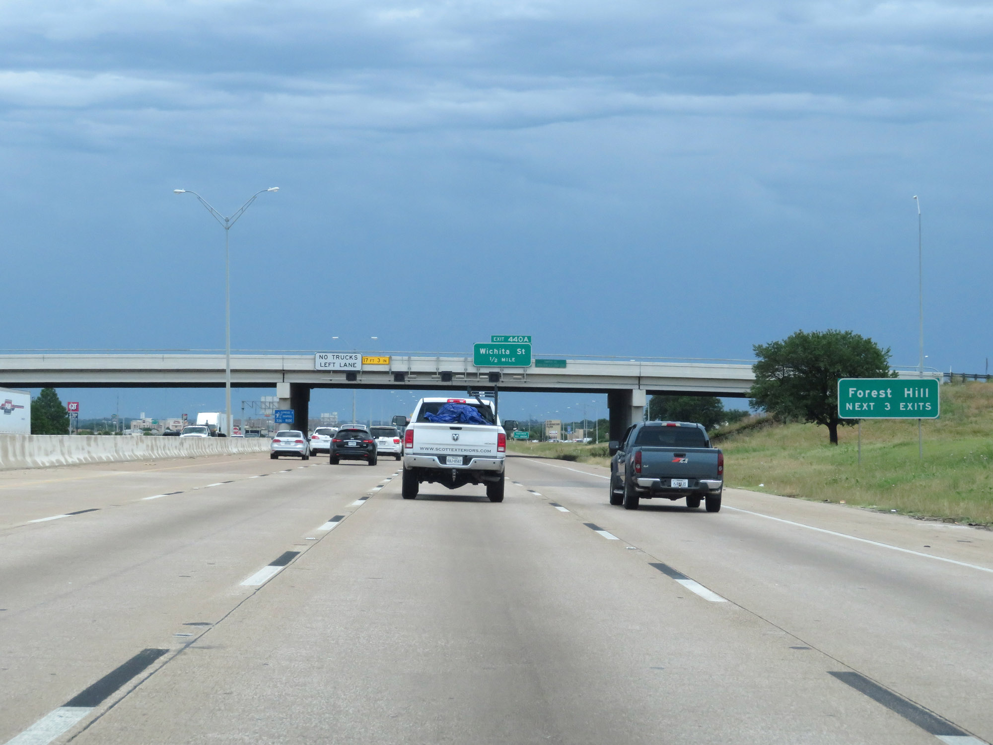
Interstate 20 East at Exit 440A: Wichita St (Photo taken 5/20/18). |
 |
Interstate 20 East at Exit 440B: Forest Hill Dr (Photo taken 5/20/18). |
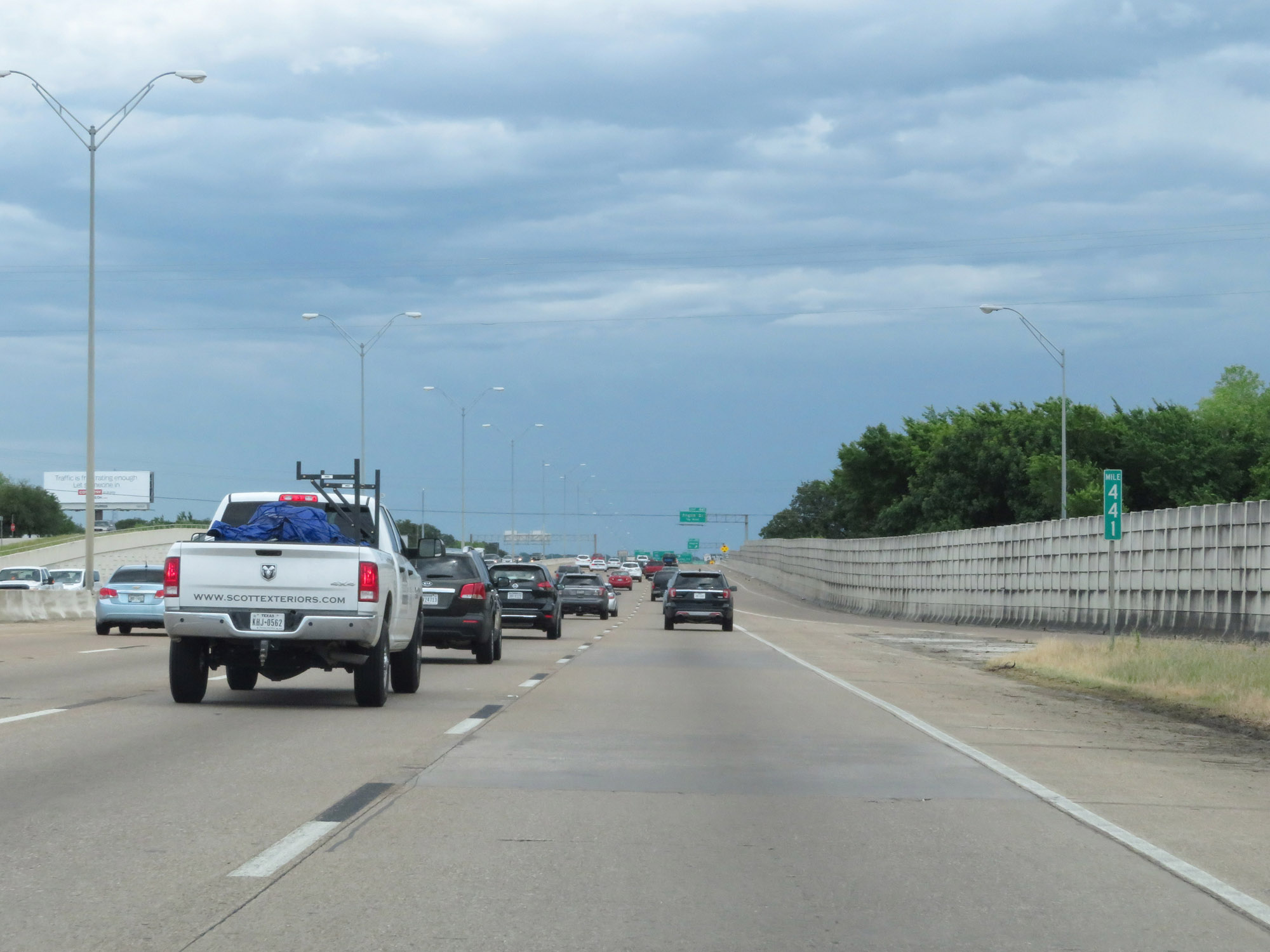 |
Interstate 20 East at mile marker 441. (Photo taken 5/20/18). |
 |
Interstate 20 East at Exit 441: Anglin Dr (Photo taken 5/20/18). |
 |
Take Exit 442A or Exit 444 to Kennedale. (Photo taken 5/20/18). |
 |
Interstate 20 East approaching Exit 442B - 1 mile on the left. (Photo taken 5/20/18). |
 |
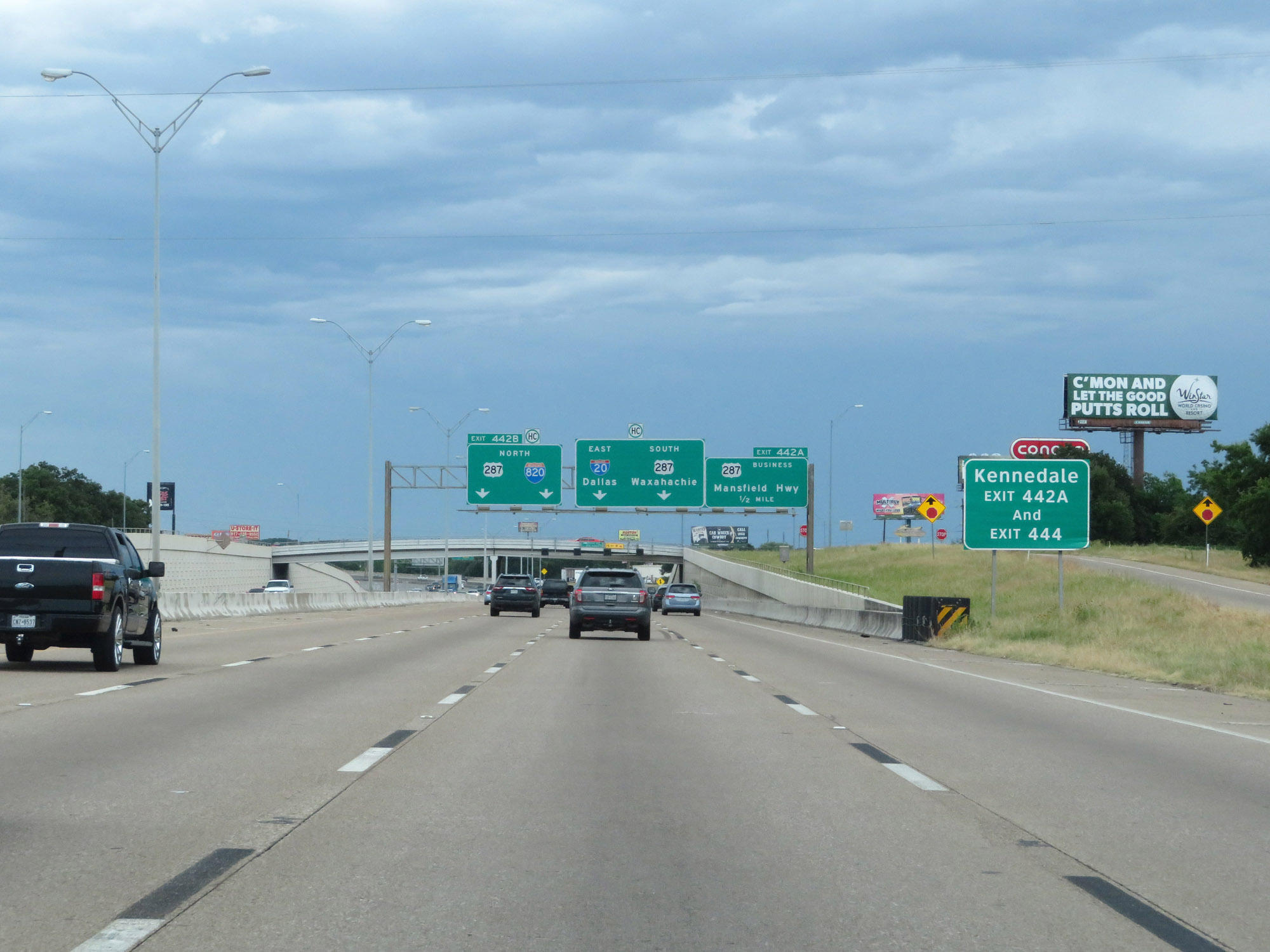
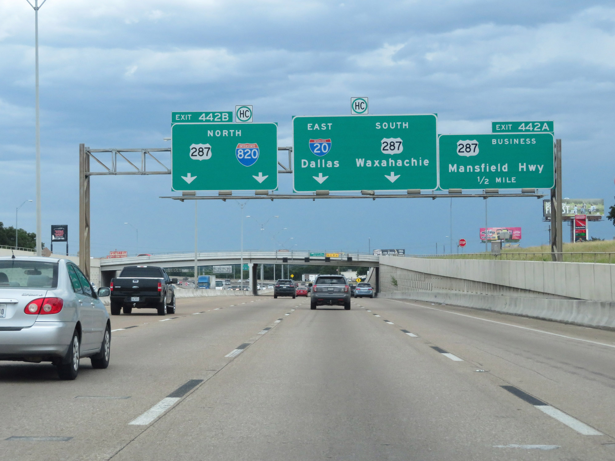
Interstate 20 East at Exit 442A: US 287 Business - Mansfield Hwy (Photo taken 5/20/18). |
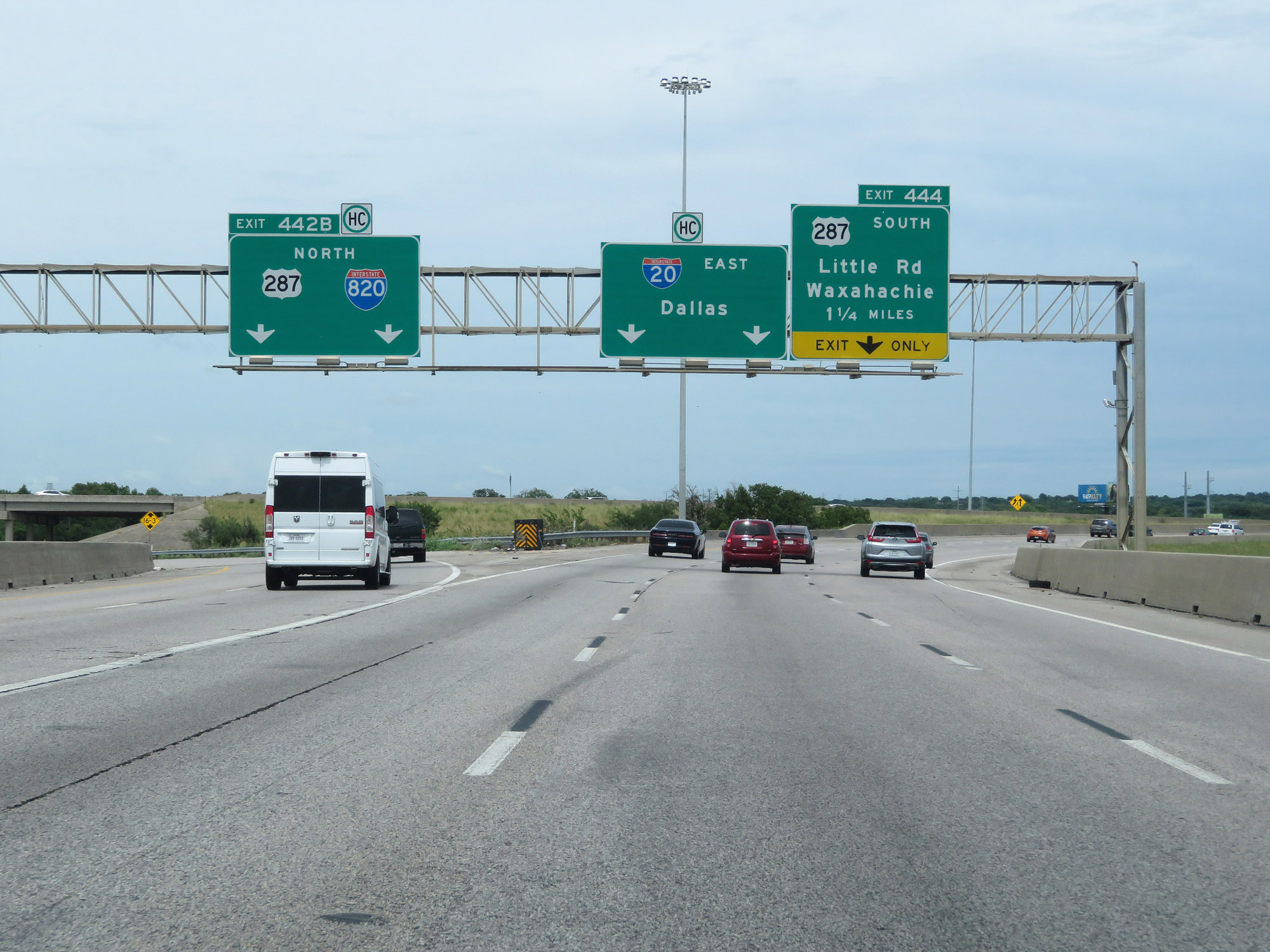 |
Interstate 20 East at Exit 442B: Interstate 820 North / US 287 North (Photo taken 5/20/18). |
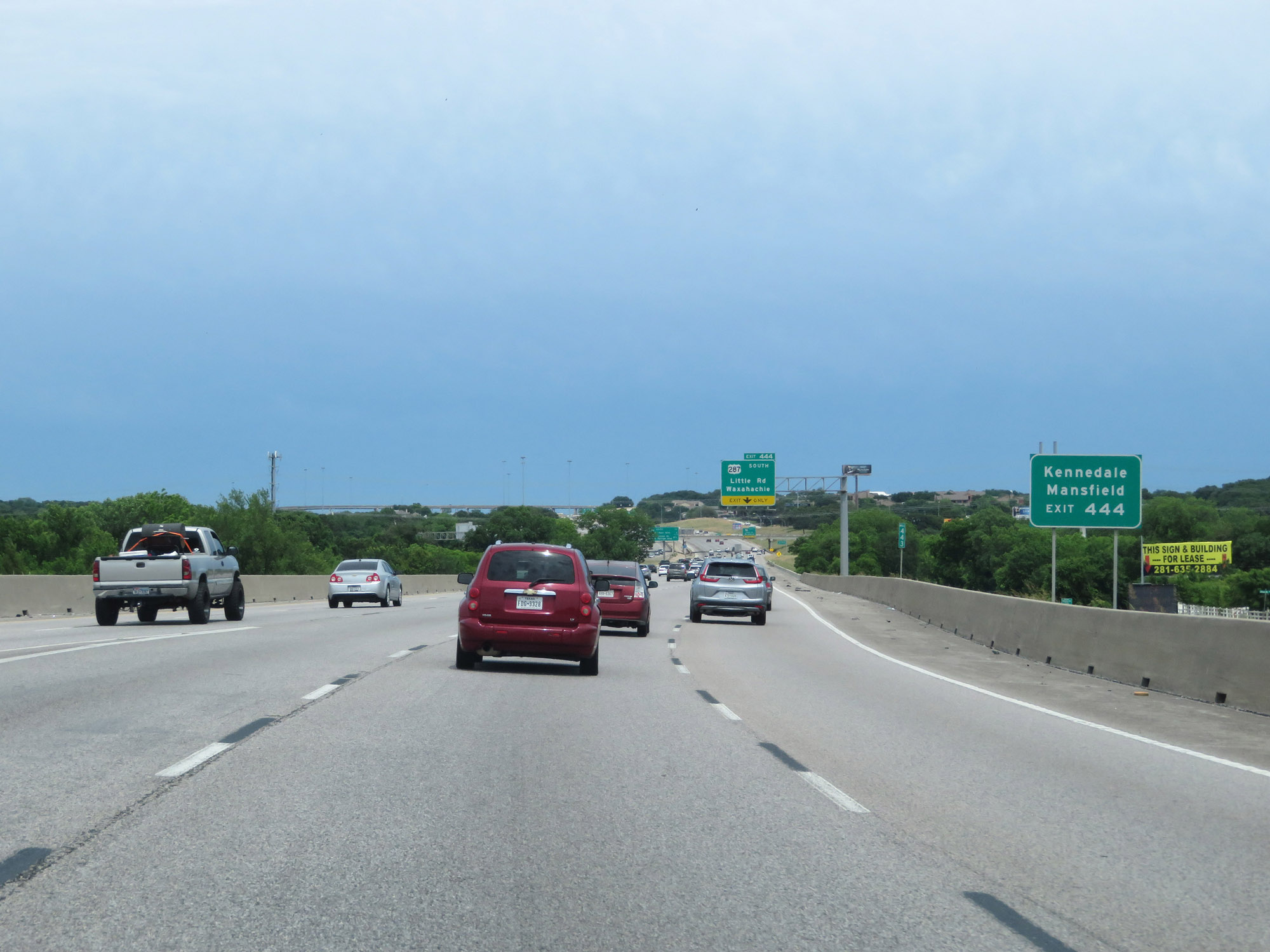 |
Take Exit 444 to Kennedale and Mansfield. (Photo taken 5/20/18). |
 |
Take any of the next 7 exits to Arlington. (Photo taken 5/20/18). |
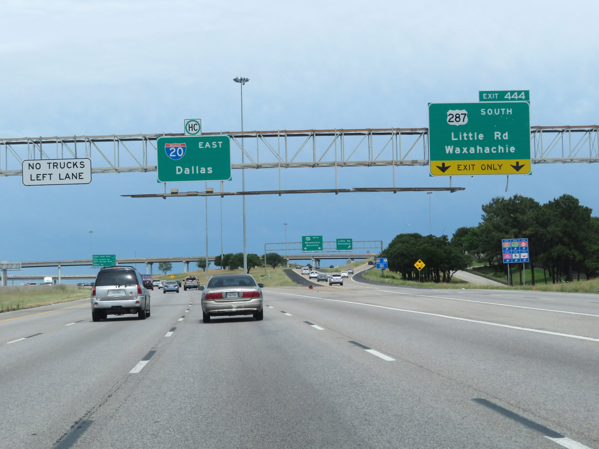 |
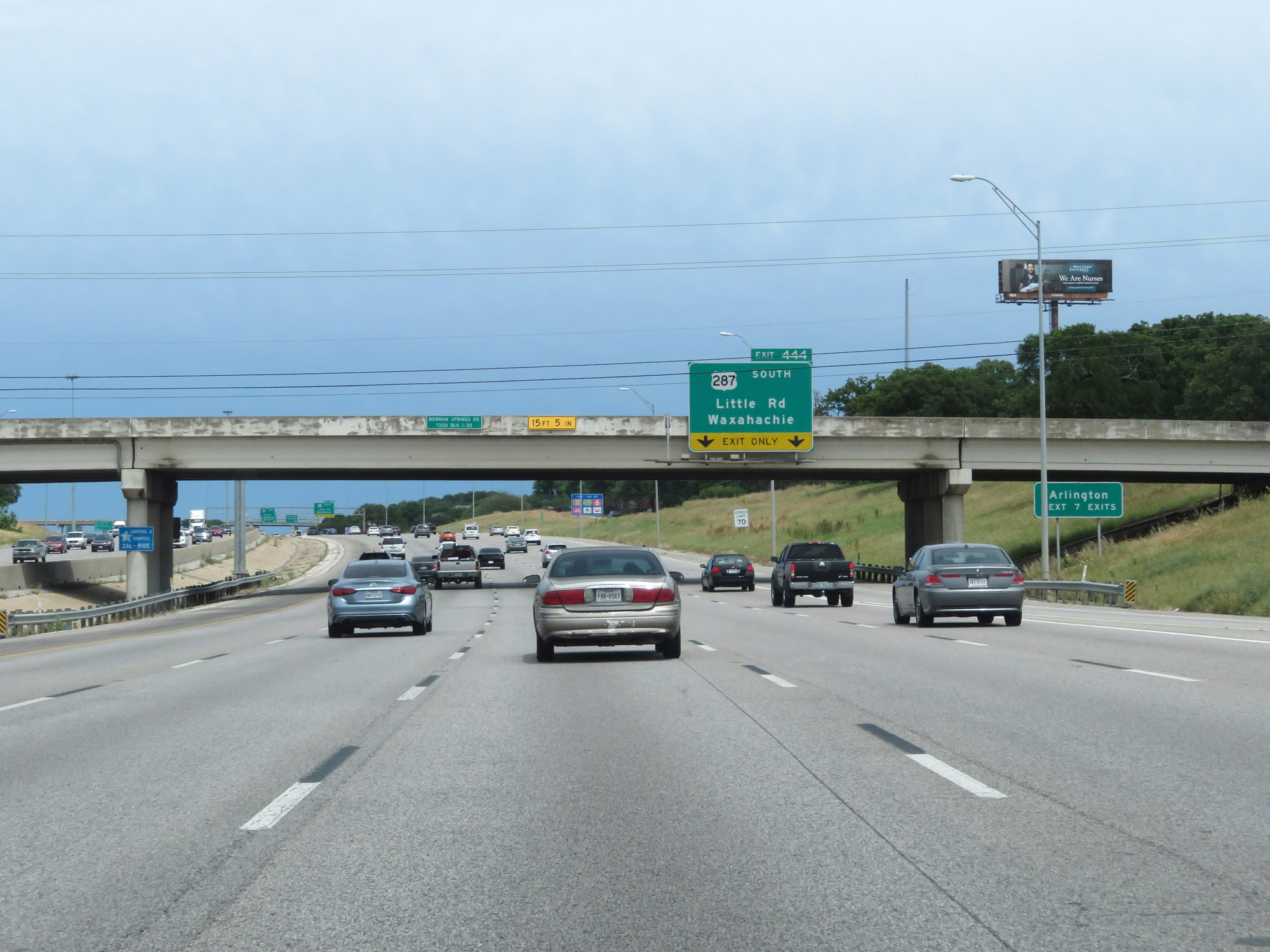
Interstate 20 East at Exit 444: US 287 South - Little Rd / Waxahachie (Photo taken 5/20/18). |
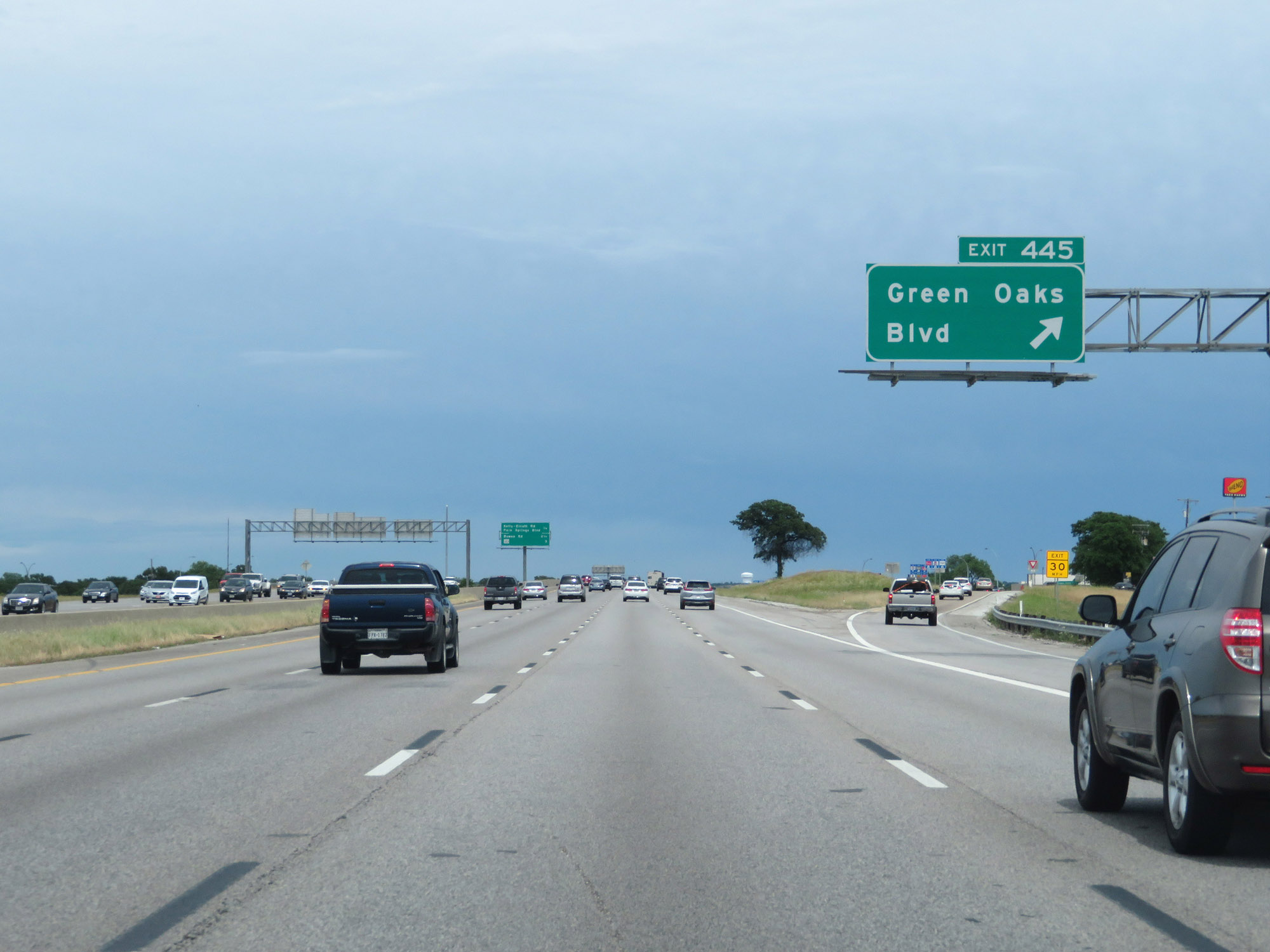 |
Interstate 20 East at Exit 445: Green Oaks Blvd (Photo taken 5/20/18). |
Section 7: Arlington (Exit 445) to Dallas (Exit 478)
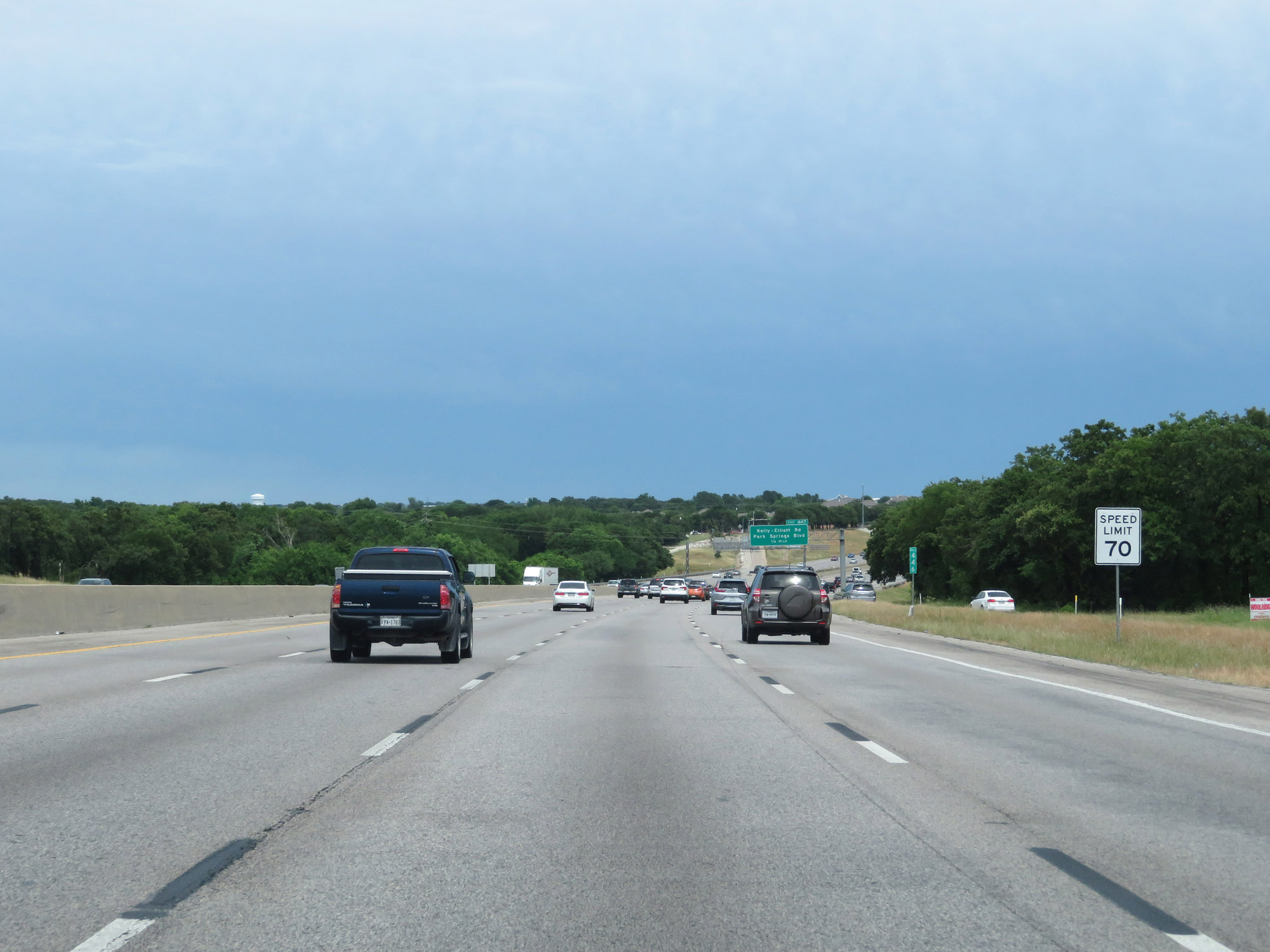 |
The speed limit remains 70 mph on Interstate 20 East at mile marker 446. (Photo taken 5/20/18). |
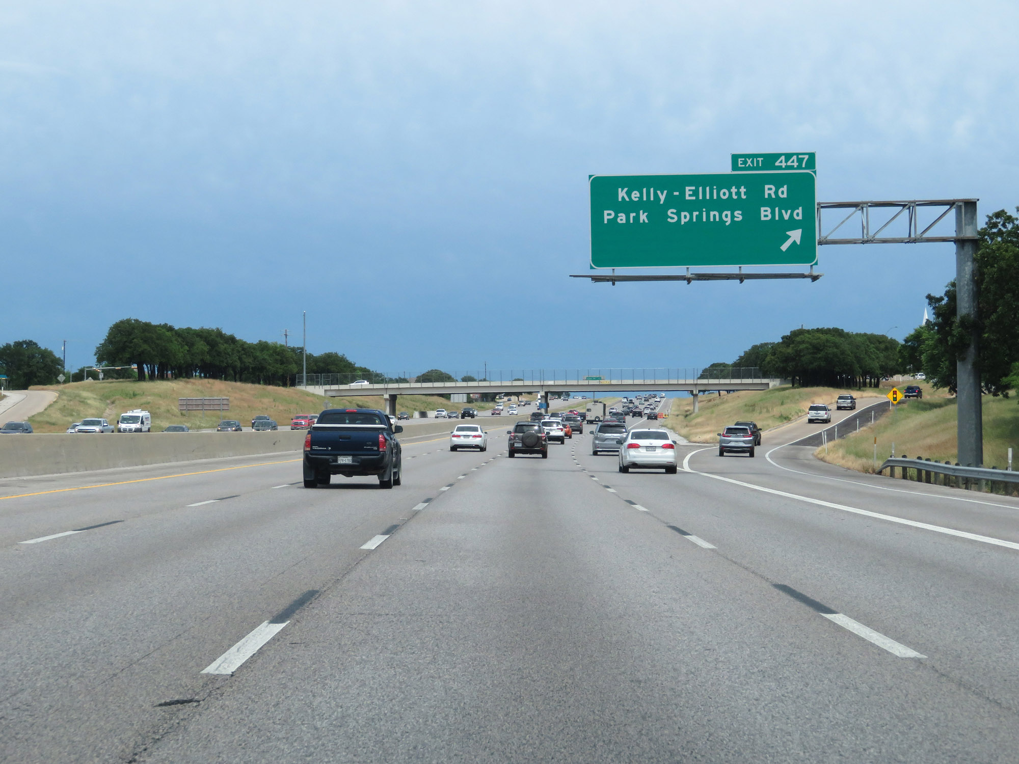 |
Interstate 20 East at Exit 447: Kelly-Elliott Rd / Park Springs Blvd (Photo taken 5/20/18). |
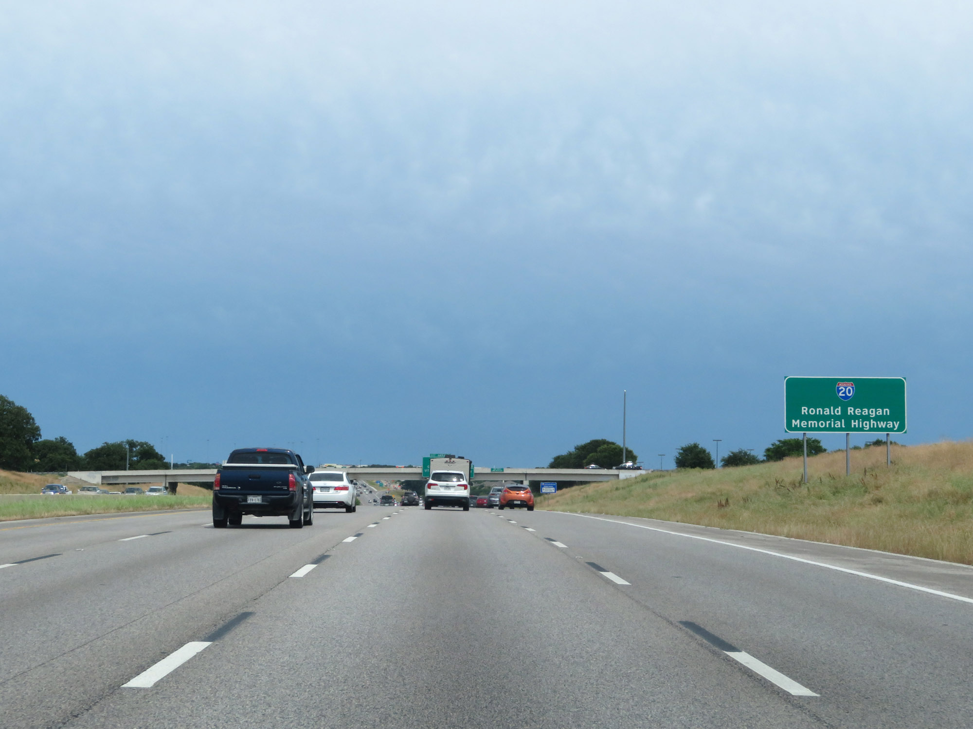 |
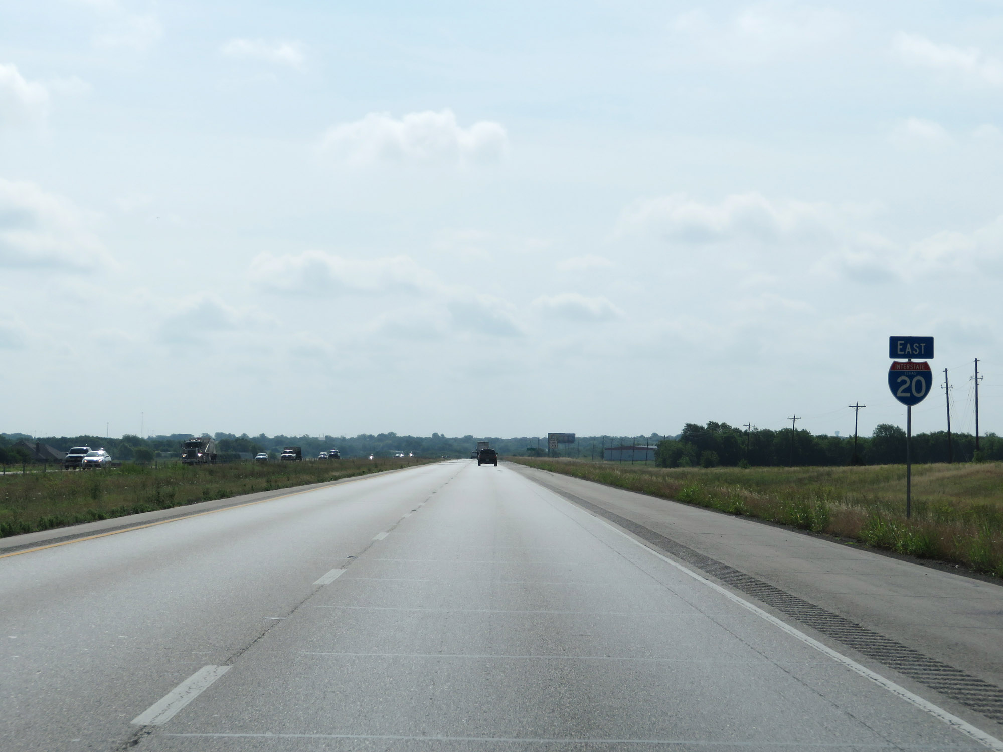
Interstate 20 through the Dallas-Fort Worth area is also known as Ronald Reagan Memorial Highway. (Photo taken 5/20/18). |
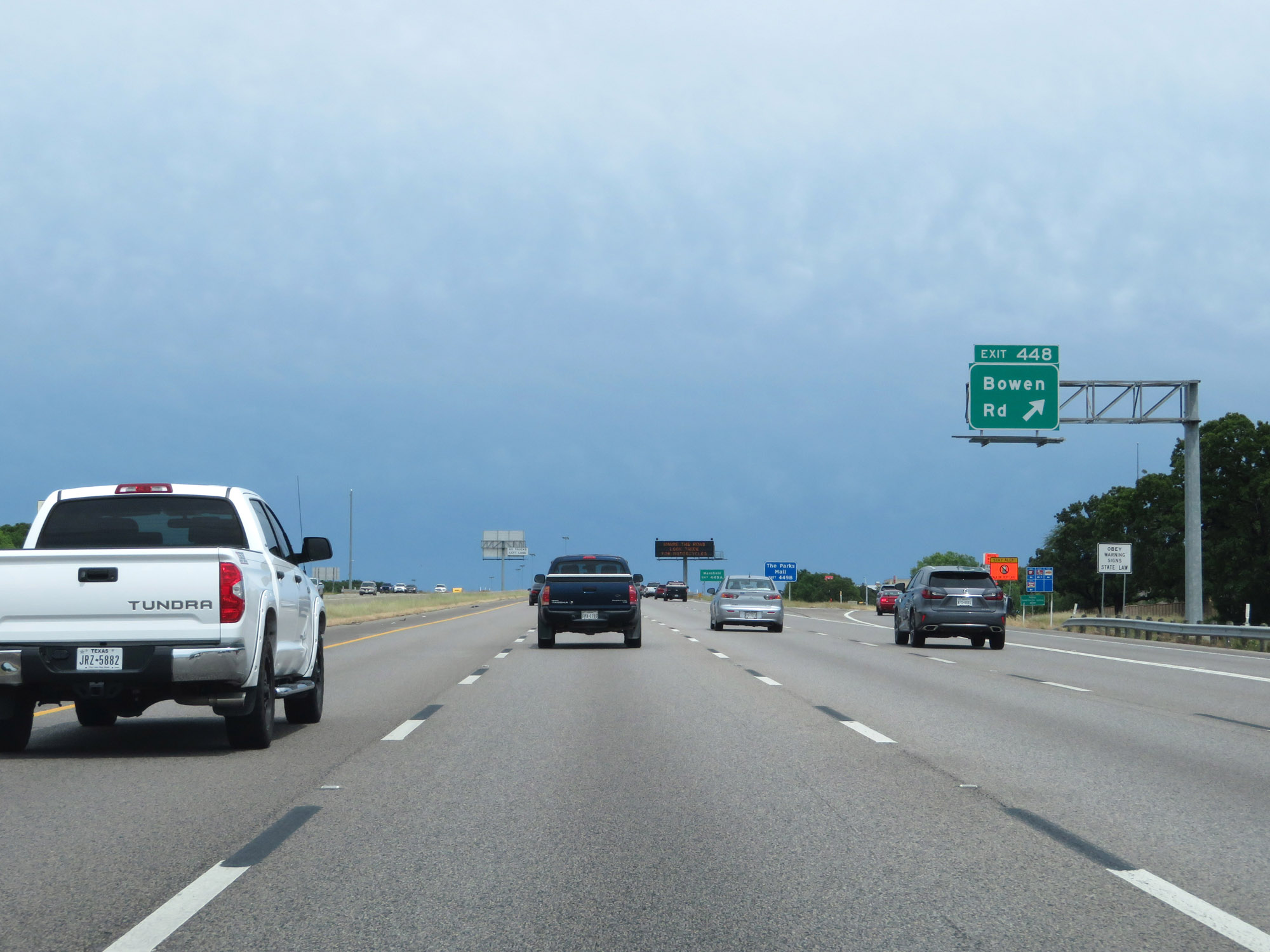 |
Interstate 20 East at Exit 448: Bowen Rd (Photo taken 5/20/18). |
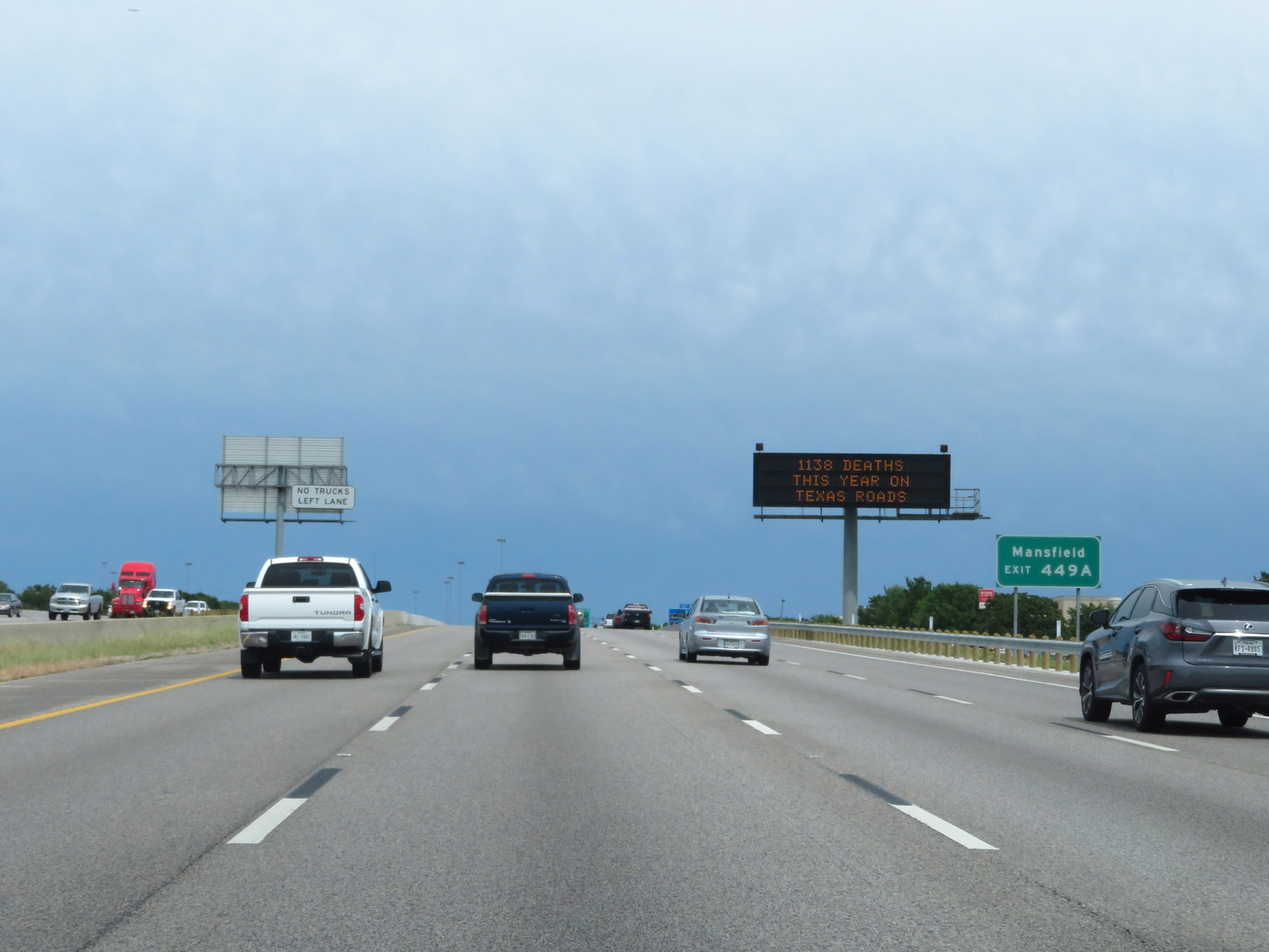 |
Take Exit 449A to Mansfield. (Photo taken 5/20/18). |
 |
Interstate 20 East at Exit 449A: FM 157 South - Cooper St (Photo taken 5/20/18). |
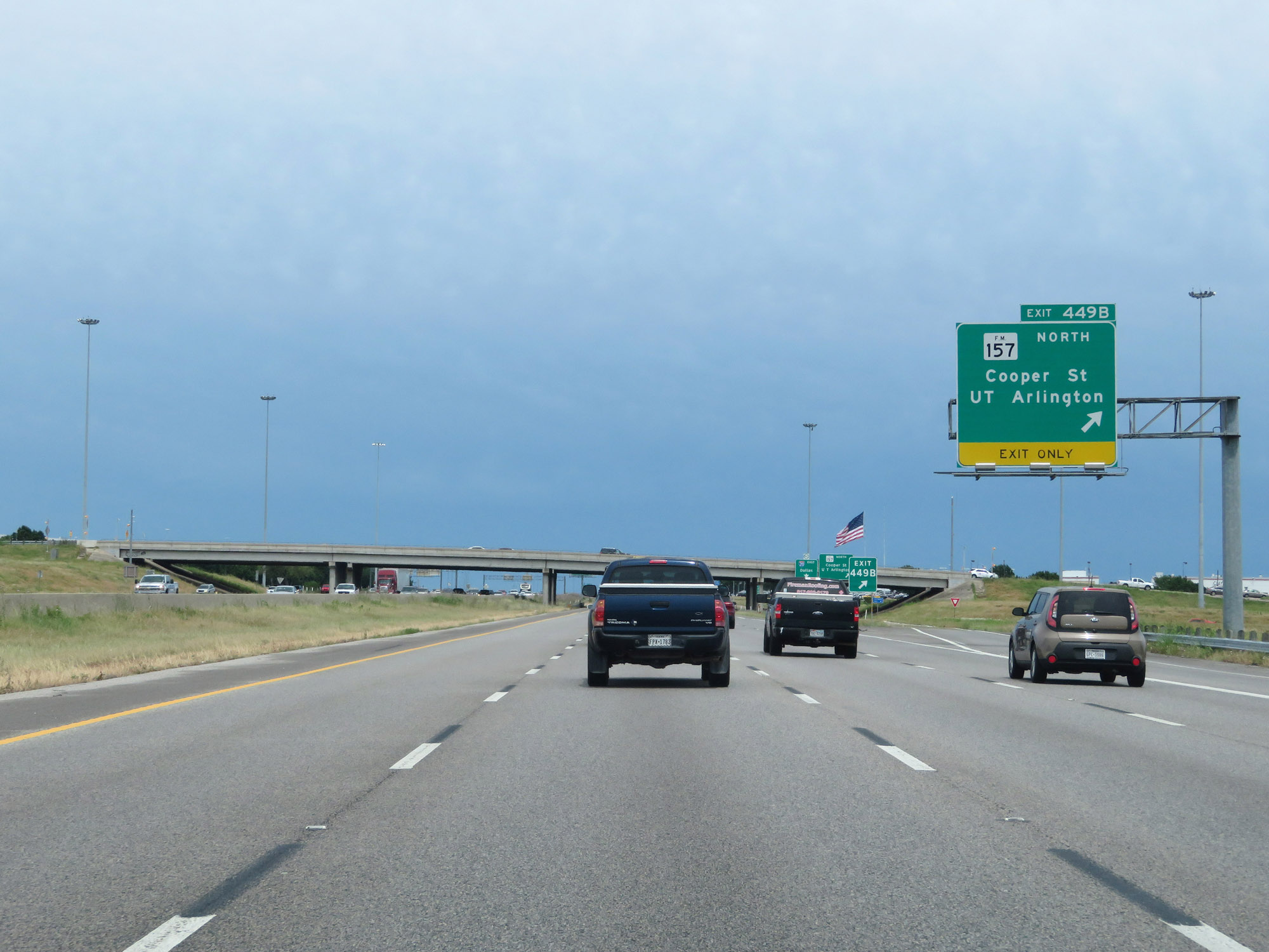 |
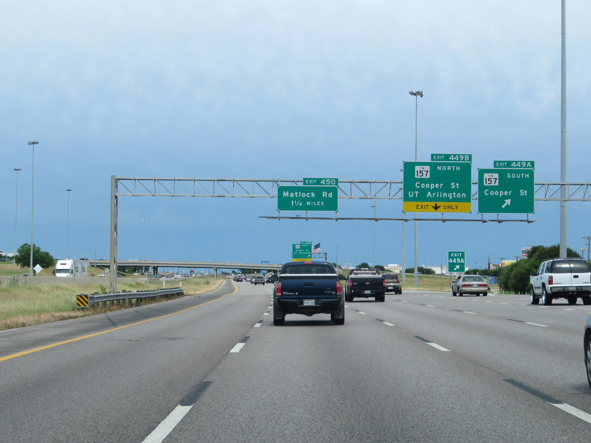
Interstate 20 East at Exit 449B: FM 157 North - Cooper St / UT Arlington (Photo taken 5/20/18). |
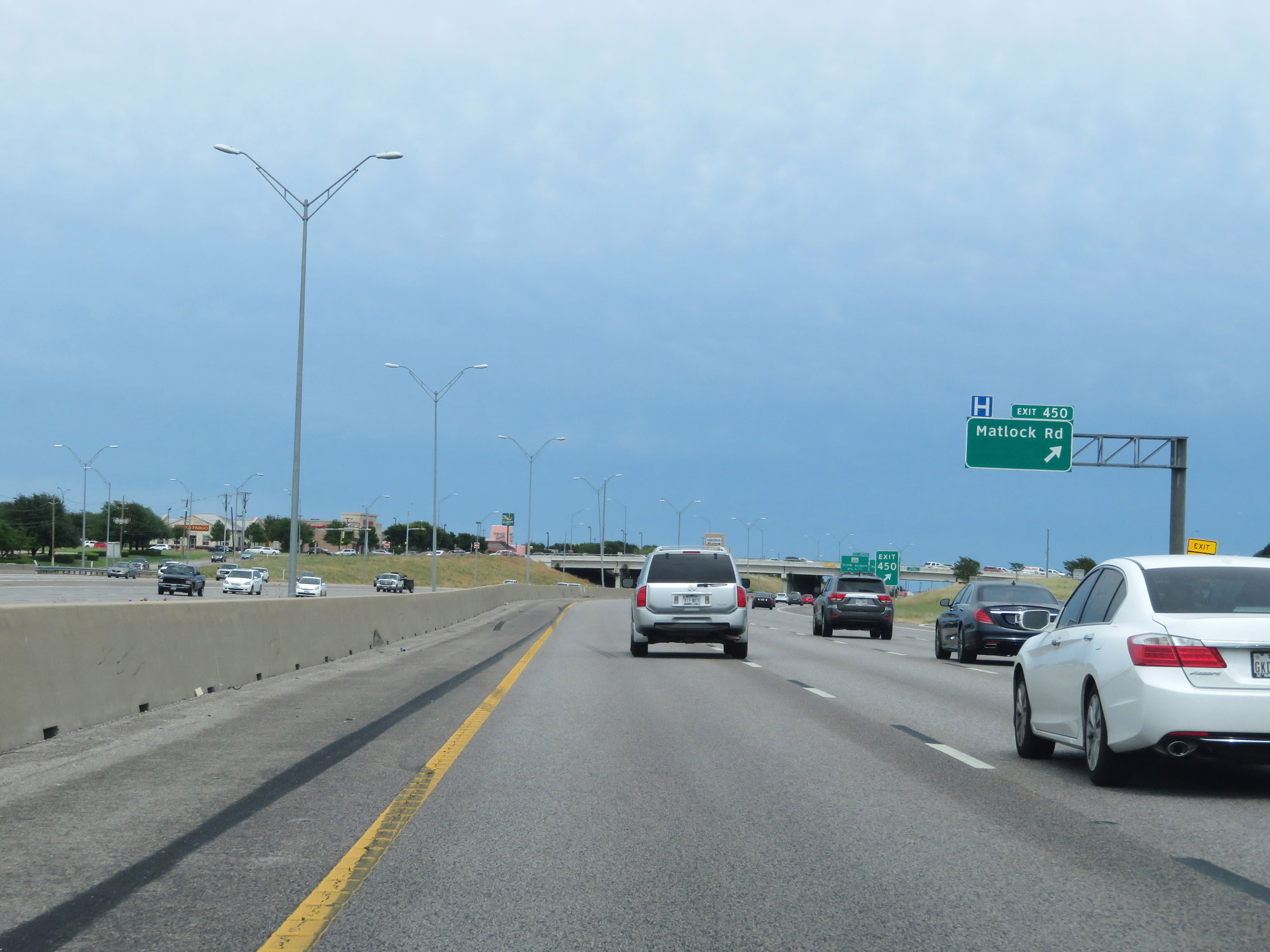 |
Interstate 20 East at Exit 450: Matlock Rd (Photo taken 5/20/18). |
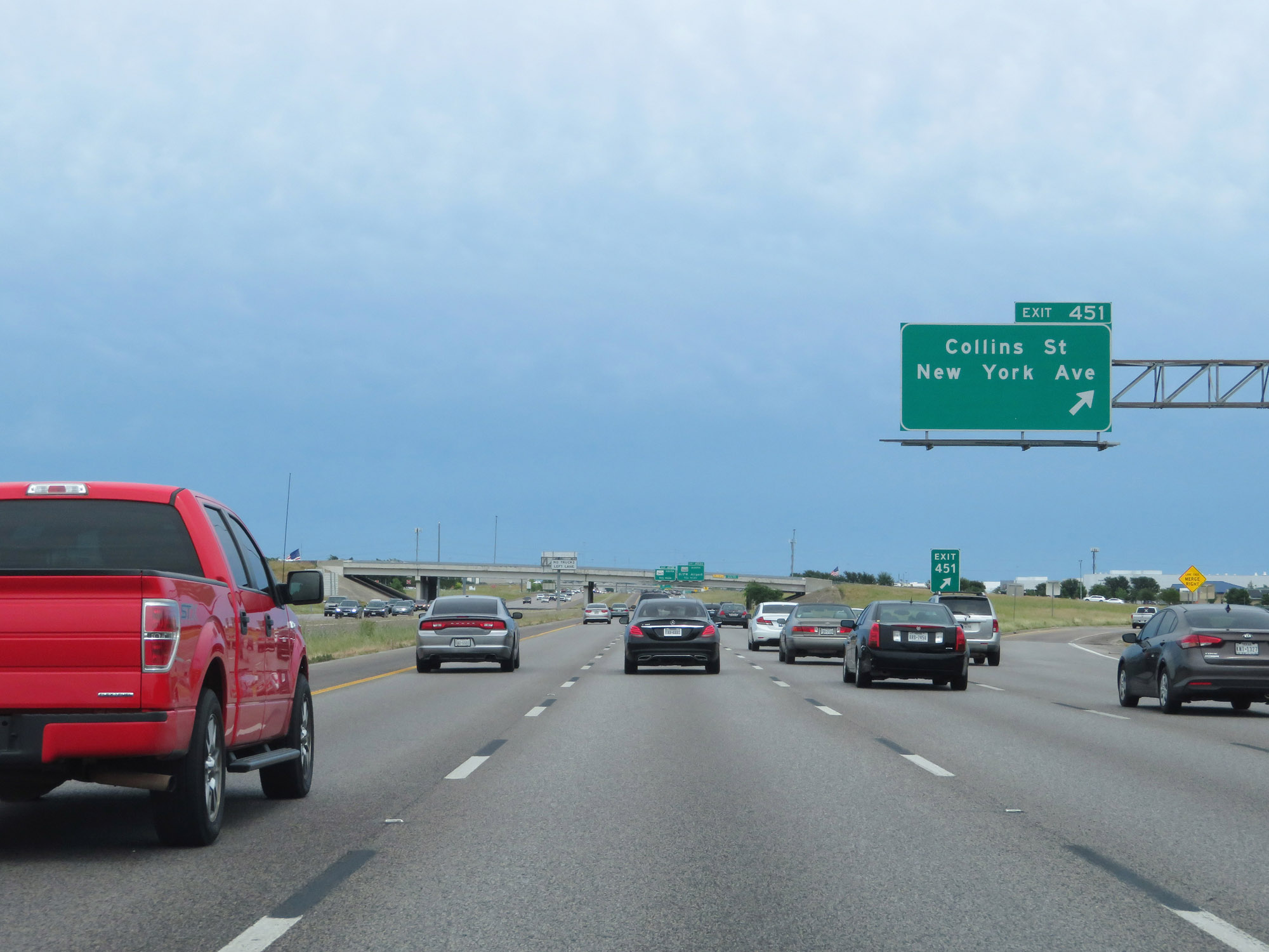 |
Interstate 20 East at Exit 451: Collins St / New York Ave (Photo taken 5/20/18). |
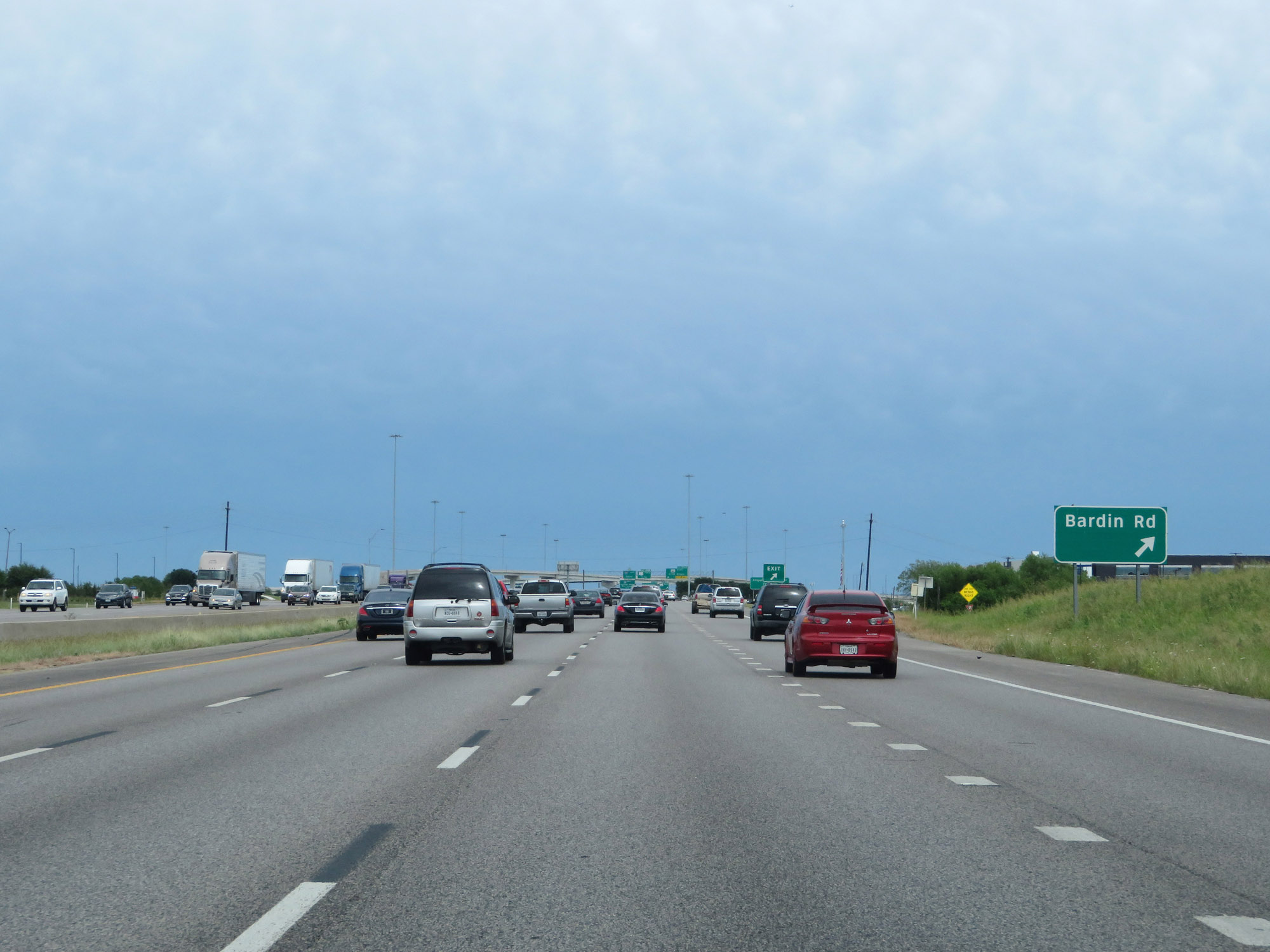 |
Interstate 20 East at Exit 452: Bardin Rd (Photo taken 5/20/18). |
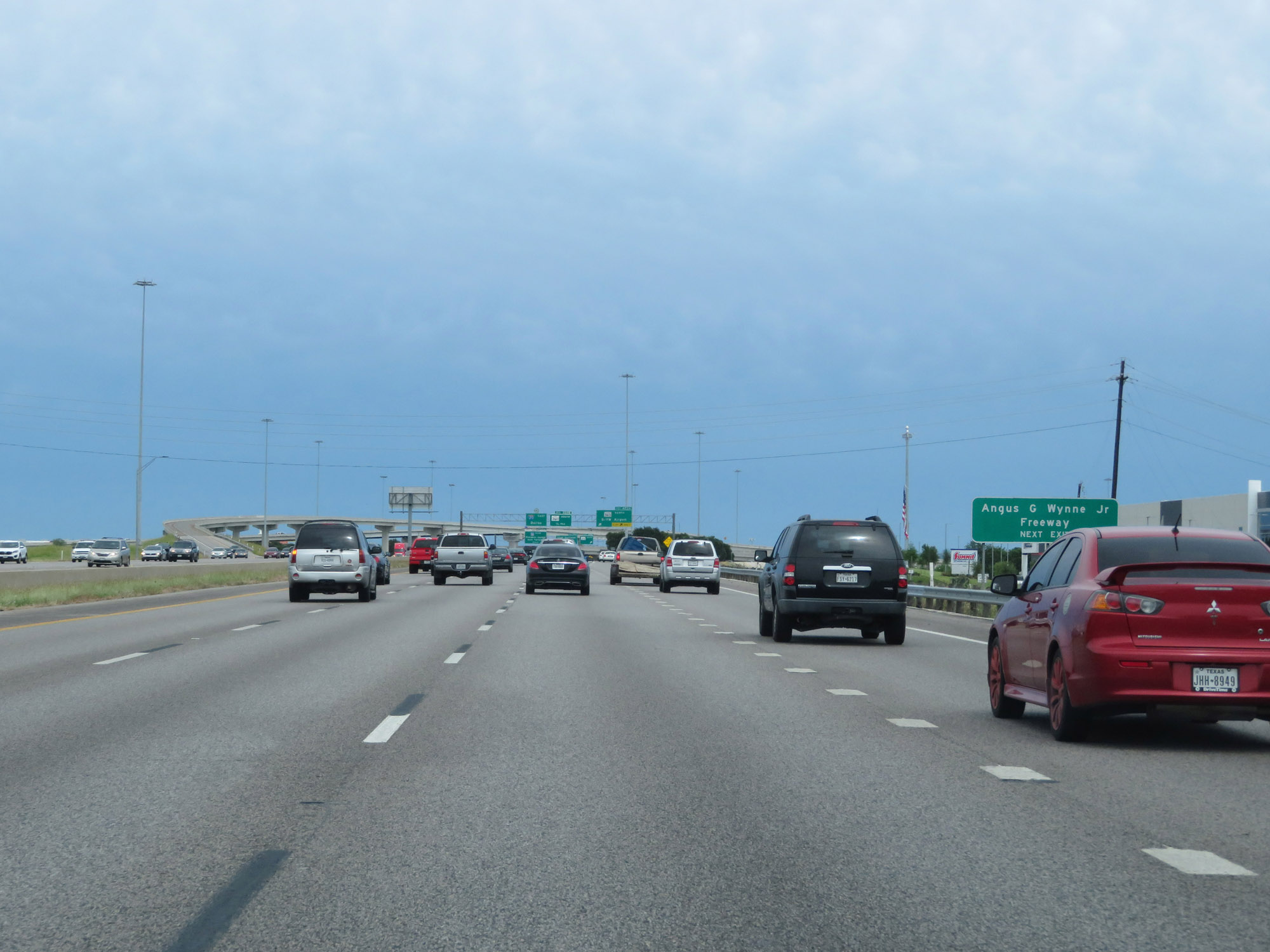 |
Take Exit 453A to Angus G. Wynne Jr. Freeway. (Photo taken 5/20/18). |
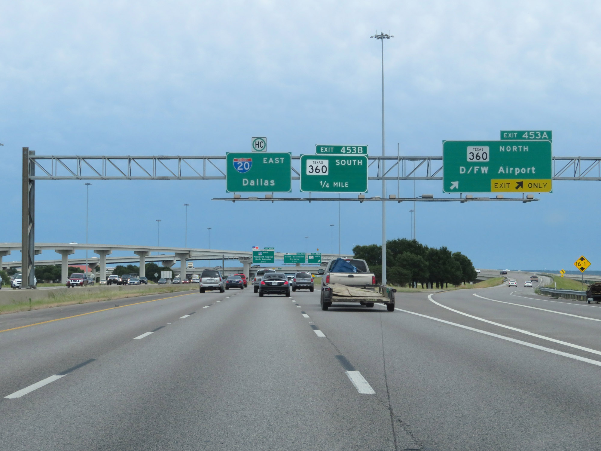 |
Interstate 20 East at Exit 453A: TX 360 North - D/FW Airport (Photo taken 5/20/18). |
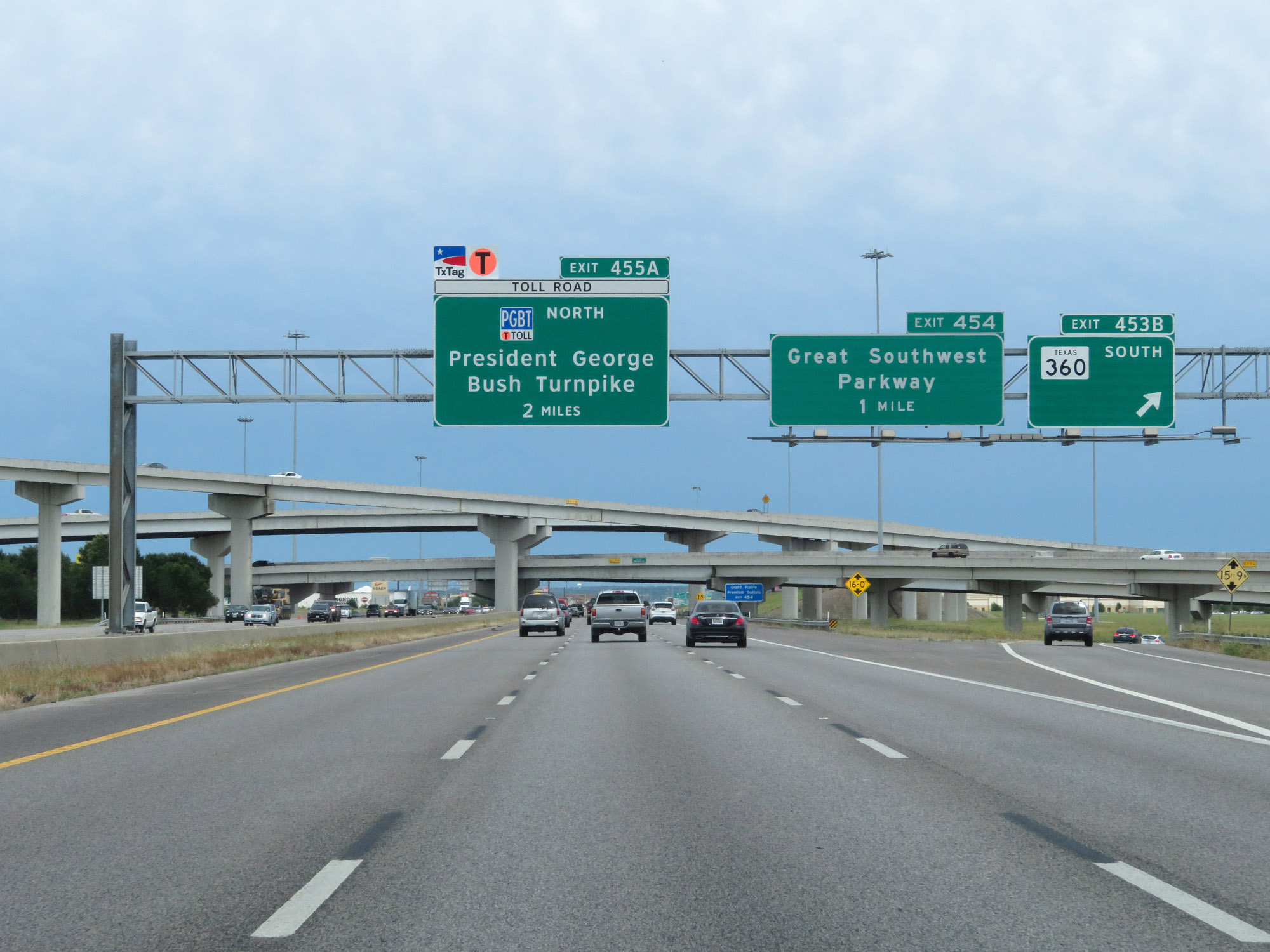 |
Interstate 20 East at Exit 453B: TX 360 South (Photo taken 5/20/18). |
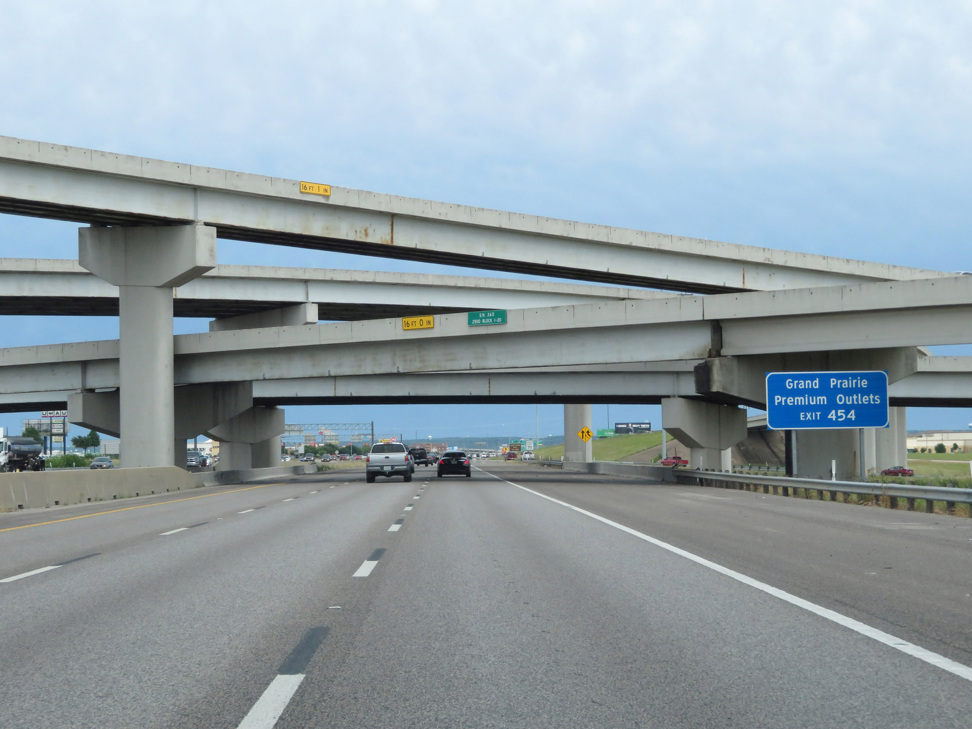 |
Take Exit 454 to Grand Prairie Premium Outlets. (Photo taken 5/20/18). |
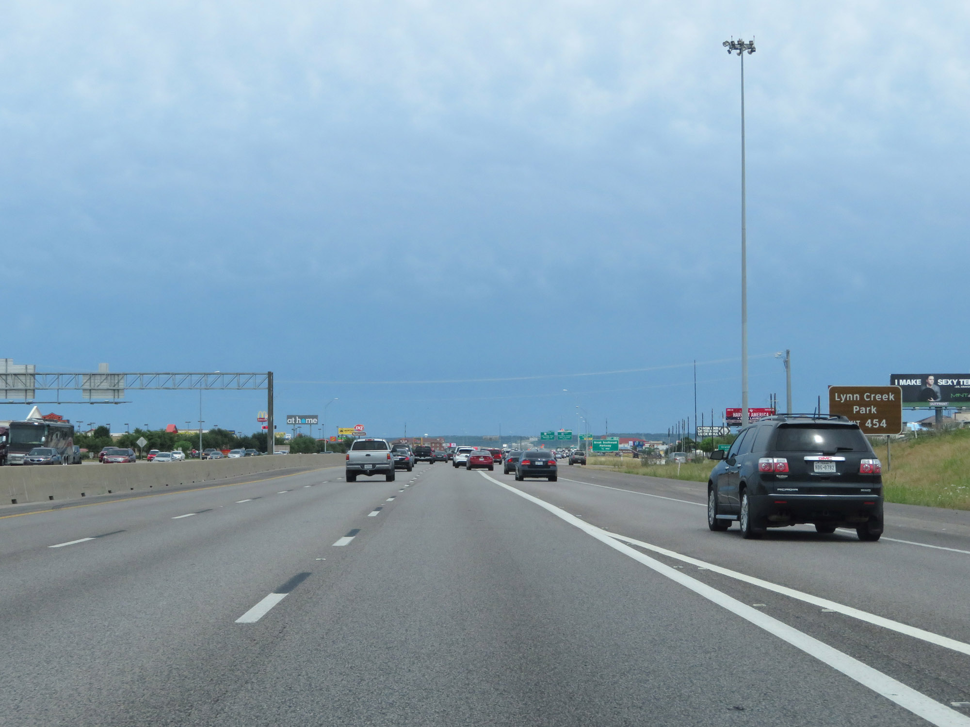 |
Also take Exit 454 to Lynn Creek Park. (Photo taken 5/20/18). |
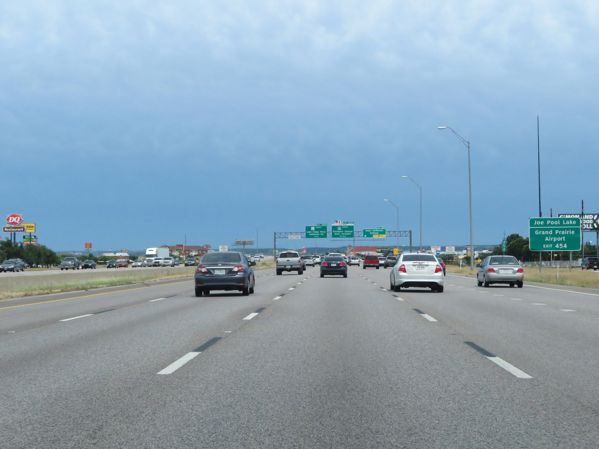 |
Take Exit 454 to Joe Pool Lake and Grand Prairie Airport as well. (Photo taken 5/20/18). |
 |
Interstate 20 East at Exit 454: Great Southwest Parkway (Photo taken 5/20/18). |
 |
Interstate 20 East as it enters Dallas County. (Photo taken 5/20/18). |
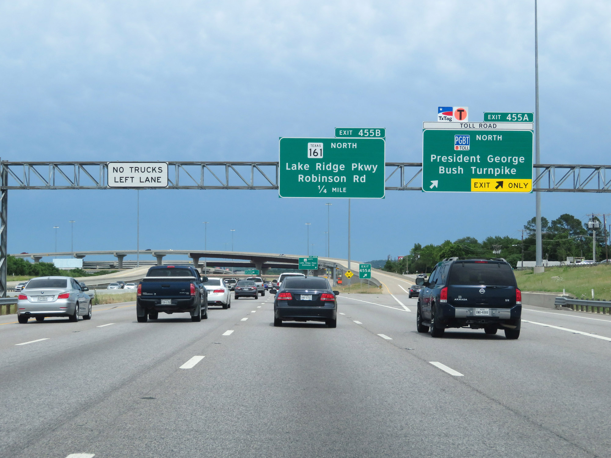 |
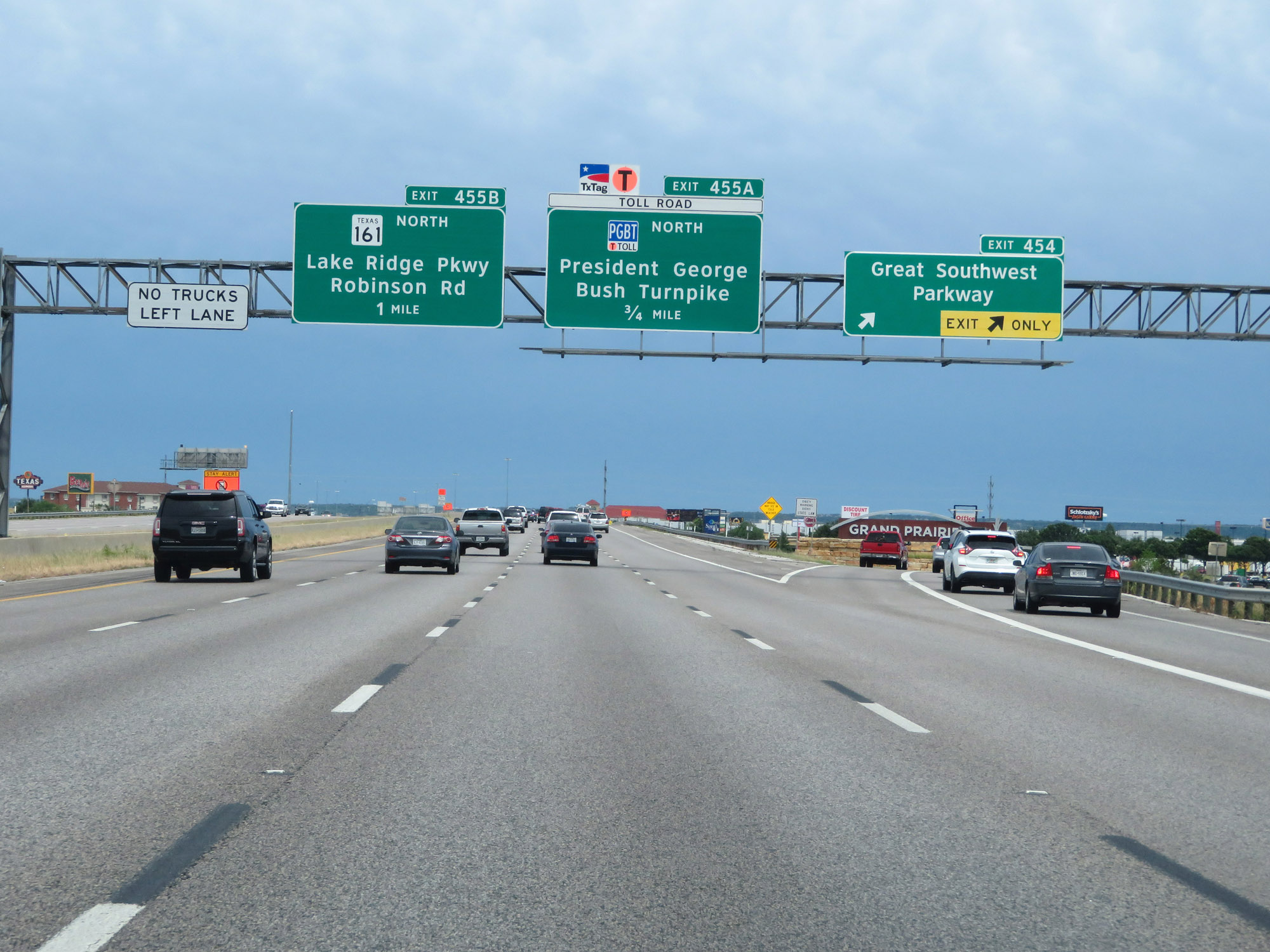
Interstate 20 East at Exit 455A: President George Bush Turnpike North (Photo taken 5/20/18). |
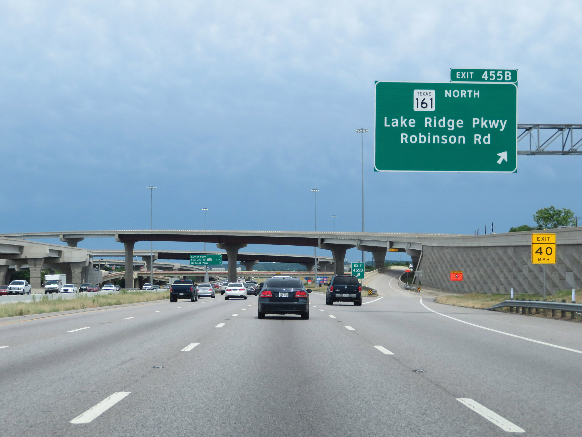 |
Interstate 20 East at Exit 455B: TX 161 North - Lake Ridge Pkwy / Robinson Rd (Photo taken 5/20/18). |
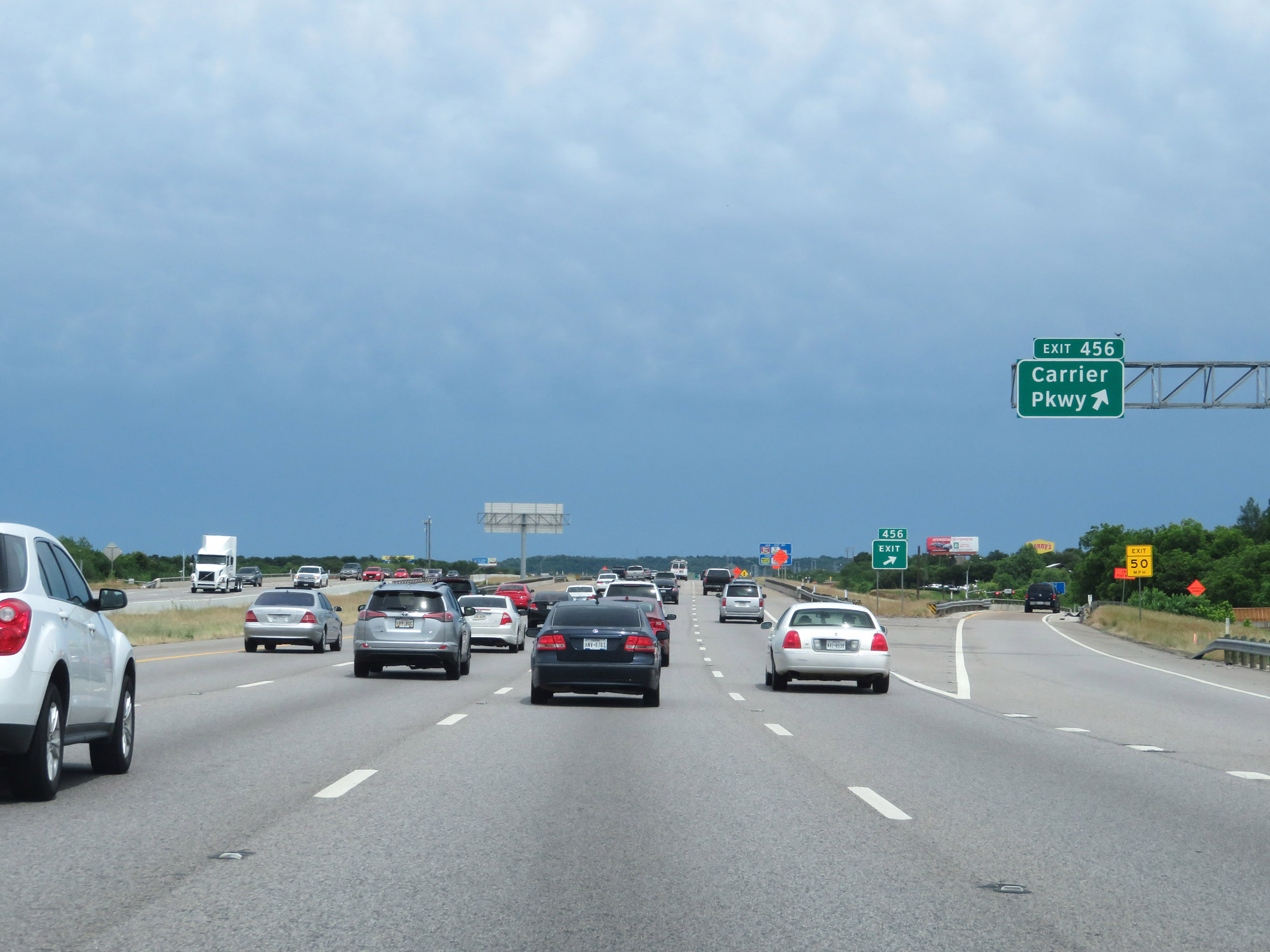 |
Interstate 20 East at Exit 456: Carrier Pkwy (Photo taken 5/20/18). |
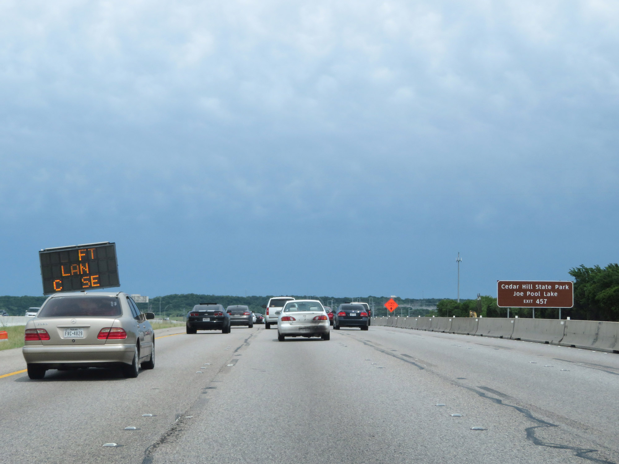 |
Take Exit 457 to Cedar Hill State Park and Joe Pool Lake. (Photo taken 5/20/18). |
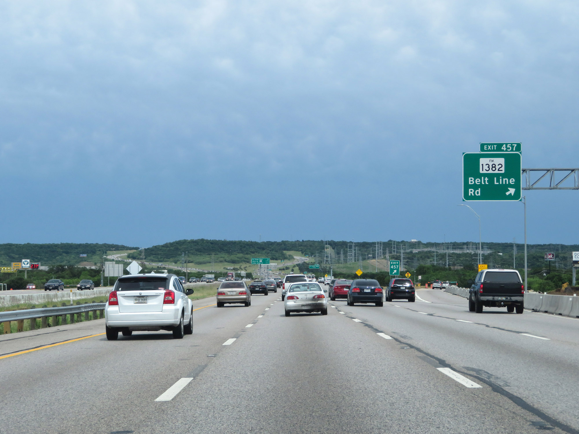 |
Interstate 20 East at Exit 457: FM 1382 - Belt Line Rd (Photo taken 5/20/18). |
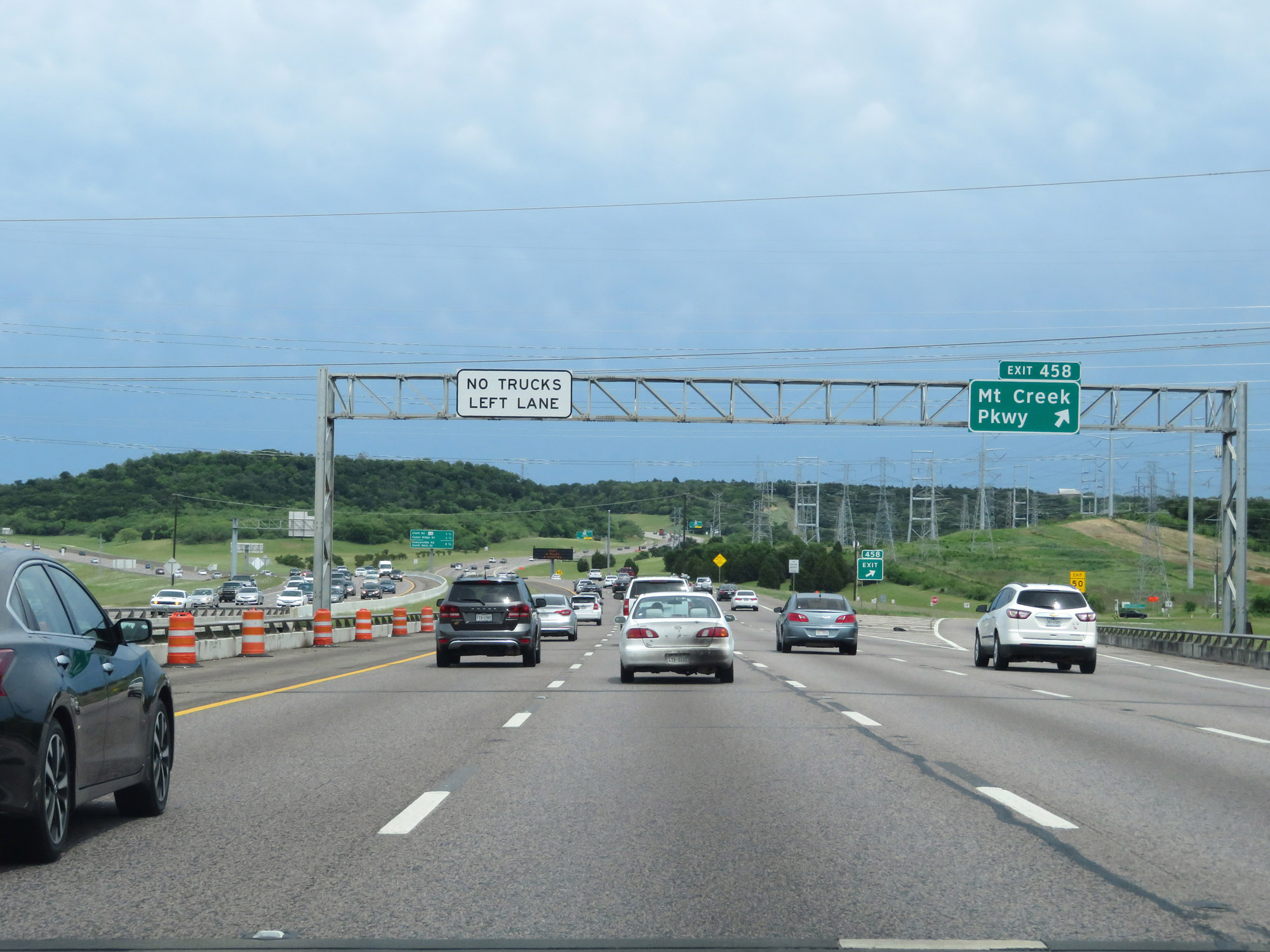 |
Interstate 20 East at Exit 458: Mt Creek Pkwy (Photo taken 5/20/18). |
 |
Interstate 20 East at mile marker 459. (Photo taken 5/20/18). |
 |
Interstate 20 East at Exit 460: TX Spur 408 - Clark Rd (Photo taken 5/20/18). |
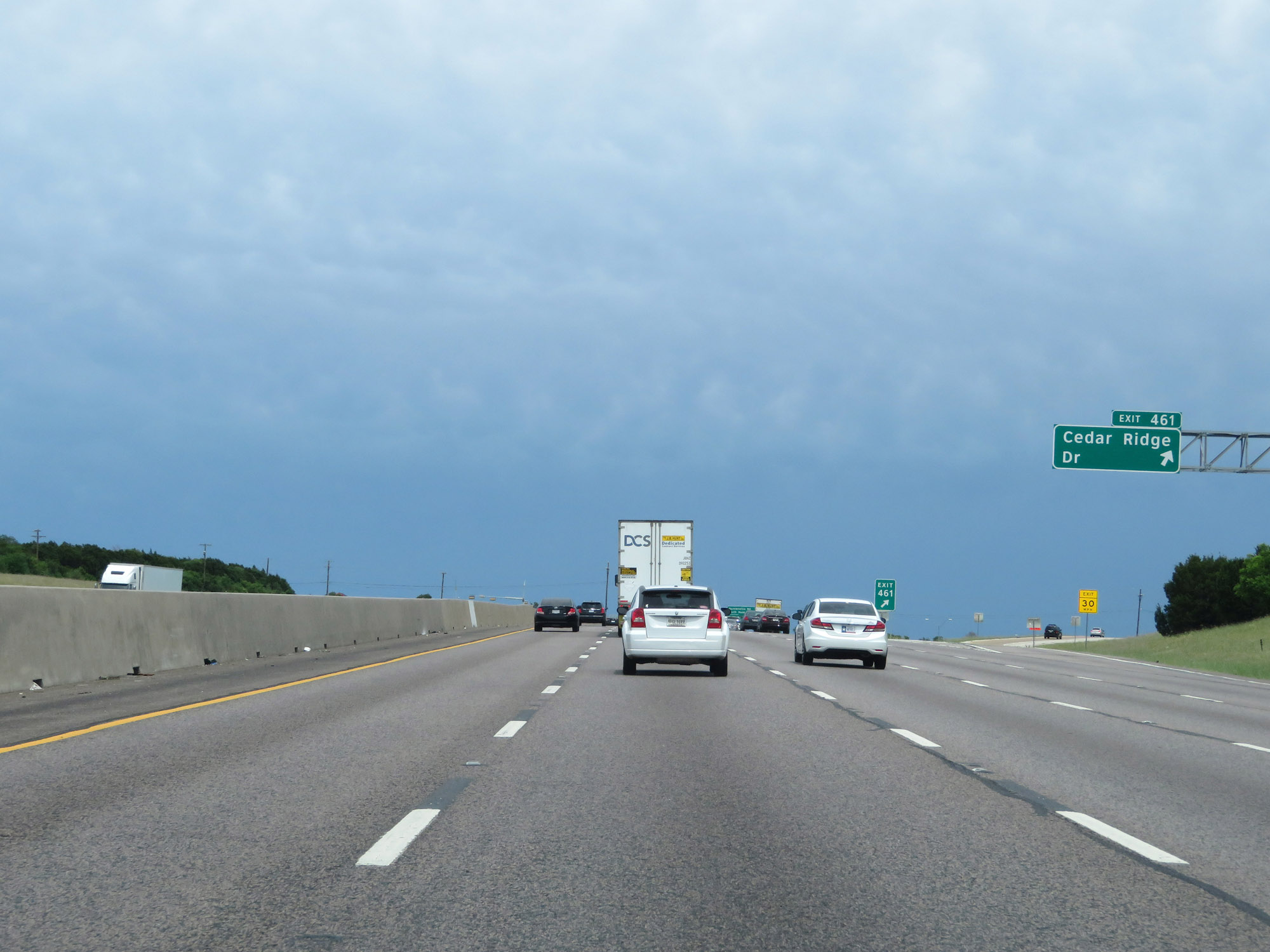 |
Interstate 20 East at Exit 461: Cedar Ridge Dr (Photo taken 5/20/18). |
 |
State-named Interstate 20 East reassurance shield. (Photo taken 5/20/18). |
 |
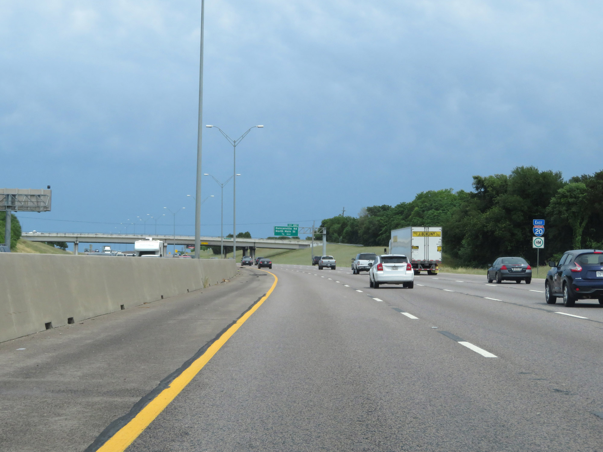
Interstate 20 East at Exit 462: Duncanville Rd / North Main St (Photo taken 5/20/18). |
 |
Interstate 20 East at Exit 463: Cockrell Hill Rd / Camp Wisdom Rd (Photo taken 5/20/18). |
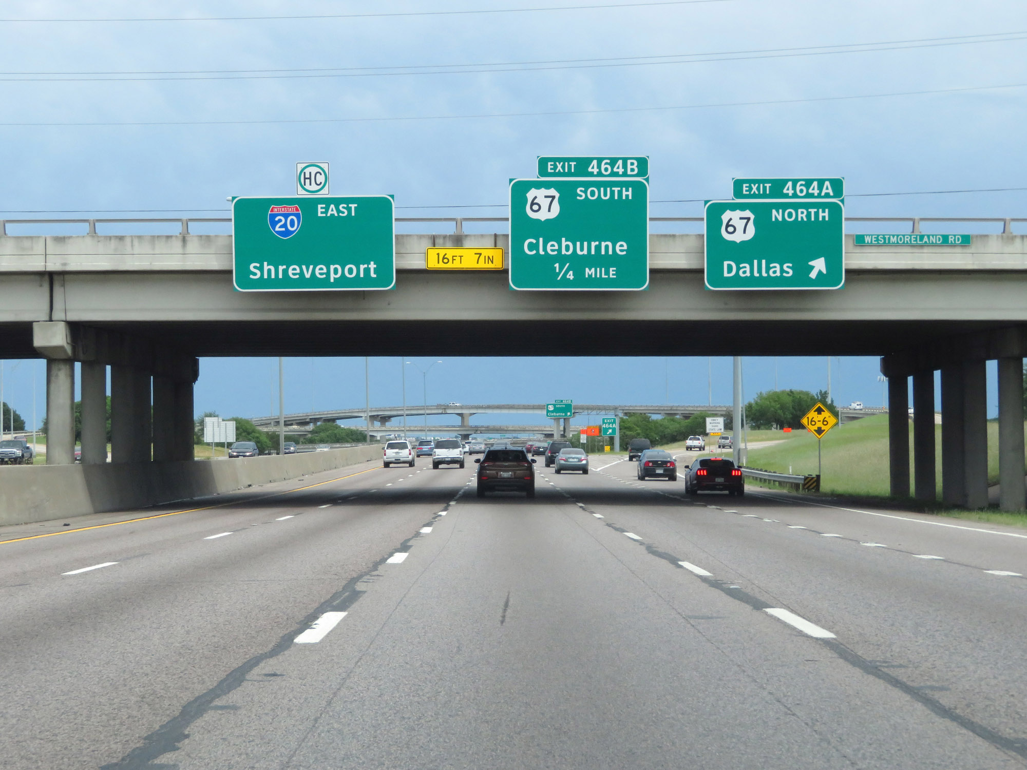 |
Interstate 20 East at Exit 464A: US 67 North - Dallas (Photo taken 5/20/18). |
 |
Interstate 20 East at Exit 464B: US 67 South - Cleburne (Photo taken 5/20/18). |
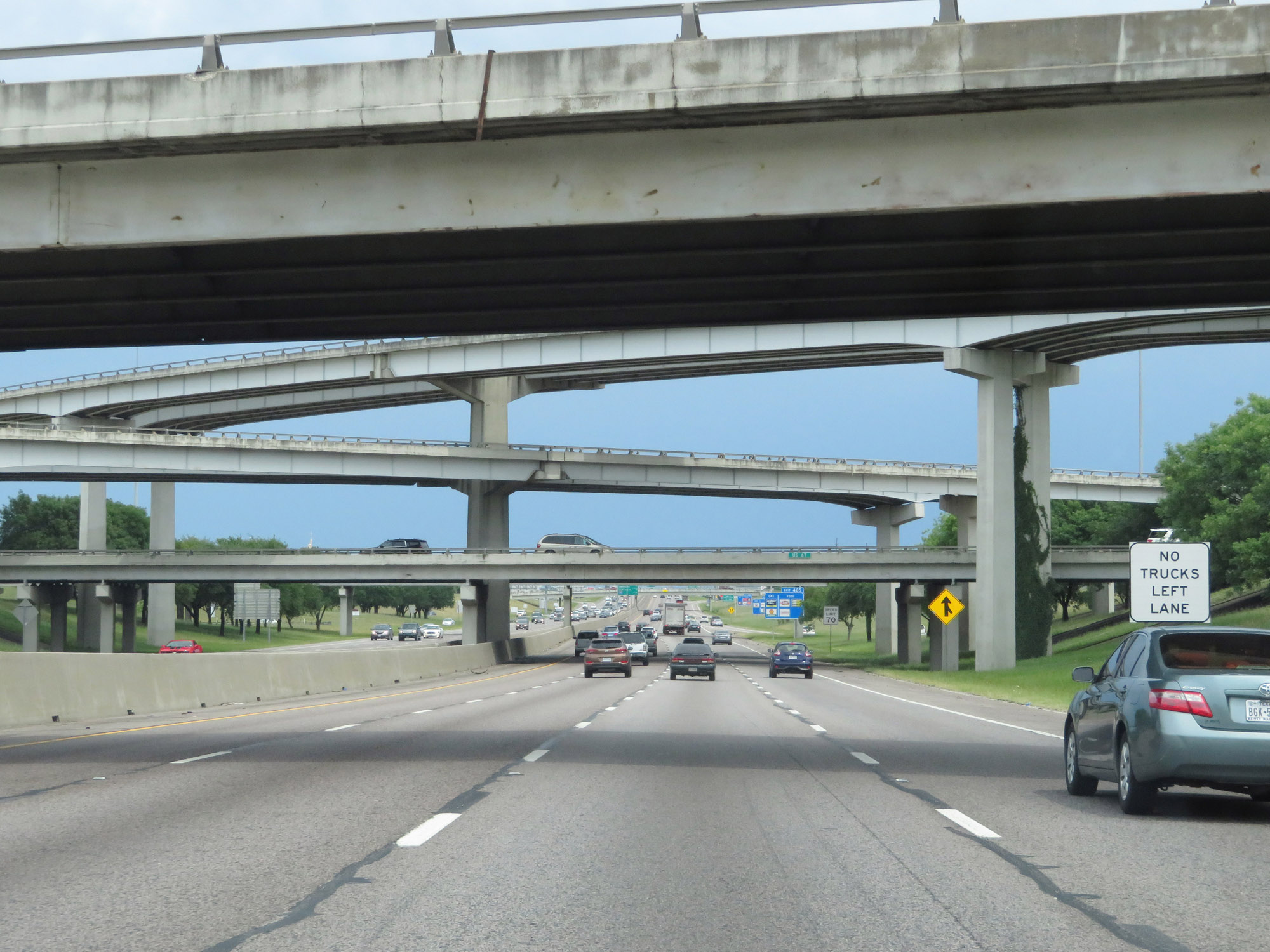 |
The truck lane restriction remains in effect on Interstate 20 East. (Photo taken 5/20/18). |
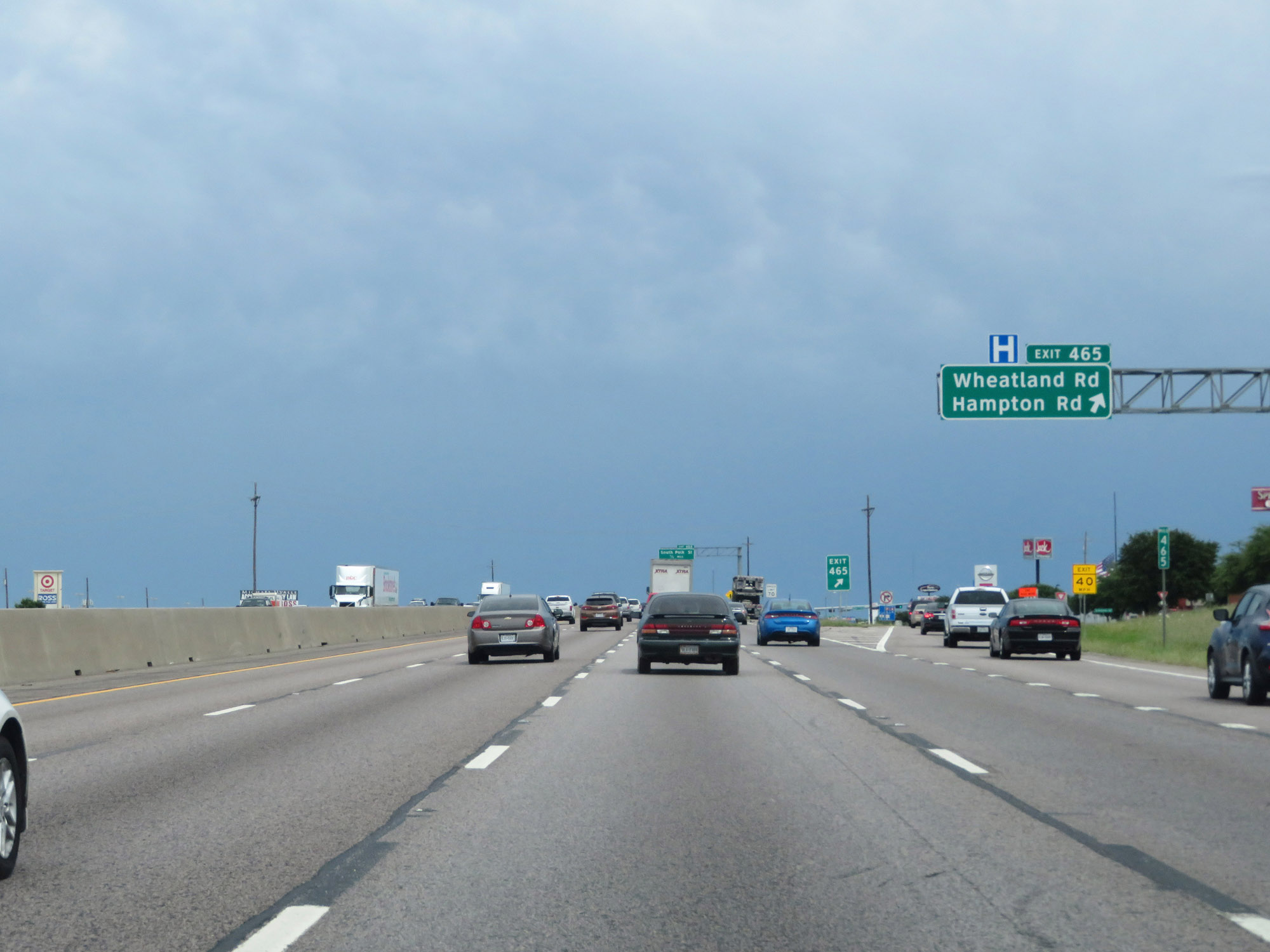 |
Interstate 20 East at Exit 465: Wheatland Rd / Hampton Rd (Photo taken 5/20/18). |
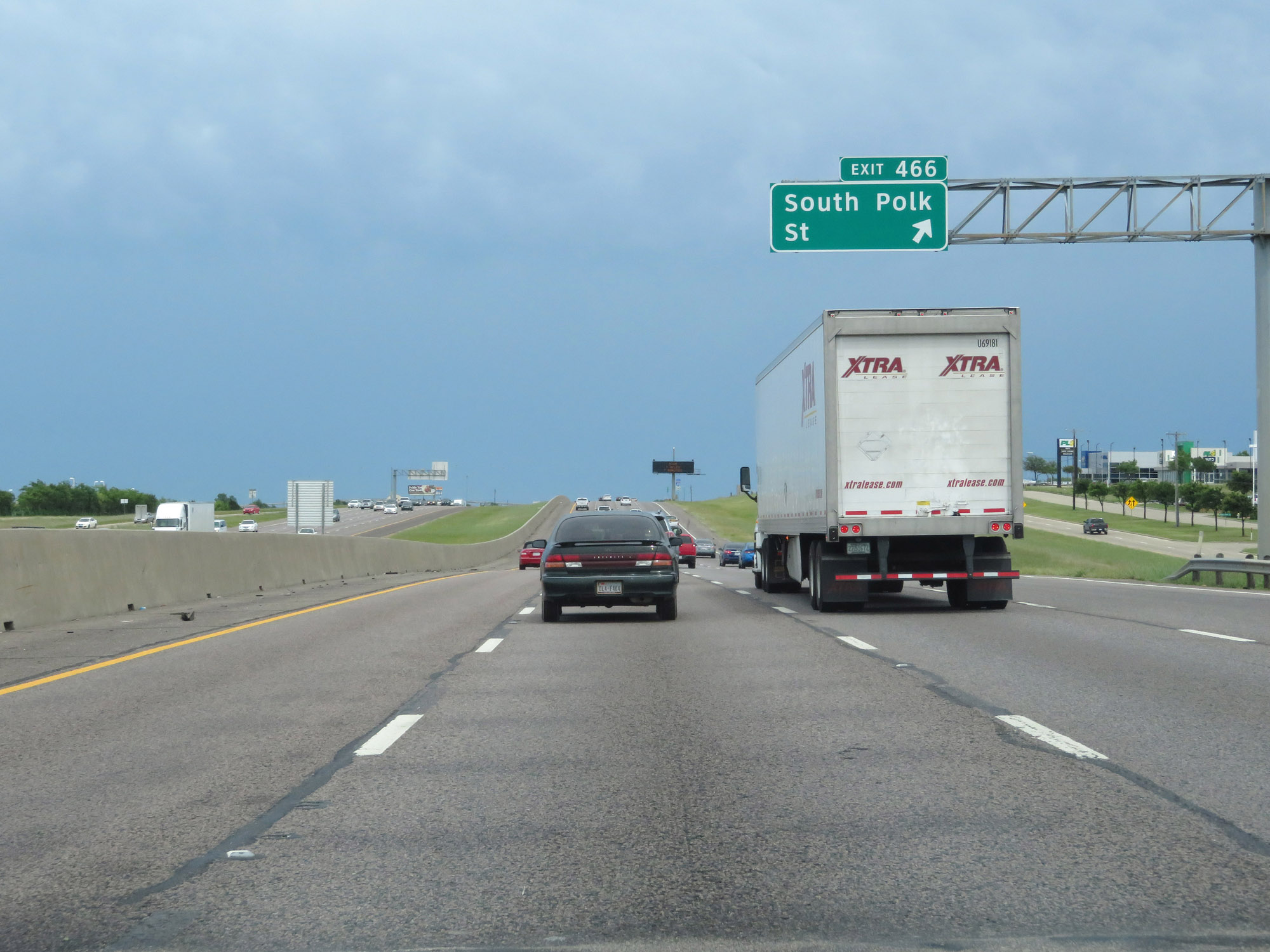 |
Interstate 20 East at Exit 466: South Polk St (Photo taken 5/20/18). |
 |
Interstate 20 East approaching Exit 467A - 1/2 mile. (Photo taken 5/20/18). |
 |
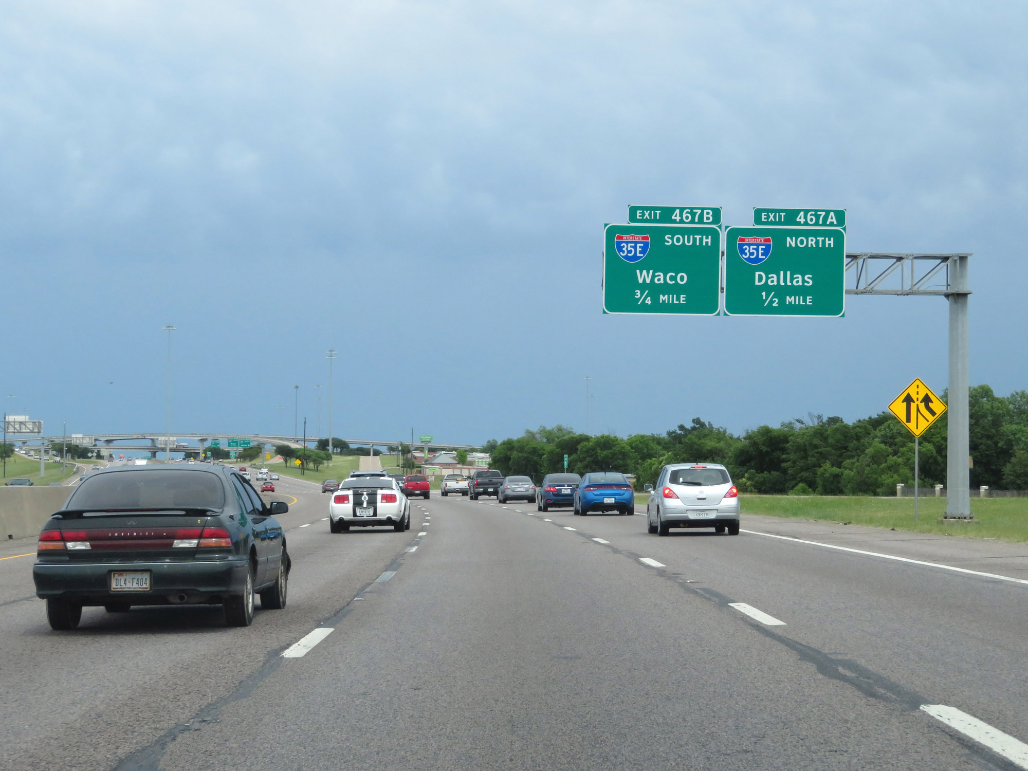
Interstate 20 East at Exit 467A: Interstate 35E North - Dallas (Photo taken 5/20/18). |
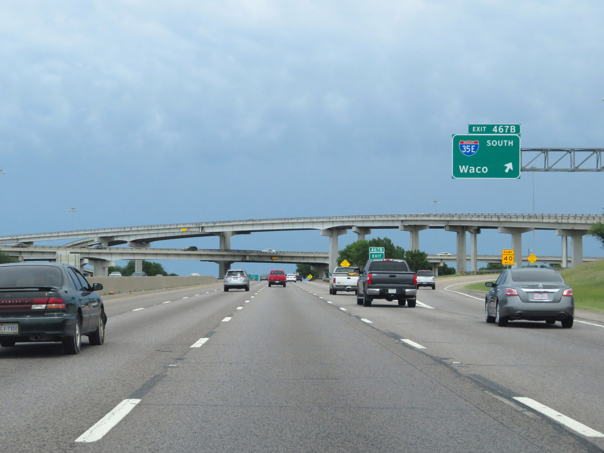 |
Interstate 20 East at Exit 467B: Interstate 35E South - Waco (Photo taken 5/20/18). |
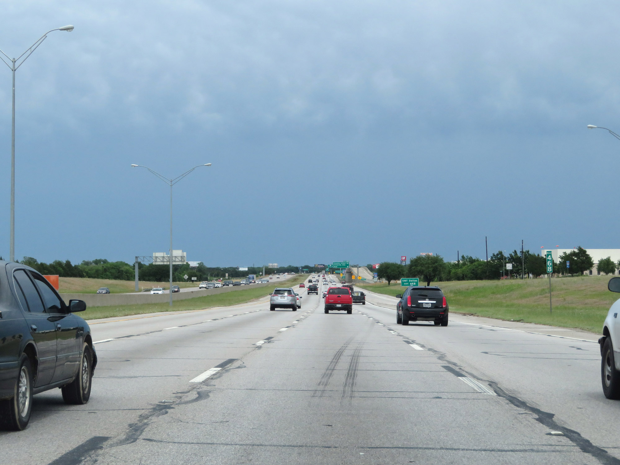 |
Interstate 20 East at mile marker 468. (Photo taken 5/20/18). |
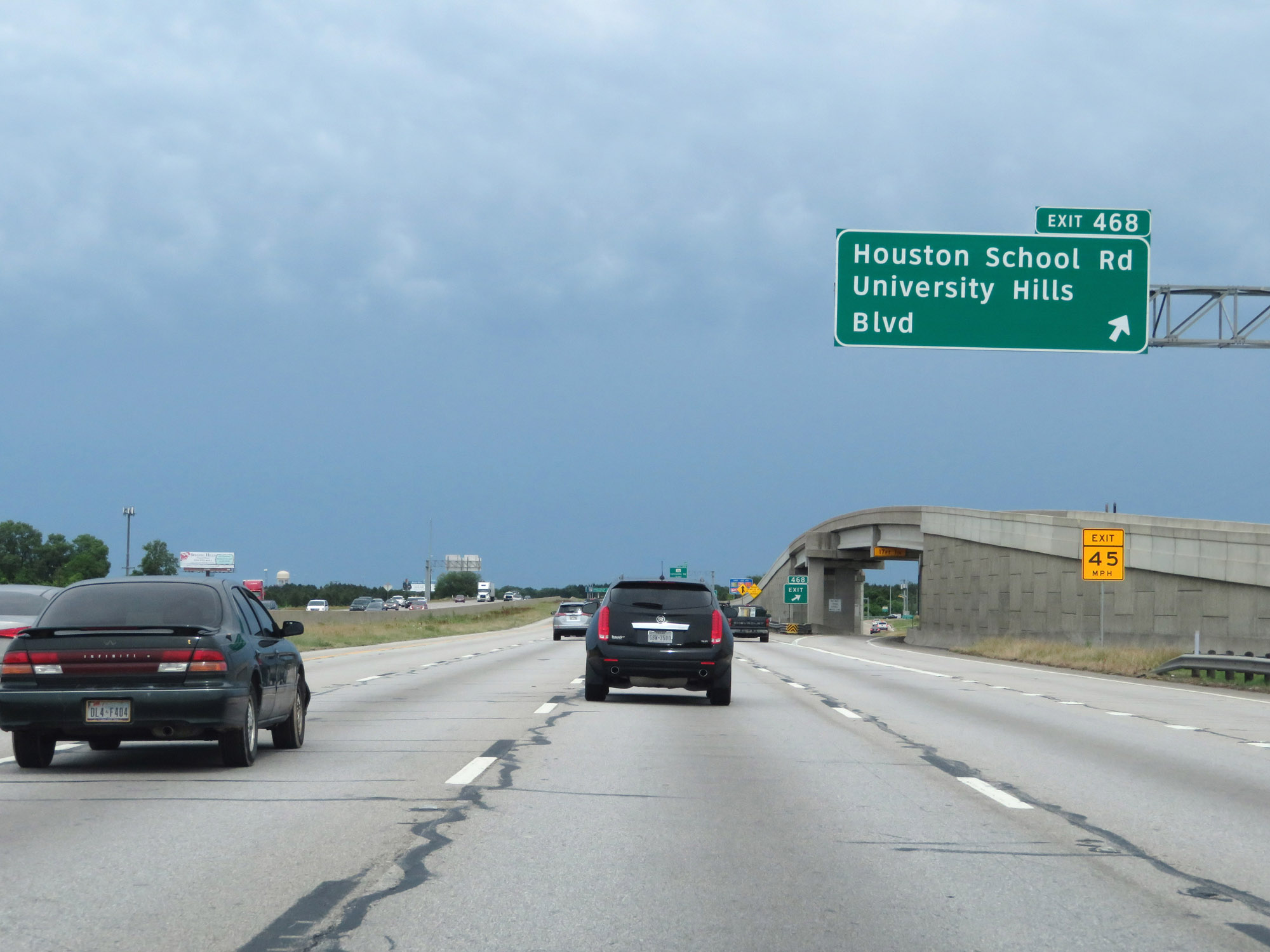 |
Interstate 20 East at Exit 468: Houston School Rd / University Hills Blvd (Photo taken 5/20/18). |
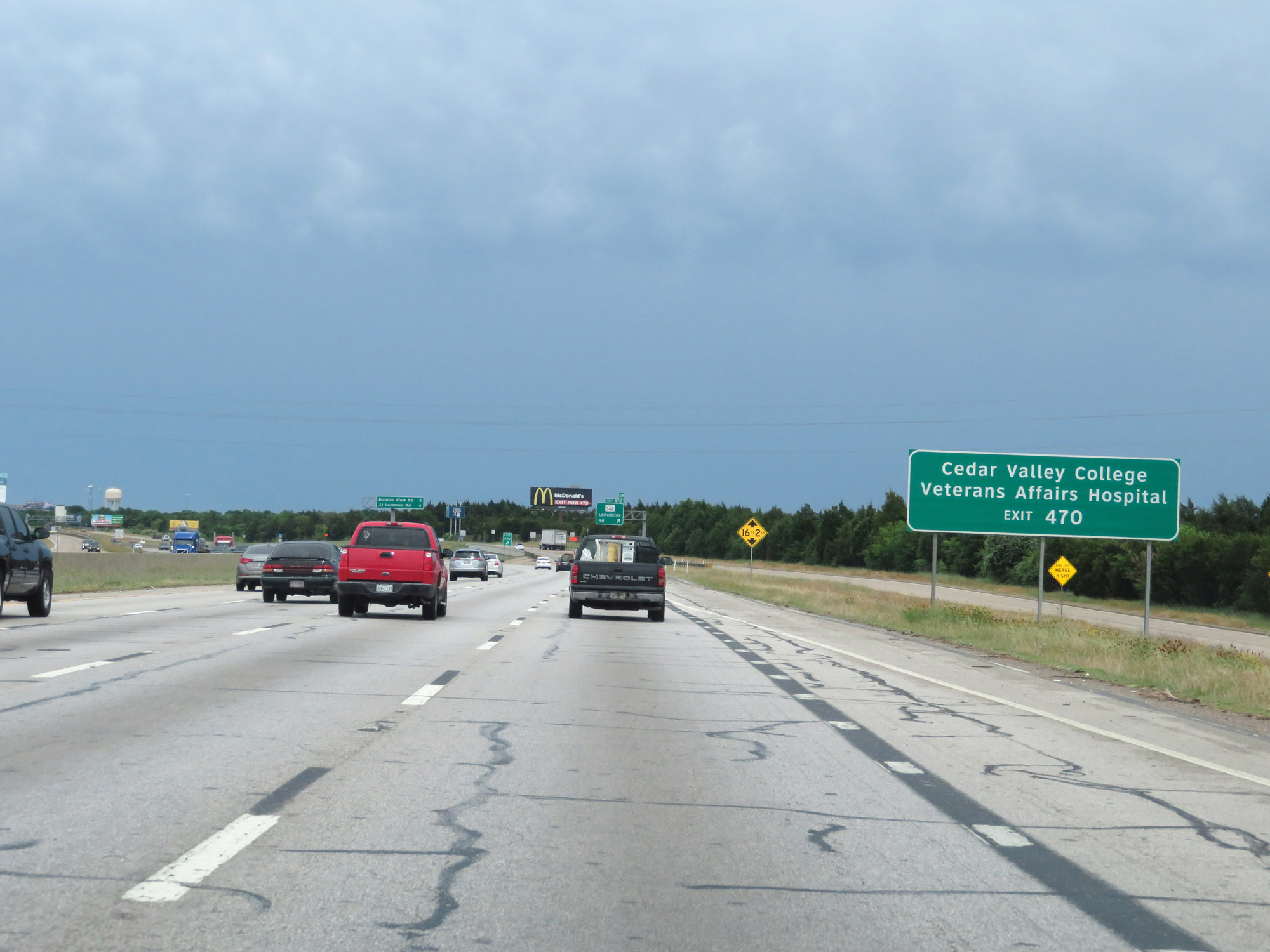 |
Take Exit 470 to Cedar Valley College and the Veterans Affairs Hospital. (Photo taken 5/20/18). |
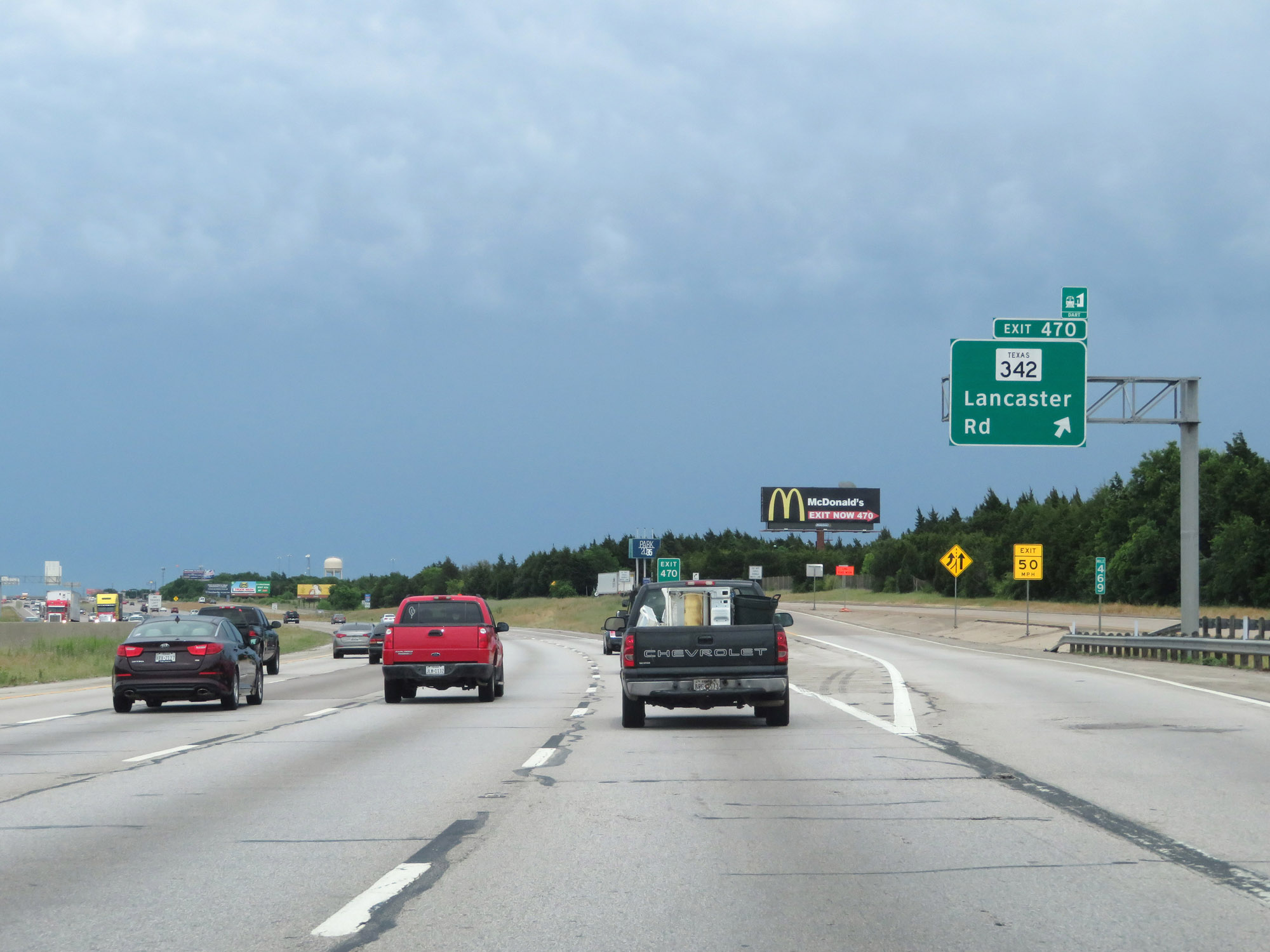 |
Interstate 20 East at Exit 470: TX 342 - Lancaster Rd (Photo taken 5/20/18). |
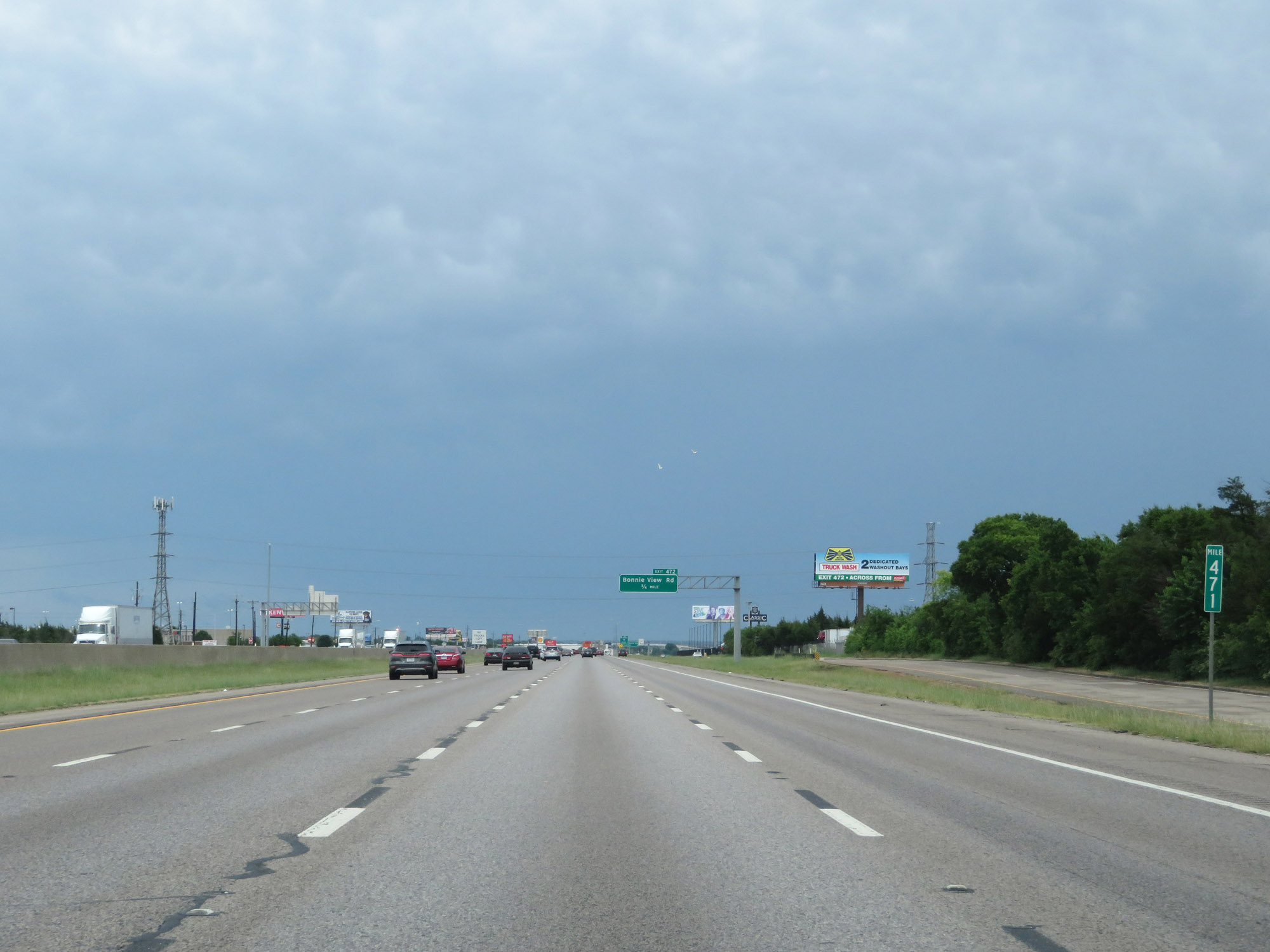 |
Interstate 20 East at mile marker 471. (Photo taken 5/20/18). |
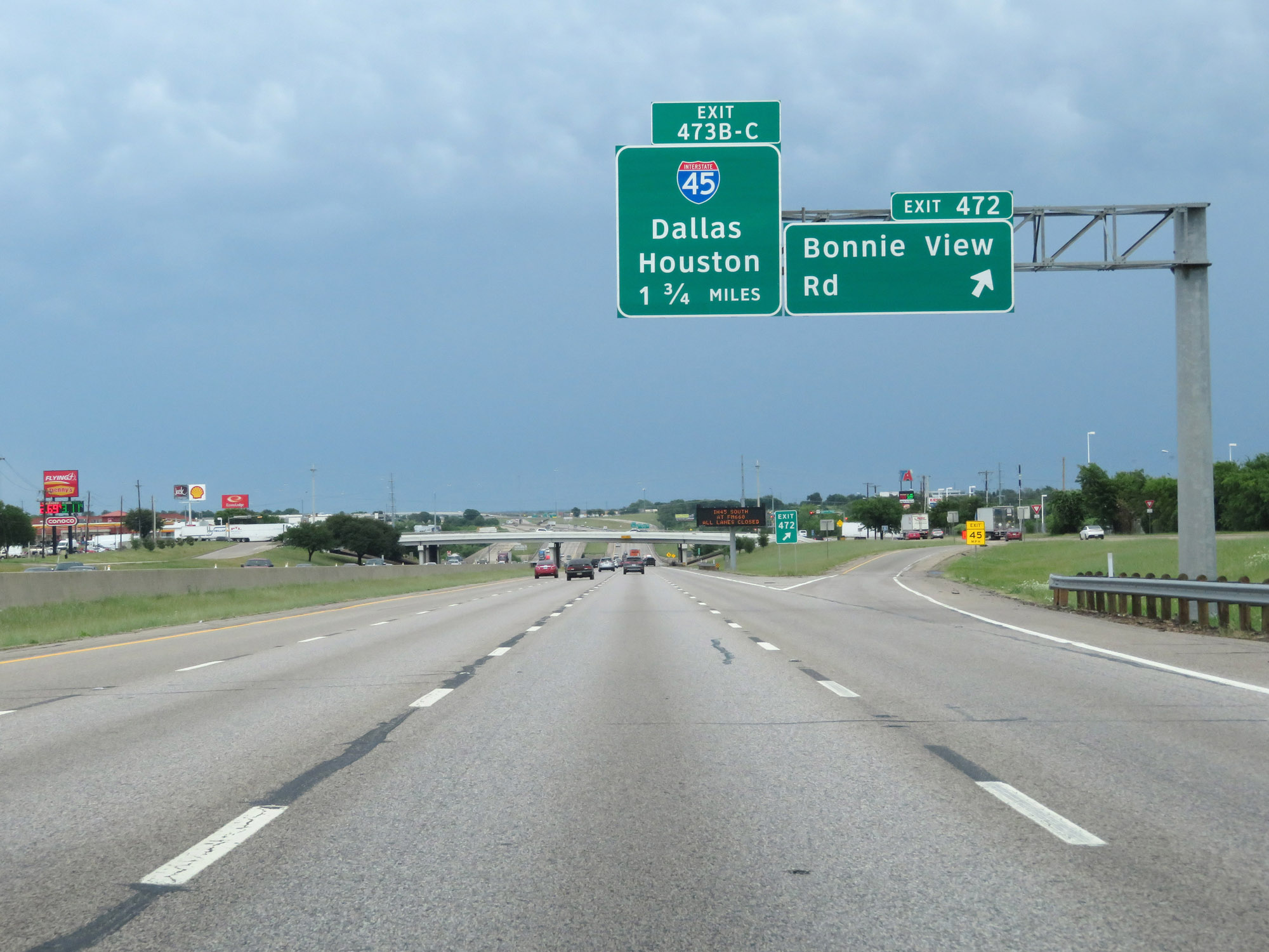 |
Interstate 20 East at Exit 472: Bonnie View Rd (Photo taken 5/20/18). |
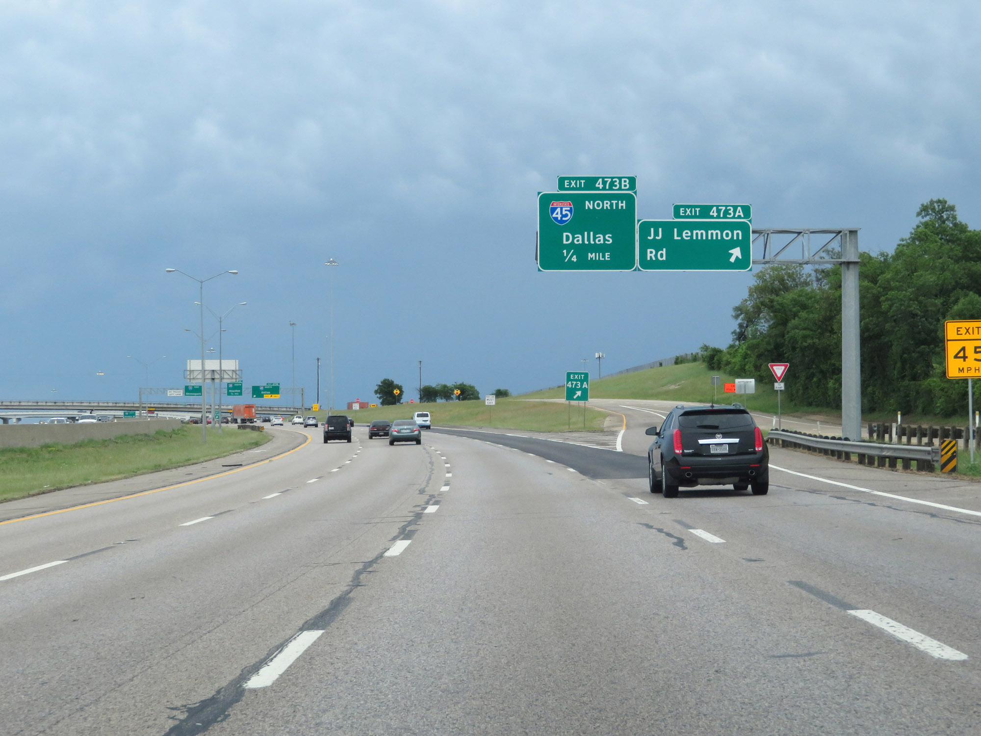 |
Interstate 20 East at Exit 473A: JJ Lemmon Rd (Photo taken 5/20/18). |
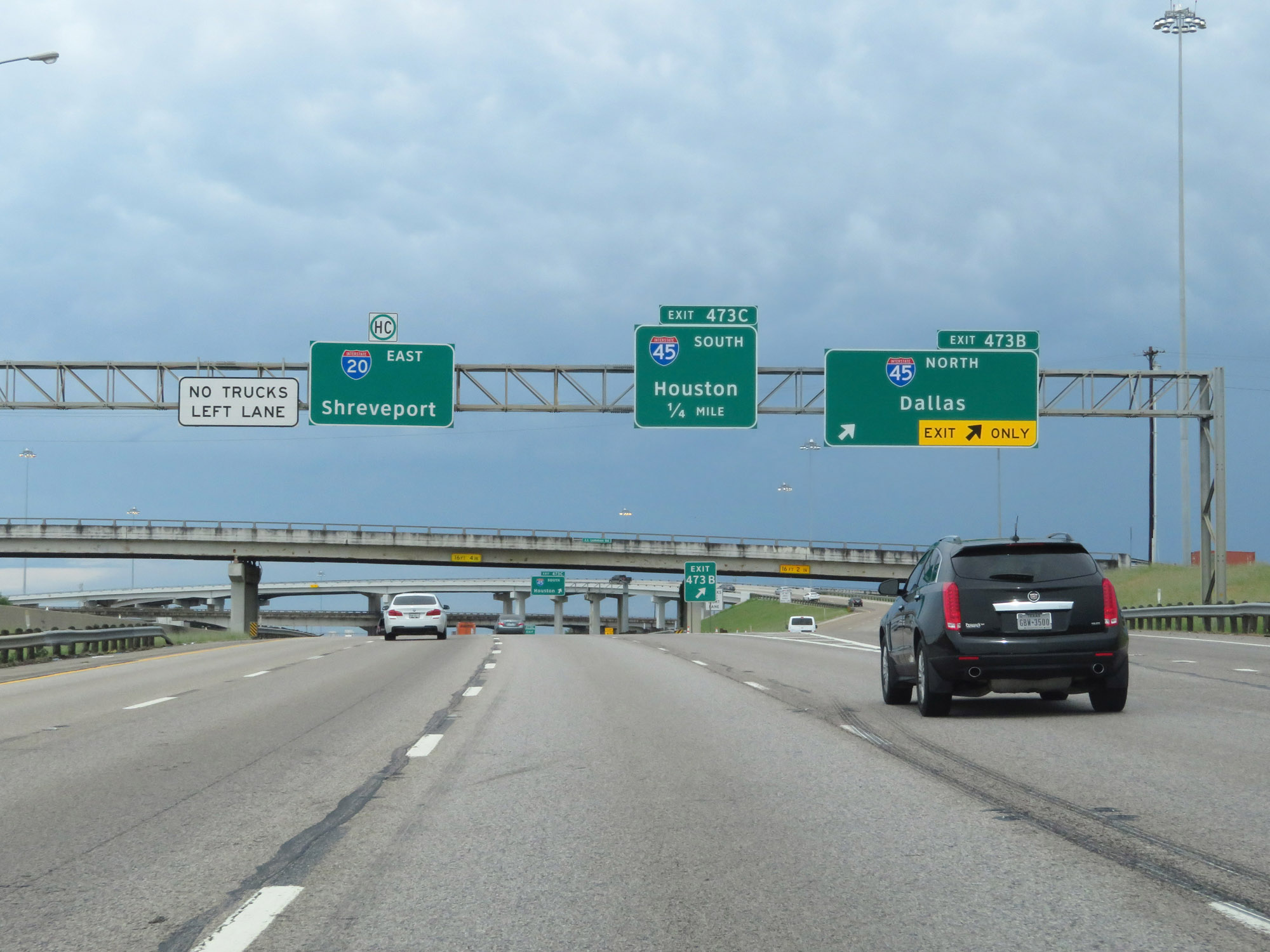 |
Interstate 20 East at Exit 473B: Interstate 45 North - Dallas (Photo taken 5/20/18). |
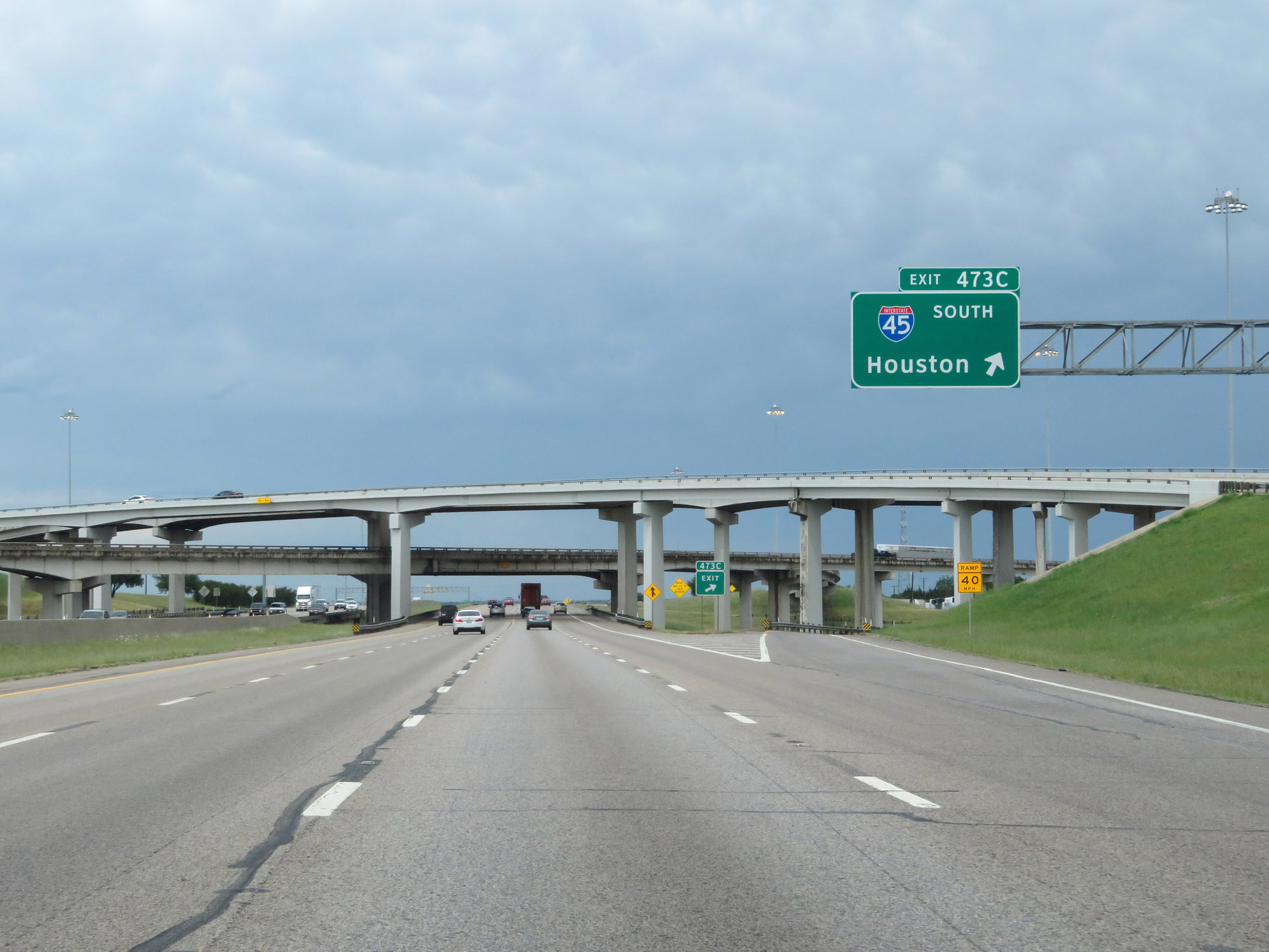 |
Interstate 20 East at Exit 473C: Interstate 45 South - Houston (Photo taken 5/20/18). |
 |
The speed limit remains 70 mph for all vehicles on Interstate 20 East in the Dallas area. (Photo taken 5/20/18). |
 |
Interstate 20 East reassurance shield. (Photo taken 5/20/18). |
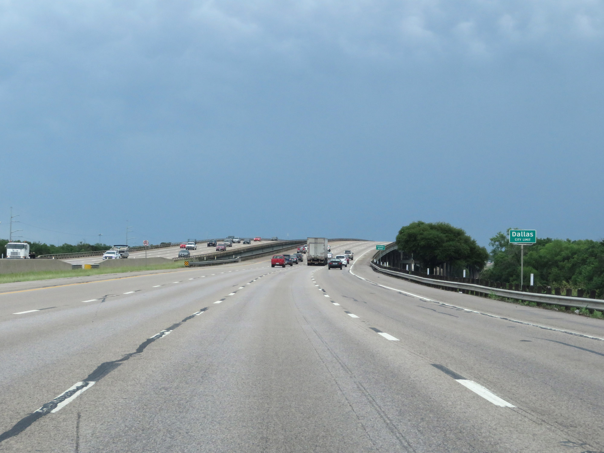 |
Interstate 20 East as it enters the Dallas city limits. (Photo taken 5/20/18). |
 |
Interstate 20 East at Exit 476: Dowdy Ferry Rd (Photo taken 5/20/18). |
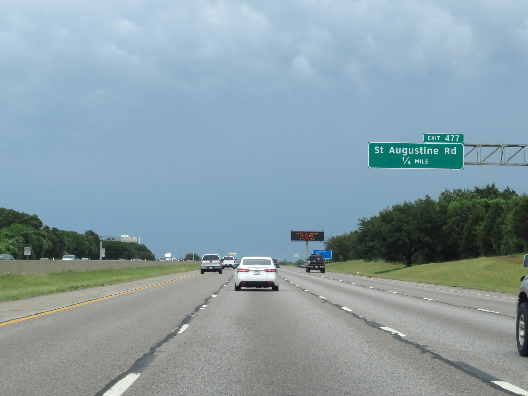 |
Interstate 20 East at Exit 477: St Augustine Rd (Photo taken 5/20/18). |
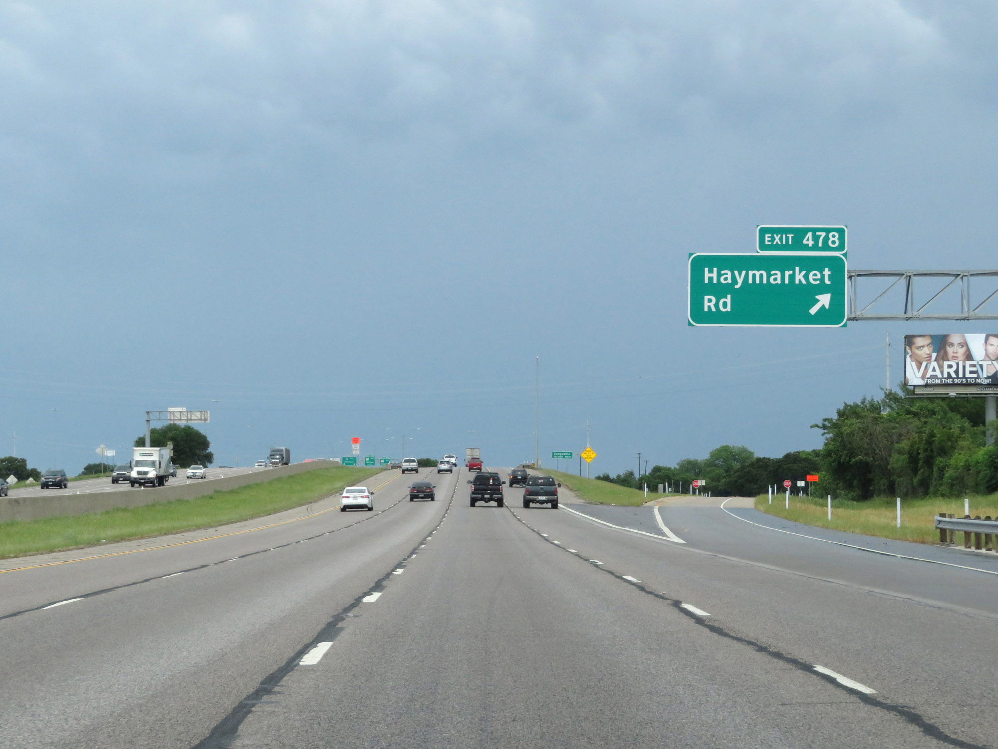 |
Interstate 20 East at Exit 478: Haymarket Rd (Photo taken 5/20/18). |
Section 8: Dallas (Exit 478) to Lindale (Exit 554)
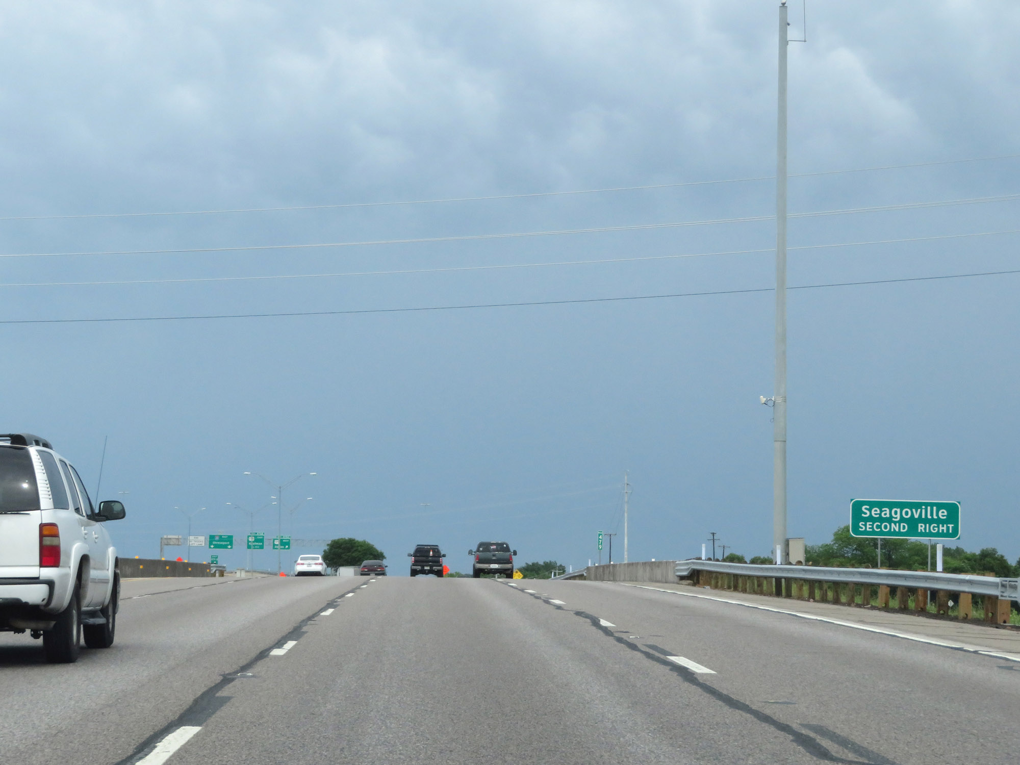 |
Take Exit 479B to Seagoville. (Photo taken 5/20/18). |
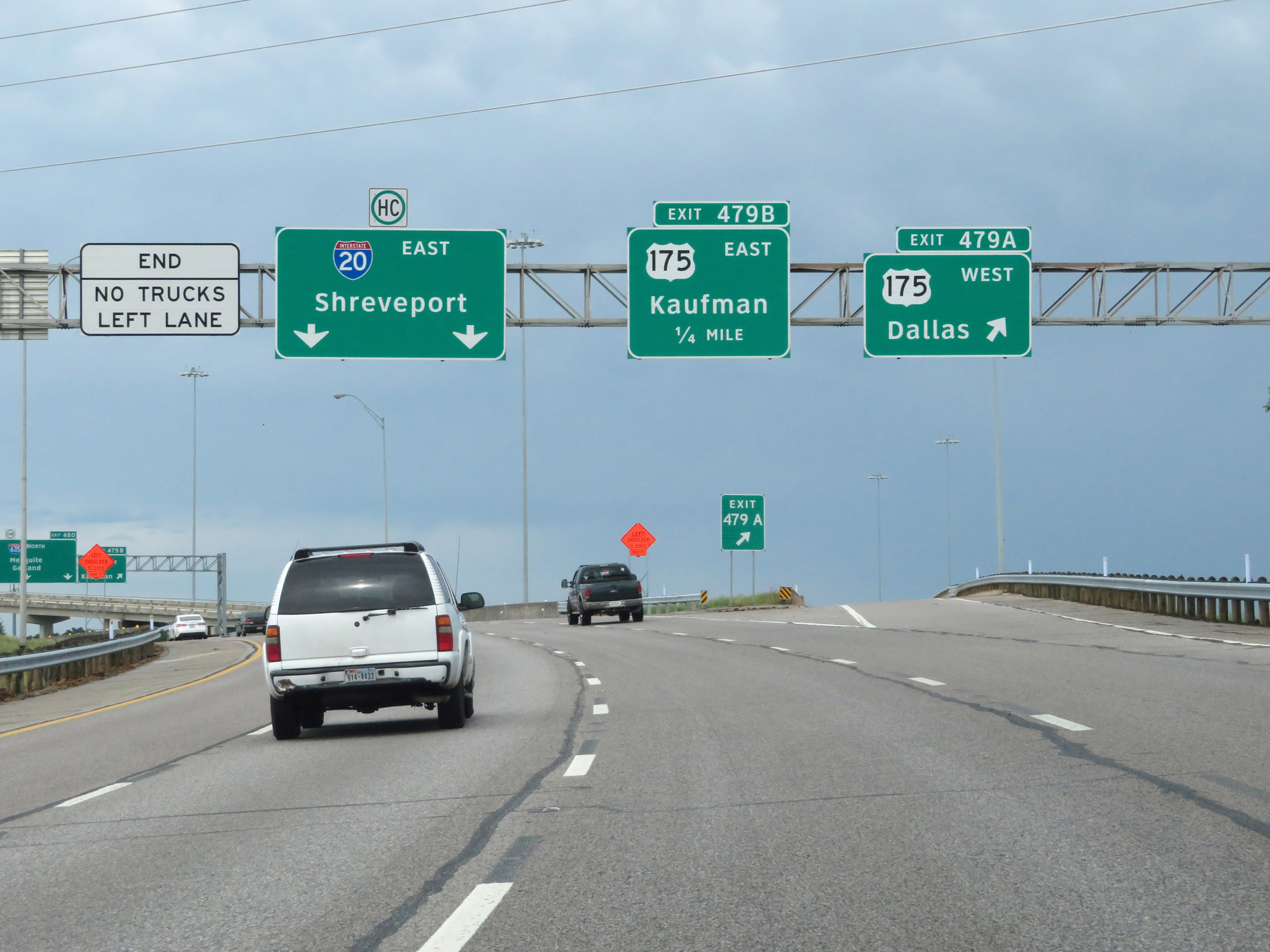 |
Interstate 20 East at Exit 479A: US 175 West - Dallas (Photo taken 5/20/18). |
 |
Interstate 20 East at Exit 479B: US 175 East - Kaufman (Photo taken 5/20/18). |
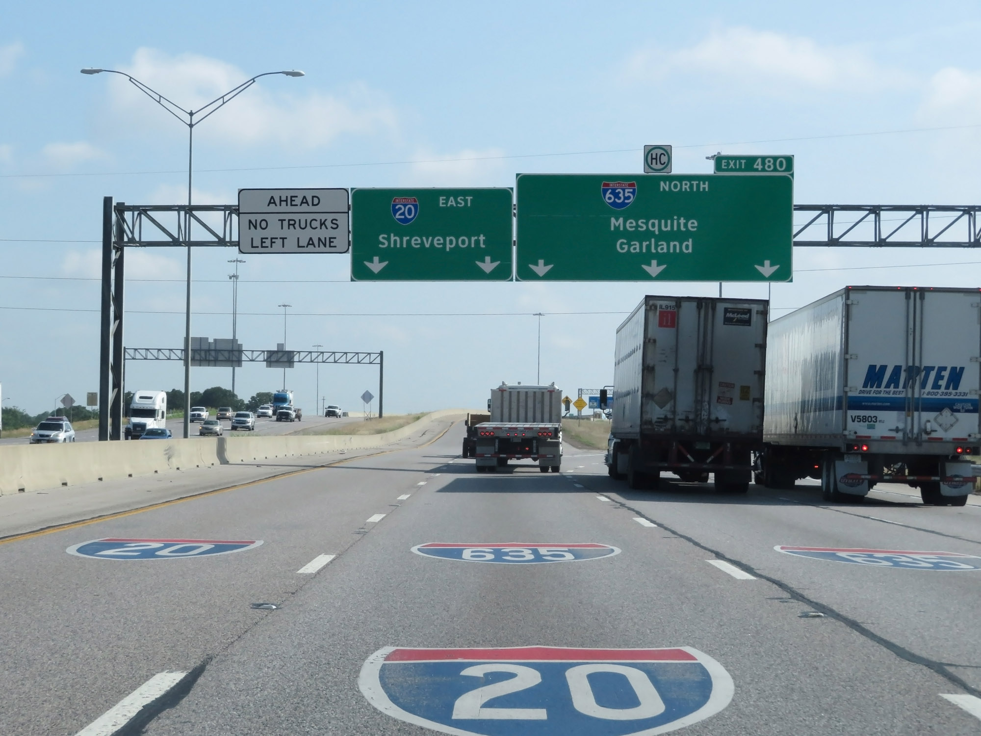 |
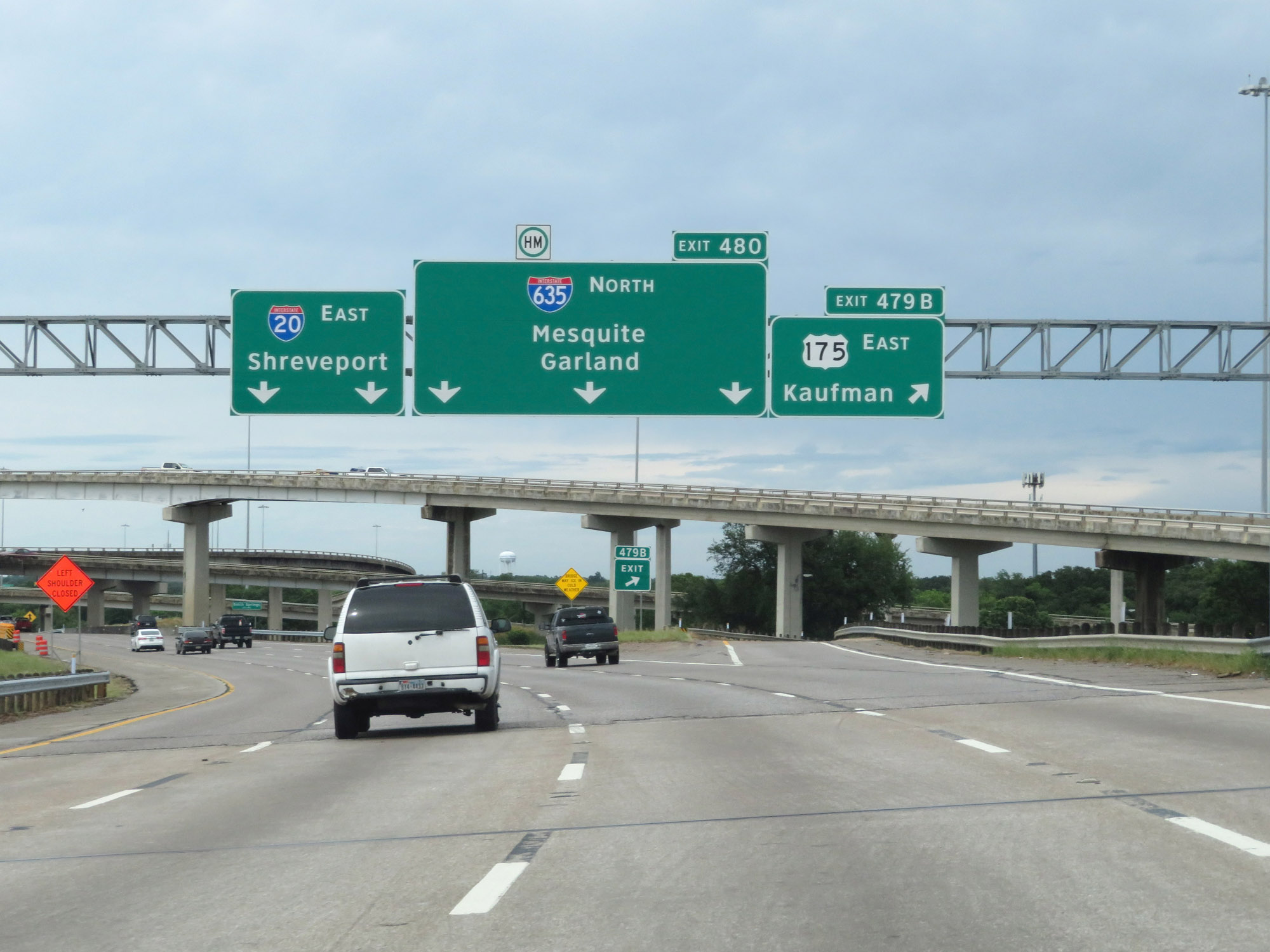
Interstate 20 East at Exit 480: Interstate 635 North - Mesquite / Garland (Photo taken 5/22/18). |
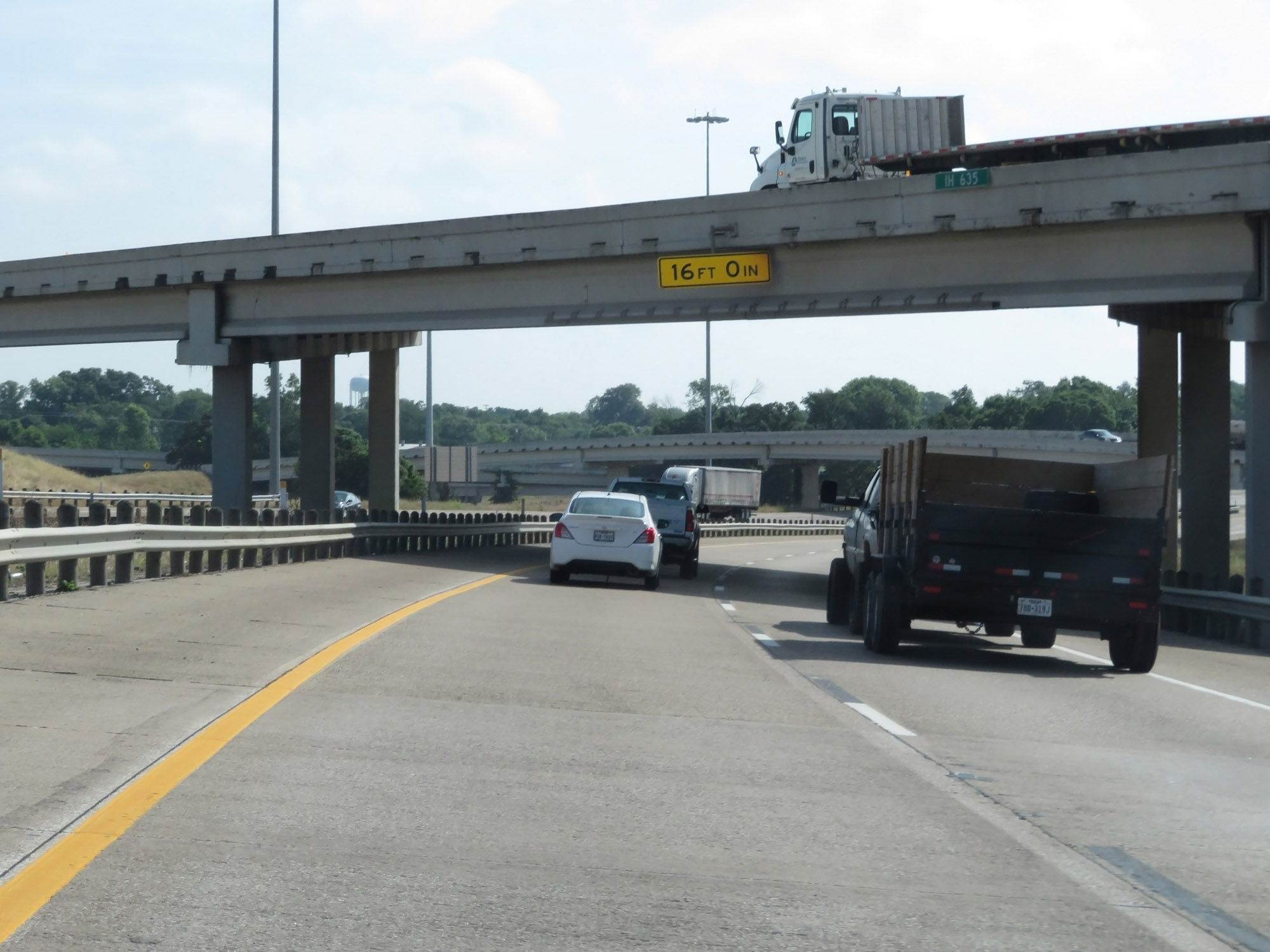 |
Interstate 20 East as the ramp to Interstate 635 North passes overhead. (Photo taken 5/22/18). |
 |
The speed limit remains 70 mph on Interstate 20 just east of Interstate 635. (Photo taken 5/22/18). |
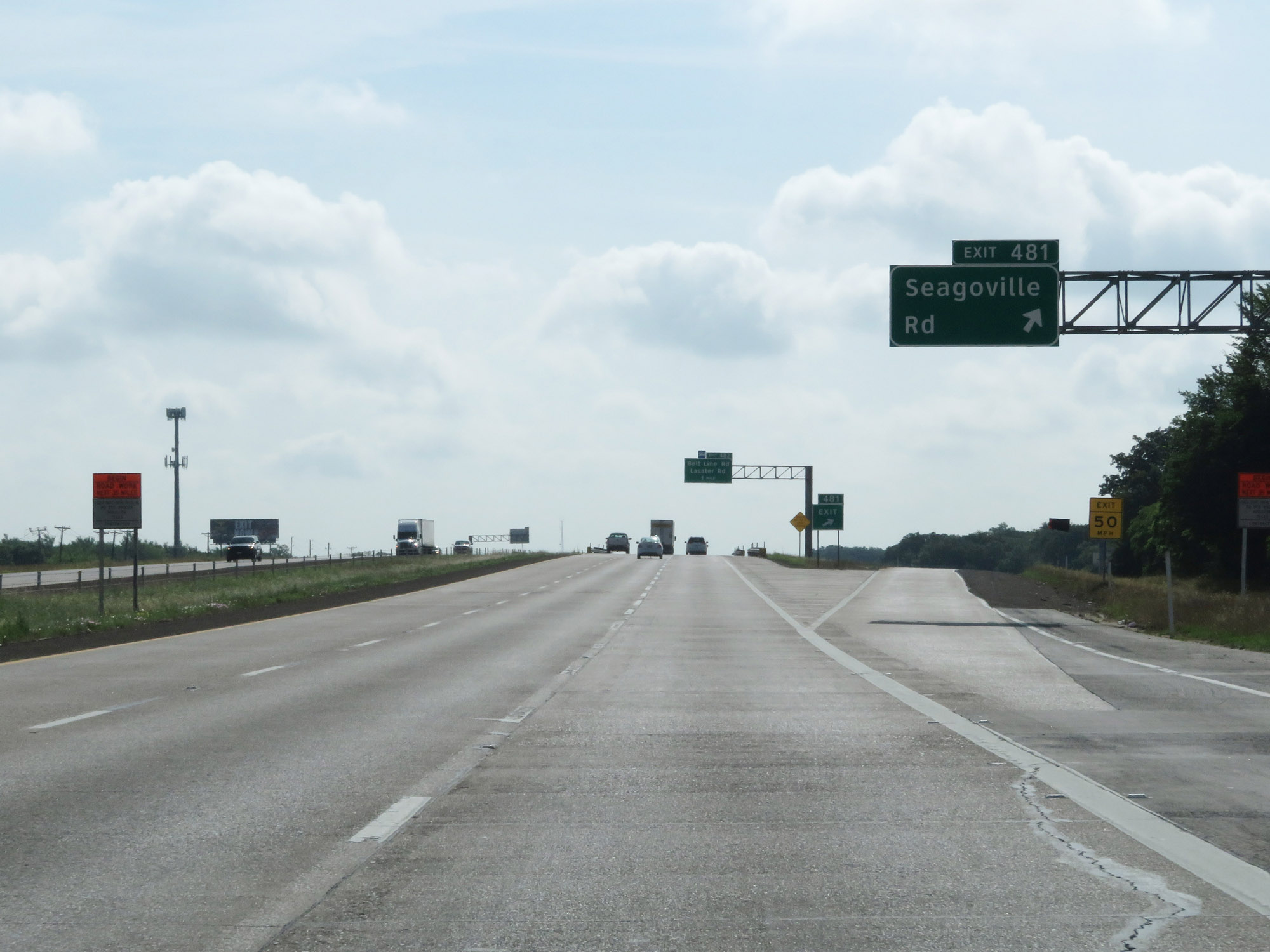 |
Interstate 20 East at Exit 481: Seagoville Rd (Photo taken 5/22/18). |
 |
Interstate 20 East at Exit 482: Belt Line Rd / Lasater Rd (Photo taken 5/22/18). |
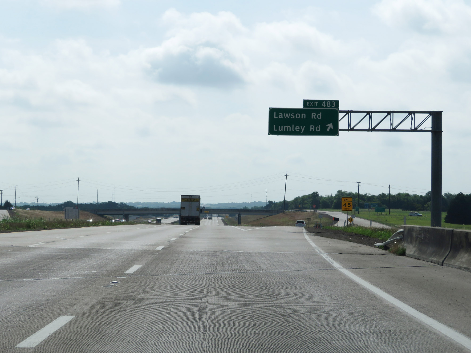 |
Interstate 20 East at Exit 483: Lawson Rd / Lumley Rd (Photo taken 5/22/18). |
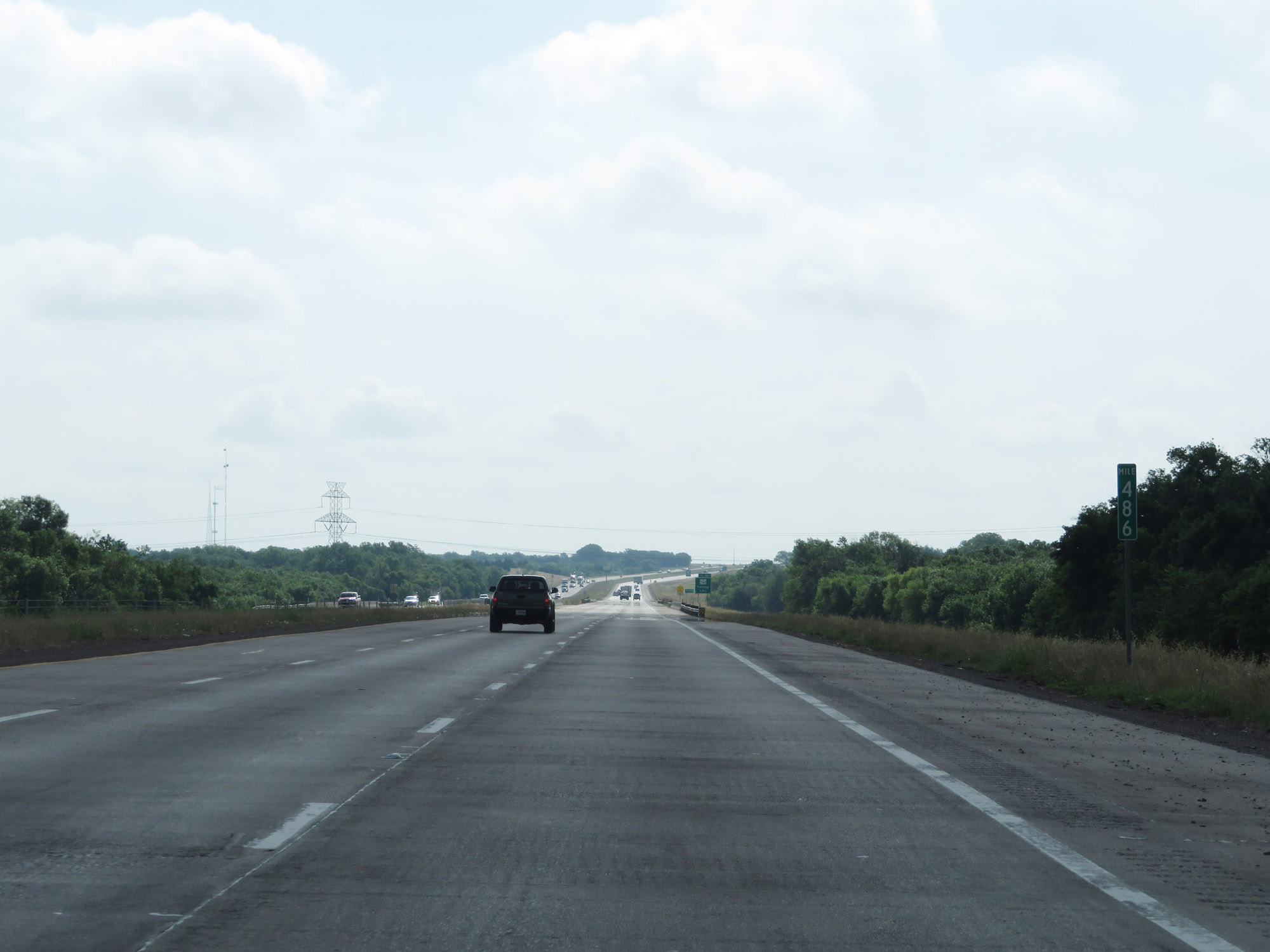 |
Interstate 20 East at mile marker 486. (Photo taken 5/22/18). |
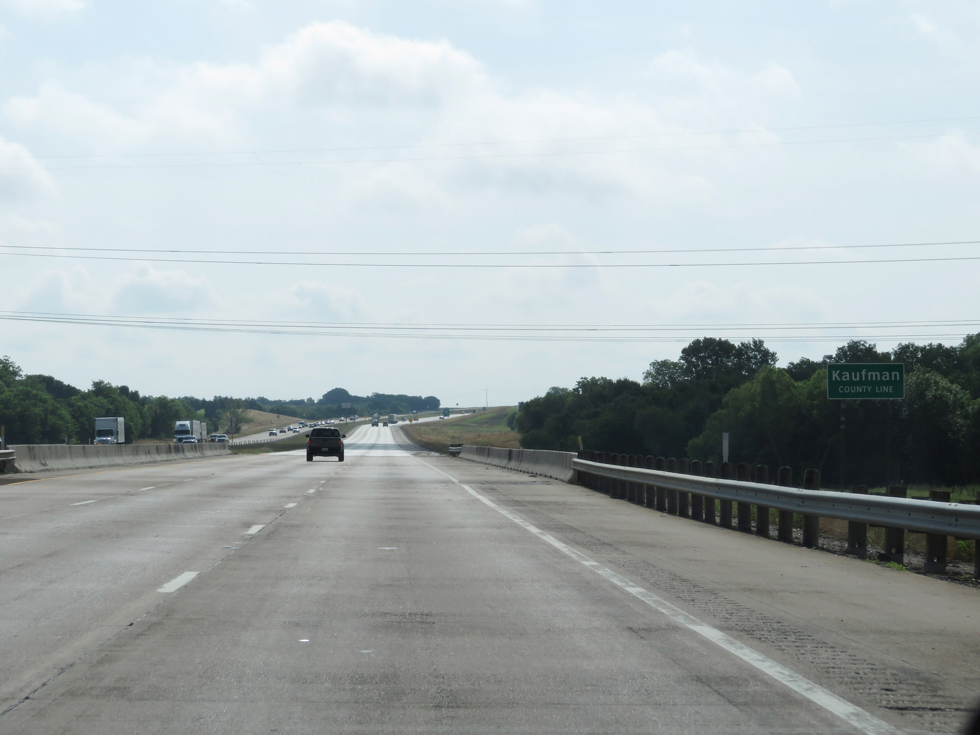 |
Interstate 20 East as it enters Kaufman County. (Photo taken 5/22/18). |
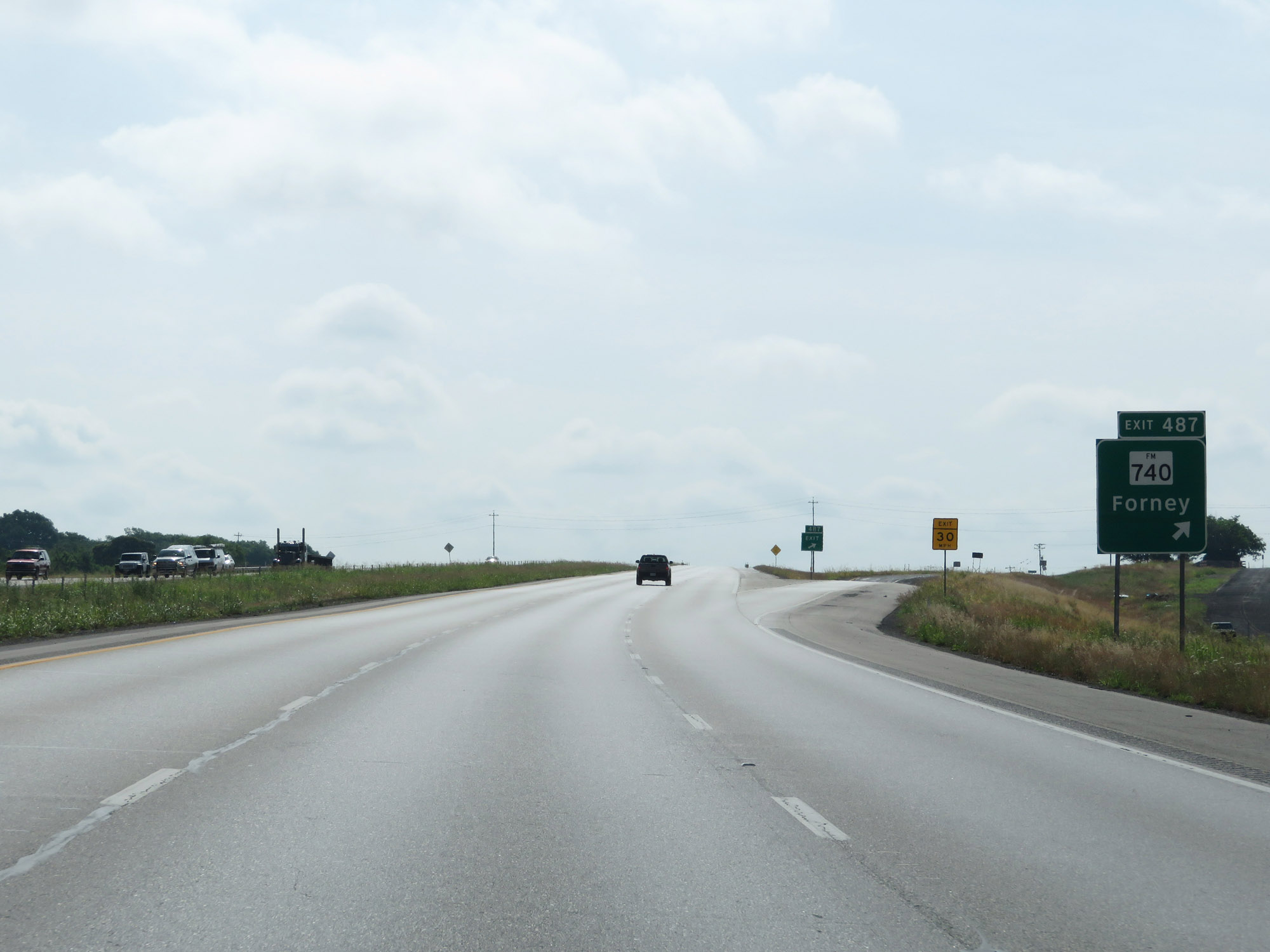 |
Interstate 20 East at Exit 487: FM 740 - Forney (Photo taken 5/22/18). |
 |
State-named Interstate 20 East reassurance shield. (Photo taken 5/22/18). |
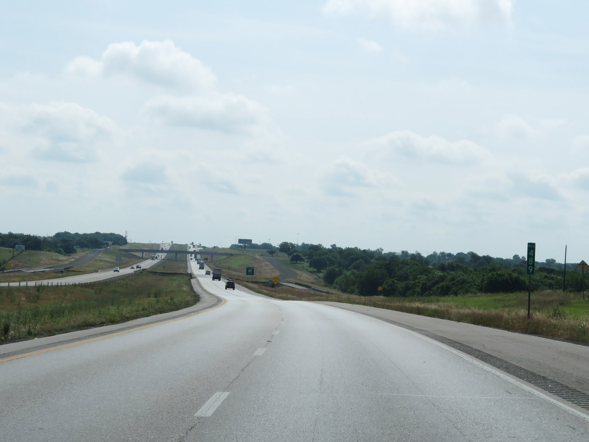 |
Interstate 20 East at mile marker 489. (Photo taken 5/22/18). |
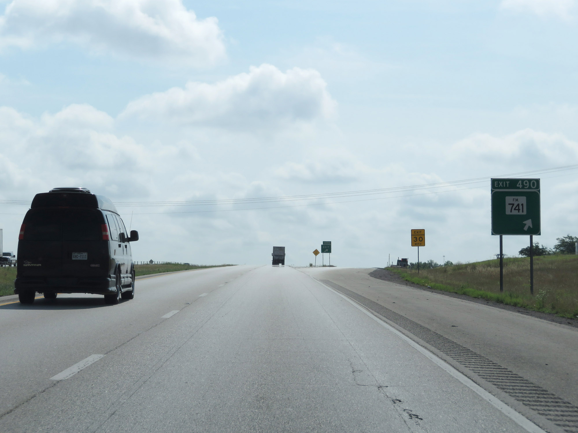 |
Interstate 20 East at Exit 490: FM 741 (Photo taken 5/22/18). |
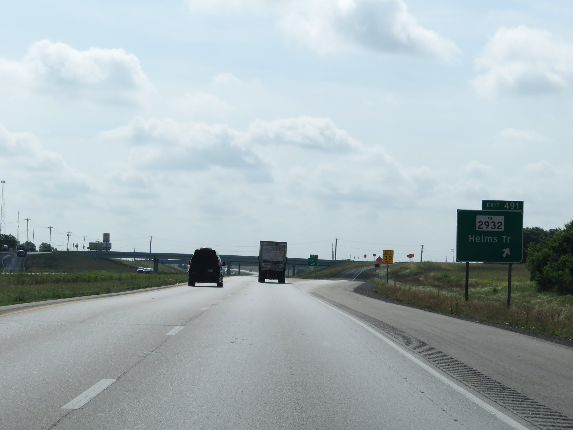 |
Interstate 20 East at Exit 491: FM 2932 - Helms Trail (Photo taken 5/22/18). |
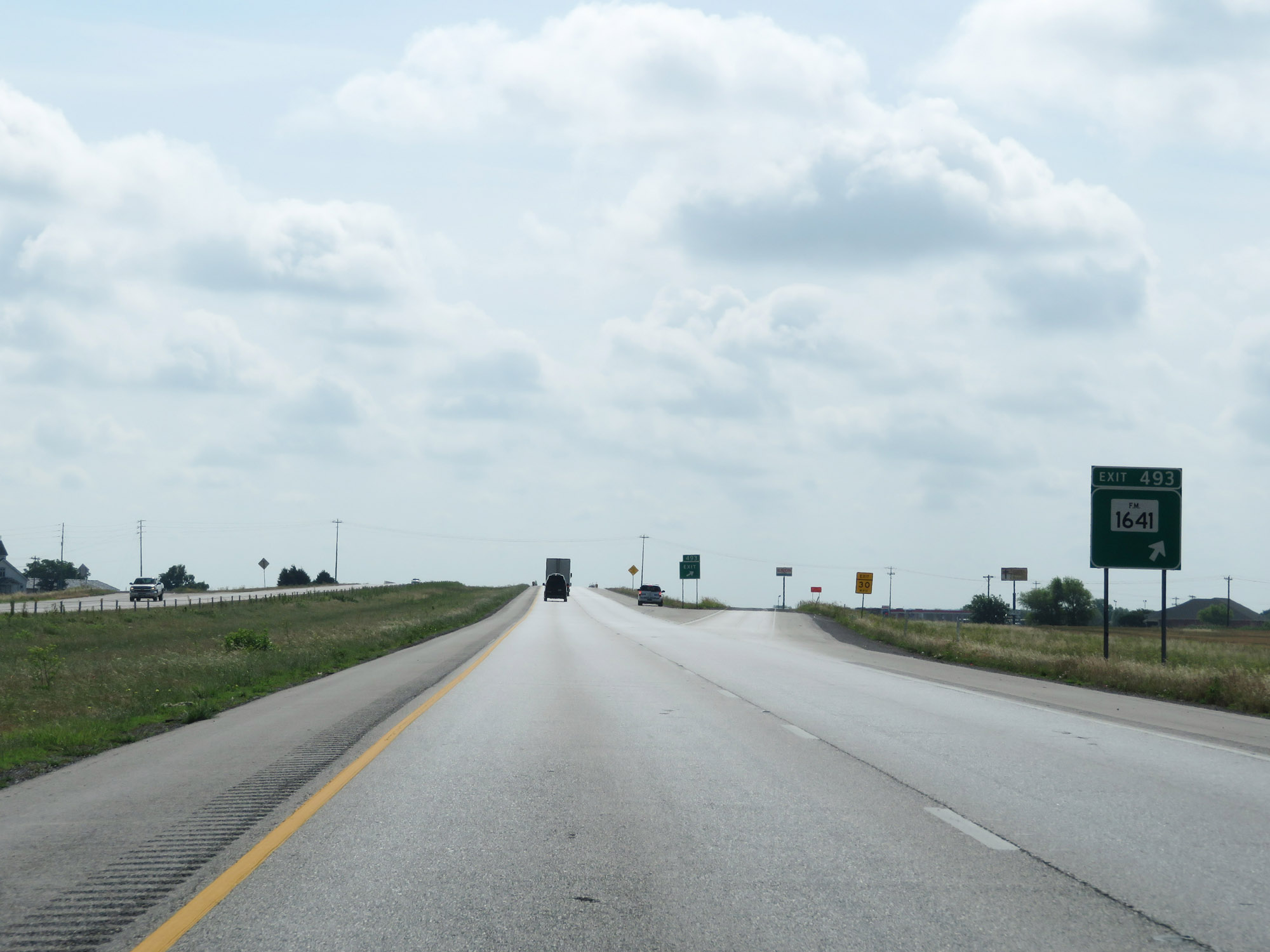 |
Interstate 20 East at Exit 493: FM 1641 (Photo taken 5/22/18). |
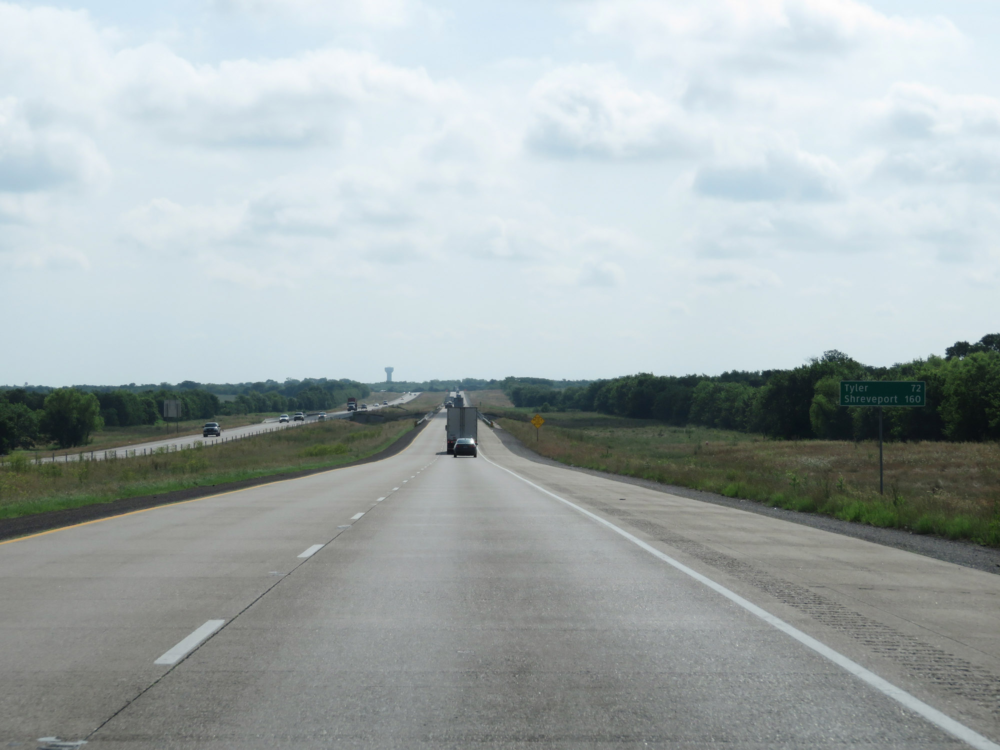 |
Mileage sign on Interstate 20 East. It's 72 miles to Tyler and 160 miles to Shreveport. (Photo taken 5/22/18). |
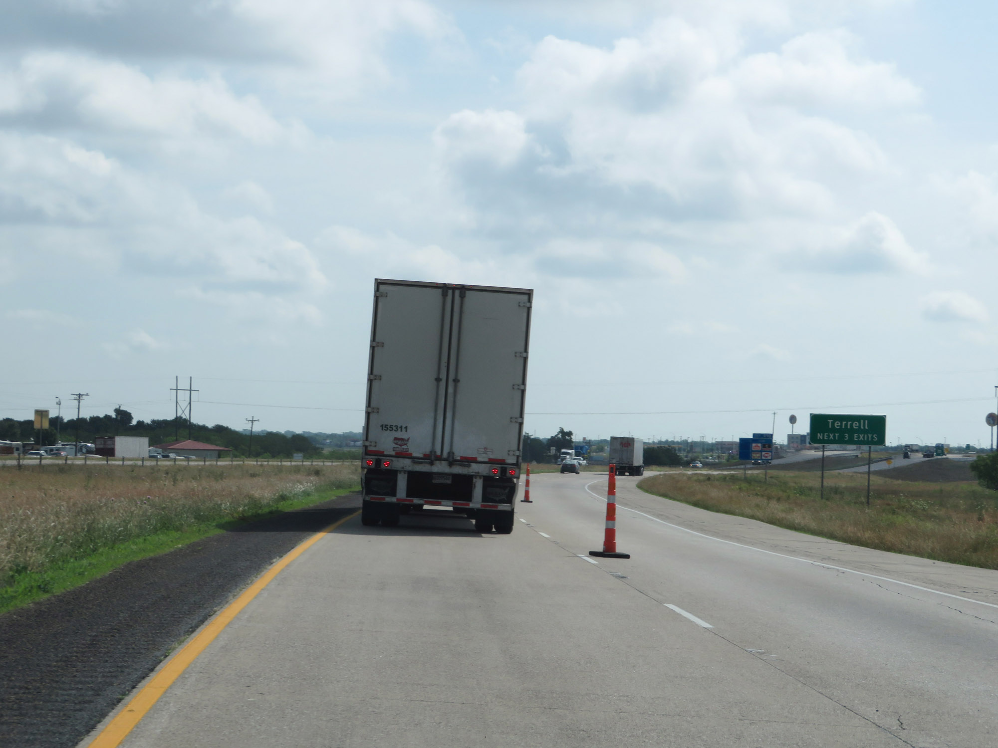 |
Take any of the next 3 exits to Terrell. (Photo taken 5/22/18). |
 |
Interstate 20 East at Exit 498: FM 148 (Photo taken 5/22/18). |
 |
Interstate 20 East at Exit 499B: Rose Hill Rd (Photo taken 5/22/18). |
 |
Interstate 20 East at mile marker 500. (Photo taken 5/22/18). |
 |
Interstate 20 East at Exit 501: TX 34 - Terrell / Kaufman (Photo taken 5/22/18). |
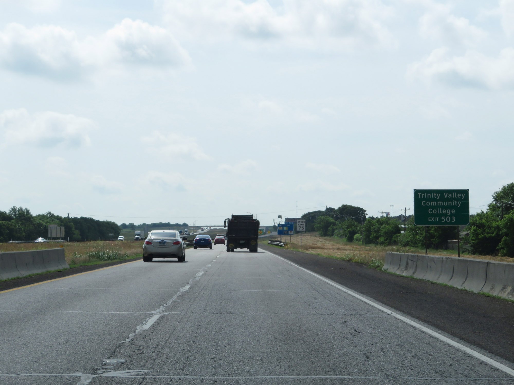 |
Take Exit 503 to Trinity Valley Community College. (Photo taken 5/22/18). |
 |
Approaching Exit 503, the speed limit increases to the standard rural 75 mph. (Photo taken 5/22/18). |
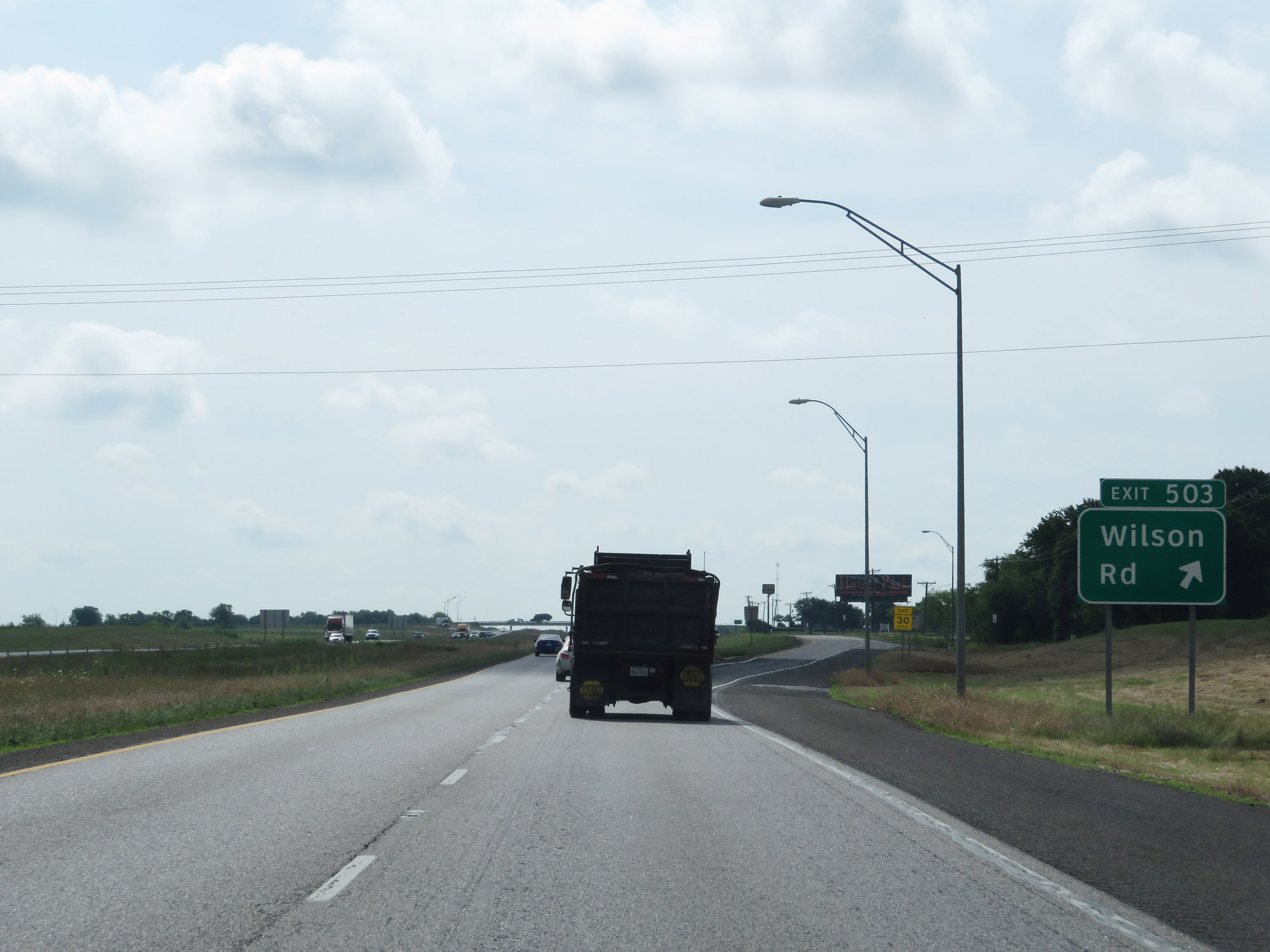 |
Interstate 20 East at Exit 503: Wilson Rd (Photo taken 5/22/18). |
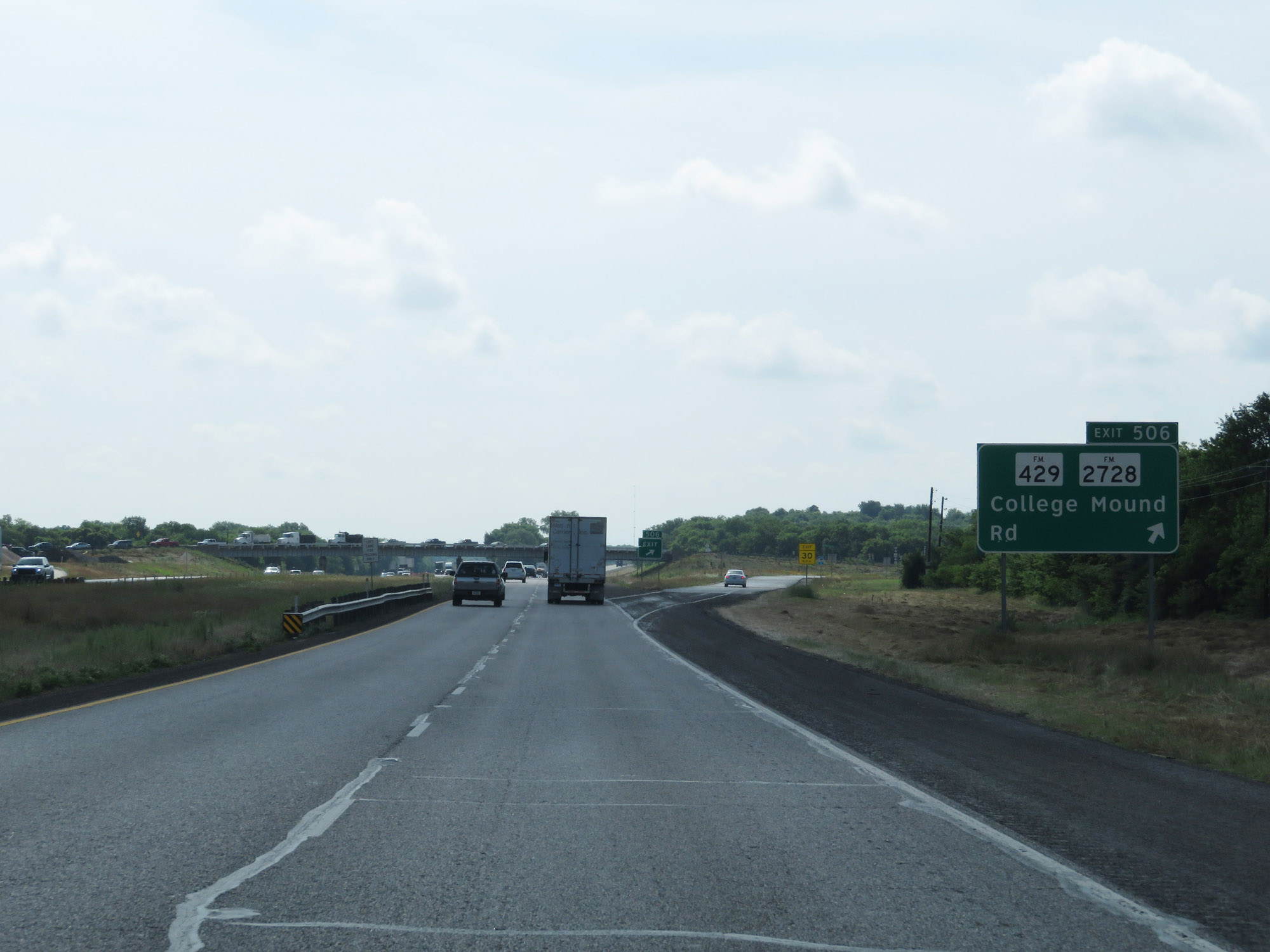 |
Interstate 20 East at Exit 506: FM 429 / FM 2728 - College Mound Rd (Photo taken 5/22/18). |
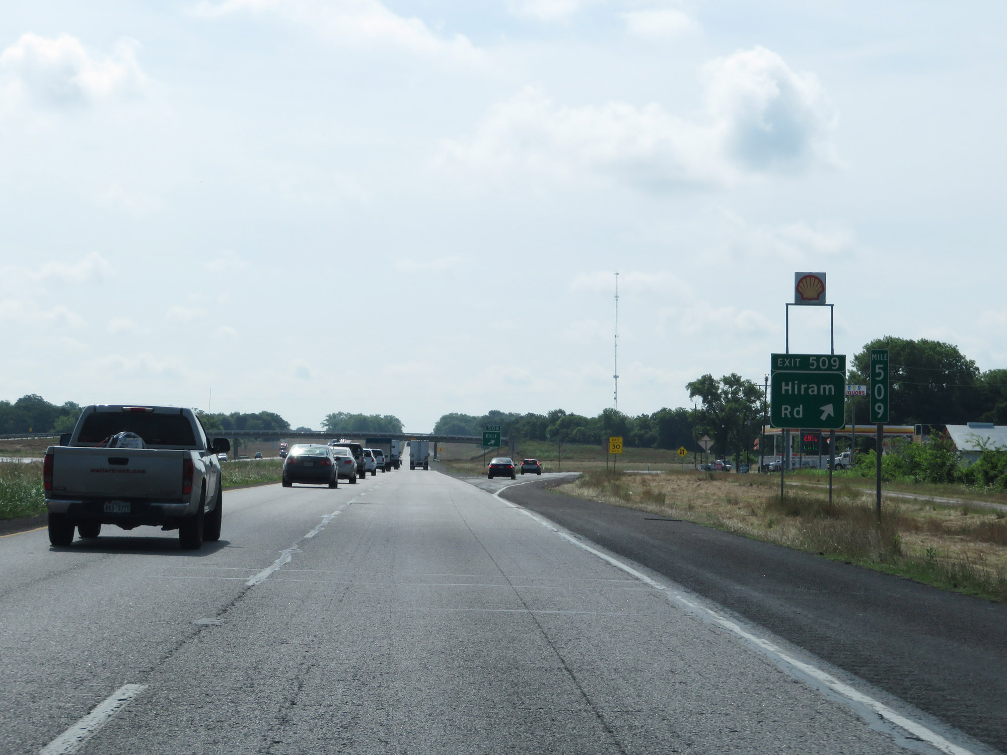 |
Interstate 20 East at Exit 509: Hiram Rd (Photo taken 5/22/18). |
 |
CMV Check Station on Interstate 20 East in Kaufman County. (Photo taken 5/22/18). |
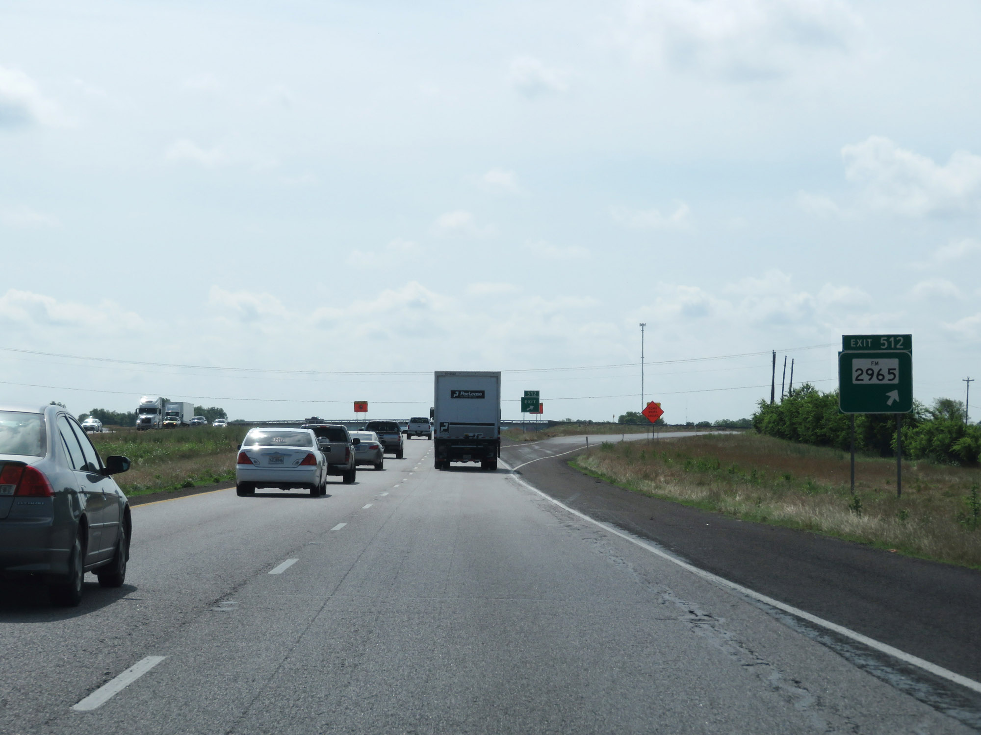 |
Interstate 20 East at Exit 512: FM 2965 (Photo taken 5/22/18). |
 |
Interstate 20 East entering Van Zandt County. (Photo taken 5/22/18). |
 |
Take Exit 516 to Lake Tawakoni. (Photo taken 5/22/18). |
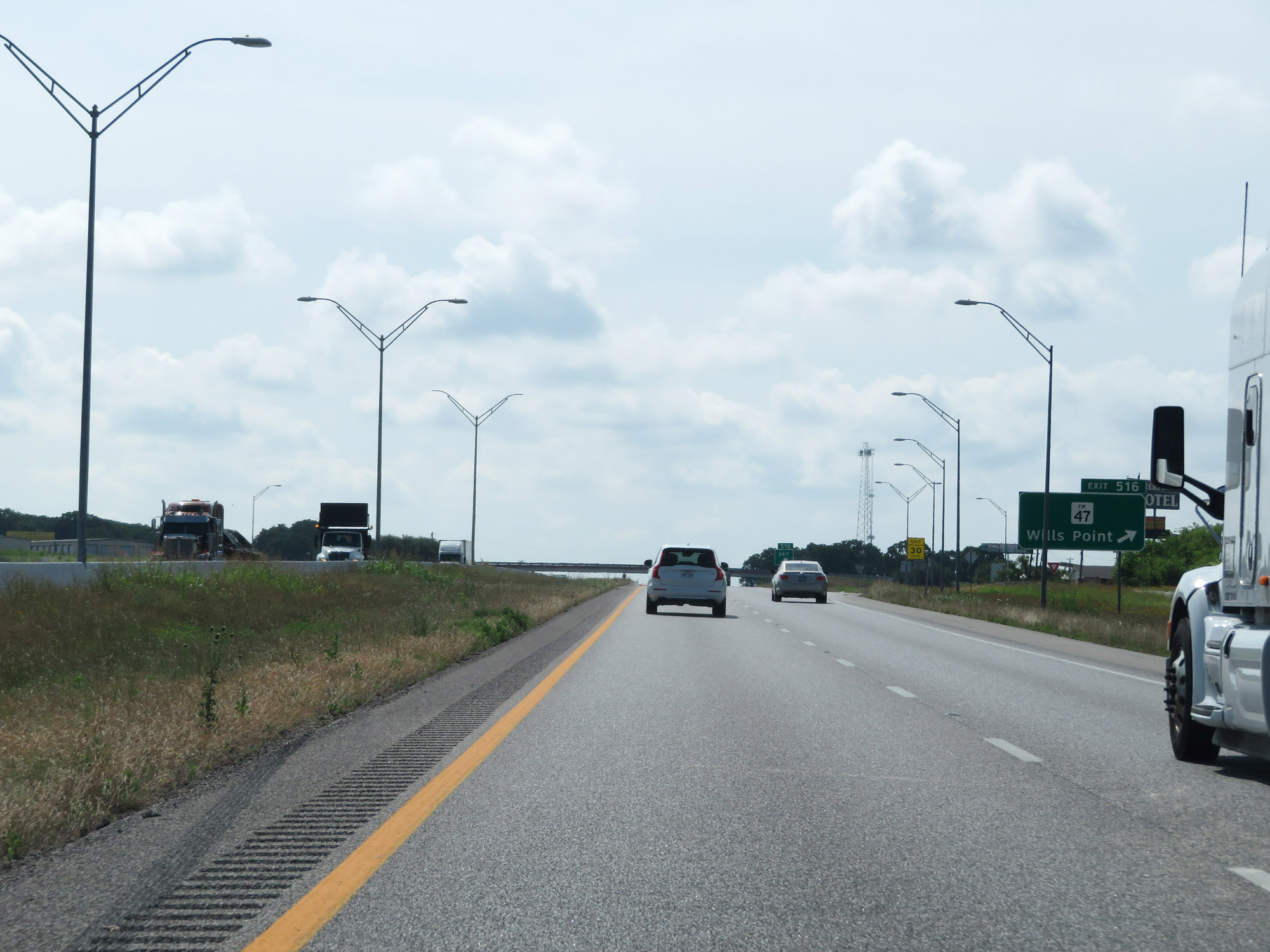 |
Interstate 20 East at Exit 516: FM 47 - Wills Point (Photo taken 5/22/18). |
 |
State-named Interstate 20 East reassurance shield in Van Zandt County. (Photo taken 5/22/18). |
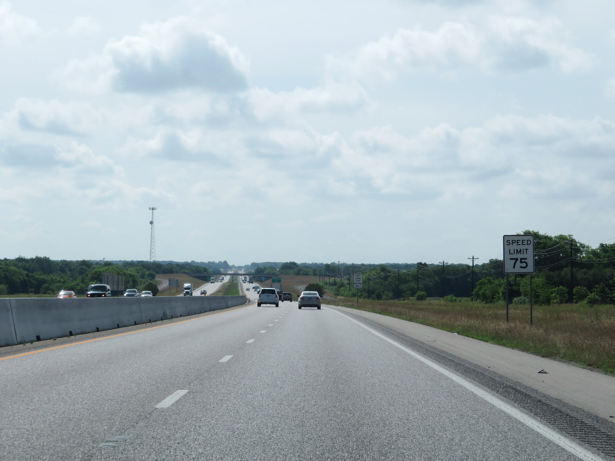 |
The speed limit remains 75 mph. (Photo taken 5/22/18). |
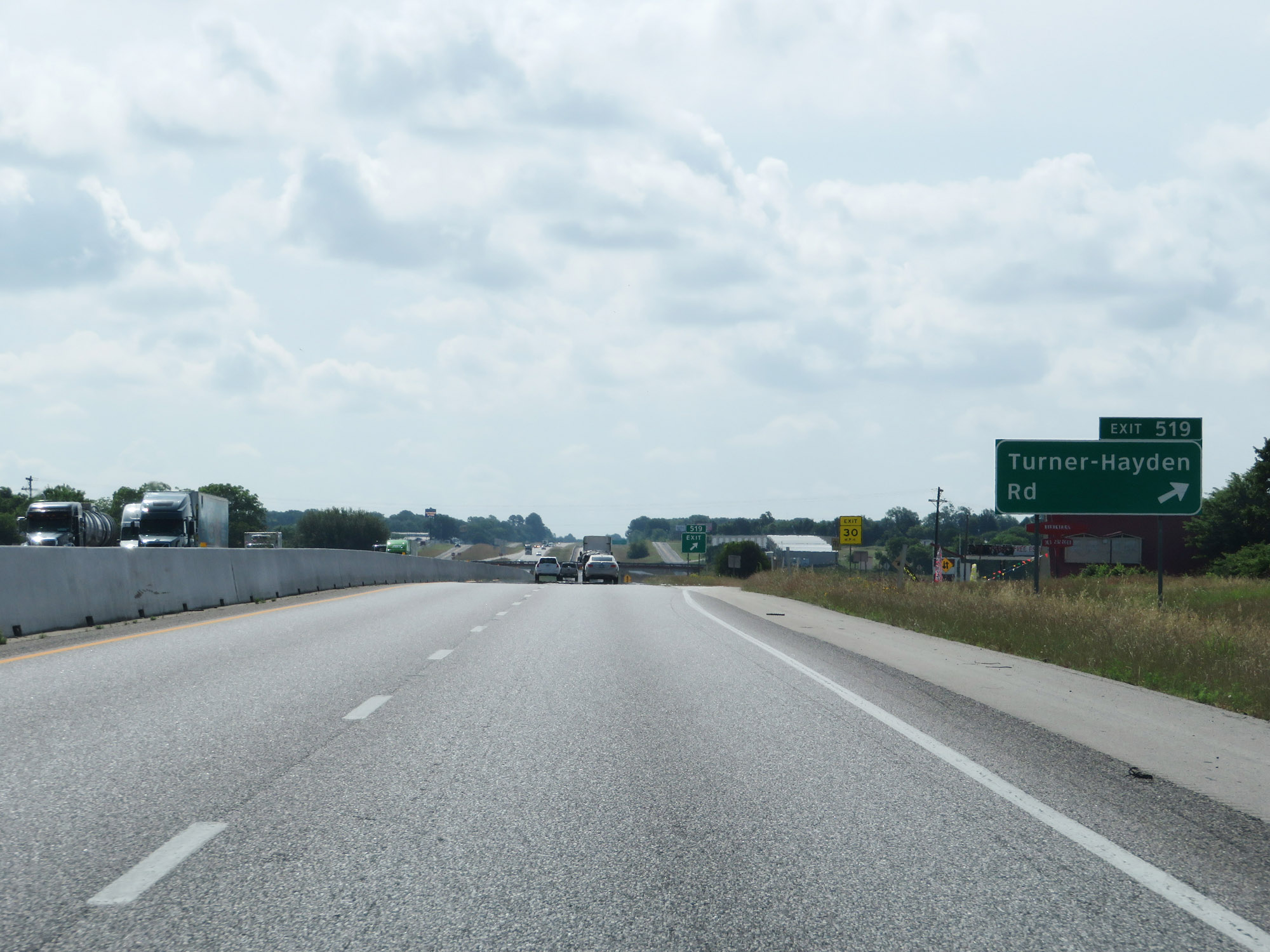 |
Interstate 20 East at Exit 519: Turner-Hayden Rd (Photo taken 5/22/18). |
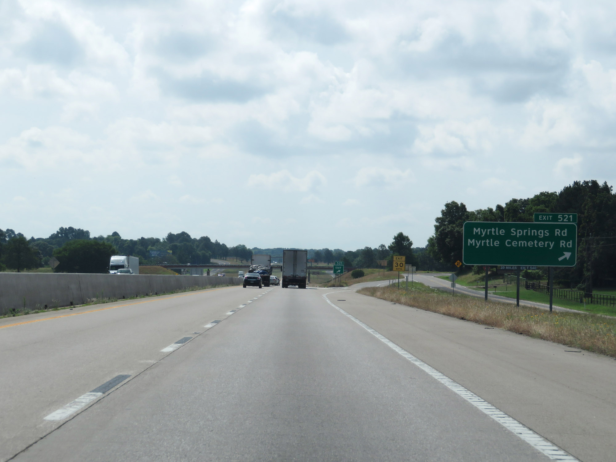 |
Interstate 20 East at Exit 521: Myrtle Springs Rd / Myrtle Cemetery Rd (Photo taken 5/22/18). |
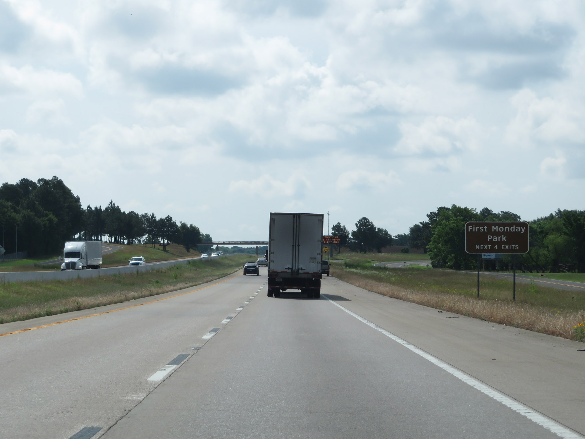 |
Take any of the next 4 exits to First Monday Park. (Photo taken 5/22/18). |
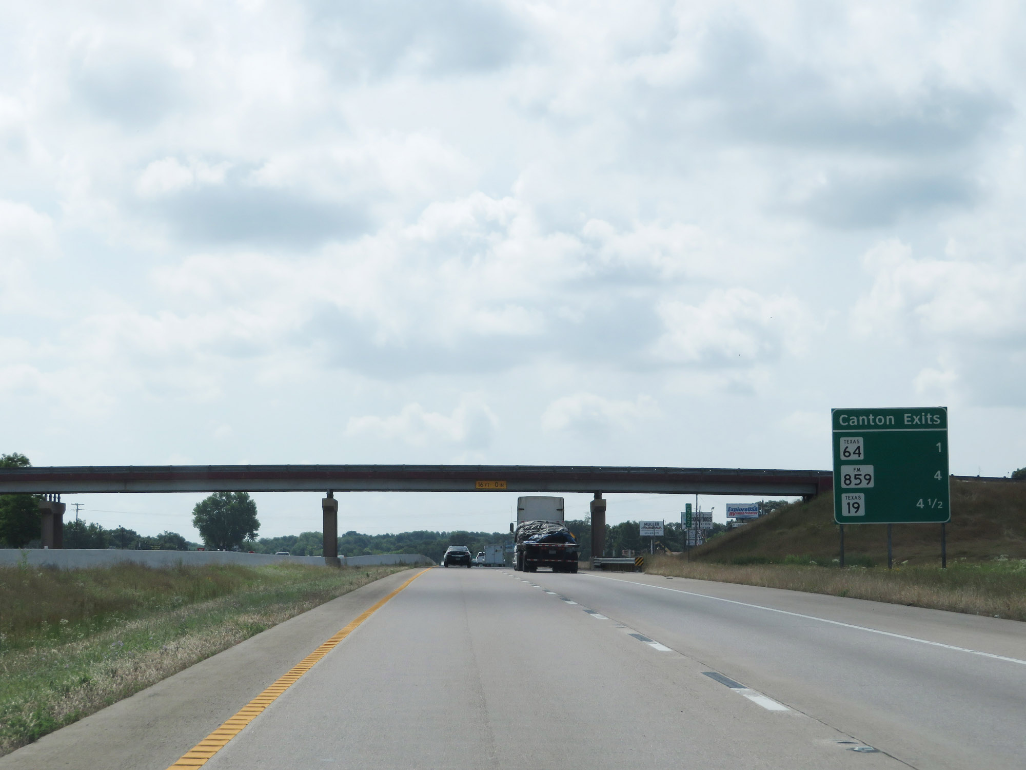 |
Sign listing the distances to the three upcoming Canton exits. (Photo taken 5/22/18). |
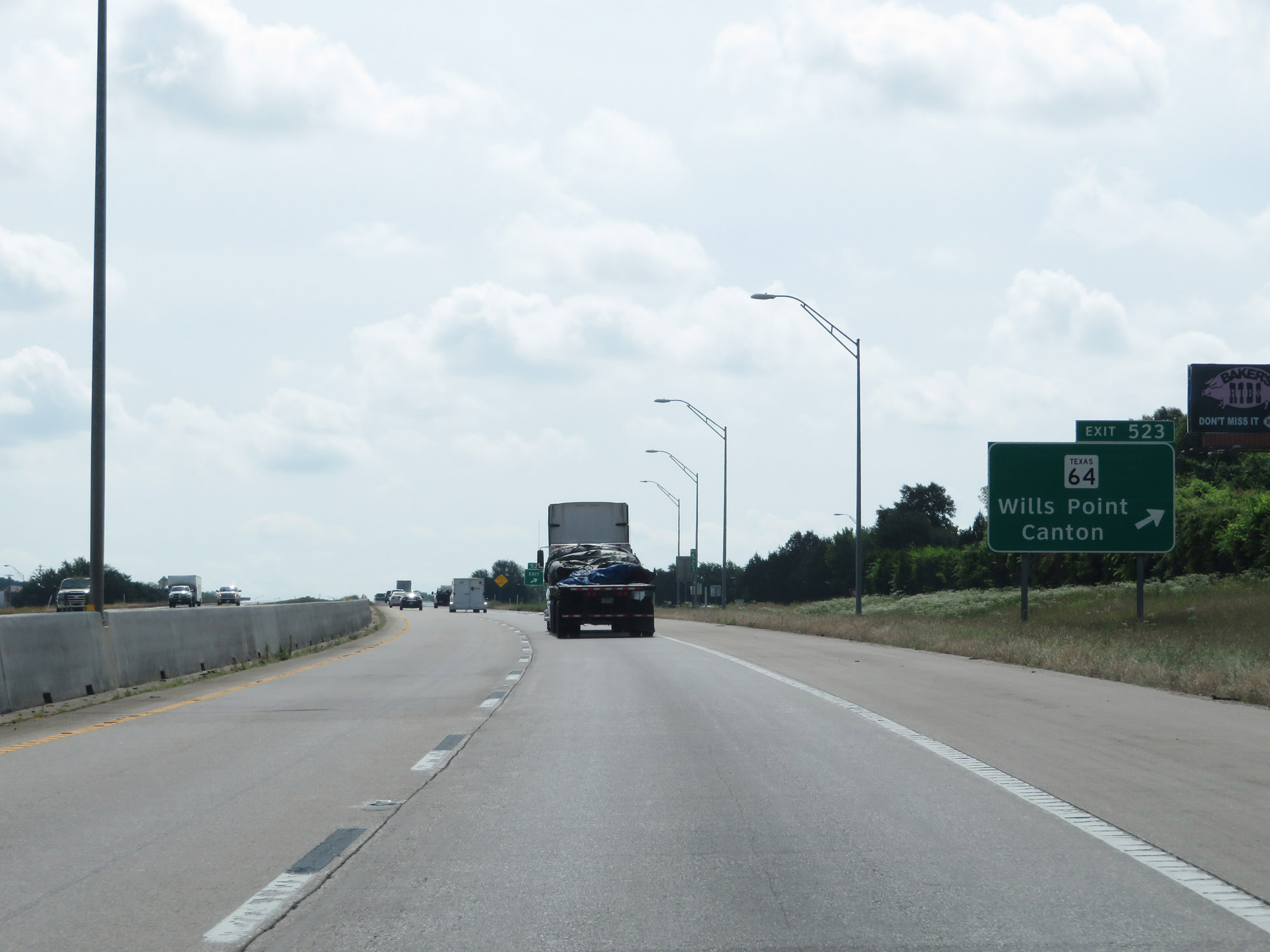 |
Interstate 20 East at Exit 523: TX 64 - Wills Point / Canton (Photo taken 5/22/18). |
 |
Take Exit 527 to Athens. (Photo taken 5/22/18). |
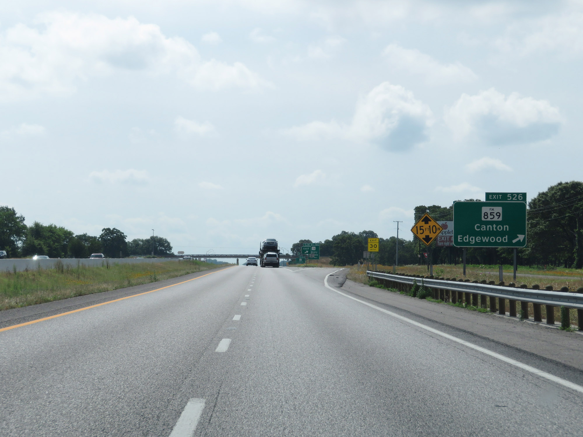 |
Interstate 20 East at Exit 526: FM 859 - Canton / Edgewood (Photo taken 5/22/18). |
 |
Interstate 20 East at Exit 527: TX 19 - Emory / Canton (Photo taken 5/22/18). |
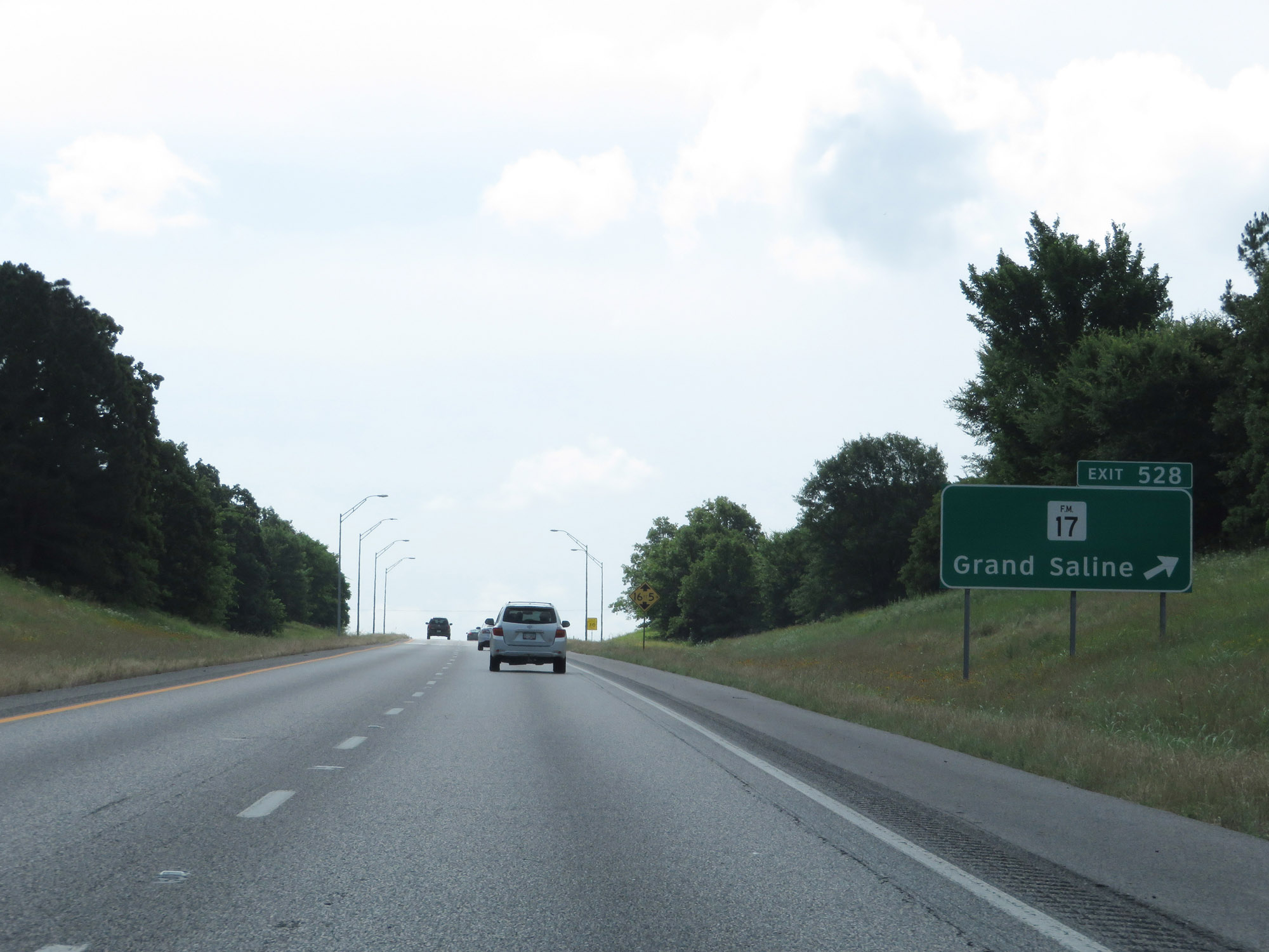 |
Interstate 20 East at Exit 528: FM 17 - Grand Saline (Photo taken 5/22/18). |
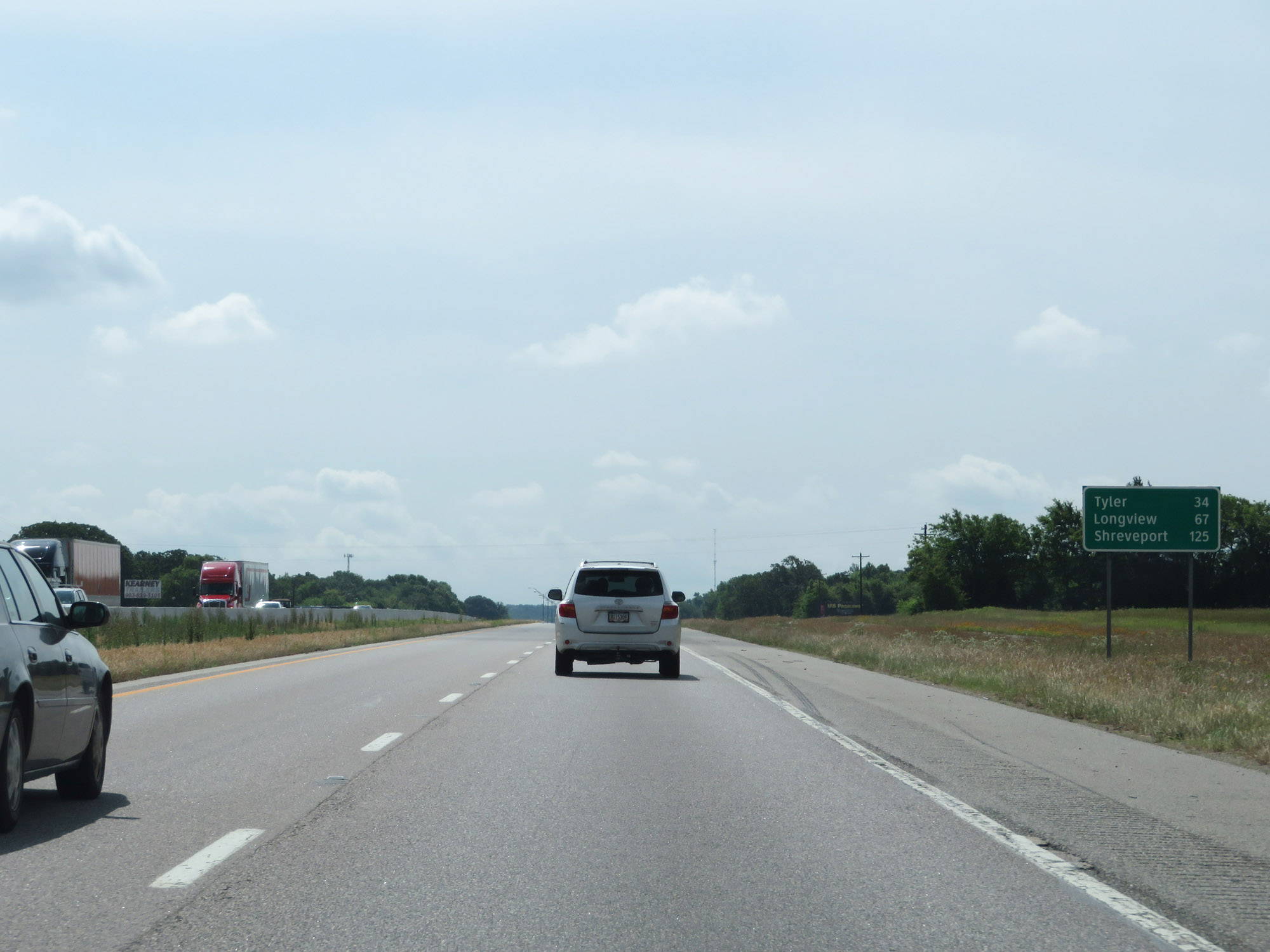 |
Mileage sign on Interstate 20 East. It's 34 miles to Tyler, 67 miles to Longview, and 125 miles to Shreveport. (Photo taken 5/22/18). |
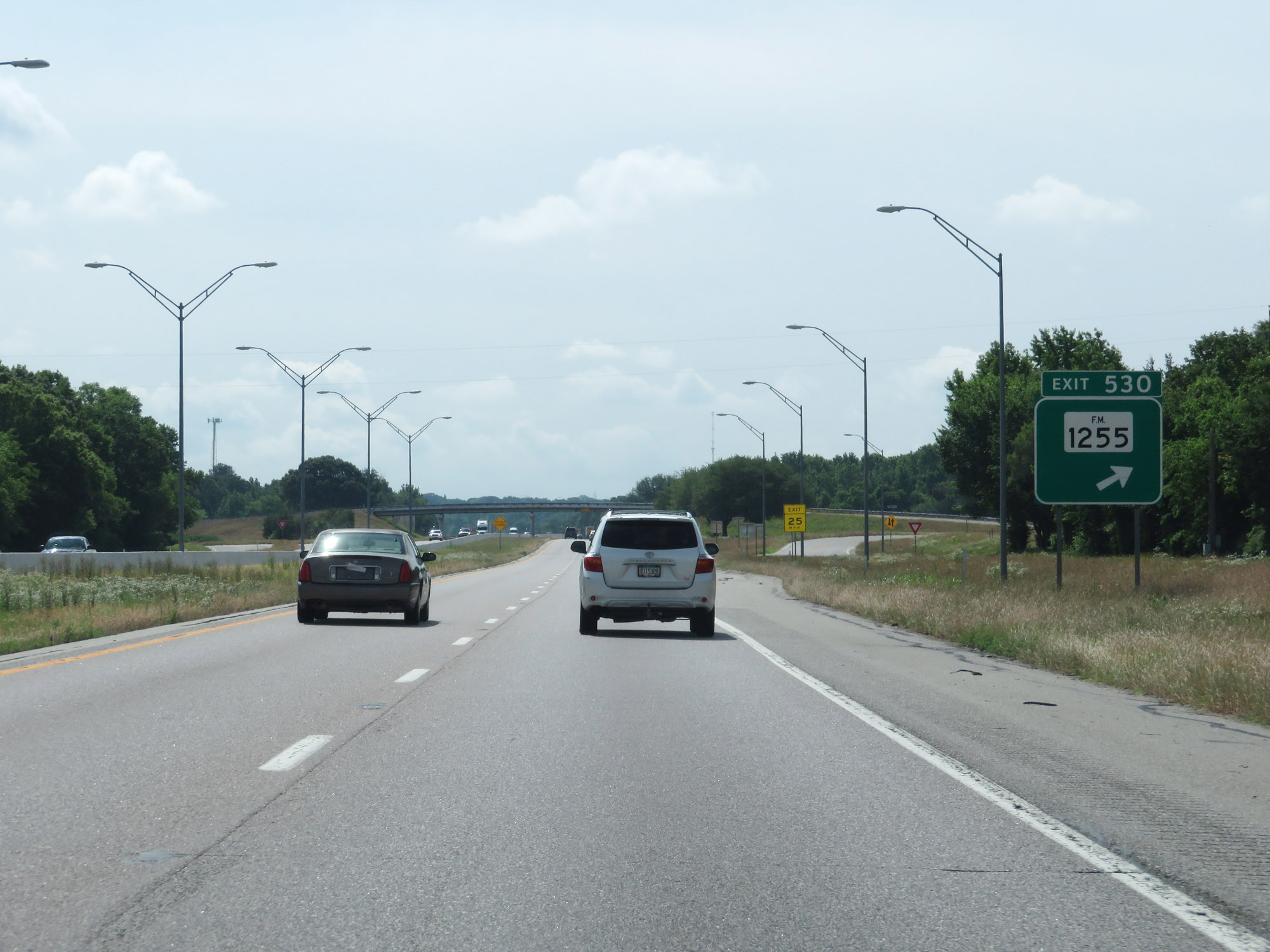 |
Interstate 20 East at Exit 530: FM 1255 (Photo taken 5/22/18). |
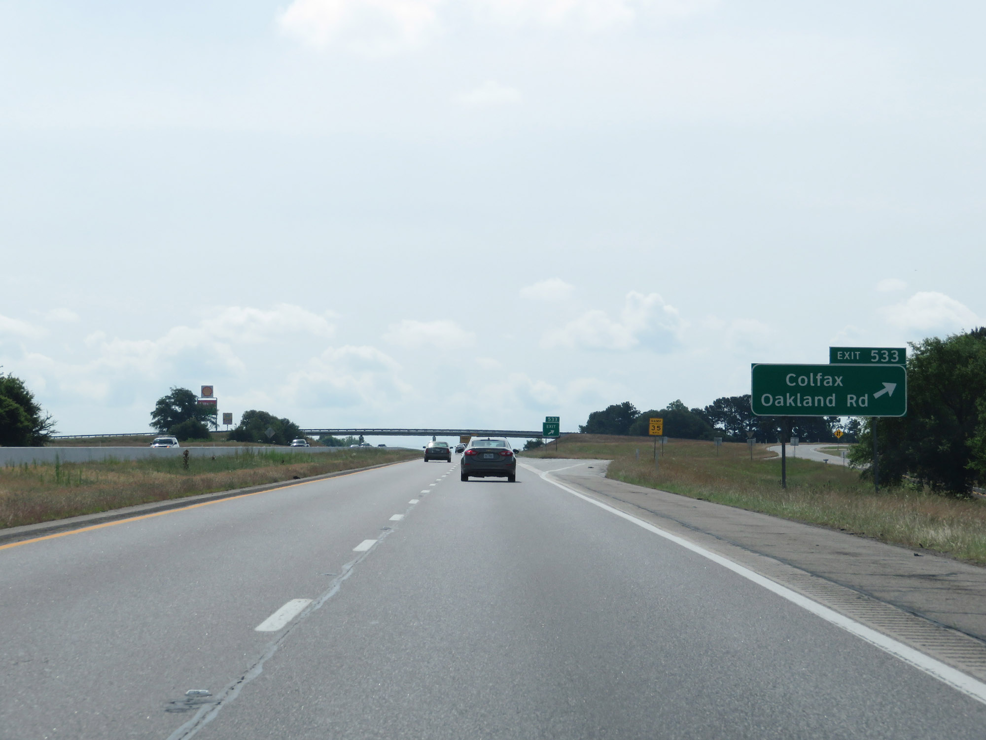 |
Interstate 20 East at Exit 533: Colfax / Oakland Rd (Photo taken 5/22/18). |
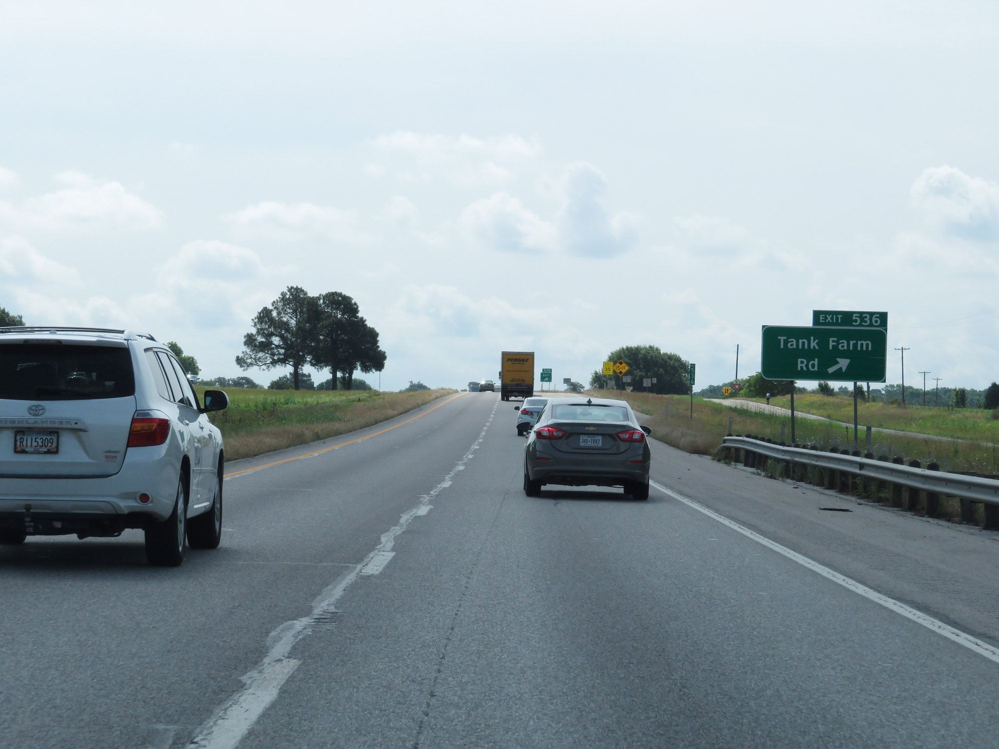 |
Interstate 20 East at Exit 536: Tank Farm Rd (Photo taken 5/22/18). |
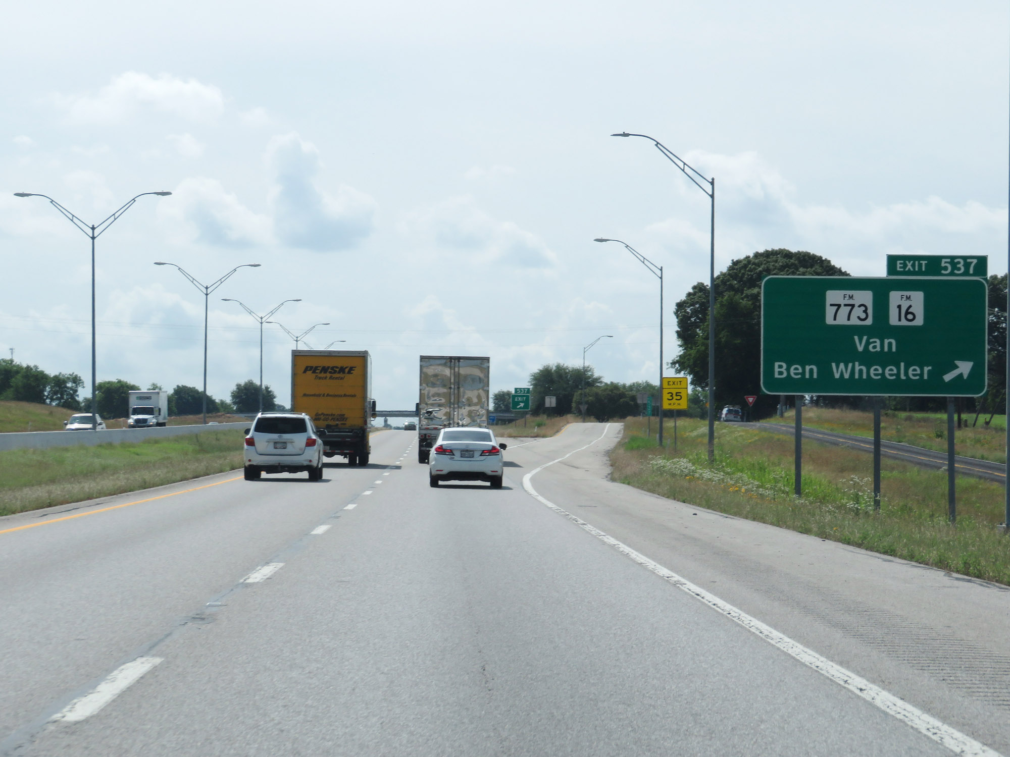 |
Interstate 20 East at Exit 537: FM 773 / FM 16 - Van / Ben Wheeler (Photo taken 5/22/18). |
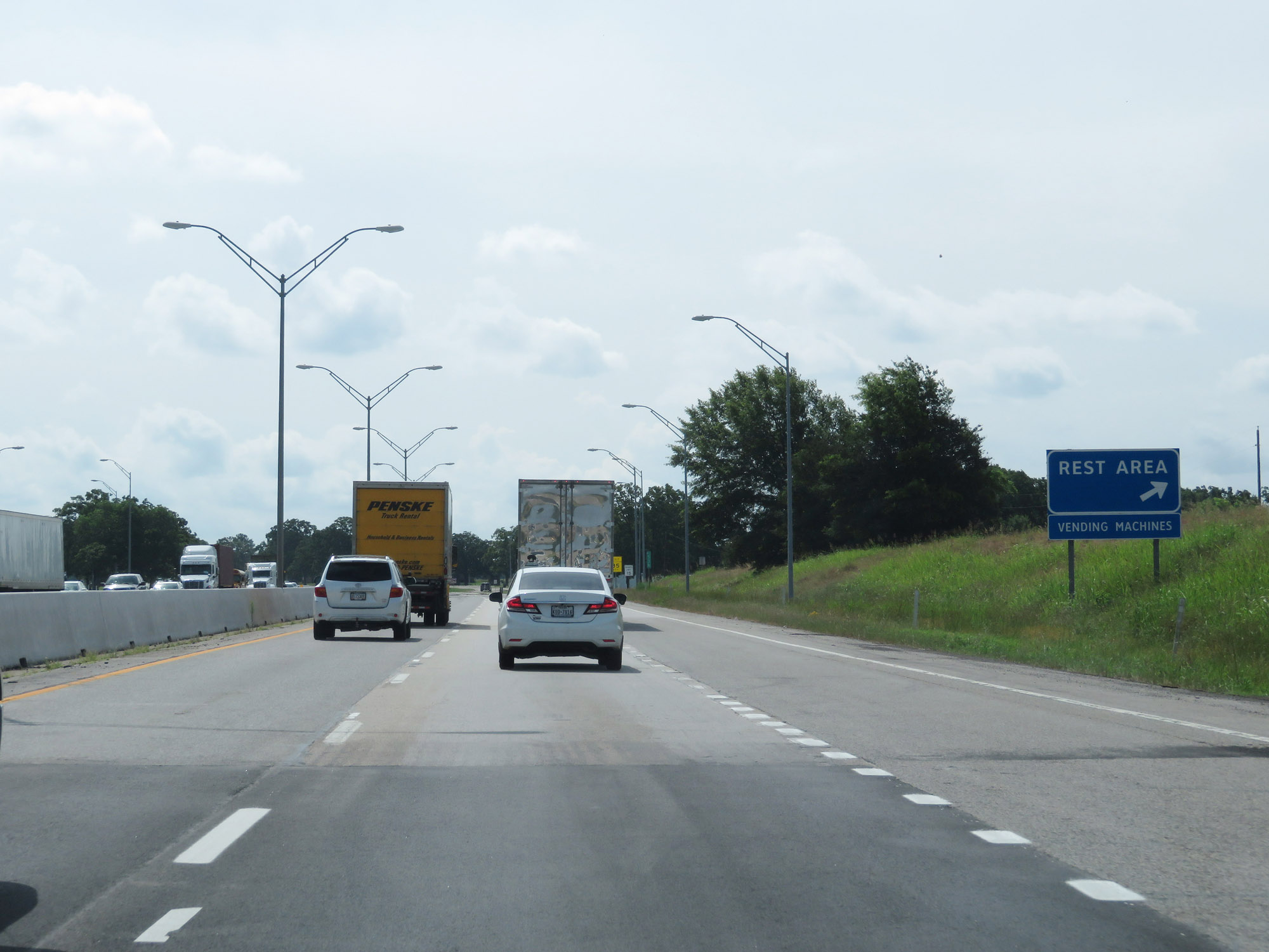 |
Rest Area on Interstate 20 East in Van Zandt County. (Photo taken 5/22/18). |
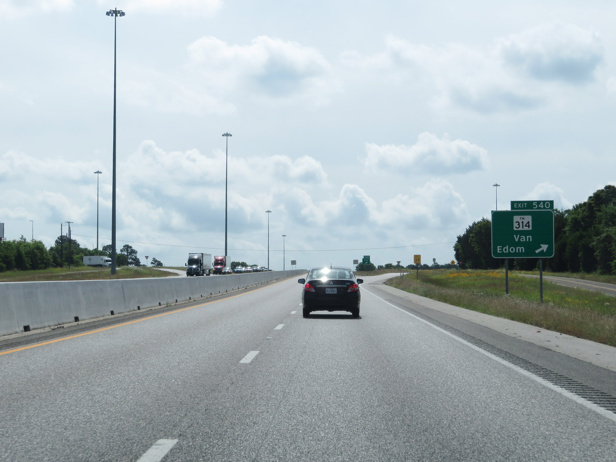 |
Interstate 20 East at Exit 540: FM 314 - Van / Edom (Photo taken 5/22/18). |
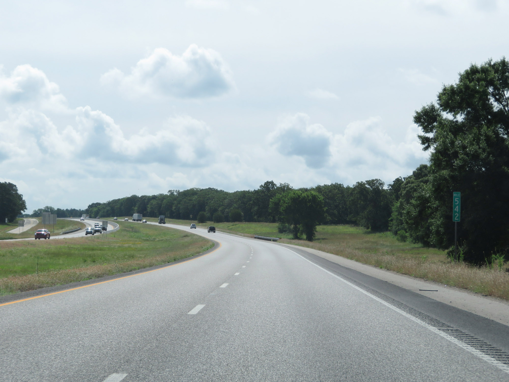 |
View on Interstate 20 East at mile marker 542. (Photo taken 5/22/18). |
 |
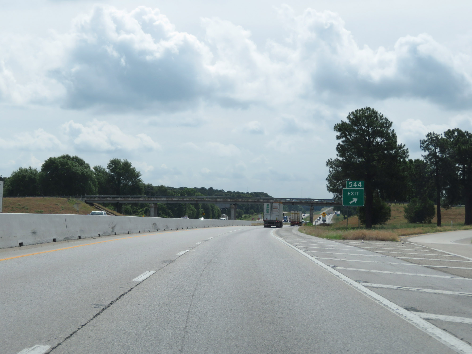
Interstate 20 East approaching Exit 544 - 1 mile. (Photo taken 5/22/18). |
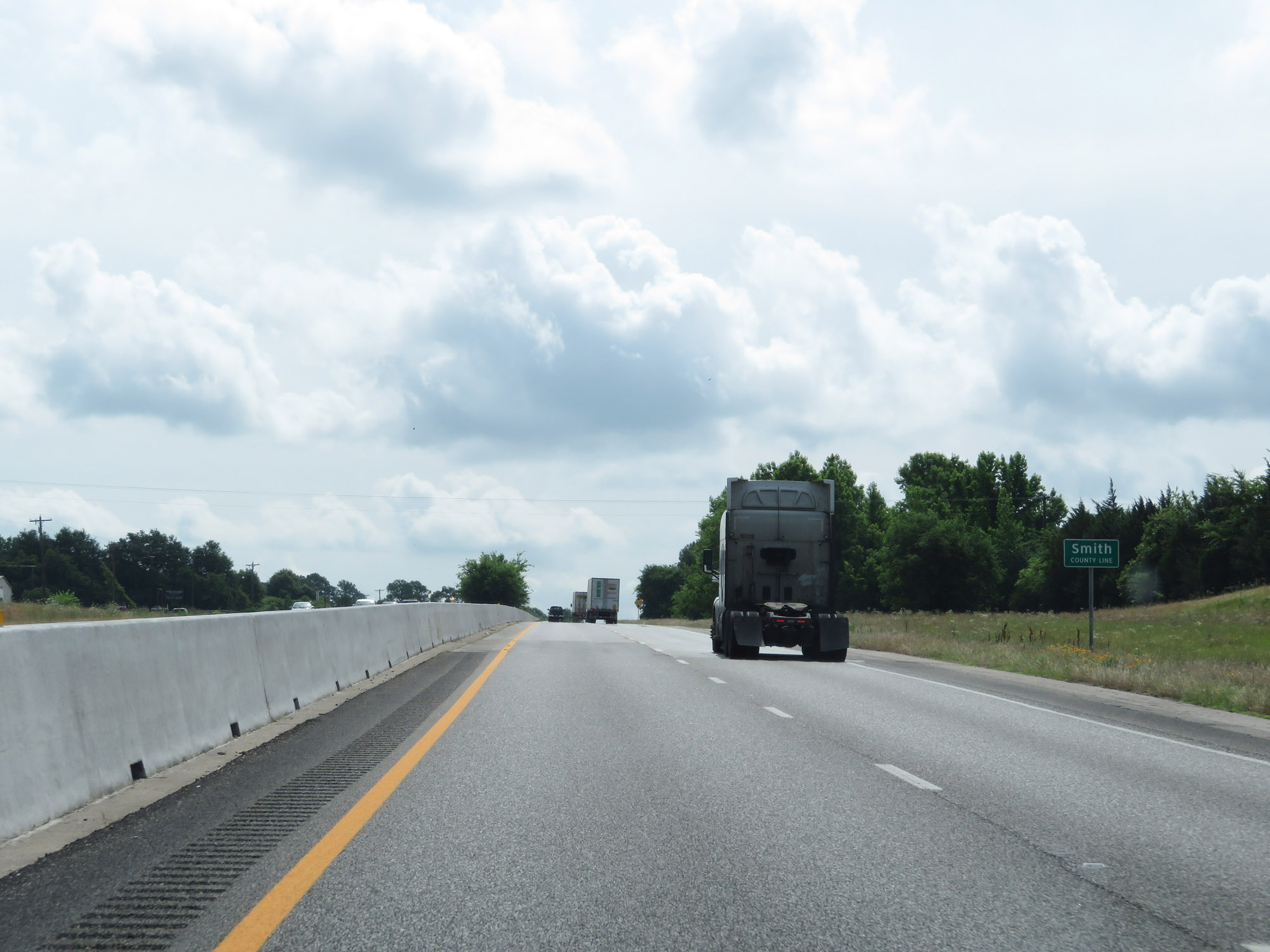 |
Interstate 20 East as it enters Smith County. (Photo taken 5/22/18). |
 |
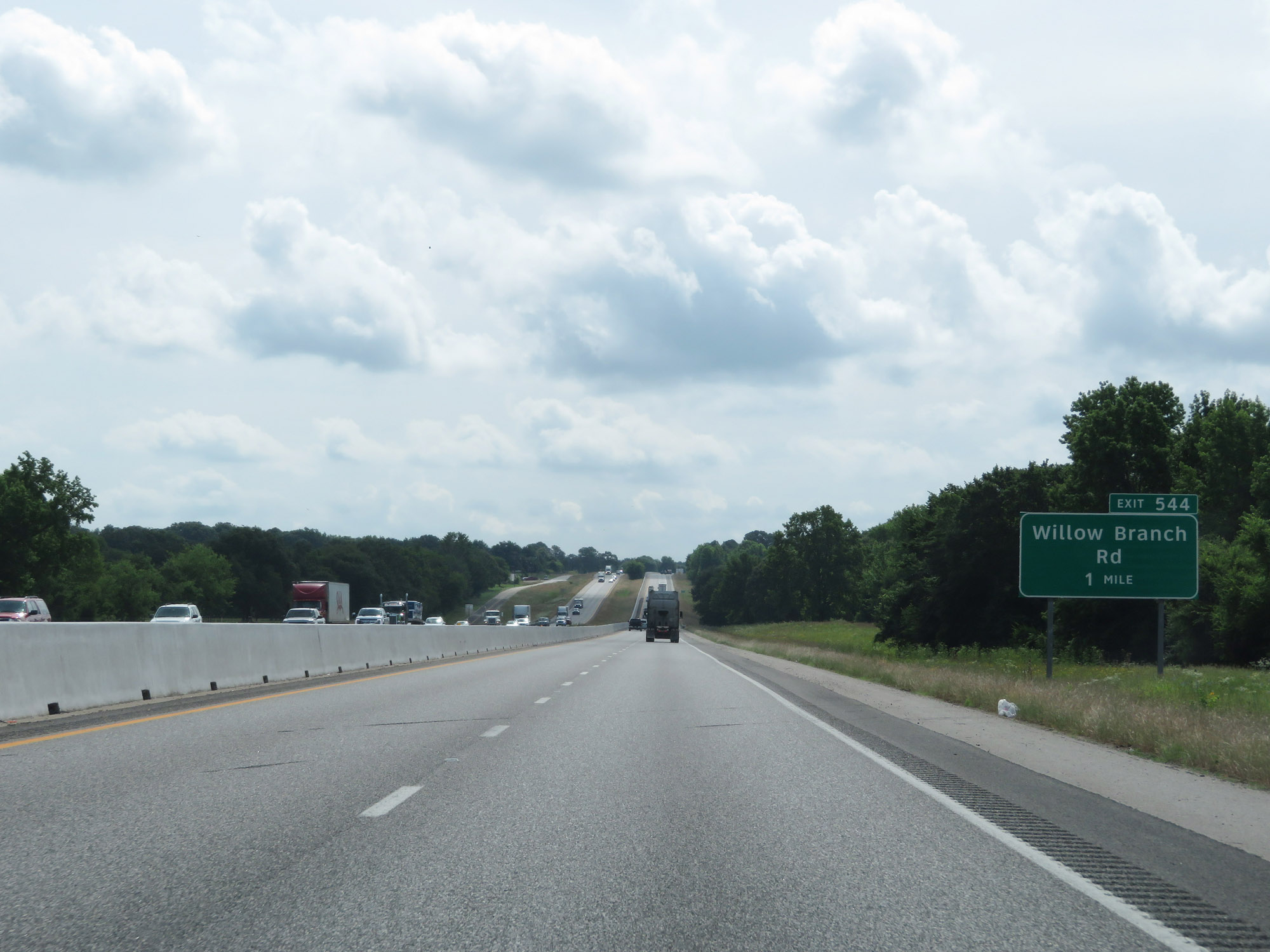
Interstate 20 East at Exit 544: Willow Branch Rd (Photo taken 5/22/18). |
 |
CMV Check Station on Interstate 20 East in Smith County. (Photo taken 5/22/18). |
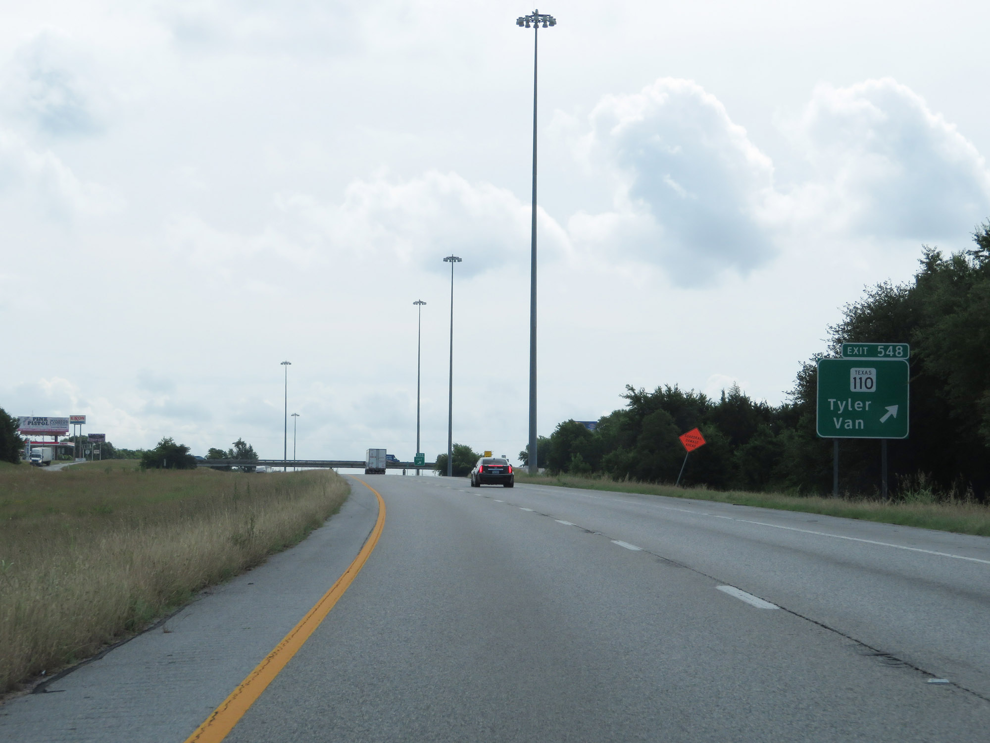 |
Interstate 20 East at Exit 548: TX 110 - Tyler / Van (Photo taken 5/22/18). |
 |
The speed limit remains 75 mph. (Photo taken 5/22/18). |
 |
Mileage sign at mile marker 549. It's 15 miles to Tyler, 48 miles to Longview, and 106 miles to Shreveport. (Photo taken 5/22/18). |
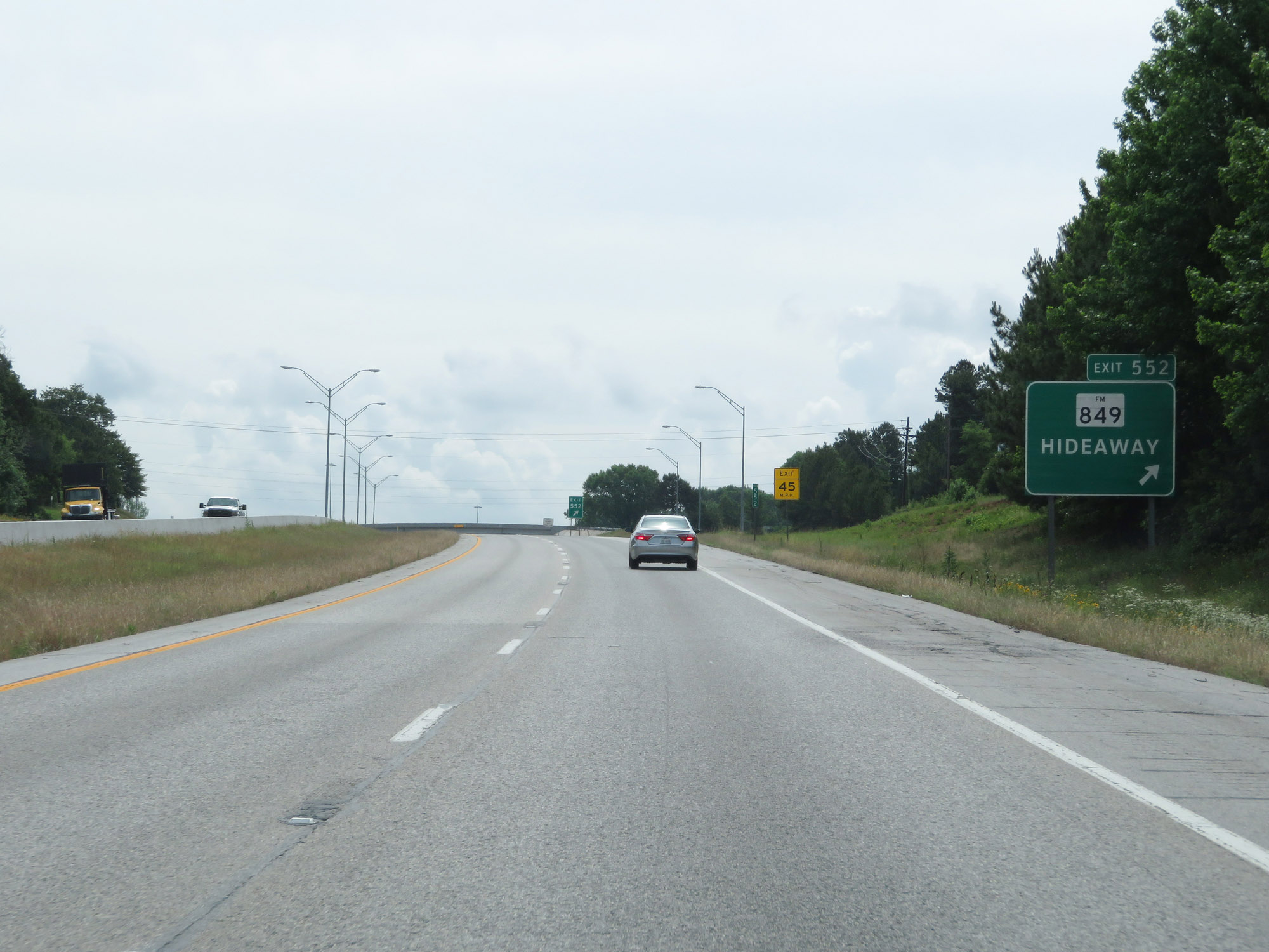 |
Interstate 20 East at Exit 552: FM 849 - Hideaway (Photo taken 5/22/18). |
 |
Interstate 20 East at Exit 553: TX Loop 49 Toll (Photo taken 5/22/18). |
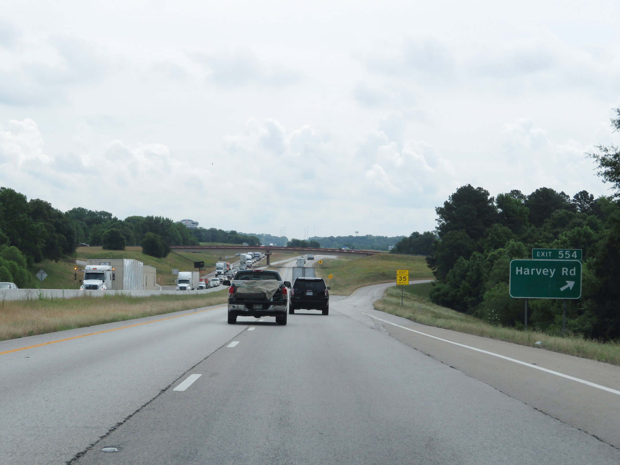 |
Interstate 20 East at Exit 554: Harvey Rd (Photo taken 5/22/18). |
Section 9: Lindale (Exit 554) to Louisiana Border
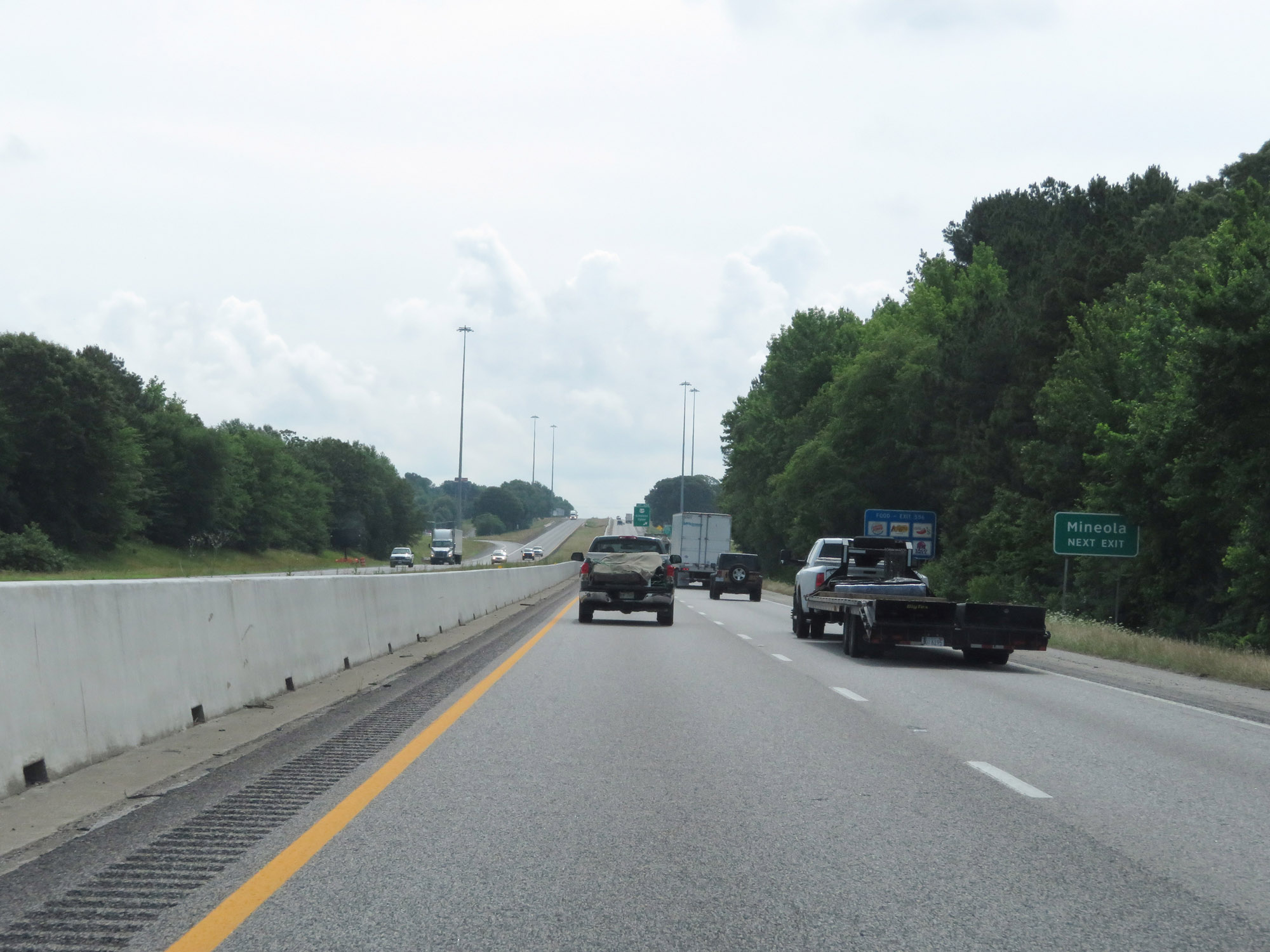 |
Take Exit 556 to Mineola. (Photo taken 5/22/18). |
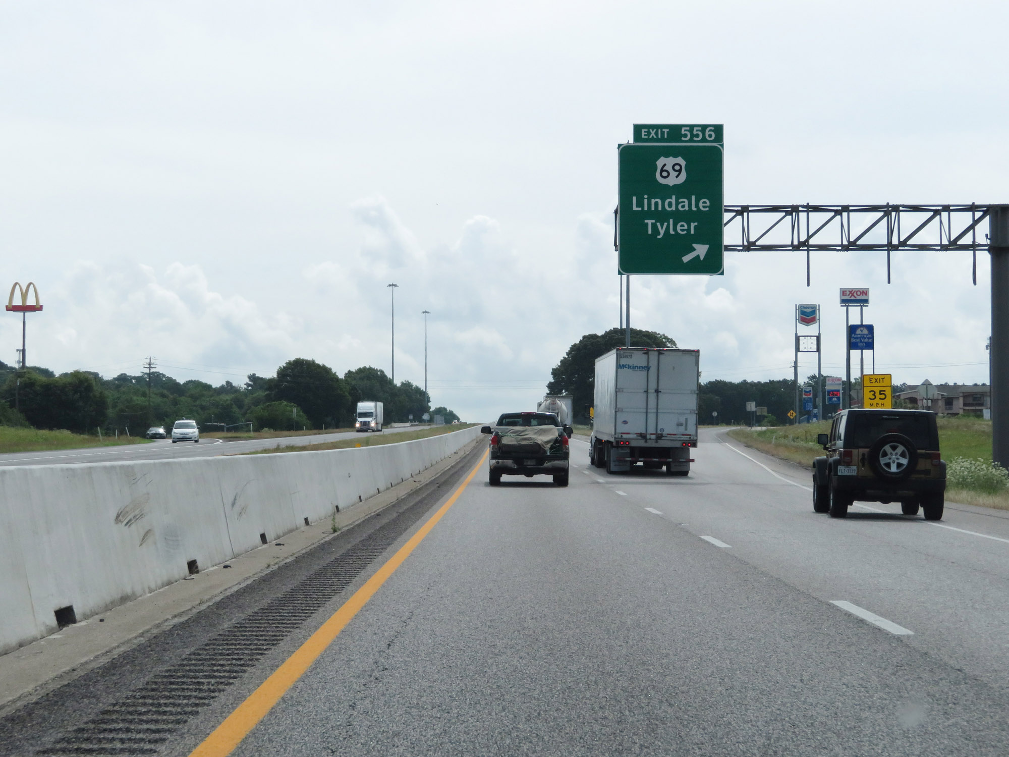 |
Interstate 20 East at Exit 556: US 69 - Lindale / Tyler (Photo taken 5/22/18). |
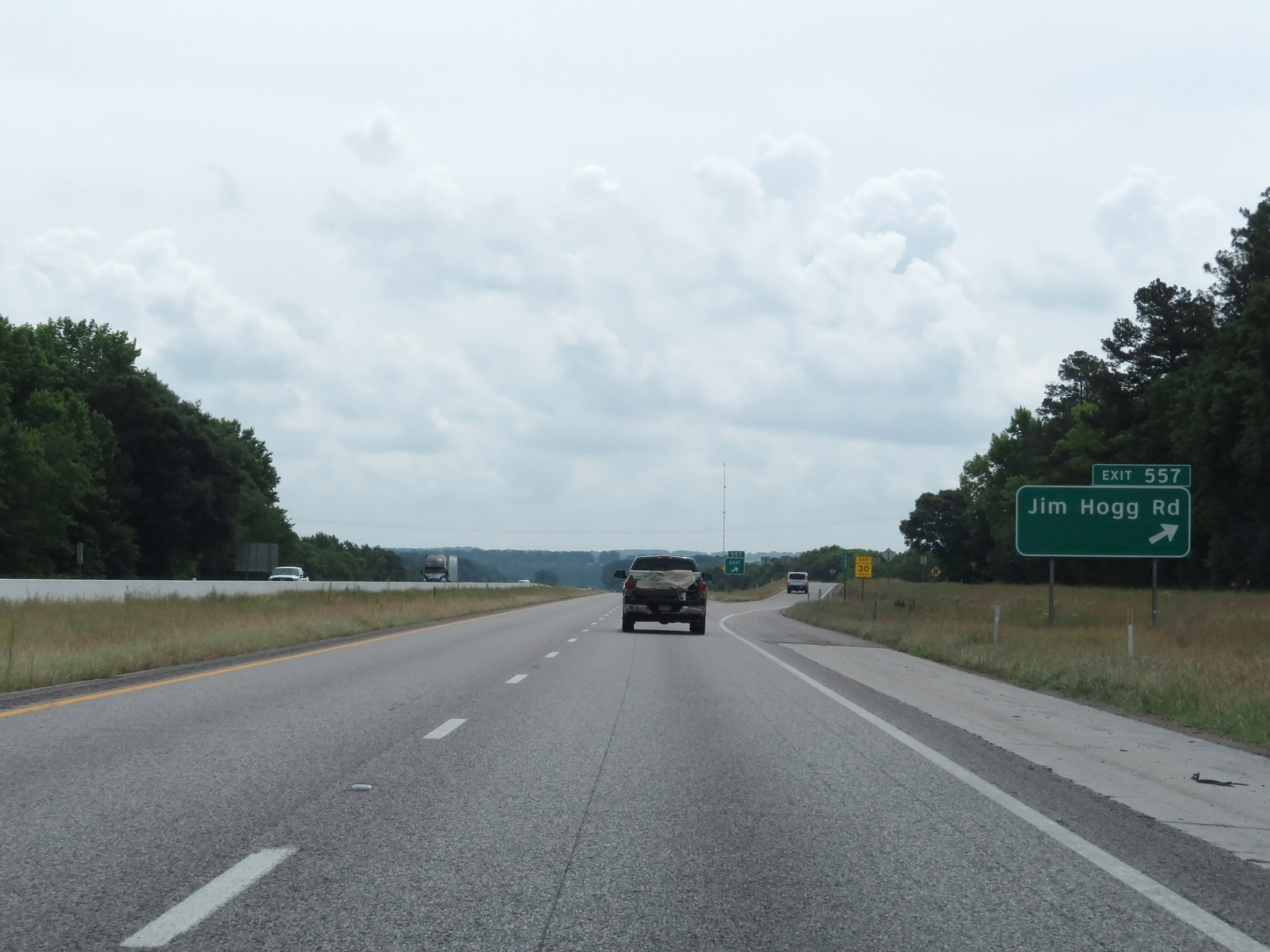 |
Interstate 20 East at Exit 557: Jim Hogg Rd (Photo taken 5/22/18). |
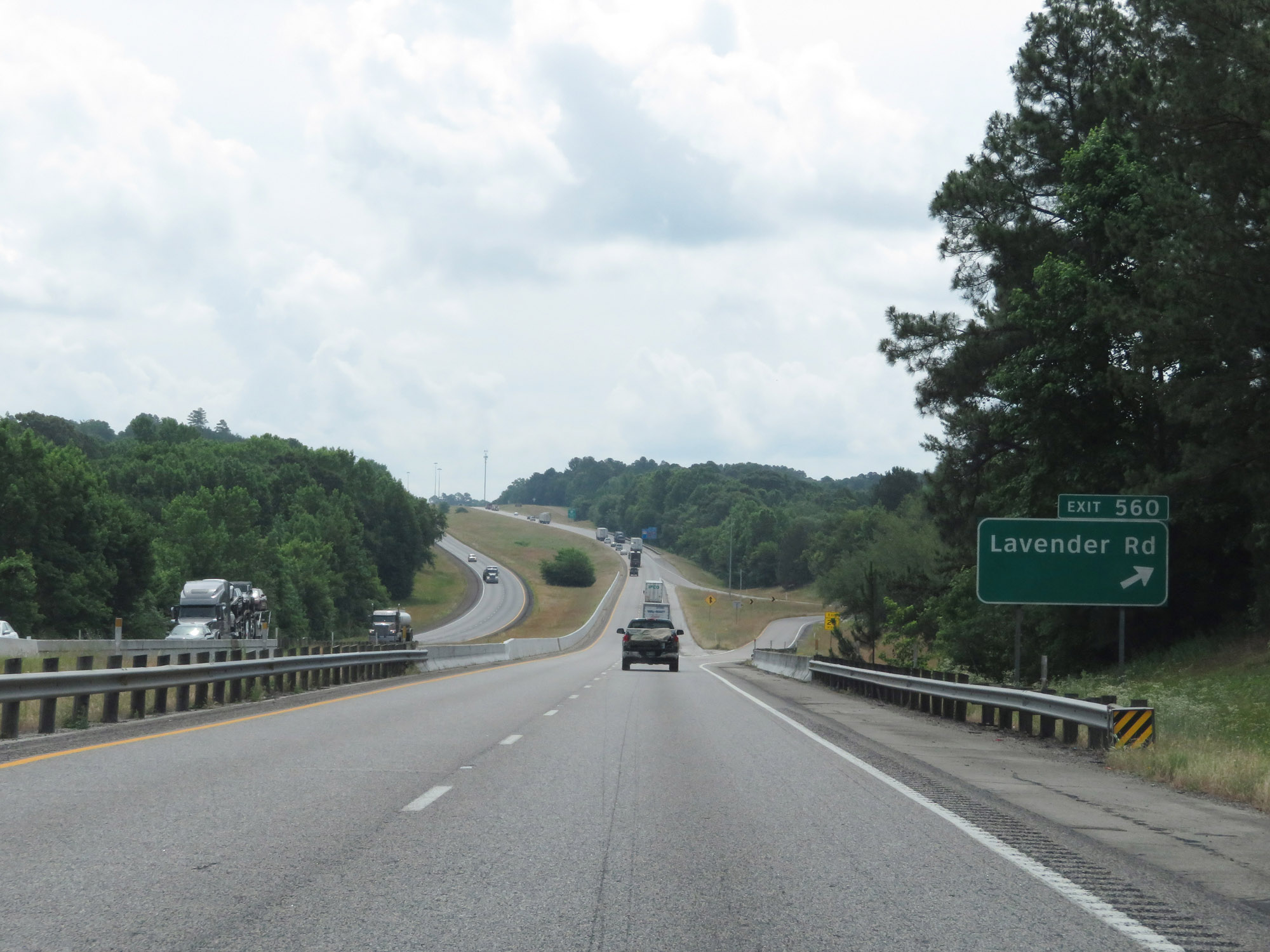 |
Interstate 20 East at Exit 560: Lavender Rd (Photo taken 5/22/18). |
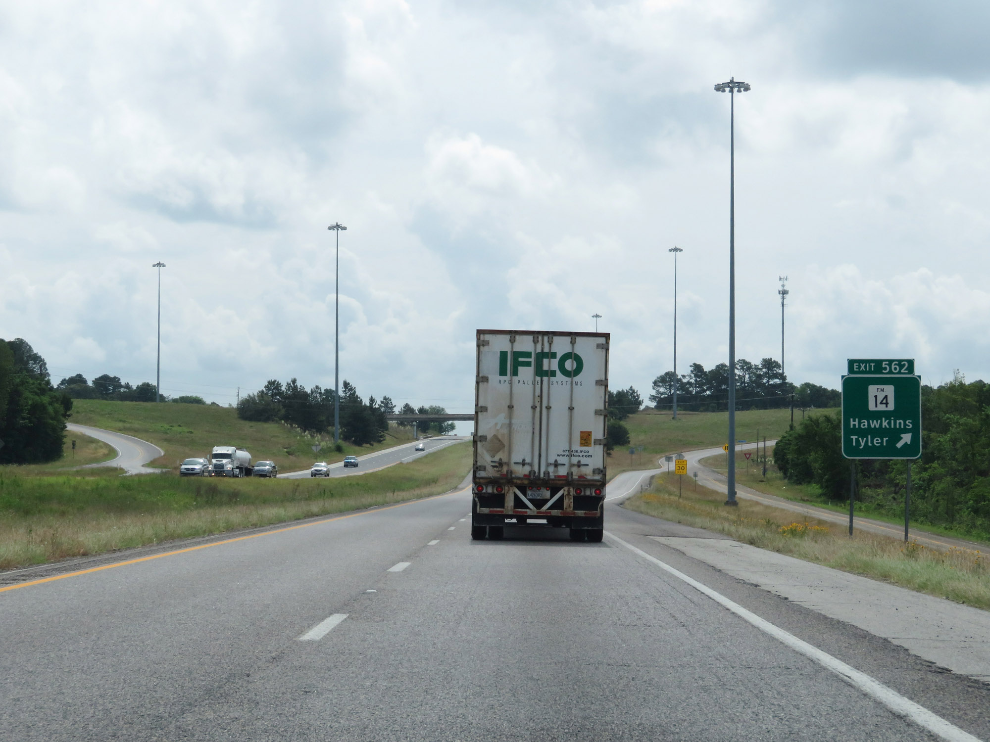 |
Interstate 20 East at Exit 562: FM 14 - Hawkins / Tyler (Photo taken 5/22/18). |
 |
Interstate 20 East at Exit 565: FM 2015 (Photo taken 5/22/18). |
 |
State-named Interstate 20 East reassurance shield at mile marker 566. (Photo taken 5/22/18). |
 |
Take Exit 567 to Big Sandy and Gilmer. (Photo taken 5/22/18). |
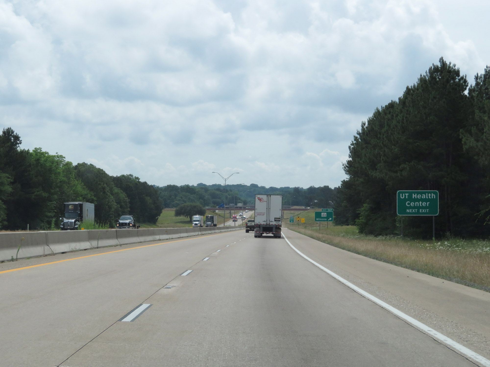 |
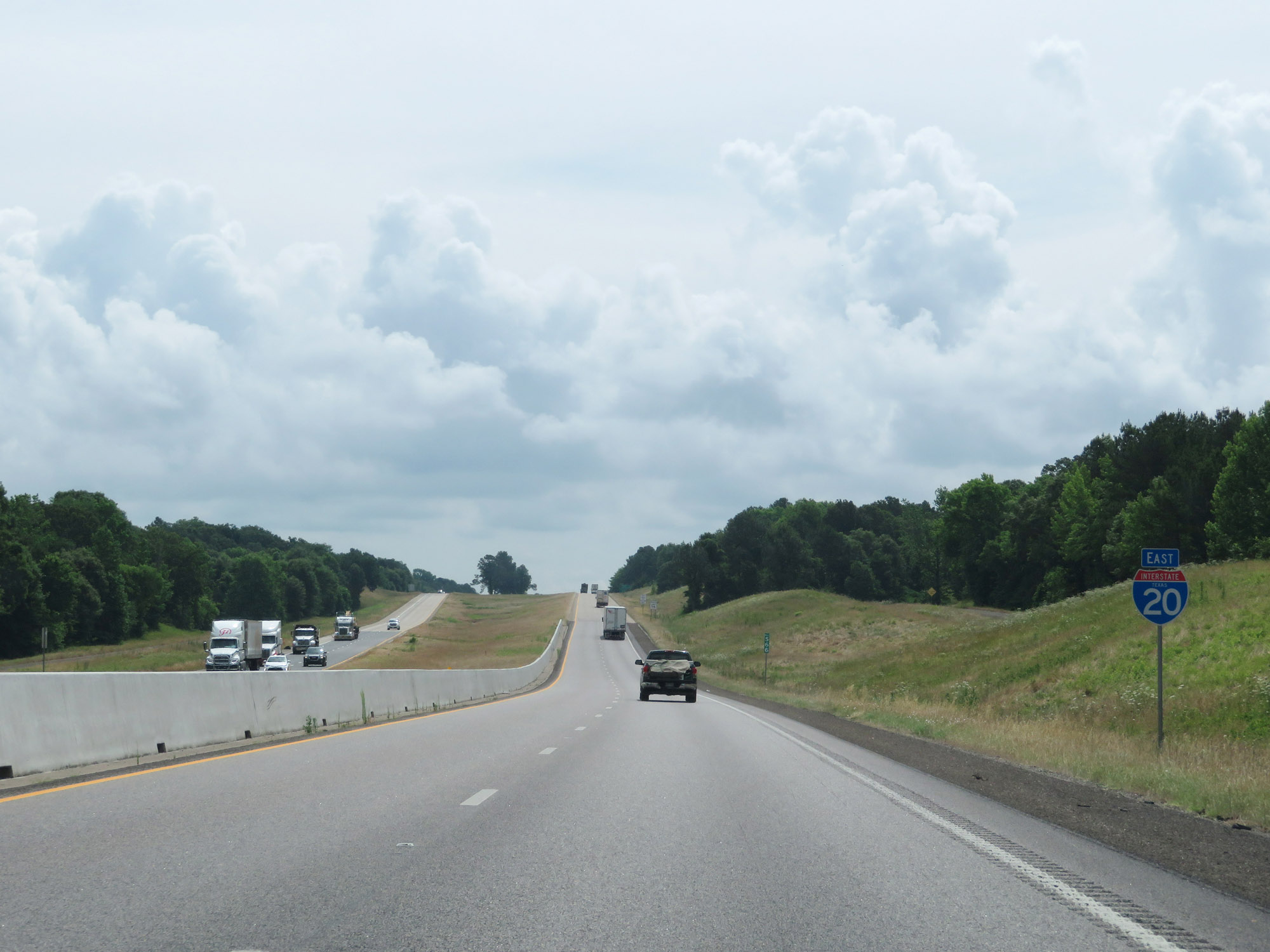
Also take Exit 567 to the UT Health Center. (Photo taken 5/22/18). |
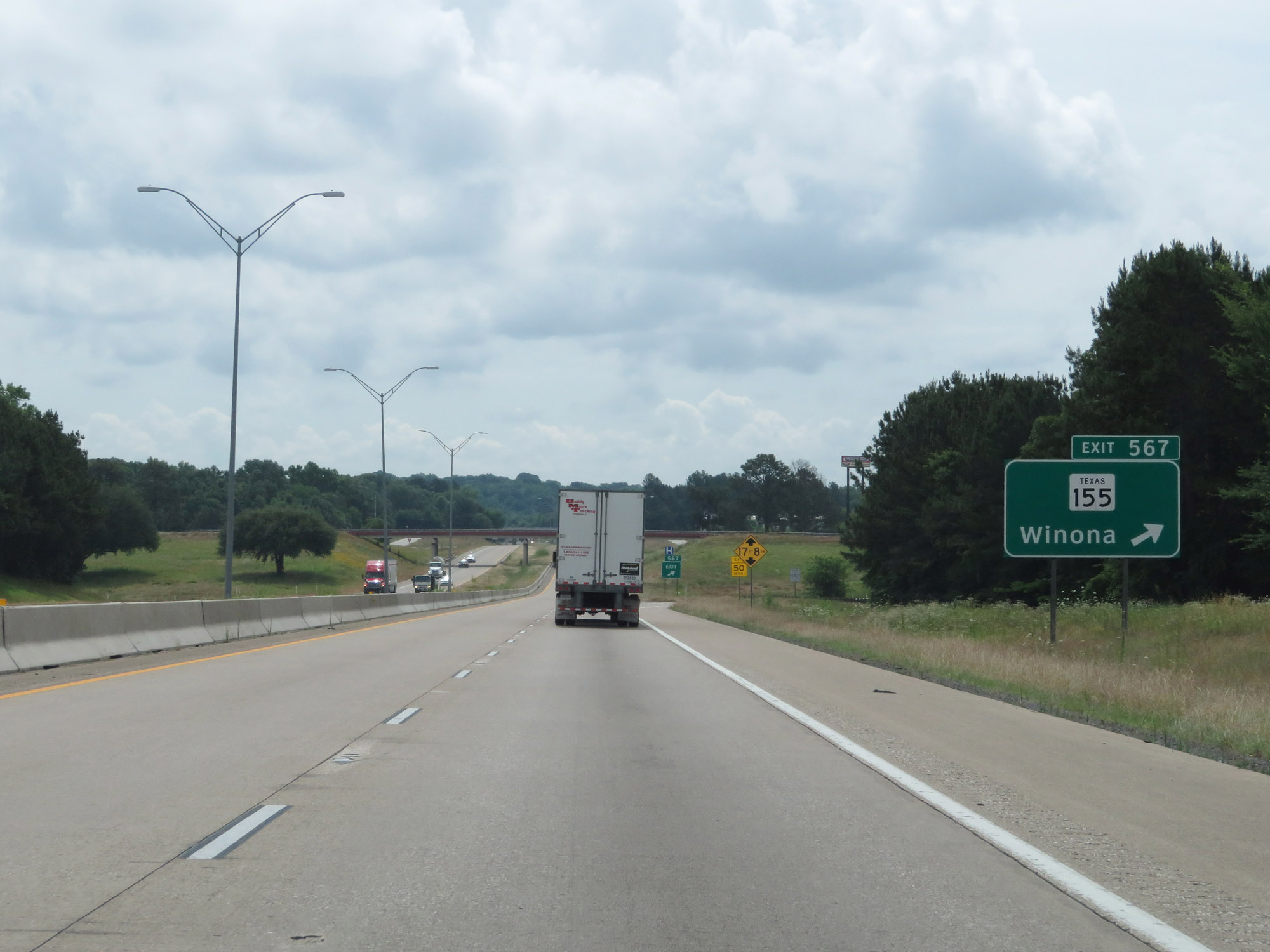 |
Interstate 20 East at Exit 567: TX 155 - Winona (Photo taken 5/22/18). |
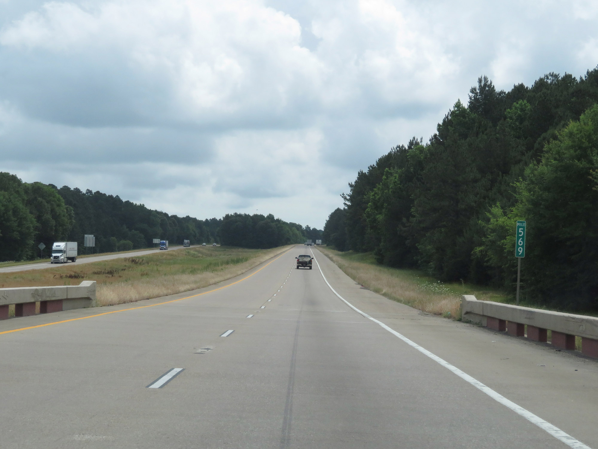 |
Interstate 20 East at mile marker 569. (Photo taken 5/22/18). |
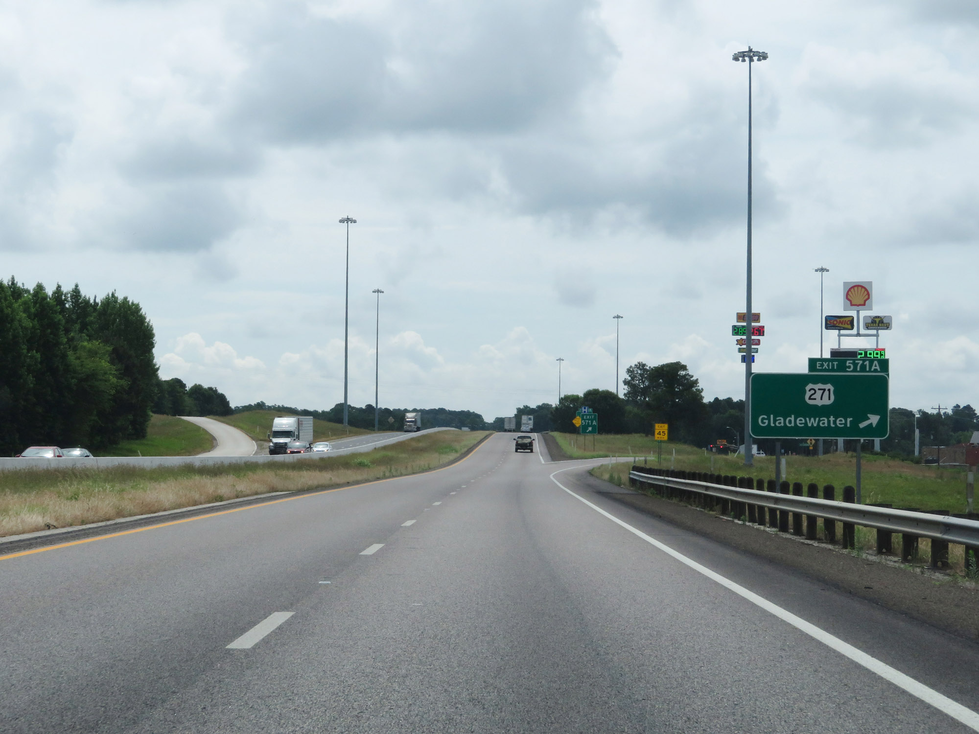 |
Interstate 20 East at Exit 571A: US 271 - Gladewater (Photo taken 5/22/18). |
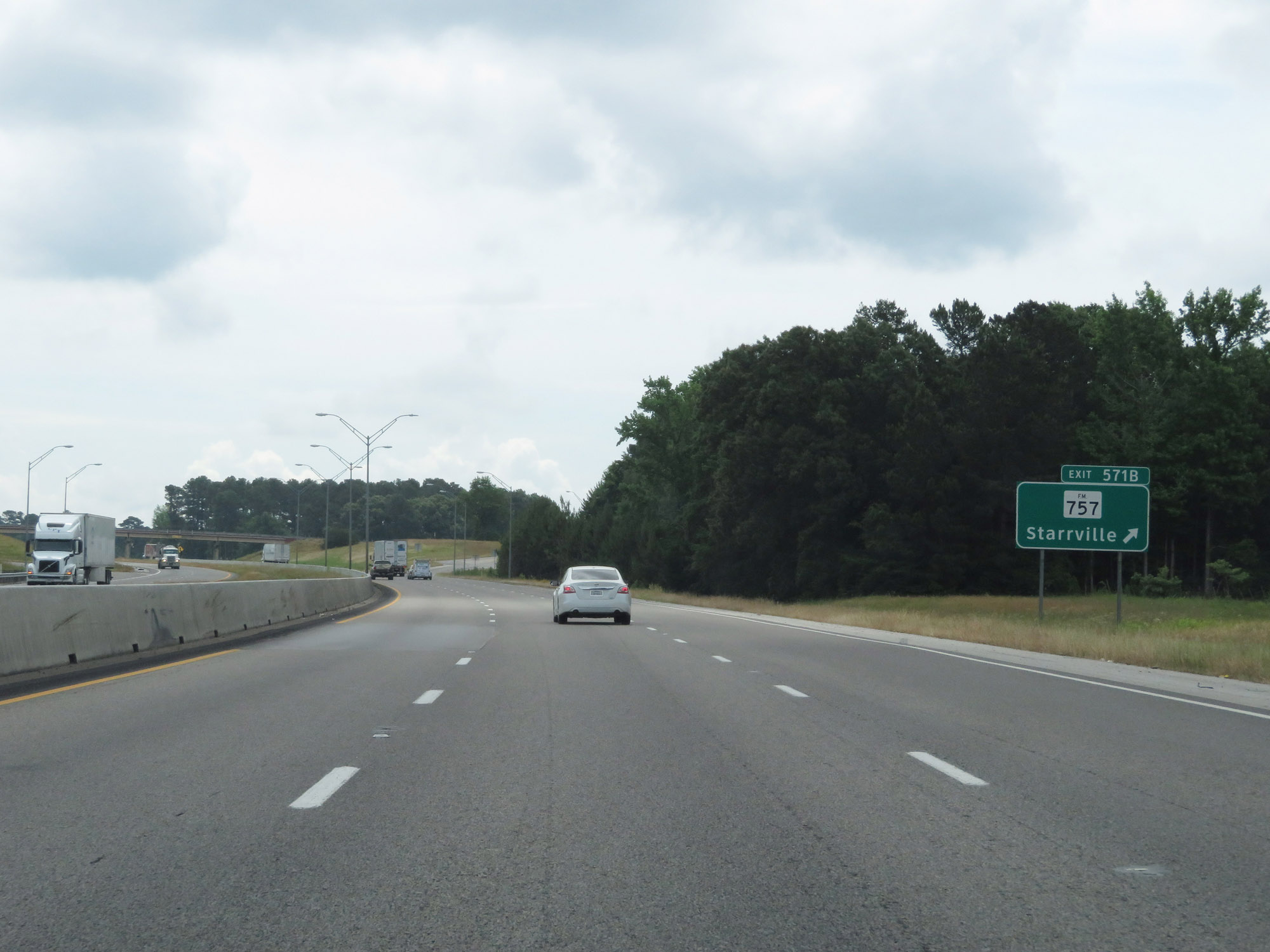 |
Interstate 20 East at Exit 571B: FM 757 - Starrville (Photo taken 5/22/18). |
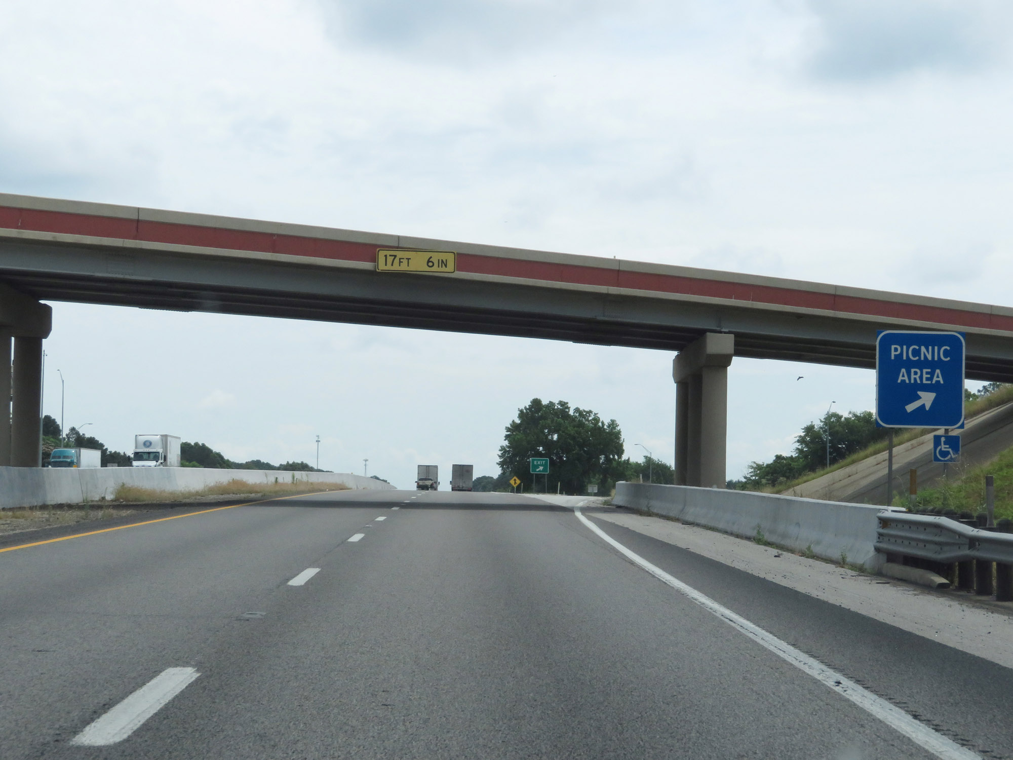 |
Picnic Area on Interstate 20 East in Smith County. (Photo taken 5/22/18). |
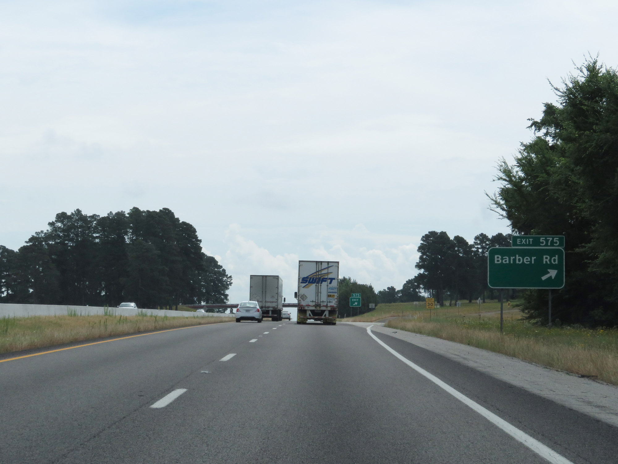 |
Interstate 20 East at Exit 575: Barber Rd (Photo taken 5/22/18). |
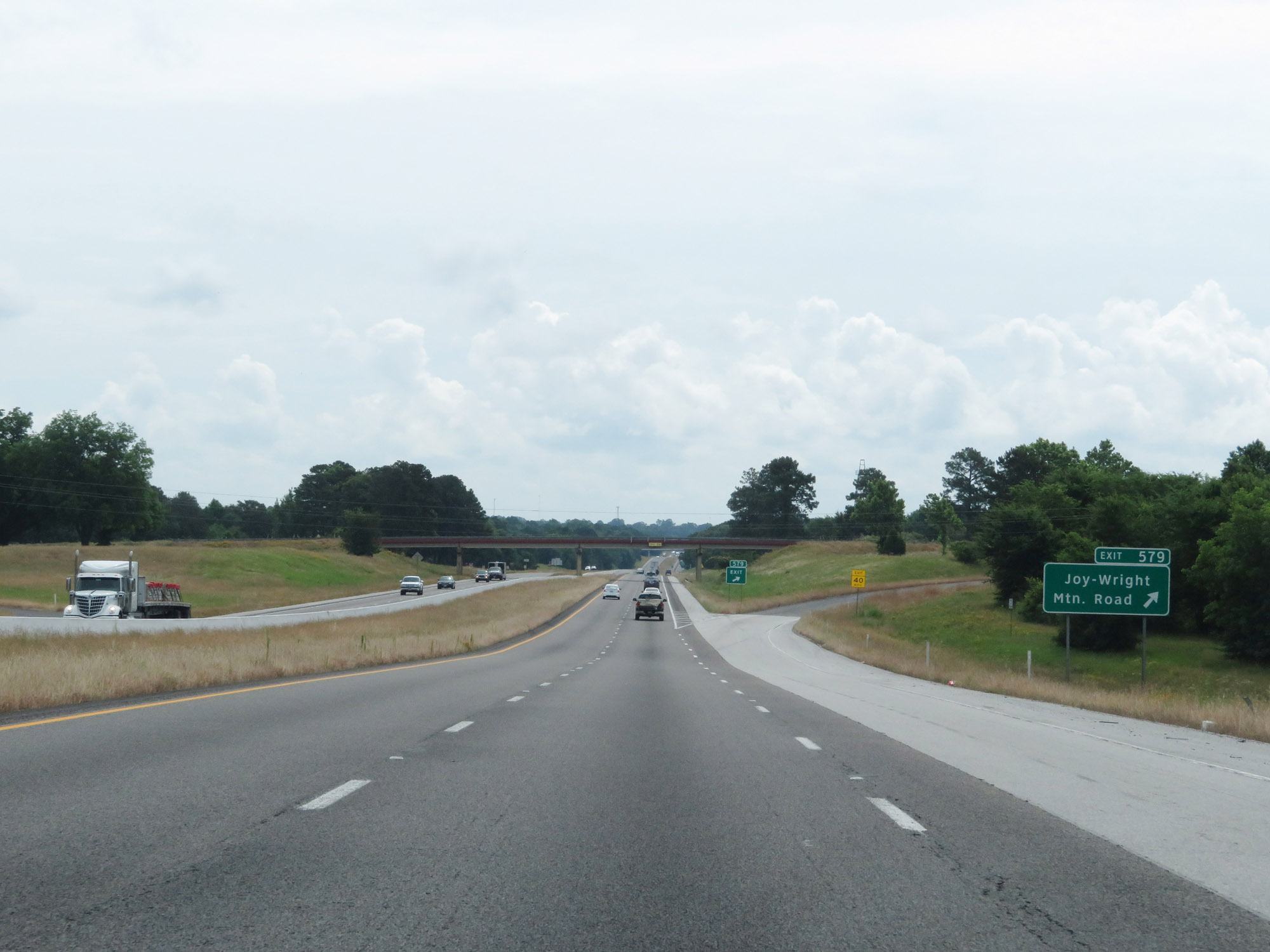 |
Interstate 20 East at Exit 579: Joy-Wright Mountain Road (Photo taken 5/22/18). |
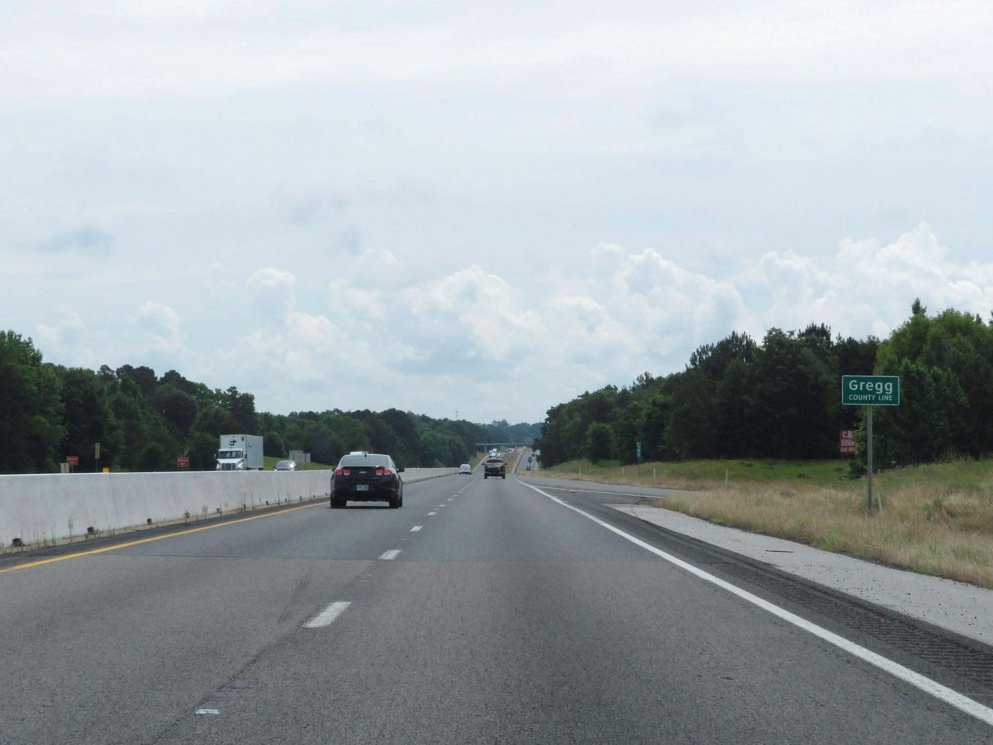 |
Interstate 20 East entering Gregg County. (Photo taken 5/22/18). |
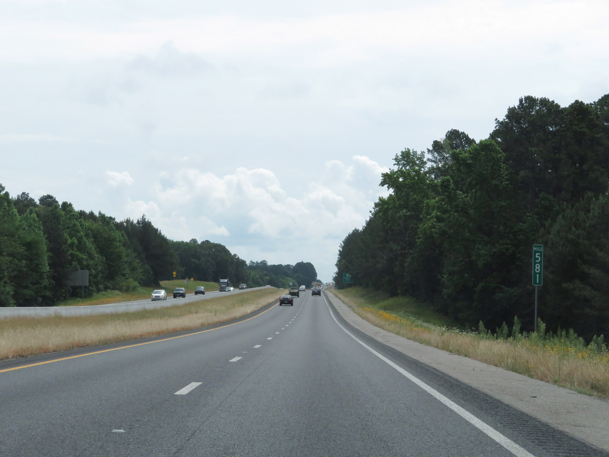 |
View on Interstate 20 East at mile marker 581. (Photo taken 5/22/18). |
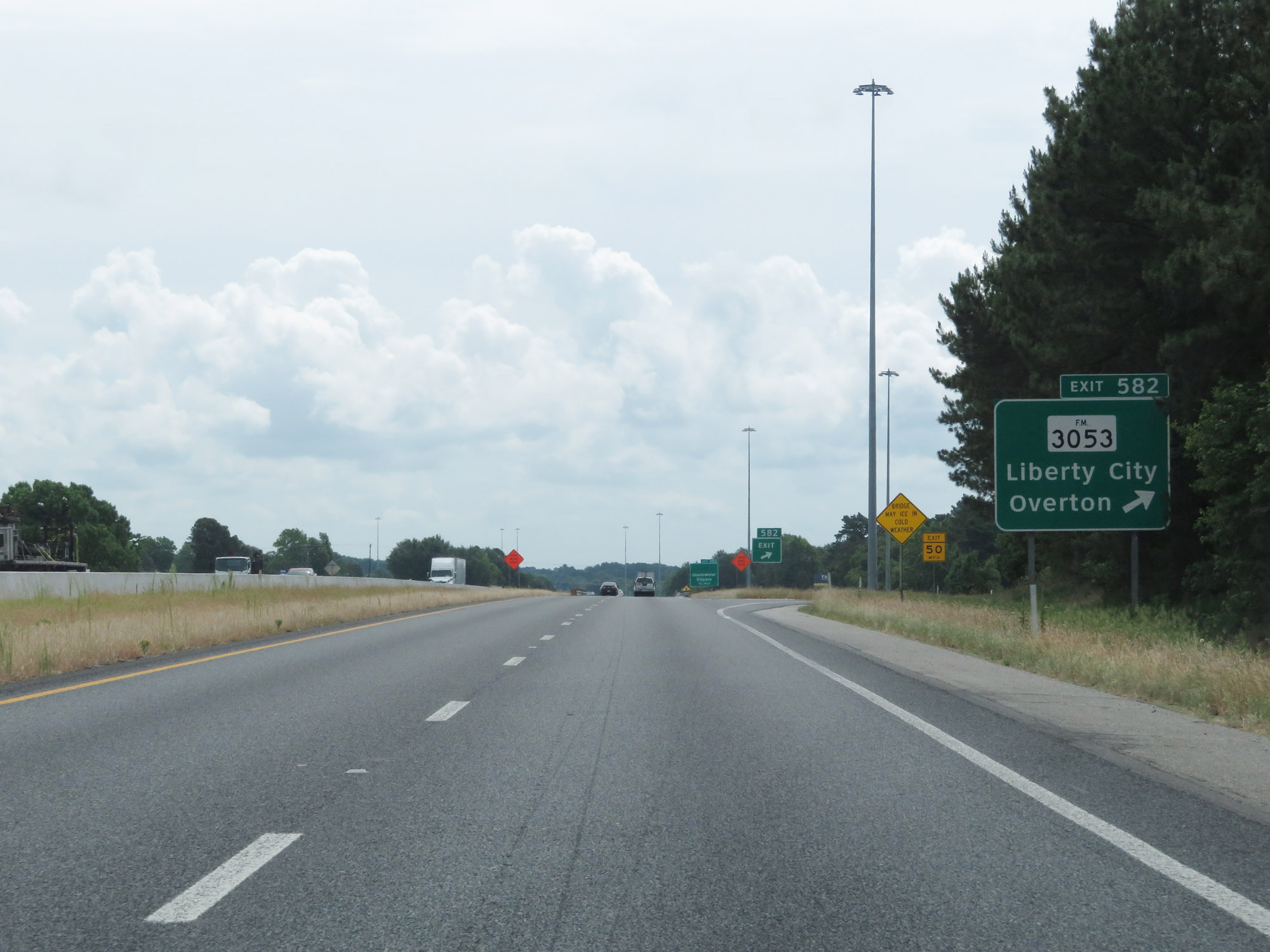 |
Interstate 20 East at Exit 582: FM 3053 - Liberty City / Overton (Photo taken 5/22/18). |
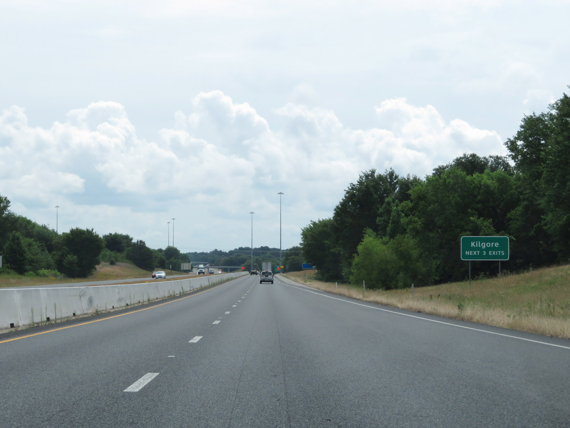 |
Take any of the next 3 exits to Kilgore. (Photo taken 5/22/18). |
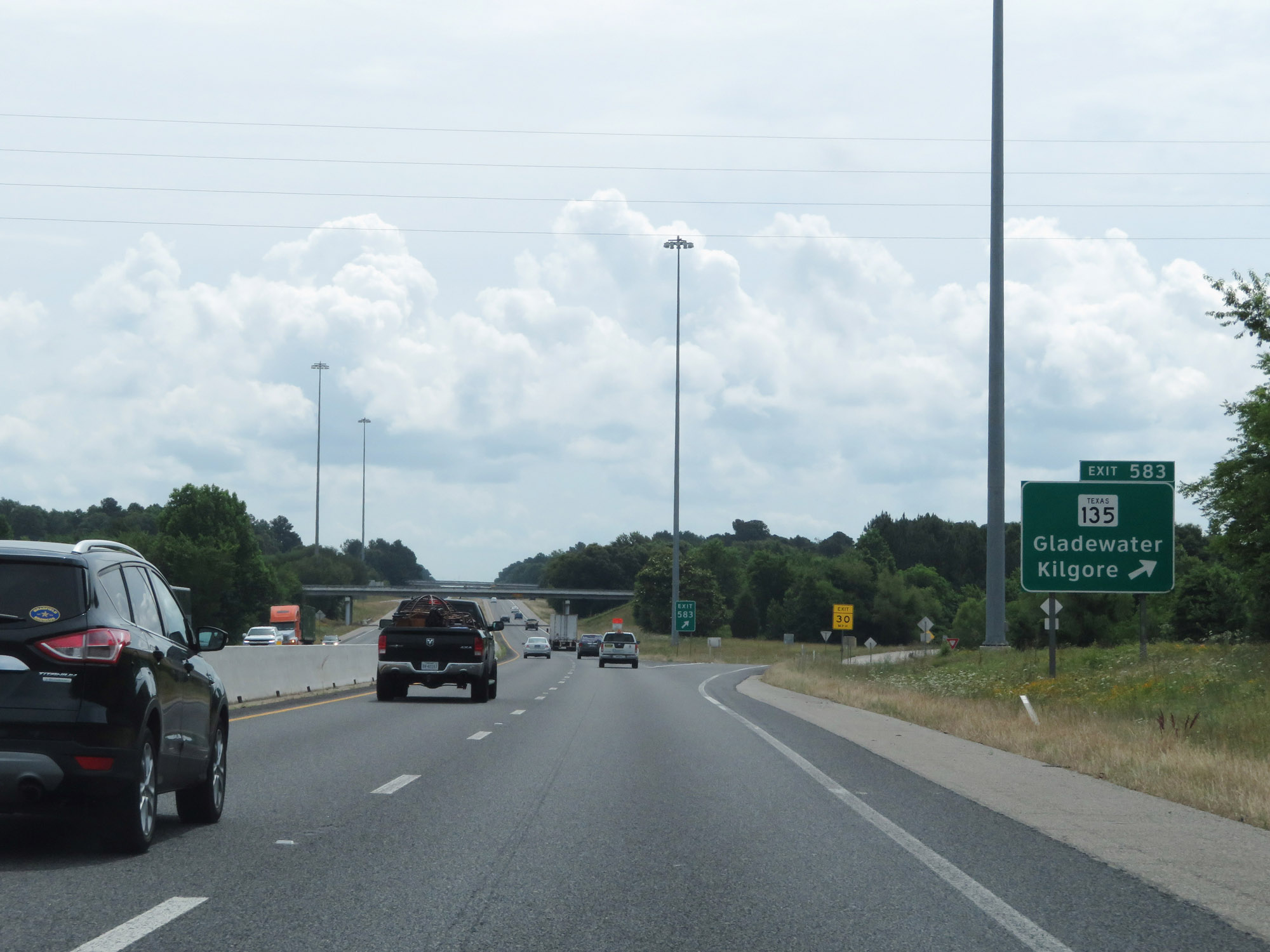 |
Interstate 20 East at Exit 583: TX 135 - Gladewater / Kilgore (Photo taken 5/22/18). |
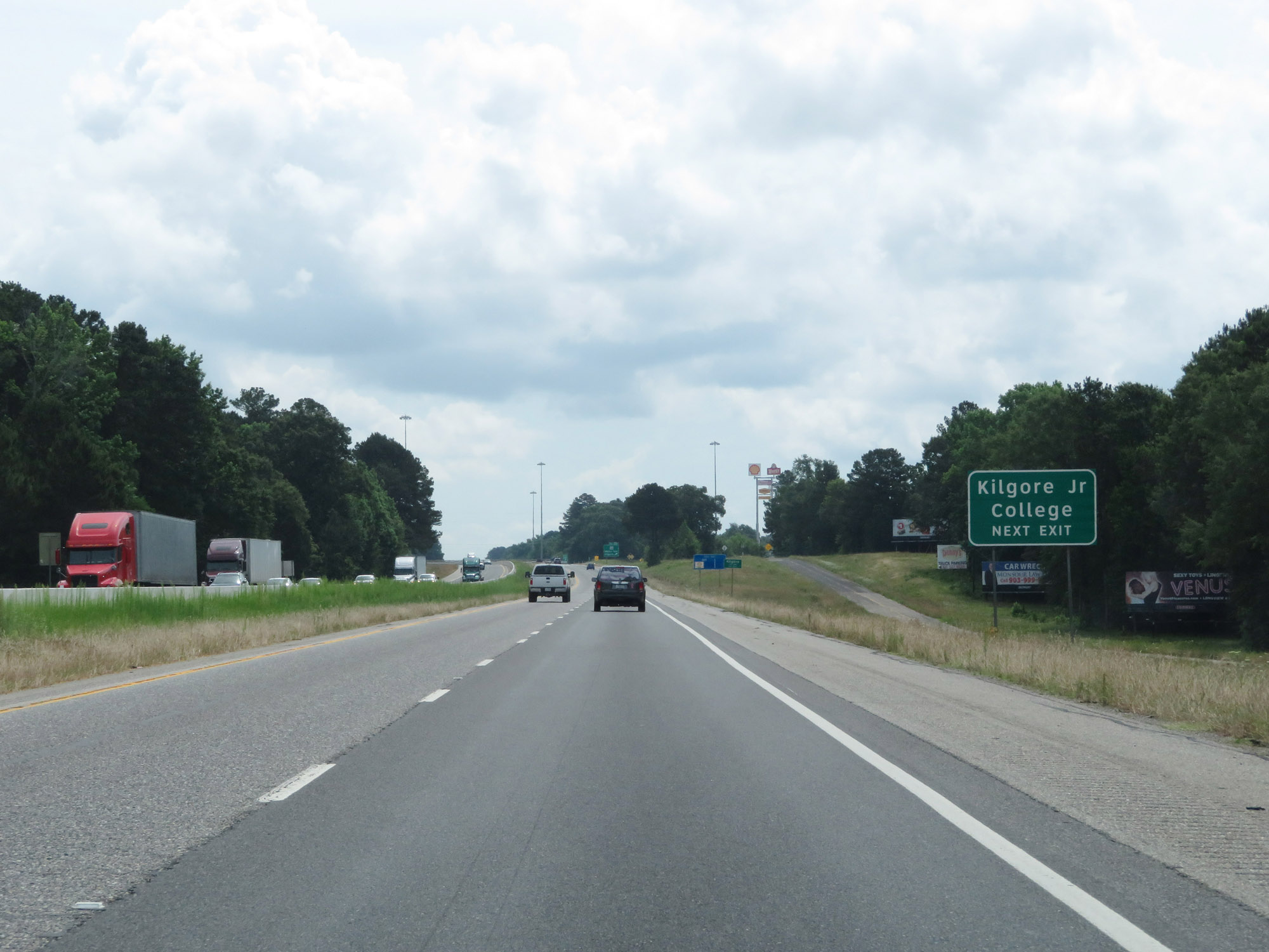 |
Take Exit 587 to Kilgore Junior College. (Photo taken 5/22/18). |
 |
Interstate 20 East at Exit 587: TX 42 - White Oak / Kilgore (Photo taken 5/22/18). |
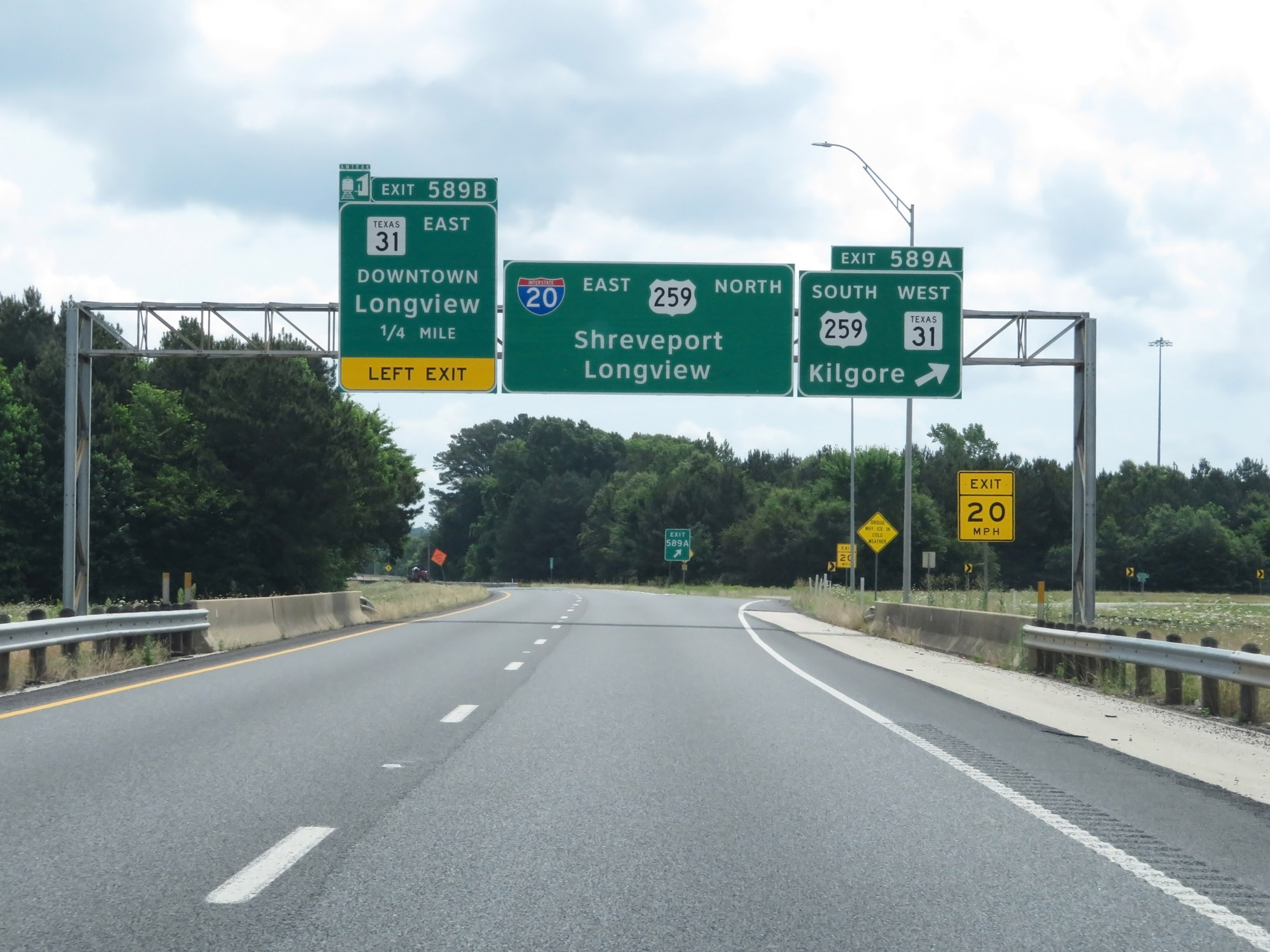 |
Interstate 20 East at Exit 589A: US 259 South / TX 31 West - Kilgore (Photo taken 5/22/18). |
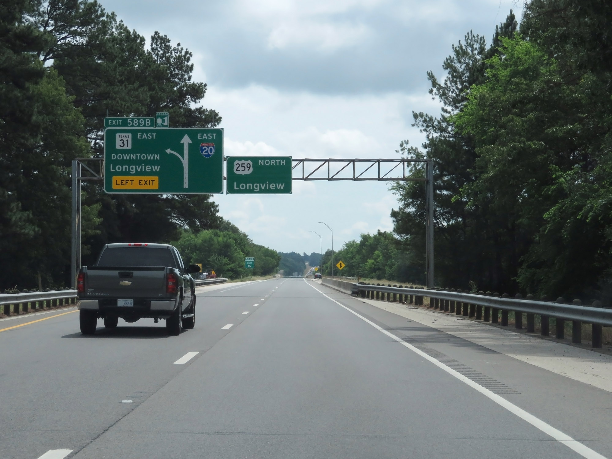 |
Interstate 20 East at Exit 589B: TX 31 East - Downtown Longview (Photo taken 5/22/18). |
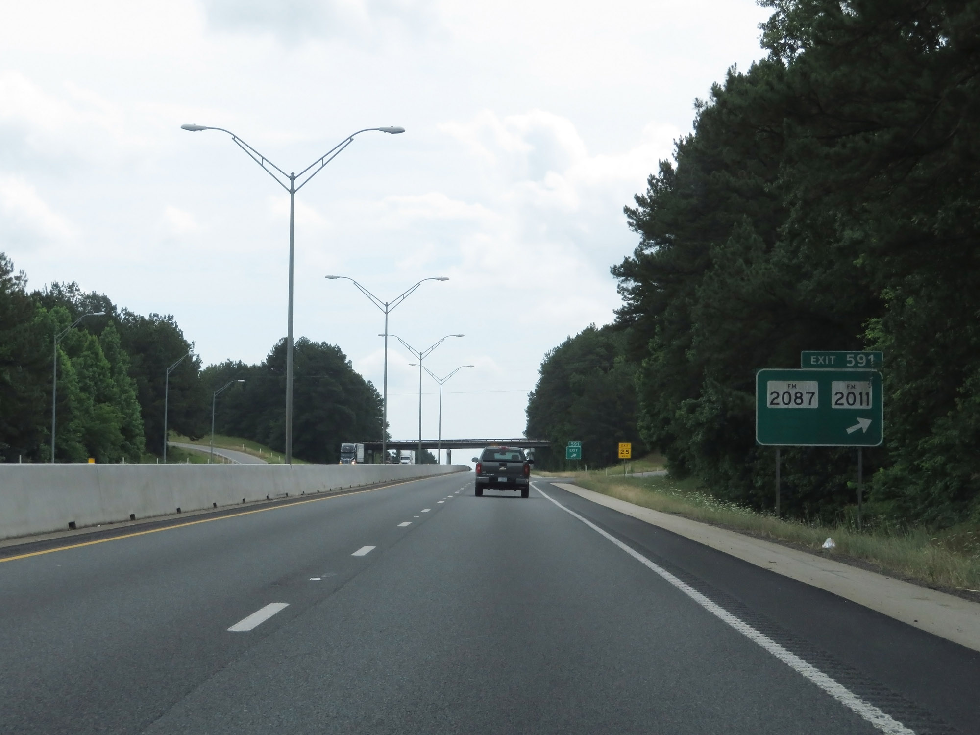 |
Interstate 20 East at Exit 591: FM 2087 / FM 2011 (Photo taken 5/22/18). |
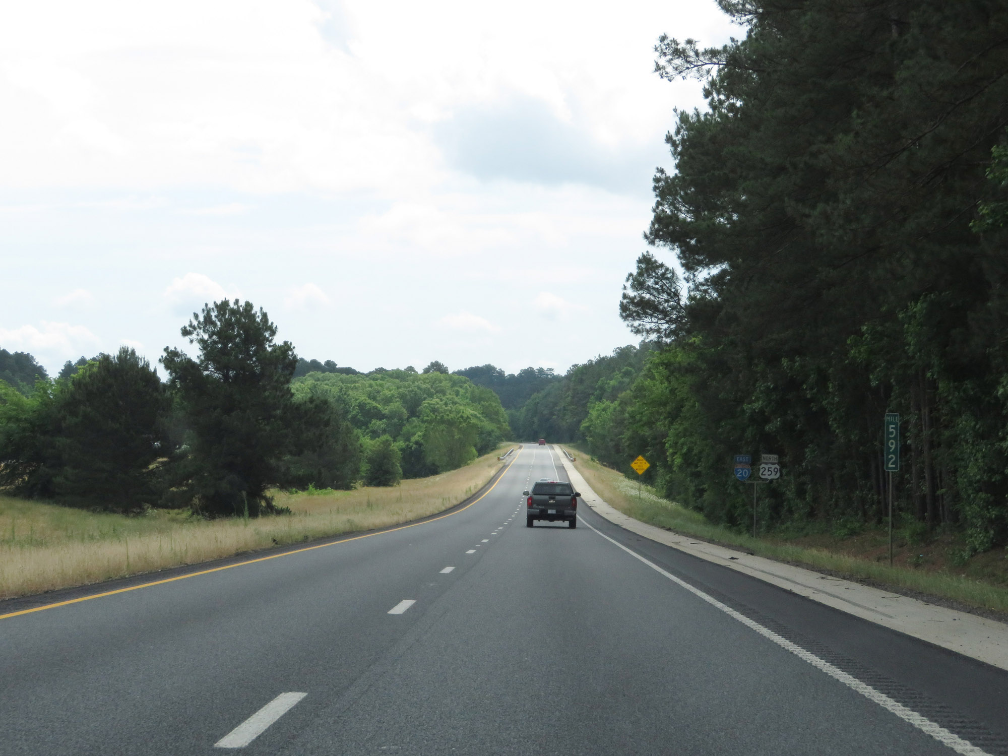 |
Interstate 20 East at mile marker 592. (Photo taken 5/22/18). |
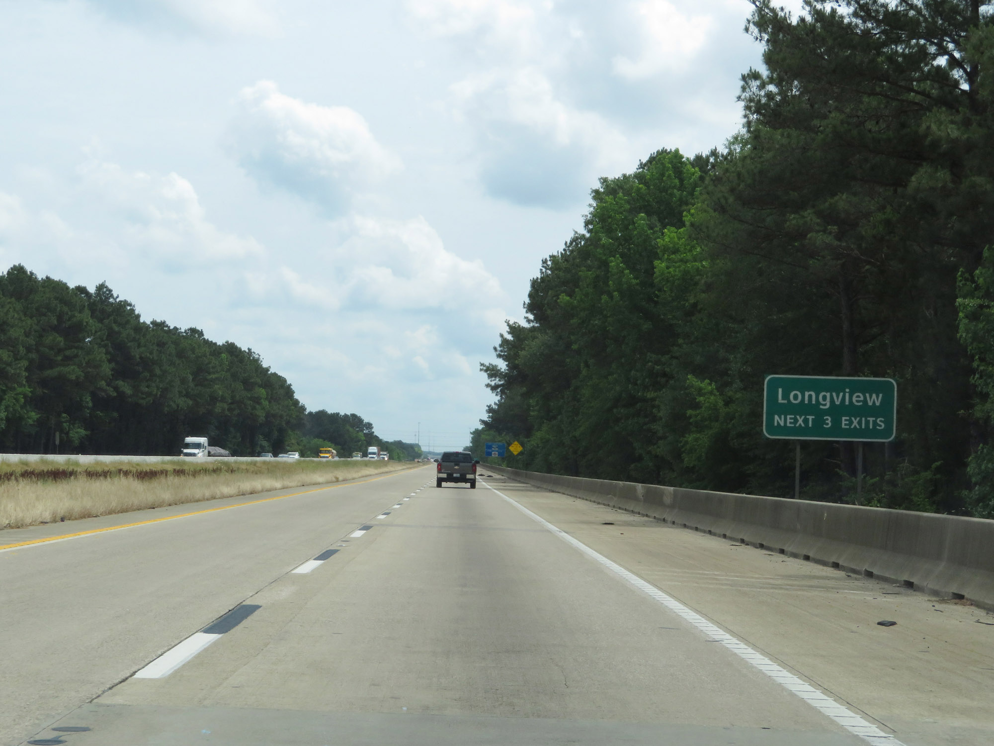 |
Take any of the next 3 exits to Longview. (Photo taken 5/22/18). |
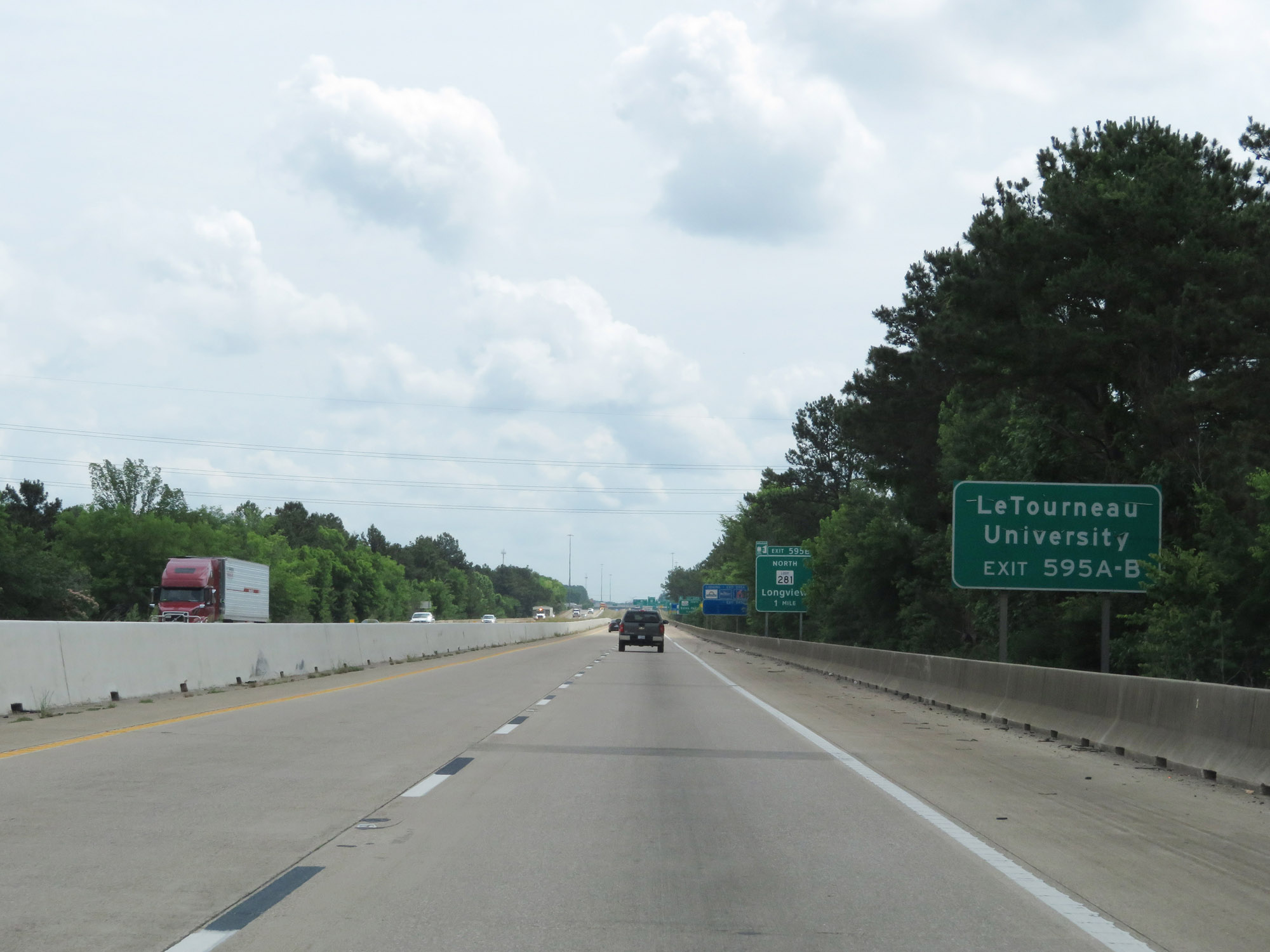 |
Take Exits 595A-B to LeTourneau University. (Photo taken 5/22/18). |
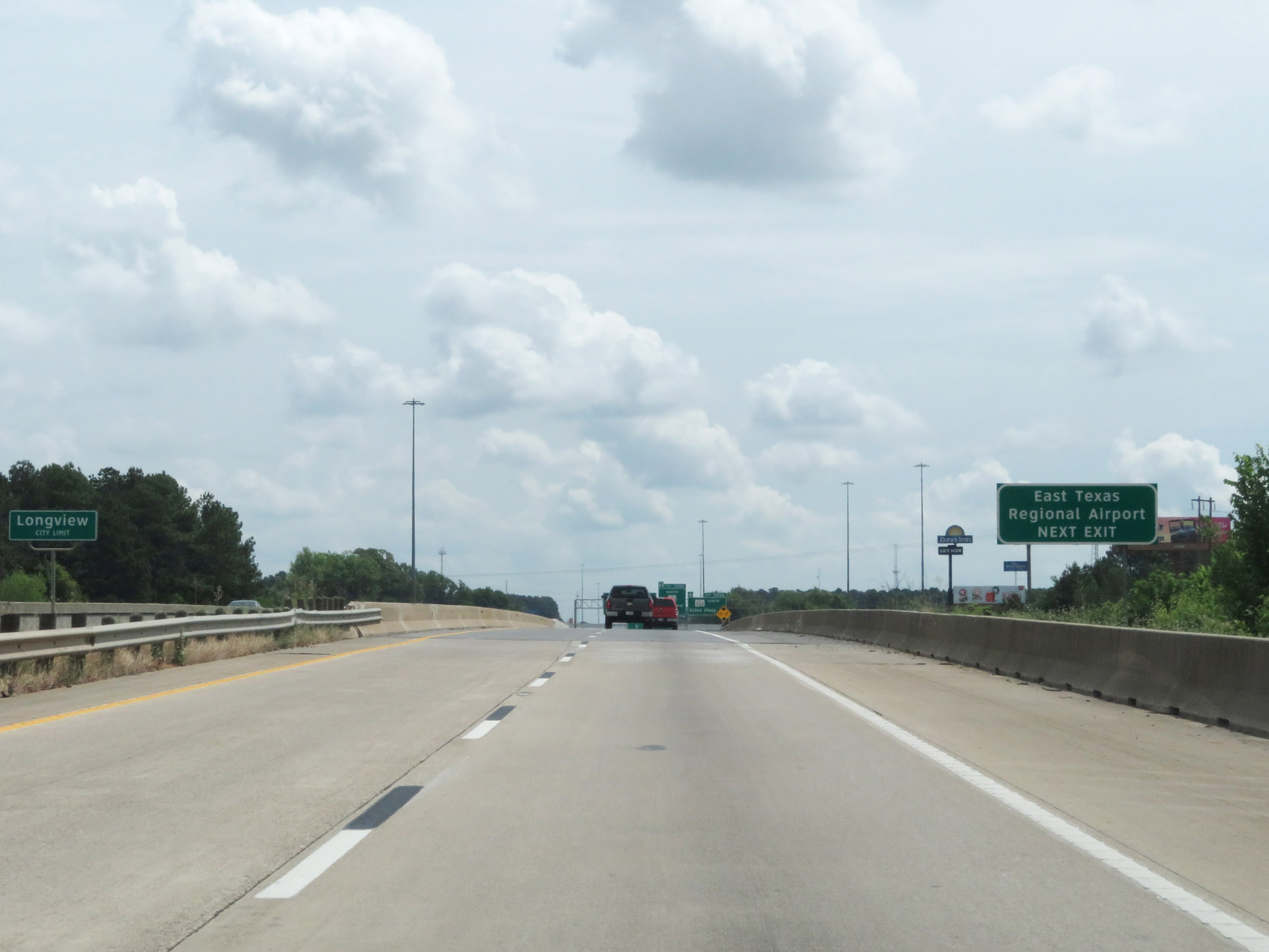 |
Take Exit 595A to East Texas Regional Airport. (Photo taken 5/22/18). |
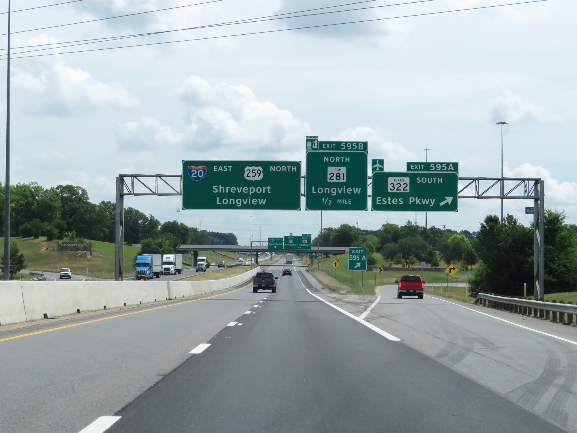 |
Interstate 20 East at Exit 595A: TX 322 South - Estes Pkwy (Photo taken 5/22/18). |
 |
Interstate 20 East at Exit 595B: TX Loop 281 North - Longview (Photo taken 5/22/18). |
 |
Take Exit 596 to Martin Lake State Park and Lake O' Pines. (Photo taken 5/22/18). |
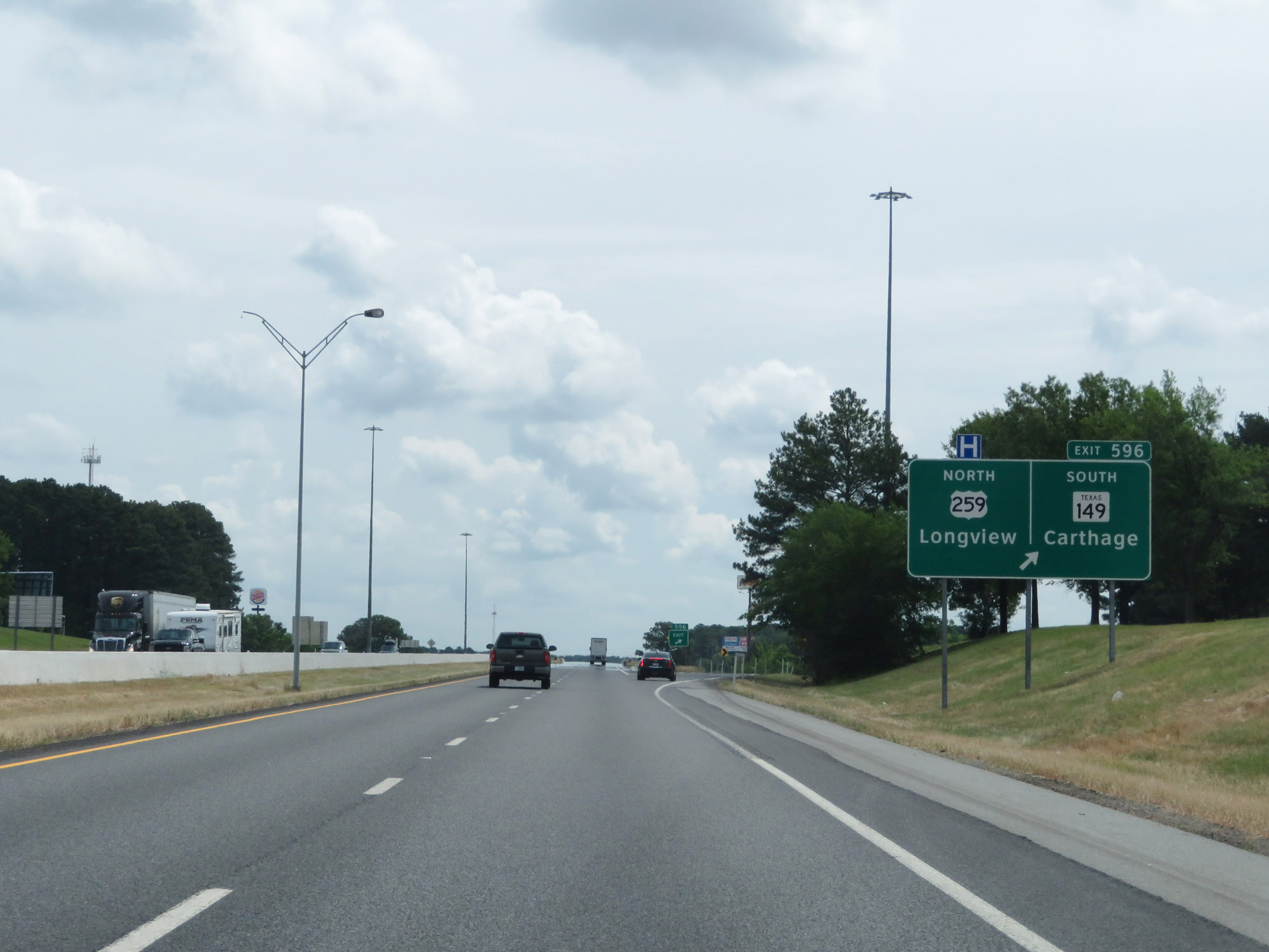 |
Interstate 20 East at Exit 596: US 259 North / TX 149 South - Longview / Carthage (Photo taken 5/22/18). |
 |
The speed limit remains 75 mph on Interstate 20 East. (Photo taken 5/22/18). |
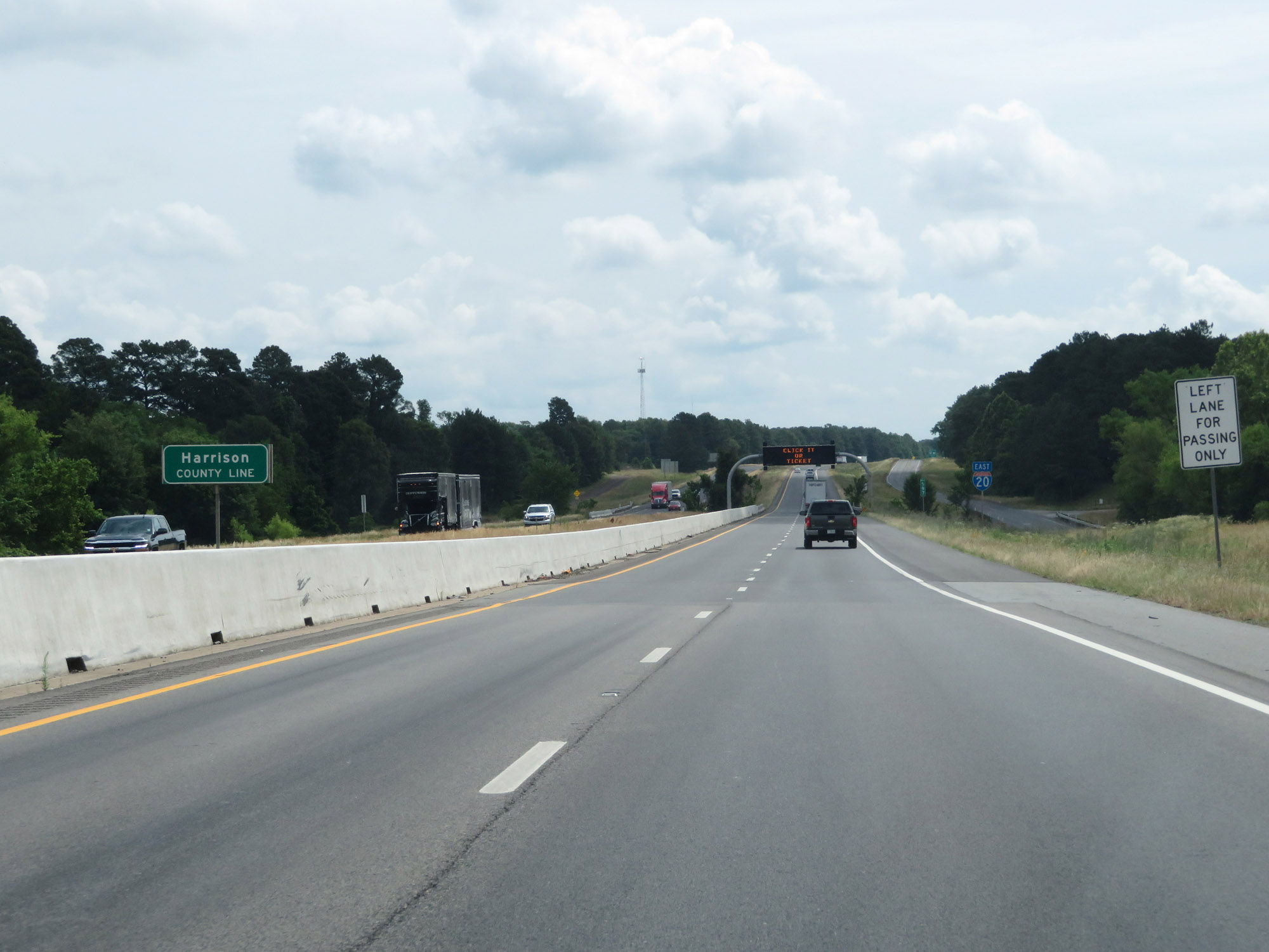 |
Interstate 20 East as it enters Harrison County. (Photo taken 5/22/18). |
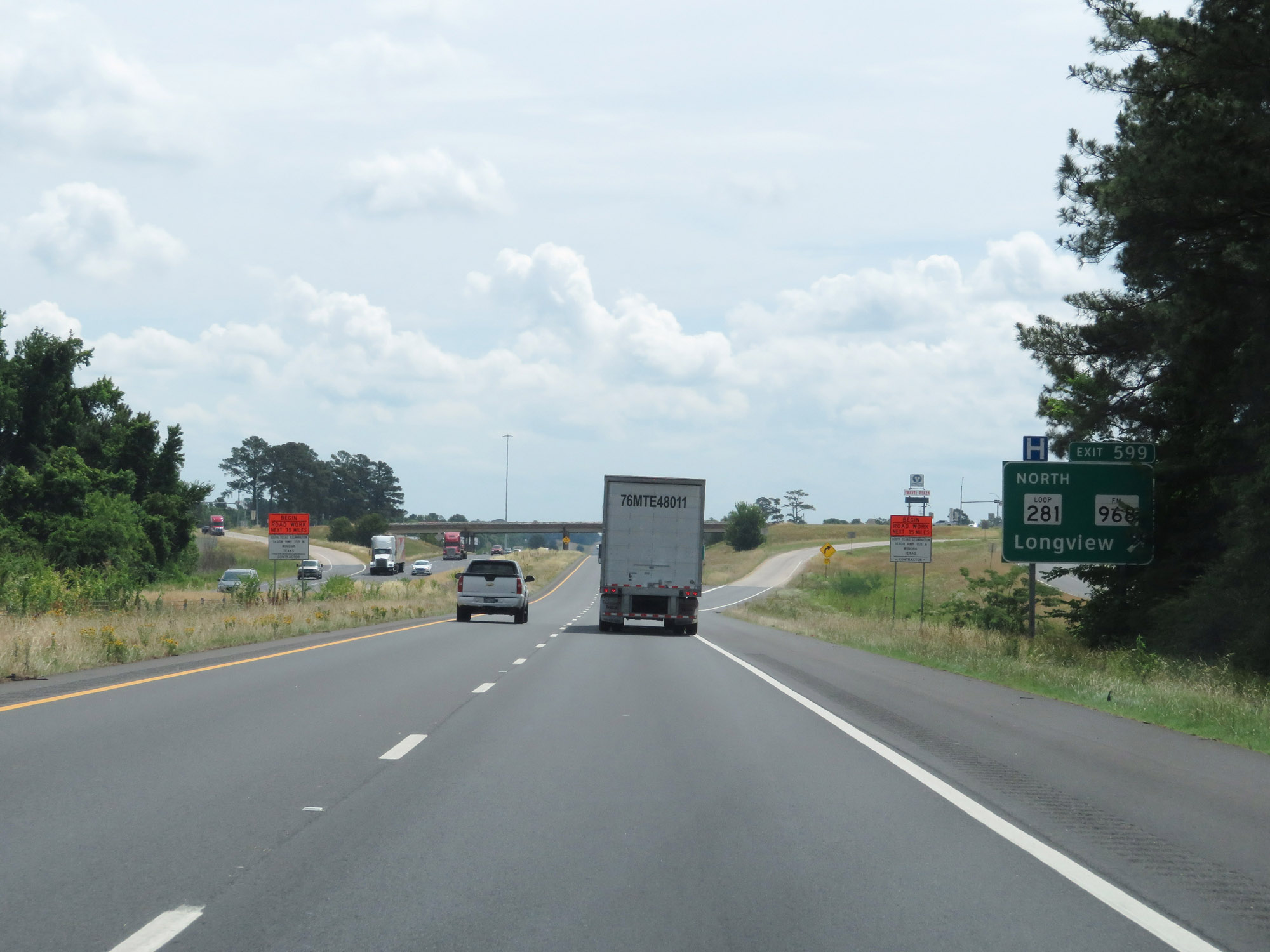 |
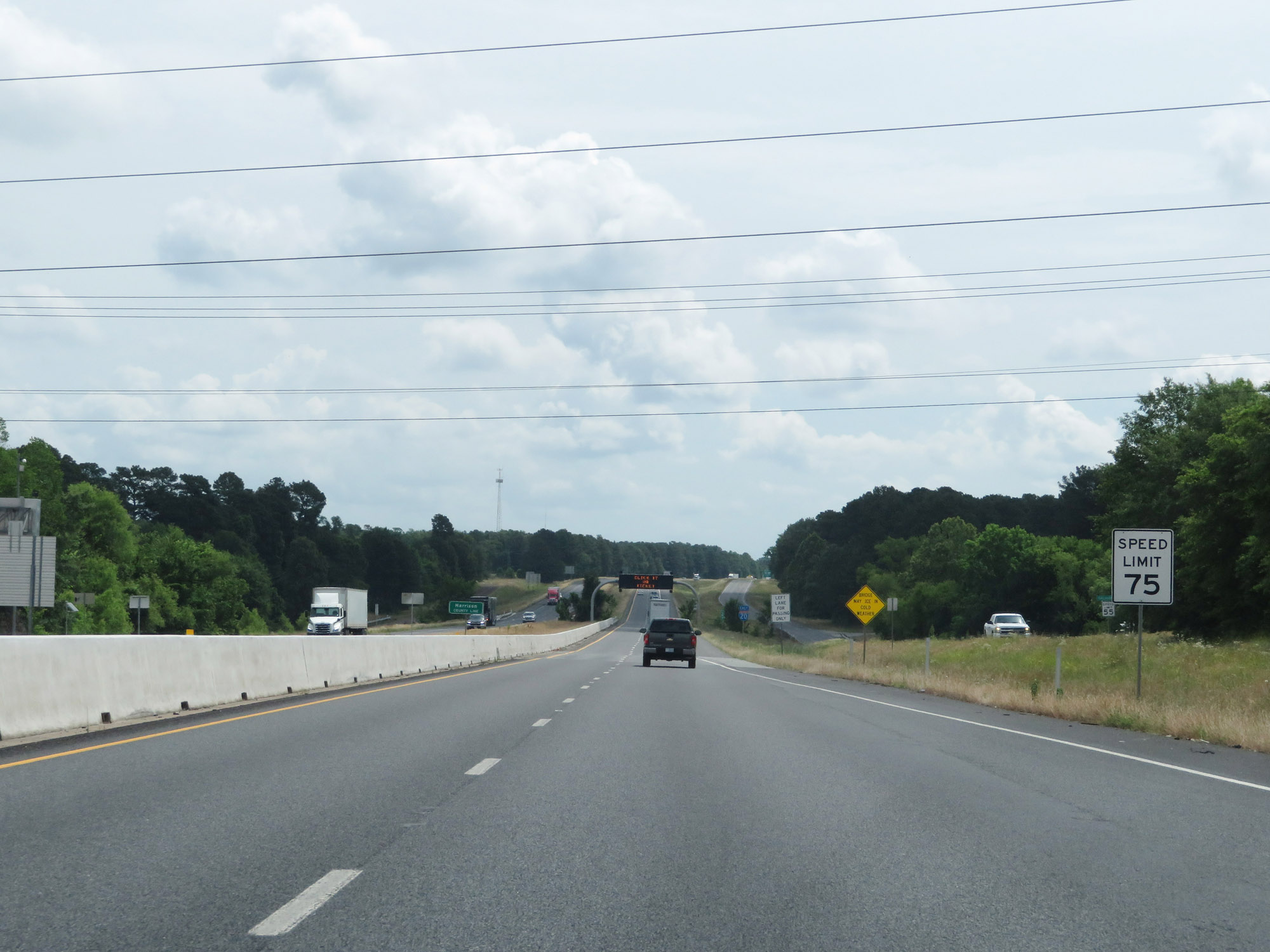
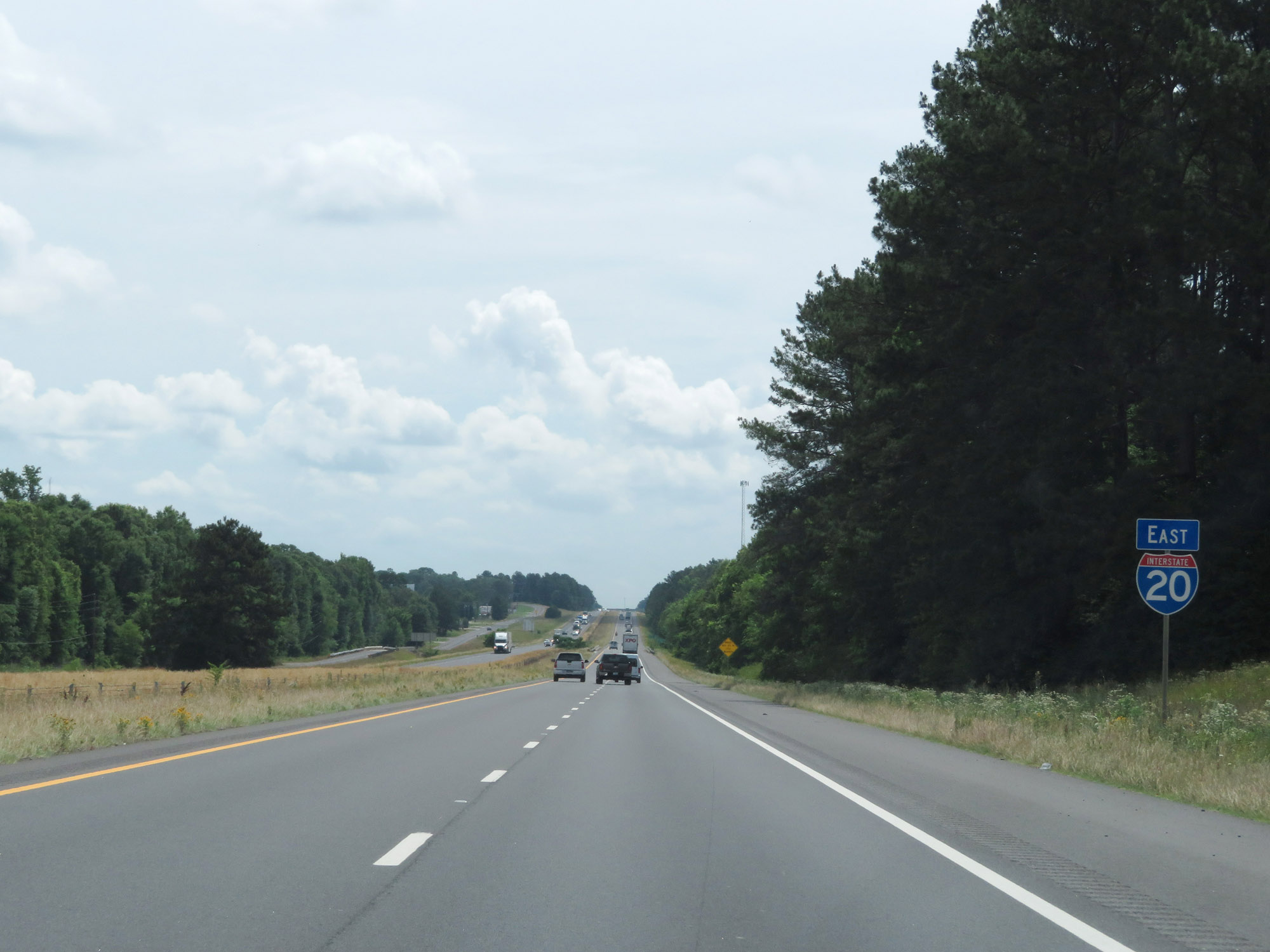
Interstate 20 East at Exit 599: TX Loop 281 North / FM 968 - Longview (Photo taken 5/22/18). |
 |
Interstate 20 East reassurance shield in Harrison County. (Photo taken 5/22/18). |
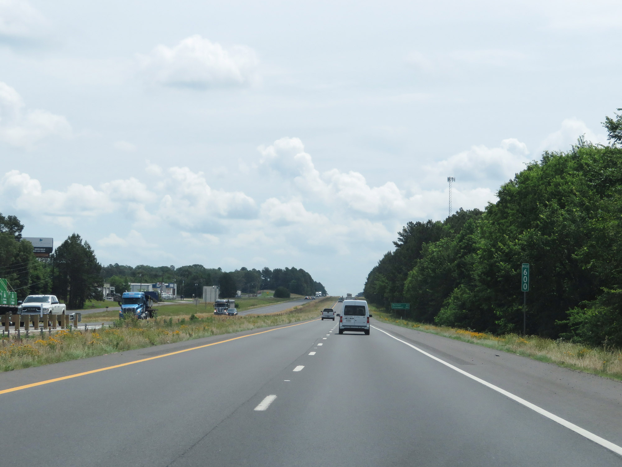 |
Interstate 20 East at mile marker 600. (Photo taken 5/22/18). |
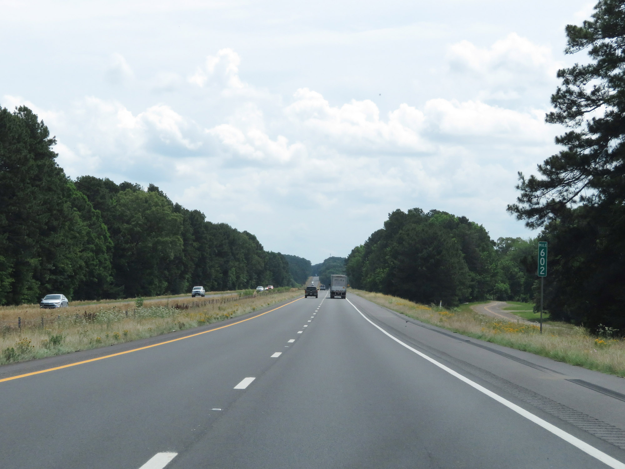 |
View on Interstate 20 East at mile marker 602. (Photo taken 5/22/18). |
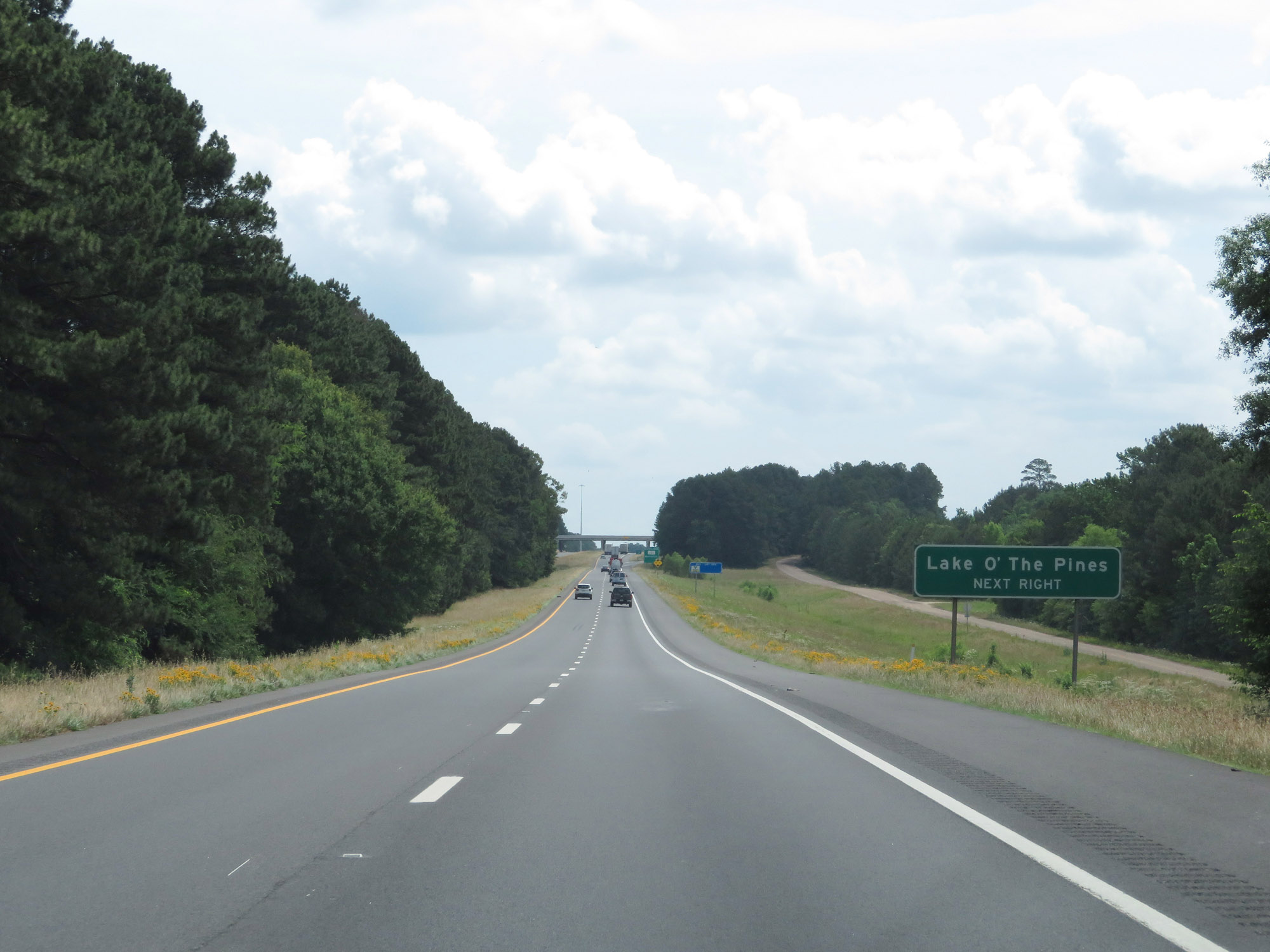 |
Take Exit 604 to Lake O' The Pines. (Photo taken 5/22/18). |
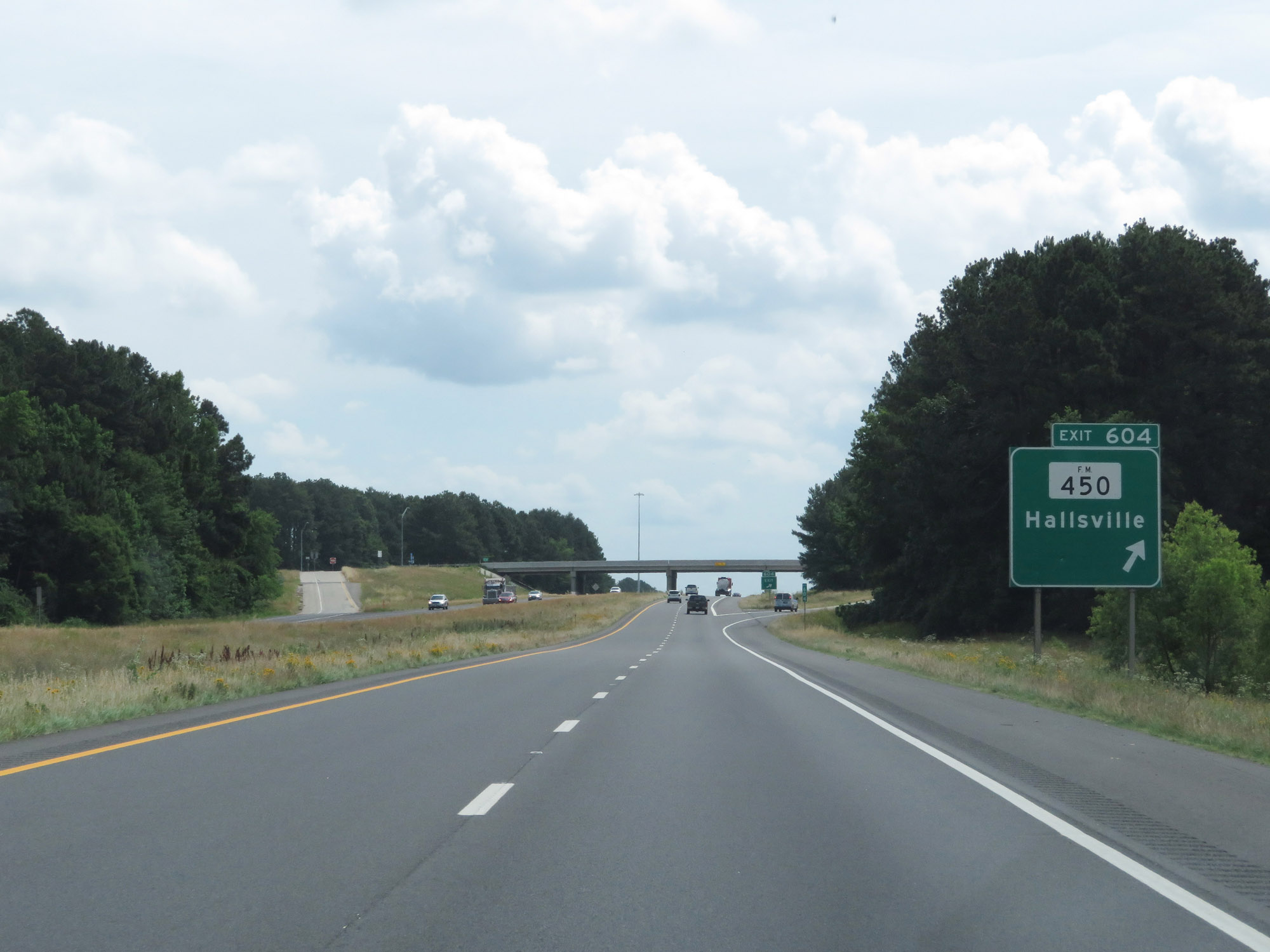 |
Interstate 20 East at Exit 604: FM 450 - Hallsville (Photo taken 5/22/18). |
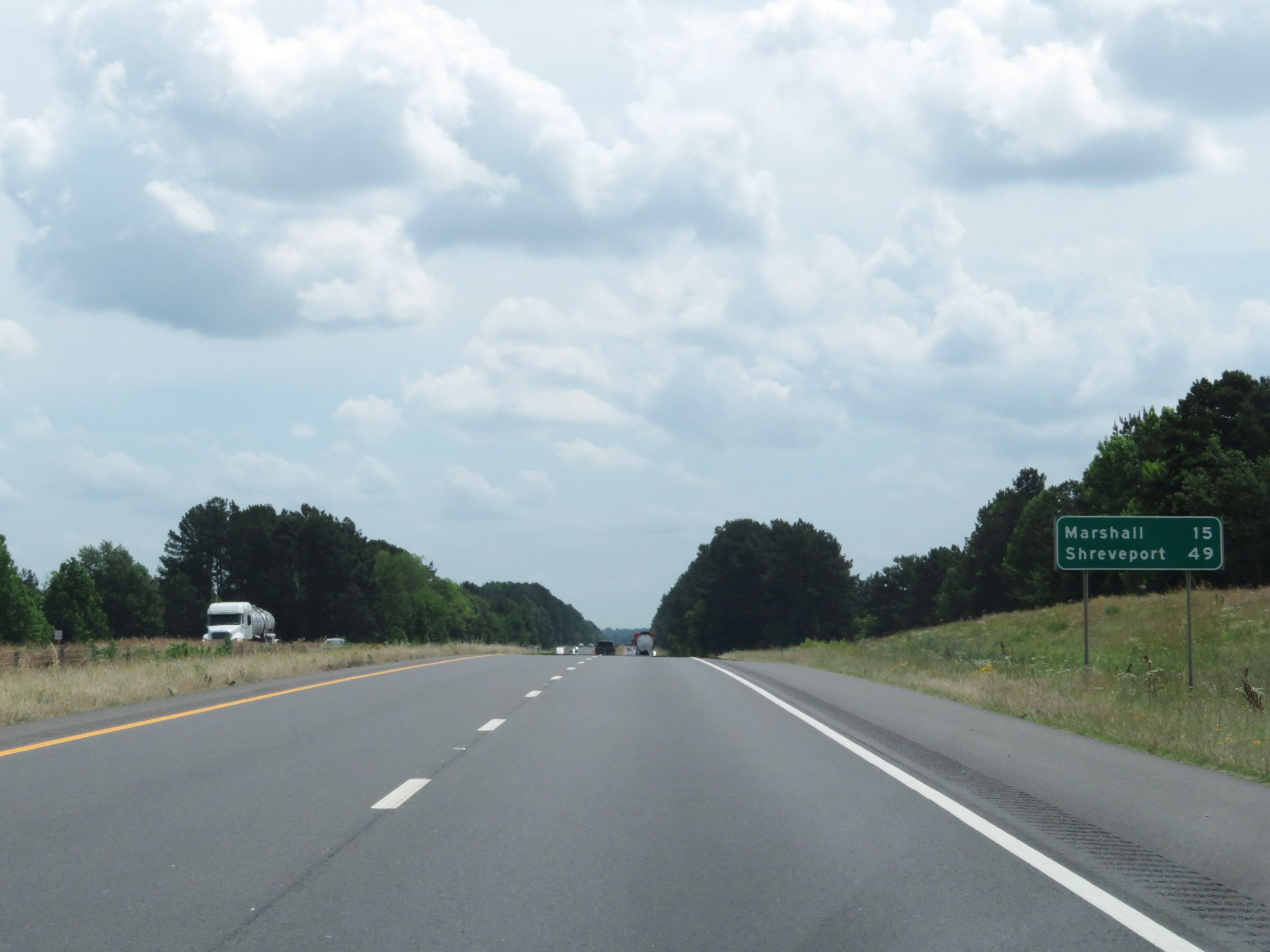 |
Mileage sign on Interstate 20 East. It's 15 miles to Marshall and 49 miles to Shreveport. (Photo taken 5/22/18). |
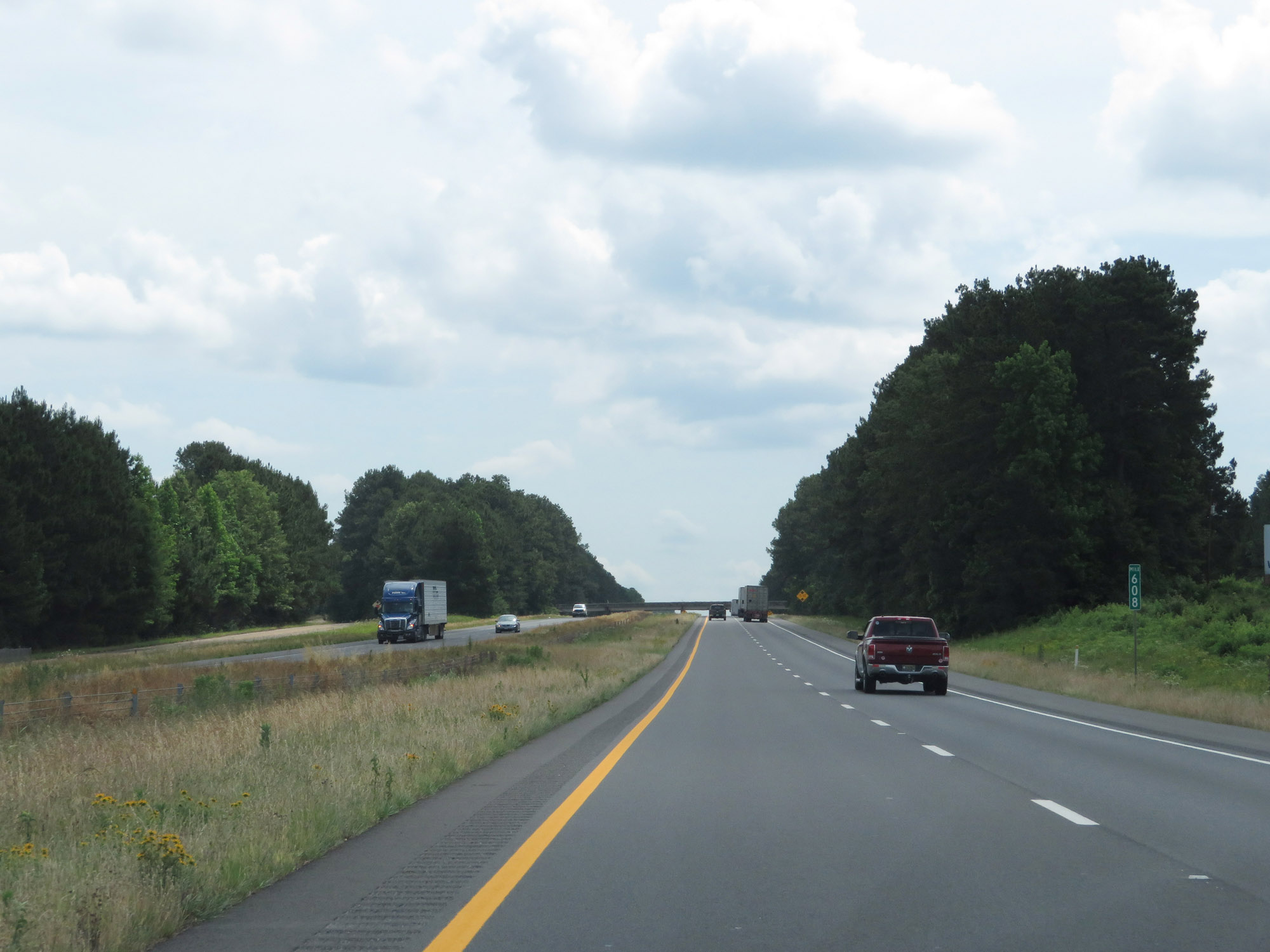 |
Interstate 20 East at mile marker 608. (Photo taken 5/22/18). |
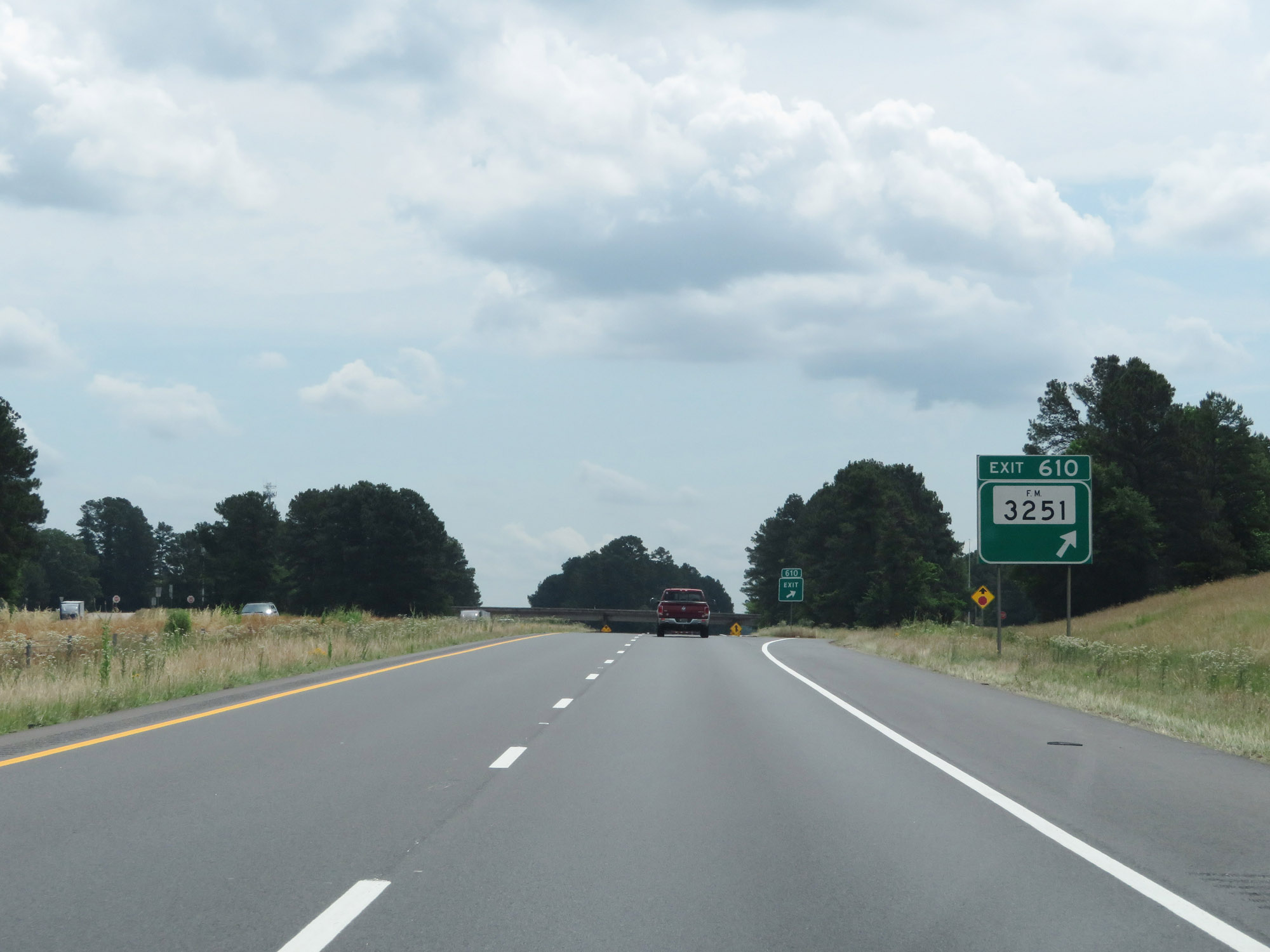 |
Interstate 20 East at Exit 610: FM 3251 (Photo taken 5/22/18). |
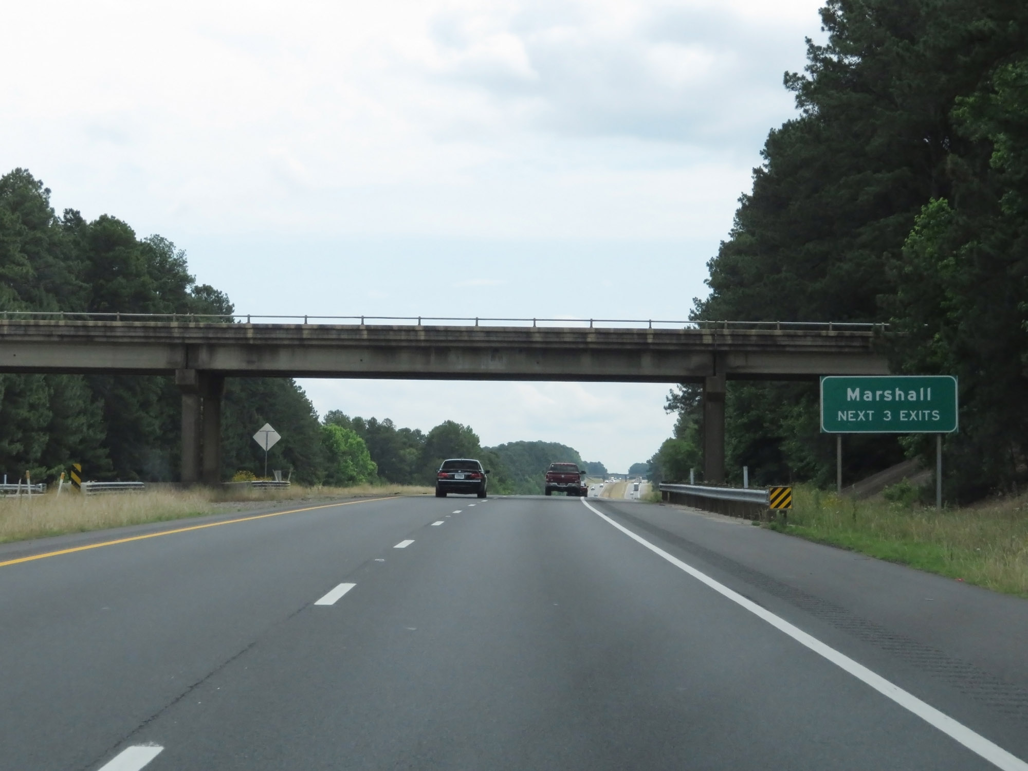 |
Take any of the next 3 exits to Marshall. (Photo taken 5/22/18). |
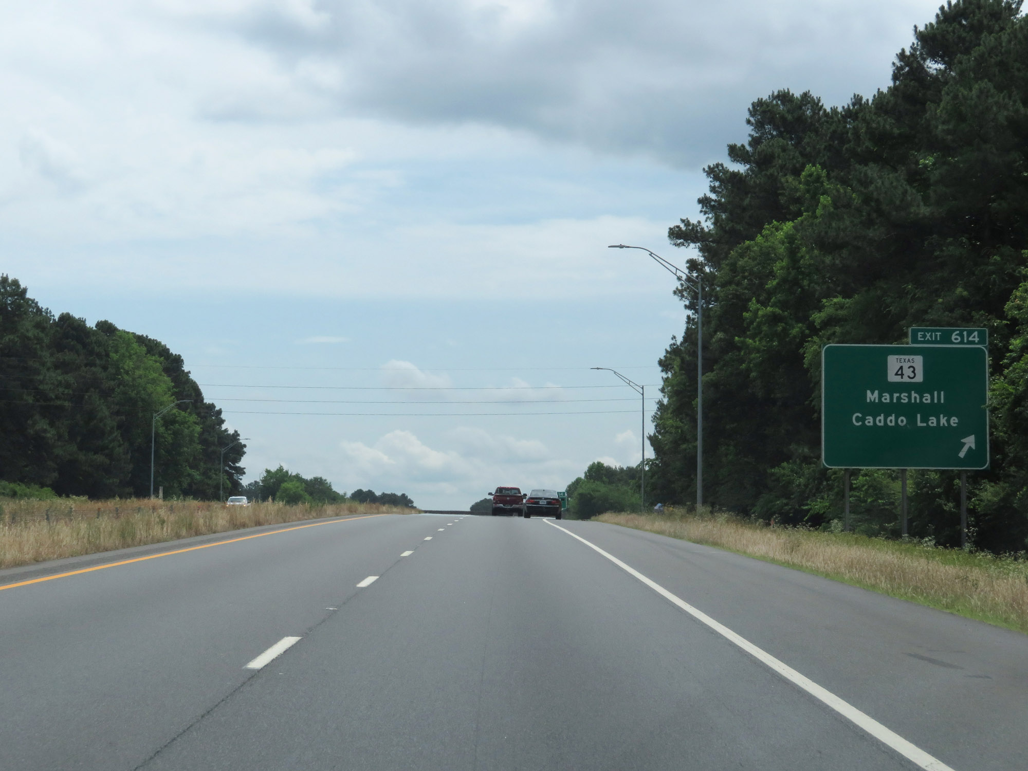 |
Interstate 20 East at Exit 614: TX 43 - Marshall / Caddo Lake (Photo taken 5/22/18). |
 |
Take Exit 617 to Marshall Convention Center, Texas State Technical College, and Jefferson. (Photo taken 5/22/18). |
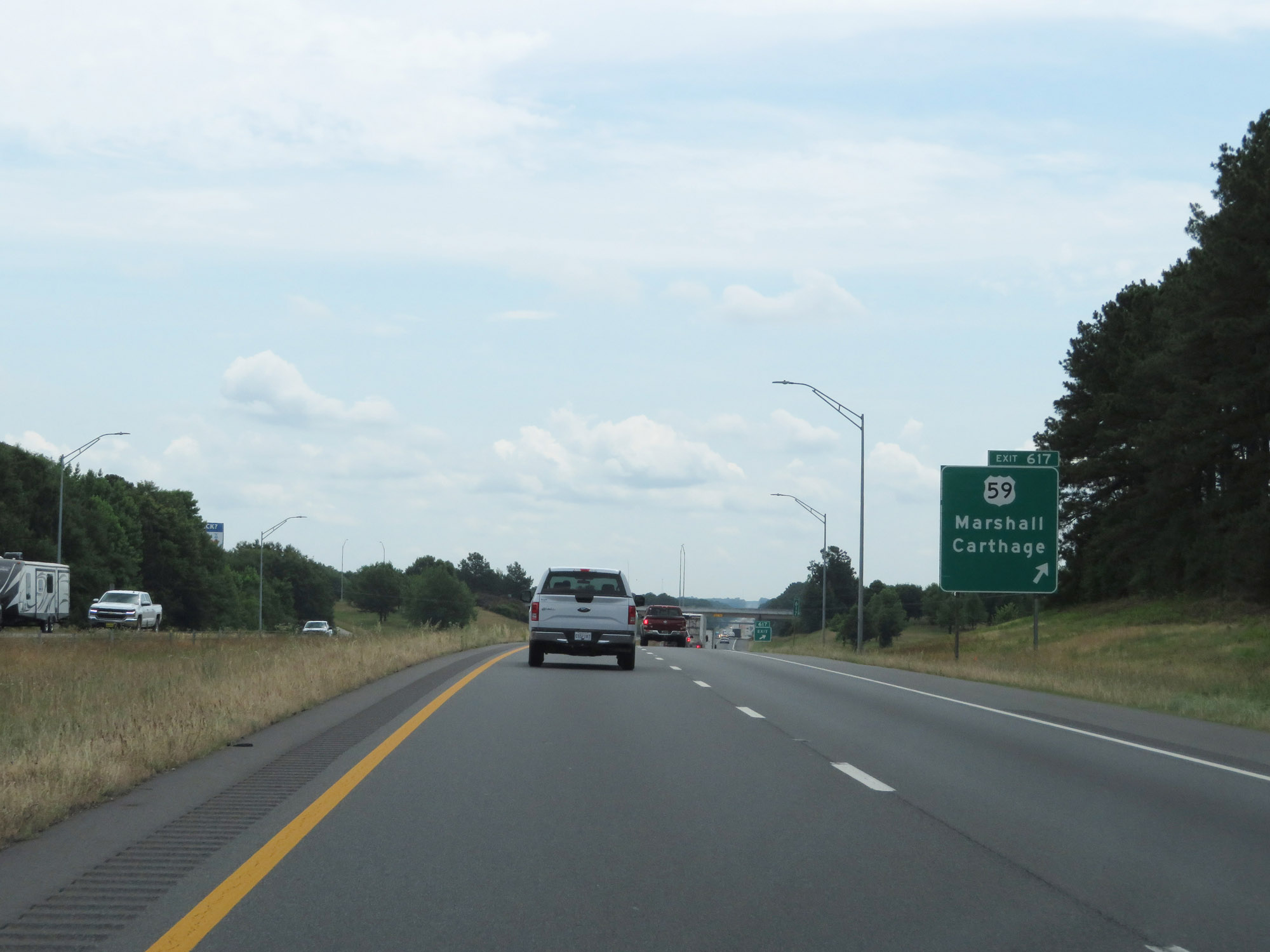 |
Interstate 20 East at Exit 617: US 59 - Marshall / Carthage (Photo taken 5/22/18). |
 |
Interstate 20 East approaching Exit 620 - 1 mile. (Photo taken 5/22/18). |
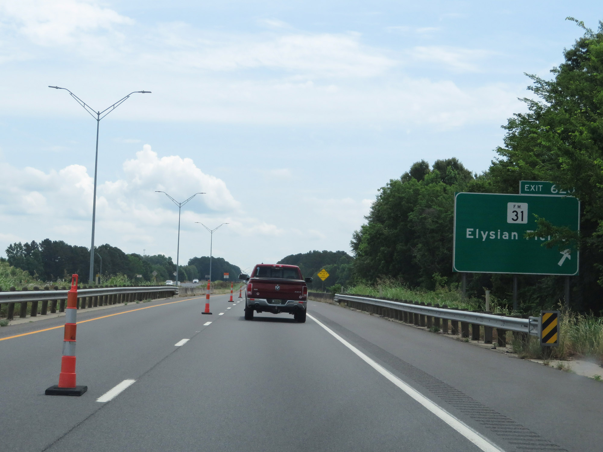 |
Interstate 20 East at Exit 620: FM 31 - Elysian Fields (Photo taken 5/22/18). |
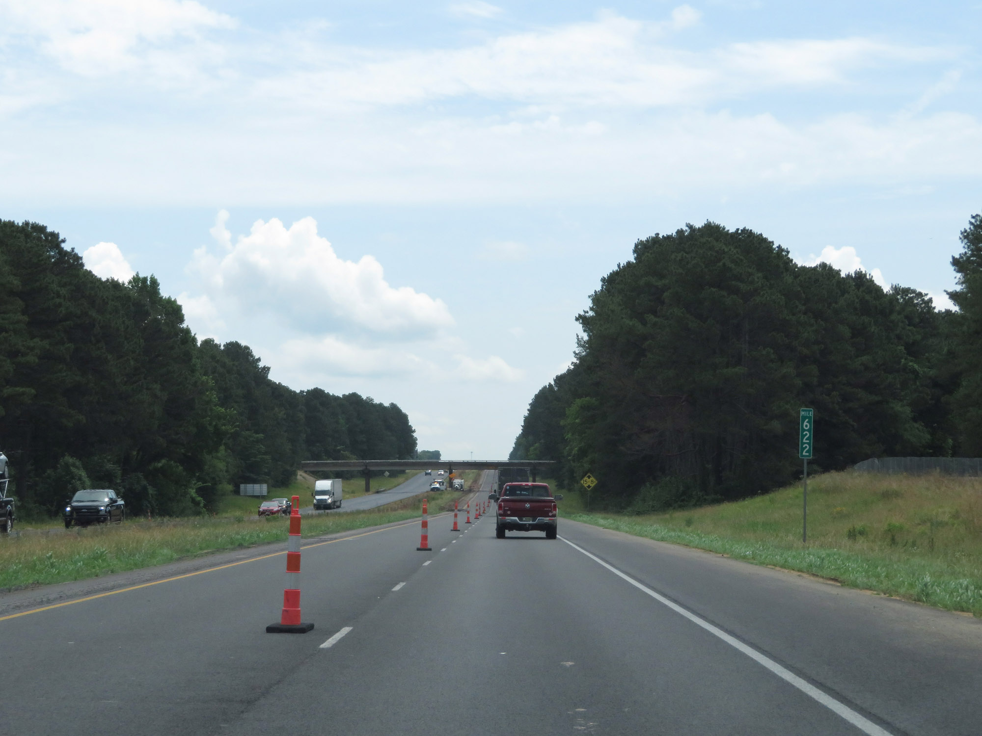 |
Interstate 20 East at mile marker 622. (Photo taken 5/22/18). |
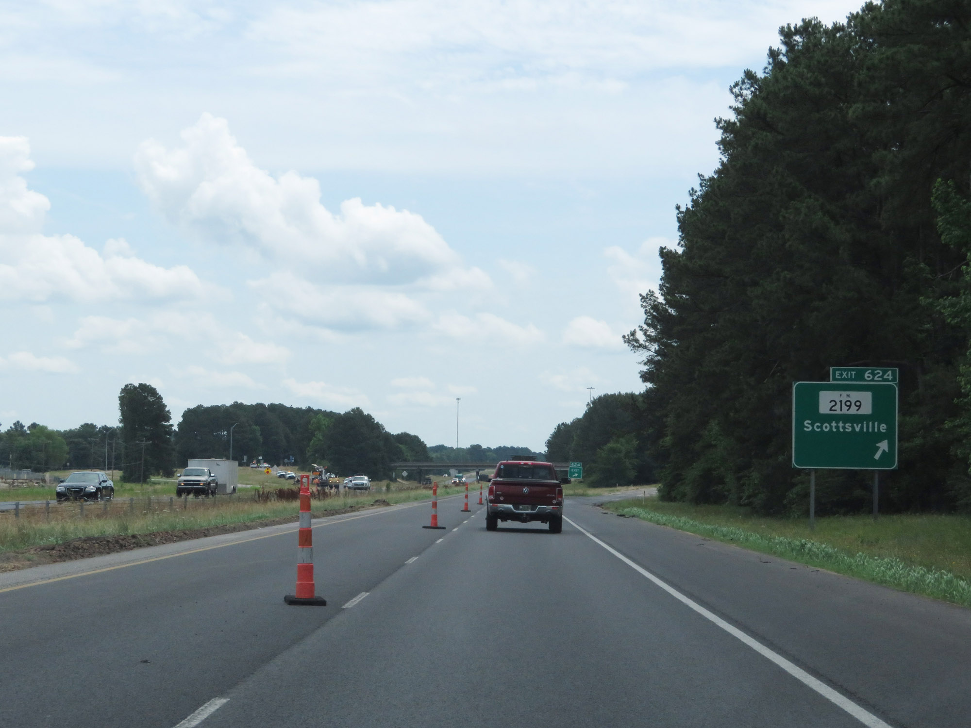 |
Interstate 20 East at Exit 624: FM 2199 - Scottsville (Photo taken 5/22/18). |
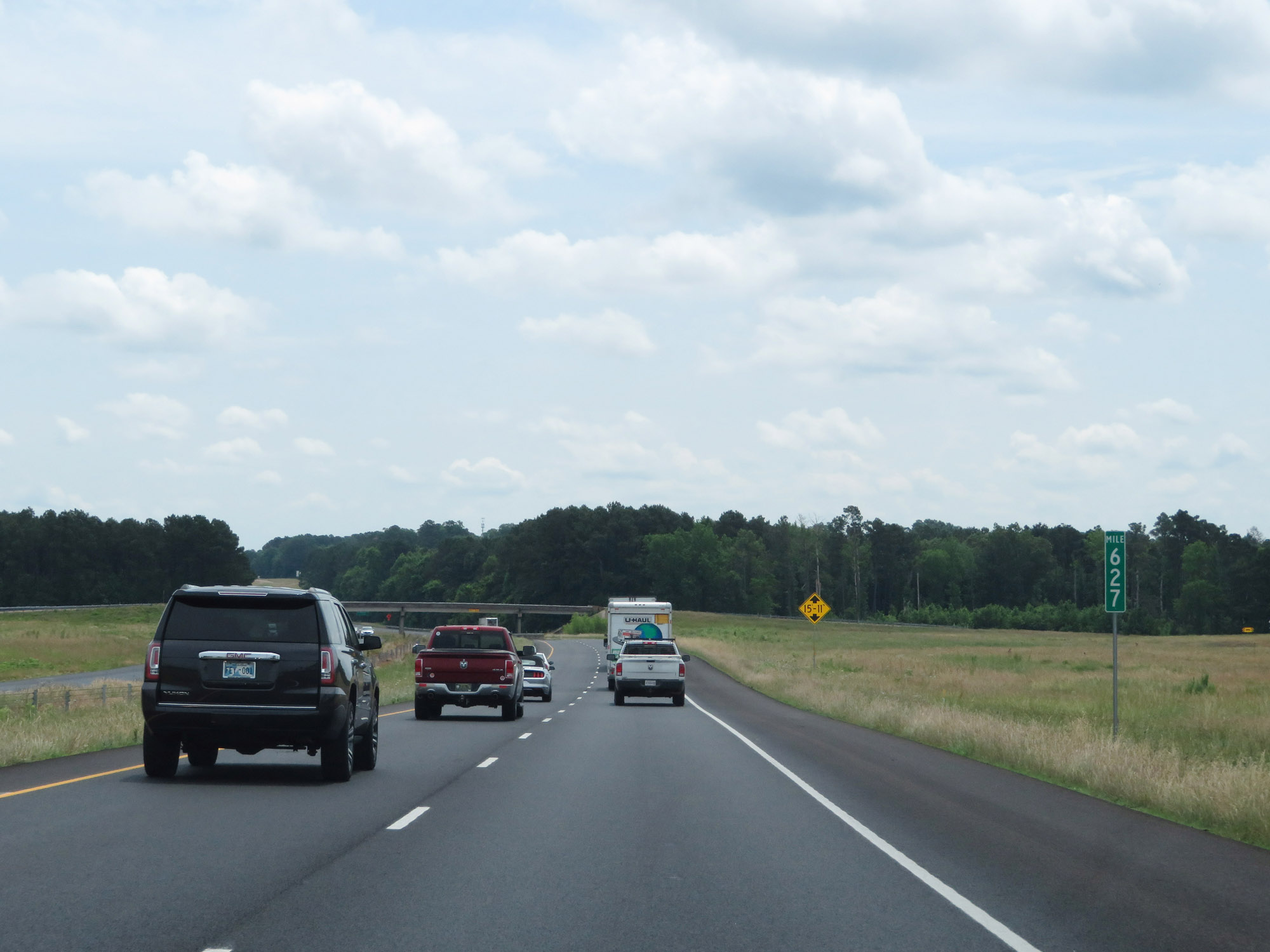 |
Interstate 20 East at mile marker 627. (Photo taken 5/22/18). |
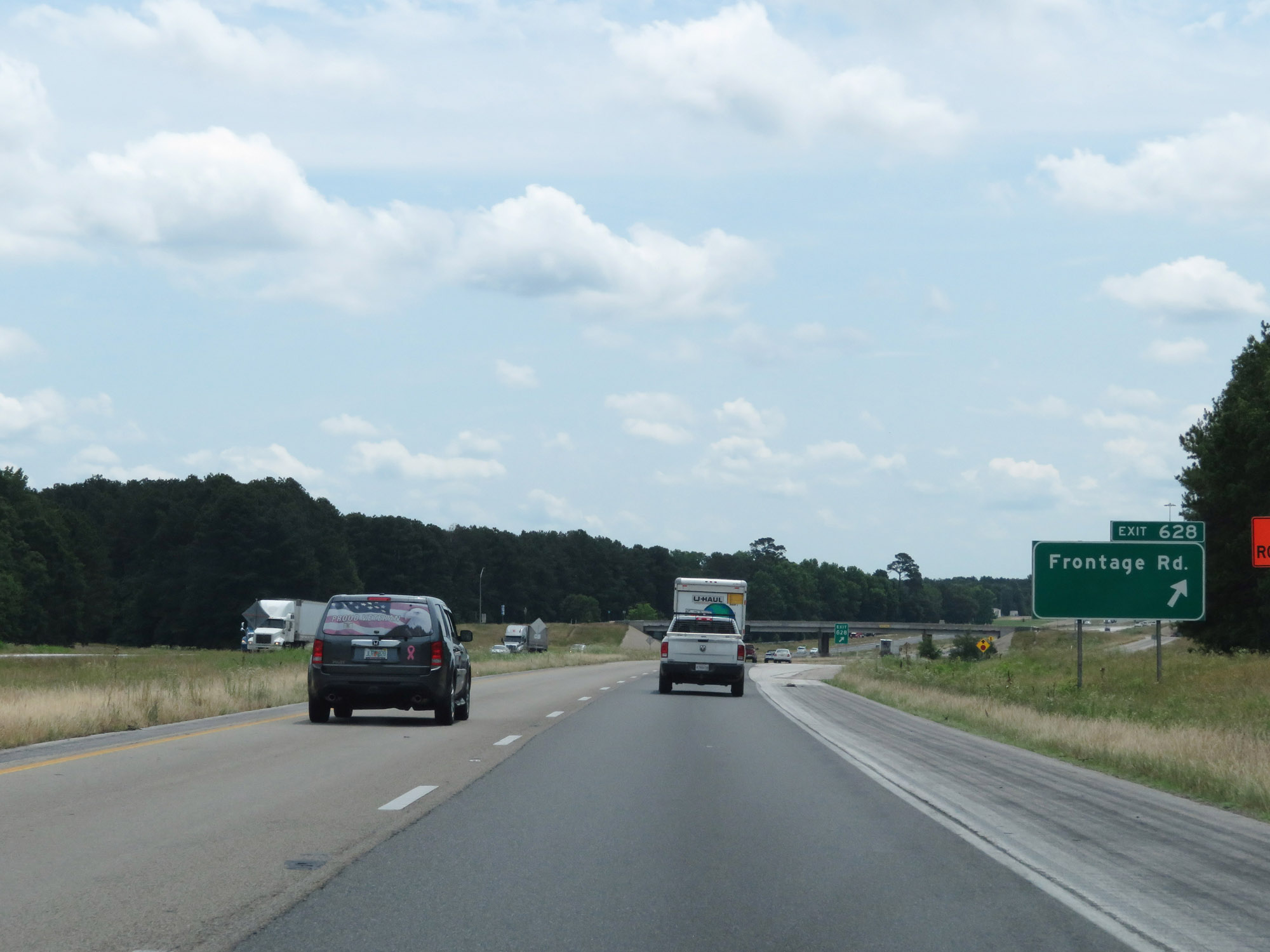 |
Interstate 20 East at Exit 628: Frontage Rd (Photo taken 5/22/18). |
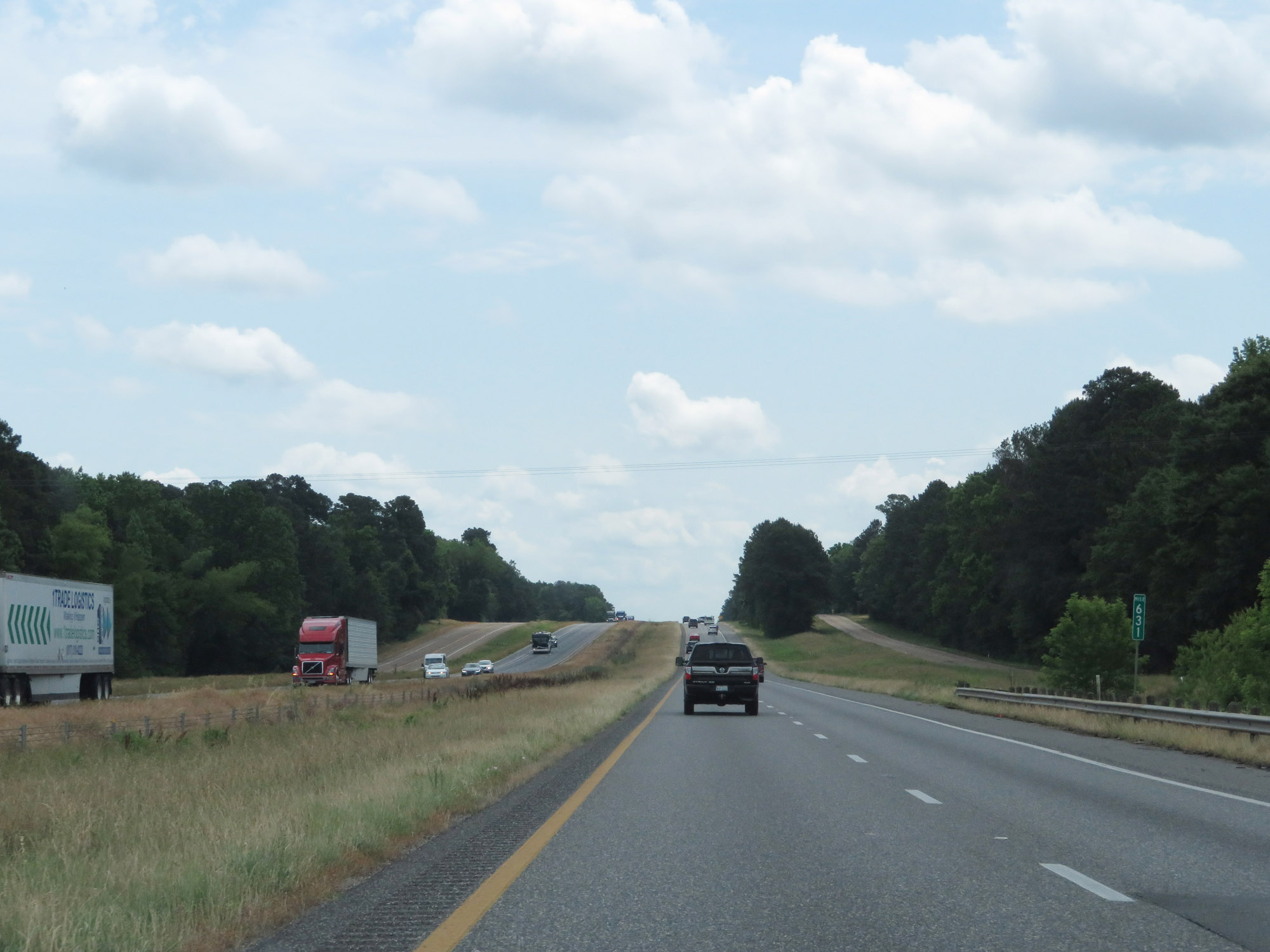 |
Interstate 20 East at mile marker 631. (Photo taken 5/22/18). |
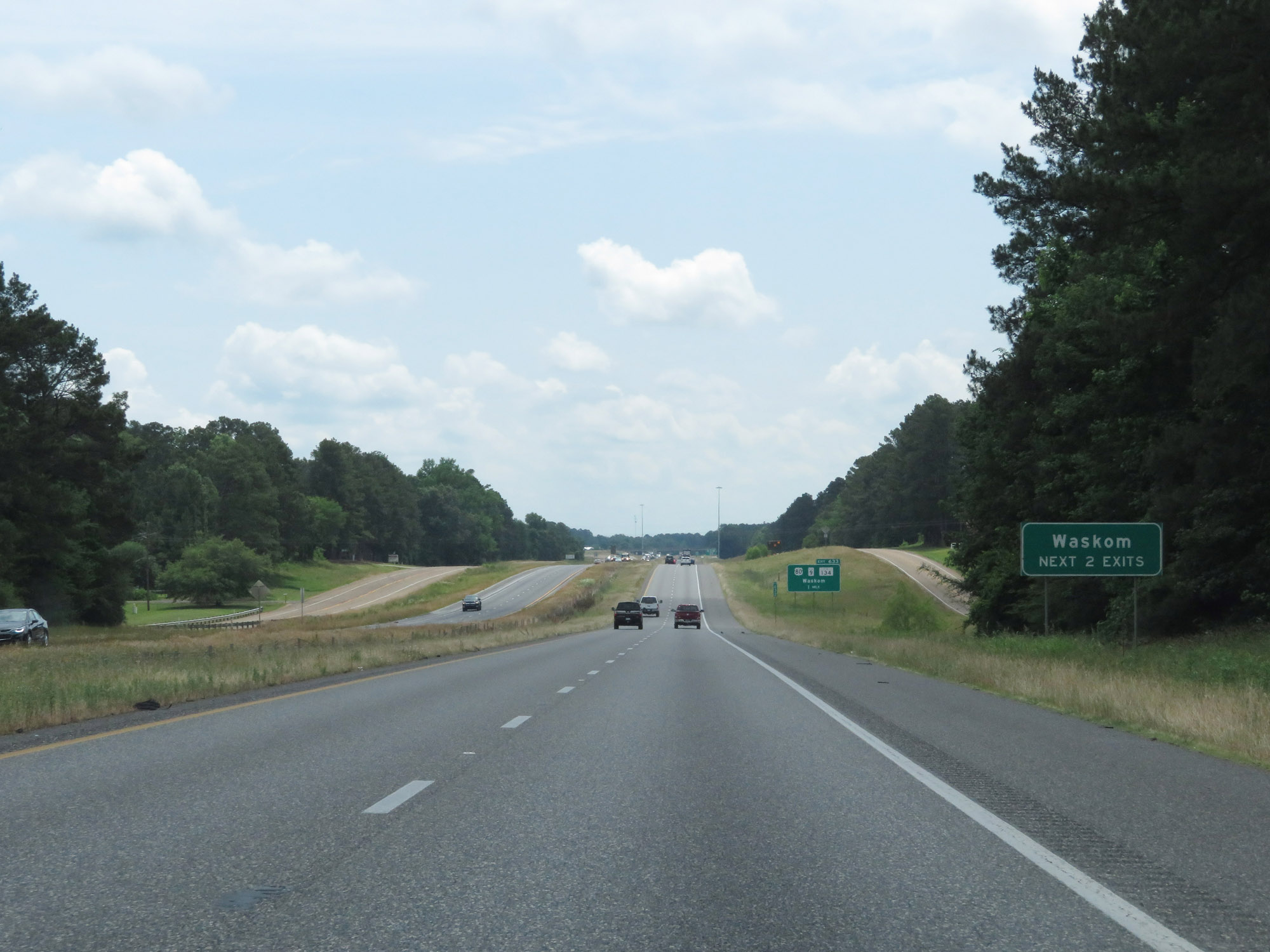 |
Take either of the next 2 exits to Waskom. (Photo taken 5/22/18). |
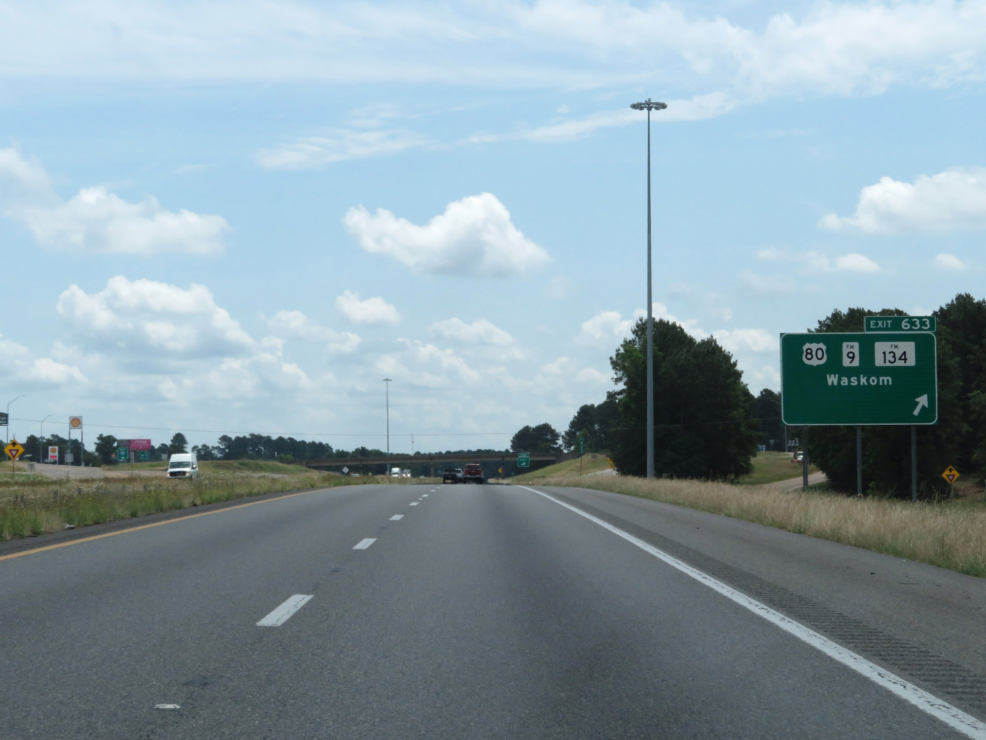 |
Interstate 20 East at Exit 633: US 80 / FM 9 / FM 134 - Waskom (Photo taken 5/22/18). |
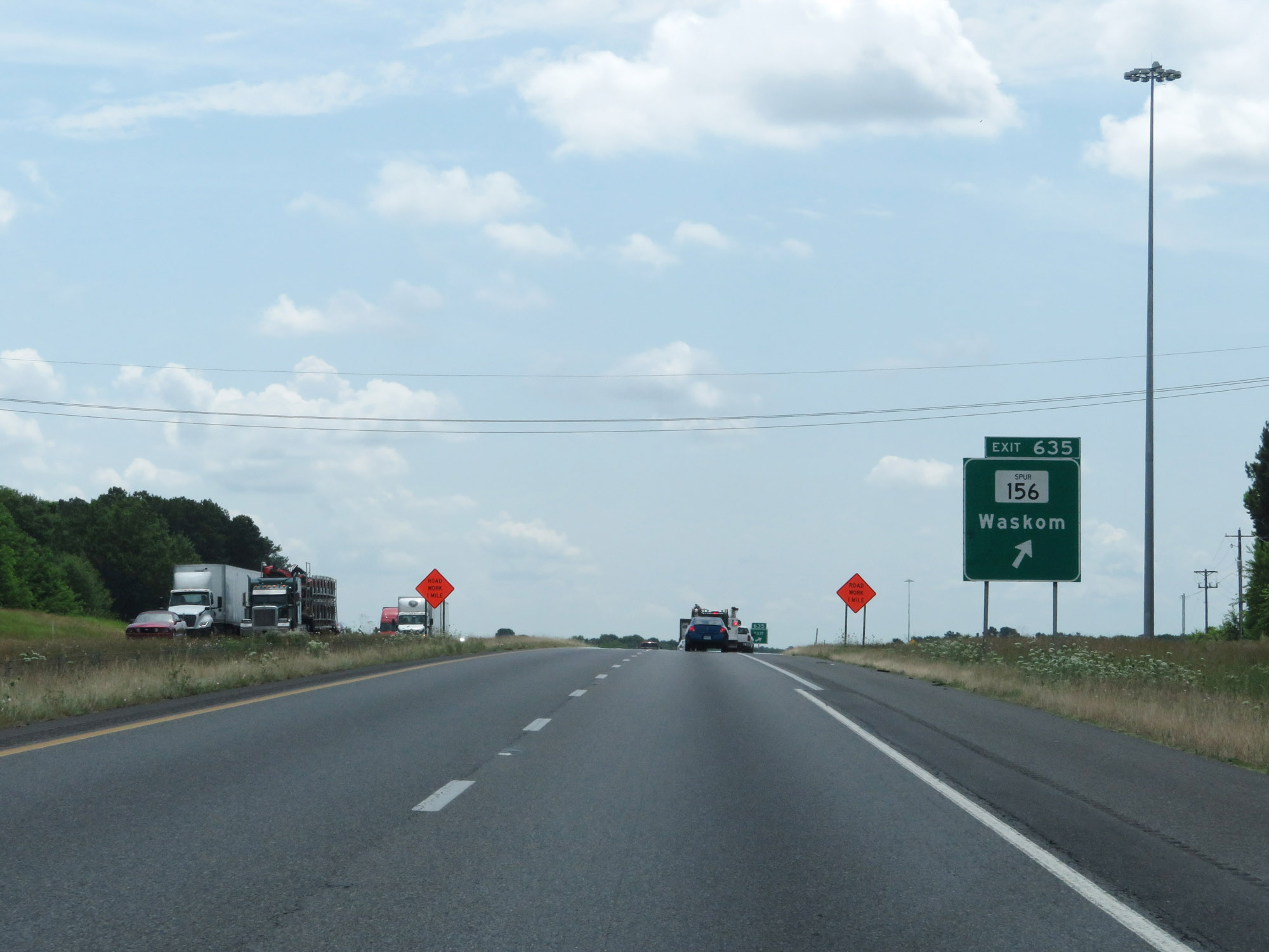 |
Interstate 20 East at Exit 635: TX Spur 156 - Waskom (Photo taken 5/22/18). |
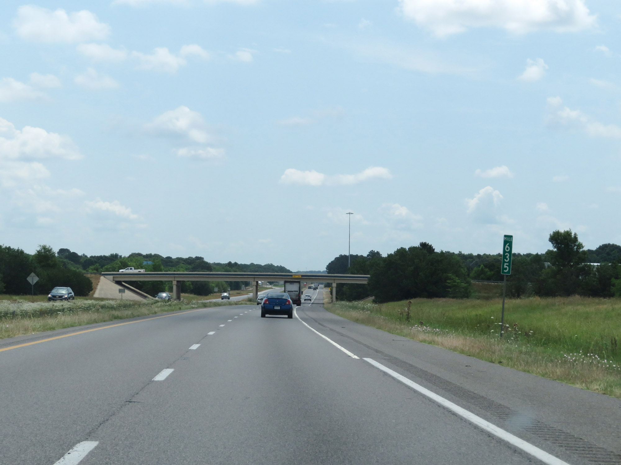 |
Interstate 20 East at mile marker 635. (Photo taken 5/22/18). |
 |
One final state-named Interstate 20 East reassurance shield as I-20 prepares to enter Louisiana. (Photo taken 5/22/18). |