Road Information |
||
 |
||
| Total Mileage in State: | 331 miles | |
| Eastern End: | At Arkansas state line | |
| Western End: | At Texas state line | |
| Mileage covered in Photos: | 146 miles | |
| Counties covered in Photos: | Oklahoma, Canadian, Caddo, Custer, Washita, Beckham | |
| Major Junctions in Photos: | US 81, in El Reno | |
| Control Cities in Photos: | Oklahoma City, Yukon, El Reno, Weatherford, Clinton, Elk City, Sayre, Erick | |
Westbound
- Section 1: Oklahoma City (Exit 147) to Weatherford (Exit 84)
- Section 2: Weatherford (Exit 84) to Texas Border
Section 1: Oklahoma City (Exit 147) to Weatherford (Exit 84)
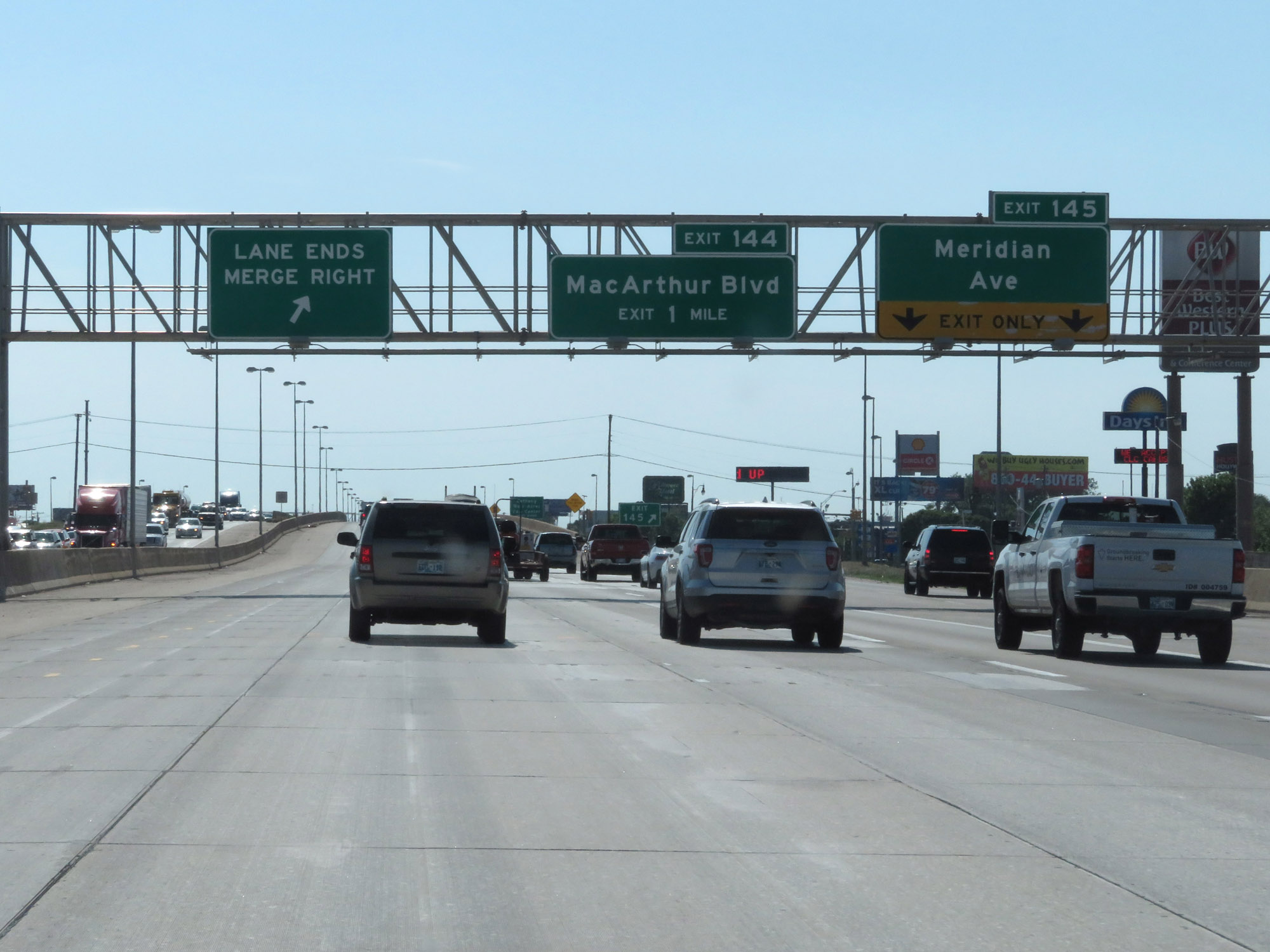 |
Interstate 40 West at Exit 145: Meridian Ave (Photo taken 5/18/18). |
 |
The speed limits on Interstate 40 West through the western stretches of Oklahoma City are 65 mph maximum and 40 mph minimum. (Photo taken 5/18/18). |
 |
Interstate 40 West at Exit 144: MacArthur Blvd (Photo taken 5/18/18). |
 |
State-named Interstate 40 West reassurance shield. (Photo taken 5/18/18). |
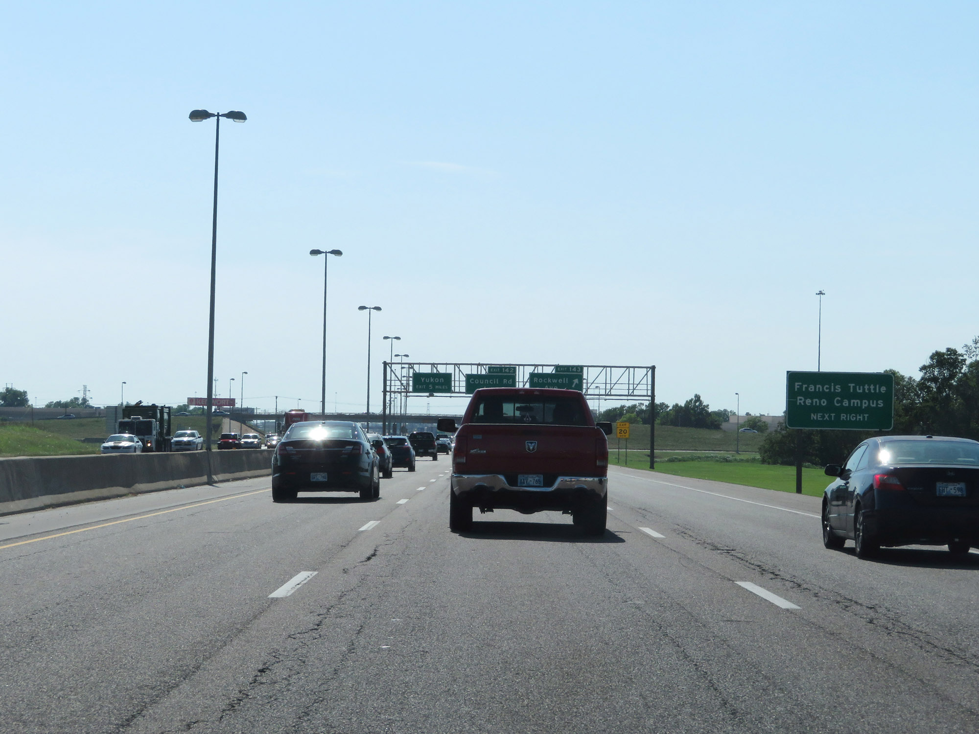 |
Take Exit 143 to Francis Tuttle Reno Campus. (Photo taken 5/18/18). |
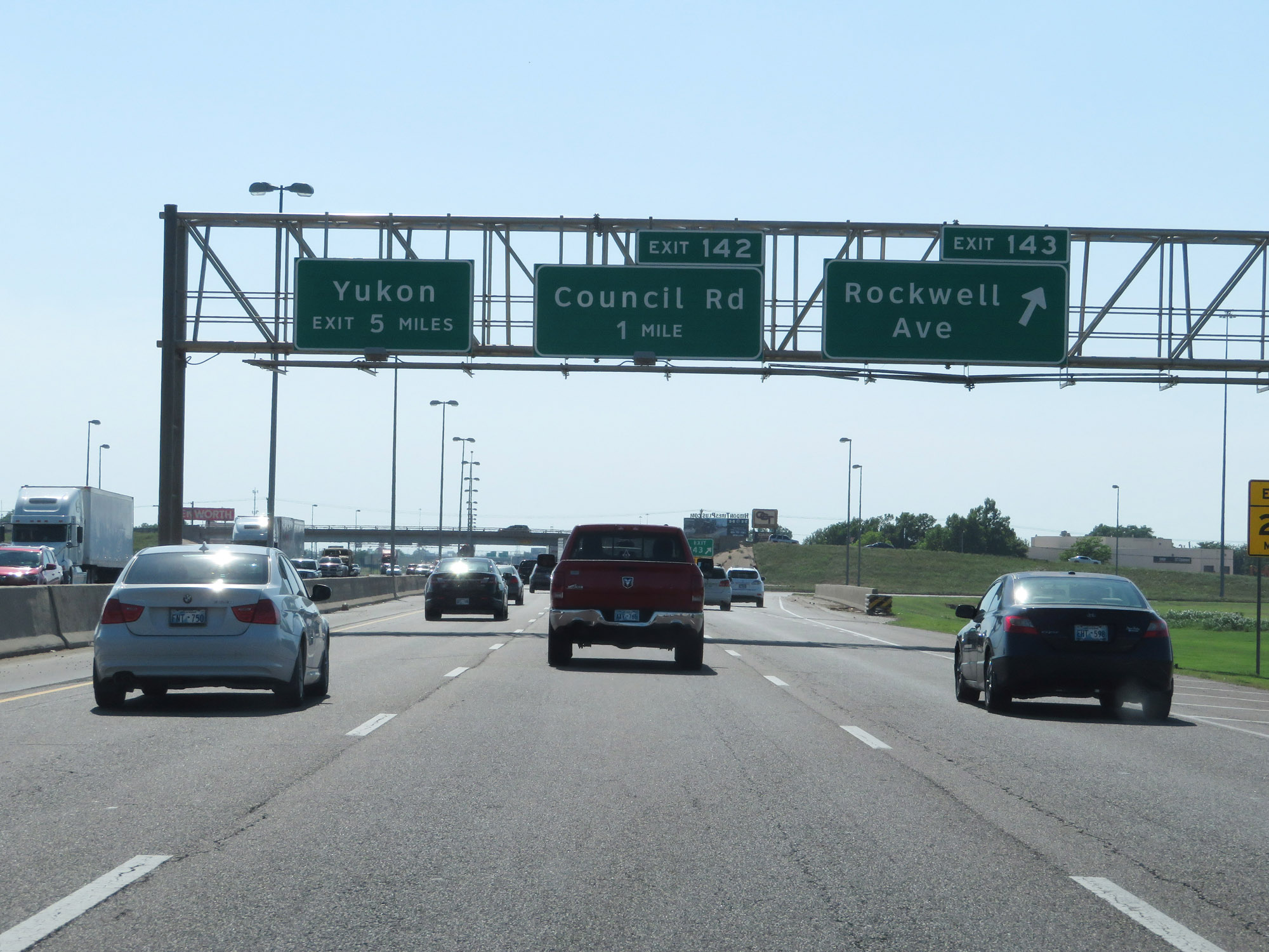 |
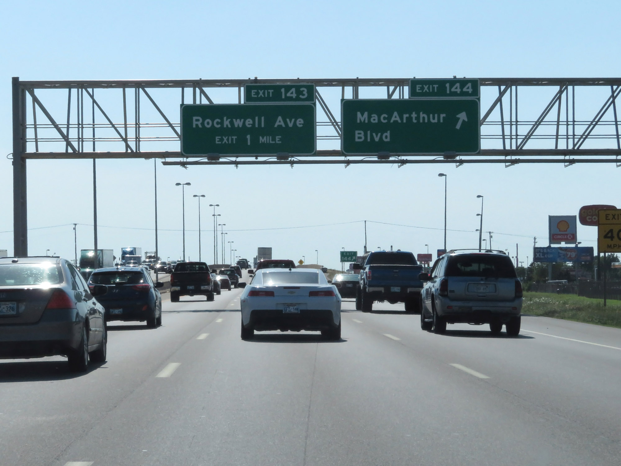
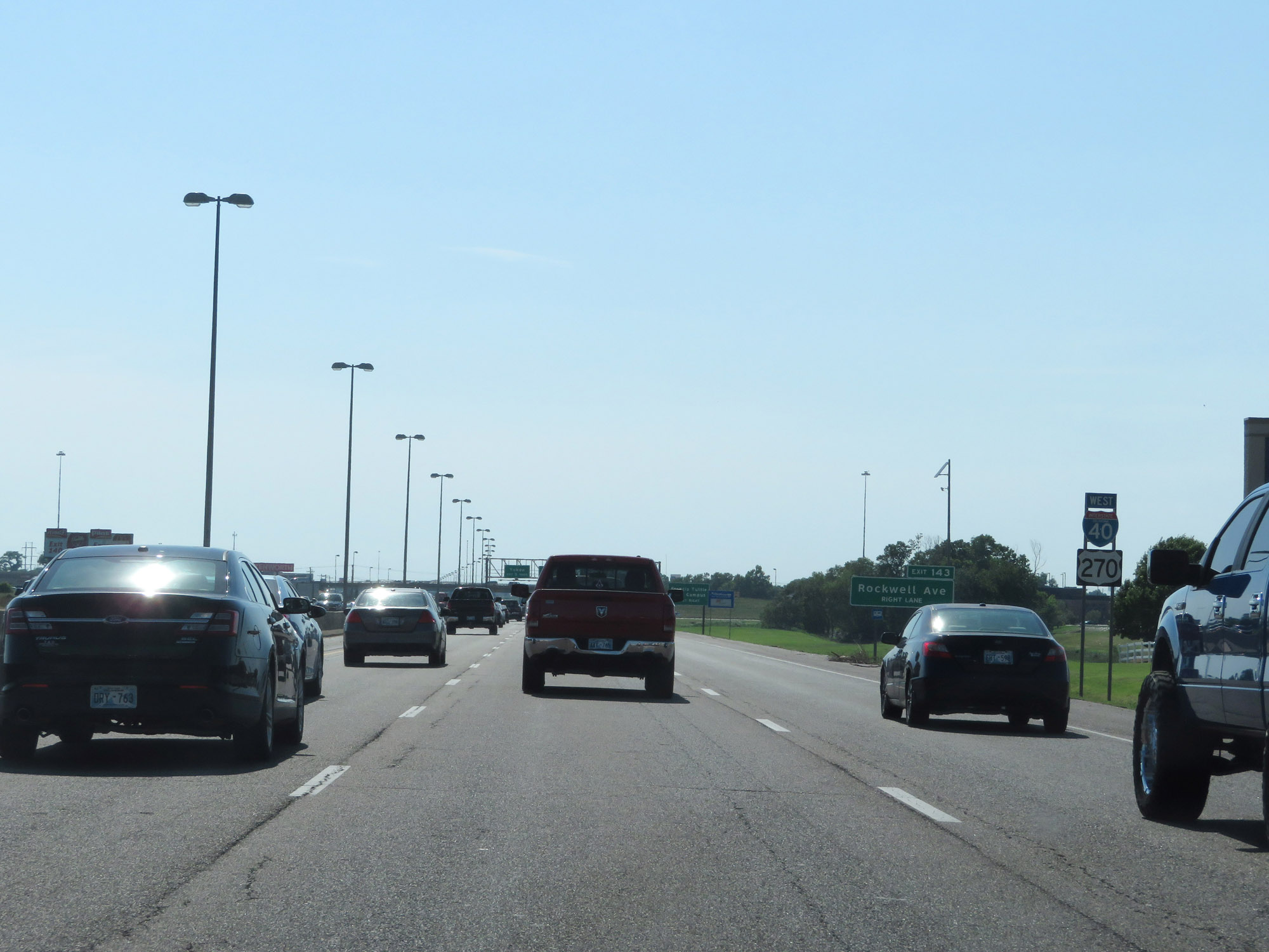
Interstate 40 West at Exit 143: Rockwell Ave (Photo taken 5/18/18). |
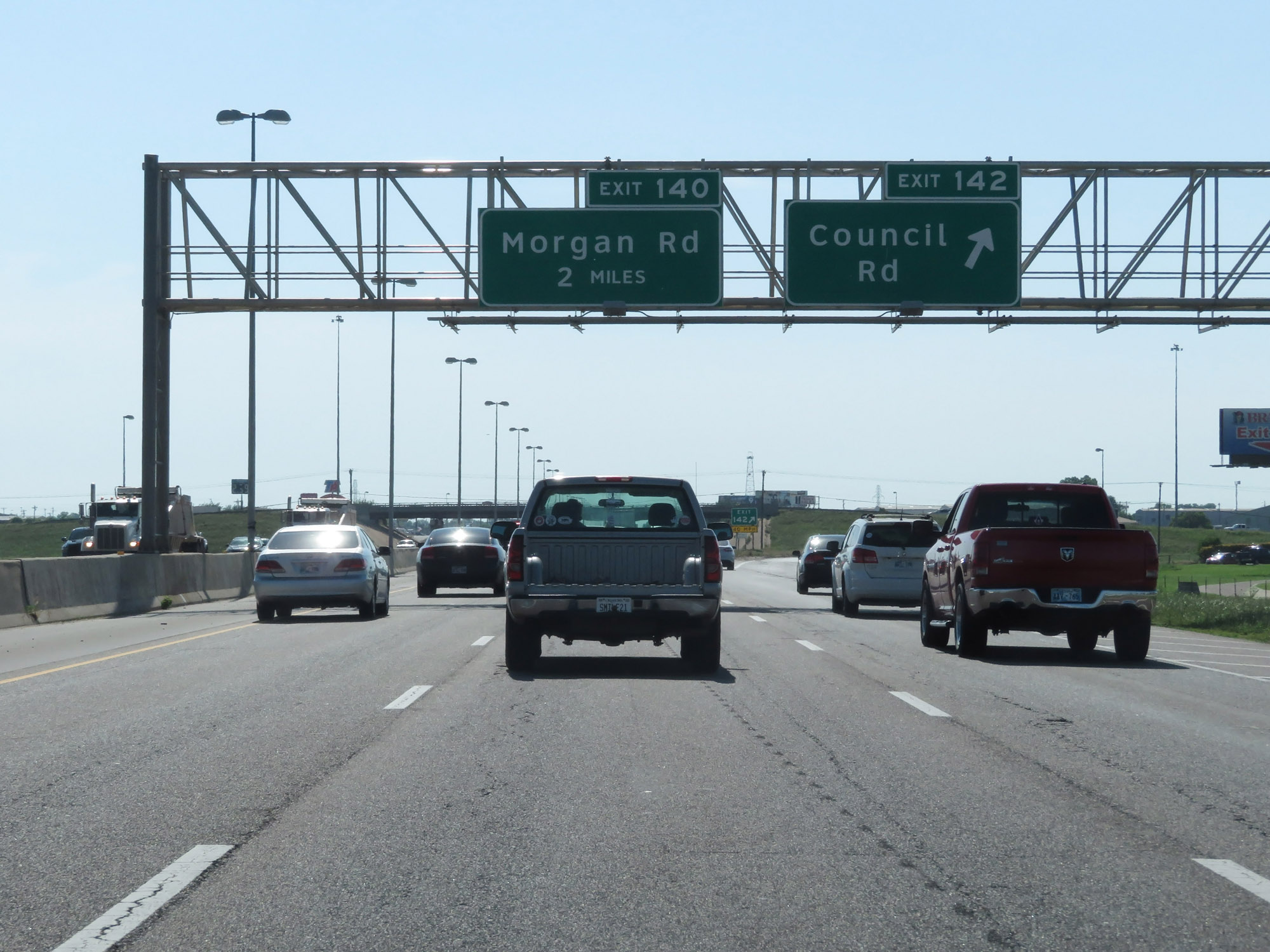 |
Interstate 40 West at Exit 142: Council Rd (Photo taken 5/18/18). |
 |
West of Exit 142, Interstate 40 West enters Canadian County. (Photo taken 5/18/18). |
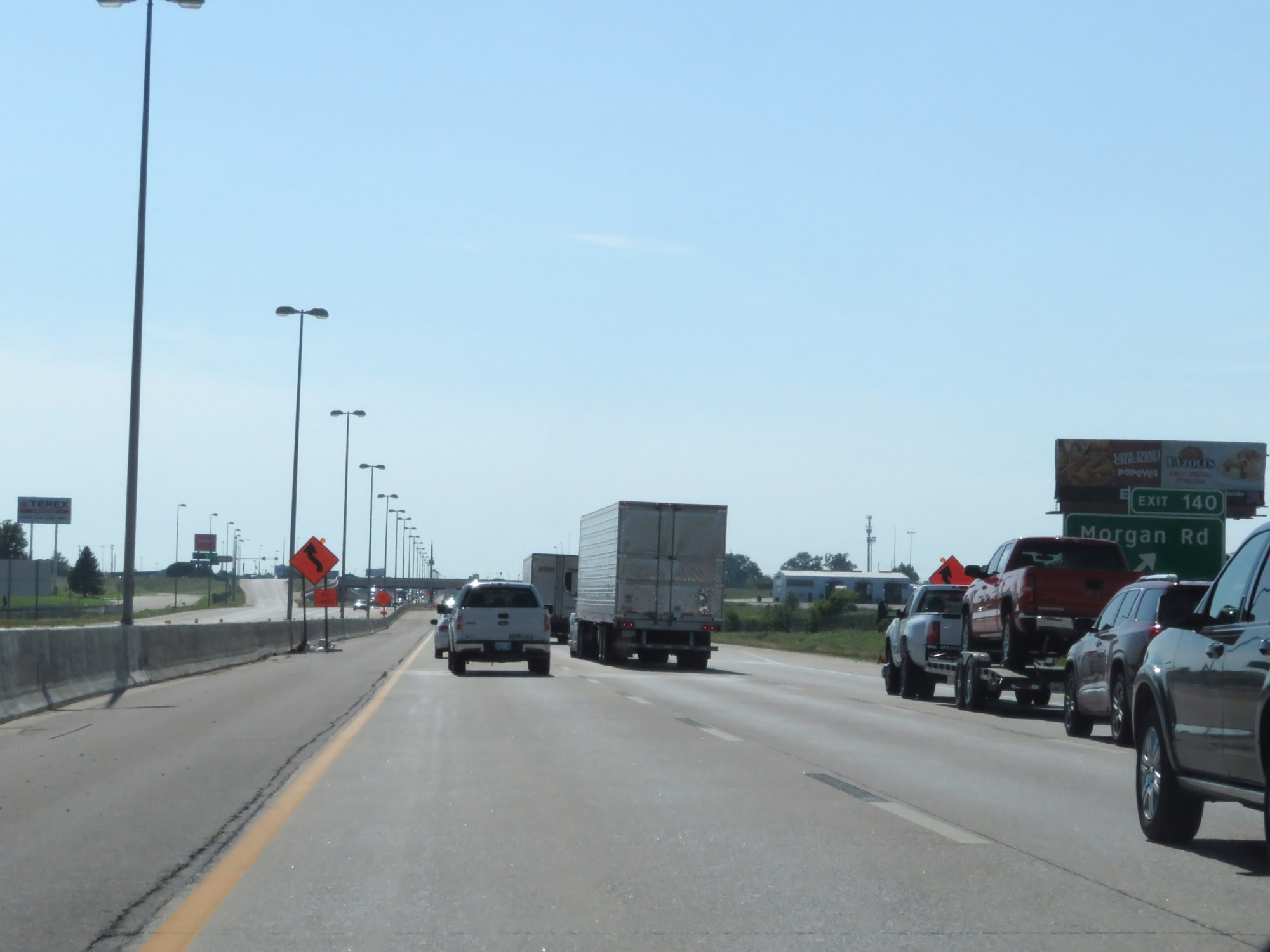 |
Interstate 40 West at Exit 140: Morgan Rd (Photo taken 5/18/18). |
 |
Take any of the next 3 exits to Yukon and Mustang. (Photo taken 5/18/18). |
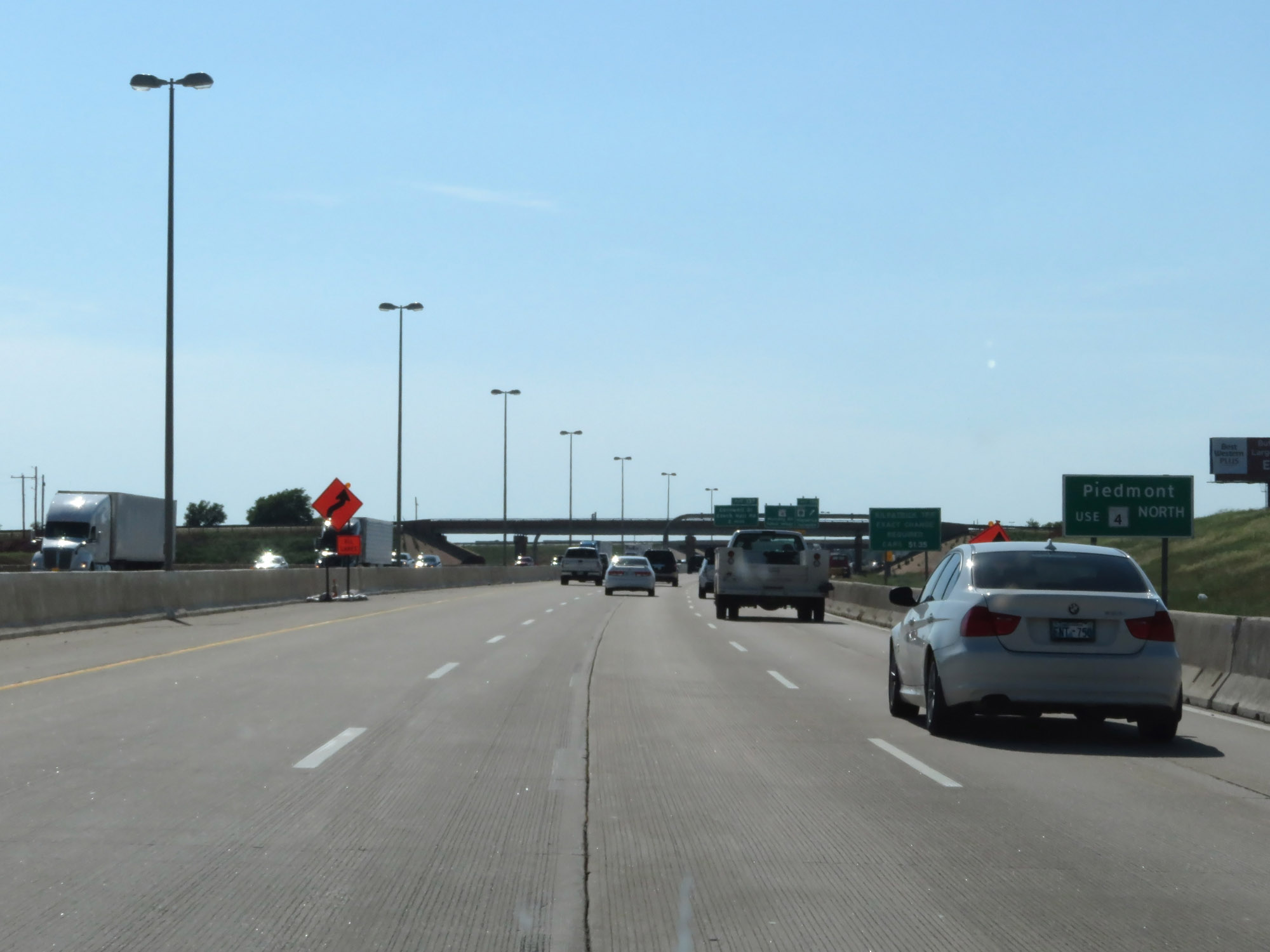 |
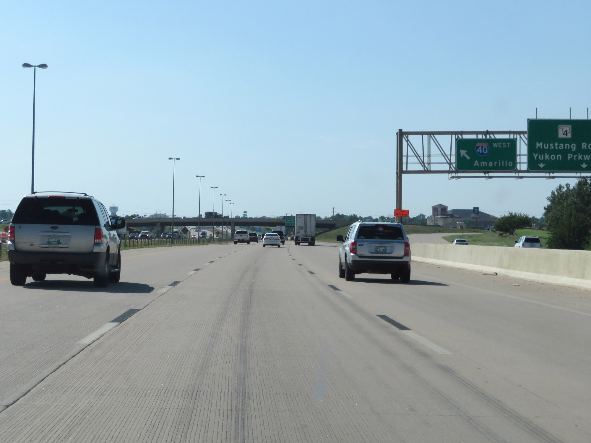
Take OK 4 North to Piedmont via Exit 139. (Photo taken 5/18/18). |
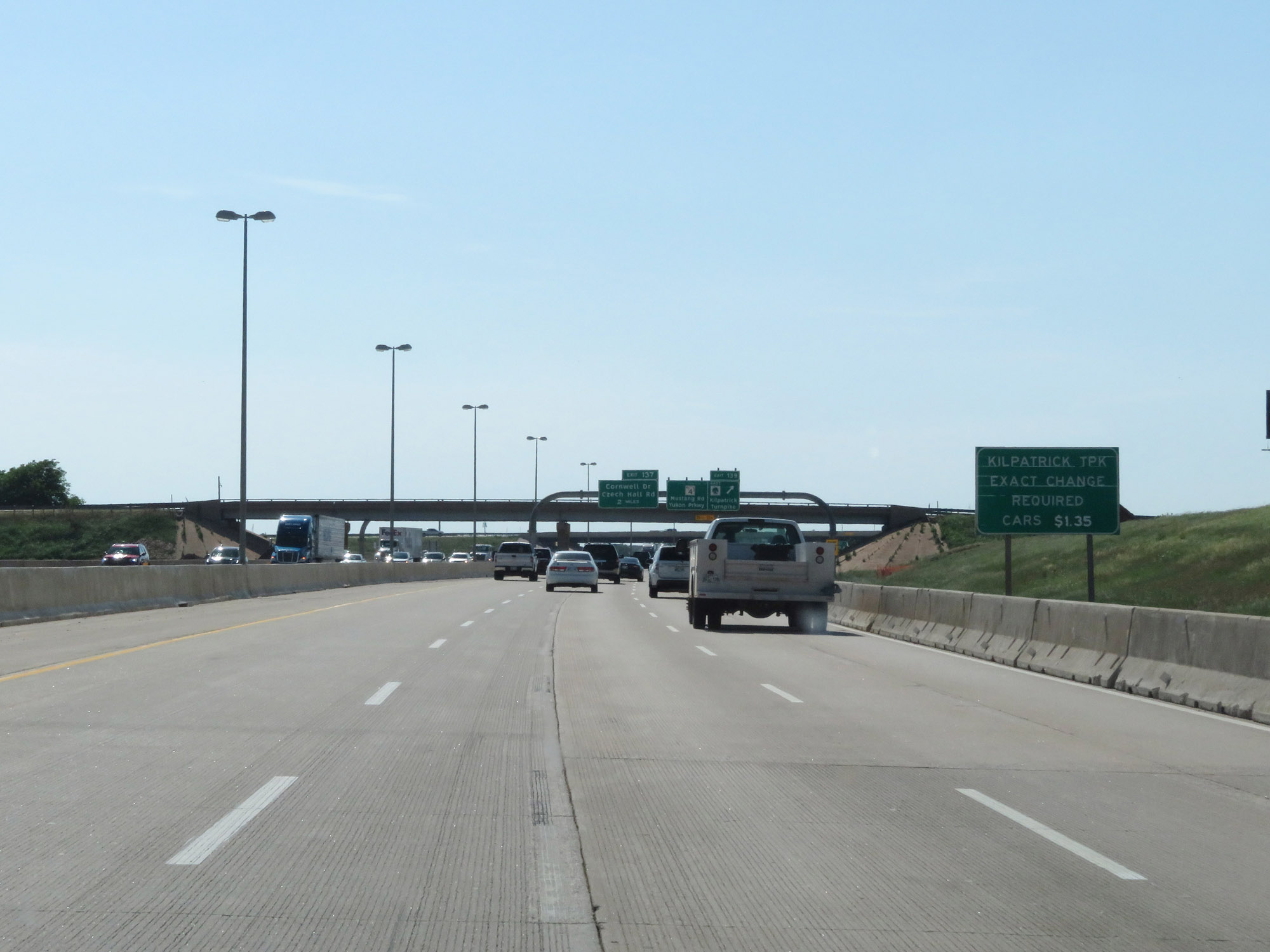 |
The Kilpatrick Turnpike, which is a toll road that loops around the western and northern reaches of the Oklahoma City area, is accessible via Exit 139 and requires exact change since no toll collectors are on duty. (Photo taken 5/18/18). |
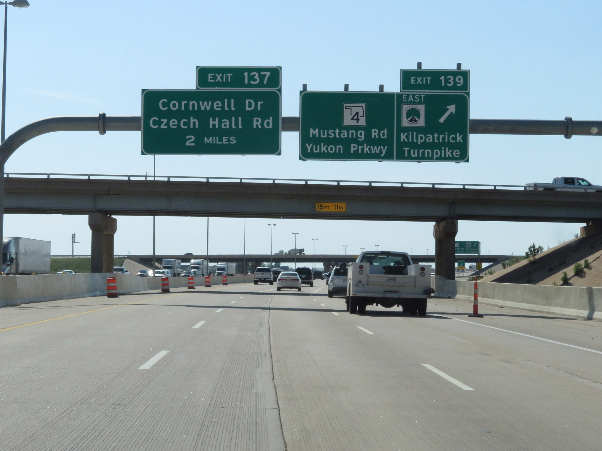 |
Interstate 40 West at Exit 139: Kilpatrick Turnpike East / OK 4 - Mustang Rd / Yukon Pkwy (Photo taken 5/18/18). |
 |
View on Interstate 40 West as traffic from the Kilpatrick Turnpike prepares to merge into it on the right. (Photo taken 5/18/18). |
 |
Just before Exit 137, the maximum speed limit increases to 70 mph. This is the standard speed limit on most rural non-tolled Interstate highways in Oklahoma. The minimum speed limit remains 40 mph. (Photo taken 5/18/18). |
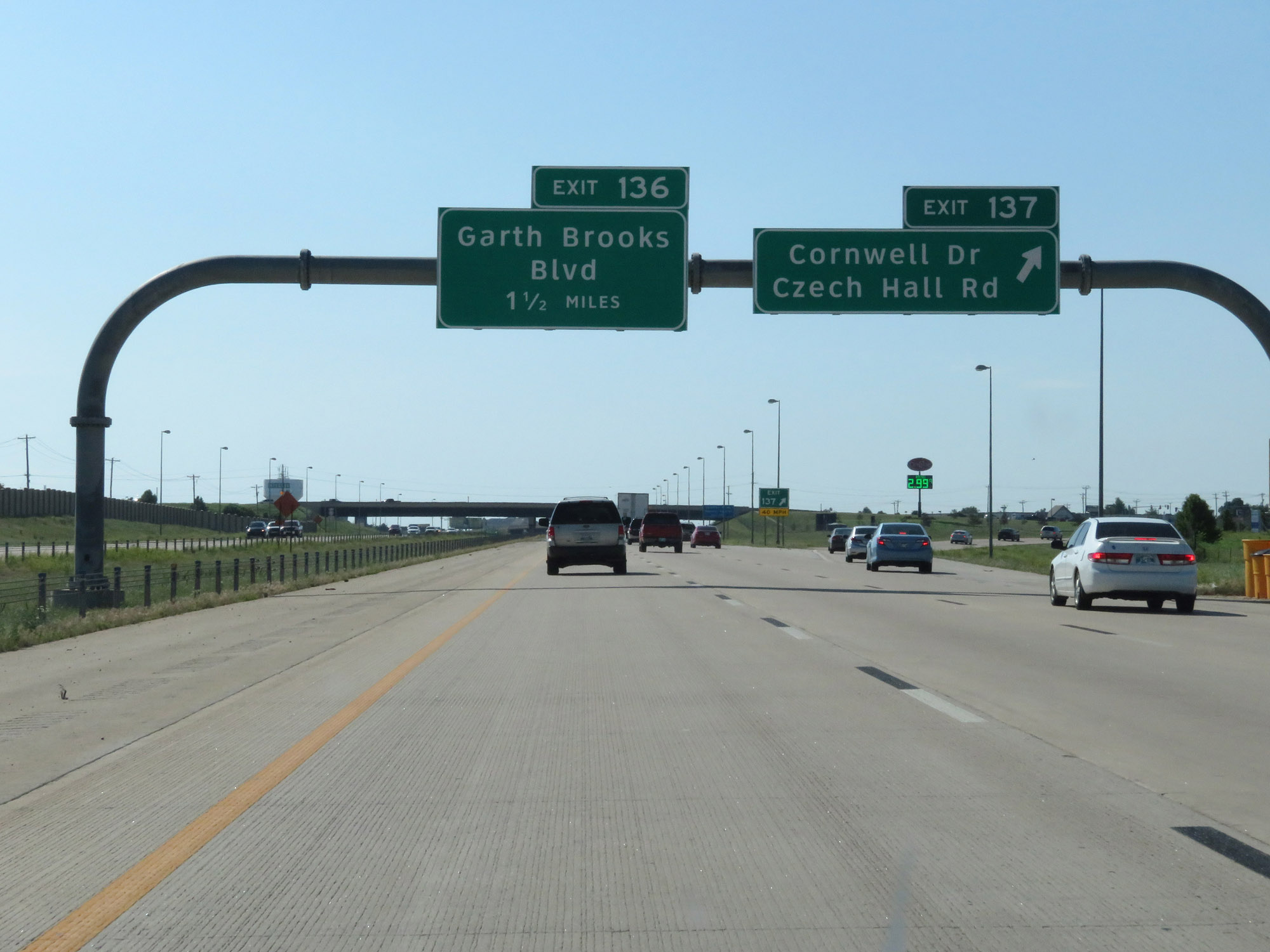 |
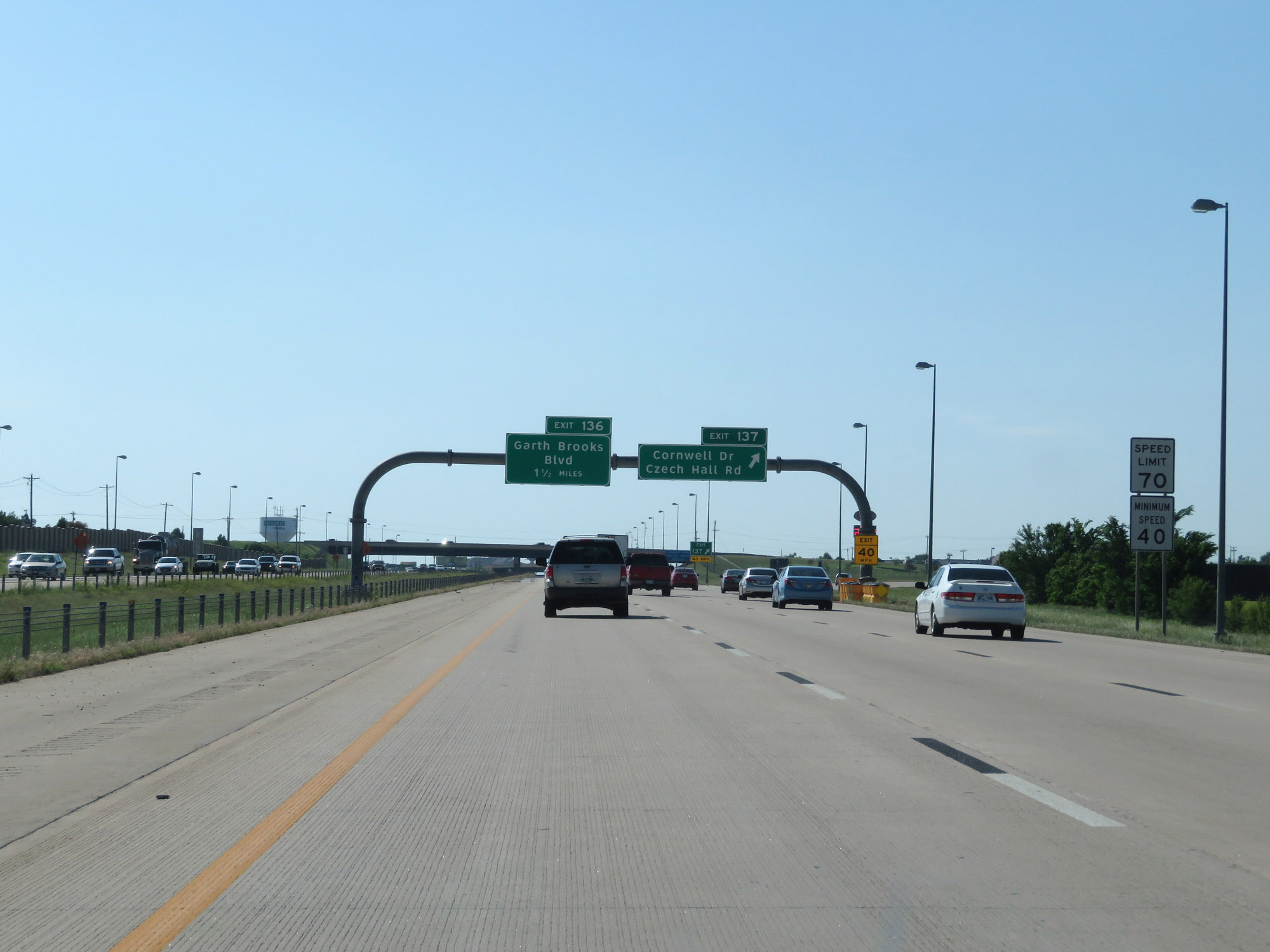
Interstate 40 West at Exit 137: Cornwell Dr / Czech Hall Rd (Photo taken 5/18/18). |
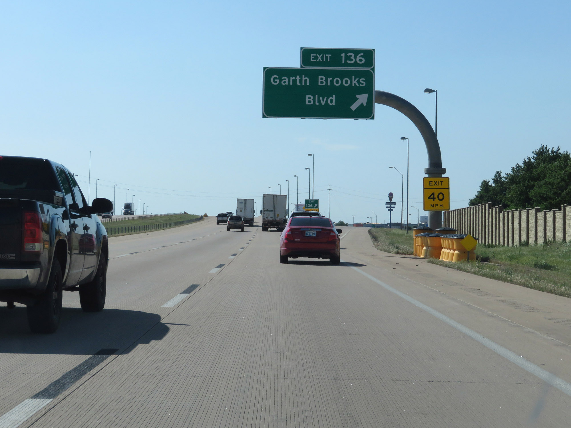 |
Interstate 40 West at Exit 136: Garth Brooks Blvd (Photo taken 5/18/18). |
 |
Another state-named Interstate 40 West reassurance shield. (Photo taken 5/18/18). |
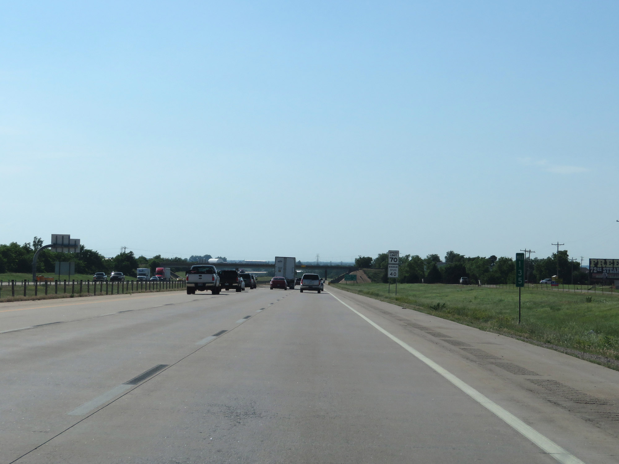 |
View on Interstate 40 West at mile marker 135. (Photo taken 5/18/18). |
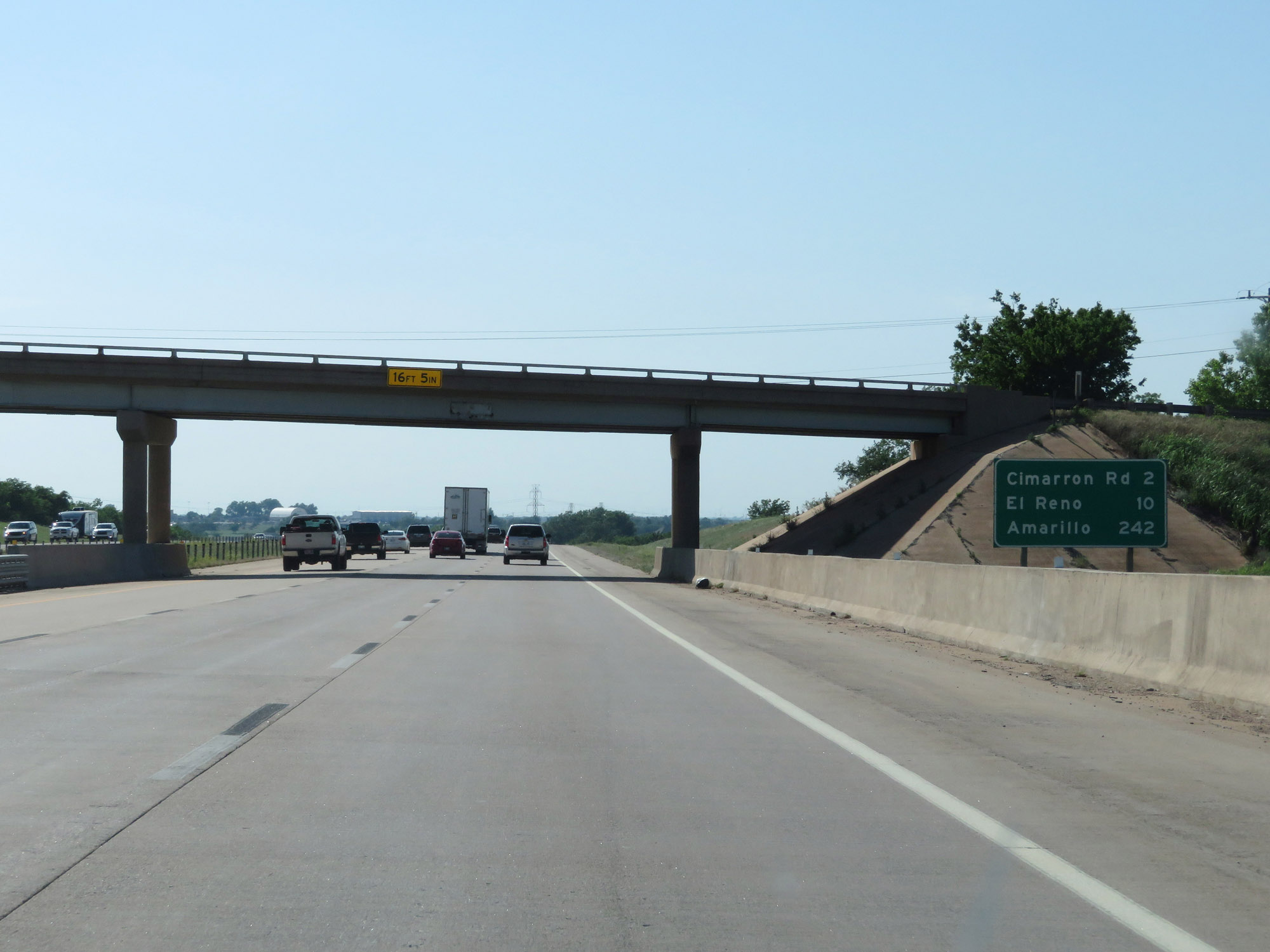 |
Mileage sign on Interstate 40 West. It's 2 miles to the junction of Cimarron Rd, 10 miles to El Reno, and 242 miles to Amarillo. (Photo taken 5/18/18). |
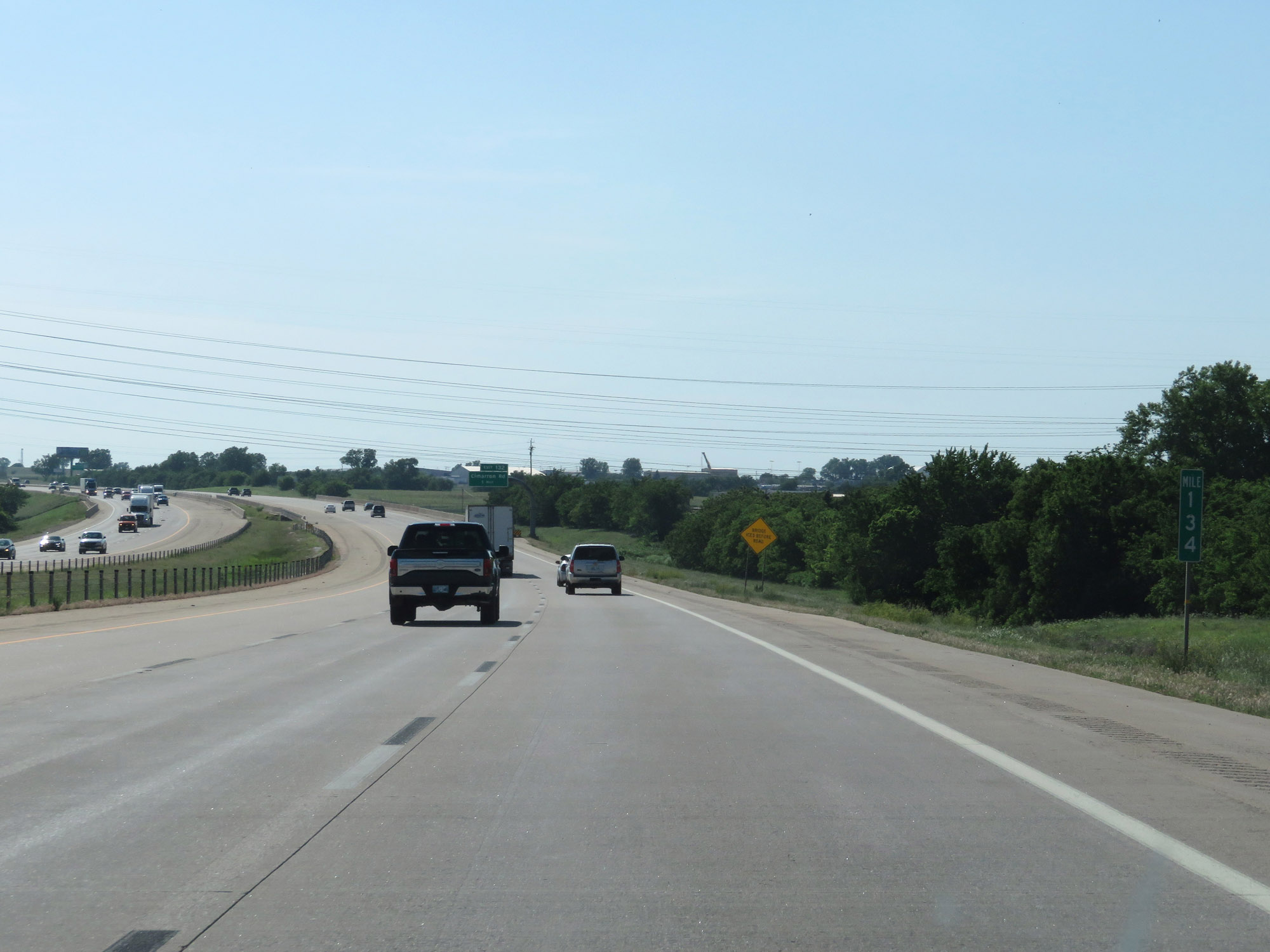 |
Interstate 40 West at mile marker 134. (Photo taken 5/18/18). |
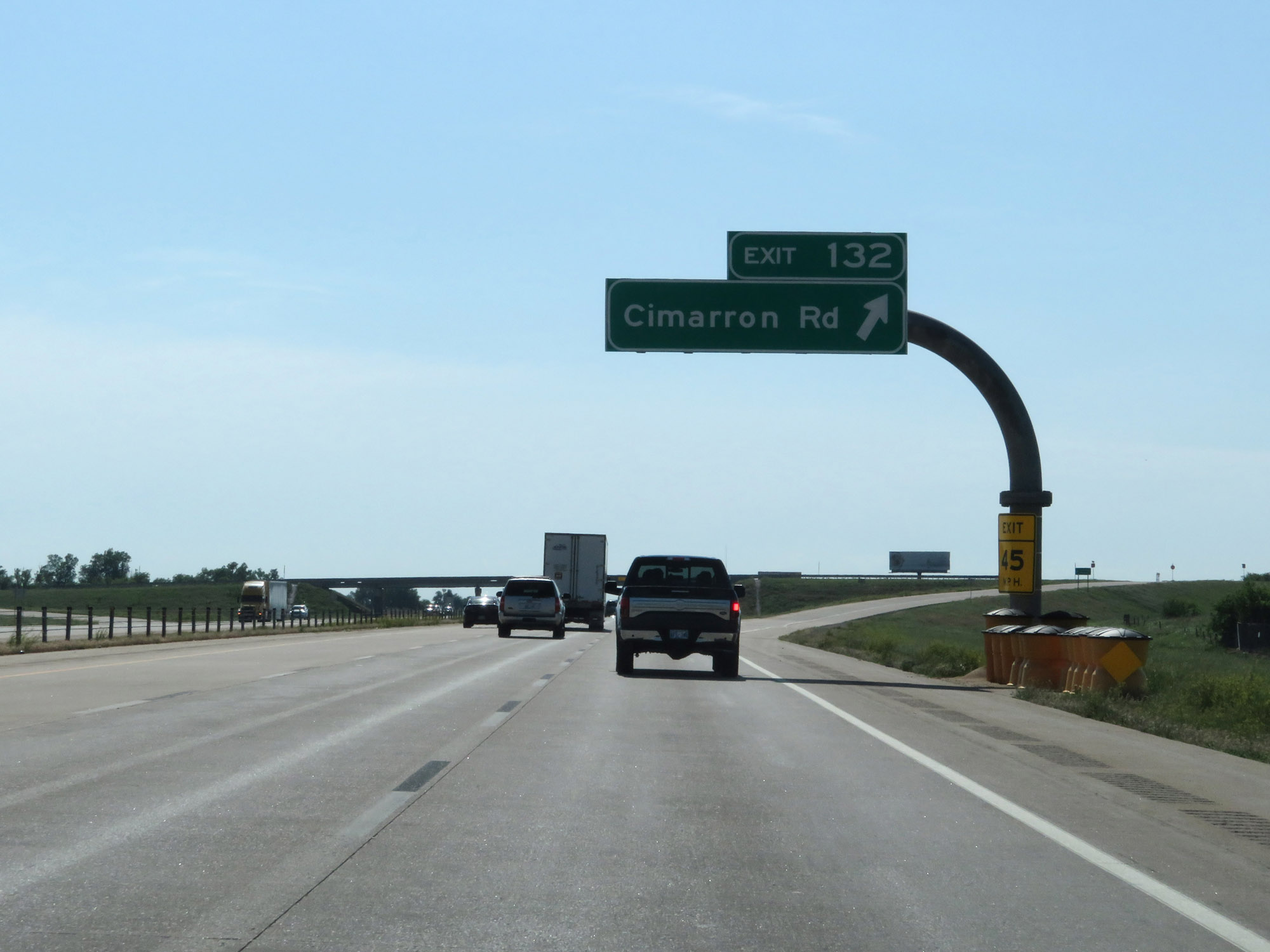 |
Interstate 40 West at Exit 132: Cimarron Rd (Photo taken 5/18/18). |
 |
Take Exit 130 to Canadian Valley Technology Center. (Photo taken 5/18/18). |
 |
Also take Exit 130 to the Children's Justice Center and OKC West Stockyards. (Photo taken 5/18/18). |
 |
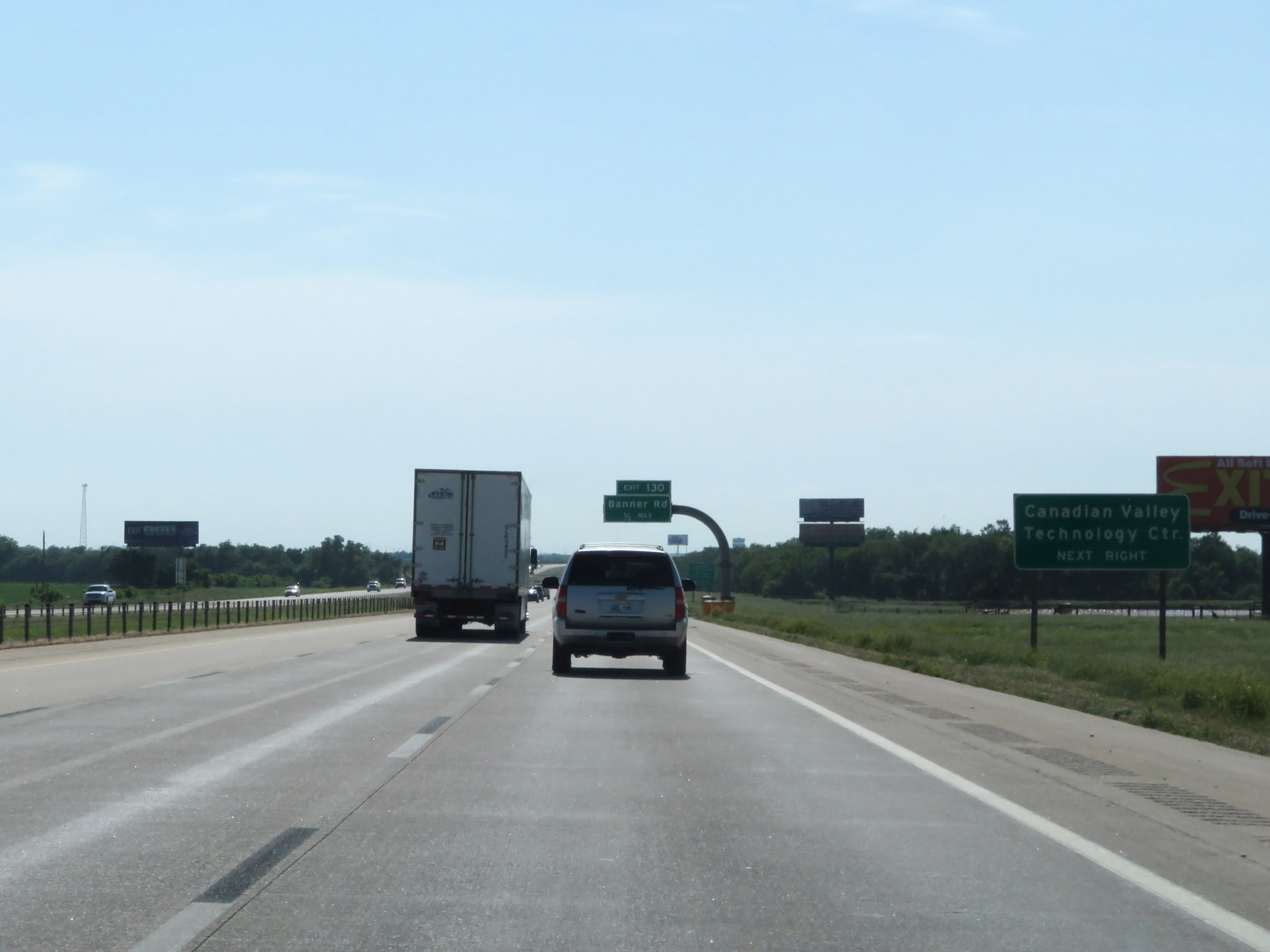
Interstate 40 West at Exit 130: Banner Rd (Photo taken 5/18/18). |
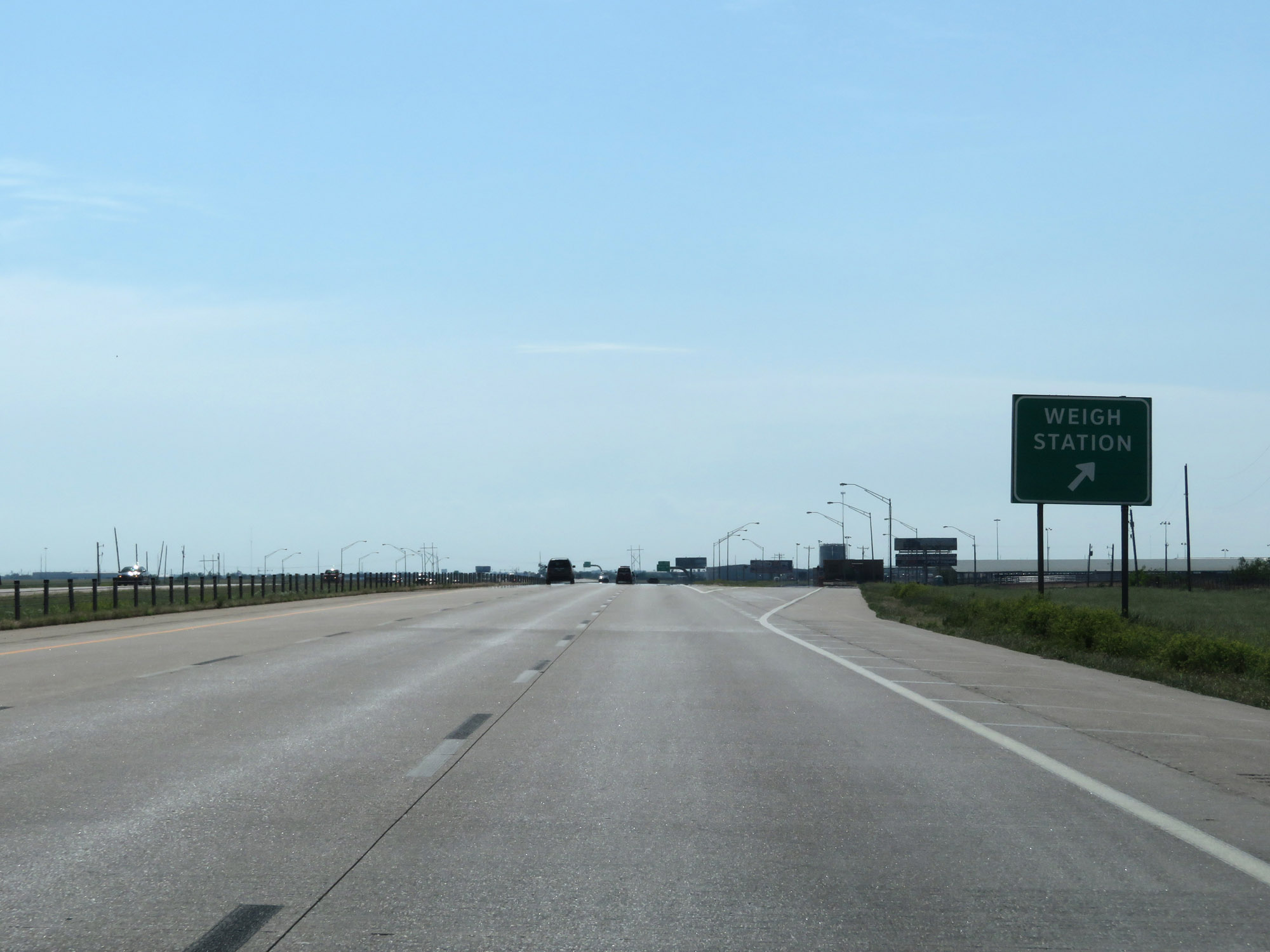 |
Weigh Station on Interstate 40 West in Canadian County. (Photo taken 5/18/18). |
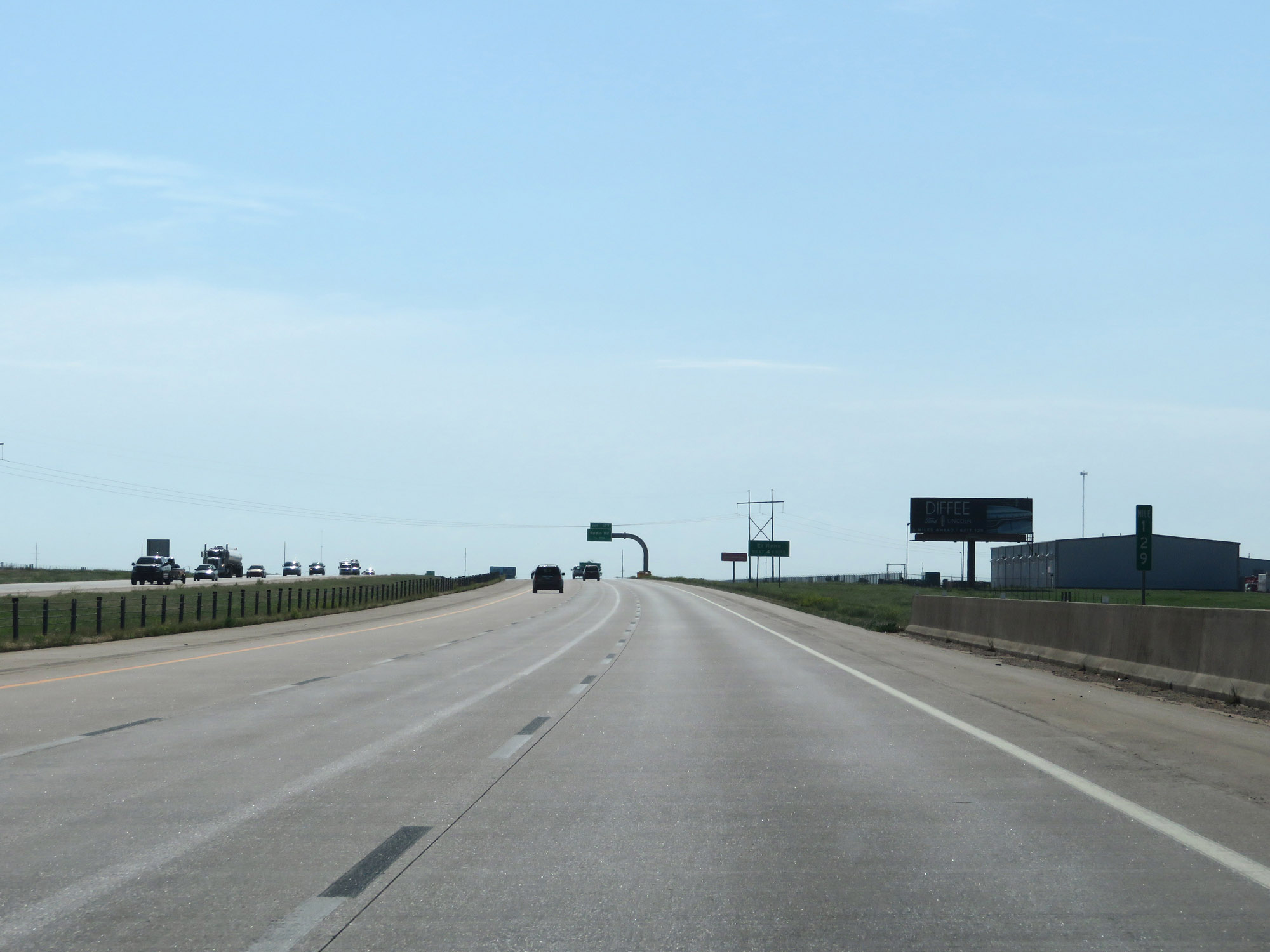 |
View on Interstate 40 West at mile marker 129. (Photo taken 5/18/18). |
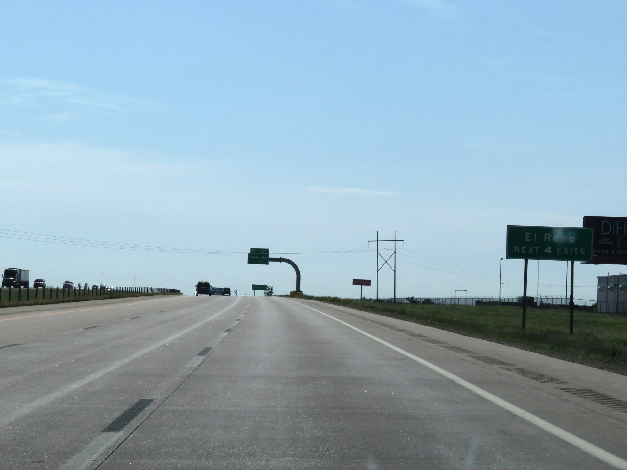 |
Take any of the next 4 exits to El Reno. (Photo taken 5/18/18). |
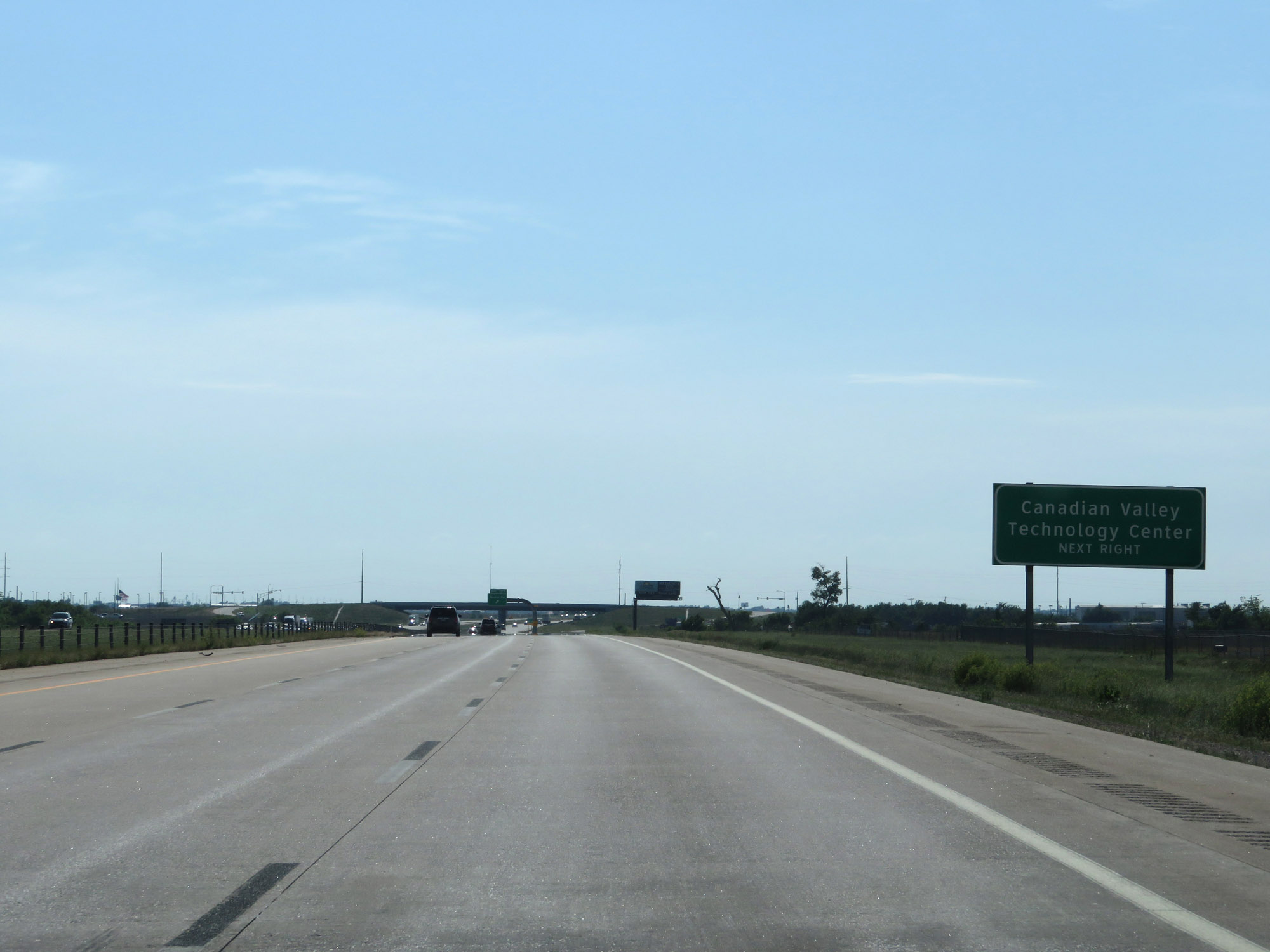 |
Take Exit 127 to Canadian Valley Technology Center. (Photo taken 5/18/18). |
 |
Interstate 40 West at Exit 127: Radio Rd (Photo taken 5/18/18). |
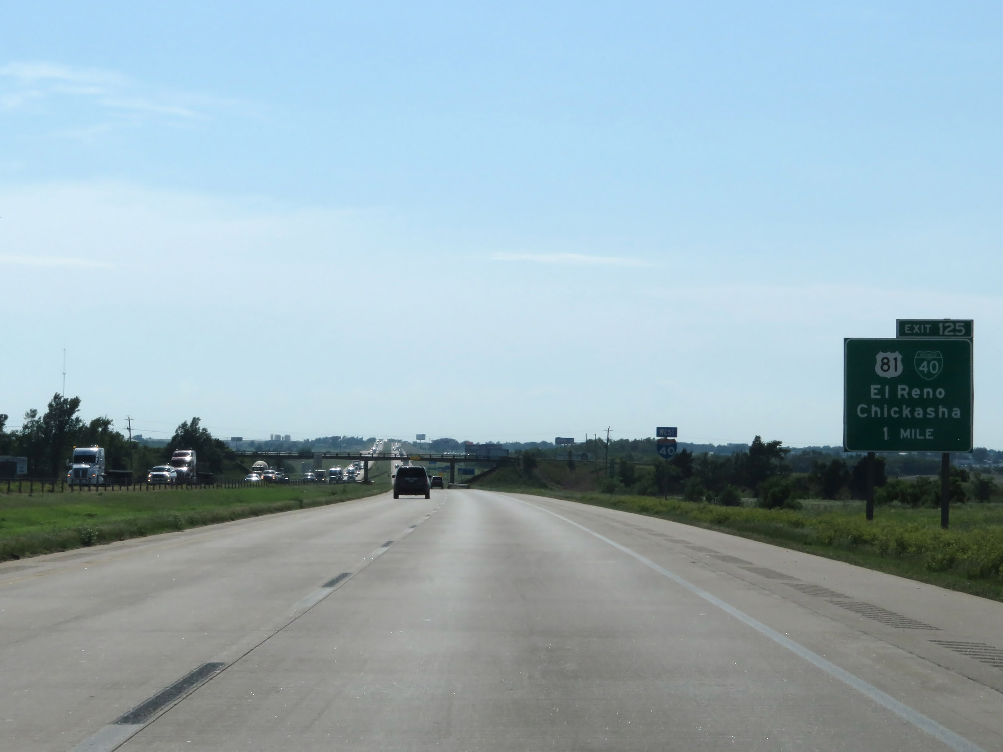 |
Interstate 40 West approaching Exit 125 - 1 mile. (Photo taken 5/18/18). |
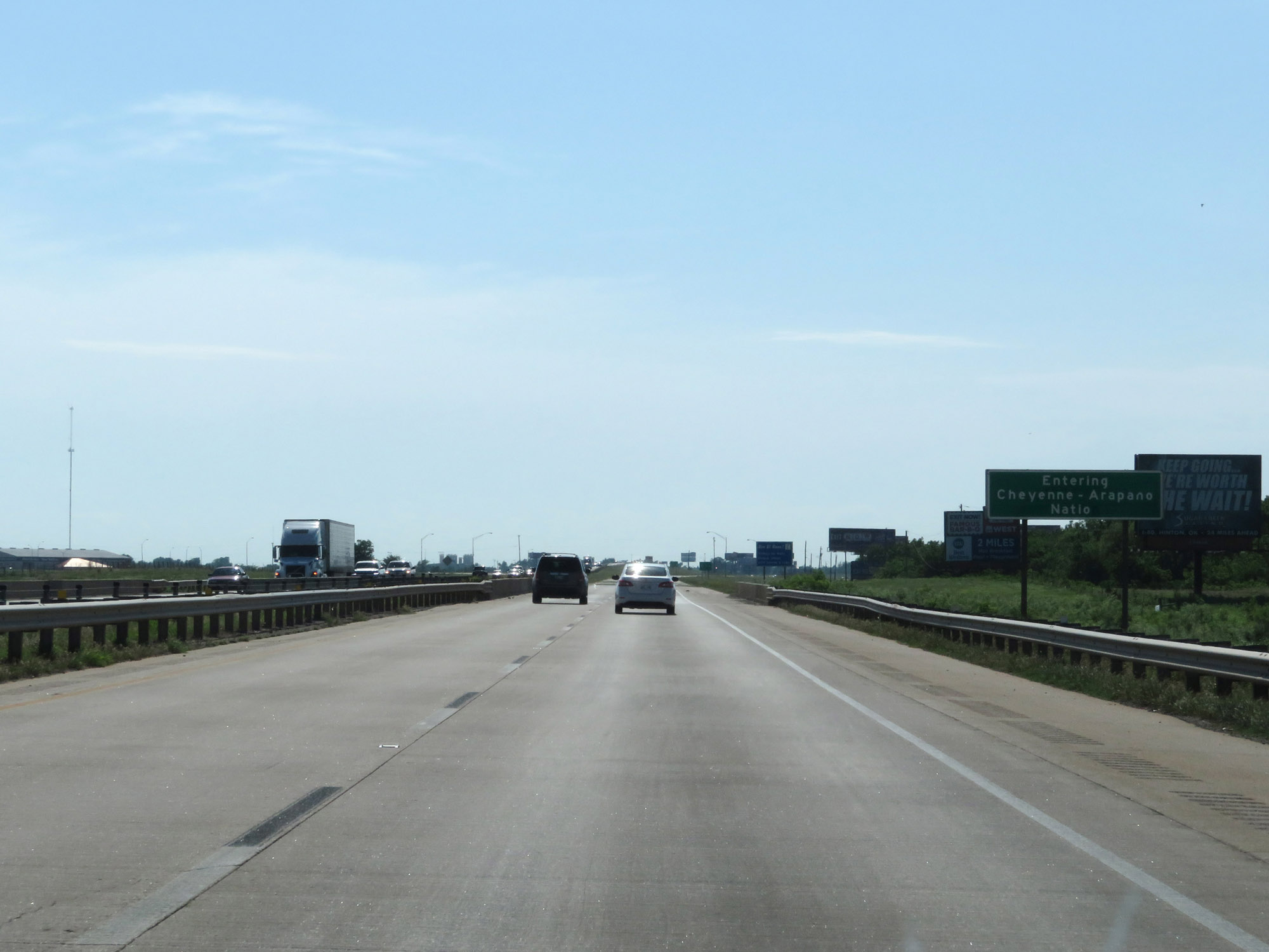 |
In El Reno, Interstate 40 West enters the Cheyenne-Arapaho Nation. (Photo taken 5/18/18). |
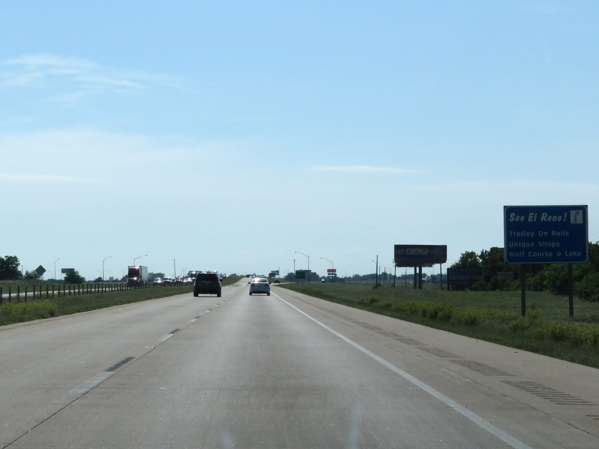 |
See El Reno! sign on Interstate 40 West. Things to see in El Reno include a trolley on rails, unique shops, a golf course and a lake. (Photo taken 5/18/18). |
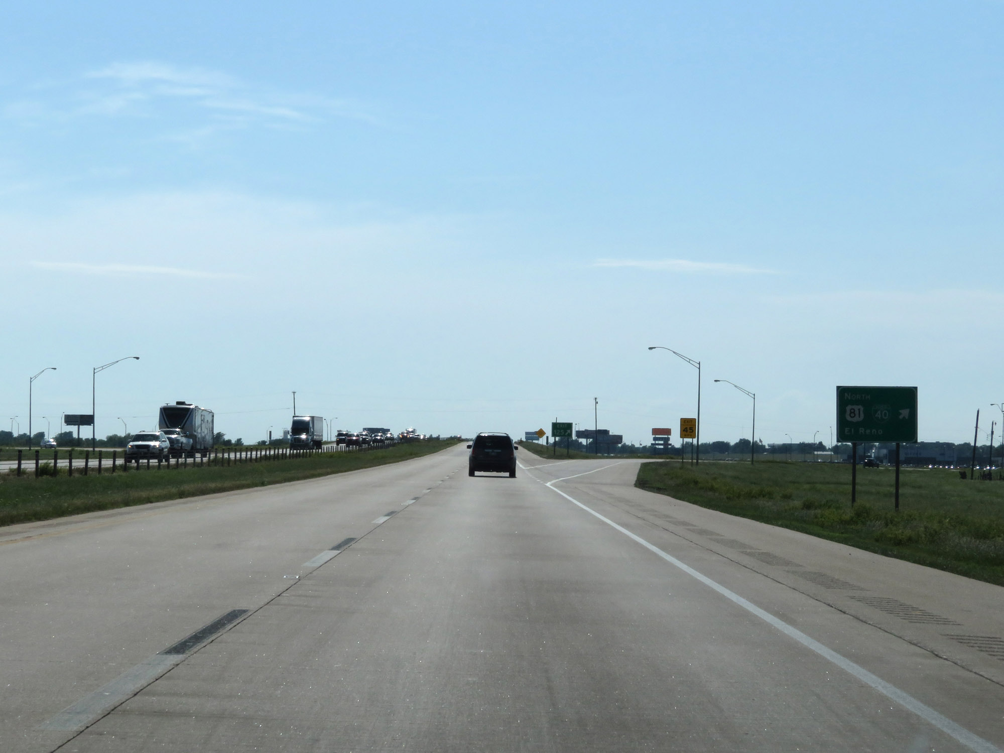 |
Interstate 40 West at Exit 125: US 81 / Interstate 40 Business Loop - El Reno (Photo taken 5/18/18). |
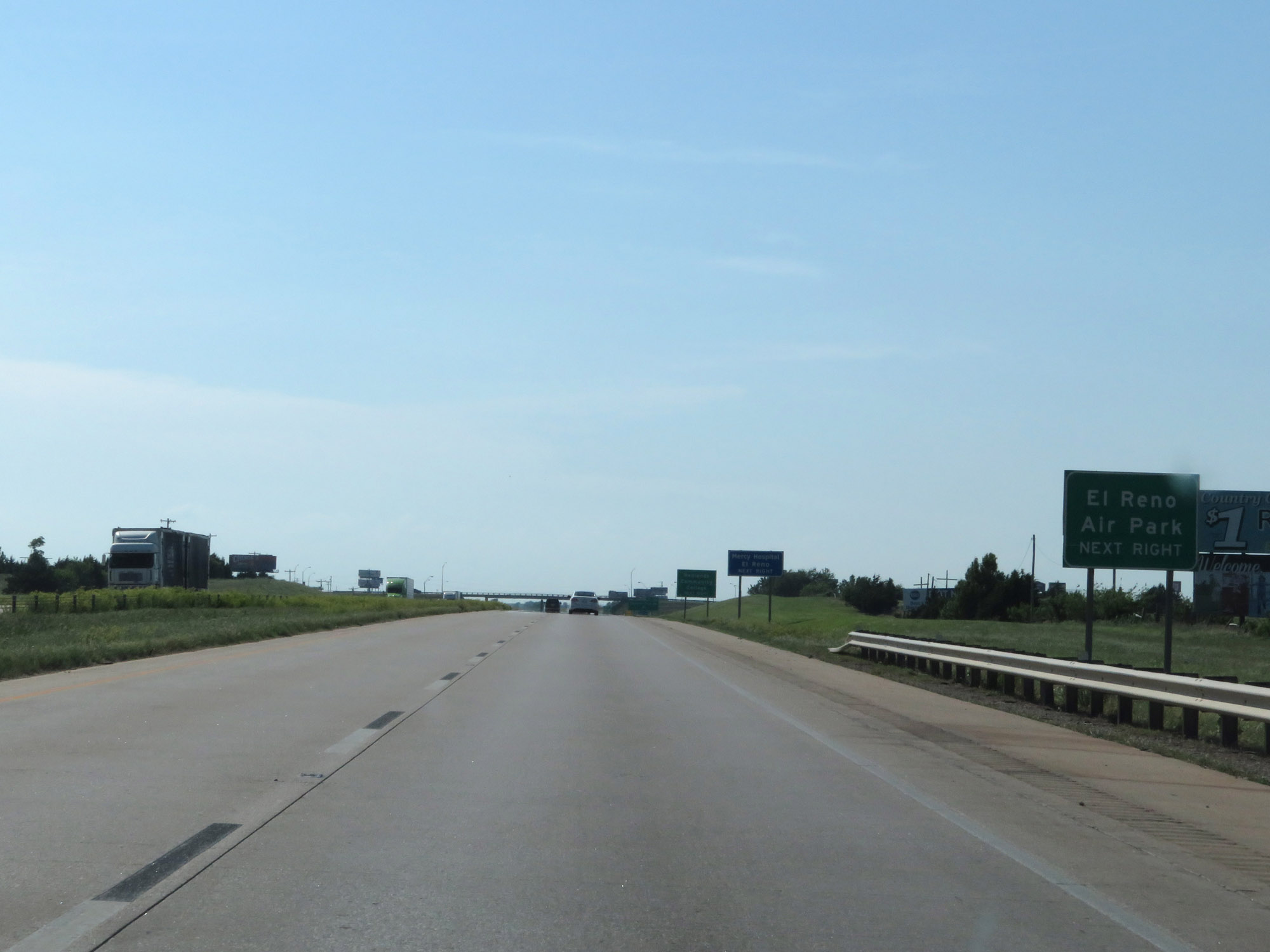 |
Take Exit 123 to El Reno Air Park. (Photo taken 5/18/18). |
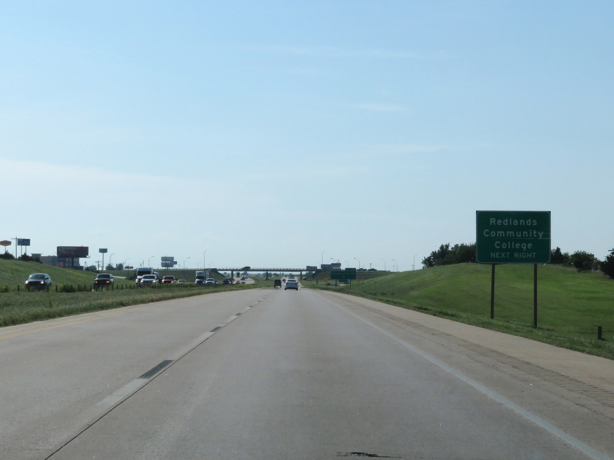 |
Also take Exit 123 to Redlands Community College. (Photo taken 5/18/18). |
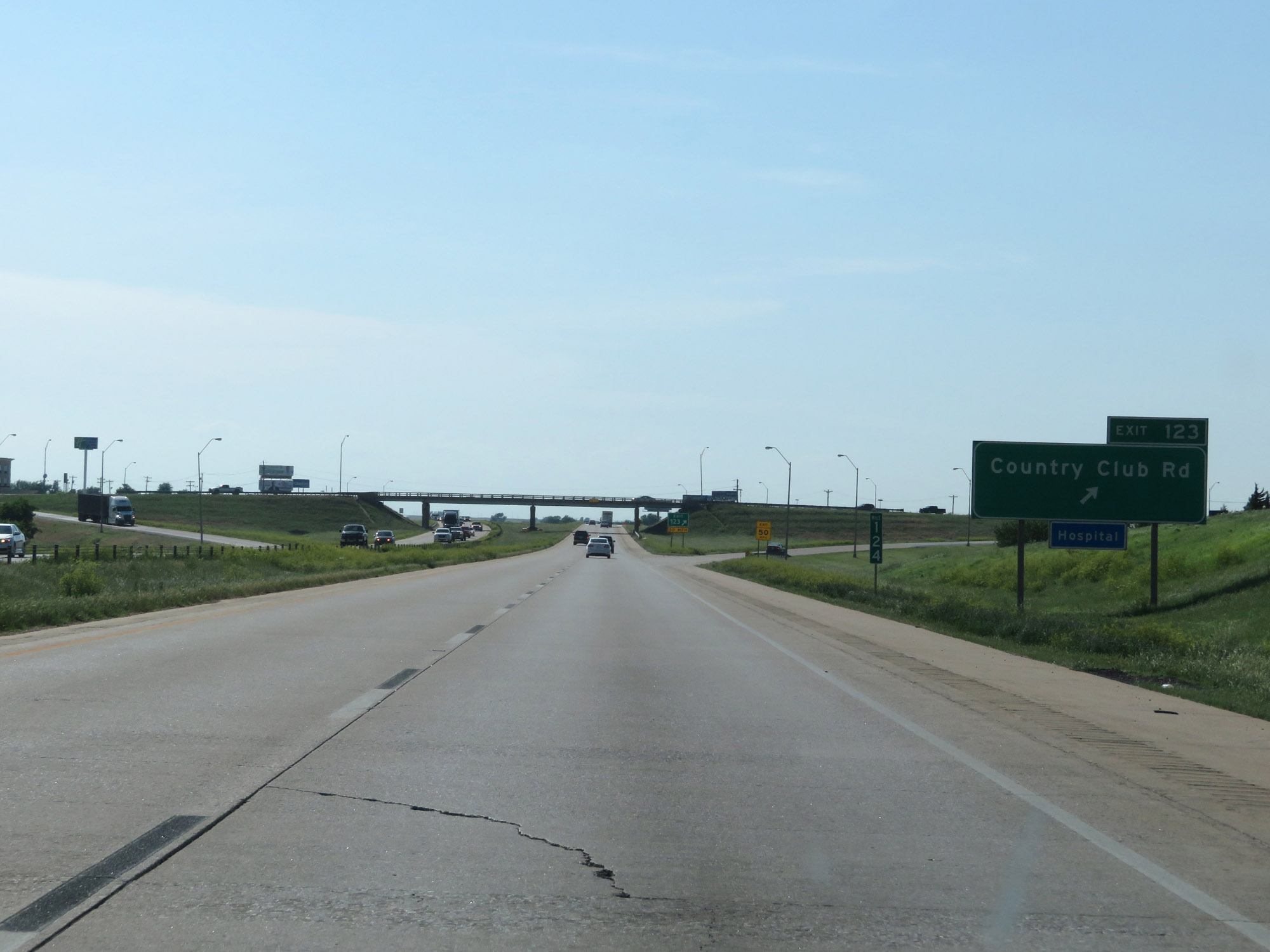 |
Interstate 40 West at Exit 123: Country Club Rd (Photo taken 5/18/18). |
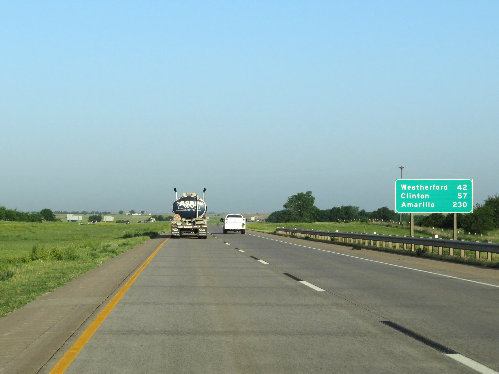 |
Mileage sign on Interstate 40 West. It's 42 miles to Weatherford, 57 miles to Clinton, and 230 miles to Amarillo. (Photo taken 5/19/18). |
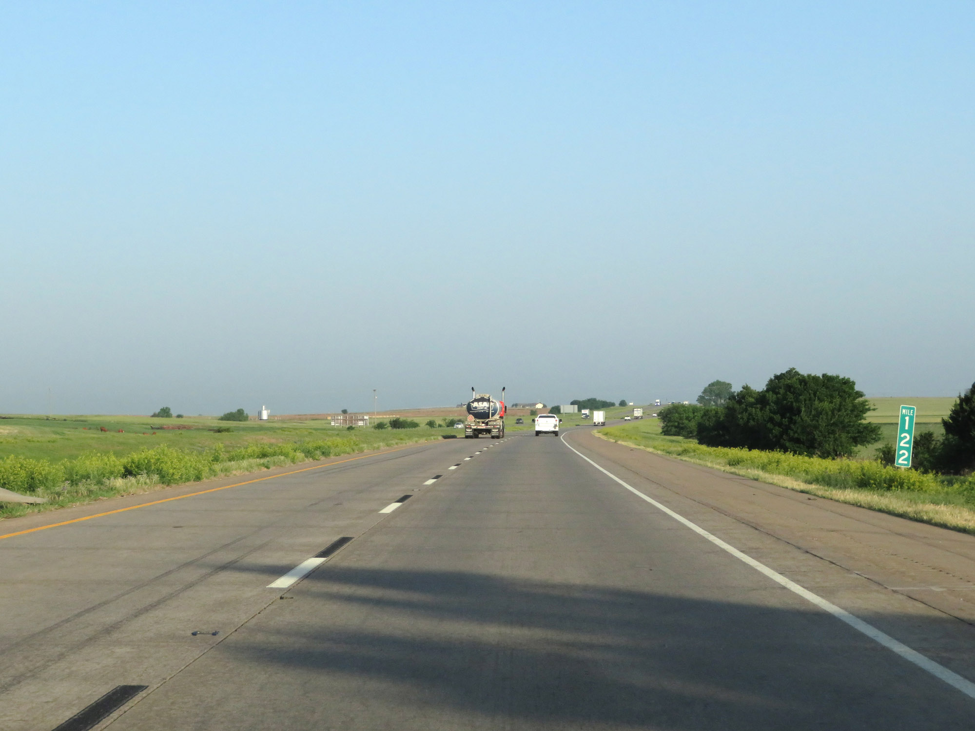 |
View on Interstate 40 West at mile marker 122. (Photo taken 5/19/18). |
 |
Take Exit 119 to Fort Reno Visitor Center. (Photo taken 5/19/18). |
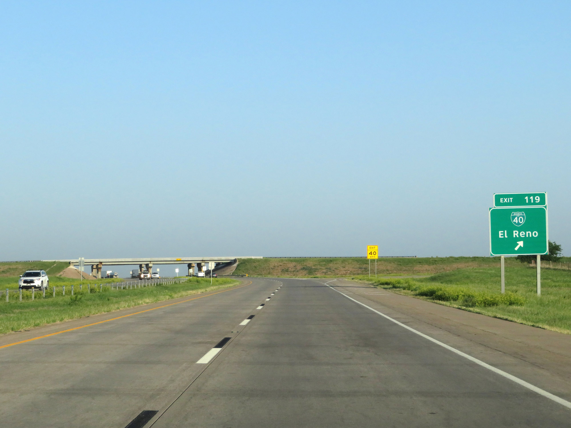 |
Interstate 40 West at Exit 119: Interstate 40 Business Loop - El Reno (Photo taken 5/19/18). |
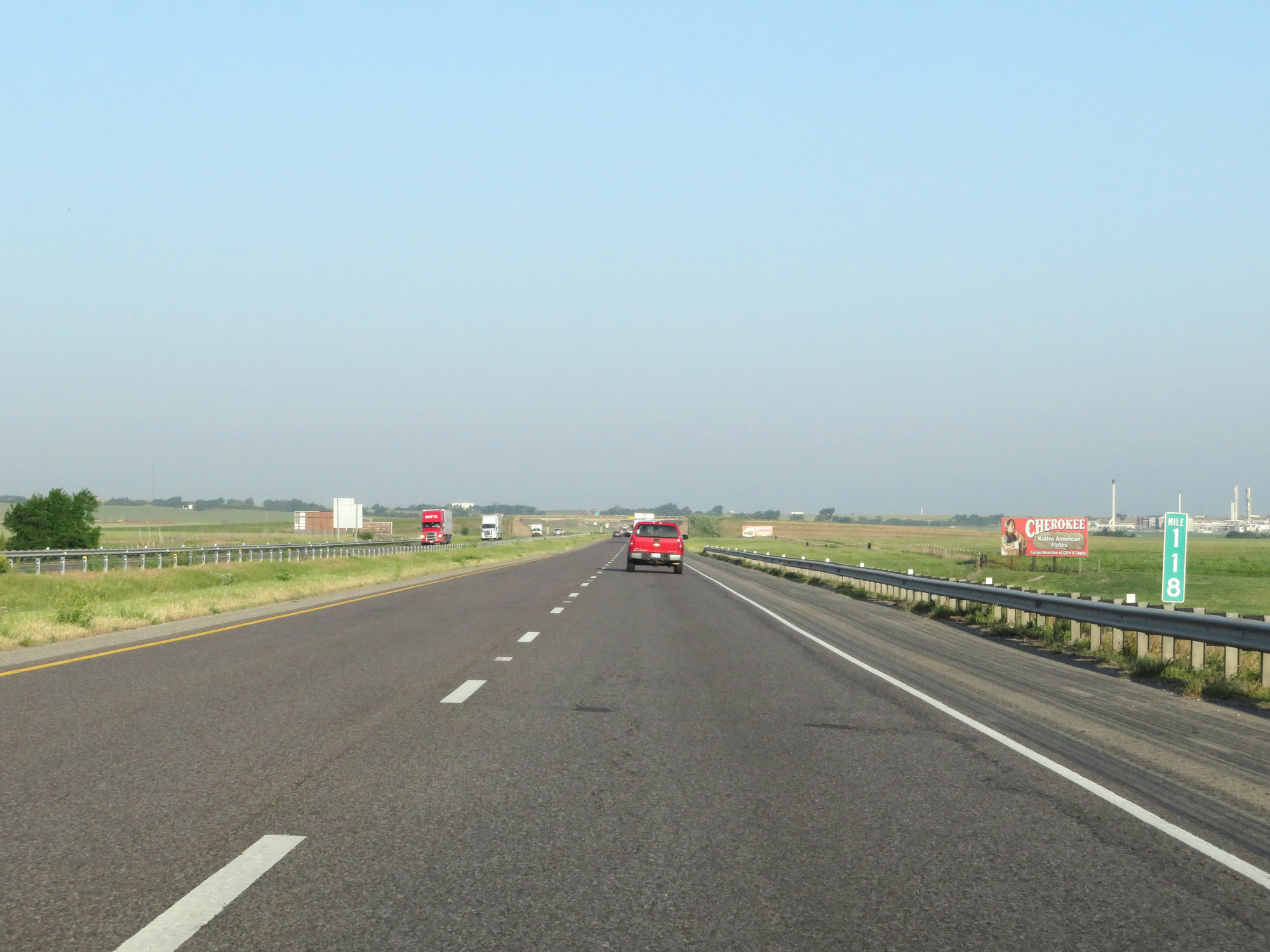 |
Interstate 40 West at mile marker 118. (Photo taken 5/19/18). |
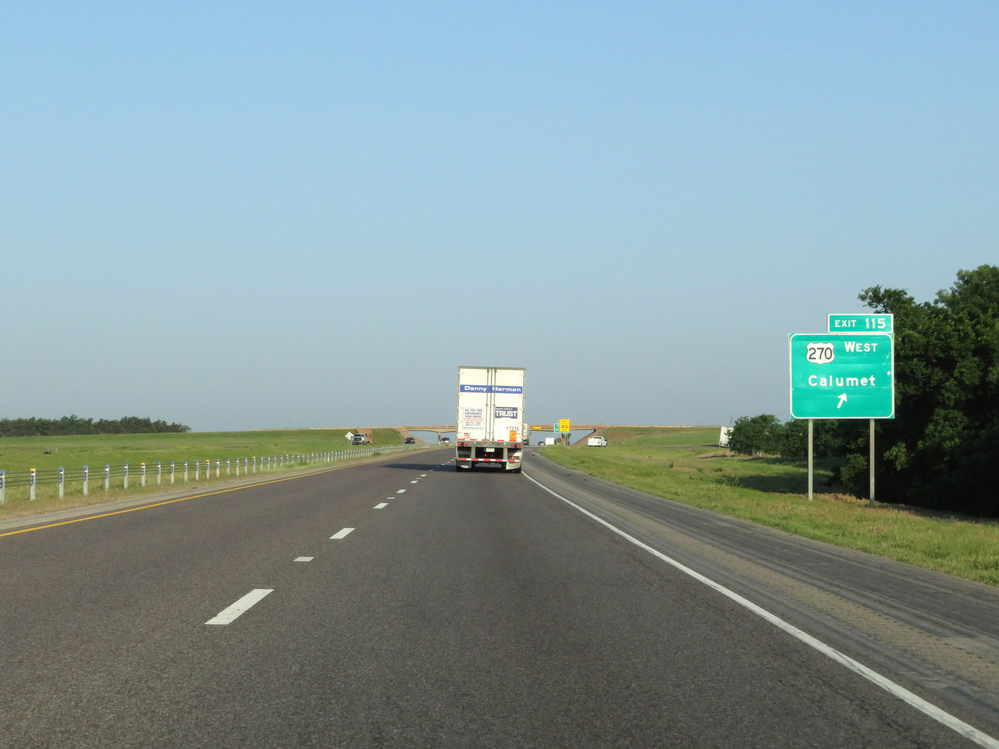 |
Interstate 40 West at Exit 115: US 270 West - Calumet (Photo taken 5/19/18). |
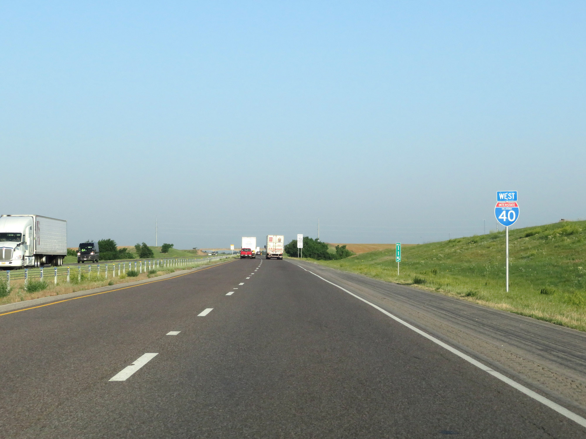 |
State-named Interstate 40 West reassurance shield at mile marker 115. (Photo taken 5/19/18). |
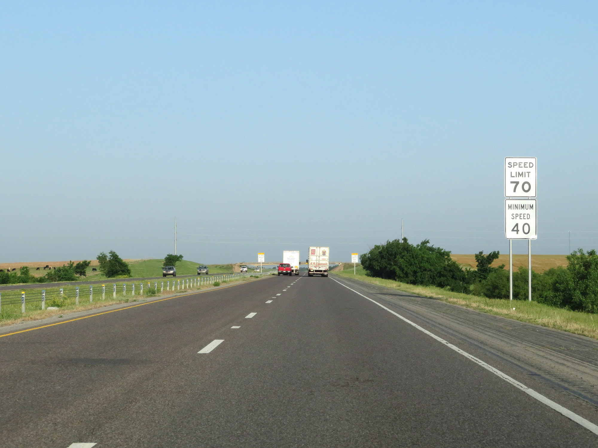 |
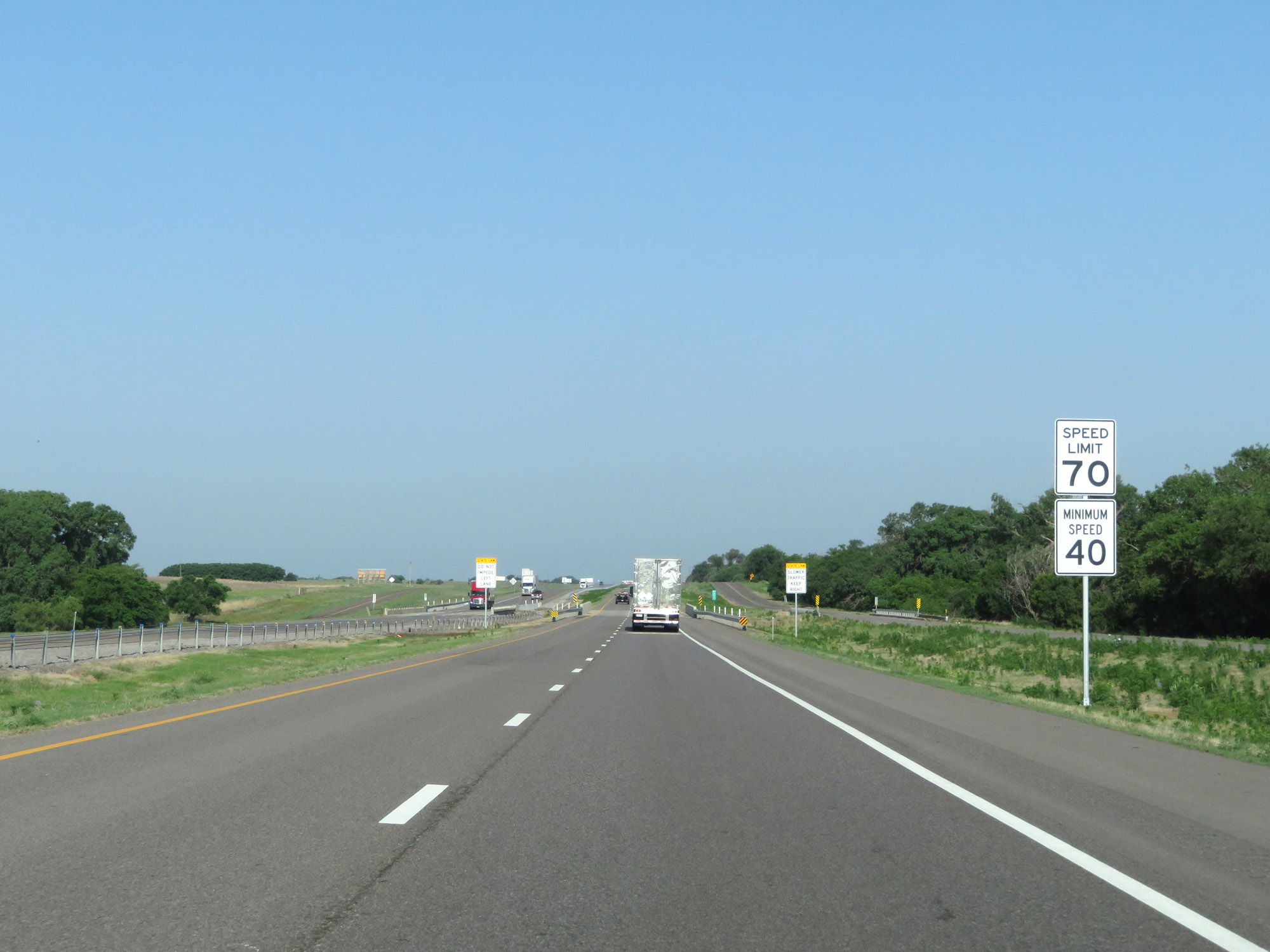
The speed limits remain 70 mph maximum and 40 mph minimum. (Photo taken 5/19/18). |
 |
Interstate 40 West at mile marker 113. (Photo taken 5/19/18). |
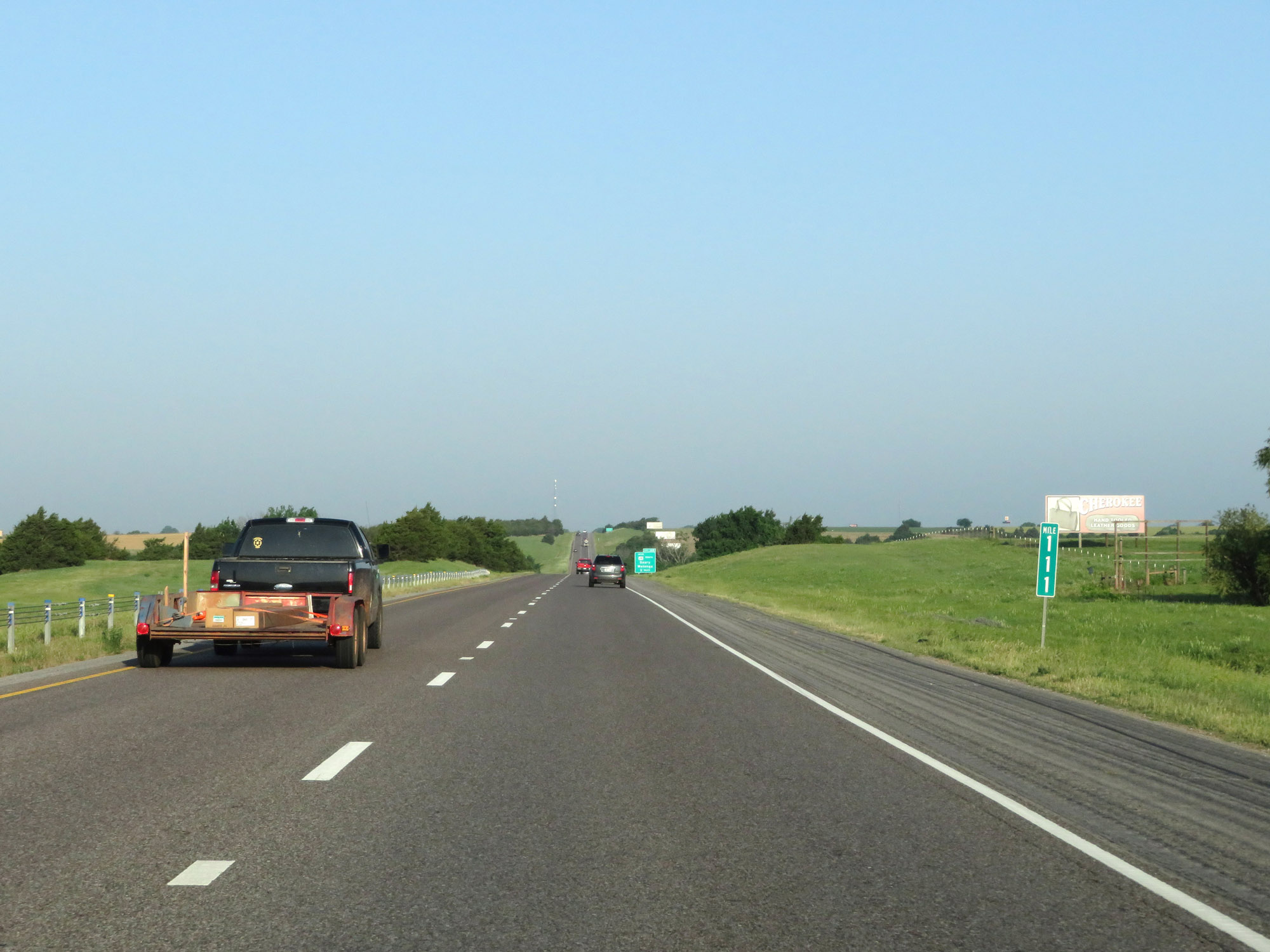 |
View on Interstate 40 West at mile marker 111. (Photo taken 5/19/18). |
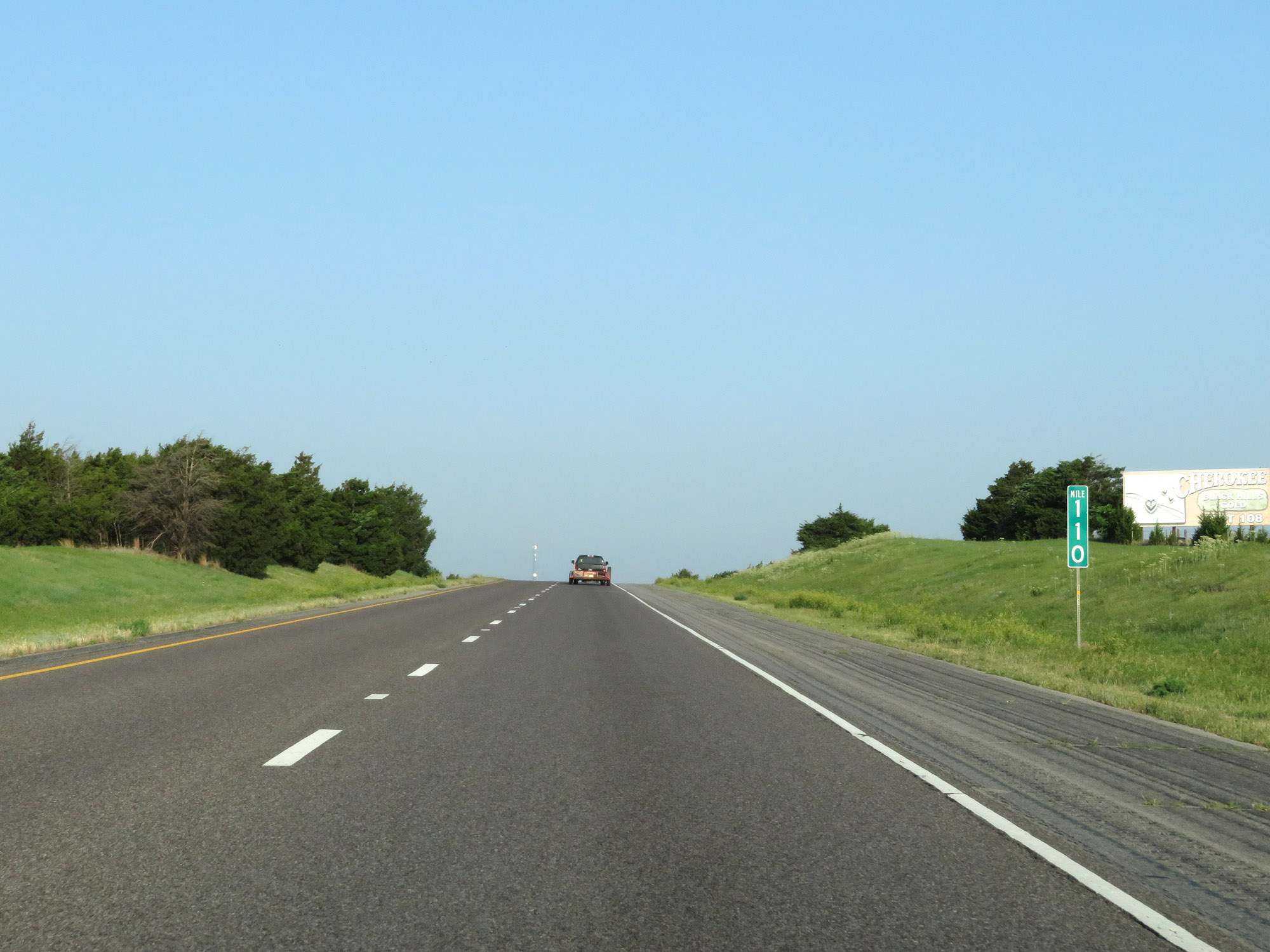 |
Interstate 40 West at mile marker 110. (Photo taken 5/19/18). |
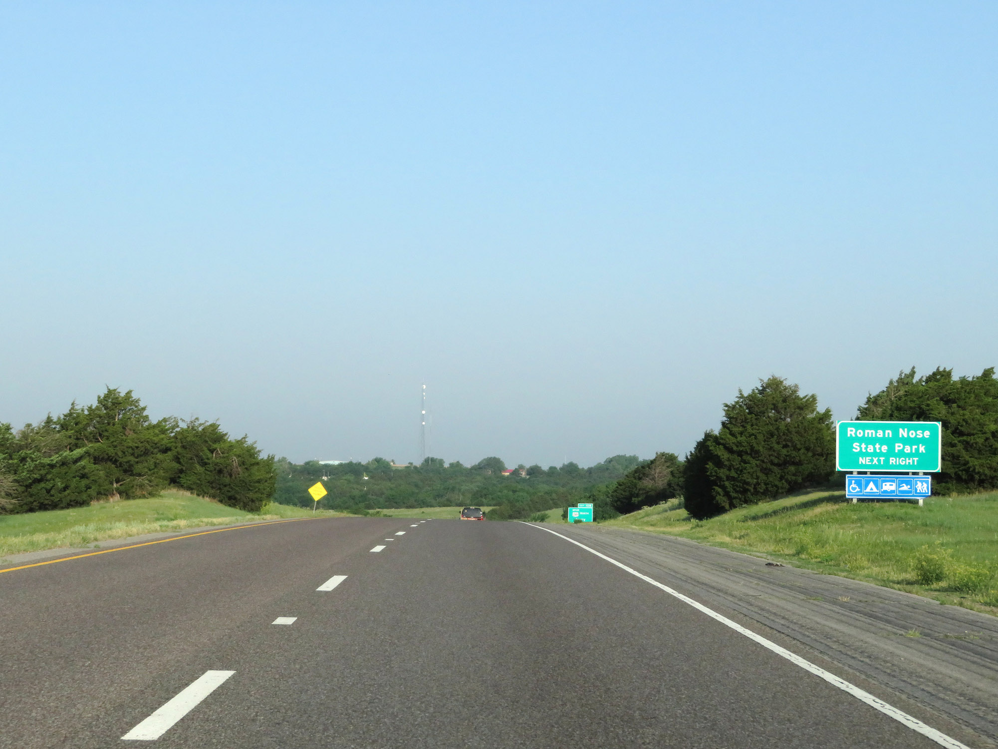 |
Take Exit 108 to Roman Nose State Park. (Photo taken 5/19/18). |
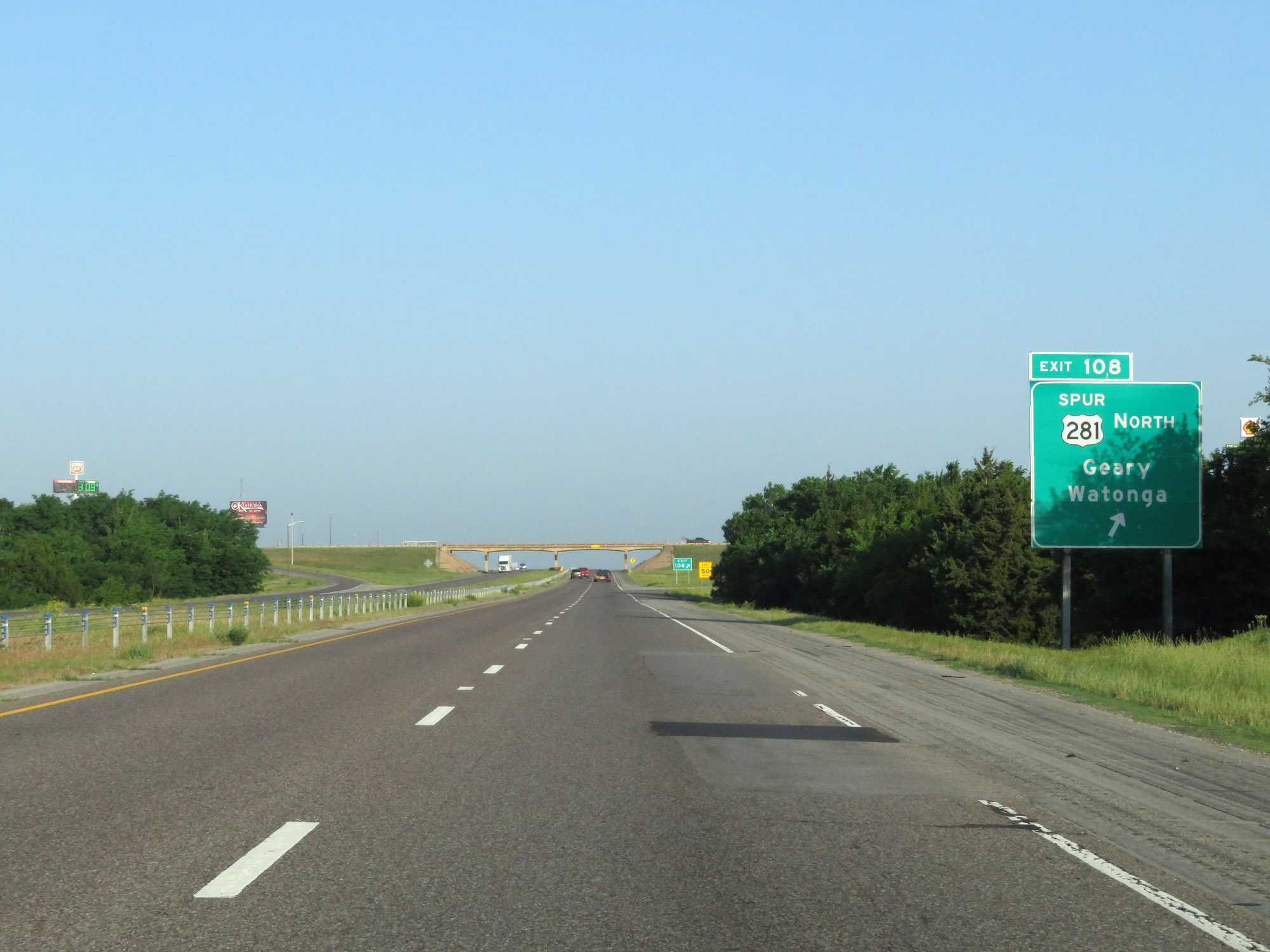 |
Interstate 40 West at Exit 108: US 281 Spur North - Geary / Watonga (Photo taken 5/19/18). |
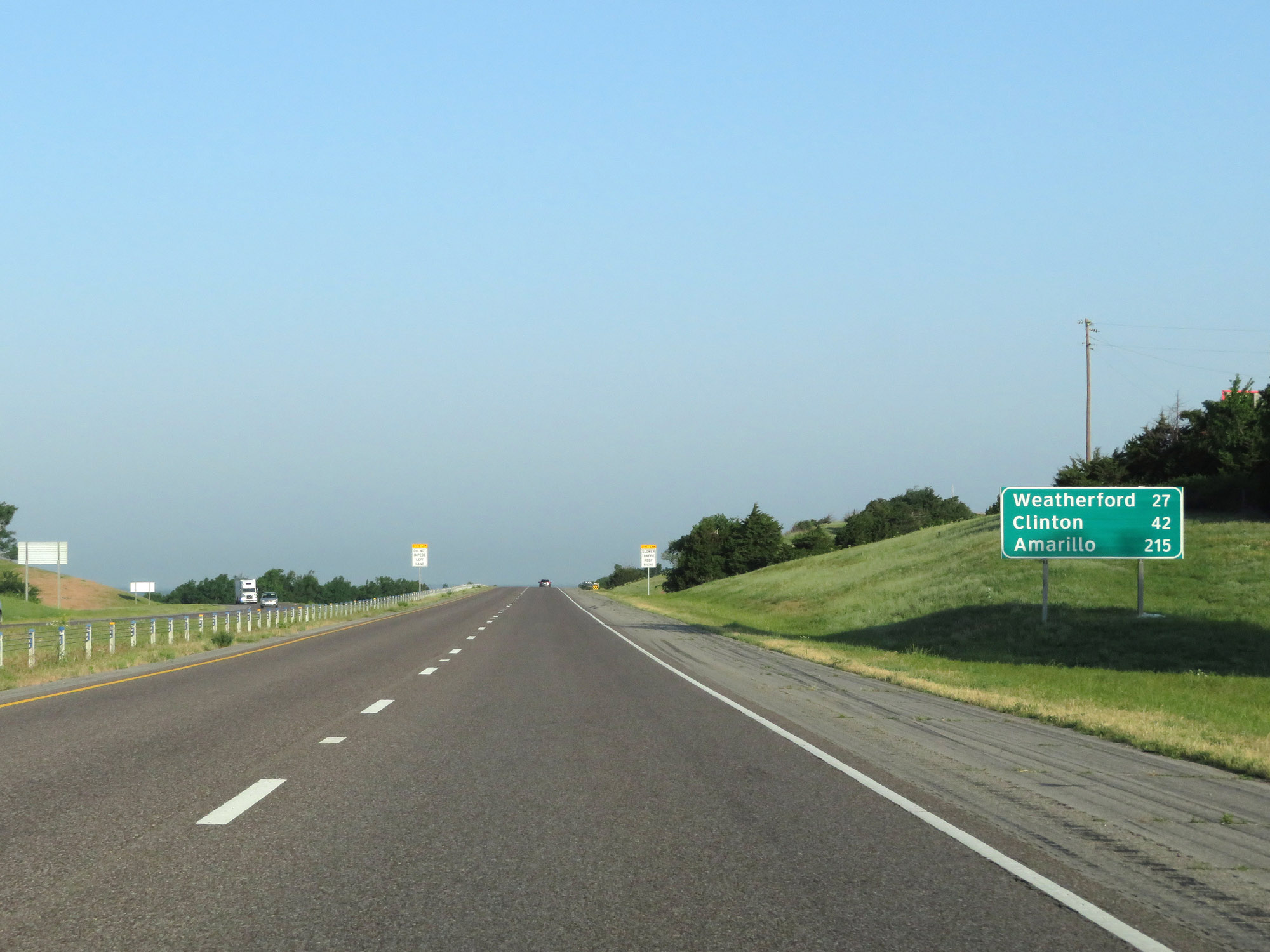 |
Mileage sign on Interstate 40 West. It's 27 miles to Weatherford, 42 miles to Clinton, and 215 miles to Amarillo. (Photo taken 5/19/18). |
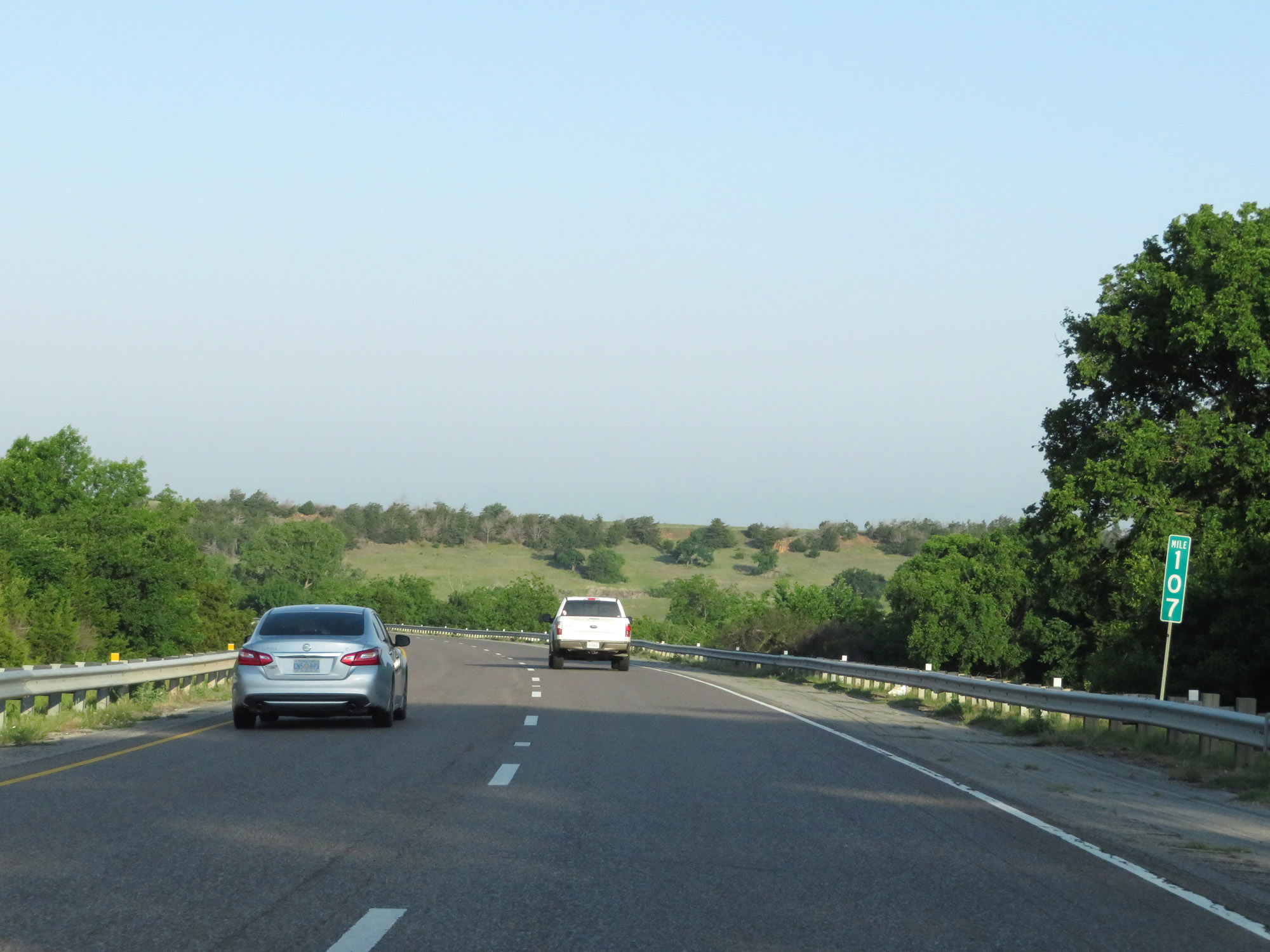 |
View on Interstate 40 West at mile marker 107. (Photo taken 5/19/18). |
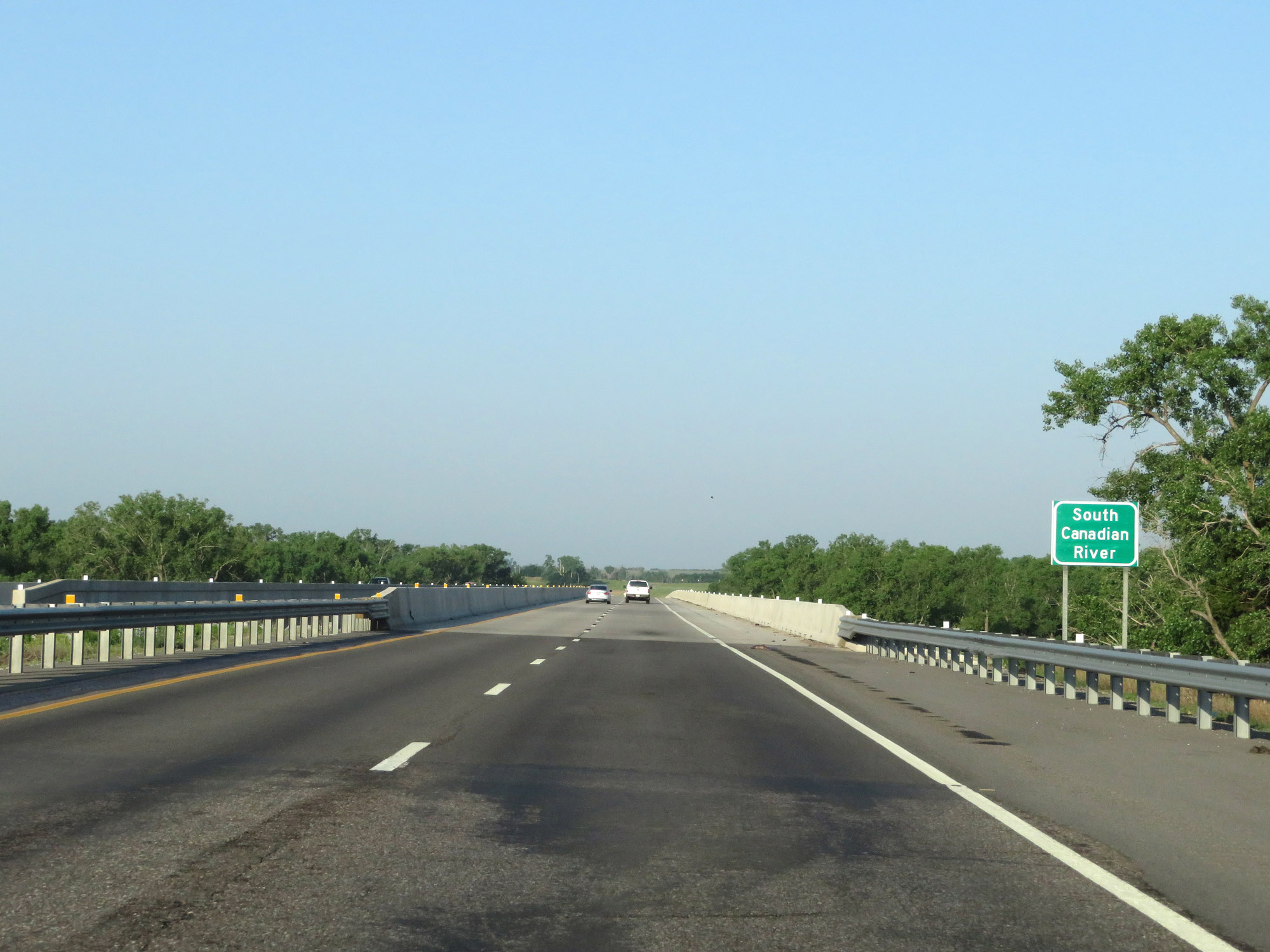 |
Interstate 40 West as it crosses the South Canadian River. (Photo taken 5/19/18). |
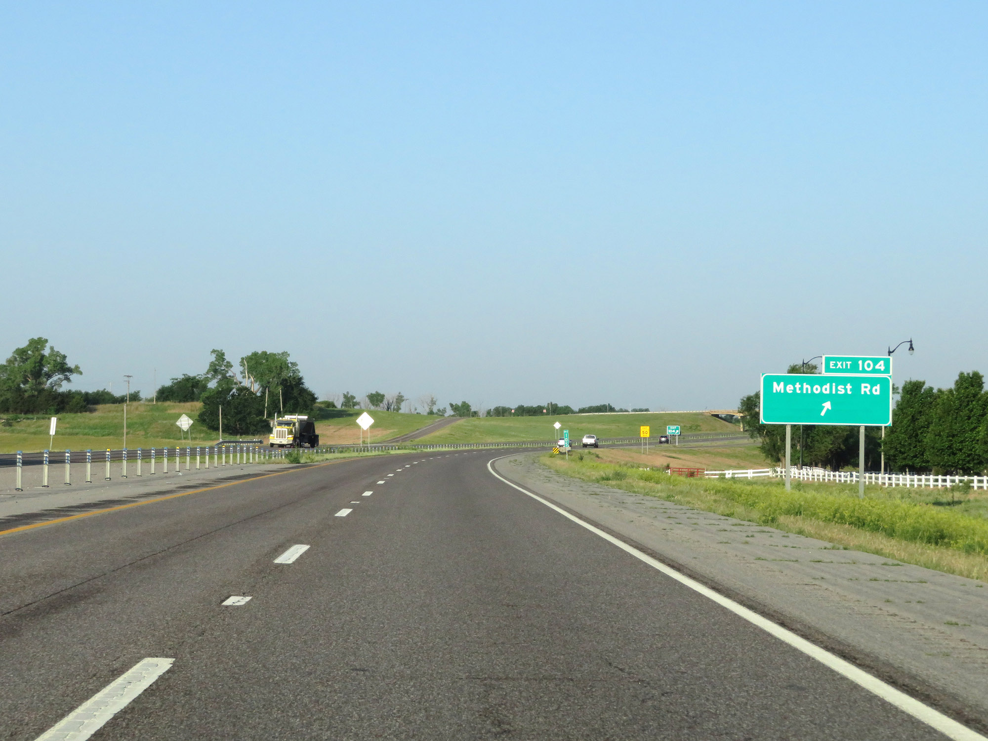 |
Interstate 40 West at Exit 104: Methodist Rd (Photo taken 5/19/18). |
 |
Another state-named Interstate 40 West reassurance shield. (Photo taken 5/19/18). |
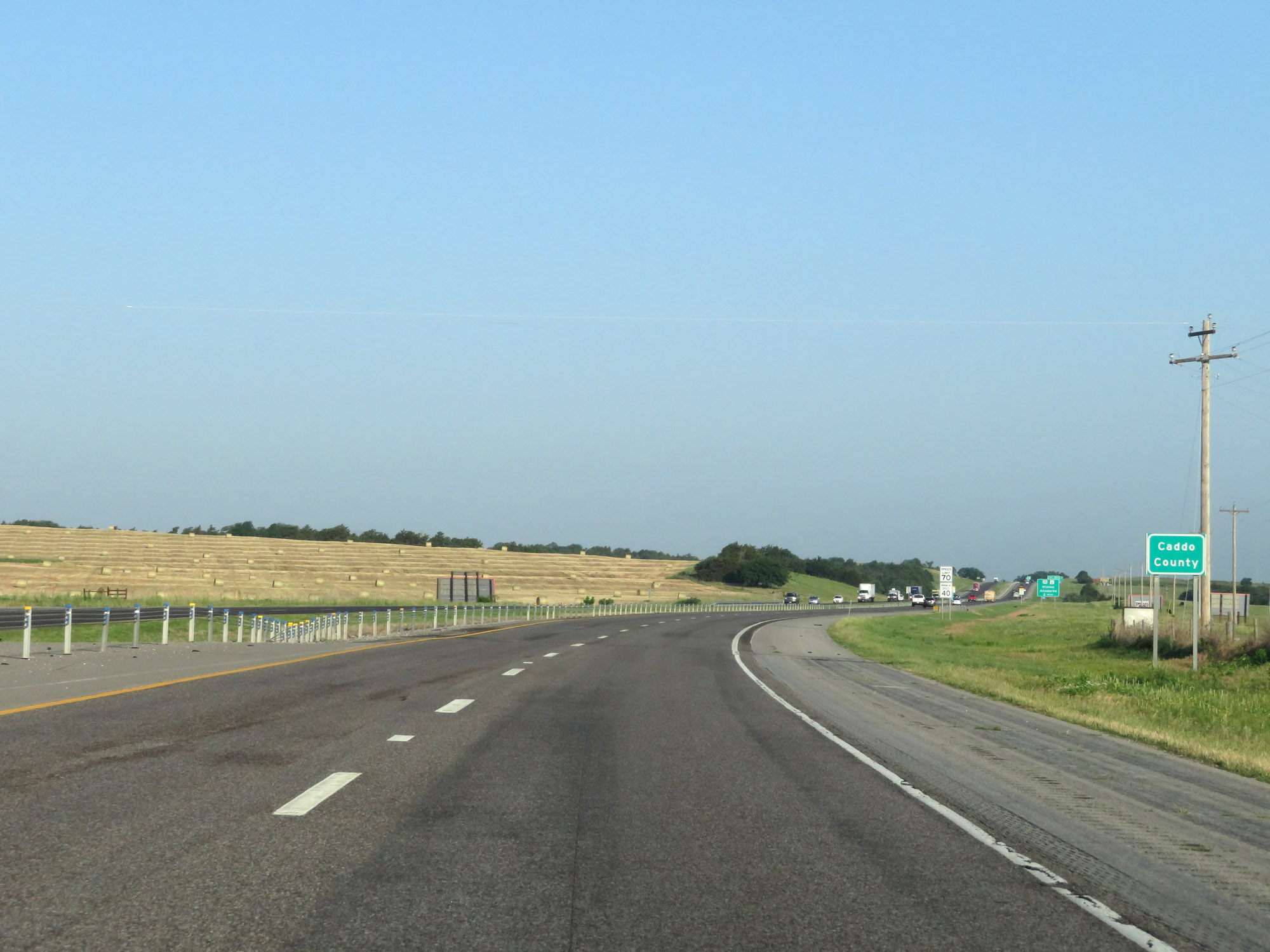 |
Entering Caddo County on Interstate 40 West. (Photo taken 5/19/18). |
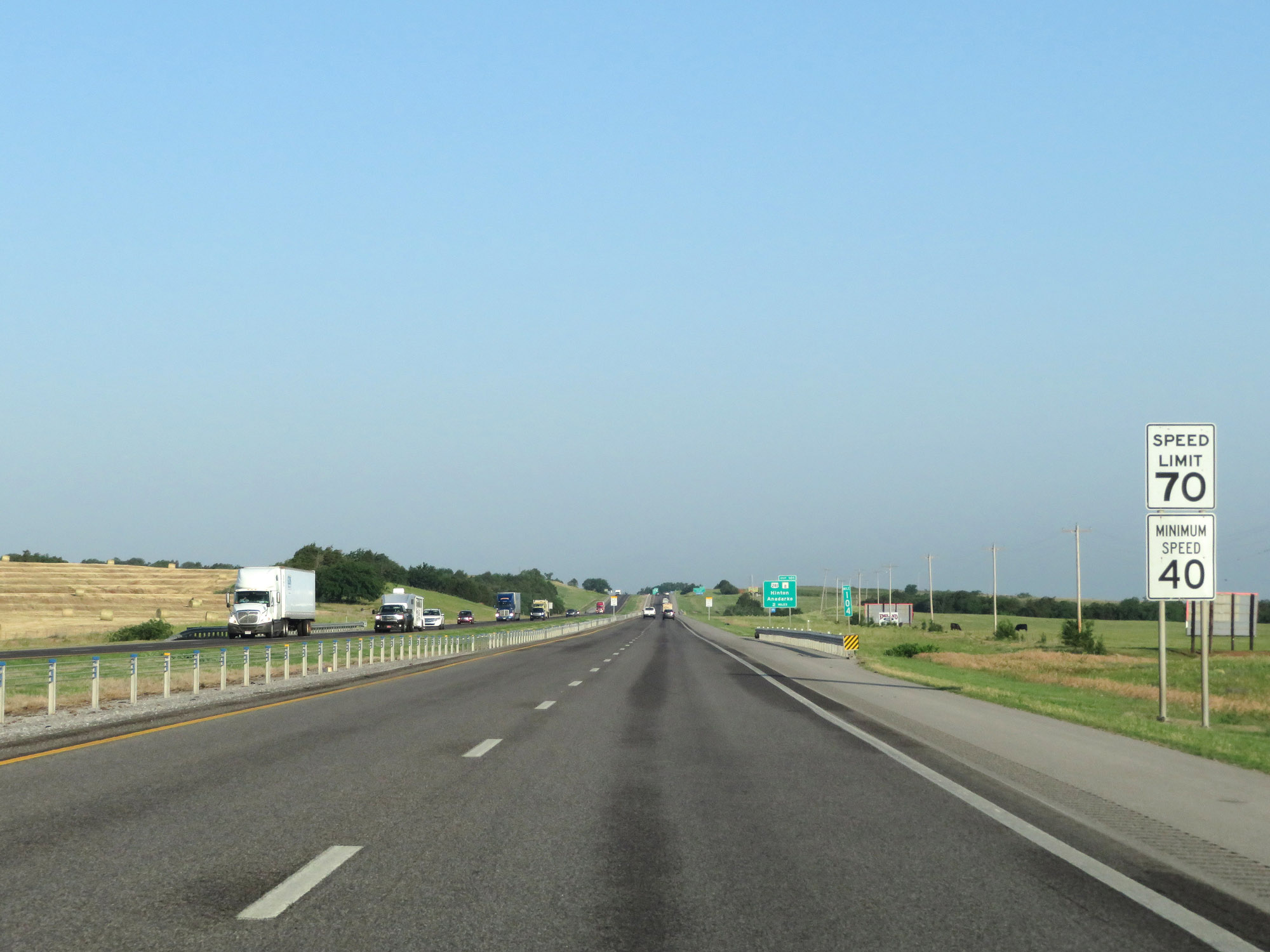 |
The speed limits remain 70 mph maximum and 40 mph minimum. (Photo taken 5/19/18). |
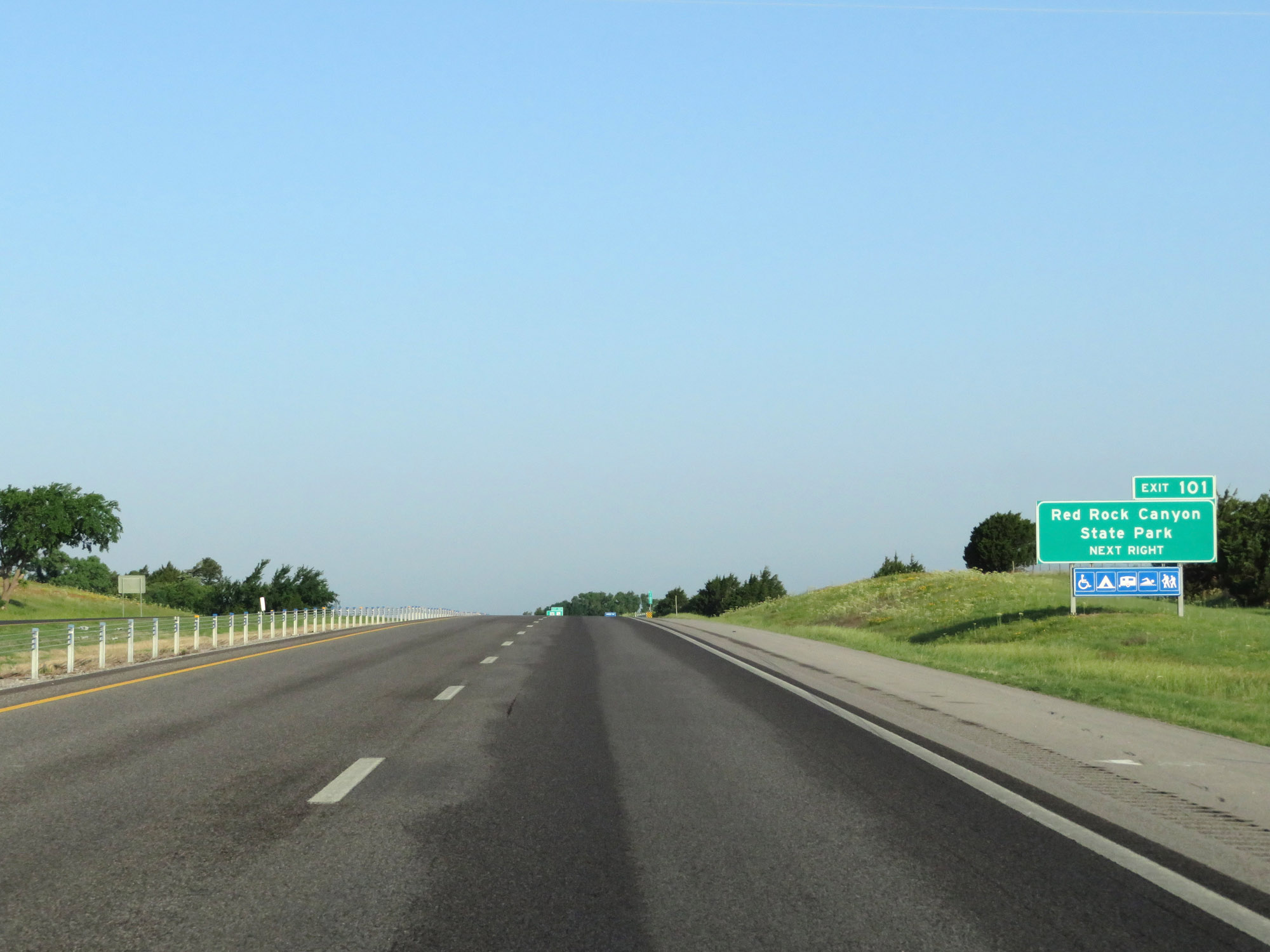 |
Take Exit 101 to Red Rock Canyon State Park. (Photo taken 5/19/18). |
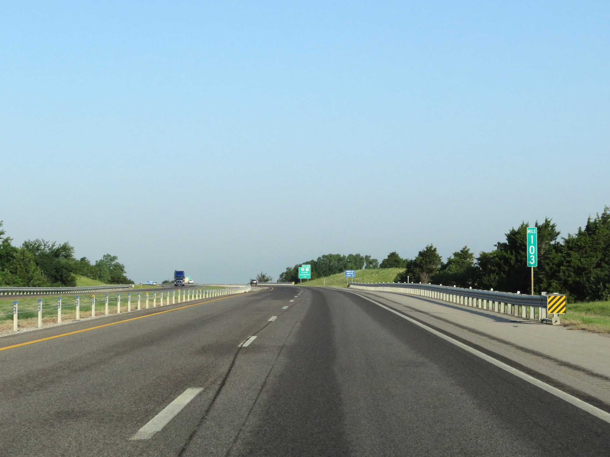 |
Interstate 40 West at mile marker 103. (Photo taken 5/19/18). |
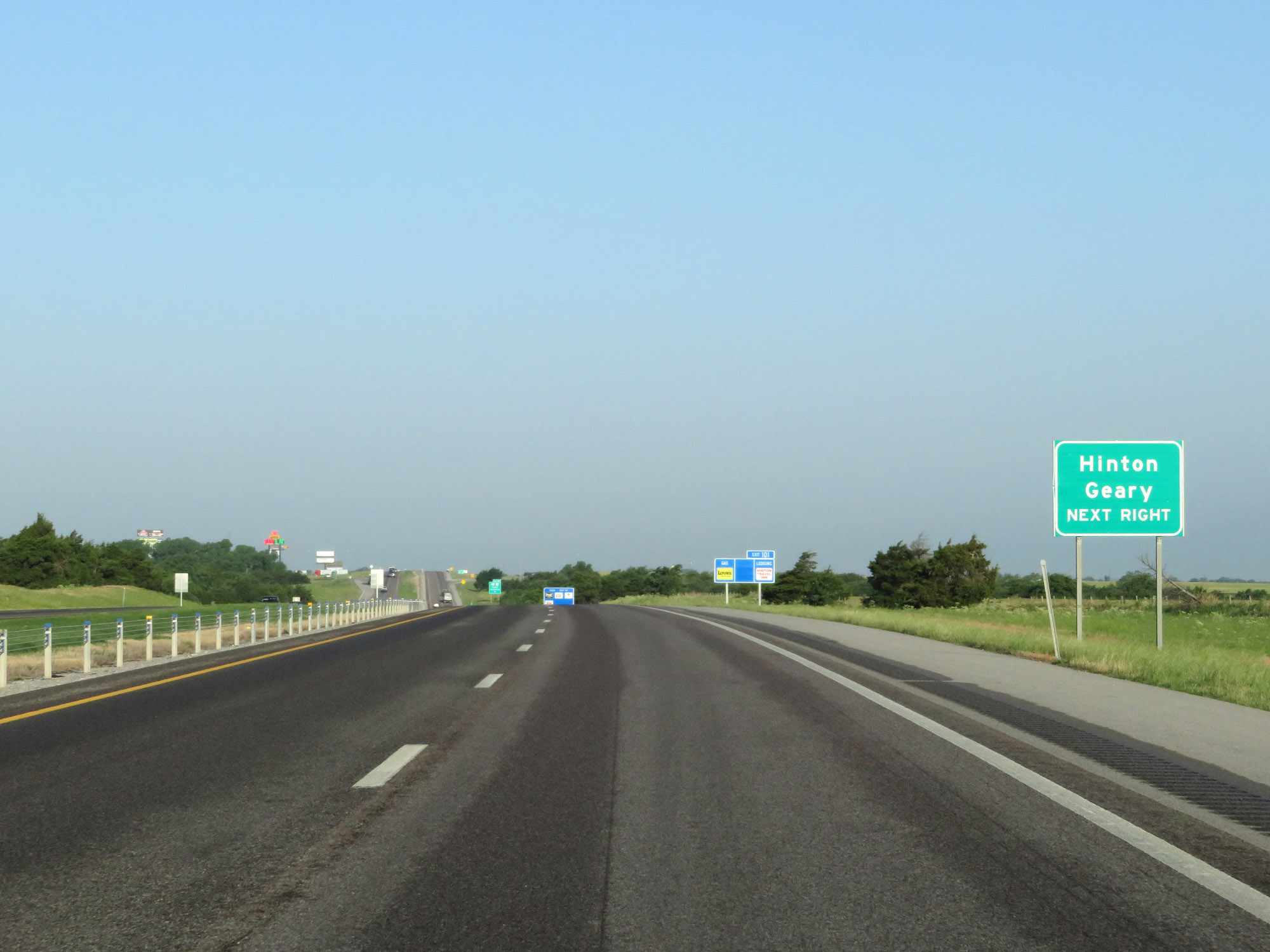 |
Also take Exit 101 to Hinton and Geary. (Photo taken 5/19/18). |
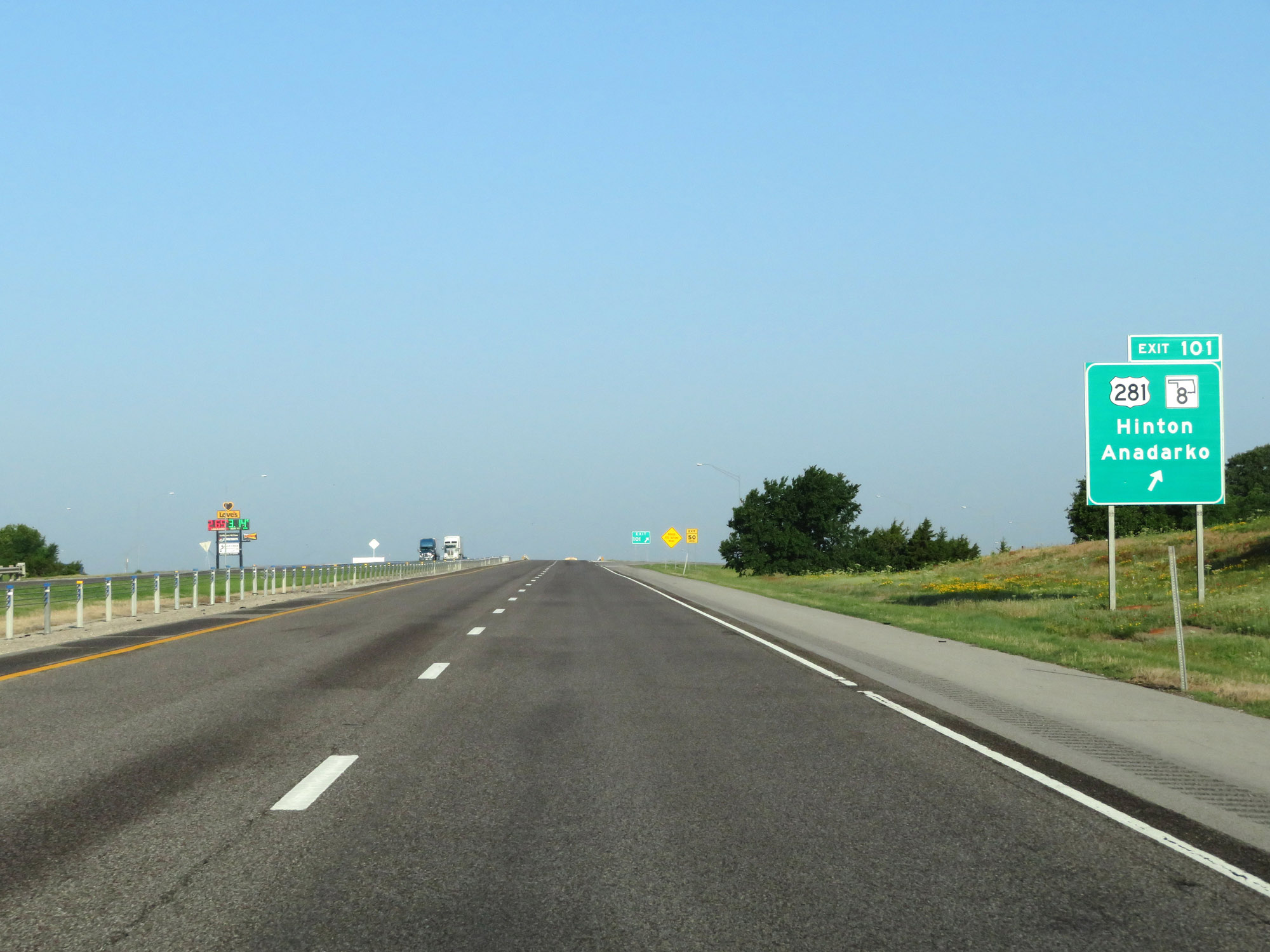 |
Interstate 40 West at Exit 101: US 281 / OK 8 - Hinton / Anadarko (Photo taken 5/19/18). |
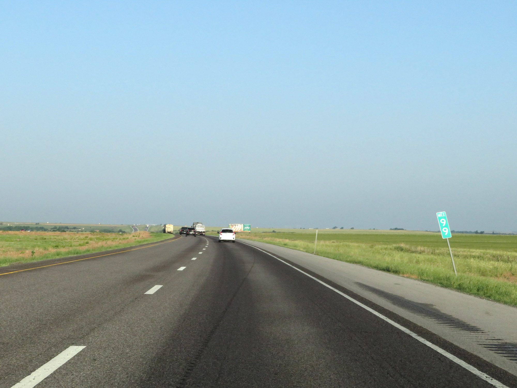 |
View on Interstate 40 West at mile marker 99. (Photo taken 5/19/18). |
 |
Interstate 40 West at mile marker 96. (Photo taken 5/19/18). |
 |
Interstate 40 West at Exit 95: Bethel Rd (Photo taken 5/19/18). |
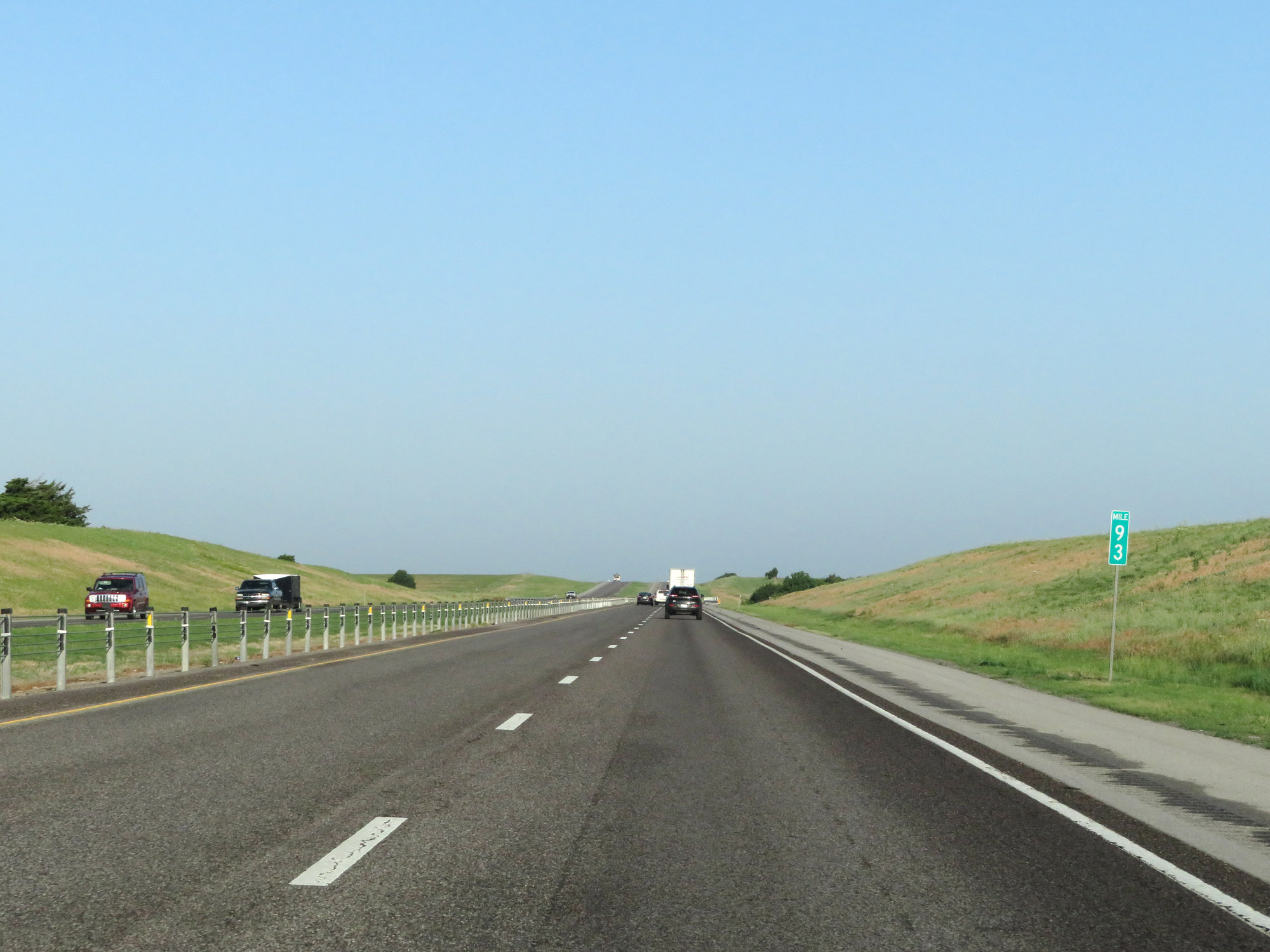 |
View on Interstate 40 West at mile marker 93. (Photo taken 5/19/18). |
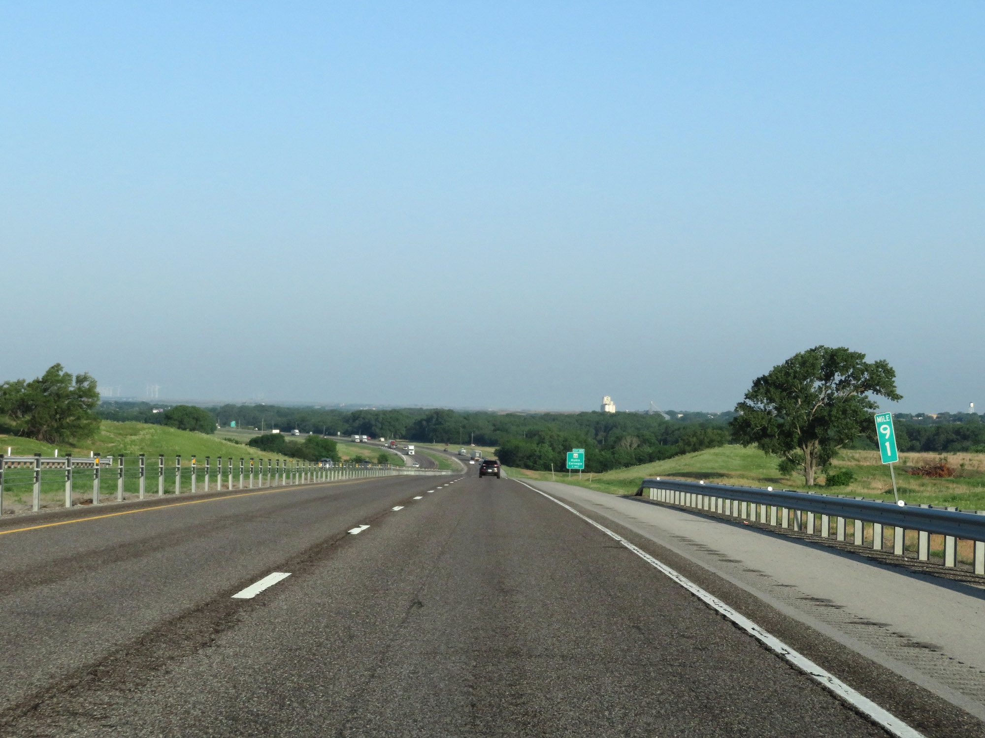 |
Interstate 40 West at mile marker 91. (Photo taken 5/19/18). |
 |
View on Interstate 40 West at mile marker 90. (Photo taken 5/19/18). |
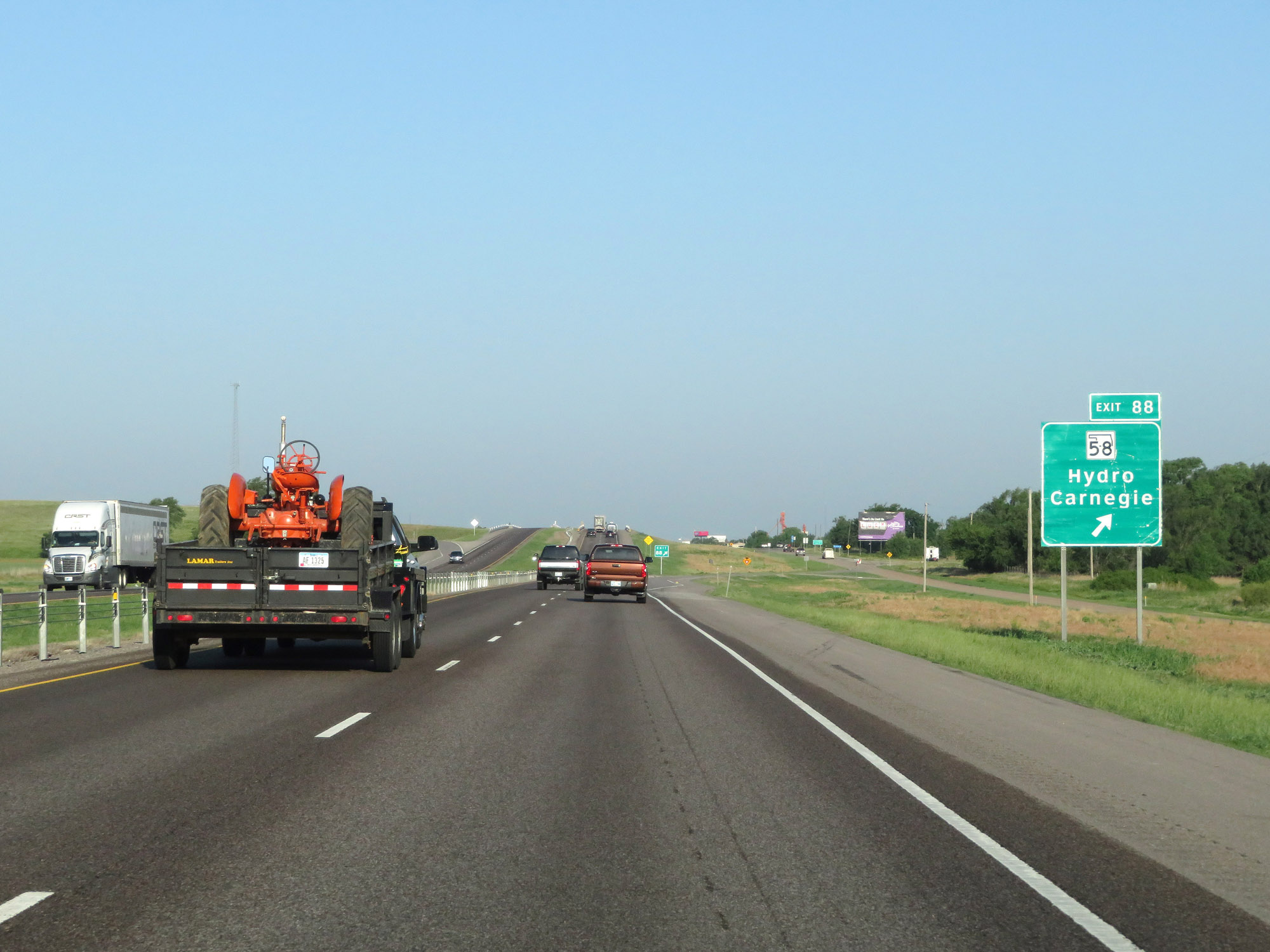 |
Interstate 40 West at Exit 88: OK 58 - Hydro / Carnegie (Photo taken 5/19/18). |
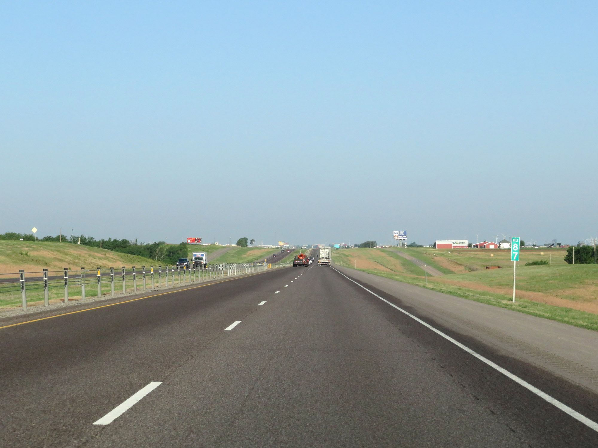 |
View on Interstate 40 West at mile marker 87. (Photo taken 5/19/18). |
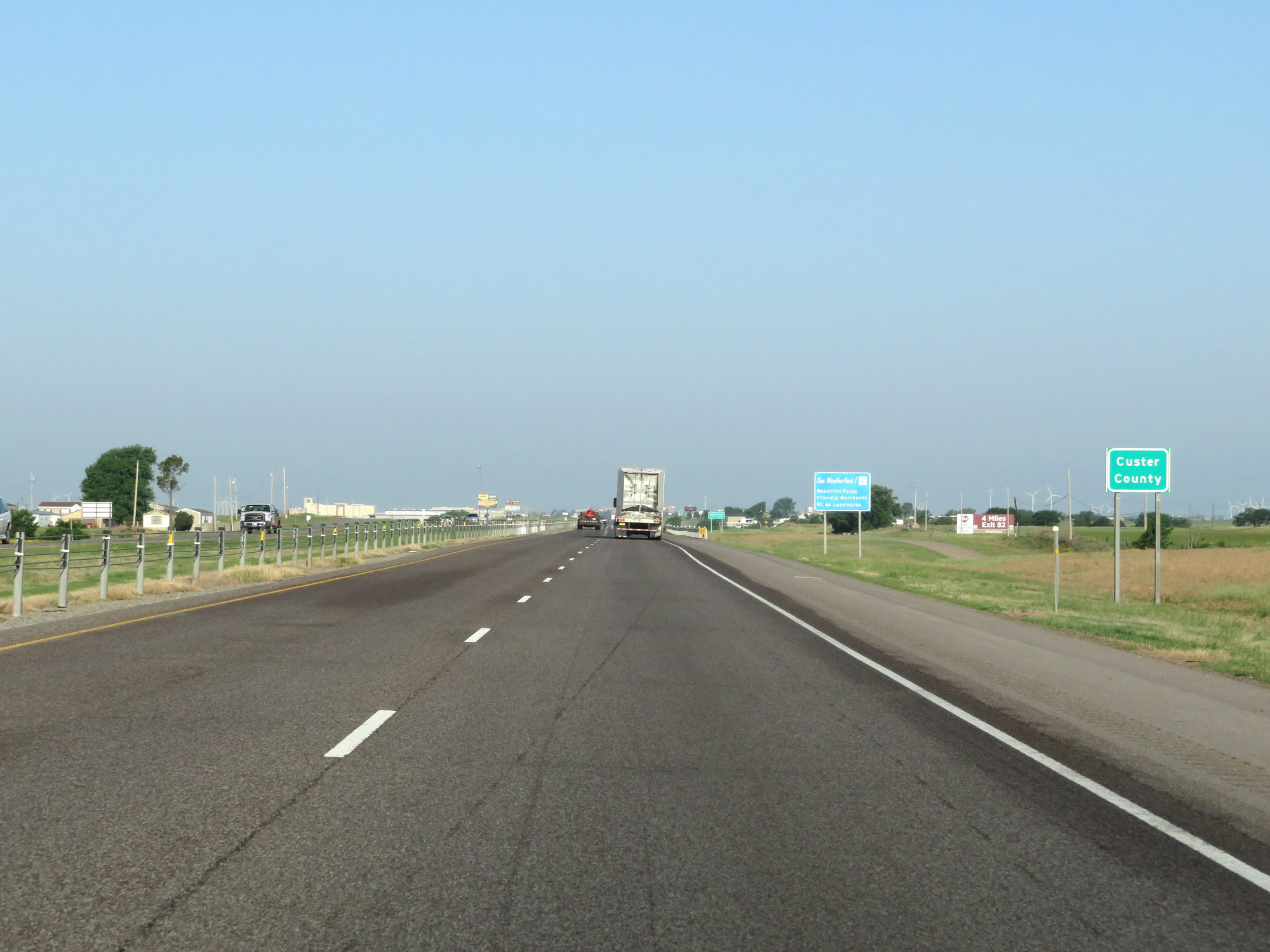 |
Entering Custer County on Interstate 40 West. (Photo taken 5/19/18). |
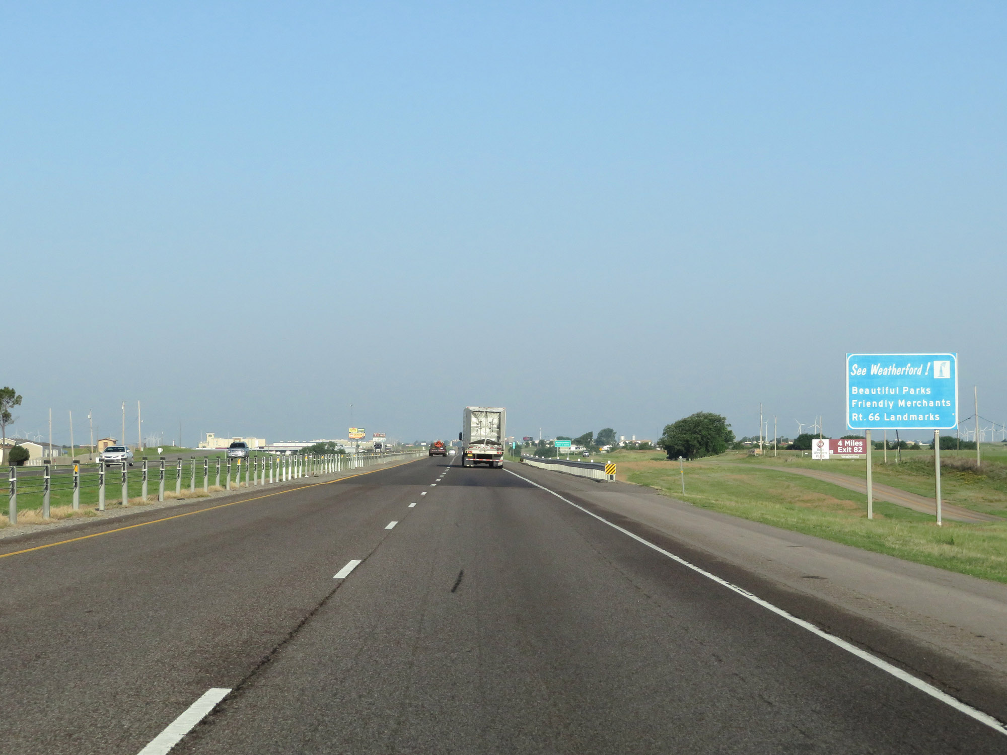 |
See Weatherford! sign on Interstate 40 West. Things to see in Weatherford include beautiful parks, friendly merchants, and Route 66 landmarks. (Photo taken 5/19/18). |
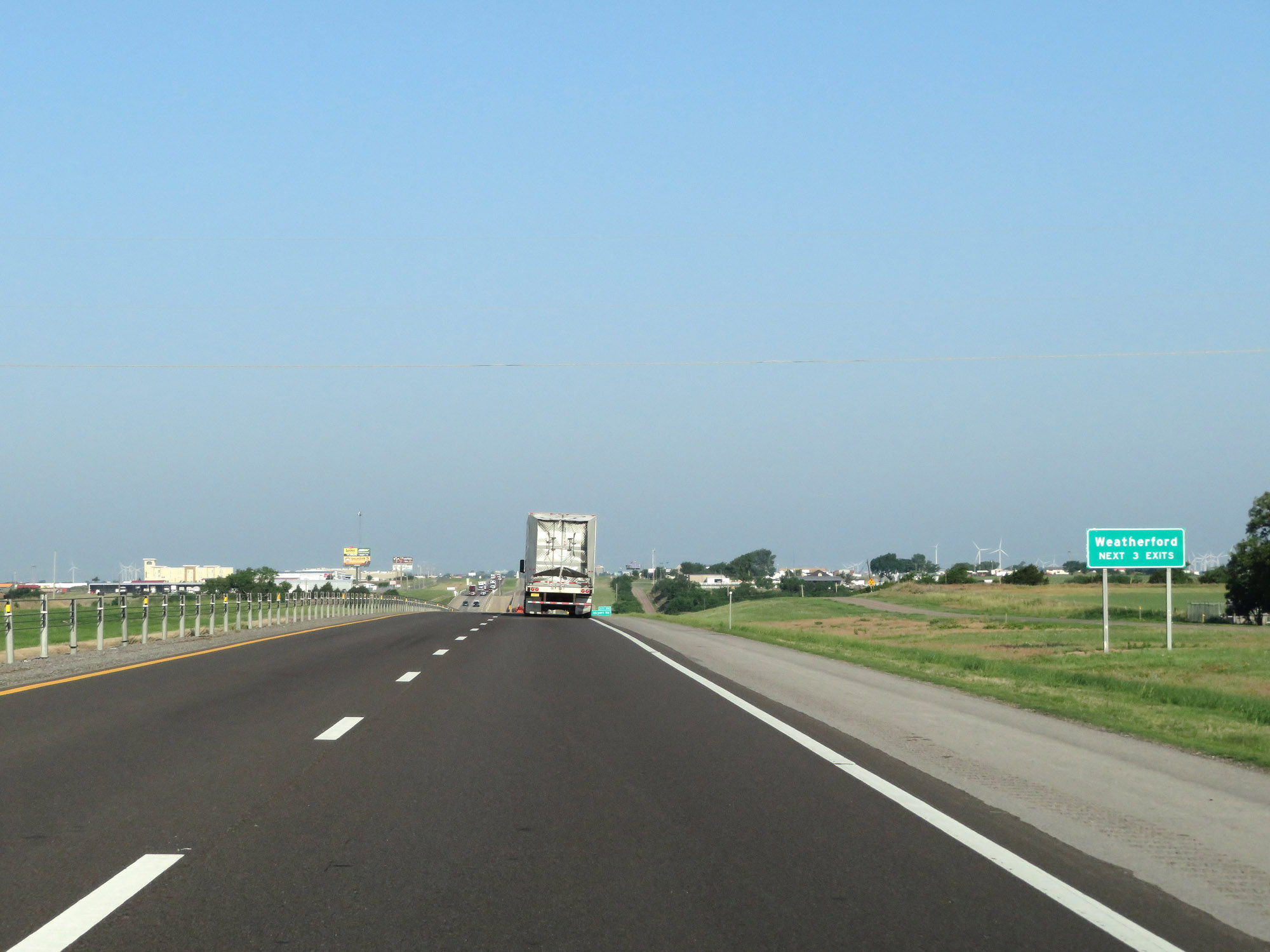 |
Take any of the next 3 exits to Weatherford. (Photo taken 5/19/18). |
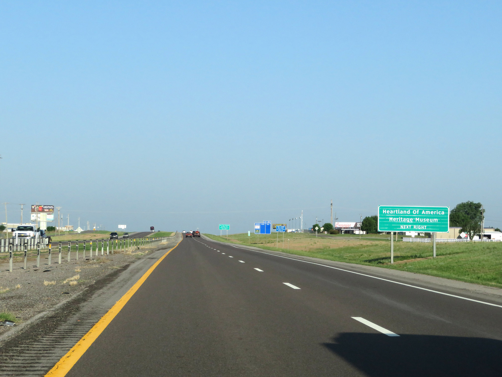 |
Take Exit 84 to Heartland Of America Heritage Museum. (Photo taken 5/19/18). |
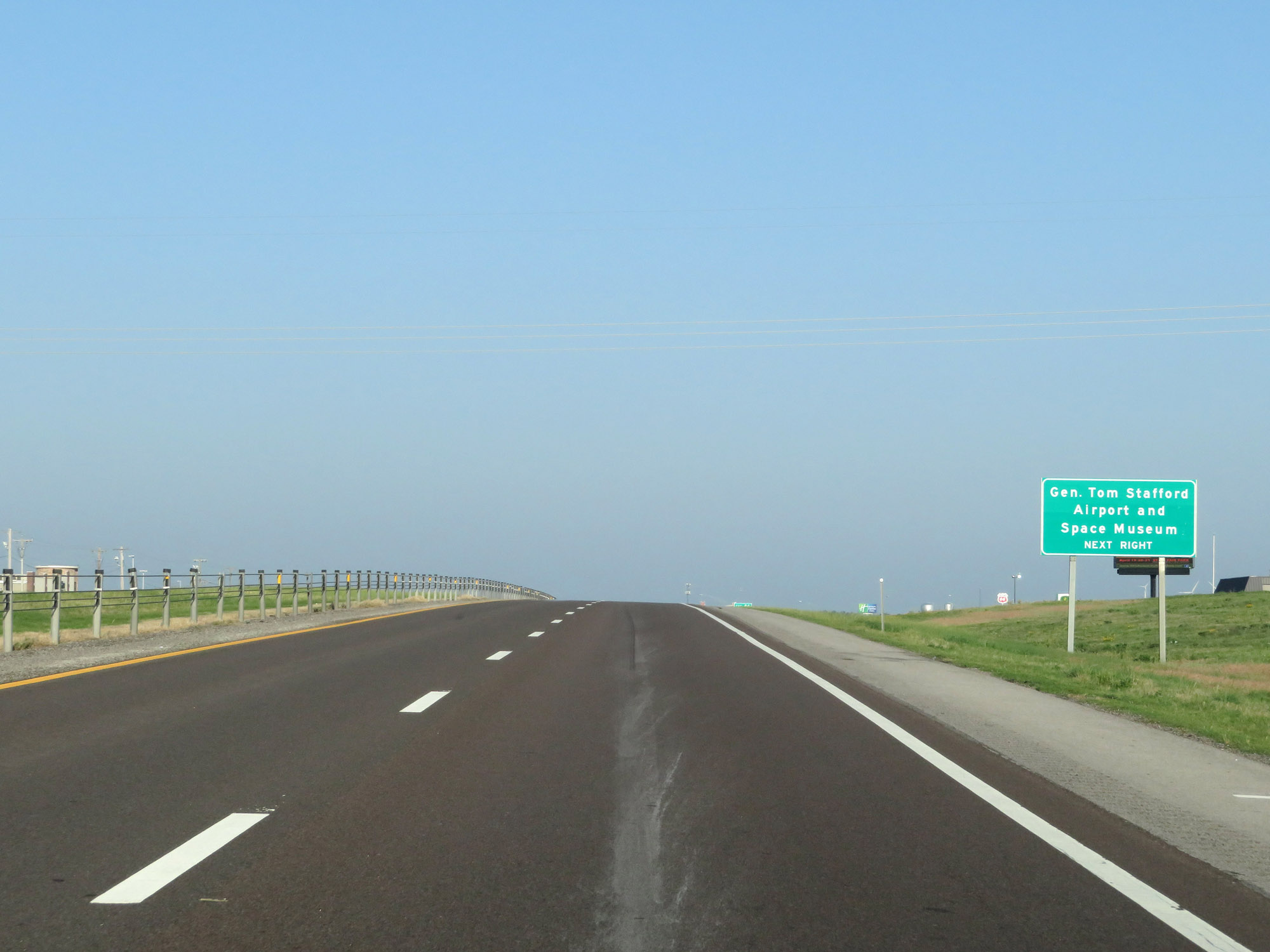 |
Also take Exit 84 to General Tom Stafford Airport and Space Museum. (Photo taken 5/19/18). |
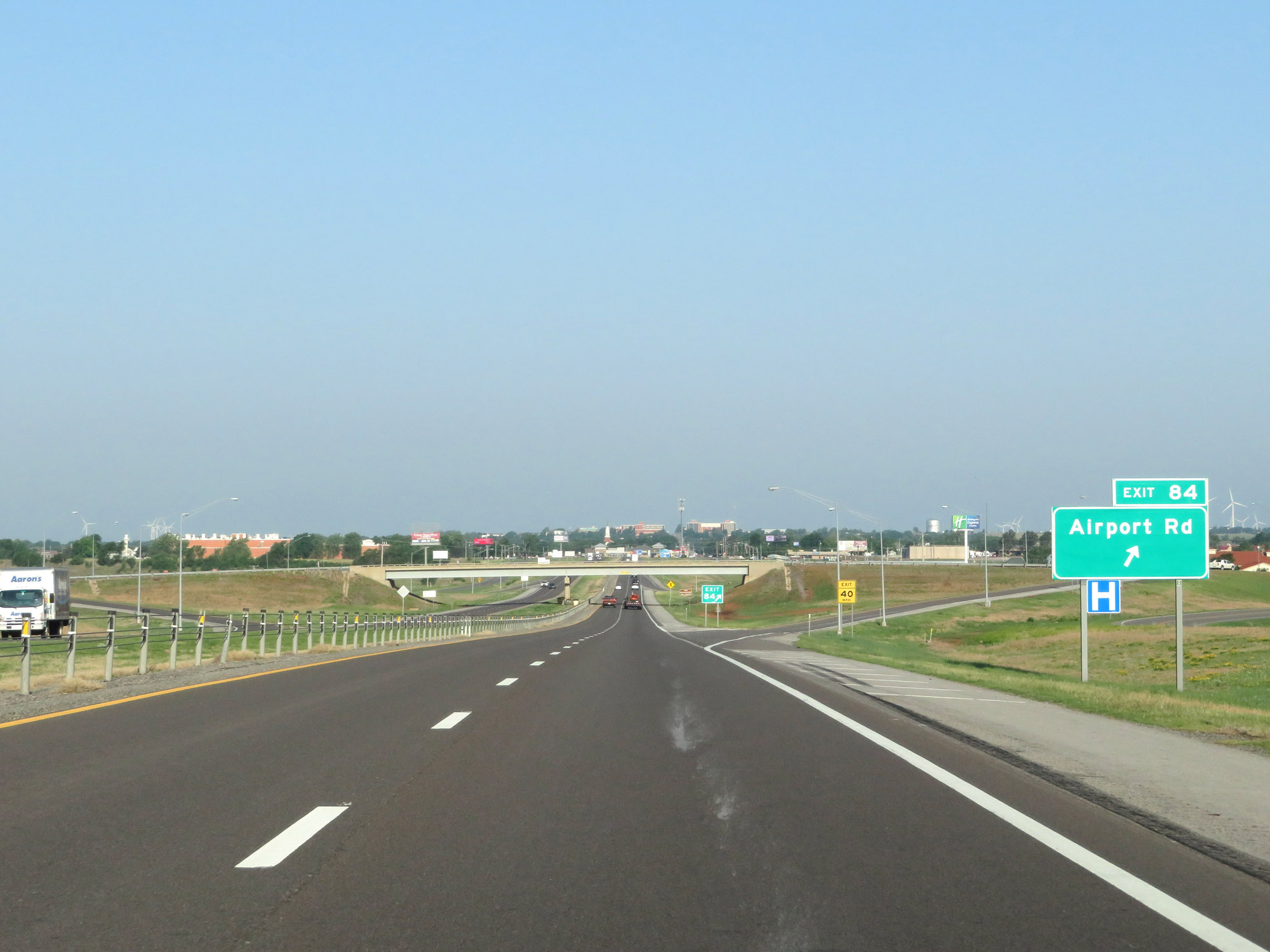 |
Interstate 40 West at Exit 84: Airport Rd (Photo taken 5/19/18). |
Section 2: Weatherford (Exit 84) to Texas Border
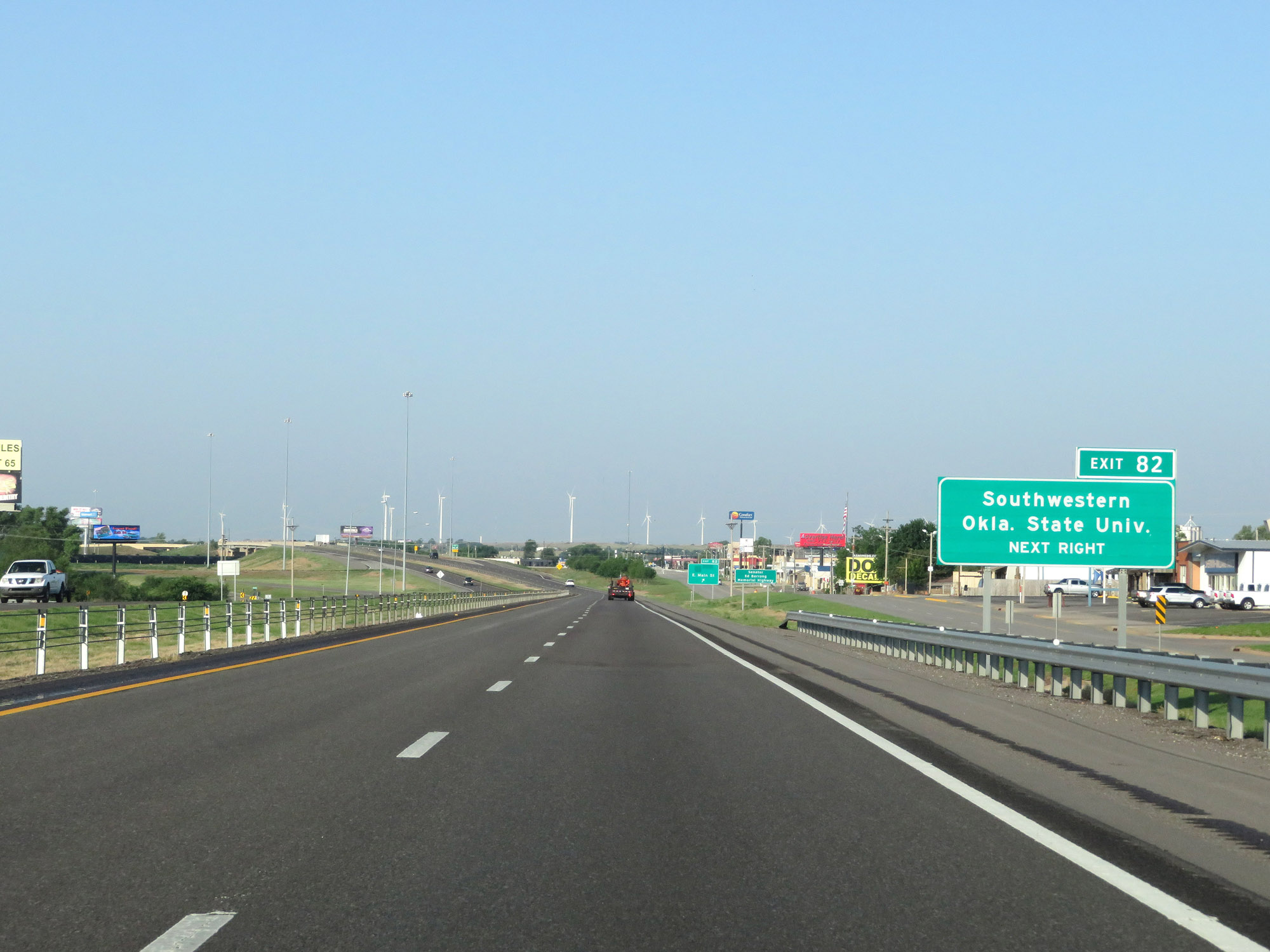 |
Take Exit 82 to Southwestern Oklahoma State University. (Photo taken 5/19/18). |
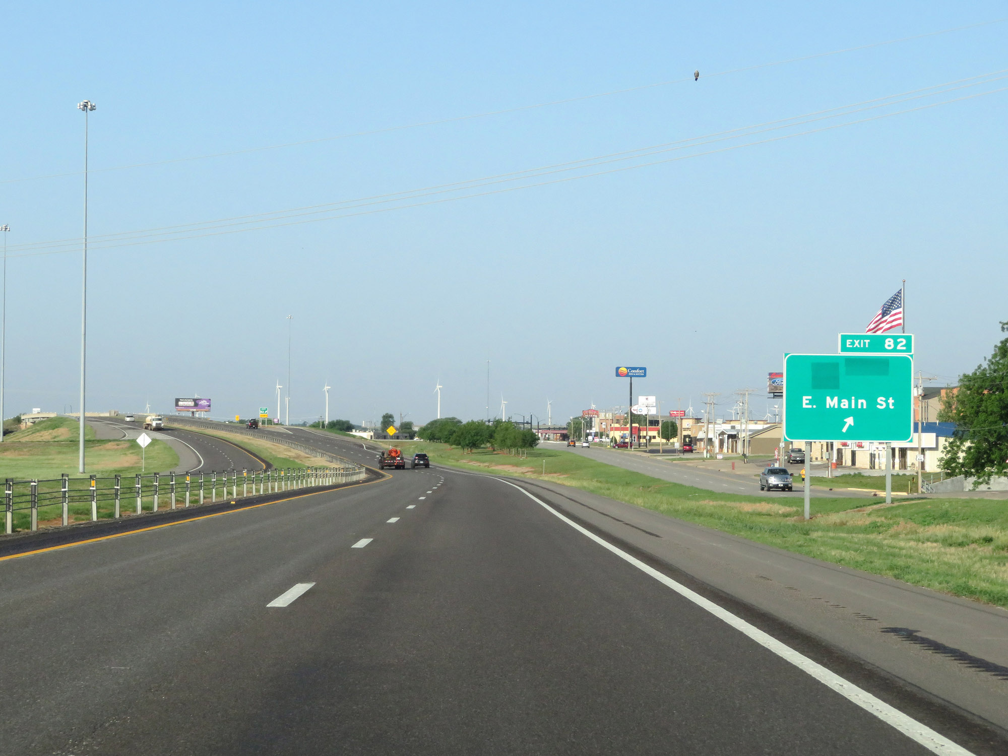 |
Interstate 40 West at Exit 82: E Main St (Photo taken 5/19/18). |
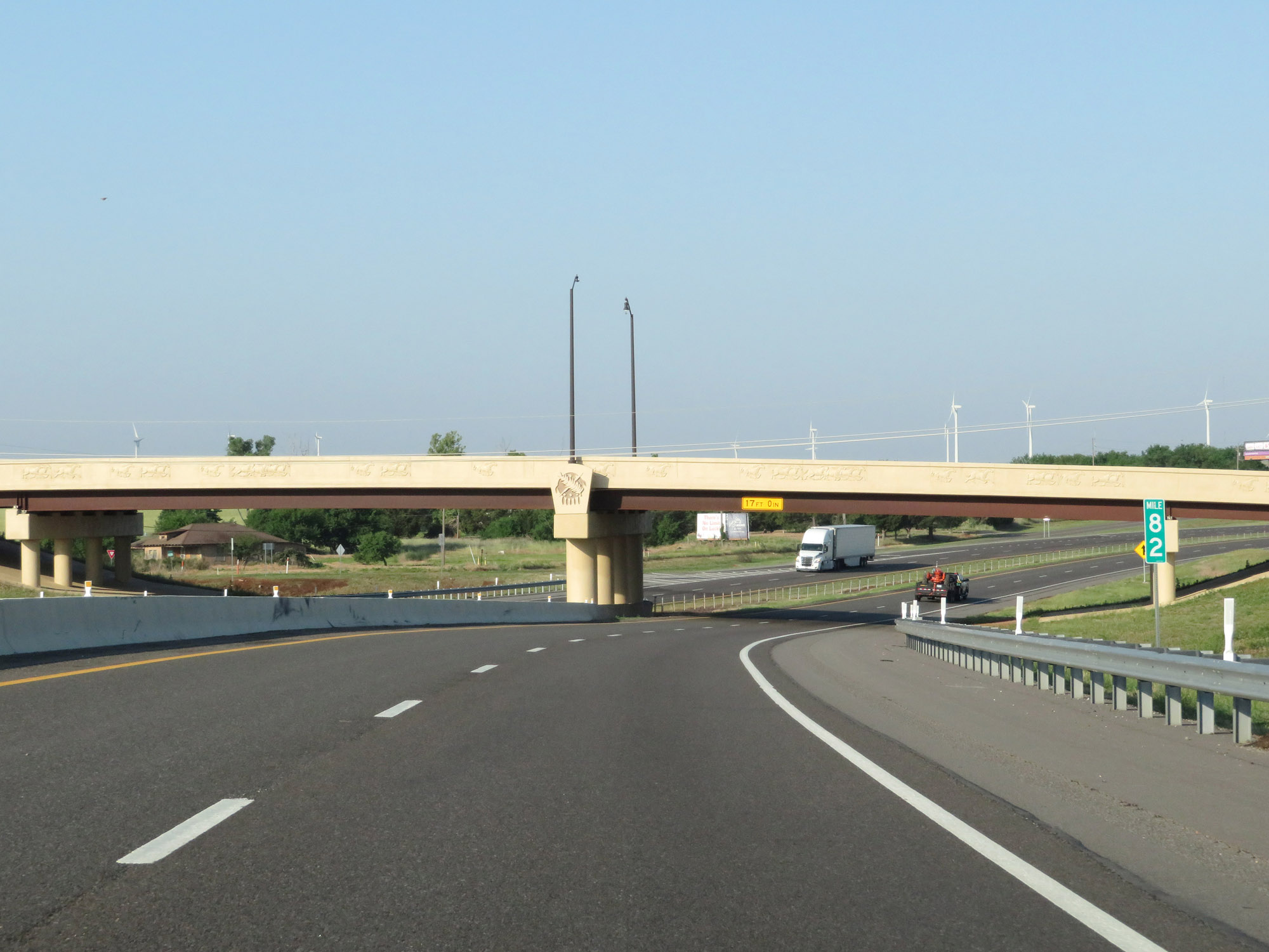 |
Interstate 40 West at mile marker 82. (Photo taken 5/19/18). |
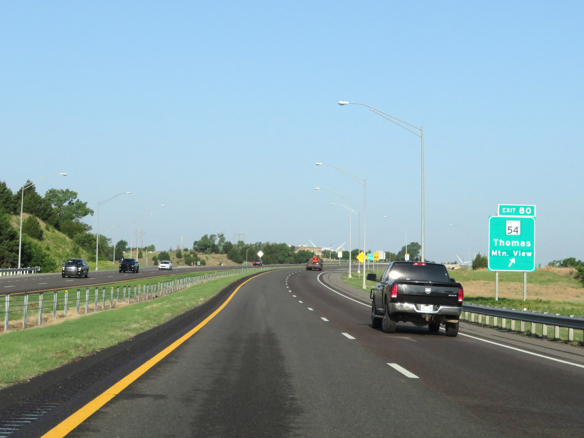 |
Interstate 40 West at Exit 80: OK 54 - Thomas / Mountain View (Photo taken 5/19/18). |
 |
State-named Interstate 40 West reassurance shield. (Photo taken 5/19/18). |
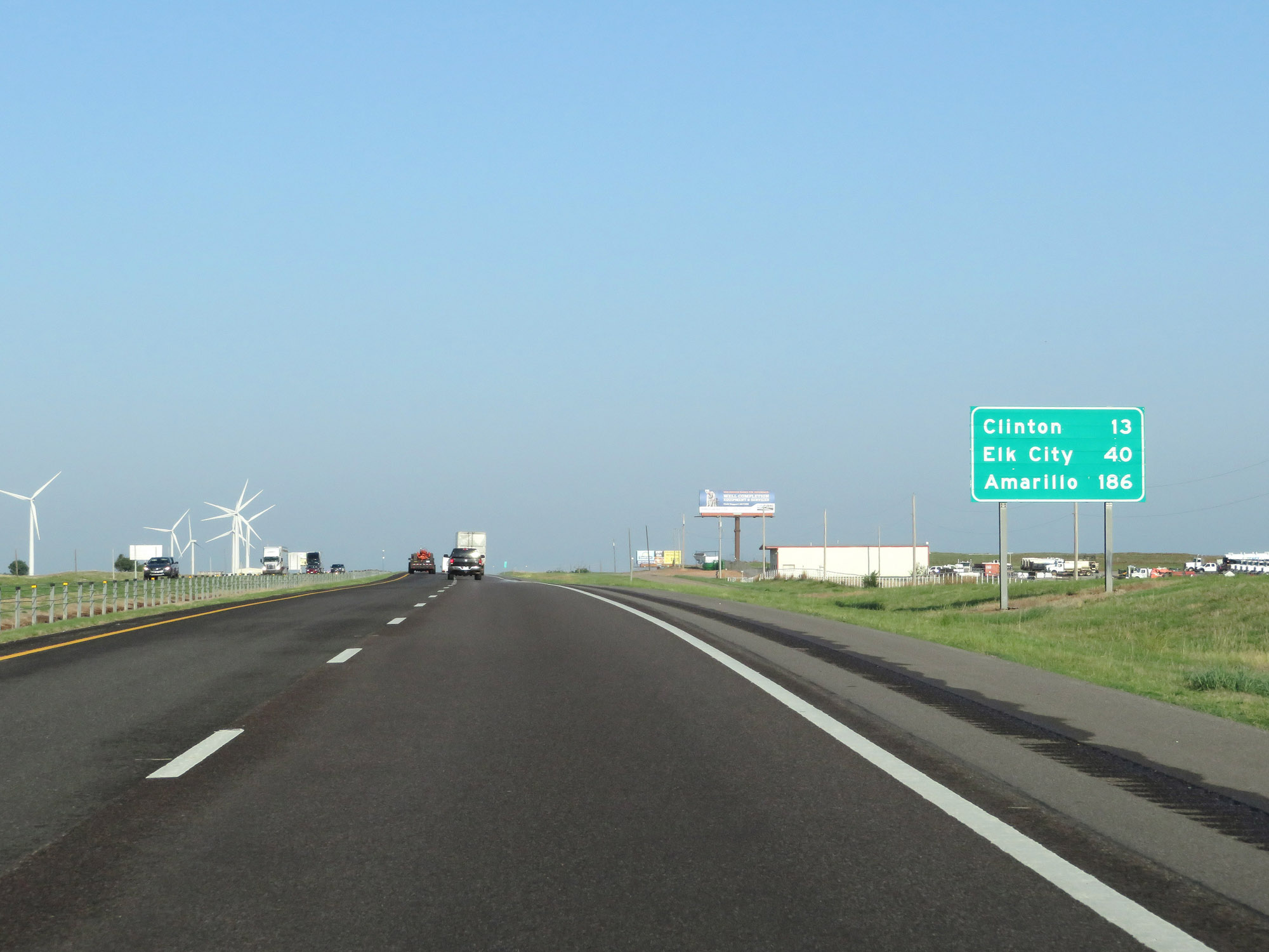 |
Mileage sign on Interstate 40 West. It's 13 miles to Clinton, 40 miles to Elk City, and 186 miles to Amarillo. (Photo taken 5/19/18). |
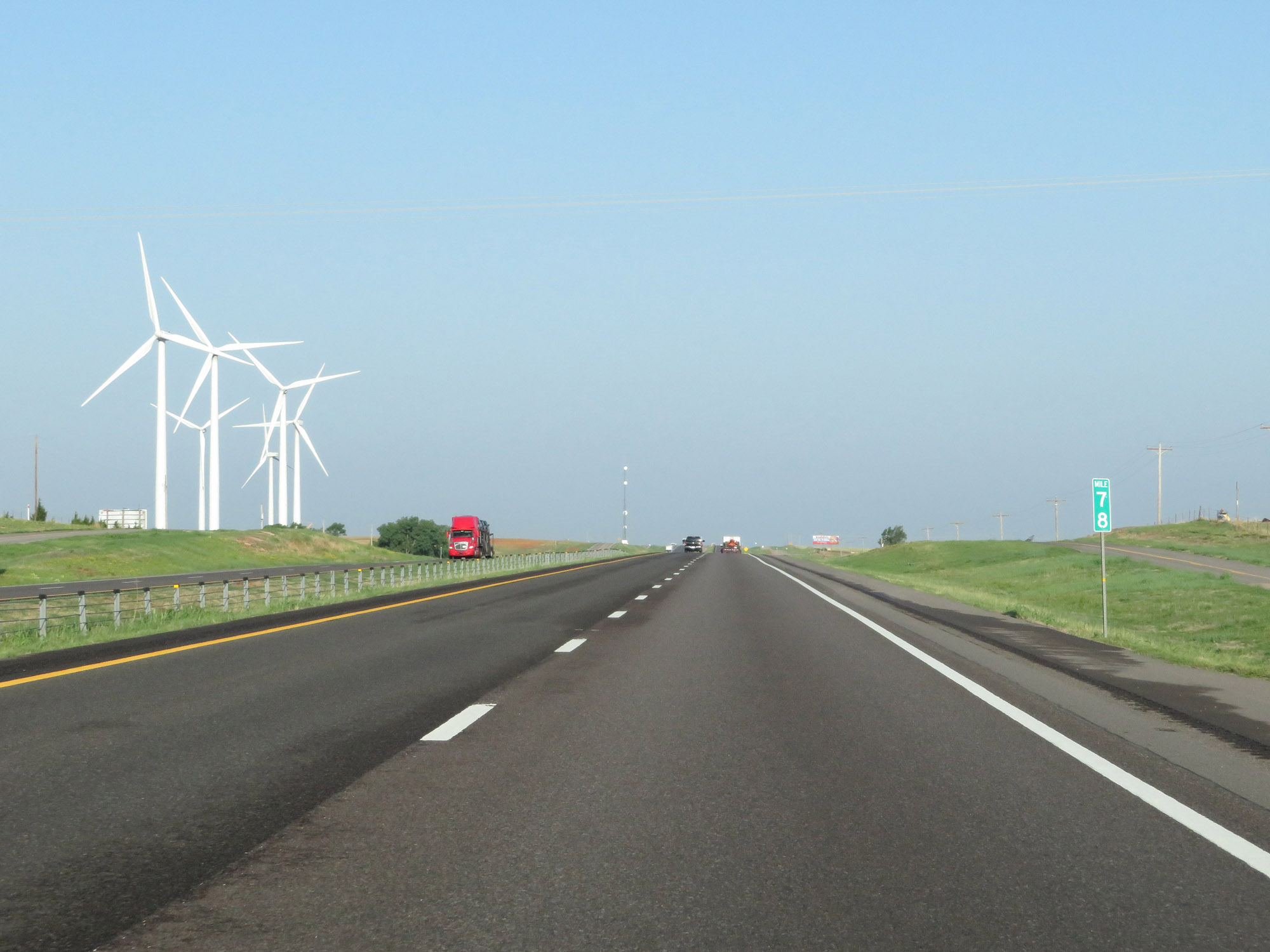 |
View on Interstate 40 West at mile marker 78. (Photo taken 5/19/18). |
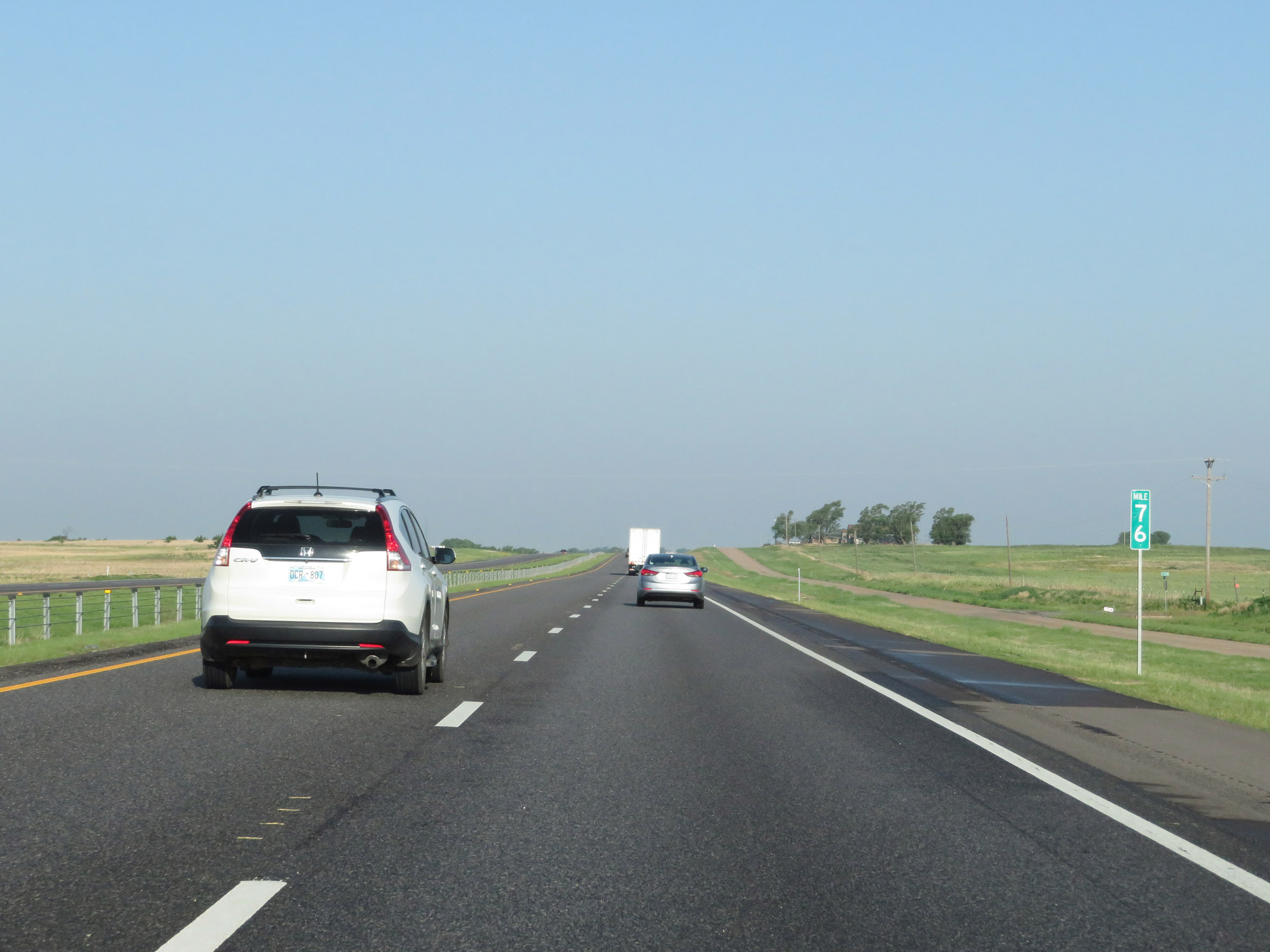 |
Interstate 40 West at mile marker 76. (Photo taken 5/19/18). |
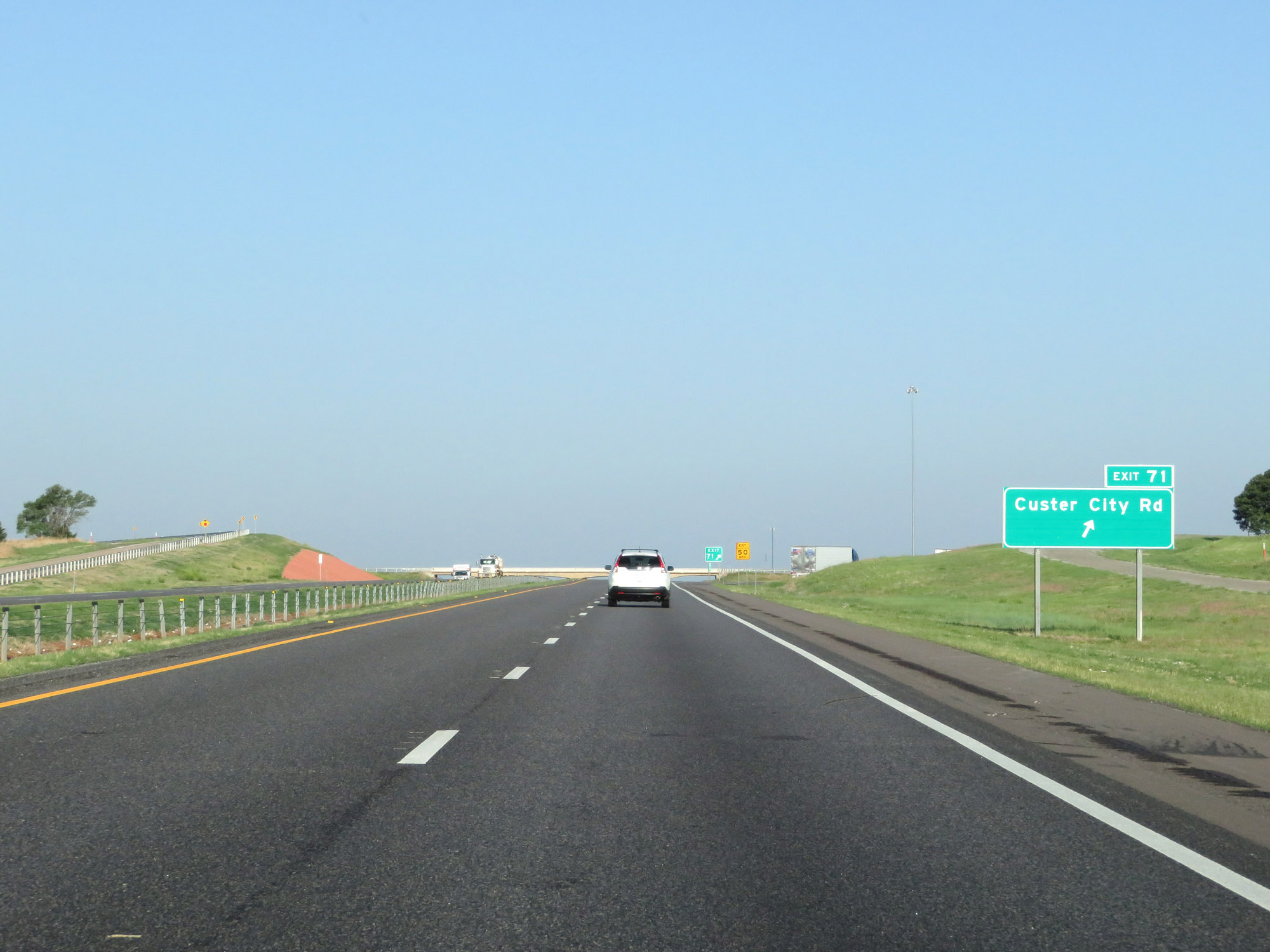 |
Interstate 40 West at Exit 71: Custer City Rd (Photo taken 5/19/18). |
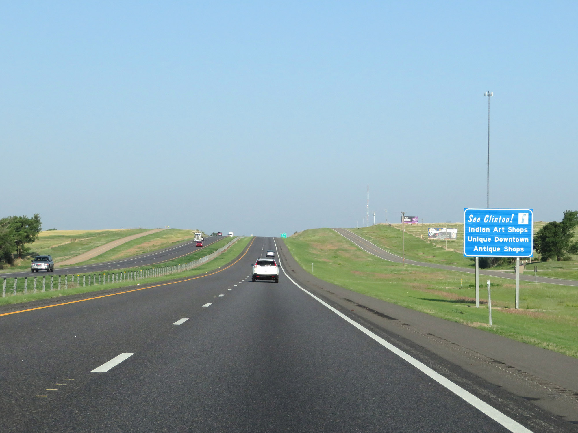 |
See Clinton! sign on Interstate 40 West. Things to see in Clinton include Indian art shops, a unique downtown, and antique shops. (Photo taken 5/19/18). |
 |
Interstate 40 West at Exit 69: Interstate 40 Business Loop - Clinton (Photo taken 5/19/18). |
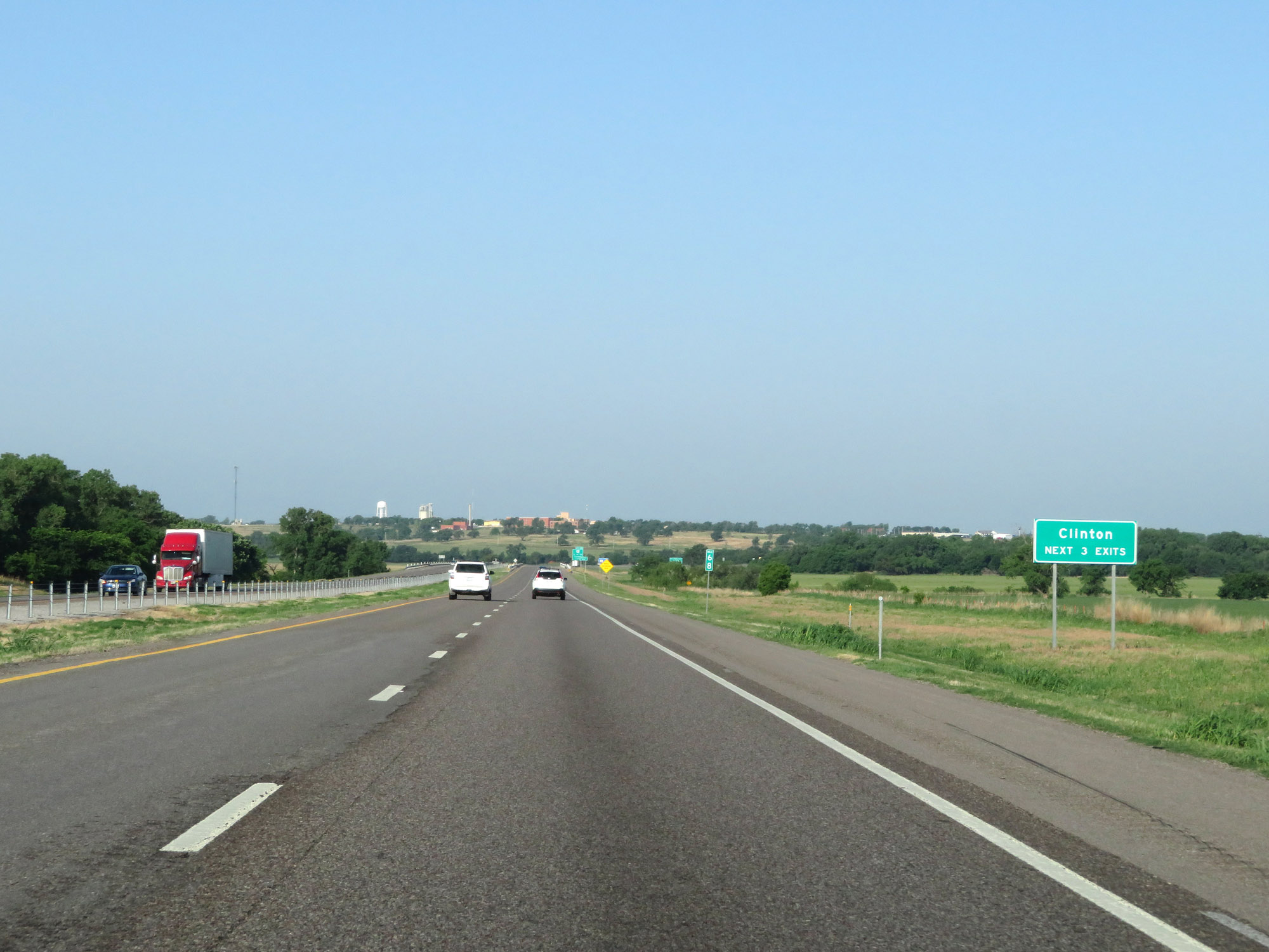 |
Take any of the next 3 exits to Clinton. (Photo taken 5/19/18). |
 |
Take Exit 66 to General Tommy Franks Leadership Institute & Museum. (Photo taken 5/19/18). |
 |
Also take Exit 66 to Cordell National Historic District & Courthouse Square. (Photo taken 5/19/18). |
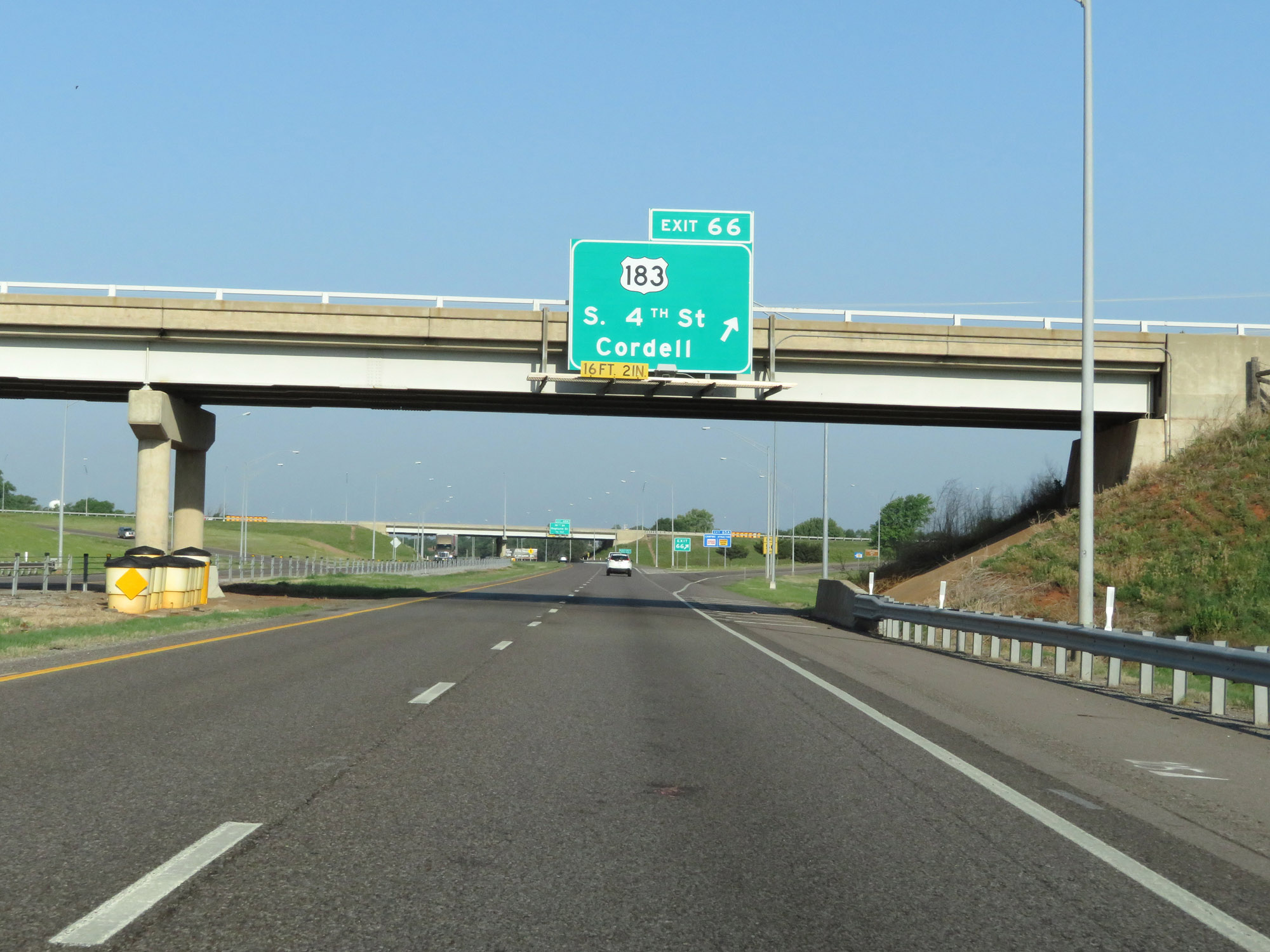 |
Interstate 40 West at Exit 66: US 183 - S 4th St / Cordell (Photo taken 5/19/18). |
 |
Interstate 40 West at Exit 65A: 10th St / Neptune Dr (Photo taken 5/19/18). |
 |
Take Exit 65 to the Oklahoma Route 66 Museum. (Photo taken 5/19/18). |
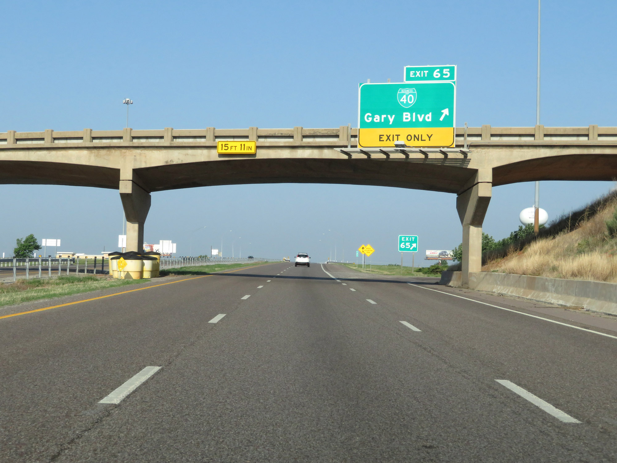 |
Interstate 40 West at Exit 65: Interstate 40 Business Loop - Gary Blvd (Photo taken 5/19/18). |
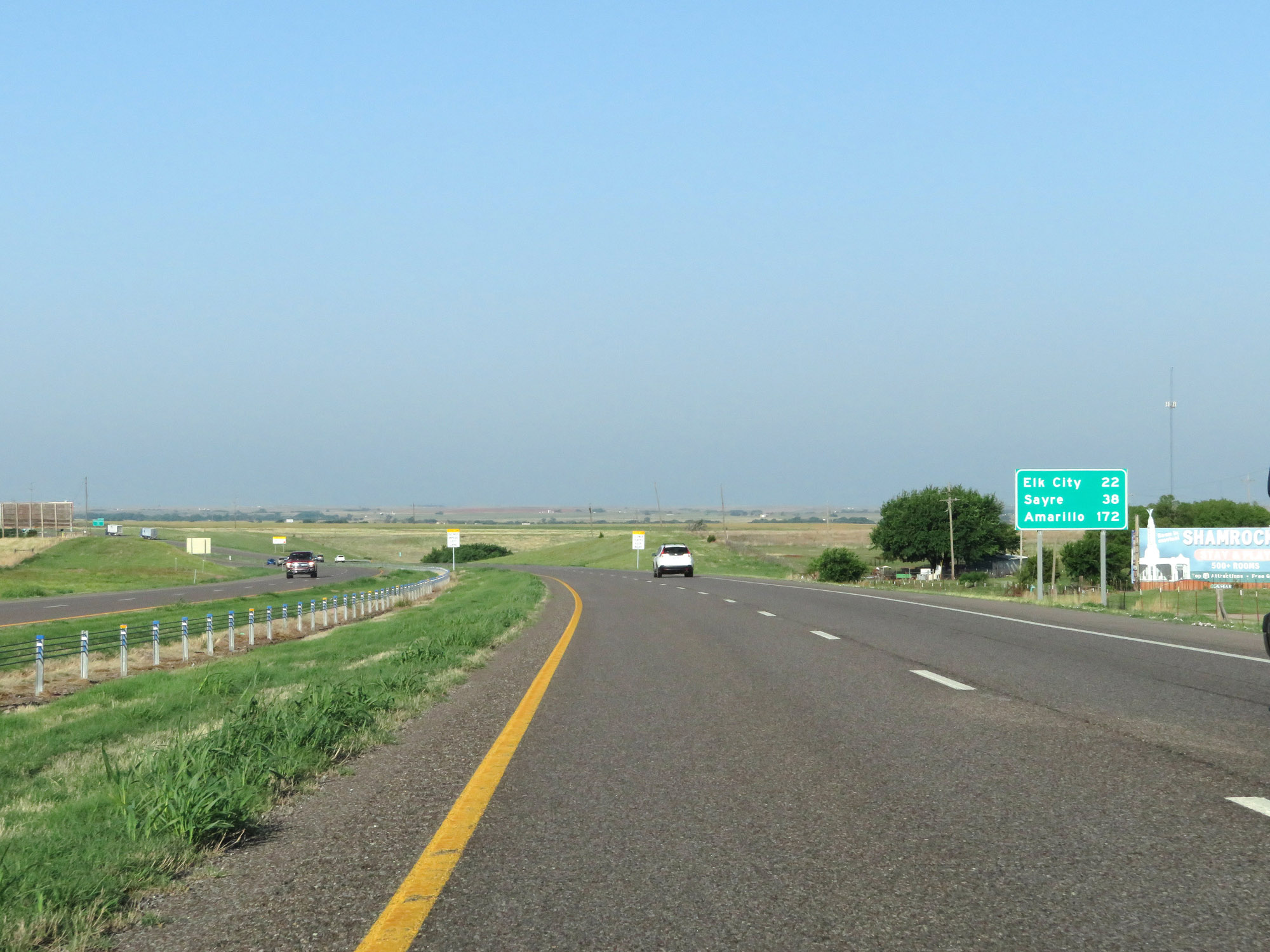 |
Mileage sign on Interstate 40 West. It's 22 miles to Elk City, 38 miles to Sayre, and 172 miles to Amarillo. (Photo taken 5/19/18). |
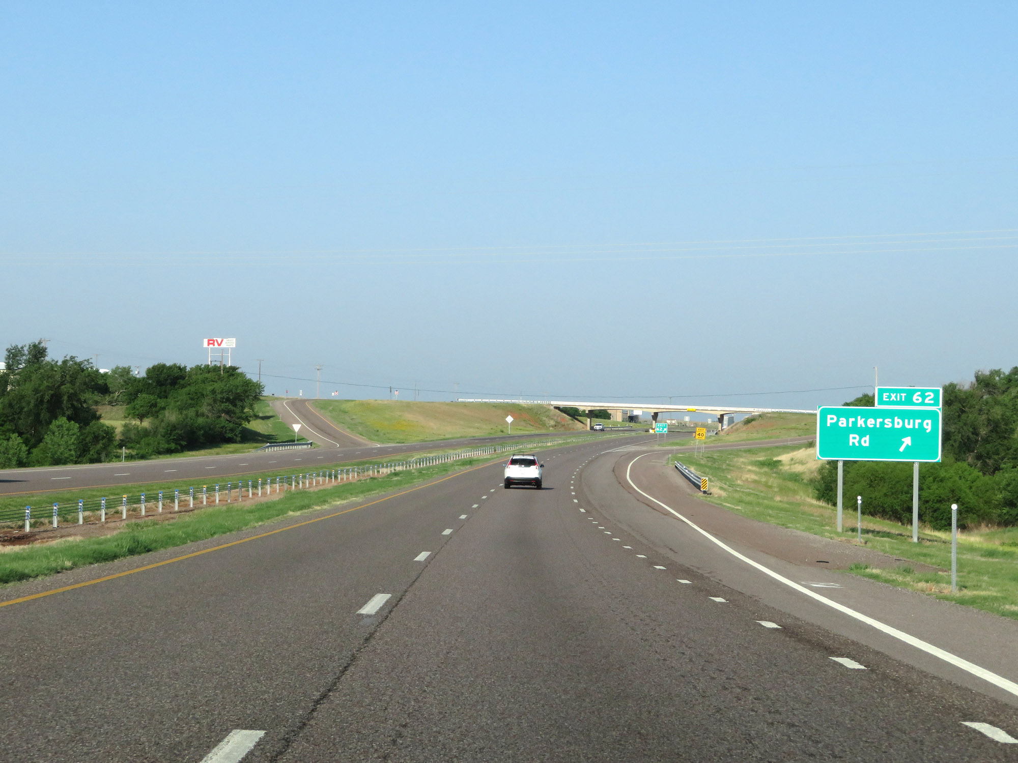 |
Interstate 40 West at Exit 62: Parkersburg Rd (Photo taken 5/19/18). |
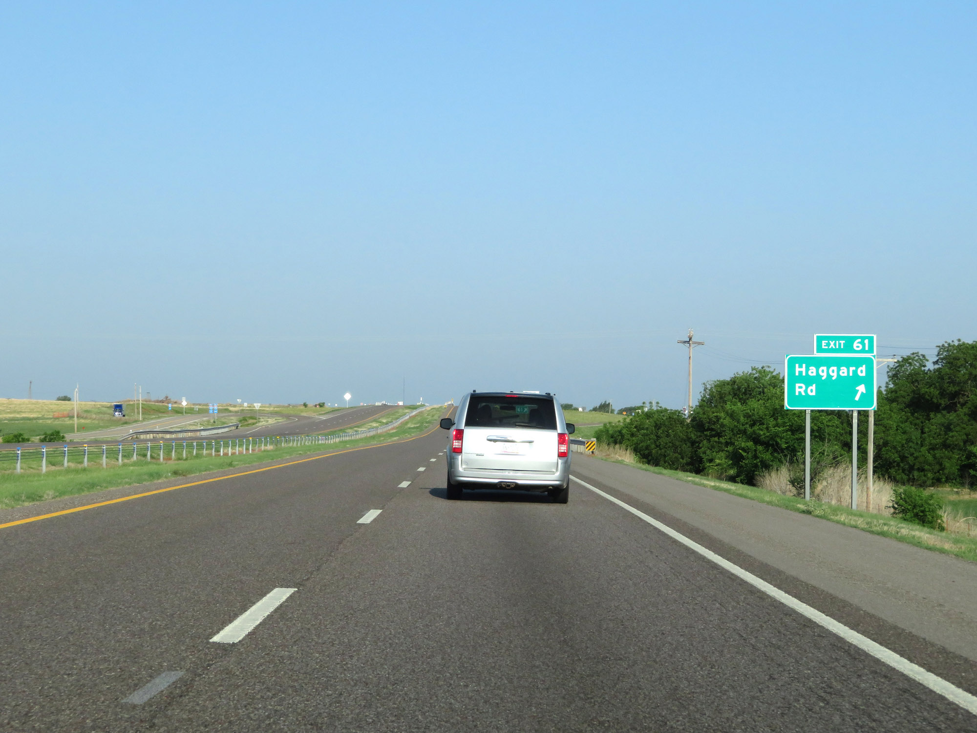 |
Interstate 40 West at Exit 61: Haggard Rd (Photo taken 5/19/18). |
 |
Interstate 40 West at Exit 57: Stafford Rd (Photo taken 5/19/18). |
 |
The speed limits remain 70 mph maximum and 40 mph minimum. (Photo taken 5/19/18). |
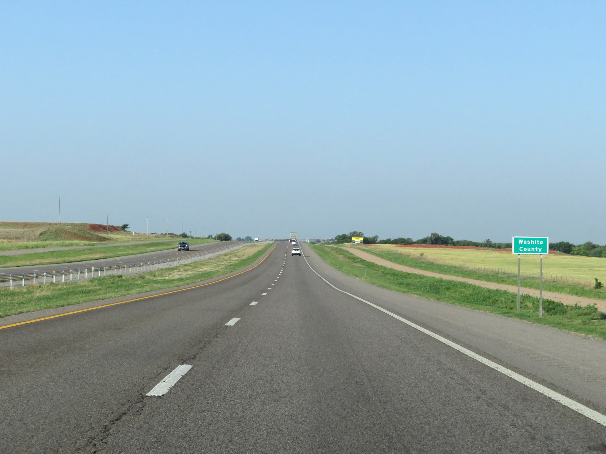 |
Interstate 40 West as it enters Washita County. (Photo taken 5/19/18). |
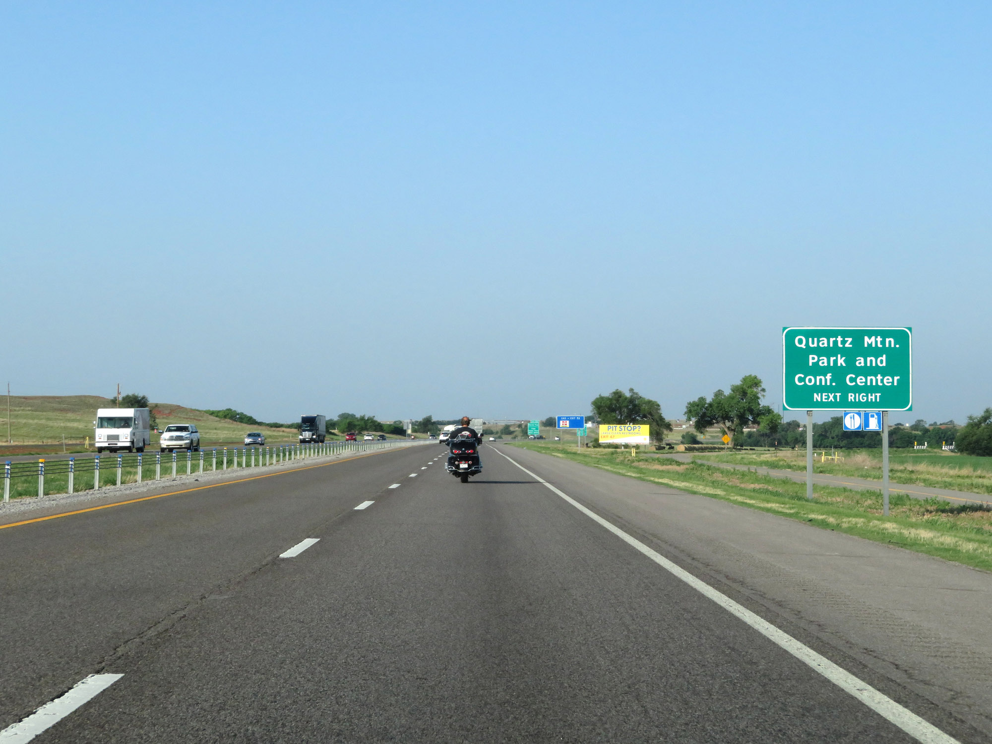 |
Take Exit 53 to Quartz Mountain Park and Conference Center. (Photo taken 5/19/18). |
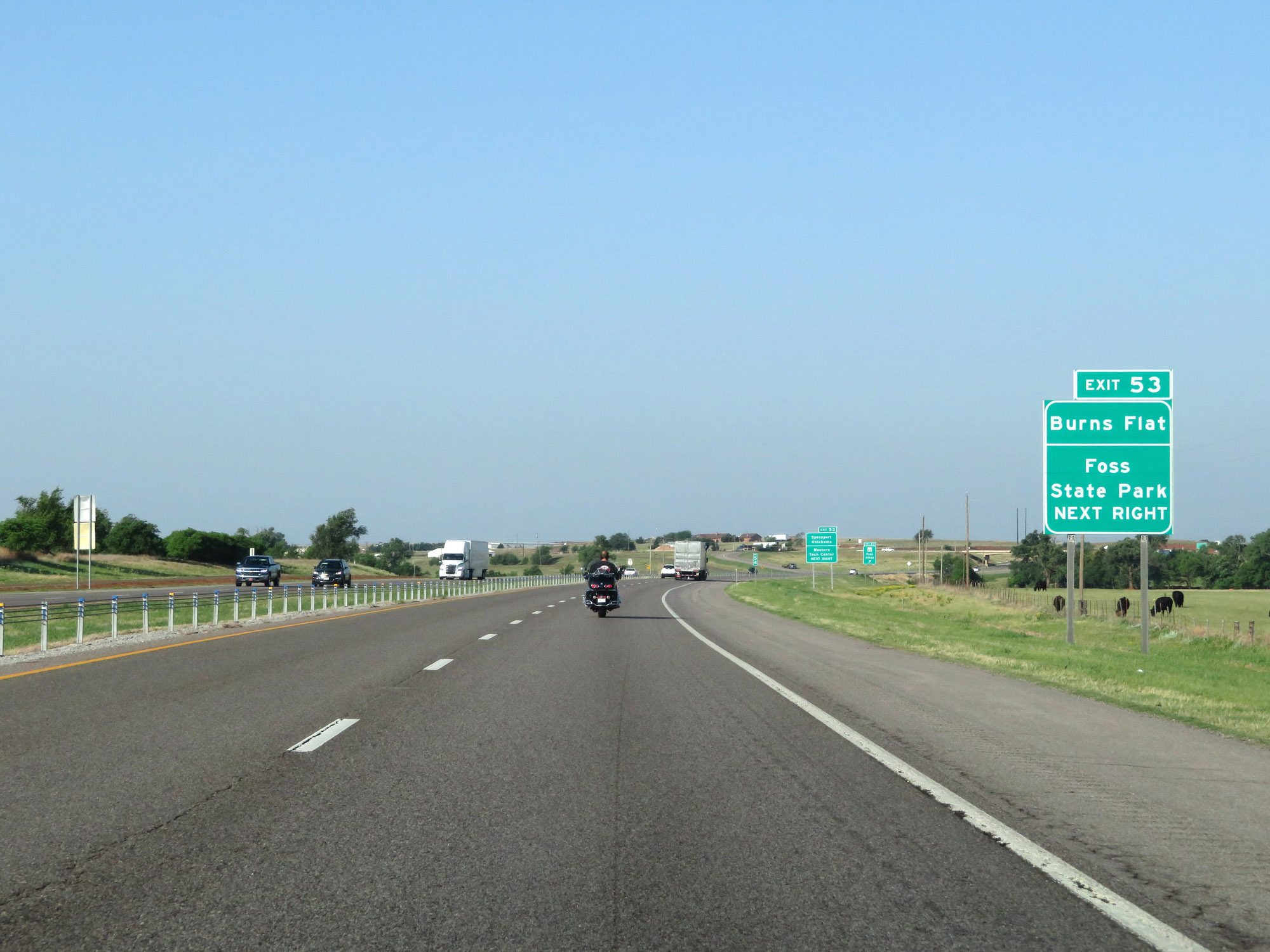 |
Also take Exit 53 to Burns Flat and Foss State Park. (Photo taken 5/19/18). |
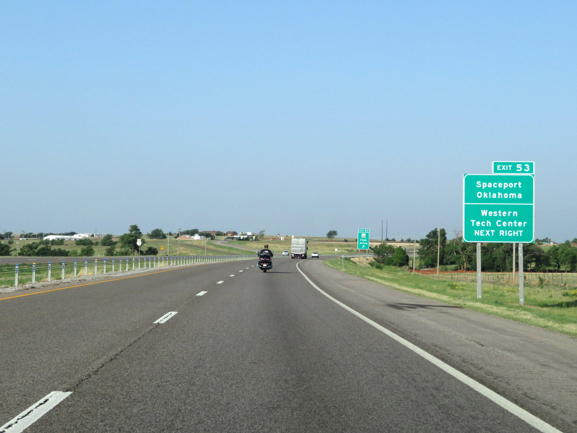 |
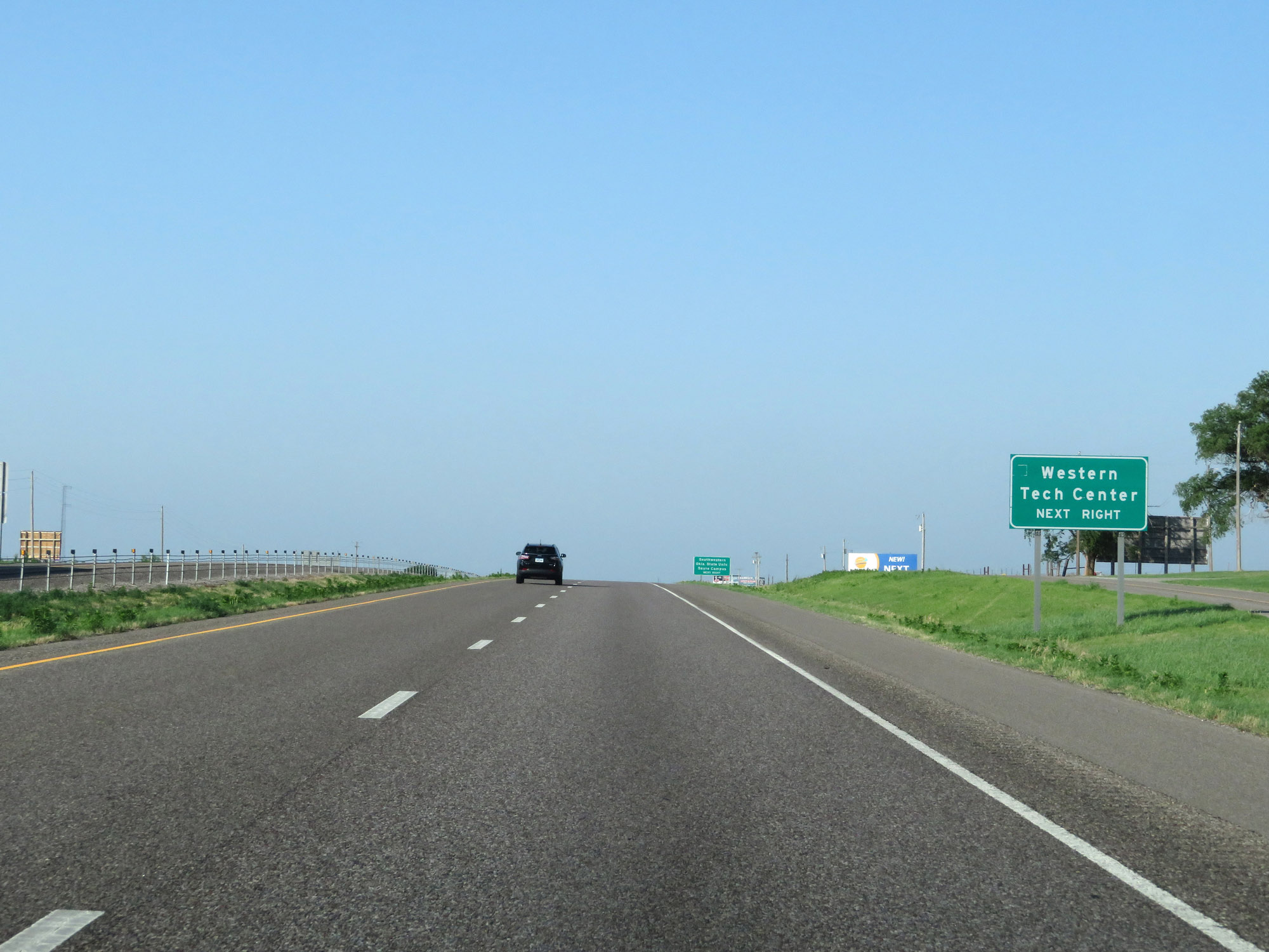
Take Exit 53 to Spaceport Oklahoma and Western Tech Center as well. (Photo taken 5/19/18). |
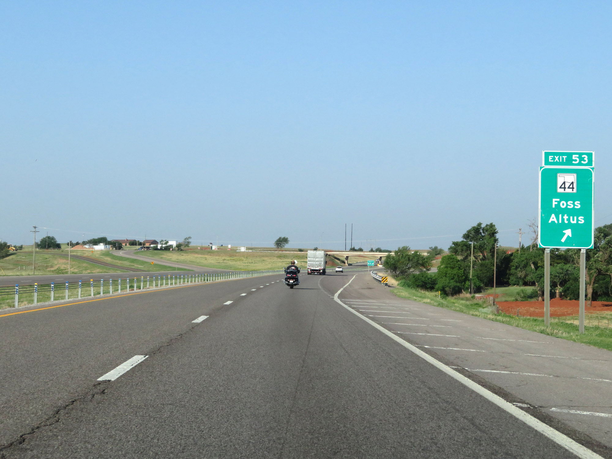 |
Interstate 40 West at Exit 53: OK 44 - Foss / Altus (Photo taken 5/19/18). |
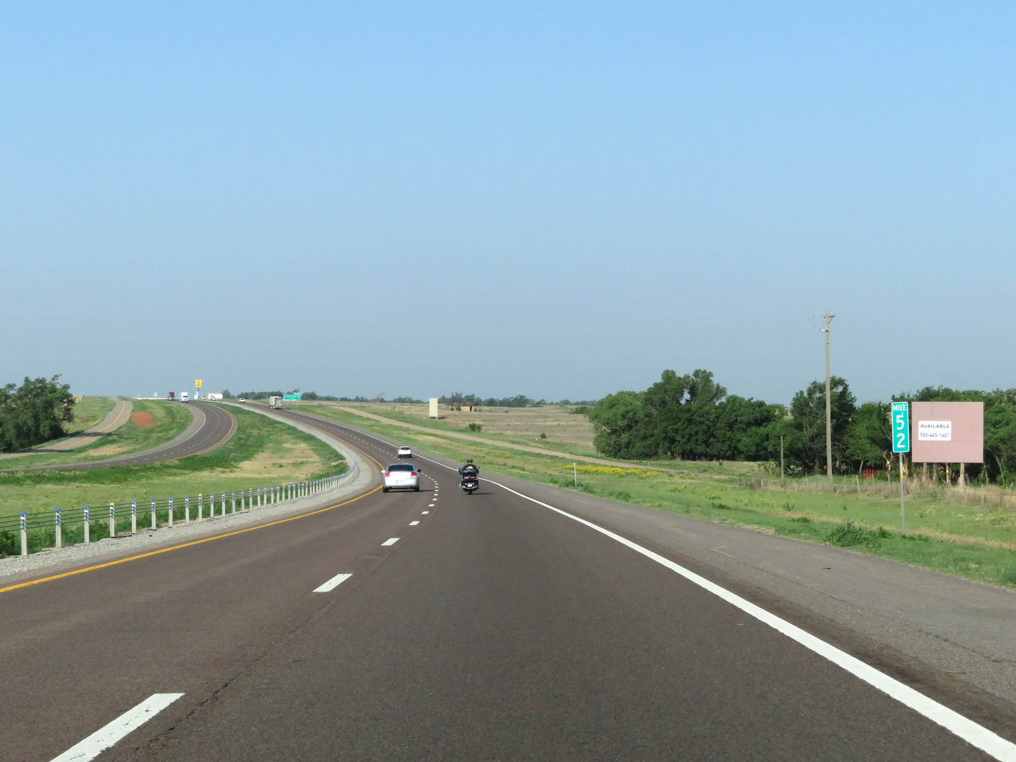 |
View on Interstate 40 West at mile marker 52. (Photo taken 5/19/18). |
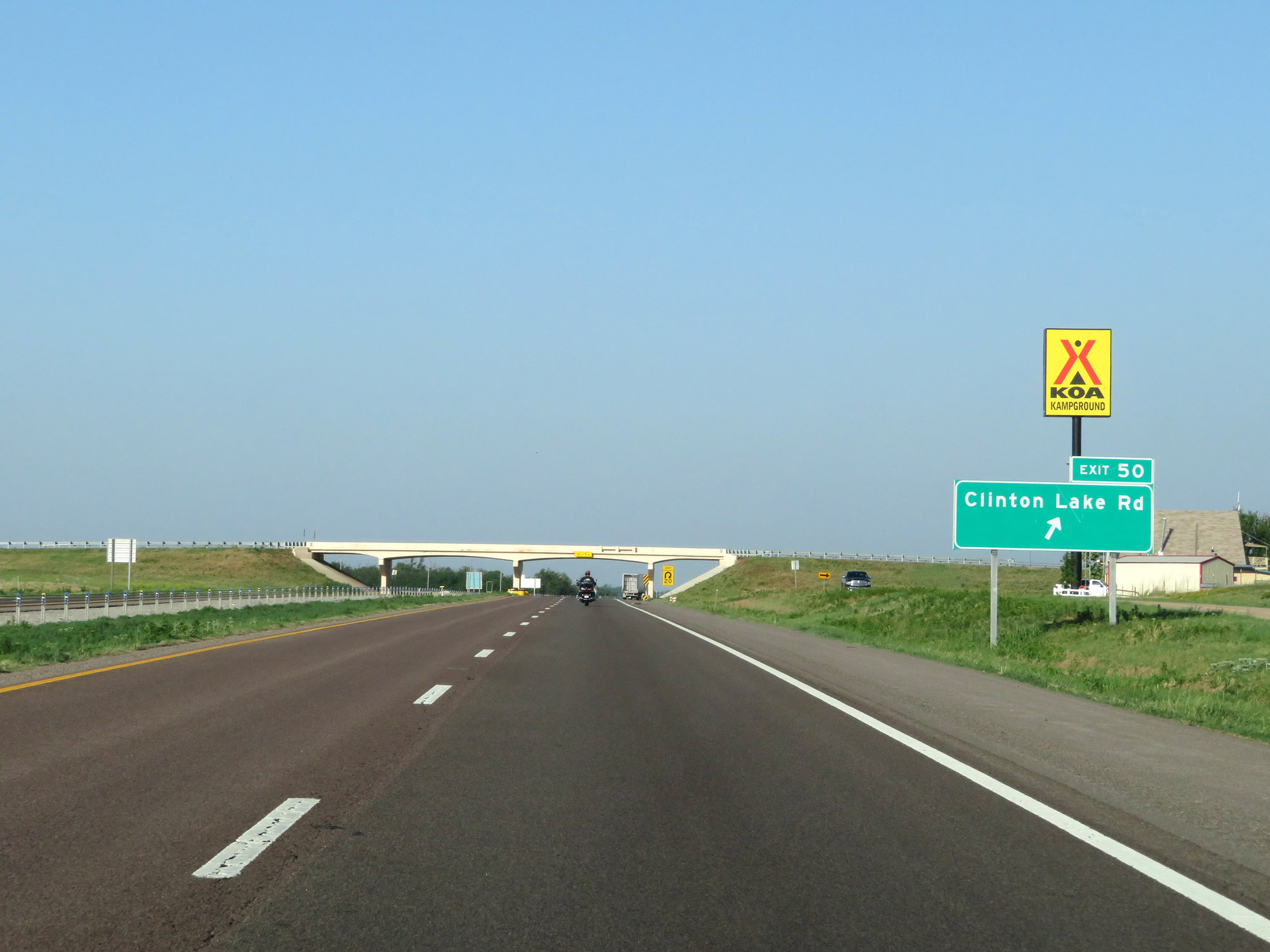 |
Interstate 40 West at Exit 50: Clinton Lake Rd (Photo taken 5/19/18). |
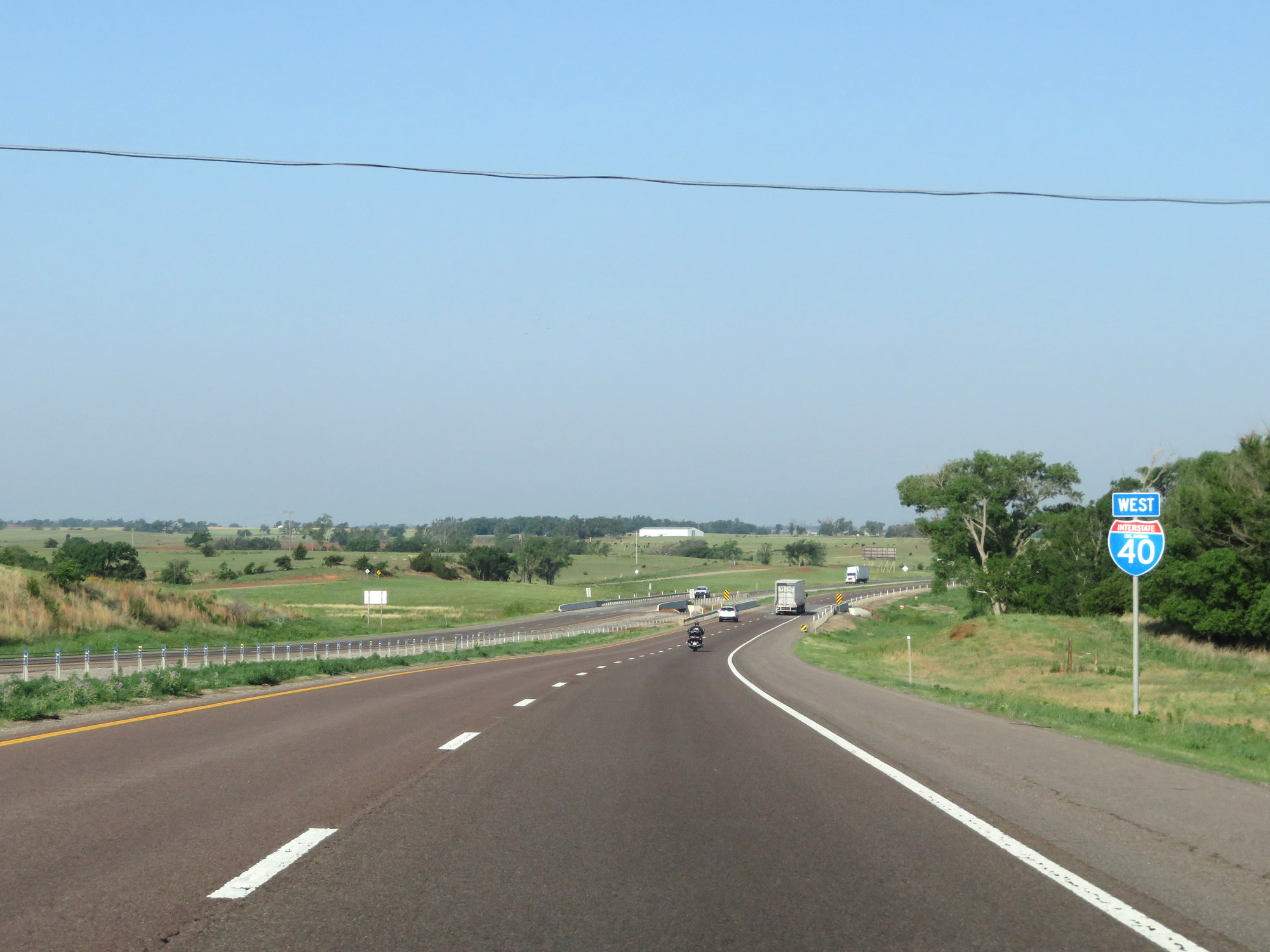 |
State-named Interstate 40 West reassurance shield. (Photo taken 5/19/18). |
 |
Interstate 40 West at Exit 47: Canute (Photo taken 5/19/18). |
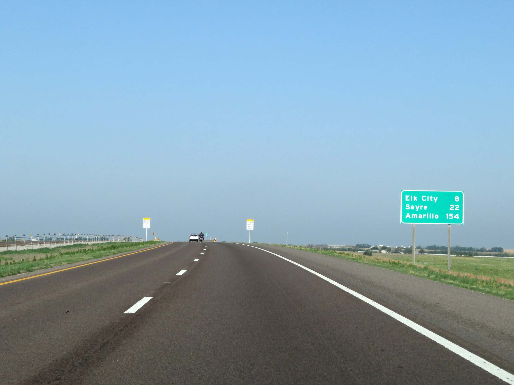 |
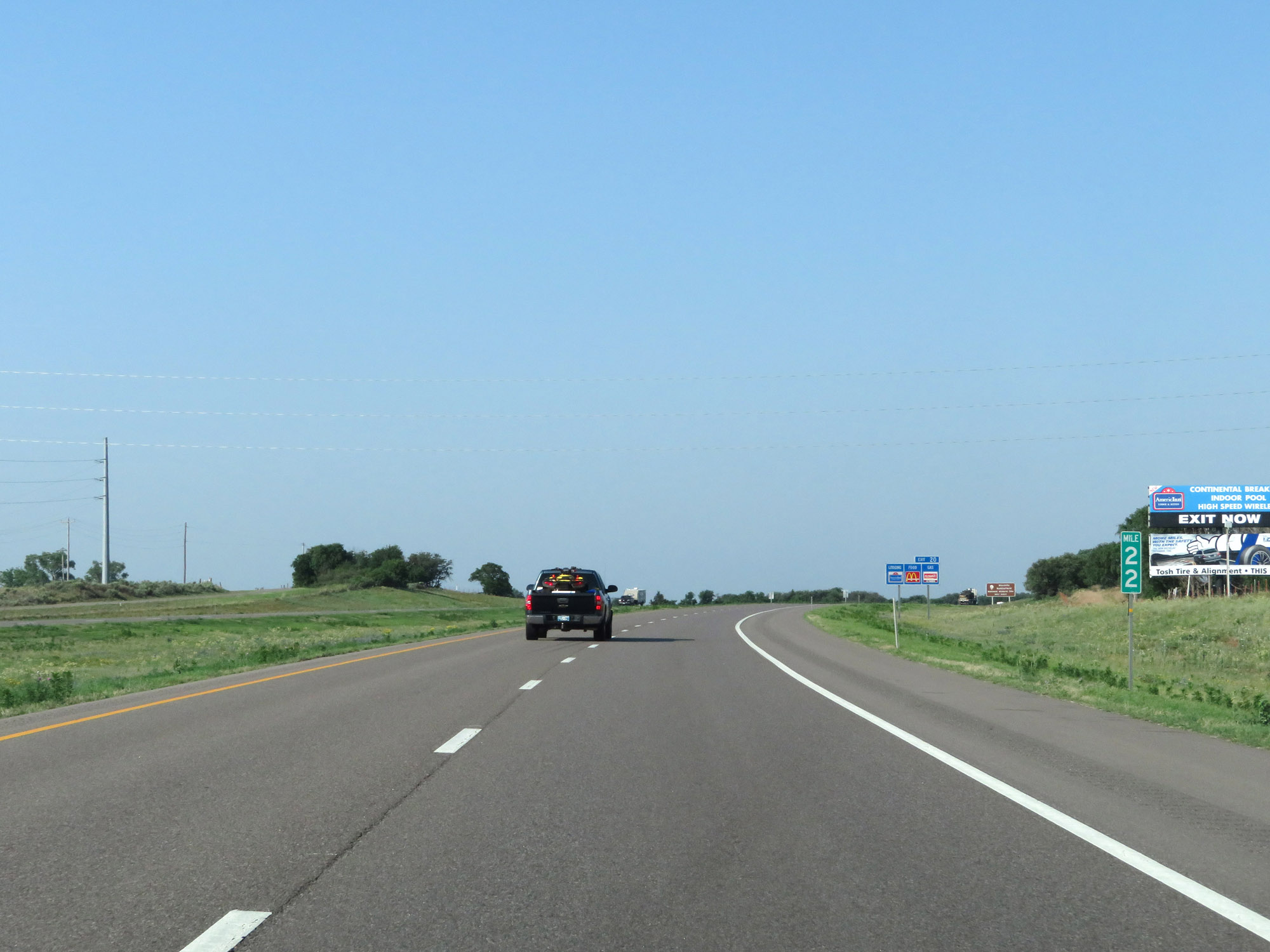
Mileage sign on Interstate 40 West. It's 8 miles to Elk City, 22 miles to Sayre, and 154 miles to Amarillo. (Photo taken 5/19/18). |
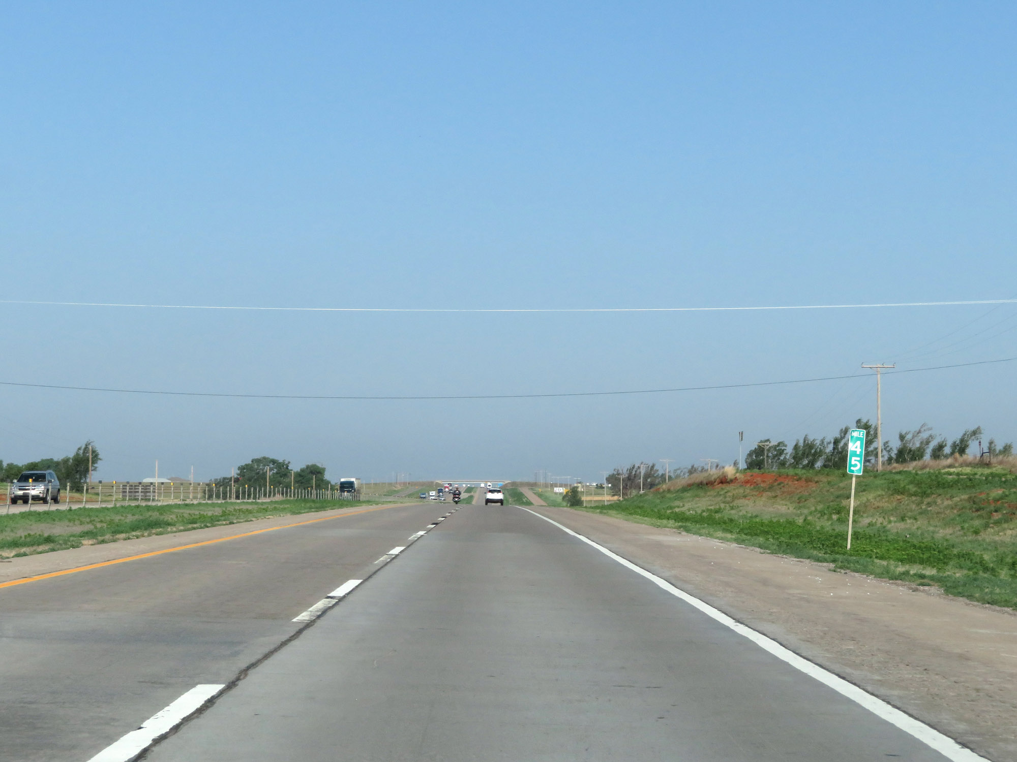 |
Interstate 40 West at mile marker 45. (Photo taken 5/19/18). |
 |
Interstate 40 West at mile marker 44. (Photo taken 5/19/18). |
 |
See Elk City! sign on Interstate 40 West. Things of interest in Elk City include Route 66, pioneer history, oil boom artifacts, dude ranches, and western heritage. (Photo taken 5/19/18). |
 |
Take any of the next 3 exits to Elk City. (Photo taken 5/19/18). |
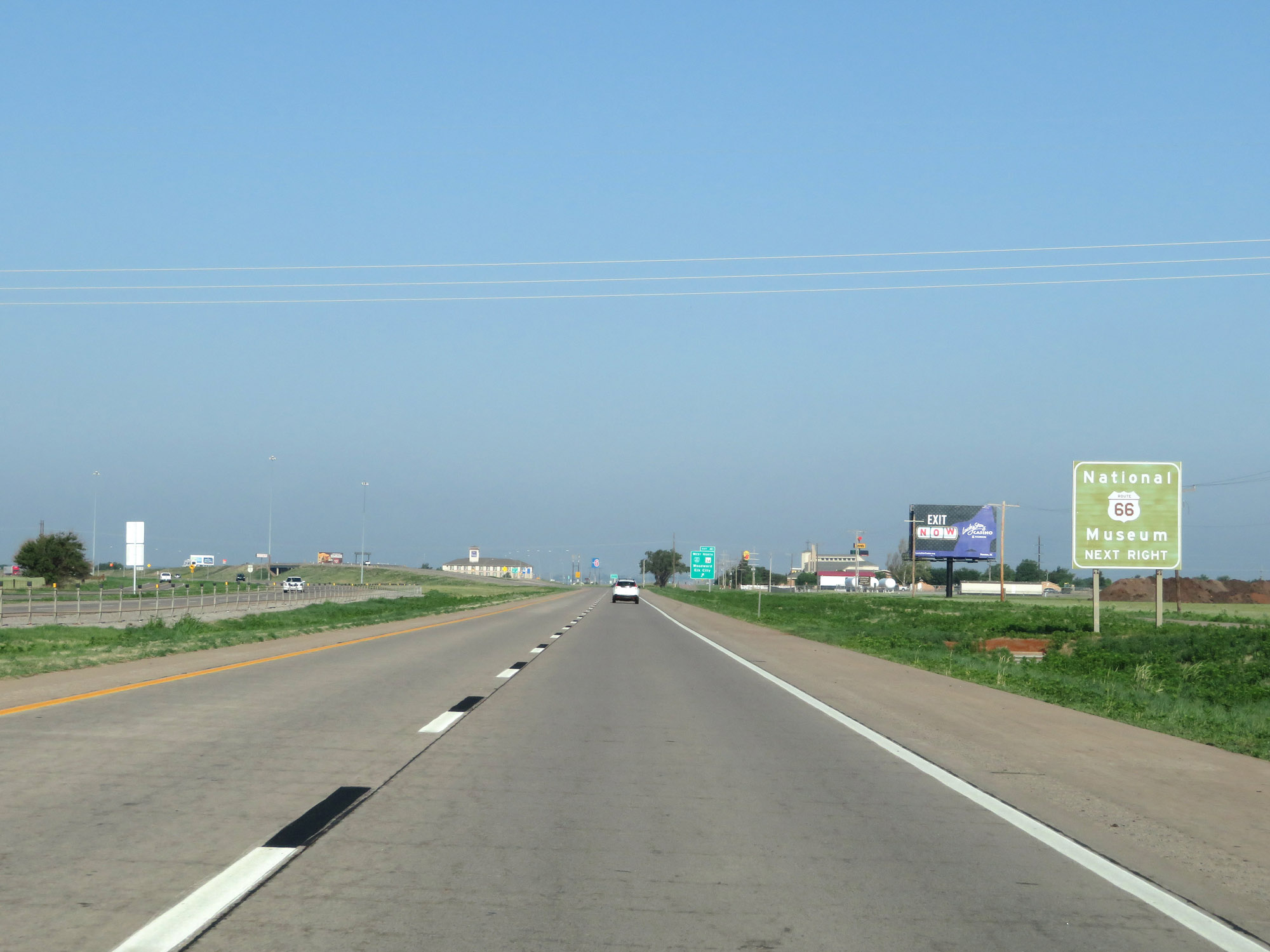 |
Take Exit 41 to the National Route 66 Museum. (Photo taken 5/19/18). |
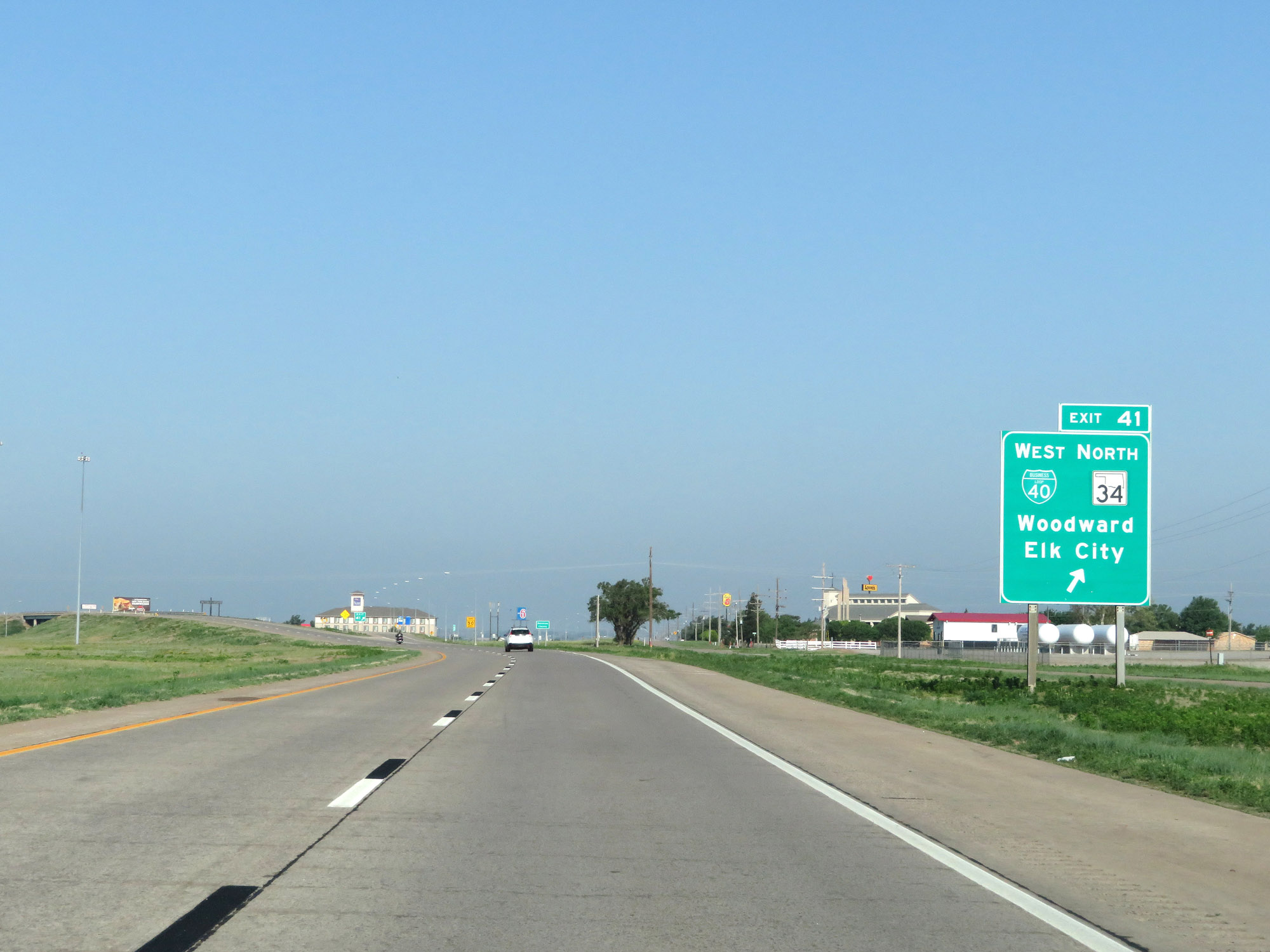 |
Interstate 40 West at Exit 41: Interstate 40 Business Loop West / OK 34 North - Woodward / Elk City (Photo taken 5/19/18). |
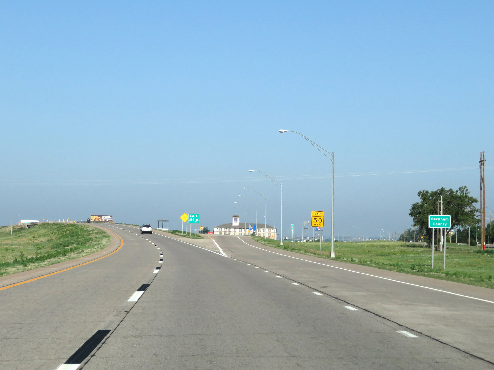 |
At Exit 41, Interstate 40 West enters Beckham County. (Photo taken 5/19/18). |
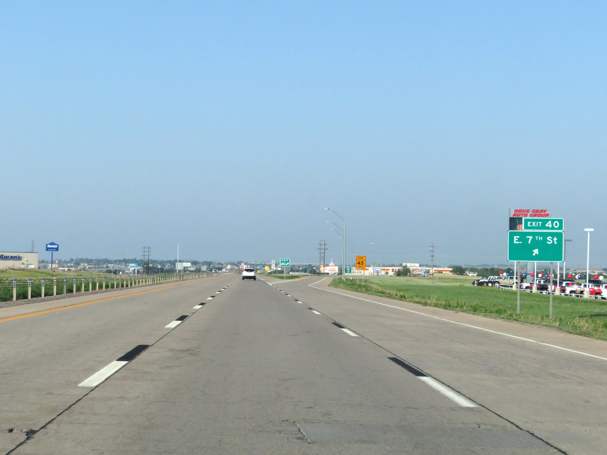 |
Interstate 40 West at Exit 40: E 7th St (Photo taken 5/19/18). |
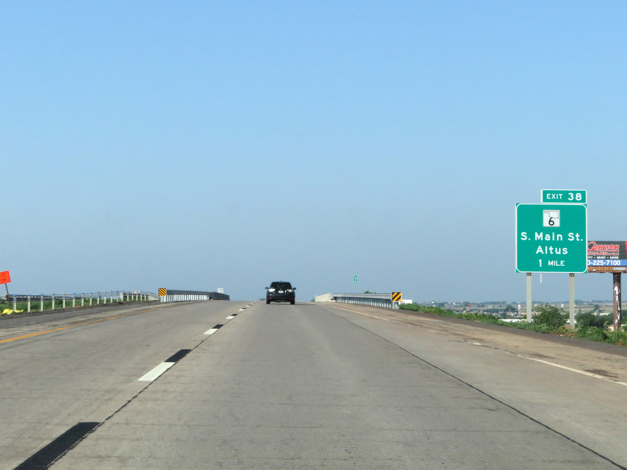 |
Interstate 40 West approaching Exit 38 - 1 mile. (Photo taken 5/19/18). |
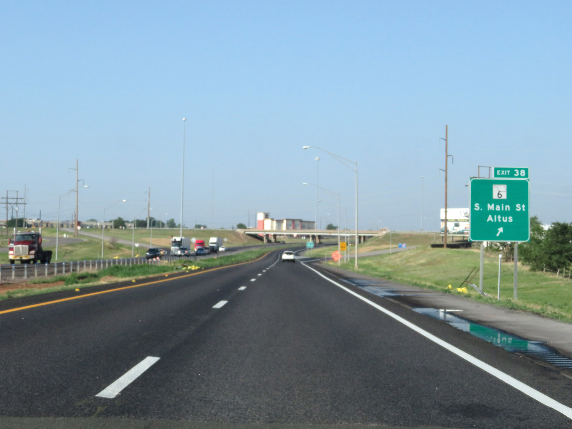 |
Interstate 40 West at Exit 38: OK 6 - S Main St / Altus (Photo taken 5/19/18). |
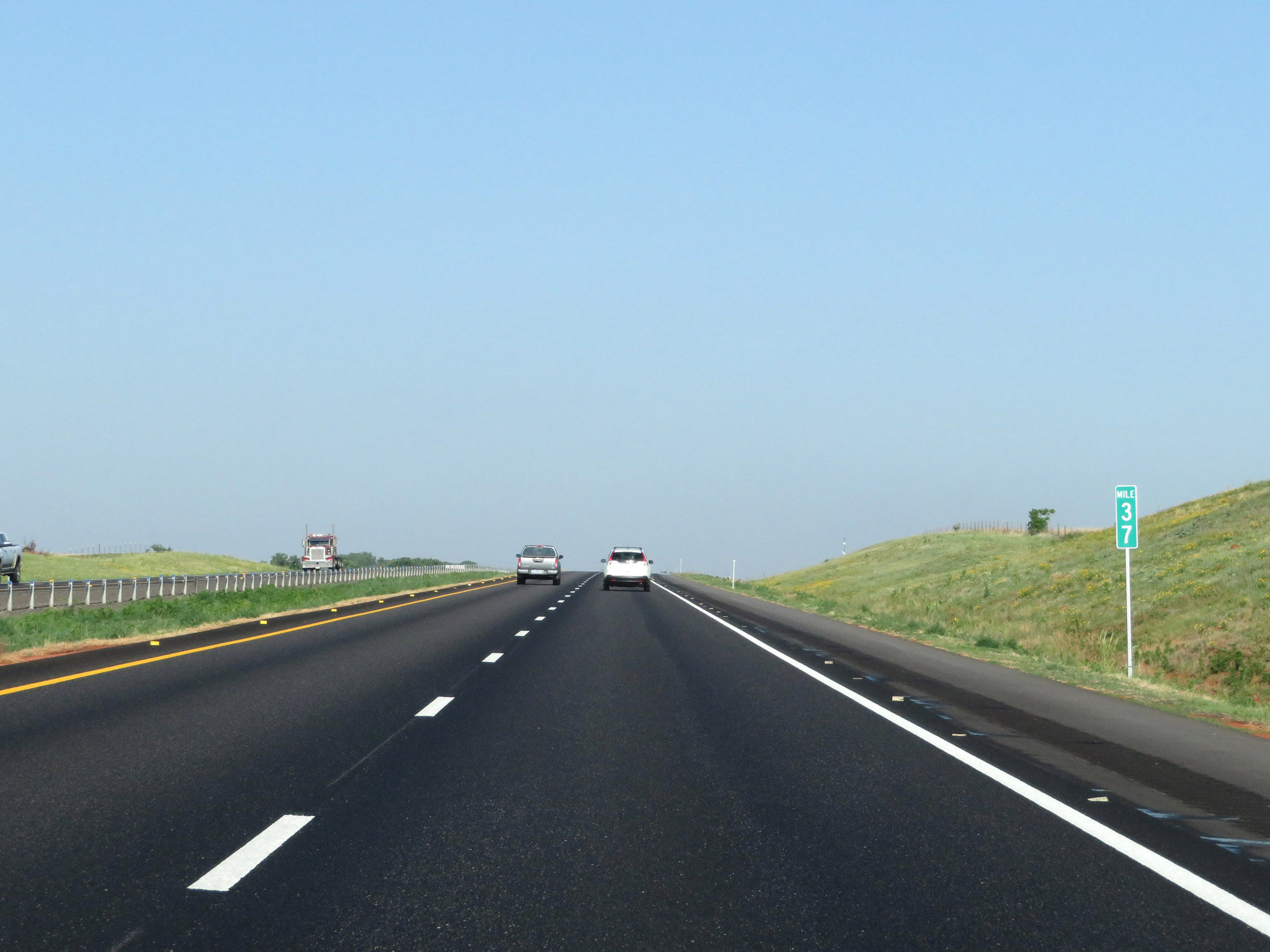 |
View on Interstate 40 West at mile marker 37. (Photo taken 5/19/18). |
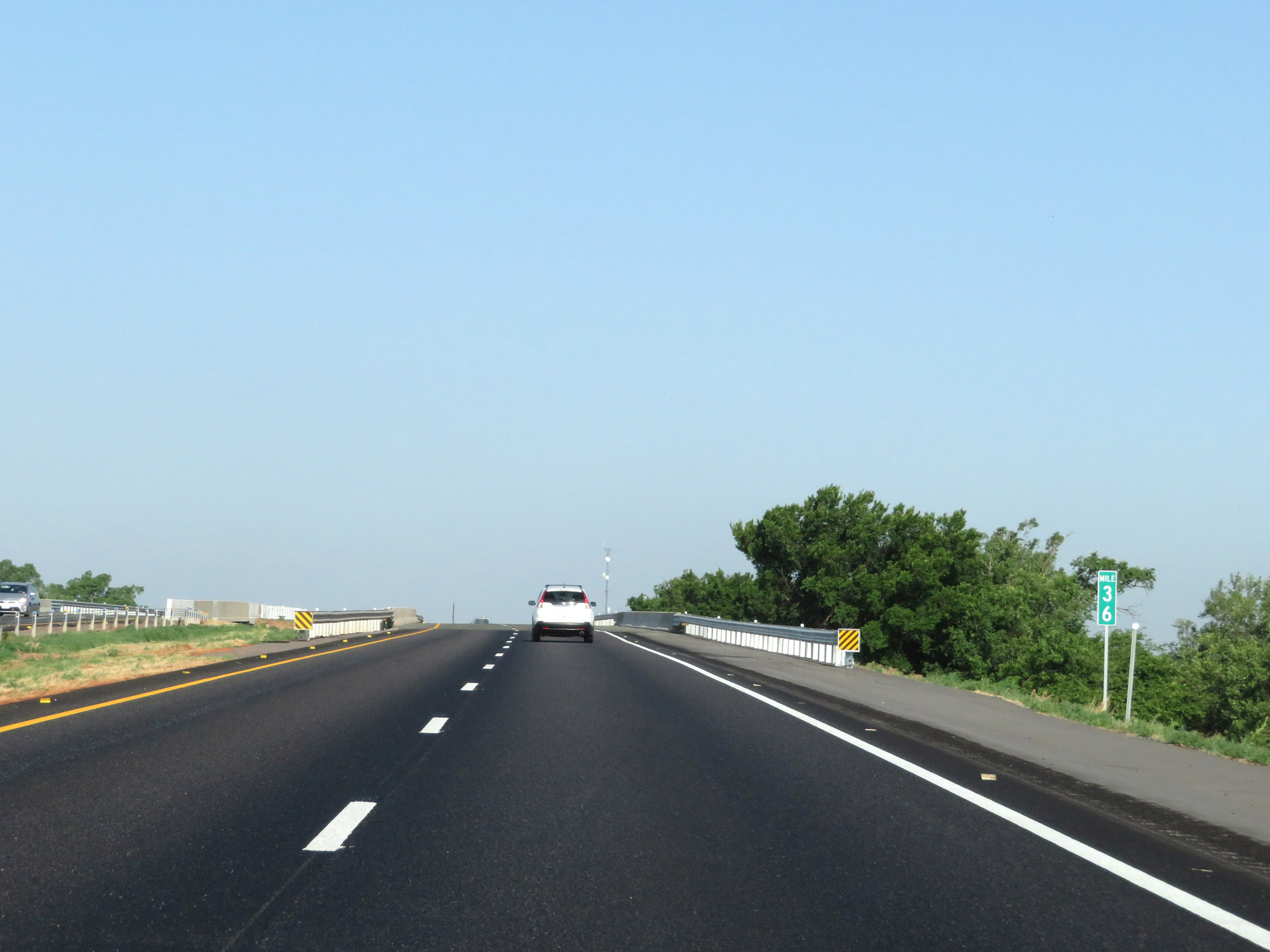 |
Interstate 40 West at mile marker 36. (Photo taken 5/19/18). |
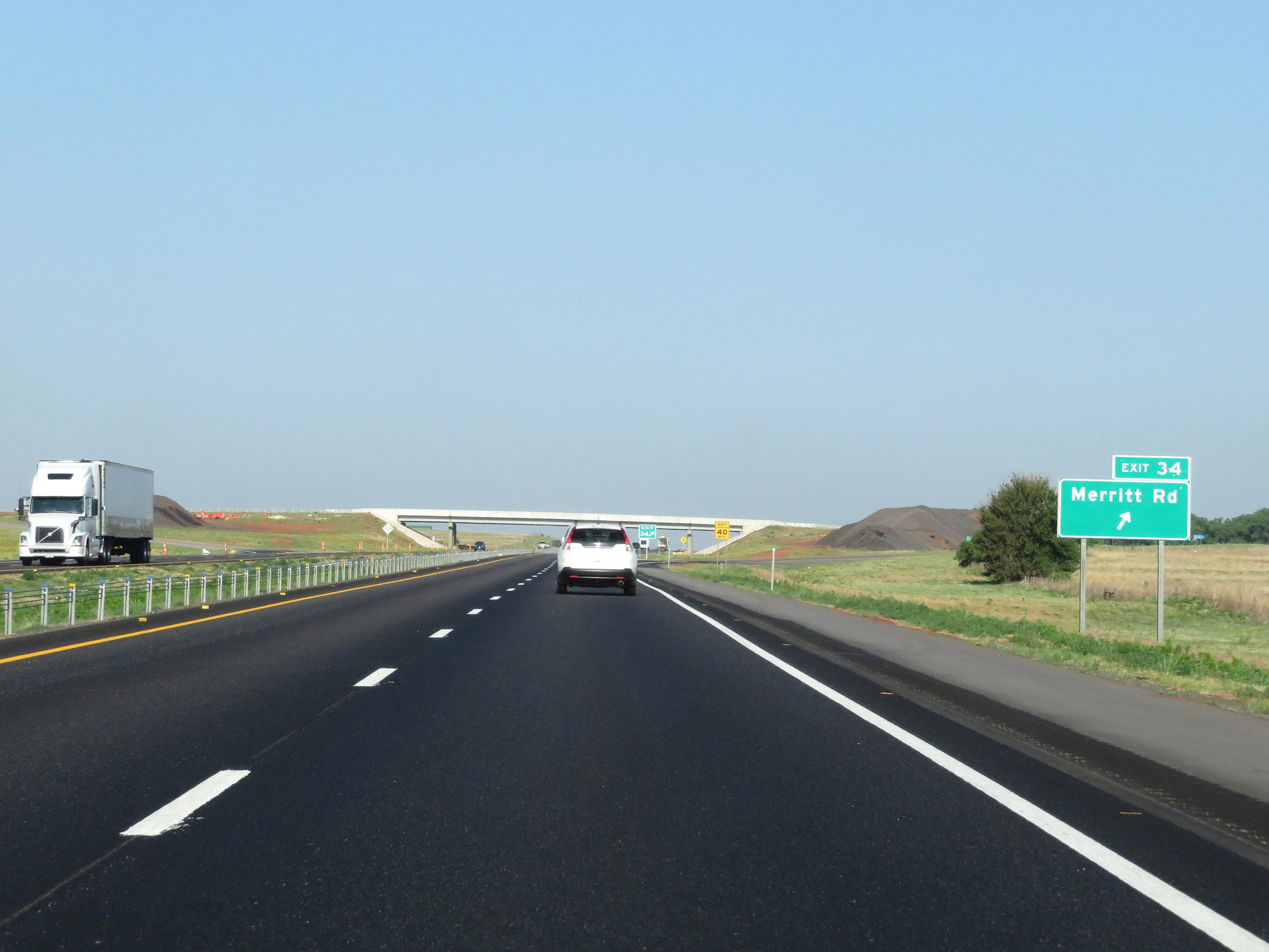 |
Interstate 40 West at Exit 34: Merritt Rd (Photo taken 5/19/18). |
 |
Interstate 40 West at Exit 32: OK 34 South - Carter / Mangum (Photo taken 5/19/18). |
 |
Another state-named Interstate 40 West reassurance shield. (Photo taken 5/19/18). |
 |
Mileage sign on Interstate 40 West. It's 7 miles to Sayre, 22 miles to Erick, and 139 miles to Amarillo. (Photo taken 5/19/18). |
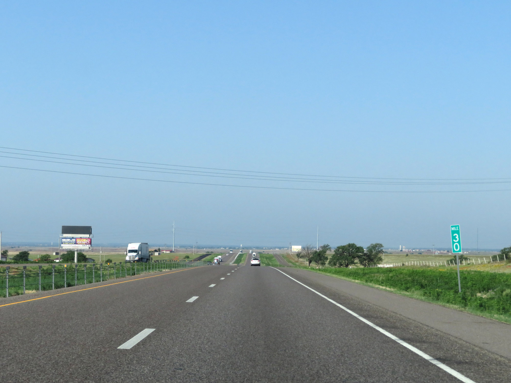 |
View on Interstate 40 West at mile marker 30. (Photo taken 5/19/18). |
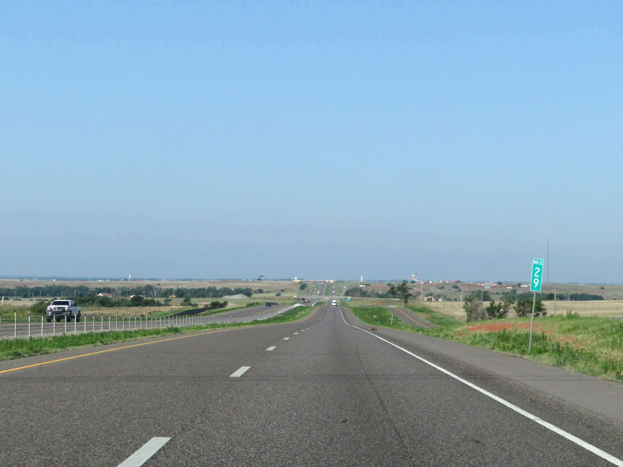 |
Interstate 40 West at mile marker 29. (Photo taken 5/19/18). |
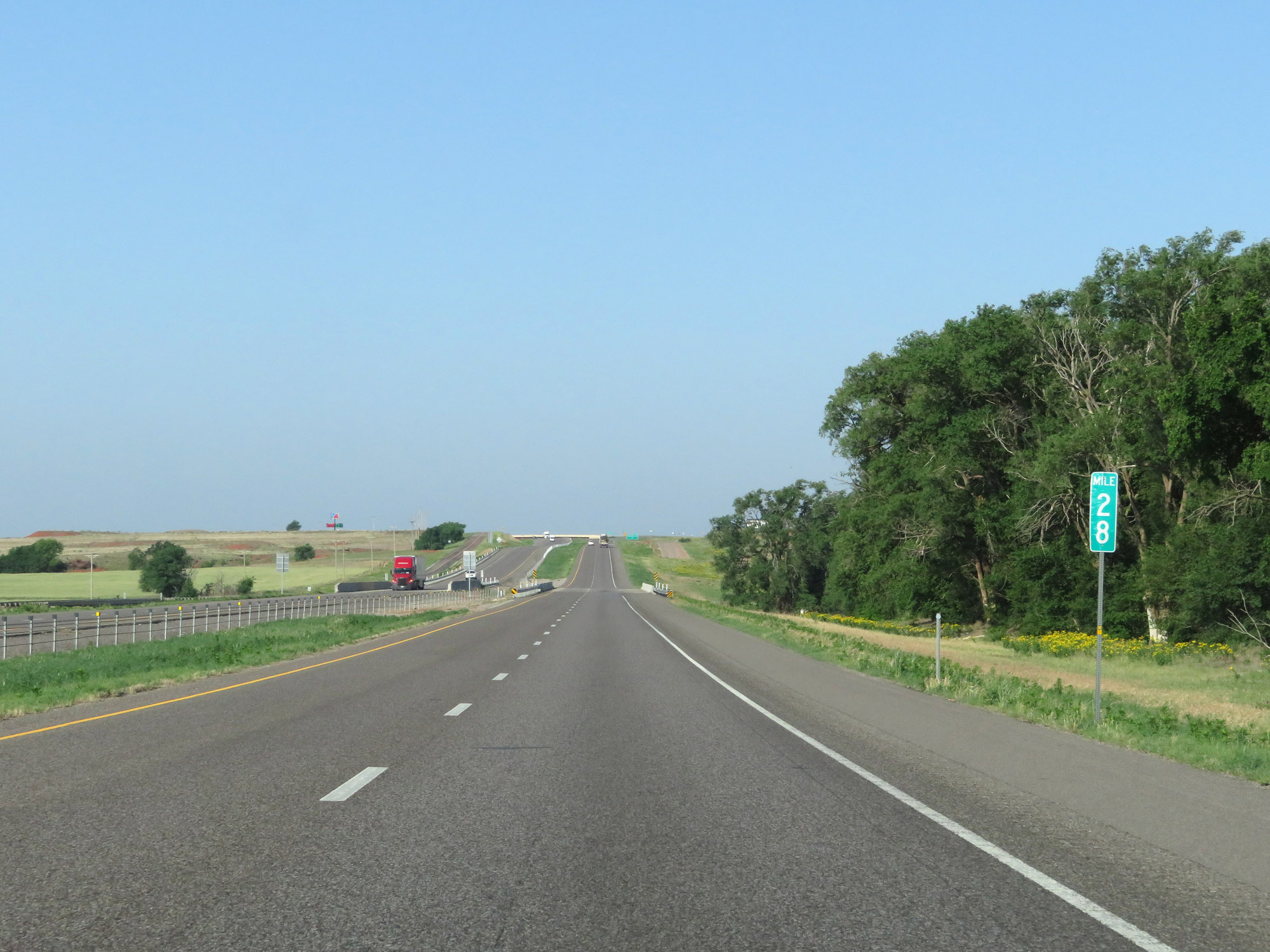 |
Interstate 40 West at mile marker 28. (Photo taken 5/19/18). |
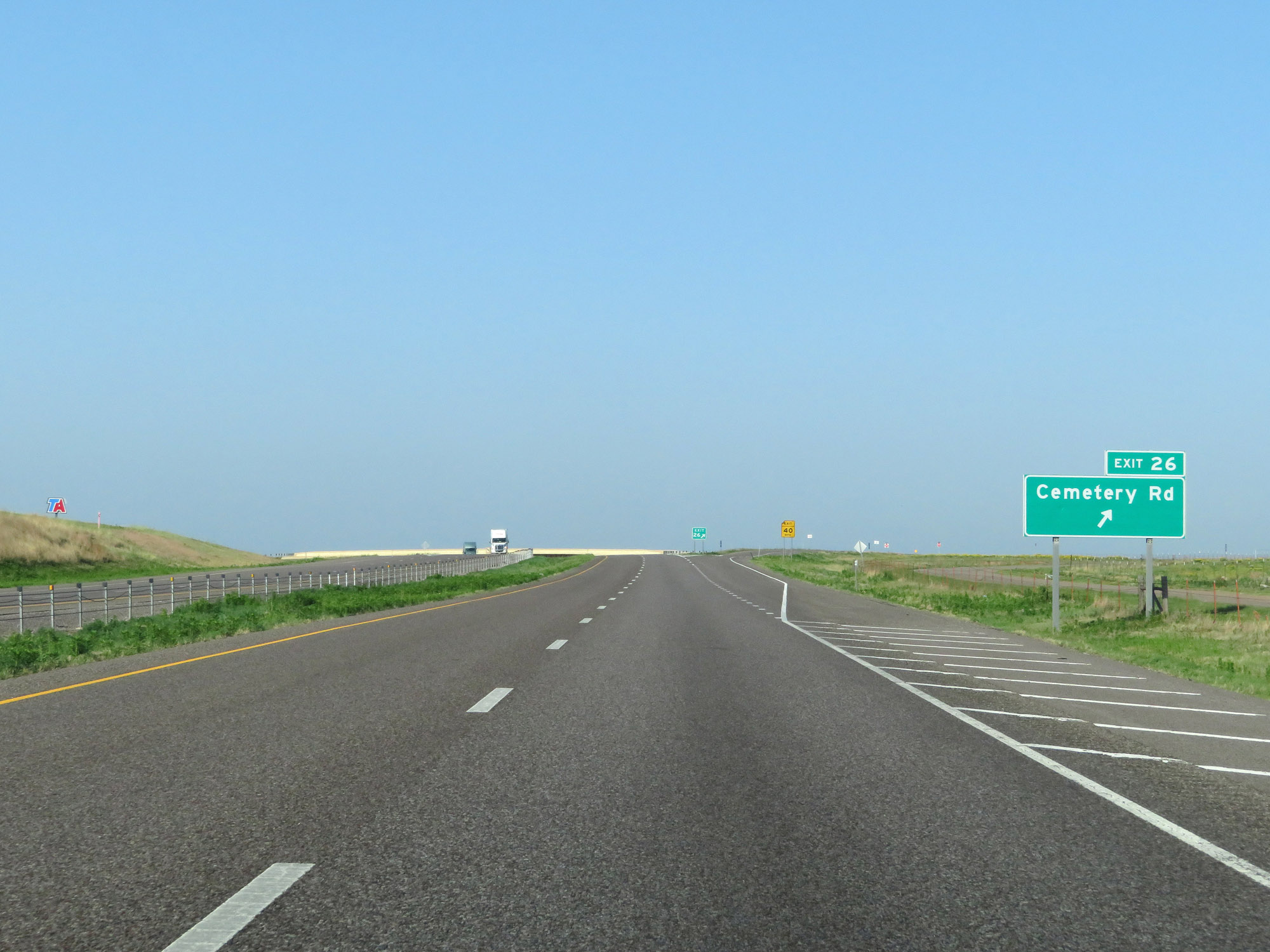 |
Interstate 40 West at Exit 26: Cemetery Rd (Photo taken 5/19/18). |
 |
Take any of the next 3 exits to Sayre. (Photo taken 5/19/18). |
 |
Take Exit 25 to Western Tech Center. (Photo taken 5/19/18). |
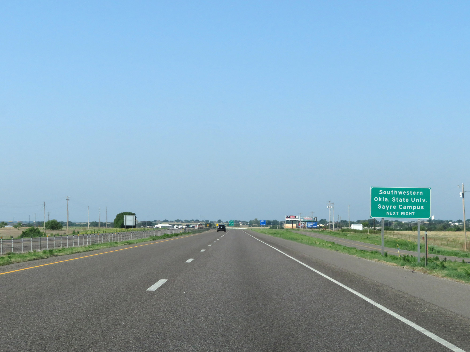 |
Also take Exit 25 to Southwestern Oklahoma State University Sayre Campus. (Photo taken 5/19/18). |
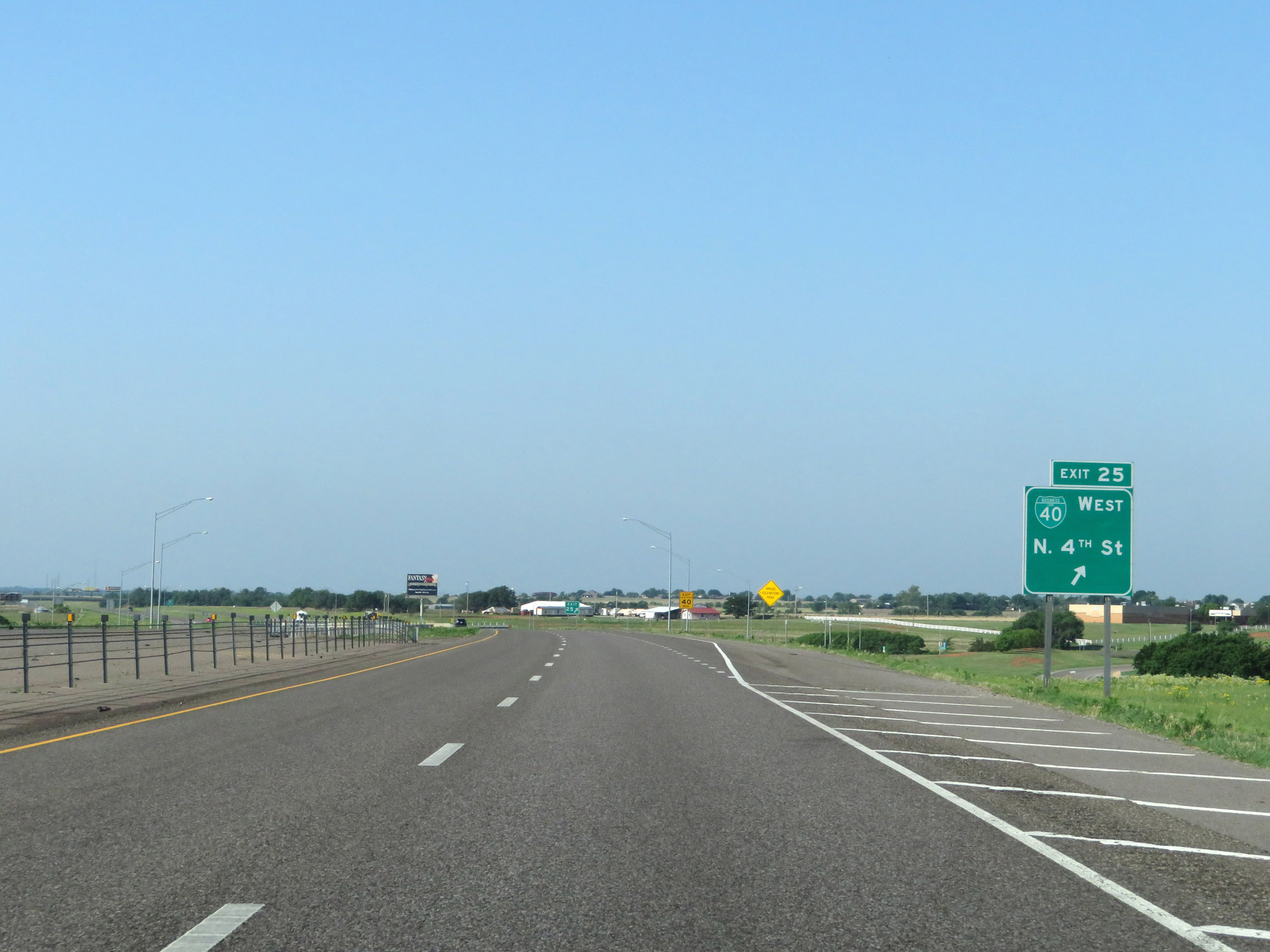 |
Interstate 40 West at Exit 25: Interstate 40 Business Loop West - N 4th St (Photo taken 5/19/18). |
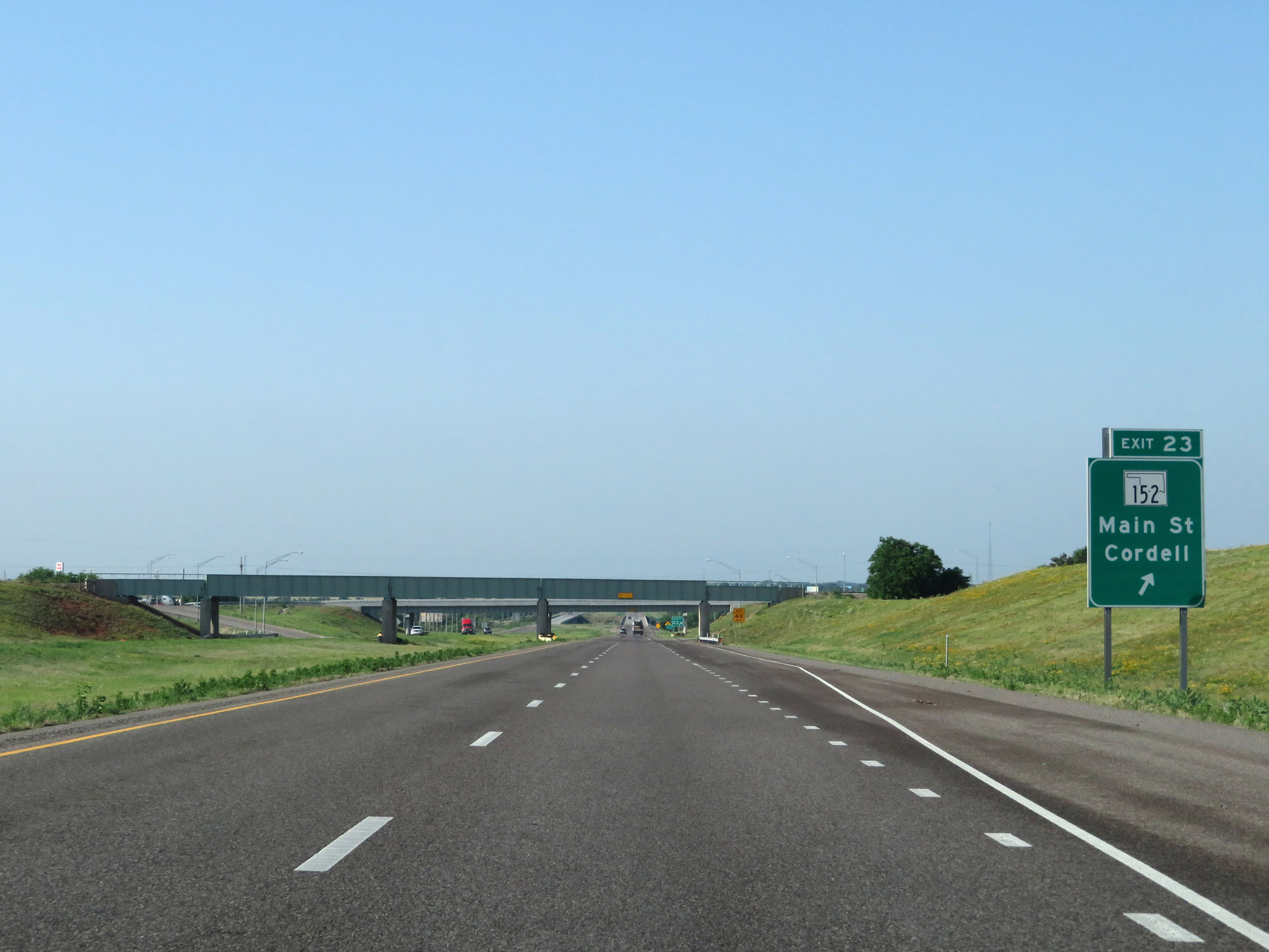 |
Interstate 40 West at Exit 23: OK 152 - Main St / Cordell (Photo taken 5/19/18). |
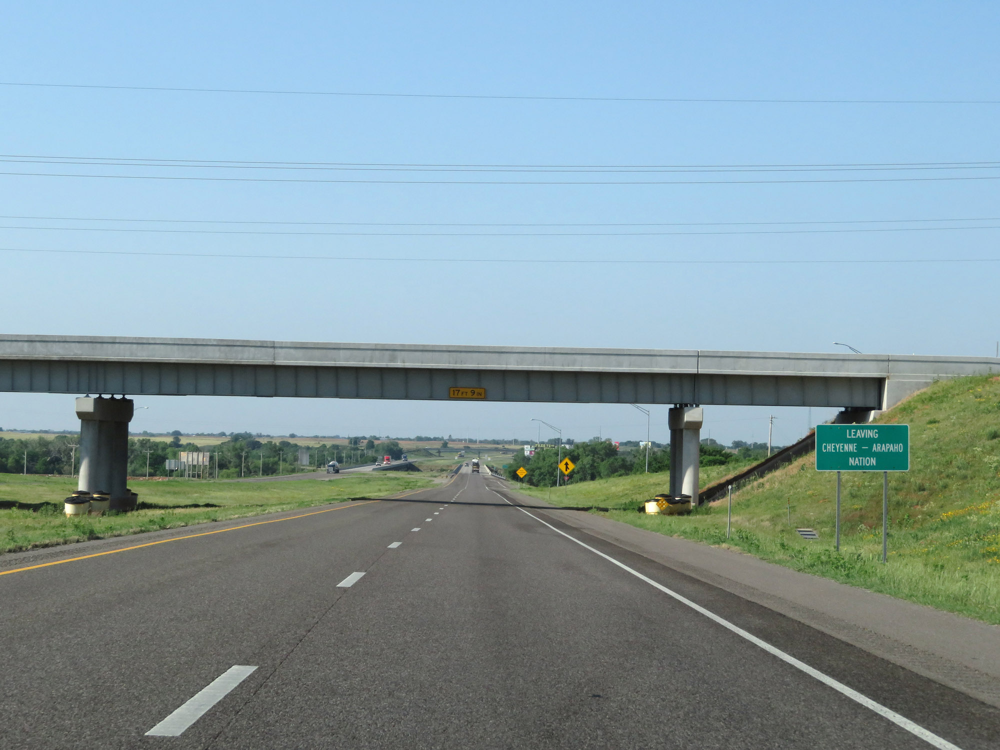 |
West of Exit 23, Interstate 40 West leaves the Cheyenne-Arapahoe Nation after about 100 miles of being within it. (Photo taken 5/19/18). |
 |
View on Interstate 40 West at mile marker 22. (Photo taken 5/19/18). |
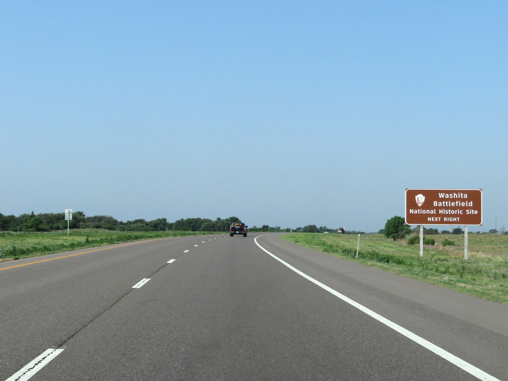 |
Take Exit 20 to Washita Battlefield National Historic Site. (Photo taken 5/19/18). |
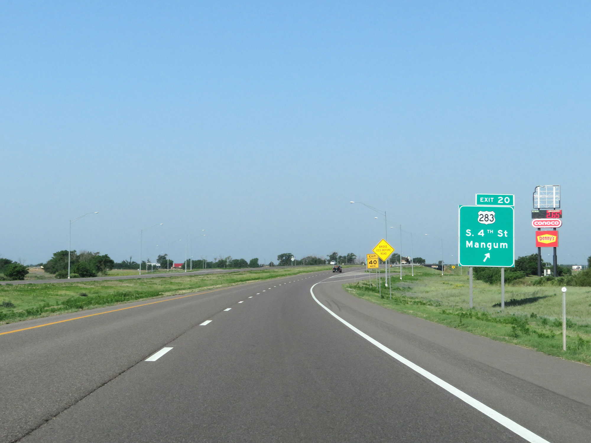 |
Interstate 40 West at Exit 20: US 283 - S 4th St / Mangum (Photo taken 5/19/18). |
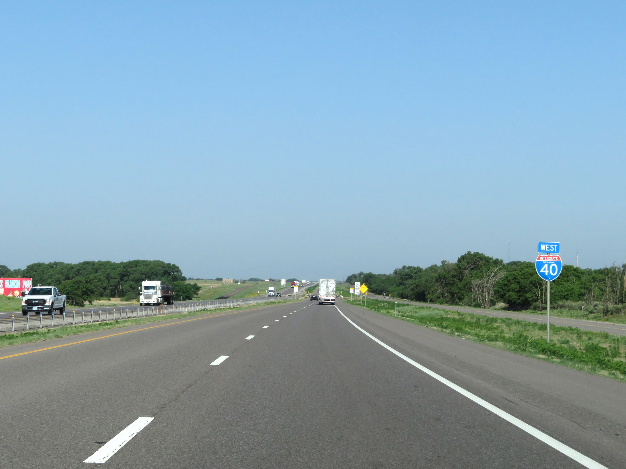 |
State-named Interstate 40 West reassurance shield. (Photo taken 5/19/18). |
 |
The speed limits remain 70 mph maximum and 40 mph minimum. (Photo taken 5/19/18). |
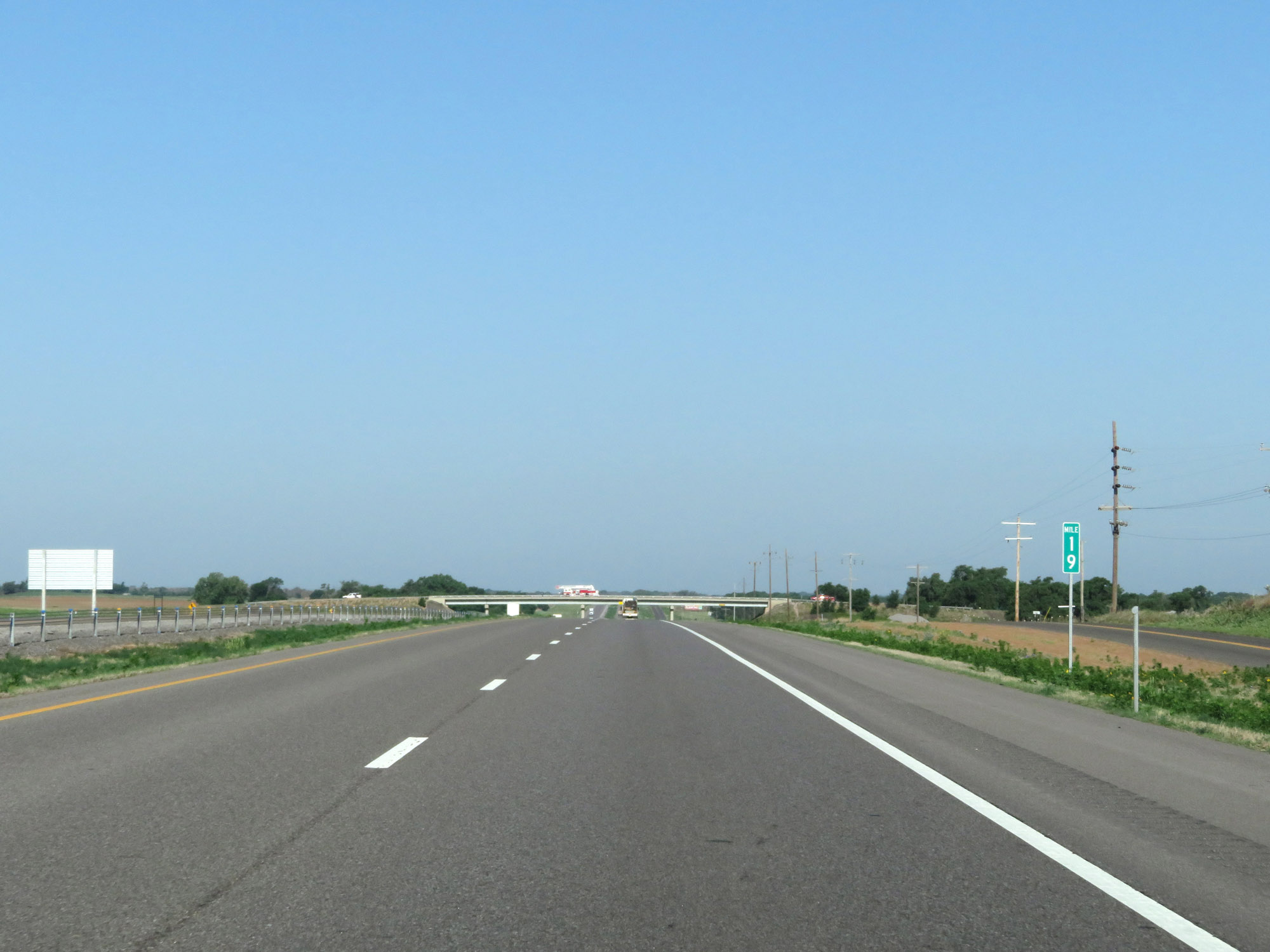 |
Interstate 40 West at mile marker 19. (Photo taken 5/19/18). |
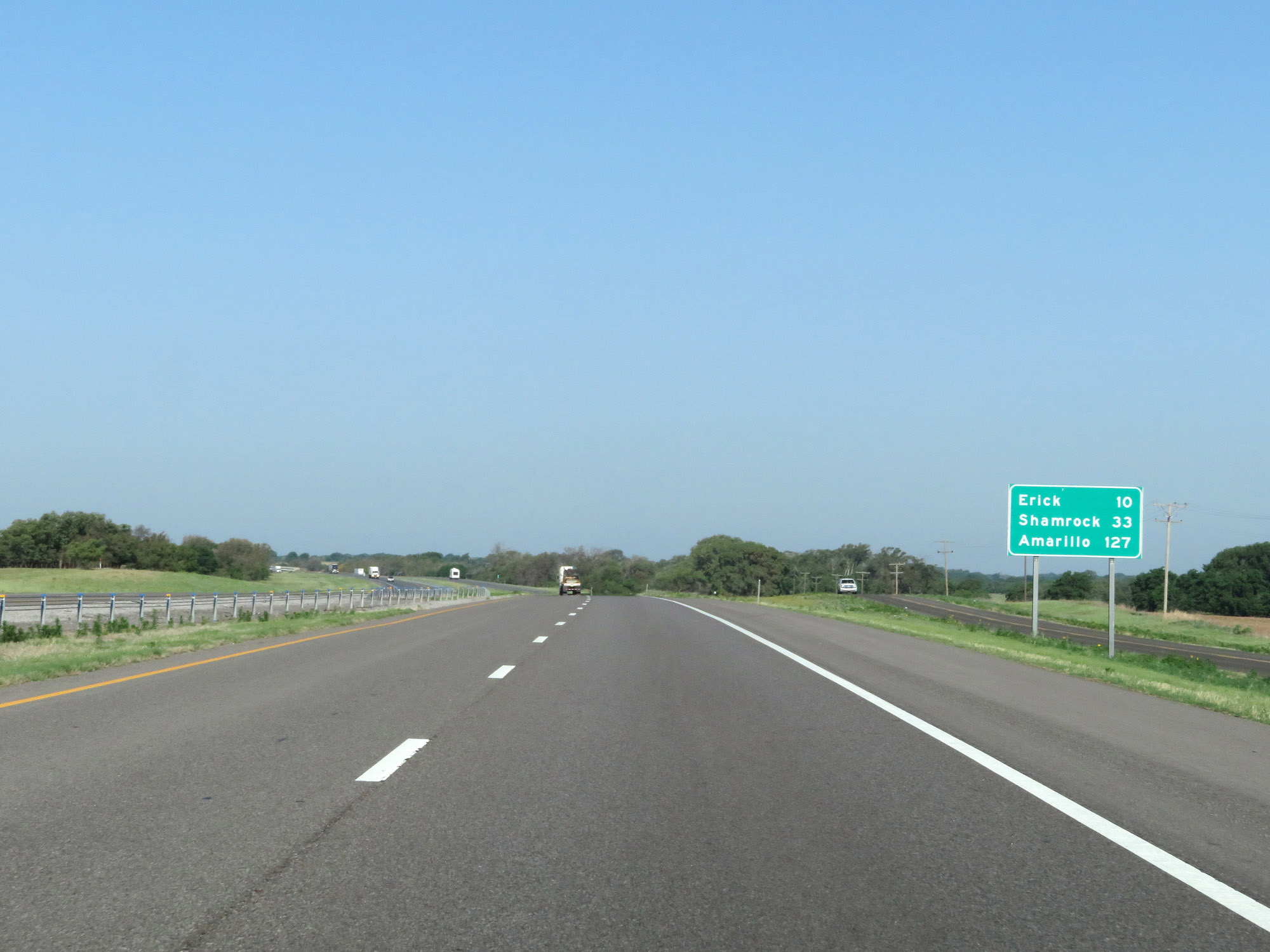 |
Another mileage sign on Interstate 40 West. It's 10 miles to Erick, 33 miles to Shamrock, and 127 miles to Amarillo. (Photo taken 5/19/18). |
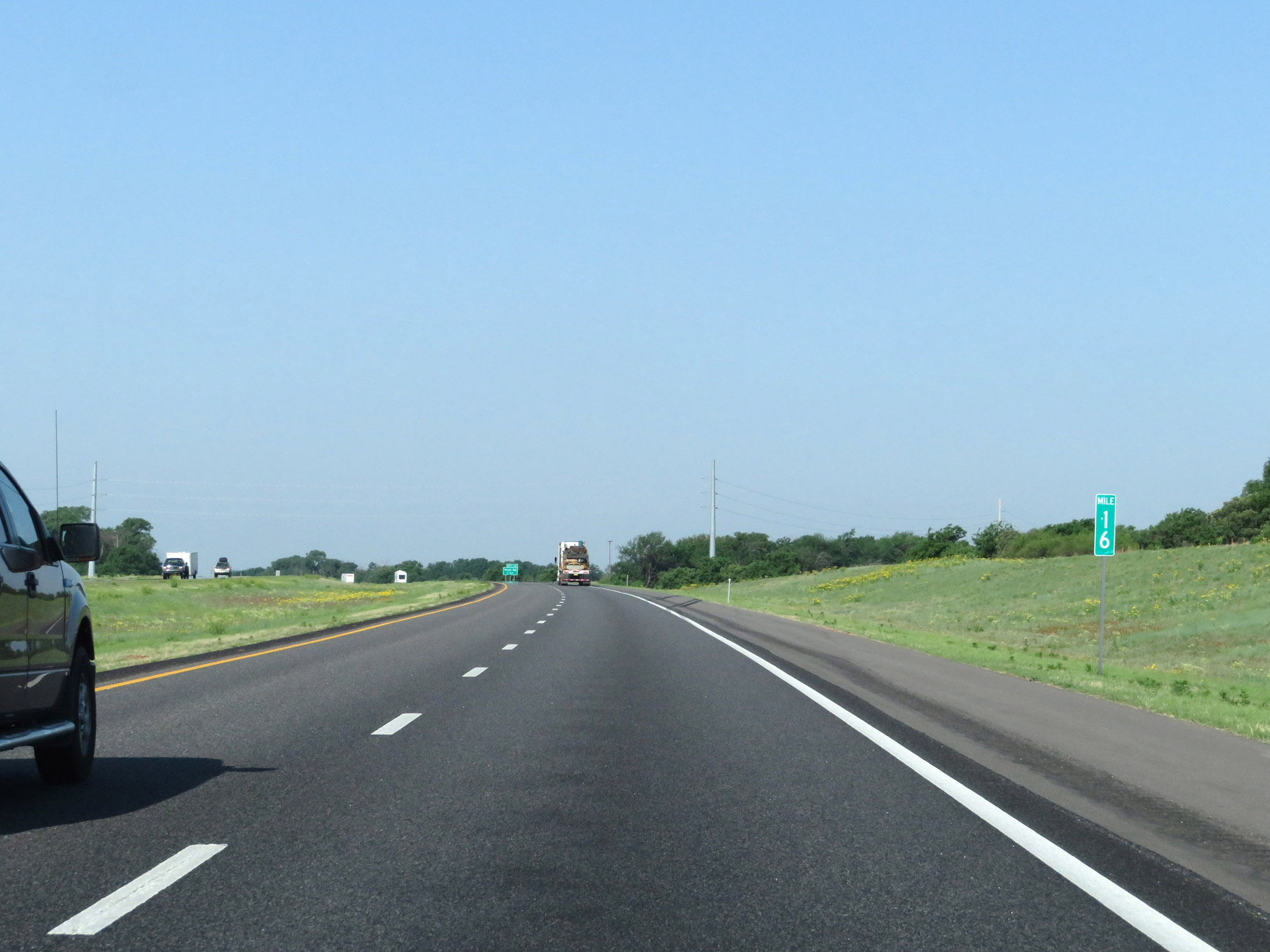 |
View on Interstate 40 West at mile marker 16. (Photo taken 5/19/18). |
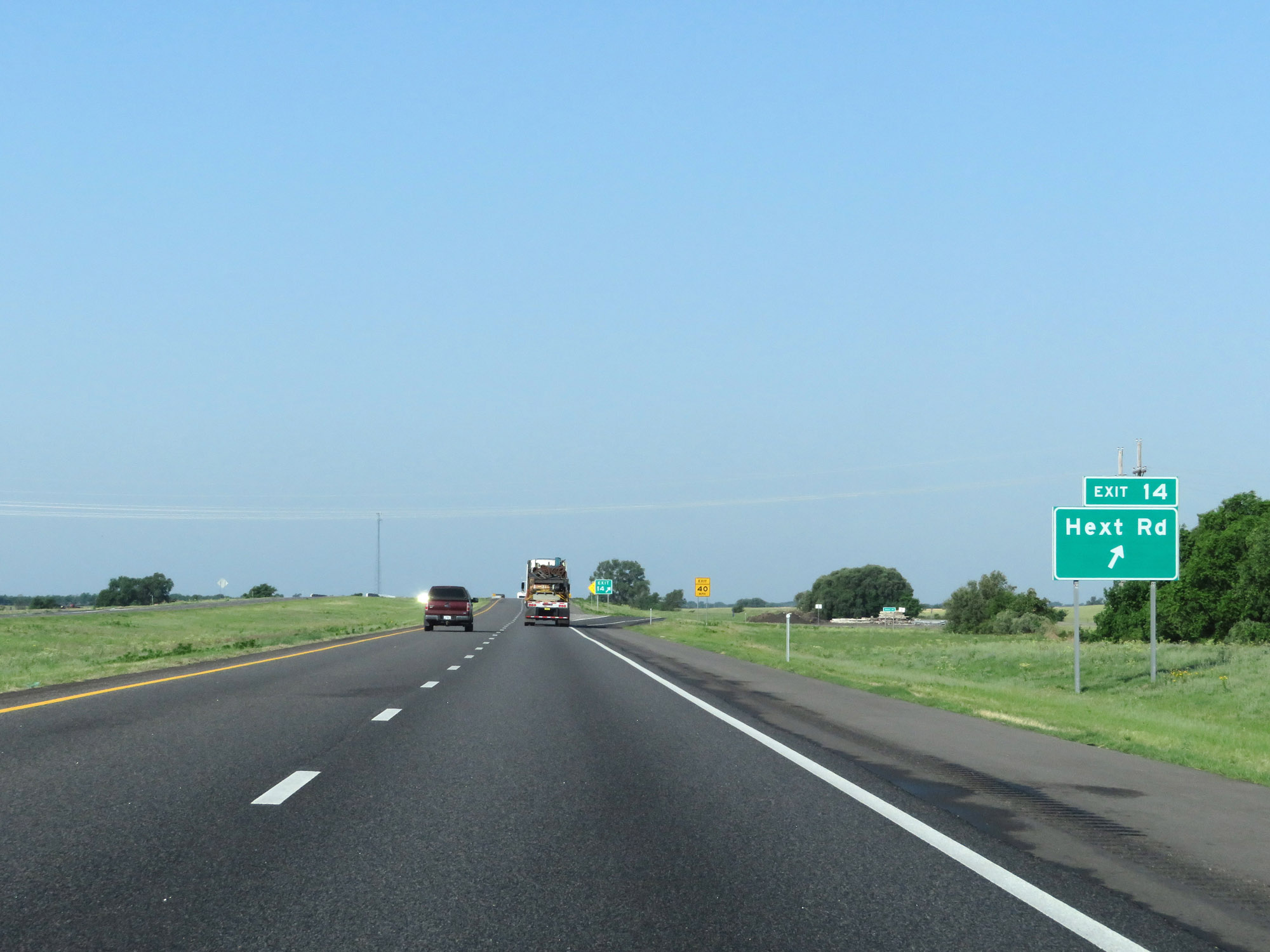 |
Interstate 40 West at Exit 14: Hext Rd (Photo taken 5/19/18). |
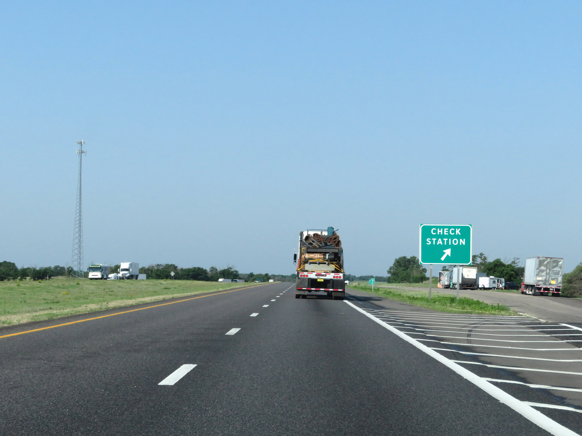 |
Check Station on Interstate 40 West in Beckham County. (Photo taken 5/19/18). |
 |
Interstate 40 West at Exit 11: Interstate 40 Business Loop West - Erick (Photo taken 5/19/18). |
 |
View on Interstate 40 West at mile marker 11. (Photo taken 5/19/18). |
 |
Rest Area on Interstate 40 West in Beckham County, which was clearly closed at the time. (Photo taken 5/19/18). |
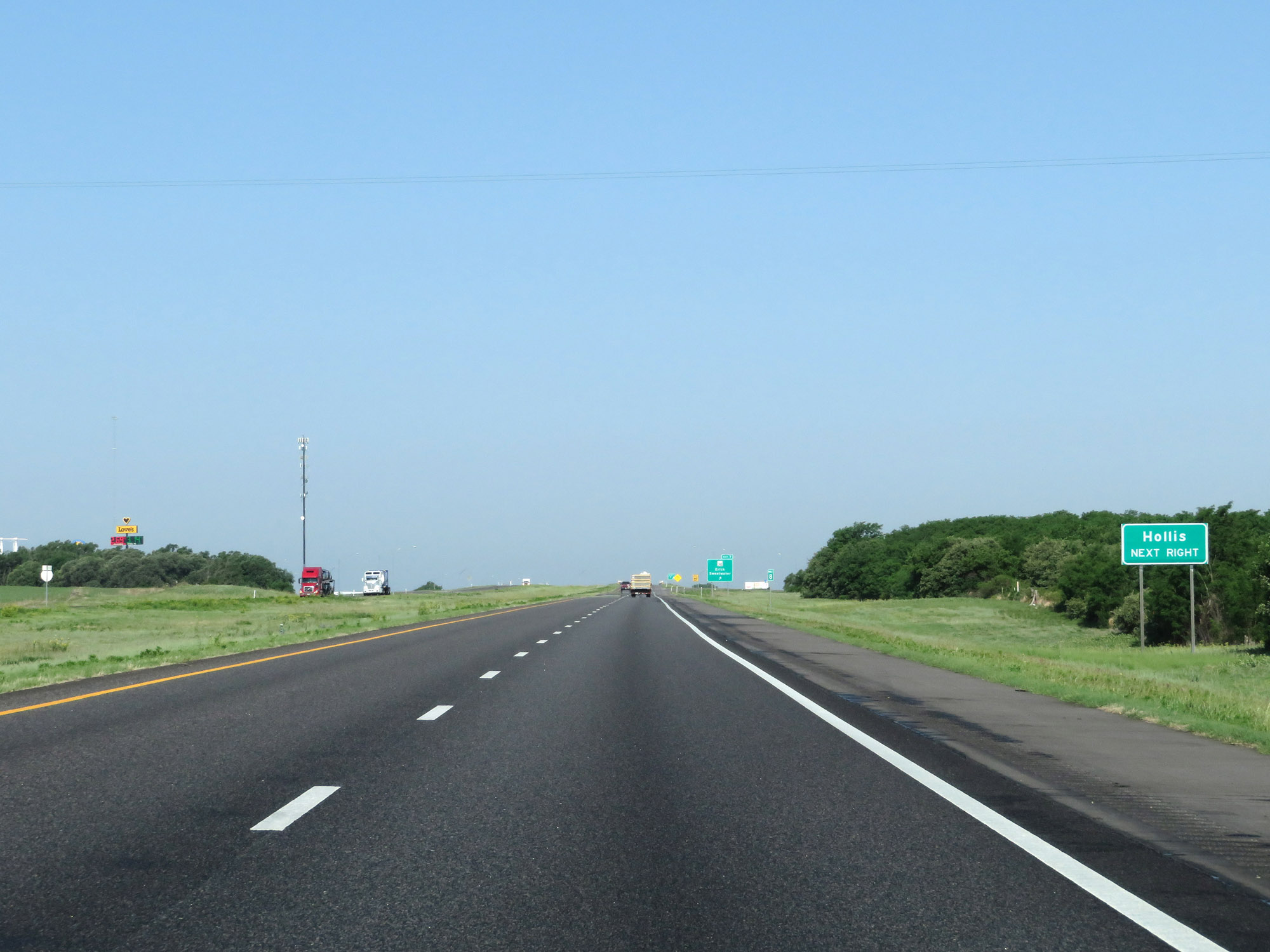 |
Take Exit 7 to Hollis. (Photo taken 5/19/18). |
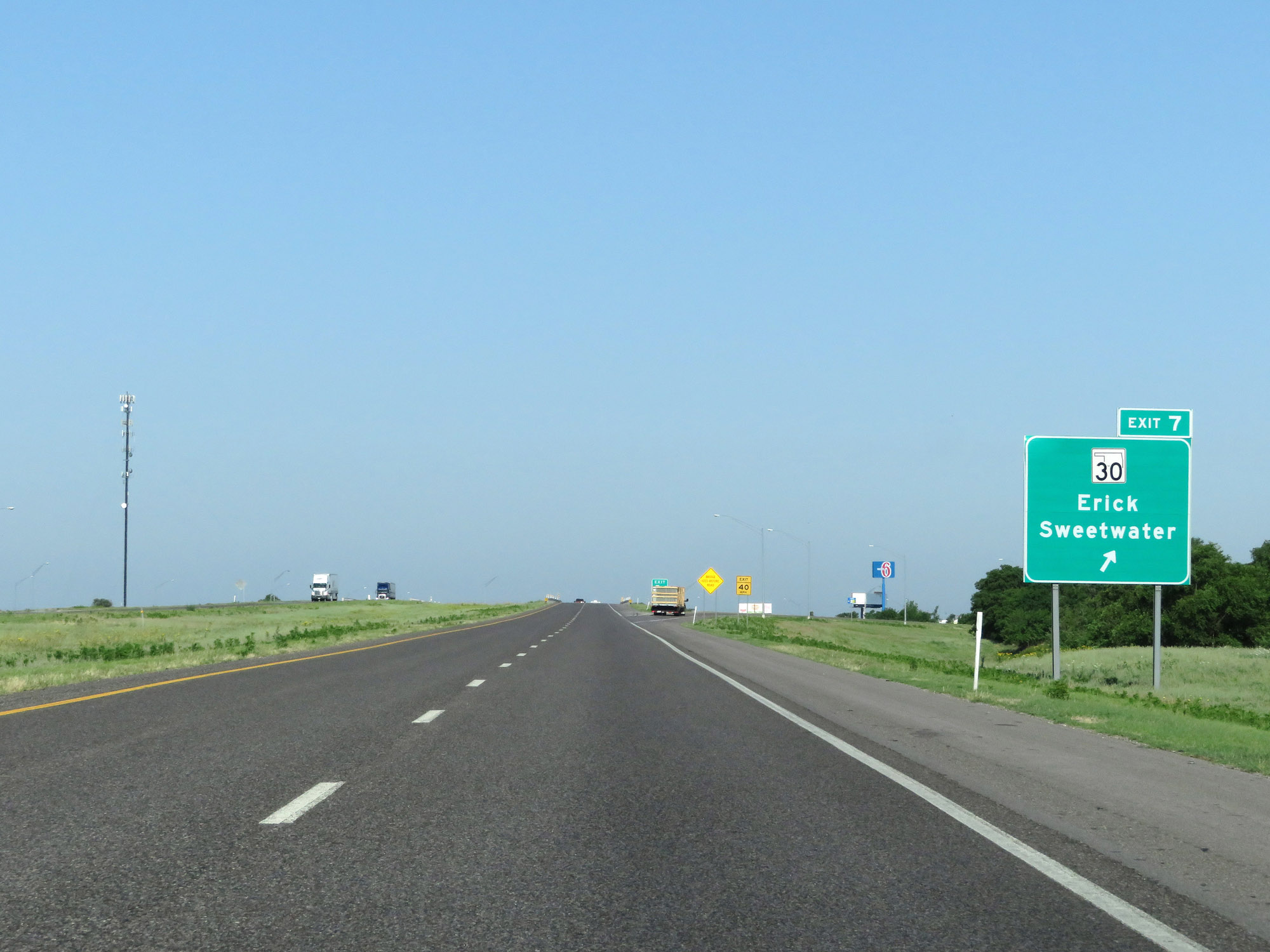 |
Interstate 40 West at Exit 7: OK 30 - Erick / Sweetwater (Photo taken 5/19/18). |
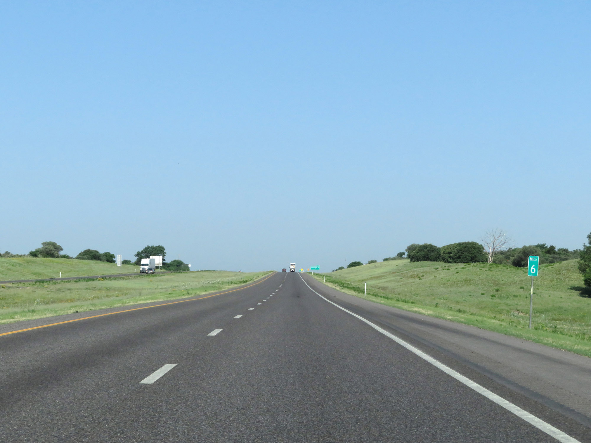 |
View on Interstate 40 West at mile marker 6. (Photo taken 5/19/18). |
 |
Interstate 40 West at Exit 5: Honeyfarm Rd (Photo taken 5/19/18). |
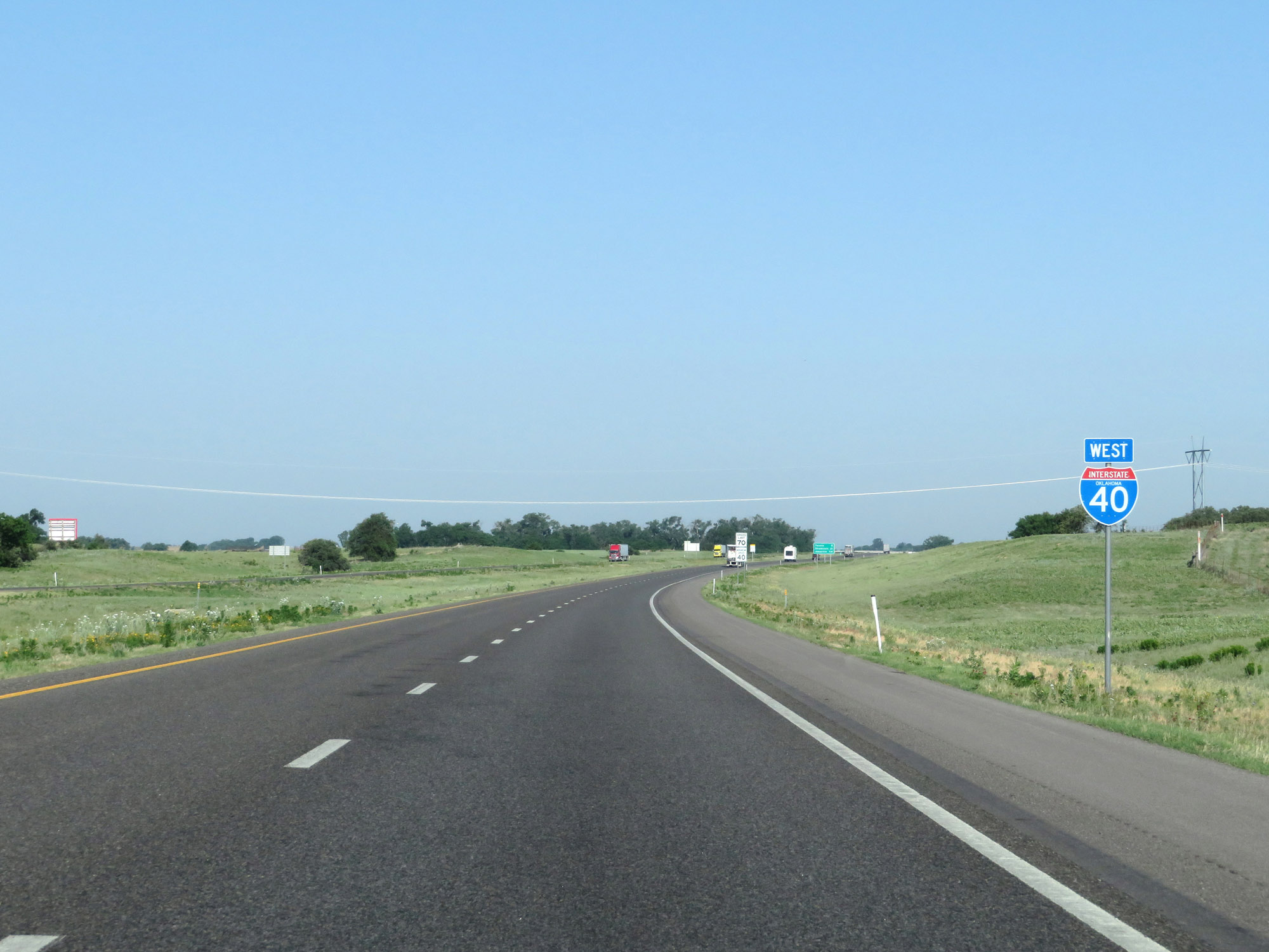 |
One final state-named Interstate 40 West reassurance shield. (Photo taken 5/19/18). |
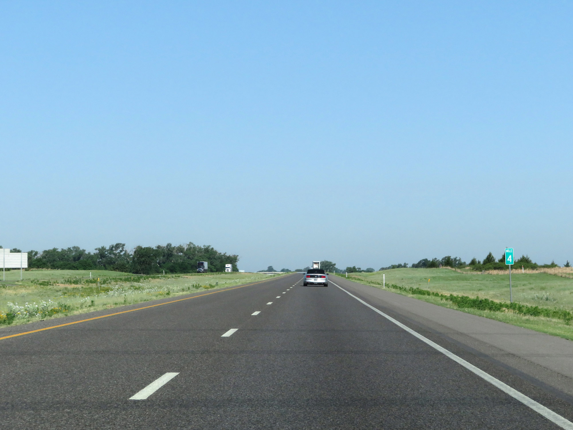 |
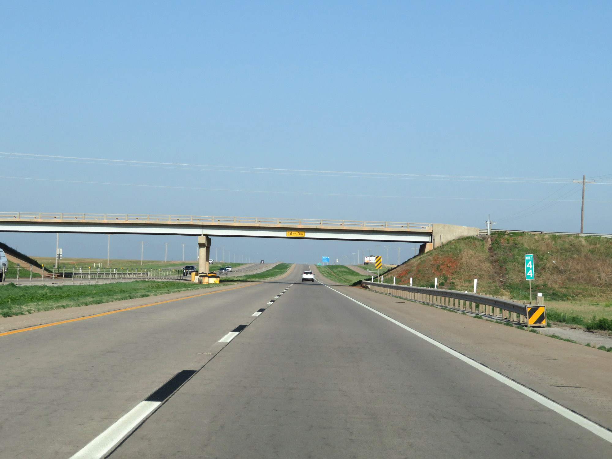
Interstate 40 West at mile marker 4. (Photo taken 5/19/18). |
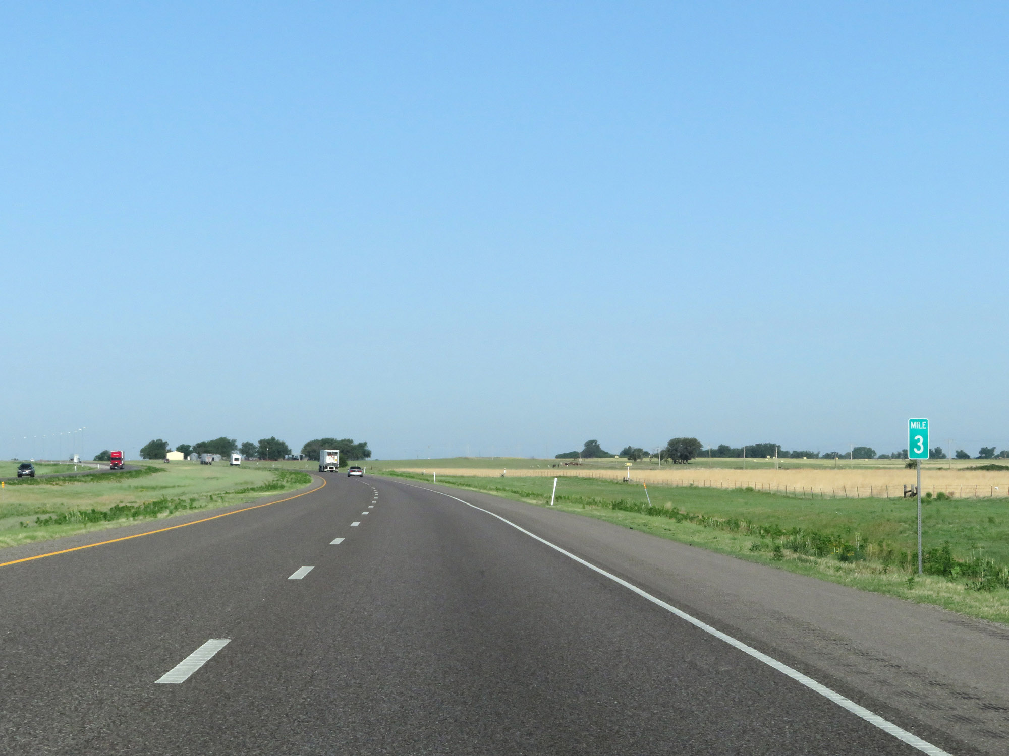 |
View on Interstate 40 West at mile marker 3. (Photo taken 5/19/18). |
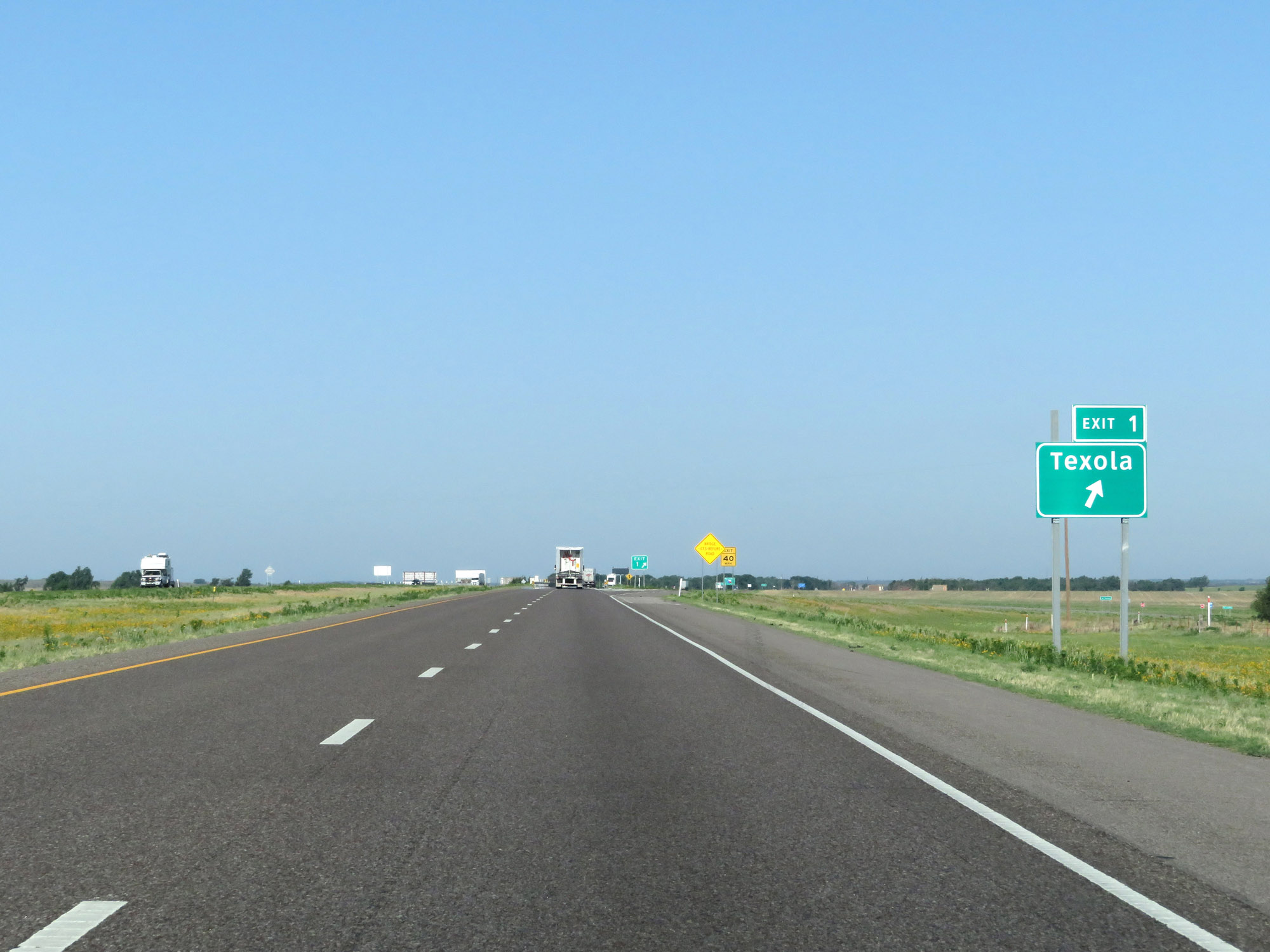 |
Interstate 40 West at Exit 1: Texola (Photo taken 5/19/18). |
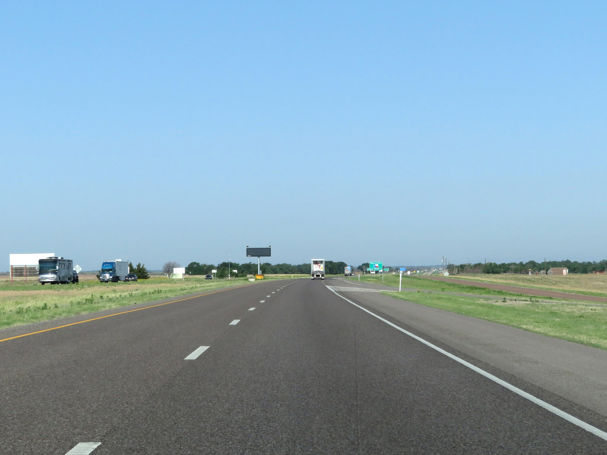 |
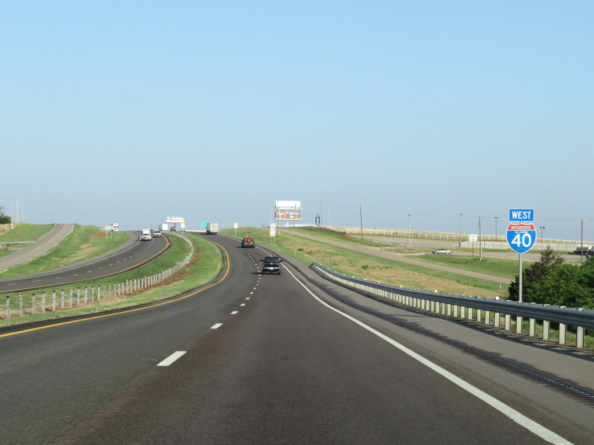
Interstate 40 West as it prepares to leave Oklahoma to enter the Texas panhandle. (Photo taken 5/19/18). |