Road Information |
||
 |
||
| Total Mileage in State: | 331 miles | |
| Eastern End: | At Arkansas state line | |
| Western End: | At Texas state line | |
| Mileage covered in Photos: | 138 miles | |
| Counties covered in Photos: | Beckham, Washita, Custer, Caddo, Canadian | |
| Major Junctions in Photos: | US 81, in El Reno Kilpatrick Turnpike, near Yukon |
|
| Control Cities in Photos: | Sayre, Elk City, Clinton, Weatherford, El Reno, Yukon | |
Eastbound
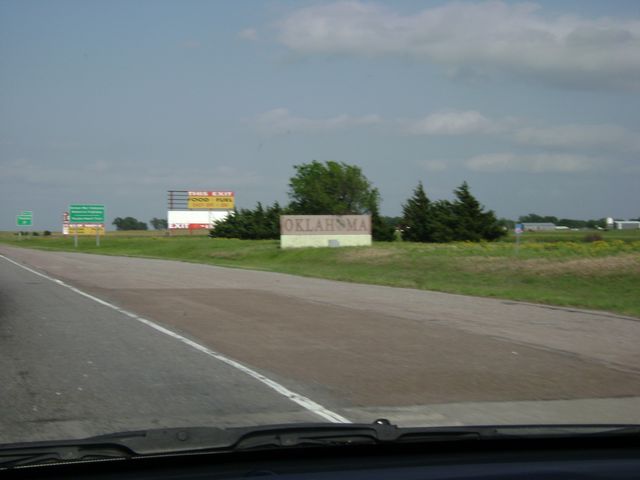 |
Oklahoma welcome sign on Interstate 40 East as I-40 enters the Sooner state from Texas. (Photo taken 5/22/10). |
 |
Interstate 40 East at Exit 1: Texola (Photo taken 5/22/10). |
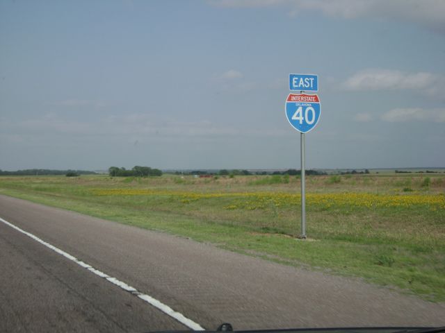 |
Interstate 40 East shield sign located near mile marker 2. (Photo taken 5/22/10). |
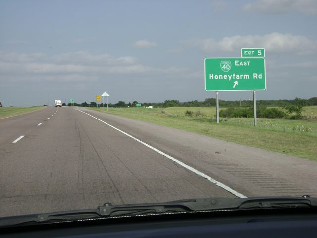 |
Interstate 40 East at Exit 5: Business Loop I-40 East - Honeyfarm Rd (Photo taken 5/22/10). |
 |
Interstate 40 East at Exit 7: OK 30 - Erick / Sweetwater (Photo taken 5/22/10). |
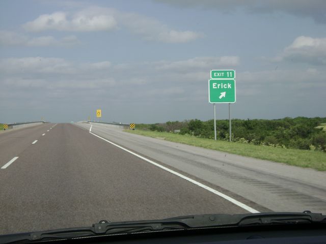 |
Interstate 40 East at Exit 11: Erick (Photo taken 5/22/10). |
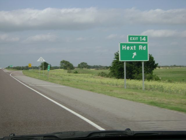 |
Interstate 40 East at Exit 14: Hext Rd (Photo taken 5/22/10). |
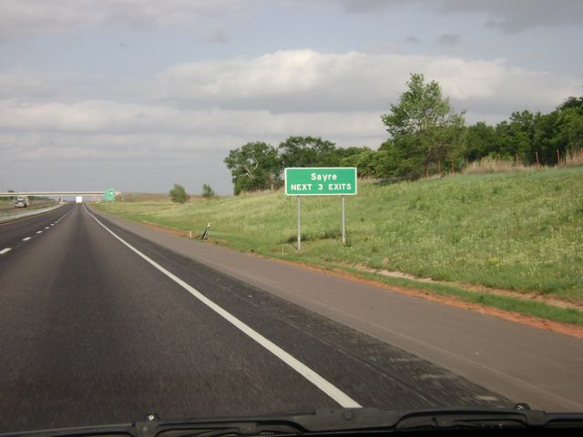 |
Use any of the next 3 exits to get to Sayre. (Photo taken 5/22/10). |
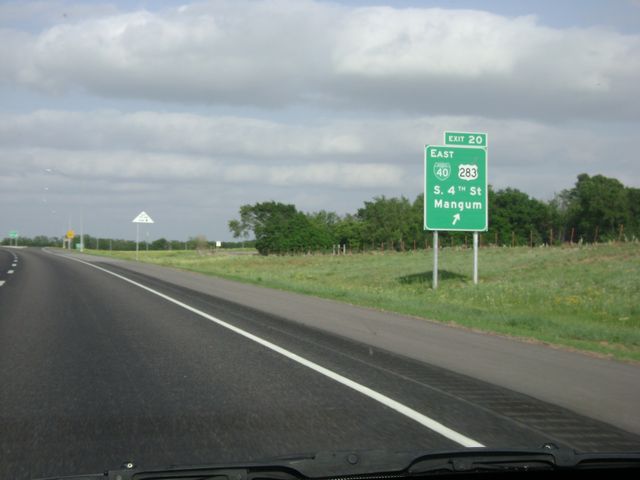 |
Interstate 40 East at Exit 20: Business Loop I-40 East / US 283 - S 4th St / Mangum (Photo taken 5/22/10). |
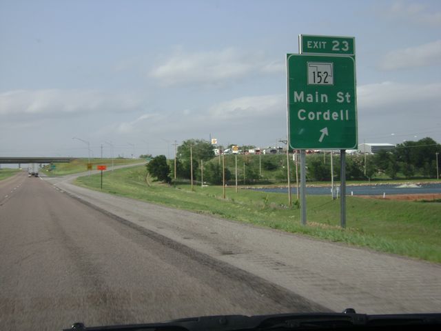 |
Interstate 40 East at Exit 23: OK 152 - Main St / Cordell (Photo taken 5/22/10). |
 |
Interstate 40 East at Exit 25: Business Loop I-40 West - N 4th St (Photo taken 5/22/10). |
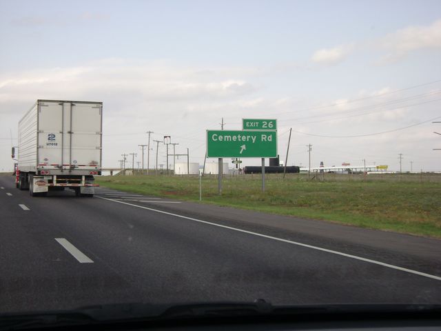 |
Interstate 40 East at Exit 26: Cemetery Rd (Photo taken 5/22/10). |
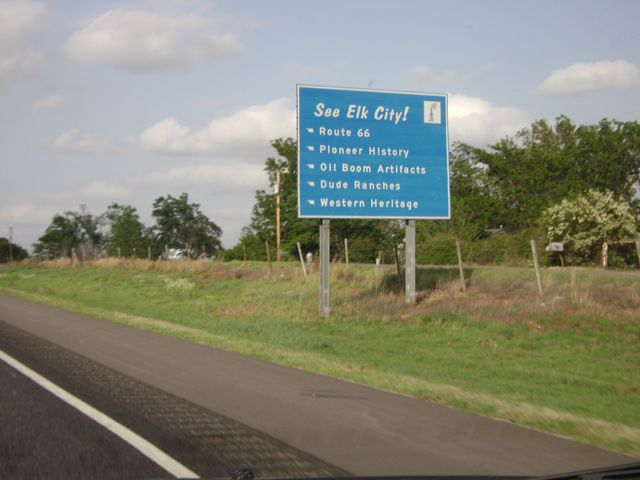 |
See Elk City! sign, located near mile marker 31. Elk City has quite a few things to see, including Route 66, Pioneer History, and Dude Ranches. (Photo taken 5/22/10). |
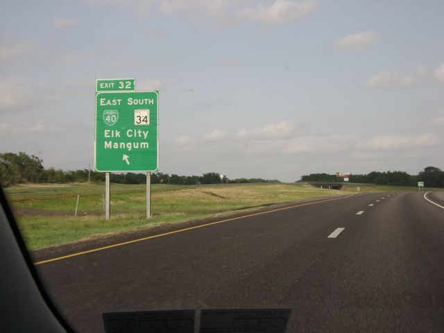 |
Interstate 40 East at Exit 32: Business Loop I-40 East / OK 34 South - Elk City / Mangum. I-40 East in Oklahoma has a few left exits like this one. (Photo taken 5/22/10). |
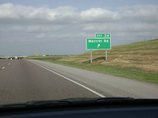 |
Interstate 40 East at Exit 34: Merritt Rd (Photo taken 5/22/10). |
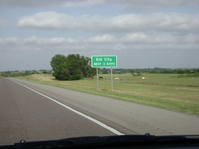 |
Using any of the next 3 exits will take you to Elk City. (Photo taken 5/22/10). |
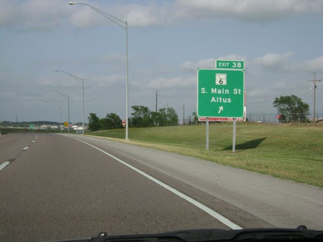 |
Interstate 40 East at Exit 38: OK 6 - S Main St / Altus (Photo taken 5/22/10). |
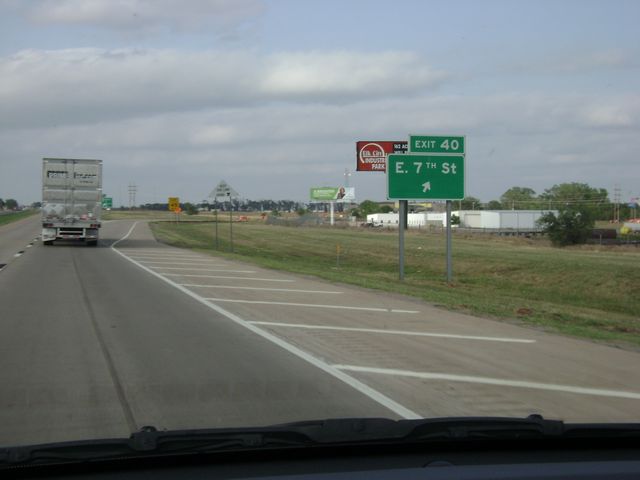 |
Interstate 40 East at Exit 40: E 7th St (Photo taken 5/22/10). |
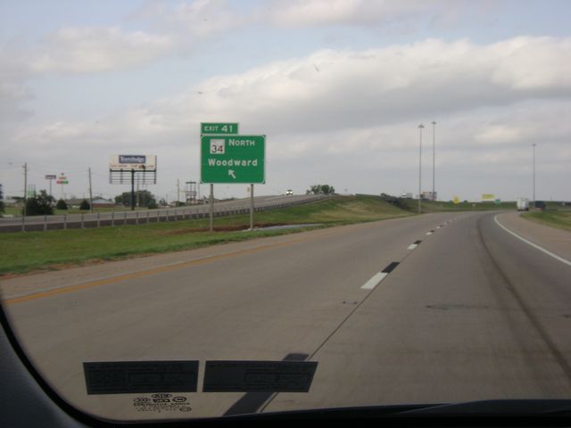 |
Interstate 40 East at Exit 41: OK 34 North - Woodward. This is another one of the left exits I referred to earlier. (Photo taken 5/22/10). |
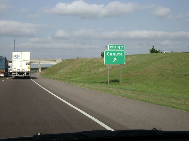 |
Interstate 40 East at Exit 47: Canute (Photo taken 5/22/10). |
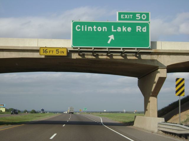 |
Interstate 40 East at Exit 50: Clinton Lake Rd (Photo taken 5/22/10). |
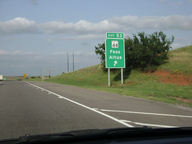 |
Interstate 40 East at Exit 53: OK 44 - Foss / Altus (Photo taken 5/22/10). |
 |
Interstate 40 East at Exit 57: Stafford Rd (Photo taken 5/22/10). |
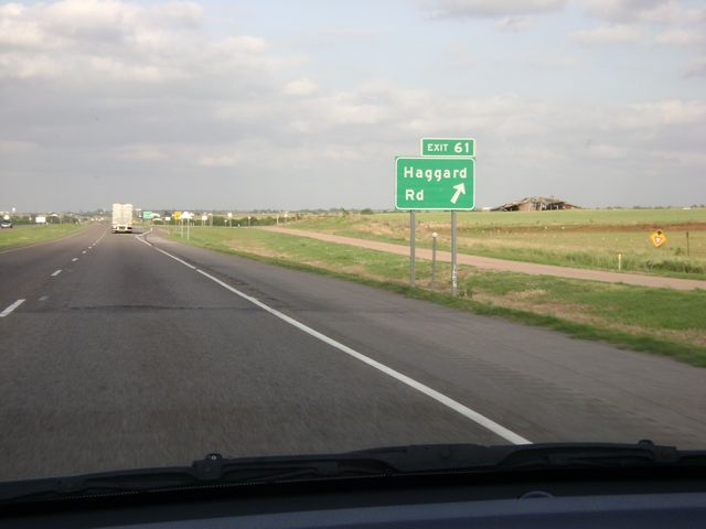 |
Interstate 40 East at Exit 61: Haggard Rd (Photo taken 5/22/10). |
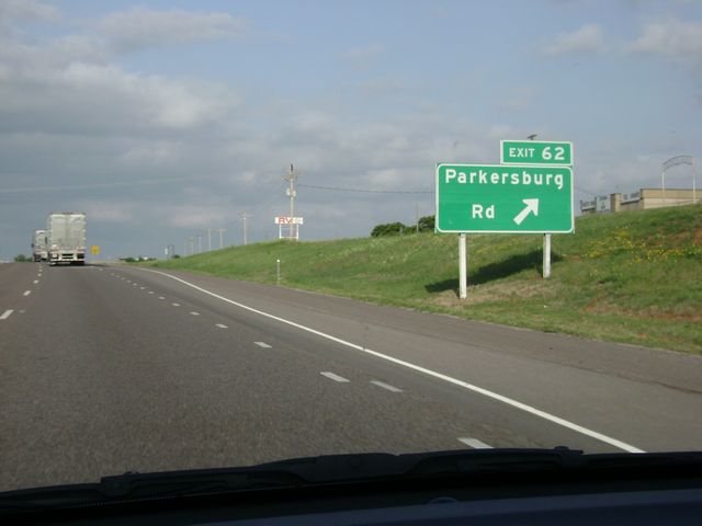 |
Interstate 40 East at Exit 62: Parkersburg Rd (Photo taken 5/22/10). |
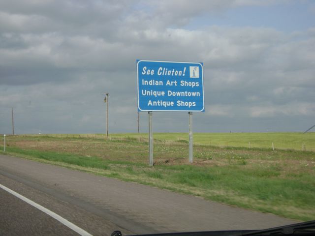 |
See Clinton! sign, located near mile marker 63. Clinton has a few points of interest including Indian Art Shops and a unique downtown. (Photo taken 5/22/10). |
 |
Interstate 40 East at Exit 65: Business Loop I-40 East - Gary Blvd (Photo taken 5/22/10). |
 |
Interstate 40 East at Exit 65A: 10th St / Neptune Dr (Photo taken 5/22/10). |
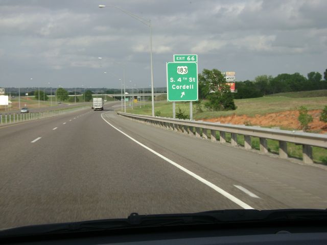 |
Interstate 40 East at Exit 66: US 183 - S 4th St / Cordell (Photo taken 5/22/10). |
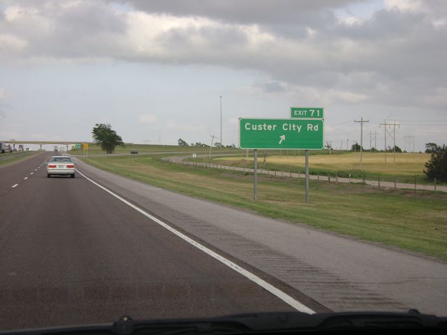 |
Interstate 40 East at Exit 71: Custer City Rd (Photo taken 5/22/10). |
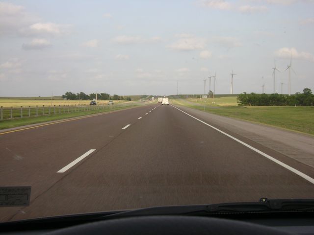 |
Interstate 40 East: Road view from near mile marker 74. You can see wind turbines in the distance here, as they are common in some of the Great Plains states. (Photo taken 5/22/10). |
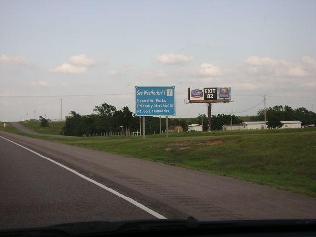 |
See Weatherford! sign, located near mile marker 78. Weatherford has some things to see, such as beautiful parks and Route 66 landmarks. (Photo taken 5/22/10). |
 |
Interstate 40 East at Exit 80: OK 54 - Thomas / Mtn. View (Photo taken 5/22/10). |
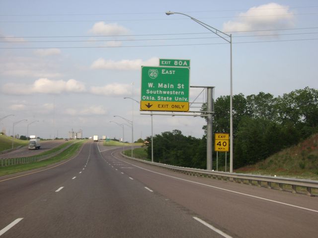 |
Interstate 40 East at Exit 80A: Business Loop I-40 East - W Main St / Southwestern Oklahoma State University (Photo taken 5/22/10). |
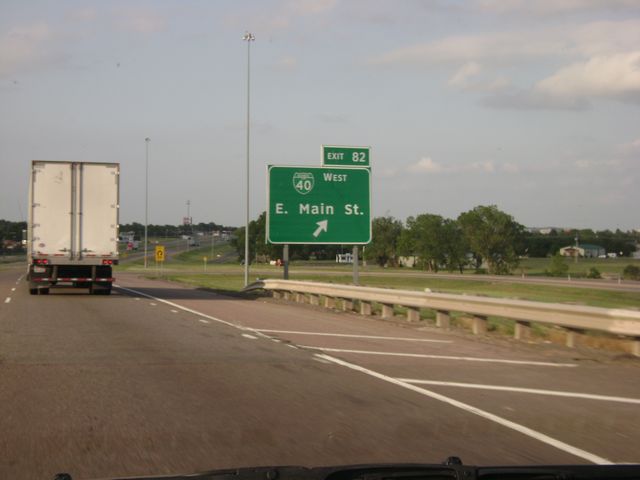 |
Interstate 40 East at Exit 82: Business Loop I-40 West - E Main St (Photo taken 5/22/10). |
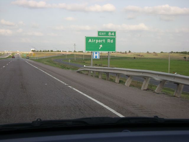 |
Interstate 40 East at Exit 84: Airport Rd (Photo taken 5/22/10). |
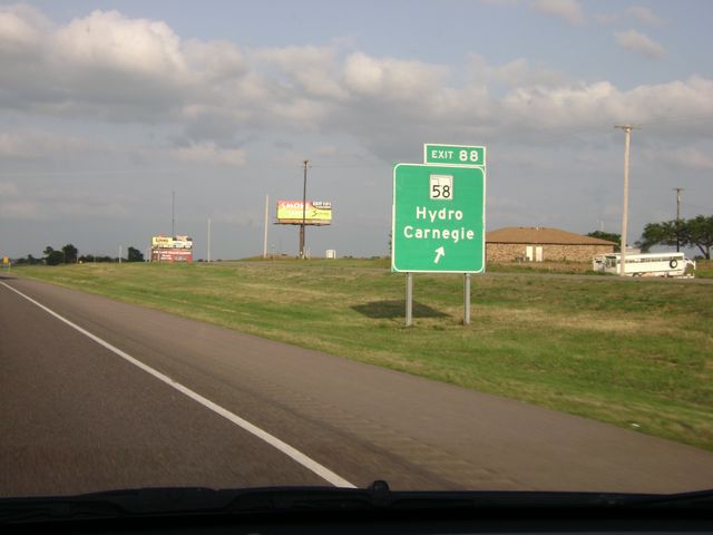 |
Interstate 40 East at Exit 88: OK 58 - Hydro / Carnegie (Photo taken 5/22/10). |
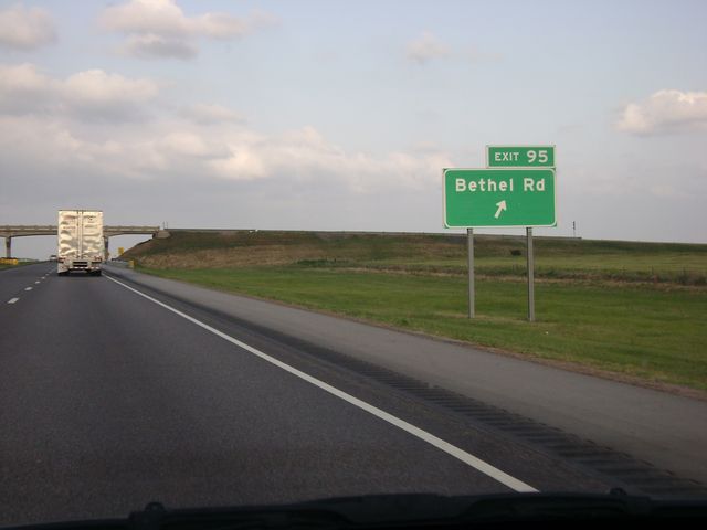 |
Interstate 40 East at Exit 95: Bethel Rd (Photo taken 5/22/10). |
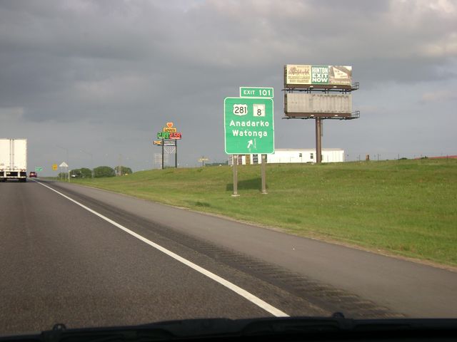 |
Interstate 40 East at Exit 101: US 281 / OK 8 - Anadarko / Watonga (Photo taken 5/22/10). |
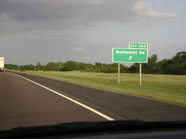 |
Interstate 40 East at Exit 104: Methodist Rd (Photo taken 5/22/10). |
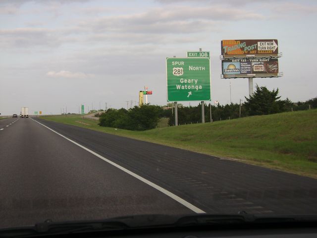 |
Interstate 40 East at Exit 108: Spur US 281 North - Geary / Watonga. This is the exit the Cherokee Trading Post is located at. (Photo taken 5/22/10). |
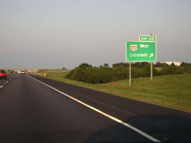 |
Interstate 40 East at Exit 115: US 270 West - Calumet (Photo taken 5/22/10). |
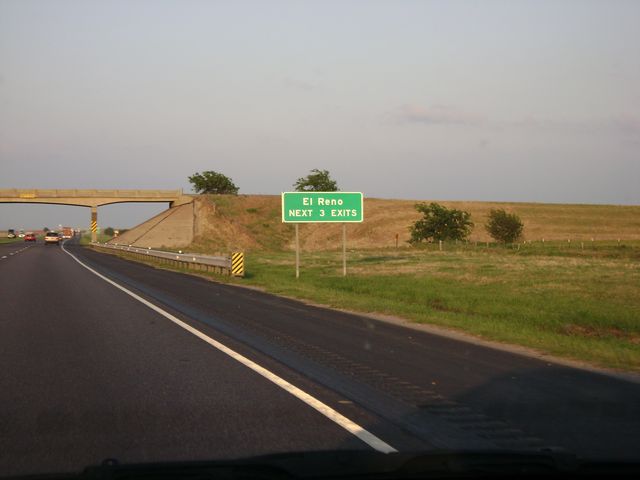 |
Take any of the next 3 exits to get to El Reno. (Photo taken 5/22/10). |
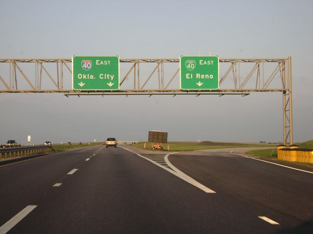 |
Interstate 40 East at Exit 119: Business Loop I-40 East - El Reno (Photo taken 5/22/10). |
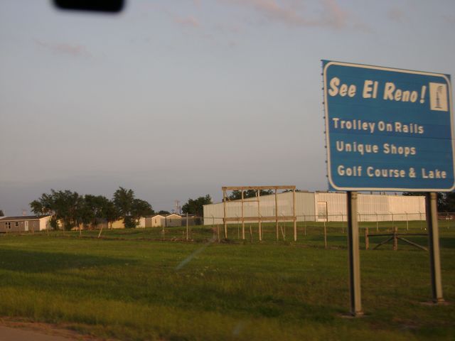 |
See El Reno! sign located near mile marker 123. El Reno offers a trolley on rails and unique shops, to name a few things. (Photo taken 5/22/10). |
 |
Interstate 40 East at Exit 123: Country Club Rd (Photo taken 5/22/10). |
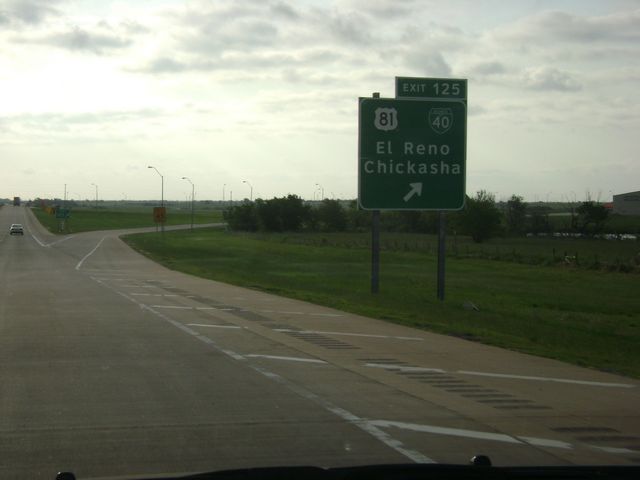 |
Interstate 40 East at Exit 125: US 83 / Business Loop I-40 - El Reno / Chickasha (Photo taken 5/23/10). |
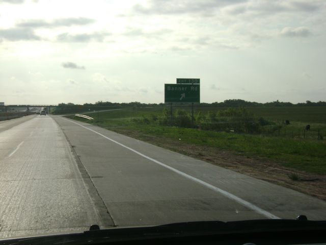 |
Interstate 40 East at Exit 130: Banner Rd (Photo taken 5/23/10). |
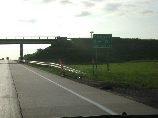 |
Sign indicating that you are now entering the Oklahoma City city limits. This sign is near mile marker 132. (Photo taken 5/23/10). |
 |
Interstate 40 East at Exit 132: Cimarron Rd / C.E. Page Airport (Photo taken 5/23/10). |
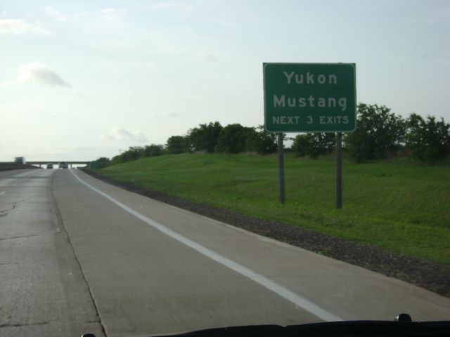 |
Take any of the next 3 exits to get to Yukon or Mustang. (Photo taken 5/23/10). |
 |
See Yukon! sign, located near mile marker 136. Yukon has many points of interest, including the home of Garth Brooks, a Czech festival, and the Chisholm Trail. (Photo taken 5/23/10). |
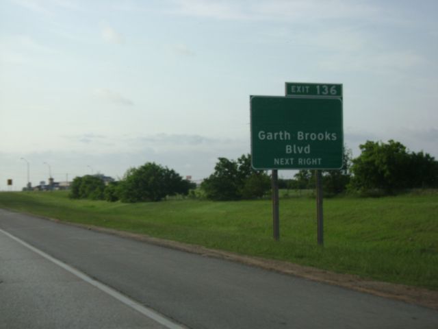 |
Interstate 40 East at Exit 136: Garth Brooks Blvd (Photo taken 5/23/10). |
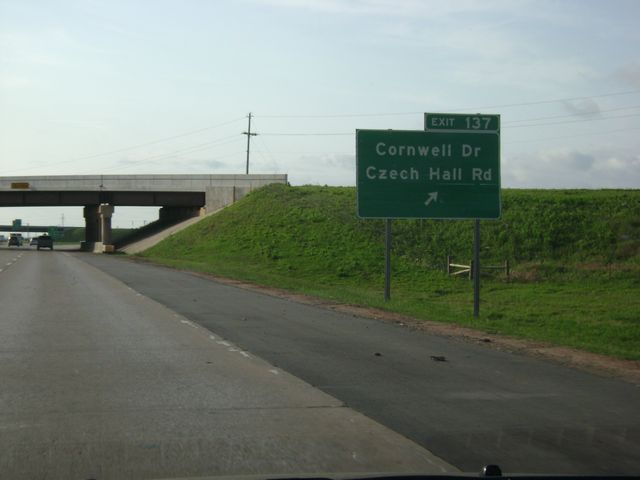 |
Interstate 40 East at Exit 137: Cornwell Dr / Czech Hall Rd (Photo taken 5/23/10). |
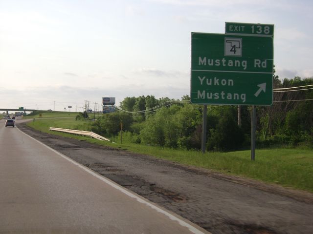 |
Interstate 40 East at Exit 138: OK 4 - Mustang Rd / Yukon / Mustang (Photo taken 5/23/10). |
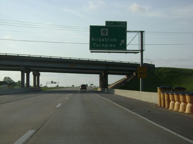 |
Interstate 40 East at Exit 139: Kilpatrick Turnpike (Photo taken 5/23/10). |