Road Information |
||
 |
||
| Total Mileage in State: | 26 miles | |
| Northern End: | At I-70, in Medway | |
| Southern End: | At I-75, in Miamisburg | |
| Mileage covered in Photos: | 26 miles | |
| Counties covered in Photos: | Clark, Greene, Montgomery | |
| Major Junctions in Photos: | I-70, in Medway US 35, in Dayton I-75, in Miamisburg |
|
| Control Cities in Photos: | Medway, Fairborn, Dayton, Beavercreek, Miamisburg | |
Southbound
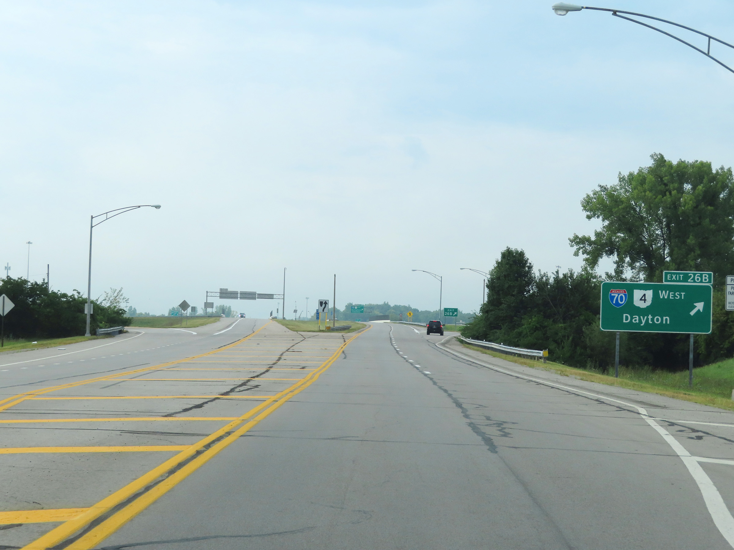 |
Interstate 675 South at Exit 26B: Interstate 70 West / OH 4 West - Dayton. It is at this point that I-675 South begins as Spangler Rd ends and turns from a single lane into two southbound lanes in Medway. (Photo taken 8/21/22). |
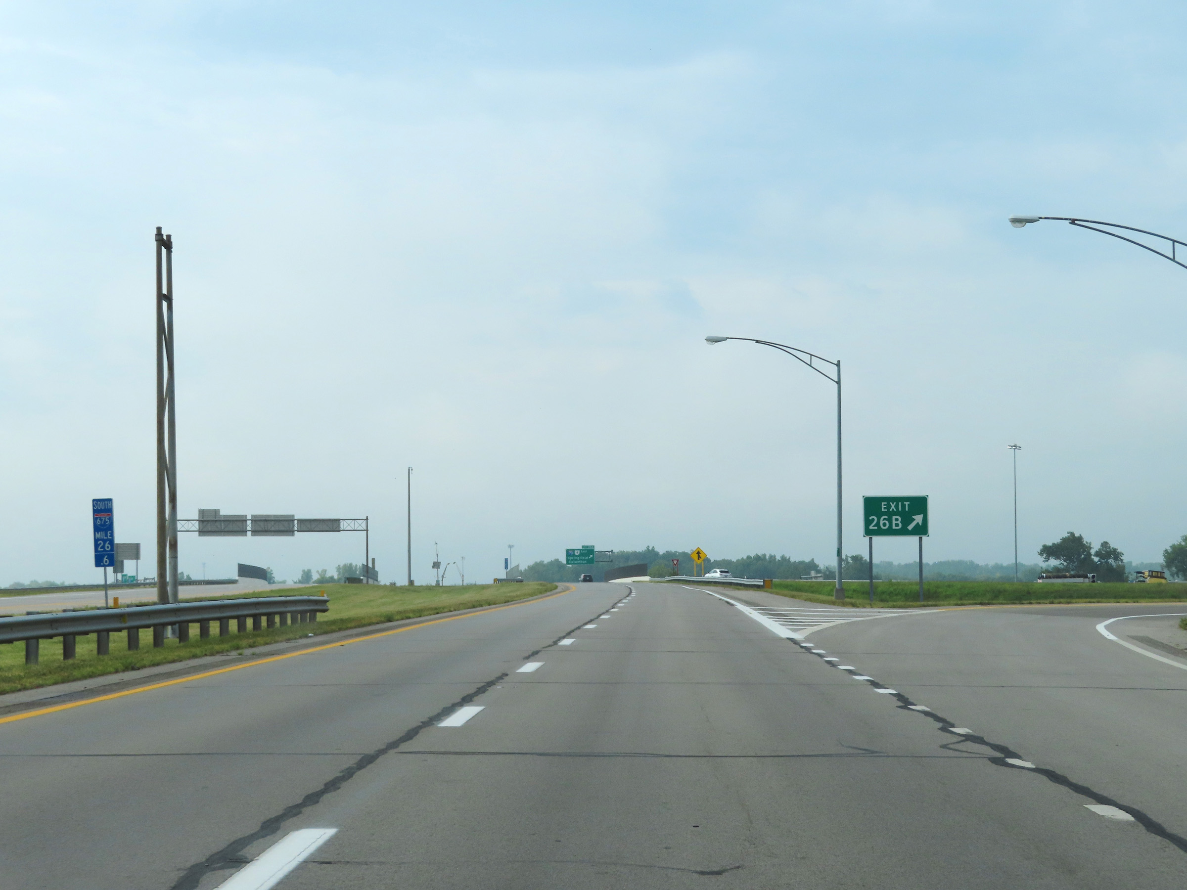 |
Gore point signage for Exit 26B at mile marker 26.6, as Interstate 675 South prepares to pass over Interstate 70. (Photo taken 8/21/22). |
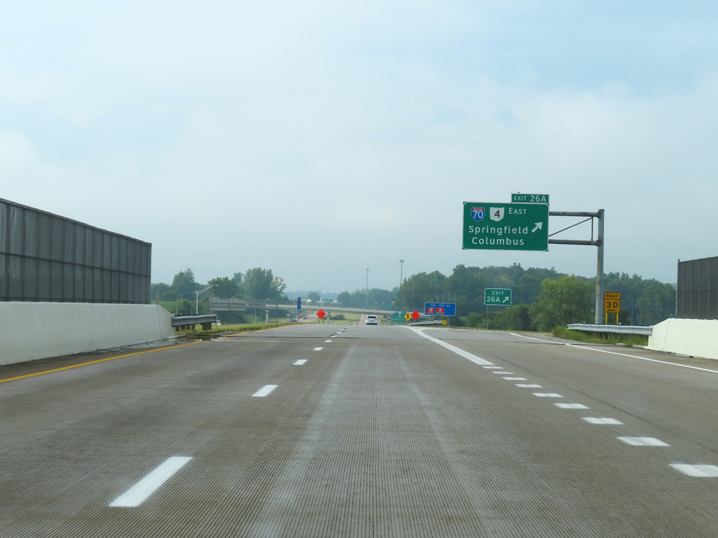 |
Interstate 675 South at Exit 26A: Interstate 70 East / OH 4 East - Springfield / Columbus (Photo taken 8/21/22). |
 |
View on Interstate 675 South at mile marker 26, as traffic from Interstate 70 East merges into it from the right. (Photo taken 8/21/22). |
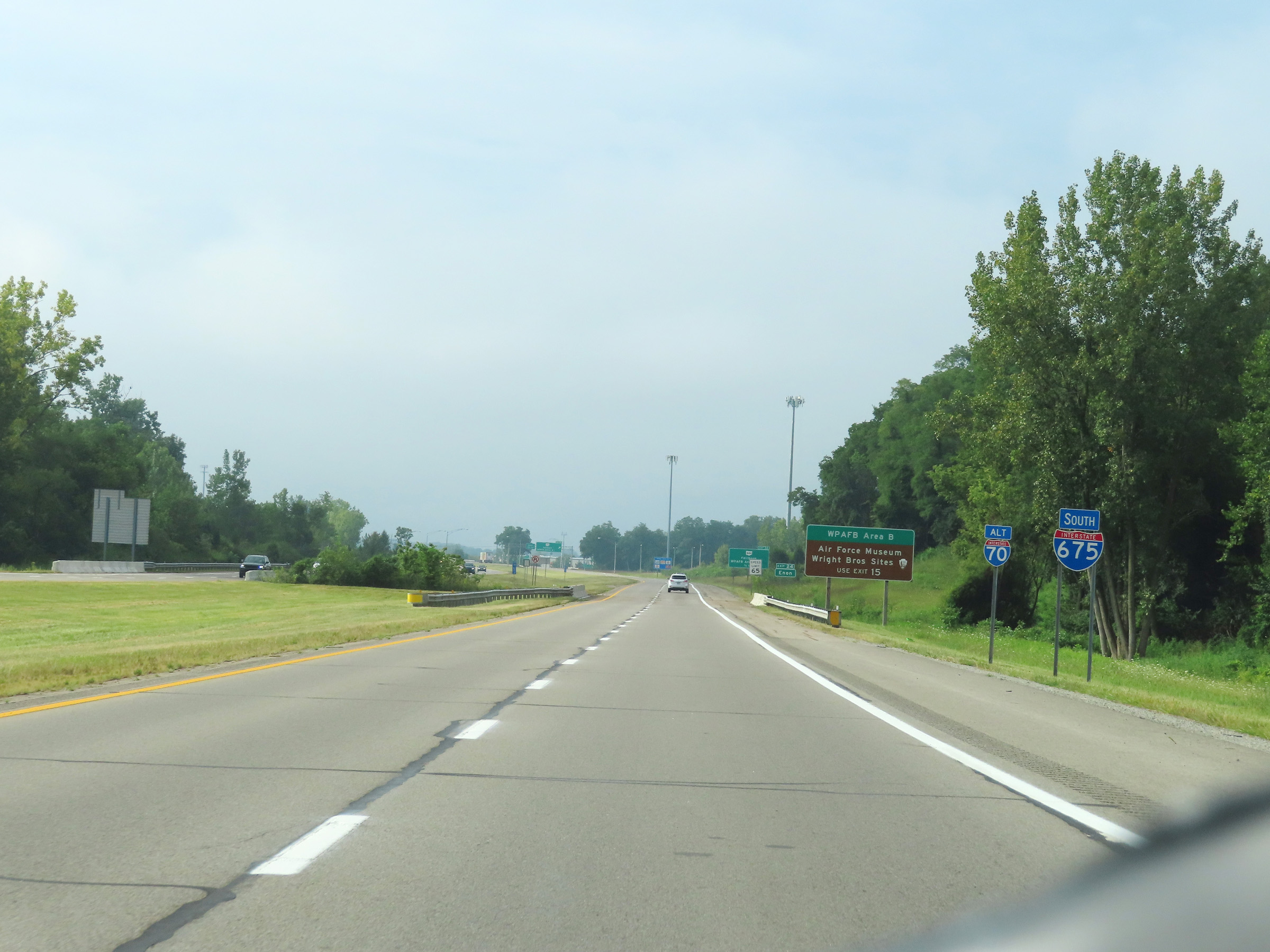 |
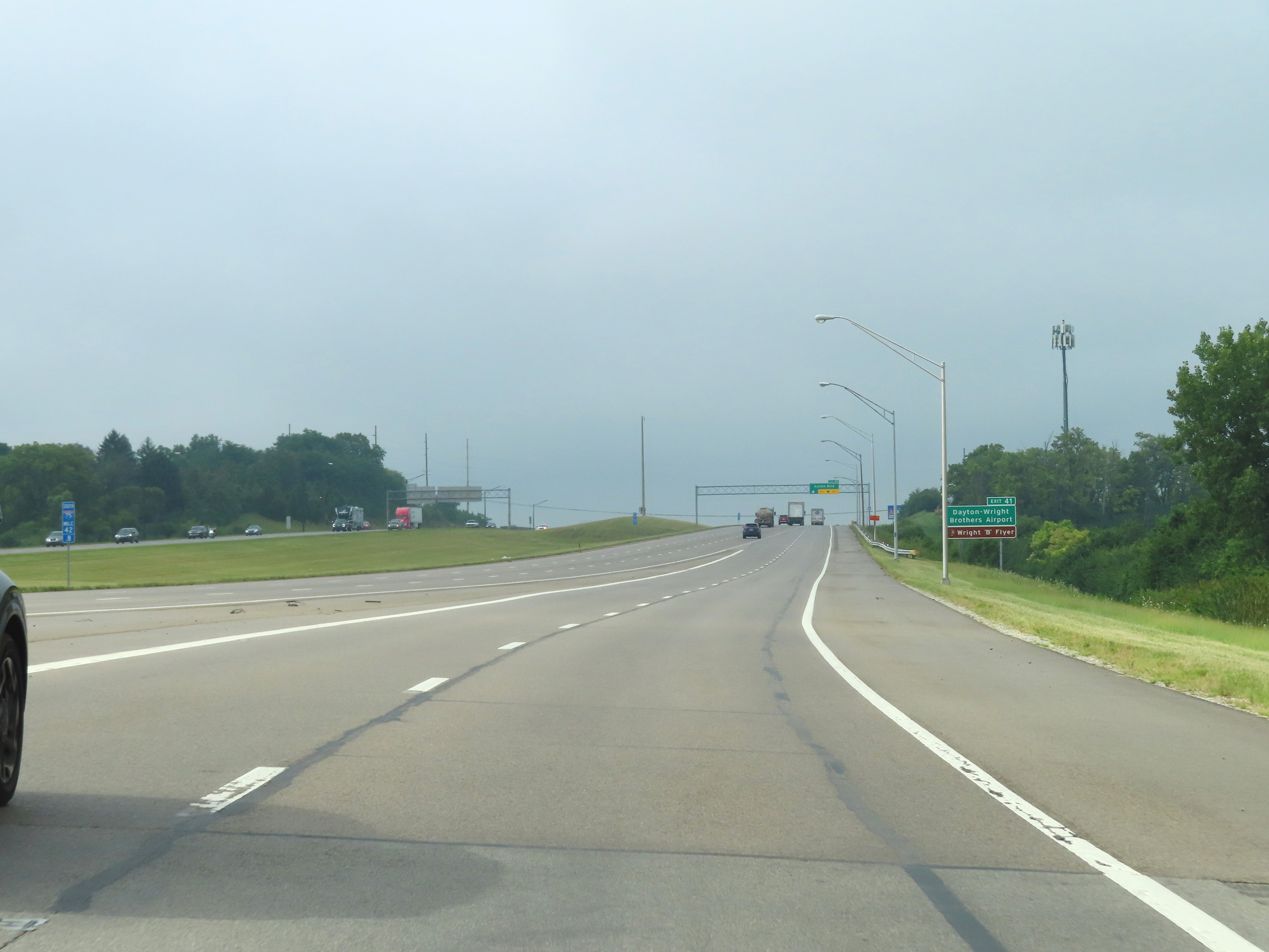
Interstate 675 South reassurance shield. Traffic to Wright-Patterson Air Force Base Area B as well as the Air Force Museum and Wright Brothers Sites should use Exit 15, which is 10 miles ahead. (Photo taken 8/21/22). |
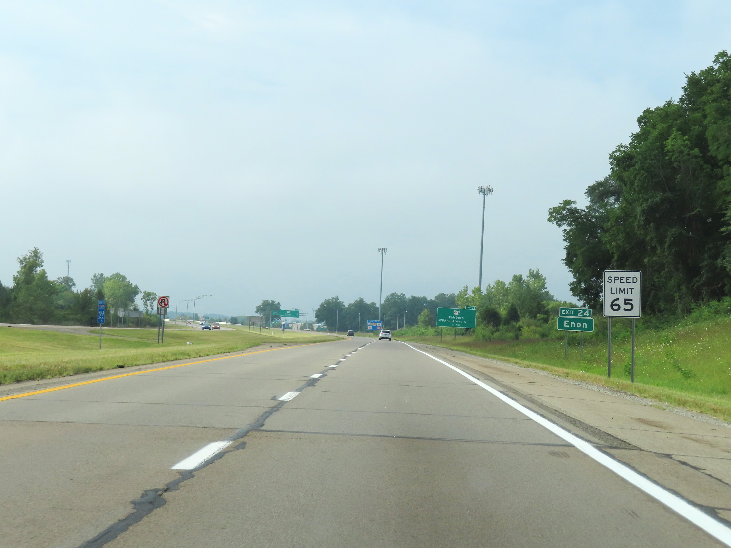 |
The speed limit on Interstate 675 South starts out at 65 mph. Take Exit 24 to Enon. (Photo taken 8/21/22). |
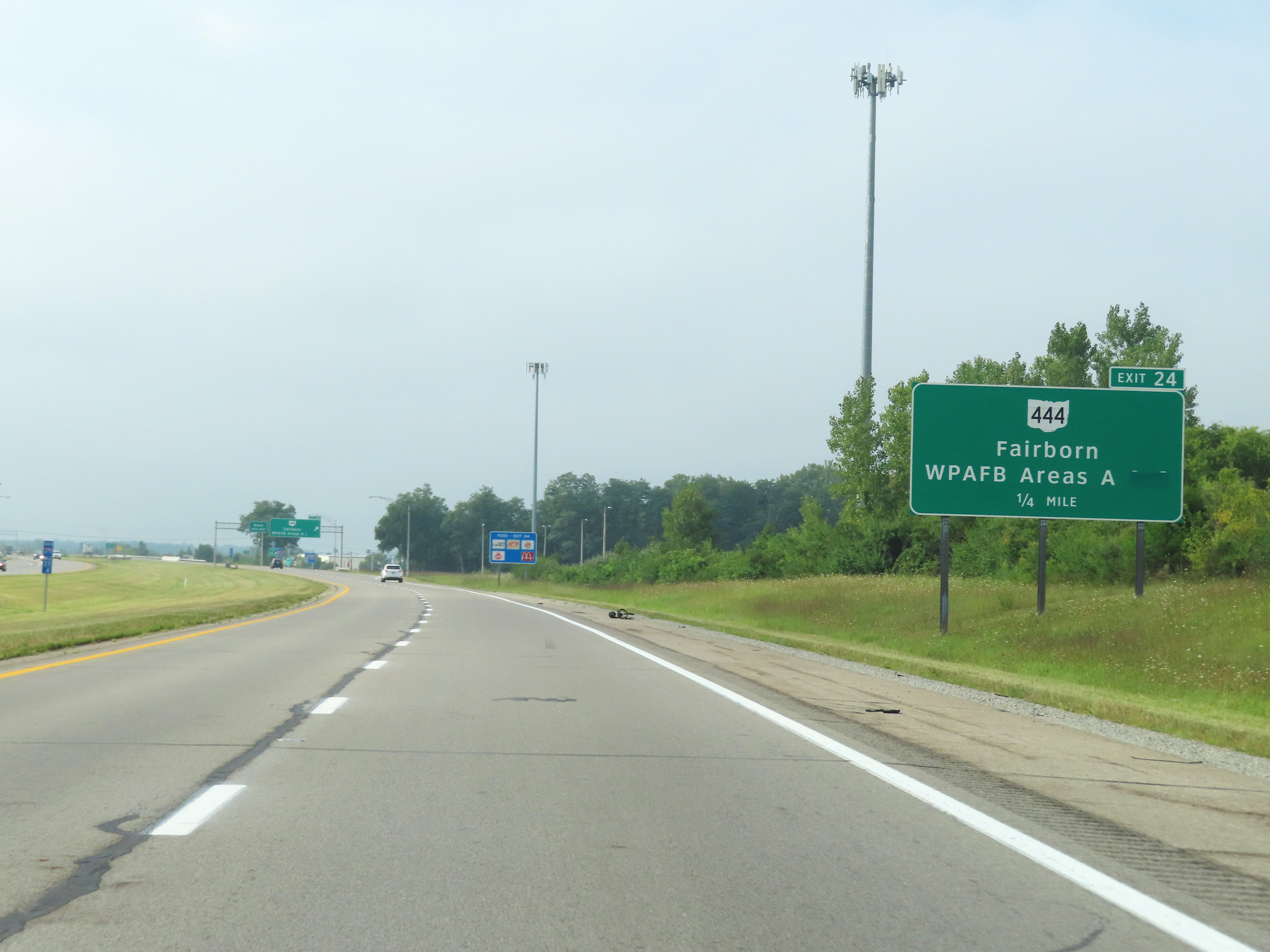 |
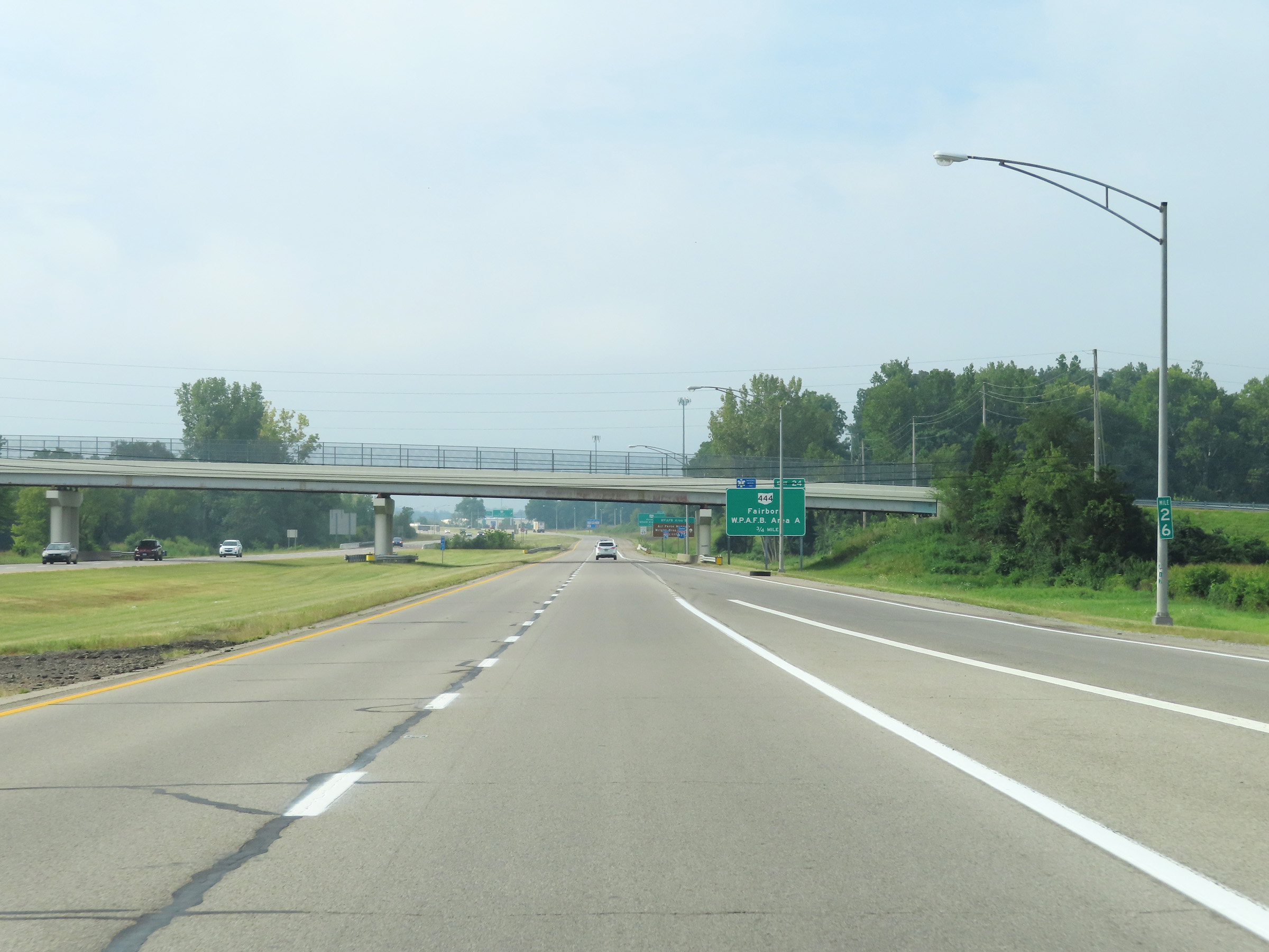
Interstate 675 South at Exit 24: OH 444 - Fairborn / WPAFB Area A (Photo taken 8/21/22). |
 |
View on Interstate 675 South at mile marker 24. (Photo taken 8/21/22). |
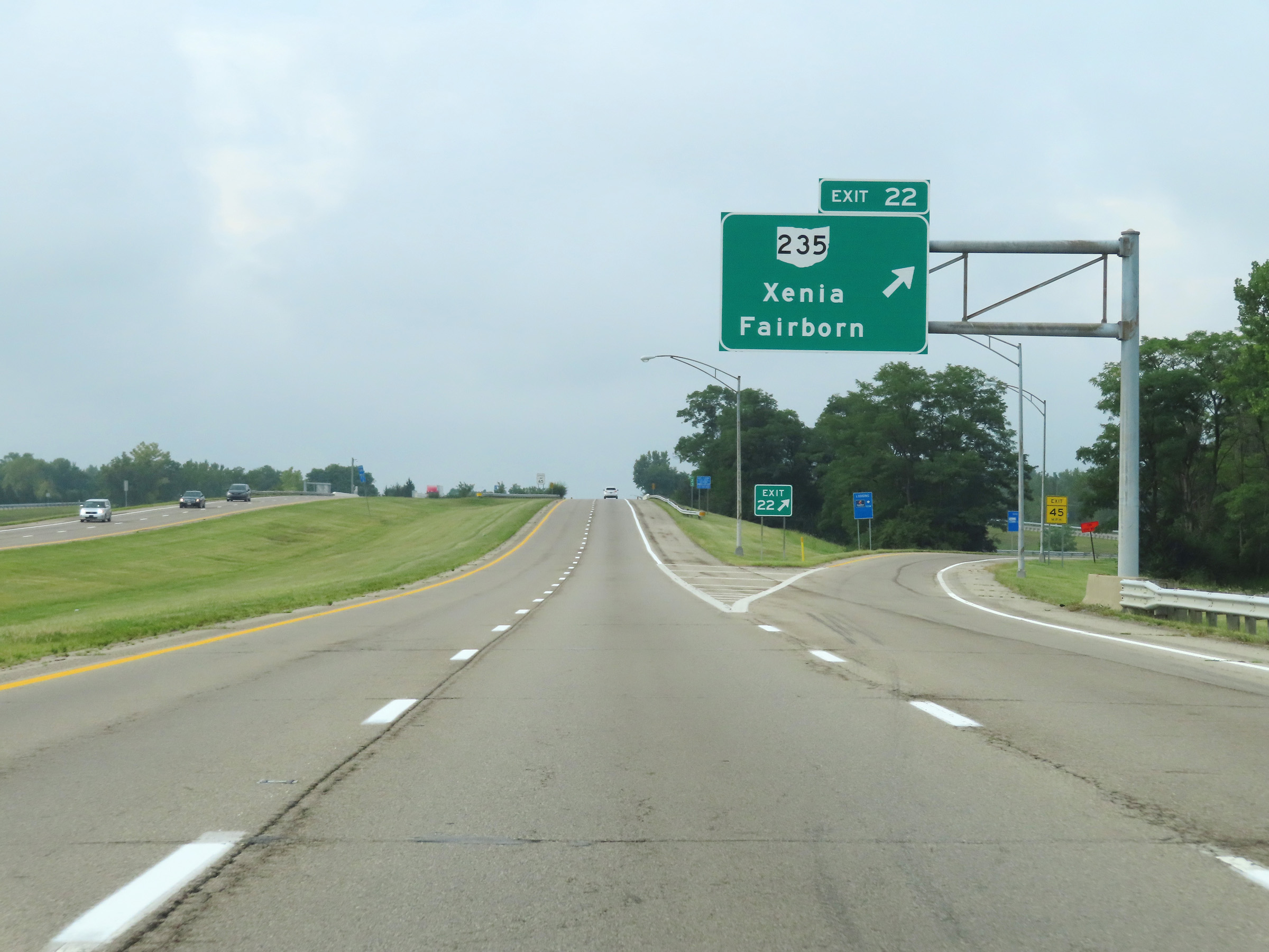 |
Interstate 675 South at Exit 22: OH 235 - Xenia / Fairborn (Photo taken 8/21/22). |
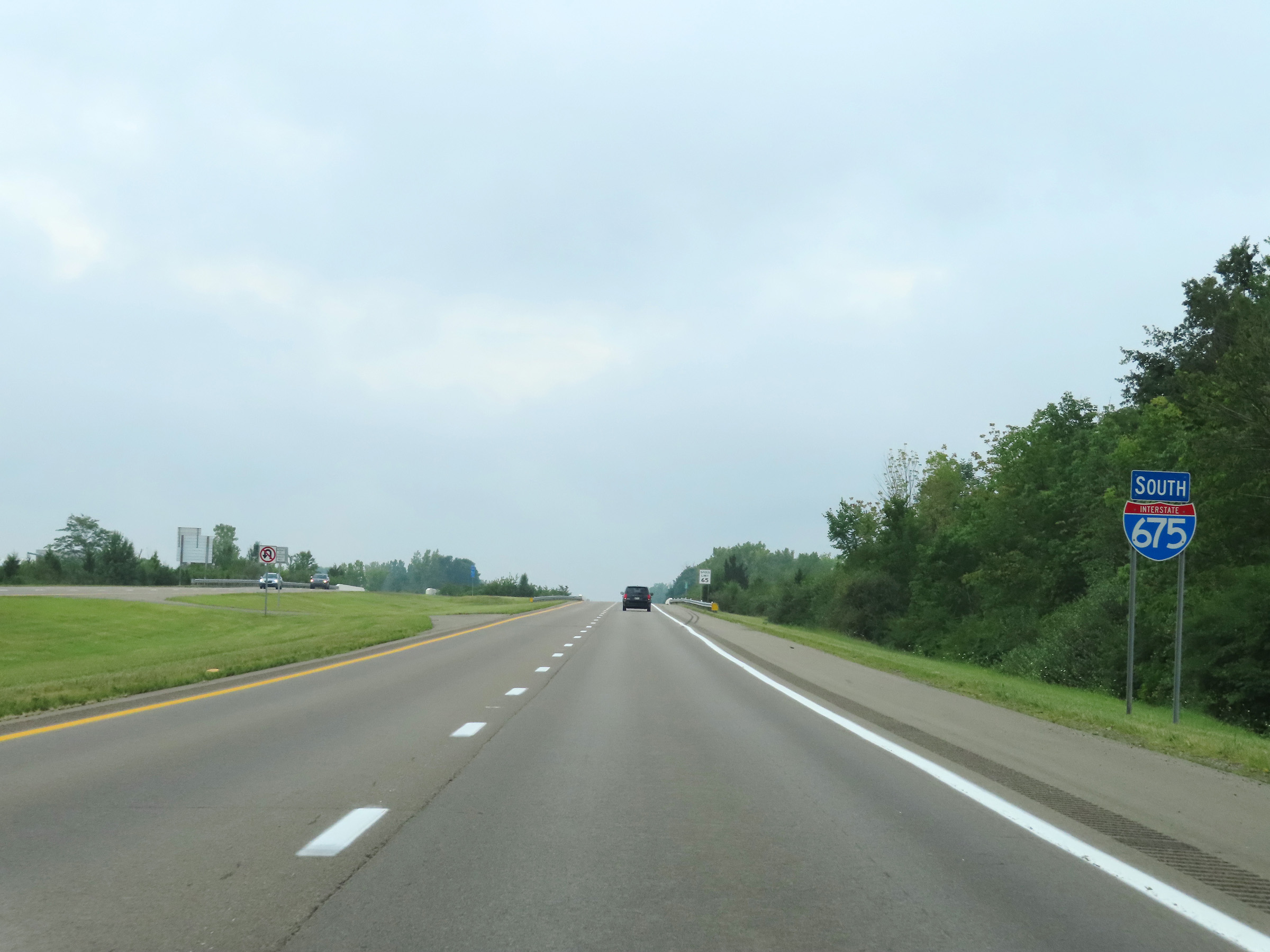 |
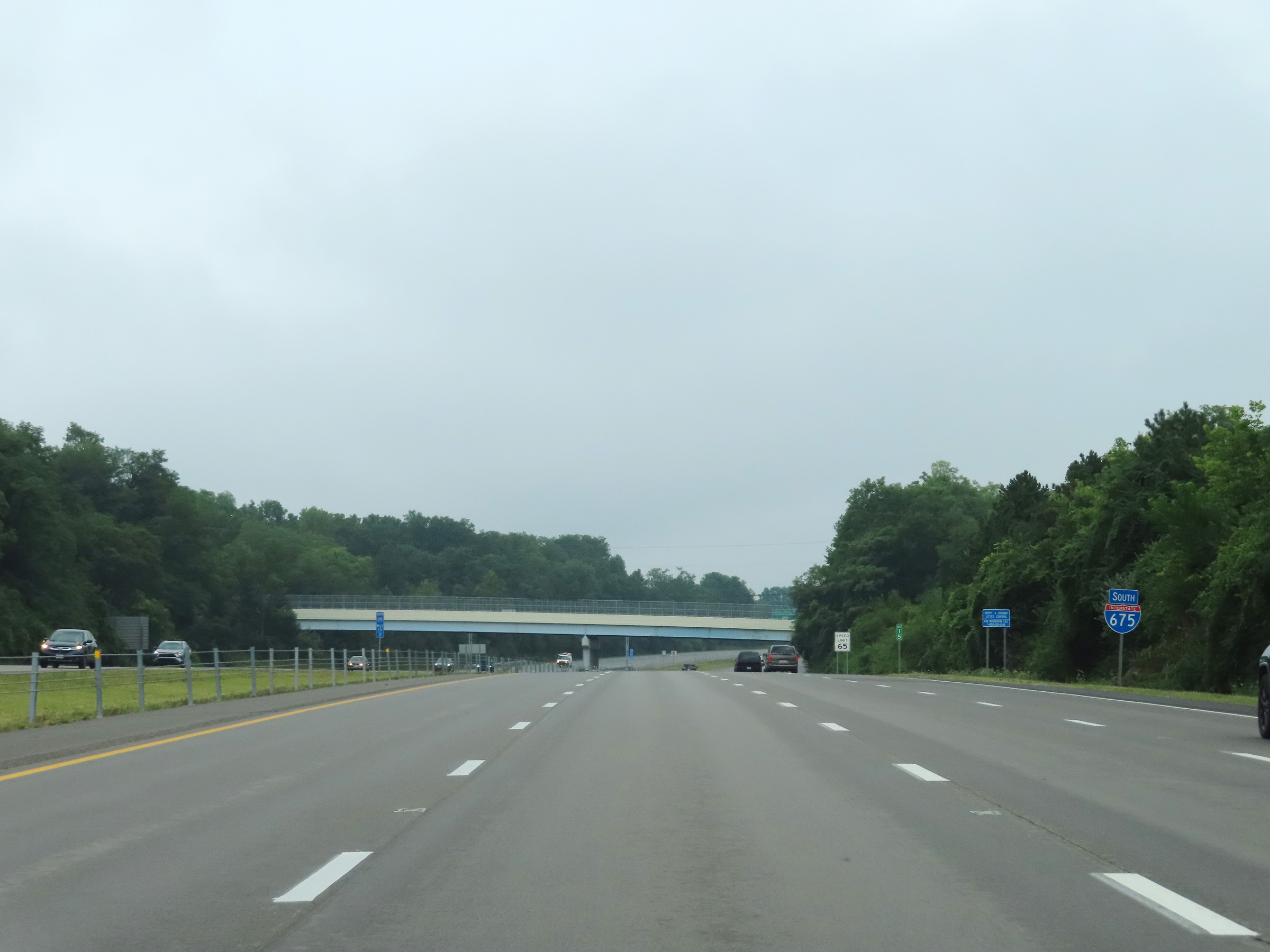
Another Interstate 675 South reassurance shield. (Photo taken 8/21/22). |
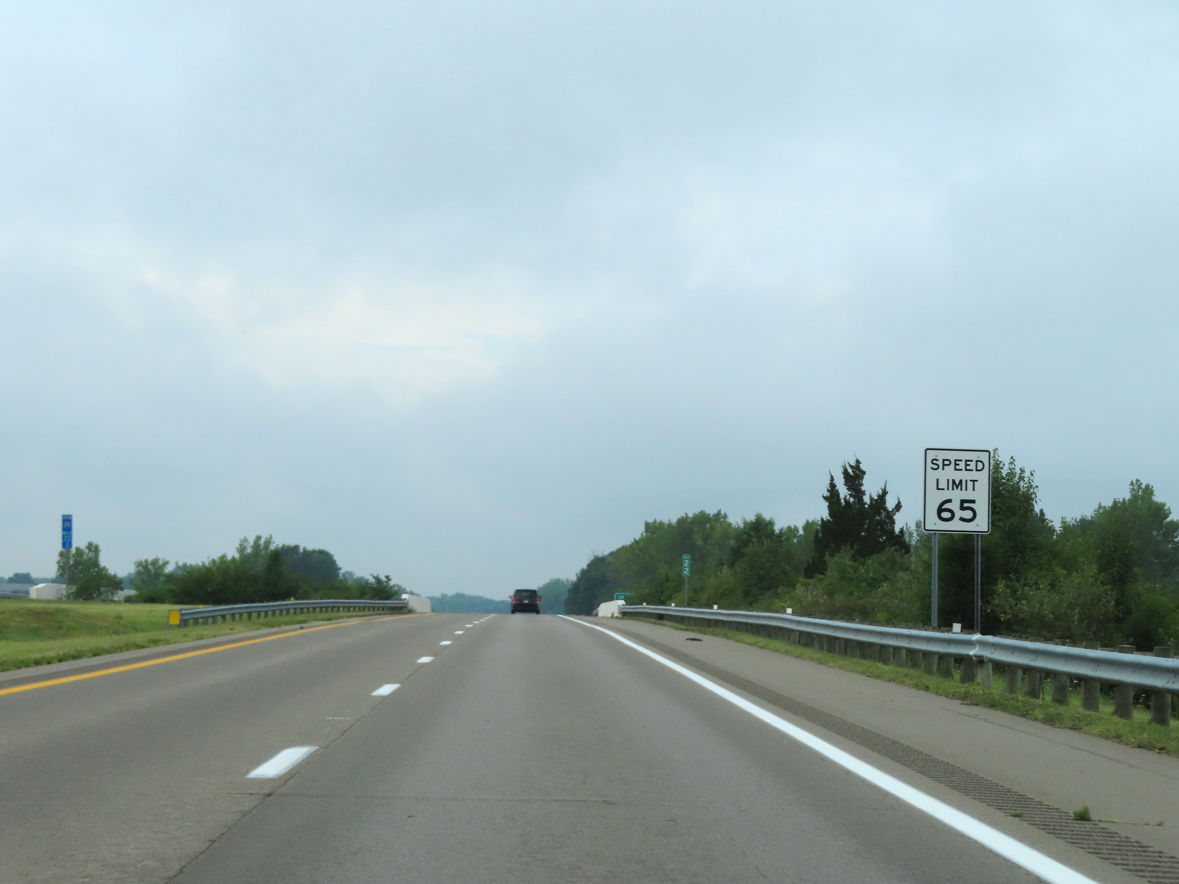 |
Speed limit sign at mile marker 22. The speed limit remains 65 mph. (Photo taken 8/21/22). |
 |
Mileage sign on Interstate 675 South at mile marker 21.8. It's 8 miles to the junction of US 35, 22 miles to the junction of Interstate 75, and 59 miles to Cincinnati. (Photo taken 8/21/22). |
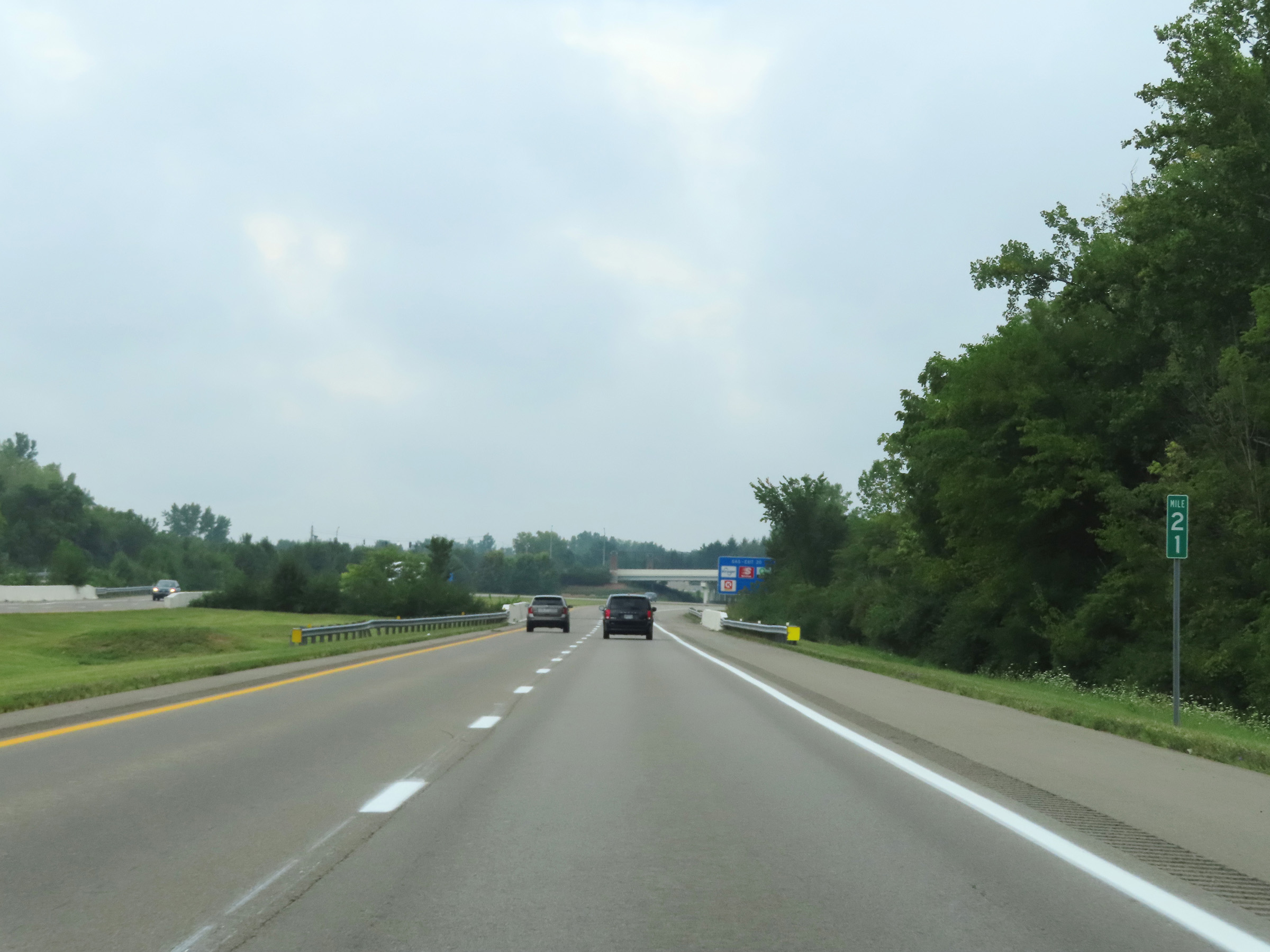 |
Mile marker 21 on Interstate 675 South in Greene County. (Photo taken 8/21/22). |
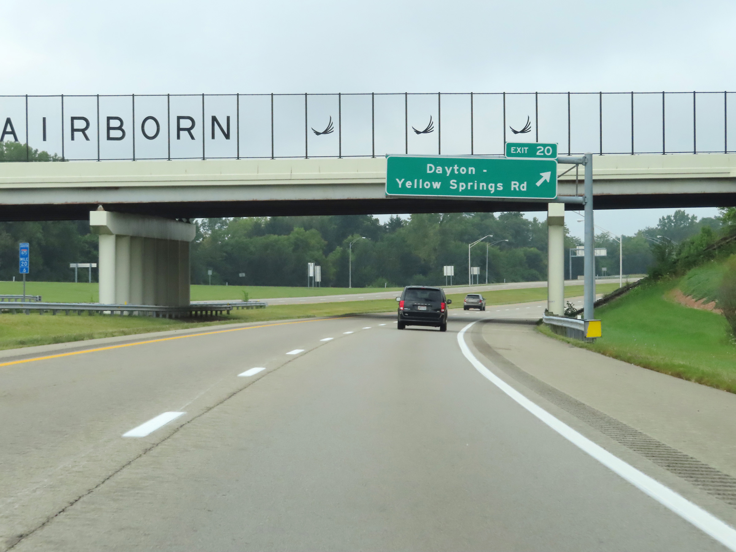 |
Interstate 675 South at Exit 20: Dayton-Yellow Springs Rd (Photo taken 8/21/22). |
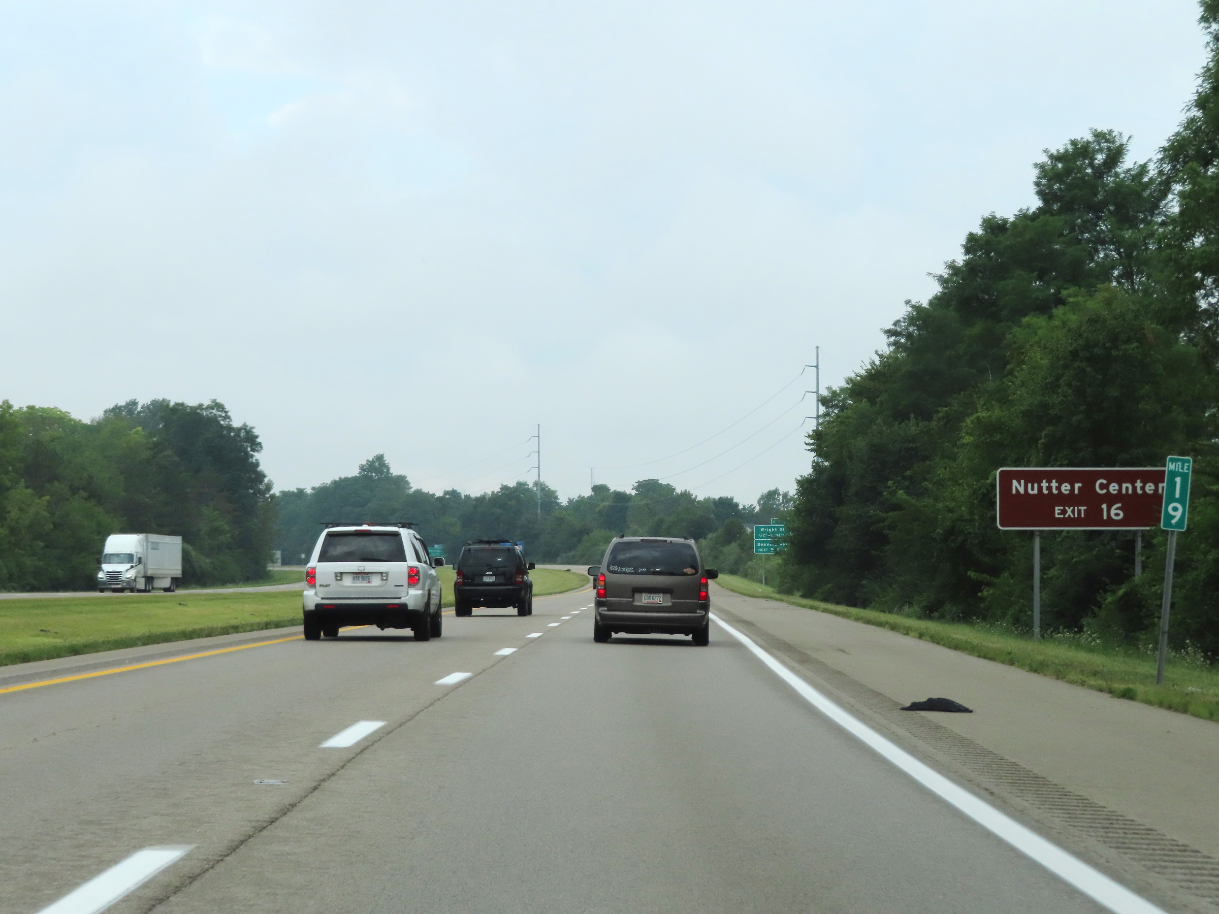 |
Take Exit 16 to Nutter Center. (Photo taken 8/21/22). |
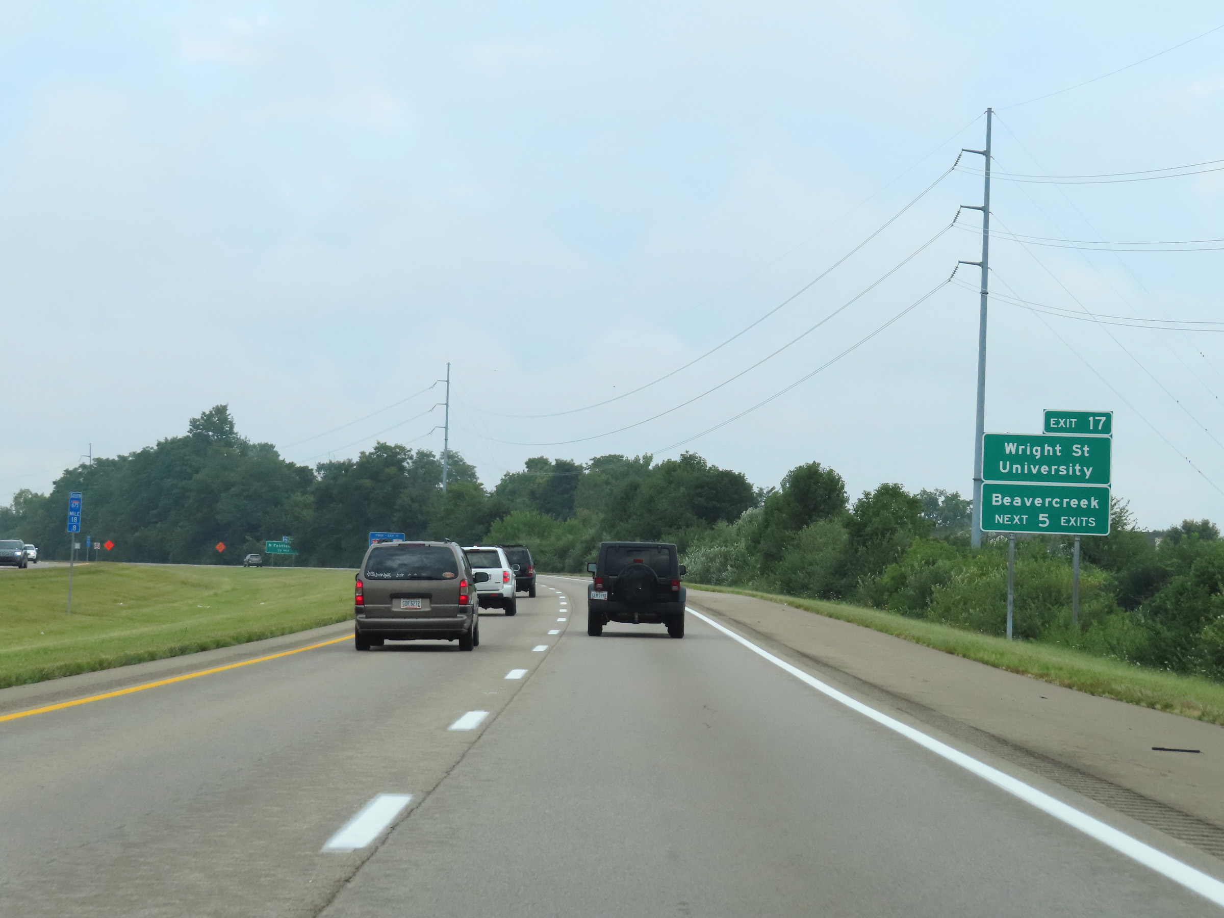 |
Take any of the next 5 exits to Beavercreek. Traffic to Wright State University should use Exit 17. (Photo taken 8/21/22). |
 |
Interstate 675 South at Exit 17: North Fairfield Rd (Photo taken 8/21/22). |
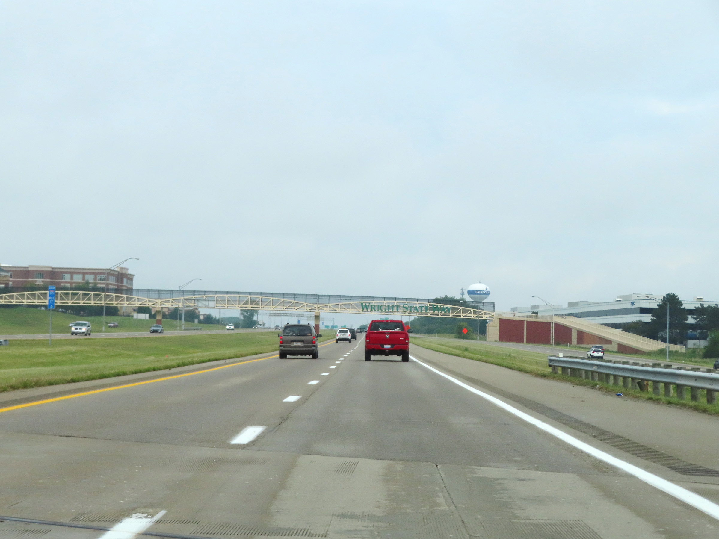 |
Interstate 675 South at mile marker 17.6. (Photo taken 8/21/22). |
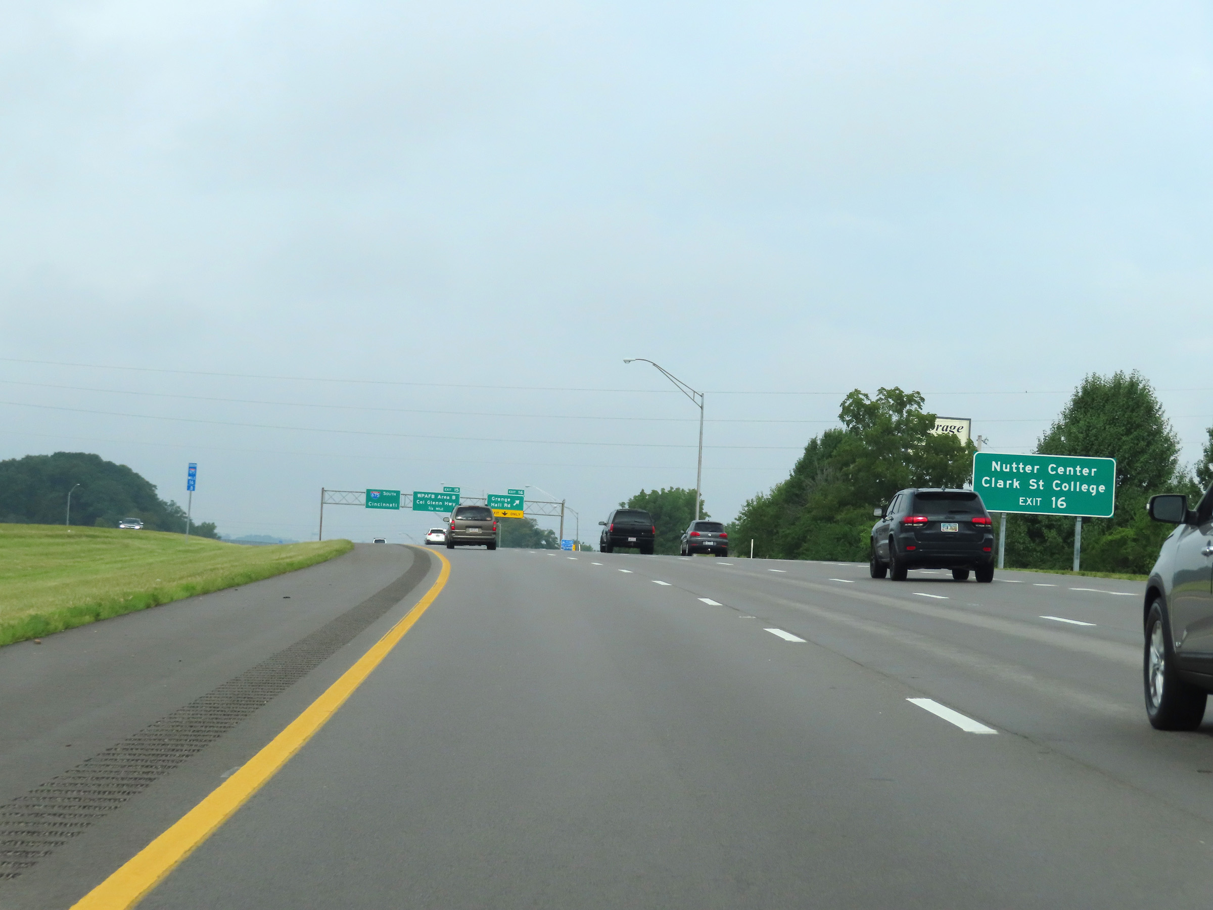 |
Take Exit 16 to Nutter Center and Clark State College. (Photo taken 8/21/22). |
 |
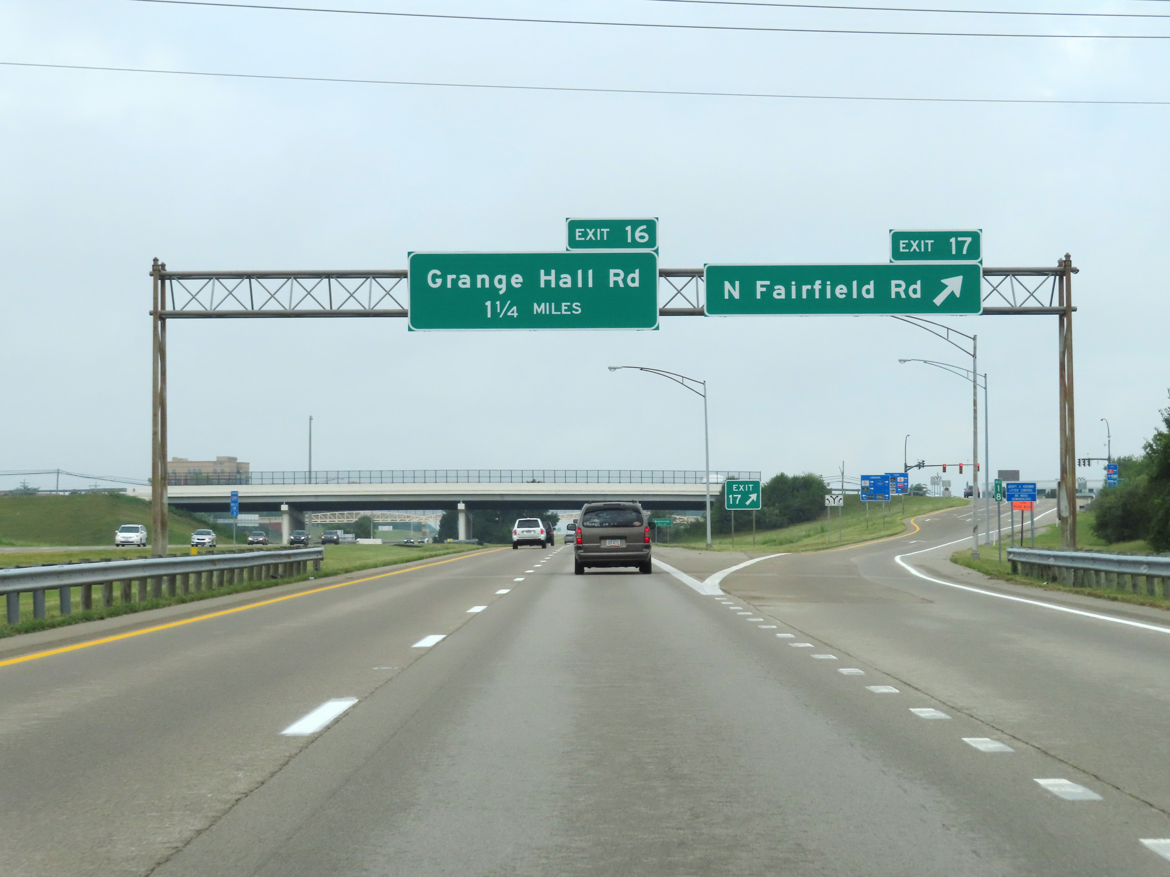
Interstate 675 South at Exit 16: Grange Hall Rd (Photo taken 8/21/22). |
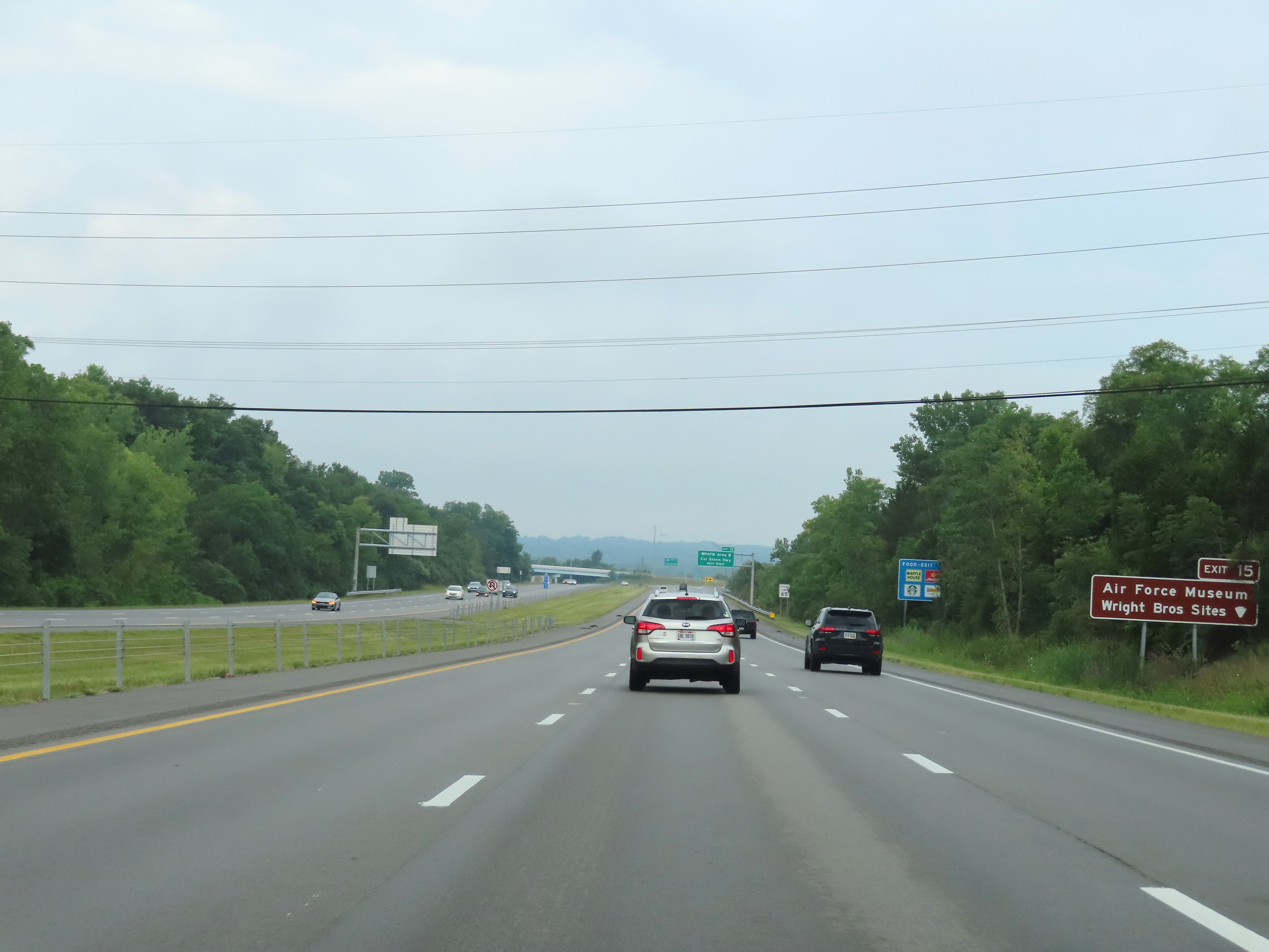 |
Again, take Exit 15 to the Air Force Museum and Wright Brothers Sites. (Photo taken 8/21/22). |
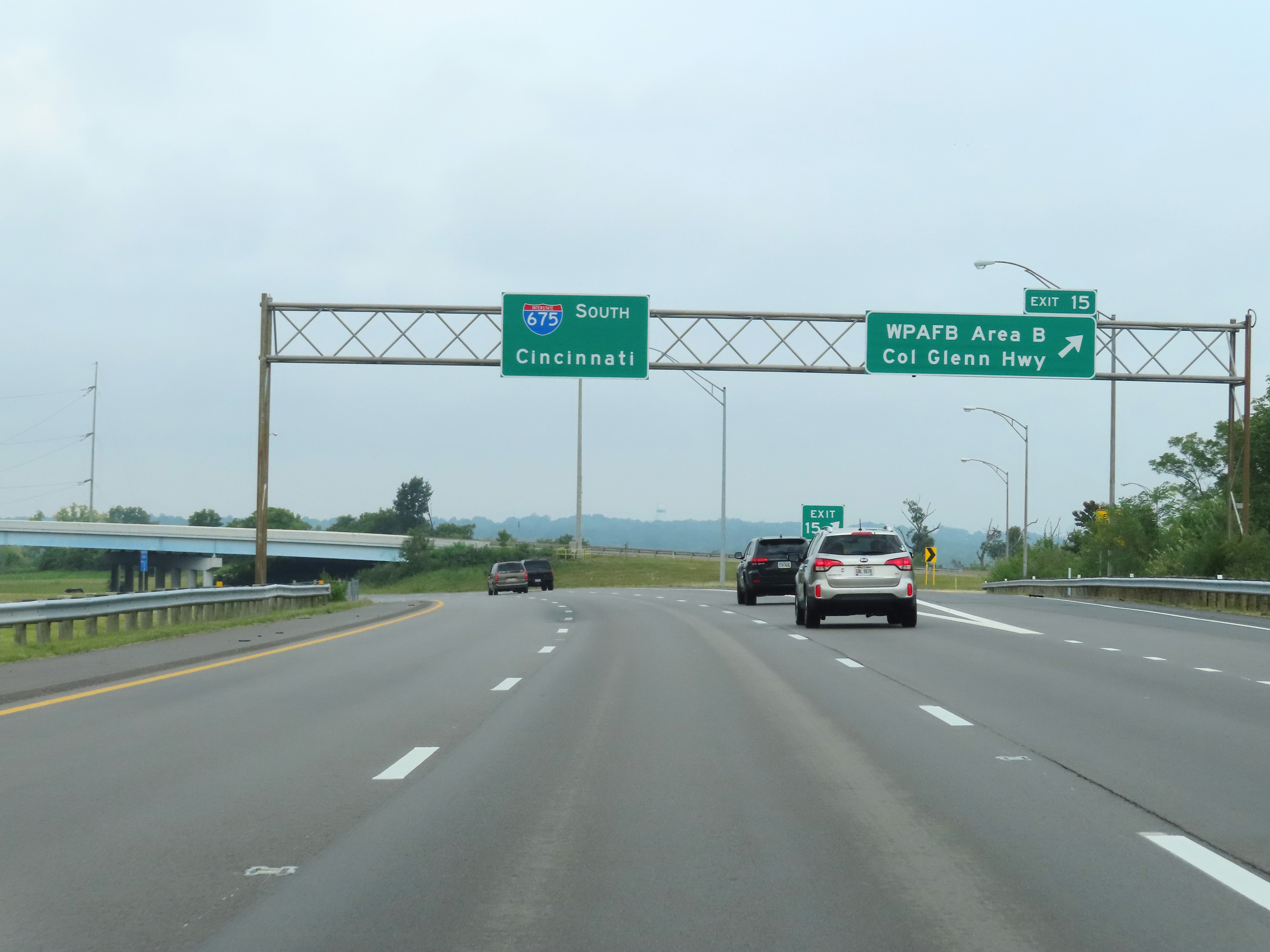 |
Interstate 675 South at Exit 15: WPAFB Area B / Col Glenn Hwy (Photo taken 8/21/22). |
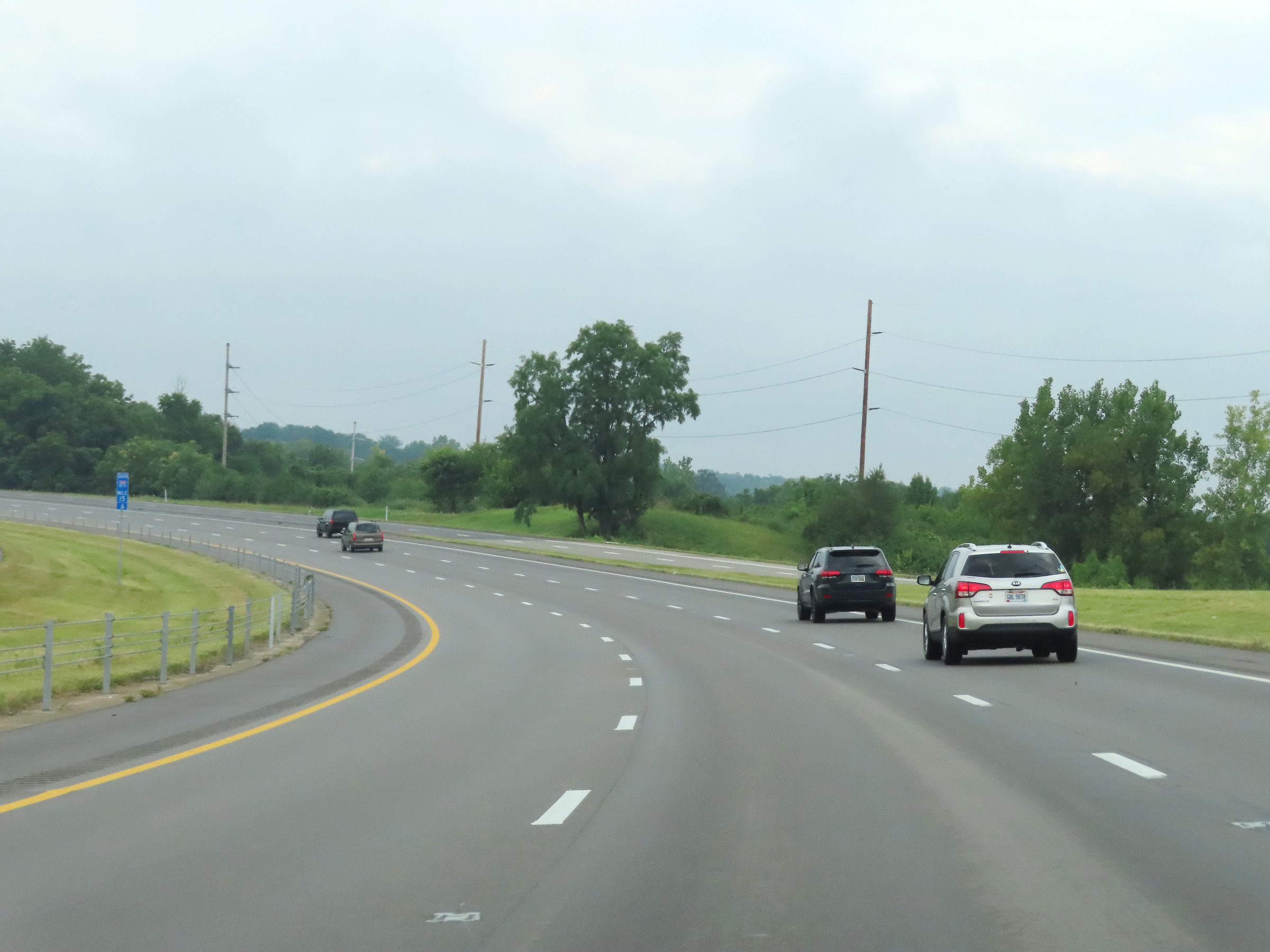 |
View on Interstate 675 South at mile marker 15.6, as it curves hard to the south once again just beyond Exit 15. (Photo taken 8/21/22). |
 |
Interstate 675 South reassurance shield at mile marker 15. (Photo taken 8/21/22). |
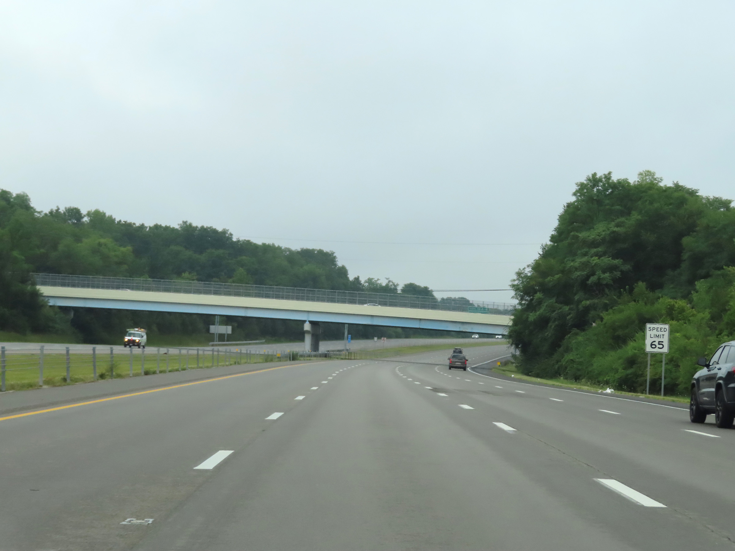 |
The speed limit on Interstate 675 South remains 65 mph. (Photo taken 8/21/22). |
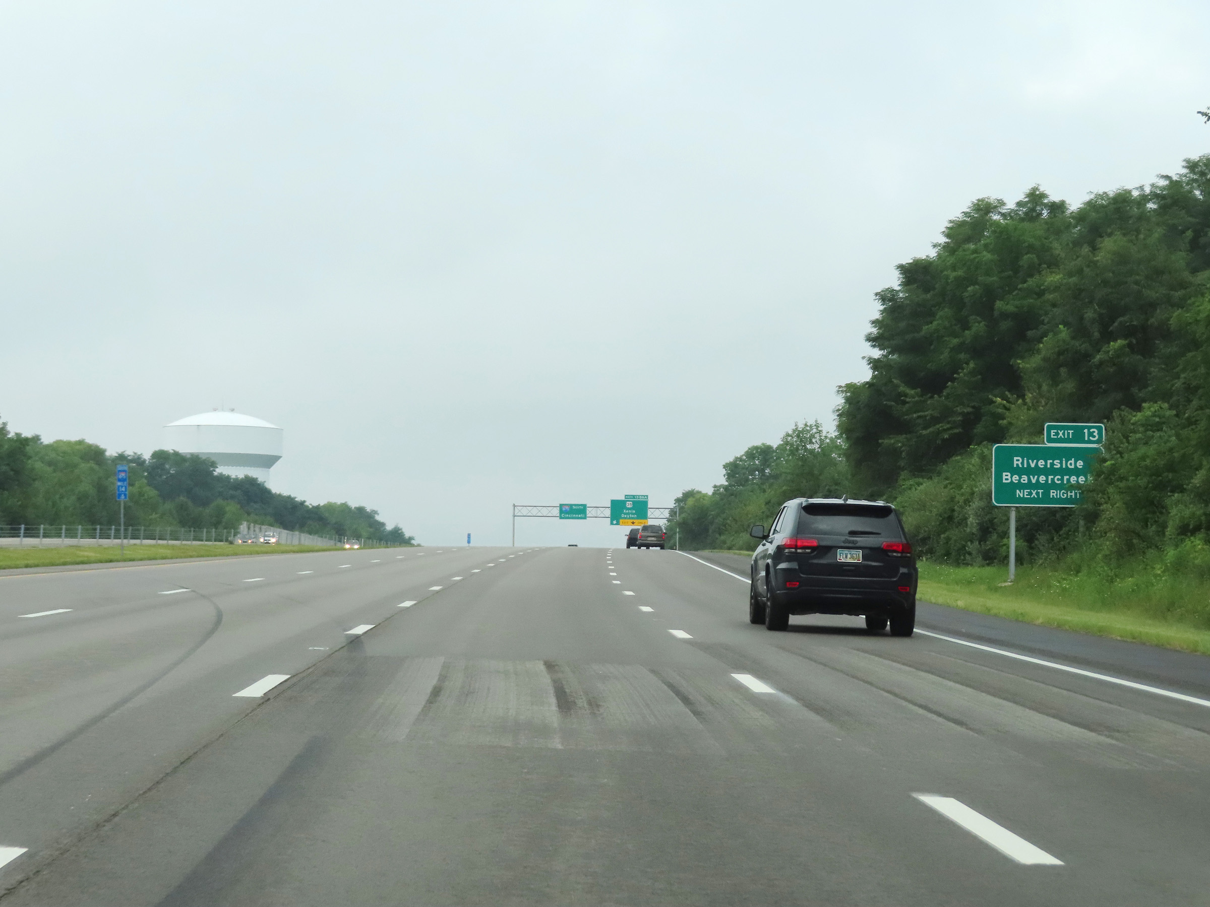 |
Take Exit 13 to Riverside and Beavercreek. (Photo taken 8/21/22). |
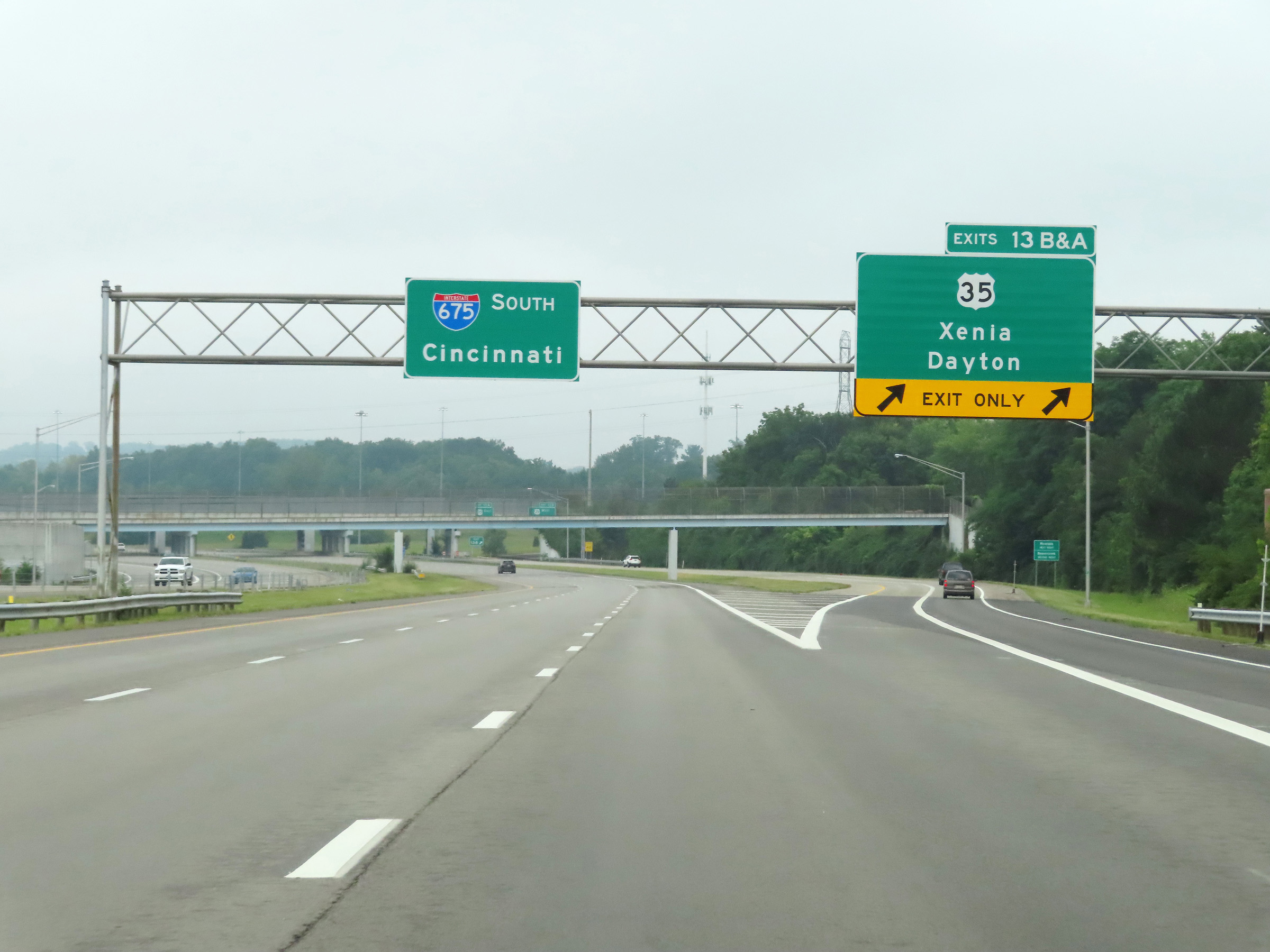 |
Interstate 675 South at Exit 13B-A: US 35 - Xenia / Dayton (Photo taken 8/21/22). |
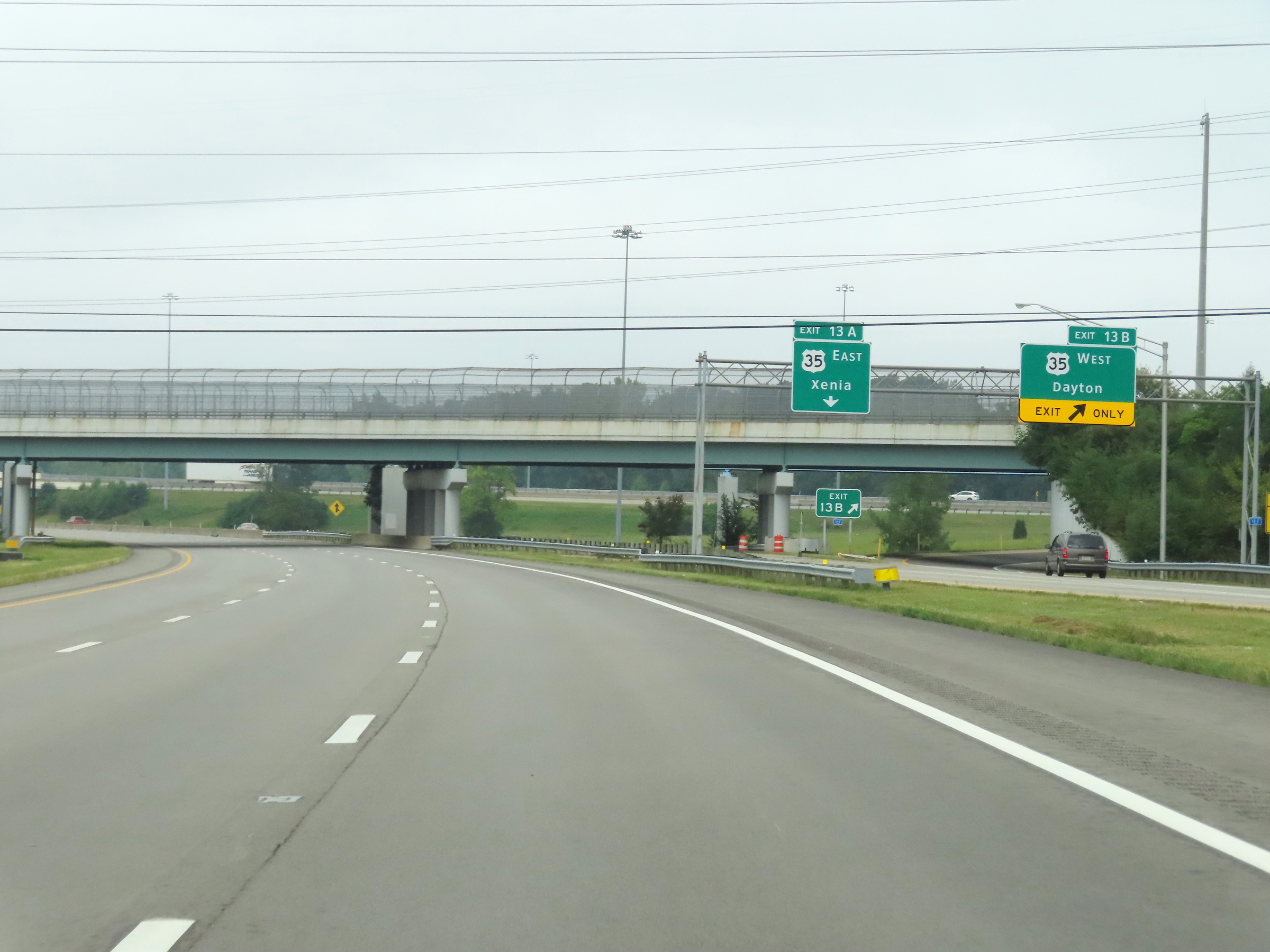 |
Interstate 675 South at Exit 13B: US 35 West - Dayton (Photo taken 8/21/22). |
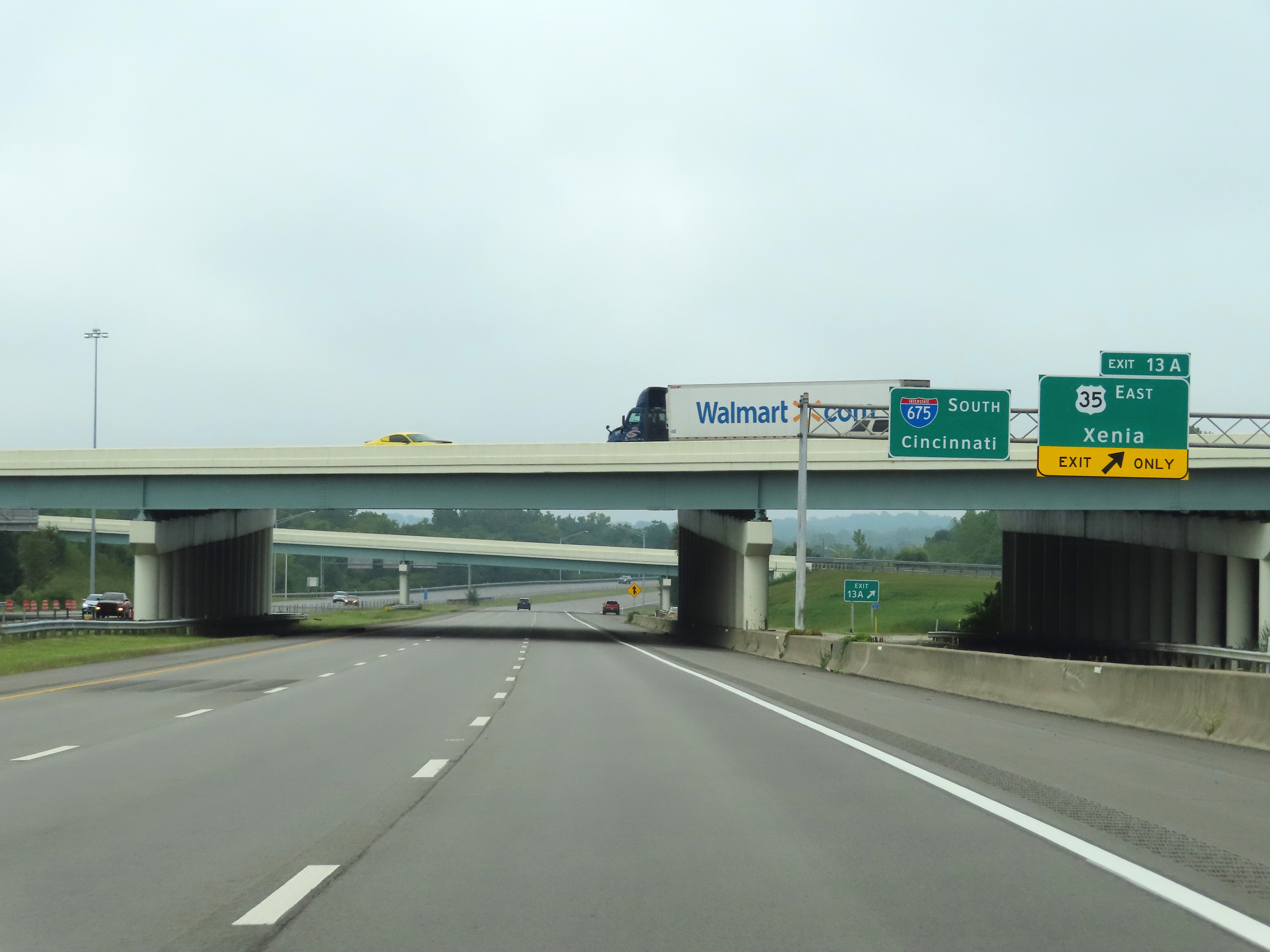 |
Interstate 675 South at Exit 13A: US 35 East - Xenia (Photo taken 8/21/22). |
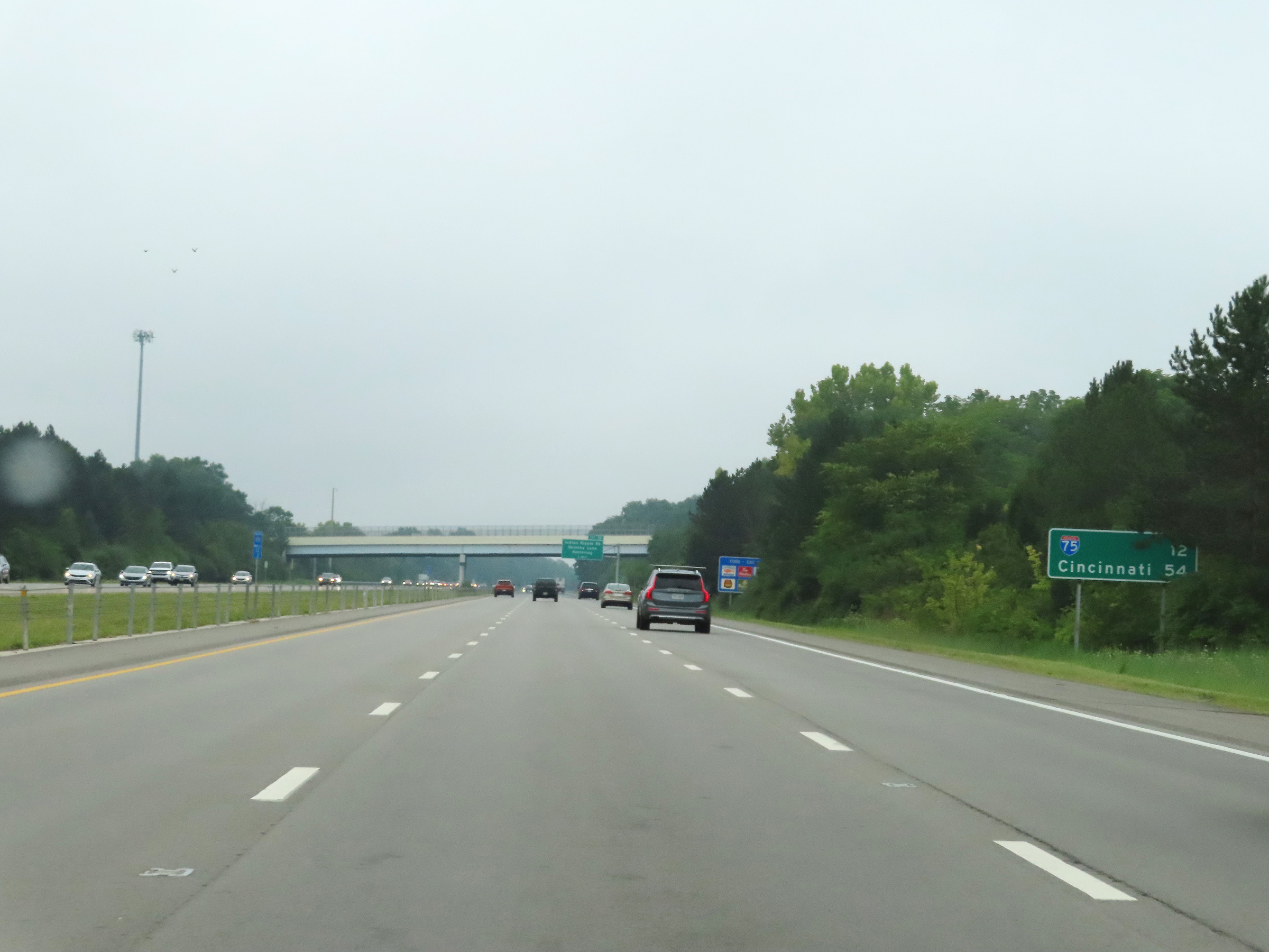 |
Another mileage sign on Interstate 675 South. It's 12 miles to the junction of Interstate 75 and 54 miles to Cincinnati. (Photo taken 8/21/22). |
 |
View on Interstate 675 South at mile marker 11.6. (Photo taken 8/21/22). |
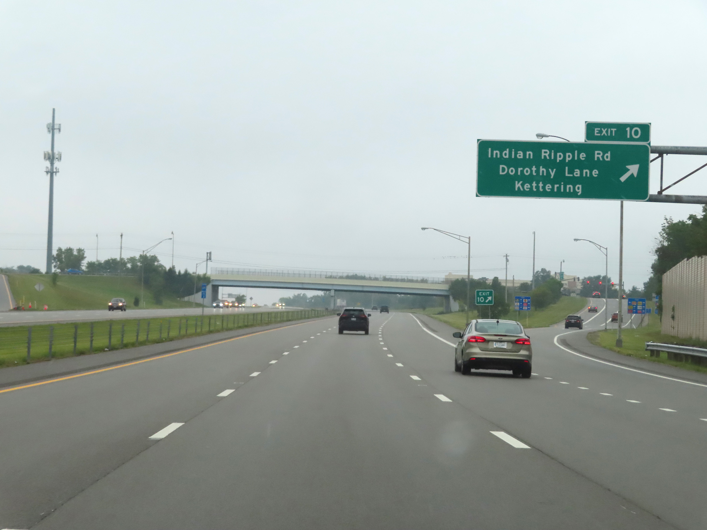 |
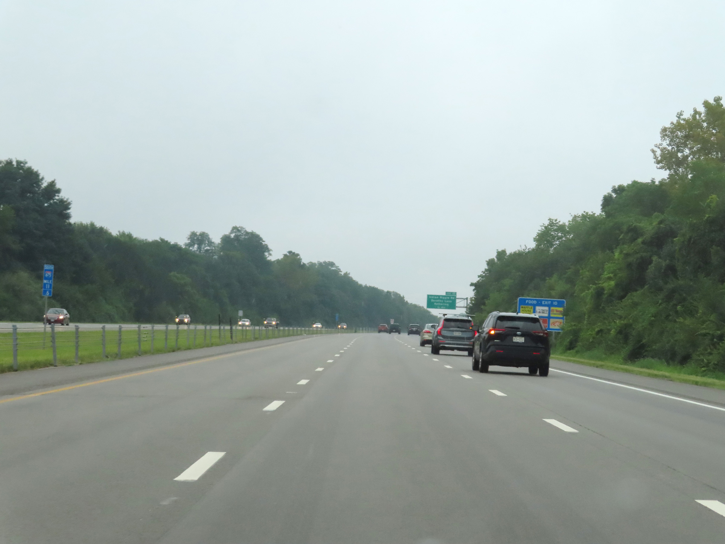
Interstate 675 South at Exit 10: Indian Ripple Rd / Dorothy Lane / Kettering (Photo taken 8/21/22). |
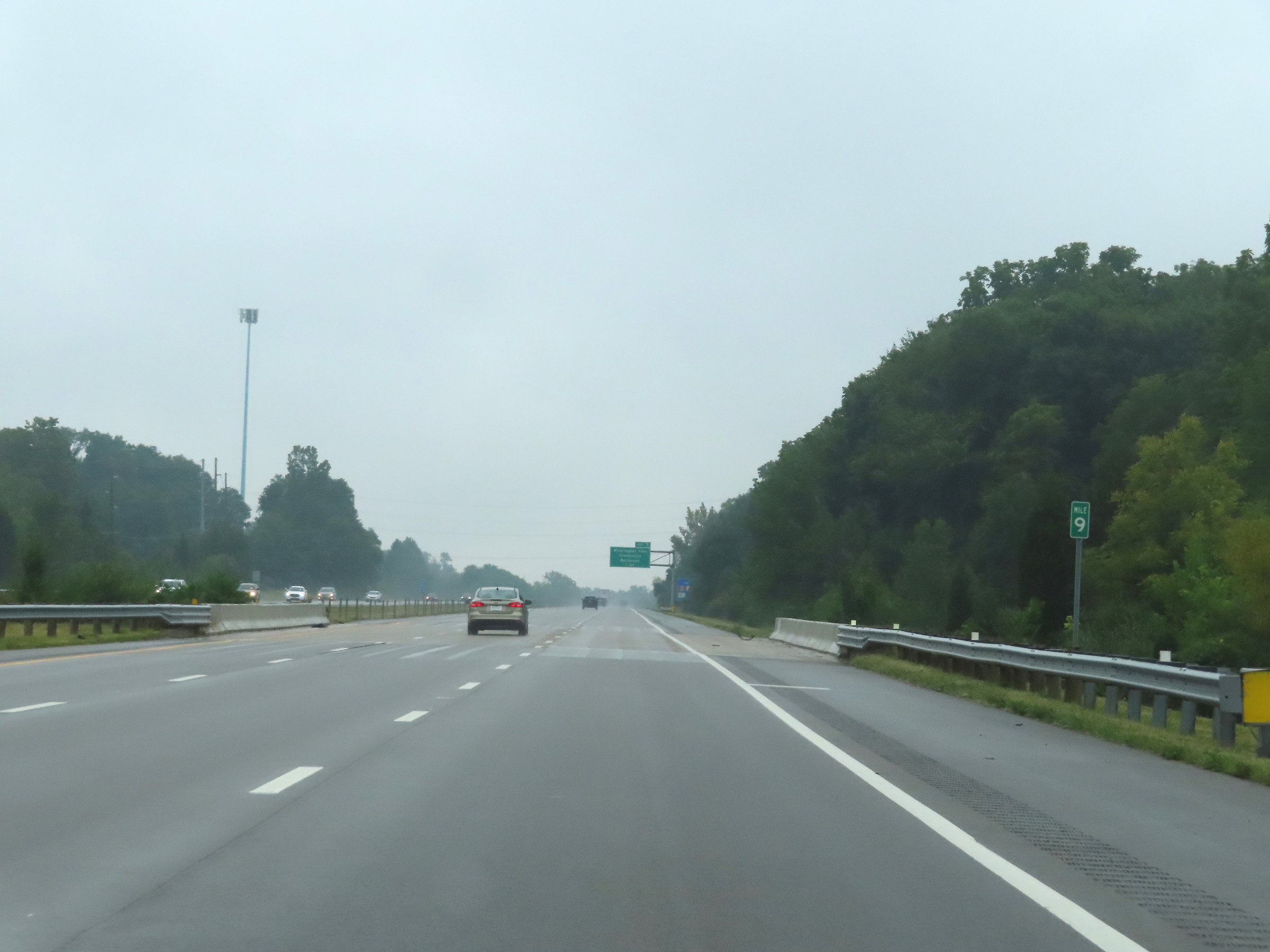 |
Mile marker 9 on Interstate 675 South in Greene County. (Photo taken 8/21/22). |
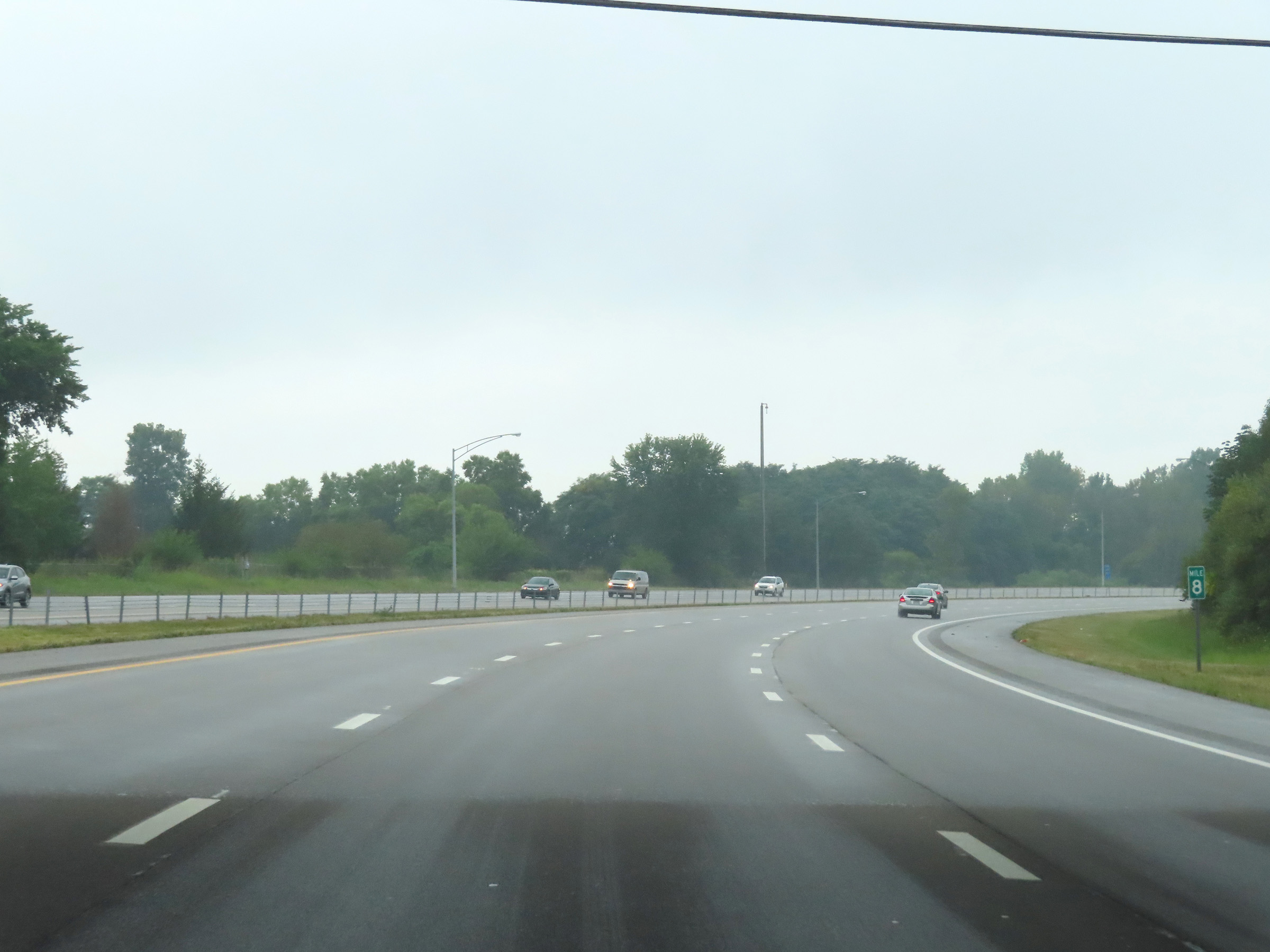 |
View on Interstate 675 South at mile marker 8, as it curves hard to the west to head for Interstate 75. (Photo taken 8/21/22). |
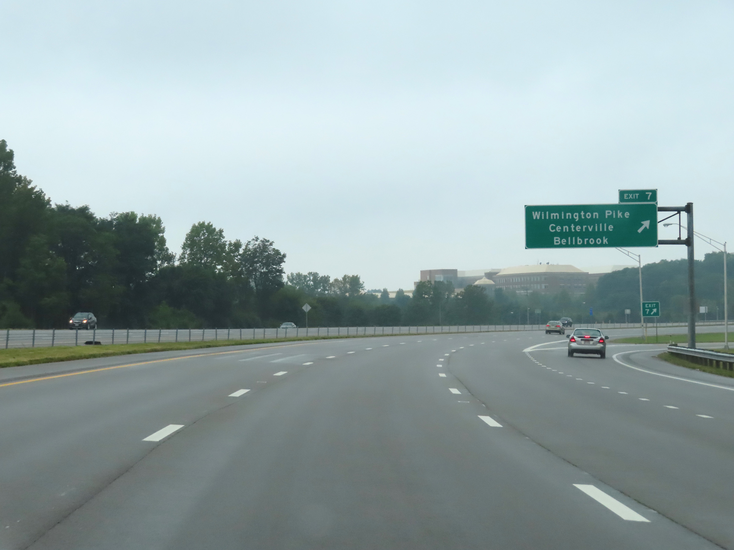 |
Interstate 675 South at Exit 7: Wilmington Pike / Centerville / Bellbrook (Photo taken 8/21/22). |
 |
Interstate 675 South as it enters Montgomery County. (Photo taken 8/21/22). |
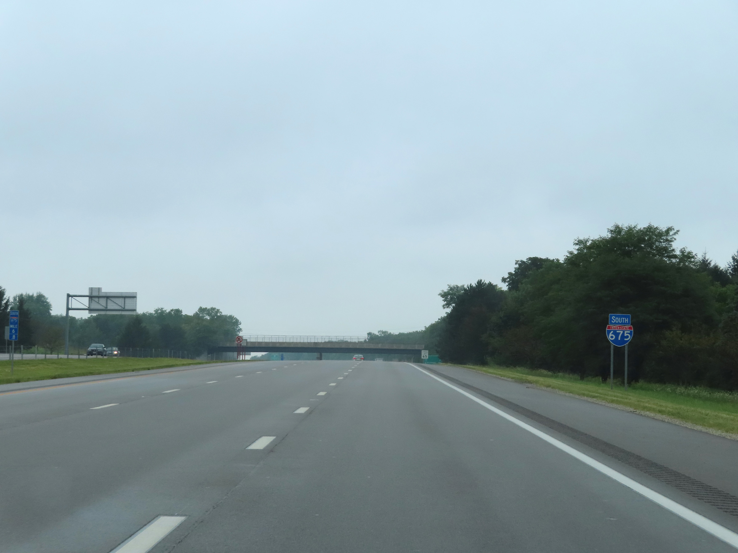 |
Another Interstate 675 South reassurance shield. (Photo taken 8/21/22). |
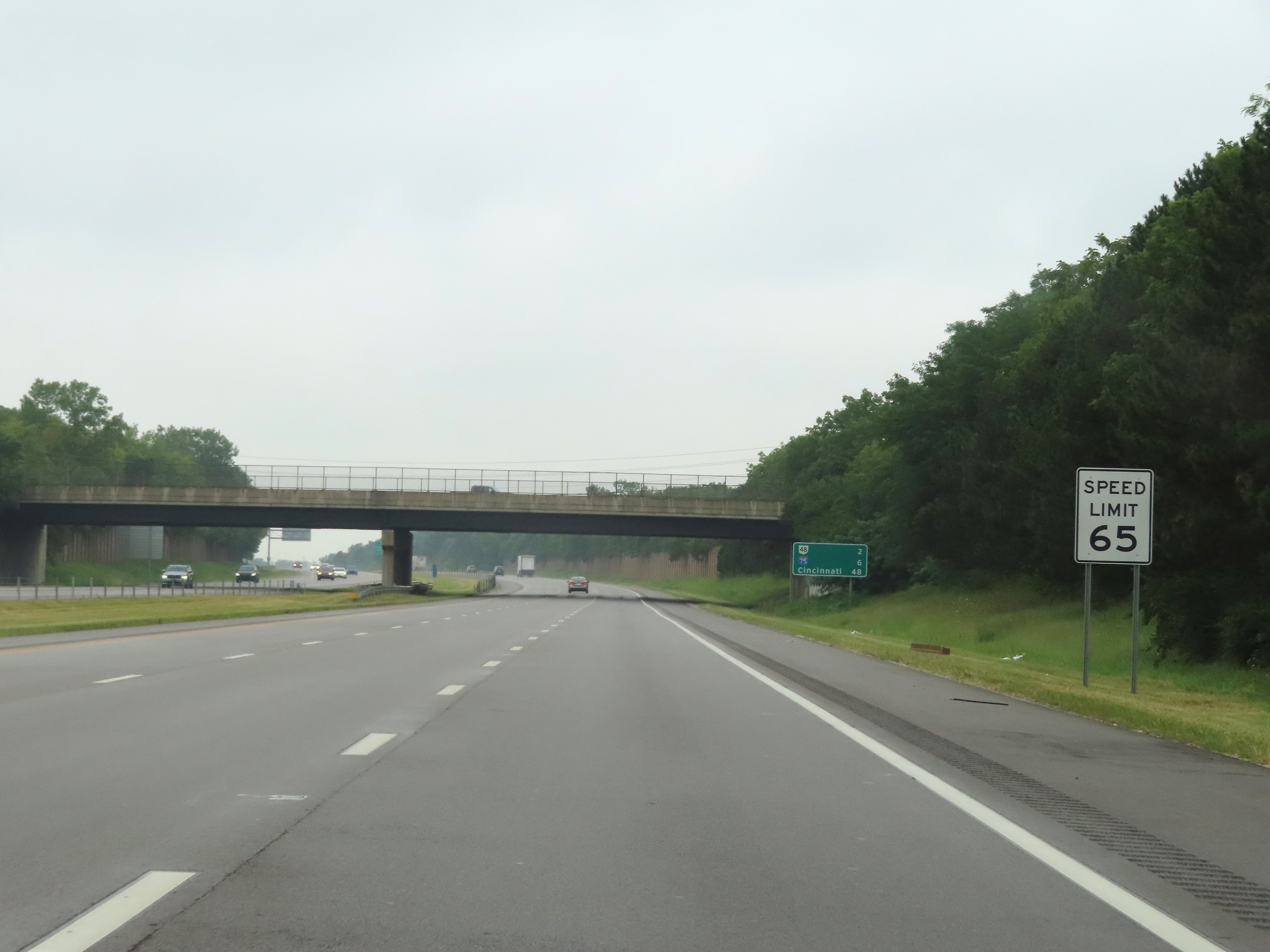 |
The speed limit remains 65 mph on Interstate 675 South. (Photo taken 8/21/22). |
 |
Another mileage sign on Interstate 675 South. It's 2 miles to the junction of OH 48, 6 miles to the junction of Interstate 75, and 48 miles to Cincinnati. (Photo taken 8/21/22). |
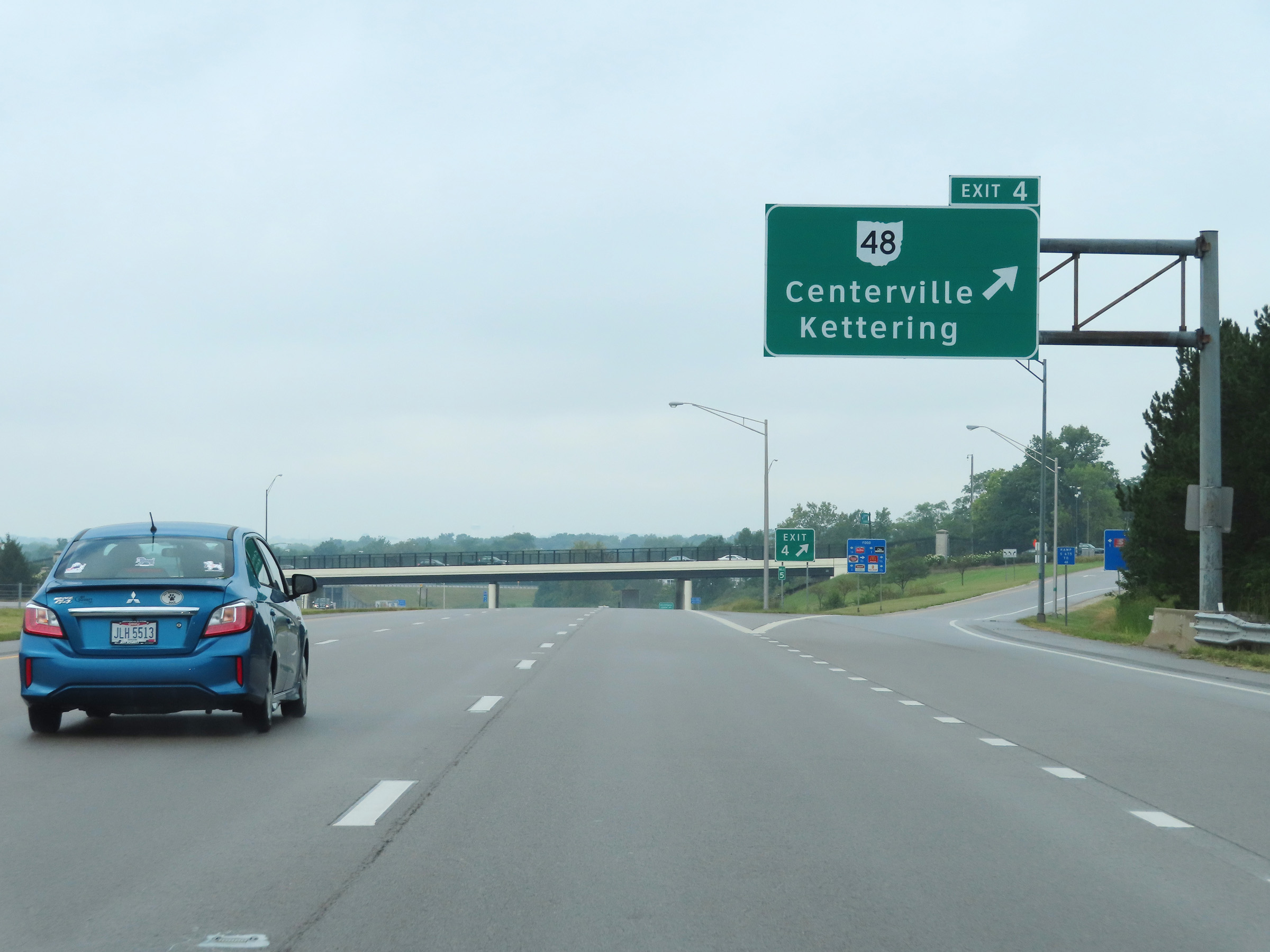 |
Interstate 675 South at Exit 4: OH 48 - Centerville / Kettering (Photo taken 8/21/22). |
 |
Mile marker 3 on Interstate 675 South in Montgomery County. (Photo taken 8/21/22). |
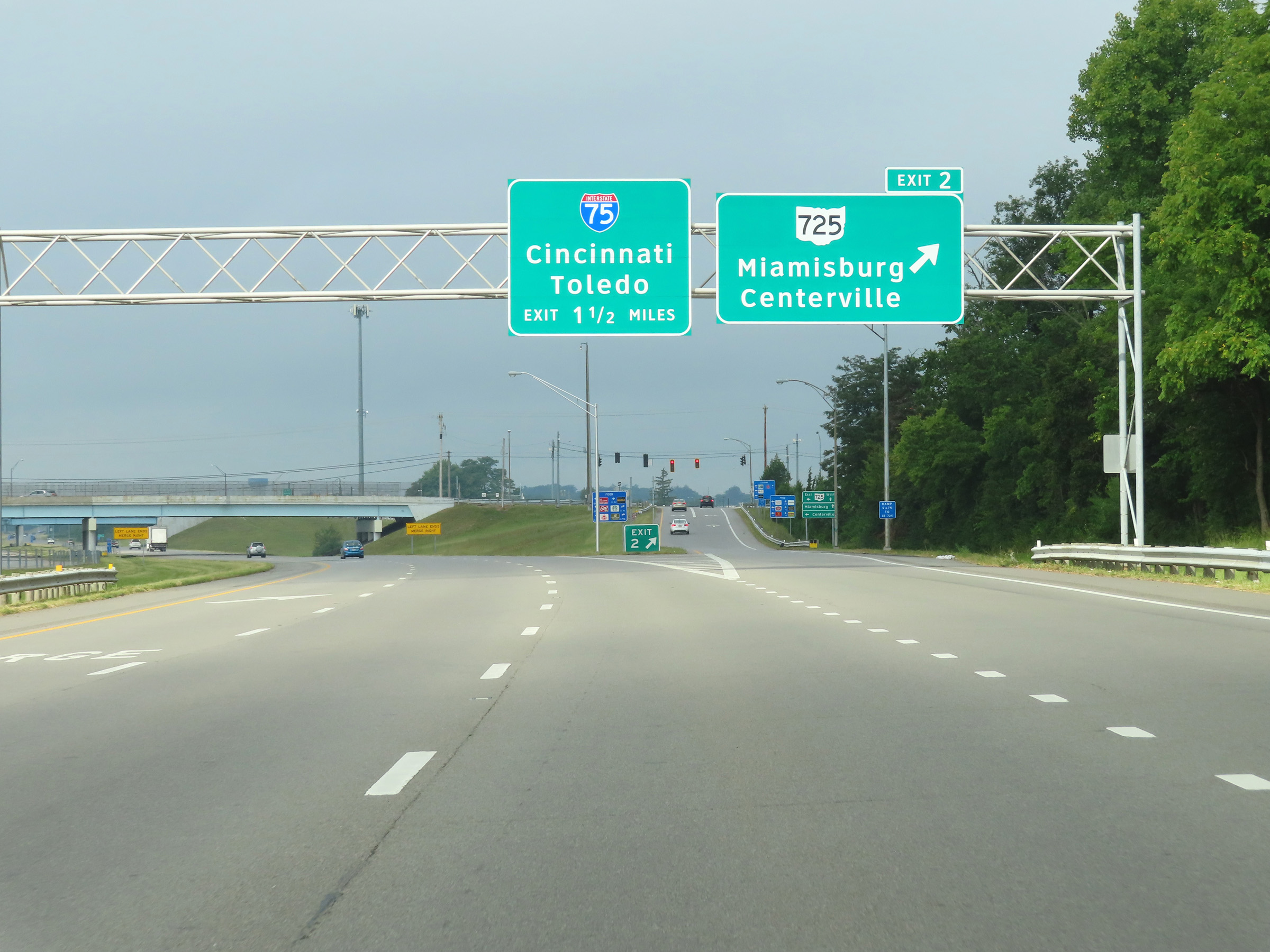 |
Interstate 675 South at Exit 2: OH 725 - Miamisburg / Centerville (Photo taken 8/21/22). |
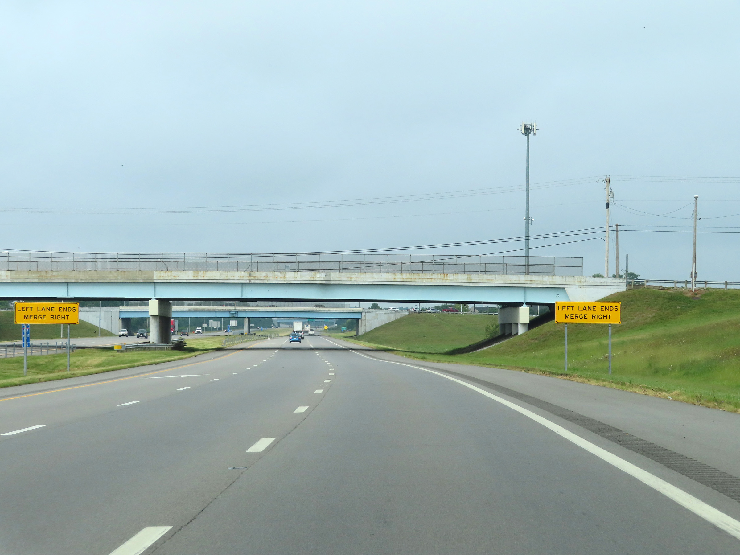 |
After maintaining three thru lanes for the past several miles, the left lane will come to an end ahead on Interstate 675 South, just beyond Exit 2. (Photo taken 8/21/22). |
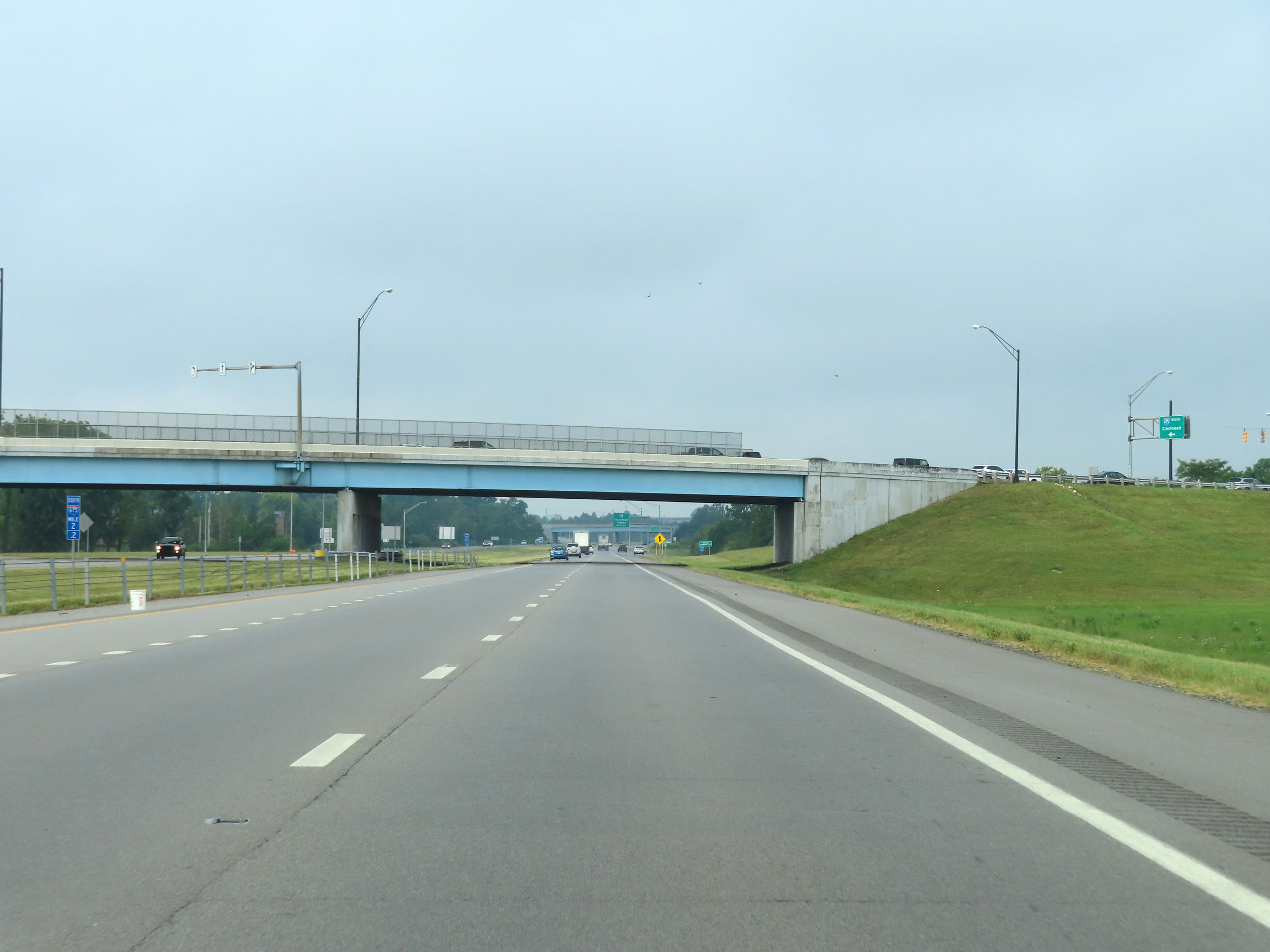 |
View on Interstate 675 South at mile marker 2.2. (Photo taken 8/21/22). |
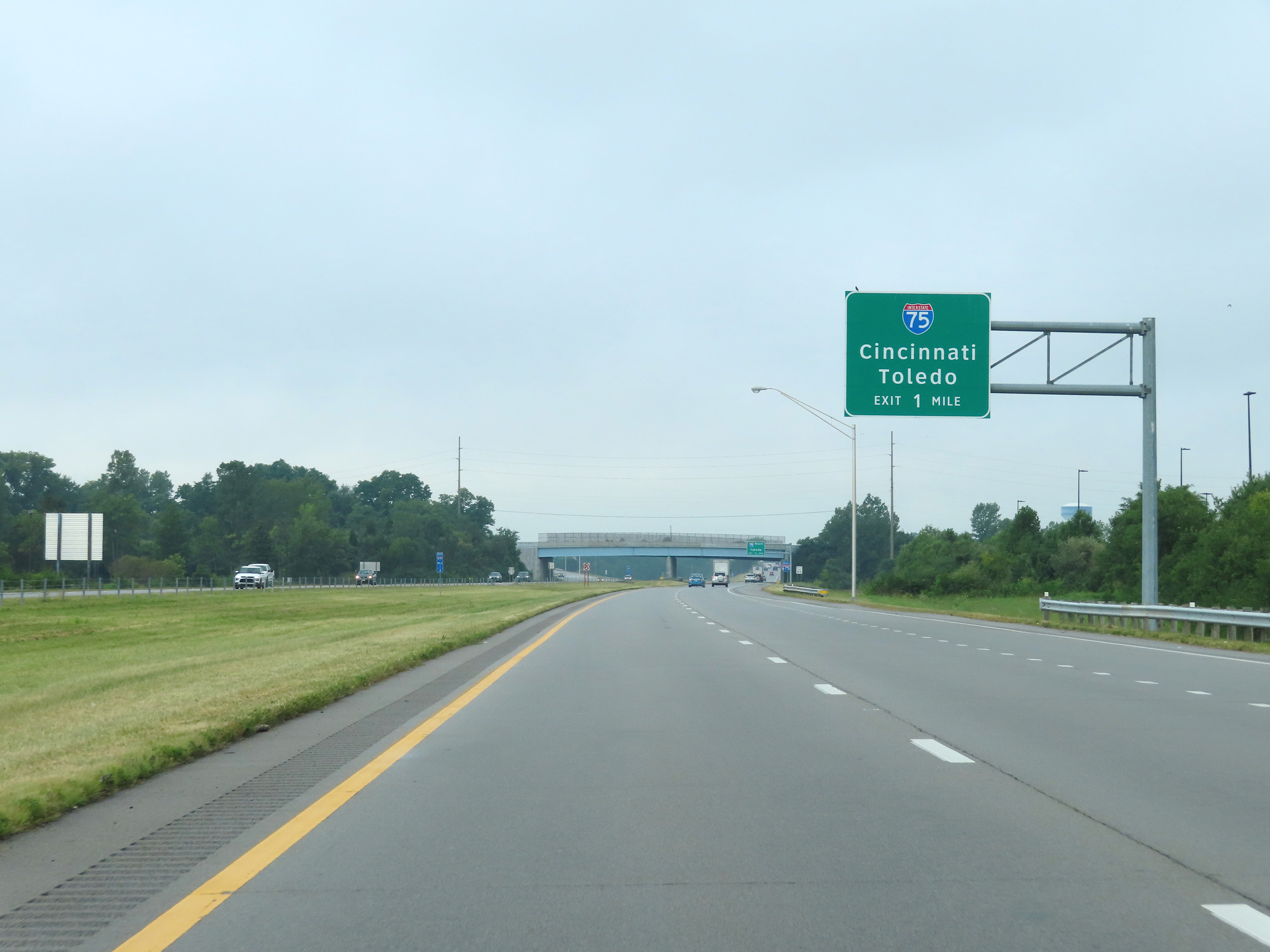 |
Interstate 675 South approaching its southern terminus at the junction of Interstate 75 - 1 mile ahead. (Photo taken 8/21/22). |
 |
One final Interstate 675 South reassurance shield at mile marker 1.4. (Photo taken 8/21/22). |
 |
View on Interstate 675 South at mile marker 1. (Photo taken 8/21/22). |
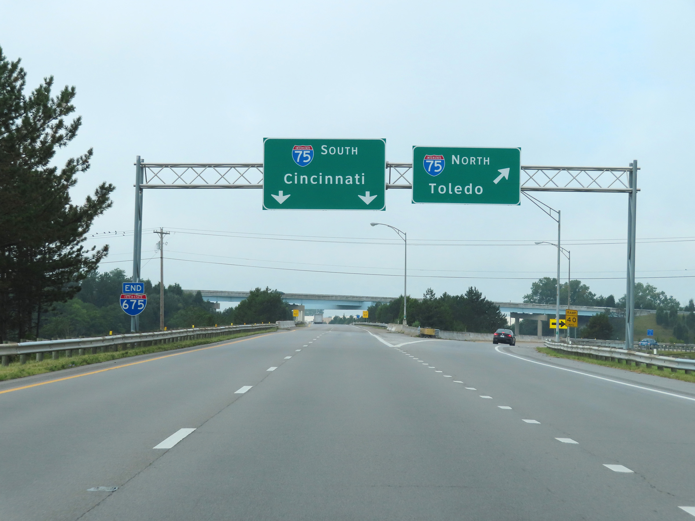 |
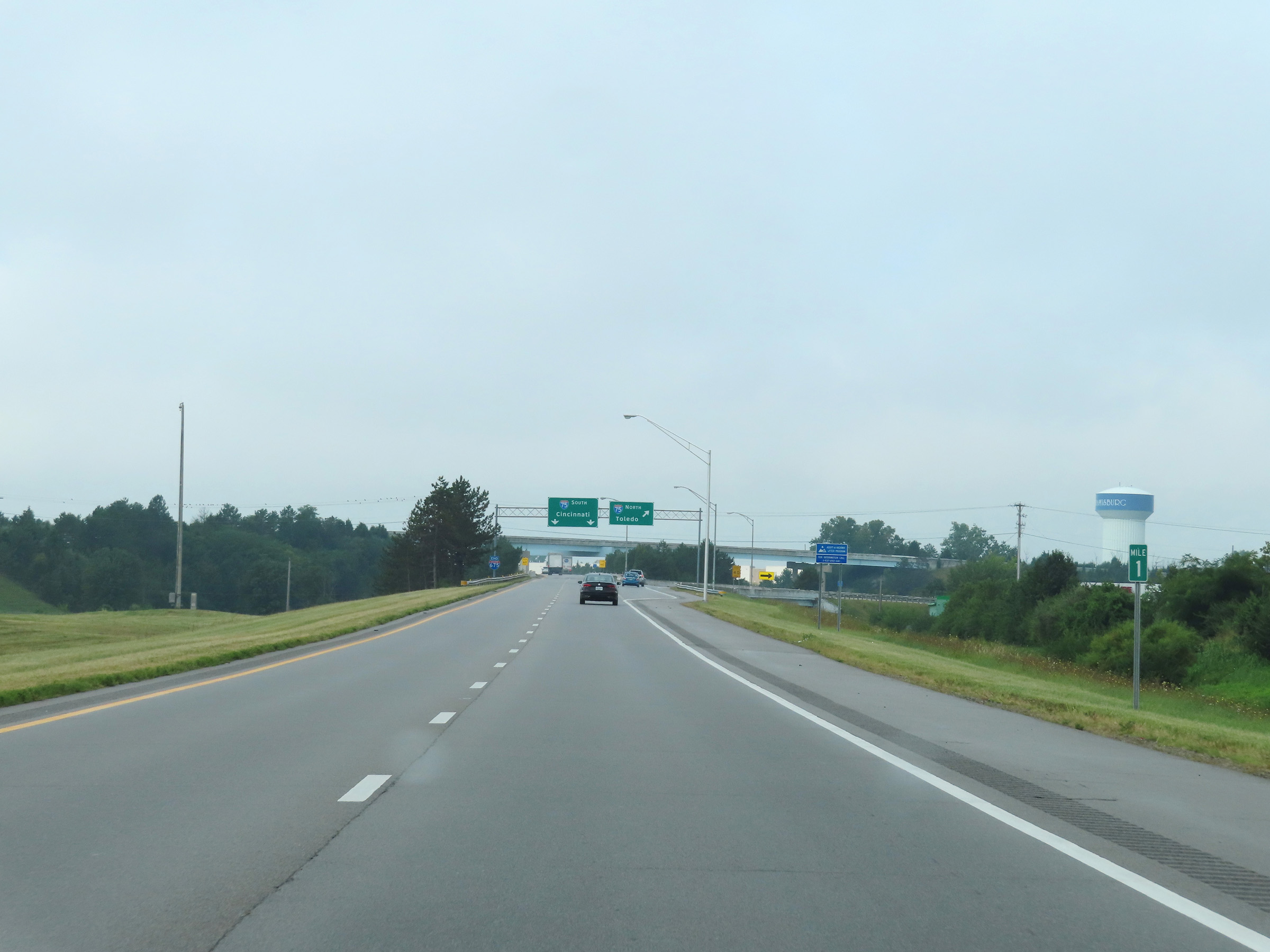
Interstate 675 South at Exit: Interstate 75 North - Toledo. It's two remaining thru lanes become the ramp to Interstate 75 South ahead. We also see an Interstate 675 END marker to the left on the sign gantry. (Photo taken 8/21/22). |
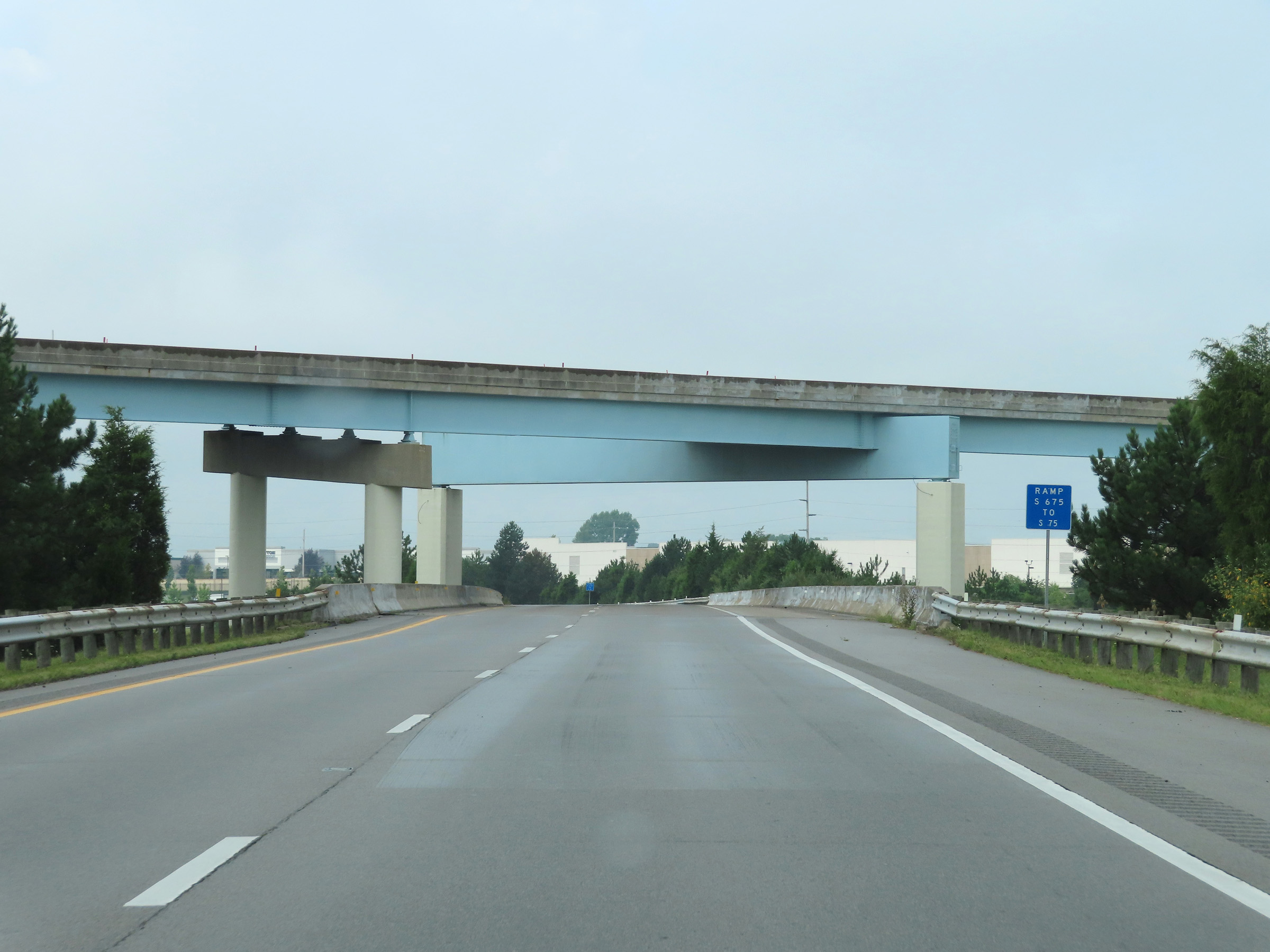 |
View on Interstate 675 South as it becomes the ramp to Interstate 75 South, and passes under the ramp from I-75 South to I-675 North. (Photo taken 8/21/22). |
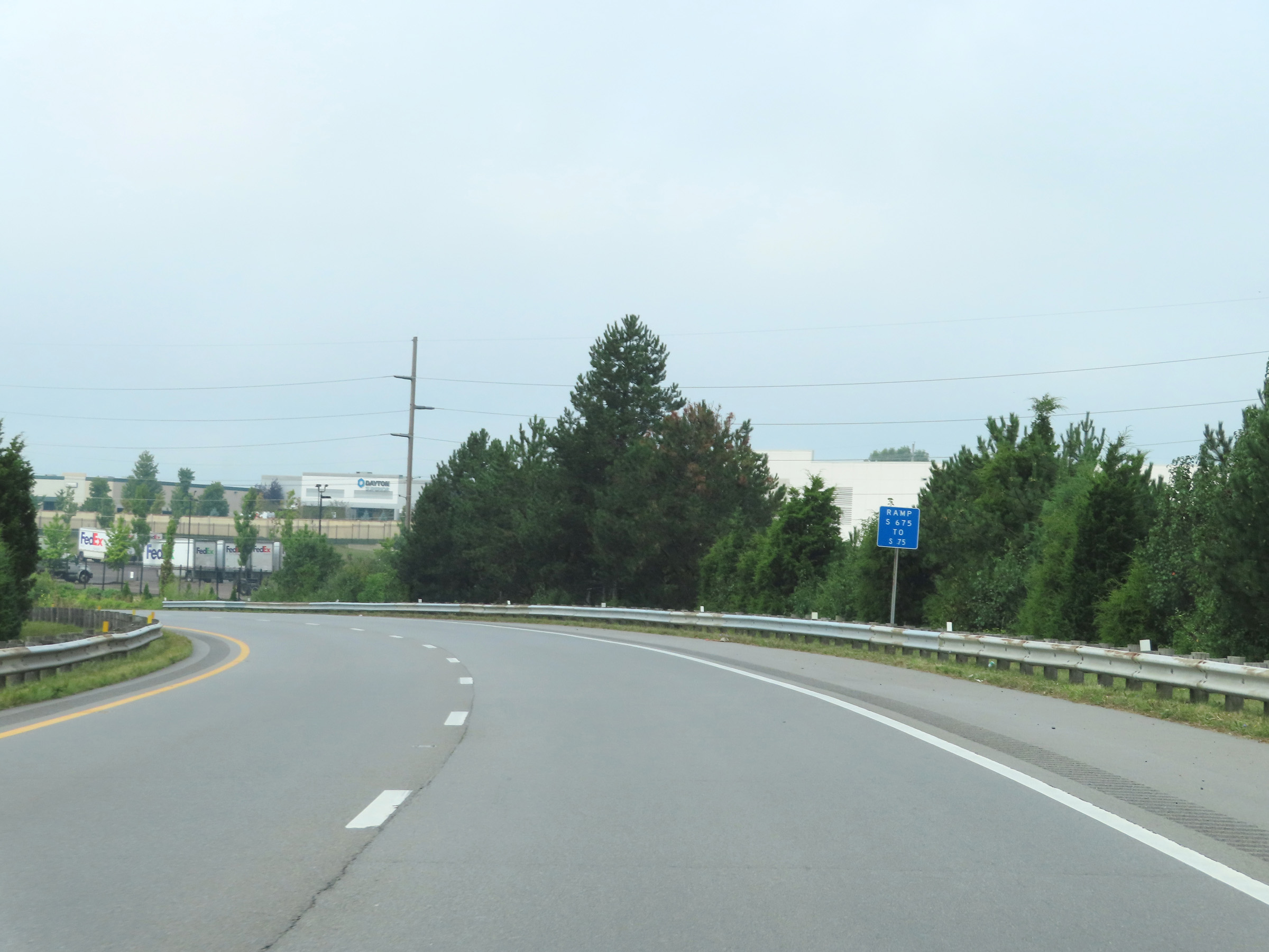 |
The ramp maintains two lanes as it curves to the south here. (Photo taken 8/21/22). |
 |
View on the ramp from Interstate 675 South to Interstate 75 South as it begins to straighten out, now facing southbound. (Photo taken 8/21/22). |
 |
Interstate 75 comes into view straight ahead as the ramp from Interstate 675 South prepares to merge into it ahead. (Photo taken 8/21/22). |
 |
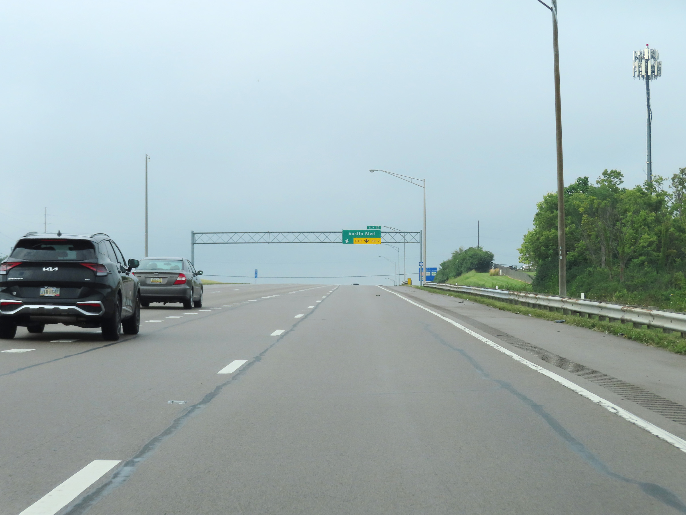
The right lane of the ramp from Interstate 675 South will become an Exit Only lane for Exit 41 on Interstate 75 South ahead. (Photo taken 8/21/22). |
 |
The ramp from Interstate 675 South finally merges into the southbound lanes of Interstate 75 here, just north of Exit 41. (Photo taken 8/21/22). |
- Top of page
- Back to Photos Index