Road Information |
||
 |
||
| Total Mileage in State: | 10 miles | |
| Eastern End: | At I-270, near Gahanna | |
| Western End: | At I-70, in Columbus | |
| Mileage covered in Photos: | 10 miles | |
| Counties covered in Photos: | Franklin | |
| Major Junctions in Photos: | I-71, in Columbus | |
| Control Cities in Photos: | Columbus | |
Westbound
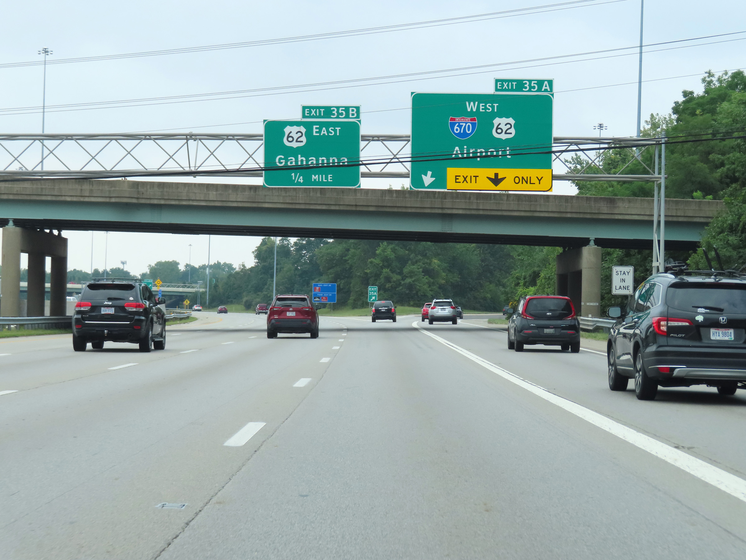 |
Interstate 670 West begins here, at Exit 35A on Interstate 270 Inner Loop (South) near Gahanna. I-670 West serves as a spur from the eastern suburbs of Columbus into downtown, providing easy access to the international airport as well. (Photo taken 8/21/22). |
 |
The ramp from Interstate 270 Inner Loop (South) to Interstate 670 West maintains two thru lanes. (Photo taken 8/21/22). |
 |
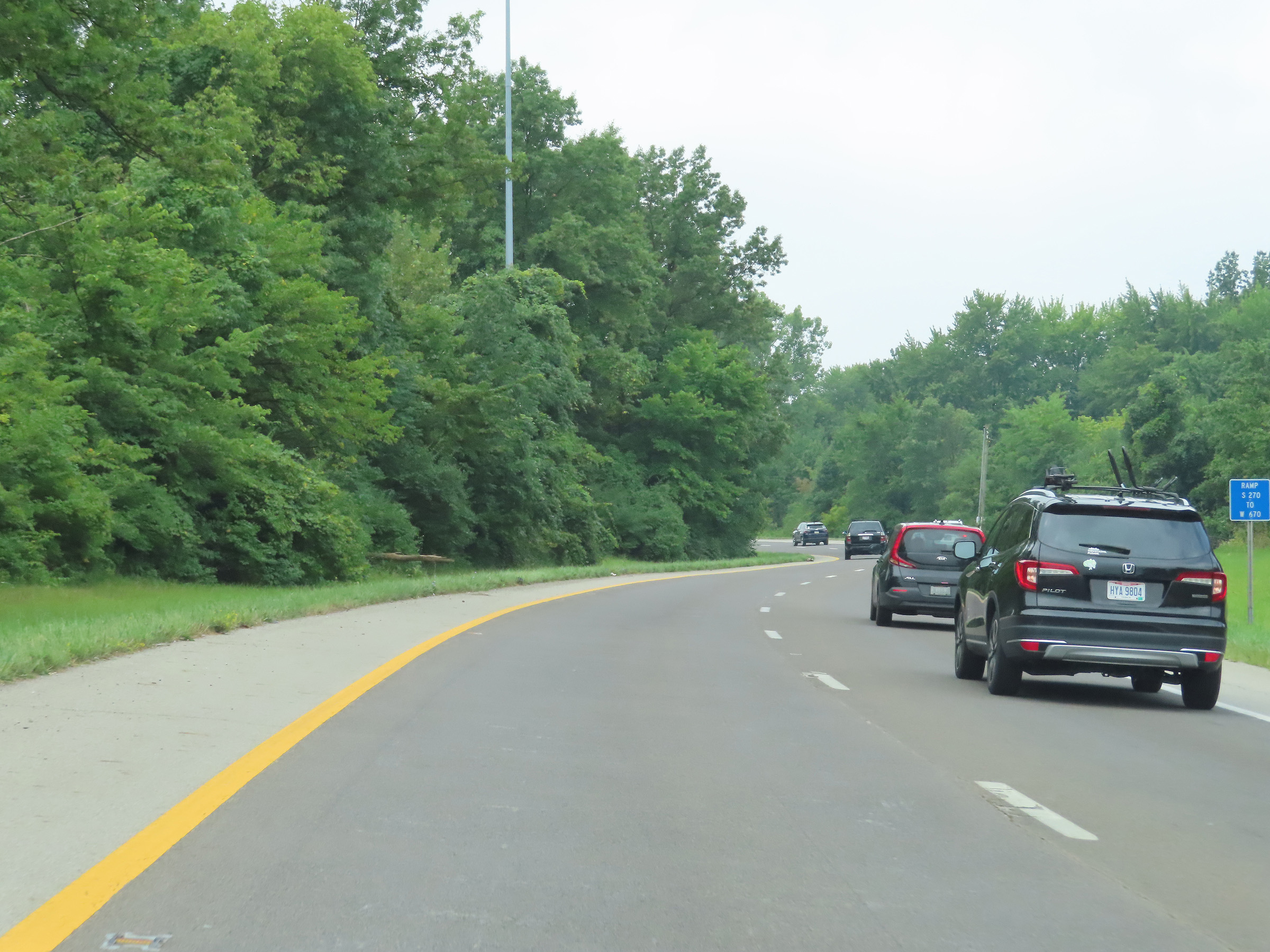
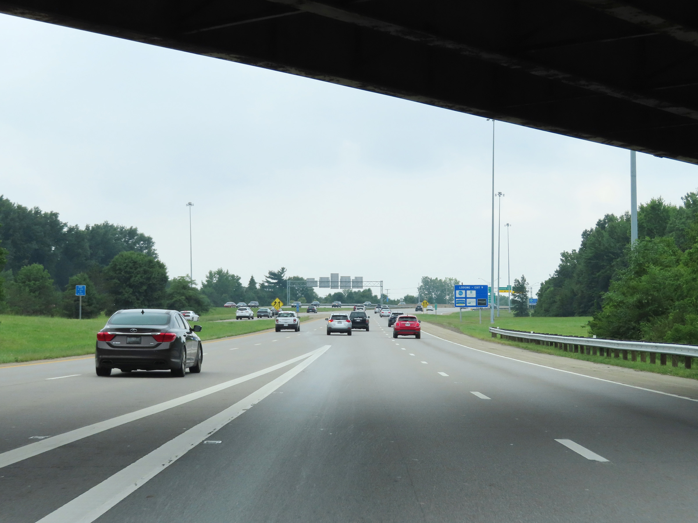
View on Interstate 670 West as its two thru lanes curve to the southwest, in which direction it will run for the remainder of its 10-mile alignment into downtown Columbus. (Photo taken 8/21/22). |
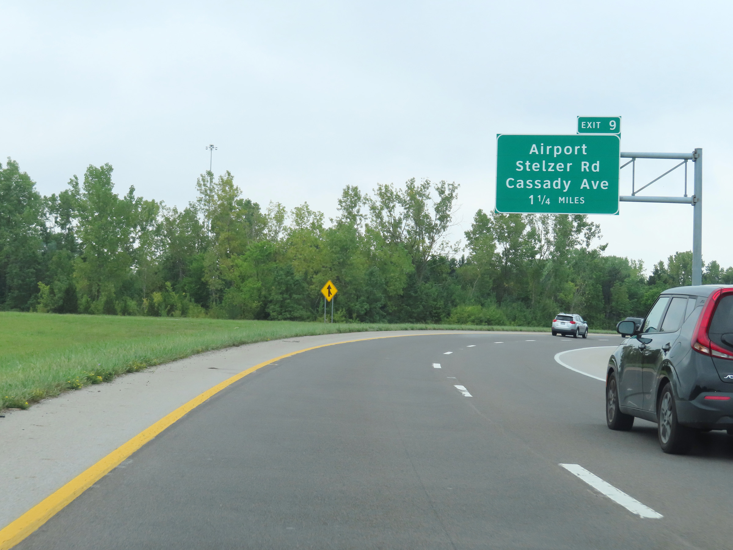 |
Advance signage for Exit 9, which will be the first exit on Interstate 670 West. Ahead, ramp traffic from Interstate 270 Outer Loop (North) will merge into it from the left. (Photo taken 8/21/22). |
 |
View on Interstate 670 West as the two-lane ramp from Interstate 270 Outer Loop (North) merges into the two lanes of I-670 West. Note that the center lanes merge together ahead. (Photo taken 8/21/22). |
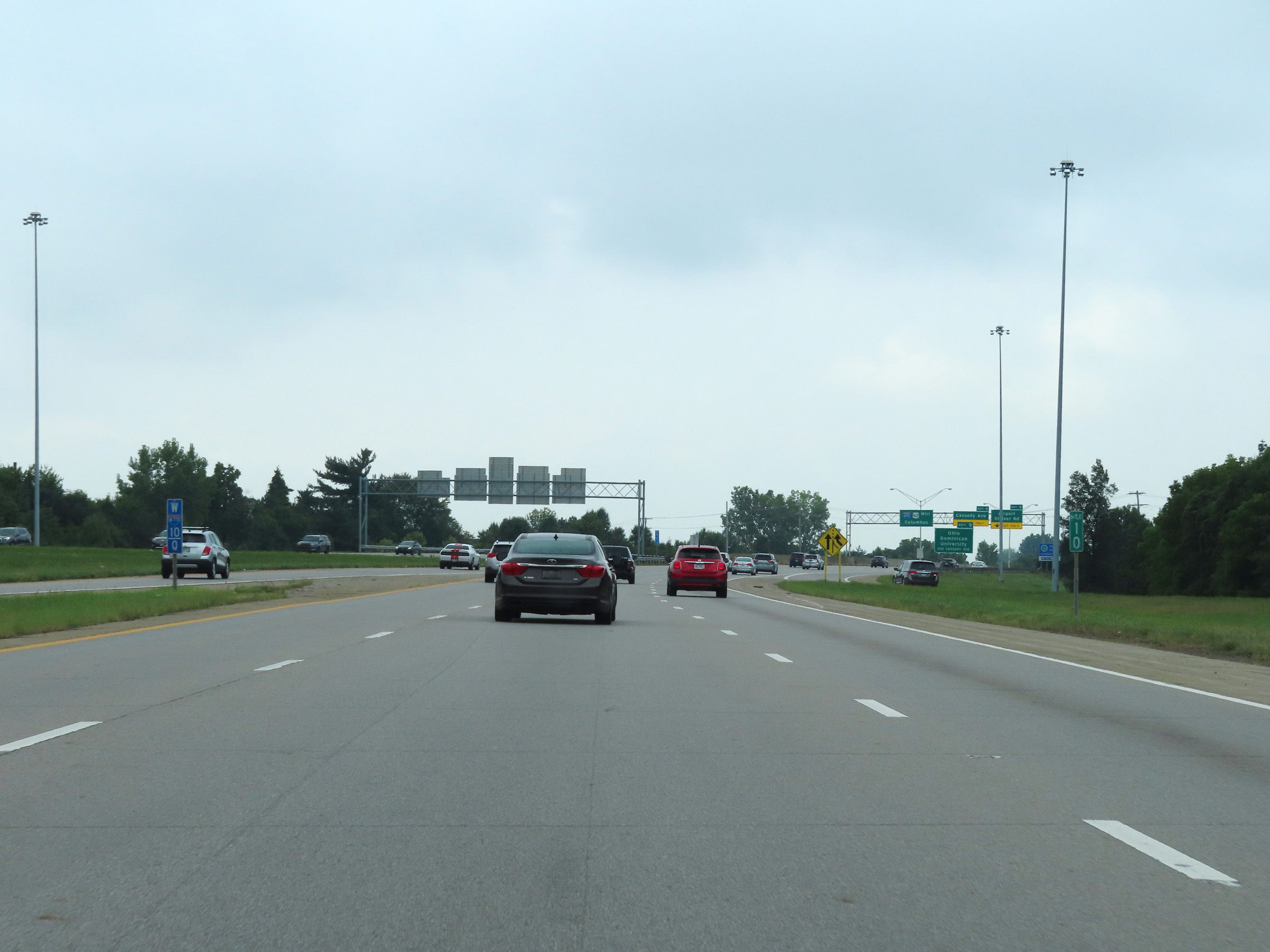 |
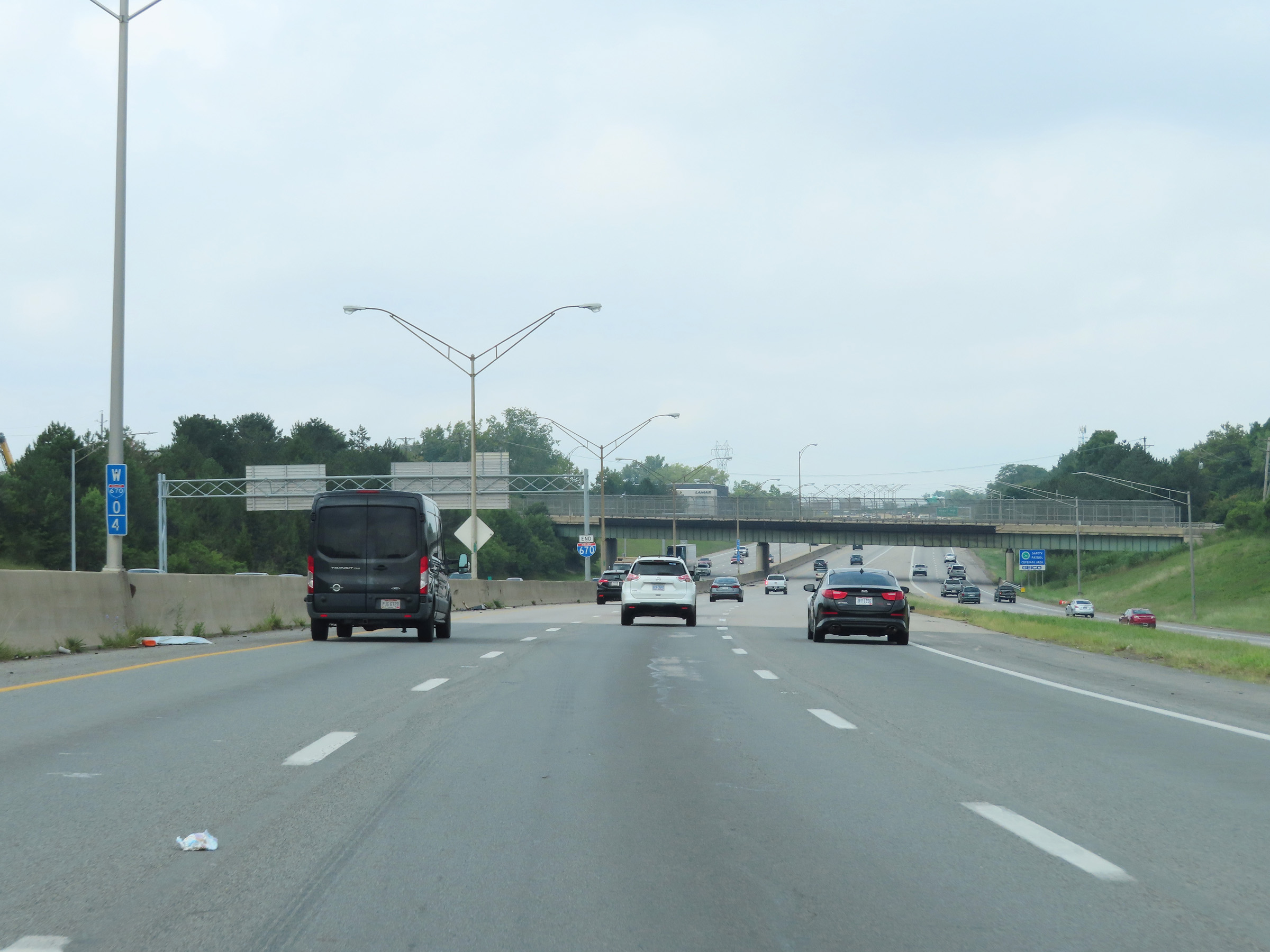
Interstate 670 West at mile marker 10. (Photo taken 8/21/22). |
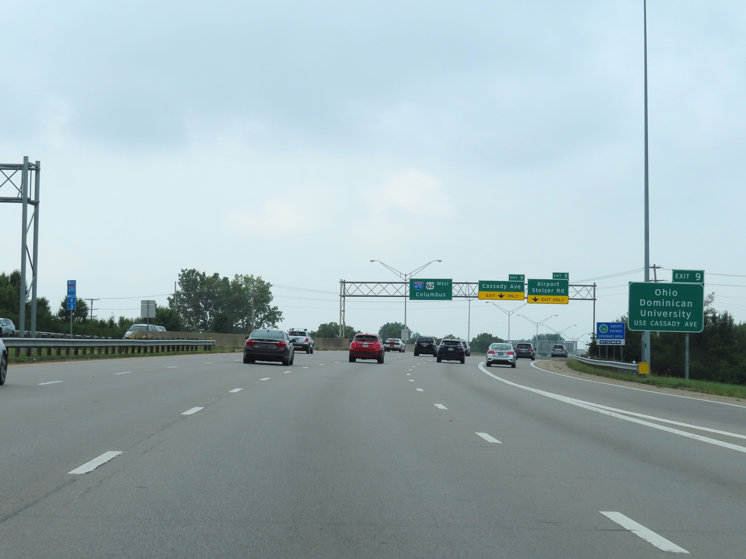 |
Take Exit 9 (Cassady Ave) to Ohio Dominican University. (Photo taken 8/21/22). |
 |
Follow Stelzer Rd via Exit 9 to get to the VA Medical Center. (Photo taken 8/21/22). |
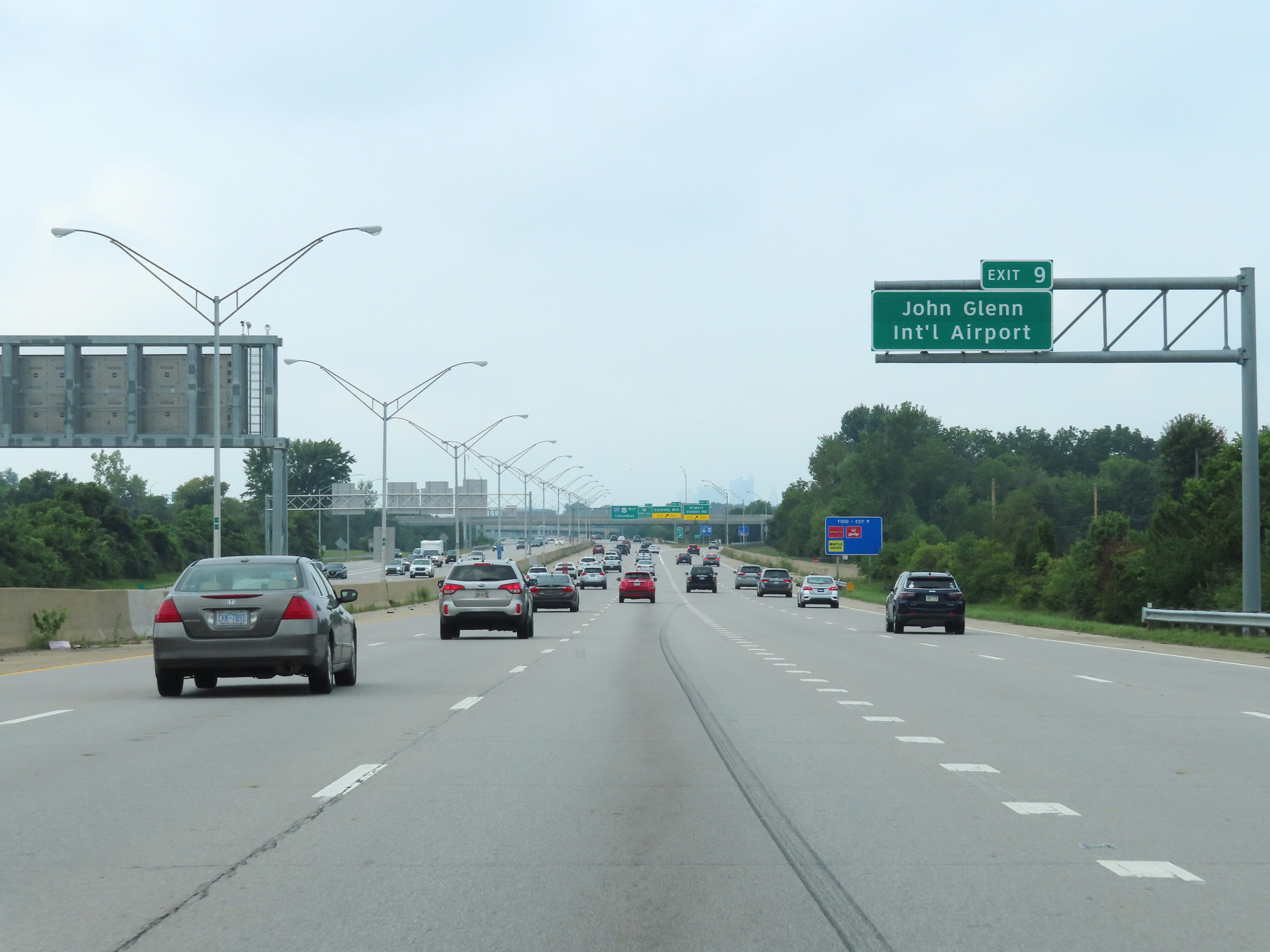 |
Also take Exit 9 to John Glenn International Airport. (Photo taken 8/21/22). |
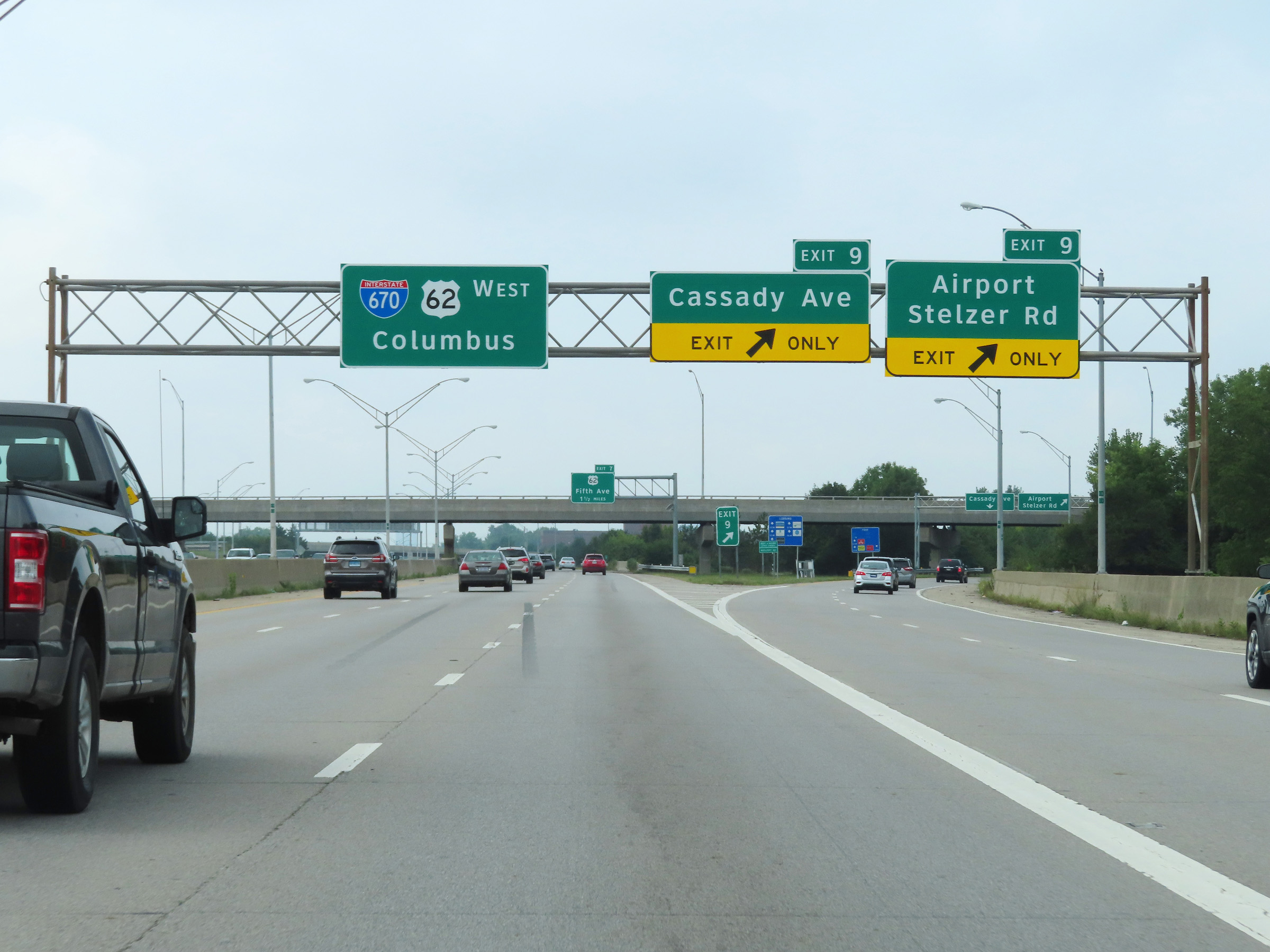 |
Interstate 670 West at Exit 9: Airport / Stelzer Rd / Cassady Ave (Photo taken 8/21/22). |
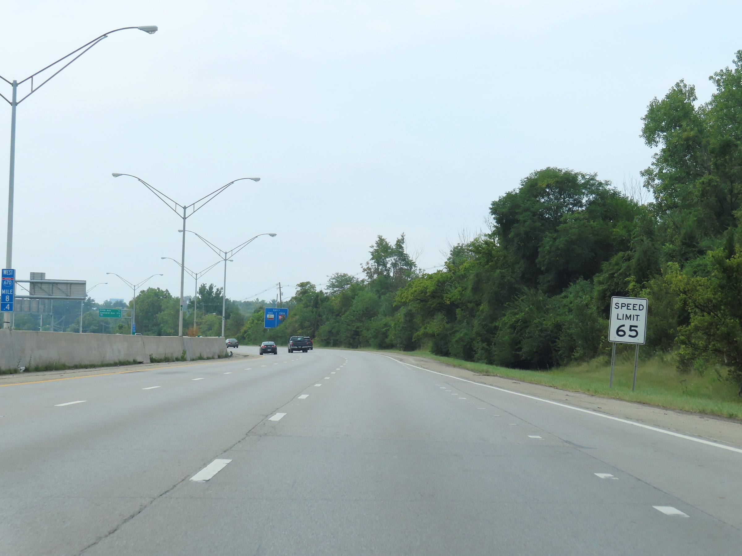 |
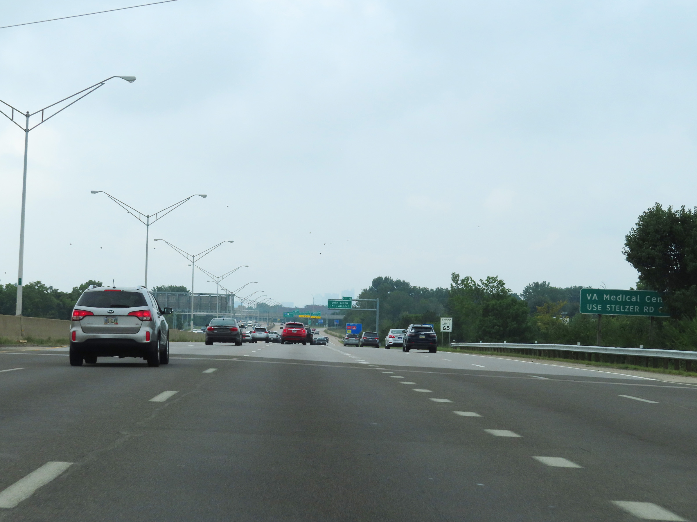
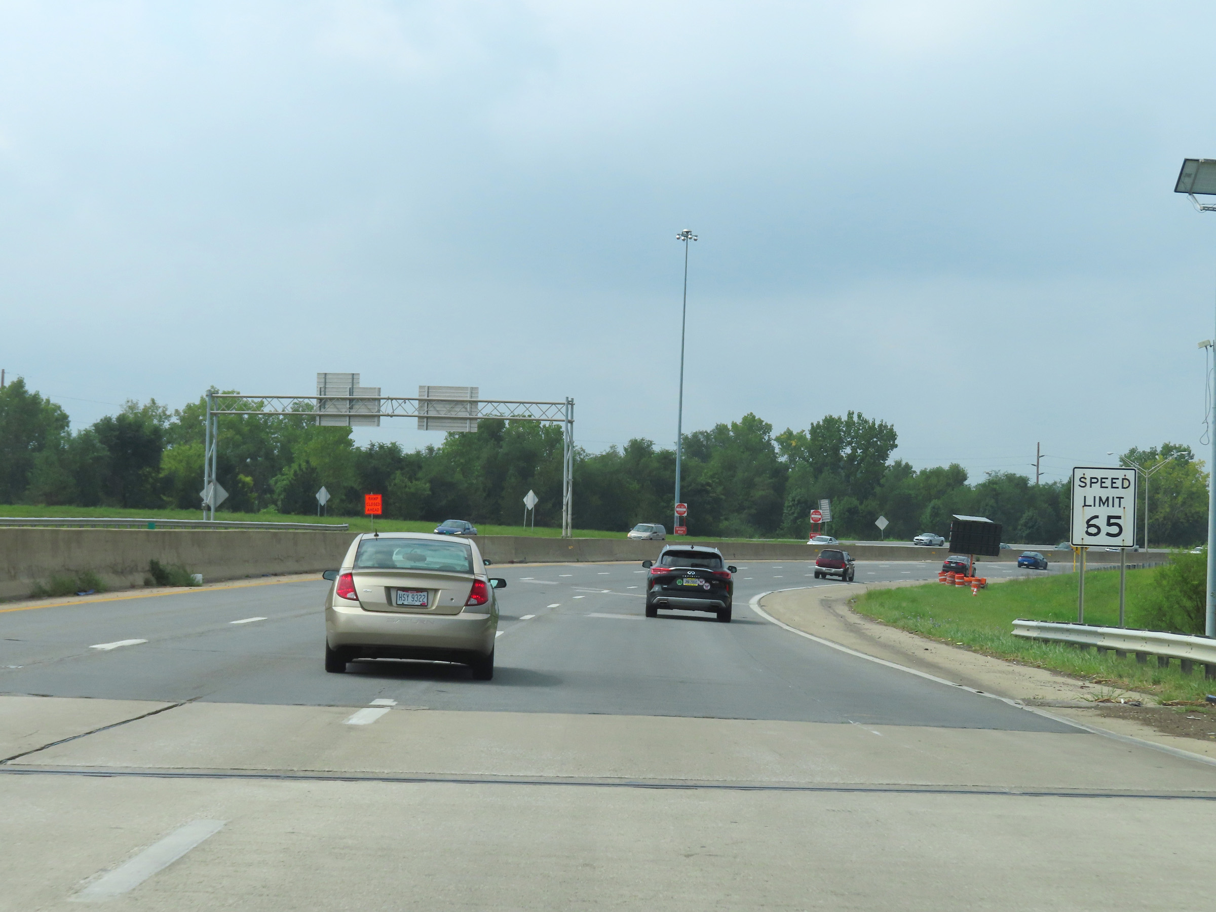
The speed limit on Interstate 670 West starts out at 65 mph. (Photo taken 8/21/22). |
 |
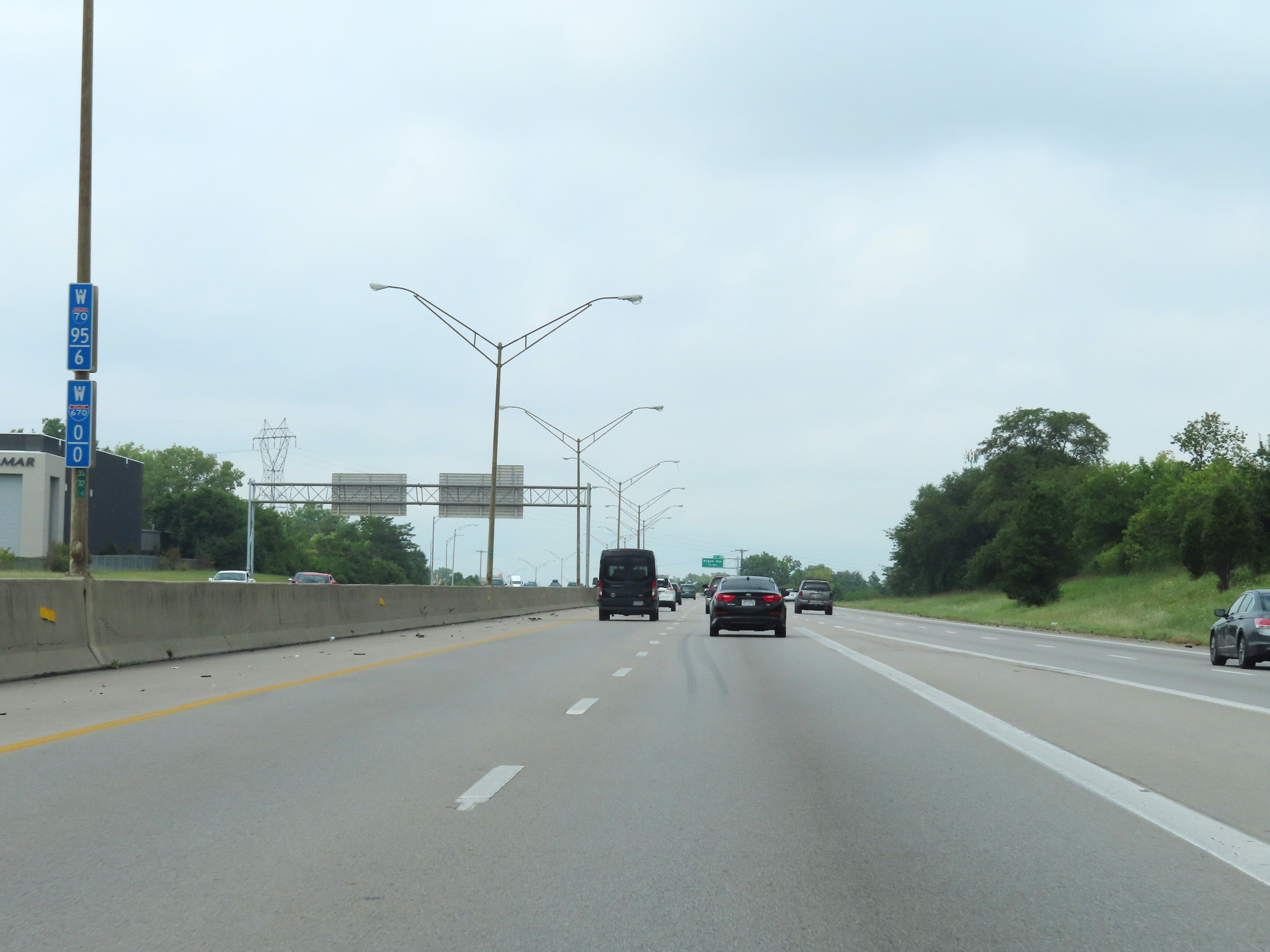
Overhead mileage sign on Interstate 670 West, listing the distances to its three upcoming interchanges. (Photo taken 8/21/22). |
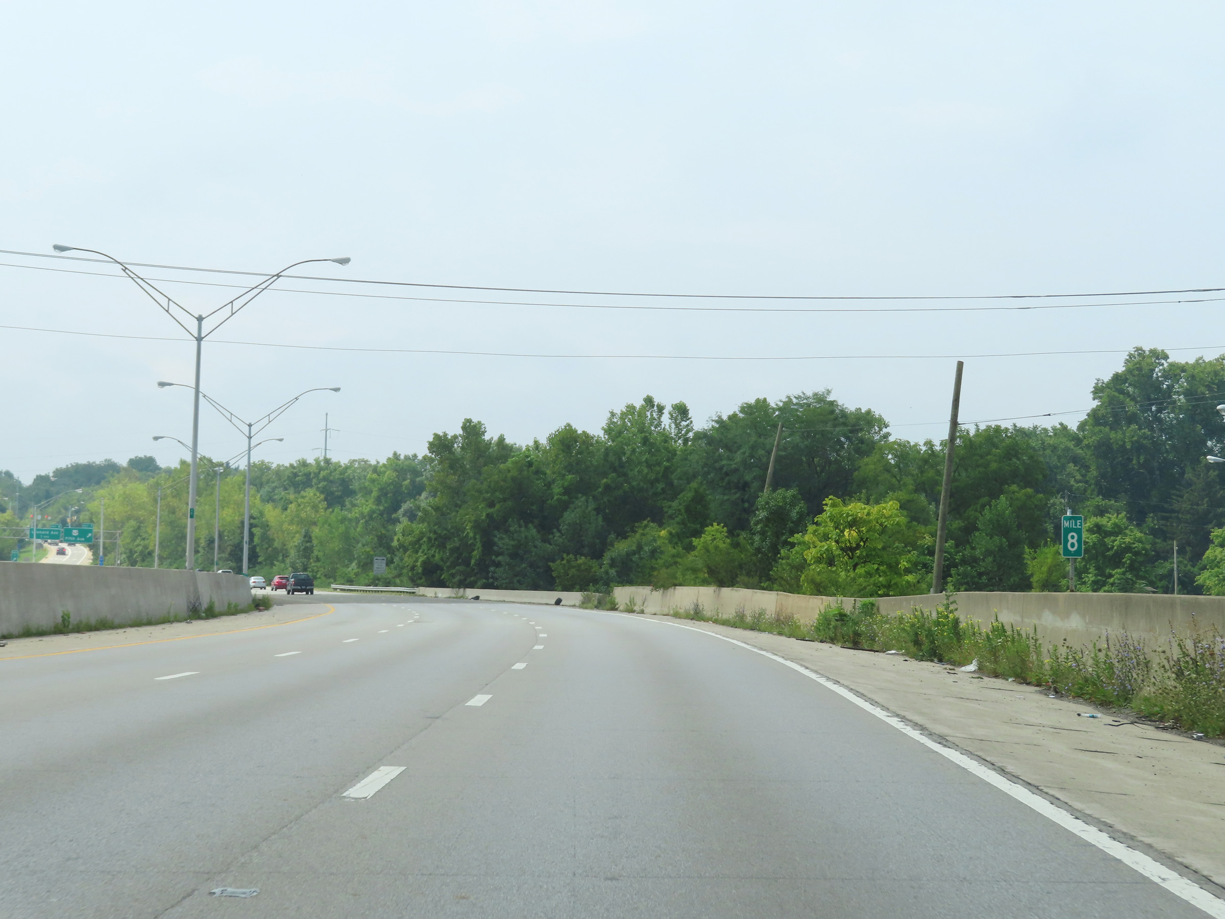 |
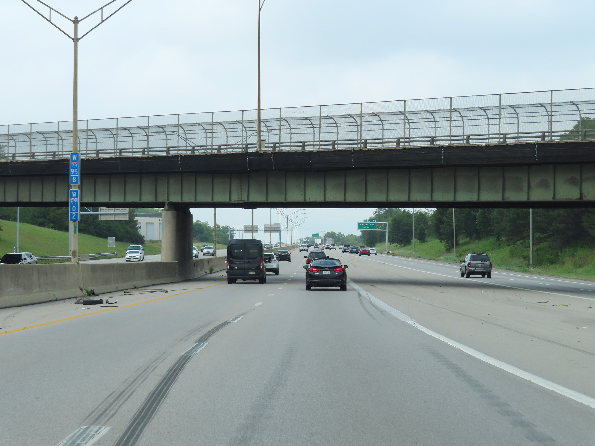
View on Interstate 670 West at mile marker 8. (Photo taken 8/21/22). |
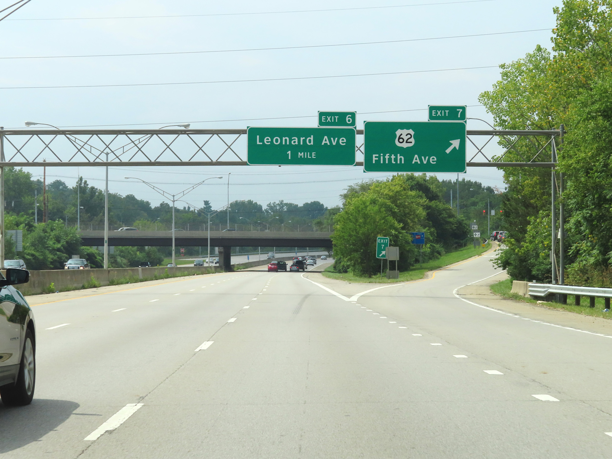 |
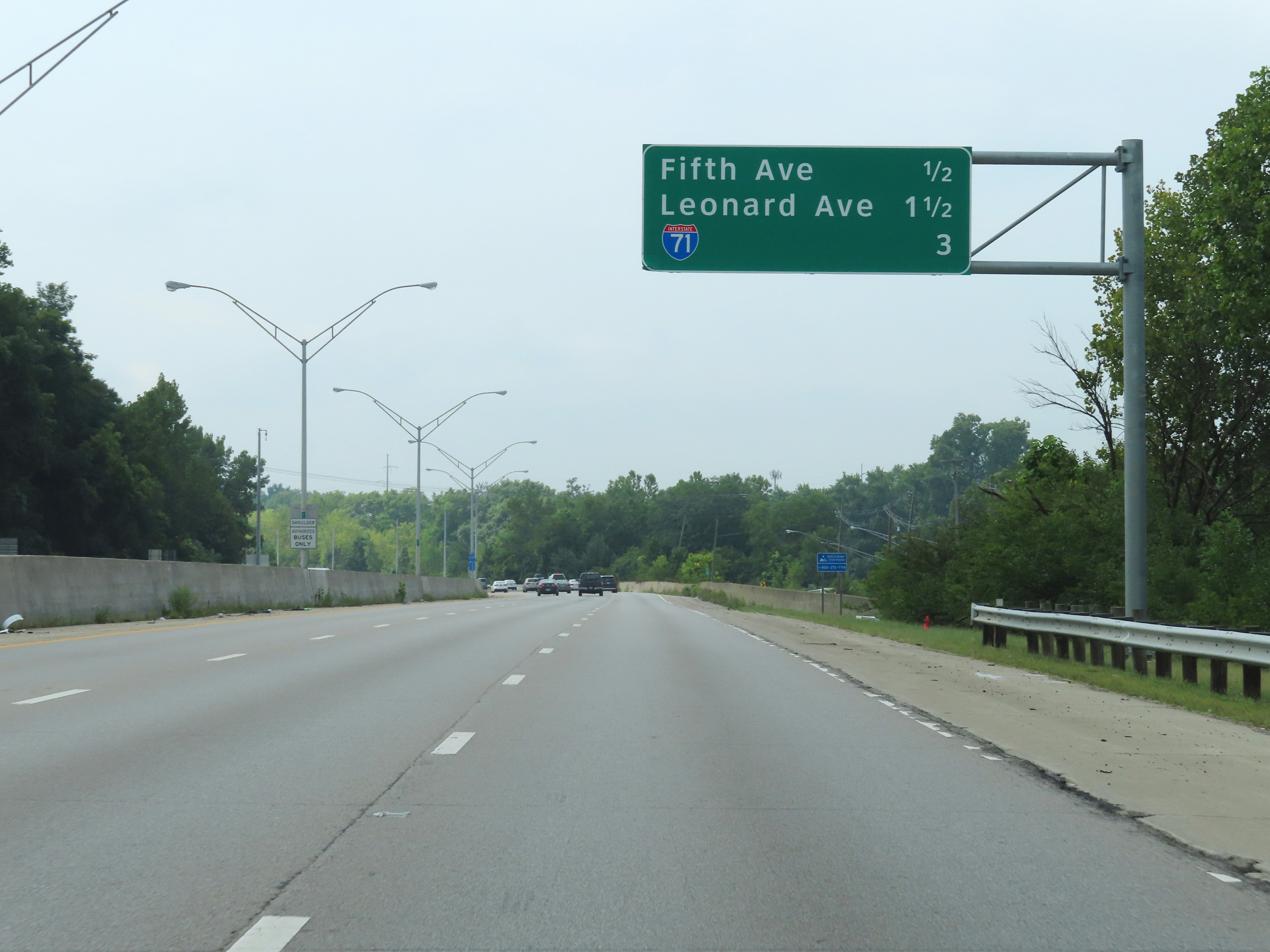
Interstate 670 West at Exit 7: US 62 - Fifth Ave (Photo taken 8/21/22). |
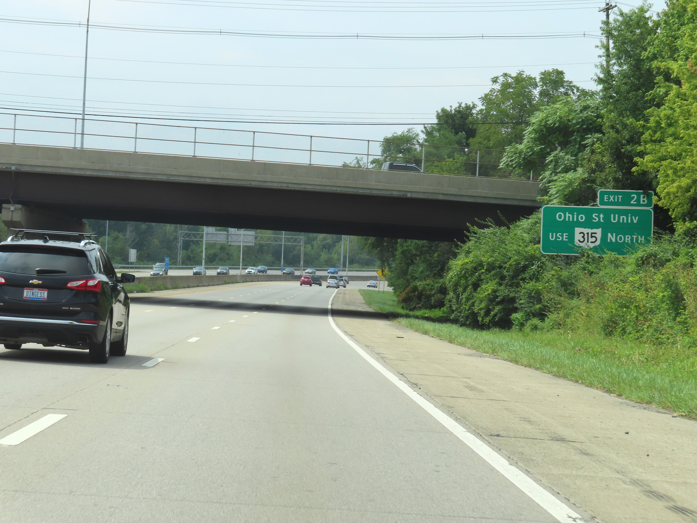 |
Traffic to Ohio State University should take Exit 2B and use OH 315 North. (Photo taken 8/21/22). |
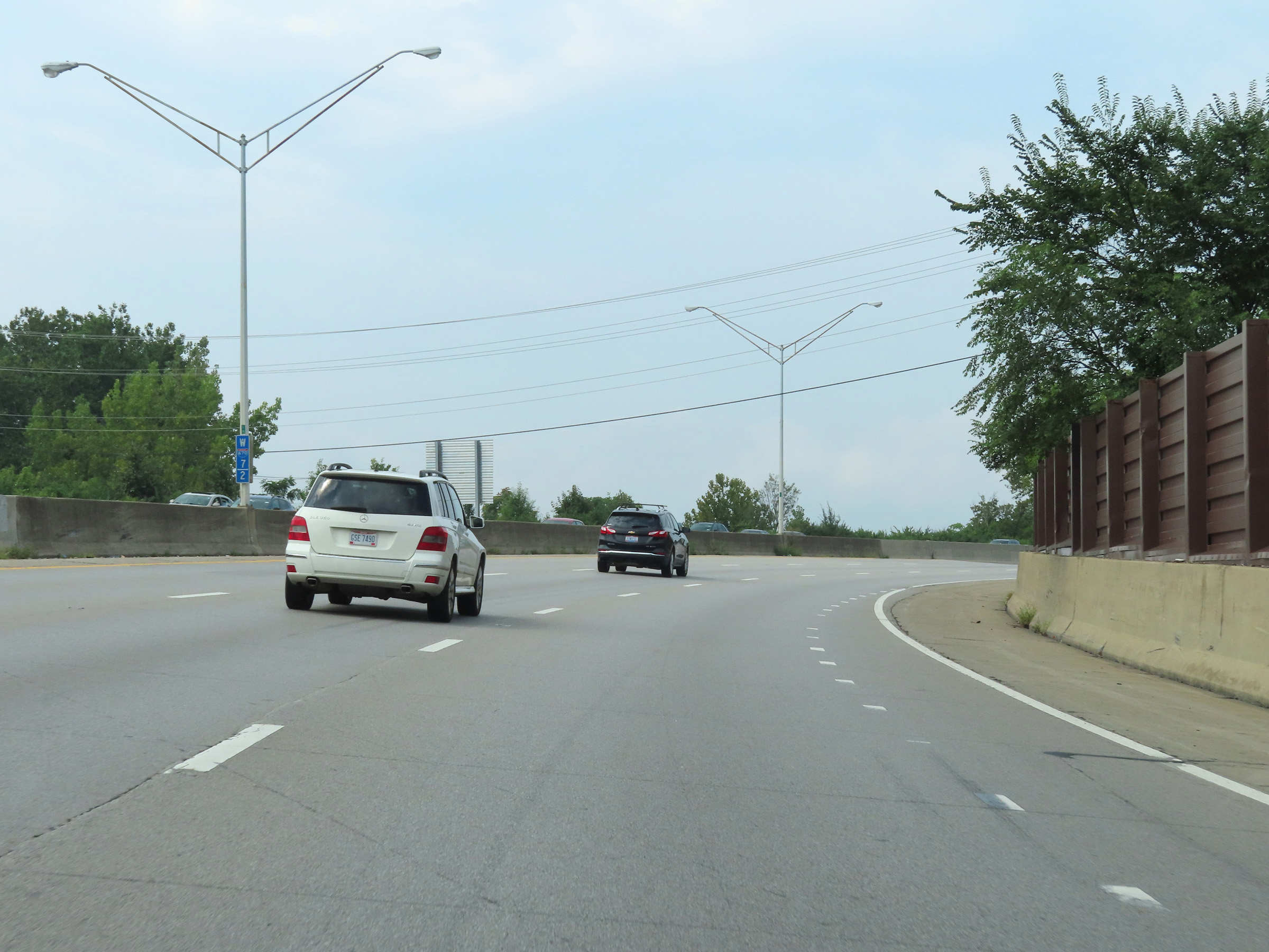 |
View on Interstate 670 West at mile marker 7.2. (Photo taken 8/21/22). |
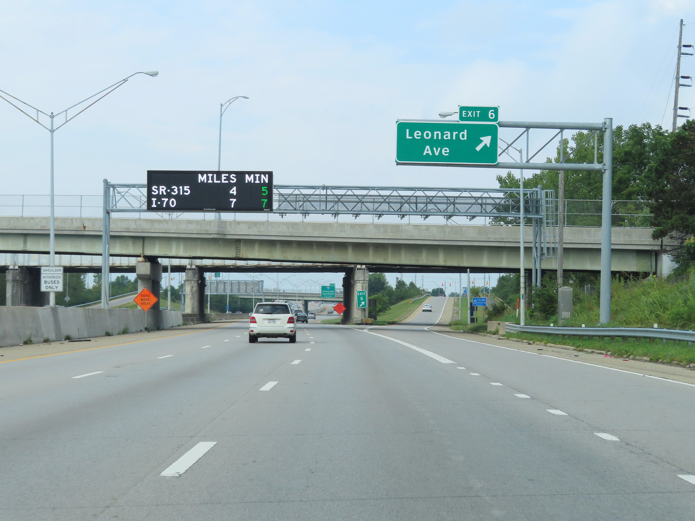 |
Interstate 670 West at Exit 6: Leonard Ave (Photo taken 8/21/22). |
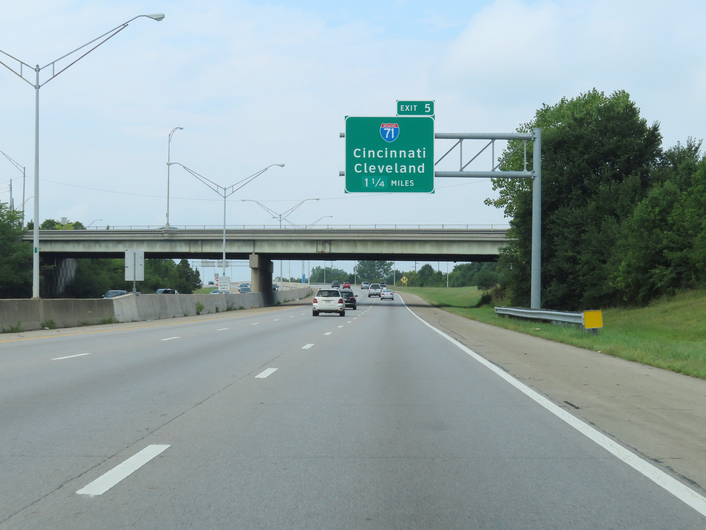 |
Interstate 670 West approaching Exit 5 - 1 1/4 miles. (Photo taken 8/21/22). |
 |
Interstate 670 West reassurance shield at mile marker 6. (Photo taken 8/21/22). |
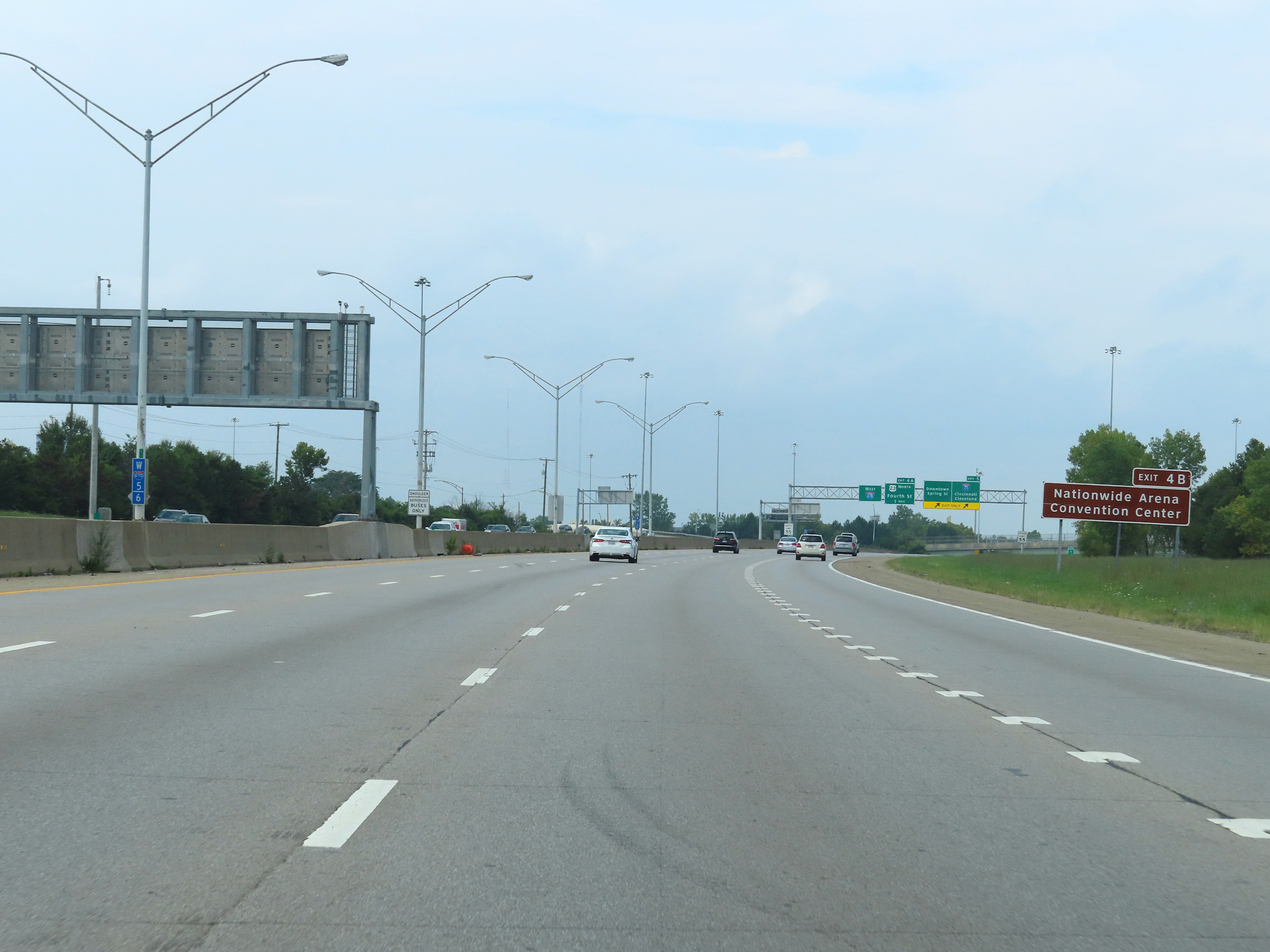 |
Take Exit 4B to Nationwide Arena and Convention Center. (Photo taken 8/21/22). |
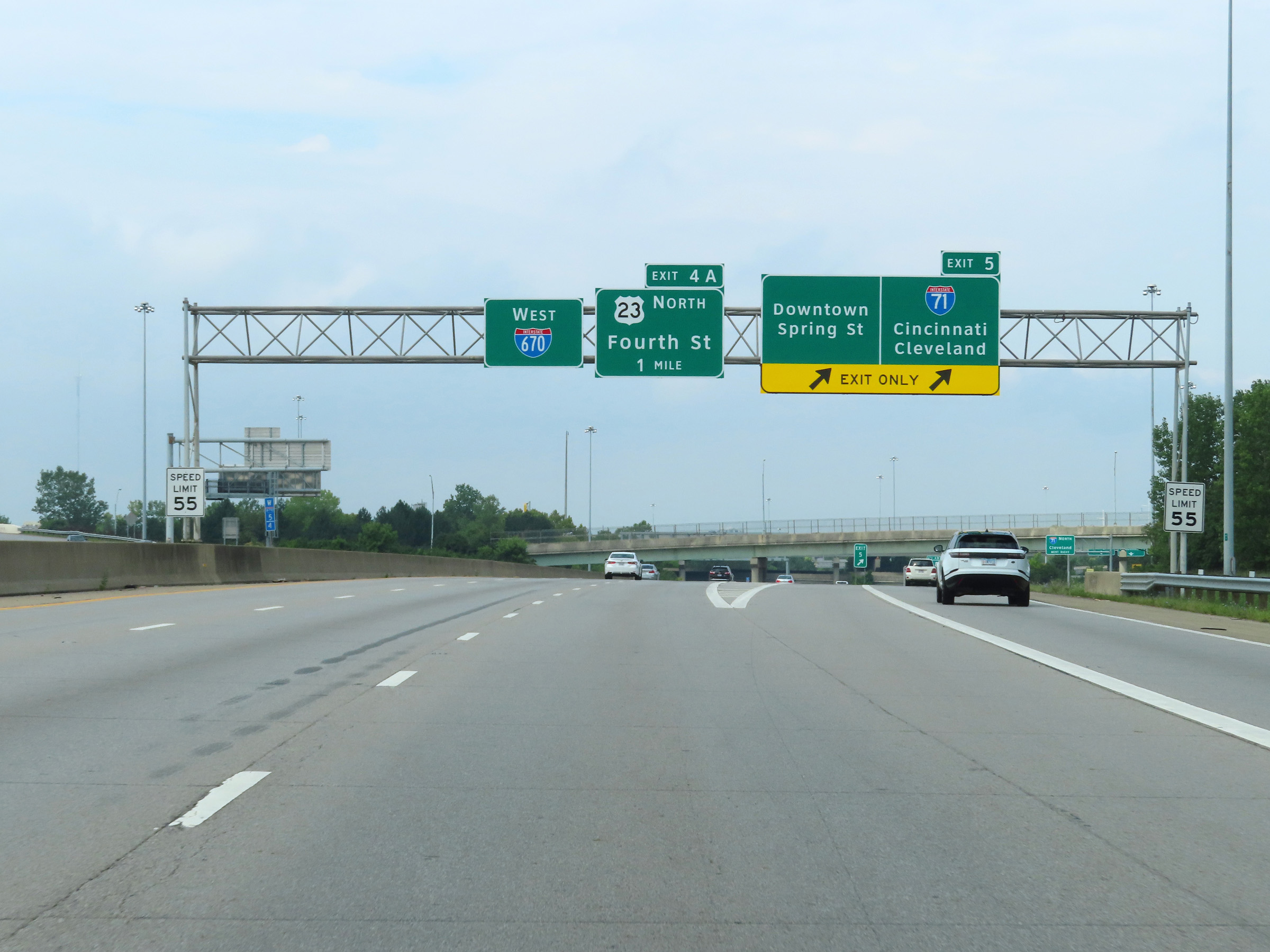 |
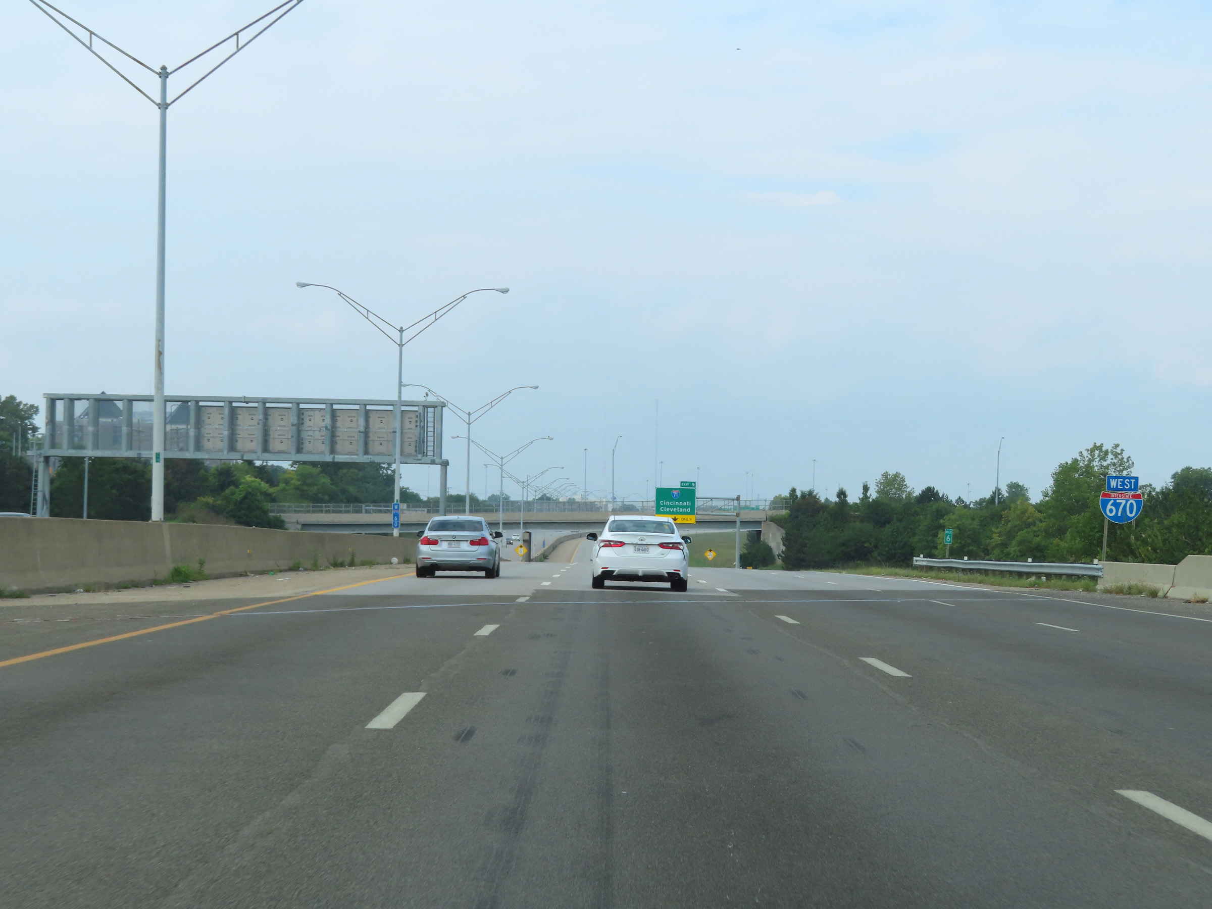
Interstate 670 West at Exit 5: Interstate 71 - Cincinnati / Cleveland / Downtown / Spring St. Also at this point, the speed limit decreases to 55 mph as I-670 West enters the downtown area. (Photo taken 8/21/22). |
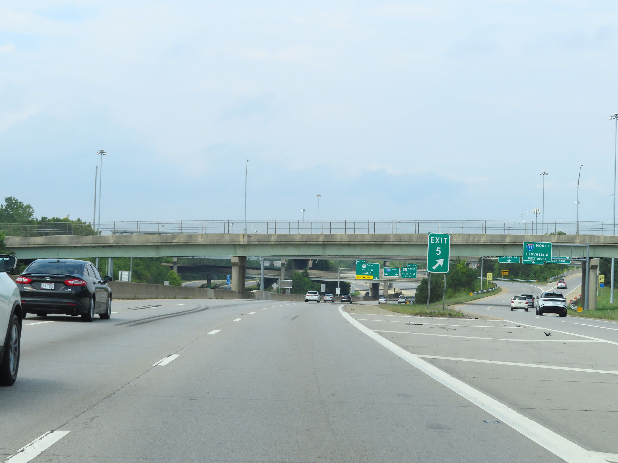 |
A view of the ramp for Exit 5. (Photo taken 8/21/22). |
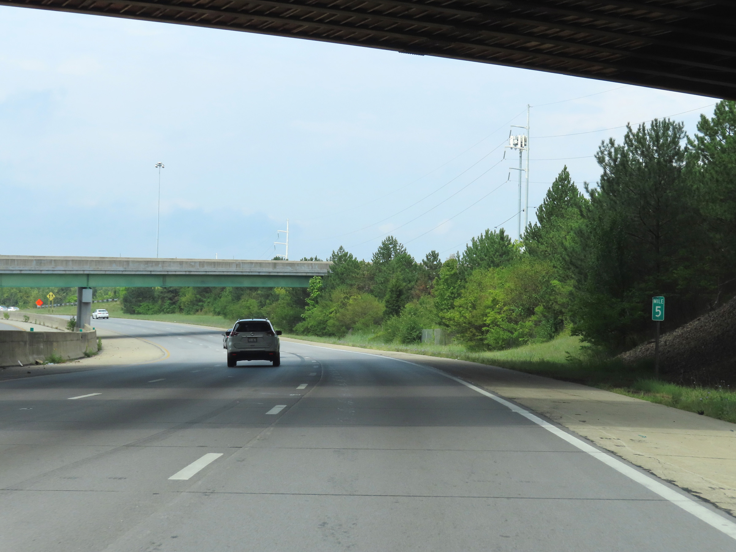 |
Mile marker 5 on Interstate 670 West in Columbus, Franklin County. (Photo taken 8/21/22). |
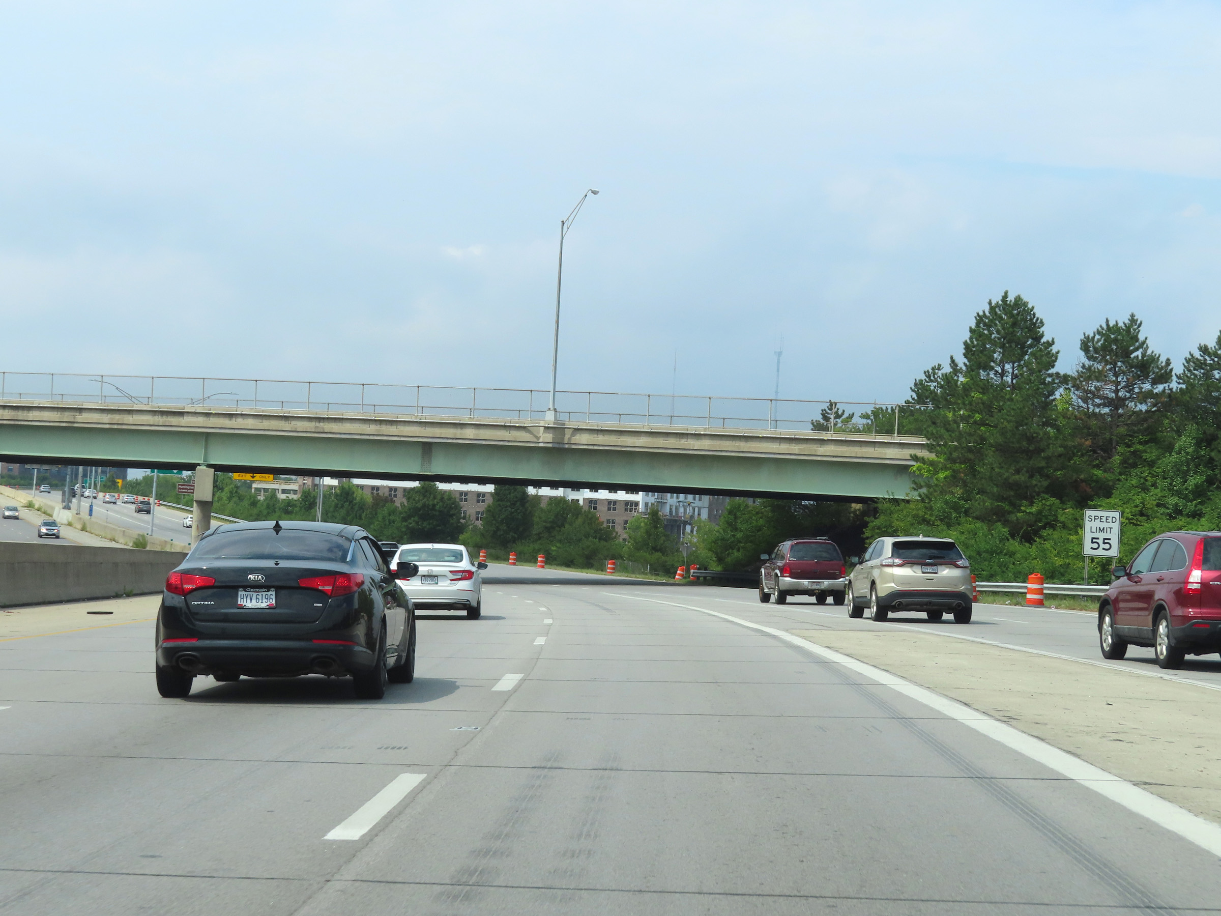 |
The speed limit remains 55 mph as Interstate 670 West continues through downtown Columbus. (Photo taken 8/21/22). |
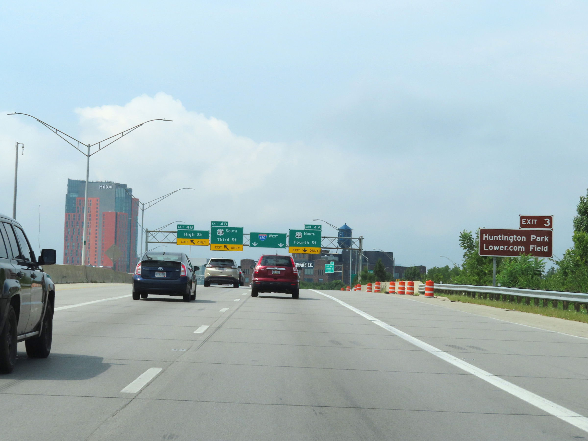 |
Take Exit 3 to Huntington Park and Lower.com Field. (Photo taken 8/21/22). |
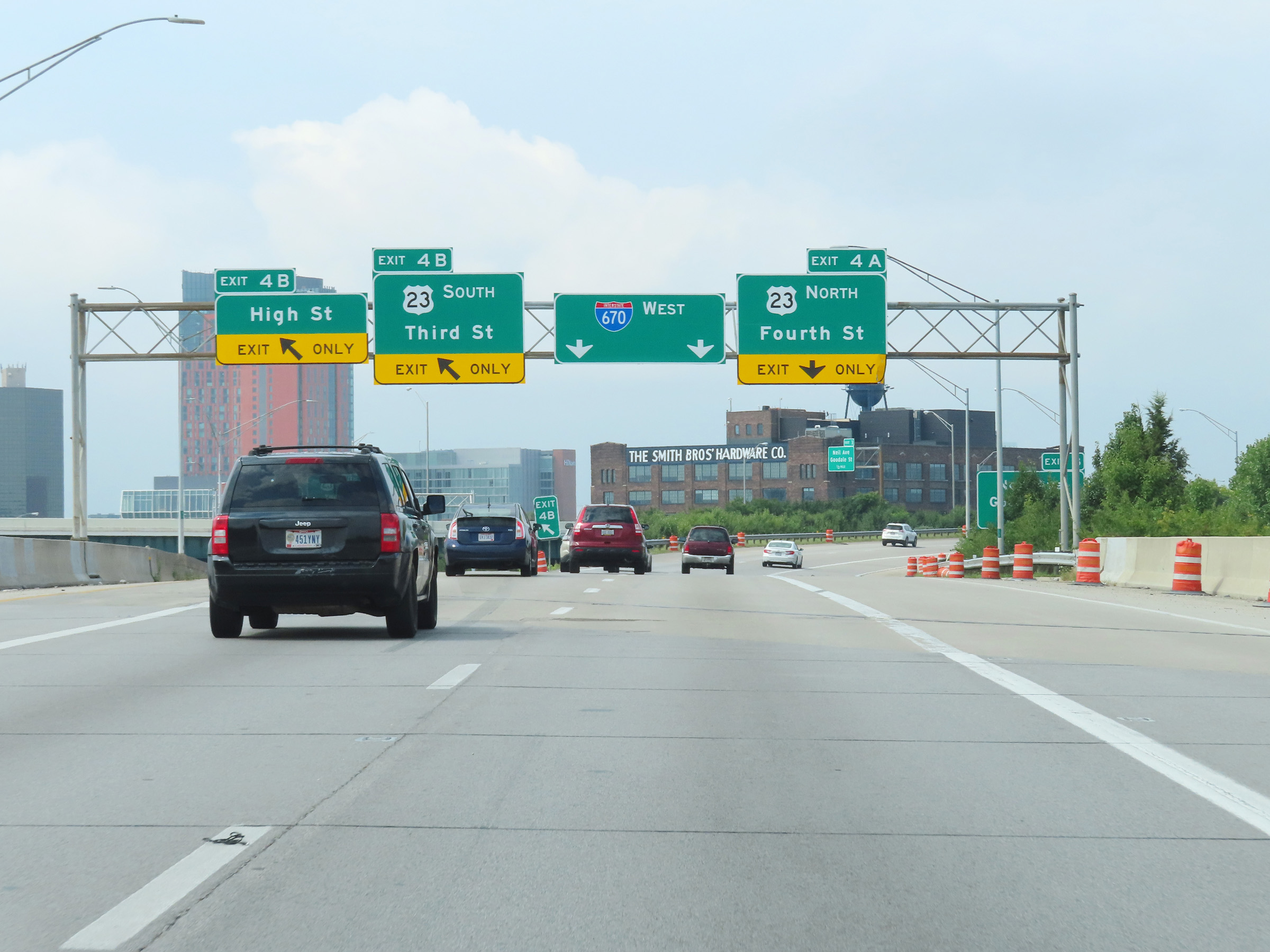 |
Interstate 670 West at Exit 4B: US 23 South - Third St / High St (Photo taken 8/21/22). |
 |
Interstate 670 West at Exit 4A: US 23 North - Fourth St (Photo taken 8/21/22). |
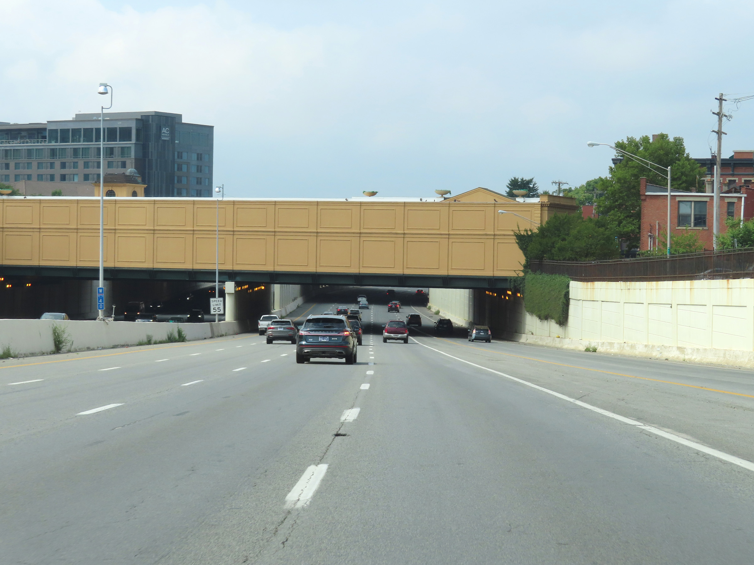 |
View on Interstate 670 West at mile marker 4 in downtown Columbus. (Photo taken 8/21/22). |
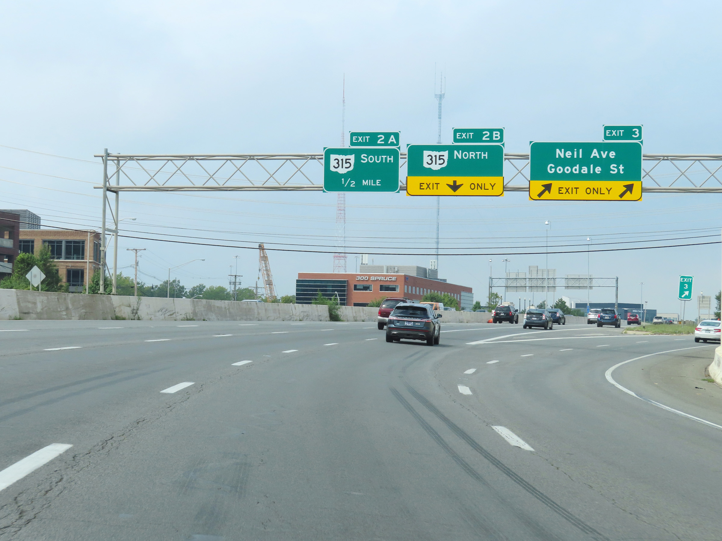 |
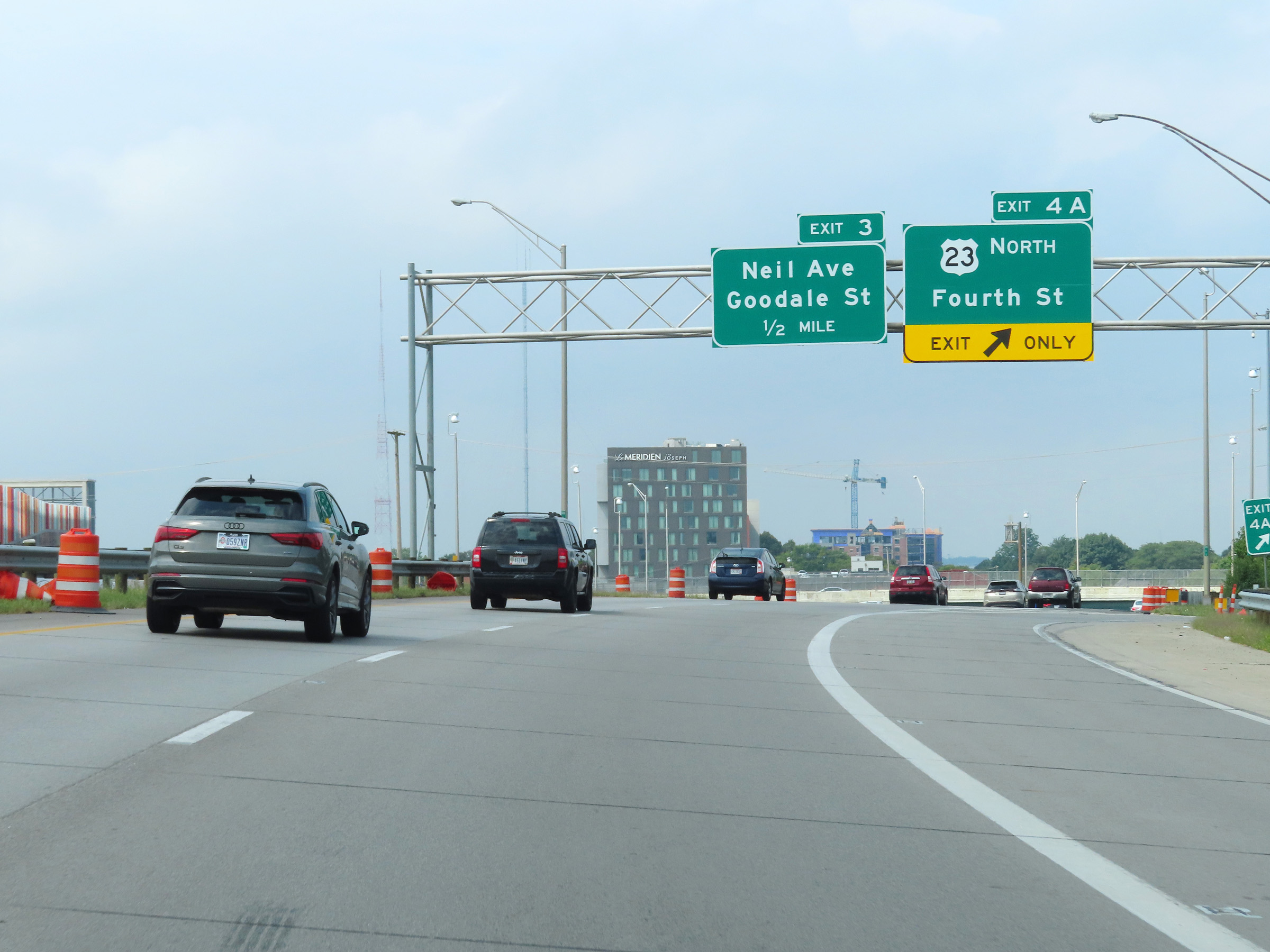
Interstate 670 West at Exit 3: Neil Ave / Goodale St (Photo taken 8/21/22). |
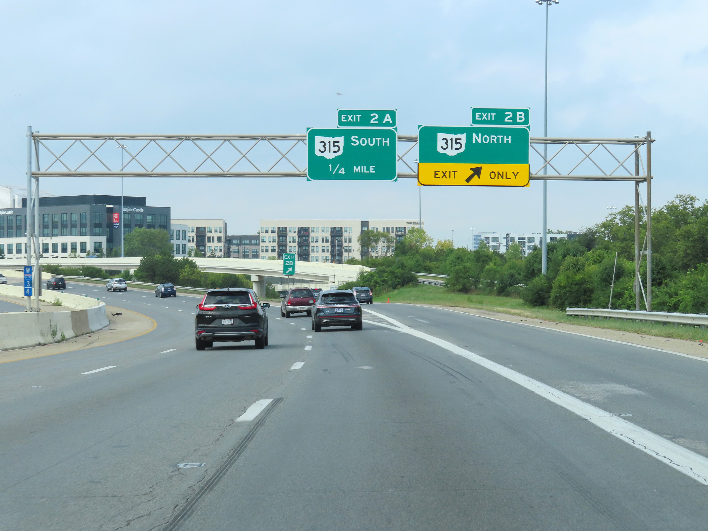 |
Interstate 670 West at Exit 2B: OH 315 North (Photo taken 8/21/22). |
 |
Interstate 670 West at Exit 2A: OH 315 South (Photo taken 8/21/22). |
 |
West of Exit 2A, the speed limit increases to 65 mph once again as Interstate 670 West begins to leave the downtown area. (Photo taken 8/21/22). |
 |
View on Interstate 670 West at mile marker 2. (Photo taken 8/21/22). |
 |
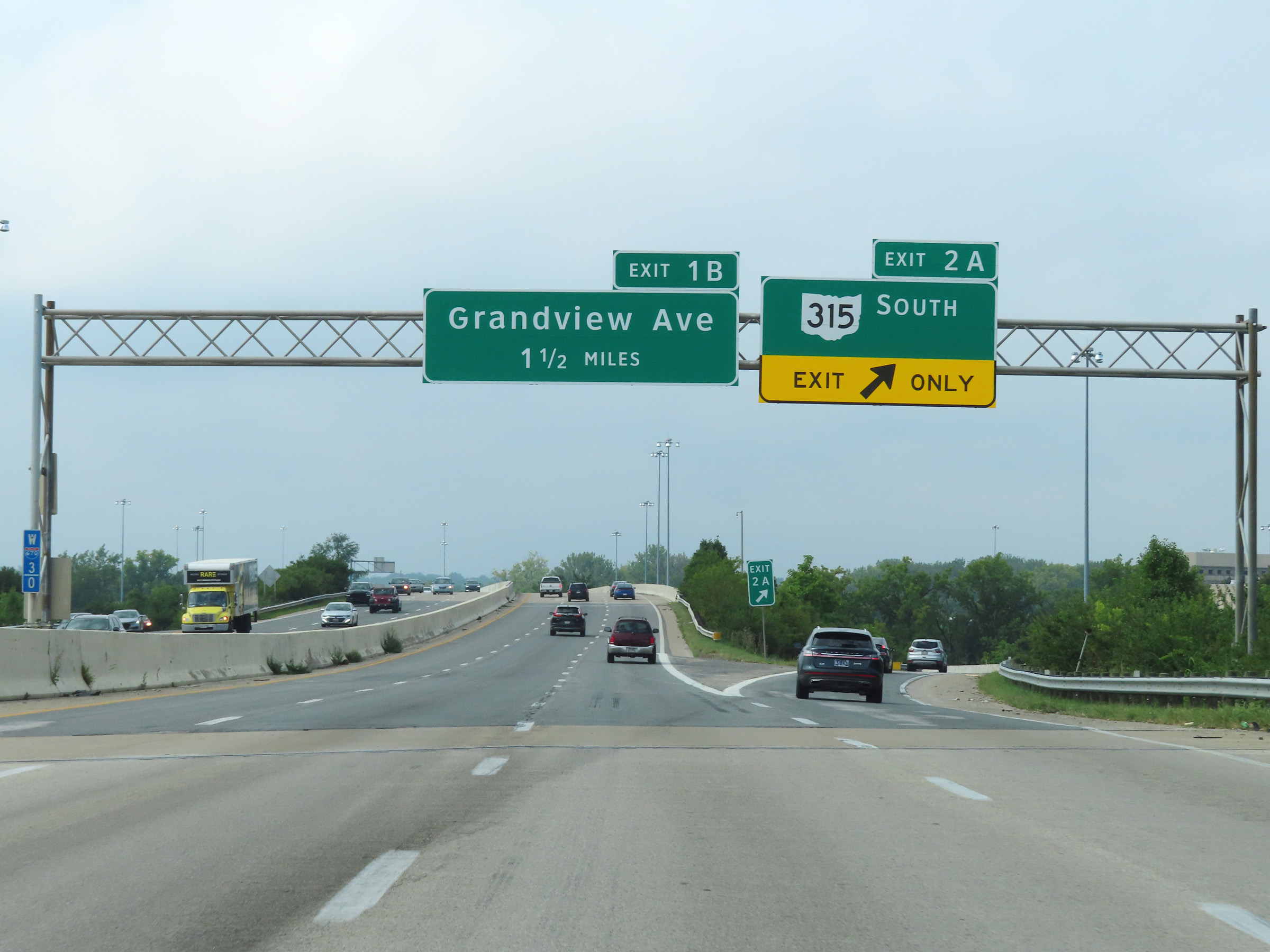
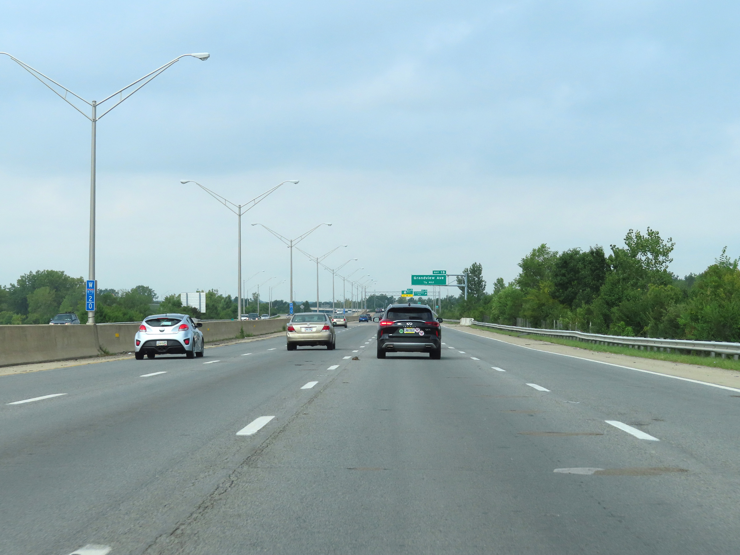
Interstate 670 West at Exit 1B: Grandview Ave (Photo taken 8/21/22). |
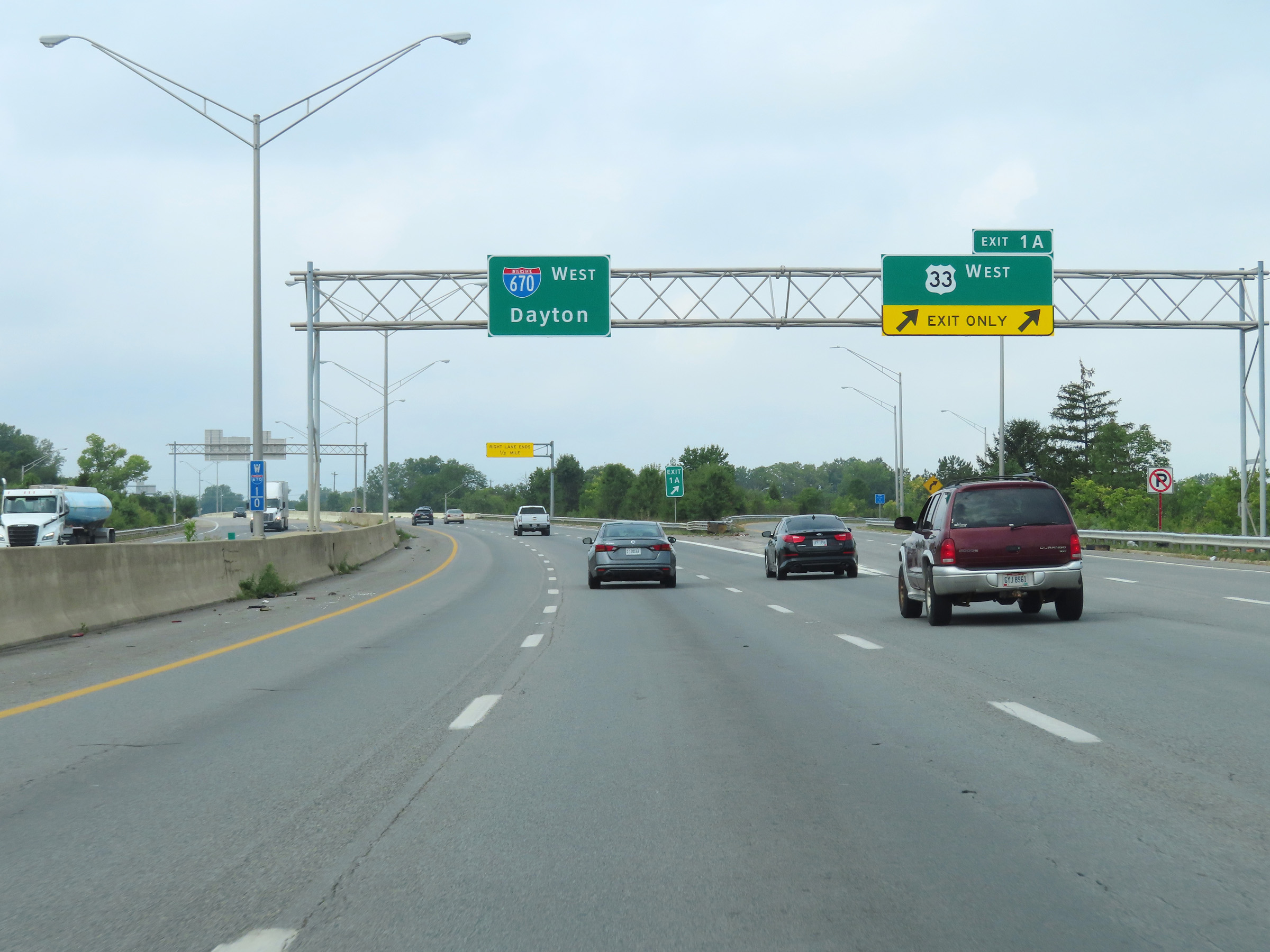 |
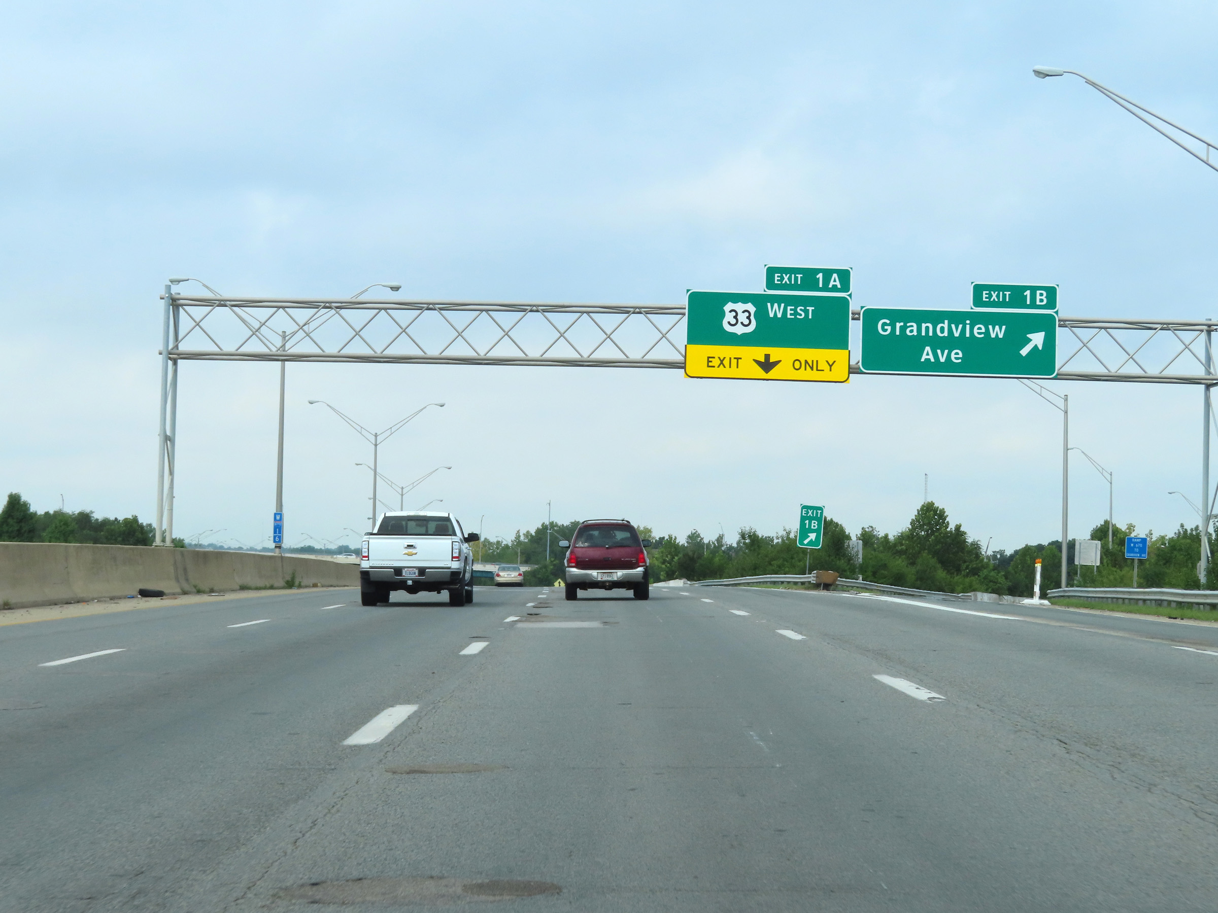
Interstate 670 West at Exit 1A: US 33 West (Photo taken 8/21/22). |
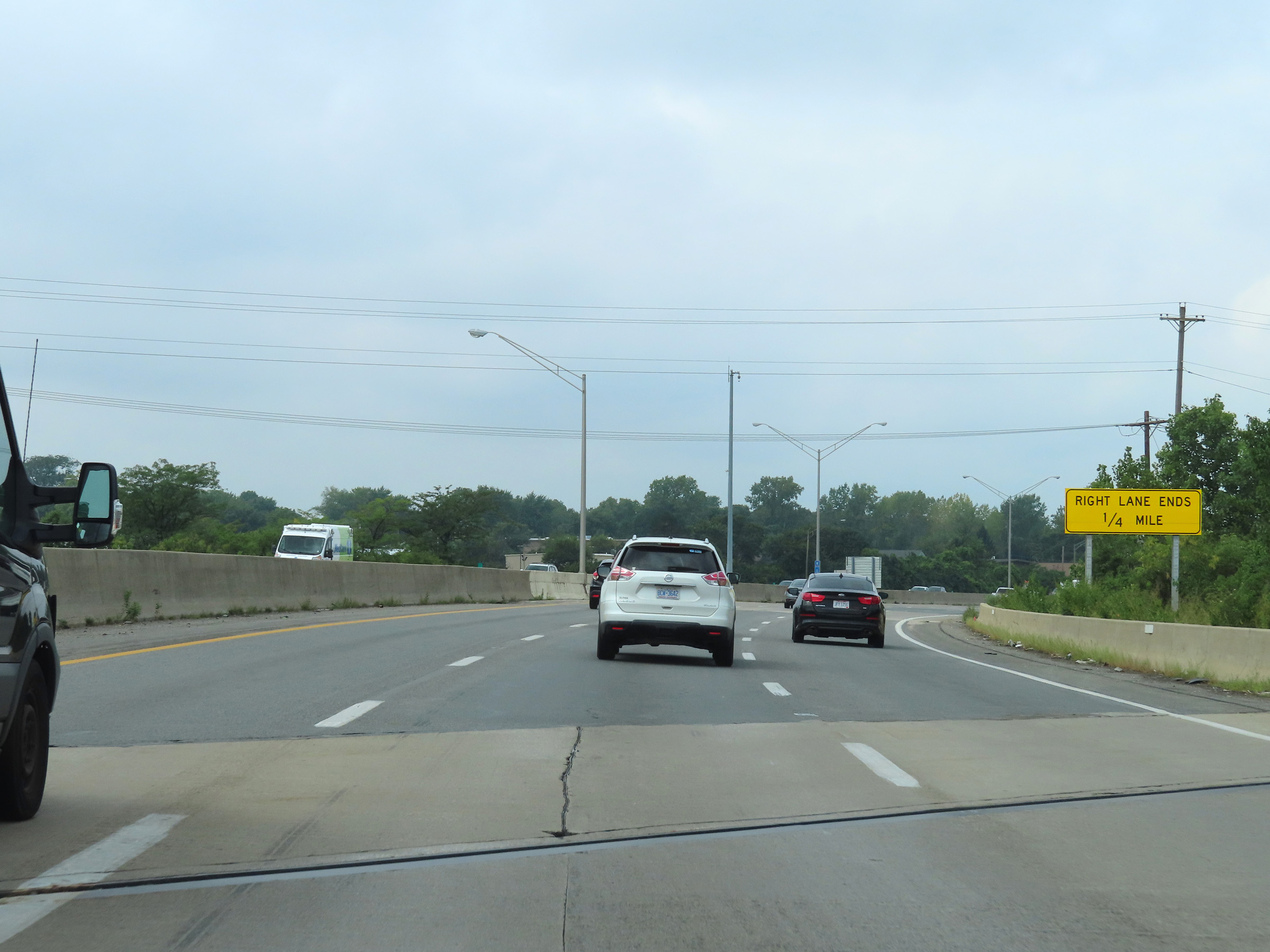 |
As Interstate 670 West begins to approach its western terminus, it will be reduced to two thru lanes 1/4 mile ahead as the right lane will come to an end. (Photo taken 8/21/22). |
 |
View on Interstate 670 West at mile marker 0.4, as Interstate 70 West thru traffic comes into view on the right. (Photo taken 8/21/22). |
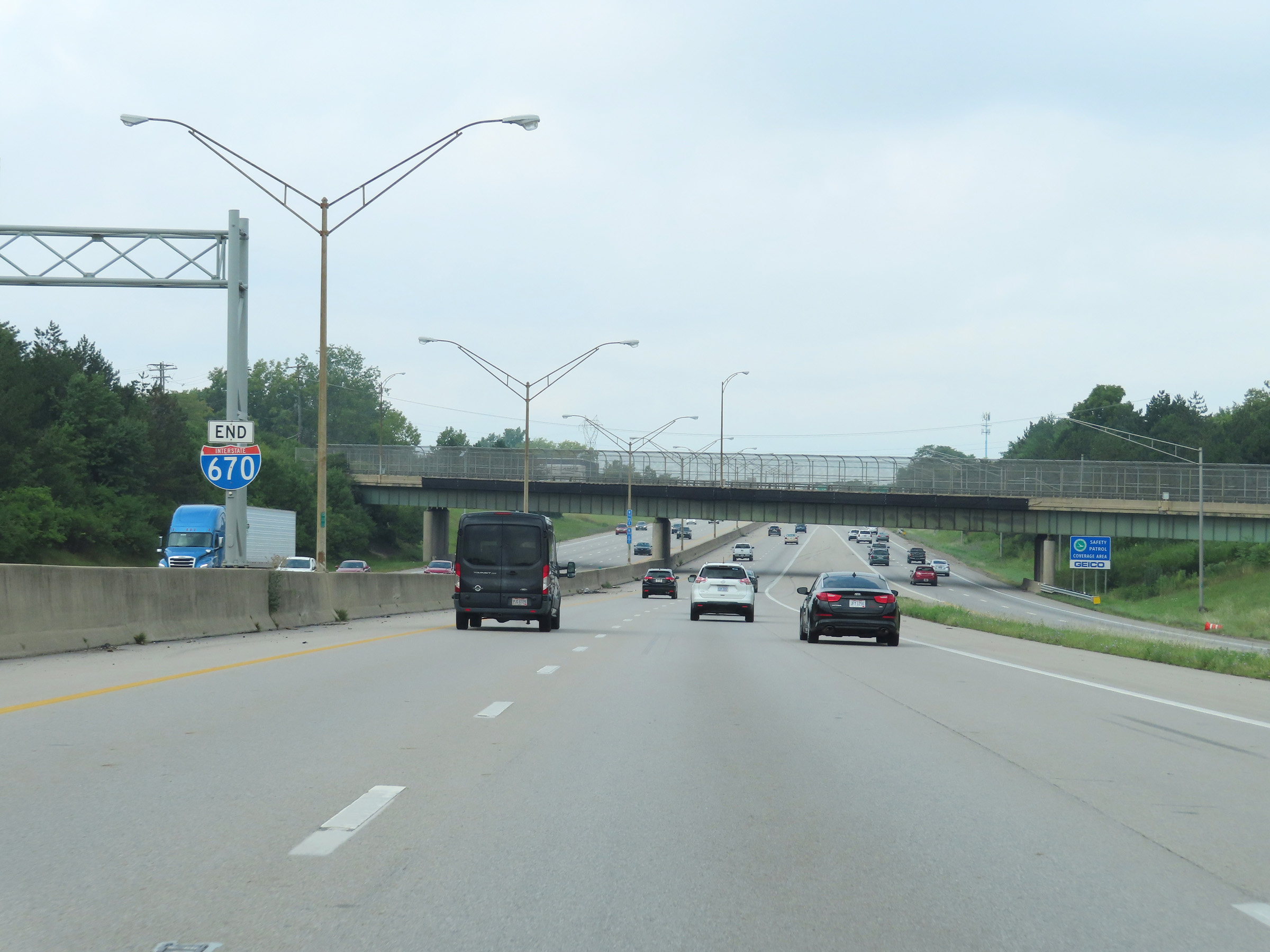 |
Interstate 670 END marker as the right lane ends, and the two remaining thru lanes prepare to merge into Interstate 70 West ahead. (Photo taken 8/21/22). |
 |
At mile marker 0.2, Interstate 70 West mileage is also shown as Interstate 670 West reaches its western terminus and prepares to merge into the westbound lanes of I-70 ahead. (Photo taken 8/21/22). |
 |
Interstate 670 West at its western terminus, marked by mile marker 0. (Photo taken 8/21/22). |