Road Information |
||
 |
||
| Total Mileage in State: | 365 miles | |
| Northern End: | At I-94, in Chicago | |
| Southern End: | At Missouri state line | |
| Mileage covered in Photos: | 365 miles | |
| Counties covered in Photos: | Cook, Will, Kankakee, Iroquois, Ford, Champaign, Douglas, Coles, Cumberland, Shelby, Effingham, Clay, Fayette, Marion, Jefferson, Franklin, Williamson, Johnson, Union, Pulaski, Alexander | |
| Major Junctions in Photos: | I-80, in Oak Forest I-74, in Champaign I-72, in Champaign I-70, in Effingham I-64, in Mt. Vernon I-24, near Marion |
|
| Control Cities in Photos: | Chicago, Kankakee, Champaign, Mattoon, Effingham, Mt. Vernon, Marion, Cairo | |
Southbound
- Section 1: Chicago to Monee (Exit 335)
- Section 2: Monee (Exit 335) to Champaign (Exit 232)
- Section 3: Champaign (Exit 232) to Mount Vernon (Exit 94)
- Section 4: Mount Vernon (Exit 94) to Missouri Border
Section 1: Chicago to Monee (Exit 335)
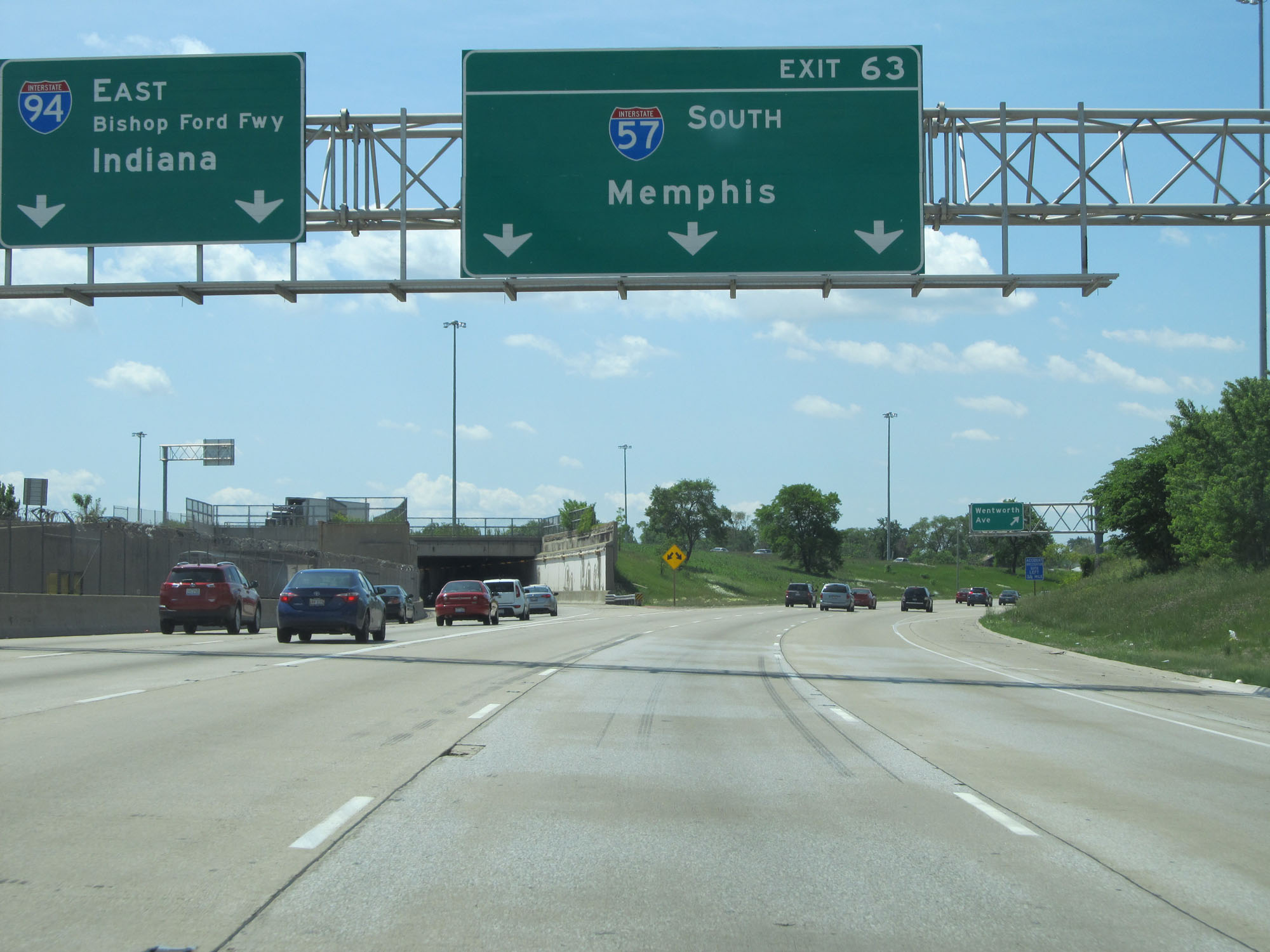 |
Interstate 57 South begins in Chicago at Exit 63 on Interstate 94 East. (Photo taken 5/30/16). |
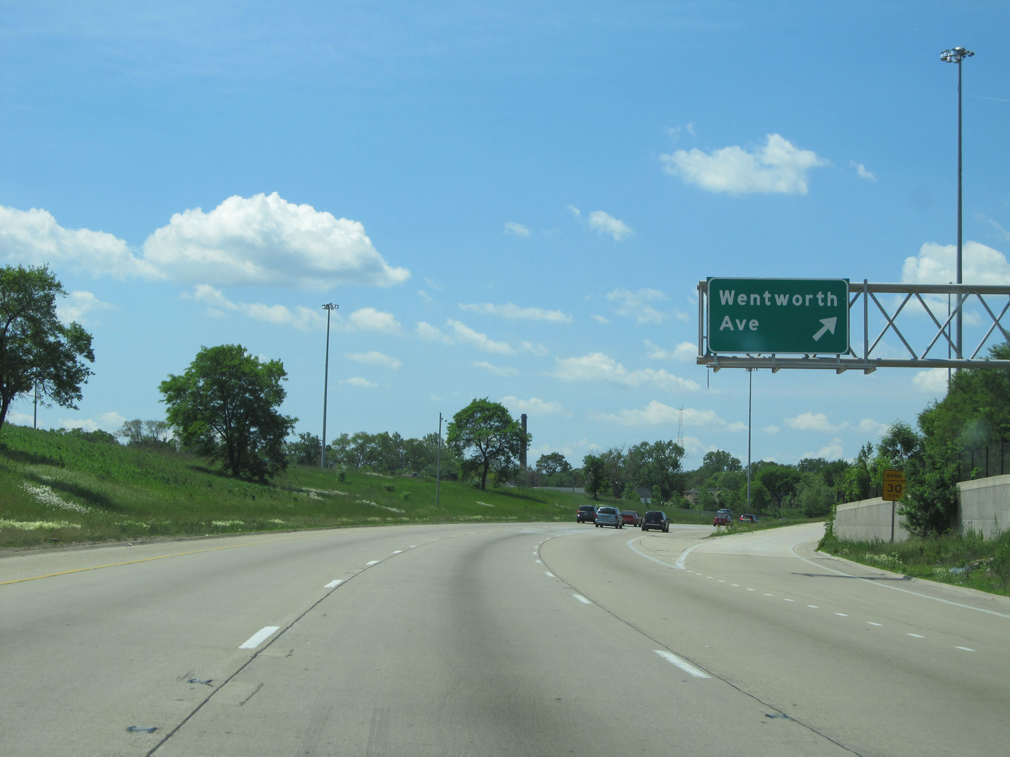 |
Interstate 57 South at Exit 358: Wentworth Ave (Photo taken 5/30/16). |
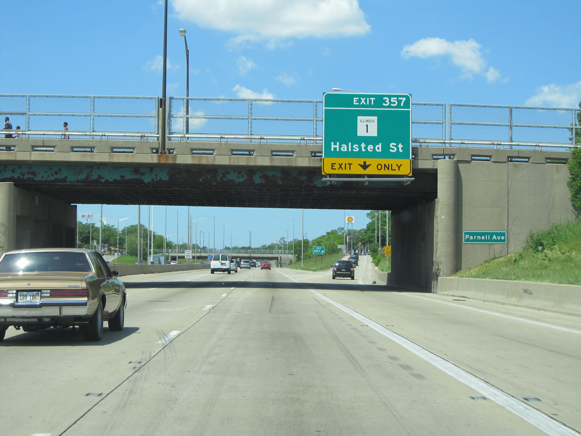 |
Interstate 57 South at Exit 357: IL 1 - Halsted St (Photo taken 5/30/16). |
 |
Gore point signage for Exit 357. (Photo taken 5/30/16). |
 |
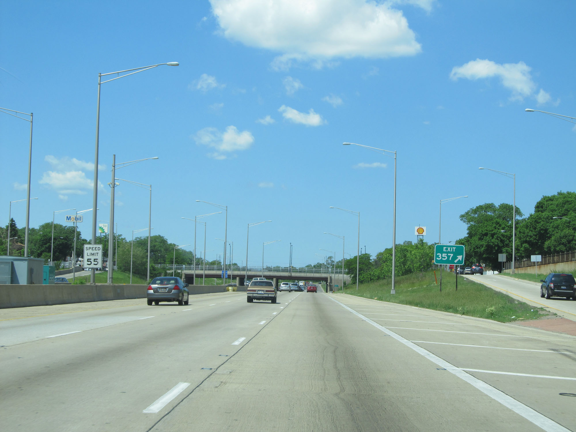
Interstate 57 South as it curves to the south beyond Exit 357. (Photo taken 5/30/16). |
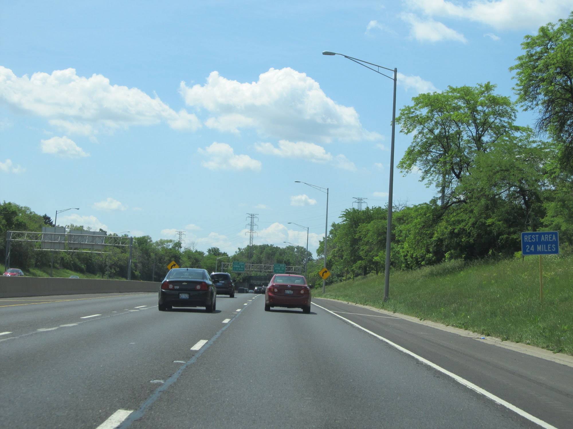 |
The first Rest Area on Interstate 57 South lies 24 miles ahead. (Photo taken 5/30/16). |
 |
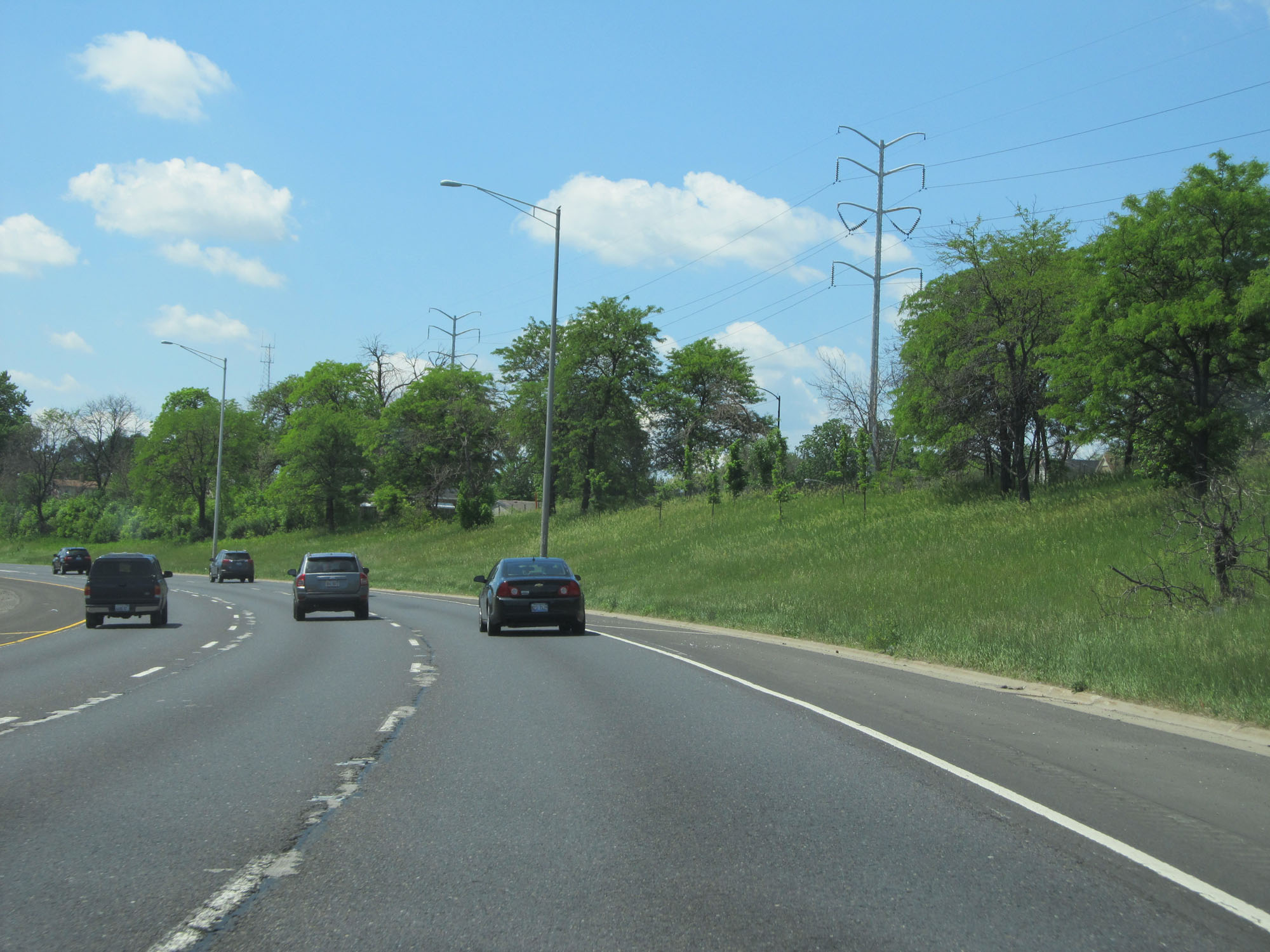
View on Interstate 57 South. (Photo taken 5/30/16). |
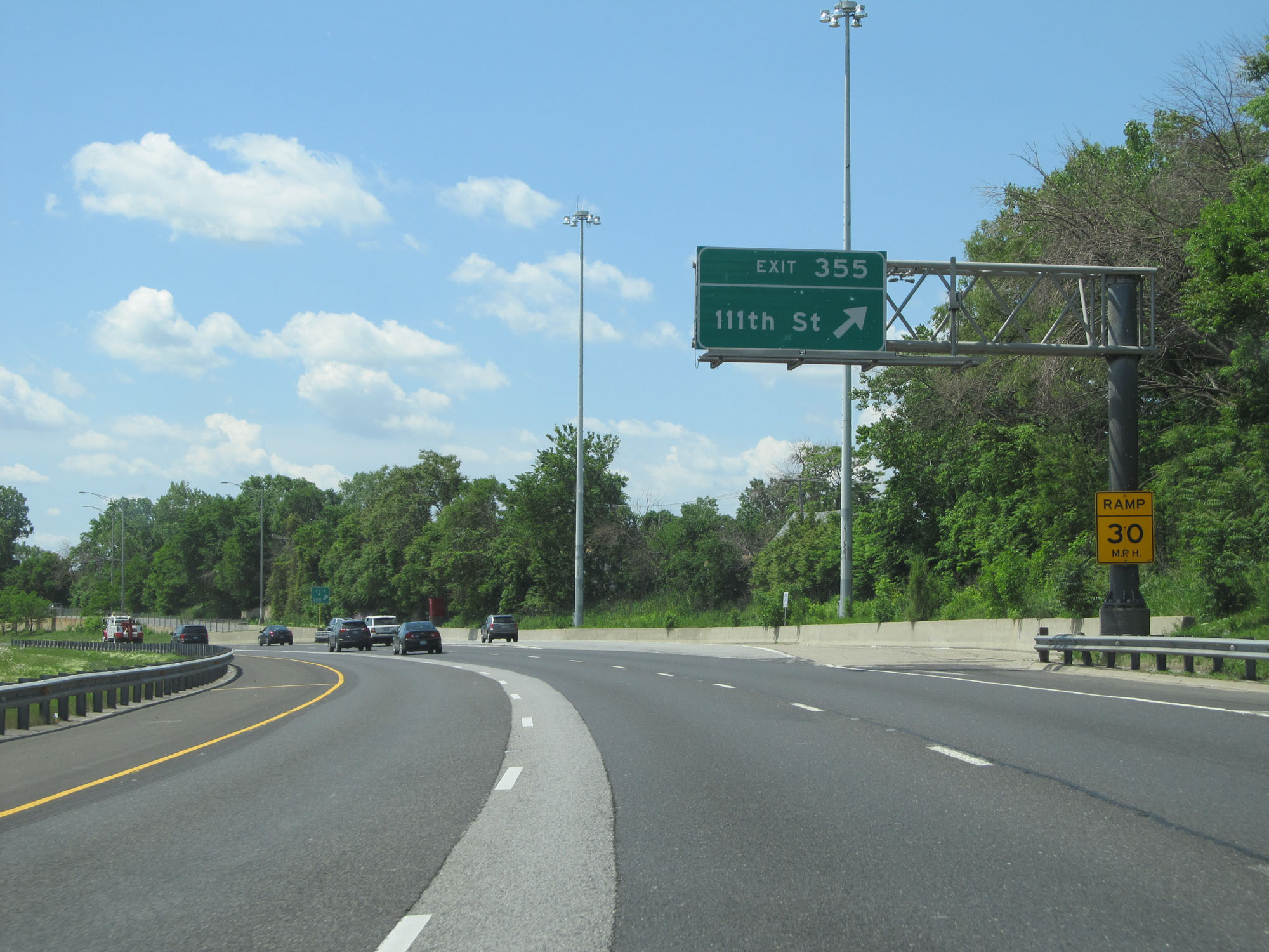 |
Interstate 57 South at Exit 355: 111th St (Photo taken 5/30/16). |
 |
Interstate 57 South approaching Exit 354 - 1/2 mile. (Photo taken 5/30/16). |
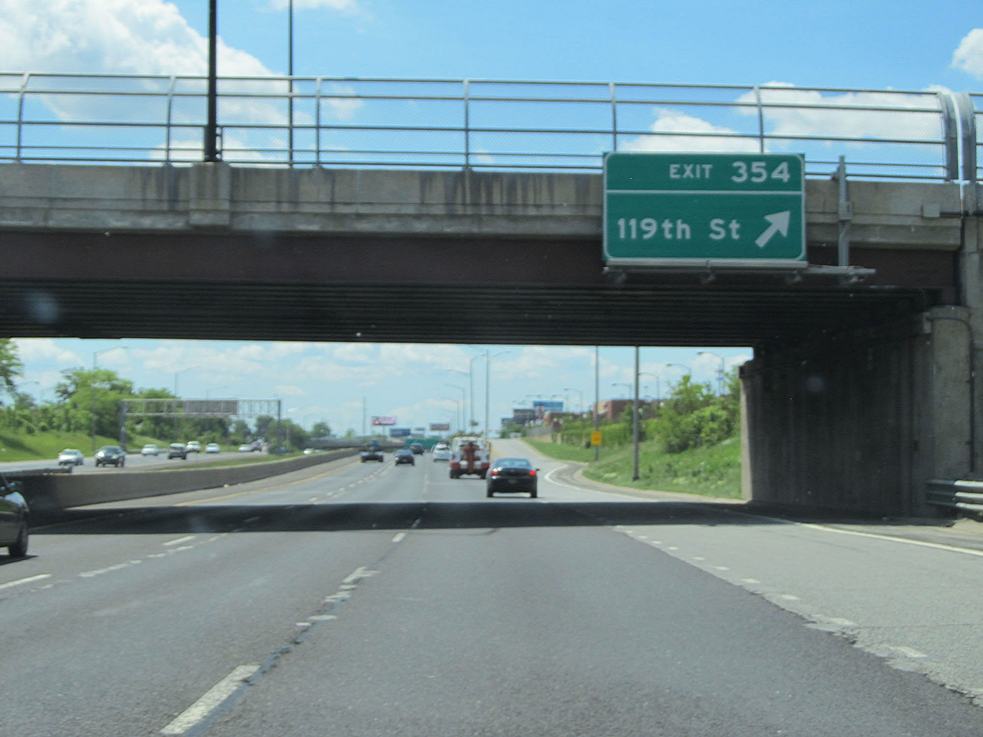 |
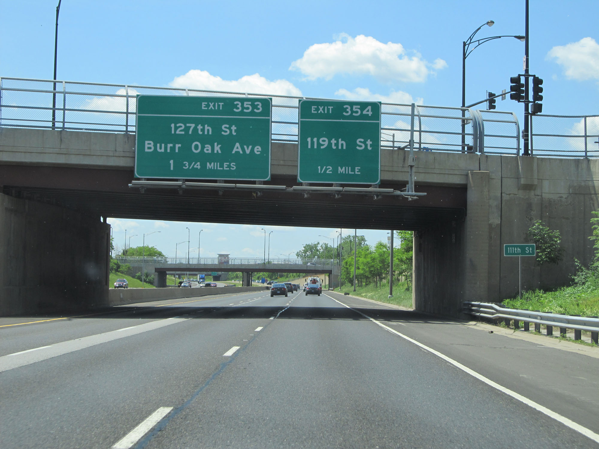
Interstate 57 South at Exit 354: 119th St (Photo taken 5/30/16). |
 |
Interstate 57 South reassurance shield. (Photo taken 5/30/16). |
 |
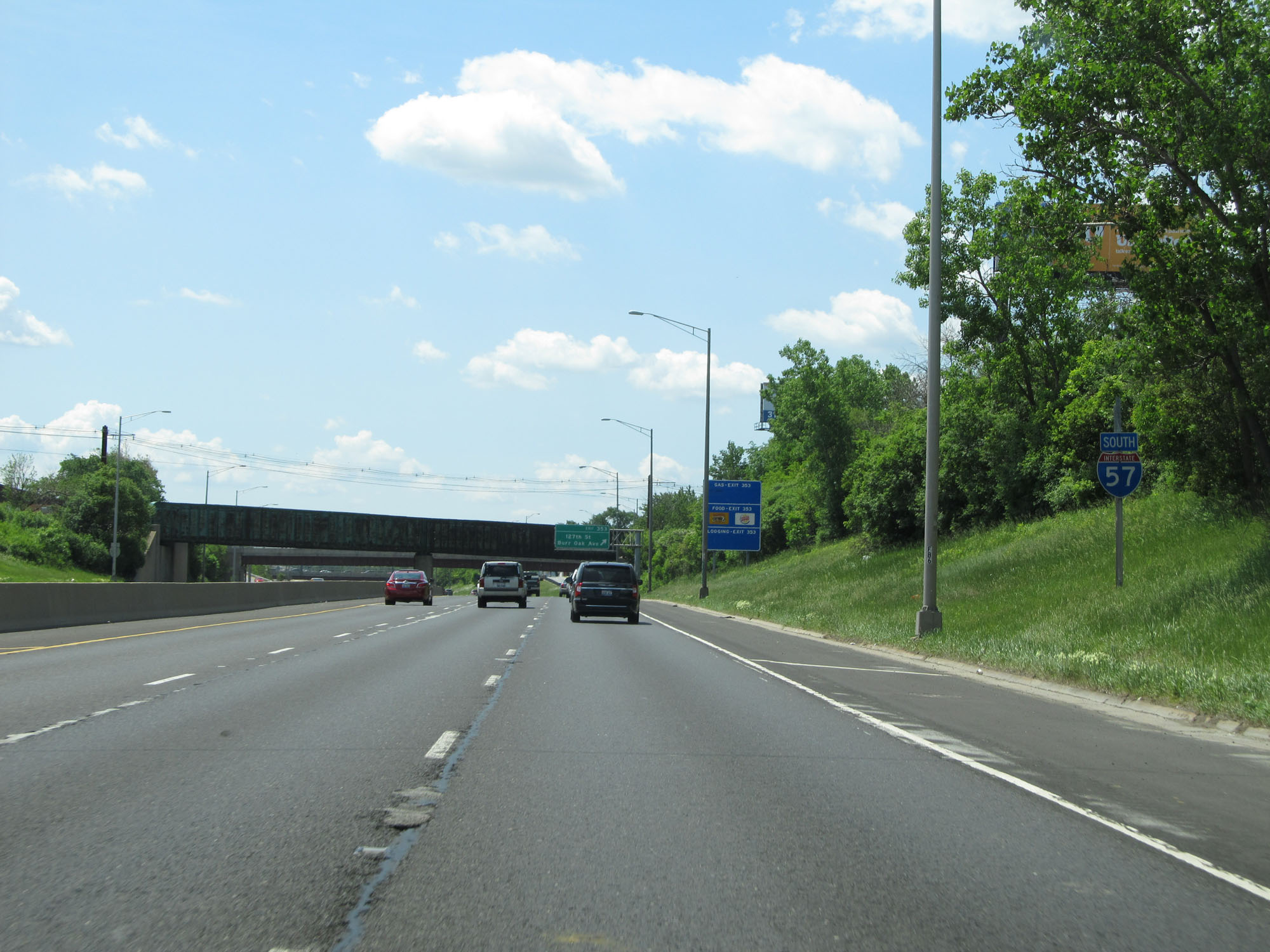
Interstate 57 South at Exit 353: 127th St / Burr Oak Ave (Photo taken 5/30/16). |
 |
Another view on Interstate 57 South. (Photo taken 5/30/16). |
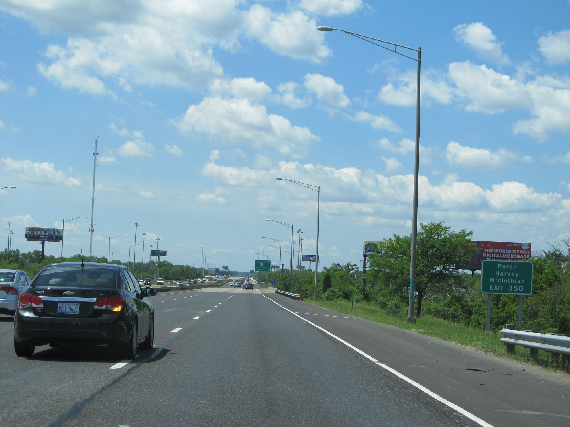 |
Take Exit 350 to the suburbs of Posey, Harvey, and Midlothian. (Photo taken 5/30/16). |
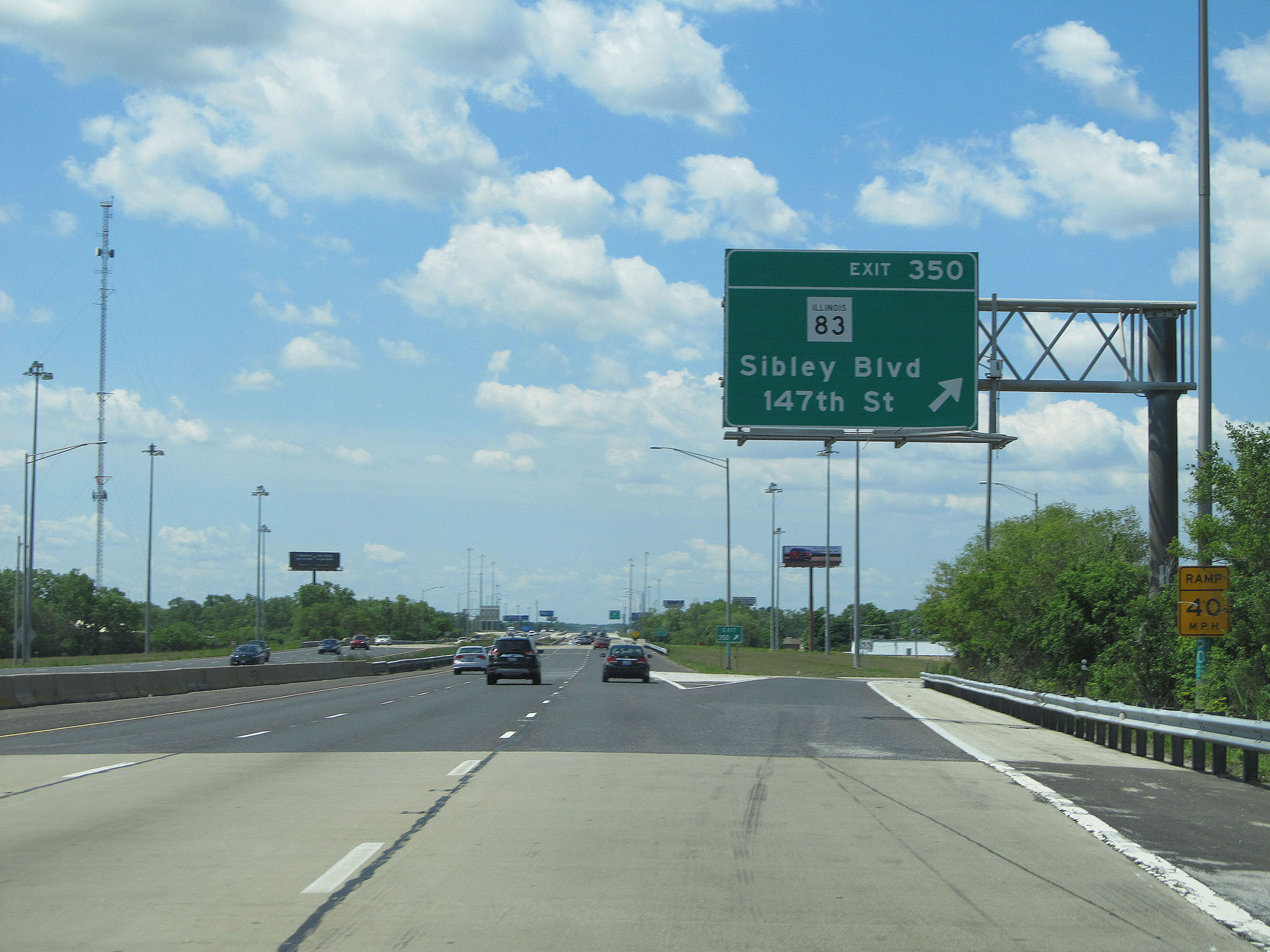 |
Interstate 57 South at Exit 350: IL 83 - Sibley Blvd / 147th St (Photo taken 5/30/16). |
 |
Another Interstate 57 South reassurance shield. (Photo taken 5/30/16). |
 |
Interstate 57 South at mile marker 349. (Photo taken 5/30/16). |
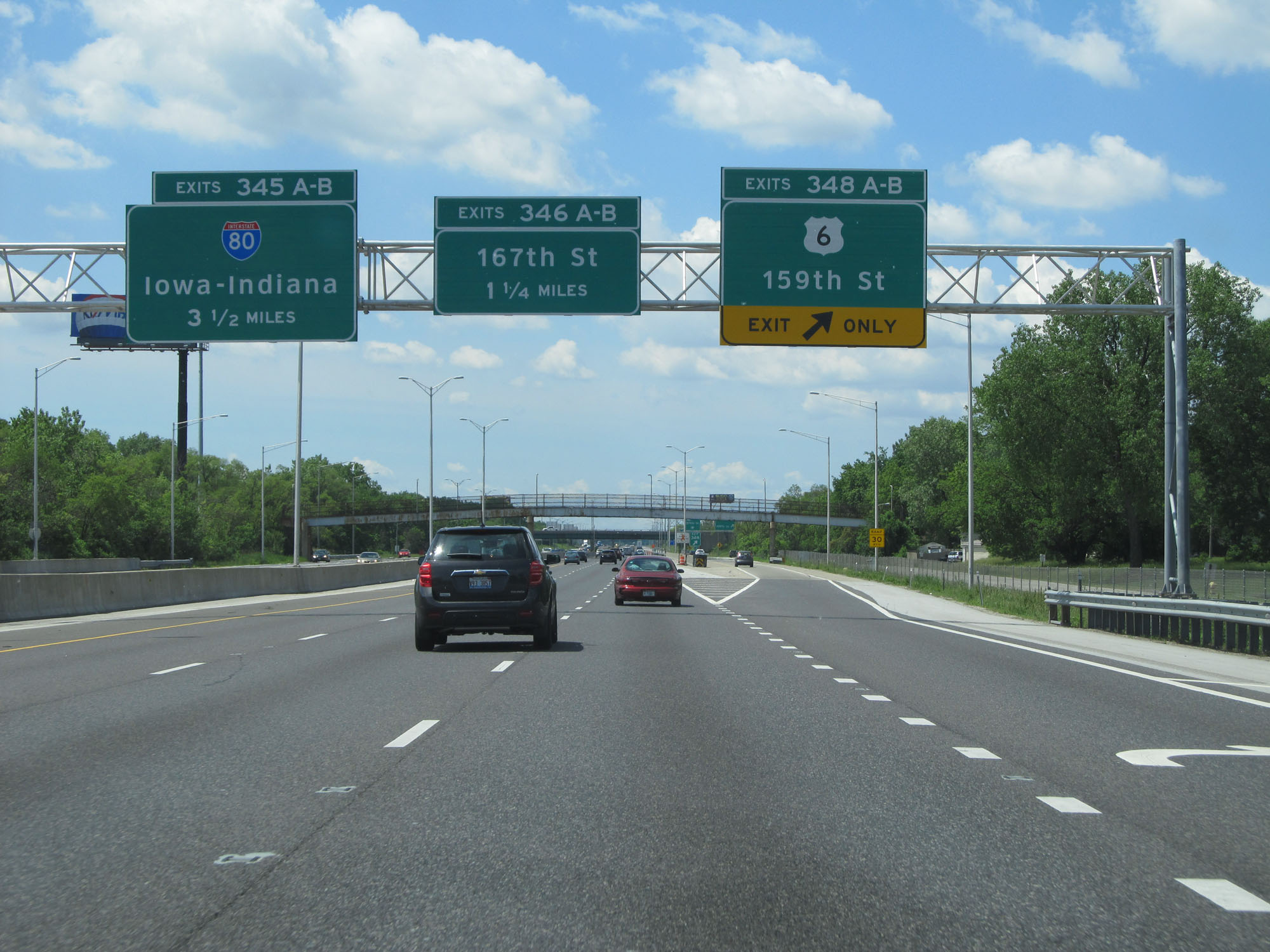 |
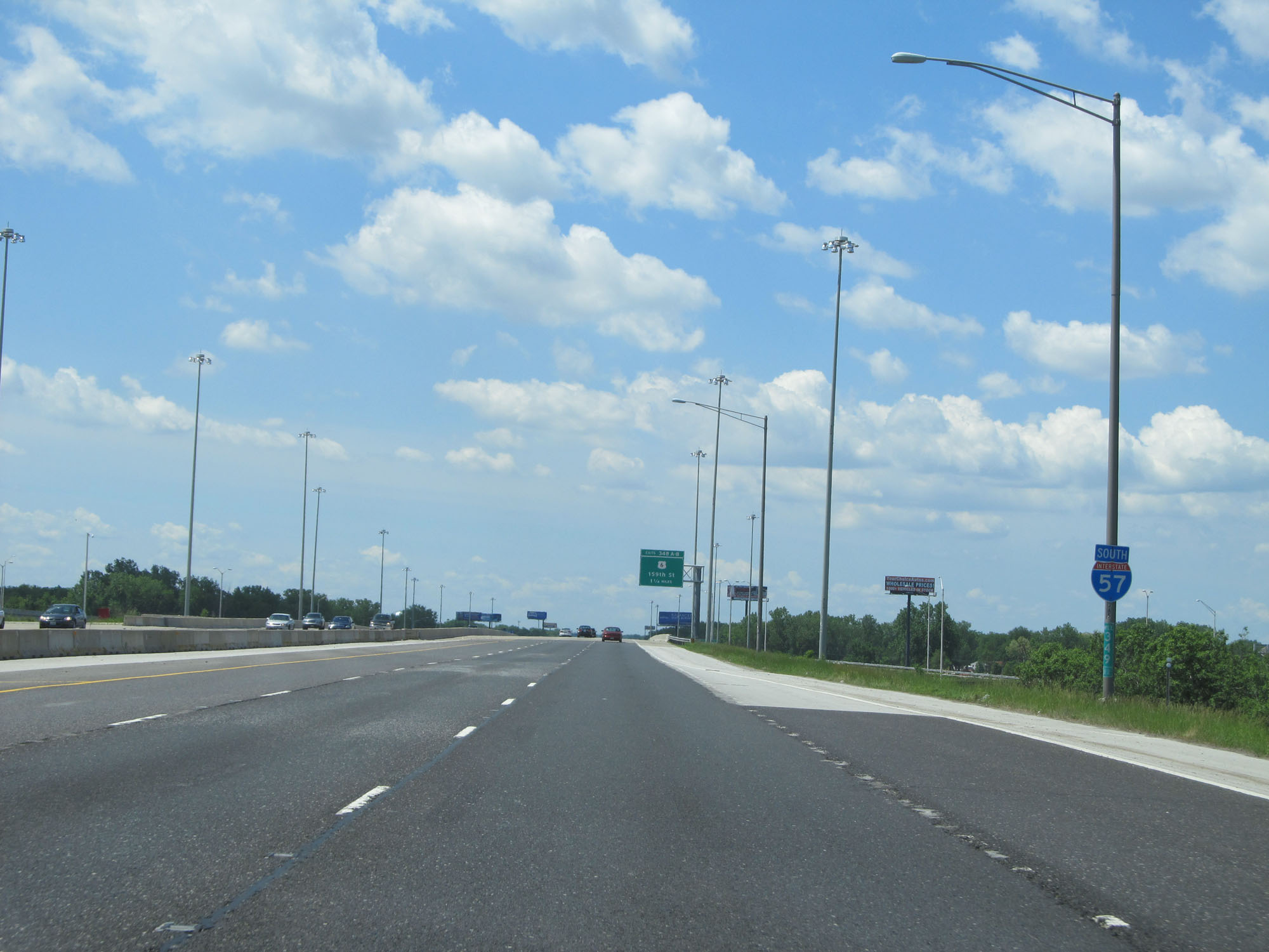
Interstate 57 South at Exits 348A-B: US 6 - 159th St (Photo taken 5/30/16). |
 |
View on Interstate 57 South at mile marker 347.9. (Photo taken 5/30/16). |
 |
Interstate 57 South reassurance shield. (Photo taken 5/30/16). |
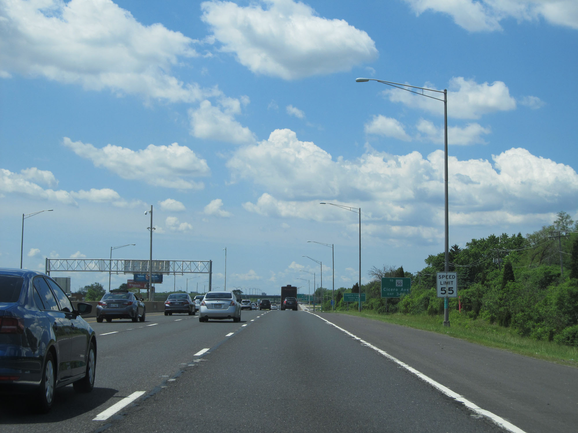 |
The speed limit on Interstate 57 South starts out at, and remains, 55 mph for all traffic. (Photo taken 5/30/16). |
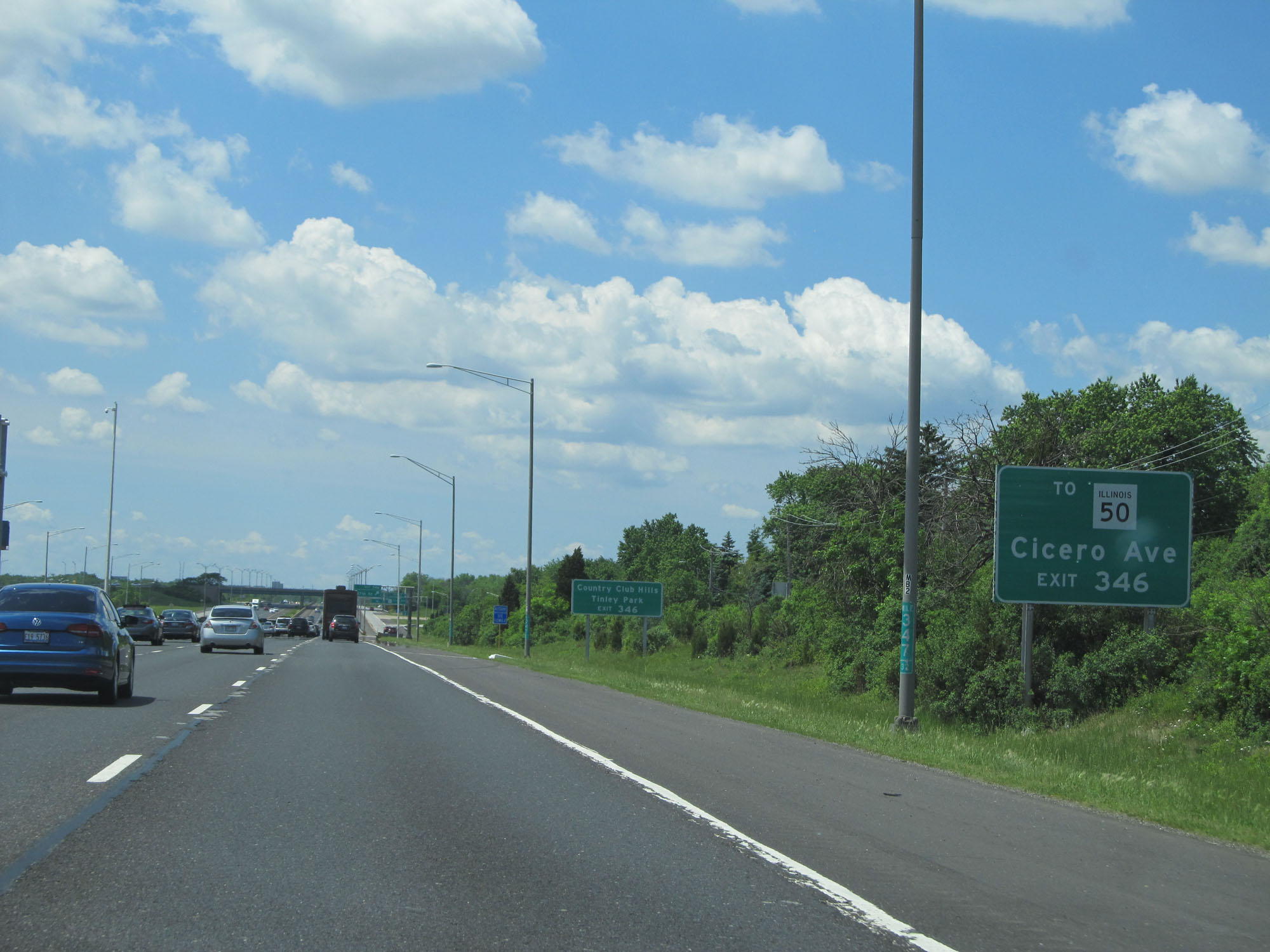 |
Take Exit 346 to IL 50 (Cicero Ave), Country Club Hills, and Tinley Park. (Photo taken 5/30/16). |
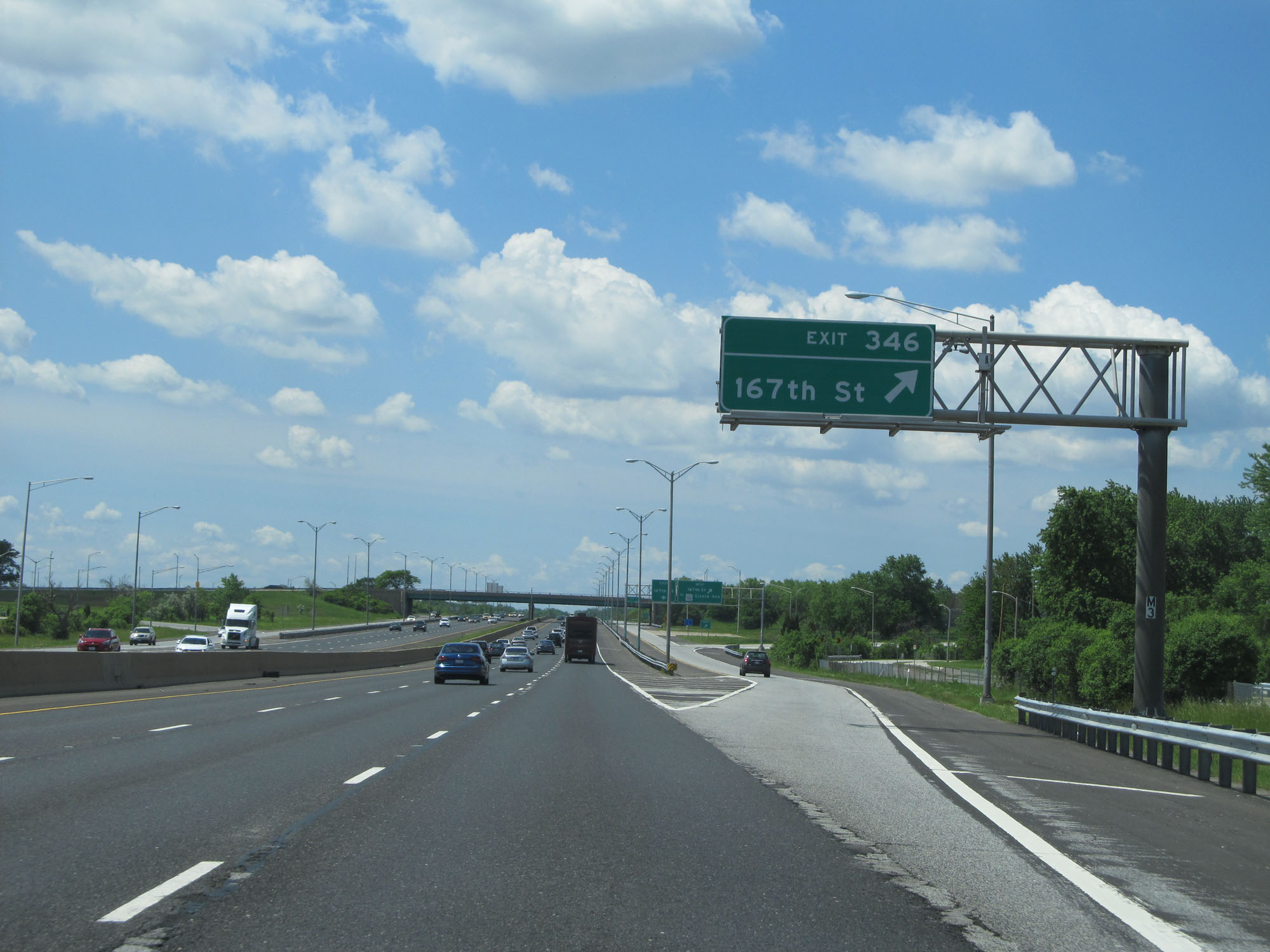 |
Interstate 57 South at Exit 346: 167th St (Photo taken 5/30/16). |
 |
Interstate 57 South approaching Exit 345B - 3/4 mile. (Photo taken 5/30/16). |
 |
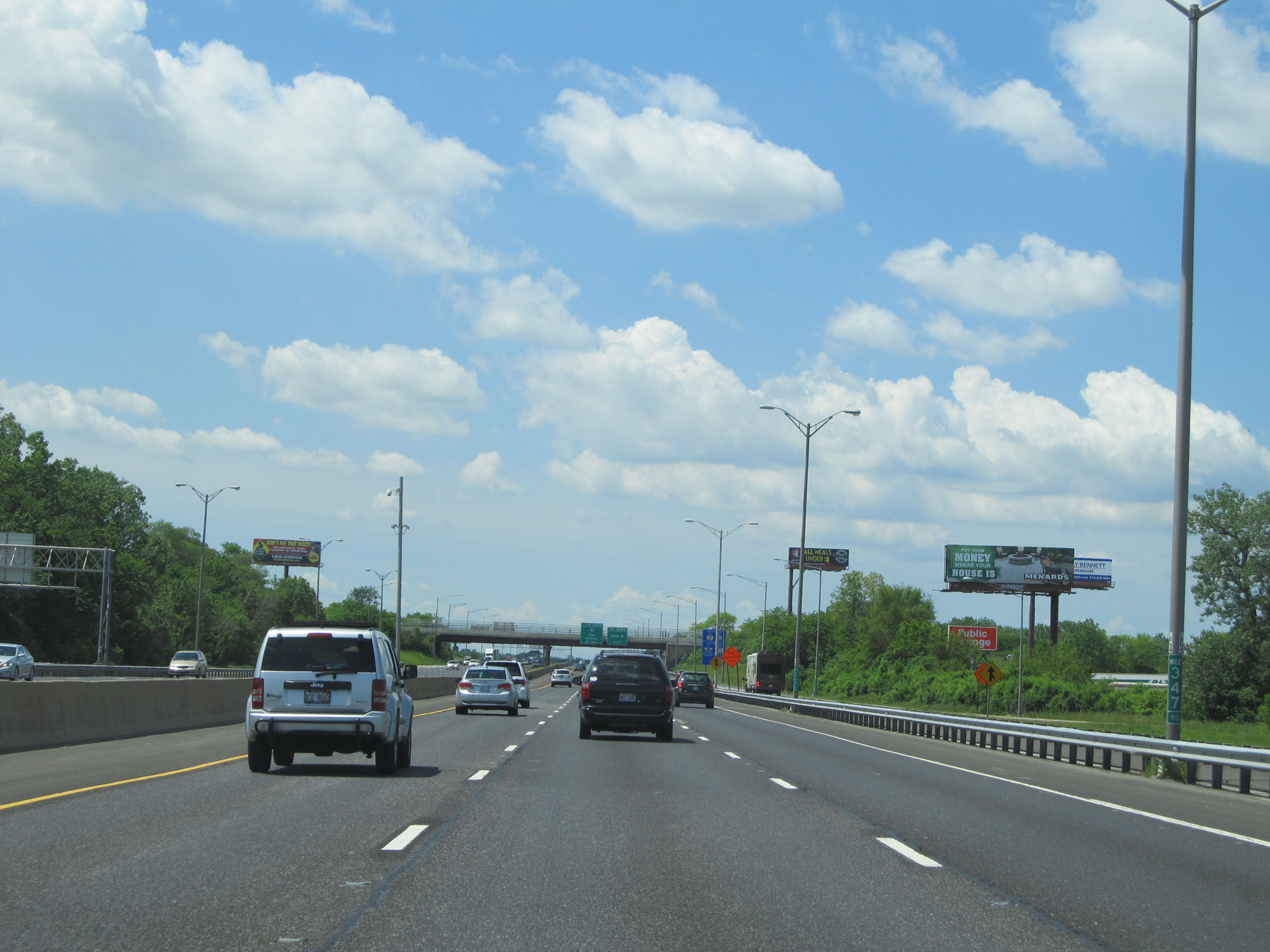
View on Interstate 57 South at mile marker 345.57. (Photo taken 5/30/16). |
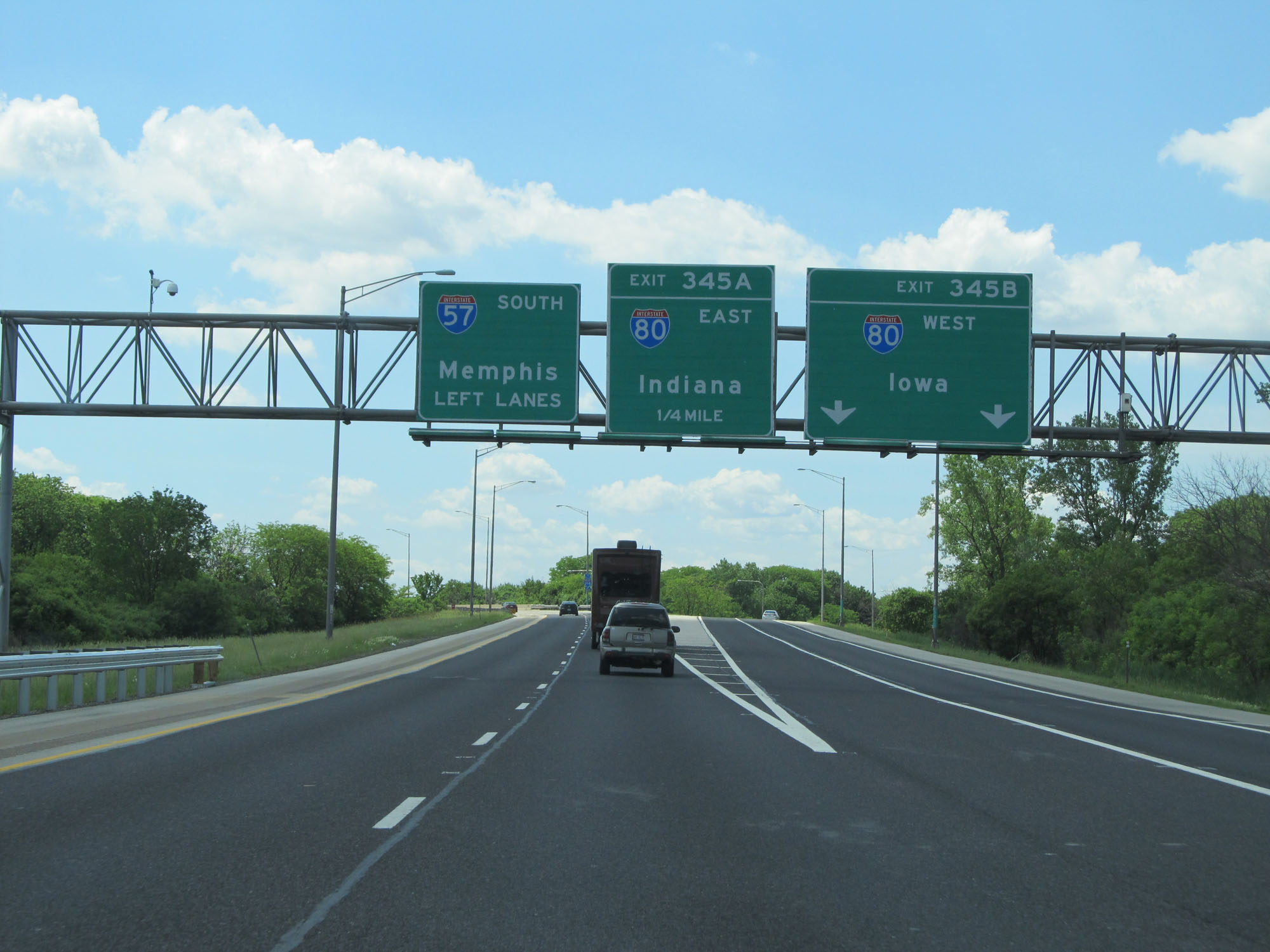 |
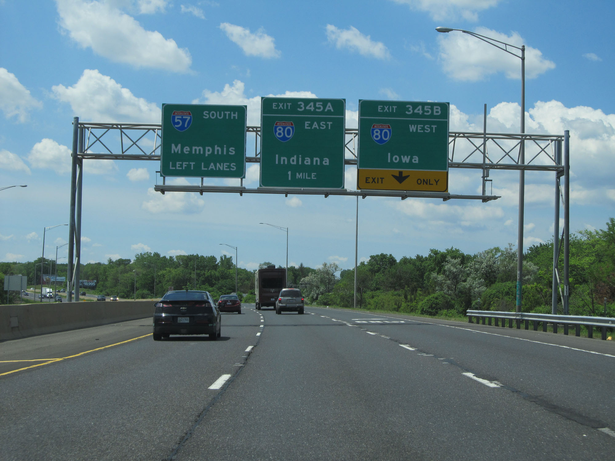
Interstate 57 South at Exit 345B: Interstate 80 West - Iowa (Photo taken 5/30/16). |
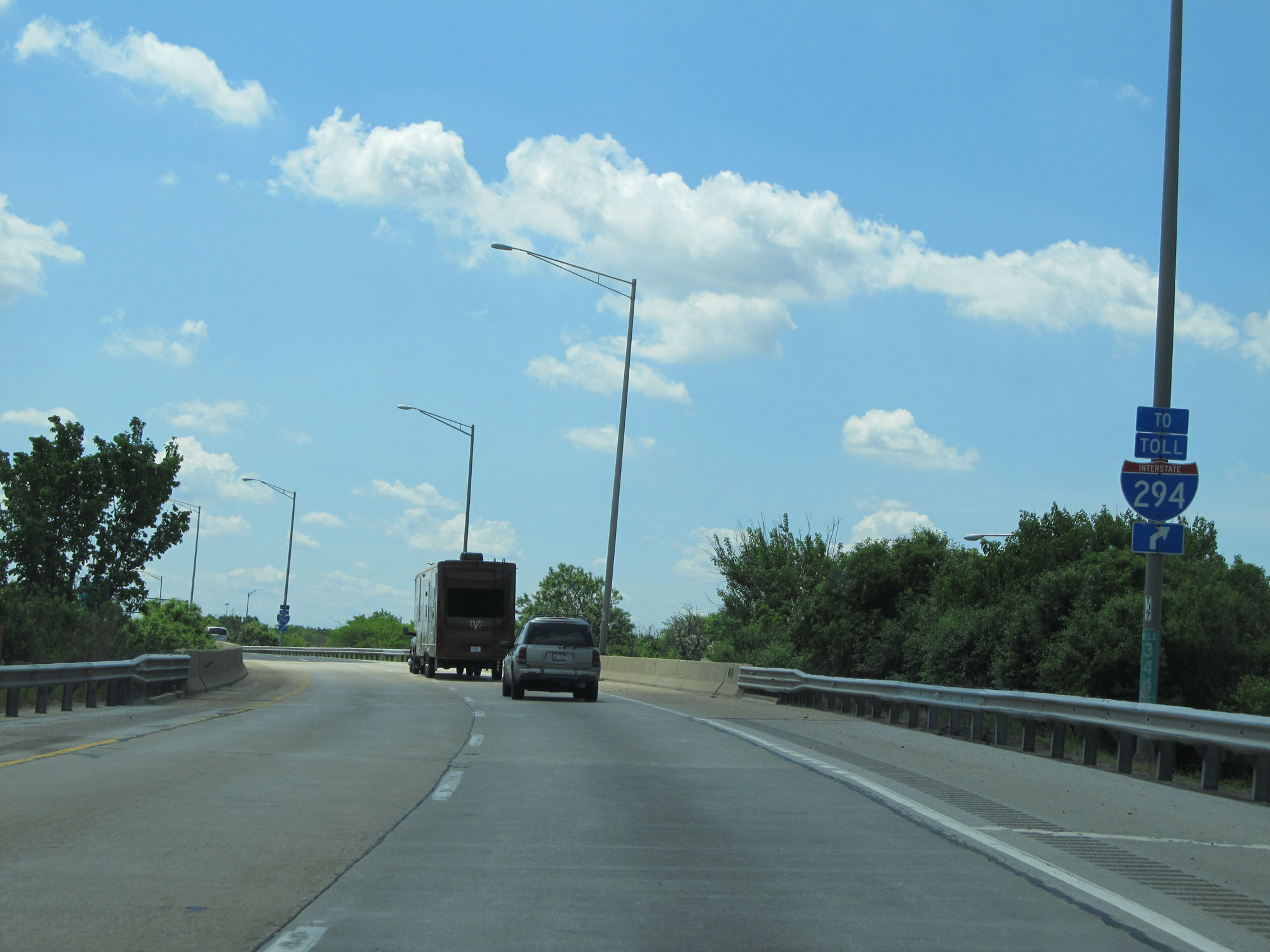 |
Take Exit 345A (Interstate 80 East) to Interstate 294. (Photo taken 5/30/16). |
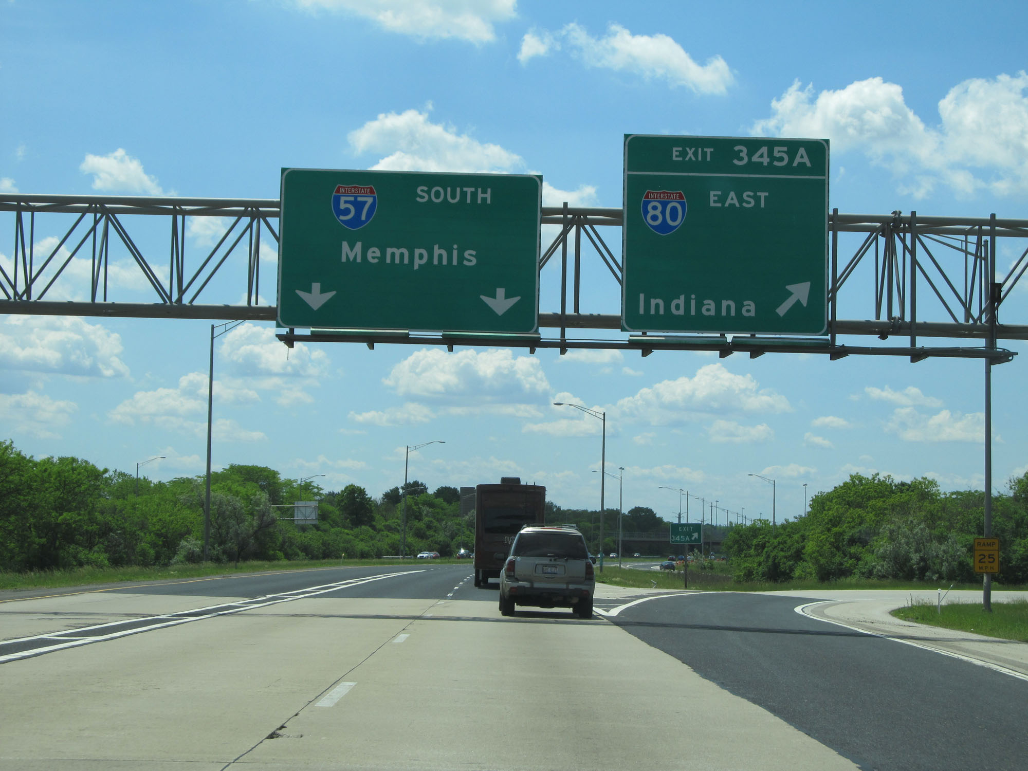 |
Interstate 57 South at Exit 345A: Interstate 80 East - Indiana (Photo taken 5/30/16). |
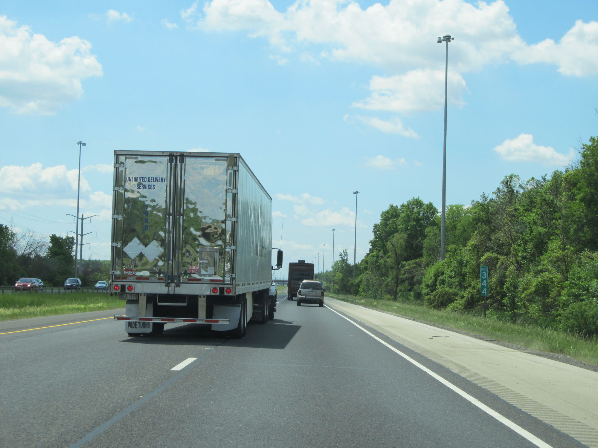 |
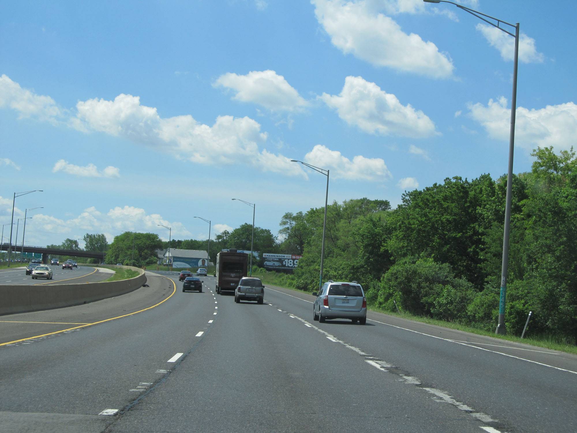
Interstate 57 South at mile marker 344. (Photo taken 5/30/16). |
 |
Interstate 57 South at Exit 342B: Vollmer Rd West (Photo taken 5/30/16). |
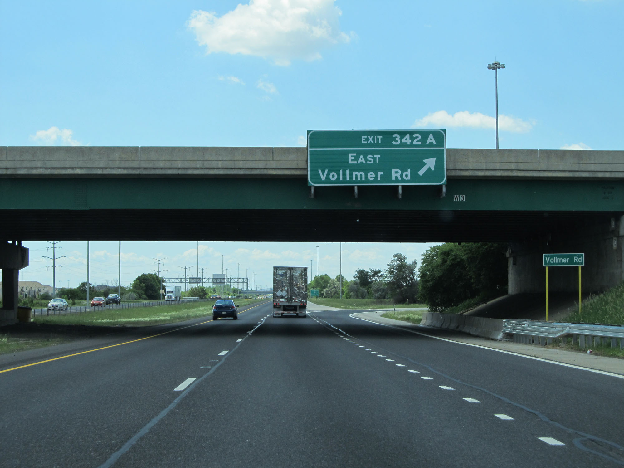 |
Interstate 57 South at Exit 342A: Vollmer Rd East (Photo taken 5/30/16). |
 |
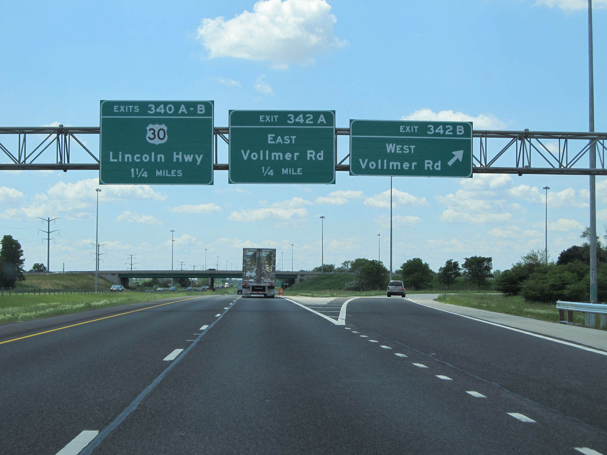
Interstate 57 South at Exit 340B: US 30 West - Lincoln Hwy (Photo taken 5/30/16). |
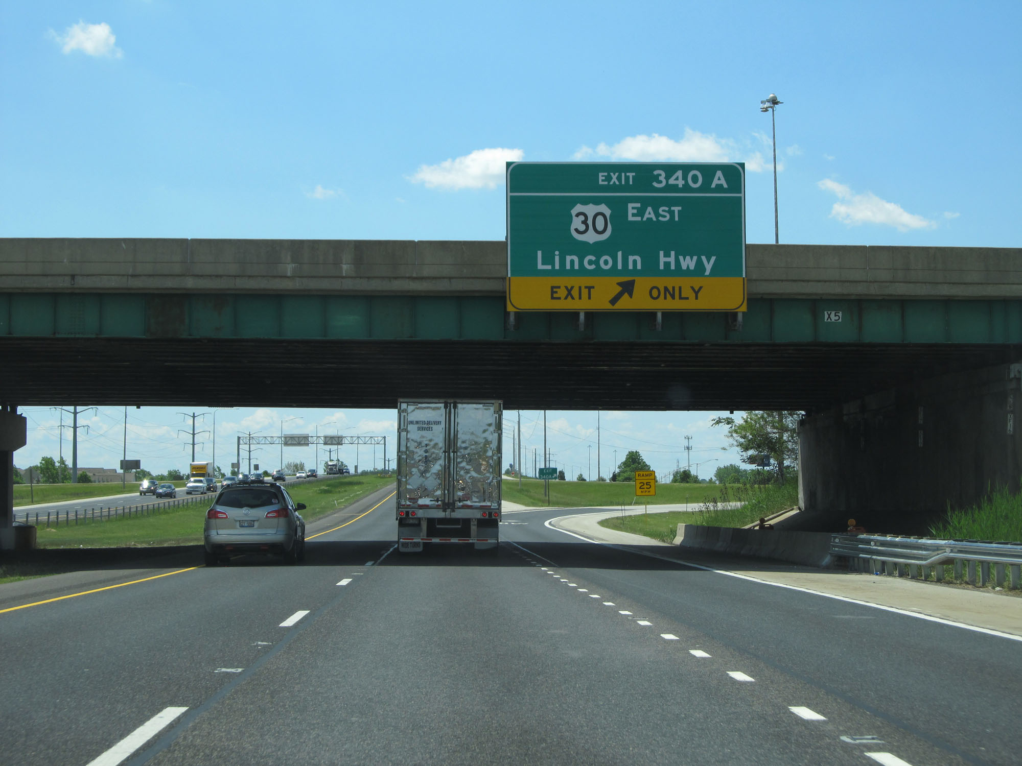 |
Interstate 57 South at Exit 340A: US 30 East - Lincoln Hwy (Photo taken 5/30/16). |
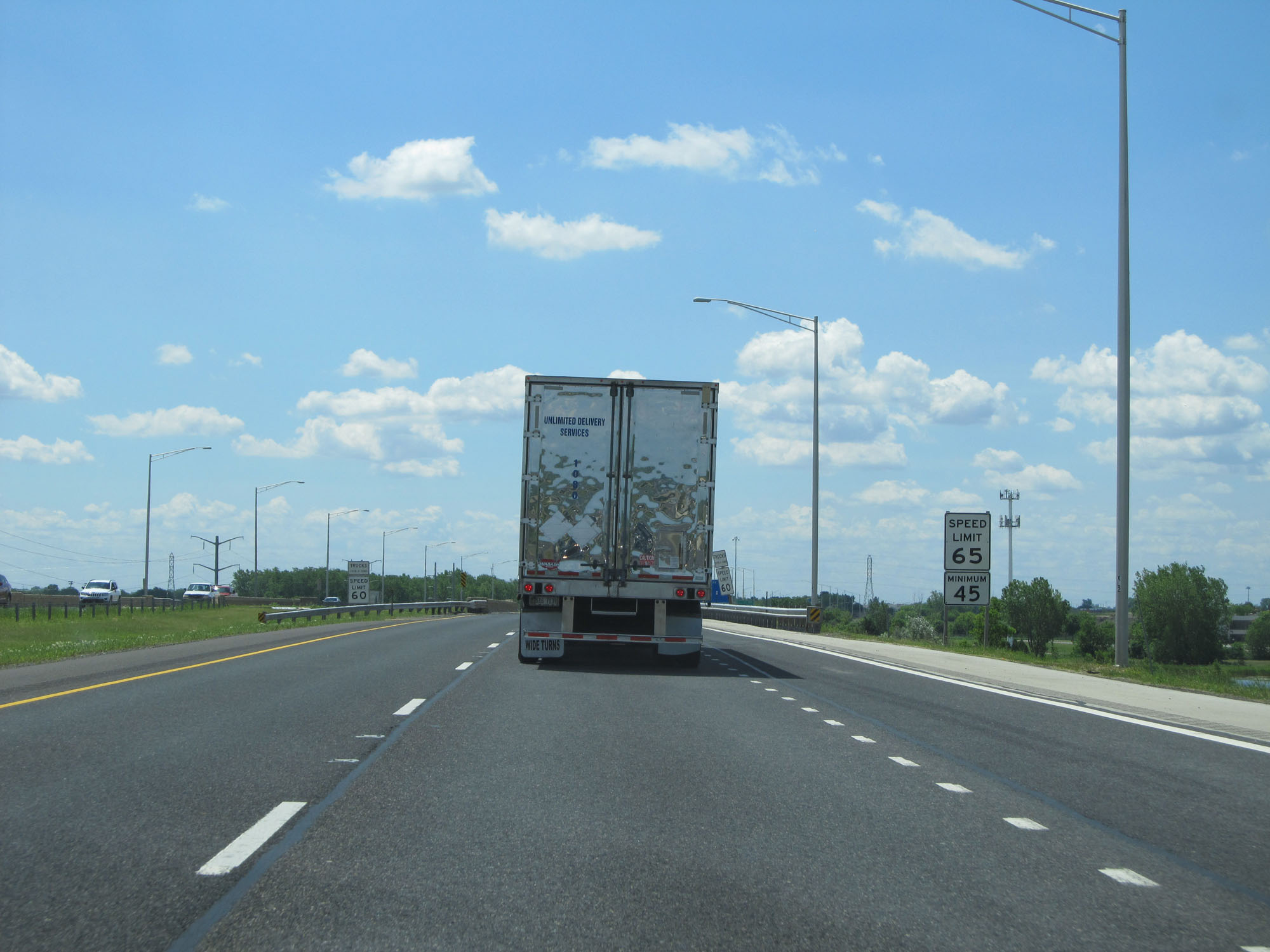 |
South of Exit 340A, the maximum speed limit for automobiles increases to 65 mph. The minimum speed limit is 45 mph. (Photo taken 5/30/16). |
 |
Since we're still in Cook County, the maximum truck speed limit is capped at 60 mph. (Photo taken 5/30/16). |
 |
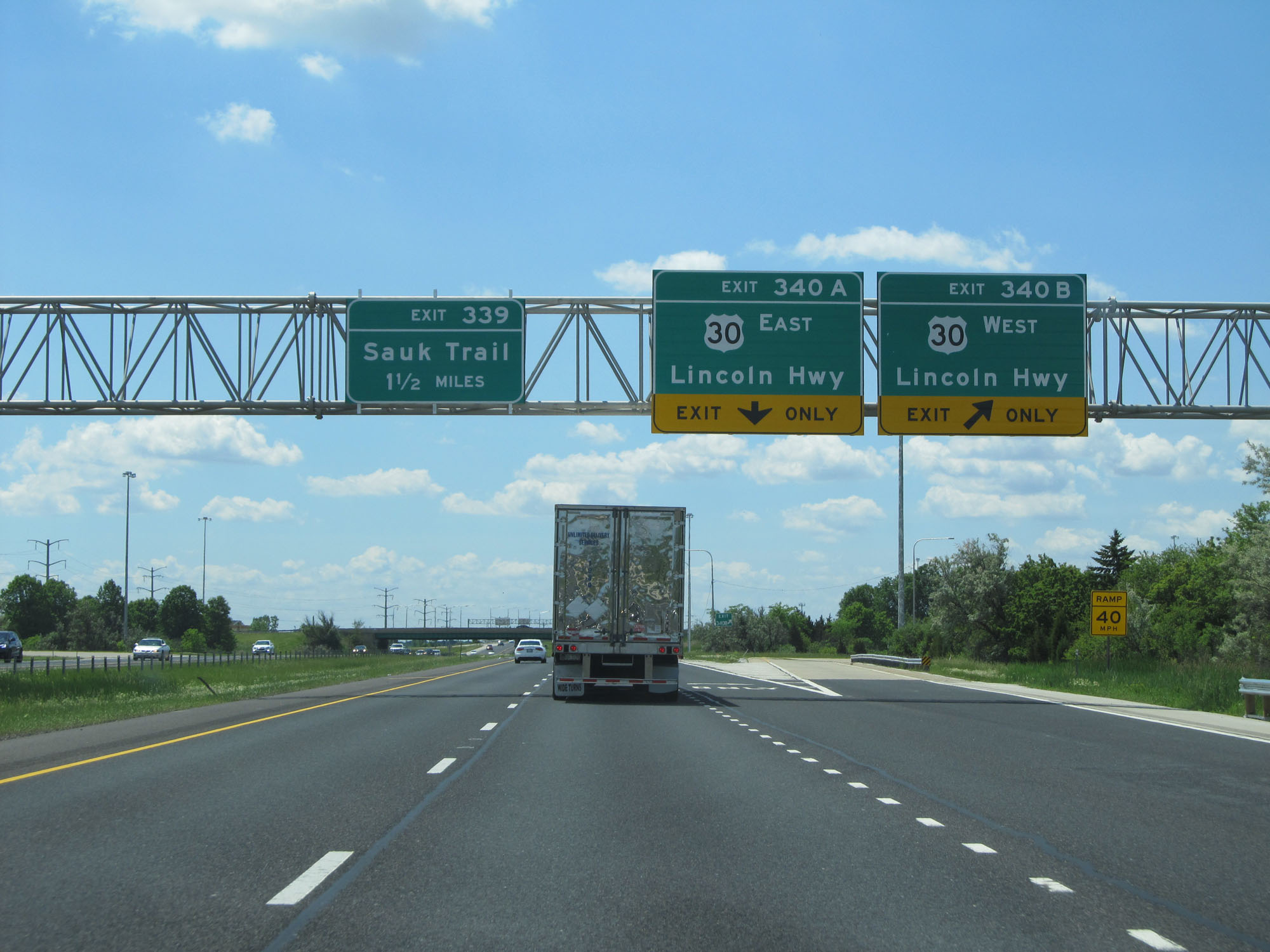
Interstate 57 South at Exit 339: Sauk Trail (Photo taken 5/30/16). |
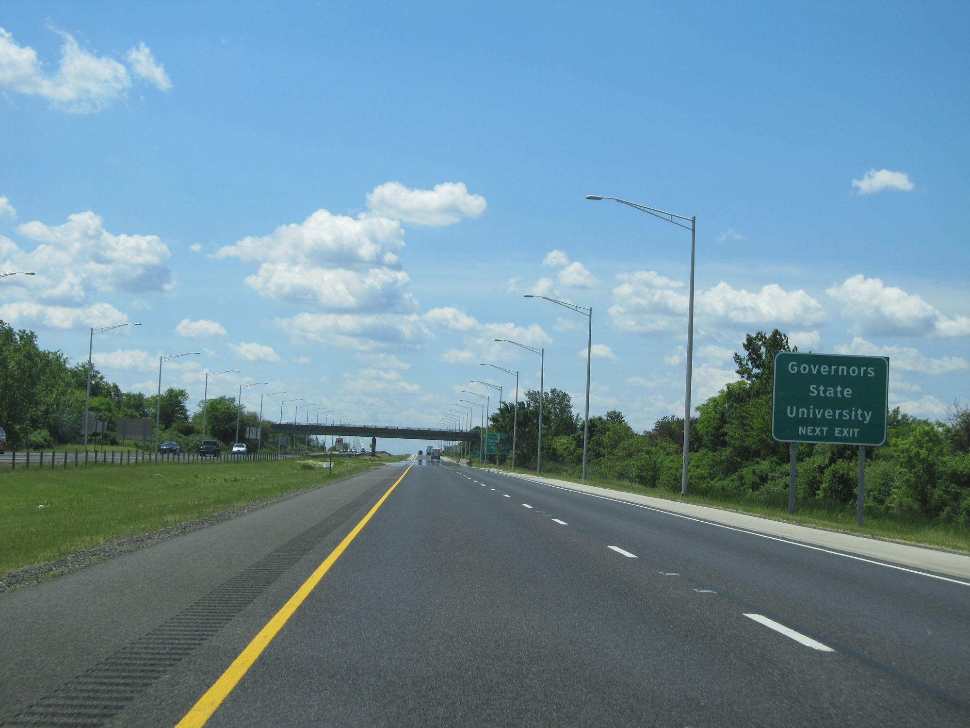 |
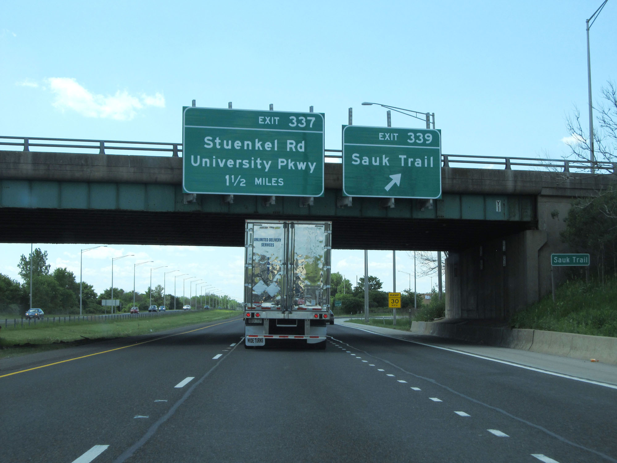
Take Exit 337 to Governors State University. (Photo taken 5/30/16). |
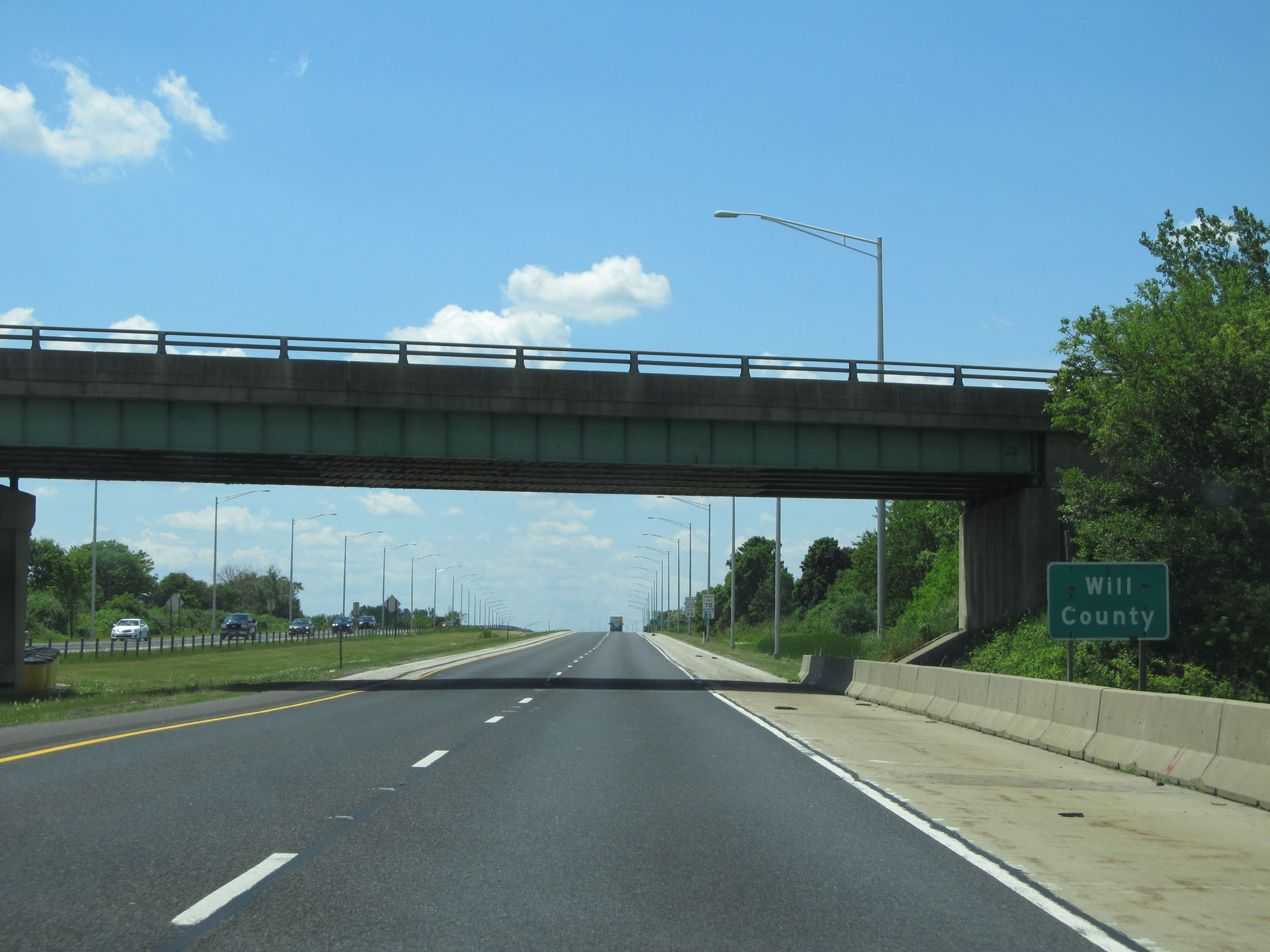 |
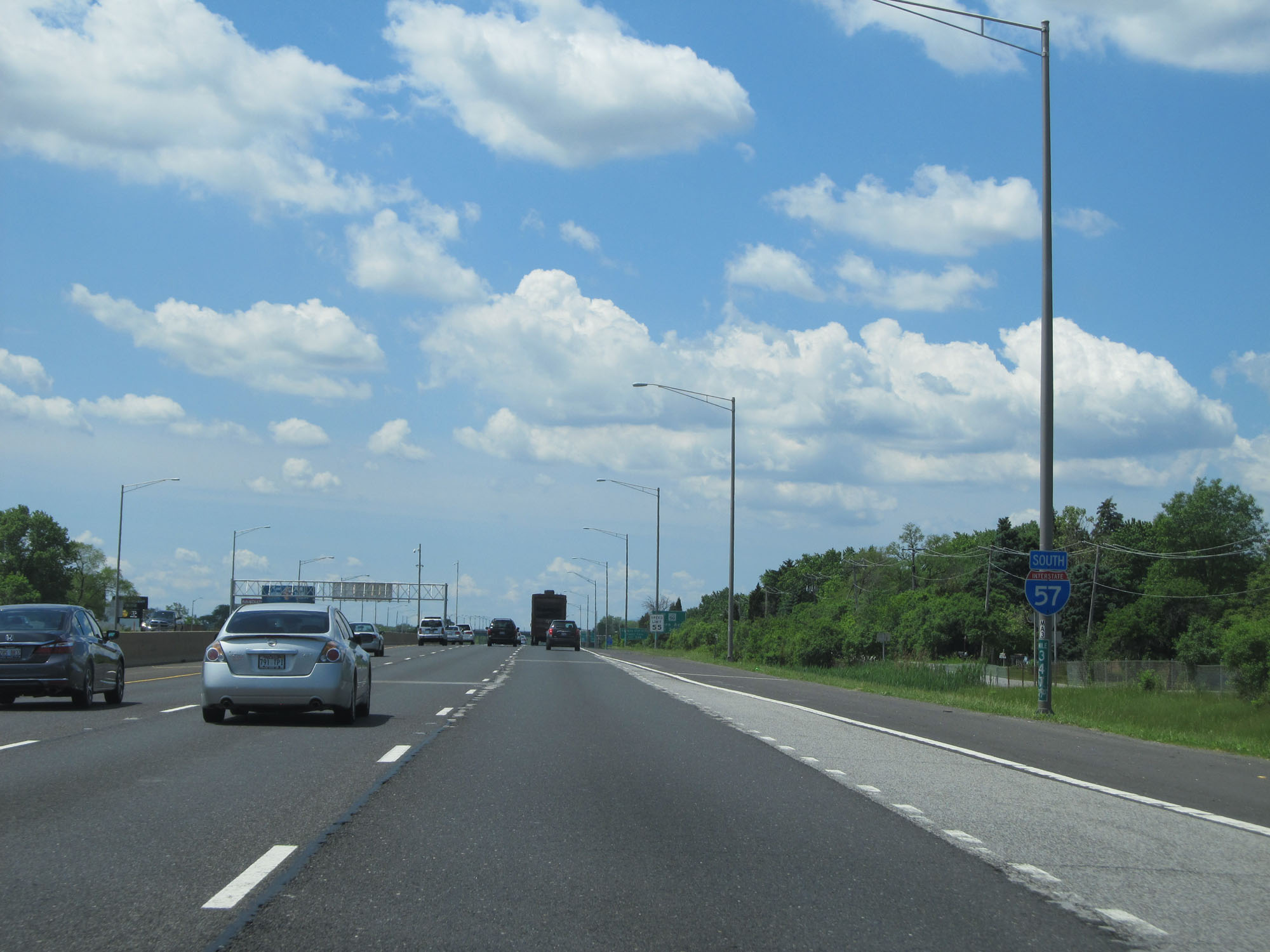
Interstate 57 South as it enters Will County. (Photo taken 5/30/16). |
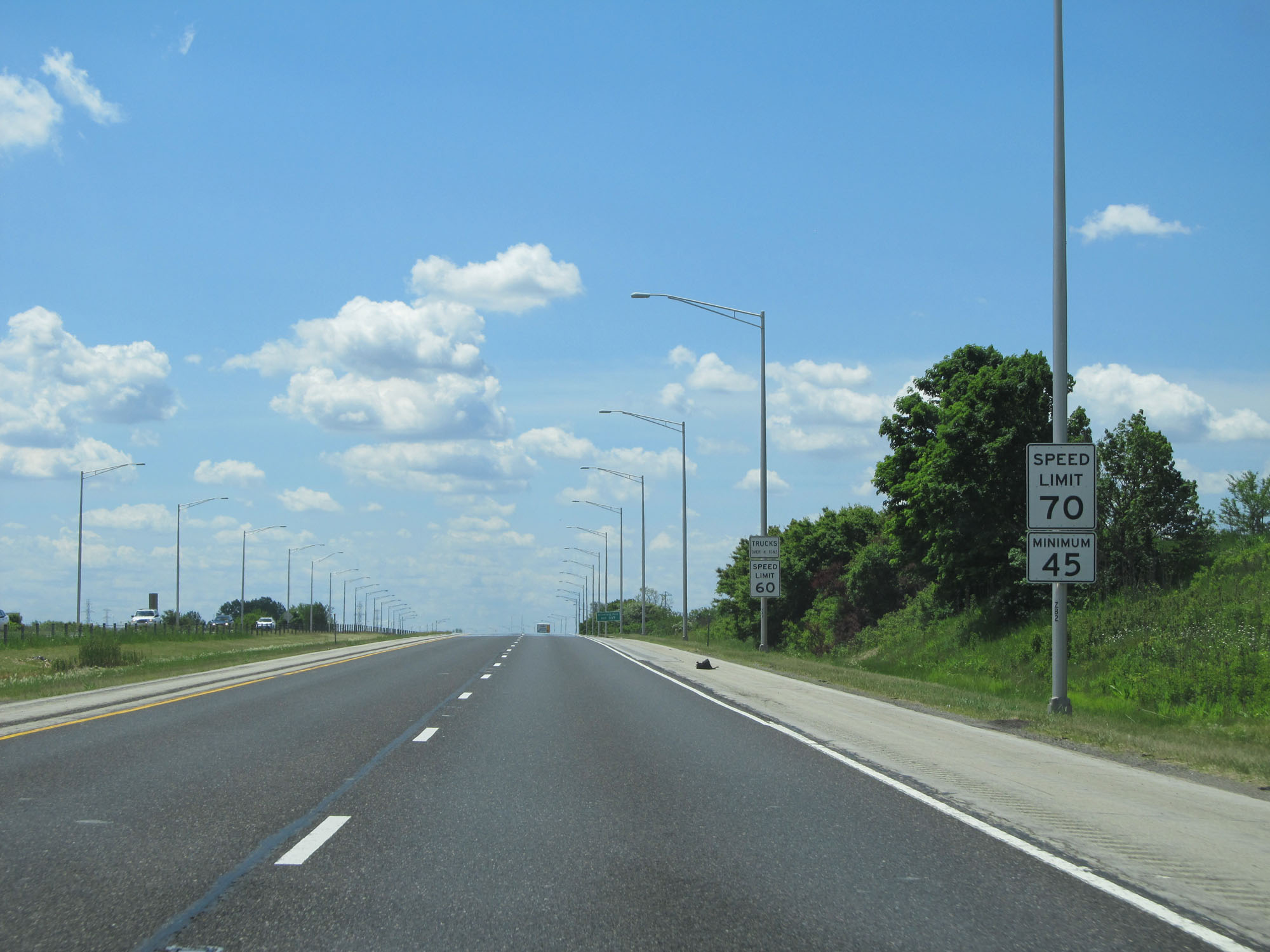 |
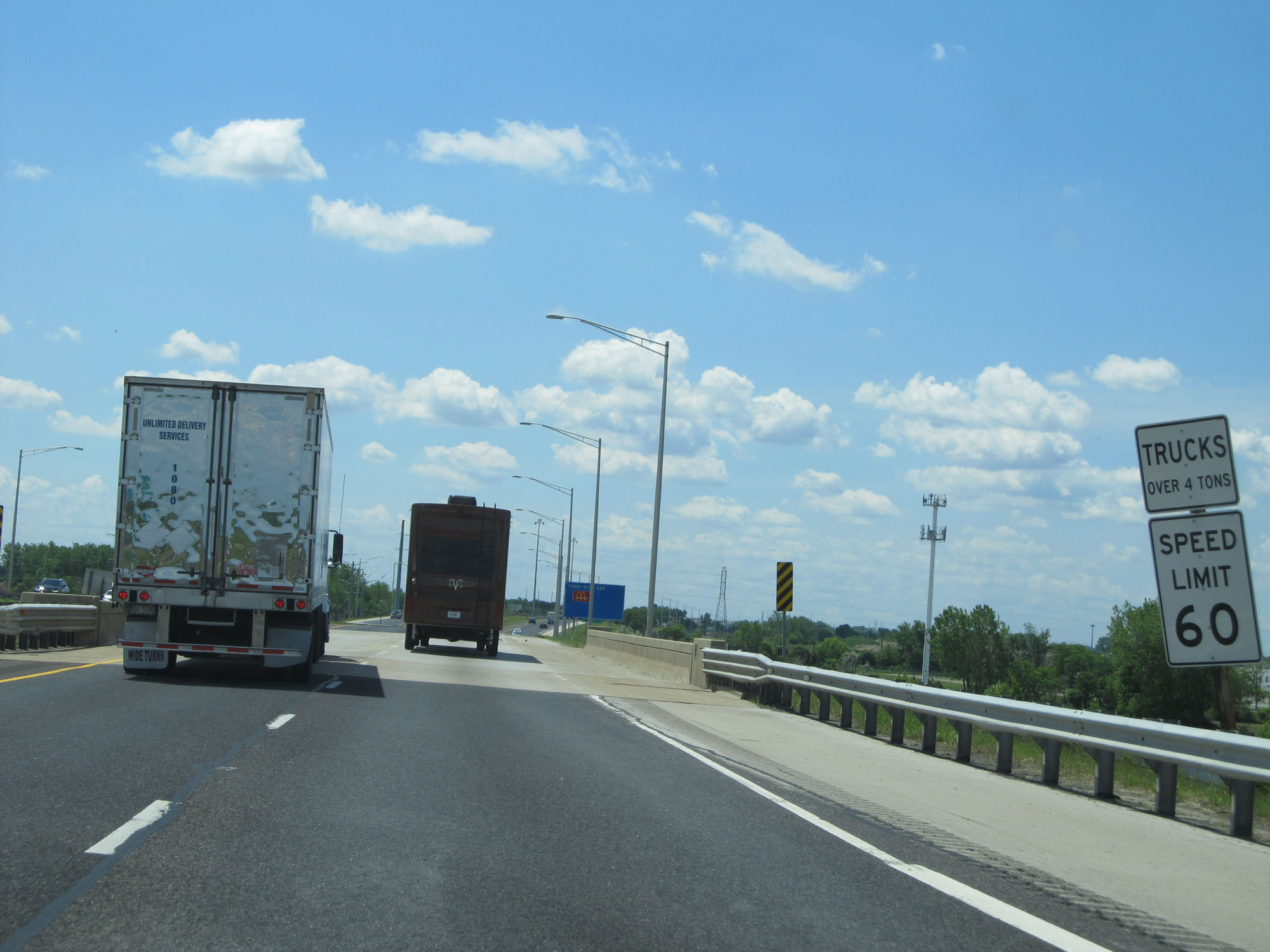
Upon entering Will County, the maximum speed limit for automobiles is increased to 70 mph. The minimum speed limit remains 45 mph. These are the standard speed limits on most rural Interstate highways in Illinois. However, like in Cook County, the maximum truck speed limit is capped at 60 mph in Will County. (Photo taken 5/30/16). |
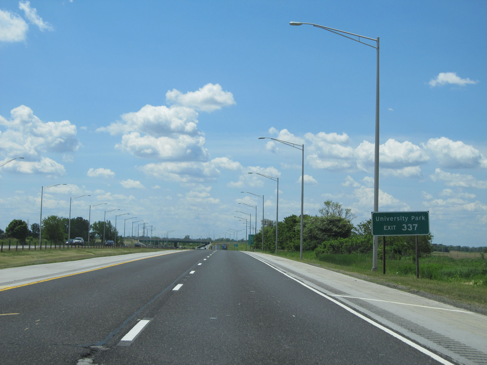 |
Take Exit 337 to University Park. (Photo taken 5/30/16). |
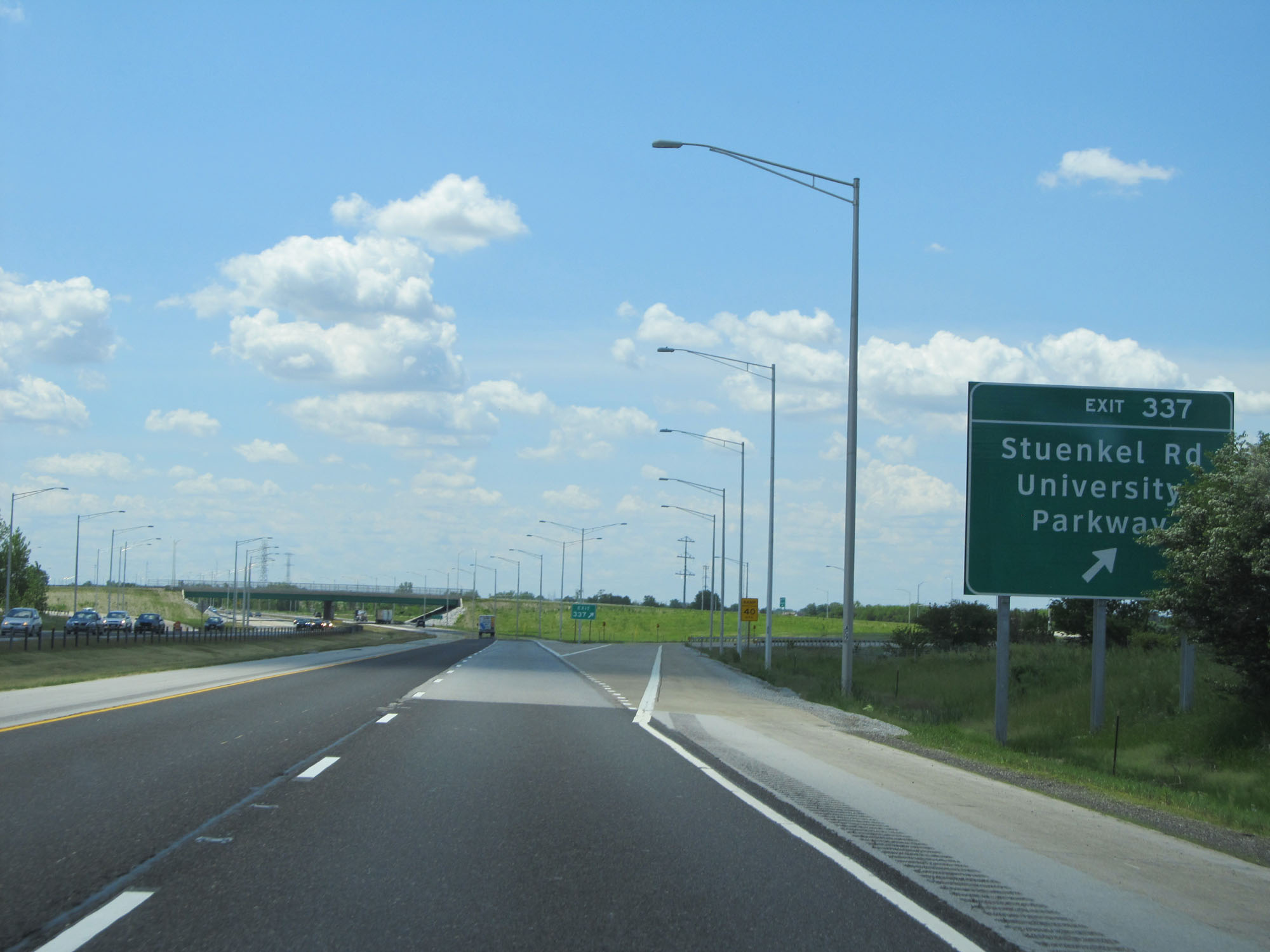 |
Interstate 57 South at Exit 337: Stuenkel Rd / University Parkway (Photo taken 5/30/16). |
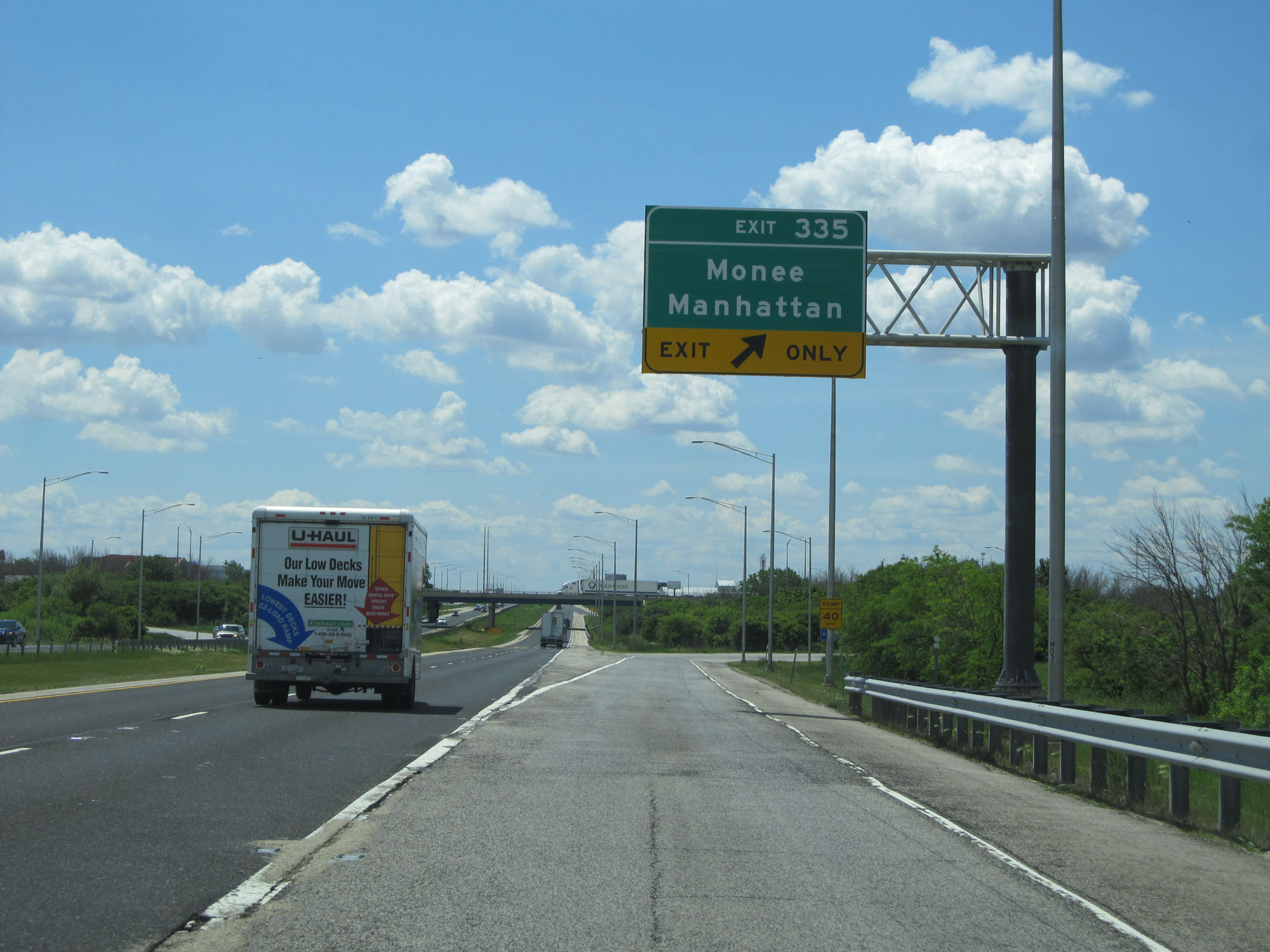 |
Interstate 57 South at Exit 335: Monee / Manhattan (Photo taken 5/30/16). |
Section 2: Monee (Exit 335) to Champaign (Exit 232)
 |
Interstate 57 South shield located near mile marker 335. (Photo taken 8/24/11). |
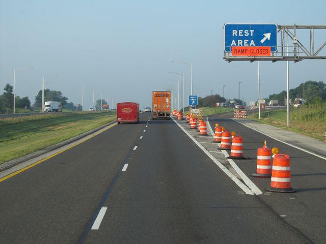 |
Interstate 57 South at the Rest Area located just past mile marker 333. (Photo taken 8/24/11). |
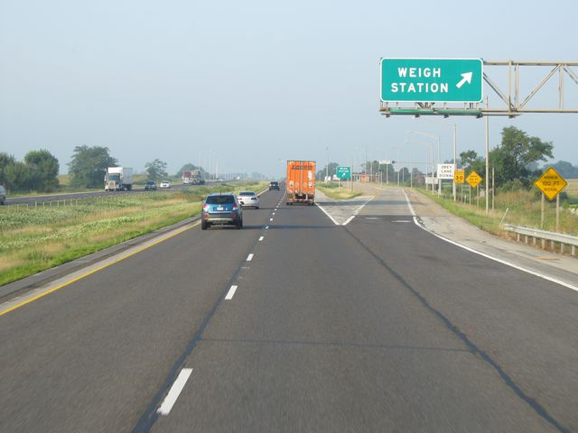 |
Interstate 57 South at the Weigh Station located near mile marker 330. (Photo taken 8/24/11). |
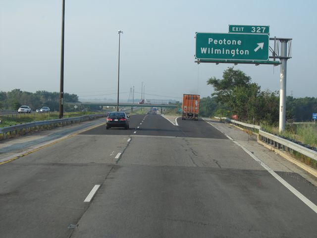 |
Interstate 57 South at Exit 327: Peotone / Wilmington (Photo taken 8/24/11). |
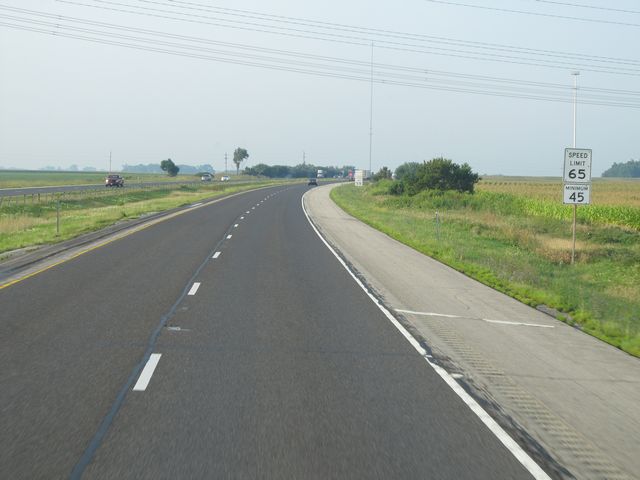 |
Speed limit sign located near mile marker 327. The speed limit on most rural stretches of Interstate in Illinois is 65 mph, with a minimum of 45 mph. However, since this is still in Will County, the speed limit for trucks is 55 mph as you will see in the next picture. (Photo taken 8/24/11). |
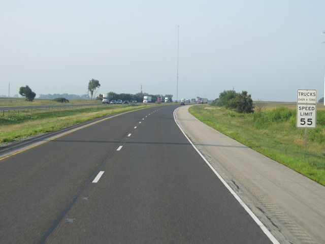 |
Truck speed limit sign located just after the previous picture. As previously stated, Will County is one of the few Chicago area counties that still uses the 55 mph speed limit for trucks (that needs to change). (Photo taken 8/24/11). |
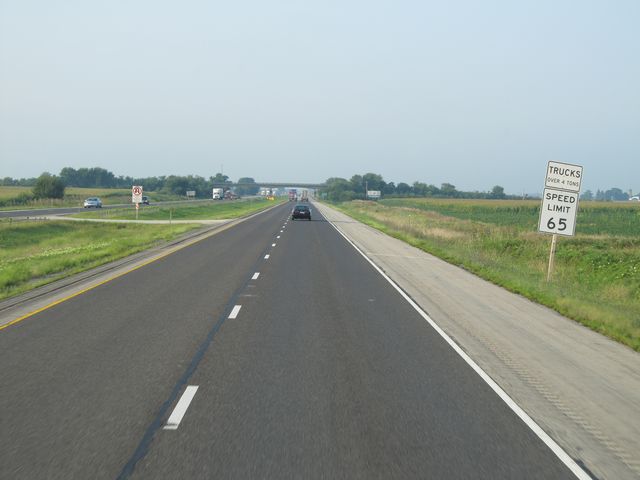 |
Another speed limit sign, located near mile marker 326. As you enter Kankakee County, this signs indicates that the 55 mph truck speed limit is now over and that trucks may now go 65 mph like everyone else. (Photo taken 8/24/11). |
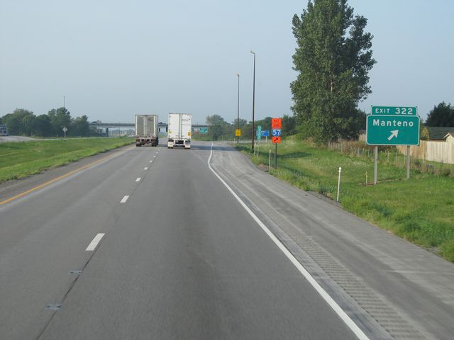 |
Interstate 57 South at Exit 322: Manteno (Photo taken 8/24/11). |
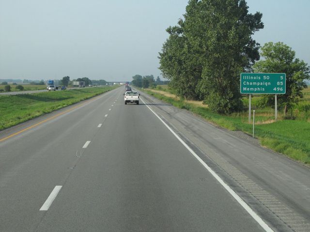 |
Mileage sign located near mile marker 320. It's 5 miles to the junction of IL 50, 85 miles to Champaign, and 496 miles to Memphis. (Photo taken 8/24/11). |
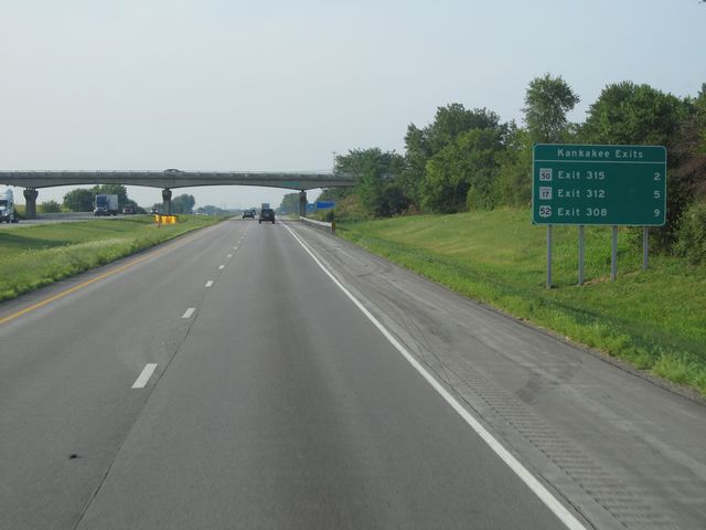 |
Sign listing the distances to the three upcoming Kankakee exits. (Photo taken 8/24/11). |
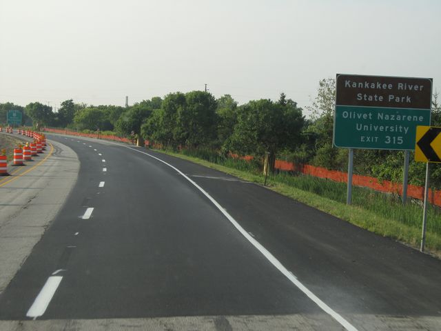 |
Use Exit 315 for Kankakee River State Park and Olivet Nazarene University. (Photo taken 8/24/11). |
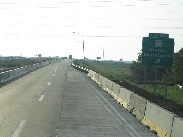 |
Interstate 57 South at Exit 315: IL 50 - Bradley / Bourbonnais (Photo taken 8/24/11). |
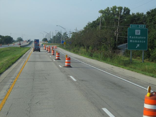 |
Interstate 57 South at Exit 312: IL 17 - Kankakee / Momence (Photo taken 8/24/11). |
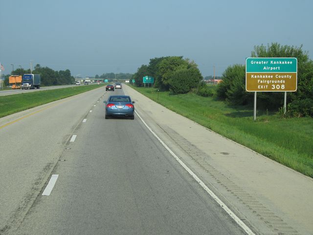 |
Use Exit 308 for Greater Kankakee Airport and Kankakee County Fairgrounds. (Photo taken 8/24/11). |
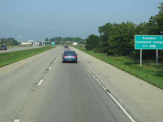 |
Also use Exit 308 for Kankakee Community College. (Photo taken 8/24/11). |
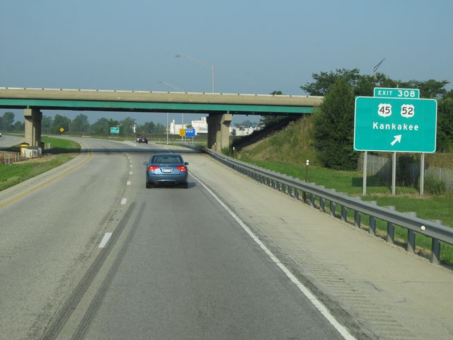 |
Interstate 57 South at Exit 308: US 45 / US 52 - Kankakee (Photo taken 8/24/11). |
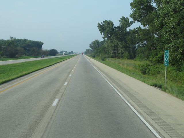 |
Interstate 57 South: Road view from mile marker 305. (Photo taken 8/24/11). |
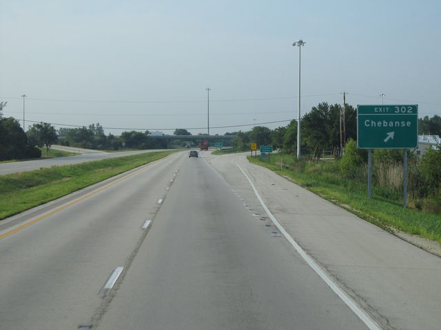 |
Interstate 57 South at Exit 302: Chebanse (Photo taken 8/24/11). |
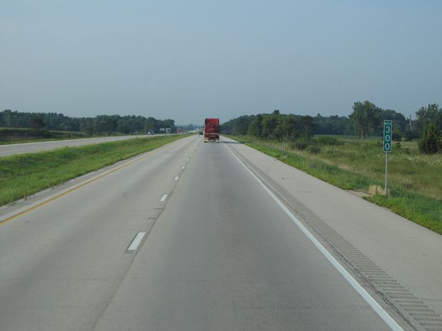 |
Interstate 57 South: Road view from mile marker 300. (Photo taken 8/24/11). |
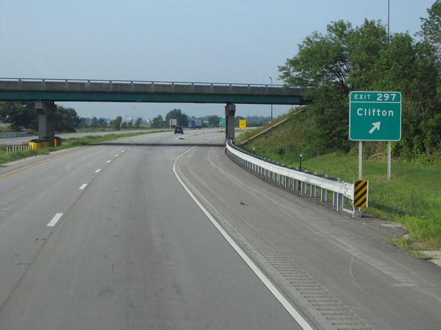 |
Interstate 57 South at Exit 297: Clifton (Photo taken 8/24/11). |
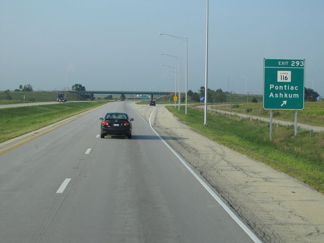 |
Interstate 57 South at Exit 293: IL 116 - Pontiac / Ashkum (Photo taken 8/24/11). |
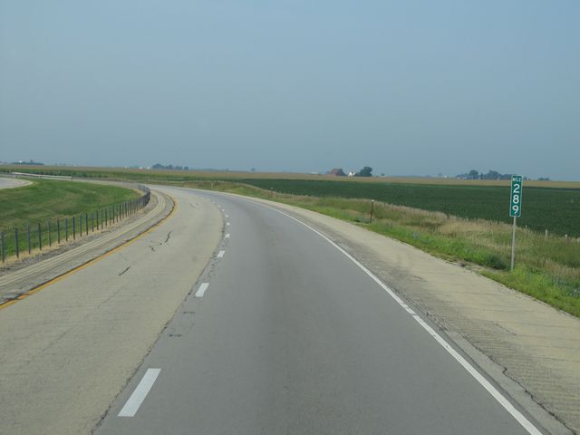 |
Interstate 57 South: Road view from mile marker 289. (Photo taken 8/24/11). |
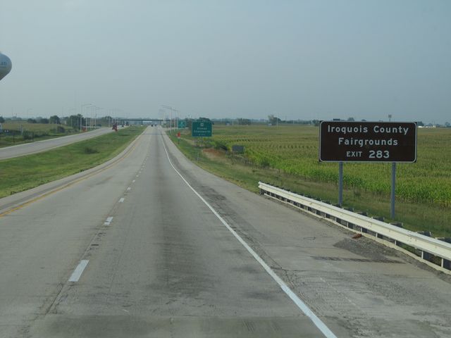 |
Use Exit 283 to Iroquois County Fairgrounds. (Photo taken 8/24/11). |
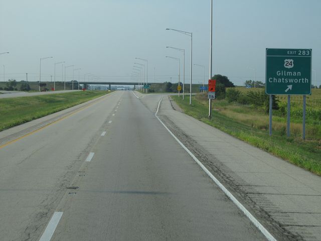 |
Interstate 57 South at Exit 283: US 24 - Gilman / Chatsworth (Photo taken 8/24/11). |
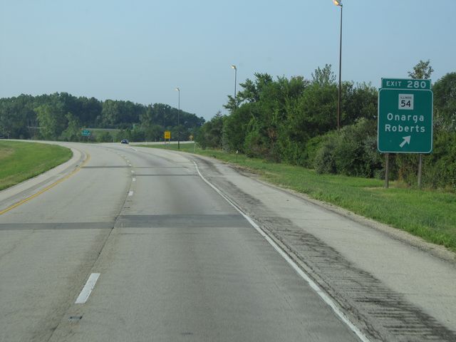 |
Interstate 57 South at Exit 280: IL 54 - Onarga / Roberts (Photo taken 8/24/11). |
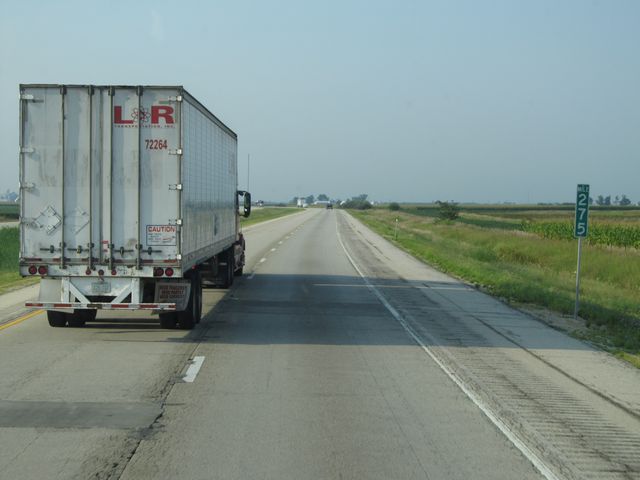 |
Interstate 57 South: Road view from mile marker 275. (Photo taken 8/24/11). |
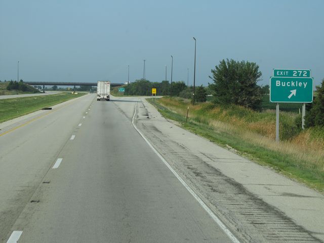 |
Interstate 57 South at Exit 272: Buckley (Photo taken 8/24/11). |
 |
Interstate 57 South at the Rest Area located at mile marker 269. (Photo taken 8/24/11). |
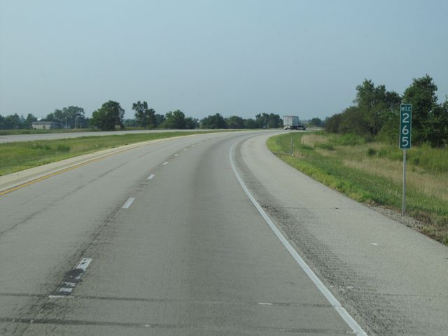 |
Interstate 57 South: Road view from mile marker 265. (Photo taken 8/24/11). |
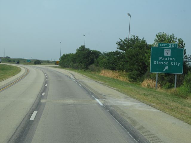 |
Interstate 57 South at Exit 261: IL 9 - Paxton / Gibson City (Photo taken 8/24/11). |
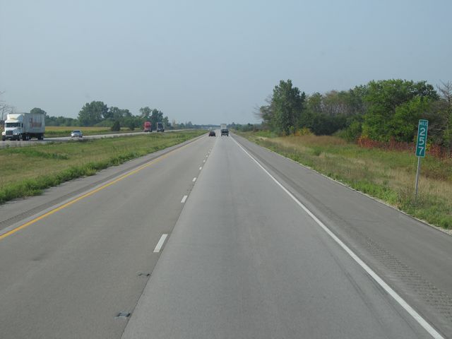 |
Interstate 57 South: Road view from mile marker 257. (Photo taken 8/24/11). |
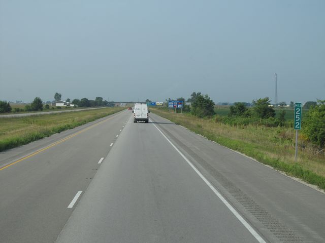 |
Interstate 57 South: Road view from mile marker 252. (Photo taken 8/24/11). |
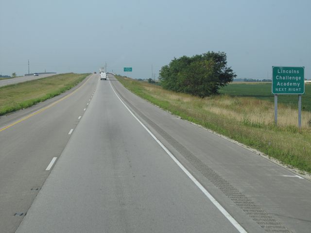 |
Use the next exit (Exit 250) to Lincolns Challenge Academy. (Photo taken 8/24/11). |
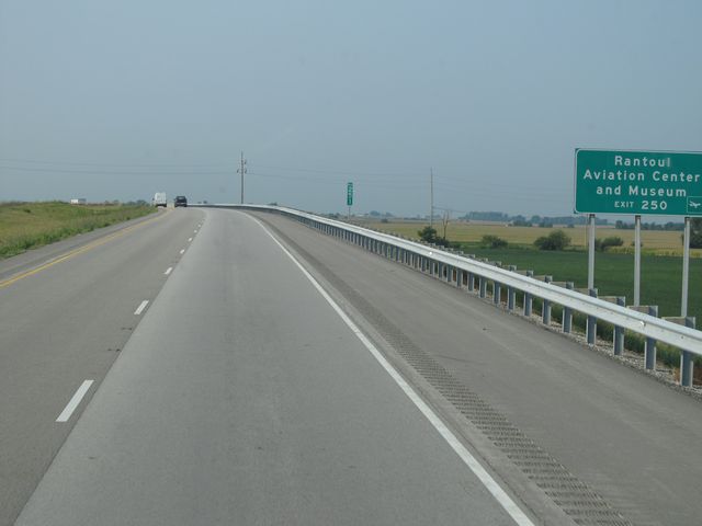 |
Use Exit 250 to Rantoul Aviation Center and Museum. (Photo taken 8/24/11). |
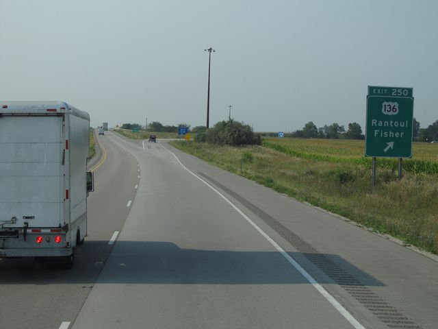 |
Interstate 57 South at Exit 250: US 136 - Rantoul / Fisher (Photo taken 8/24/11). |
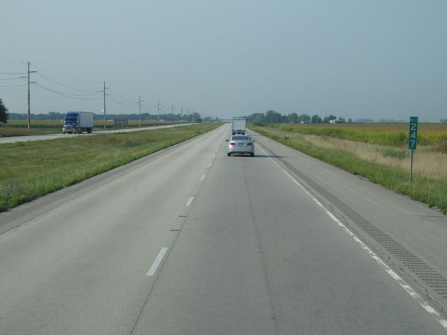 |
Interstate 57 South: Road view from mile marker 247. (Photo taken 8/24/11). |
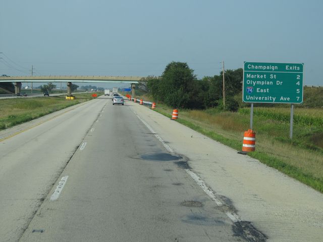 |
Sign listing the distances to the upcoming Champaign exits. (Photo taken 8/24/11). |
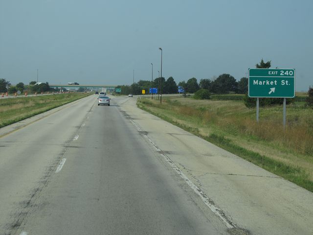 |
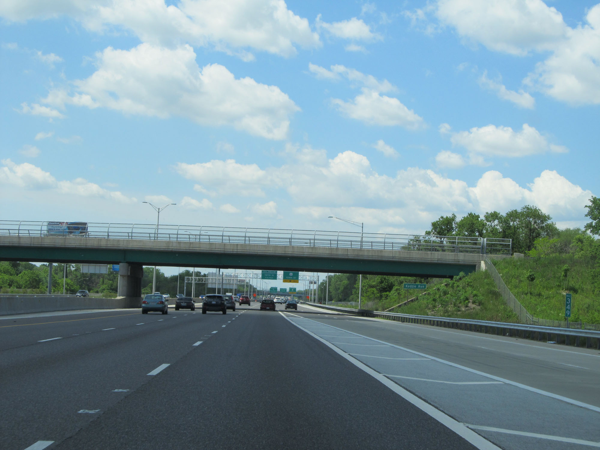
Interstate 57 South at Exit 240: Market St (Photo taken 8/24/11). |
 |
Interstate 57 South at Exit 238: Olympian Dr (Photo taken 8/24/11). |
 |
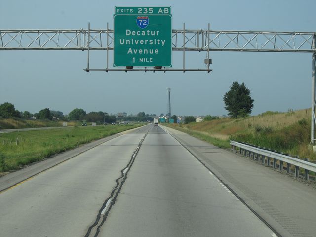
Sign listing the distances to the two upcoming exits which will get you to the University of Illinois. (Photo taken 8/24/11). |
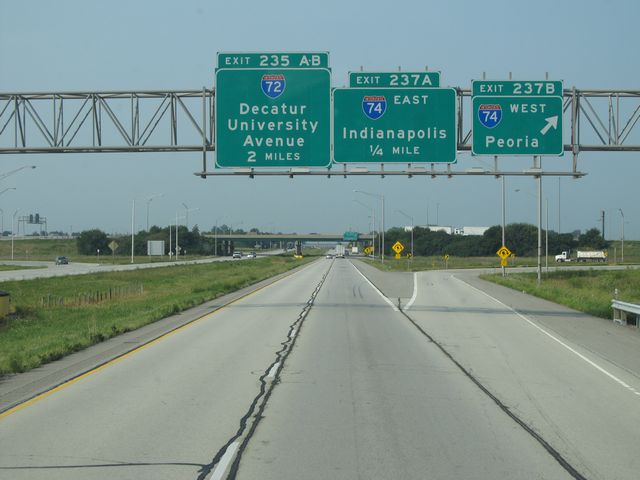 |
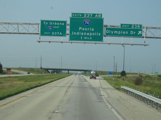
Interstate 57 South at Exit 237B: Interstate 74 West - Peoria (Photo taken 8/24/11). |
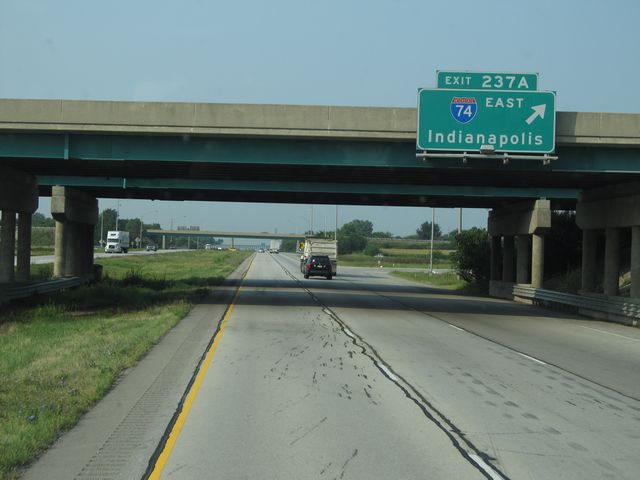 |
Interstate 57 South at Exit 237A: Interstate 74 East - Indianapolis (Photo taken 8/24/11). |
 |
Interstate 57 South approaching Exits 235A-B - 1 mile. (Photo taken 8/24/11). |
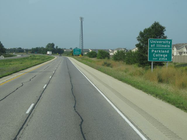 |
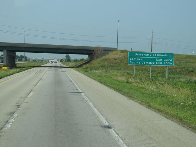
Use Exit 235A to University of Illinois and Parkland College. (Photo taken 8/24/11). |
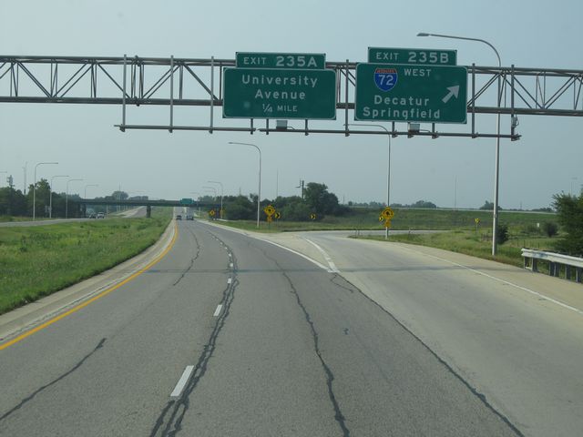 |
Interstate 57 South at Exit 235B: Interstate 72 West - Decatur / Springfield (Photo taken 8/24/11). |
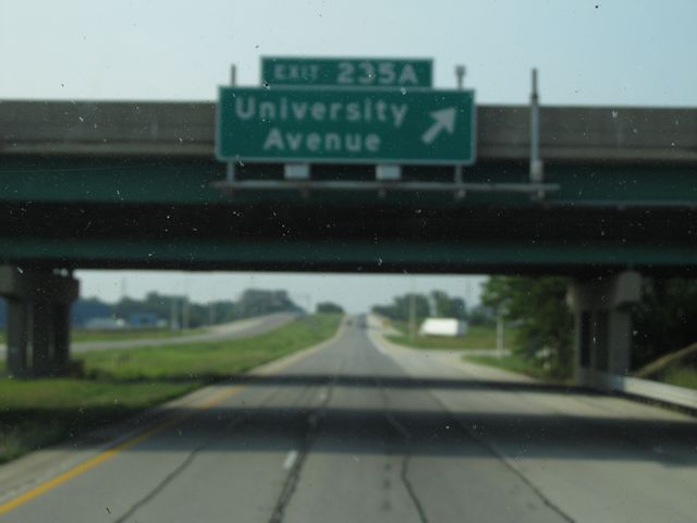 |
Interstate 57 South at Exit 235A: University Avenue (Photo taken 8/24/11). |
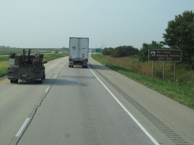 |
Use Exit 232 to Off-Track Wagering Facility. (Photo taken 8/24/11). |
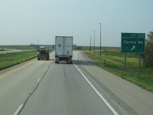 |
Interstate 57 South at Exit 232: Curtis Rd (Photo taken 8/24/11). |
Section 3: Champaign (Exit 232) to Mount Vernon (Exit 94)
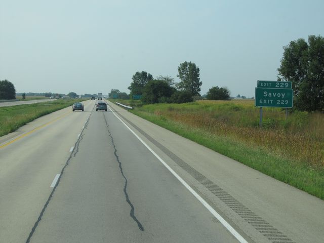 |
Use Exit 229 to Savoy. (Photo taken 8/24/11). |
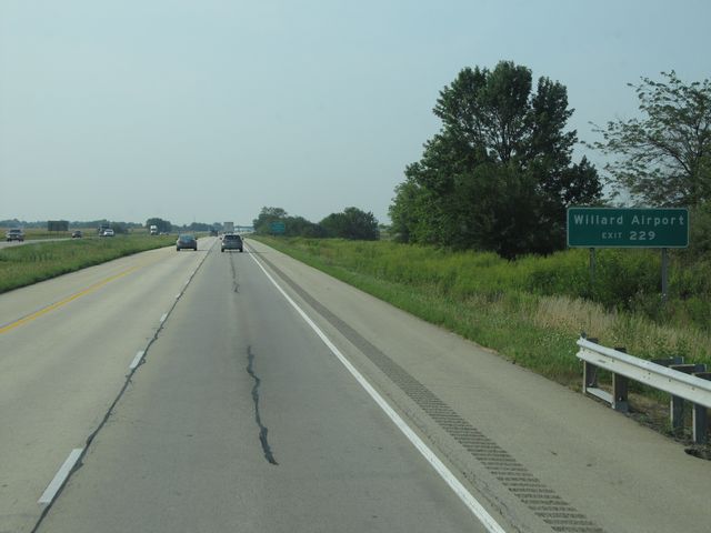 |
Also use Exit 229 to Willard Airport. (Photo taken 8/24/11). |
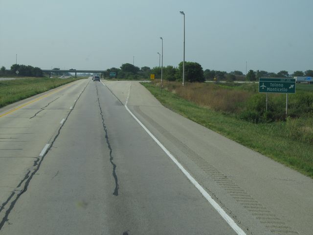 |
Interstate 57 South at Exit 229: Tolono / Monticello (Photo taken 8/24/11). |
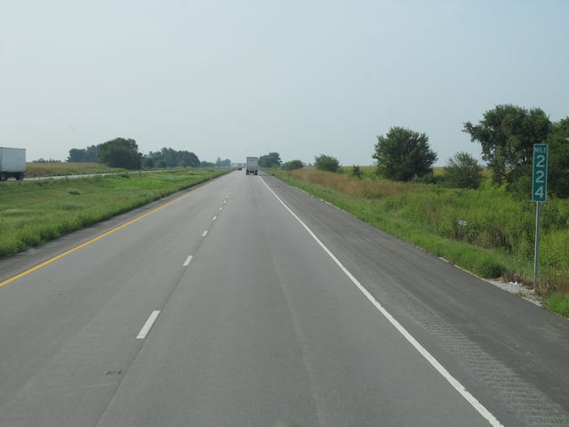 |
Interstate 57 South: Road view from mile marker 224. (Photo taken 8/24/11). |
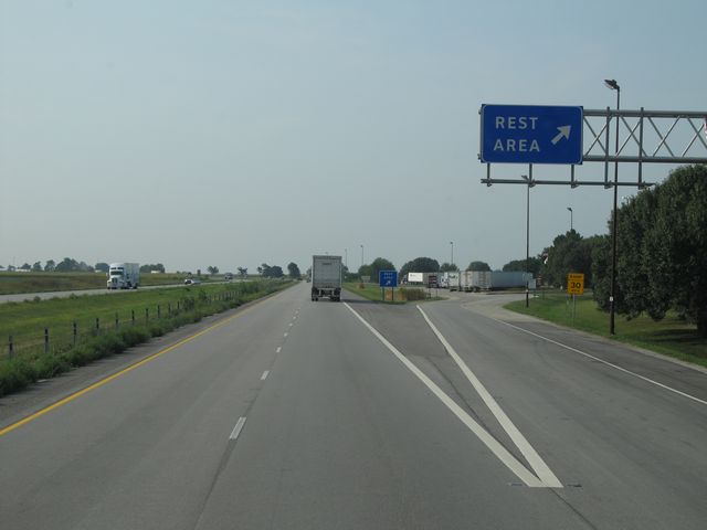 |
Interstate 57 South at the Rest Area located at mile marker 222. (Photo taken 8/24/11). |
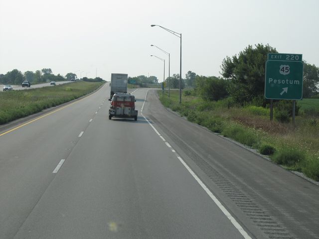 |
Interstate 57 South at Exit 220: US 45 - Pesotum (Photo taken 8/24/11). |
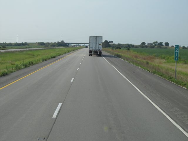 |
Interstate 57 South: Road view from mile marker 217. (Photo taken 8/24/11). |
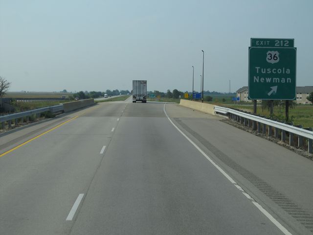 |
Interstate 57 South at Exit 212: US 36 - Tuscola / Newman (Photo taken 8/24/11). |
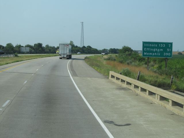 |
Mileage sign located near mile marker 210. It's 7 miles to the junction of IL 133, 51 miles to Effingham, and 390 miles to Memphis. (Photo taken 8/24/11). |
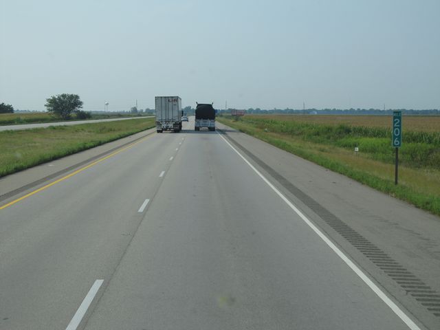 |
Interstate 57 South: Road view from mile marker 206. (Photo taken 8/24/11). |
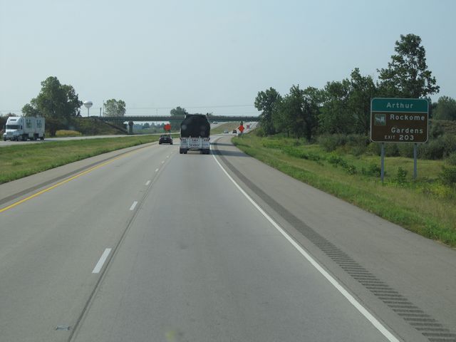 |
Use Exit 203 to Arthur and Rockome Gardens. (Photo taken 8/24/11). |
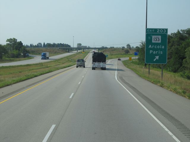 |
Interstate 57 South at Exit 203: IL 133 - Arcola / Paris (Photo taken 8/24/11). |
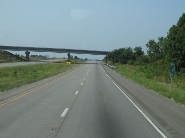 |
Interstate 57 South: Road view from mile marker 198. (Photo taken 8/24/11). |
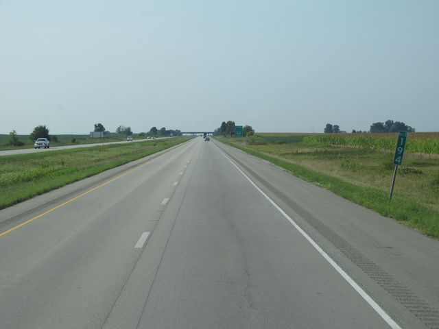 |
Interstate 57 South: Road view from mile marker 194. (Photo taken 8/24/11). |
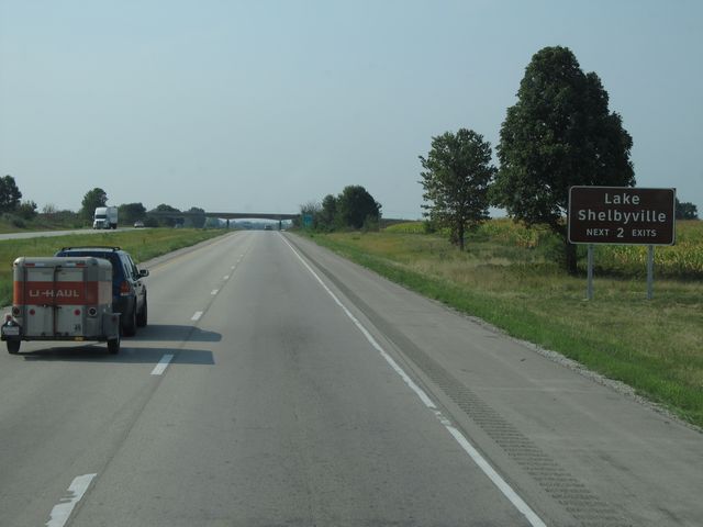 |
Use either of the next 2 exits to Lake Shelbyville. (Photo taken 8/24/11). |
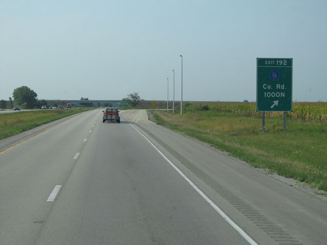 |
Interstate 57 South at Exit 192: County Road 1000N (Photo taken 8/24/11). |
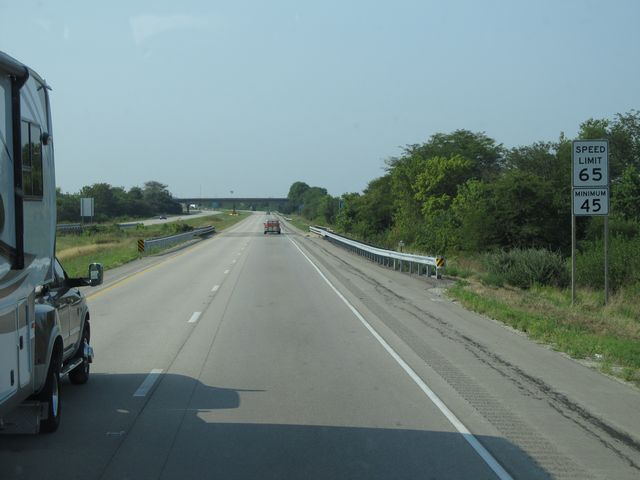 |
Speed limit signs located near mile marker 191. (Photo taken 8/24/11). |
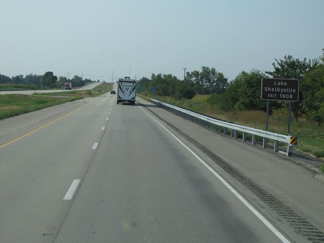 |
Use Exit 190B to Lake Shelbyville. (Photo taken 8/24/11). |
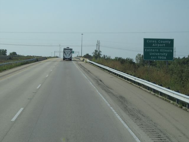 |
Use Exit 190A to Coles County Airport and Eastern Illinois University. (Photo taken 8/24/11). |
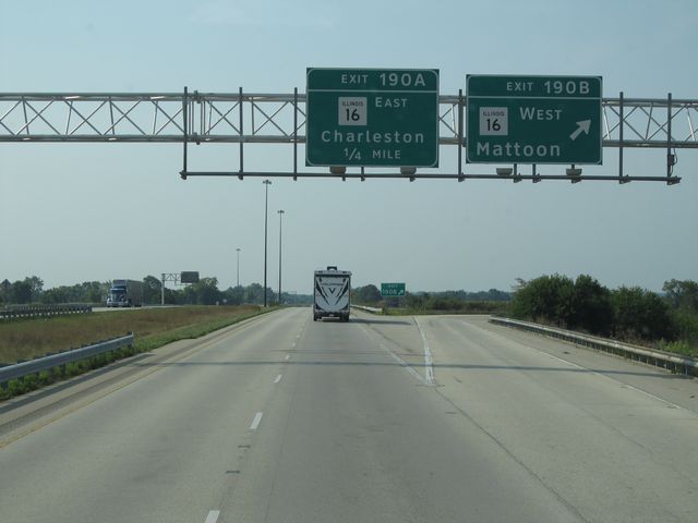 |
Interstate 57 South at Exit 190B: IL 16 West - Mattoon (Photo taken 8/24/11). |
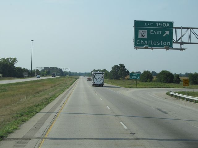 |
Interstate 57 South at Exit 190A: IL 16 East - Charleston (Photo taken 8/24/11). |
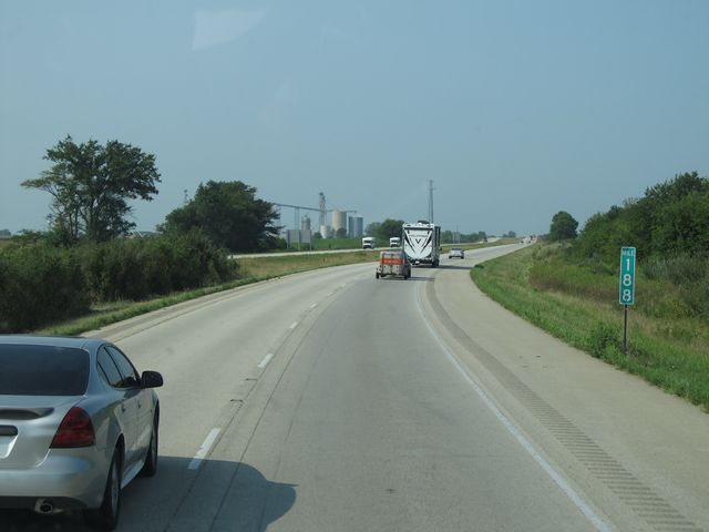 |
Interstate 57 South: Road view from mile marker 188. (Photo taken 8/24/11). |
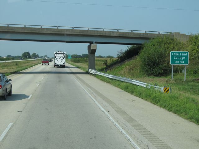 |
Use Exit 184 to Lake Land College. (Photo taken 8/24/11). |
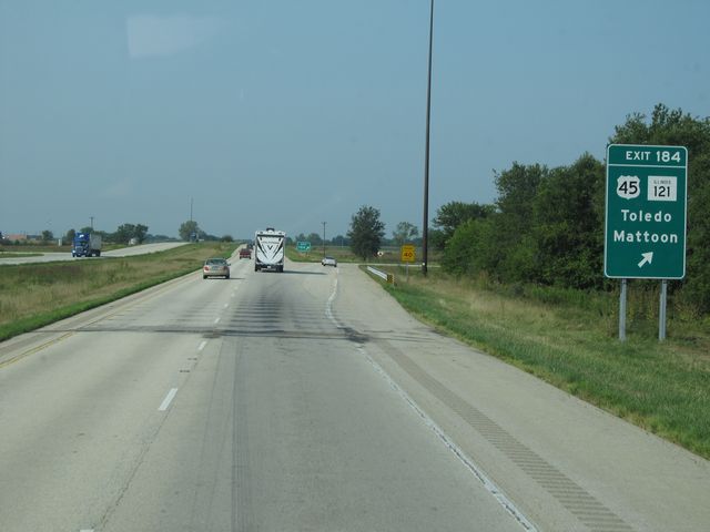 |
Interstate 57 South at Exit 184: US 45 / IL 121 - Toledo / Mattoon (Photo taken 8/24/11). |
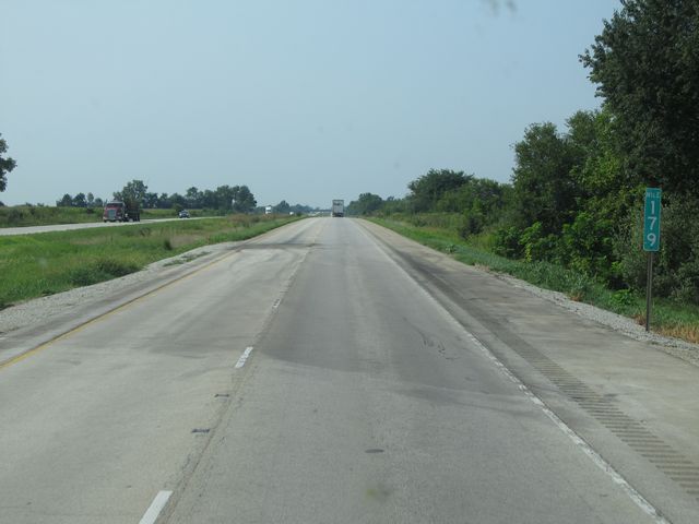 |
Interstate 57 South: Road view from mile marker 179. (Photo taken 8/24/11). |
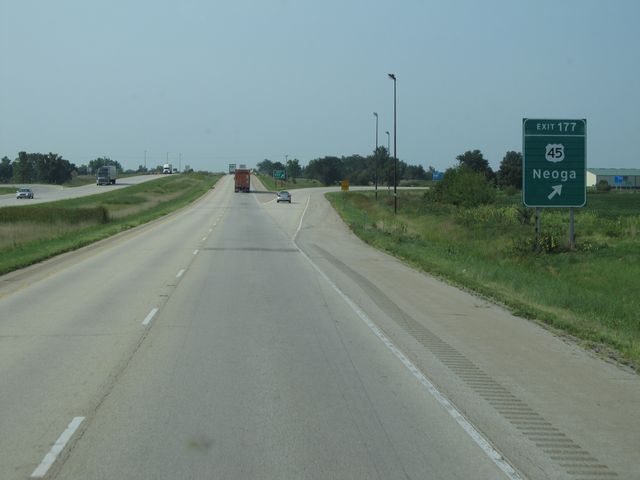 |
Interstate 57 South at Exit 177: US 45 - Neoga (Photo taken 8/24/11). |
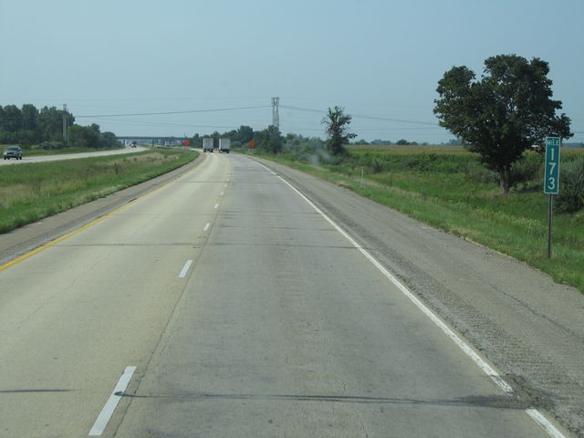 |
Interstate 57 South: Road view from mile marker 173. (Photo taken 8/24/11). |
 |
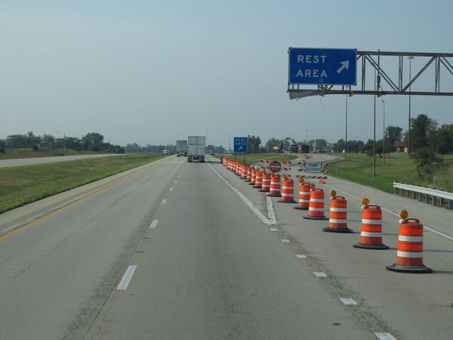
Interstate 57 South at the Rest Area located near mile marker 166. In case you haven't been counting, this is the third of four Rest Areas since mile marker 335 that was closed at this time. (Photo taken 8/24/11). |
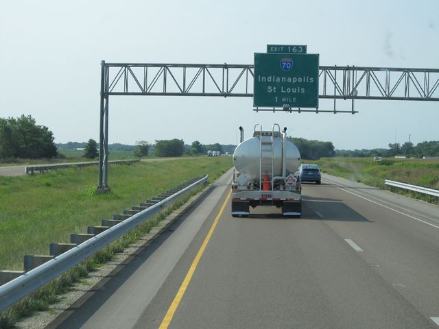 |
Interstate 57 South approaching Exit 163 - 1 mile. (Photo taken 8/24/11). |
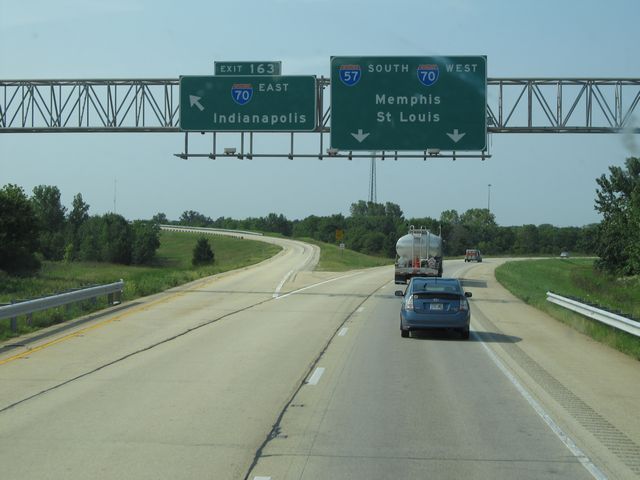 |
Interstate 57 South at Exit 163: Interstate 70 East - Indianapolis. Interstate 70 West runs with Interstate 57 South through Effingham. (Photo taken 8/24/11). |
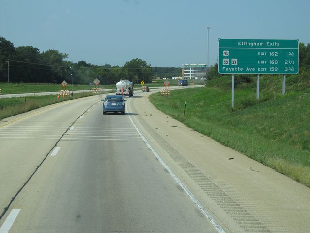 |
Sign listing the distances to the three upcoming Effingham exits. (Photo taken 8/24/11). |
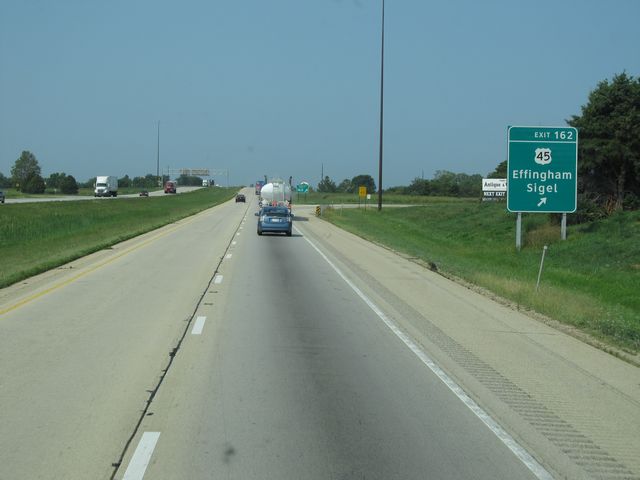 |
Interstate 57 South / Interstate 70 West at Exit 162: US 45 - Effingham / Sigel (Photo taken 8/24/11). |
 |
Interstate 57 South / Interstate 70 West dual shields located near mile marker 161. (Photo taken 8/24/11). |
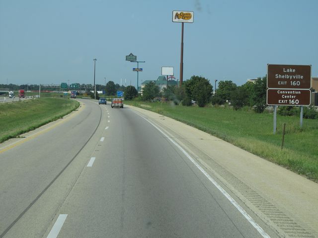 |
Use Exit 160 to Lake Shelbyville and Convention Center. (Photo taken 8/24/11). |
 |
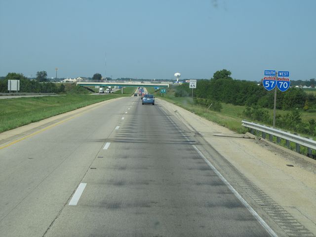
Interstate 57 South / Interstate 70 West at Exit 160: IL 32 / IL 33 (Photo taken 8/24/11). |
 |
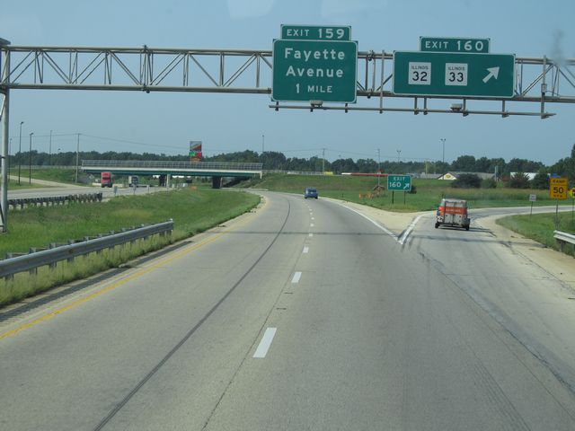
Interstate 57 South / Interstate 70 West at Exit 159: Fayette Avenue (Photo taken 8/24/11). |
 |
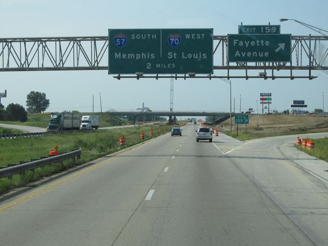
Interstate 57 South / Interstate 70 West approaching the split - 1 mile. (Photo taken 8/24/11). |
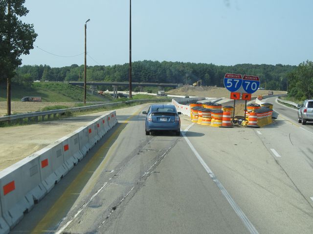 |
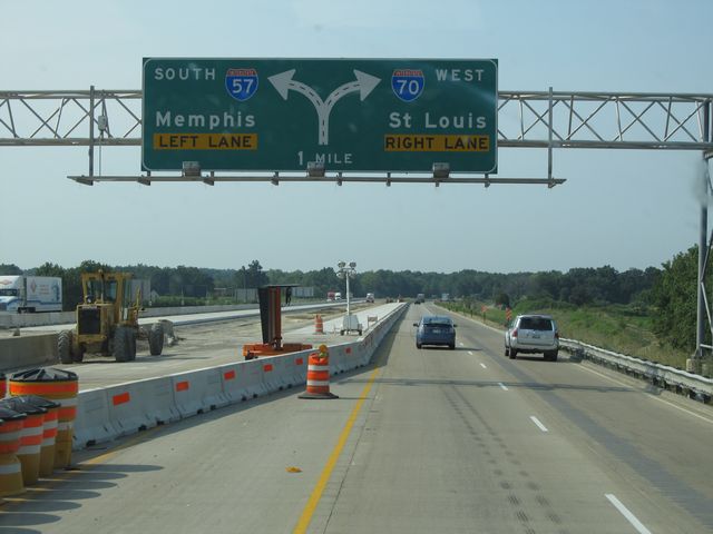
Interstate 57 South / Interstate 70 West at the split. This area was under heavy bridge construction at the time this photo was taken. At the time of posting this, the bridge work is complete. (Photo taken 8/24/11). |
 |
Interstate 57 South assurance shield near mile marker 157. (Photo taken 8/24/11). |
 |
Interstate 57 South: Road view from mile marker 154. (Photo taken 8/24/11). |
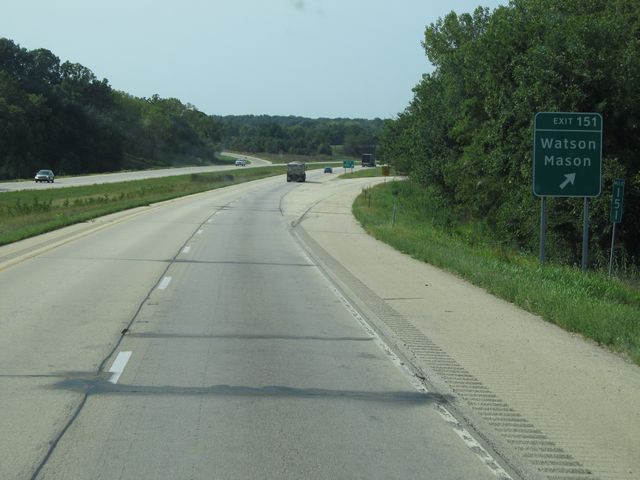 |
Interstate 57 South at Exit 151: Watson / Mason (Photo taken 8/24/11). |
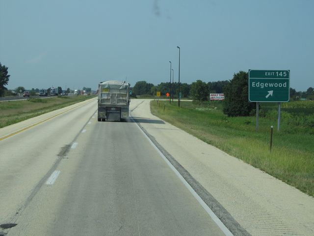 |
Interstate 57 South at Exit 145: Edgewood (Photo taken 8/24/11). |
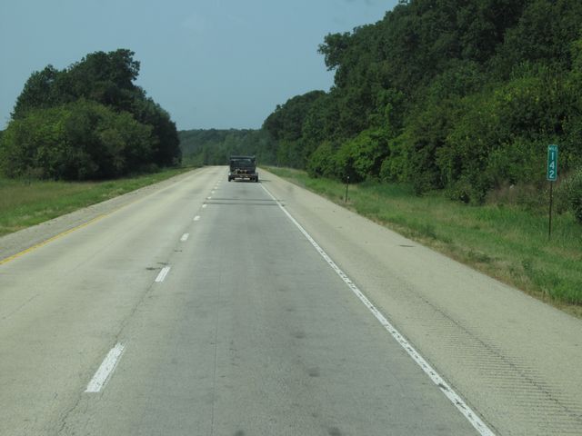 |
Interstate 57 South: Road view from mile marker 142. (Photo taken 8/24/11). |
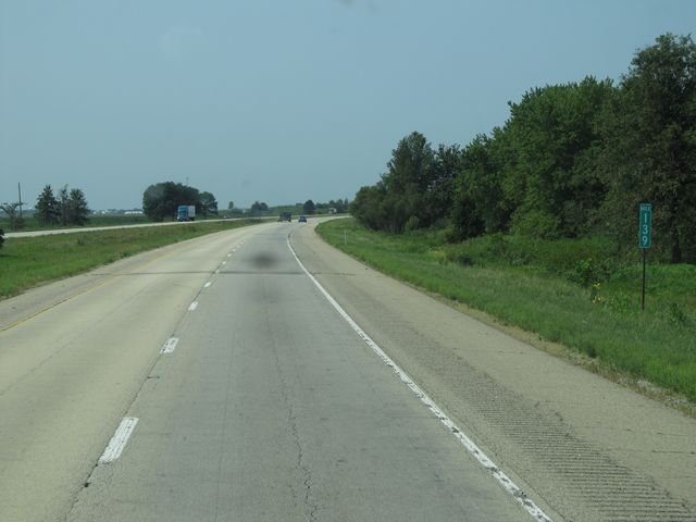 |
Interstate 57 South: Road view from mile marker 139. (Photo taken 8/24/11). |
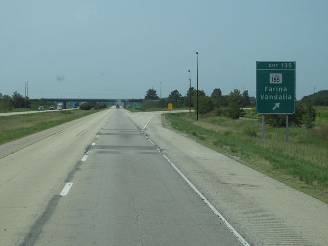 |
Interstate 57 South at Exit 135: IL 185 - Farina / Vandalia (Photo taken 8/24/11). |
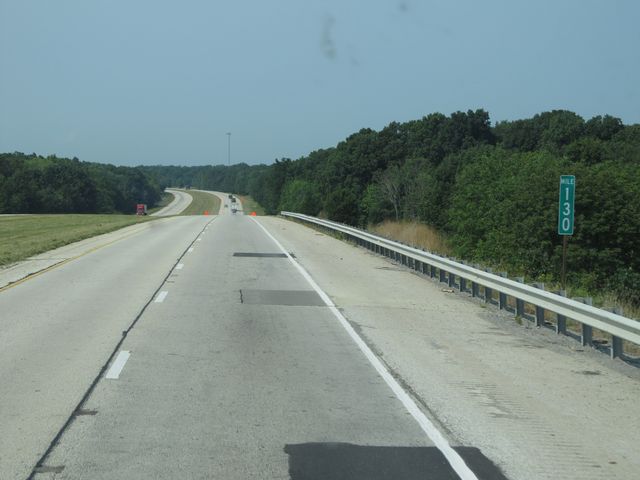 |
Interstate 57 South: Road view from mile marker 130. (Photo taken 8/24/11). |
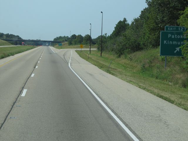 |
Interstate 57 South at Exit 127: Patoka / Kinmundy (Photo taken 8/24/11). |
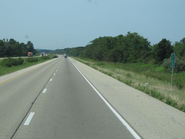 |
Interstate 57 South: Road view from mile marker 122. (Photo taken 8/24/11). |
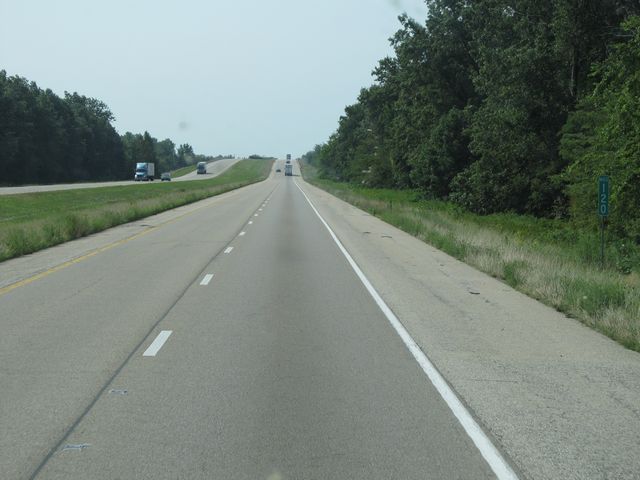 |
Interstate 57 South: Road view from mile marker 120. (Photo taken 8/24/11). |
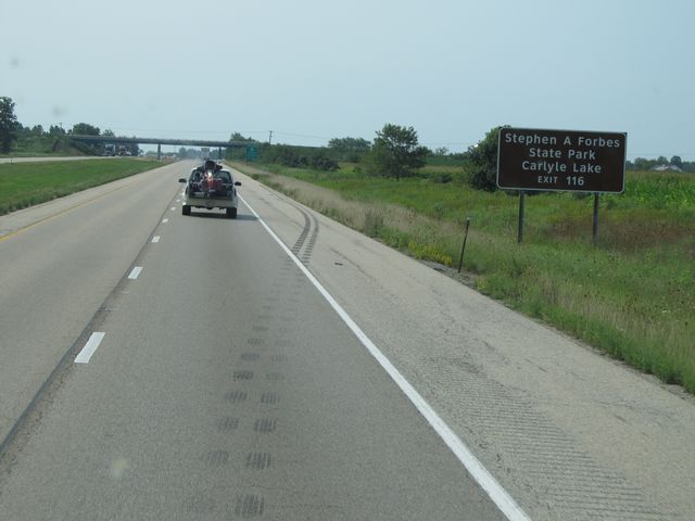 |
Use Exit 116 to Stephen A. Forbes State Park and Carlyle Lake. (Photo taken 8/24/11). |
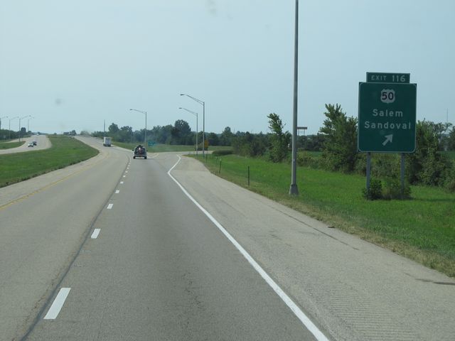 |
Interstate 57 South at Exit 116: US 50 - Salem / Sandoval (Photo taken 8/24/11). |
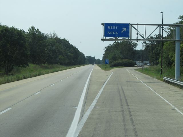 |
Interstate 57 South at the Rest Area located near mile marker 114. (Photo taken 8/24/11). |
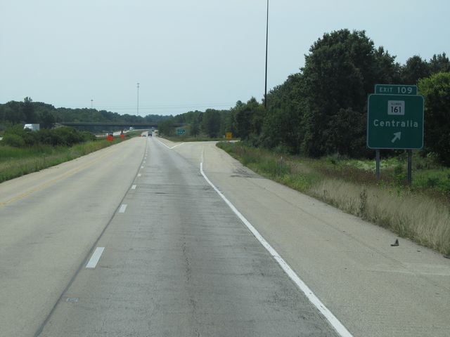 |
Interstate 57 South at Exit 109: IL 161 - Centralia (Photo taken 8/24/11). |
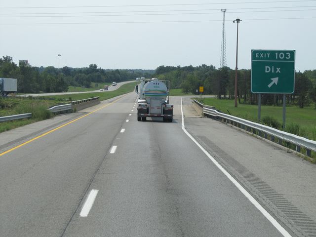 |
Interstate 57 South at Exit 103: Dix (Photo taken 8/24/11). |
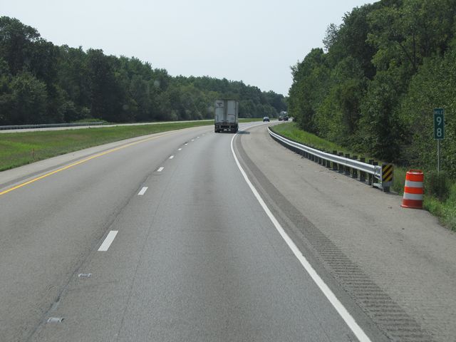 |
Interstate 57 South: Road view from mile marker 98. (Photo taken 8/24/11). |
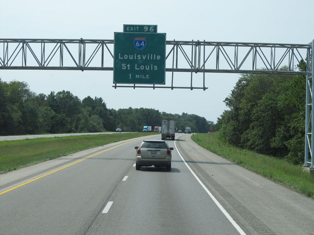 |
Interstate 57 South approaching Exit 96 - 1 mile. (Photo taken 8/24/11). |
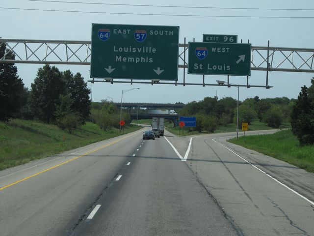 |
Interstate 57 South at Exit 96: Interstate 64 West - St. Louis. I-57 South and I-64 East run together for the next 4 miles before splitting. (Photo taken 8/24/11). |
 |
Interstate 57 South / Interstate 64 East duplex shields near mile marker 96. (Photo taken 8/24/11). |
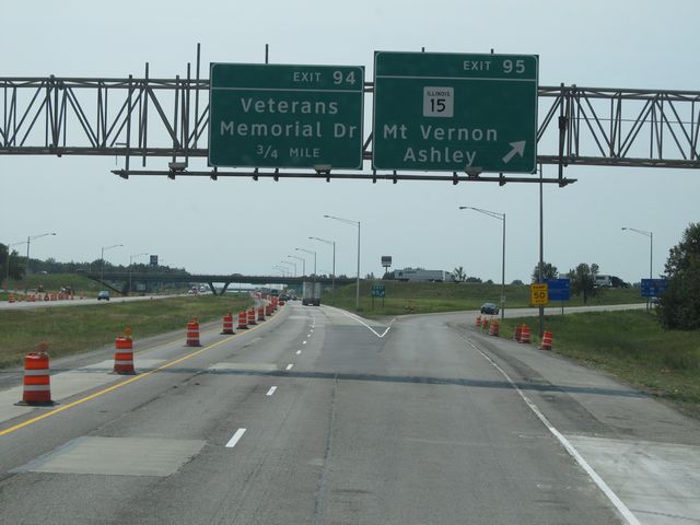 |
Interstate 57 South / Interstate 64 East at Exit 95: IL 15 - Mt. Vernon / Ashley (Photo taken 8/24/11). |
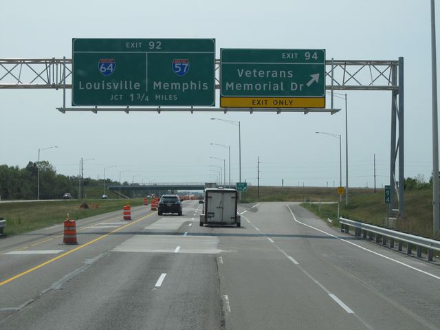 |
Interstate 57 South / Interstate 64 East at Exit 94: Veterans Memorial Dr (Photo taken 8/24/11). |
Section 4: Mount Vernon (Exit 94) to Missouri Border
 |
Interstate 57 South / Interstate 64 East approaching Exit 92 - 1 mile. (Photo taken 8/24/11). |
 |
Keep right onto Interstate 57 South to get to Interstate 24 to Nashville and Rend Lake. (Photo taken 8/24/11). |
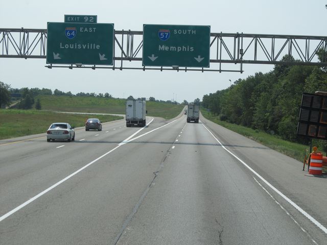 |
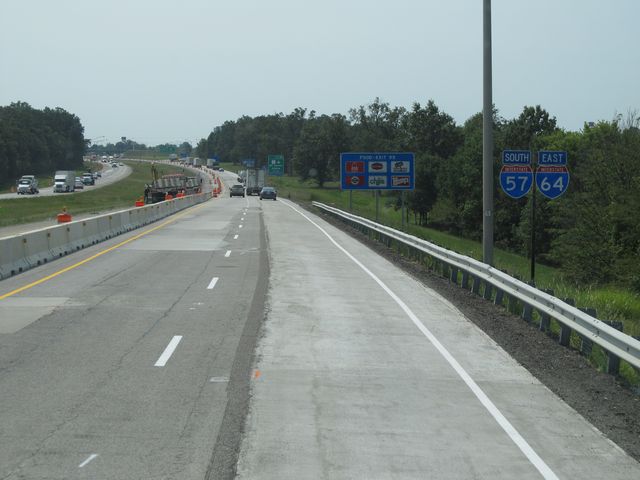
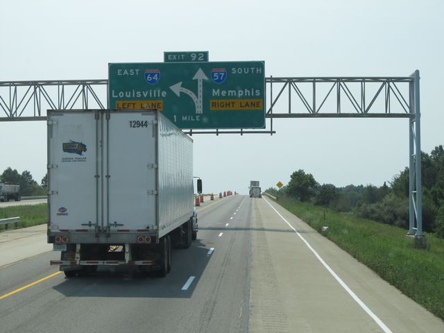
Interstate 57 South at Exit 92: Interstate 64 East - Louisville (Photo taken 8/24/11). |
 |
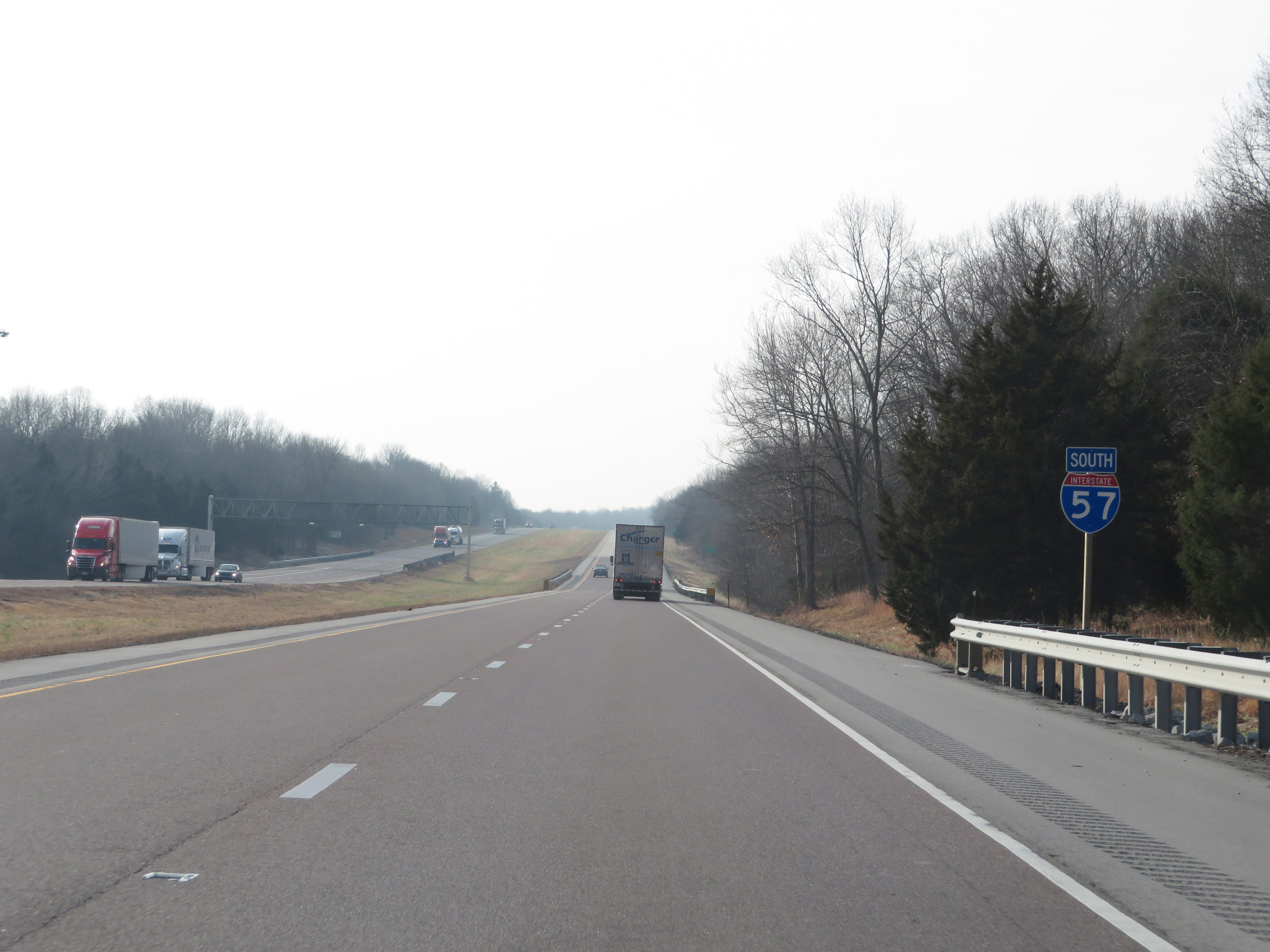
Interstate 57 South assurance shield at mile marker 91. (Photo taken 8/24/11). |
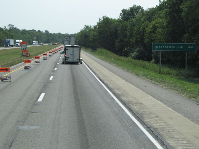 |
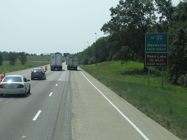
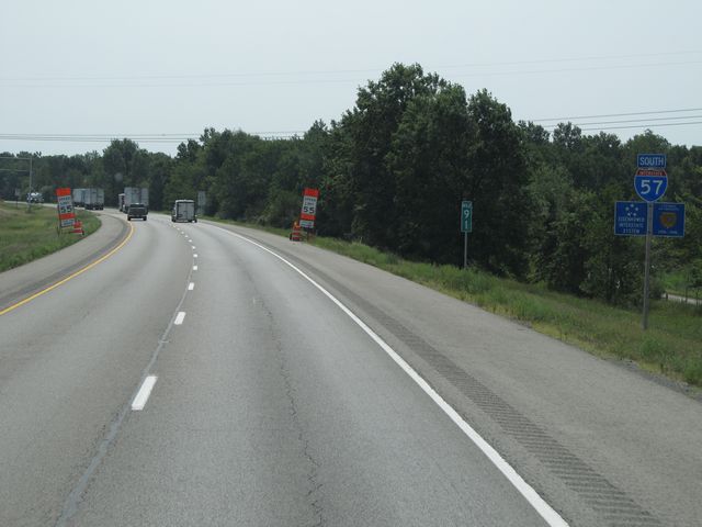
The junction of Interstate 24 is 48 miles ahead. (Photo taken 8/24/11). |
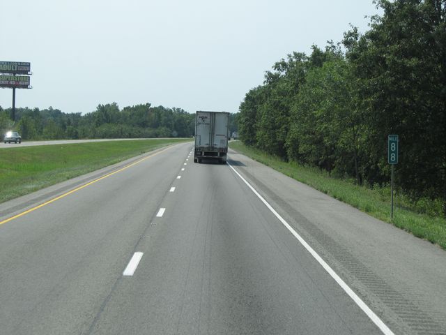 |
Interstate 57 South: Road view from mile marker 88. (Photo taken 8/24/11). |
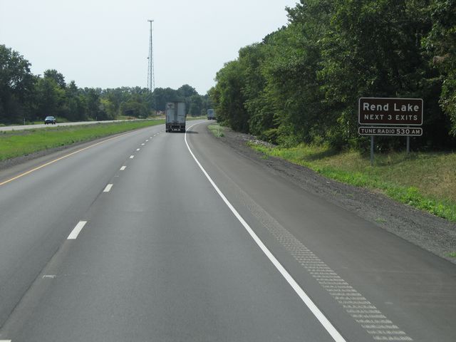 |
Use any of the next 3 exits to Rend Lake. (Photo taken 8/24/11). |
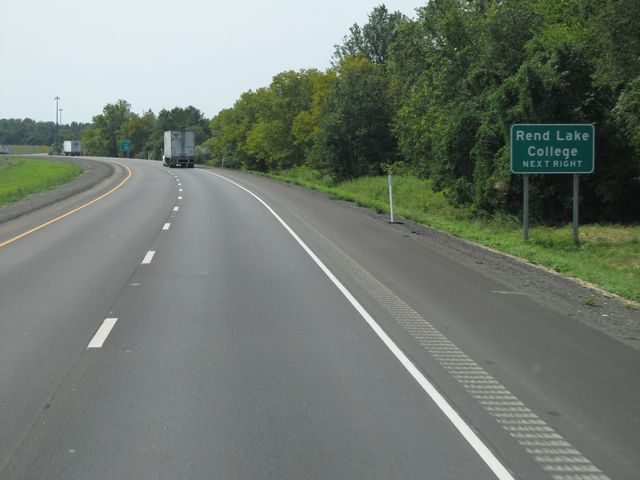 |
Use the next exit (Exit 83) to Rend Lake College. (Photo taken 8/24/11). |
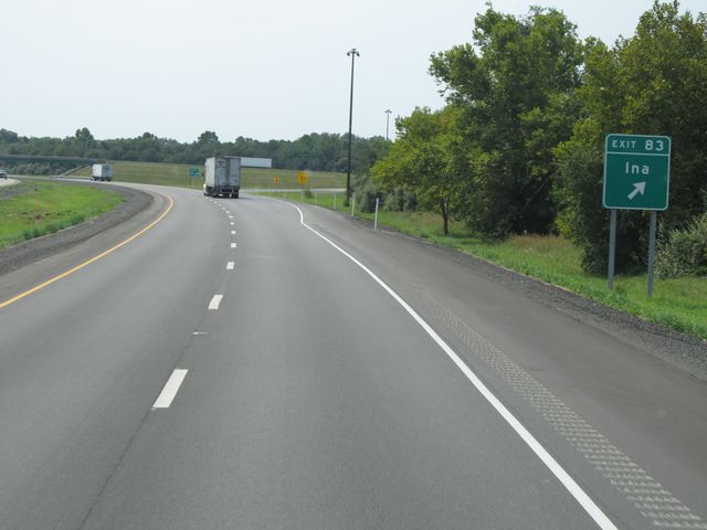 |
Interstate 57 South at Exit 83: Ina (Photo taken 8/24/11). |
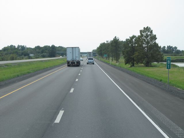 |
Interstate 57 South: Road view from mile marker 81. (Photo taken 8/24/11). |
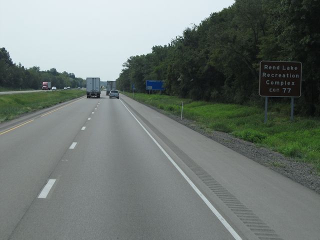 |
Use Exit 77 to Rend Lake Recreation Complex. (Photo taken 8/24/11). |
 |
Interstate 57 South at the Rest Area located near mile marker 78. (Photo taken 8/24/11). |
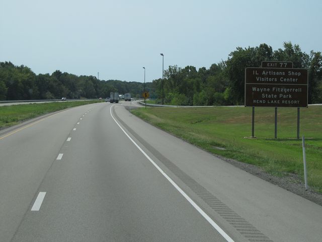 |
Use Exit 77 to IL Artisans Shop Visitors Center and Wayne Fitzgerrell State Park. (Photo taken 8/24/11). |
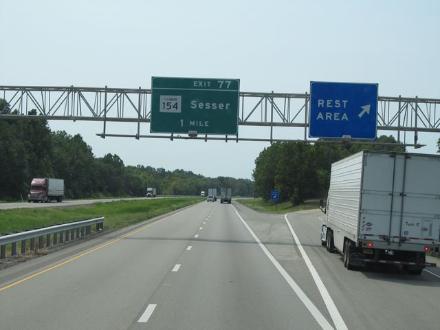
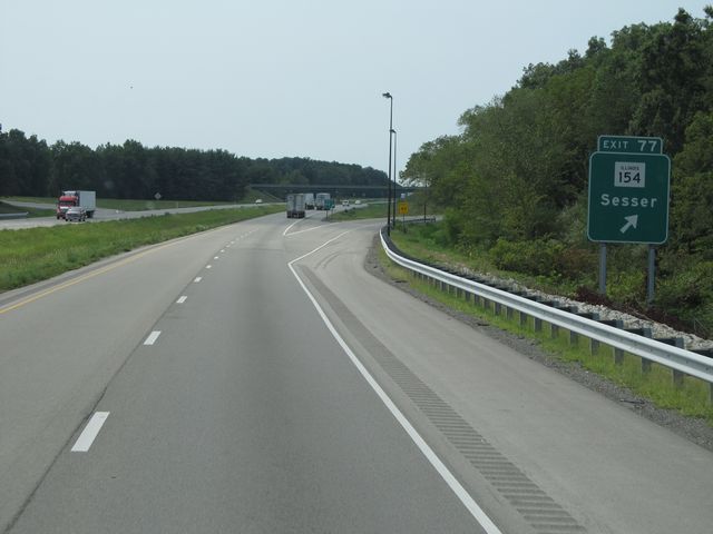 |
Interstate 57 South at Exit 77: IL 154 - Sesser (Photo taken 8/24/11). |
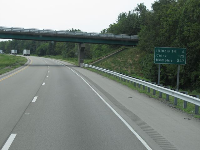 |
Mileage sign located near mile marker 77. It's 6 miles to the junction of IL 14, 75 miles to Cairo, and 237 miles to Memphis. (Photo taken 8/24/11). |
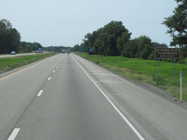 |
Use the next exit (Exit 71) to Du Quoin State Fairgrounds. (Photo taken 8/24/11). |
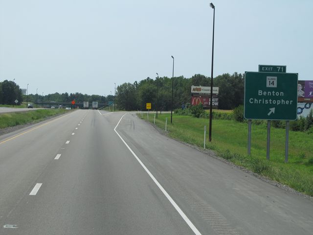 |
Interstate 57 South at Exit 71: IL 14 - Benton / Christopher (Photo taken 8/24/11). |
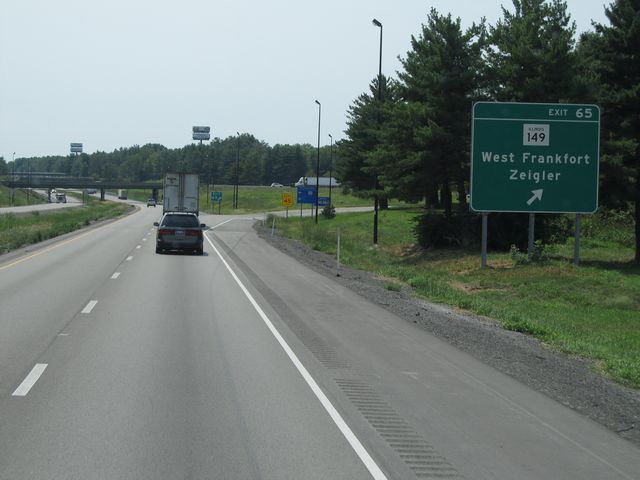 |
Interstate 57 South at Exit 65: IL 149 - West Frankfort / Zeigler (Photo taken 8/24/11). |
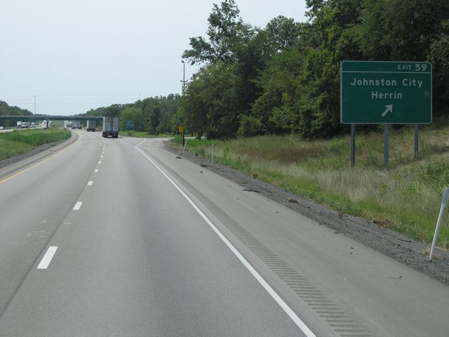 |
Interstate 57 South at Exit 59: Johnston City / Herrin (Photo taken 8/24/11). |
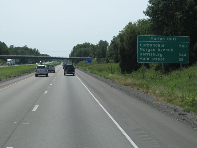 |
Sign listing the distances to the three upcoming Marion exits. (Photo taken 8/24/11). |
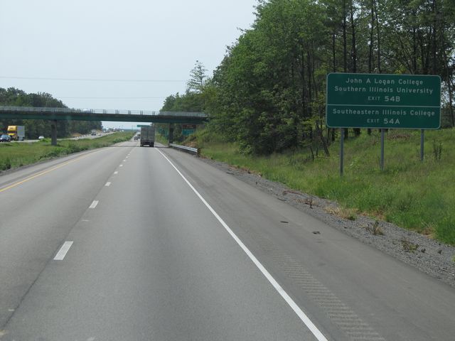 |
Use Exit 54B to John A. Logan College and Southern Illinois University. Use Exit 54A to Southeastern Illinois College. (Photo taken 8/24/11). |
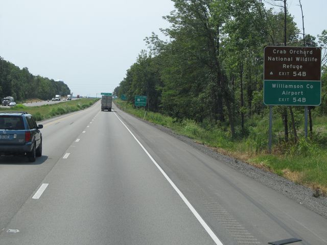 |
Use Exit 54B to Crab Orchard National Wildlife Refuge and Williamson County Airport. (Photo taken 8/24/11). |
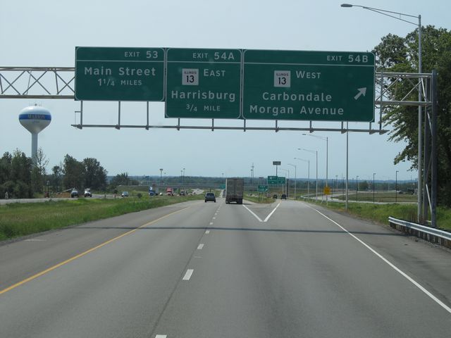 |
Interstate 57 South at Exit 54B: IL 13 West - Carbondale / Morgan Avenue (Photo taken 8/24/11). |
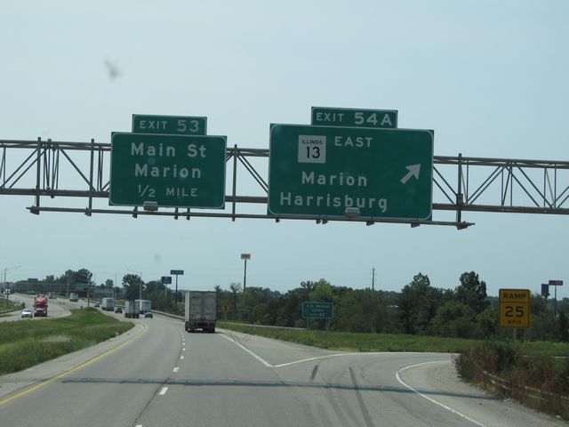 |
Interstate 57 South at Exit 54A: IL 13 East - Marion / Harrisburg (Photo taken 8/24/11). |
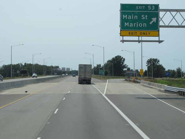 |
Interstate 57 South at Exit 53: Main St / Marion (Photo taken 8/24/11). |
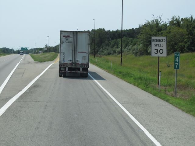 |
Interstate 57 South at the Weigh Station located at mile marker 47. (Photo taken 8/24/11). |
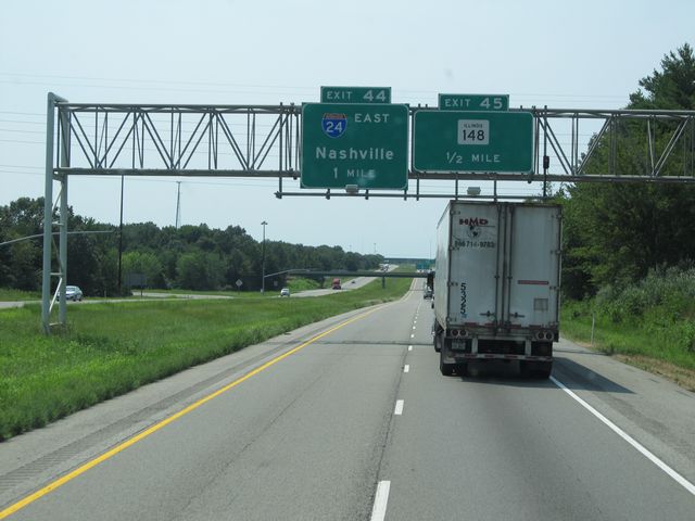 |
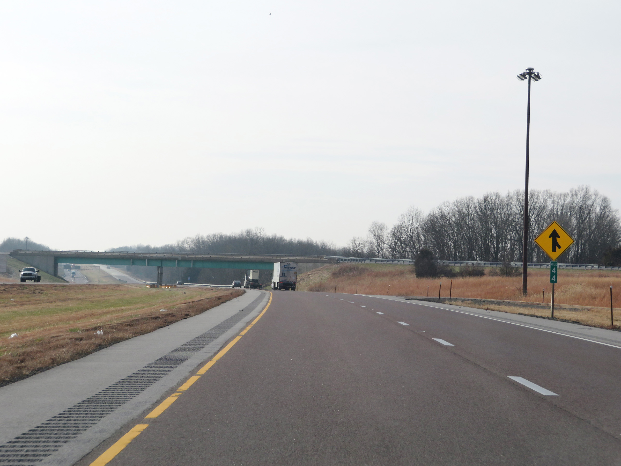
Interstate 57 South approaching Exit 44 - 1 mile. (Photo taken 8/24/11). |
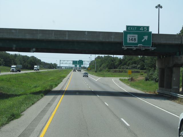 |
Interstate 57 South at Exit 45: IL 148 (Photo taken 8/24/11). |
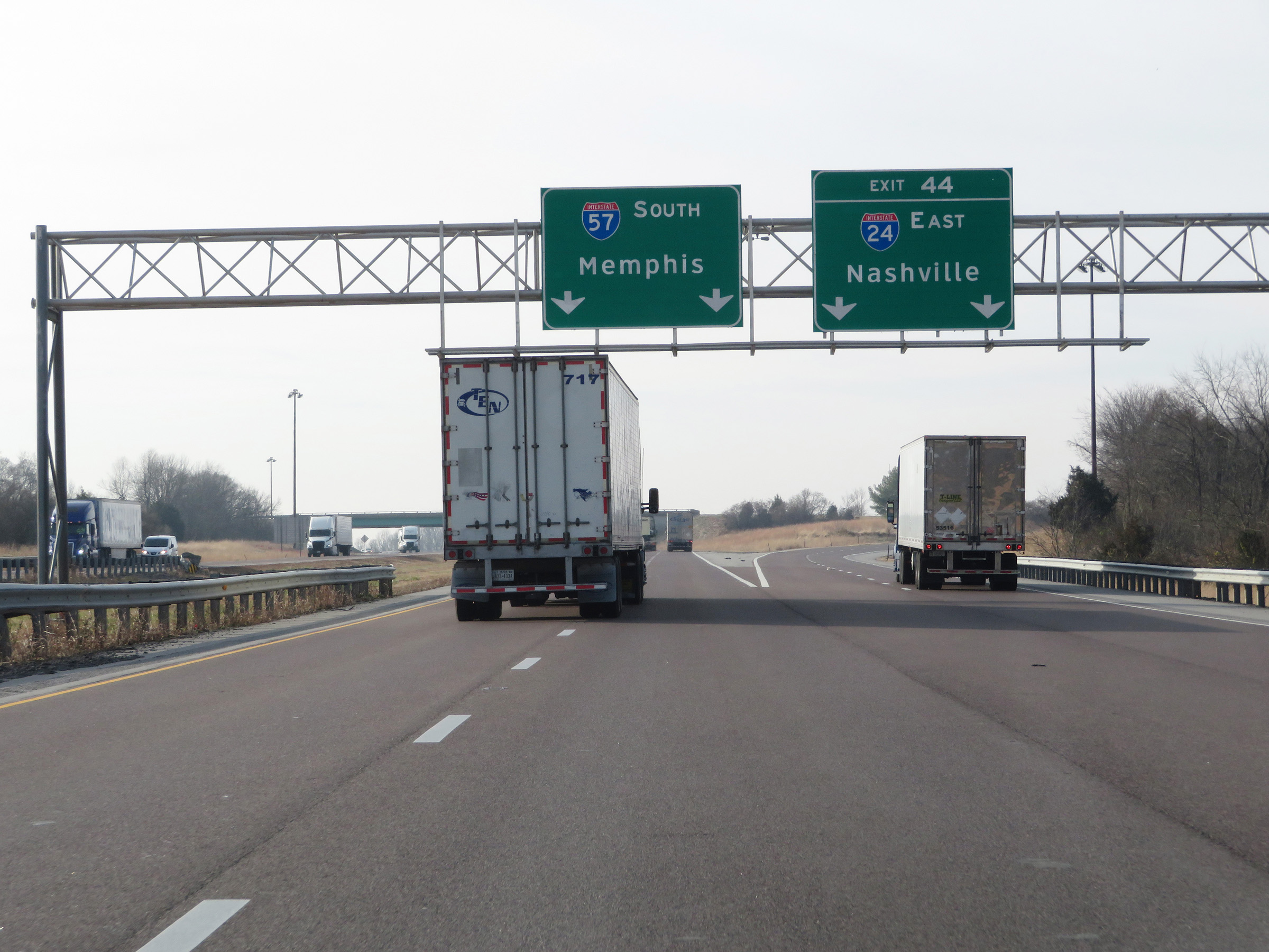 |
Interstate 57 South at Exit 44: Interstate 24 East - Nashville (Photo taken 12/15/20). |
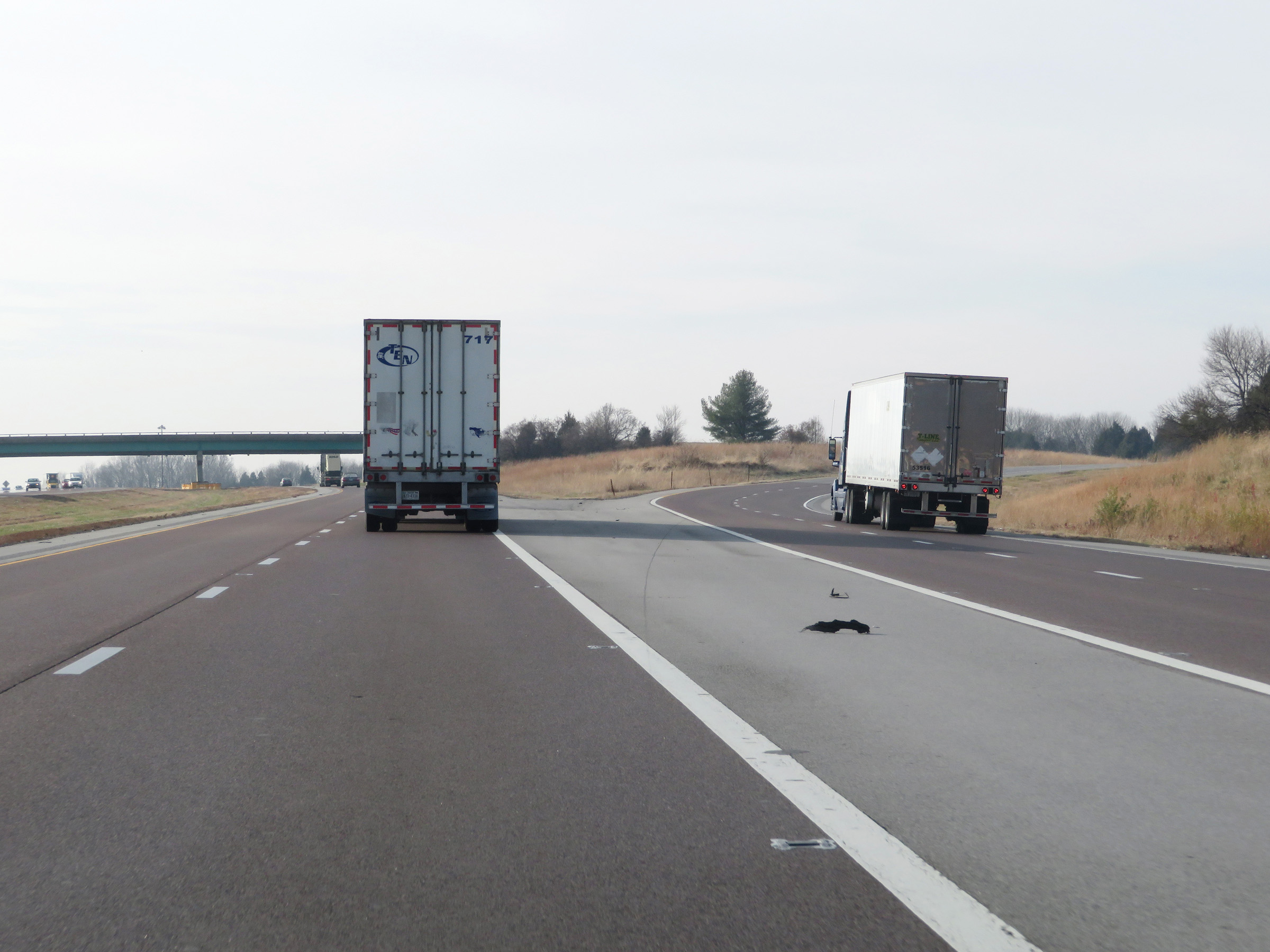 |
A closer view of the ramp to Interstate 24 East via Exit 44. (Photo taken 12/15/20). |
 |
At mile marker 44, traffic from Interstate 24 West merges into Interstate 57 South on the right. (Photo taken 12/15/20). |
 |
Interstate 57 South reassurance shield. (Photo taken 12/15/20). |
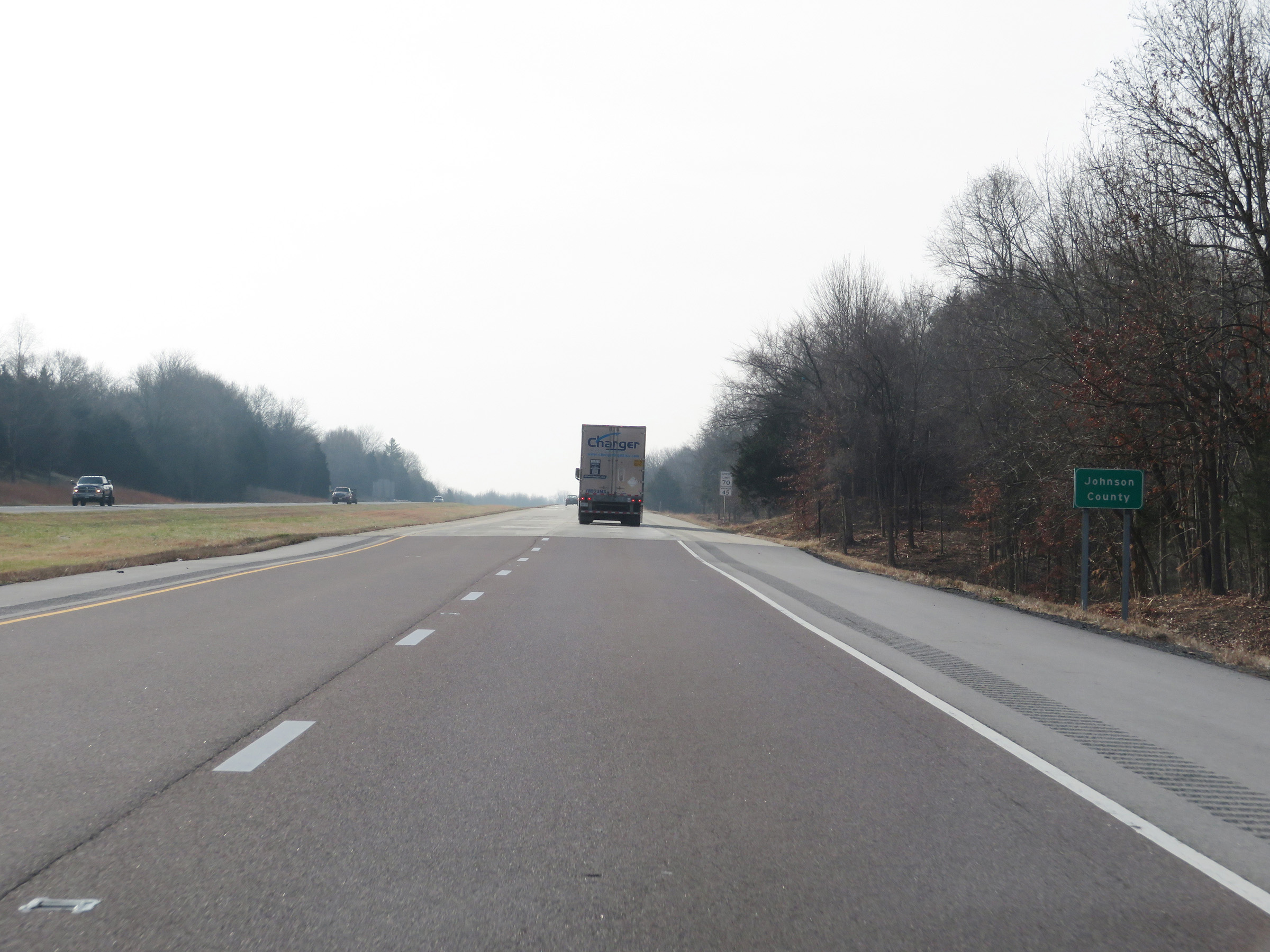 |
Interstate 57 South as it enters Johnson County. (Photo taken 12/15/20). |
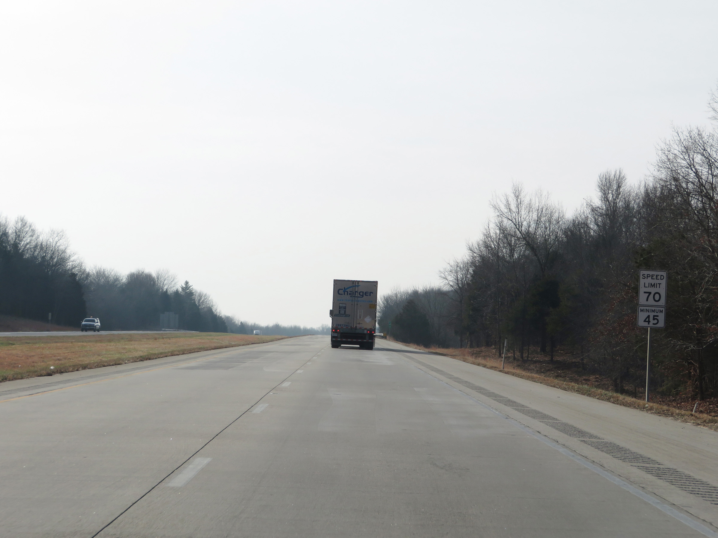 |
Speed limit signs on Interstate 57 South. The speed limits remain 70 mph maximum and 40 mph minimum. (Photo taken 12/15/20). |
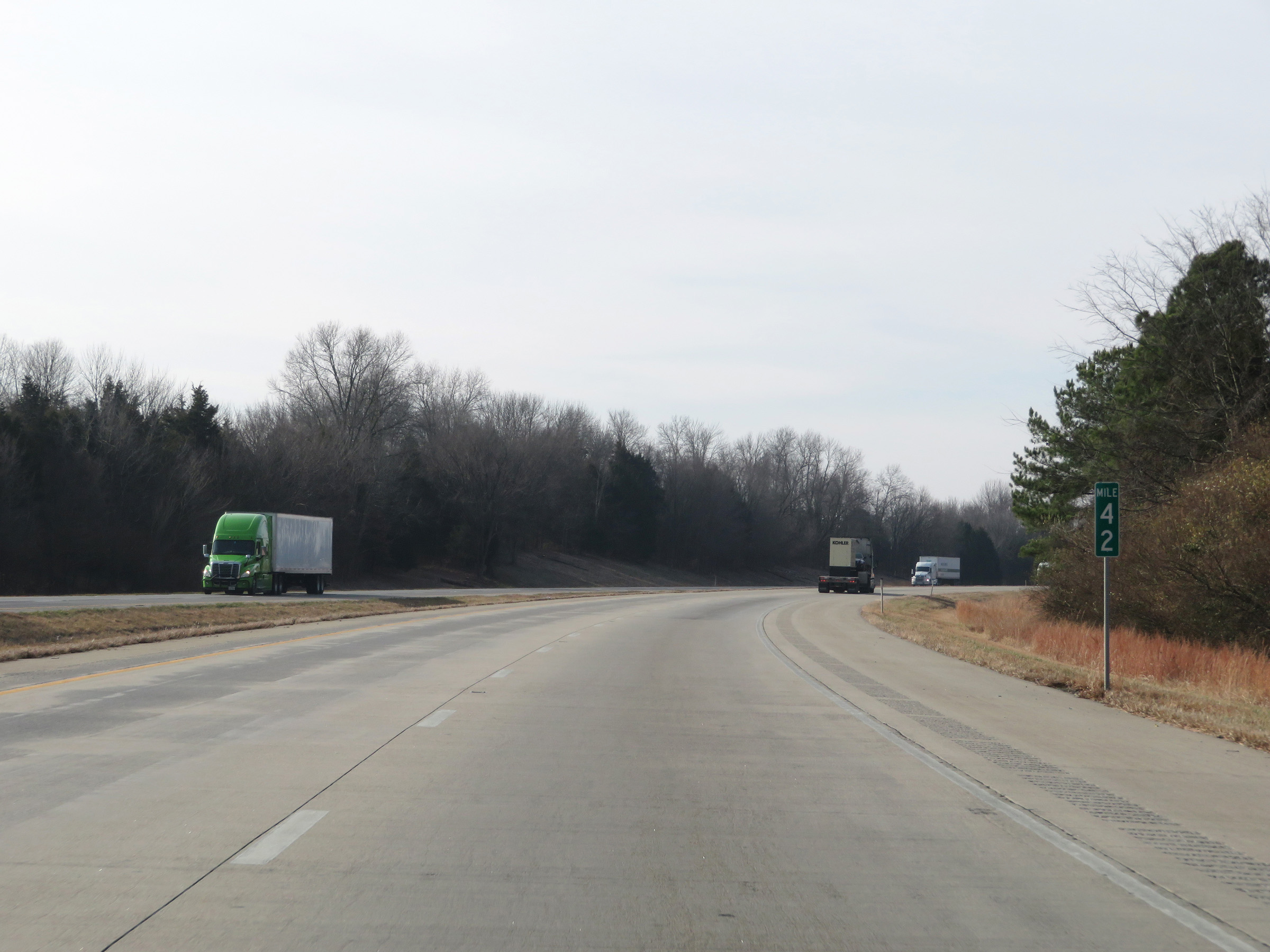 |
View on Interstate 57 South at mile marker 42. (Photo taken 12/15/20). |
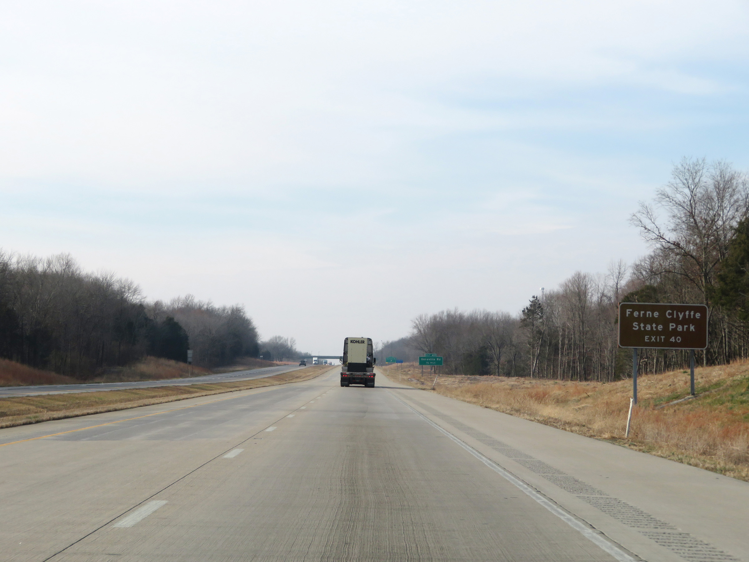 |
Take Exit 40 to Ferne Clyffe State Park. (Photo taken 12/15/20). |
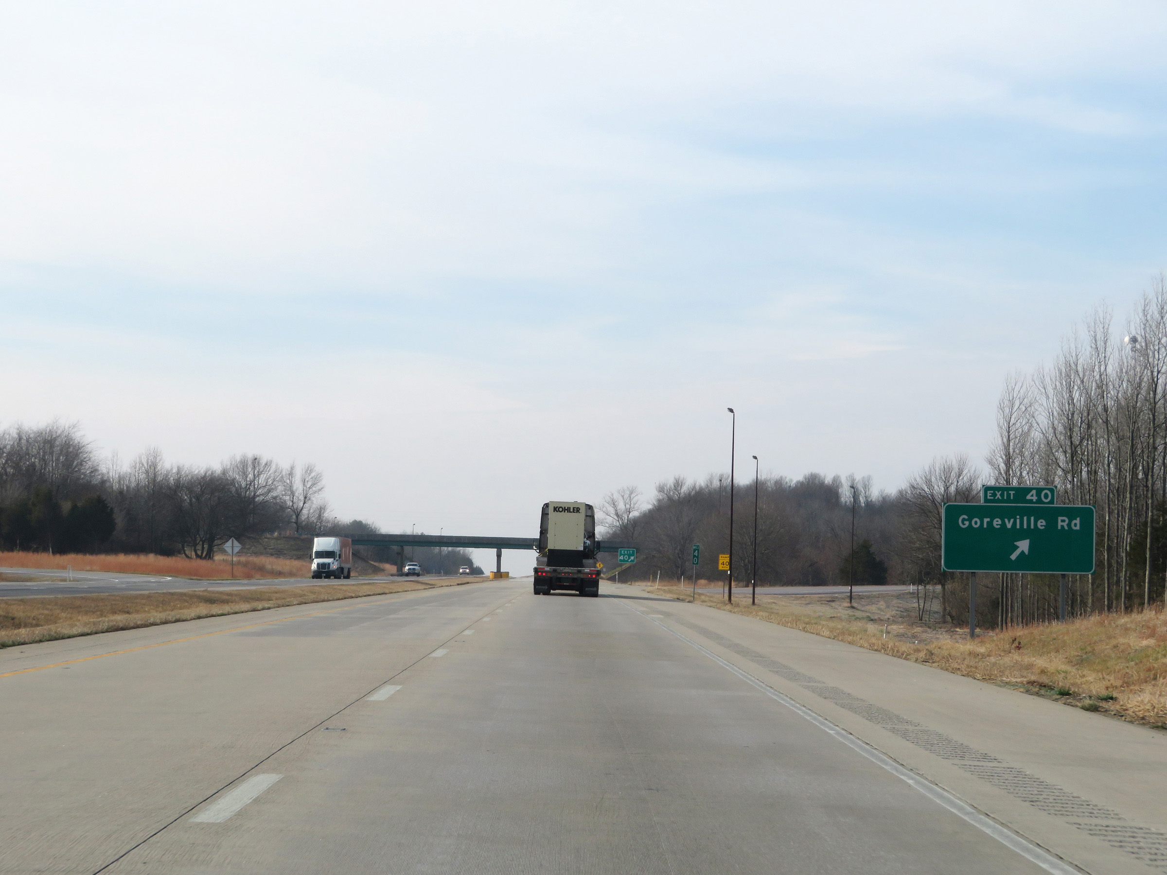 |
Interstate 57 South at Exit 40: Goreville Rd (Photo taken 12/15/20). |
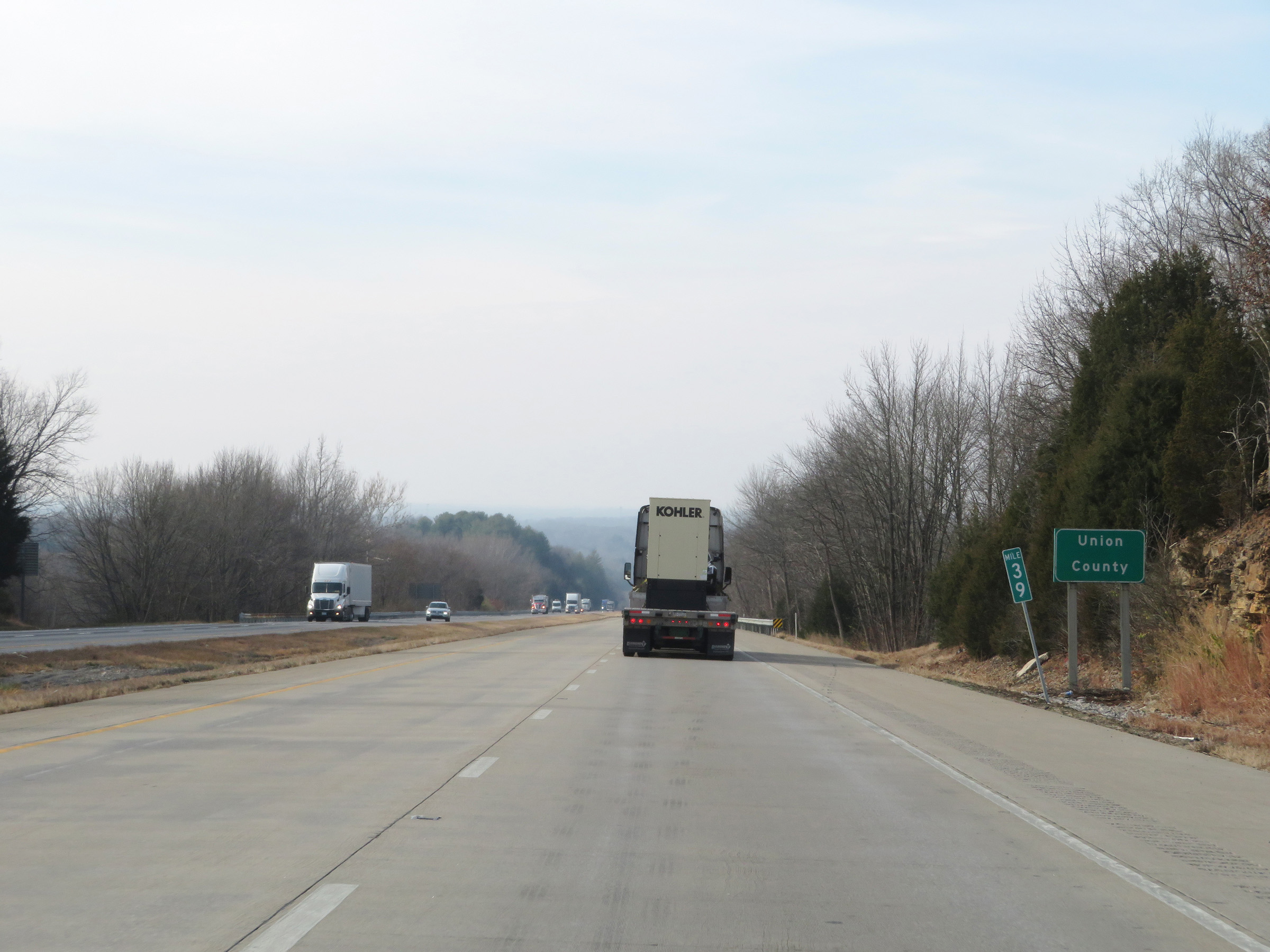 |
At mile marker 39, Interstate 57 South enters Union County. (Photo taken 12/15/20). |
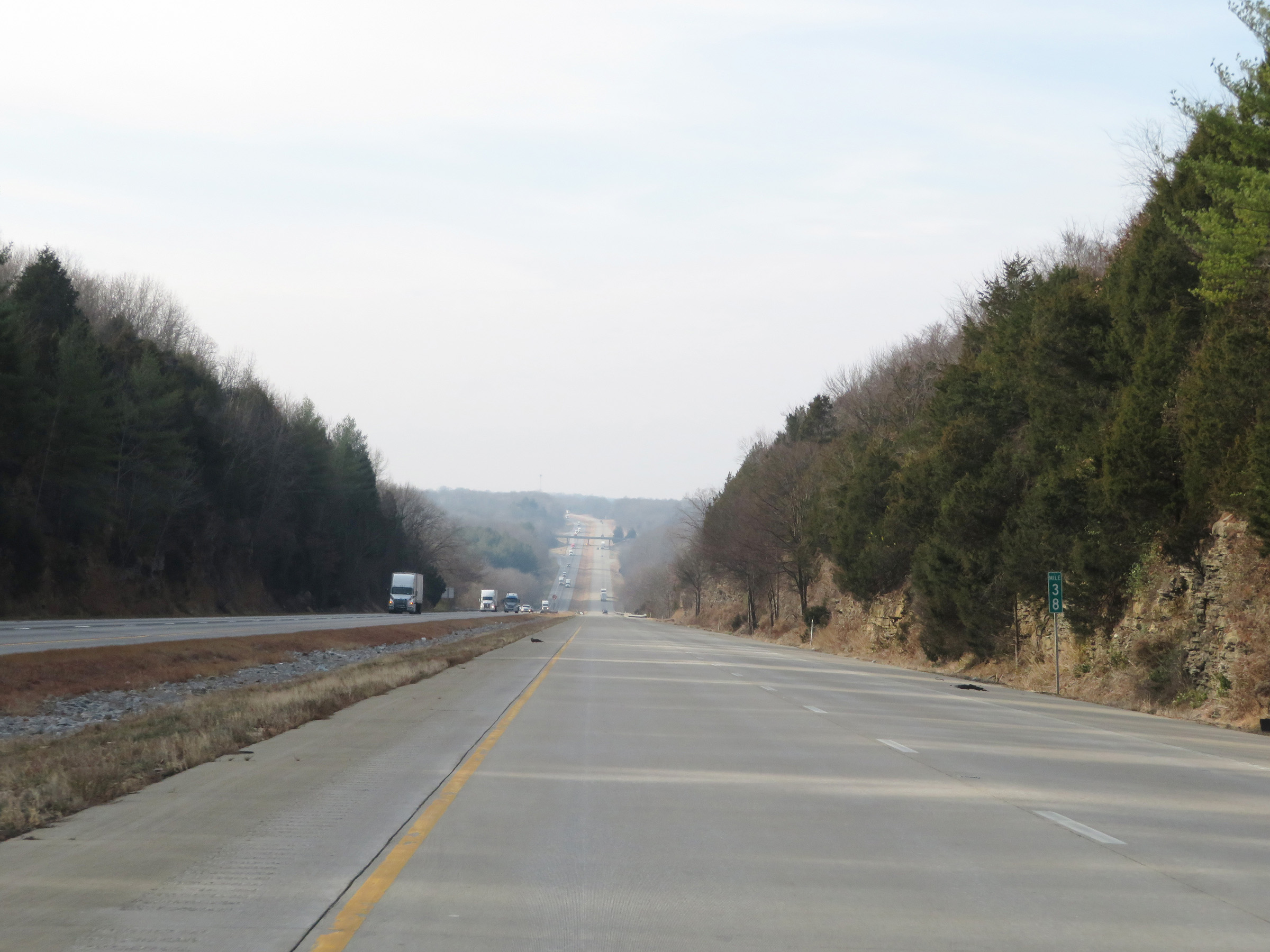 |
View on Interstate 57 South at mile marker 38. (Photo taken 12/15/20). |
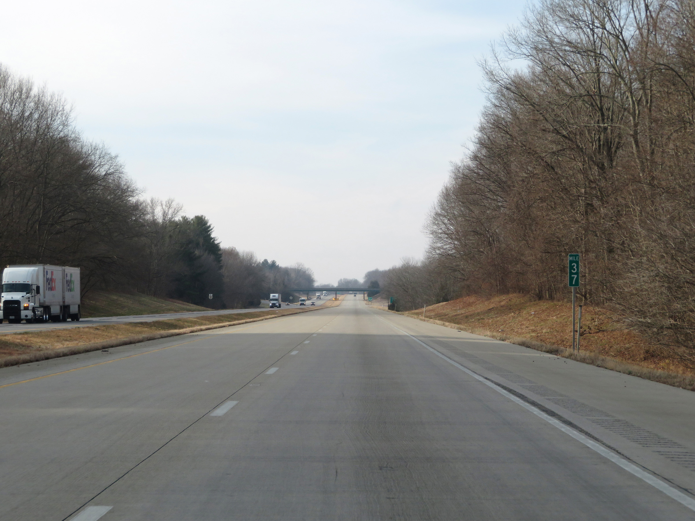 |
Interstate 57 South at mile marker 37. (Photo taken 12/15/20). |
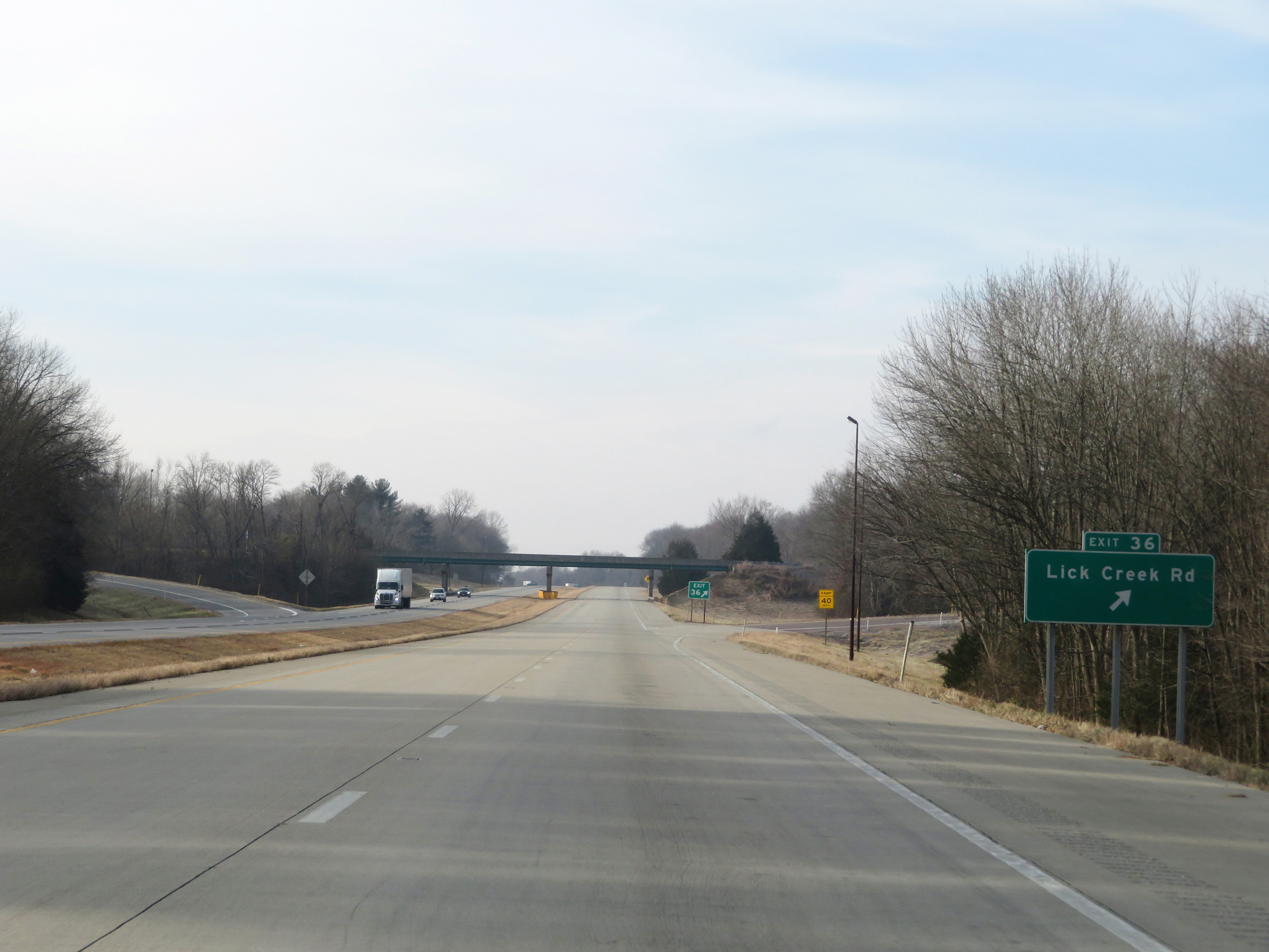 |
Interstate 57 South at Exit 36: Lick Creek Rd (Photo taken 12/15/20). |
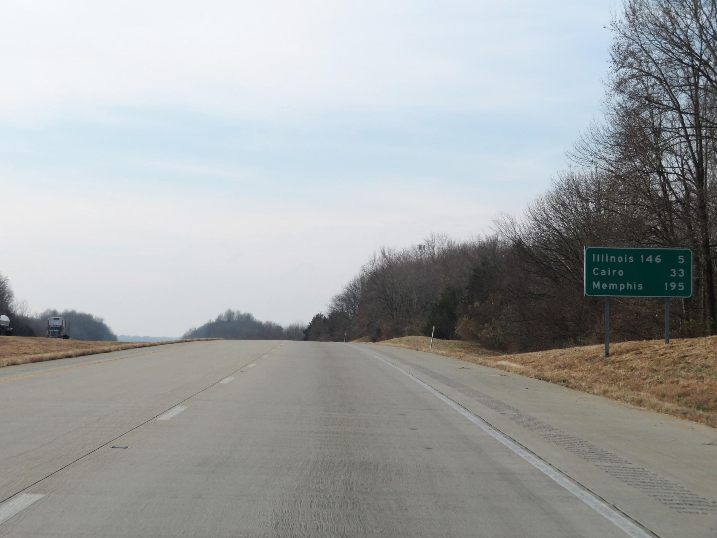 |
Mileage sign on Interstate 57 South. It's 5 miles to the junction of IL 146, 33 miles to Cairo, and 195 miles to Memphis. (Photo taken 12/15/20). |
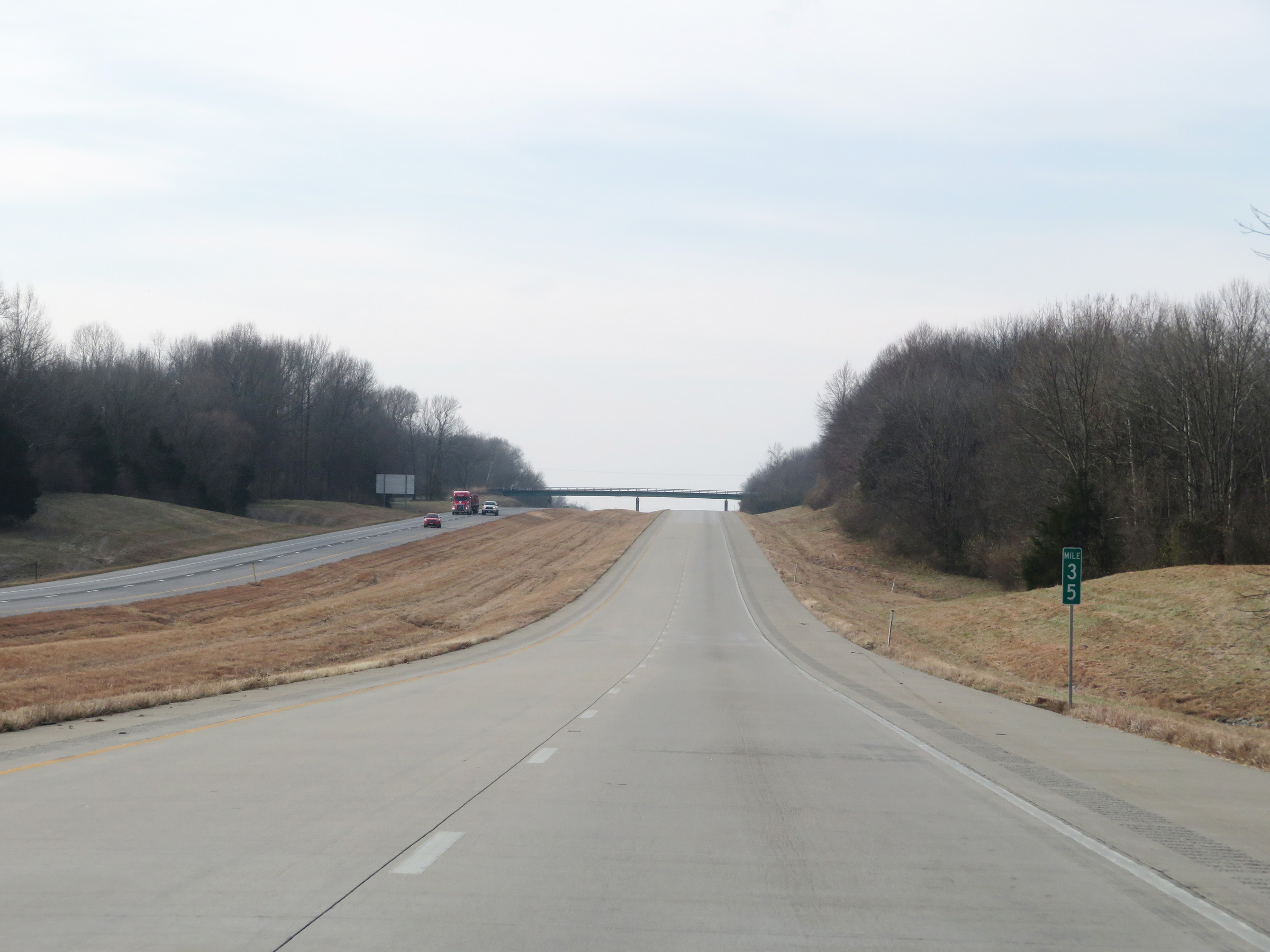 |
View on Interstate 57 South at mile marker 35. (Photo taken 12/15/20). |
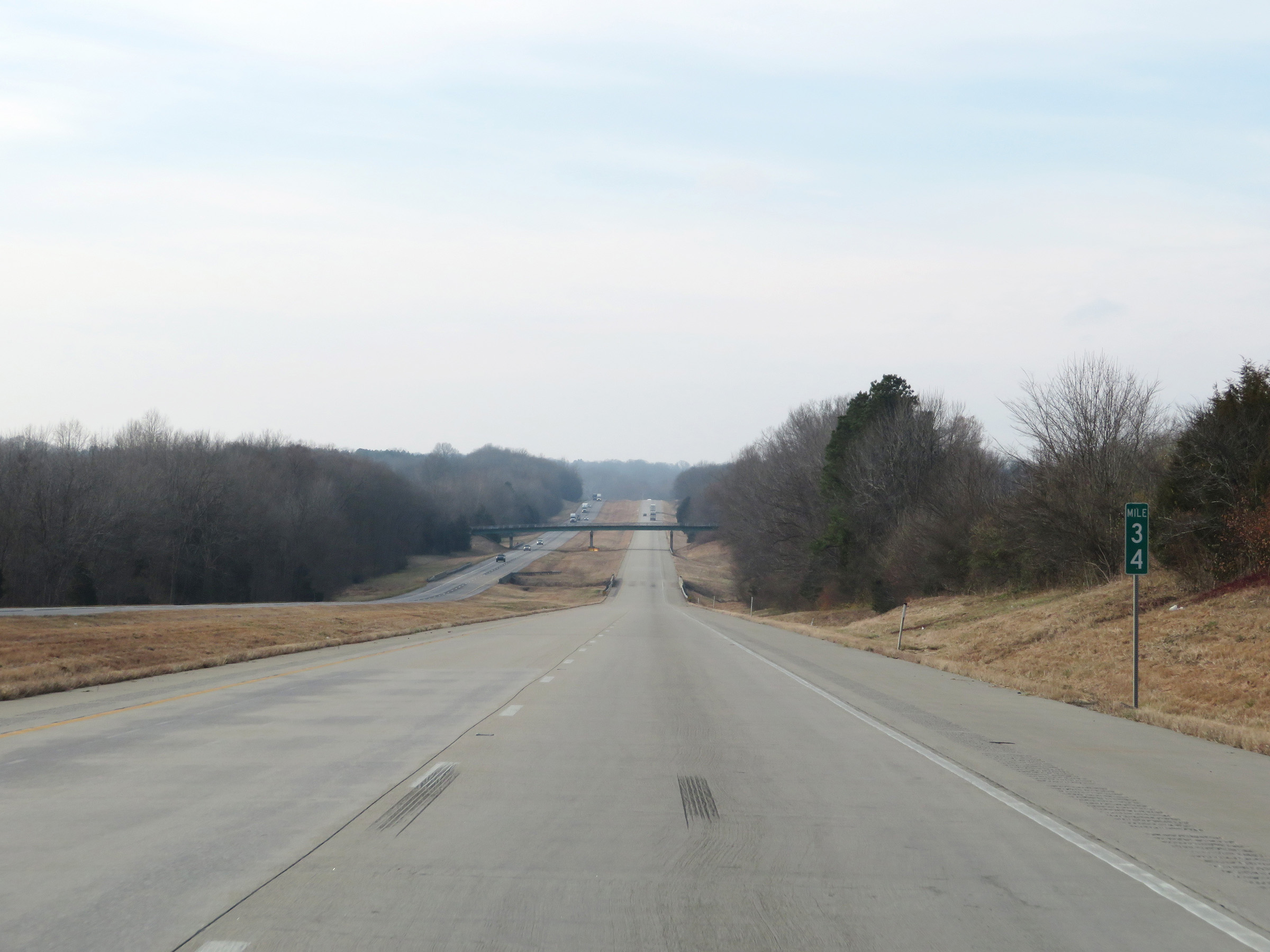 |
Interstate 57 South at mile marker 34. (Photo taken 12/15/20). |
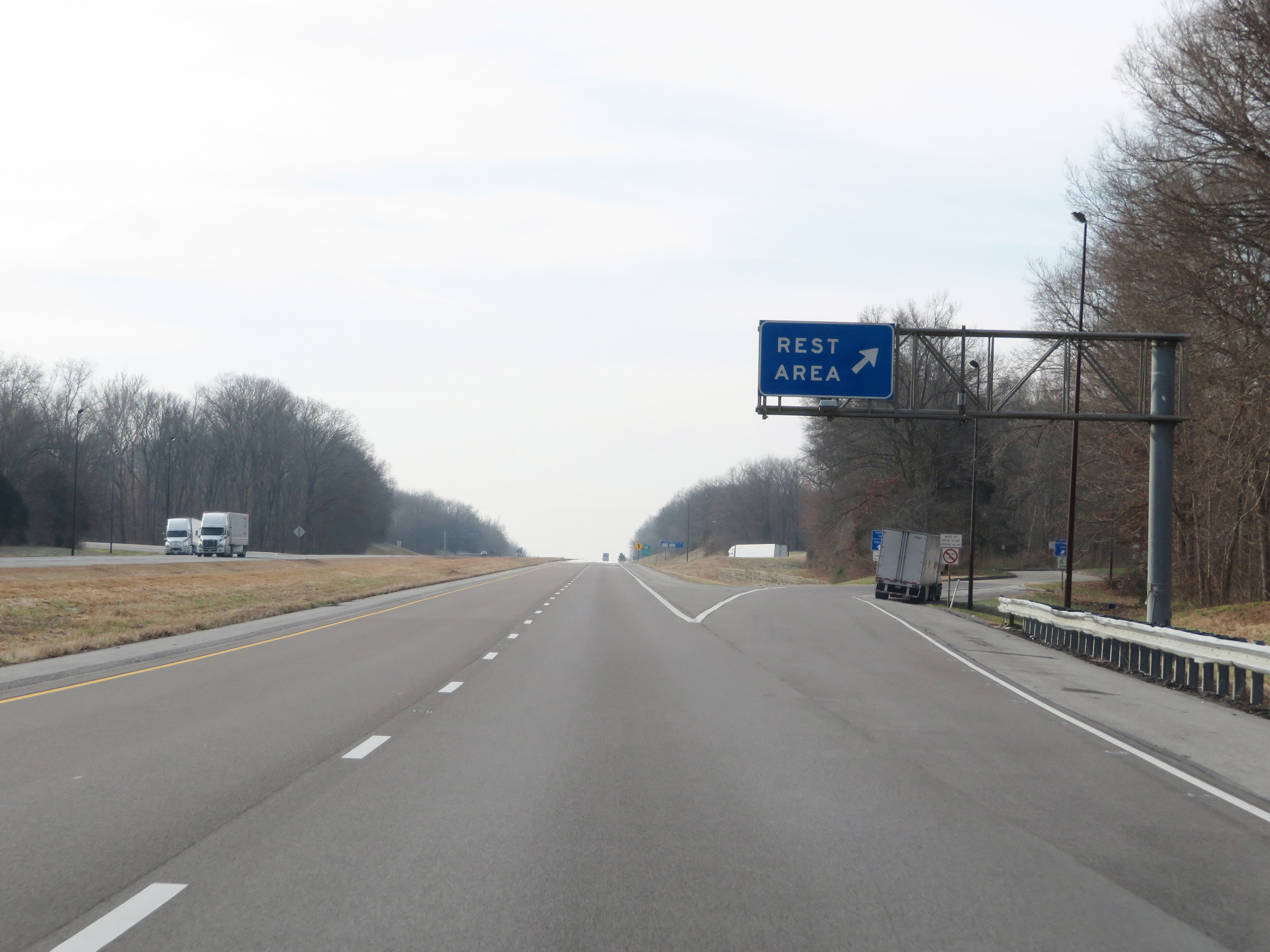 |
Rest Area on Interstate 57 South in Union County. (Photo taken 12/15/20). |
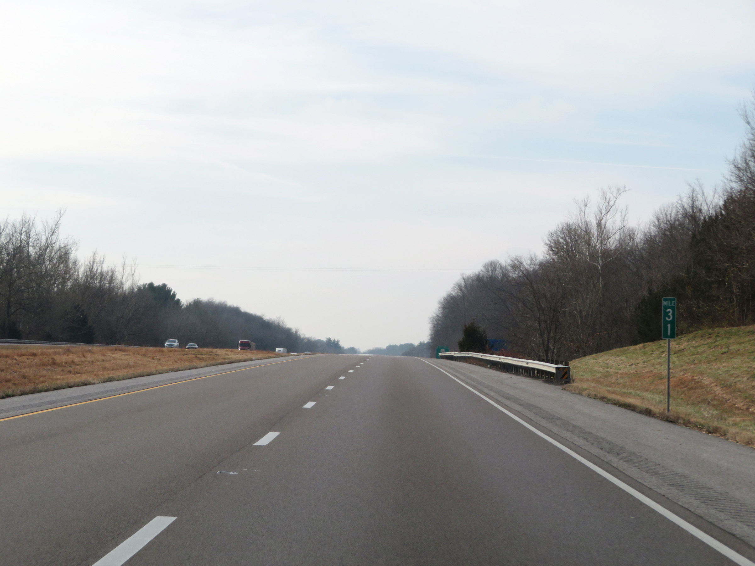 |
Interstate 57 South at mile marker 31. (Photo taken 12/15/20). |
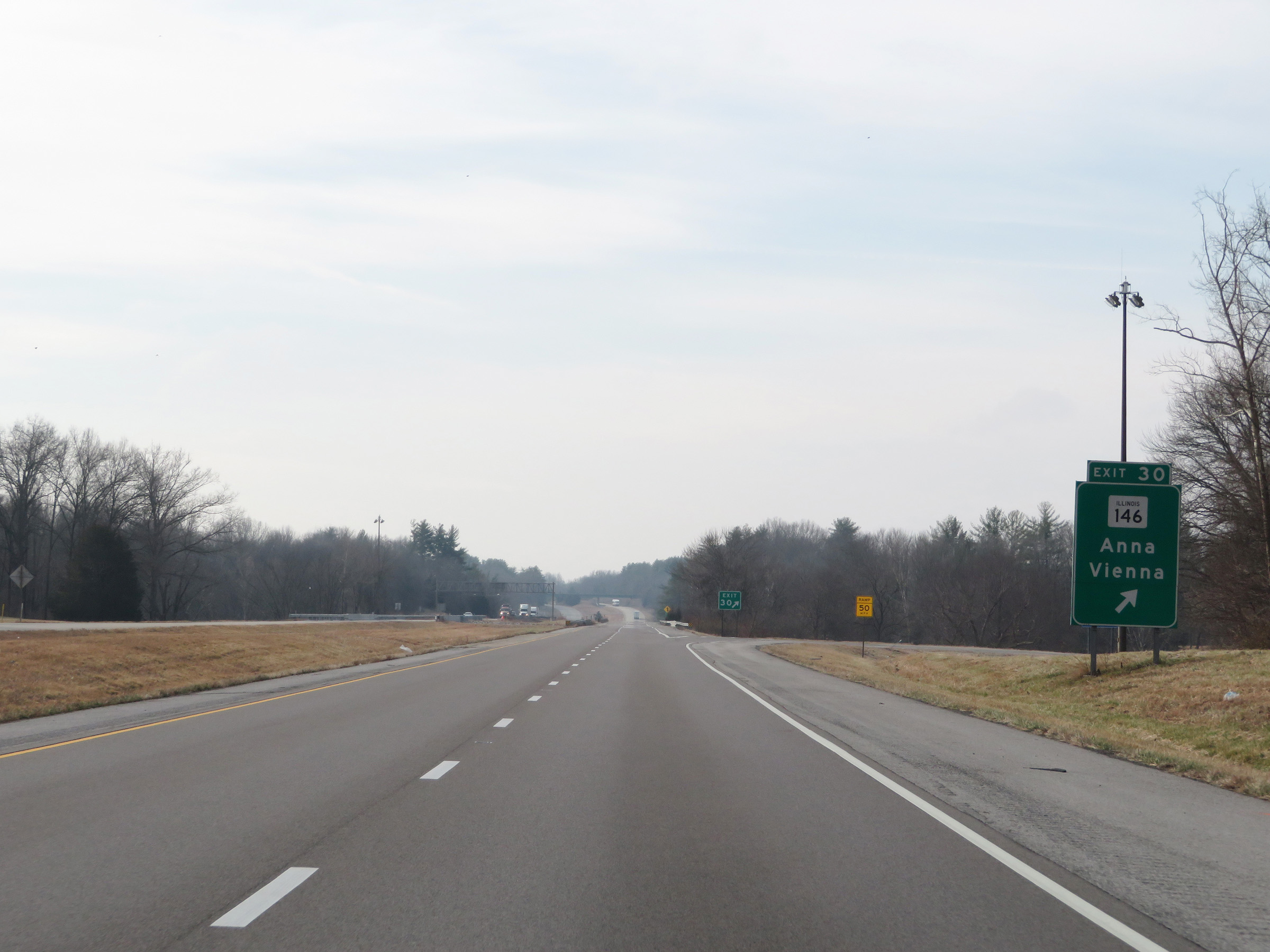 |
Interstate 57 South at Exit 30: IL 146 - Anna / Vienna (Photo taken 12/15/20). |
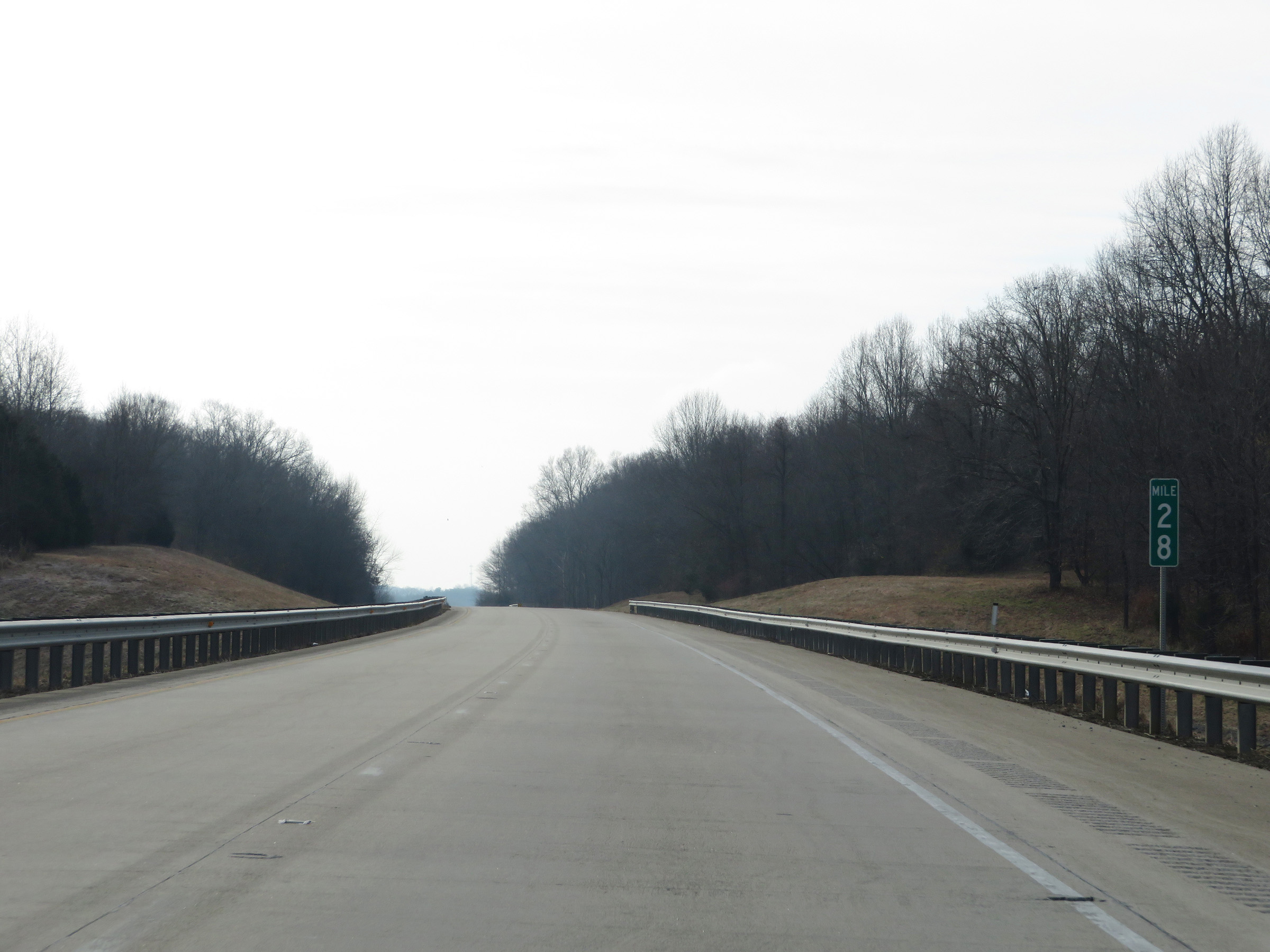 |
View on Interstate 57 South at mile marker 28. (Photo taken 12/15/20). |
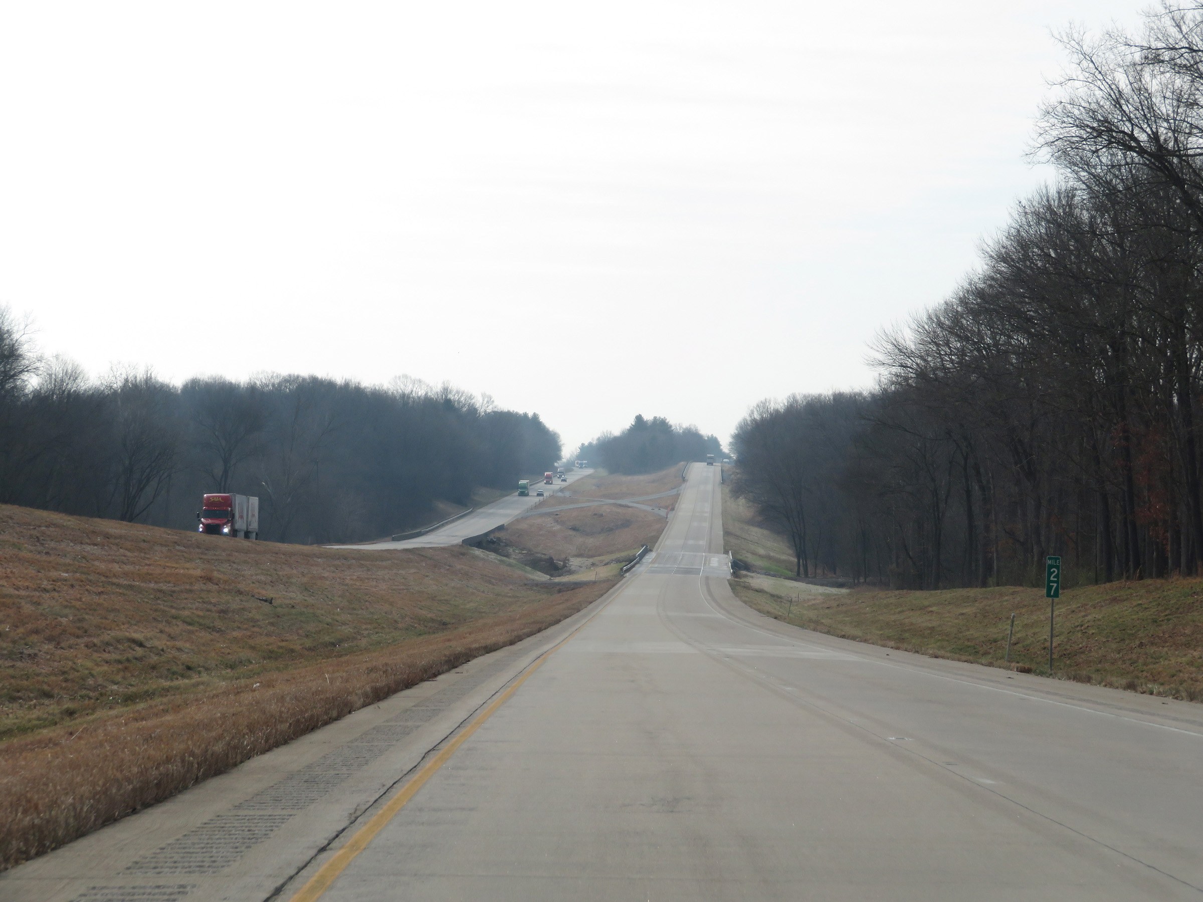 |
Mile marker 27 on Interstate 57 South in Union County. (Photo taken 12/15/20). |
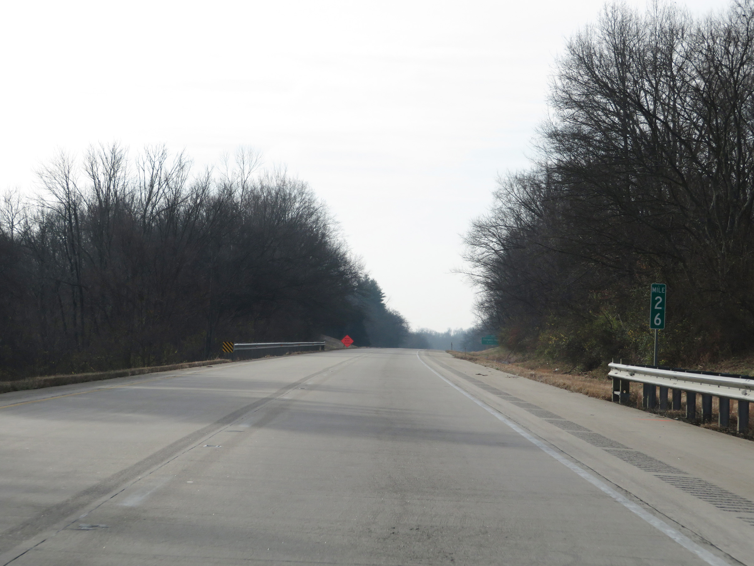 |
Interstate 57 South at mile marker 26. (Photo taken 12/15/20). |
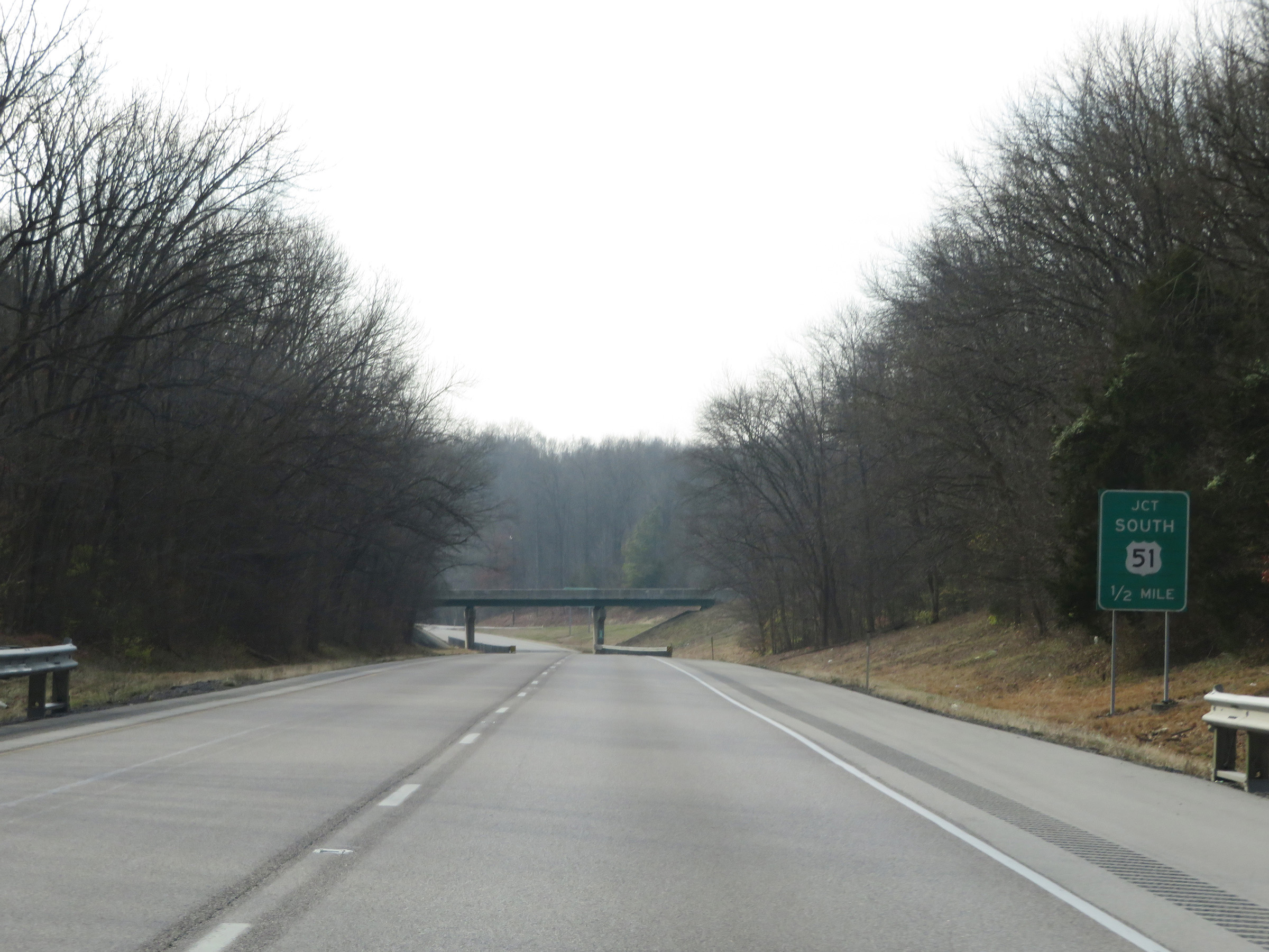 |
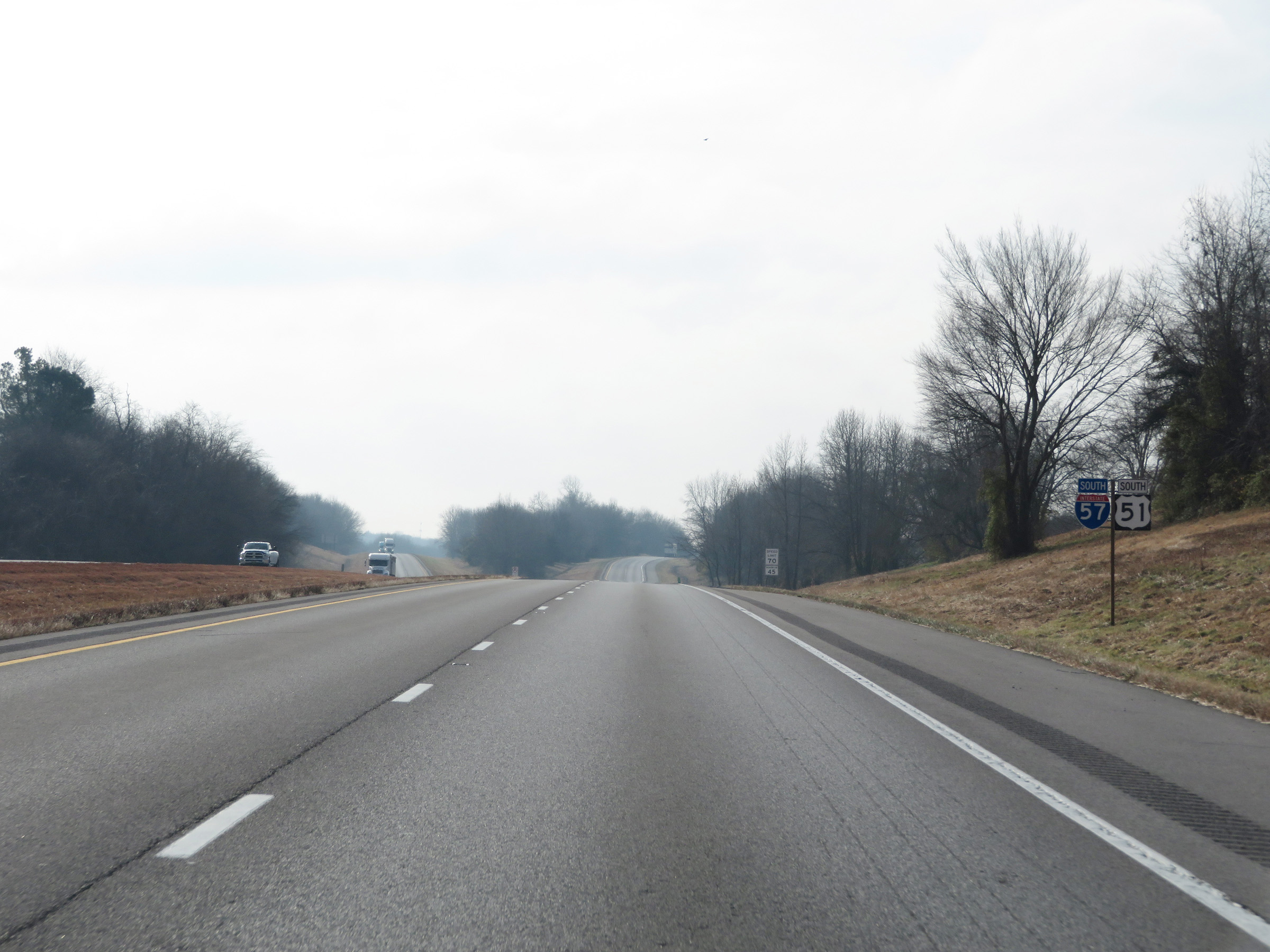
1/2 mile ahead, US 51 South traffic will merge into Interstate 57 South on the right. (Photo taken 12/15/20). |
 |
Interstate 57 South as traffic from US 51 South merges into it ahead on the right. (Photo taken 12/15/20). |
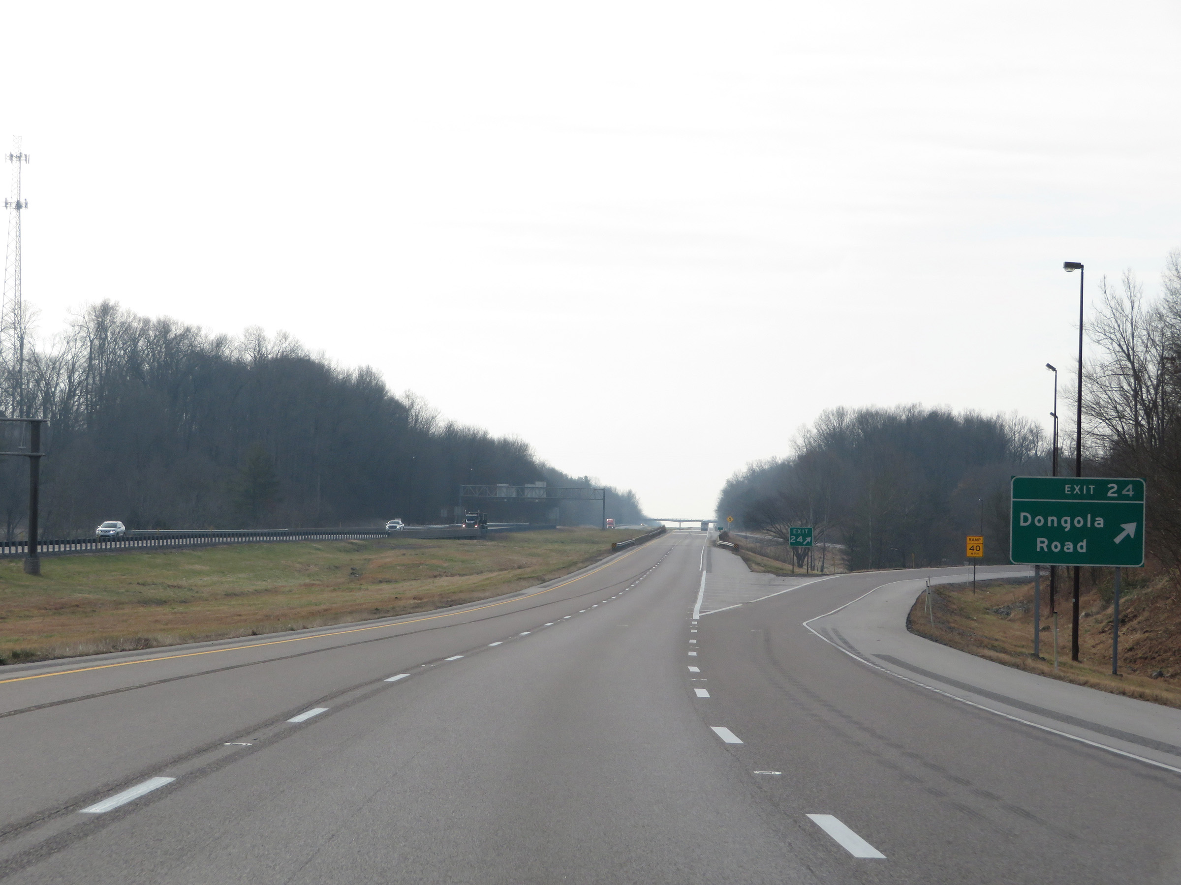 |
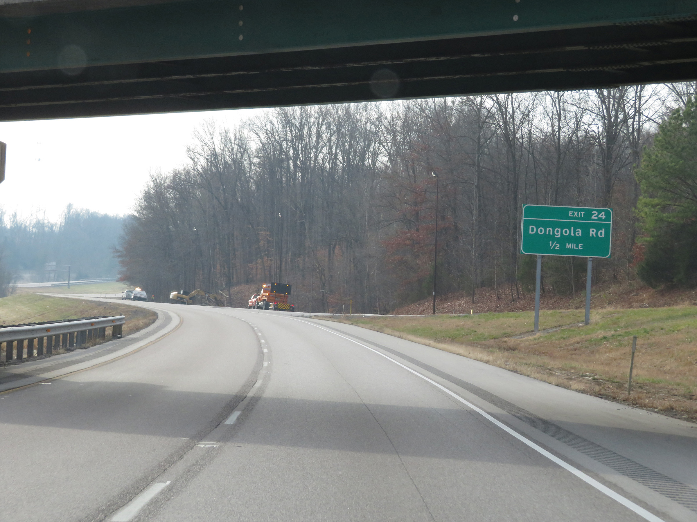
Interstate 57 South at Exit 24: Dongola Road (Photo taken 12/15/20). |
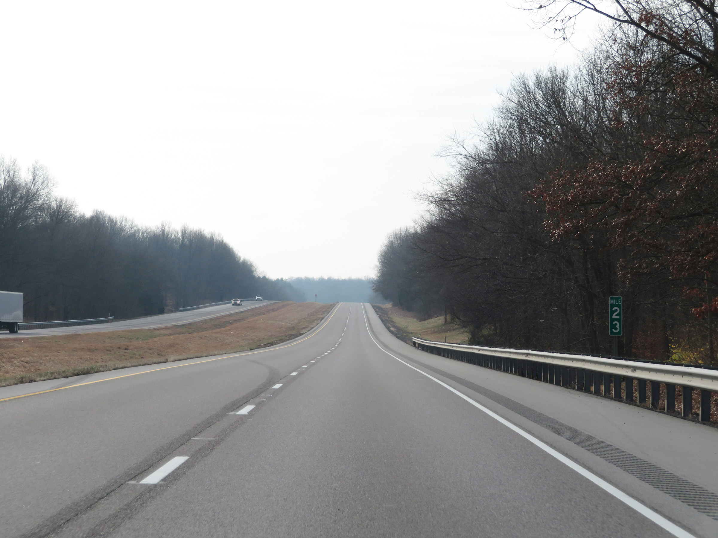 |
View on Interstate 57 South at mile marker 23. (Photo taken 12/15/20). |
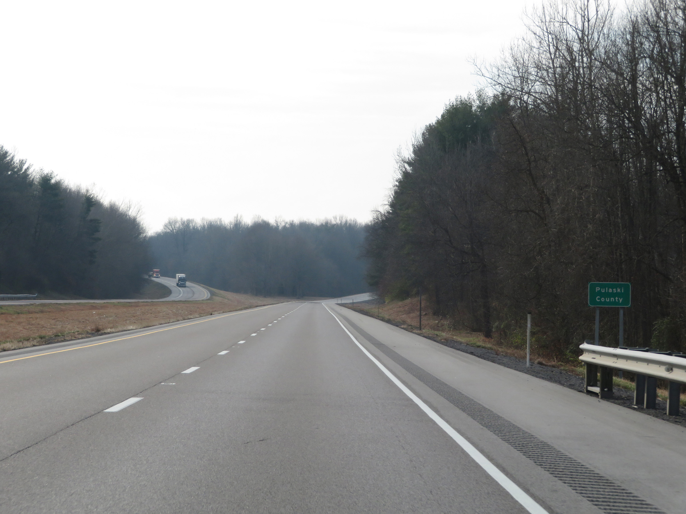 |
Interstate 57 South as it enters Pulaski County. (Photo taken 12/15/20). |
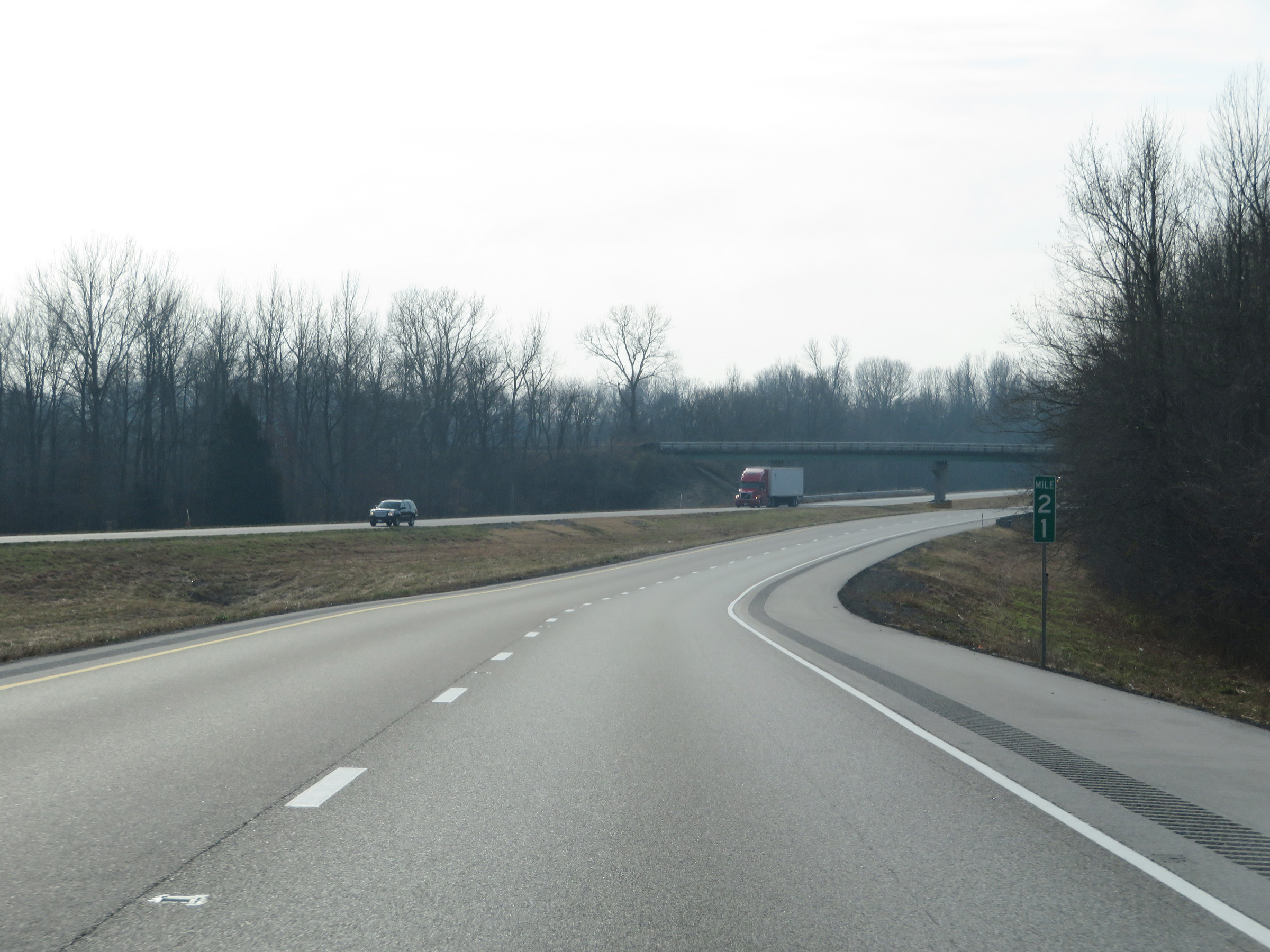 |
Interstate 57 South at mile marker 21. (Photo taken 12/15/20). |
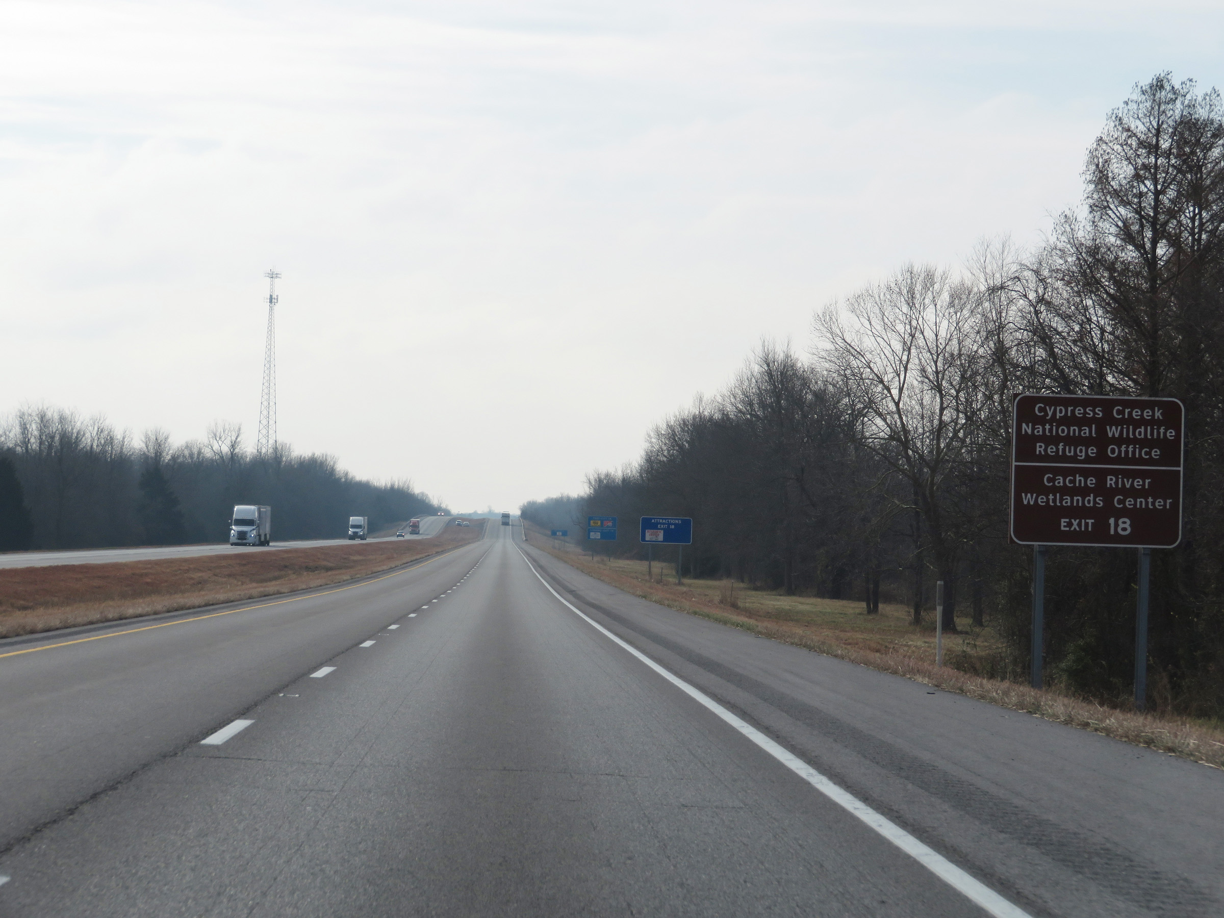 |
Take Exit 18 to Cypress Creek National Wildlife Refuge Regional Office and Cache River Wetlands Center. (Photo taken 12/15/20). |
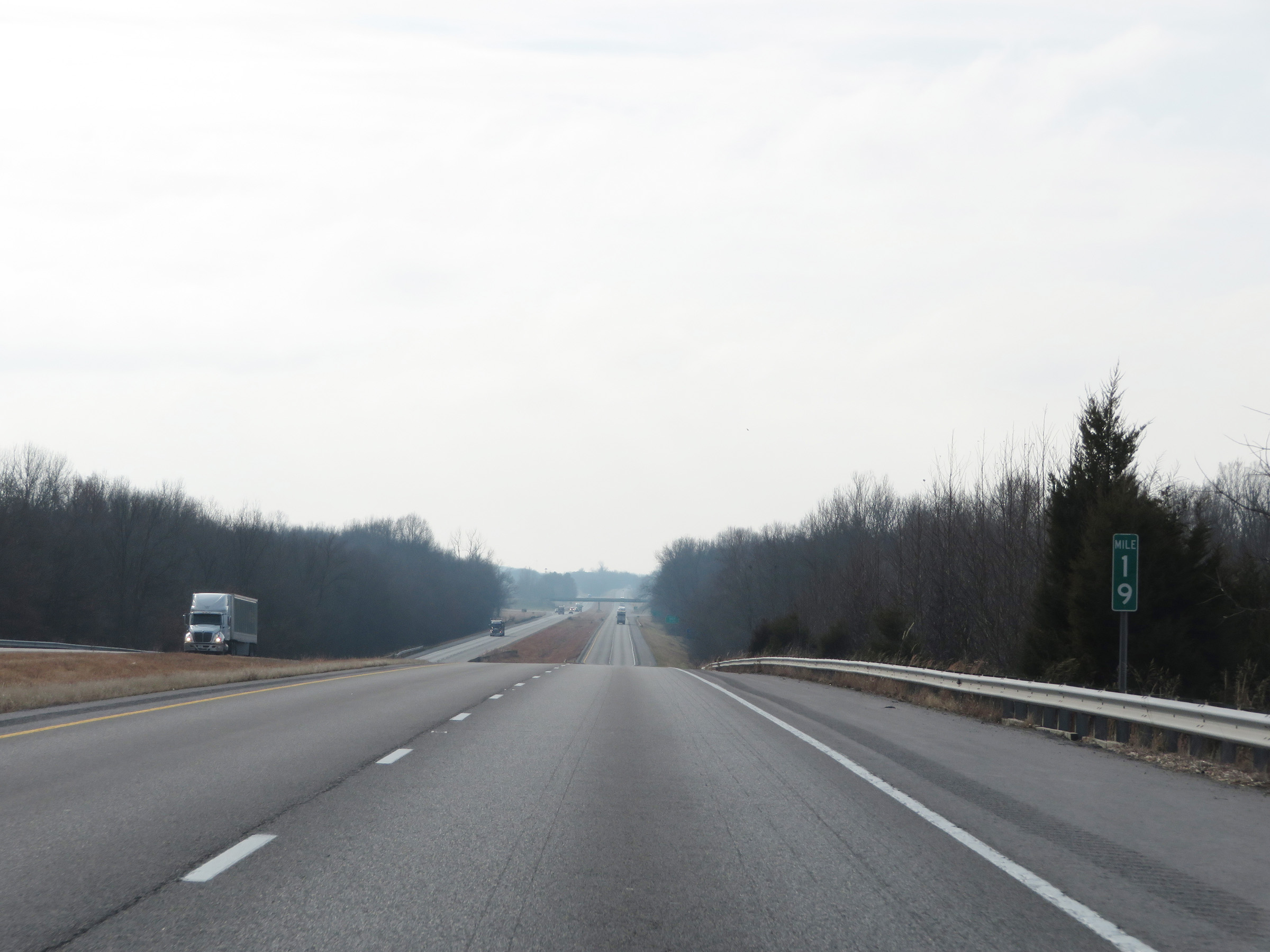 |
View on Interstate 57 South at mile marker 19. (Photo taken 12/15/20). |
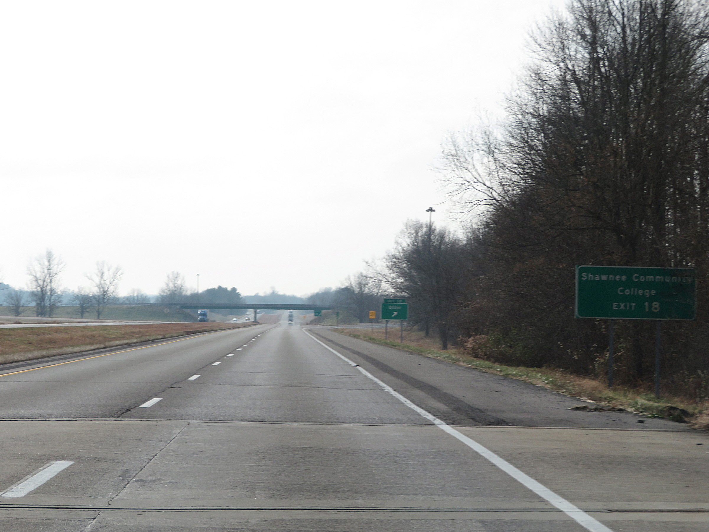 |
Also take Exit 18 to Shawnee Community College. (Photo taken 12/15/20). |
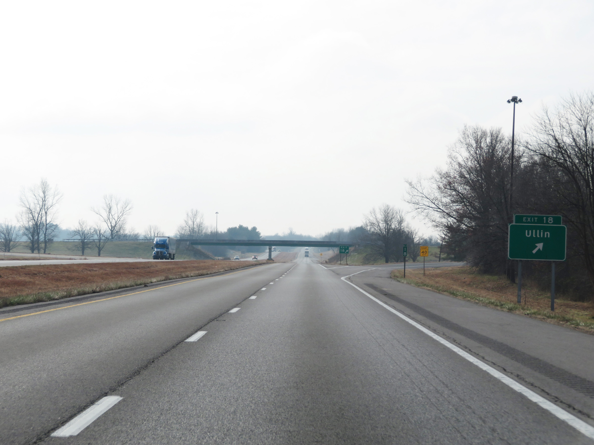 |
Interstate 57 South at Exit 18: Ullin (Photo taken 12/15/20). |
 |
Another Interstate 57 South reassurance shield. (Photo taken 12/15/20). |
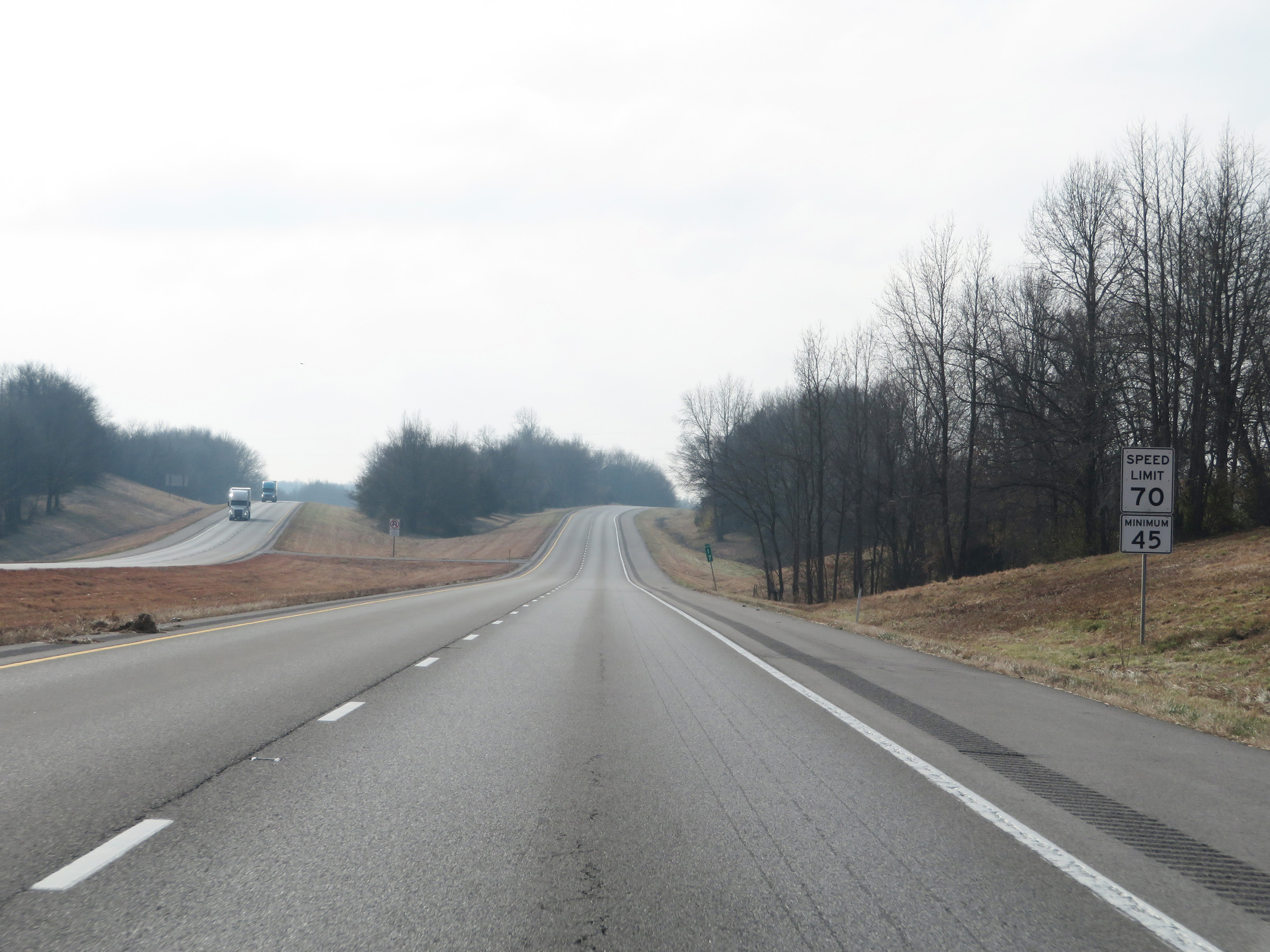 |
The speed limits remain the rural standard 70 mph maximum and 45 mph minimum. (Photo taken 12/15/20). |
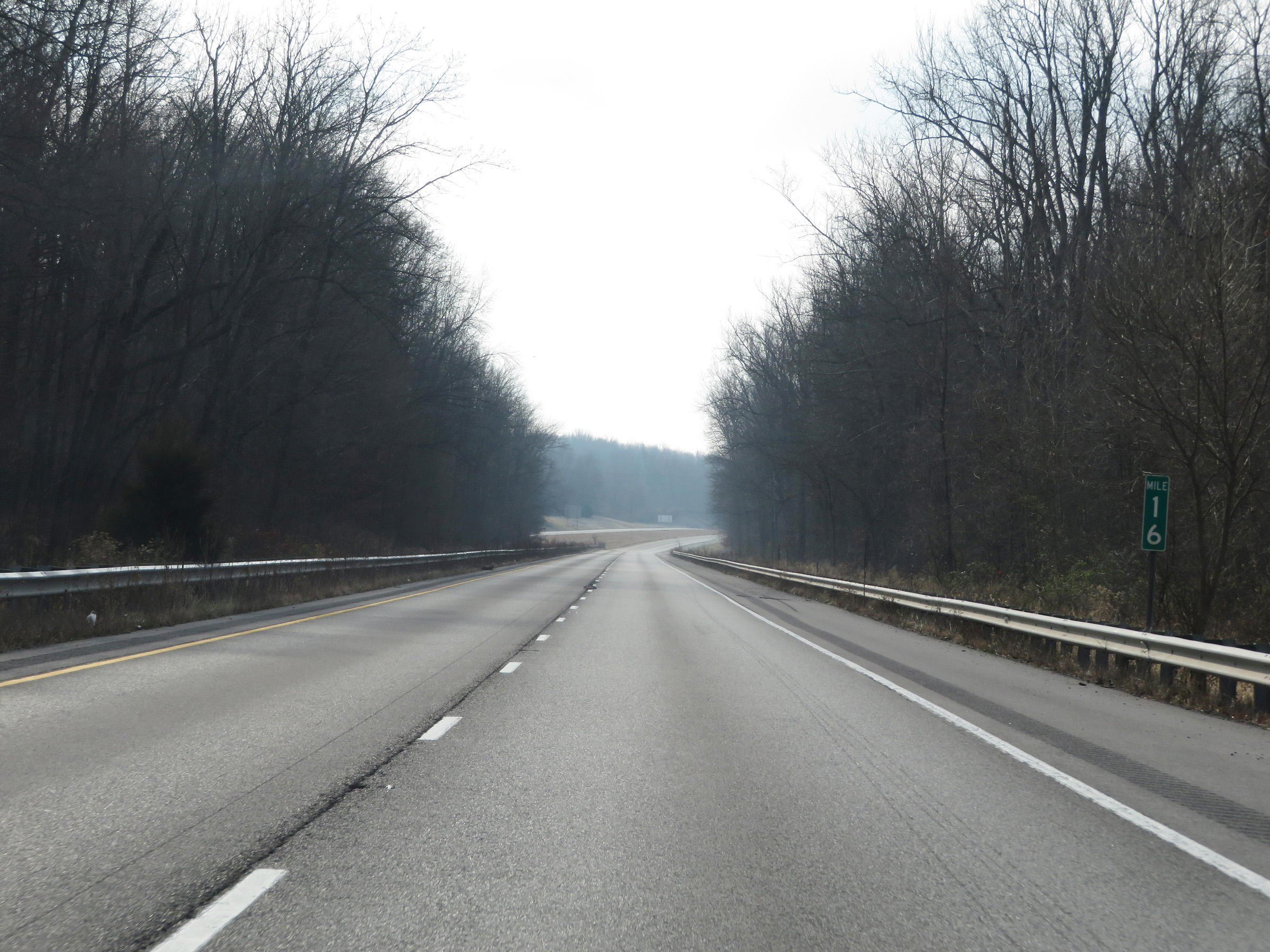 |
Interstate 57 South at mile marker 16. (Photo taken 12/15/20). |
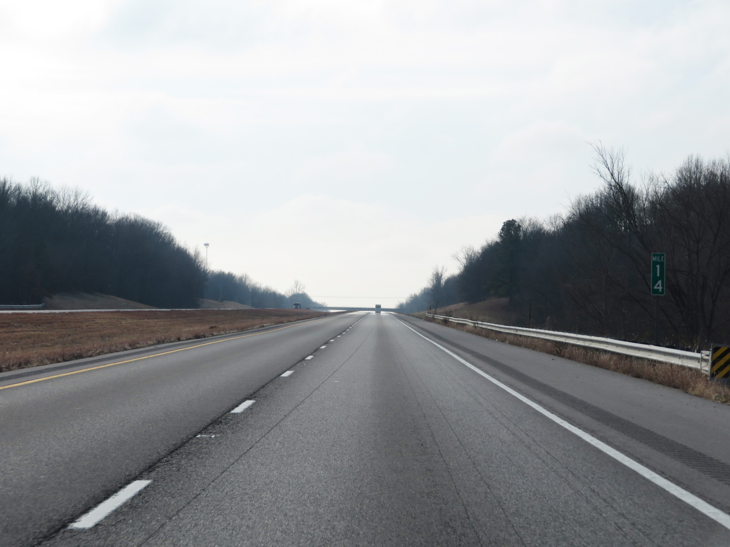 |
View on Interstate 57 South at mile marker 14. (Photo taken 12/15/20). |
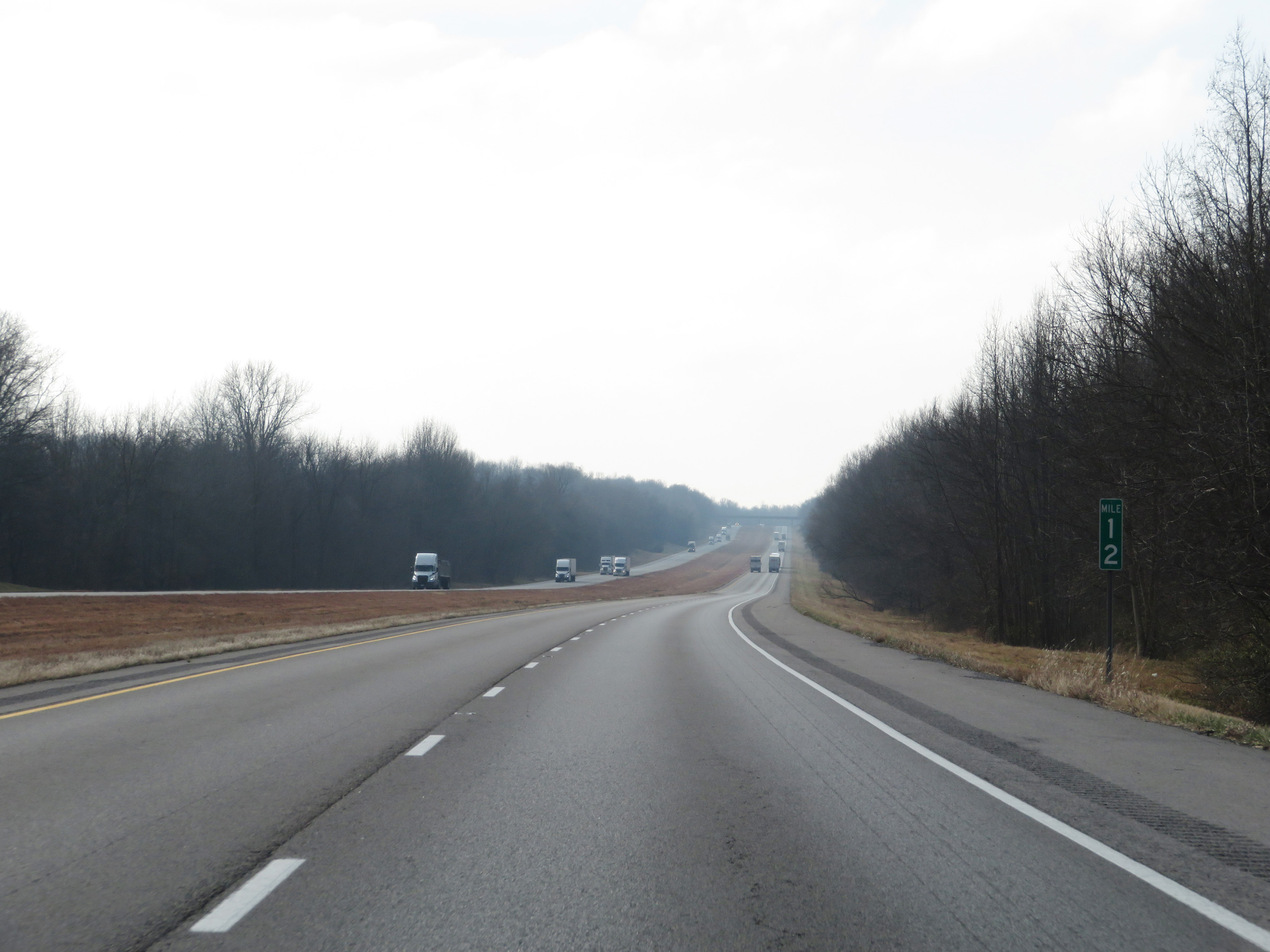 |
Mile marker 12 on Interstate 57 South in Pulaski County. (Photo taken 12/15/20). |
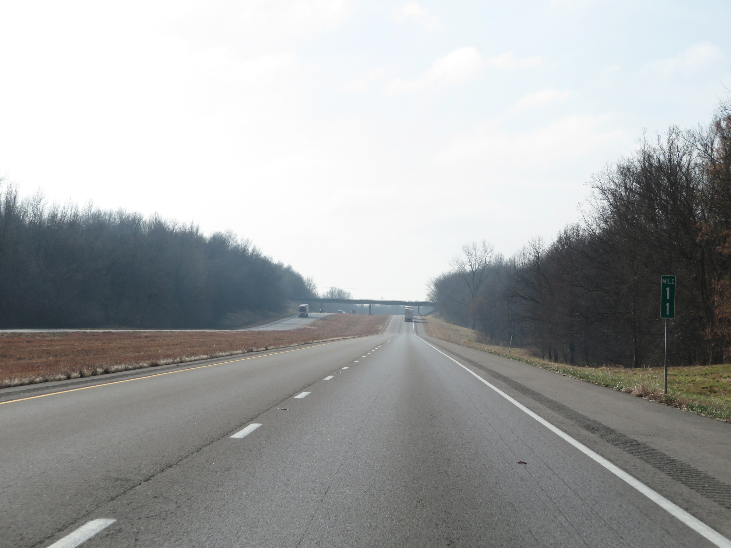 |
View on Interstate 57 South at mile marker 11. (Photo taken 12/15/20). |
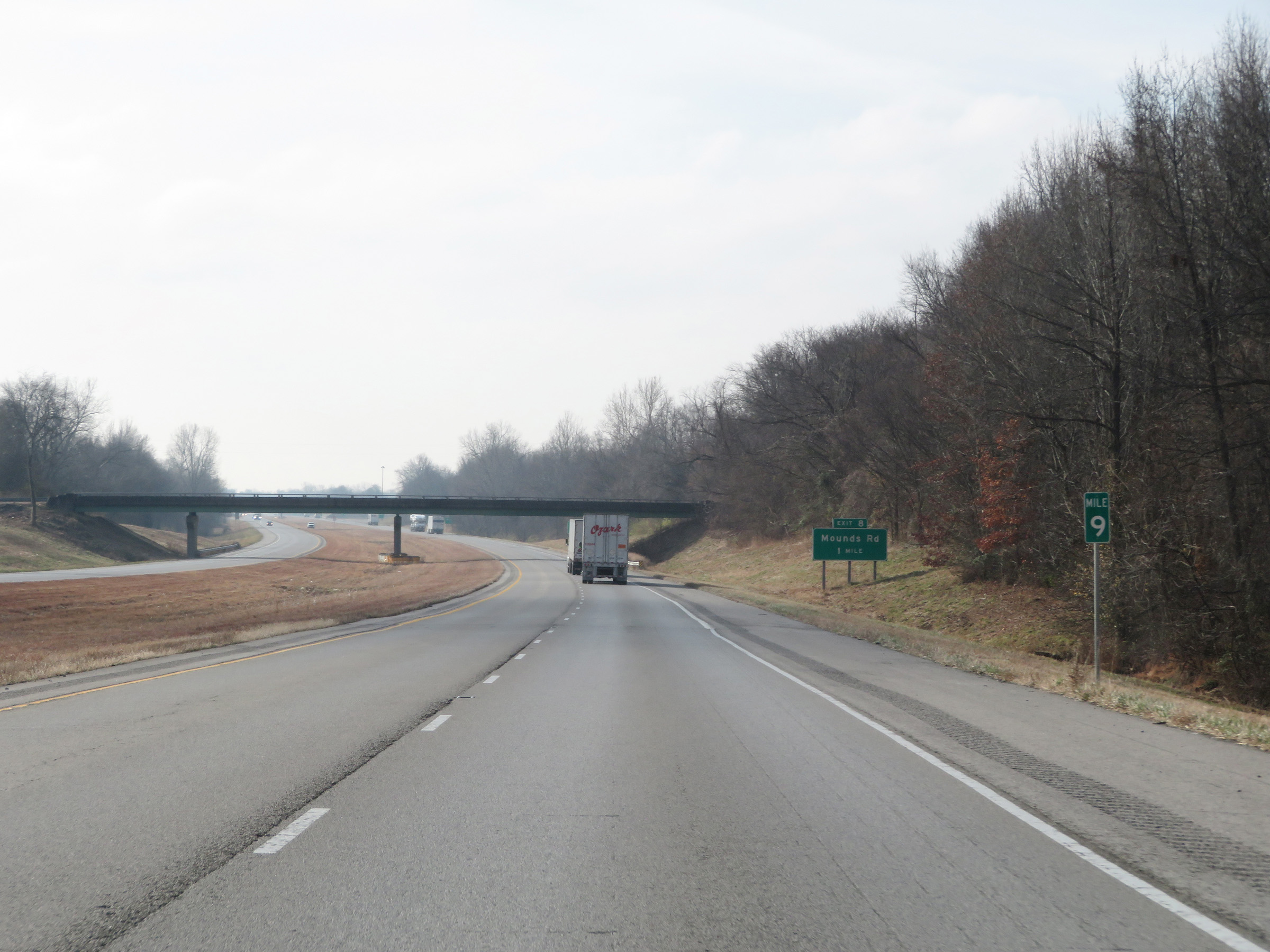 |
Interstate 57 South at mile marker 9. (Photo taken 12/15/20). |
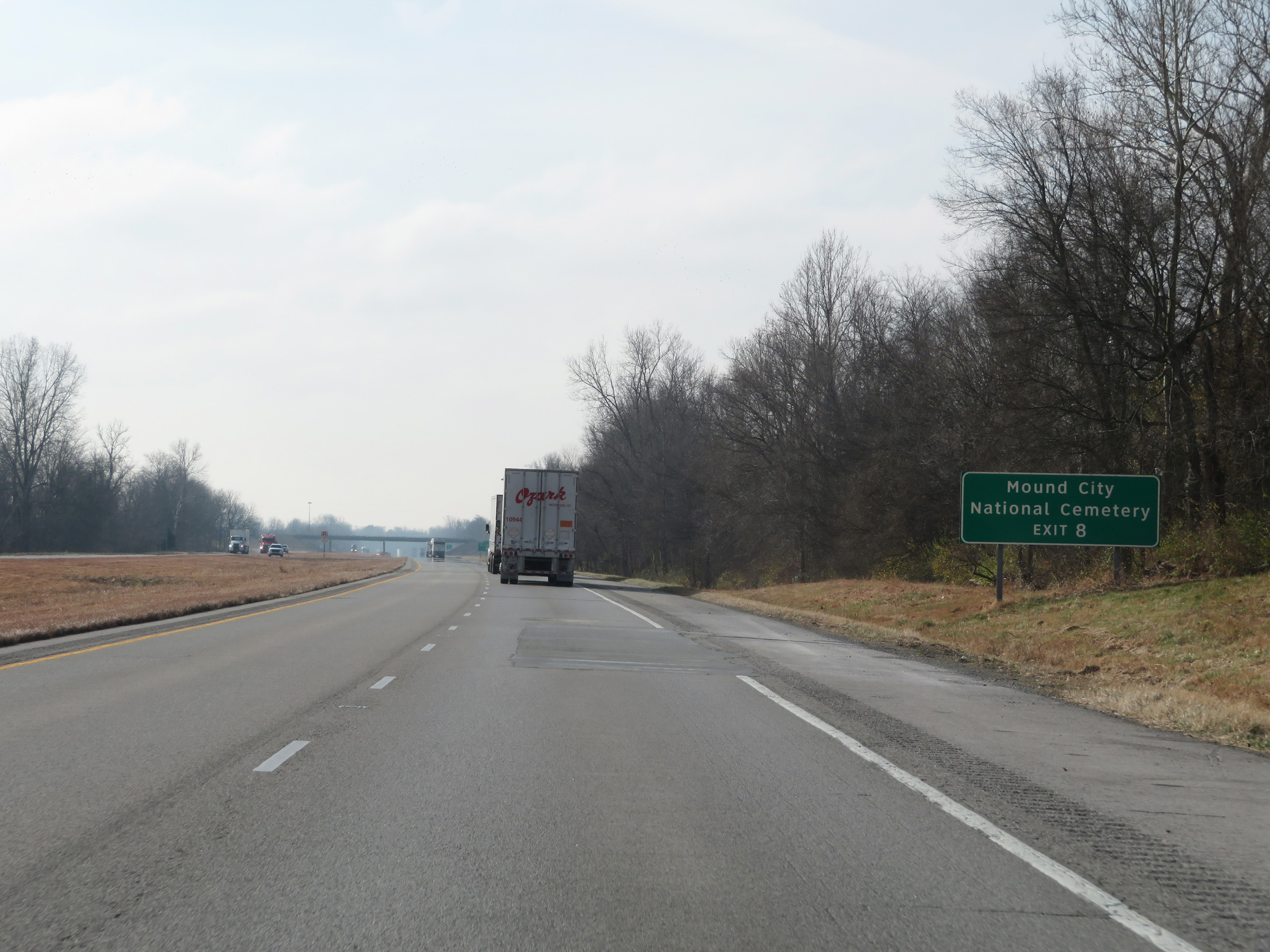 |
Take Exit 8 to Mound City National Cemetery. (Photo taken 12/15/20). |
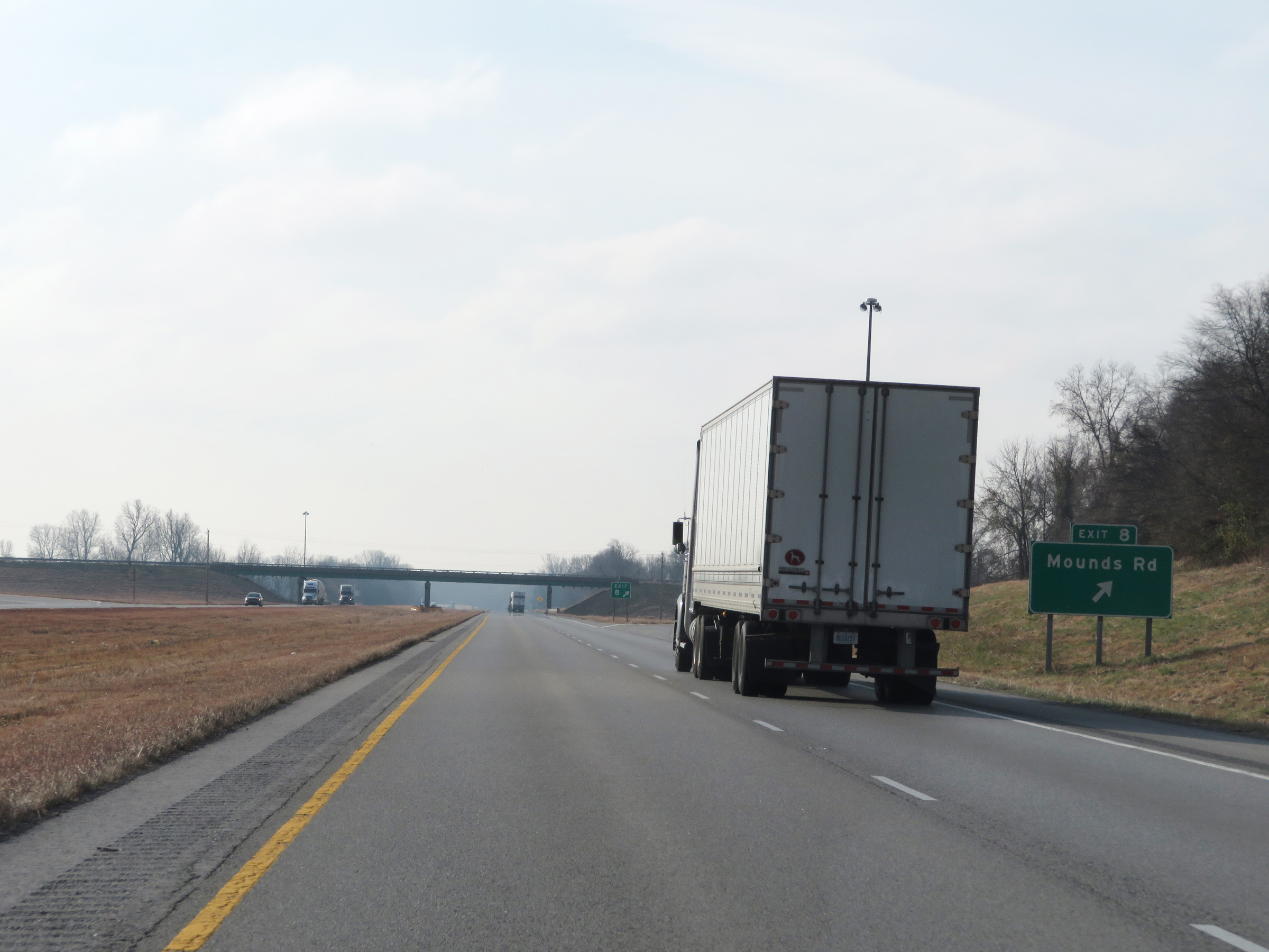 |
Interstate 57 South at Exit 8: Mounds Rd (Photo taken 12/15/20). |
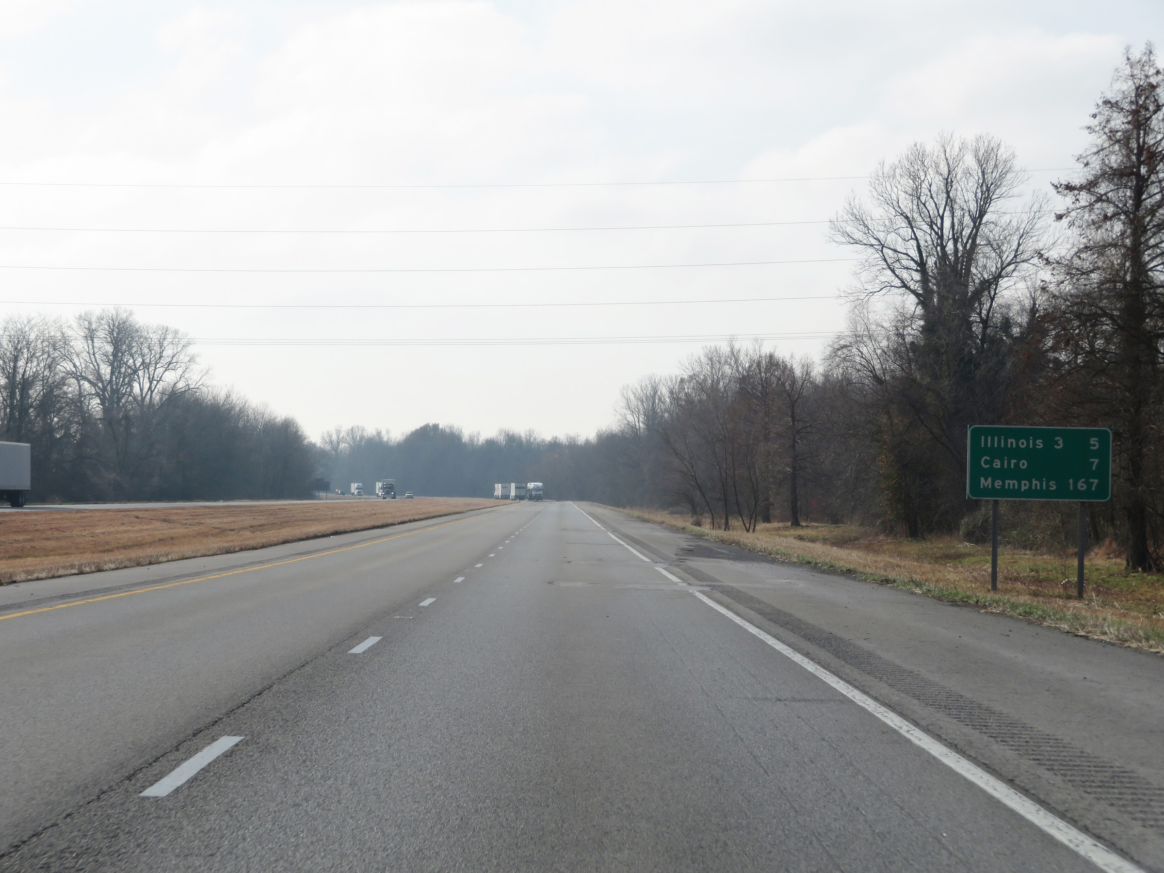 |
Another mileage sign on Interstate 57 South. It's 5 miles to the junction of IL 3, 7 miles to Cairo, and 167 miles to Memphis. (Photo taken 12/15/20). |
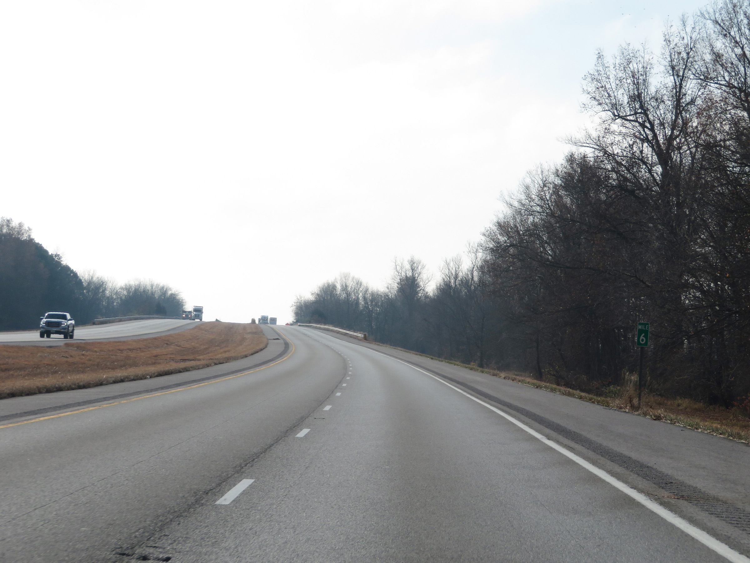 |
View on Interstate 57 South at mile marker 6. (Photo taken 12/15/20). |
 |
Interstate 57 South as it enters Alexander County. (Photo taken 12/15/20). |
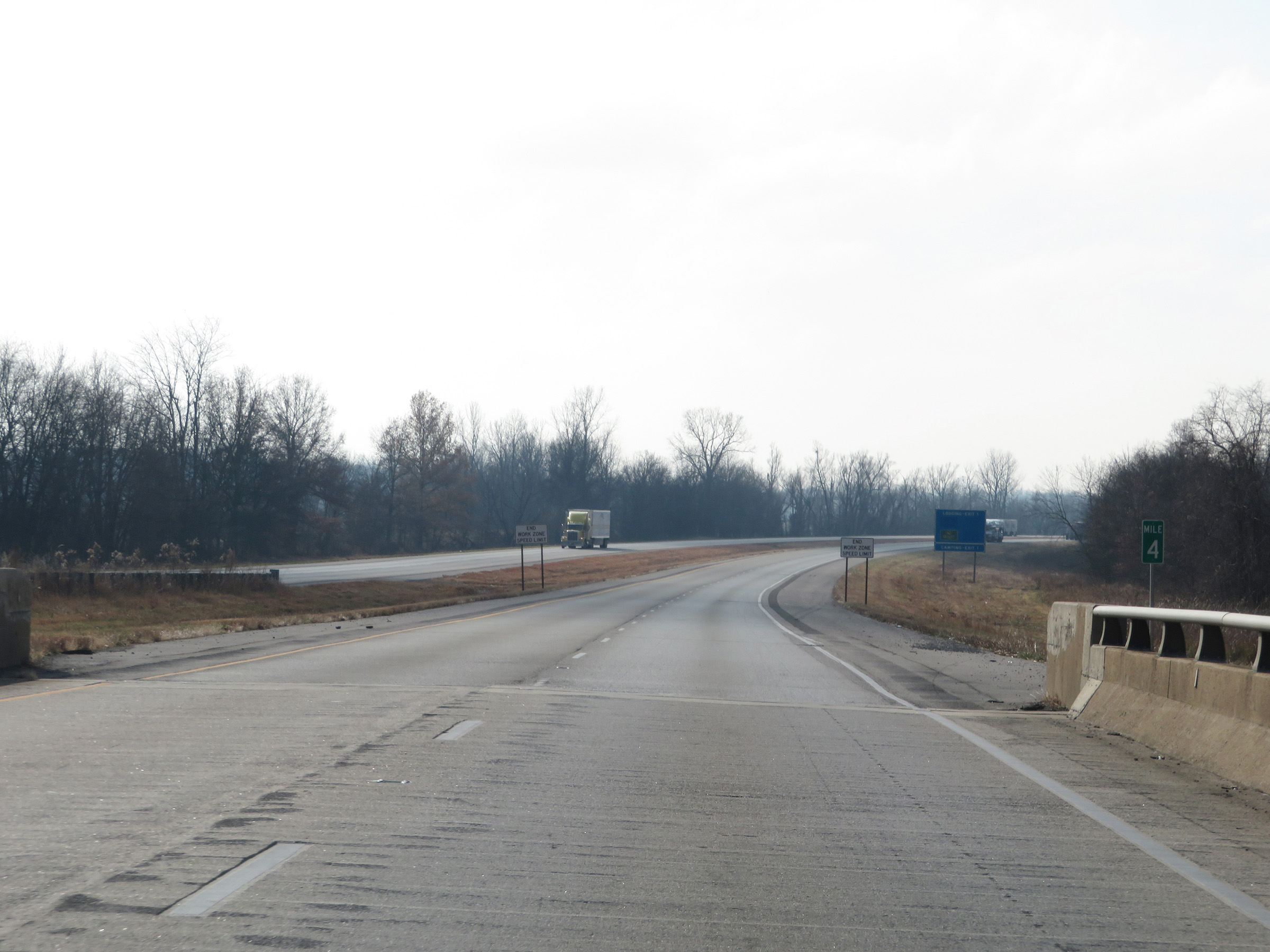 |
View on Interstate 57 South at mile marker 4. (Photo taken 12/15/20). |
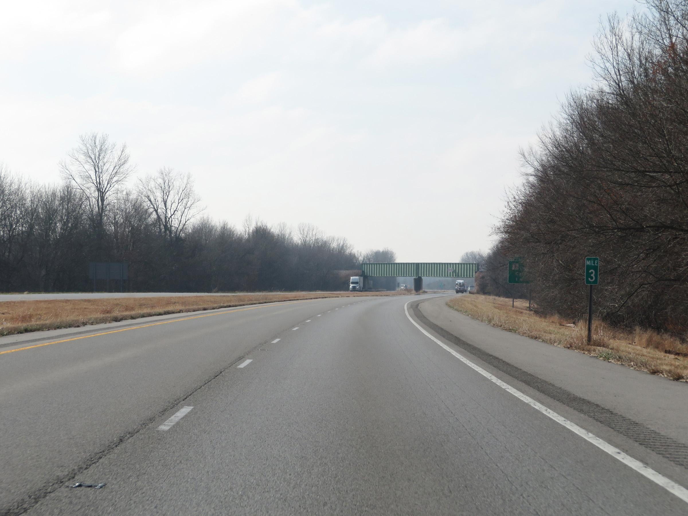 |
Interstate 57 South at mile marker 3. (Photo taken 12/15/20). |
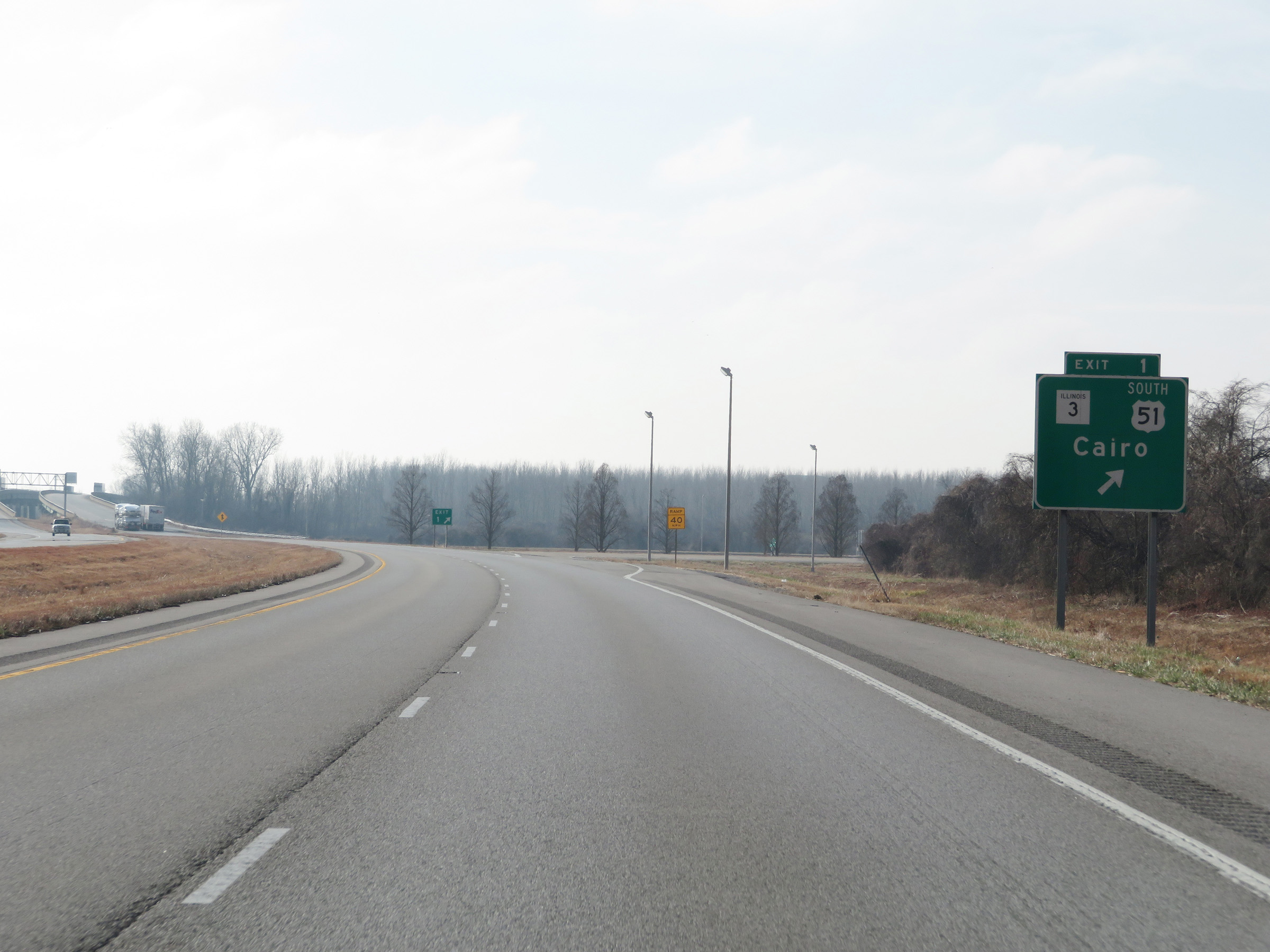 |
Interstate 57 South at Exit 1: US 51 South / IL 3 - Cairo (Photo taken 12/15/20). |
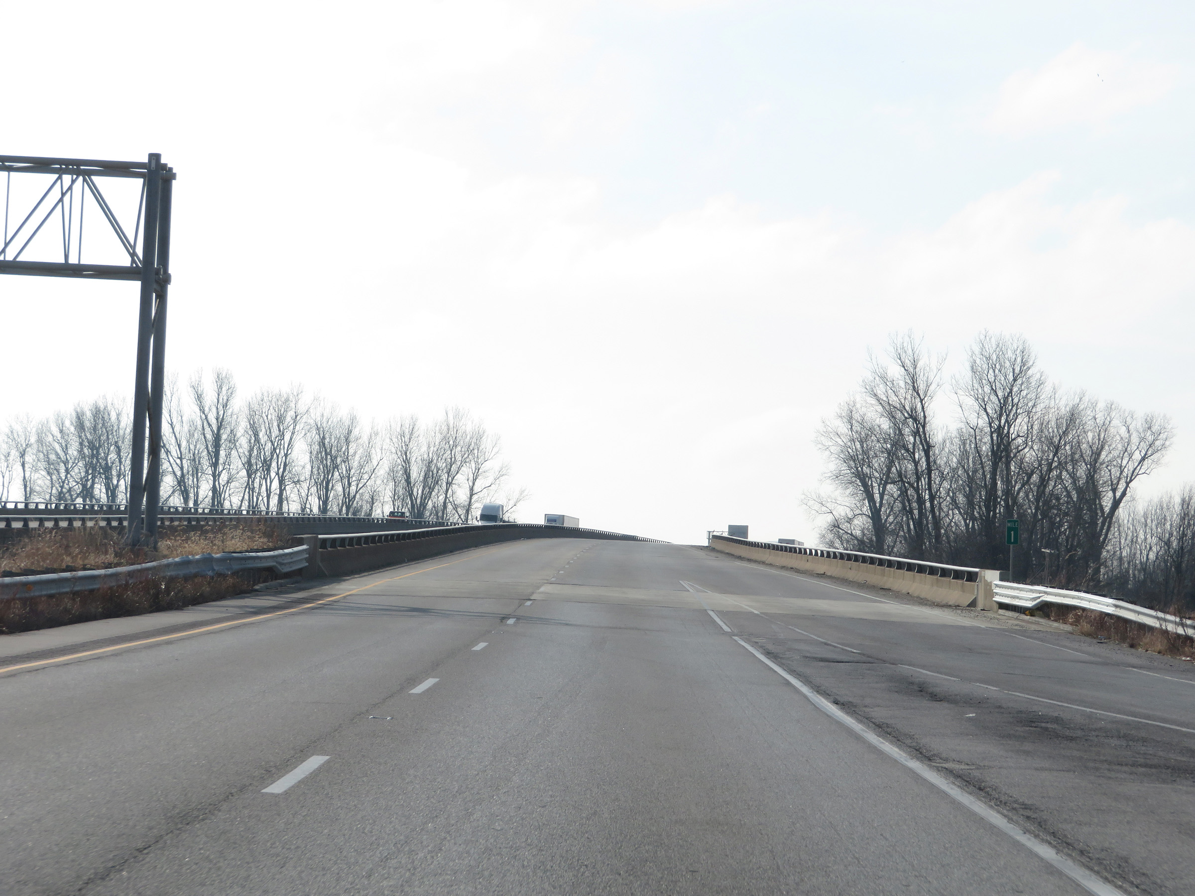 |
View on Interstate 57 South at mile marker 1, as it begins to approach the Mississippi River. (Photo taken 12/15/20). |
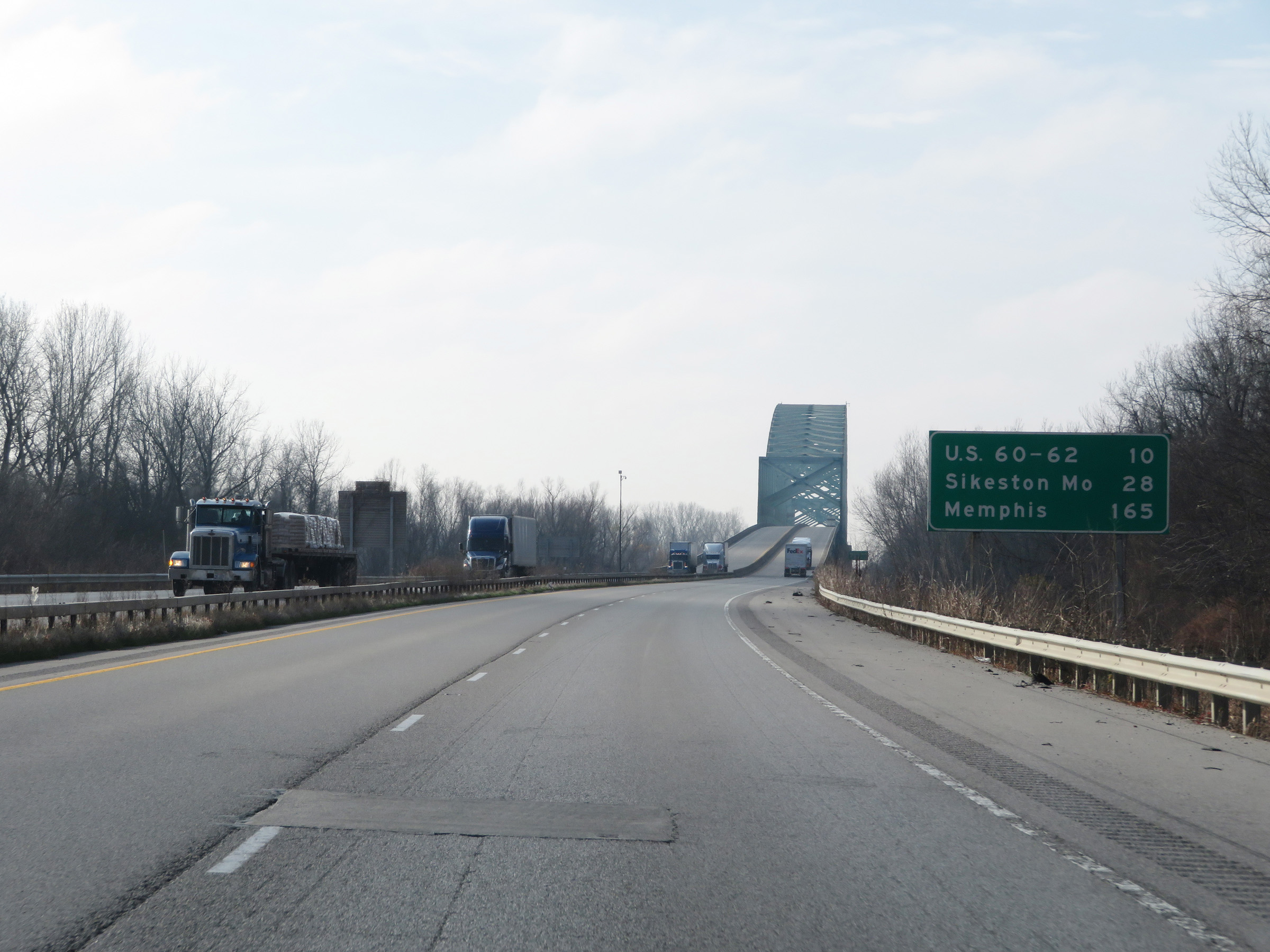 |
Mileage sign on Interstate 57 South as the Interstate 57 Bridge over the Mississippi River comes into view. It's 10 miles to the junction of US 60 / US 62, 28 miles to Sikeston, MO, and 165 miles to Memphis. (Photo taken 12/15/20). |
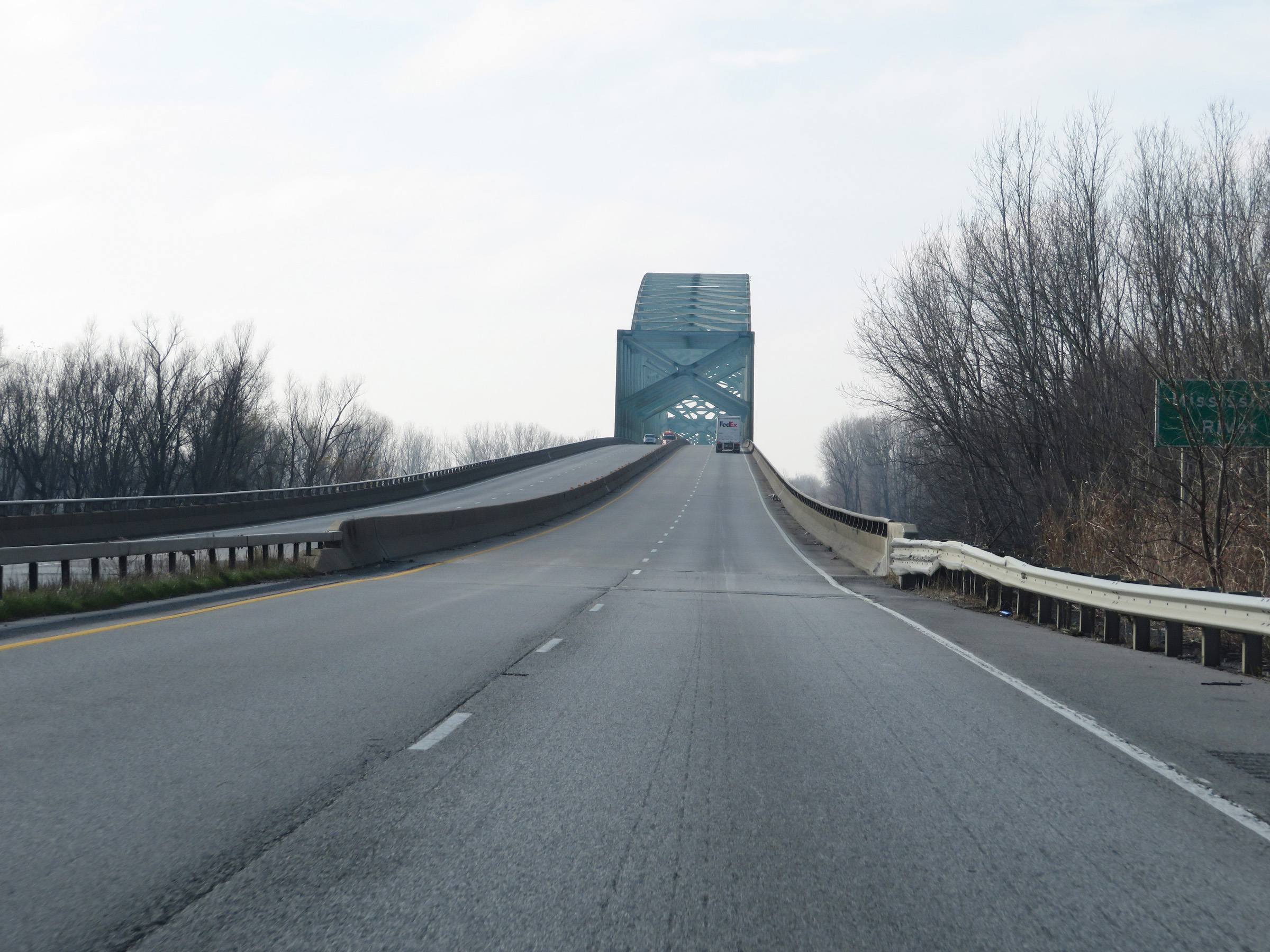 |
Interstate 57 South as it begins to ascend the Interstate 57 Bridge over the Mississippi River. (Photo taken 12/15/20). |
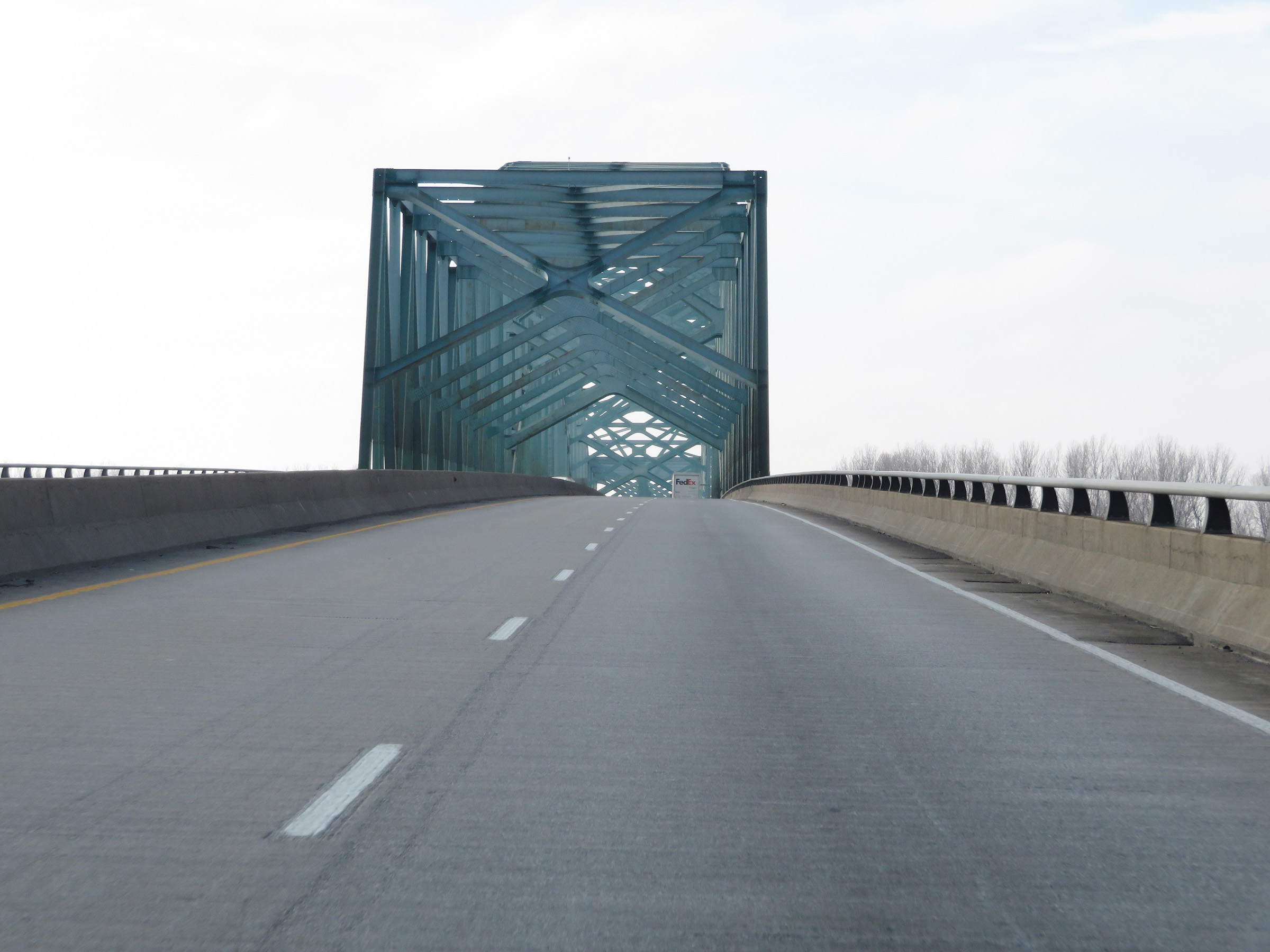 |
Interstate 57 South as it crosses the Mississippi River on the Interstate 57 Bridge. (Photo taken 12/15/20). |
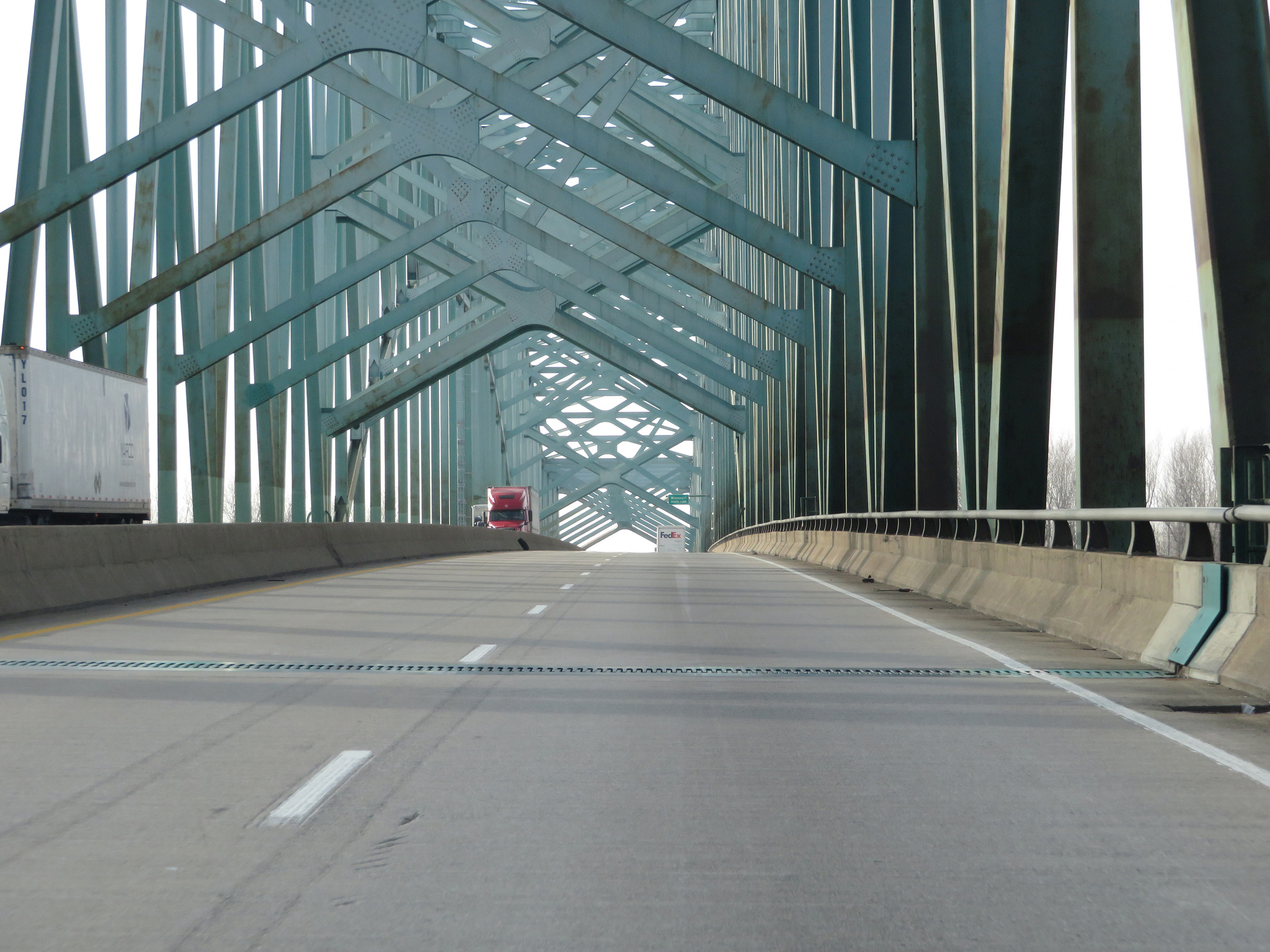 |
Another view on the Interstate 57 Bridge as it crosses the Mississippi River. Halfway across the bridge will be the Missouri state line. (Photo taken 12/15/20). |
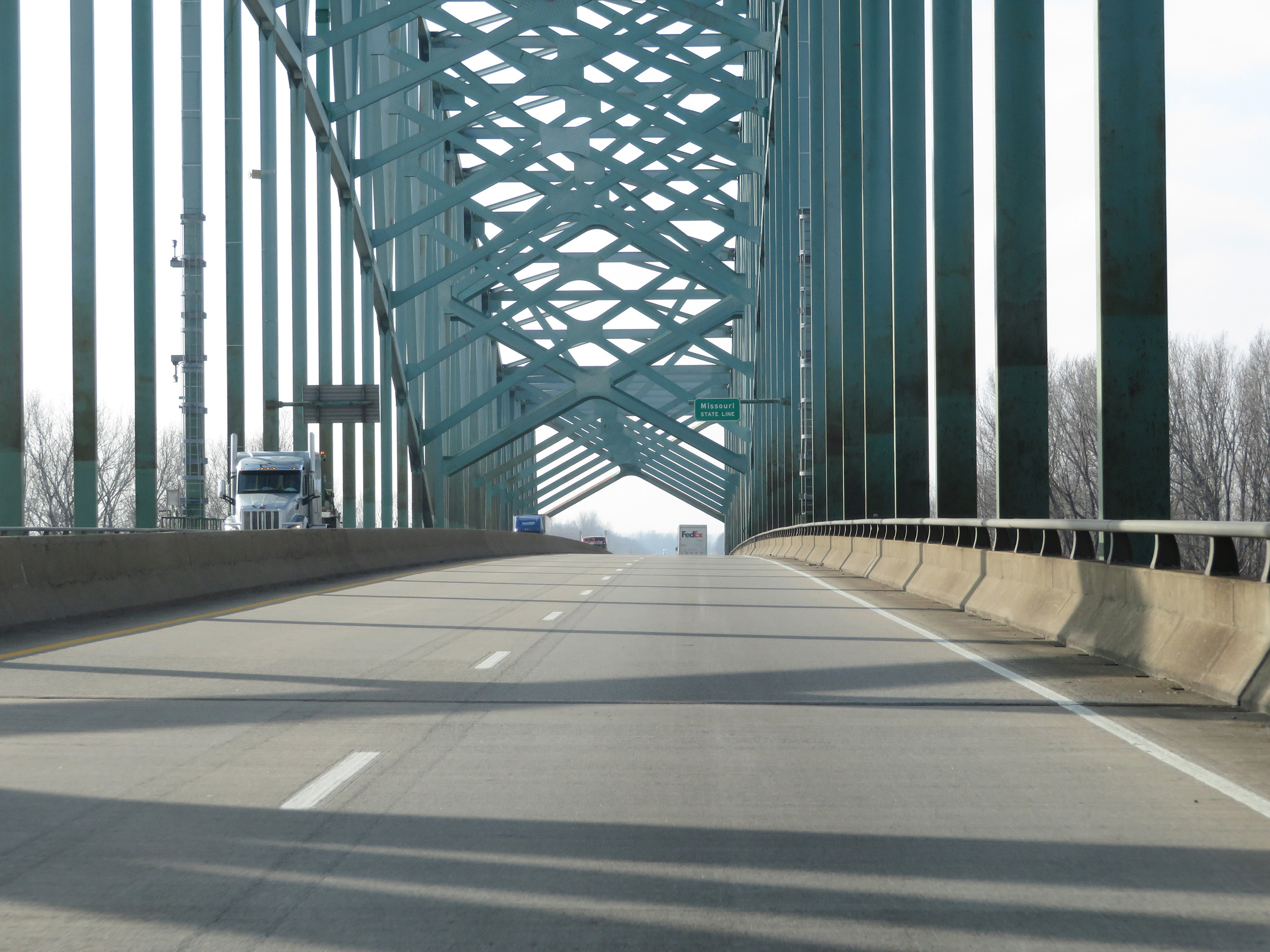 |
Interstate 57 South as it crosses the Mississippi River and prepares to leave Illinois to enter Missouri halfway across the Interstate 57 Bridge. (Photo taken 12/15/20). |