Road Information |
||
 |
||
| Total Mileage in State: | 365 miles | |
| Northern End: | At I-94, in Chicago | |
| Southern End: | At Missouri state line | |
| Mileage covered in Photos: | 45 miles | |
| Counties covered in Photos: | Alexander, Pulaski, Union, Johnson, Williamson | |
| Major Junctions in Photos: | US 51 North, near Dongola I-24 East, near Goreville |
|
| Control Cities in Photos: | Cairo, Marion | |
Northbound
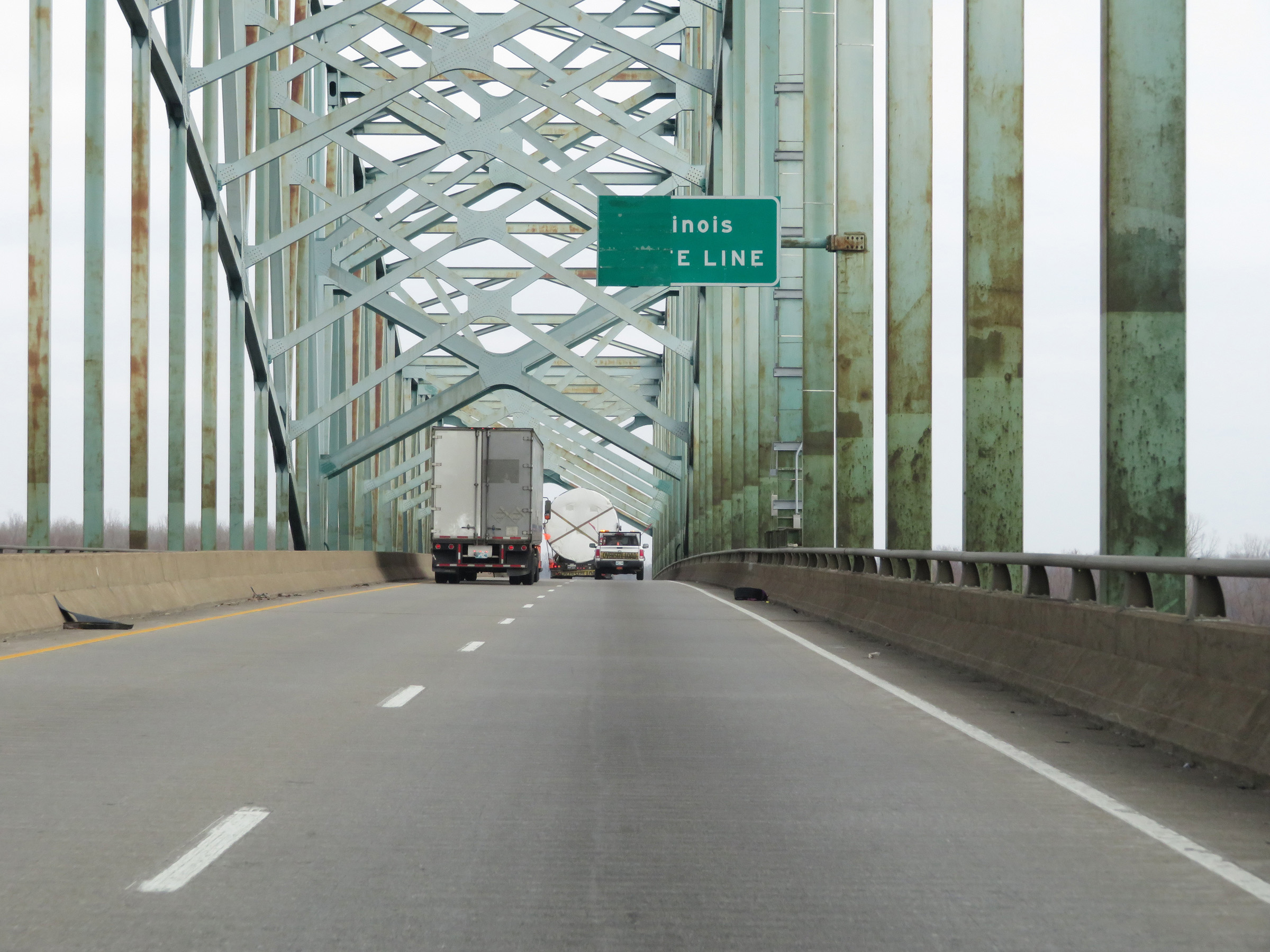 |
Interstate 57 North as it enters Illinois from Missouri by crossing the Interstate 57 Bridge over the Mississippi River. (Photo taken 12/15/20). |
 |
View on the Interstate 57 Bridge as it begins its descent. (Photo taken 12/15/20). |
 |
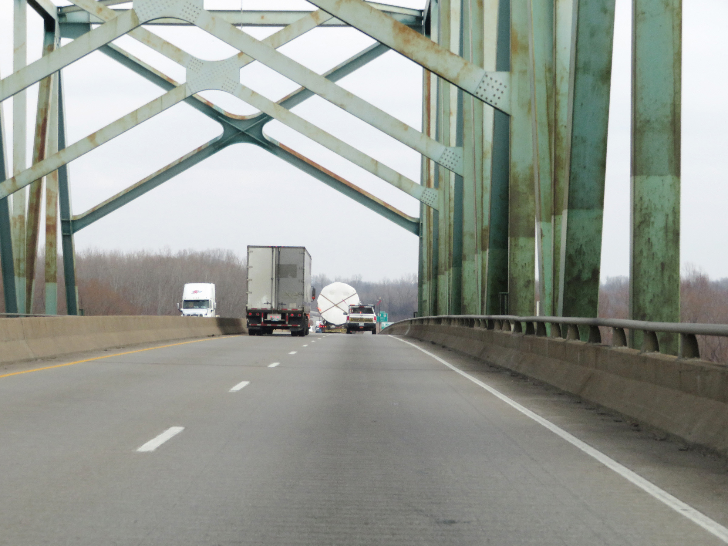
Interstate 57 North as it descends the eastern side of the Interstate 57 Bridge over the MIssissippi River. (Photo taken 12/15/20). |
 |
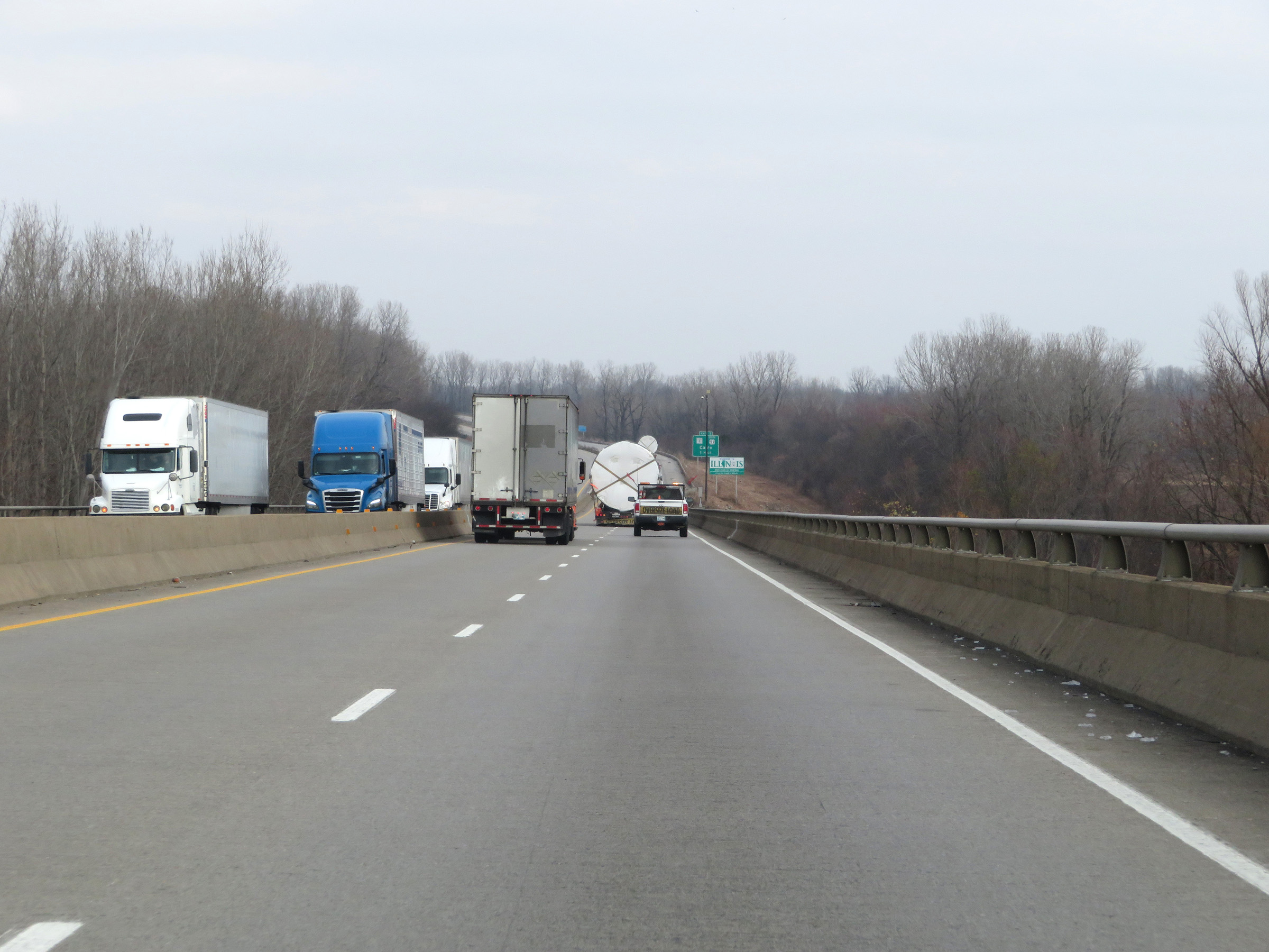
Illinois welcome sign as Interstate 57 North touches solid ground on the east side of the Mississippi River. (Photo taken 12/15/20). |
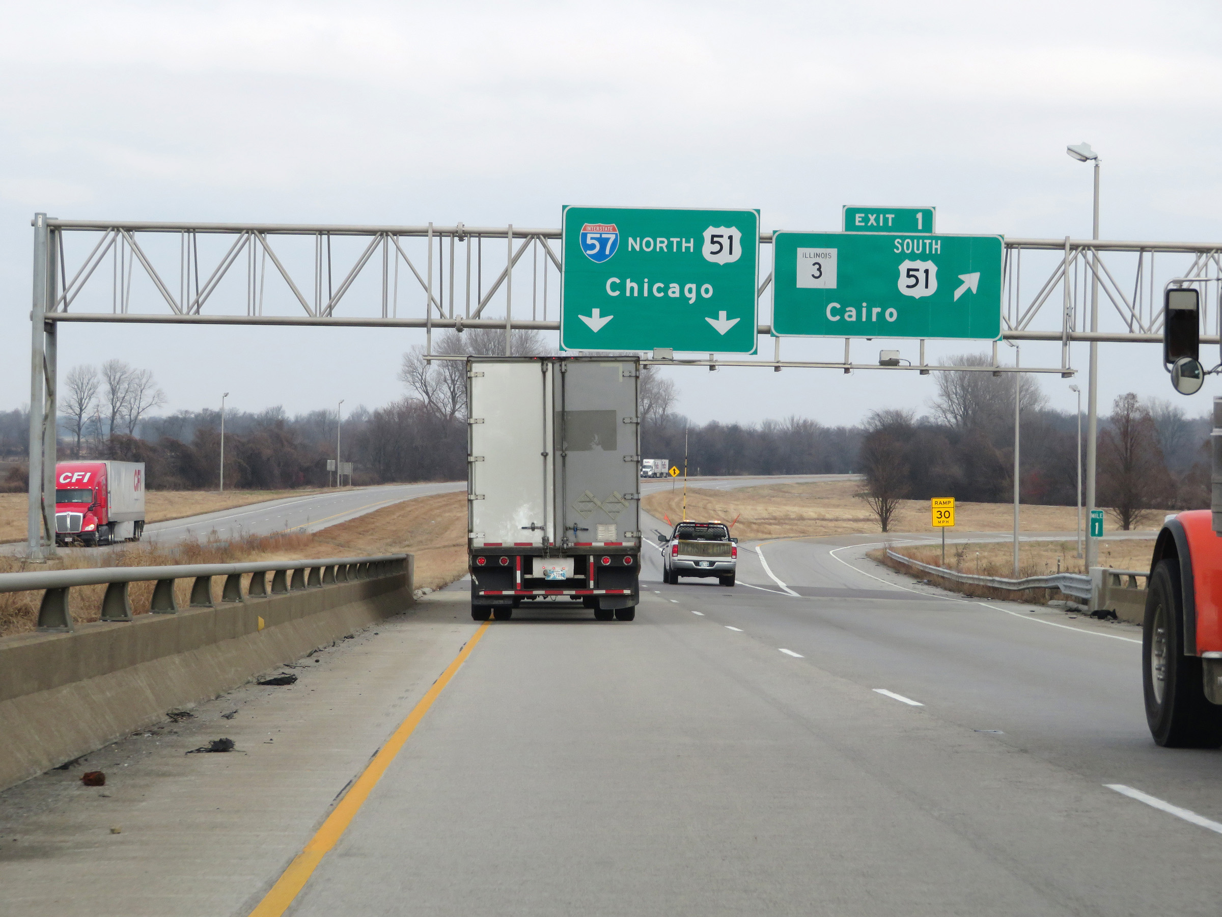 |
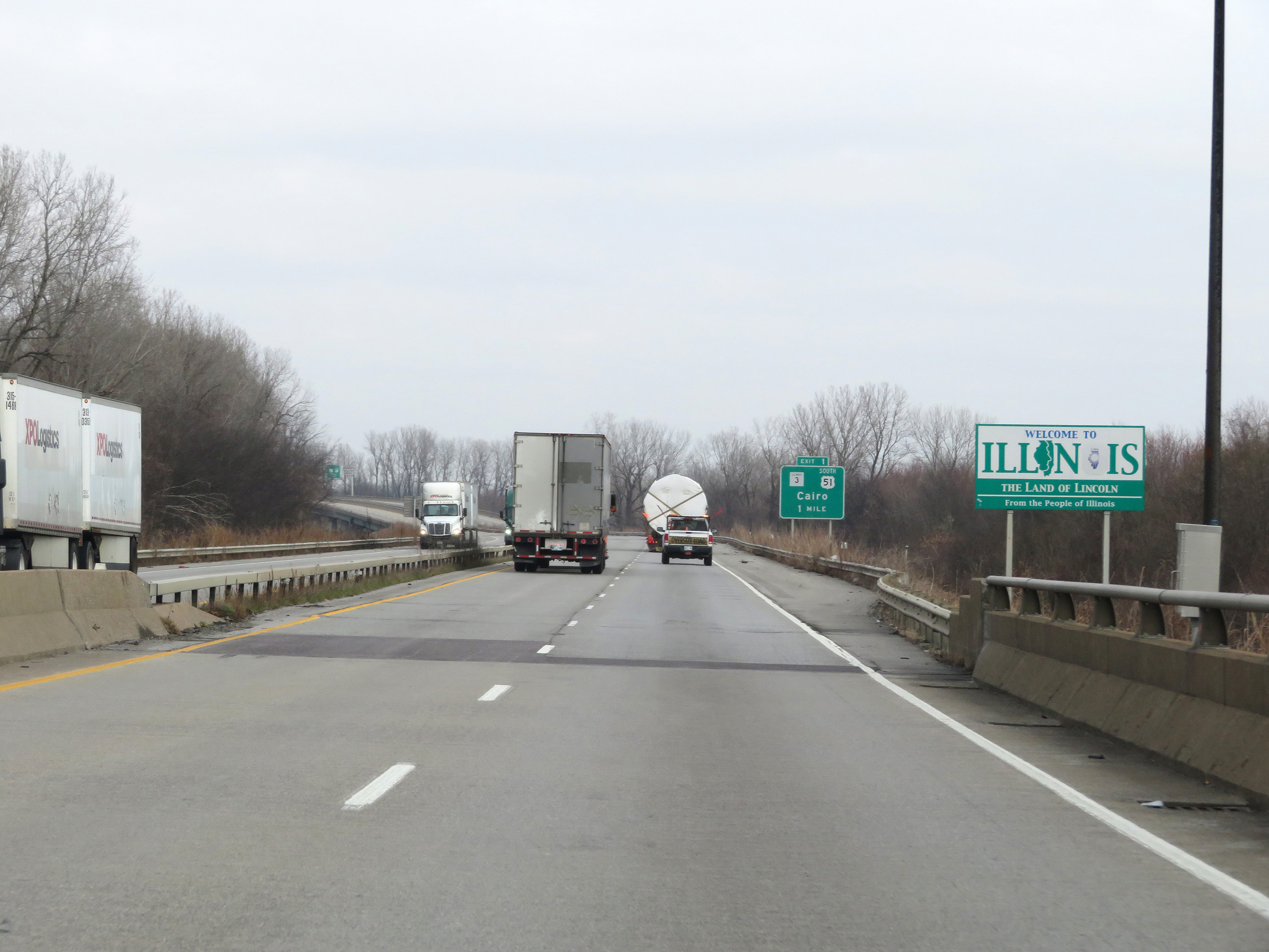
Interstate 57 North at Exit 1: US 51 South / IL 3 - Cairo (Photo taken 12/15/20). |
 |
Interstate 57 North at mile marker 2. (Photo taken 12/15/20). |
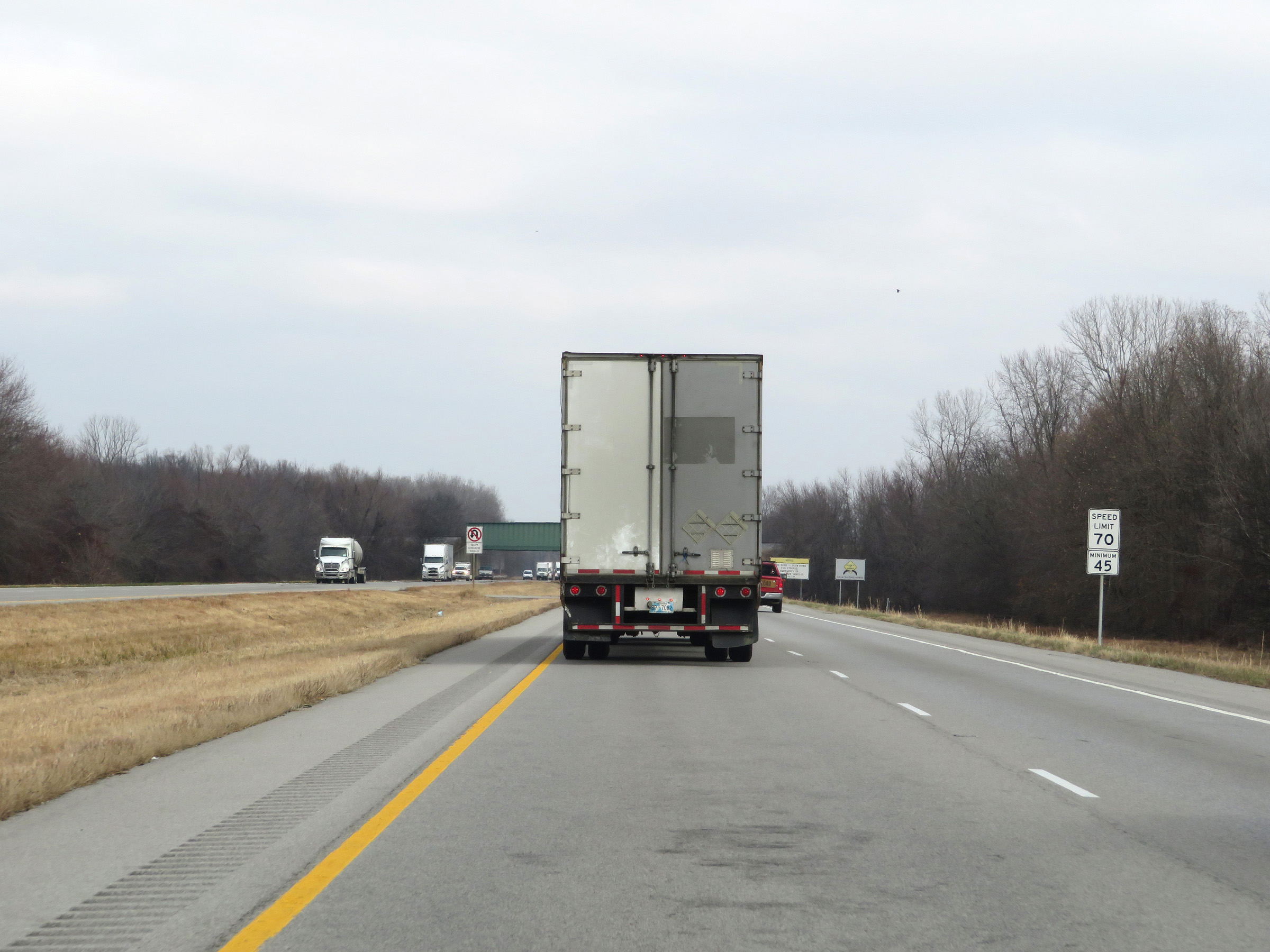 |
The speed limits on Interstate 57 North start out at 70 mph maximum and 45 mph minimum. These are the standard speed limits on most rural Interstate highways in Illinois. (Photo taken 12/15/20). |
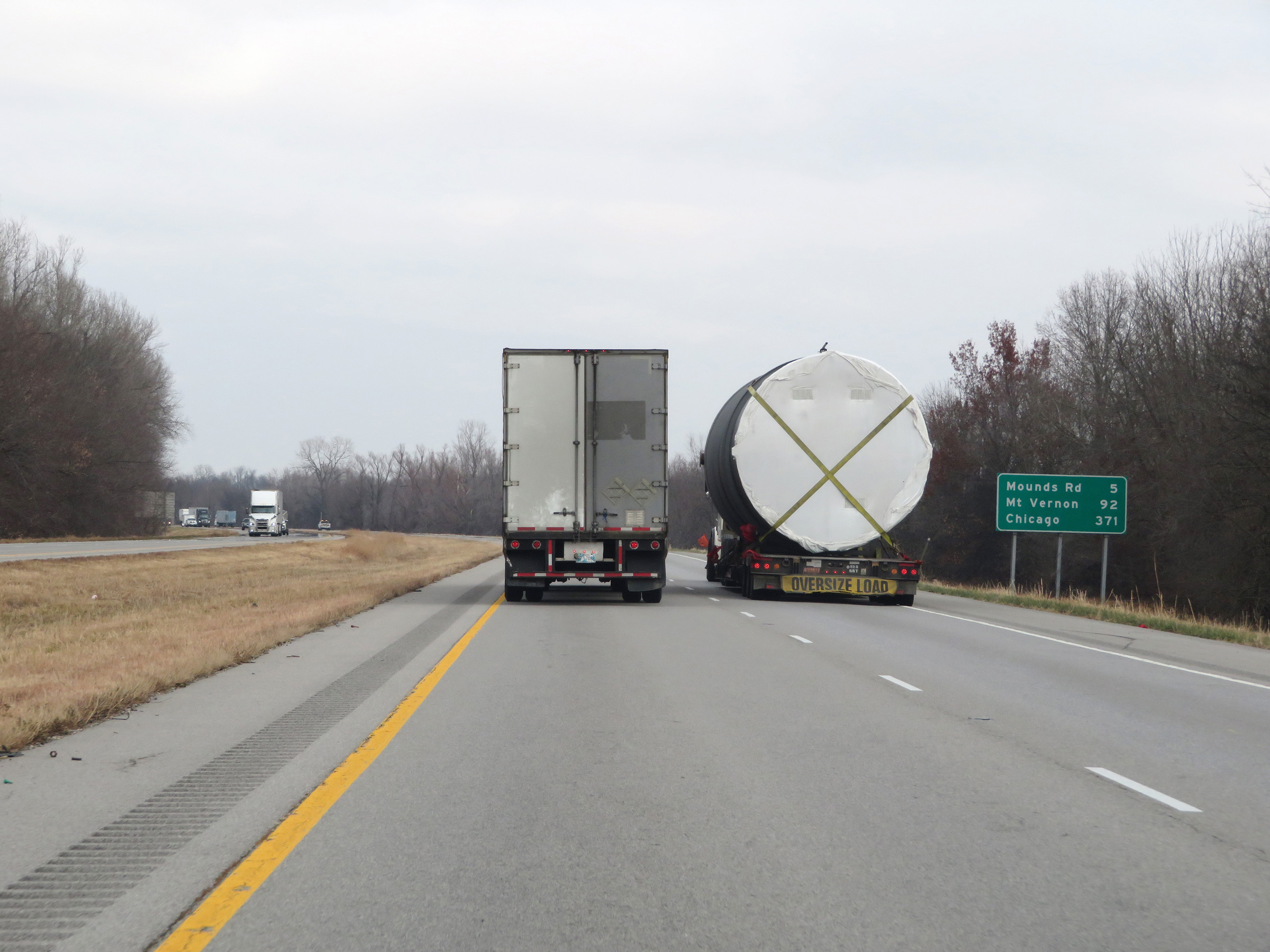 |
Mileage sign on Interstate 57 North. It's 5 miles to the junction of Mounds Rd via Exit 8, 92 miles to Mt. Vernon, and 371 miles to Chicago. (Photo taken 12/15/20). |
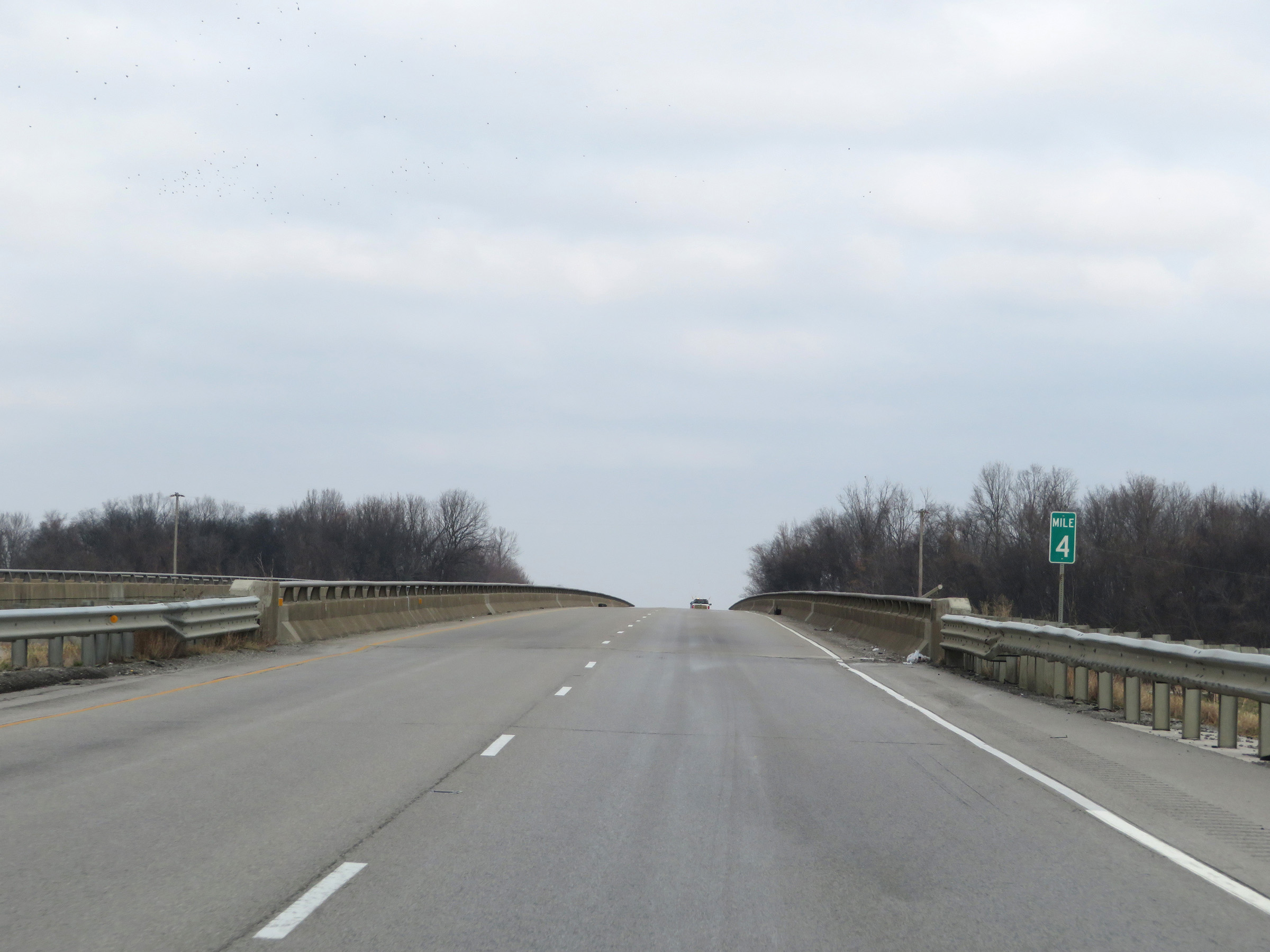 |
Interstate 57 North at mile marker 4. (Photo taken 12/15/20). |
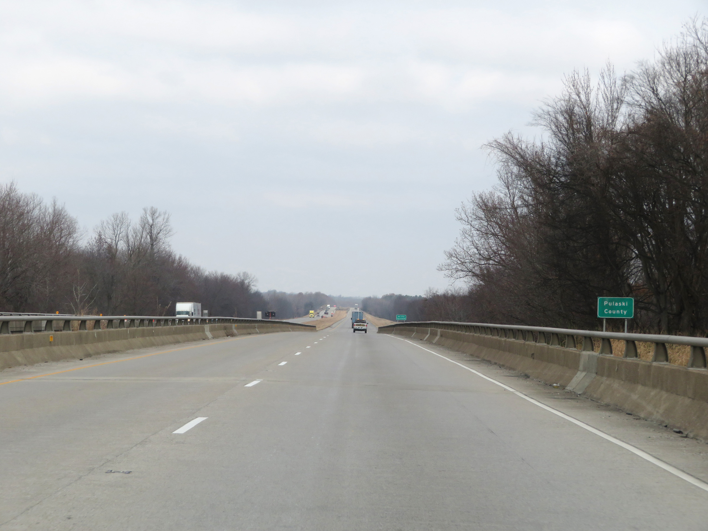 |
Interstate 57 North as it enters Pulaski County. (Photo taken 12/15/20). |
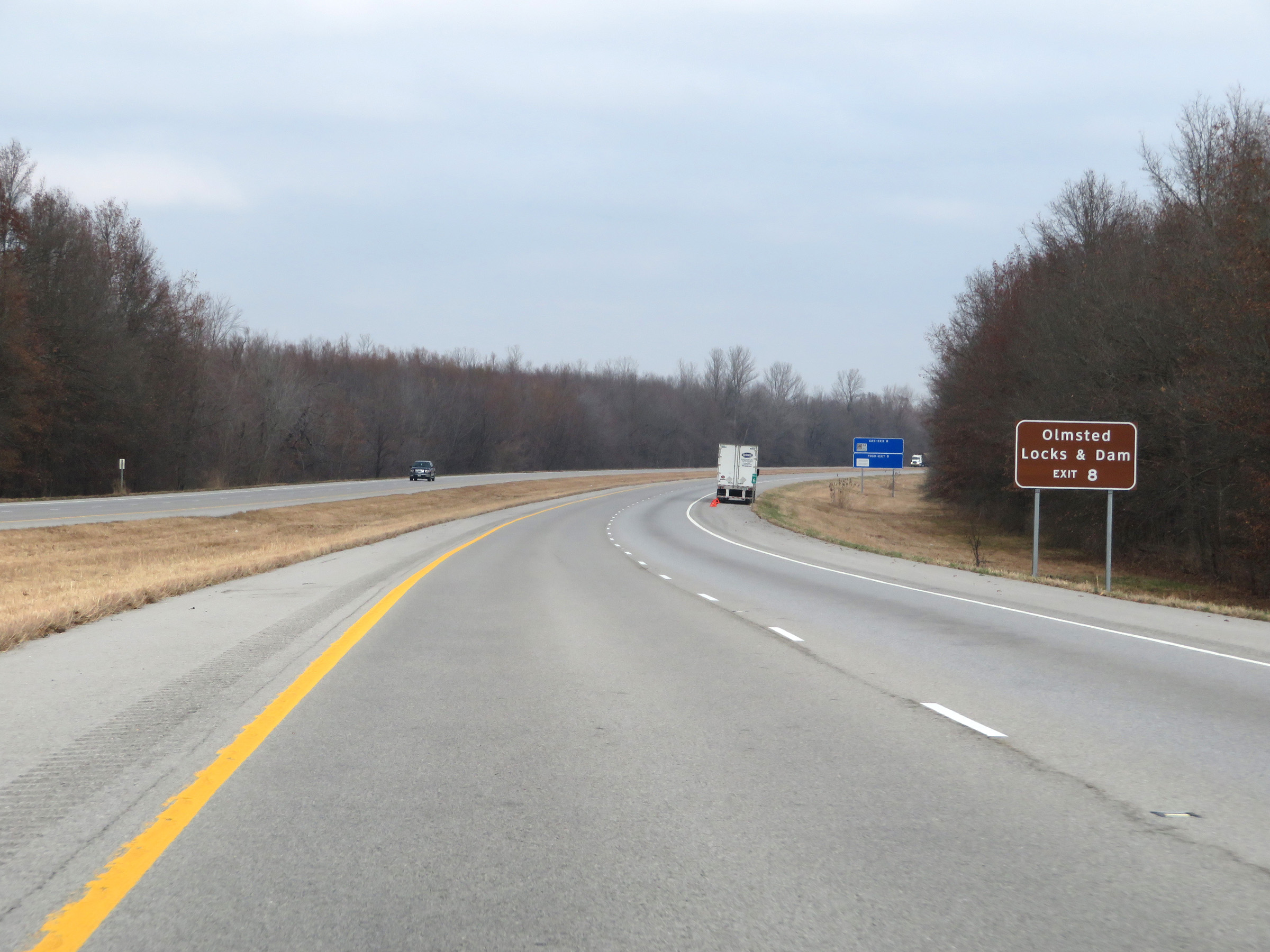 |
Take Exit 8 to Olmsted Locks & Dam. (Photo taken 12/15/20). |
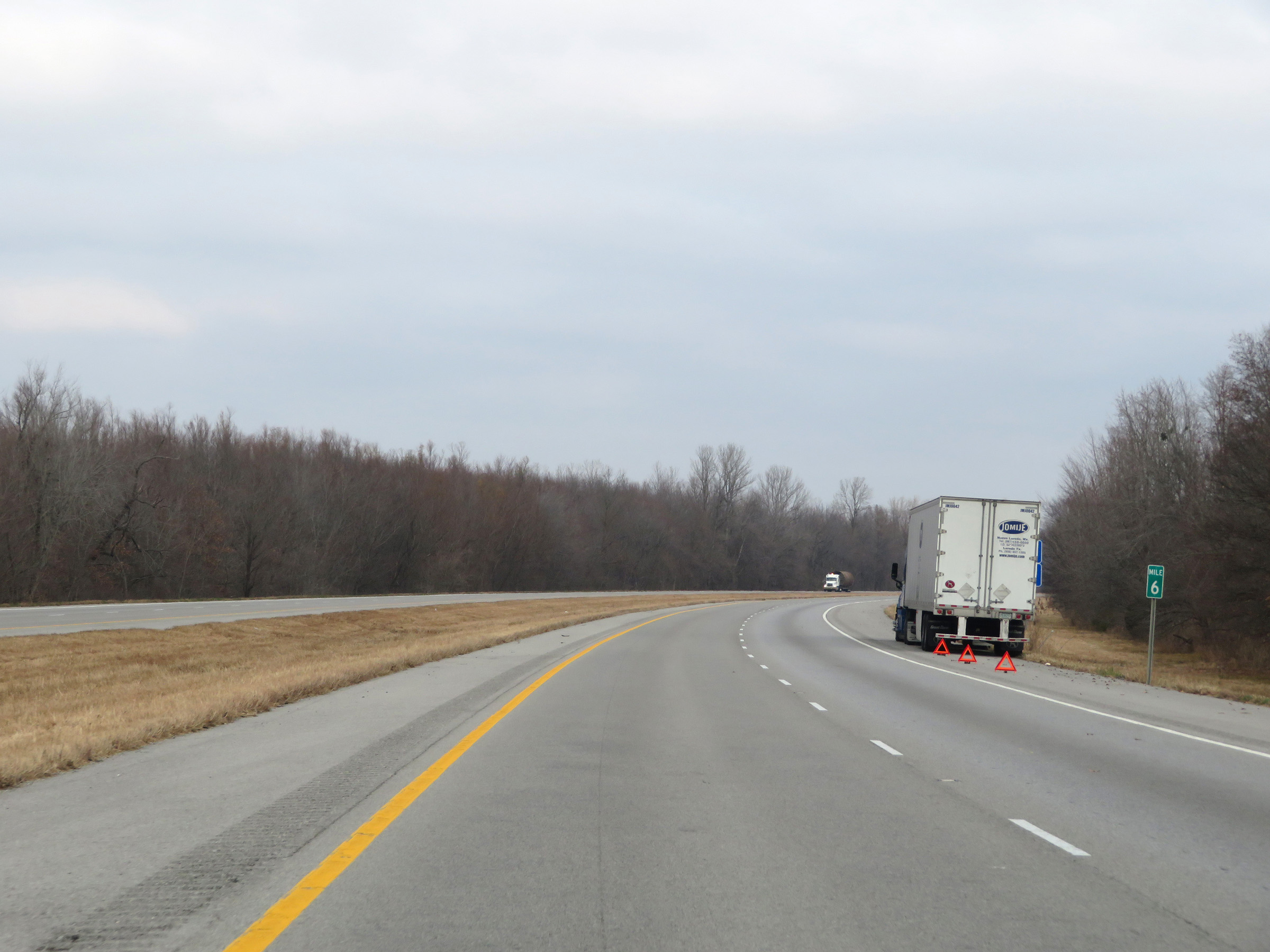 |
View on Interstate 57 North at mile marker 6. (Photo taken 12/15/20). |
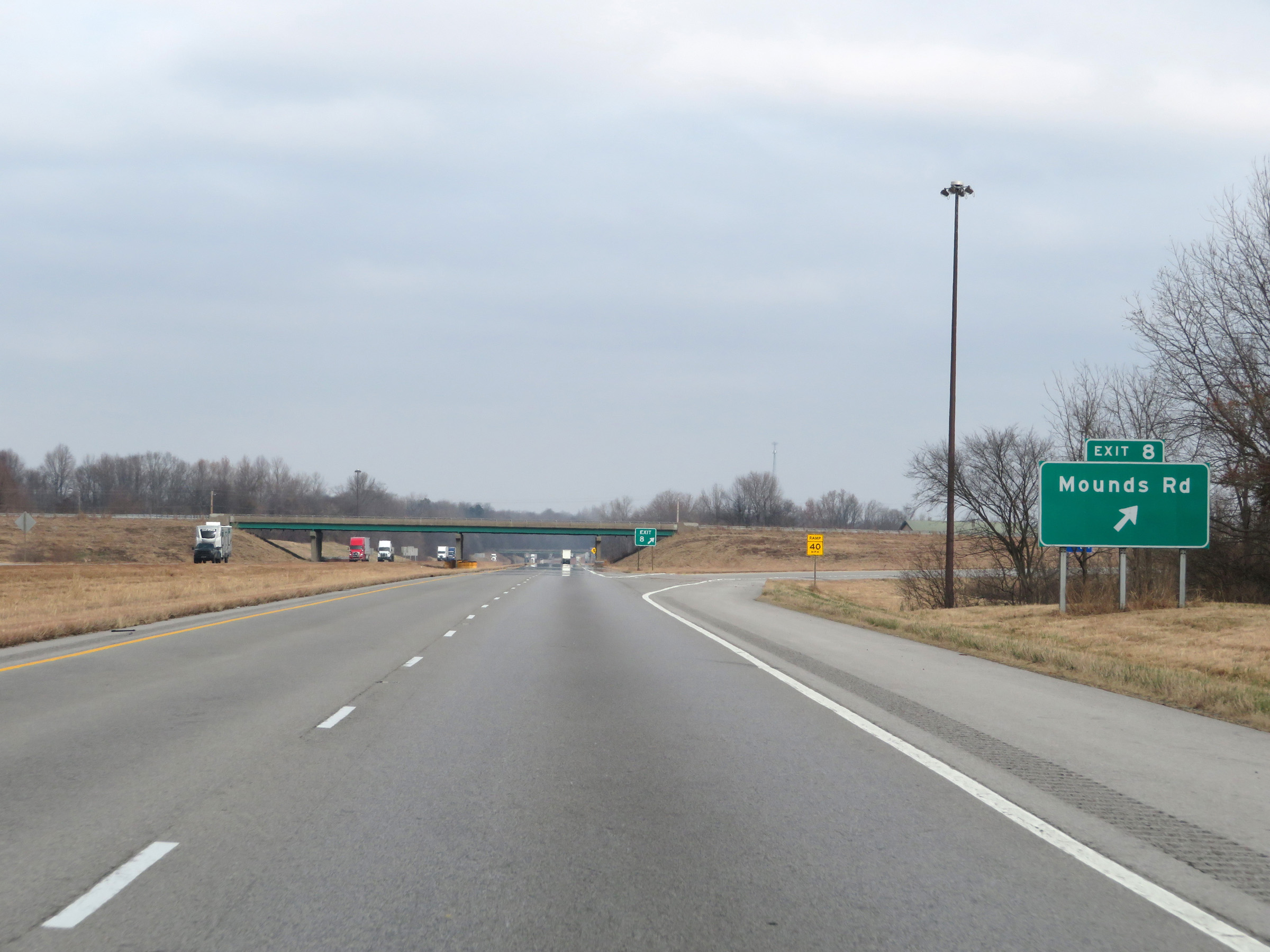 |
Interstate 57 North at Exit 8: Mounds Rd (Photo taken 12/15/20). |
 |
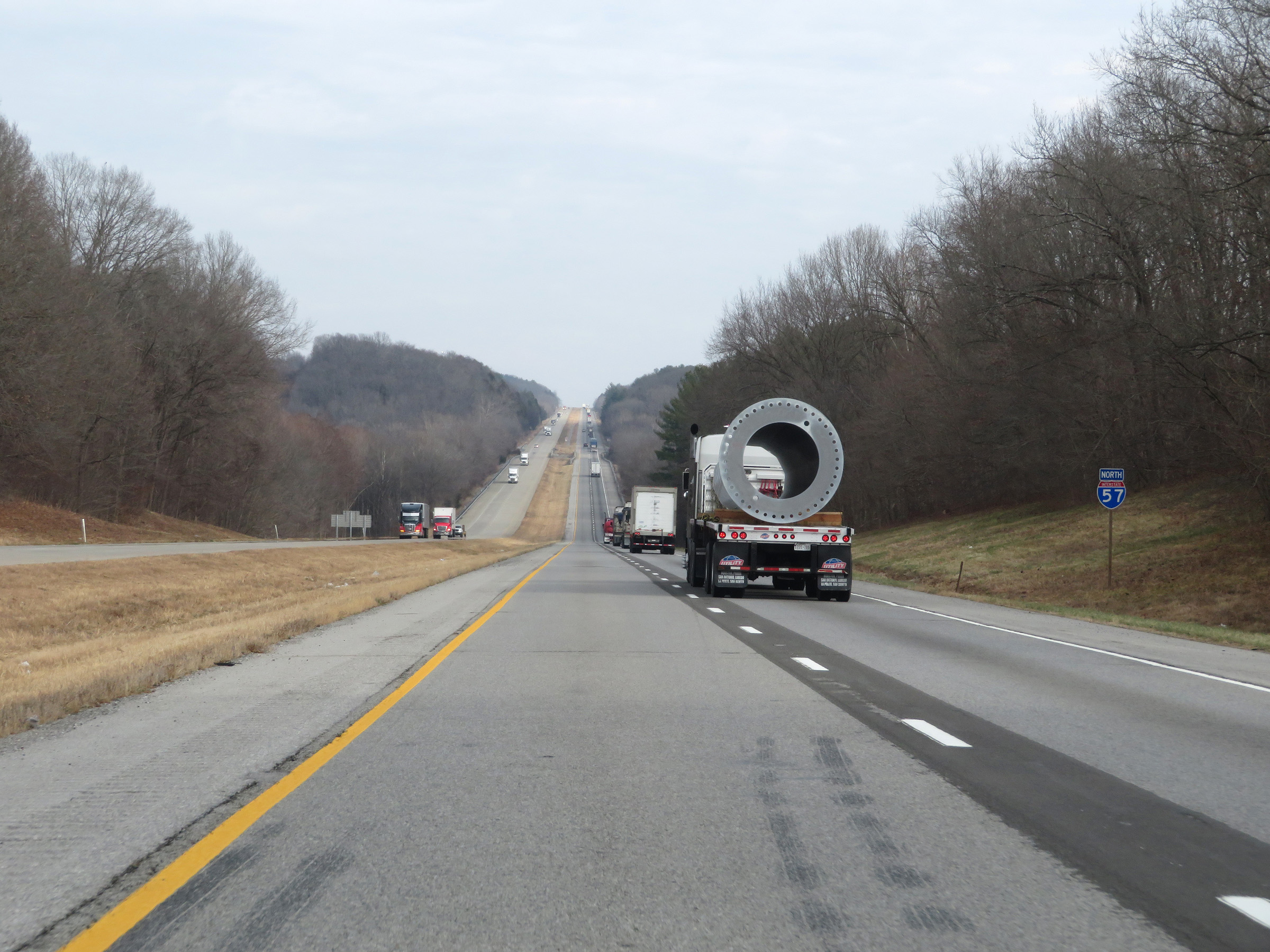
Interstate 57 North reassurance shield. (Photo taken 12/15/20). |
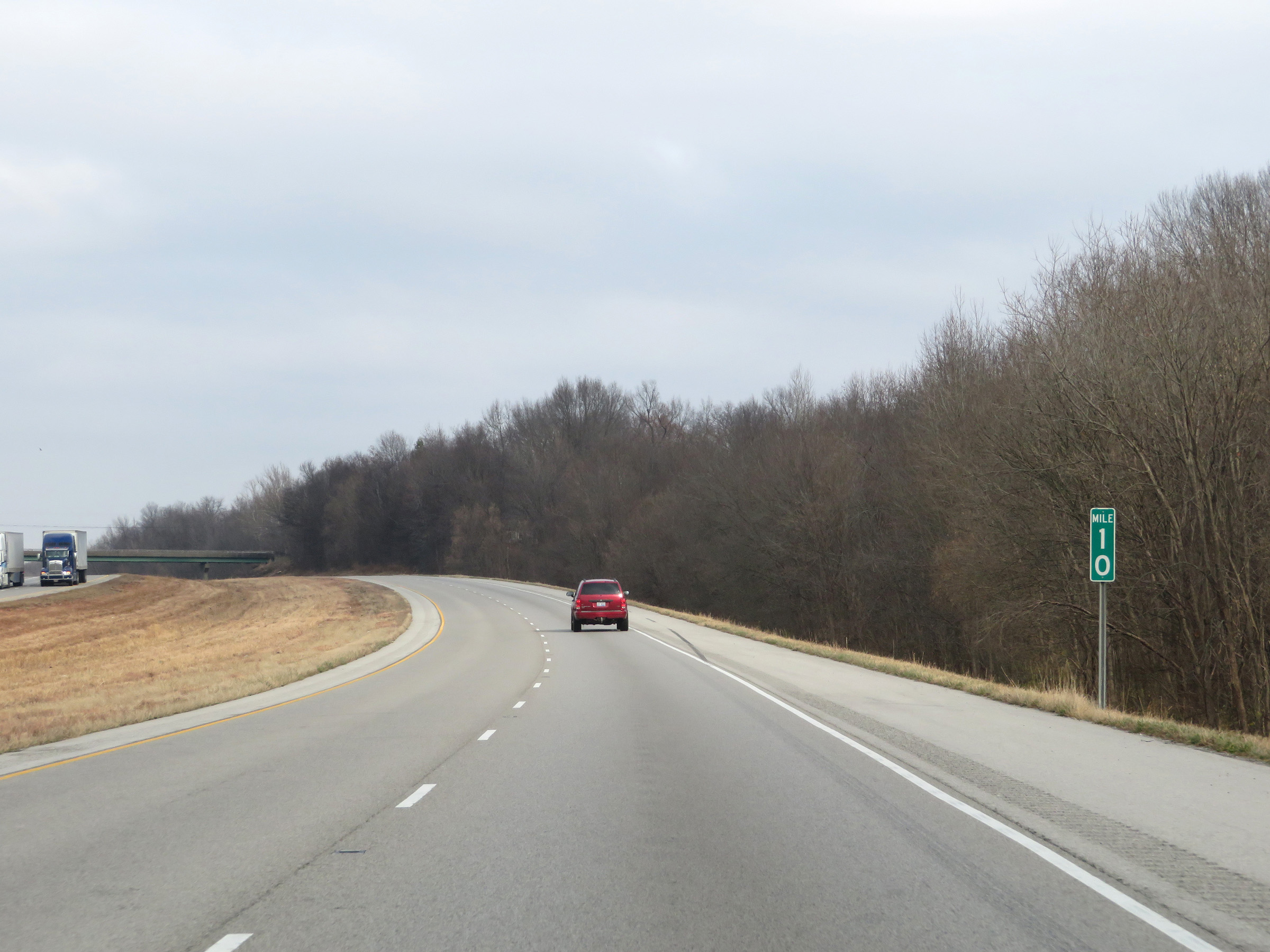 |
View on Interstate 57 North at mile marker 10. (Photo taken 12/15/20). |
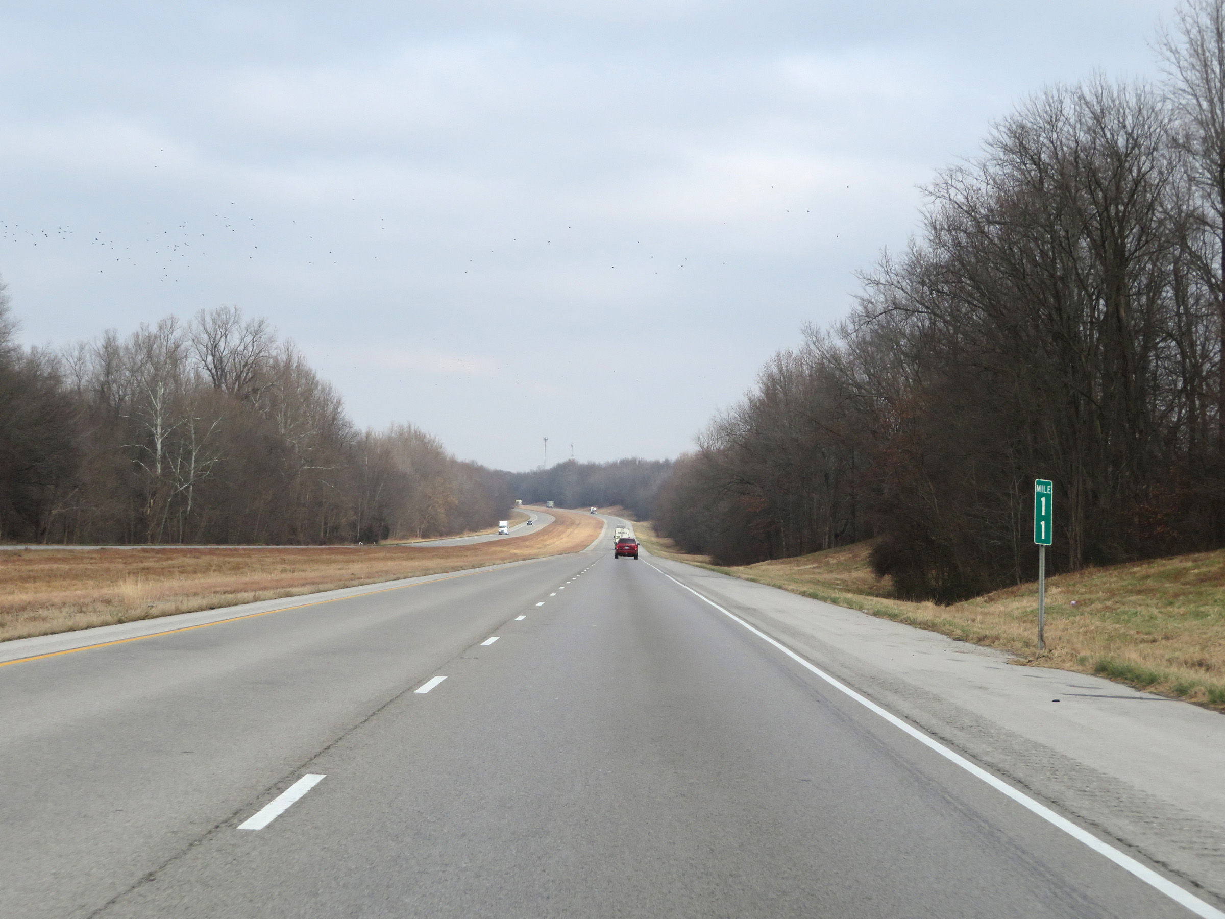 |
Mile marker 11 on Interstate 57 North in Pulaski County. (Photo taken 12/15/20). |
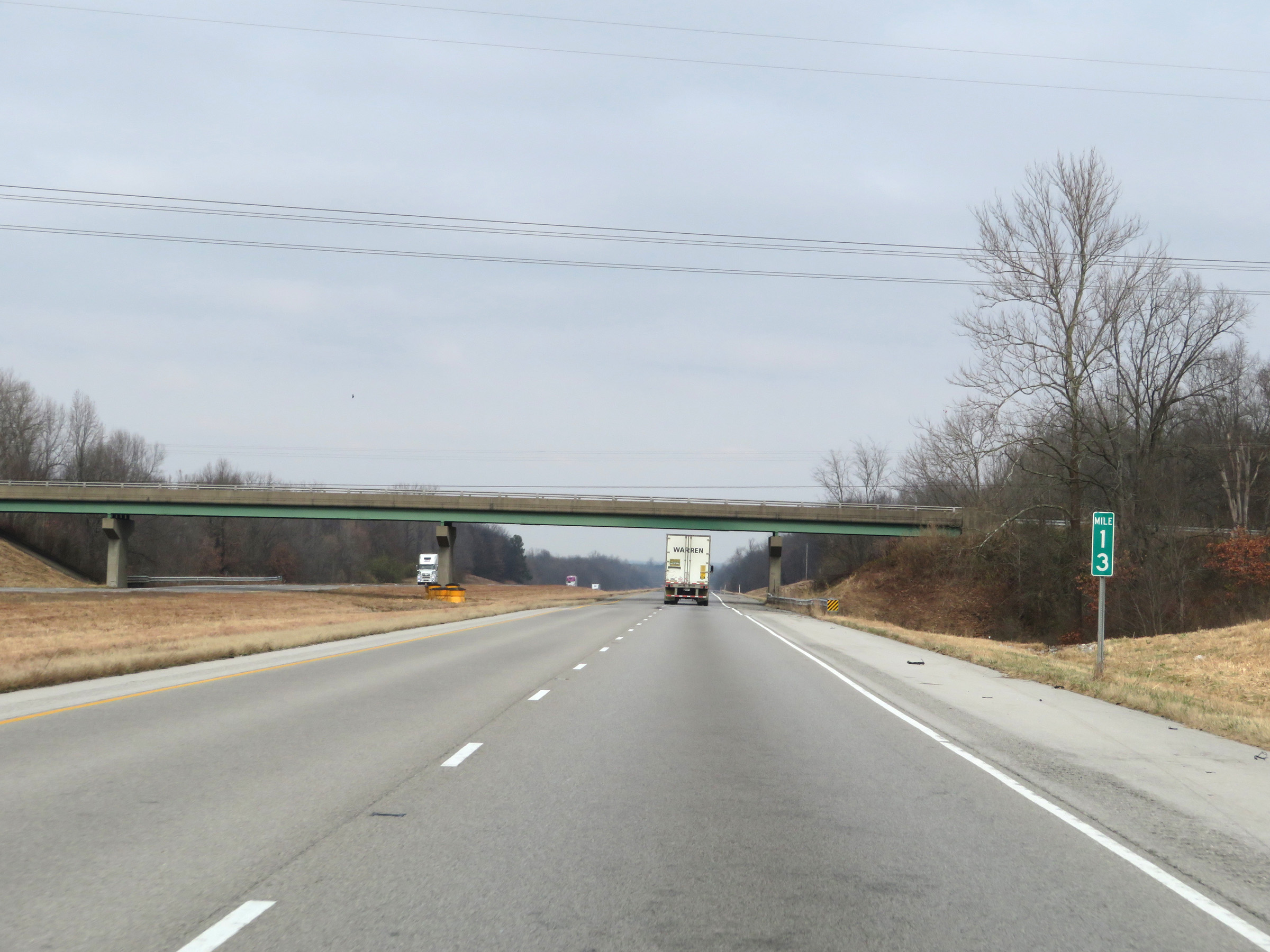 |
Interstate 57 North at mile marker 13. (Photo taken 12/15/20). |
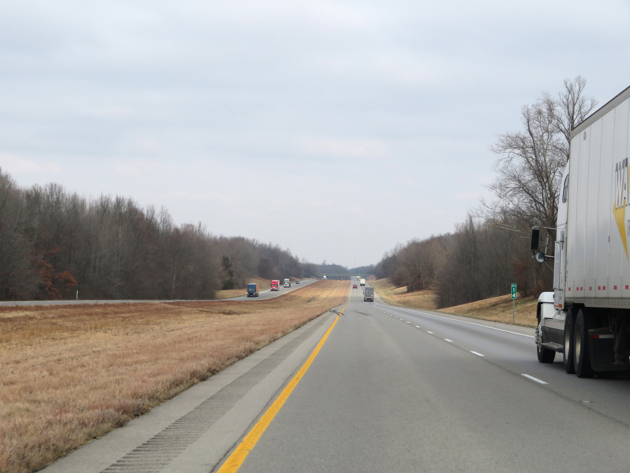 |
View on Interstate 57 North at mile marker 14. (Photo taken 12/15/20). |
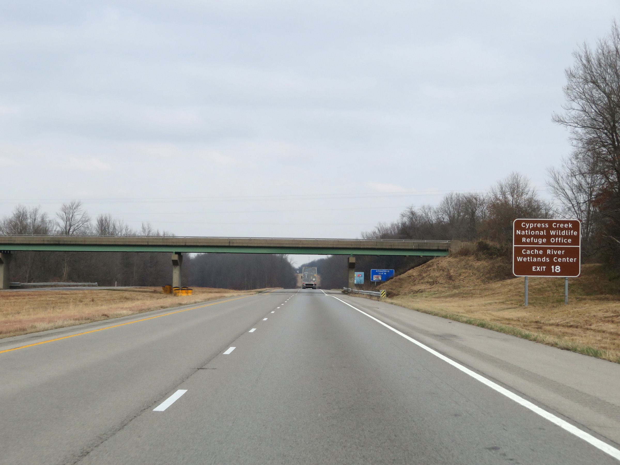 |
Take Exit 18 to the Cypress Creek National Wildlife Refuge Office and Cache River Wetlands Center. (Photo taken 12/15/20). |
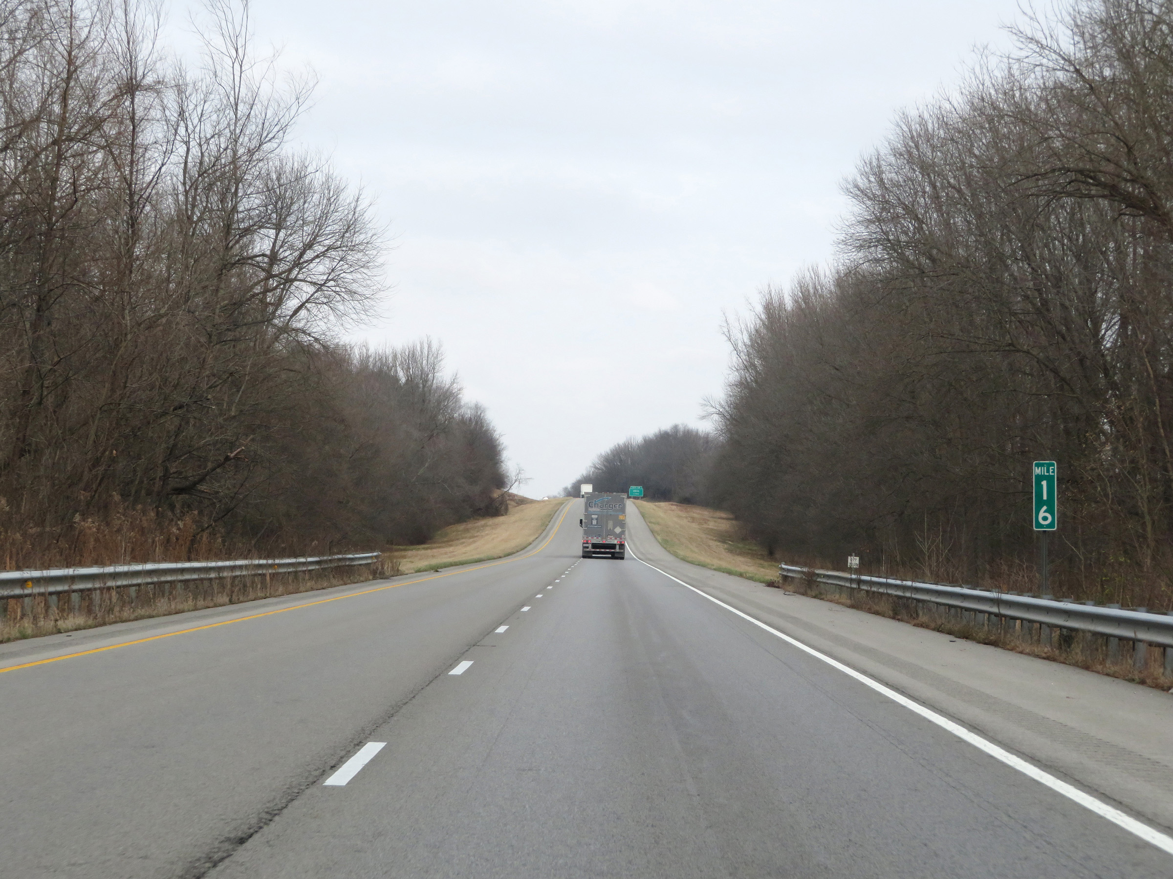 |
Interstate 57 North at mile marker 16. (Photo taken 12/15/20). |
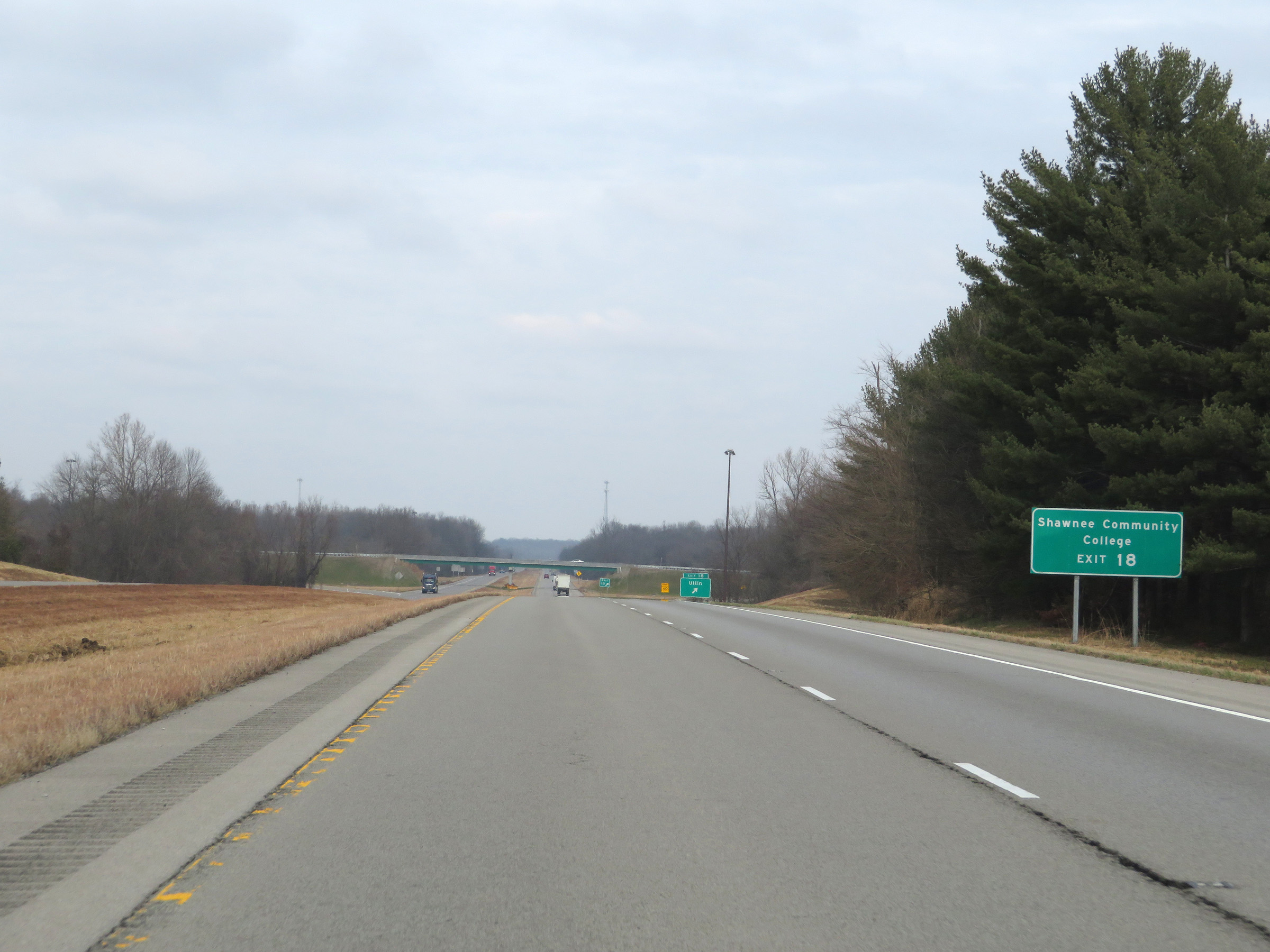 |
Also take Exit 18 to Shawnee Community College. (Photo taken 12/15/20). |
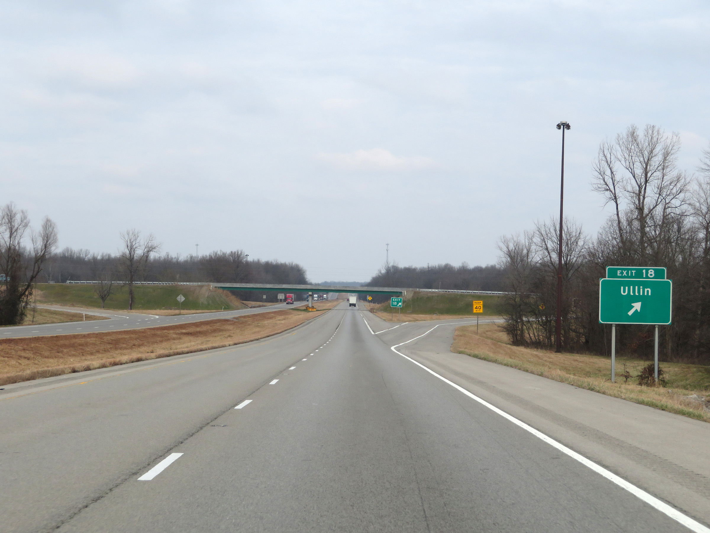 |
Interstate 57 North at Exit 18: Ullin (Photo taken 12/15/20). |
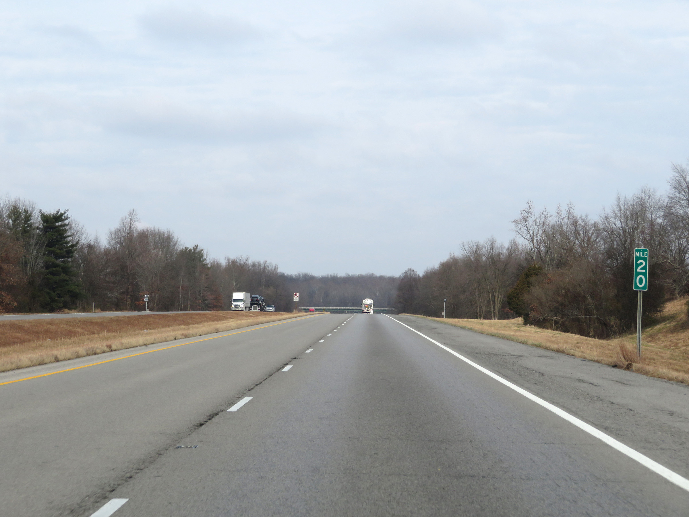 |
Mile marker 19 on Interstate 57 North in Pulaski County. (Photo taken 12/15/20). |
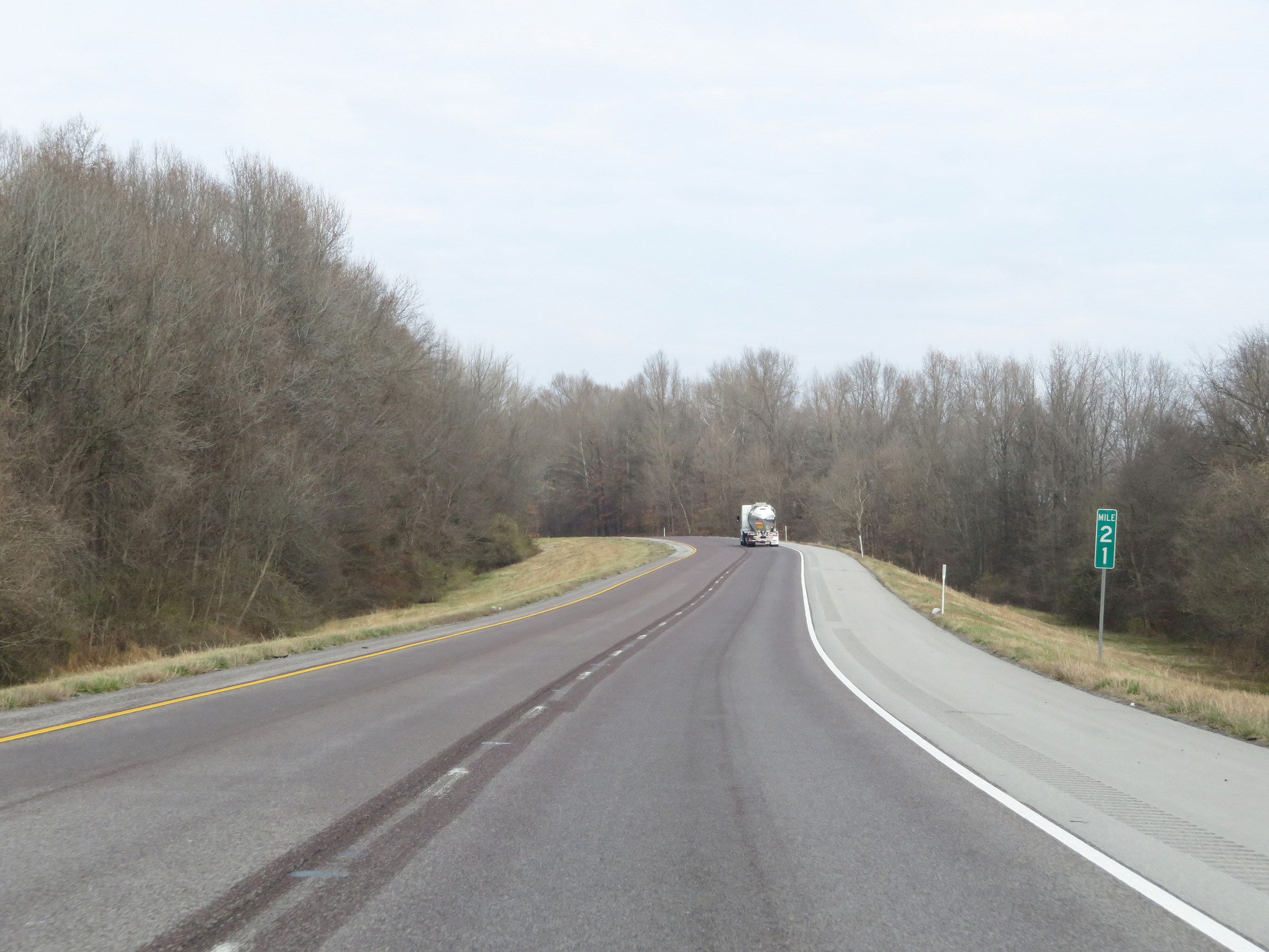 |
View on Interstate 57 North at mile marker 21. (Photo taken 12/15/20). |
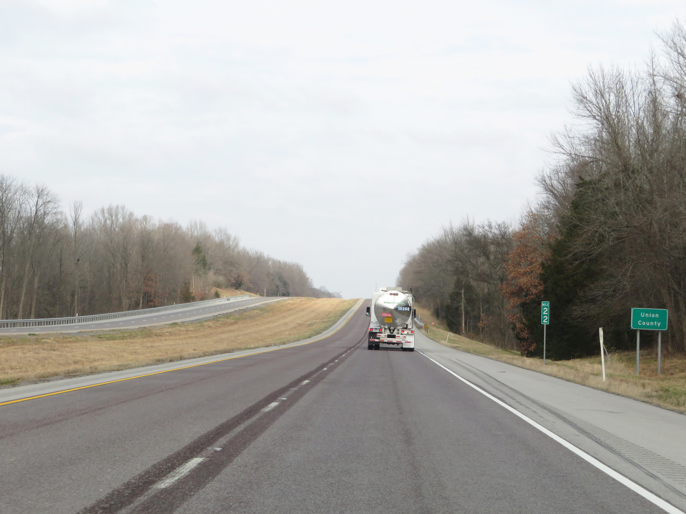 |
At mile marker 22, Interstate 57 North enters Union County. (Photo taken 12/15/20). |
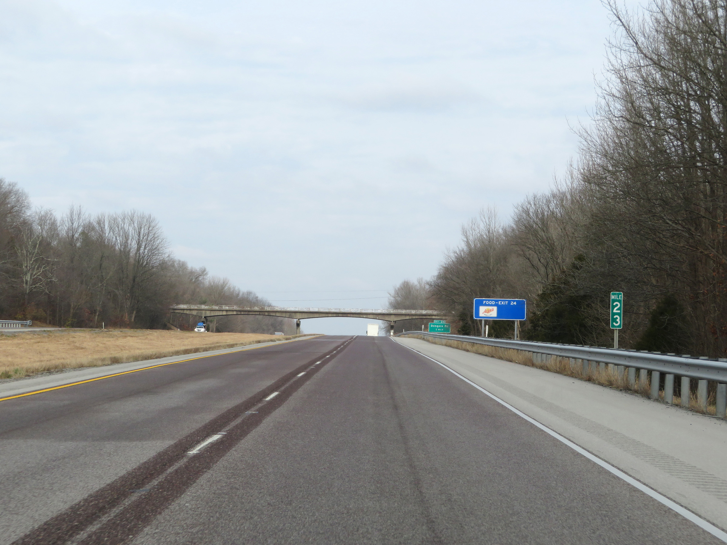 |
Interstate 57 North at mile marker 23. (Photo taken 12/15/20). |
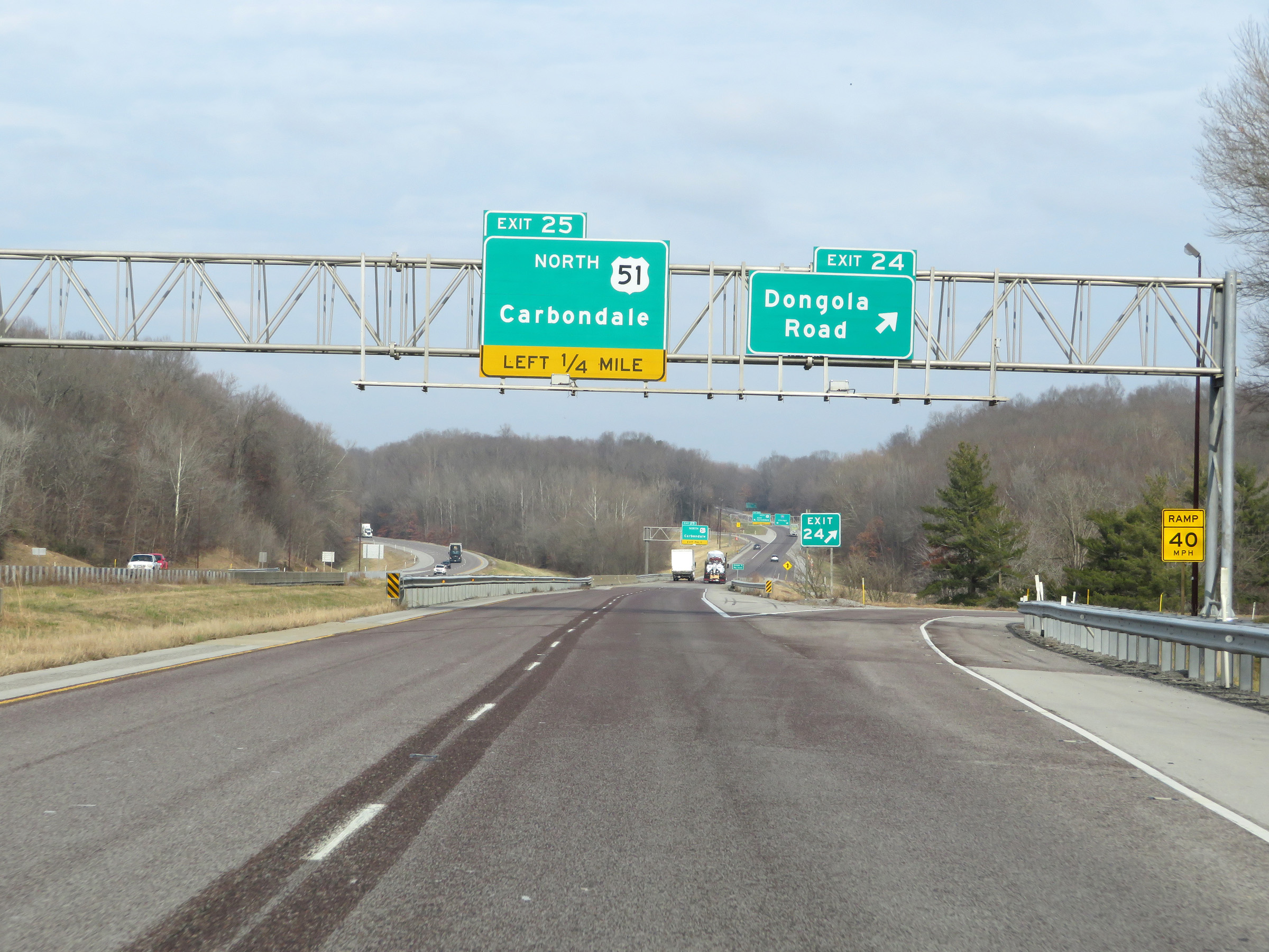 |
Interstate 57 North at Exit 24: Dongola Road (Photo taken 12/15/20). |
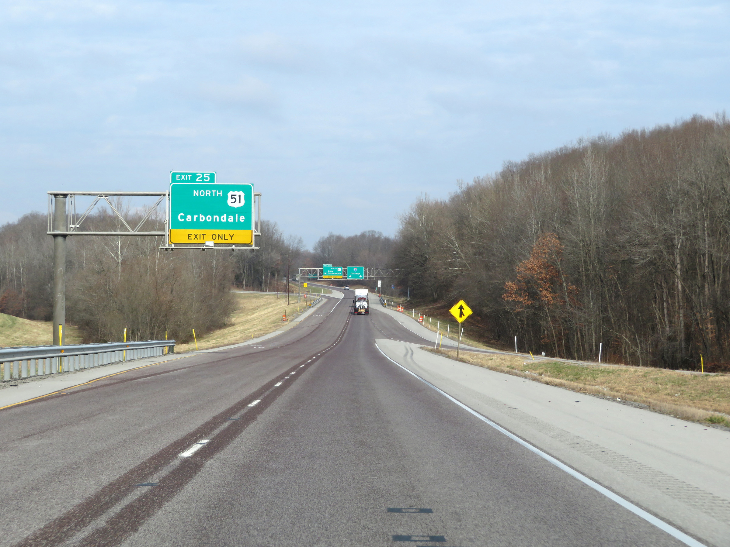 |
Exit 25 to remain on US 51 North is a left exit ahead. (Photo taken 12/15/20). |
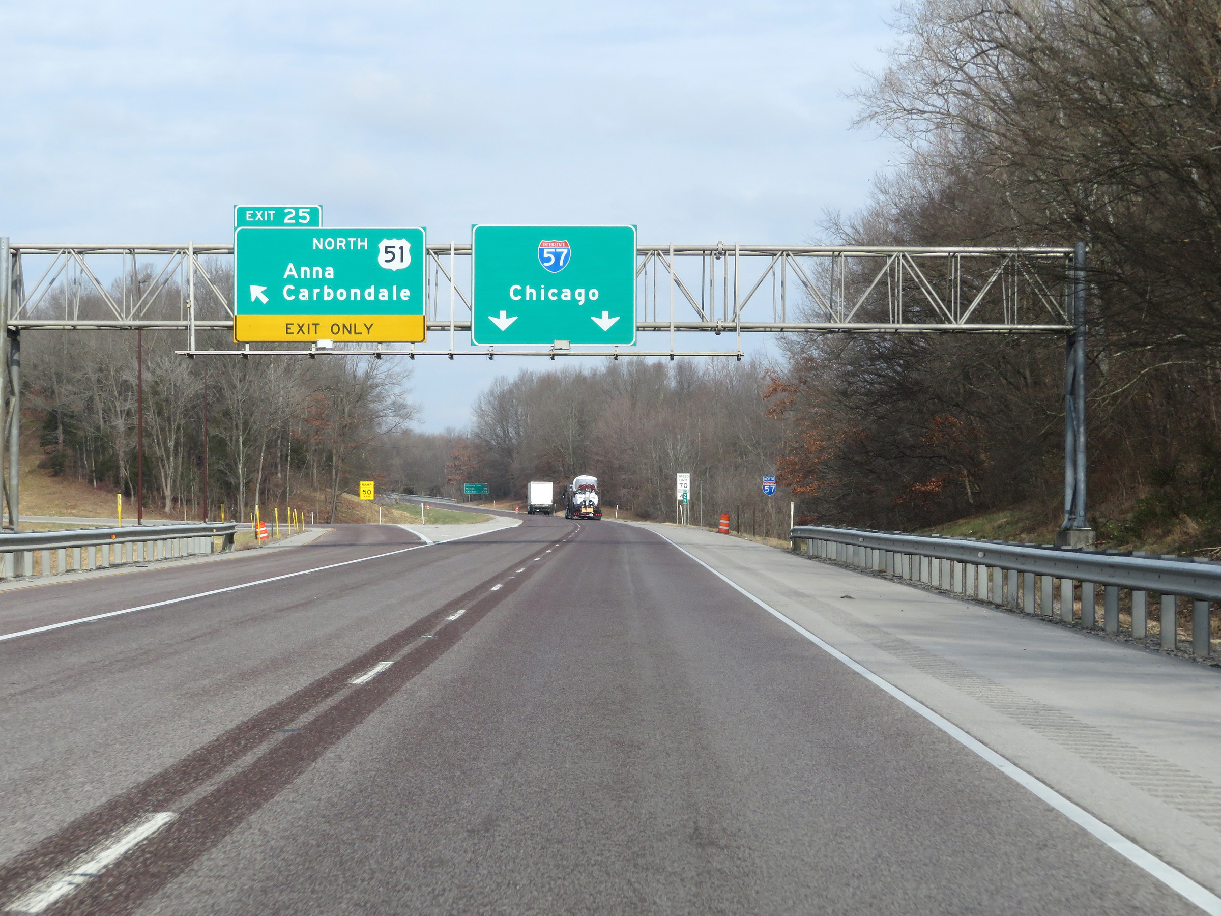 |
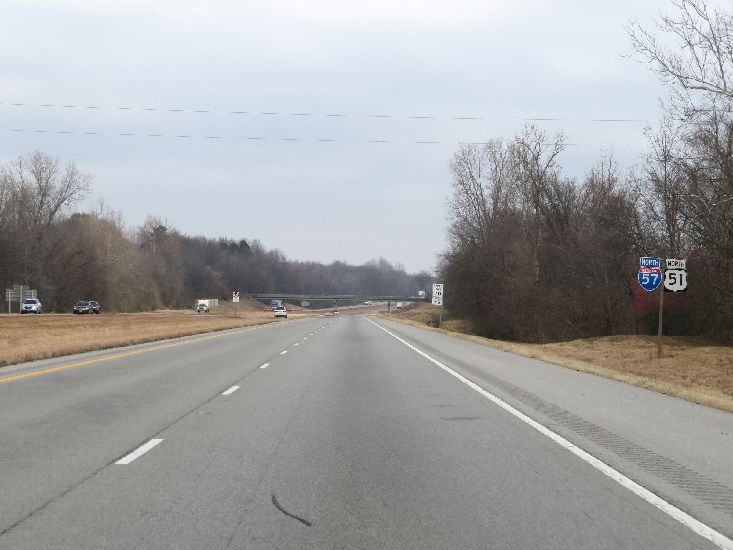
Interstate 57 North at Exit 25: US 51 North - Anna / Carbondale (Photo taken 12/15/20). |
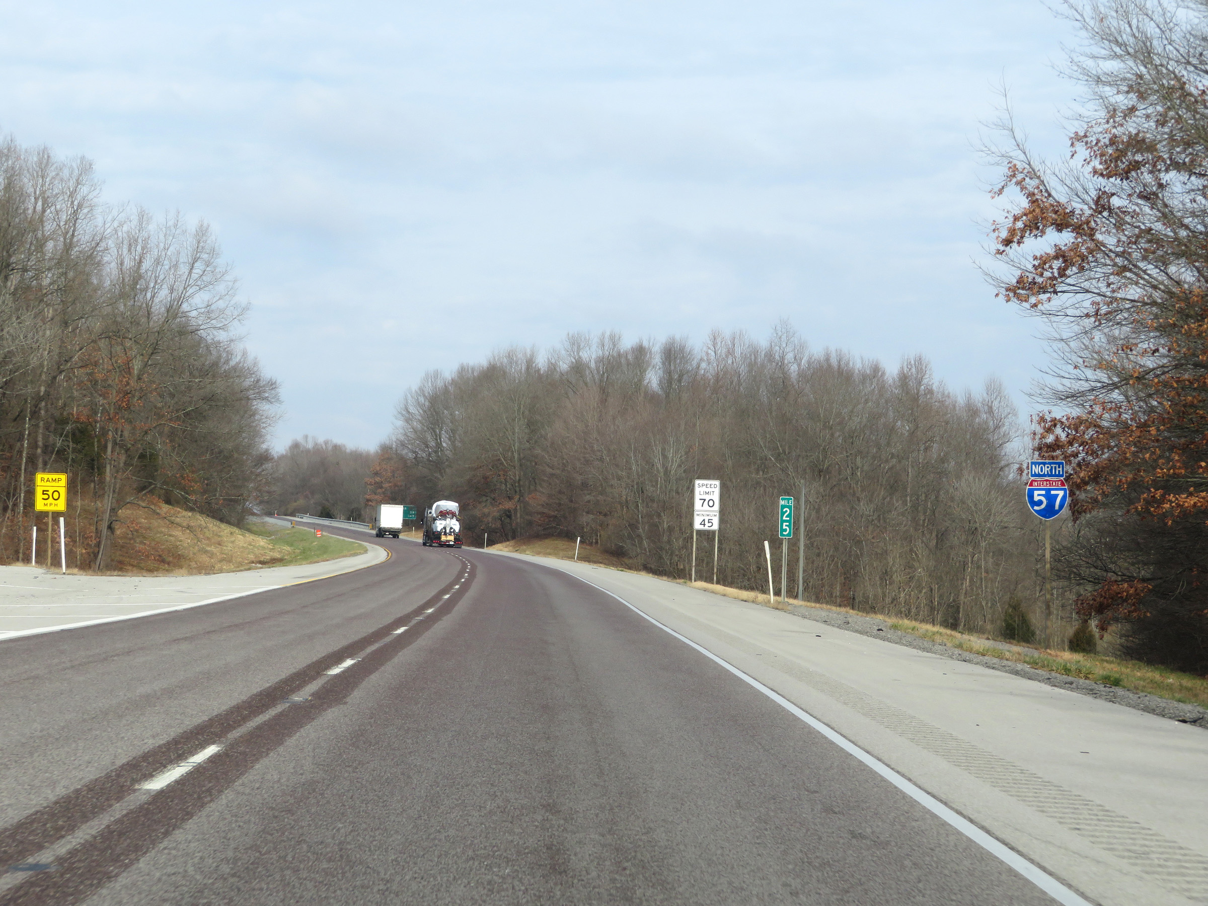 |
Interstate 57 North reassurance shield at mile marker 25. (Photo taken 12/15/20). |
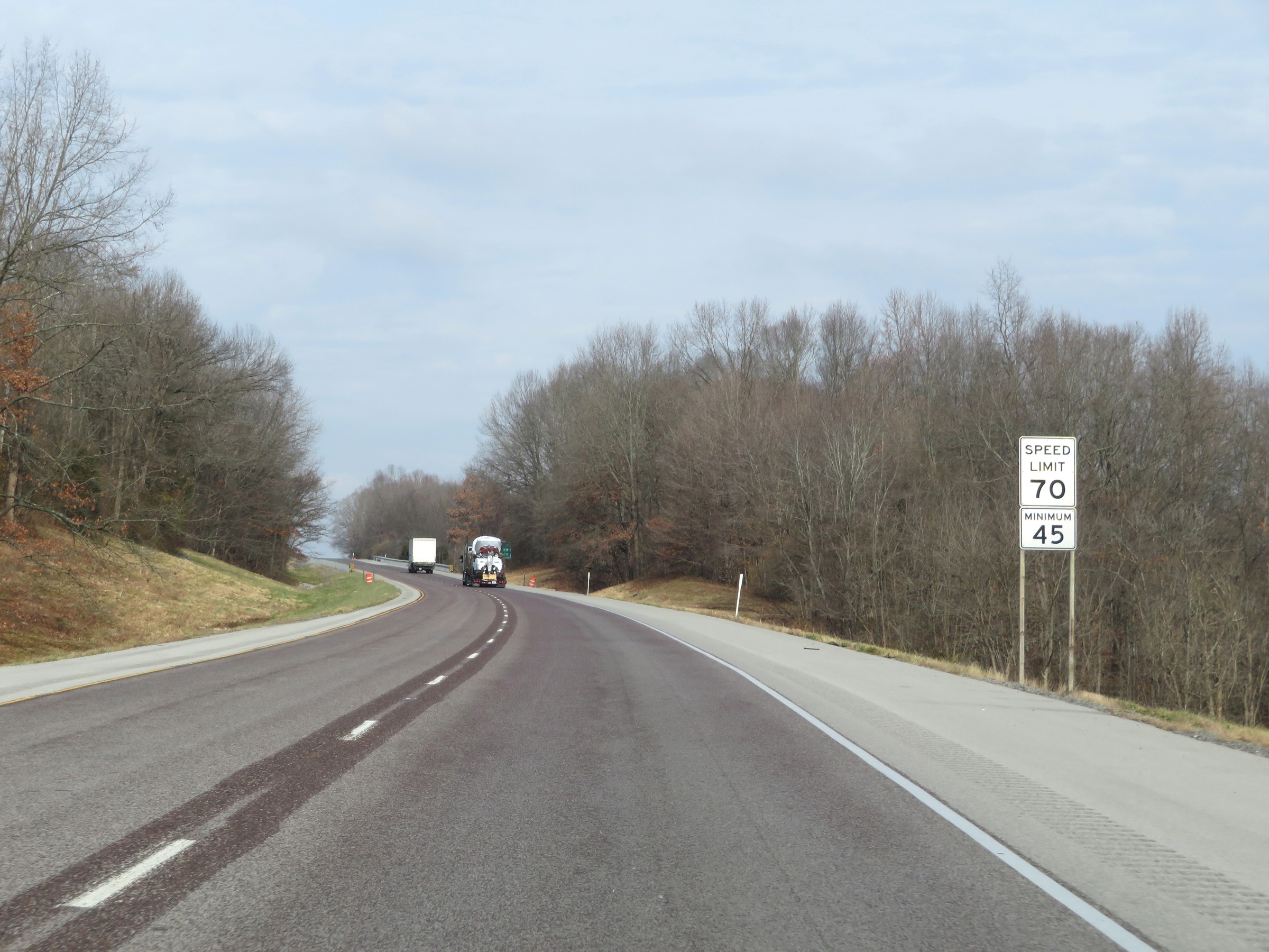 |
The speed limits remain the rural standard 70 mph maximum and 45 mph minimum. (Photo taken 12/15/20). |
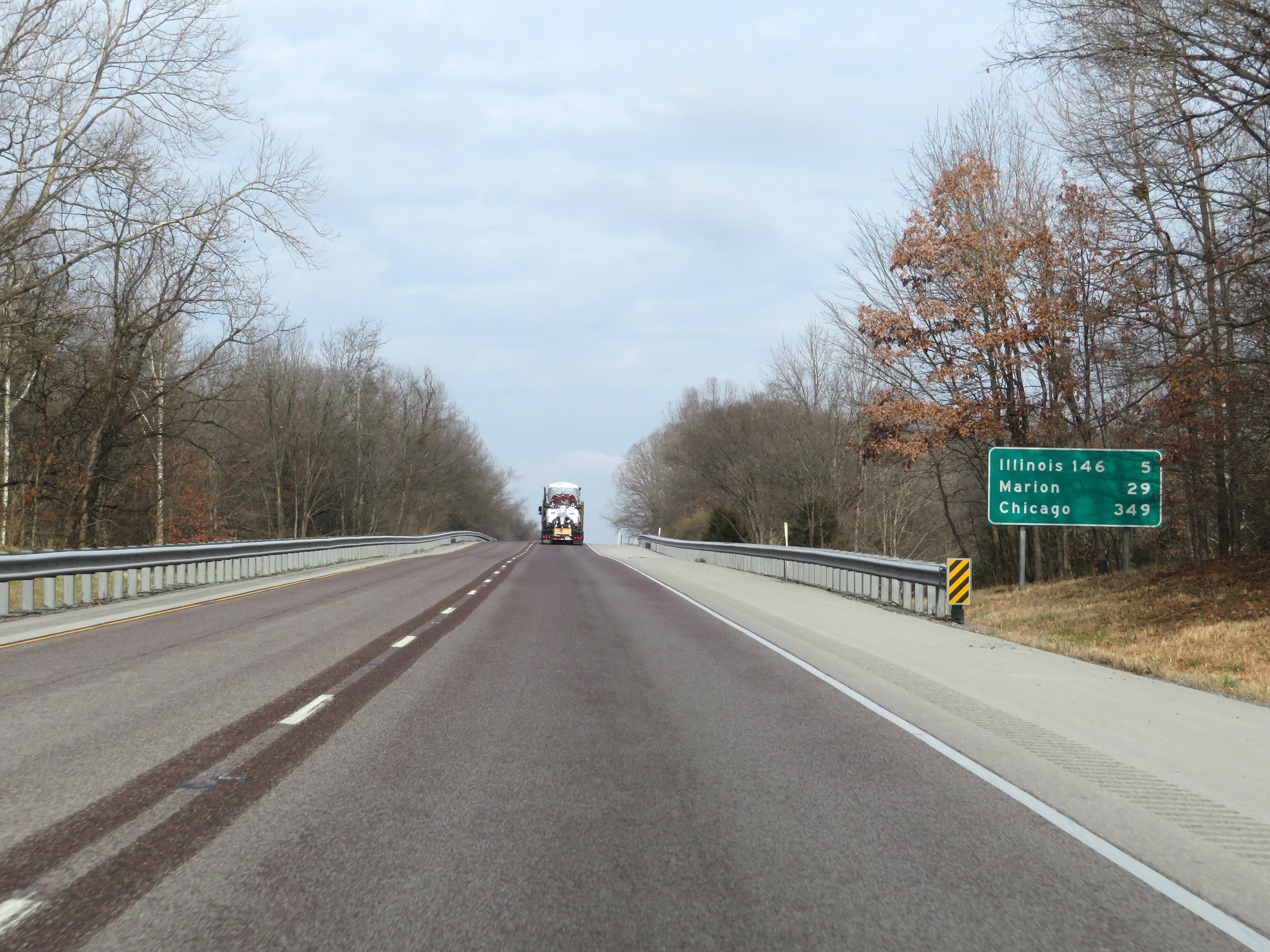 |
Mileage sign on Interstate 57 North. It's 5 miles to the junction of IL 146, 29 miles to Marion, and 349 miles to Chicago. (Photo taken 12/15/20). |
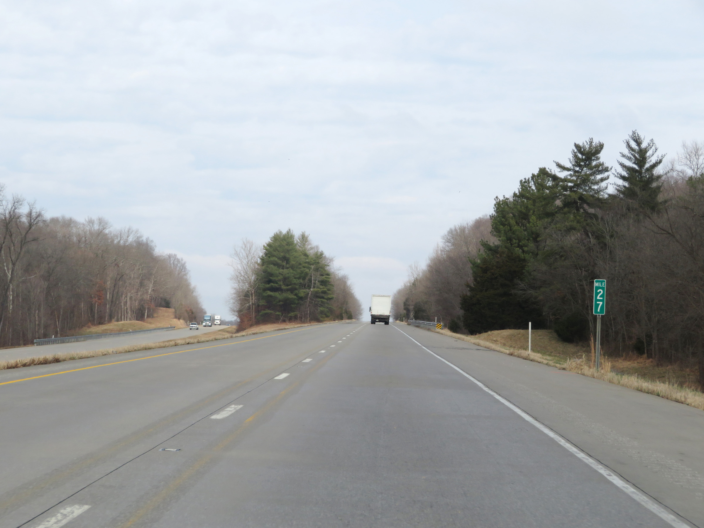 |
View on Interstate 57 North at mile marker 27. (Photo taken 12/15/20). |
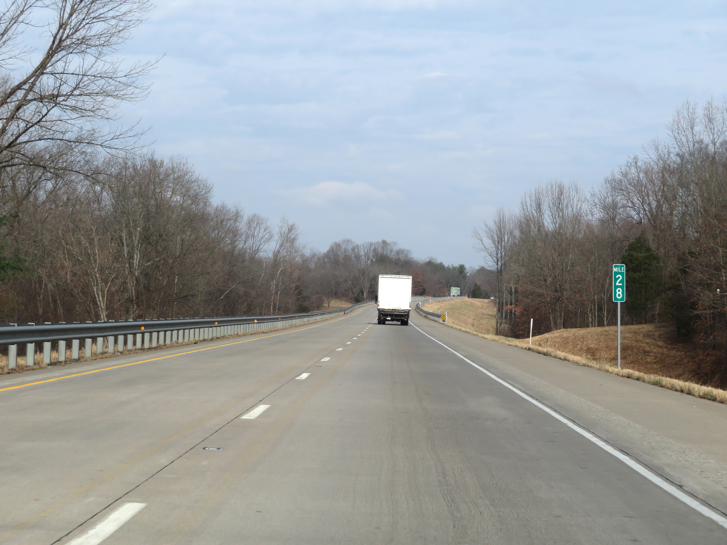 |
Interstate 57 North at mile marker 28. (Photo taken 12/15/20). |
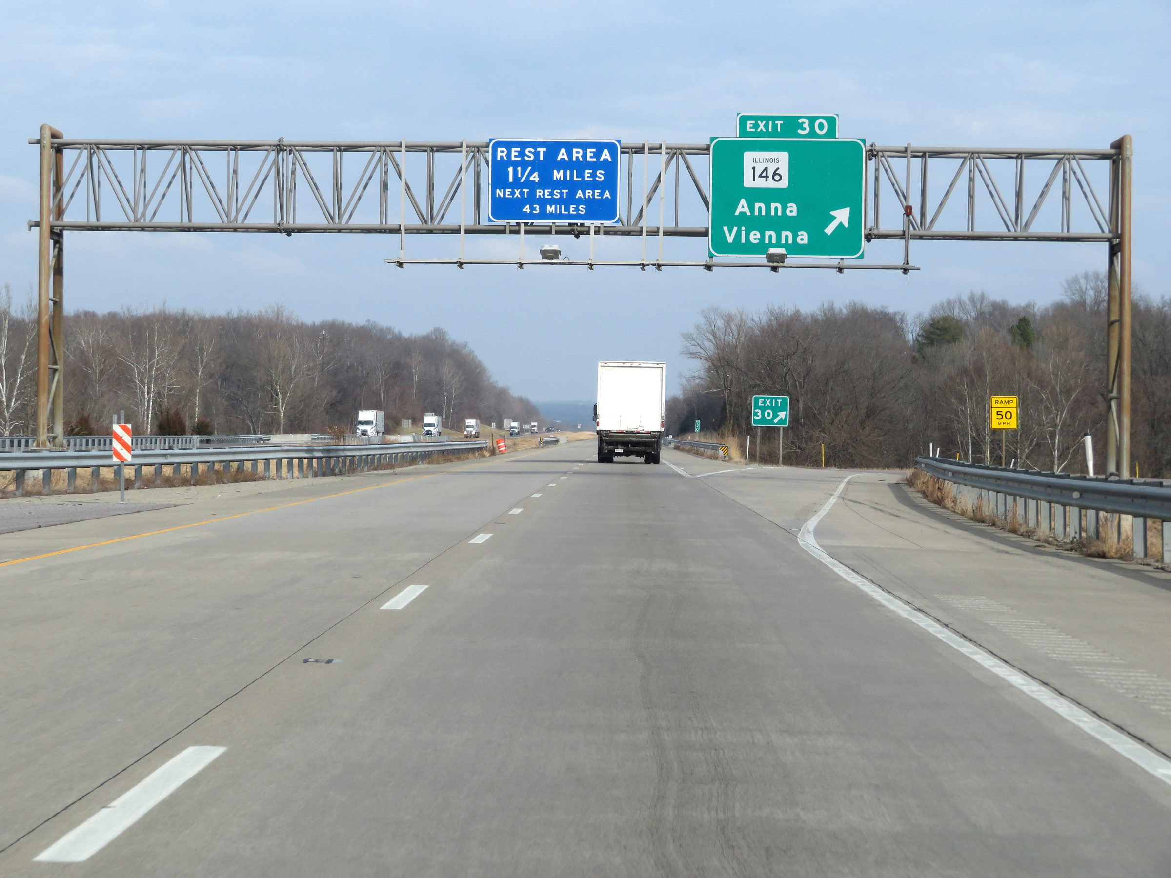 |
Interstate 57 North at Exit 30: IL 146 - Anna / Vienna (Photo taken 12/15/20). |
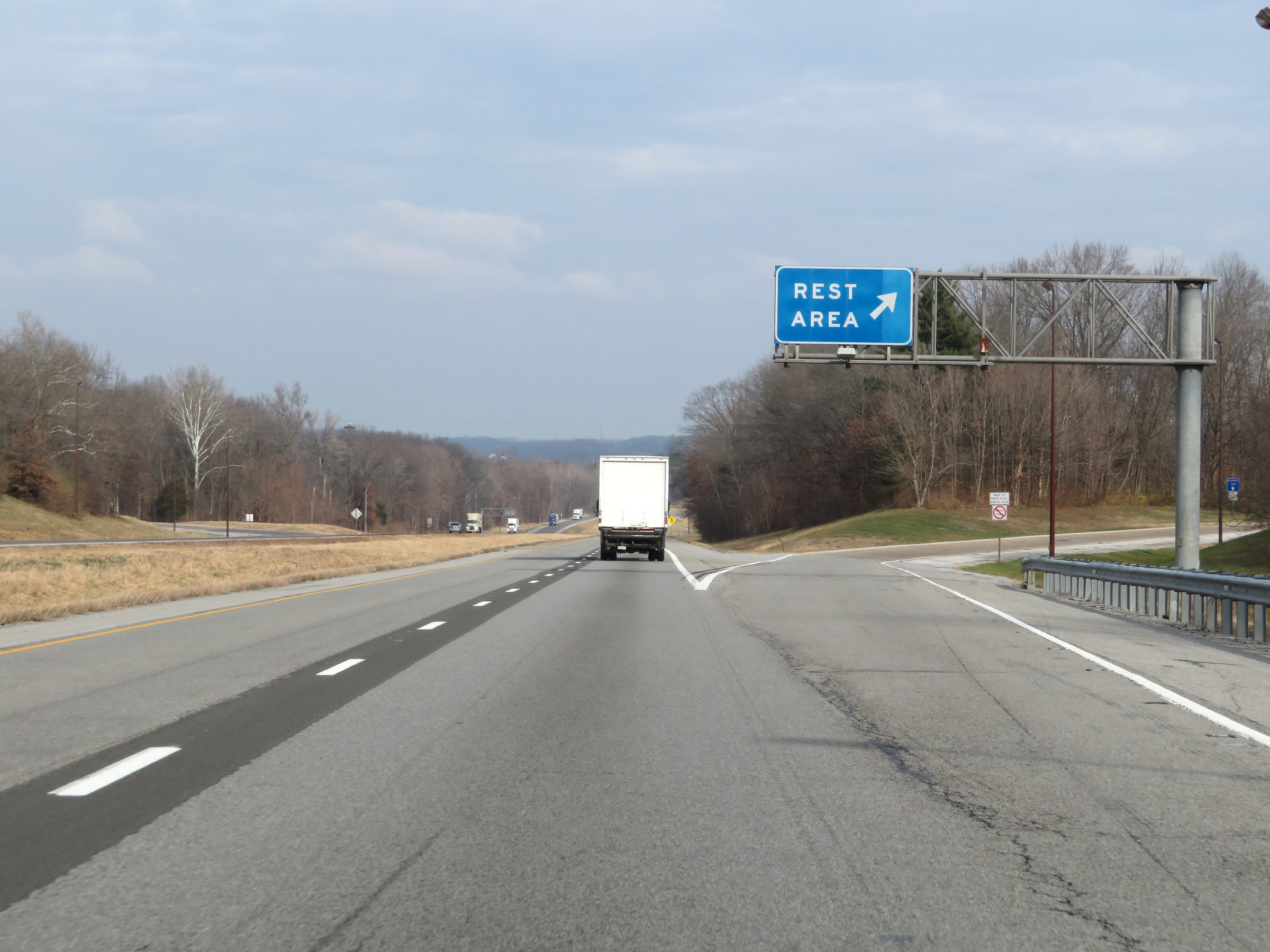 |
Rest Area on Interstate 57 North in Union County. (Photo taken 12/15/20). |
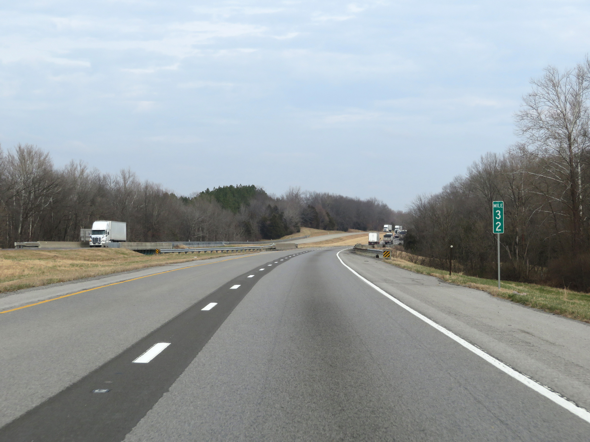 |
View on Interstate 57 North at mile marker 32. (Photo taken 12/15/20). |
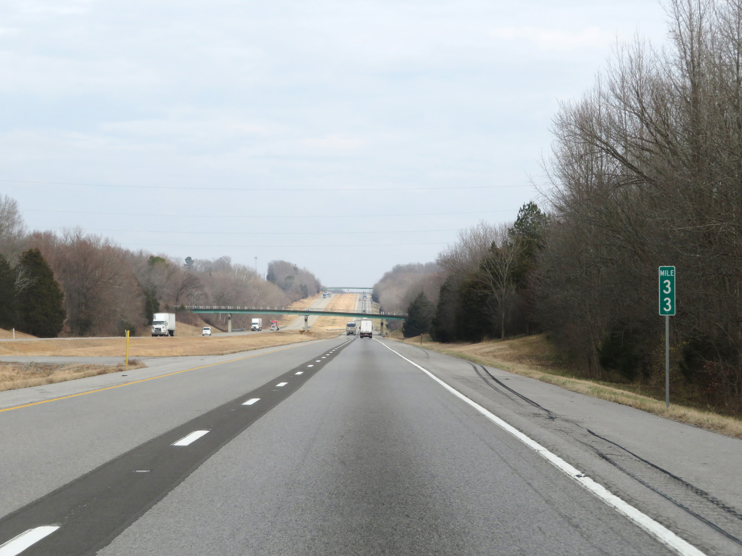 |
Interstate 57 North at mile marker 33. (Photo taken 12/15/20). |
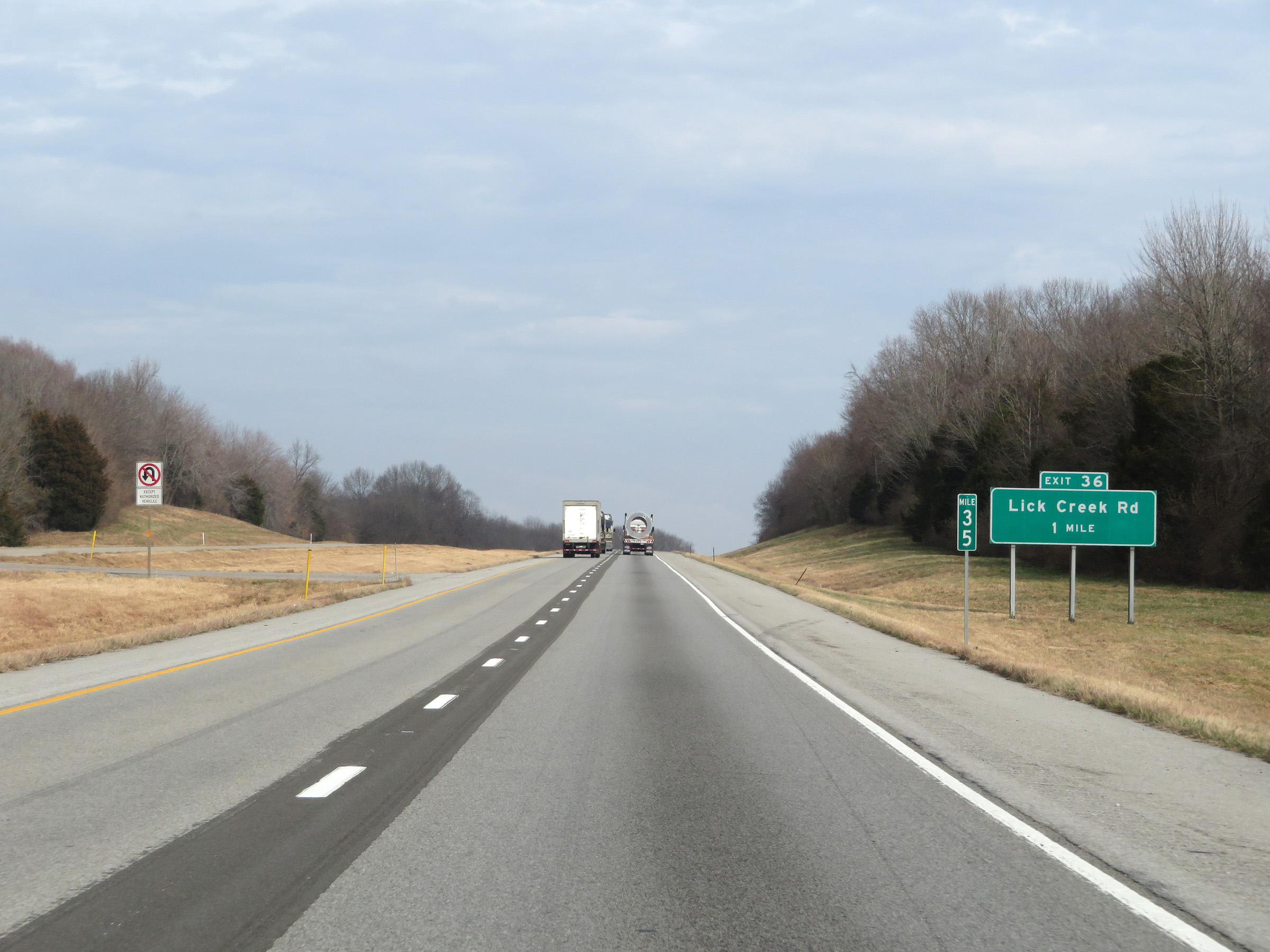 |
Mile marker 35 on Interstate 57 North in Union County. (Photo taken 12/15/20). |
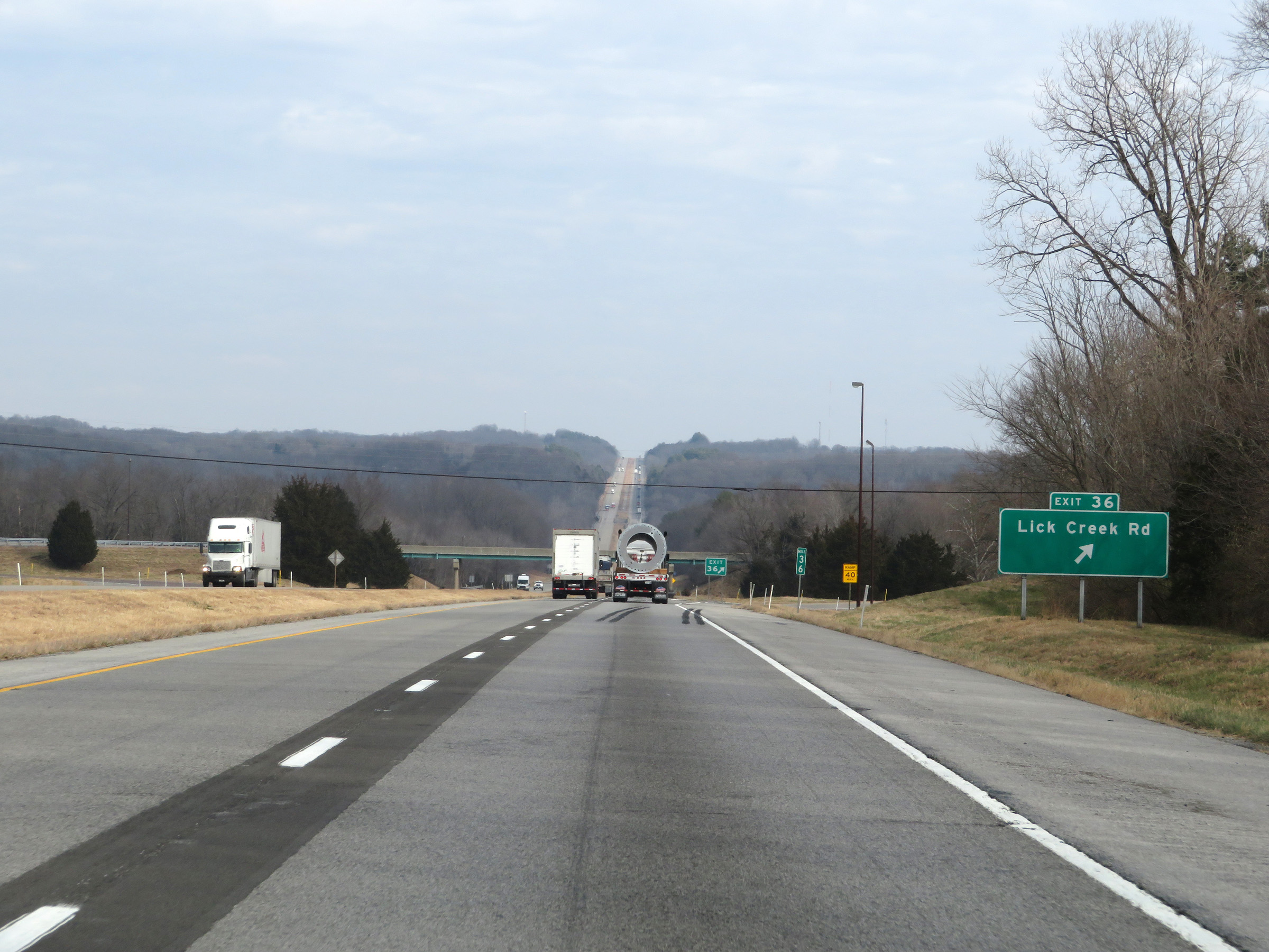 |
Interstate 57 North at Exit 36: Lick Creed Rd (Photo taken 12/15/20). |
 |
Another Interstate 57 North reassurance shield. (Photo taken 12/15/20). |
 |
View on Interstate 57 North at mile marker 37. (Photo taken 12/15/20). |
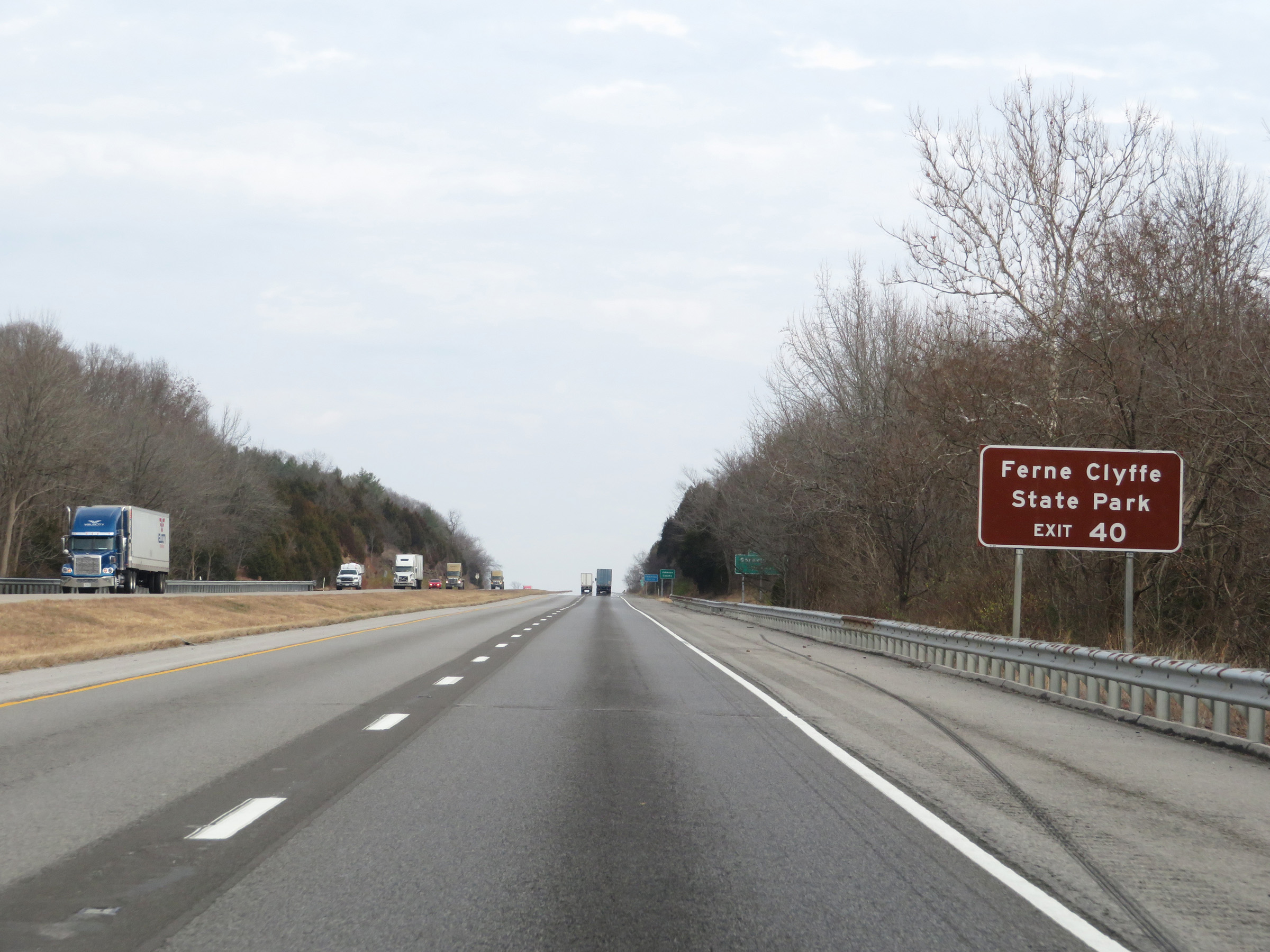 |
Take Exit 40 to Ferne Clyffe State Park. (Photo taken 12/15/20). |
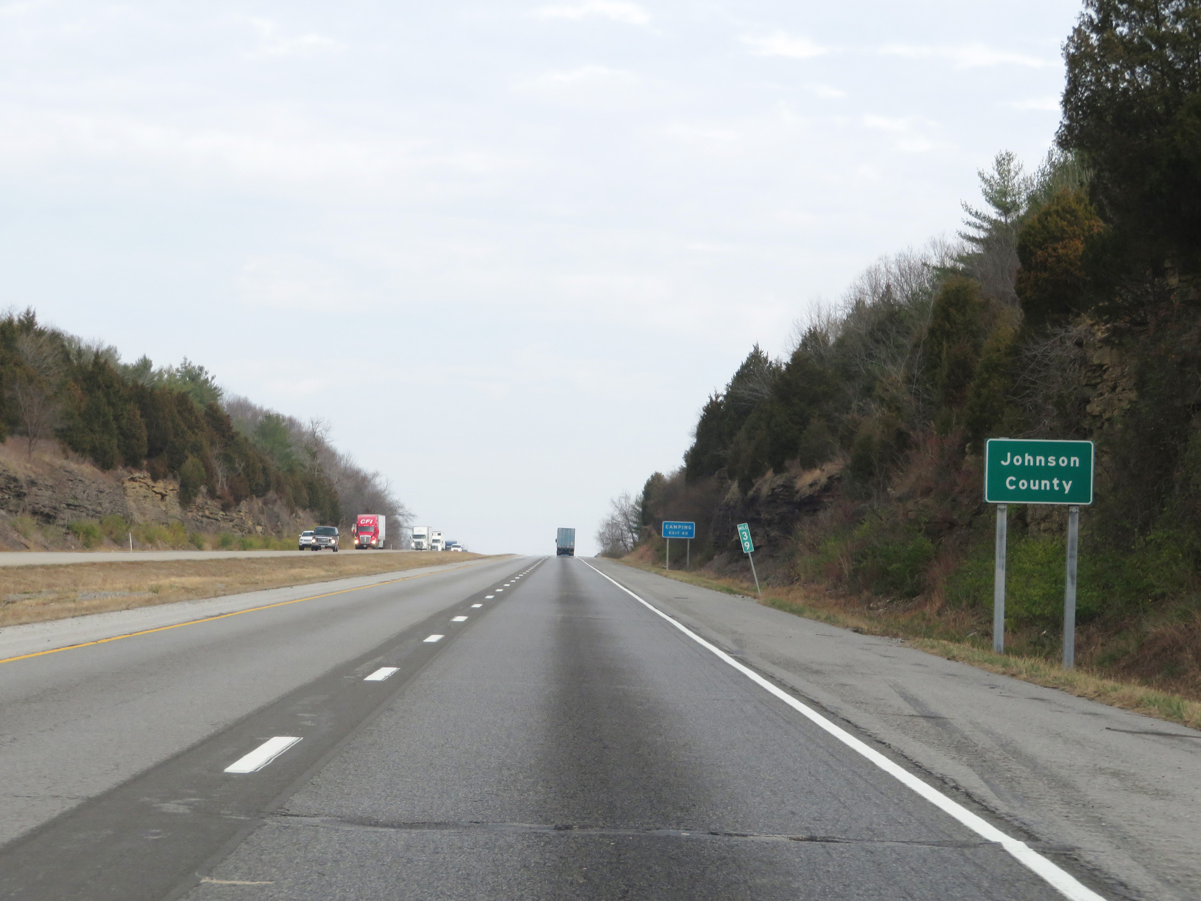 |
At mile marker 39, Interstate 57 North enters Johnson County. (Photo taken 12/15/20). |
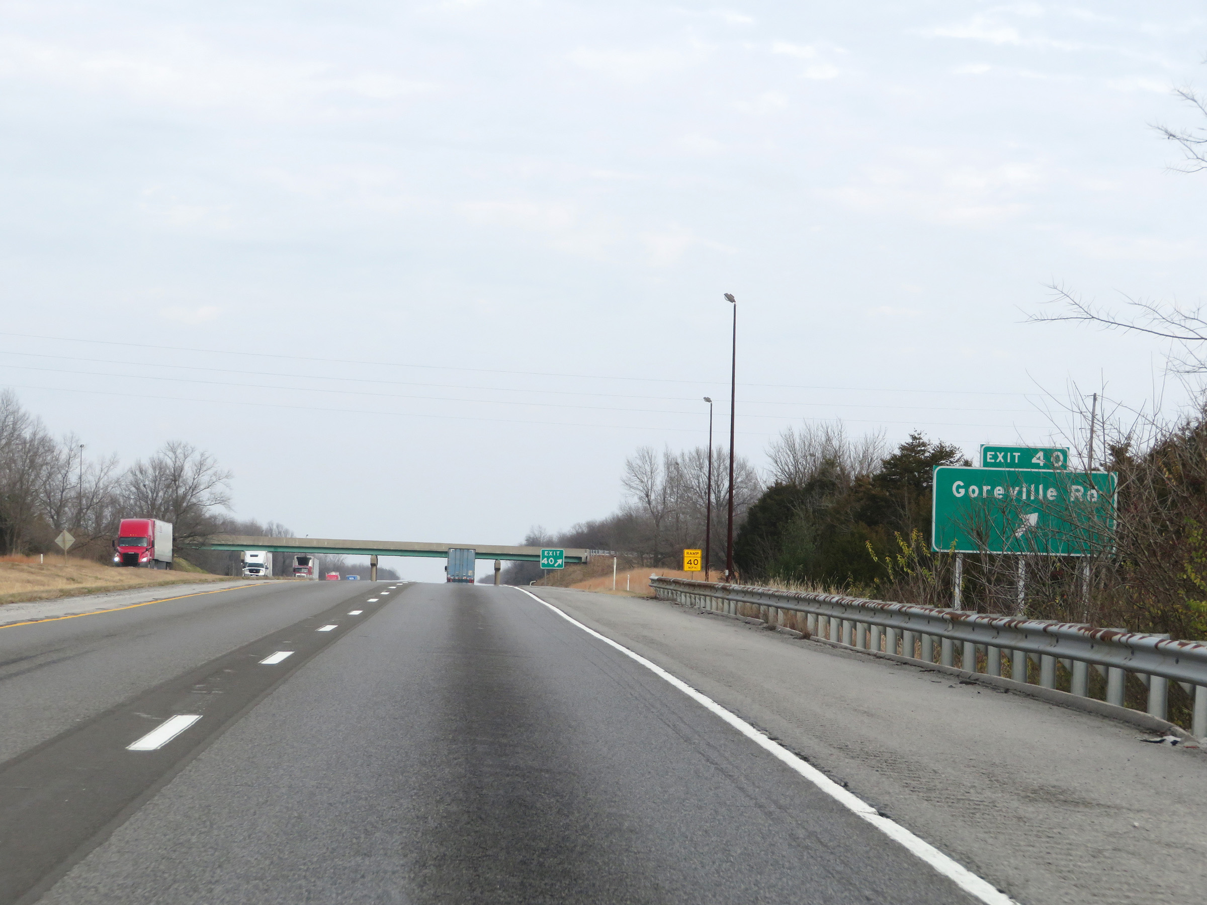 |
Interstate 57 North at Exit 40: Goreville Rd (Photo taken 12/15/20). |
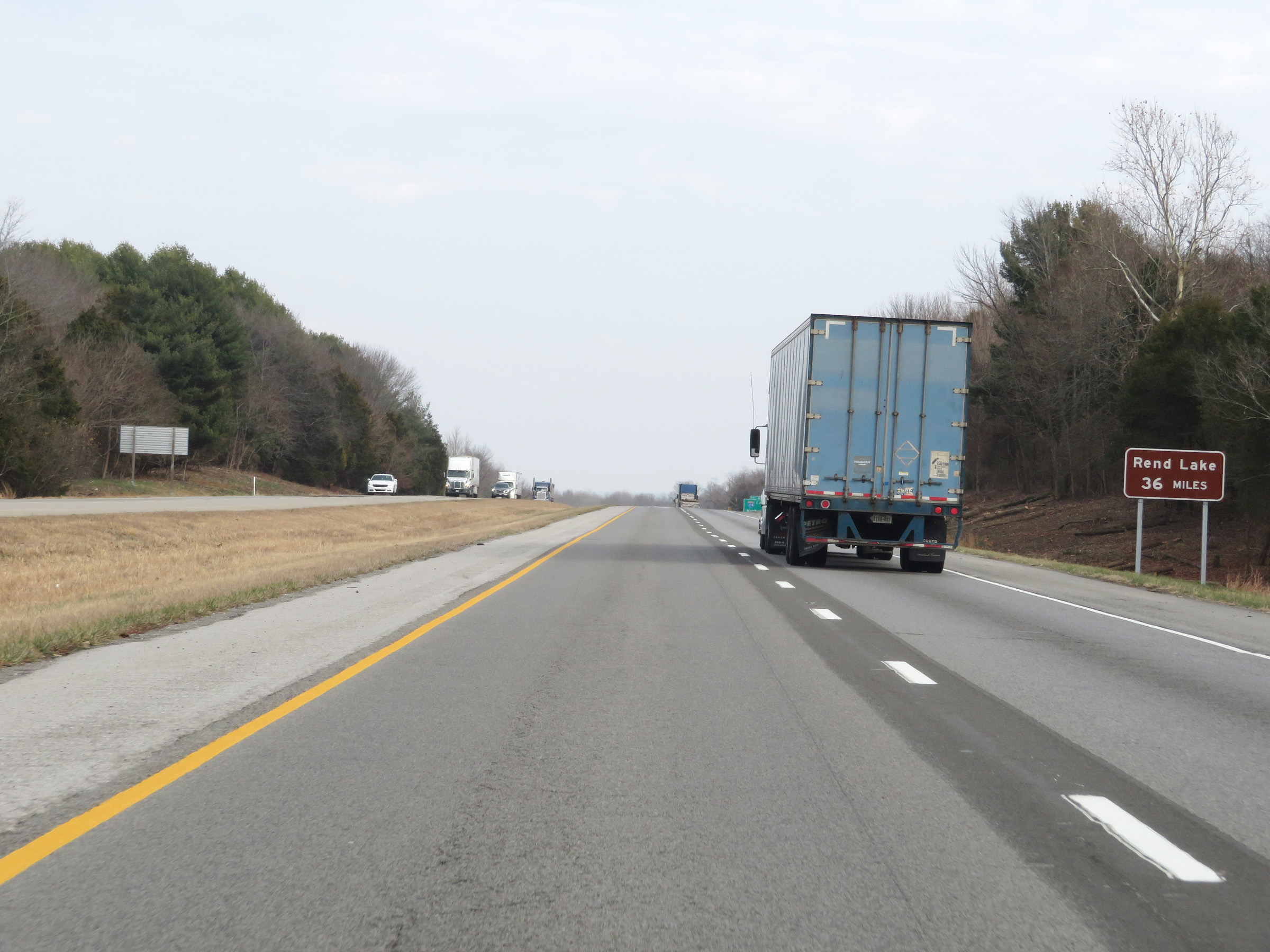 |
Traffic to Rend Lake should remain on Interstate 57 North for 36 miles. (Photo taken 12/15/20). |
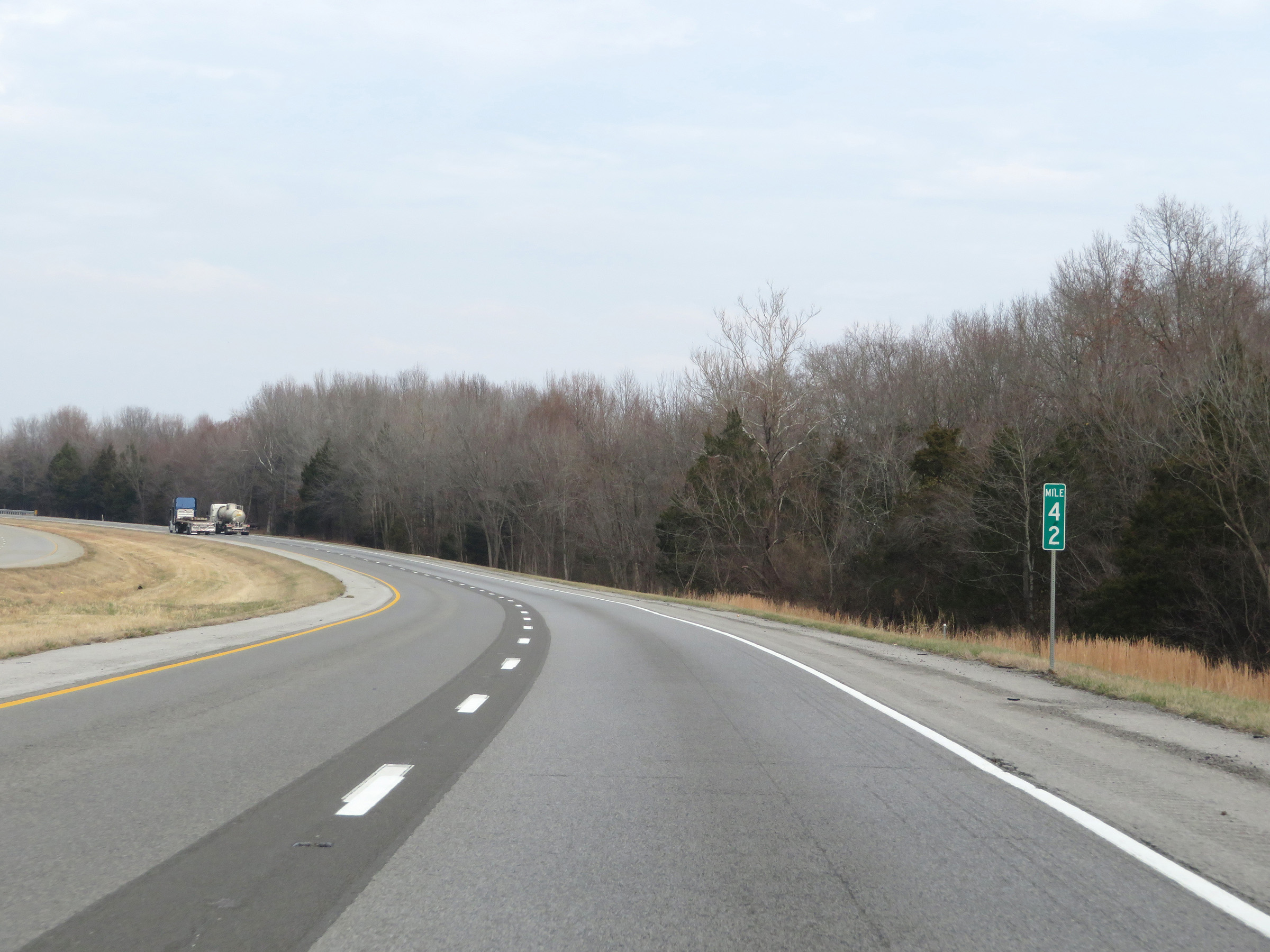 |
View on Interstate 57 North at mile marker 42. (Photo taken 12/15/20). |
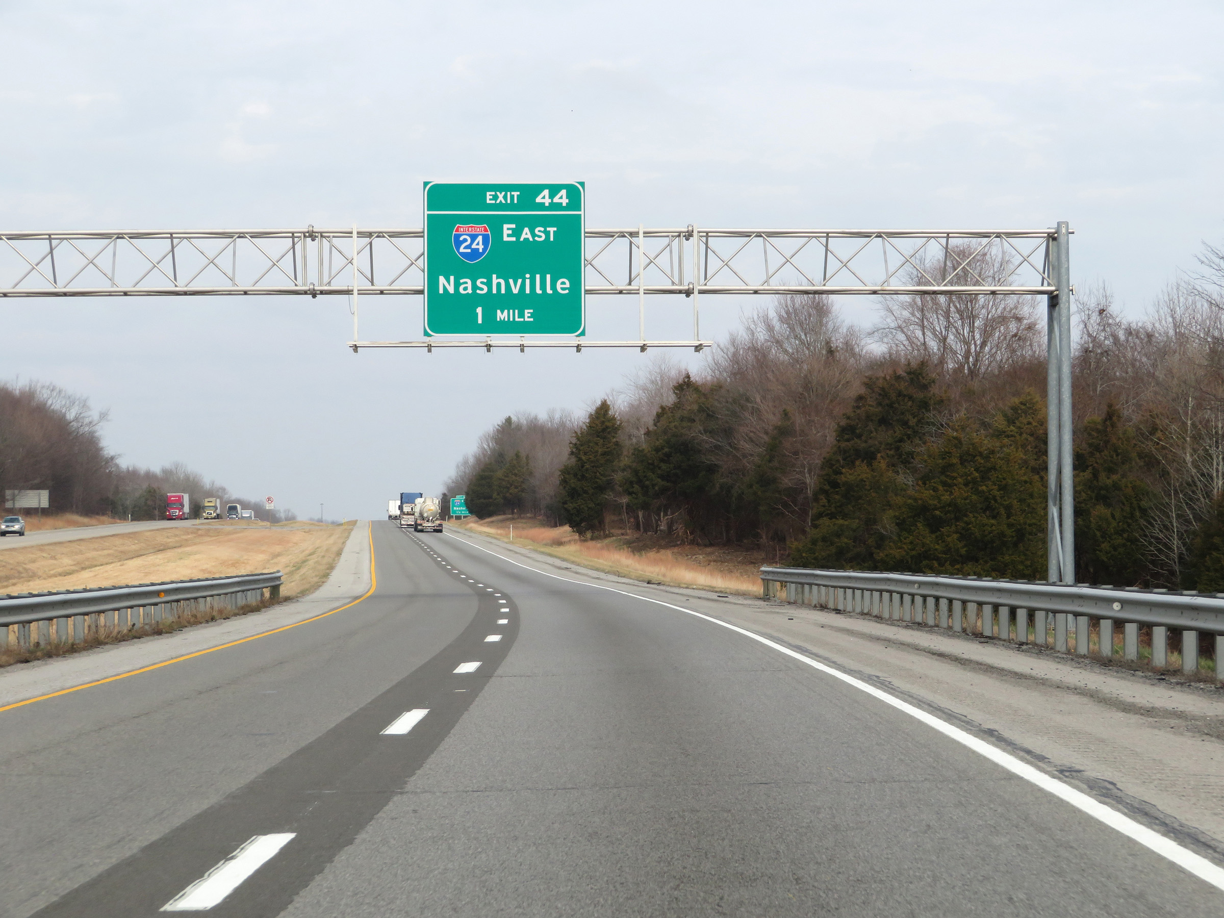 |
Interstate 57 North approaching Exit 44 - 1 mile. (Photo taken 12/15/20). |
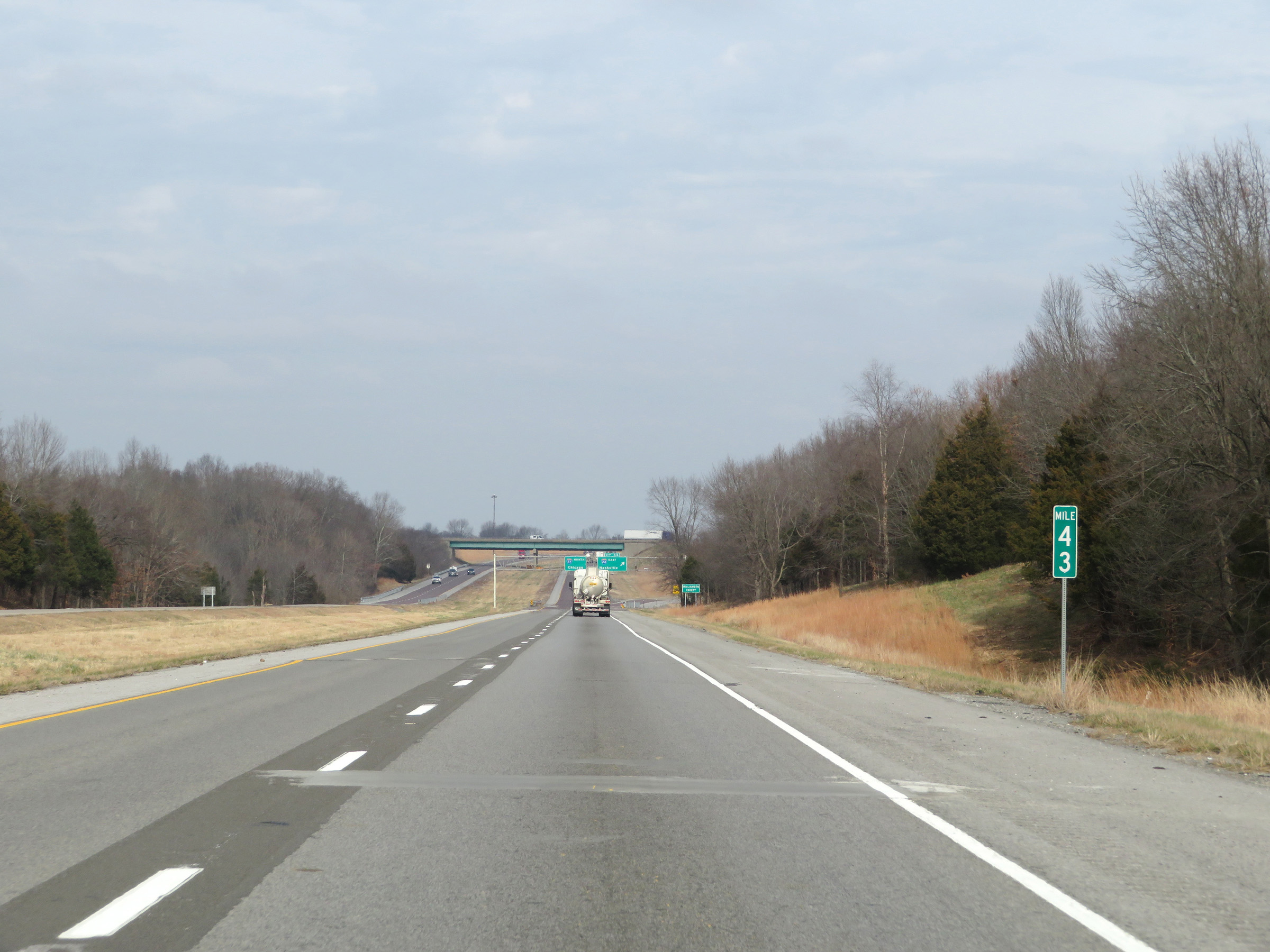 |
Mile marker 43 on Interstate 57 North in Johnson County. (Photo taken 12/15/20). |
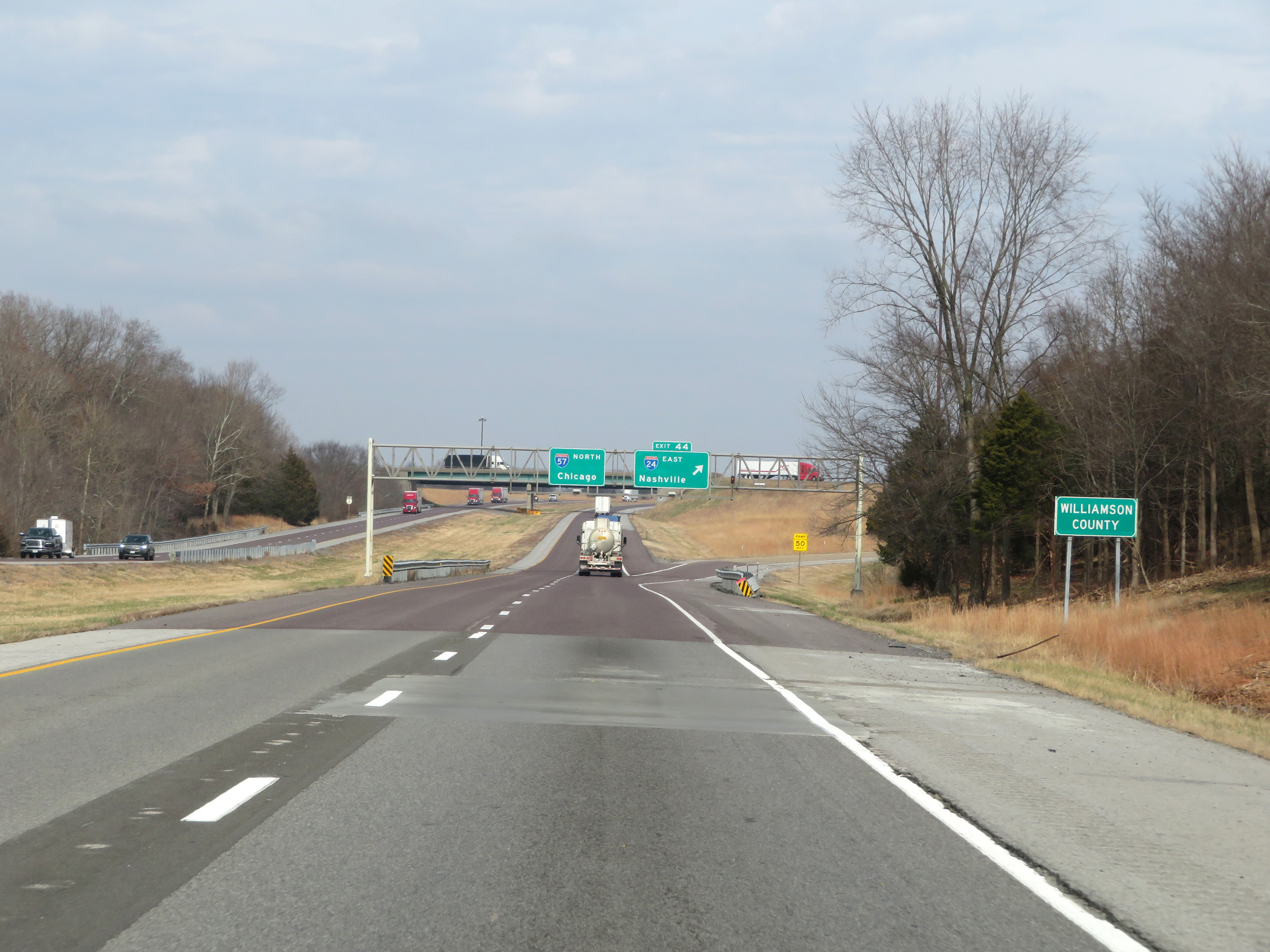 |
Just before the junction of Interstate 24, Interstate 57 North enters Williamson County. (Photo taken 12/15/20). |
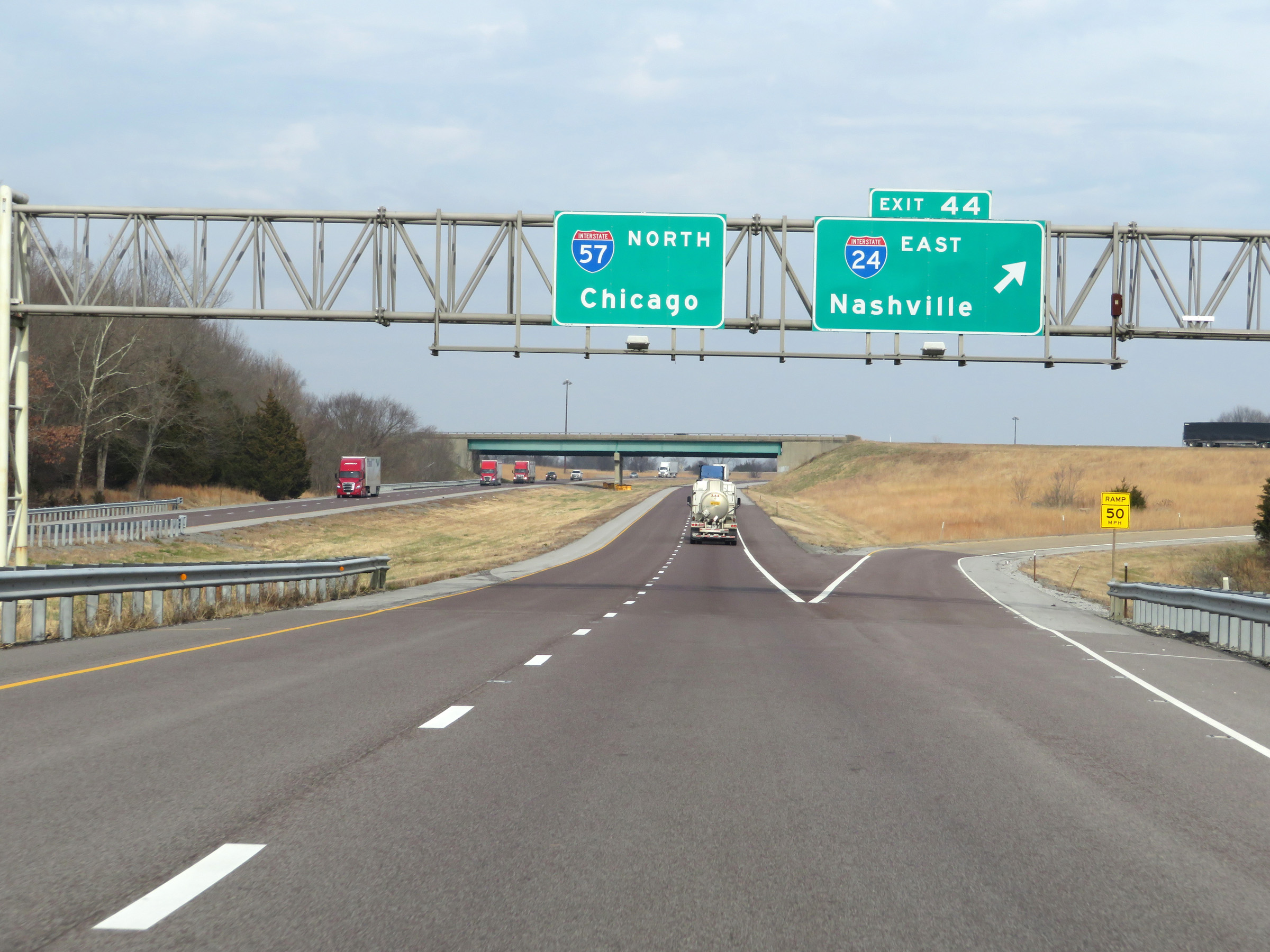 |
Interstate 57 North at Exit 44: Interstate 24 East - Nashville (Photo taken 12/15/20). |
 |
View on Interstate 57 North as it passes under the ramp from I-57 South to Interstate 24 East. (Photo taken 12/15/20). |
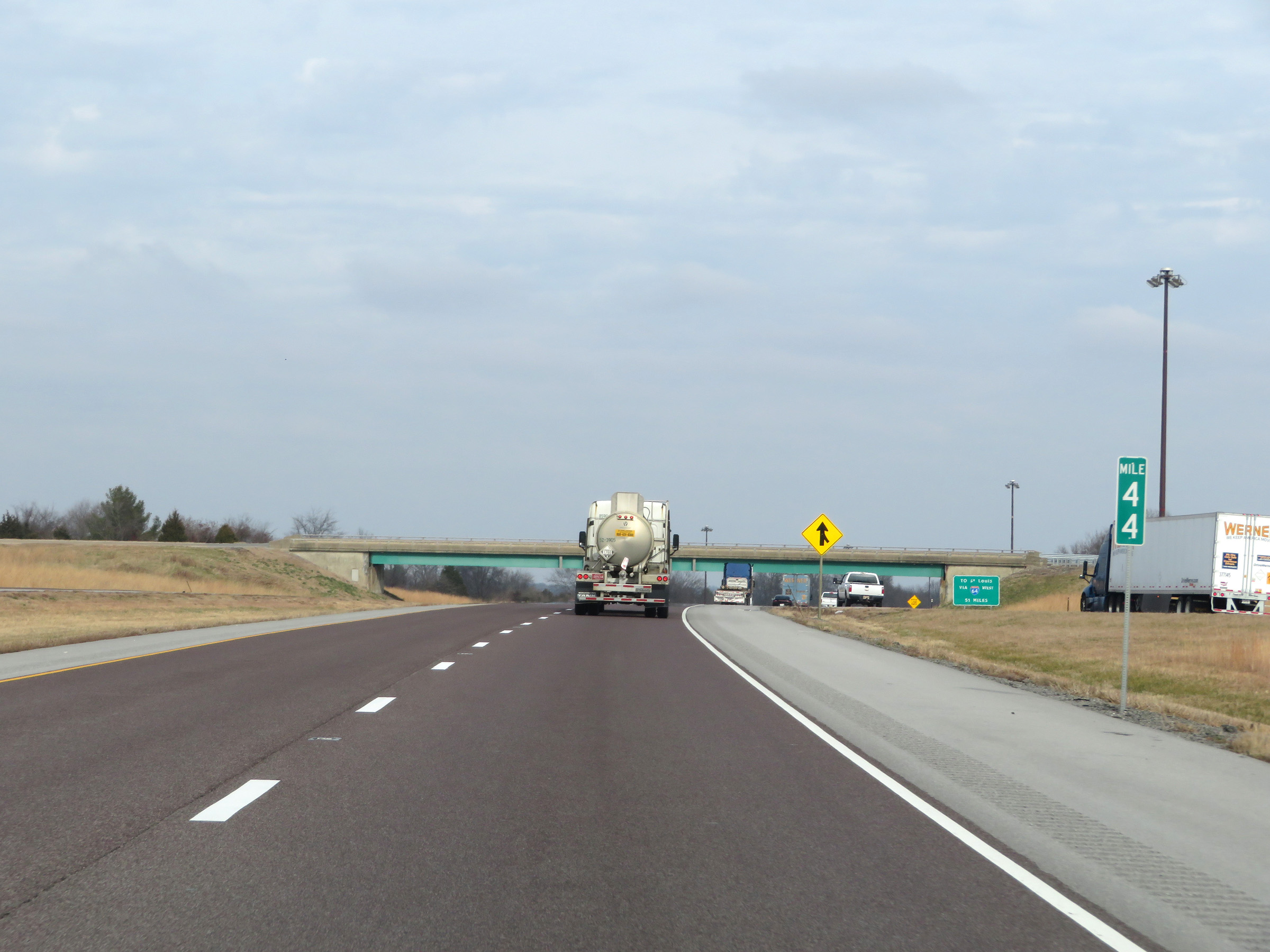 |
At mile marker 44, traffic from Interstate 24 West to Interstate 57 North prepares to join ahead on the right. (Photo taken 12/15/20). |
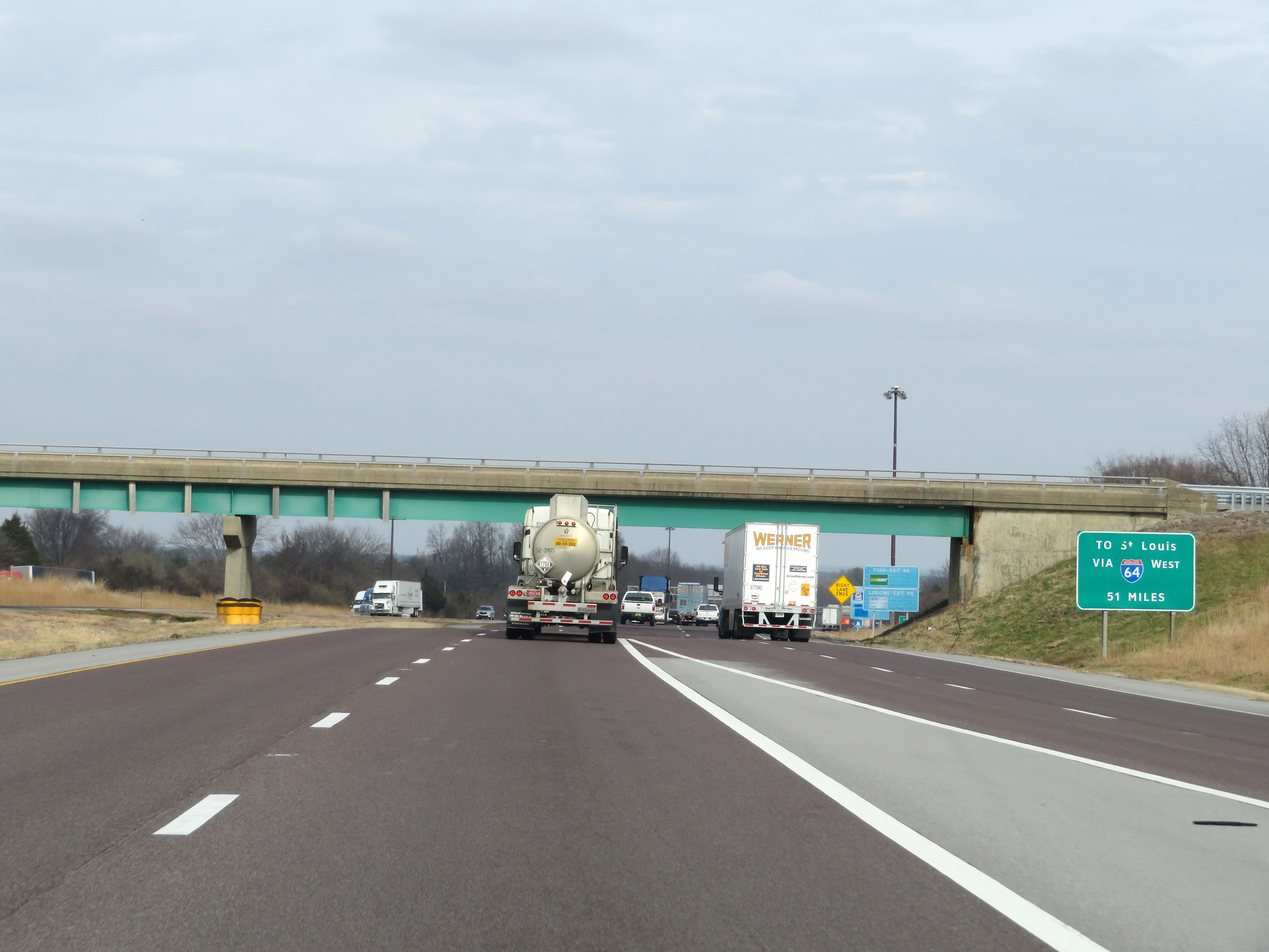 |
This sign, while geared toward traffic from Interstate 24 West to Interstate 57 North, shows that traffic to St. Louis should follow Interstate 57 North for 51 miles then take Interstate 64 West in Mt. Vernon. (Photo taken 12/15/20). |
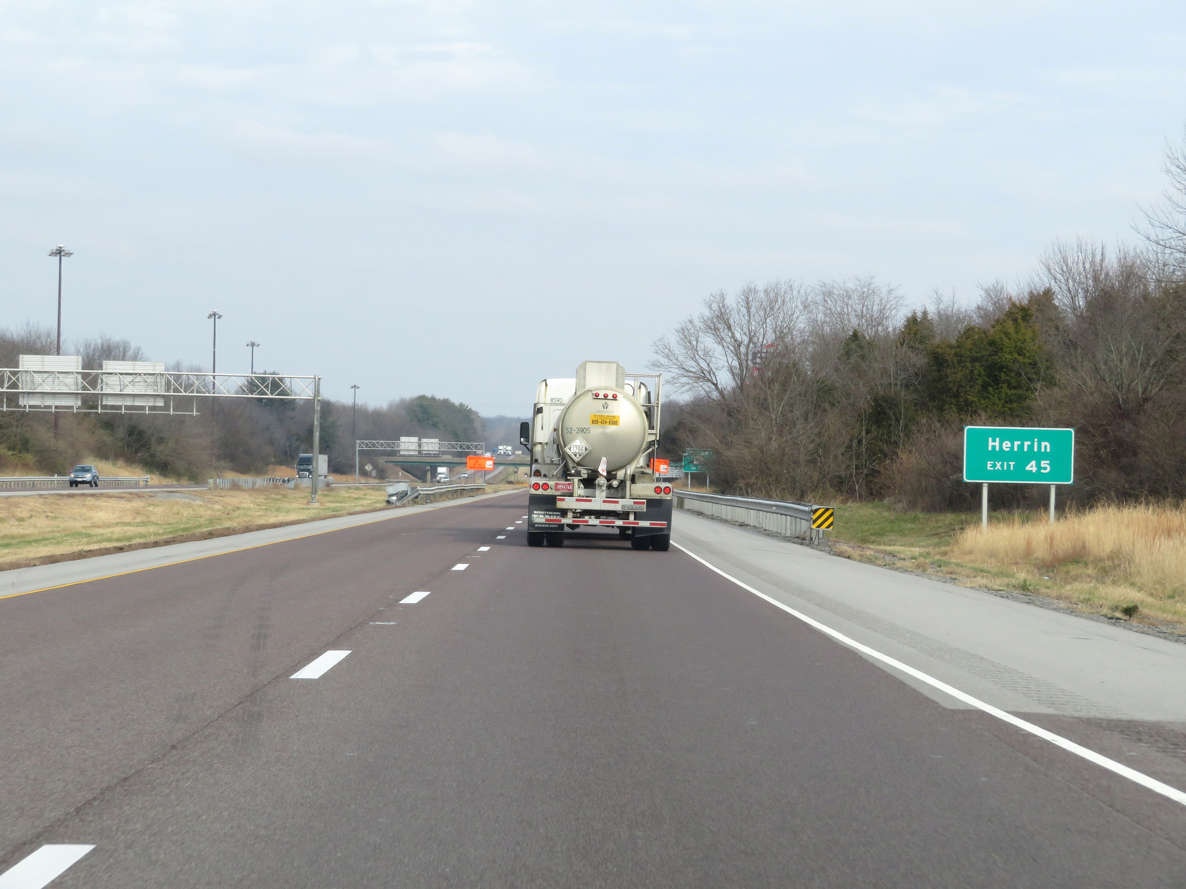 |
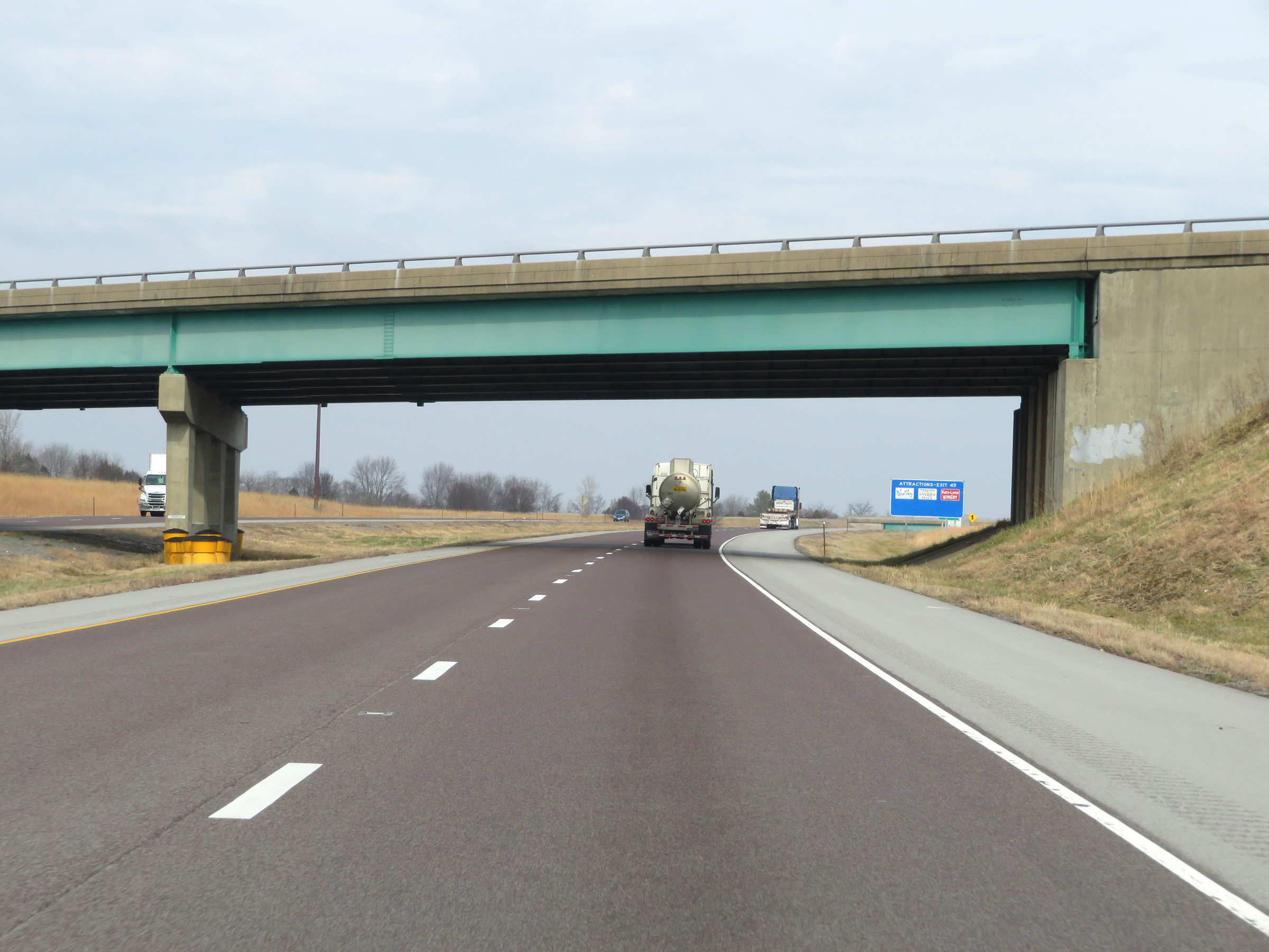
Take Exit 45 to Herrin. (Photo taken 12/15/20). |
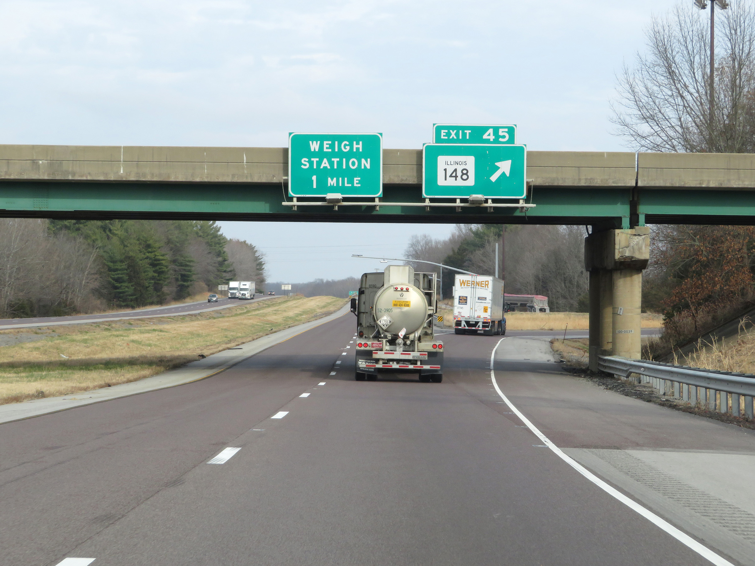 |
Interstate 57 North at Exit 45: IL 148 (Photo taken 12/15/20). |