Road Information |
||
 |
||
| Total Mileage in State: | 143 miles | |
| Eastern End: | At I-40, in North Little Rock | |
| Western End: | At Texas state line | |
| Mileage covered in Photos: | 143 miles | |
| Counties covered in Photos: | Pulaski, Saline, Hot Spring, Clark, Nevada, Hempstead, Miller | |
| Major Junctions in Photos: | I-630, in Little Rock I-530, in Little Rock I-440, near Little Rock I-430, near Little Rock US 70, near Benton |
|
| Control Cities in Photos: | North Little Rock, Little Rock, Benton, Prescott, Texarkana | |
Westbound
- Section 1: North Little Rock to Malvern (Exit 97)
- Section 2: Malvern (Exit 97) to Texas Border
Section 1: North Little Rock to Malvern (Exit 97)
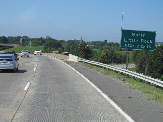 |
Use either of the next 2 exits to get to North Little Rock. (Photo taken 9/21/11). |
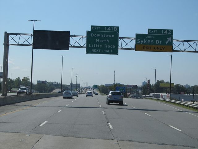 |
Interstate 30 West at Exit 142: Curtis Sykes Dr (Photo taken 9/21/11). |
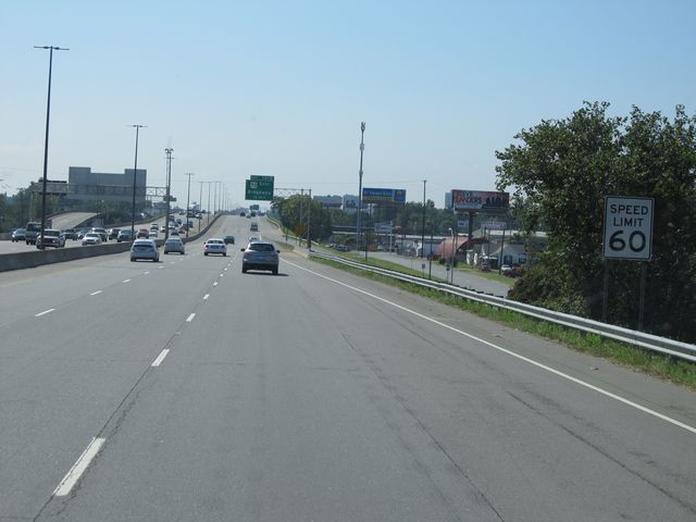 |
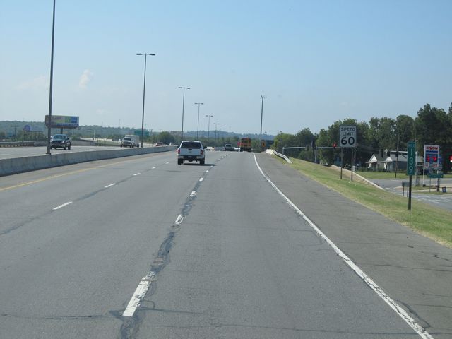
Speed limit sign located near mile marker 142. The speed limit starts out at 60 mph on Interstate 30 West as you pass through Little Rock. (Photo taken 9/21/11). |
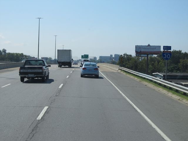 |
Interstate 30 West assurance shield located near mile marker 141. (Photo taken 9/21/11). |
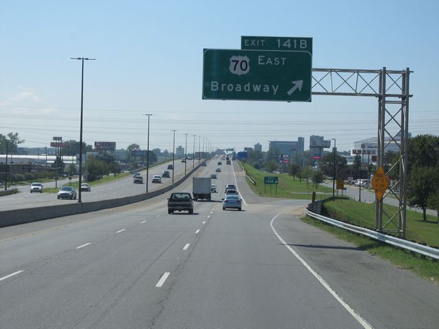 |
Interstate 30 West at Exit 141B: US 70 East - Broadway (Photo taken 9/21/11). |
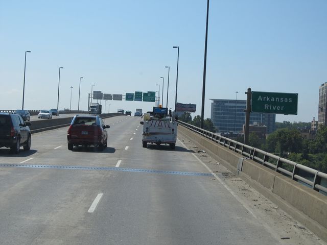 |
Interstate 30 West as it crosses the Arkansas River near downtown Little Rock. (Photo taken 9/21/11). |
 |
Interstate 30 West at Exit 141A: AR 10 - Cantrell Rd / Clinton Ave (Photo taken 9/21/11). |
 |
Interstate 30 West at Exit 140B: 6th St (Photo taken 9/21/11). |
 |
Interstate 30 West at Exit 140A: 9th St (Photo taken 9/21/11). |
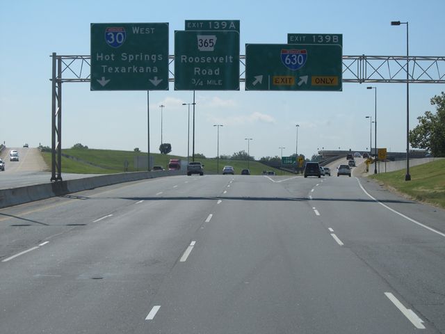 |
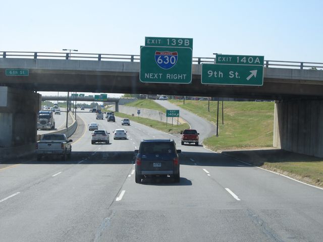
Interstate 30 West at Exit 139B: Interstate 630 (Photo taken 9/21/11). |
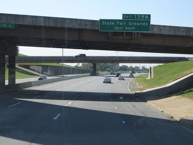 |
Use Exit 139A for the State Fairgrounds. (Photo taken 9/21/11). |
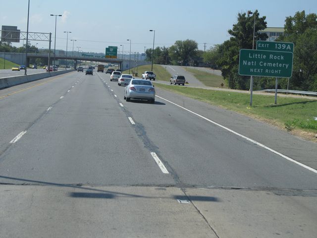 |
Also use Exit 139A for Little Rock National Cemetery. (Photo taken 9/21/11). |
 |
Interstate 30 West at Exit 139A: AR 365 - Roosevelt Road (Photo taken 9/21/11). |
 |
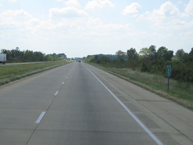
Interstate 30 West: Road view from mile marker 139. (Photo taken 9/21/11). |
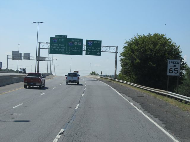 |
Near mile marker 138, the speed limit increases to 65 mph. (Photo taken 9/21/11). |
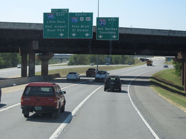 |
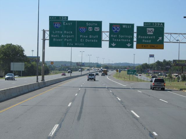
Interstate 30 West at Exit 138: Interstate 440 East - Little Rock National Airport / River Port; Interstate 530 South / US 65 / US 167 - Pine Bluff / El Dorado (Photo taken 9/21/11). |
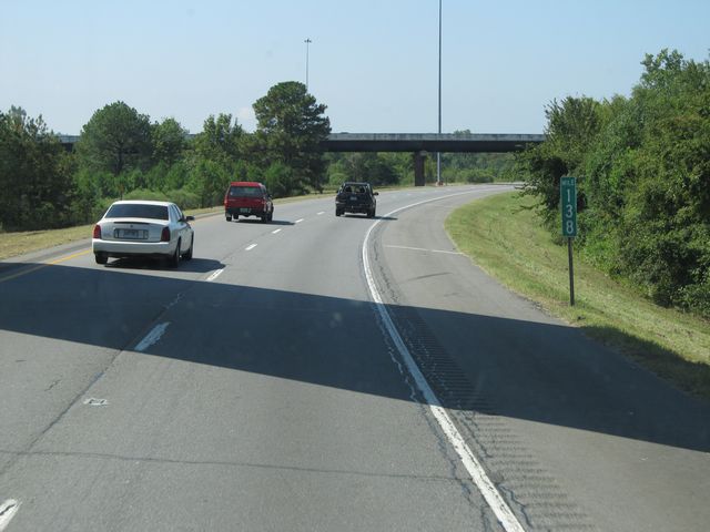 |
Interstate 30 West: Road view from mile marker 138. (Photo taken 9/21/11). |
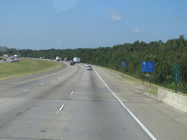 |
Interstate 30 West: Road view from mile marker 137. (Photo taken 9/21/11). |
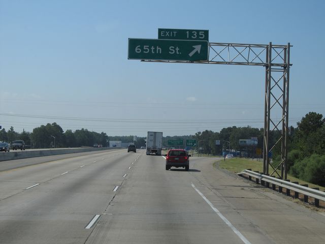 |
Interstate 30 West at Exit 135: 65th St (Photo taken 9/21/11). |
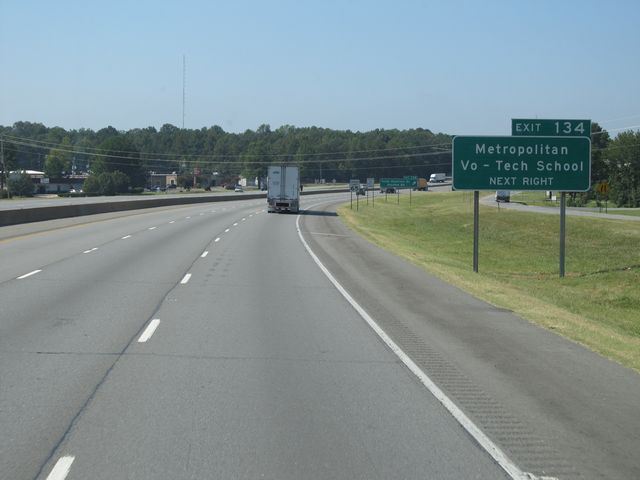 |
Use Exit 134 for Metropolitan Vo-Tech School. (Photo taken 9/21/11). |
 |
Interstate 30 West at Exit 134: Scott Hamilton Dr / Stanton Rd (Photo taken 9/21/11). |
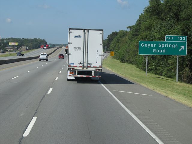 |
Interstate 30 West at Exit 133: Geyer Springs Road (Photo taken 9/21/11). |
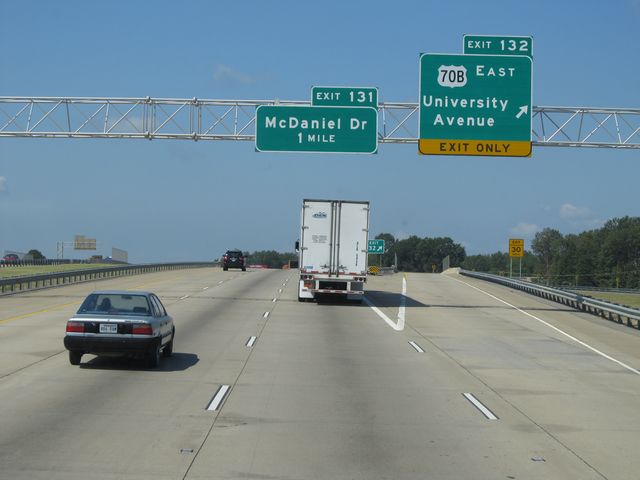 |
Interstate 30 West at Exit 132: US 70B East - University Avenue (Photo taken 9/21/11). |
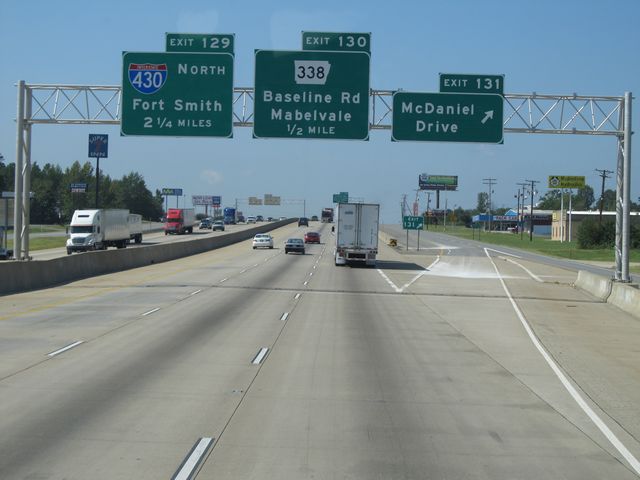 |
Interstate 30 West at Exit 131: McDaniel Drive (Photo taken 9/21/11). |
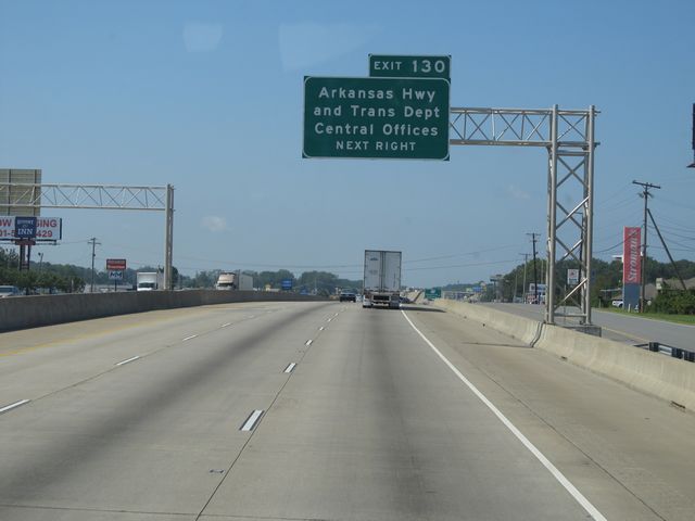 |
Use Exit 130 for the Arkansas Highway and Transportation Dept Central Offices. (Photo taken 9/21/11). |
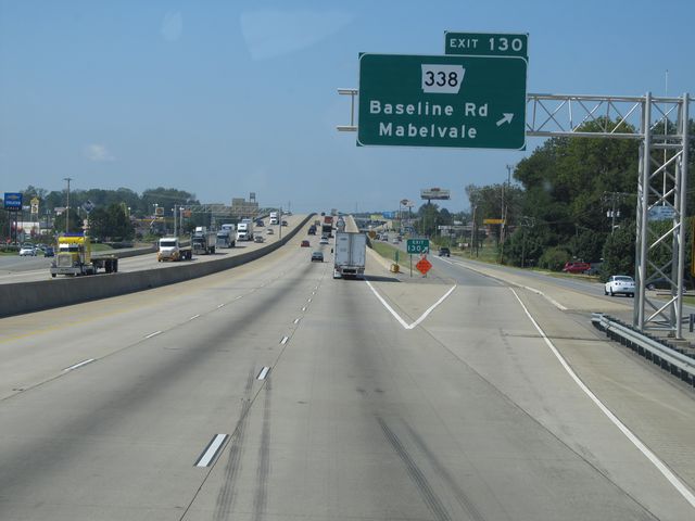 |
Interstate 30 West at Exit 130: AR 338 - Baseline Rd / Mabelvale (Photo taken 9/21/11). |
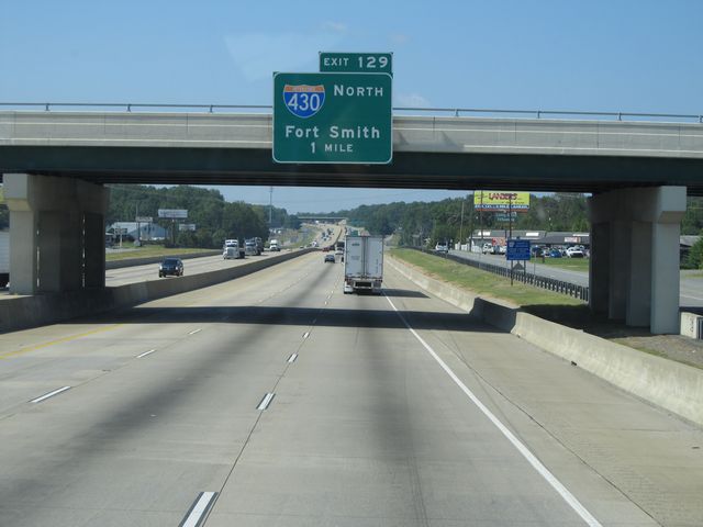 |
Interstate 30 West approaching Exit 129 - 1 mile. (Photo taken 9/21/11). |
 |
Interstate 30 West assurance shield located near mile marker 130. (Photo taken 9/21/11). |
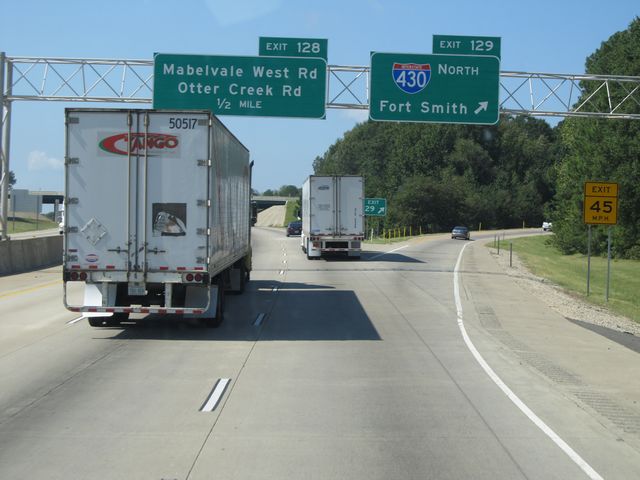 |
Interstate 30 West at Exit 129: Interstate 430 North - Fort Smith (Photo taken 9/21/11). |
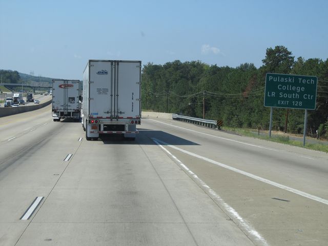 |
Use Exit 128 for Pulaski Tech College LR South Center. (Photo taken 9/21/11). |
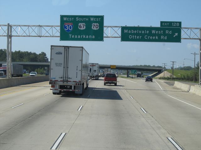 |
Interstate 30 West at Exit 128: Mabelvale West Rd / Otter Creek Rd (Photo taken 9/21/11). |
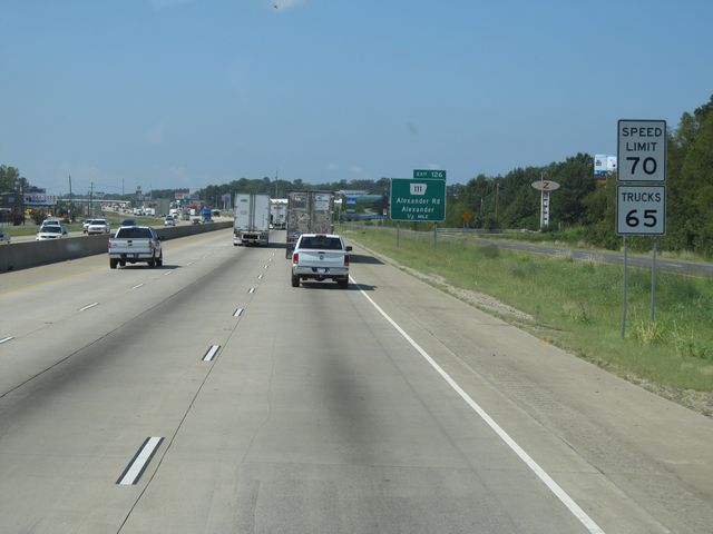 |
Speed limit signs located near mile marker 128. At this point, the speed limit increases to 70 mph, which is standard on most rural Arkansas Interstates. Arkansas used to have a 65 mph speed limit for trucks, but that law has since been eliminated. (Photo taken 9/21/11). |
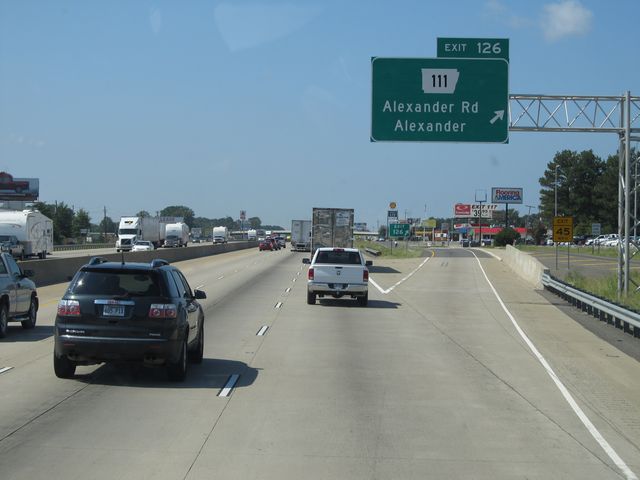 |
Interstate 30 West at Exit 126: AR 111 - Alexander Rd / Alexander (Photo taken 9/21/11). |
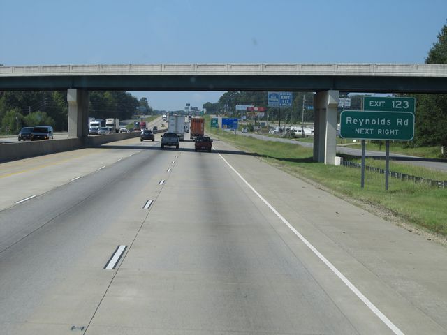 |
Use Exit 123 for access to Reynolds Rd. (Photo taken 9/21/11). |
 |
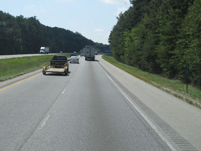
Interstate 30 West: Road view from mile marker 124. (Photo taken 9/21/11). |
 |
Interstate 30 West at Exit 123: AR 183 - Bryant / Bauxite (Photo taken 9/21/11). |
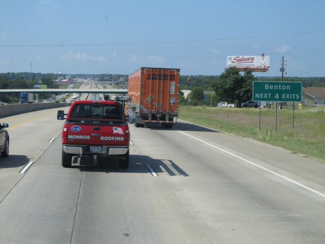 |
Use any of the next 4 exits to get to Benton. (Photo taken 9/21/11). |
 |
Interstate 30 West at Exit 121: Alcoa Road (Photo taken 9/21/11). |
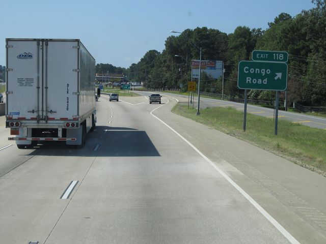 |
Interstate 30 West at Exit 118: Congo Road (Photo taken 9/21/11). |
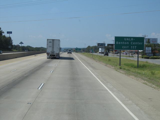 |
Use Exit 117 for UALR - Benton Center. (Photo taken 9/21/11). |
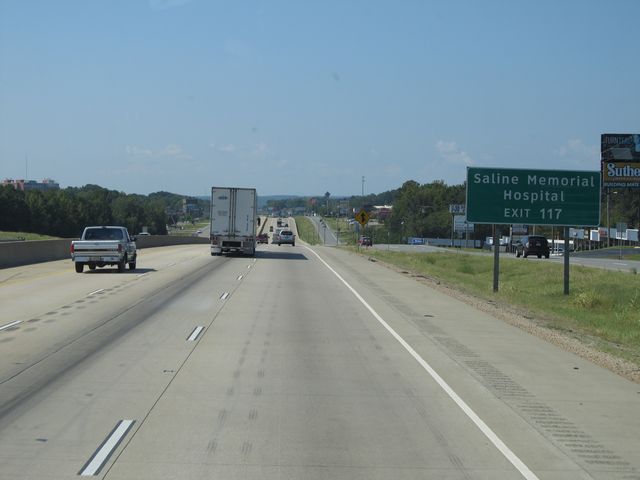 |
Also use Exit 117 for Saline Memorial Hospital. (Photo taken 9/21/11). |
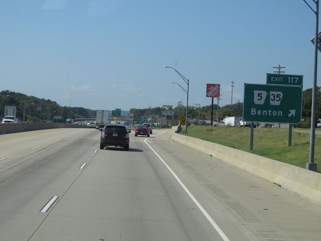 |
Interstate 30 West at Exit 117: AR 5 / AR 35 - Benton (Photo taken 9/21/11). |
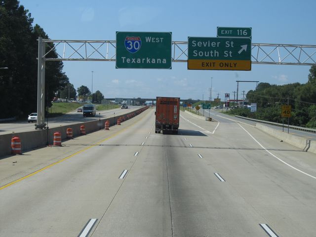 |
Interstate 30 West at Exit 116: Sevier St / South St (Photo taken 9/21/11). |
 |
Interstate 30 West: Road view from mile marker 115. (Photo taken 9/21/11). |
 |
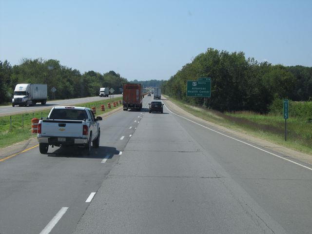
Interstate 30 West at Exit 114: US 67 South - Arkansas Health Center (Photo taken 9/21/11). |
 |
Interstate 30 West at the Commercial Vehicle Inspection Station located at mile marker 113. (Photo taken 9/21/11). |
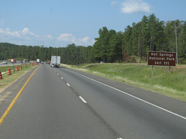 |
Use Exit 111 for Hot Springs National Park. (Photo taken 9/21/11). |
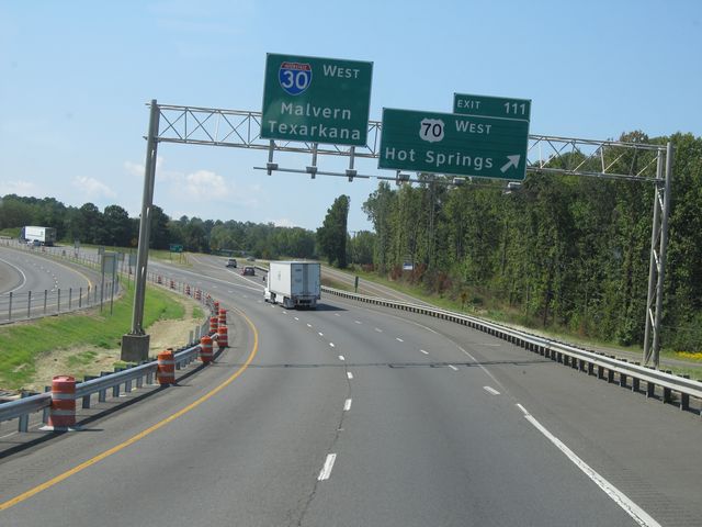 |
Interstate 30 West at Exit 111: US 70 West - Hot Springs (Photo taken 9/21/11). |
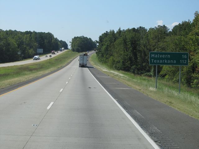 |
Mileage sign located near mile marker 111. It's 16 miles to Malvern and 112 miles to Texarkana. (Photo taken 9/21/11). |
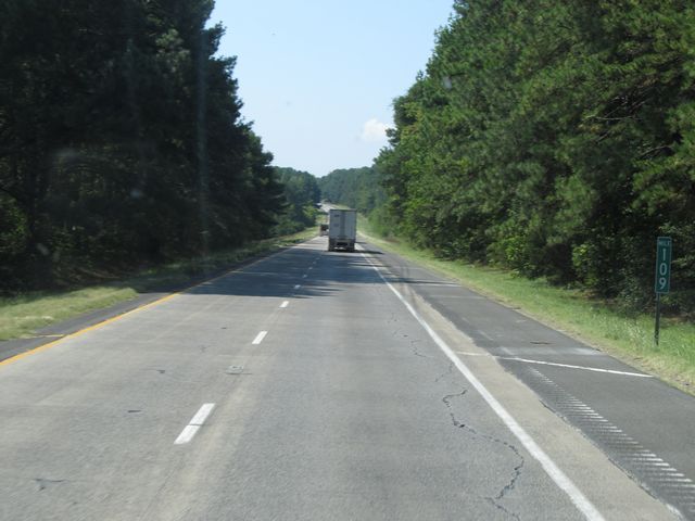 |
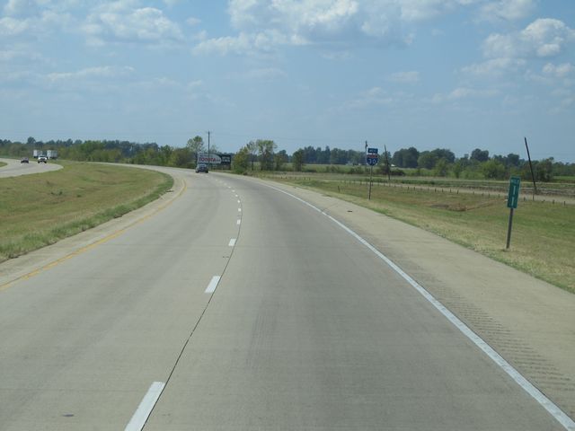
Interstate 30 West: Road view from mile marker 109. (Photo taken 9/21/11). |
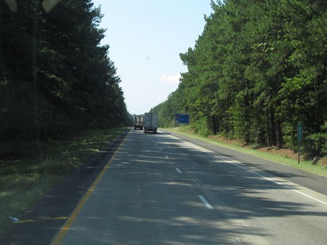 |
Interstate 30 West: Road view from mile marker 108. (Photo taken 9/21/11). |
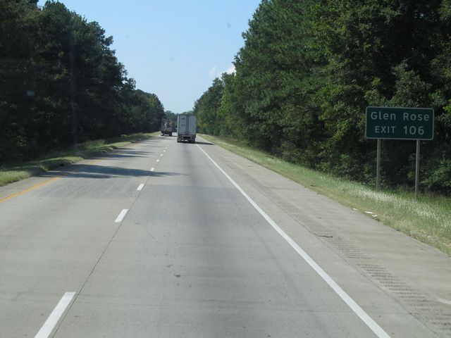 |
Use Exit 106 to Glen Rose. (Photo taken 9/21/11). |
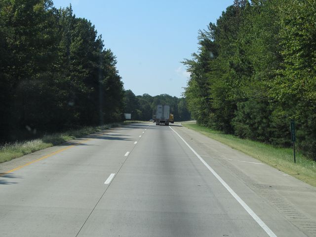 |
Interstate 30 West: Road view from mile marker 107. (Photo taken 9/21/11). |
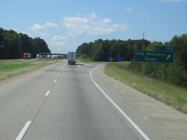 |
Interstate 30 West at Exit 106: Old Military Road (Photo taken 9/21/11). |
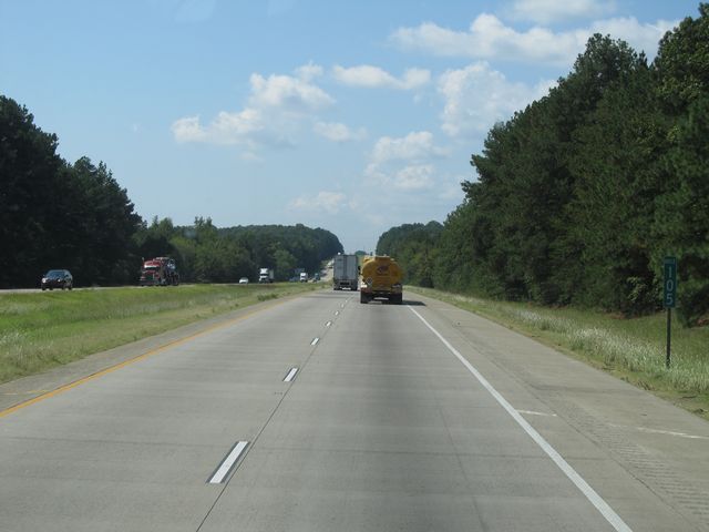 |
Interstate 30 West: Road view from mile marker 105. (Photo taken 9/21/11). |
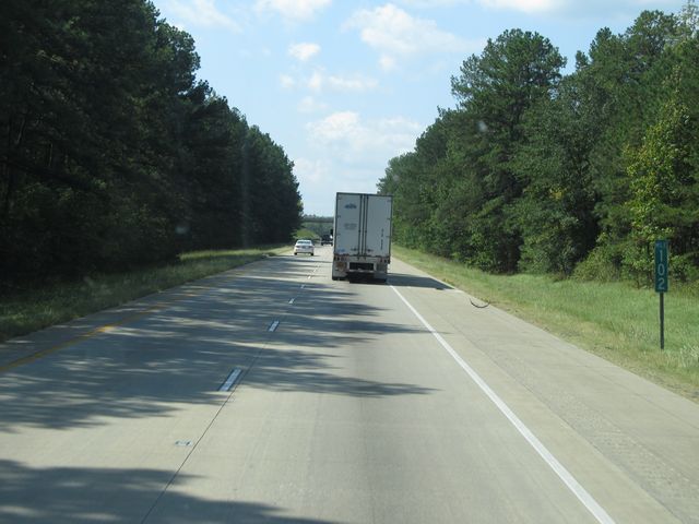 |
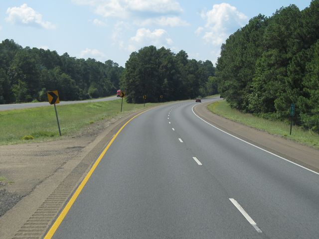
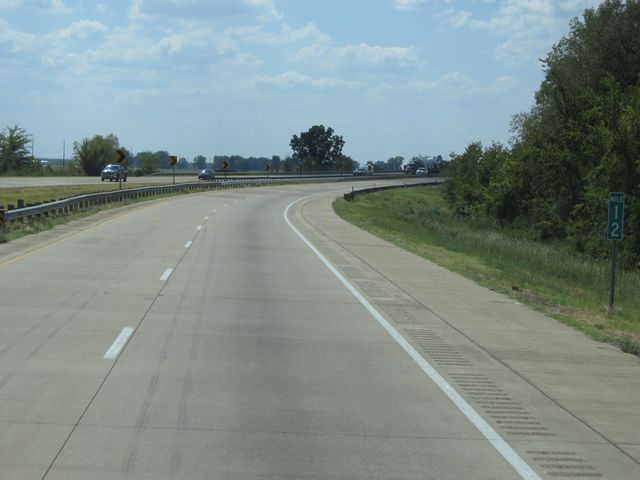
Interstate 30 West: Road view from mile marker 102. (Photo taken 9/21/11). |
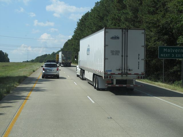 |
Use any of the next 3 exits to Malvern. (Photo taken 9/21/11). |
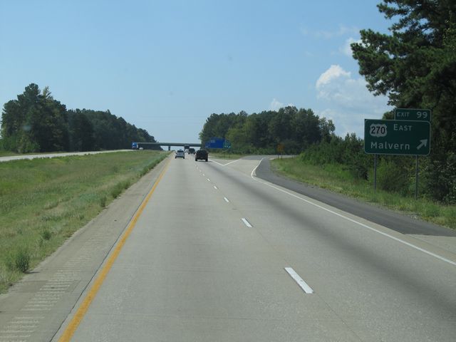 |
Interstate 30 West at Exit 99: US 270 East - Malvern (Photo taken 9/21/11). |
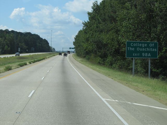 |
Use Exit 98A for College of the Ouachitas. (Photo taken 9/21/11). |
 |
Interstate 30 West at Exit 98B: US 270 West - Hot Springs (Photo taken 9/21/11). |
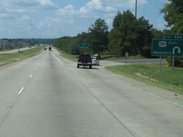 |
Interstate 30 West at Exit 98A: US 270B East - Malvern (Photo taken 9/21/11). |
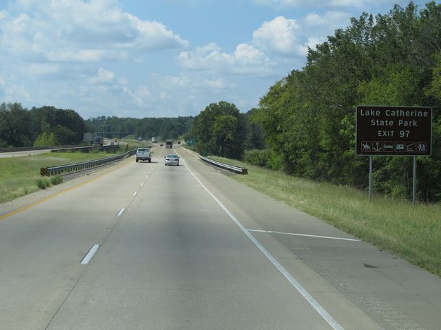 |
Use Exit 97 to get to Lake Catherine State Park. (Photo taken 9/21/11). |
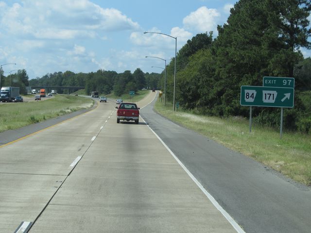 |
Interstate 30 West at Exit 97: AR 84 / AR 171 (Photo taken 9/21/11). |
Section 2: Malvern (Exit 97) to Texas Border
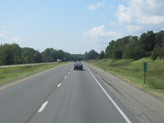 |
Interstate 30 West: Road view from mile marker 96. (Photo taken 9/21/11). |
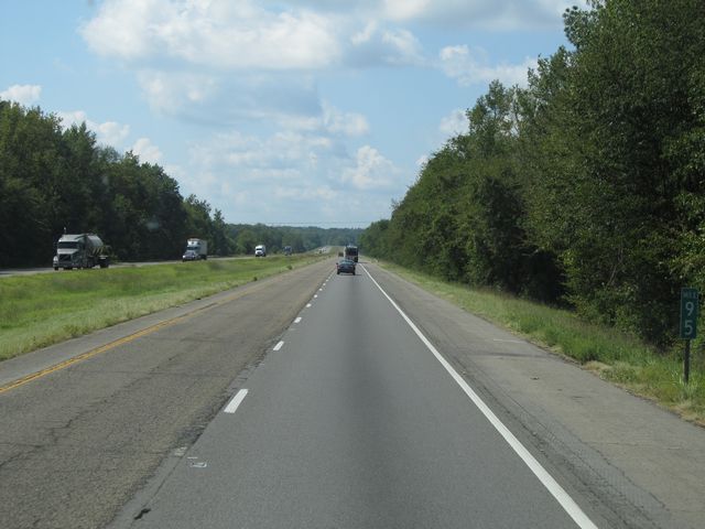 |
Interstate 30 West: Road view from mile marker 95. (Photo taken 9/21/11). |
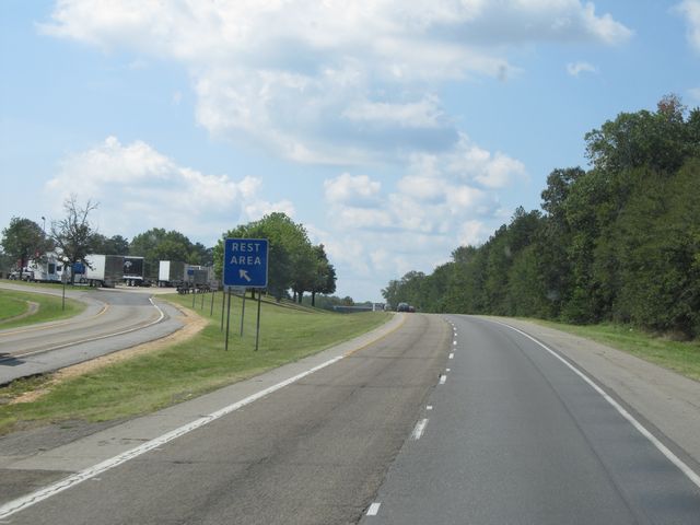 |
Interstate 30 West at the Rest Area located at mile marker 93. (Photo taken 9/21/11). |
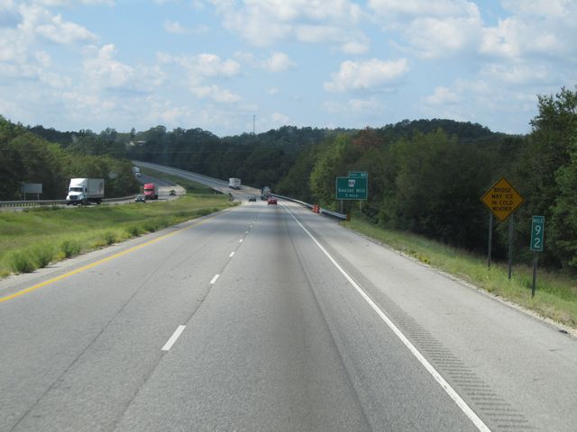 |
Interstate 30 West: Road view from mile marker 92. (Photo taken 9/21/11). |
 |
Interstate 30 West at Exit 91: AR 84 - Social Hill (Photo taken 9/21/11). |
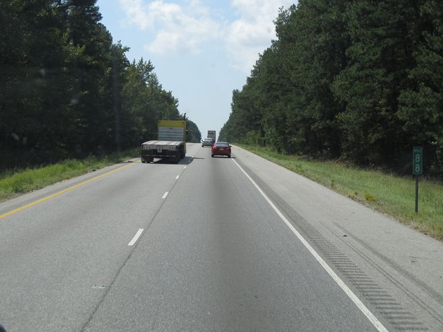 |
Interstate 30 West: Road view from mile marker 88. (Photo taken 9/21/11). |
 |
Interstate 30 West: Road view from mile marker 85. (Photo taken 9/21/11). |
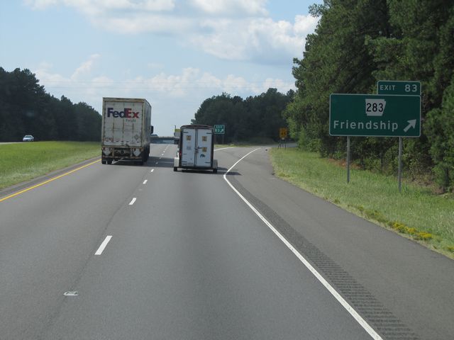 |
Interstate 30 West at Exit 83: AR 283 - Friendship (Photo taken 9/21/11). |
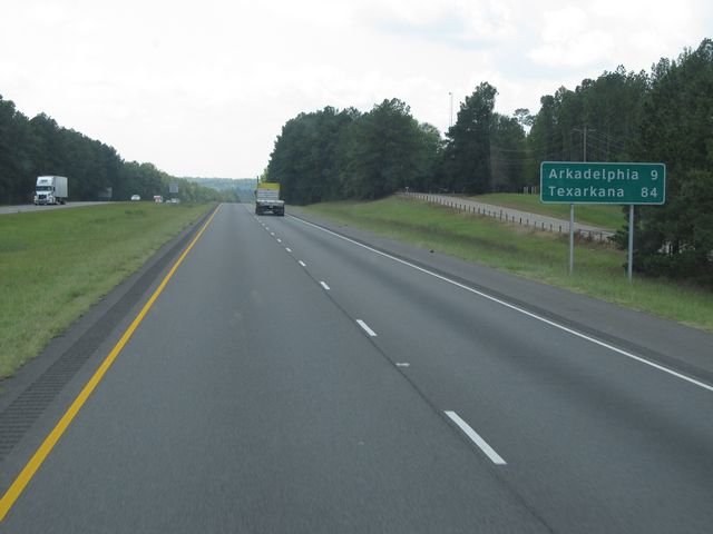 |
Mileage sign located near mile marker 82. It's 9 miles to Arkadelphia and 84 miles to Texarkana. (Photo taken 9/21/11). |
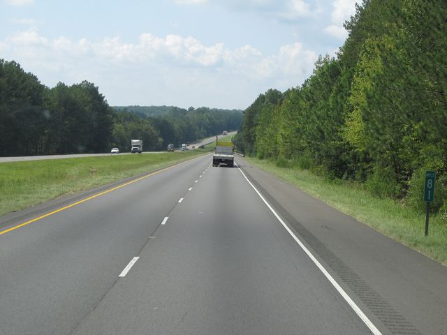 |
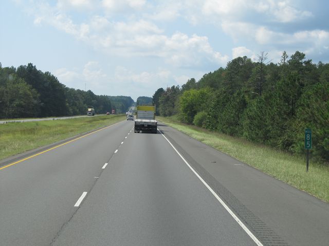
Interstate 30 West: Road view from mile marker 81. (Photo taken 9/21/11). |
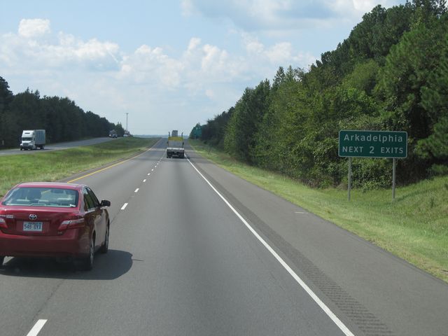 |
Use either of the next 2 exits to Arkadelphia. (Photo taken 9/21/11). |
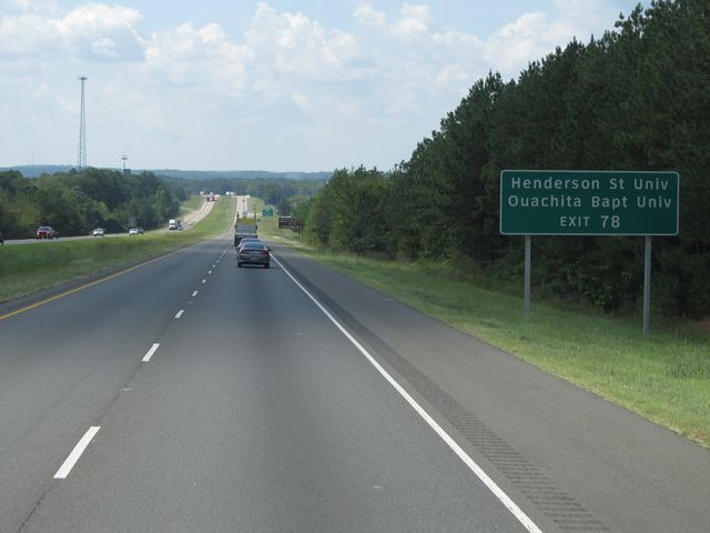 |
Use Exit 78 to get to Henderson State University and Ouachita Baptist University. (Photo taken 9/21/11). |
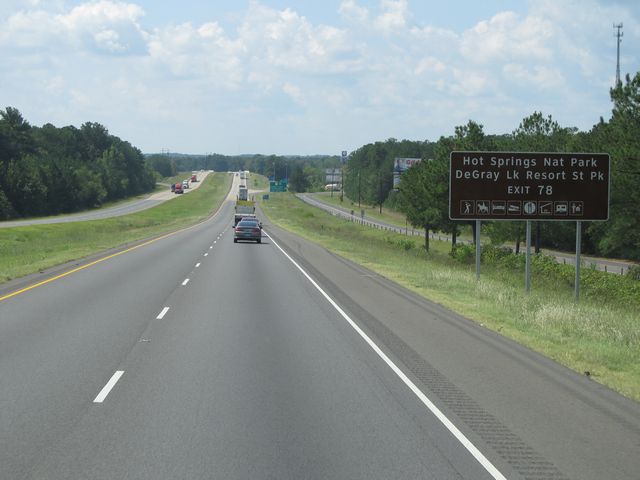 |
Also use Exit 78 to get to Hot Springs National Park and DeGray Lake Resort State Park. (Photo taken 9/21/11). |
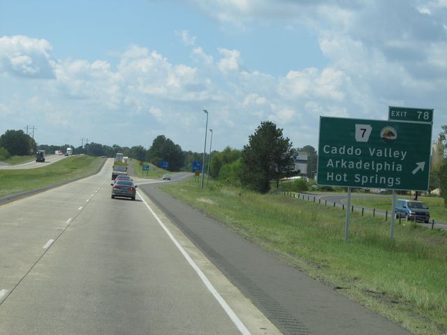 |
Interstate 30 West at Exit 78: AR 7 - Caddo Valley / Arkadelphia / Hot Springs (Photo taken 9/21/11). |
 |
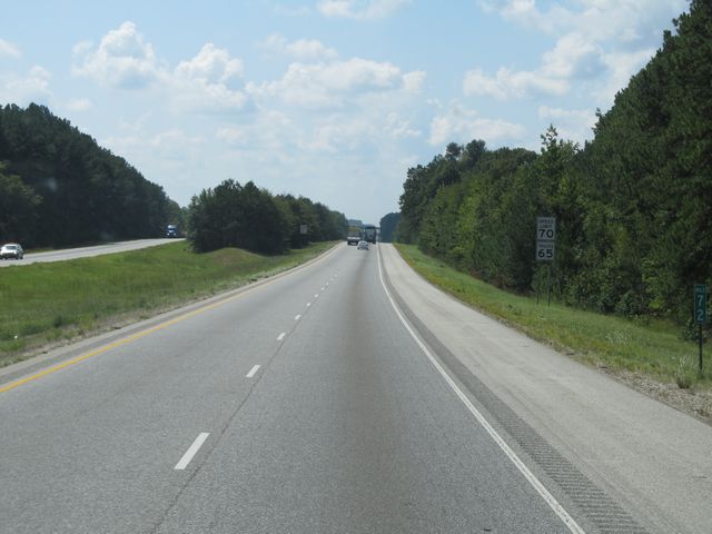
Interstate 30 West: Road view from mile marker 75. (Photo taken 9/21/11). |
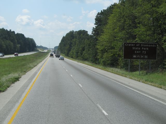 |
Use Exit 73 for Crater of Diamonds State Park. (Photo taken 9/21/11). |
 |
Interstate 30 West at Exit 73: AR 8 / AR 26 / AR 51 - Arkadelphia (Photo taken 9/21/11). |
 |
Interstate 30 West: Road view from mile marker 72. (Photo taken 9/21/11). |
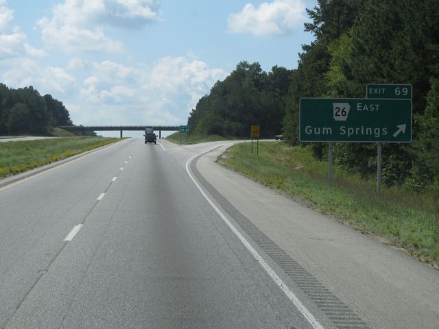 |
Interstate 30 West at Exit 69: AR 26 East - Gum Springs (Photo taken 9/21/11). |
 |
Interstate 30 West: Road view from mile marker 66. (Photo taken 9/21/11). |
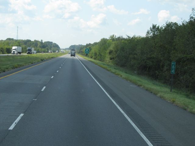 |
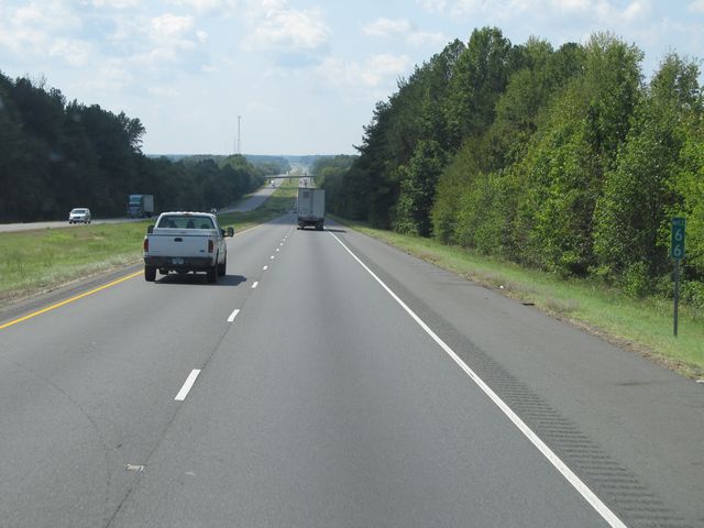
Interstate 30 West: Road view from mile marker 64. (Photo taken 9/21/11). |
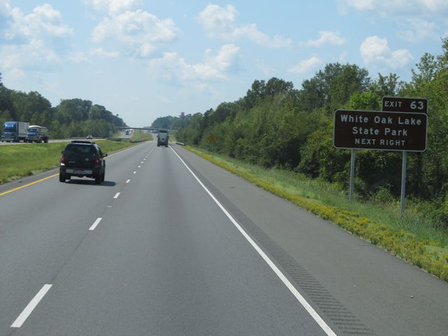 |
Use Exit 63 to get to White Oak Lake State Park. (Photo taken 9/21/11). |
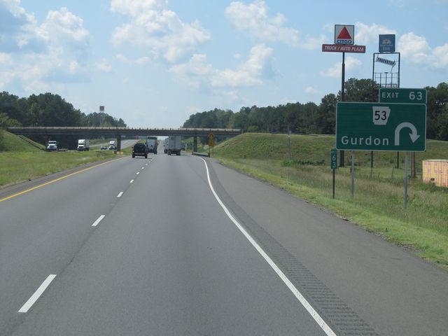 |
Interstate 30 West at Exit 63: AR 53 - Gurdon (Photo taken 9/21/11). |
 |
Interstate 30 West: Road view from mile marker 59. (Photo taken 9/21/11). |
 |
Interstate 30 West: Road view from mile marker 58. (Photo taken 9/21/11). |
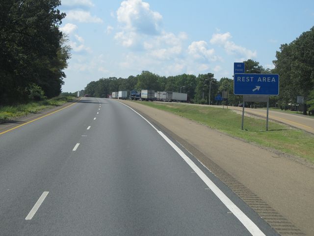 |
Interstate 30 West at the Rest Area located near mile marker 57.5. (Photo taken 9/21/11). |
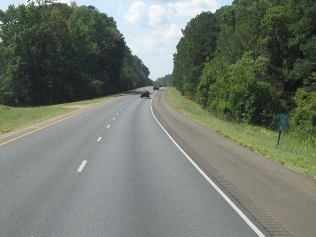 |
Interstate 30 West: Road view from mile marker 56. (Photo taken 9/21/11). |
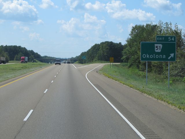 |
Interstate 30 West at Exit 54: AR 51 - Okolona (Photo taken 9/21/11). |
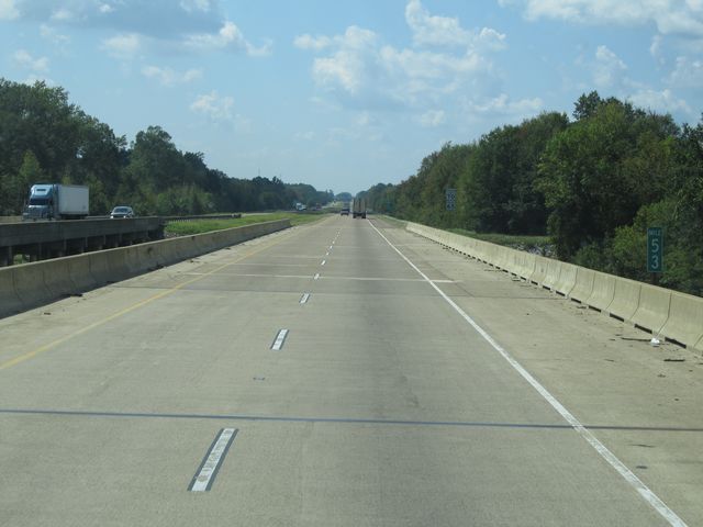 |
Interstate 30 West: Road view from mile marker 53. (Photo taken 9/21/11). |
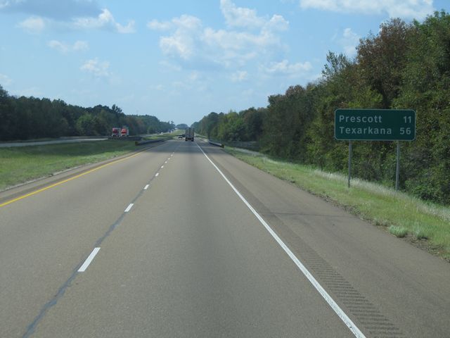 |
Mileage sign located near mile marker 52. It's 11 miles to Prescott and 56 miles to Texarkana from this point. (Photo taken 9/21/11). |
 |
Interstate 30 West: Road view from mile marker 50. (Photo taken 9/21/11). |
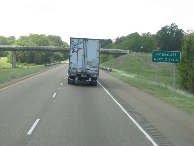 |
Take either of the next 2 exits to Prescott. (Photo taken 9/21/11). |
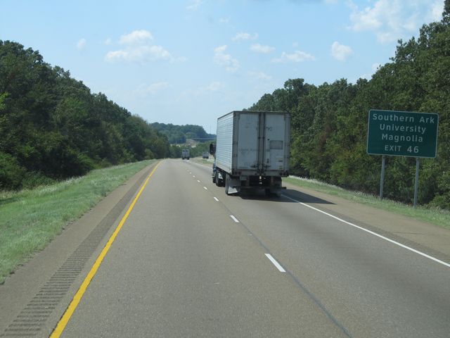 |
Use Exit 46 for Southern Arkansas University and Magnolia. (Photo taken 9/21/11). |
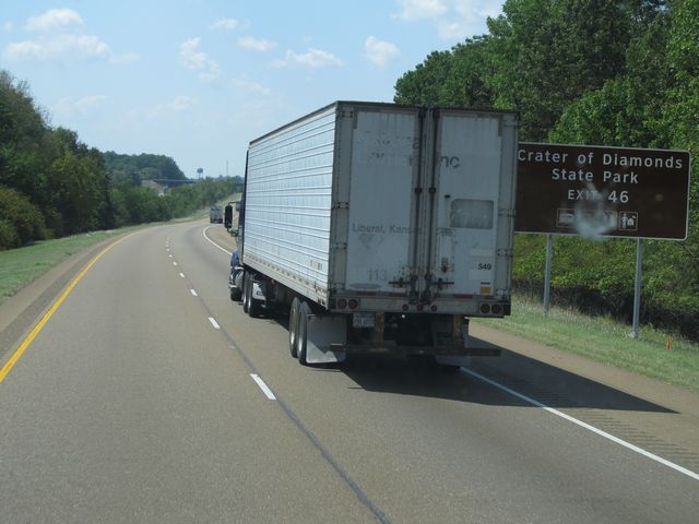 |
You can also use Exit 46 to get to Crater of Diamonds State Park. (Photo taken 9/21/11). |
 |
Interstate 30 West at Exit 46: AR 19 - Prescott (Photo taken 9/21/11). |
 |
Interstate 30 West at Exit 44: US 371 / AR 24 - Prescott (Photo taken 9/21/11). |
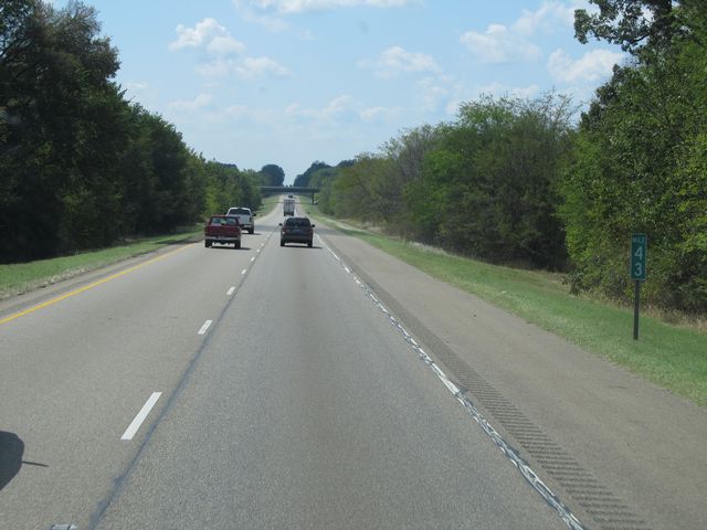 |
Interstate 30 West: Road view from mile marker 43. (Photo taken 9/21/11). |
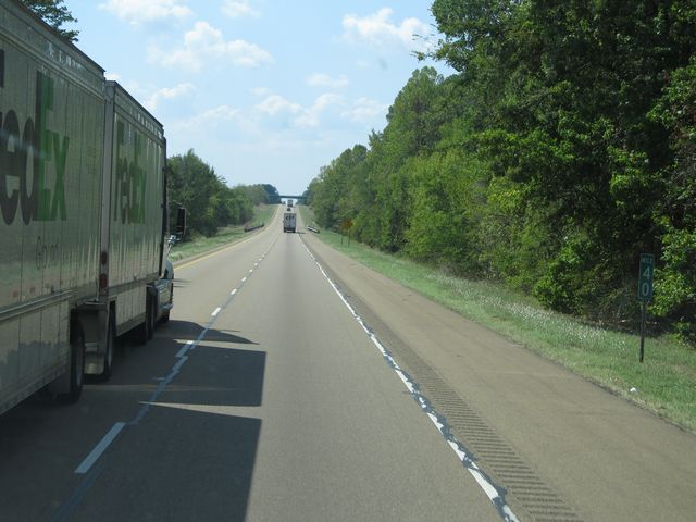 |
Interstate 30 West: Road view from mile marker 40. (Photo taken 9/21/11). |
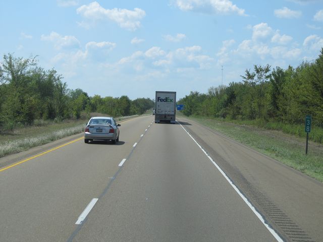 |
Interstate 30 West: Road view from mile marker 38. (Photo taken 9/21/11). |
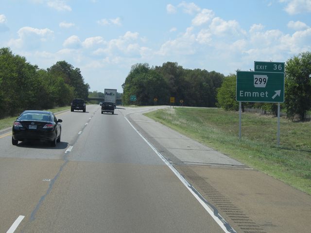 |
Interstate 30 West at Exit 36: AR 299 - Emmet (Photo taken 9/21/11). |
 |
Interstate 30 West: Road view from mile marker 35. (Photo taken 9/21/11). |
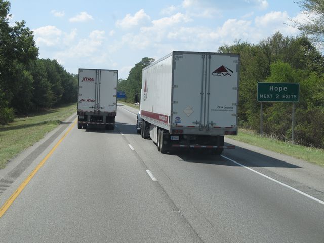 |
Take either of the next 2 exits to Hope. (Photo taken 9/21/11). |
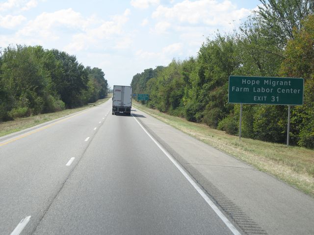 |
Use Exit 31 for the Hope Migrant Farm Labor Center. (Photo taken 9/21/11). |
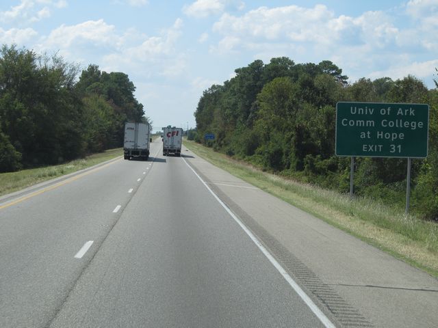 |
Also use Exit 31 for the University of Arkansas Comm College at Hope. (Photo taken 9/21/11). |
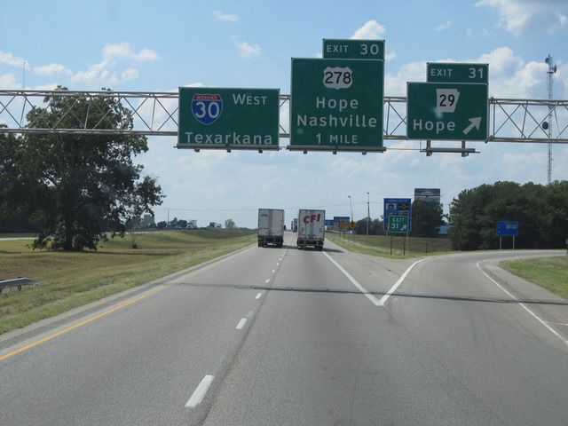 |
Interstate 30 West at Exit 31: AR 29 - Hope (Photo taken 9/21/11). |
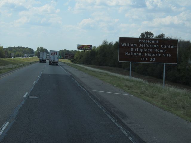 |
Use Exit 30 for President William Jefferson Clinton Birthplace/Home National Historic Site. (Photo taken 9/21/11). |
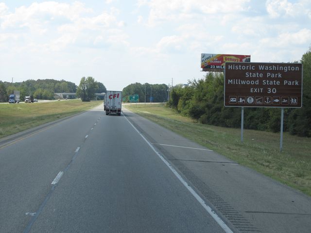 |
Also take Exit 30 for Historic Washington State Park and Millwood State Park. (Photo taken 9/21/11). |
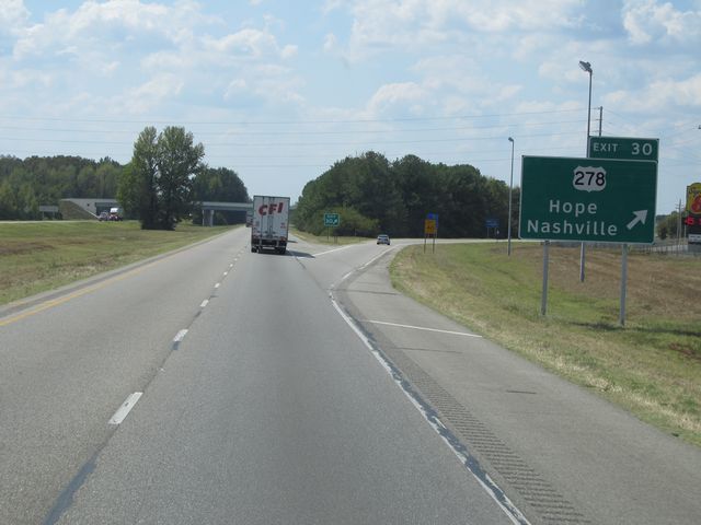 |
Interstate 30 West at Exit 30: US 278 - Hope / Nashville (Photo taken 9/21/11). |
 |
Interstate 30 West: Road view from mile marker 28. (Photo taken 9/21/11). |
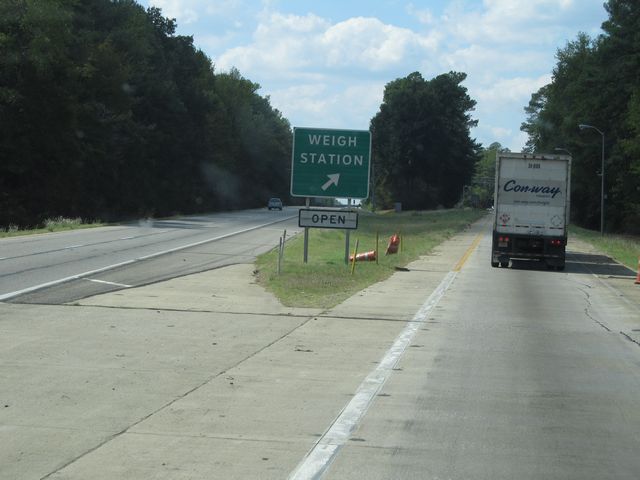 |
Interstate 30 West at the Weigh Station located near mile marker 25.5. (Photo taken 9/21/11). |
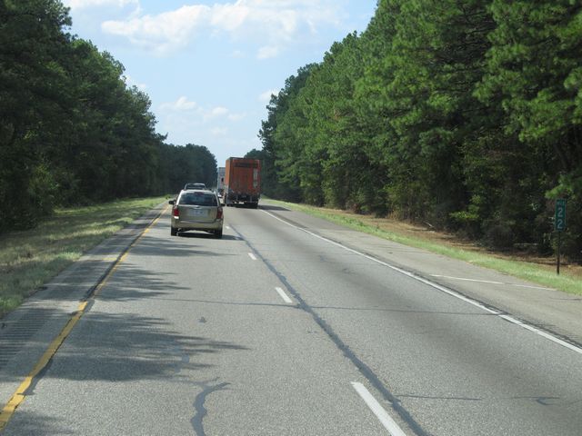 |
Interstate 30 West: Road view from mile marker 22. (Photo taken 9/21/11). |
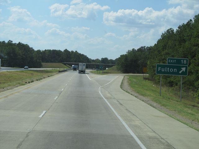 |
Interstate 30 West at Exit 18: Fulton (Photo taken 9/21/11). |
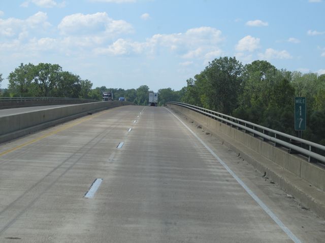 |
Interstate 30 West: Road view from mile marker 17. (Photo taken 9/21/11). |
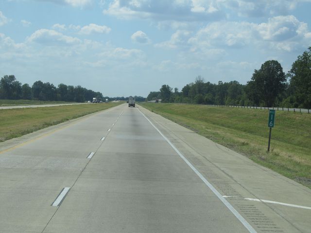 |
Interstate 30 West: Road view from mile marker 16. (Photo taken 9/21/11). |
 |
Interstate 30 West: Road view from mile marker 13. (Photo taken 9/21/11). |
 |
Interstate 30 West: Road view from mile marker 12. (Photo taken 9/21/11). |
 |
Interstate 30 West: Road view from mile marker 11. (Photo taken 9/21/11). |
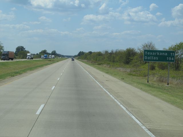 |
Mileage sign located near mile marker 10. It's 11 miles to Texarkana and 194 miles to Dallas. (Photo taken 9/21/11). |
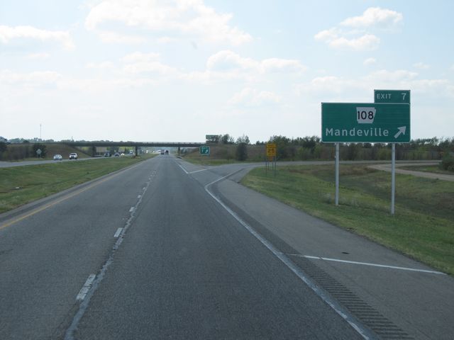 |
Interstate 30 West at Exit 7: AR 108 - Mandeville (Photo taken 9/21/11). |
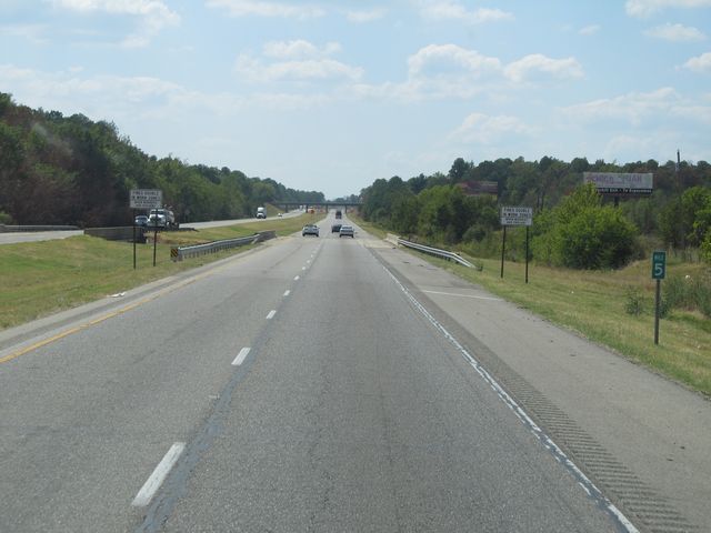 |
Interstate 30 West: Road view from mile marker 5. (Photo taken 9/21/11). |
 |
Use any of the next 6 exits off Interstate 30 to get to Texarkana. (Photo taken 9/21/11). |
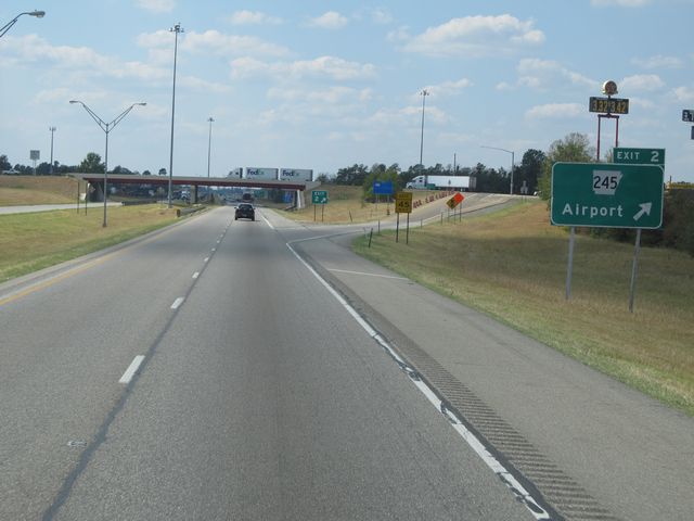 |
Interstate 30 West at Exit 2: AR 245 - Airport (Photo taken 9/21/11). |
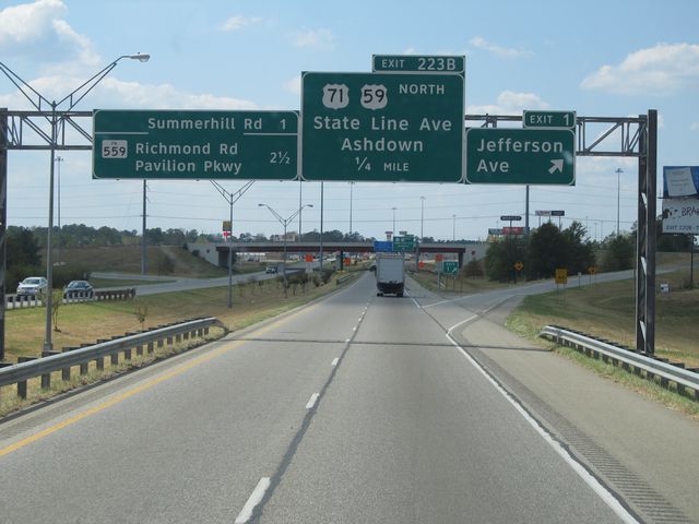 |
Interstate 30 West at Exit 1: Jefferson Ave. At this point you are about to cross into Texas. (Photo taken 9/21/11). |