Road Information |
||
 |
||
| Total Mileage in State: | 143 miles | |
| Eastern End: | At I-40, in North Little Rock | |
| Western End: | At Texas state line | |
| Mileage covered in Photos: | 143 miles | |
| Counties covered in Photos: | Miller, Hempstead, Nevada, Clark, Hot Spring, Saline, Pulaski | |
| Major Junctions in Photos: | I-49, in Texarkana US 278, in Hope I-430, in Little Rock I-440/I-530, in Little Rock I-630, in Little Rock I-40, in North Little Rock |
|
| Control Cities in Photos: | Texarkana, Hope, Prescott, Benton, Little Rock, North Little Rock | |
Eastbound
- Section 1: Texas Border to Prescott (Exit 46)
- Section 2: Prescott (Exit 46) to Benton (Exit 118)
- Section 3: Benton (Exit 118) to Interstate 40
Section 1: Texas Border to Prescott (Exit 46)
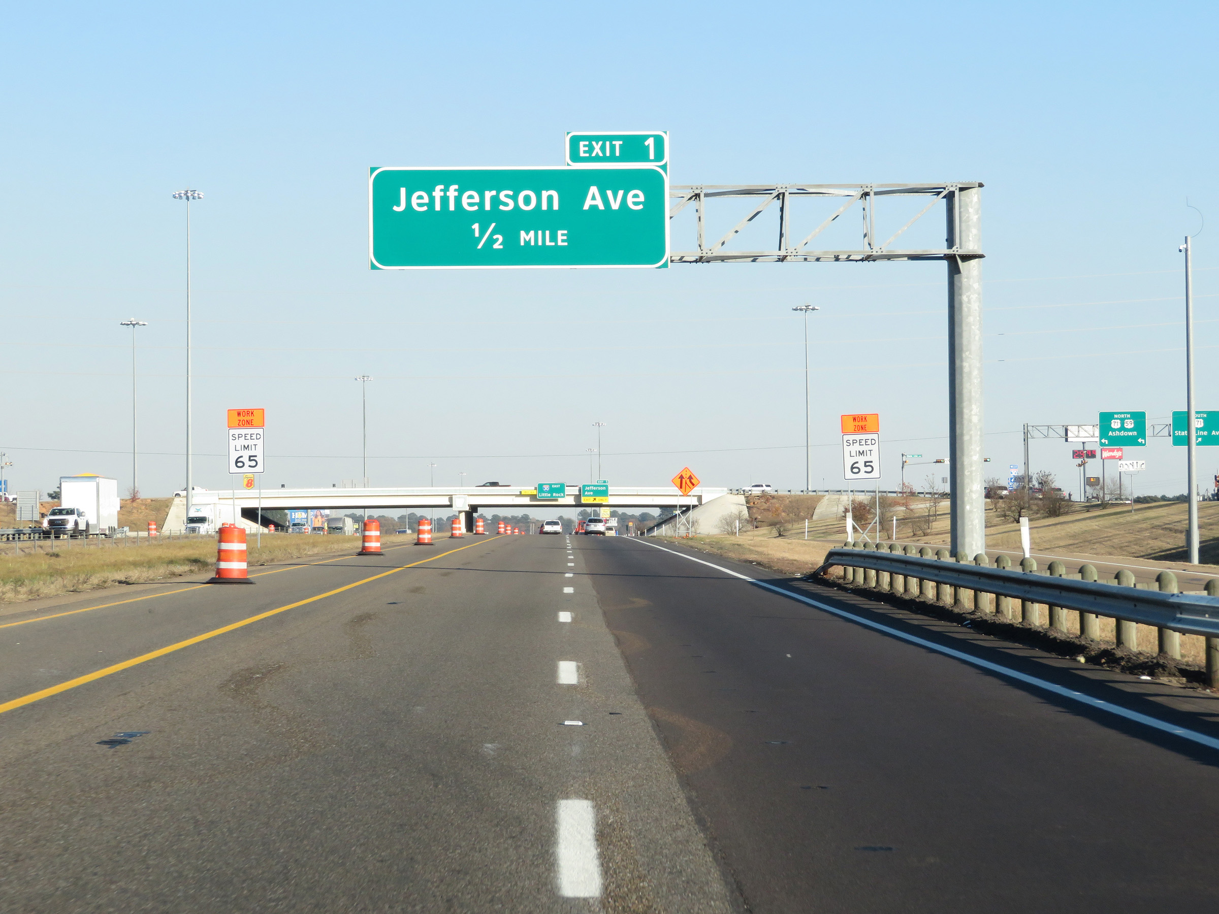 |
Interstate 30 East as it approaches the Arkansas border. The state line is 1/2 mile ahead, at the ramp to Exit 1 as I-30 East passes under US 71 (N State Line Ave) in Texarkana. (Photo taken 12/10/20). |
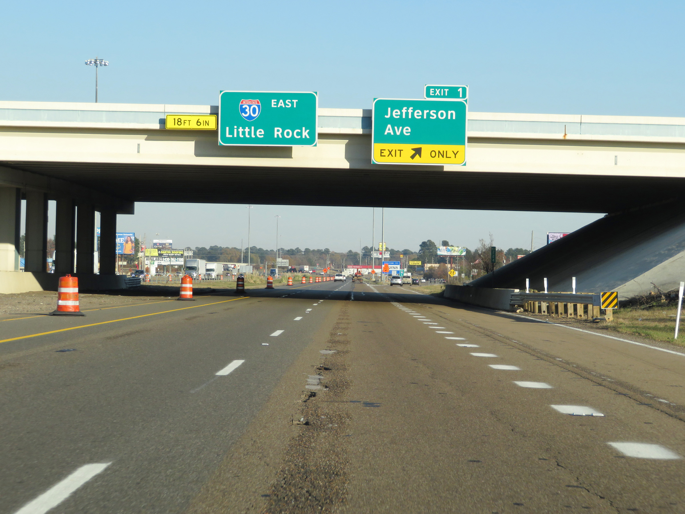 |
Interstate 30 East at Exit 1: Jefferson Ave. It is this overpass that marks the state line. (Photo taken 12/10/20). |
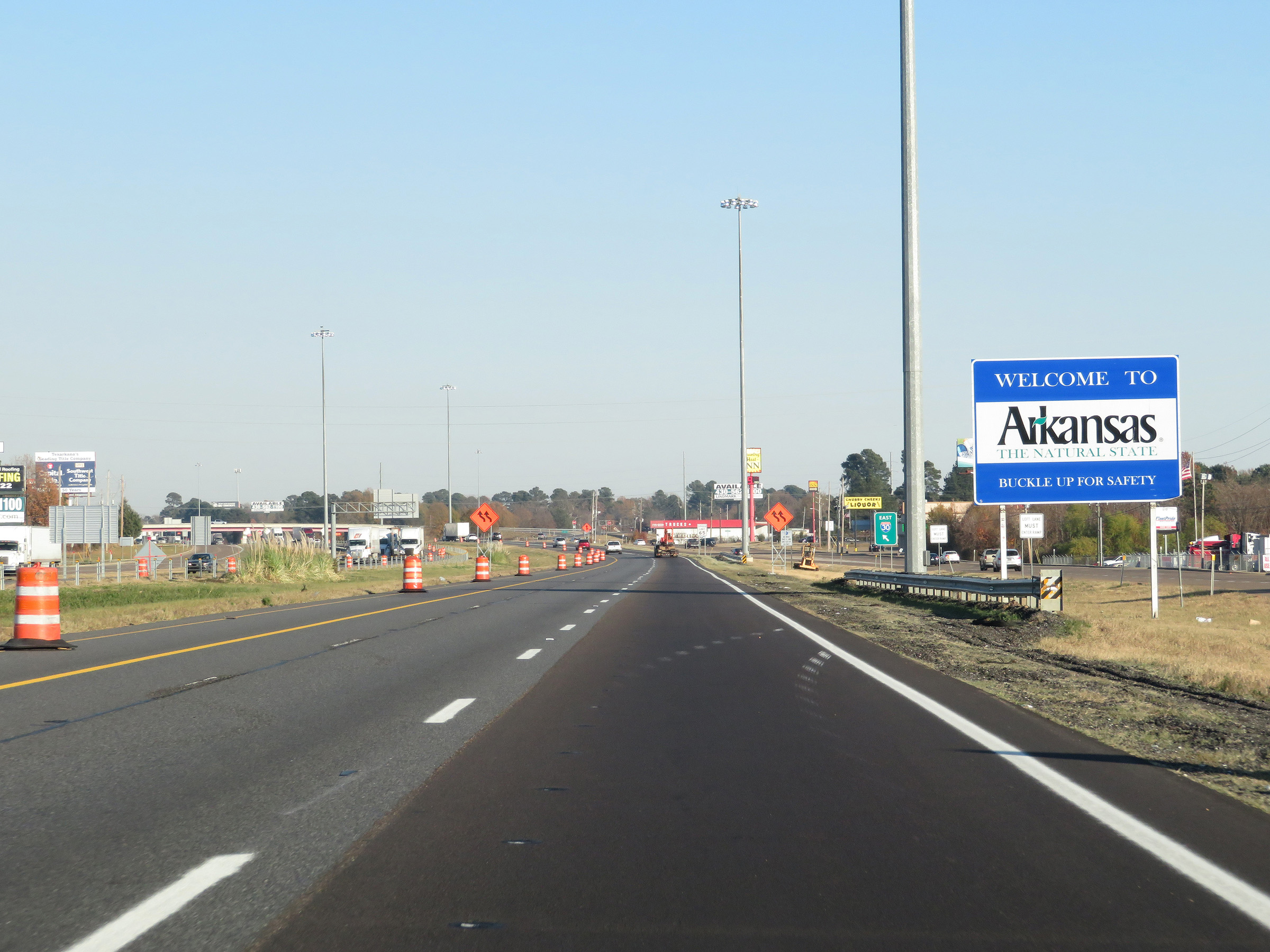 |
Arkansas welcome sign on Interstate 30 East in Texarkana. (Photo taken 12/10/20). |
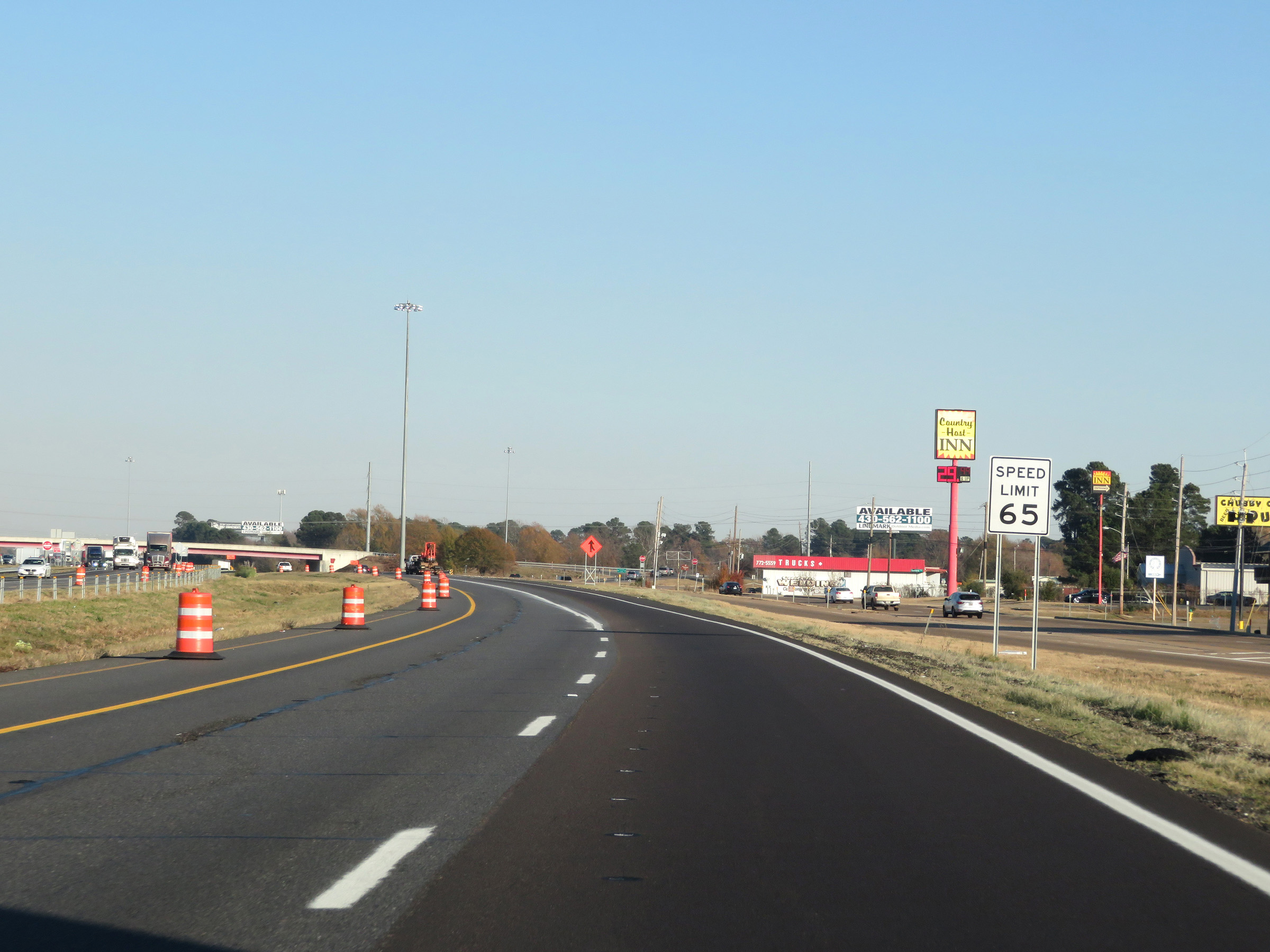 |
The speed limit on Interstate 30 East starts out at 65 mph in Arkansas as you pass through the Texarkana area. (Photo taken 12/10/20). |
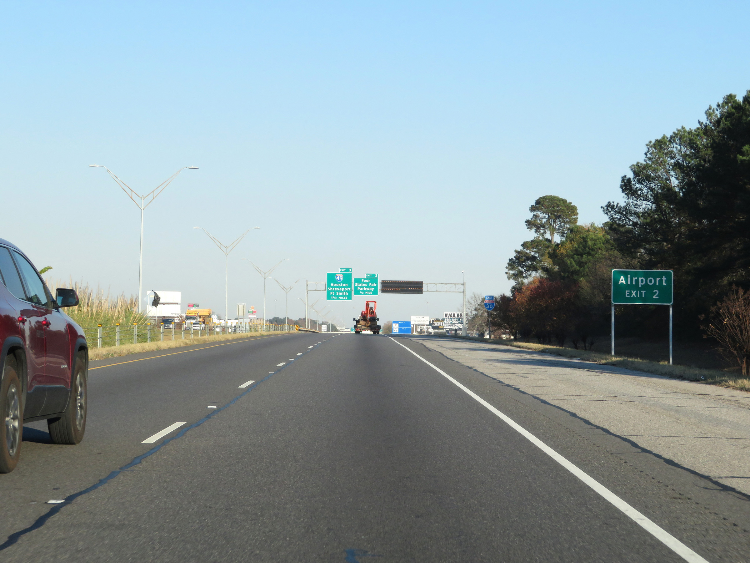 |
Take Exit 2 to the Airport. (Photo taken 12/10/20). |
 |
Interstate 30 East at Exit 2: Four States Fair Parkway (Photo taken 12/10/20). |
 |
View on Interstate 30 East at mile marker 2. (Photo taken 12/10/20). |
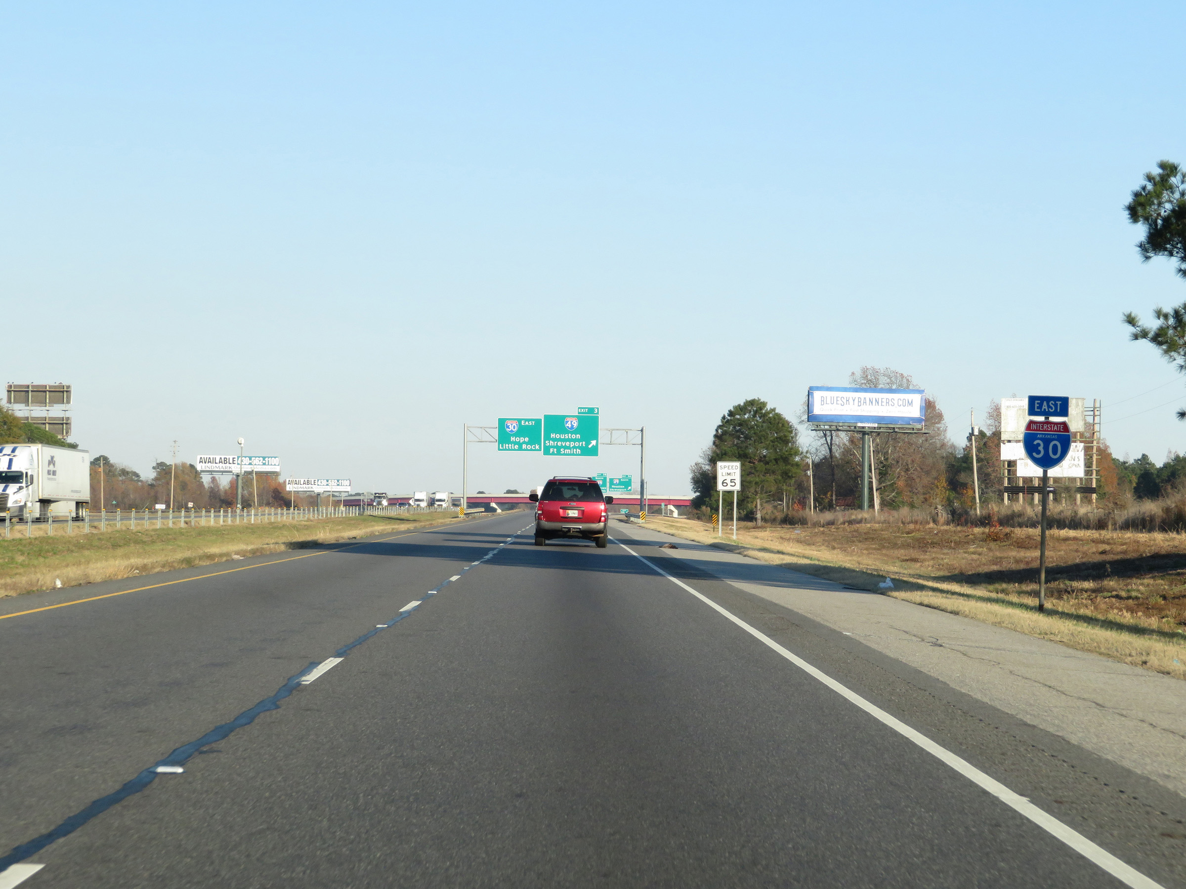 |
State-named Interstate 30 East reassurance shield approaching the junction of Interstate 49 via Exit 3. (Photo taken 12/10/20). |
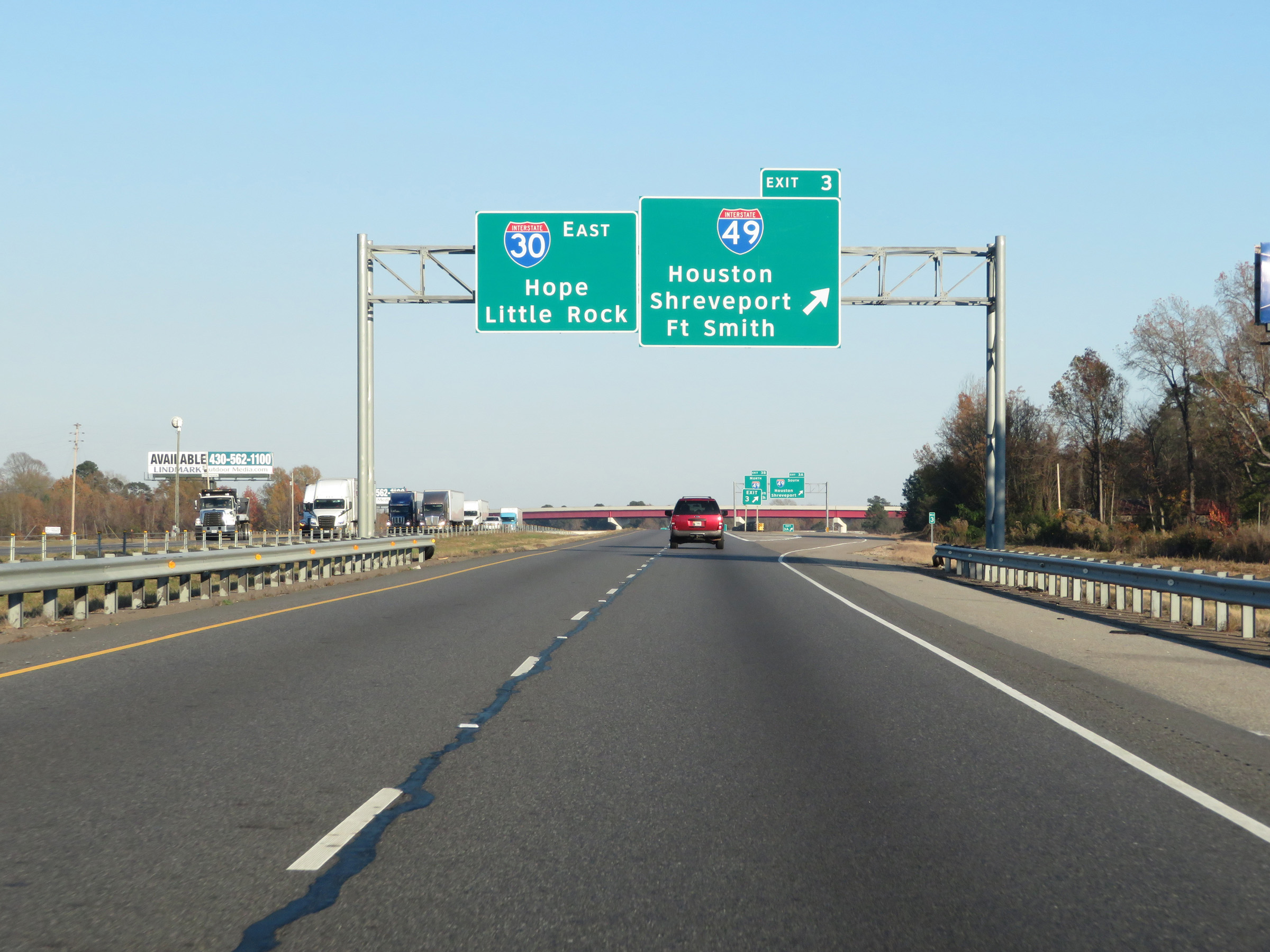 |
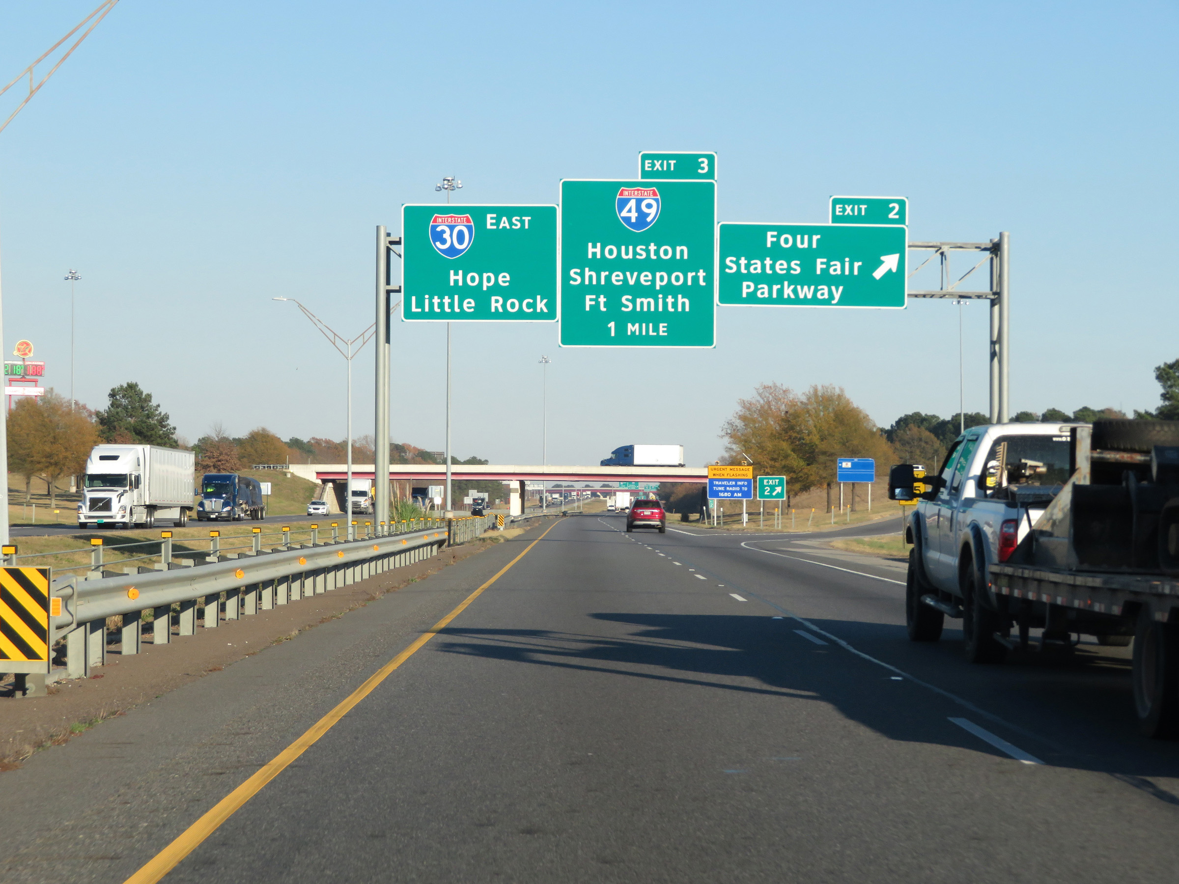
Interstate 30 East at Exit 3: Interstate 49 - Houston / Shreveport / Fort Smith (Photo taken 12/10/20). |
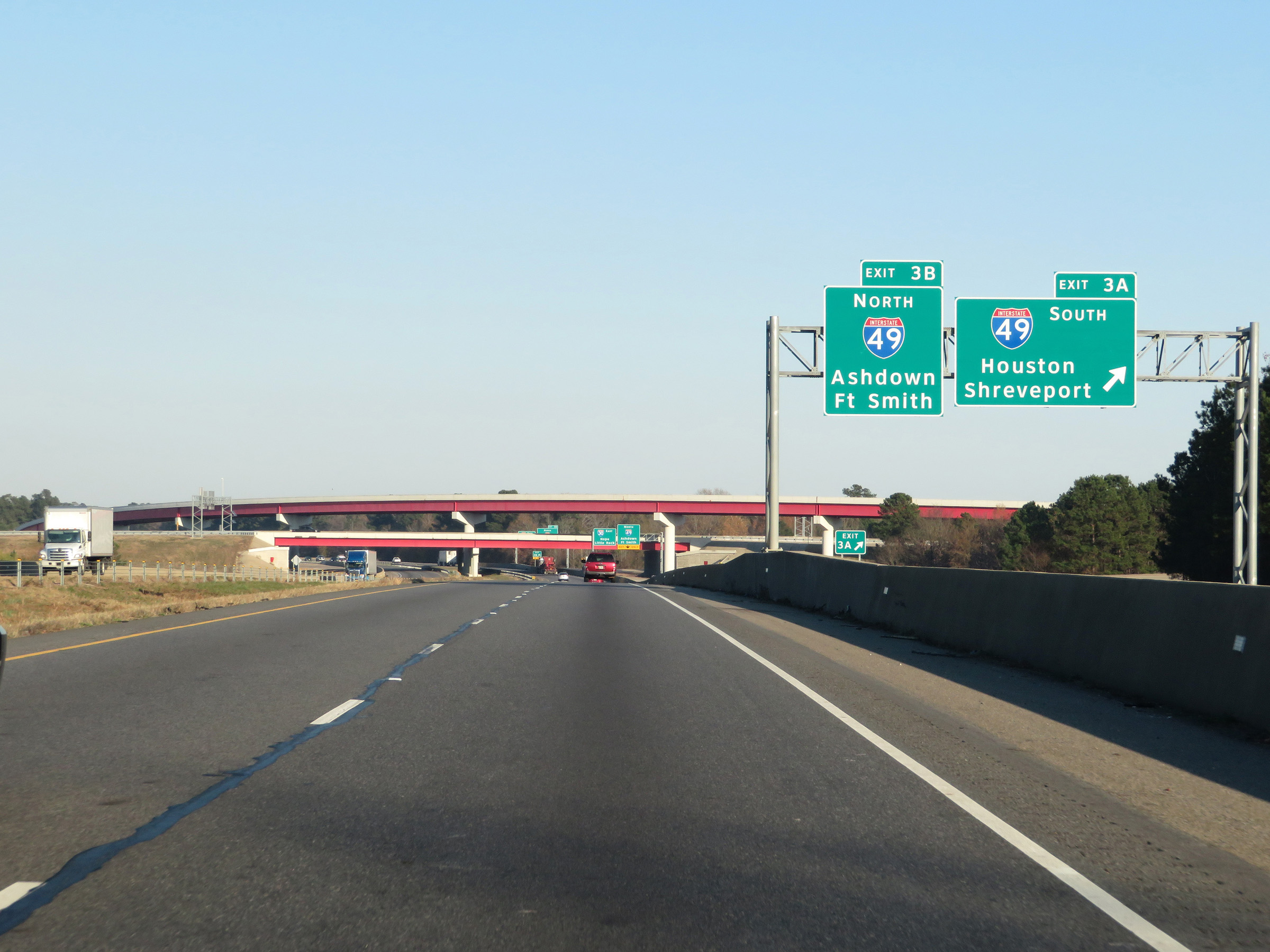 |
View on Interstate 30 East as the ramp to Exit 3 splits into two separate ramps; Exit 3A for Interstate 49 South, and Exit 3B for Interstate 49 North. (Photo taken 12/10/20). |
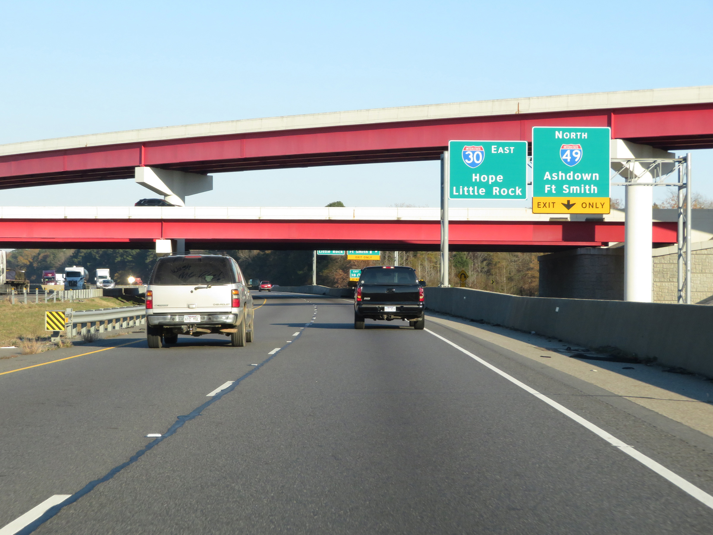 |
Interstate 30 East as it passes under Interstate 49 as well as the ramps to and from it in Texarkana. (Photo taken 12/10/20). |
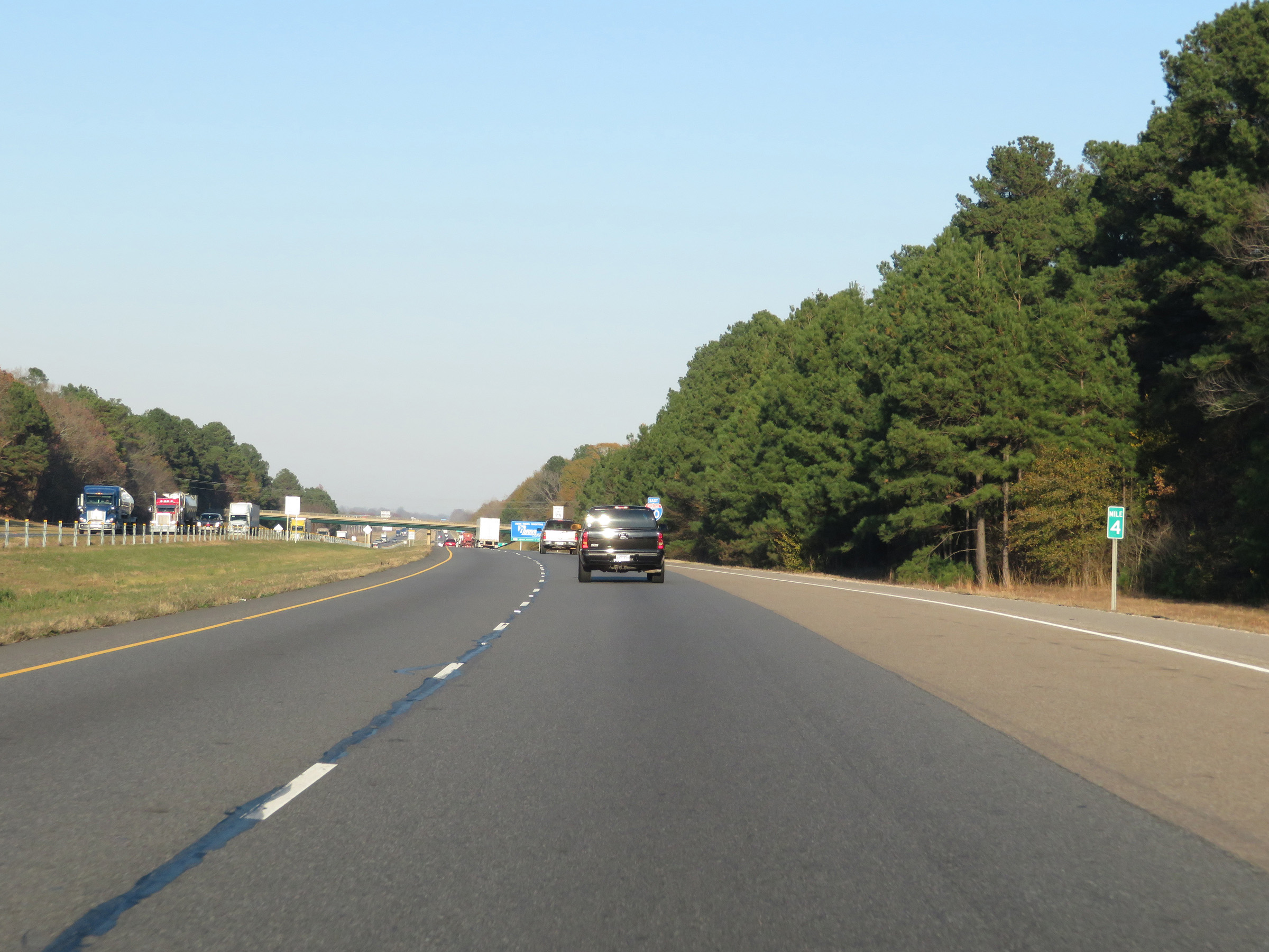 |
Mile marker 4 on Interstate 30 East in Miller County. (Photo taken 12/10/20). |
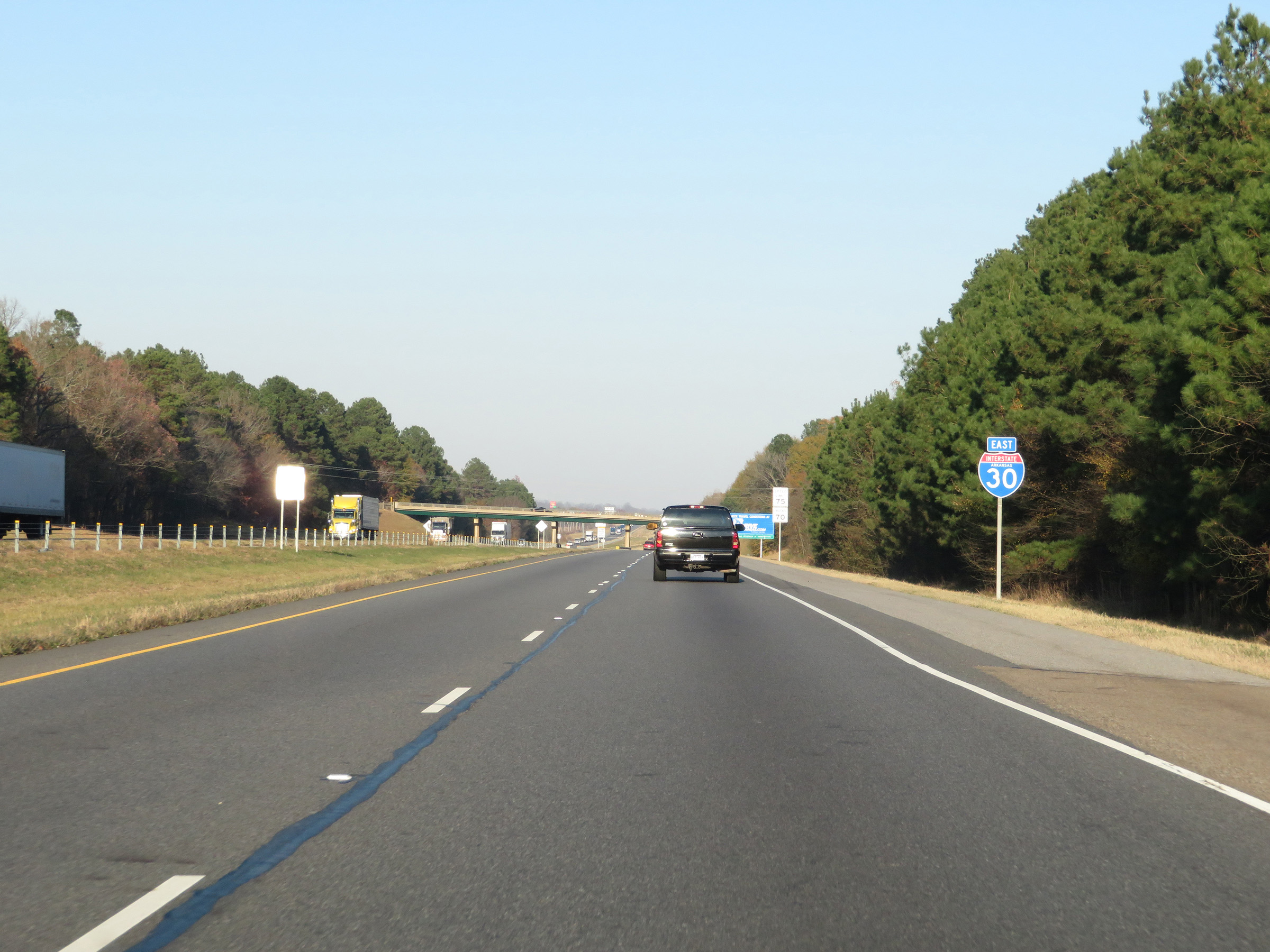 |
Another state-named Interstate 30 East reassurance shield. (Photo taken 12/10/20). |
 |
Near mile marker 5, the speed limits increase to 75 mph for automobiles and 70 mph for trucks. These are the standard speed limits on most rural Interstate highways in Arkansas. (Photo taken 12/10/20). |
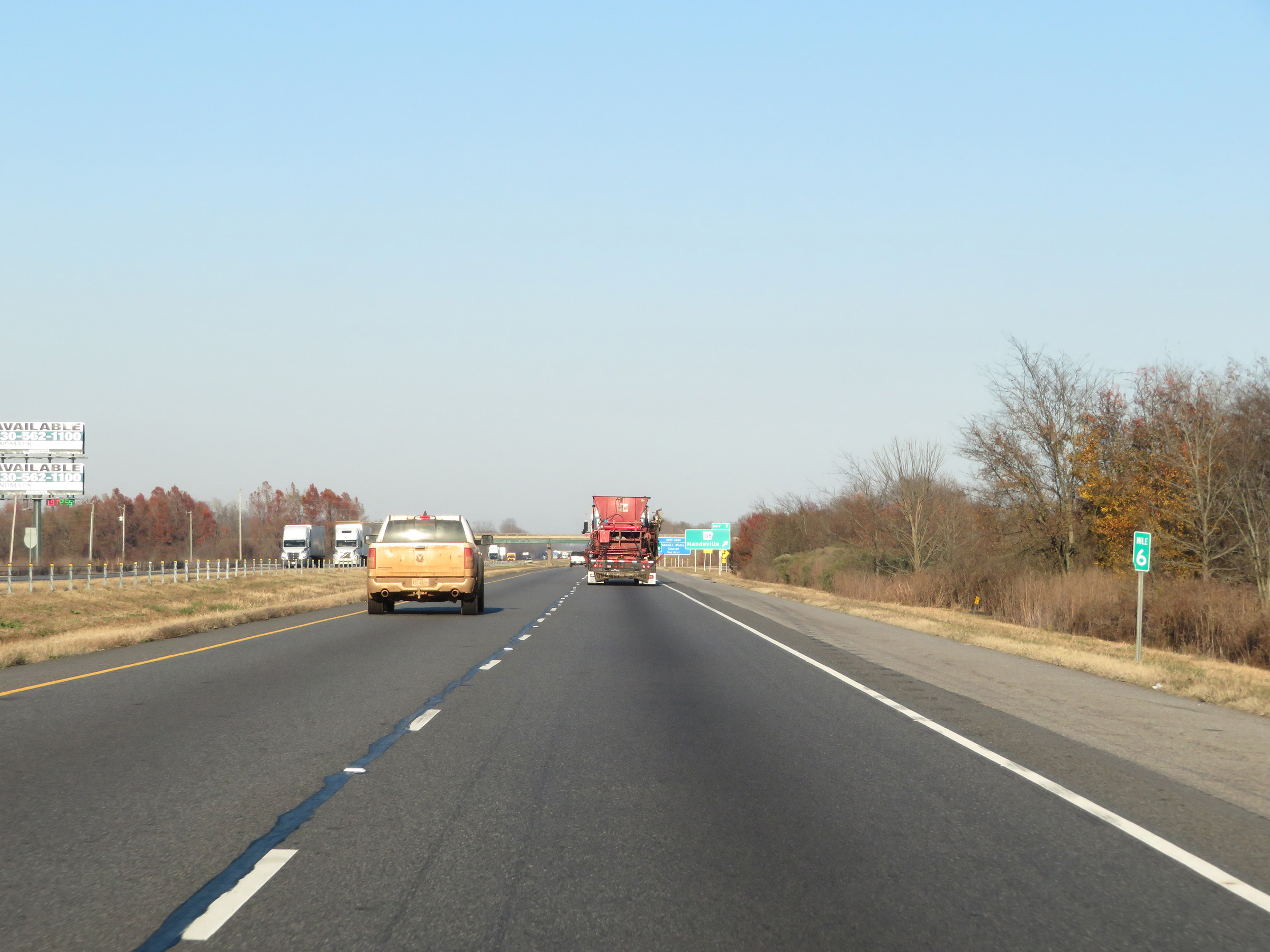 |
View on Interstate 30 East at mile marker 6. (Photo taken 12/10/20). |
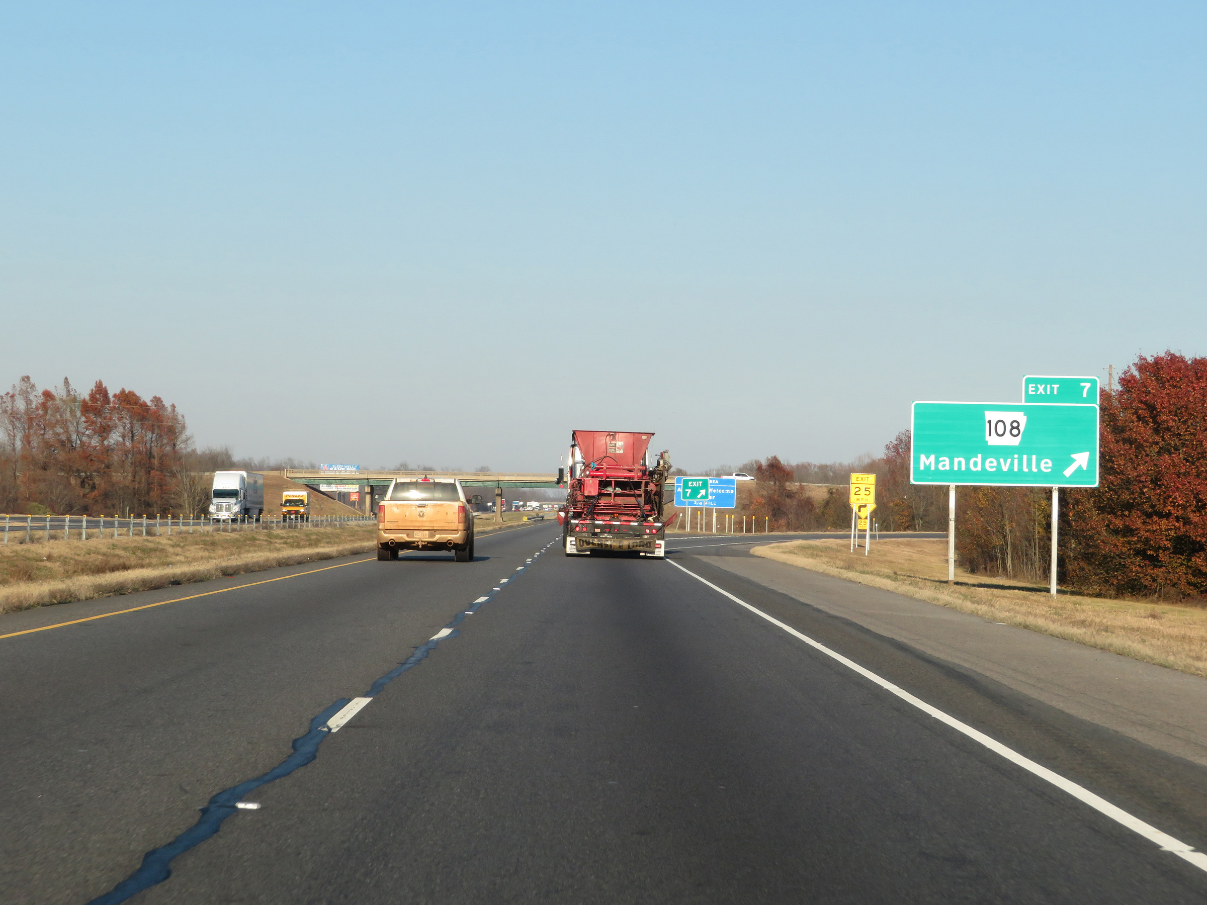 |
Interstate 30 East at Exit 7: AR 108 - Mandeville (Photo taken 12/10/20). |
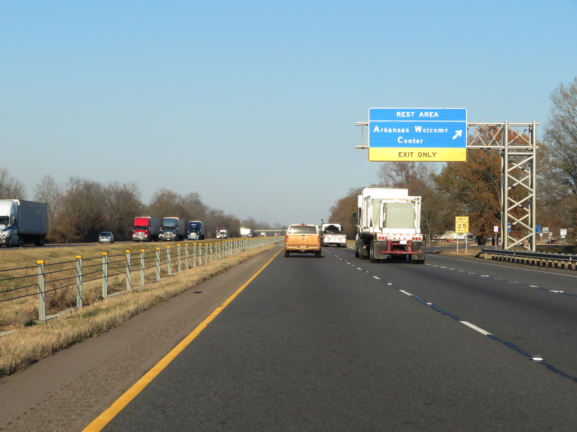 |
Rest Area / Arkansas Welcome Center on Interstate 30 East in Miller County. (Photo taken 12/10/20). |
 |
Mileage sign on Interstate 30 East. I'ts 24 miles to Hope and 134 miles to Little Rock. (Photo taken 12/10/20). |
 |
View on Interstate 30 East at mile marker 9. (Photo taken 12/10/20). |
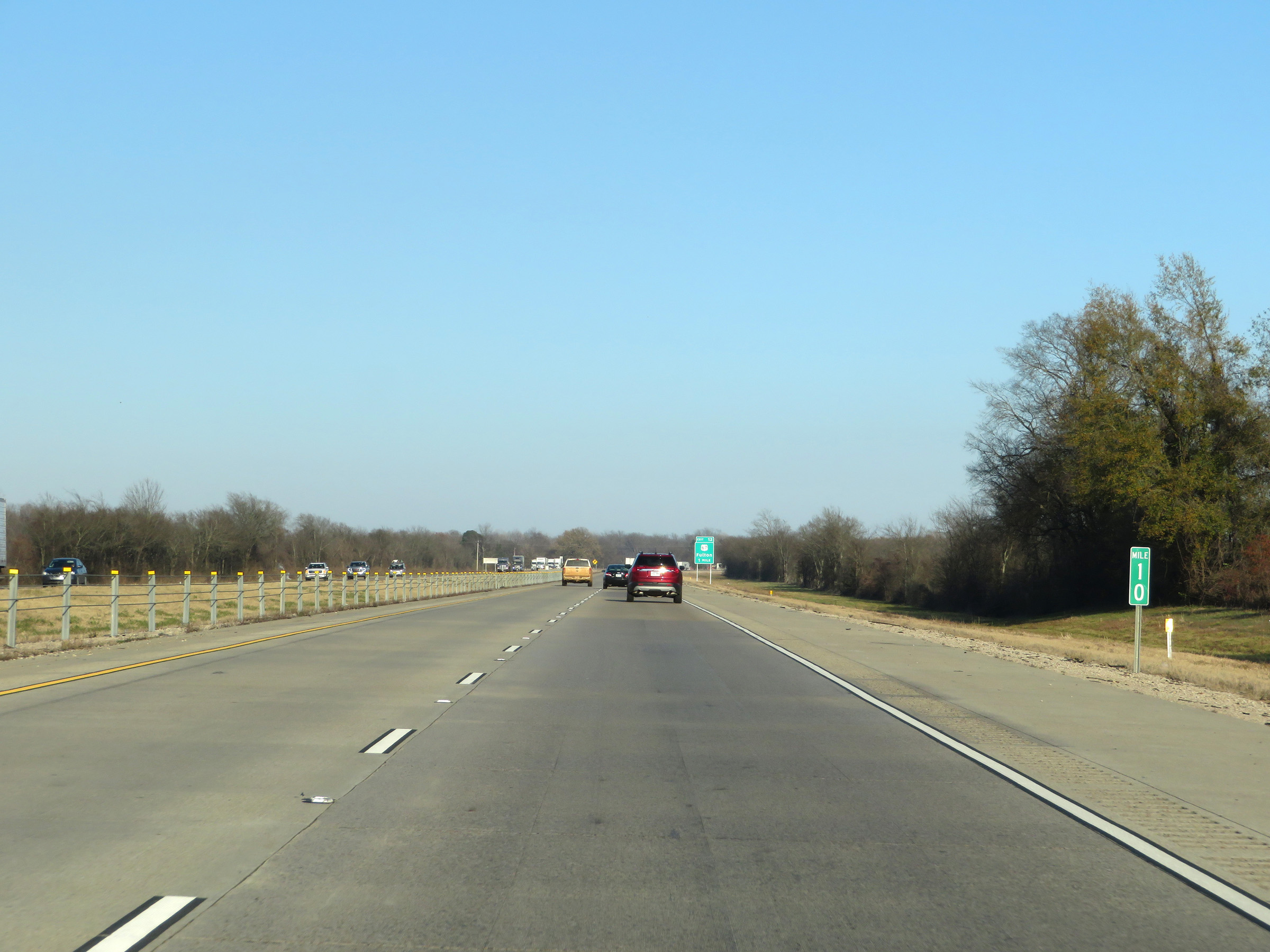 |
Interstate 30 East at mile marker 10. (Photo taken 12/10/20). |
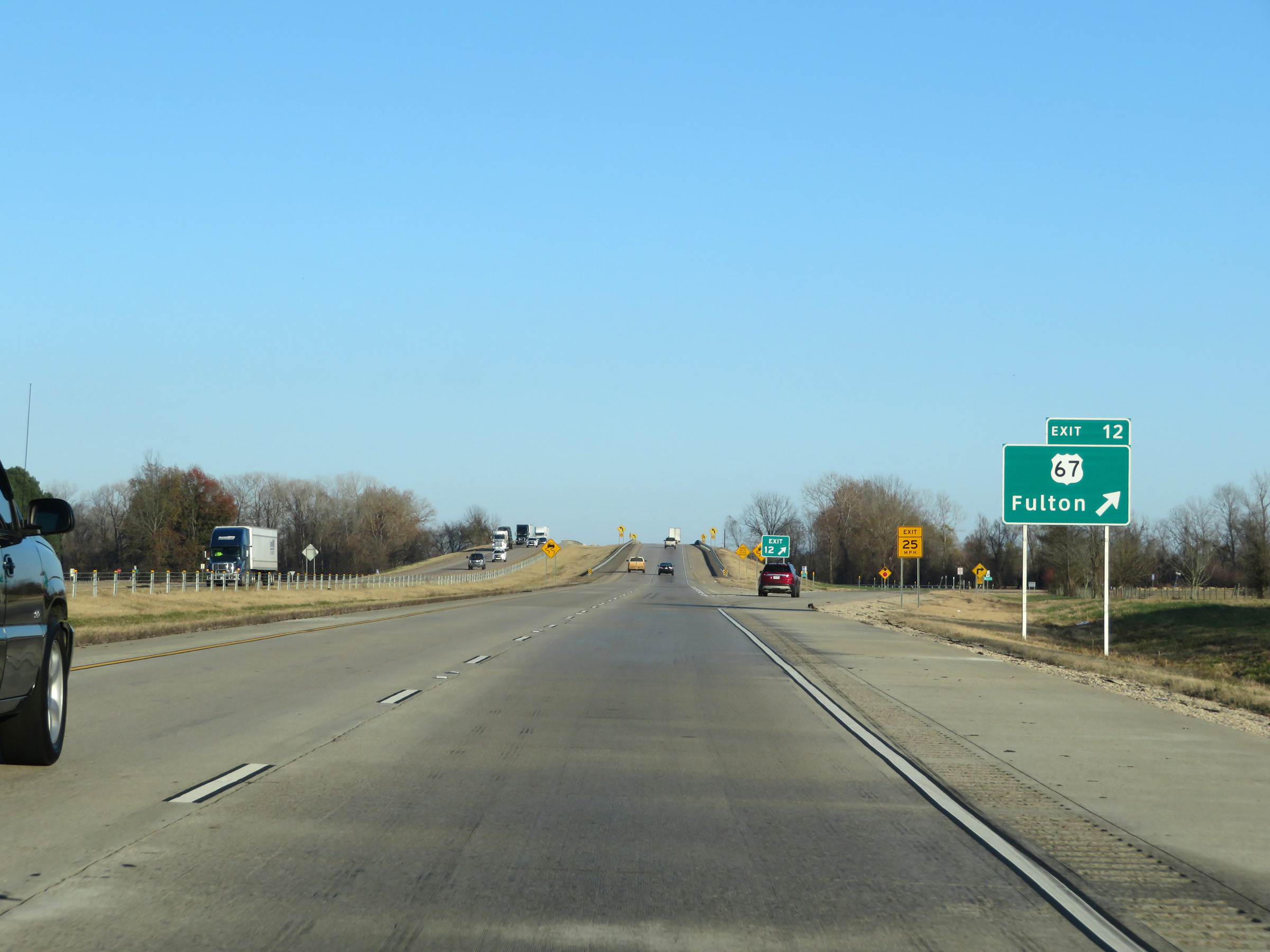 |
Interstate 30 East at Exit 12: US 67 - Fulton (Photo taken 12/10/20). |
 |
View on Interstate 30 East at mile marker 13. (Photo taken 12/10/20). |
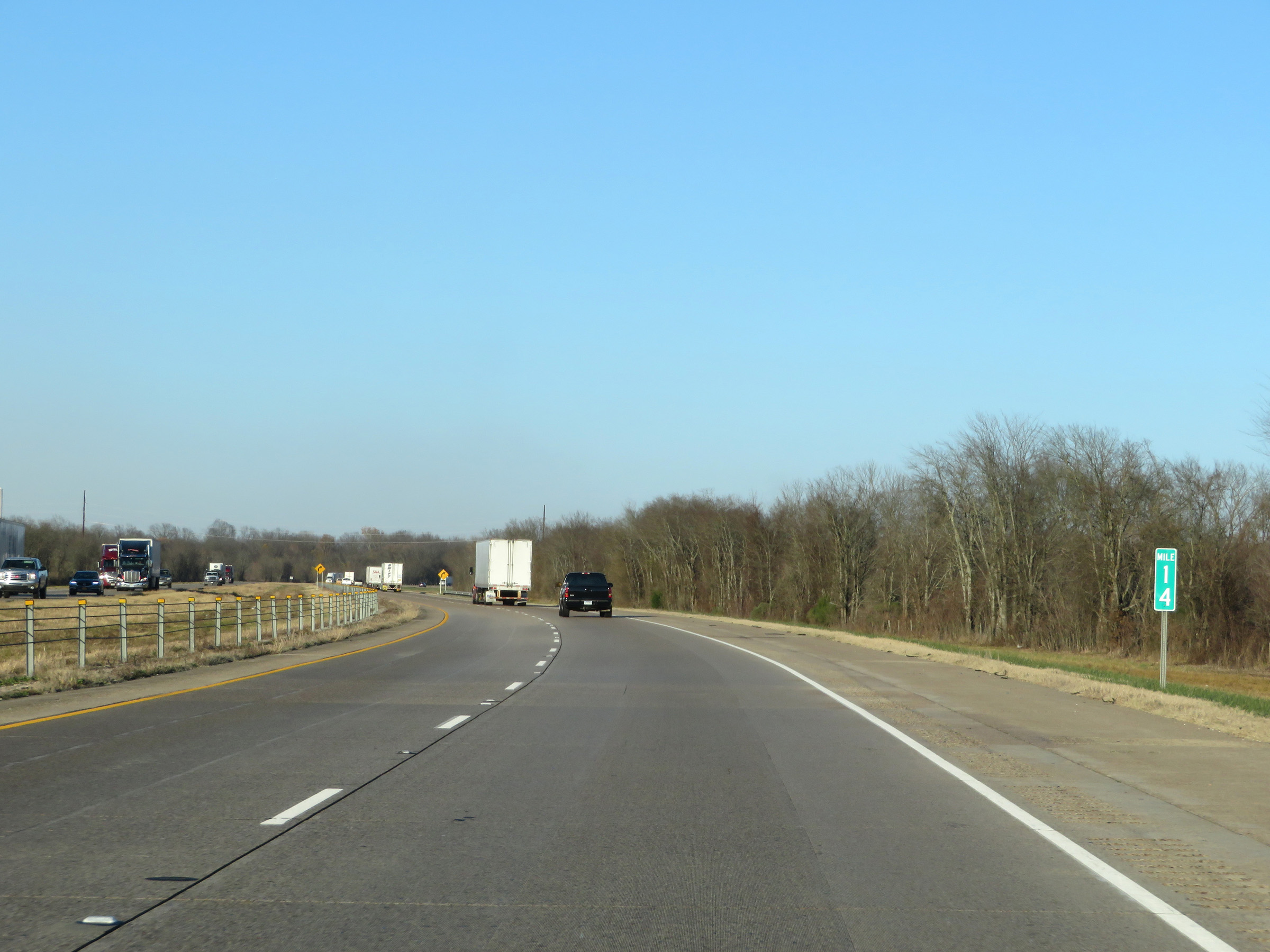 |
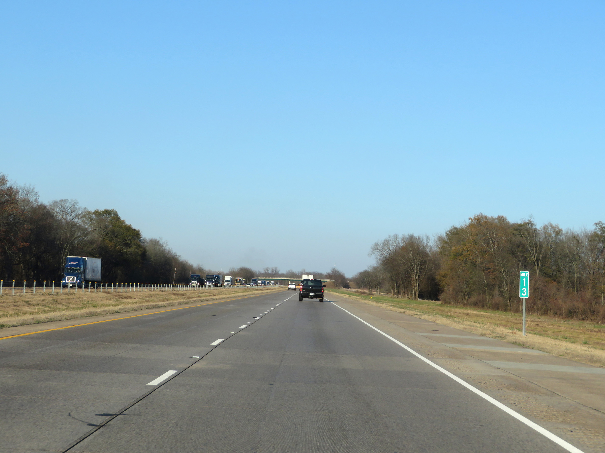
Mile marker 14 on Interstate 30 East in Miller County. (Photo taken 12/10/20). |
 |
View on Interstate 30 East at mile marker 16. (Photo taken 12/10/20). |
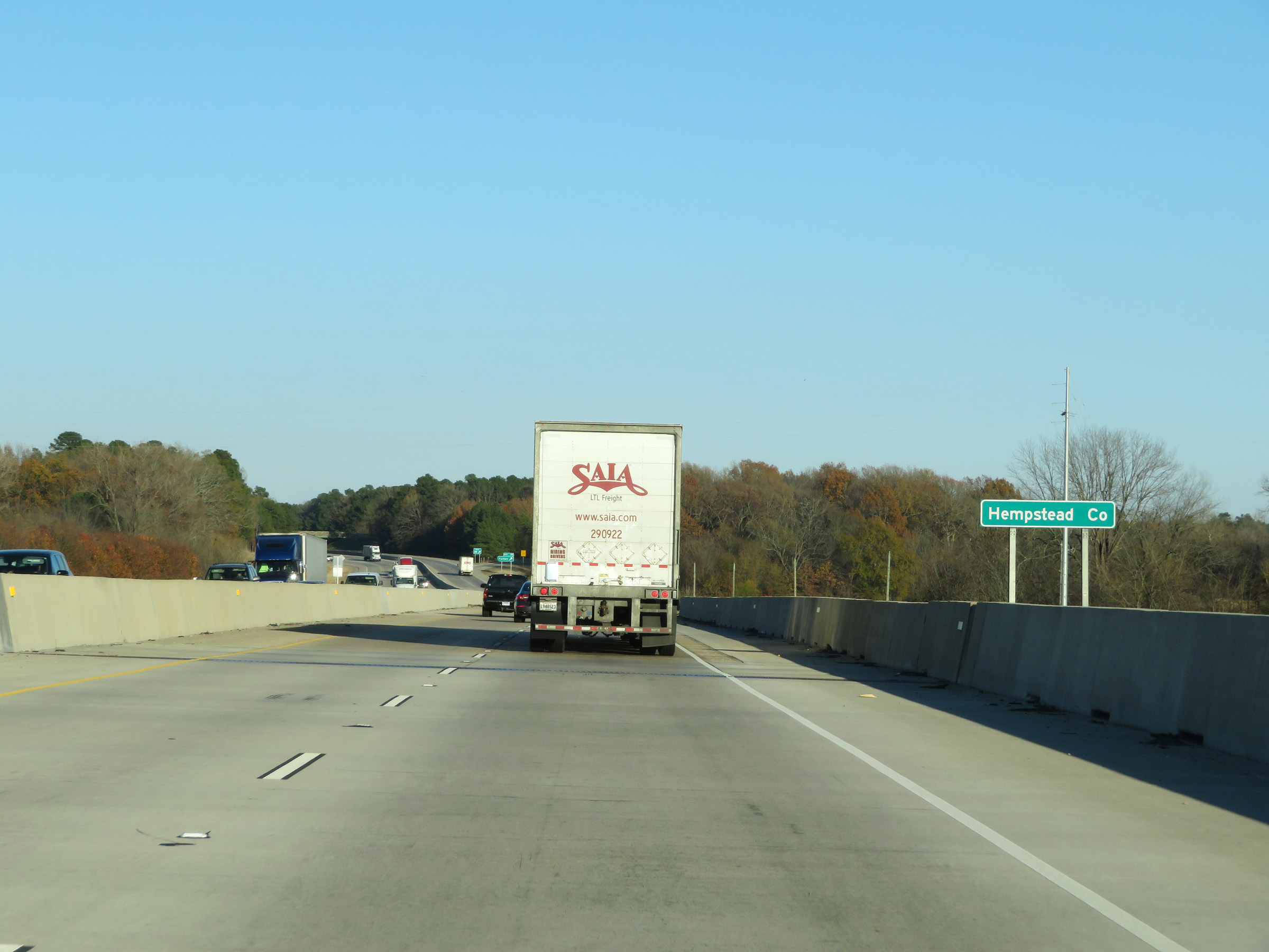 |
Interstate 30 East as it enters Hempstead County. (Photo taken 12/10/20). |
 |
Interstate 30 East at Exit 18: Fulton (Photo taken 12/10/20). |
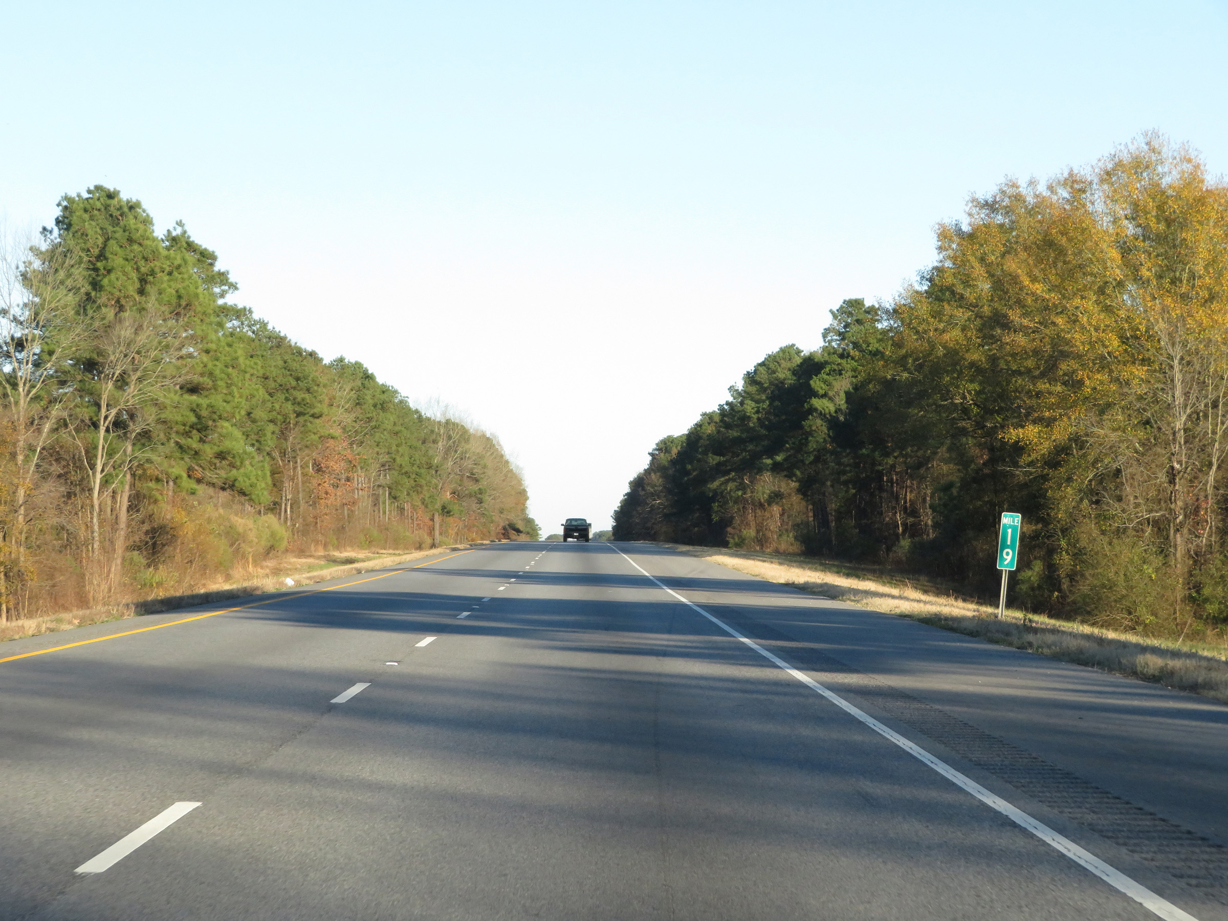 |
View on Interstate 30 East at mile marker 19. (Photo taken 12/10/20). |
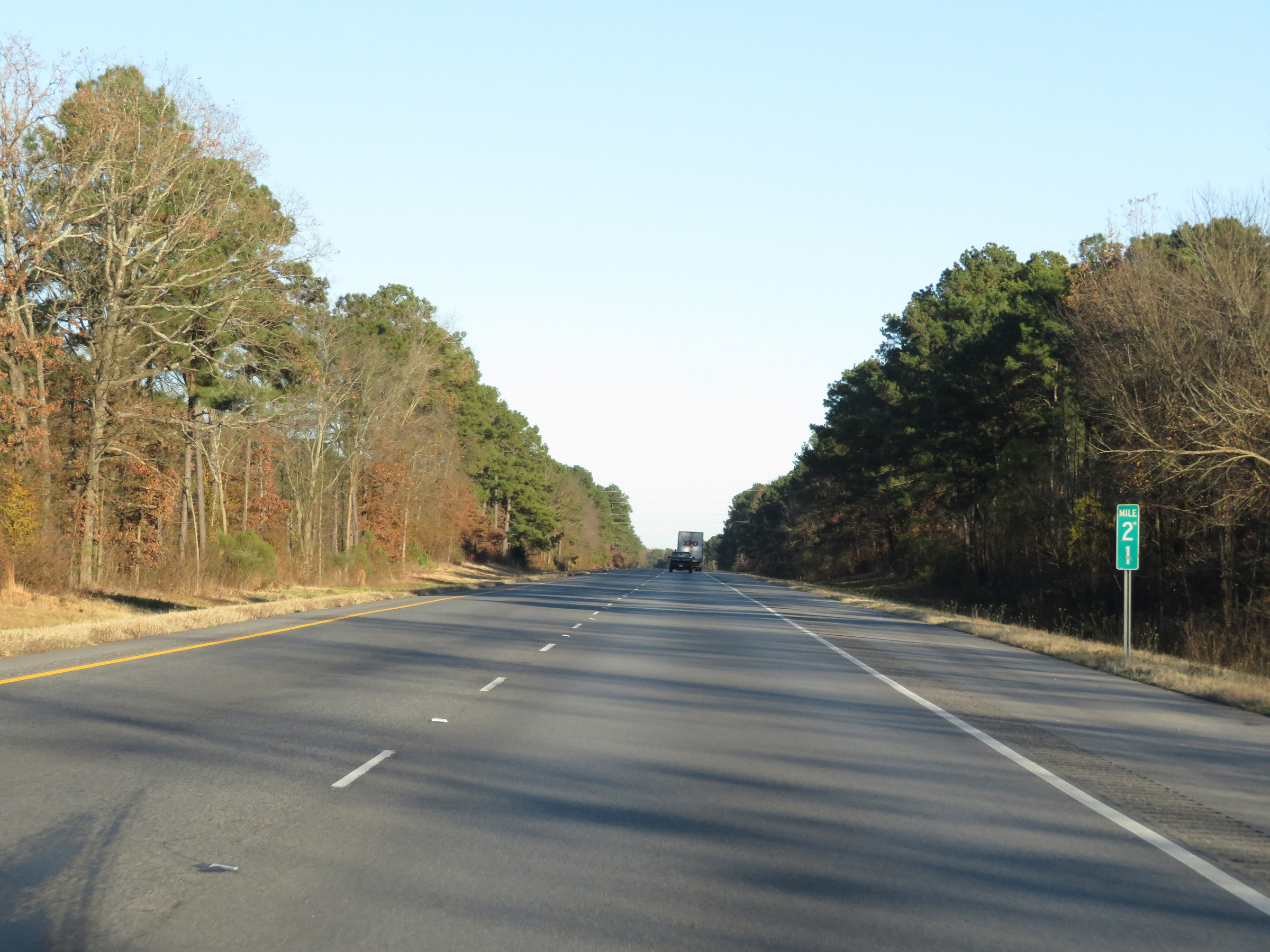 |
Mile marker 21 on Interstate 30 East in Hempstead County. (Photo taken 12/10/20). |
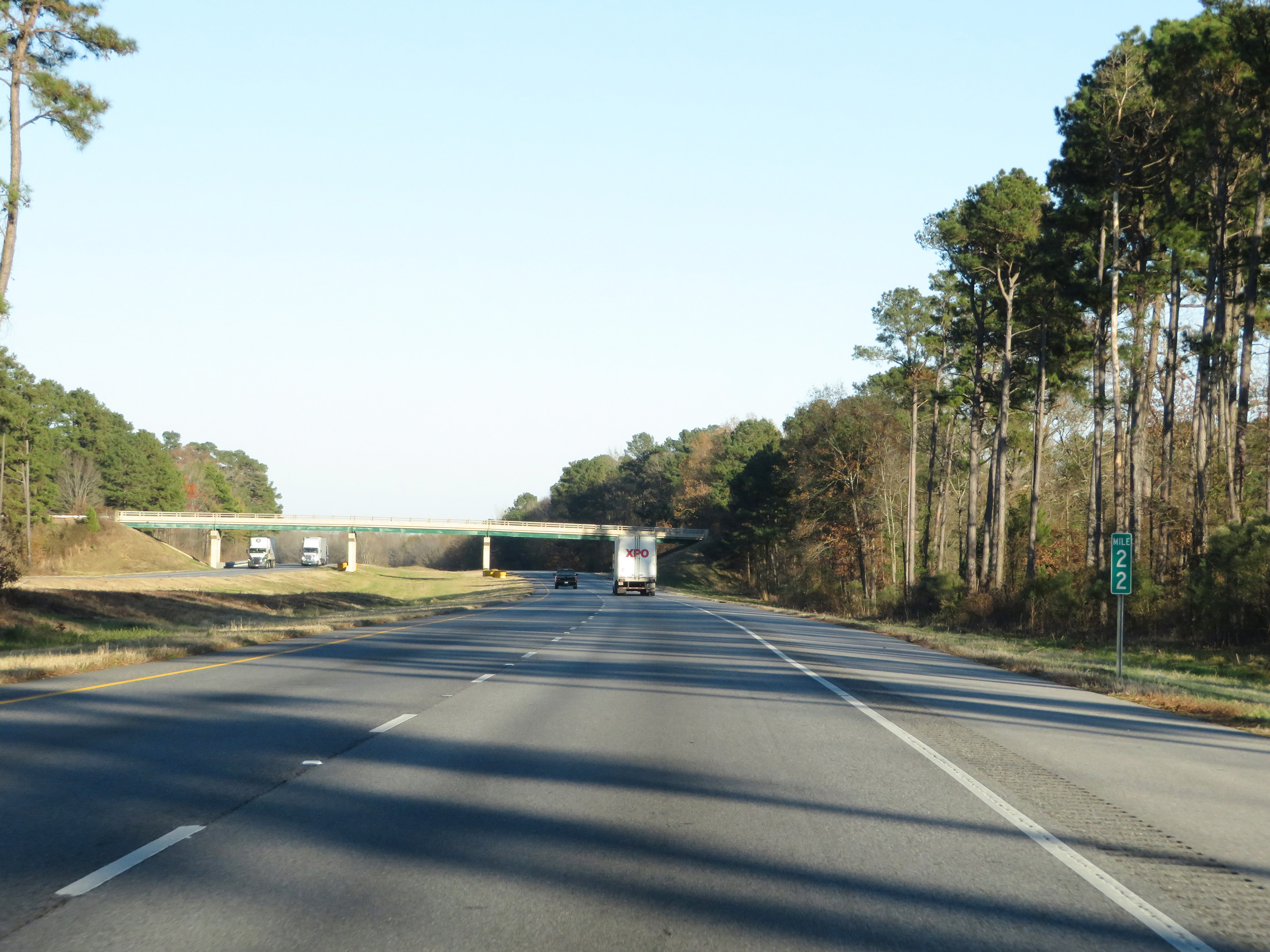 |
Interstate 30 East at mile marker 22. (Photo taken 12/10/20). |
 |
View on Interstate 30 East at mile marker 24. (Photo taken 12/10/20). |
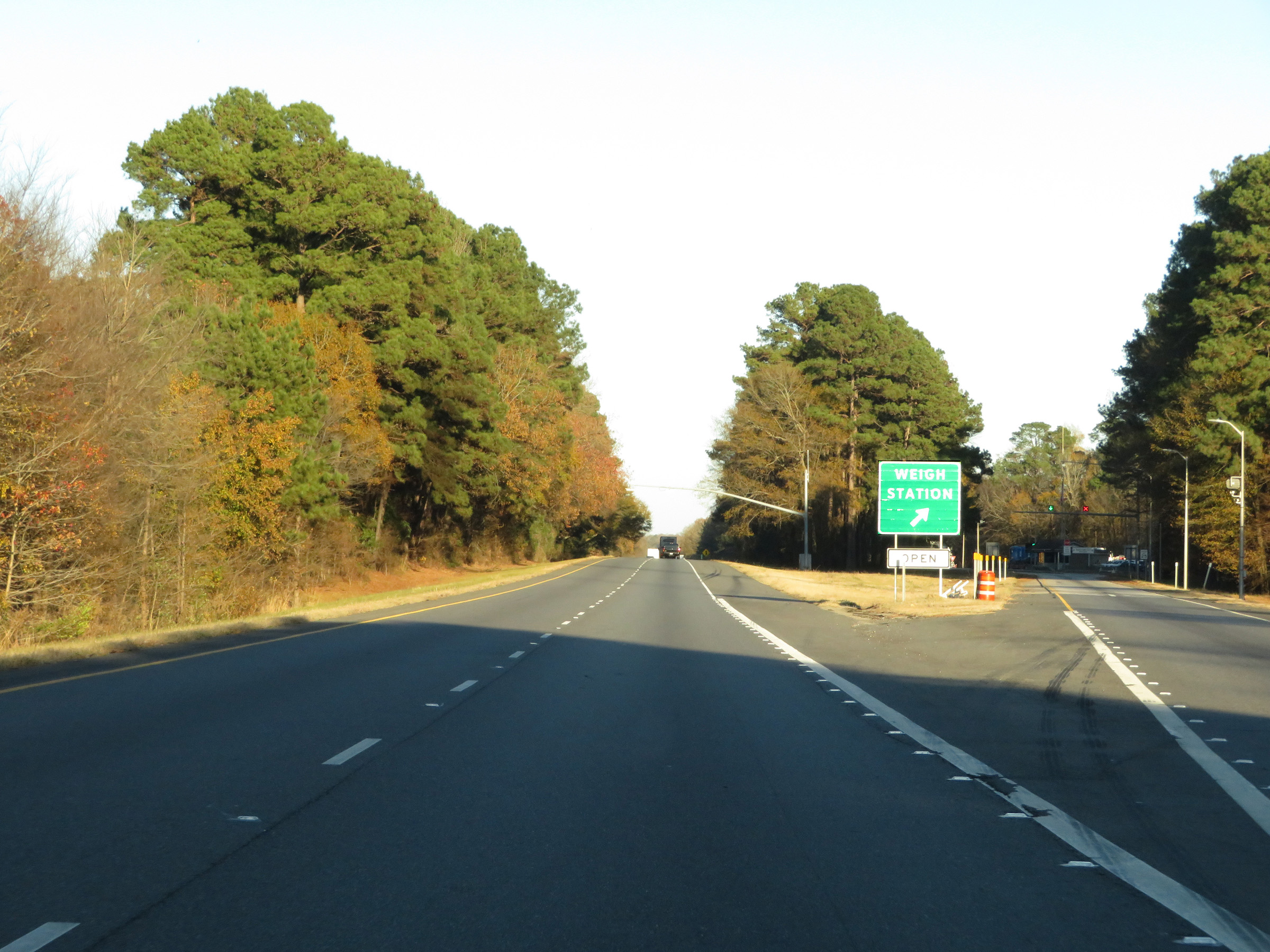 |
Weigh Station on Interstate 30 East in Hempstead County. (Photo taken 12/10/20). |
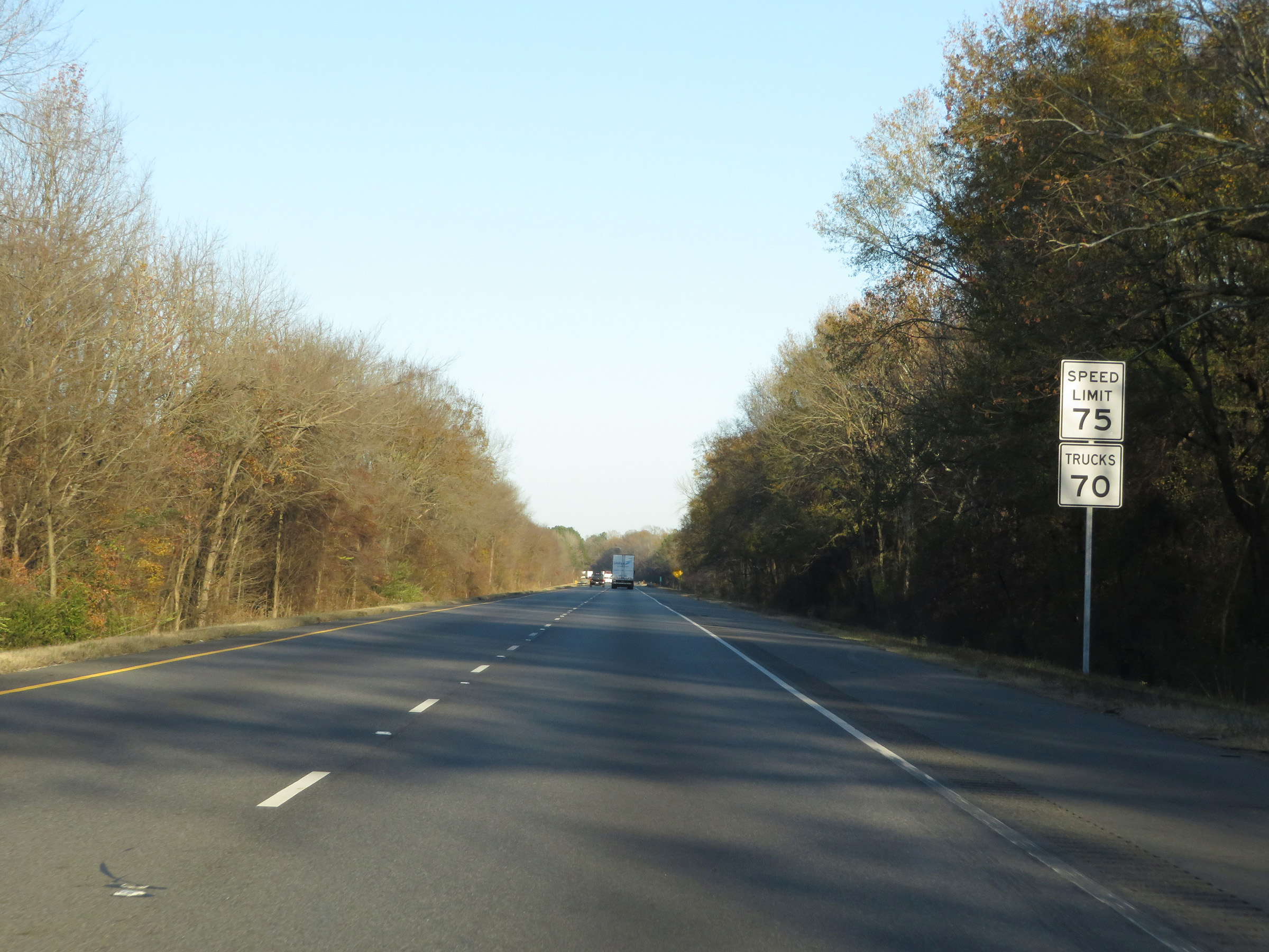 |
The speed limits remain 75 mph for automobiles and 70 mph for trucks. (Photo taken 12/10/20). |
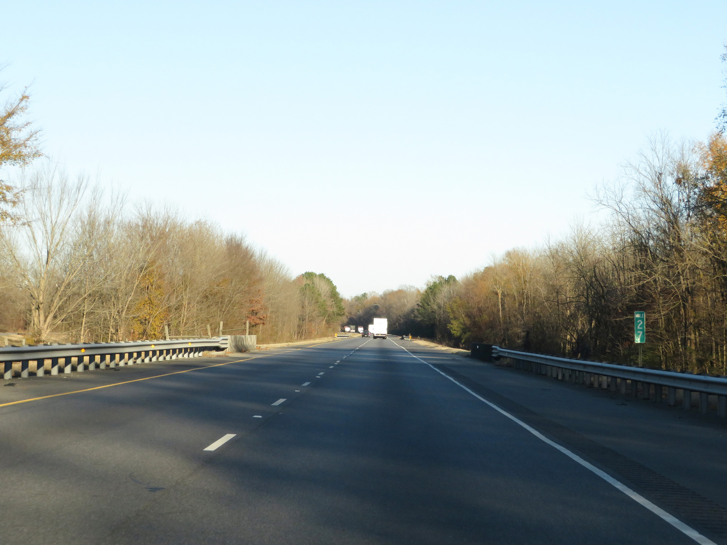 |
Interstate 30 East at mile marker 27. (Photo taken 12/10/20). |
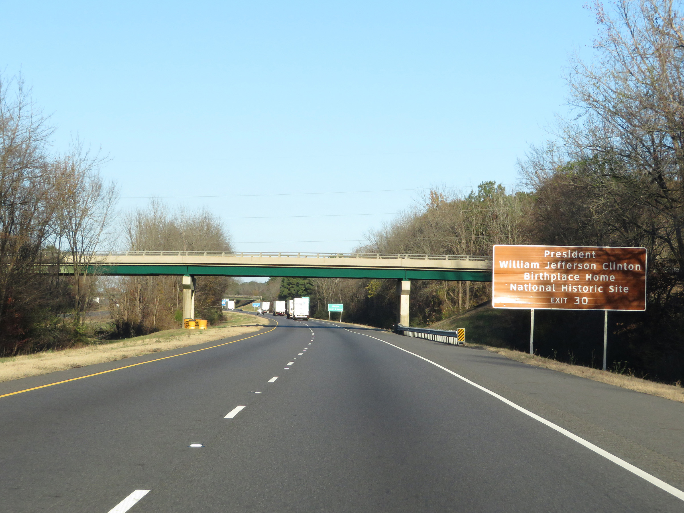 |
Take Exit 30 to President William Jefferson Clinton Birthplace Home National Historic Site. (Photo taken 12/10/20). |
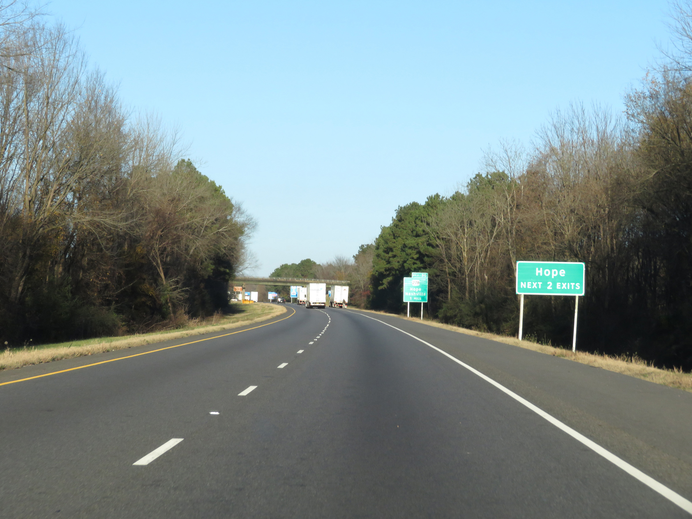 |
Take either of the next 2 exits to Hope. (Photo taken 12/10/20). |
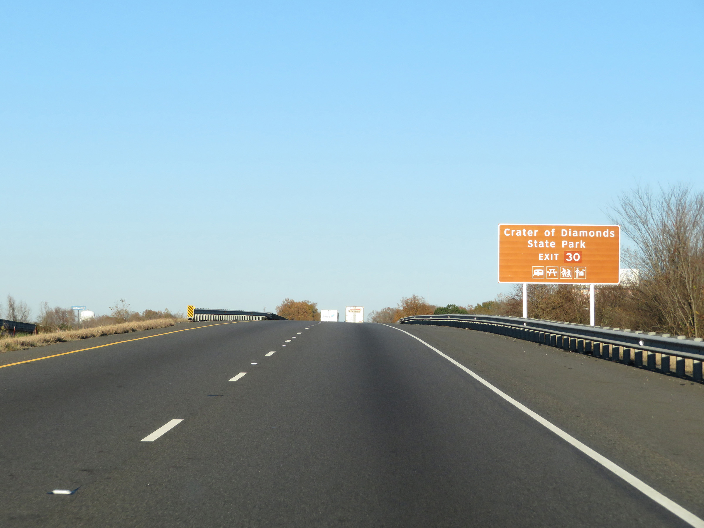 |
Also take Exit 30 to Crater of Diamonds State Park. (Photo taken 12/10/20). |
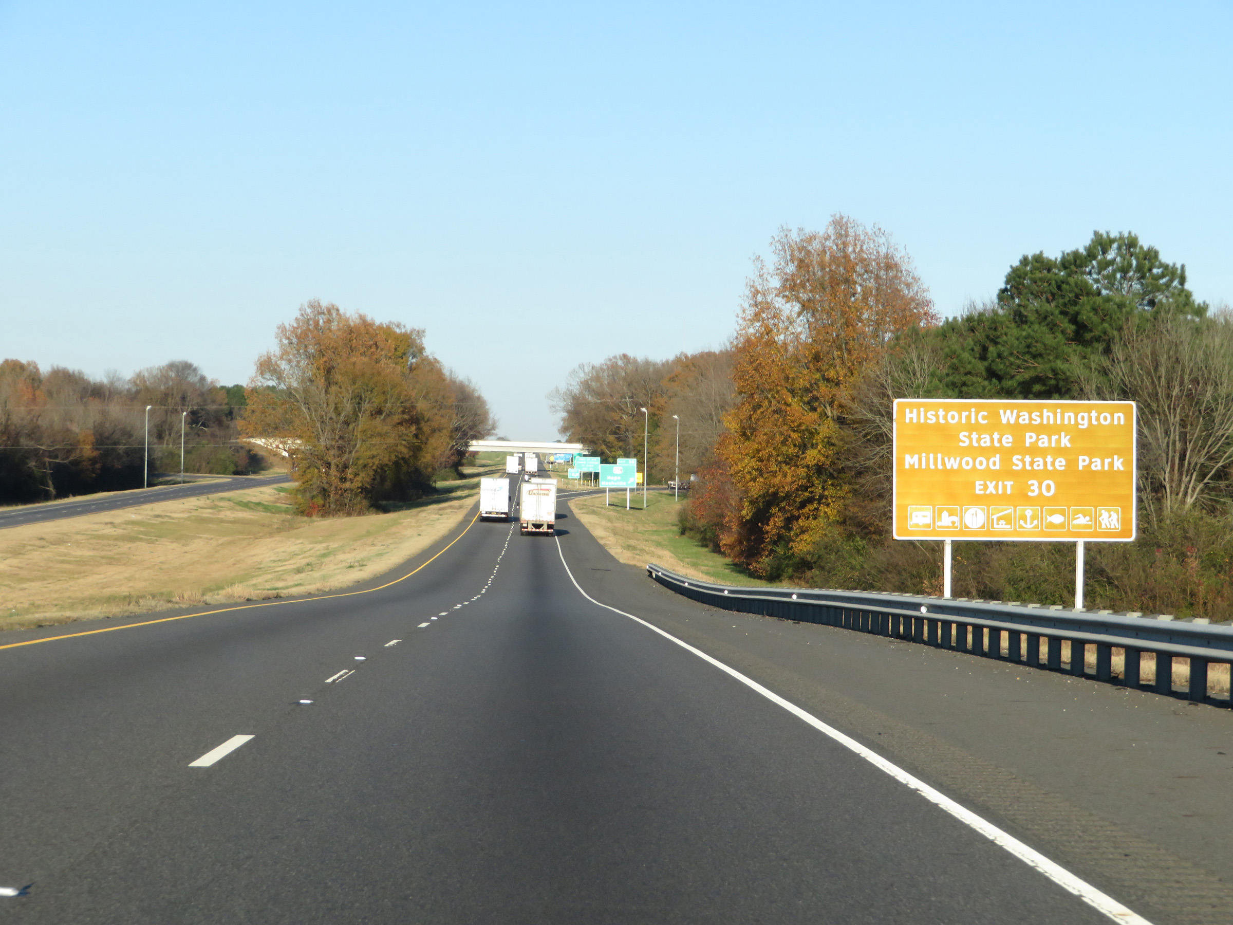 |
Take Exit 30 to Historic Washington State Park and Millwood State Park as well. (Photo taken 12/10/20). |
 |
Interstate 30 East at Exit 30: US 278 - Hope / Nashville (Photo taken 12/10/20). |
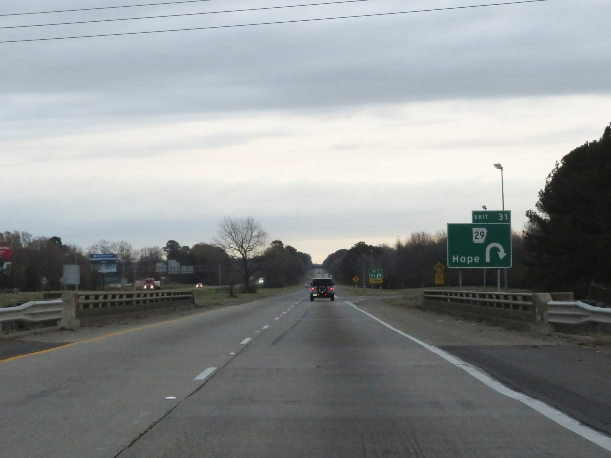 |
Interstate 30 East at Exit 31: AR 29 - Hope (Photo taken 12/11/20). |
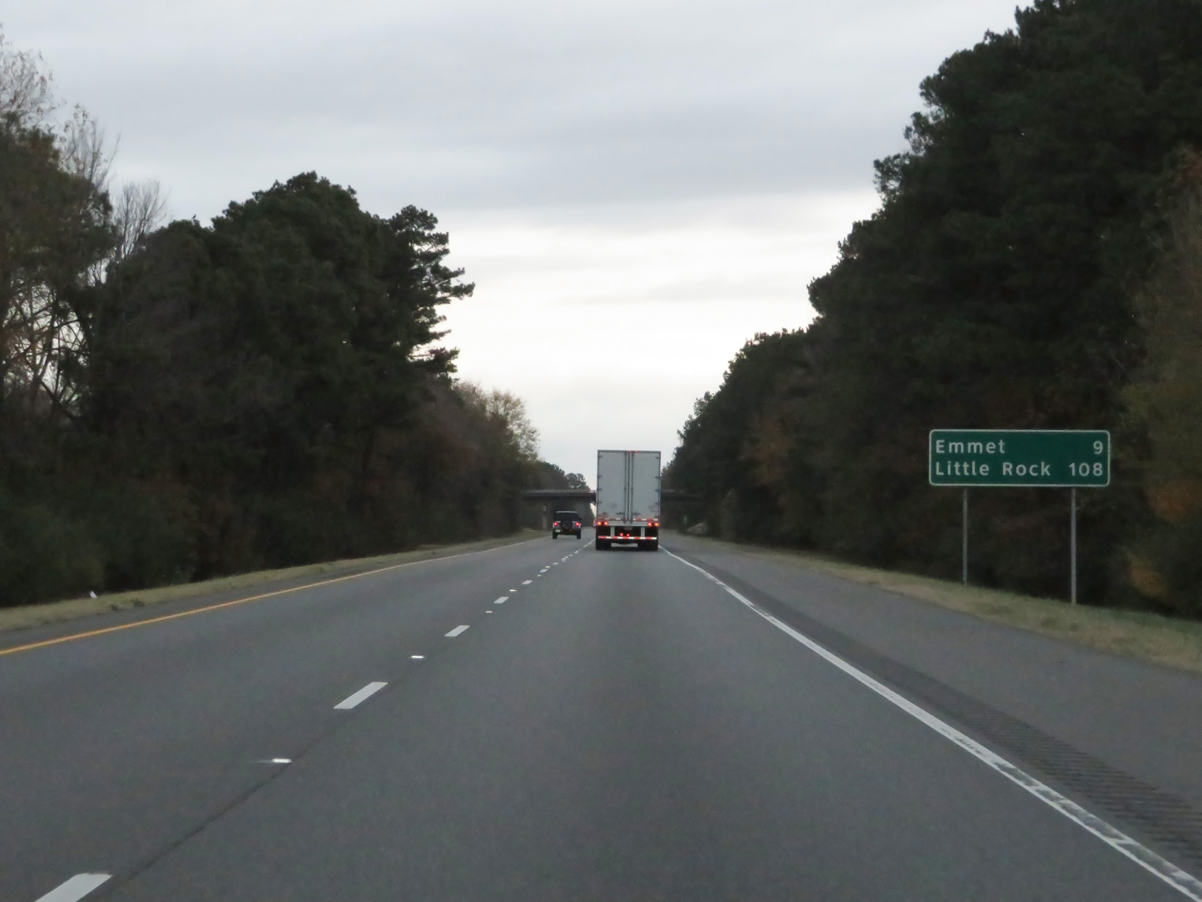 |
Mileage sign on Interstate 30 East. It's 9 miles to Emmet and 108 miles to Little Rock. (Photo taken 12/11/20). |
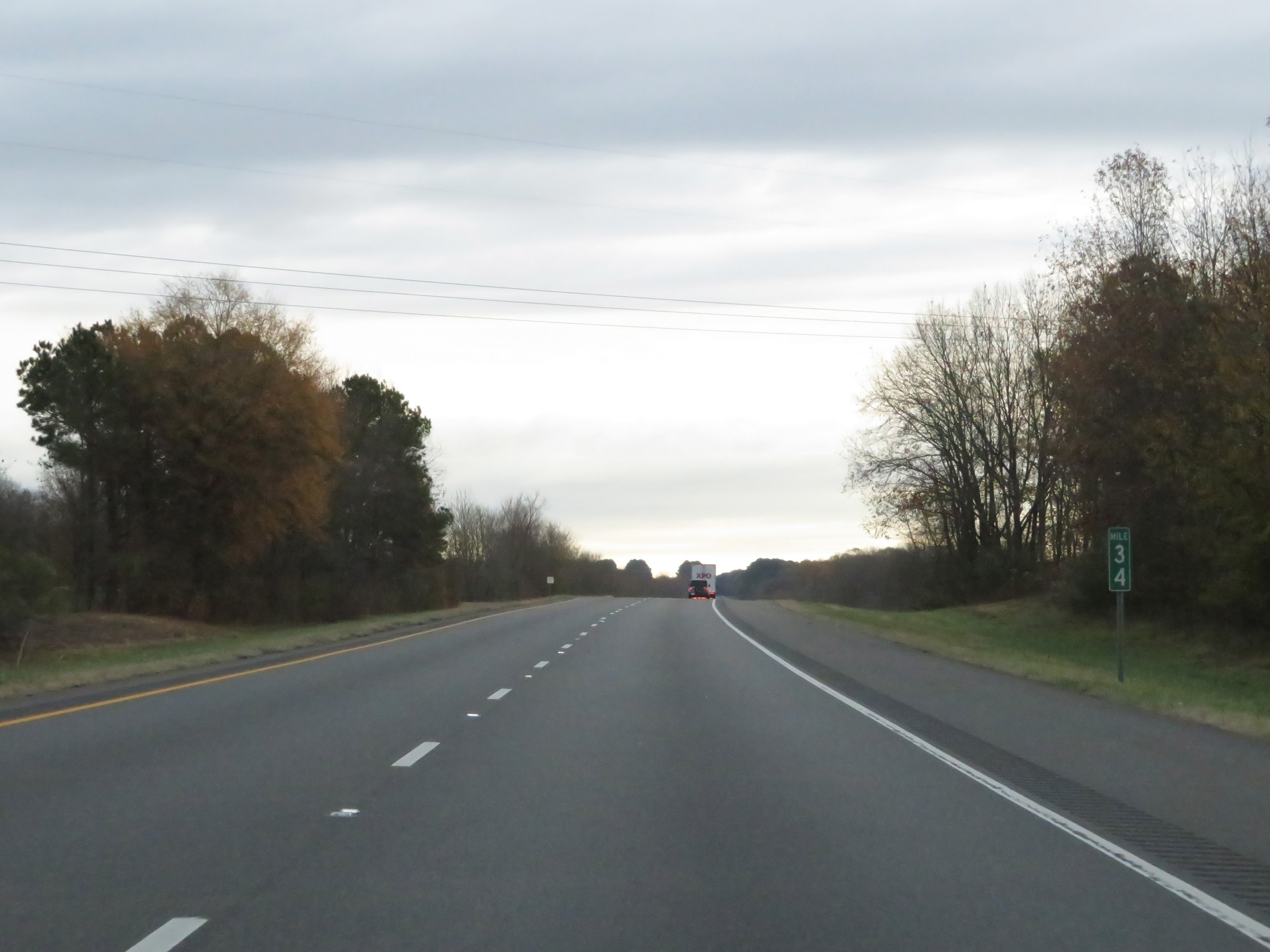 |
View on Interstate 30 East at mile marker 34. (Photo taken 12/11/20). |
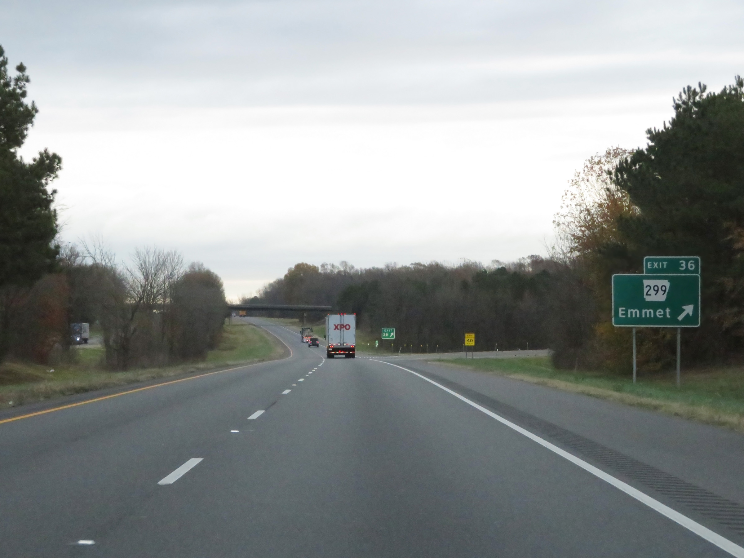 |
Interstate 30 East at Exit 36: AR 299 - Emmet (Photo taken 12/11/20). |
 |
Interstate 30 East at mile marker 39. (Photo taken 12/11/20). |
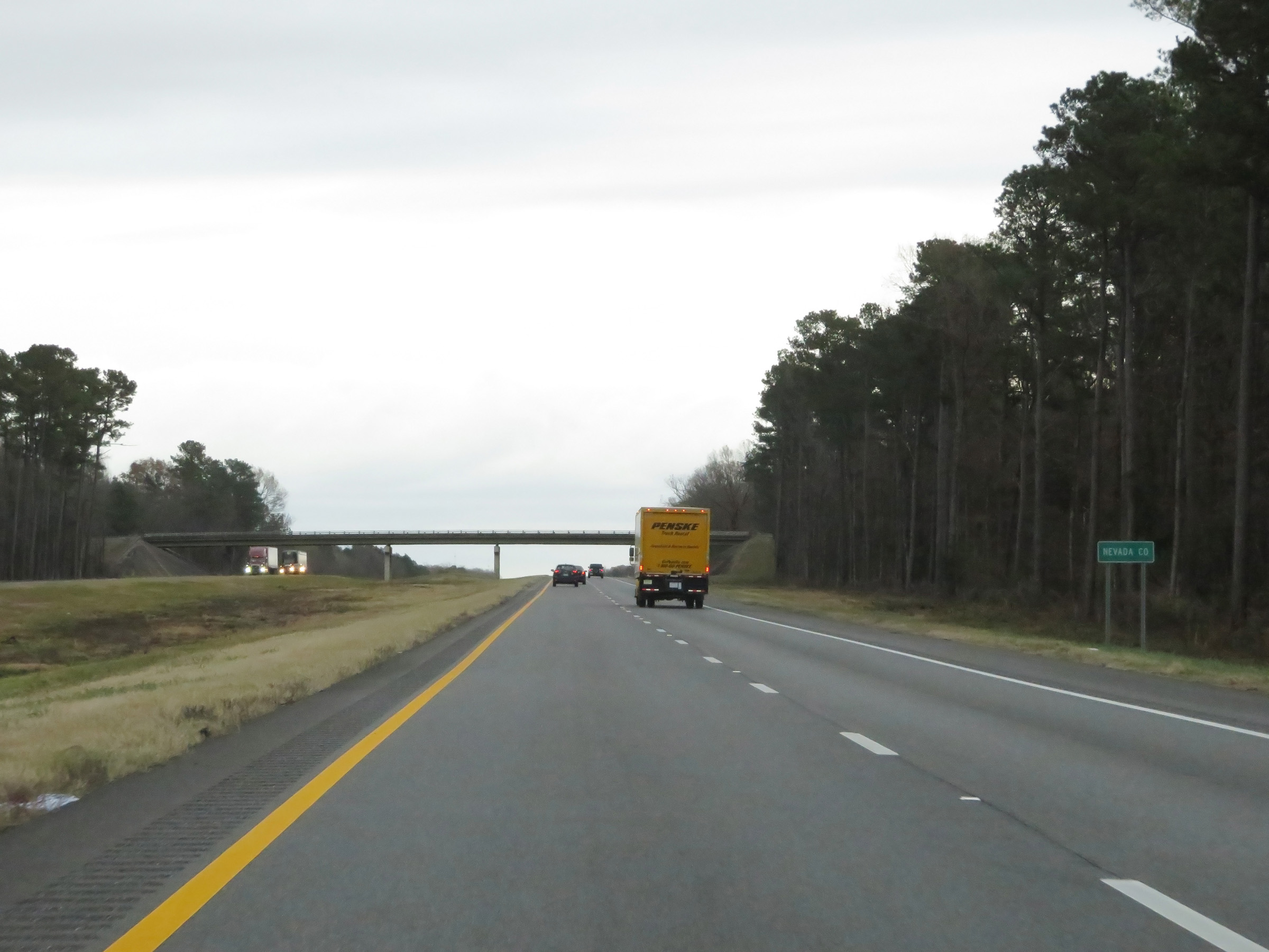 |
Interstate 30 East as it enters Nevada County. (Photo taken 12/11/20). |
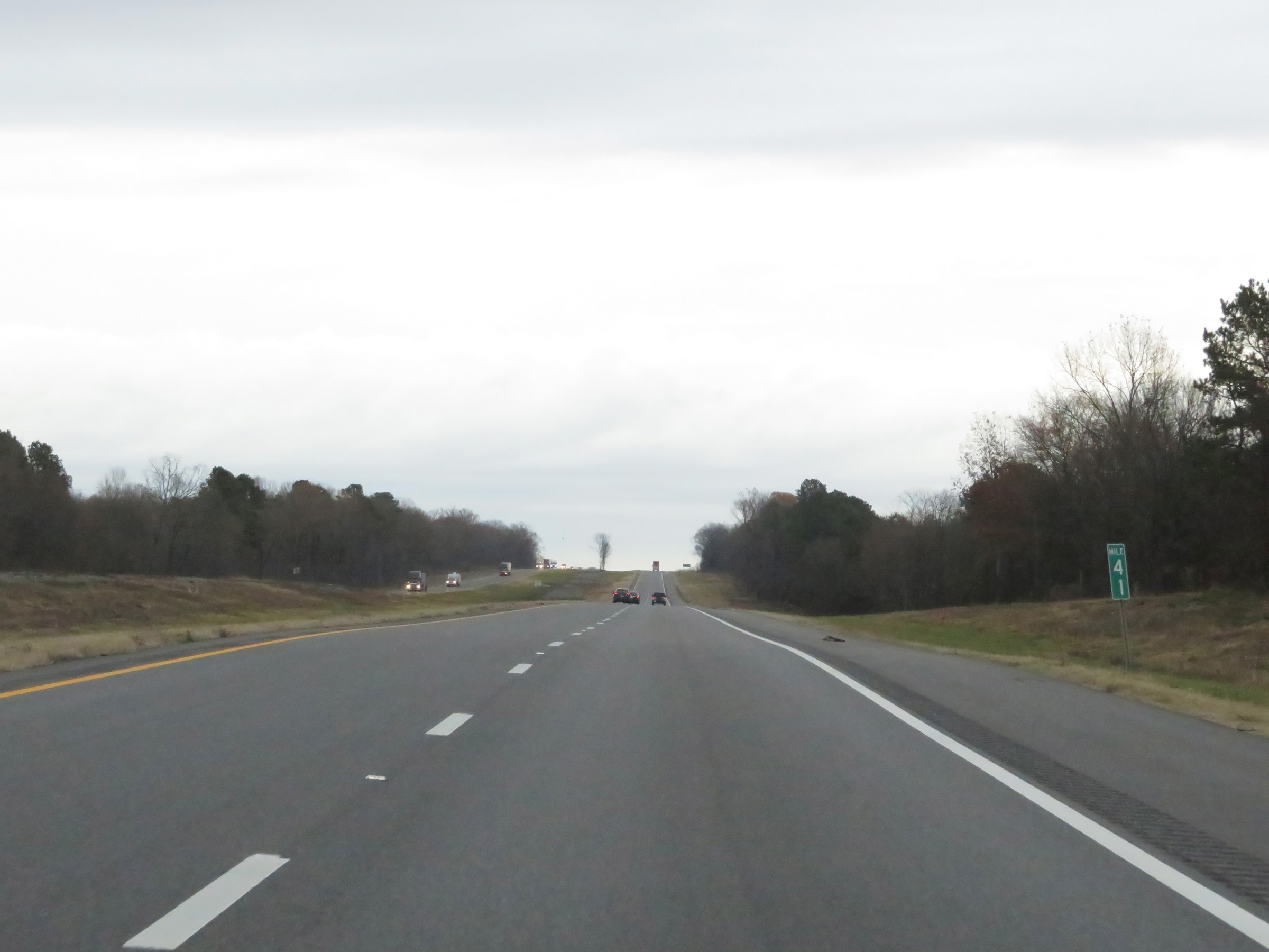 |
View on Interstate 30 East at mile marker 41. (Photo taken 12/11/20). |
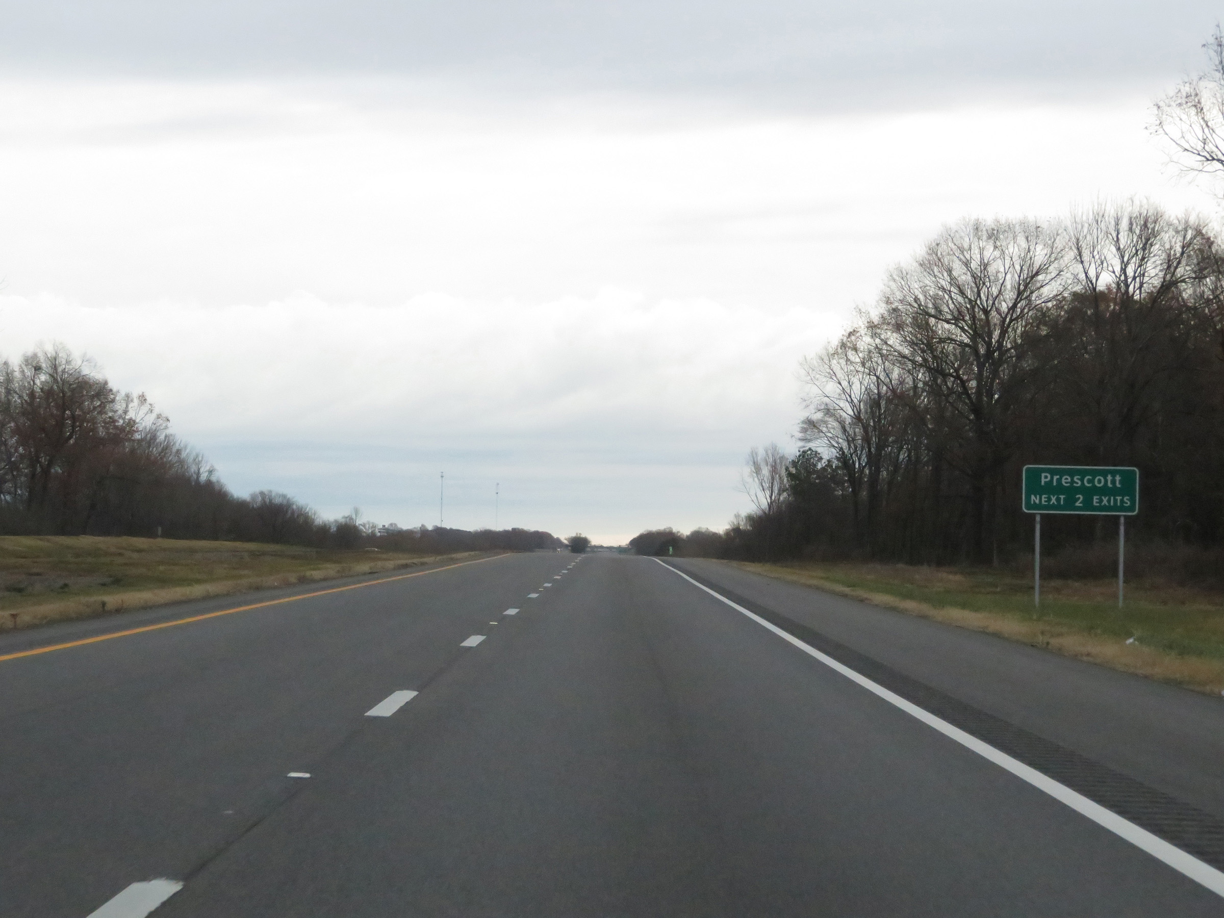 |
Take either of the next 2 exits to Prescott. (Photo taken 12/11/20). |
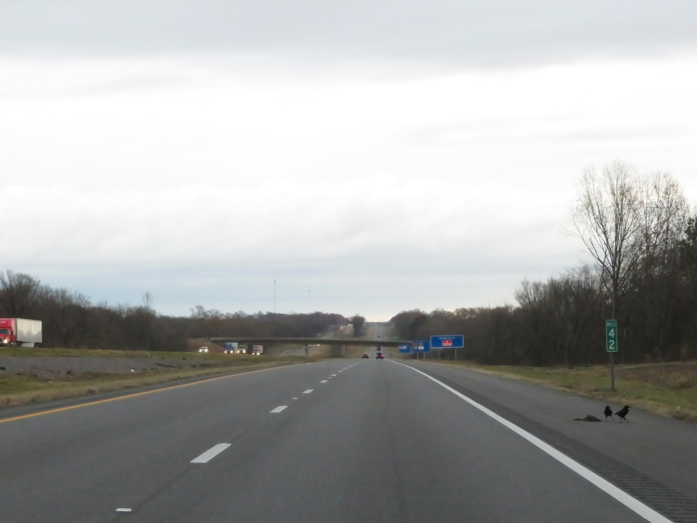 |
Mile marker 42 on Interstate 30 East in Nevada County. (Photo taken 12/11/20). |
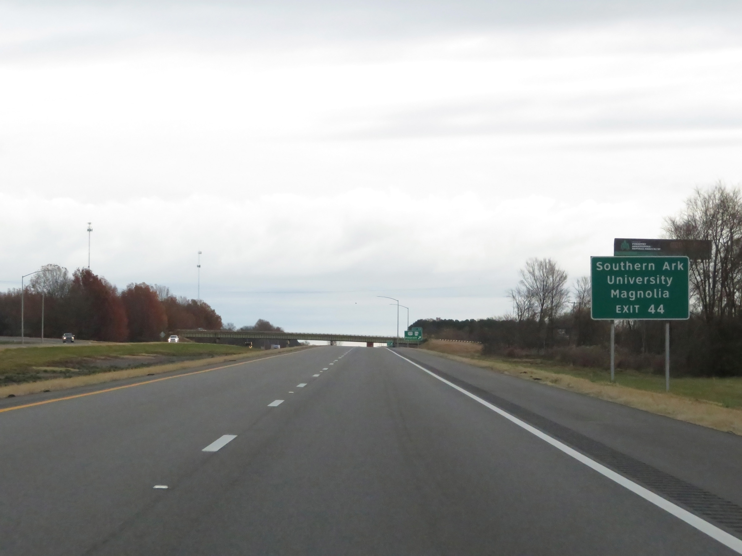 |
Take Exit 44 to Southern Arkansas University and Magnolia. (Photo taken 12/11/20). |
 |
Interstate 30 East at Exit 44: US 371 / AR 24 - Prescott (Photo taken 12/11/20). |
 |
The speed limits remain the rural standard 75 mph for automobiles and 70 mph for trucks. (Photo taken 12/11/20). |
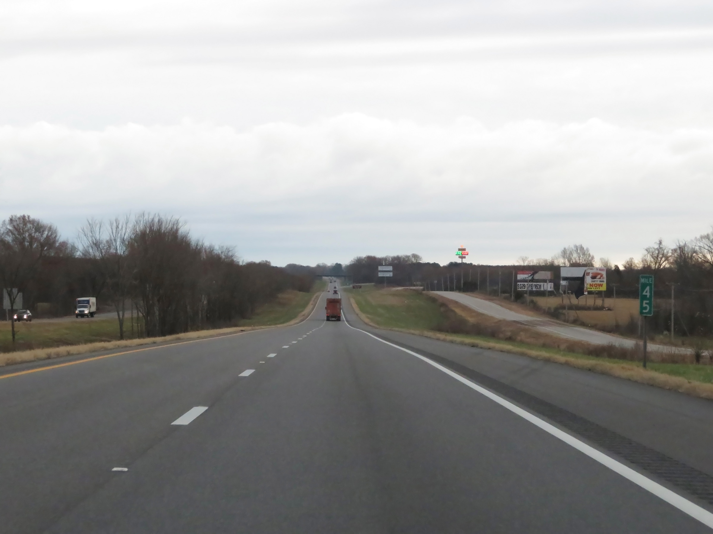 |
View on Interstate 30 East at mile marker 45. (Photo taken 12/11/20). |
 |
Take Exit 46 to White Oak Lake State Park. (Photo taken 12/11/20). |
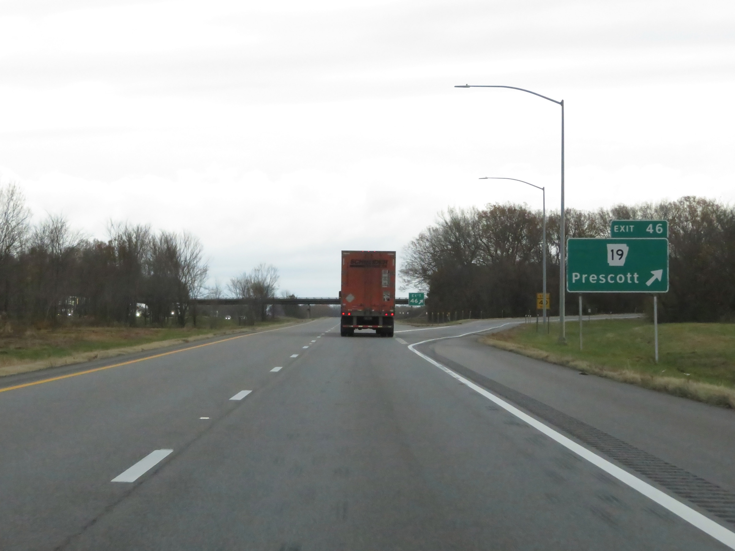 |
Interstate 30 East at Exit 46: AR 19 - Prescott (Photo taken 12/11/20). |
Section 2: Prescott (Exit 46) to Benton (Exit 118)
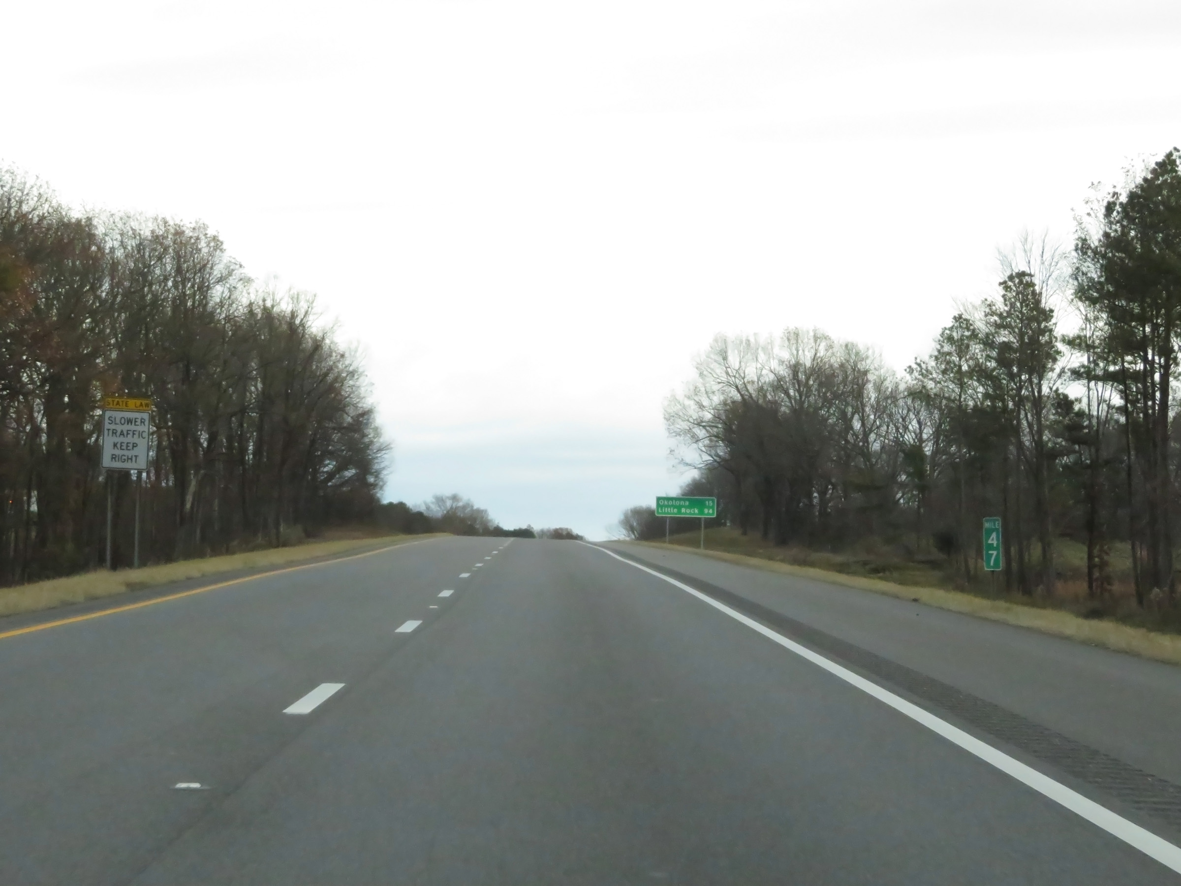 |
View on Interstate 30 East at mile marker 47. (Photo taken 12/11/20). |
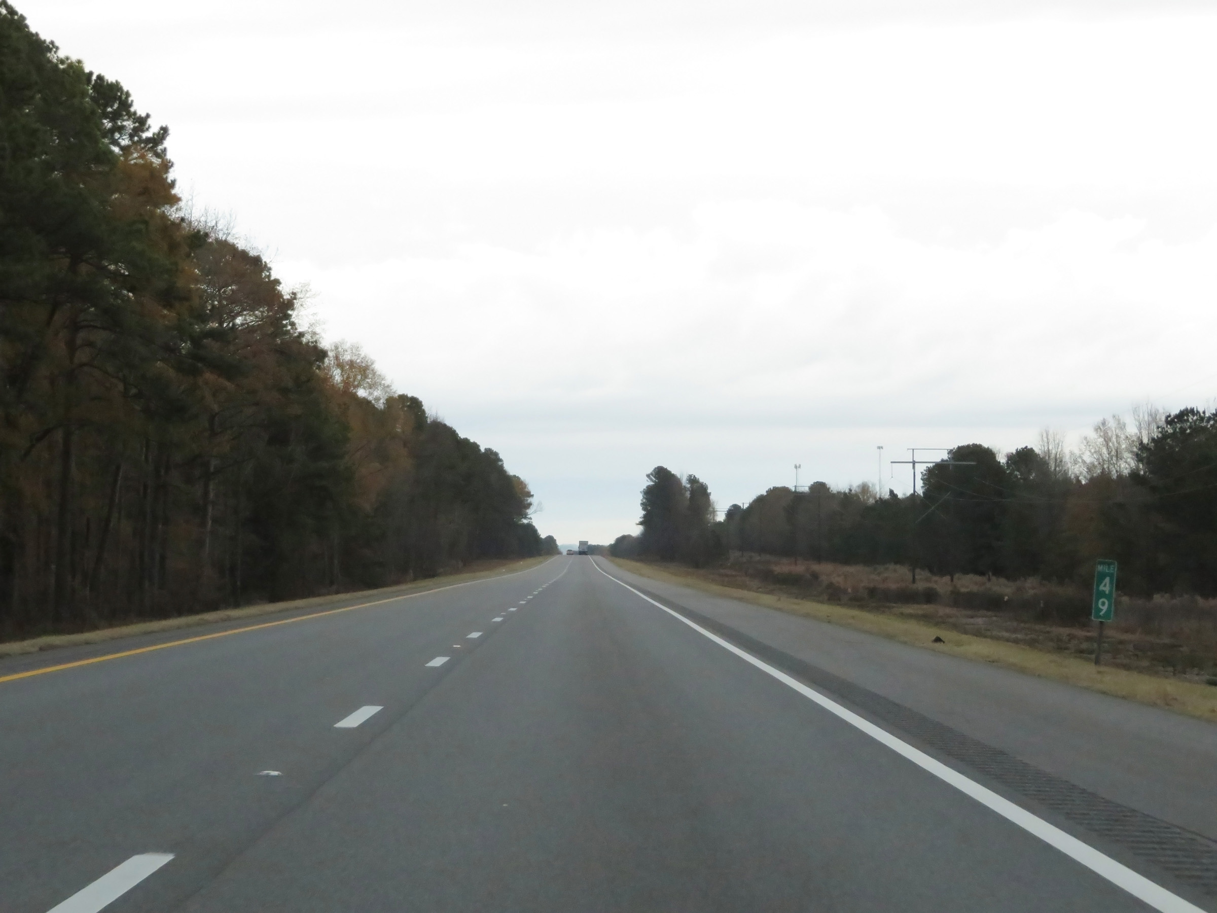 |
Interstate 30 East at mile marker 49. (Photo taken 12/11/20). |
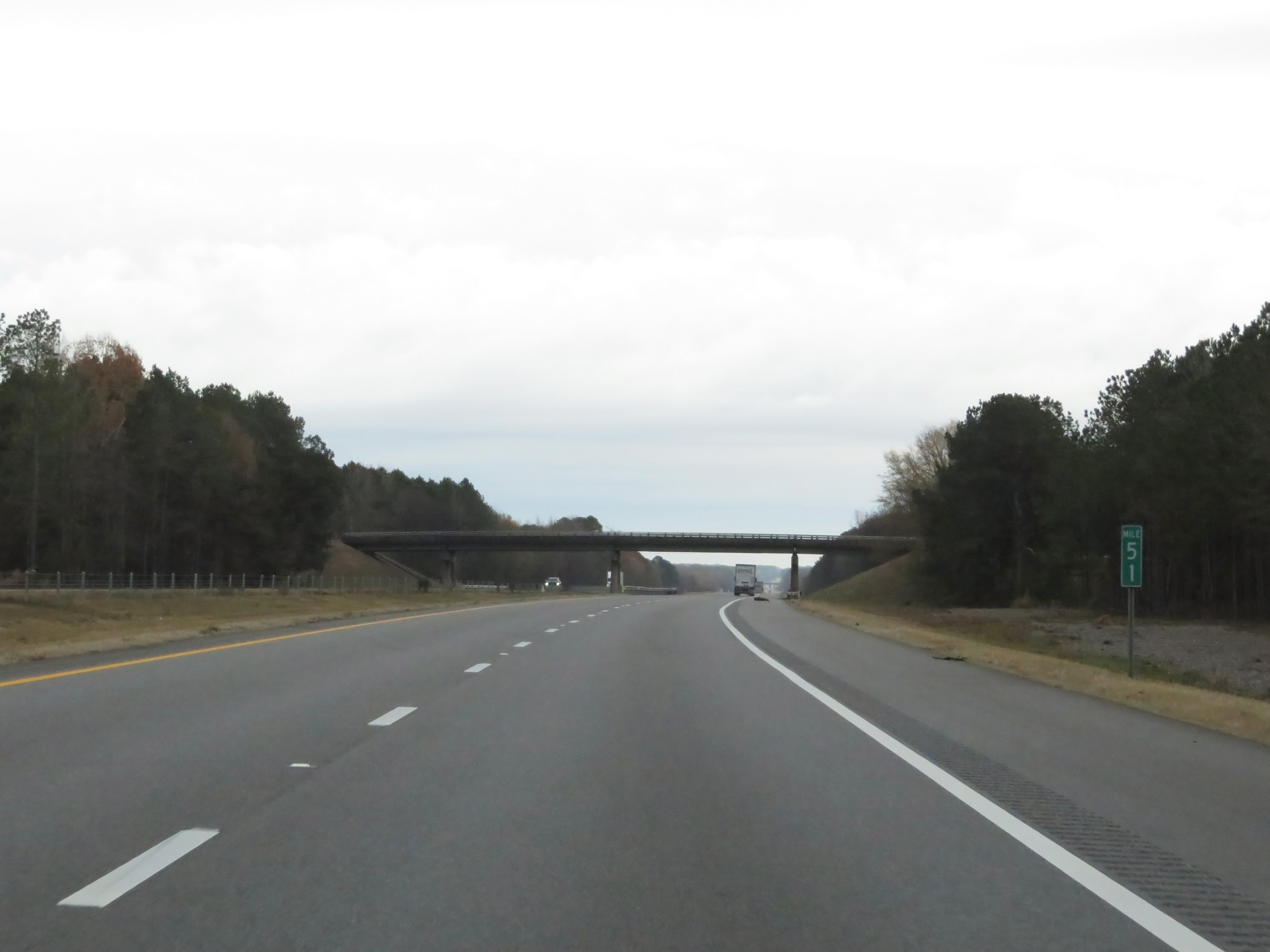 |
Mile marker 51 on Interstate 30 East in Nevada County. (Photo taken 12/11/20). |
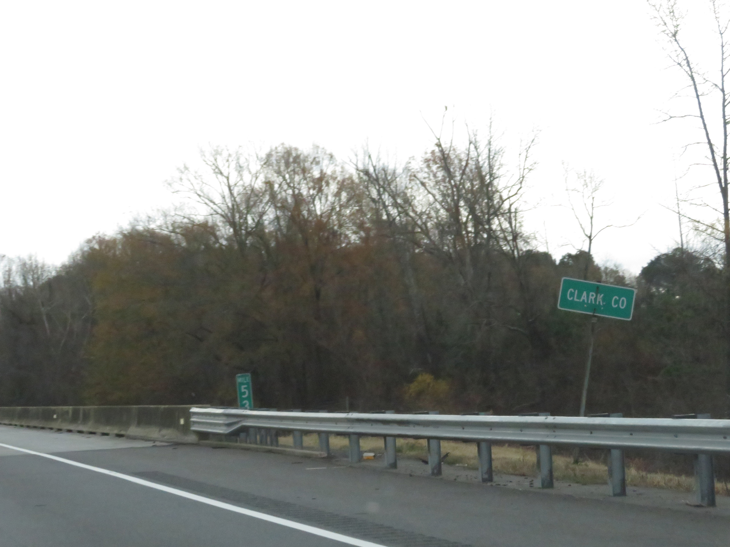 |
At mile marker 53, Interstate 30 East enters Clark County. (Photo taken 12/11/20). |
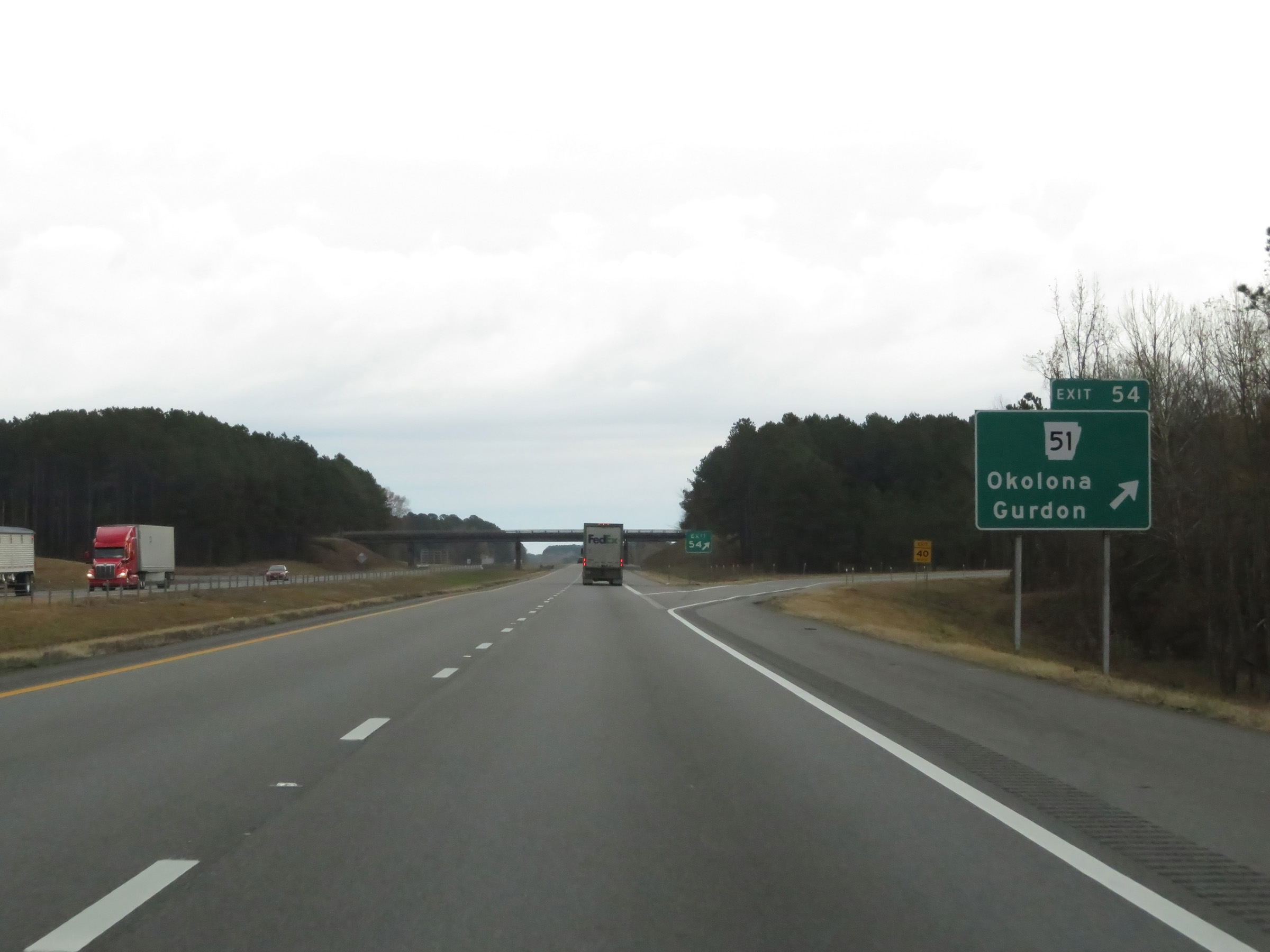 |
Interstate 30 East at Exit 54: AR 51 - Okolona / Gurdon (Photo taken 12/11/20). |
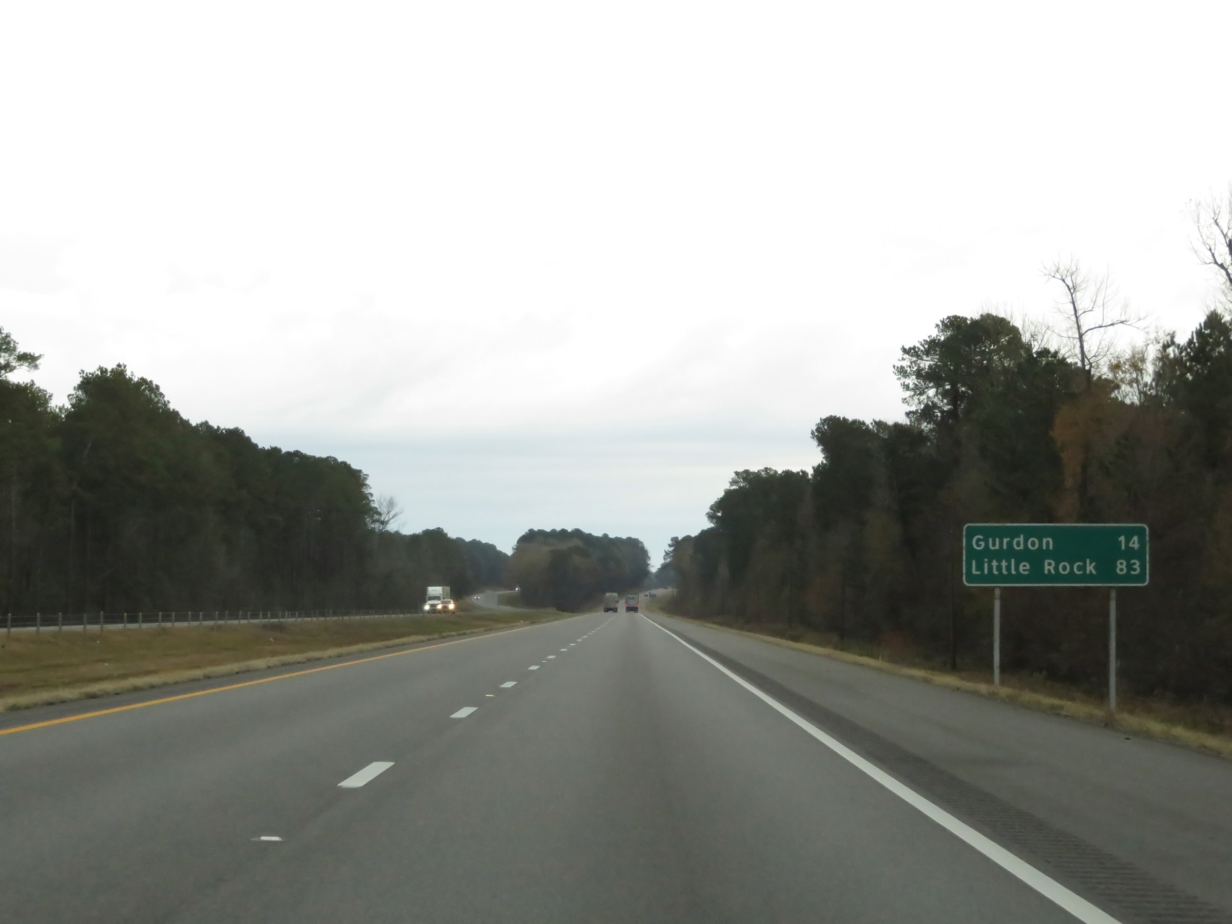 |
Another mileage sign on Interstate 30 East. It's 14 miles to Gurdon and 83 miles to Little Rock. (Photo taken 12/11/20). |
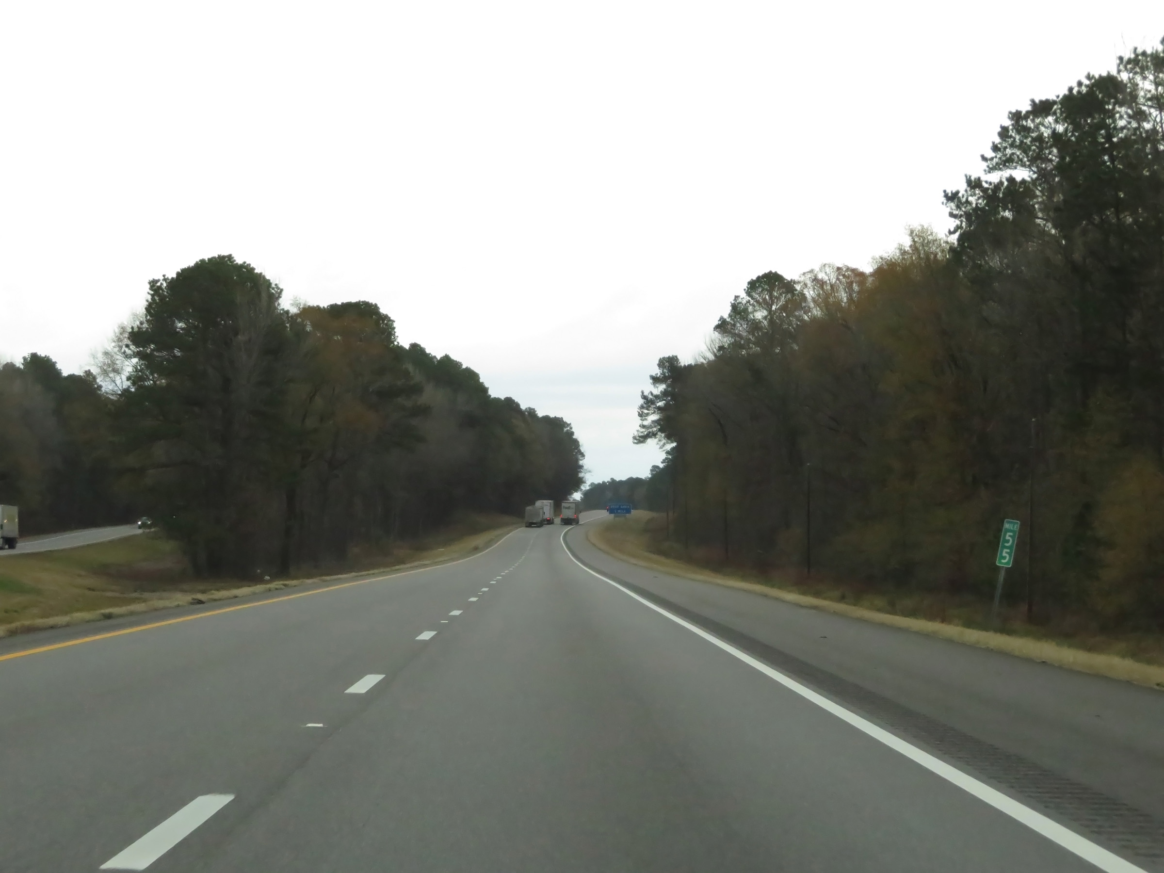 |
View on Interstate 30 East at mile marker 55. (Photo taken 12/11/20). |
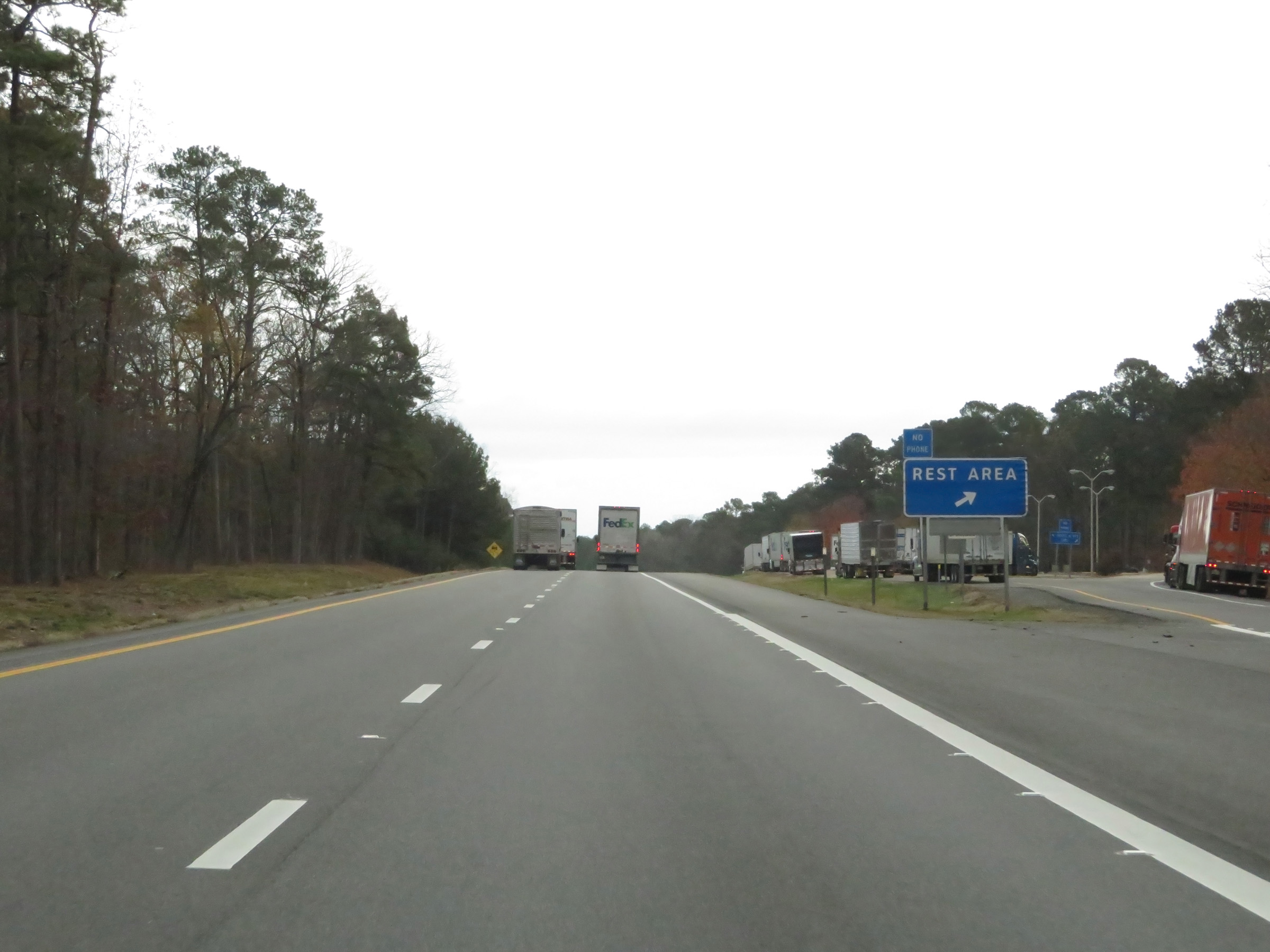 |
Rest Area on Interstate 30 East in Clark County. (Photo taken 12/11/20). |
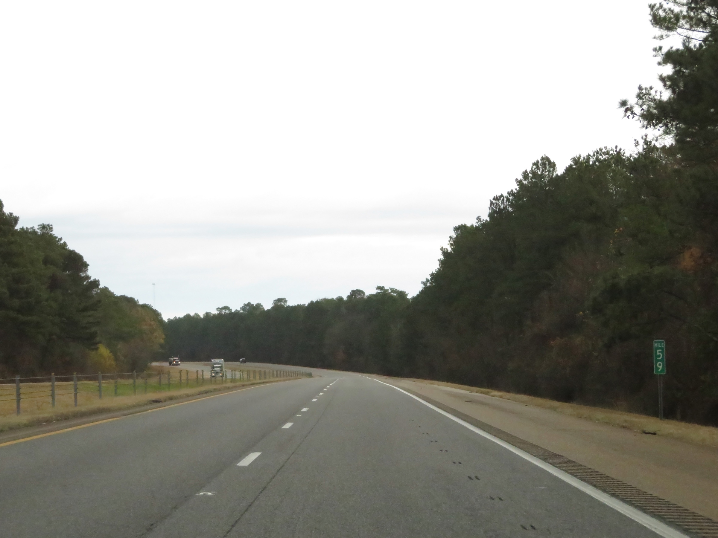 |
Interstate 30 East at mile marker 59. (Photo taken 12/11/20). |
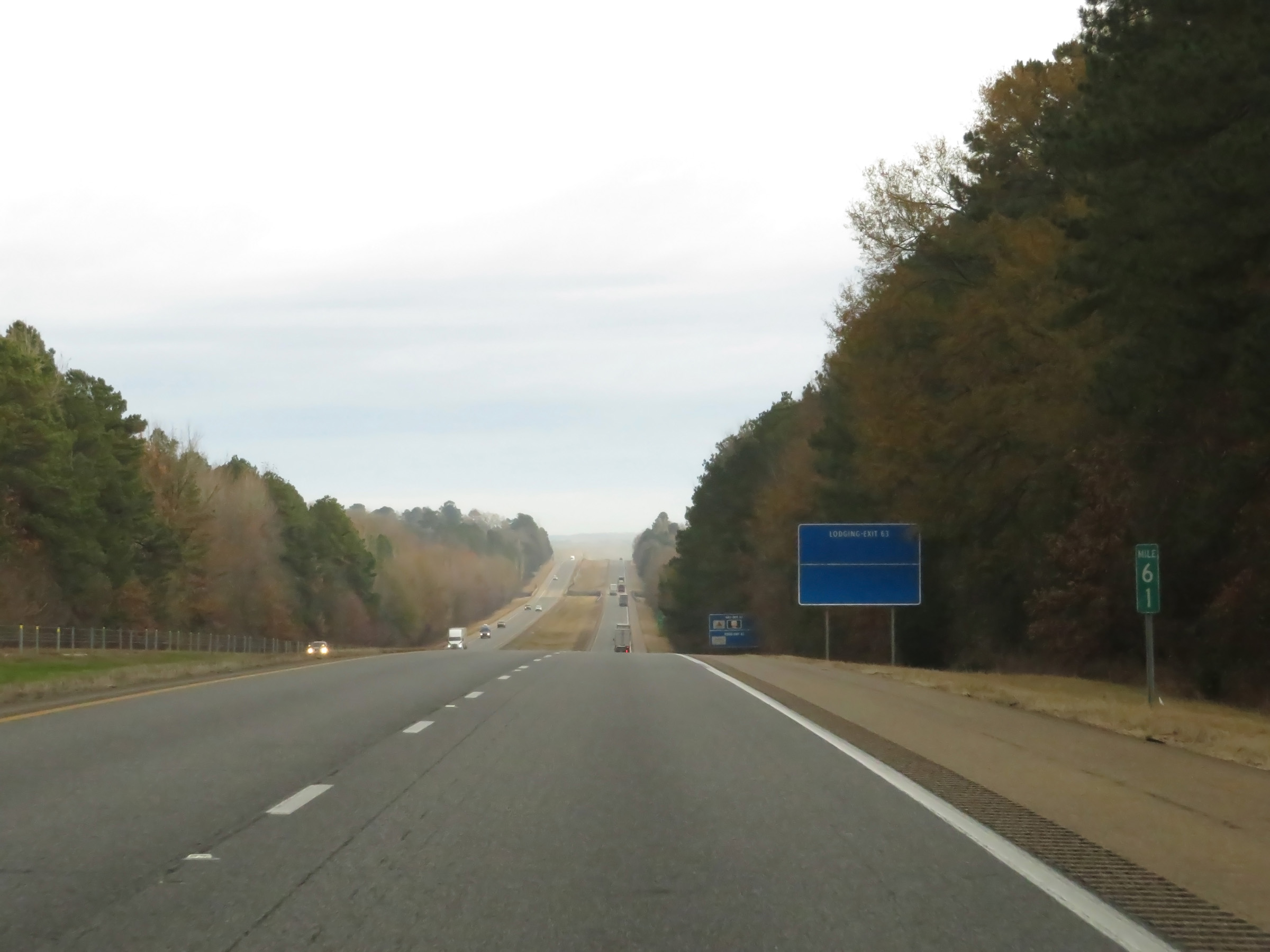 |
View on Interstate 30 East at mile marker 61. (Photo taken 12/11/20). |
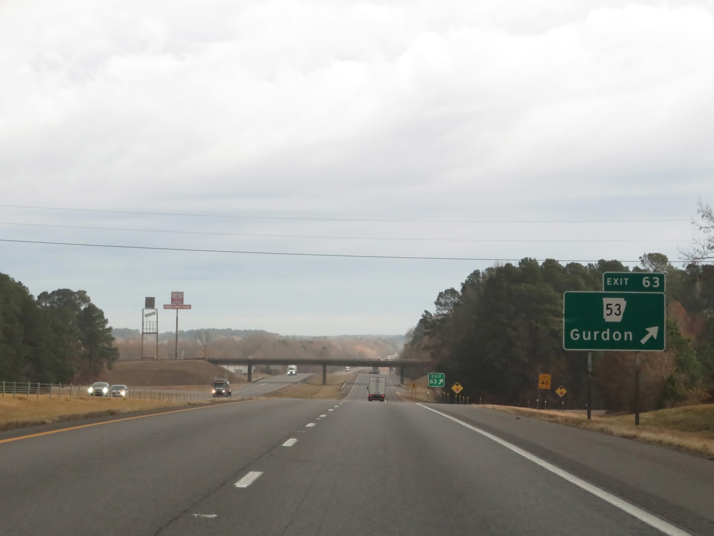 |
Interstate 30 East at Exit 63: AR 53 - Gurdon (Photo taken 12/11/20). |
 |
Interstate 30 East at mile marker 65. (Photo taken 12/11/20). |
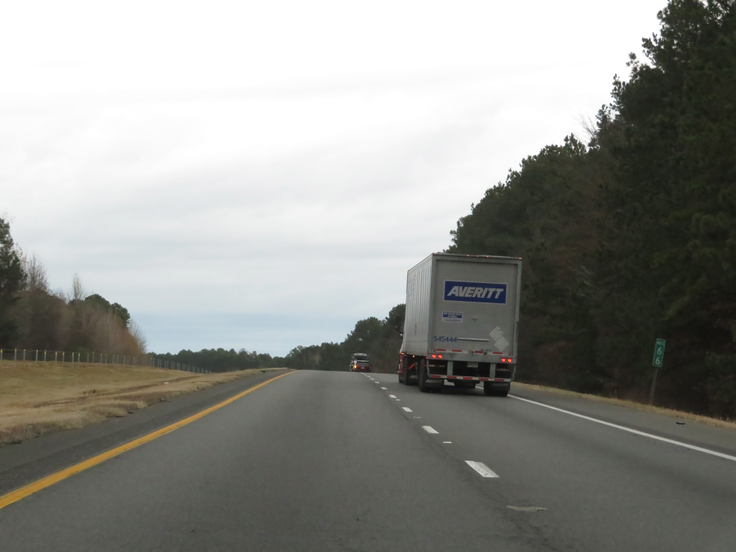 |
Mile marker 66 on Interstate 30 East in Clark County. (Photo taken 12/11/20). |
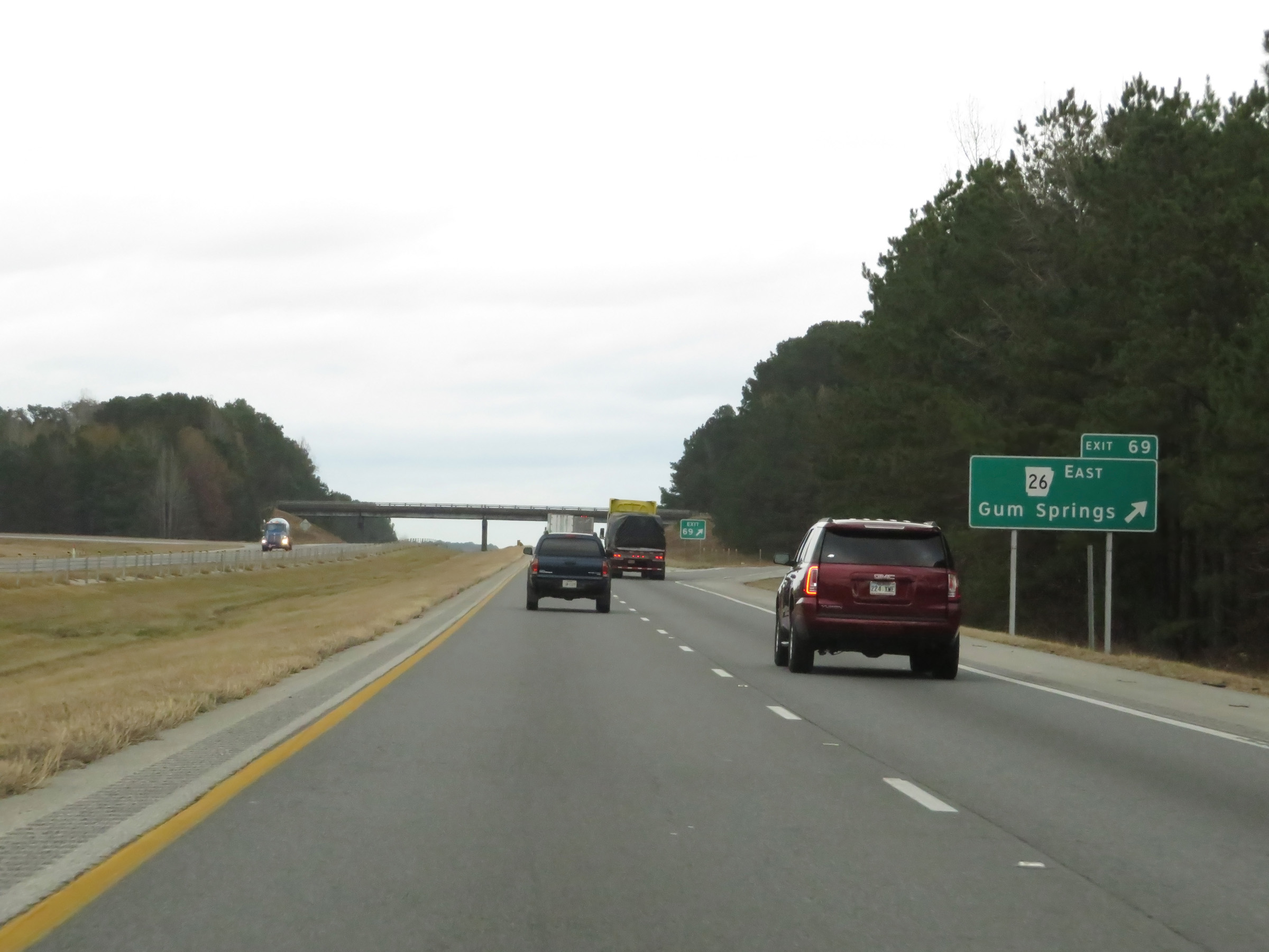 |
Interstate 30 East at Exit 69: AR 26 East - Gum Springs (Photo taken 12/11/20). |
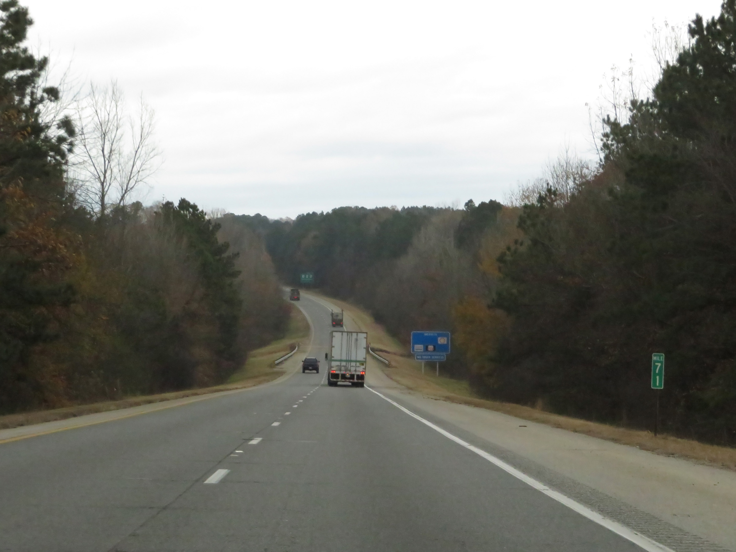 |
View on Interstate 30 East at mile marker 71. (Photo taken 12/11/20). |
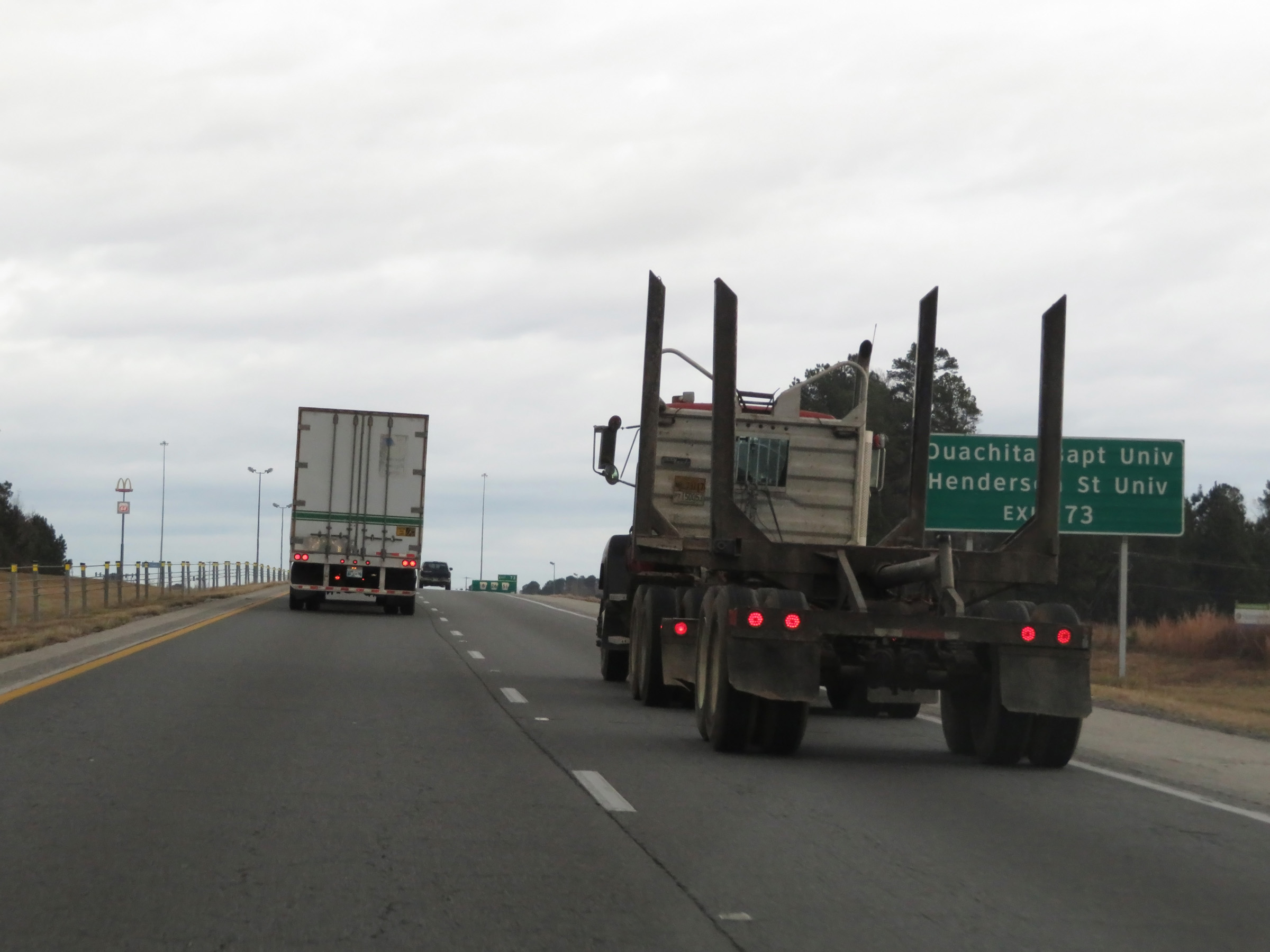 |
Take Exit 73 to Oachita Baptist University and Henderson State University. (Photo taken 12/11/20). |
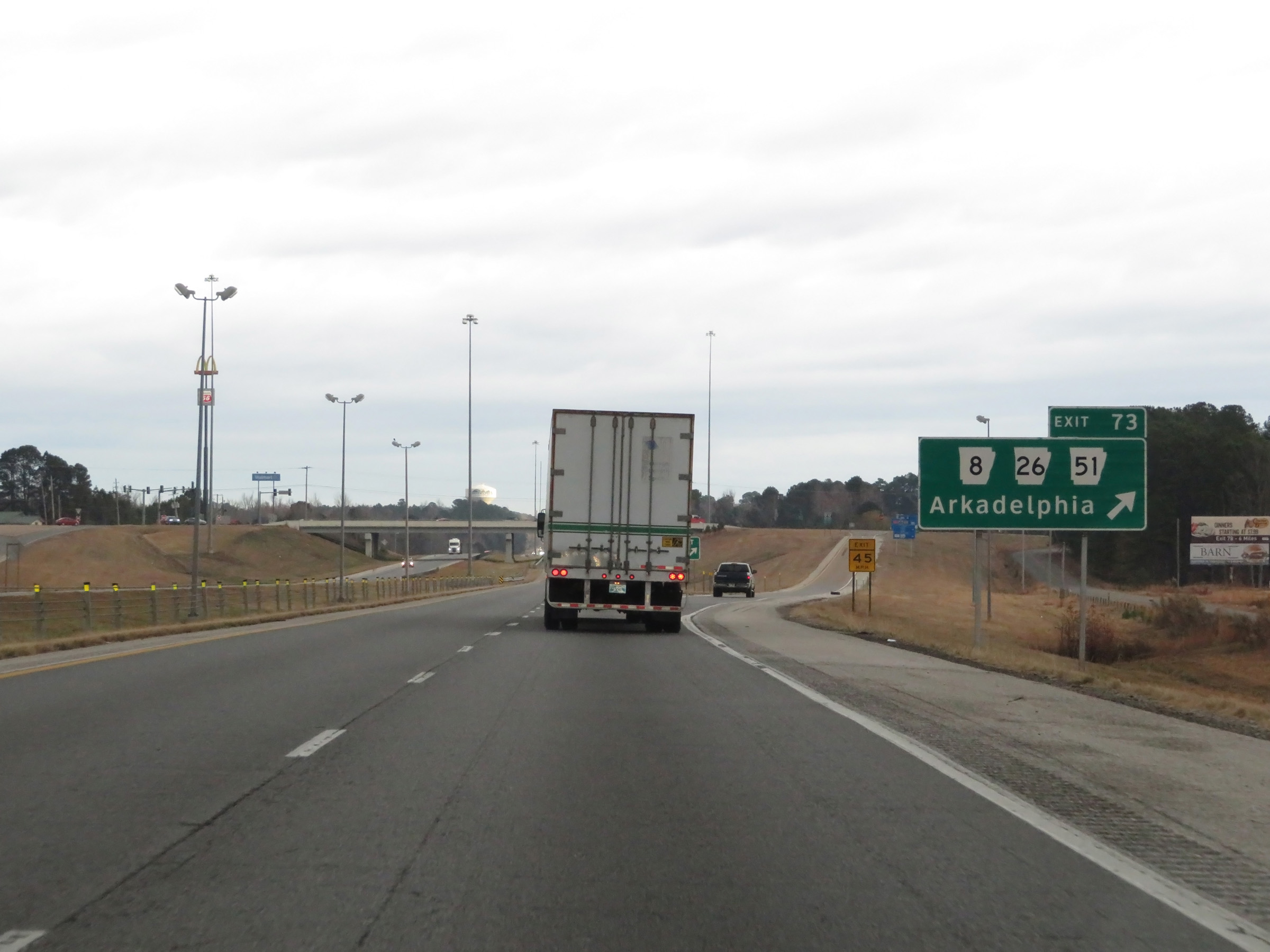 |
Interstate 30 East at Exit 73: AR 8 / AR 26 / AR 51 - Arkadelphia (Photo taken 12/11/20). |
 |
View on Interstate 30 East at mile marker 75. (Photo taken 12/11/20). |
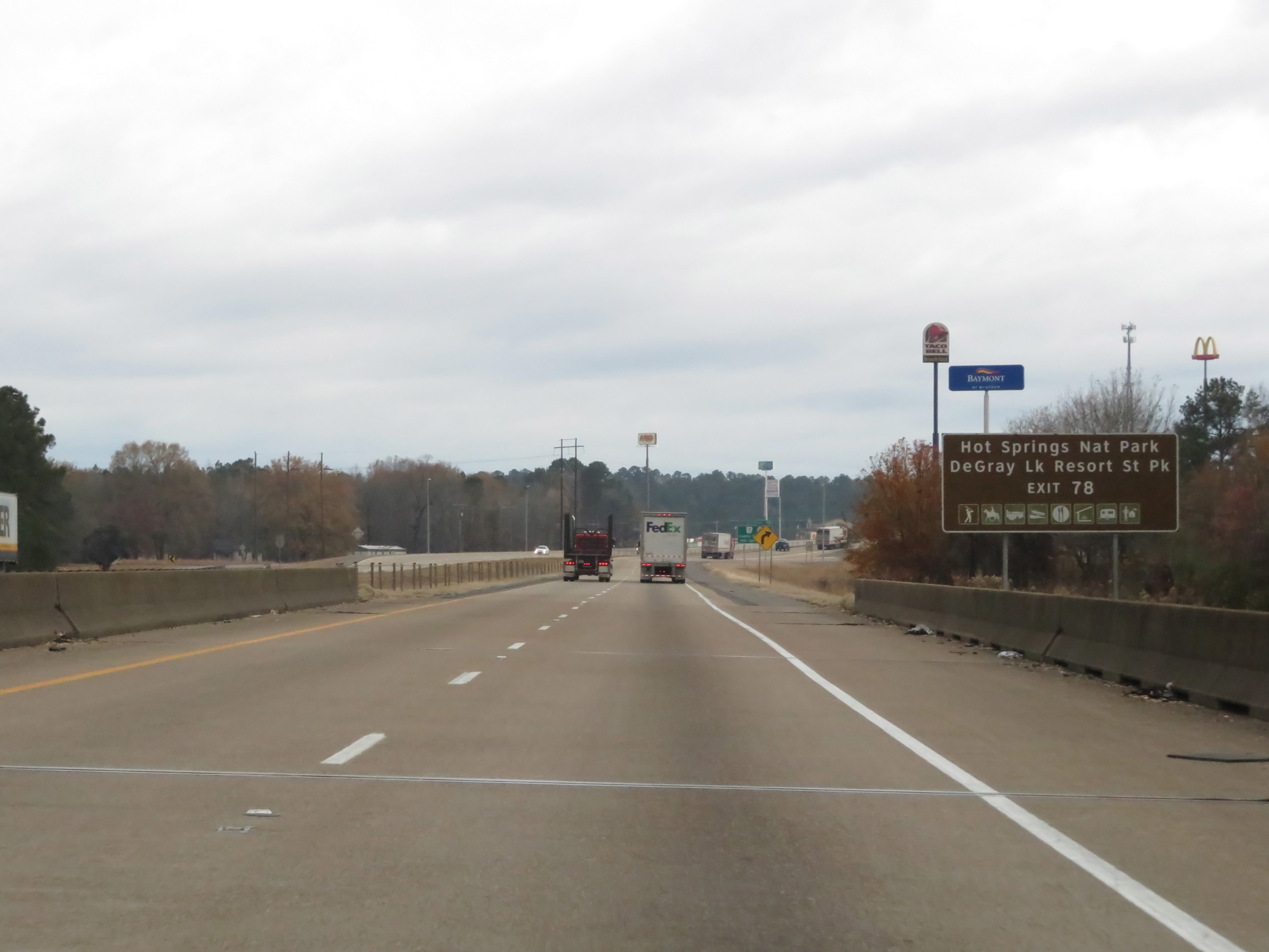 |
Take Exit 78 to Hot Springs National Park and DeGray Lake Resort State Park. (Photo taken 12/11/20). |
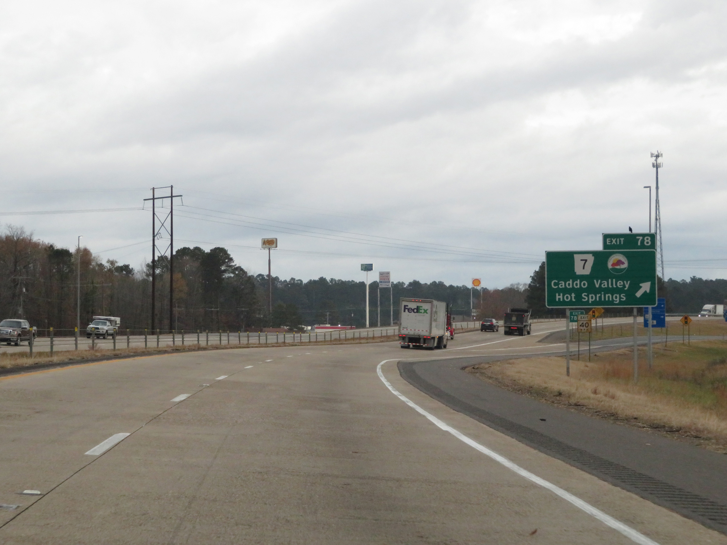 |
Interstate 30 East at Exit 78: AR 7 - Caddo Valley / Hot Springs (Photo taken 12/11/20). |
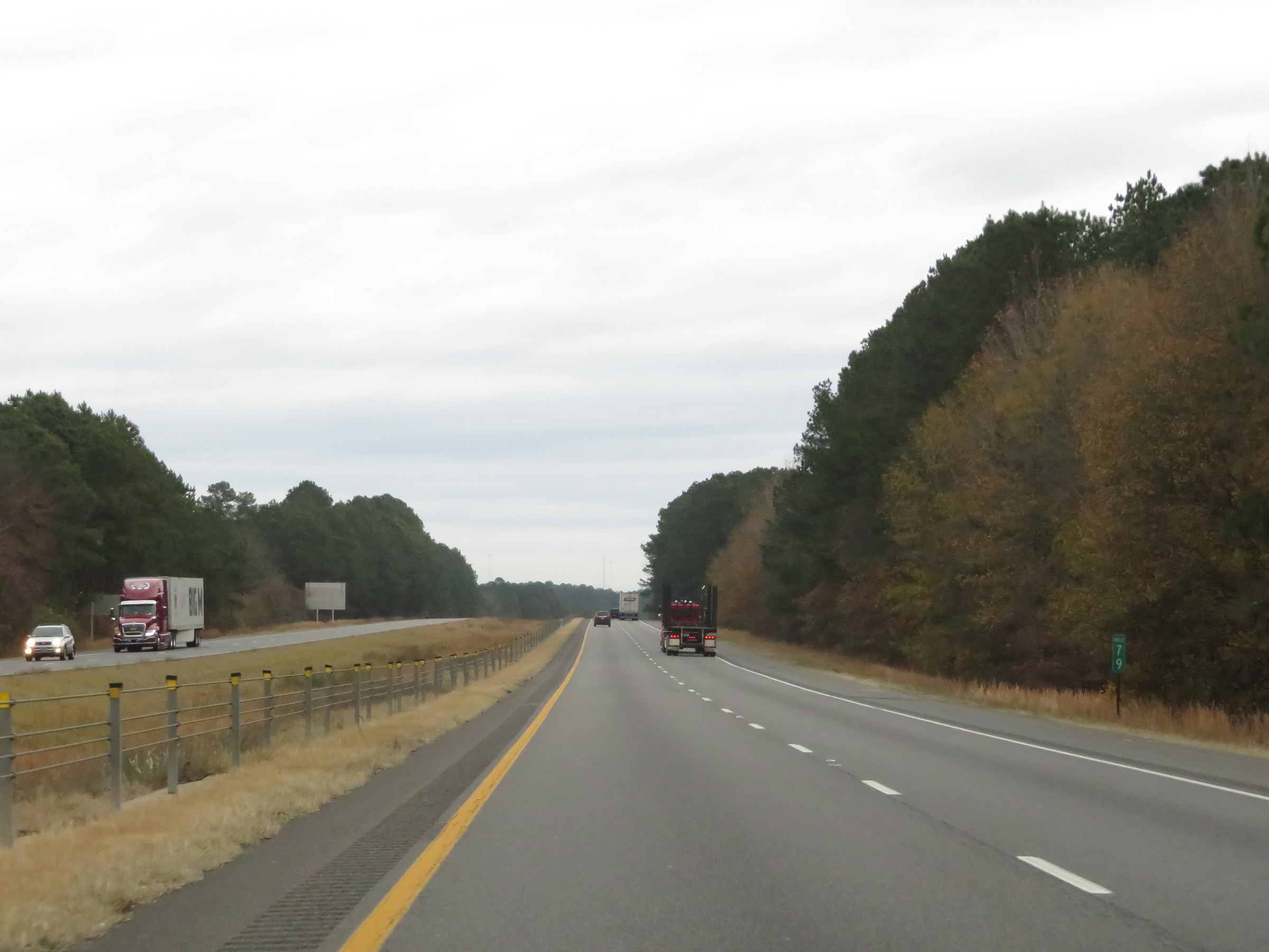 |
Interstate 30 East at mile marker 79. (Photo taken 12/11/20). |
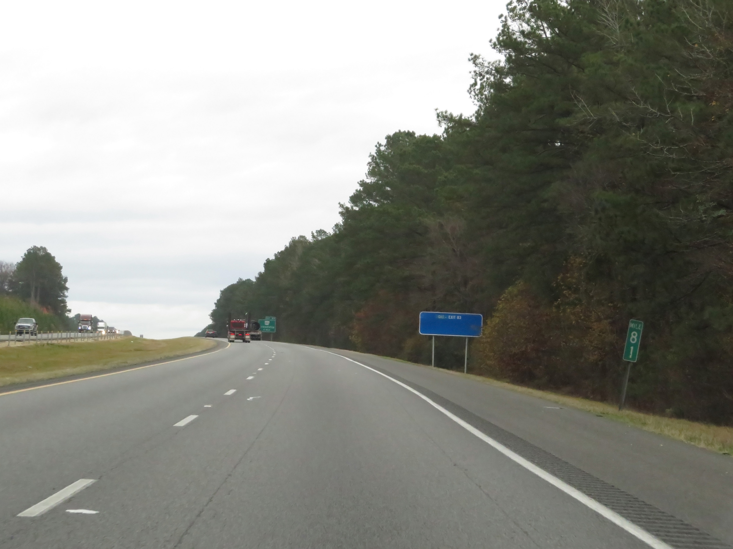 |
View on Interstate 30 East at mile marker 81. (Photo taken 12/11/20). |
 |
Interstate 30 East at Exit 83: AR 283 - Friendship (Photo taken 12/11/20). |
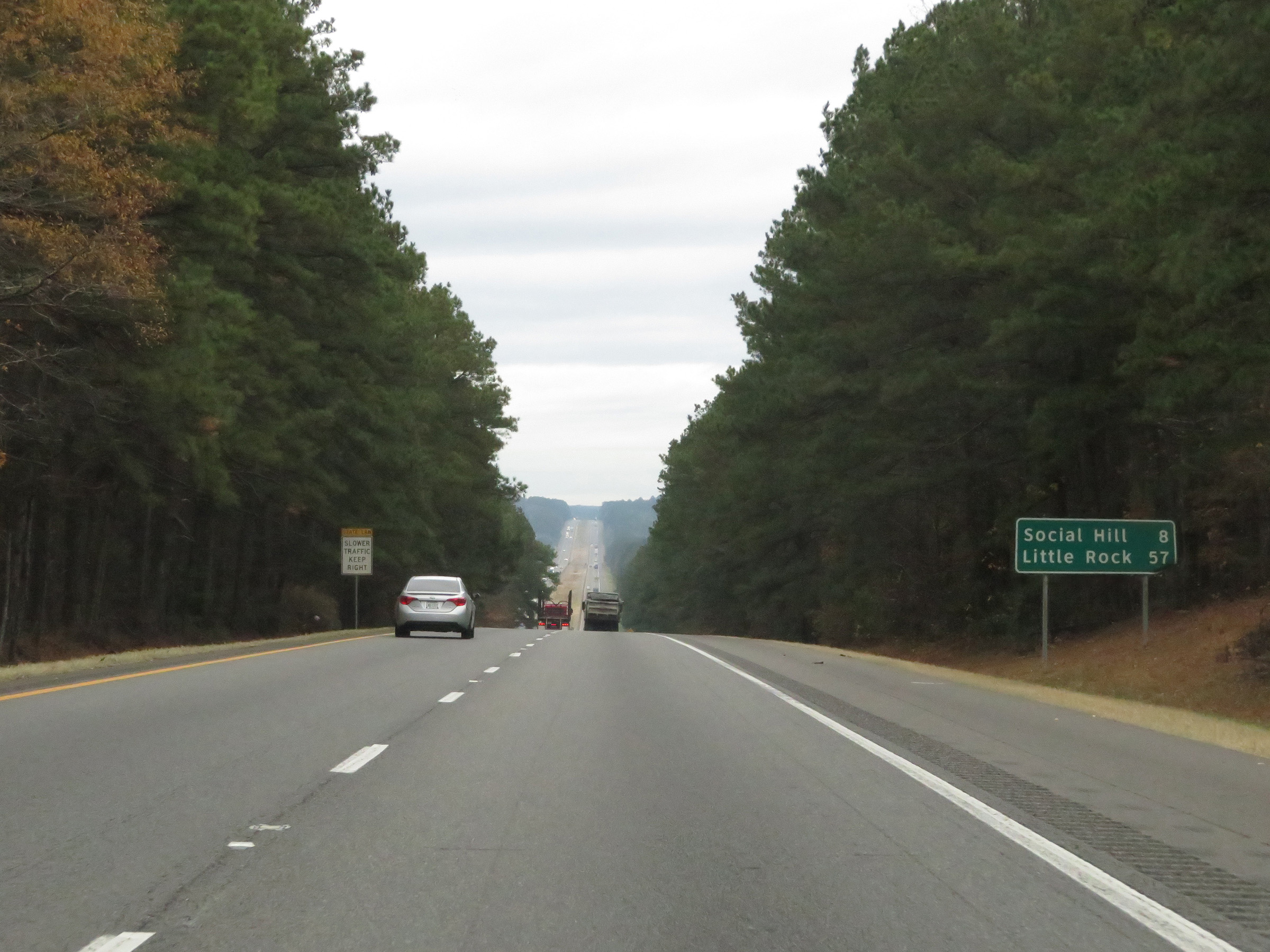 |
Mileage sign on Interstate 30 East. It's 8 miles to Social Hill and 57 miles to Little Rock. (Photo taken 12/11/20). |
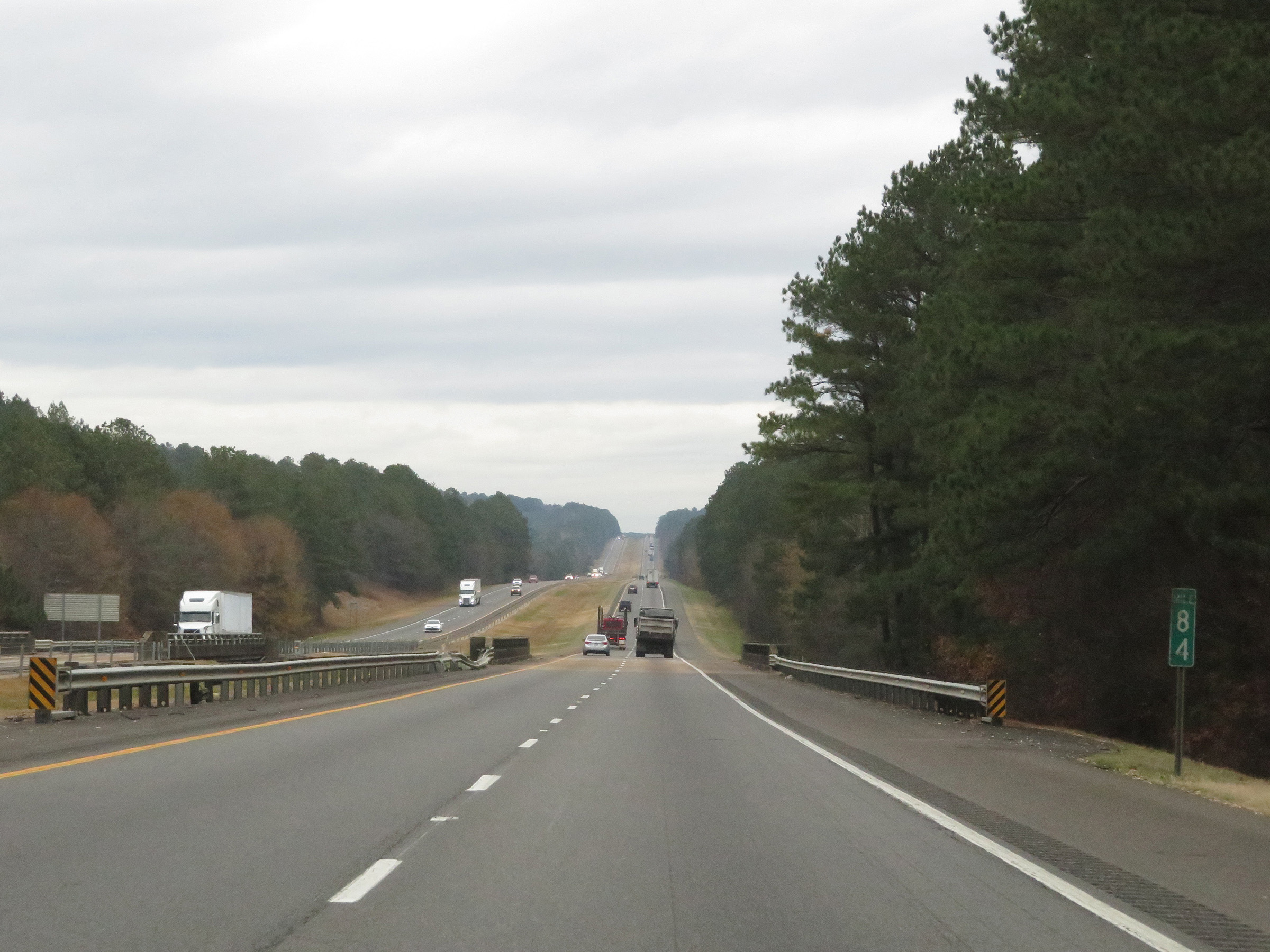 |
View on Interstate 30 East at mile marker 84. (Photo taken 12/11/20). |
 |
Interstate 30 East at mile marker 86. (Photo taken 12/11/20). |
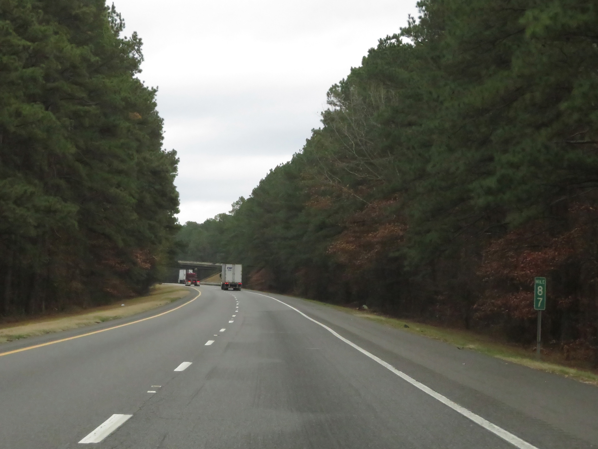 |
Interstate 30 East at mile marker 87. (Photo taken 12/11/20). |
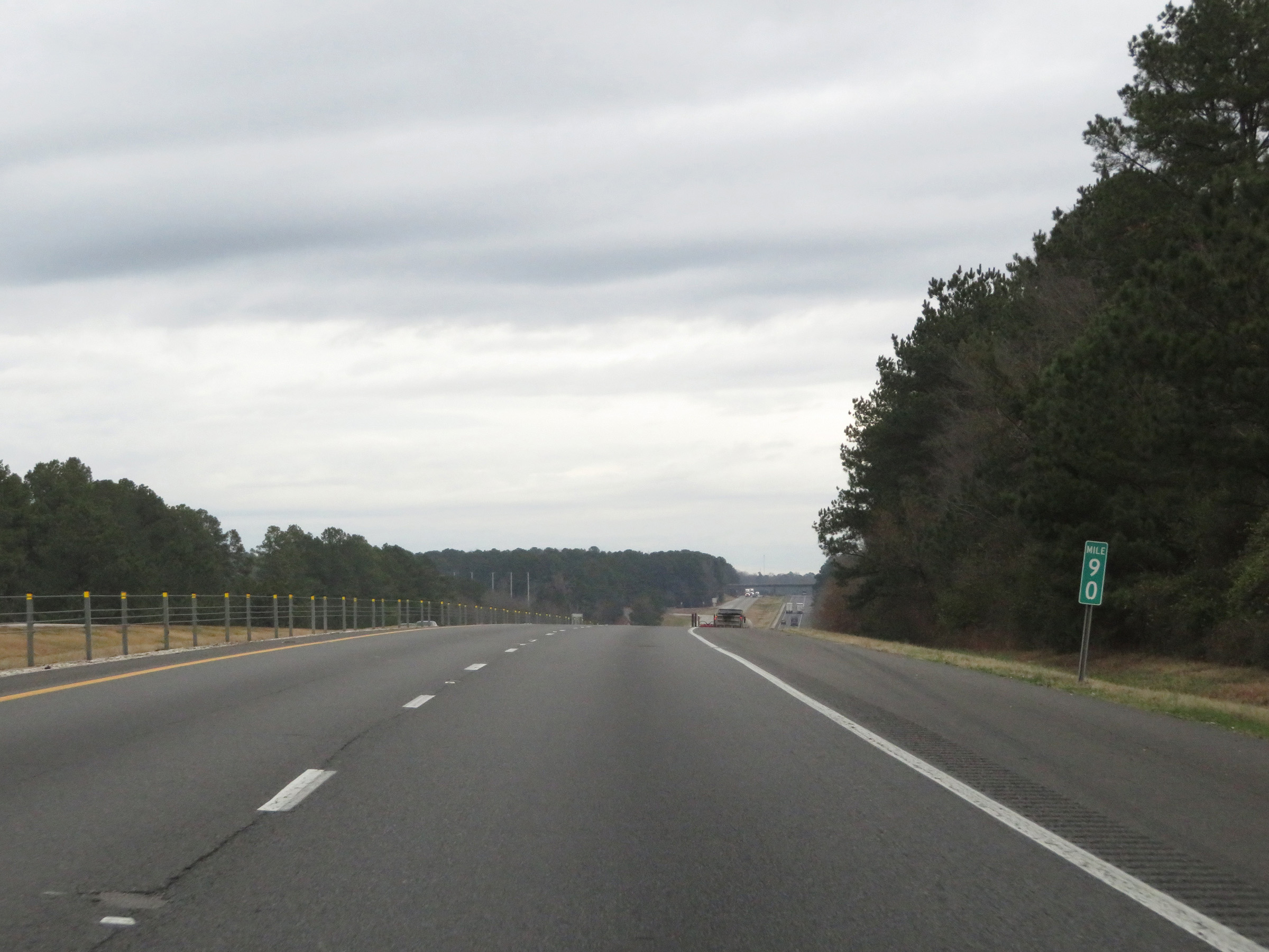 |
View on Interstate 30 East at mile marker 90. (Photo taken 12/11/20). |
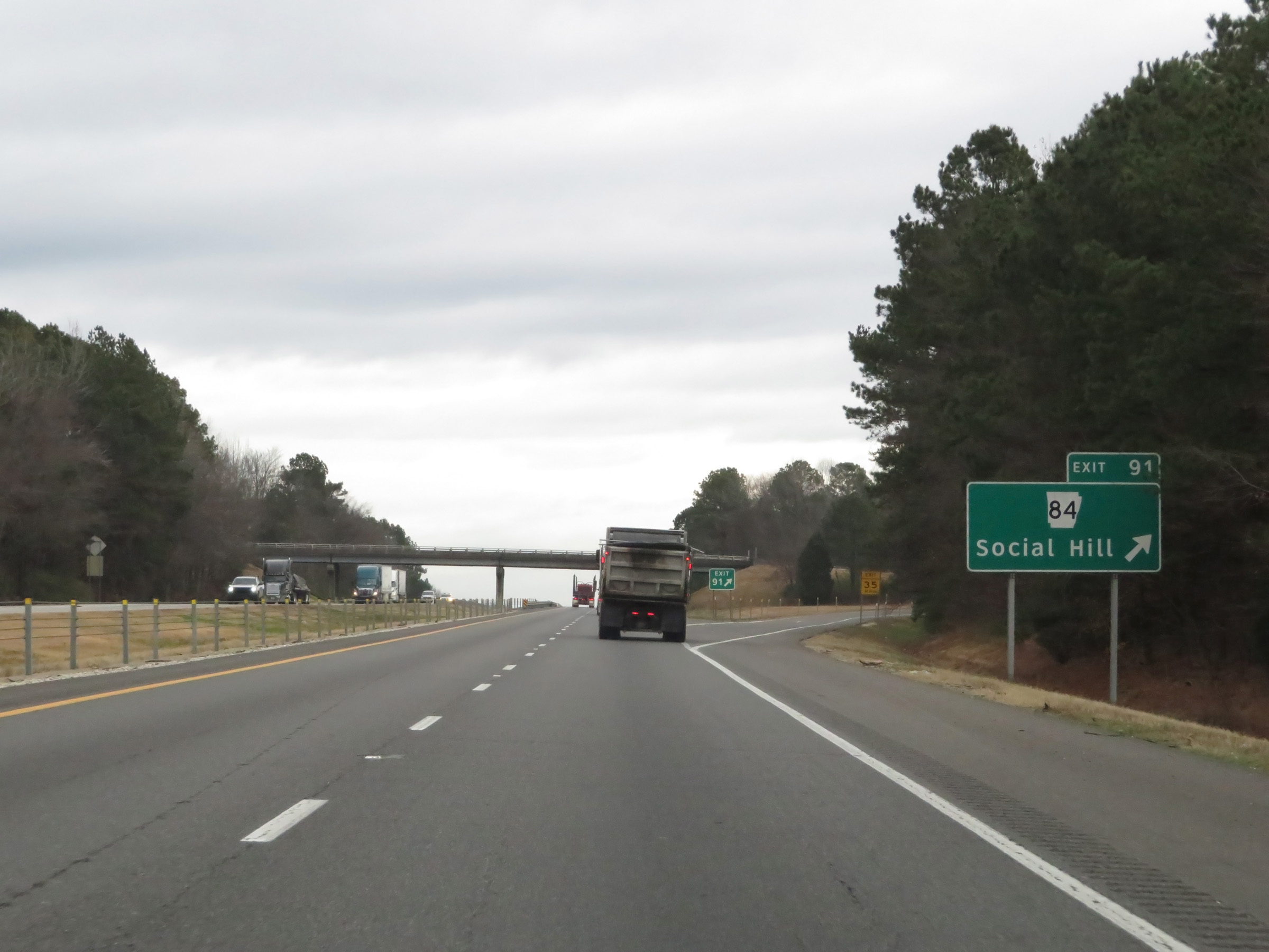 |
Interstate 30 East at Exit 91: AR 84 - Social Hill (Photo taken 12/11/20). |
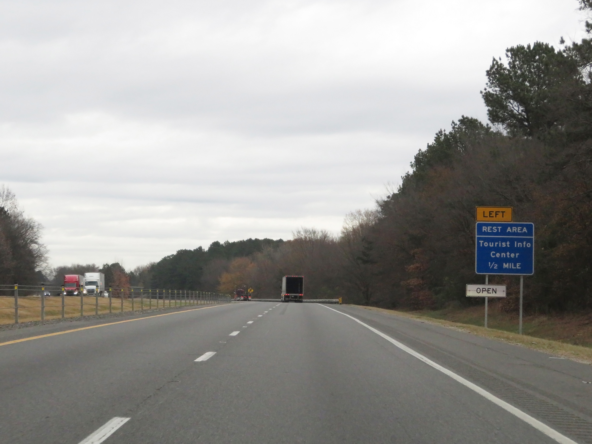 |
Interstate 30 East approaching the Rest Area in Hot Spring County - 1/2 mile on the left. (Photo taken 12/11/20). |
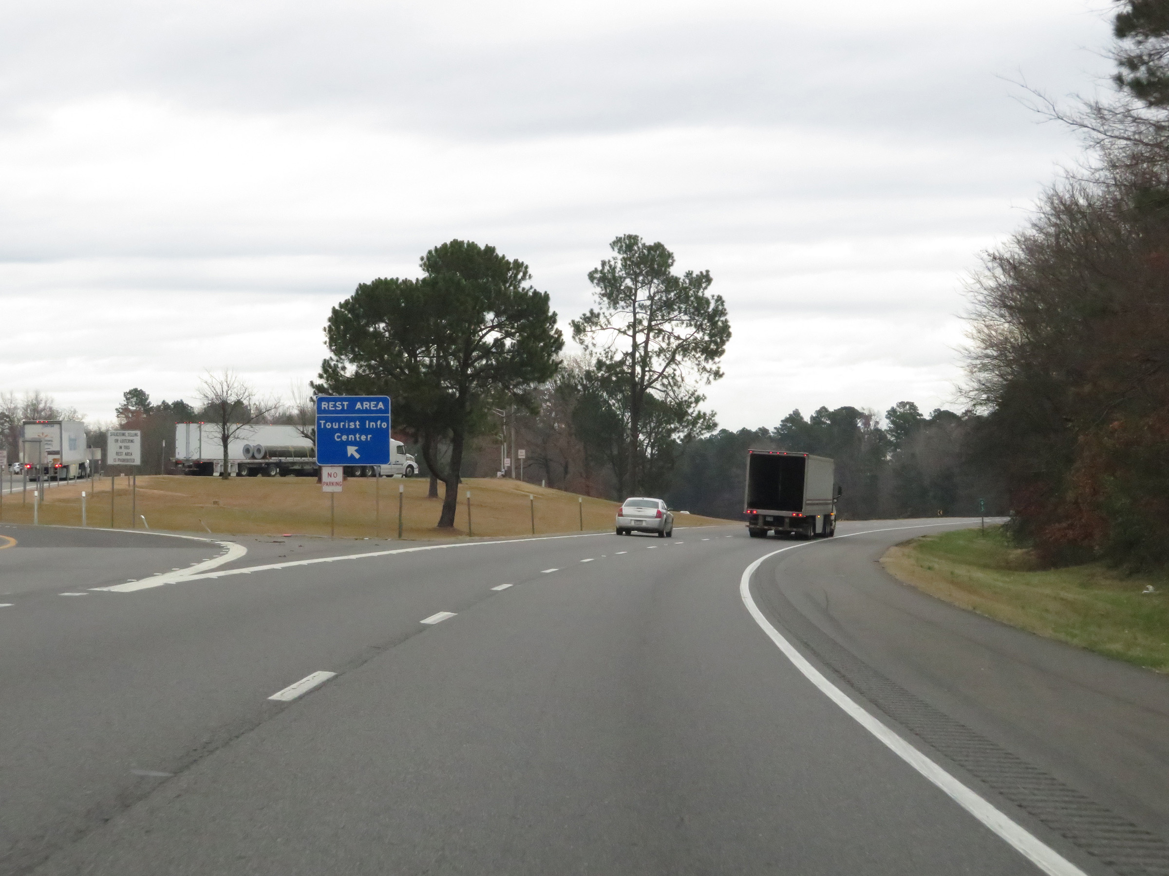 |
Rest Area / Tourist Info Center on Interstate 30 East in Hot Spring County at mile marker 93. (Photo taken 12/11/20). |
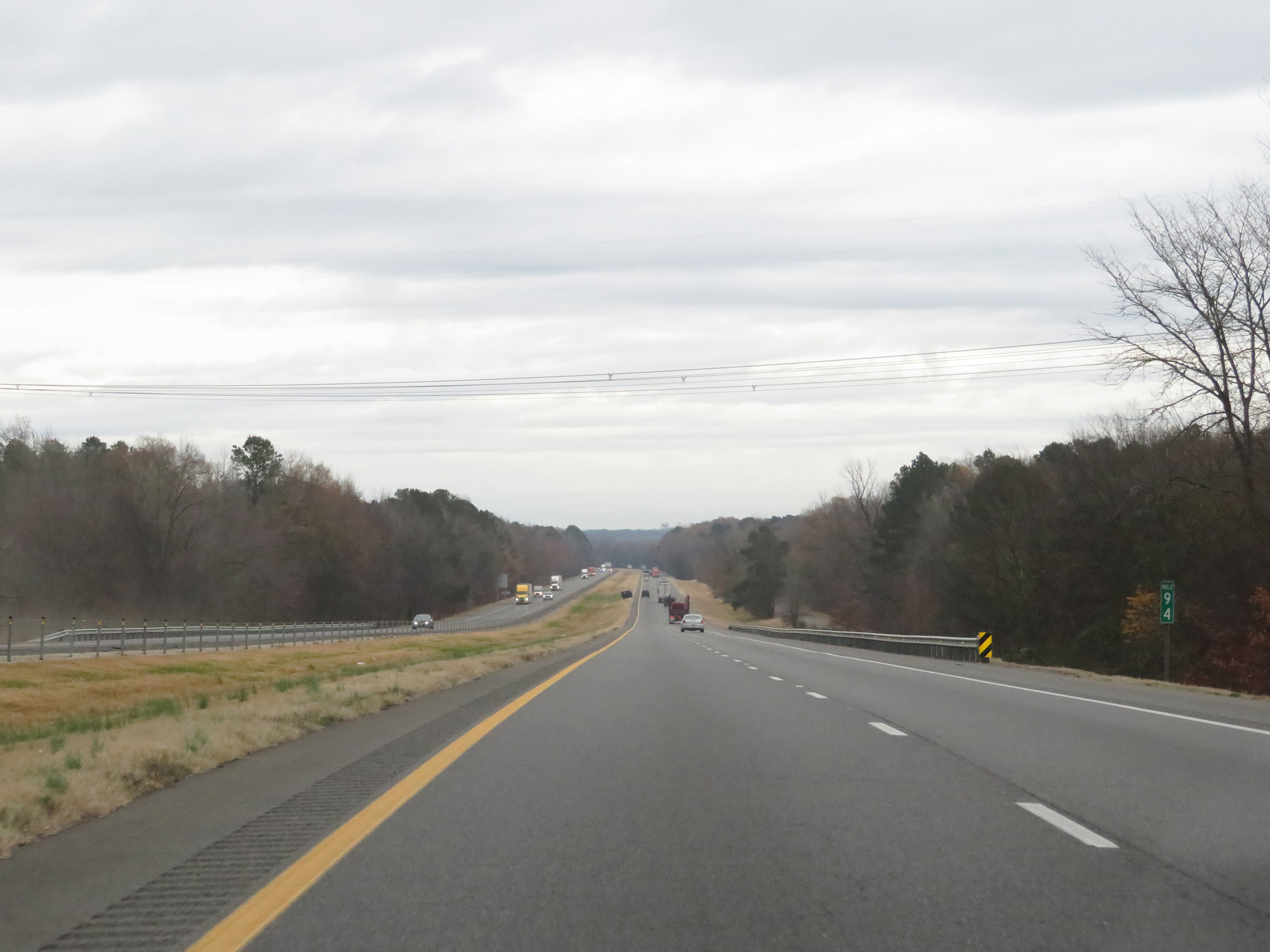 |
View on Interstate 30 East at mile marker 94. (Photo taken 12/11/20). |
 |
Interstate 30 East at mile marker 95. (Photo taken 12/11/20). |
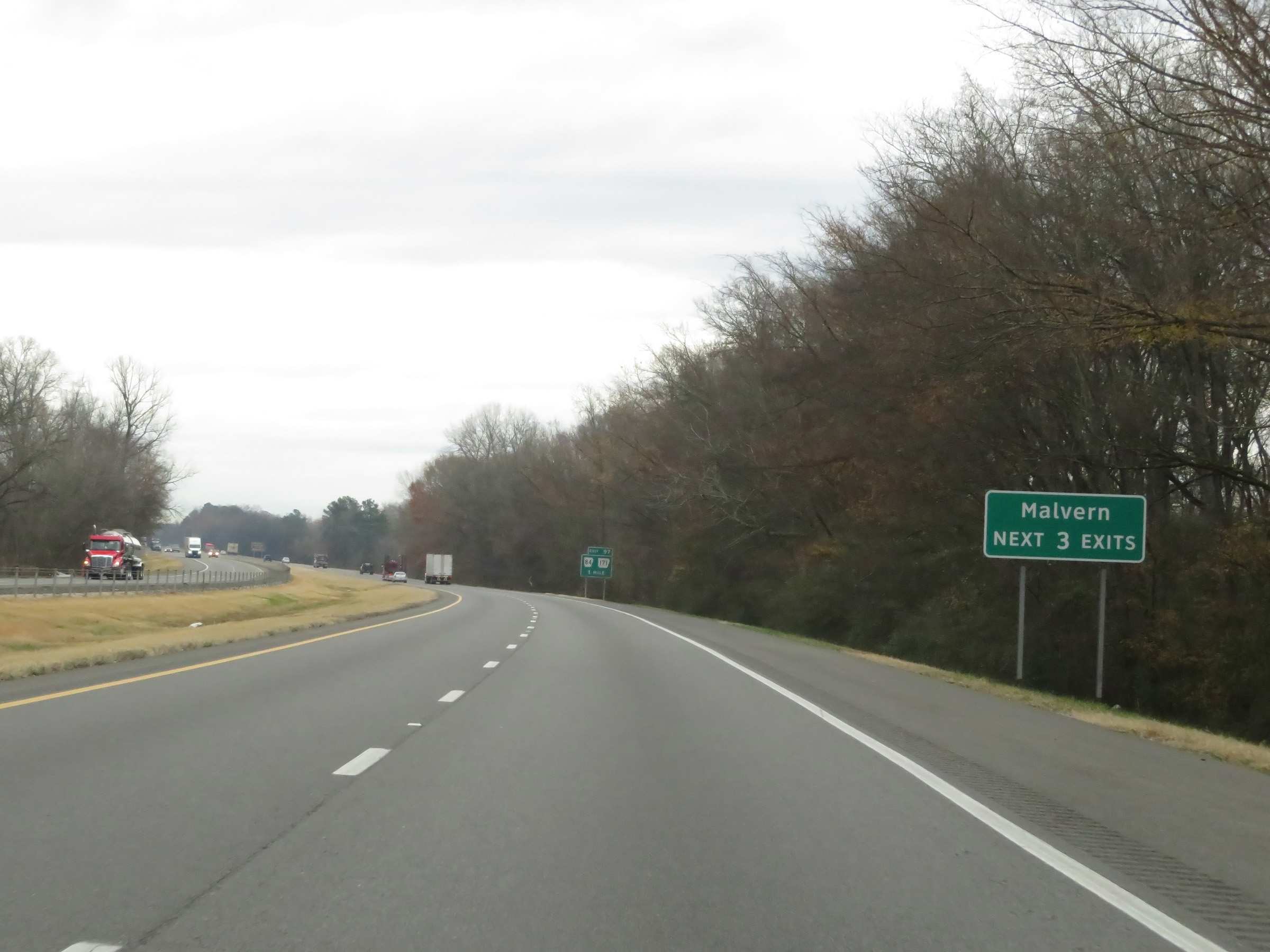 |
Take any of the next 3 exits to Malvern. (Photo taken 12/11/20). |
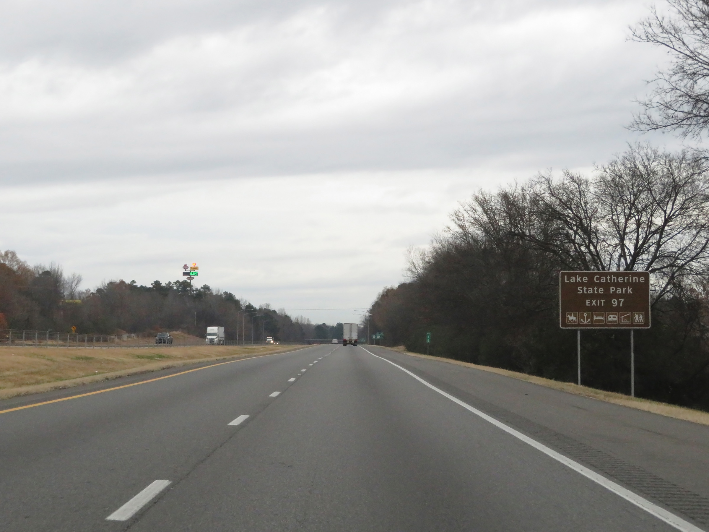 |
Take Exit 97 to Lake Catherine State Park. (Photo taken 12/11/20). |
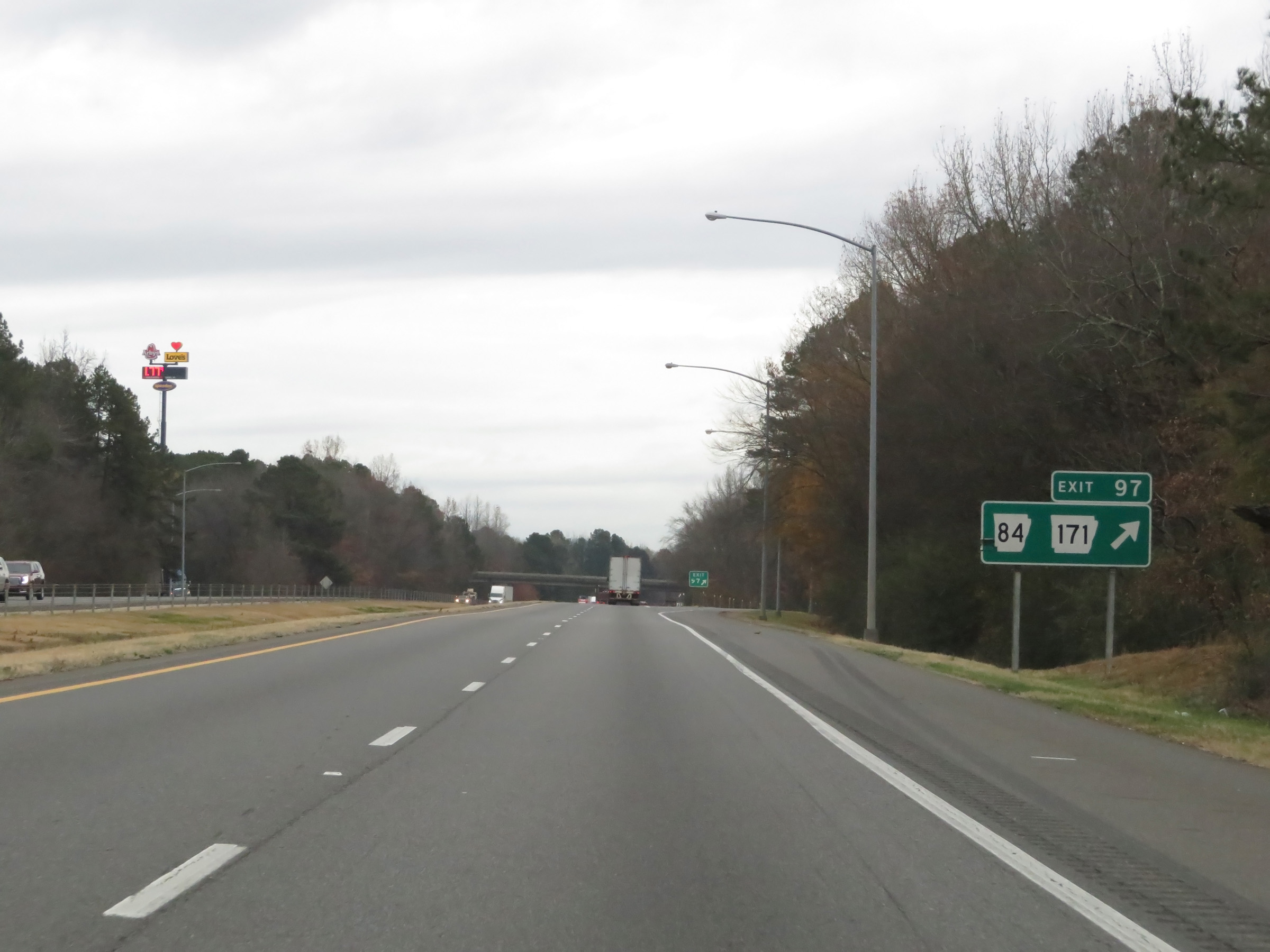 |
Interstate 30 East at Exit 97: AR 84 / AR 171 (Photo taken 12/11/20). |
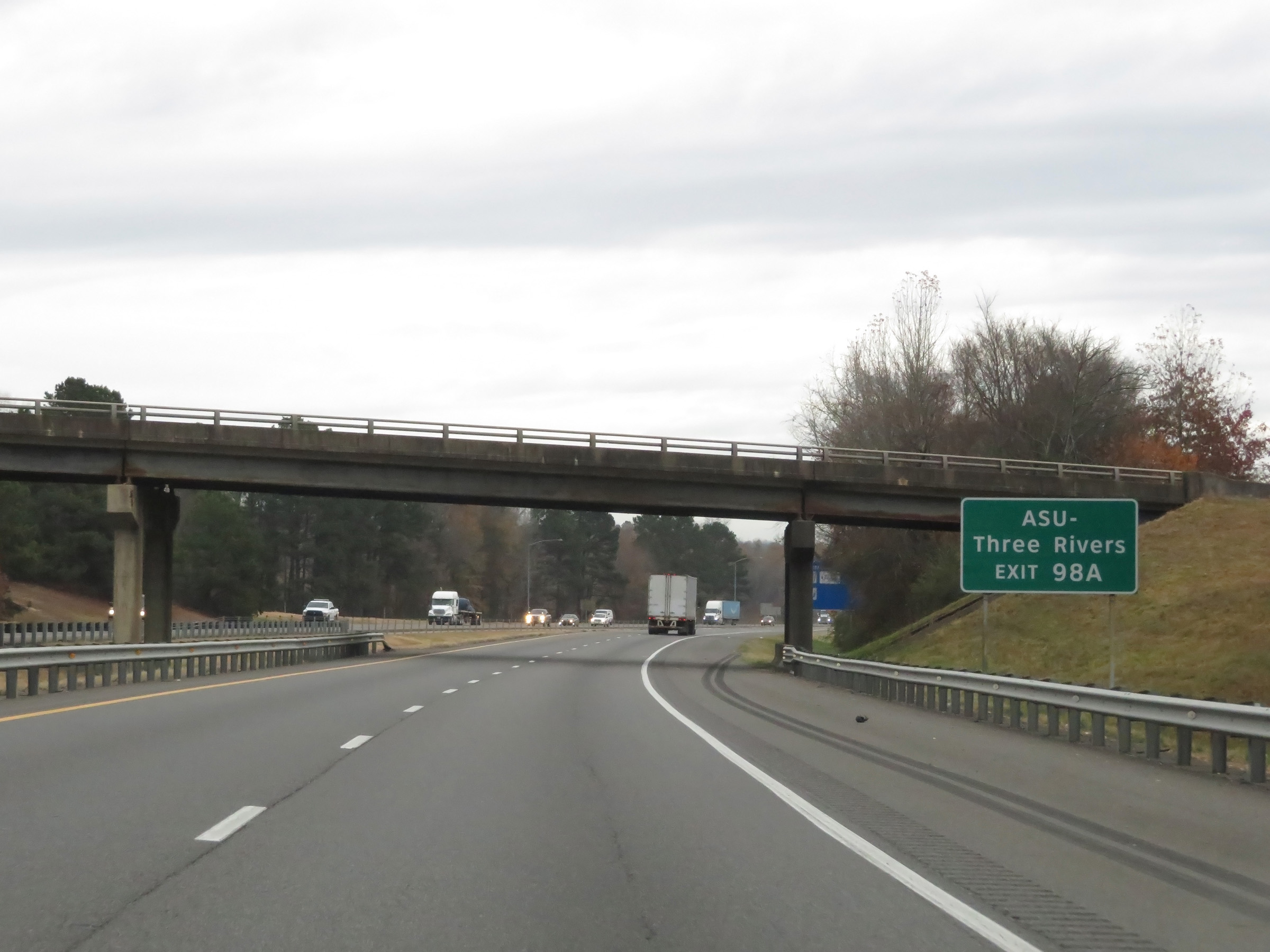 |
Take Exit 98A to ASU - Three Rivers. (Photo taken 12/11/20). |
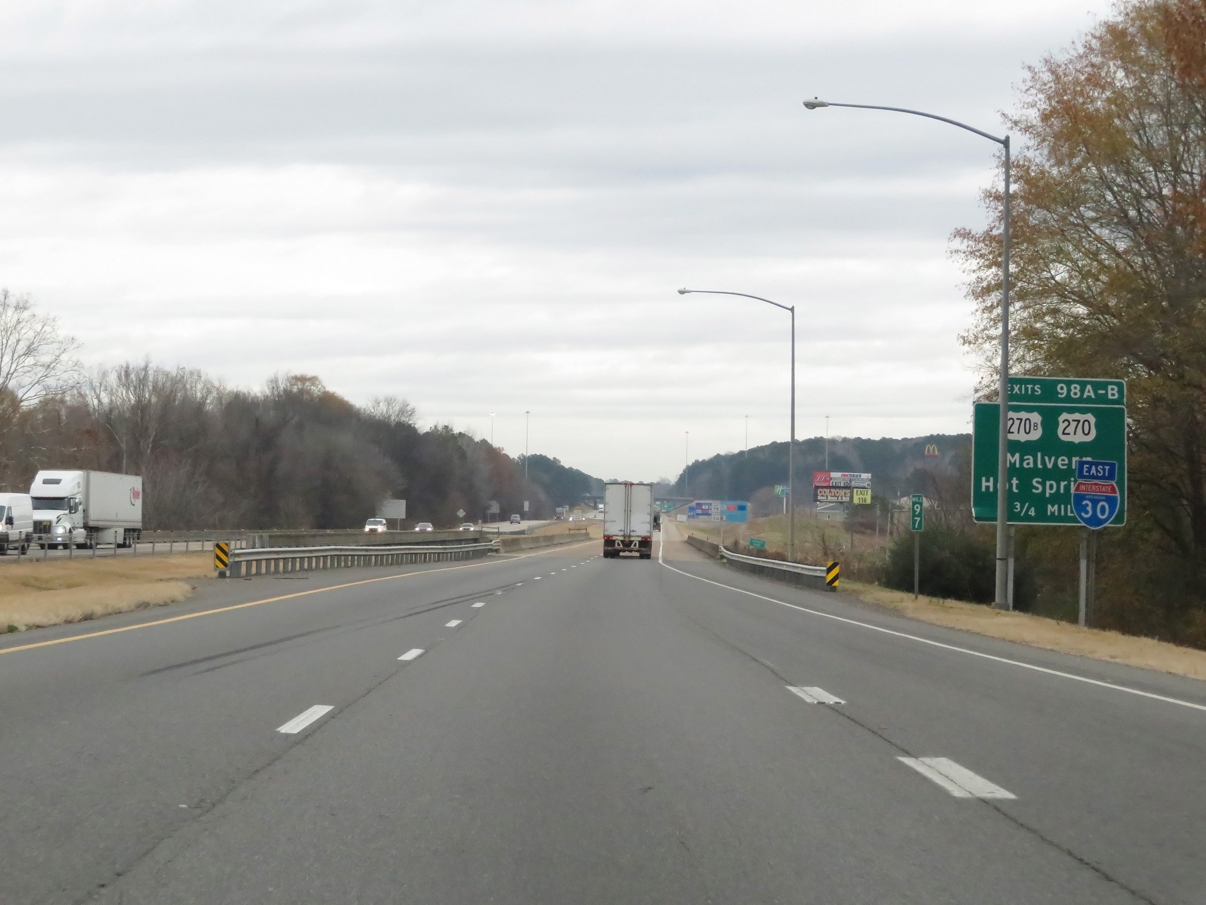 |
State-named Interstate 30 East reassurance shield at mile marker 97. (Photo taken 12/11/20). |
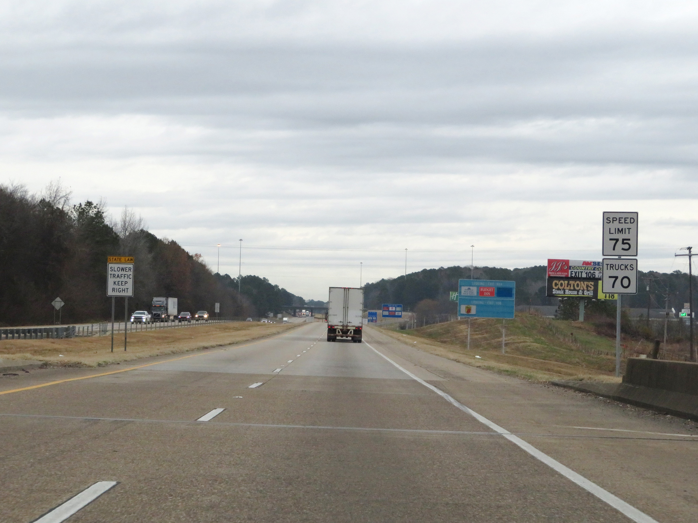 |
The speed limits remain 75 mph for automobiles and 70 mph for trucks. (Photo taken 12/11/20). |
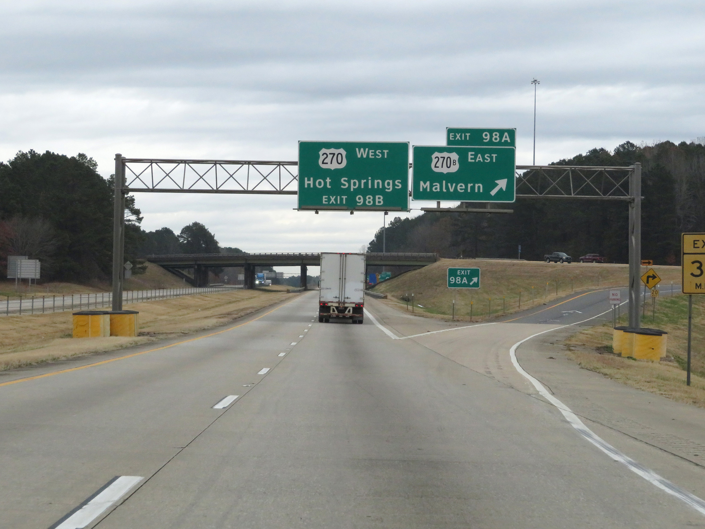 |
Interstate 30 East at Exit 98A: US 270B East - Malvern (Photo taken 12/11/20). |
 |
Interstate 30 East at Exit 98B: US 270 West - Hot Springs (Photo taken 12/11/20). |
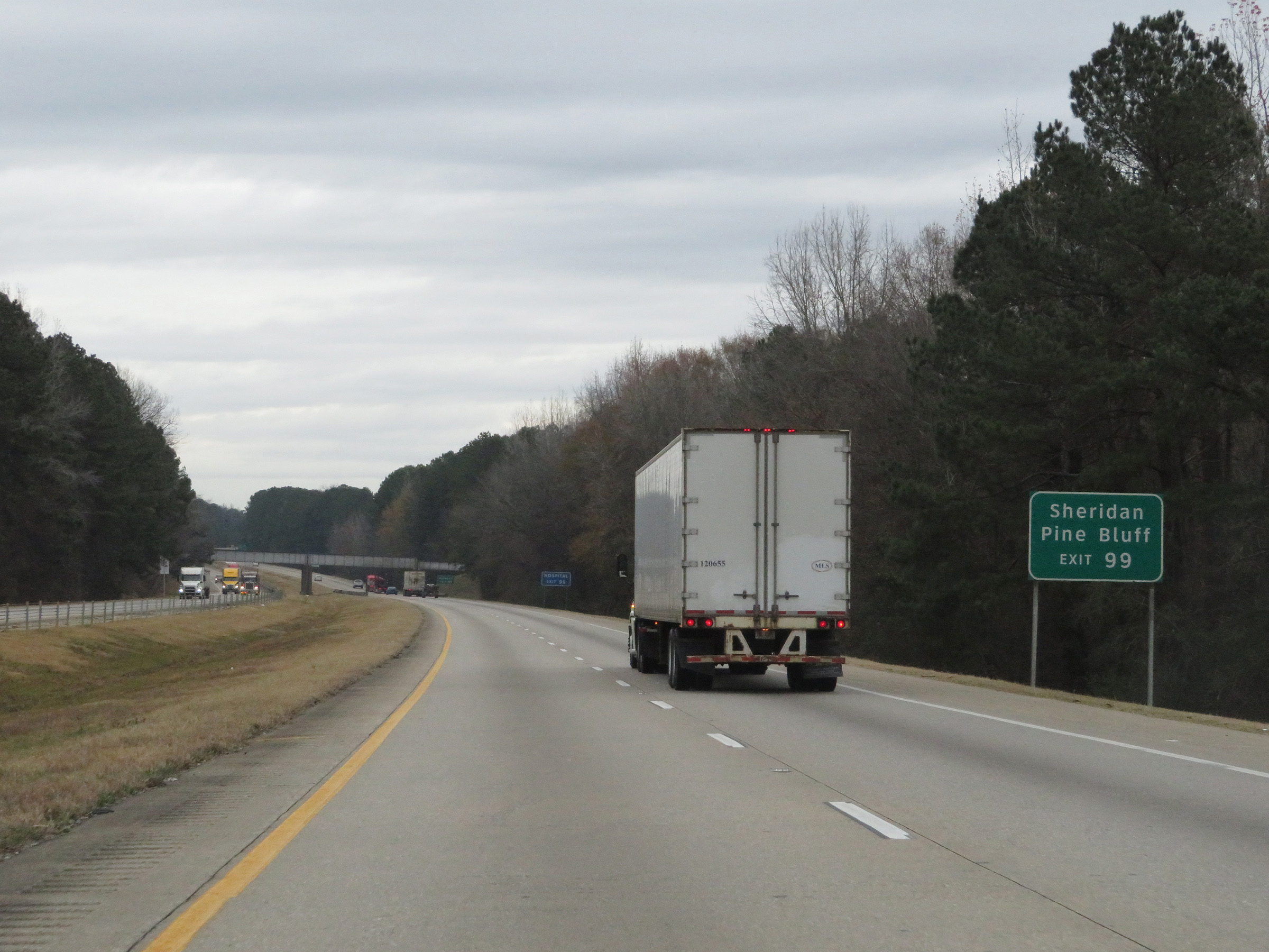 |
Take Exit 99 to Sheridan and Pine Bluff. (Photo taken 12/11/20). |
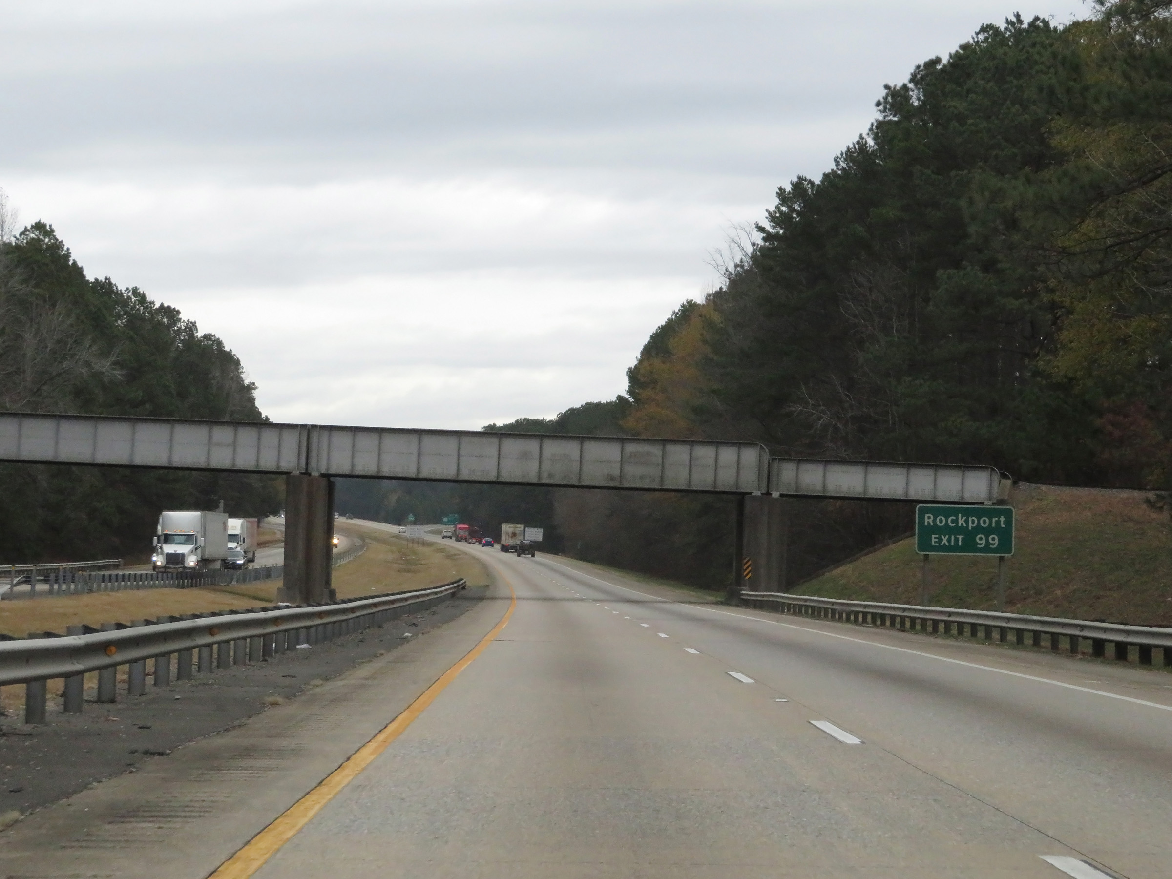 |
Also take Exit 99 to Rockport. (Photo taken 12/11/20). |
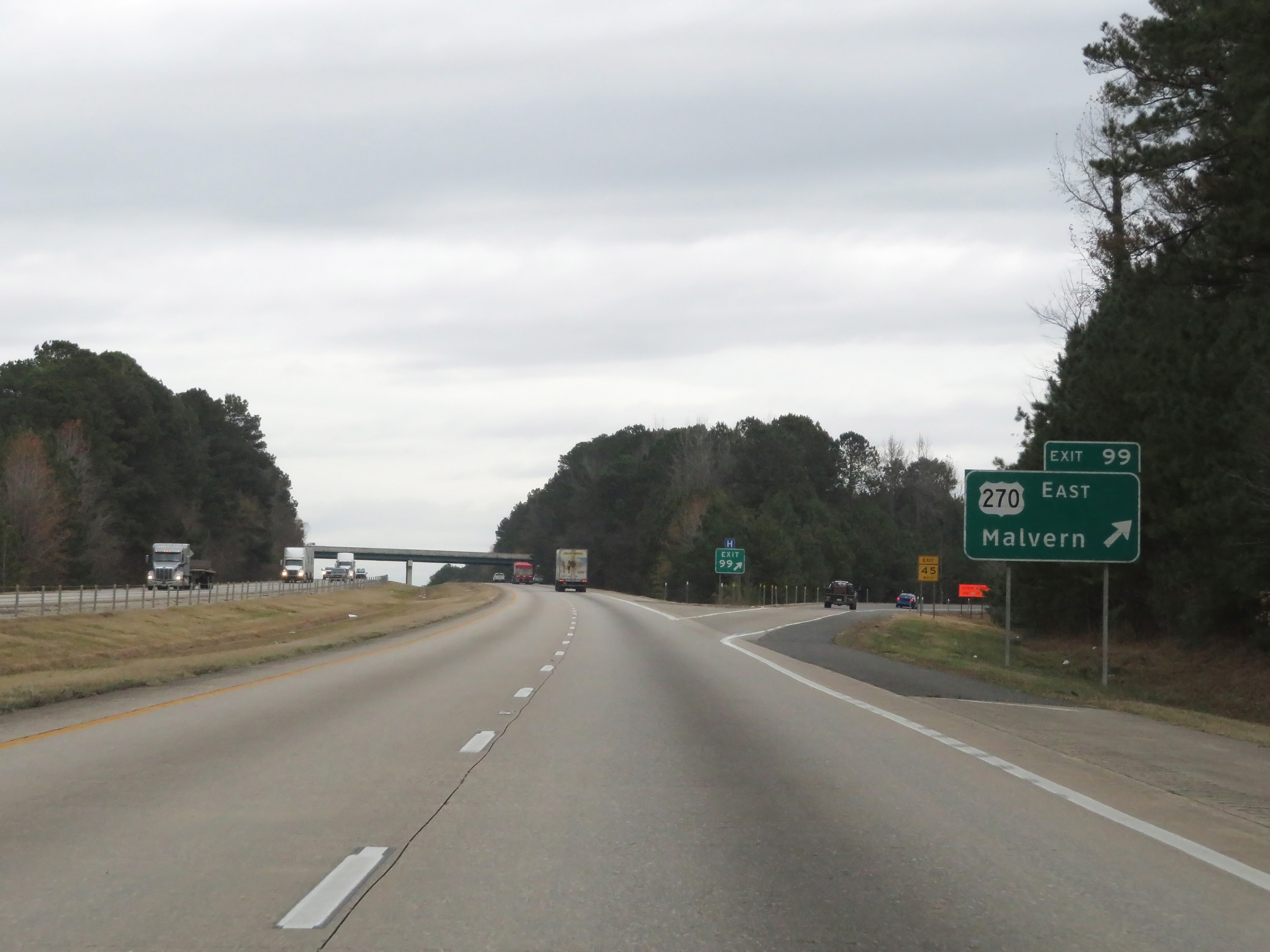 |
Interstate 30 East at Exit 99: US 270 East - Malvern (Photo taken 12/11/20). |
 |
View on Interstate 30 East at mile marker 101. (Photo taken 12/11/20). |
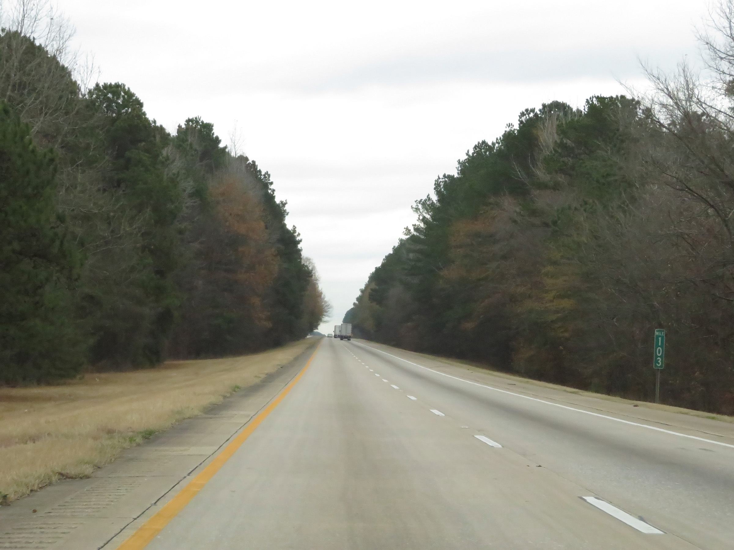 |
Interstate 30 East at mile marker 103. (Photo taken 12/11/20). |
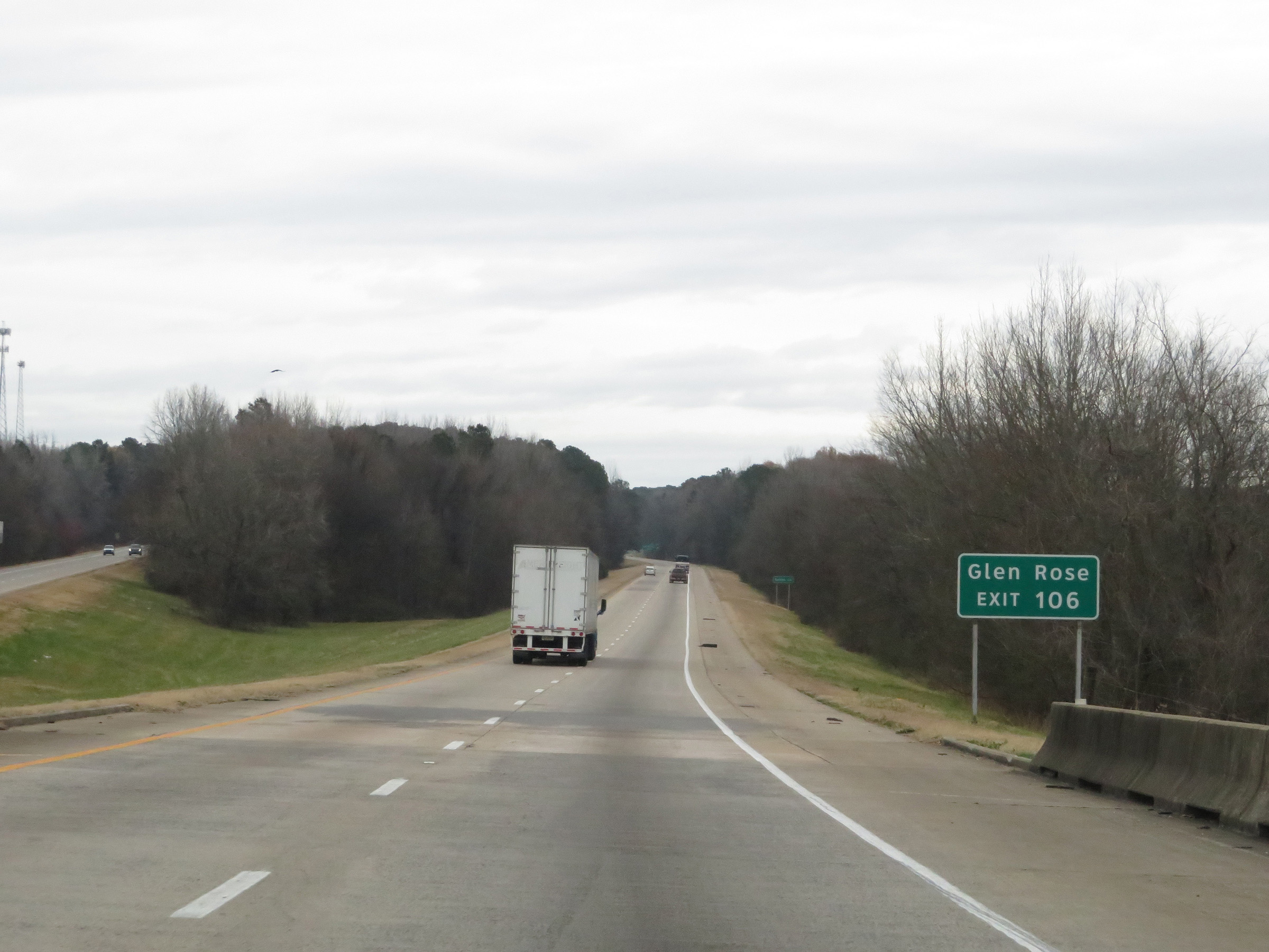 |
Take Exit 106 to Glen Rose. (Photo taken 12/11/20). |
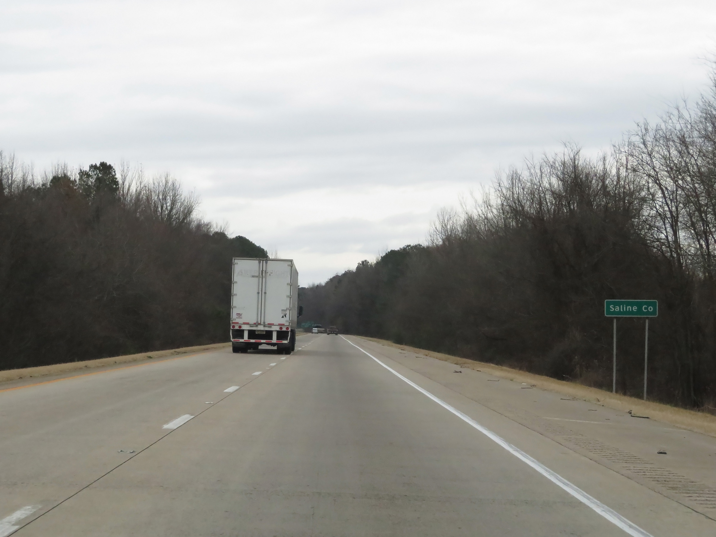 |
Interstate 30 East as it enters Saline County. (Photo taken 12/11/20). |
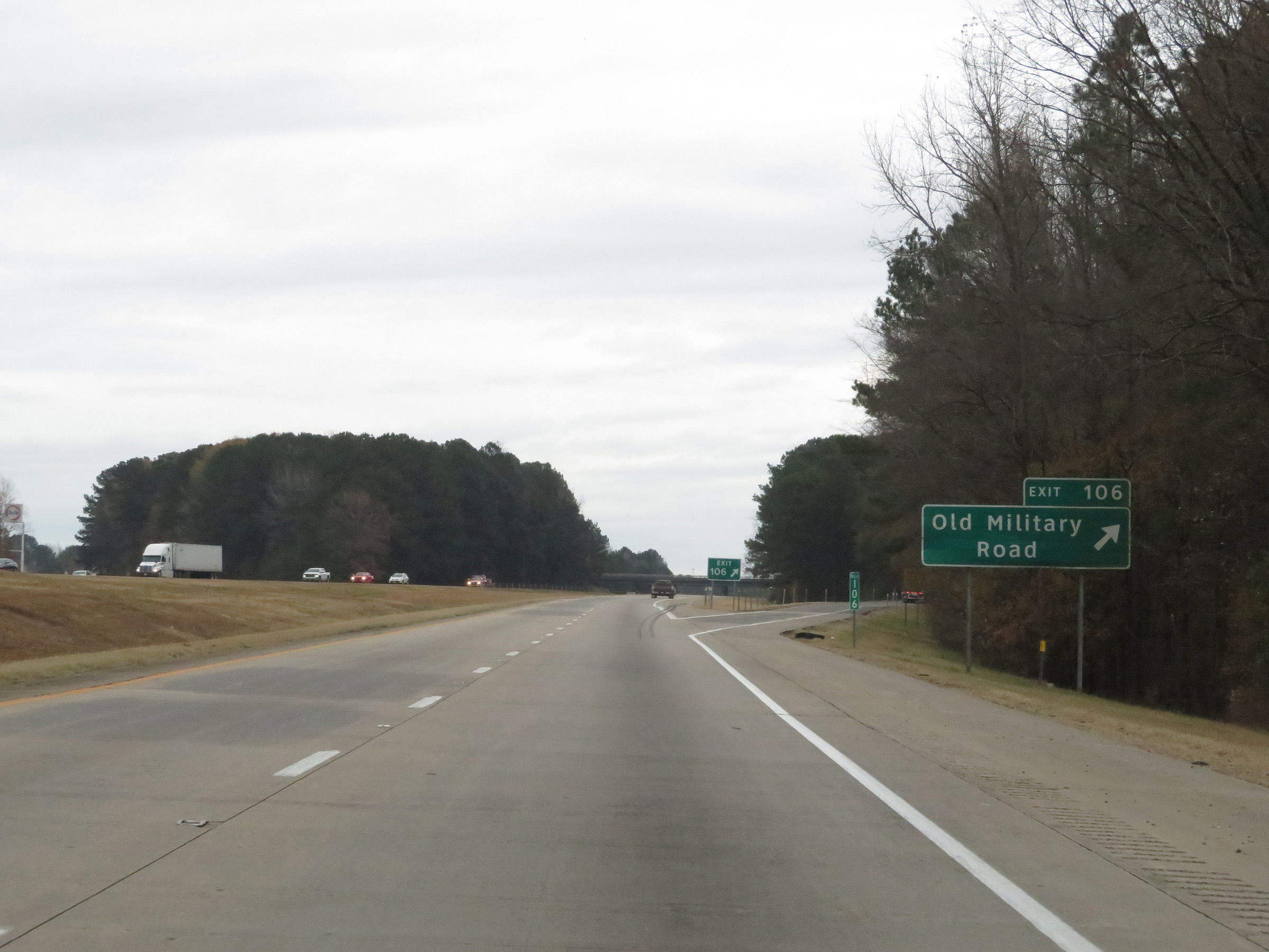 |
Interstate 30 East at Exit 106: Old Military Road (Photo taken 12/11/20). |
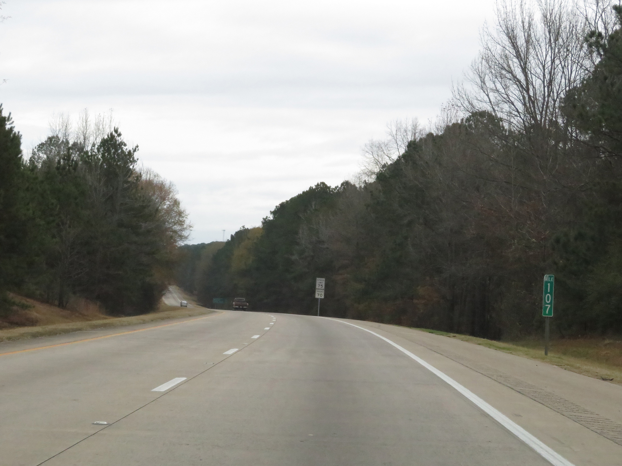 |
View on Interstate 30 East at mile marker 107. (Photo taken 12/11/20). |
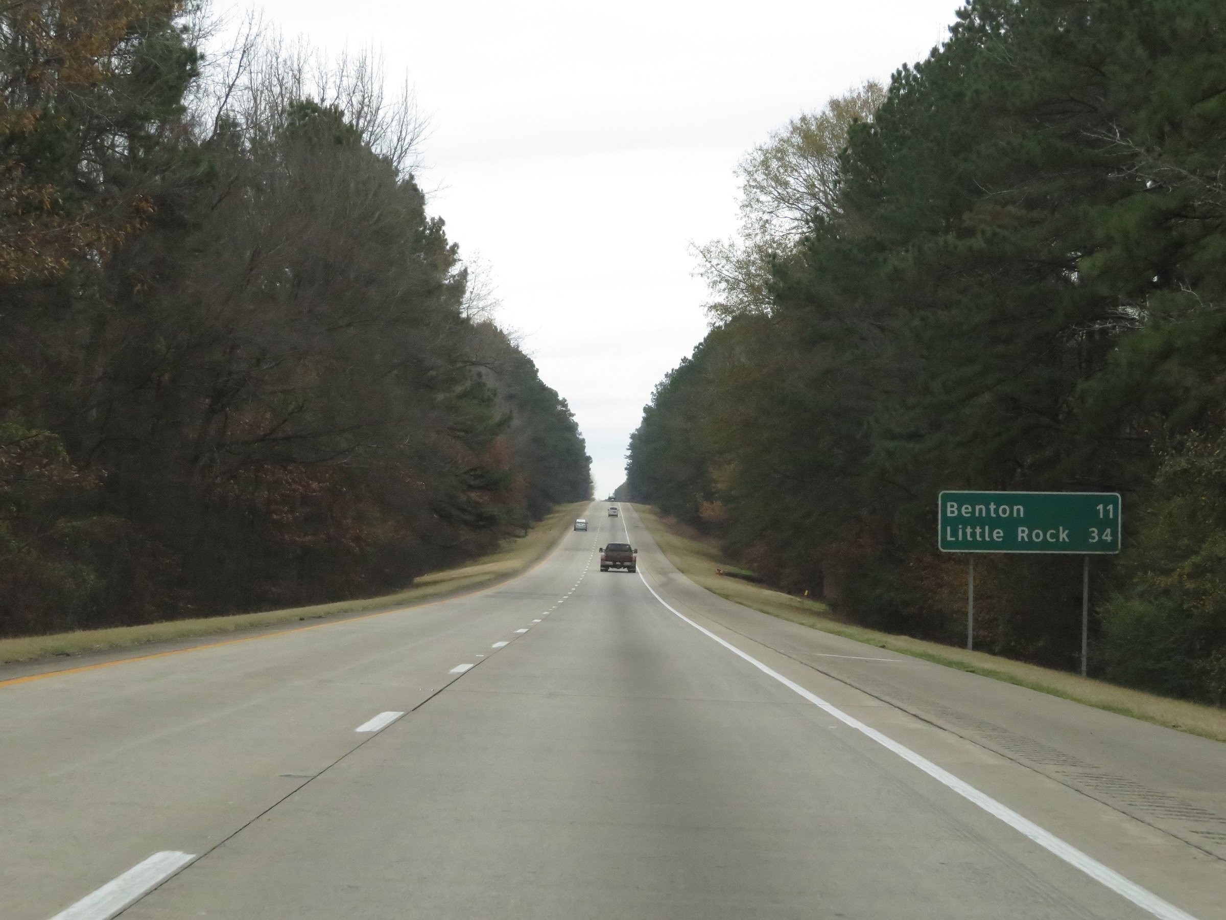 |
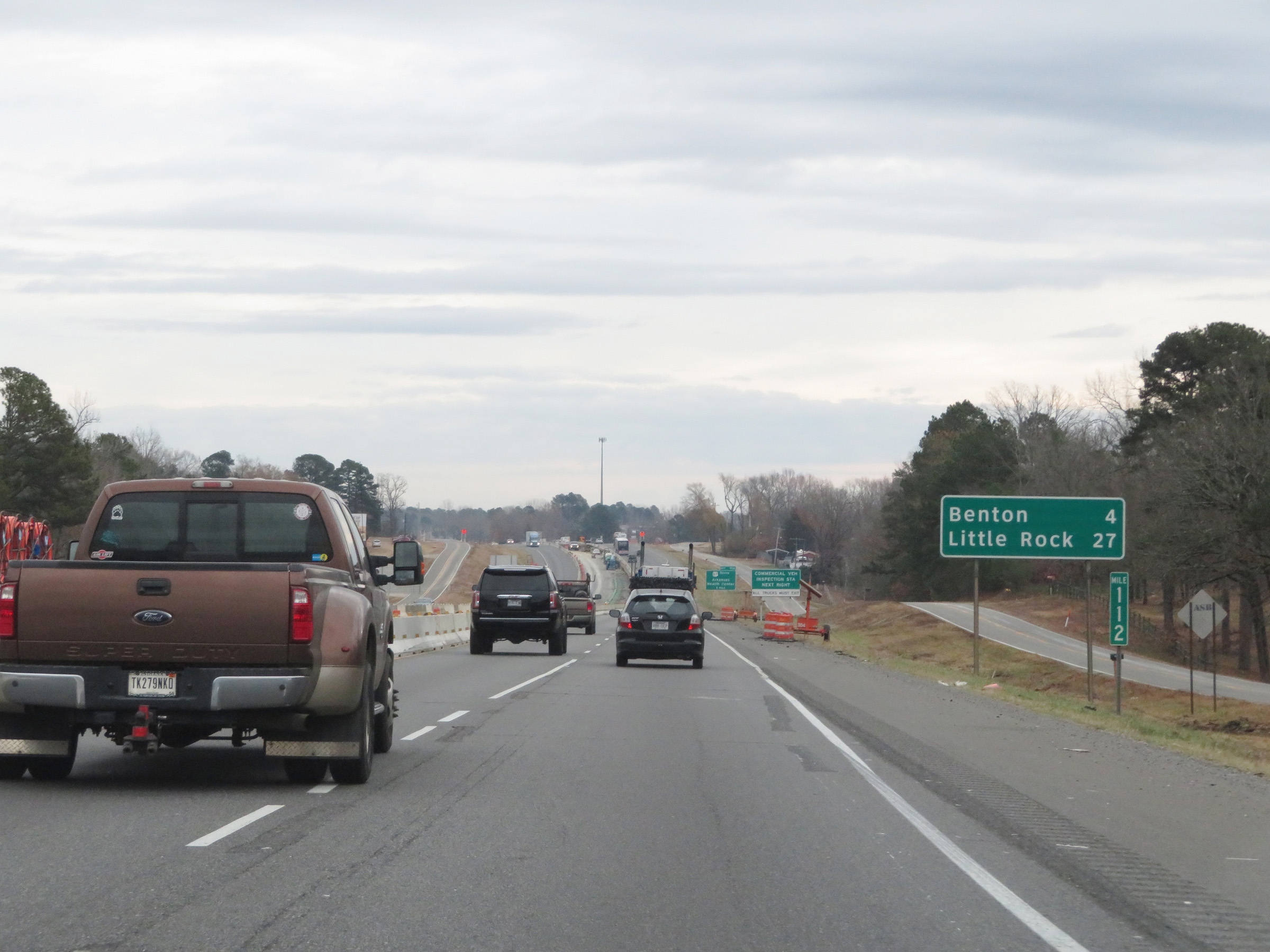
Another mileage sign on Interstate 30 East. It's 11 miles to Benton and 34 miles to Little Rock. (Photo taken 12/11/20). |
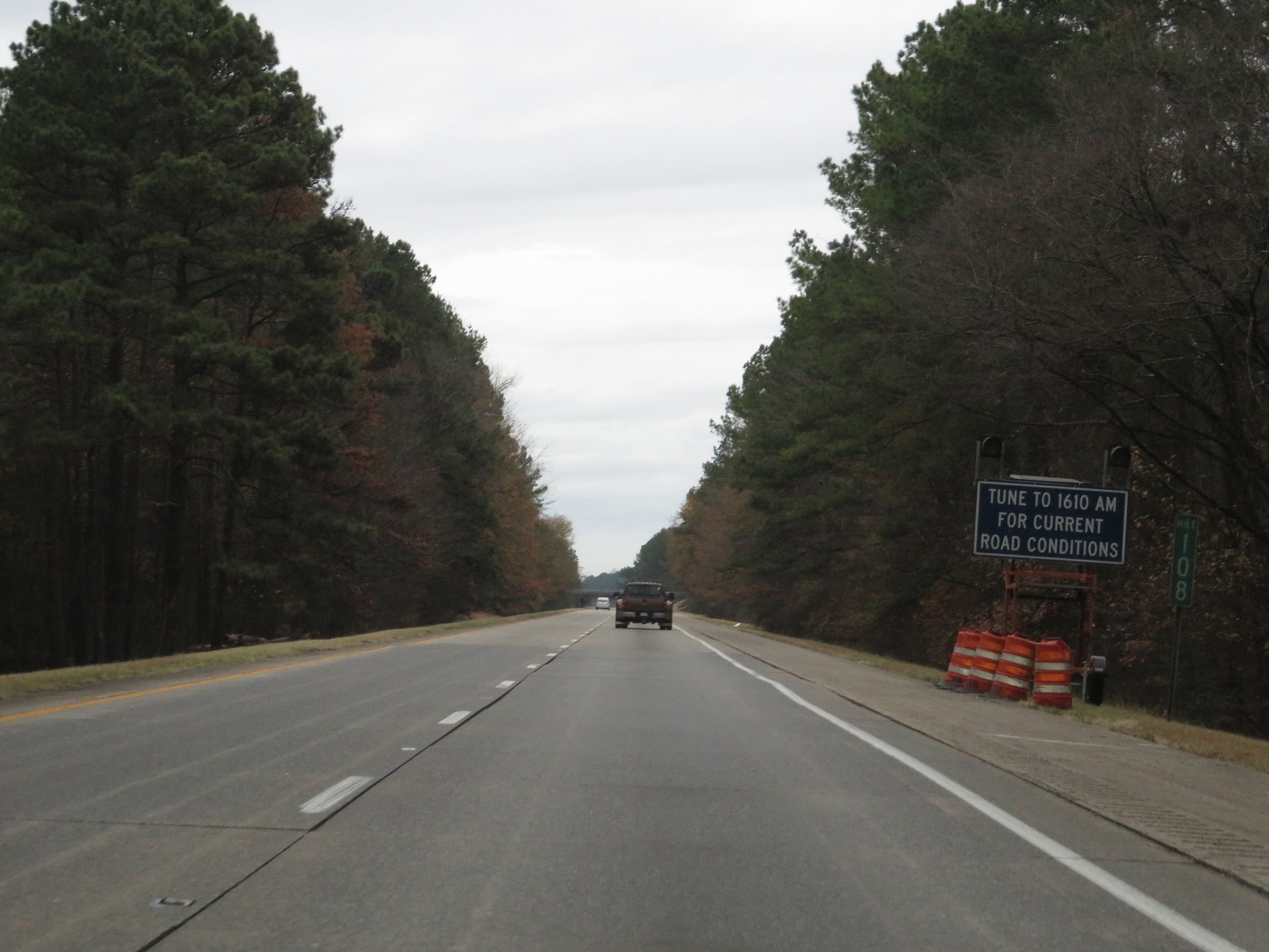 |
Mile marker 108 on Interstate 30 East in Saline County. (Photo taken 12/11/20). |
 |
Take Exit 111 to Natural State Golf Trail. (Photo taken 12/11/20). |
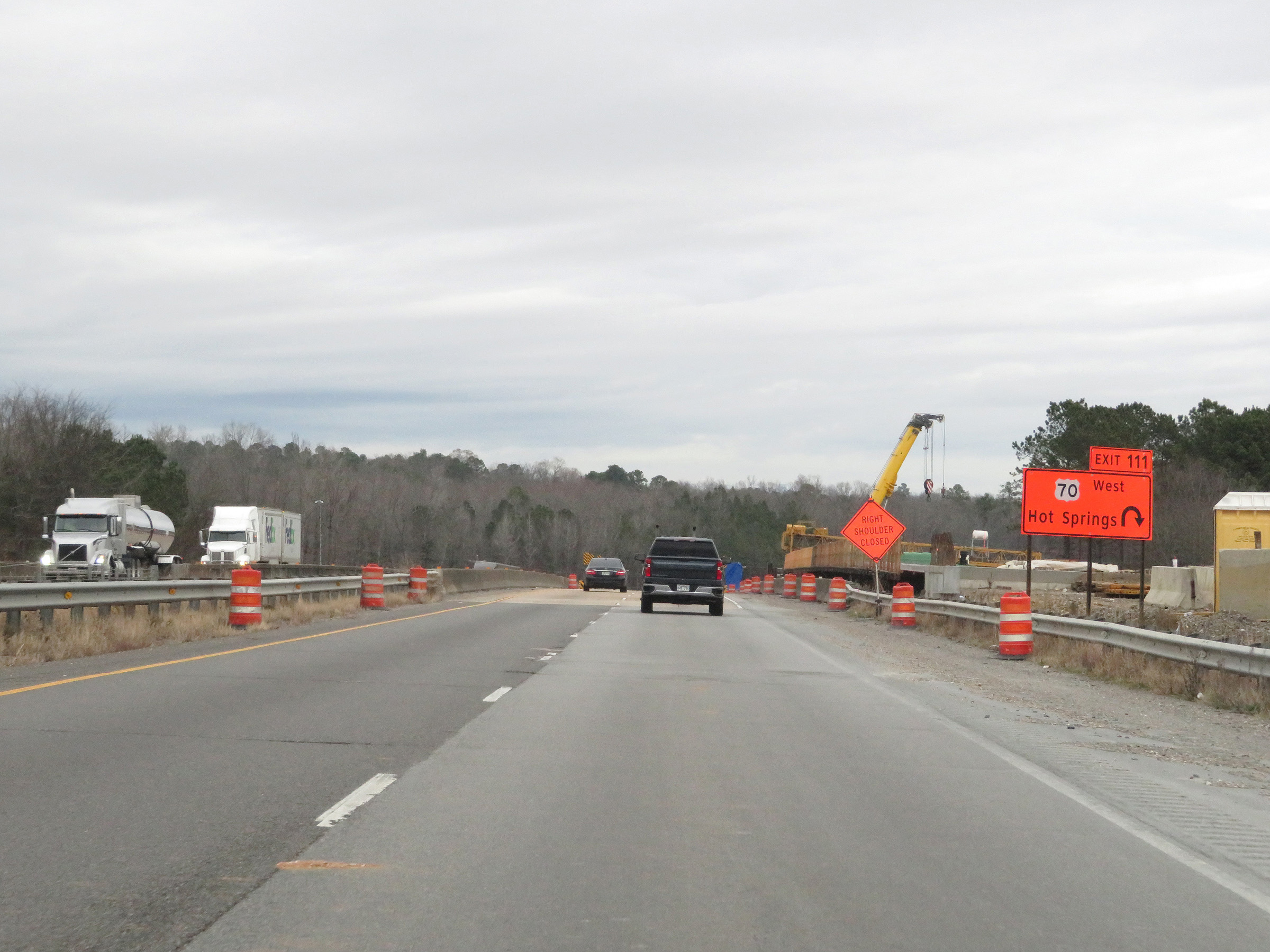 |
Interstate 30 East at Exit 111: US 70 West - Hot Springs (Photo taken 12/11/20). |
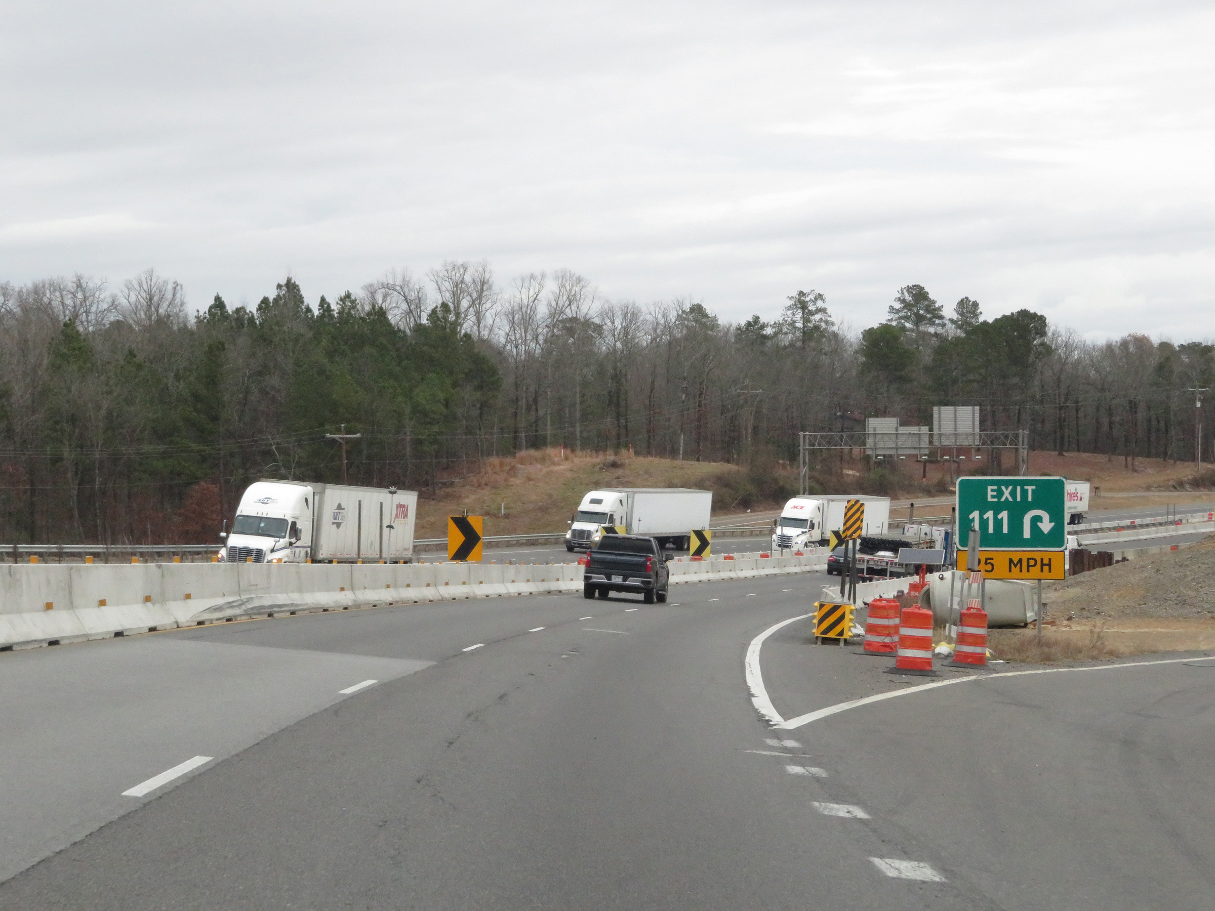 |
Gore point signage for Exit 111. (Photo taken 12/11/20). |
 |
Interstate 30 East at mile marker 112. (Photo taken 12/11/20). |
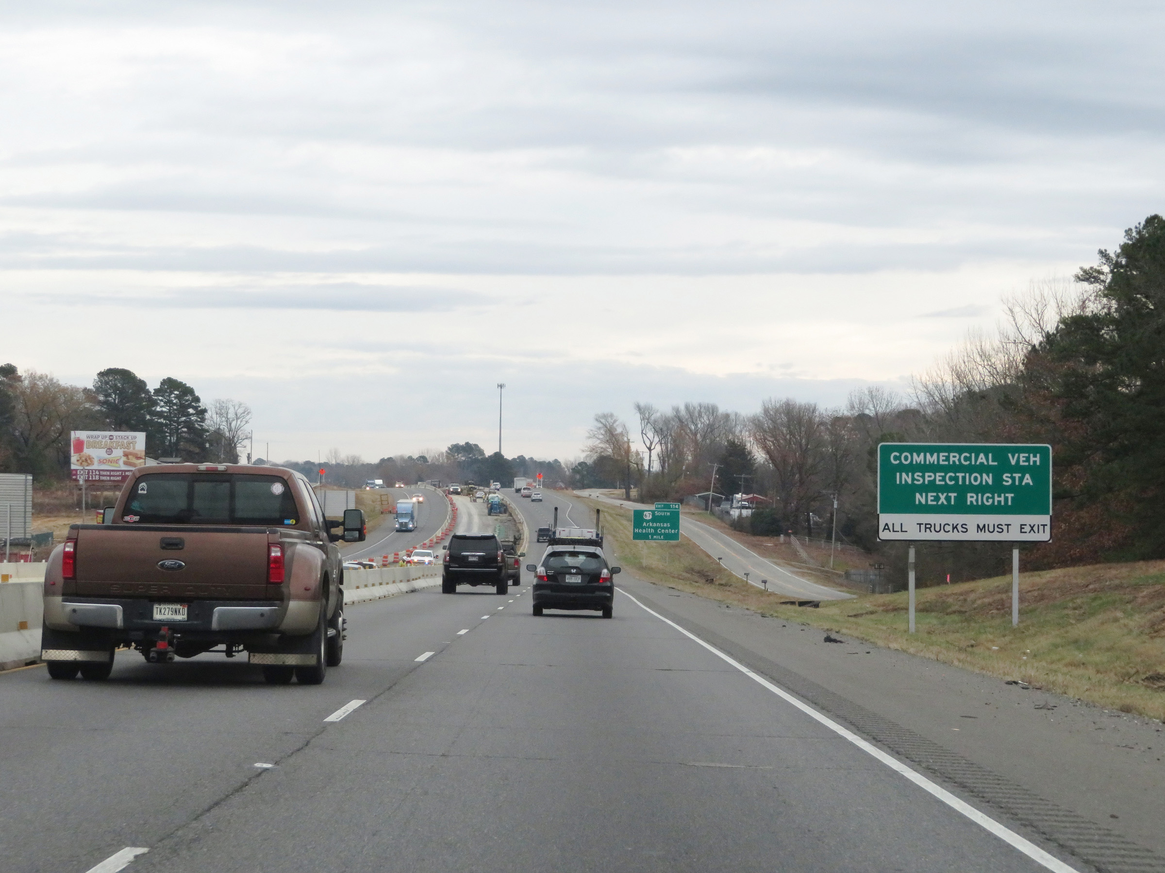 |
Interstate 30 East approaching the Commercial Vehicle Inspection Station in Saline County. (Photo taken 12/11/20). |
 |
Commercial Vehicle Inspection Station on Interstate 30 East in Saline County. (Photo taken 12/11/20). |
 |
Take Exit 114 to Haskell. (Photo taken 12/11/20). |
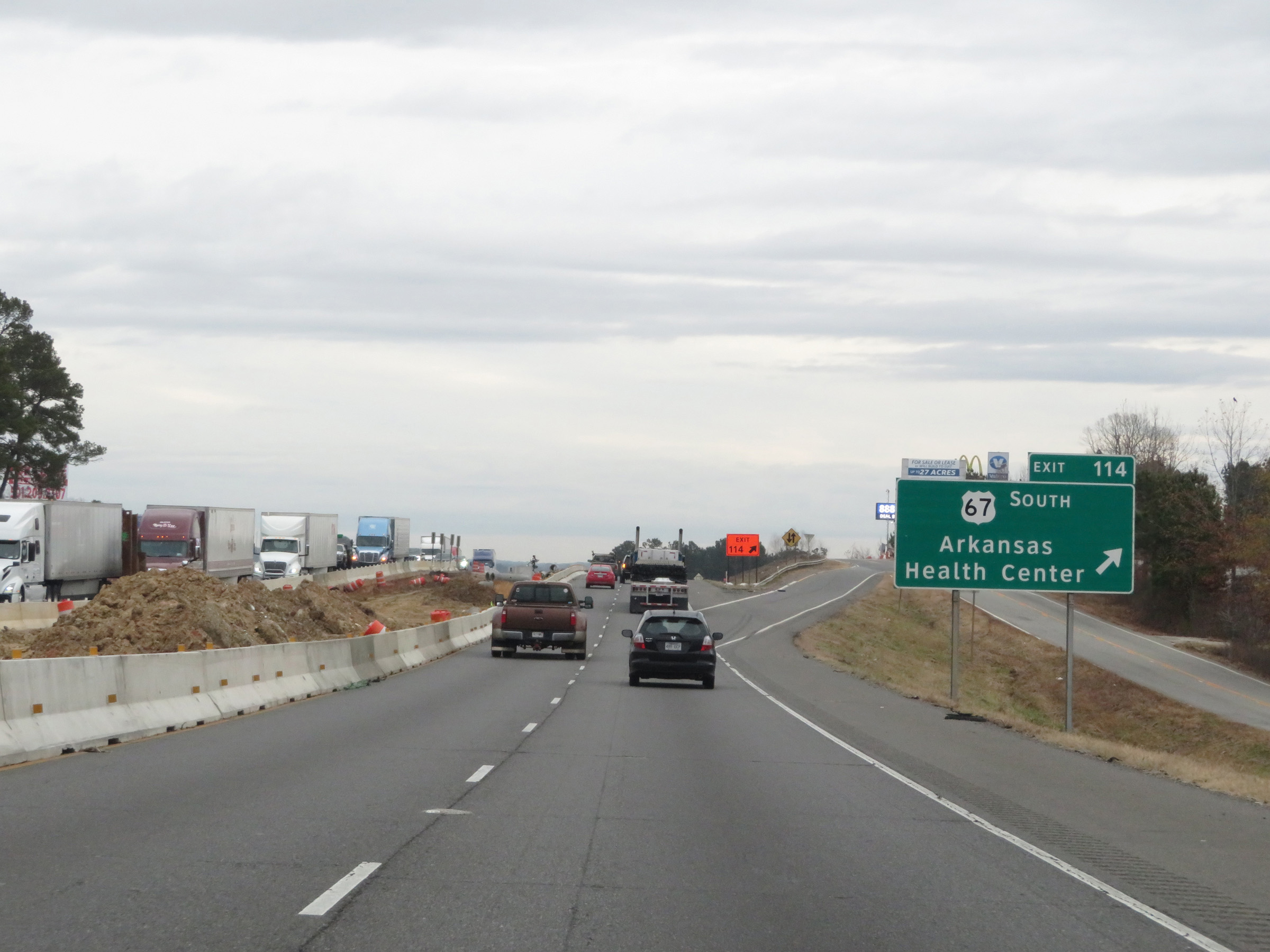 |
Interstate 30 East at Exit 114: US 67 South - Arkansas Health Center (Photo taken 12/11/20). |
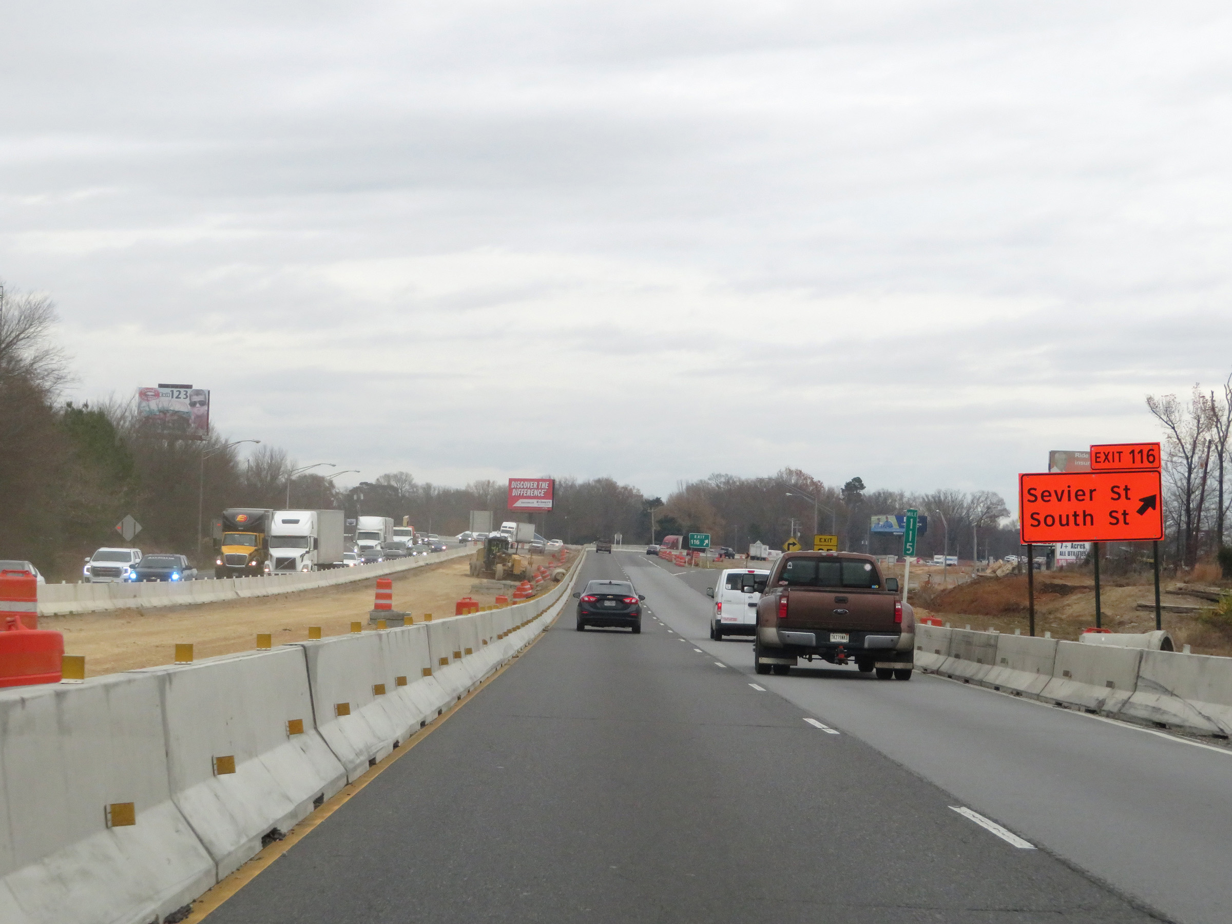 |
Interstate 30 East at Exit 116: Sevier St / South St (Photo taken 12/11/20). |
 |
View on Interstate 30 East in Saline County. (Photo taken 12/11/20). |
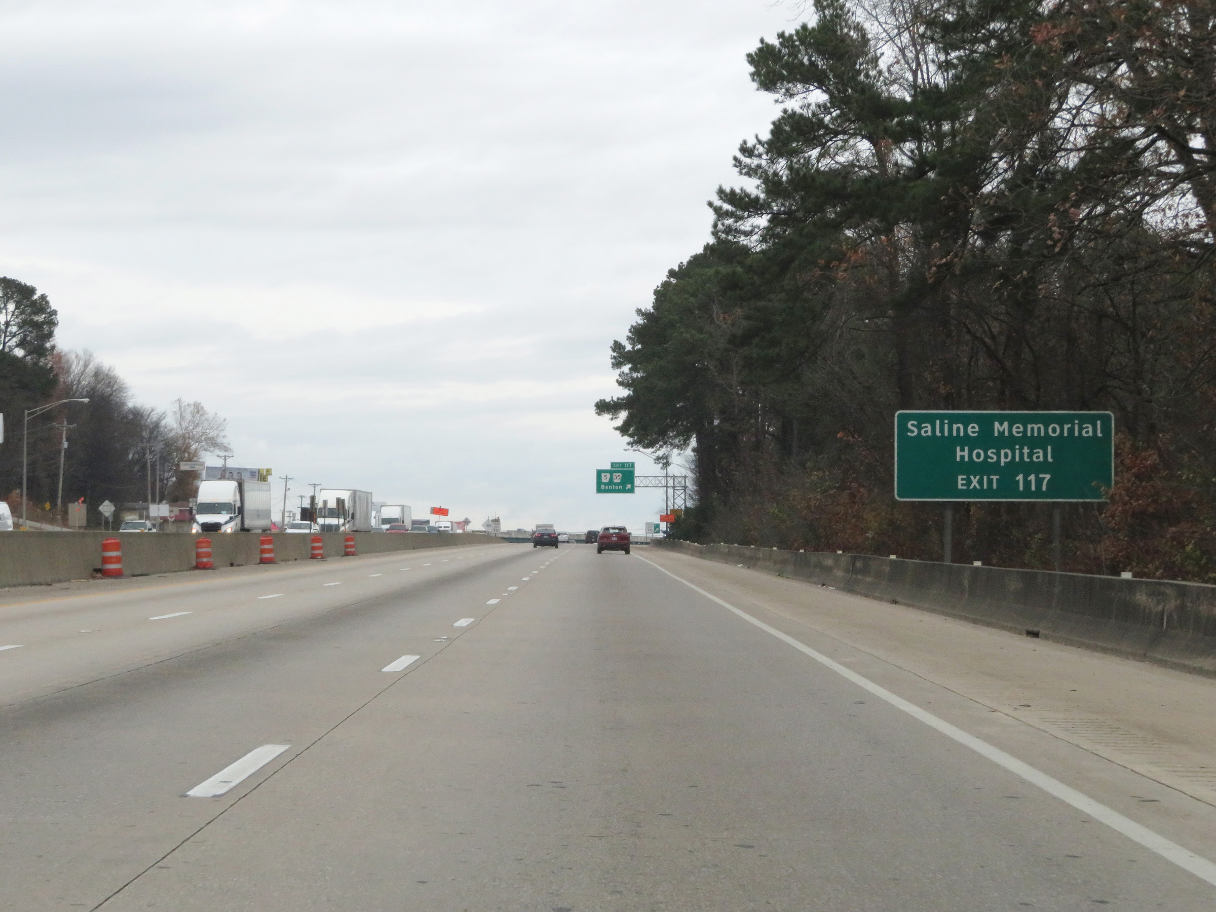 |
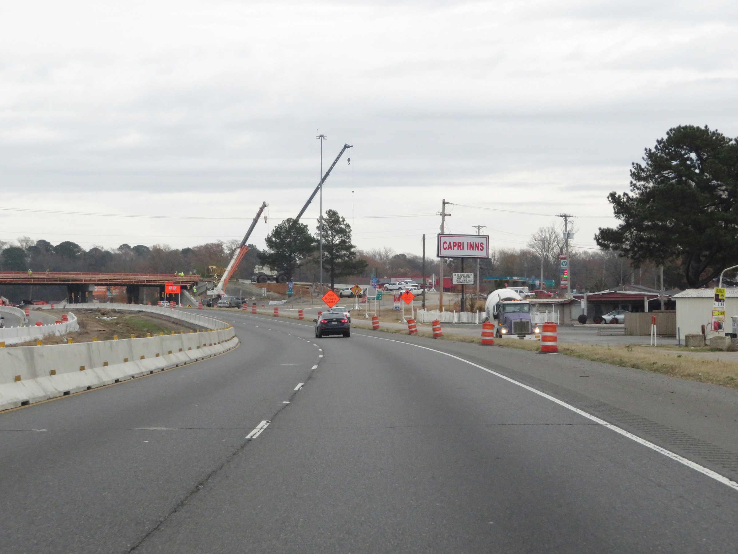
Take Exit 117 to Saline Memorial Hospital. (Photo taken 12/11/20). |
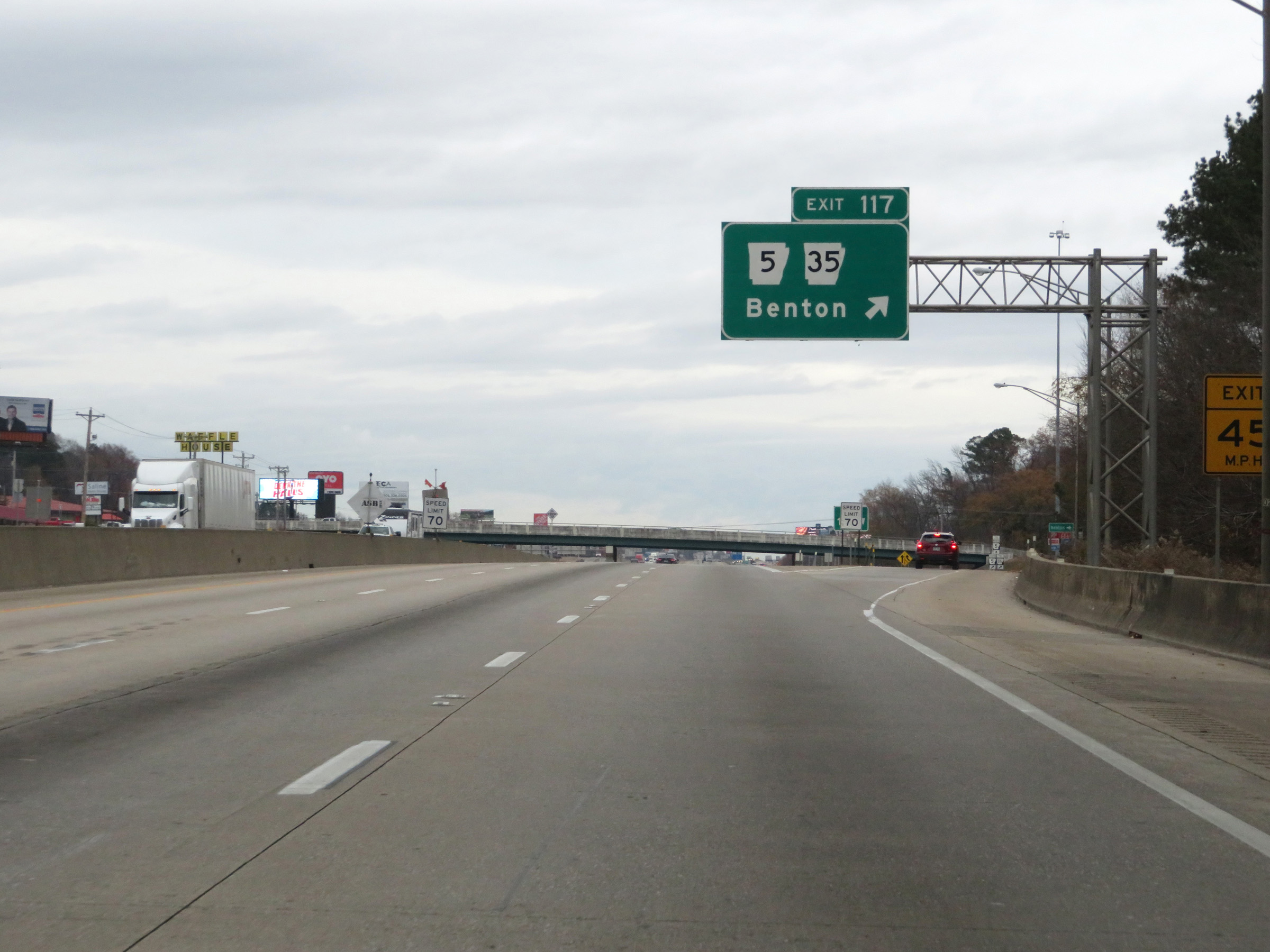 |
Interstate 30 East at Exit 117: AR 5 / AR 35 - Benton (Photo taken 12/11/20). |
 |
At Exit 117, the speed limit decreases to 70 mph for all traffic. (Photo taken 12/11/20). |
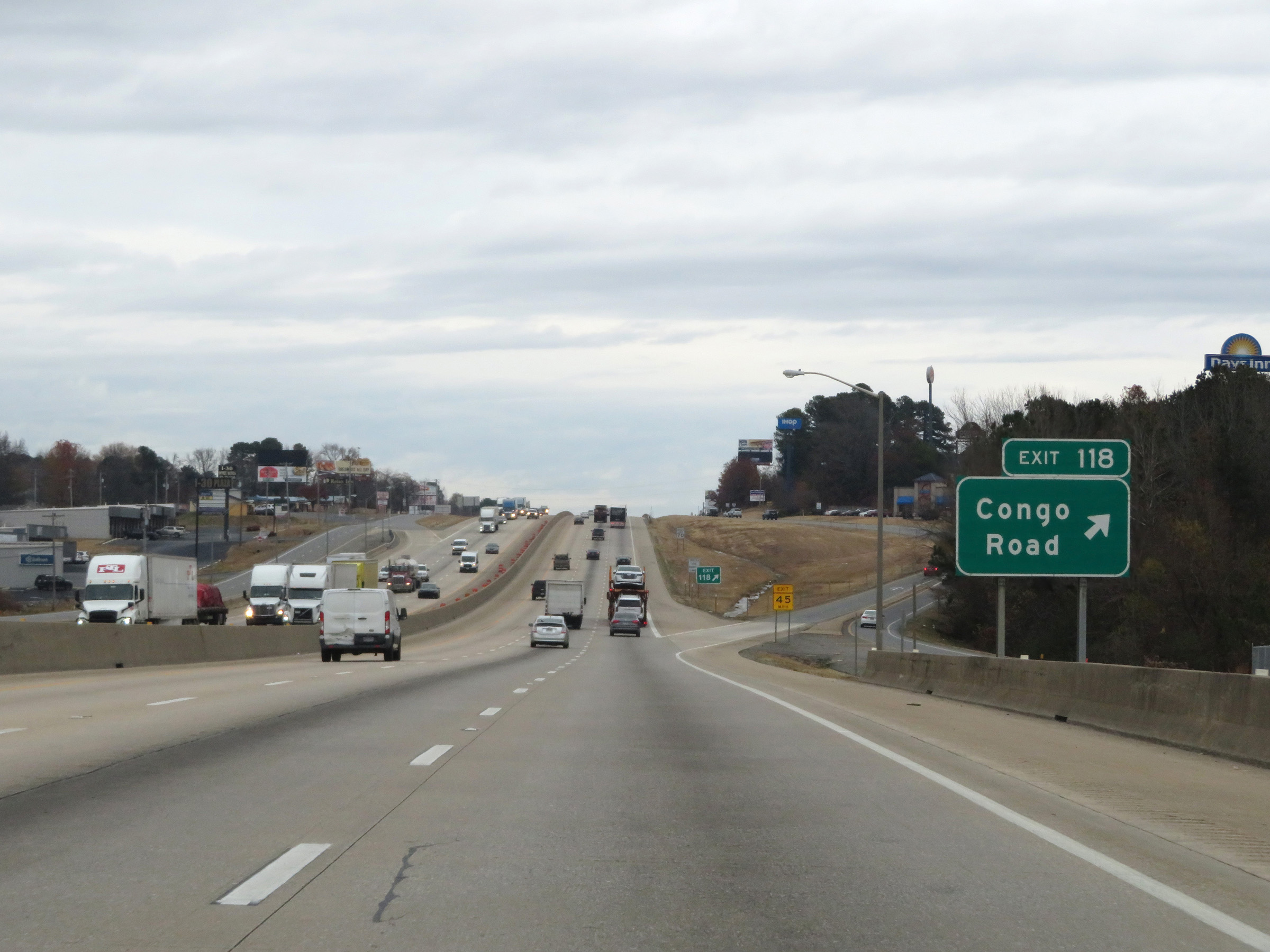 |
Interstate 30 East at Exit 118: Congo Road (Photo taken 12/11/20). |
Section 3: Benton (Exit 118) to Interstate 40
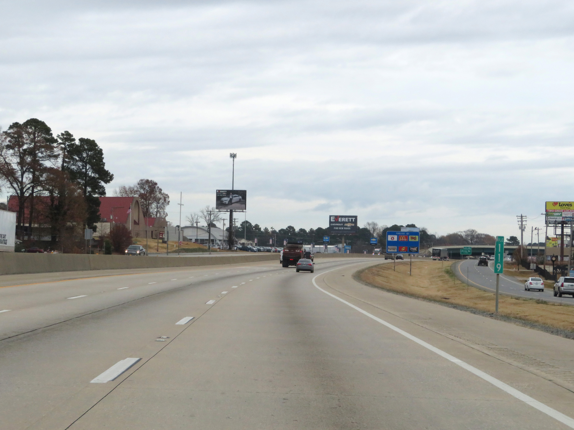 |
View on Interstate 30 East at mile marker 119. (Photo taken 12/11/20). |
 |
Interstate 30 East at mile marker 120. (Photo taken 12/11/20). |
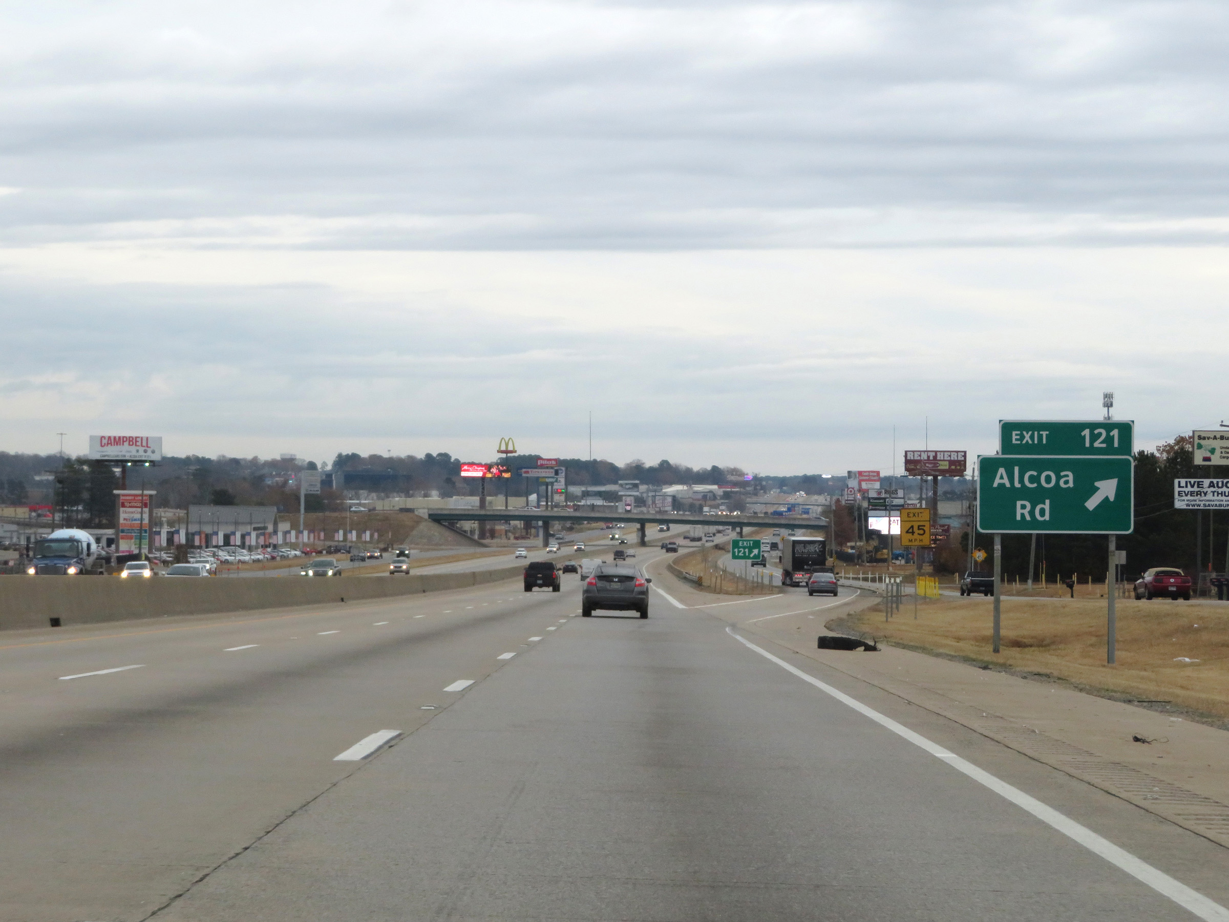 |
Interstate 30 East at Exit 121: Alcoa Rd (Photo taken 12/11/20). |
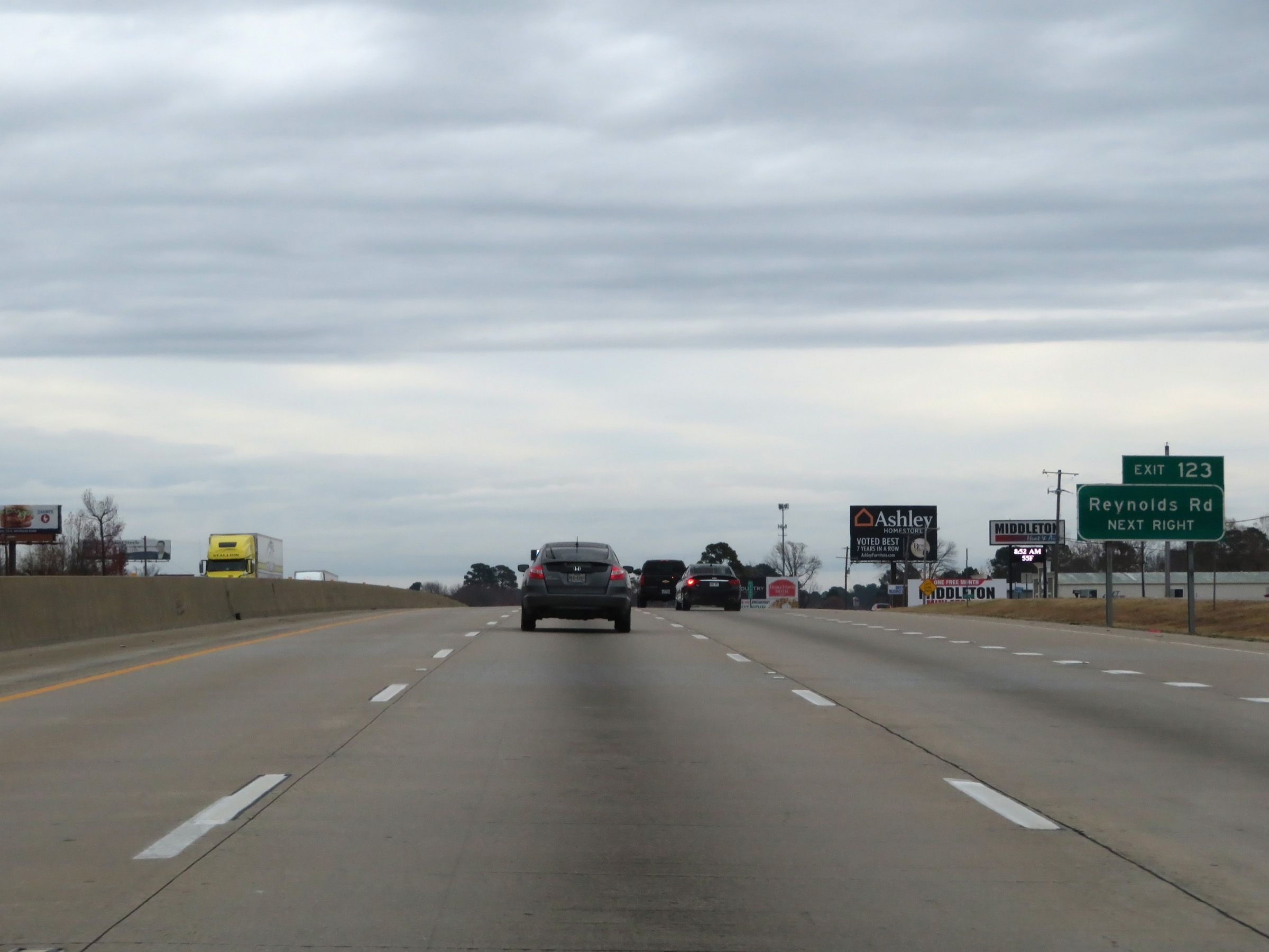 |
Take Exit 123 to Reynolds Rd. (Photo taken 12/11/20). |
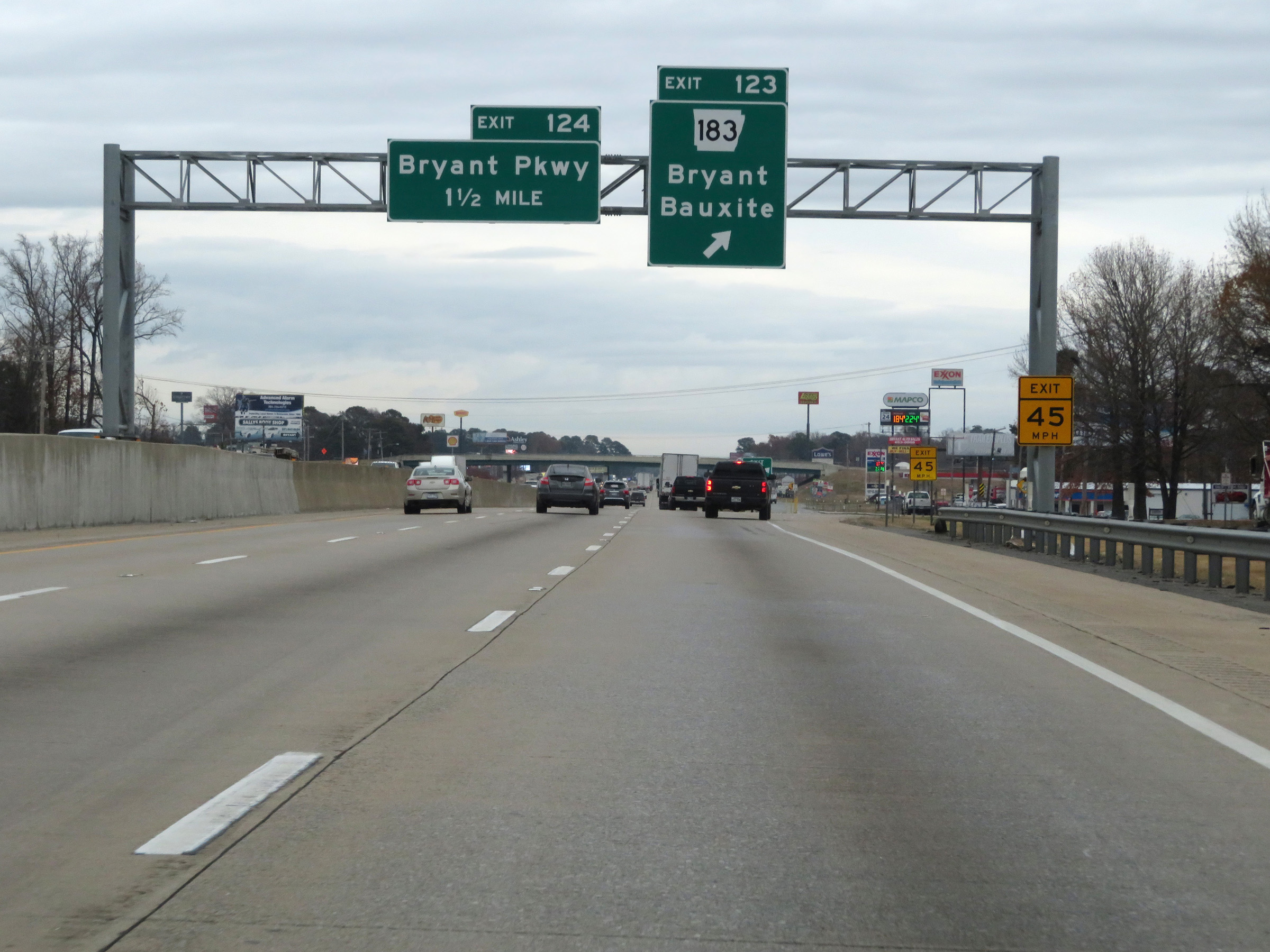 |
Interstate 30 East at Exit 123: AR 183 - Bryant / Bauxite (Photo taken 12/11/20). |
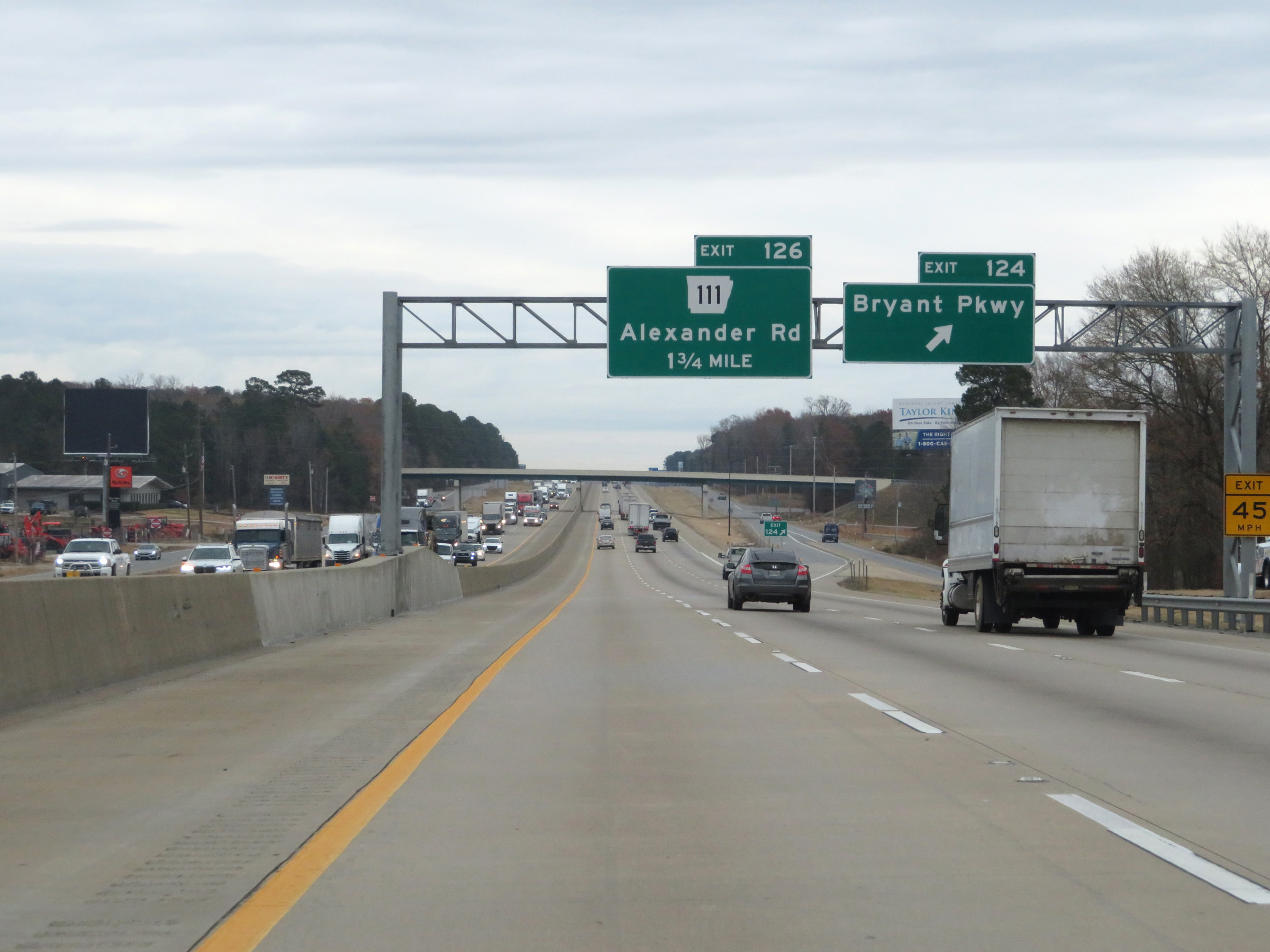 |
Interstate 30 East at Exit 124: Bryant Pkwy (Photo taken 12/11/20). |
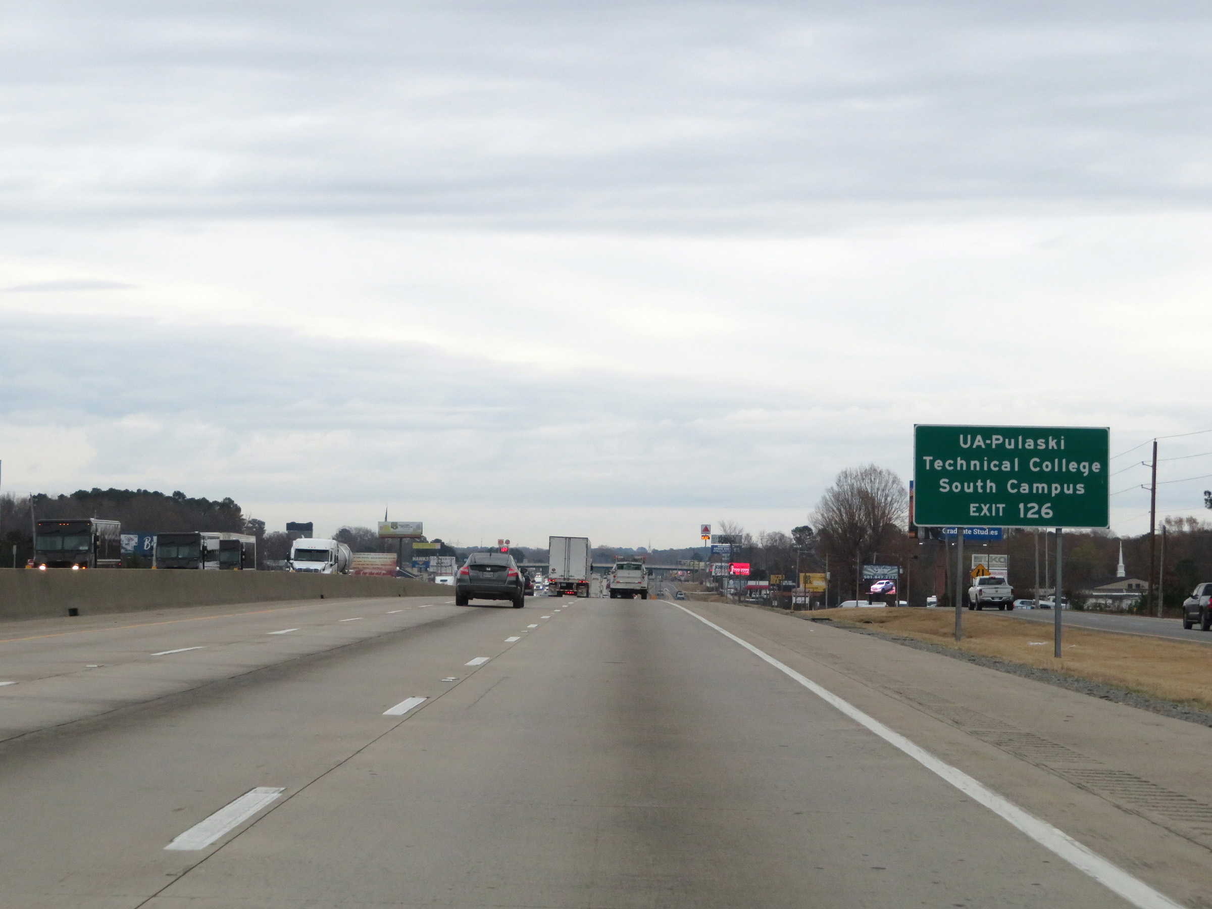 |
Take Exit 126 to UA-Pulaski Technical College South Campus. (Photo taken 12/11/20). |
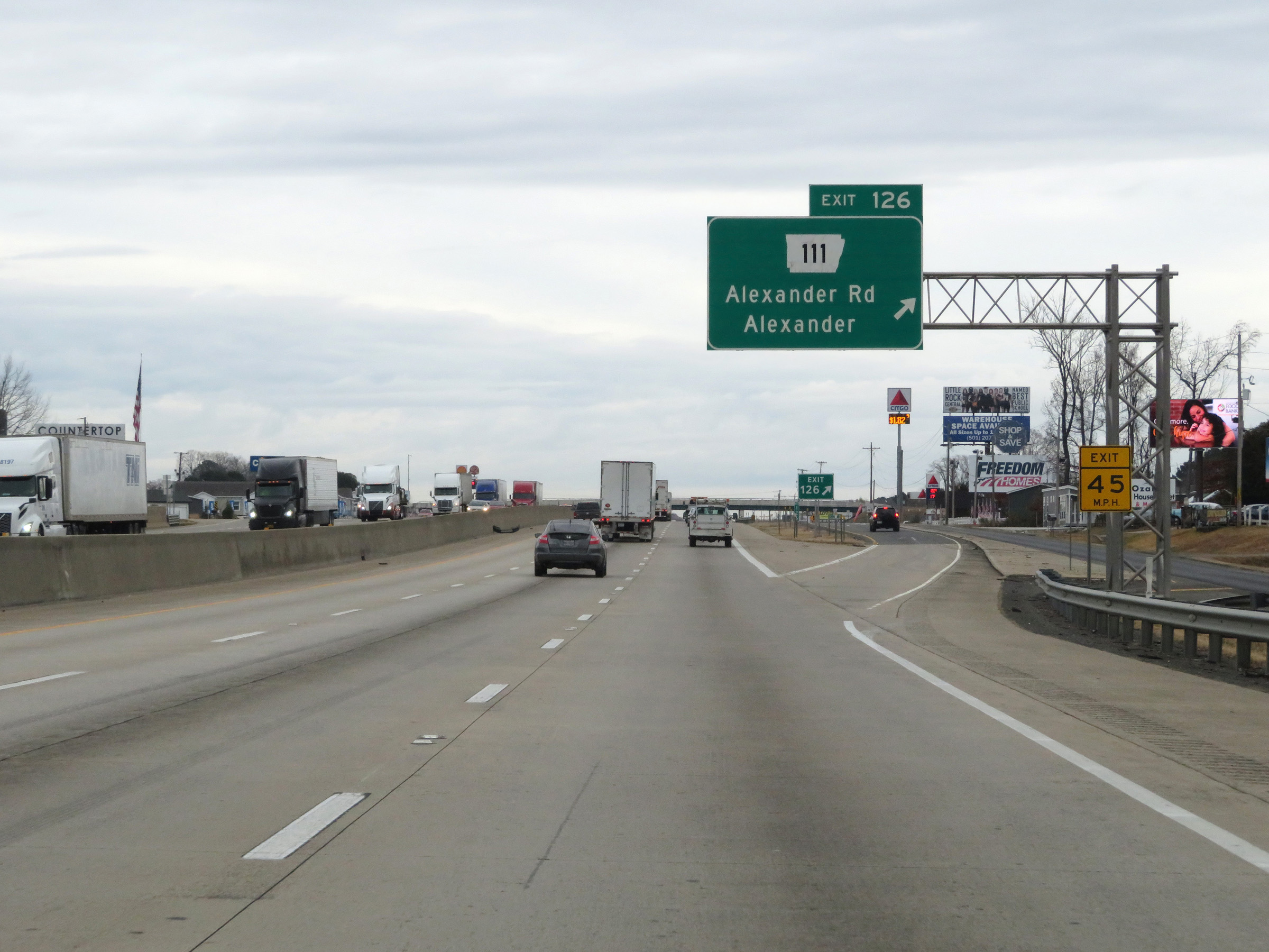 |
Interstate 30 East at Exit 126: AR 111 - Alexander Rd / Alexander (Photo taken 12/11/20). |
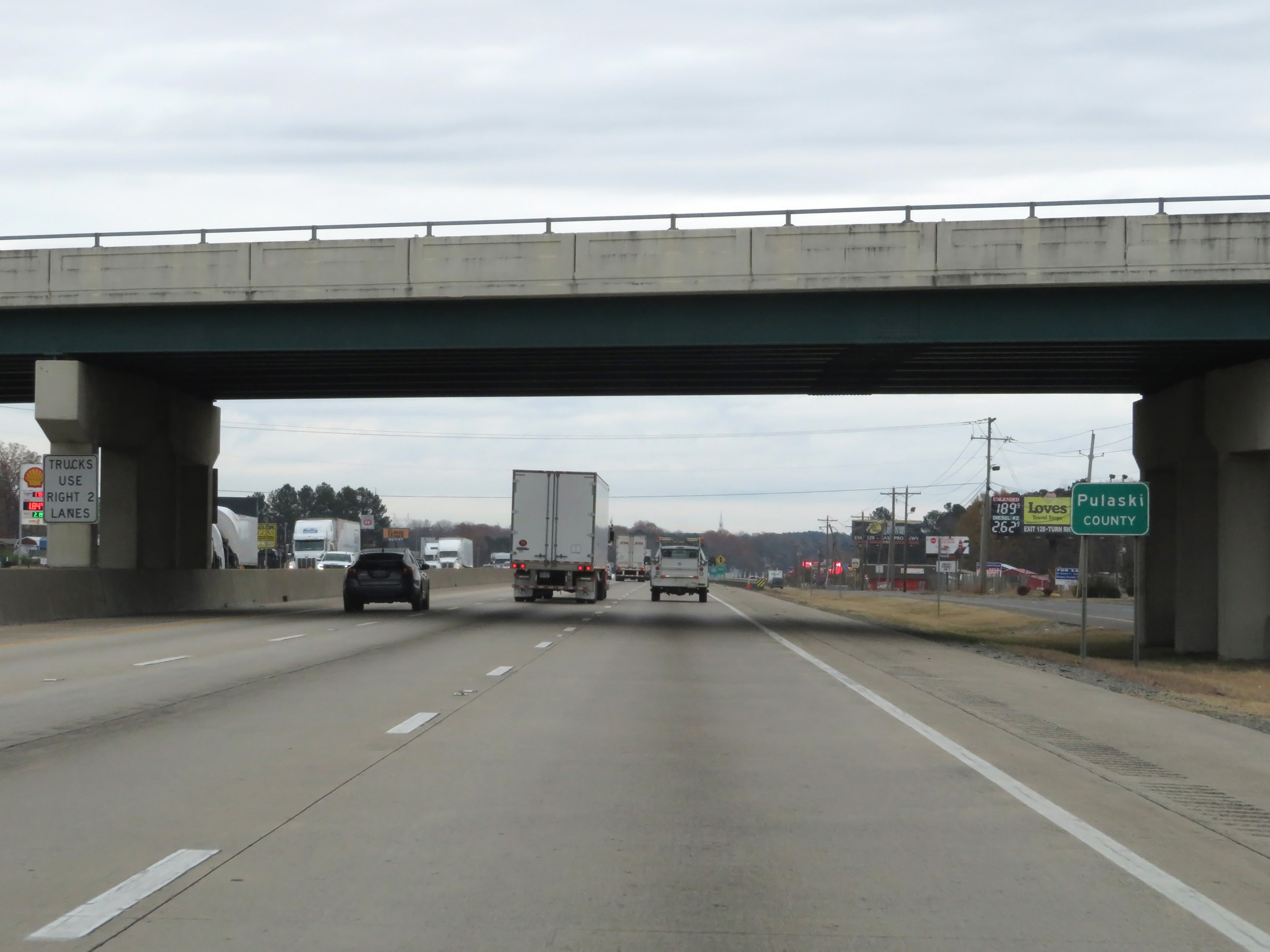 |
Interstate 30 East as it enters Pulaski County. (Photo taken 12/11/20). |
 |
View on Interstate 30 East at mile marker 127. (Photo taken 12/11/20). |
 |
The speed limit remains 70 mph for all traffic on Interstate 30 East. (Photo taken 12/11/20). |
 |
Interstate 30 East approaching Exit 129 - 1 mile. (Photo taken 12/11/20). |
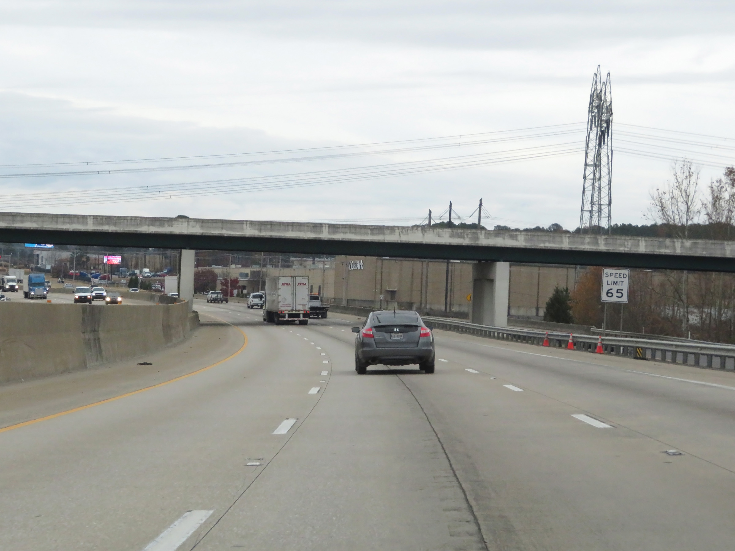 |
Approaching Exit 128, the speed limit decreases to 65 mph for all traffic. (Photo taken 12/11/20). |
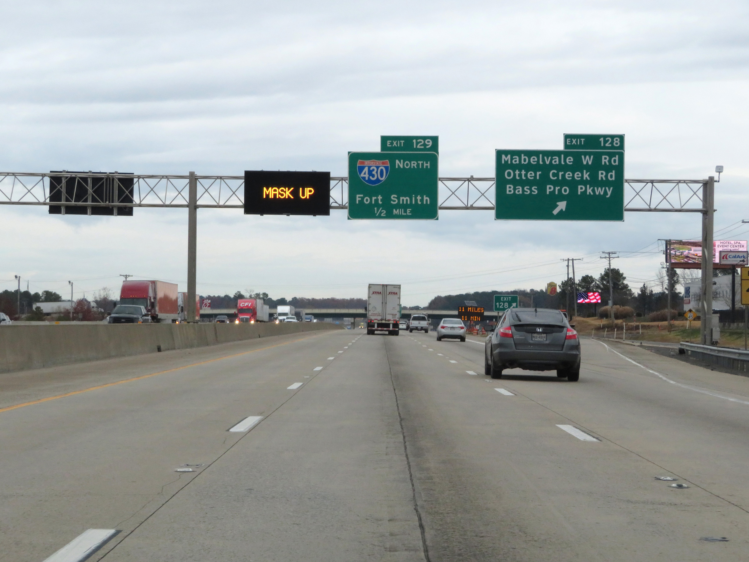 |
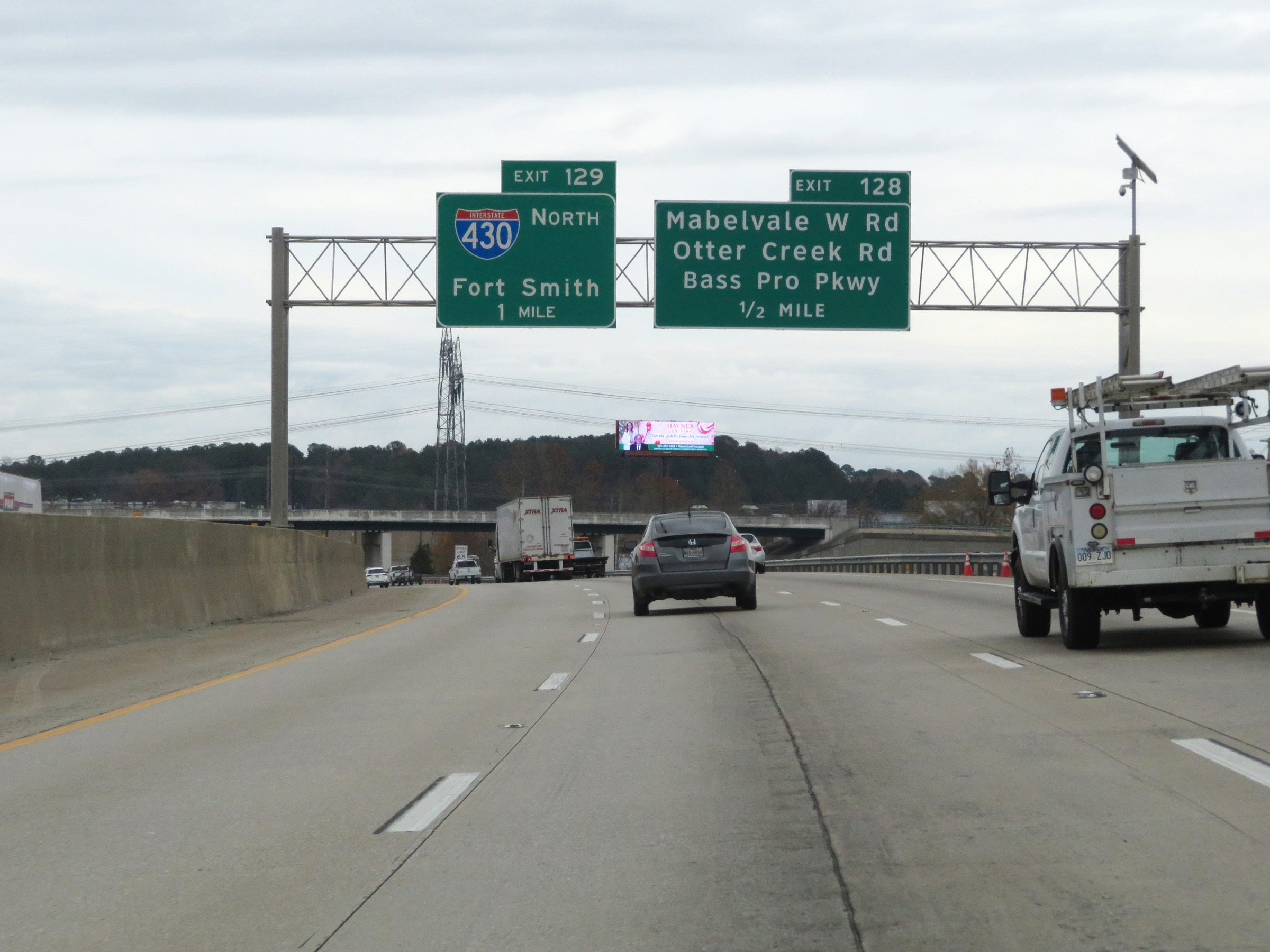
Interstate 30 East at Exit 128: Mabelvale West Rd / Otter Creek Rd / Bass Pro Pkwy (Photo taken 12/11/20). |
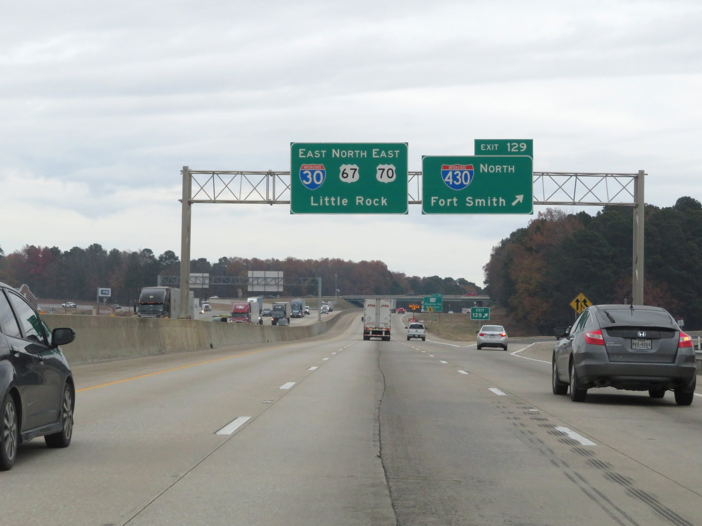 |
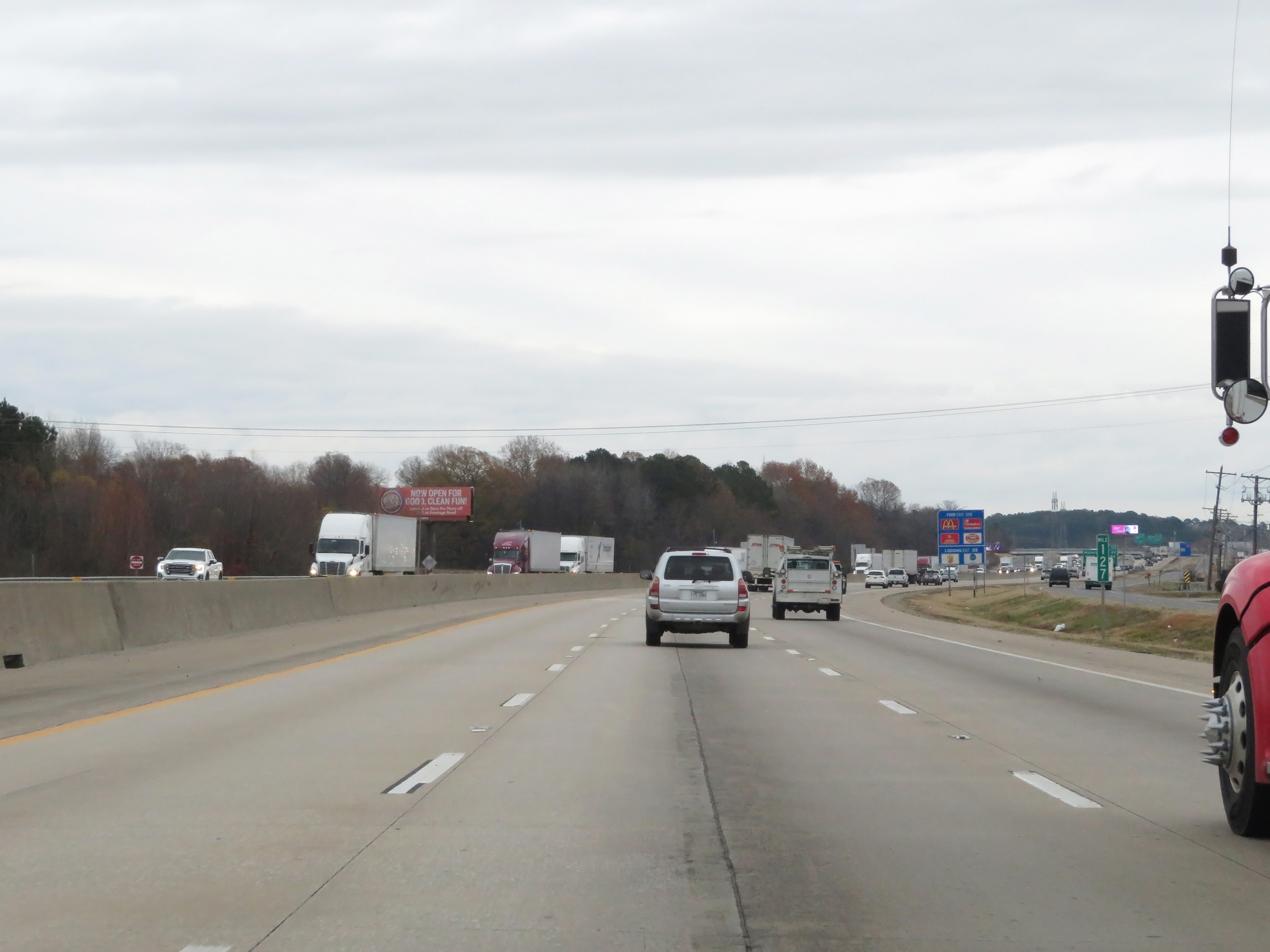
Interstate 30 East at Exit 129: Interstate 430 North - Fort Smith (Photo taken 12/11/20). |
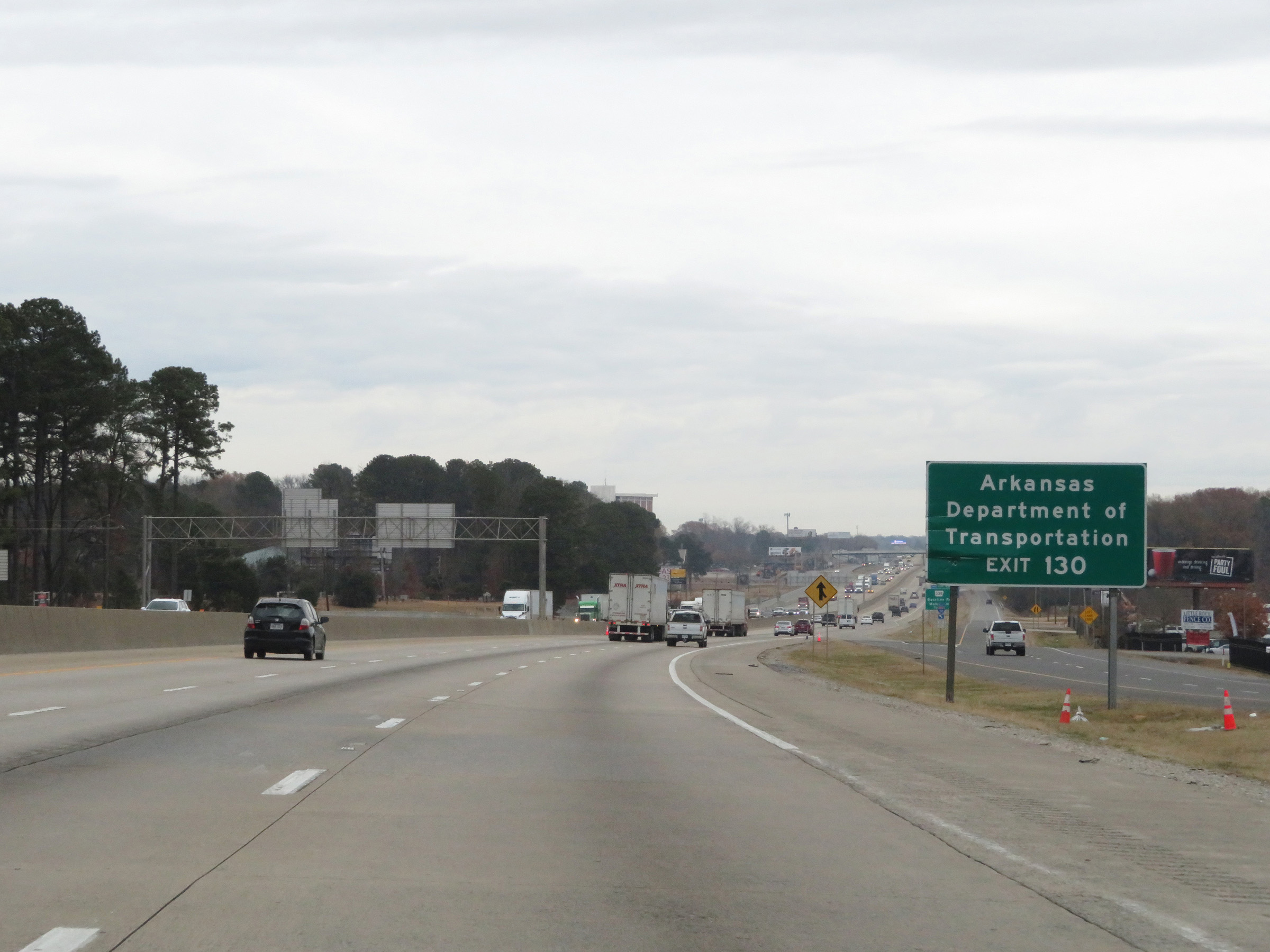 |
Take Exit 130 to the Arkansas Department of Transportation. (Photo taken 12/11/20). |
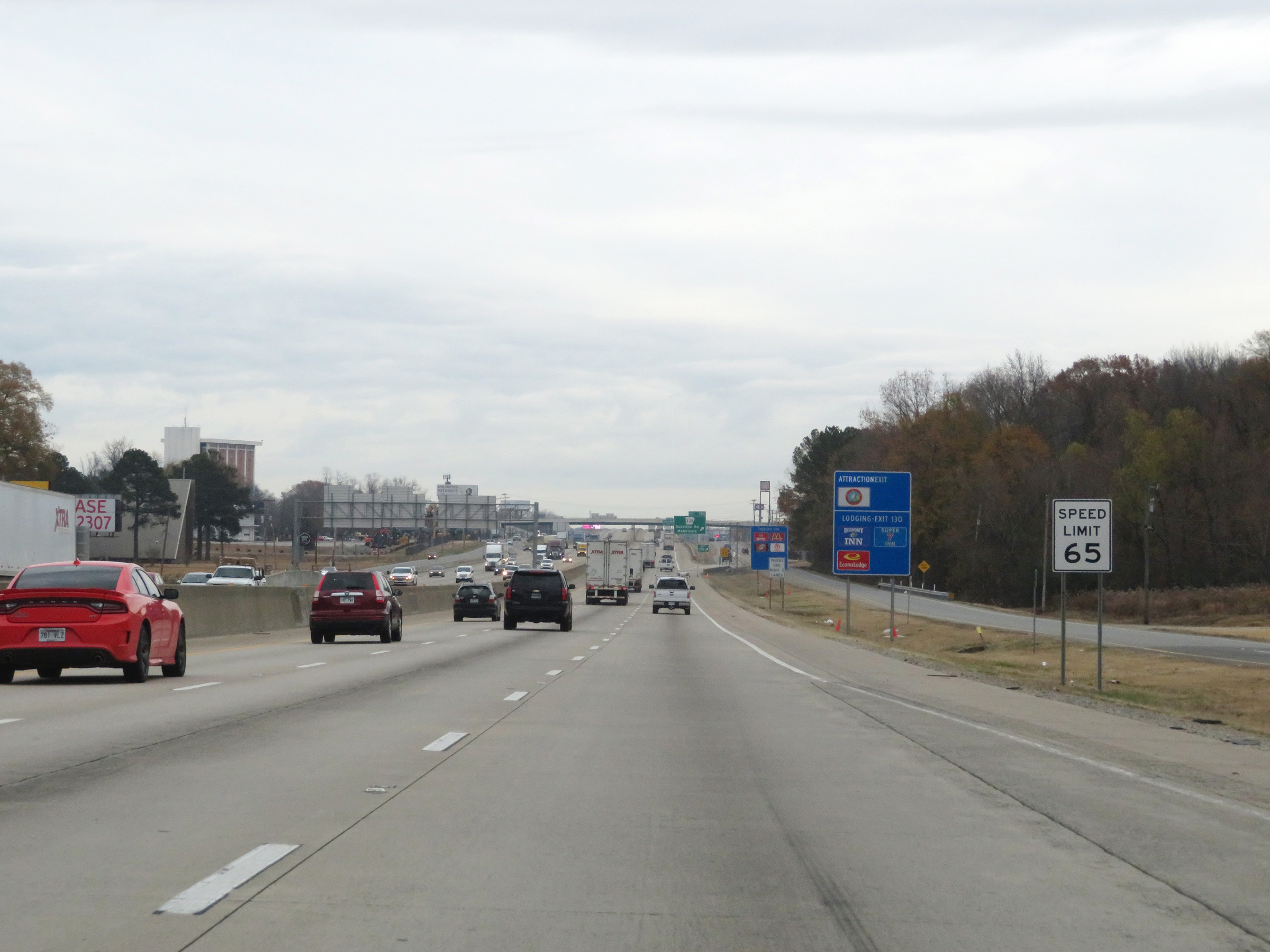 |
The speed limit remains 65 mph for all traffic on Interstate 30 East. (Photo taken 12/11/20). |
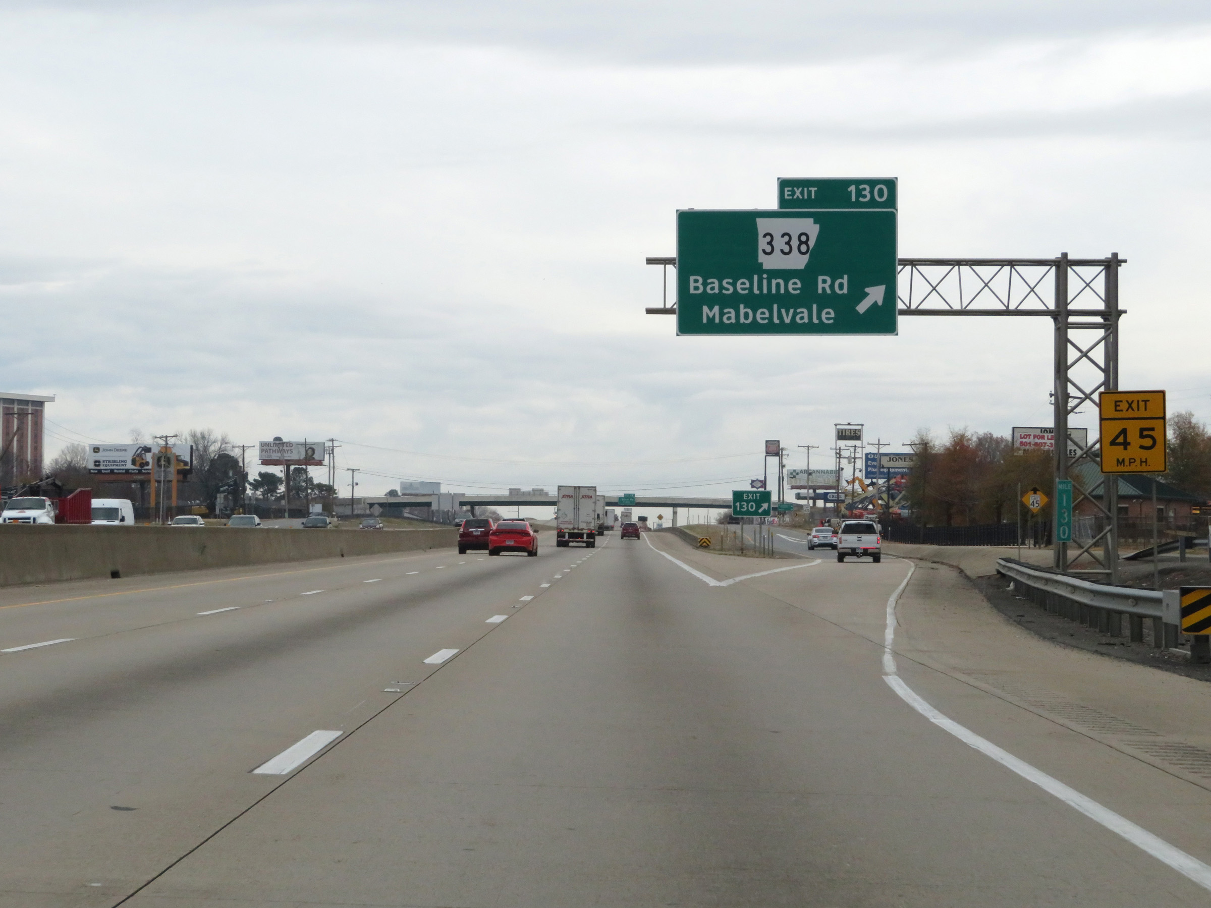 |
Interstate 30 East at Exit 130: AR 338 - Baseline Rd / Mabelvale (Photo taken 12/11/20). |
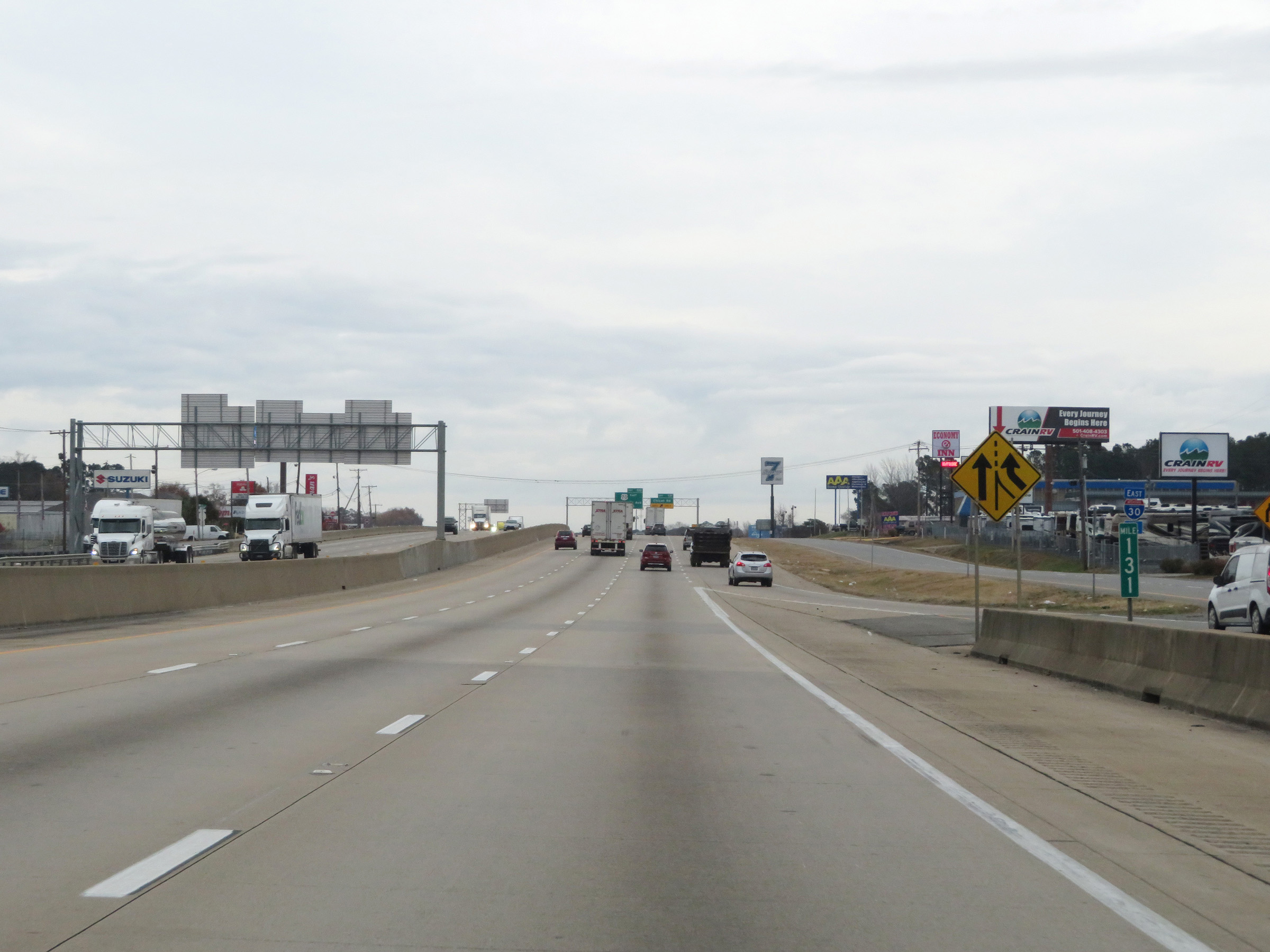 |
View on Interstate 30 East at mile marker 131. (Photo taken 12/11/20). |
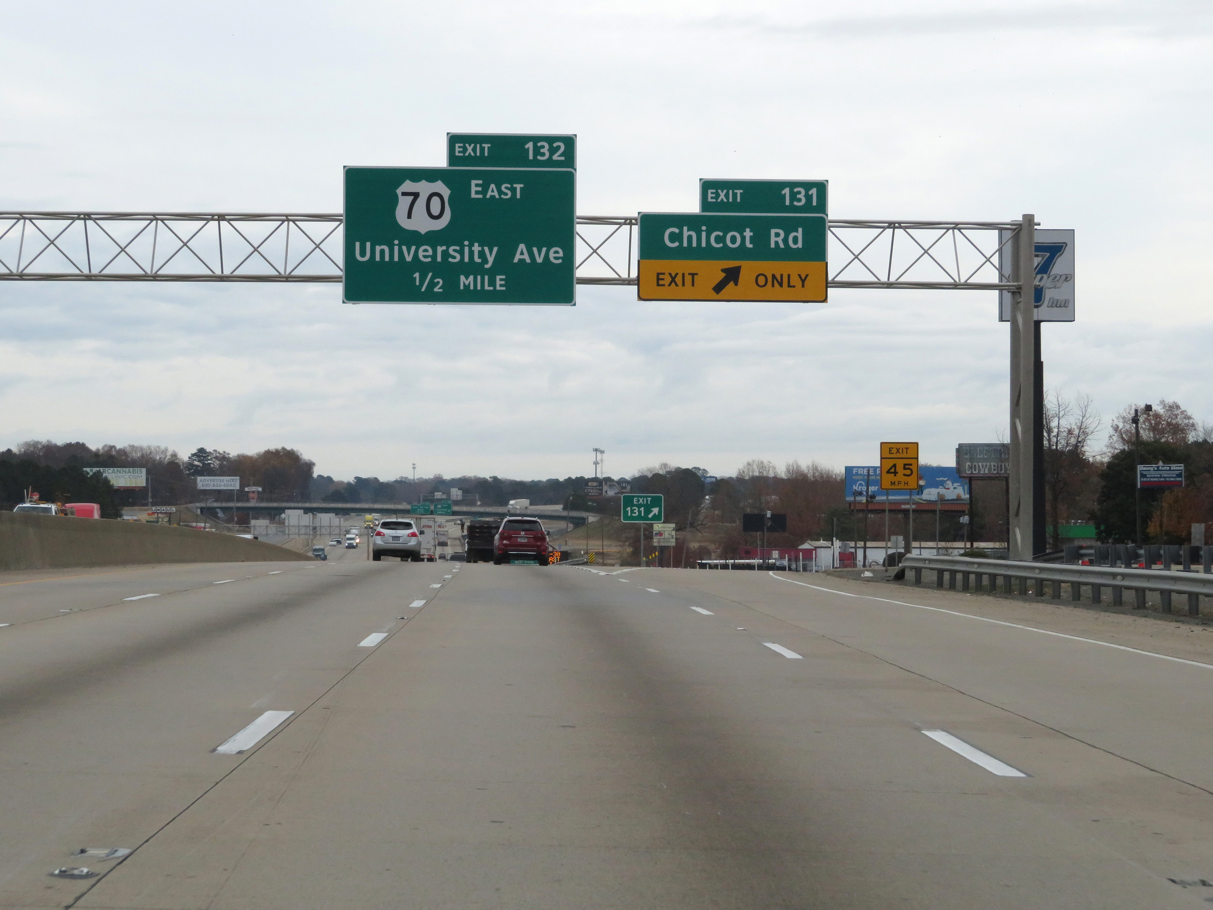 |
Interstate 30 East at Exit 131: Chicot Rd (Photo taken 12/11/20). |
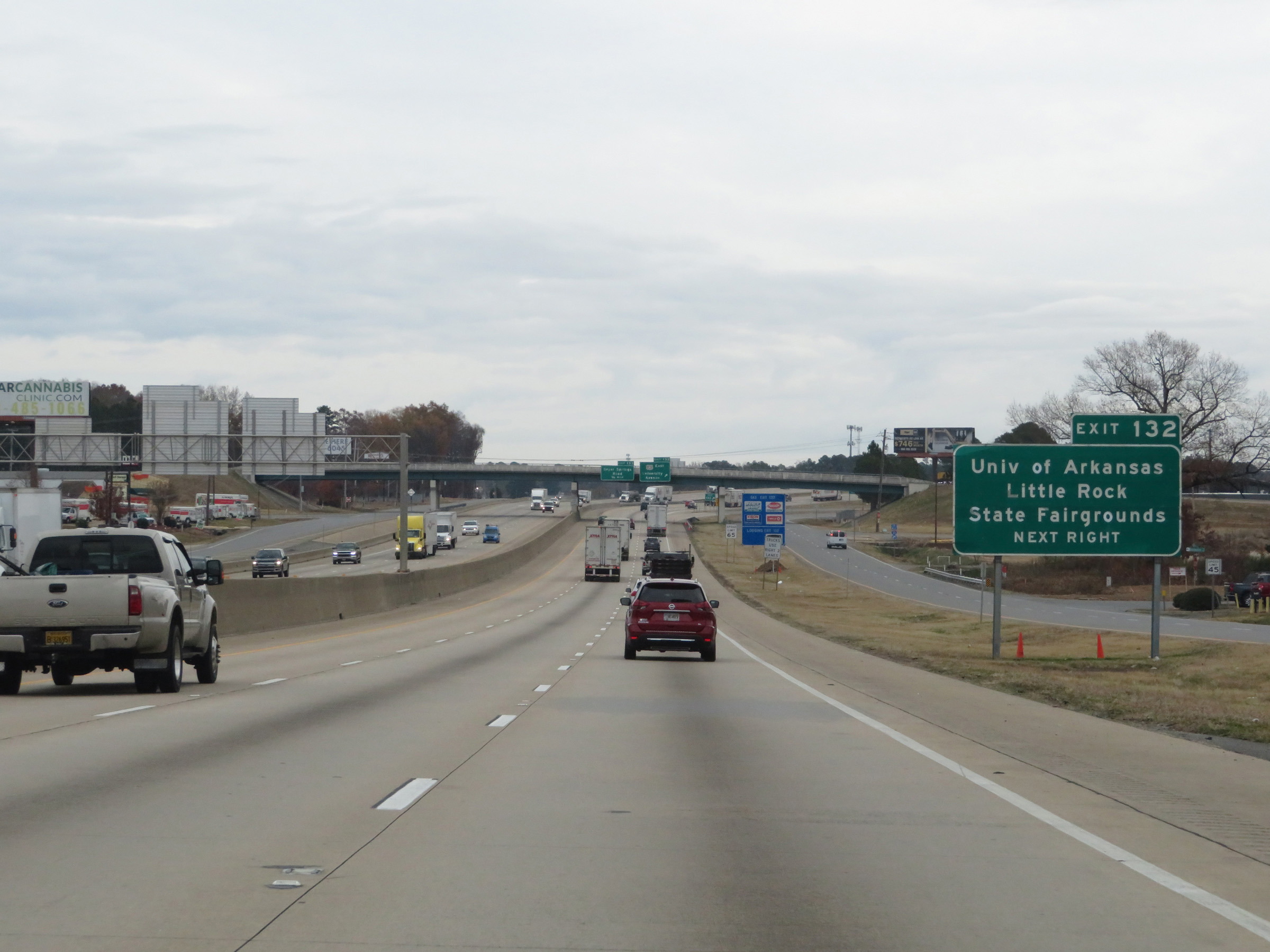 |
Take Exit 132 to the University of Arkansas at Little Rock and the State Fairgrounds. (Photo taken 12/11/20). |
 |
Interstate 30 East at Exit 132: US 70B East - University Avenue (Photo taken 12/11/20). |
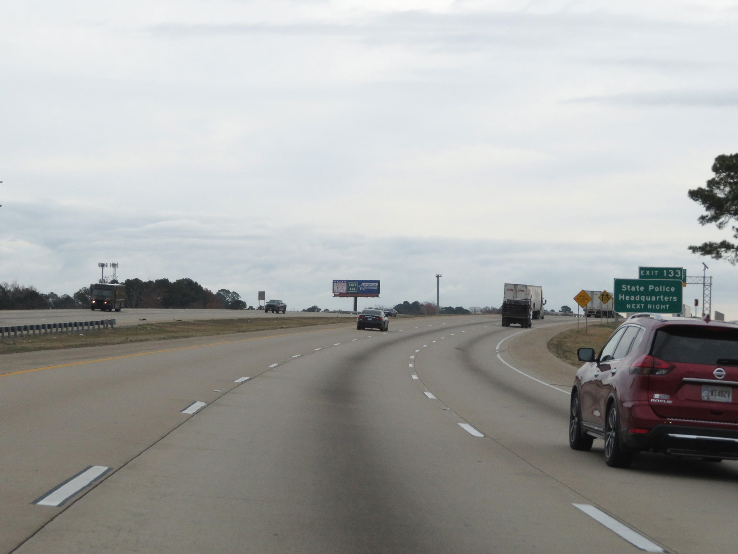 |
Take Exit 133 to the State Police Headquarters. (Photo taken 12/11/20). |
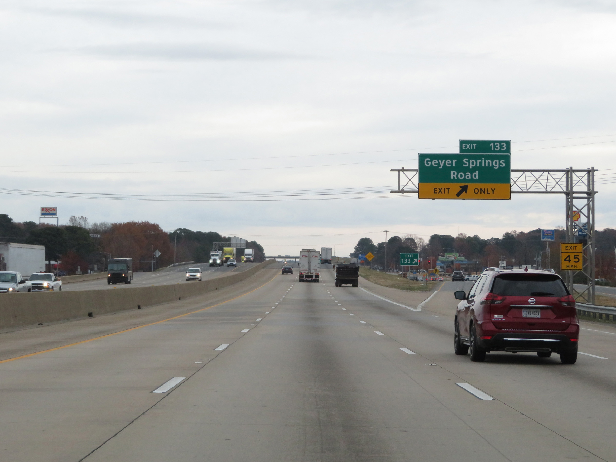 |
Interstate 30 East at Exit 133: Geyer Springs Road (Photo taken 12/11/20). |
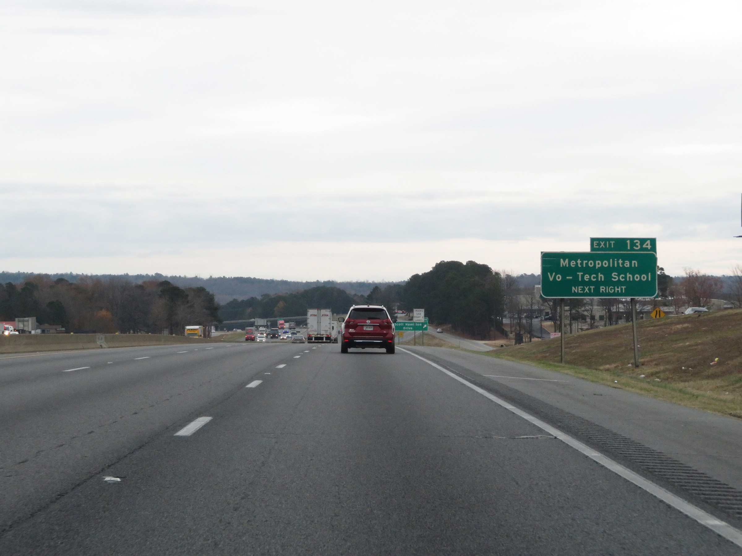 |
Take Exit 134 to Metropolitan Vo-Tech School. (Photo taken 12/11/20). |
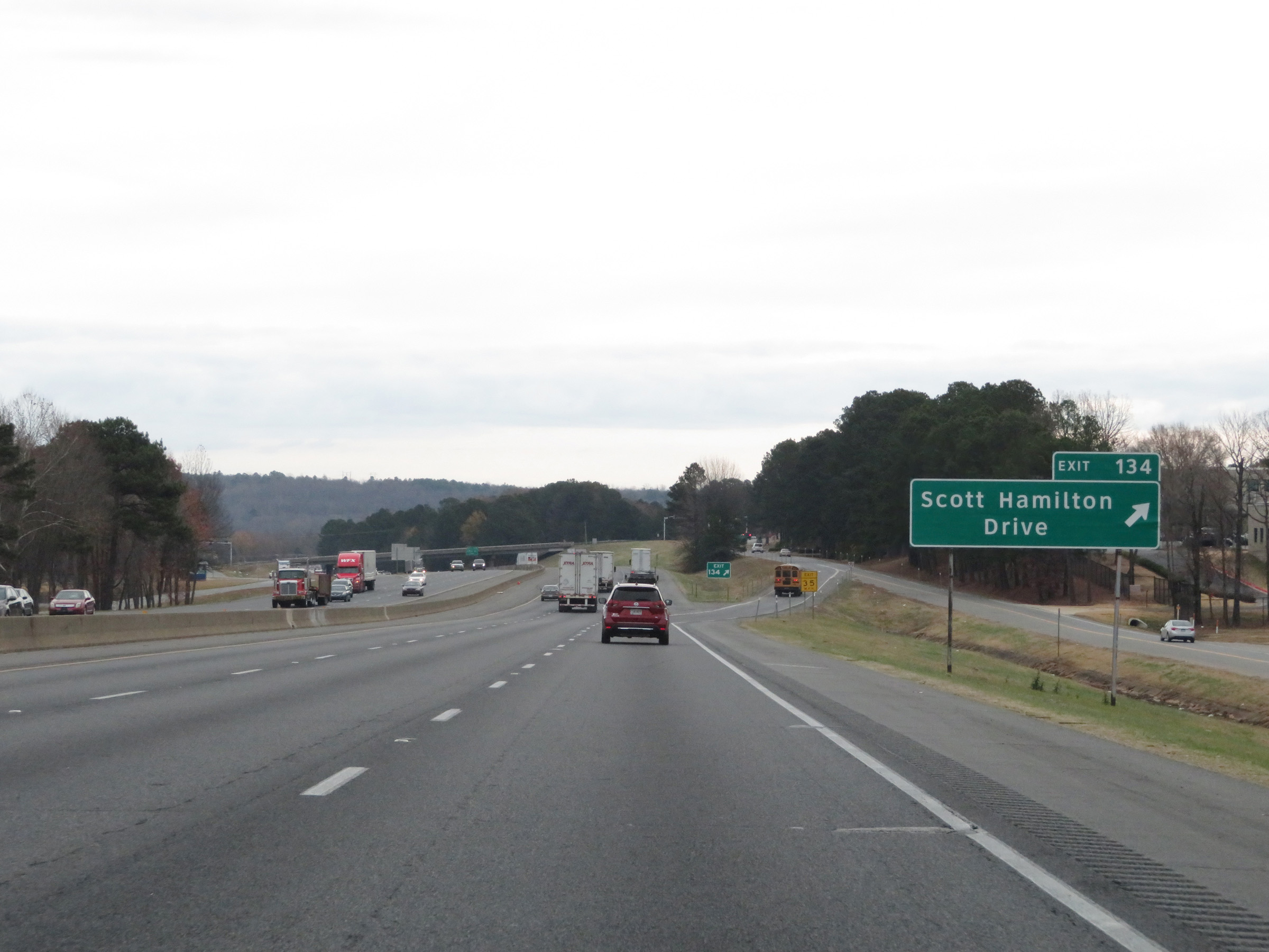 |
Interstate 30 East at Exit 134: Scott Hamilton Drive (Photo taken 12/11/20). |
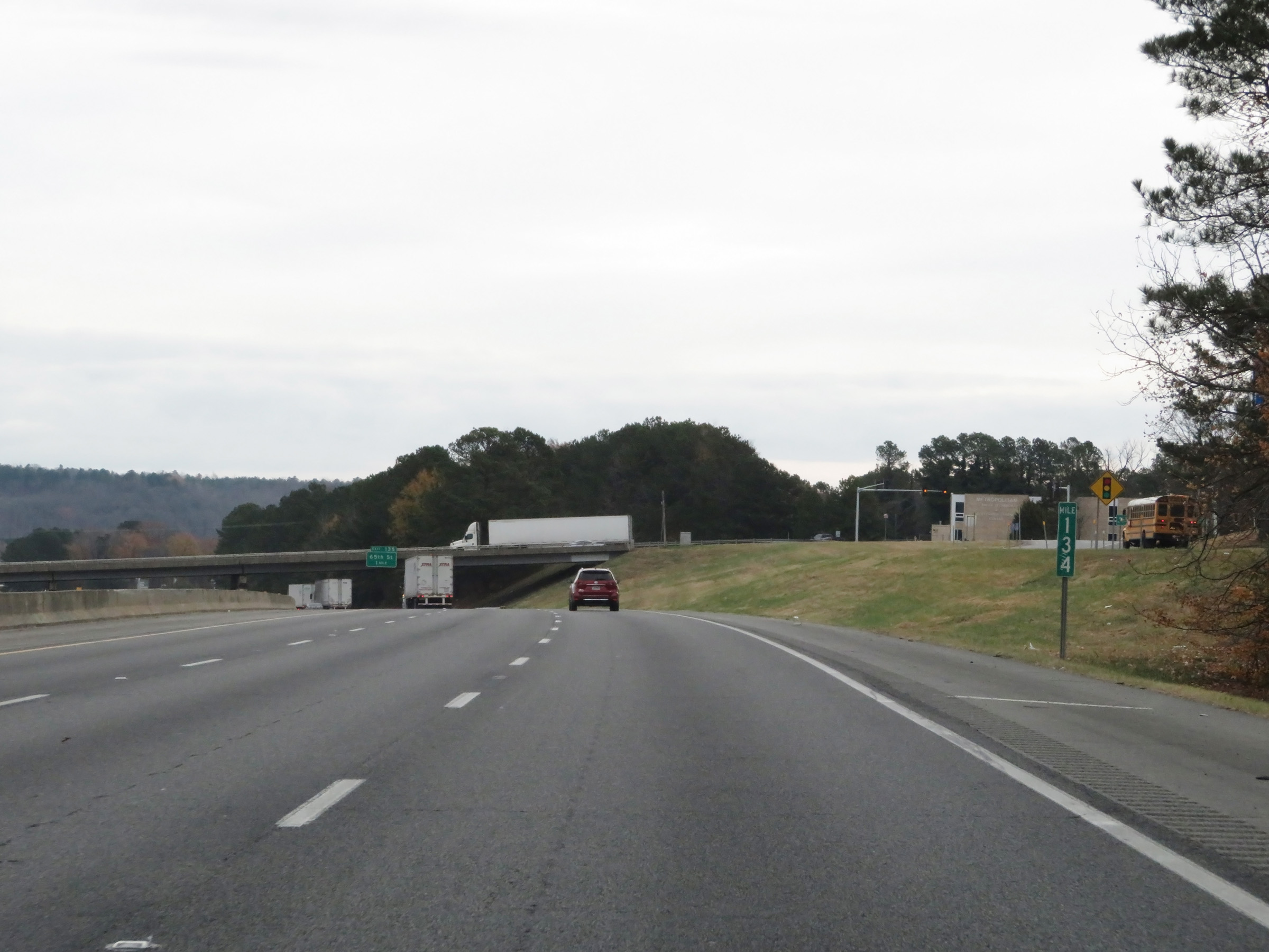 |
View on Interstate 30 East at mile marker 134. (Photo taken 12/11/20). |
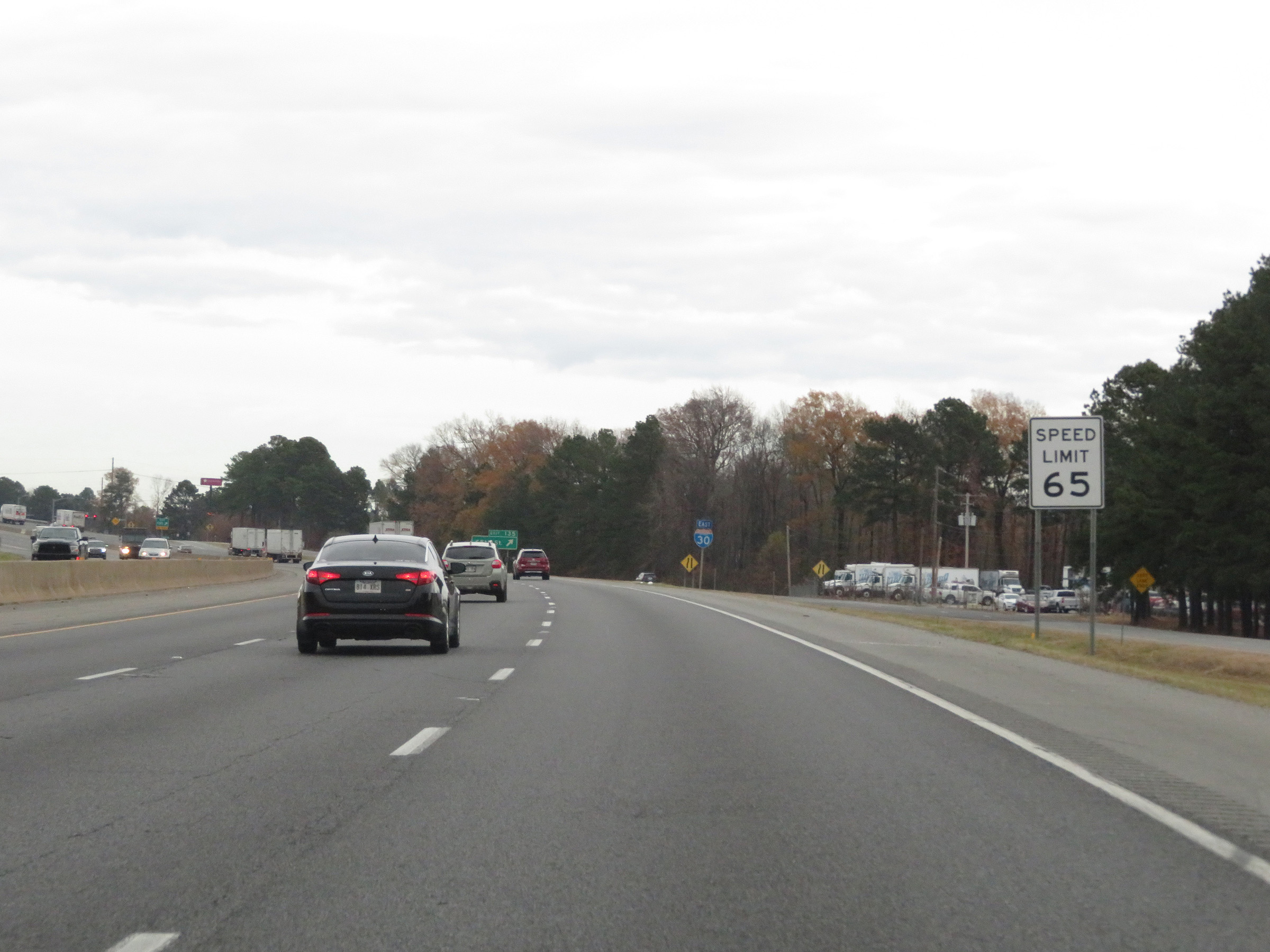 |
The speed limit remains 65 mph for all traffic. (Photo taken 12/11/20). |
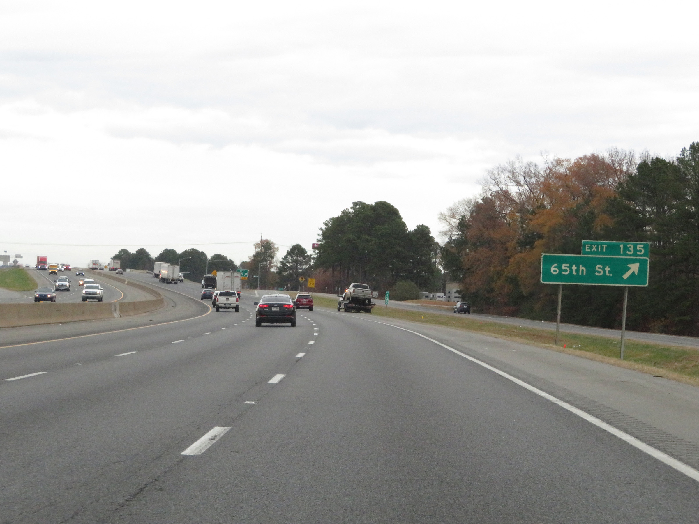 |
Interstate 30 East at Exit 135: 65th St (Photo taken 12/11/20). |
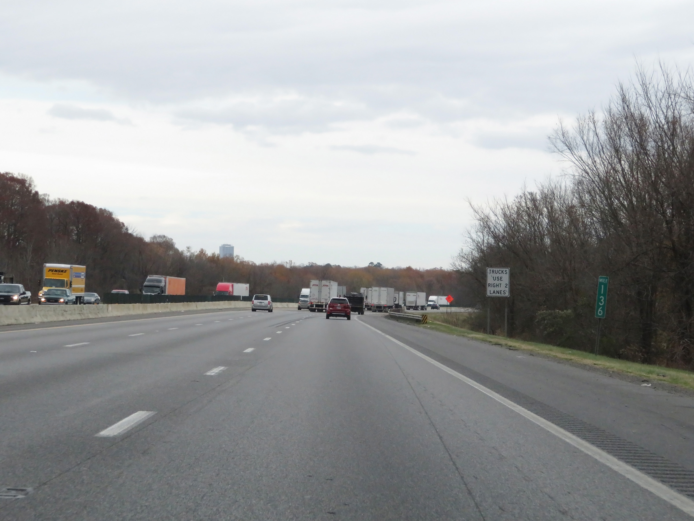 |
Interstate 30 East at mile marker 136. (Photo taken 12/11/20). |
 |
Interstate 30 East approaching Exits 138A-B - 1 mile. (Photo taken 12/11/20). |
 |
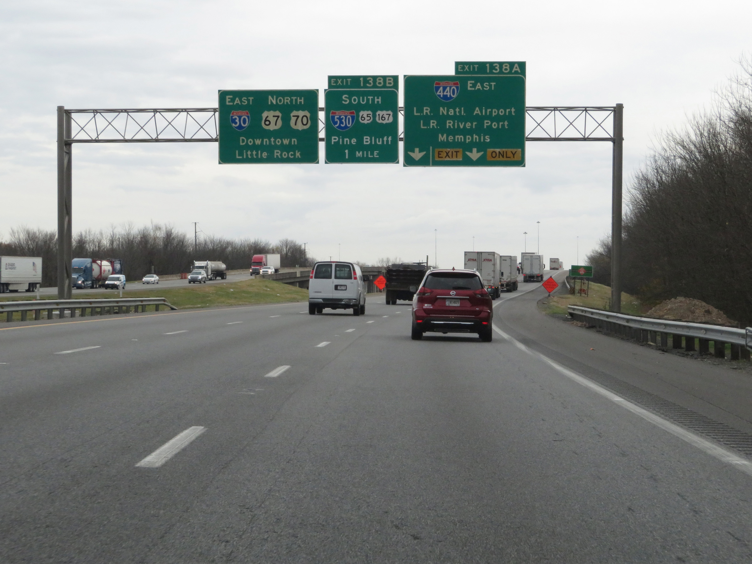
Interstate 30 East at Exit 138A: Interstate 440 East - Little Rock National Airport / Little Rock River Port / Memphis (Photo taken 12/11/20). |
 |
Interstate 30 East at Exit 138B: Interstate 530 South / US 65 South / US 67 South - Pine Bluff (Photo taken 12/11/20). |
 |
View on Interstate 30 East at mile marker 138, as it curves to the north in the southeastern corner of downtown Little Rock. (Photo taken 12/11/20). |
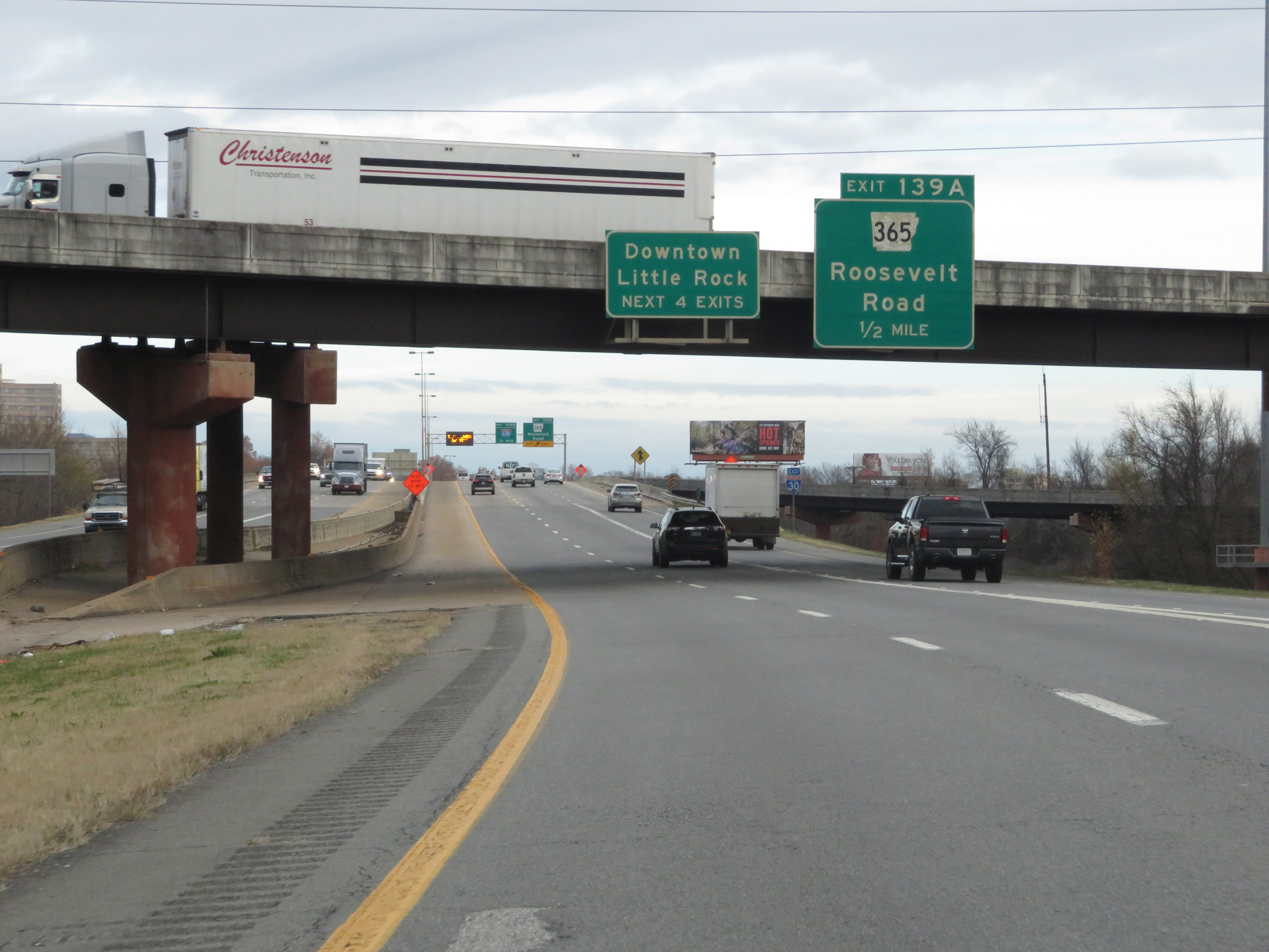 |
Take any of the next 4 exits to downtown Little Rock. (Photo taken 12/11/20). |
 |
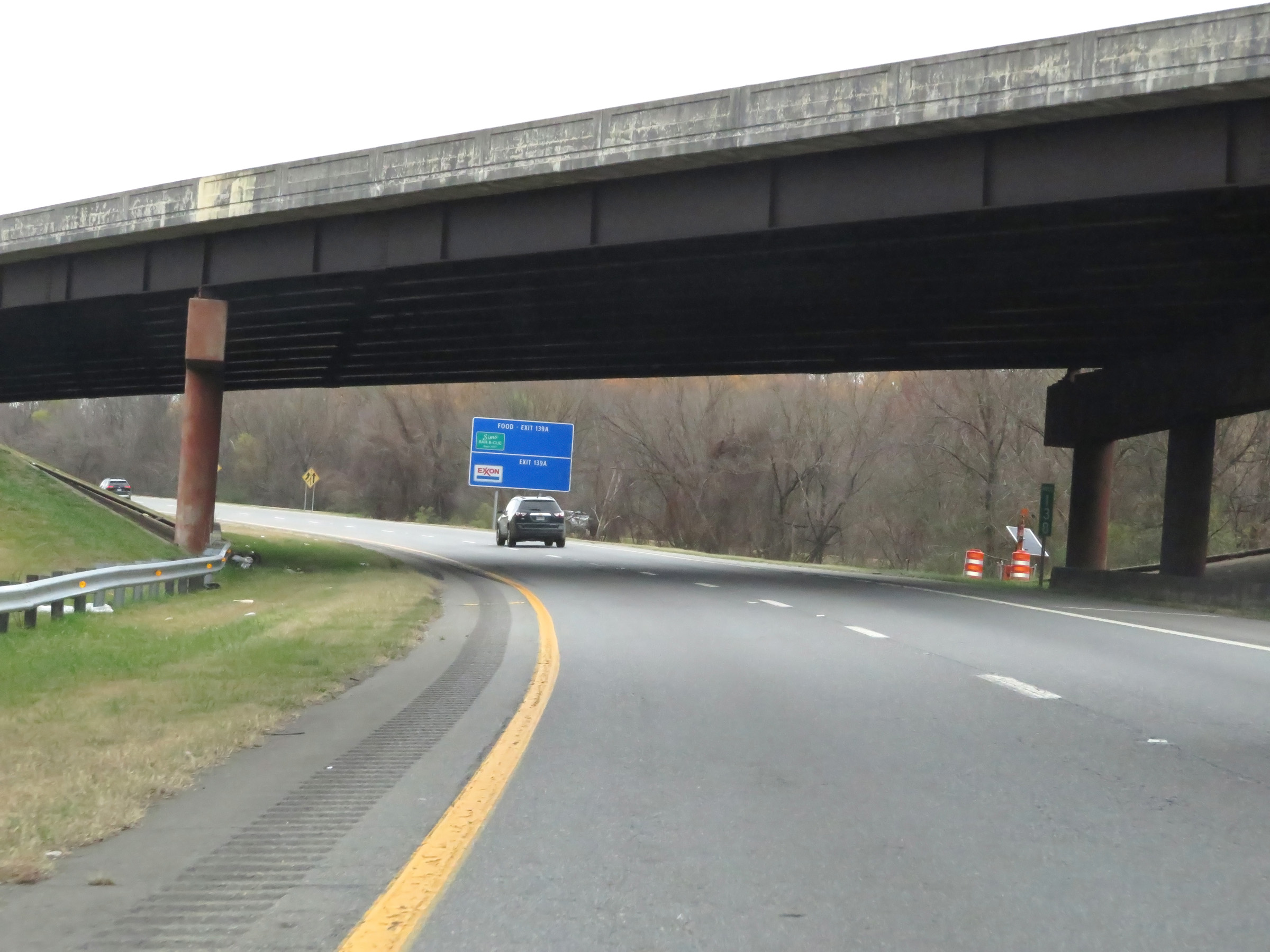
Interstate 30 East at Exit 139A: AR 365 - Roosevelt Road (Photo taken 12/11/20). |
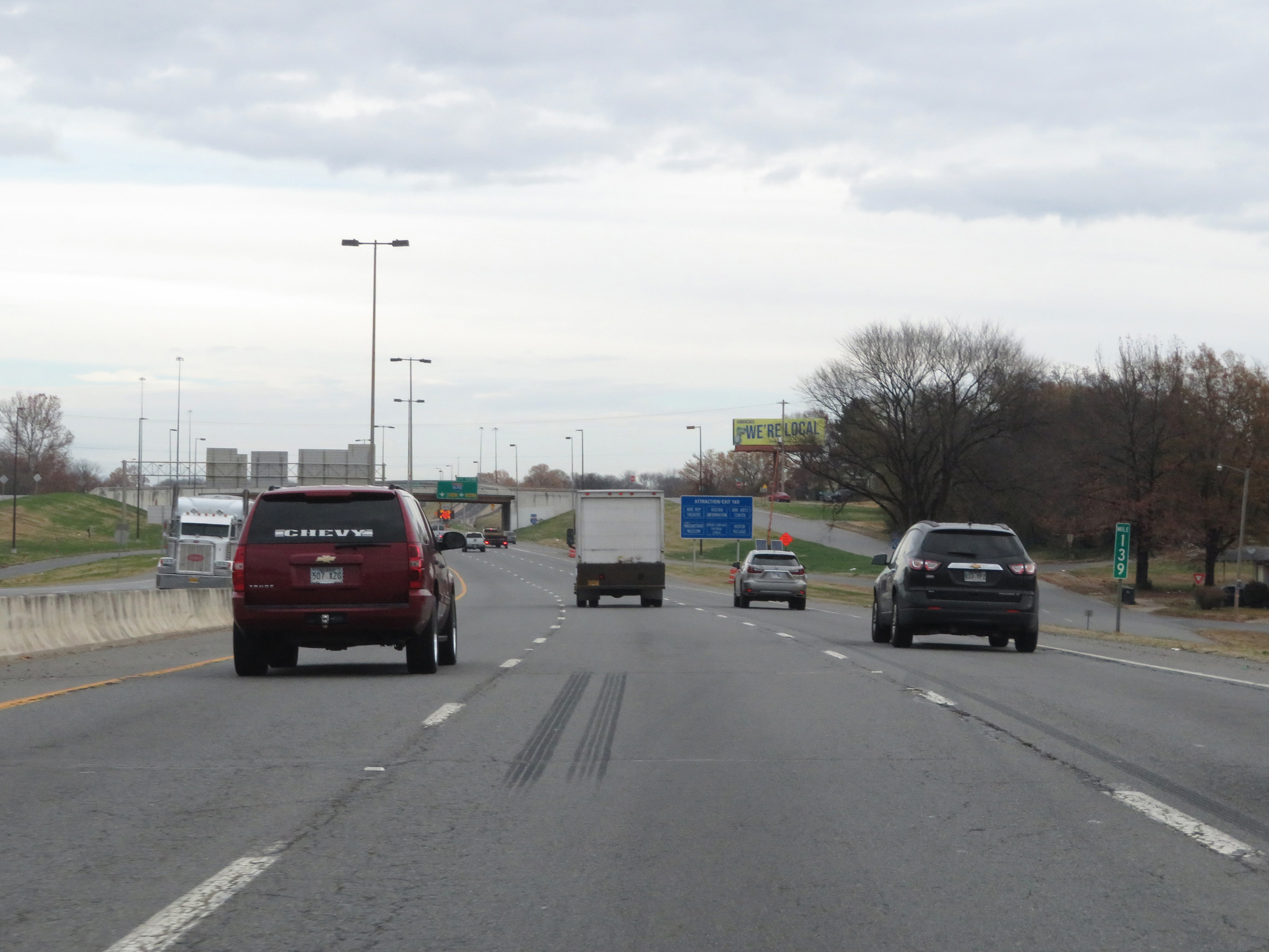 |
Interstate 30 East at mile marker 139. (Photo taken 12/11/20). |
 |
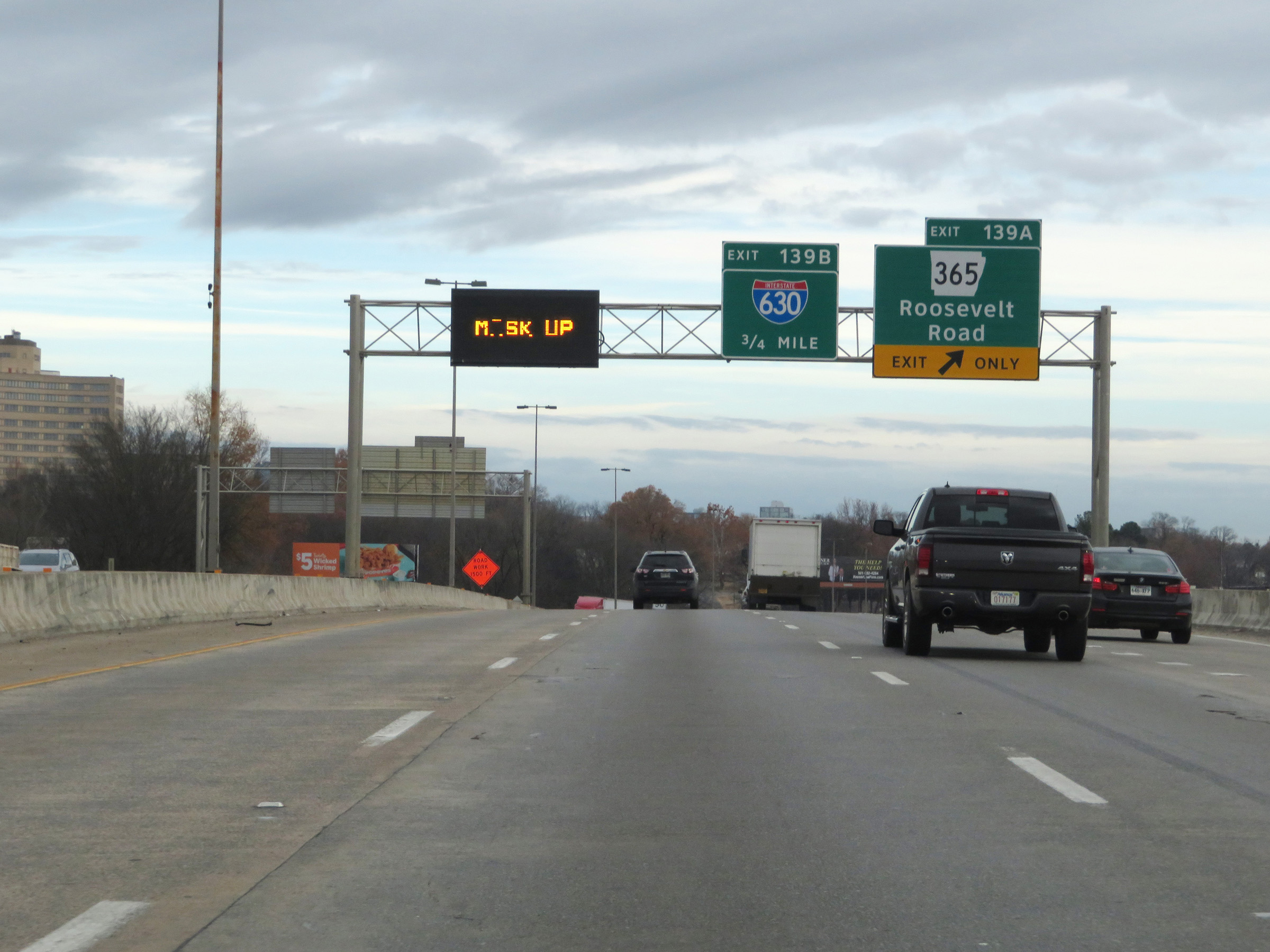
Interstate 30 East approaching Exit 139B - 1/4 mile. (Photo taken 12/11/20). |
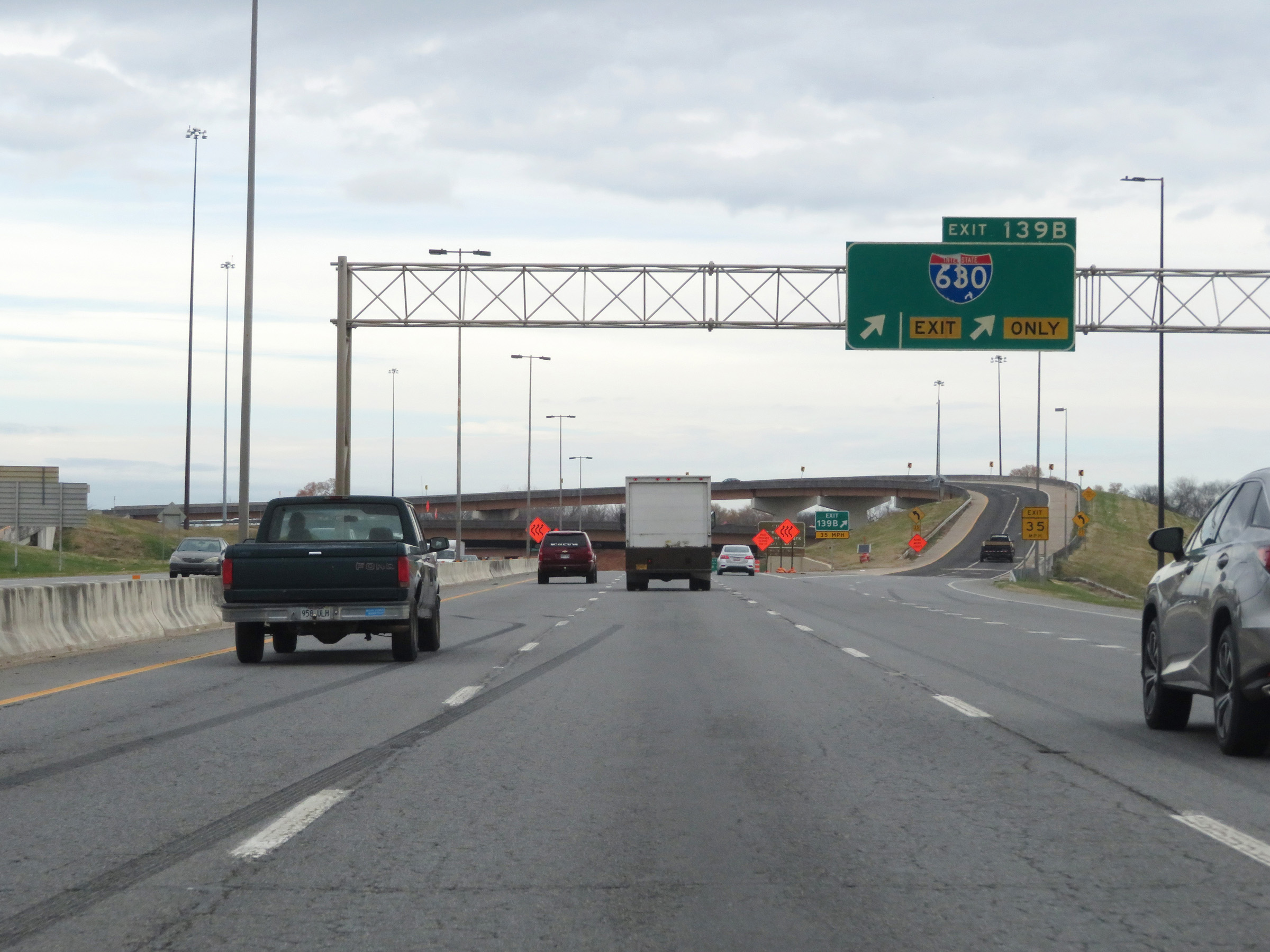 |
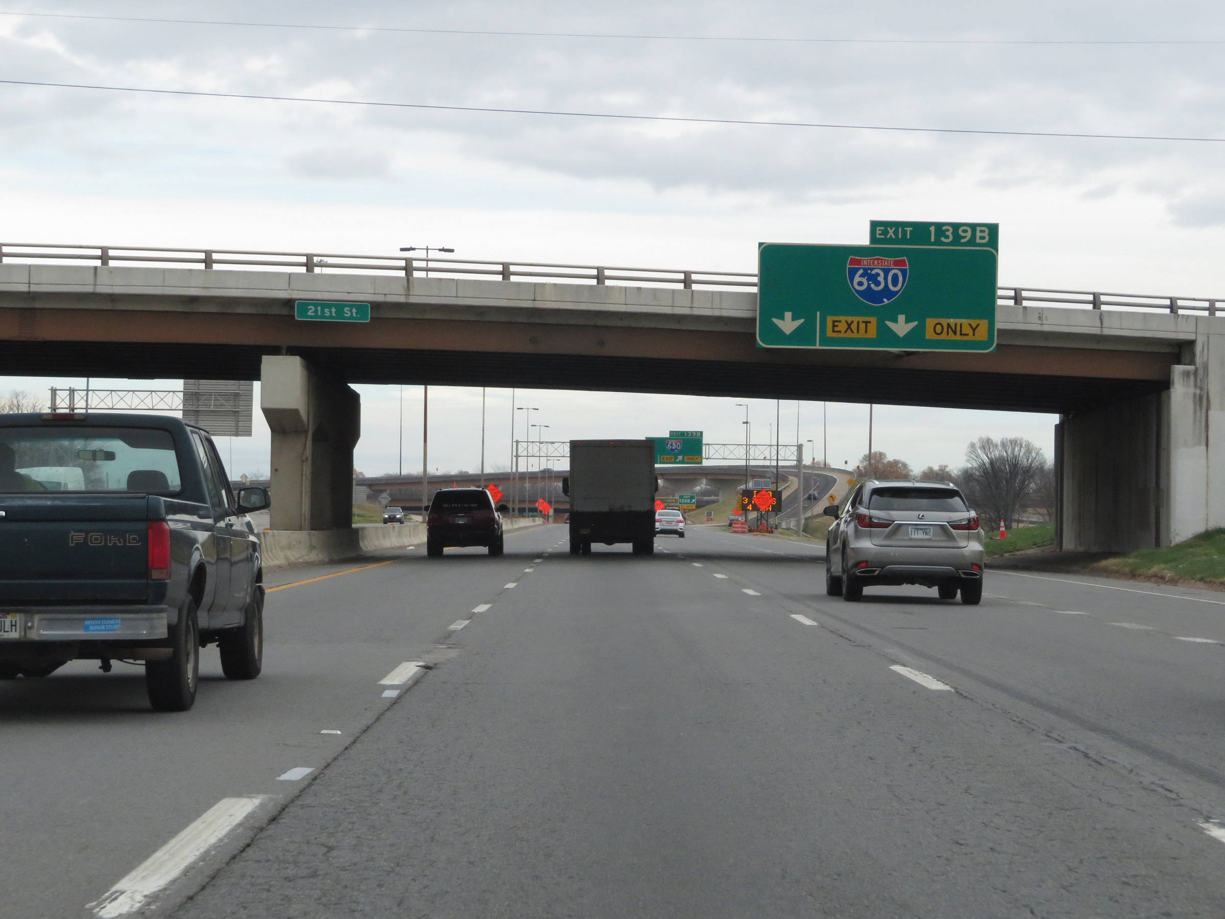
Interstate 30 East at Exit 139B: Interstate 630 West (Photo taken 12/11/20). |
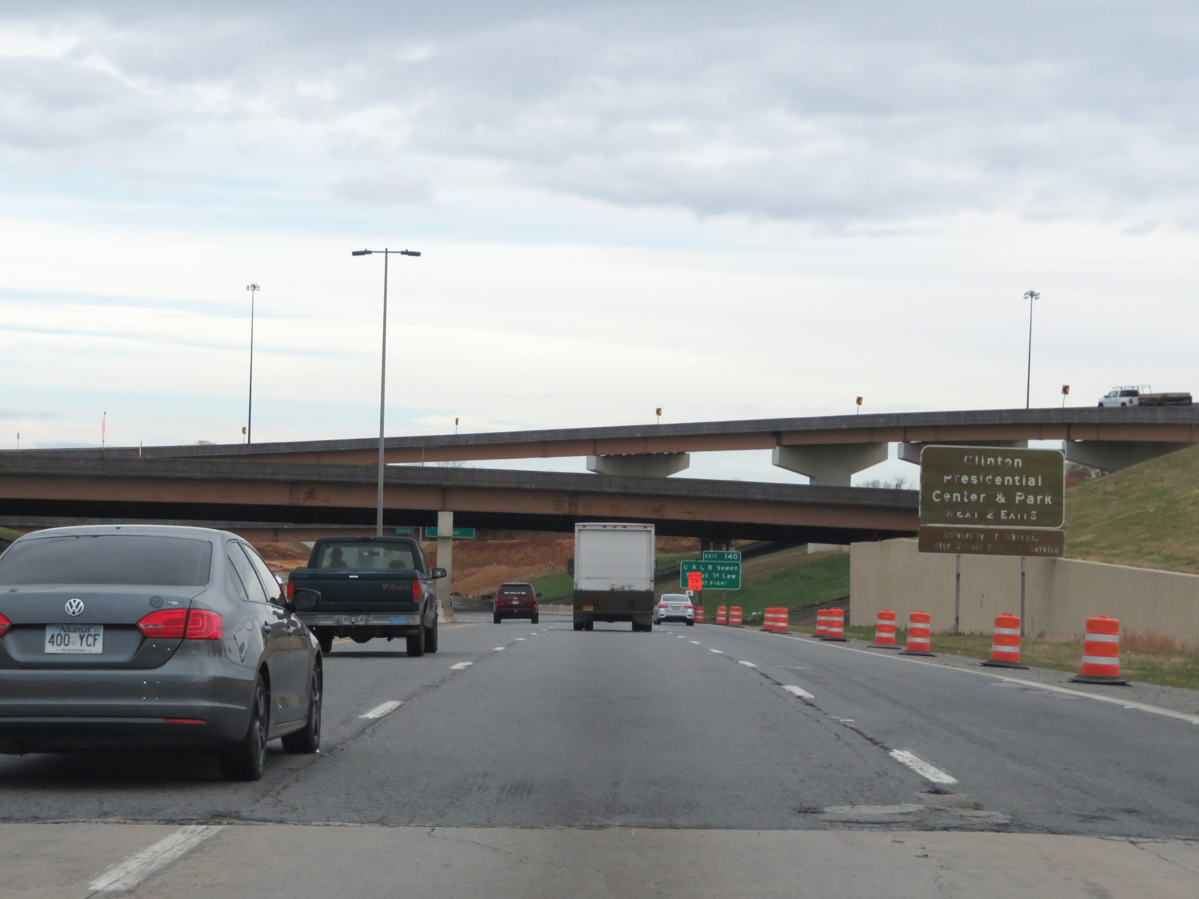 |
Take either of the next 2 exits to the Clinton Presidential Center & Park. (Photo taken 12/11/20). |
 |
State-named Interstate 30 East reassurance shield in Little Rock. (Photo taken 12/11/20). |
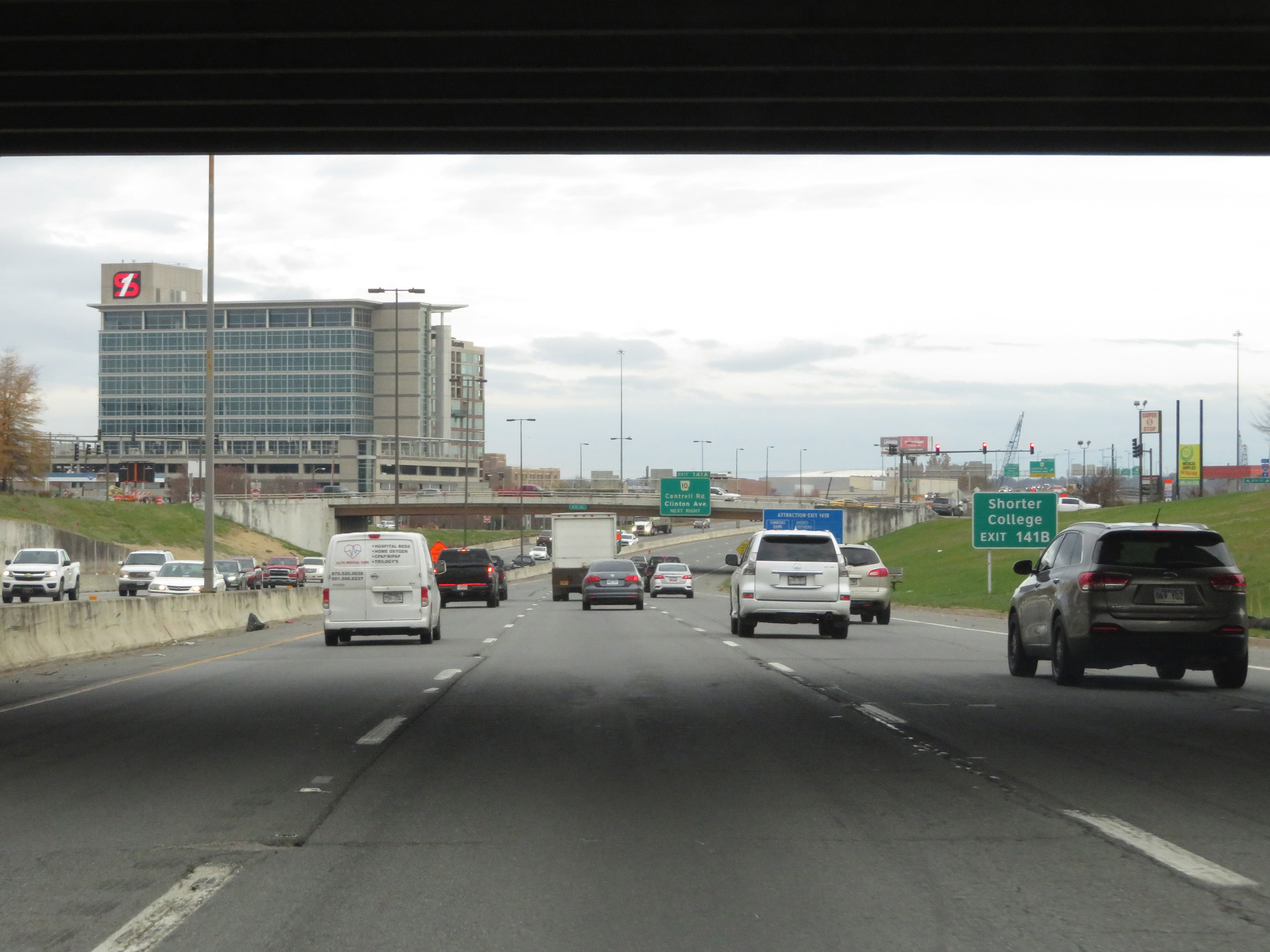 |
Take Exit 141B to Shorter College. (Photo taken 12/11/20). |
 |
Interstate 30 East approaching Exit 141A. (Photo taken 12/11/20). |
 |
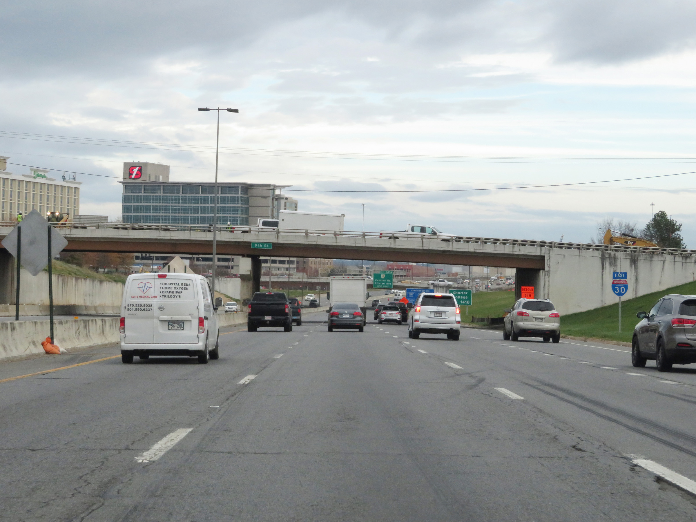
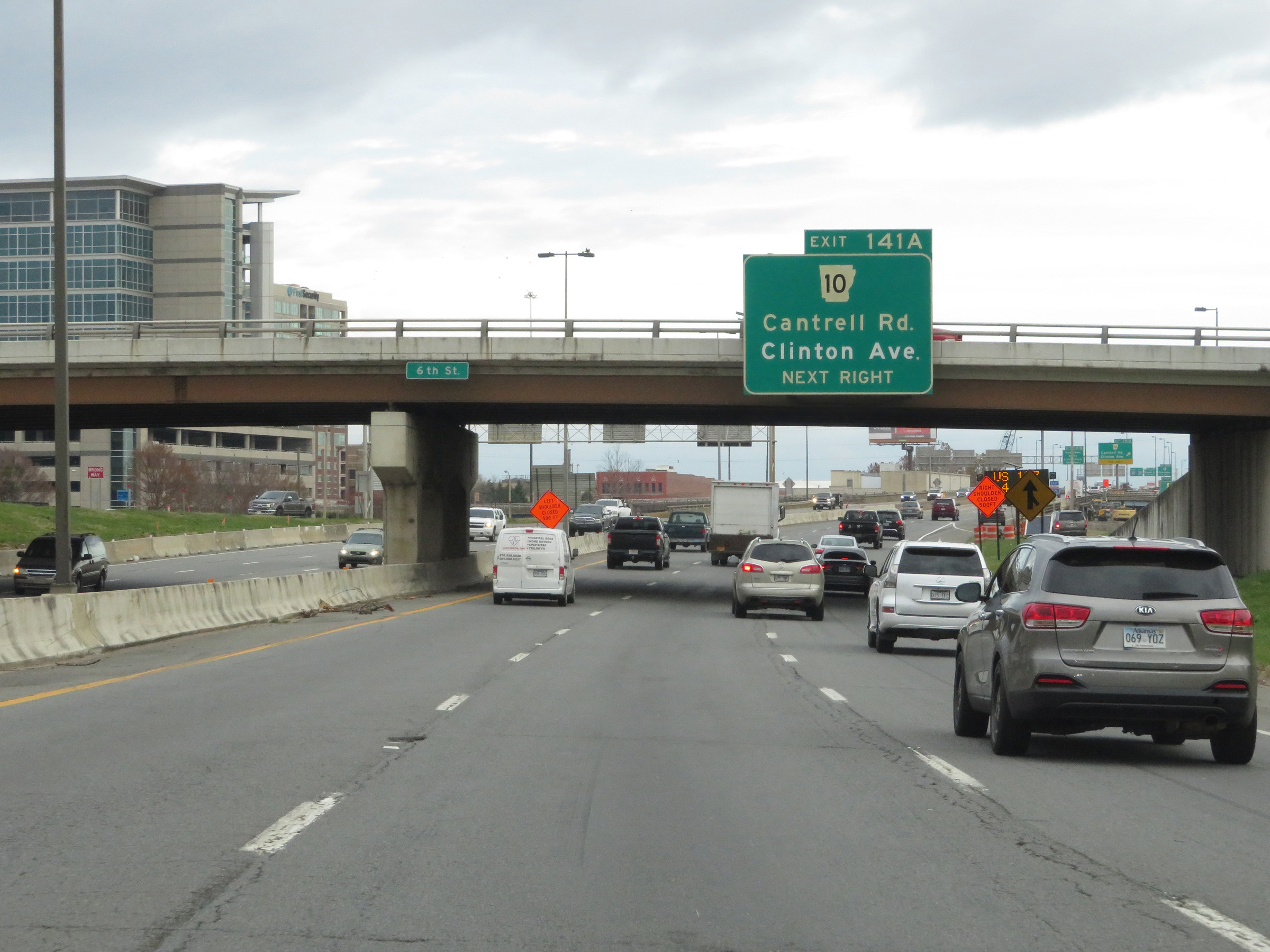
Interstate 30 East at Exit 141A: AR 10 - Cantrell Rd / Clinton Ave (Photo taken 12/11/20). |
 |
Interstate 30 East as it crosses the Arkansas River in Little Rock, just north of Exit 141A. (Photo taken 12/11/20). |
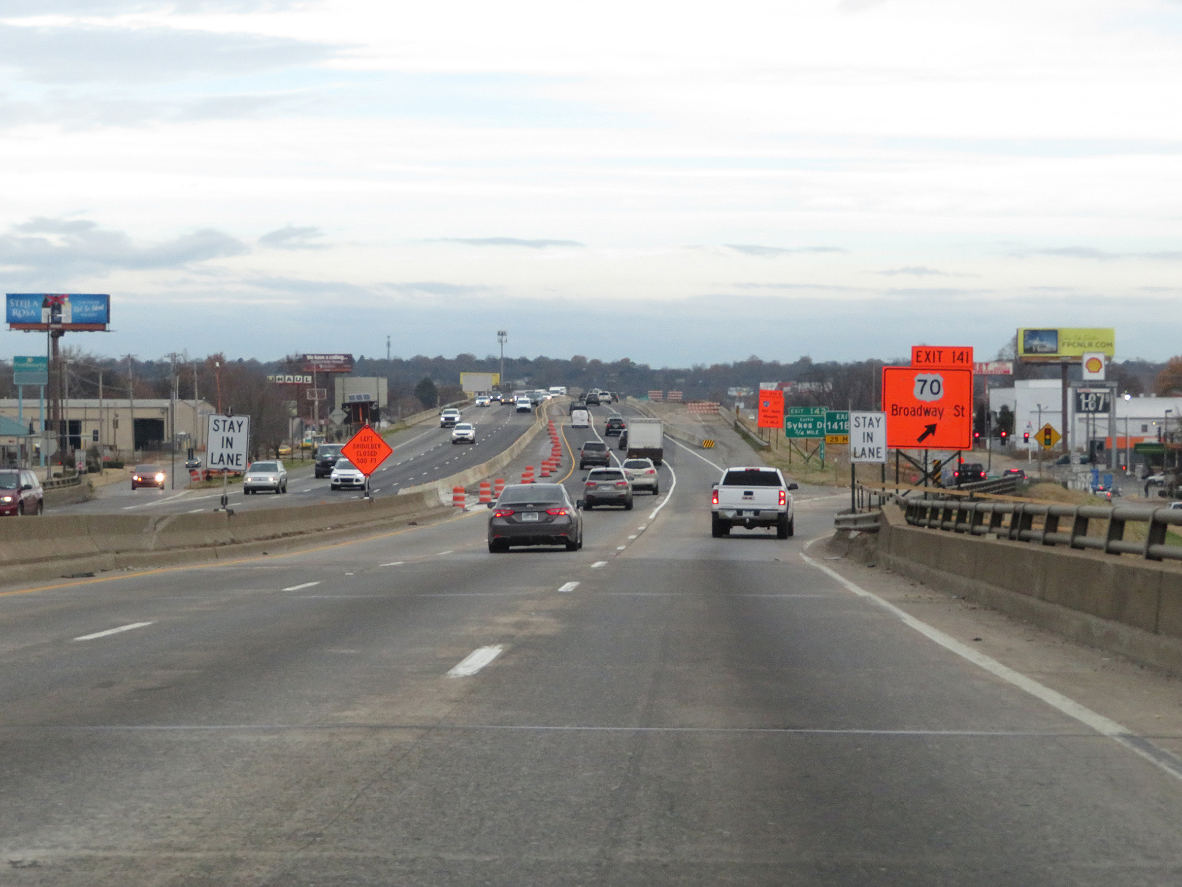 |
Interstate 30 East at Exit 141B: US 70 - Broadway St (Photo taken 12/11/20). |
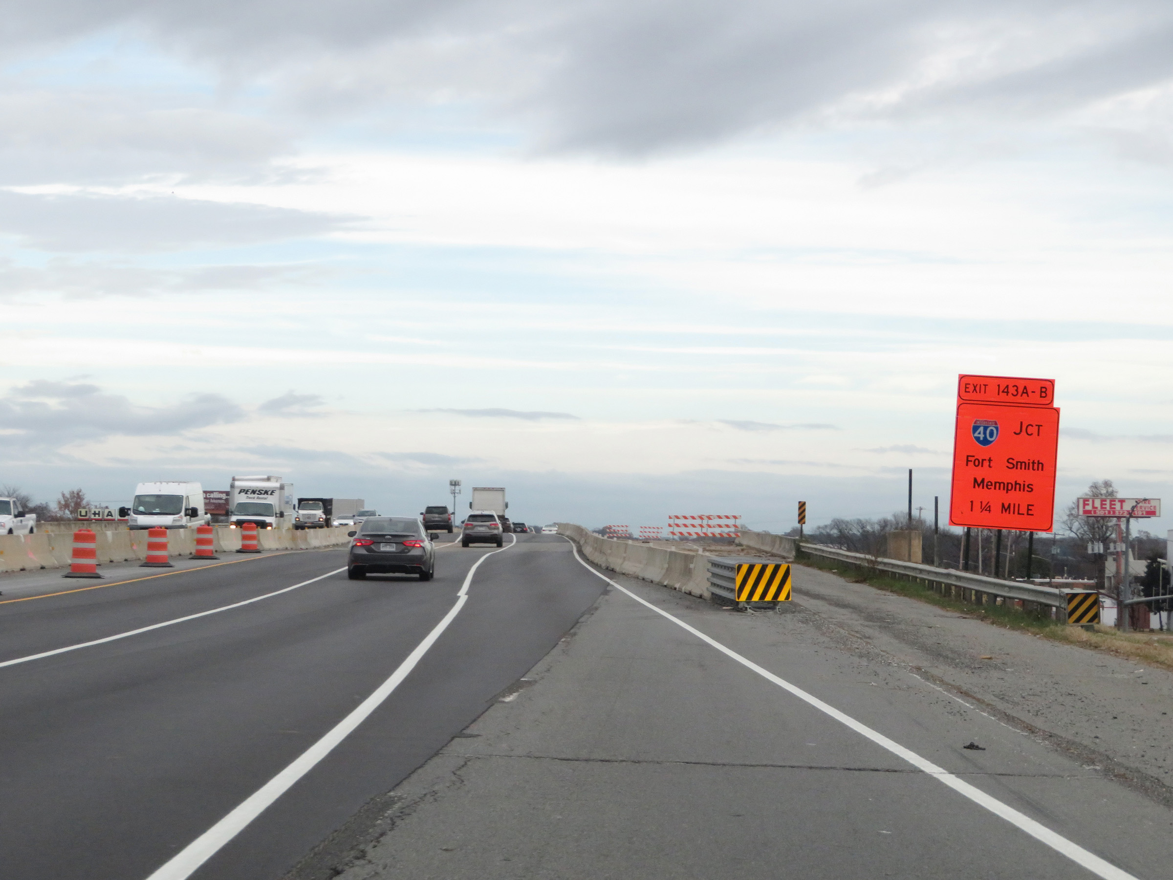 |
Interstate 30 East approaching the junction of Interstate 40, which will mark its eastern terminus in 1 1/4 miles. (Photo taken 12/11/20). |
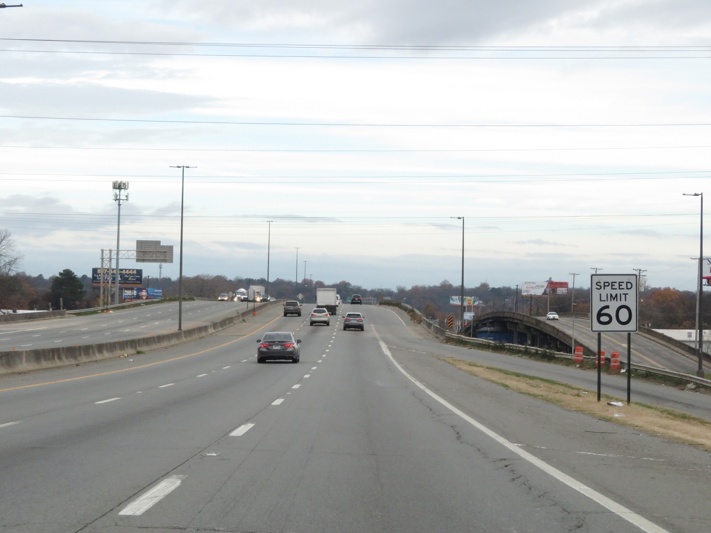 |
The speed limit on Interstate 30 East in the downtown area of Little Rock is 60 mph for all traffic. (Photo taken 12/11/20). |
 |
One final state-named Interstate 30 East reassurance shield. (Photo taken 12/11/20). |
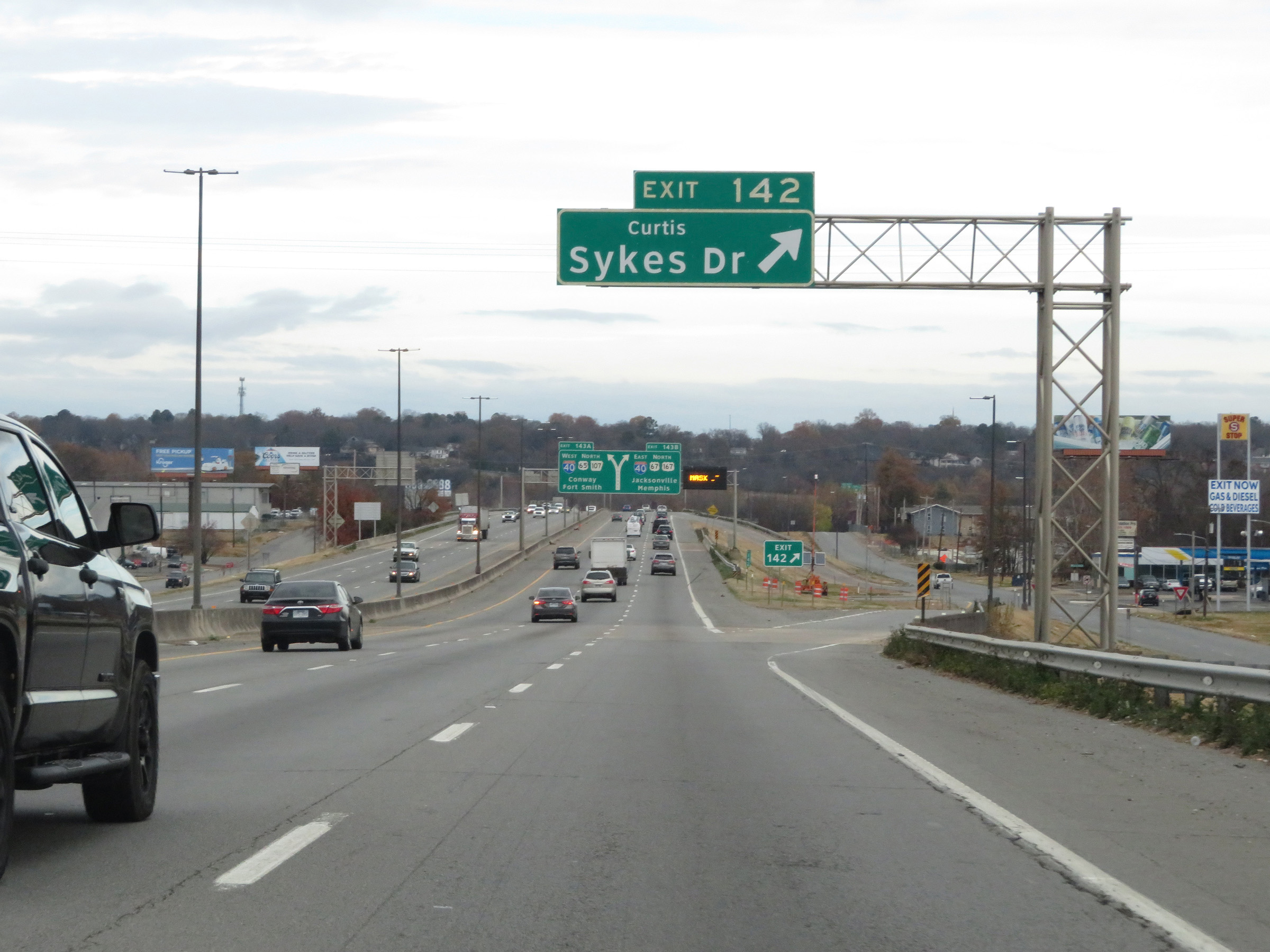 |
Interstate 30 East at Exit 142: Curtis Sykes Dr (Photo taken 12/11/20). |
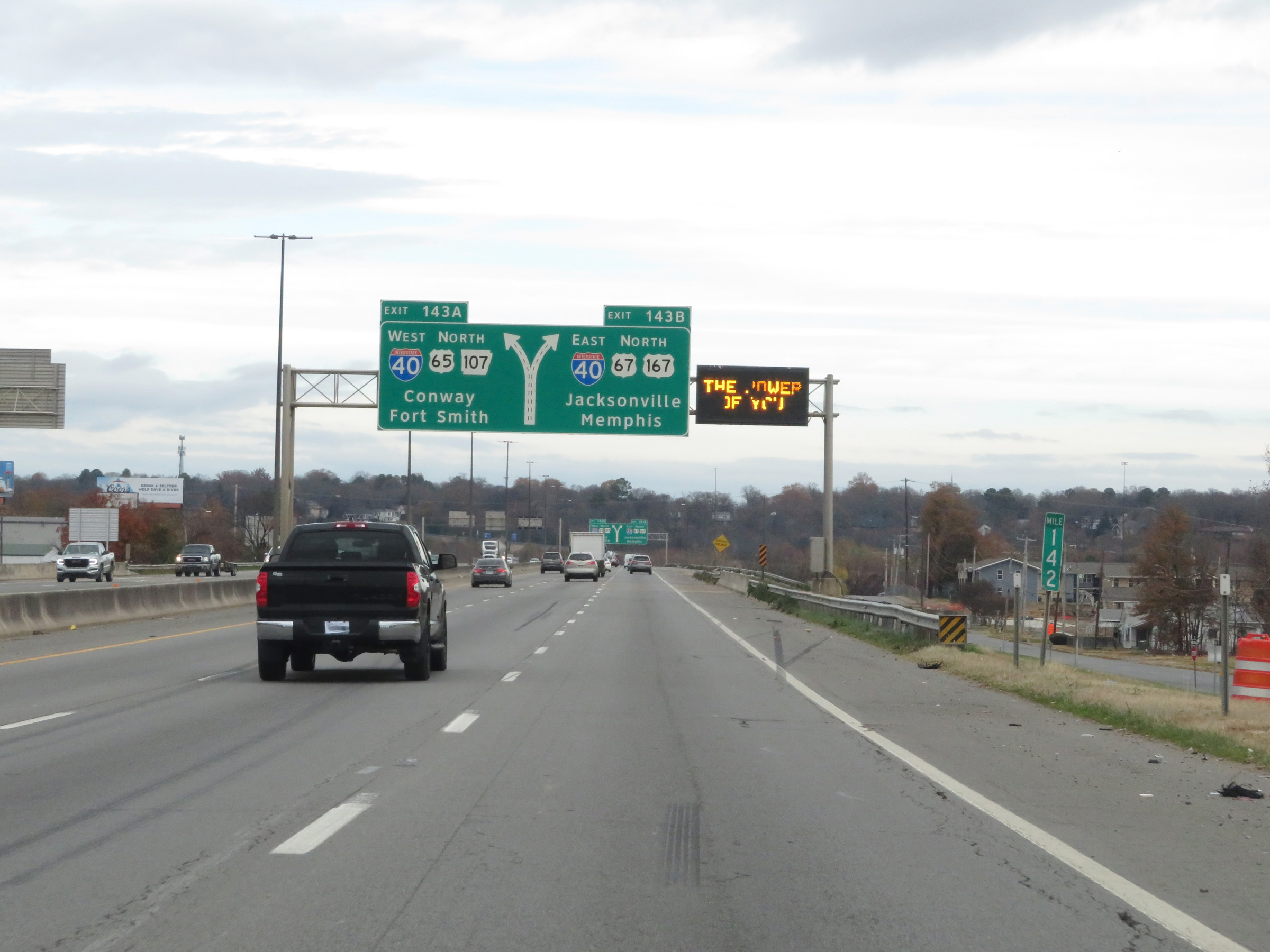 |
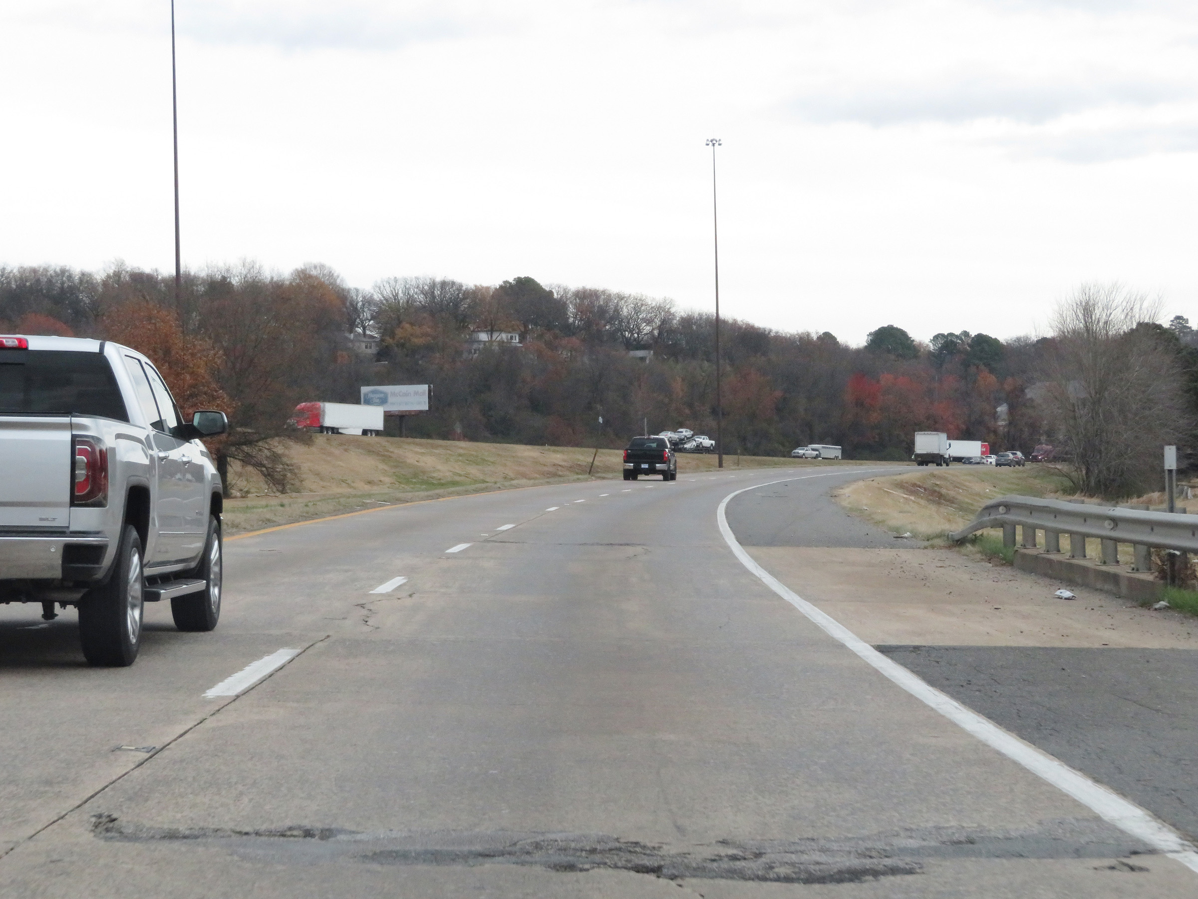
Interstate 30 East at mile marker 142, as it approaches its eastern terminus at the junction of Interstate 40. I-40 East traffic should keep right and I-40 West traffic should keep left. The middle lane can be used to access either of the ramps to I-40. (Photo taken 12/11/20). |
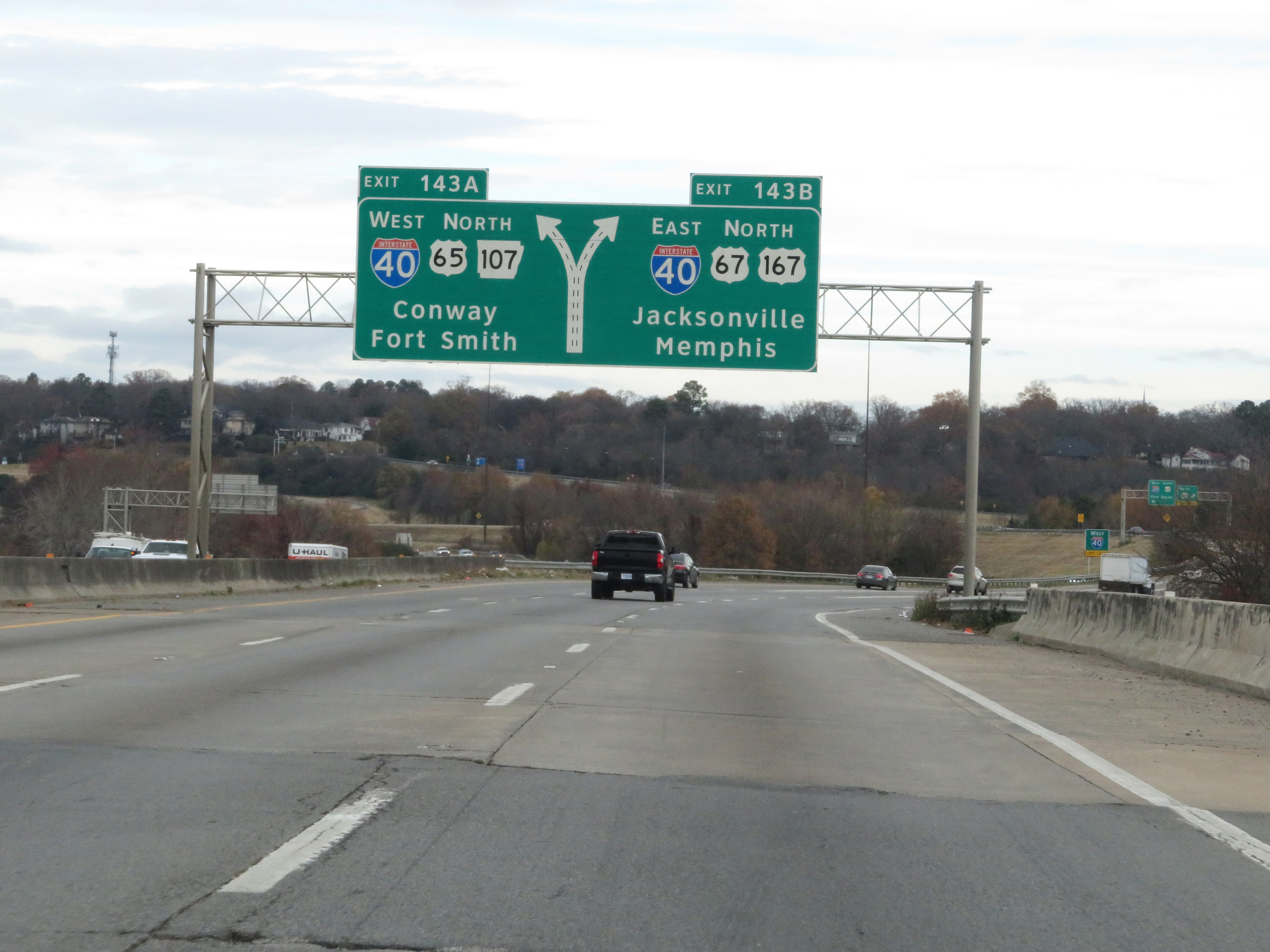 |
Interstate 30 East at Exit 143A: Interstate 40 West / US 65 North / AR 107 North - Conway / Fort Smith; Exit 143B: Interstate 40 East / US 67 North / US 167 North - Jacksonville / Memphis (Photo taken 12/11/20). |
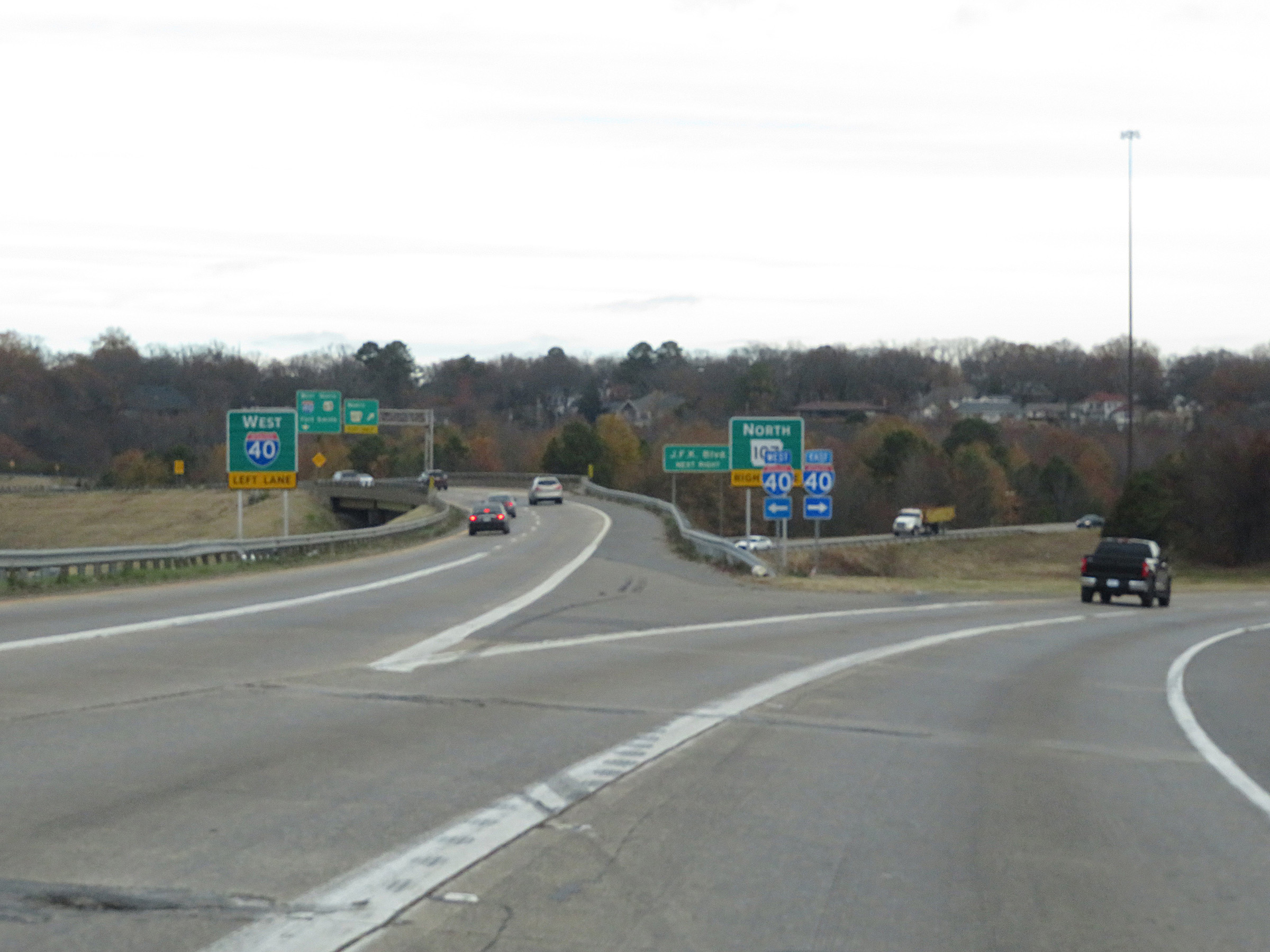 |
A far less than perfect view of the split of the ramps for Exits 143A-B at the eastern terminus of Interstate 30 in North Little Rock. (Photo taken 12/11/20). |
 |
View on the ramp to Interstate 40 East via Exit 143B. (Photo taken 12/11/20). |
 |
Interstate 40 traffic comes into view at this point on the ramp from Interstate 30 East via Exit 143B. (Photo taken 12/11/20). |
 |
The ramp to Interstate 40 East from Interstate 30 East via Exit 143B ends and merges into I-40 East here. (Photo taken 12/11/20). |
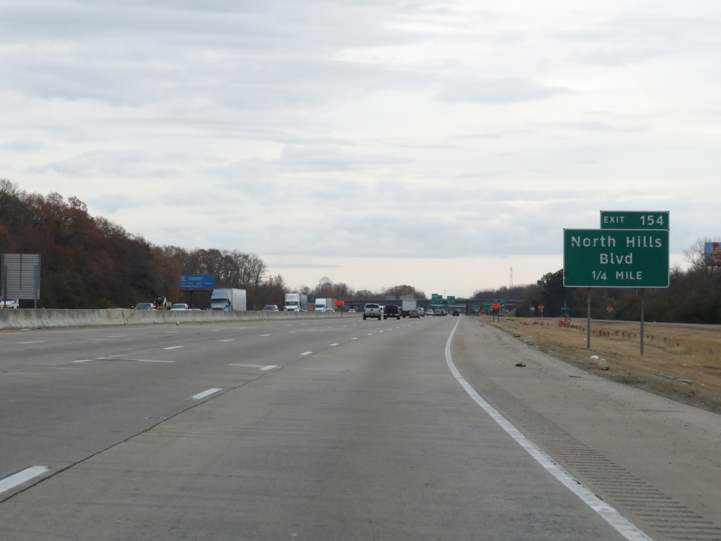 |
Advance signage for Exit 154 on Interstate 40 East at the eastern terminus of Interstate 30 in North Little Rock. (Photo taken 12/11/20). |