Road Information |
||
 |
||
| Total Mileage in State: | 300 miles | |
| Northern End: | At I-90, in Buffalo | |
| Southern End: | At Colorado state line | |
| Mileage covered in Photos: | 300 miles | |
| Counties covered in Photos: | Johnson, Natrona, Converse, Platte, Laramie | |
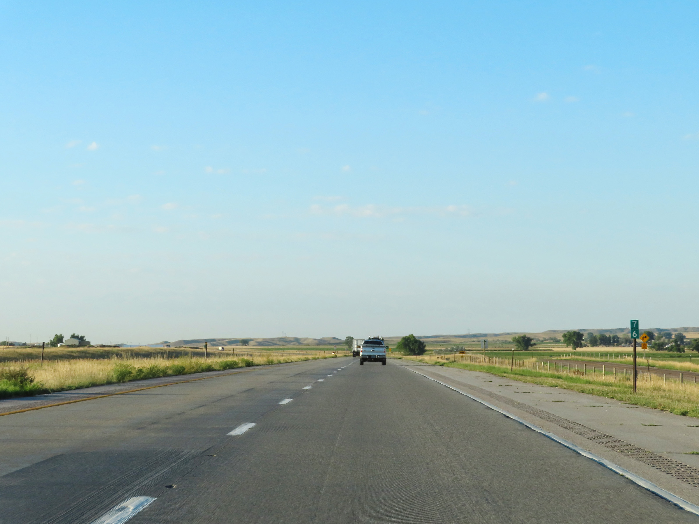
| Major Junctions in Photos: | US 16, in Buffalo US 20/US 26, in Casper US 30, in Cheyenne I-80, in Cheyenne |
|
| Control Cities in Photos: | Buffalo, Kaycee, Casper, Douglas, Wheatland, Cheyenne | |
Southbound
- Section 1: Interstate 90 to Kaycee (Exit 254)
- Section 2: Kaycee (Exit 254) to Casper (Exit 187)
- Section 3: Casper (Exit 187) to Douglas (Exit 135)
- Section 4: Douglas (Exit 135) to Wheatland (Exit 78)
- Section 5: Wheatland (Exit 78) to Cheyenne (Exit 13)
- Section 6: Cheyenne (Exit 13) to Colorado Border
Section 1: Interstate 90 to Kaycee (Exit 254)
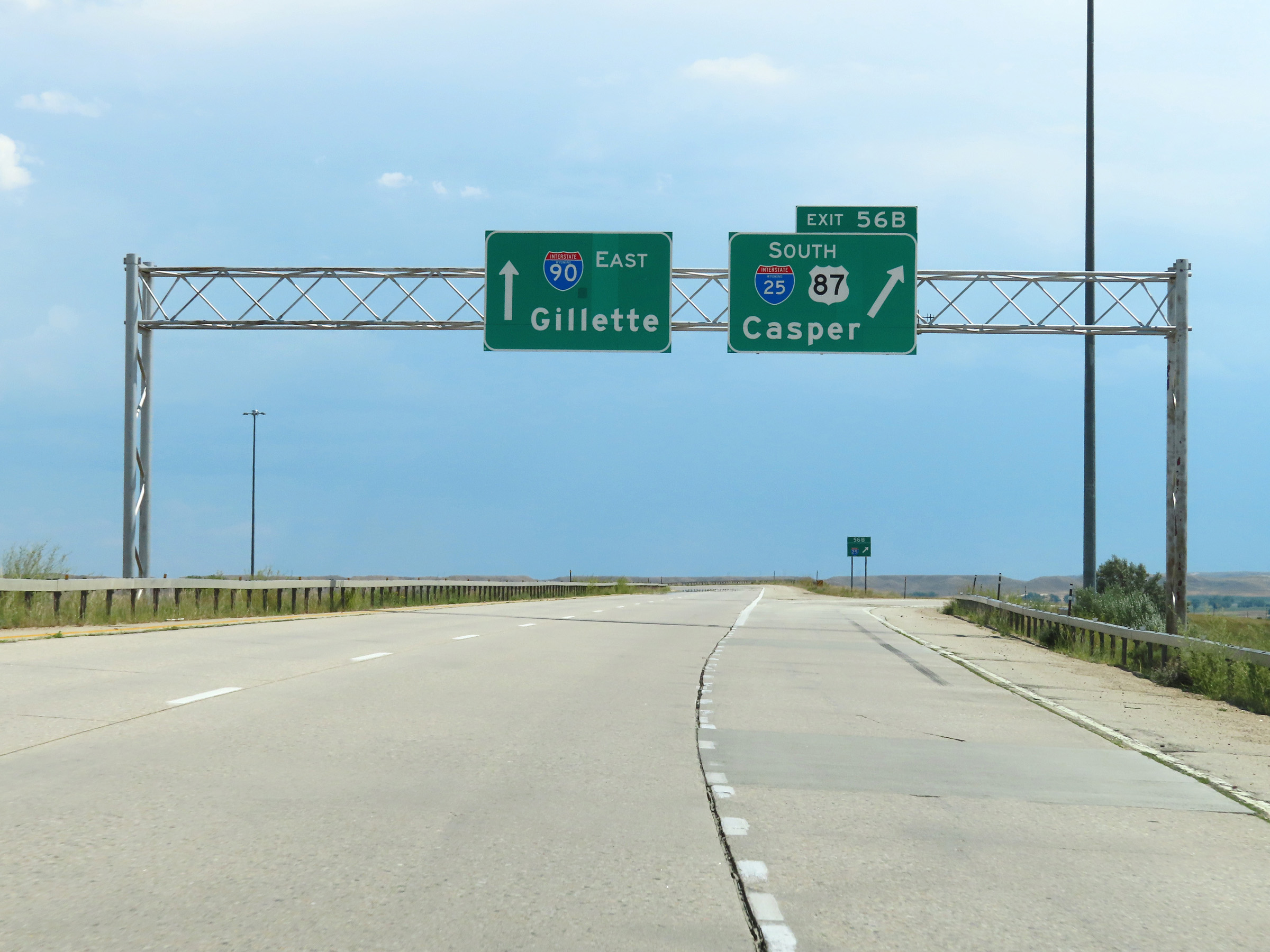 |
Merging onto Interstate 25 South from via Exit 56B on Interstate 90 East in Buffalo. (Photo taken 8/17/22). |
 |
A closer view of the ramp to Interstate 25 South as it begins at Exit 56B off of Interstate 90 East in Buffalo. (Photo taken 8/17/22). |
 |
The ramp to Interstate 25 South descends sharply, and traffic from Interstate 90 West will merge with it ahead from the left. (Photo taken 8/17/22). |
 |
View on Interstate 25 South as the ramps from Interstate 90 East & West come together to form two thru lanes. (Photo taken 8/17/22). |
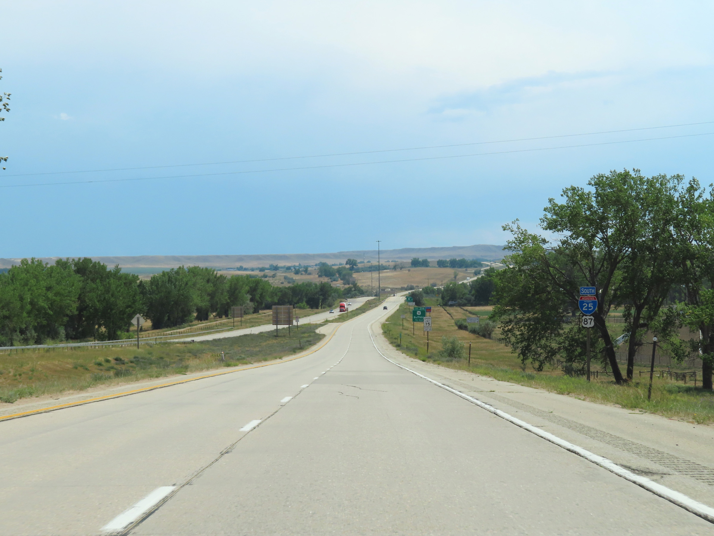 |
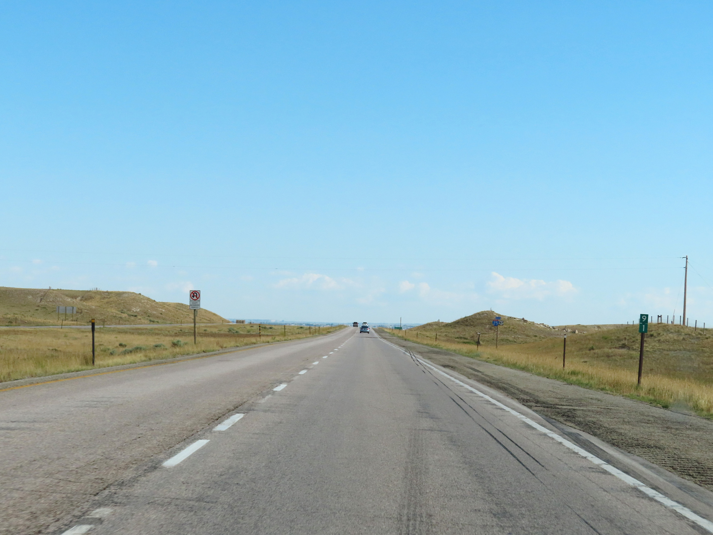
State-named Interstate 25 South reassurance shield in Buffalo. (Photo taken 8/17/22). |
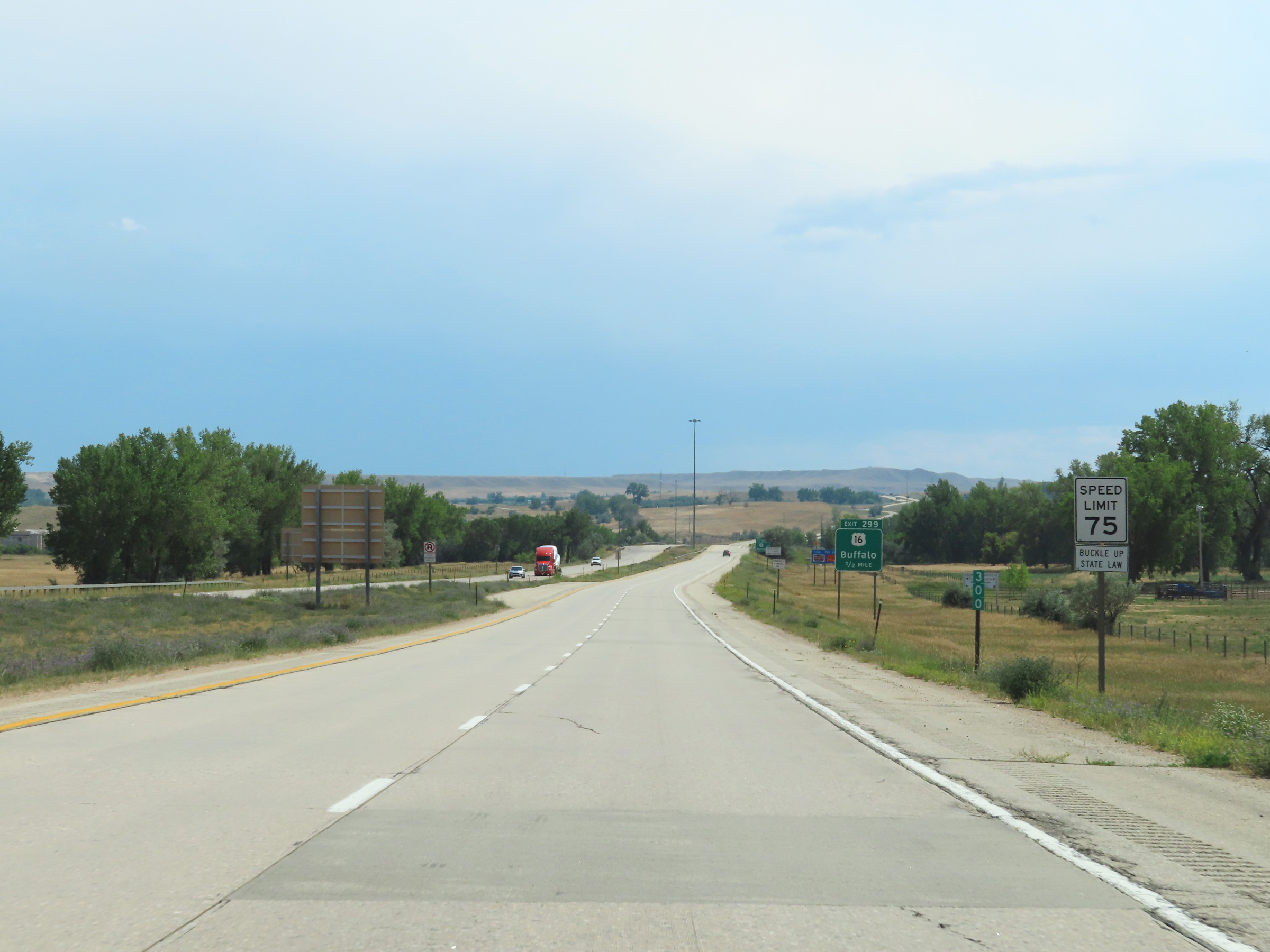 |
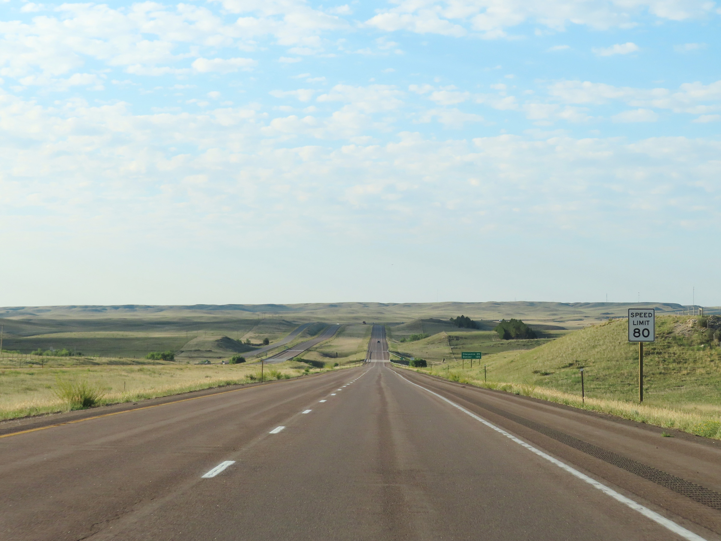
The speed limit on Interstate 25 South starts out at 75 mph as it passes by Buffalo at mile marker 300. (Photo taken 8/17/22). |
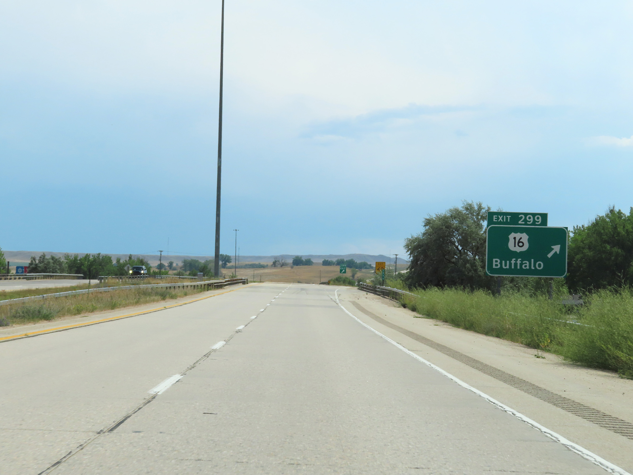 |
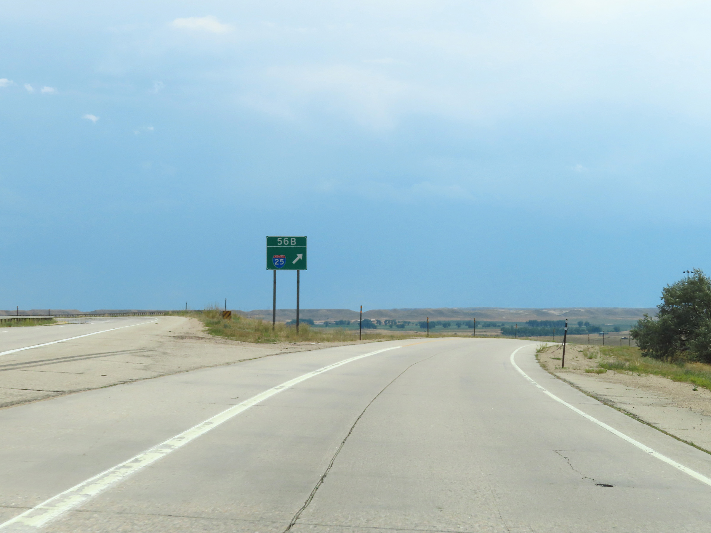
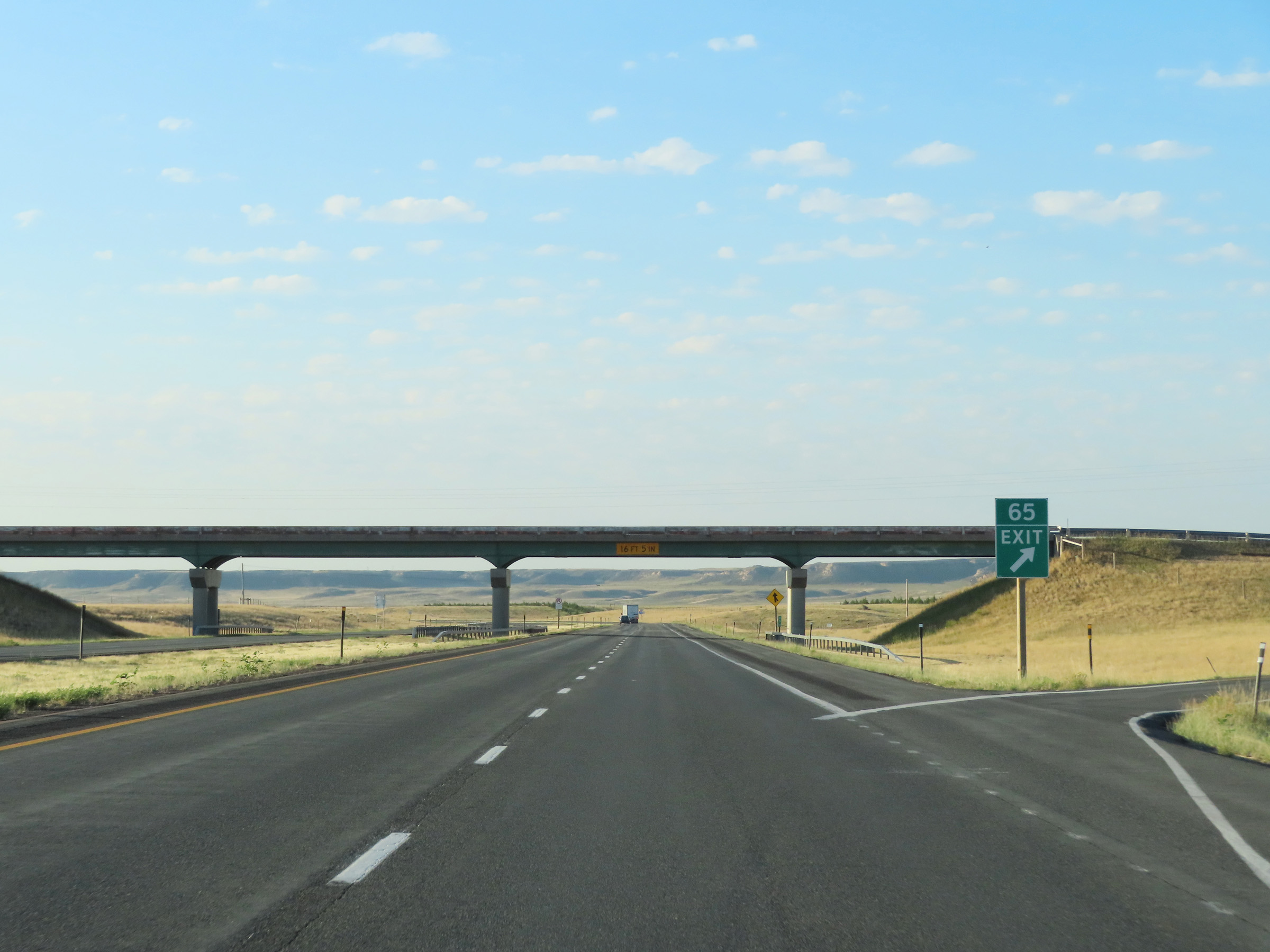
Interstate 25 South at Exit 299: US 16 - Buffalo (Photo taken 8/17/22). |
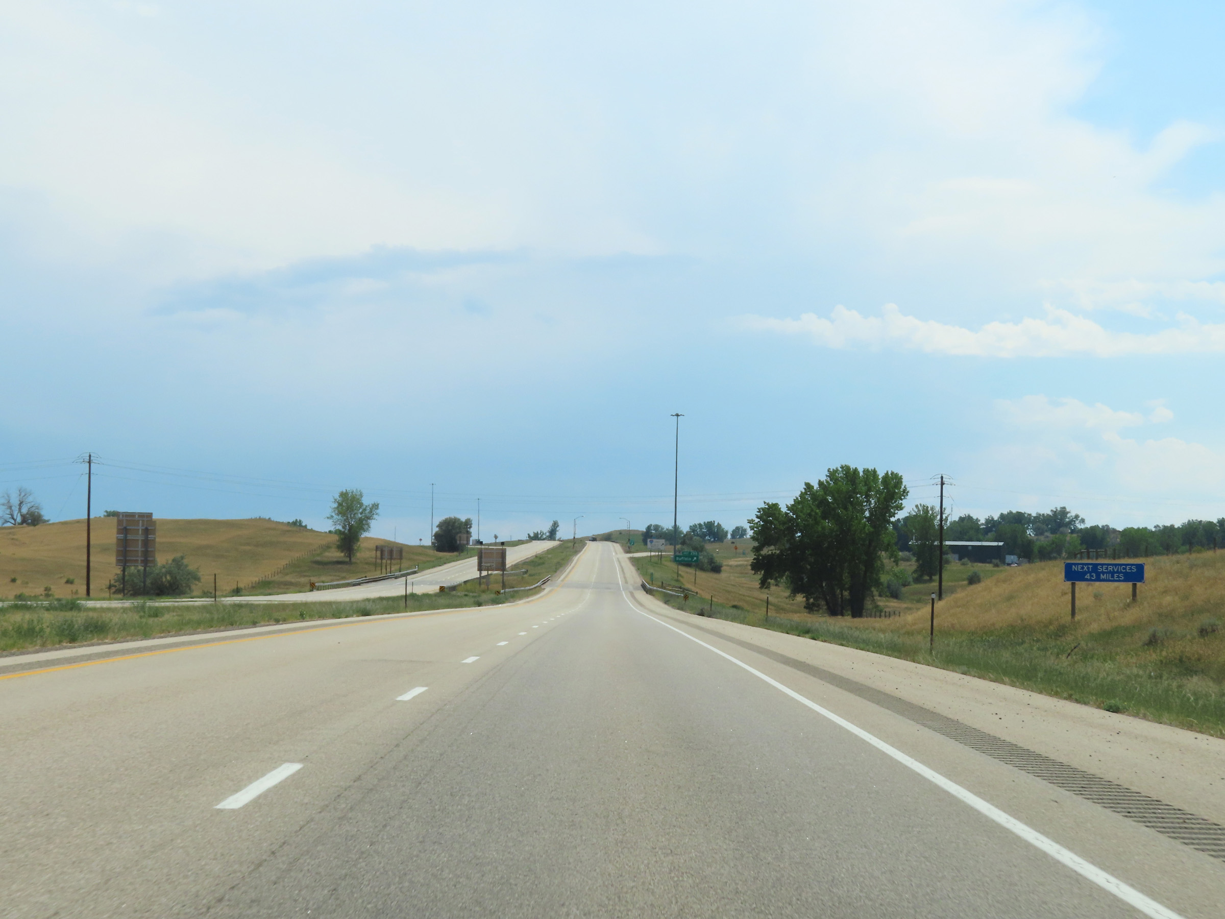 |
The next services available on Interstate 25 South beyond the next exit (Exit 298) are 43 miles ahead. (Photo taken 8/17/22). |
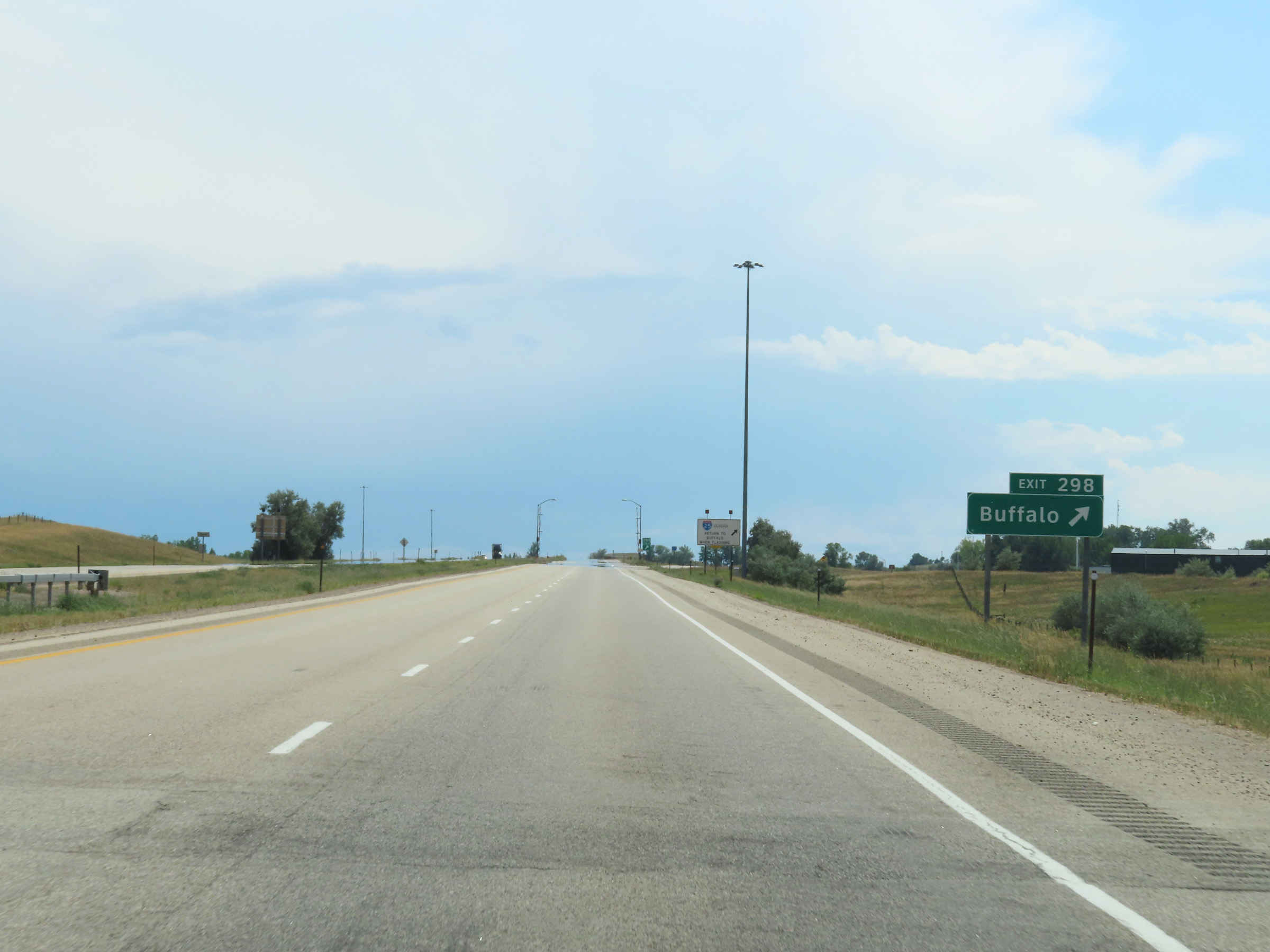 |
Interstate 25 South at Exit 298: Buffalo (Photo taken 8/17/22). |
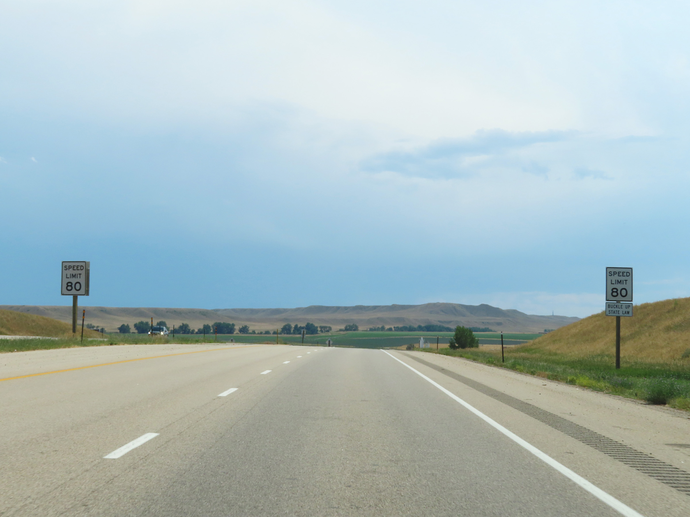 |
Leaving Buffalo, the speed limit on Interstate 25 South increases to 80 mph. This is the standard speed limit on most (but not all) rural Interstate highways in Wyoming. (Photo taken 8/17/22). |
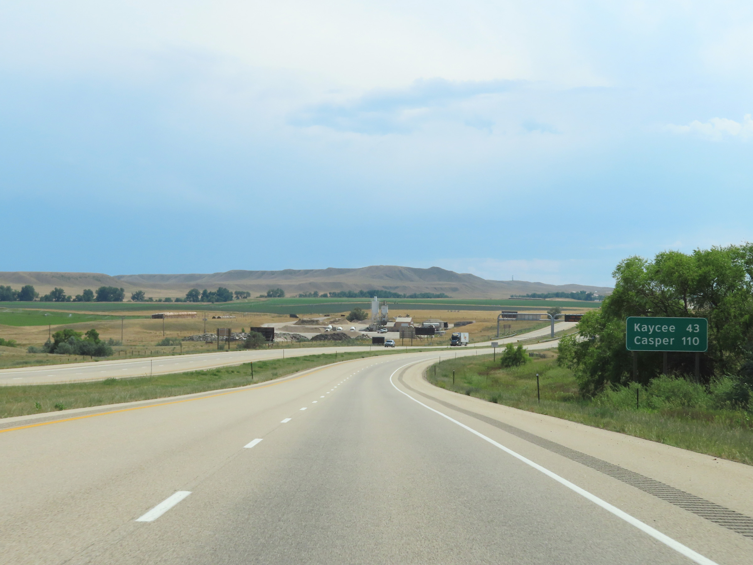 |
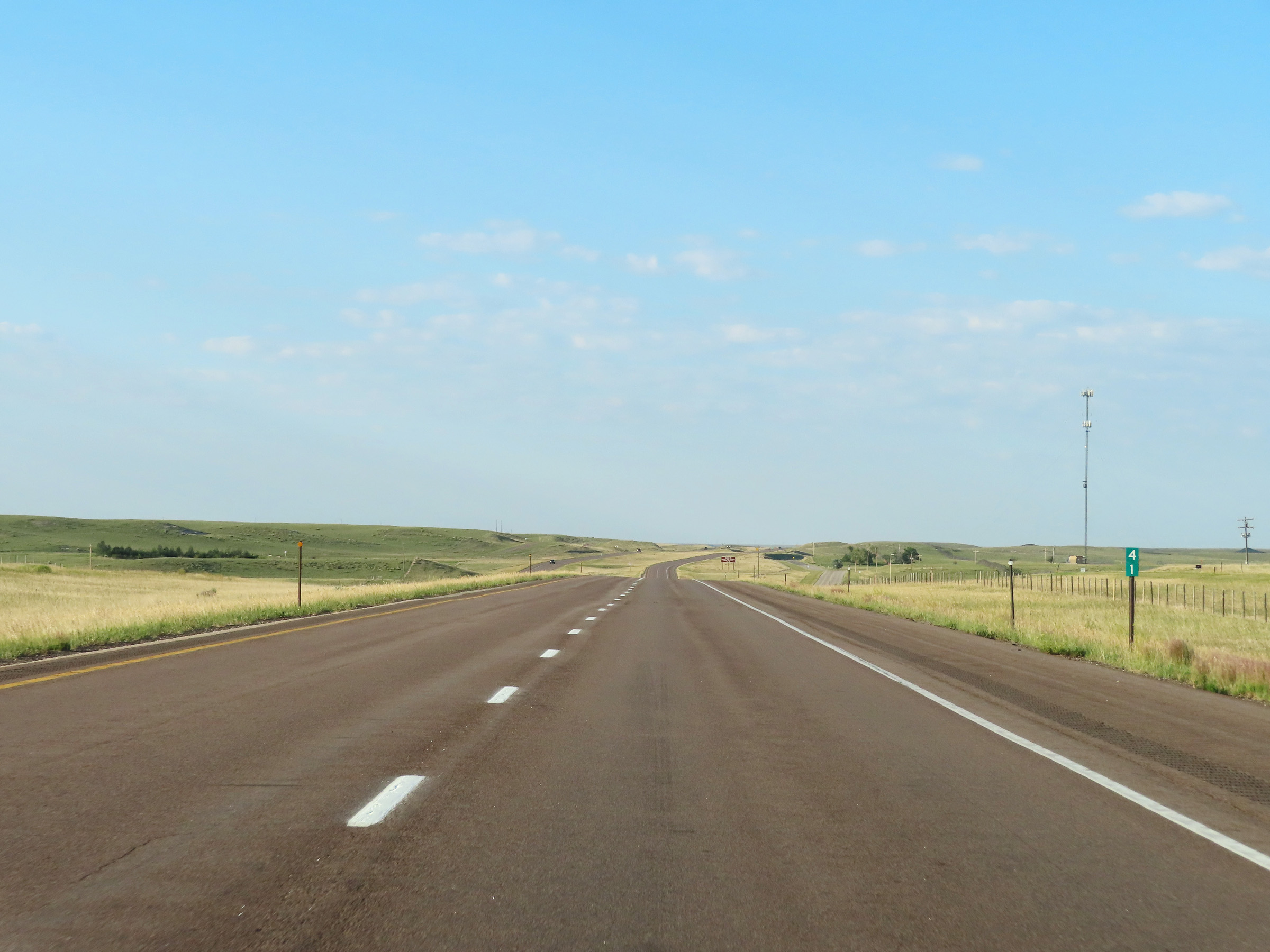
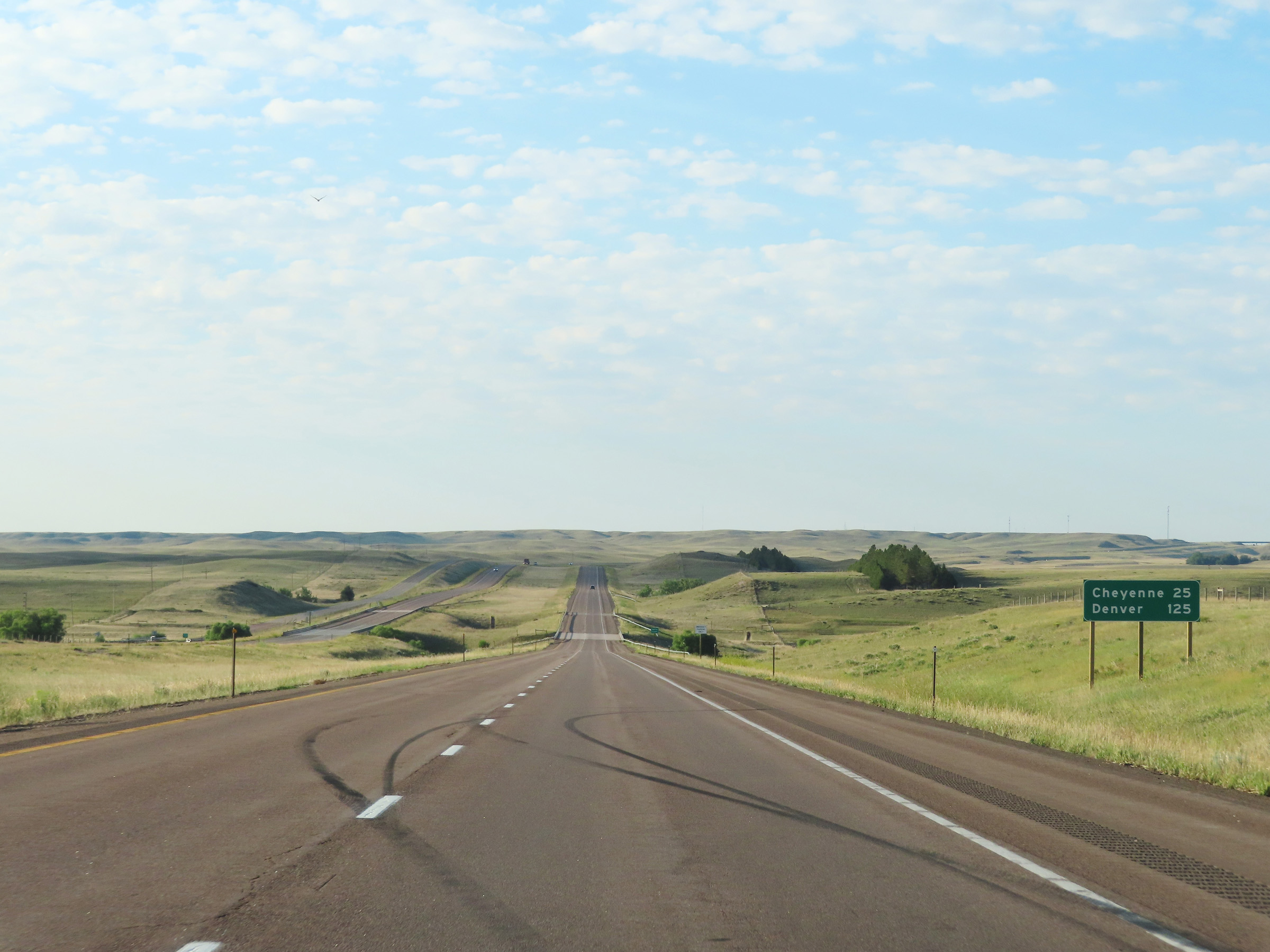
Mileage sign on Interstate 25 South. It's 43 miles to Kaycee and 110 miles to Casper. (Photo taken 8/17/22). |
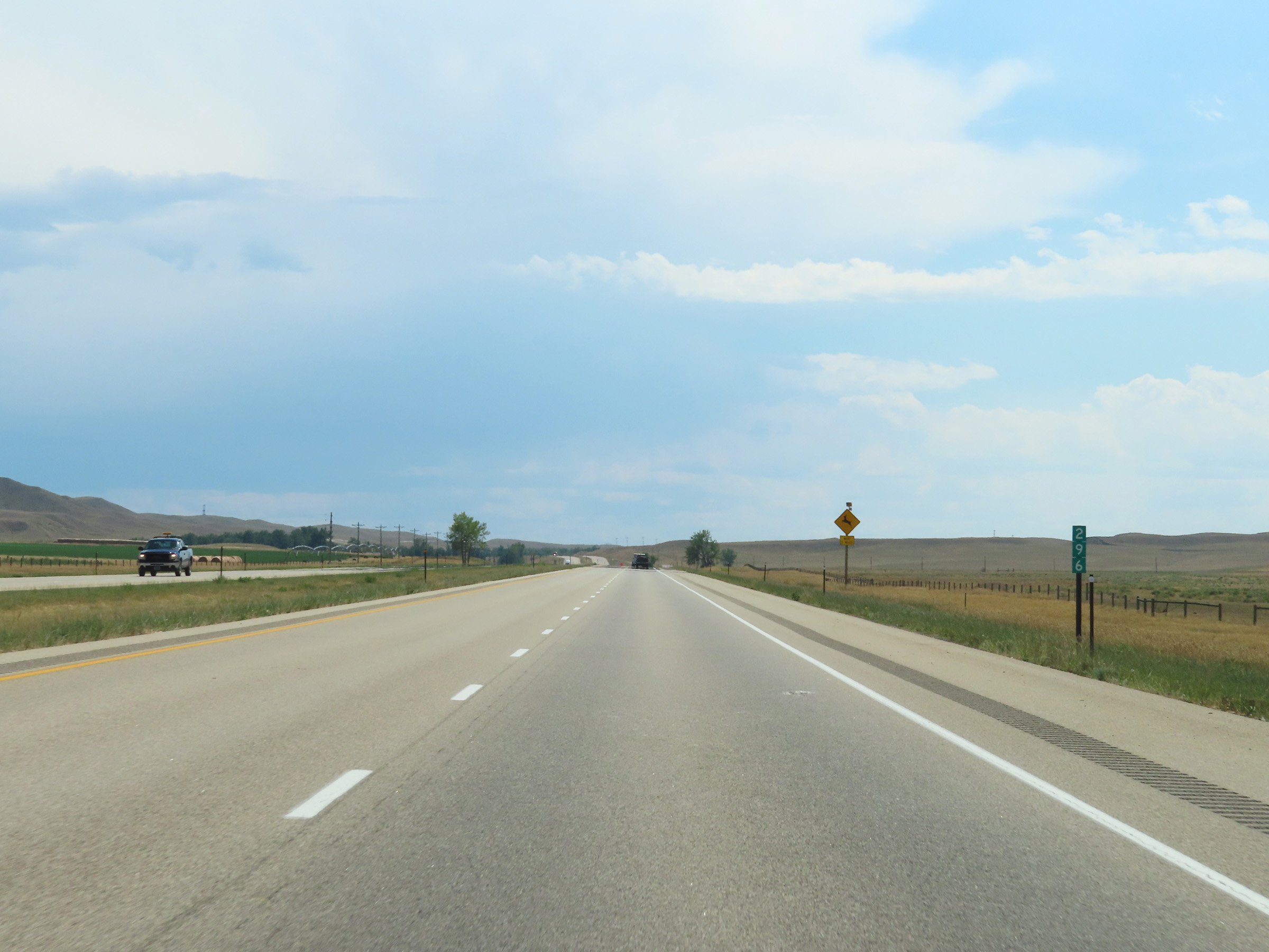 |
View on Interstate 25 South at mile marker 296. (Photo taken 8/17/22). |
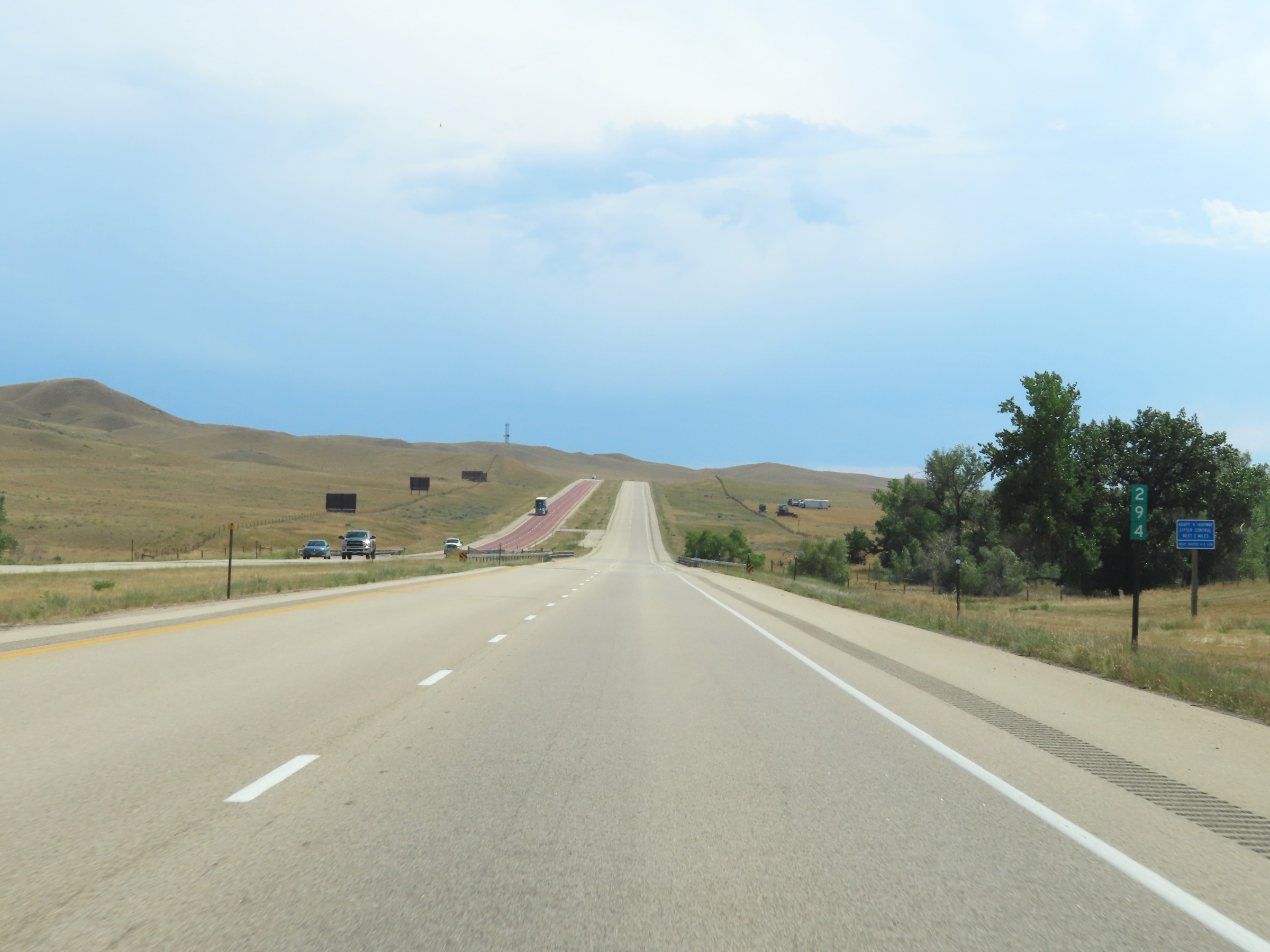 |
Mile marker 294 on Interstate 25 South in Johnson County. (Photo taken 8/17/22). |
 |
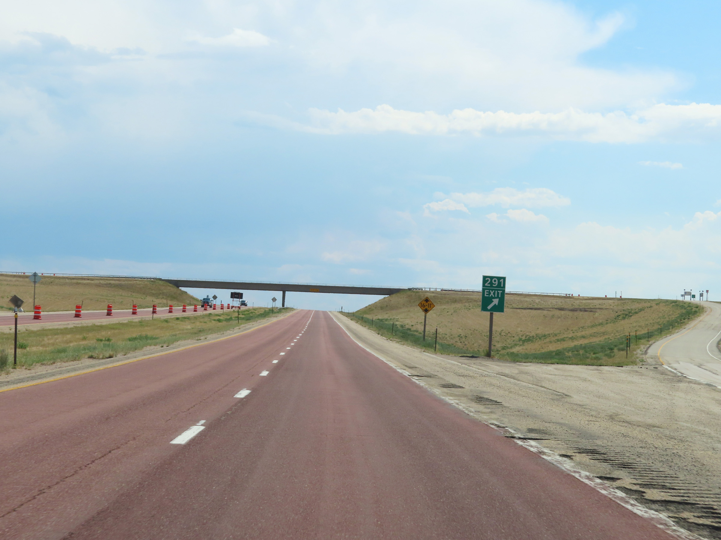
Interstate 25 South approaching Exit 291 - 1/4 mile. (Photo taken 8/17/22). |
 |
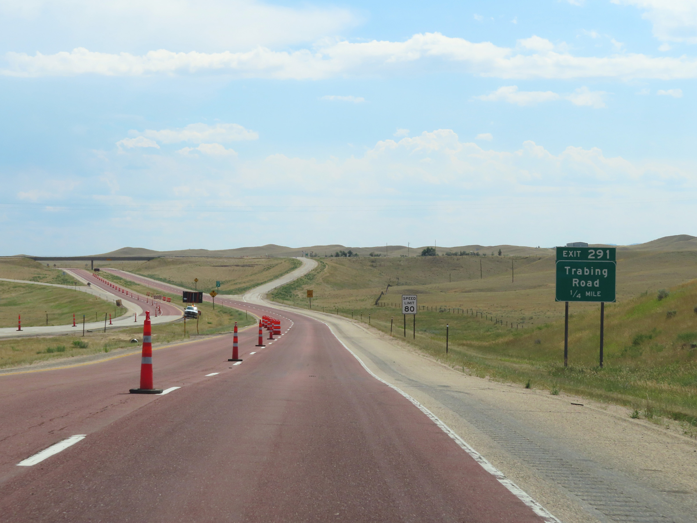
Interstate 25 South at Exit 291: Trabing Road (Photo taken 8/17/22). |
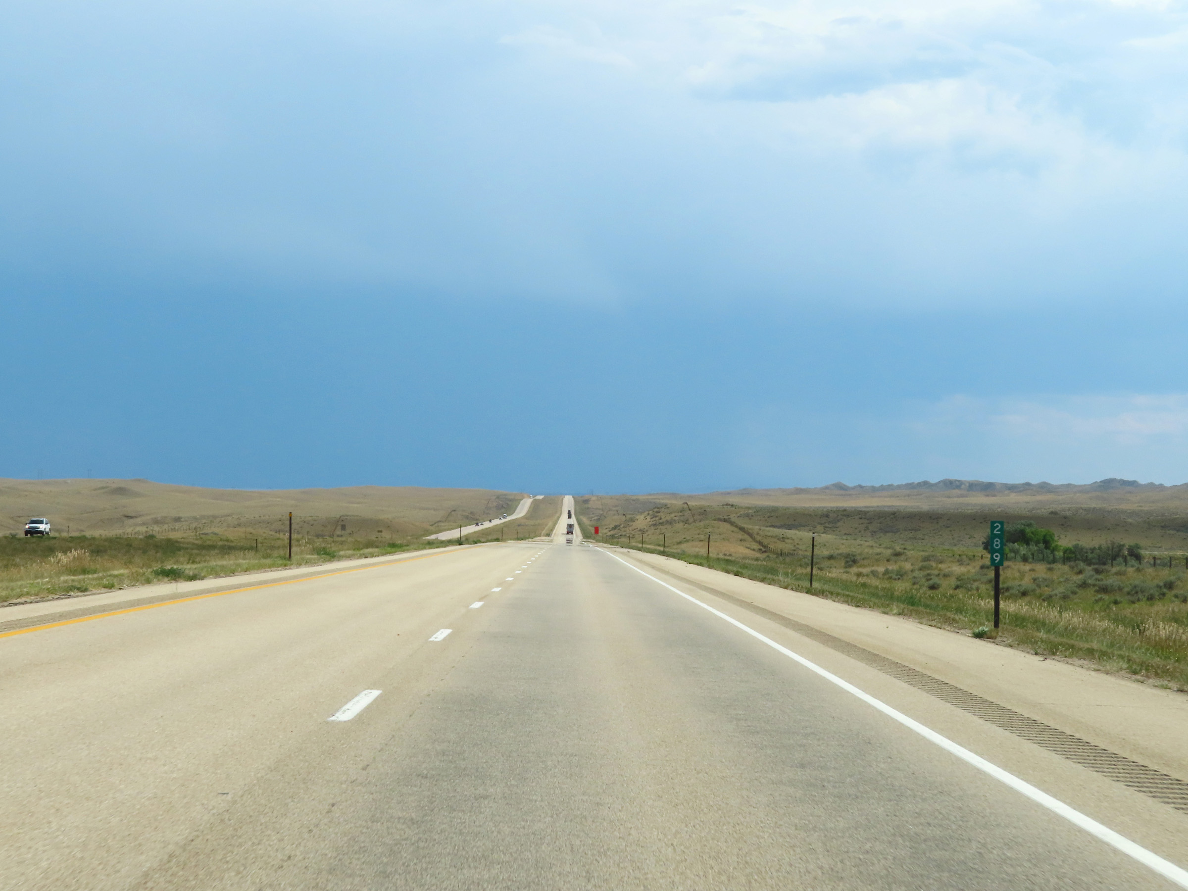 |
Mile marker 289 on Interstate 25 South in Johnson County. (Photo taken 8/17/22). |
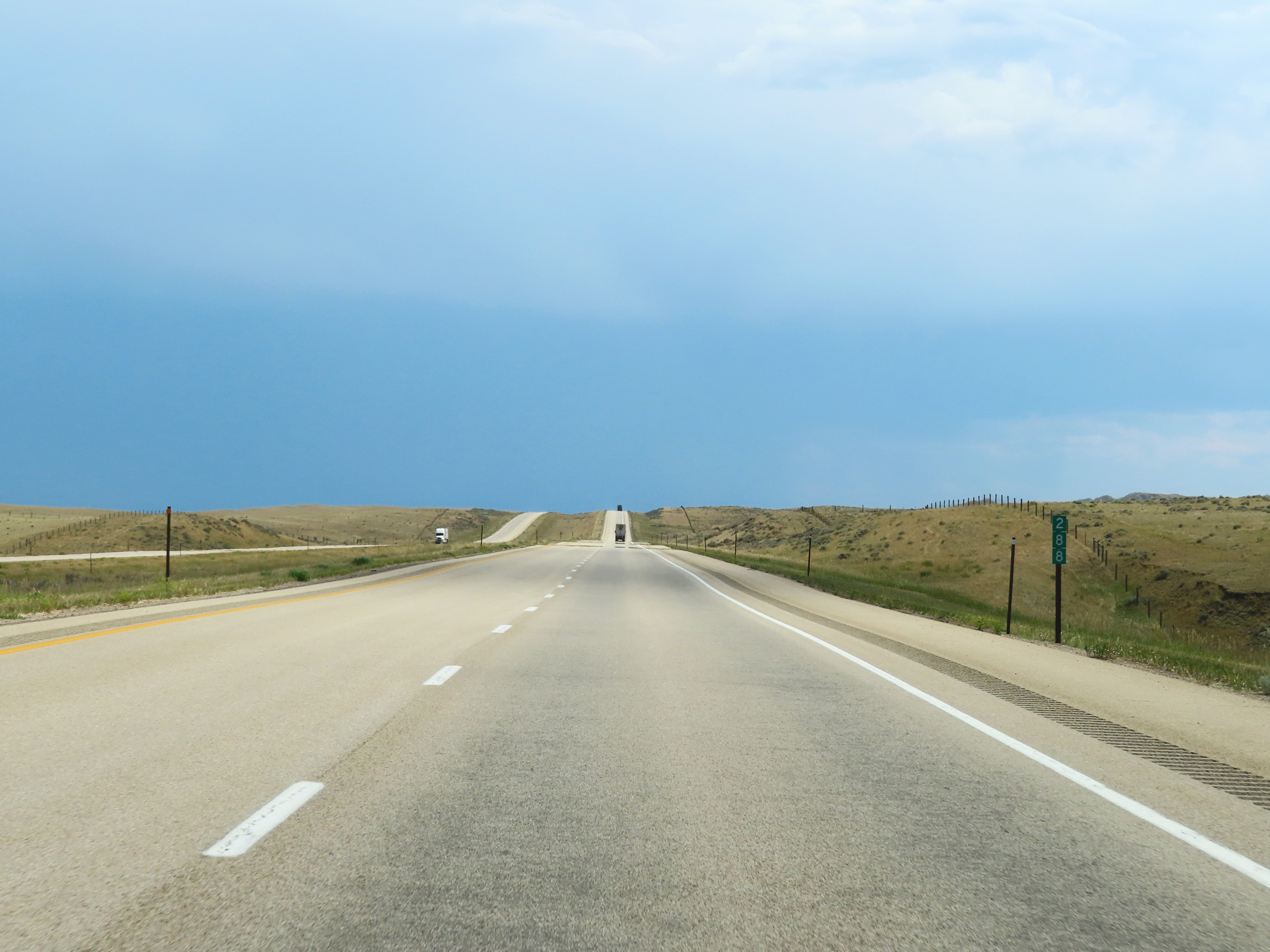 |
View on Interstate 25 South at mile marker 288. (Photo taken 8/17/22). |
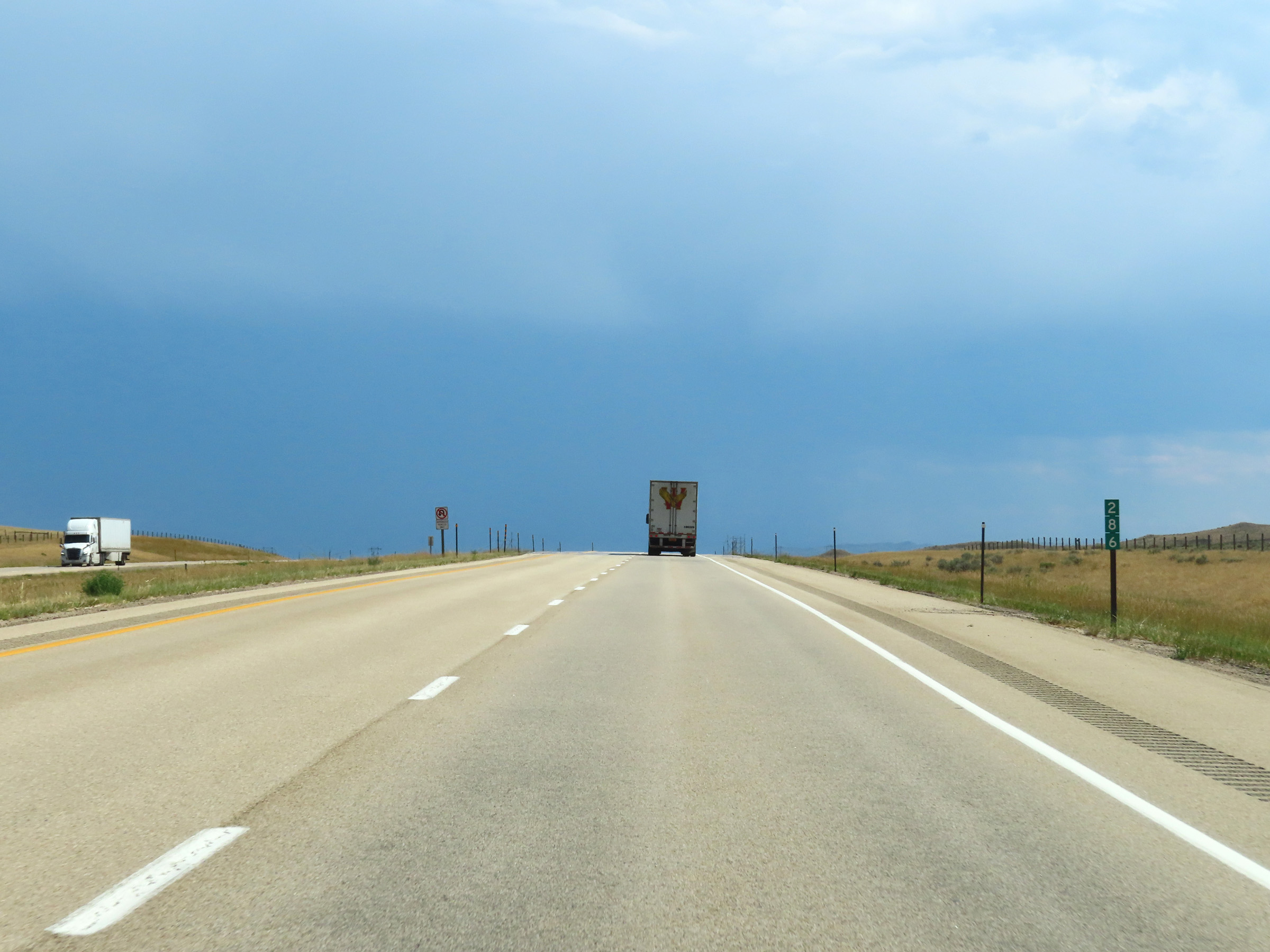 |
Interstate 25 South at mile marker 286. (Photo taken 8/17/22). |
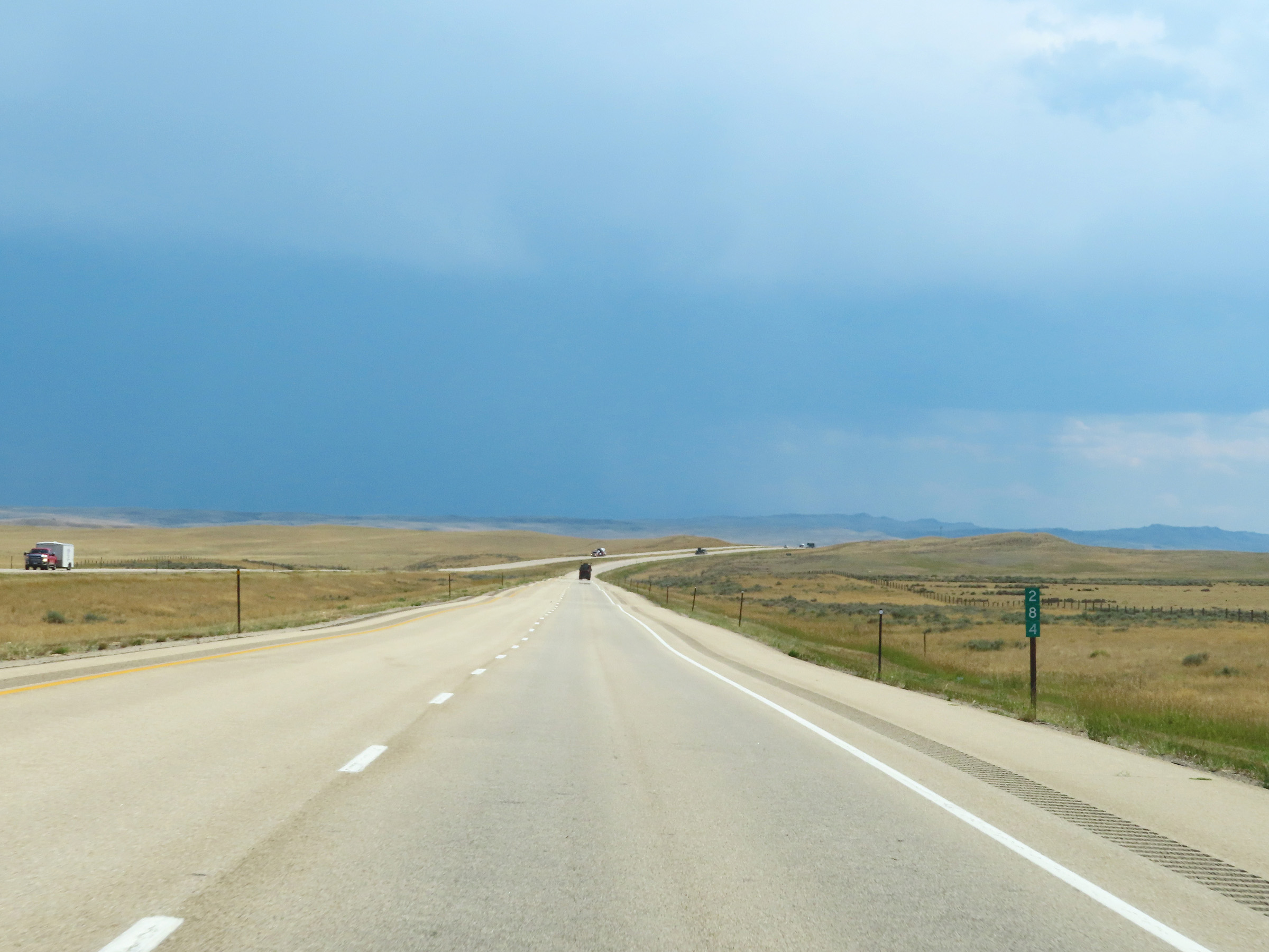 |
Mile marker 284 on Interstate 25 South in Johnson County. (Photo taken 8/17/22). |
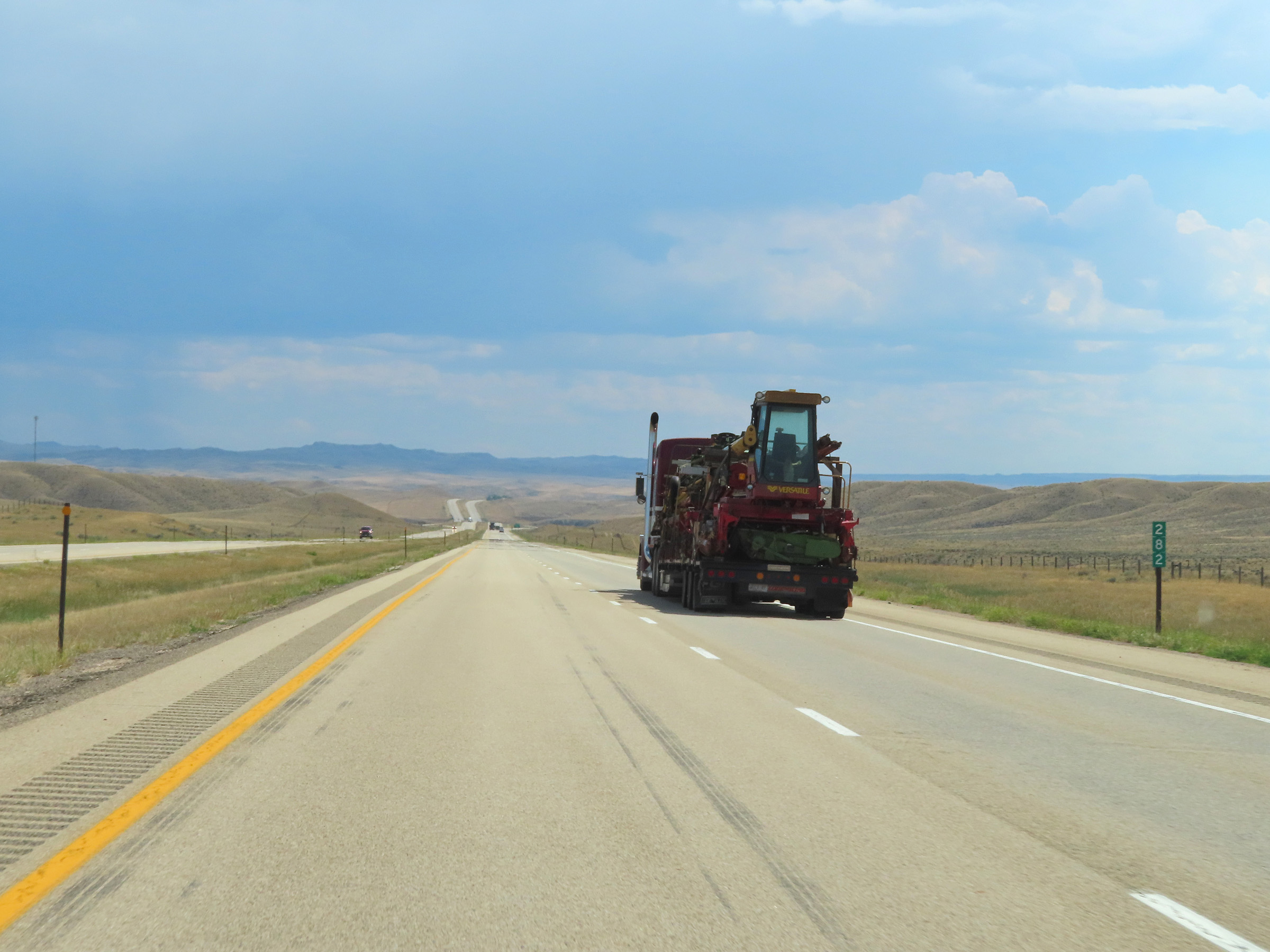 |
View on Interstate 25 South at mile marker 282. (Photo taken 8/17/22). |
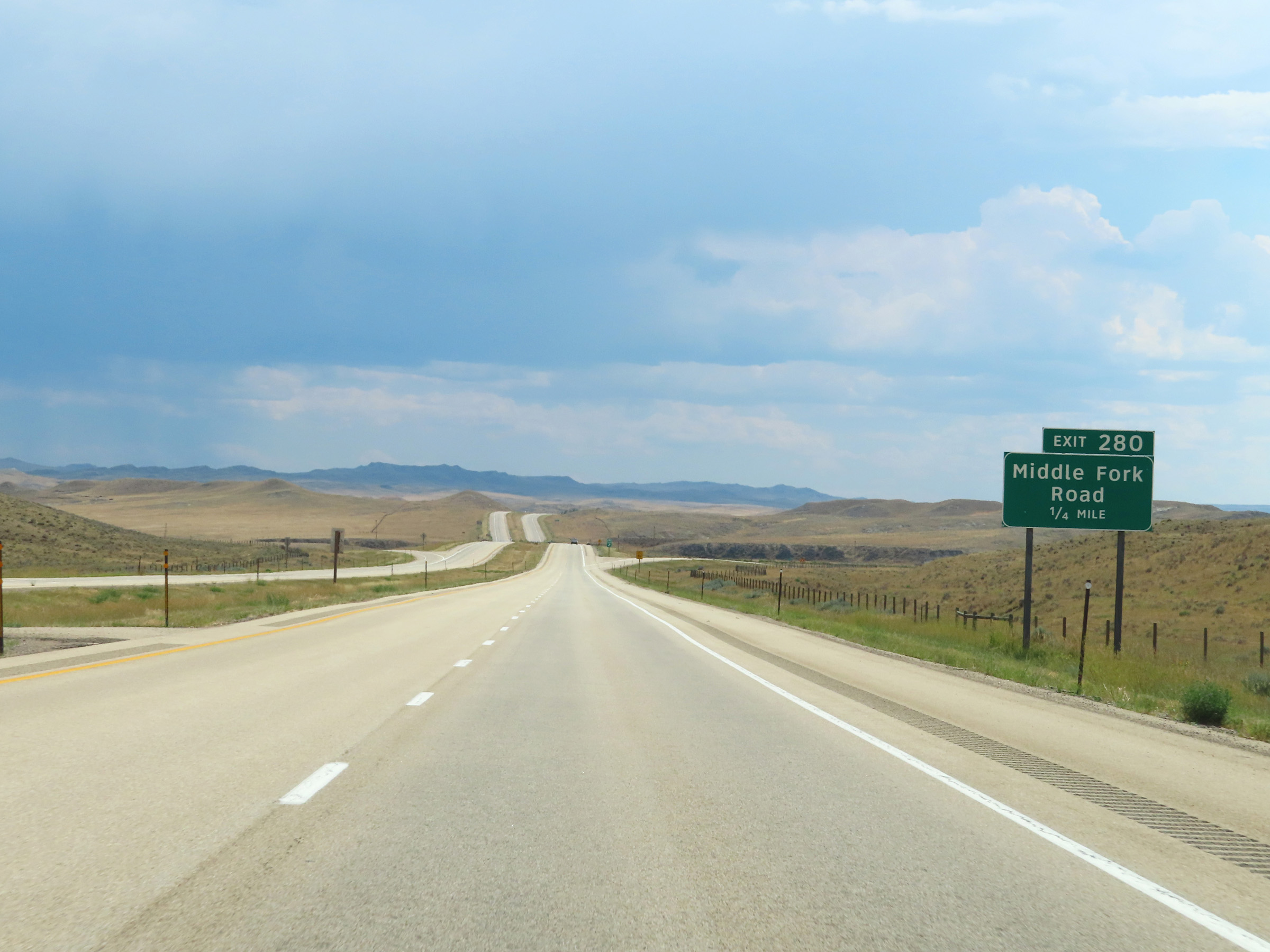 |
Interstate 25 South approaching Exit 280 - 1/4 mile. (Photo taken 8/17/22). |
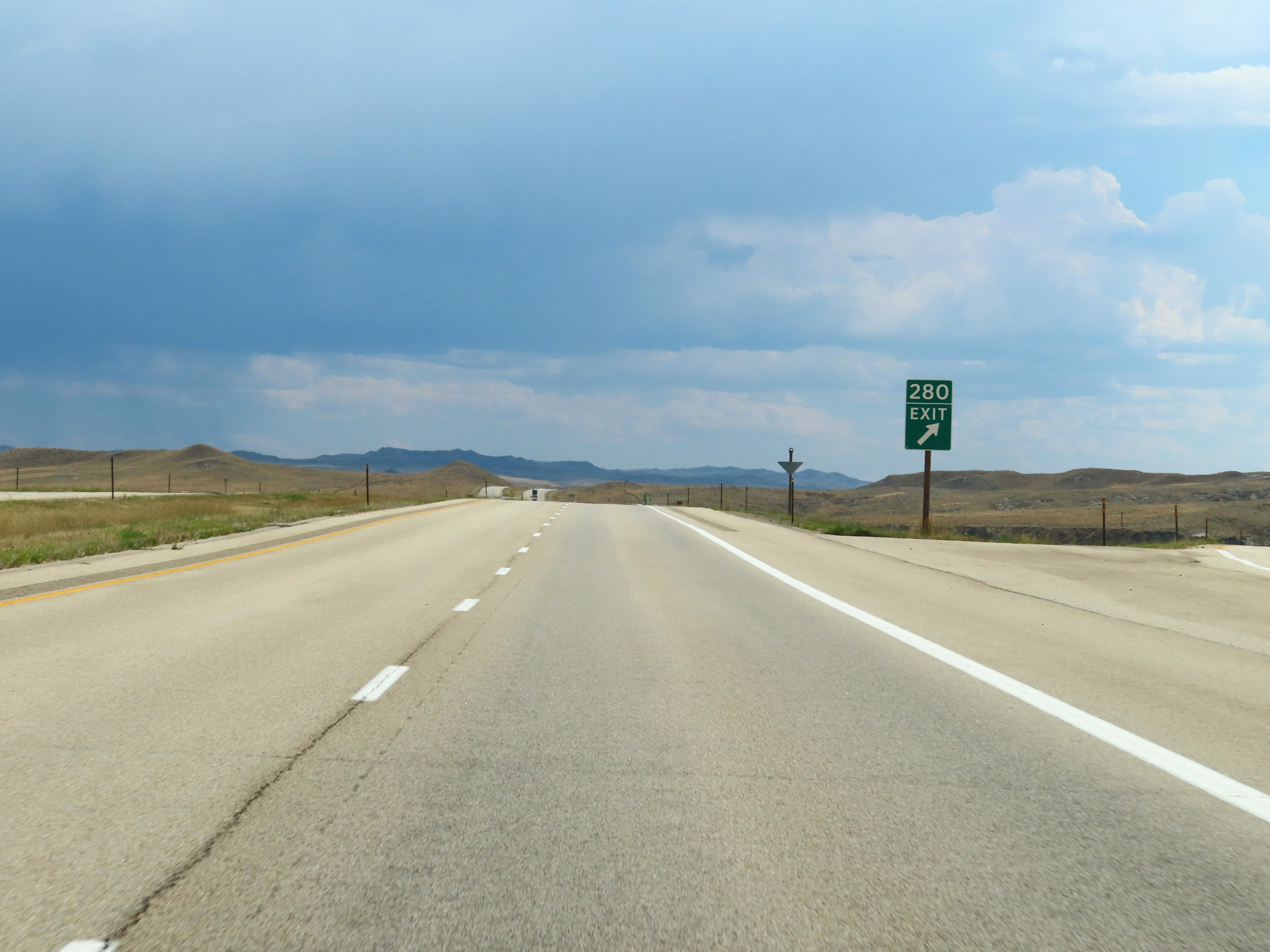 |
Interstate 25 South at Exit 280: Middle Fork Road (Photo taken 8/17/22). |
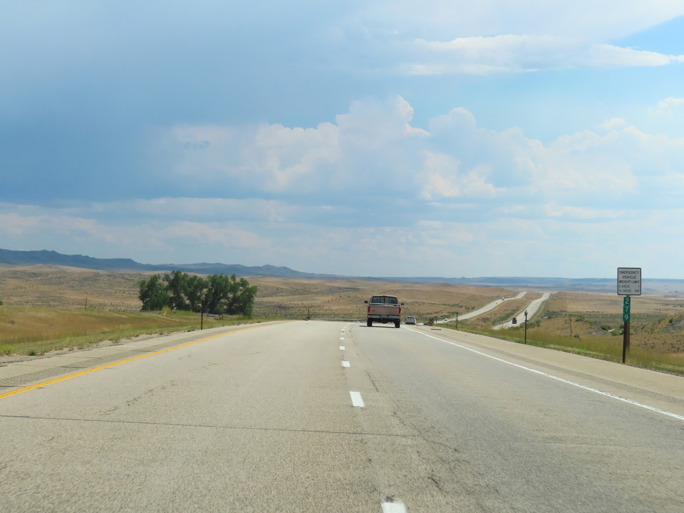 |
Mile marker 279 on Interstate 25 South in Johnson County. (Photo taken 8/17/22). |
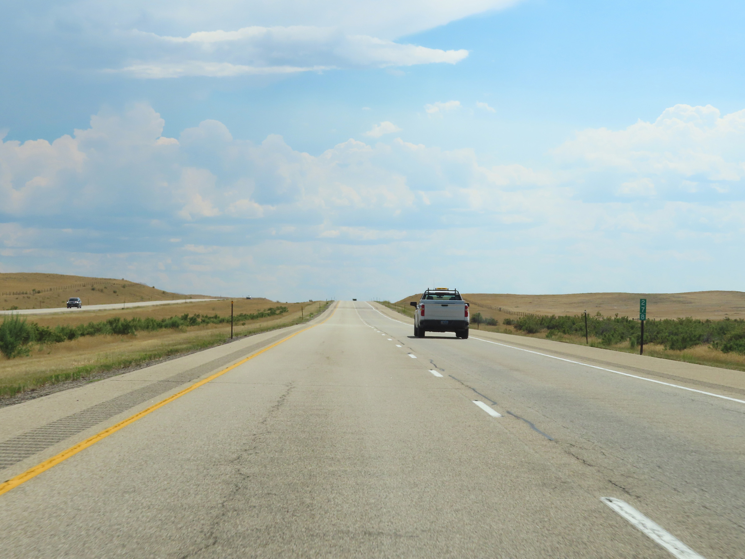 |
Interstate 25 South at mile marker 278. (Photo taken 8/17/22). |
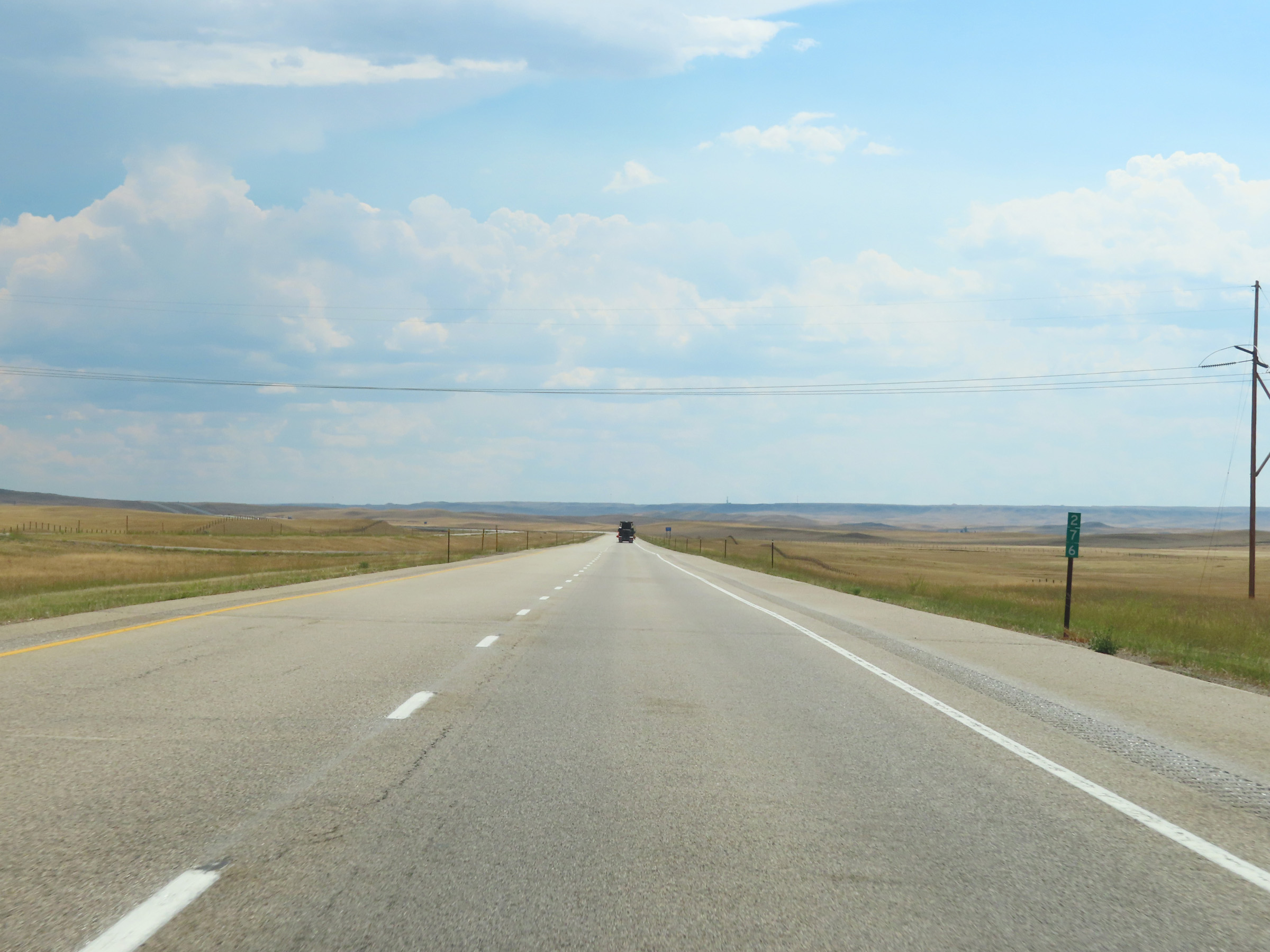 |
View on Interstate 25 South at mile marker 276. (Photo taken 8/17/22). |
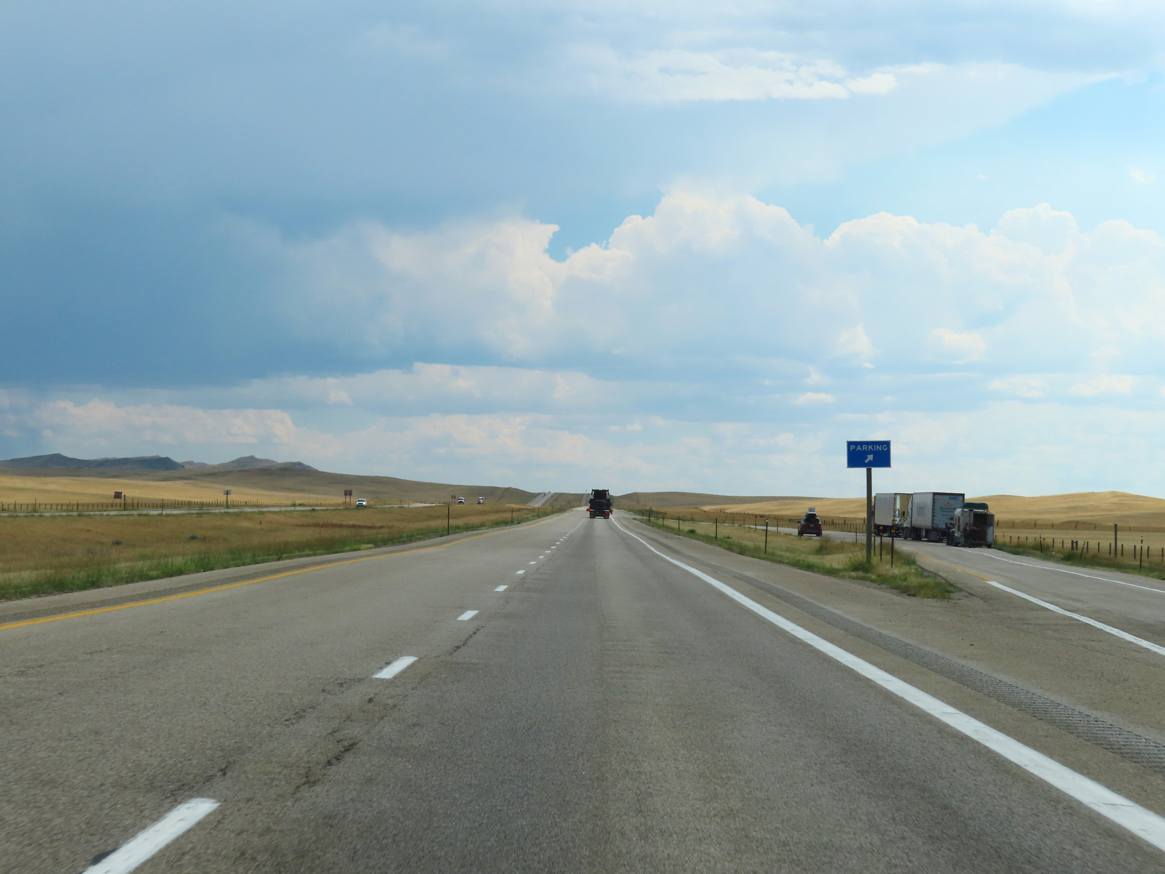 |
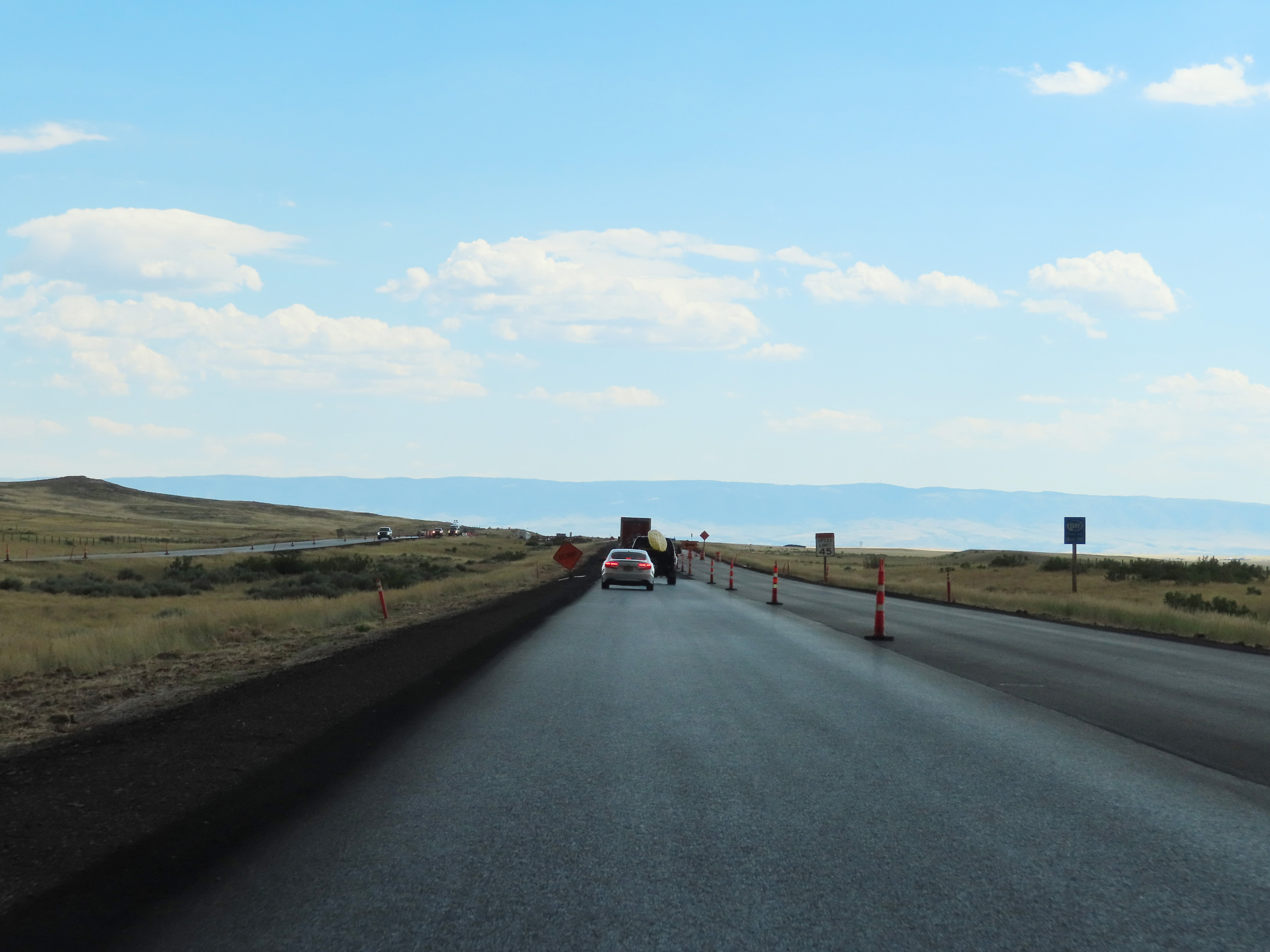
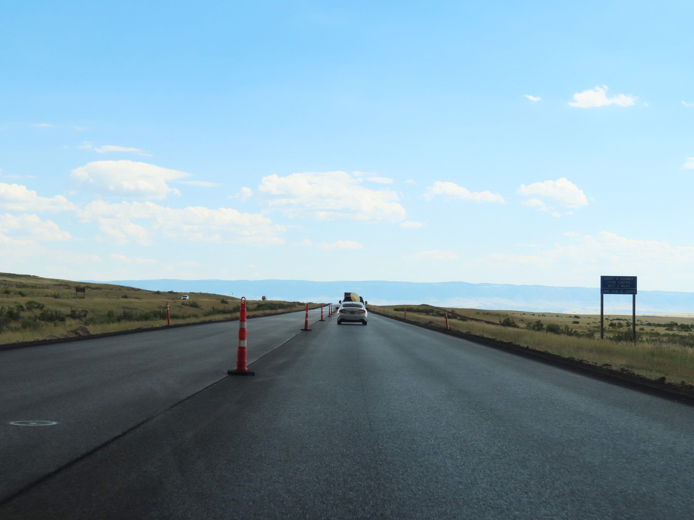
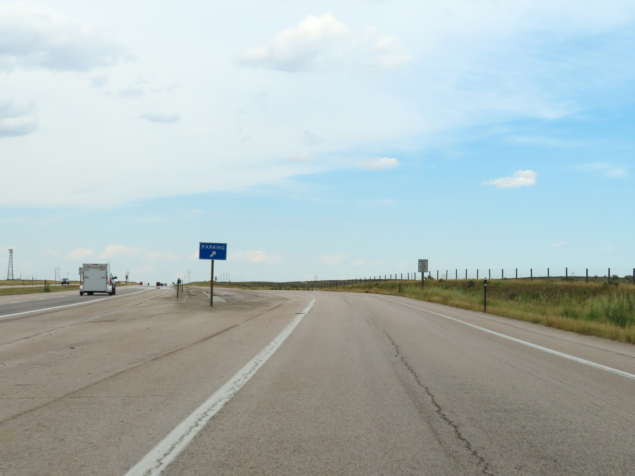
Parking Area on Interstate 25 South in Johnson County. (Photo taken 8/17/22). |
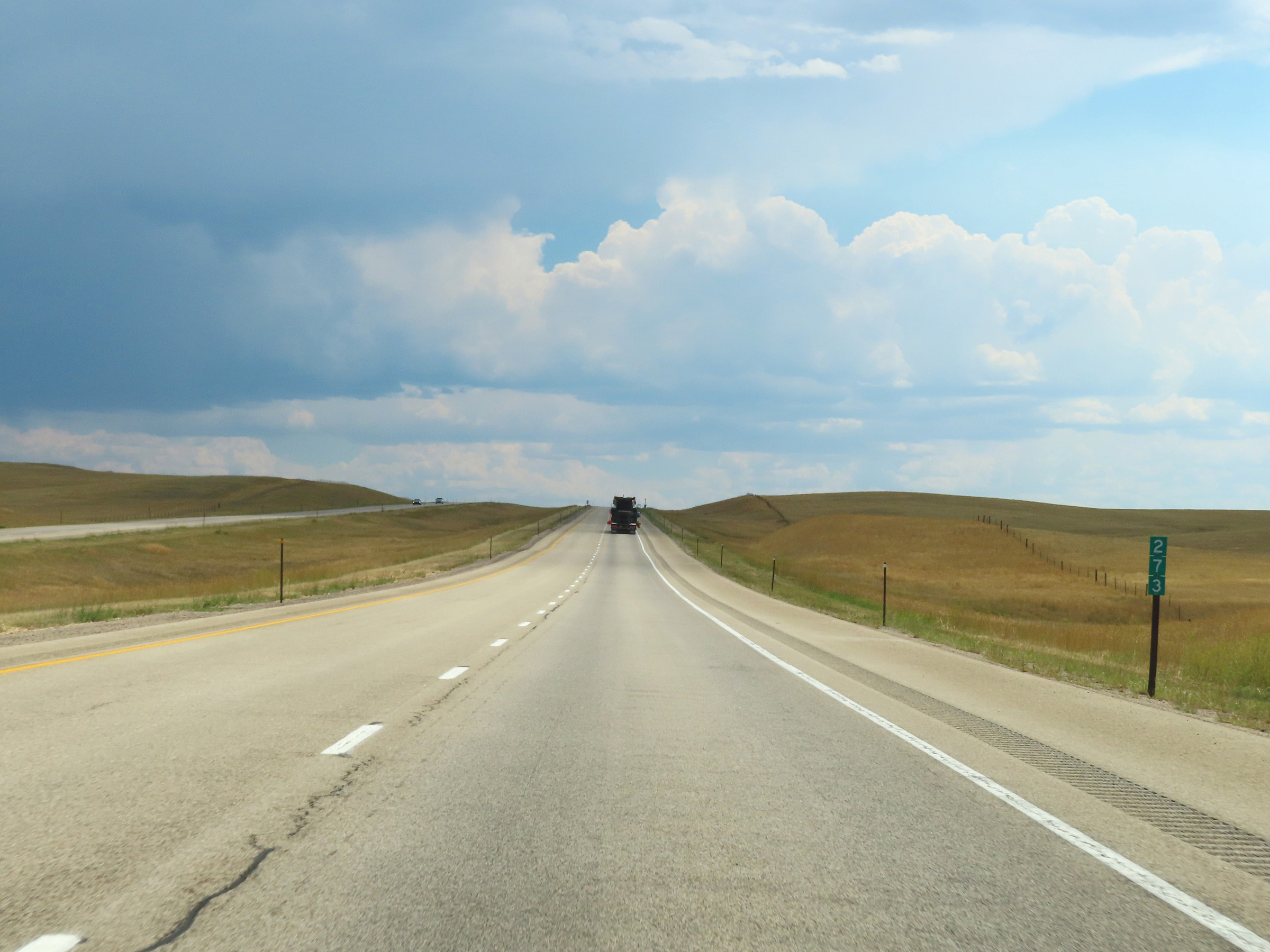 |
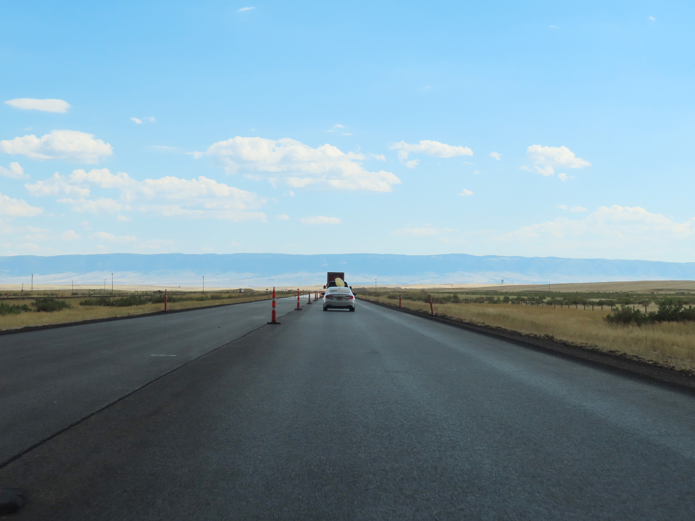
View on Interstate 25 South at mile marker 273. (Photo taken 8/17/22). |
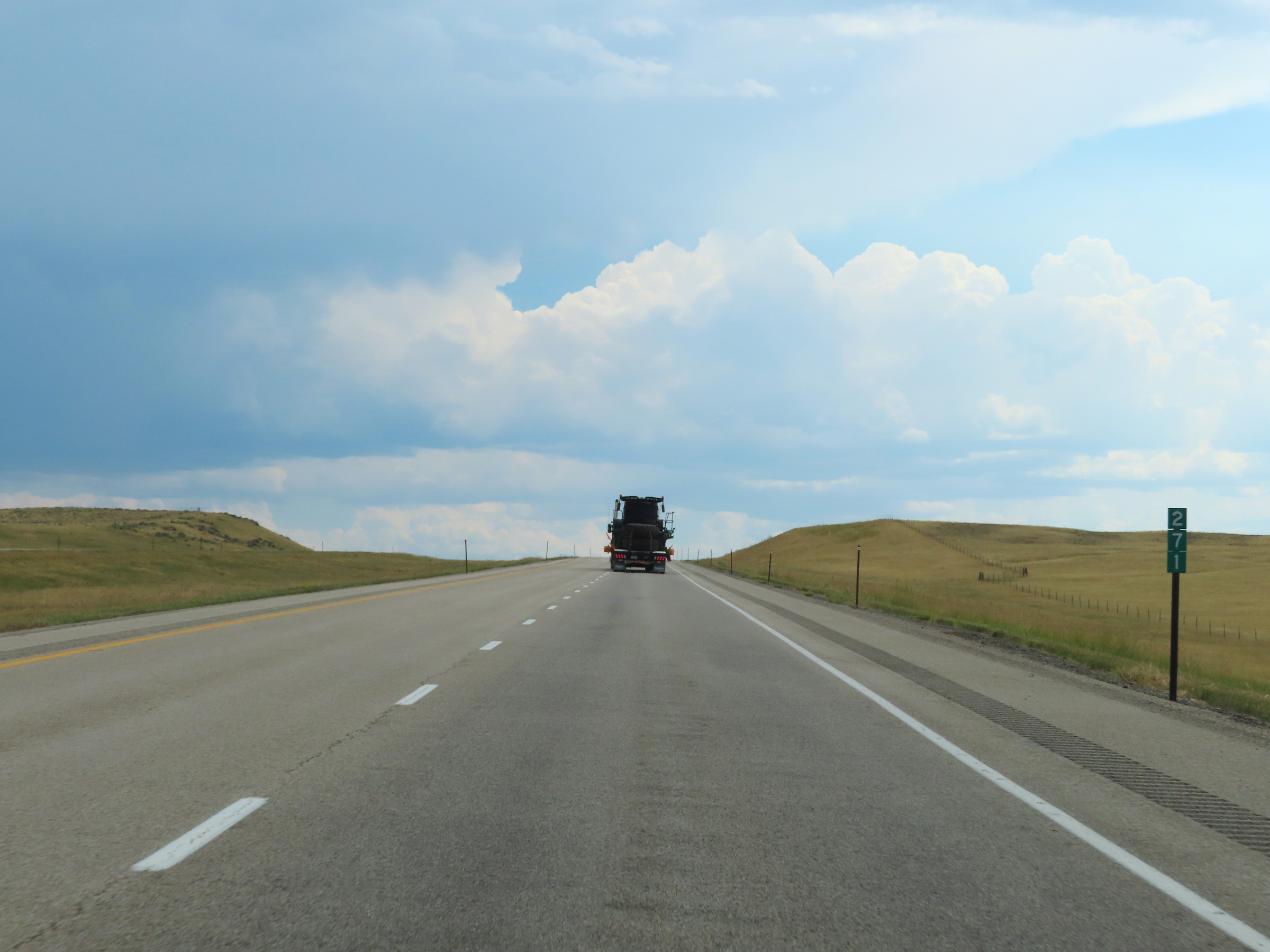 |
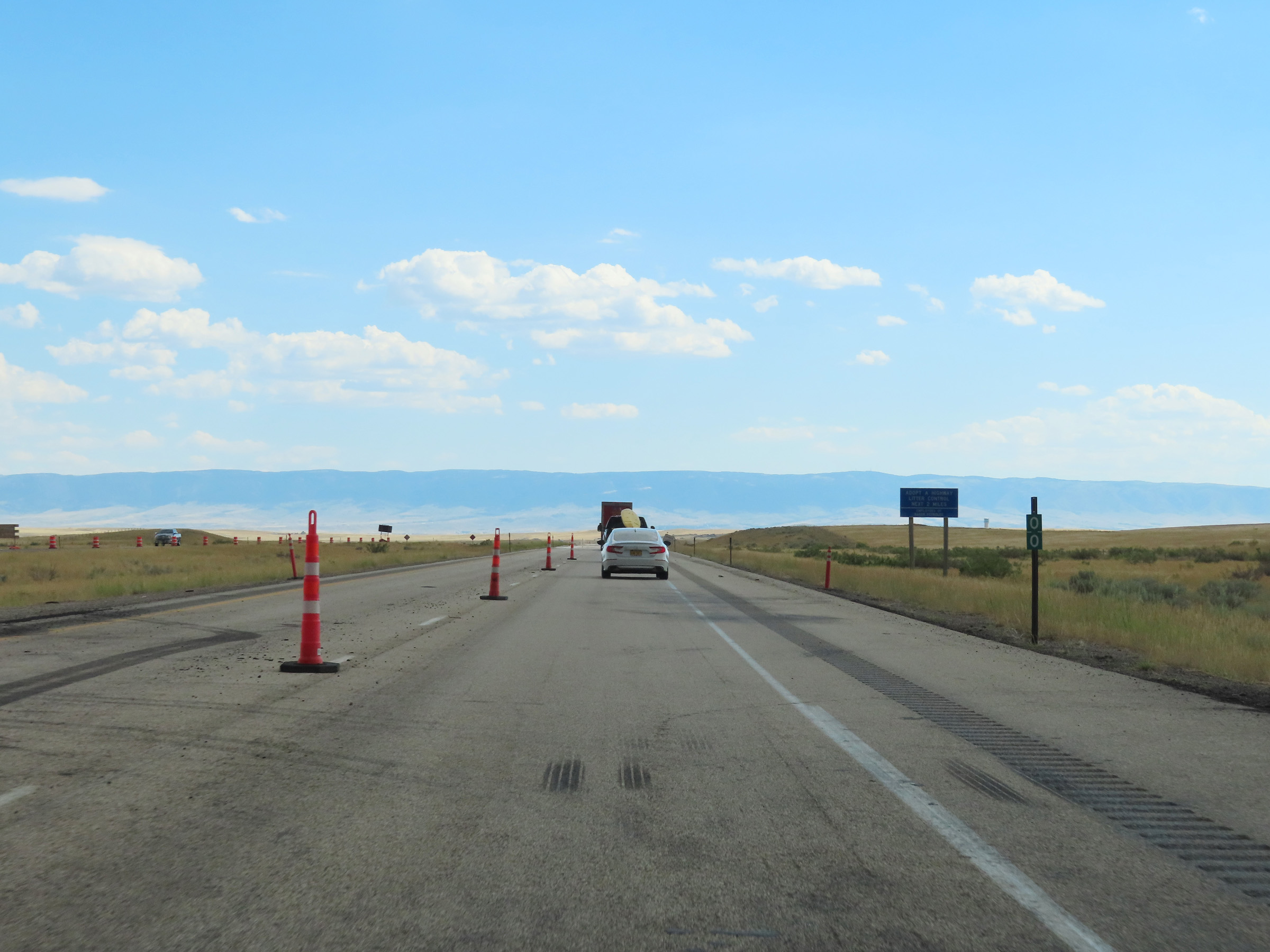
Interstate 25 South at mile marker 271. (Photo taken 8/17/22). |
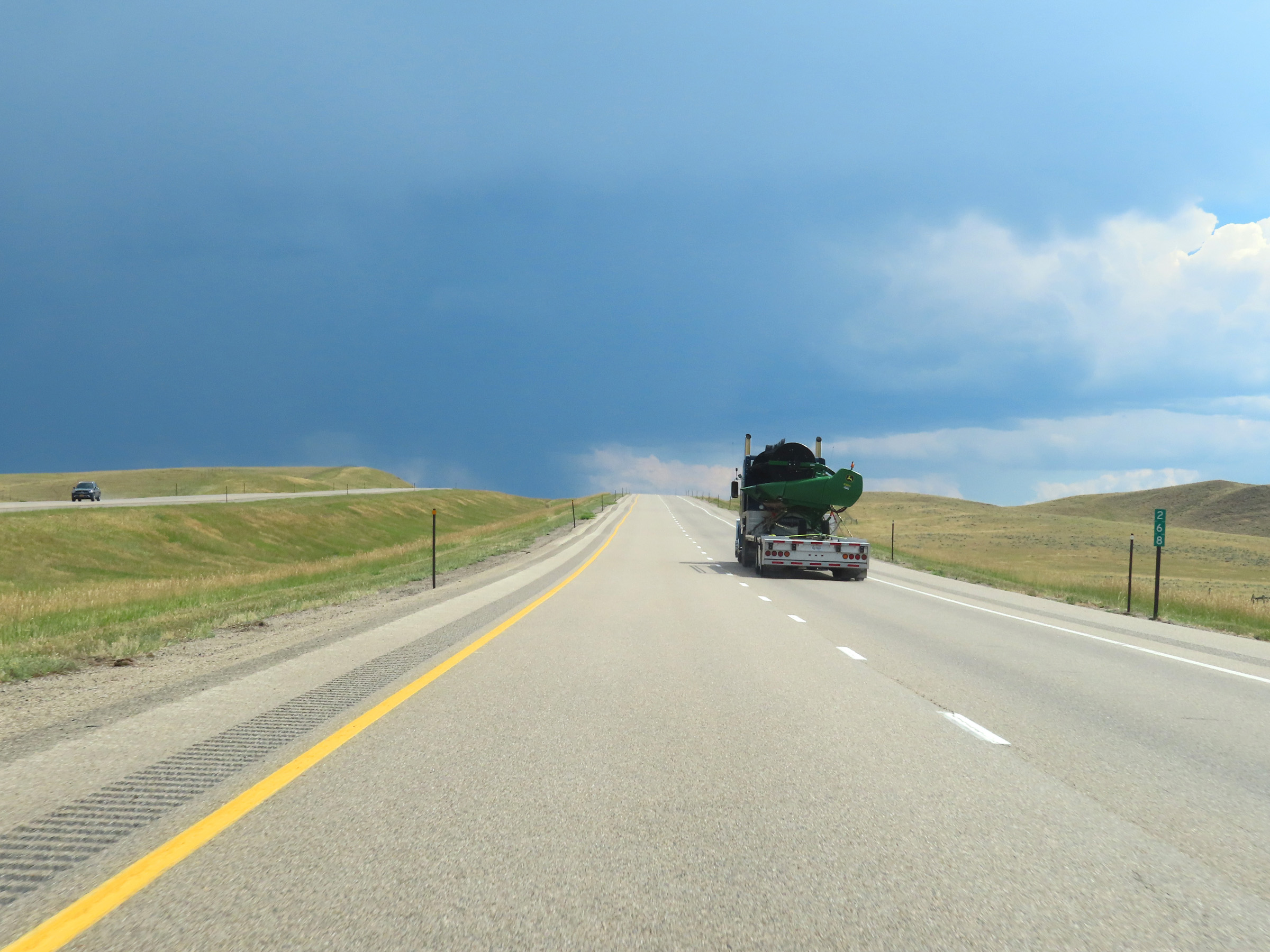 |
Mile marker 268 on Interstate 25 South in Johnson County. (Photo taken 8/17/22). |
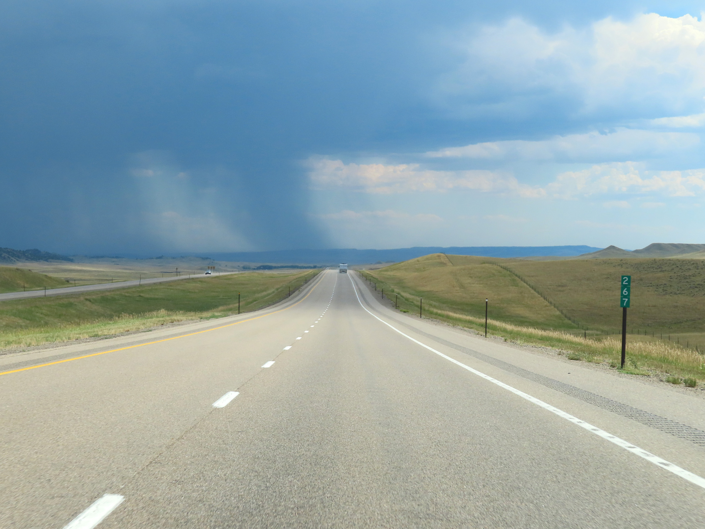 |
View on Interstate 25 South at mile marker 267. (Photo taken 8/17/22). |
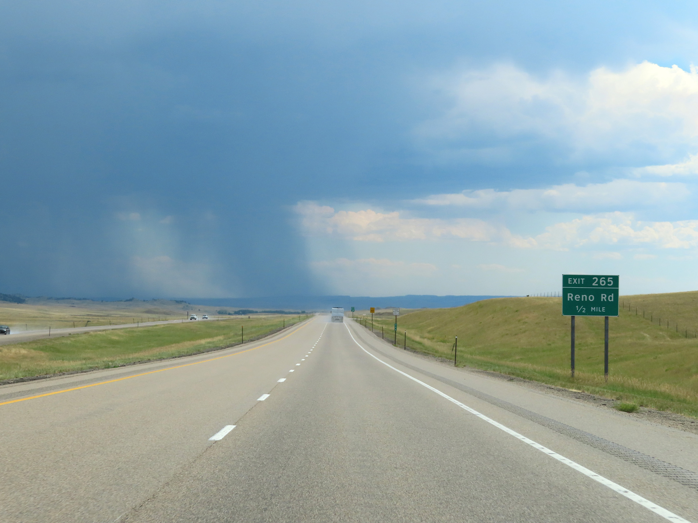 |
Interstate 25 South approaching Exit 265 - 1/2 mile. (Photo taken 8/17/22). |
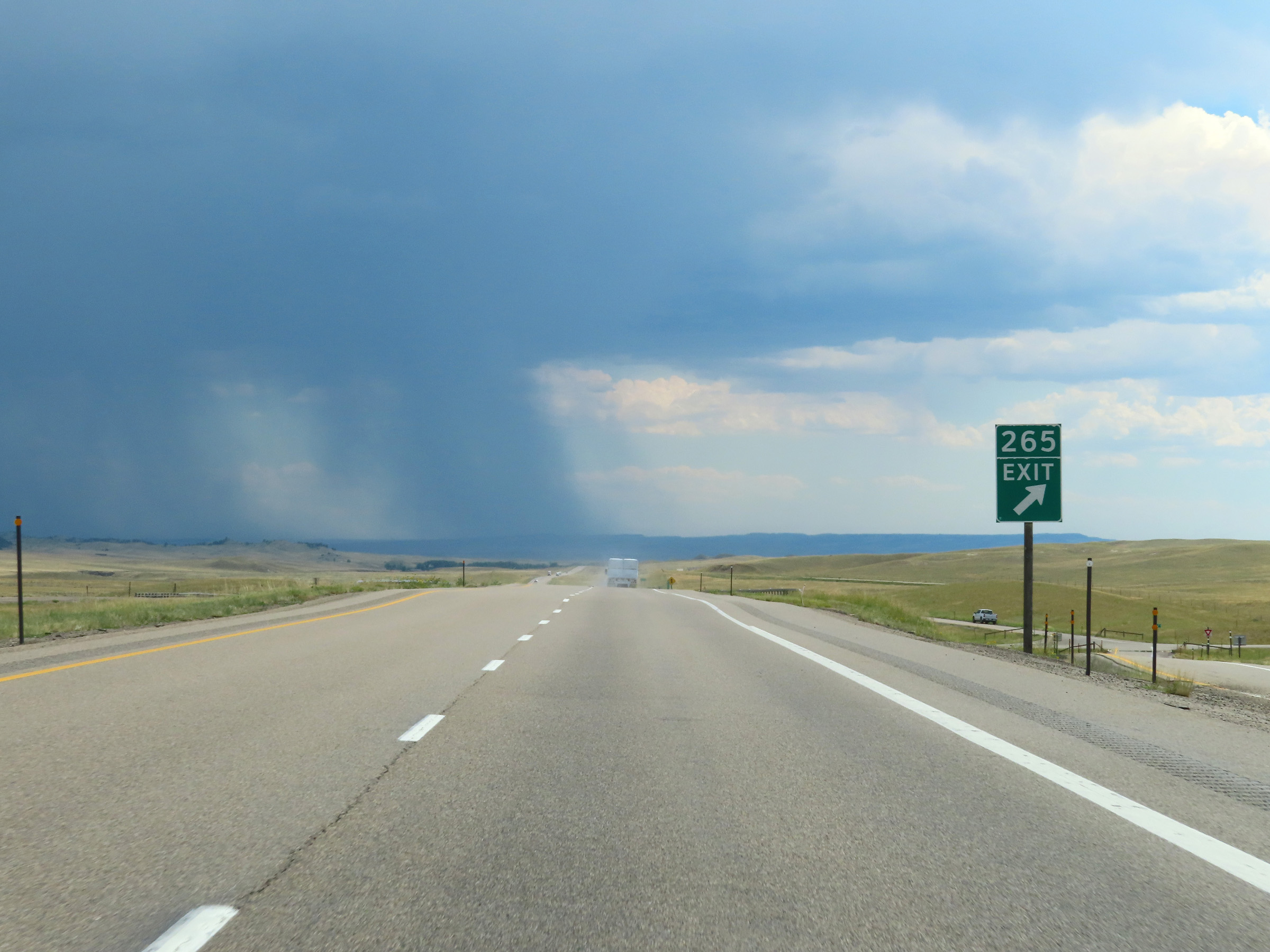 |
Interstate 25 South at Exit 265: Reno Rd (Photo taken 8/17/22). |
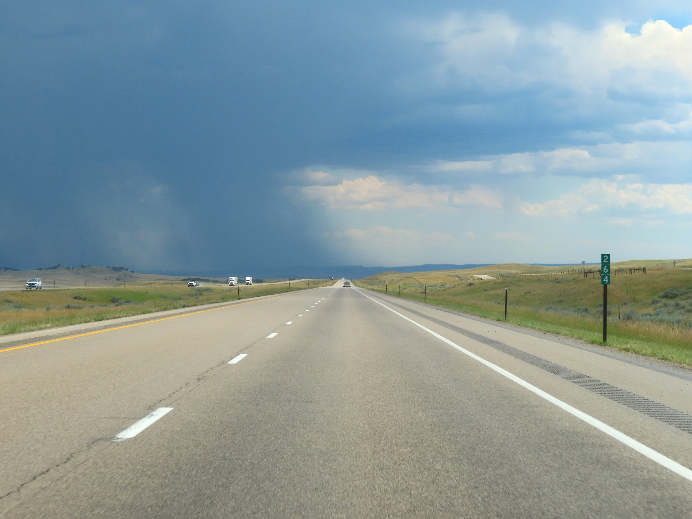 |
Interstate 25 South at mile marker 264. (Photo taken 8/17/22). |
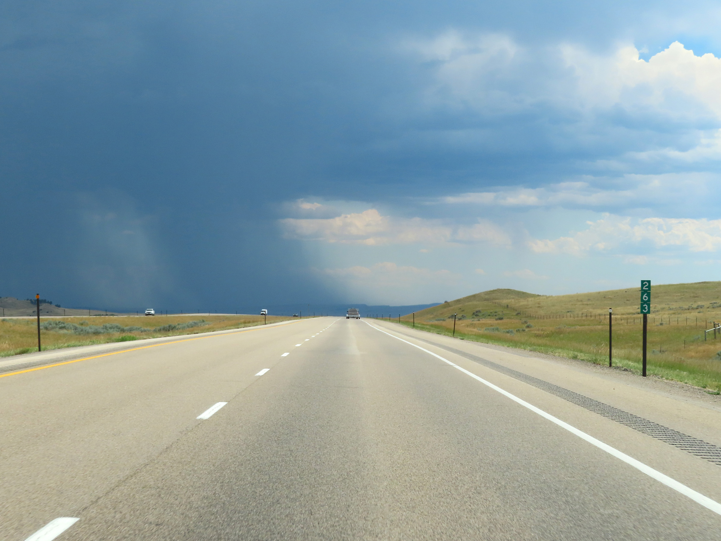 |
Mile marker 263 on Interstate 25 South in Johnson County. (Photo taken 8/17/22). |
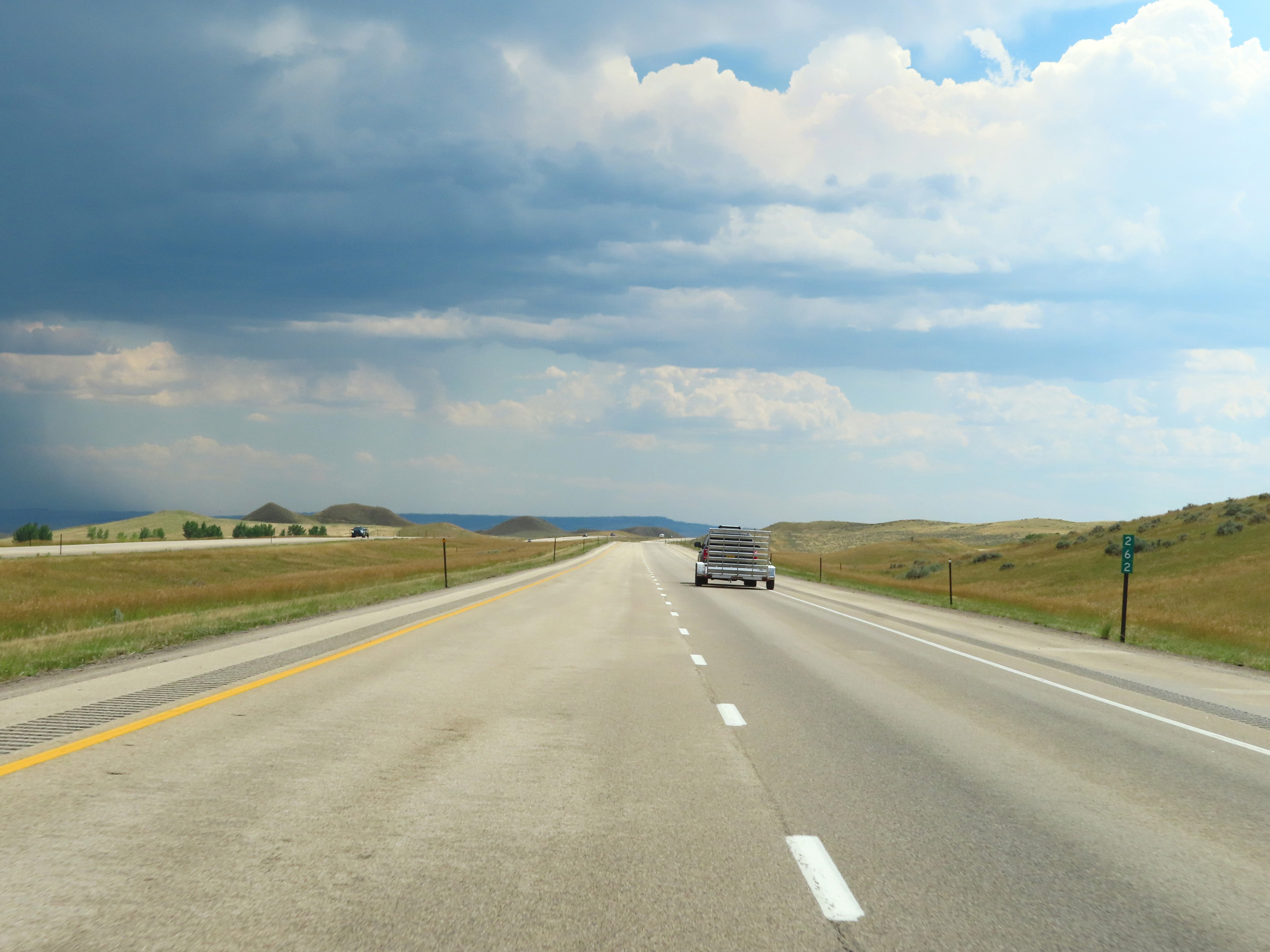 |
Interstate 25 South at mile marker 262. (Photo taken 8/17/22). |
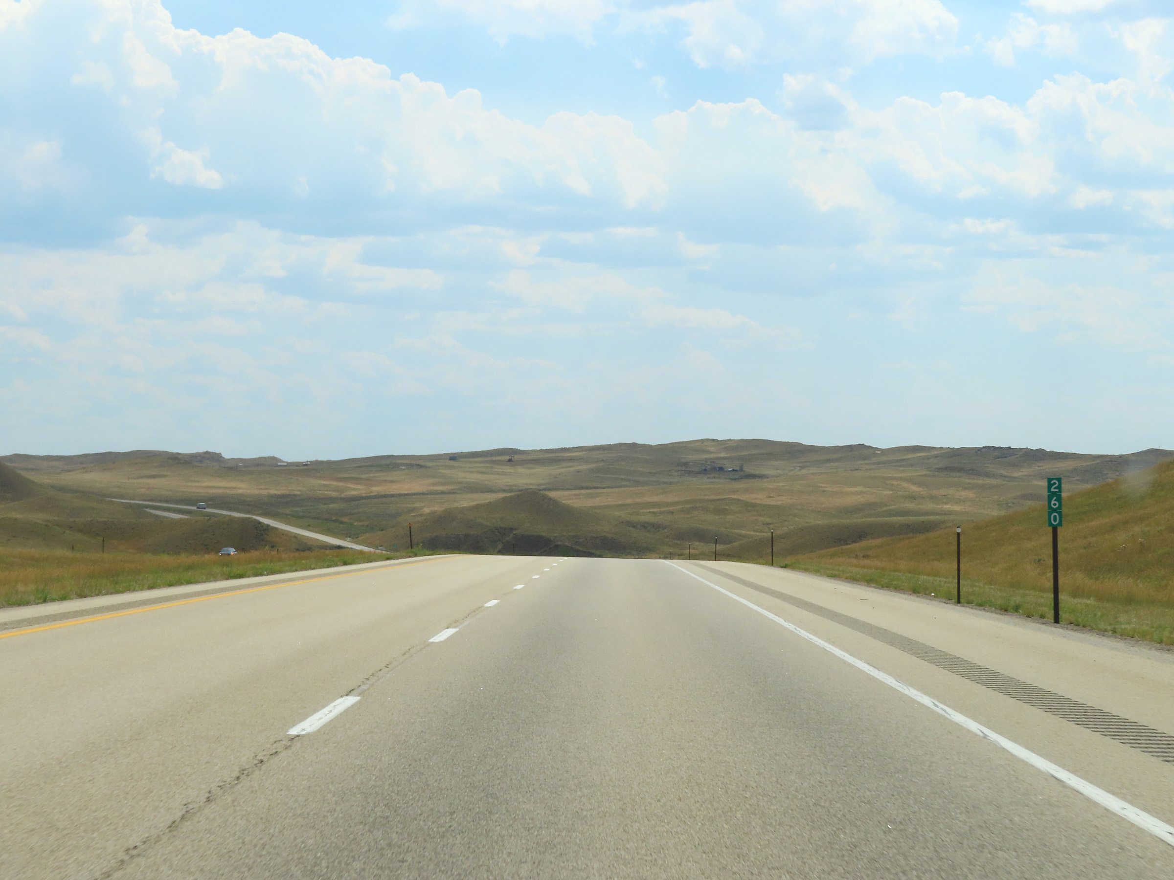 |
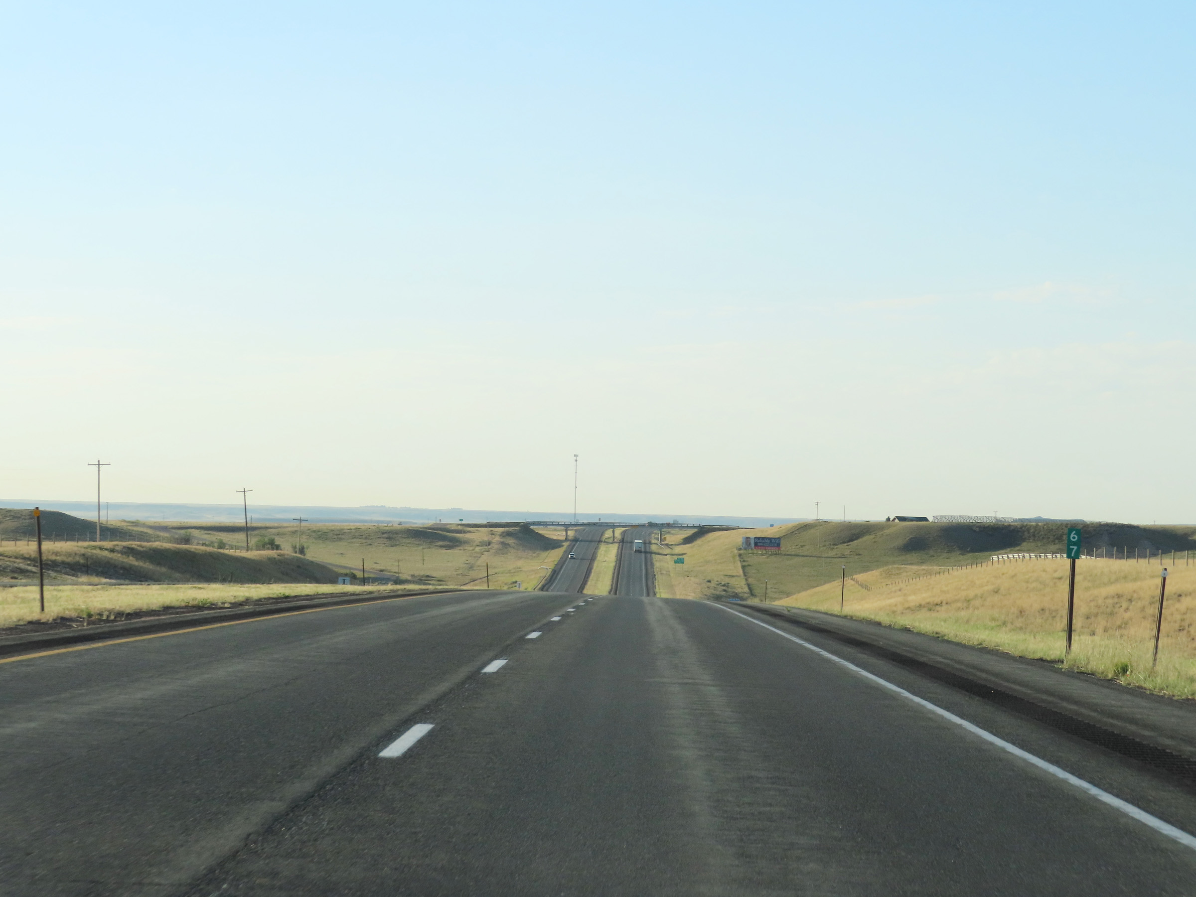
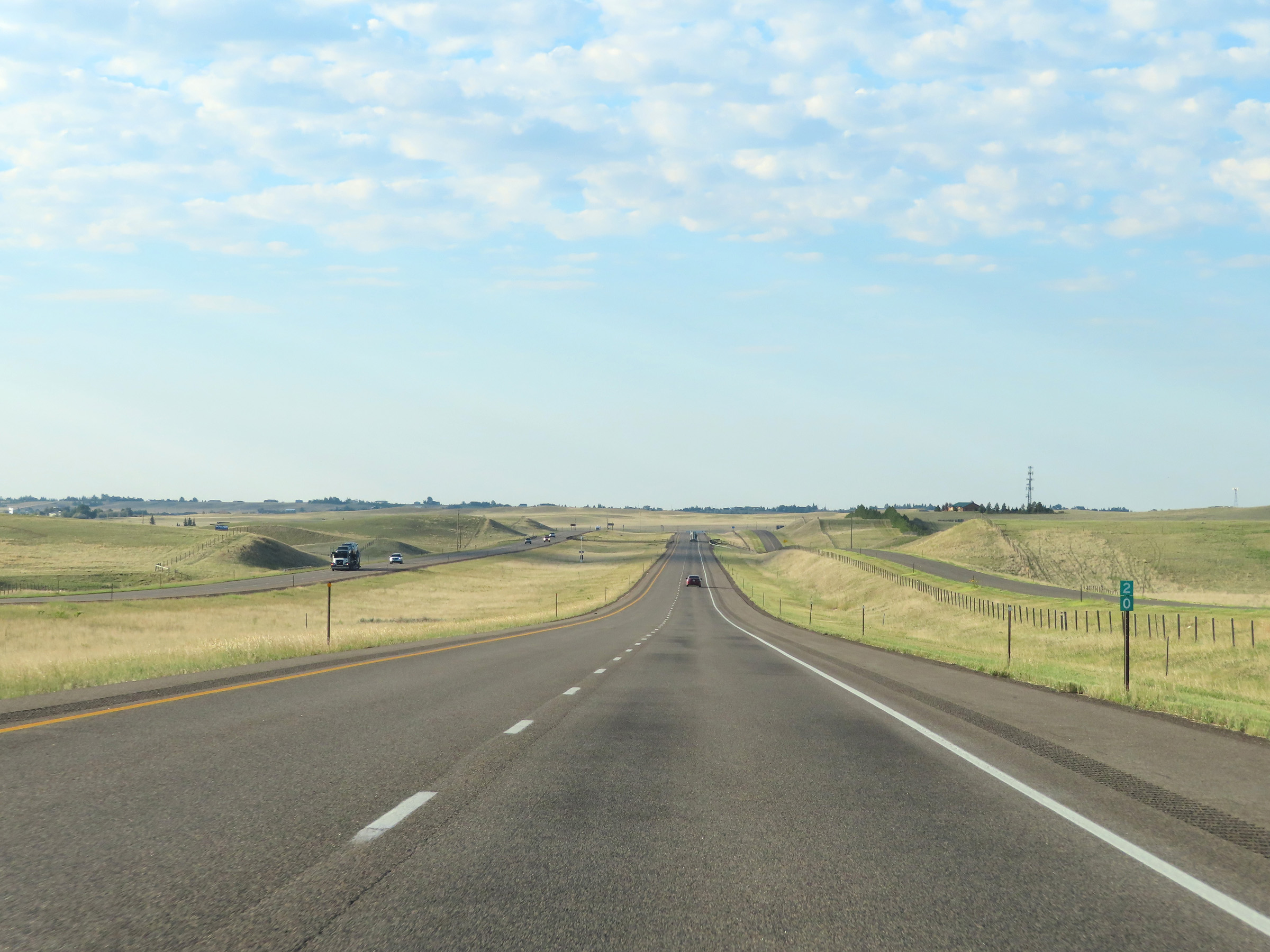
View on Interstate 25 South at mile marker 260. (Photo taken 8/17/22). |
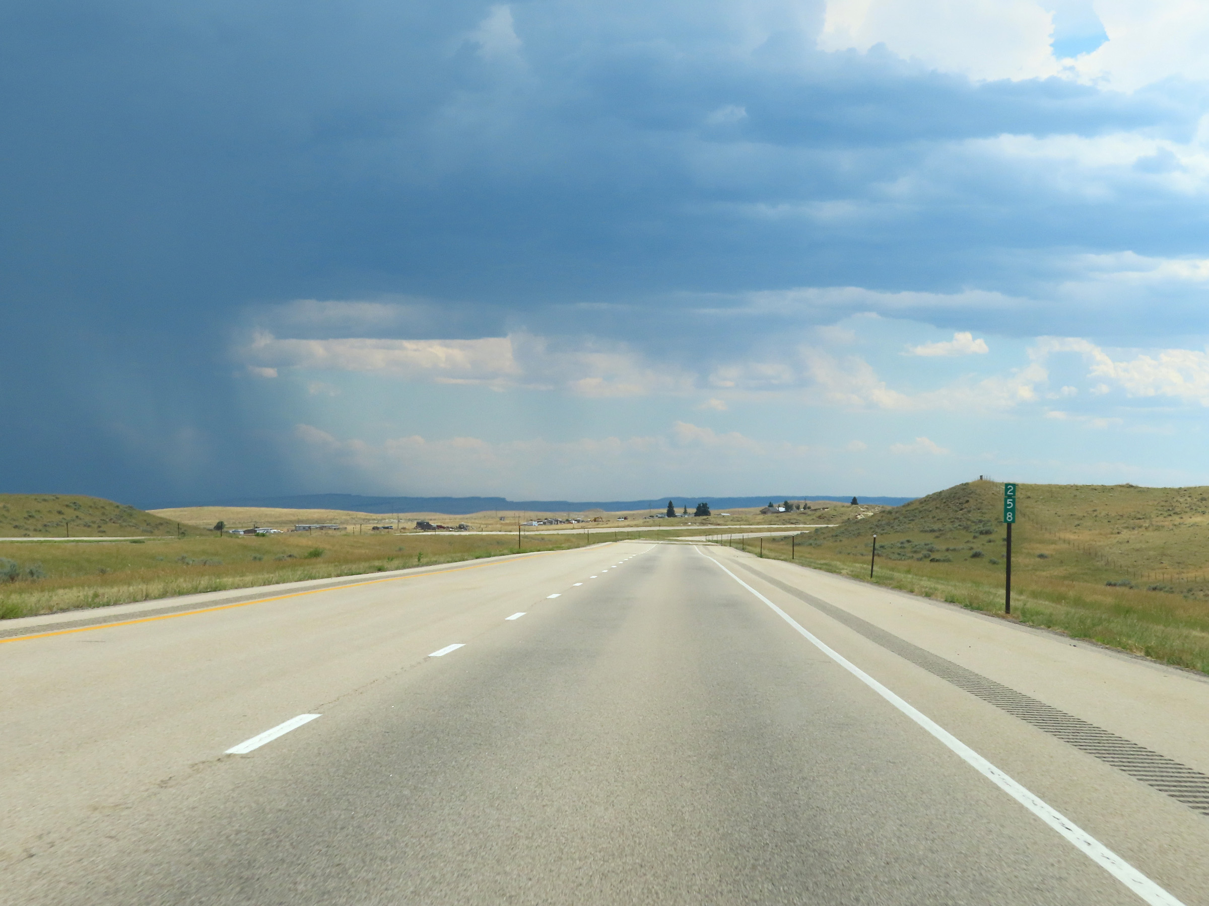 |
Interstate 25 South at mile marker 258. (Photo taken 8/17/22). |
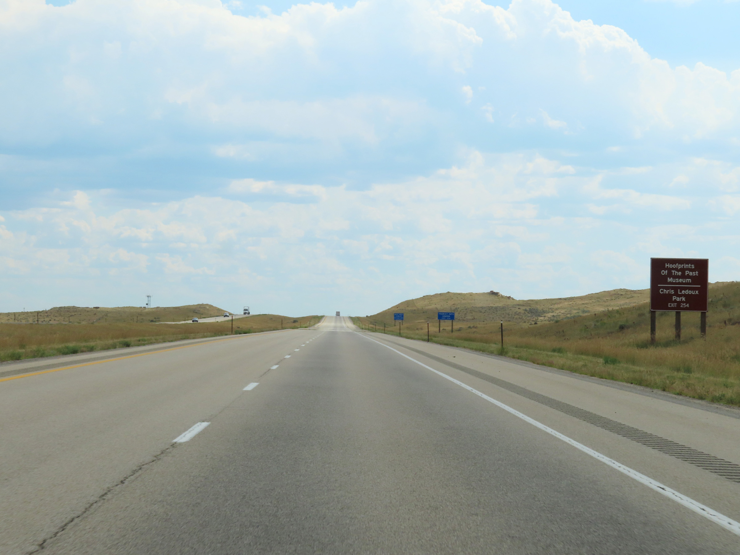 |
Take Exit 254 to the Hoofprints Of The Past Museum and Chris Ledoux Park. (Photo taken 8/17/22). |
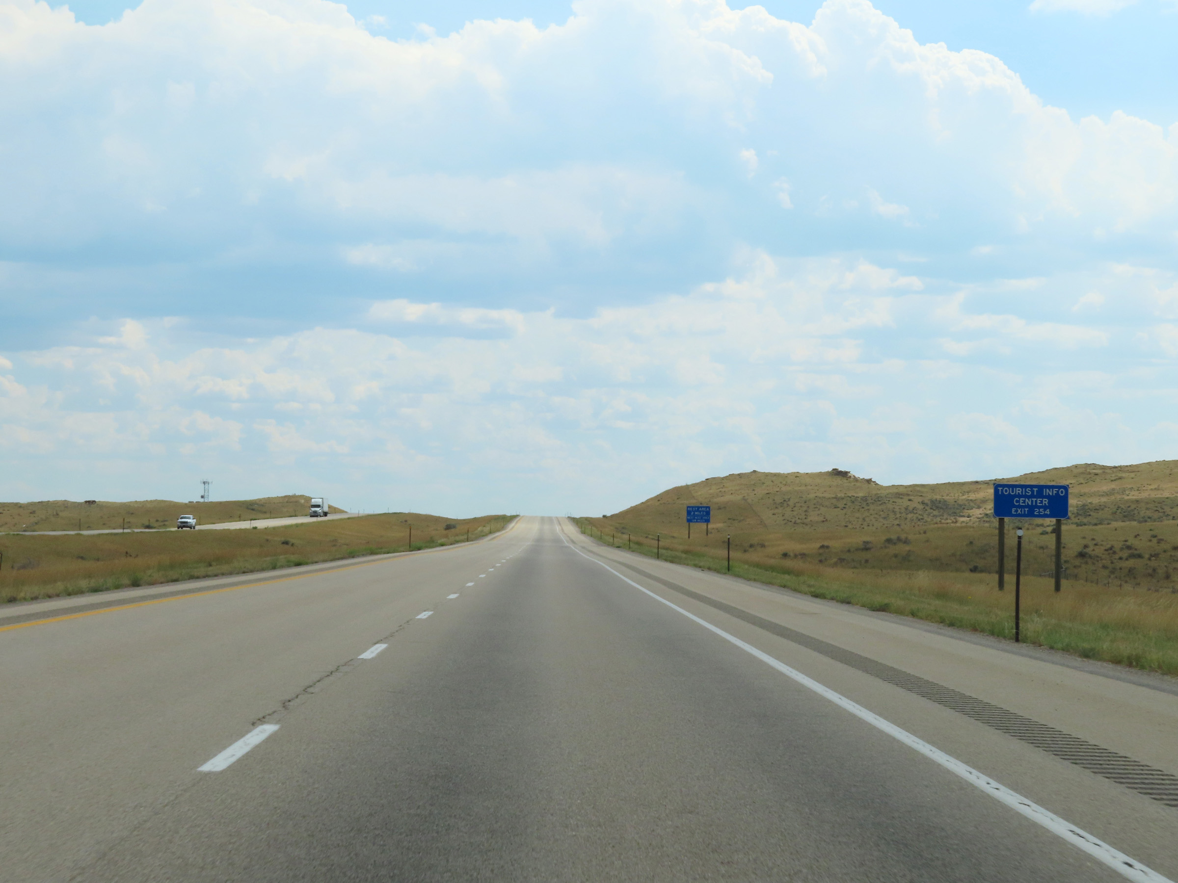 |
Tourist Information is available at Exit 254. (Photo taken 8/17/22). |
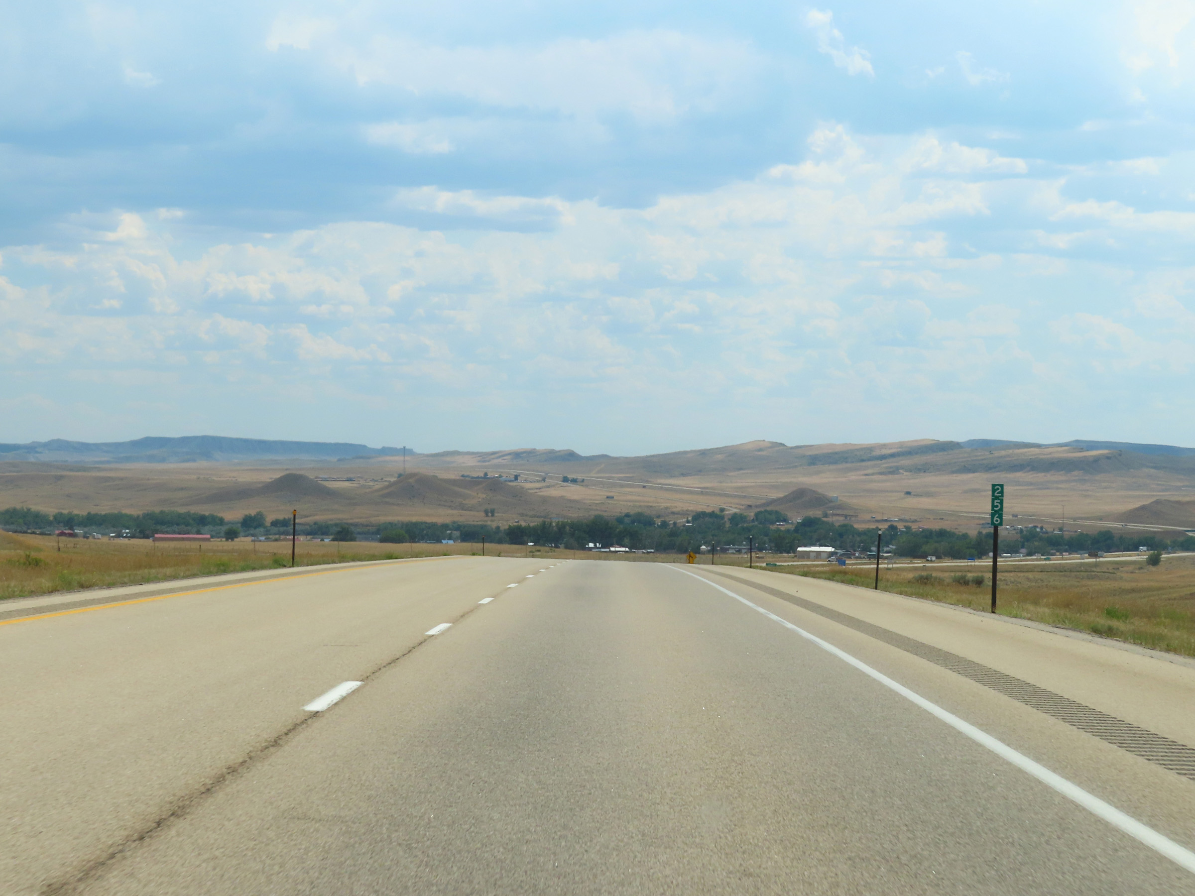 |
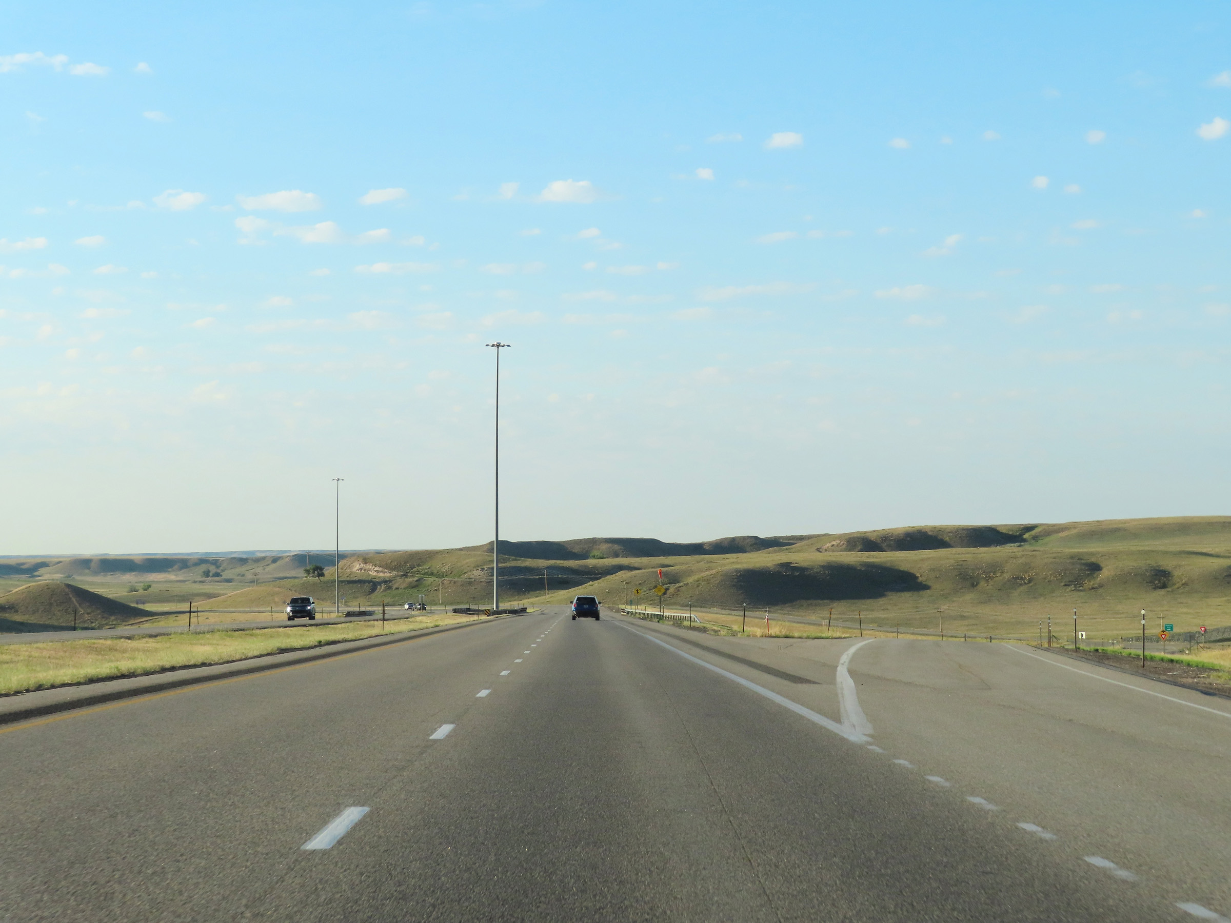
View on Interstate 25 South at mile marker 256. (Photo taken 8/17/22). |
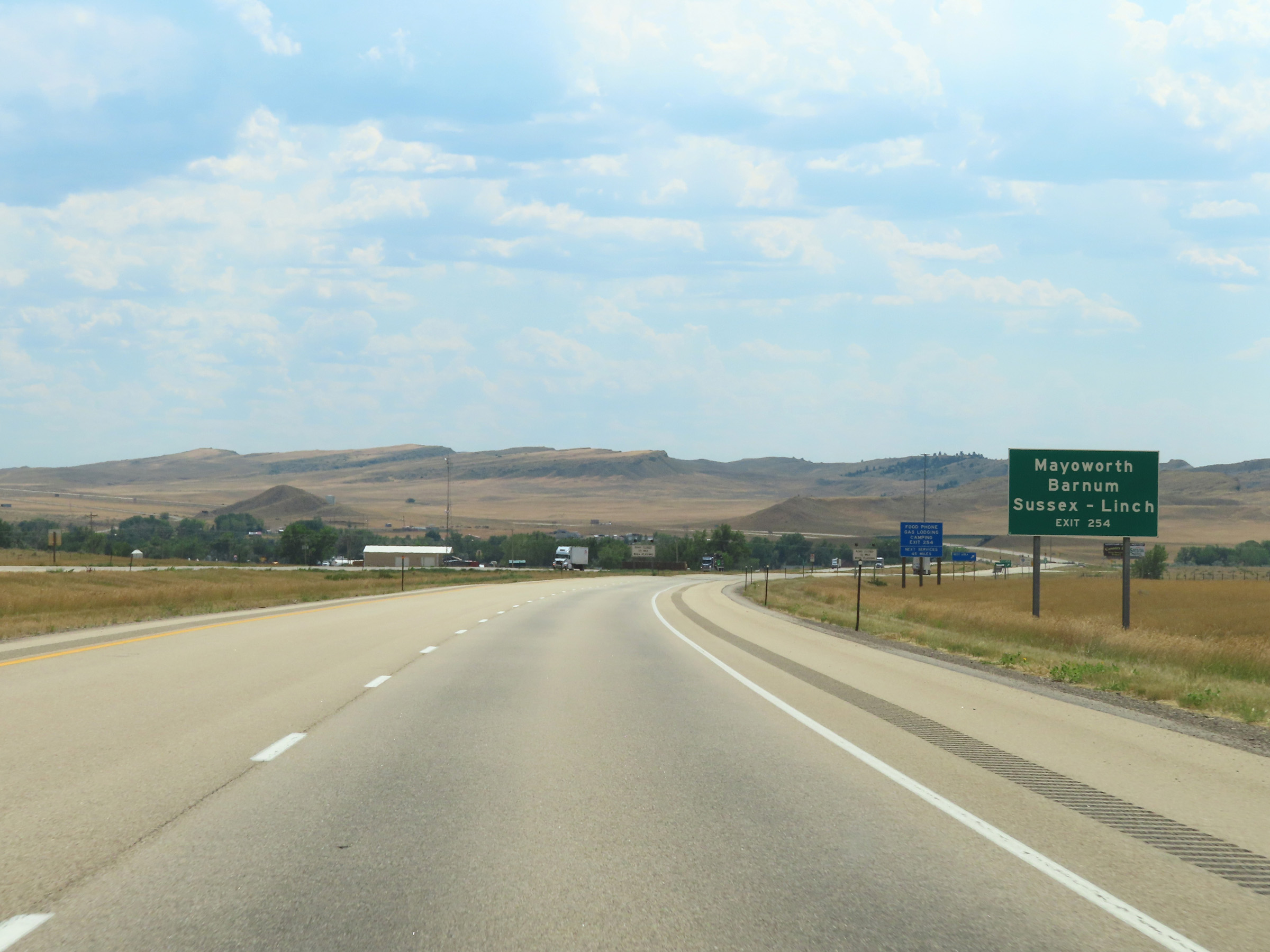 |
Also take Exit 254 to Mayoworth, Barnum, Sussex, and Linch. (Photo taken 8/17/22). |
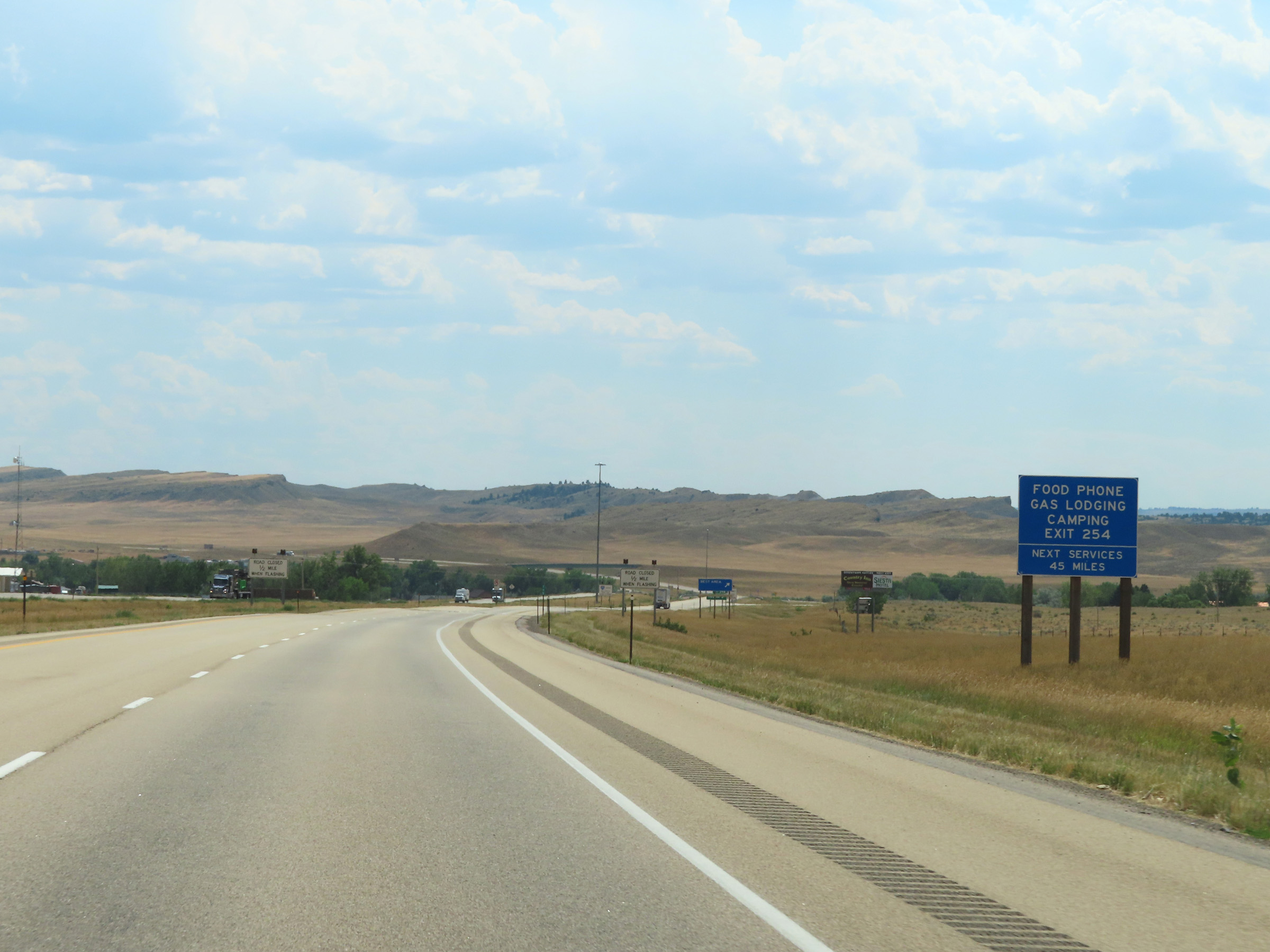 |
The next services beyond Exit 254 are 45 miles ahead. (Photo taken 8/17/22). |
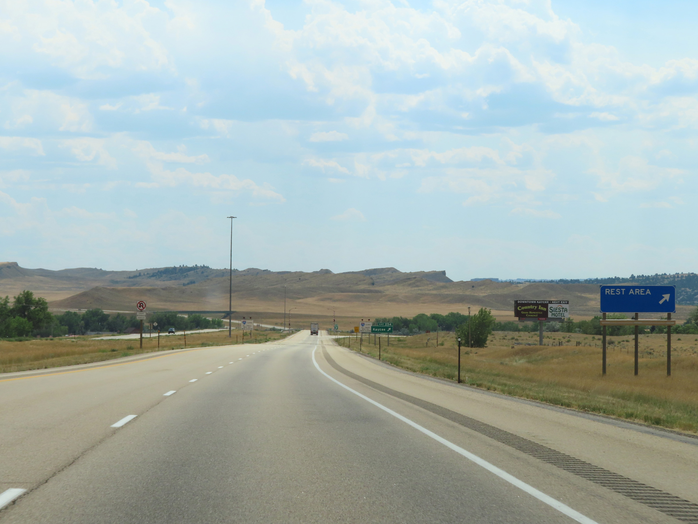 |
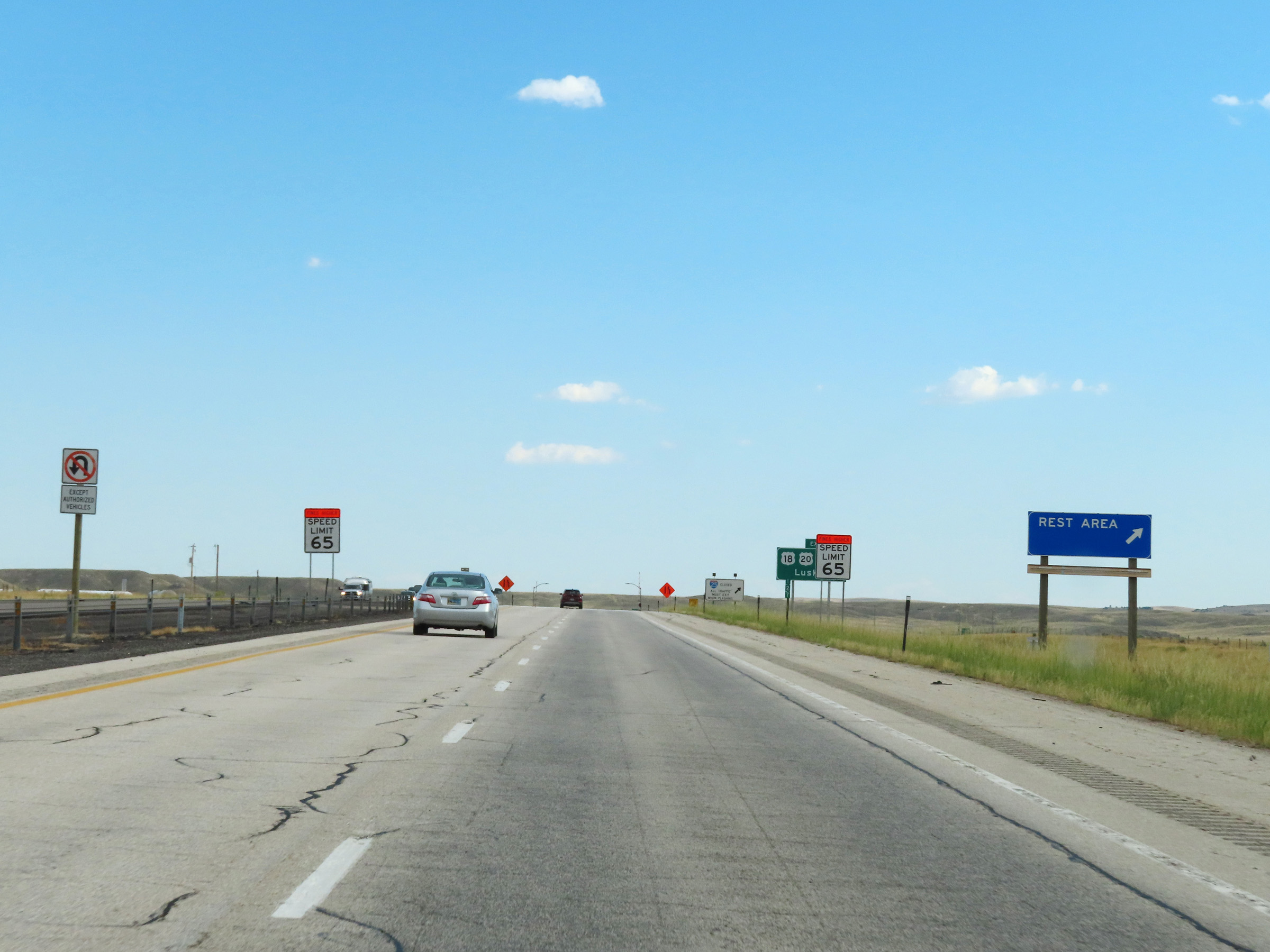
A Rest Area exists off Exit 254 ahead. (Photo taken 8/17/22). |
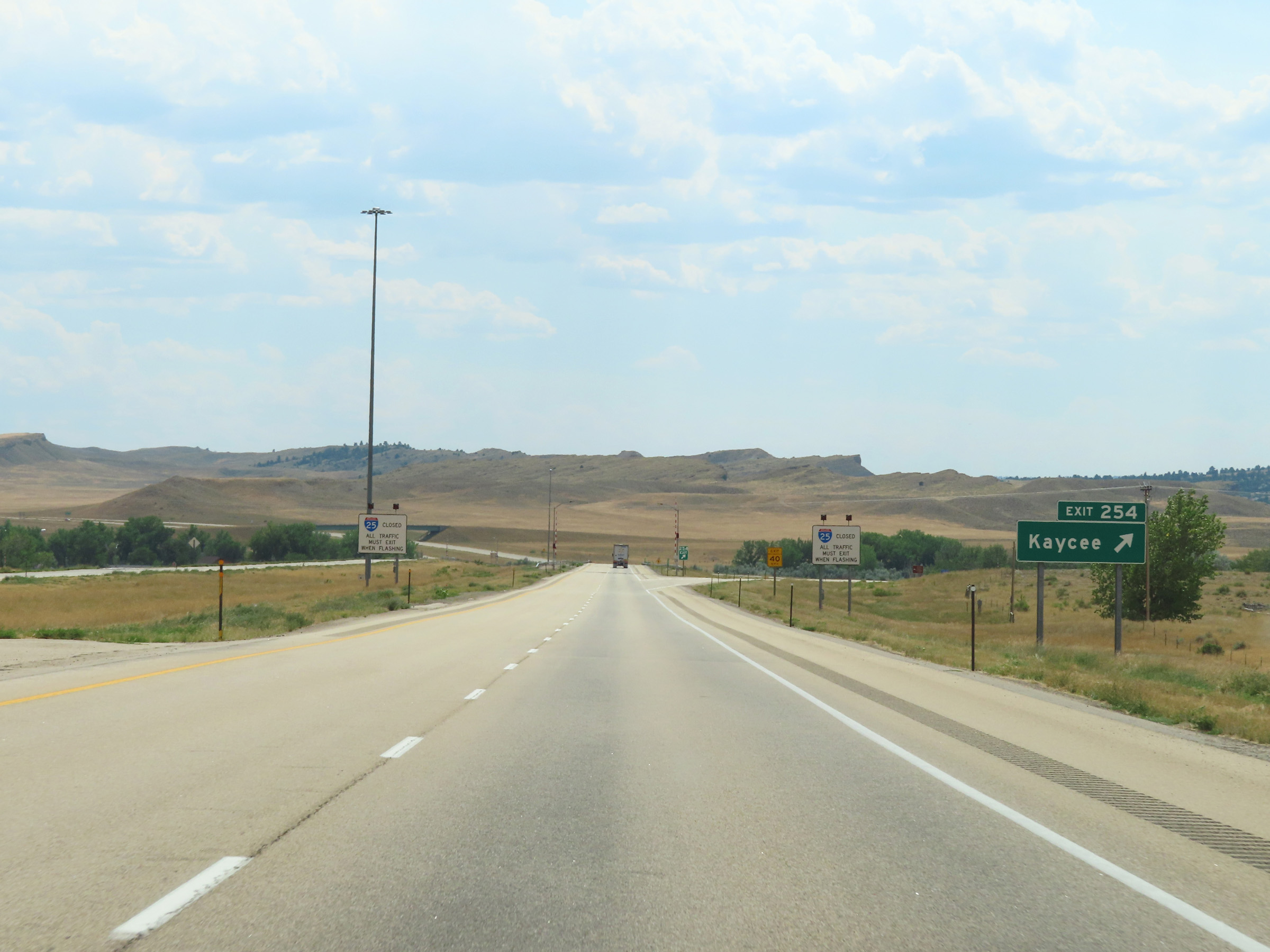 |
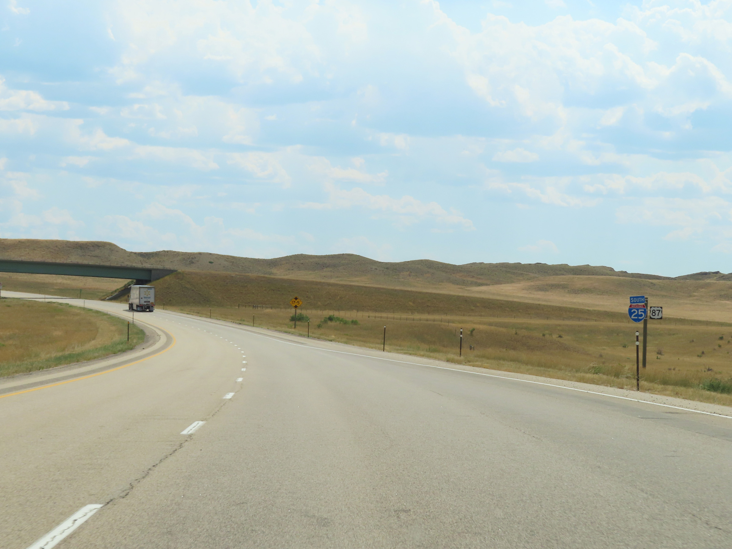
Interstate 25 South at Exit 254: Kaycee (Photo taken 8/17/22). |
Section 2: Kaycee (Exit 254) to Casper (Exit 187)
 |
Interstate 25 South reassurance shield as it leaves Kaycee. (Photo taken 8/17/22). |
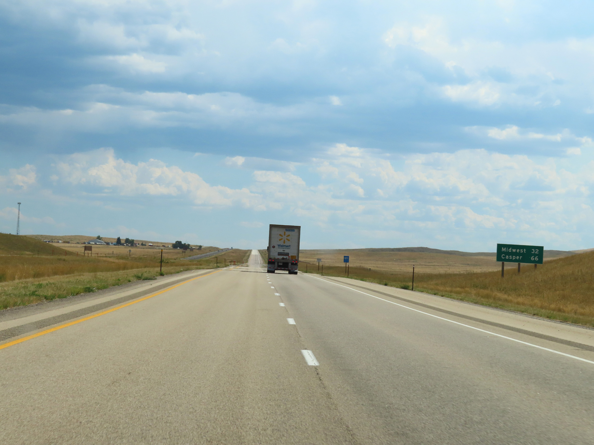 |
Mileage sign on Interstate 25 South. It's 32 miles to Midwest and 66 miles to Casper. (Photo taken 8/17/22). |
 |
View on Interstate 25 South at mile marker 251. (Photo taken 8/17/22). |
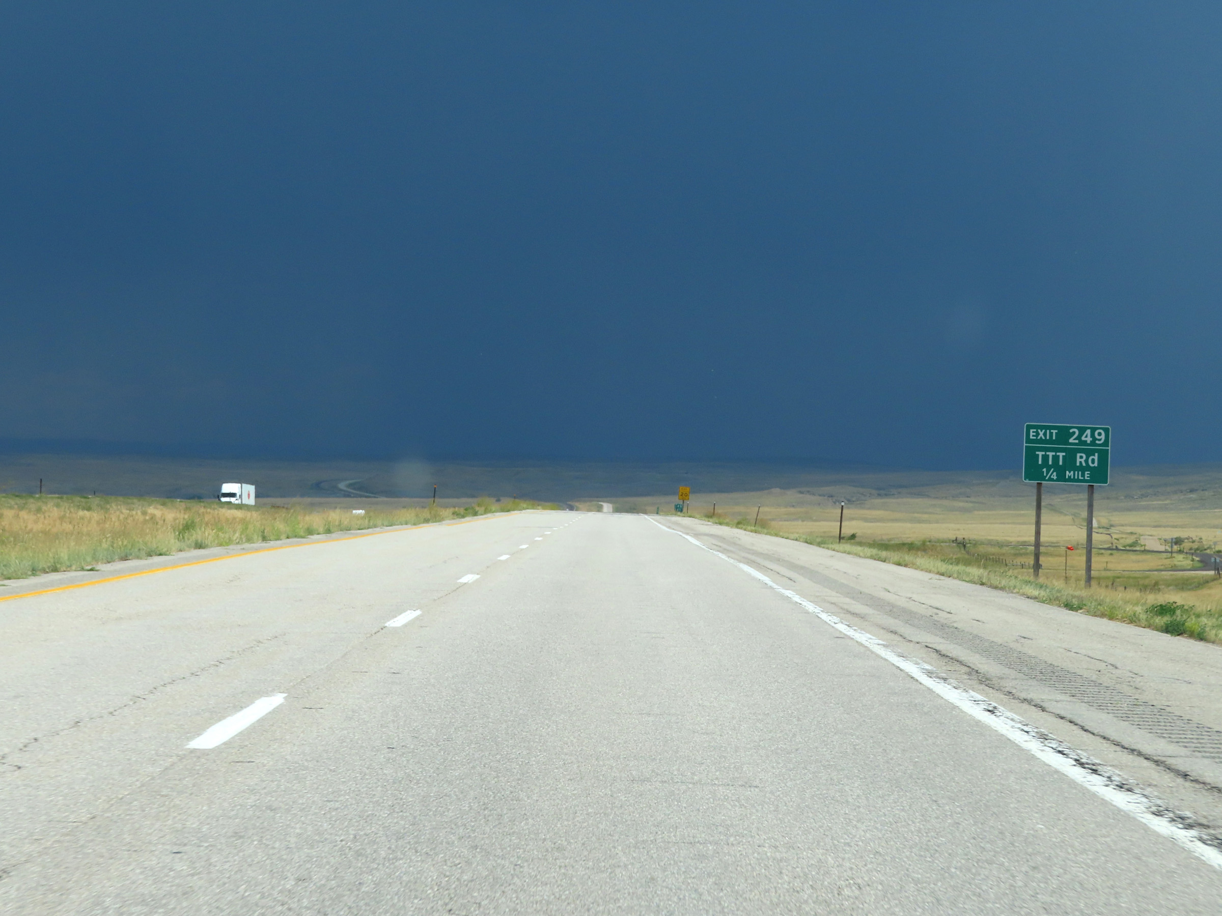 |
Interstate 25 South approaching Exit 249 - 1/4 mile. (Photo taken 8/17/22). |
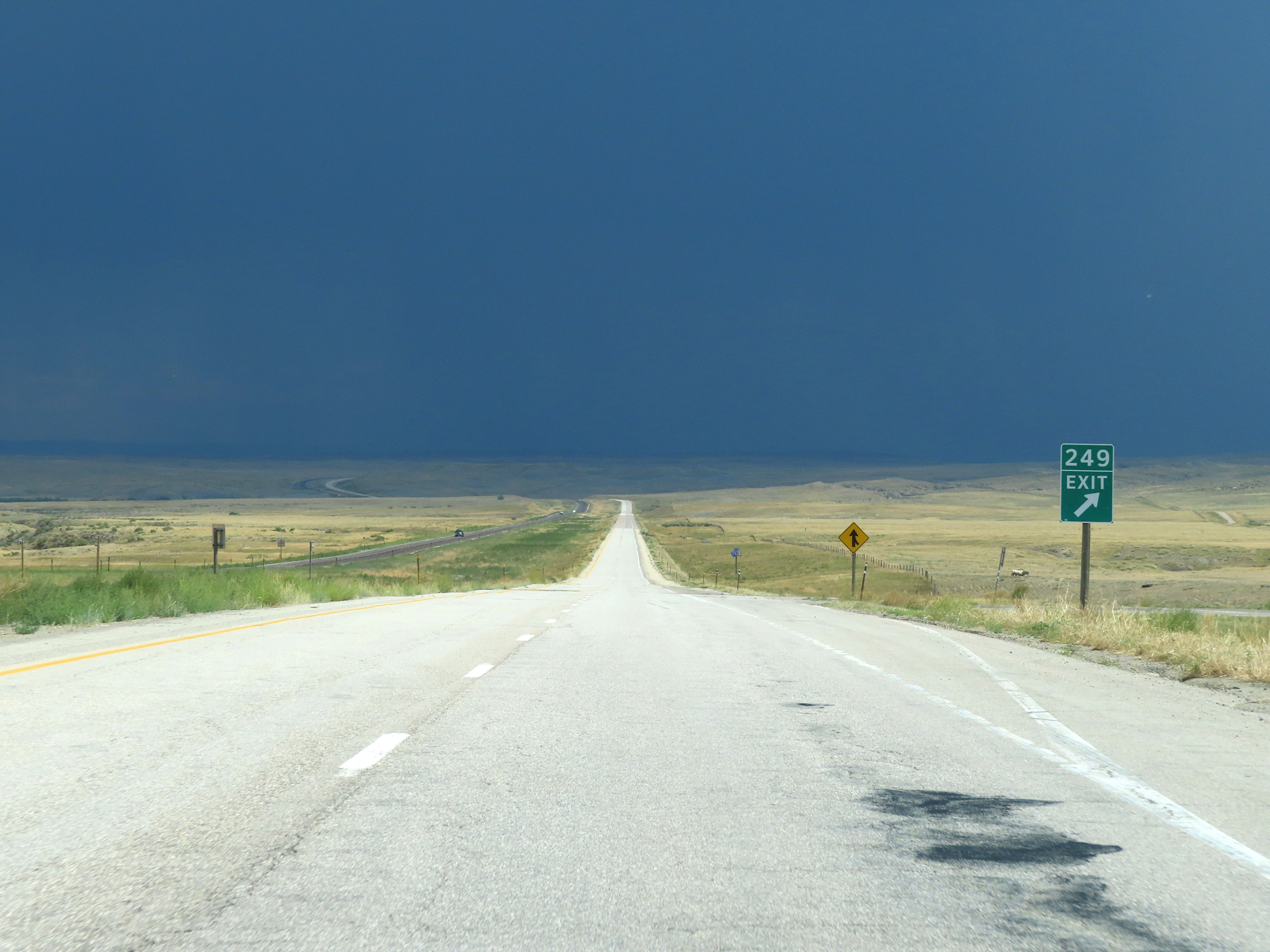 |
Interstate 25 South at Exit 249: TTT Rd (Photo taken 8/17/22). |
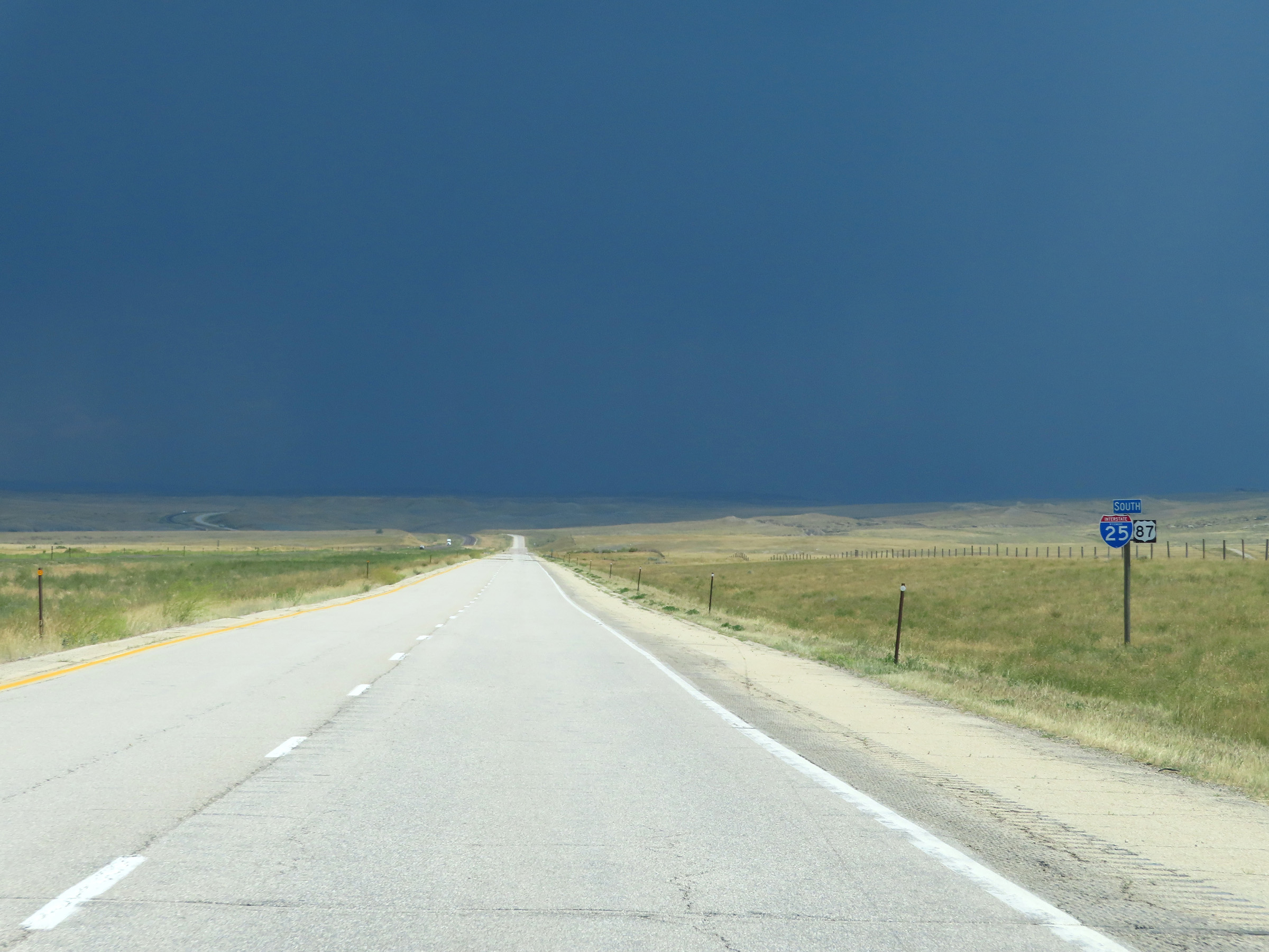 |
Another state-named Interstate 25 South reassurance shield in Johnson County. (Photo taken 8/17/22). |
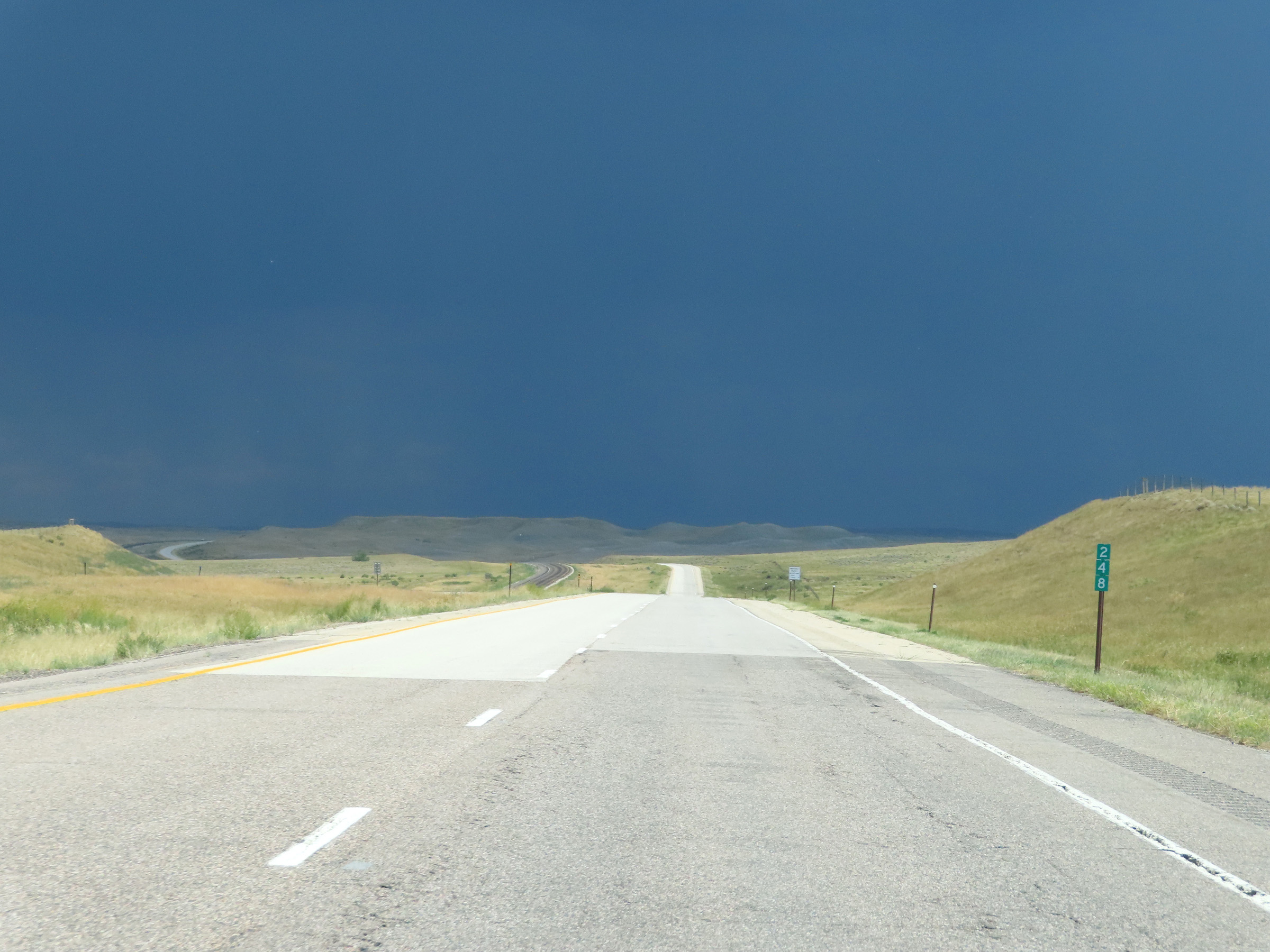 |
View on Interstate 25 South at mile marker 248. (Photo taken 8/17/22). |
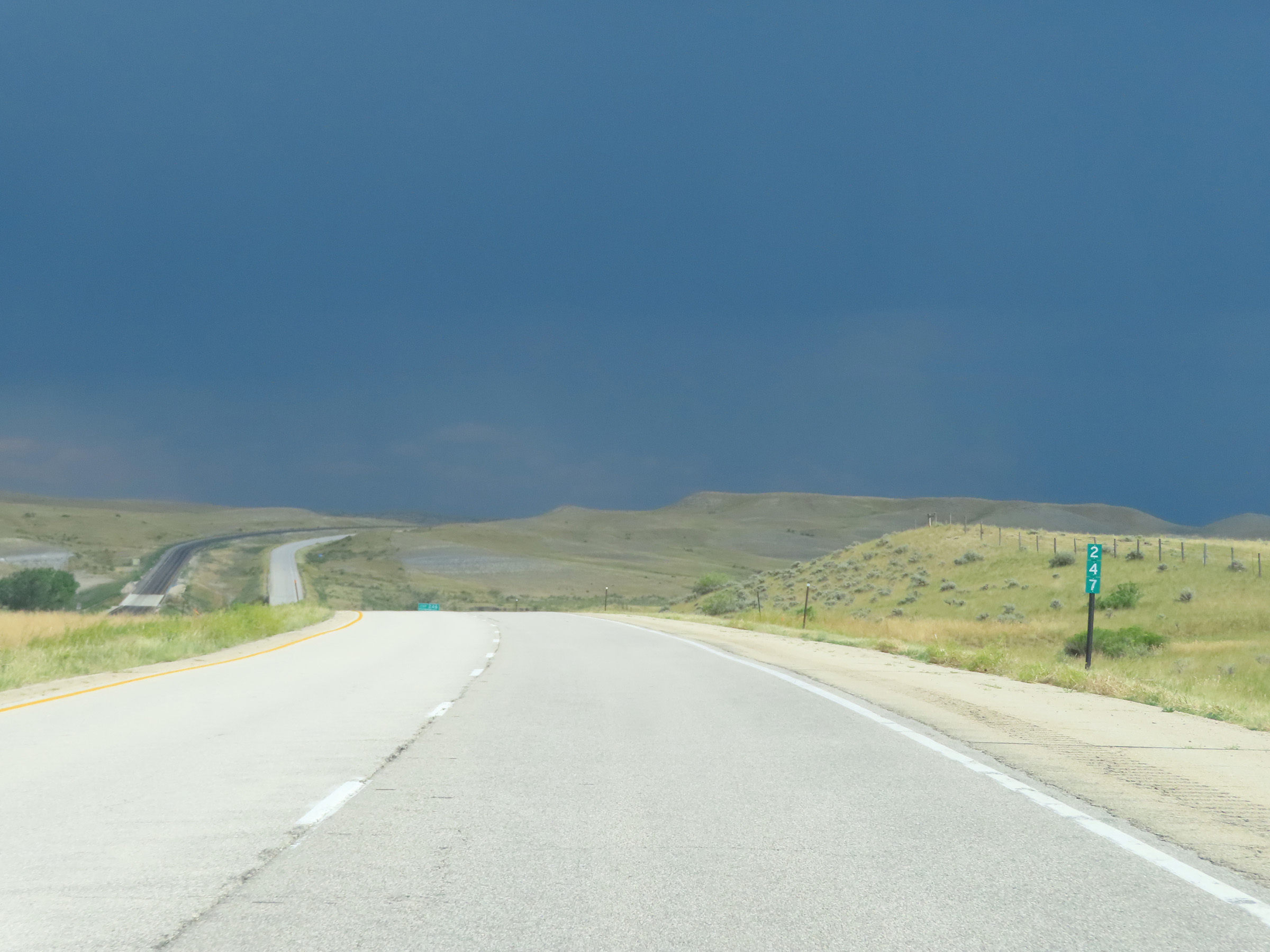 |
Mile marker 247 on Interstate 25 South in Johnson County. (Photo taken 8/17/22). |
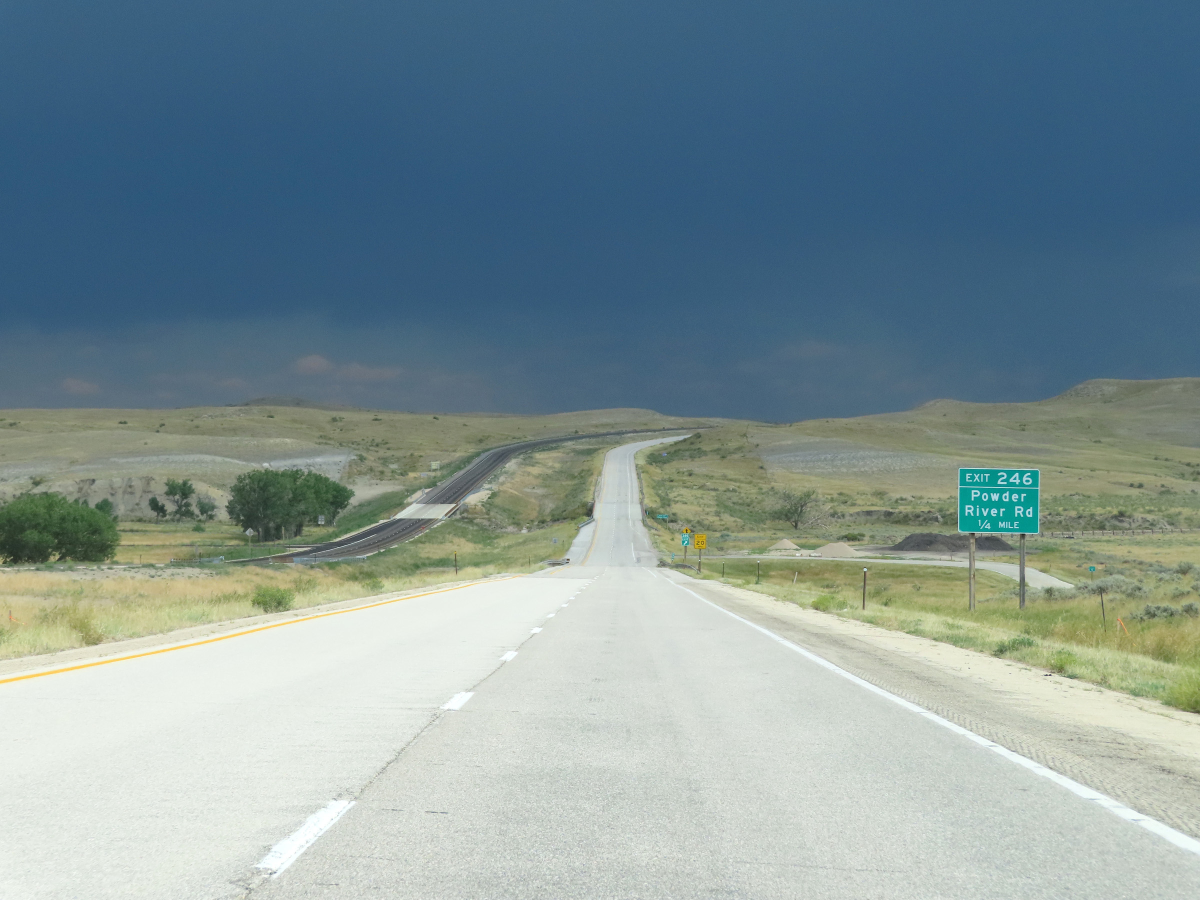 |
Interstate 25 South approaching Exit 246 - 1/4 mile. (Photo taken 8/17/22). |
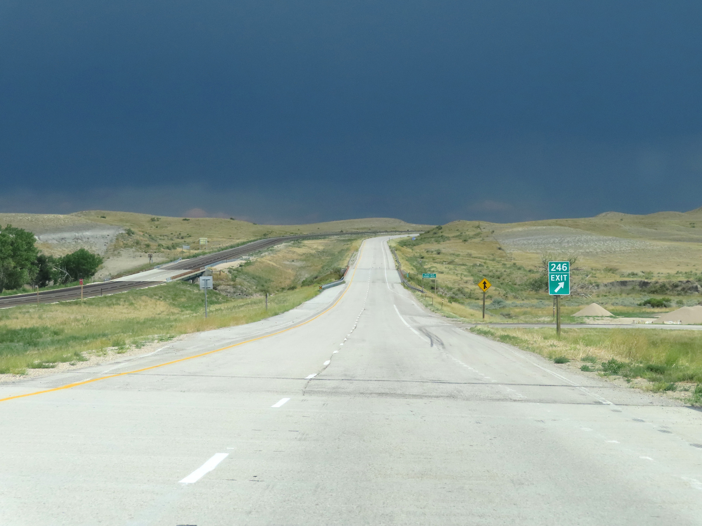 |
Interstate 25 South at Exit 246: Powder River Rd (Photo taken 8/17/22). |
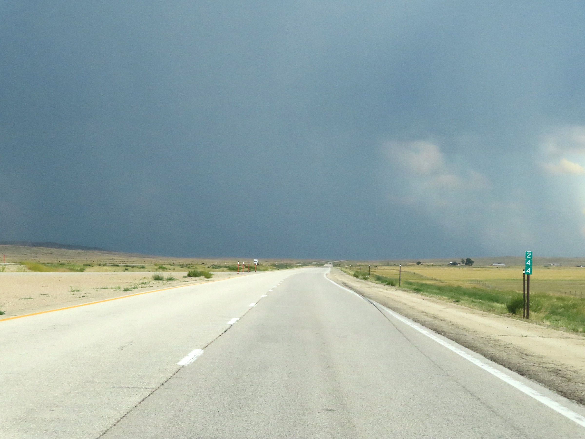 |
View on Interstate 25 South at mile marker 244. (Photo taken 8/17/22). |
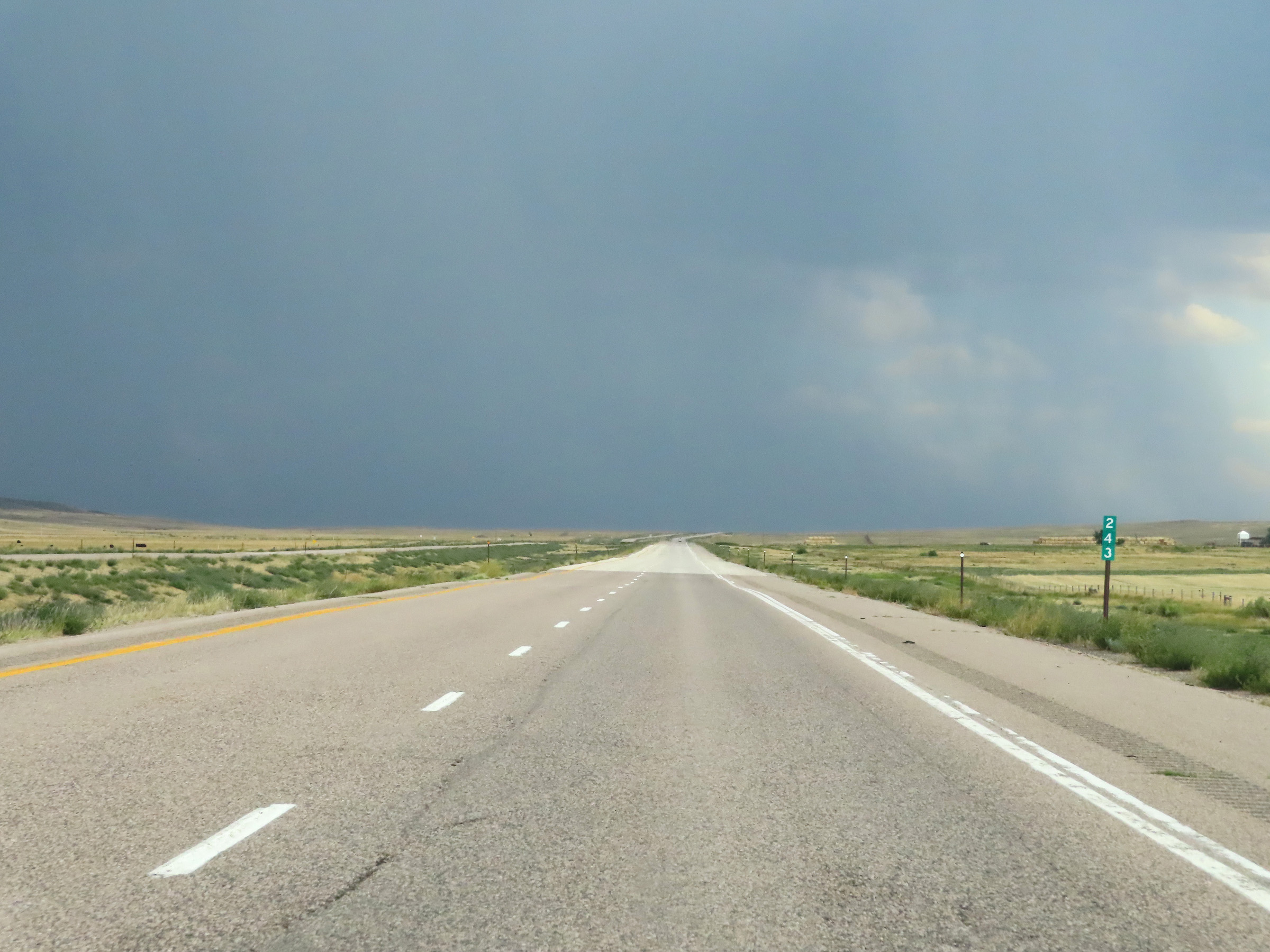 |
Interstate 25 South at mile marker 243. (Photo taken 8/17/22). |
 |
Mile marker 241 on Interstate 25 South in Johnson County. (Photo taken 8/17/22). |
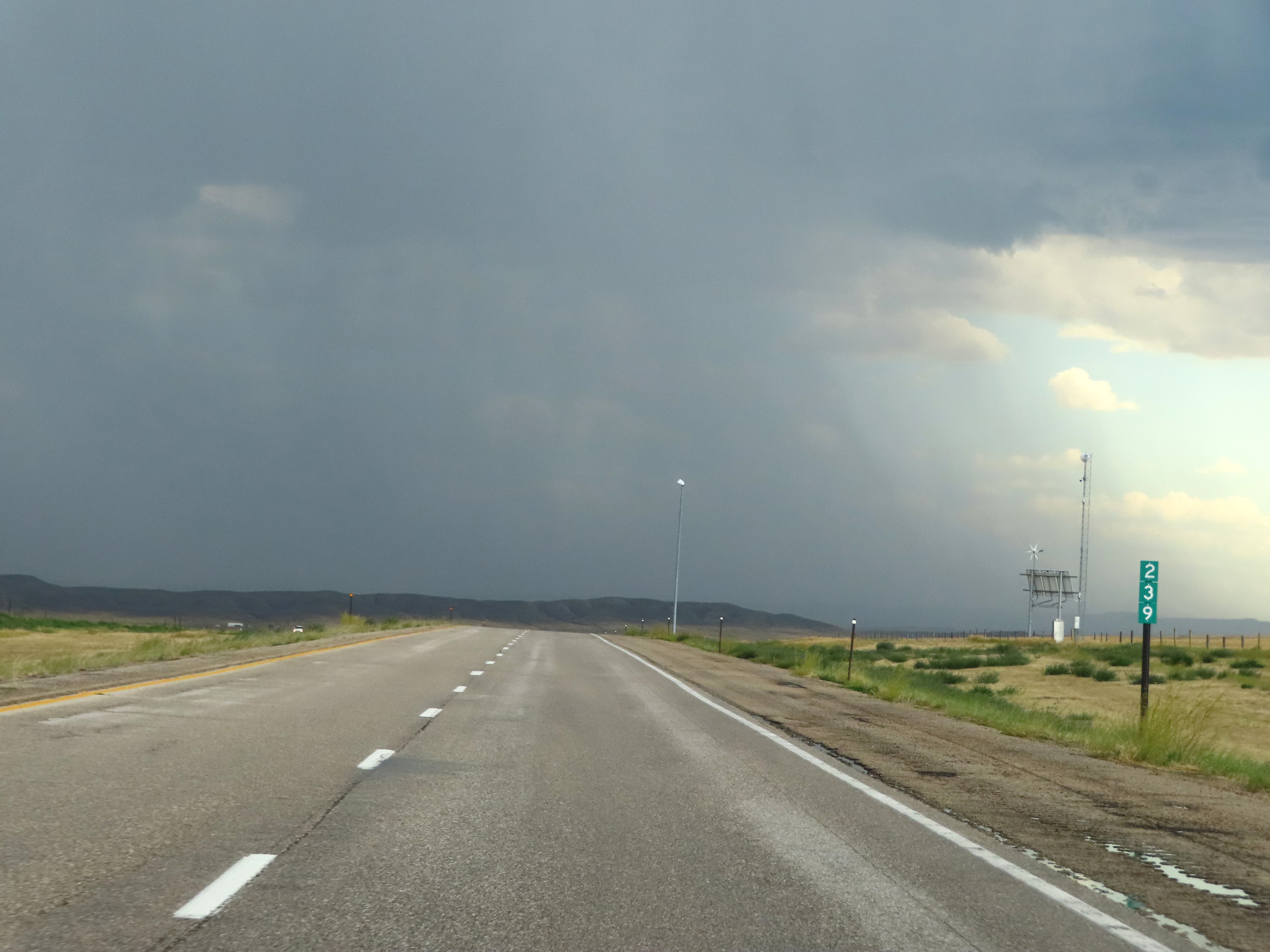 |
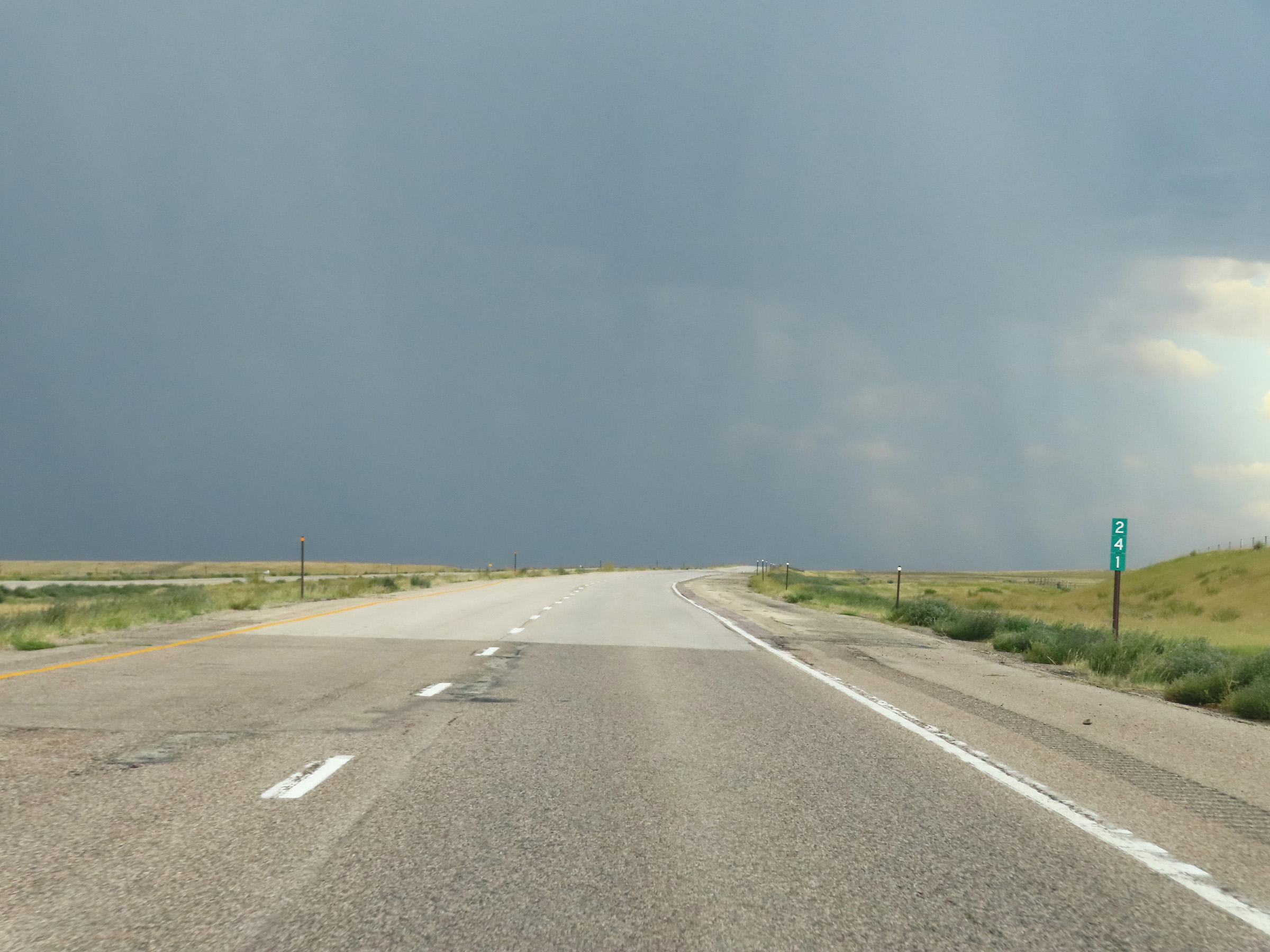
View on Interstate 25 South at mile marker 239. (Photo taken 8/17/22). |
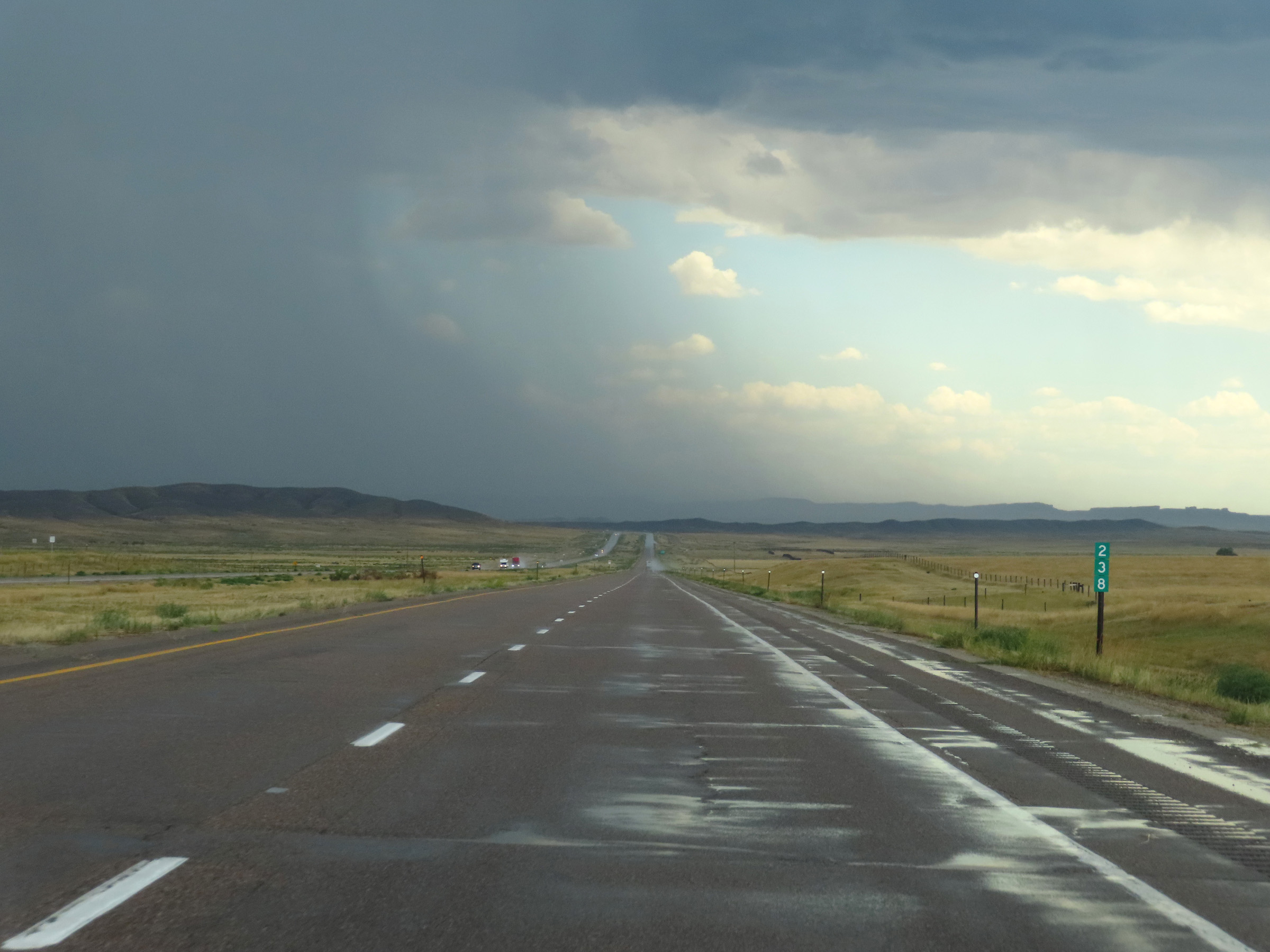 |
Interstate 25 South at mile marker 238. (Photo taken 8/17/22). |
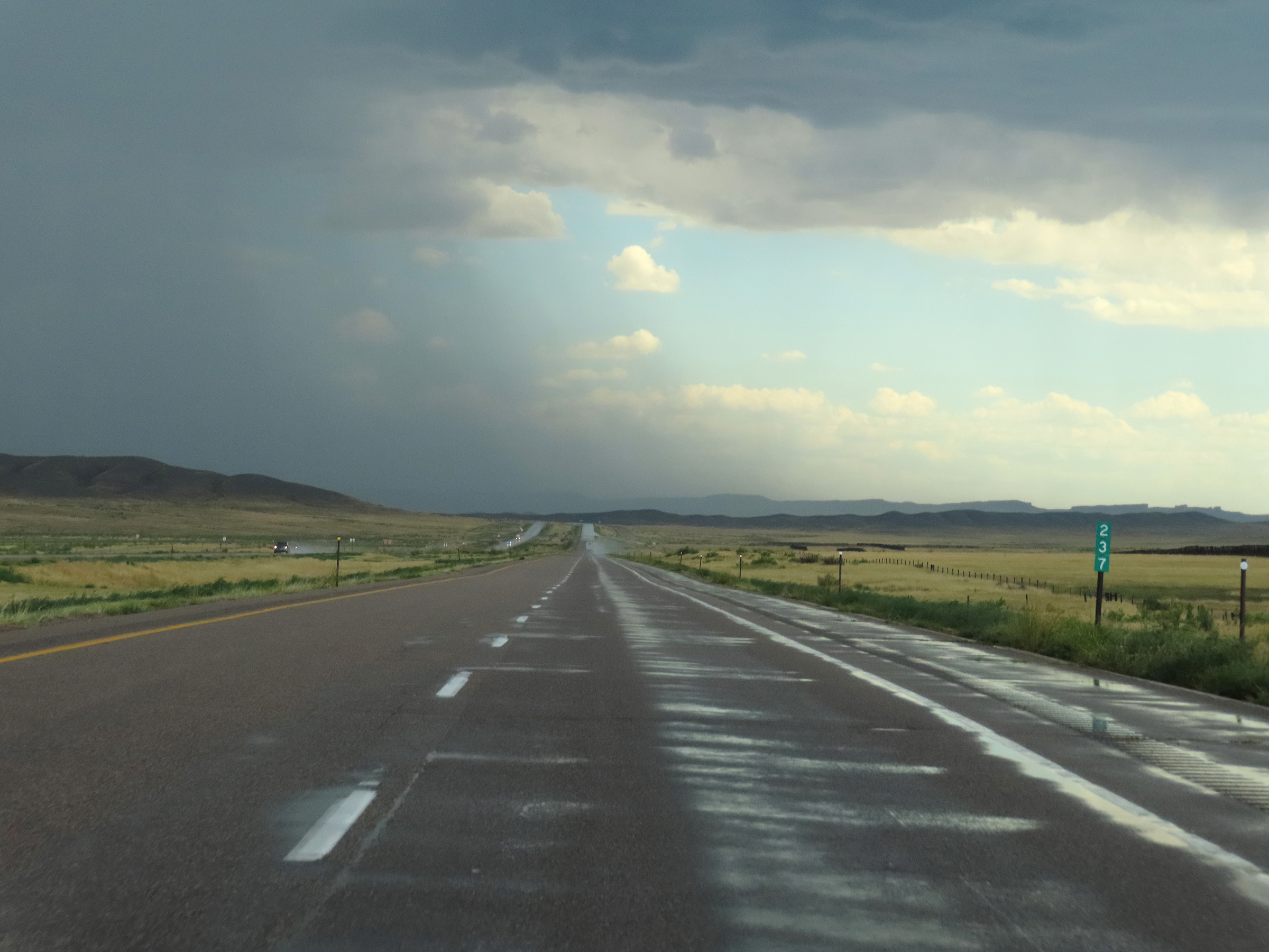 |
Mile marker 237 on Interstate 25 South in Johnson County. (Photo taken 8/17/22). |
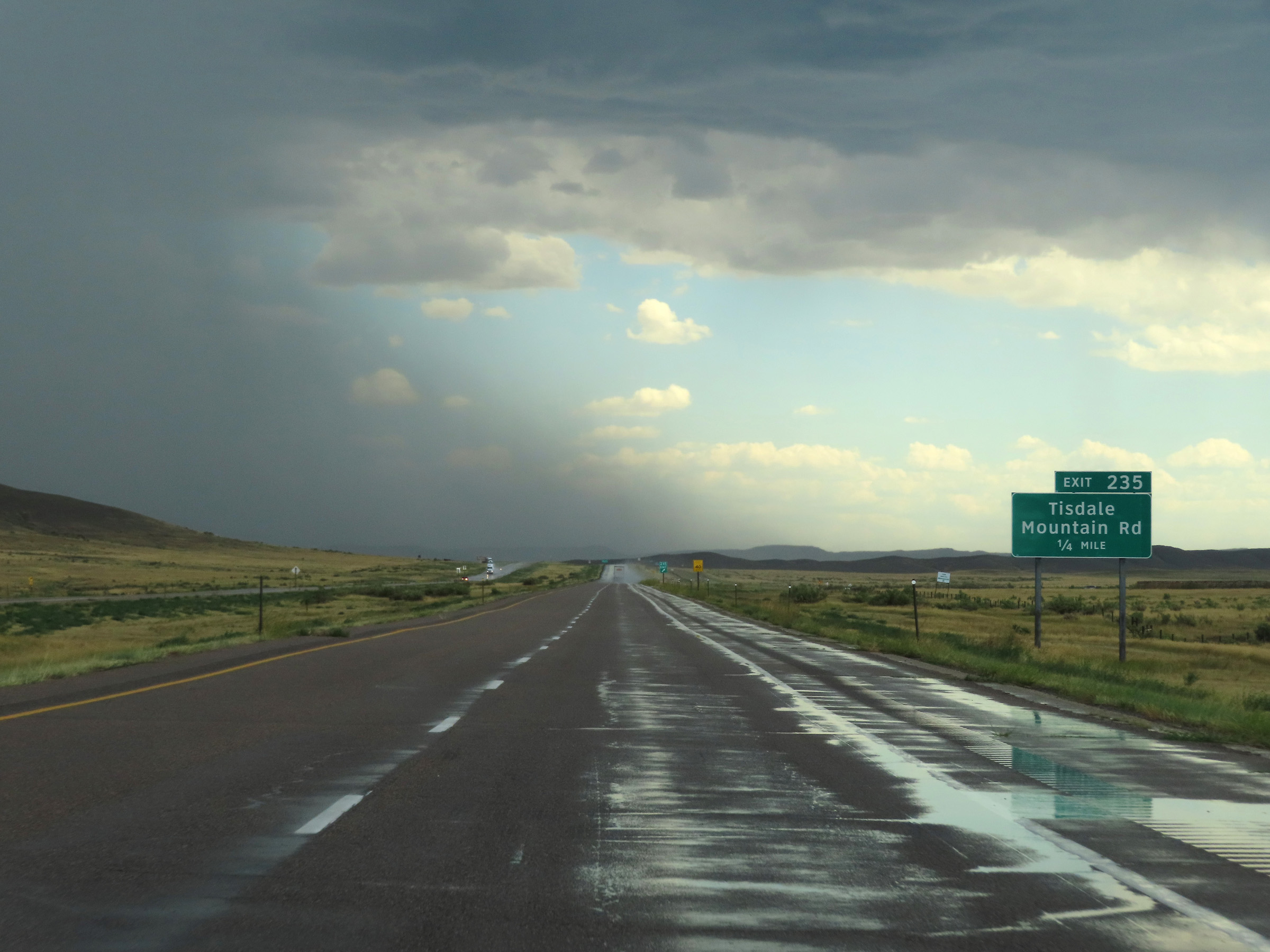 |
Interstate 25 South approaching Exit 235 - 1/4 mile. (Photo taken 8/17/22). |
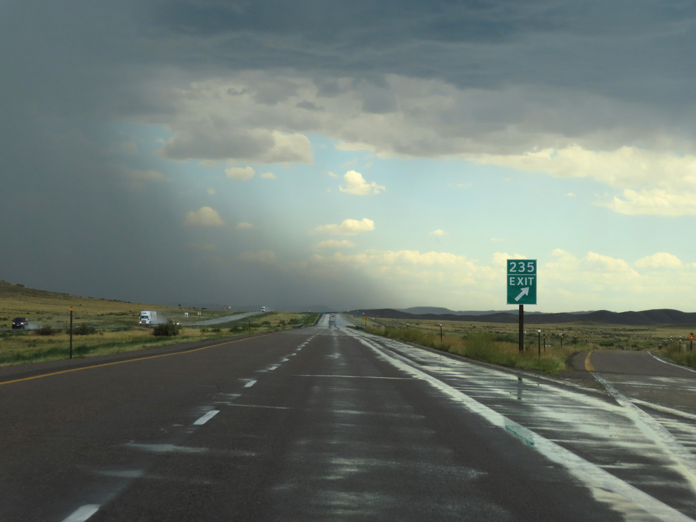 |
Interstate 25 South at Exit 235: Tisdale Mountain Rd (Photo taken 8/17/22). |
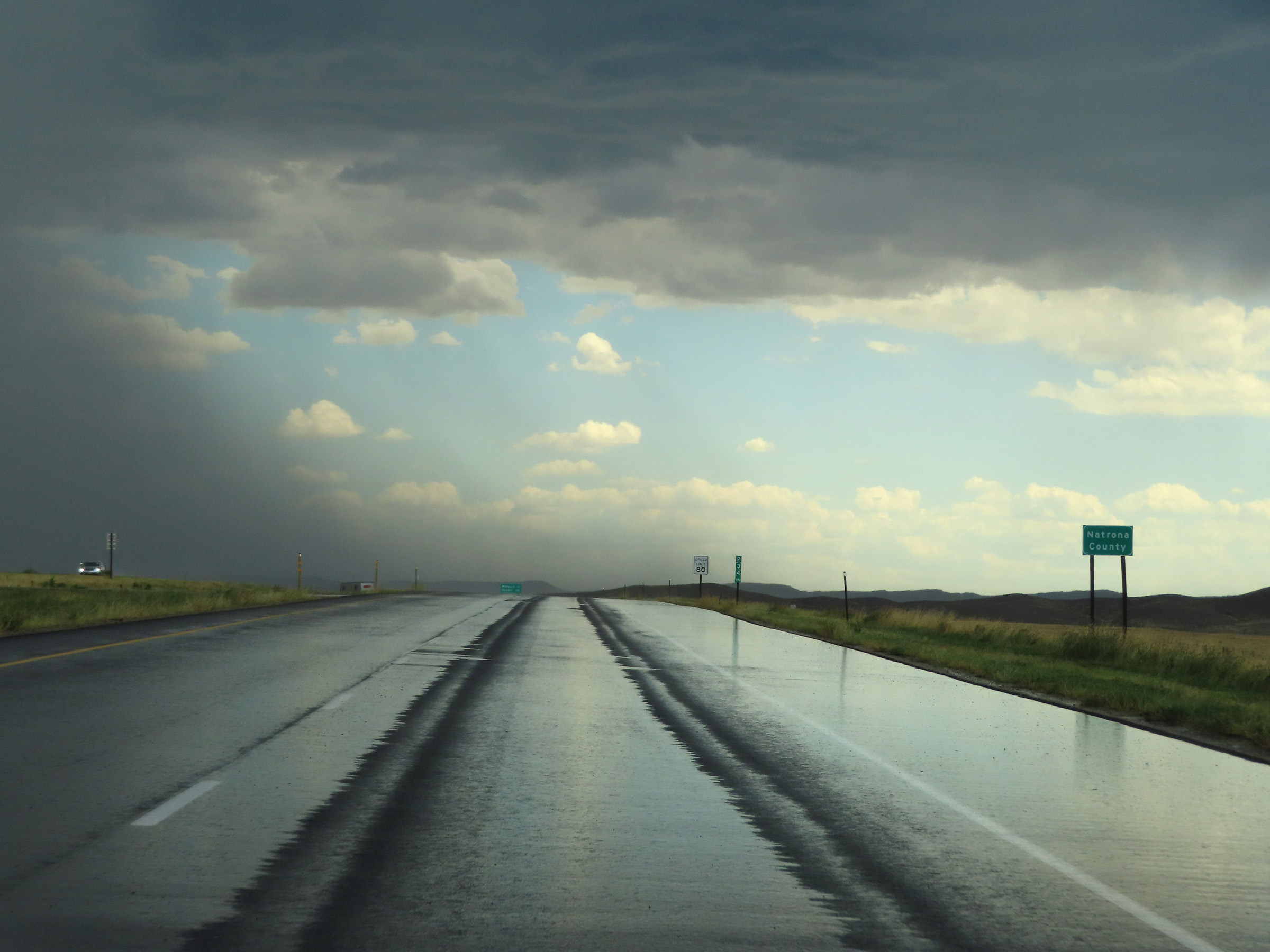 |
Interstate 25 South as it enters Natrona County at mile marker 234.65. (Photo taken 8/17/22). |
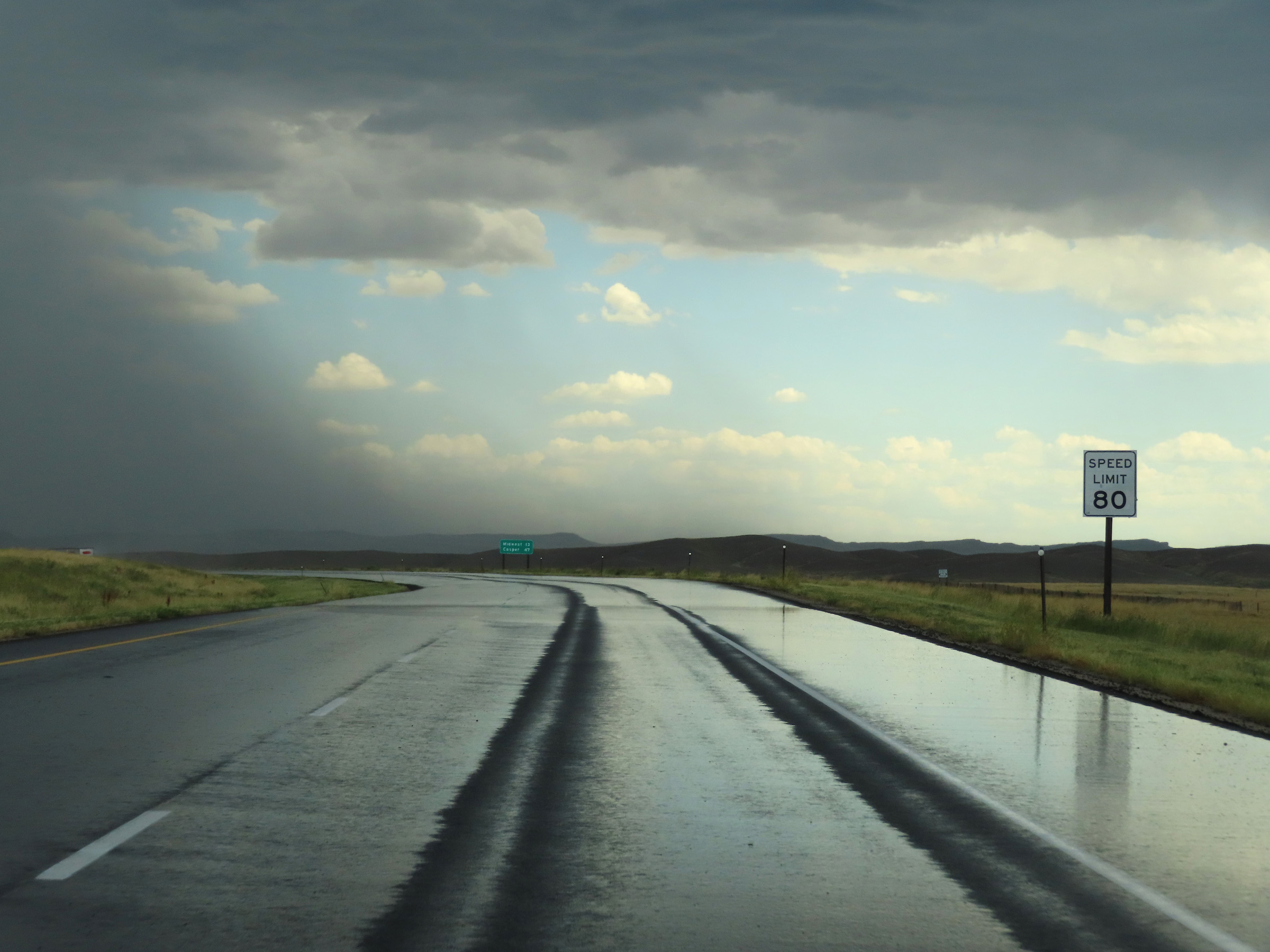 |
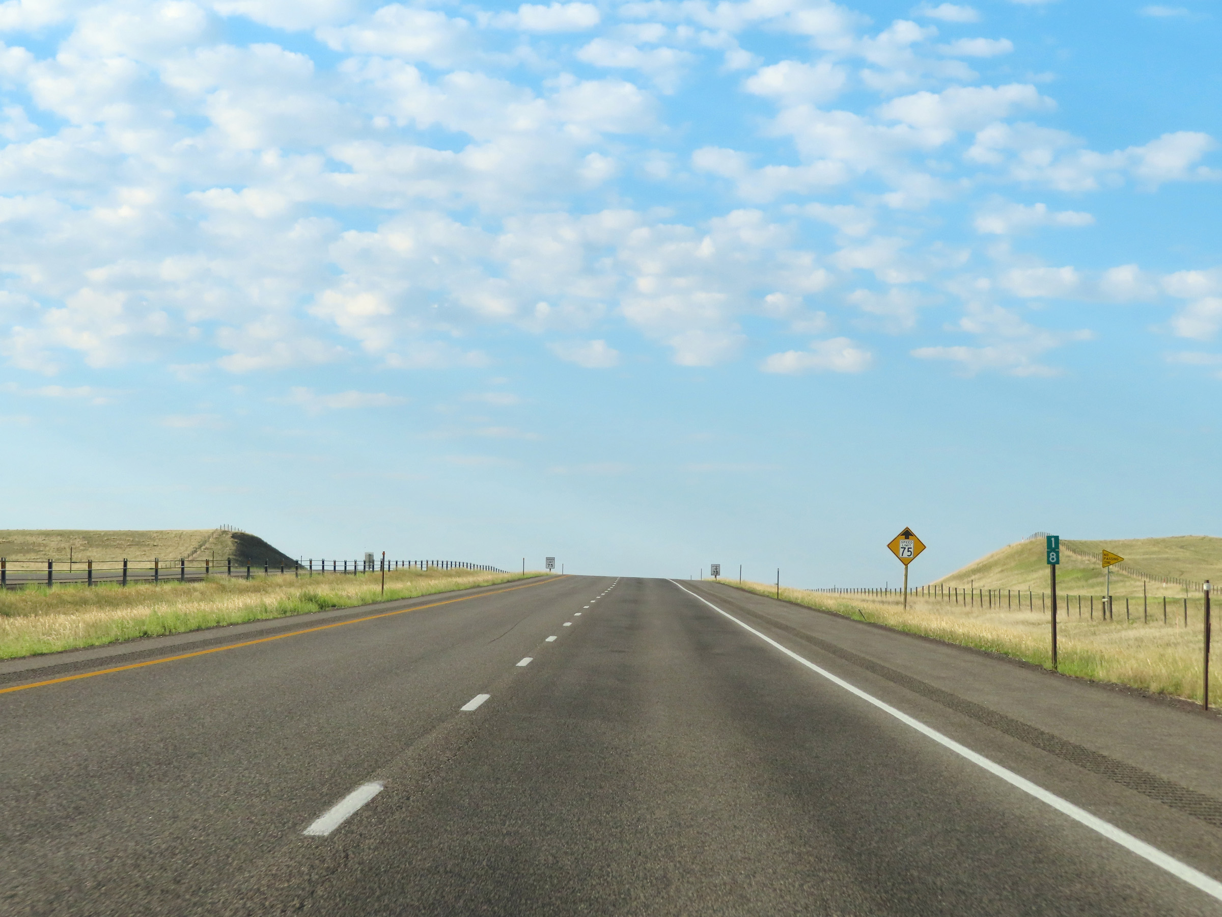
The speed limit on Interstate 25 South remains 80 mph. (Photo taken 8/17/22). |
 |
View on Interstate 25 South at mile marker 234. (Photo taken 8/17/22). |
 |
Interstate 25 South at mile marker 233. (Photo taken 8/17/22). |
 |
Mile marker 231 on Interstate 25 South in Natrona County. (Photo taken 8/17/22). |
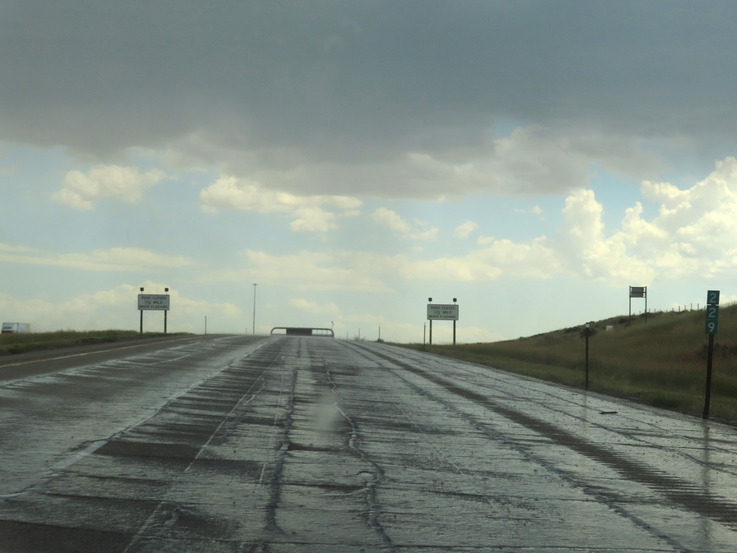 |
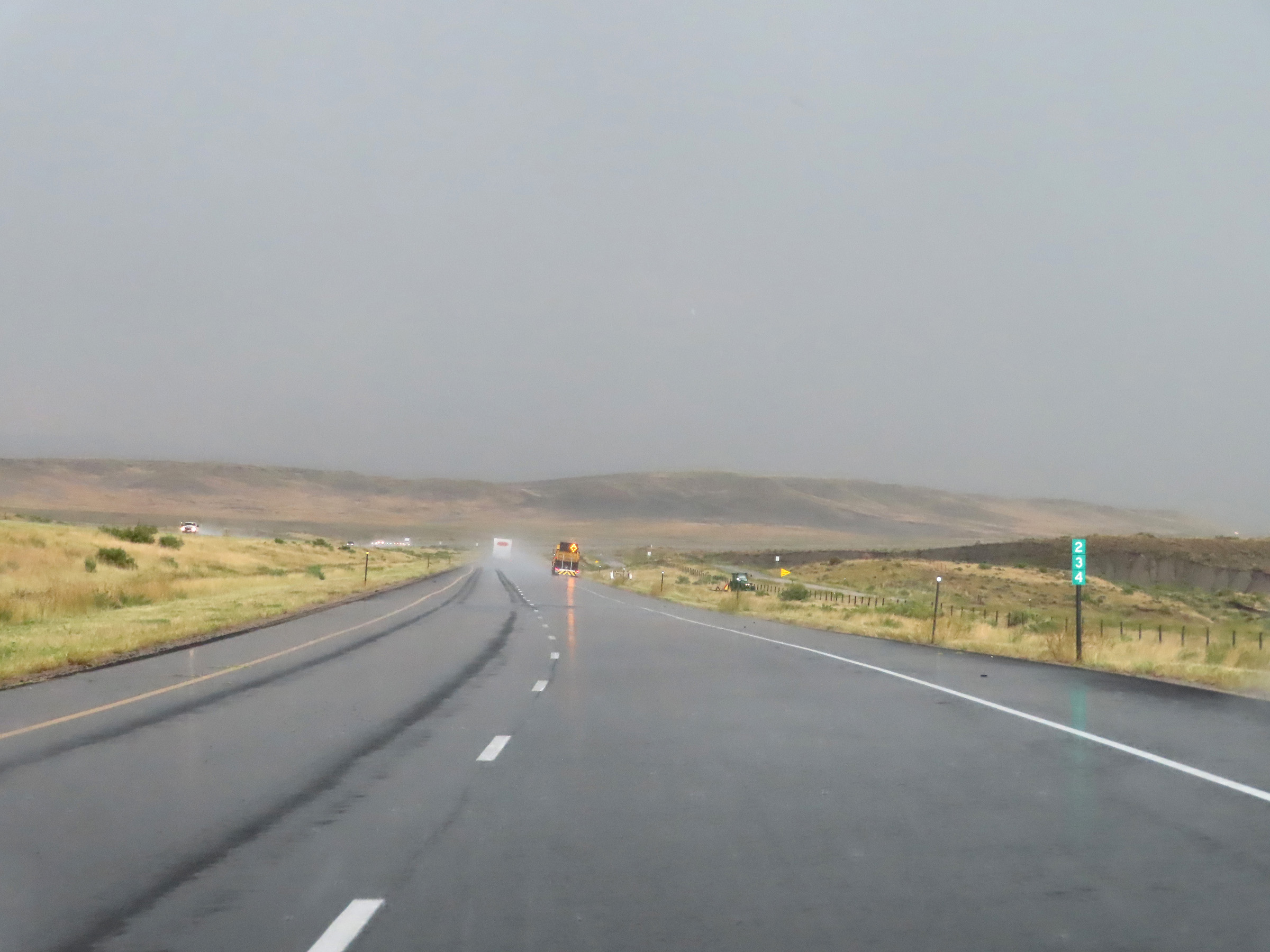
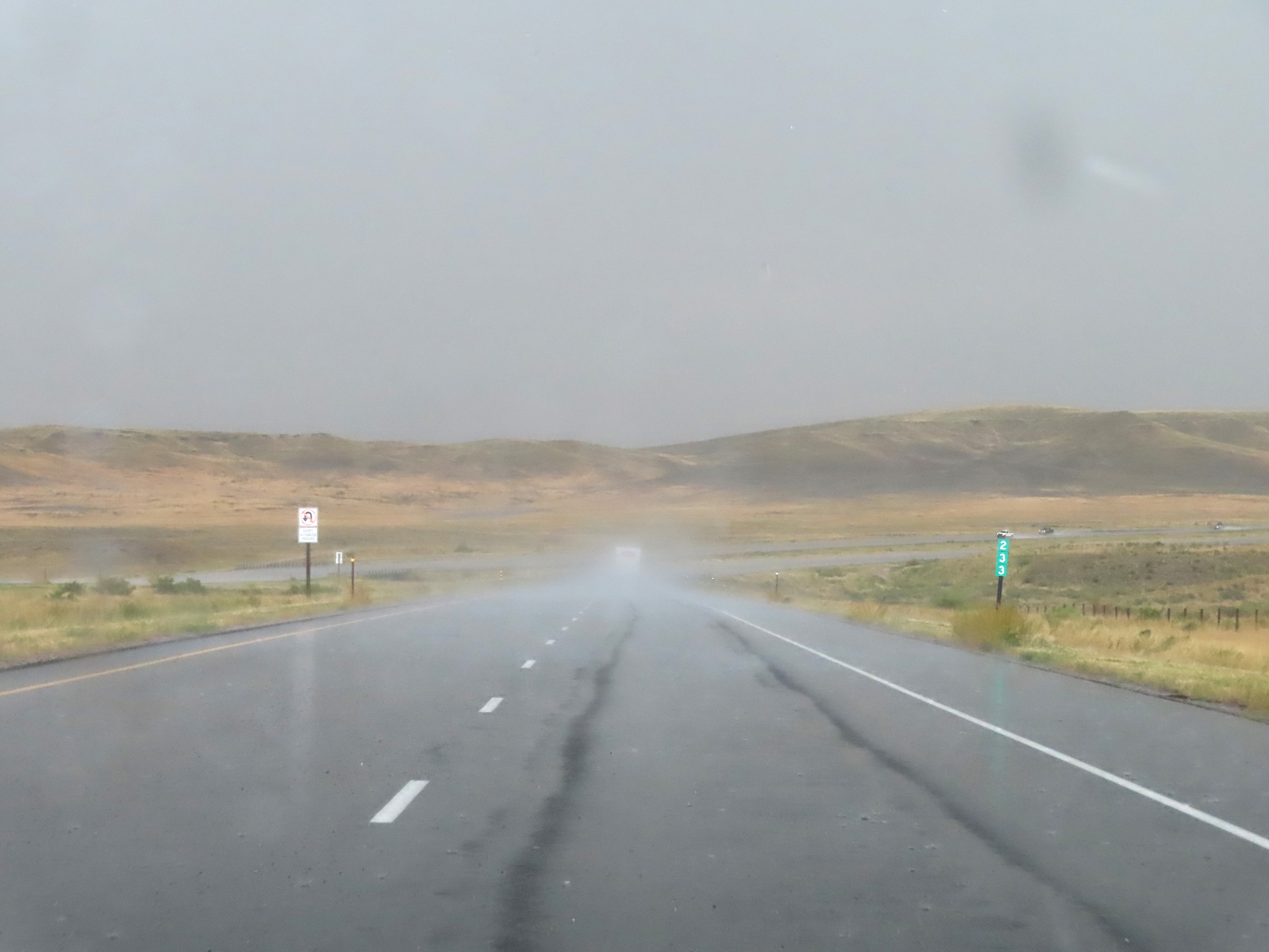
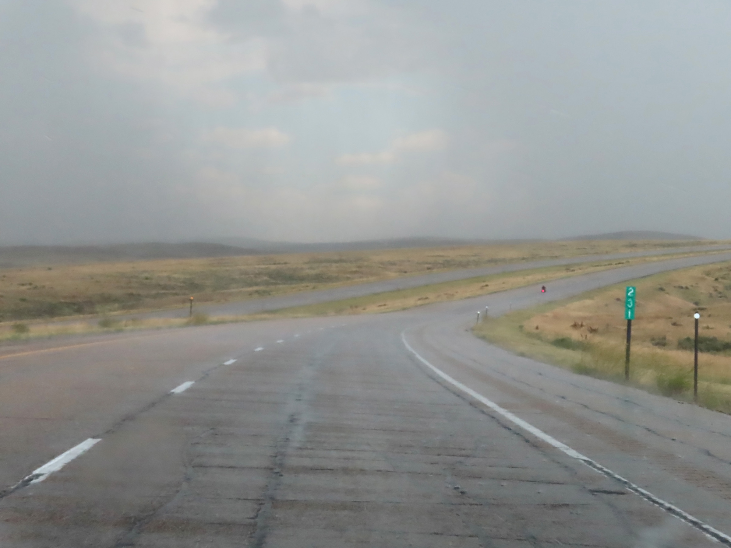
Interstate 25 South at mile marker 229. (Photo taken 8/17/22). |
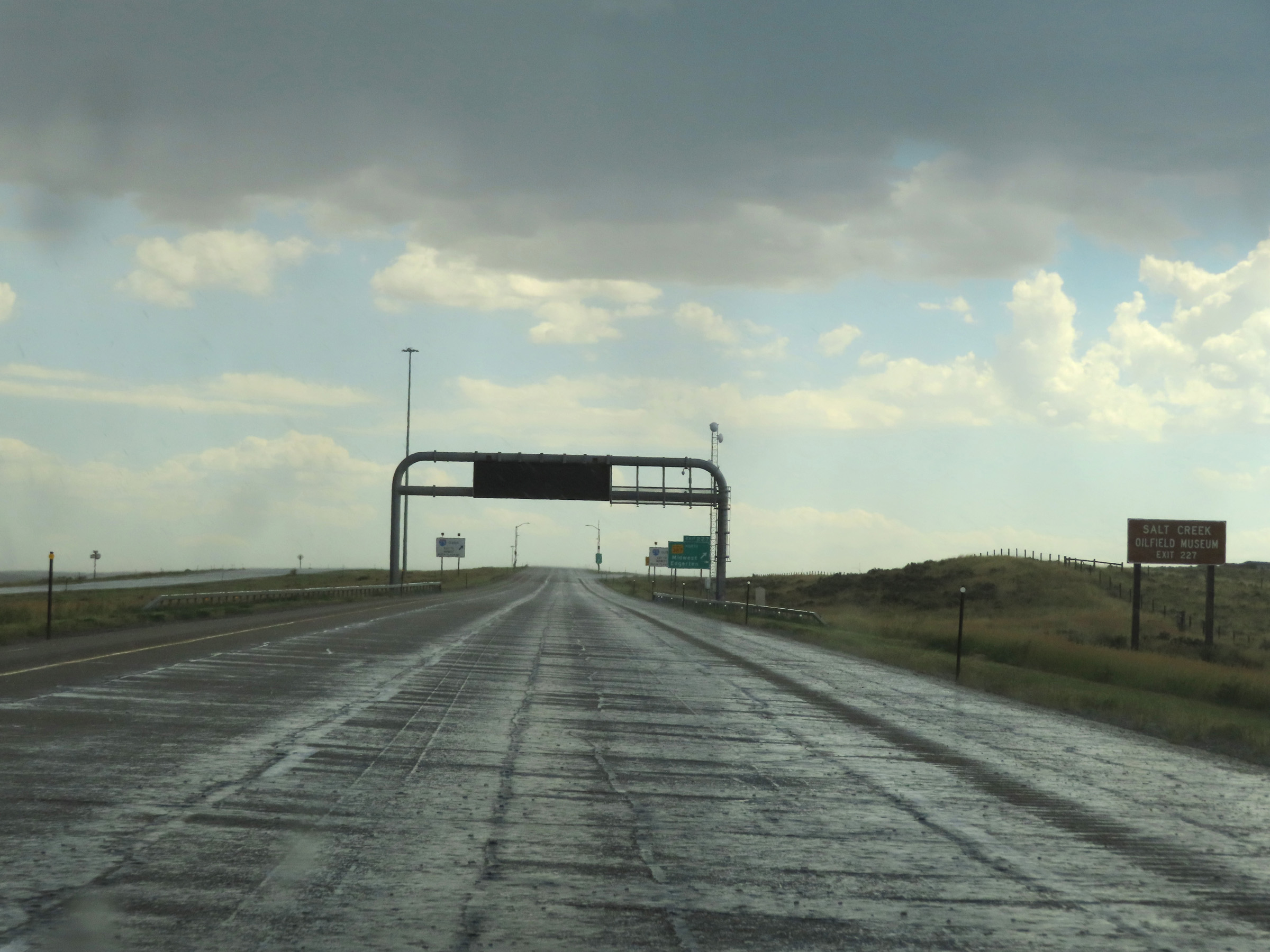 |
Take Exit 227 to the Salt Creek Oilfield Museum. (Photo taken 8/17/22). |
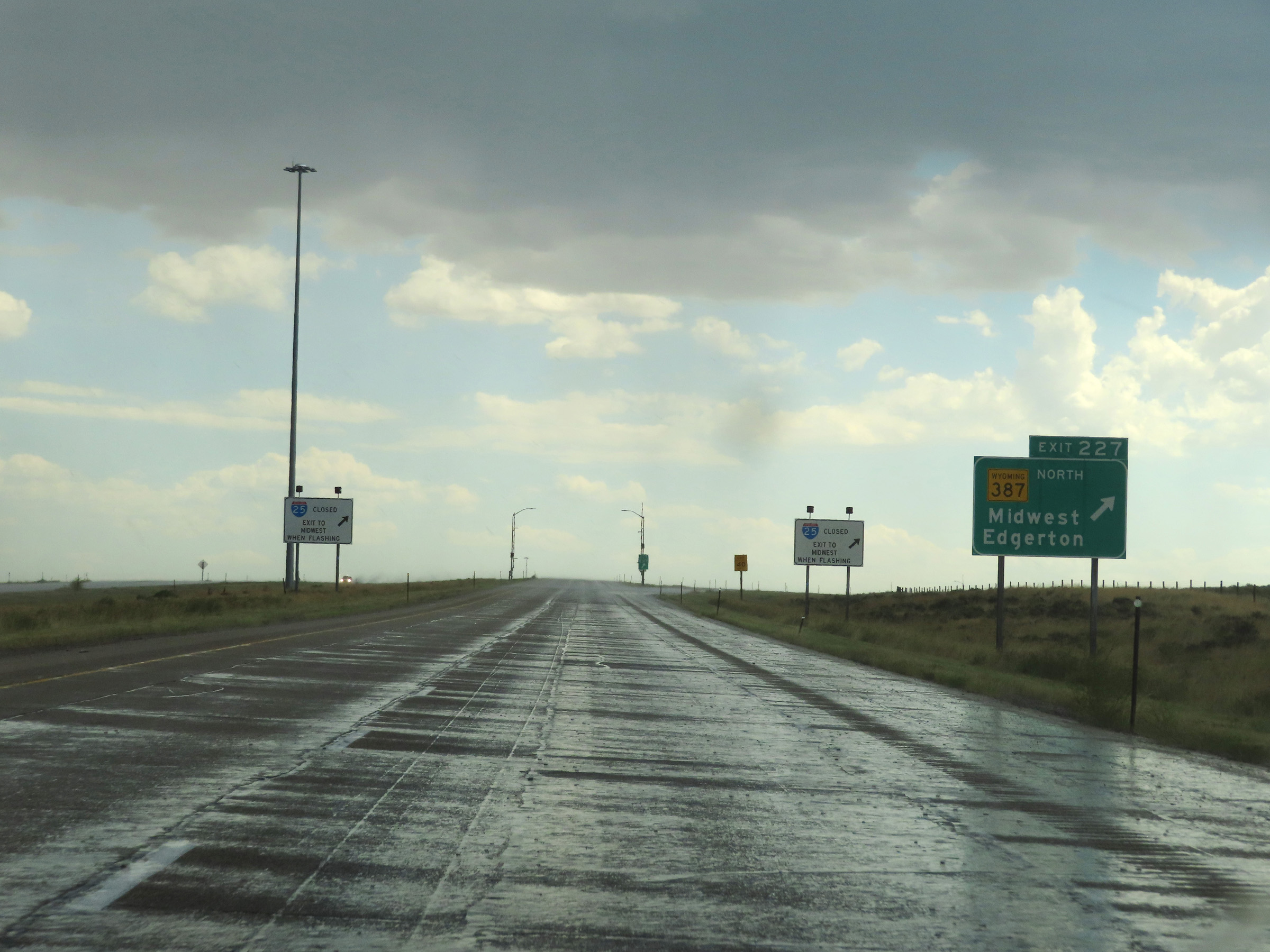 |
Interstate 25 South at Exit 227: WY 387 North - Midwest / Edgerton (Photo taken 8/17/22). |
 |
Mileage sign on Interstate 25 South. It's 39 miles to Casper and 218 miles to Cheyenne. (Photo taken 8/17/22). |
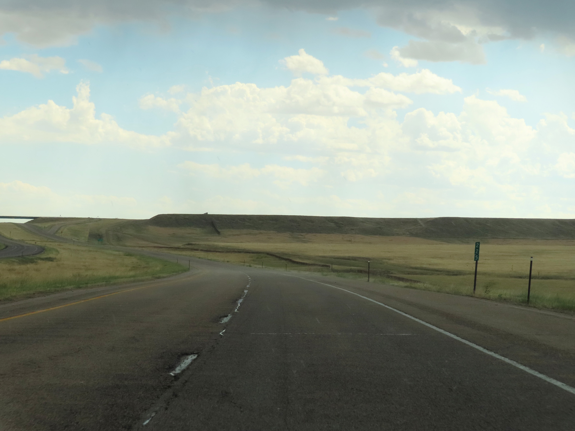 |
View on Interstate 25 South at mile marker 225. (Photo taken 8/17/22). |
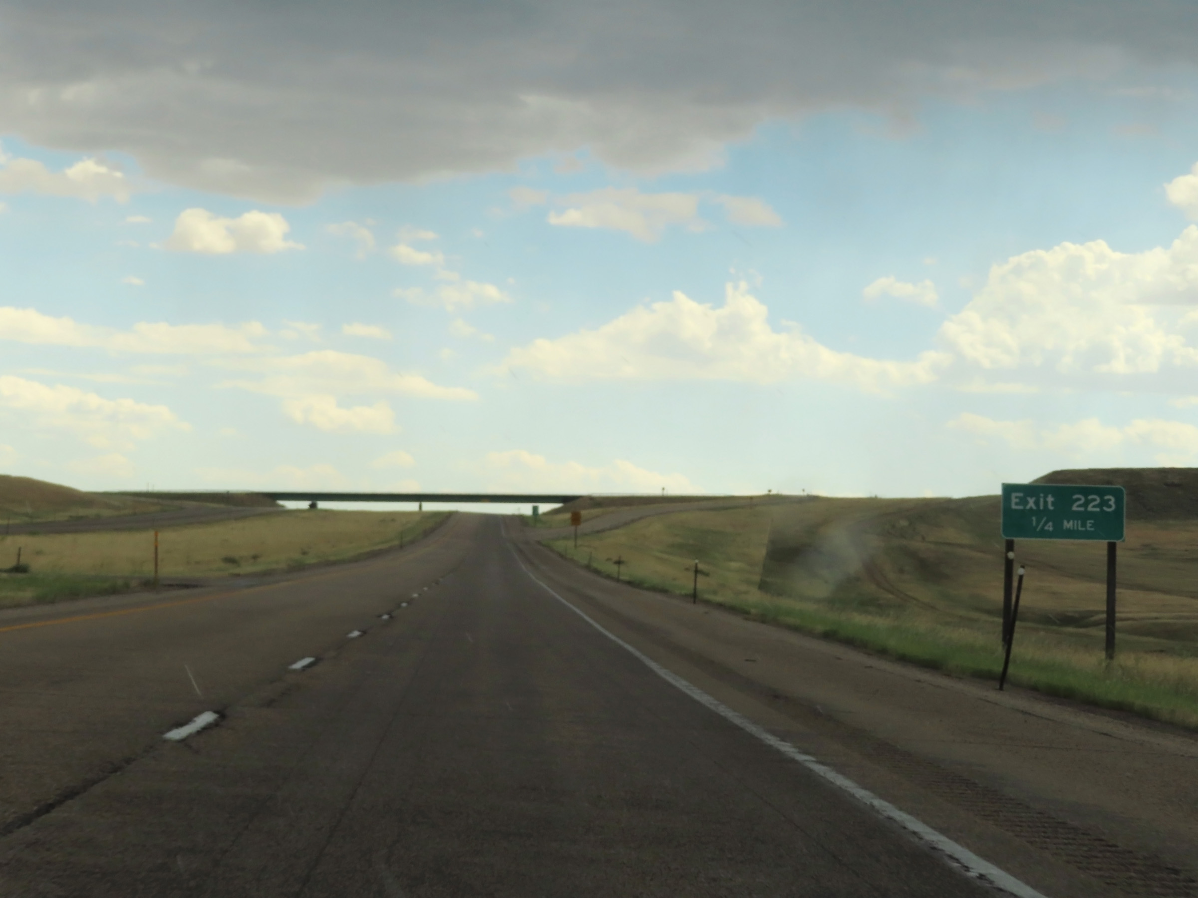 |
Interstate 25 South approaching Exit 223 - 1/4 mile. (Photo taken 8/17/22). |
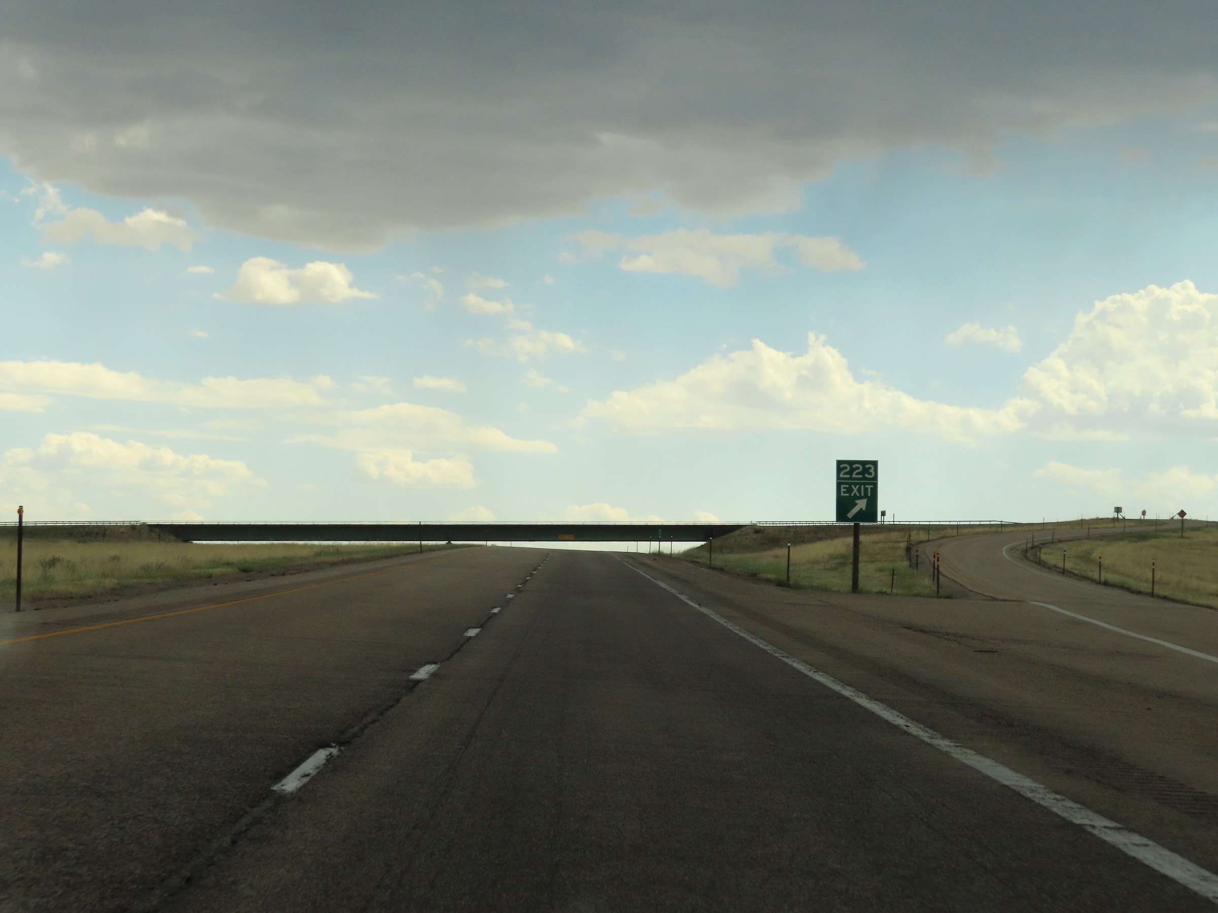 |
Interstate 25 South at Exit 223: (No Name) (Photo taken 8/17/22). |
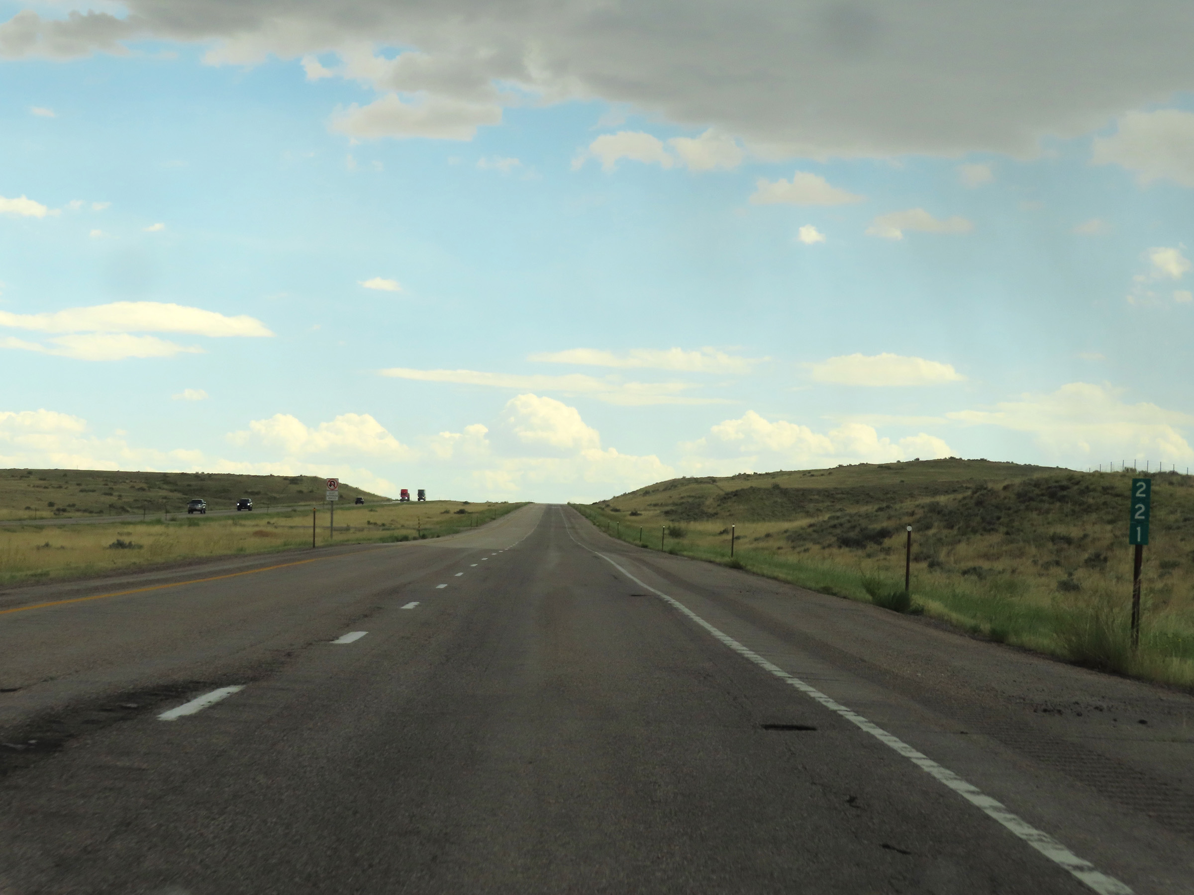 |
Mile marker 221 on Interstate 25 South in Natrona County. (Photo taken 8/17/22). |
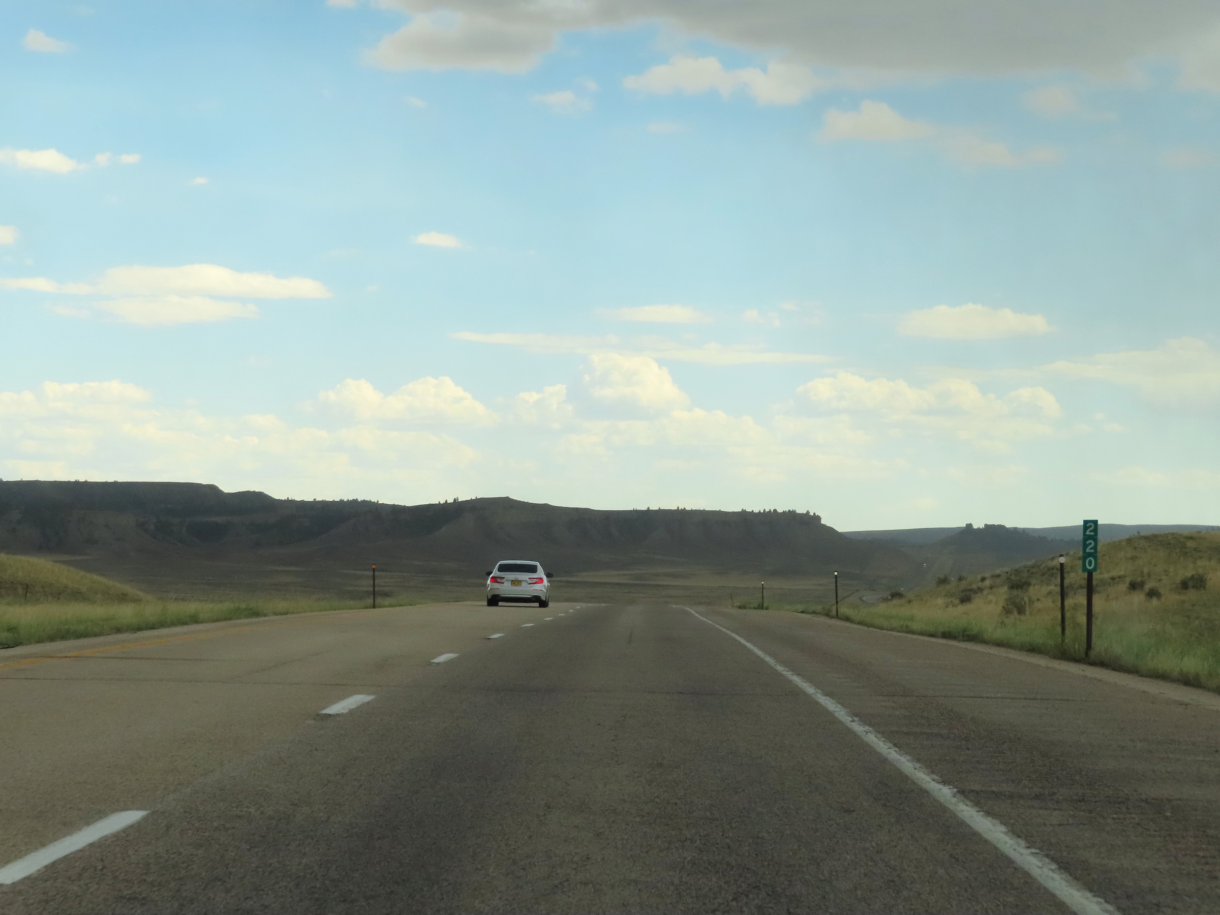 |
View on Interstate 25 South at mile marker 220. (Photo taken 8/17/22). |
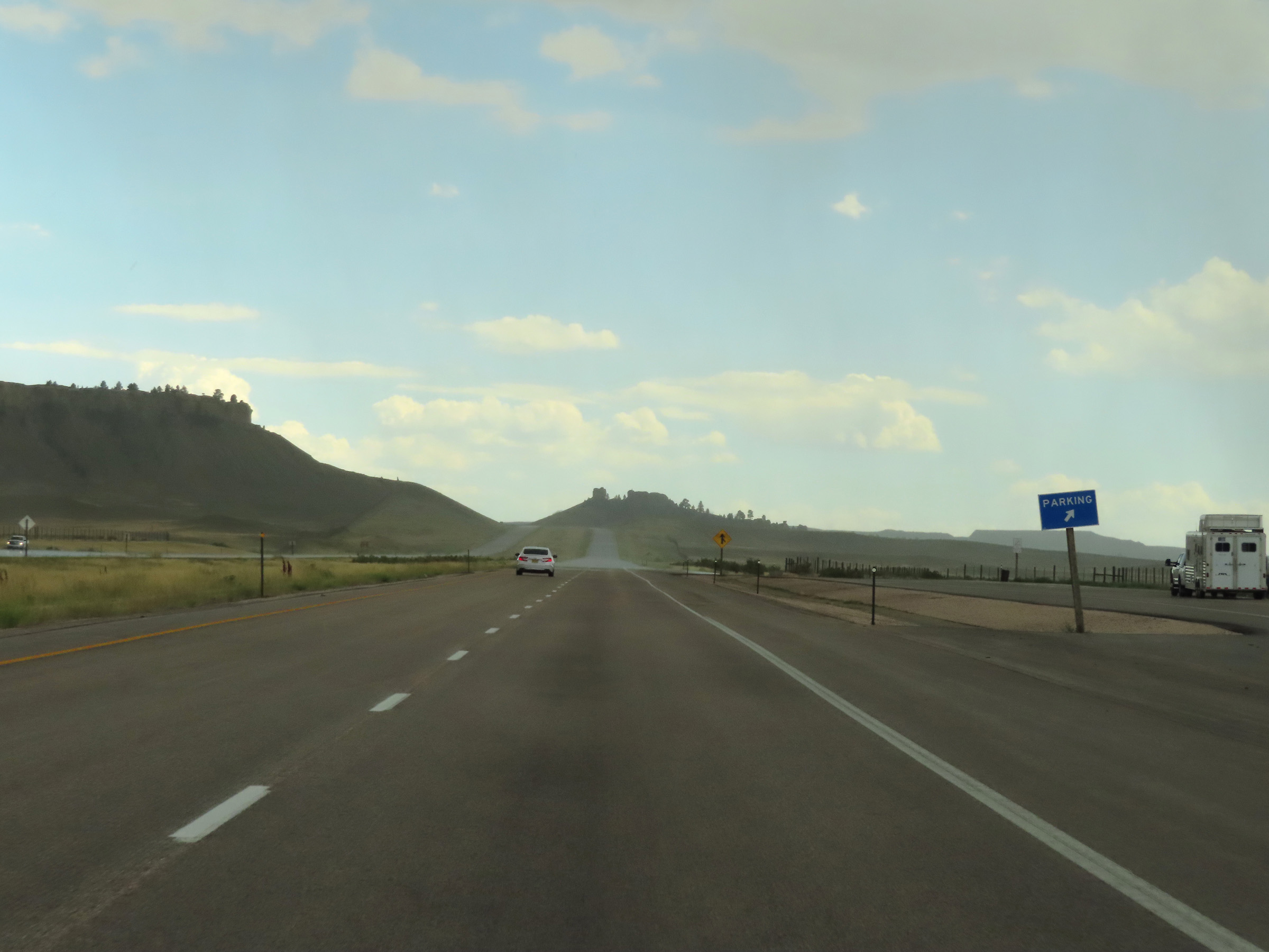 |
Parking Area on Interstate 25 South in Natrona County. (Photo taken 8/17/22). |
 |
Interstate 25 South at mile marker 218. (Photo taken 8/17/22). |
 |
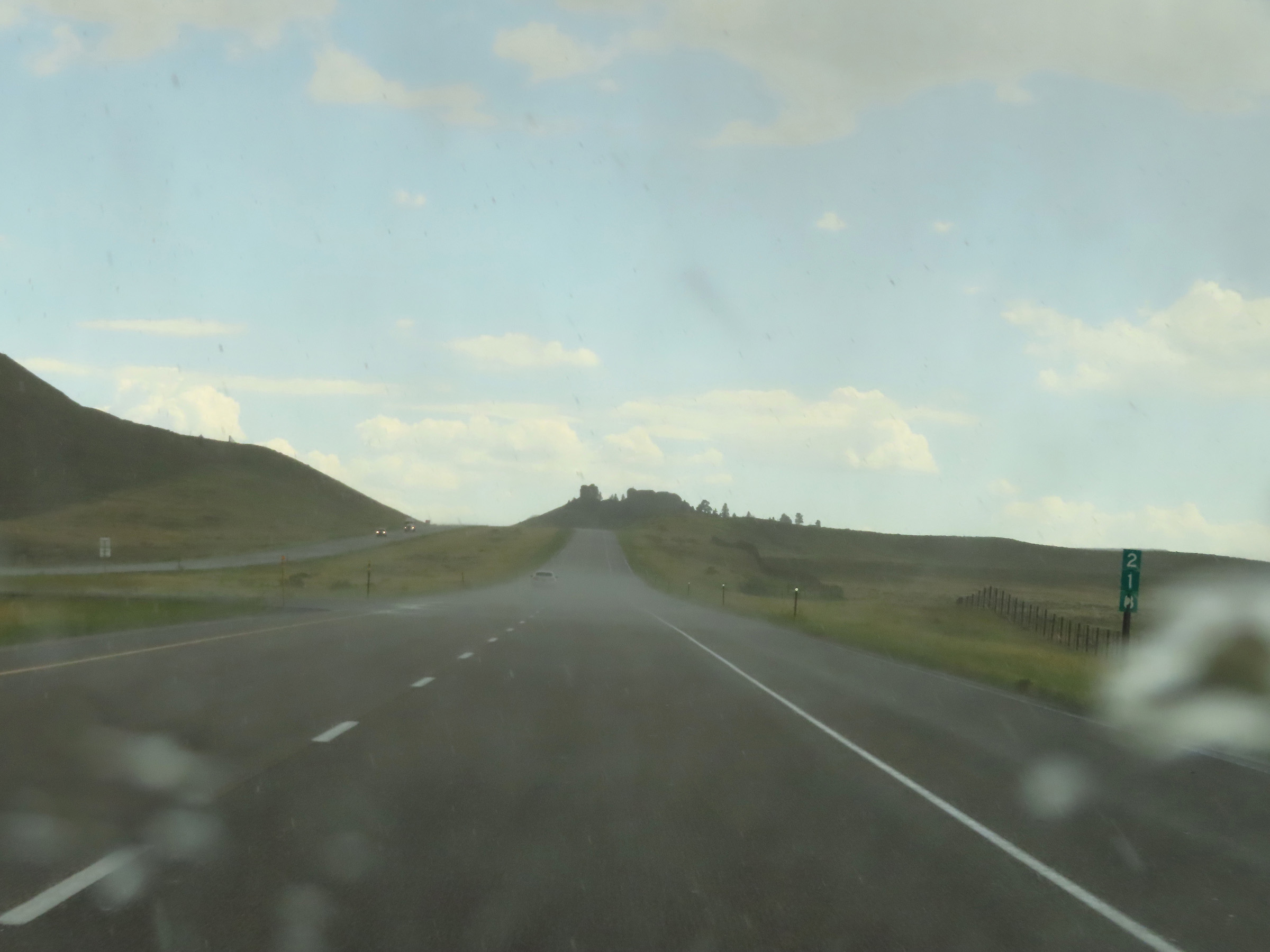
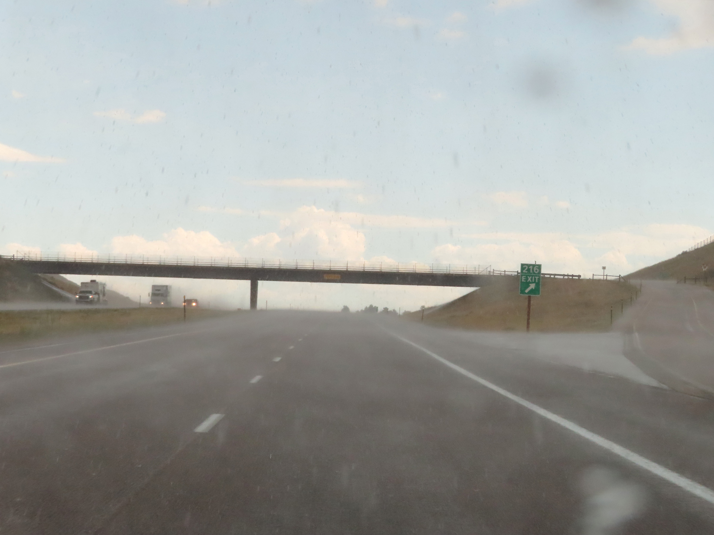
Interstate 25 South approaching Exit 216 - 1/2 mile. (Photo taken 8/17/22). |
 |
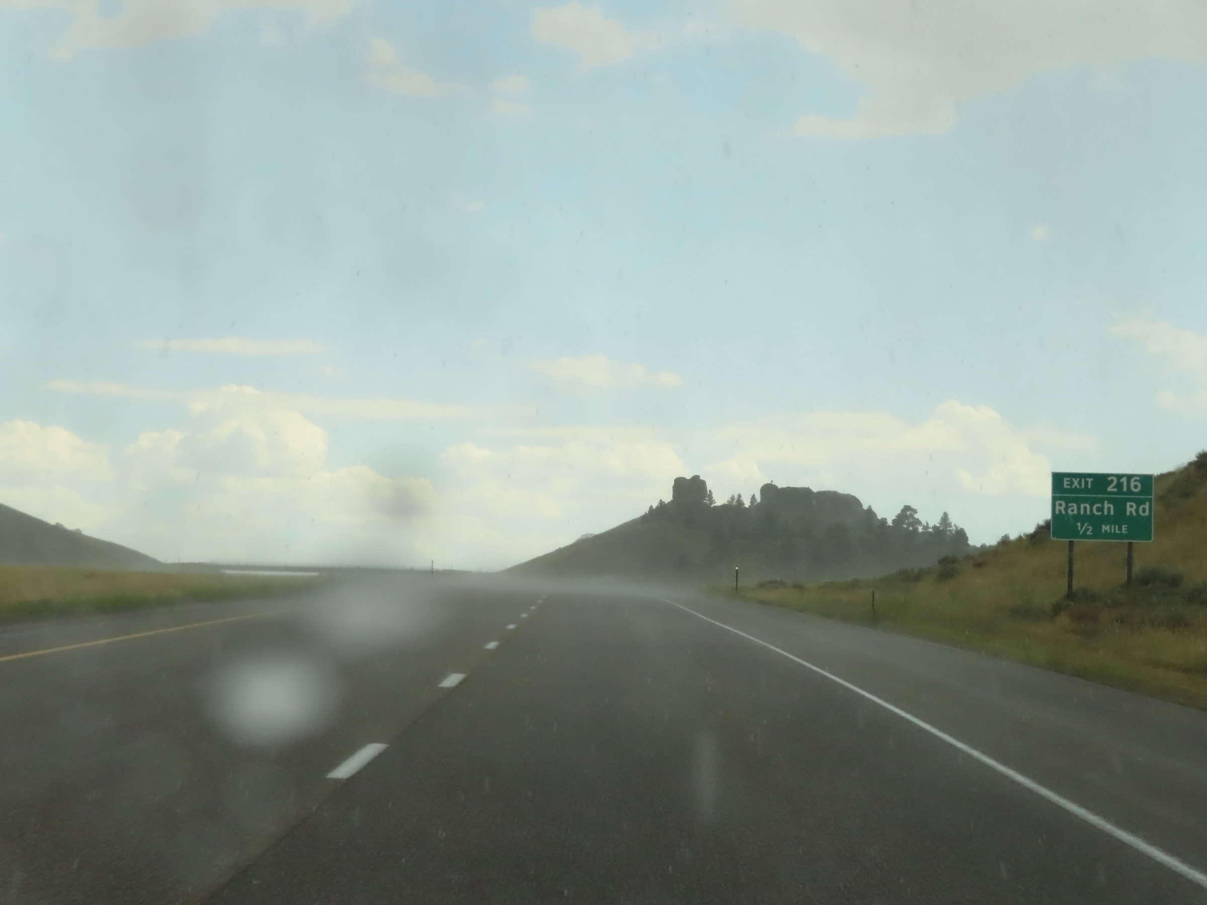
Interstate 25 South at Exit 216: Ranch Rd (Photo taken 8/17/22). |
 |
View on Interstate 25 South at mile marker 214. (Photo taken 8/17/22). |
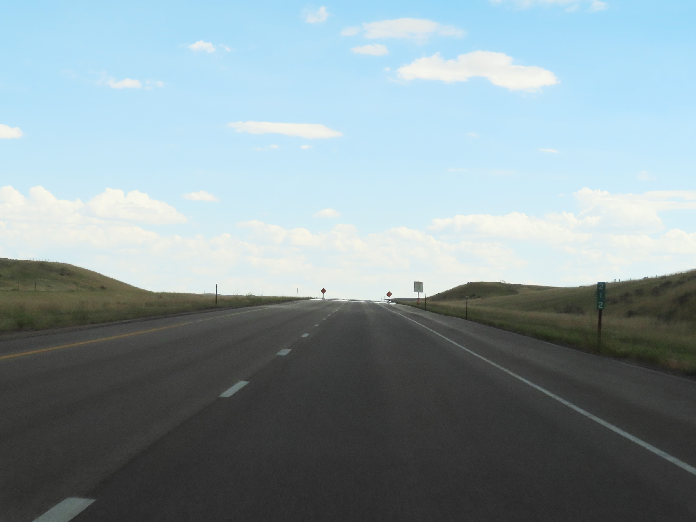 |
Mile marker 212 on Interstate 25 South in Natrona County. (Photo taken 8/17/22). |
 |
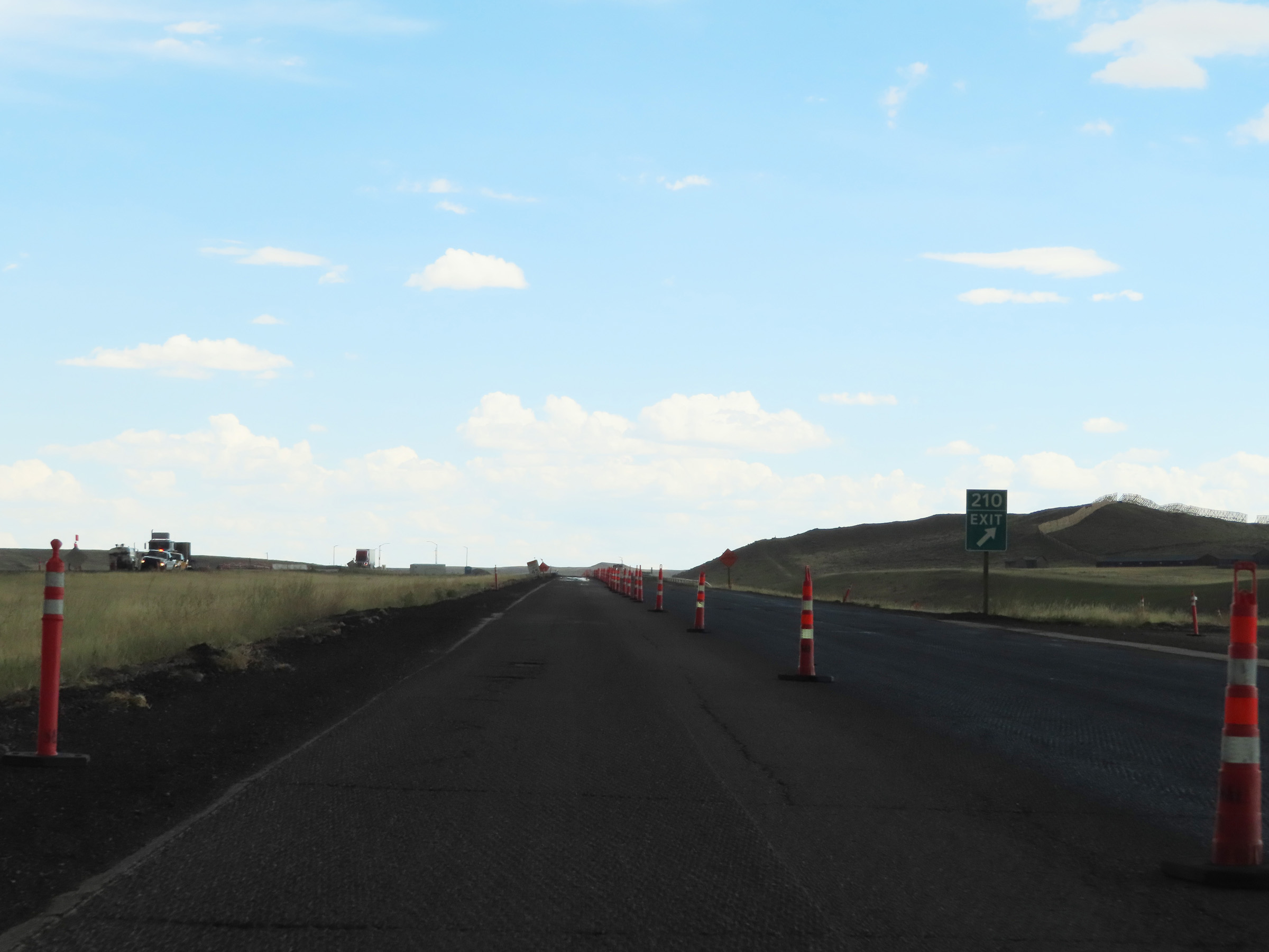
Interstate 25 South approaching Exit 210 - 1/4 mile. (Photo taken 8/17/22). |
 |
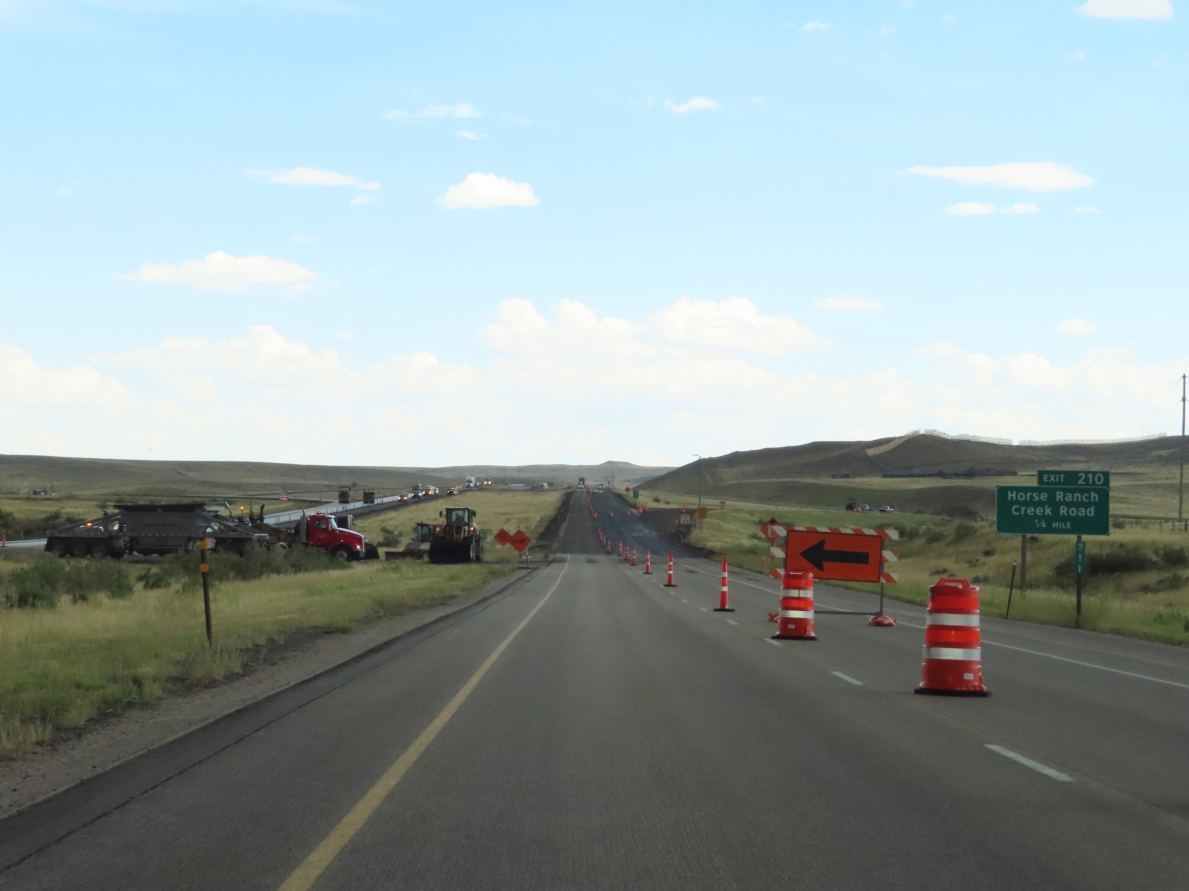
Interstate 25 South at Exit 210: Horse Ranch Creek Road (Photo taken 8/17/22). |
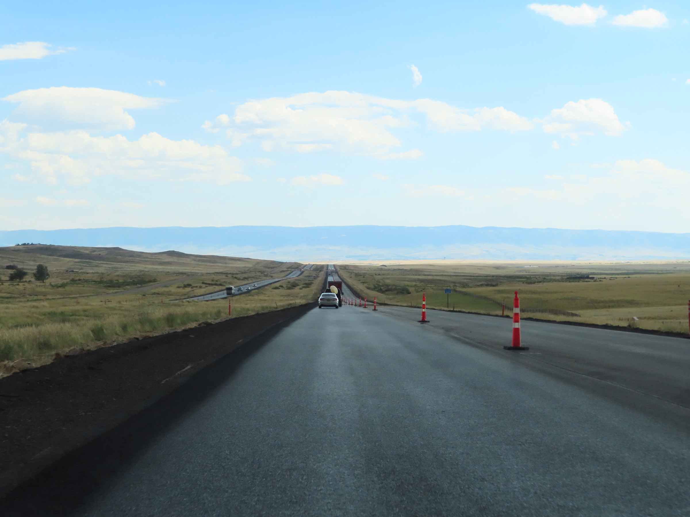 |
View on Interstate 25 South in Natrona County. (Photo taken 8/17/22). |
 |
Interstate 25 South in Natrona County. (Photo taken 8/17/22). |
 |
Another view on Interstate 25 South in Natrona County. (Photo taken 8/17/22). |
 |
Interstate 25 South near mile marker 202. (Photo taken 8/17/22). |
 |
Interstate 25 South at mile marker 200. (Photo taken 8/17/22). |
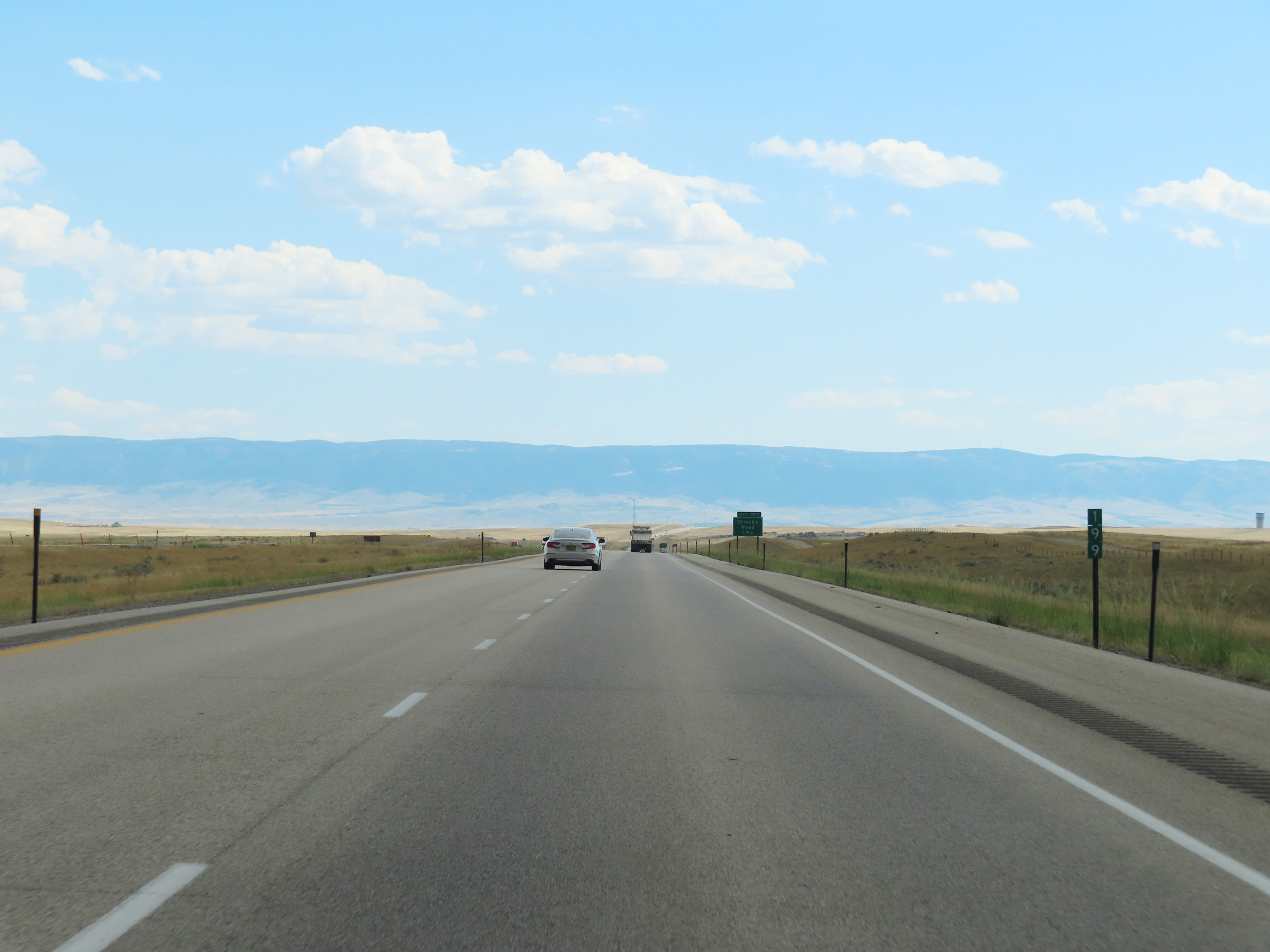 |
View on Interstate 25 South at mile marker 199. (Photo taken 8/17/22). |
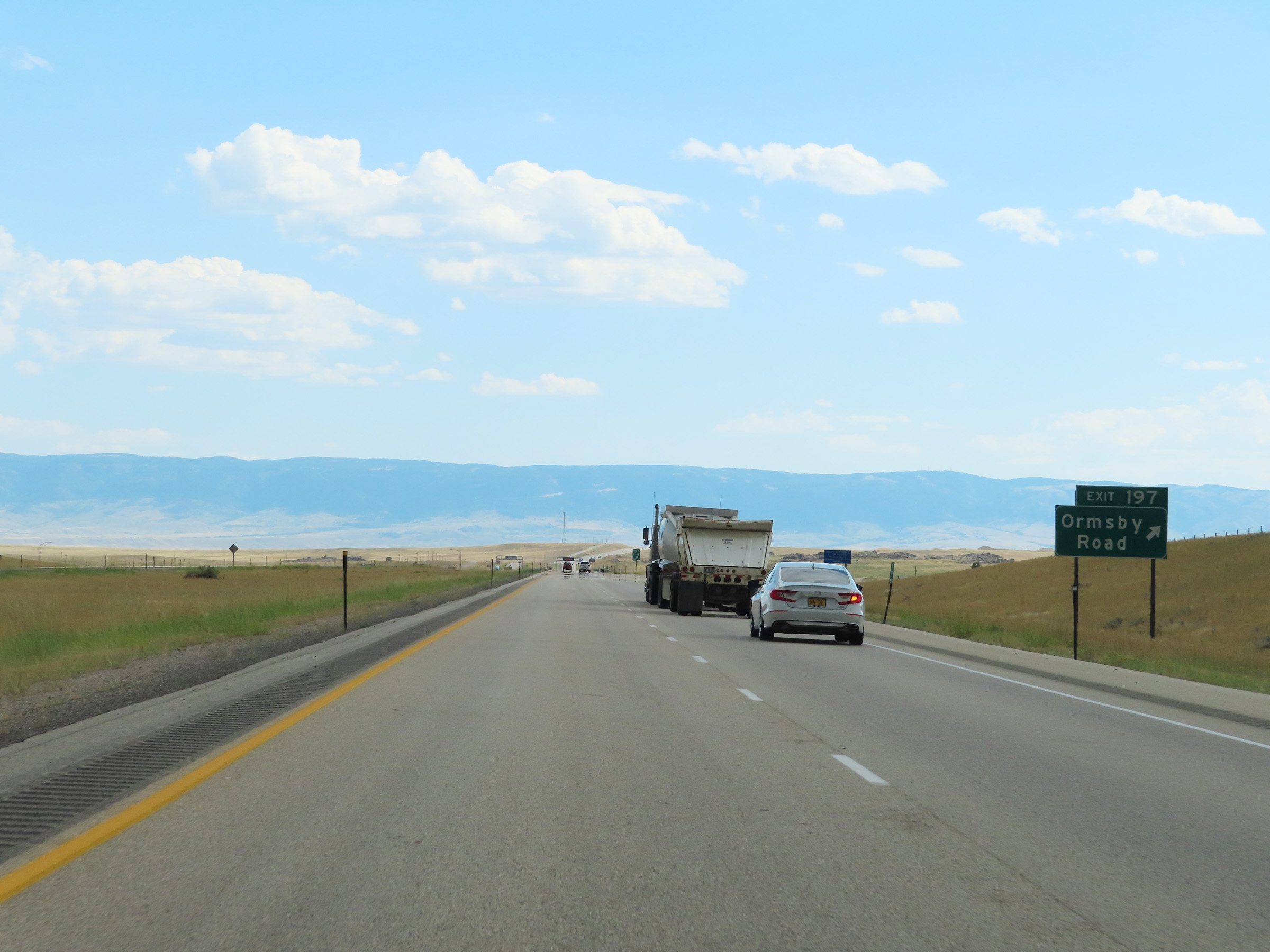 |
Interstate 25 South at Exit 197: Ormsby Road (Photo taken 8/17/22). |
 |
State-named Interstate 25 South reassurance shield in Natrona County at mile marker 197. (Photo taken 8/17/22). |
 |
The speed limit remains 80 mph for all traffic on Interstate 25 South. (Photo taken 8/17/22). |
 |
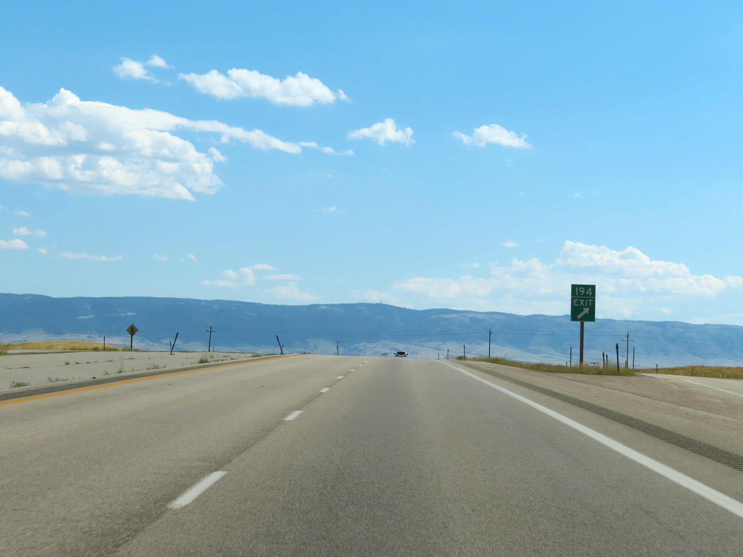
Interstate 25 South approaching Exit 194 - 1/4 mile. (Photo taken 8/17/22). |
 |
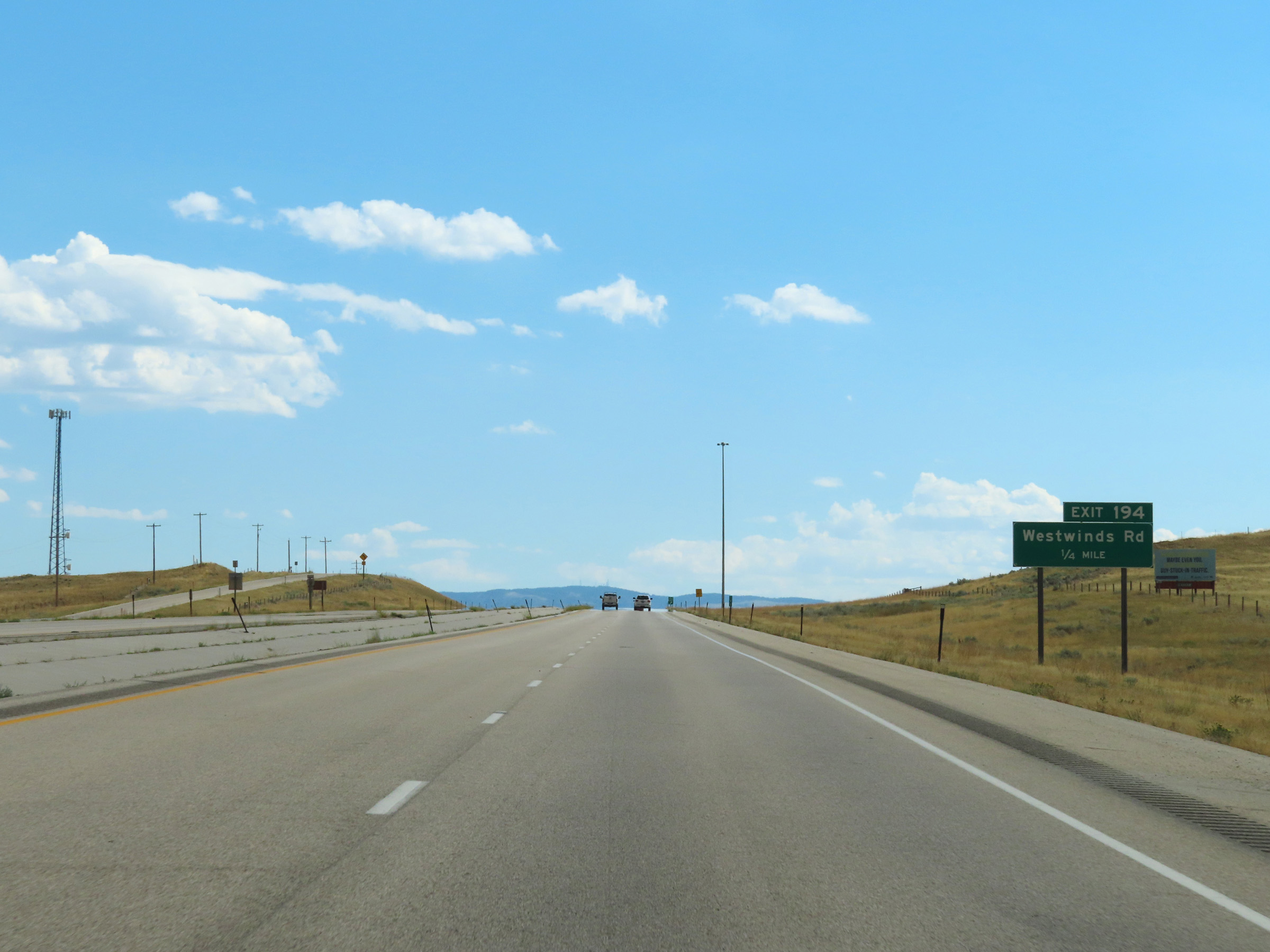
Interstate 25 South at Exit 194: Westwinds Rd (Photo taken 8/17/22). |
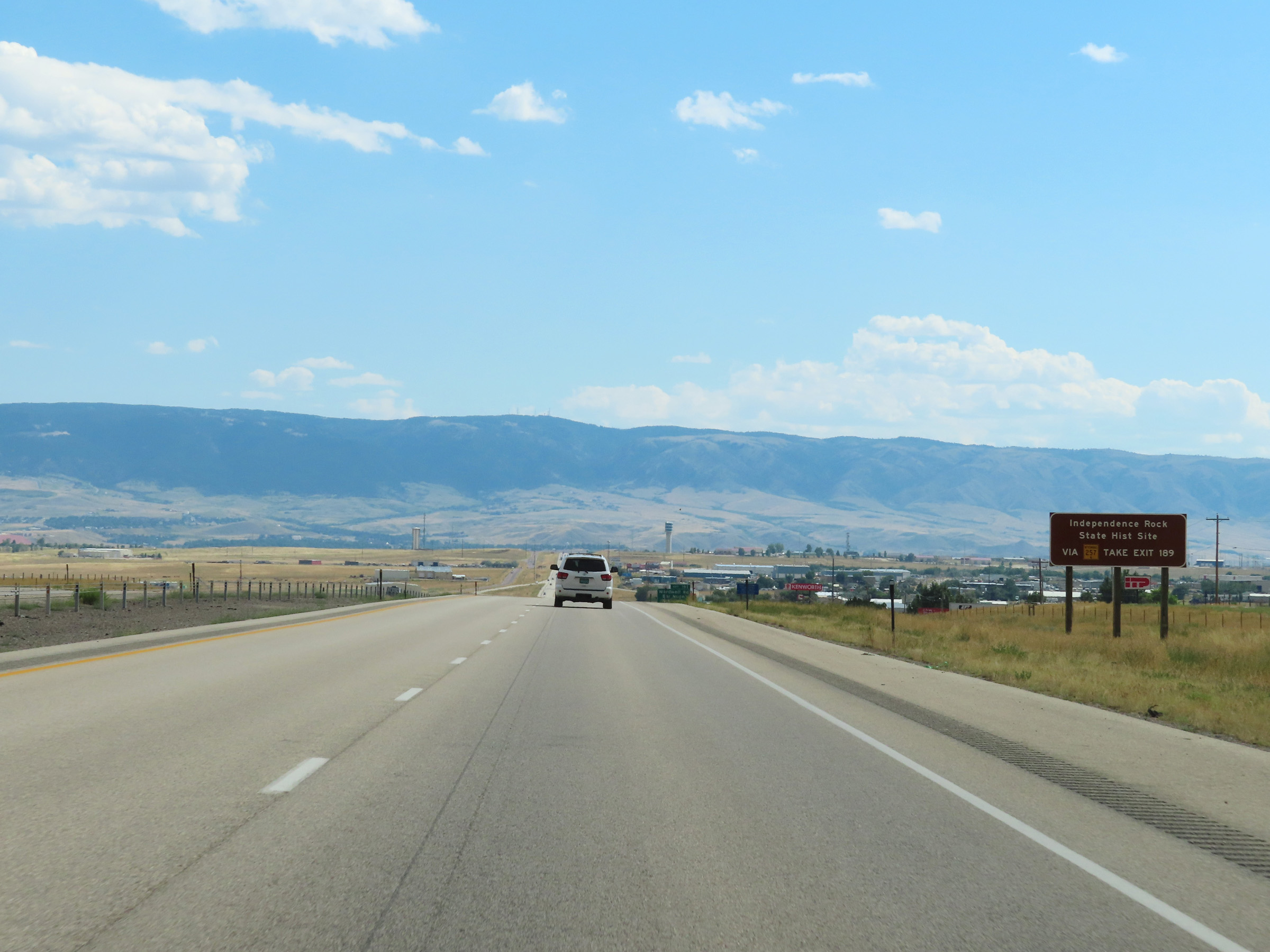 |
Take Exit 189 and Follow WY 257 to Independence Rock State Historic Site. (Photo taken 8/17/22). |
 |
Interstate 25 South approaching Exit 191 - 1 mile. (Photo taken 8/17/22). |
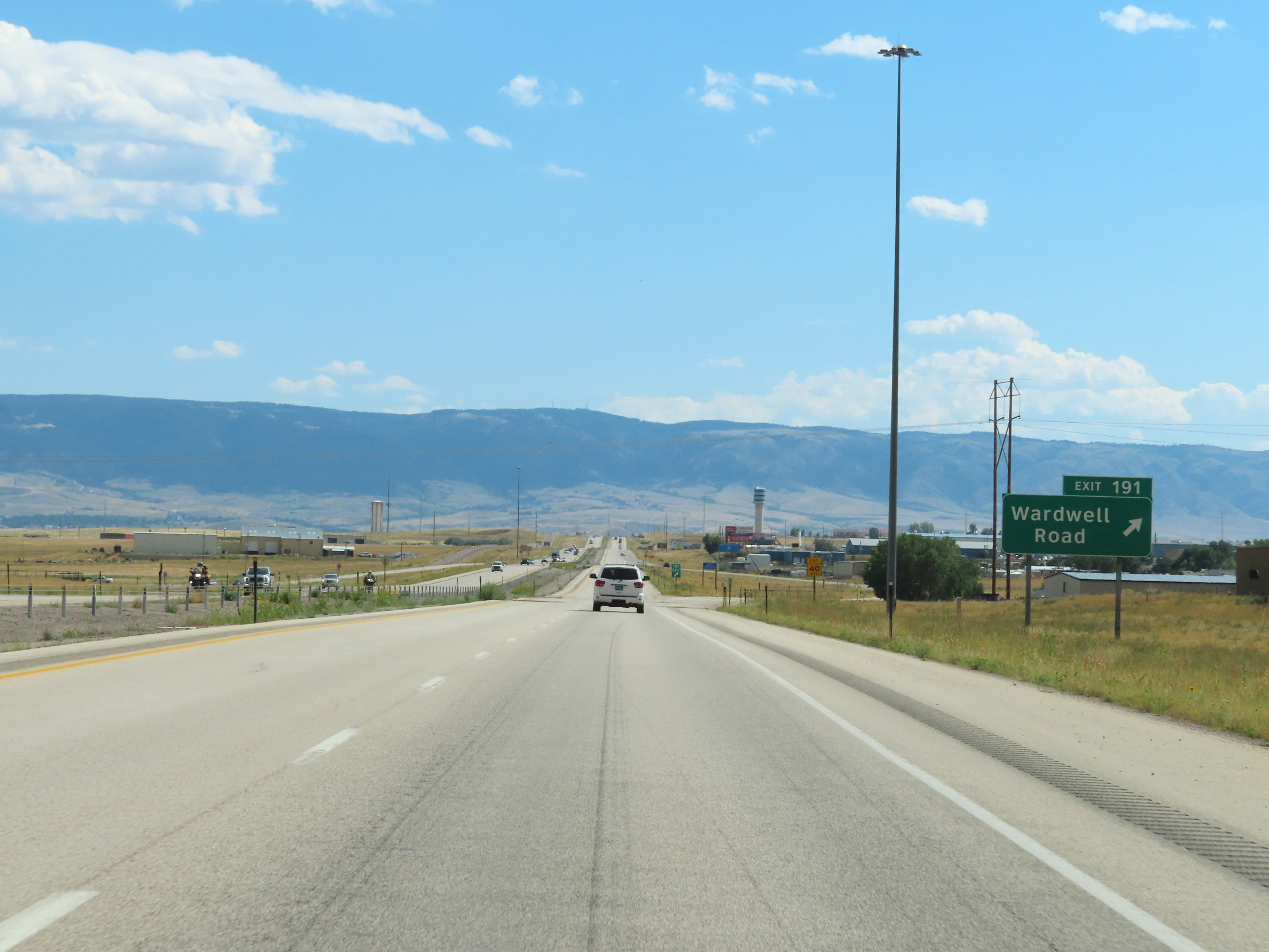 |
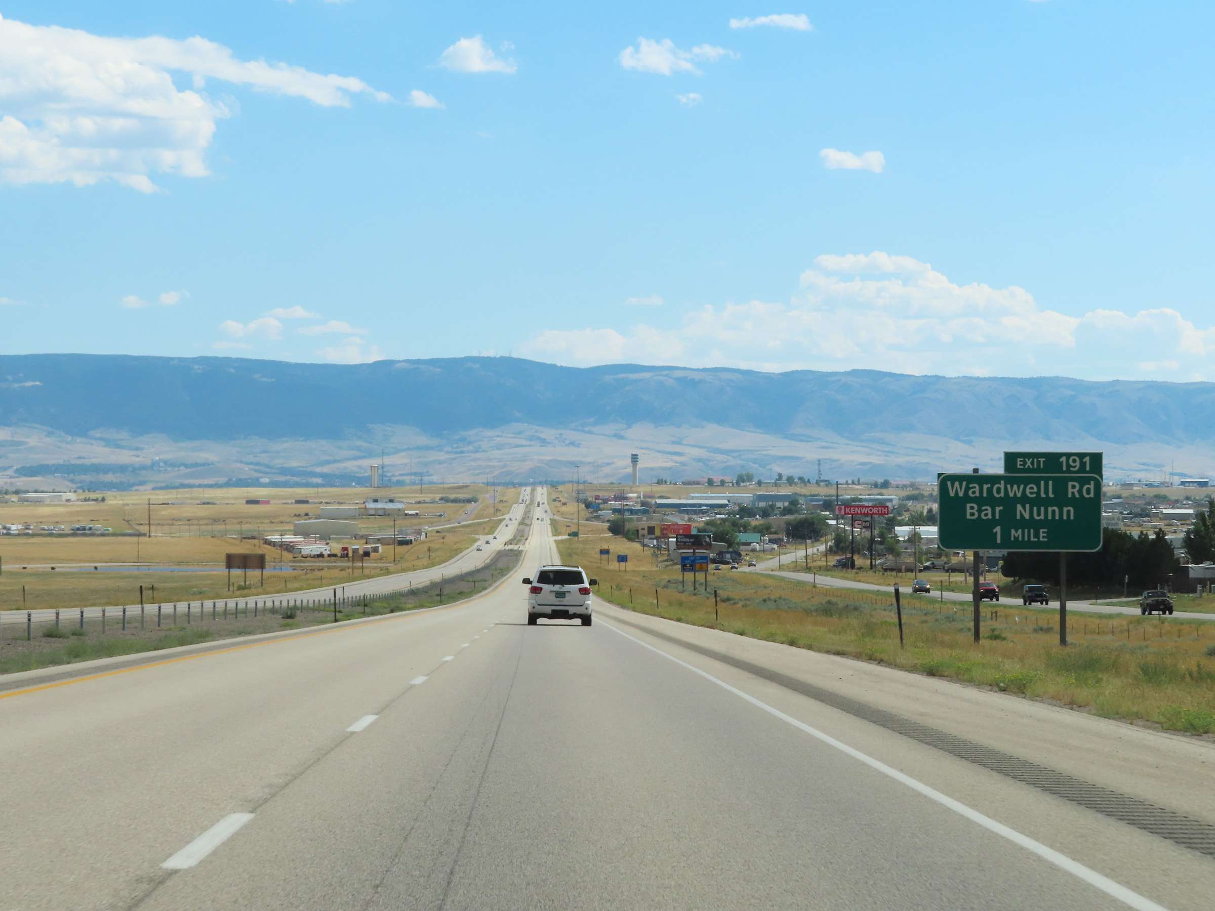
Interstate 25 South at Exit 191: Wardwell Road / Bar Nunn (Photo taken 8/17/22). |
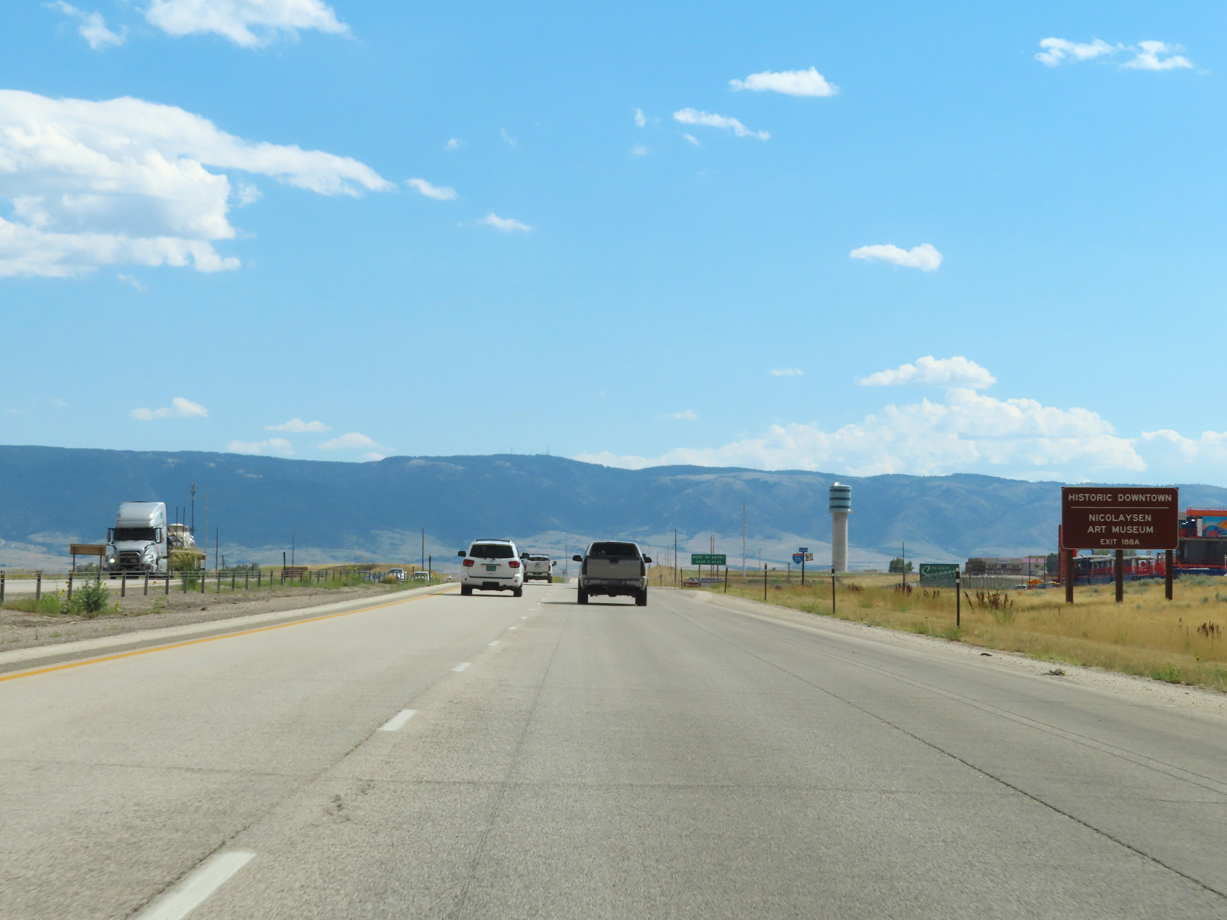 |
Take Exit 188A in Casper to Historic Downtown Casper and the Nicolaysen Art Museum. (Photo taken 8/17/22). |
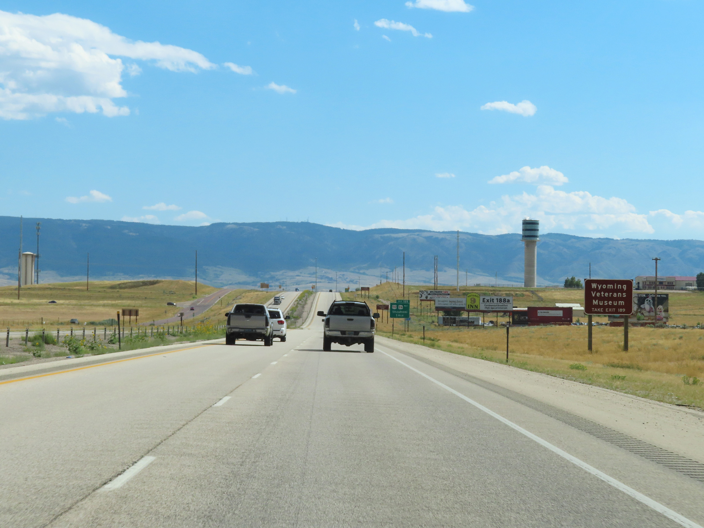 |
Take Exit 189 to the Wyoming Veterans Museum. (Photo taken 8/17/22). |
 |
Interstate 25 South approaching Exit 189 - 1 mile. (Photo taken 8/17/22). |
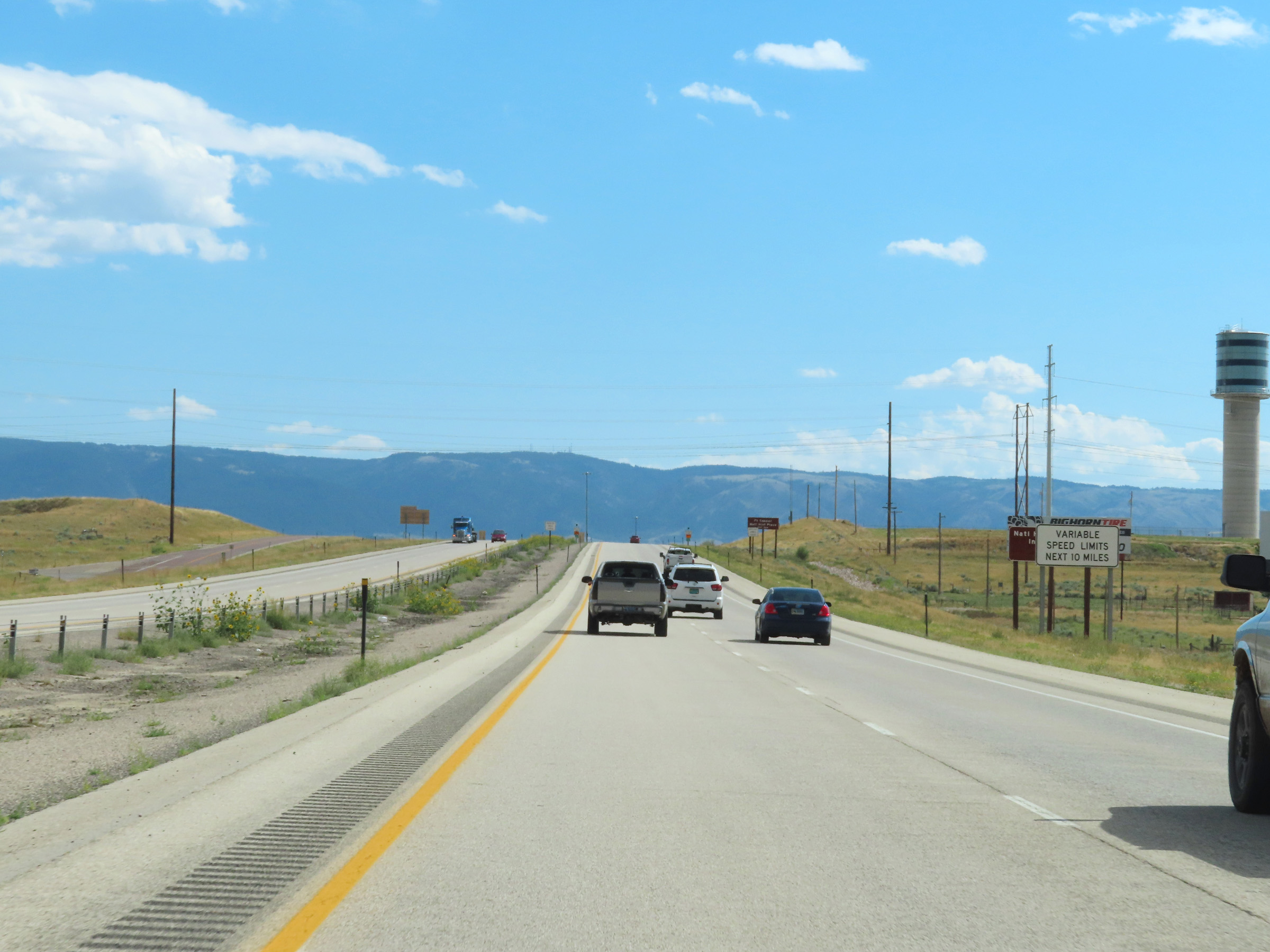 |
As this sign reads, variable speed limits will be in place for the next 10 miles through the Casper area. (Photo taken 8/17/22). |
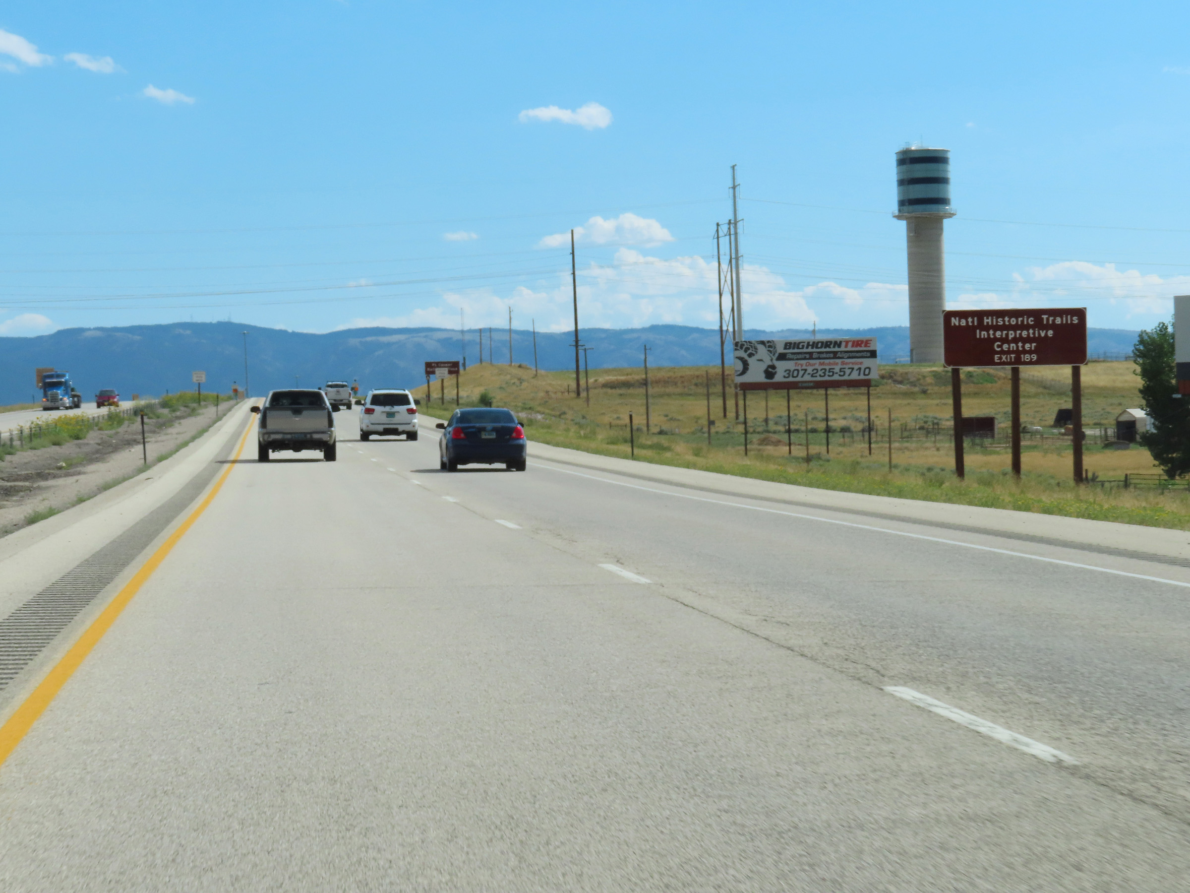 |
Also take Exit 189 to the National Historic Trails Interpretive Center. (Photo taken 8/17/22). |
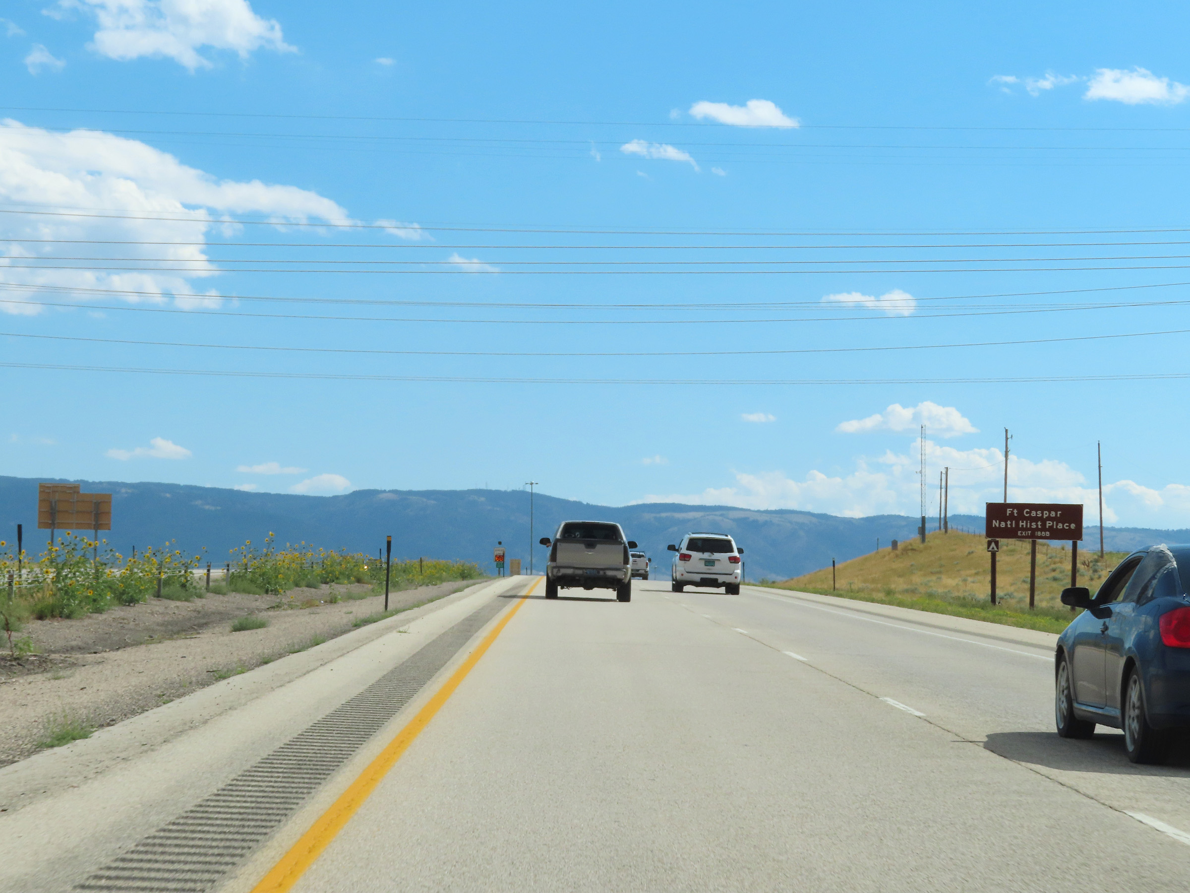 |
Use Exit 188B to Fort Casper National Historic Place. (Photo taken 8/17/22). |
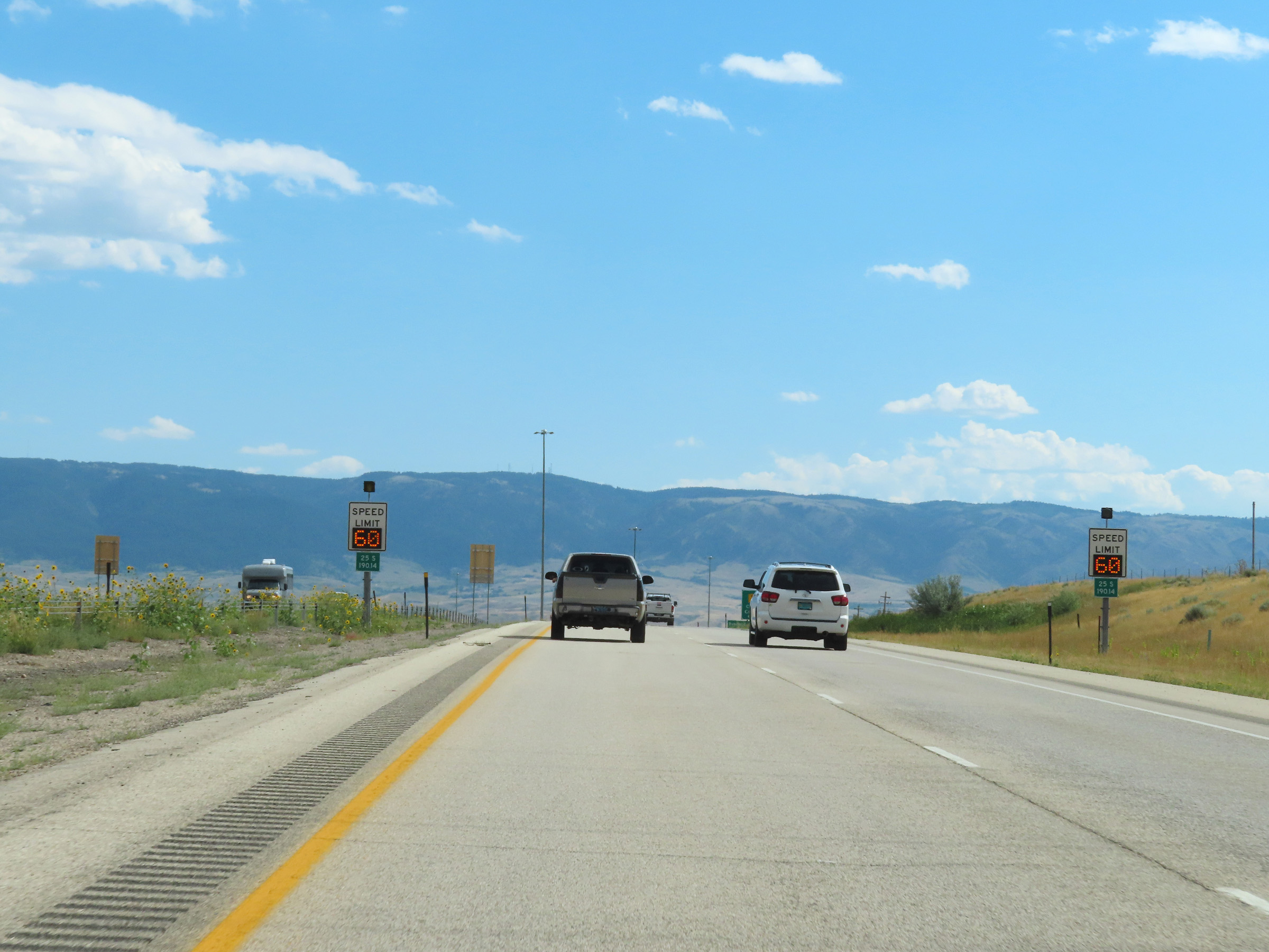 |
Variable speed limit signs begin to appear at mile marker 190.14 on Interstate 25 South approaching Casper. (Photo taken 8/17/22). |
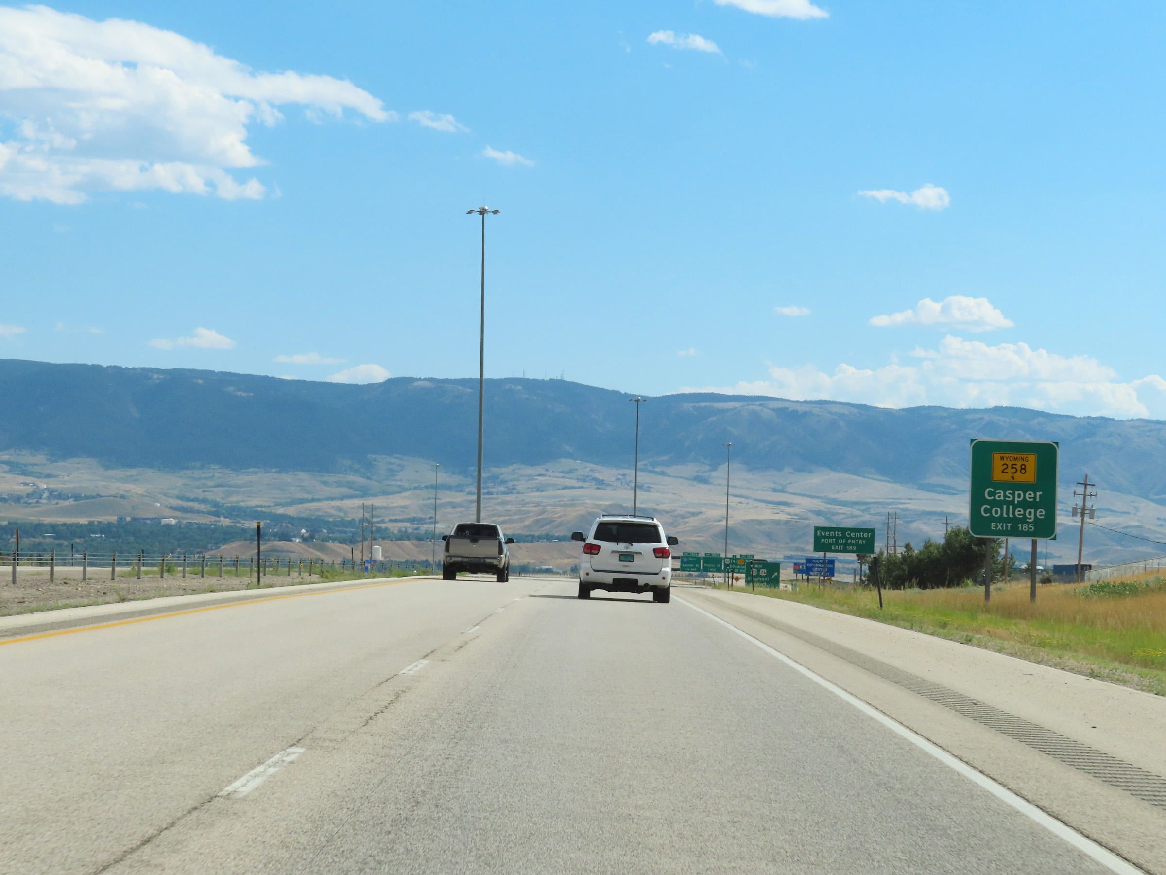 |
Take Exit 185 to Casper College via WY 258. (Photo taken 8/17/22). |
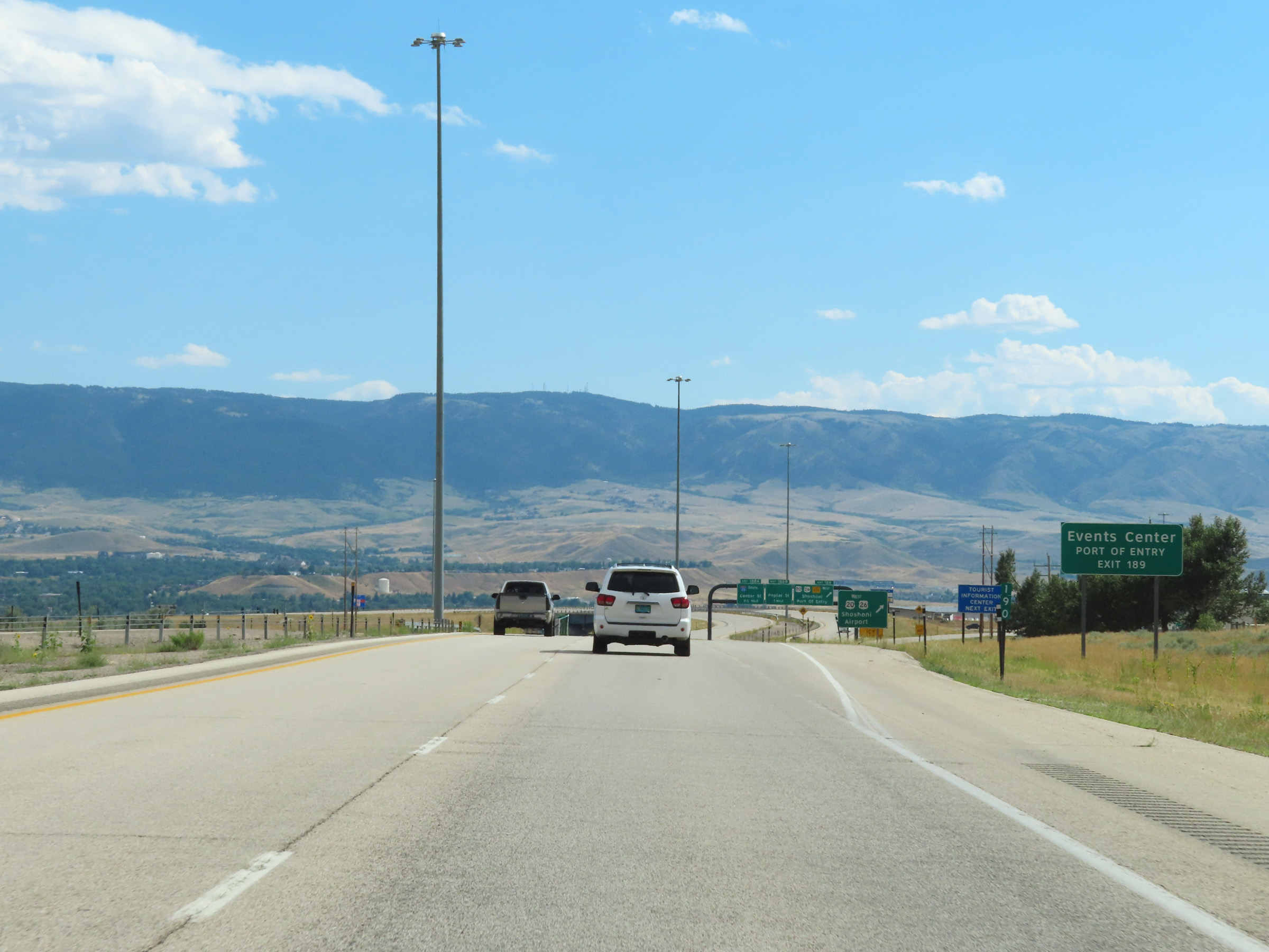 |
The Events Center and a Port of Entry can be accessed via Exit 189 (US 20 / US 26 West). (Photo taken 8/17/22). |
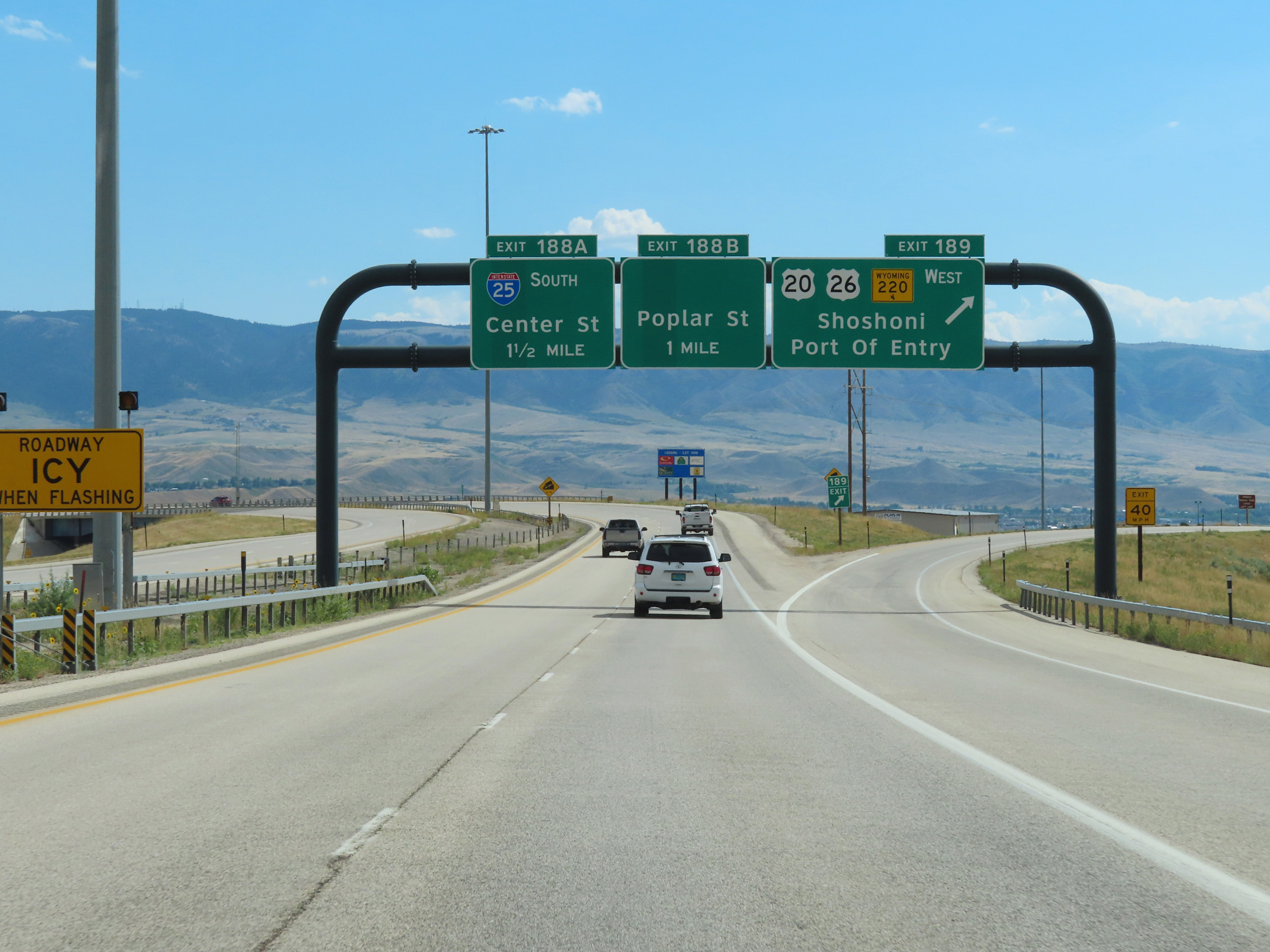 |
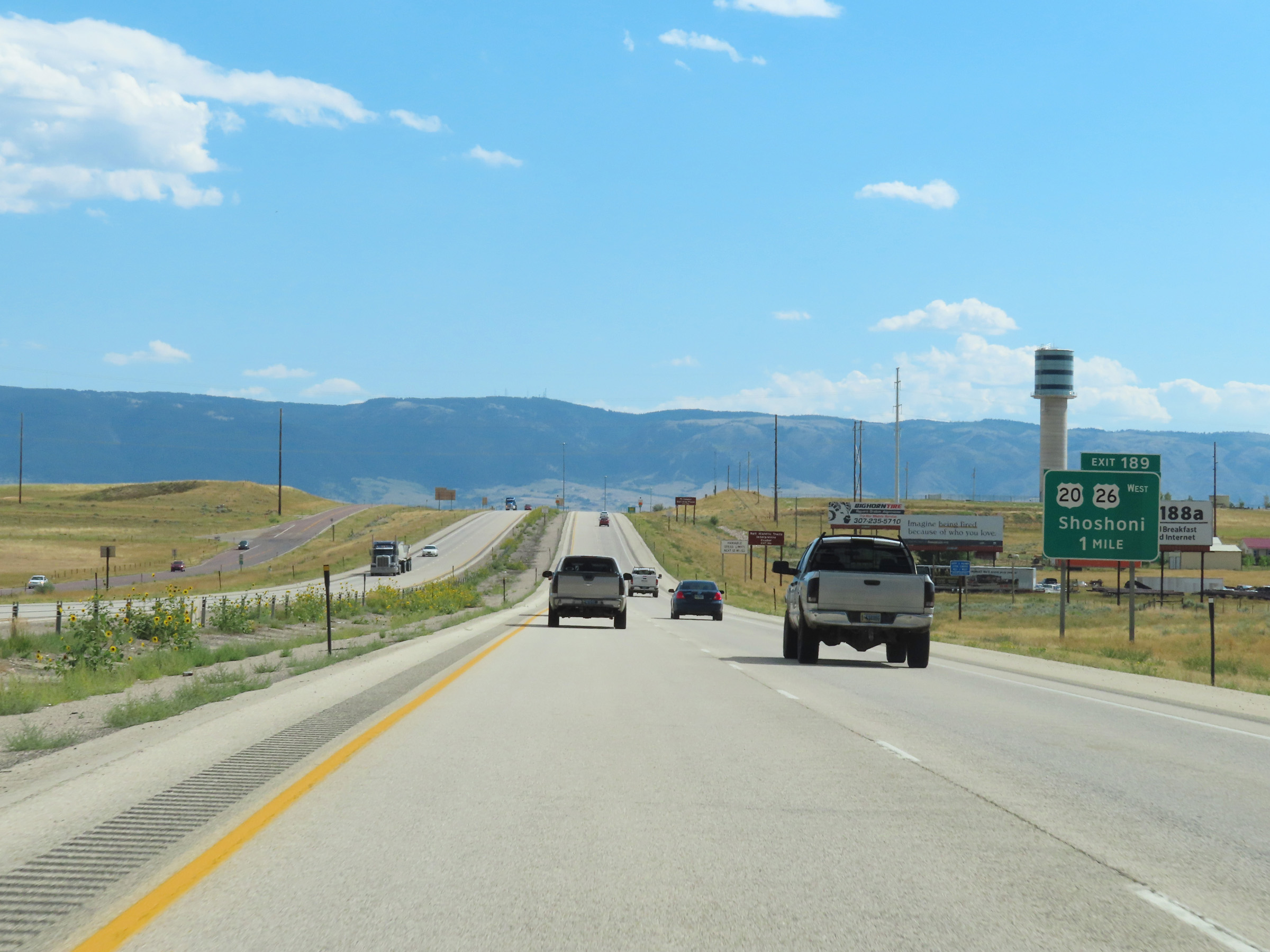
Interstate 25 South at Exit 189: US 20 West / US 26 West / WY 220 West - Shoshoni / Port Of Entry (Photo taken 8/17/22). |
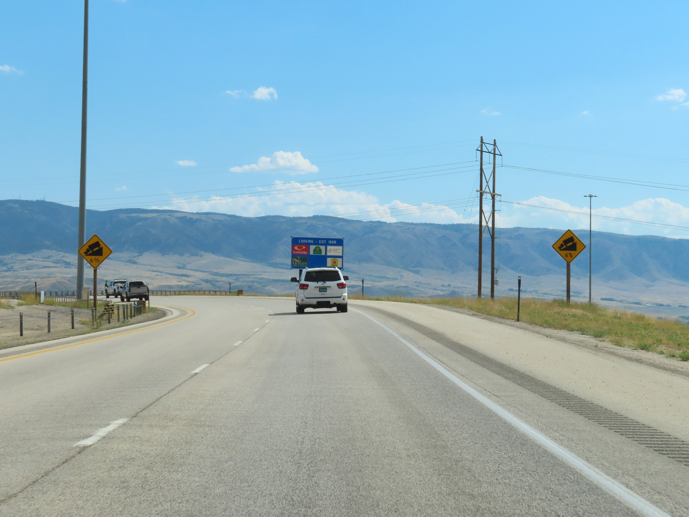 |
Beyond Exit 189, Interstate 25 South prepares to traverse a 6% downgrade into downtown Casper. (Photo taken 8/17/22). |
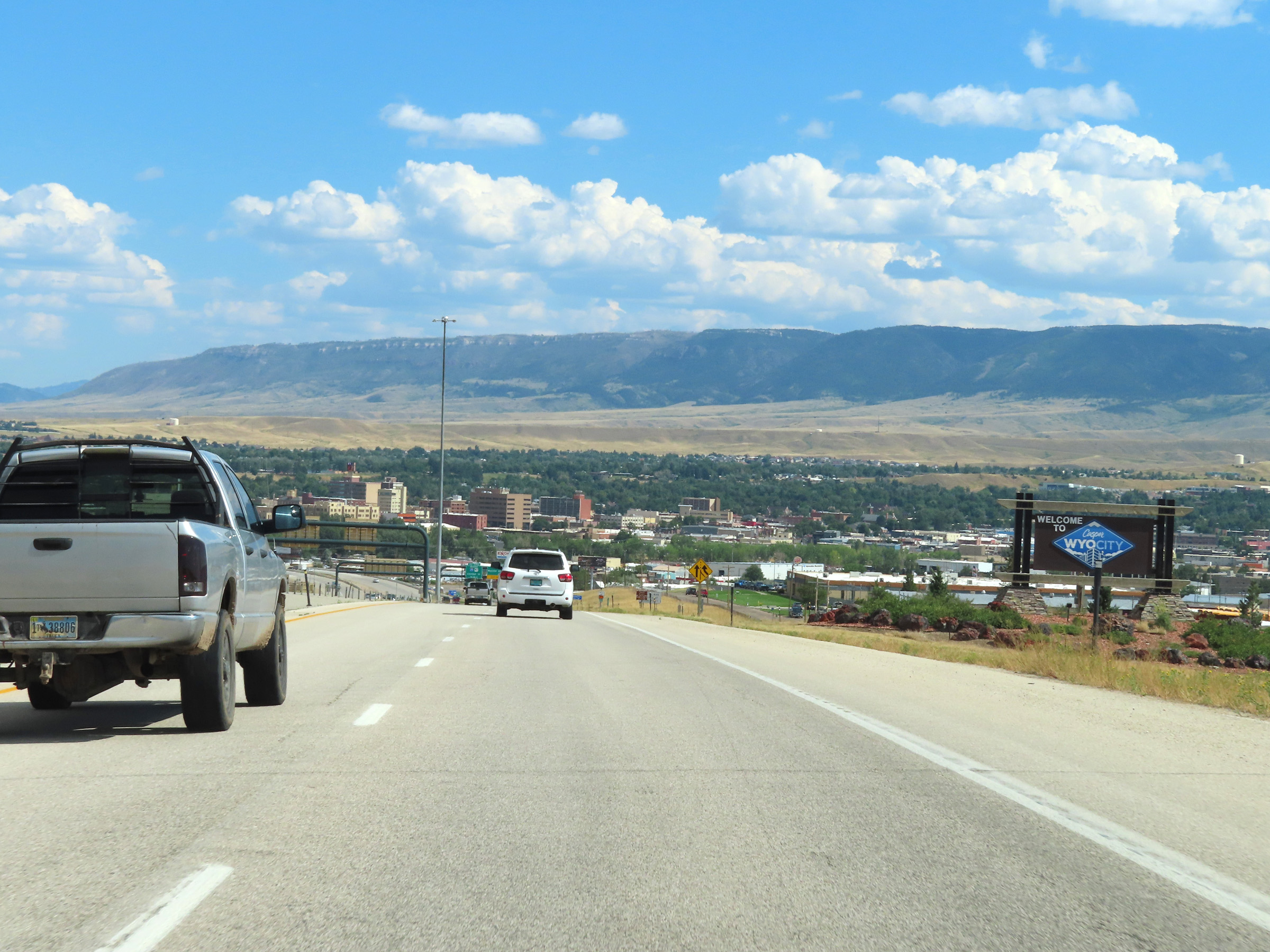 |
As Interstate 25 South starts down the 6% grade, this sign welcomes motorists to Casper. (Photo taken 8/17/22). |
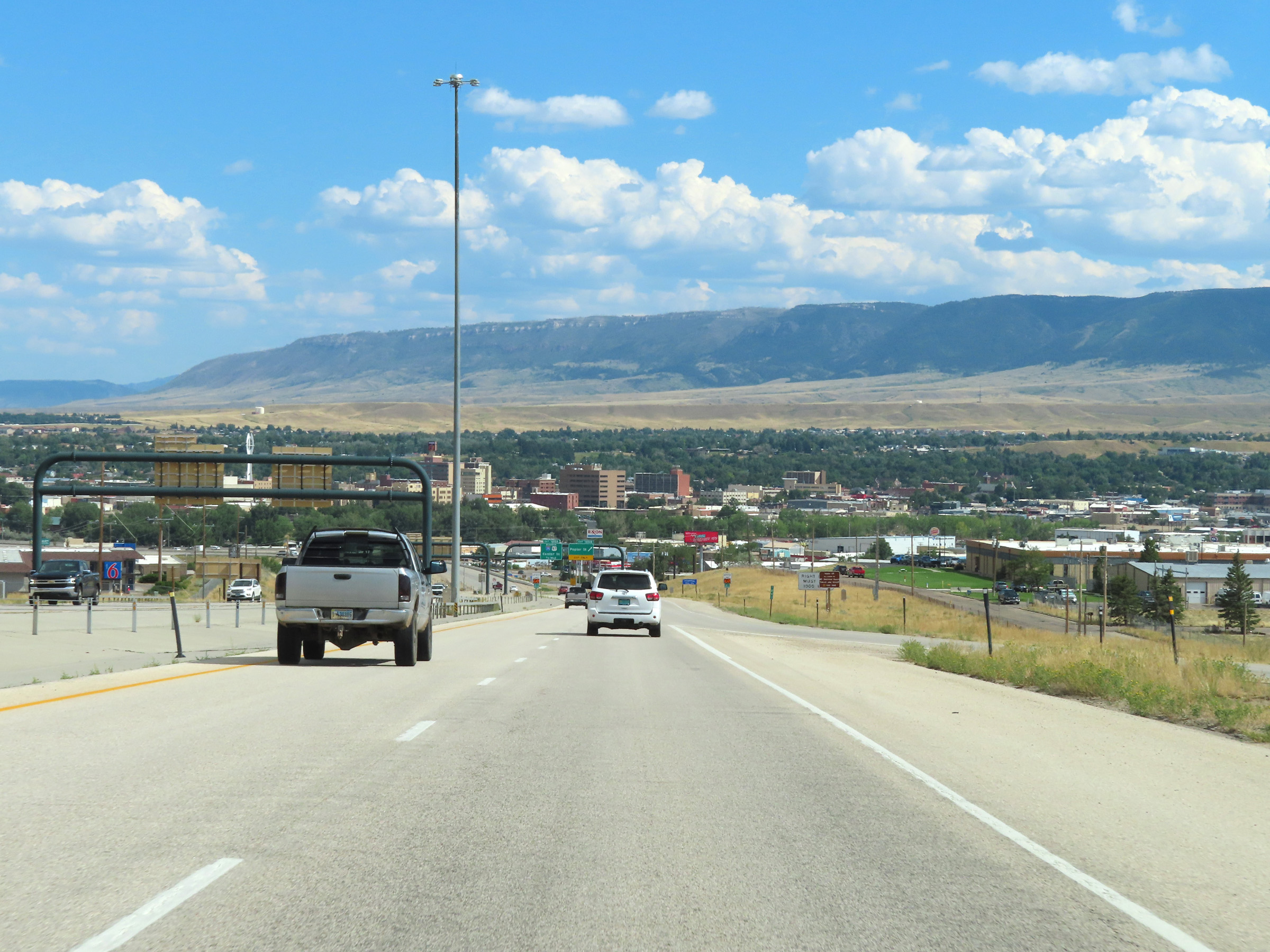 |
View on Interstate 25 South as it descends into downtown Casper. (Photo taken 8/17/22). |
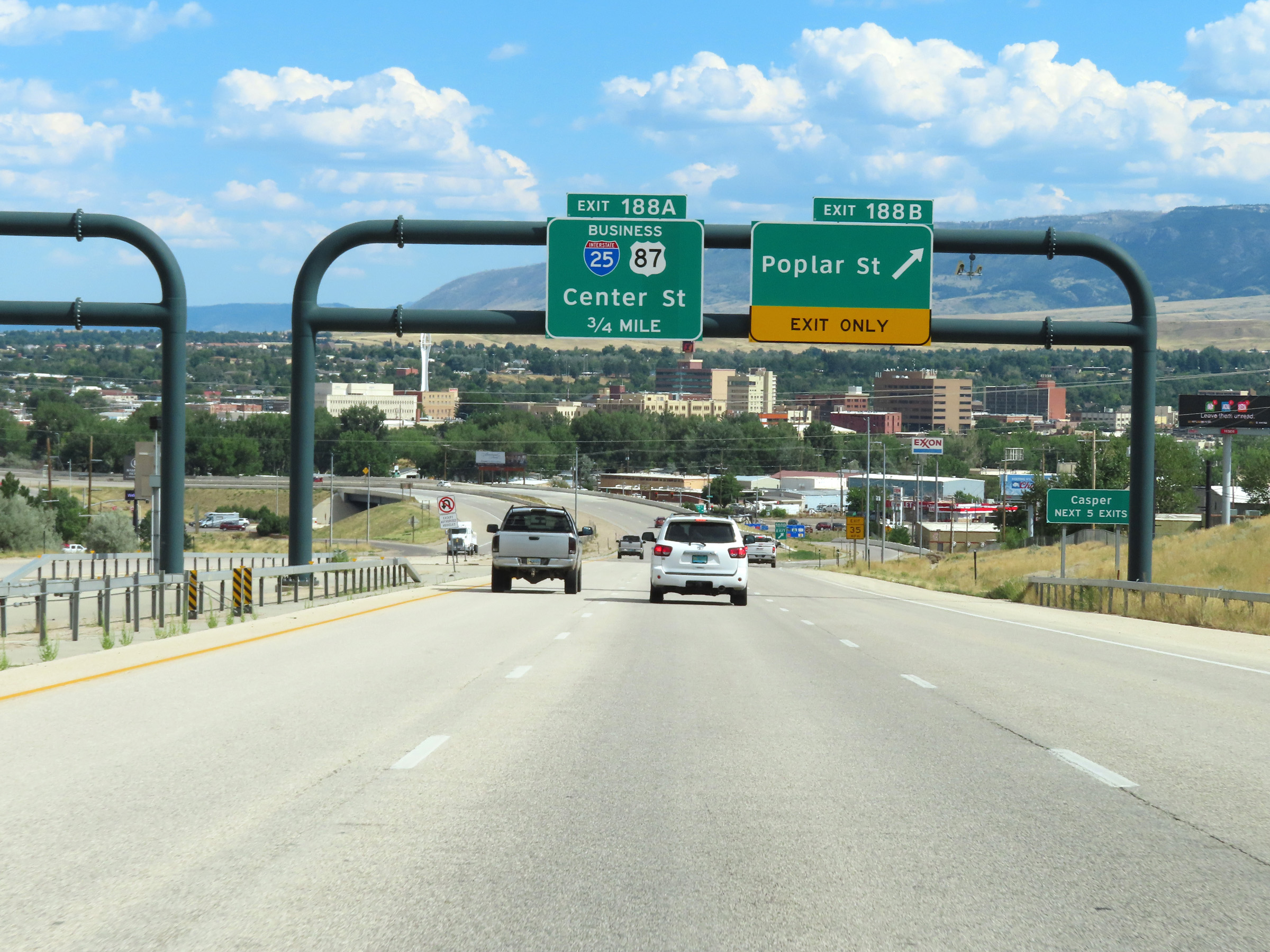 |
Interstate 25 South at Exit 188B: Poplar St (Photo taken 8/17/22). |
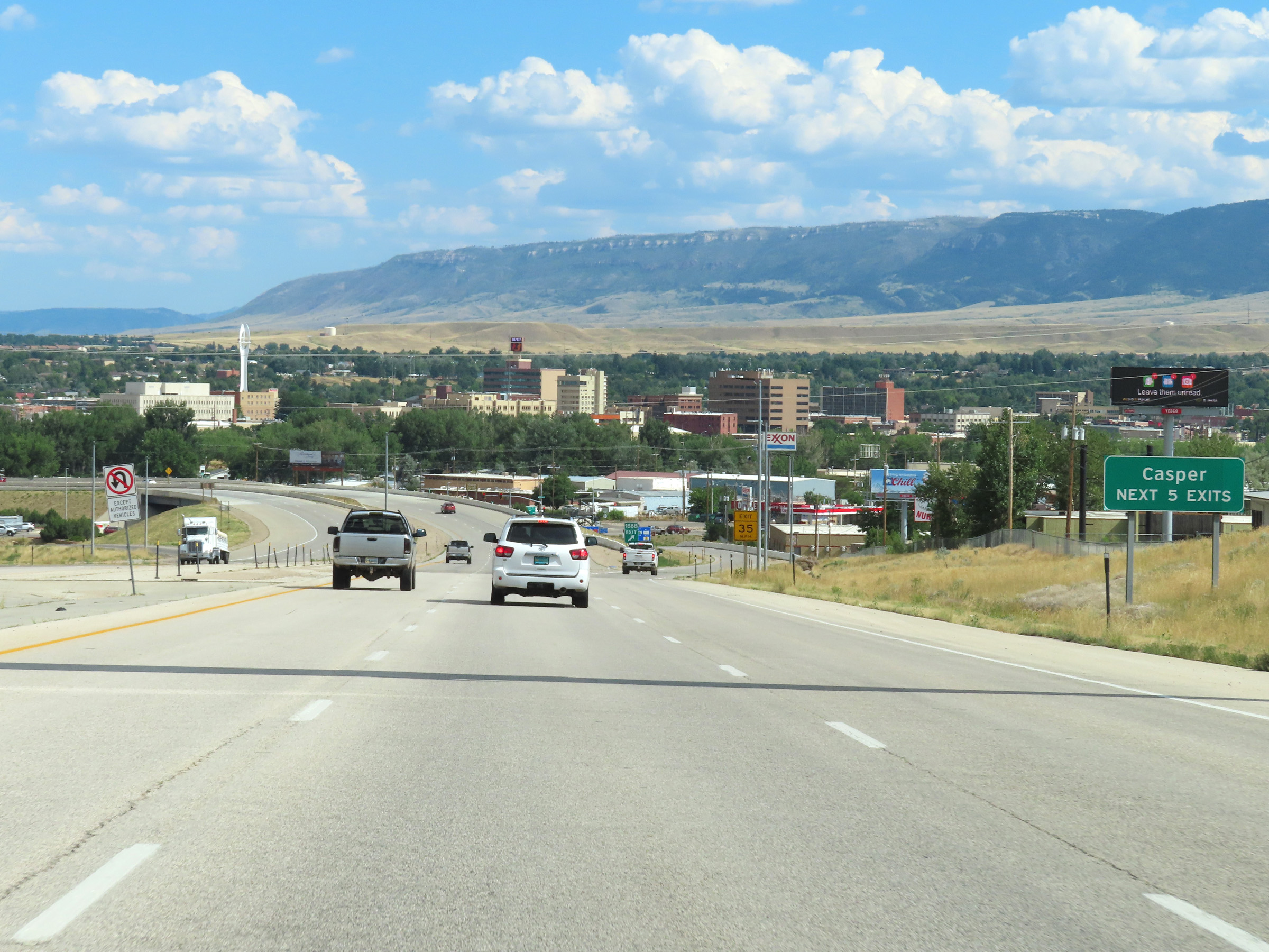 |
Take any of the next 5 exits to Casper. (Photo taken 8/17/22). |
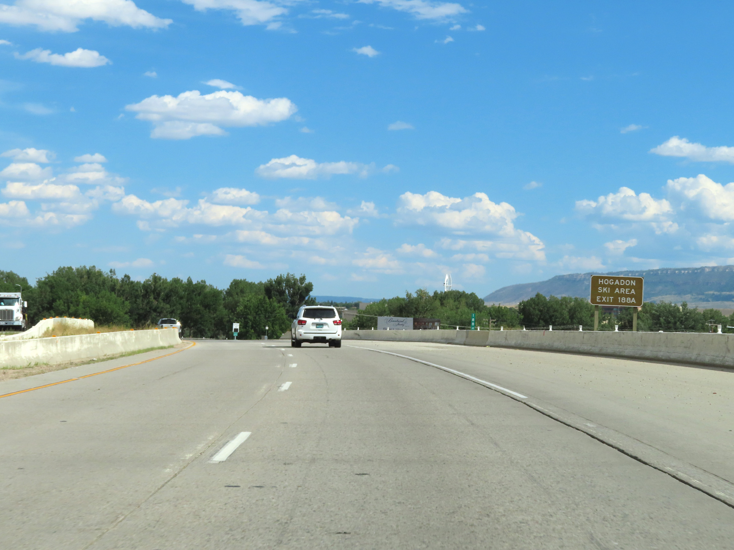 |
Take Exit 188A to Hogadon Ski Area. (Photo taken 8/17/22). |
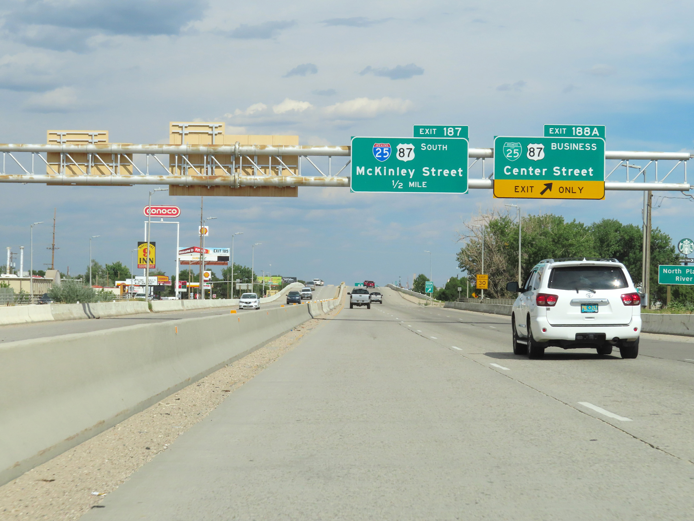 |
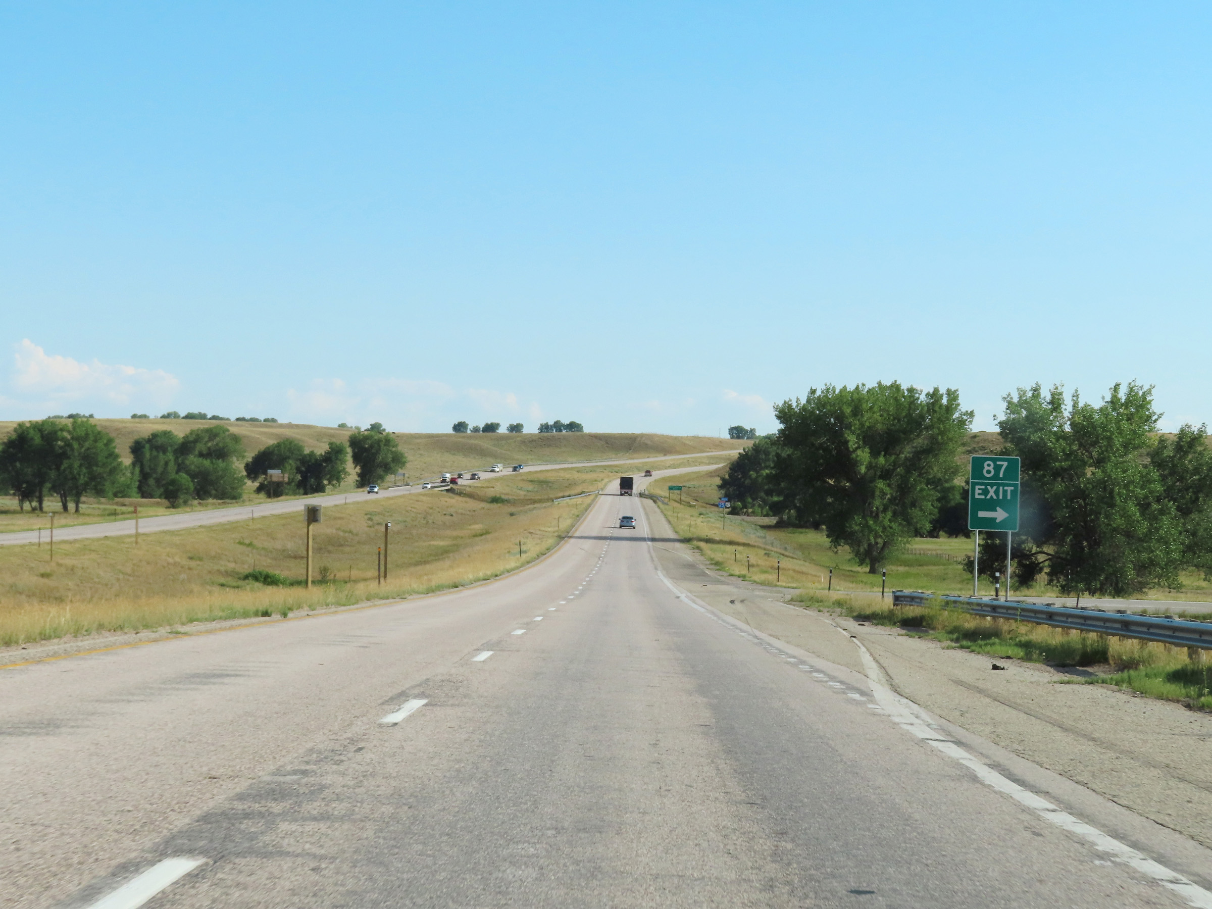
Interstate 25 South at Exit 188A: Interstate 25 Business Loop / US 87 Business - Center Street (Photo taken 8/17/22). |
 |
State-named Interstate 25 South reassurance shield, along with US 20 East, US 26 East, and US 87 South reassurance markers in Casper. (Photo taken 8/17/22). |
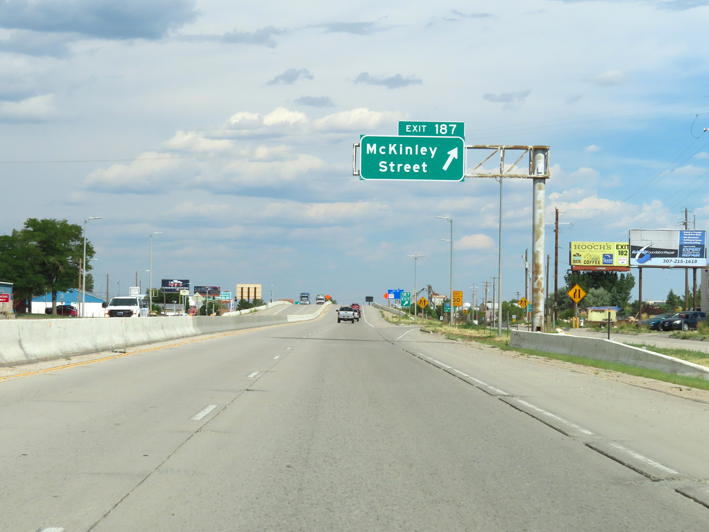 |
Interstate 25 South at Exit 187: McKinley Street (Photo taken 8/17/22). |
Section 3: Casper (Exit 187) to Douglas (Exit 135)
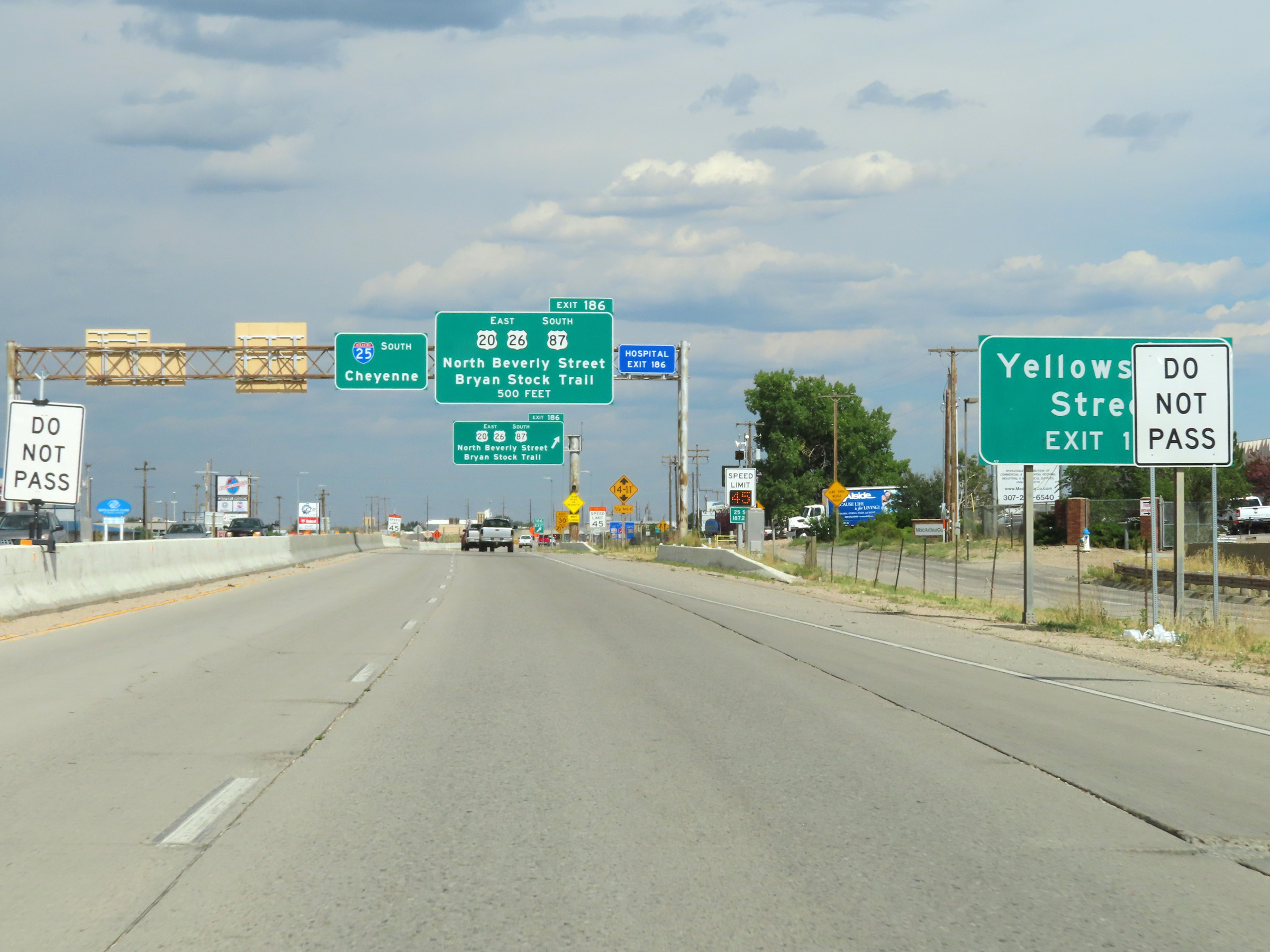 |
Take Exit 186 to Yellowstone Street. (Photo taken 8/17/22). |
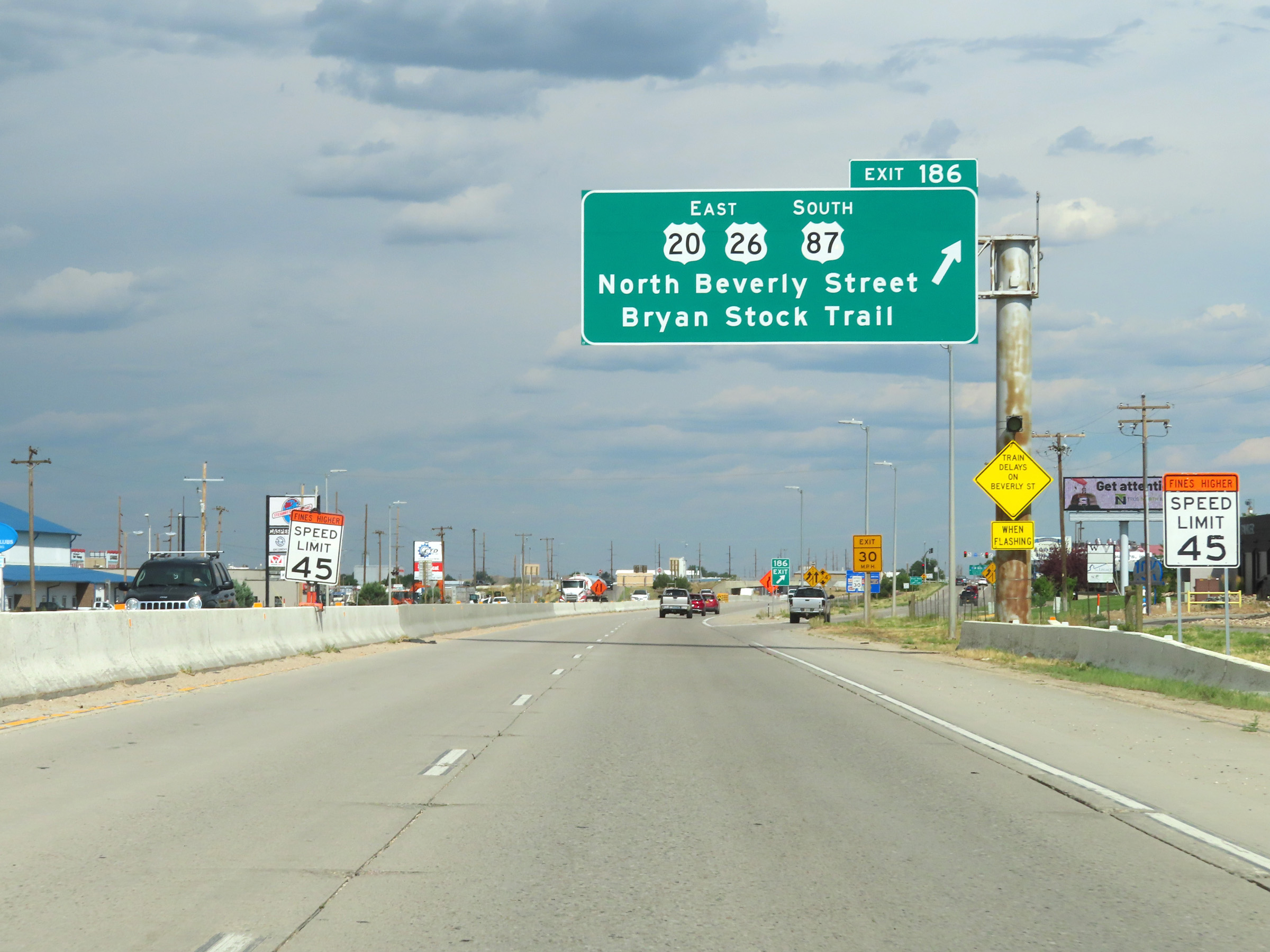 |
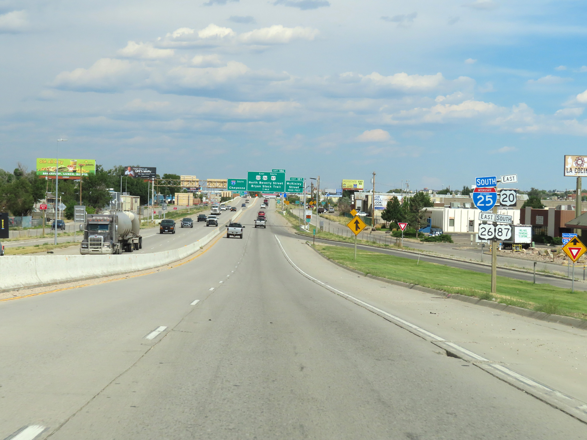
Interstate 25 South at Exit 186: US 20 East / US 26 East / US 87 South - North Beverly Street / Bryan Stock Trail (Photo taken 8/17/22). |
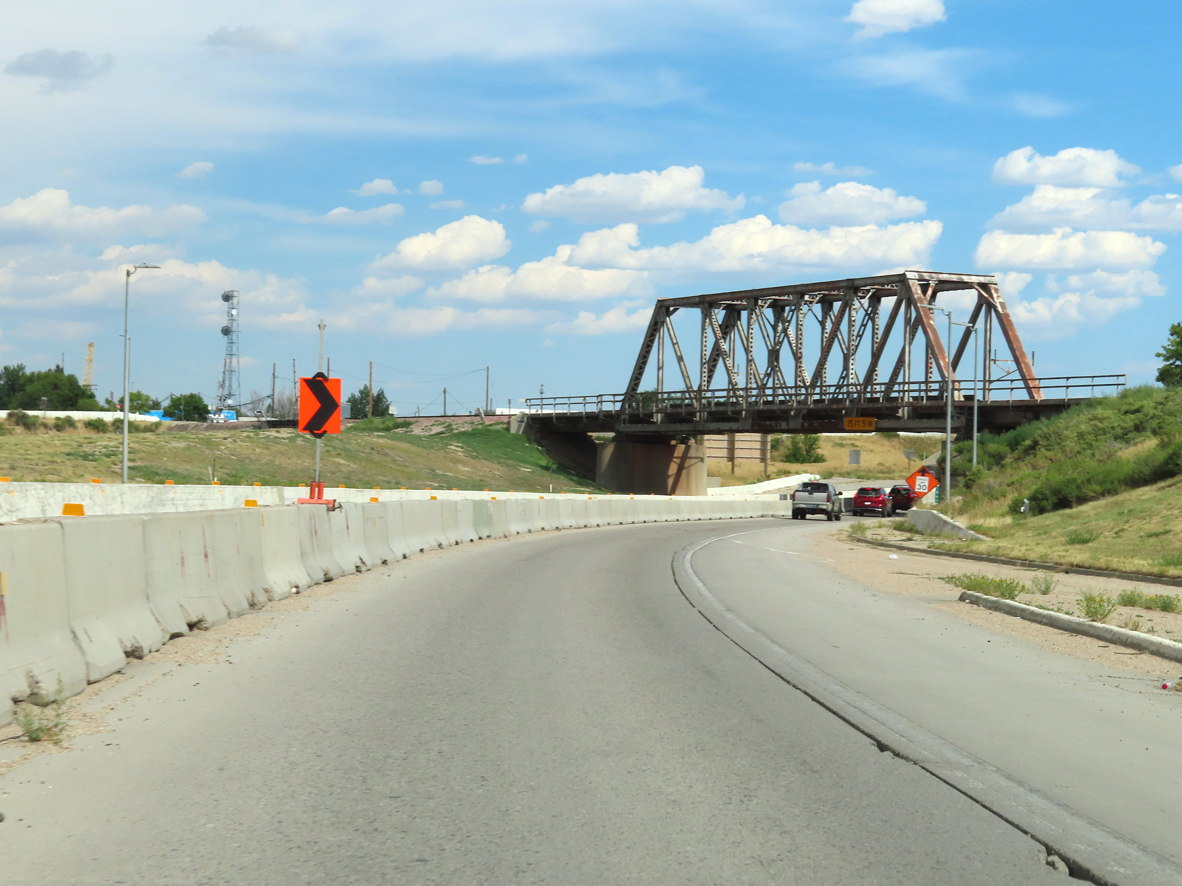 |
View on Interstate 25 South in Casper. (Photo taken 8/17/22). |
 |
Interstate 25 South approaching Exit 185 - 1/2 mile. (Photo taken 8/17/22). |
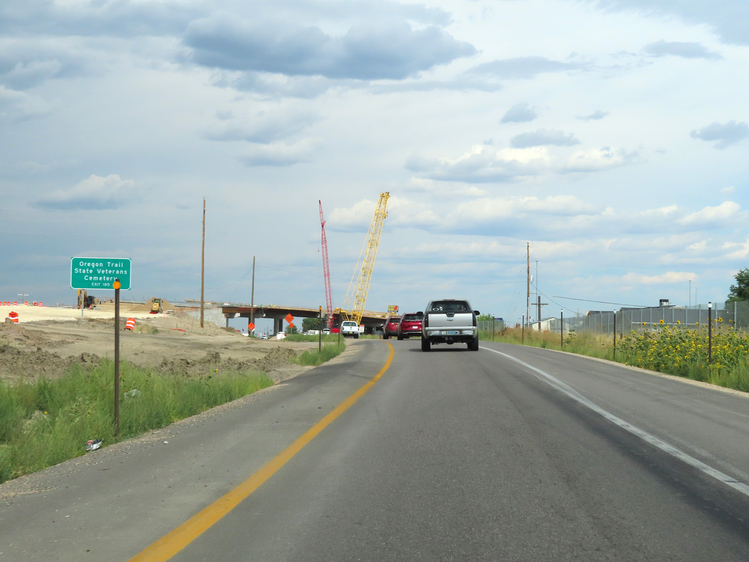 |
Take Exit 185 to the Oregon Trail State Veterans Cemetery. (Photo taken 8/17/22). |
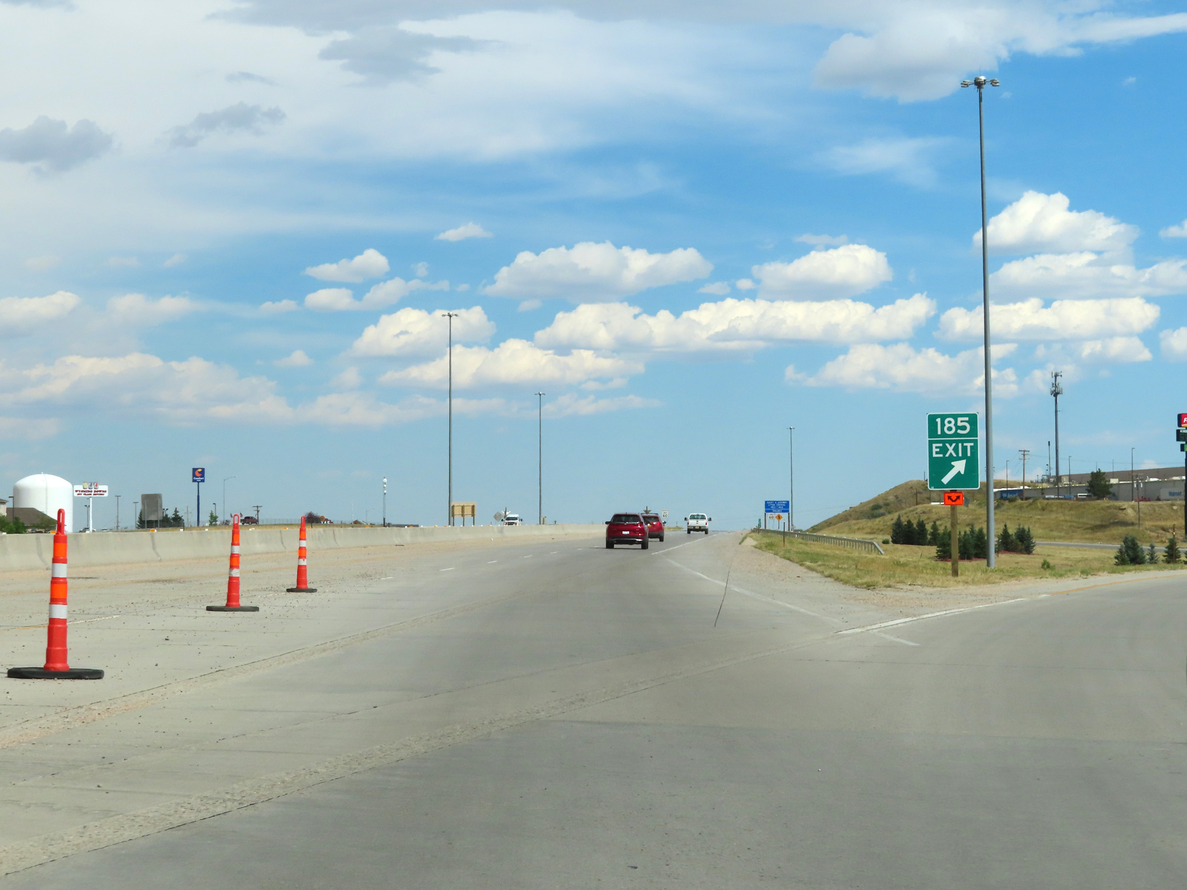 |
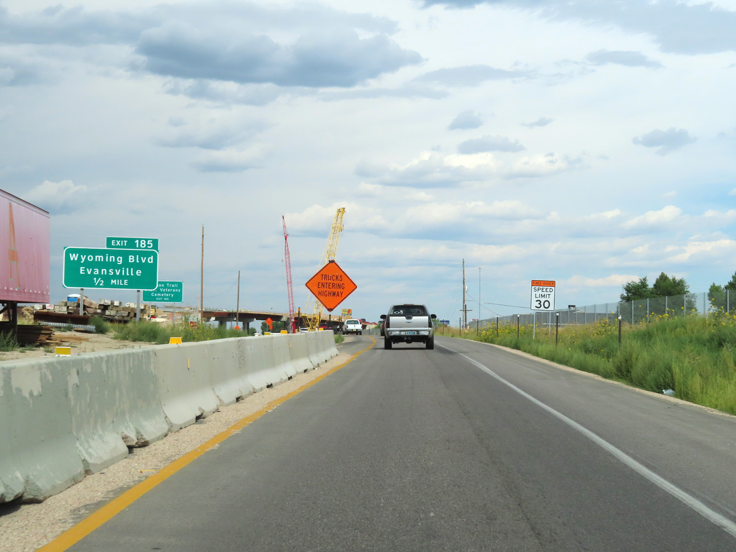
Interstate 25 South at Exit 185: Wyoming Blvd / Evansville (Photo taken 8/17/22). |
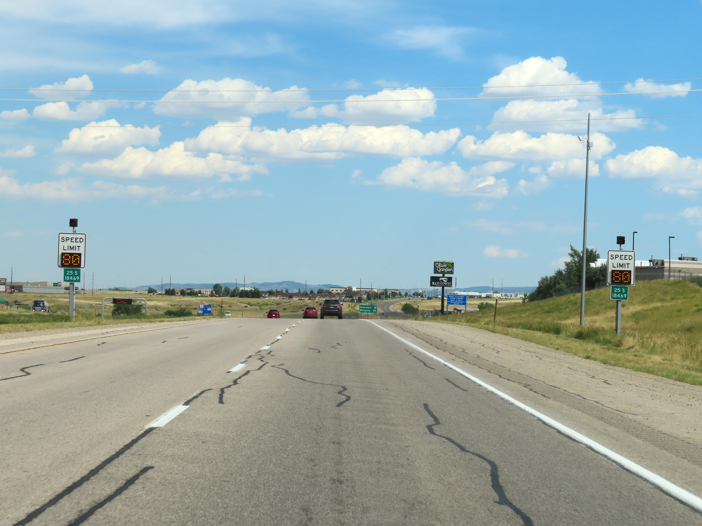 |
The variable speed limits continue at mile marker 184.69 to the south of downtown Casper. At the time, the variable speed limit was posted at the rural standard 80 mph. (Photo taken 8/17/22). |
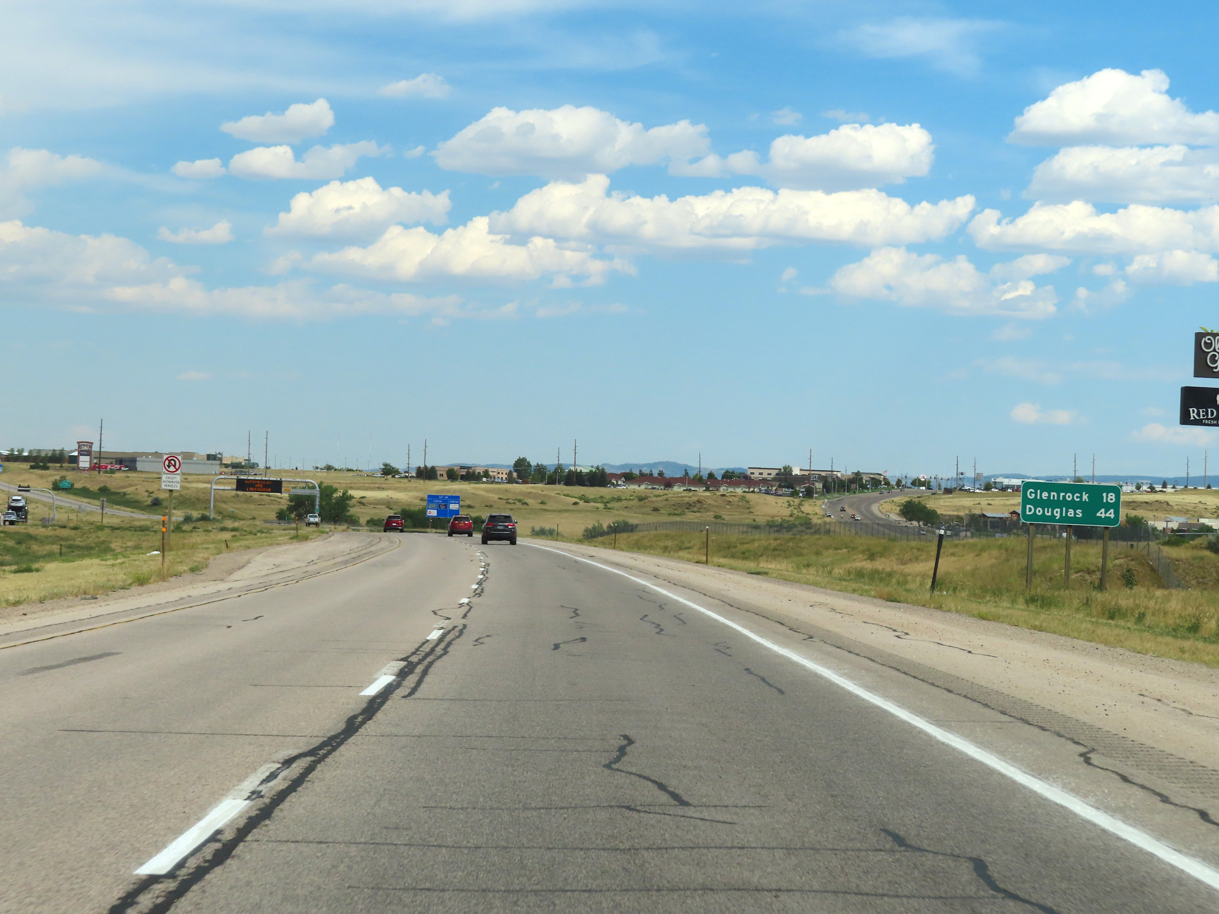 |
Mileage sign on Interstate 25 South leaving Casper. It's 18 miles to Glenrock and 44 miles to Douglas. (Photo taken 8/17/22). |
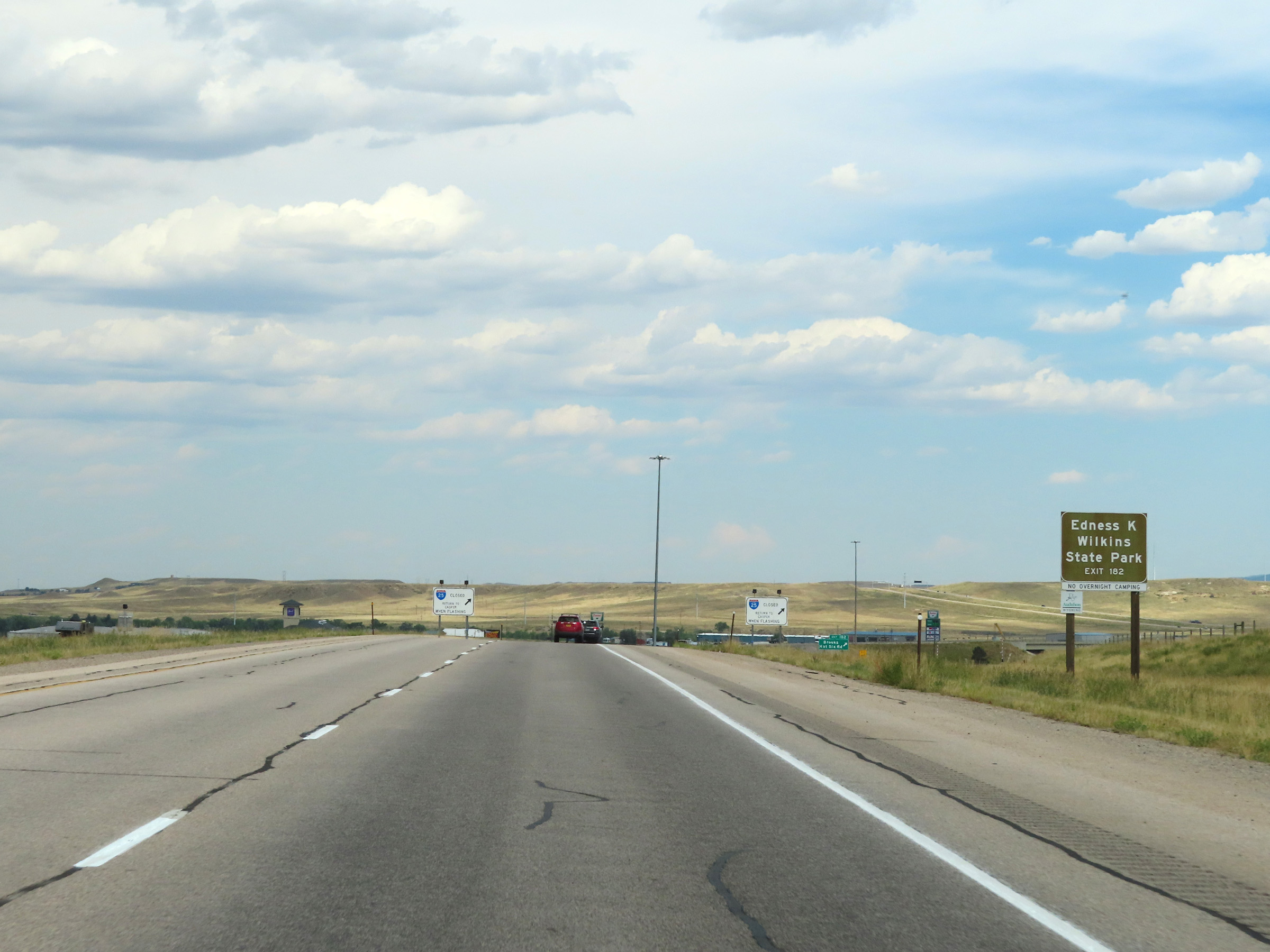 |
Take Exit 182 to Edness K. Wilkins State Park. (Photo taken 8/17/22). |
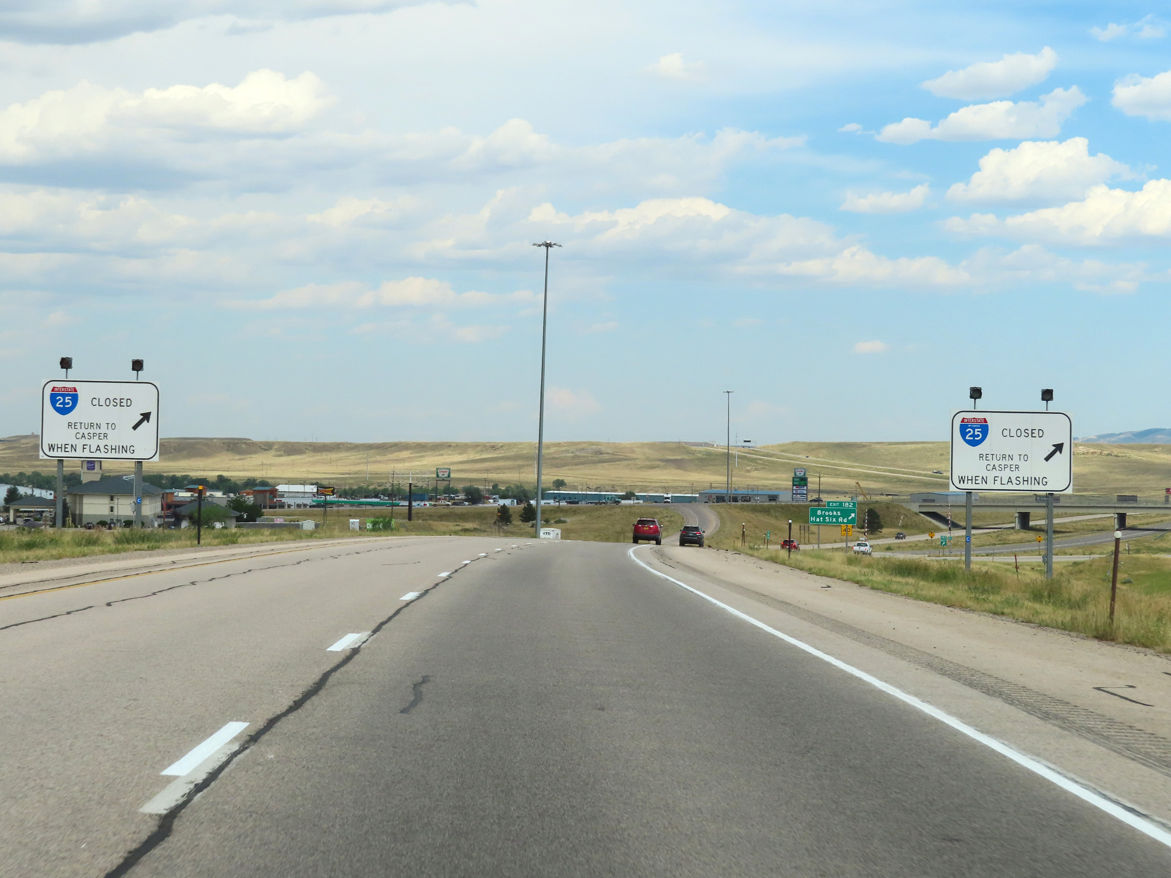 |
When the lights on these signs are flashing, all traffic must exit and return to Casper due to Interstate 25 South being closed ahead. (Photo taken 8/17/22). |
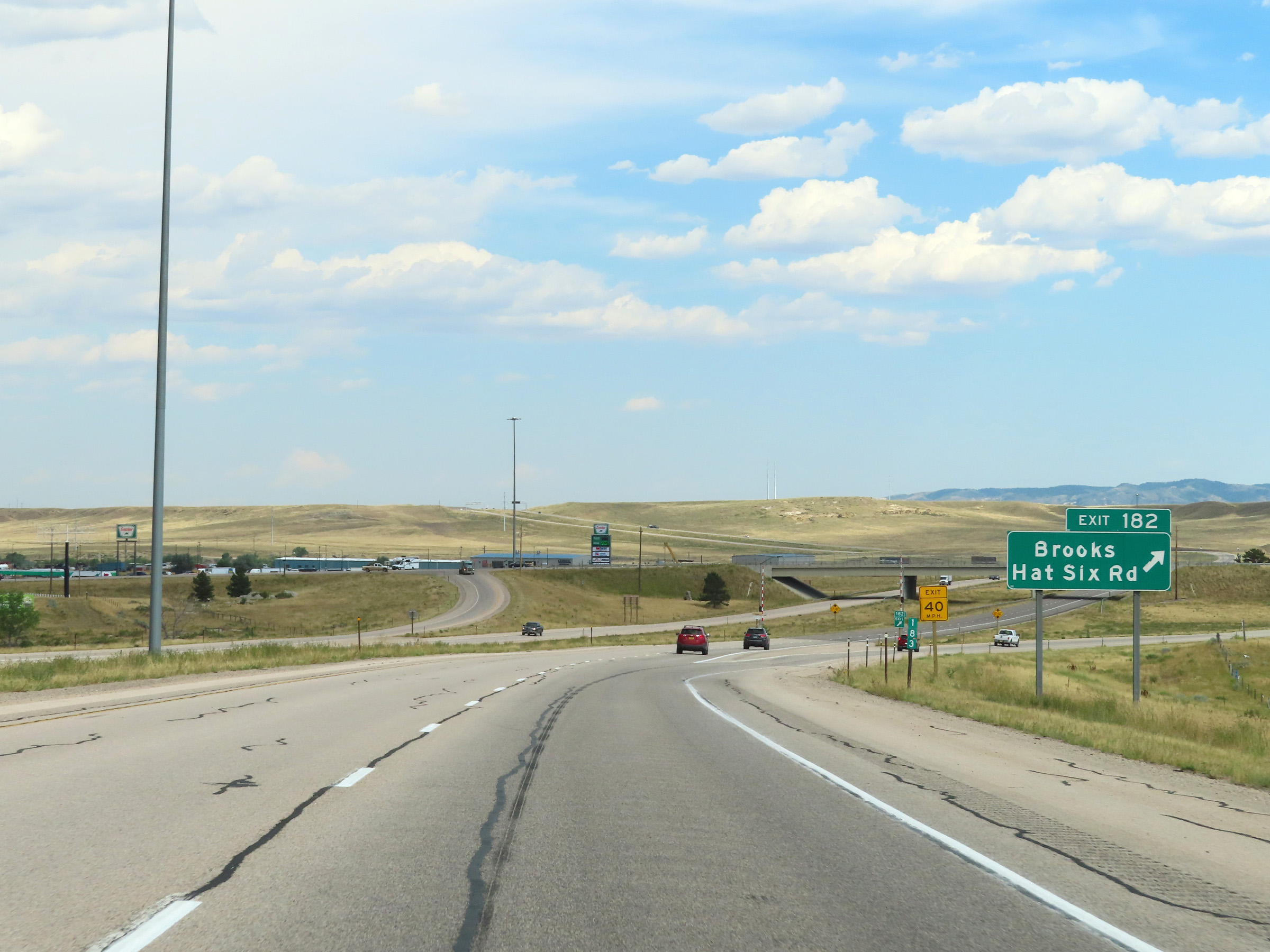 |
Interstate 25 South at Exit 182: Brooks / Hat Six Rd (Photo taken 8/17/22). |
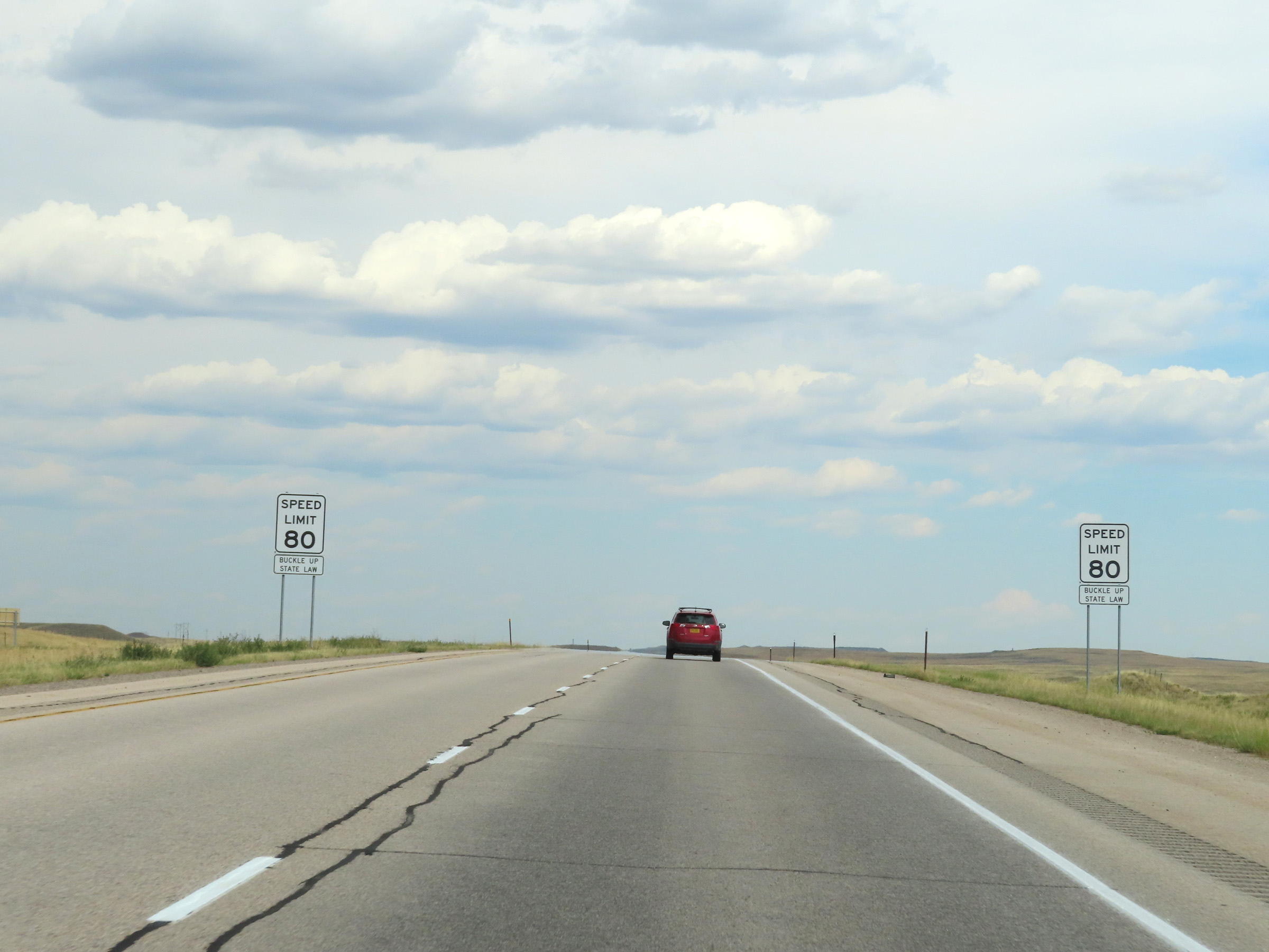 |
South of Exit 182, the variable speed limits come to an end and the rural standard speed limit of 80 mph resumes. (Photo taken 8/17/22). |
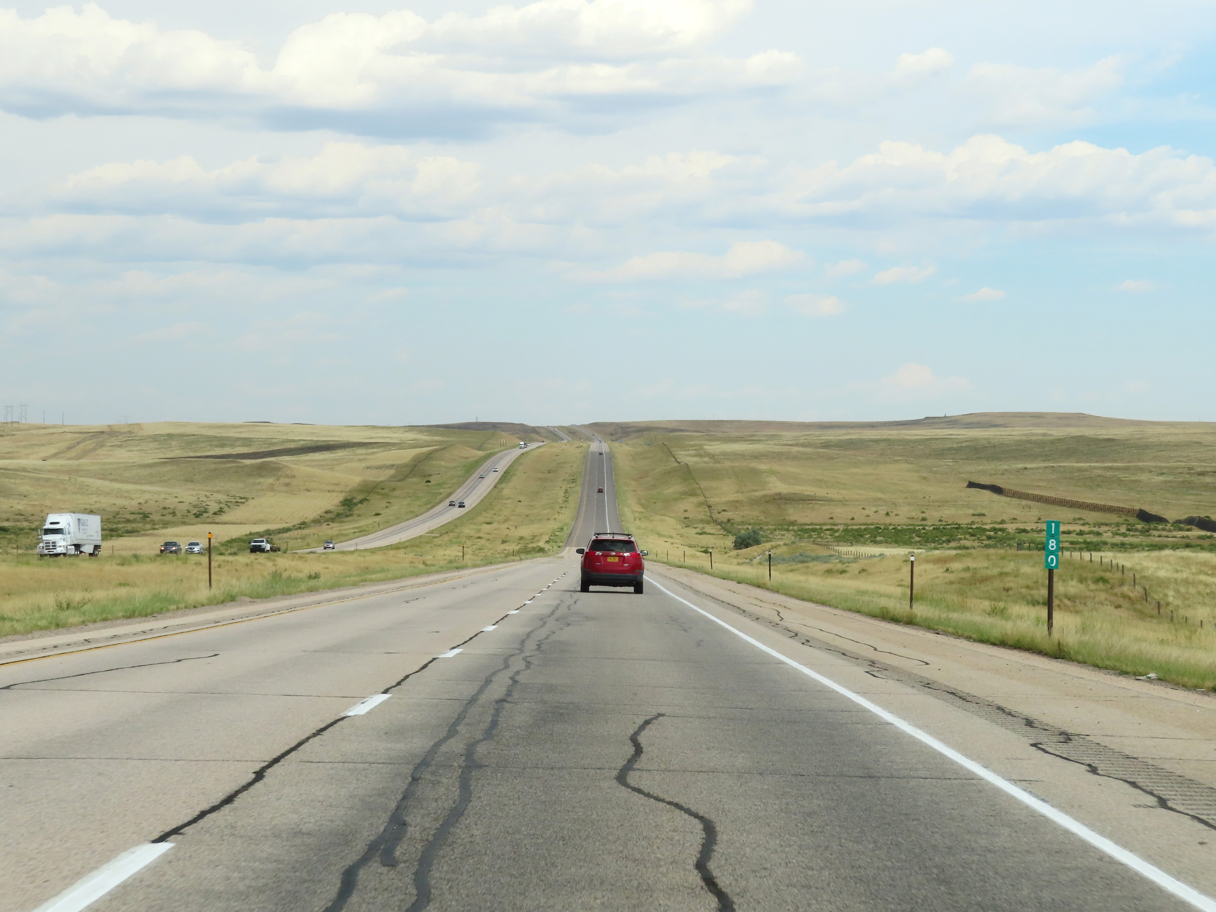 |
Interstate 25 South at mile marker 180. (Photo taken 8/17/22). |
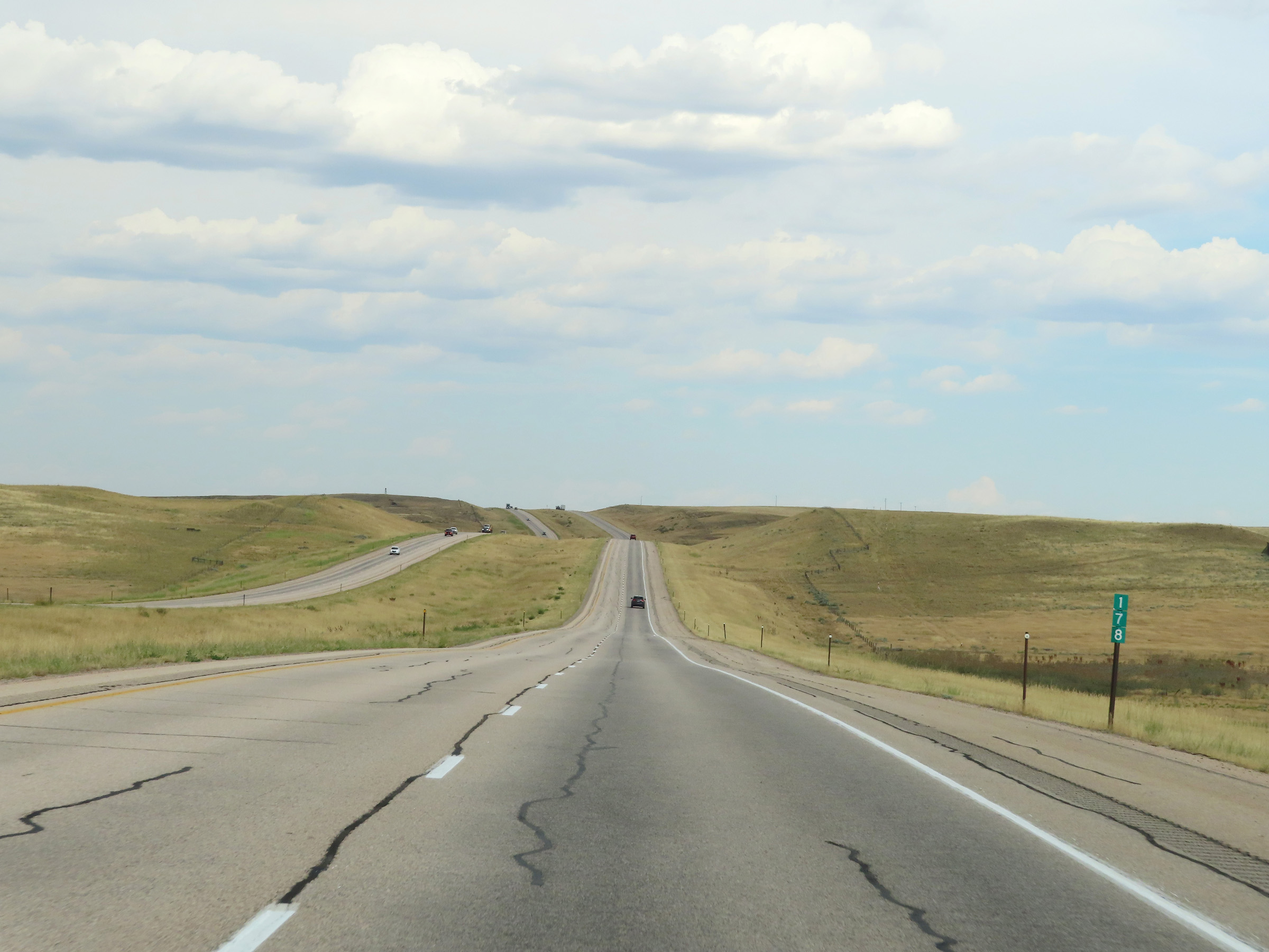 |
View on Interstate 25 South at mile marker 178. (Photo taken 8/17/22). |
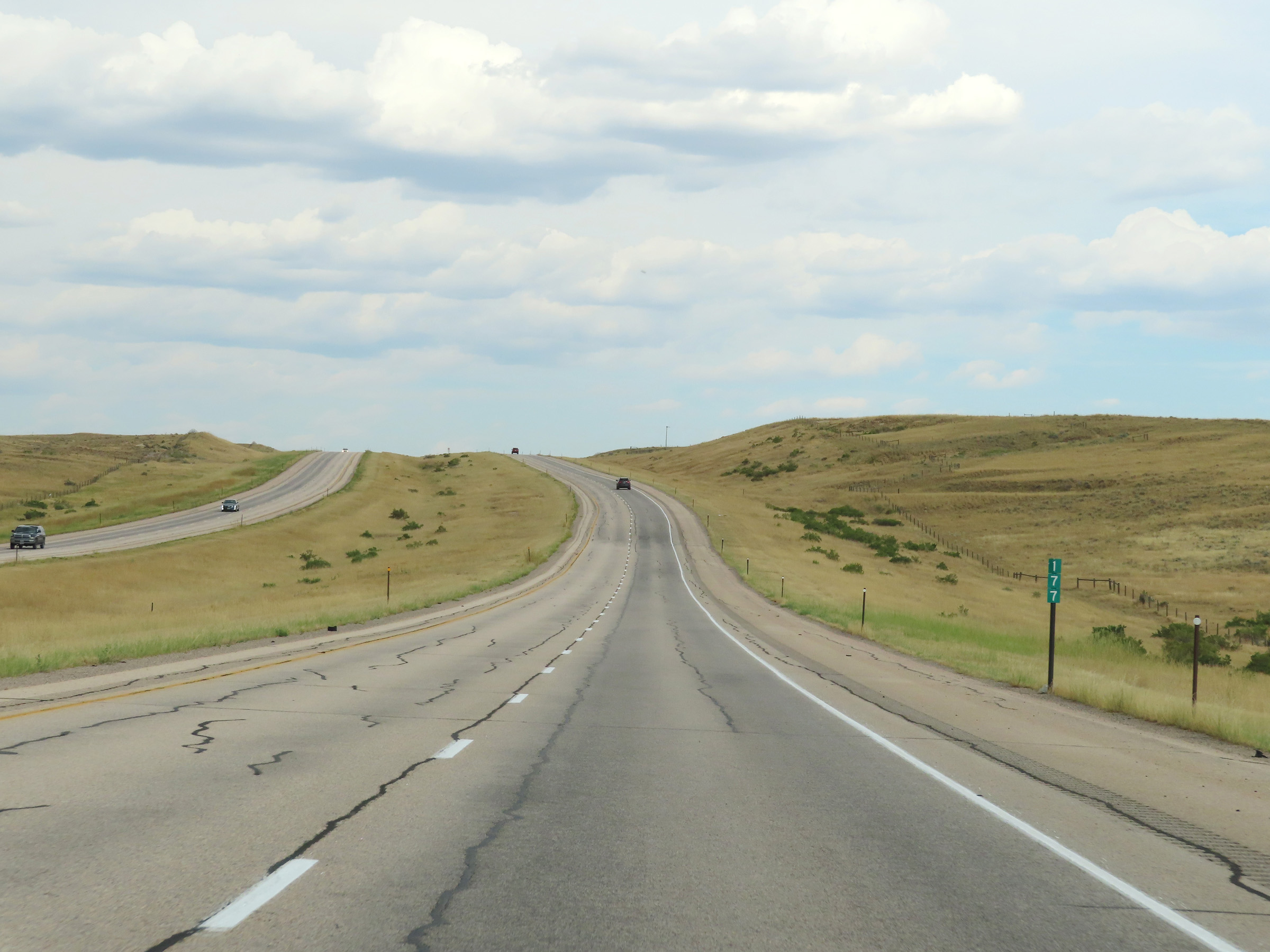 |
Mile marker 177 on Interstate 25 South in Natrona County. (Photo taken 8/17/22). |
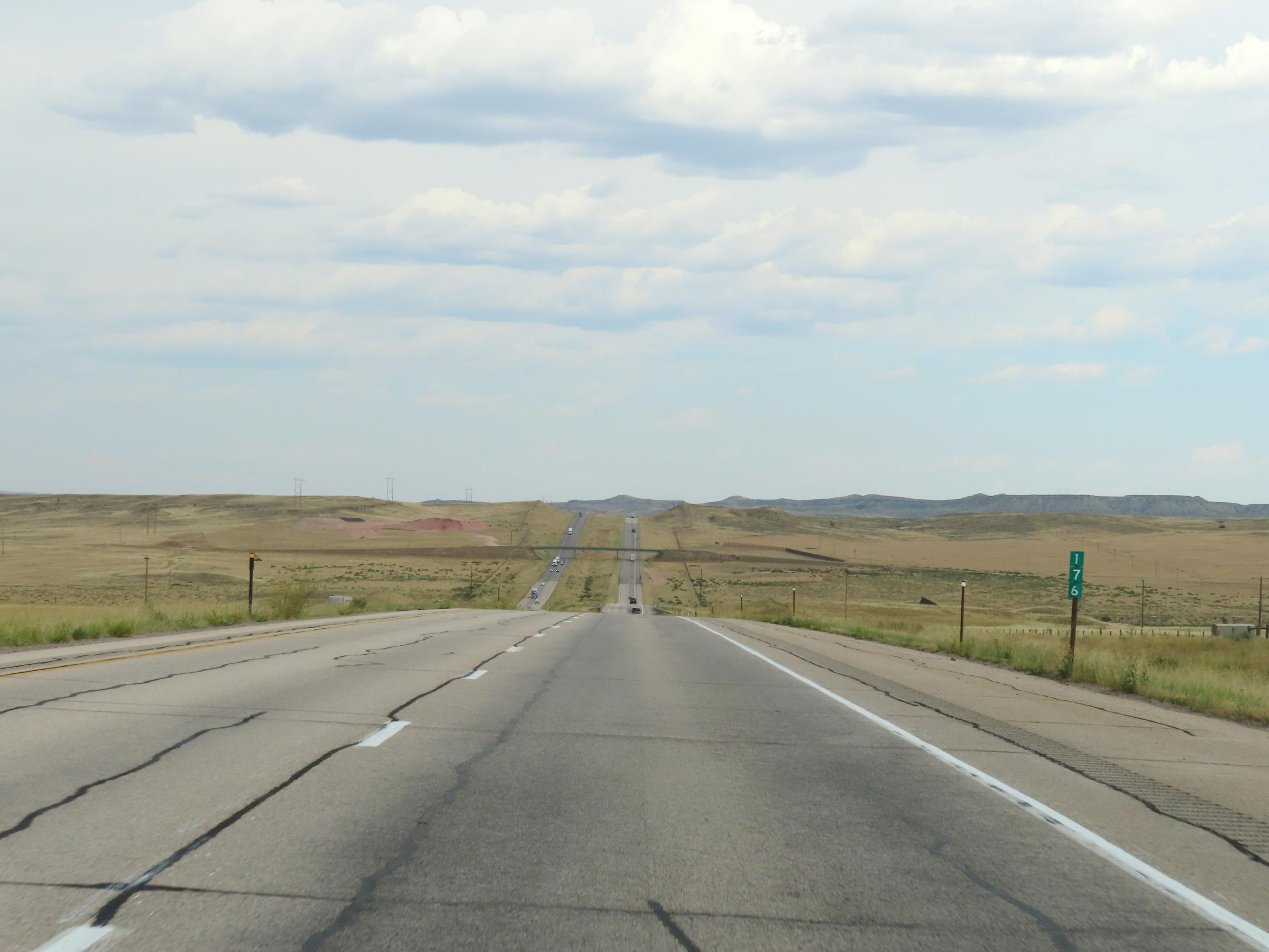 |
View on Interstate 25 South at mile marker 176. (Photo taken 8/17/22). |
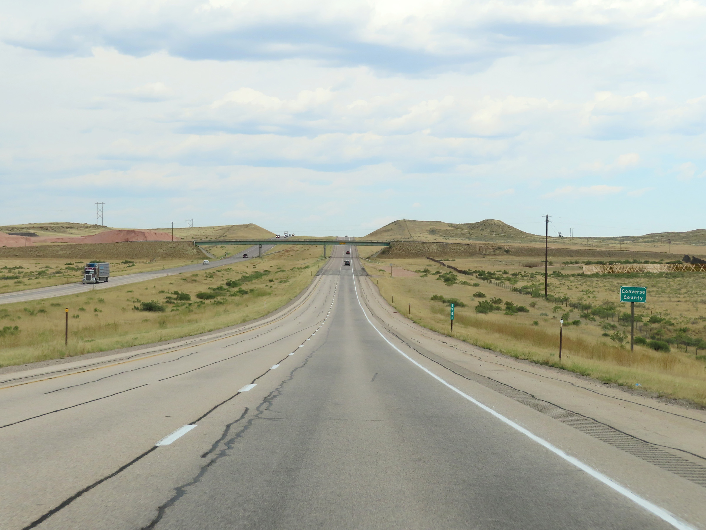 |
Interstate 25 South as it enters Converse County at mile marker 175.1. (Photo taken 8/17/22). |
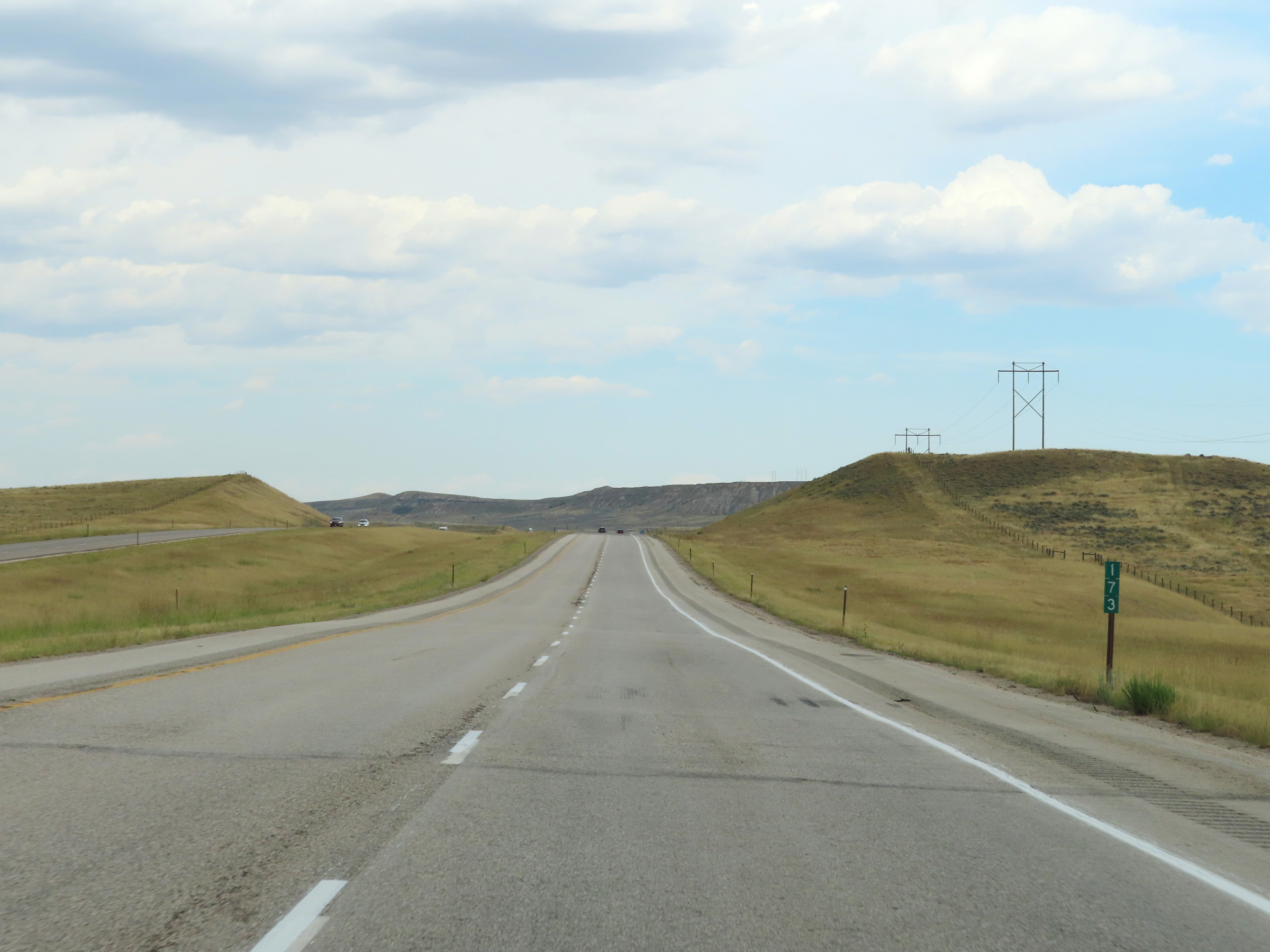 |
Interstate 25 South at mile marker 173. (Photo taken 8/17/22). |
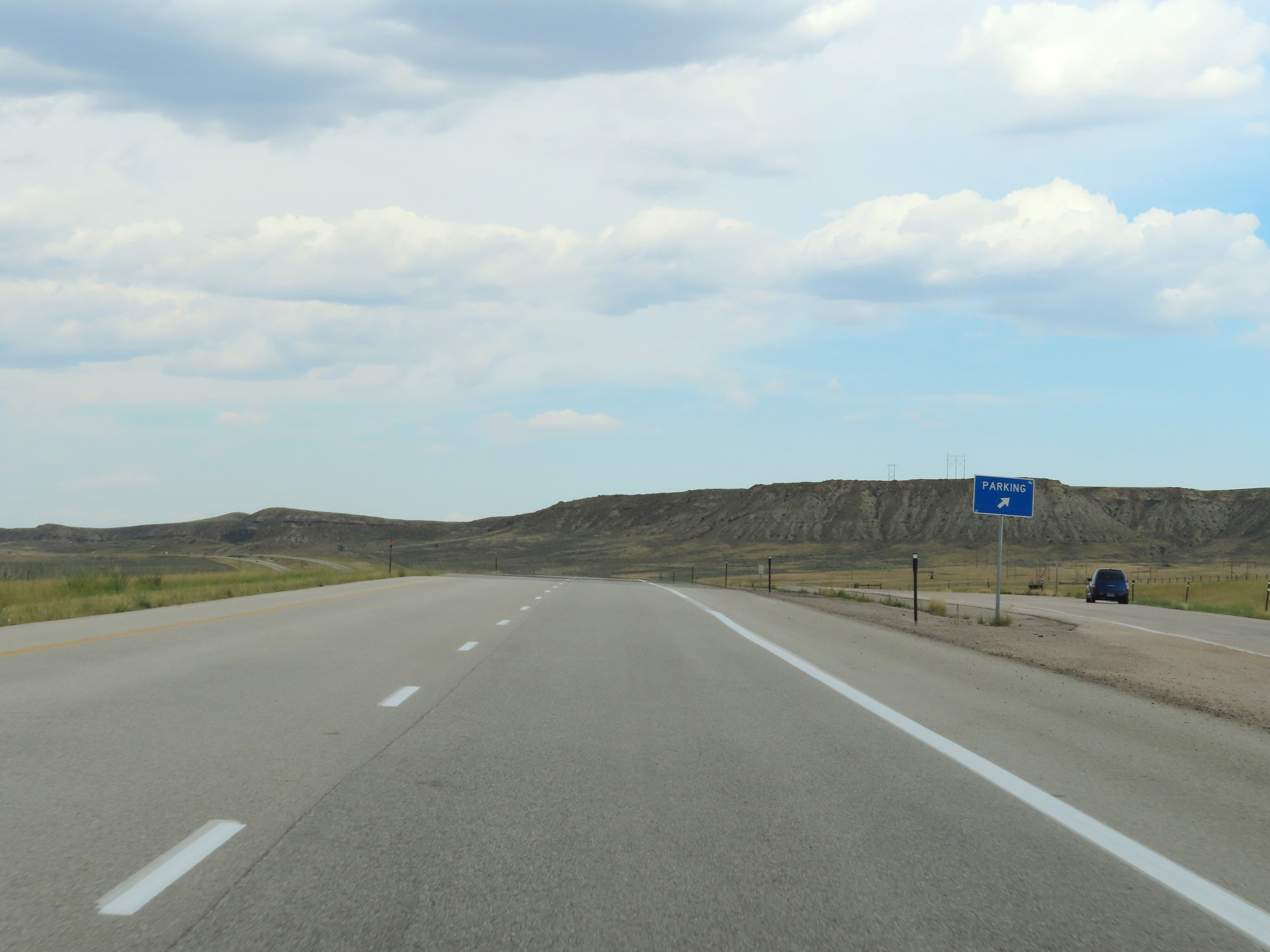 |
Parking Area on Interstate 25 South in Converse County. (Photo taken 8/17/22). |
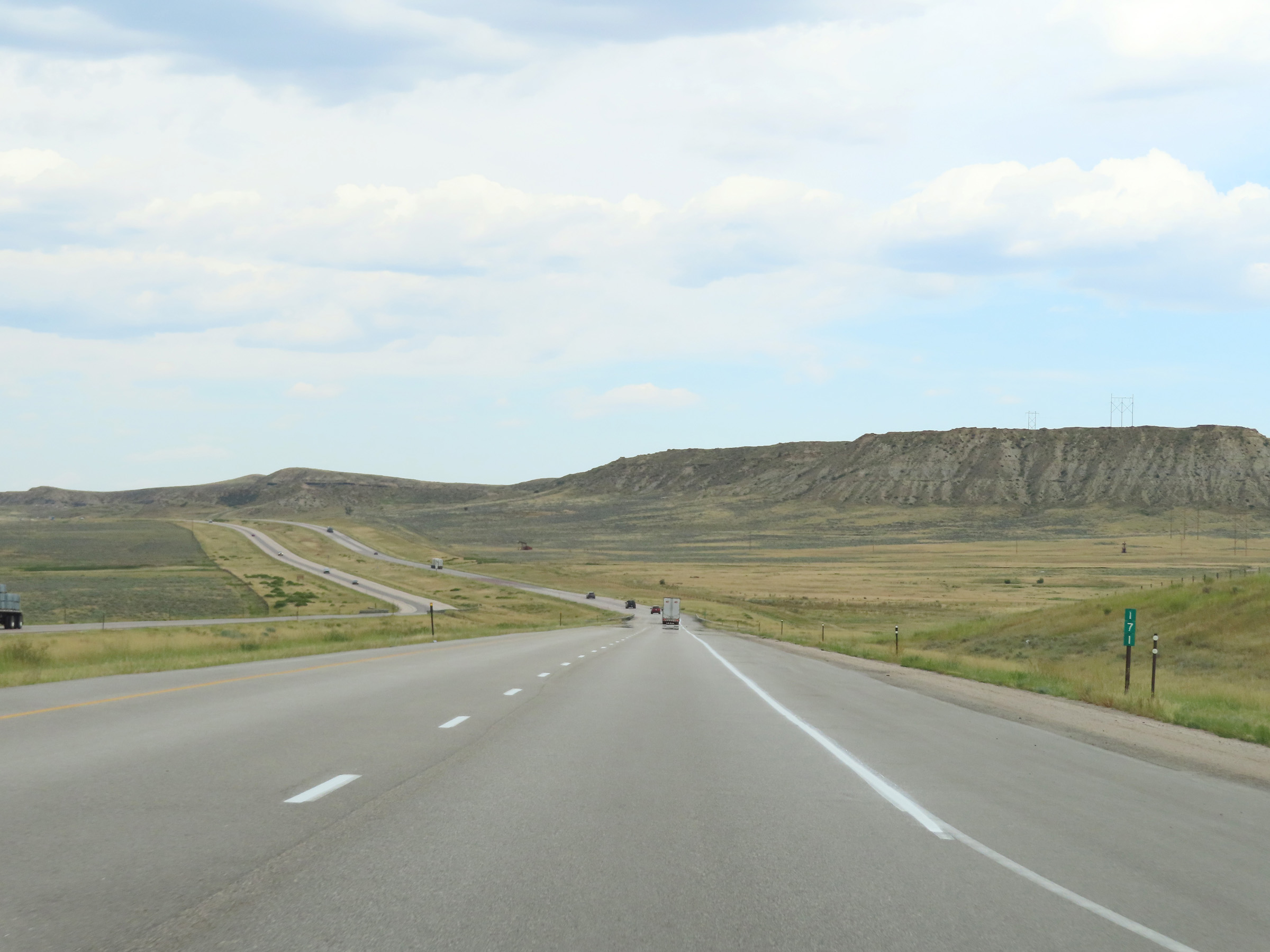 |
View on Interstate 25 South at mile marker 171. (Photo taken 8/17/22). |
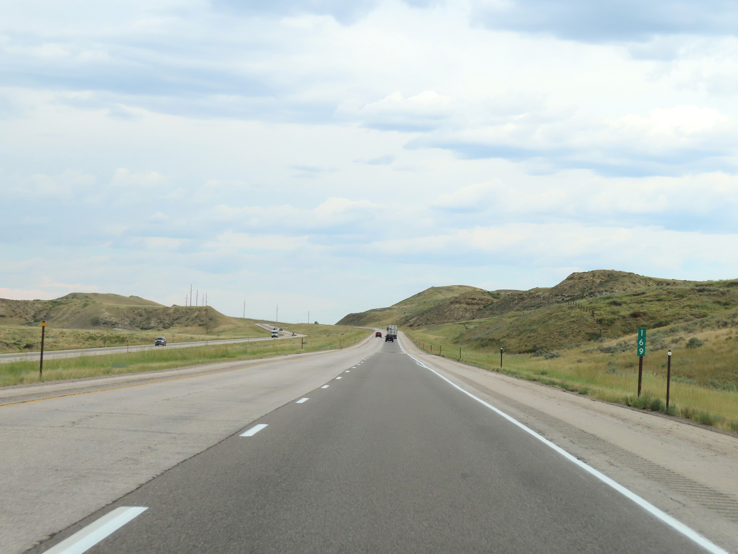 |
Mile marker 169 on Interstate 25 South in Converse County. (Photo taken 8/17/22). |
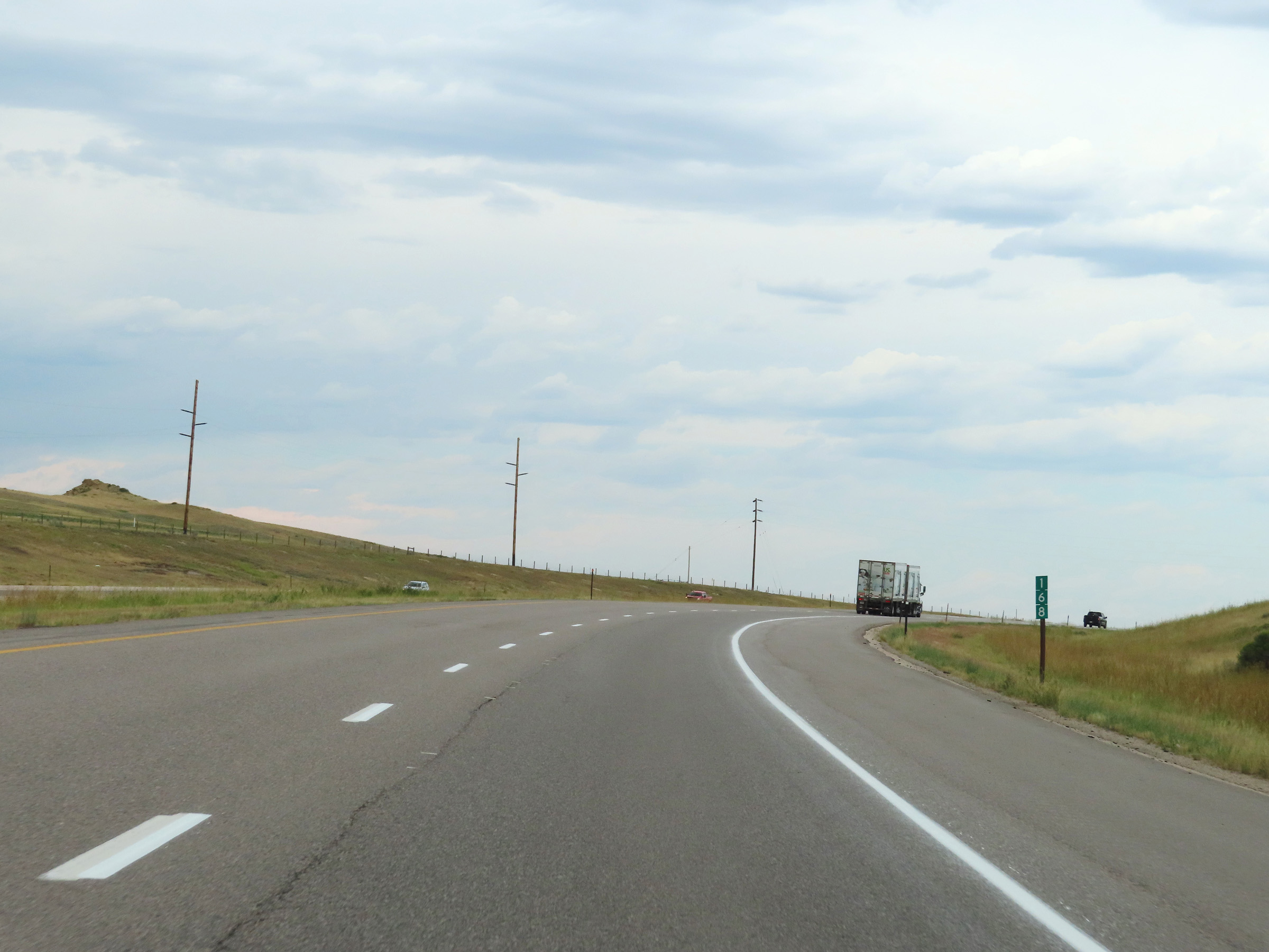 |
Interstate 25 South at mile marker 168. (Photo taken 8/17/22). |
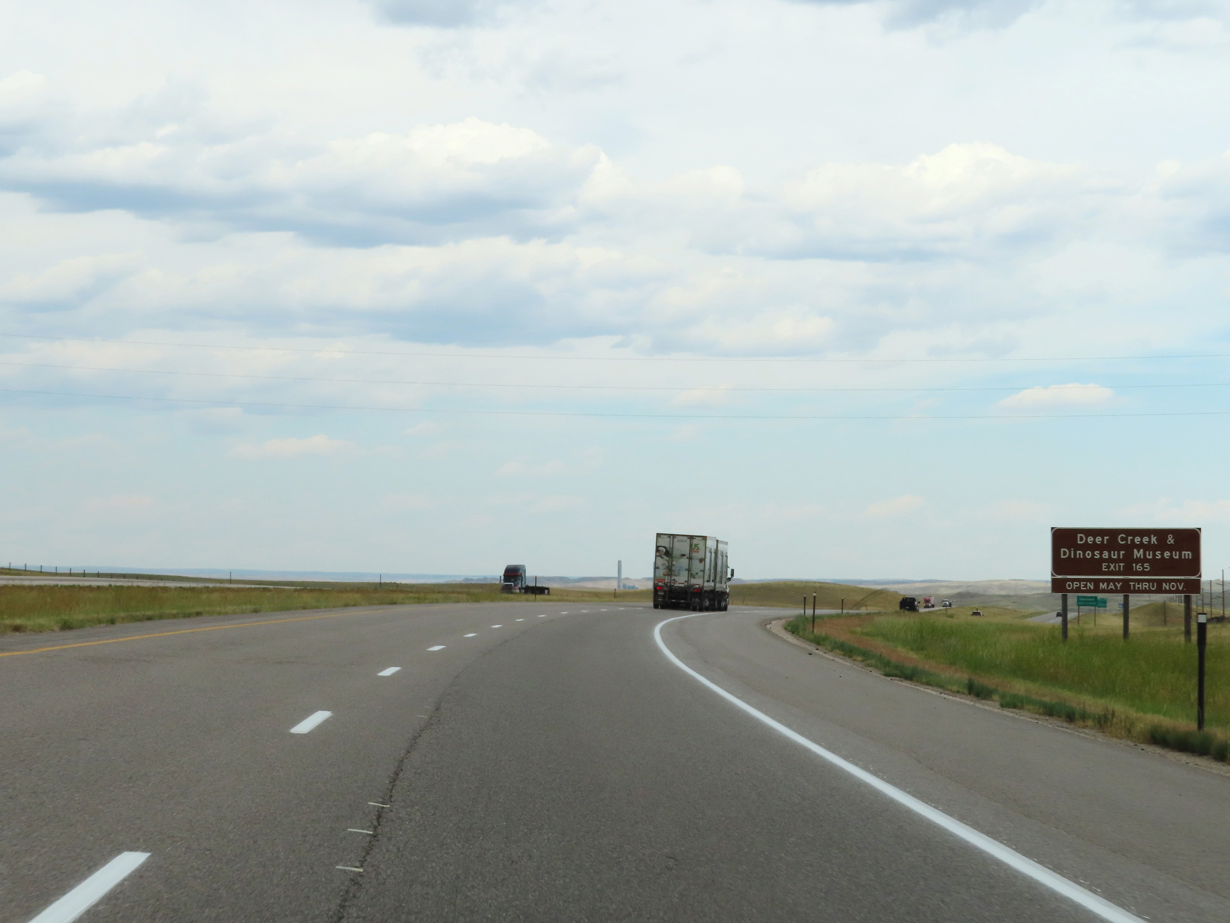 |
Take Exit 165 to the Glenrock Deer Creek Museum and Paleon Museum. (Photo taken 8/17/22). |
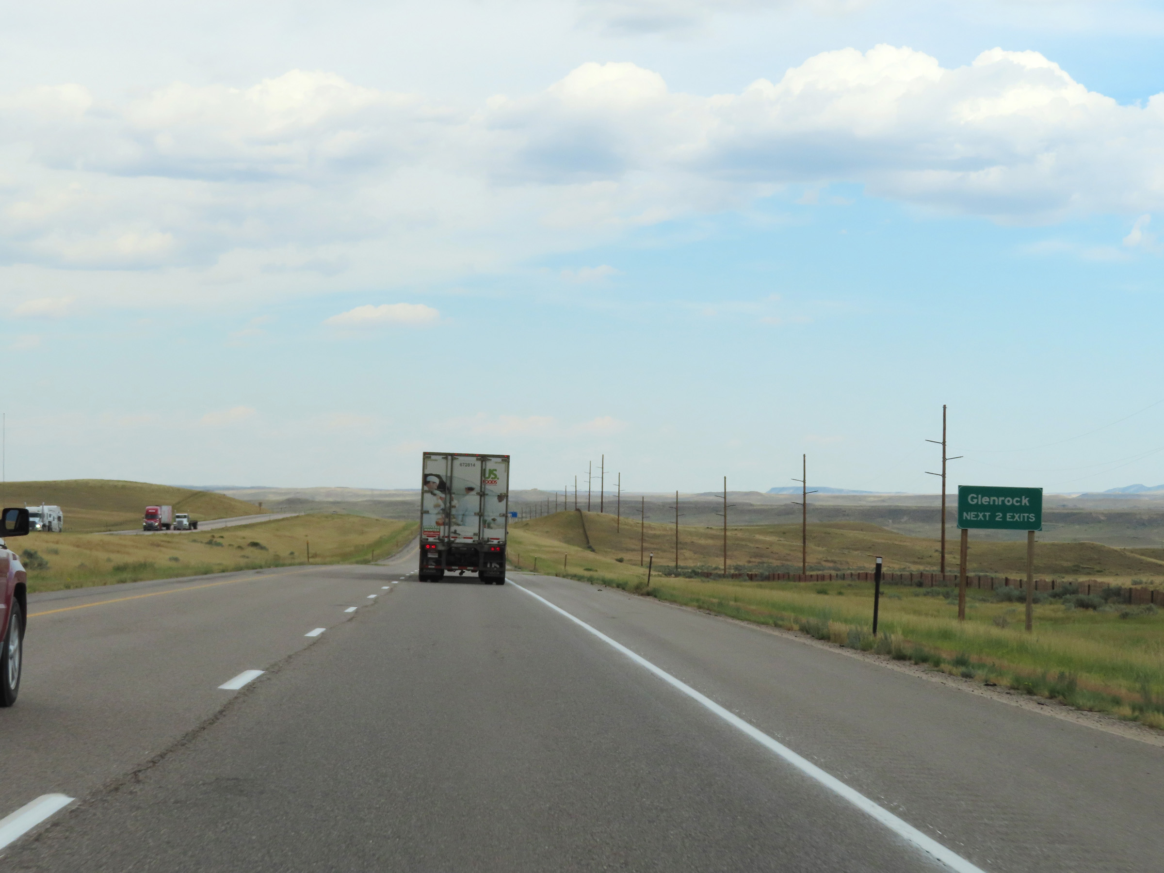 |
Take either of the next 2 exits to Glenrock. (Photo taken 8/17/22). |
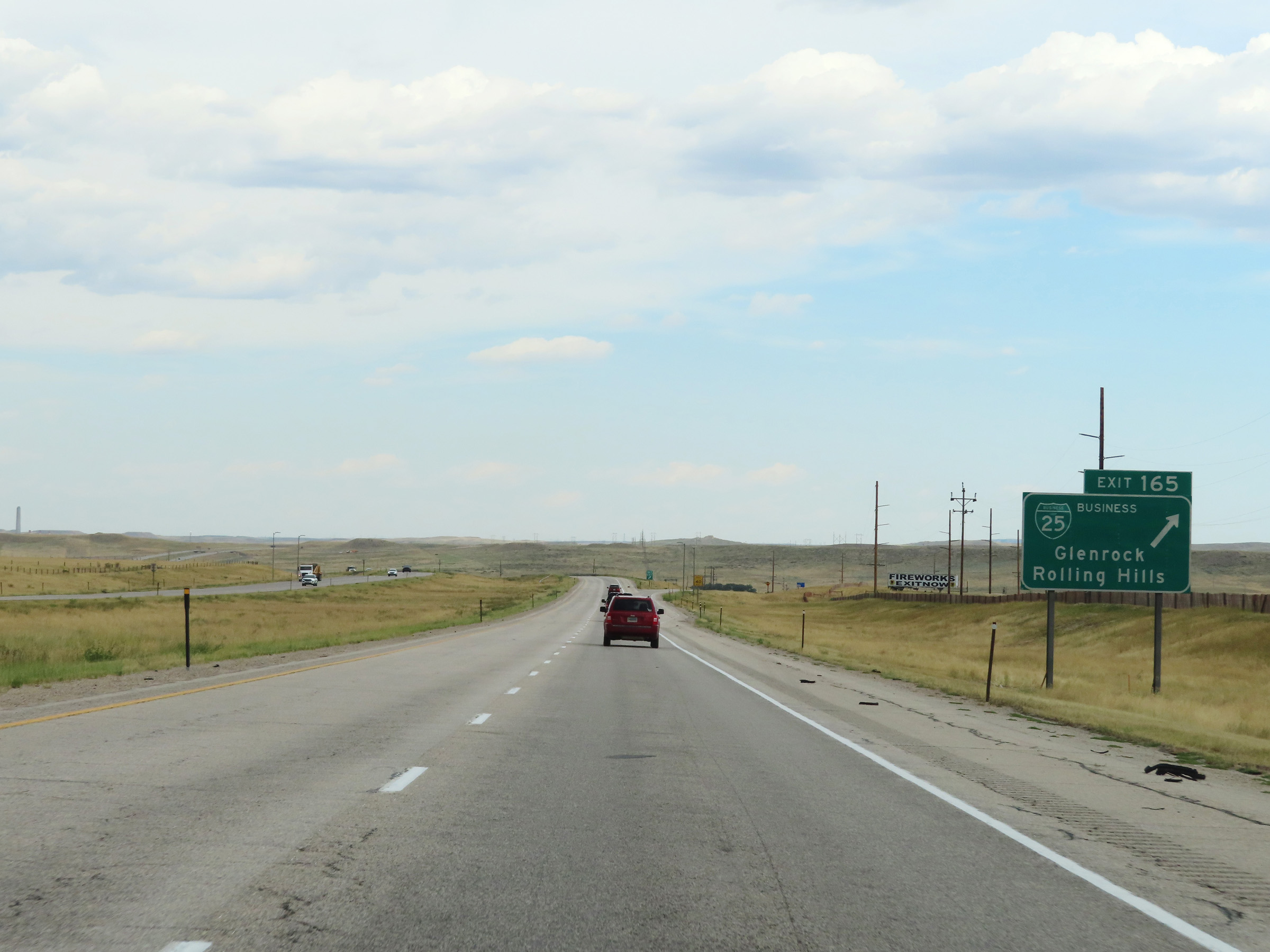 |
Interstate 25 South at Exit 165: Interstate 25 Business Loop - Glenrock / Rolling Hills (Photo taken 8/17/22). |
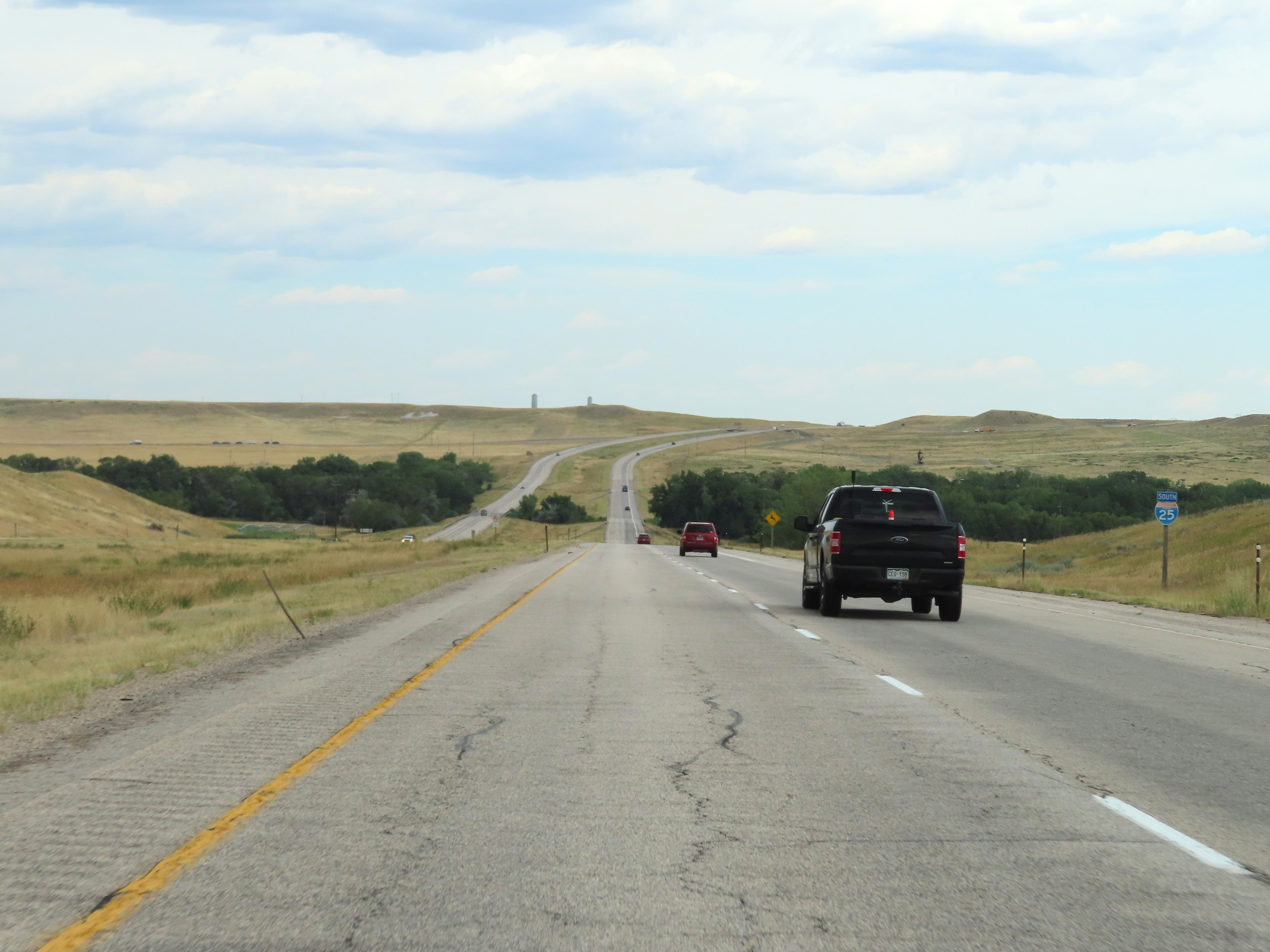 |
Another state-named Interstate 25 South reassurance shield in Converse County. (Photo taken 8/17/22). |
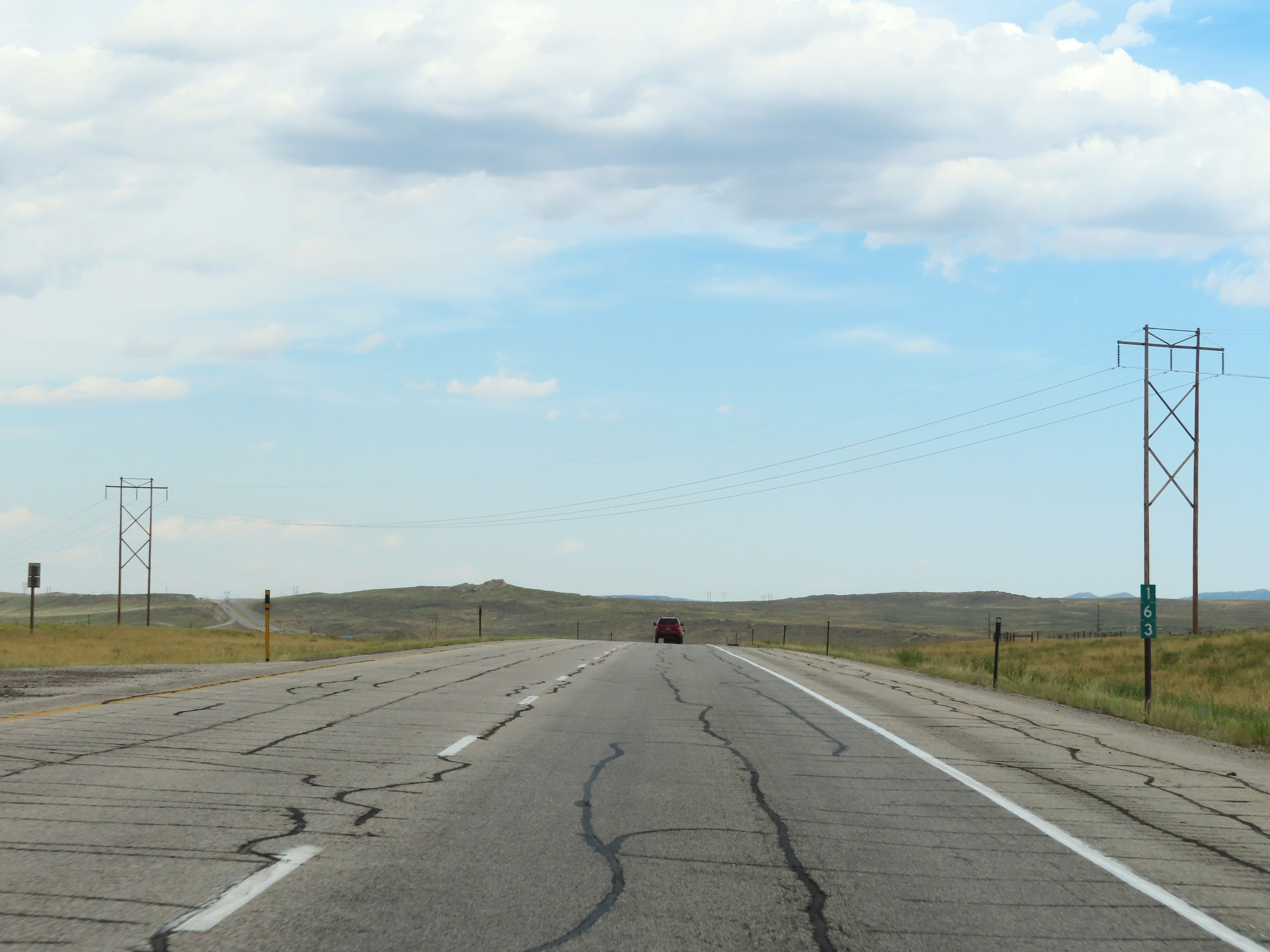 |
View on Interstate 25 South at mile marker 163. (Photo taken 8/17/22). |
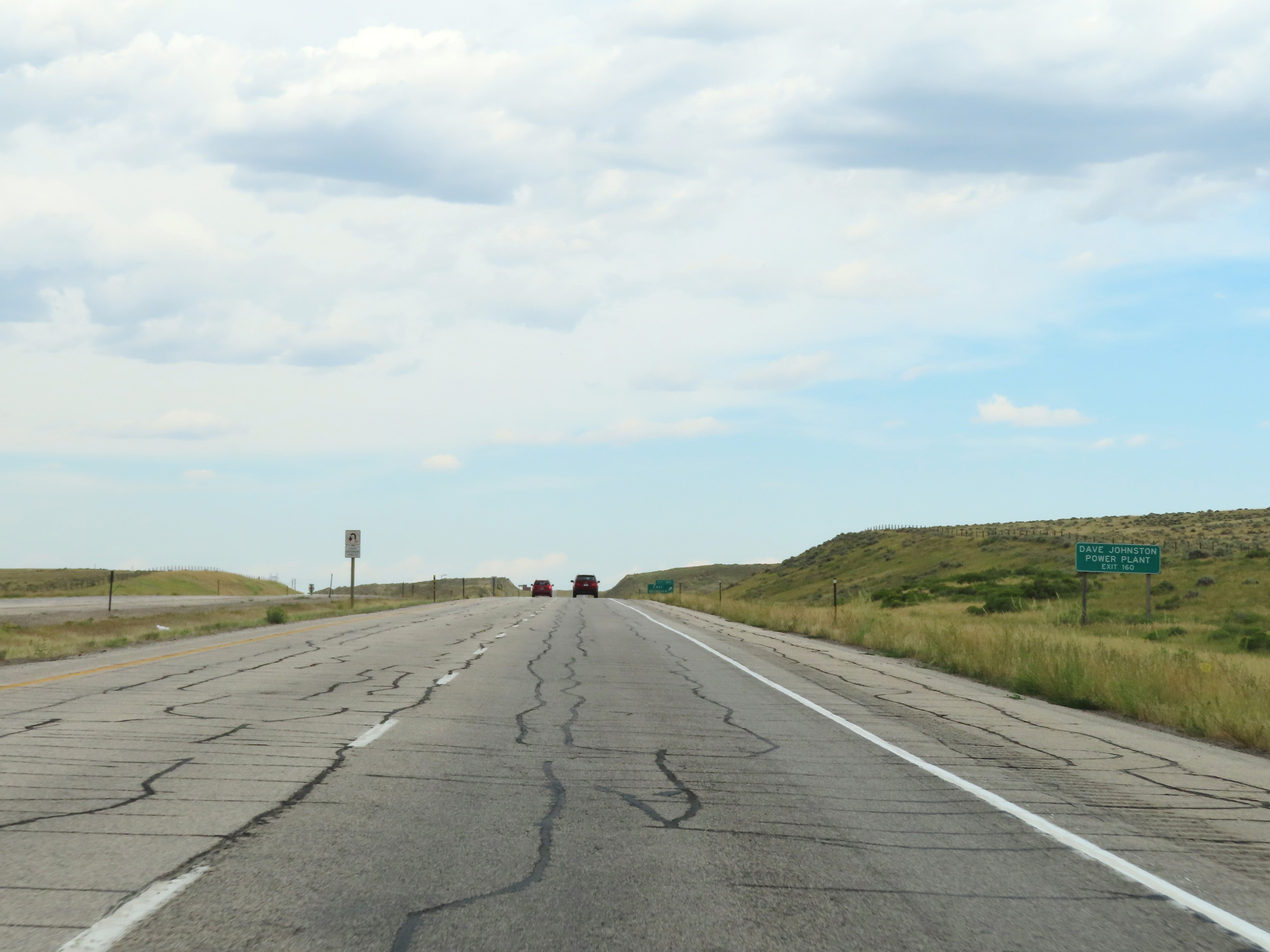 |
Take Exit 160 to Dave Johnston Power Plant. (Photo taken 8/17/22). |
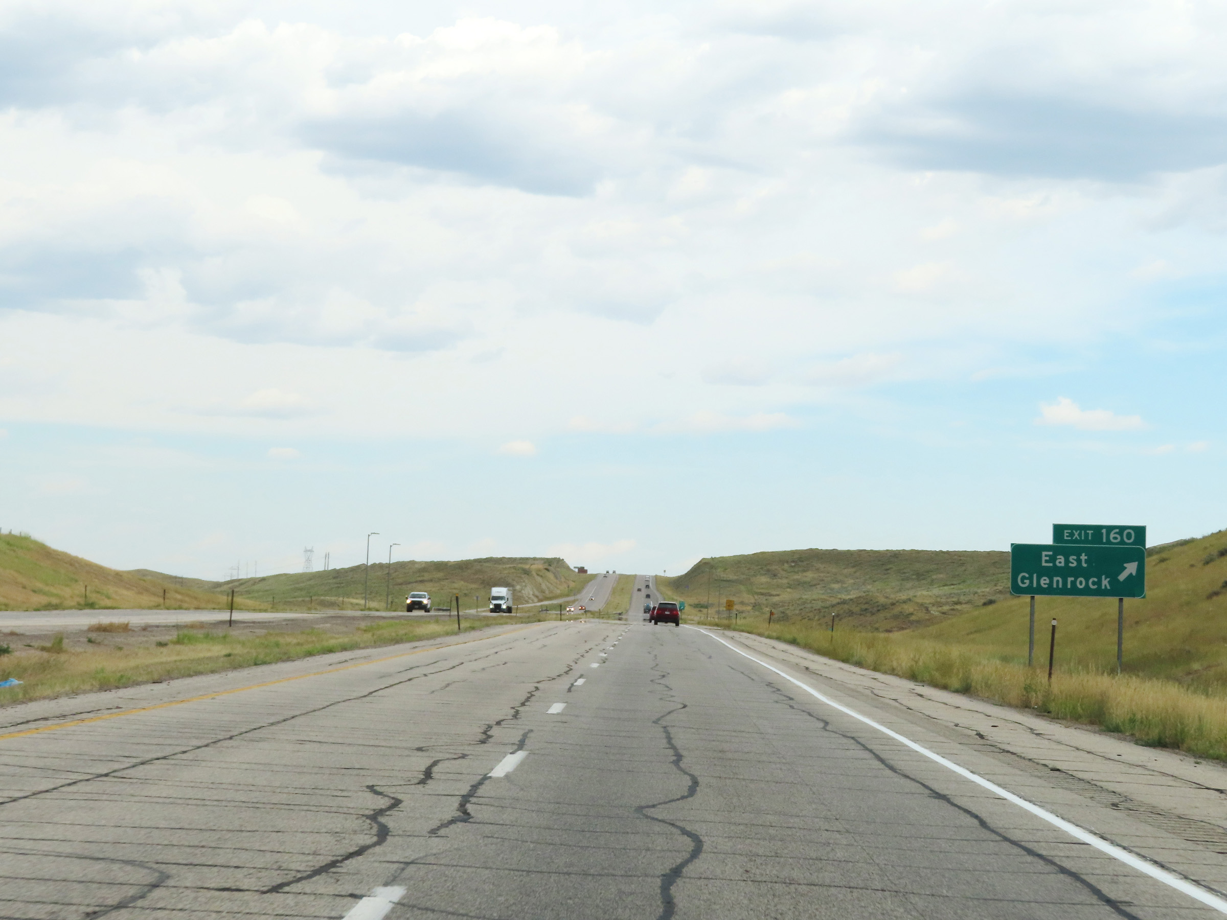 |
Interstate 25 South at Exit 160: East Glenrock (Photo taken 8/17/22). |
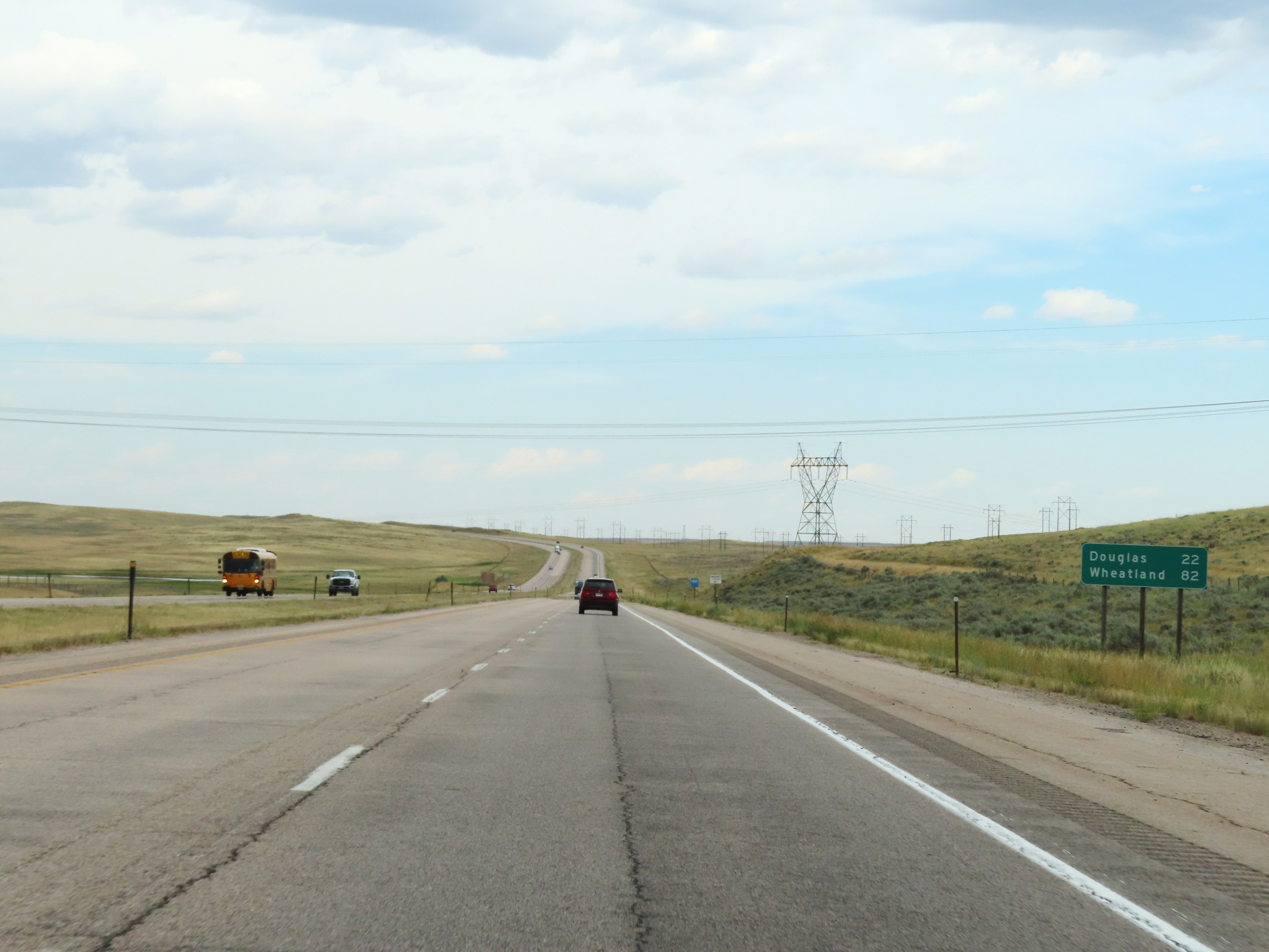 |
Mileage sign on Interstate 25 South in Converse County. It's 22 miles to Douglas and 82 miles to Wheatland. (Photo taken 8/17/22). |
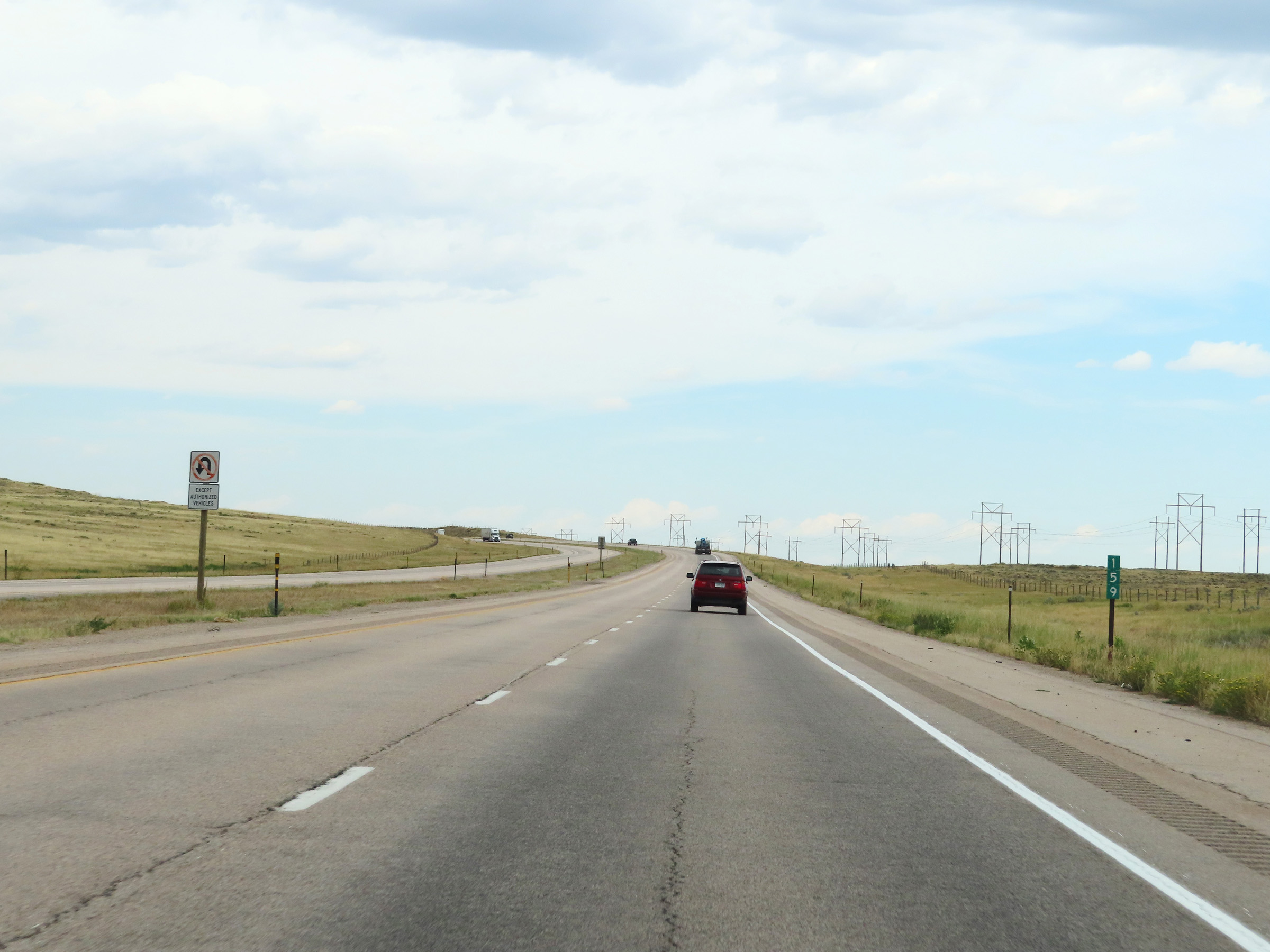 |
Interstate 25 South at mile marker 159. (Photo taken 8/17/22). |
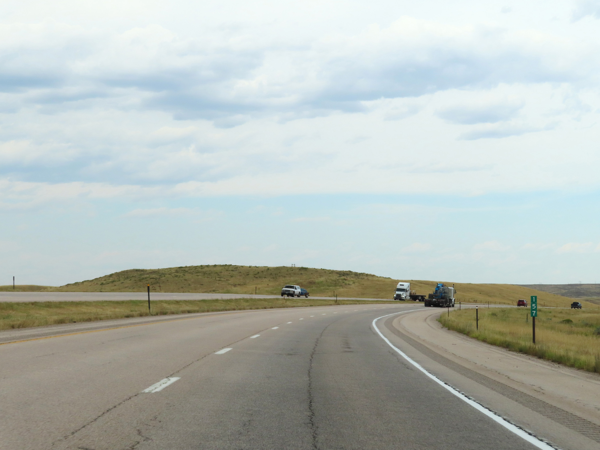 |
View on Interstate 25 South at mile marker 157. (Photo taken 8/17/22). |
 |
Interstate 25 South approaching Exit 156 - 1/4 mile. (Photo taken 8/17/22). |
 |
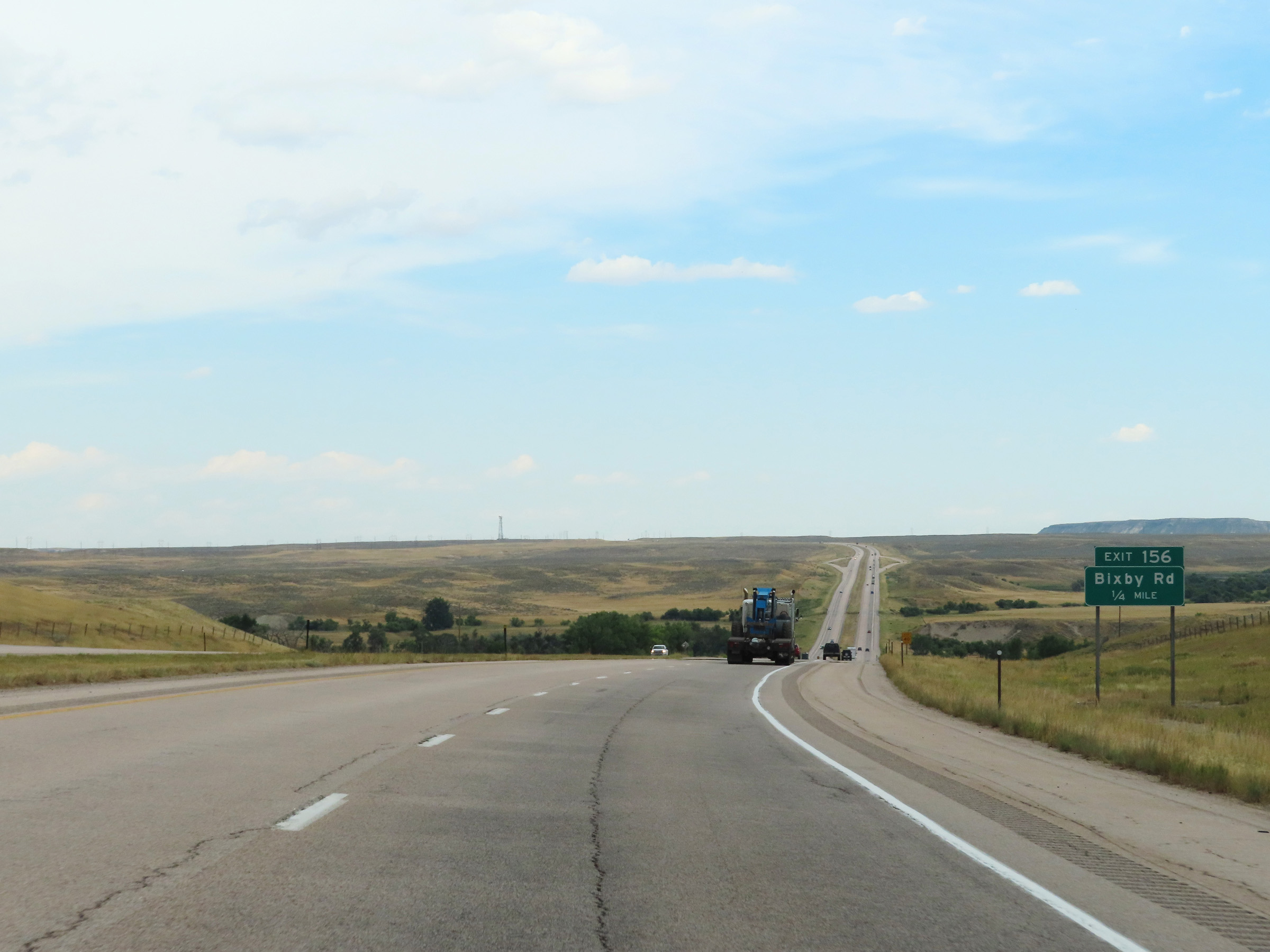
Interstate 25 South at Exit 156: Bixby Rd (Photo taken 8/17/22). |
 |
Interstate 25 South approaching Exit 154 - 1/4 mile. (Photo taken 8/17/22). |
 |
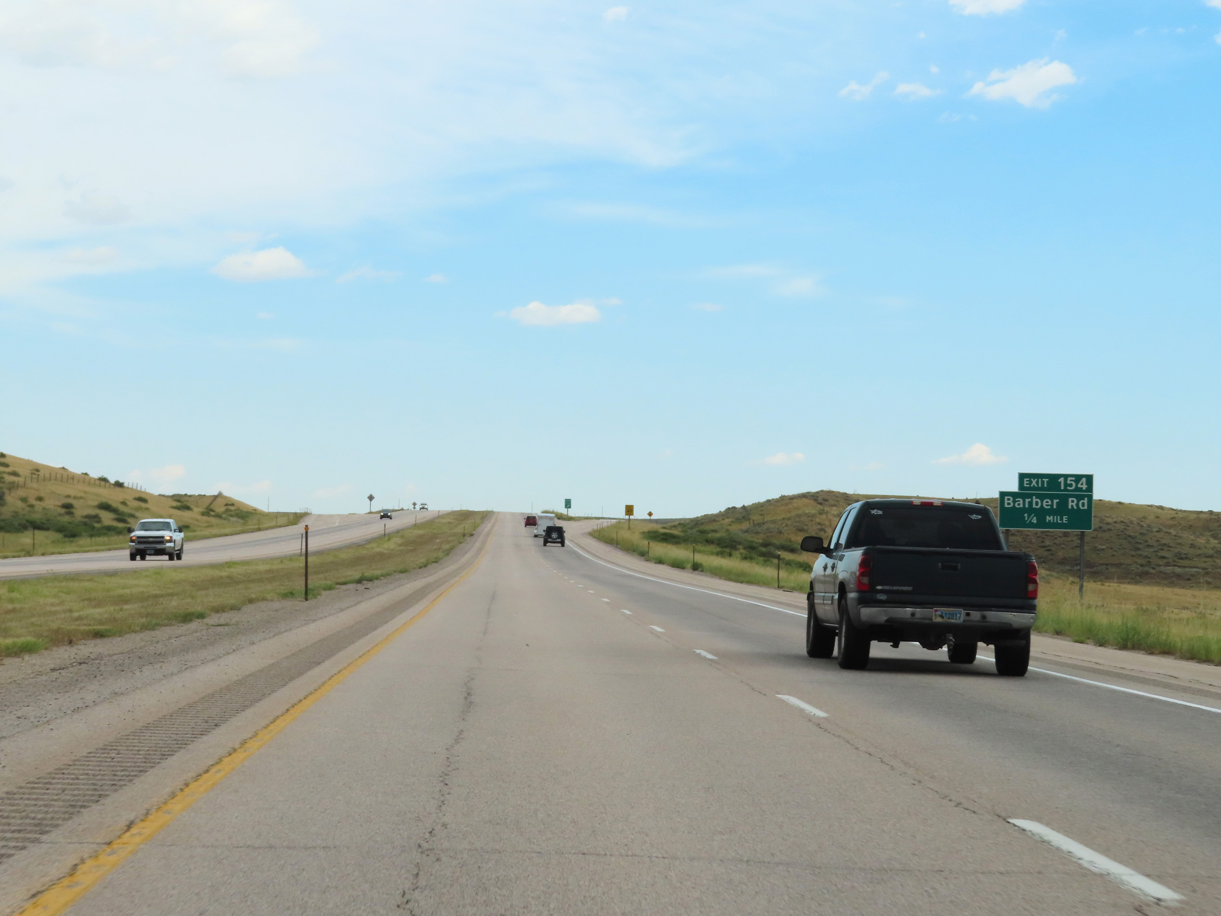
Interstate 25 South at Exit 154: Barber Rd (Photo taken 8/17/22). |
 |
Parking Area on Interstate 25 South in Converse County. (Photo taken 8/17/22). |
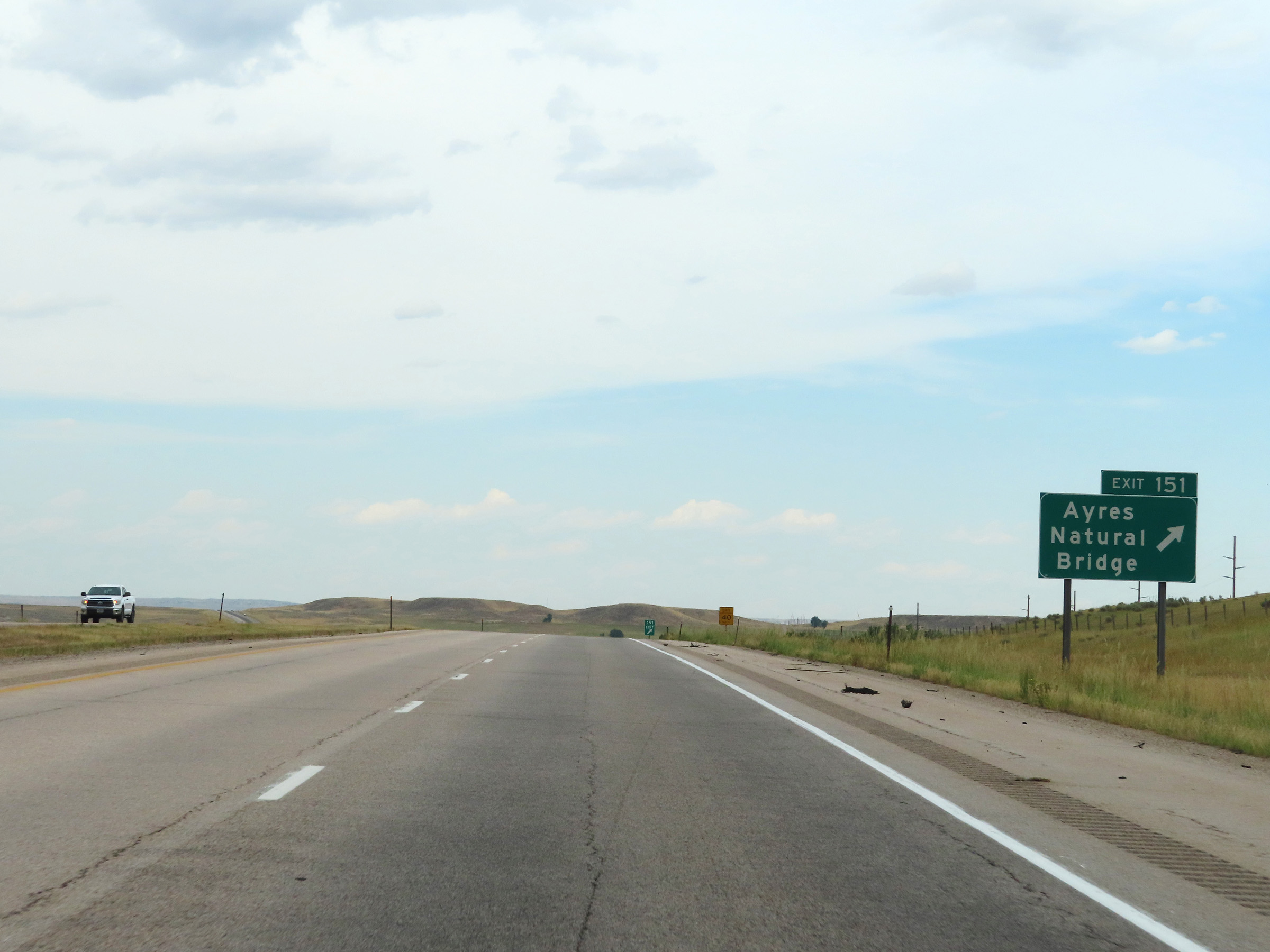 |
Interstate 25 South at Exit 151: Ayres Natural Bridge (Photo taken 8/17/22). |
 |
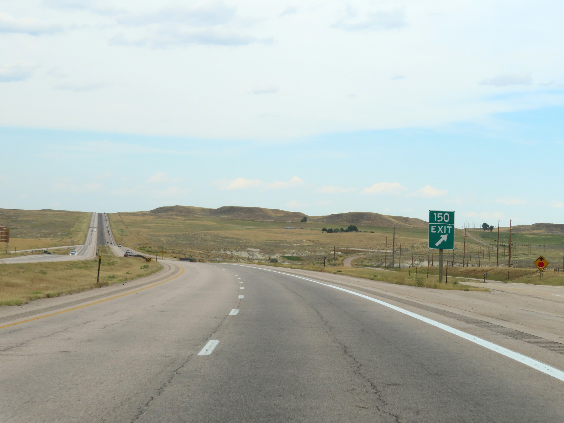
Interstate 25 South approaching Exit 150 - 1/4 mile. (Photo taken 8/17/22). |
 |
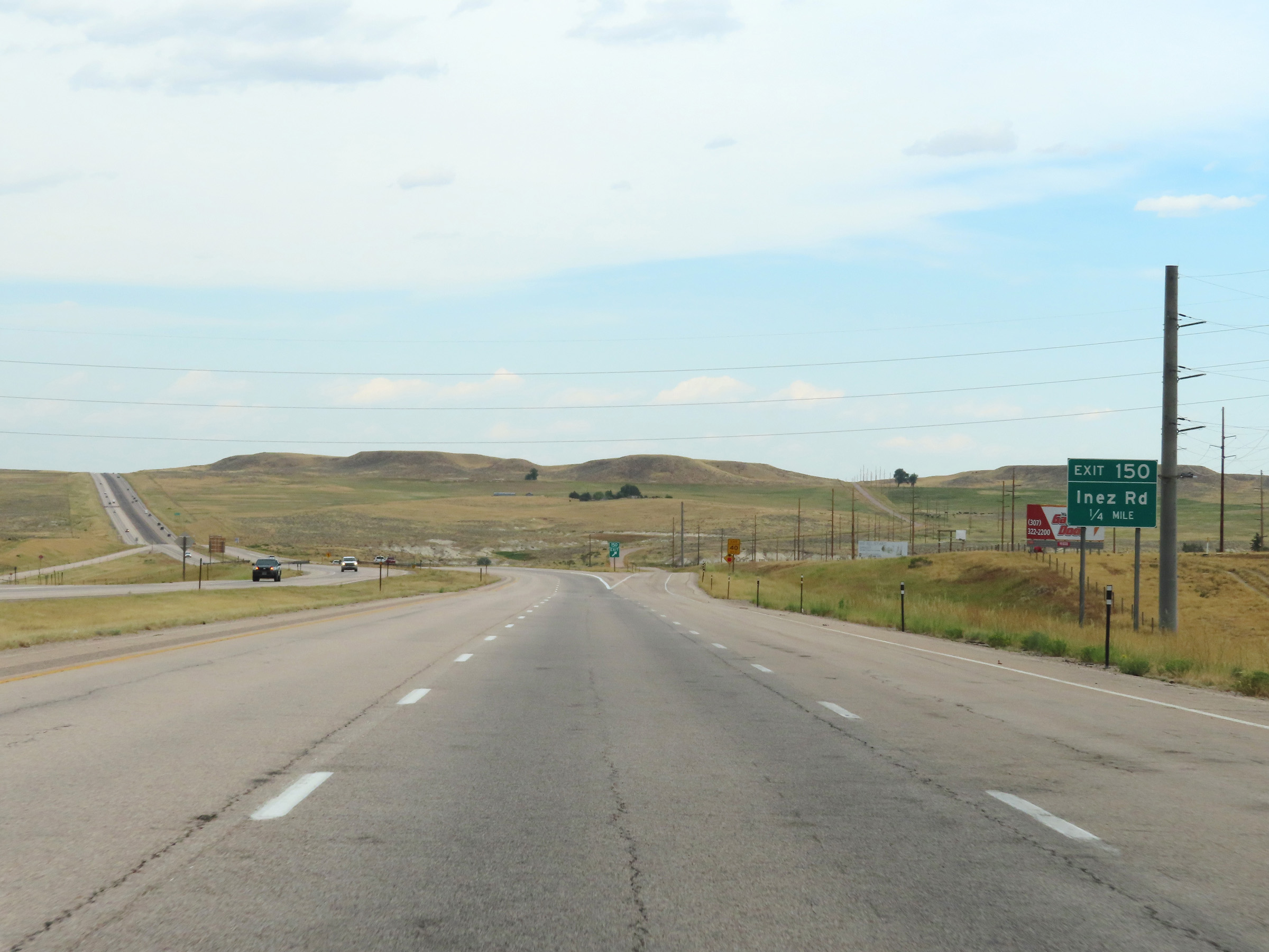
Interstate 25 South at Exit 150: Inez Rd (Photo taken 8/17/22). |
 |
State-named Interstate 25 South reassurance shield in Converse County along with US 20 East, US 26 East, and US 87 South reassurance markers. (Photo taken 8/17/22). |
 |
The speed limit on Interstate 25 South remains the rural standard 80 mph for all traffic. (Photo taken 8/17/22). |
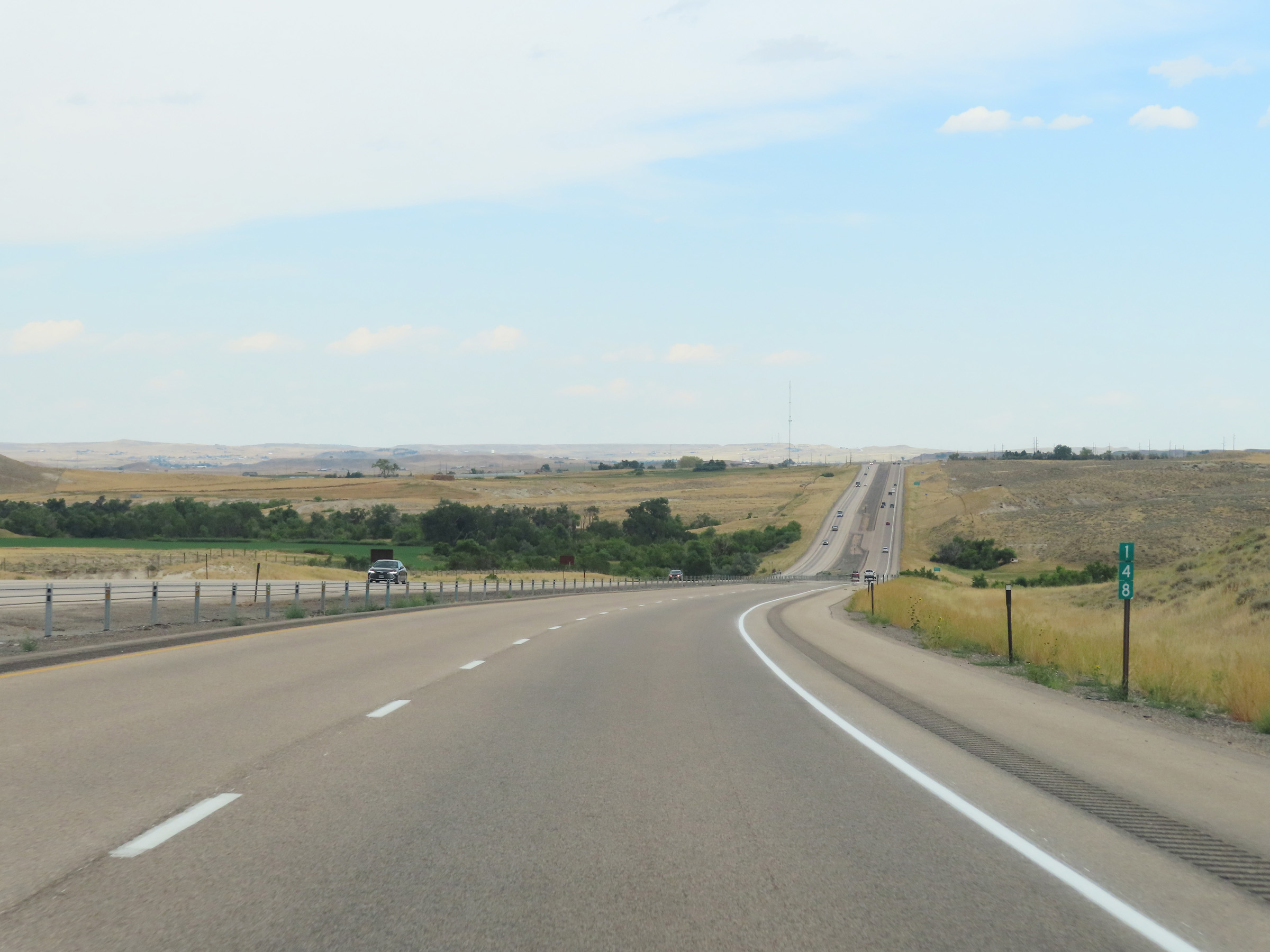 |
View on Interstate 25 South at mile marker 148. (Photo taken 8/17/22). |
 |
Interstate 25 South approaching Exit 146 - 1/4 mile. (Photo taken 8/17/22). |
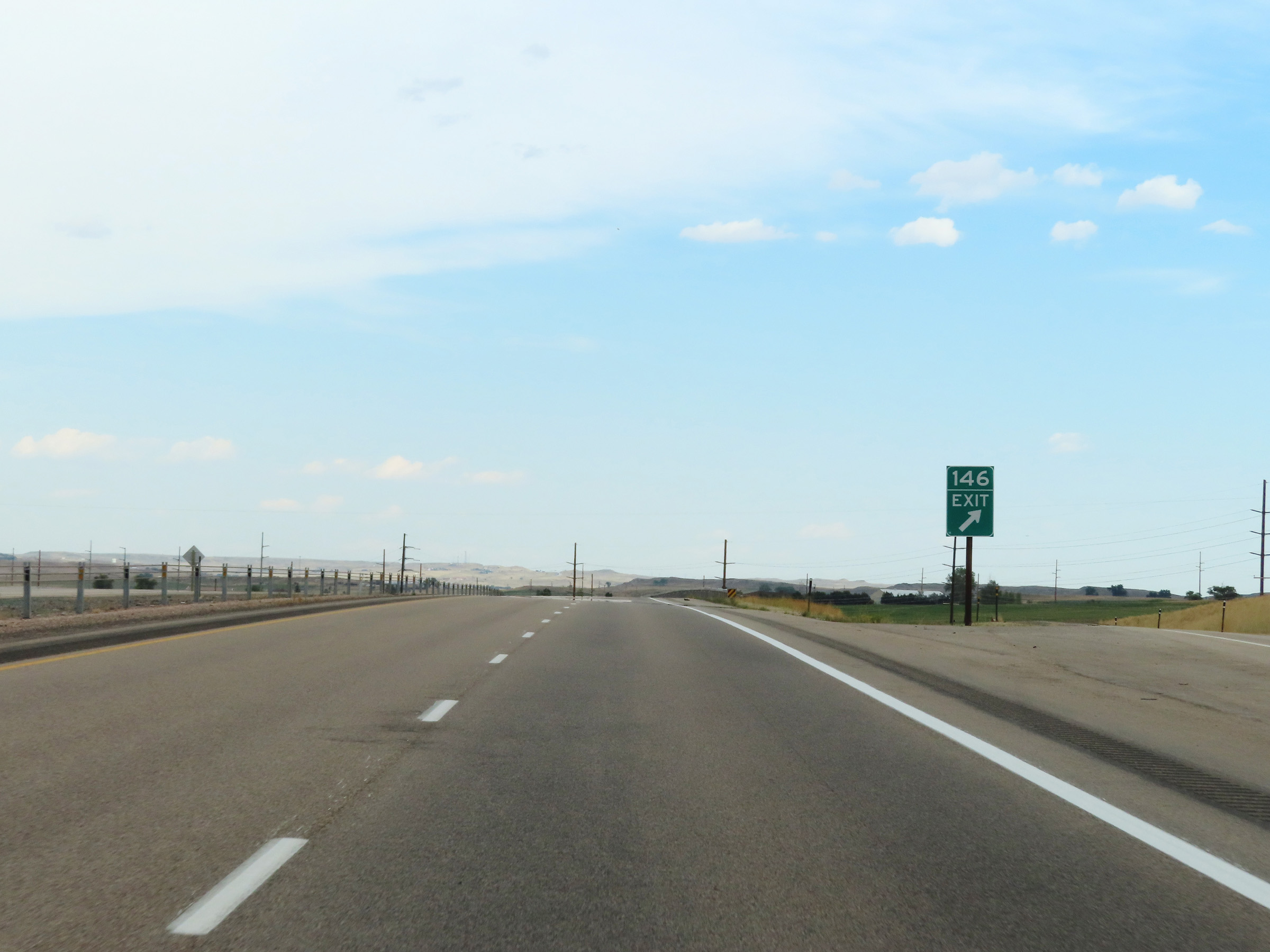 |
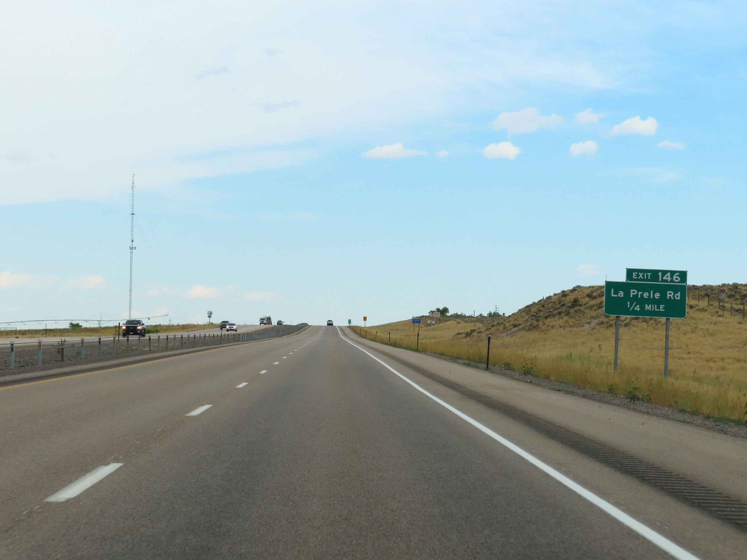
Interstate 25 South at Exit 146: La Prele Rd (Photo taken 8/17/22). |
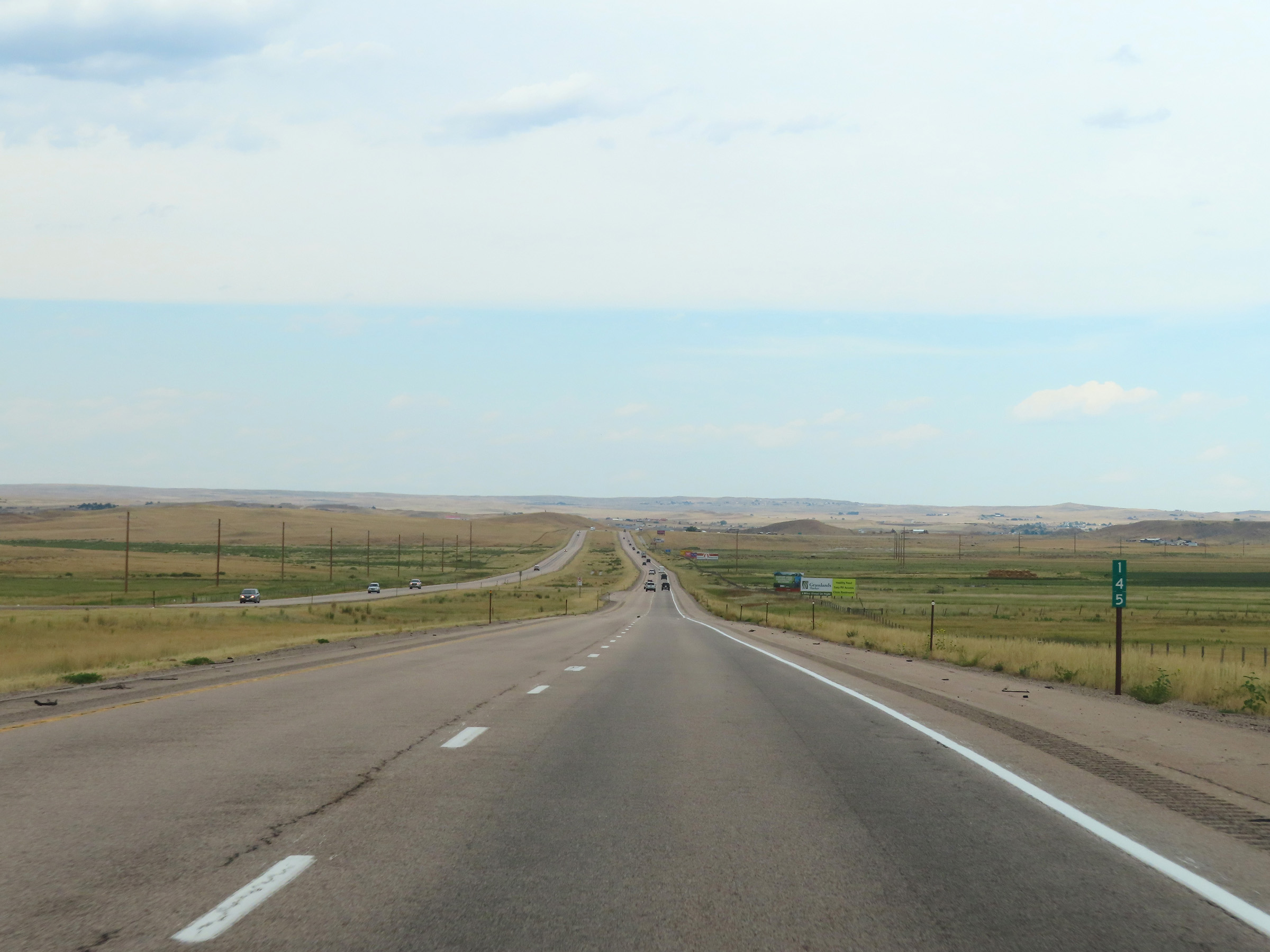 |
Mile marker 145 on Interstate 25 South in Converse County. (Photo taken 8/17/22). |
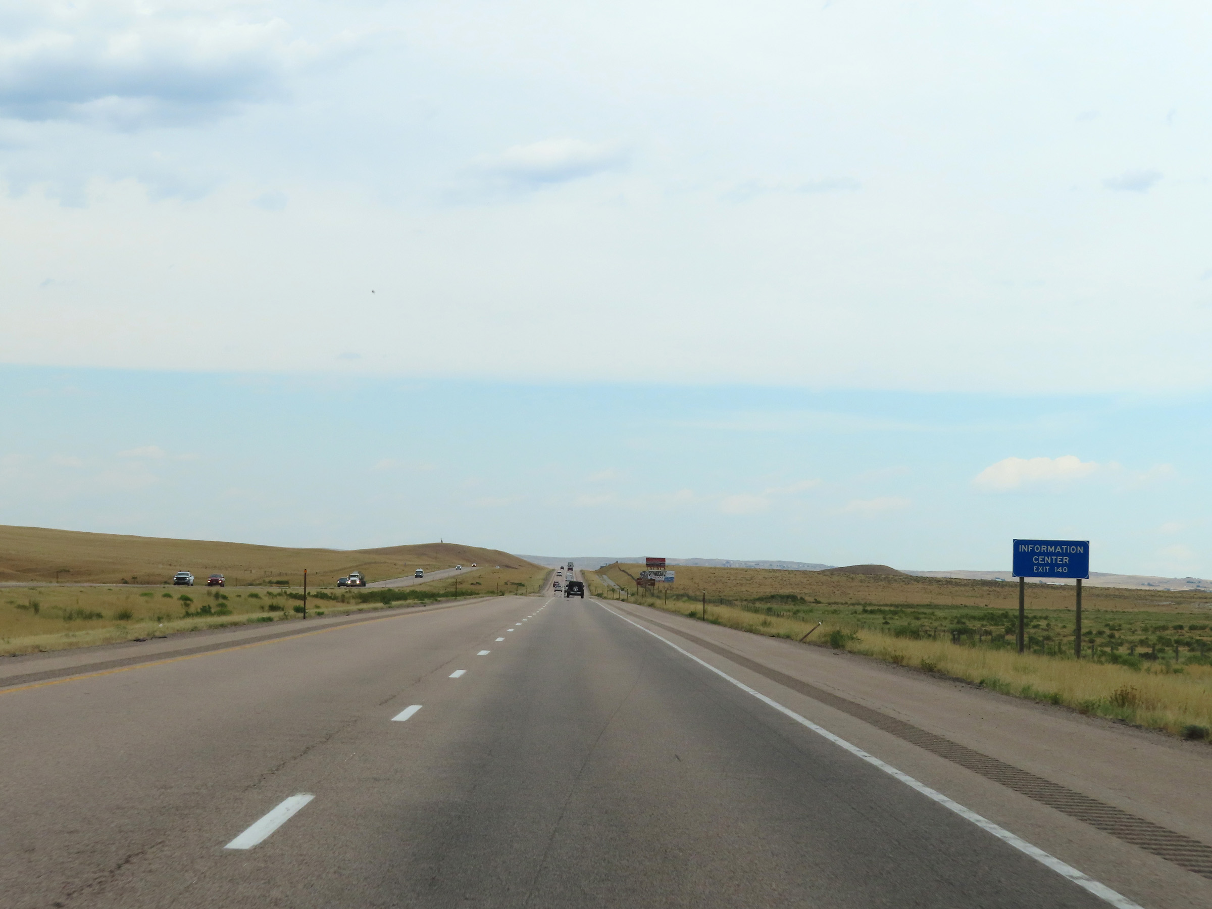 |
A Tourist Information Center exists off Exit 140 ahead. (Photo taken 8/17/22). |
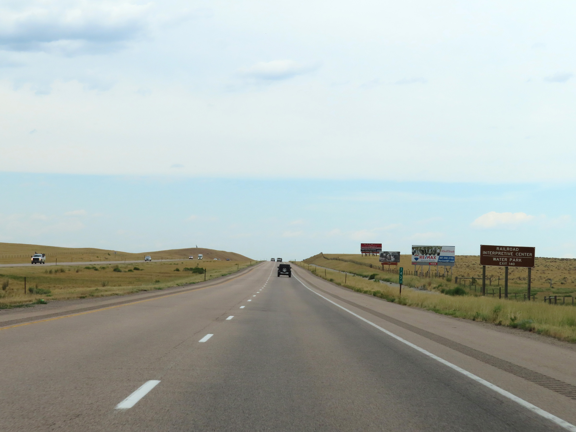 |
Take Exit 140 to the Railroad Interpretive Center and Water Park. (Photo taken 8/17/22). |
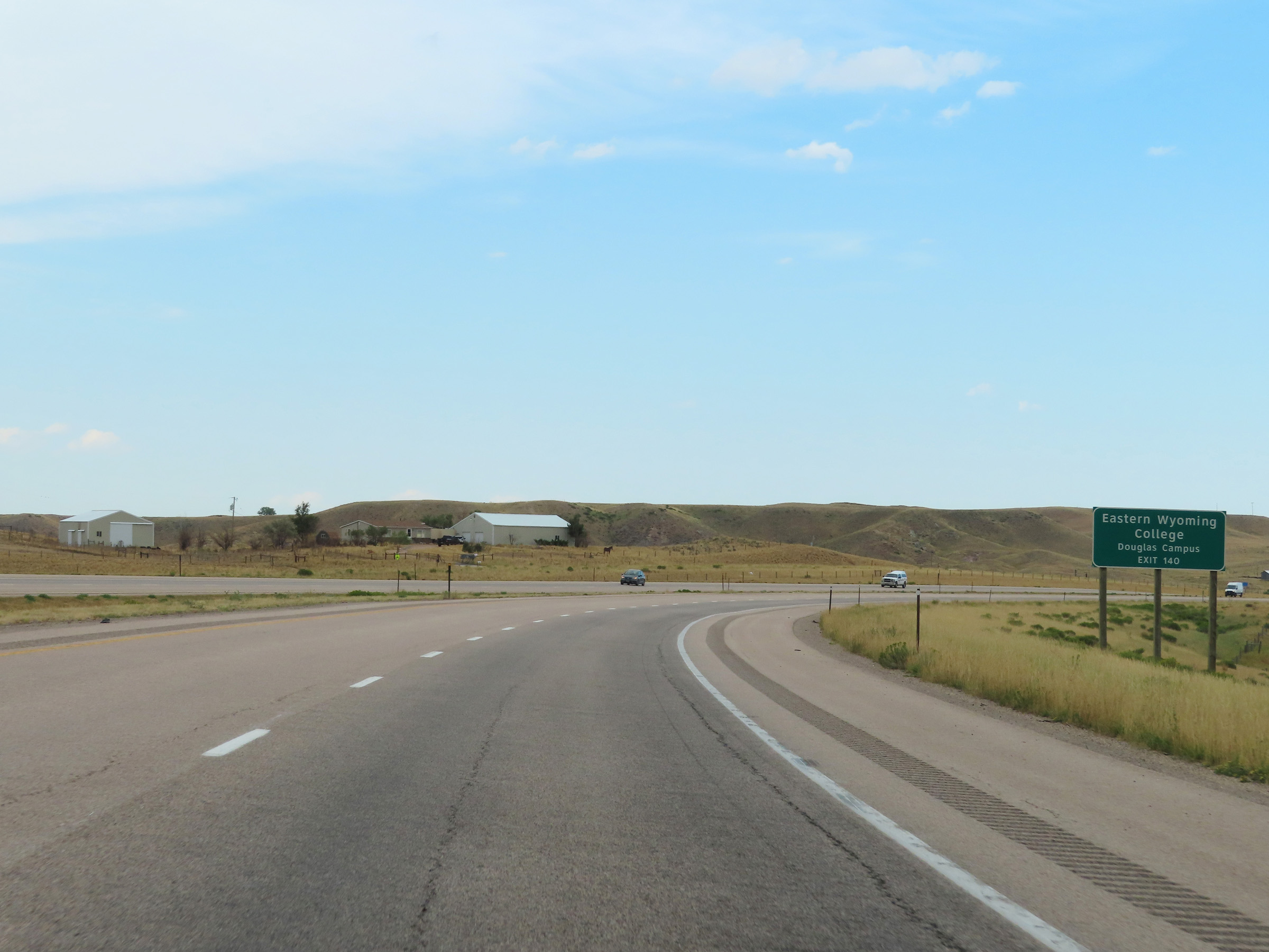 |
Also take Exit 140 to the Douglas Campus of Eastern Wyoming College. (Photo taken 8/17/22). |
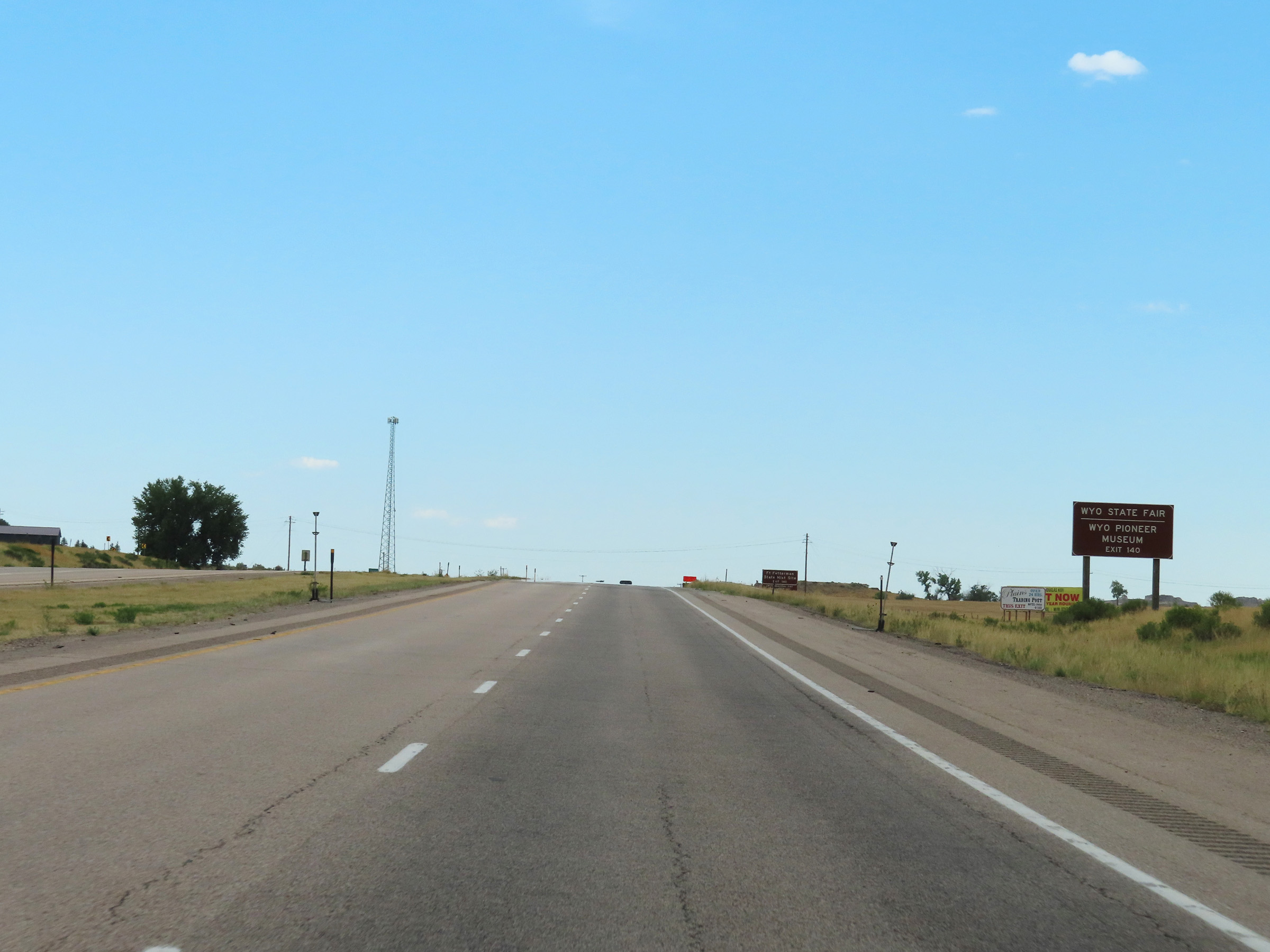 |
The Wyoming State Fair and Wyoming Pioneer Museum can be accessed via Exit 140. (Photo taken 8/17/22). |
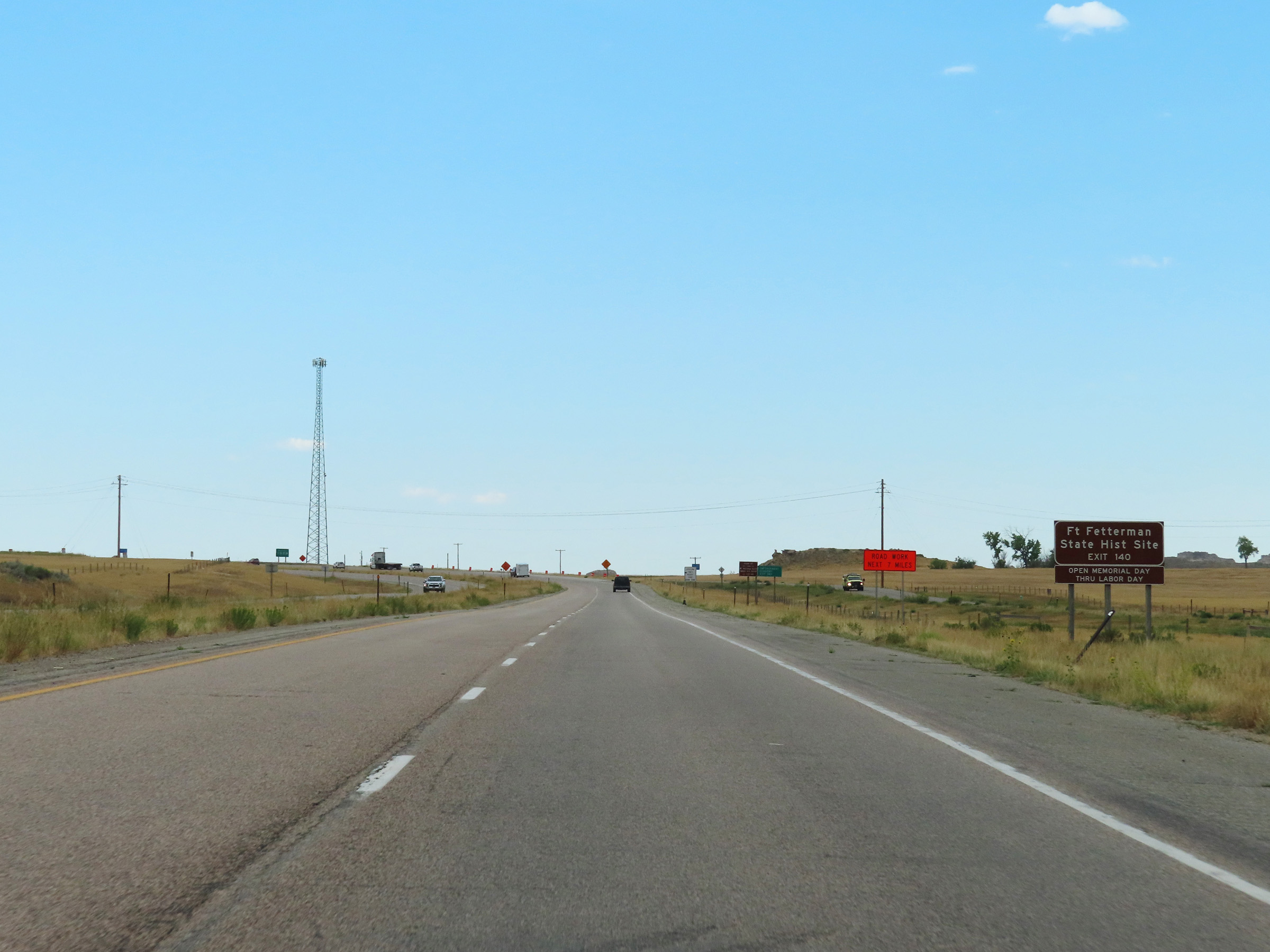 |
Take Exit 140 to Fort Fetterman State Historic Site as well. (Photo taken 8/17/22). |
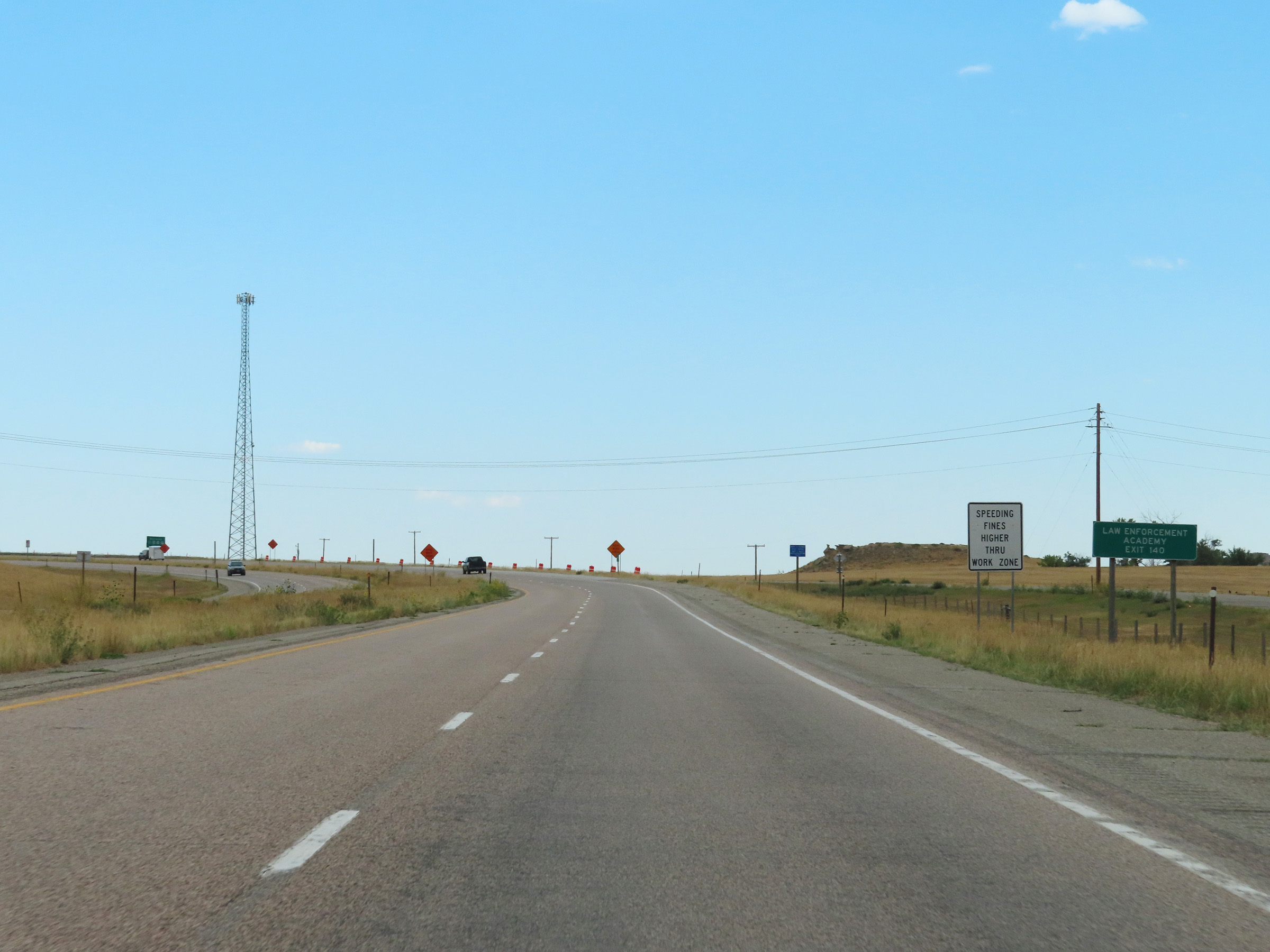 |
Also take Exit 140 to the Law Enforcement Academy. (Photo taken 8/17/22). |
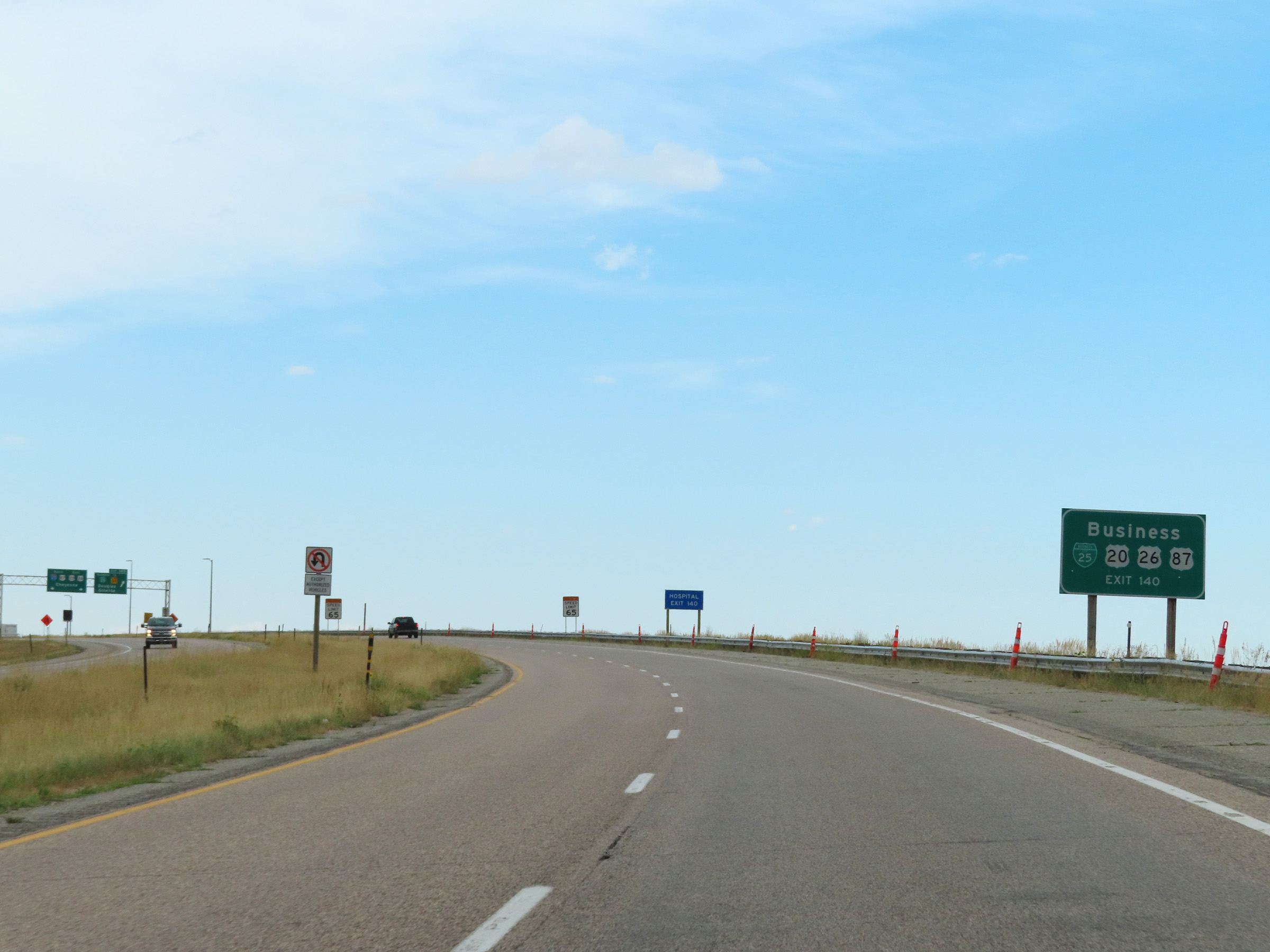 |
The Business routes of US 20, US 26, and US 87 are accessible via Exit 140. (Photo taken 8/17/22). |
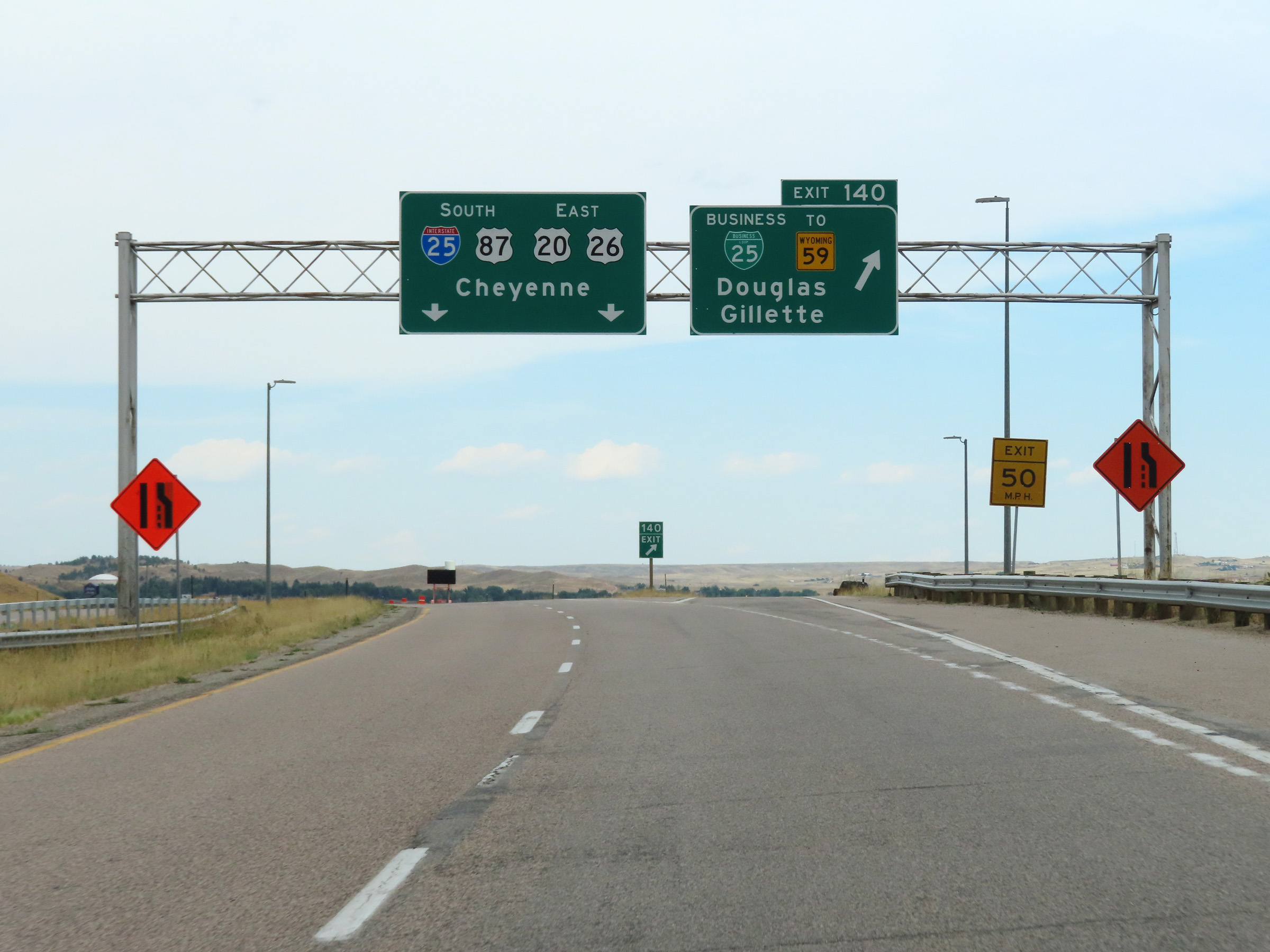 |
Interstate 25 South at Exit 140: Interstate 25 Business Loop / To WY 59 - Douglas / Gillette (Photo taken 8/17/22). |
 |
View on Interstate 25 South in Douglas, Converse County. (Photo taken 8/17/22). |
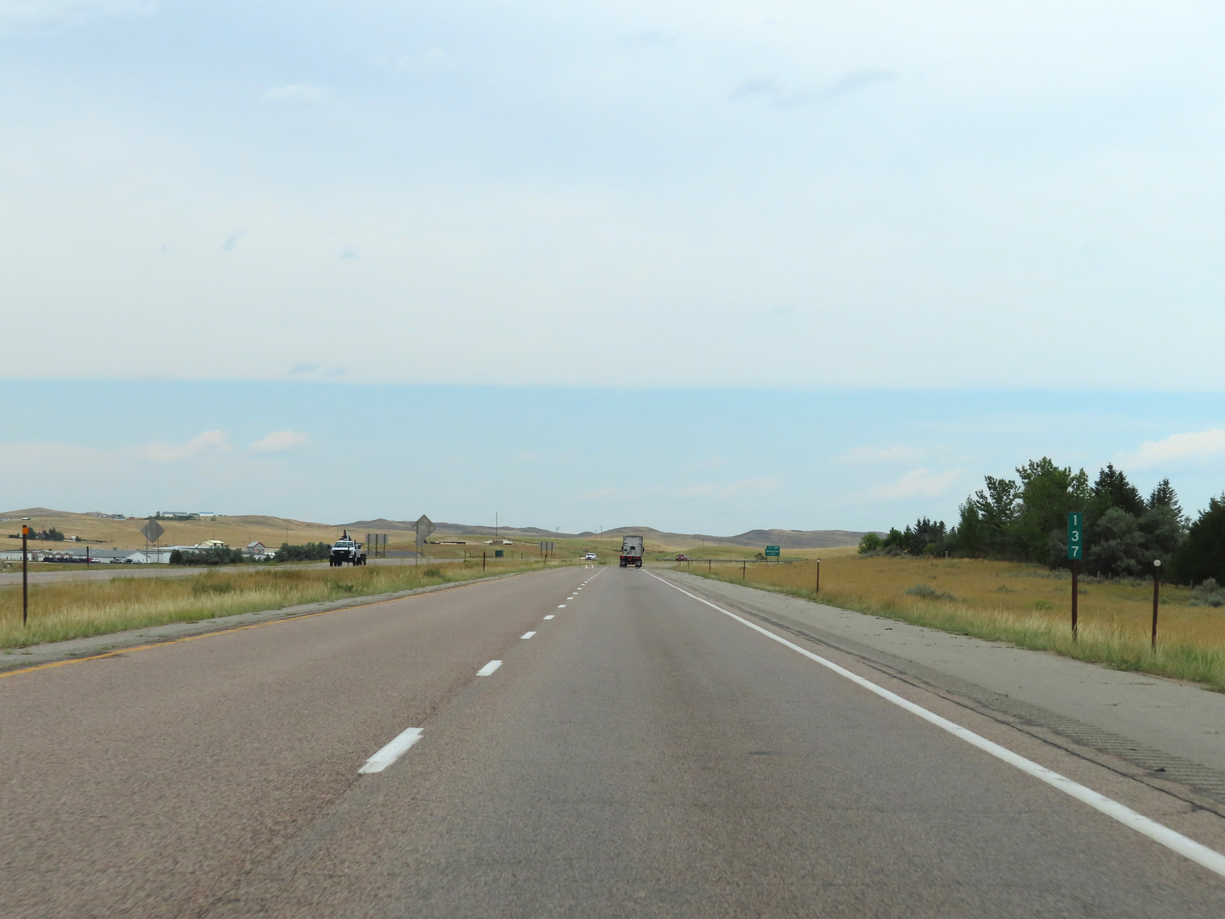 |
Mile marker 137 on Interstate 25 South in Converse County. (Photo taken 8/17/22). |
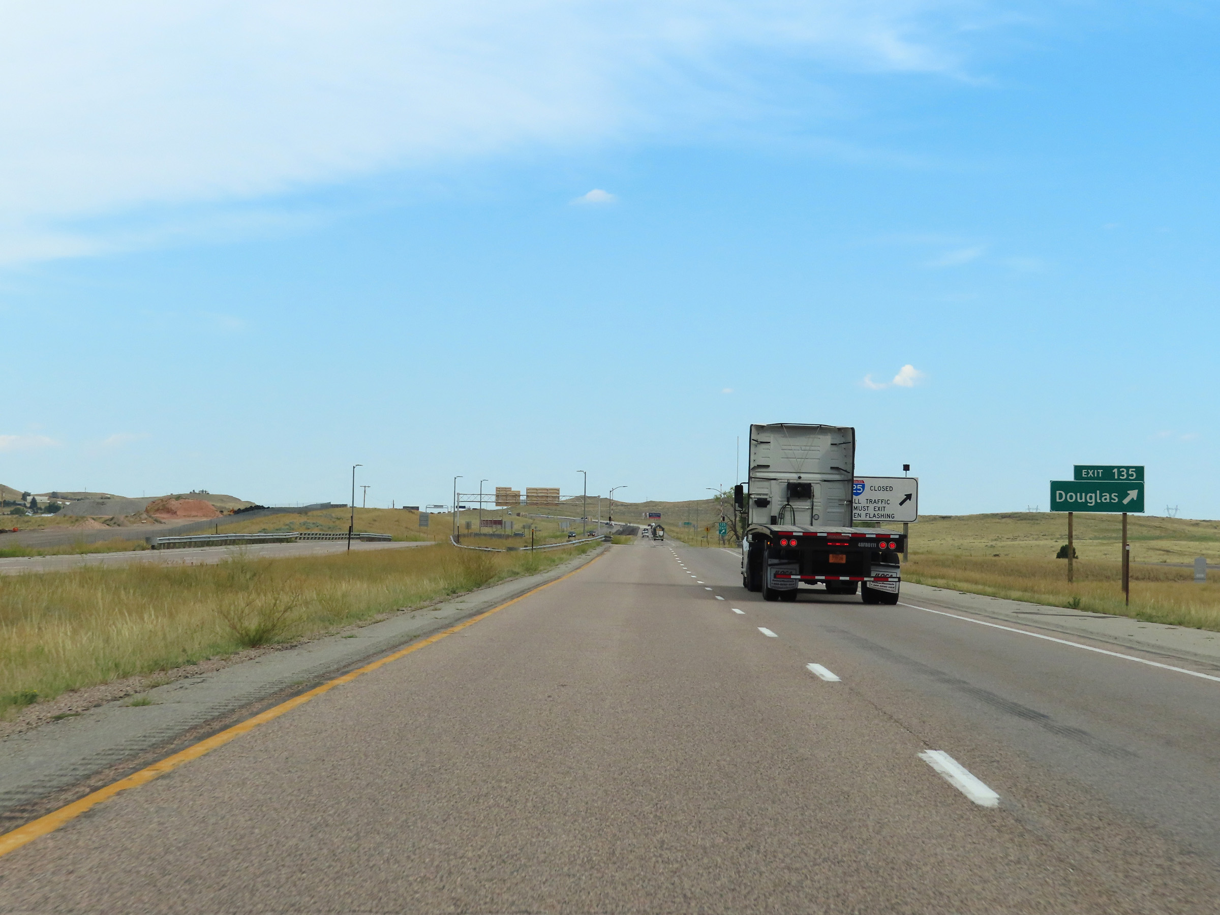 |
Interstate 25 South at Exit 135: Douglas (Photo taken 8/17/22). |
Section 4: Douglas (Exit 135) to Wheatland (Exit 78)
 |
Interstate 25 South at mile marker 133. (Photo taken 8/17/22). |
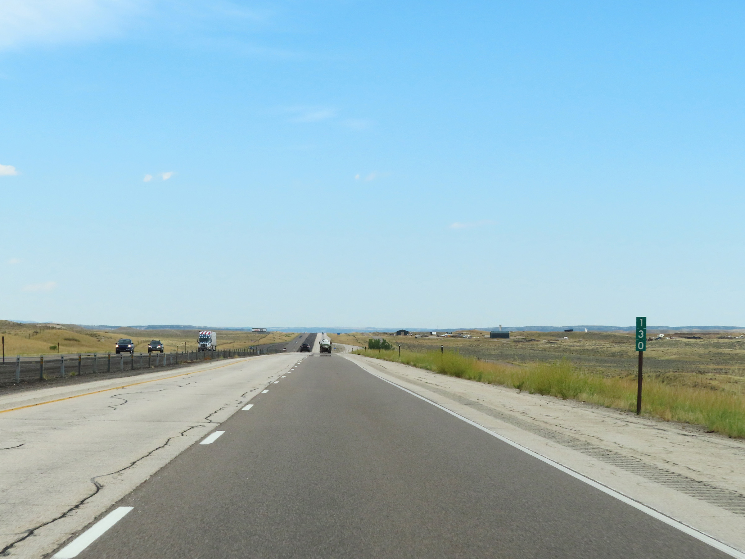 |
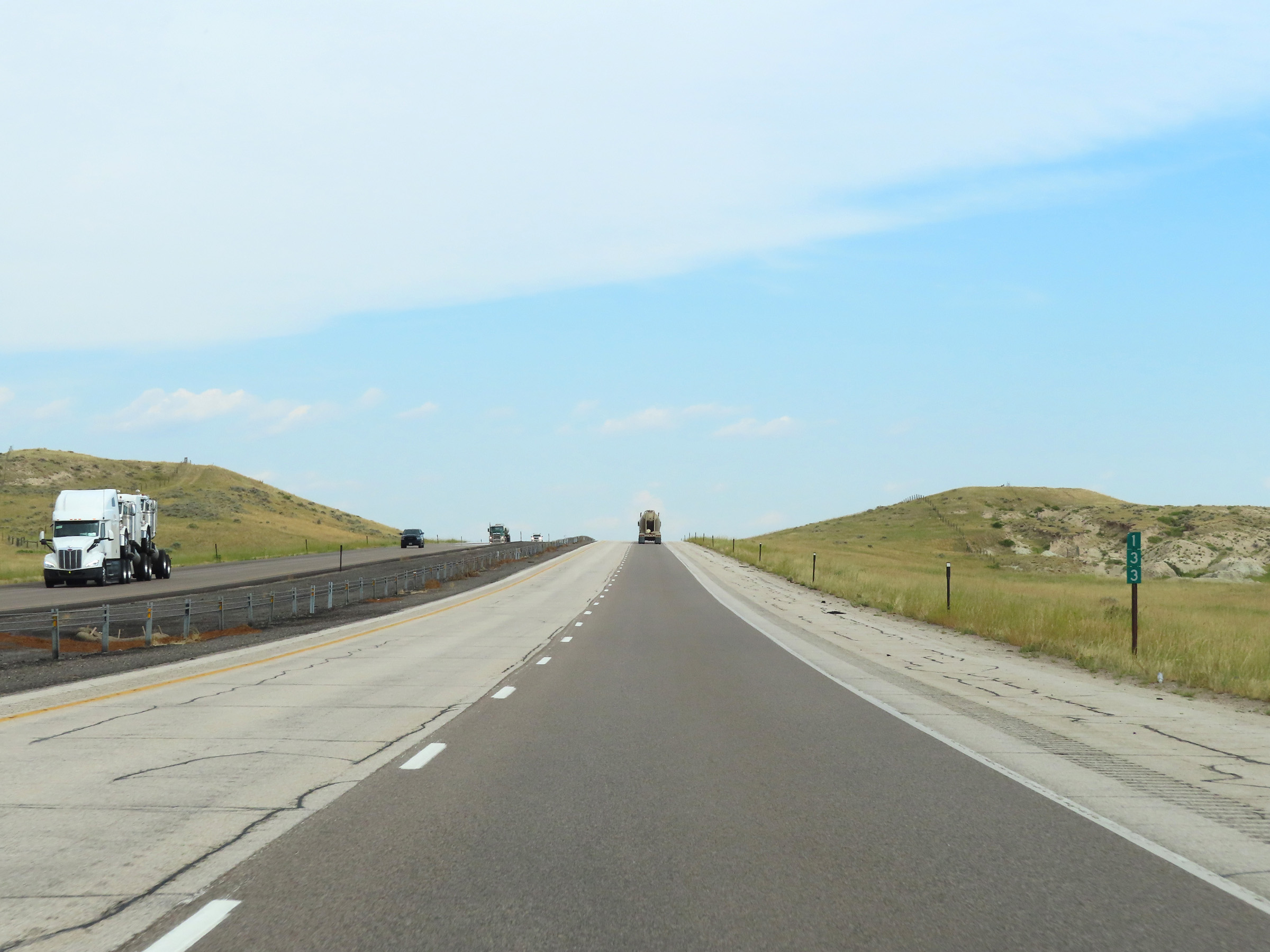
Mile marker 130 on Interstate 25 South at mile marker 130 in Converse County. (Photo taken 8/17/22). |
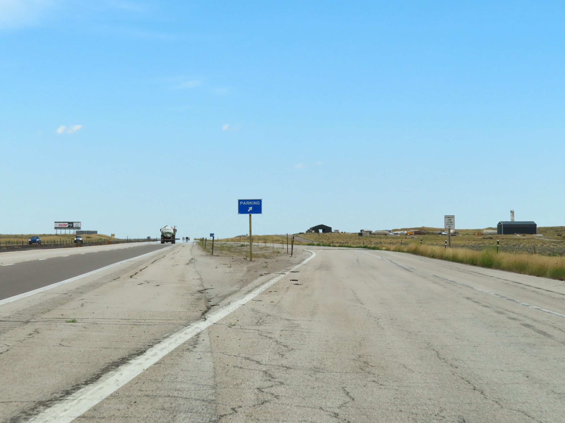 |
Another Parking Area on Interstate 25 South in Converse County. (Photo taken 8/17/22). |
 |
A Rest Area exists off Exit 126 ahead. (Photo taken 8/17/22). |
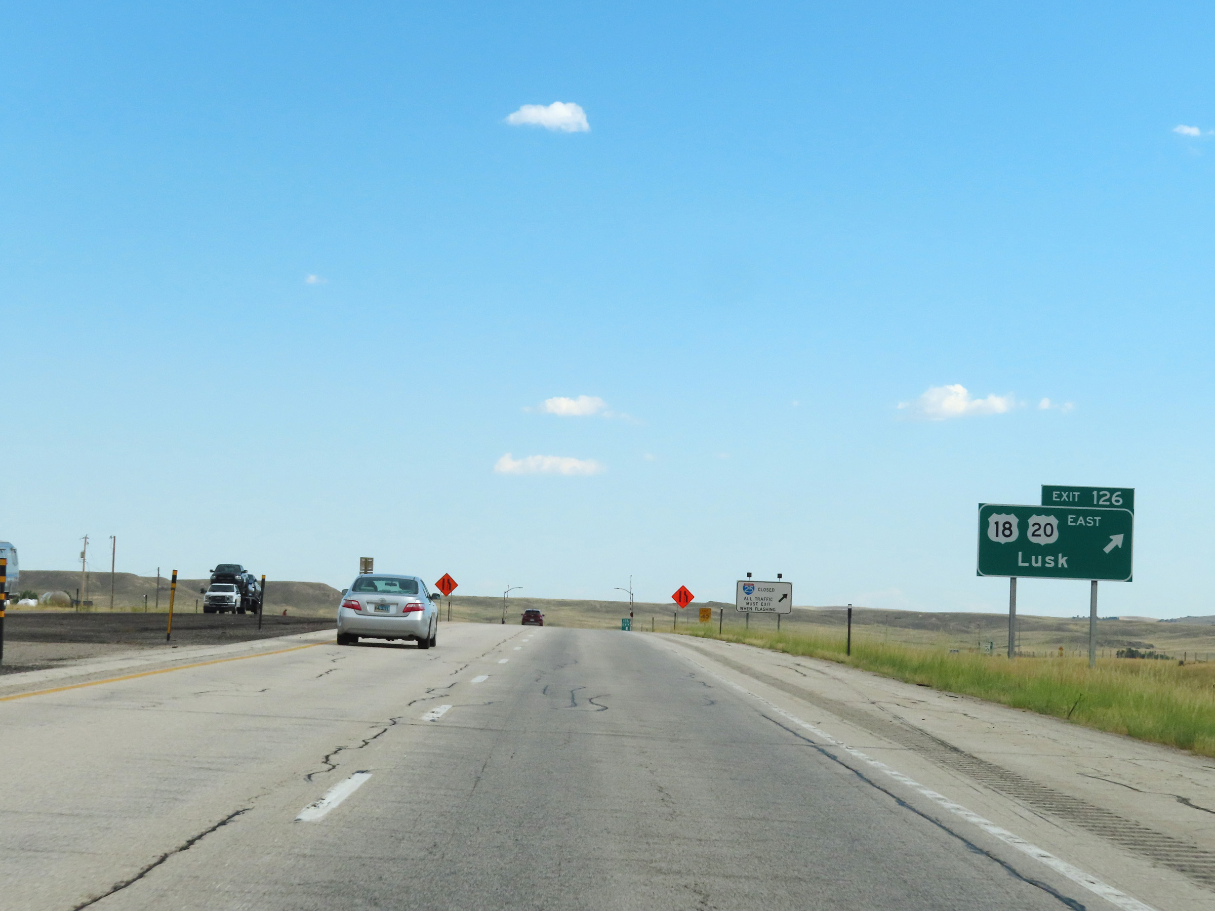 |
Interstate 25 South at Exit 126: US 18 East / US 20 East - Lusk (Photo taken 8/17/22). |
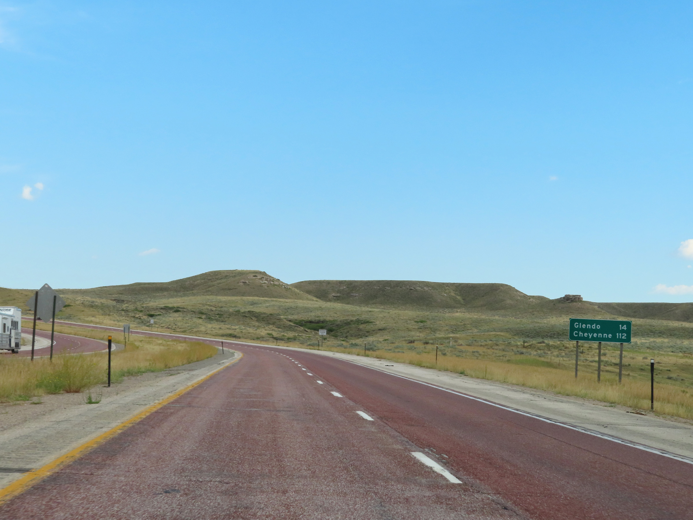 |
Mileage sign on Interstate 25 South in Converse County. It's 14 miles to Glendo and 112 miles to Cheyenne. (Photo taken 8/17/22). |
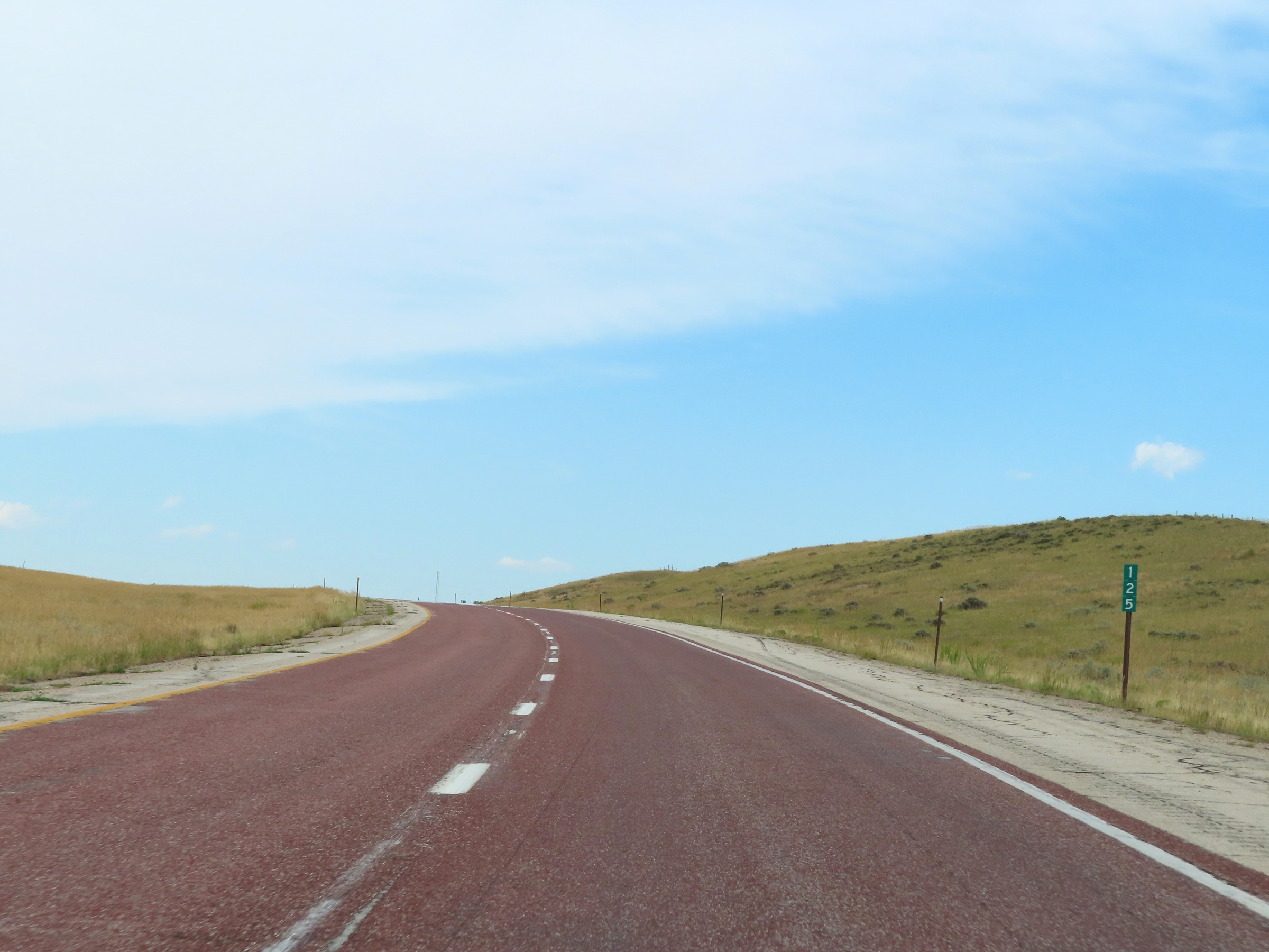 |
Interstate 25 South at mile marker 125. (Photo taken 8/17/22). |
 |
View on Interstate 25 South at mile marker 122. (Photo taken 8/17/22). |
 |
Mile marker 121 on Interstate 25 South in Converse County. (Photo taken 8/17/22). |
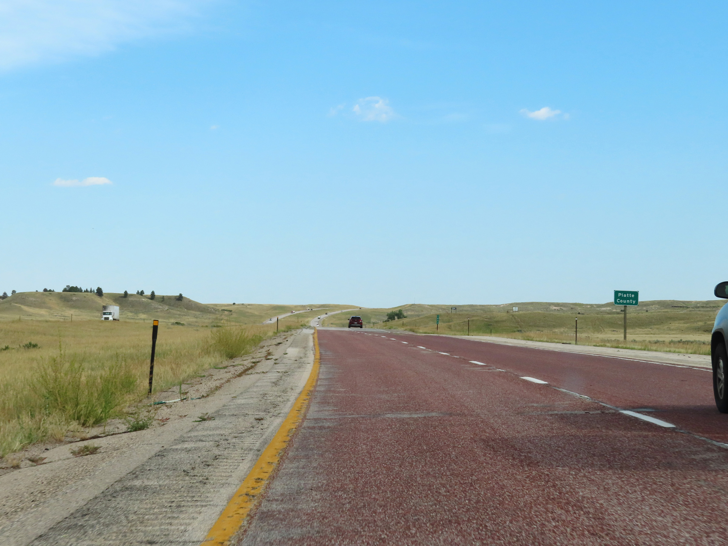 |
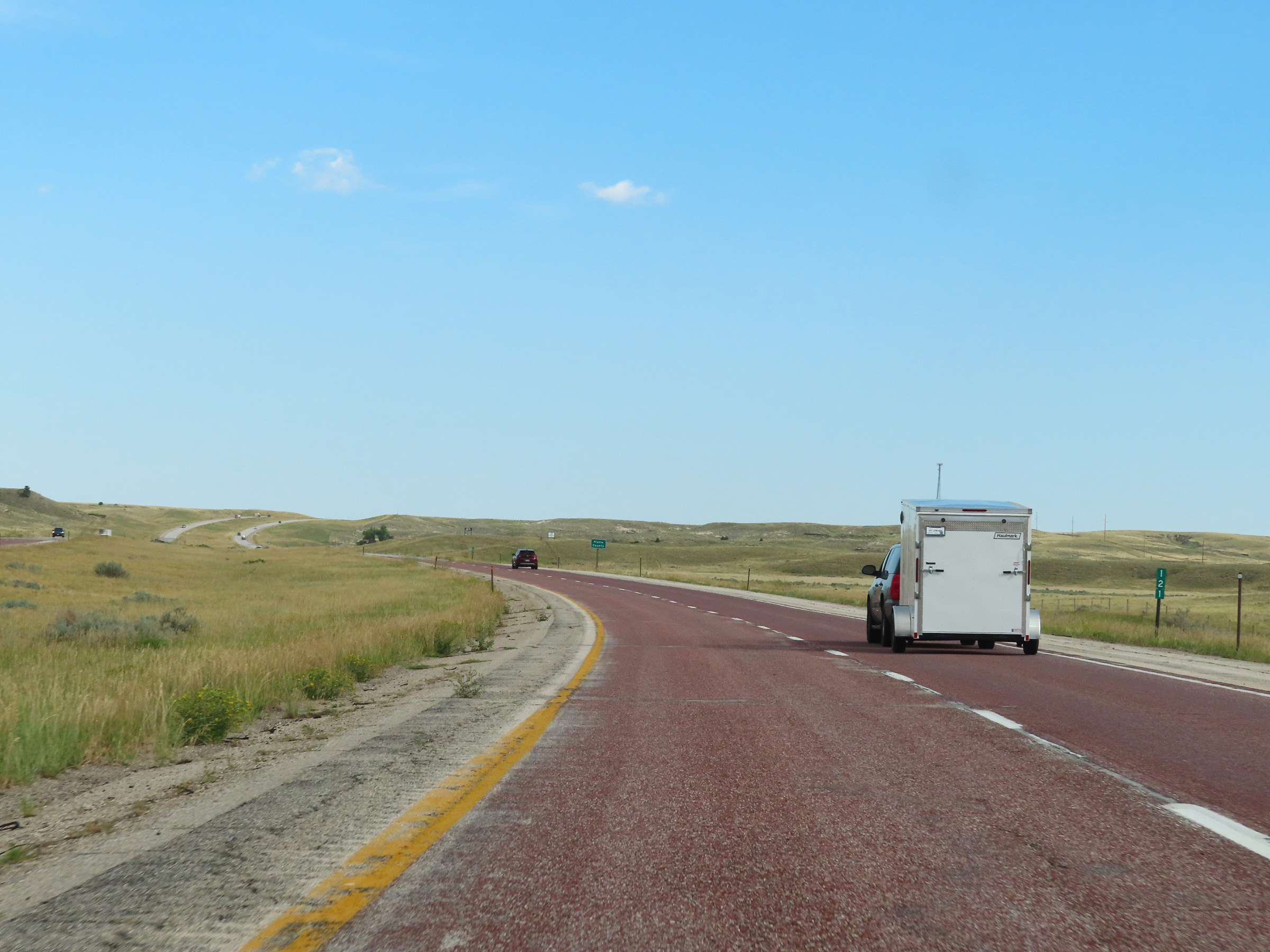
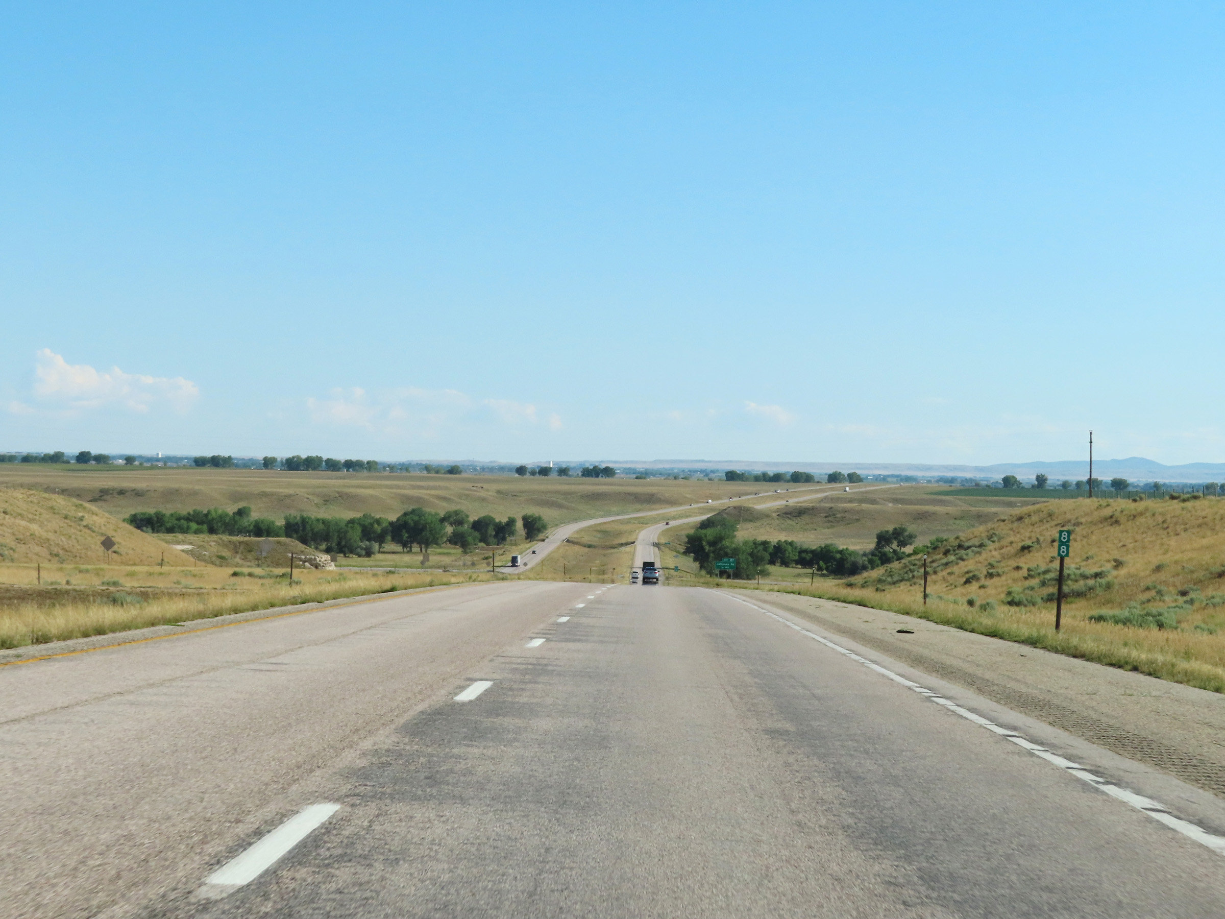
Interstate 25 South as it enters Platte County. (Photo taken 8/17/22). |
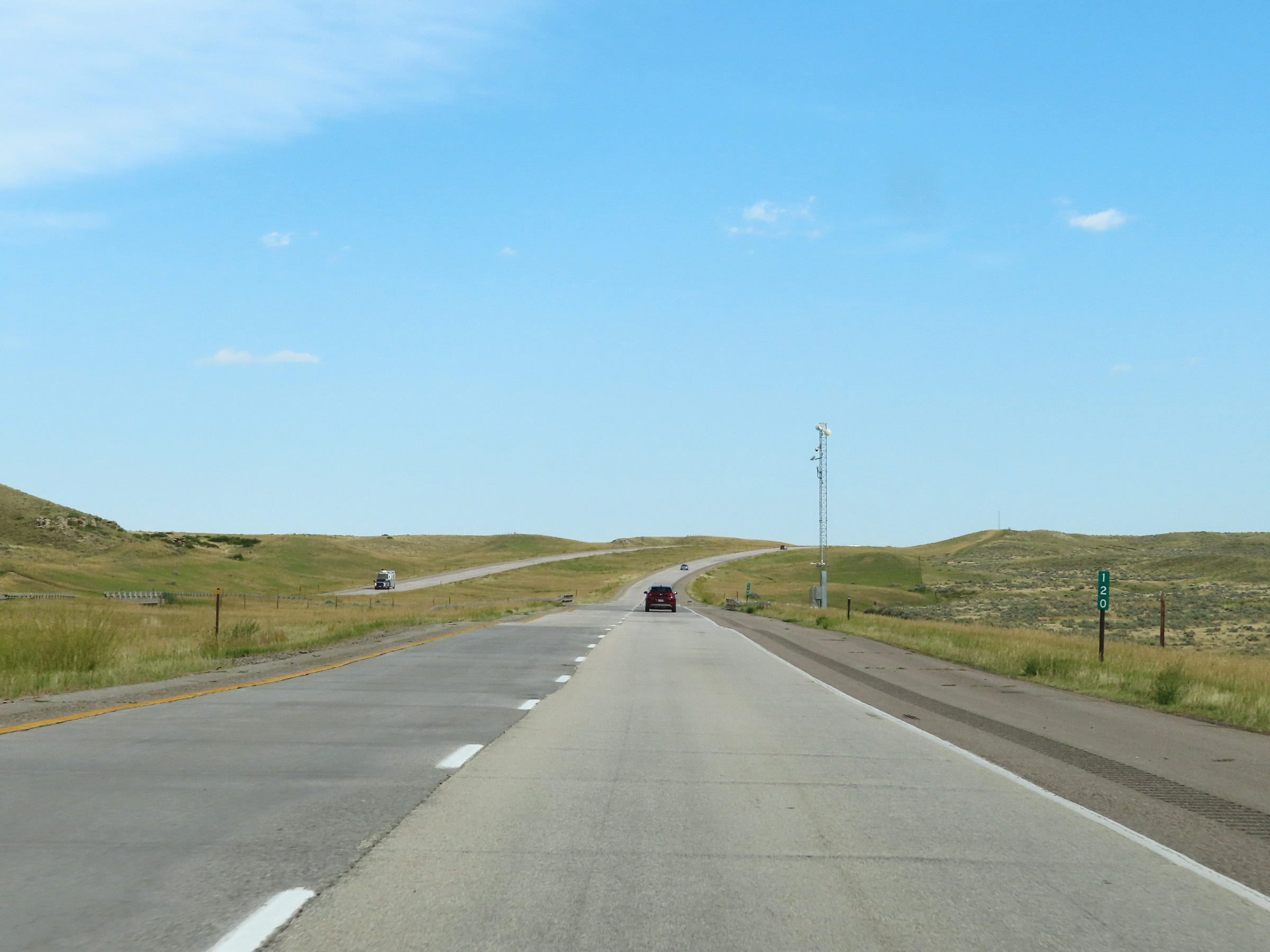 |
View on Interstate 25 South at mile marker 120. (Photo taken 8/17/22). |
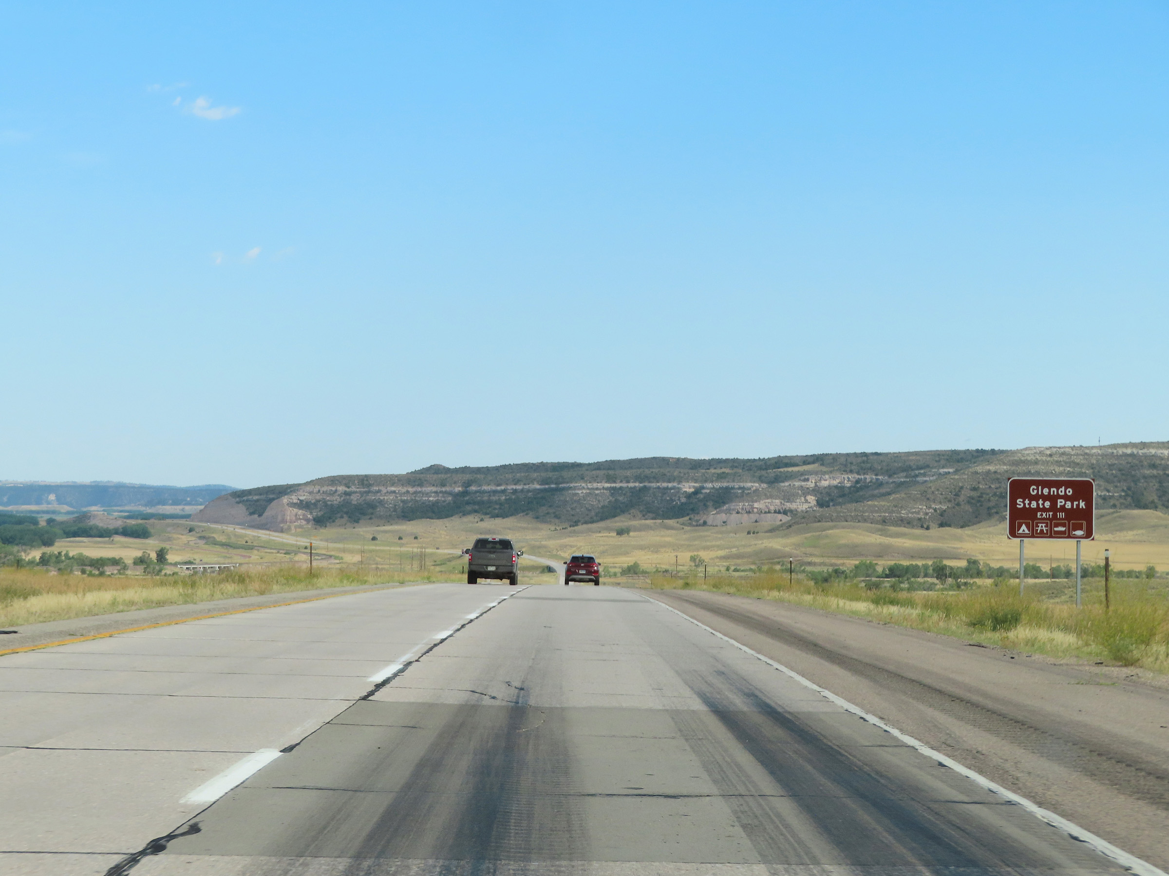 |
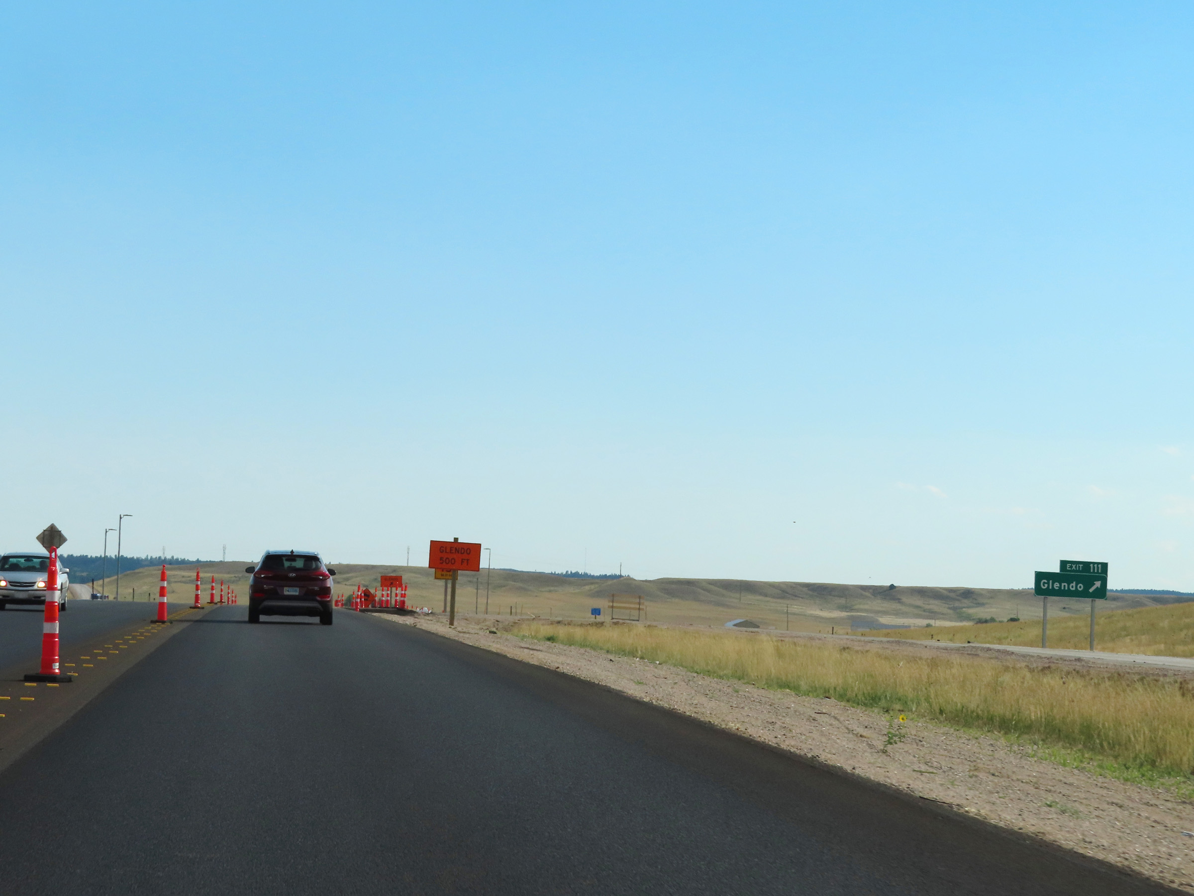
Take Exit 111 to Glendo State Park. (Photo taken 8/17/22). |
 |
Interstate 25 South at mile marker 118. (Photo taken 8/17/22). |
 |
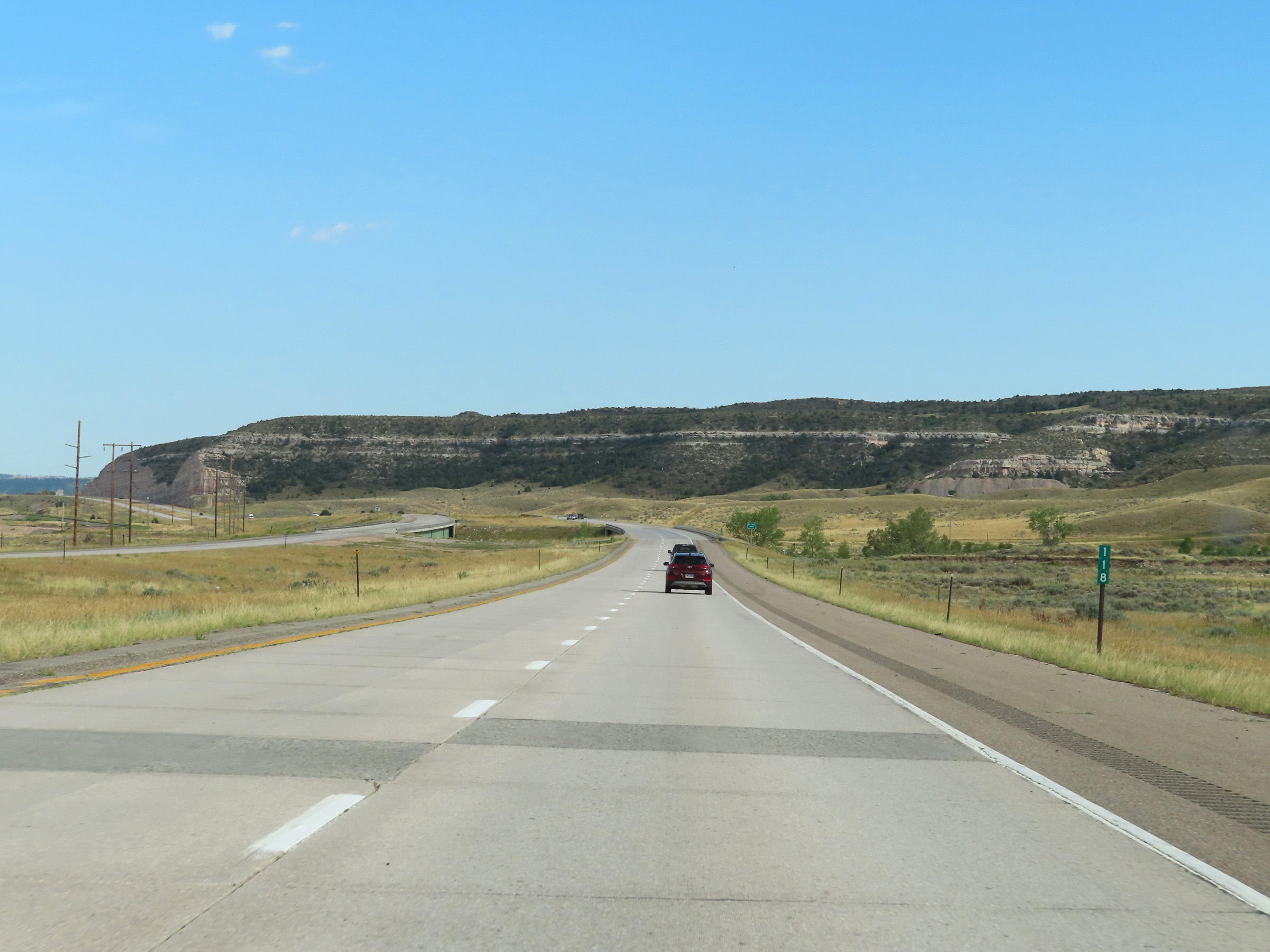
View on Interstate 25 South at mile marker 117. (Photo taken 8/17/22). |
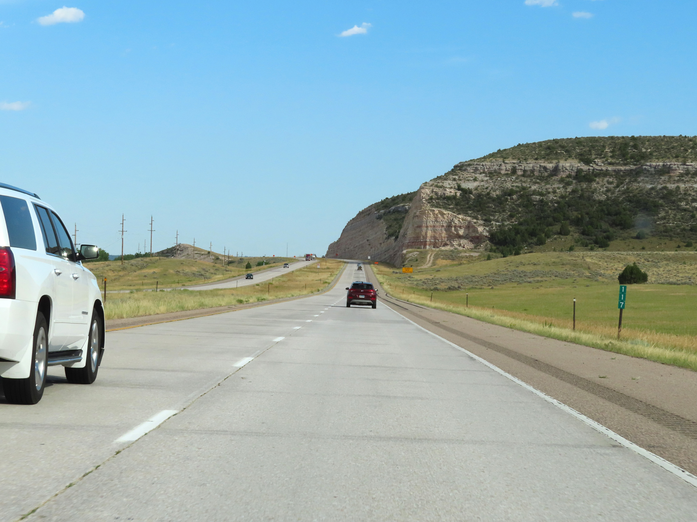
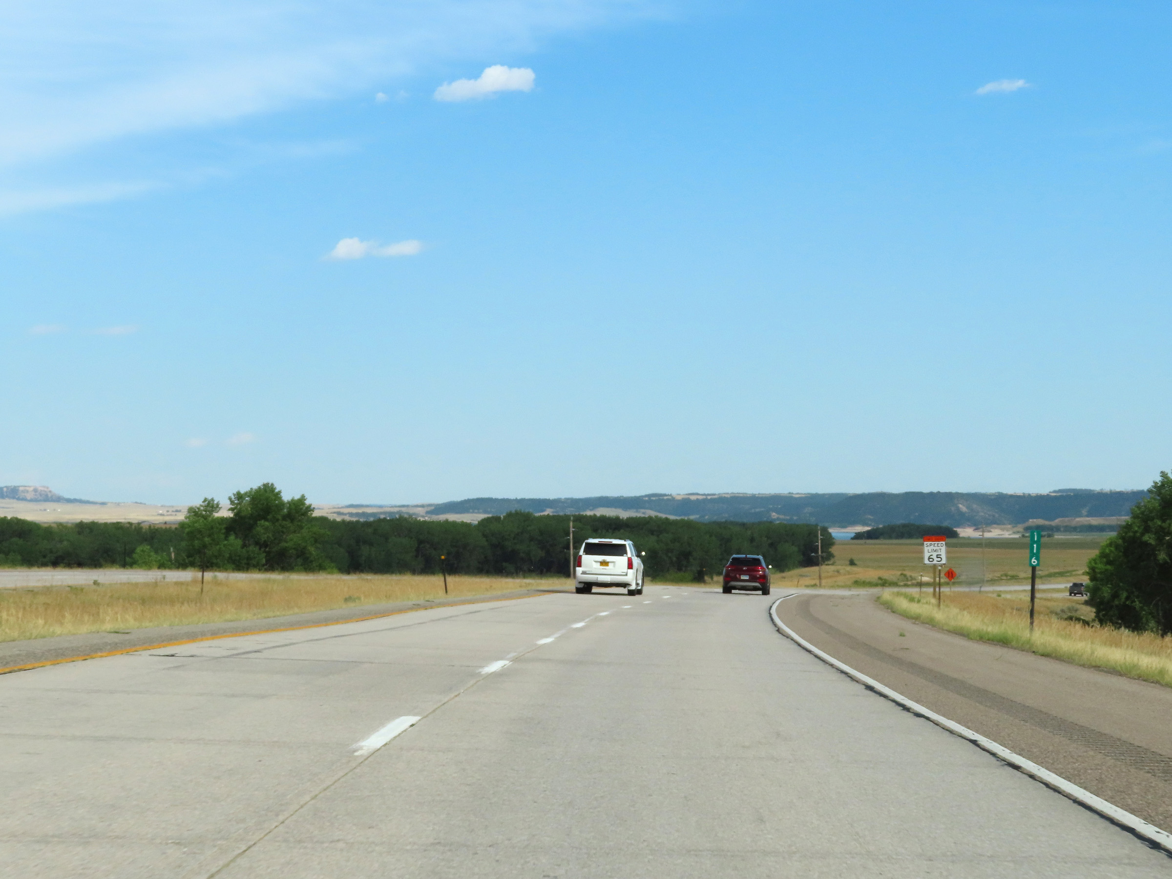 |
Mile marker 116 on Interstate 25 South in Platte County. (Photo taken 8/17/22). |
 |
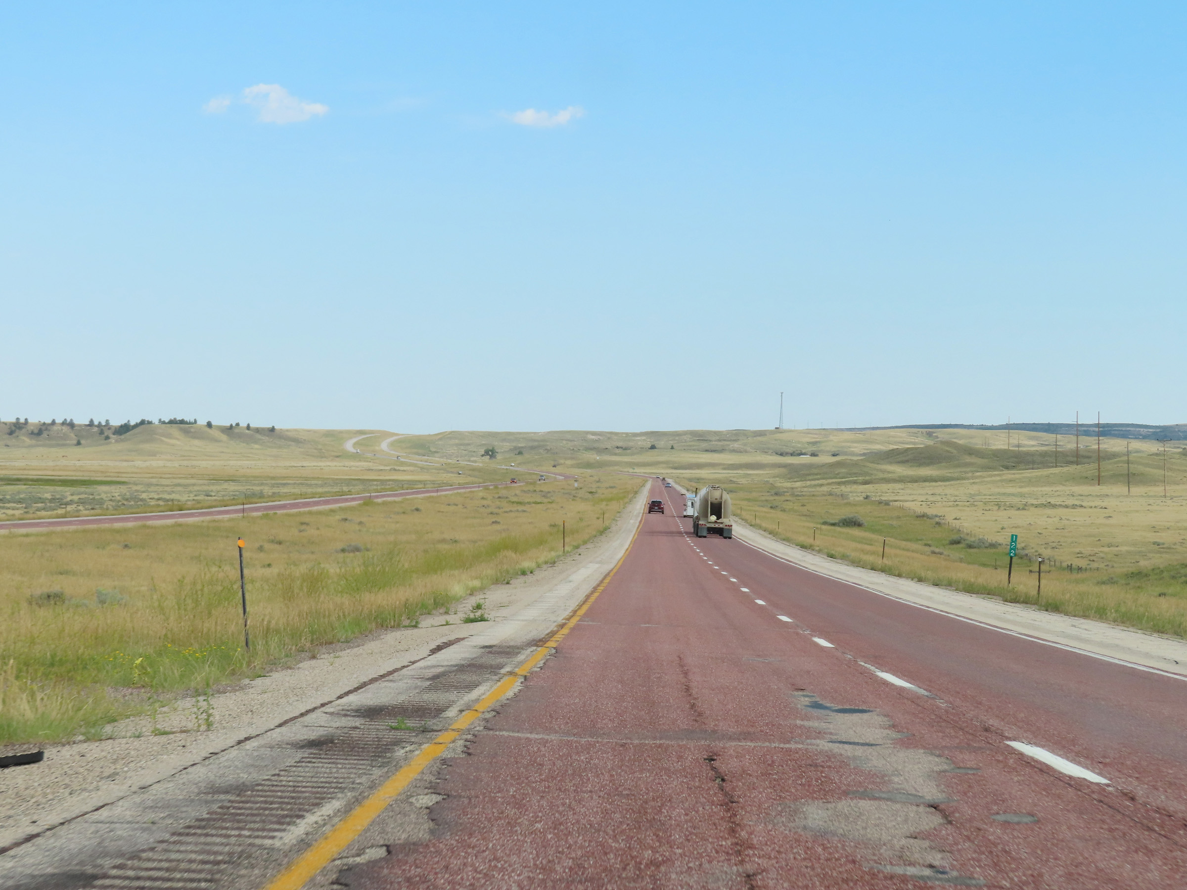
View on Interstate 25 South in Platte County. (Photo taken 8/17/22). |
 |
Advance signage for Exit 111 - 1 mile ahead. (Photo taken 8/17/22). |
 |
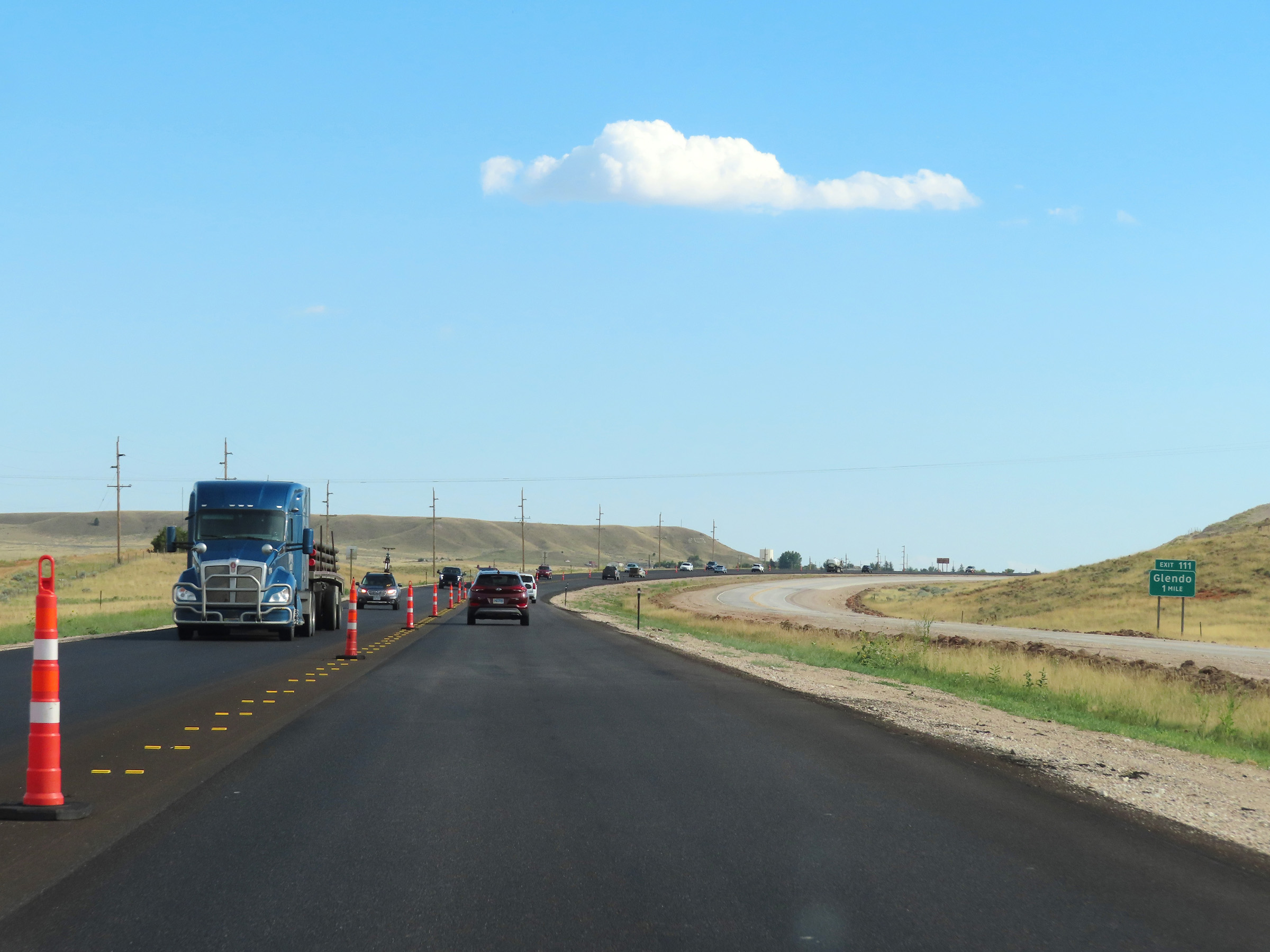
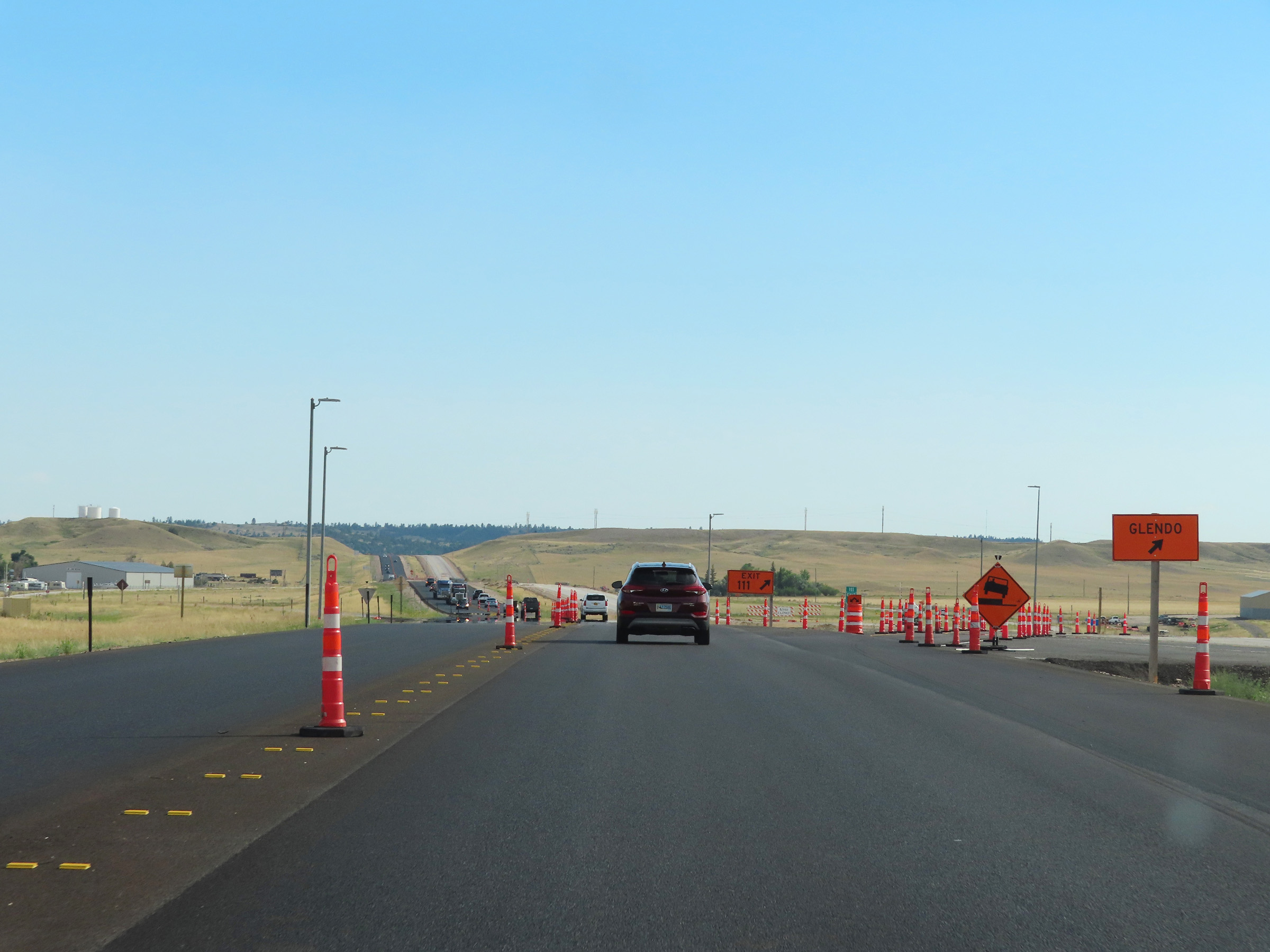
Interstate 25 South at Exit 111: Glendo (Photo taken 8/17/22). |
 |
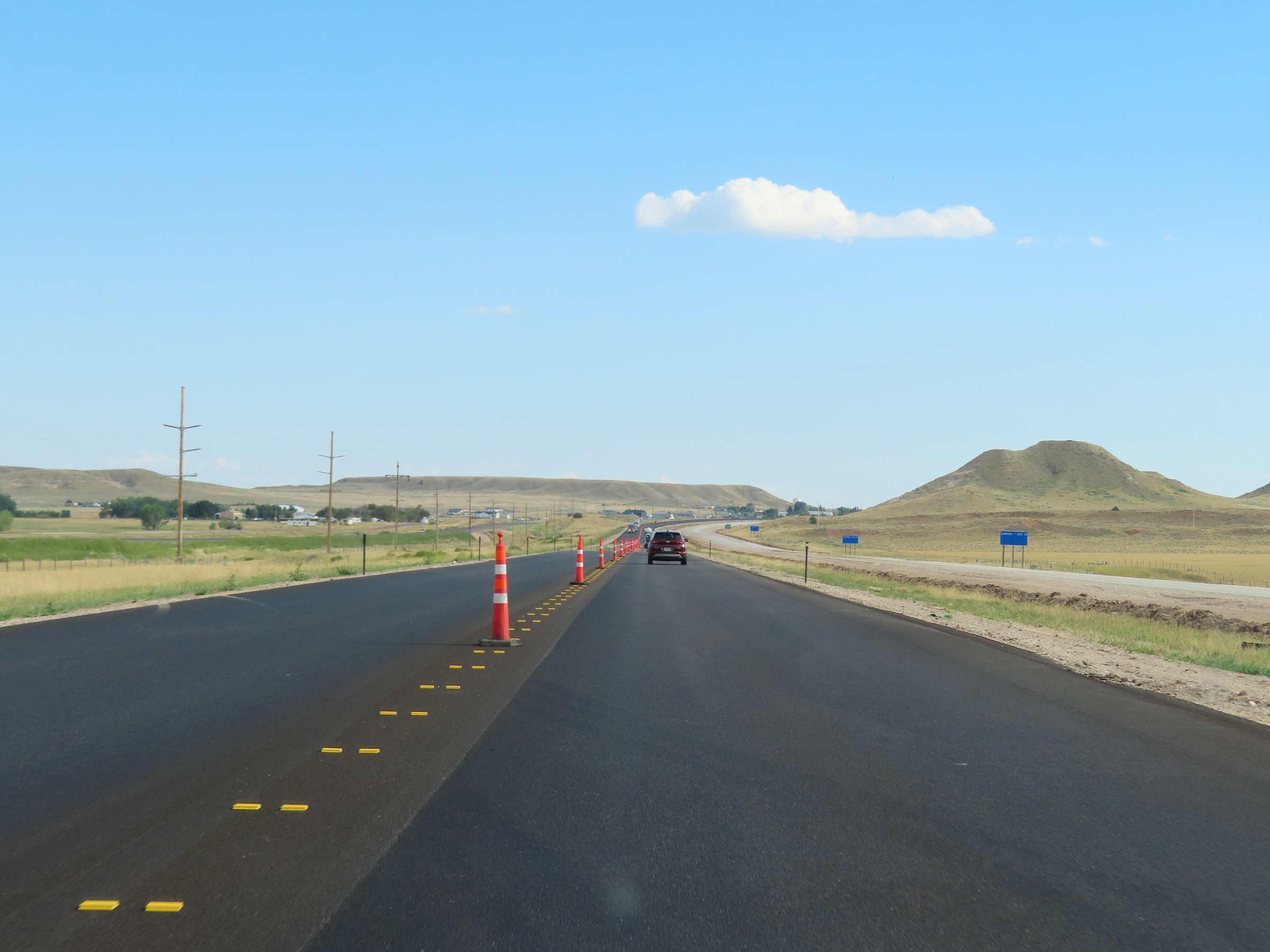
Construction exit for Exit 111 on Interstate 25 South. (Photo taken 8/17/22). |
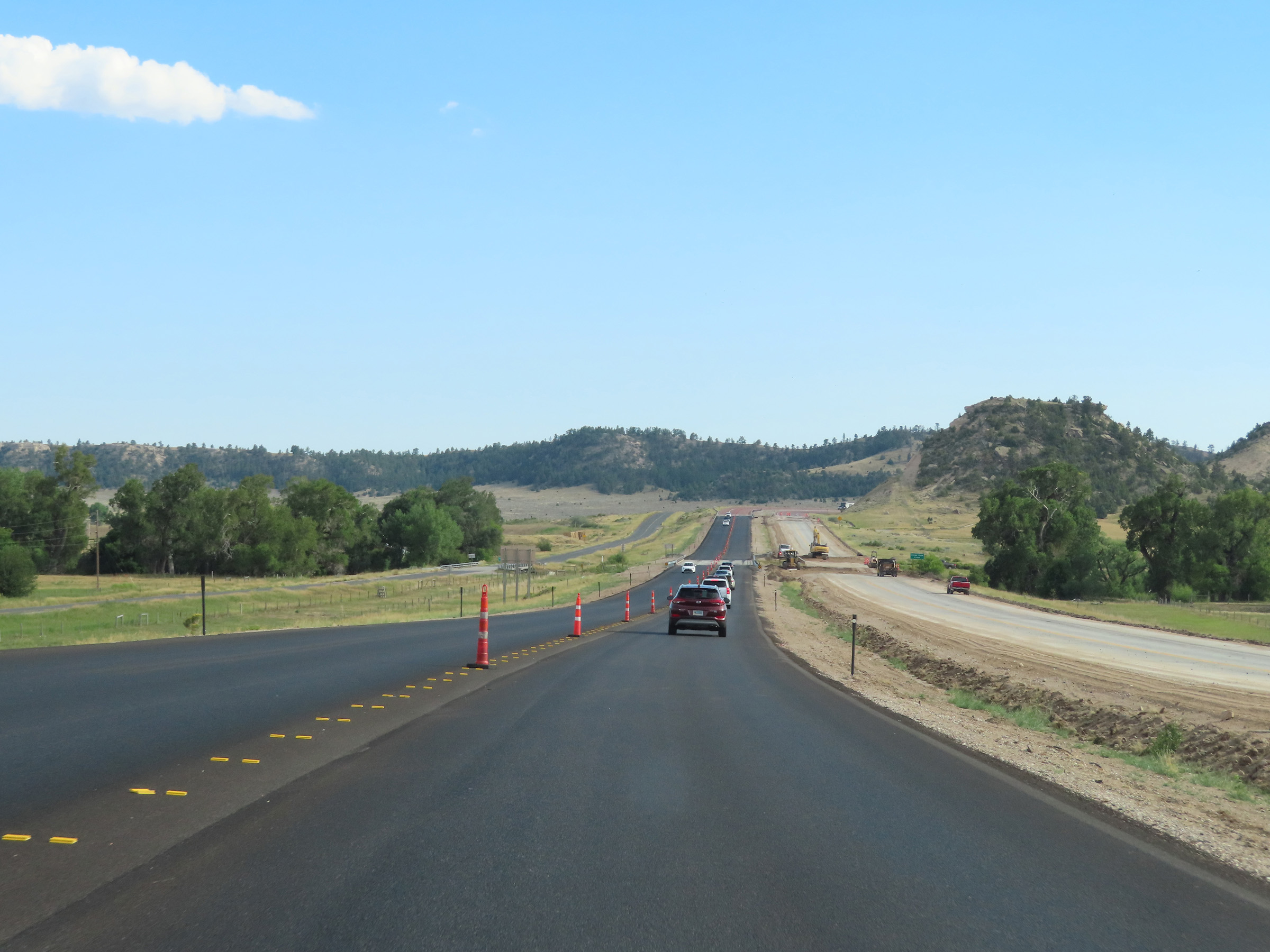 |
View on Interstate 25 South as it leaves Glendo. (Photo taken 8/17/22). |
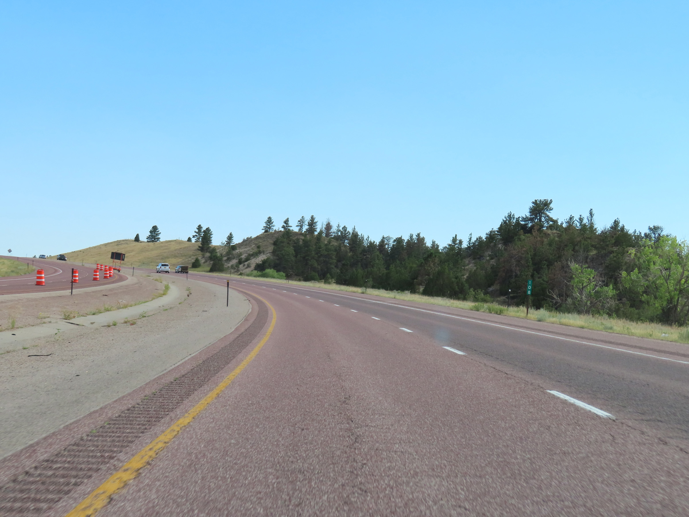 |
Interstate 25 South at mile marker 108. (Photo taken 8/17/22). |
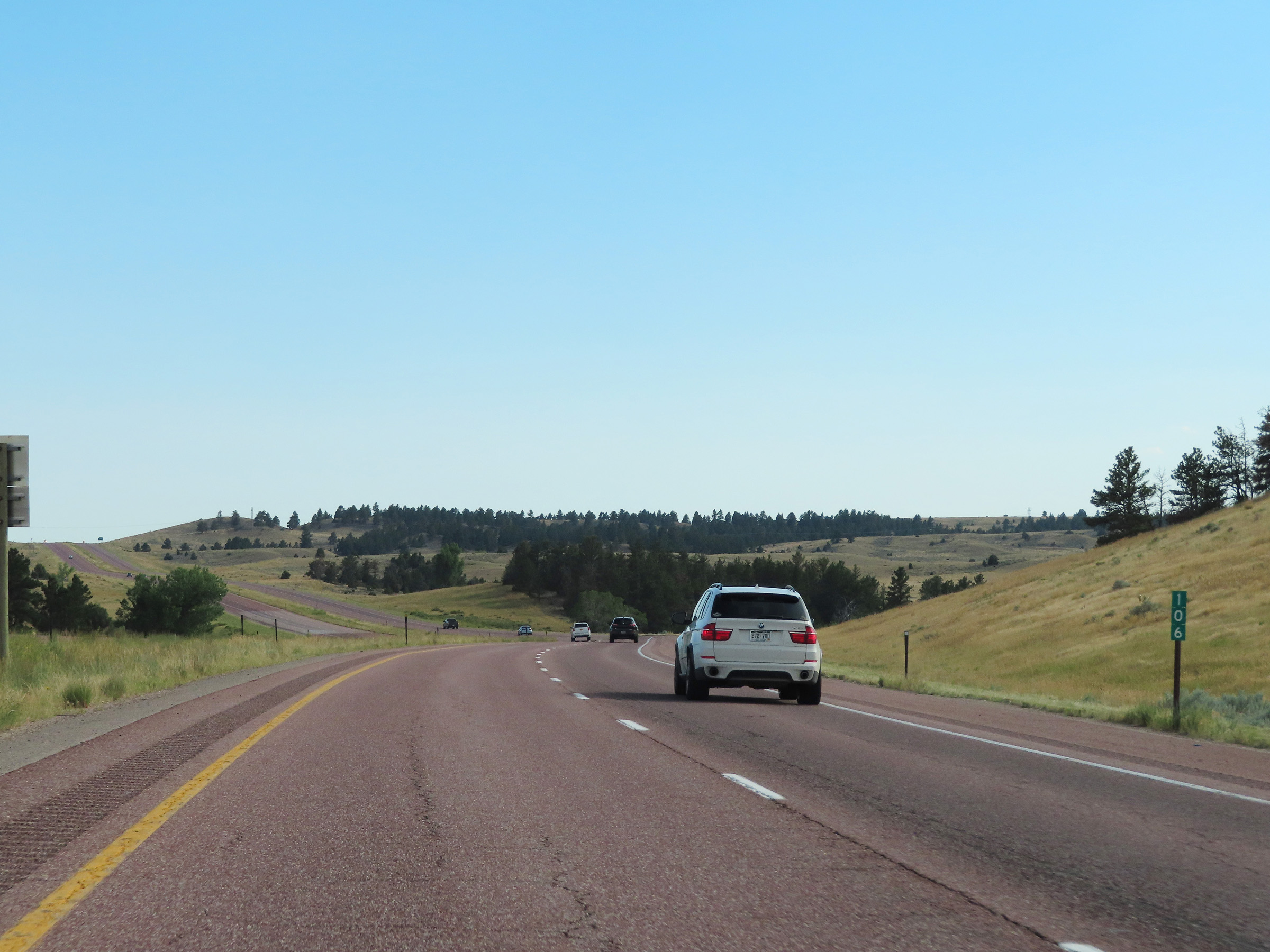 |
Mile marker 106 on Interstate 25 South in Platte County. (Photo taken 8/17/22). |
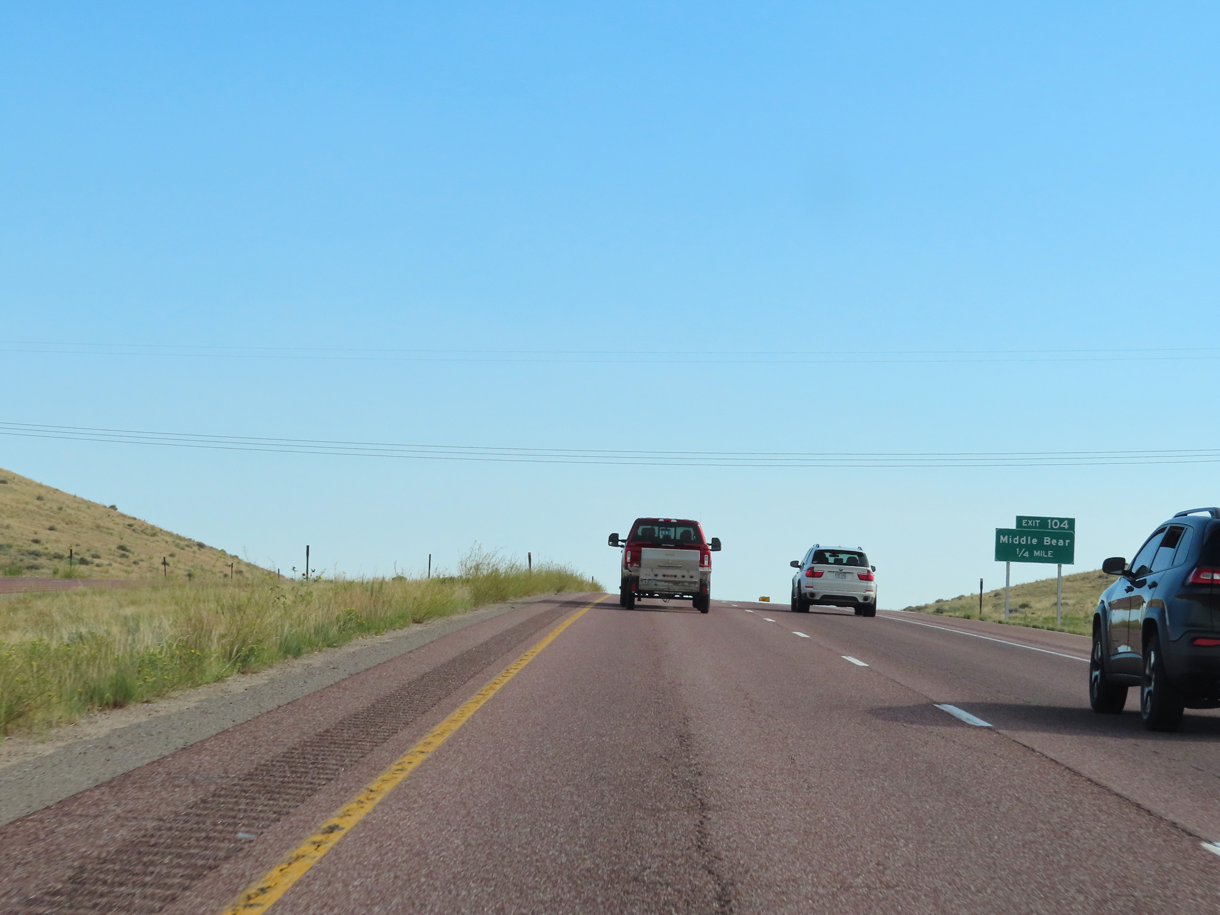 |
Interstate 25 South approaching Exit 104 - 1/4 mile. (Photo taken 8/17/22). |
 |
Interstate 25 South at Exit 104: Middle Bear (Photo taken 8/17/22). |
 |
View on Interstate 25 South at mile marker 102. (Photo taken 8/17/22). |
 |
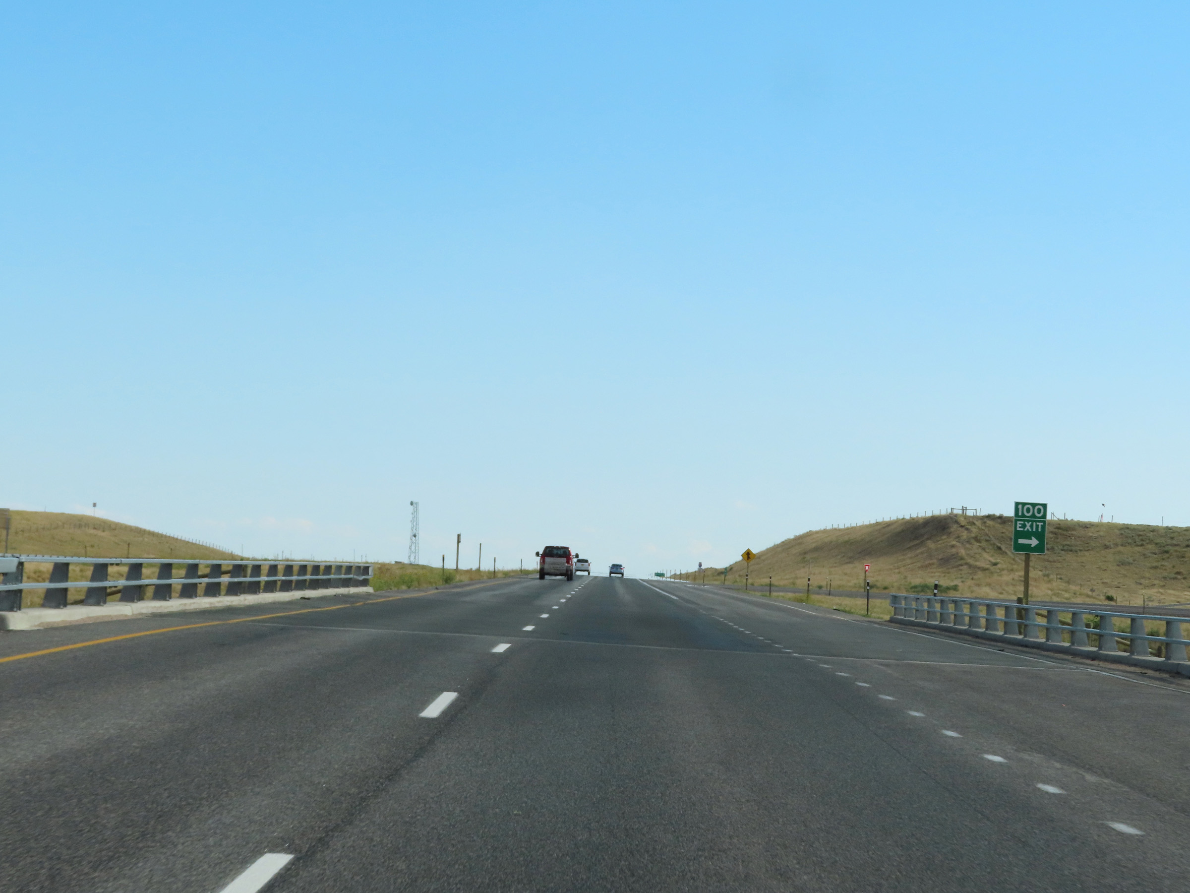
Interstate 25 South approaching Exit 100 - 1/4 mile. (Photo taken 8/17/22). |
 |
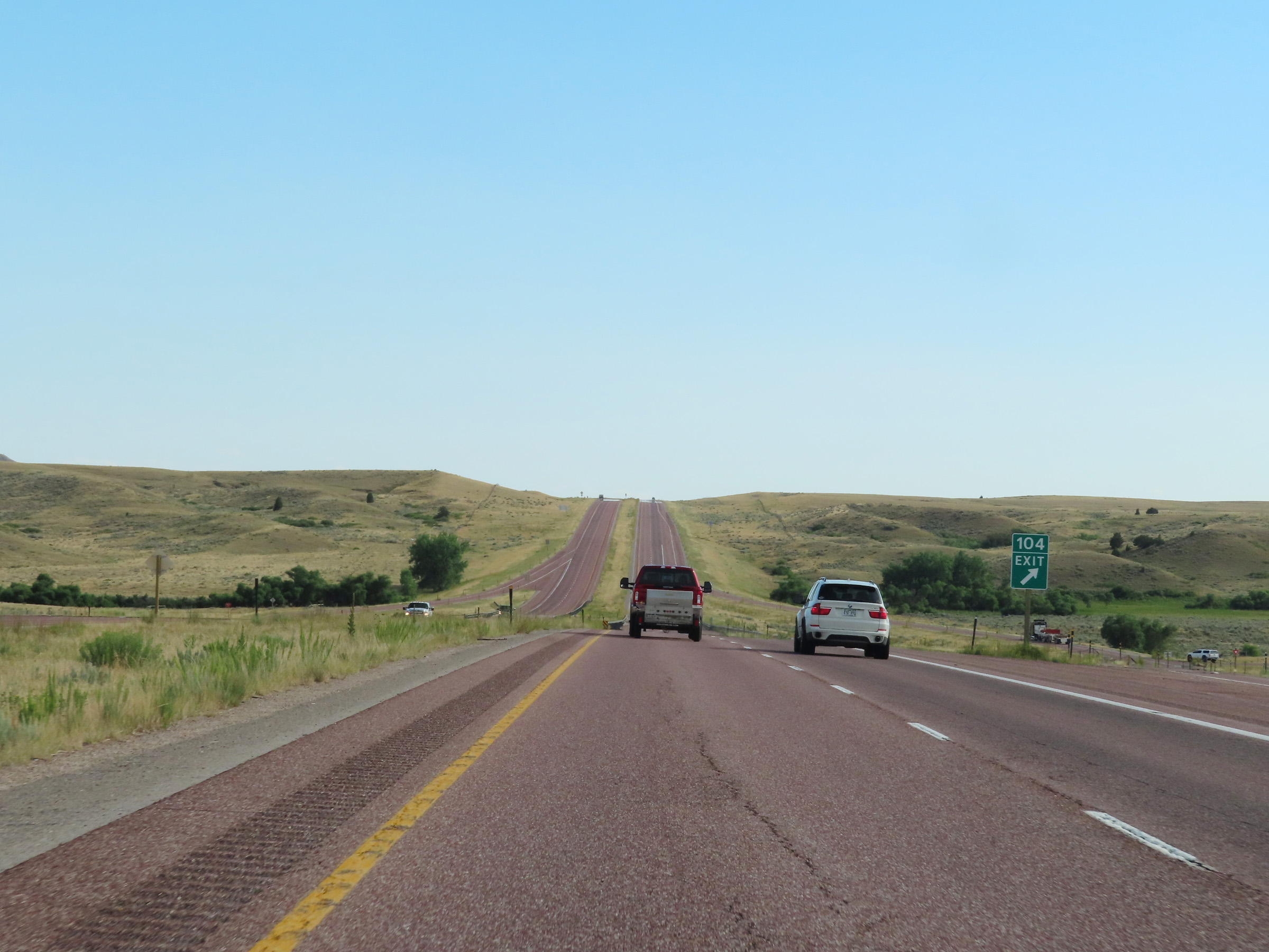
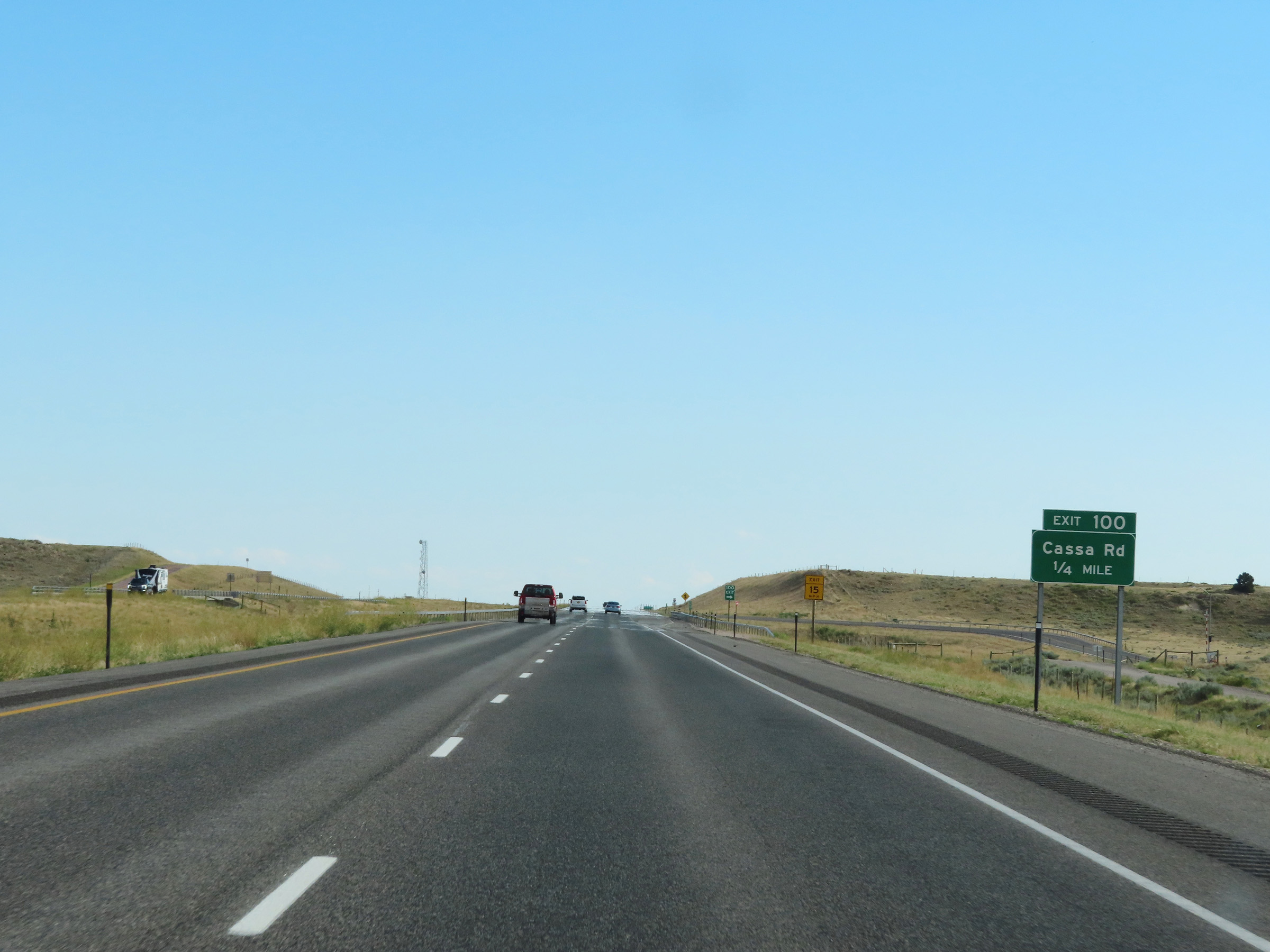
Interstate 25 South at Exit 100: Cassa Rd (Photo taken 8/17/22). |
 |
State-named Interstate 25 South reassurance shield in Platte County. (Photo taken 8/17/22). |
 |
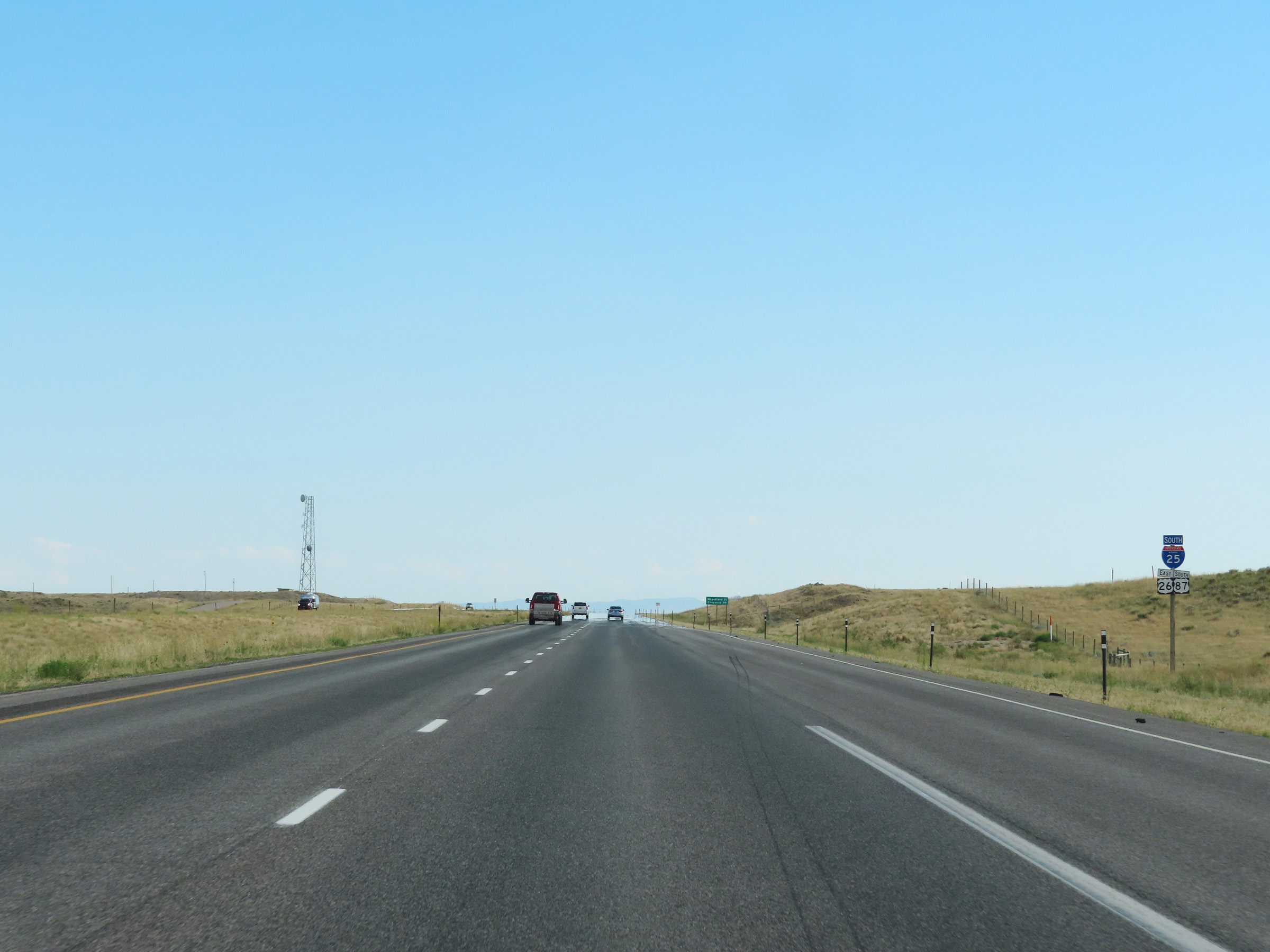
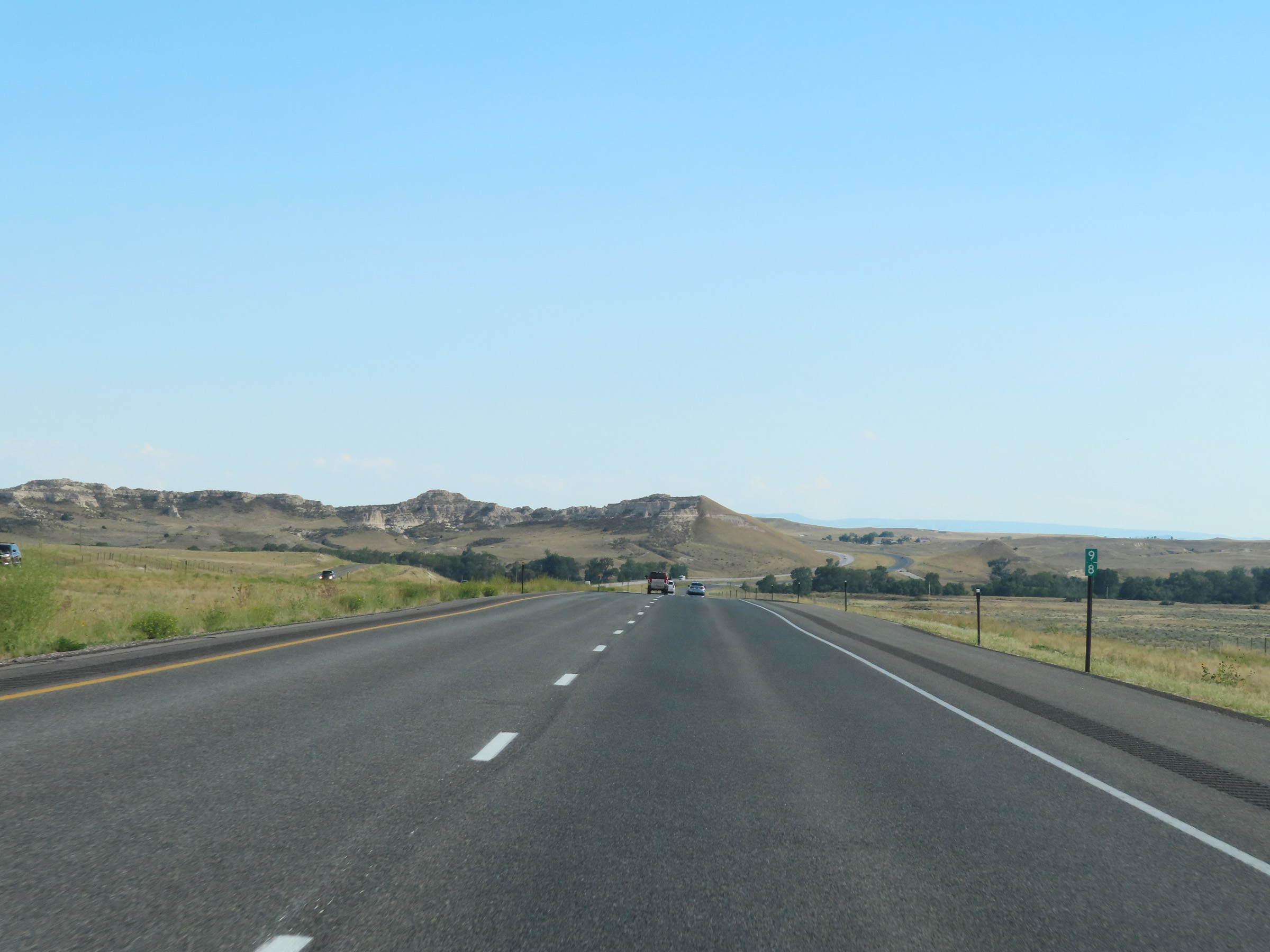
Mileage sign on Interstate 25 South in Platte County. It's 21 miles to Wheatland and 89 miles to Cheyenne. (Photo taken 8/17/22). |
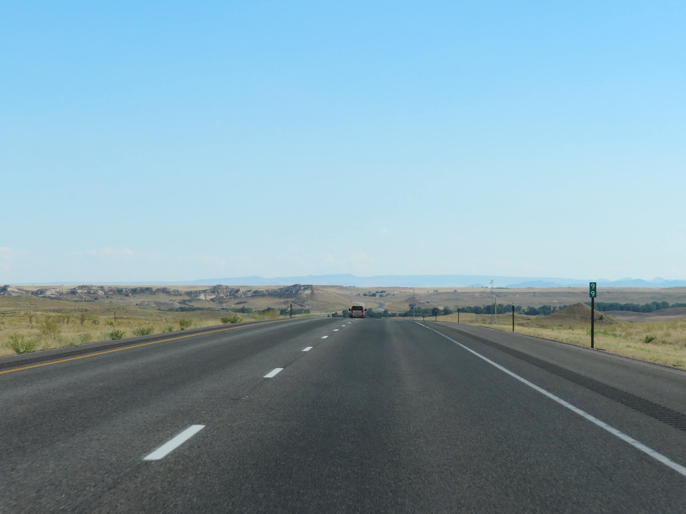 |
View on Interstate 25 South at mile marker 99. (Photo taken 8/17/22). |
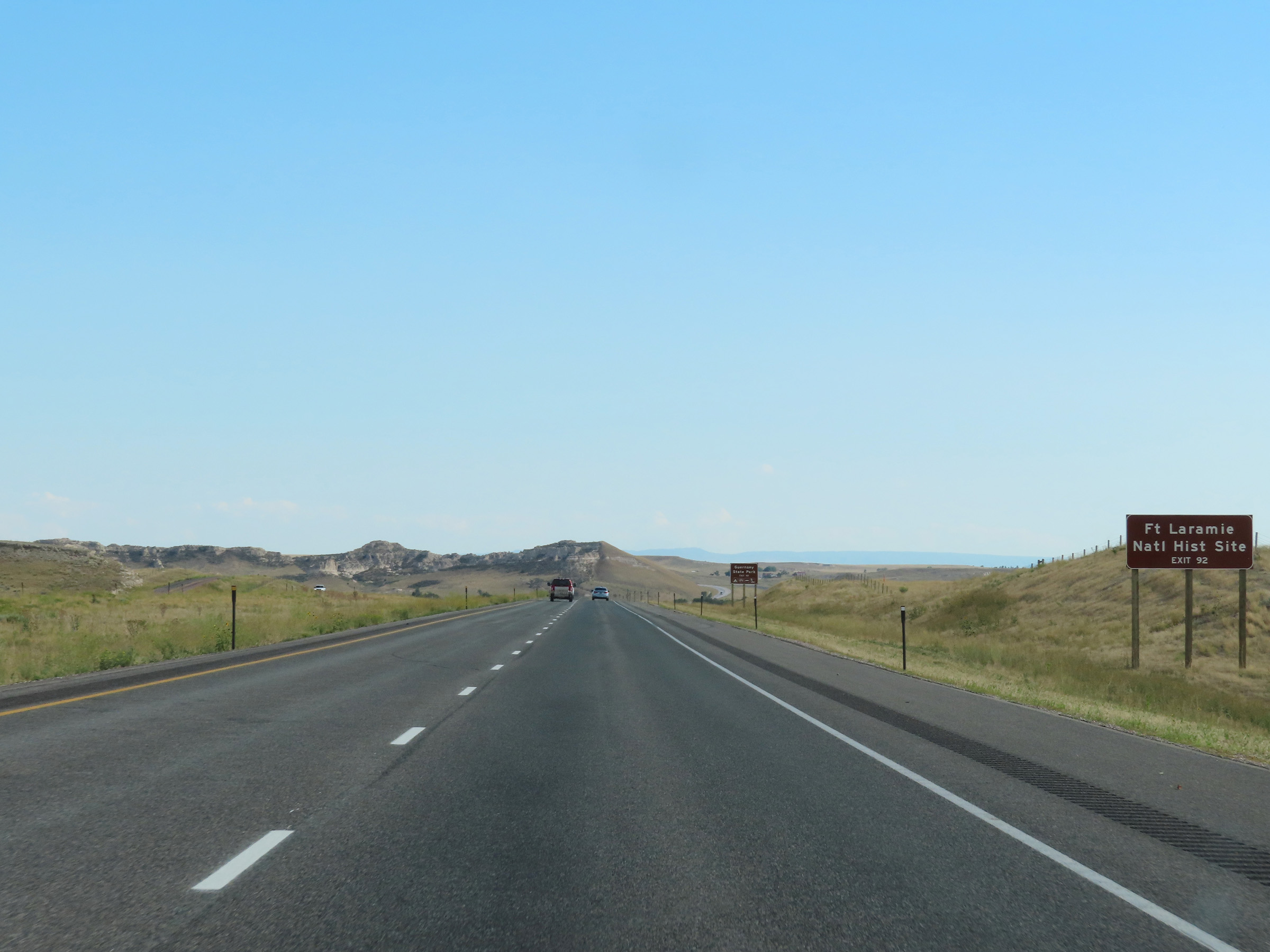 |
Take Exit 92 to Fort Laramie National Historic Site. (Photo taken 8/17/22). |
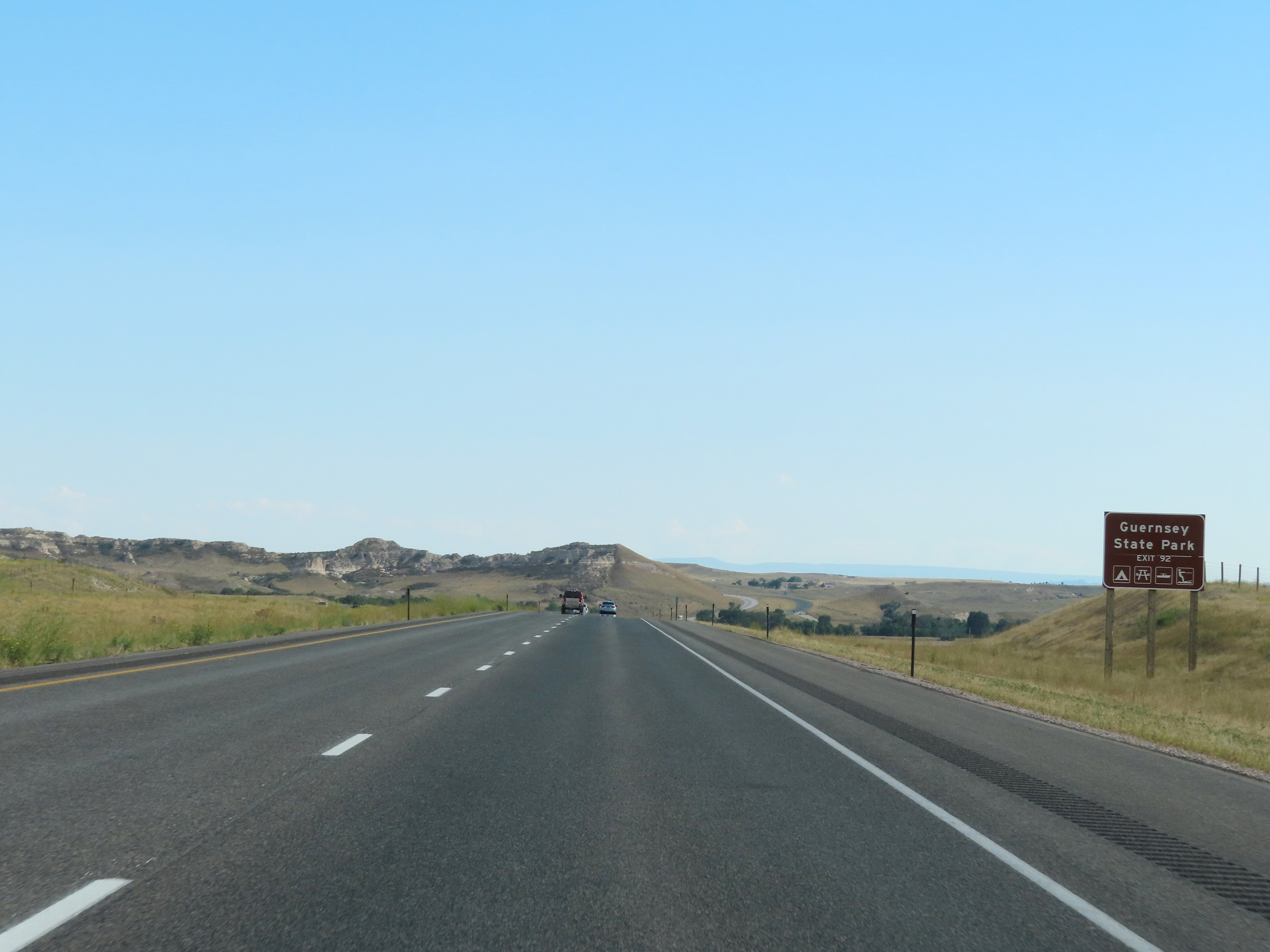 |
Also take Exit 92 to Guersey State Park. (Photo taken 8/17/22). |
 |
View on Interstate 25 South at mile marker 98. (Photo taken 8/17/22). |
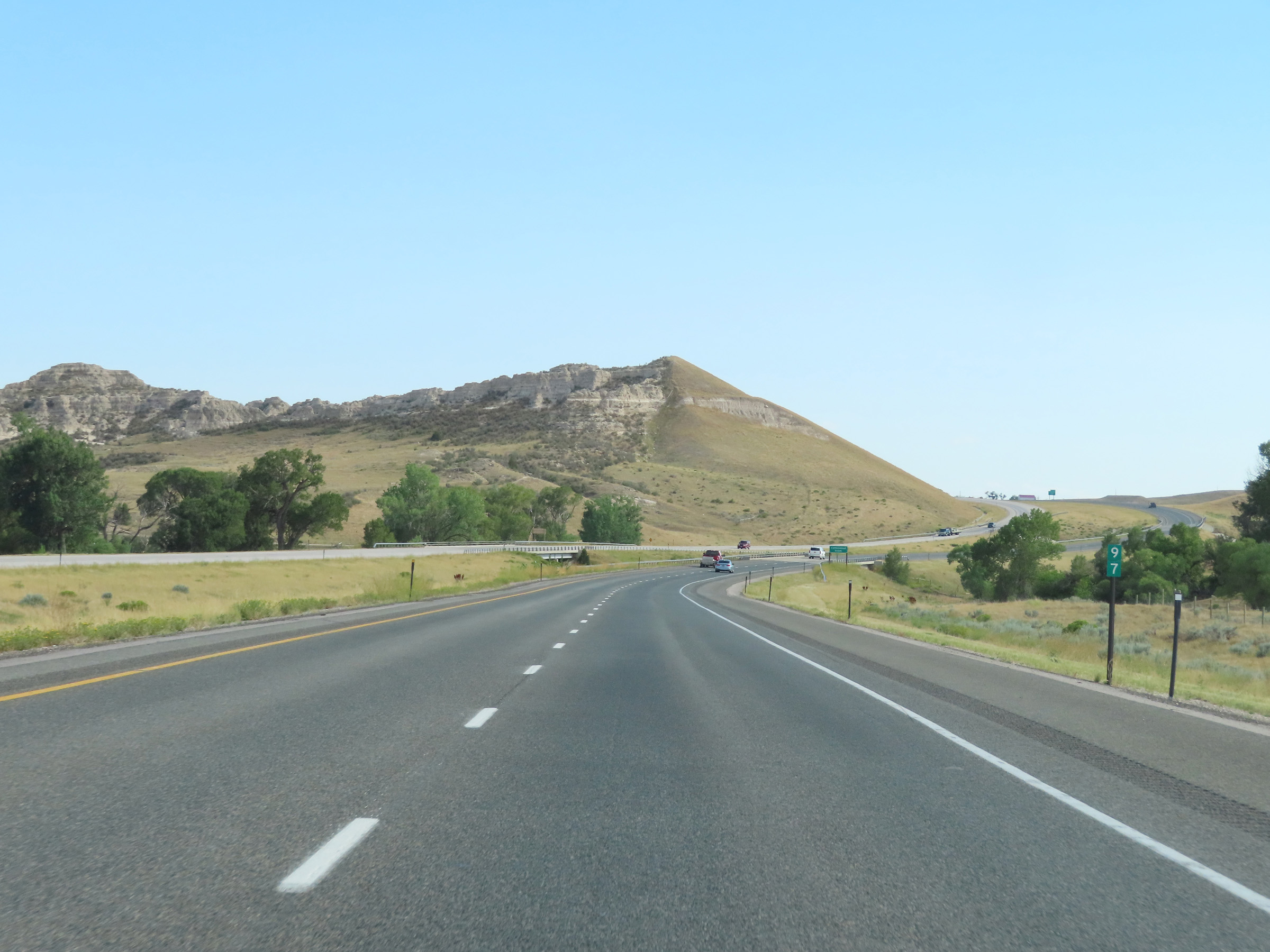 |
Mile marker 97 on Interstate 25 South in Platte County. (Photo taken 8/17/22). |
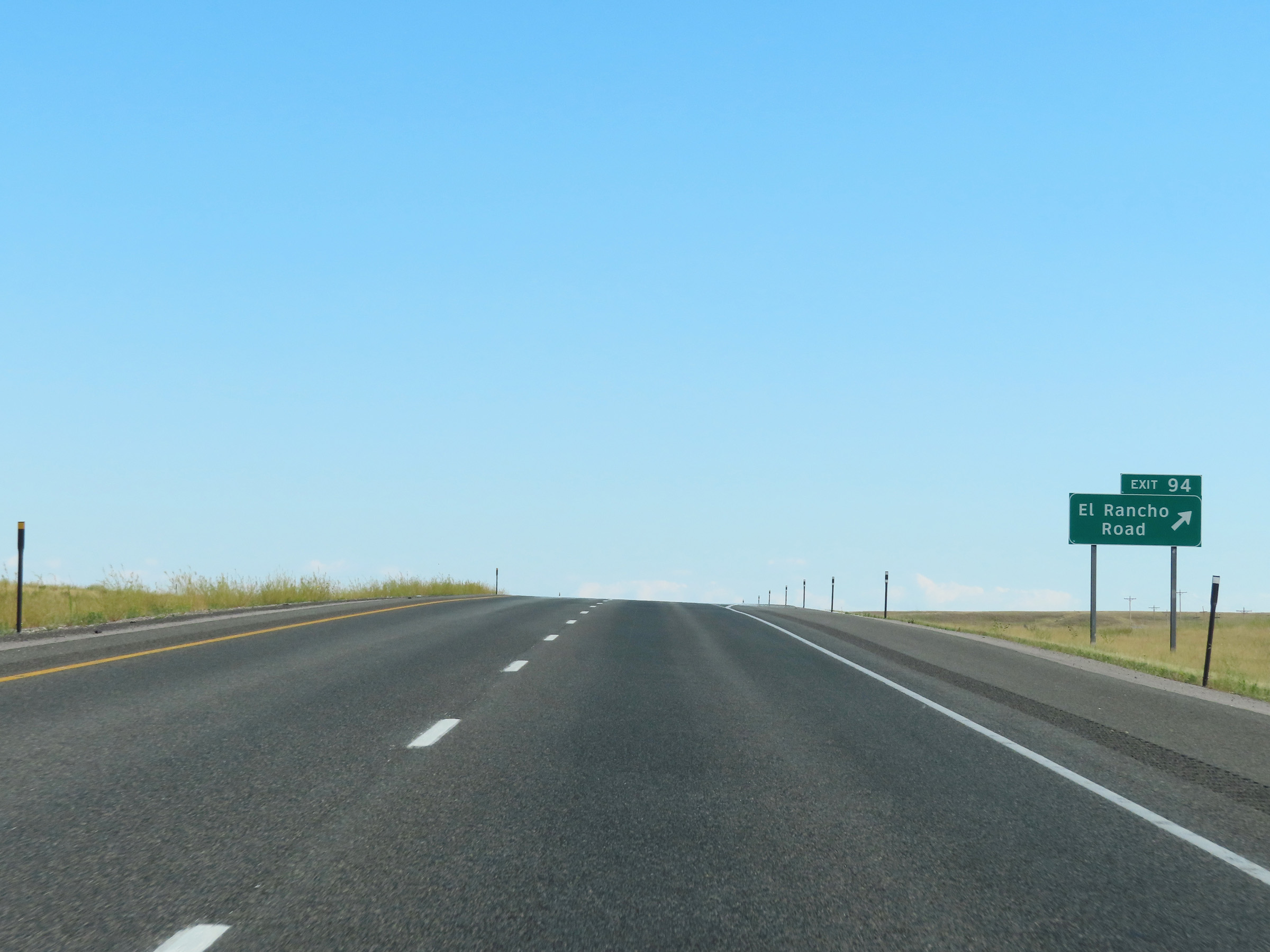 |
Interstate 25 South at Exit 94: El Rancho Road (Photo taken 8/17/22). |
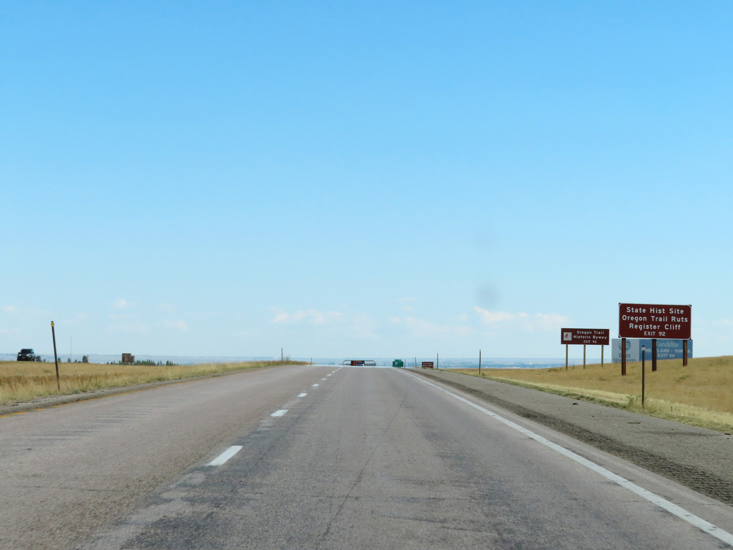 |
Take Exit 92 to Oregon Trail Ruts State Historic Site and Register Cliff. Exit 92 will also provide access to the Oregon Trail Historic Byway. (Photo taken 8/17/22). |
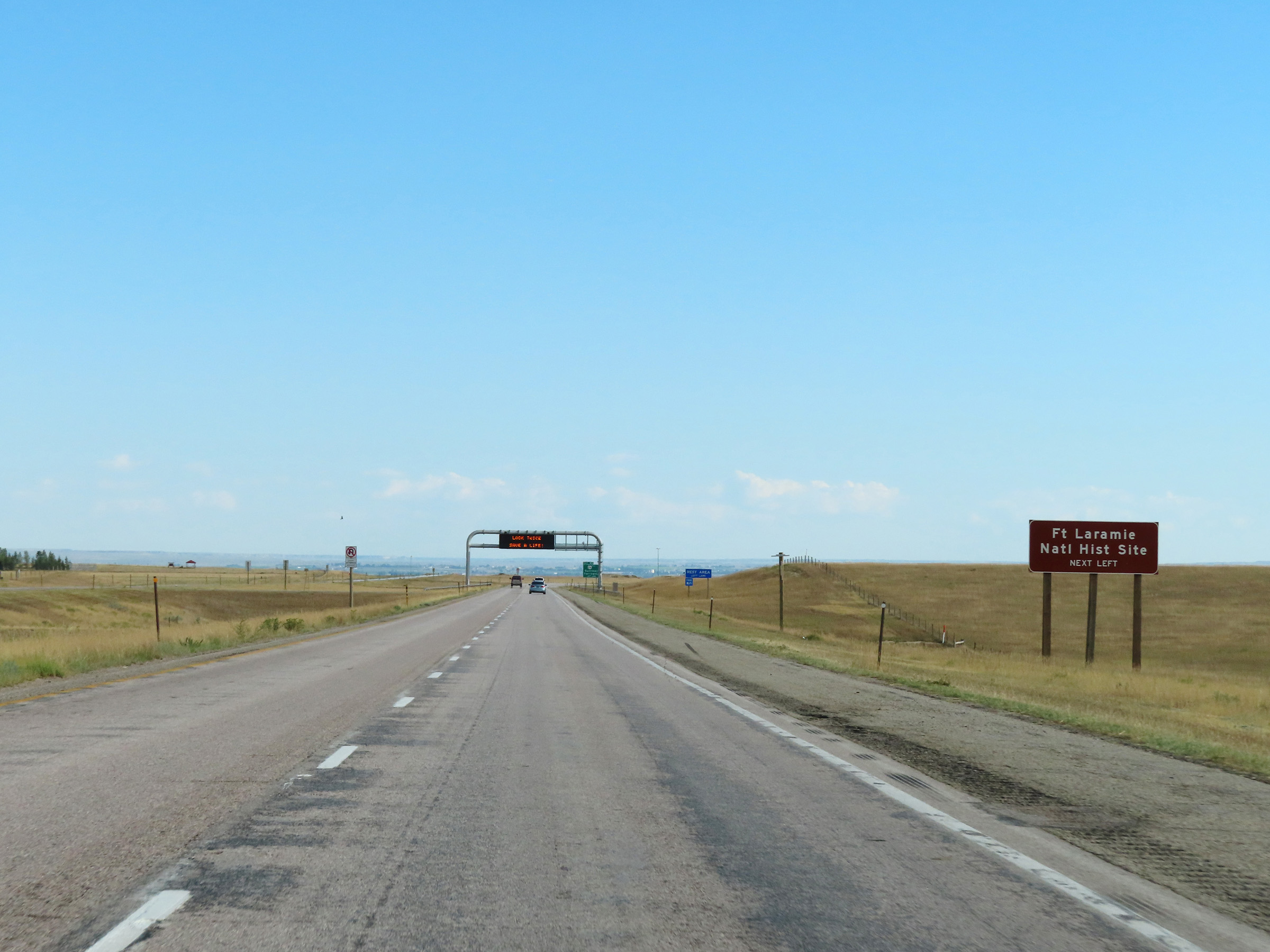 |
Fort Laramie National Historic Site can be accessed via Exit 92. (Photo taken 8/17/22). |
 |
A Rest Area exists on US 26 East, just beyond Exit 92. (Photo taken 8/17/22). |
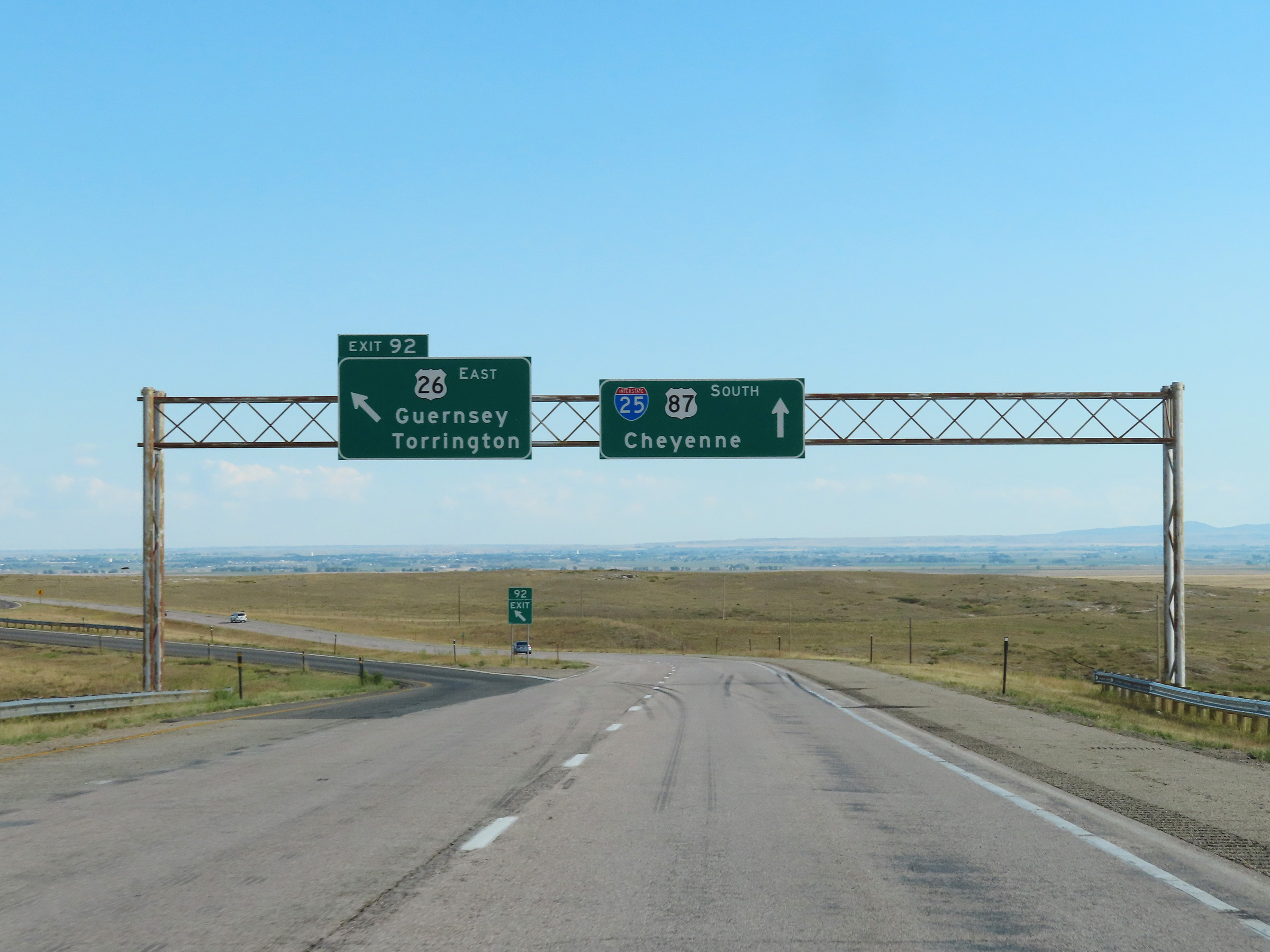 |
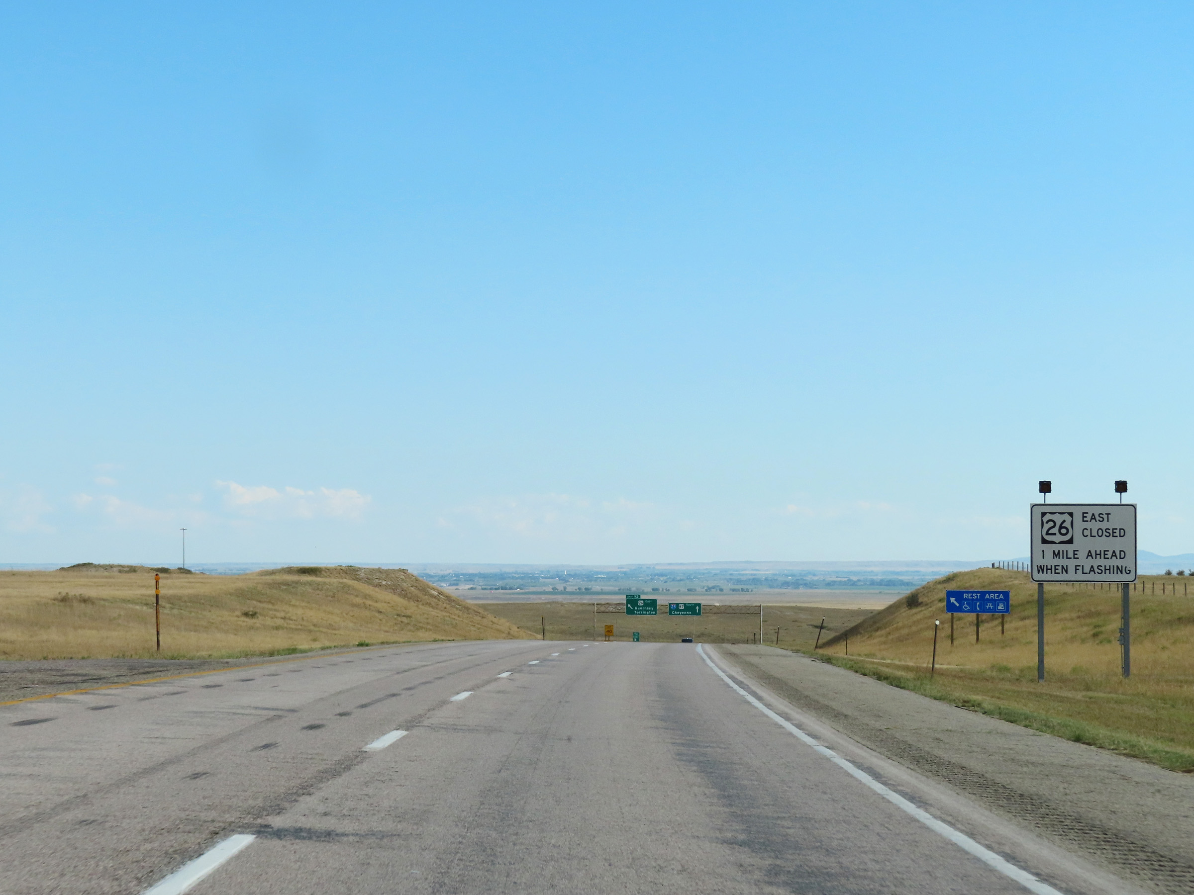
Interstate 25 South at Exit 92: US 26 East - Guernsey / Torrington (Photo taken 8/17/22). |
 |
Interstate 25 South at mile marker 91. (Photo taken 8/17/22). |
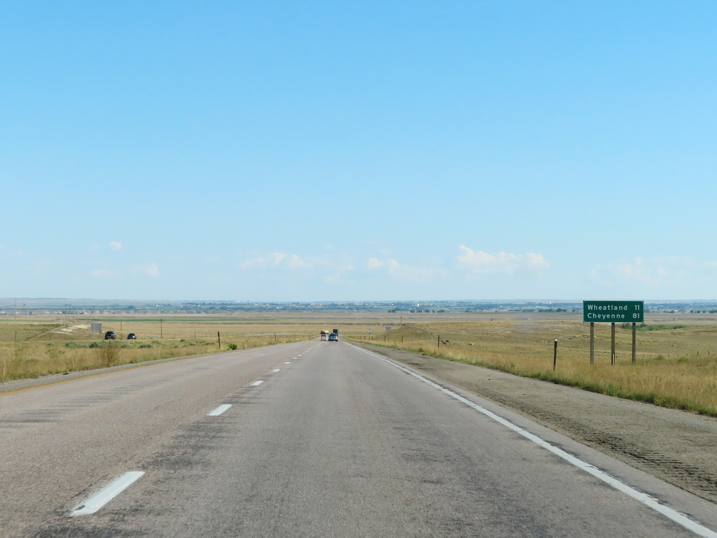 |
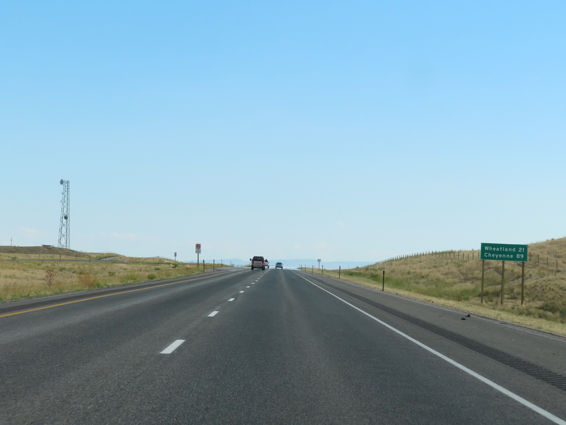
Mileage sign on Interstate 25 South. It's 11 miles to Wheatland and 81 miles to Cheyenne. (Photo taken 8/17/22). |
 |
View on Interstate 25 South at mile marker 88. (Photo taken 8/17/22). |
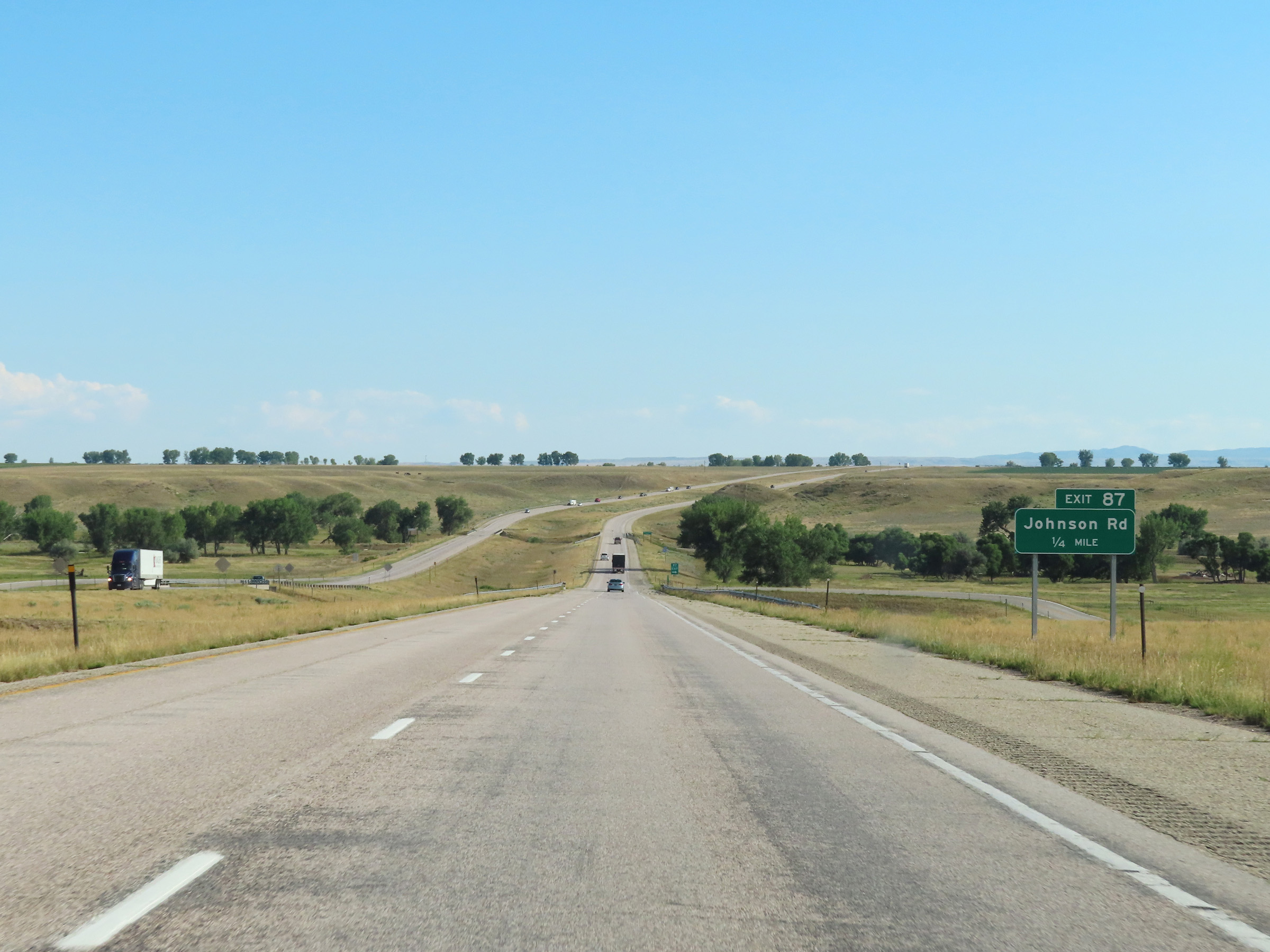 |
Interstate 25 South approaching Exit 87 - 1/4 mile. (Photo taken 8/17/22). |
 |
Interstate 25 South at Exit 87: Johnson Rd (Photo taken 8/17/22). |
 |
Interstate 25 South approaching Exit 84 - 1/4 mile. (Photo taken 8/17/22). |
 |
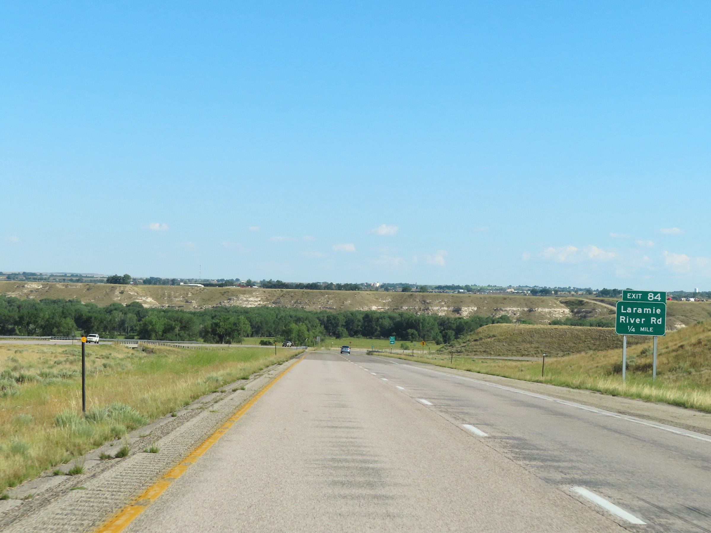
Interstate 25 South at Exit 84: Laramie River Rd (Photo taken 8/17/22). |
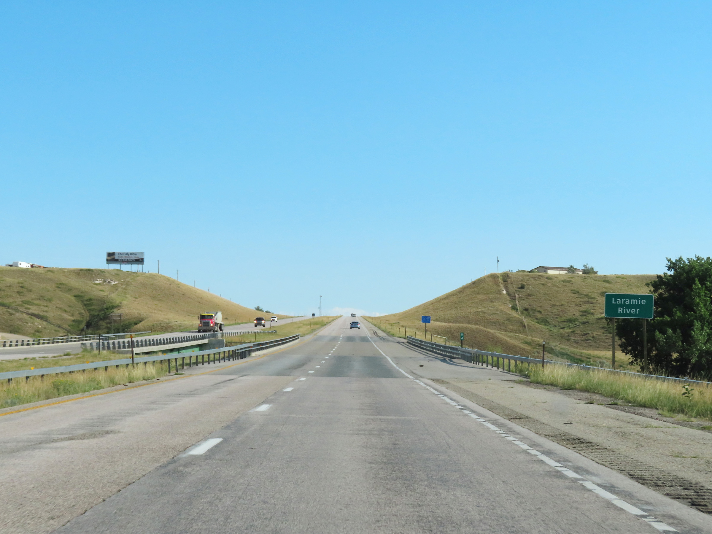 |
View on Interstate 25 South as it crosses the Laramie River at mile marker 84. (Photo taken 8/17/22). |
 |
Mile marker 83 on Interstate 25 South in Platte County. (Photo taken 8/17/22). |
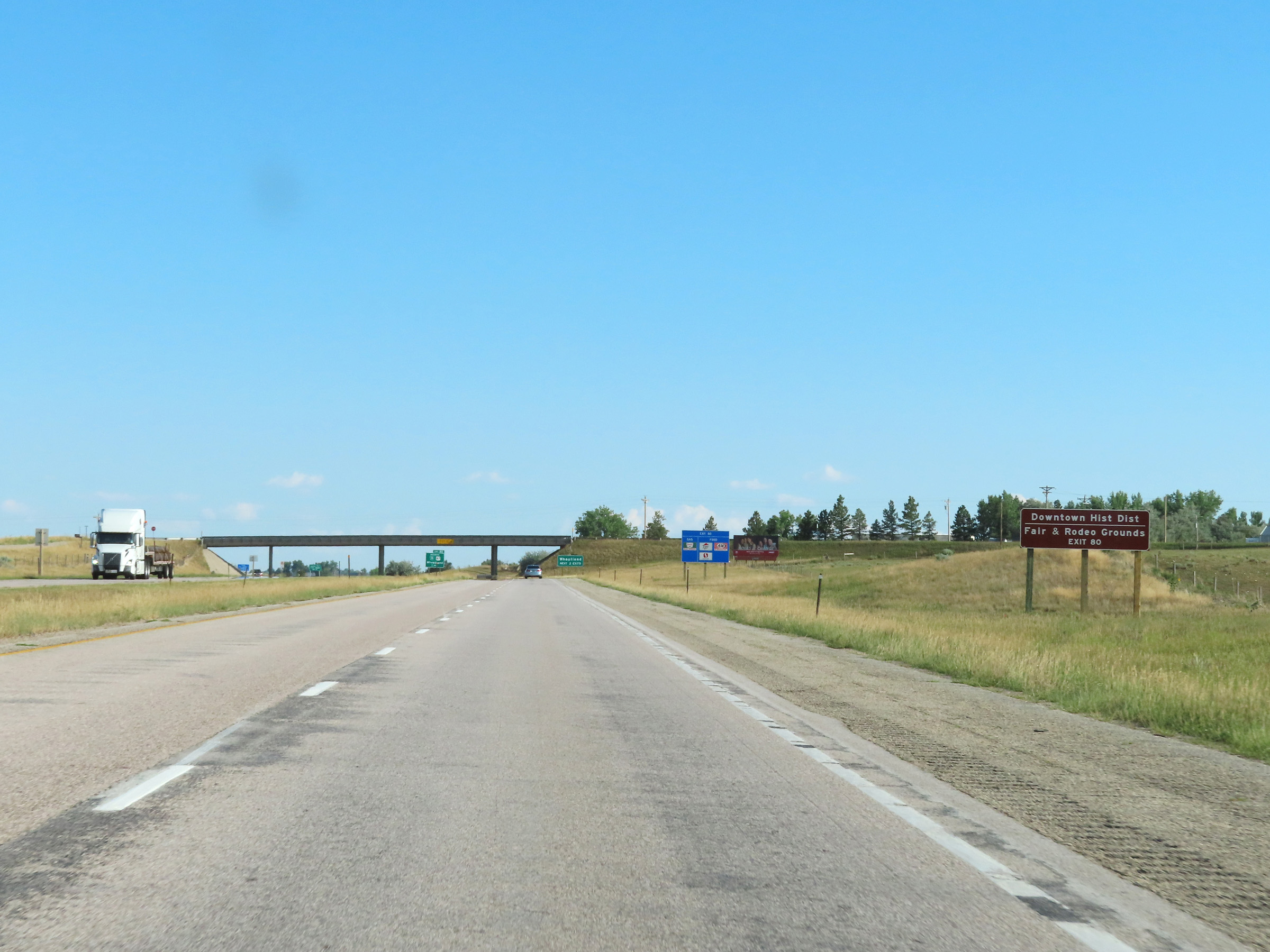 |
Take Exit 80 to the Downtown Wheatland Historic District, Fairgrounds, and Rodeo Grounds. (Photo taken 8/17/22). |
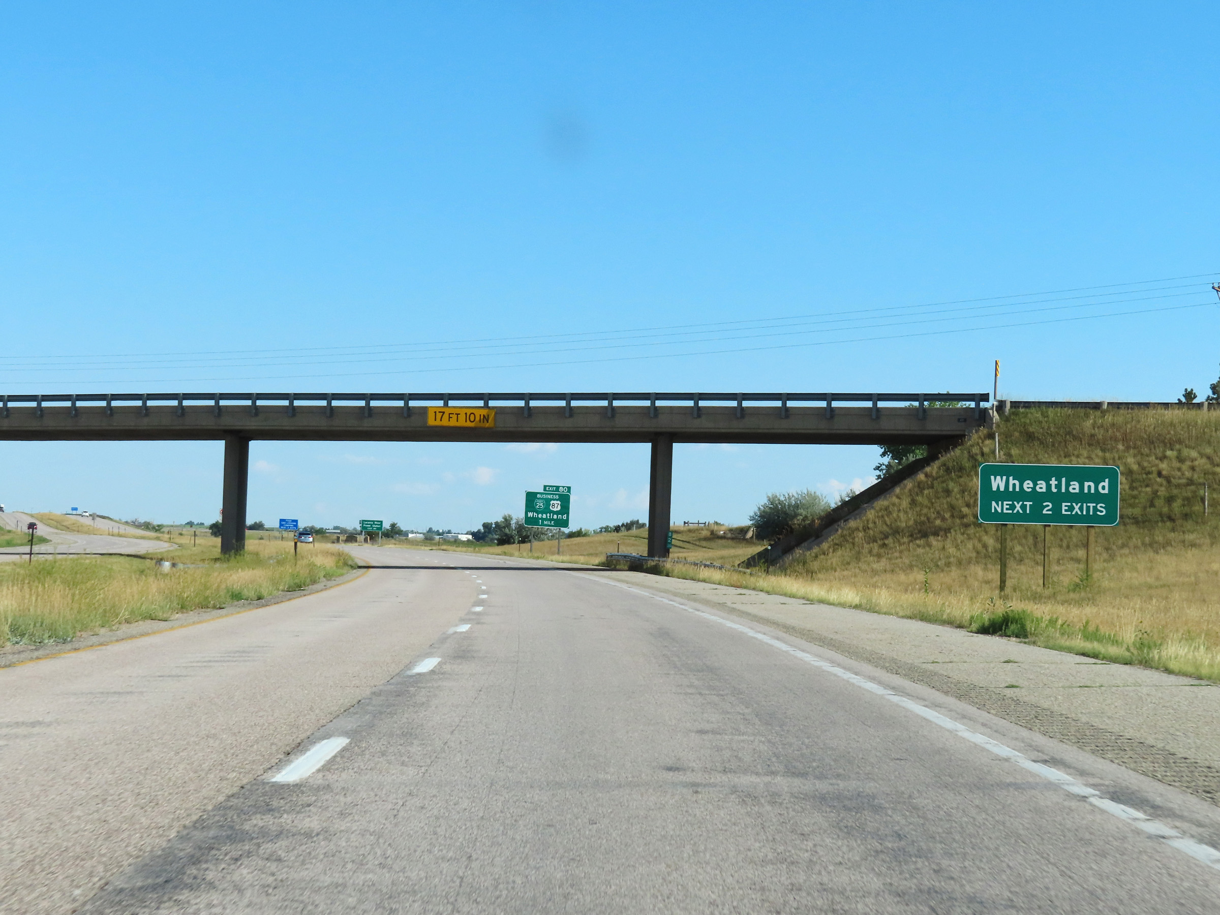 |
Take either of the next 2 exits to Wheatland. (Photo taken 8/17/22). |
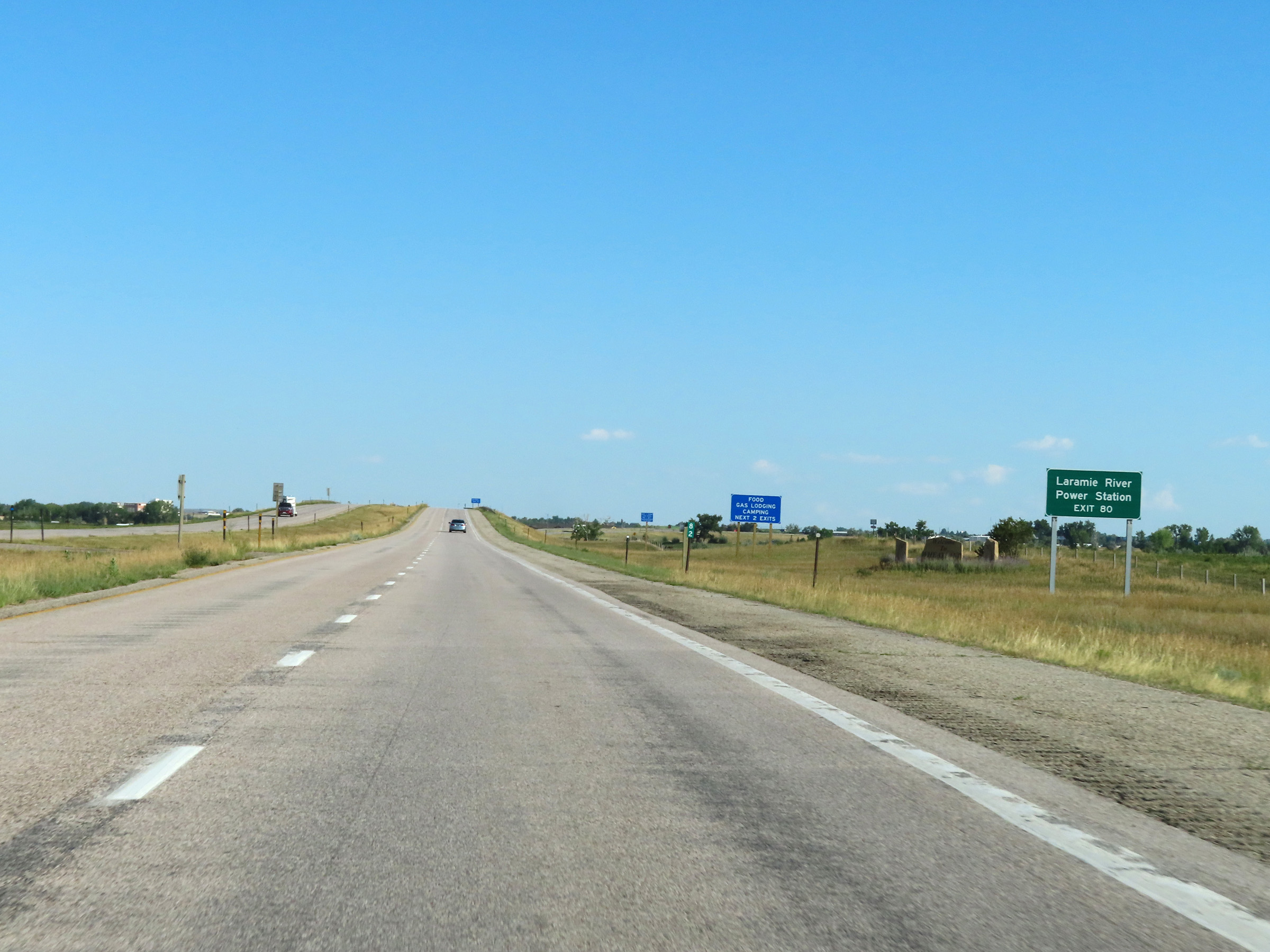 |
The Laramie River Power Station can be accessed via Exit 80. (Photo taken 8/17/22). |
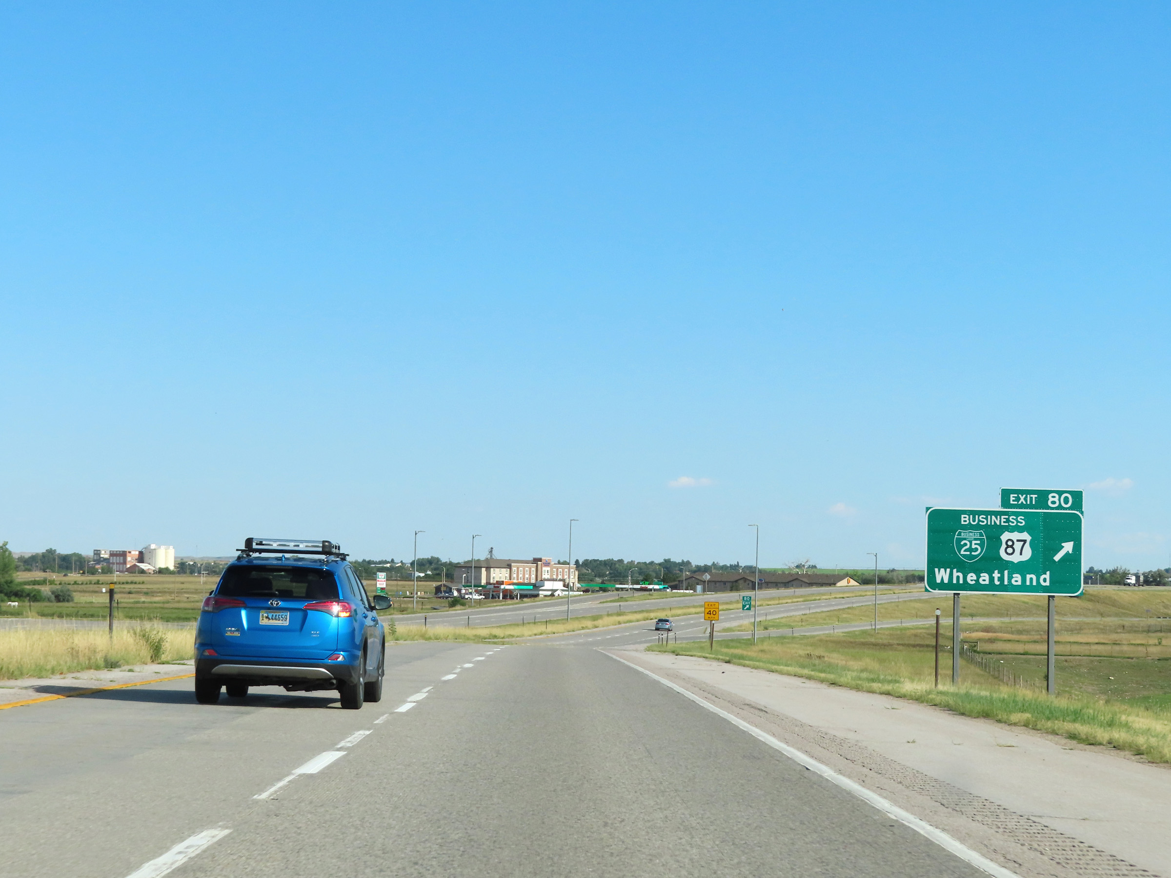 |
Interstate 25 South at Exit 80: Interstate 25 Business Loop / US 87 Business - Wheatland (Photo taken 8/17/22). |
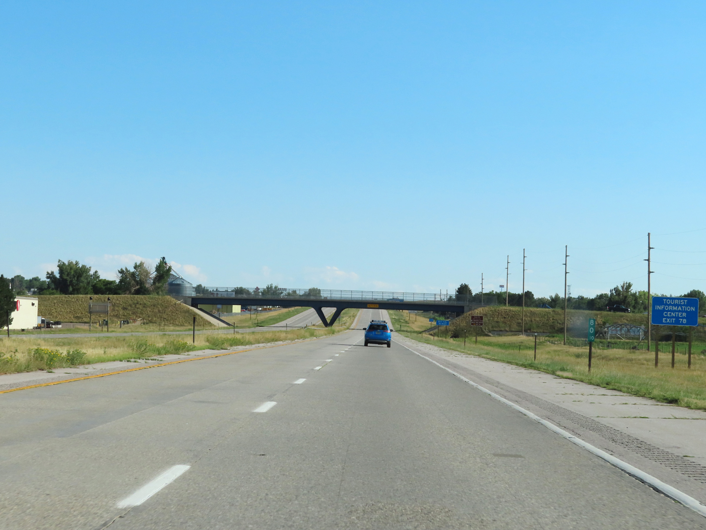 |
A Tourist Information Center exists off Exit 78 ahead. (Photo taken 8/17/22). |
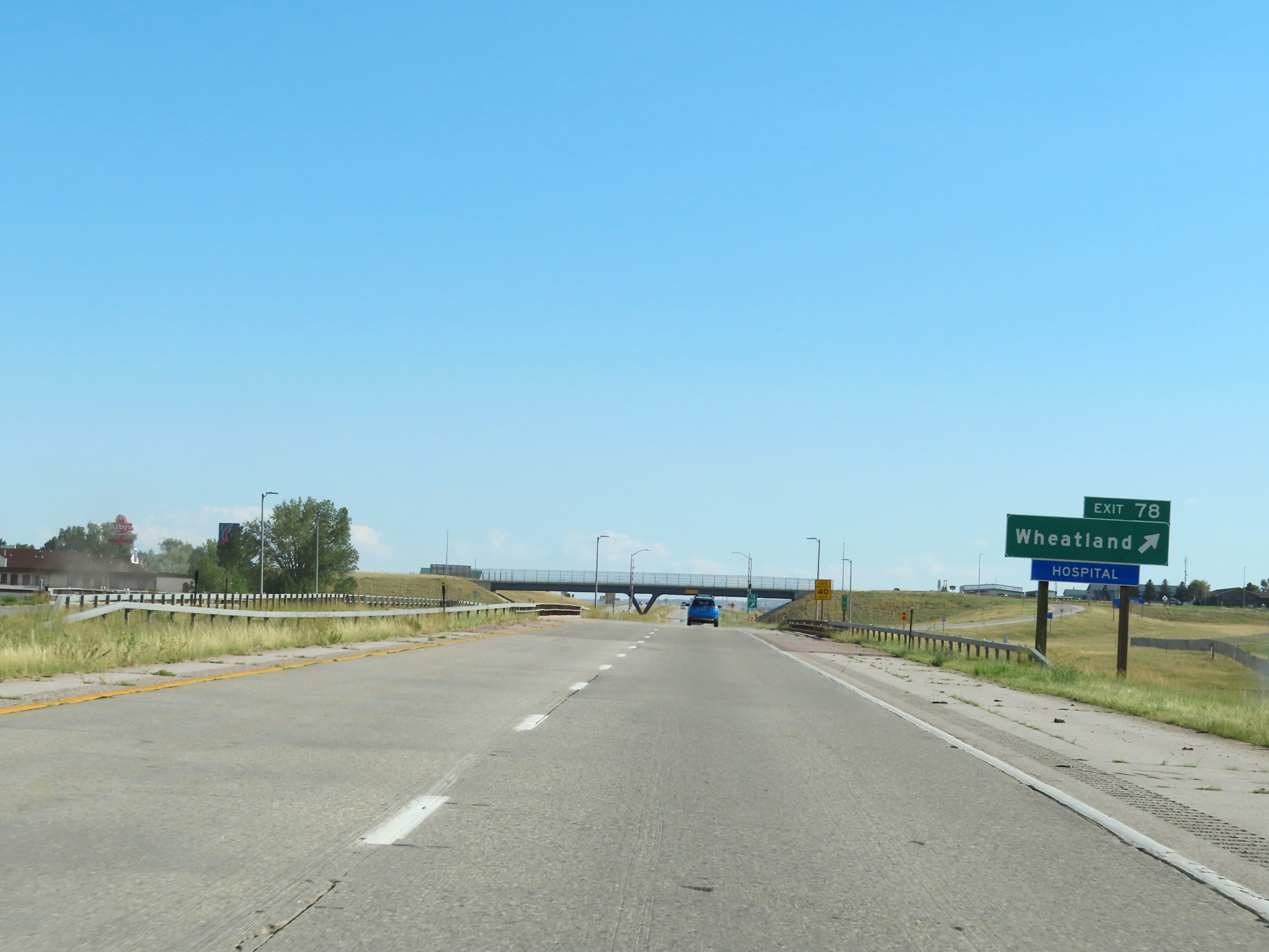 |
Interstate 25 South at Exit 78: Wheatland (Photo taken 8/17/22). |
Section 5: Wheatland (Exit 78) to Cheyenne (Exit 13)
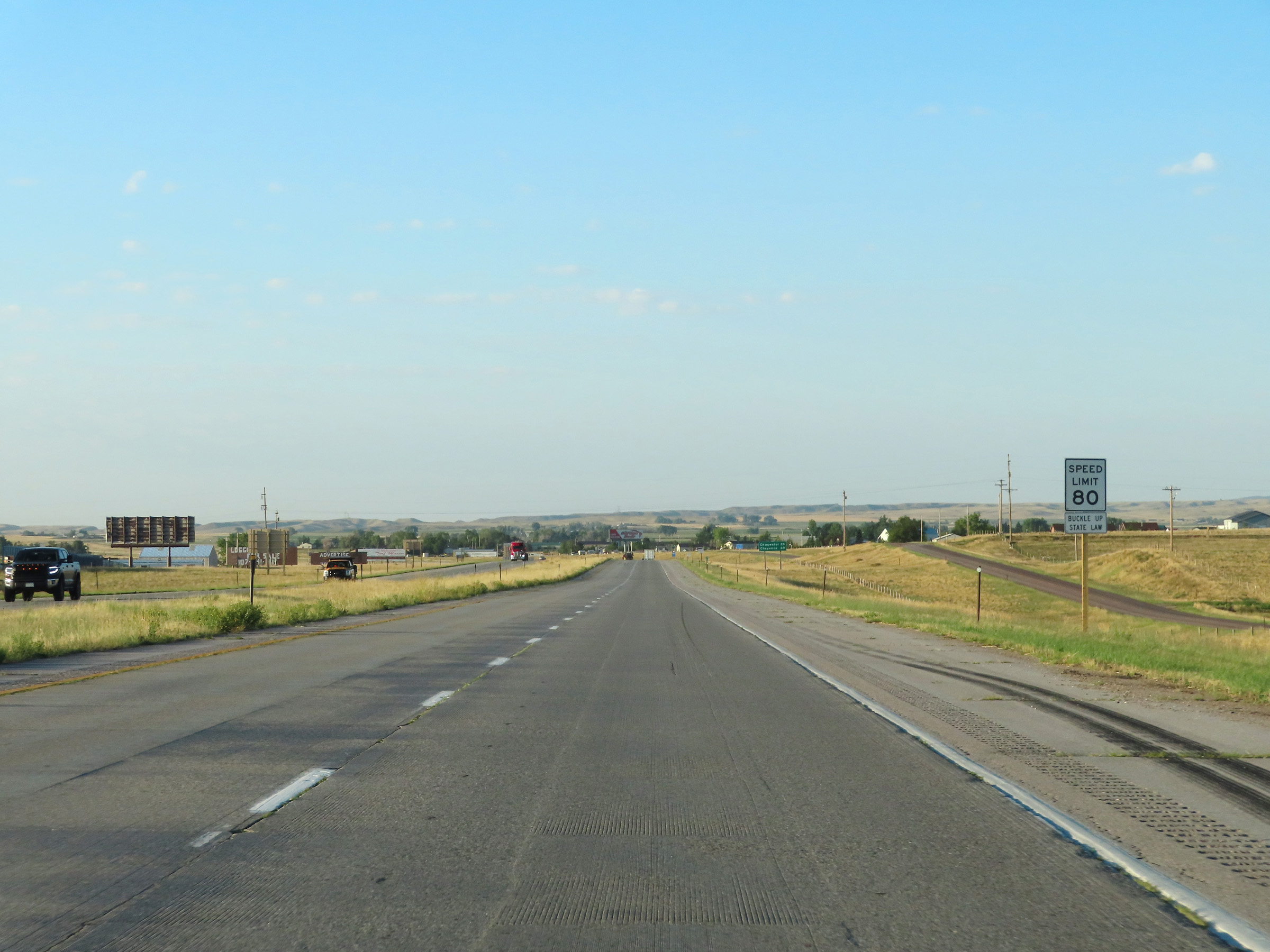 |
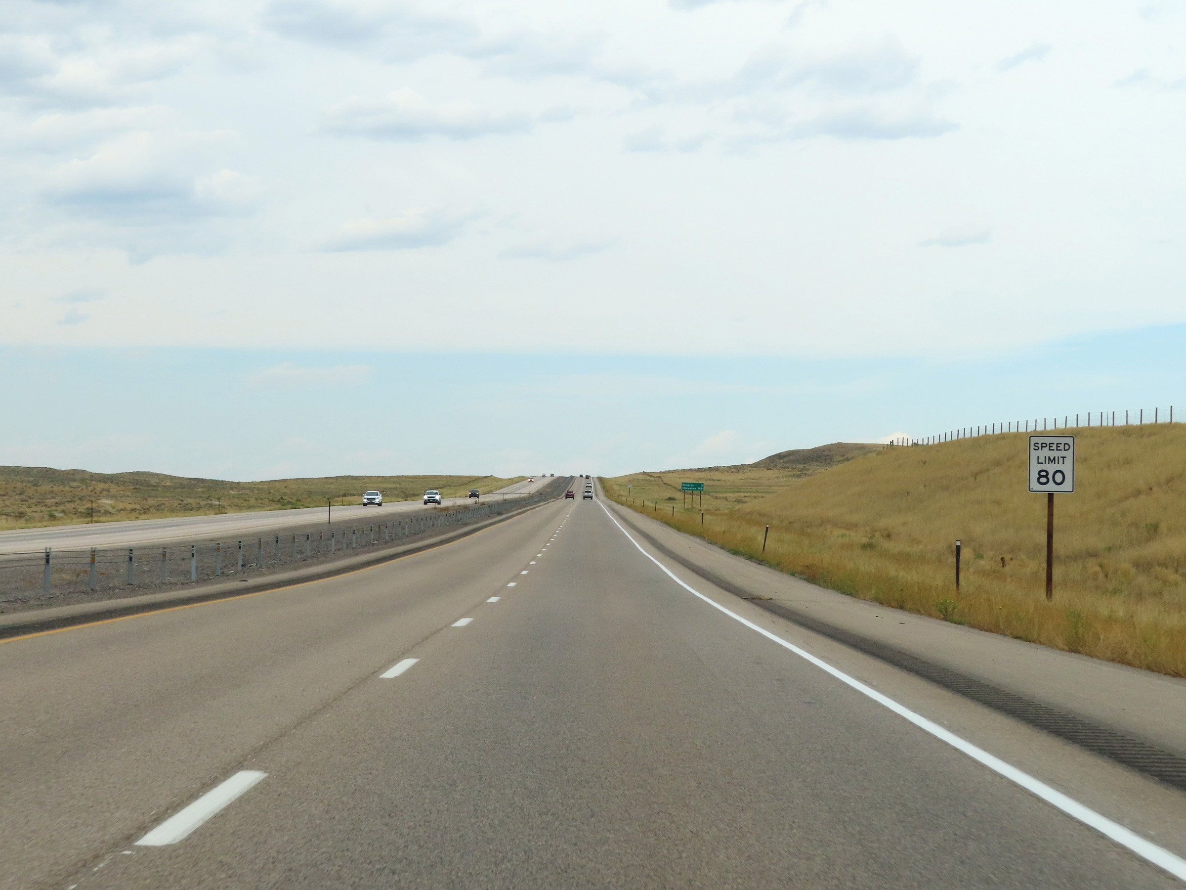
The speed limit on Interstate 25 South remains 80 mph for all traffic. (Photo taken 8/18/22). |
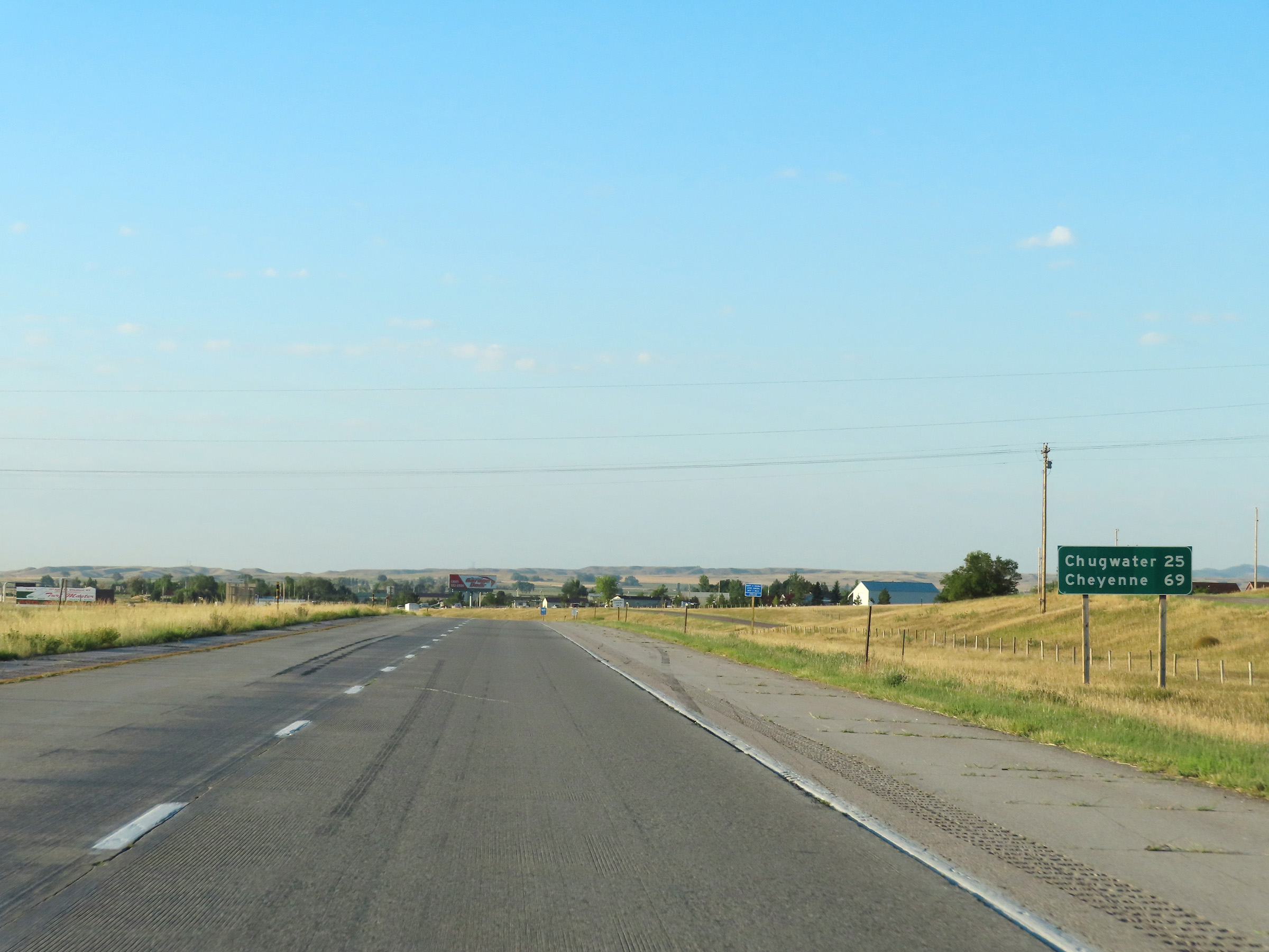 |
Mileage sign on Interstate 25 South leaving Wheatland. It's 25 miles to Chugwater and 69 miles to Cheyenne. (Photo taken 8/18/22). |
 |
Interstate 25 South at mile marker 76. (Photo taken 8/18/22). |
 |
Interstate 25 South at mile marker 75. (Photo taken 8/18/22). |
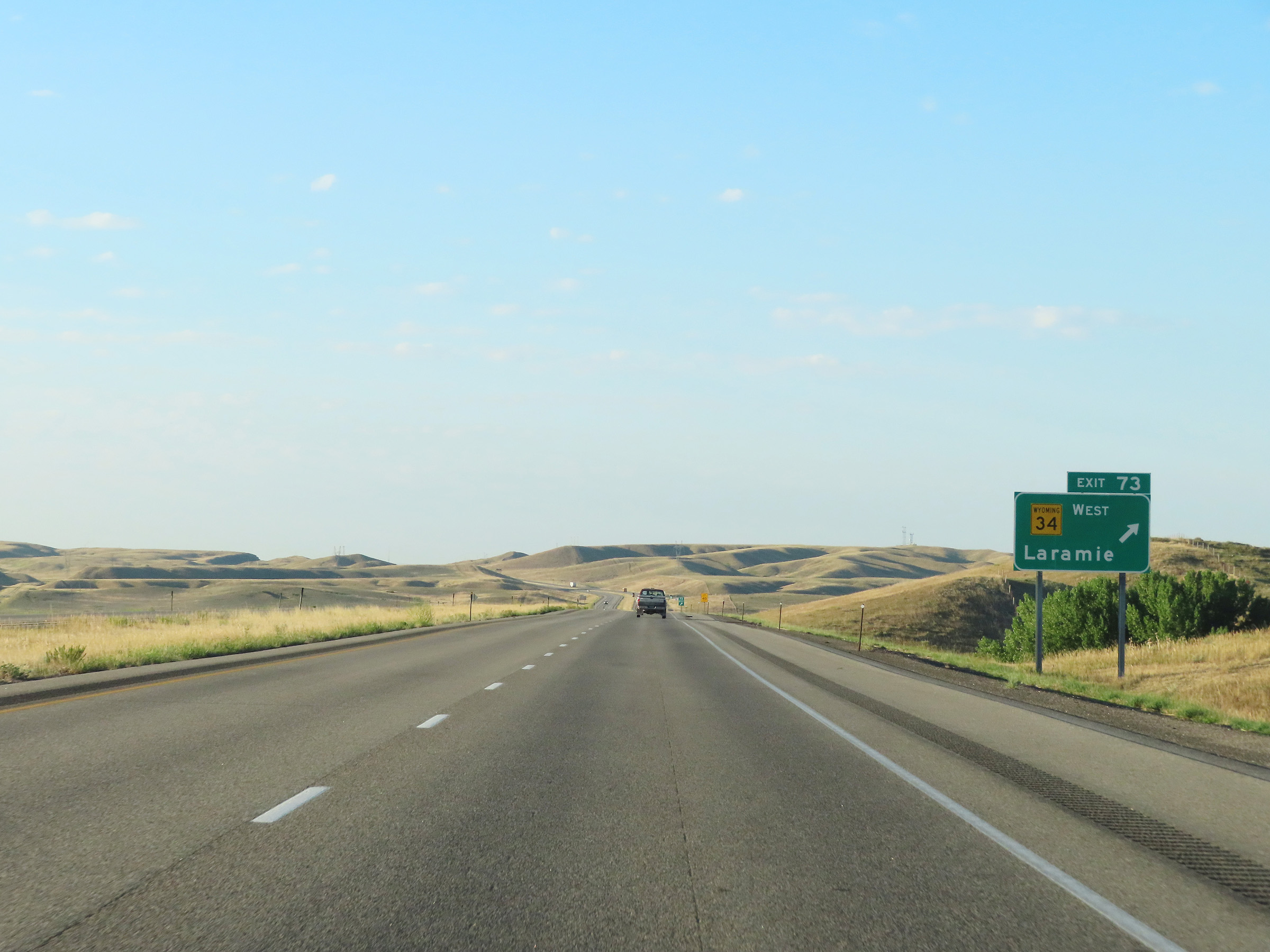 |
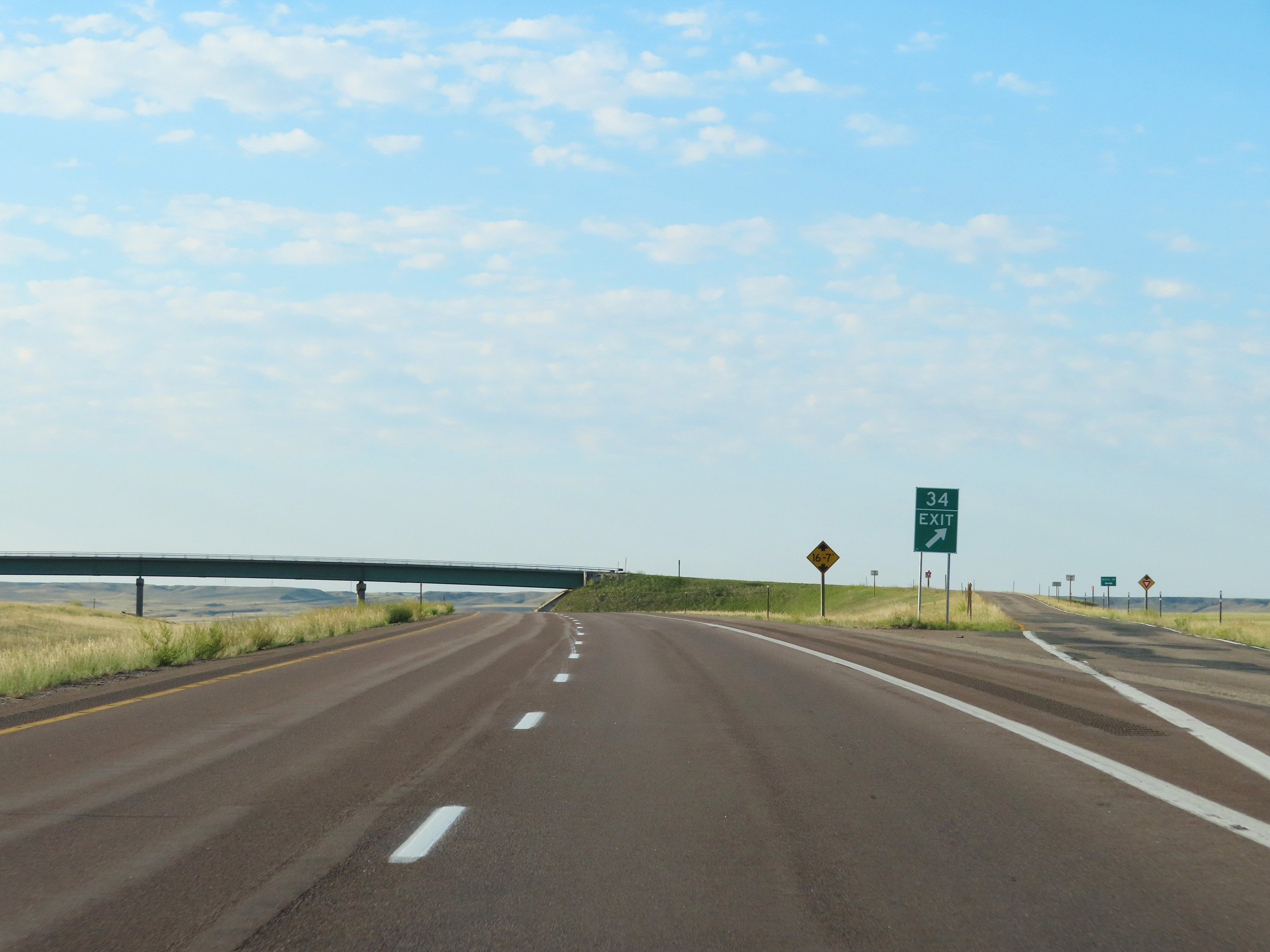
Interstate 25 South at Exit 73: WY 34 West - Laramie (Photo taken 8/18/22). |
 |
Interstate 25 South approaching Exit 70 - 1/4 mile. (Photo taken 8/18/22). |
 |
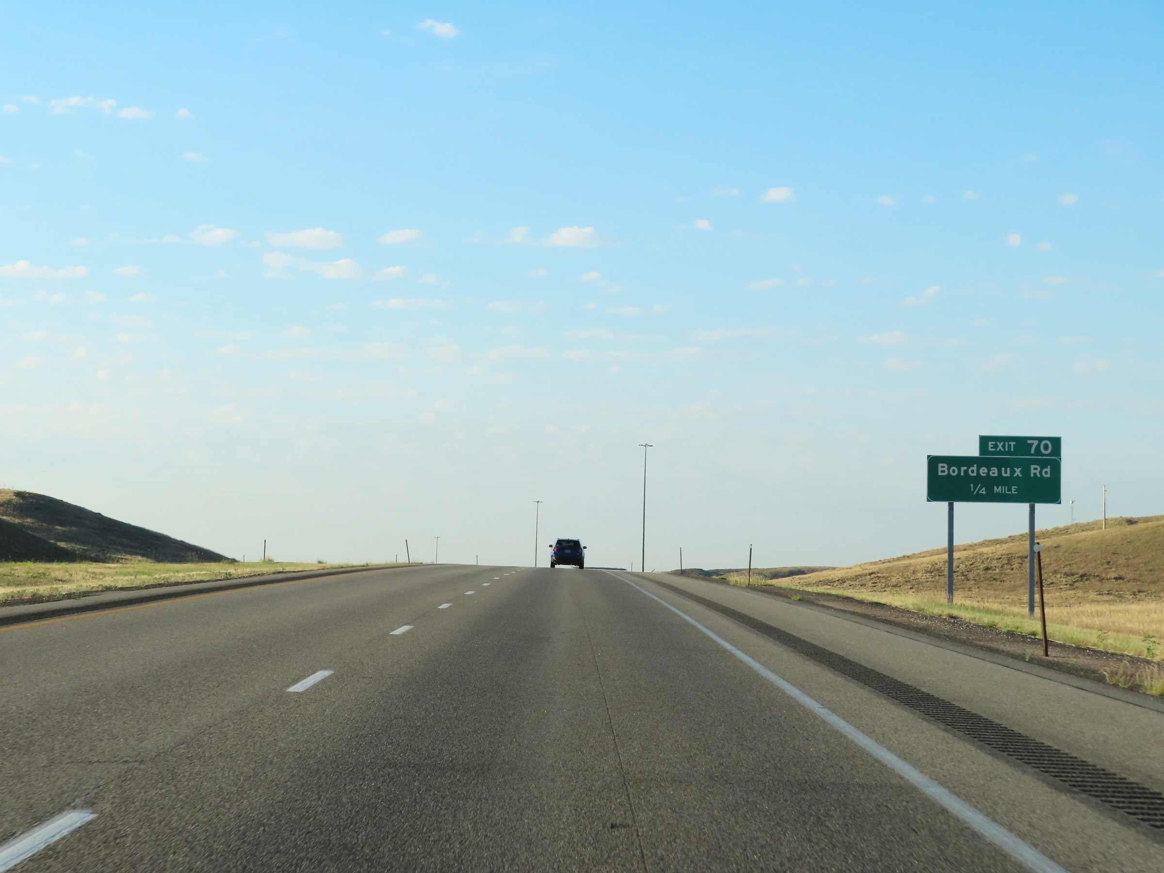
Interstate 25 South at Exit 70: Bordeaux Rd (Photo taken 8/18/22). |
 |
State-named Interstate 25 South reassurance shield in Platte County. (Photo taken 8/18/22). |
 |
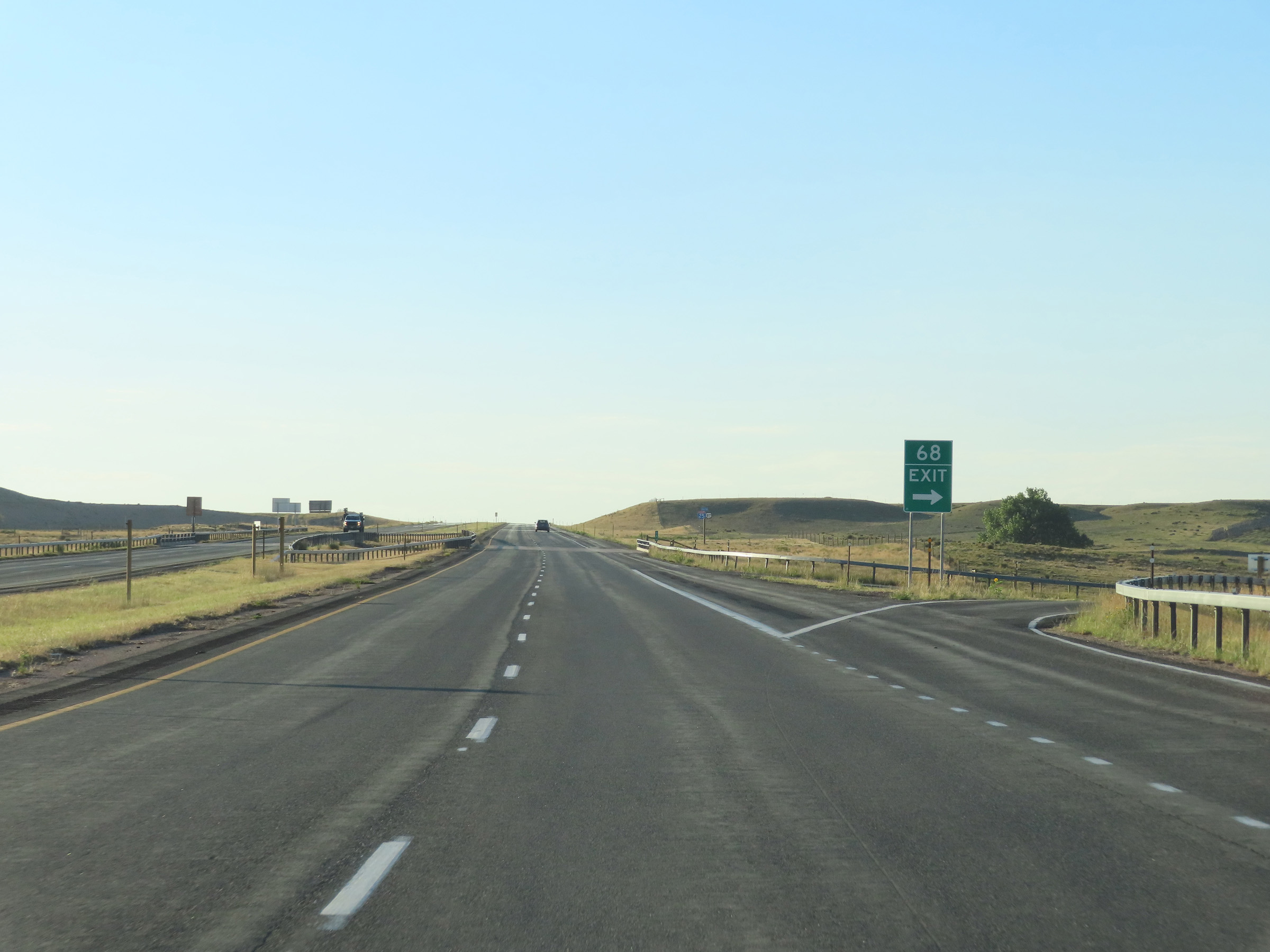
Interstate 25 South approaching Exit 68 - 1/4 mile. (Photo taken 8/18/22). |
 |
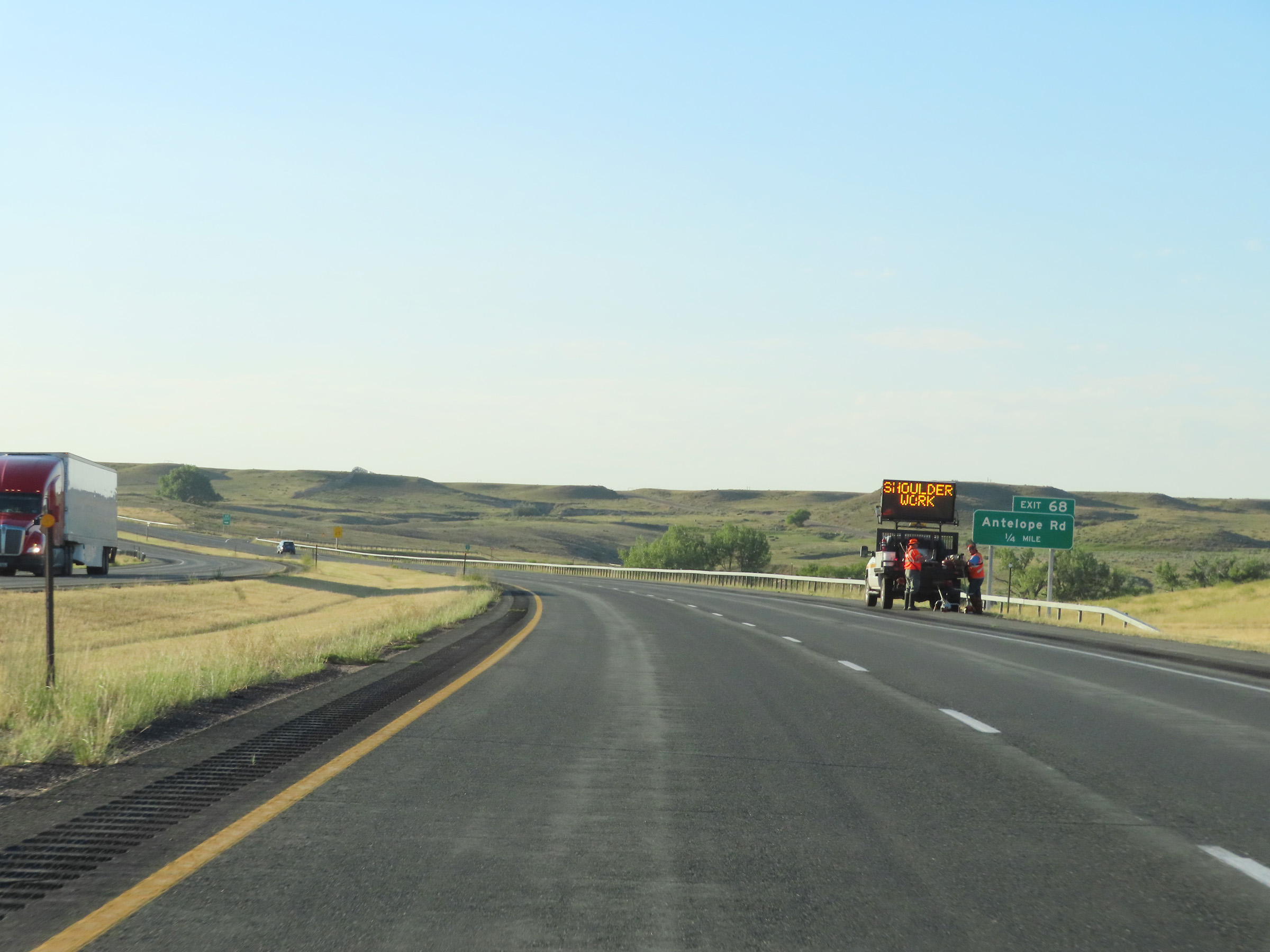
Interstate 25 South at Exit 68: Antelope Rd (Photo taken 8/18/22). |
 |
View on Interstate 25 South at mile marker 67. (Photo taken 8/18/22). |
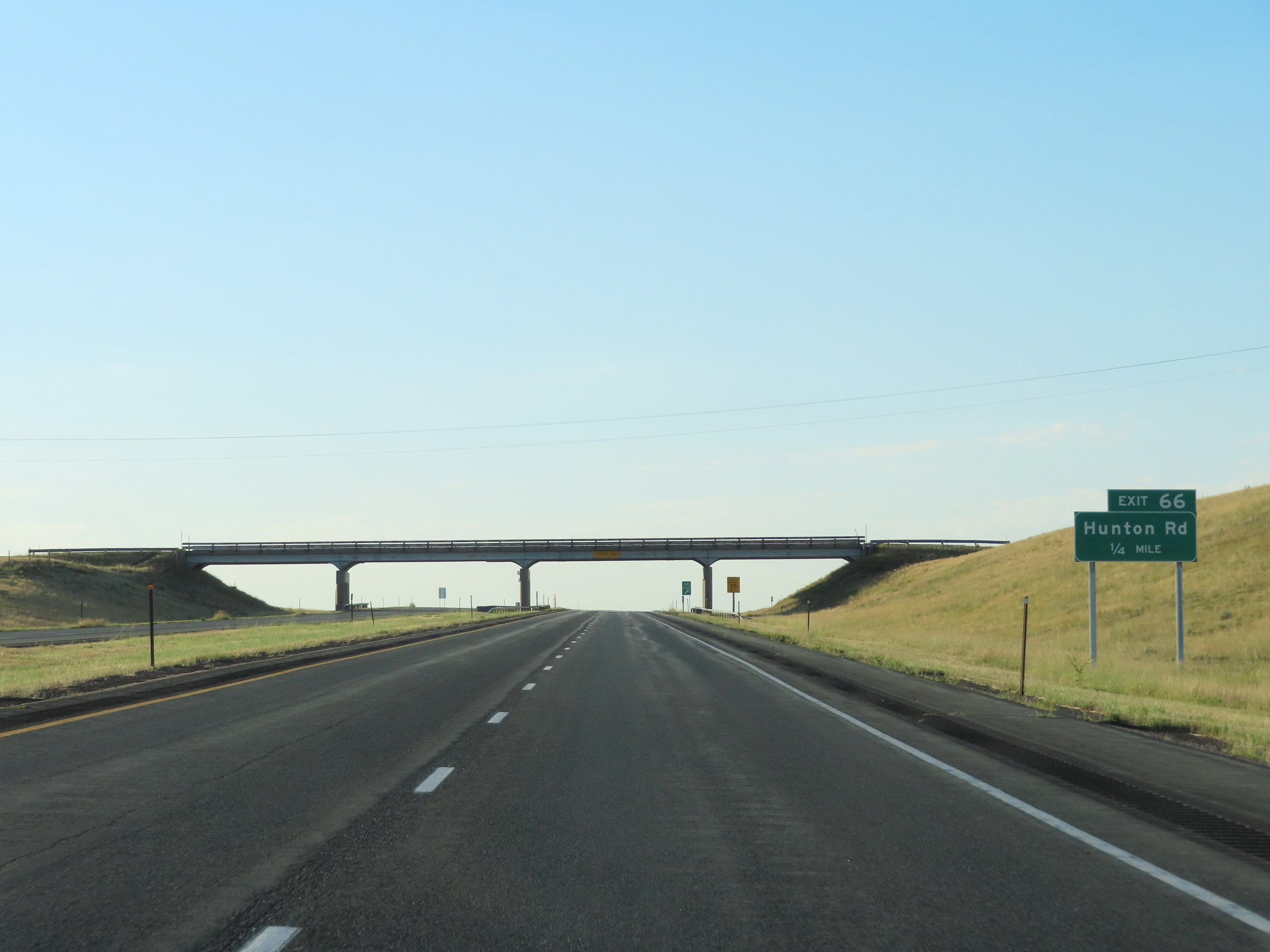 |
Interstate 25 South approaching Exit 66 - 1/4 mile. (Photo taken 8/18/22). |
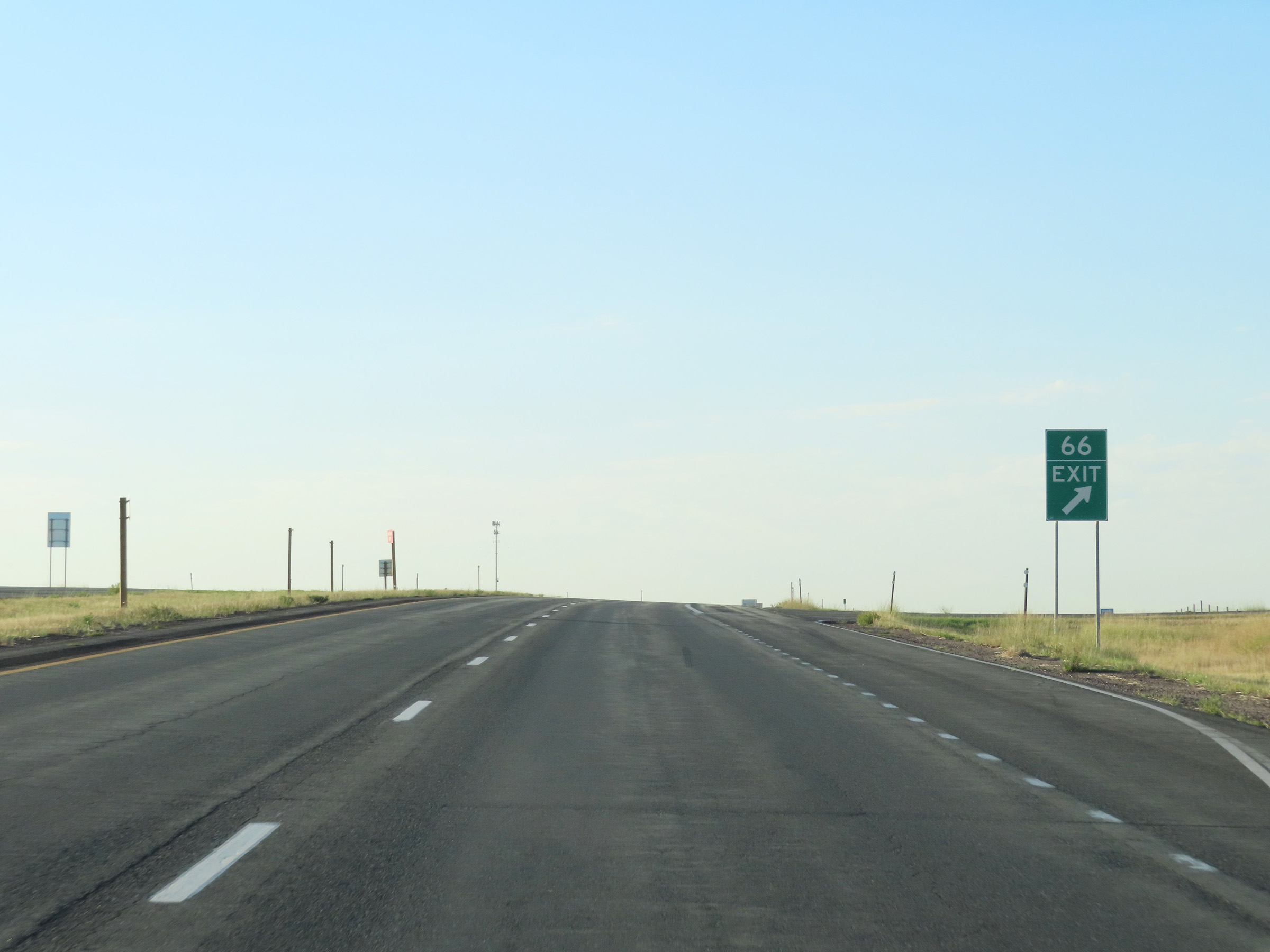 |
Interstate 25 South at Exit 66: Hunton Rd (Photo taken 8/18/22). |
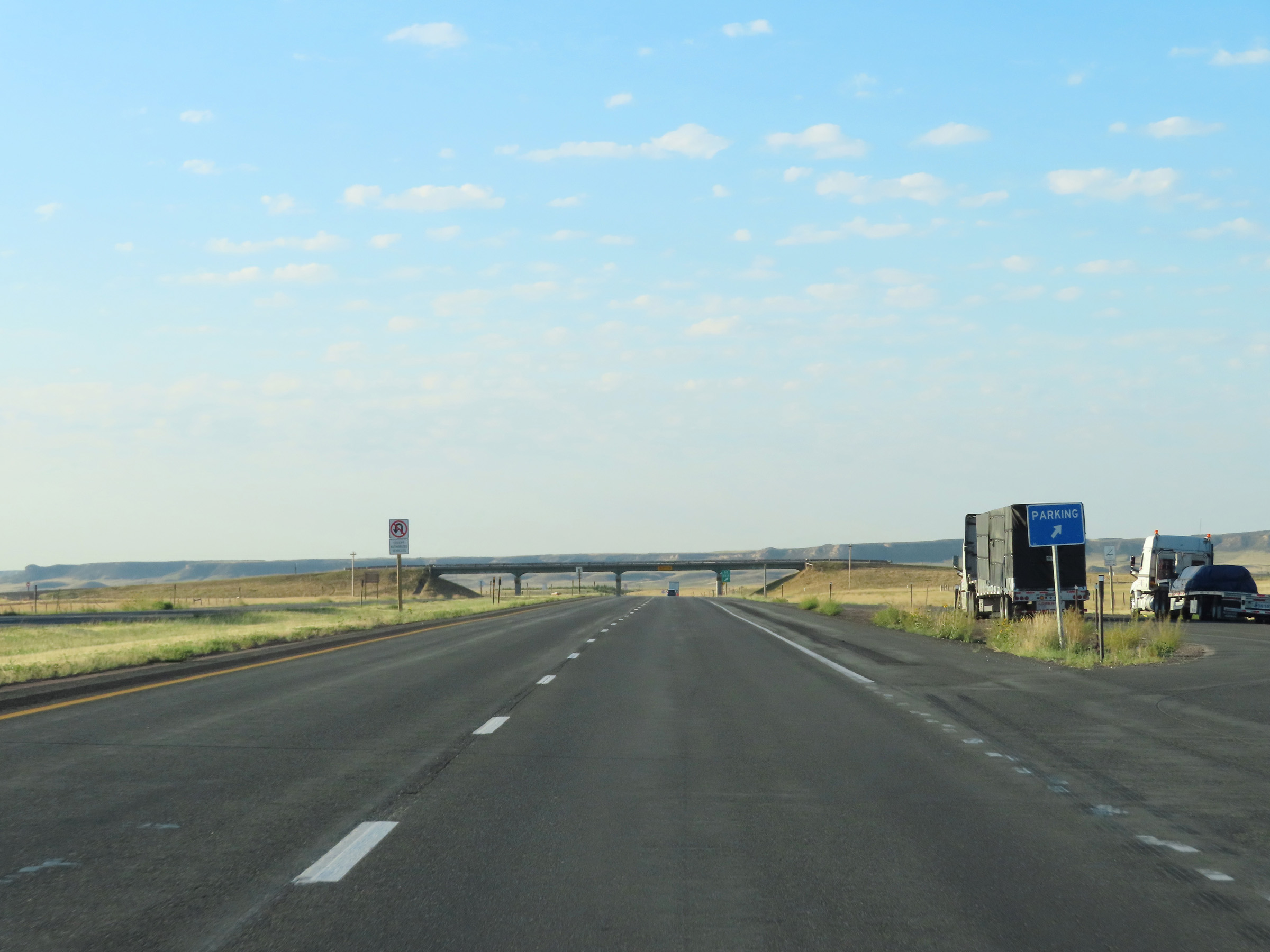 |
Parking Area on Interstate 25 South in Platte County. (Photo taken 8/18/22). |
 |
Interstate 25 South at Exit 65: WY 314 - Slater Rd (Photo taken 8/18/22). |
 |
Mile marker 62 on Interstate 25 South in Platte County. (Photo taken 8/18/22). |
 |
View on Interstate 25 South at mile marker 61. You can see a lot of snow fencing installed here, as it is subject to strong, blinding winds in the winter months. (Photo taken 8/18/22). |
 |
Interstate 25 South at mile marker 60. (Photo taken 8/18/22). |
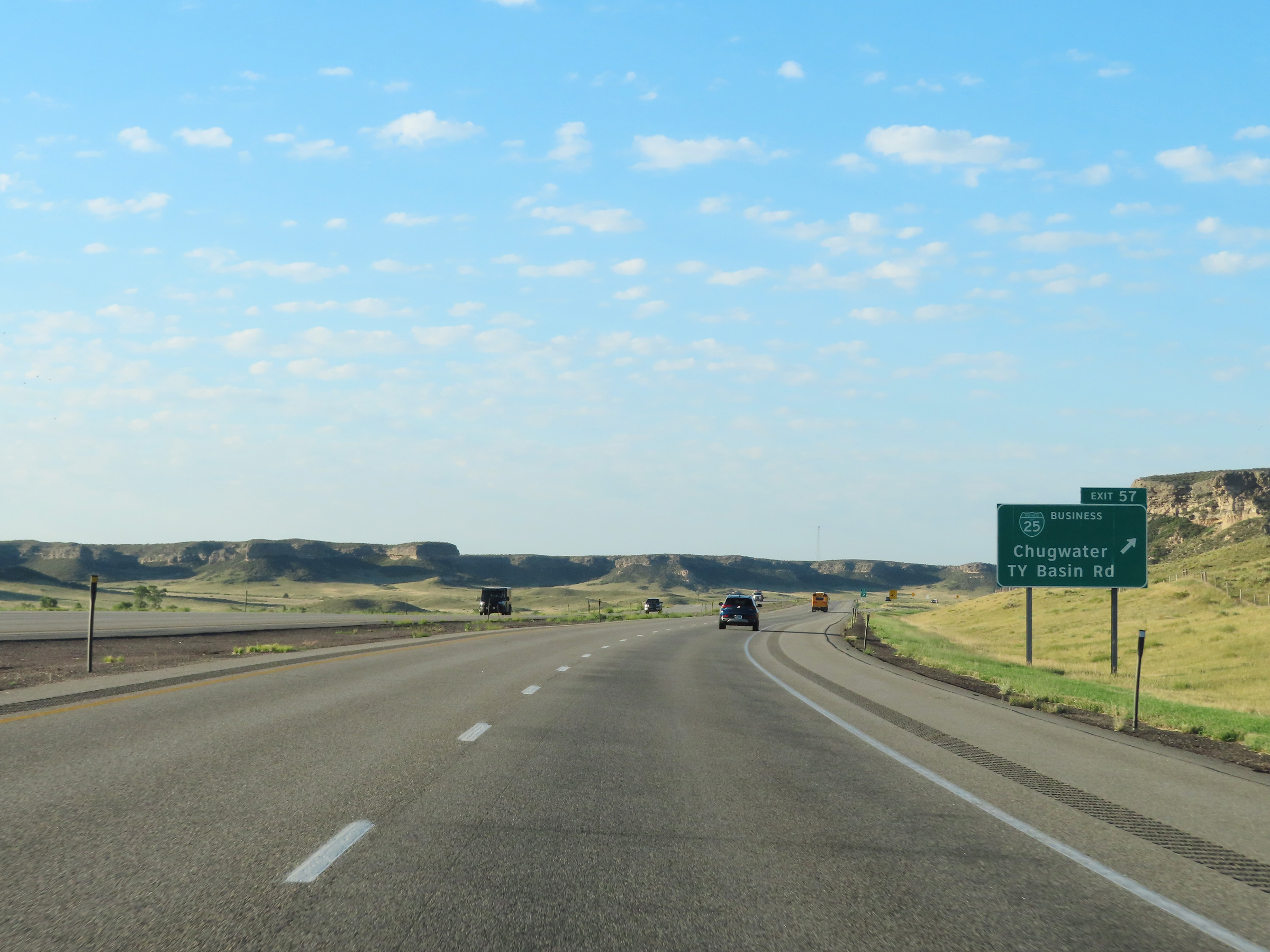 |
Interstate 25 South at Exit 57: Interstate 25 Business Loop - Chugwater / TY Basin Rd (Photo taken 8/18/22). |
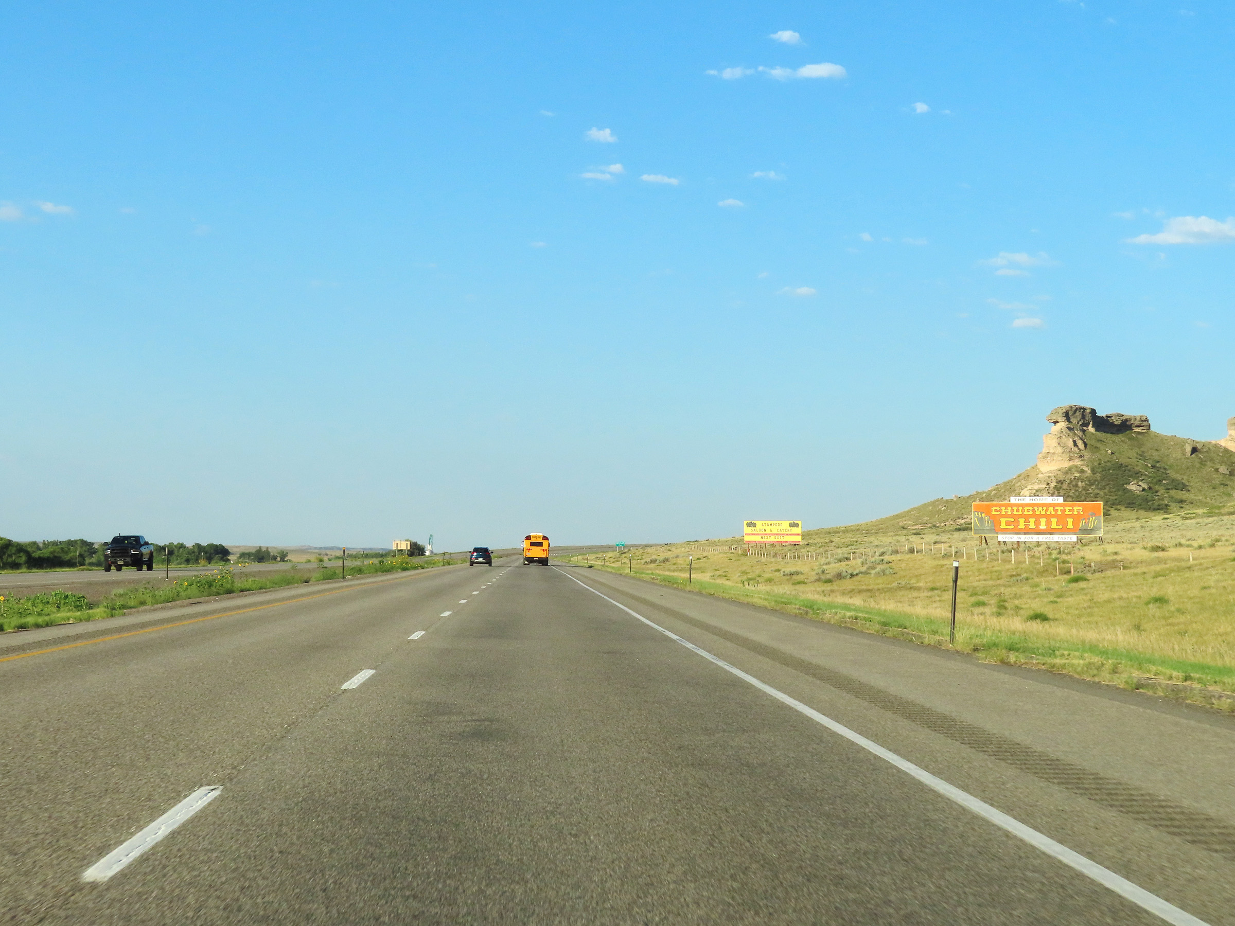 |
View on Interstate 25 South in Chugwater, Platte County. (Photo taken 8/18/22). |
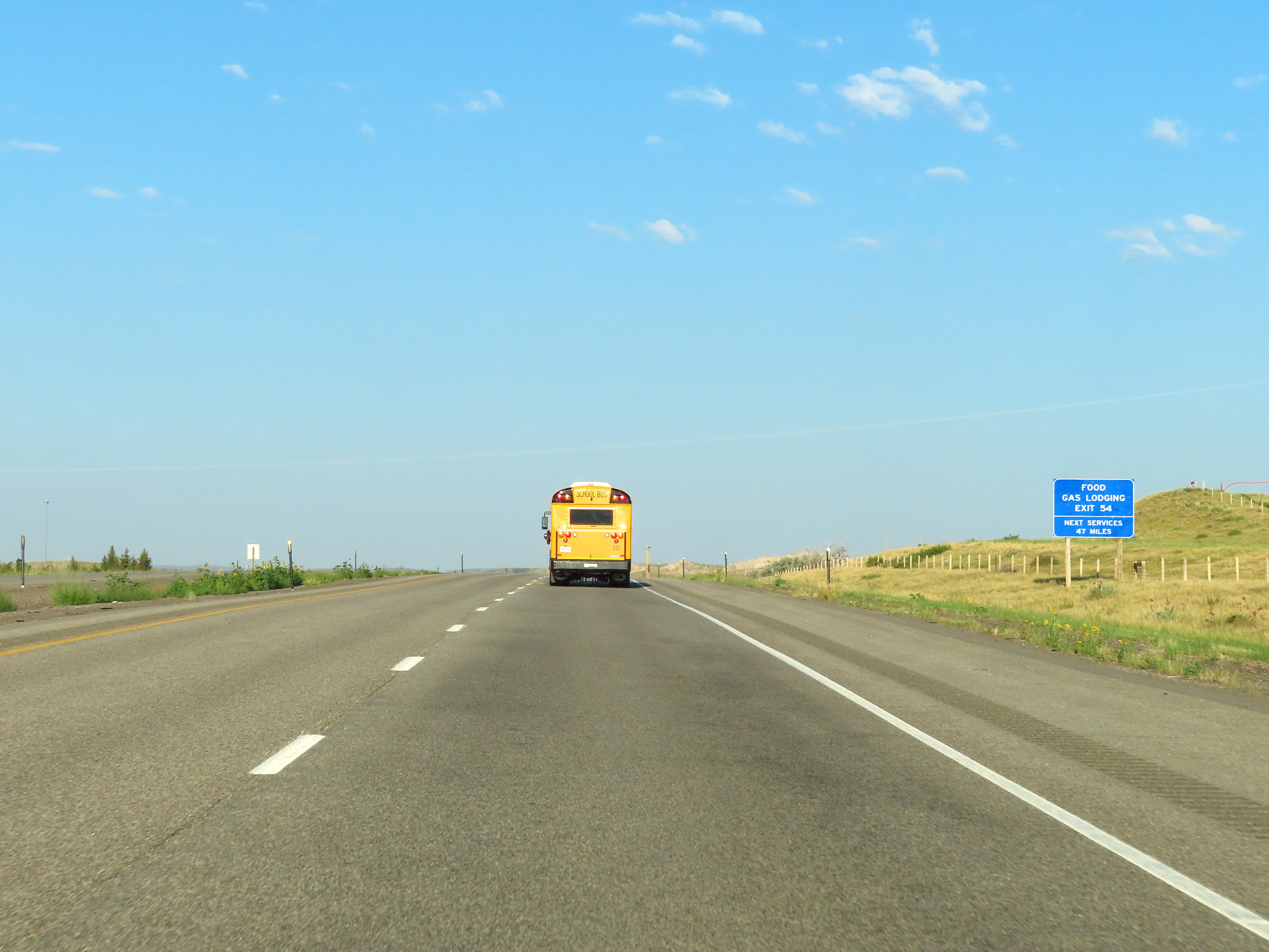 |
The next services on Interstate 25 South beyond Exit 54 are 47 miles ahead. (Photo taken 8/18/22). |
 |
A Rest Area exists off Exit 54 ahead. (Photo taken 8/18/22). |
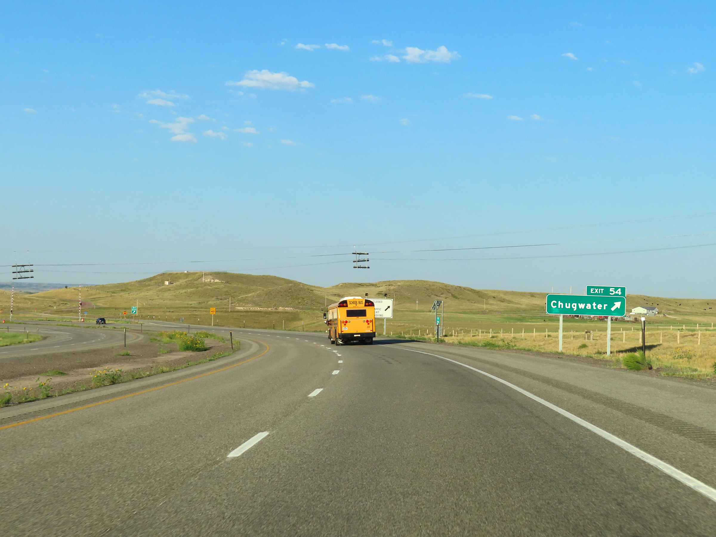 |
Interstate 25 South at Exit 54: Chugwater (Photo taken 8/18/22). |
 |
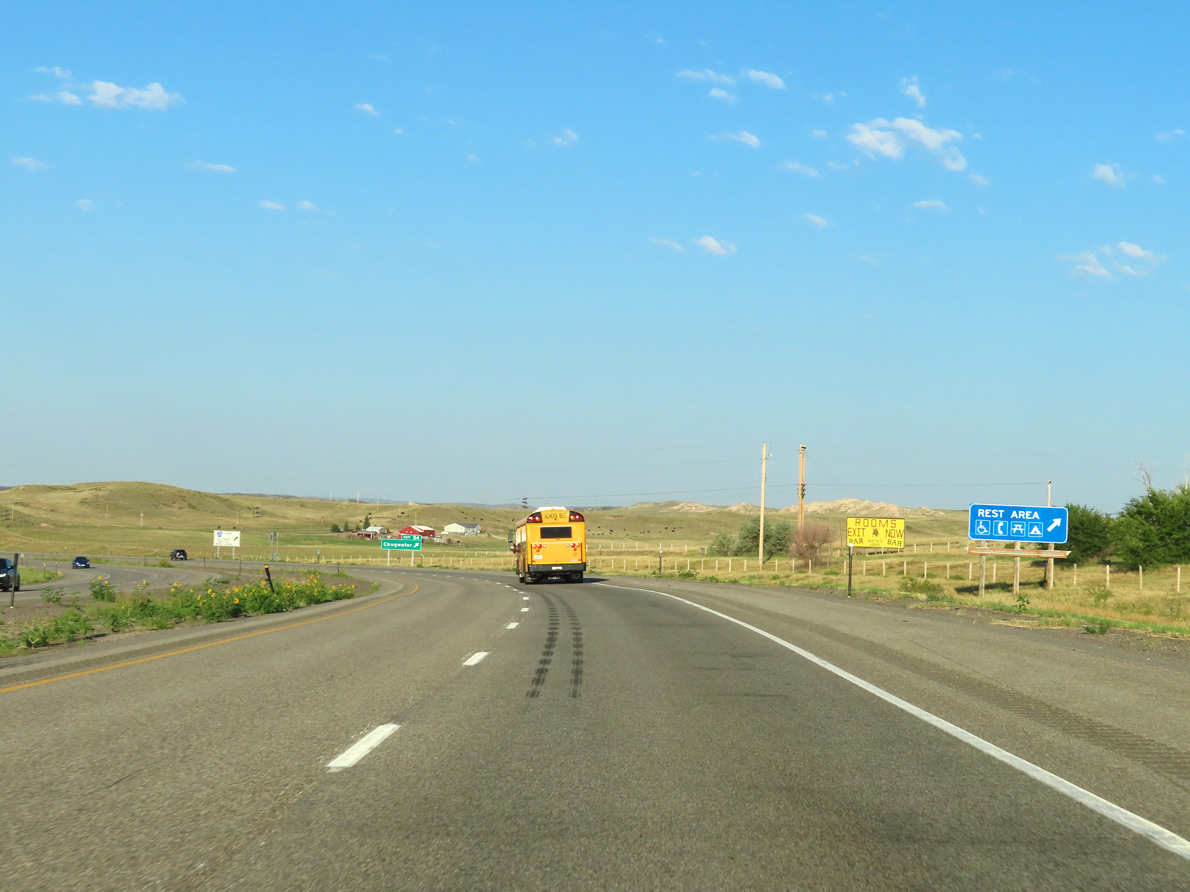
Another state-named Interstate 25 South reassurance shield in Platte County. (Photo taken 8/18/22). |
 |
Mileage sign on Interstate 25 South. It's 44 miles to Cheyenne and 144 miles to Denver. (Photo taken 8/18/22). |
 |
View on Interstate 25 South at mile marker 53. (Photo taken 8/18/22). |
 |
Interstate 25 South at mile marker 52. (Photo taken 8/18/22). |
 |
Mile marker 50 on Interstate 25 South in Platte County. (Photo taken 8/18/22). |
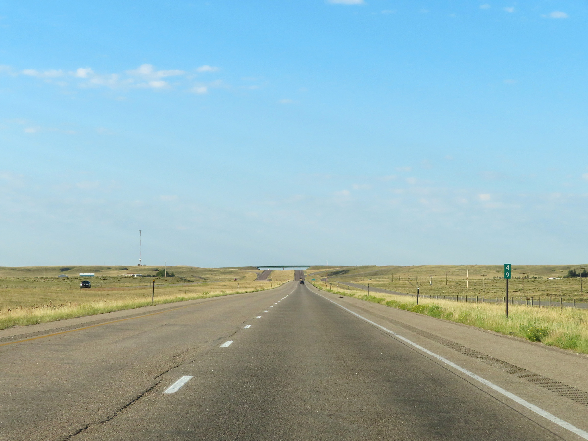 |
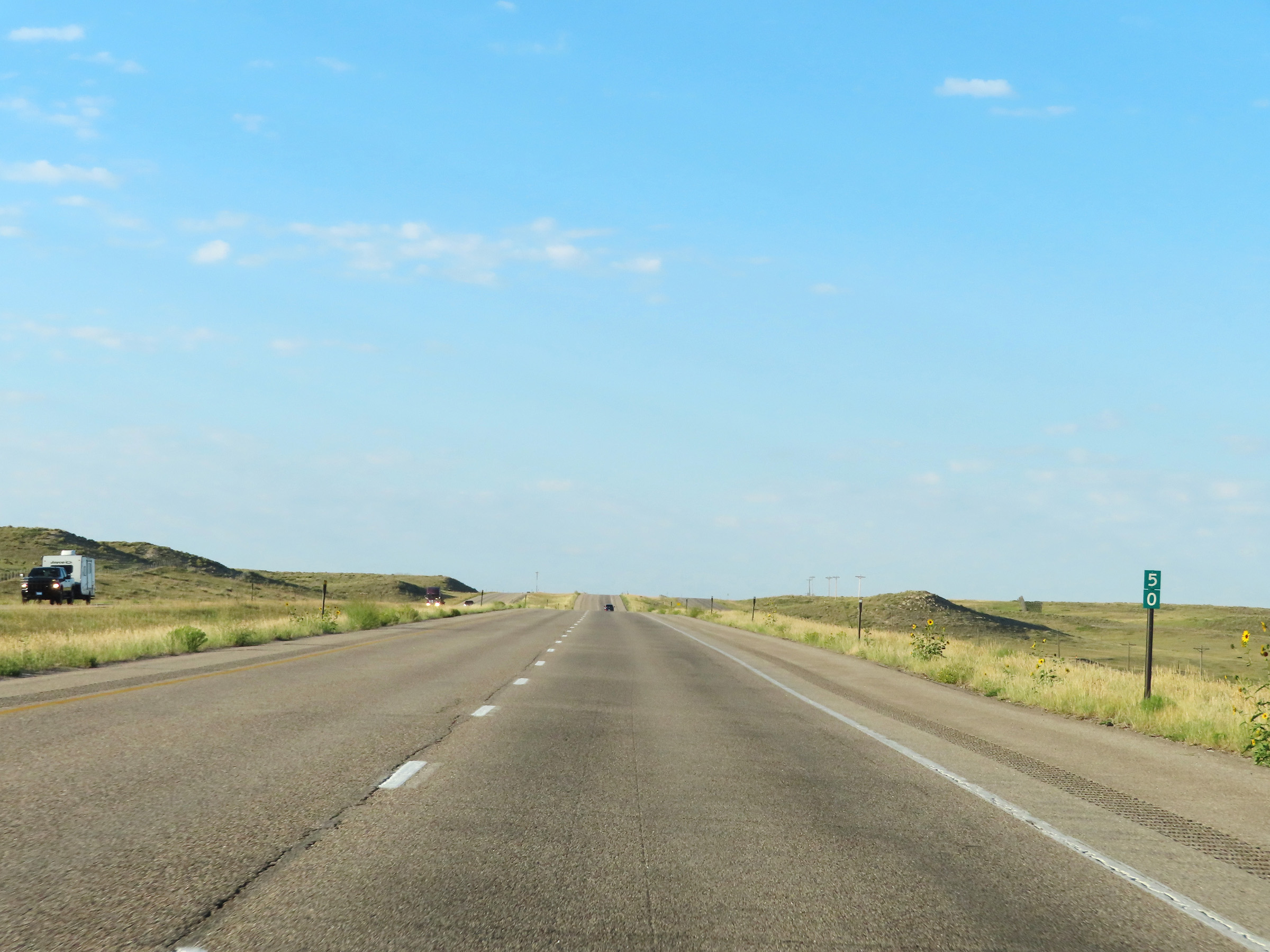
Interstate 25 South at mile marker 49. (Photo taken 8/18/22). |
 |
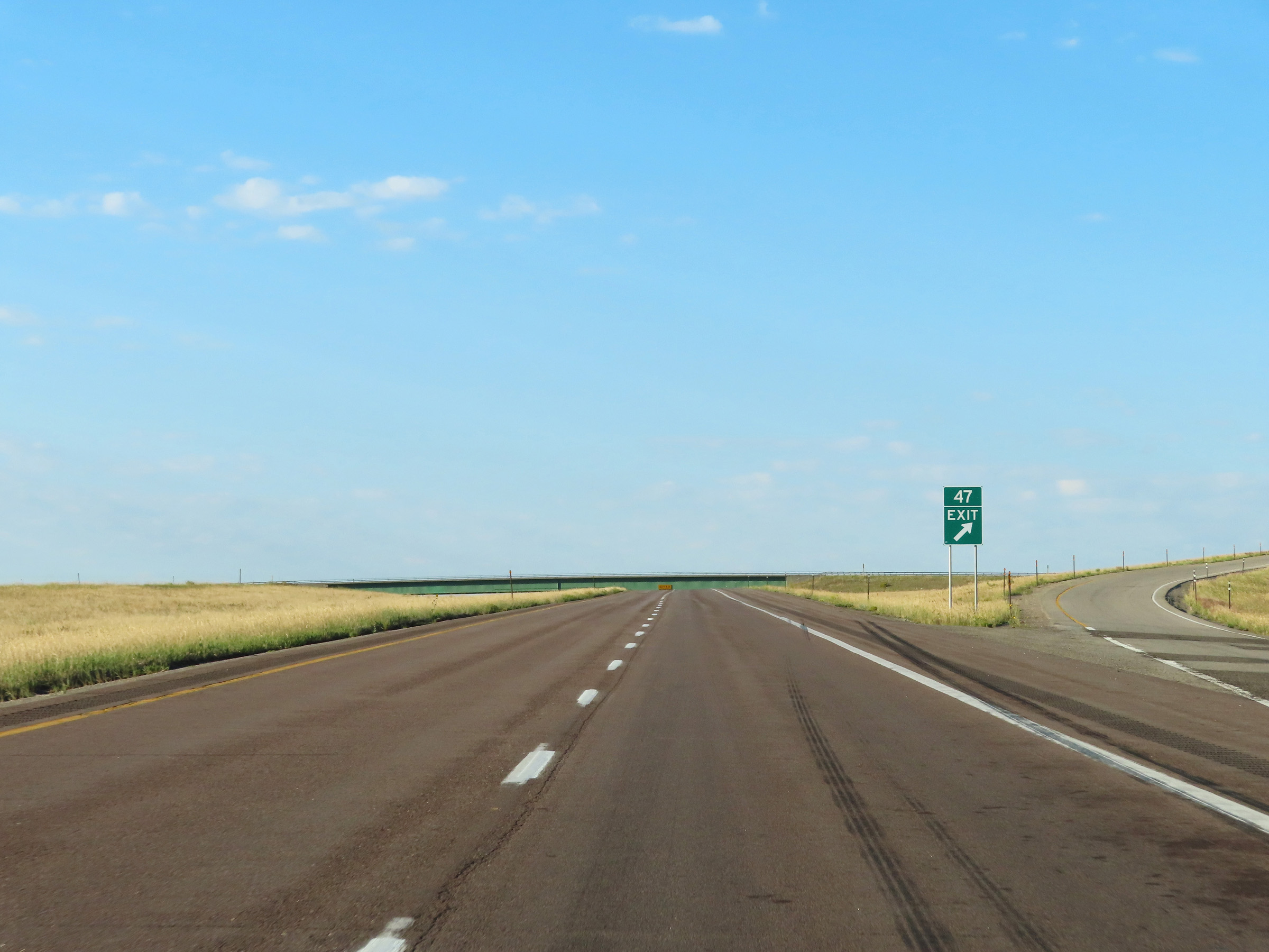
Interstate 25 South approaching Exit 47 - 1/4 mile. (Photo taken 8/18/22). |
 |
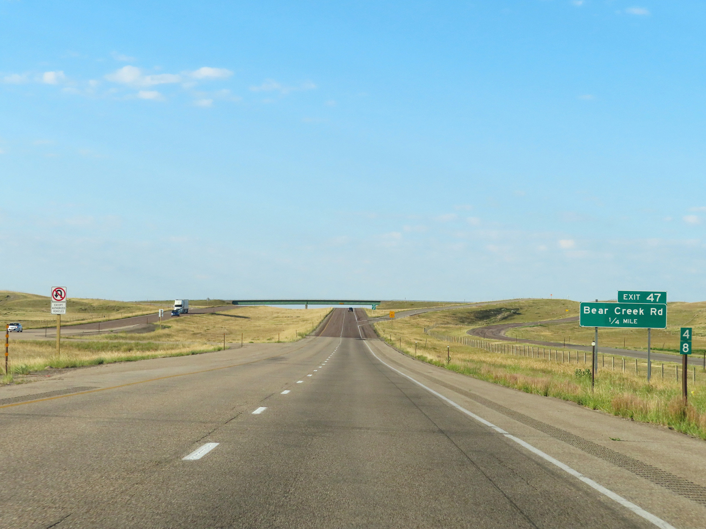
Interstate 25 South at Exit 47: Bear Creek Rd (Photo taken 8/18/22). |
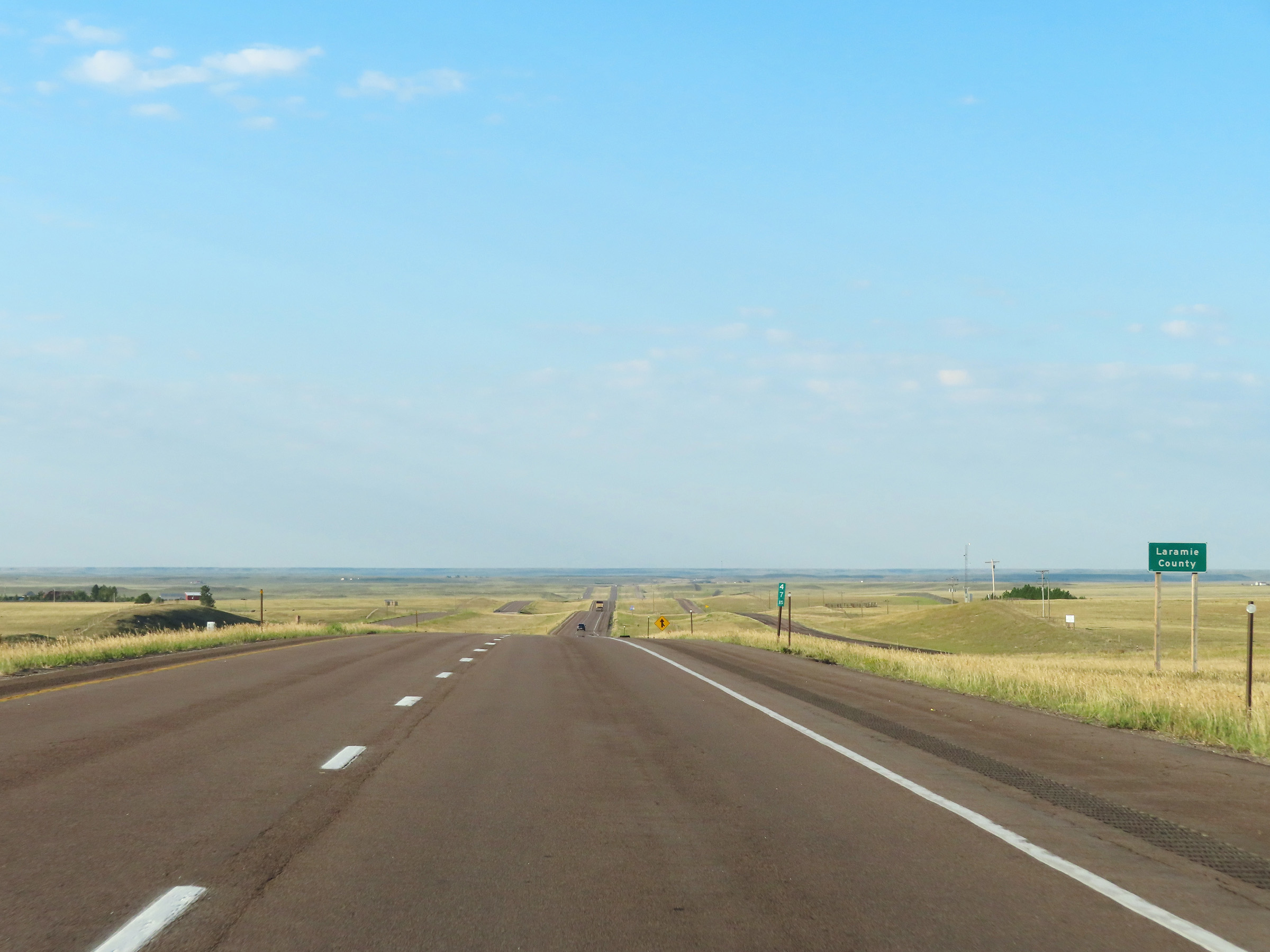 |
At mile marker 47.15, Interstate 25 South enters Laramie County. (Photo taken 8/18/22). |
 |
Interstate 25 South at mile marker 46. (Photo taken 8/18/22). |
 |
View on Interstate 25 South at mile marker 44. (Photo taken 8/18/22). |
 |
Mile marker 42 on Interstate 25 South in Laramie County. (Photo taken 8/18/22). |
 |
Interstate 25 South at mile marker 41. (Photo taken 8/18/22). |
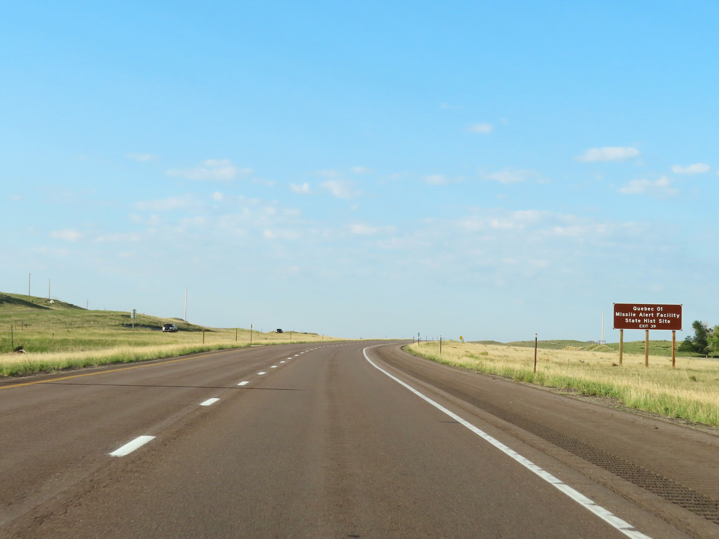 |
Take Exit 29 to Quebec 01 Missile Alert Facility State Historic Site. (Photo taken 8/18/22). |
 |
View on Interstate 25 South at mile marker 40. (Photo taken 8/18/22). |
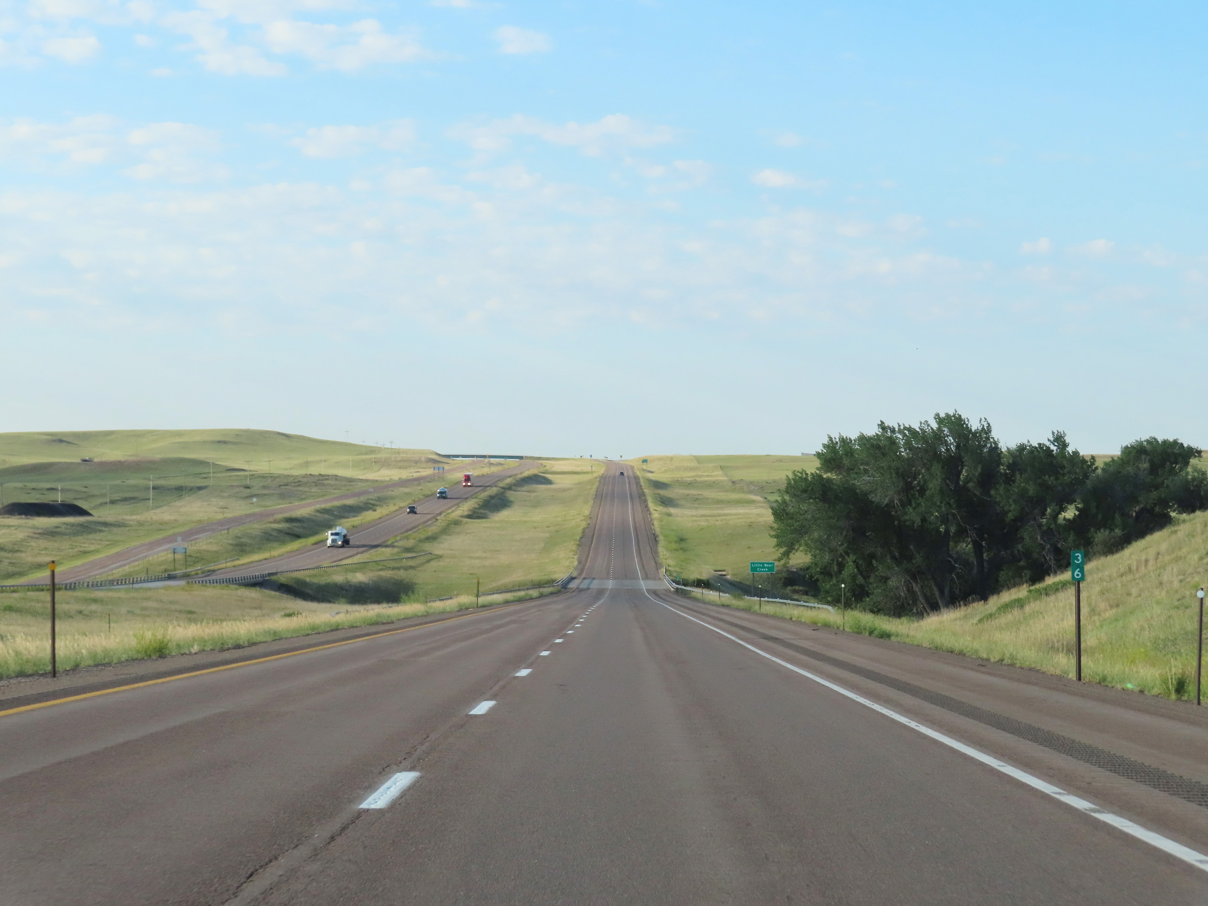
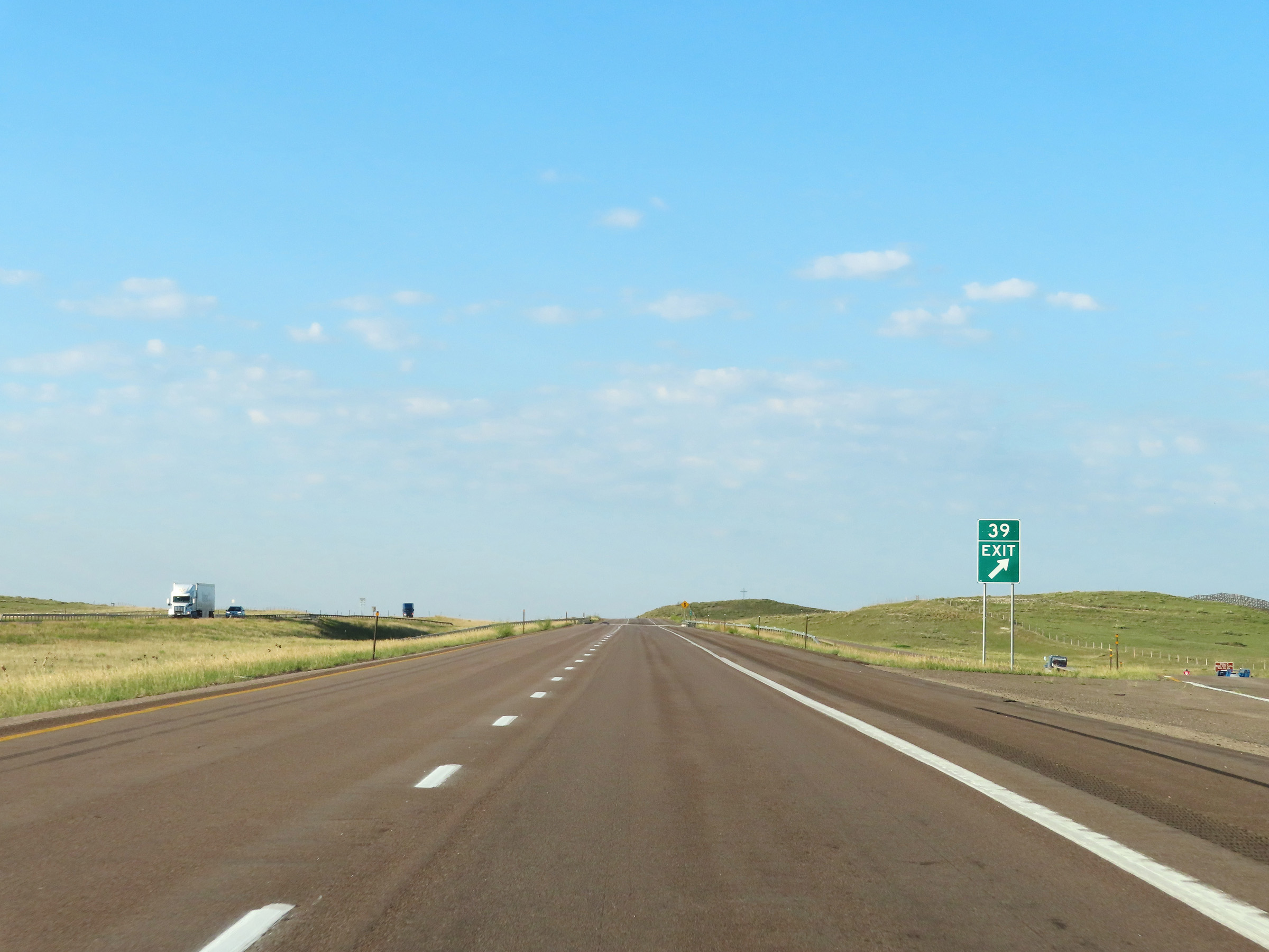 |
Interstate 25 South at Exit 39: Little Bear Community (Photo taken 8/18/22). |
 |
State-named Interstate 25 South reassurance shield in Laramie County. (Photo taken 8/18/22). |
 |
View on Interstate 25 South at mile marker 37. (Photo taken 8/18/22). |
 |
Interstate 25 South at mile marker 36. (Photo taken 8/18/22). |
 |
Interstate 25 South approaching Exit 34 - 1/4 mile. (Photo taken 8/18/22). |
 |
Interstate 25 South at Exit 34: Nimmo Rd (Photo taken 8/18/22). |
 |
The speed limit remains 80 mph on Interstate 25 South. (Photo taken 8/18/22). |
 |
Mileage sign on Interstate 25 South. It's 25 miles to Cheyenne and 125 miles to Denver. (Photo taken 8/18/22). |
 |
Interstate 25 South at mile marker 32. (Photo taken 8/18/22). |
 |
Interstate 25 South approaching Exit 29 - 1/4 mile. (Photo taken 8/18/22). |
 |
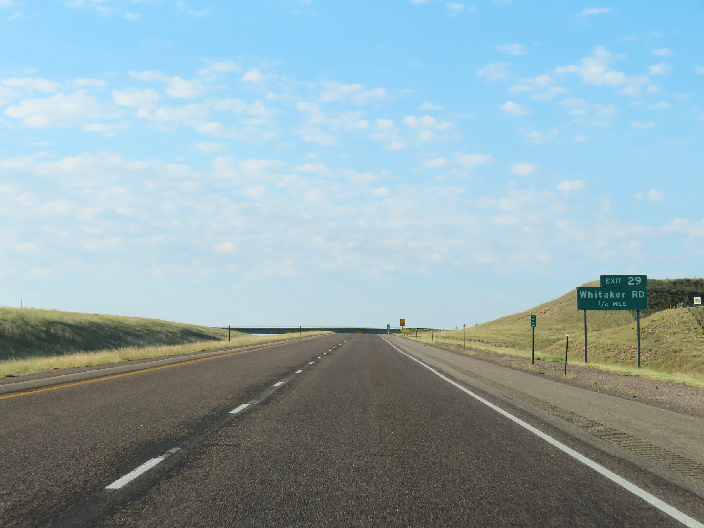
Interstate 25 South at Exit 29: Whitaker Rd (Photo taken 8/18/22). |
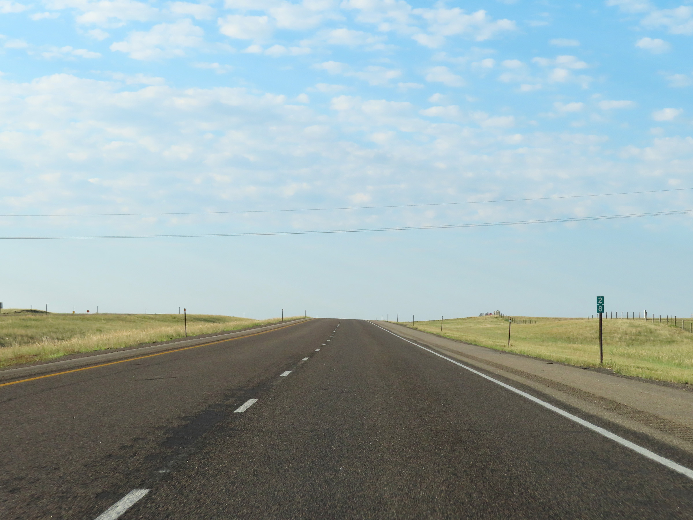 |
Mile marker 28 on Interstate 25 South in Laramie County. (Photo taken 8/18/22). |
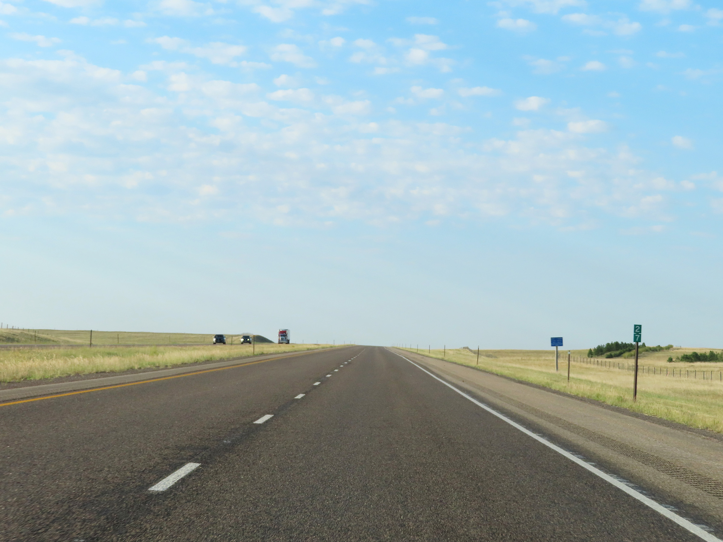 |
View on Interstate 25 South at mile marker 27. (Photo taken 8/18/22). |
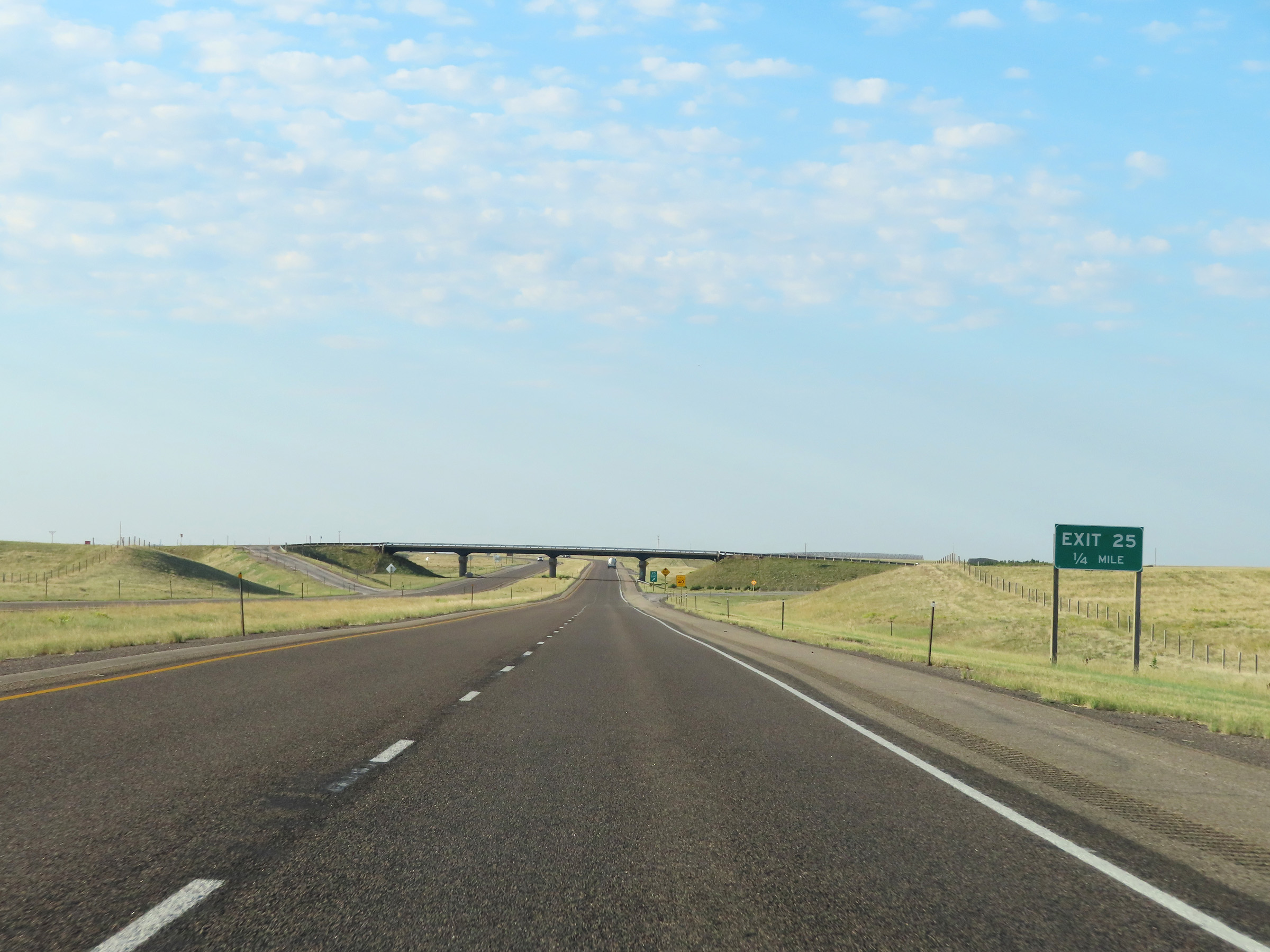 |
Interstate 25 South approaching Exit 25 - 1/4 mile. (Photo taken 8/18/22). |
 |
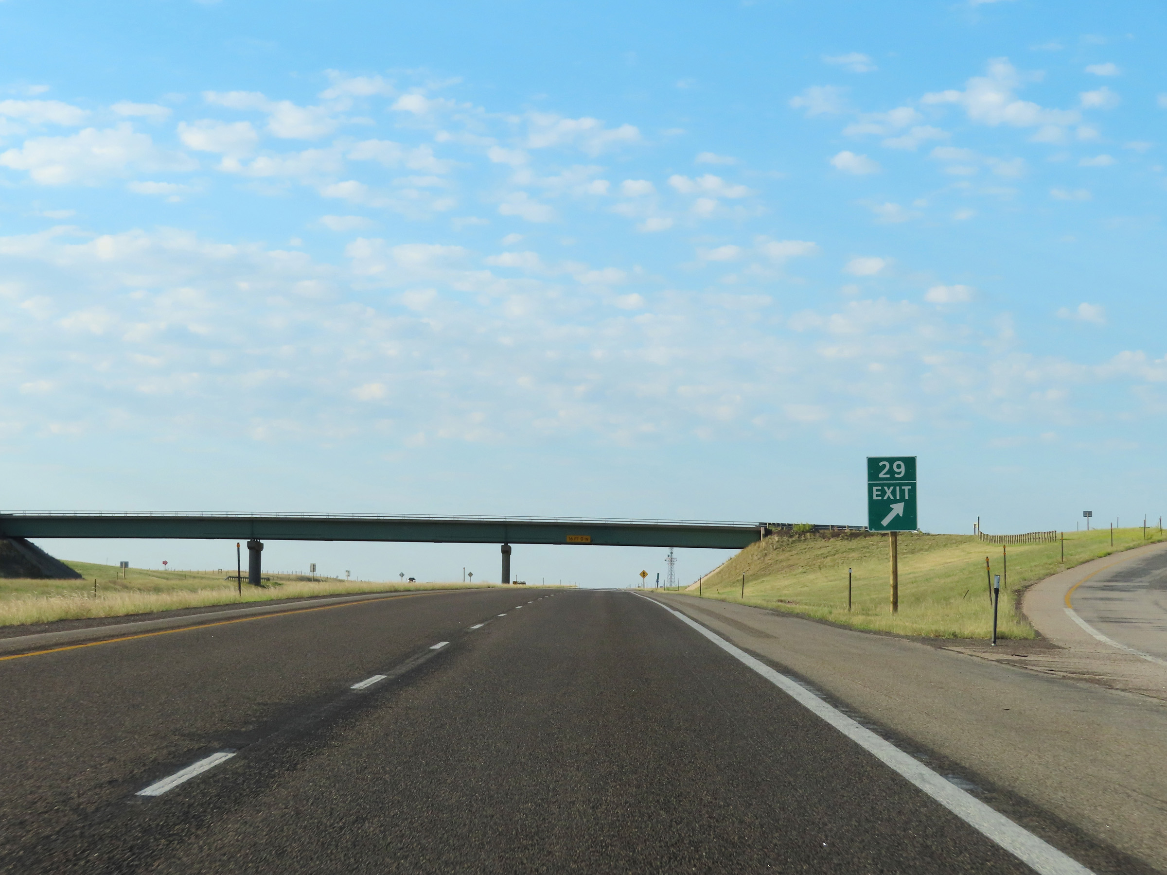
Interstate 25 South at Exit 25: (No Name) (Photo taken 8/18/22). |
 |
View on Interstate 25 South at mile marker 23. (Photo taken 8/18/22). |
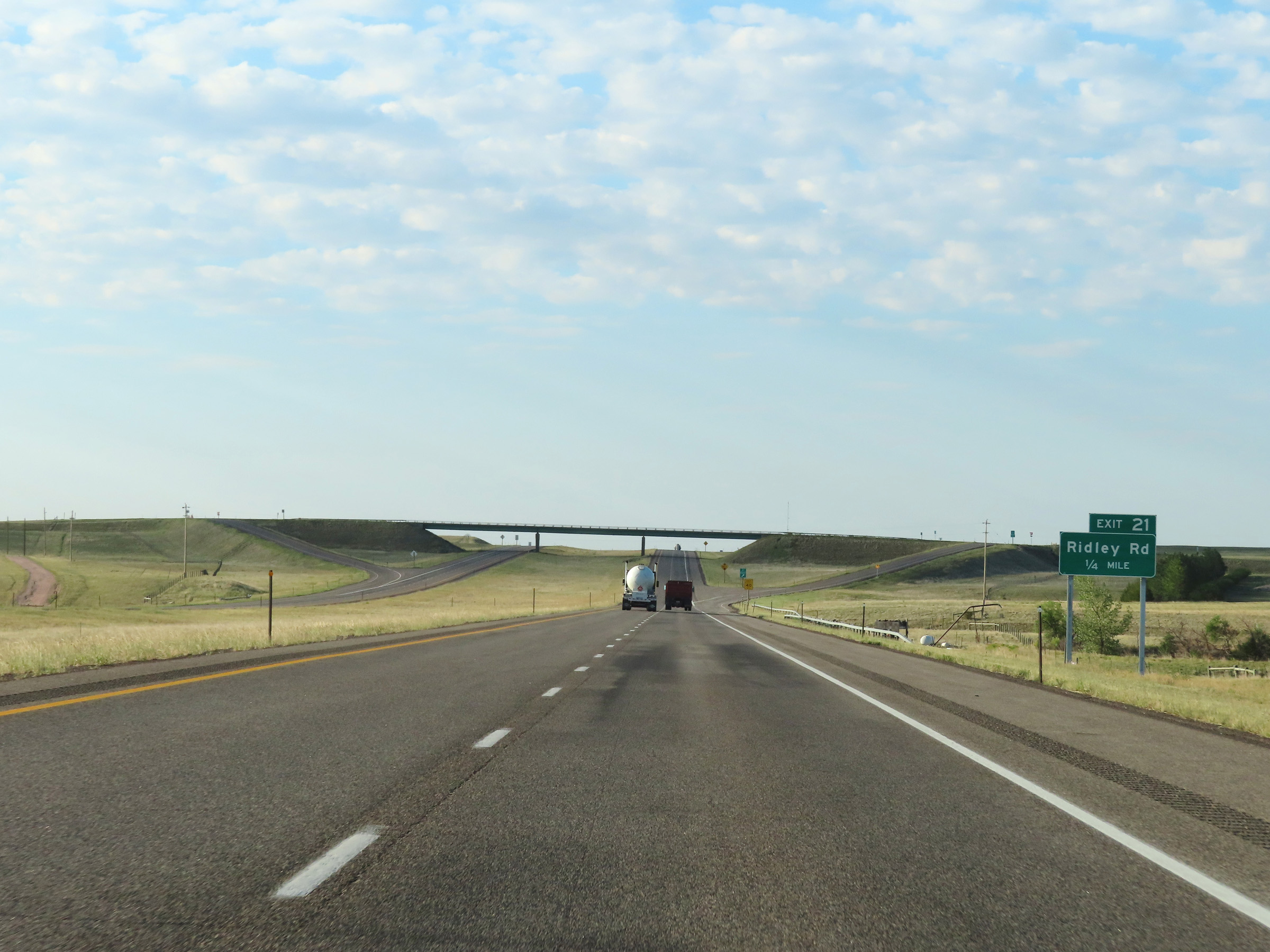 |
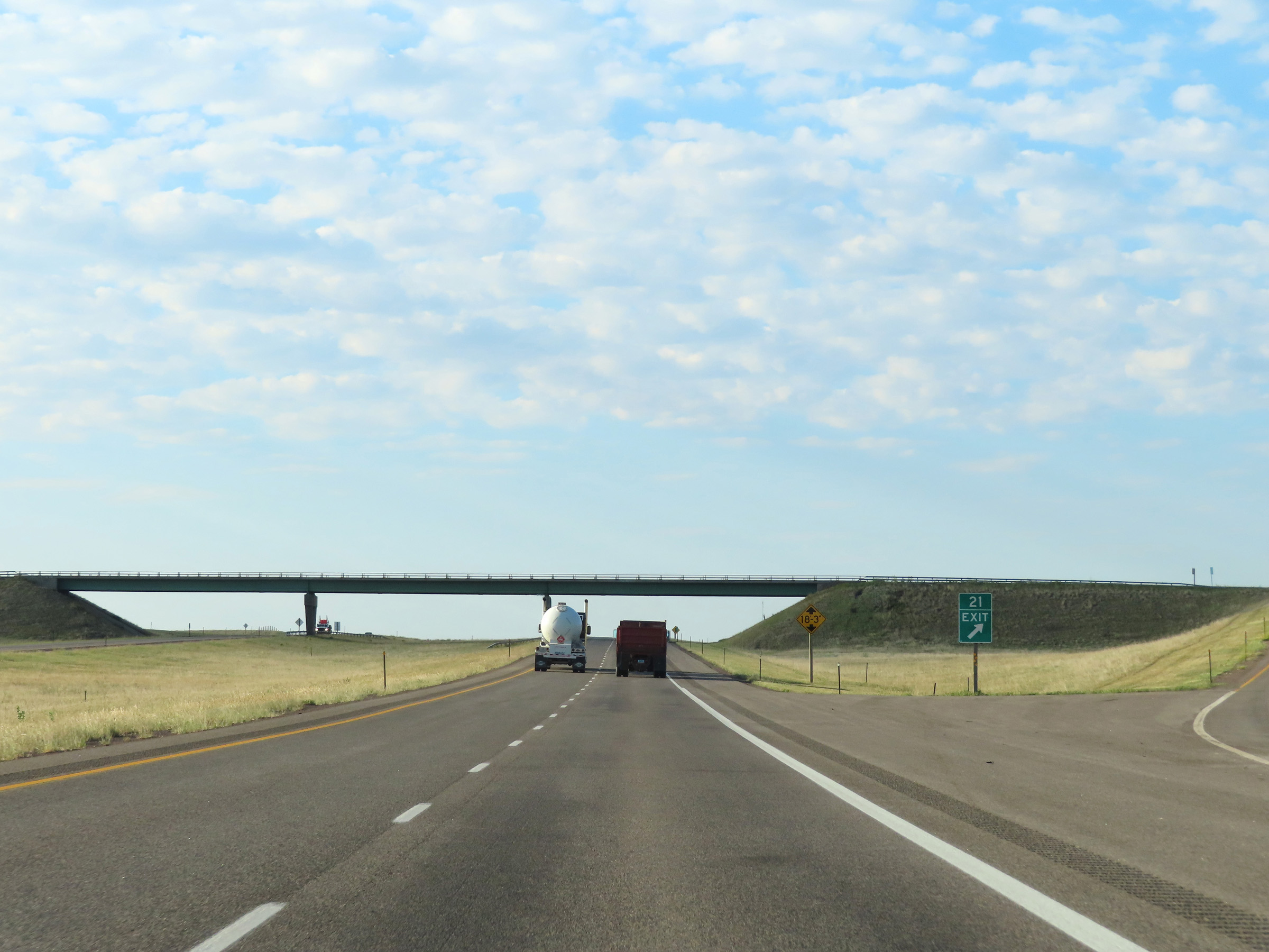
Interstate 25 South approaching Exit 21 - 1/4 mile. (Photo taken 8/18/22). |
 |
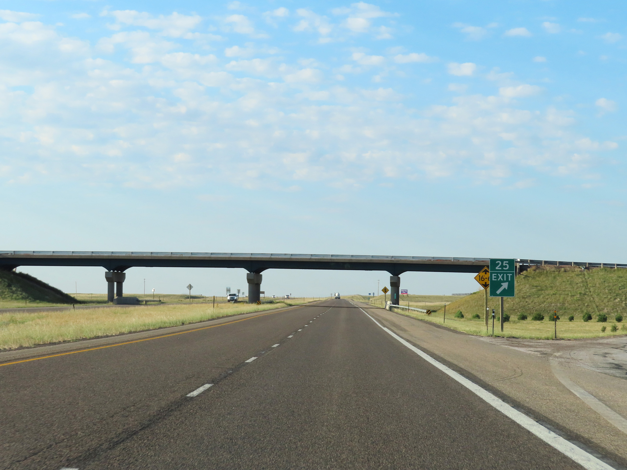
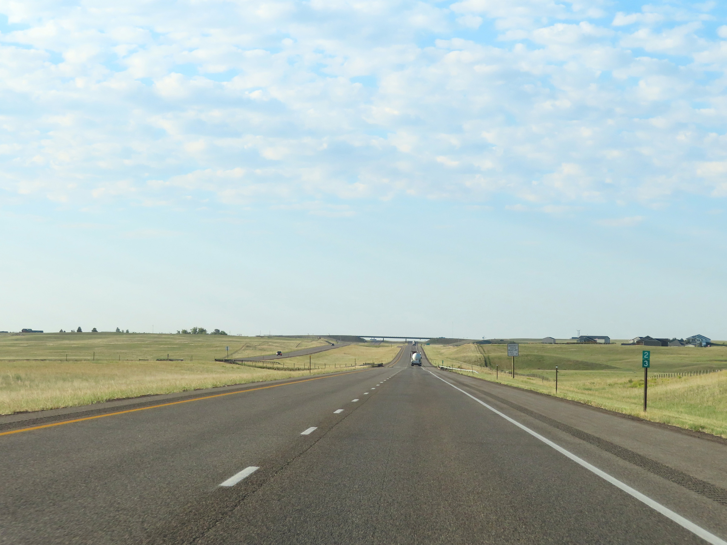
Interstate 25 South at Exit 21: Ridley Rd (Photo taken 8/18/22). |
 |
Mile marker 20 on Interstate 25 South in Laramie County. (Photo taken 8/18/22). |
 |
Interstate 25 South at mile marker 18. (Photo taken 8/18/22). |
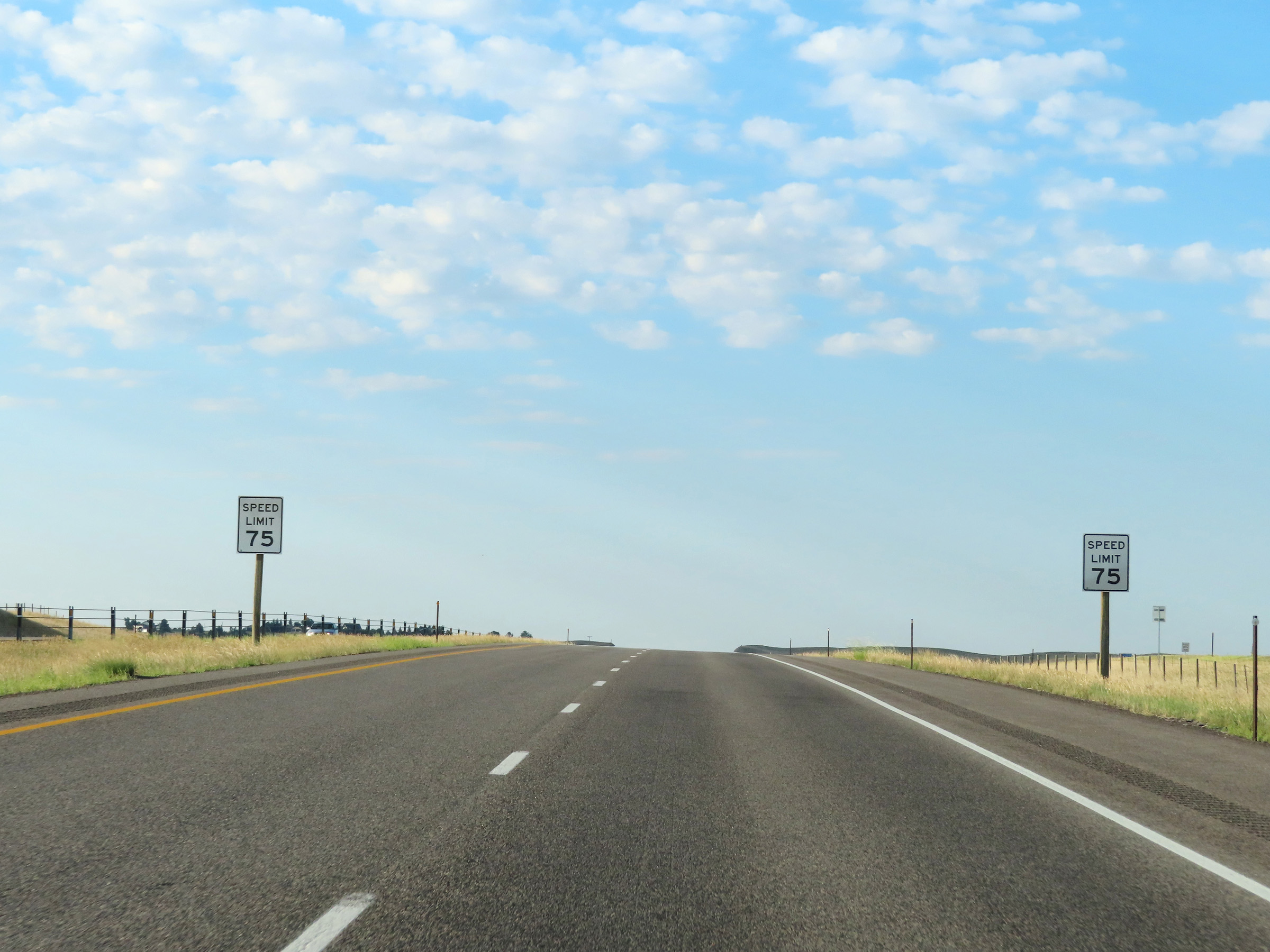 |
Just south of mile marker 18, the speed limit on Interstate 25 South is reduced to 75 mph. (Photo taken 8/18/22). |
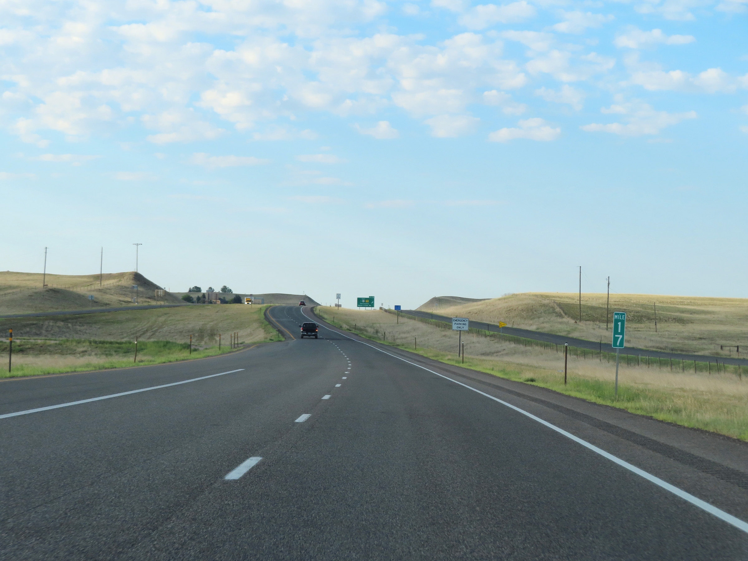 |
View on Interstate 25 South at mile marker 17. (Photo taken 8/18/22). |
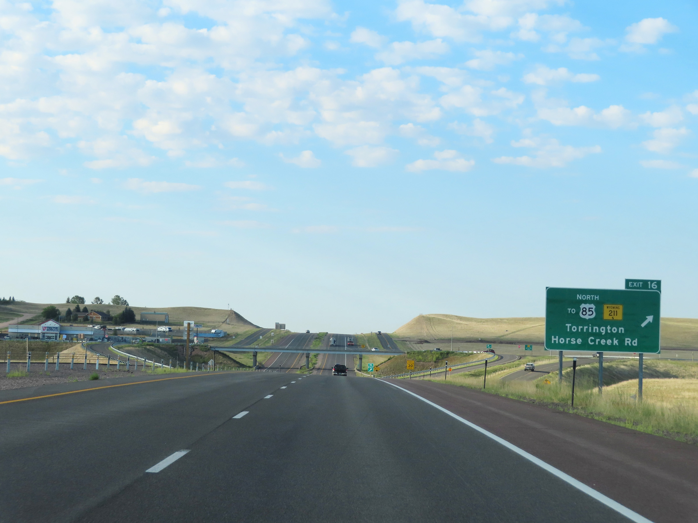 |
Interstate 25 South at Exit 16: WY 211 / To US 85 North - Torrington / Horse Creek Rd (Photo taken 8/18/22). |
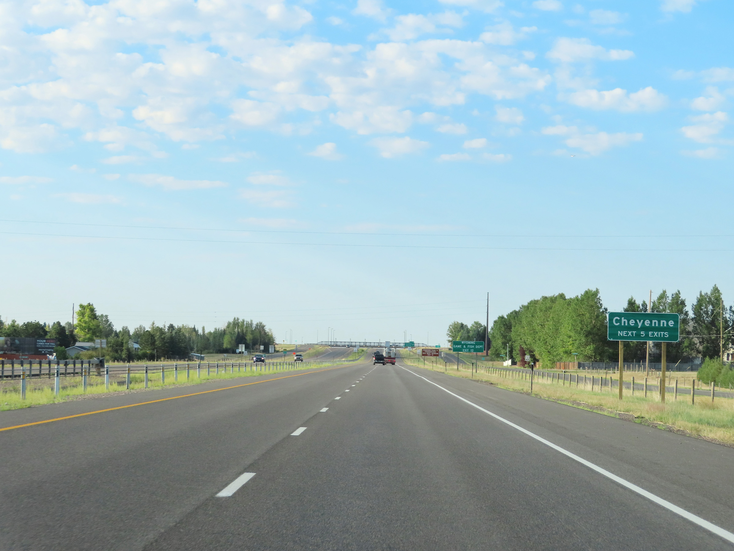 |
Take any of the next 5 exits to Cheyenne. (Photo taken 8/18/22). |
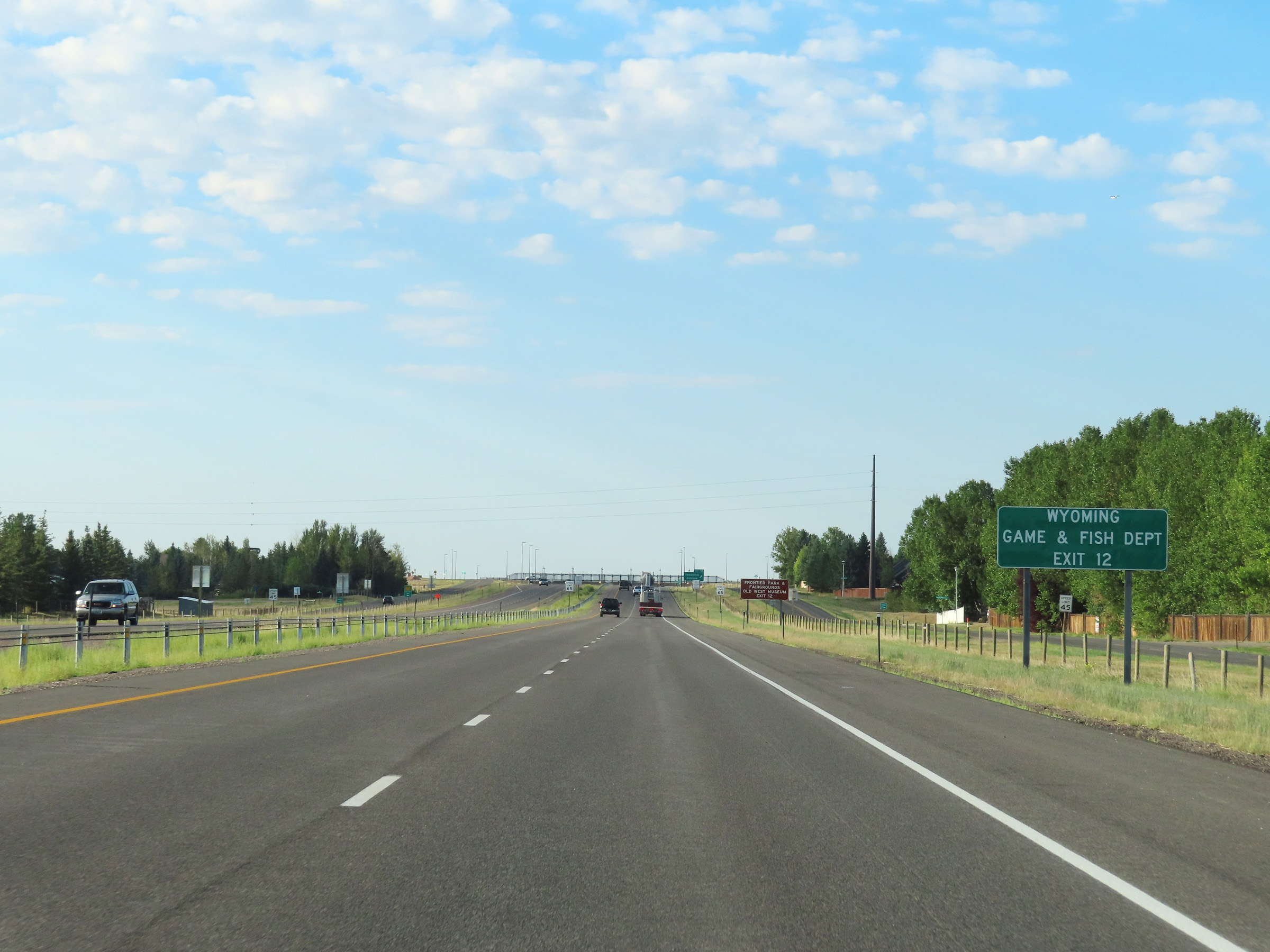 |
Take Exit 12 to the Wyoming Game & Fish Department. (Photo taken 8/18/22). |
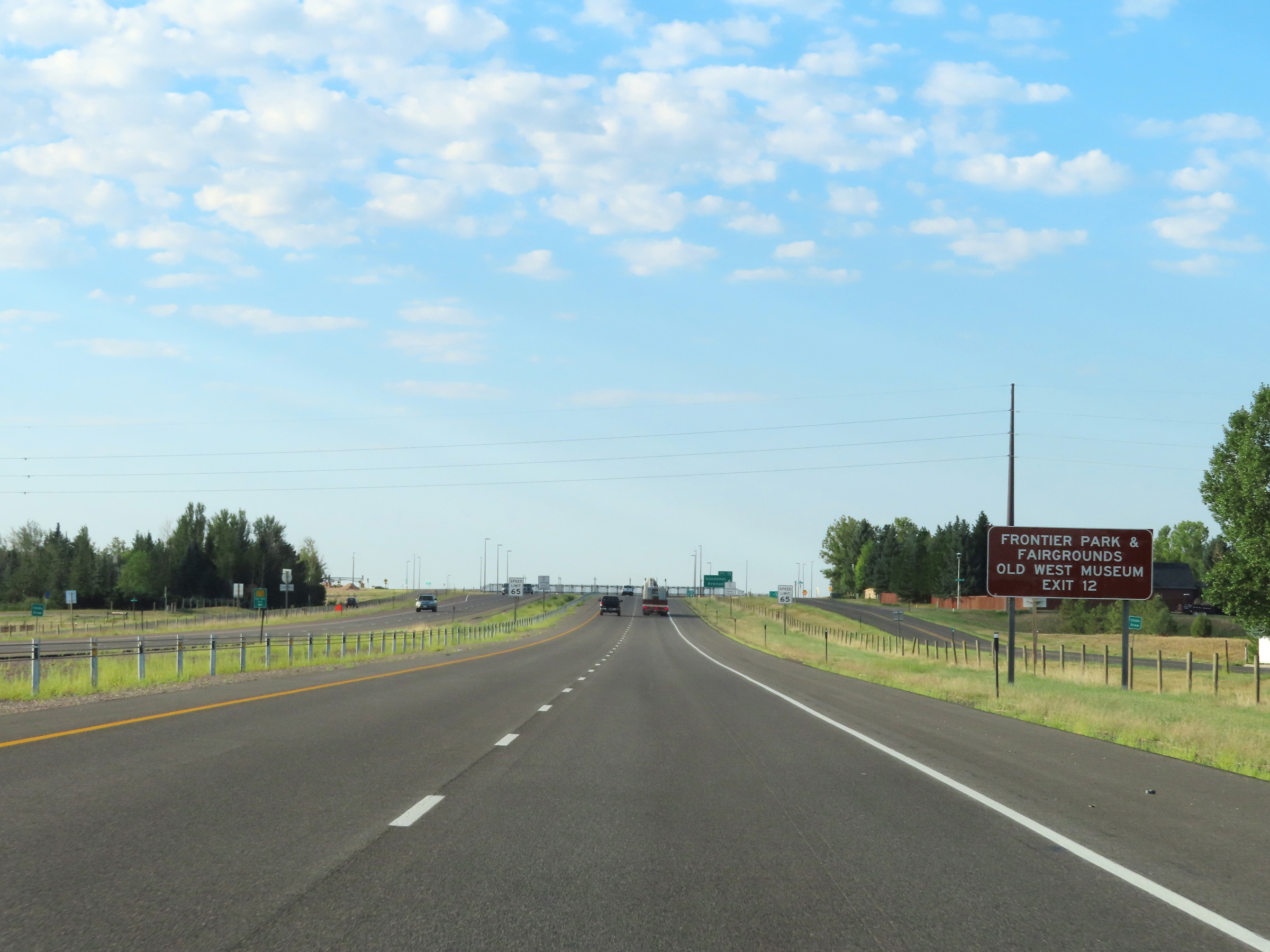 |
Also take Exit 12 to Frontier Park, the Fairgrounds, and the Old West Museum. (Photo taken 8/18/22). |
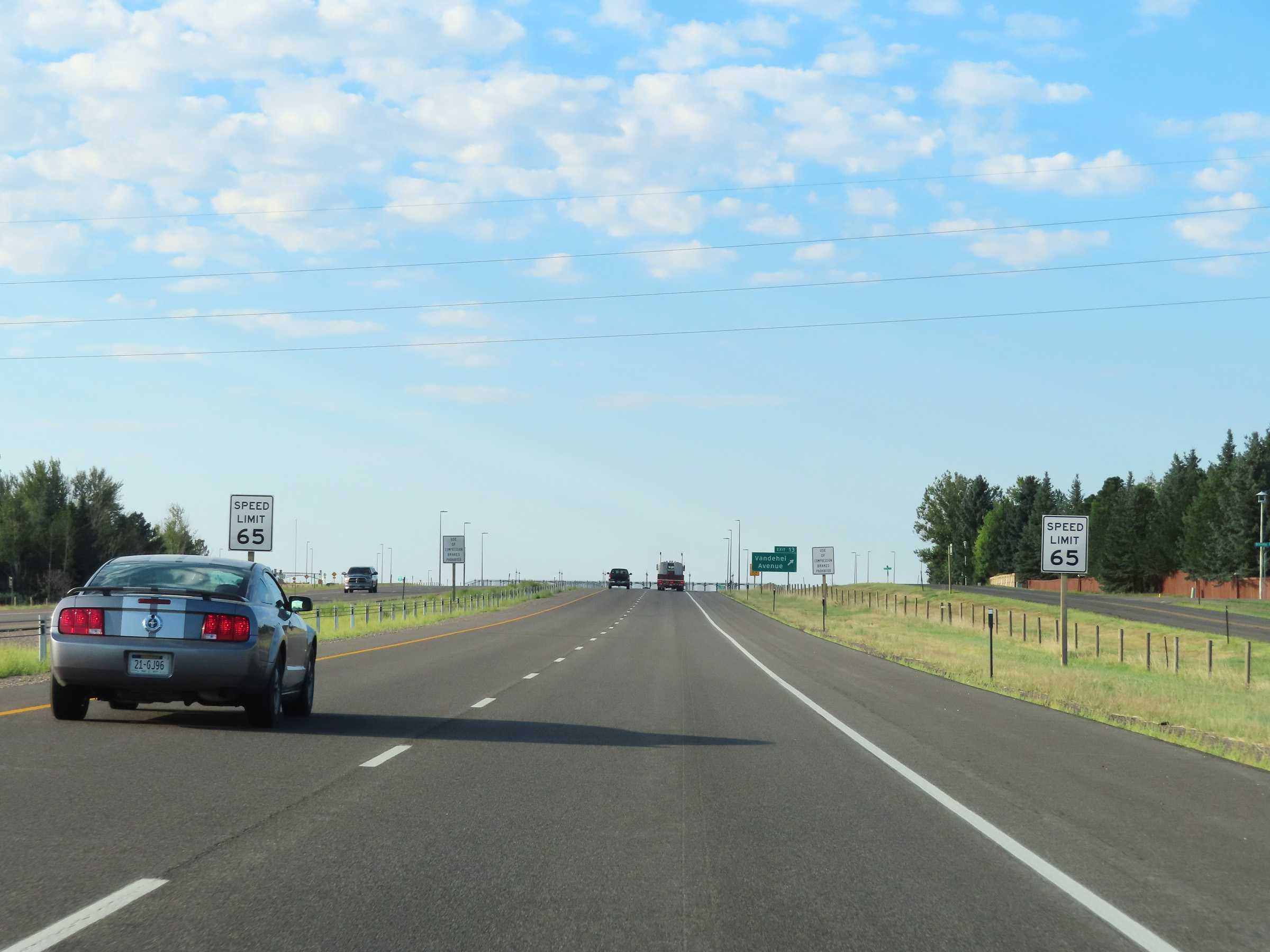 |
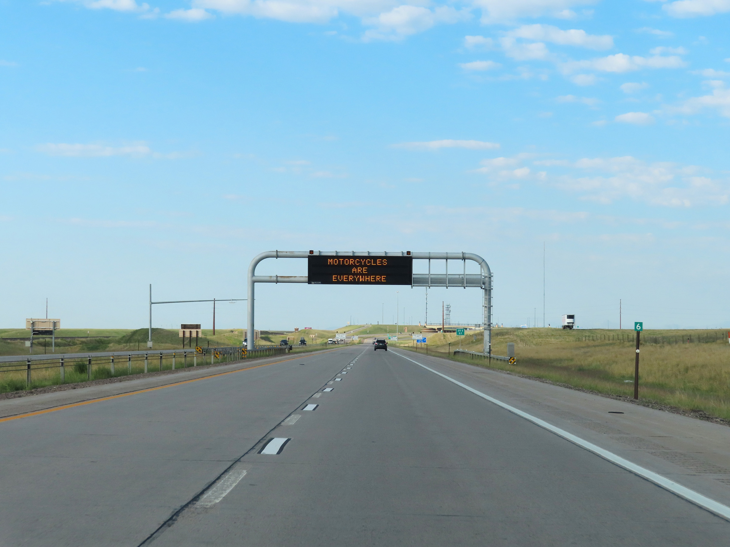
Approaching Exit 13, the speed limit decreases to 65 mph on Interstate 25 South as it enters Cheyenne. (Photo taken 8/18/22). |
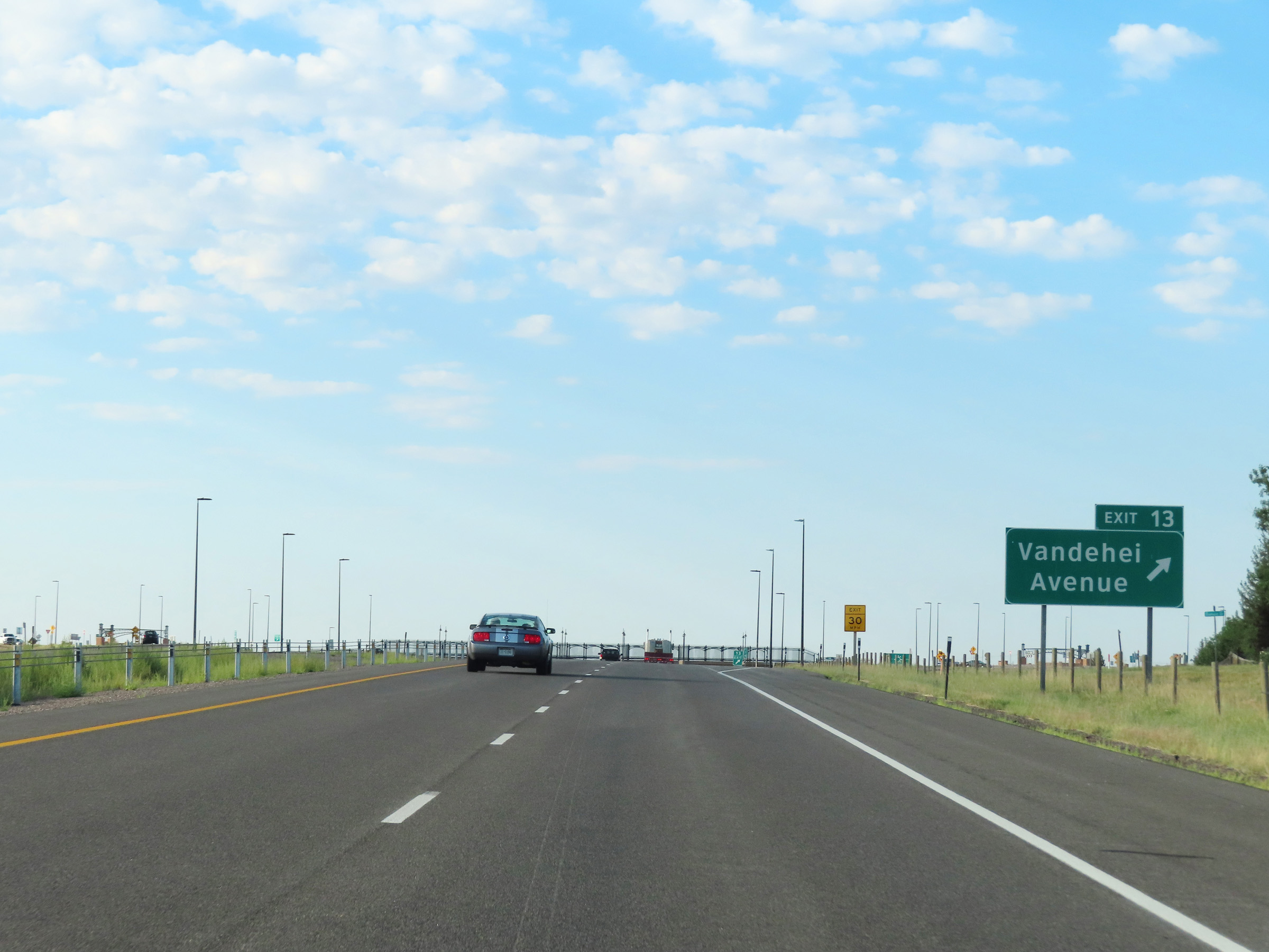 |
Interstate 25 South at Exit 13: Vandehei Avenue (Photo taken 8/18/22). |
Section 6: Cheyenne (Exit 13) to Colorado Border
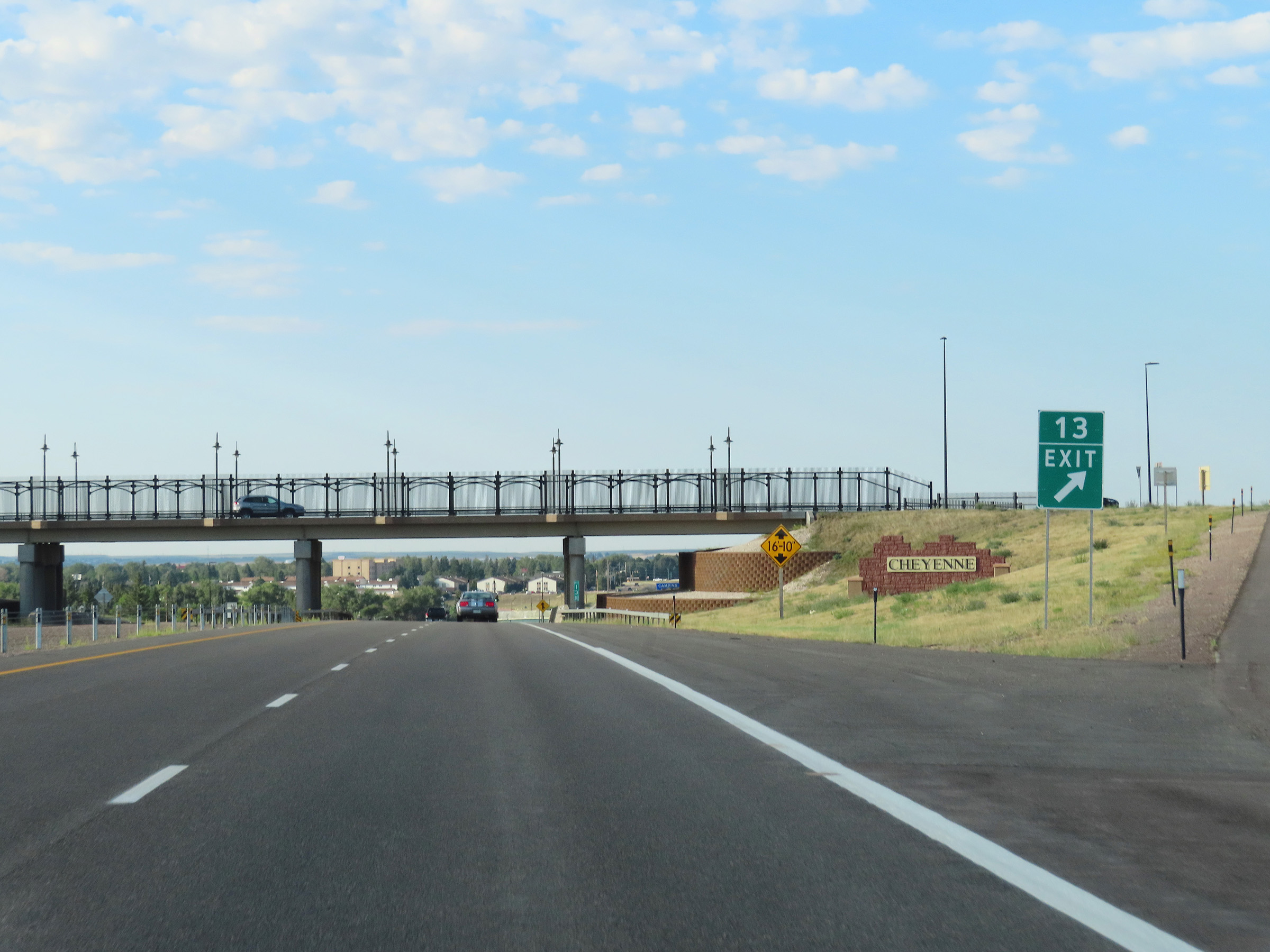 |
This sign at Exit 13 welcomes you to Cheyenne. (Photo taken 8/18/22). |
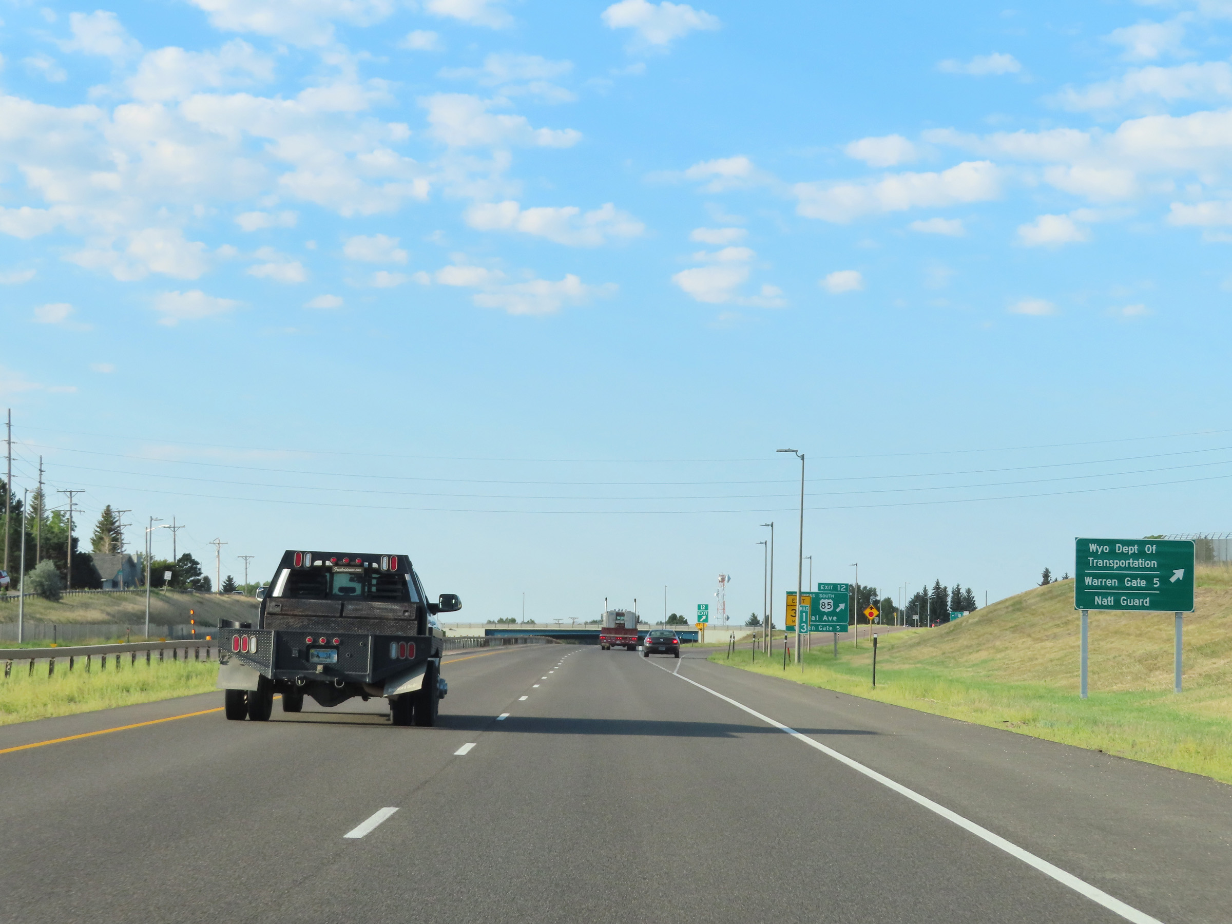 |
Take Exit 12 to the Wyoming Department of Transportation, Warren Gate 5, and the National Guard. (Photo taken 8/18/22). |
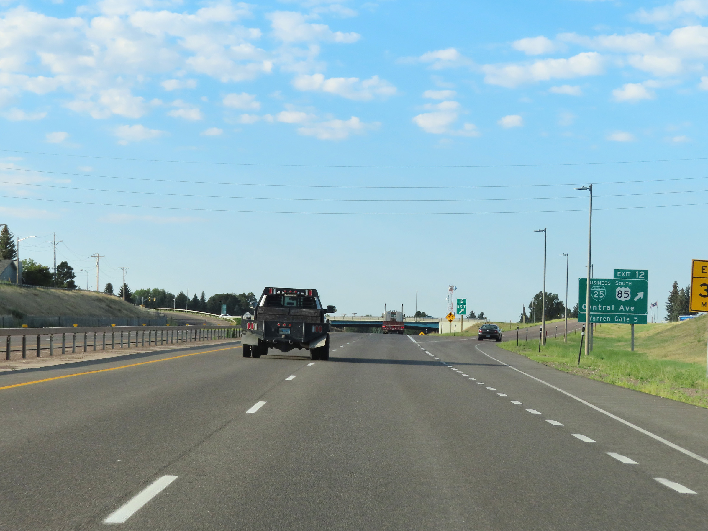 |
Interstate 25 South at Exit 12: US 85 South / Interstate 25 Business Loop - Central Ave (Photo taken 8/18/22). |
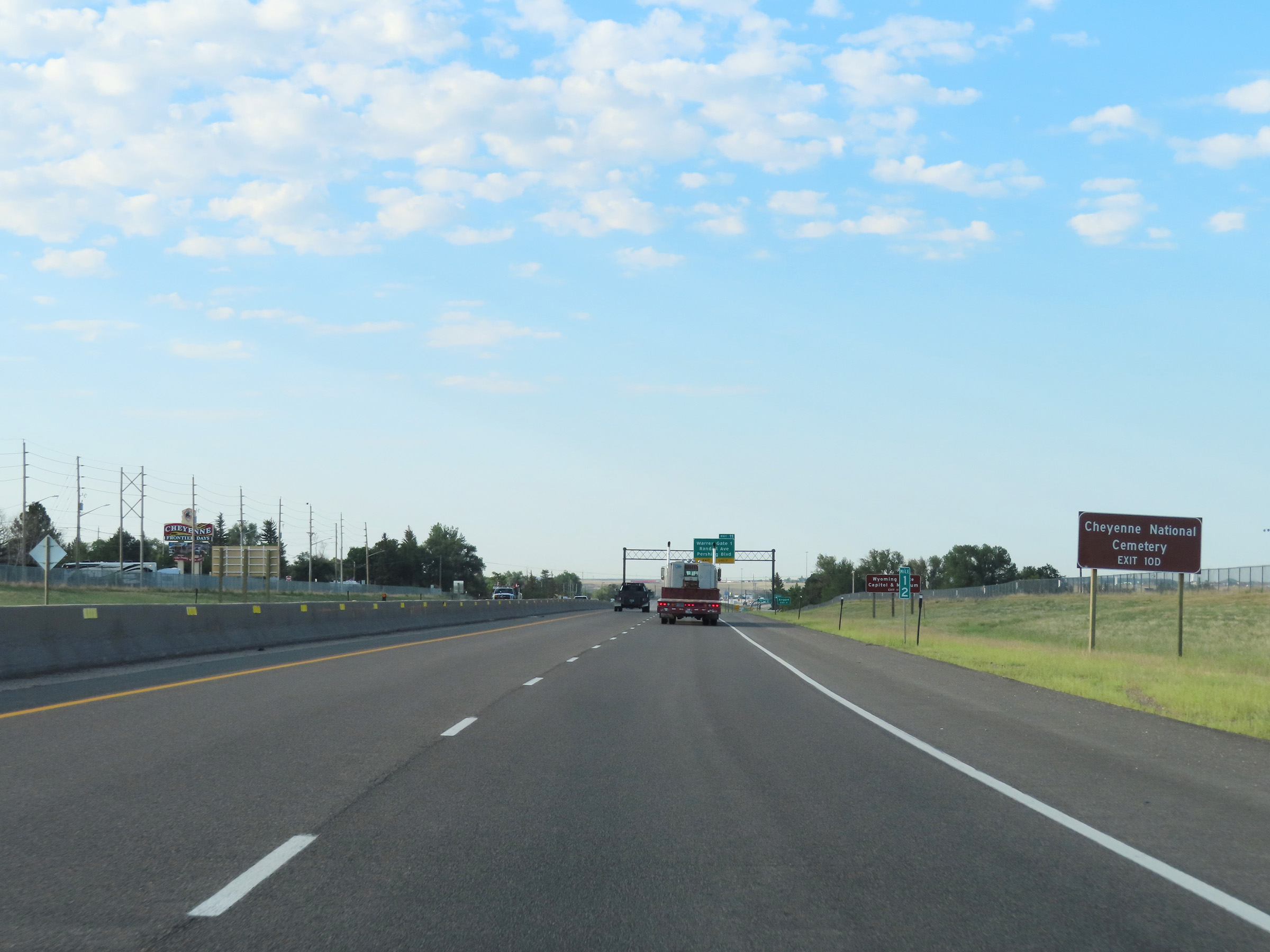 |
Take Exit 10D to Cheyenne National Cemetery. (Photo taken 8/18/22). |
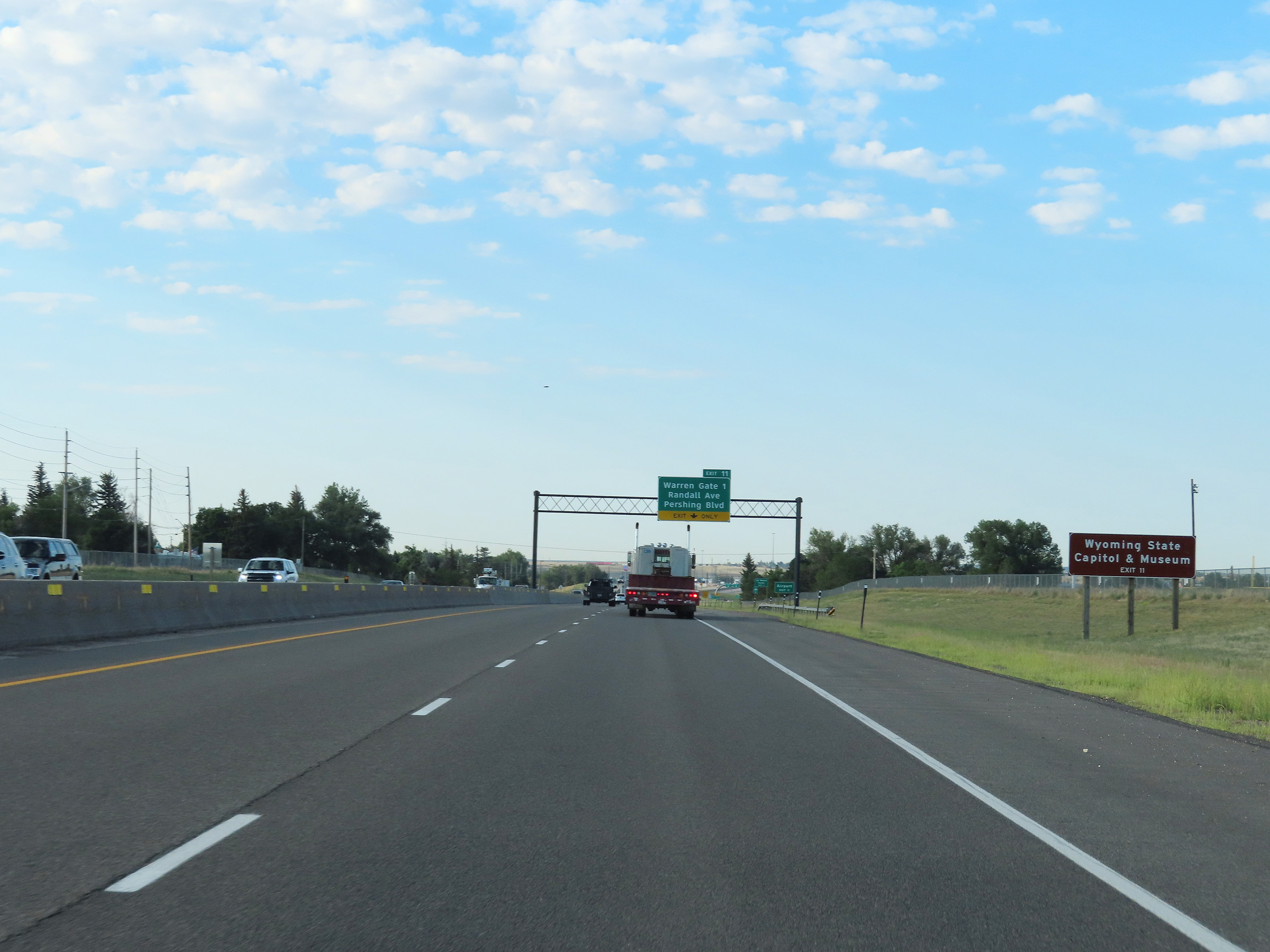 |
Use Exit 11 to get to the Wyoming State Capitol & Museum. (Photo taken 8/18/22). |
 |
Advance signage for Exit 11 on Interstate 25 South. (Photo taken 8/18/22). |
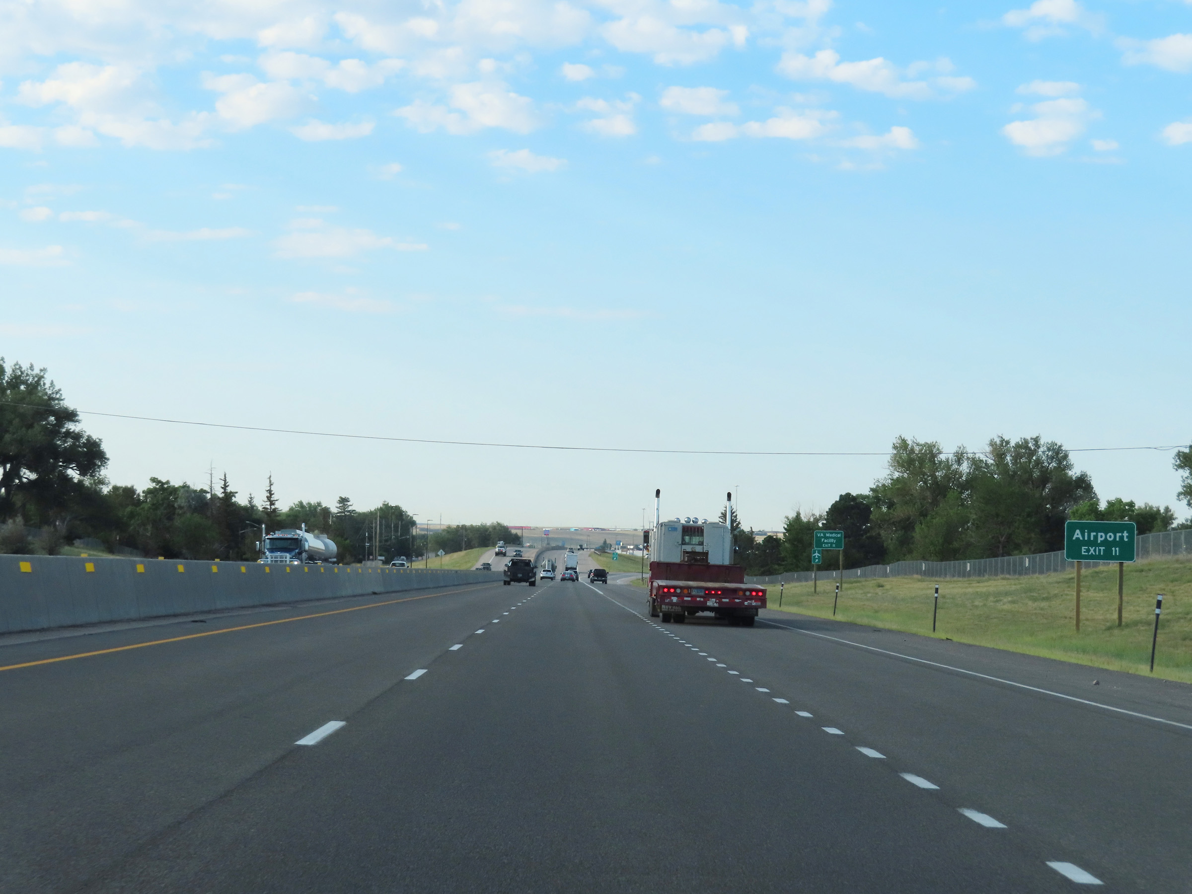 |
Also take Exit 11 to the Airport and VA Medical Facility. (Photo taken 8/18/22). |
 |
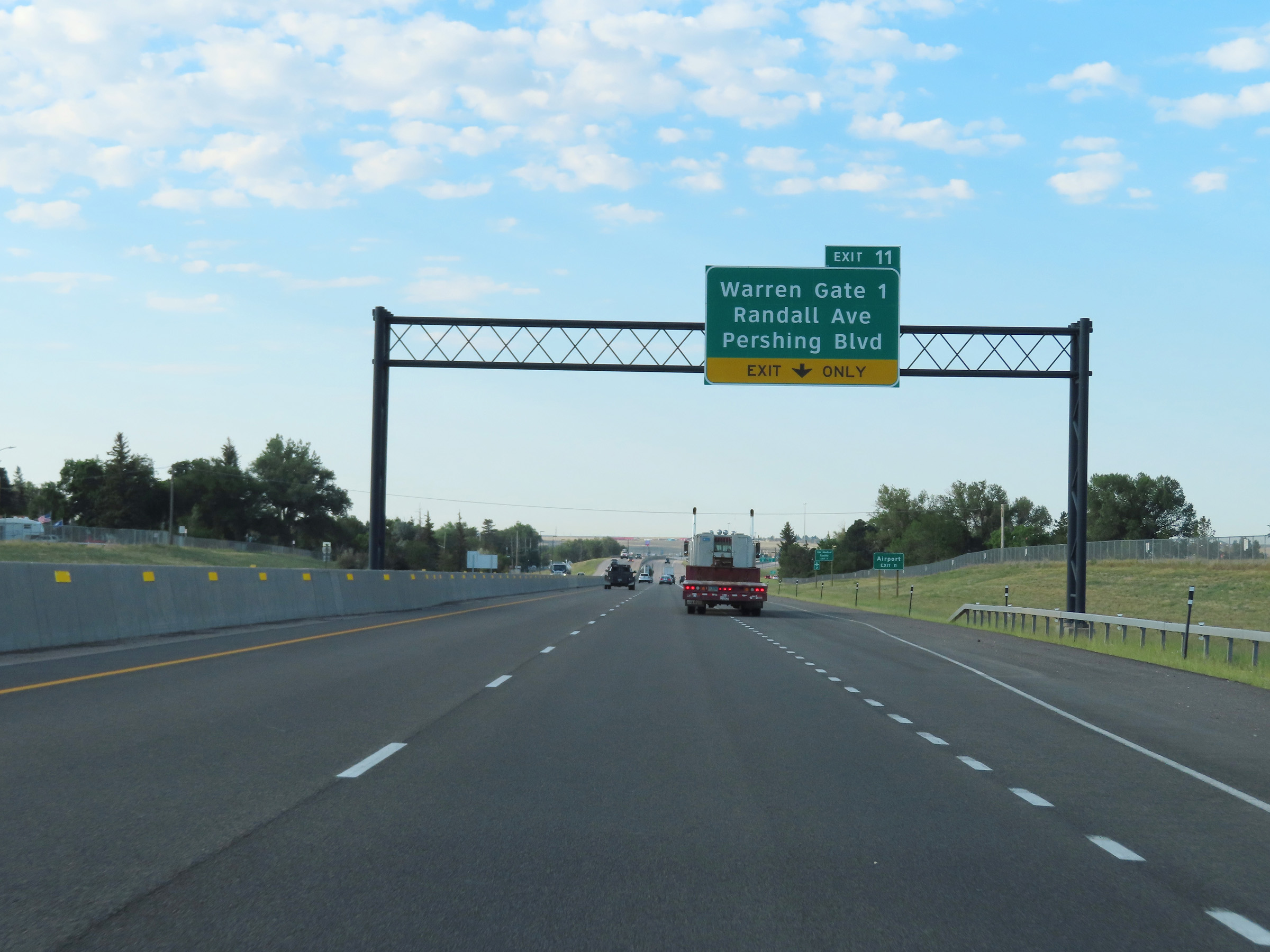
Interstate 25 South at Exit 11: Warren Gate 1 / Randall Ave / Pershing Blvd (Photo taken 8/18/22). |
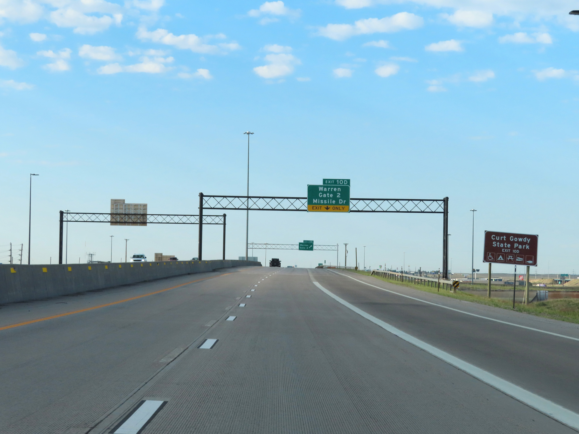 |
Take Exit 10D to Curt Gowdy State Park. (Photo taken 8/18/22). |
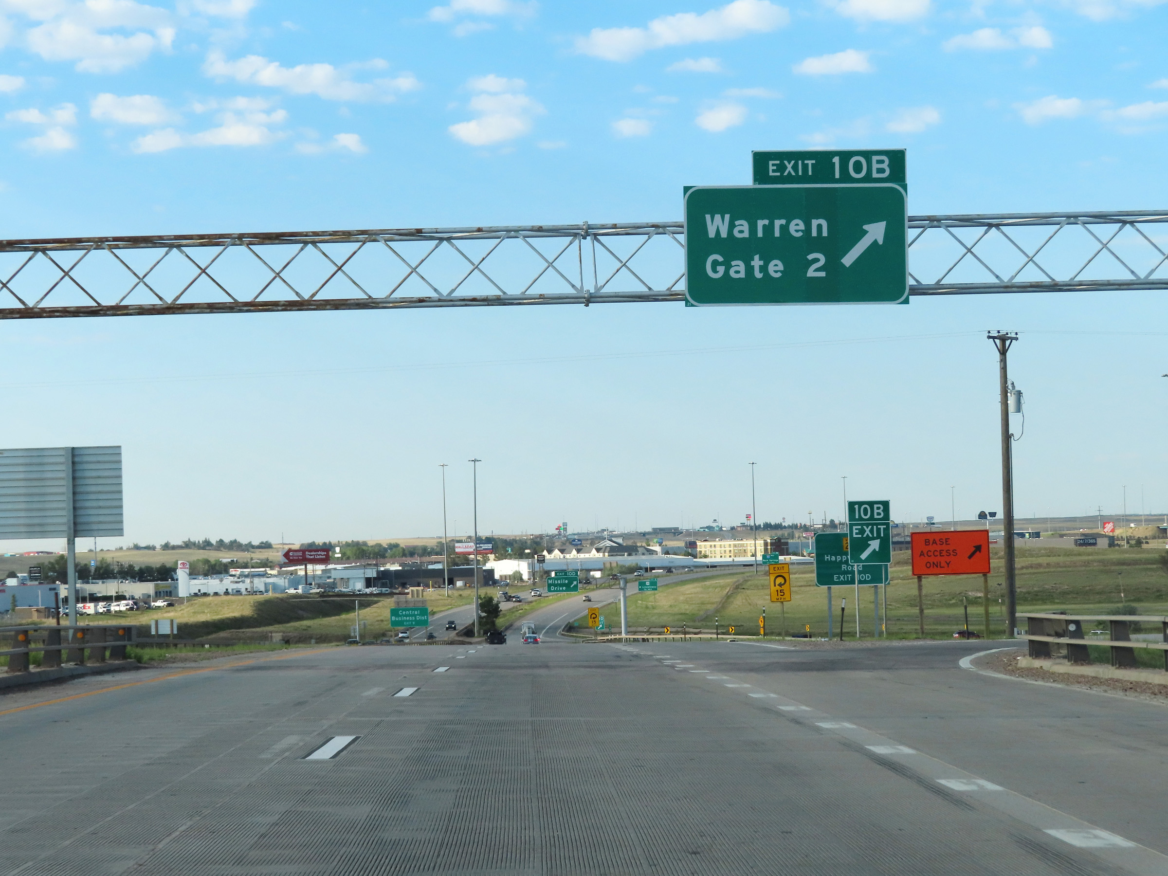 |
Interstate 25 South at Exit 10B: Warren Gate 2 (Photo taken 8/18/22). |
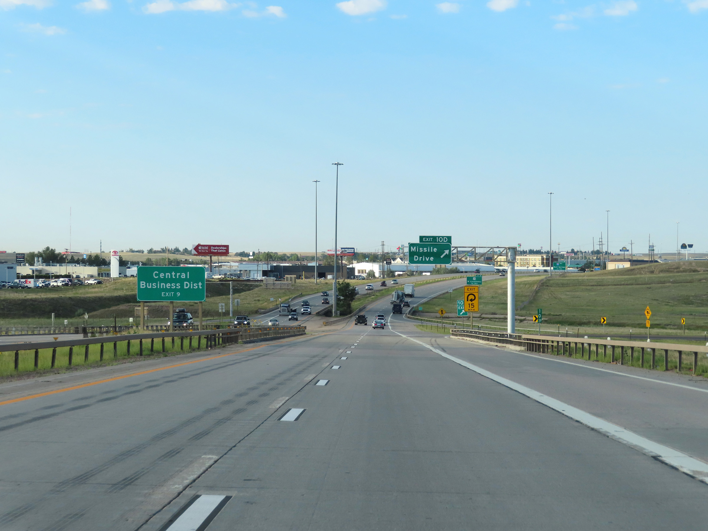 |
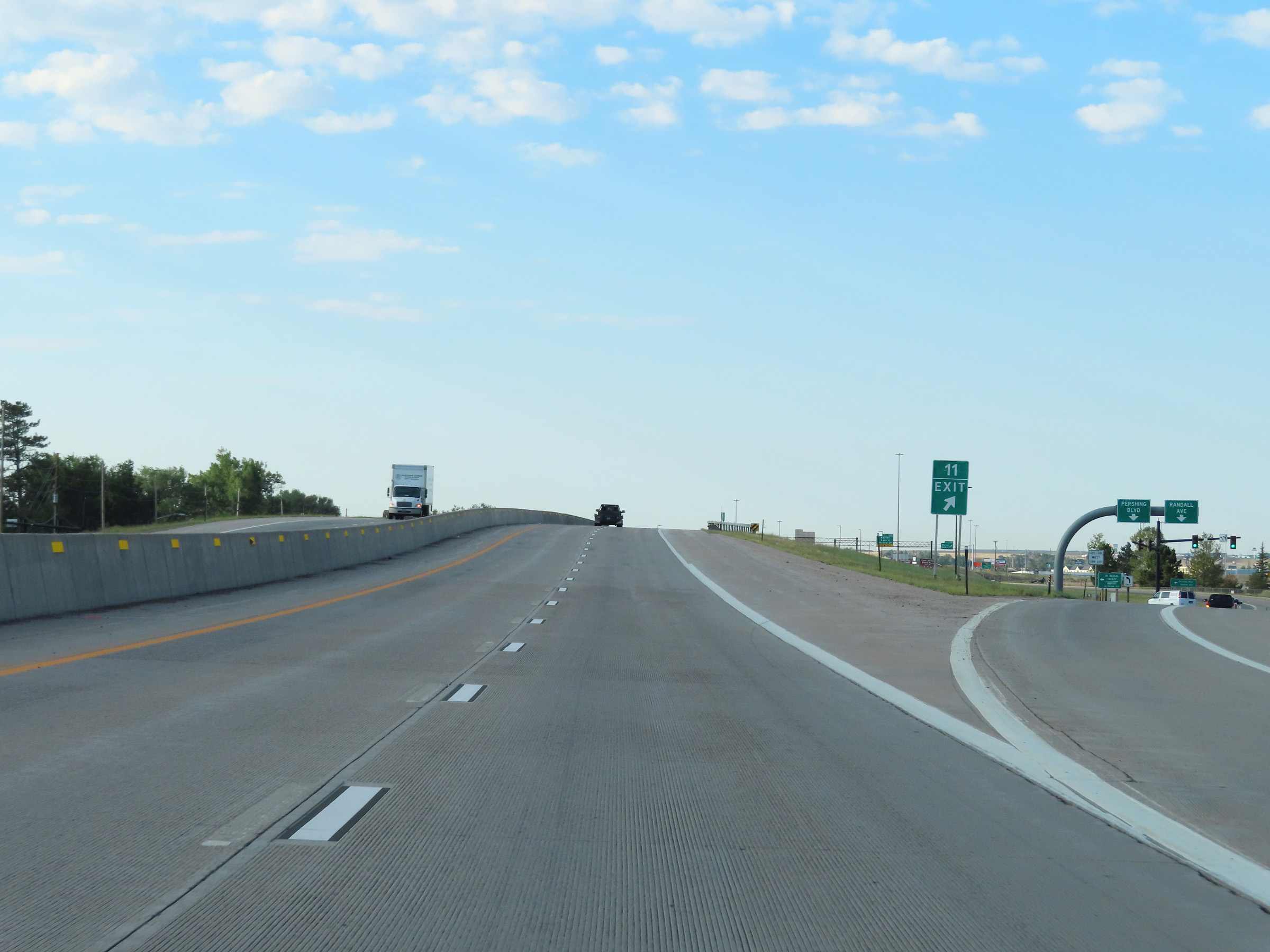
Take Exit 9 to the Central Business District. (Photo taken 8/18/22). |
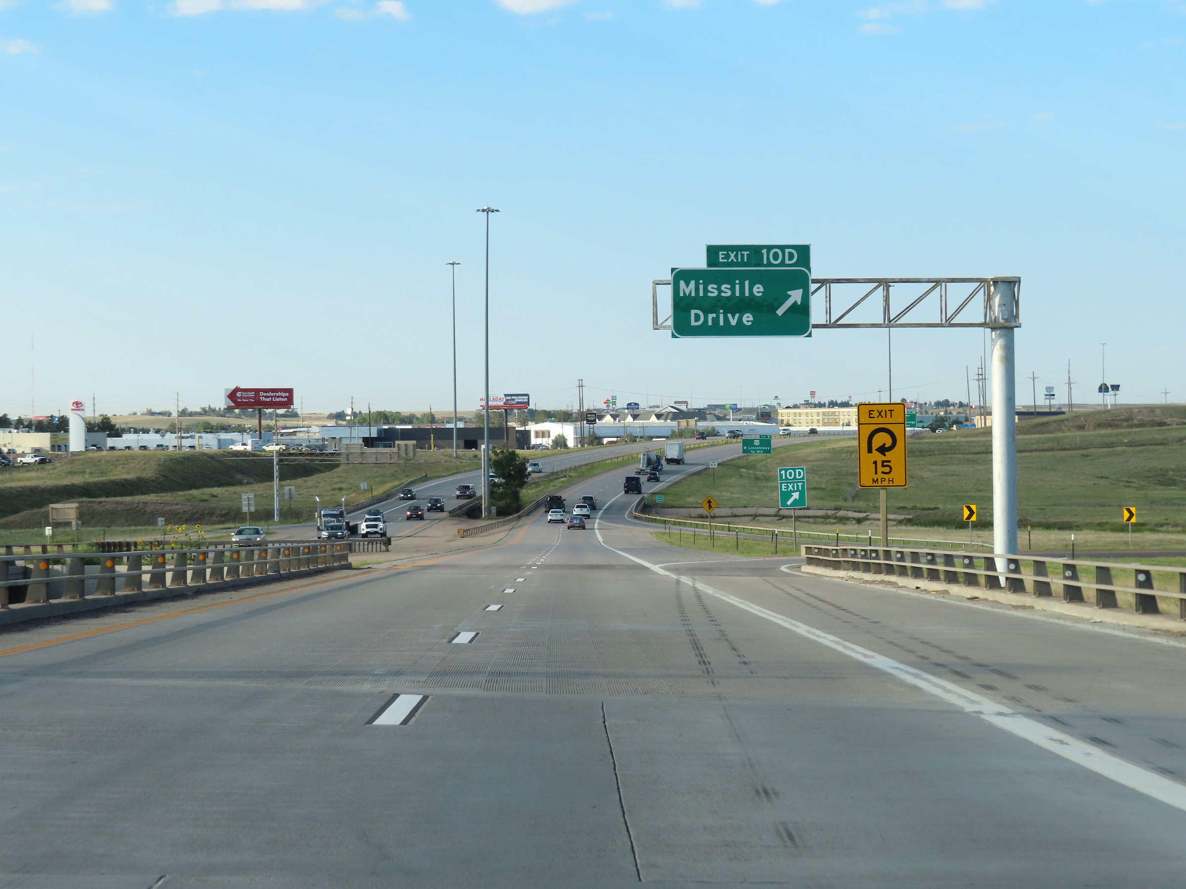 |
Interstate 25 South at Exit 10D: Missile Drive (Photo taken 8/18/22). |
 |
Advance signage for Exit 9 - 3/4 mile ahead. (Photo taken 8/18/22). |
 |
Interstate 25 South approaching Exit 8B - 1 mile. (Photo taken 8/18/22). |
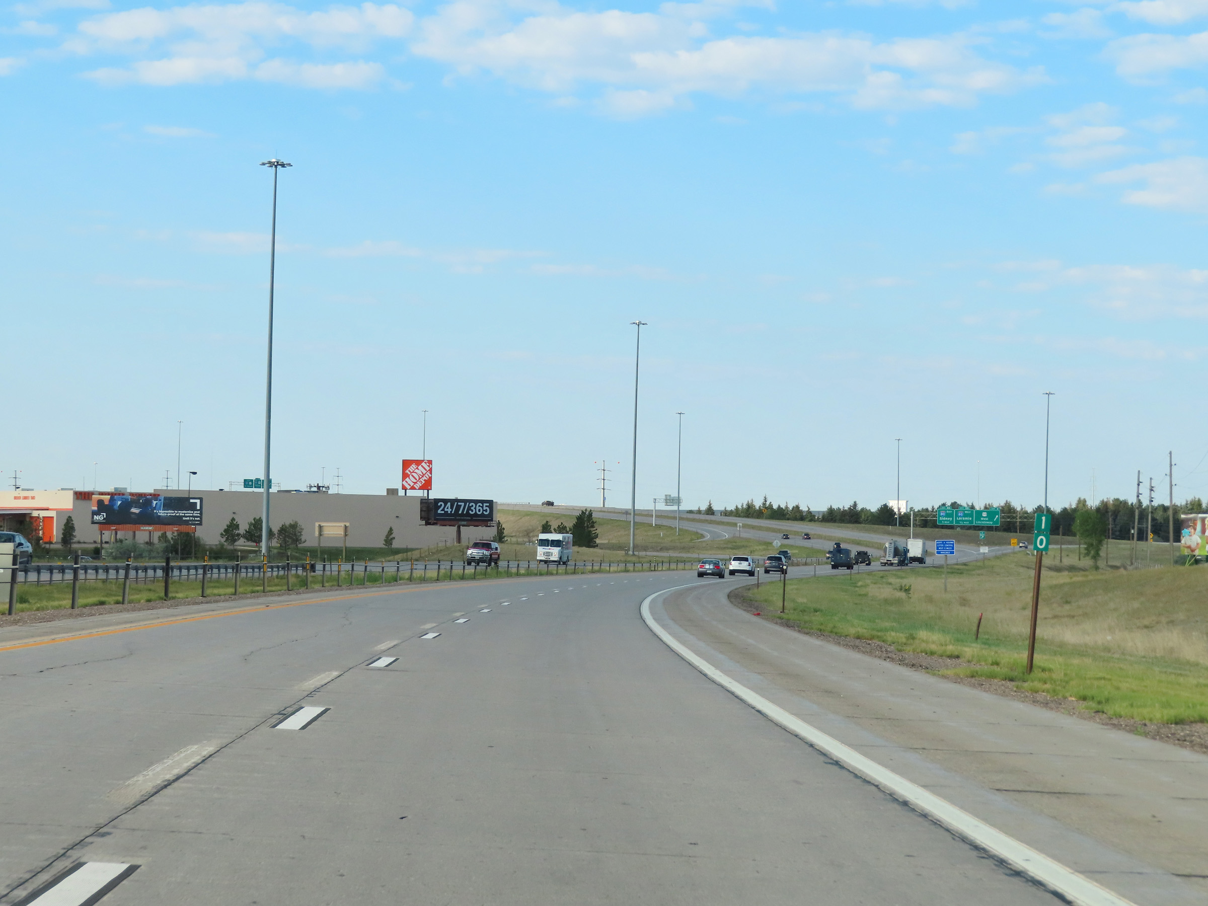 |
View on Interstate 25 South at mile marker 10. (Photo taken 8/18/22). |
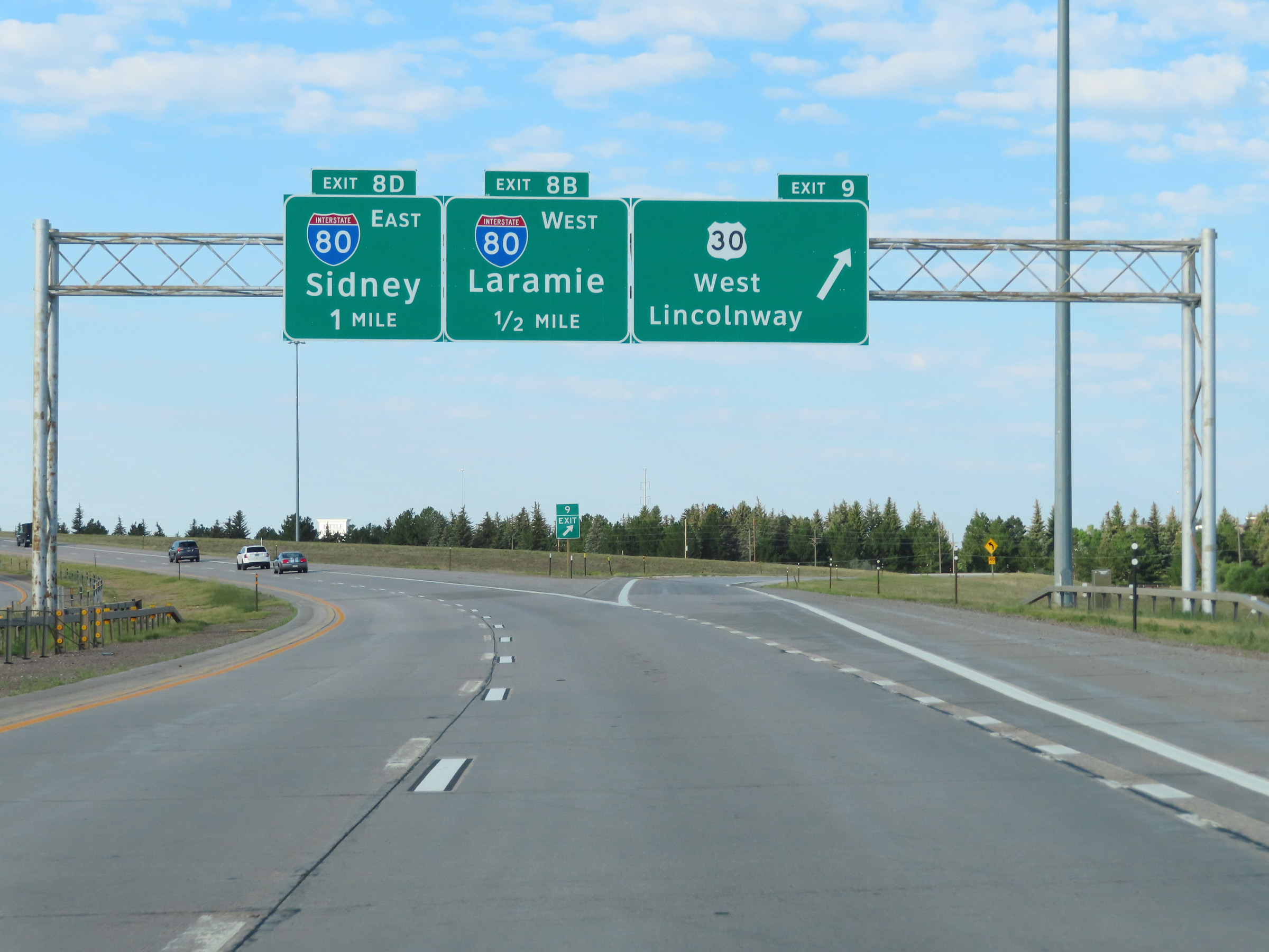 |
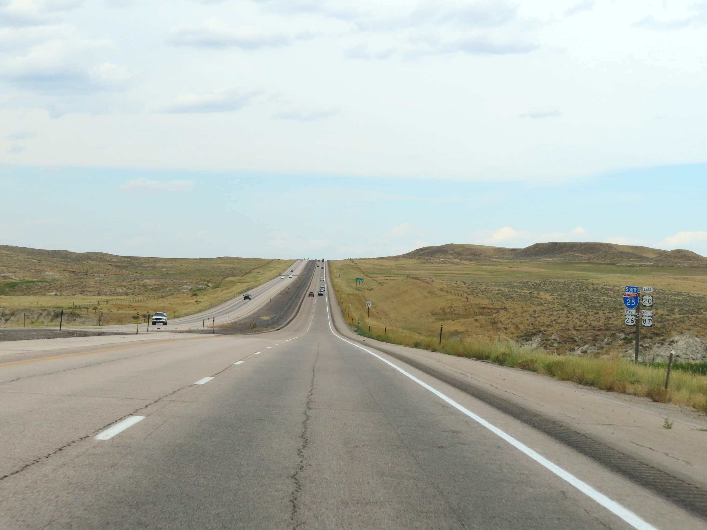
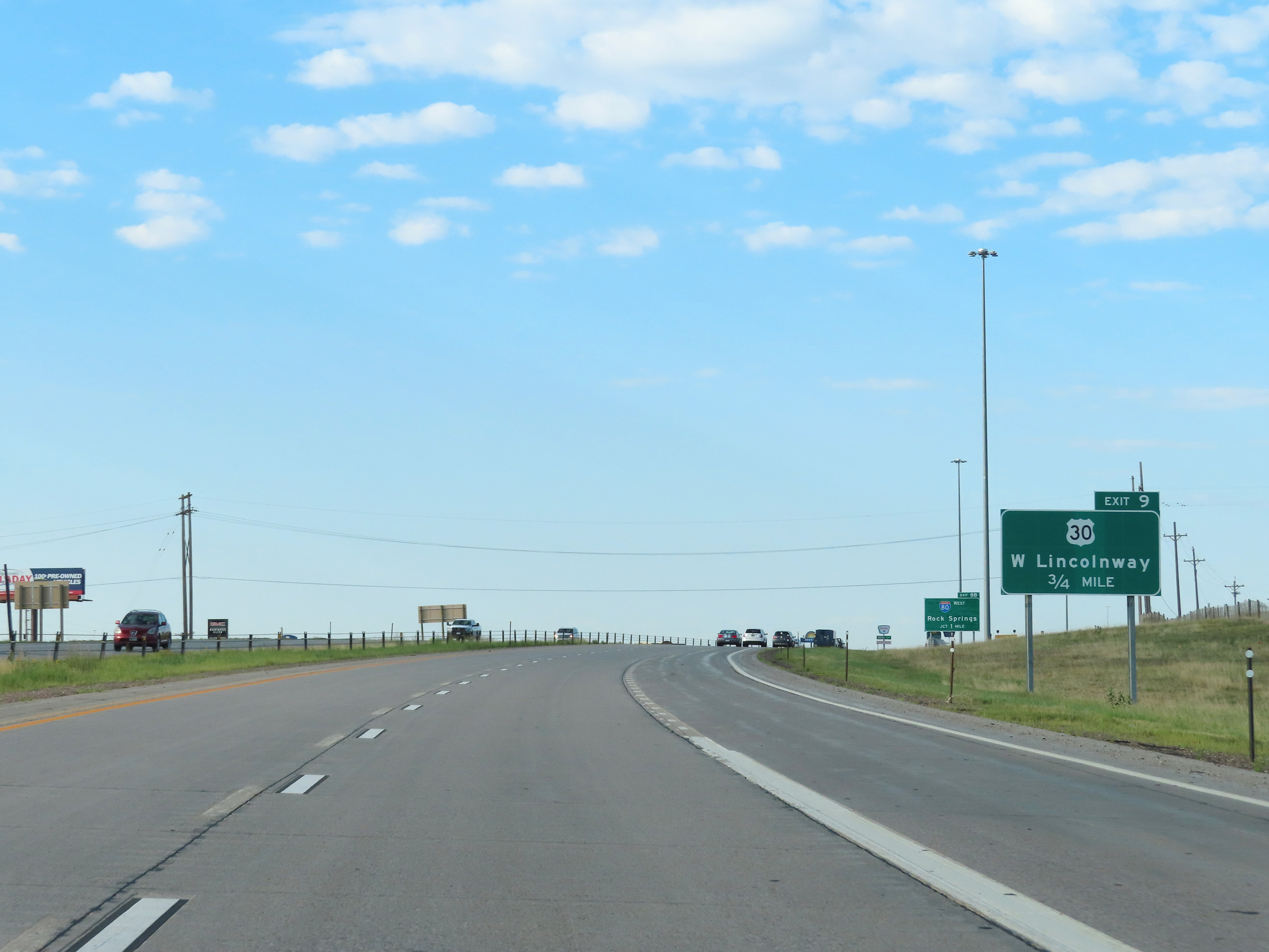
Interstate 25 South at Exit 9: US 30 - West Lincolnway (Photo taken 8/18/22). |
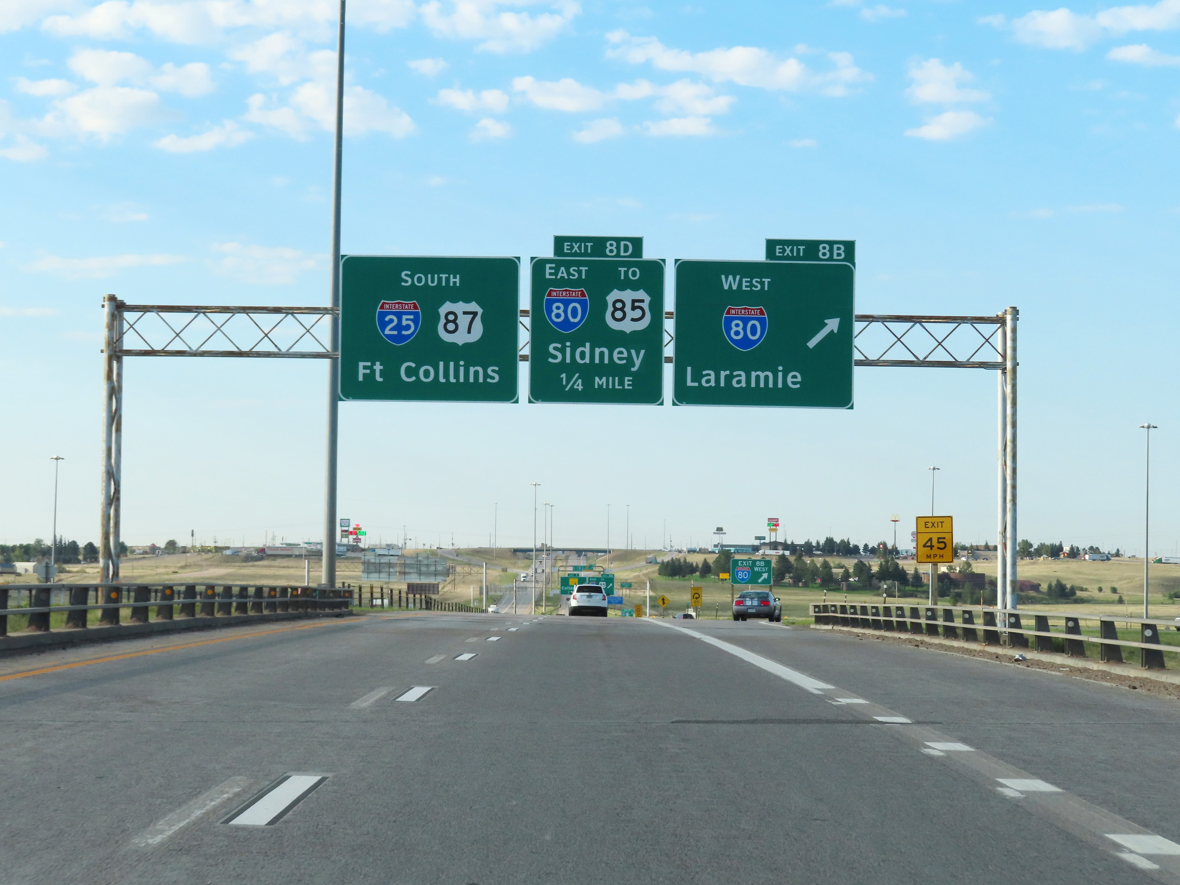 |
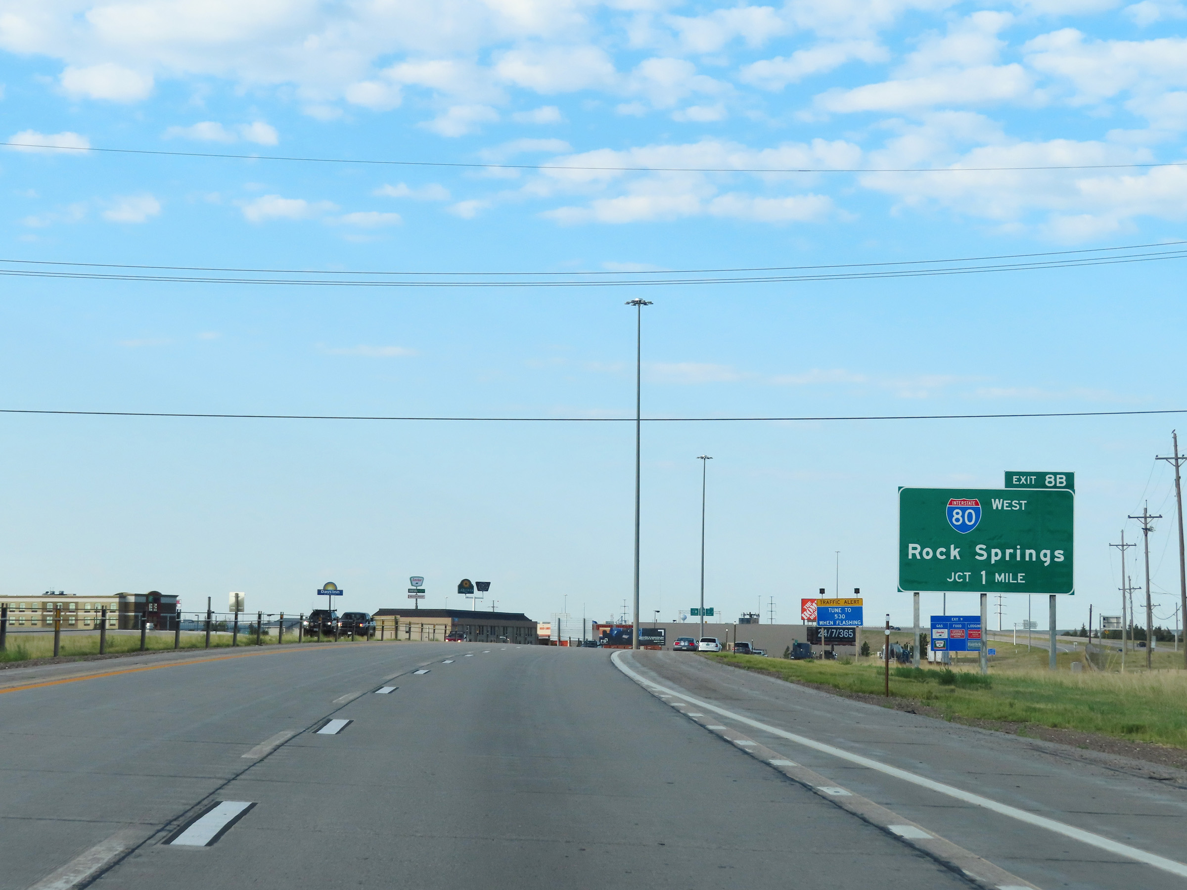
Interstate 25 South at Exit 8B: Interstate 80 West - Laramie (Photo taken 8/18/22). |
 |
Interstate 25 South at Exit 8D: Interstate 80 East / To US 85 - Sidney (Photo taken 8/18/22). |
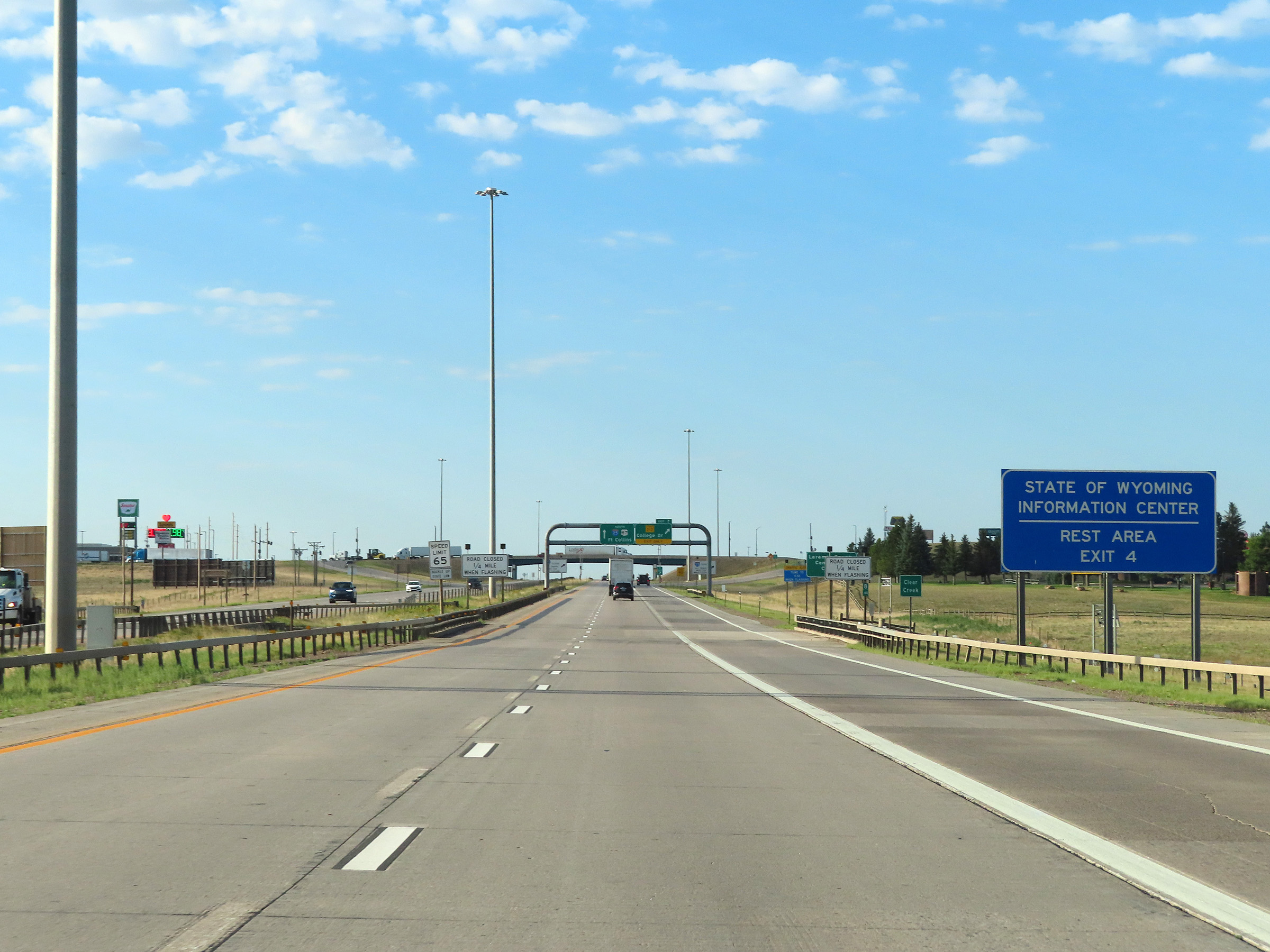 |
A Rest Area / Wyoming Information Center exists off Exit 4. (Photo taken 8/18/22). |
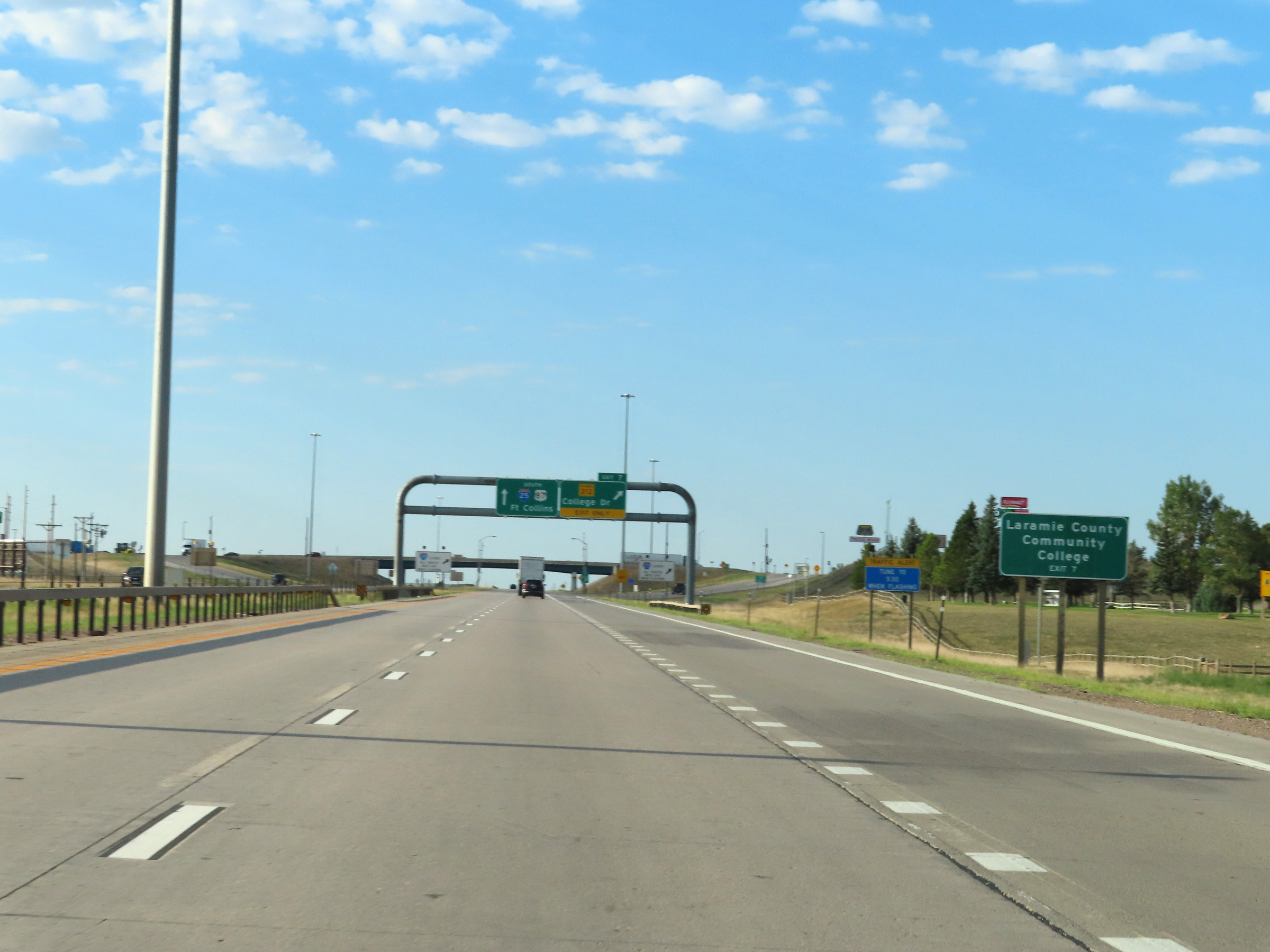 |
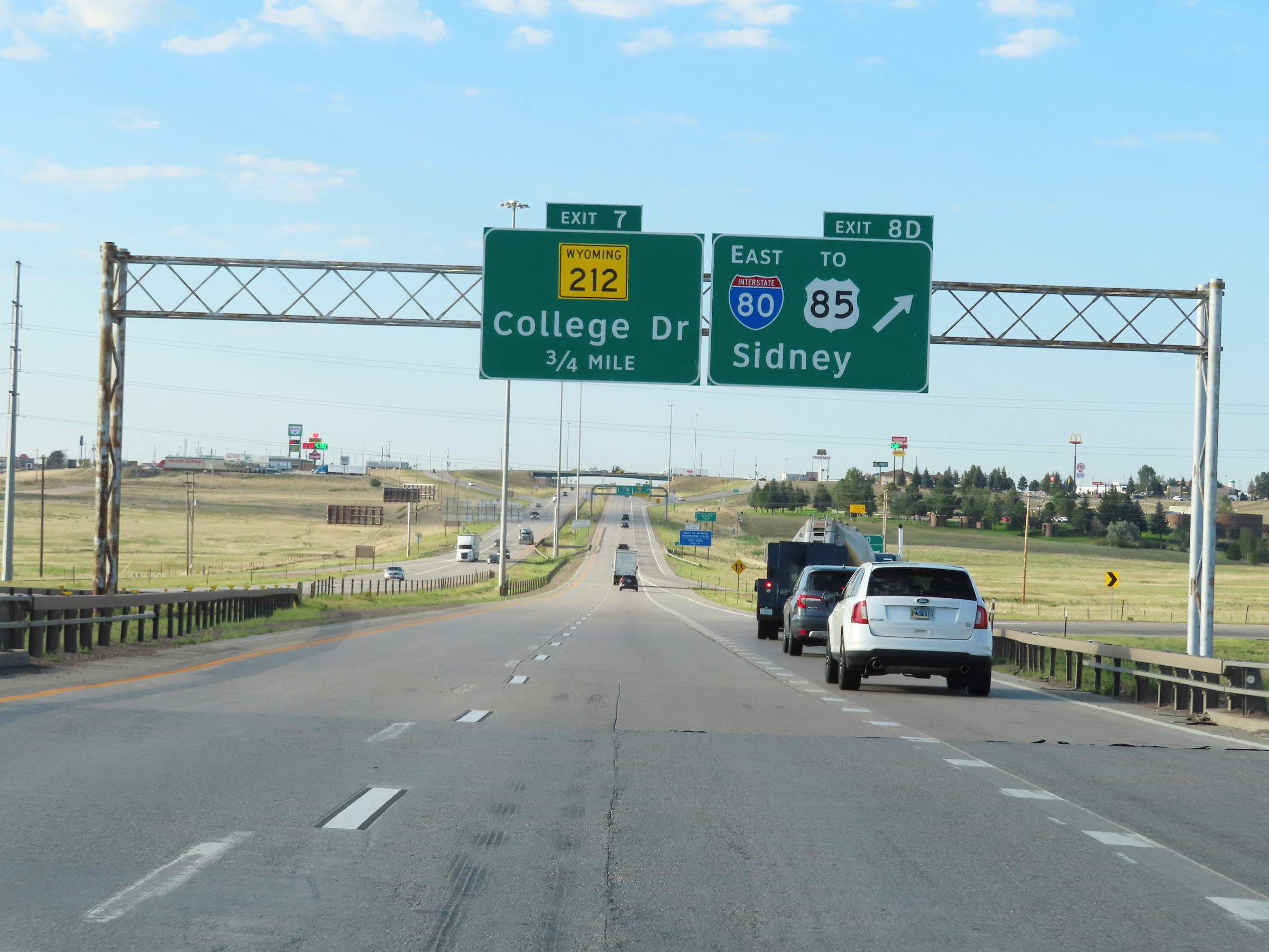
Take Exit 7 to Laramie County Community College. (Photo taken 8/18/22). |
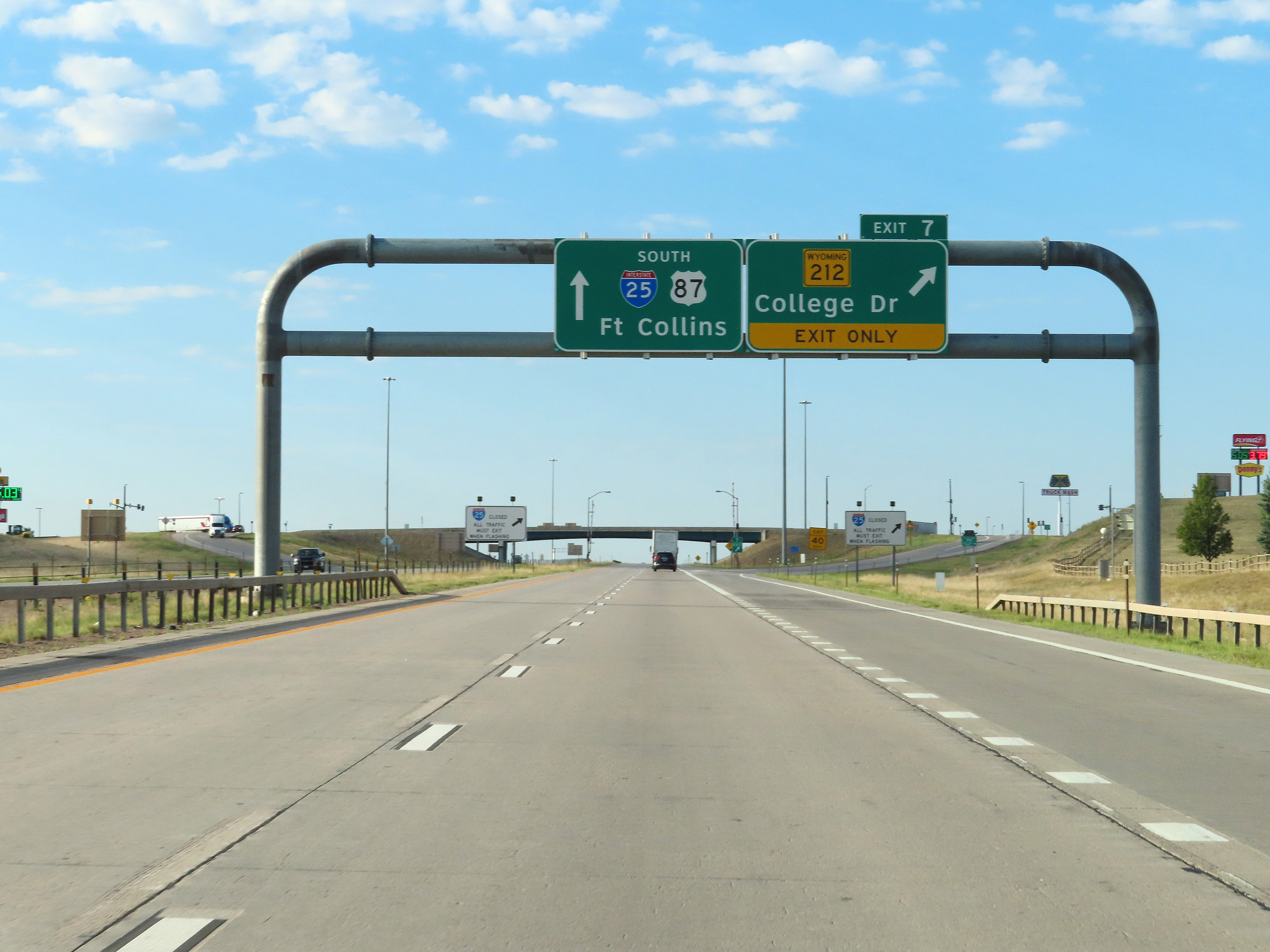 |
Interstate 25 South at Exit 7: WY 212 - College Dr (Photo taken 8/18/22). |
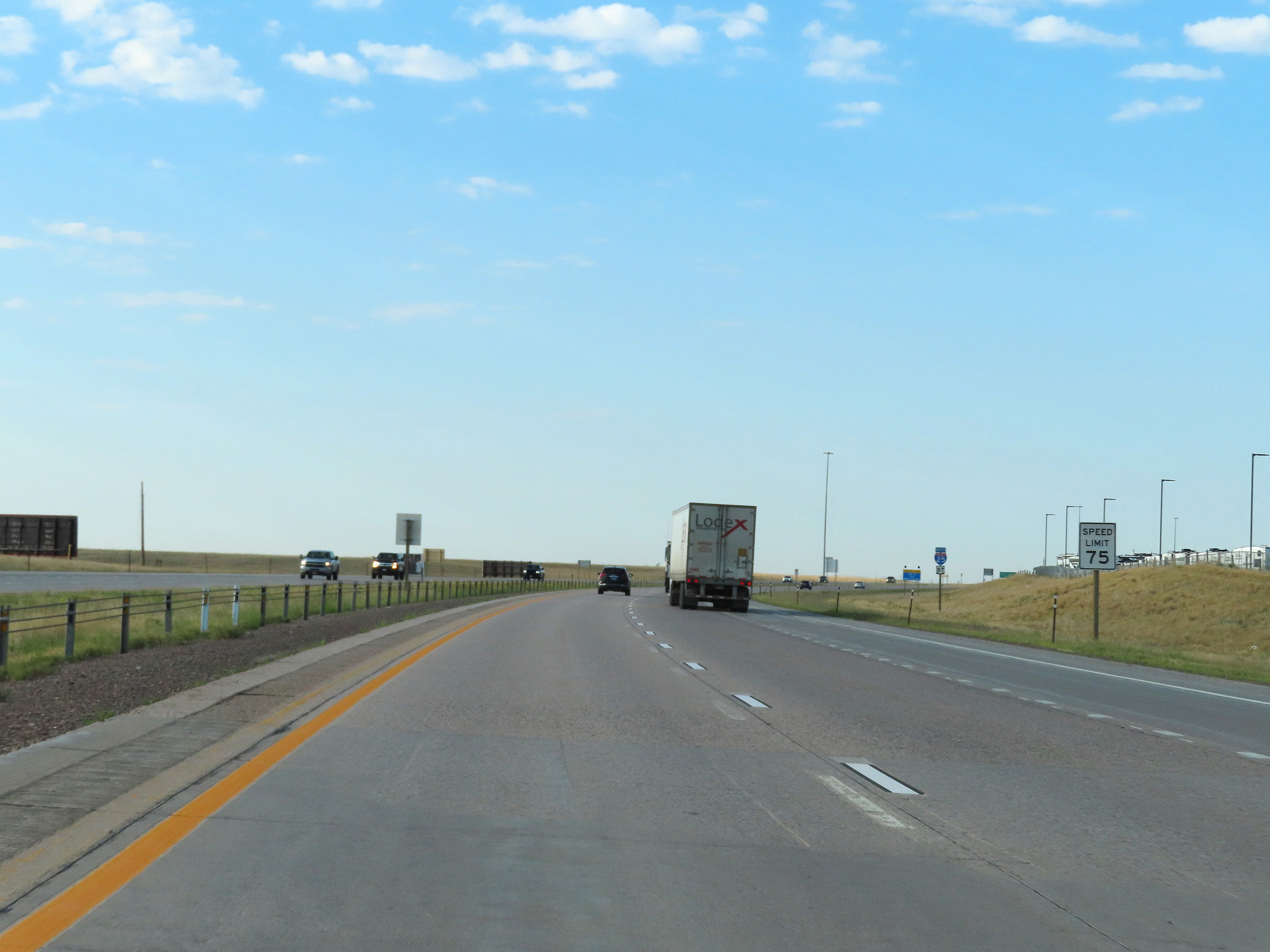 |
South of Exit 7, the speed limit increases to 75 mph once again. (Photo taken 8/18/22). |
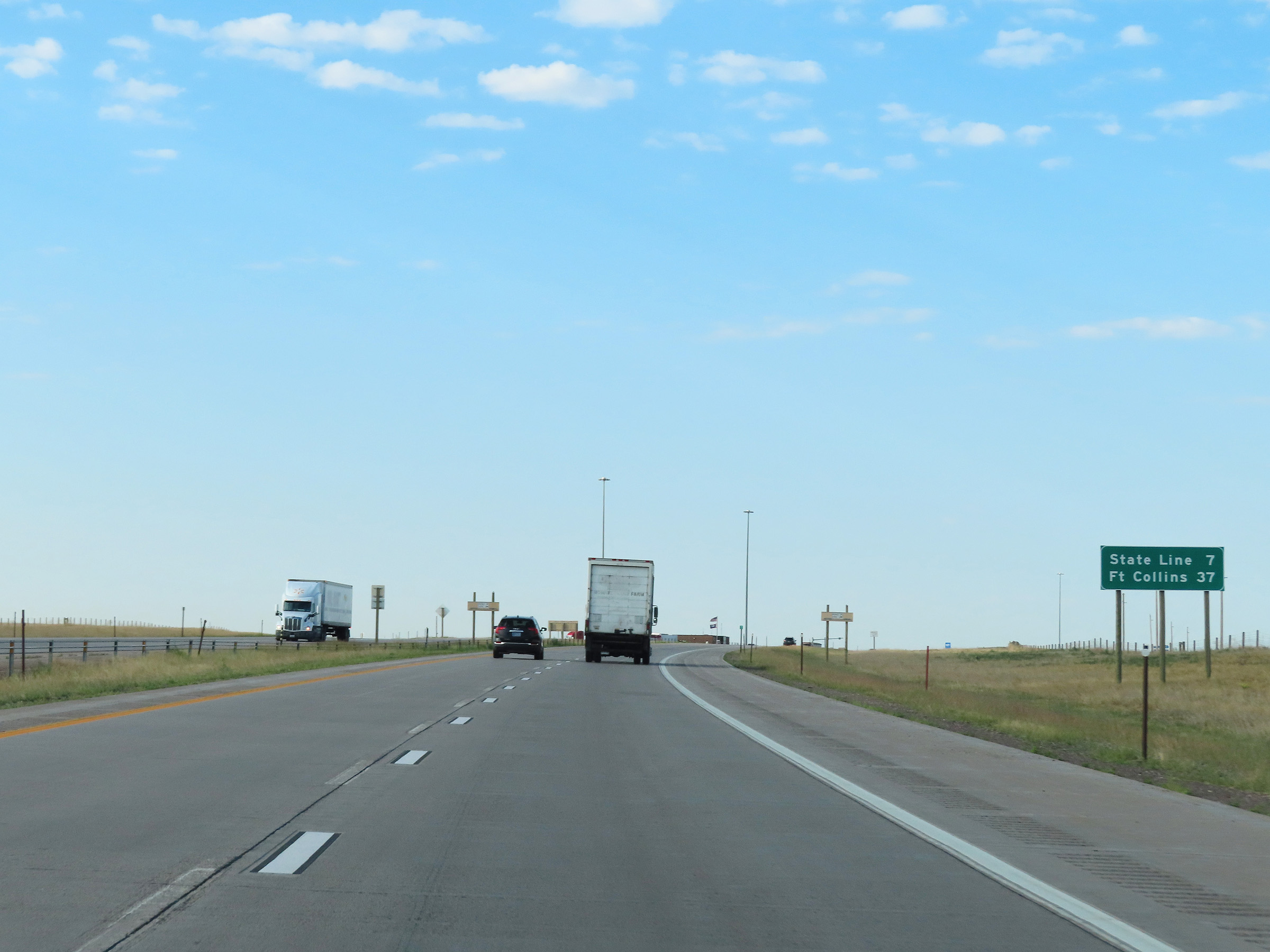 |
Mileage sign on Interstate 25 South. It's 7 miles to the Colorado State Line and 37 miles to Fort Collins. (Photo taken 8/18/22). |
 |
Mile marker 6 on Interstate 25 South in Laramie County. (Photo taken 8/18/22). |
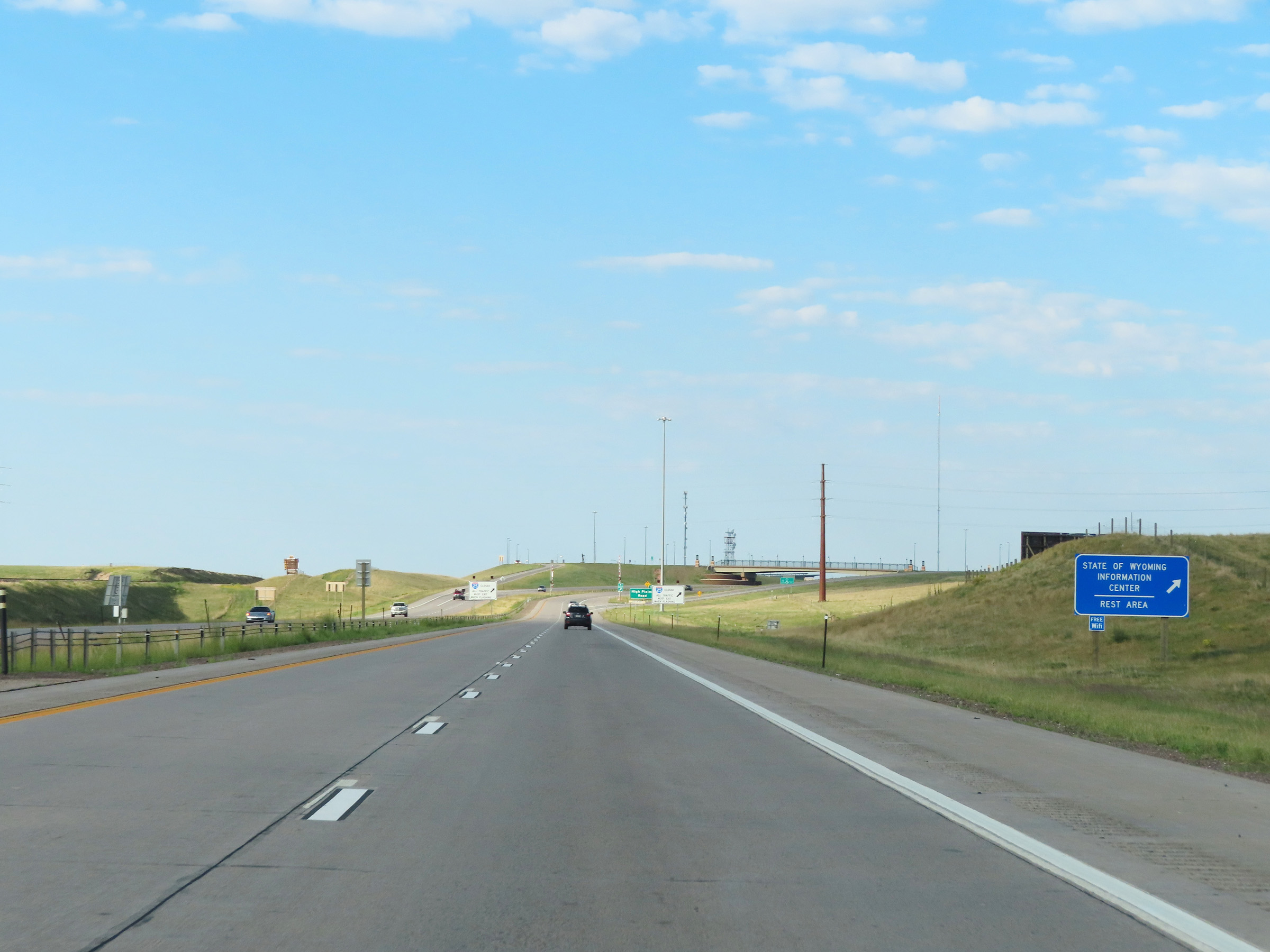 |
Again, a Rest Area and Wyoming Information Center exists off Exit 4 ahead. (Photo taken 8/18/22). |
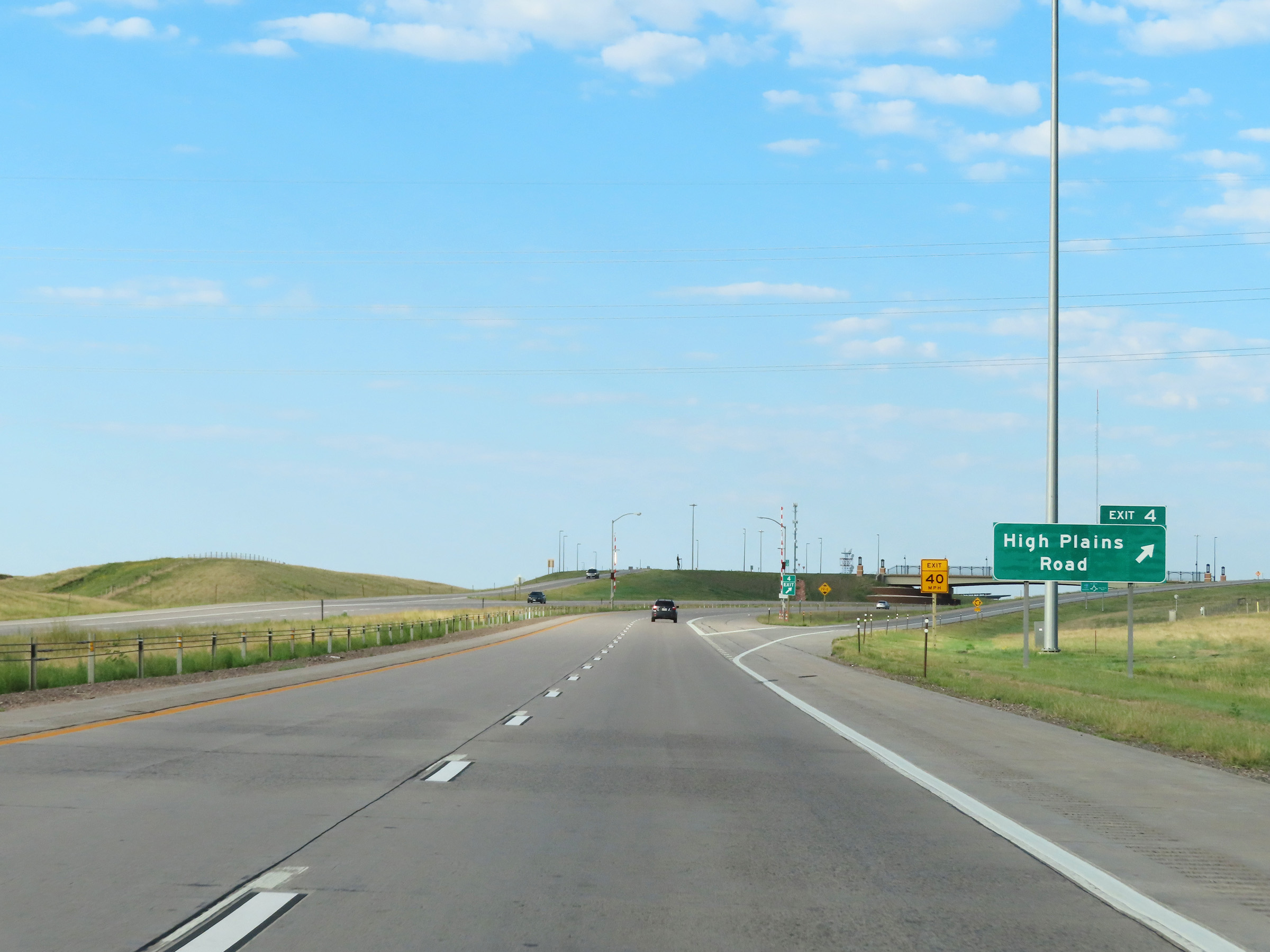 |
Interstate 25 South at Exit 4: High Plains Road (Photo taken 8/18/22). |
 |
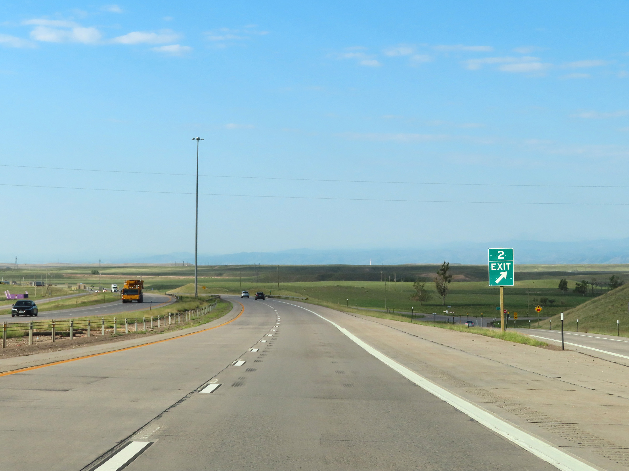
Interstate 25 South approaching Exit 2 - 3/4 mile. (Photo taken 8/18/22). |
 |
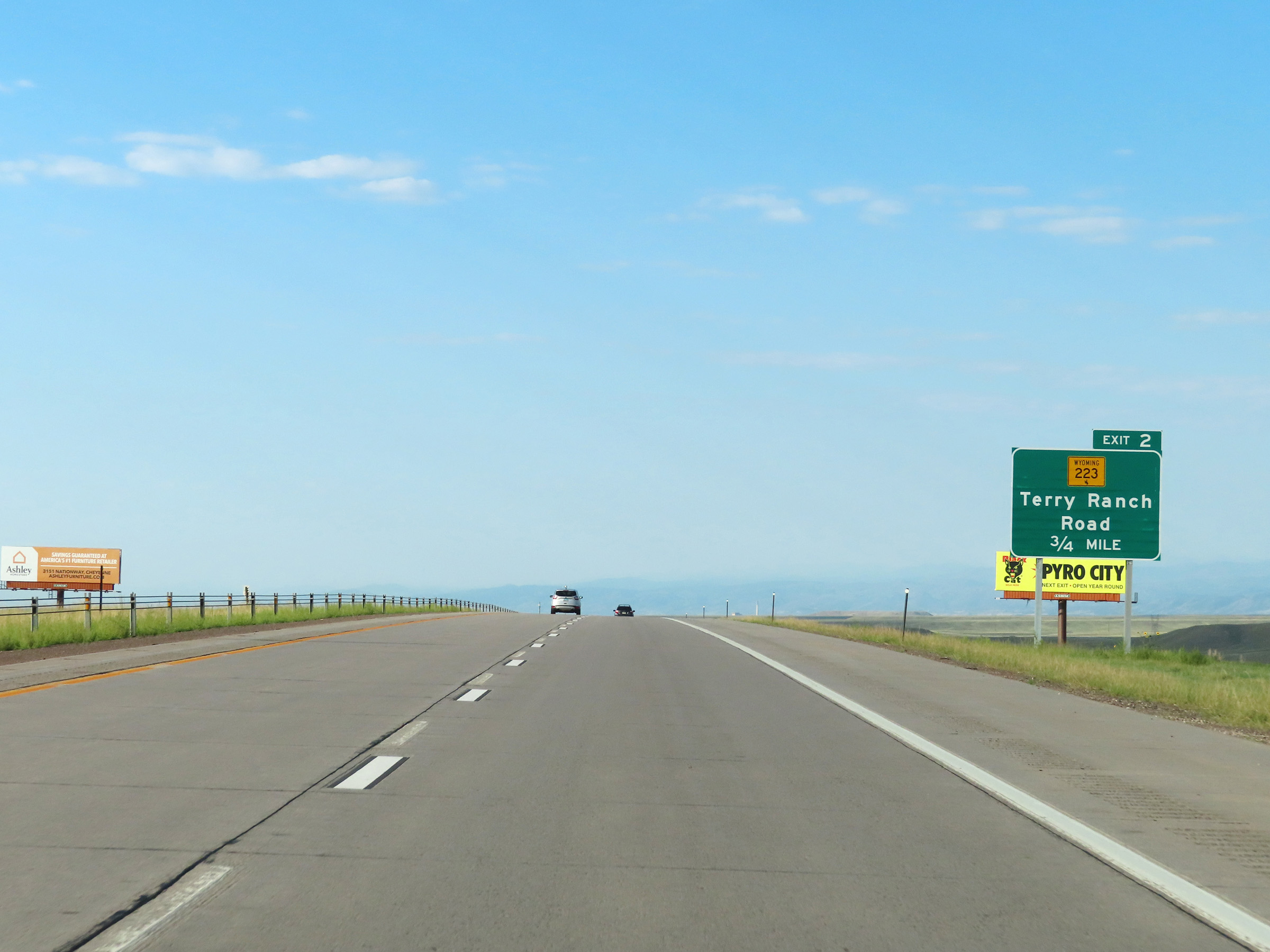
Interstate 25 South at Exit 2: WY 223 - Terry Ranch Road (Photo taken 8/18/22). |
 |
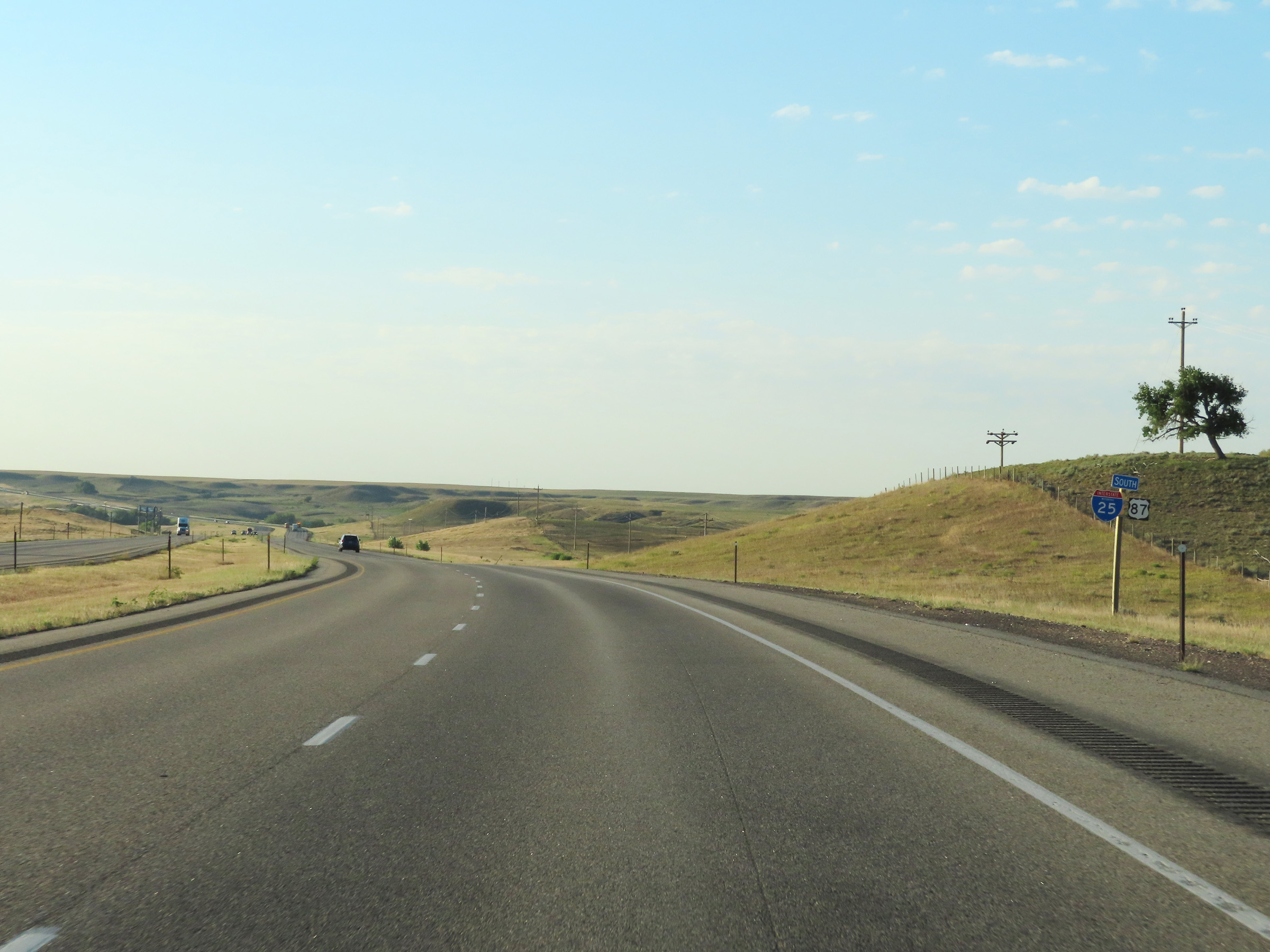
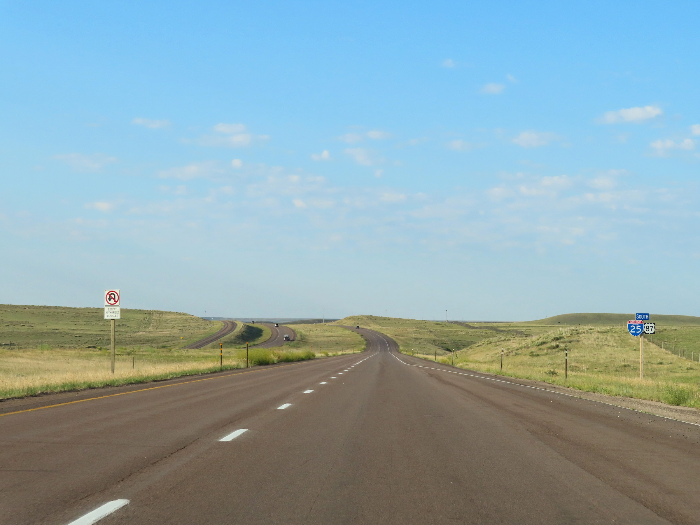
One final state-named Interstate 25 South reassurance shield, beginning to approach to the state line. (Photo taken 8/18/22). |
 |
View on Interstate 25 South at mile marker 1. (Photo taken 8/18/22). |
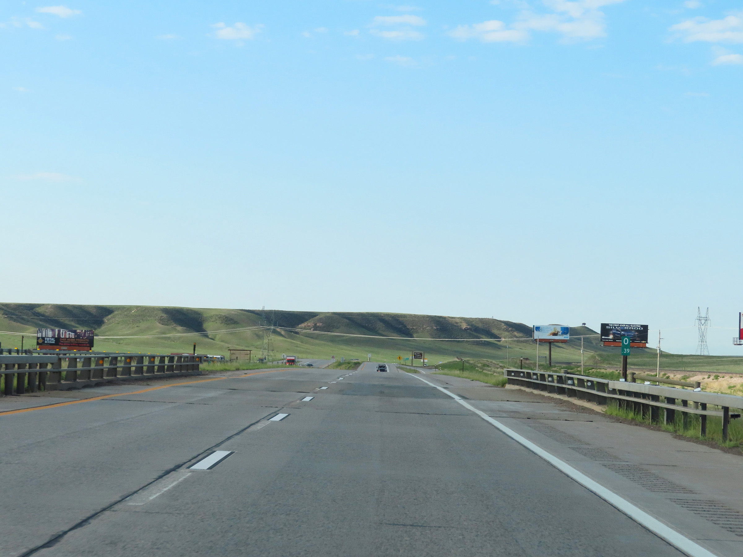 |
At mile marker 0.39, the Colorado state line comes into view ahead. (Photo taken 8/18/22). |
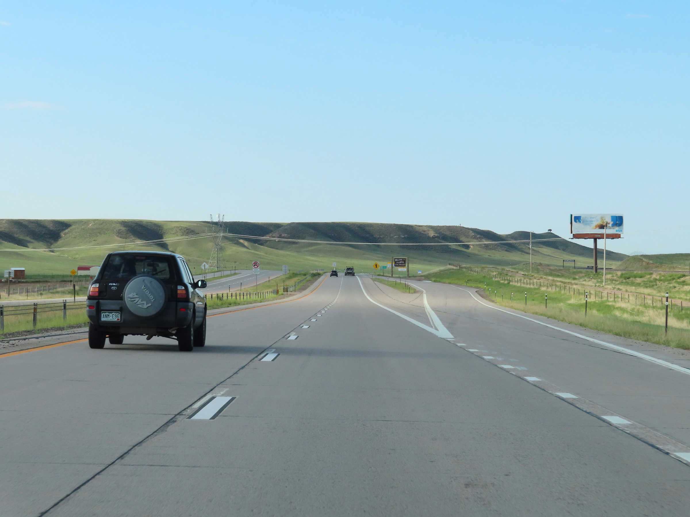 |
Turnout on Interstate 25 South approaching the Colorado border. (Photo taken 8/18/22). |
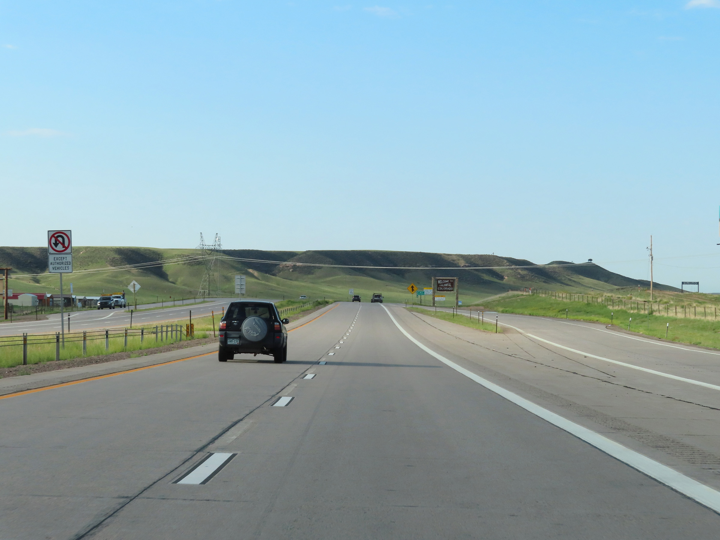 |
View on Interstate 25 South as it leaves Wyoming to enter Colorado. (Photo taken 8/18/22). |