Road Information |
||
 |
||
| Total Mileage in State: | 187 miles | |
| Eastern End: | At Illinois state line | |
| Western End: | At Minnesota state line | |
| Mileage covered in Photos: | 187 miles | |
| Counties covered in Photos: | Rock, Dane, Columbia, Sauk, Juneau, Monroe, La Crosse | |
| Major Junctions in Photos: | I-43, in Beloit I-94 East, in Madison I-39 North, in Portage I-94 West, in Tomah |
|
| Control Cities in Photos: | Beloit, Madison, Portage, Wisconsin Dells, Tomah, La Crosse | |
Westbound
- Section 1: Illinois Border to Madison (Exit 138A)
- Section 2: Madison (Exit 138A) to Wisconsin Dells (Exit 85)
- Section 3: Wisconsin Dells (Exit 85) to Tomah (Exit 41)
- Section 4: Tomah (Exit 41) to Minnesota Border
Section 1: Illinois Border to Madison (Exit 138A)
 |
Interstate 90 West / Interstate 39 North as they enter Wisconsin and Rock County from Illinois. I-39 North and I-90 West will run concurrently for the next 79 miles. Along the way, Interstate 94 West will also join them. (Photo taken 8/15/22). |
 |
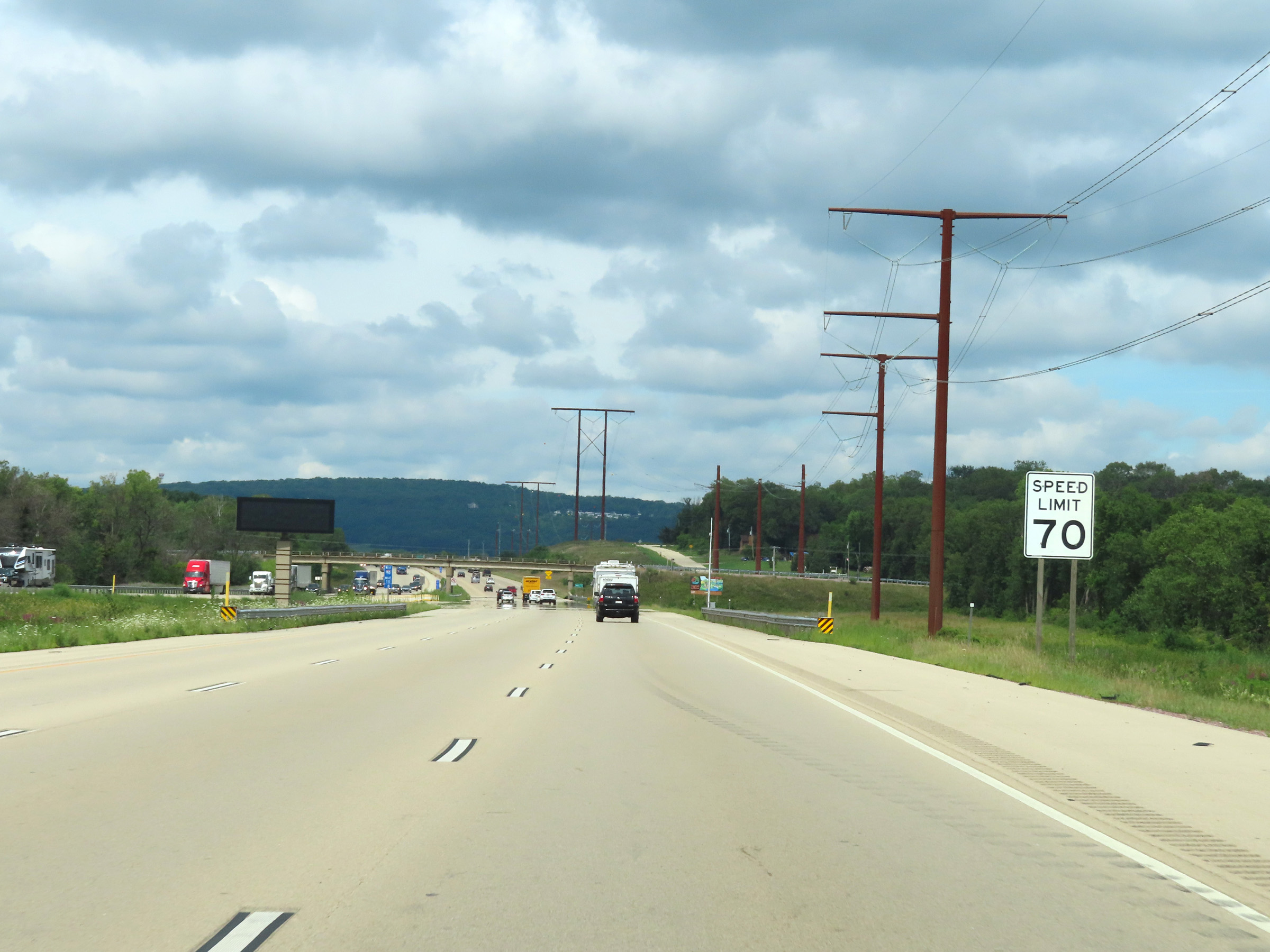
Interstate 90 West / Interstate 39 North reassurance shields upon entering Wisconsin. The speed limit starts out at 70 mph, which is the standard speed limit on most rural Interstate highways in Wisconsin. (Photo taken 8/15/22). |
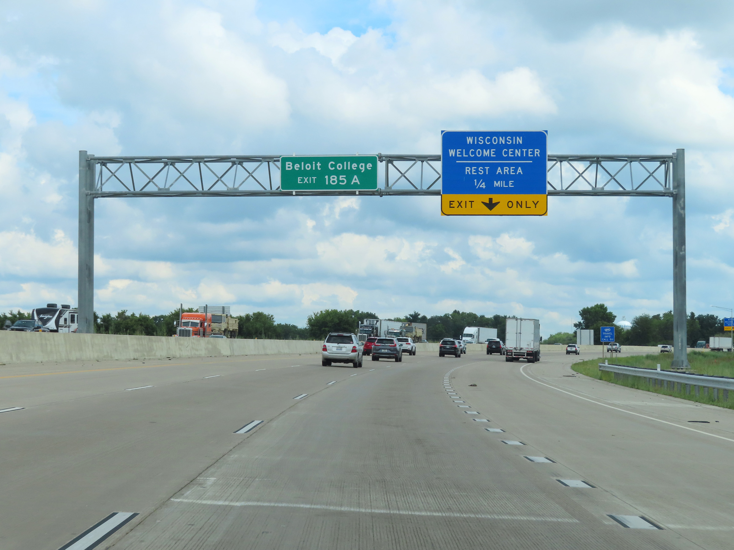 |
Take Exit 185A to Beloit College. (Photo taken 8/15/22). |
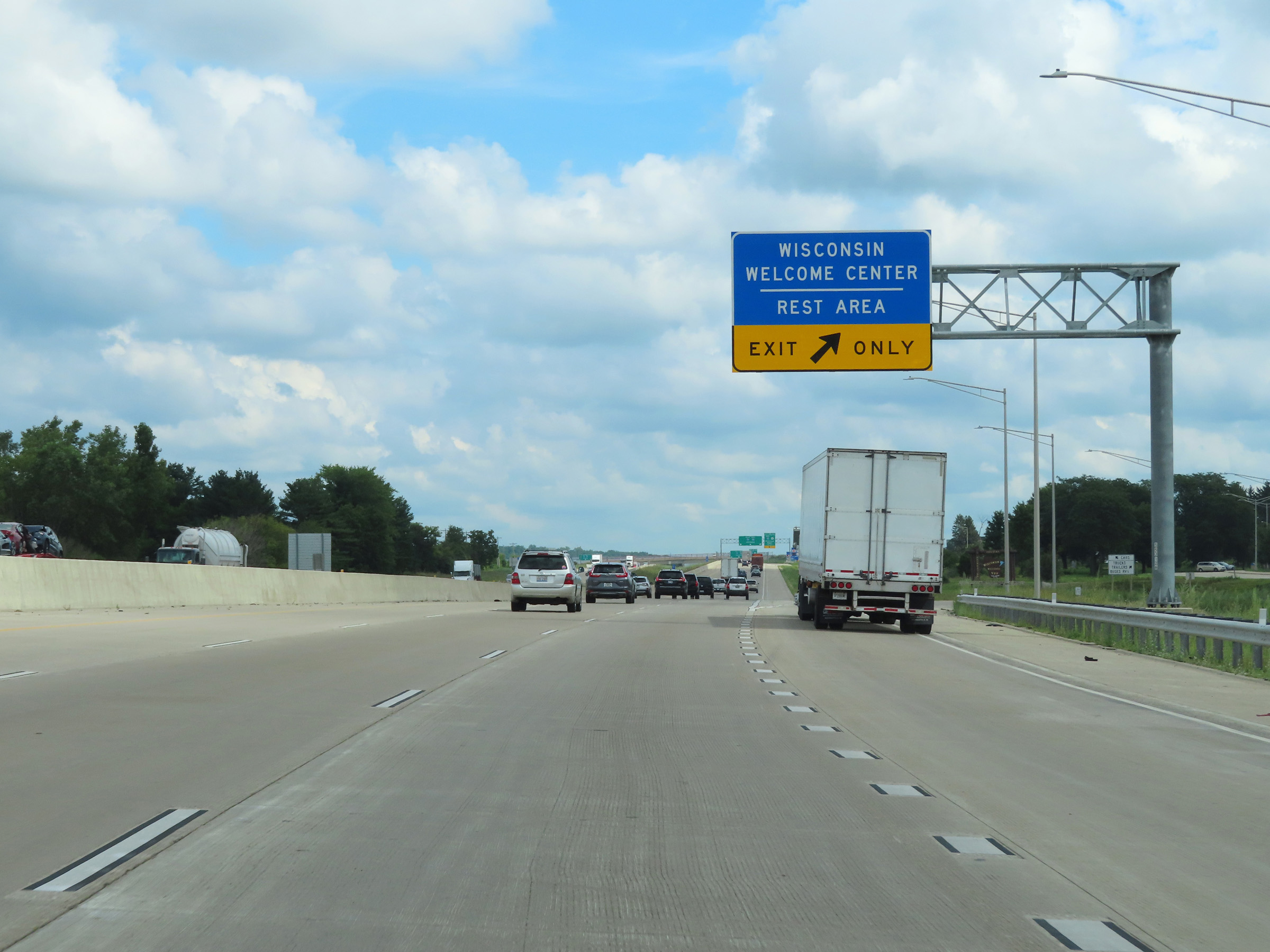 |
Wisconsin Welcome Center / Rest Area on Interstate 90 West / Interstate 39 North in Beloit, Rock County. (Photo taken 8/15/22). |
 |
Wisconsin welcome sign at the Welcome Center / Rest Area on Interstate 90 West / Interstate 39 North. (Photo taken 8/15/22). |
 |
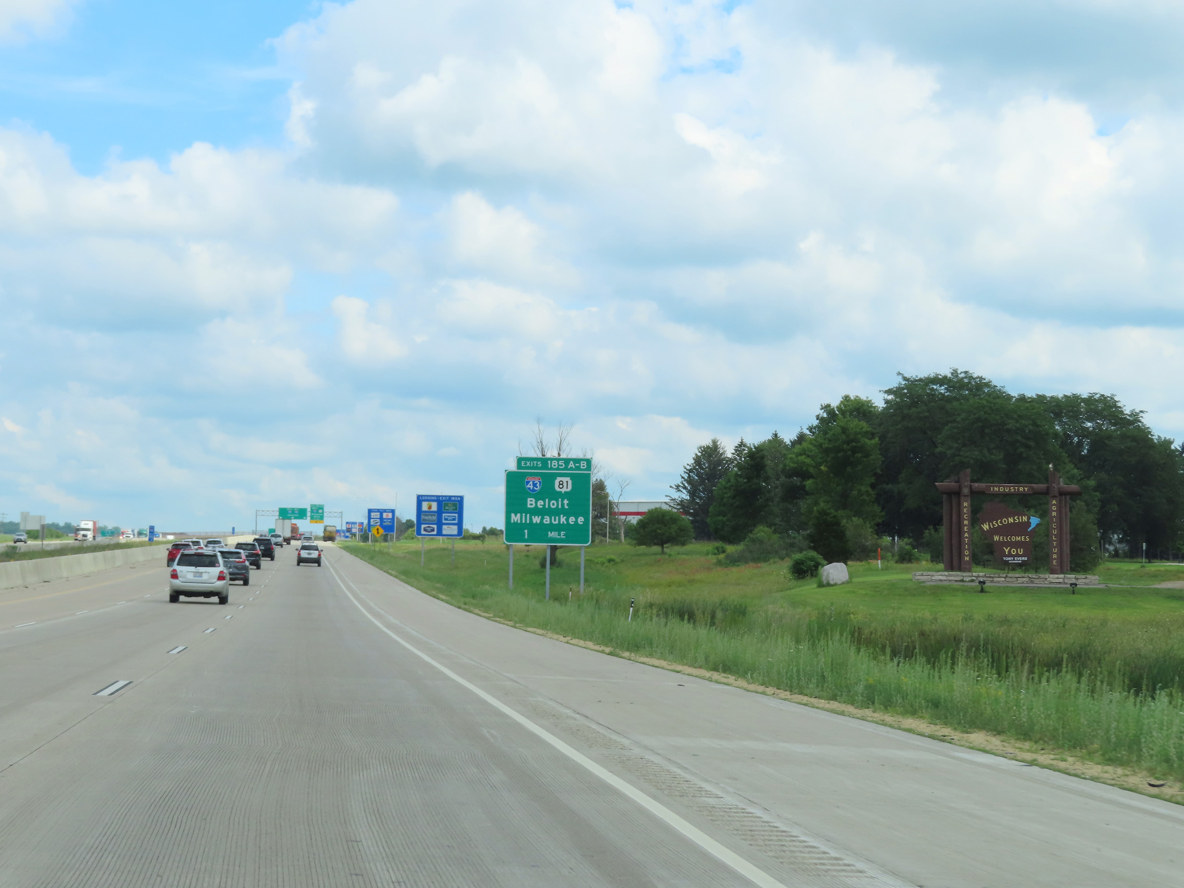
Interstate 90 West / Interstate 39 North approaching Exits 185A-B - 1/2 mile. During the I-39 / I-90 concurrency, the mileage and exit numbers are based on the total mileage of I-90 in Wisconsin. (Photo taken 8/15/22). |
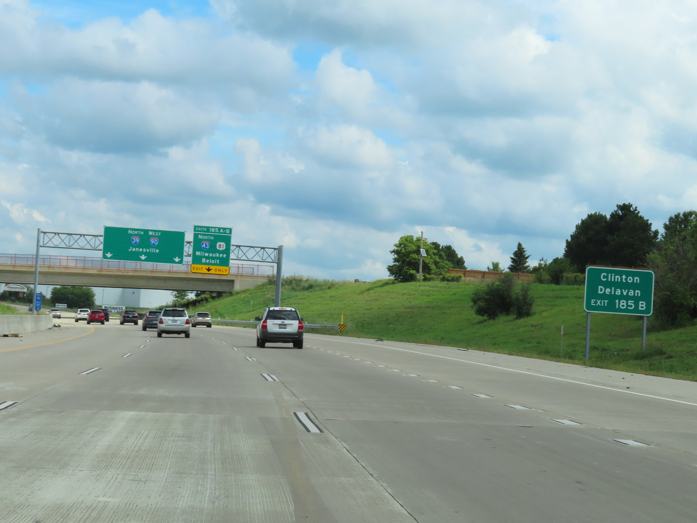 |
Take Exit 185B (Interstate 43 North) to Clinton and Delavan. (Photo taken 8/15/22). |
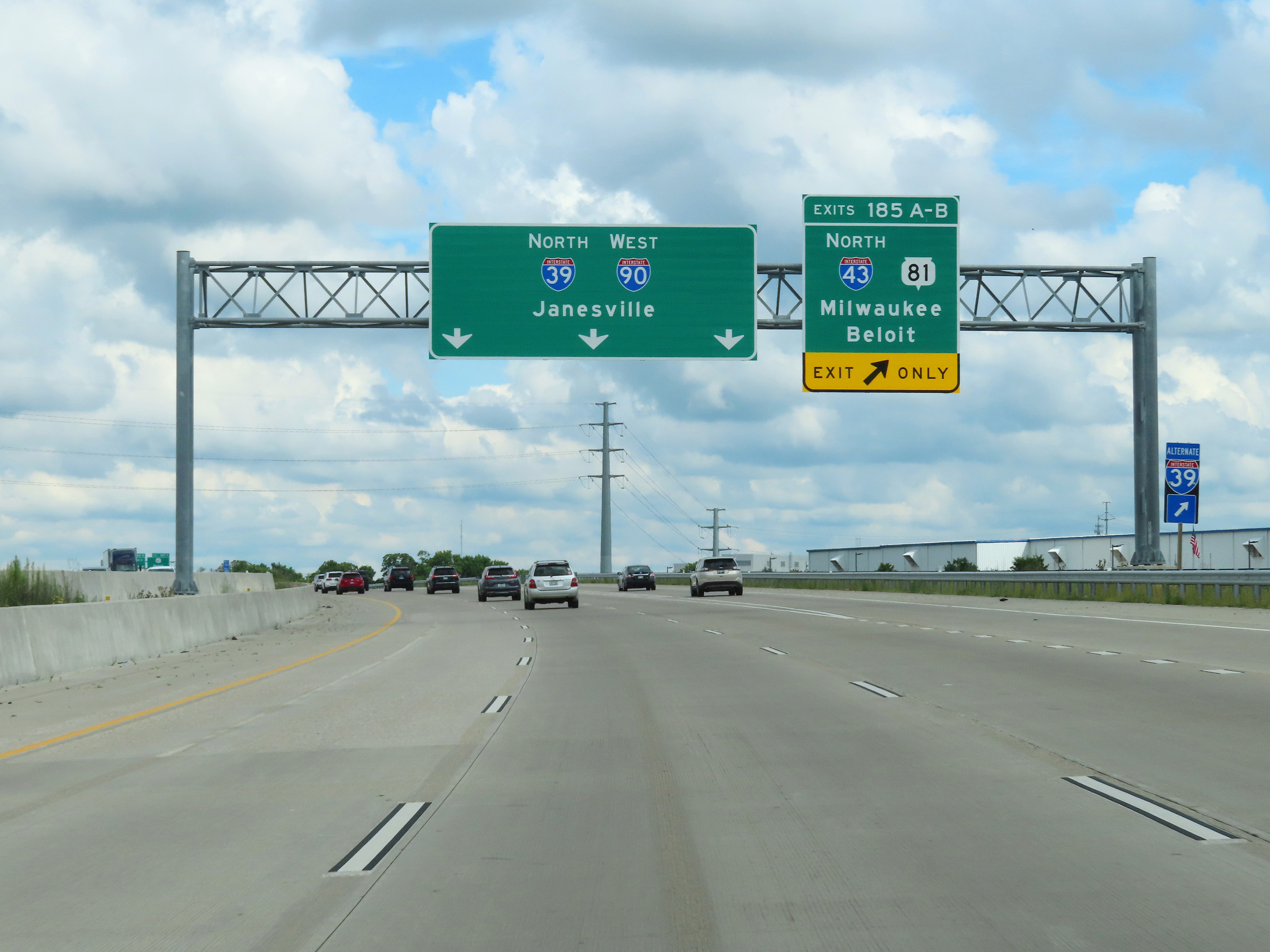 |
Interstate 90 West / Interstate 39 North at Exits 185A-B: Interstate 43 North / WI 81 - Milwaukee / Beloit (Photo taken 8/15/22). |
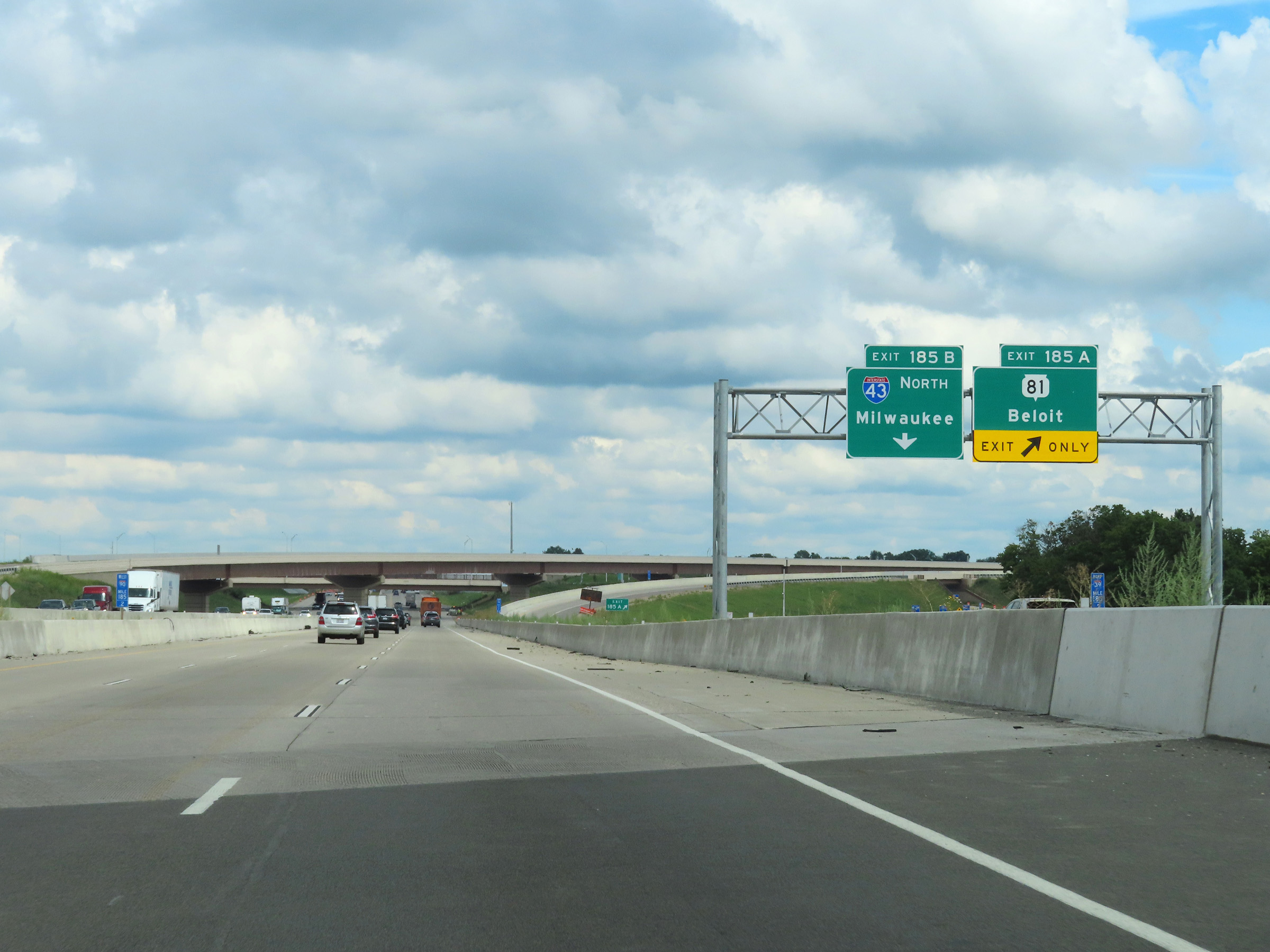 |
At mile marker 185.2 on Interstate 90 West / Interstate 39 North, the ramp to Exits 185A-B split into their respective exit ramps. (Photo taken 8/15/22). |
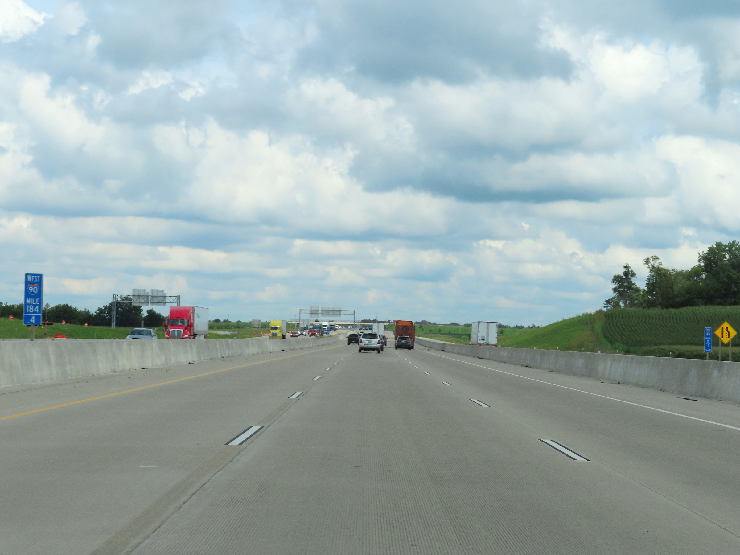 |
View on Interstate 90 West / Interstate 39 North at mile marker 184.4. (Photo taken 8/15/22). |
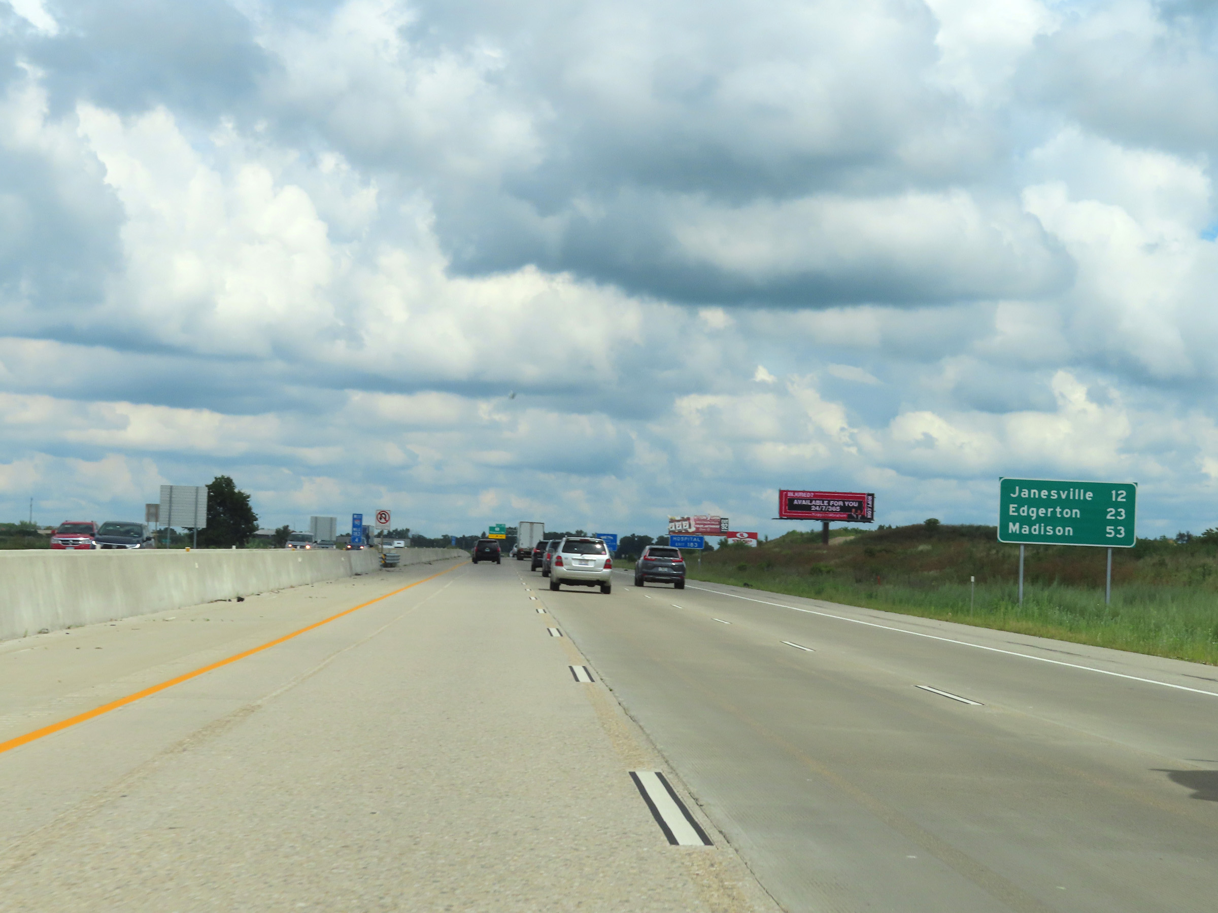 |
Mileage sign on Interstate 90 West / Interstate 39 North at mile marker 183.4. It's 12 miles to Janesville, 23 miles to Edgerton, and 53 miles to Madison. (Photo taken 8/15/22). |
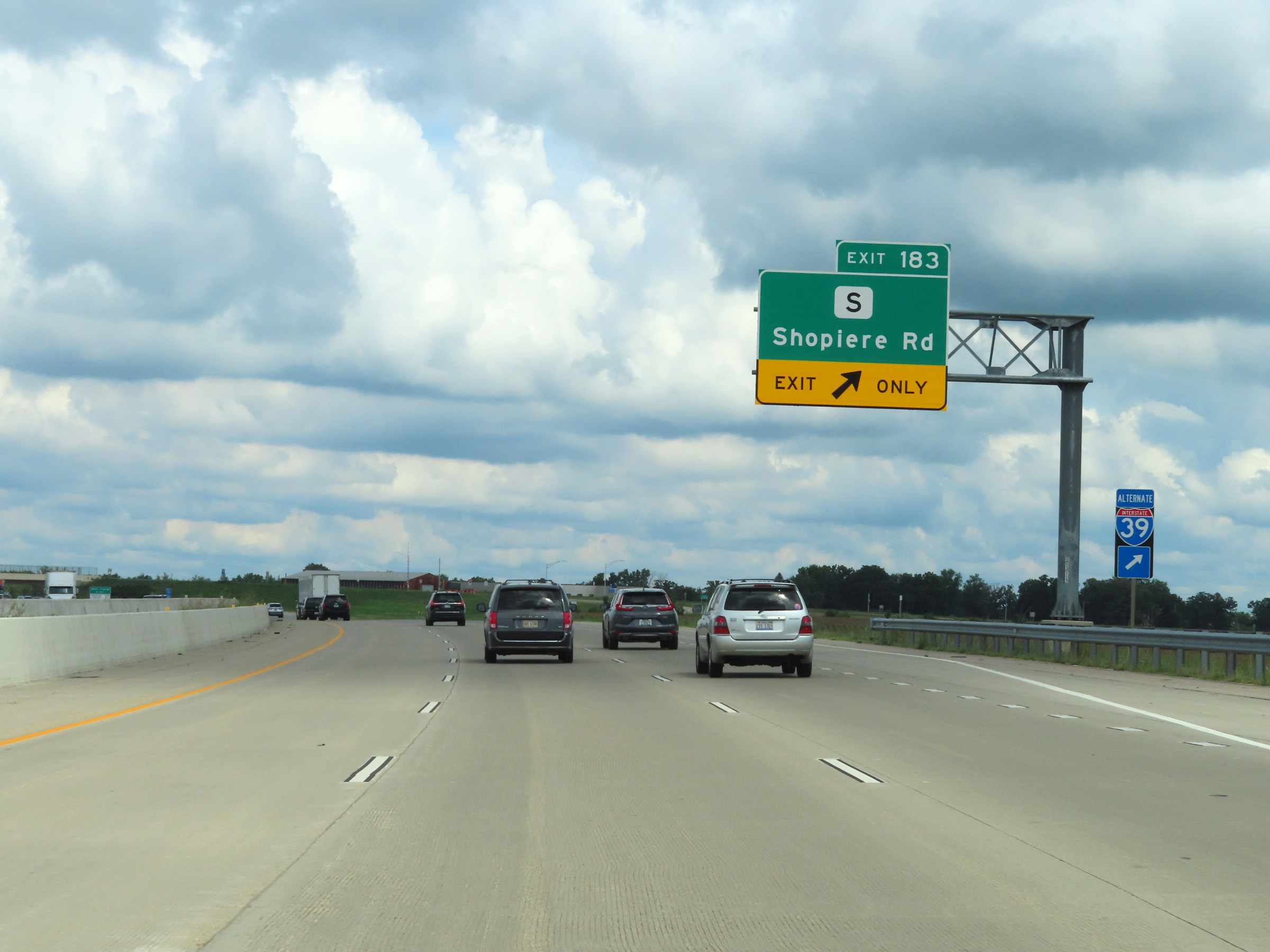 |
Interstate 90 West / Interstate 39 North at Exit 183: Hwy S - Shopiere Rd (Photo taken 8/15/22). |
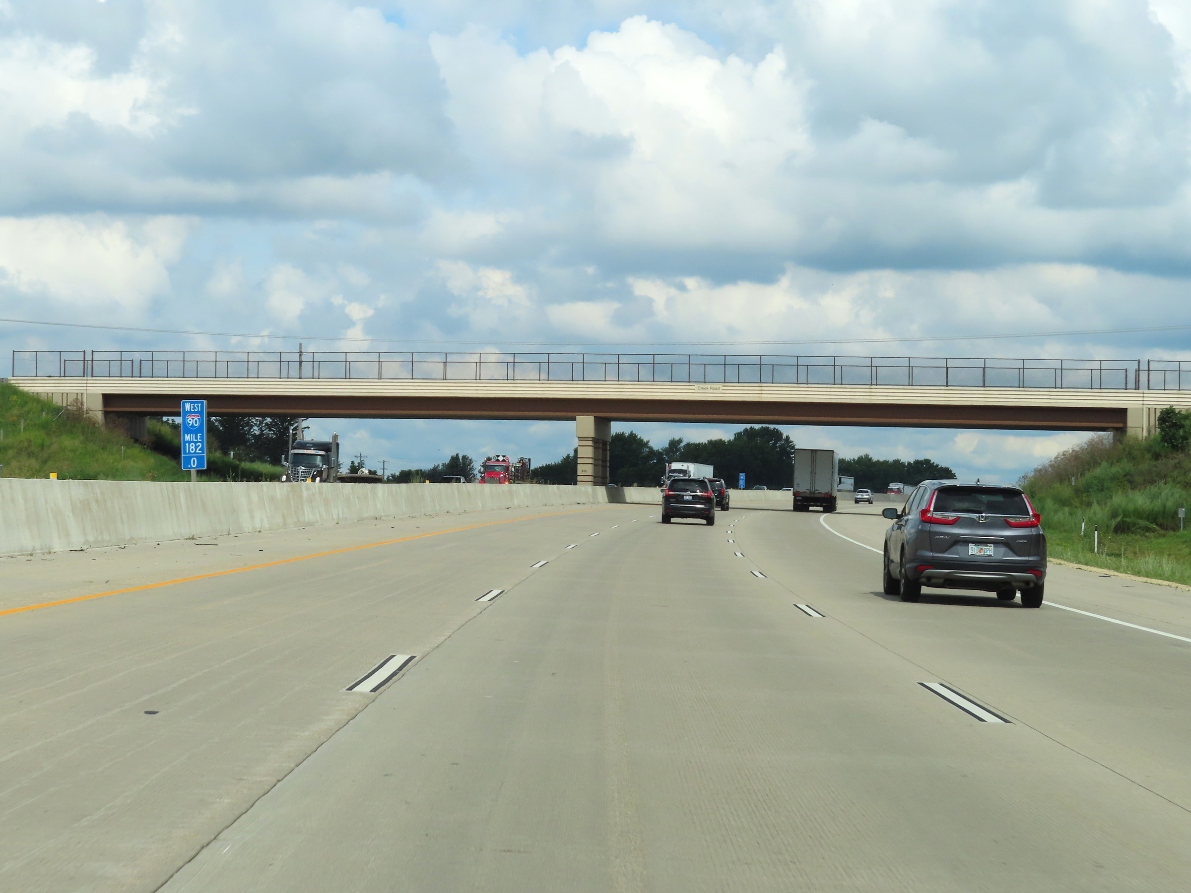 |
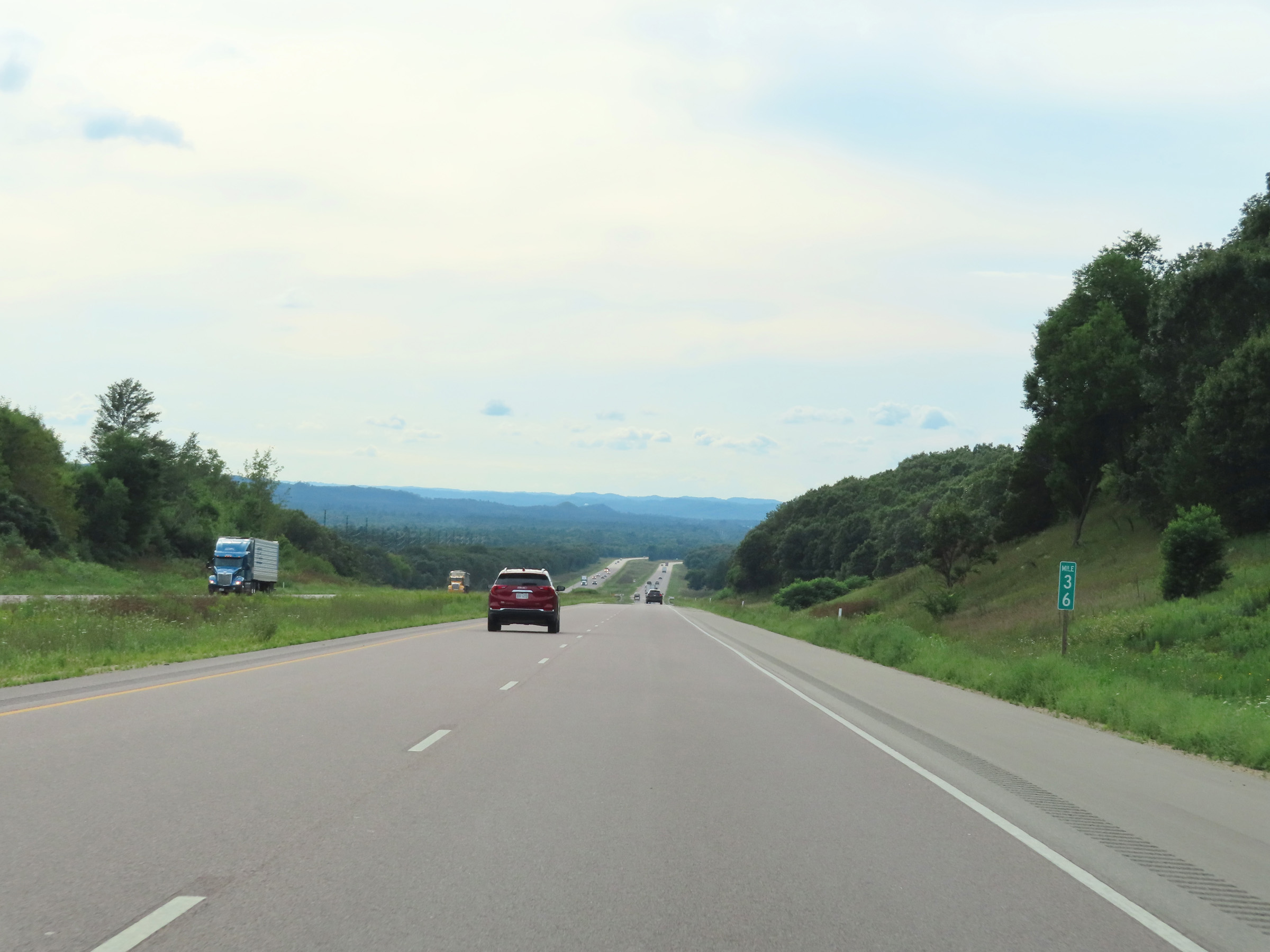
Mile marker 182 on Interstate 90 West / Interstate 39 North in Rock County. (Photo taken 8/15/22). |
 |
The speed limit remains 70 mph on Interstate 90 West / Interstate 39 North. (Photo taken 8/15/22). |
 |
Truck Parking is available 24 hours a day in the Weigh Station ahead. (Photo taken 8/15/22). |
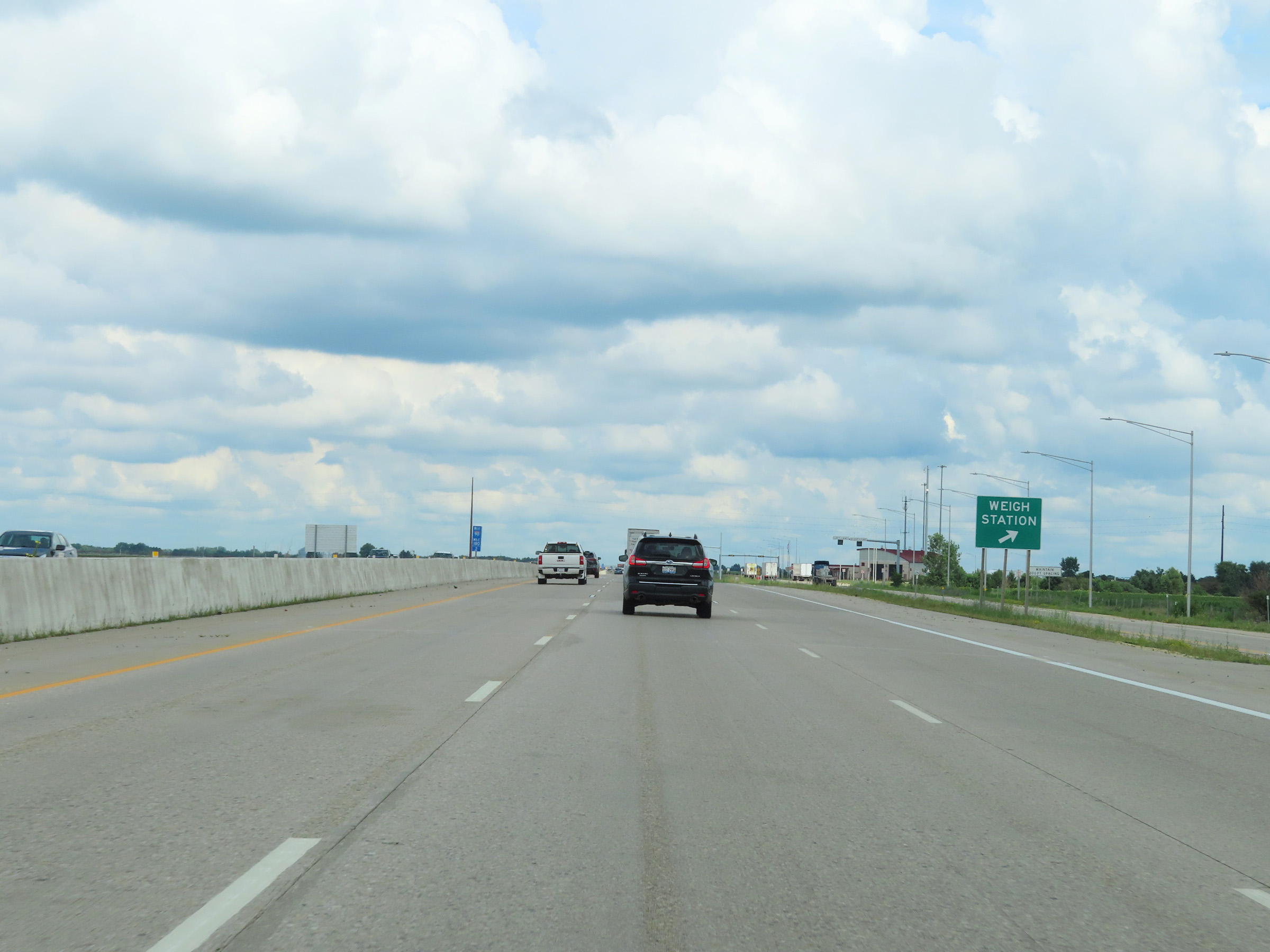 |
Weigh Station on Interstate 90 West / Interstate 39 North at mile marker 180.2 in Rock County. (Photo taken 8/15/22). |
 |
Take any of the next 4 exits to Janesville. (Photo taken 8/15/22). |
 |
Take Exit 177 to Avalon Rd. (Photo taken 8/15/22). |
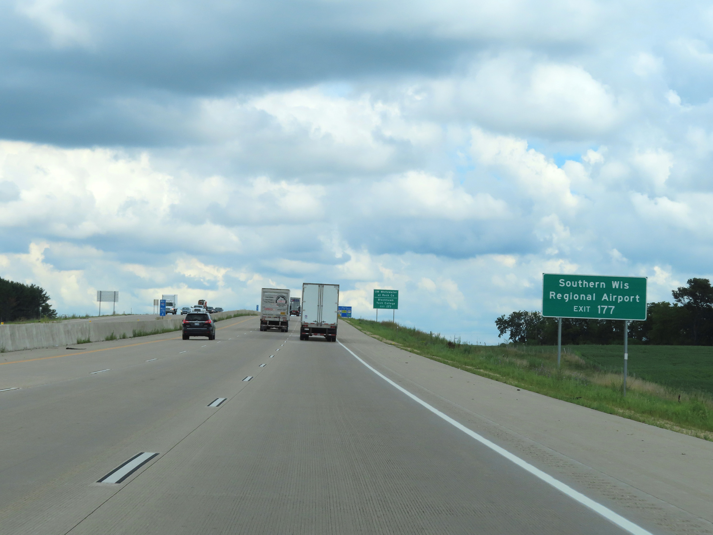 |
Also take Exit 177 to Southern Wisconsin Regional Airport. (Photo taken 8/15/22). |
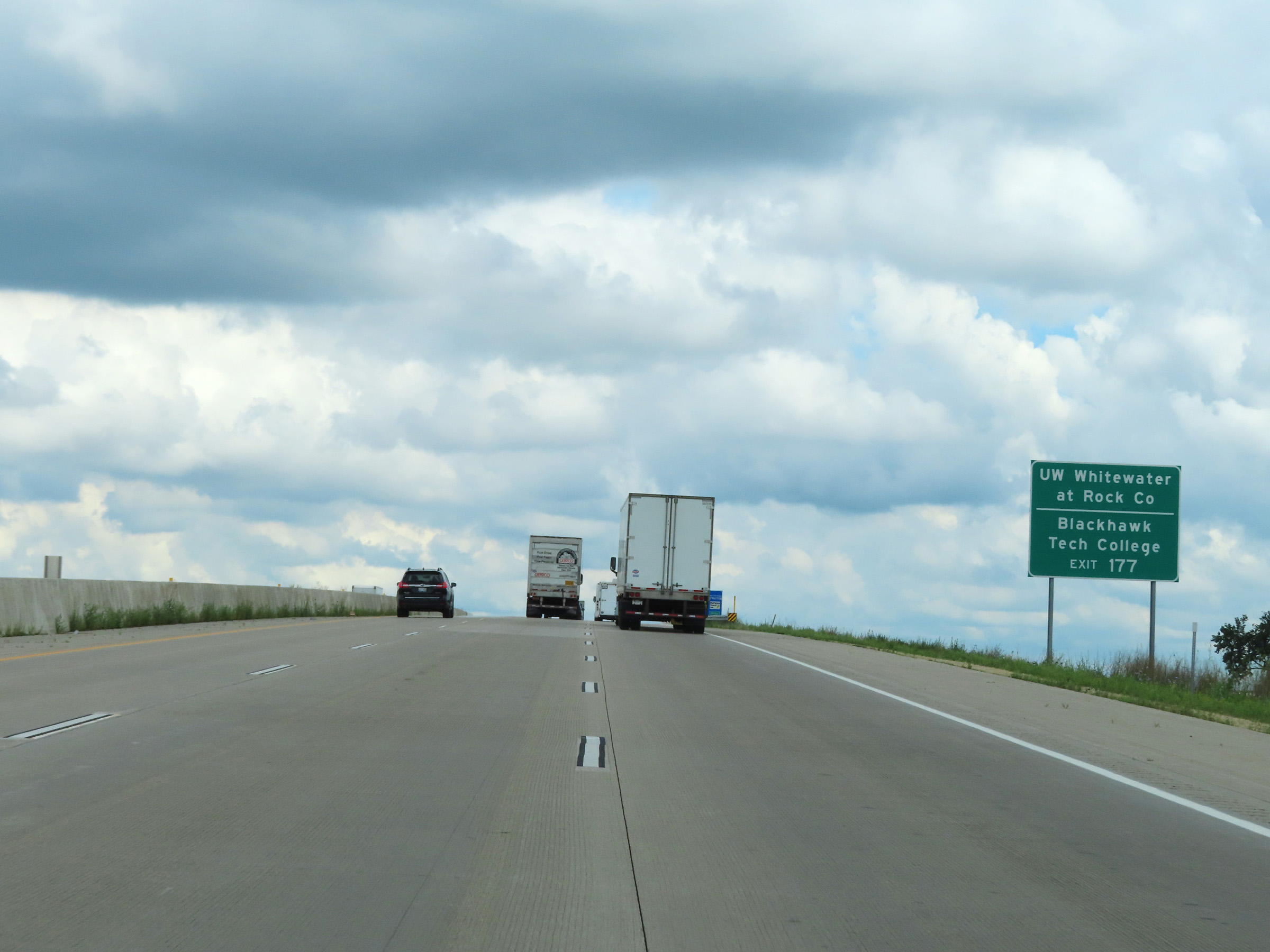 |
Take Exit 177 to UW Whitewater at Rock County and Blackhawk Tech College as well. (Photo taken 8/15/22). |
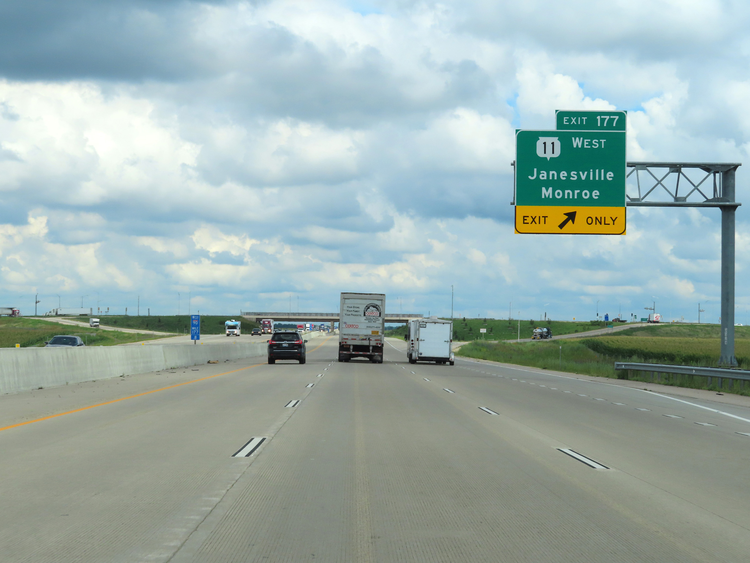 |
Interstate 90 West / Interstate 39 North at Exit 177: WI 11 West - Janesville / Monroe (Photo taken 8/15/22). |
 |
Another set of Interstate 90 West / Interstate 39 North reassurance shields in Janesville. (Photo taken 8/15/22). |
 |
Take Exit 175 to East Racine St. Trucks over 8 tons GVWR (Gross Vehicle Weight Rating) are prohibited on East Racine St, except for local deliveries. (Photo taken 8/15/22). |
 |
Also take Exit 175 to Downtown Janesville and a Visitor Information Center. (Photo taken 8/15/22). |
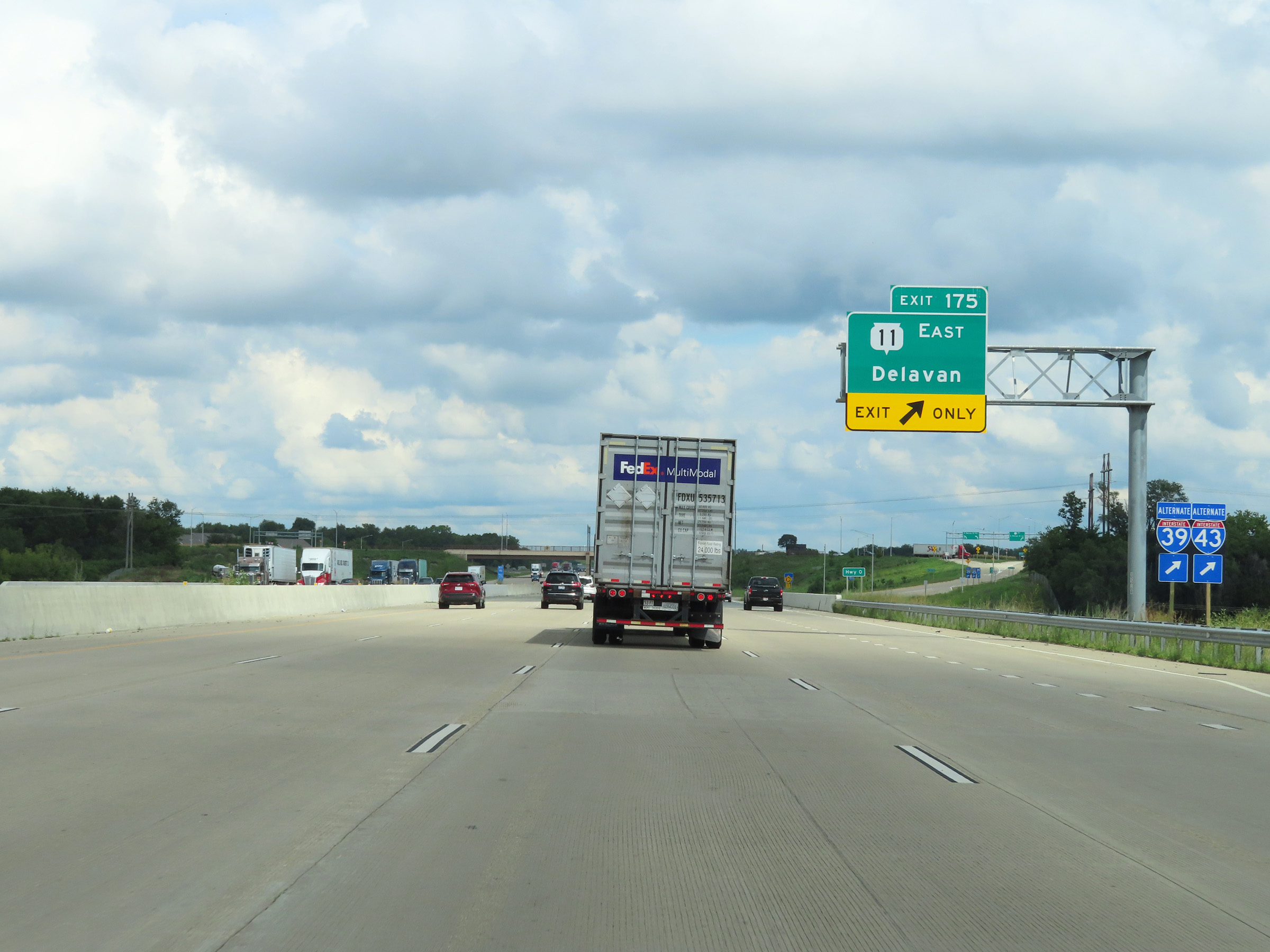 |
Interstate 90 West / Interstate 39 North at Exit 175: WI 11 East - Delavan (Photo taken 8/15/22). |
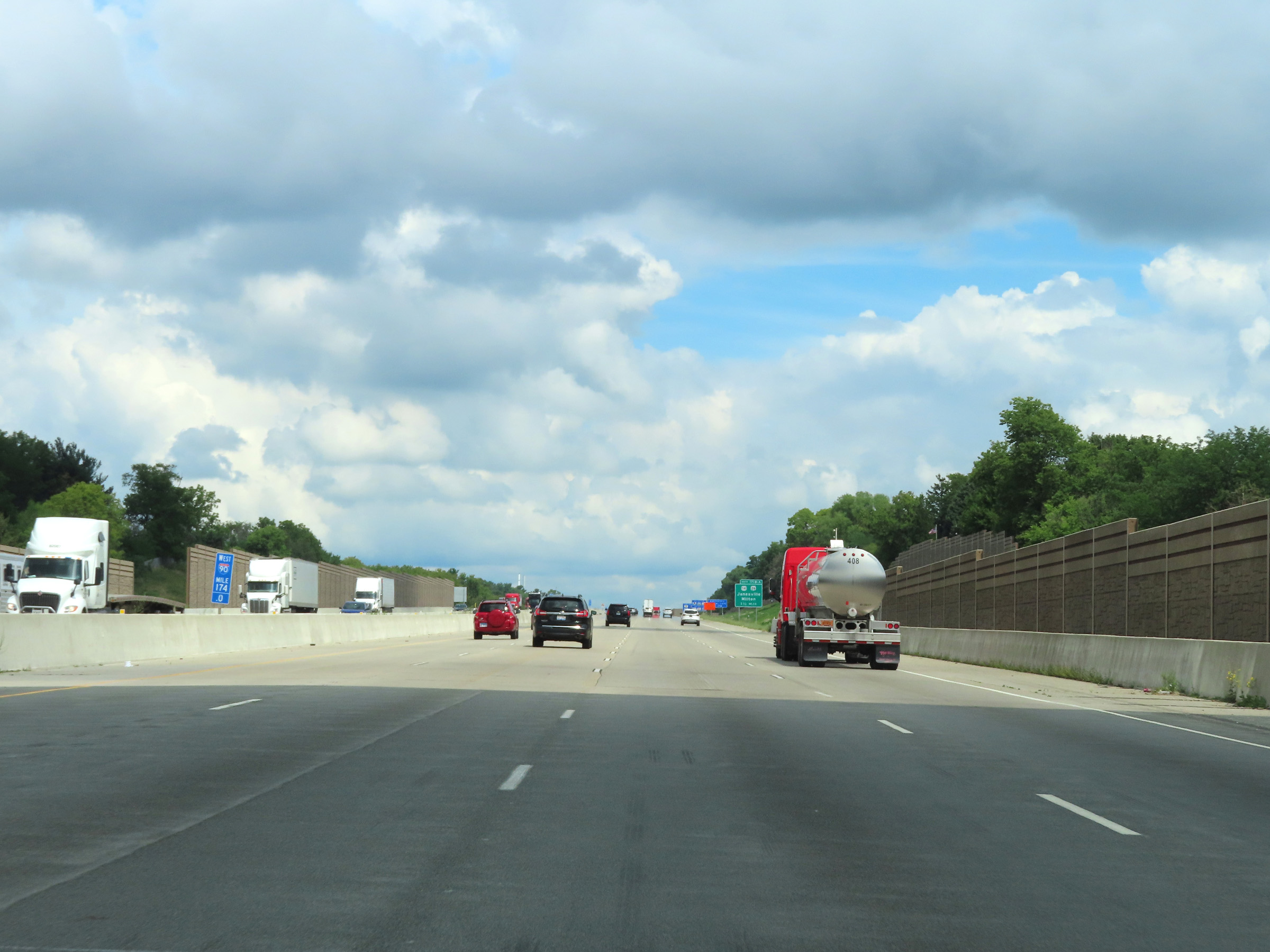 |
View on Interstate 90 West / Interstate 39 North at mile marker 174. (Photo taken 8/15/22). |
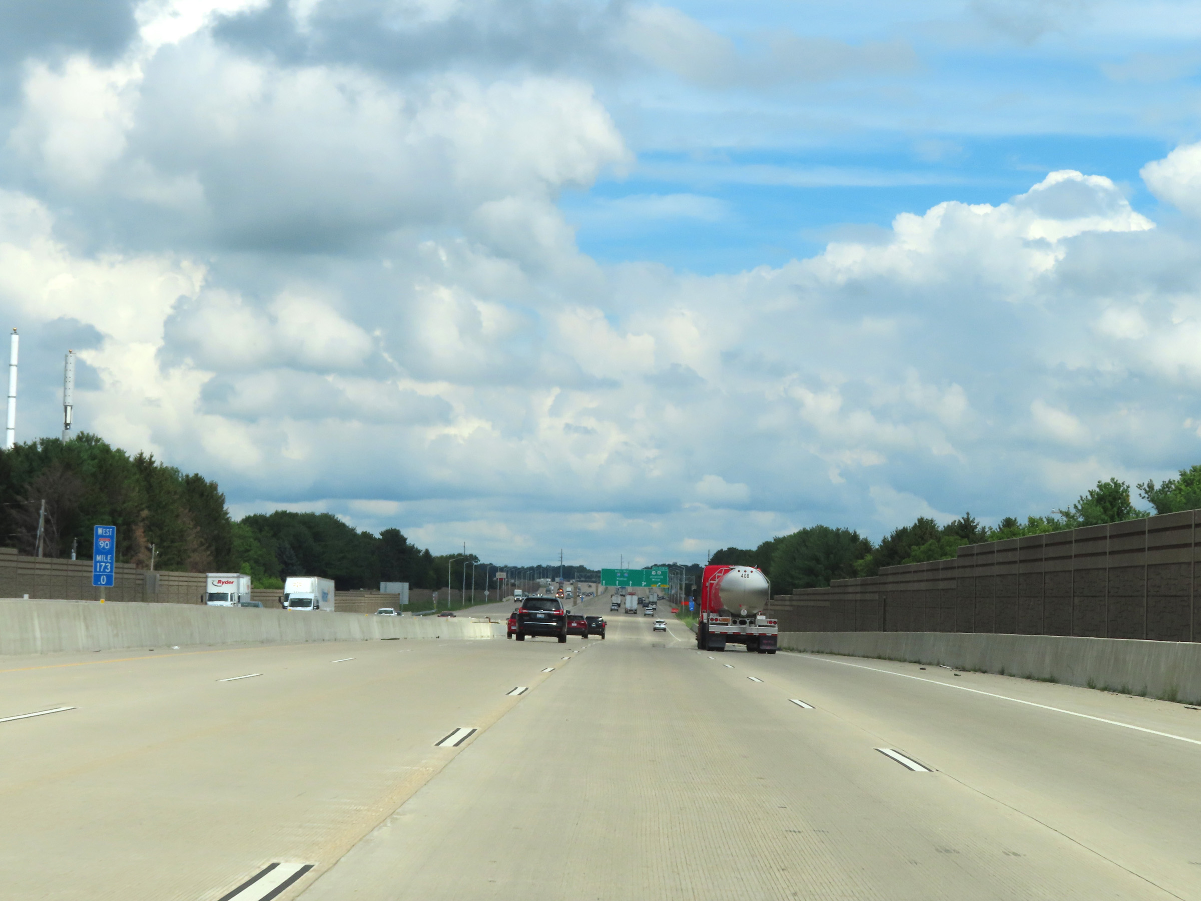 |
Mile marker 173 on Interstate 90 West / Interstate 39 North in Rock County. (Photo taken 8/15/22). |
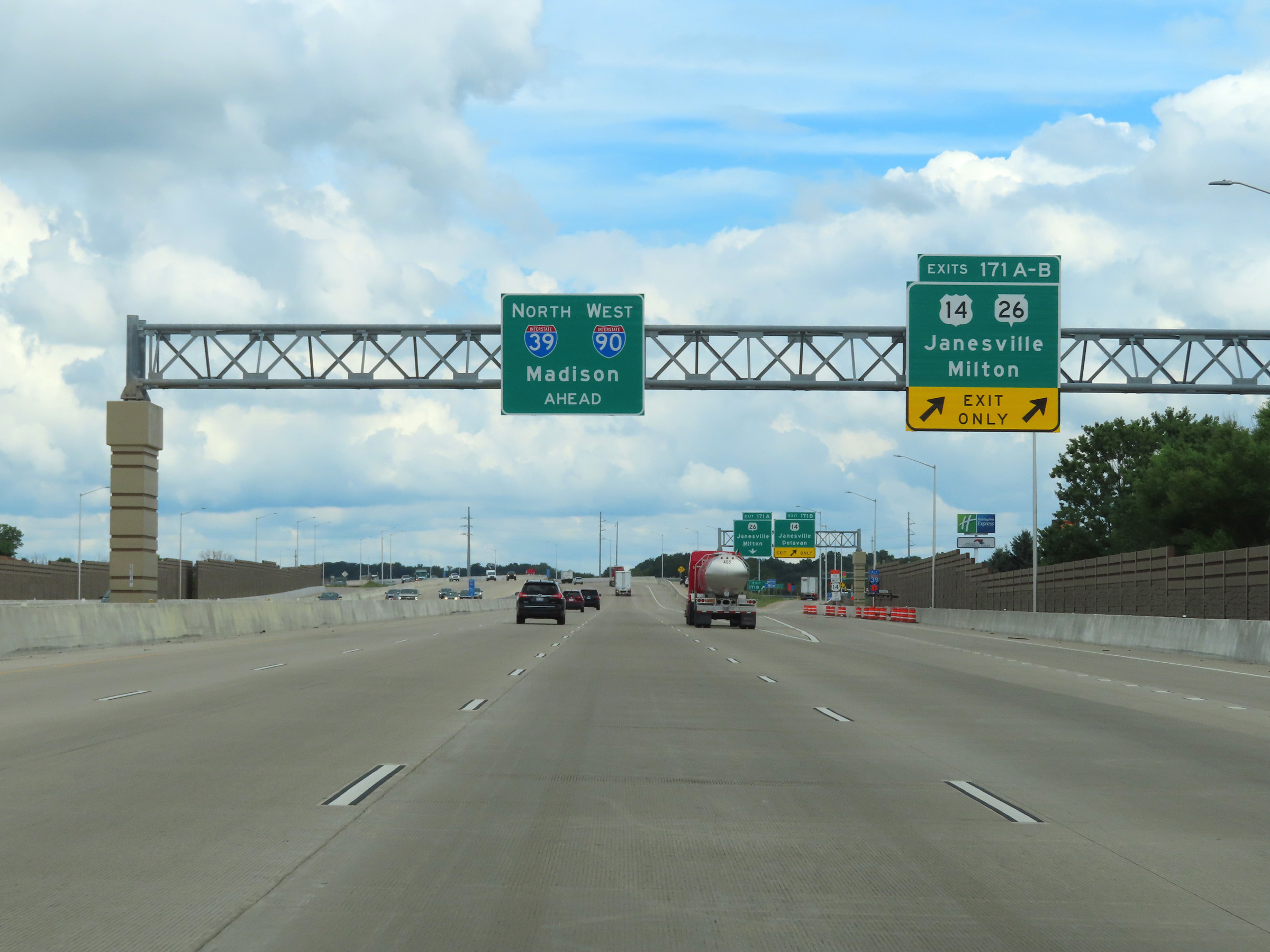 |
Interstate 90 West / Interstate 39 North at Exits 171A-B: US 14 / WI 26 - Janesville / Milton (Photo taken 8/15/22). |
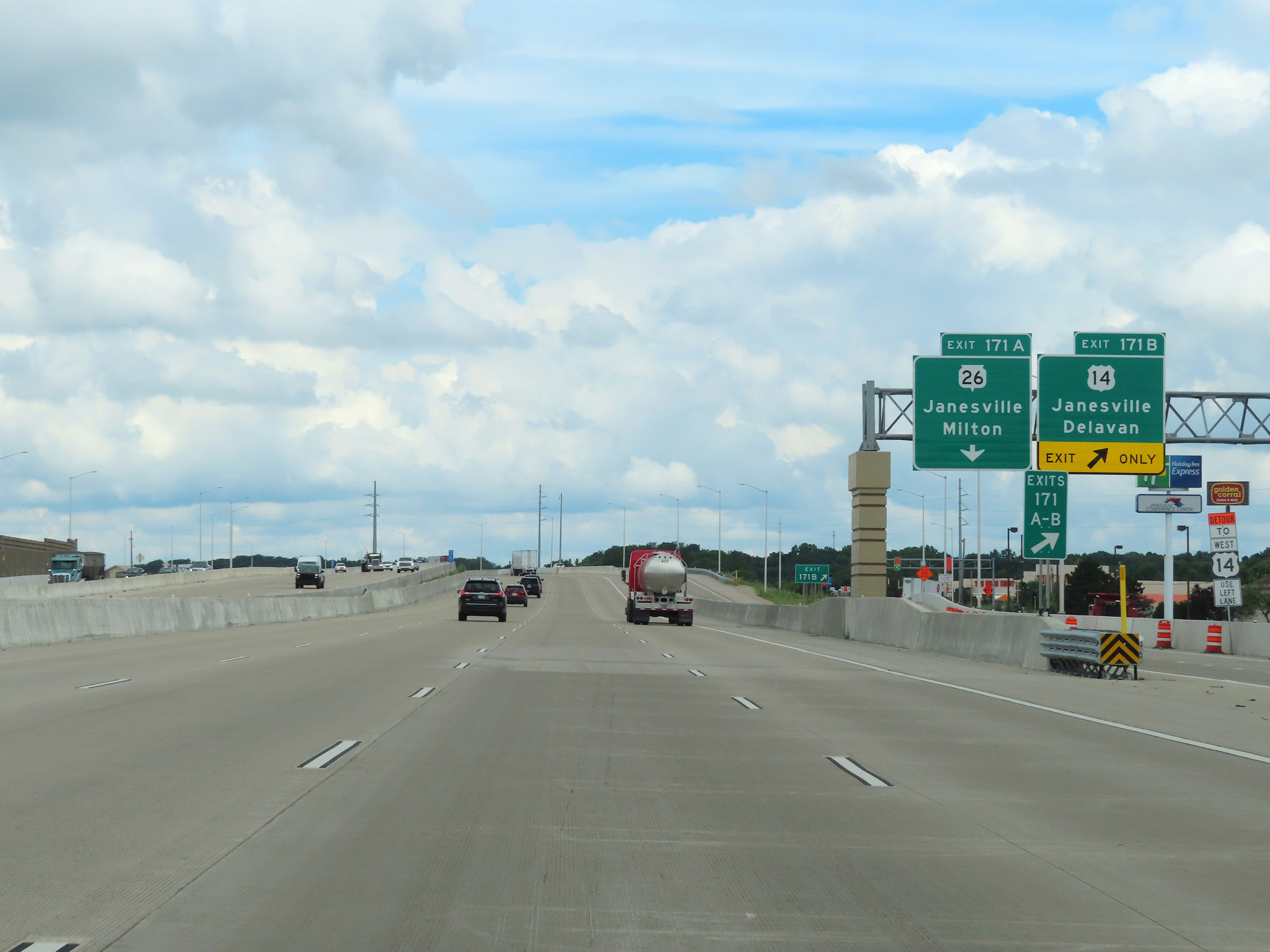 |
Interstate 90 West / Interstate 39 North at Exit 171B: US 14 - Janesville / Delavan (Photo taken 8/15/22). |
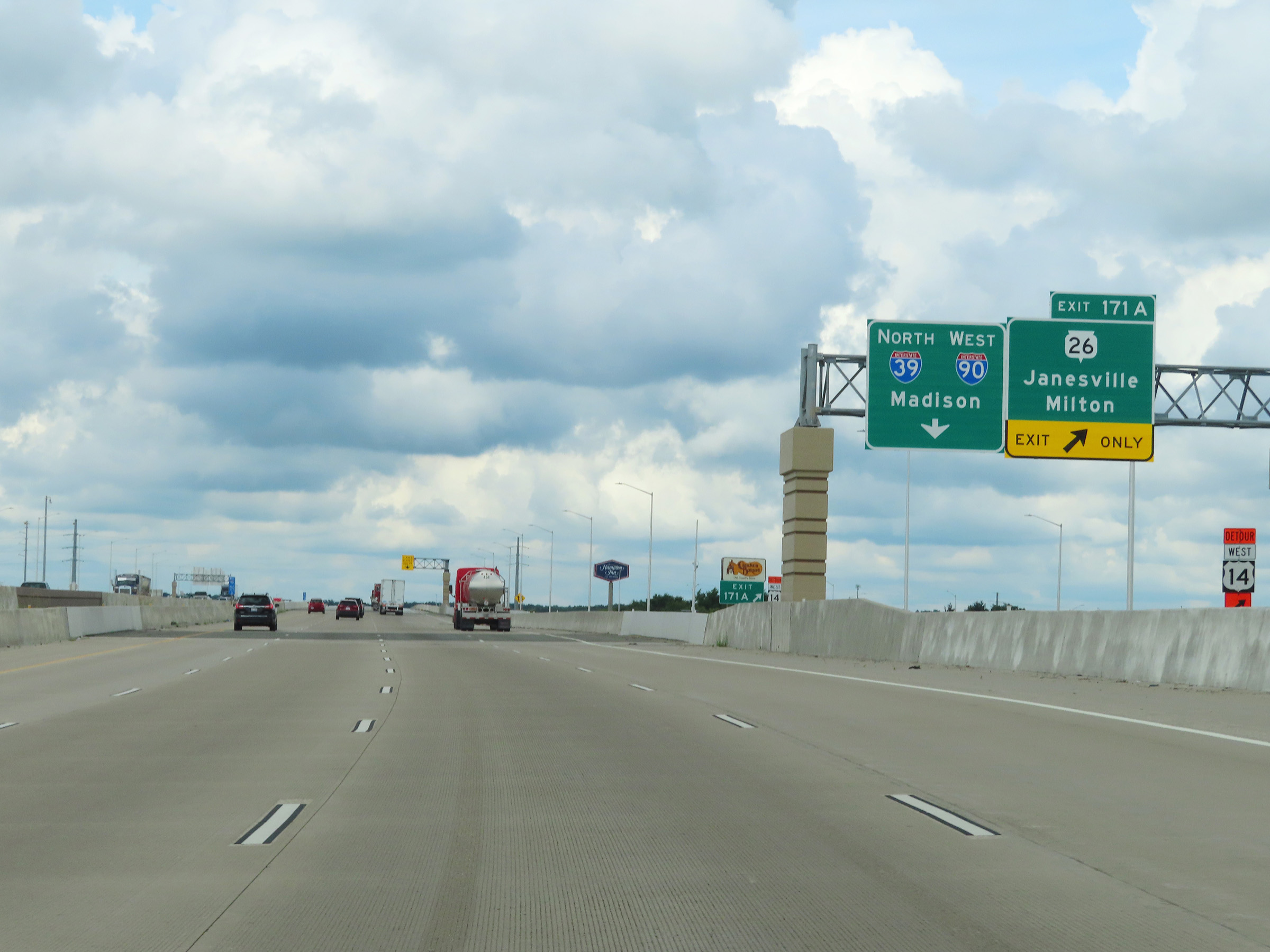 |
Interstate 90 West / Interstate 39 North at Exit 171A: WI 26 - Janesville / Milton (Photo taken 8/15/22). |
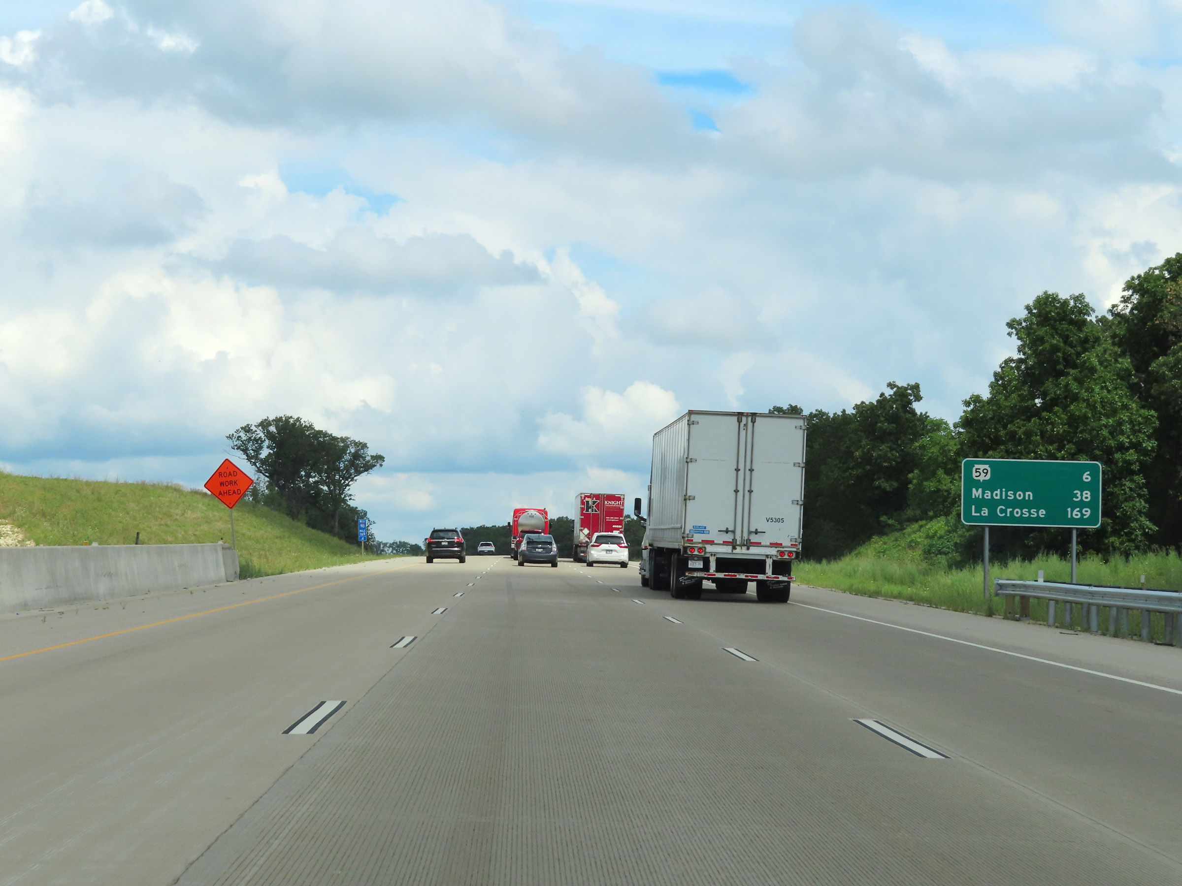 |
Mileage sign on Interstate 90 West / Interstate 39 North at mile marker 169.4. It's 6 miles to the junction of WI 59, 38 miles to Madison, and 169 miles to La Crosse. (Photo taken 8/15/22). |
 |
Interstate 90 West / Interstate 39 North at mile marker 169. (Photo taken 8/15/22). |
 |
View on Interstate 90 West / Interstate 39 North at mile marker 167. (Photo taken 8/15/22). |
 |
Mile marker 166 on Interstate 90 West / Interstate 39 North in Rock County. (Photo taken 8/15/22). |
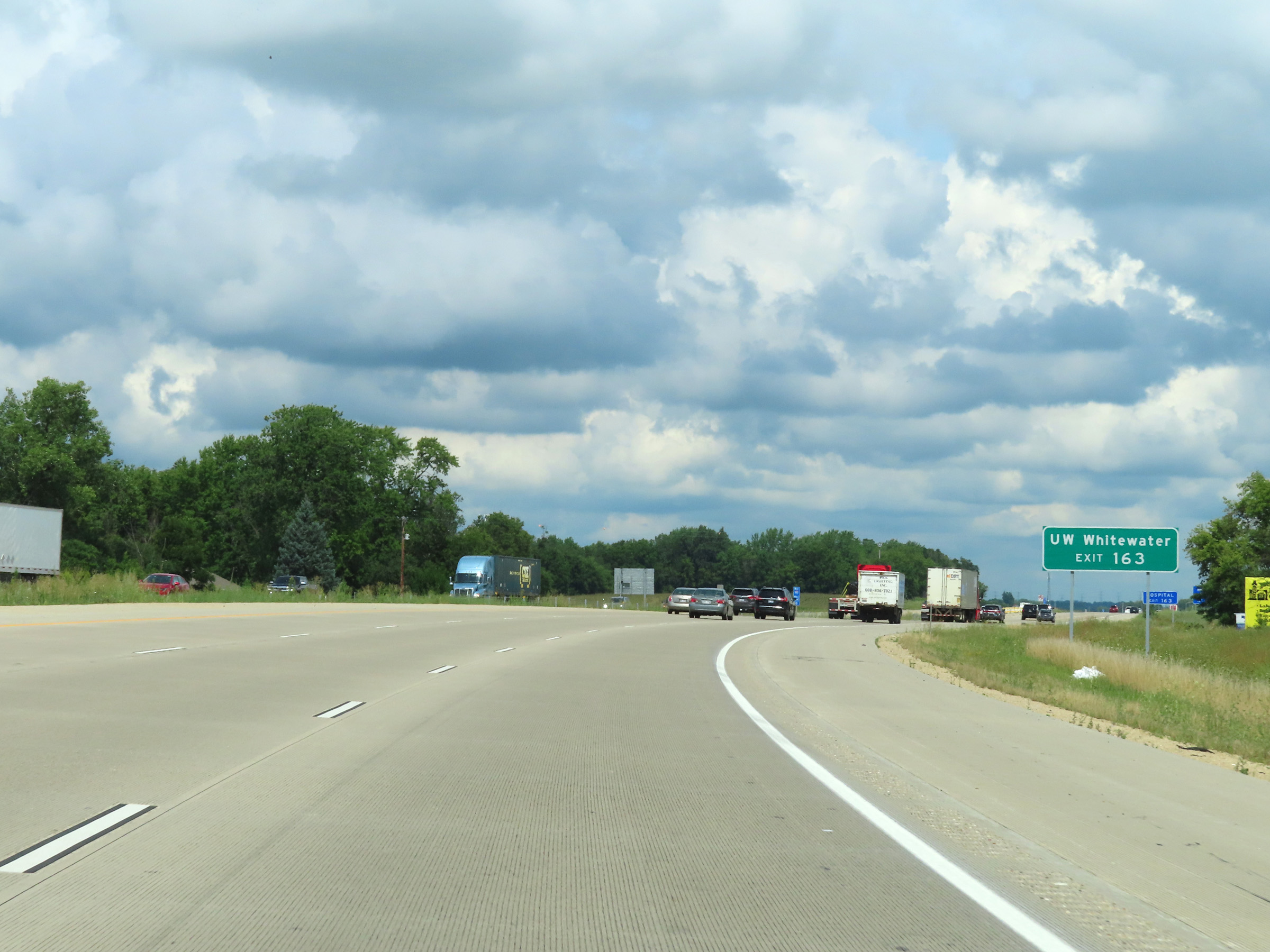 |
Take Exit 163 to UW Whitewater. (Photo taken 8/15/22). |
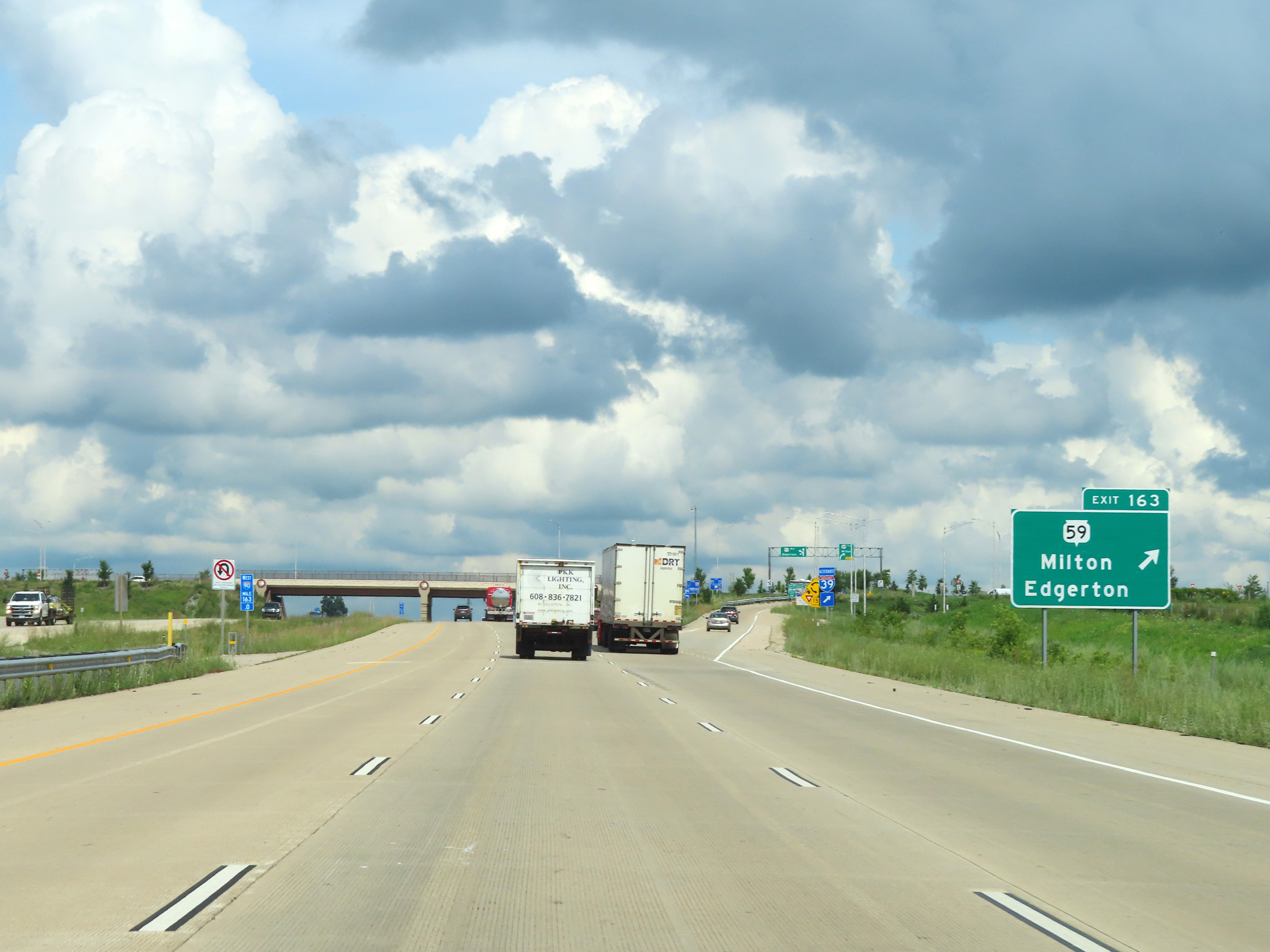 |
Interstate 90 West / Interstate 39 North at Exit 163: WI 59 - Milton / Edgerton (Photo taken 8/15/22). |
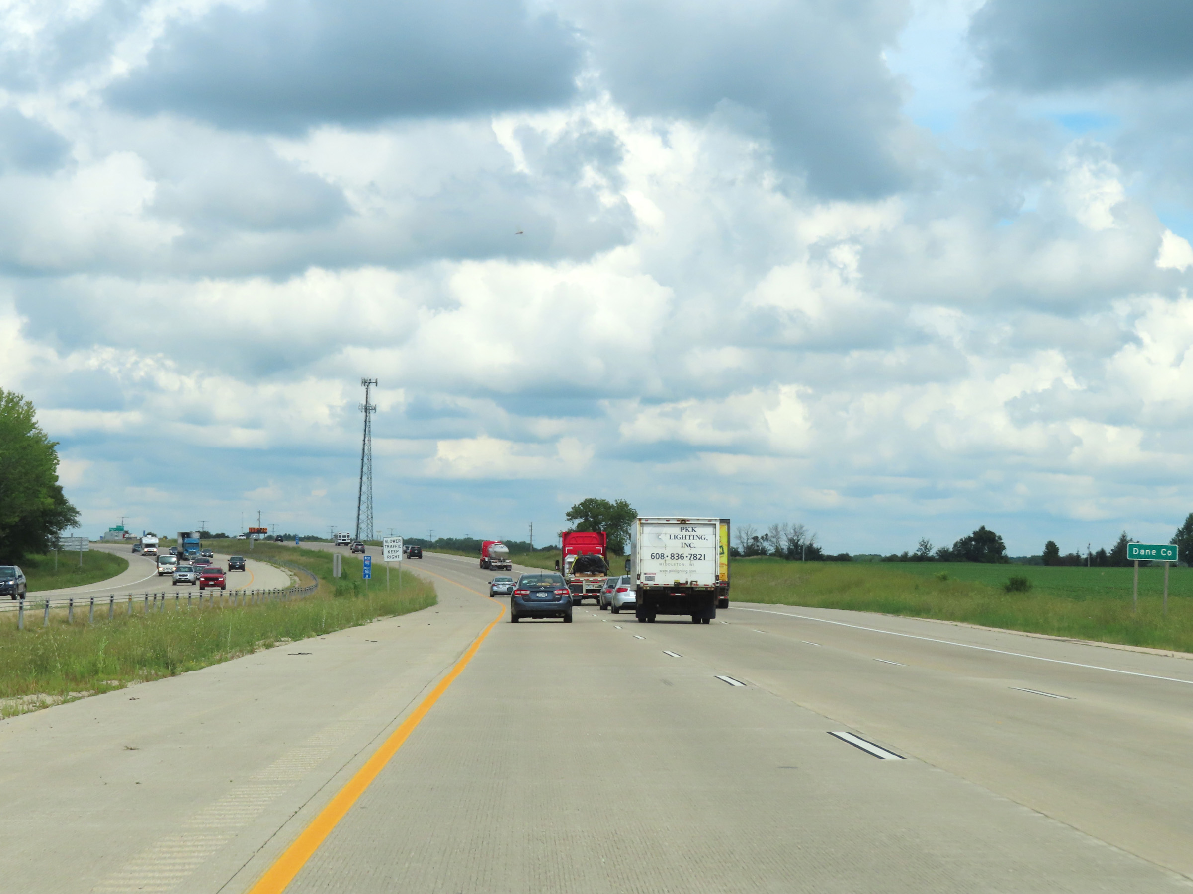 |
Interstate 90 West / Interstate 39 North as they enter Dane County at mile marker 161.8. (Photo taken 8/15/22). |
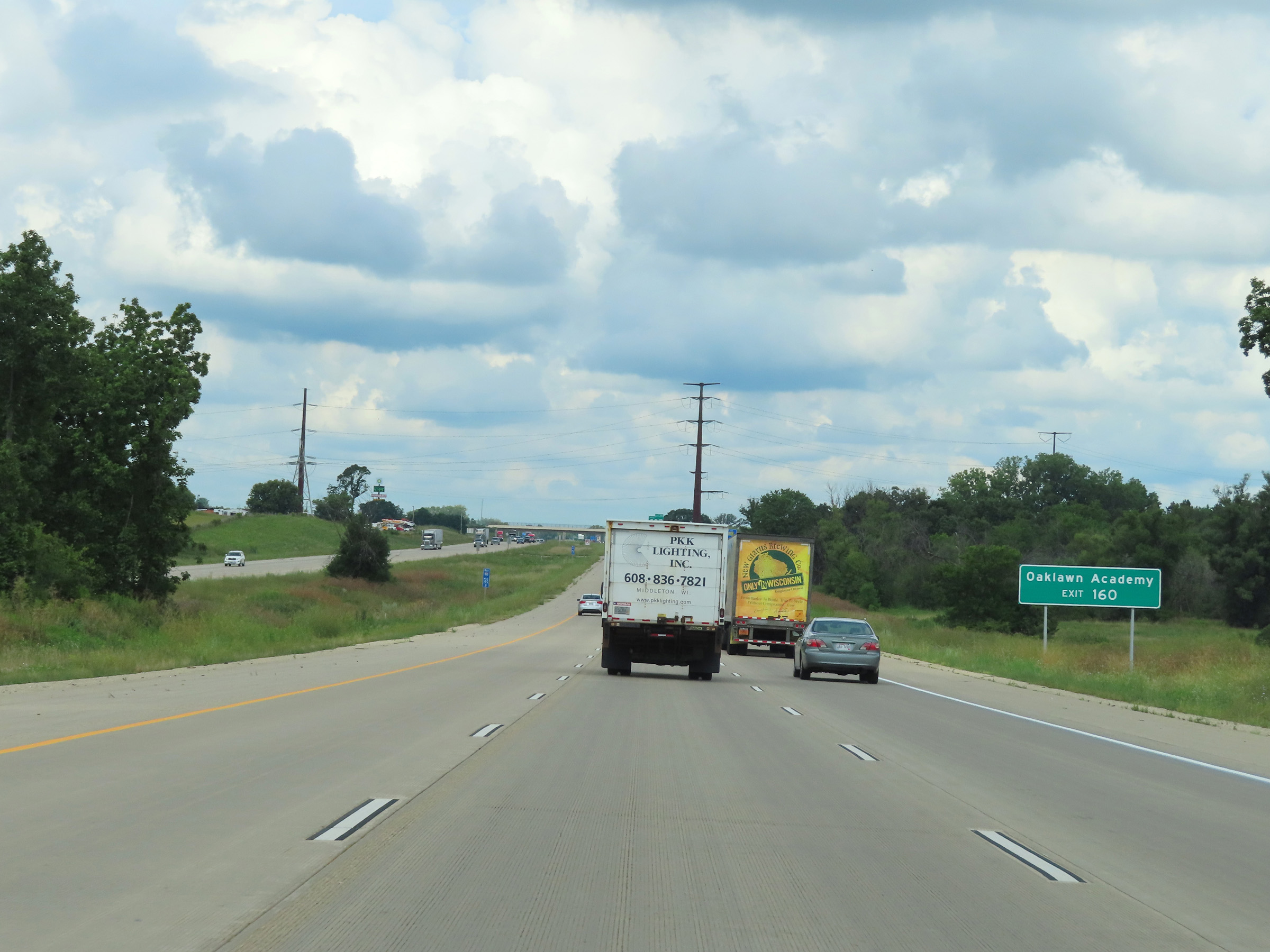 |
Take Exit 160 to Oaklawn Academy. (Photo taken 8/15/22). |
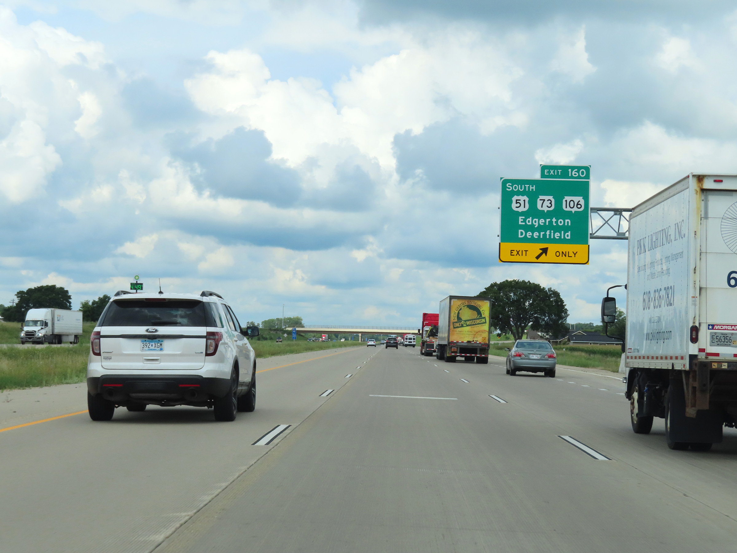 |
Interstate 90 West / Interstate 39 North at Exit 160: US 51 South / WI 73 / WI 106 - Edgerton / Deerfield (Photo taken 8/15/22). |
 |
Interstate 90 West / Interstate 39 North at mile marker 158.6. (Photo taken 8/15/22). |
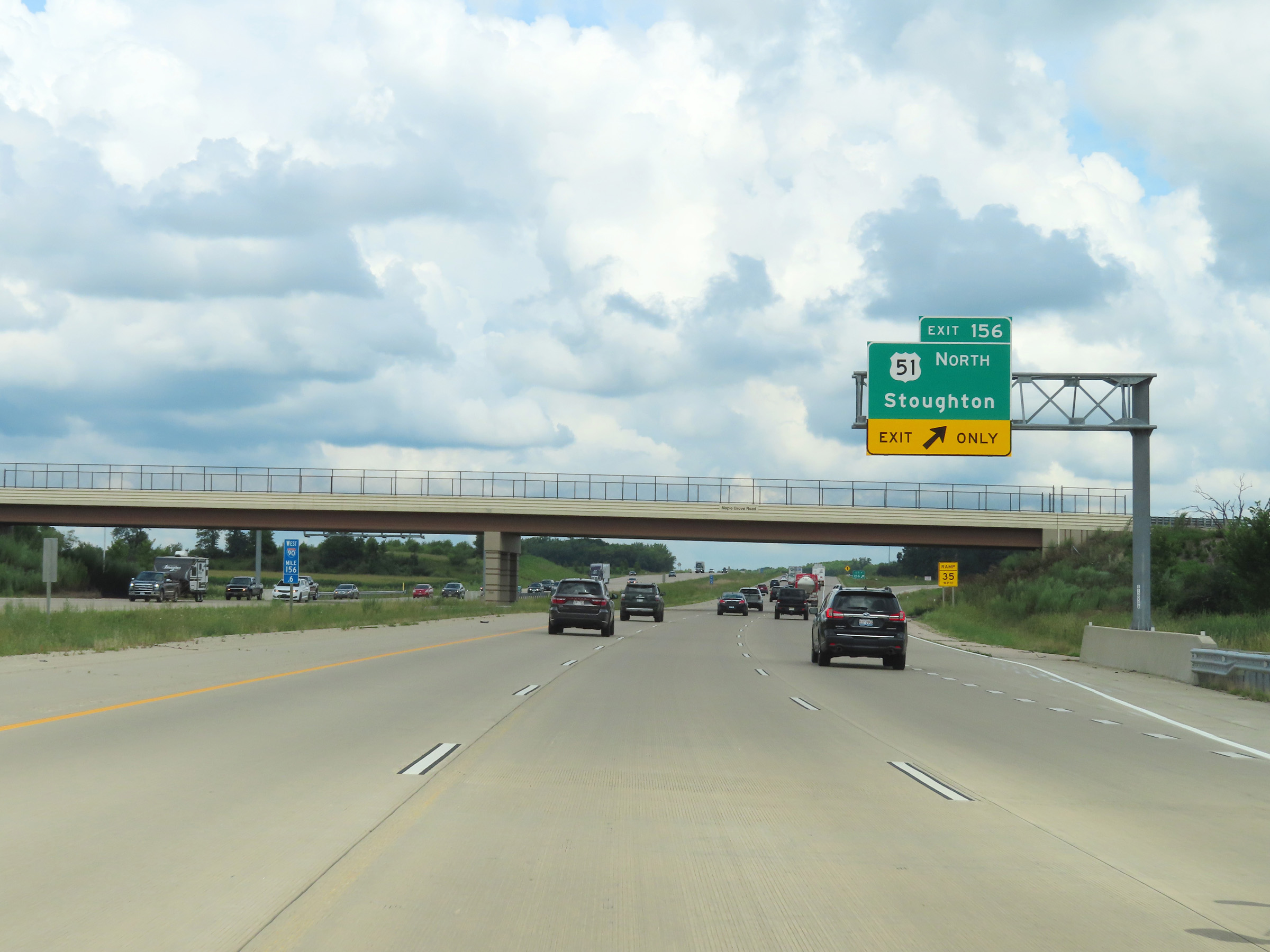 |
Interstate 90 West / Interstate 39 North at Exit 156: US 51 North - Stoughton (Photo taken 8/15/22). |
 |
Another set of Interstate 90 West / Interstate 39 North reassurance shields. (Photo taken 8/15/22). |
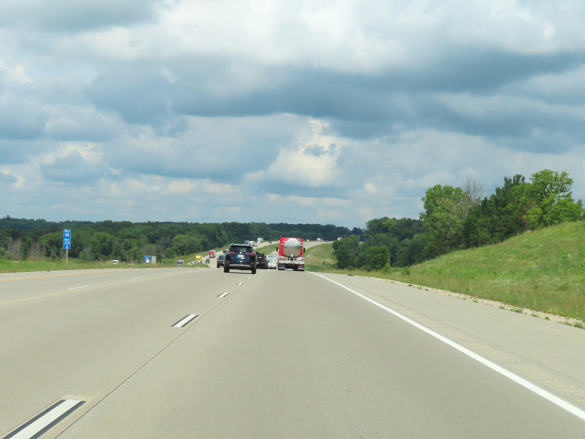 |
Mile marker 154.8 on Interstate 90 West / Interstate 39 North in Dane County. (Photo taken 8/15/22). |
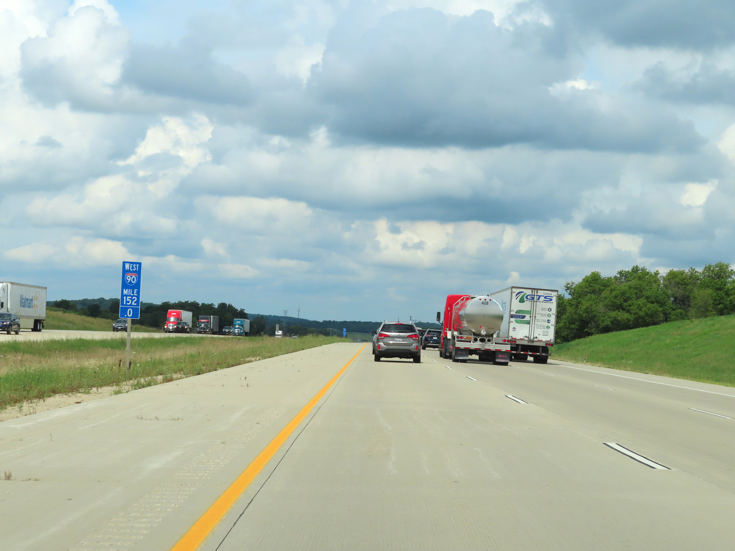 |
Interstate 90 West / Interstate 39 North at mile marker 152. (Photo taken 8/15/22). |
 |
View on Interstate 90 West / Interstate 39 North at mile marker 149. (Photo taken 8/15/22). |
 |
Take Exit 147 to Glacial Drumlin State Trail and Lake Kegonsa State Park. (Photo taken 8/15/22). |
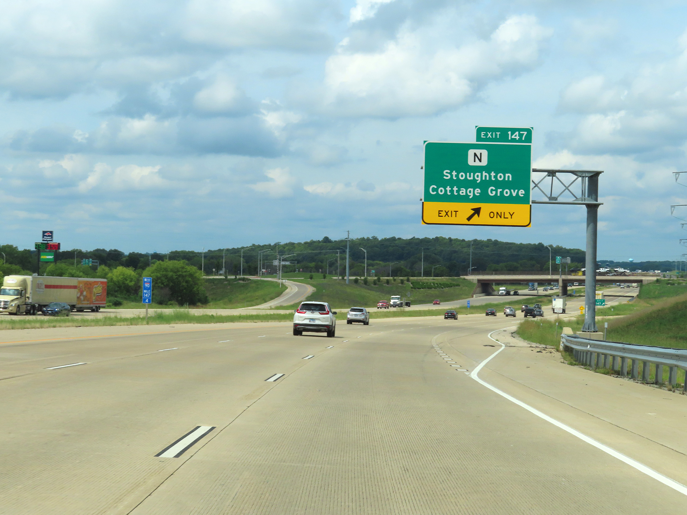 |
Interstate 90 West / Interstate 39 North at Exit 147: Hwy N - Stoughton / Cottage Grove (Photo taken 8/15/22). |
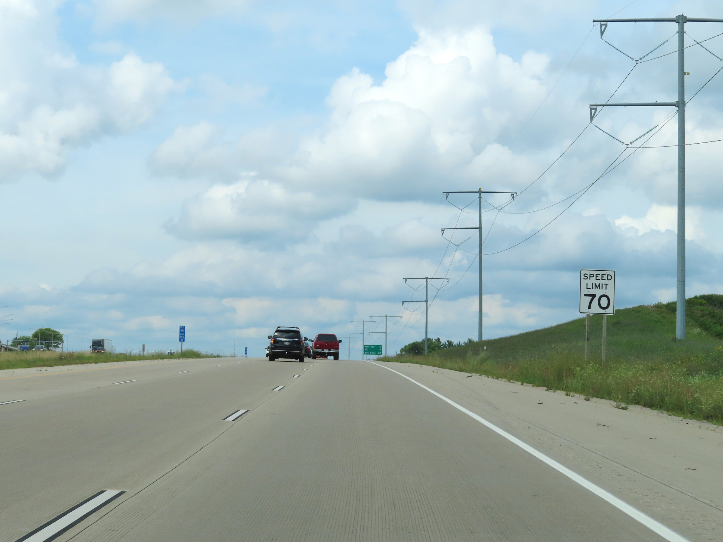 |
Speed limit sign at mile marker 146. The speed limit remains 70 mph on Interstate 90 West / Interstate 39 North. (Photo taken 8/15/22). |
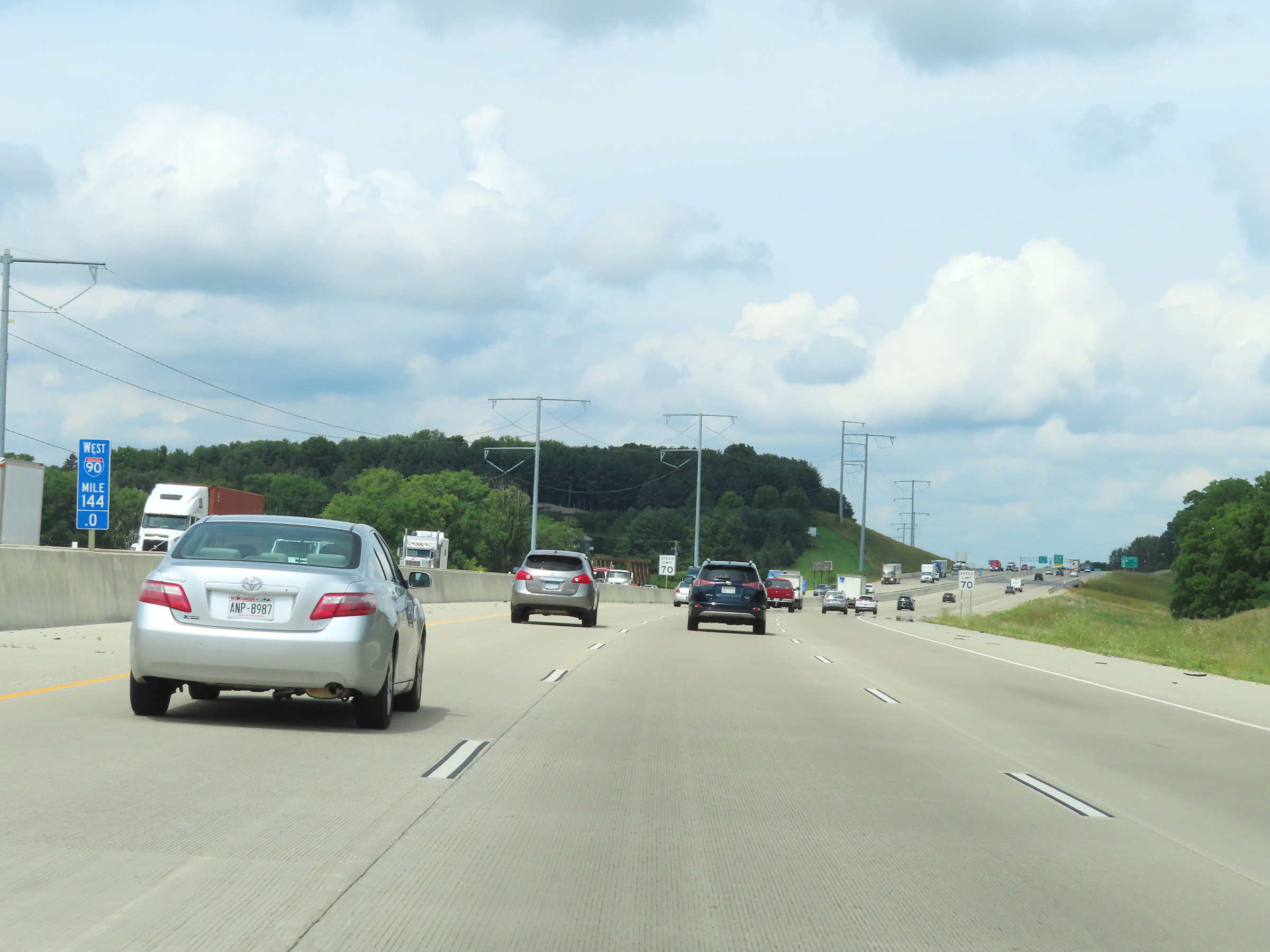 |
Mile marker 144 on Interstate 90 West / Interstate 39 North in Dane County. (Photo taken 8/15/22). |
 |
Mileage sign listing the distances to the next three exits to Madison on Interstate 90 West / Interstate 39 North as the duplex enters the city limits. (Photo taken 8/15/22). |
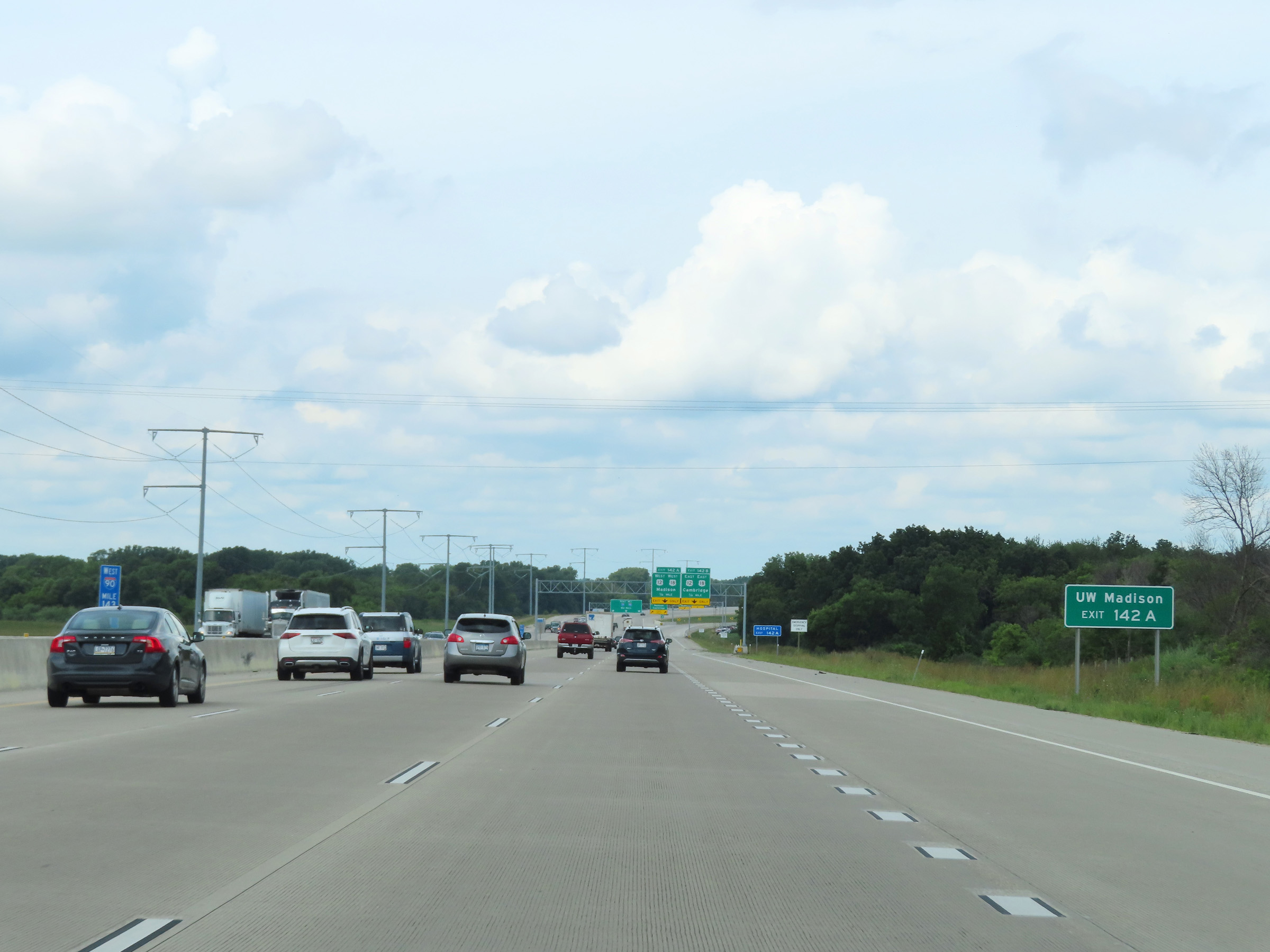 |
Take Exit 142A to the University of Wisconsin at Madison. (Photo taken 8/15/22). |
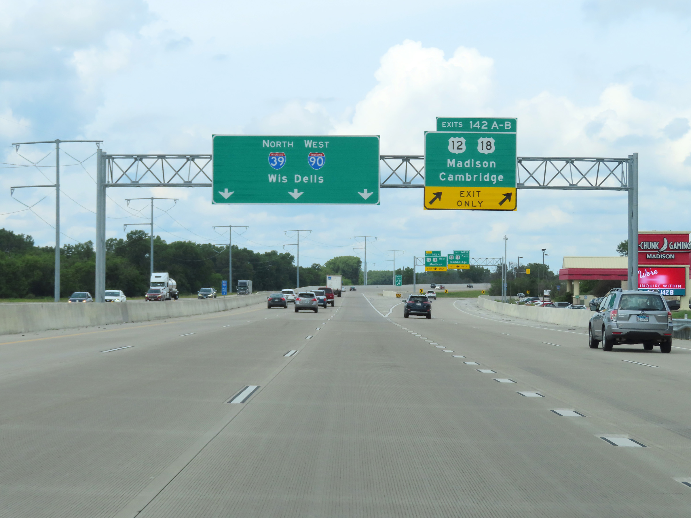 |
Interstate 90 West / Interstate 39 North at Exits 142A-B: US 12 / US 18 - Madison / Cambridge (Photo taken 8/15/22). |
 |
At mile marker 142, the left lane on Interstate 90 West / Interstate 39 North prepares to come to an end ahead. The two remaining lanes of I-39 North / I-90 West will combine with the westbound lanes of US 12 / US 18 ahead, at which point I-39 North / I-90 West will once again have three thru lanes. (Photo taken 8/15/22). |
 |
US 12 West / US 18 West traffic merges into the two thru lanes of Interstate 90 West / Interstate 39 North at mile marker 141.2. (Photo taken 8/15/22). |
 |
View on Interstate 90 West / Interstate 39 North at mile marker 140. (Photo taken 8/15/22). |
 |
Interstate 90 West / Interstate 39 North approaching Exits 138B-A - 1 mile. (Photo taken 8/15/22). |
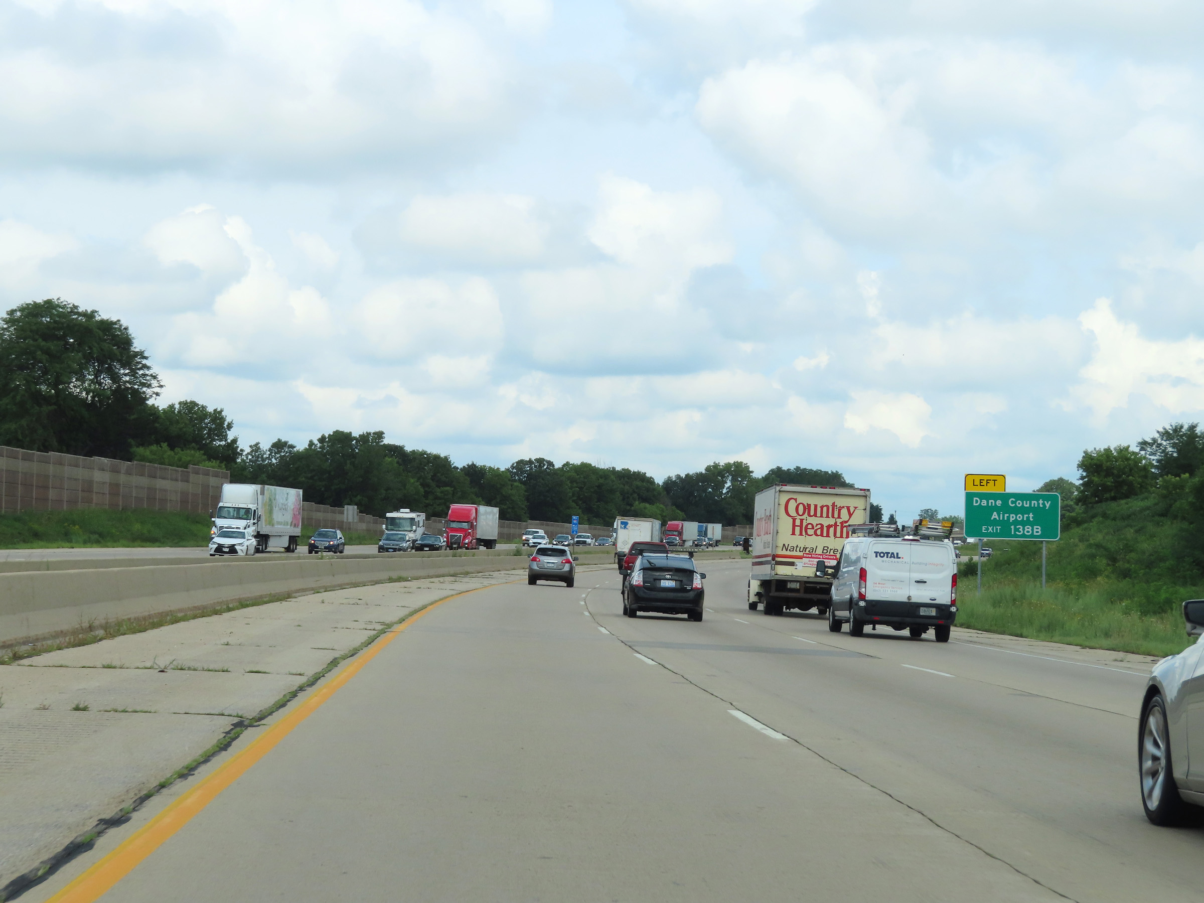 |
Take Exit 138B to Dane County Airport. (Photo taken 8/15/22). |
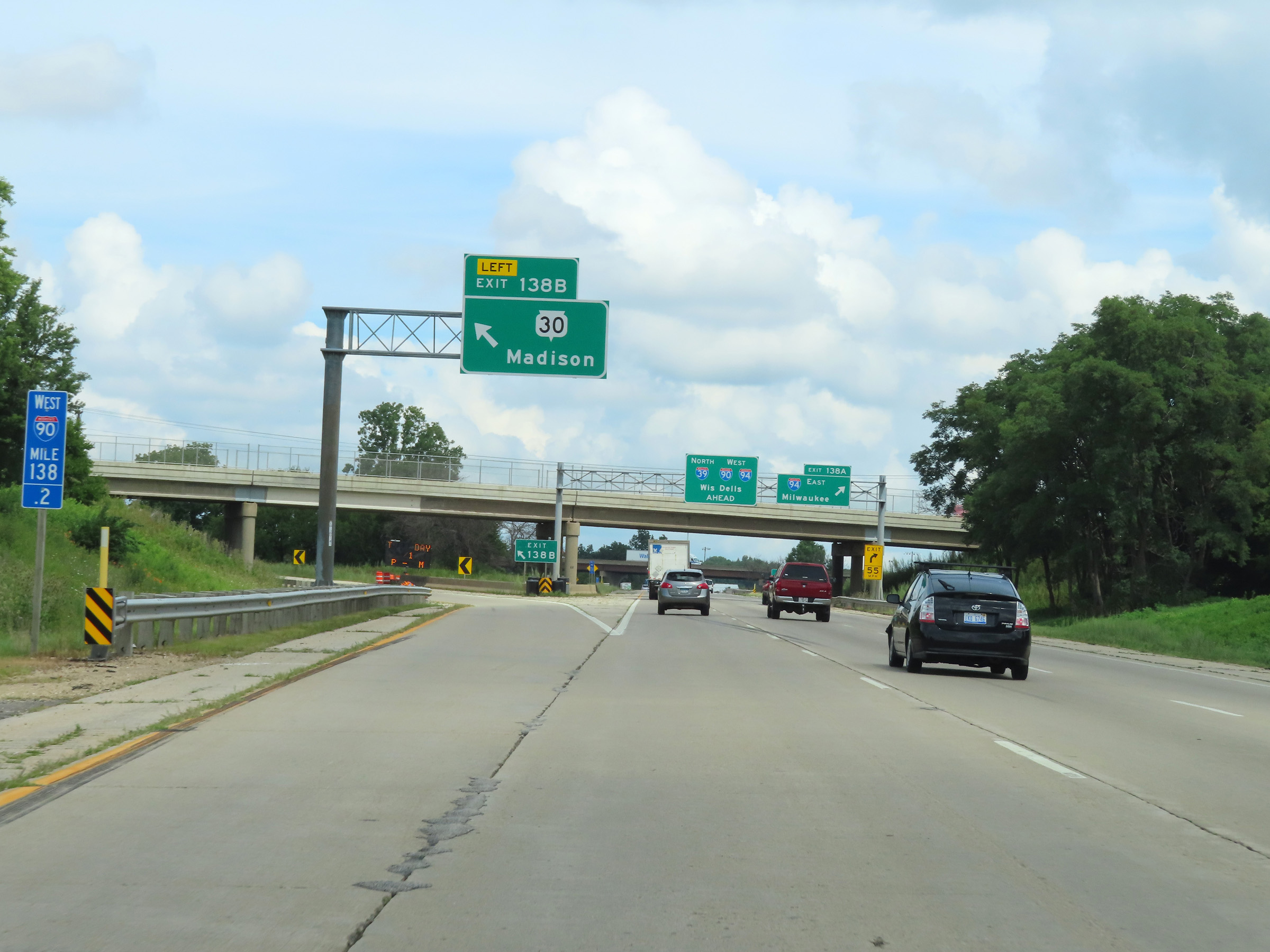 |
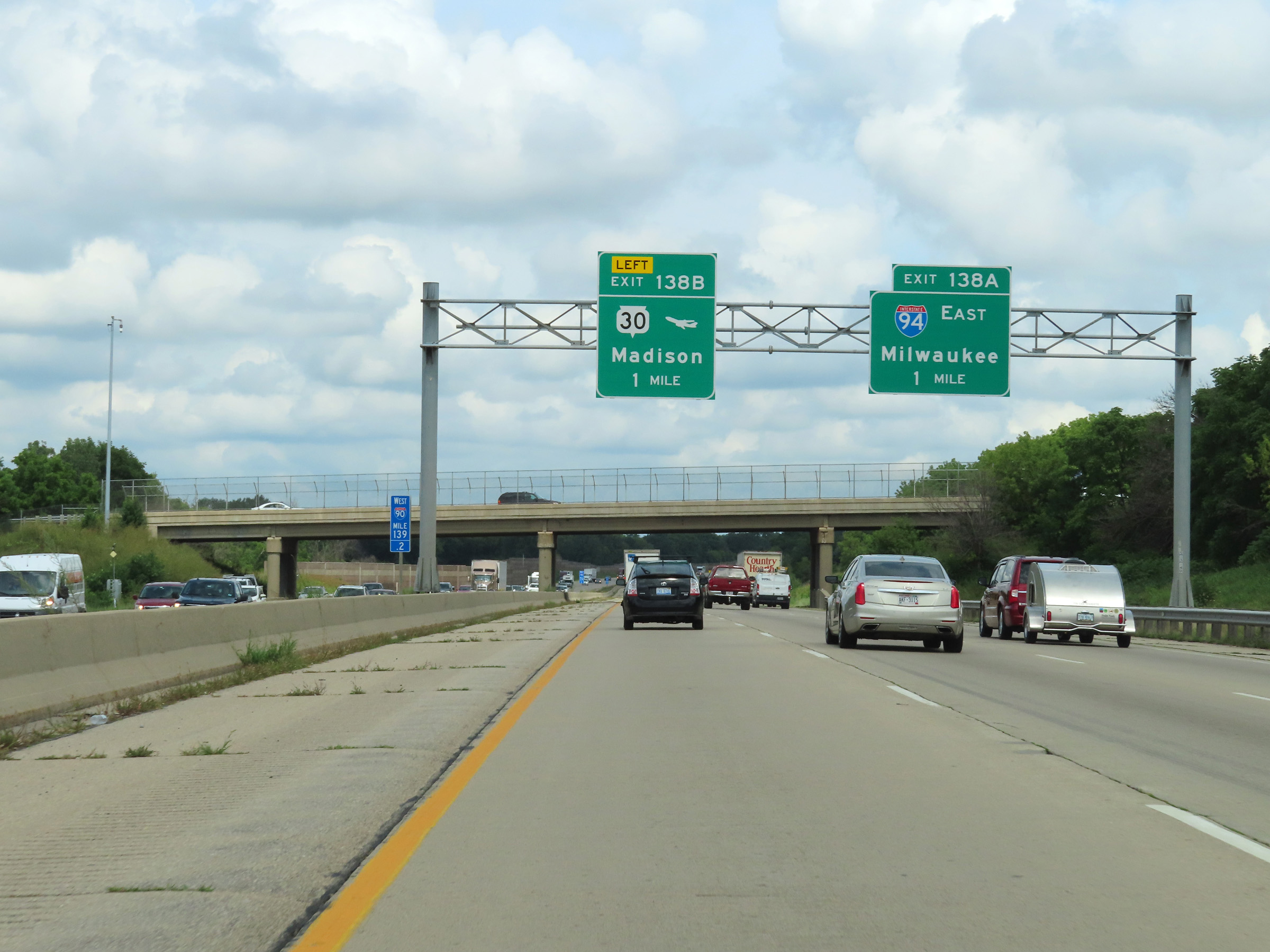
Interstate 90 West / Interstate 39 North at Exit 138B: WI 30 - Madison (Photo taken 8/15/22). |
 |
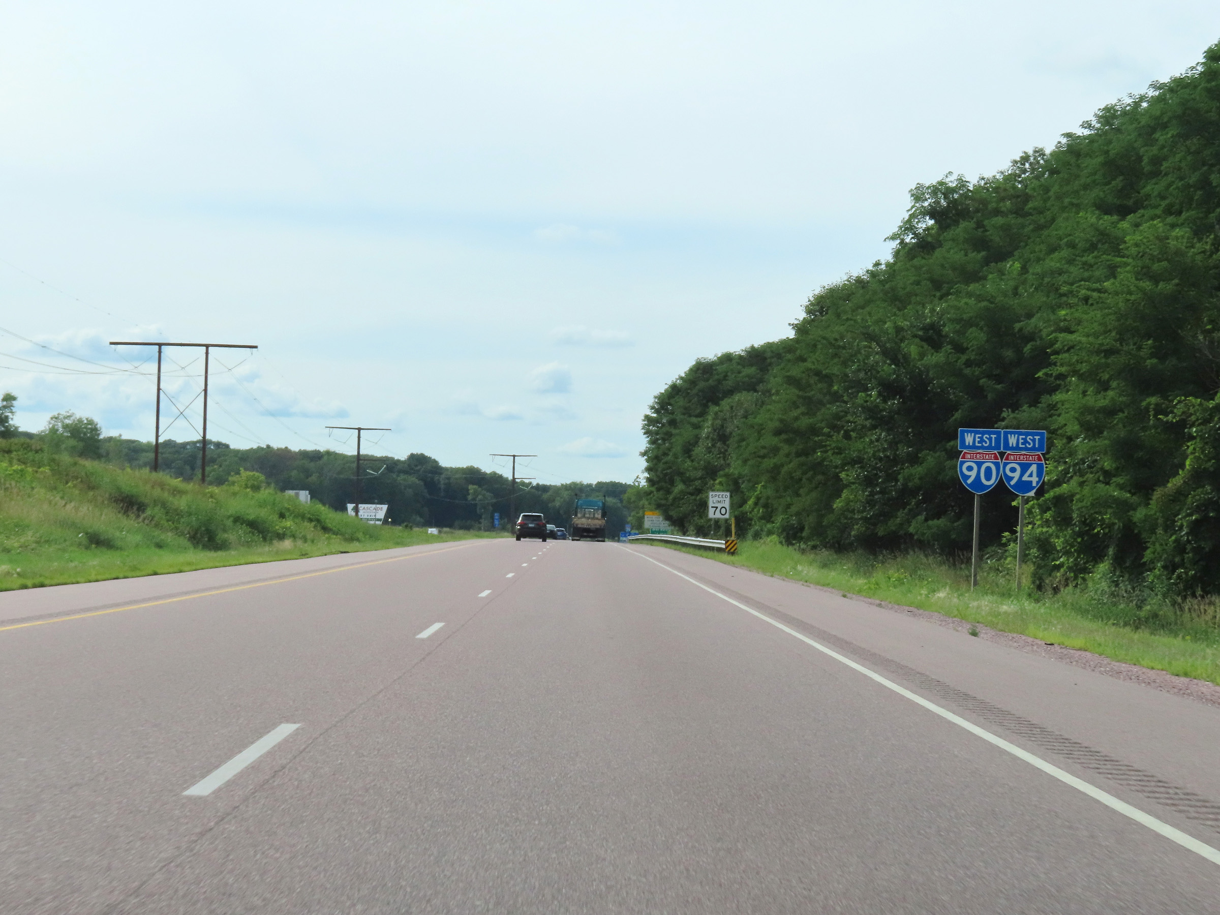
Interstate 90 West / Interstate 39 North at Exit 138A: Interstate 94 West - Milwaukee (Photo taken 8/15/22). |
Section 2: Madison (Exit 138A) to Wisconsin Dells (Exit 85)
 |
At mile marker 137.4, Interstate 94 West traffic joins Interstate 90 West / Interstate 39 North on the right, beginning a triple concurrency. There are currently only two triple concurrencies on the Interstate Highway System, and both of them occur in the state of Wisconsin. (Photo taken 8/15/22). |
 |
Interstate 90 West / Interstate 39 North / Interstate 94 West at mile marker 137. During the triple concurrency, the mileage and exit numbers remain based on the total mileage of I-90 in Wisconsin. (Photo taken 8/15/22). |
 |
Interstate 90 West / Interstate 39 North / Interstate 94 West reassurance shields at mile marker 136.8. (Photo taken 8/15/22). |
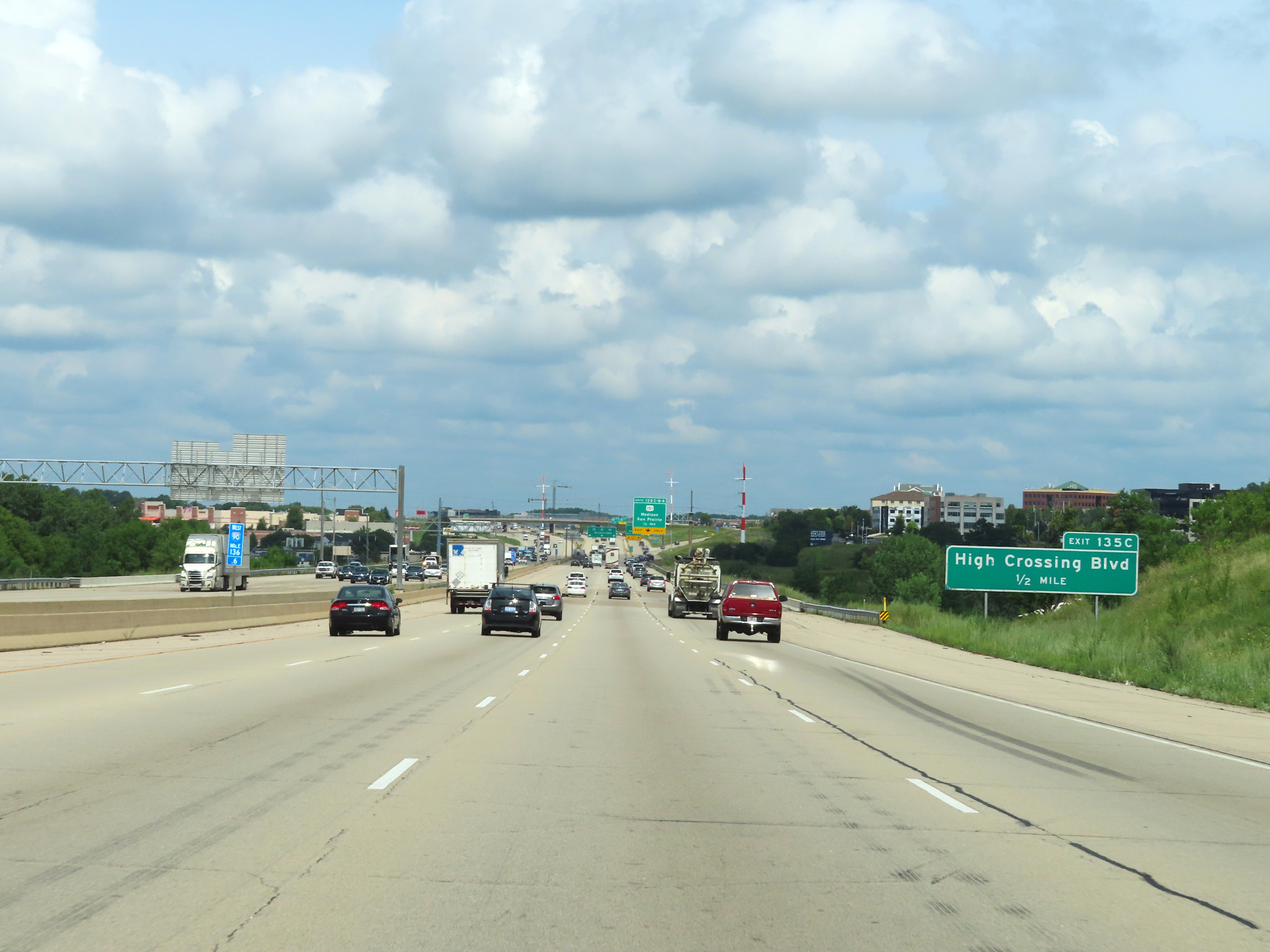 |
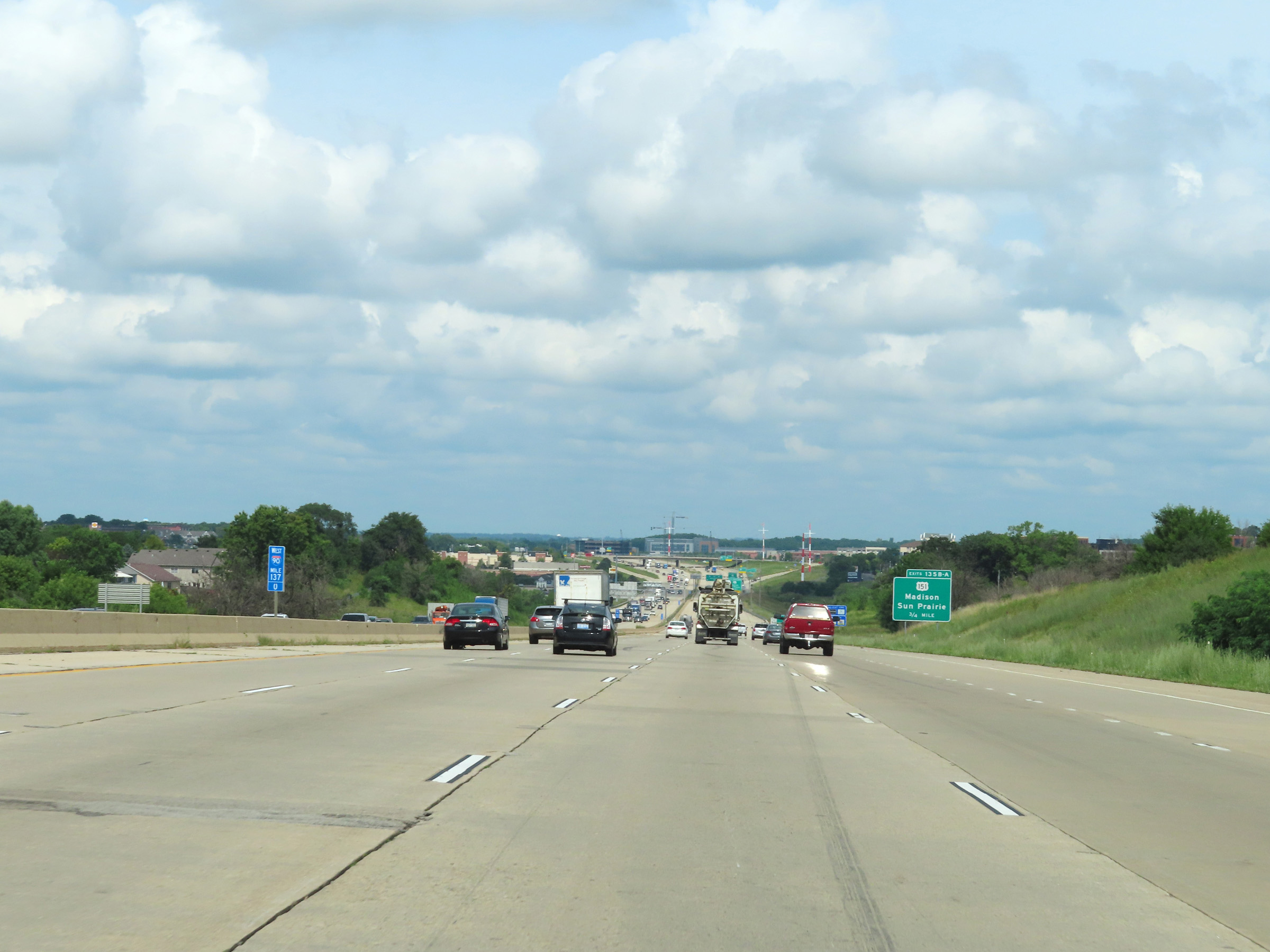
Take Exit 135C to High Crossing Blvd. (Photo taken 8/15/22). |
 |
Interstate 90 West / Interstate 39 North / Interstate 94 West at Exits 135C-B-A: US 151 - Madison / Sun Prairie (Photo taken 8/15/22). |
 |
Interstate 90 West / Interstate 39 North / Interstate 94 West at Exit 135C: High Crossing Blvd (Photo taken 8/15/22). |
 |
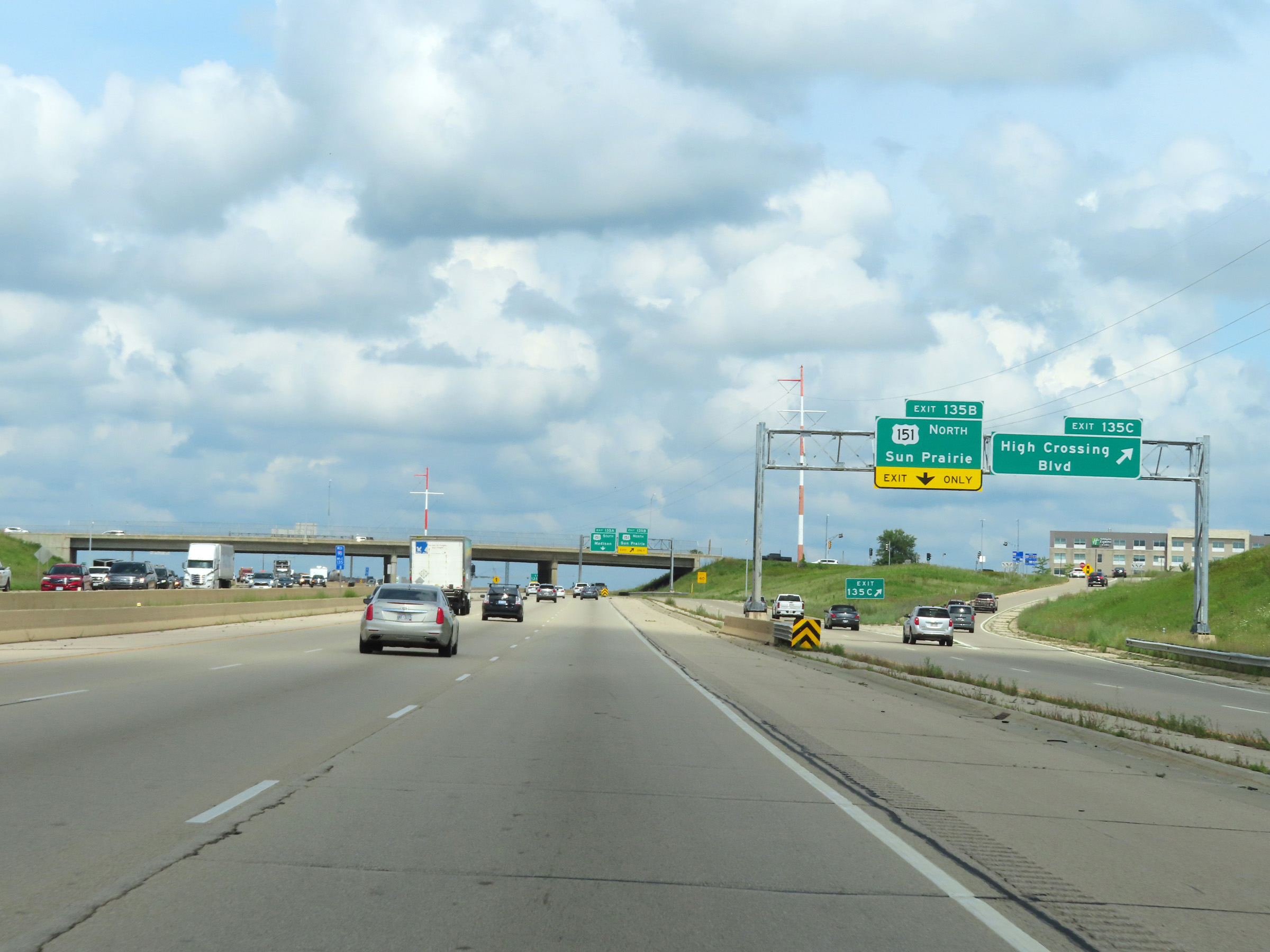
Interstate 90 West / Interstate 39 North / Interstate 94 West at Exit 135B: US 151 North - Sun Prairie (Photo taken 8/15/22). |
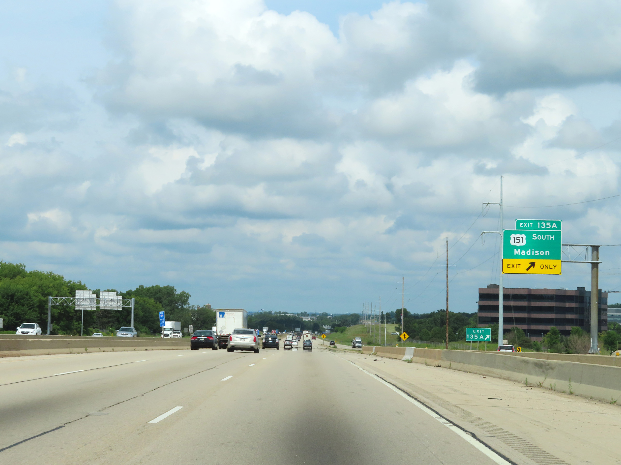 |
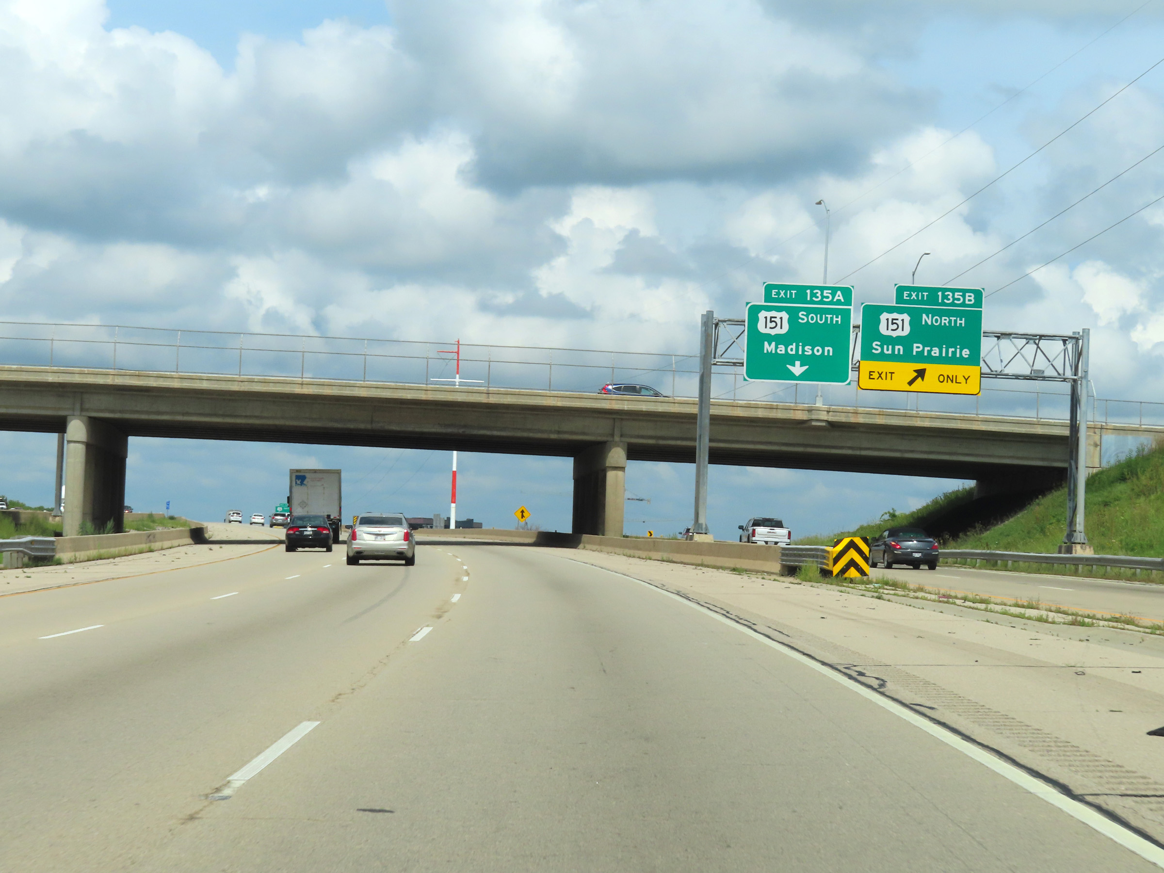
Interstate 90 West / Interstate 39 North / Interstate 94 West at Exit 135A: US 151 South - Madison (Photo taken 8/15/22). |
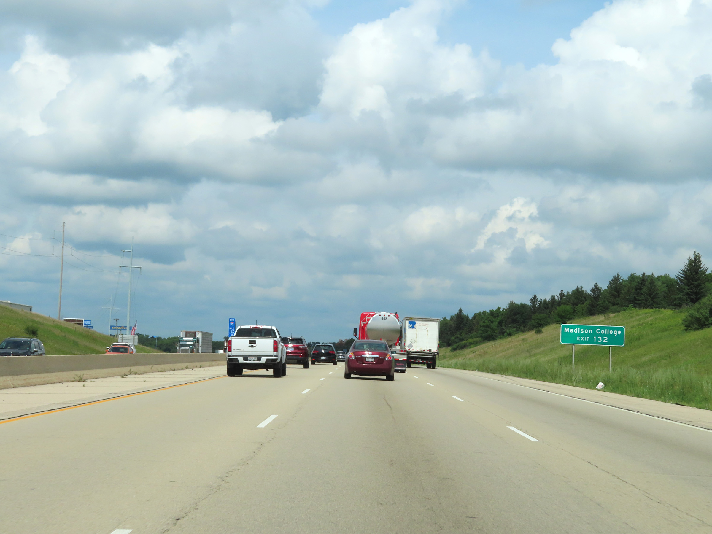 |
Take Exit 132 to Madison College. (Photo taken 8/15/22). |
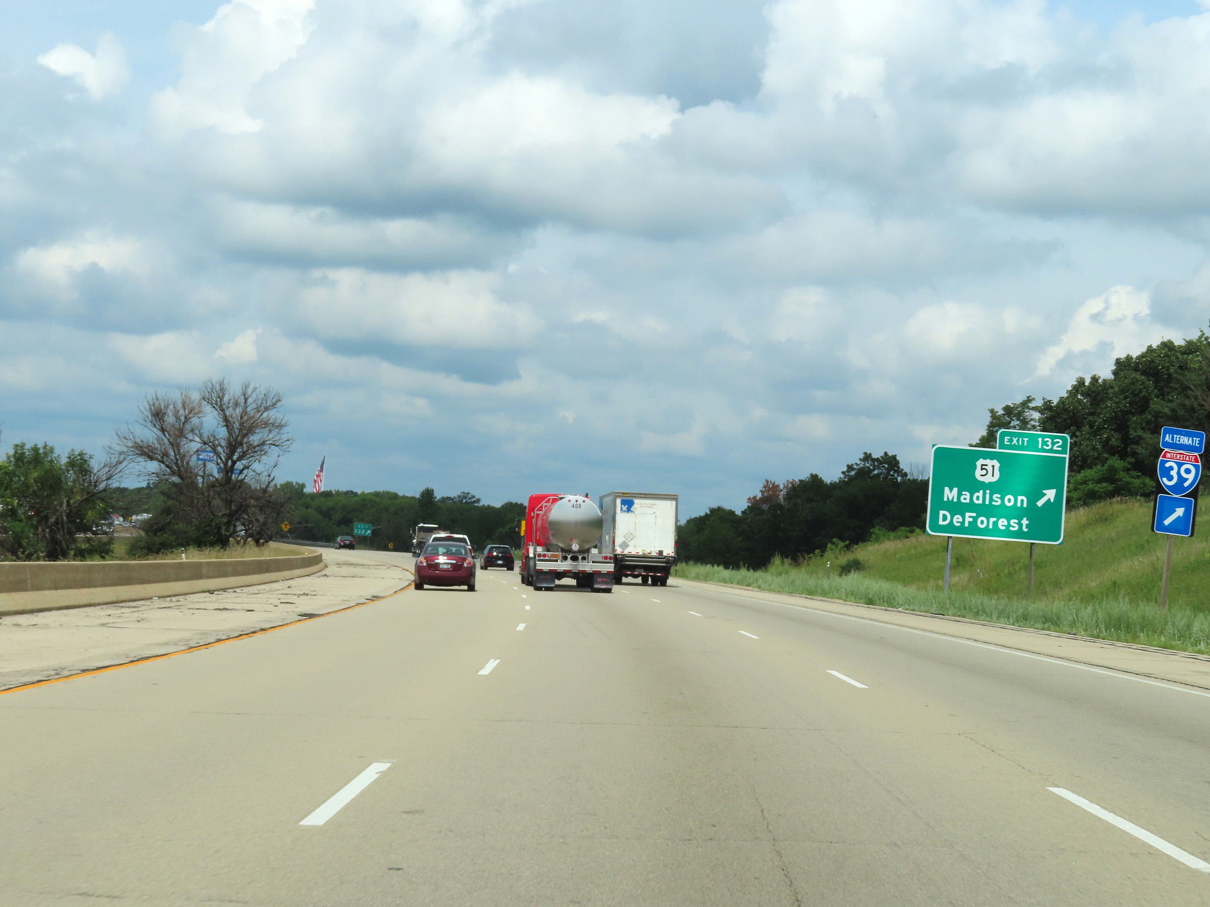 |
Interstate 90 West / Interstate 39 North / Interstate 94 West at Exit 132: US 51 - Madison / DeForest (Photo taken 8/15/22). |
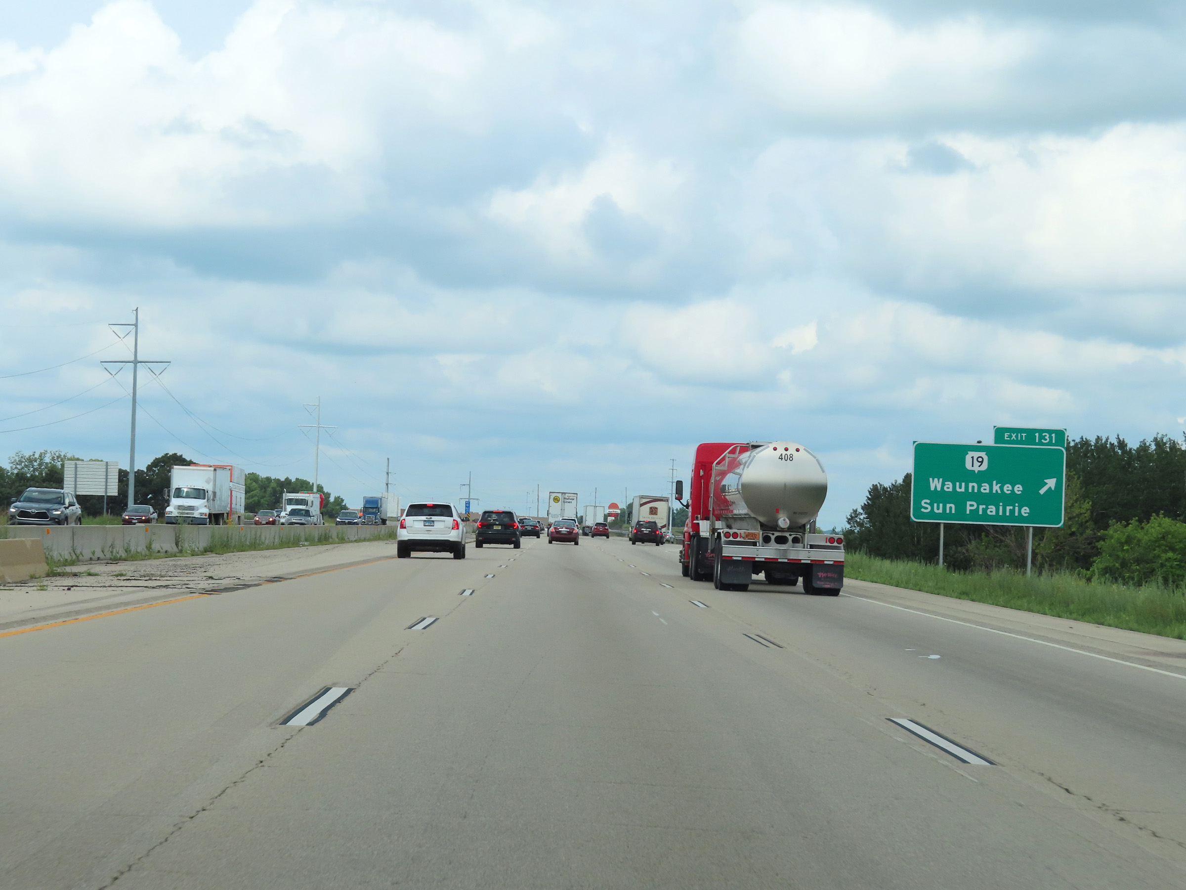 |
Interstate 90 West / Interstate 39 North / Interstate 94 West at Exit 131: WI 19 - Waunakee / Sun Prairie (Photo taken 8/15/22). |
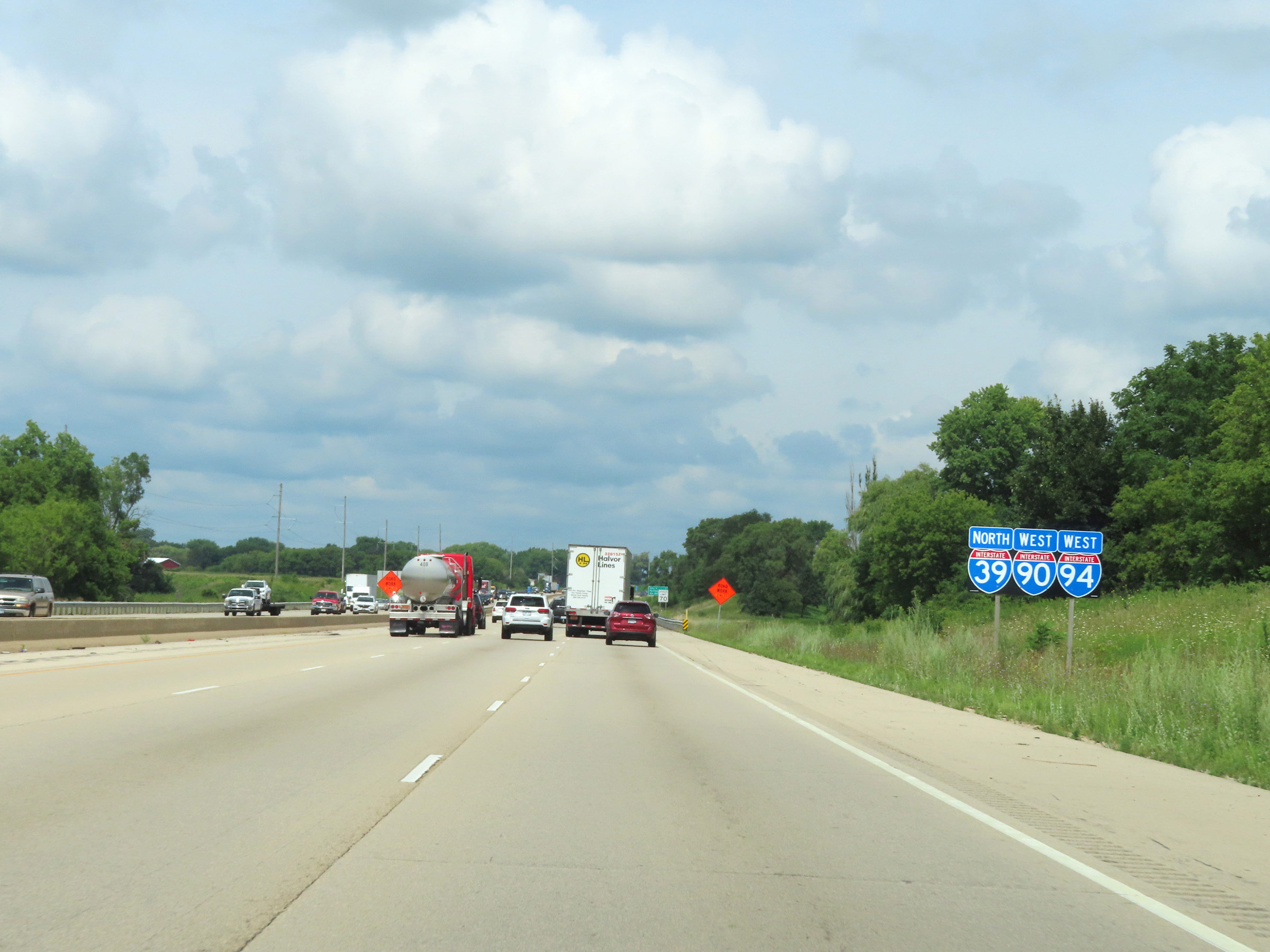 |
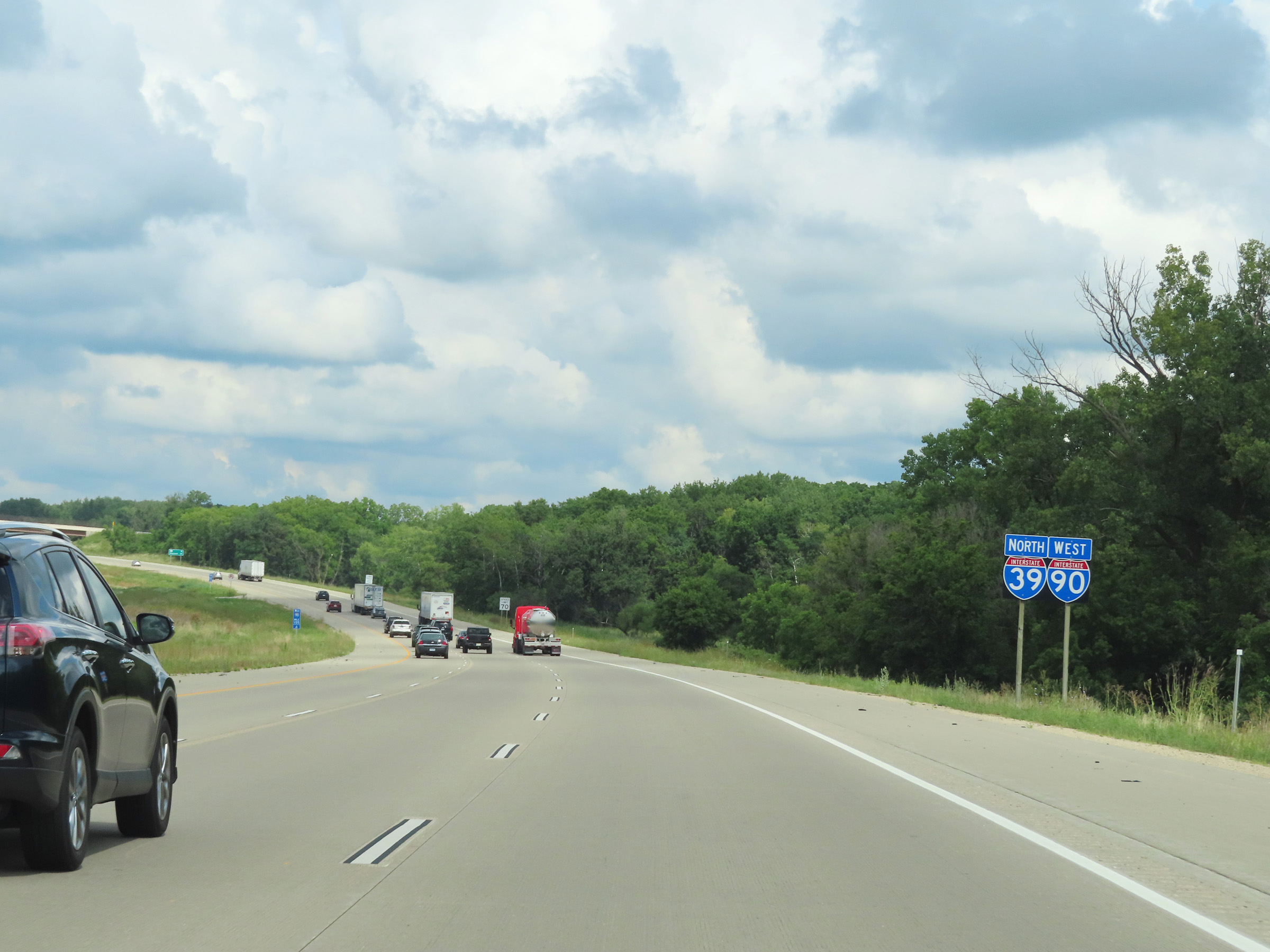
Another set of Interstate 90 West / Interstate 39 North / Interstate 94 West reassurance shields in Dane County. (Photo taken 8/15/22). |
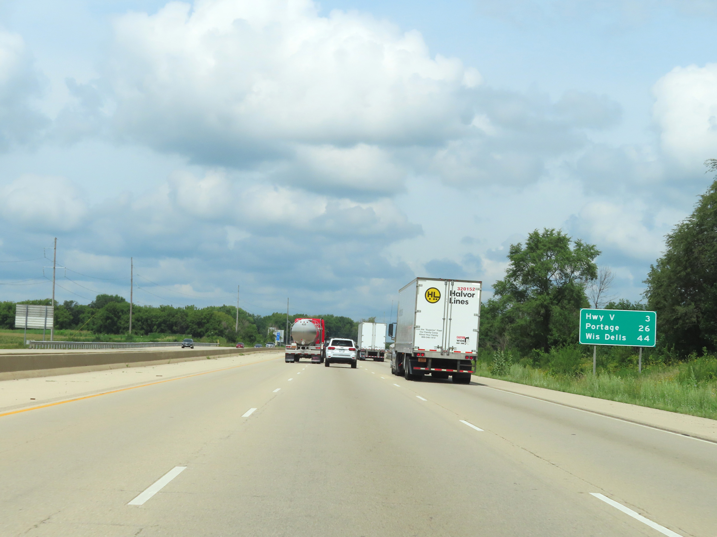 |
Mileage sign on Interstate 90 West / Interstate 39 North / Interstate 94. It's 3 miles to the junction of Hwy V, 26 miles to Portage, and 44 miles to Wisconsin Dells. (Photo taken 8/15/22). |
 |
View on Interstate 90 West / Interstate 39 North / Interstate 94 West at mile marker 128. (Photo taken 8/15/22). |
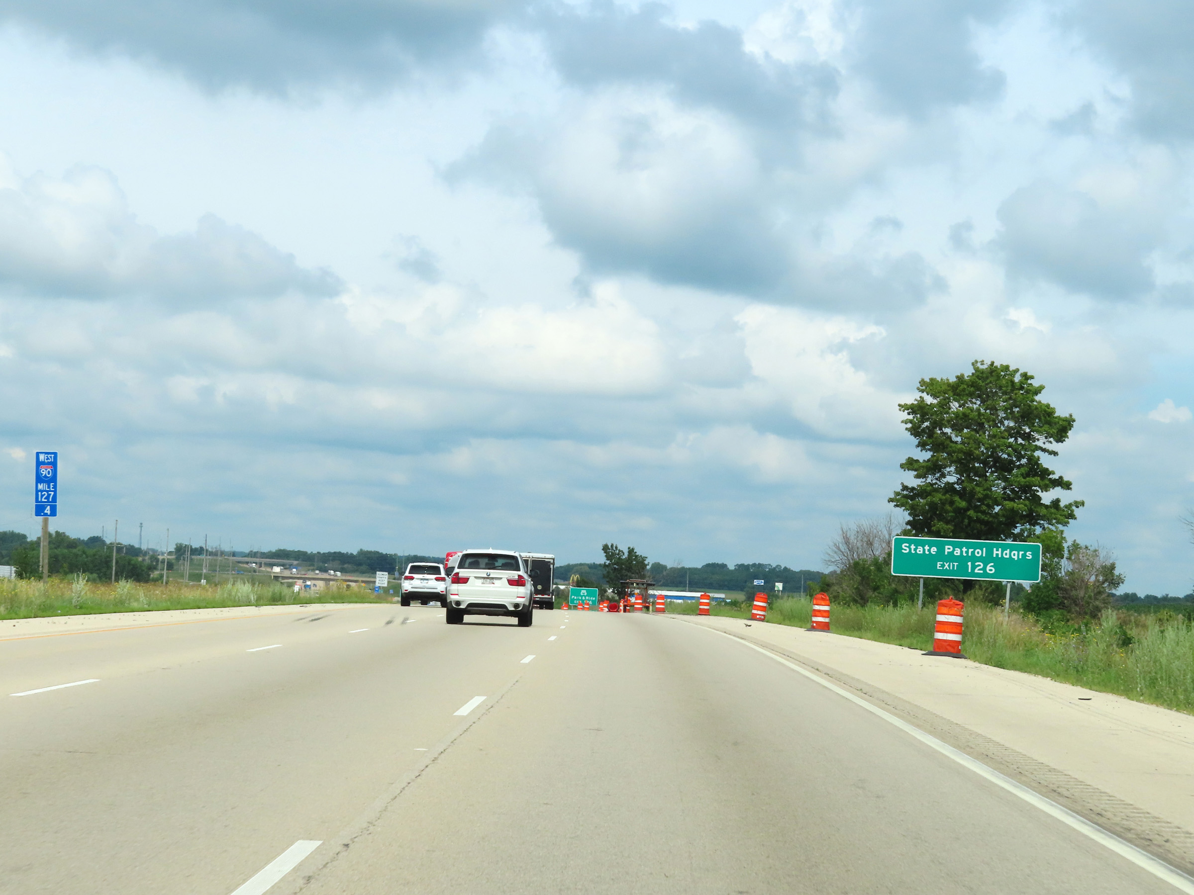 |
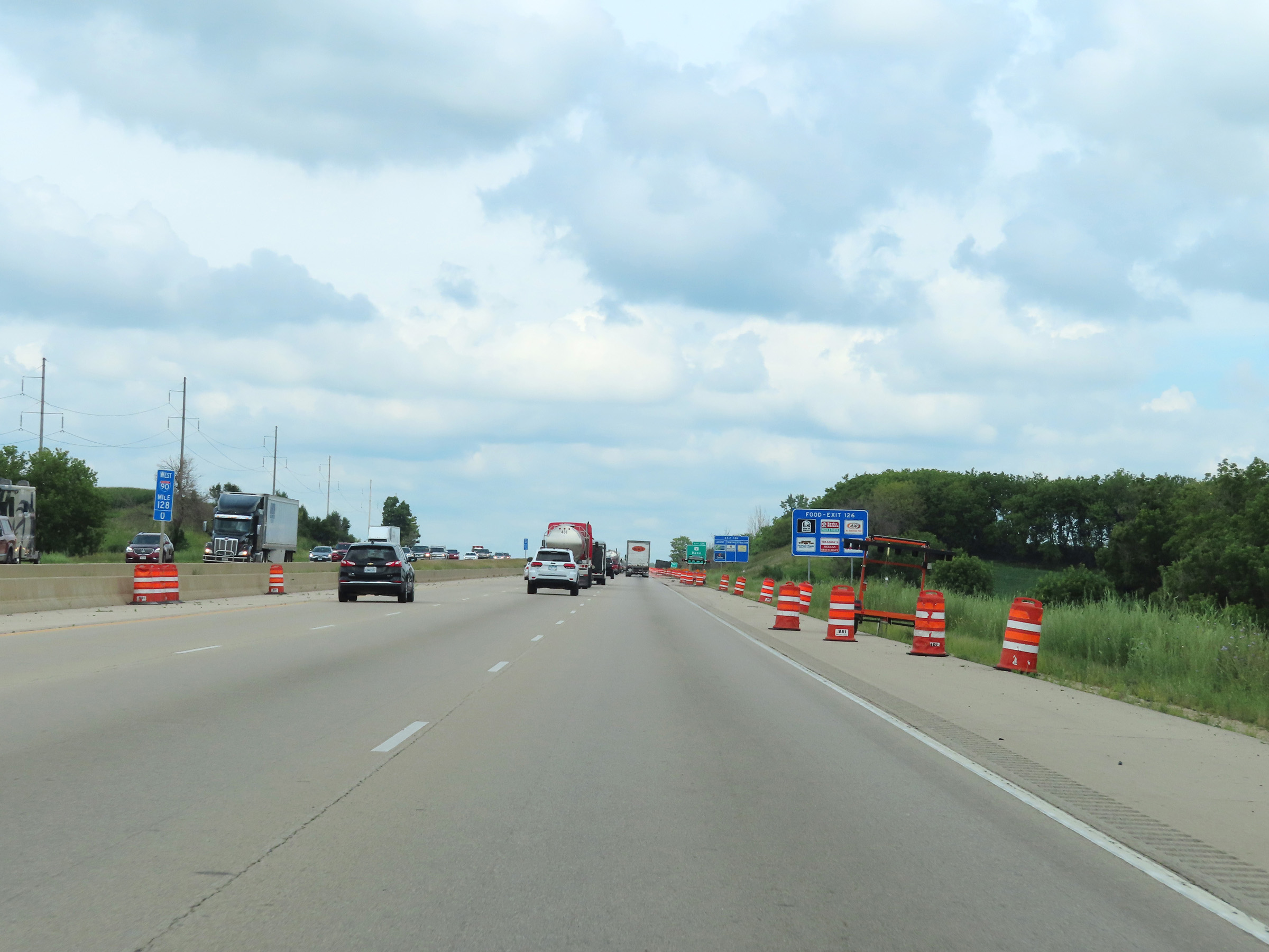
Take Exit 126 to the State Patrol Headquarters. (Photo taken 8/15/22). |
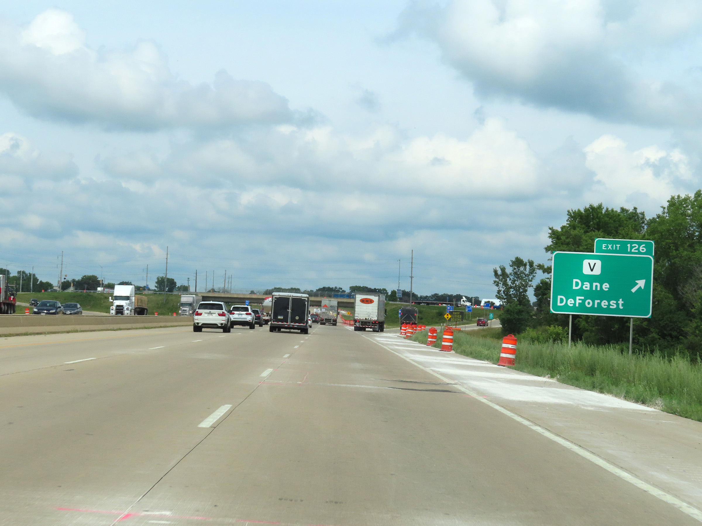 |
Interstate 90 West / Interstate 39 North / Interstate 94 West at Exit 126: Hwy V - Dane / DeForest (Photo taken 8/15/22). |
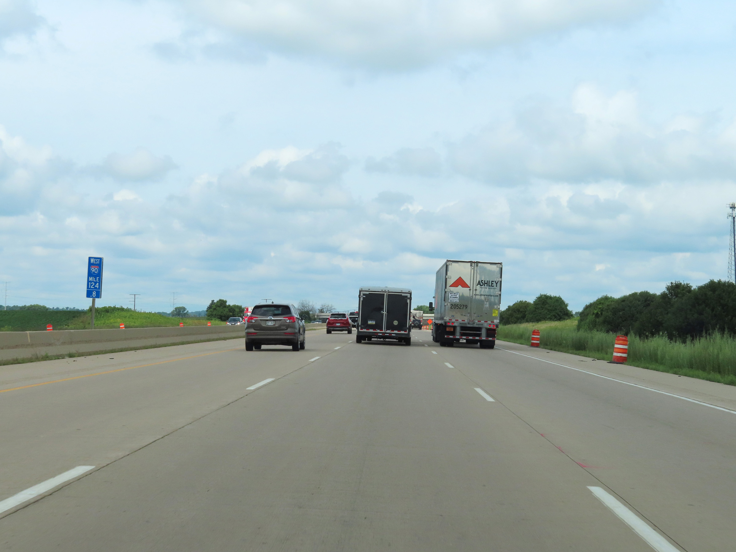 |
Mile marker 124.8 on Interstate 90 West / Interstate 39 North / Interstate 94 West in Dane County. (Photo taken 8/15/22). |
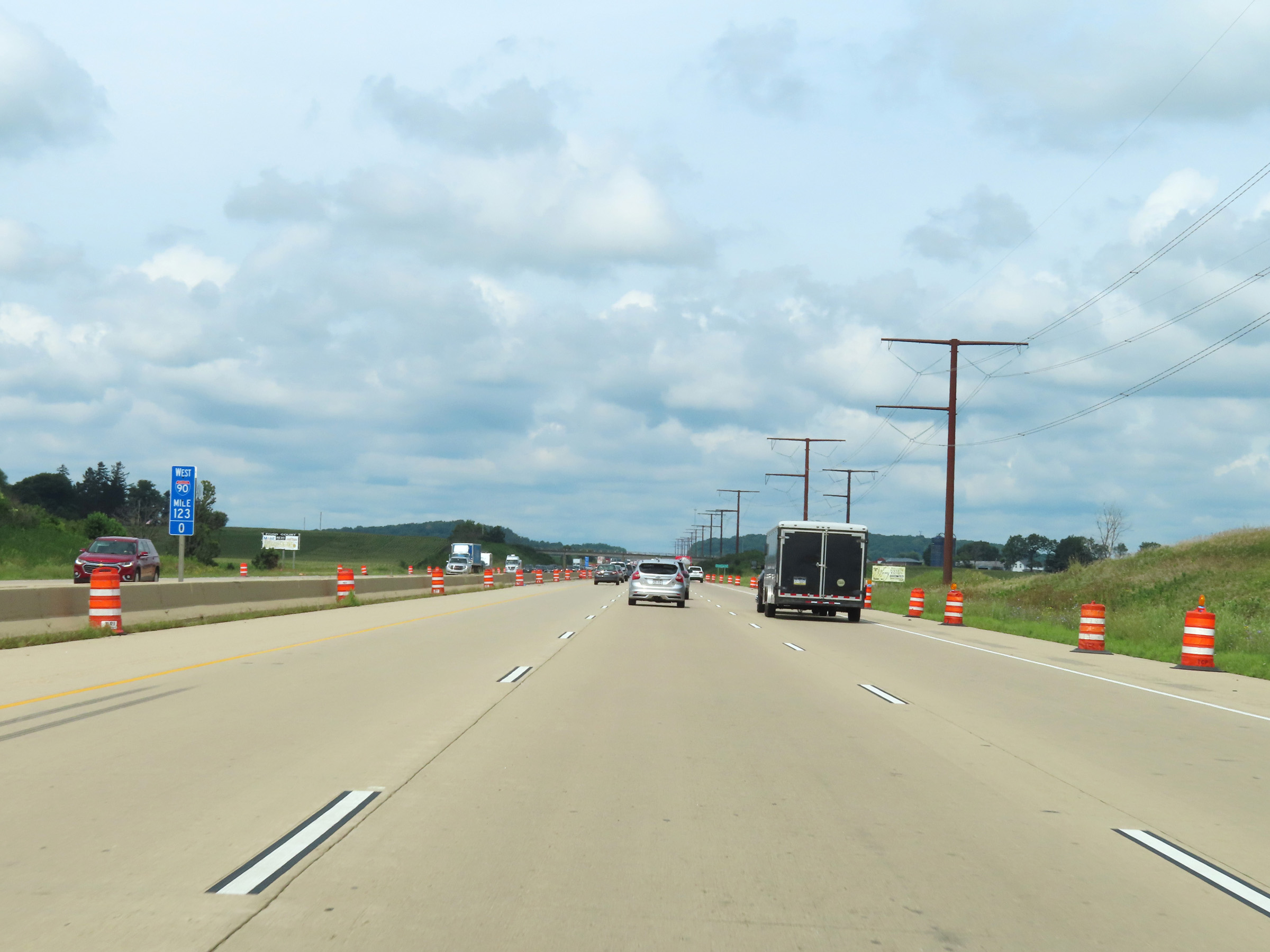 |
View on Interstate 90 West / Interstate 39 North / Interstate 94 West at mile marker 123. (Photo taken 8/15/22). |
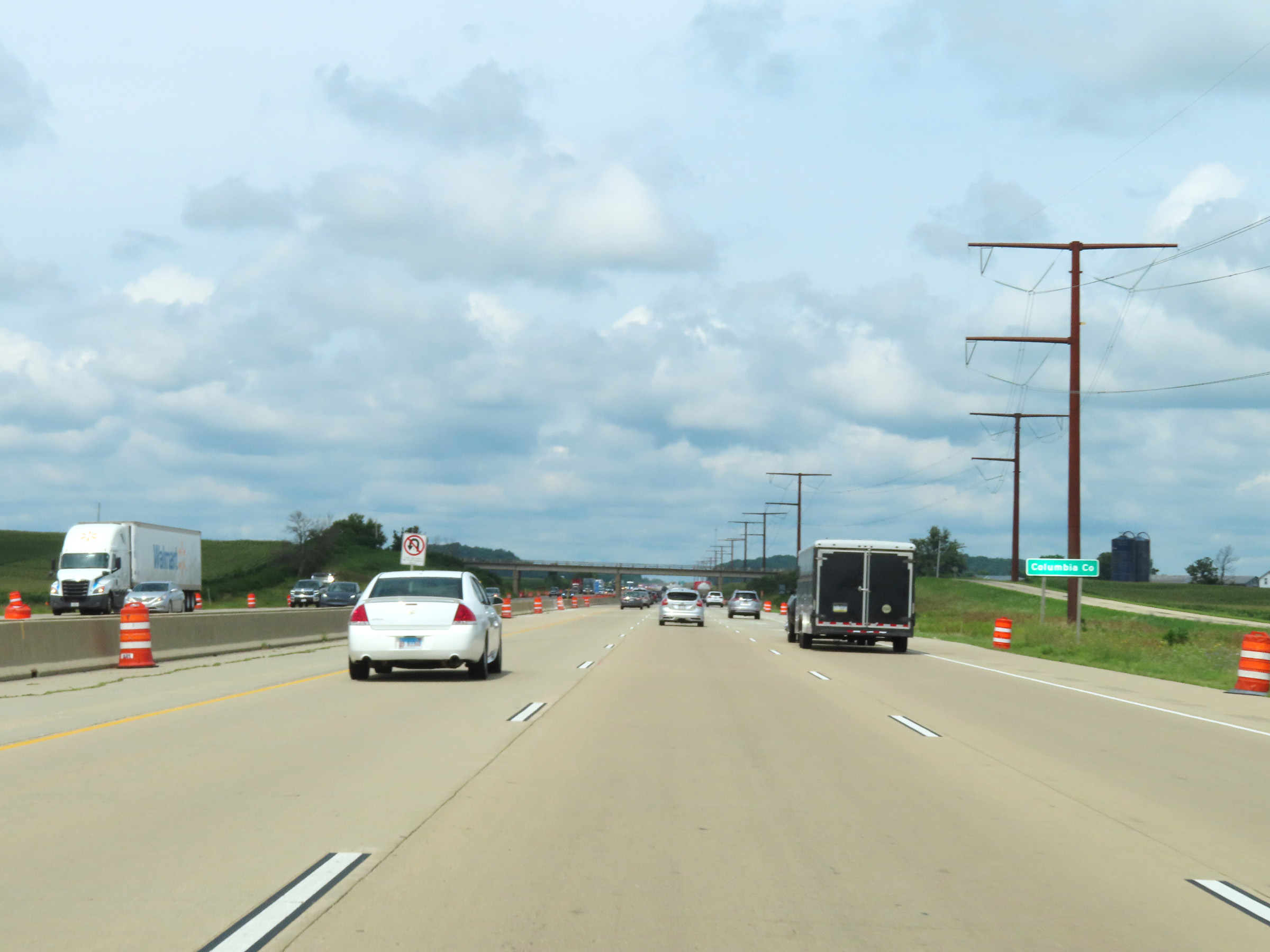 |
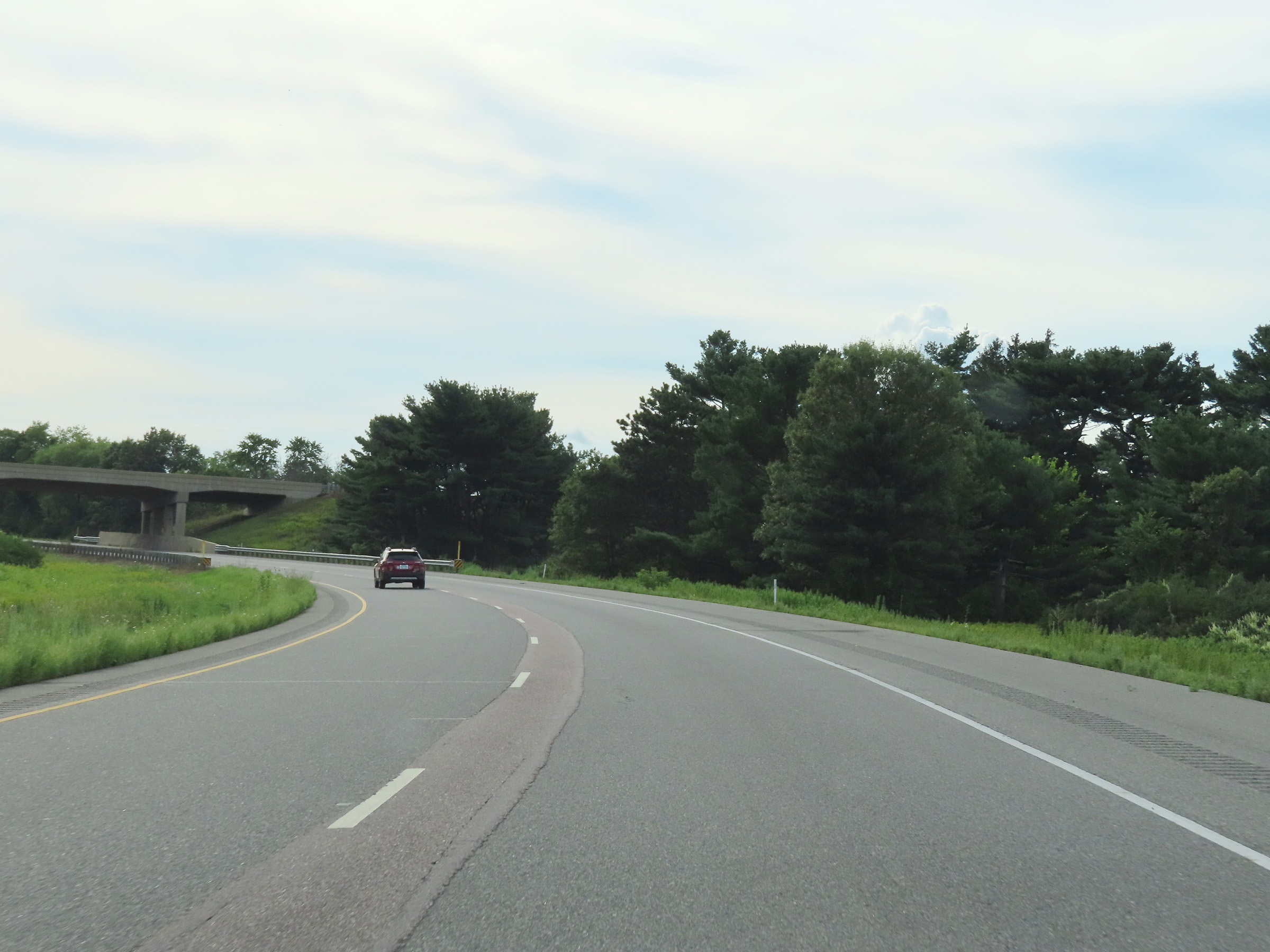
Interstate 90 West / Interstate 39 North / Interstate 94 West as they enter Columbia County. (Photo taken 8/15/22). |
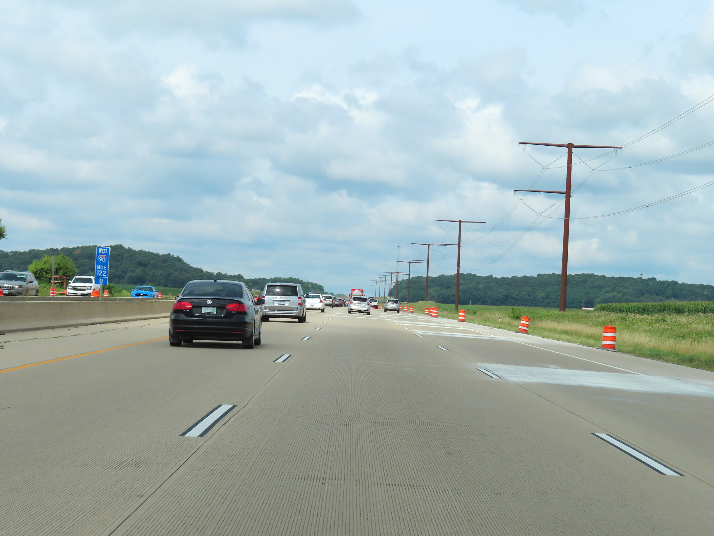 |
View on Interstate 90 West / Interstate 39 North / Interstate 94 West at mile marker 122. (Photo taken 8/15/22). |
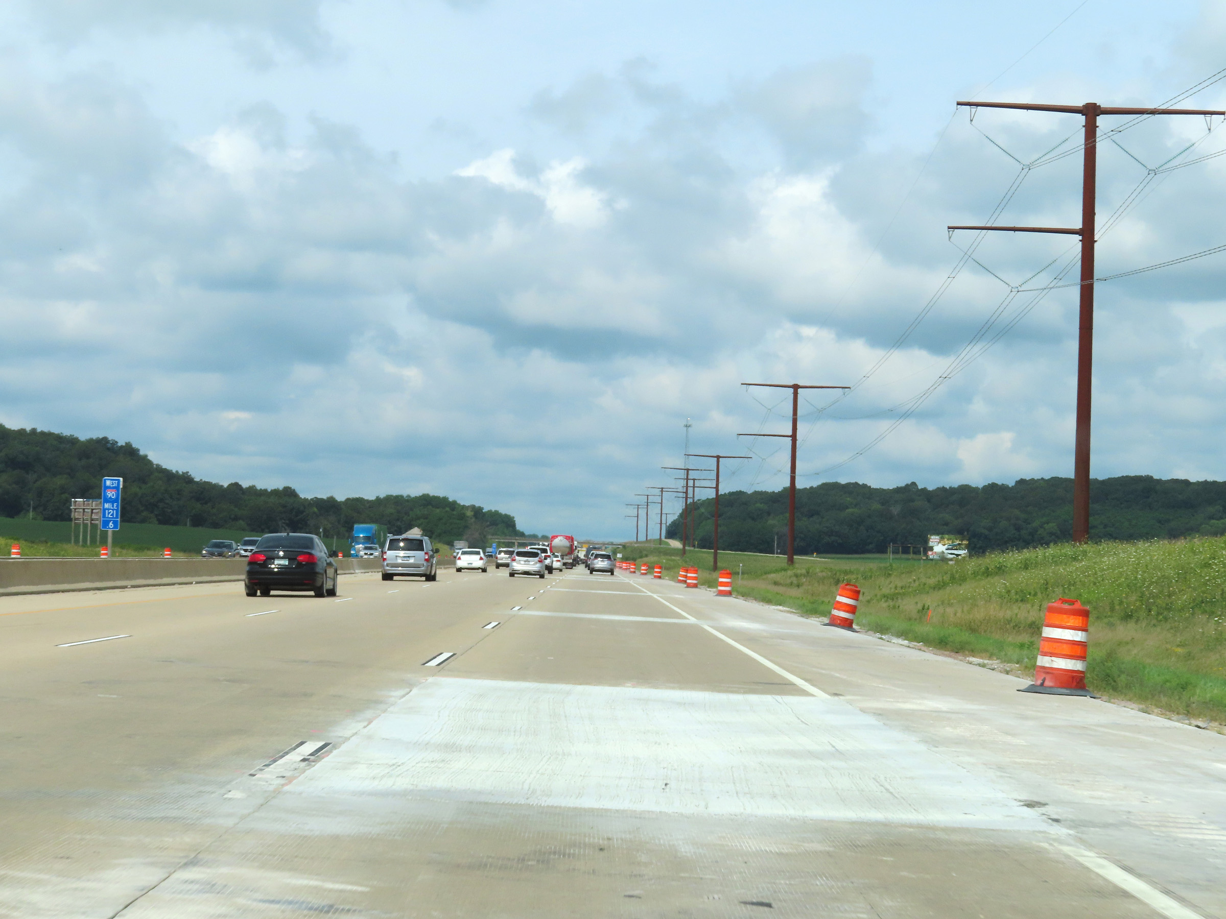 |
Interstate 90 West / Interstate 39 North / Interstate 94 West at mile marker 121.6. (Photo taken 8/15/22). |
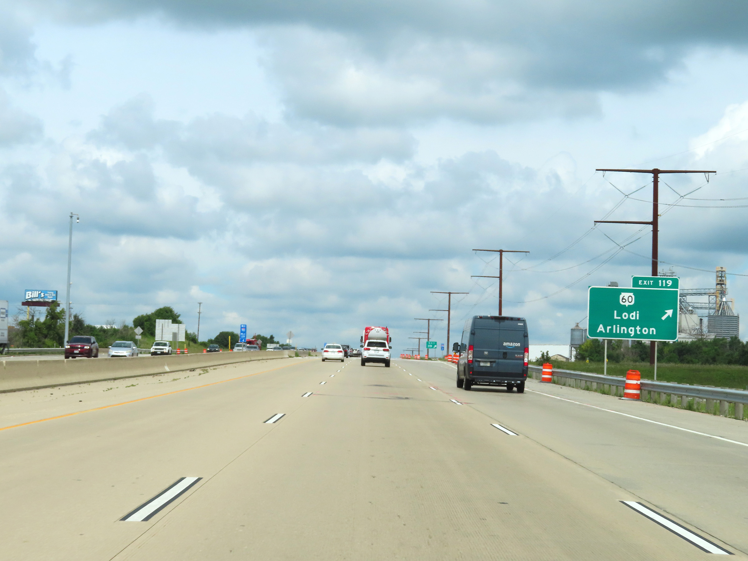 |
Interstate 90 West / Interstate 39 North / Interstate 94 West at Exit 119: WI 60 - Lodi / Arlington (Photo taken 8/15/22). |
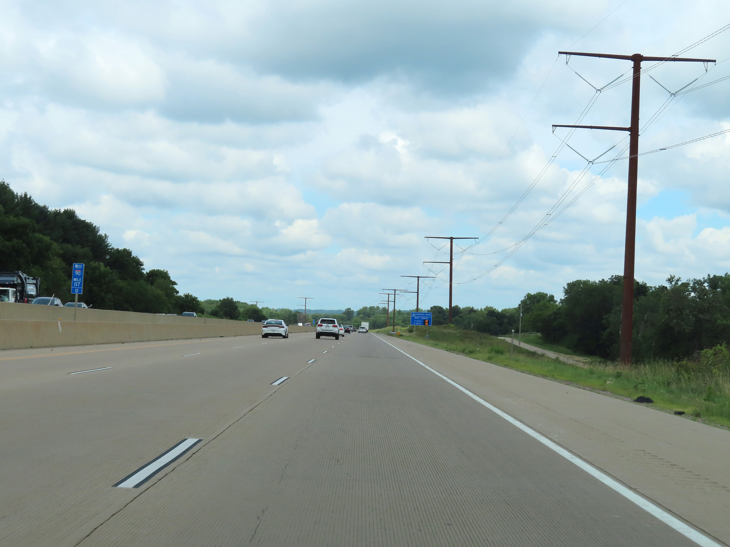 |
View on Interstate 90 West / Interstate 39 North / Interstate 94 West at mile marker 117. (Photo taken 8/15/22). |
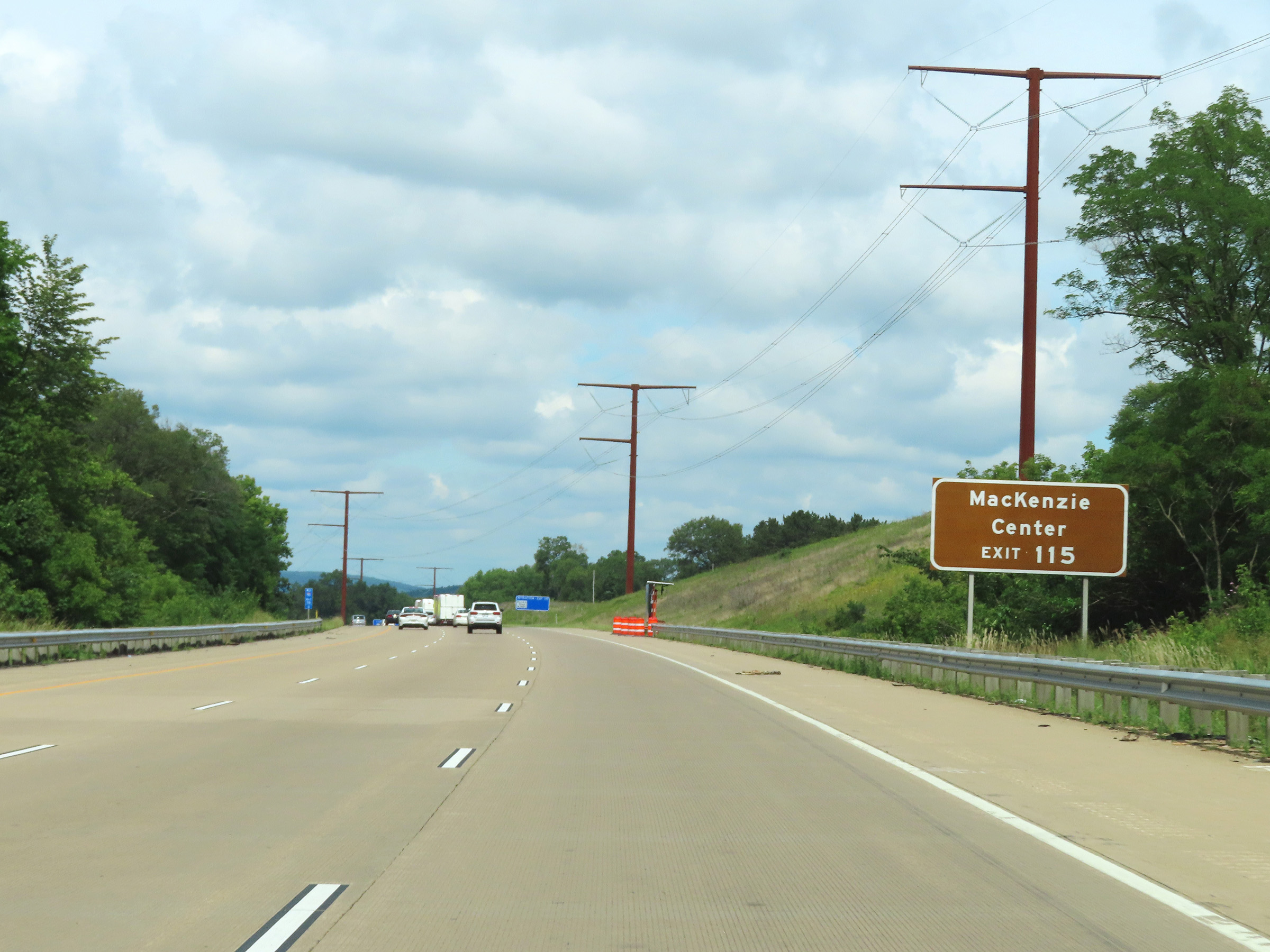 |
Take Exit 115 to MacKenzie Center. (Photo taken 8/15/22). |
 |
Interstate 90 West / Interstate 39 North / Interstate 94 West at Exit 115: Hwy CS - Poynette / Lake Wisconsin (Photo taken 8/15/22). |
 |
Interstate 90 West / Interstate 39 North / Interstate 94 West reassurance shields in Columbia County at mile marker 114.6. (Photo taken 8/15/22). |
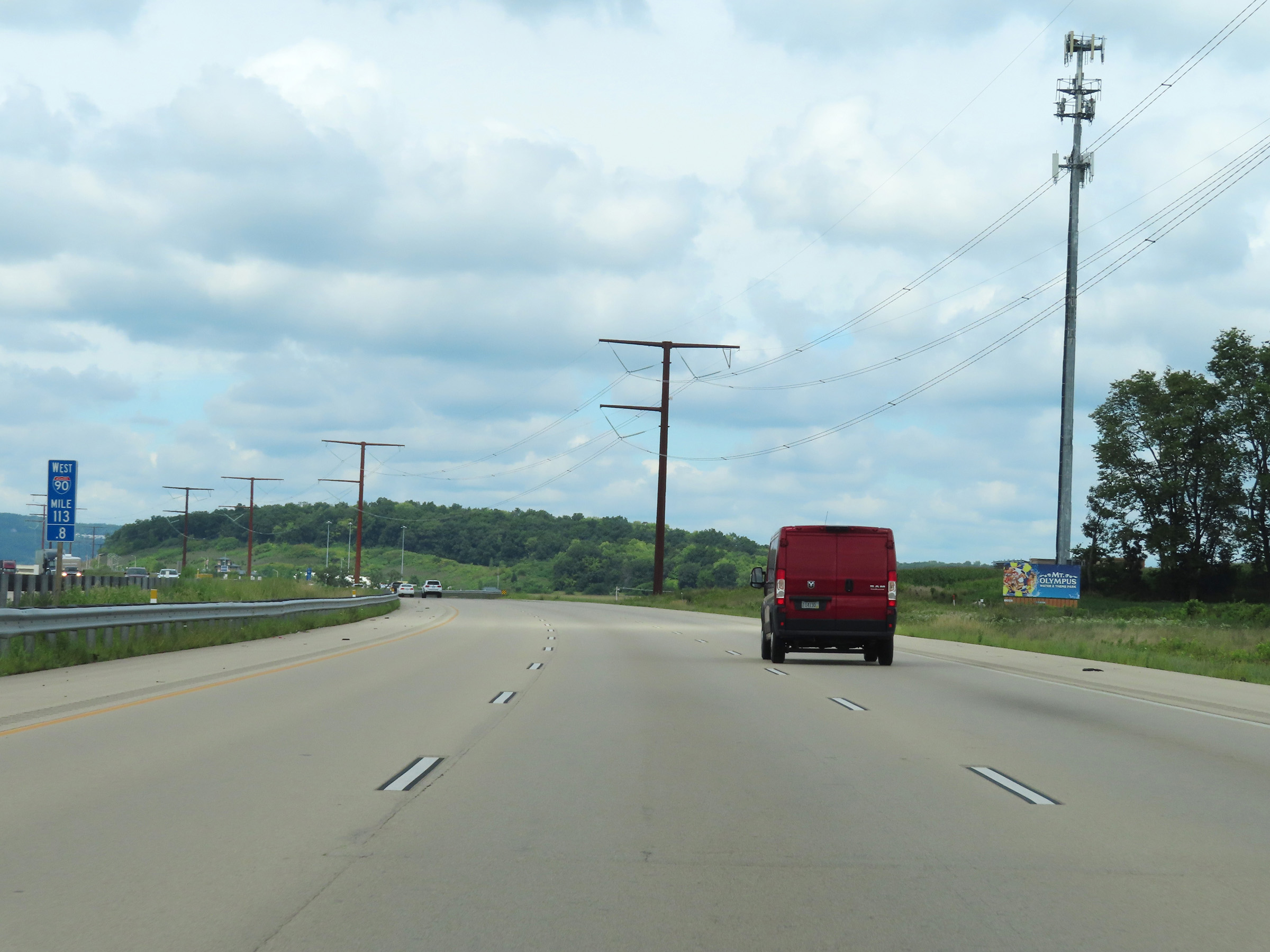 |
View on Interstate 90 West / Interstate 39 North / Interstate 94 West at mile marker 113.8. (Photo taken 8/15/22). |
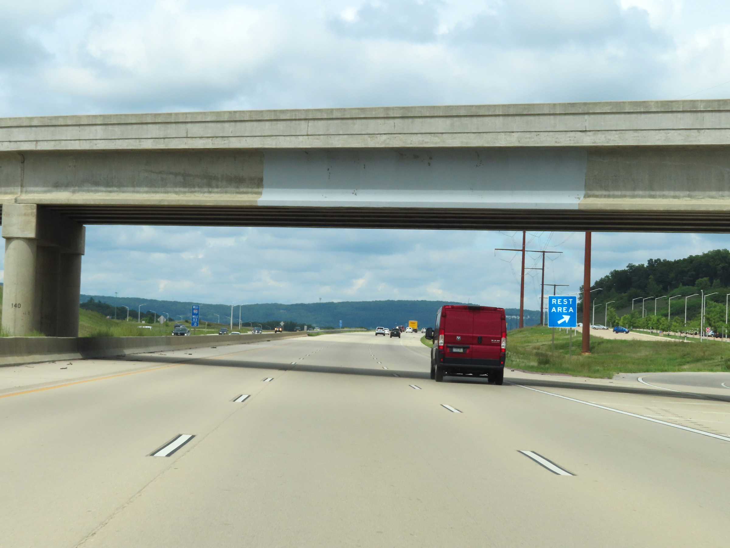 |
Rest Area on Interstate 90 West / Interstate 39 North / Interstate 94 West at mile marker 113 in Columbia County. (Photo taken 8/15/22). |
 |
Another mileage sign on Interstate 90 West / Interstate 39 North / Interstate 94 West. It's 3 miles to the junction of WI 78, 29 miles to Wisconsin Dells, and 114 miles to Wausau. (Photo taken 8/15/22). |
 |
The speed limit remains the rural standard 70 mph. (Photo taken 8/15/22). |
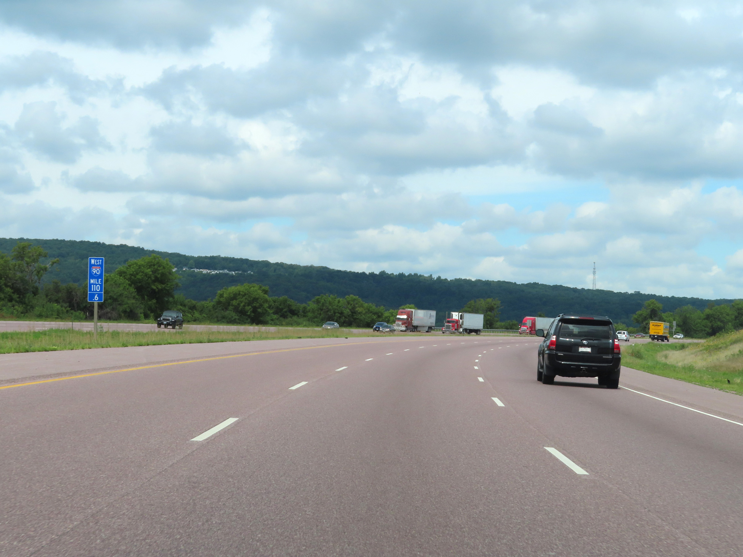 |
Interstate 90 West / Interstate 39 North / Interstate 94 West at mile marker 110.6. (Photo taken 8/15/22). |
 |
Take Exit 108B (Interstate 39 North) to Portage and Stevens Point. (Photo taken 8/15/22). |
 |
View on Interstate 90 West / Interstate 39 North / Interstate 94 West at mile marker 110. (Photo taken 8/15/22). |
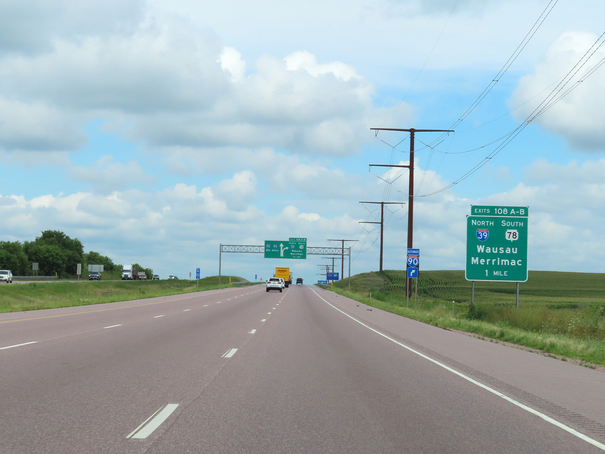 |
Interstate 90 West / Interstate 39 North / Interstate 94 West approaching Exits 108A-B - 1 mile. (Photo taken 8/15/22). |
 |
As this overhead signage shows, the two right lanes ahead can be used to access Exits 108A-B ahead. (Photo taken 8/15/22). |
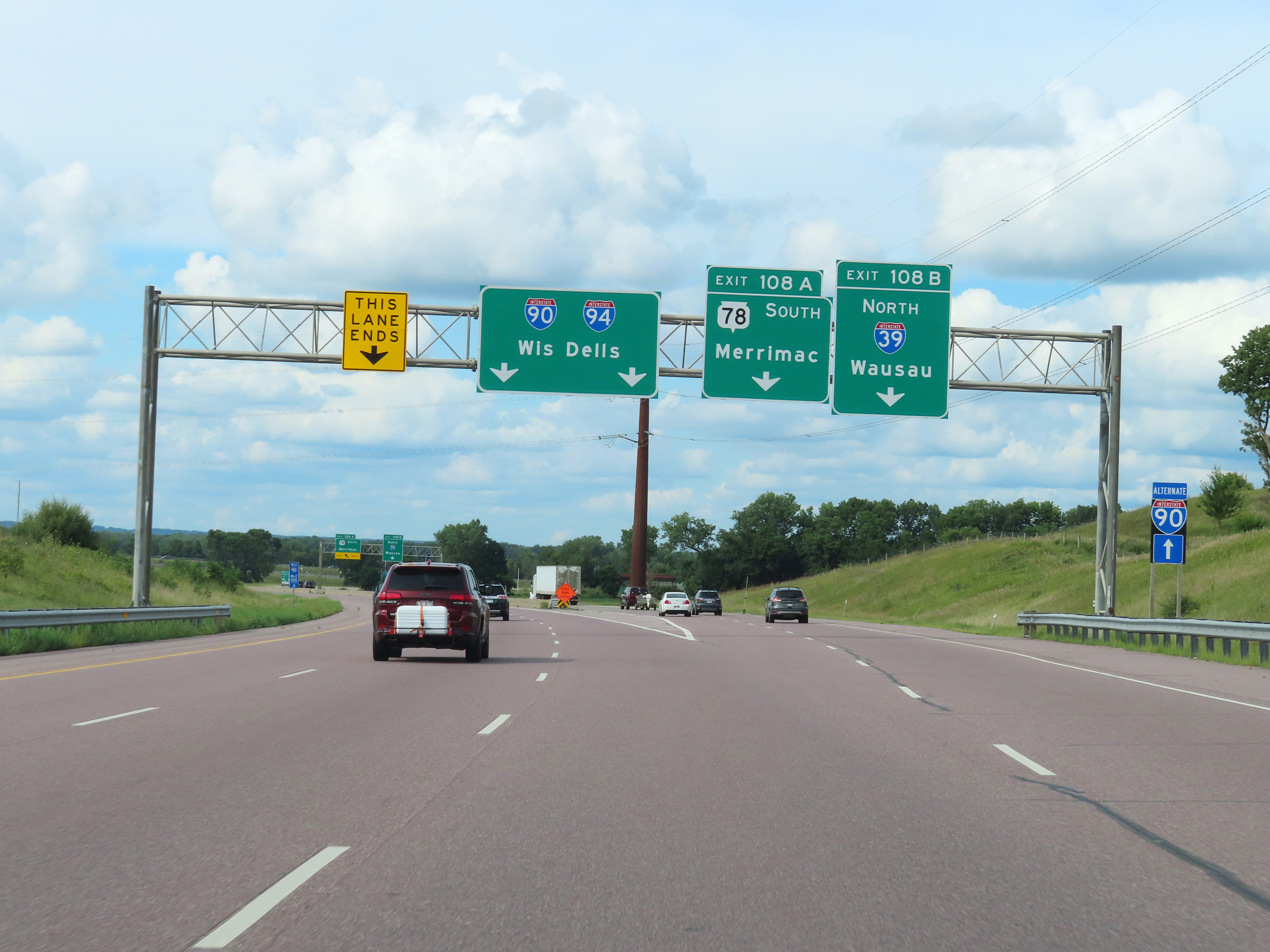 |
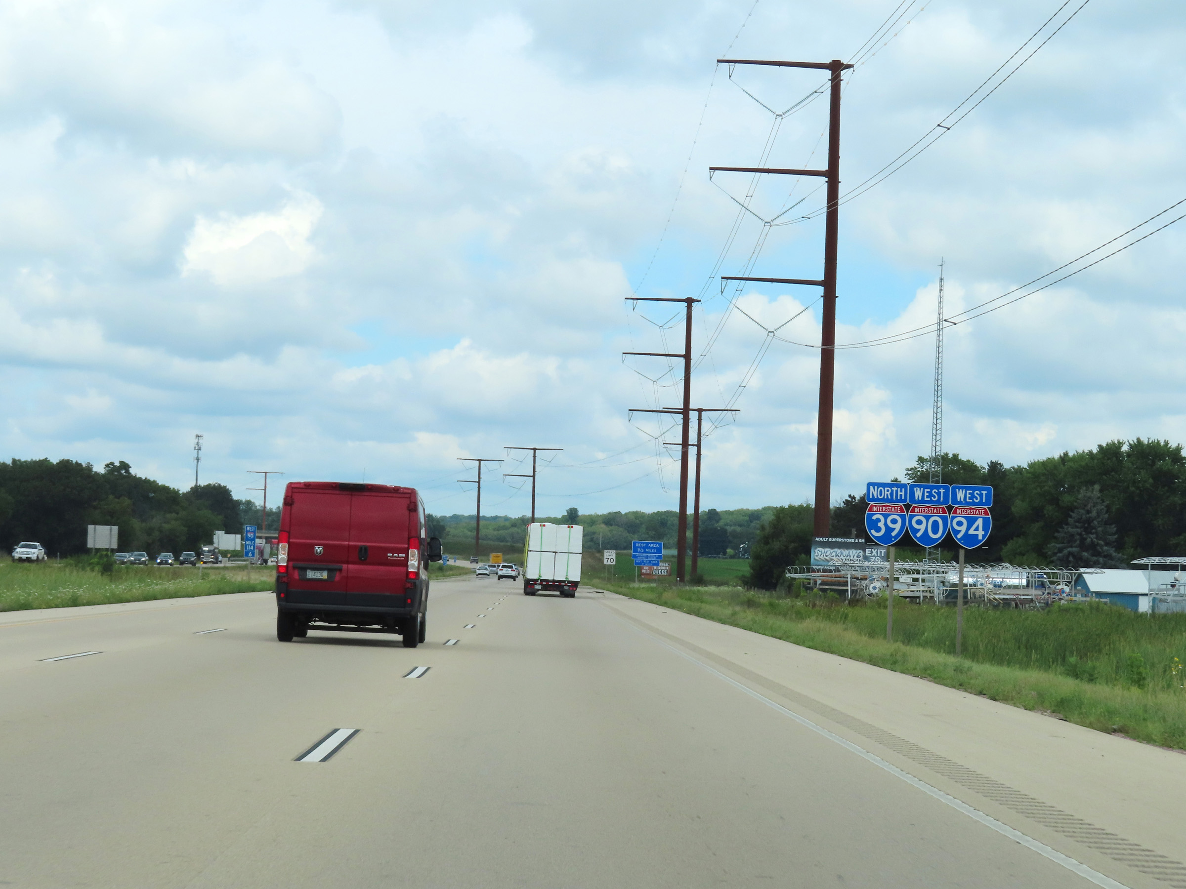
Interstate 90 West / Interstate 39 North / Interstate 94 West at Exit 108A: WI 78 South - Merrimac; Exit 108B: Interstate 39 North - Wausau (Photo taken 8/15/22). |
 |
A closer view of the ramps for Exits 108A-B, as Interstate 39 North departs Interstate 90 West / Interstate 94 West. (Photo taken 8/15/22). |
 |
Interstate 90 West / Interstate 94 West reassurance shields just beyond mile marker 107. (Photo taken 8/15/22). |
 |
Take Exit 106 to the Circus World Museum and Devils Lake State Park. (Photo taken 8/15/22). |
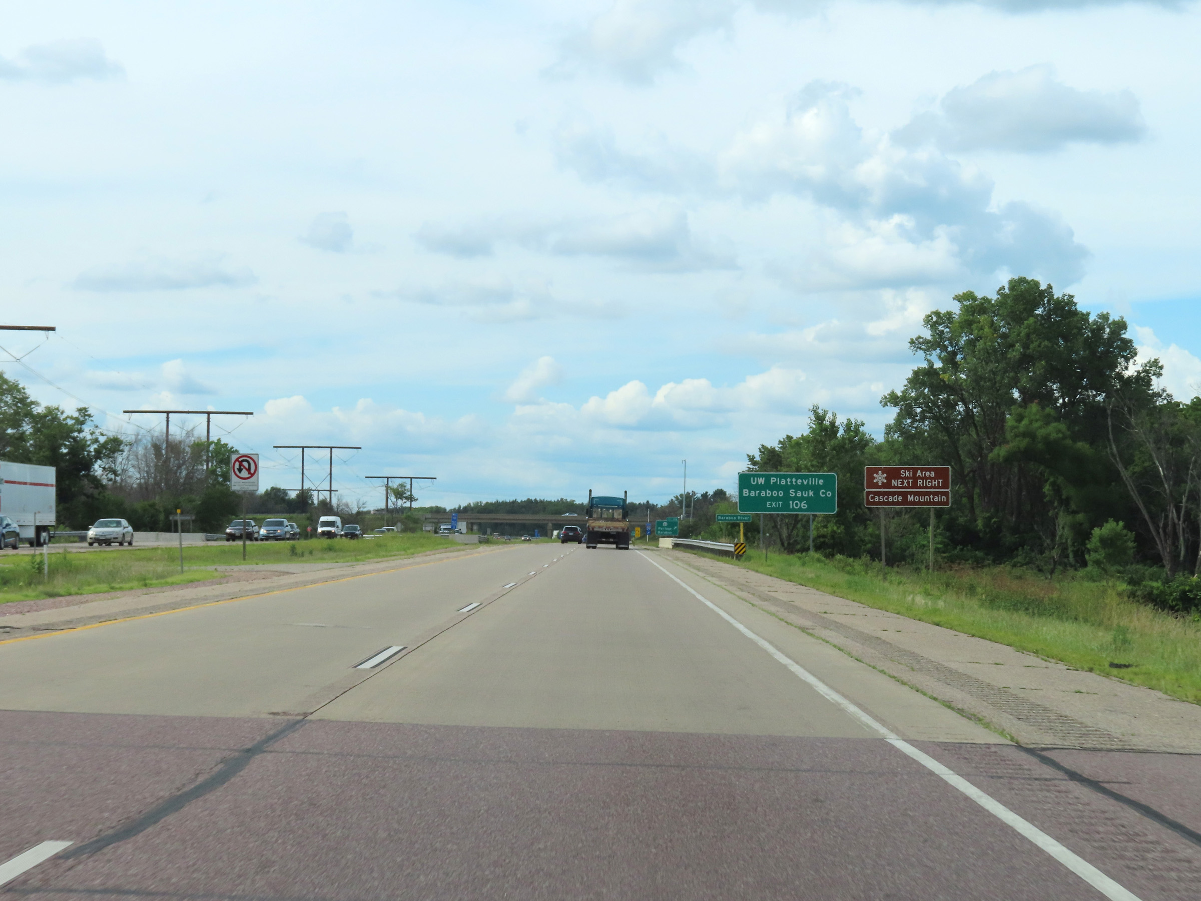 |
Also take Exit 106 to Cascade Mountain Ski Area and UW Platteville Baraboo-Sauk County. (Photo taken 8/15/22). |
 |
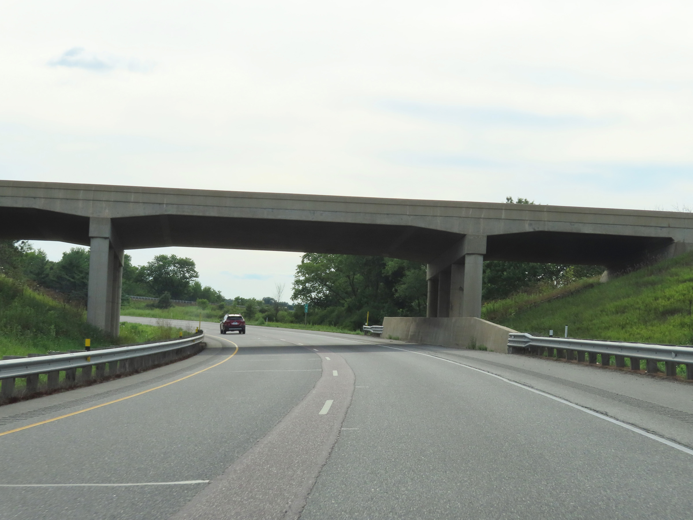
Interstate 90 / Interstate 94 West at Exit 106: WI 33 - Portage / Baraboo (Photo taken 8/15/22). |
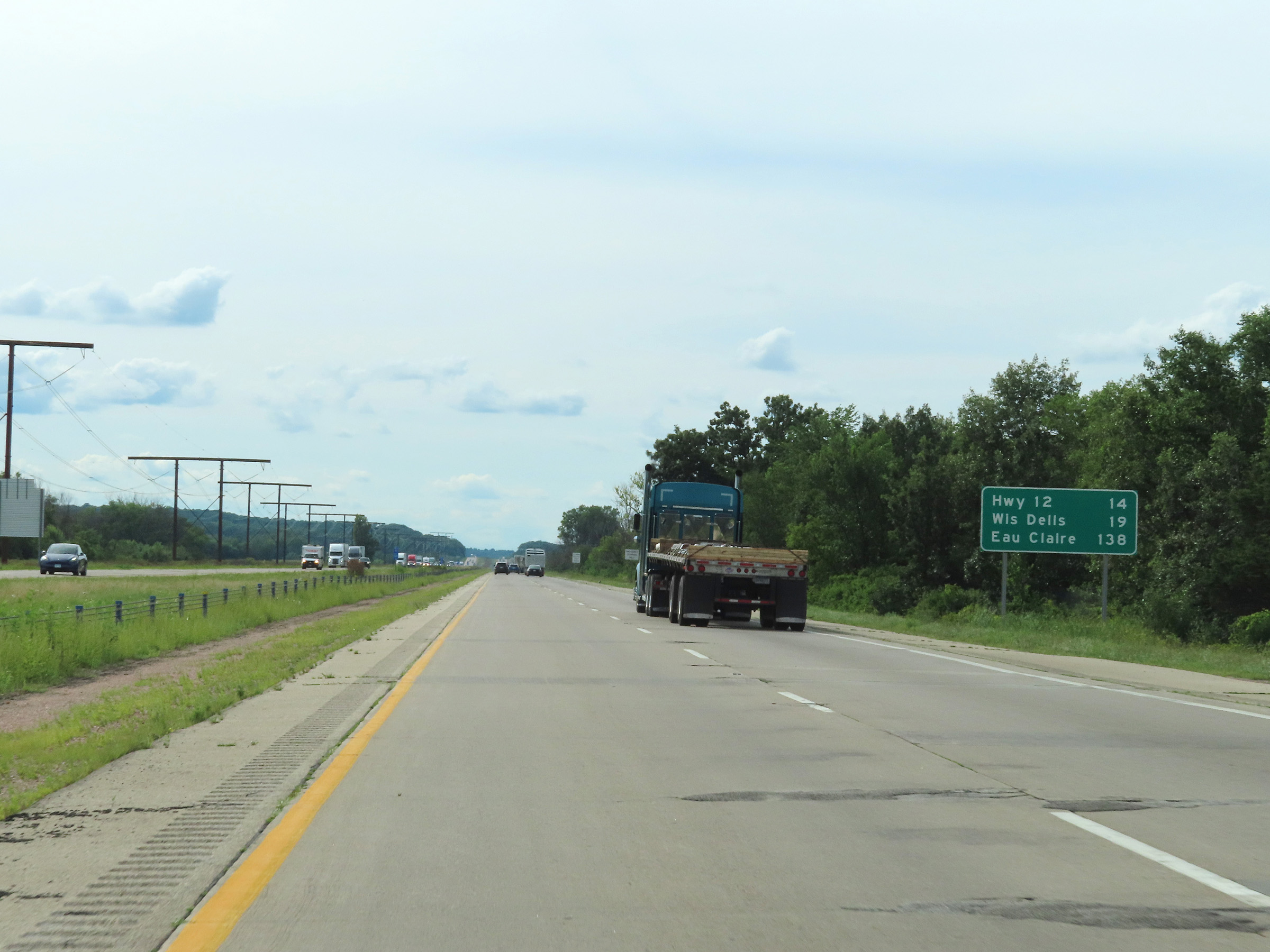 |
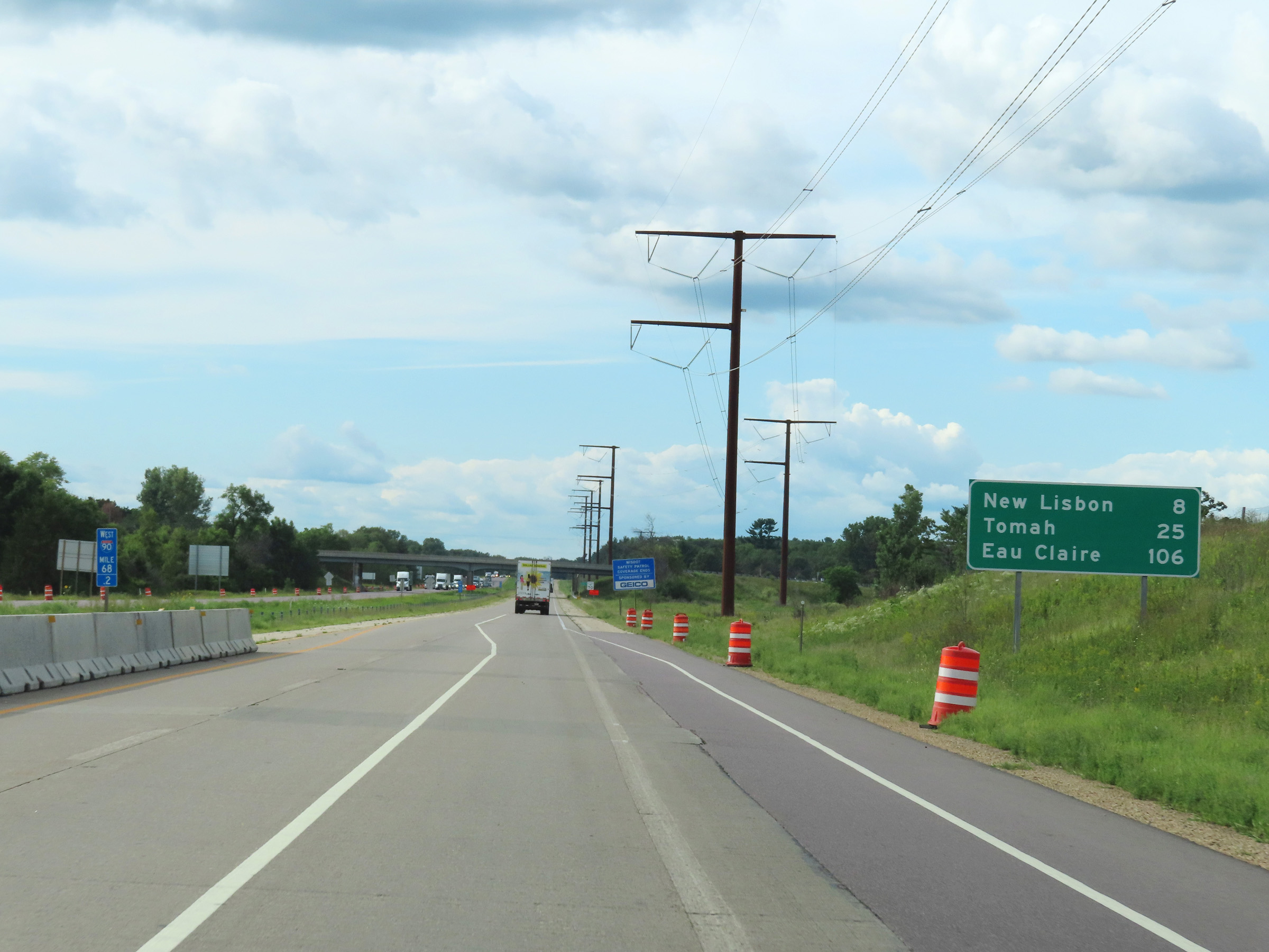
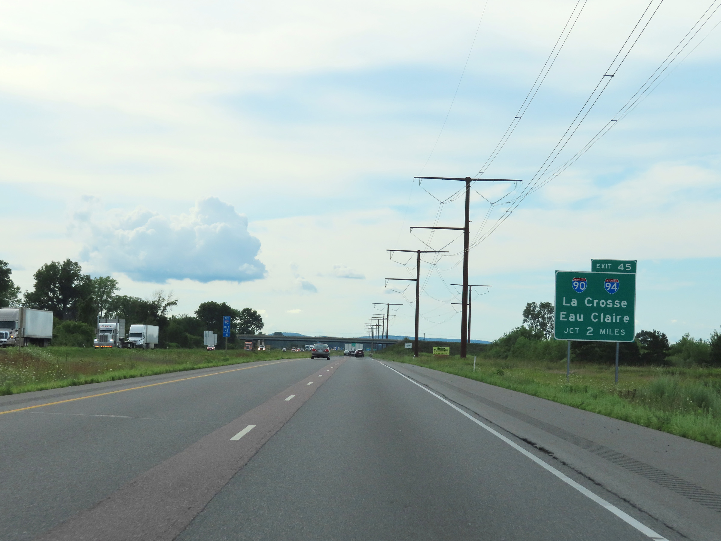
Mileage sign on Interstate 90 / Interstate 94 West. It's 14 miles to the junction of US 12, 19 miles to Wisconsin Dells, and 138 miles to Eau Claire. (Photo taken 8/15/22). |
 |
View on Interstate 90 / Interstate 94 West at mile marker 104. (Photo taken 8/15/22). |
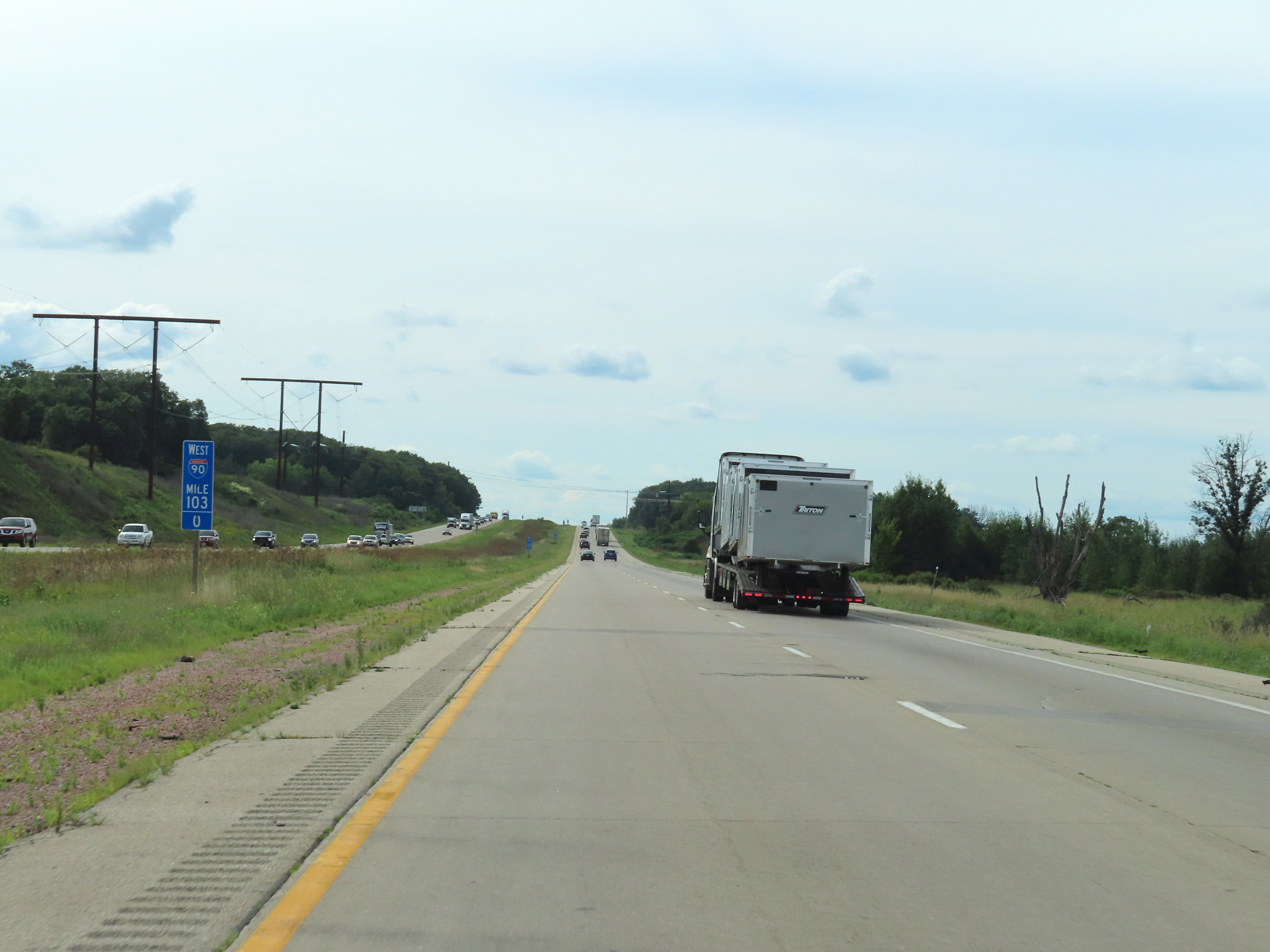 |
Interstate 90 / Interstate 94 West at mile marker 103. (Photo taken 8/15/22). |
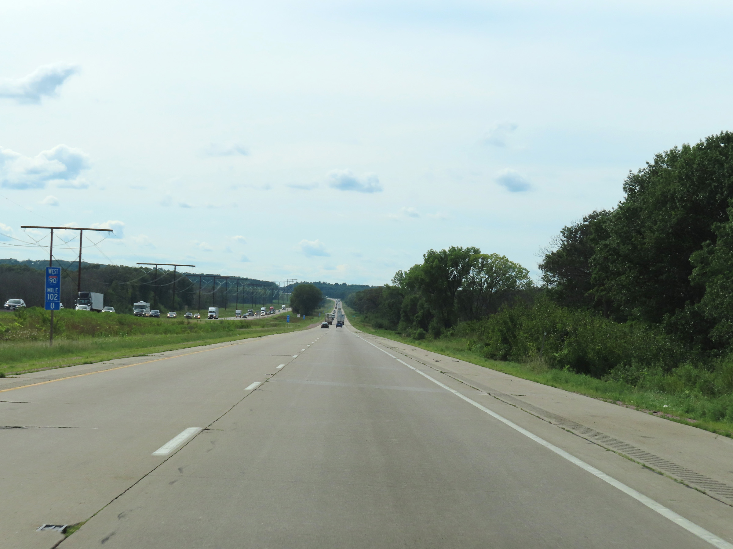 |
Mile marker 102 on Interstate 90 / Interstate 94 West in Columbia County. (Photo taken 8/15/22). |
 |
At mile marker 101.4, Interstate 90 / Interstate 94 West enter Sauk County. (Photo taken 8/15/22). |
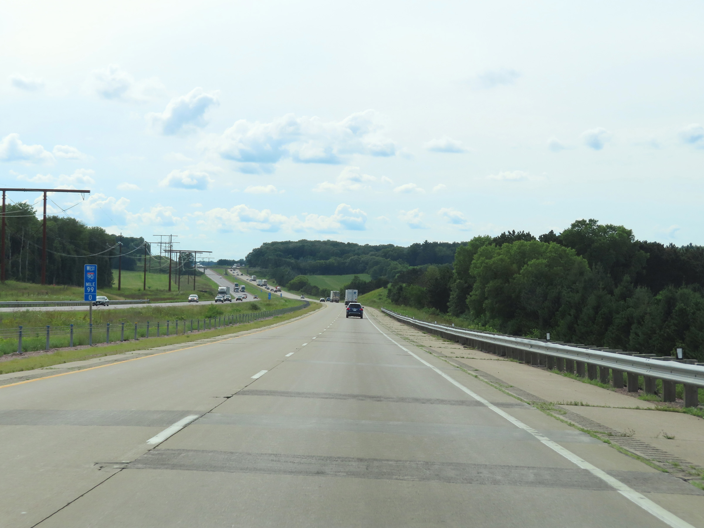 |
View on Interstate 90 / Interstate 94 West at mile marker 99. (Photo taken 8/15/22). |
 |
Interstate 90 / Interstate 94 West at mile marker 97. (Photo taken 8/15/22). |
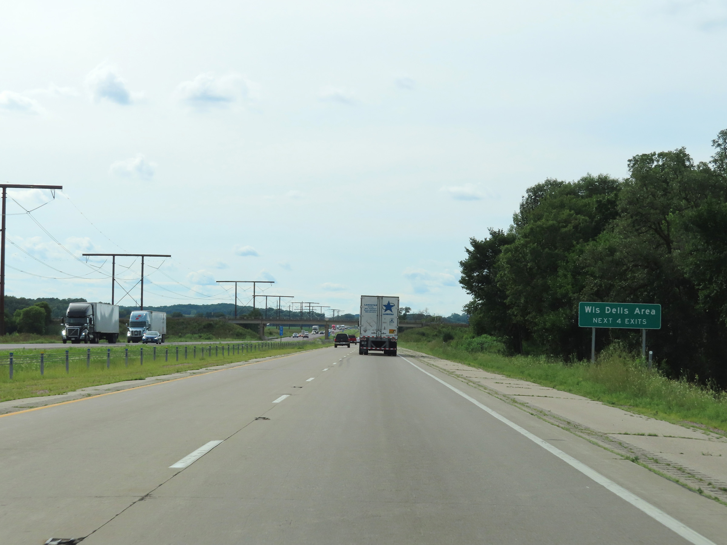 |
Take any of the next 4 Exits to the Wisconsin Dells Area. (Photo taken 8/15/22). |
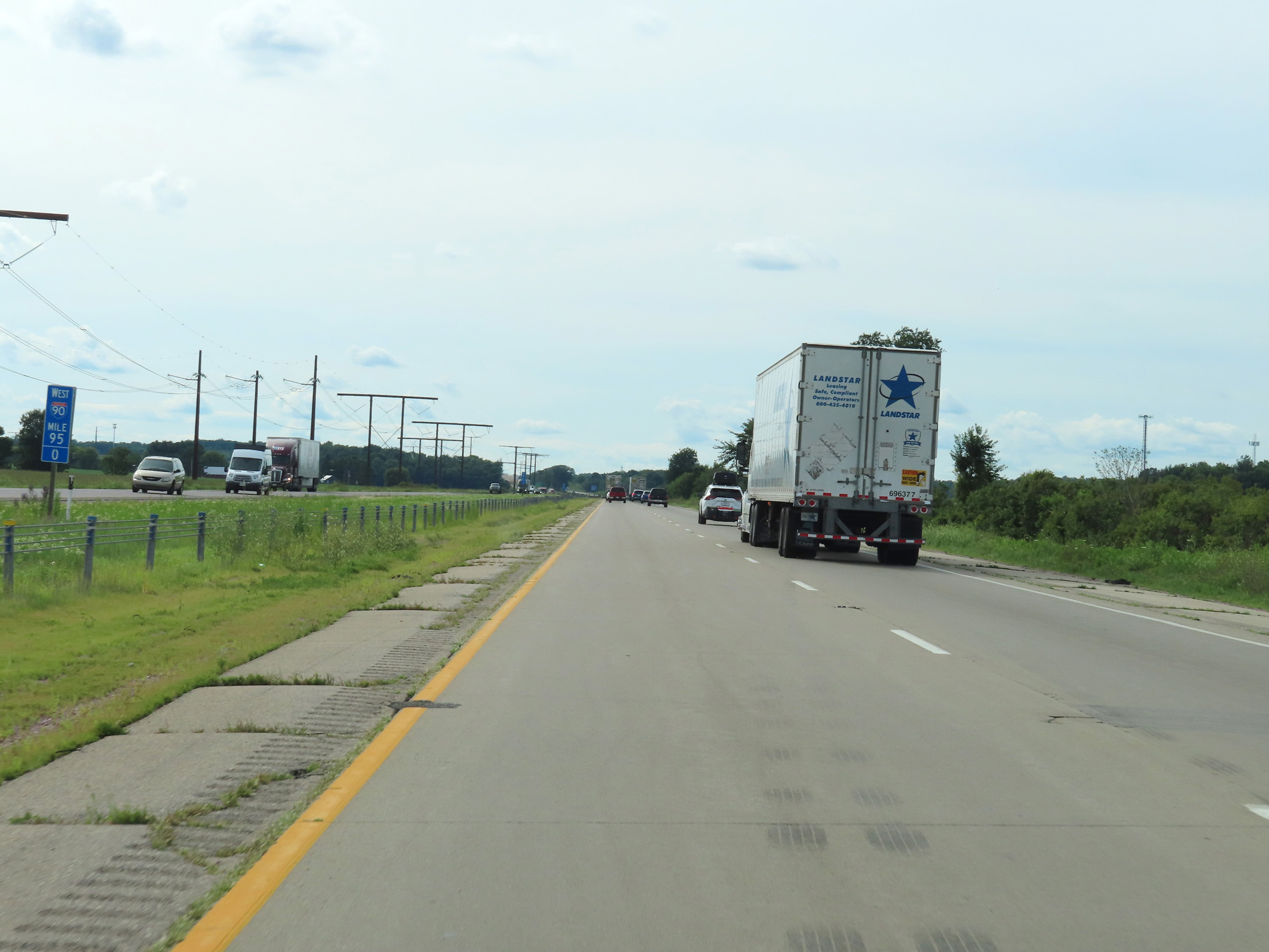 |
Mile marker 95 on Interstate 90 / Interstate 94 West in Sauk County. (Photo taken 8/15/22). |
 |
Take Exit 92 to Ho-Chunk Gaming. (Photo taken 8/15/22). |
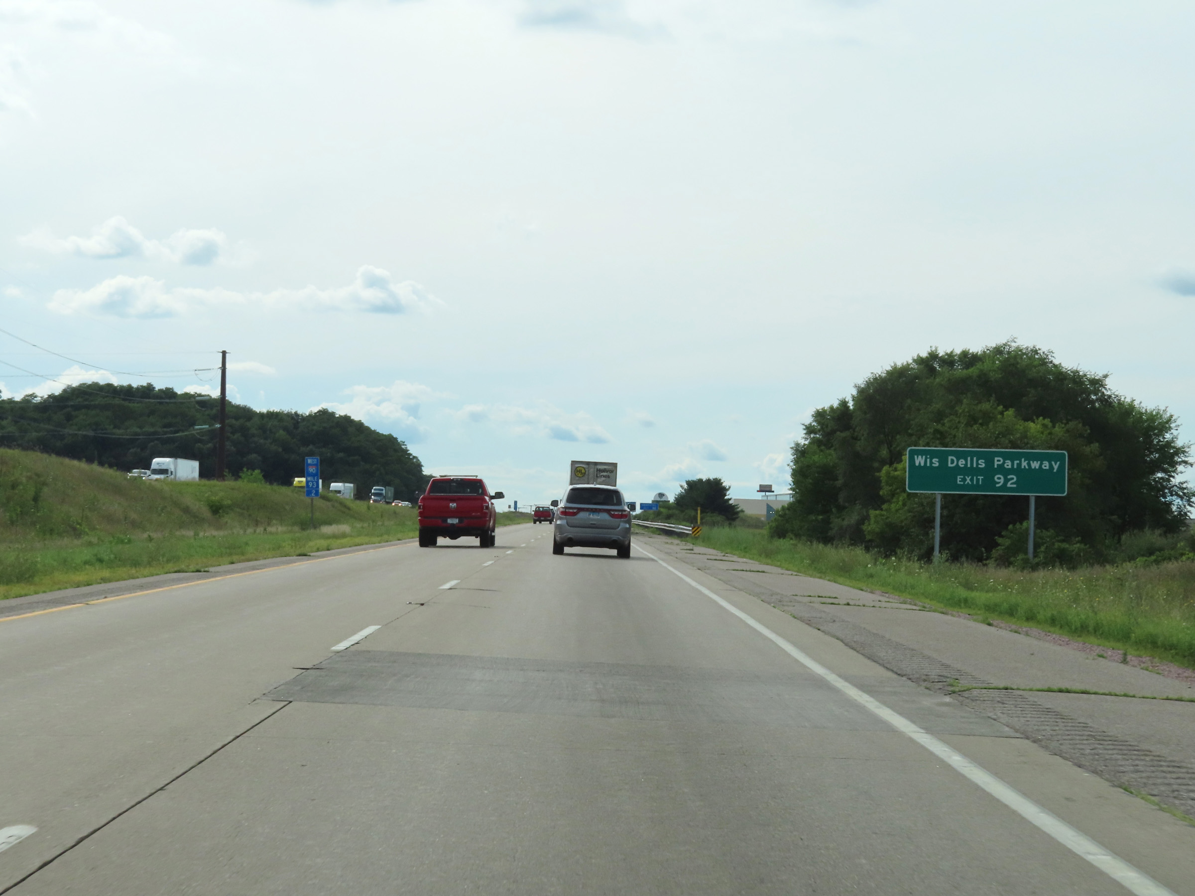 |
Also take Exit 92 to Wisconsin Dells Parkway. (Photo taken 8/15/22). |
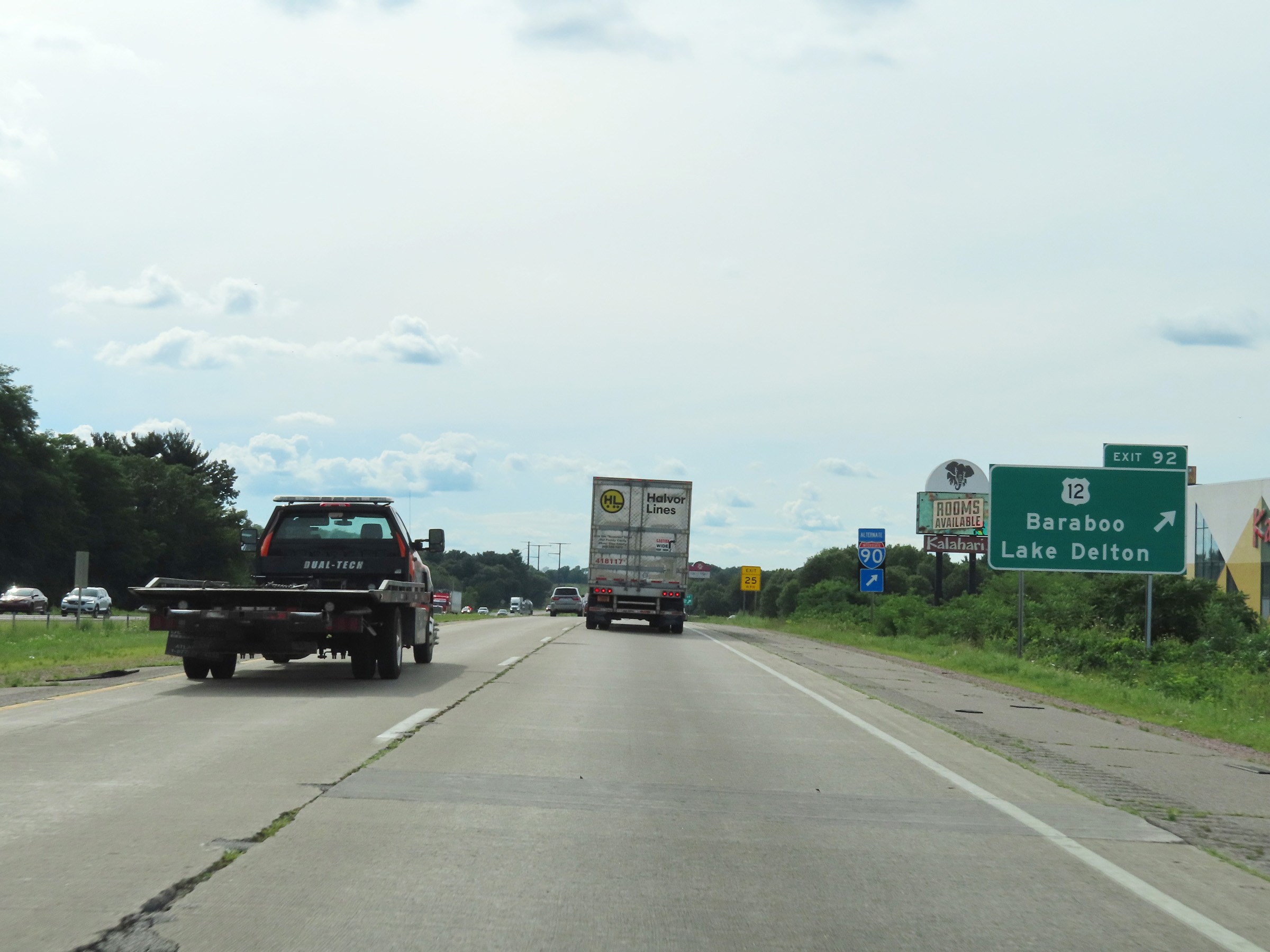 |
Interstate 90 / Interstate 94 West at Exit 92: US 12 - Baraboo / Lake Delton (Photo taken 8/15/22). |
 |
Take Exit 89 to The "400" State Trail. (Photo taken 8/15/22). |
 |
Interstate 90 / Interstate 94 West at Exit 89: WI 23 - Lake Delton / Reedsburg (Photo taken 8/15/22). |
 |
Interstate 90 West / Interstate 94 West reassurance shields in Sauk County. (Photo taken 8/15/22). |
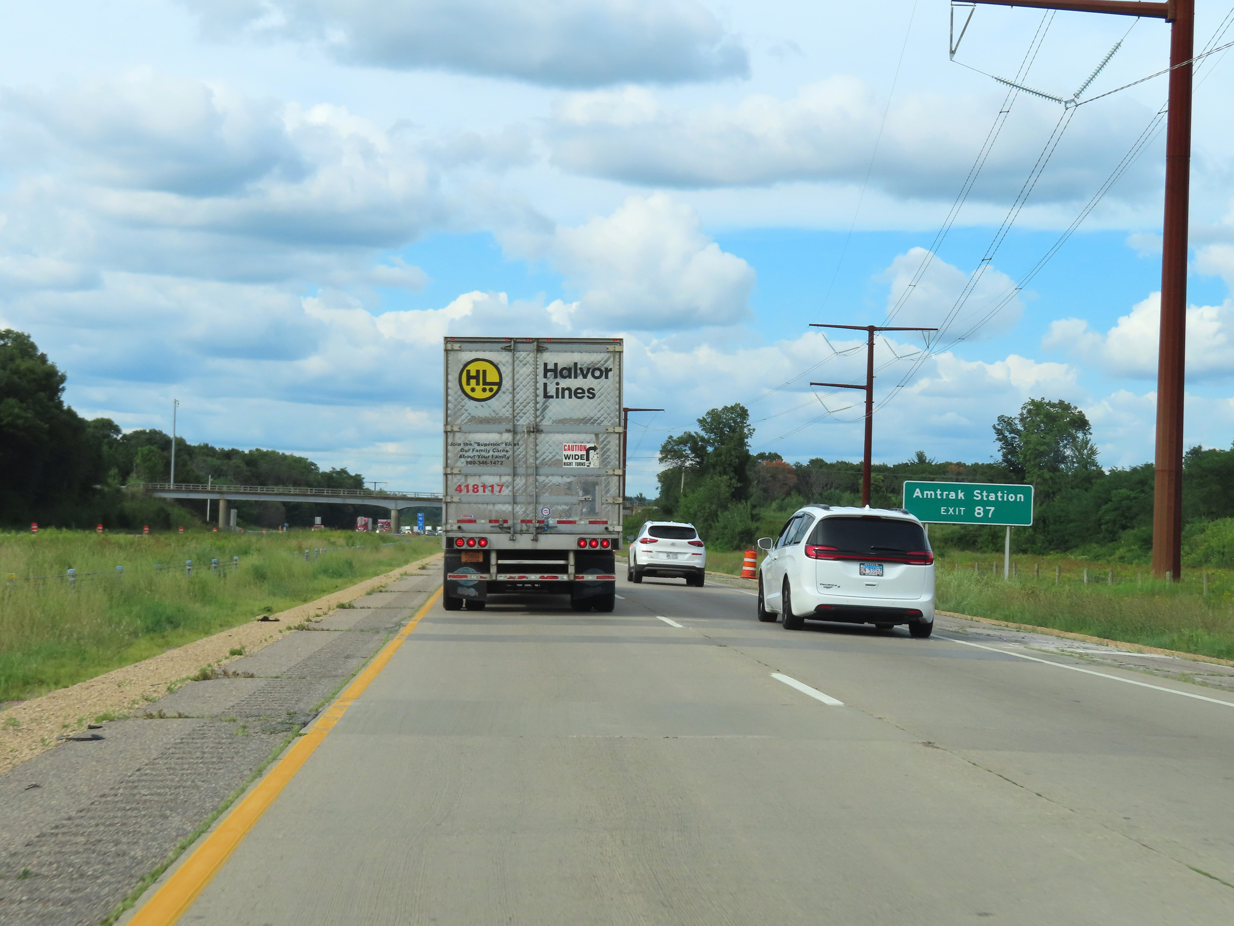 |
Take Exit 87 to the Amtrak Station. (Photo taken 8/15/22). |
 |
Also take Exit 87 to Christmas Mountain Ski Area. (Photo taken 8/15/22). |
 |
Interstate 90 / Interstate 94 West at Exit 87: WI 13 North - Wisconsin Dells (Photo taken 8/15/22). |
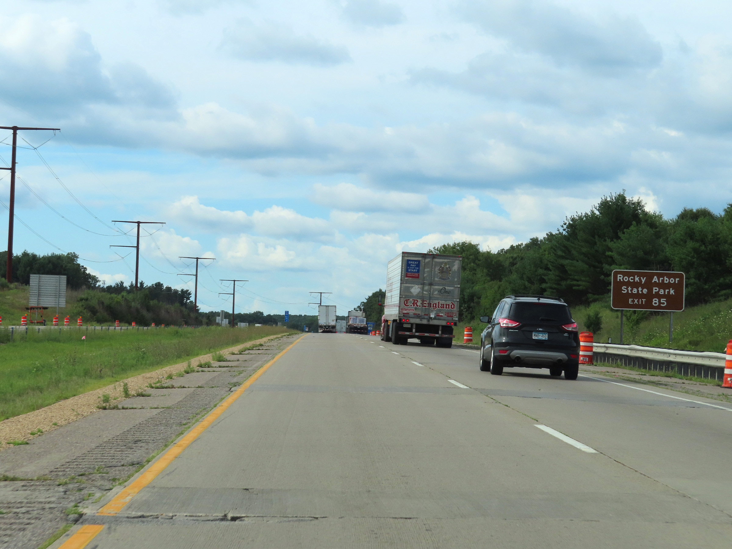 |
Take Exit 85 to Rocky Arbor State Park. (Photo taken 8/15/22). |
 |
Approaching Exit 85, Interstate 90 / Interstate 94 West enter Juneau County. (Photo taken 8/15/22). |
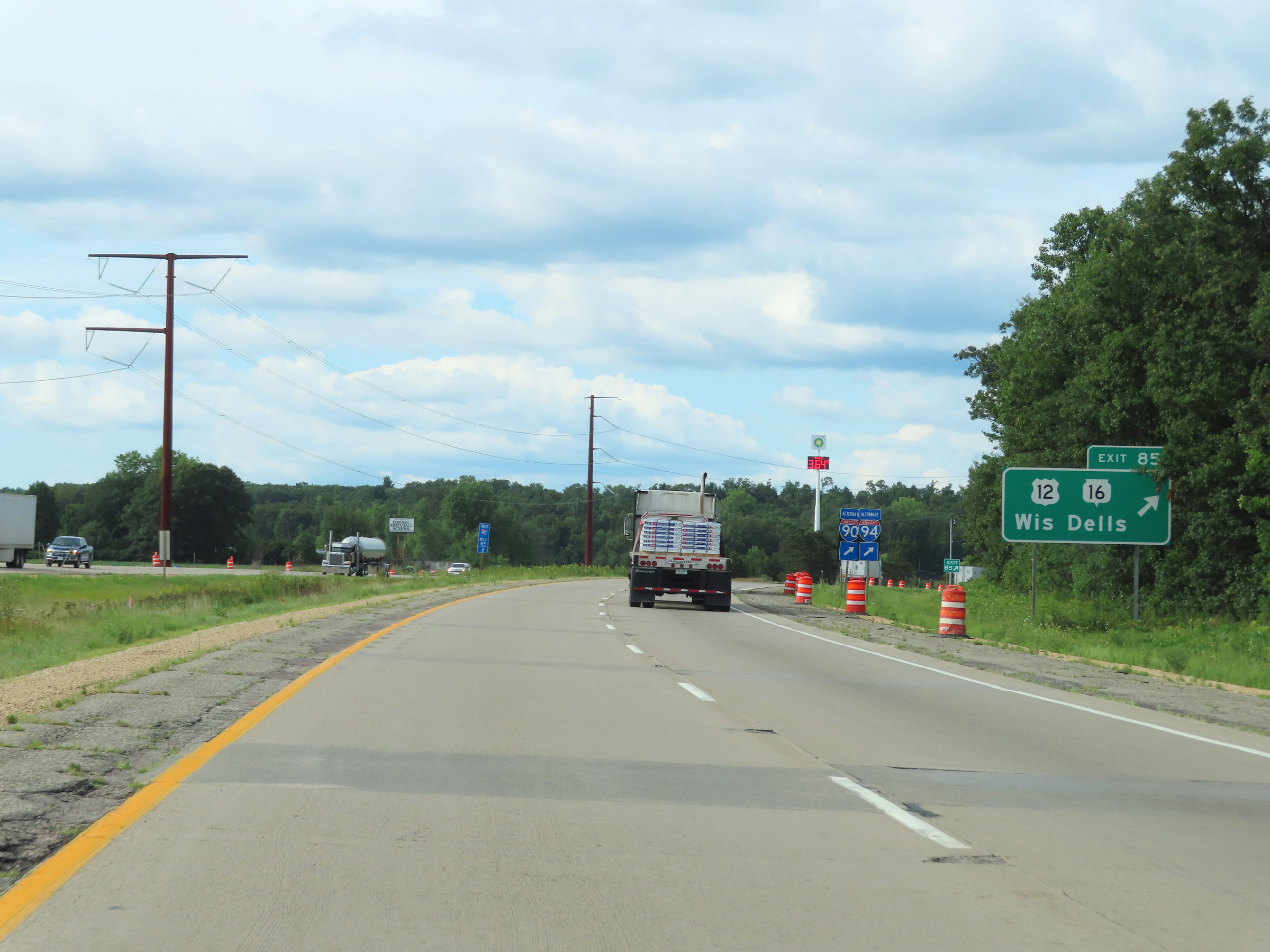 |
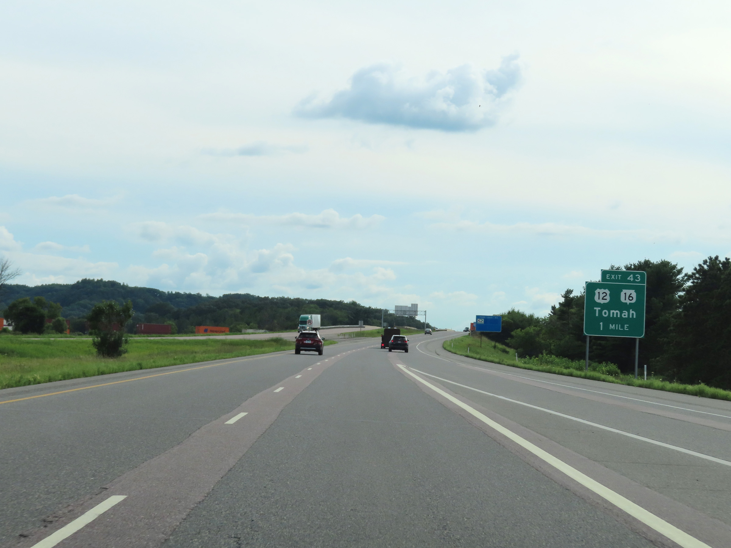
Interstate 90 / Interstate 94 West at Exit 85: US 12 / WI 16 - Wisconsin Dells (Photo taken 8/15/22). |
Section 3: Wisconsin Dells (Exit 85) to Tomah (Exit 41)
 |
Another set of Interstate 90 West / Interstate 94 West reassurance shields. (Photo taken 8/15/22). |
 |
Mile marker 84 on Interstate 90 / Interstate 94 West in Juneau County. (Photo taken 8/15/22). |
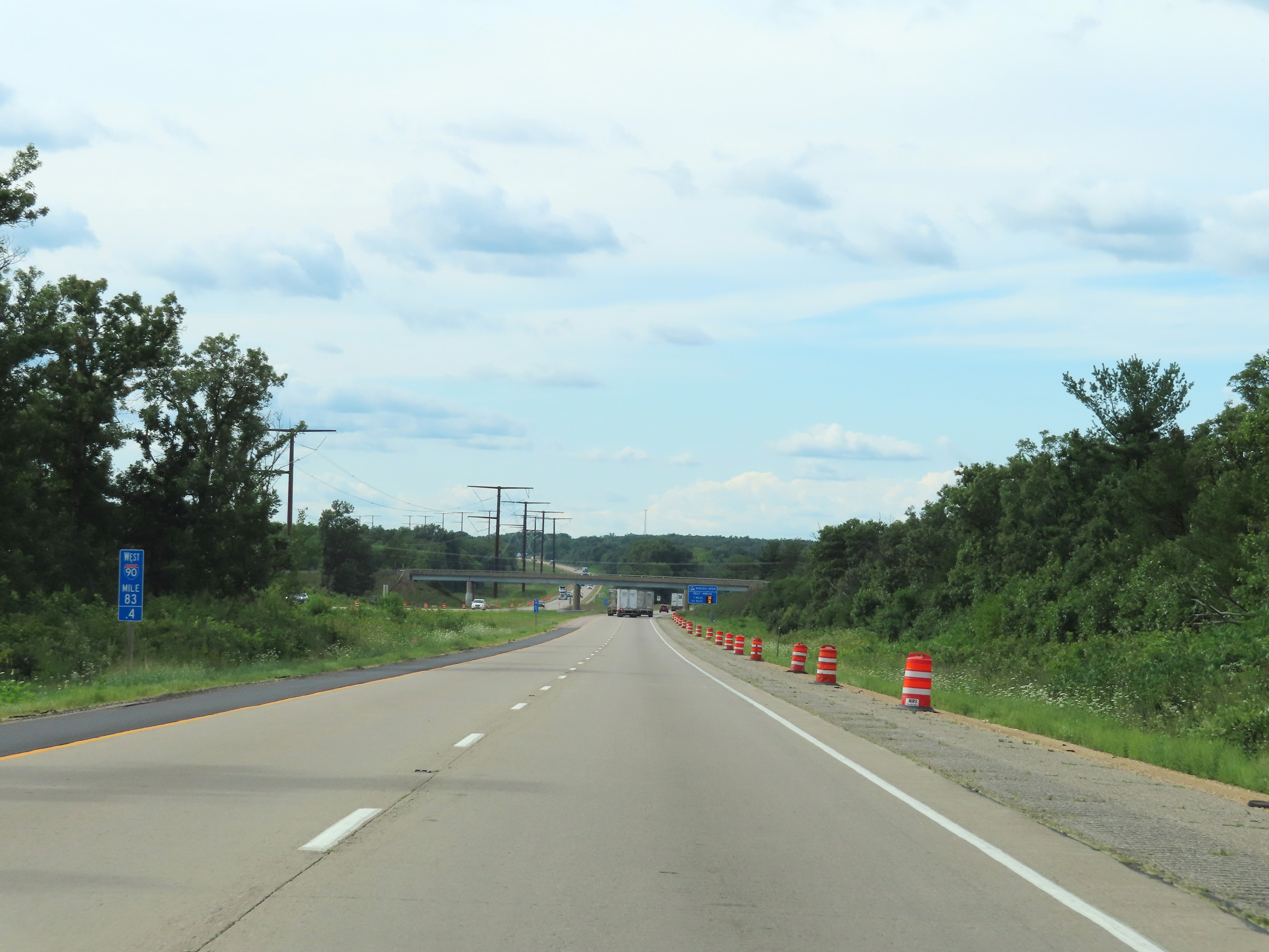 |
View on Interstate 90 / Interstate 94 West at mile marker 83.4. (Photo taken 8/15/22). |
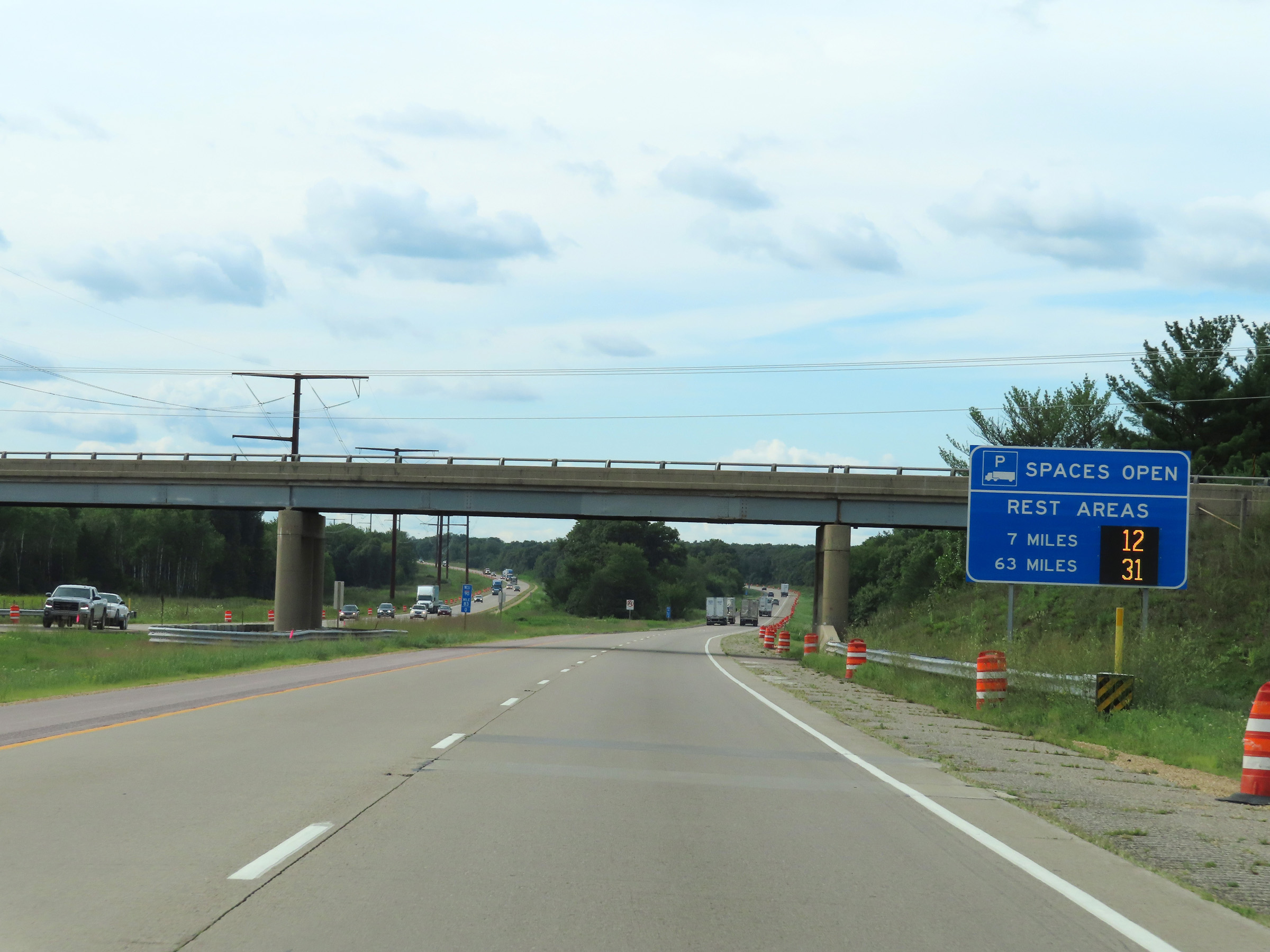 |
This sign dynamically displays the current number of available truck parking spaces at the Rest Area 7 miles ahead as well as the one 63 miles ahead on Interstate 94 West after it departs Interstate 90 West. (Photo taken 8/15/22). |
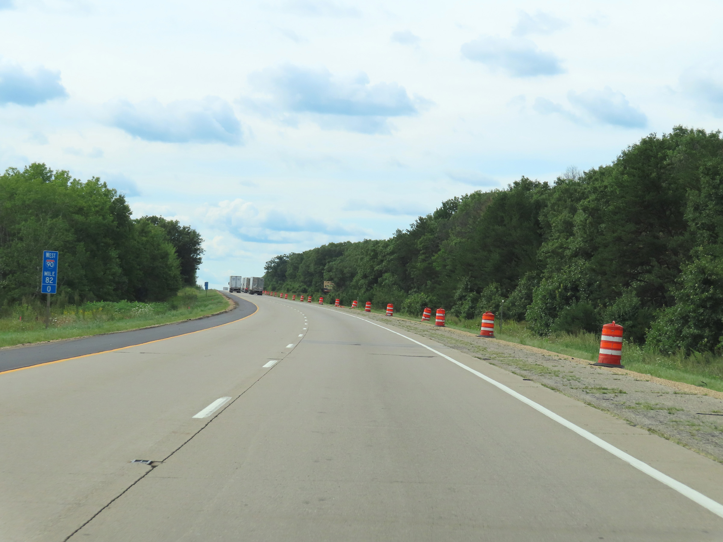 |
Interstate 90 / Interstate 94 West at mile marker 82. (Photo taken 8/15/22). |
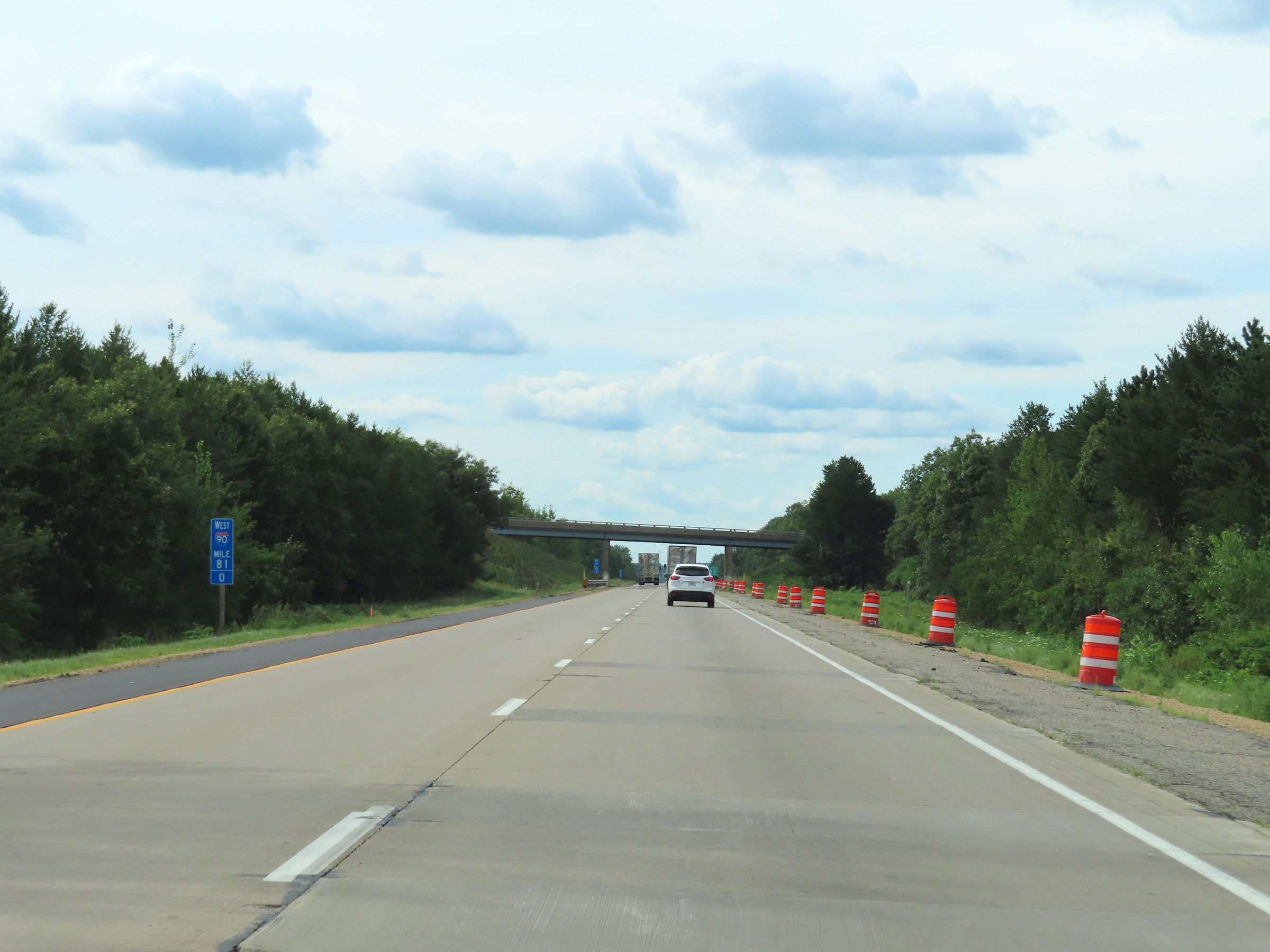 |
Mile marker 81 on Interstate 90 / Interstate 94 West in Juneau County. (Photo taken 8/15/22). |
 |
Interstate 90 / Interstate 94 West at Exit 79: Hwy N / Hwy HH - Lyndon Station (Photo taken 8/15/22). |
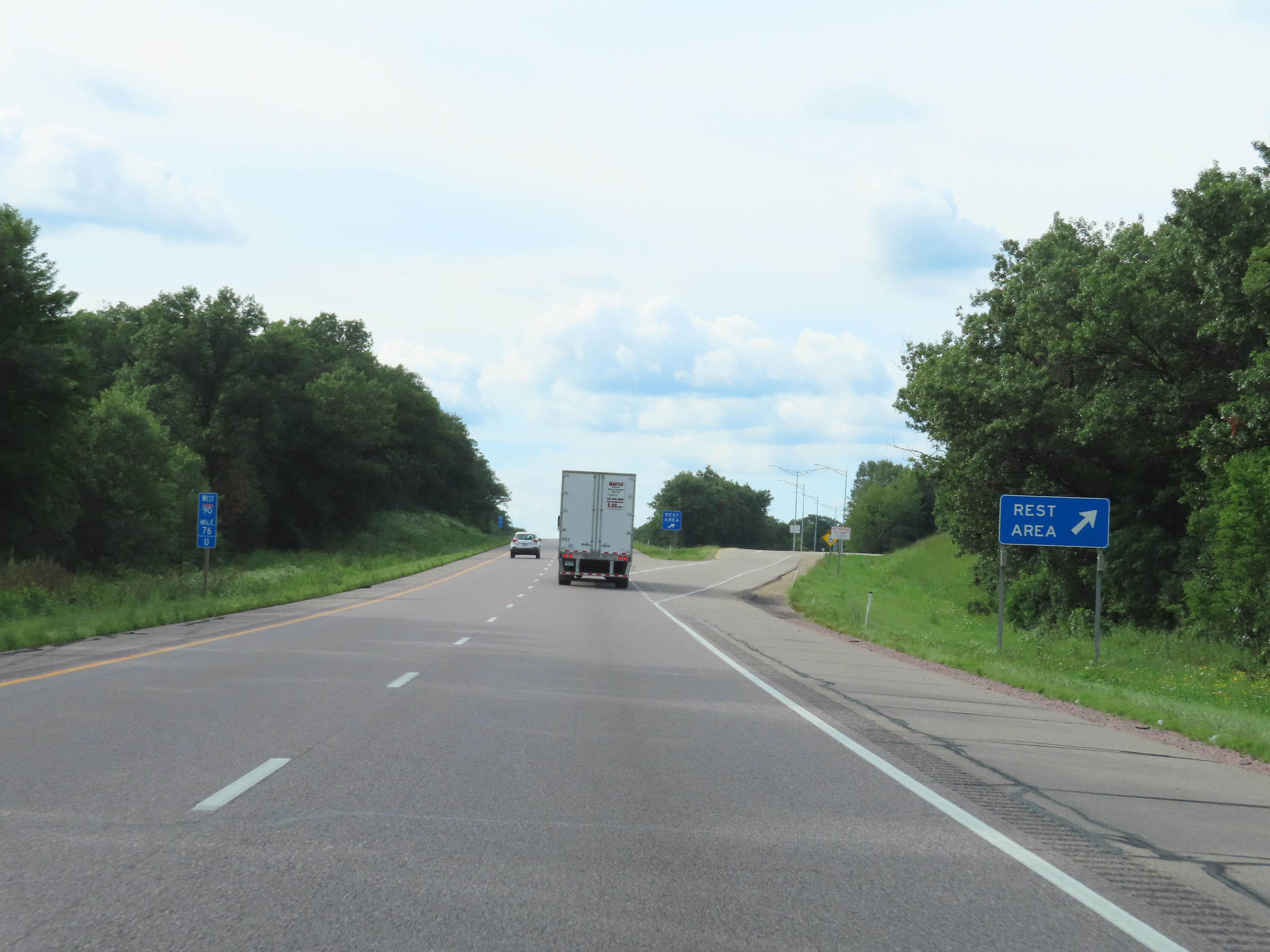 |
Rest Area on Interstate 90 / Interstate 94 West at mile marker 76 in Juneau County. (Photo taken 8/15/22). |
 |
The speed limit on Interstate 90 / Interstate 94 West remains 70 mph. (Photo taken 8/15/22). |
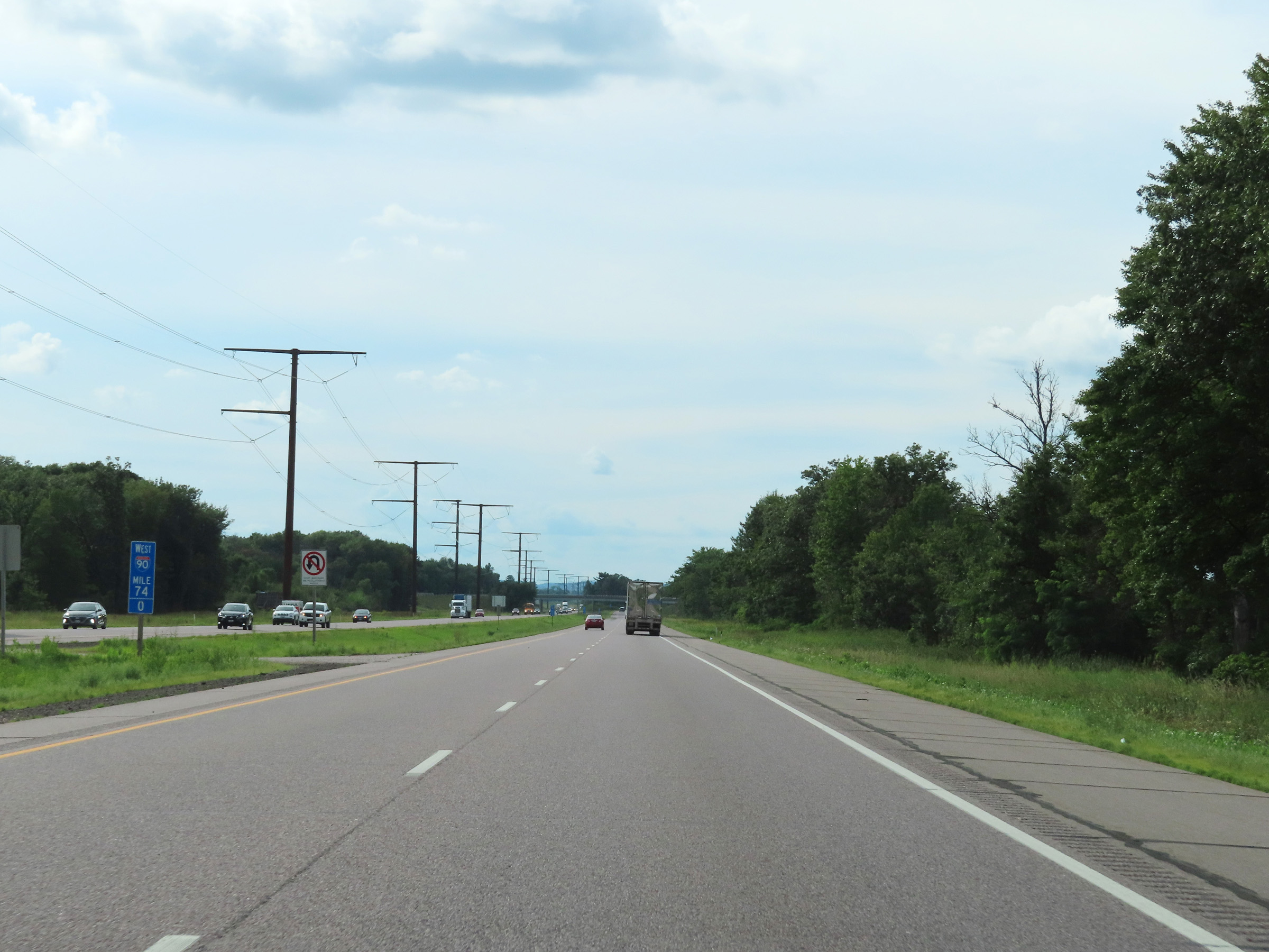 |
View on Interstate 90 / Interstate 94 West at mile marker 74. (Photo taken 8/15/22). |
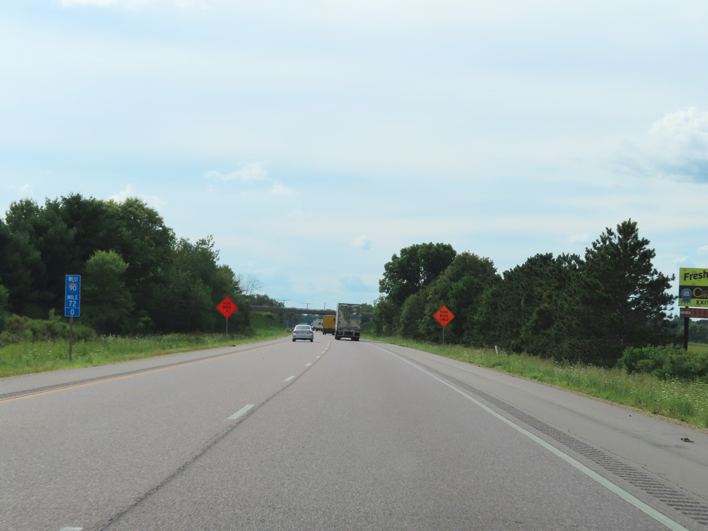 |
Interstate 90 / Interstate 94 West at mile marker 72. (Photo taken 8/15/22). |
 |
Take Exit 69 to Buckhorn State Park. (Photo taken 8/15/22). |
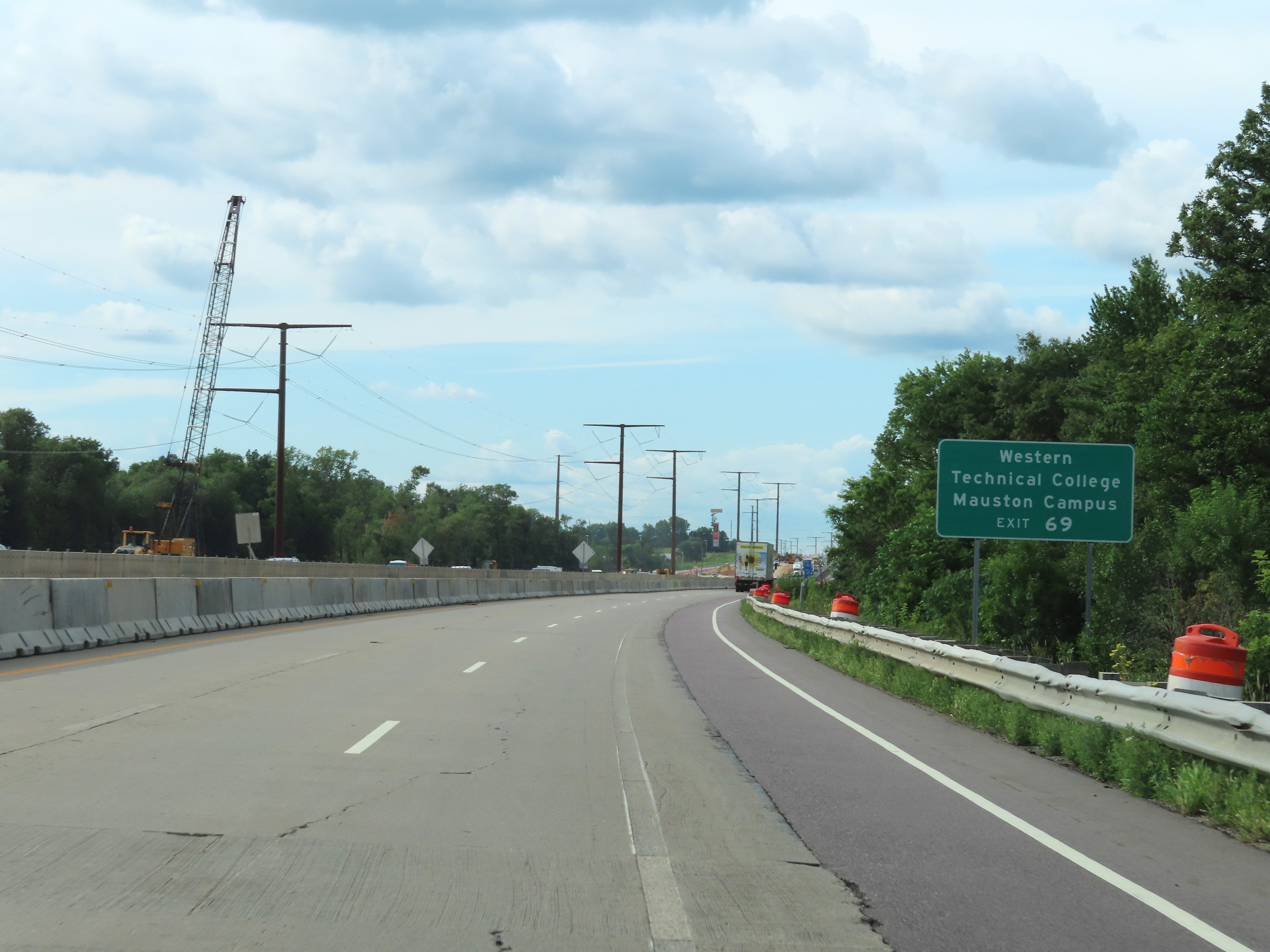 |
Also take Exit 69 to Western Technical College's Mauston Campus. (Photo taken 8/15/22). |
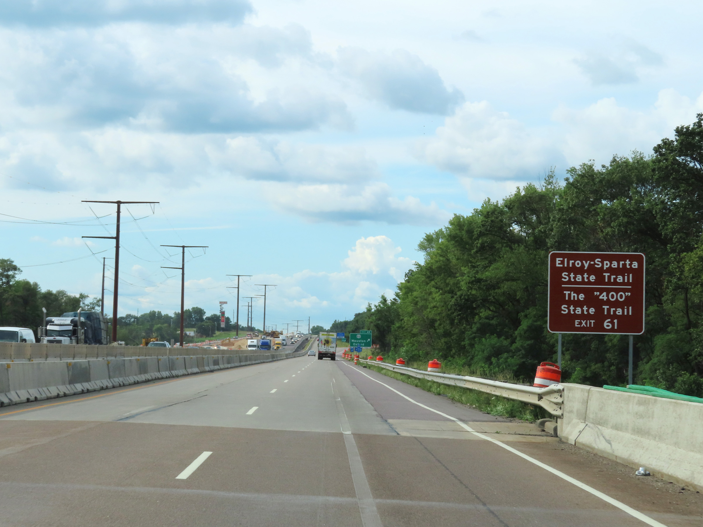 |
Traffic to Elroy-Sparta State Trail and The "400" State Trail should use Exit 61. (Photo taken 8/15/22). |
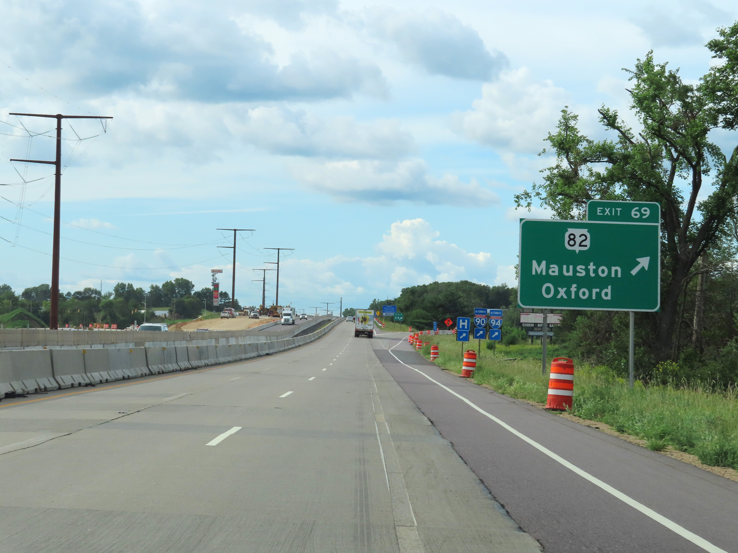 |
Interstate 90 / Interstate 94 West at Exit 69: WI 82 - Mauston / Oxford (Photo taken 8/15/22). |
 |
Interstate 90 West / Interstate 94 West reassurance shields. (Photo taken 8/15/22). |
 |
Mileage sign on Interstate 90 / Interstate 94 West at mile marker 68.2. (Photo taken 8/15/22). |
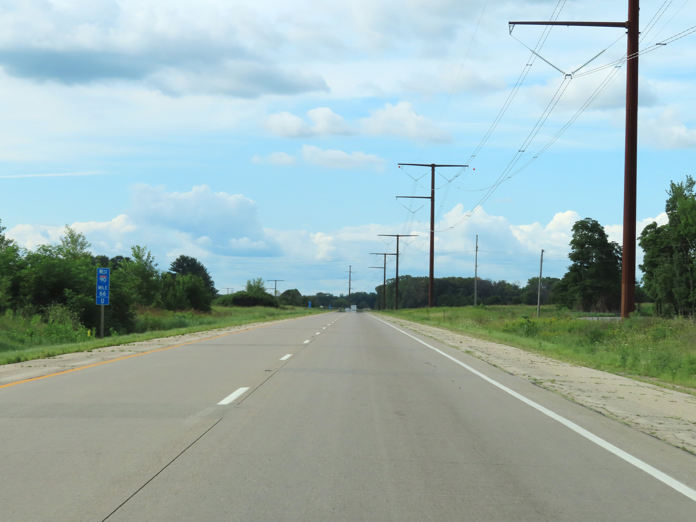 |
View on Interstate 90 / Interstate 94 West at mile marker 66. (Photo taken 8/15/22). |
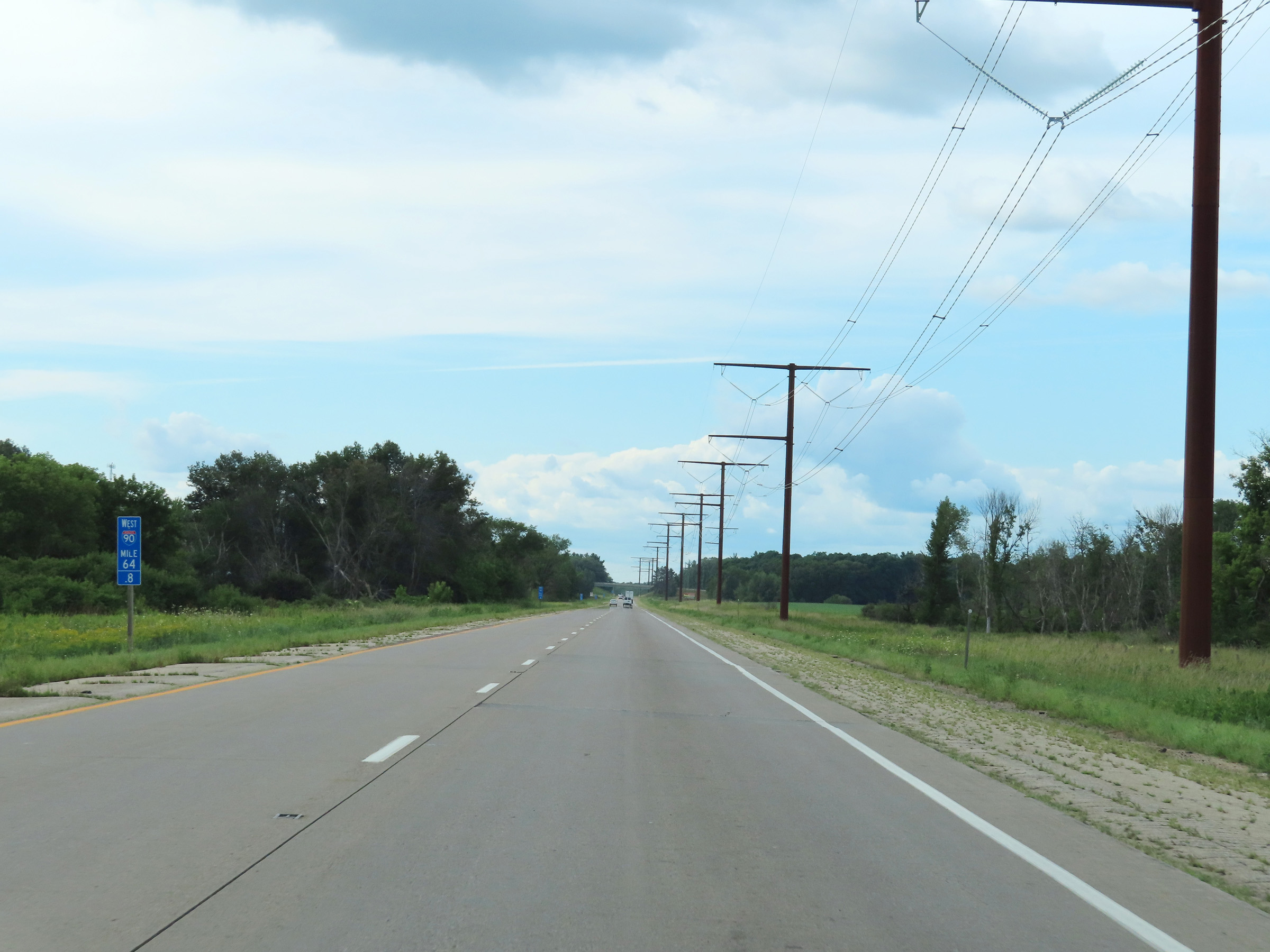 |
Interstate 90 / Interstate 94 West at mile marker 64.8. (Photo taken 8/15/22). |
 |
Mile marker 63 on Interstate 90 / Interstate 94 West in Juneau County. (Photo taken 8/15/22). |
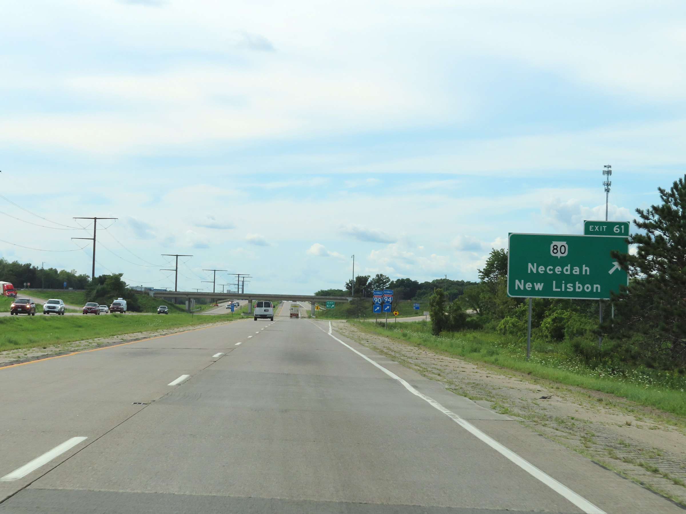 |
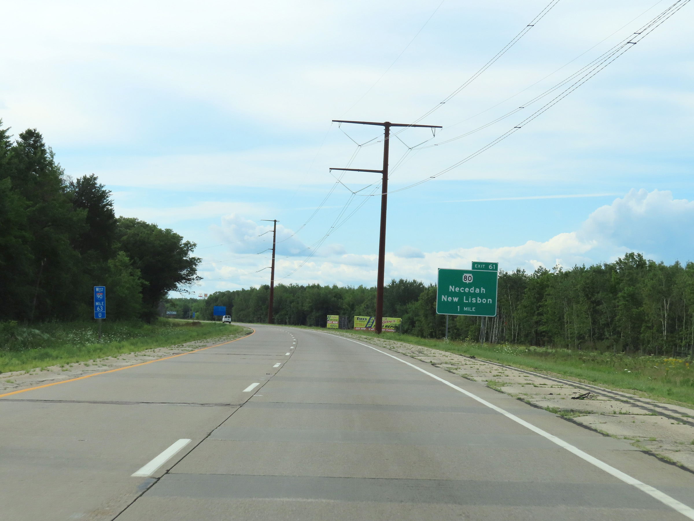
Interstate 90 / Interstate 94 West at Exit 61: WI 80 - Necedah / New Lisbon (Photo taken 8/15/22). |
 |
Interstate 90 / Interstate 94 West at mile marker 59. (Photo taken 8/15/22). |
 |
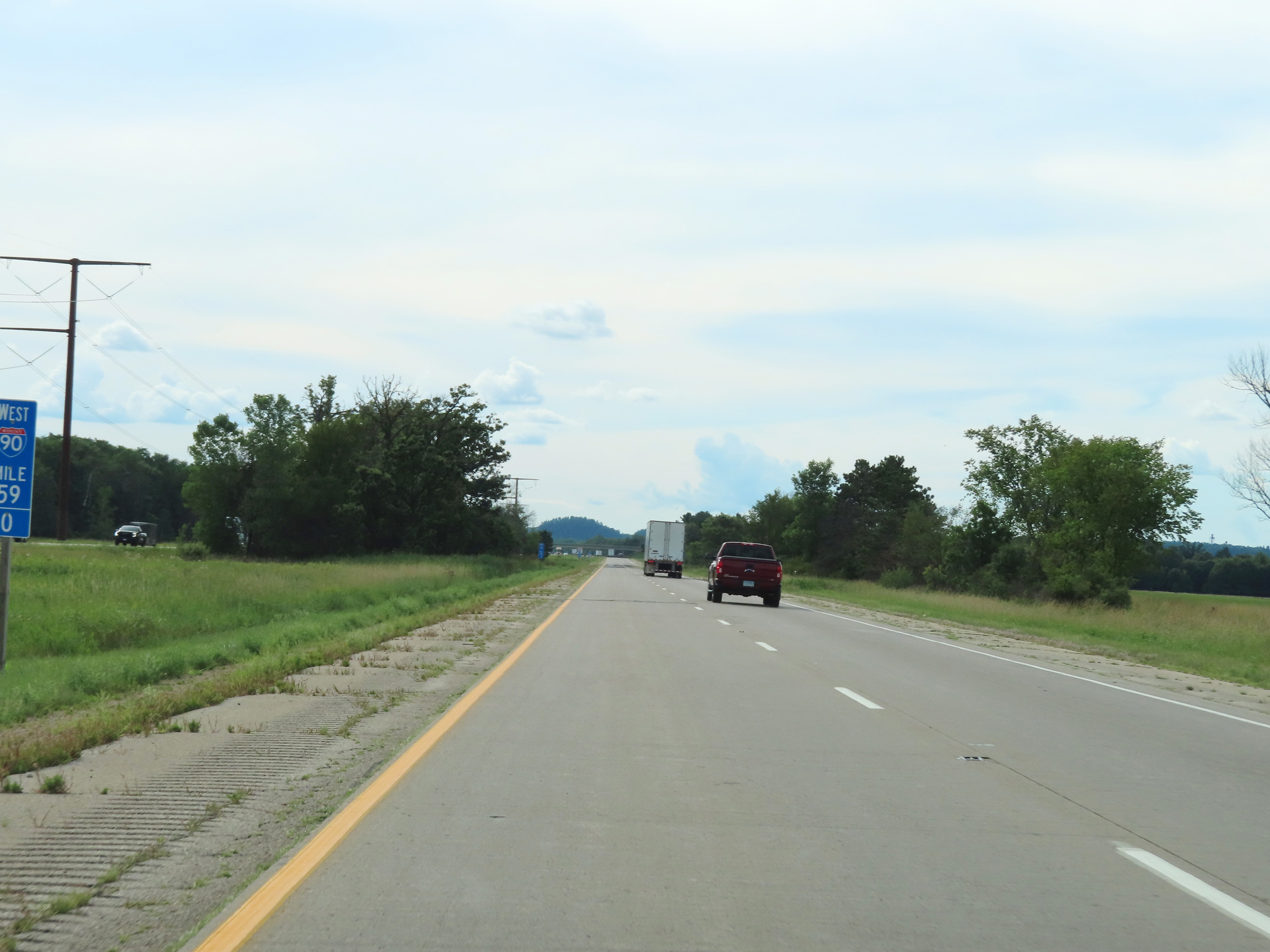
View on Interstate 90 / Interstate 94 West at mile marker 57. (Photo taken 8/15/22). |
 |
Take Exit 55 to Mill Bluff State Park and Omaha Trail. (Photo taken 8/15/22). |
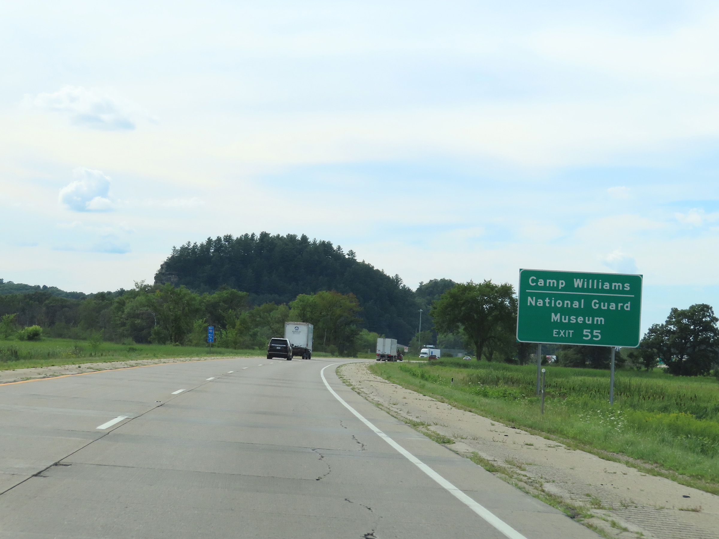 |
Also take Exit 55 to Camp Williams and the National Guard Museum. (Photo taken 8/15/22). |
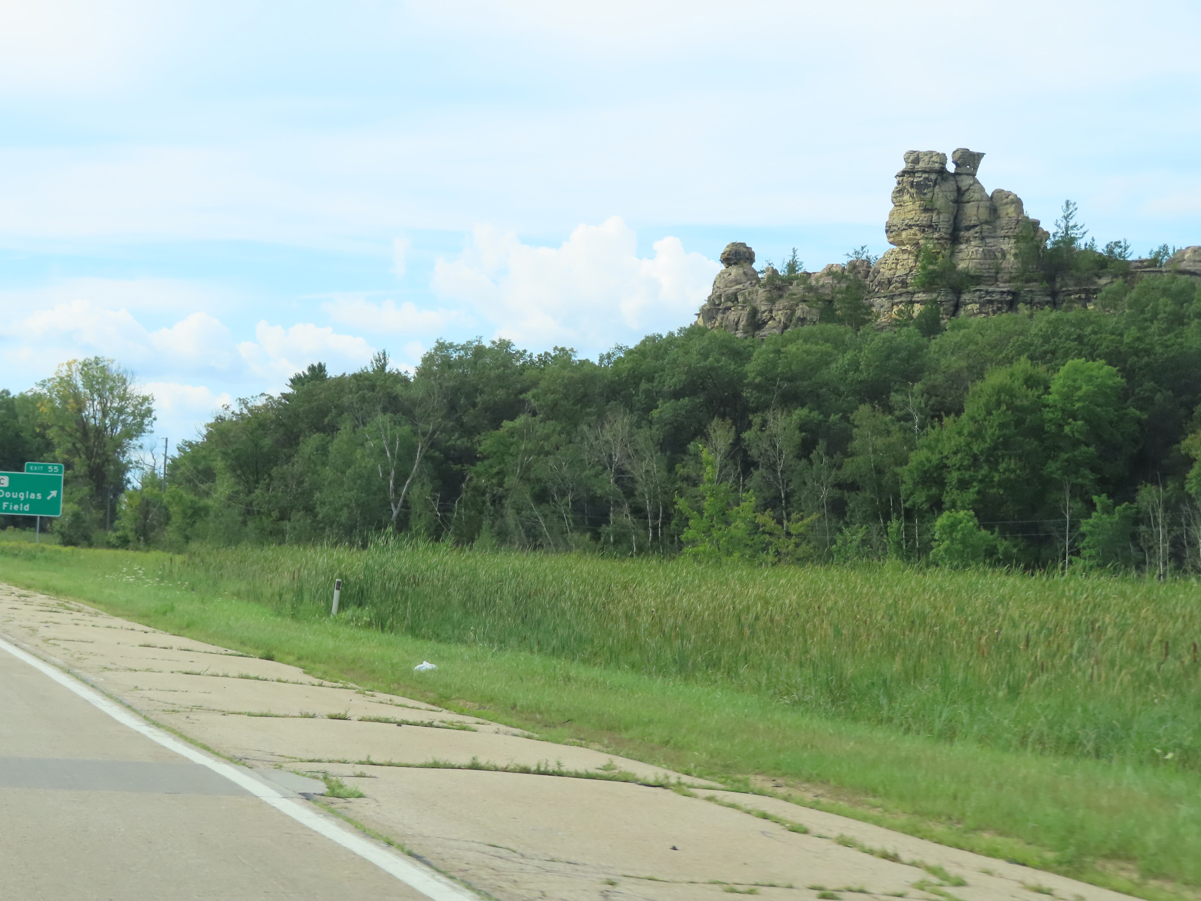 |
Just before Exit 55, you get this view of Castle Rock from Interstate 90 / Interstate 94 West looking to the east. (Photo taken 8/15/22). |
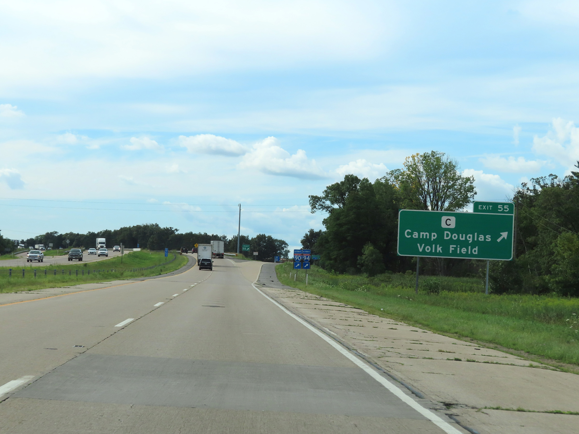 |
Interstate 90 / Interstate 94 West at Exit 55: Hwy C - Camp Douglas / Volk Field (Photo taken 8/15/22). |
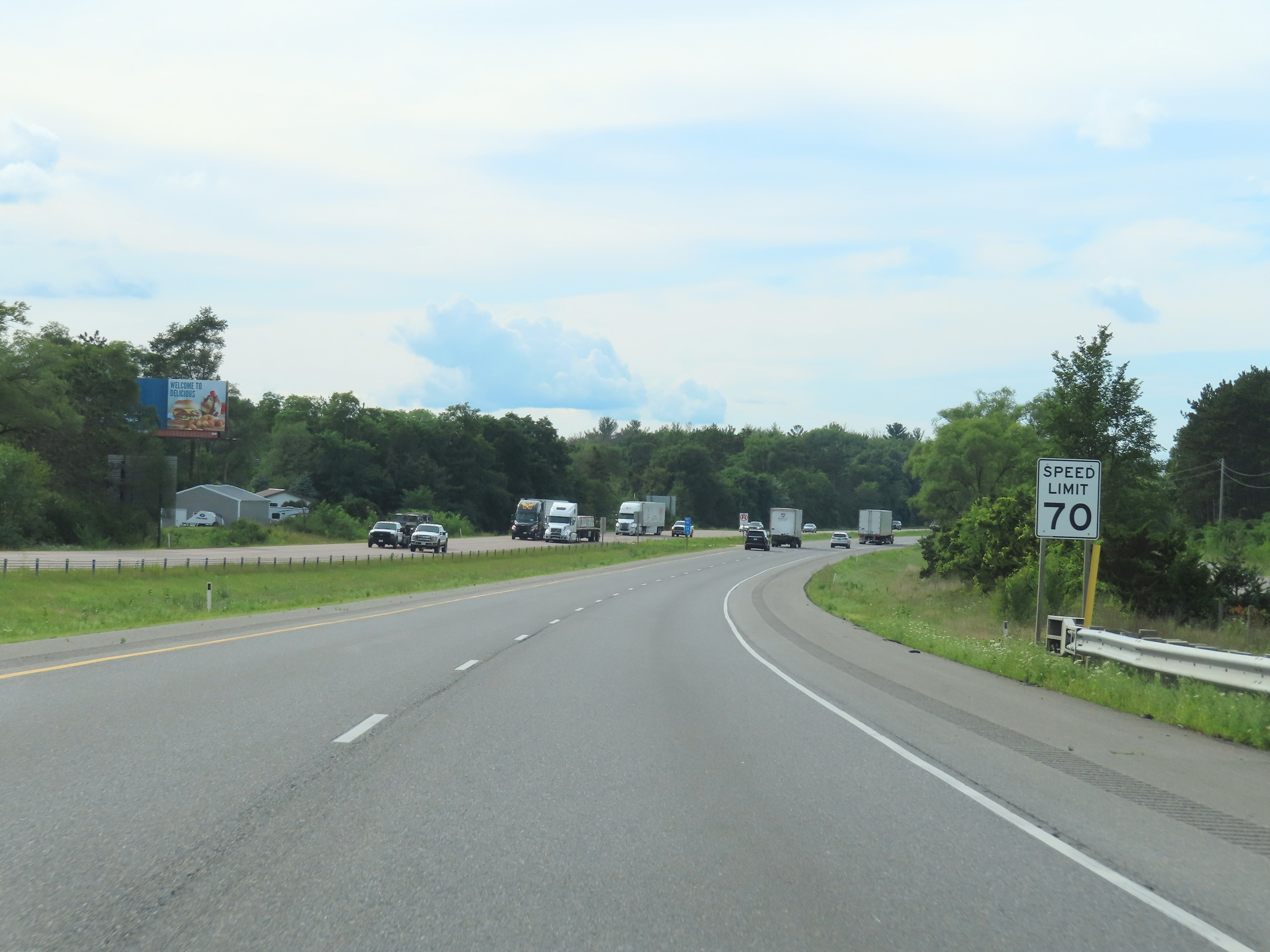 |
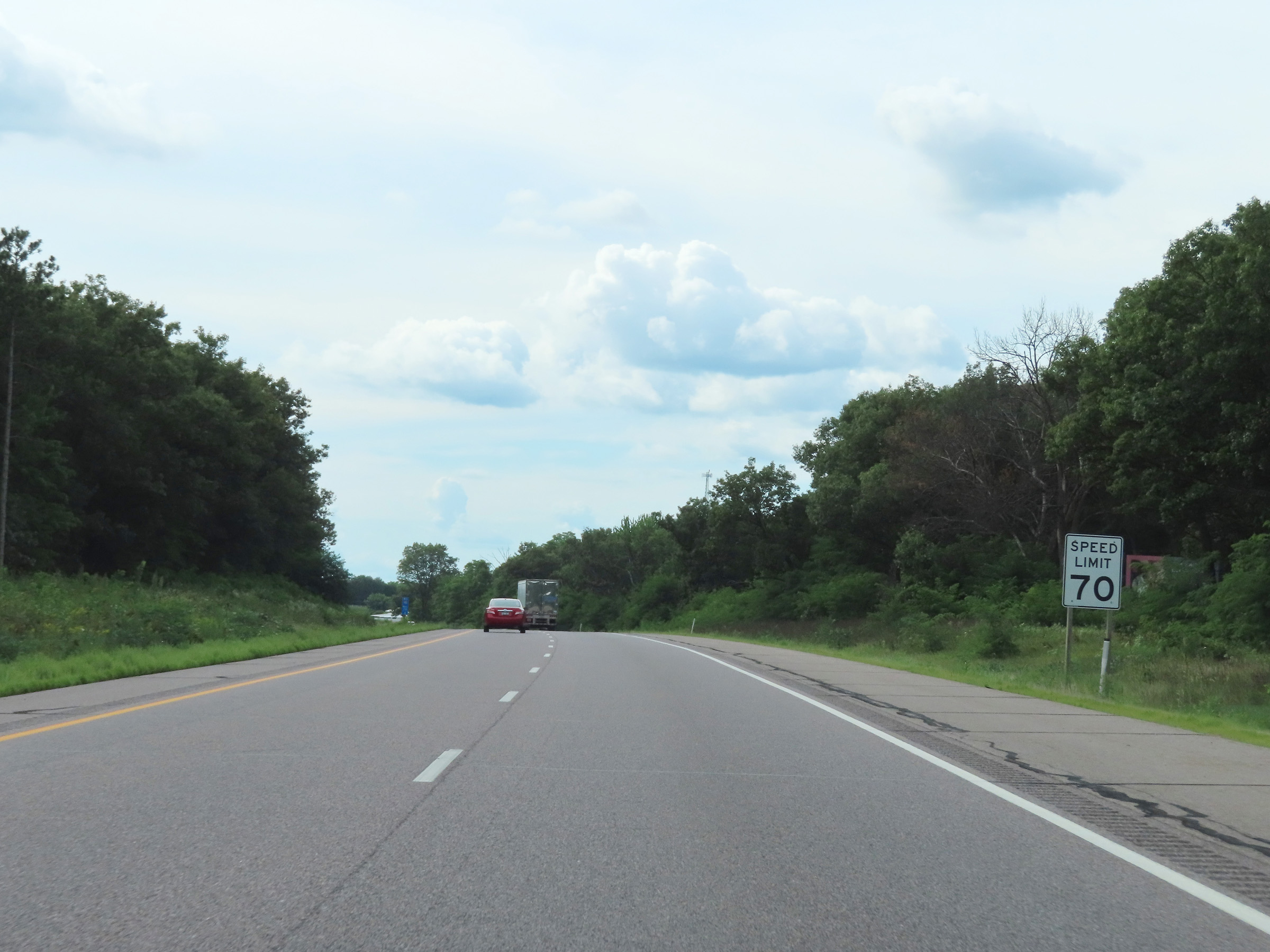
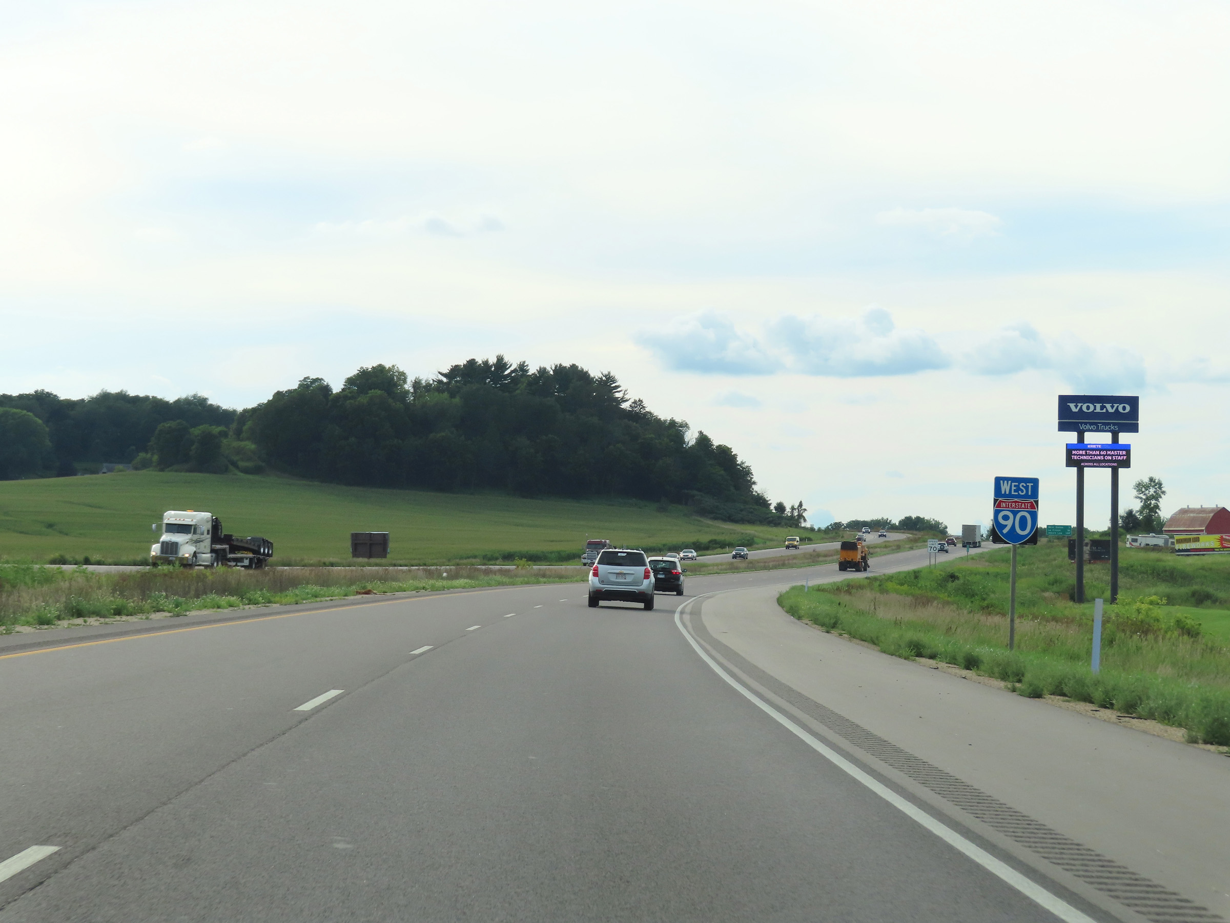
The speed limit remains 70 mph on Interstate 90 / Interstate 94 West. (Photo taken 8/15/22). |
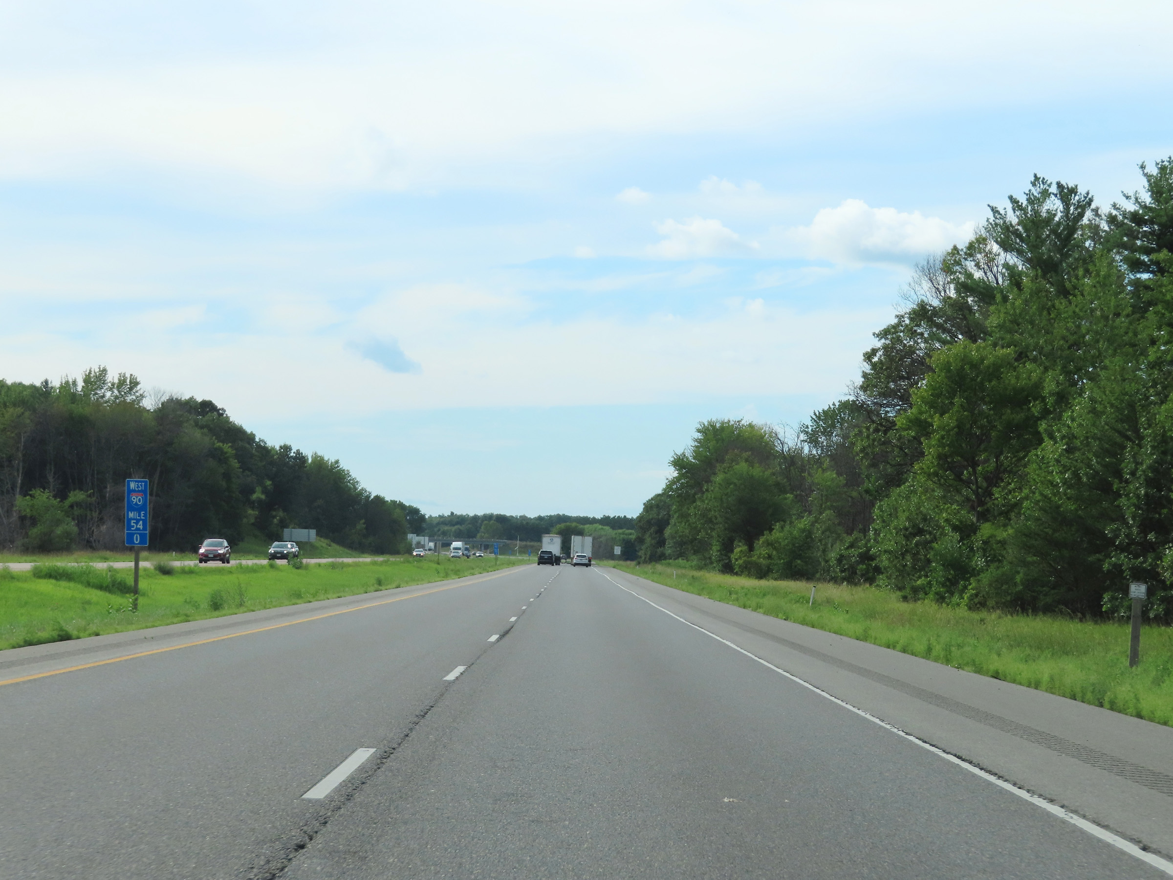 |
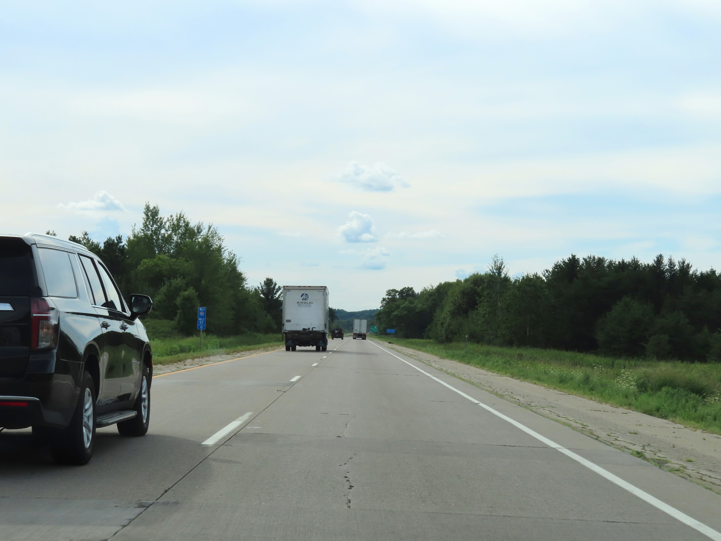
View on Interstate 90 / Interstate 94 West at mile marker 54. (Photo taken 8/15/22). |
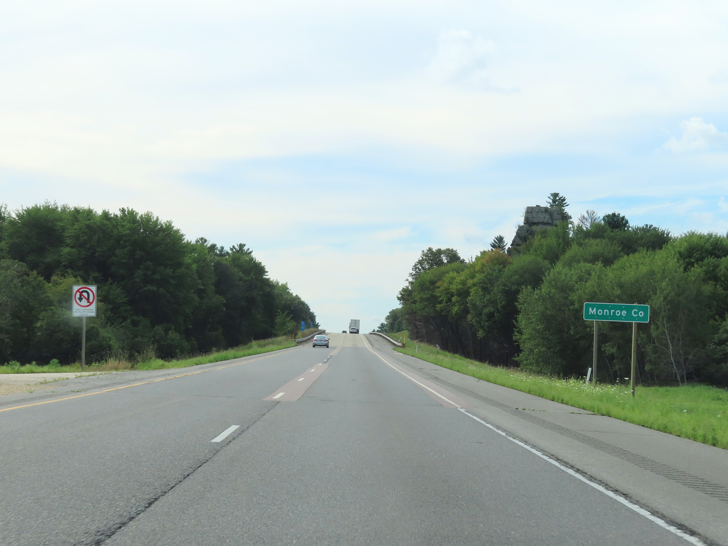 |
Interstate 90 / Interstate 94 West as they enter Monroe County. (Photo taken 8/15/22). |
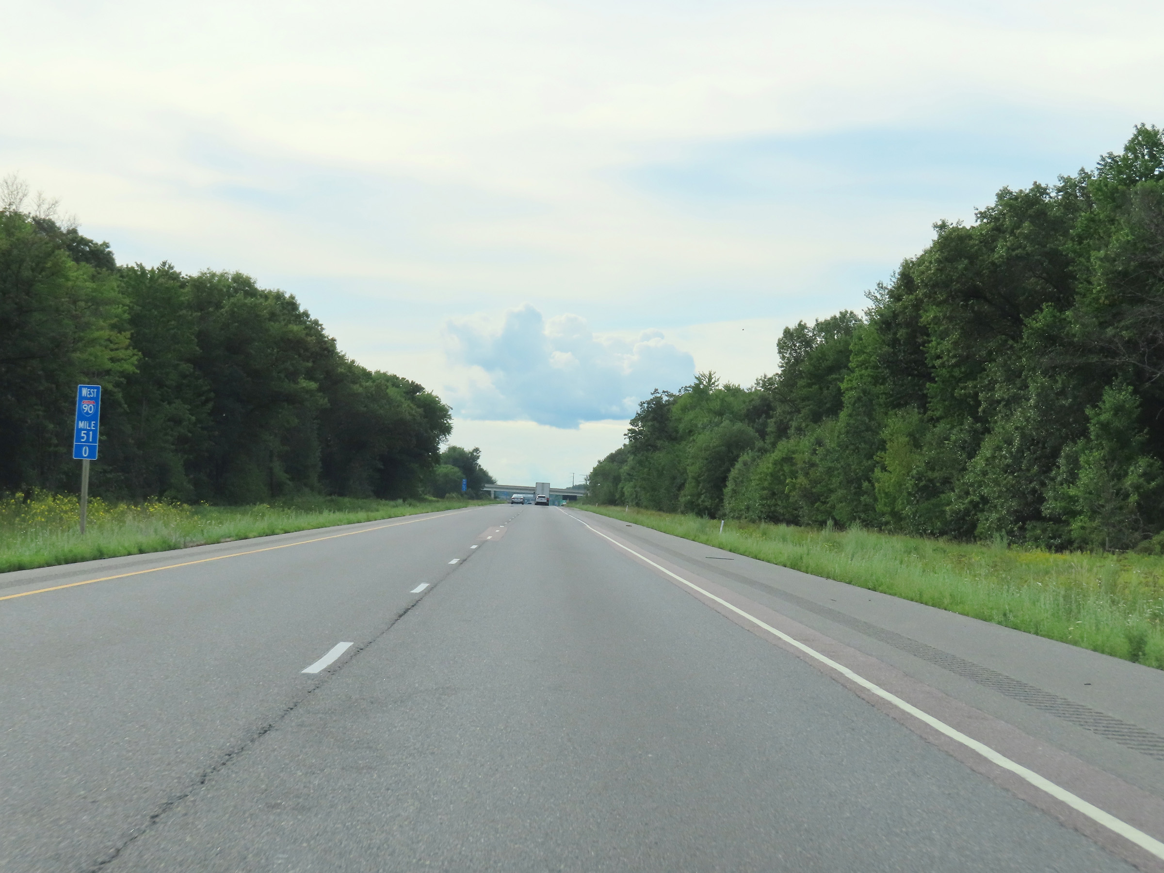 |
Mile marker 51 on Interstate 90 / Interstate 94 West in Monroe County. (Photo taken 8/15/22). |
 |
Advance signage for Exit 58 - 1 mile ahead. (Photo taken 8/15/22). |
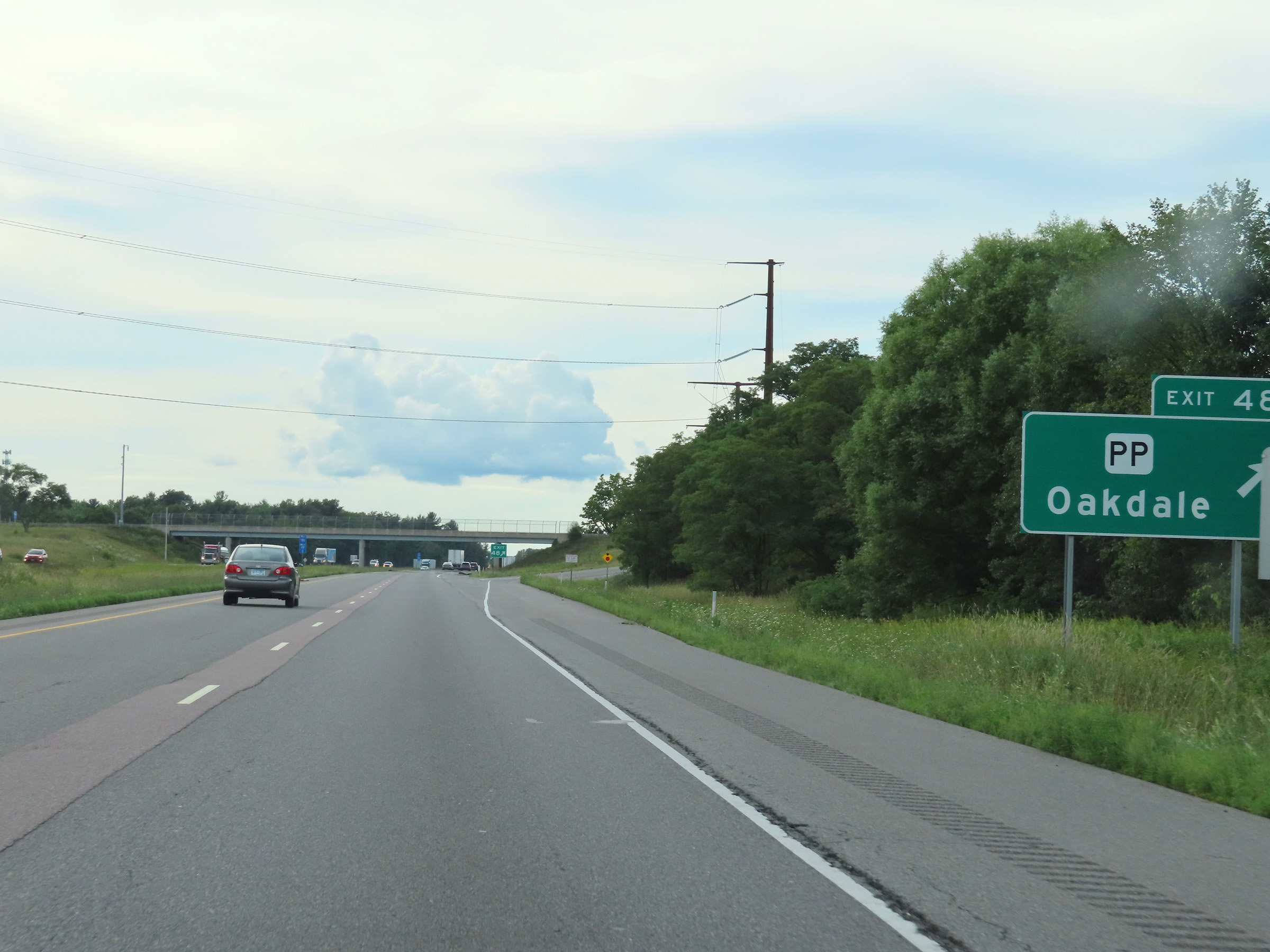 |
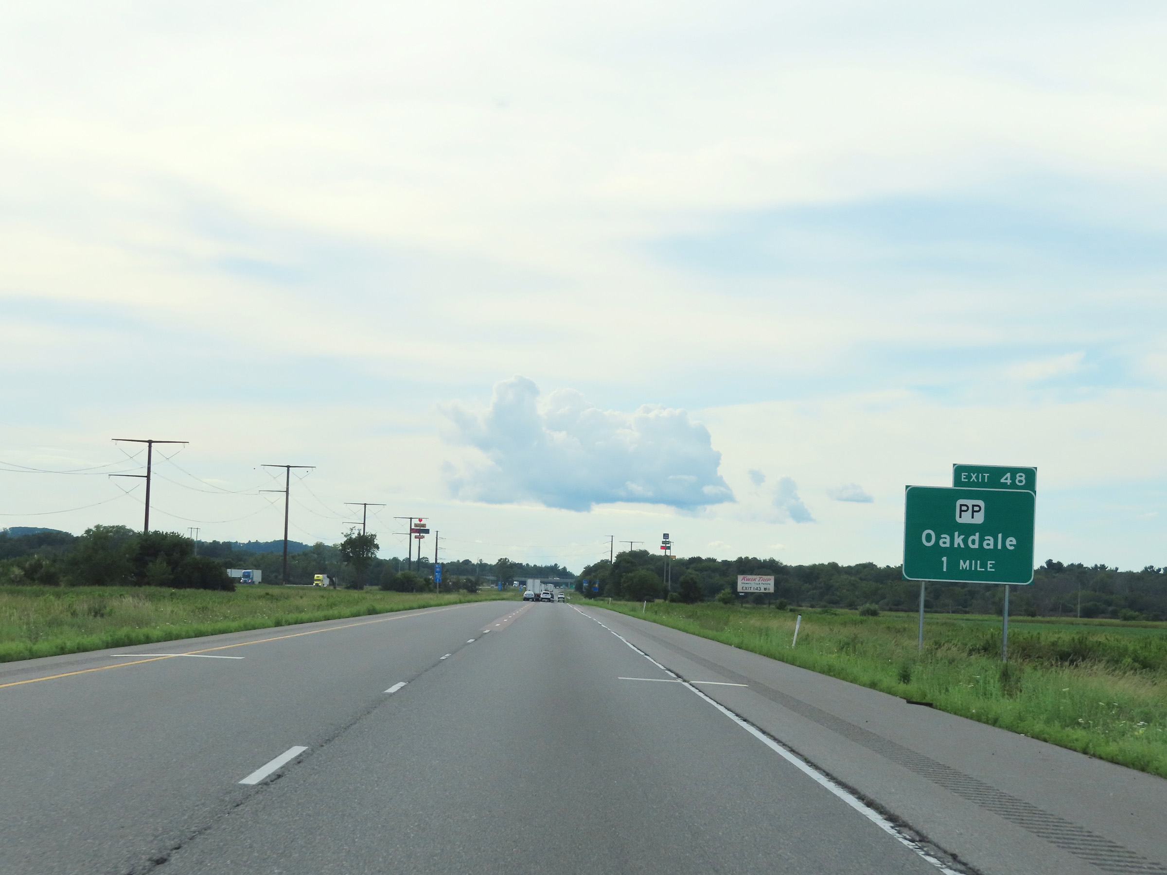
Interstate 90 / Interstate 94 West at Exit 48: Hwy PP - Oakdale (Photo taken 8/15/22). |
 |
Interstate 90 West / Interstate 94 West reassurance shields. (Photo taken 8/15/22). |
 |
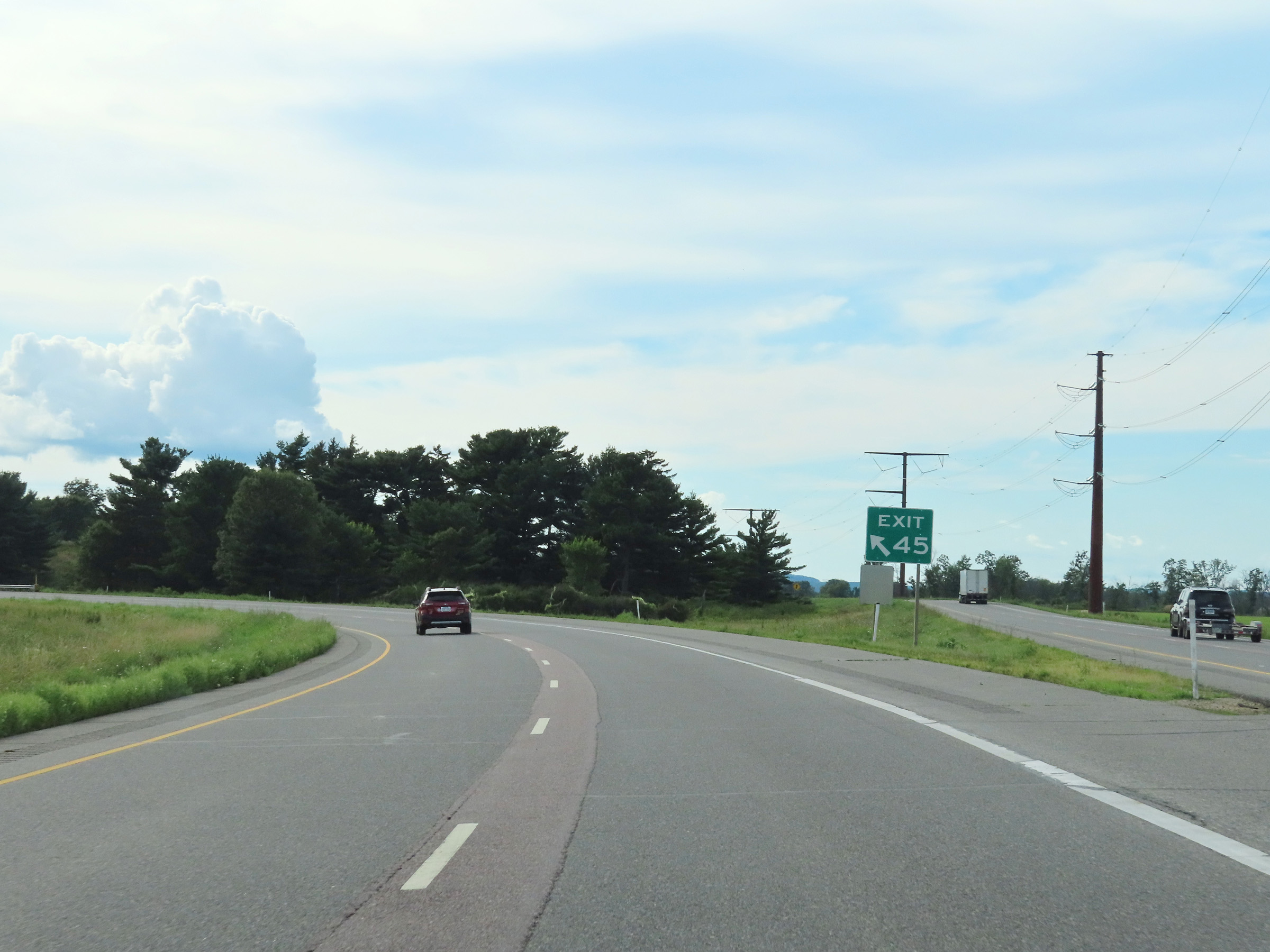
Interstate 90 / Interstate 94 West approaching Exit 45 - 2 miles. (Photo taken 8/15/22). |
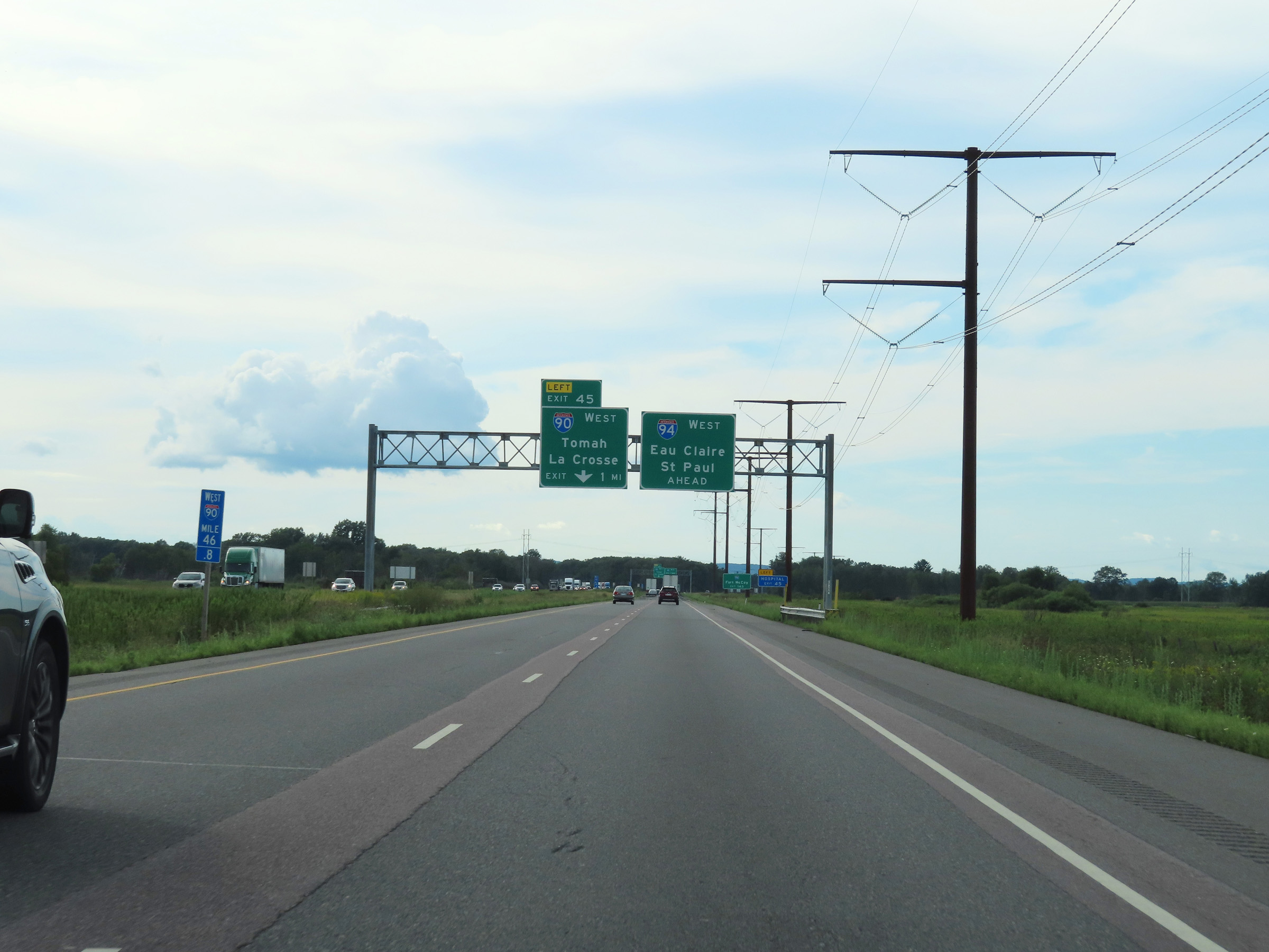 |
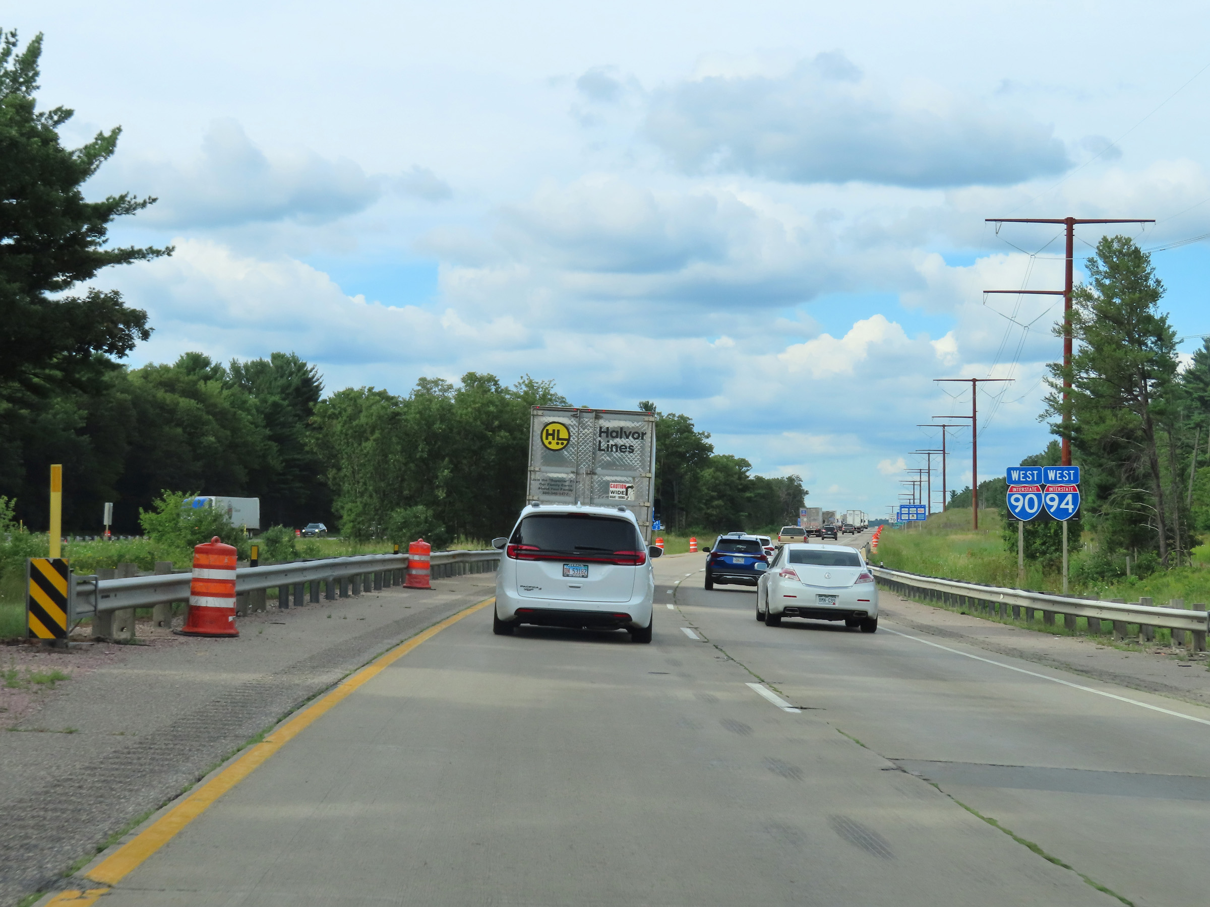
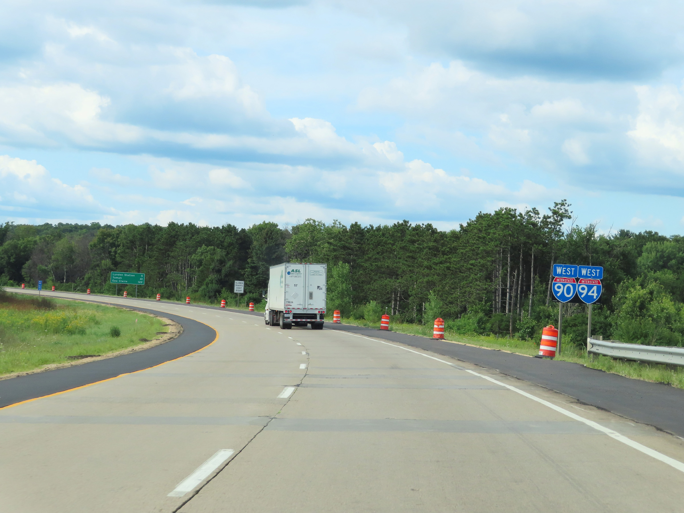
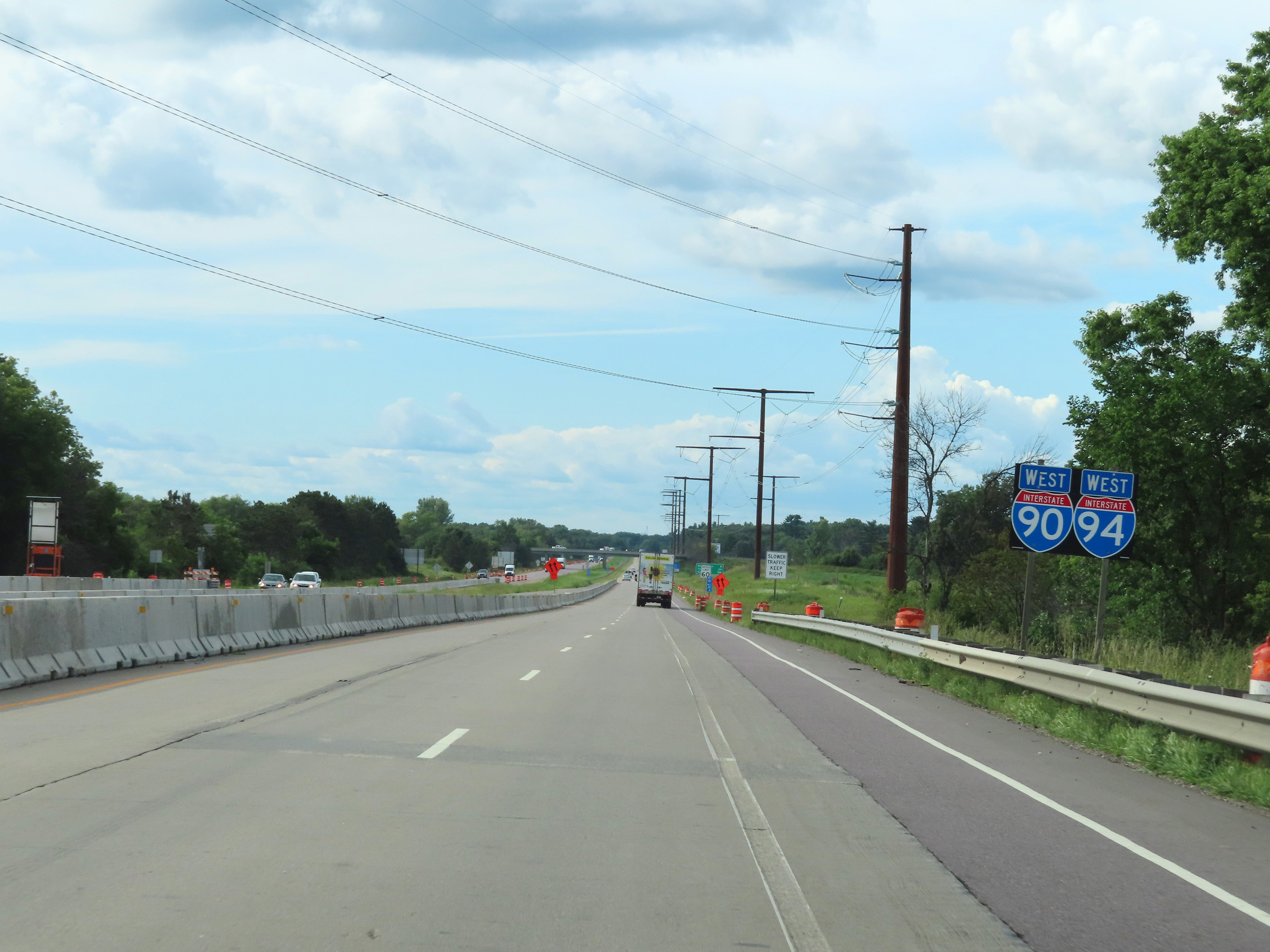
Advance signage for Exit 45, which is the departure of Interstate 90 West and Interstate 94 West from one another, now 1 mile ahead. Interstate 90 West traffic should use the left lane. (Photo taken 8/15/22). |
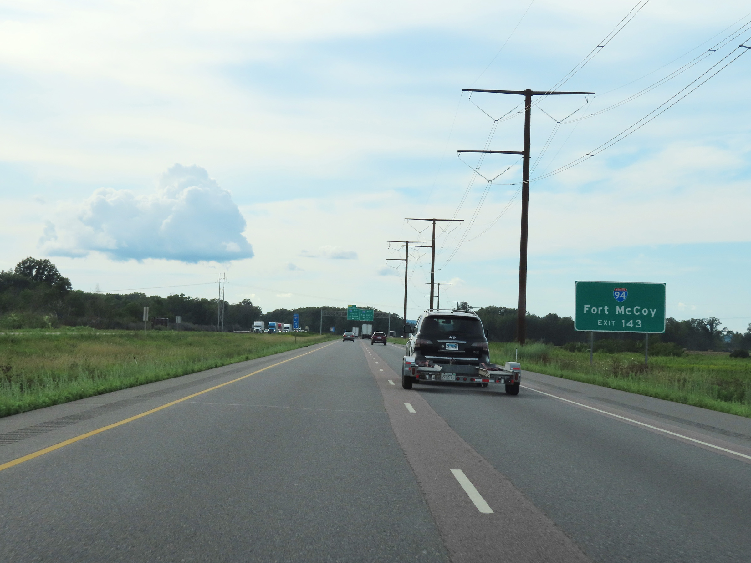 |
Traffic to Fort McCoy should follow Interstate 94 West to Exit 143. (Photo taken 8/15/22). |
 |
Again, those remaining on Interstate 90 West should use the left lane ahead to access Exit 45. Interstate 94 West thru traffic can use either lane. (Photo taken 8/15/22). |
 |
View on Interstate 90 / Interstate 94 West approaching their big split ahead at Exit 45. (Photo taken 8/15/22). |
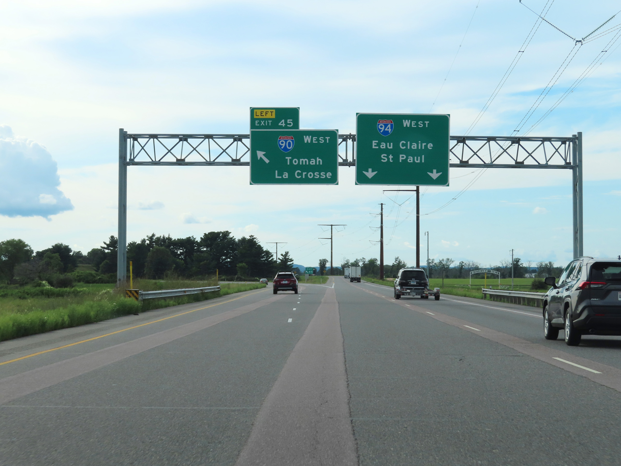 |
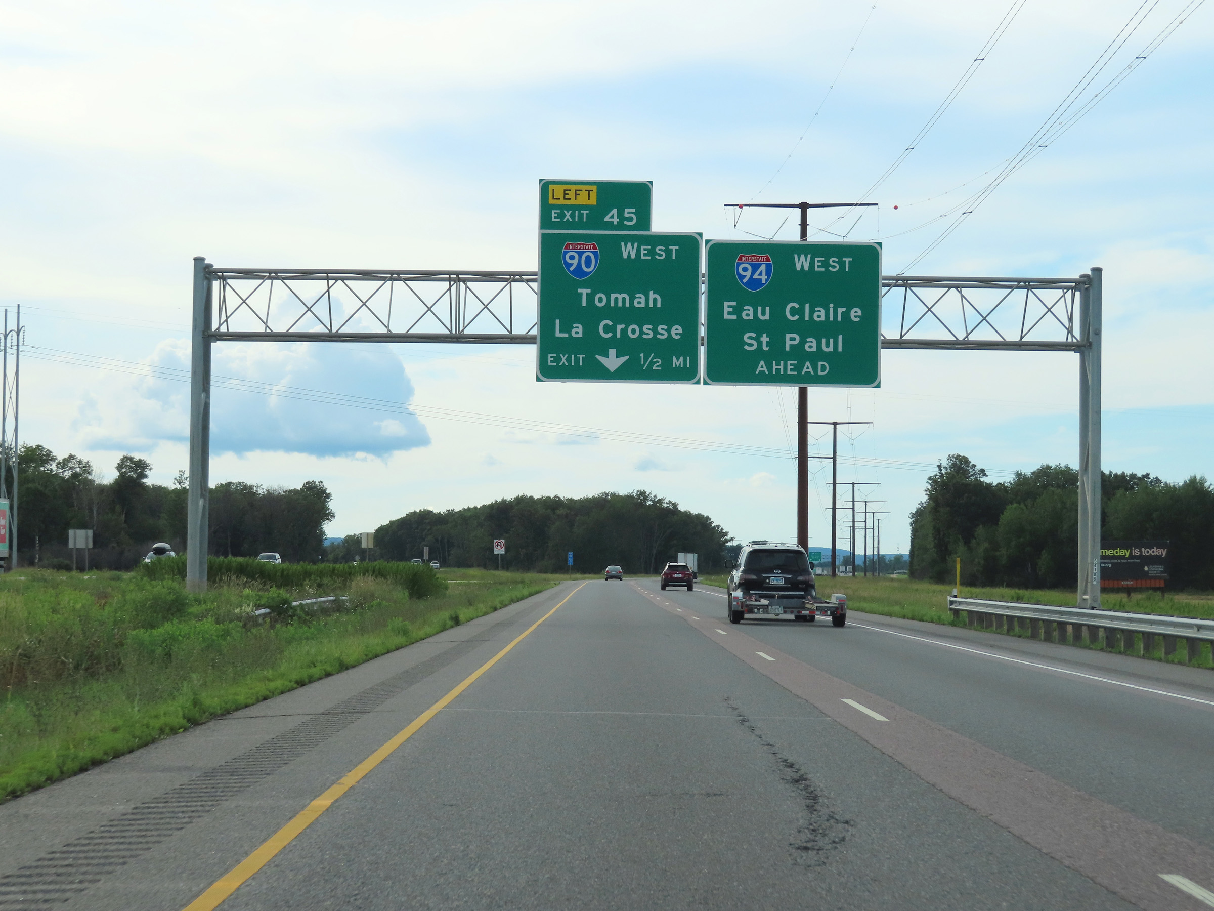
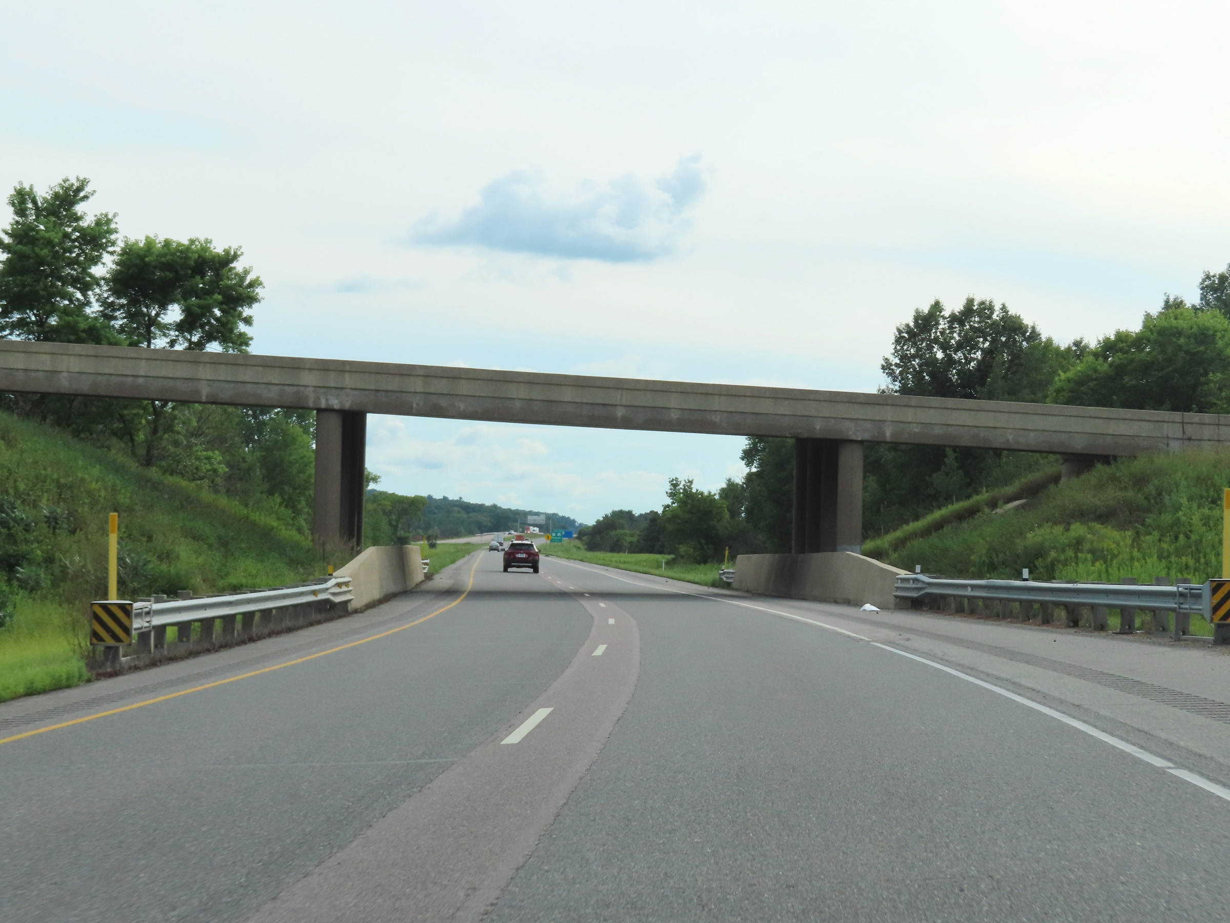
Interstate 90 / Interstate 94 West at Exit 45: Interstate 90 West - Tomah / La Crosse (Photo taken 8/15/22). |
 |
View of the split of Interstate 90 West (ahead) and Interstate 94 West (right) in Tomah. (Photo taken 8/15/22). |
 |
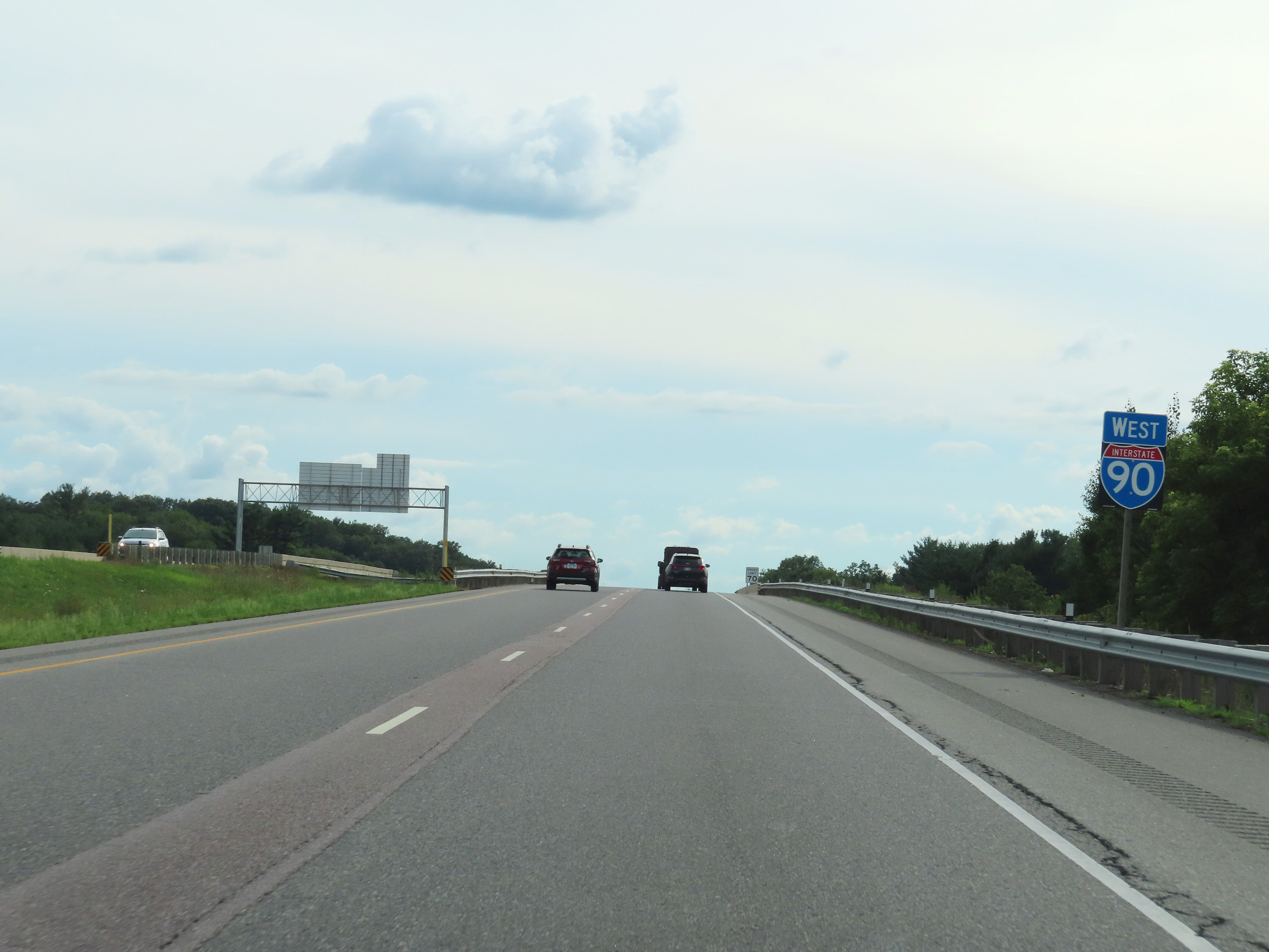
Interstate 90 West as it curves in a more directly west direction after its departure from Interstate 94. (Photo taken 8/15/22). |
 |
View on Interstate 90 West as it passes under the ramp from I-90 East to Interstate 94 West at mile marker 45. (Photo taken 8/15/22). |
 |
Here, the two westbound lanes of Interstate 90 pass under the eastbound lanes of Interstate 94 in Tomah. (Photo taken 8/15/22). |
 |
Traffic from Interstate 94 East will merge into Interstate 90 West ahead on the right. (Photo taken 8/15/22). |
 |
Interstate 90 West approaching Exit 43 - 1 mile. (Photo taken 8/15/22). |
 |
Standalone Interstate 90 West reassurance shield after its departure from Interstate 94 West in Tomah. (Photo taken 8/15/22). |
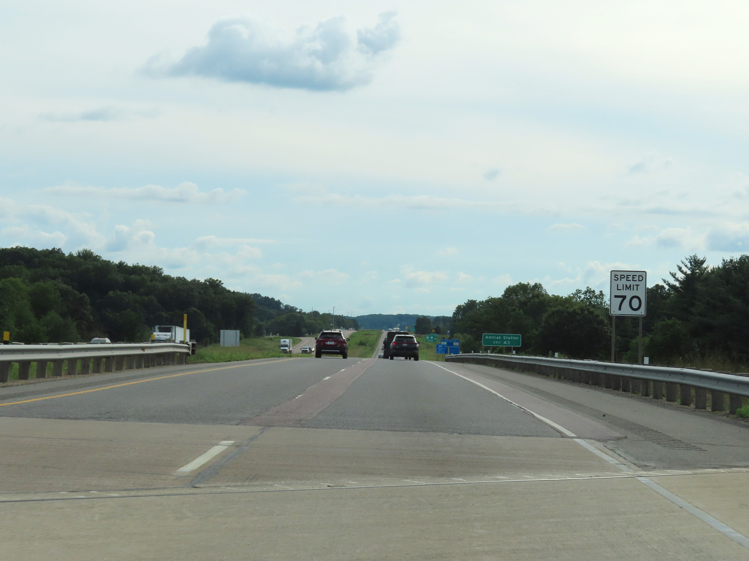 |
The speed limit remains the rural standard 70 mph on Interstate 90 West. (Photo taken 8/15/22). |
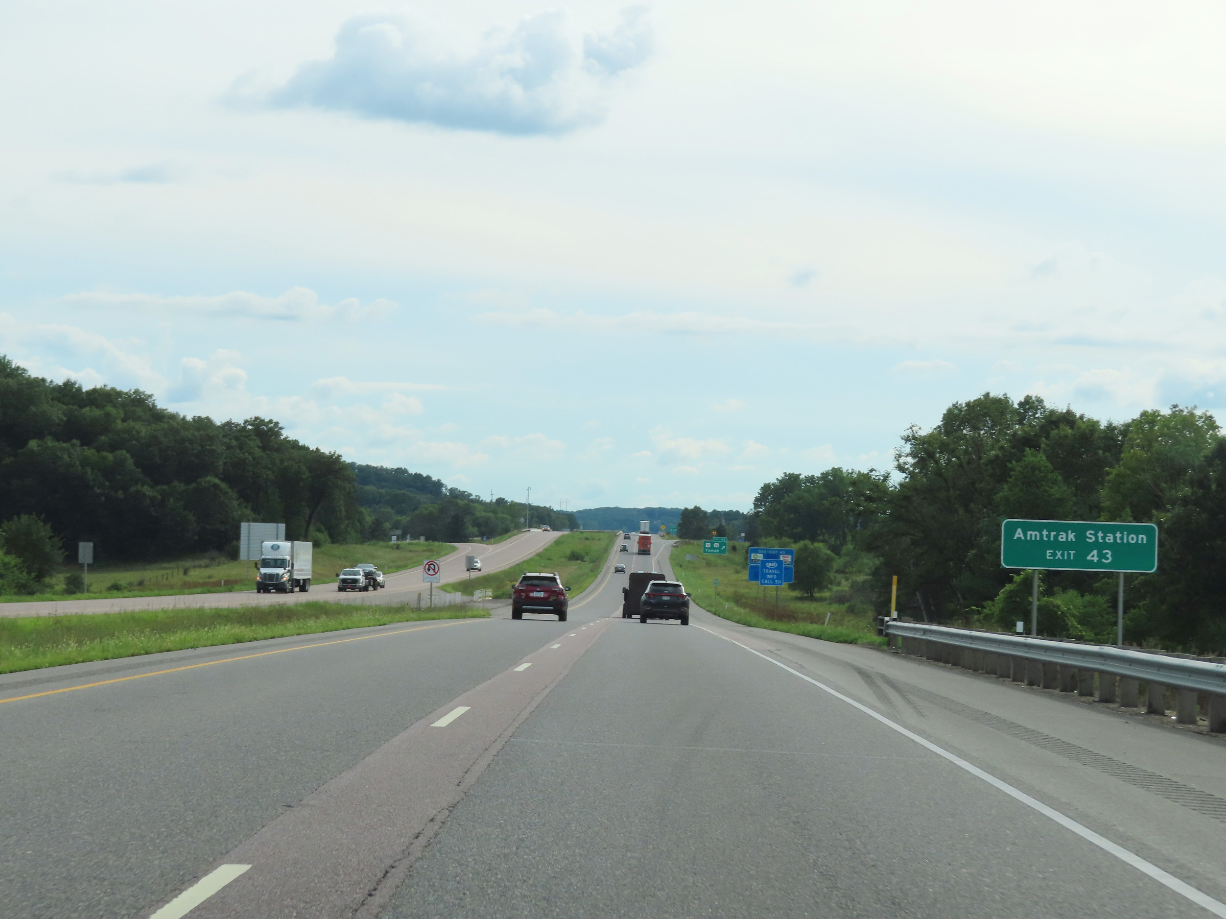 |
Take Exit 43 to the Amtrak Station. (Photo taken 8/15/22). |
 |
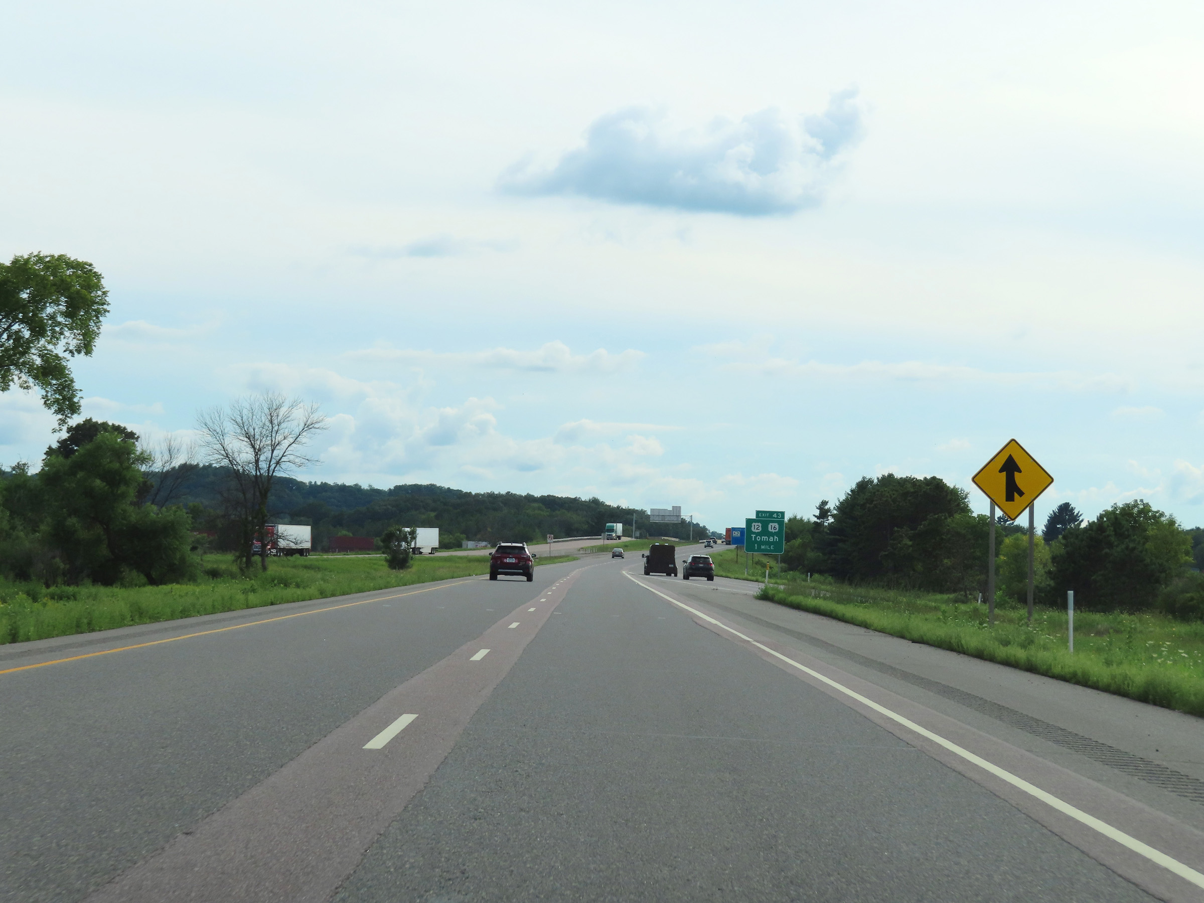
Interstate 90 West at Exit 43: US 12/ WI 16 - Tomah (Photo taken 8/15/22). |
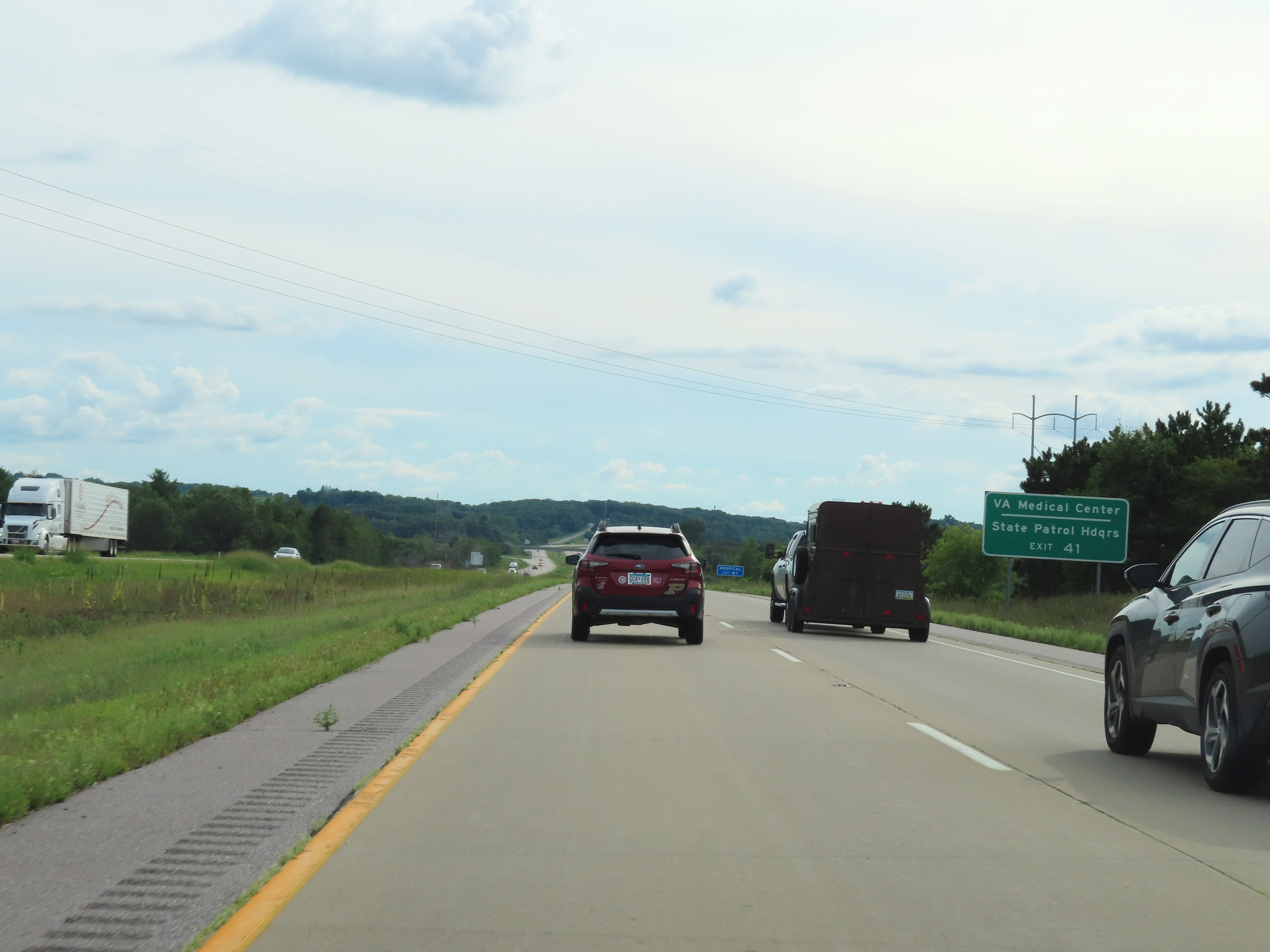 |
Take Exit 41 to the VA Medical Center and State Patrol Headquarters. (Photo taken 8/15/22). |
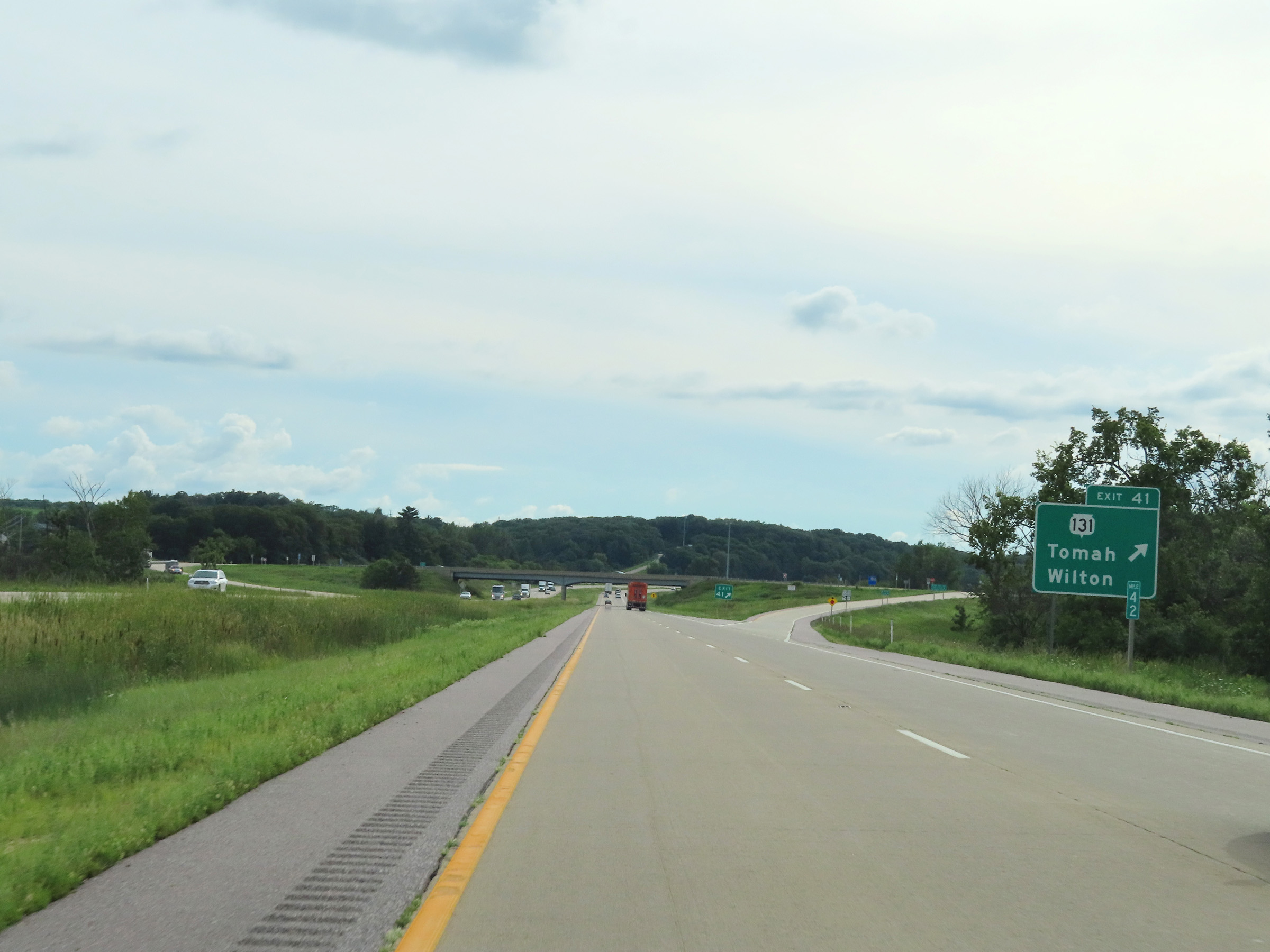 |
Interstate 90 West at Exit 41: WI 131 - Tomah / Wilton (Photo taken 8/15/22). |
Section 4: Tomah (Exit 41) to Minnesota Border
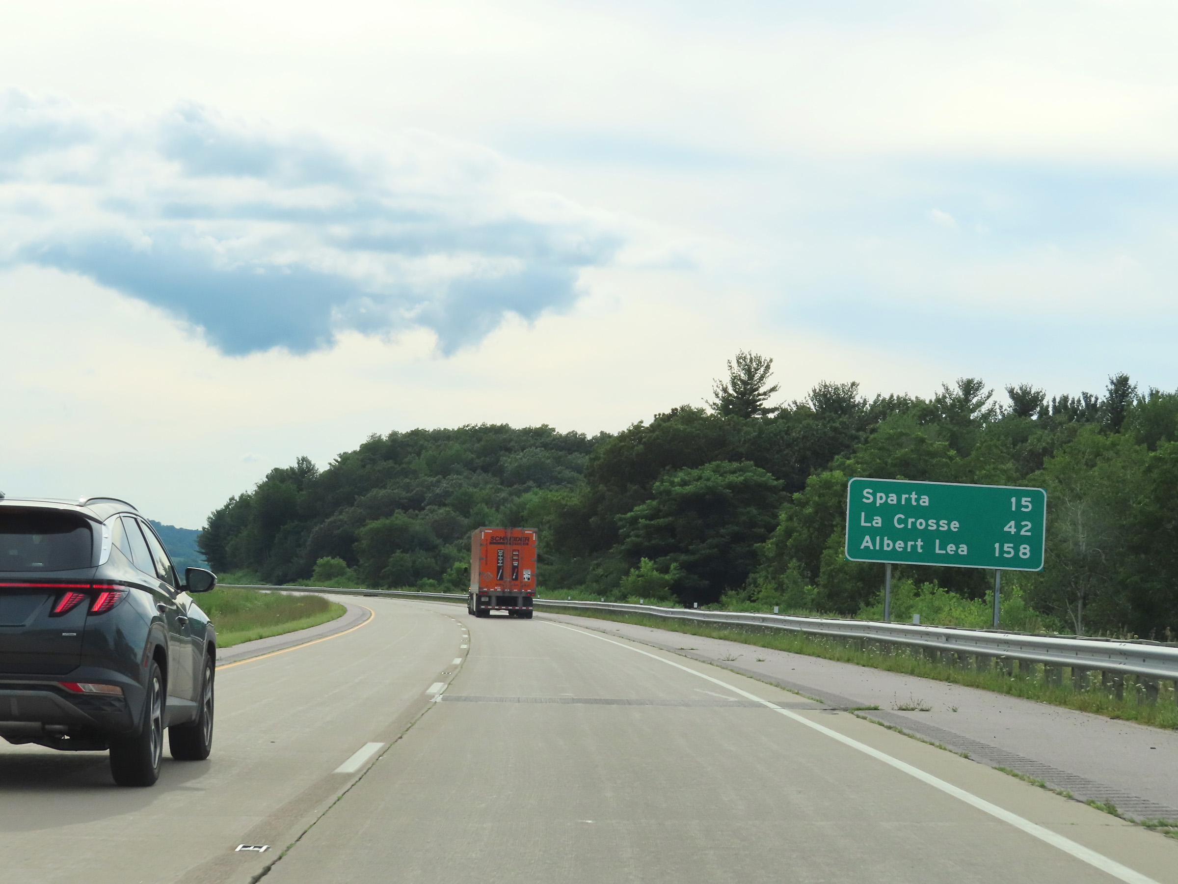 |
Mileage sign on Interstate 90 West. It's 15 miles to Sparta, 42 miles to La Crosse, and 158 miles to Albert Lea. (Photo taken 8/15/22). |
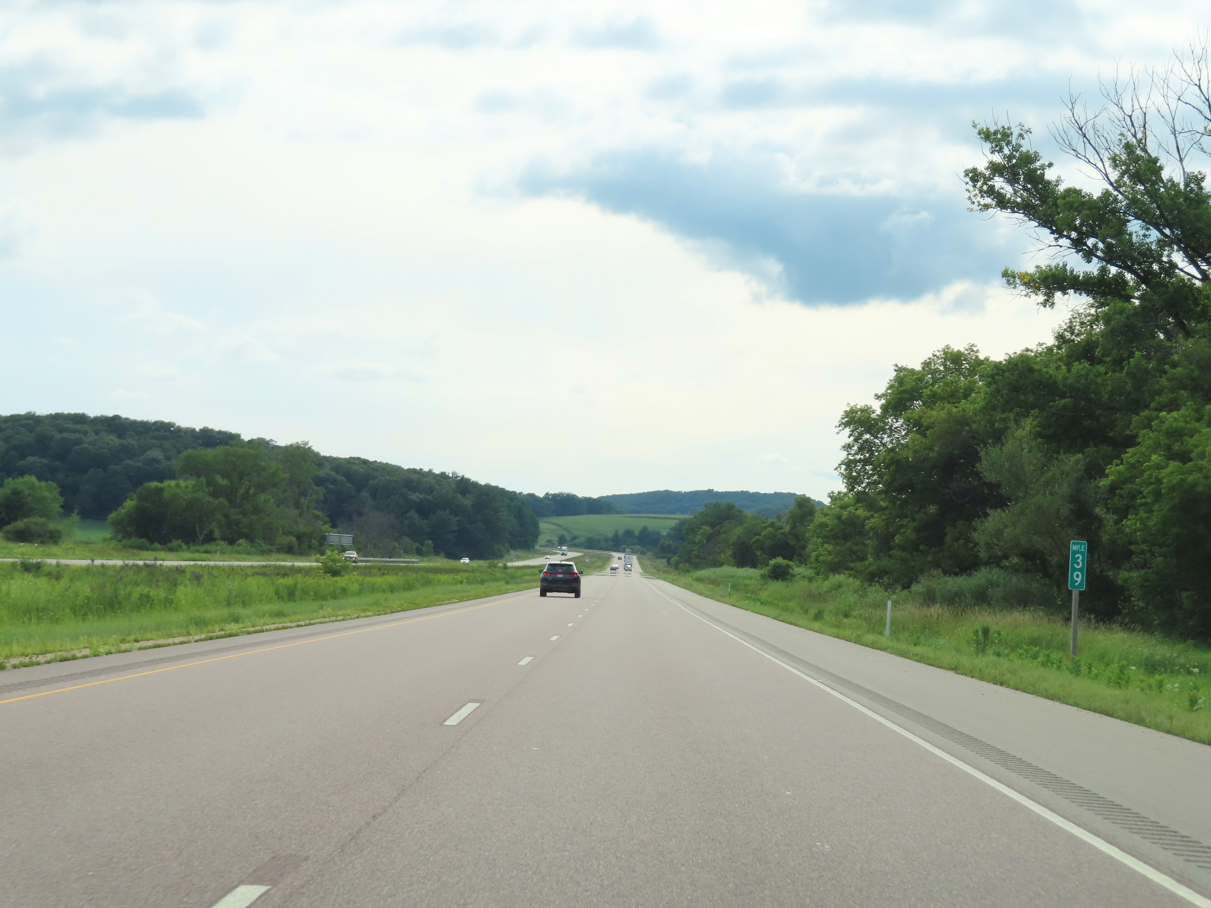 |
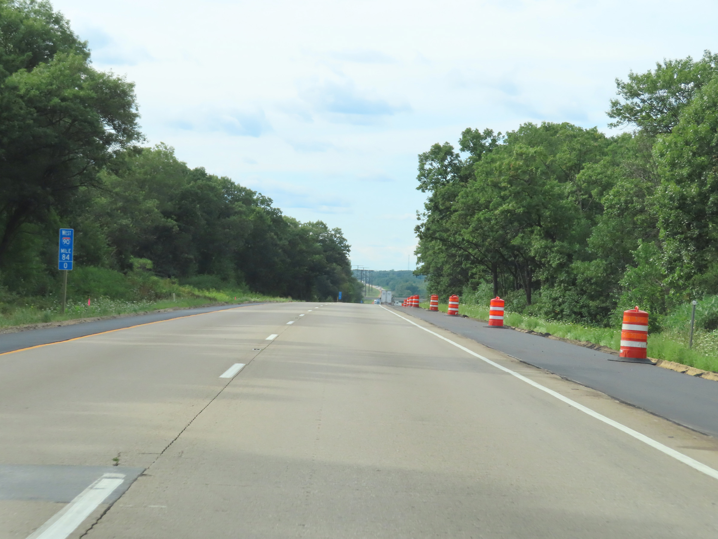
View on Interstate 90 West at mile marker 39. (Photo taken 8/15/22). |
 |
Interstate 90 West at mile marker 38. (Photo taken 8/15/22). |
 |
Mile marker 36 on Interstate 90 West in Monroe County. (Photo taken 8/15/22). |
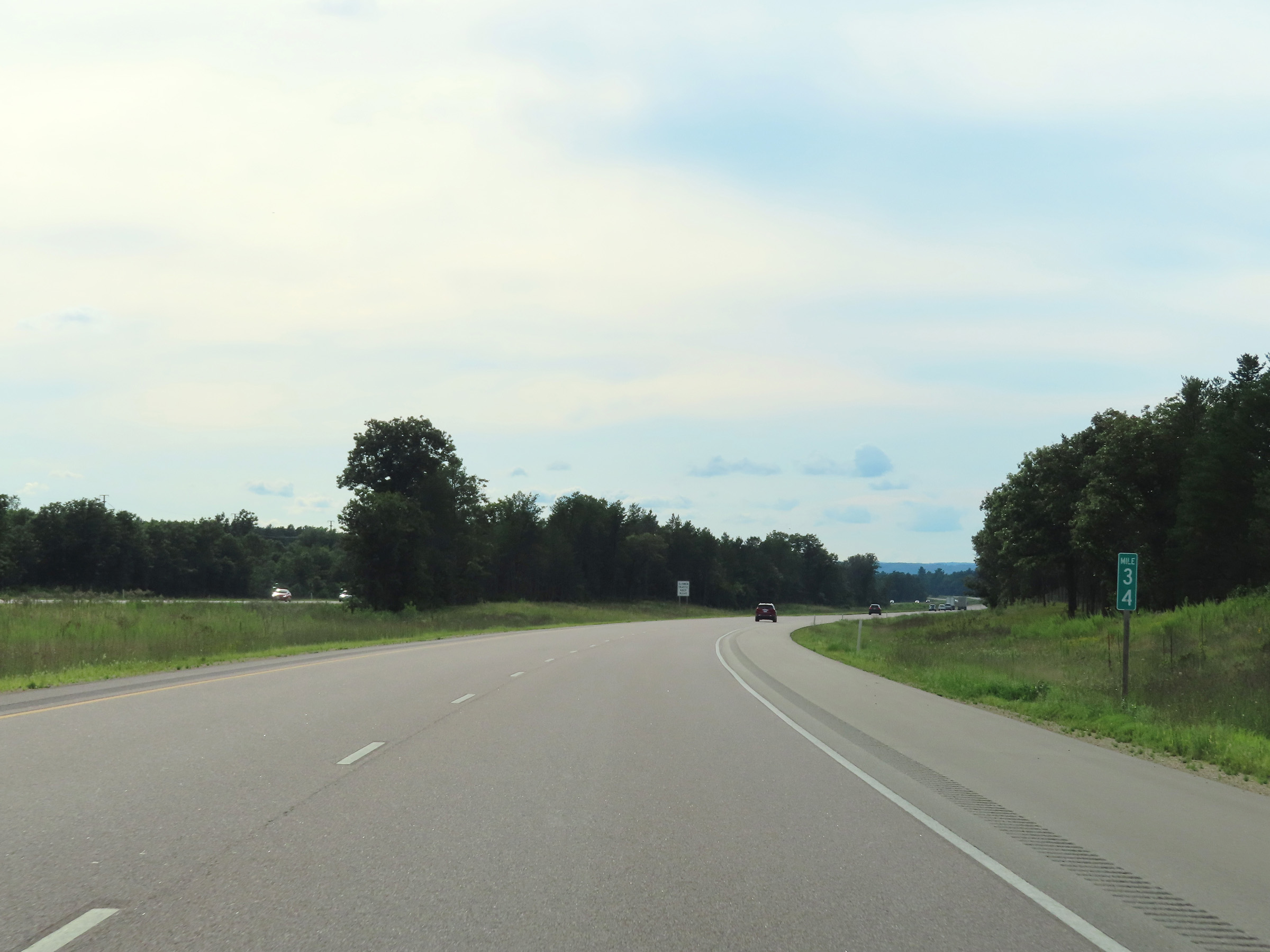 |
View on Interstate 90 West at mile marker 34. (Photo taken 8/15/22). |
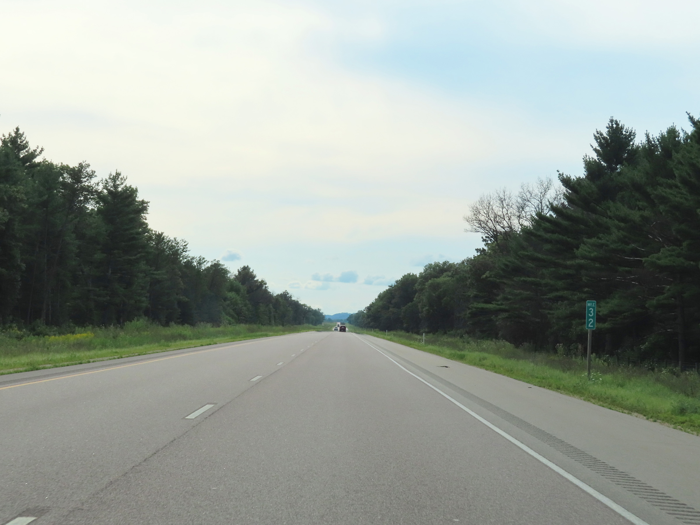 |
Interstate 90 West at mile marker 32. (Photo taken 8/15/22). |
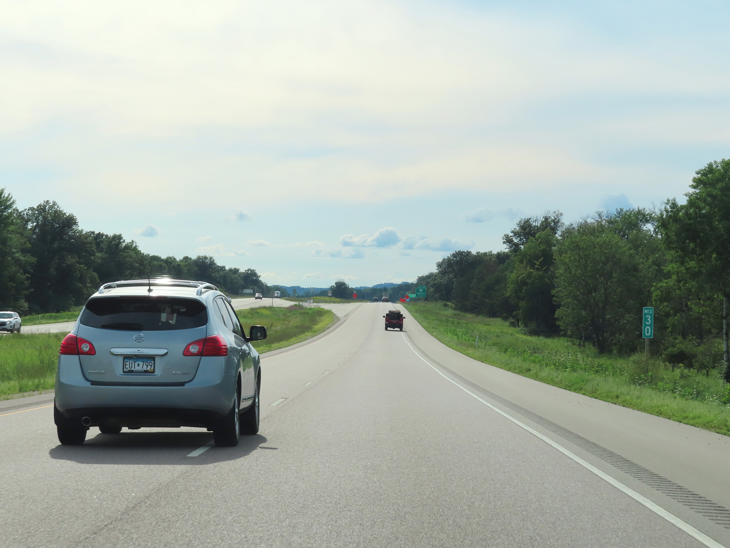 |
Mile marker 30 on Interstate 90 West in Monroe County. (Photo taken 8/15/22). |
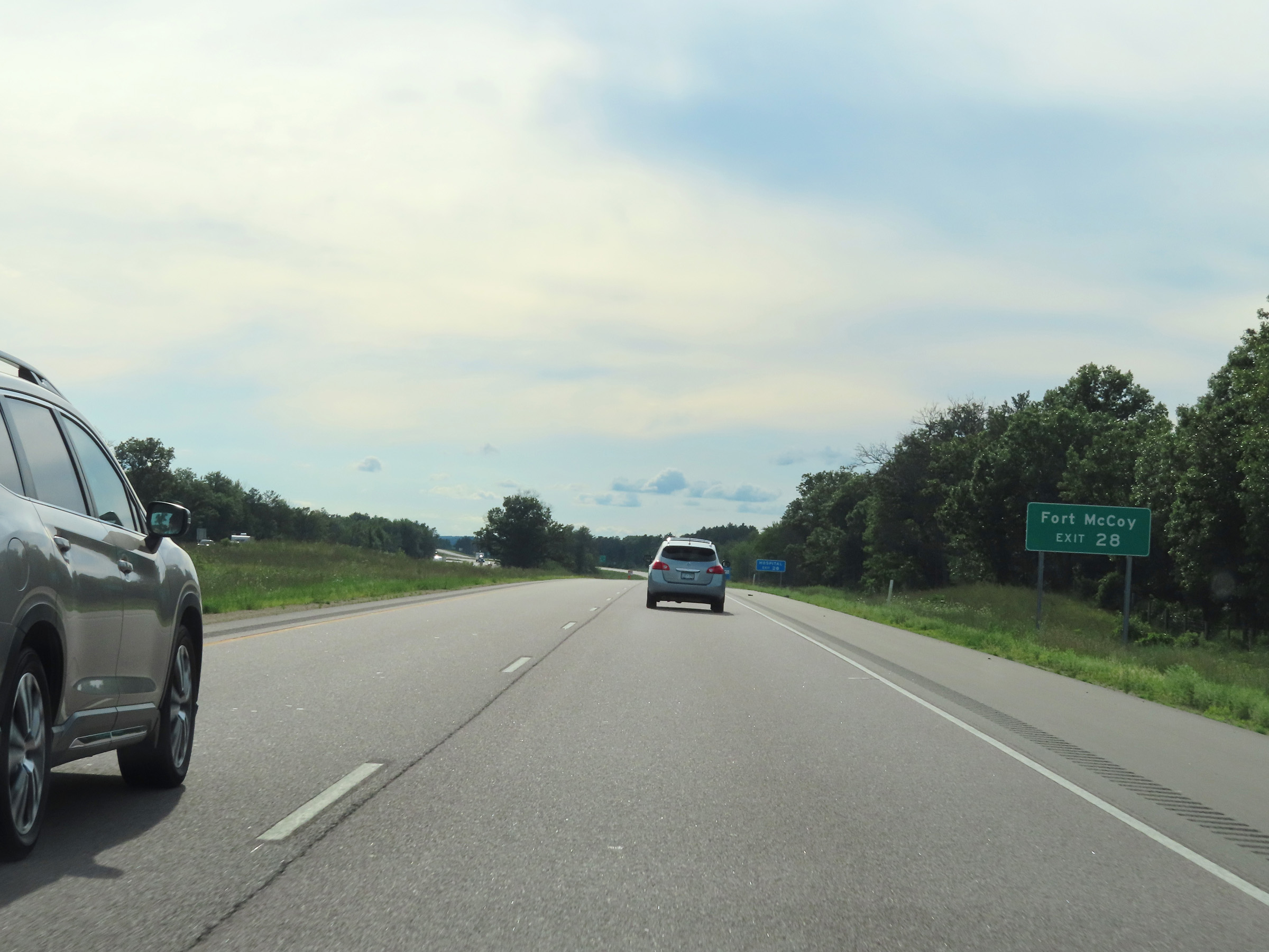 |
Take Exit 28 to Fort McCoy. (Photo taken 8/15/22). |
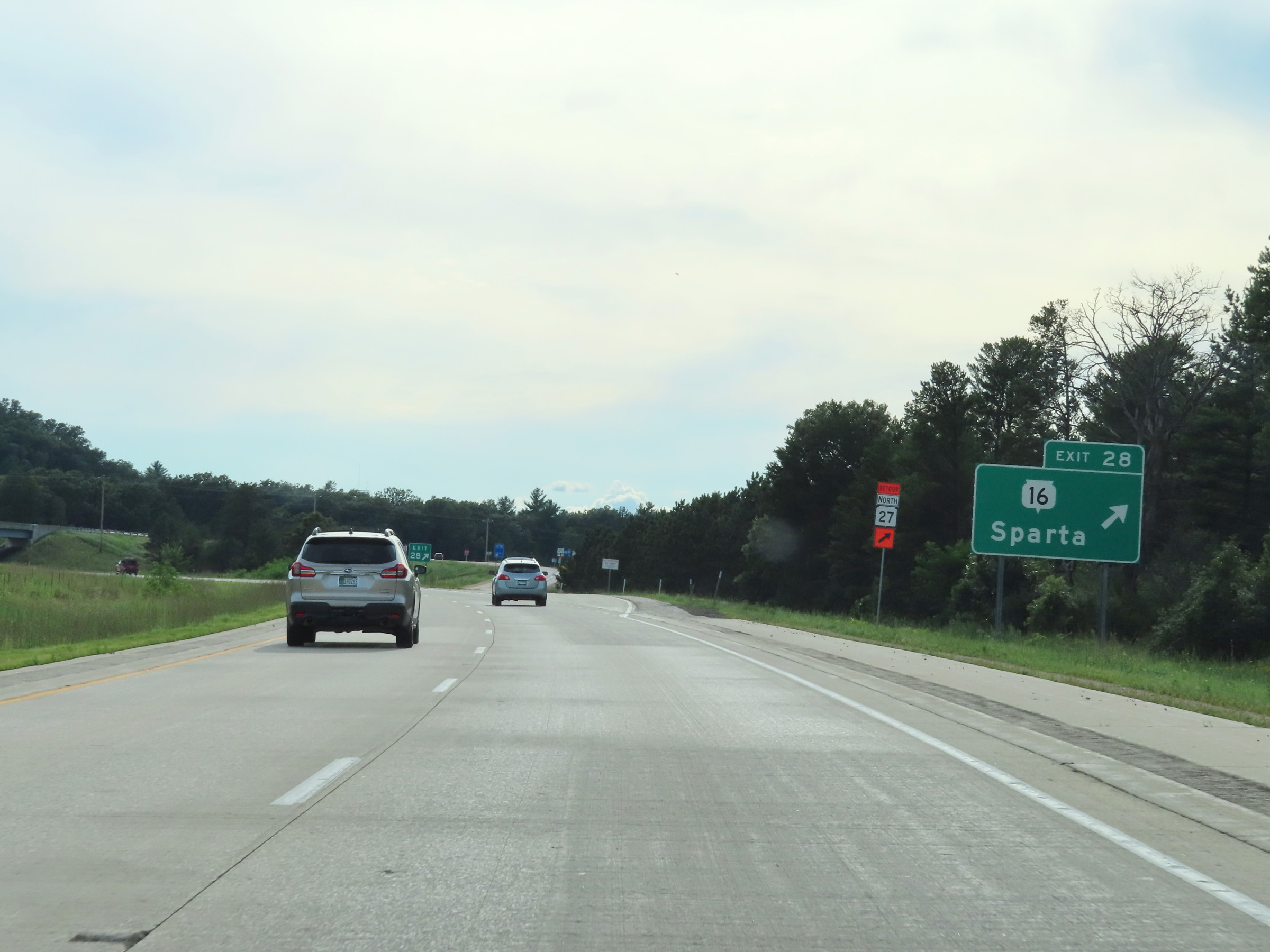 |
Interstate 90 West at Exit 28: WI 16 - Sparta (Photo taken 8/15/22). |
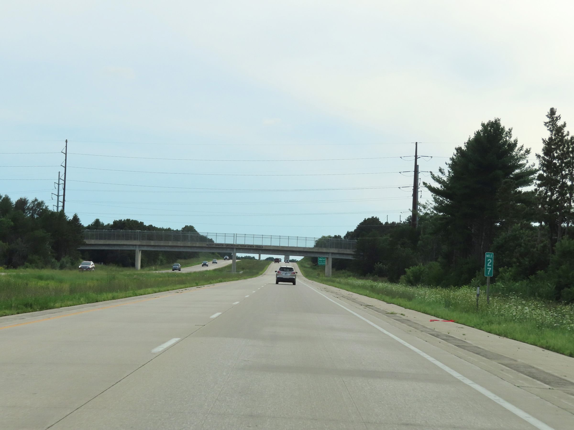 |
View on Interstate 90 West at mile marker 27. (Photo taken 8/15/22). |
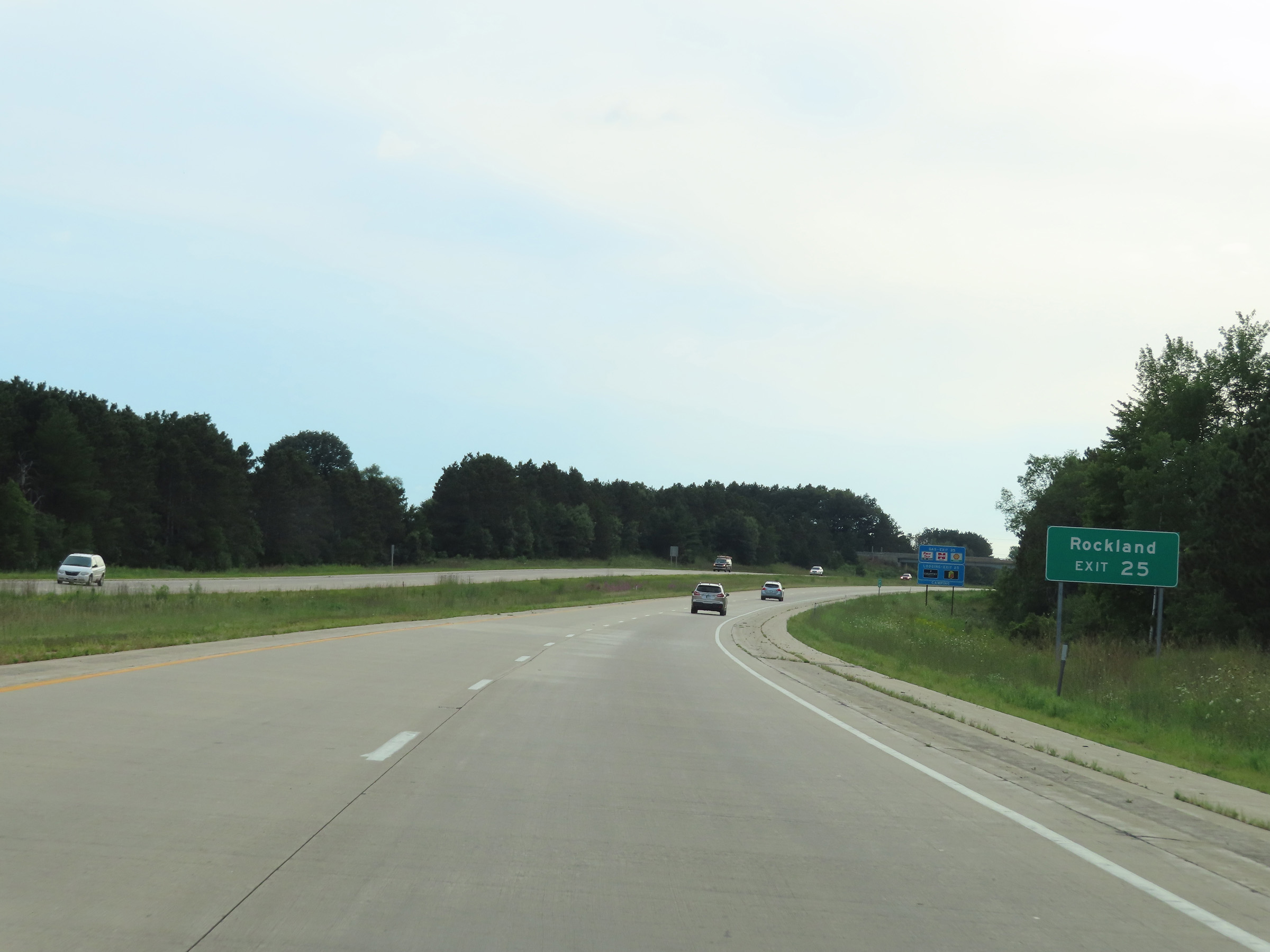 |
Take Exit 25 to Rockland. (Photo taken 8/15/22). |
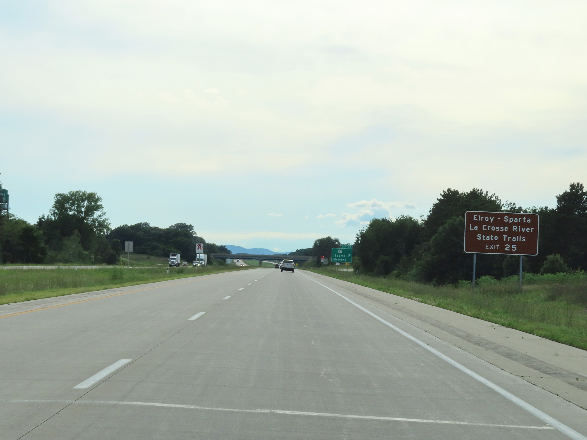 |
Also take Exit 25 to the Elroy-Sparta and La Crosse River State Trails. (Photo taken 8/15/22). |
 |
Interstate 90 West at Exit 25: WI 27 - Sparta / Melvina (Photo taken 8/15/22). |
 |
Another Interstae 90 West reassurance shield in Monroe County. (Photo taken 8/15/22). |
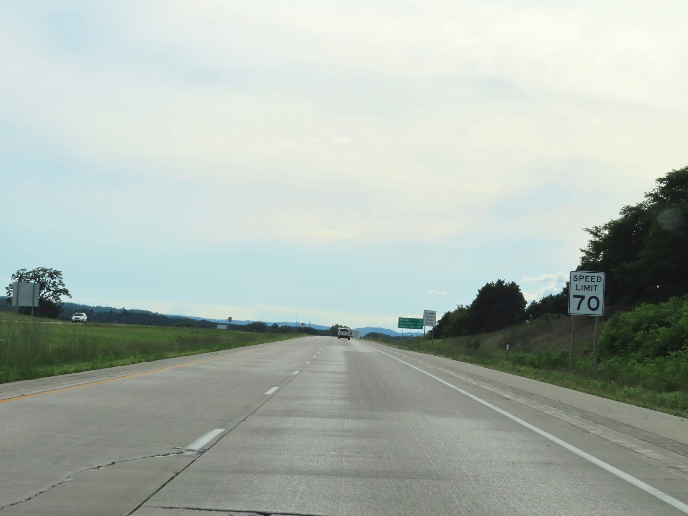 |
The speed limit remains 70 mph on Interstate 90 West. (Photo taken 8/15/22). |
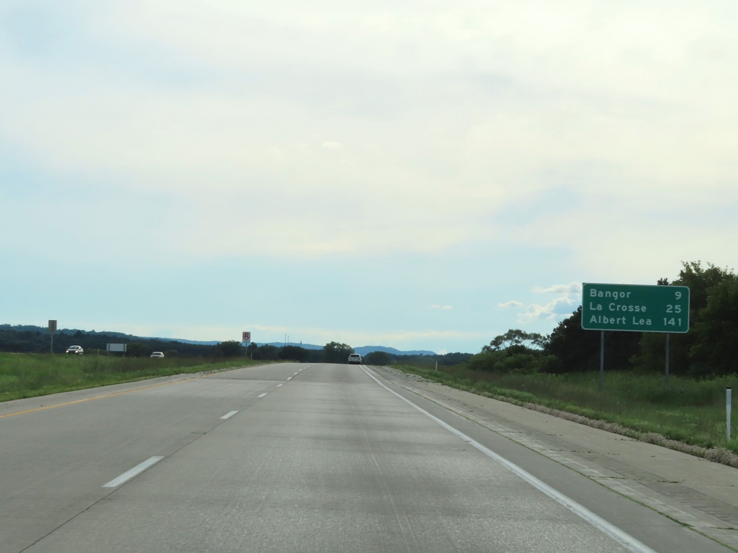 |
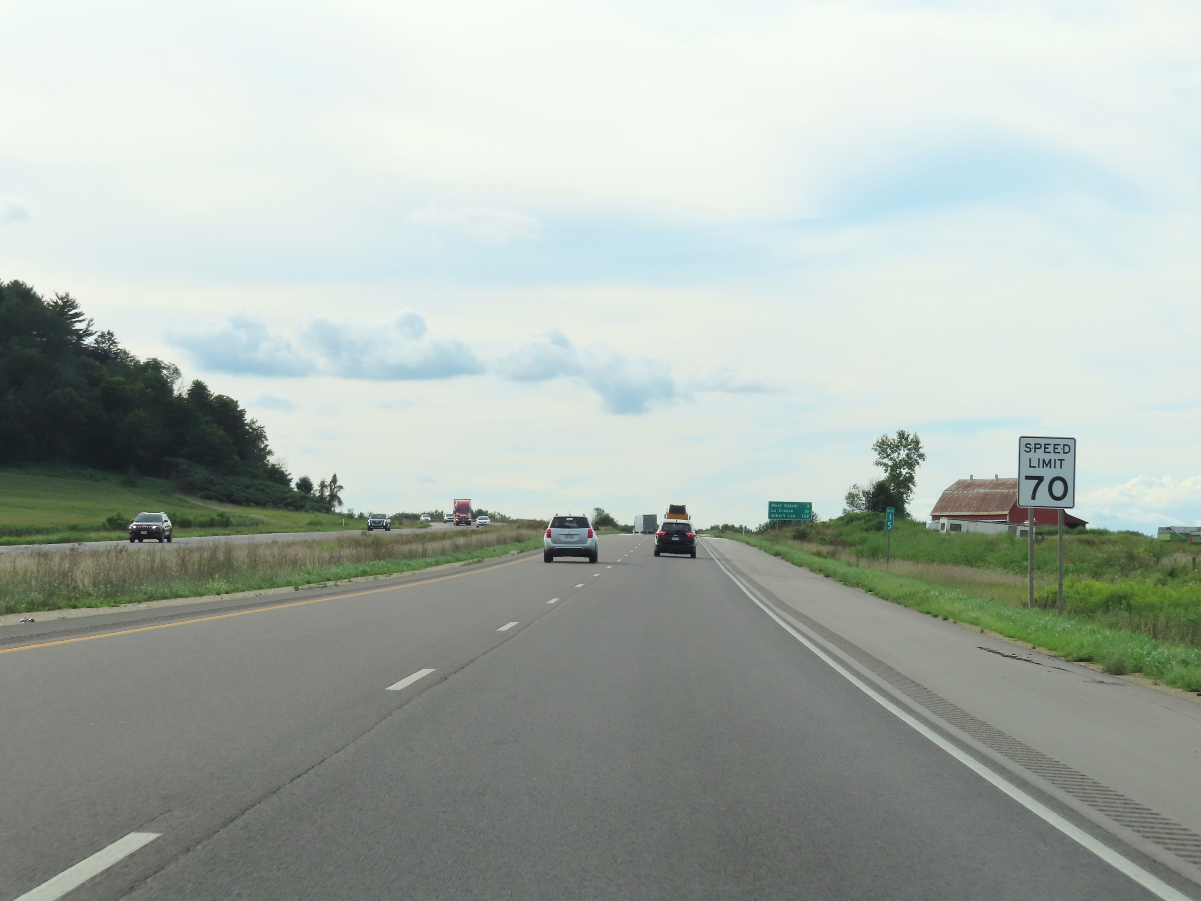
Mileage sign on Interstate 90 West. It's 9 miles to Bangor, 25 miles to La Crosse, and 141 miles to Albert Lea. (Photo taken 8/15/22). |
 |
View on Interstate 90 West at mile marker 24. (Photo taken 8/15/22). |
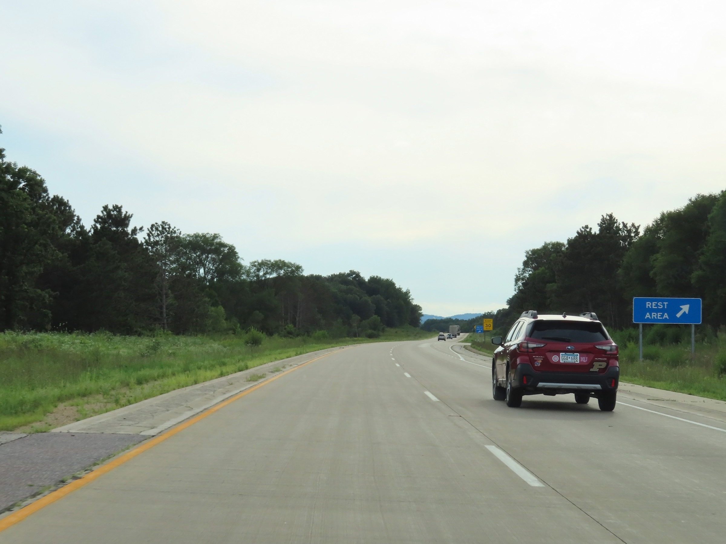 |
Rest Area on Interstate 90 West in Monroe County. (Photo taken 8/15/22). |
 |
Interstate 90 West at mile marker 22. (Photo taken 8/15/22). |
 |
Interstate 90 West as it enters La Crosse County. (Photo taken 8/15/22). |
 |
Mile marker 20 on Interstate 90 West in La Crosse County. (Photo taken 8/15/22). |
 |
View on Interstate 90 West at mile marker 18. (Photo taken 8/15/22). |
 |
Mile marker 17 on Interstate 90 West in La Crosse County. (Photo taken 8/15/22). |
 |
Interstate 90 West at Exit 15: WI 162 - Bangor / Coon Valley (Photo taken 8/15/22). |
 |
Interstate 90 West reassurance shield in La Crosse County. (Photo taken 8/15/22). |
 |
Speed limit sign at mile marker 15. The speed limit remains the rural standard 70 mph on Interstate 90 West. (Photo taken 8/15/22). |
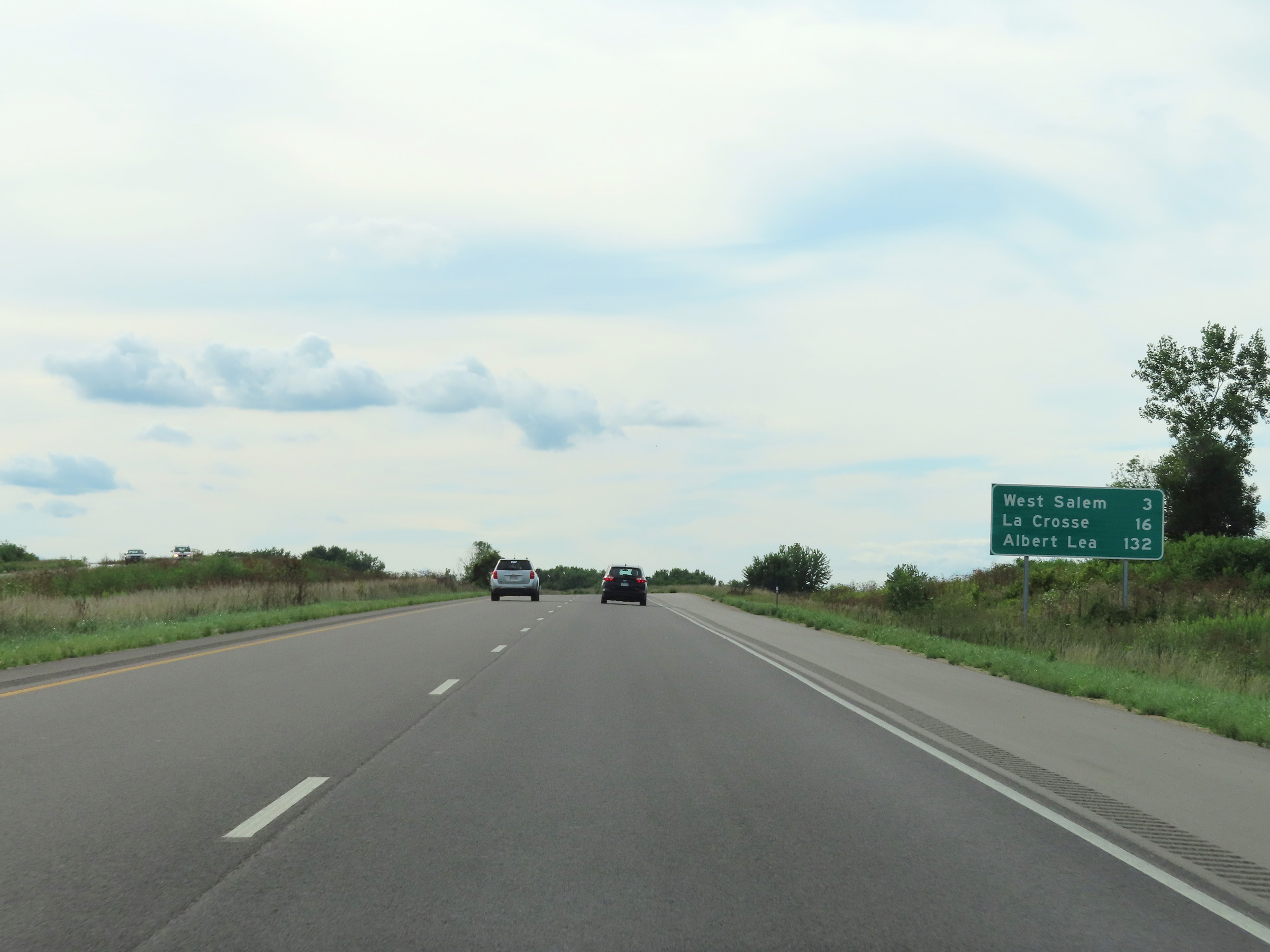 |
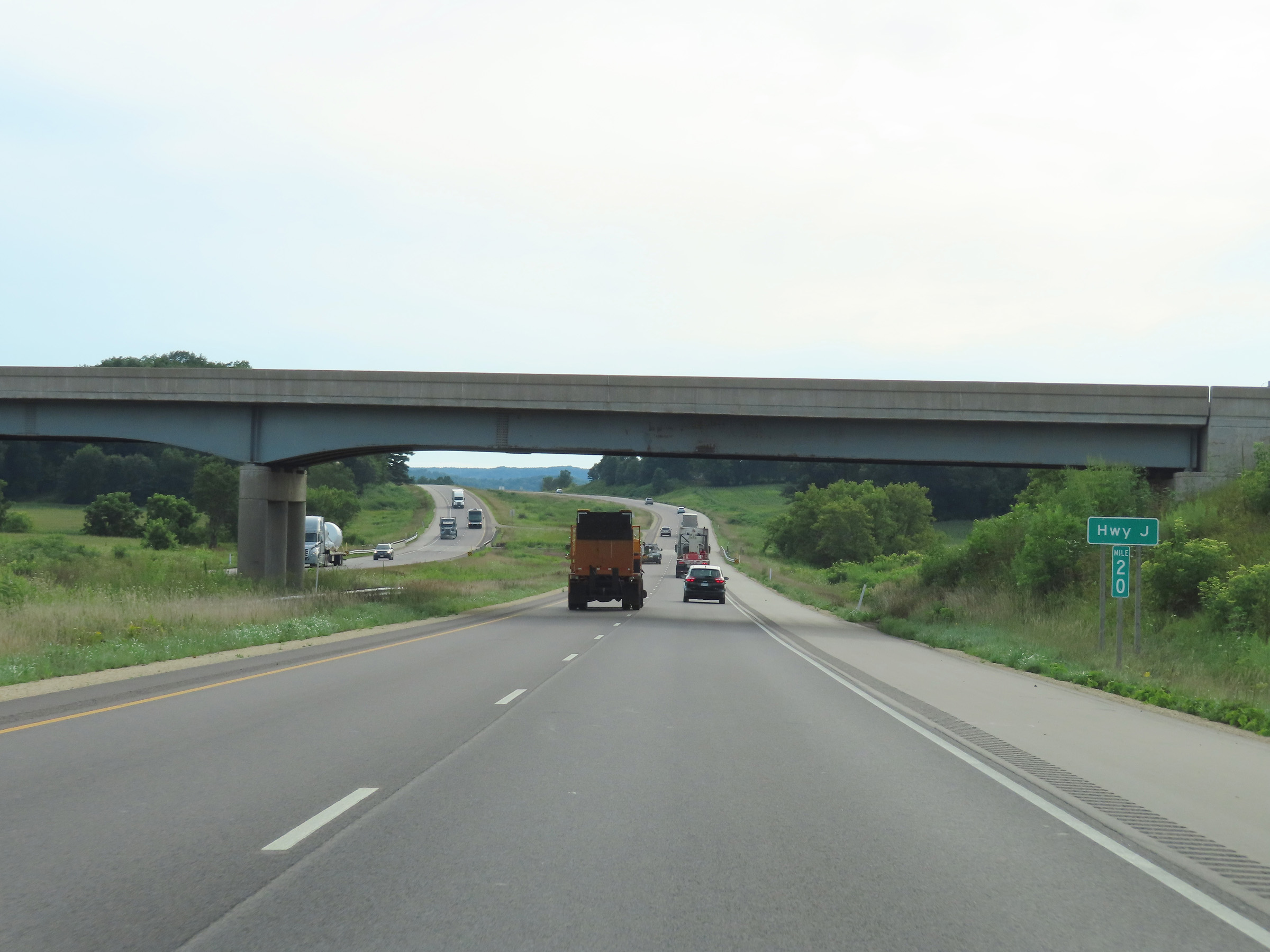
Mileage sign on Interstate 90 West. It's 3 miles to West Salem, 16 miles to La Crosse, and 132 miles to Albert Lea. (Photo taken 8/15/22). |
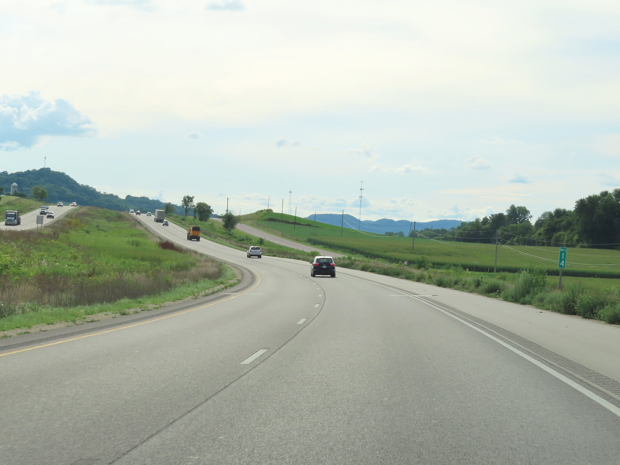 |
View on Interstate 90 West at mile marker 14. (Photo taken 8/15/22). |
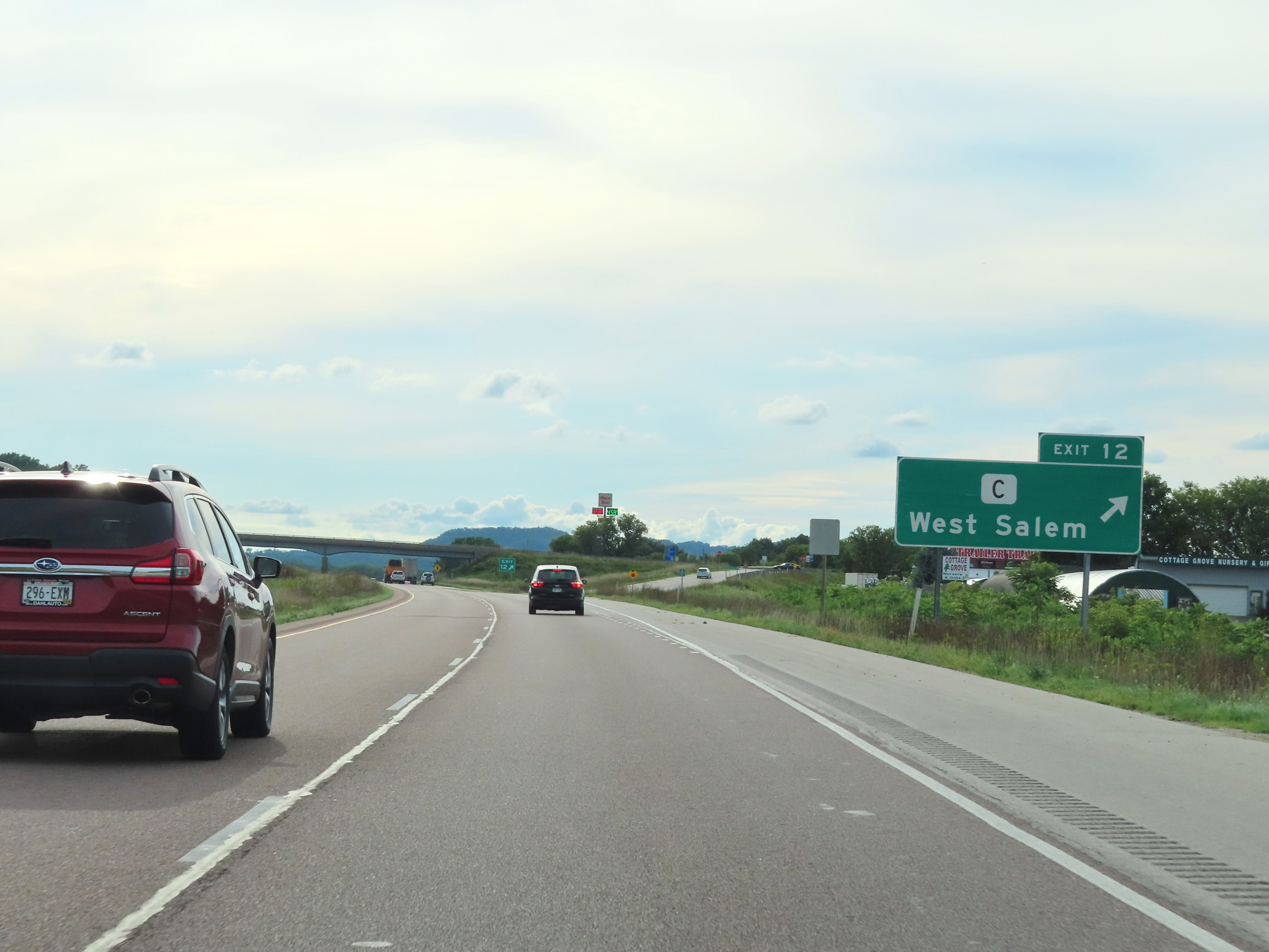 |
Interstate 90 West at Exit 12: Hwy C - West Salem (Photo taken 8/15/22). |
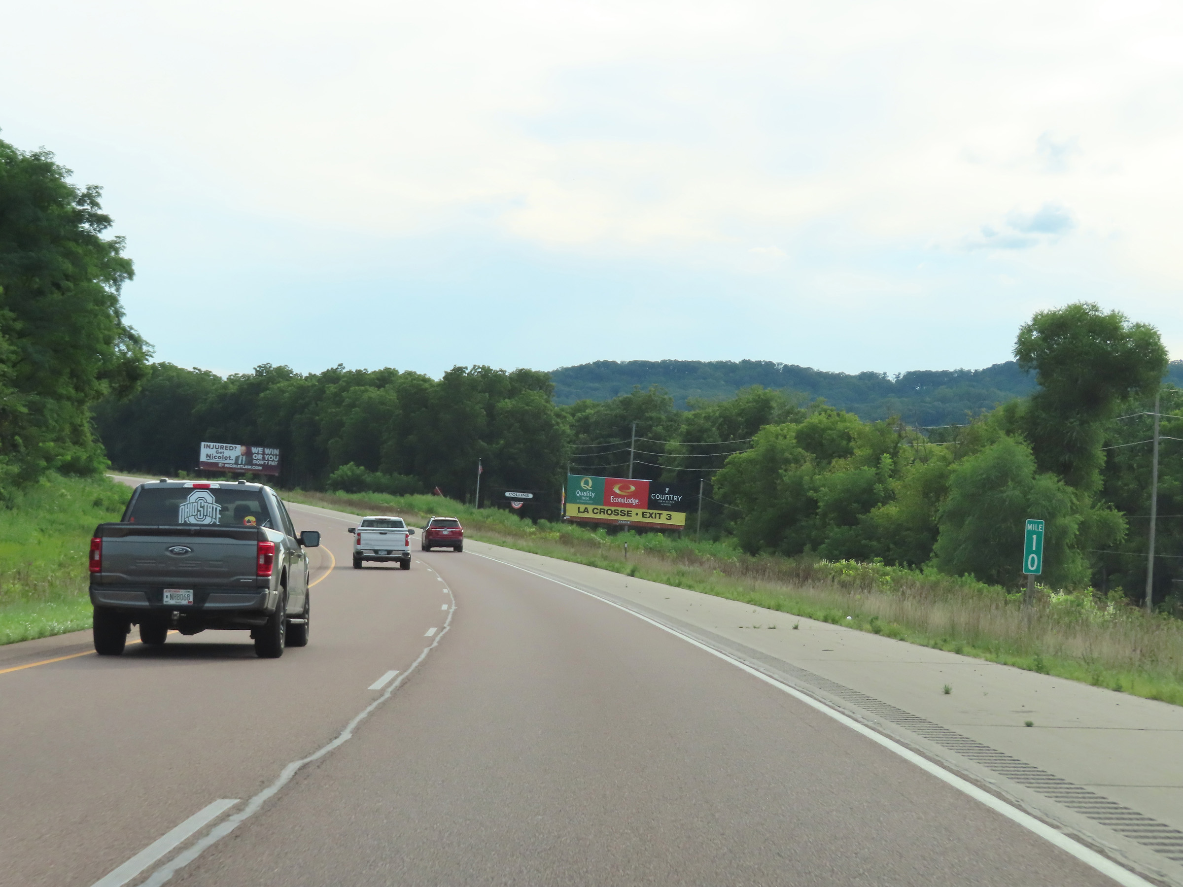 |
Mile marker 10 on Interstate 90 West in La Crosse County. (Photo taken 8/15/22). |
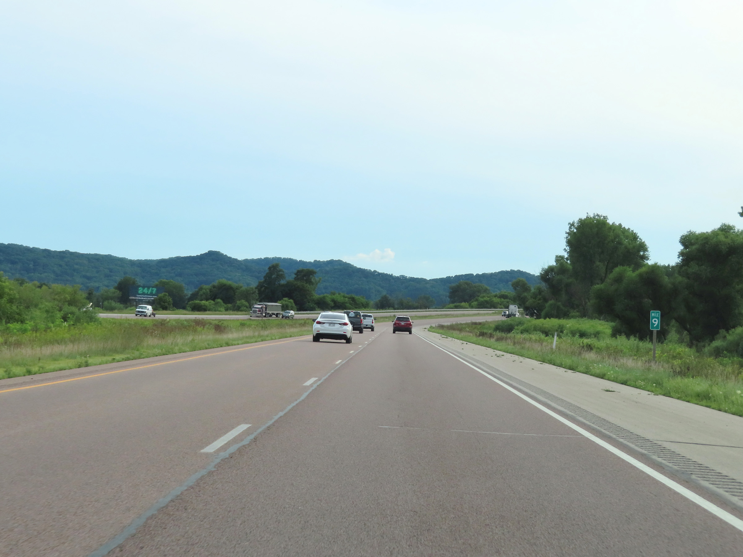 |
View on Interstate 90 West at mile marker 9. (Photo taken 8/15/22). |
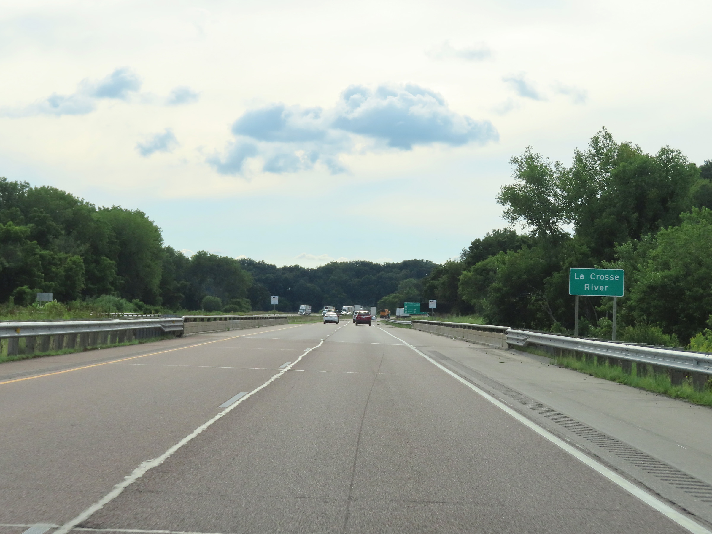 |
Interstate 90 West as it crosses the La Crosse River. (Photo taken 8/15/22). |
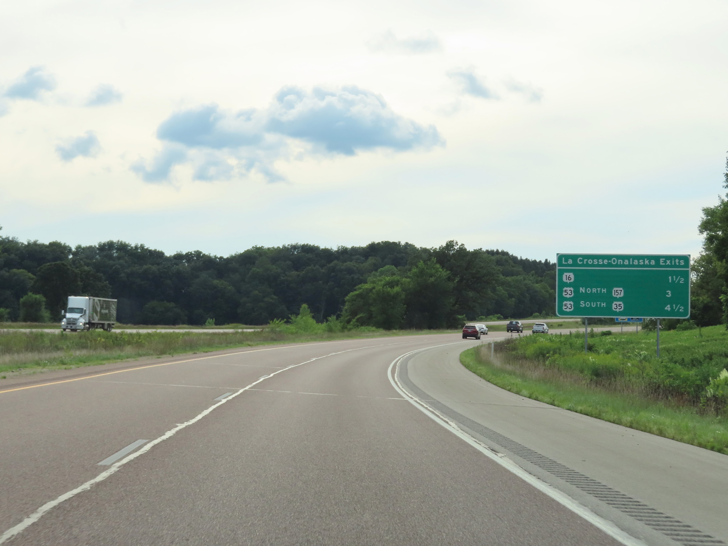 |
Mileage sign listing the distances to the next three interchanges to La Cross and Onalaska on Interstate 90 West. (Photo taken 8/15/22). |
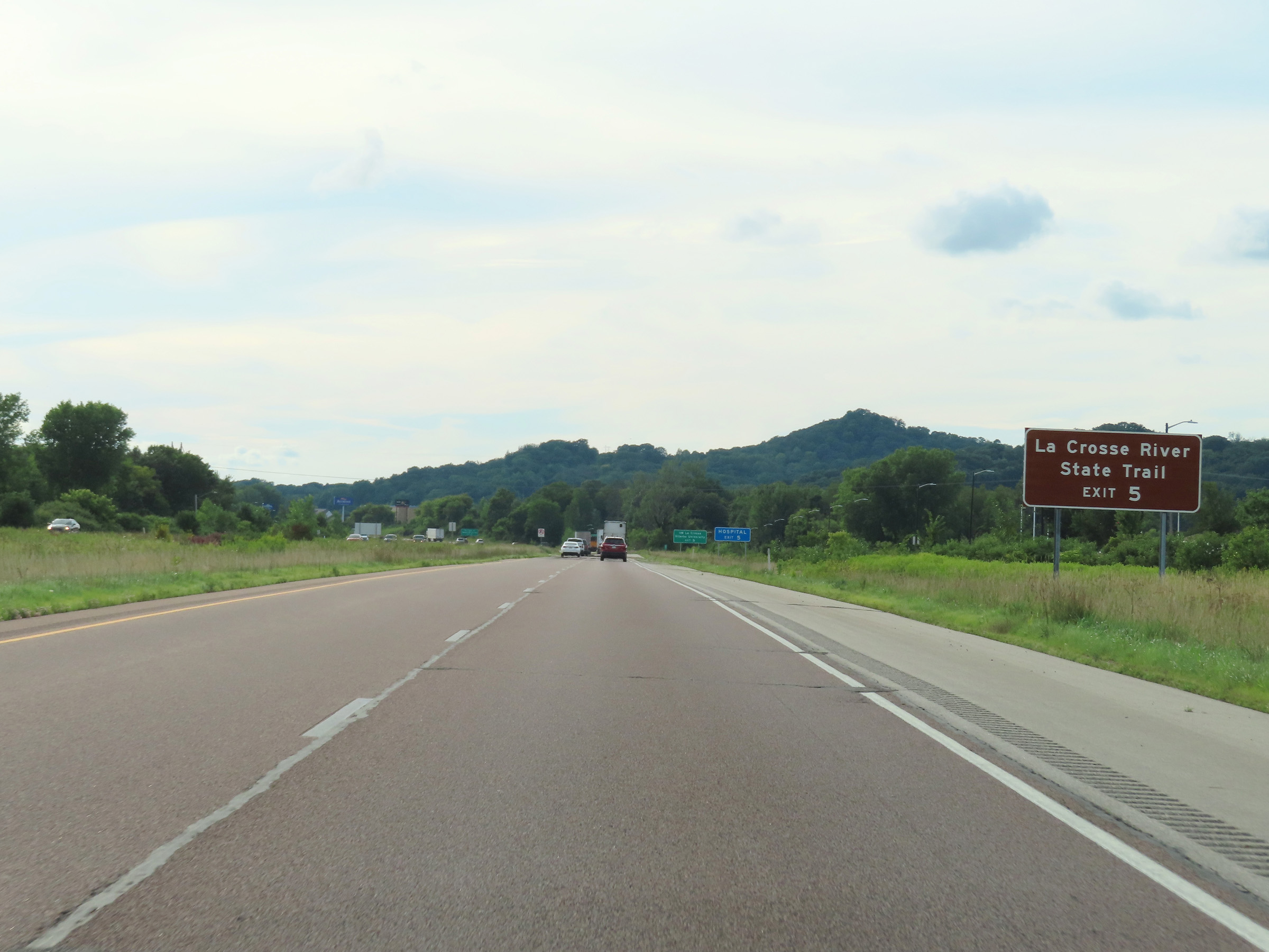 |
Take Exit 5 to the La Crosse River State Trail. (Photo taken 8/15/22). |
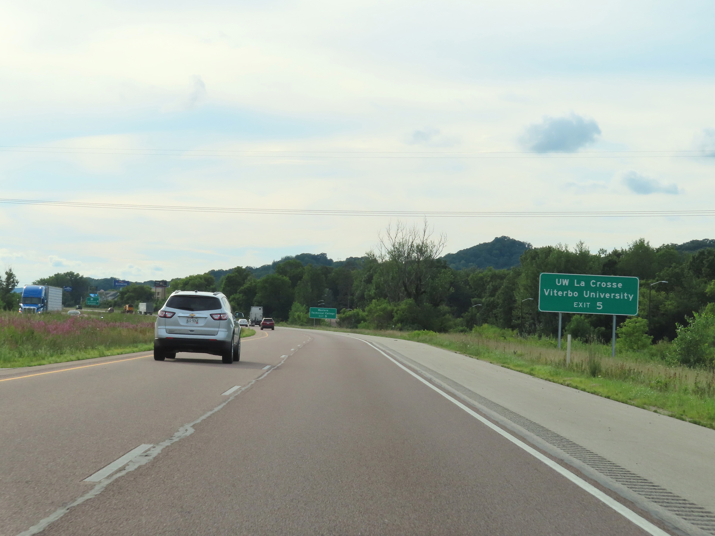 |
Also take Exit 5 to UW La Crosse and Viterbo University. (Photo taken 8/15/22). |
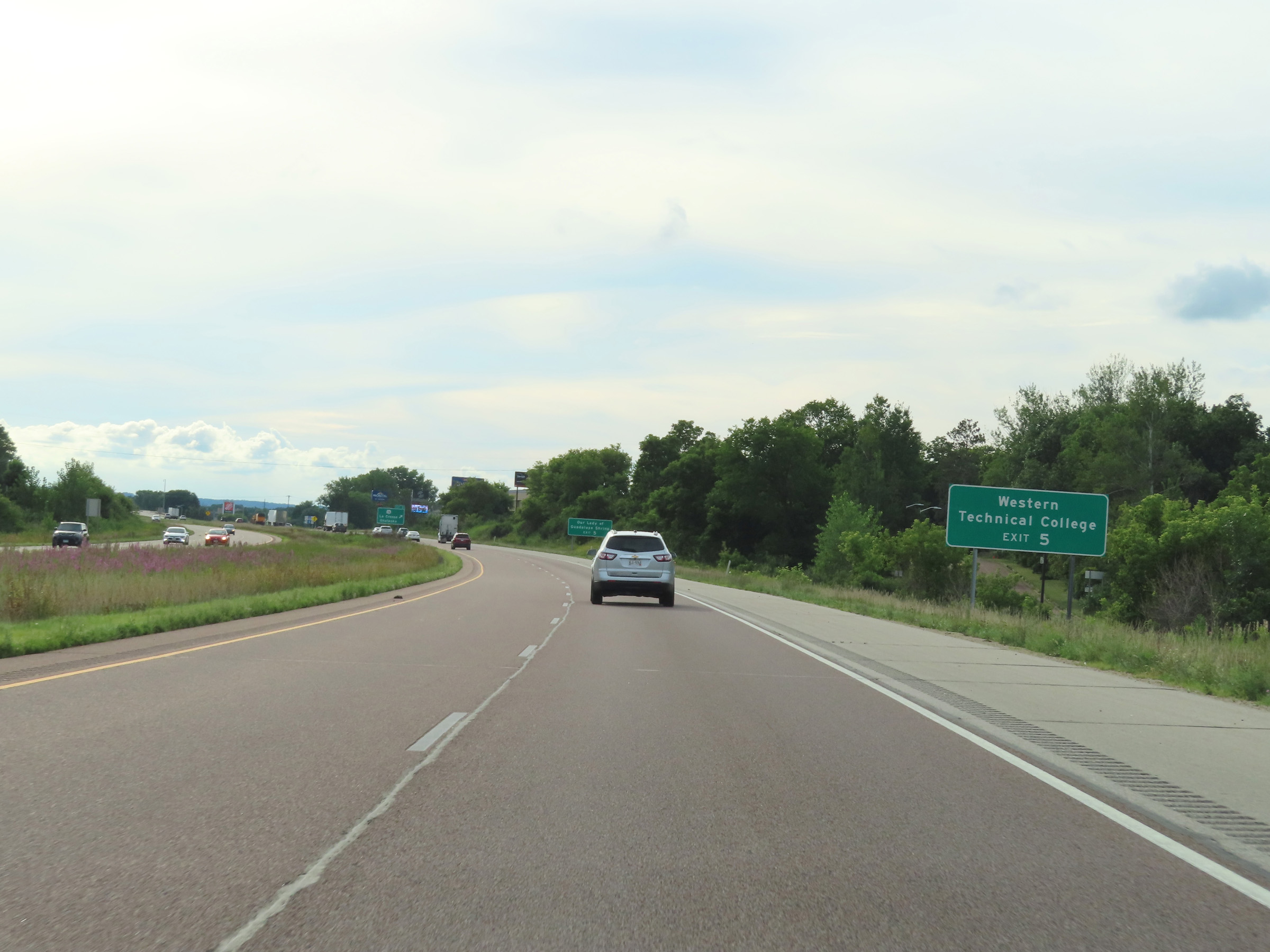 |
Take Exit 5 to Western Technical College as well. (Photo taken 8/15/22). |
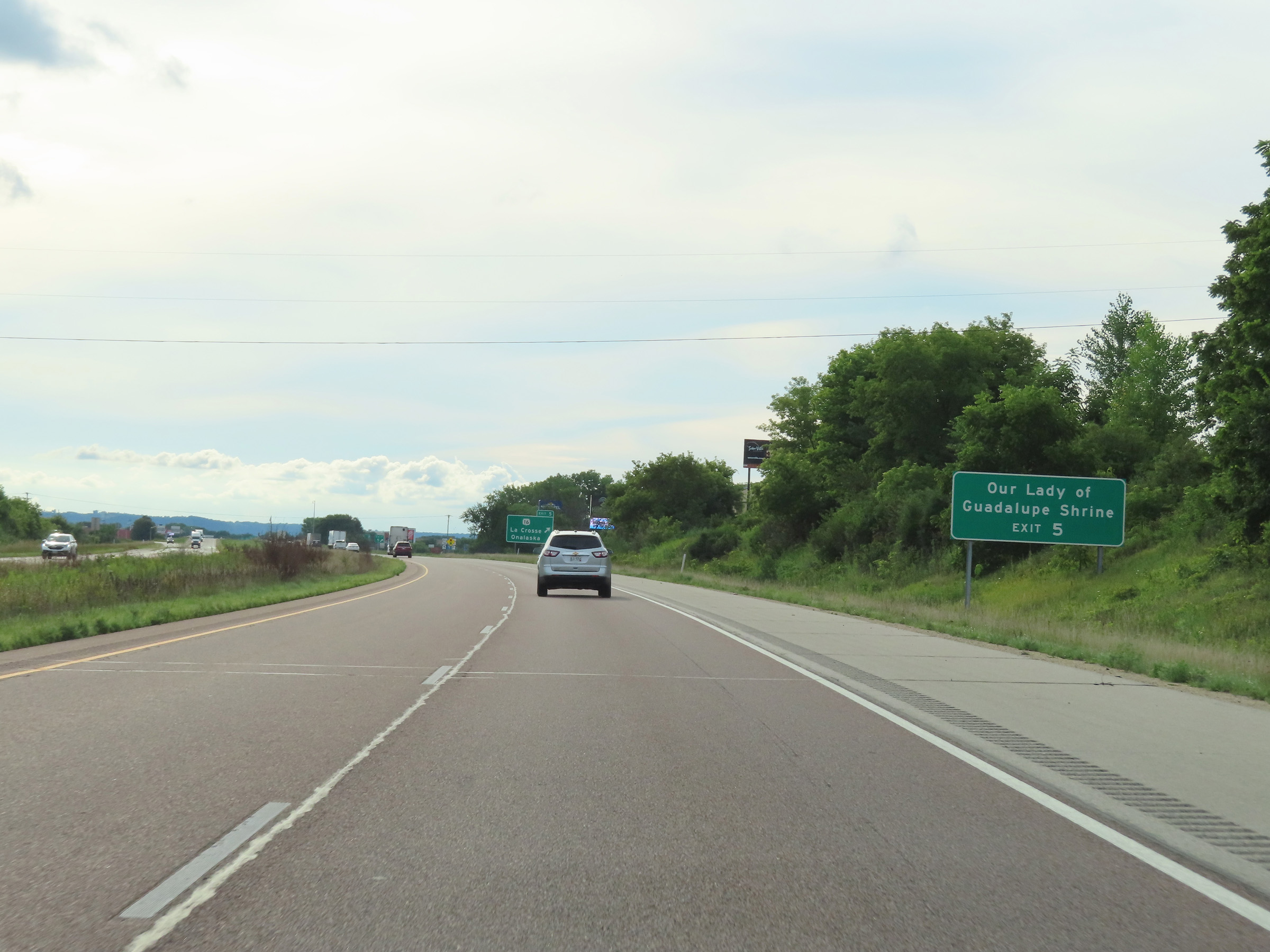 |
Our Lady of Guadalupe Shrine can also be accessed via Exit 5. (Photo taken 8/15/22). |
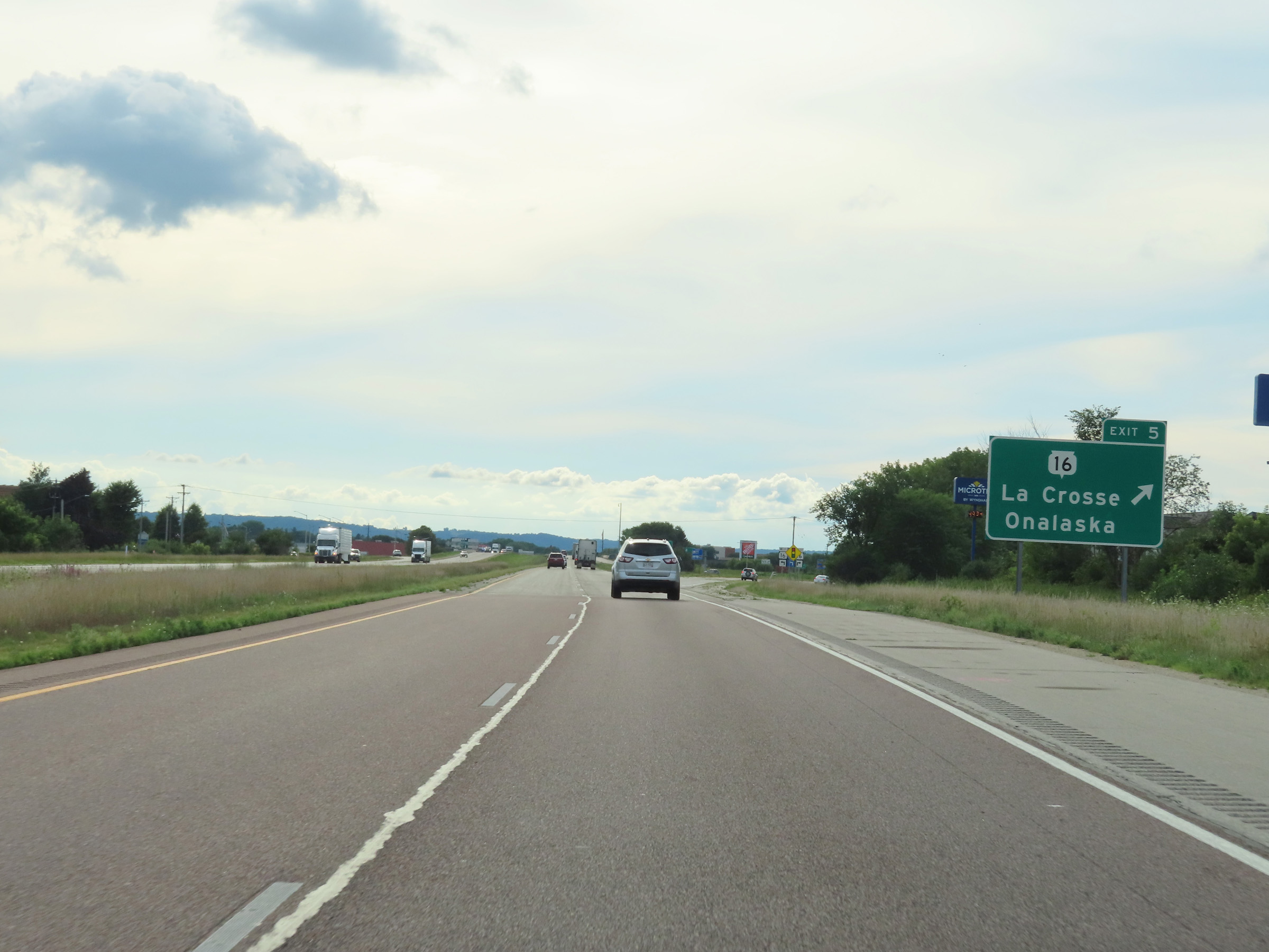 |
Interstate 90 West at Exit 5: WI 16 - La Crosse / Onalaska (Photo taken 8/15/22). |
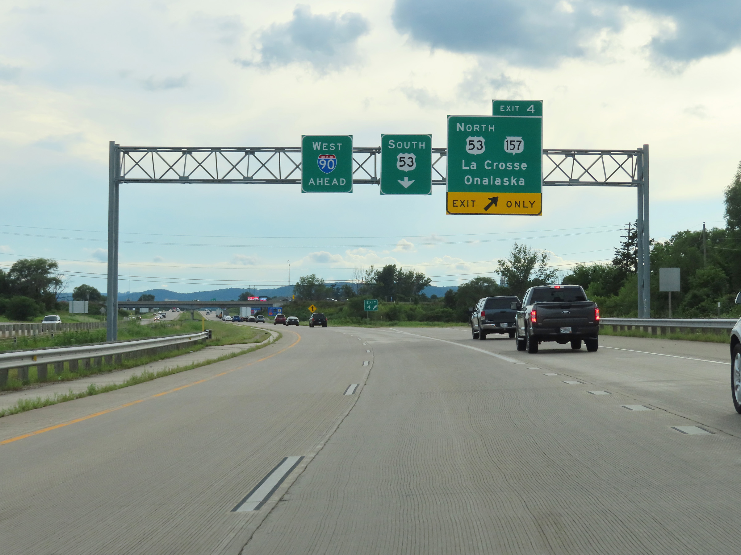 |
Interstate 90 West at Exit 4: US 53 North / WI 157 - La Crosse / Onalaska (Photo taken 8/15/22). |
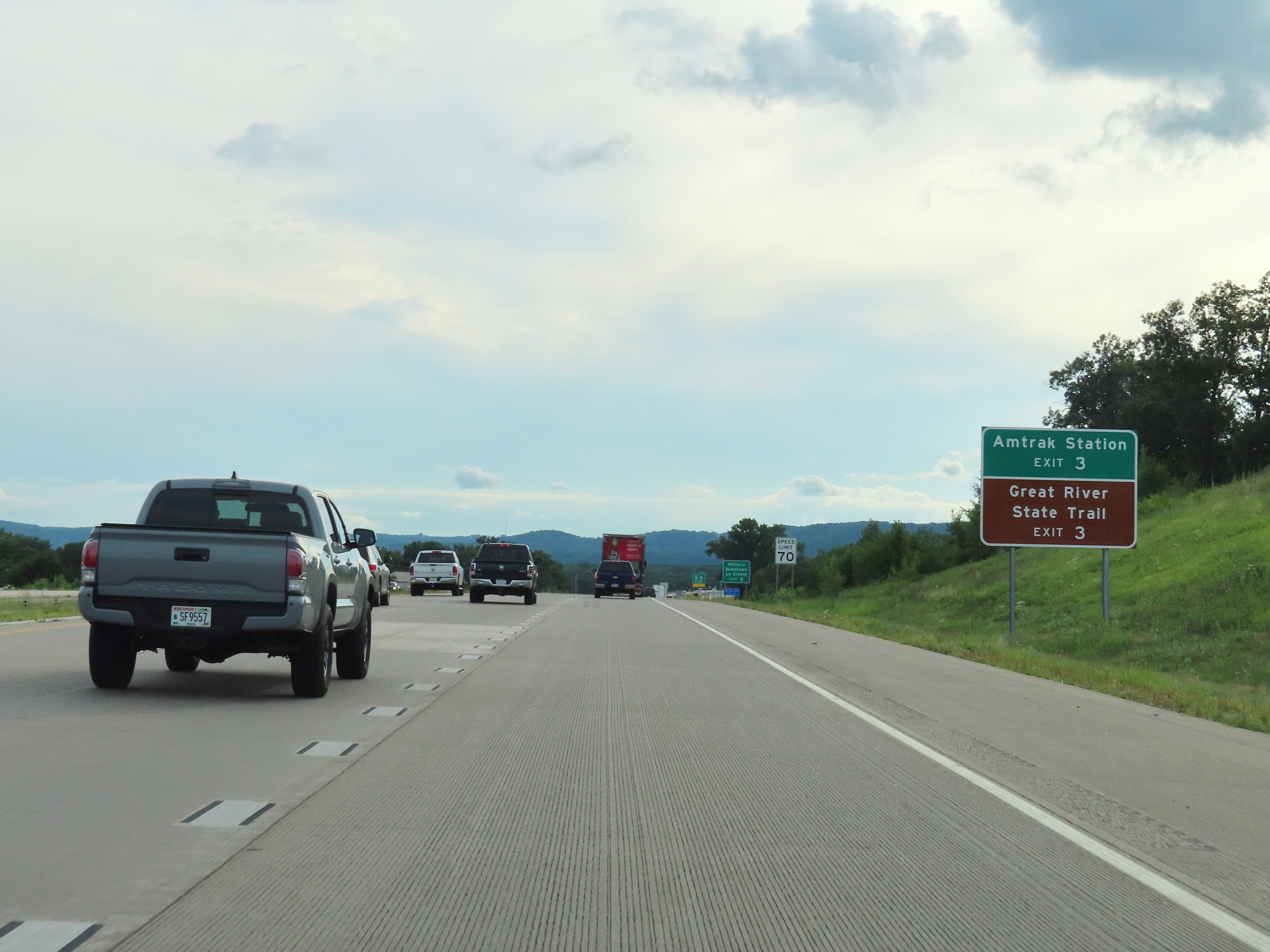 |
Take Exit 3 to the Amtrak Station and Great River State Trail. (Photo taken 8/15/22). |
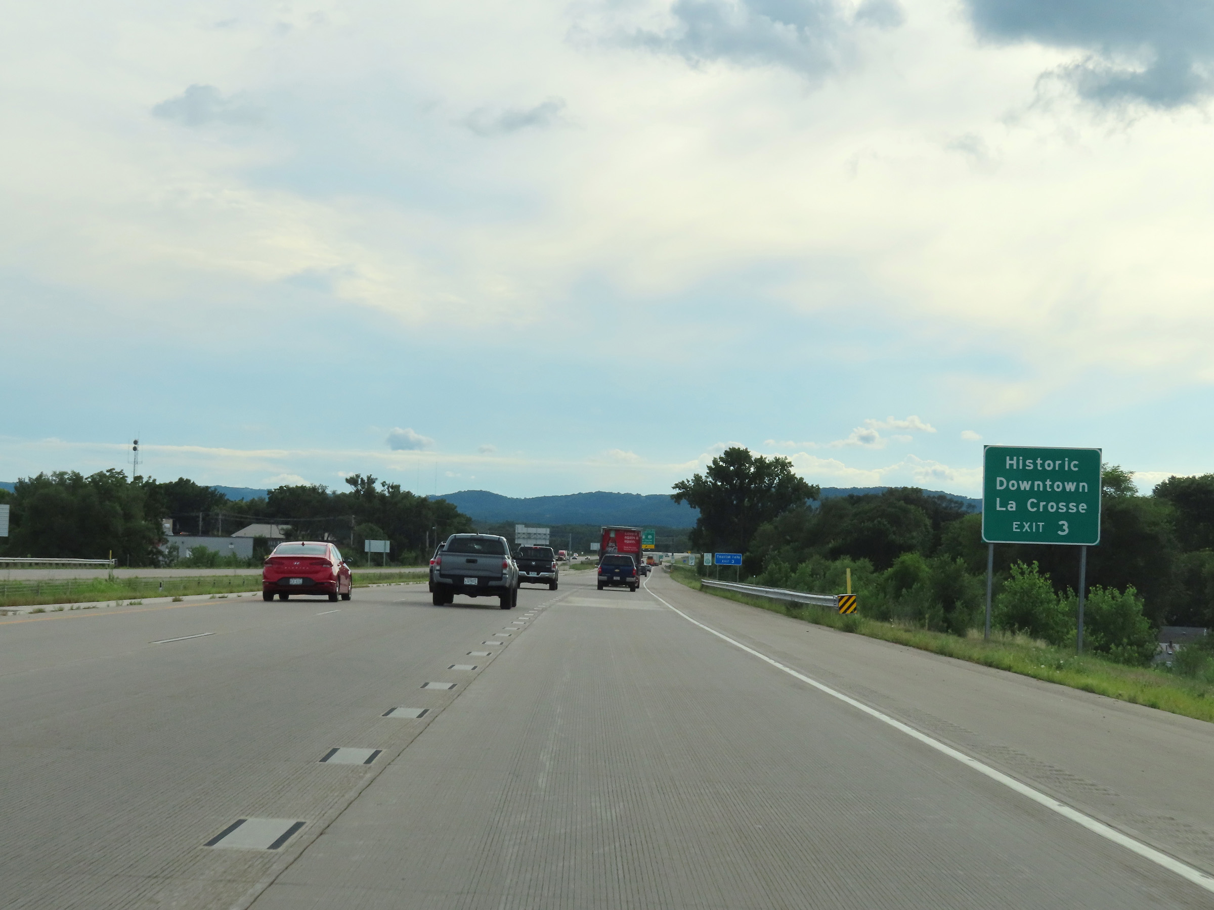 |
Also take Exit 3 to Historic Downtown La Crosse. (Photo taken 8/15/22). |
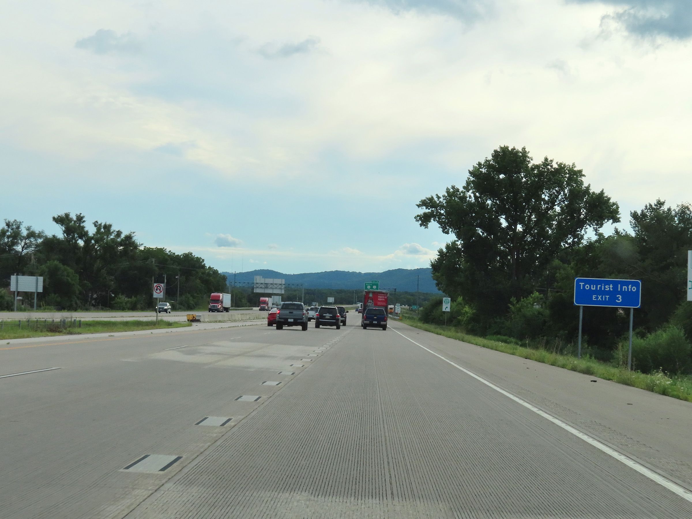 |
A Tourist Info Center also exists off Exit 3 ahead. (Photo taken 8/15/22). |
 |
Interstate 90 West at Exit 3: US 53 South / WI 35 - La Crosse / Onalaska (Photo taken 8/15/22). |
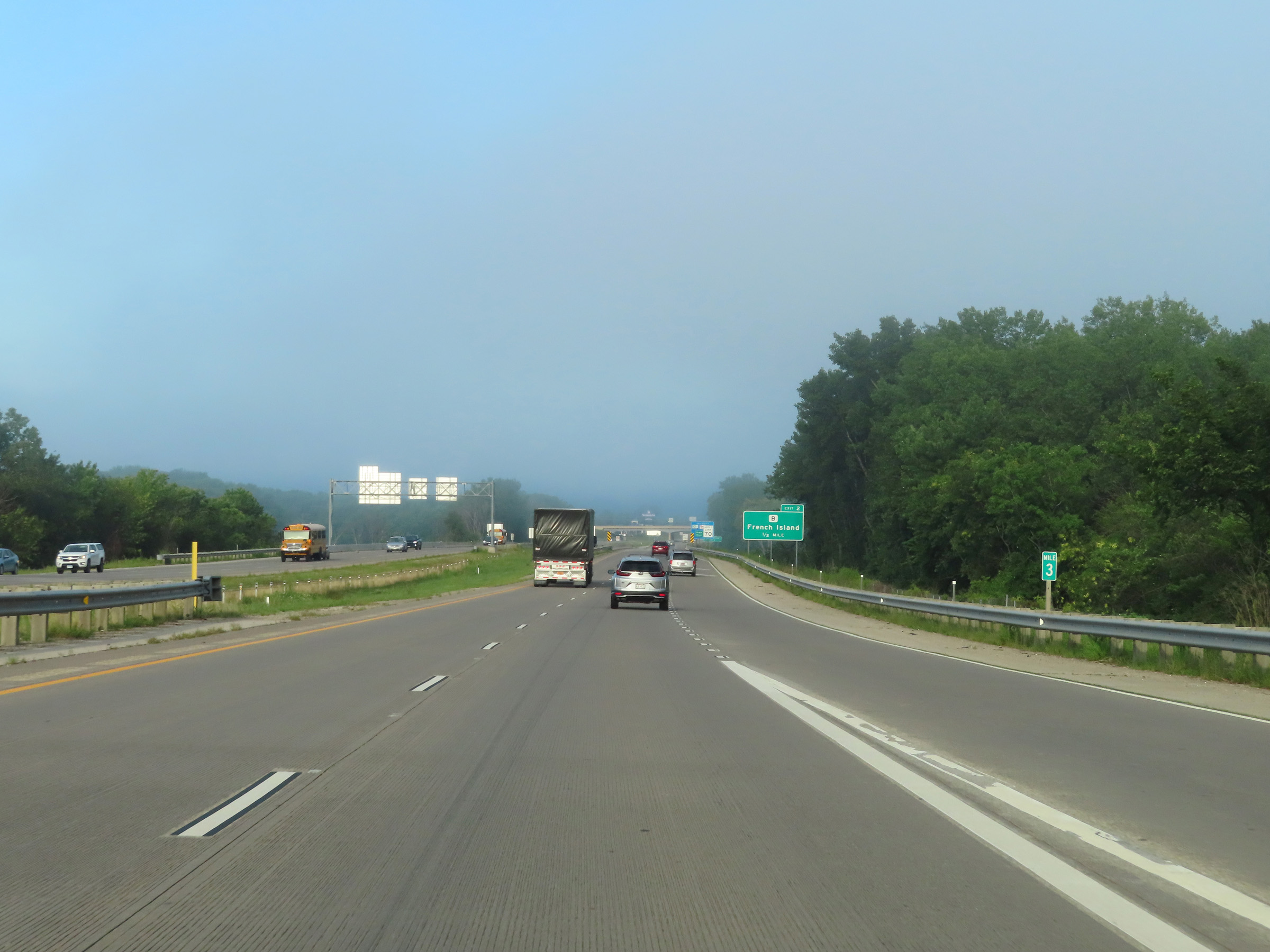 |
View on Interstate 90 West at mile marker 3. (Photo taken 8/16/22). |
 |
Interstate 90 West reassurance shield appraoching Exit 2 in La Crosse. (Photo taken 8/16/22). |
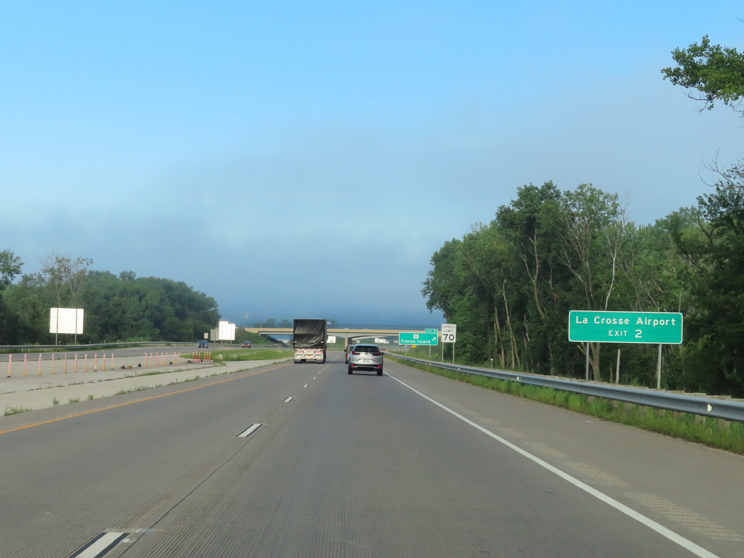 |
Take Exit 2 to La Crosse Airport. (Photo taken 8/16/22). |
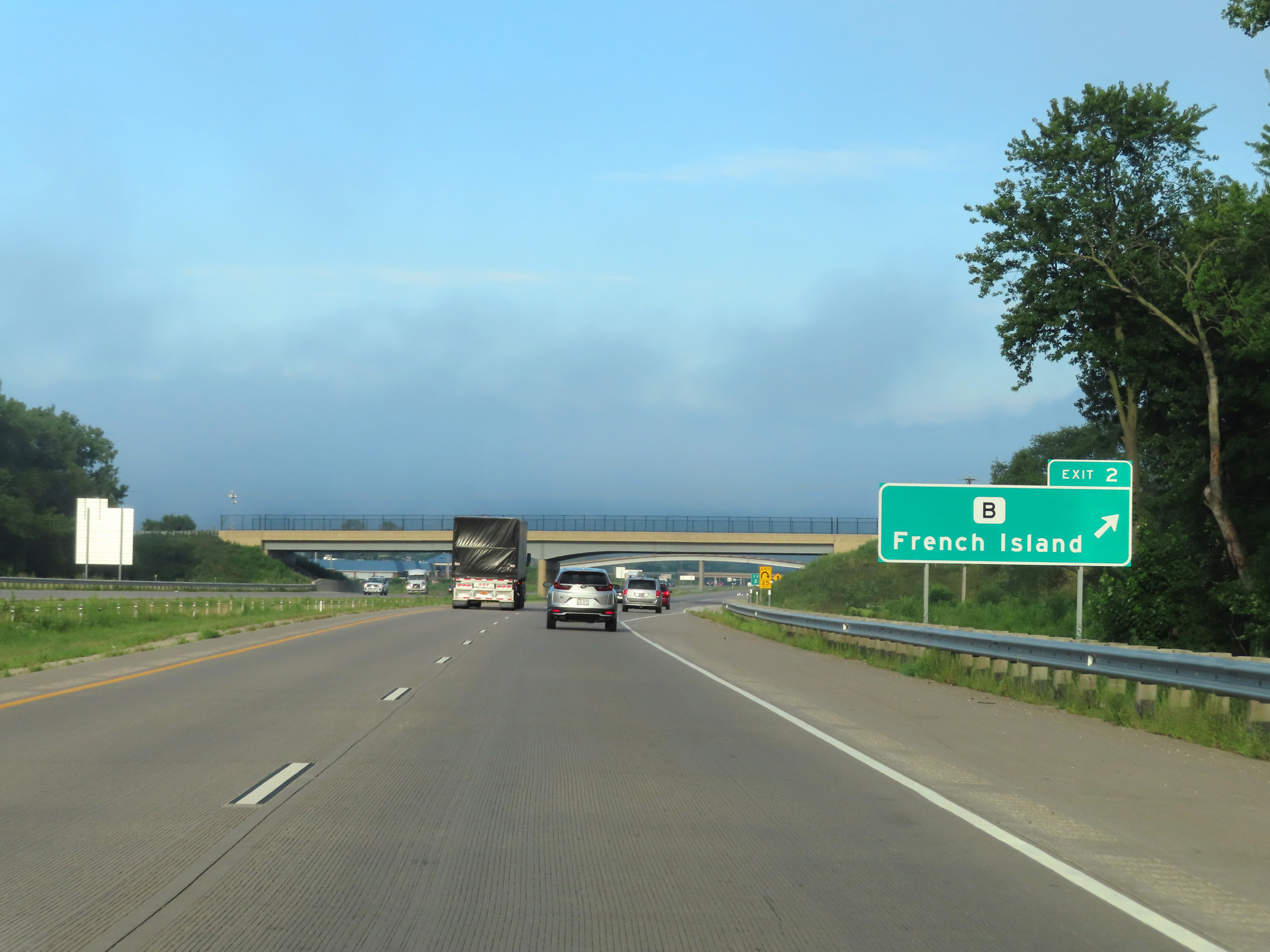 |
Interstate 90 West at Exit 2: Hwy B - French Island (Photo taken 8/16/22). |
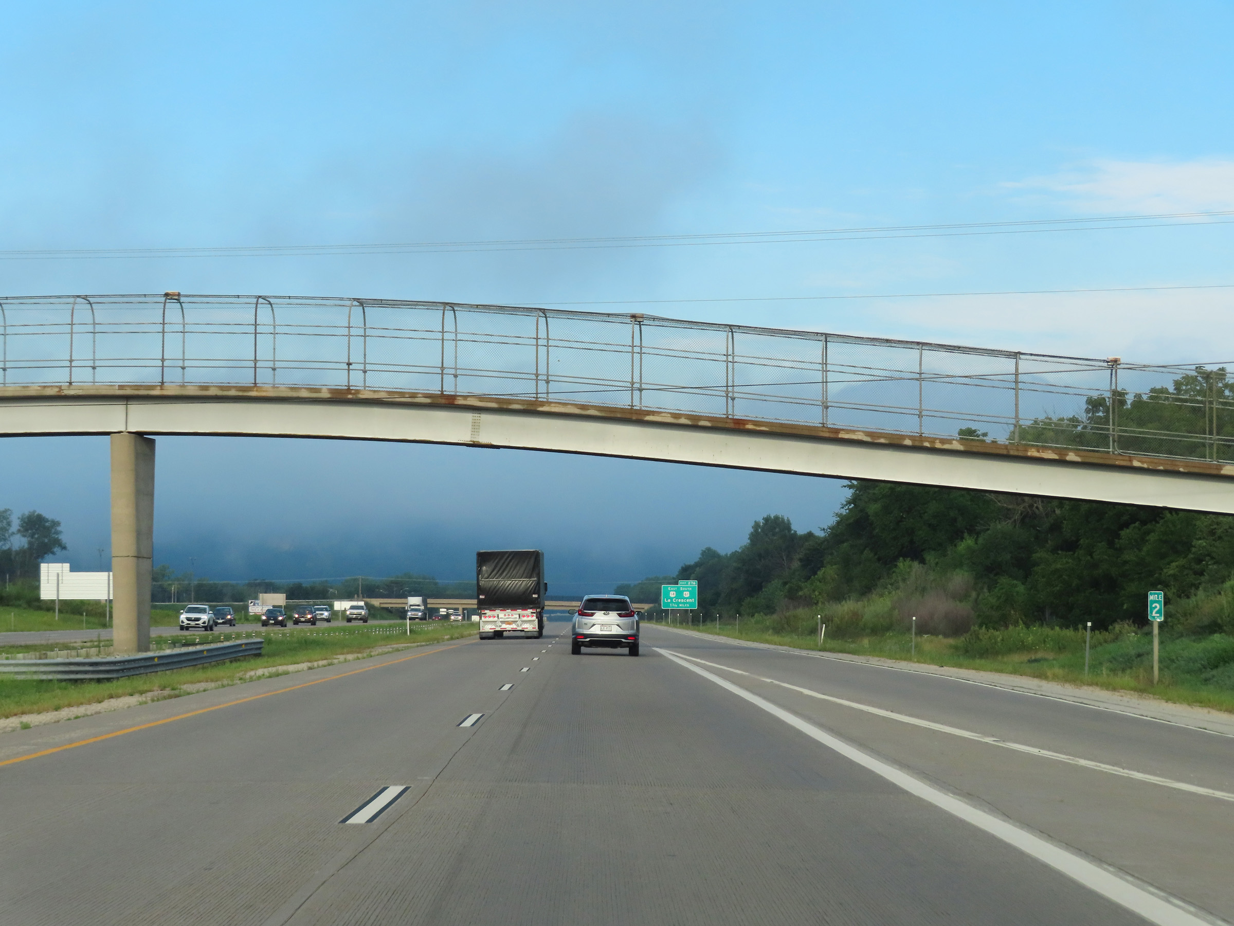 |
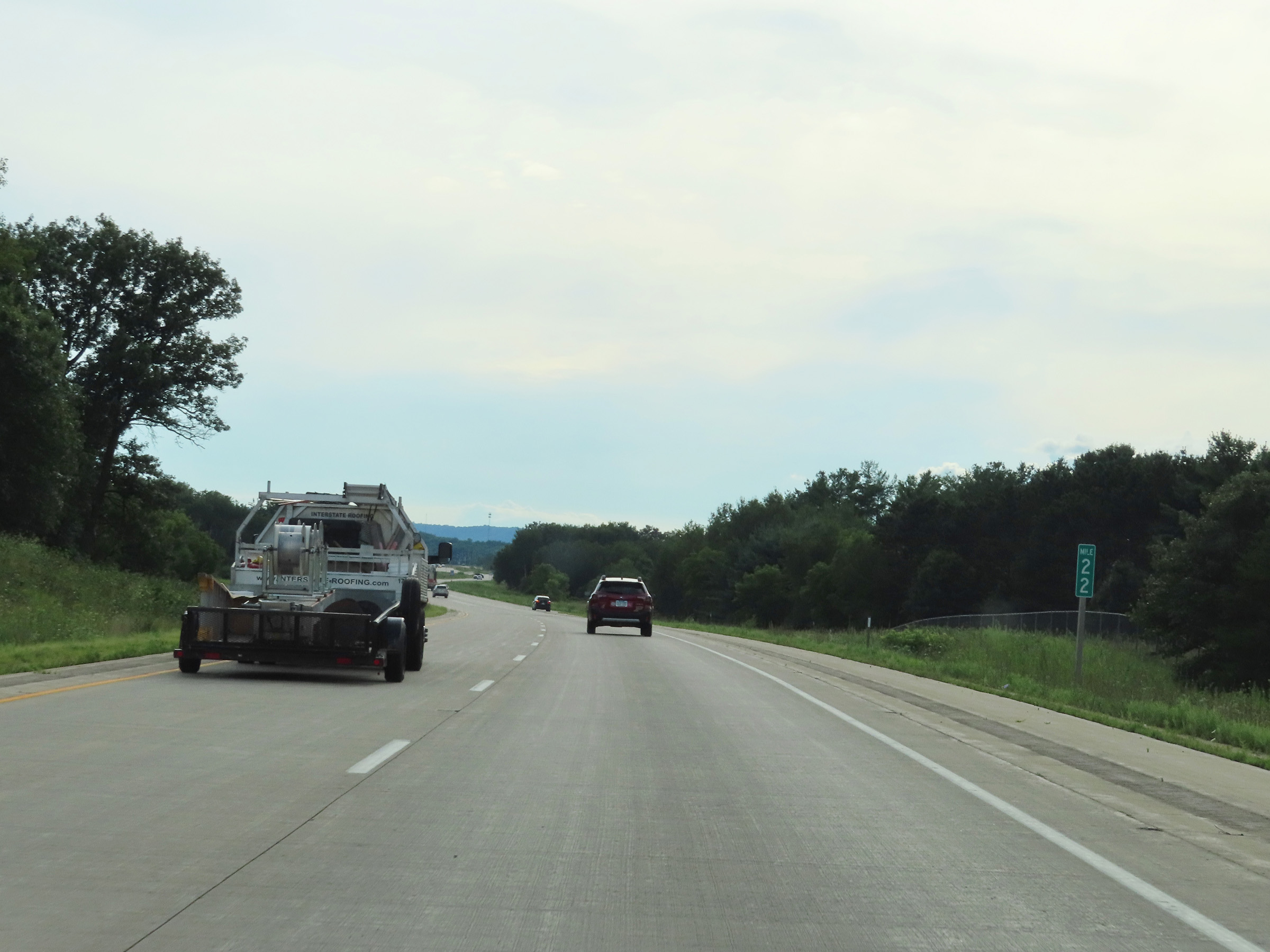
Interstate 90 West at mile marker 2. (Photo taken 8/16/22). |
 |
Advance signage for Exit 276, which will be the first exit on Interstate 90 West after crossing the Mississippi River into Minnesota 1 3/4 miles ahead. (Photo taken 8/16/22). |
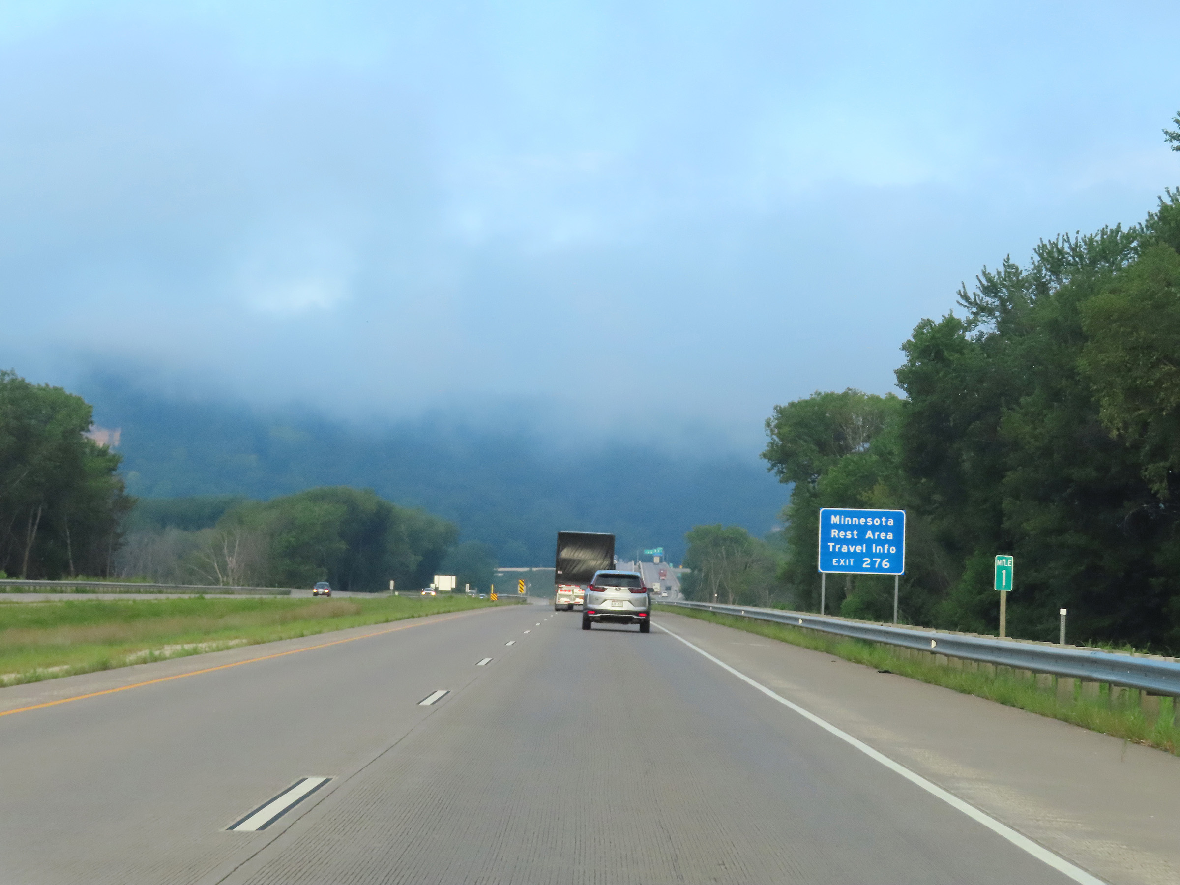 |
View on Interstate 90 West at mile marker 1. A Minnesota Travel Information Center is available at the Rest Area located off Exit 276, once I-90 West crosses the Mississippi River into Minnesota. (Photo taken 8/16/22). |
 |
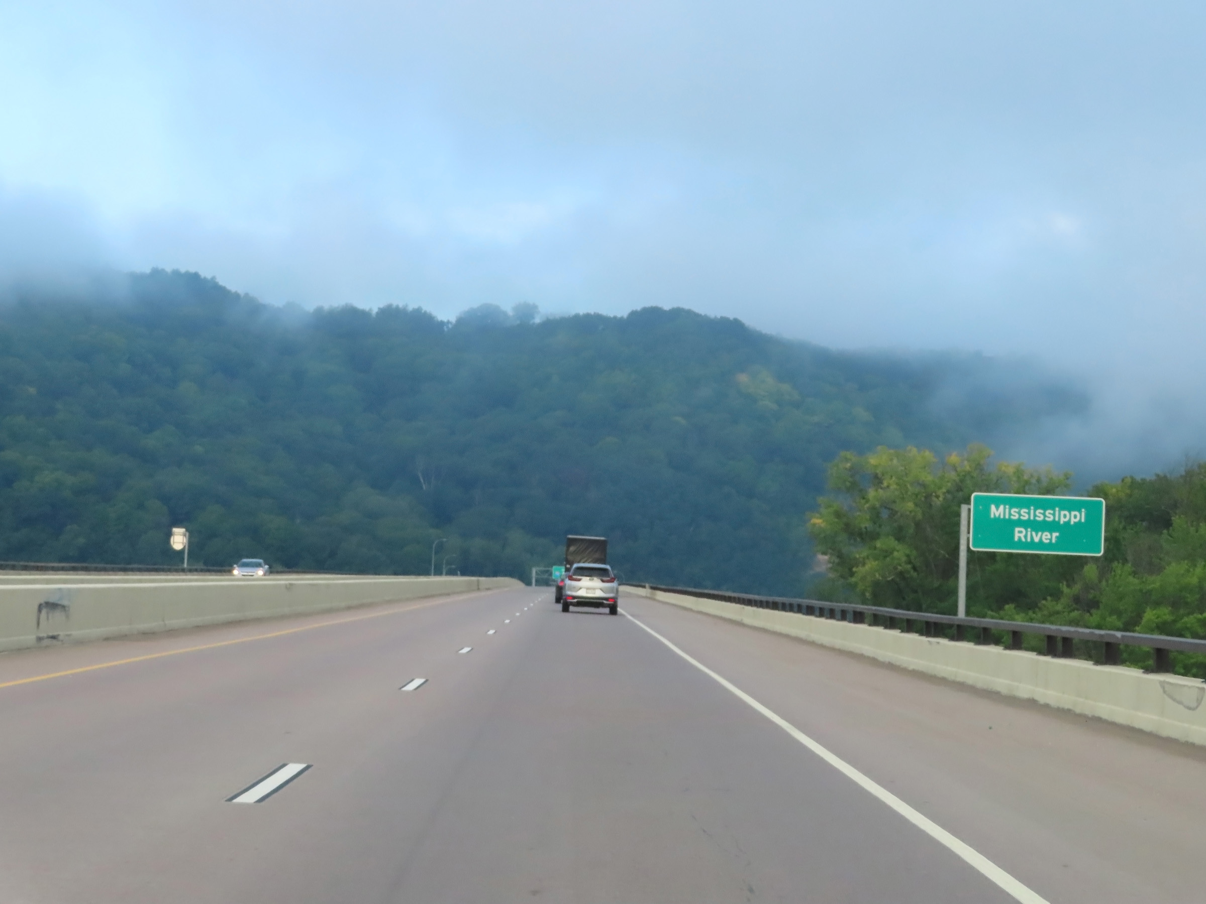
Interstate 90 West as it prepares to cross the Mississippi River in La Crosse. (Photo taken 8/16/22). |
 |
Interstate 90 West as it starts across the Dresbach Bridge, which will carry I-90 West traffic from Wisconsin over the Mississippi River into Minnesota. (Photo taken 8/16/22). |
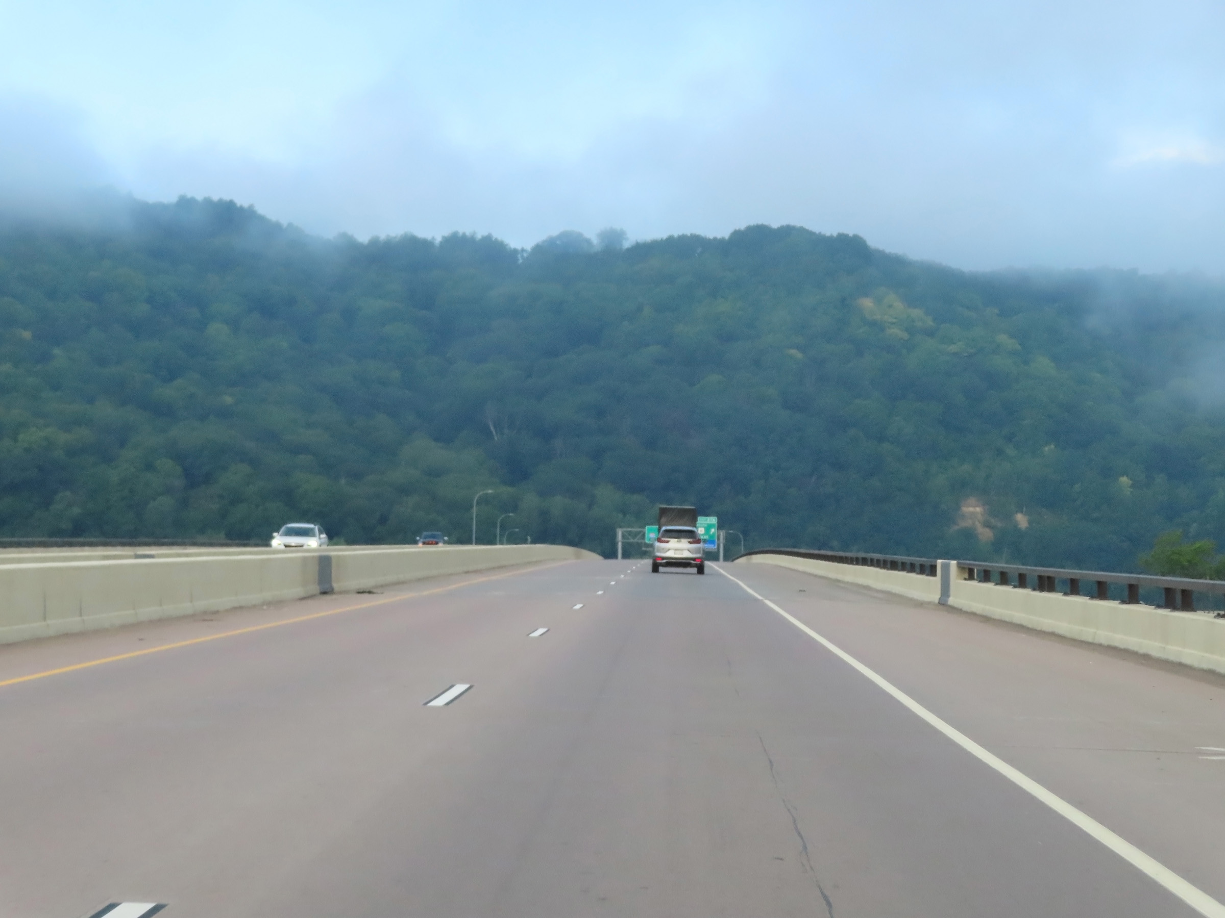 |
Interstate 90 West as it crosses the Dresbach Bridge over the Mississippi River, which carries it from Wisconsin into Minnesota. (Photo taken 8/16/22). |