Road Information |
||
 |
||
| Total Mileage in State: | 187 miles | |
| Northern End: | At US 51/WI 29, near Wausau | |
| Southern End: | At Illinois state line | |
| Mileage covered in Photos: | 187 miles | |
| Counties covered in Photos: | Rock, Dane, Columbia, Marquette, Waushara, Portage, Marathon | |
| Major Junctions in Photos: | I-43, in Beloit US 12/US 18, in Madison I-94, in Madison I-90 West, near Portage US 10, in Stevens Point US 51 North/WI 29, near Wausau |
|
| Control Cities in Photos: | Beloit, Janesville, Madison, Portage, Stevens Point, Wausau | |
Northbound
- Section 1: Illinois Border to Madison (Exit 138A)
- Section 2: Madison (Exit 138A) to Portage (Exit 92)
- Section 3: Portage (Exit 92) to Stevens Point (Exit 159)
- Section 4: Stevens Point (Exit 159) to Northern Terminus (Exit 188)
Section 1: Illinois Border to Madison (Exit 138A)
 |
Interstate 39 North / Interstate 90 West as they enter Wisconsin and Rock County from Illinois. I-39 North and I-90 West will run concurrently for the next 79 miles. Along the way, Interstate 94 West will also join them. (Photo taken 8/15/22). |
 |
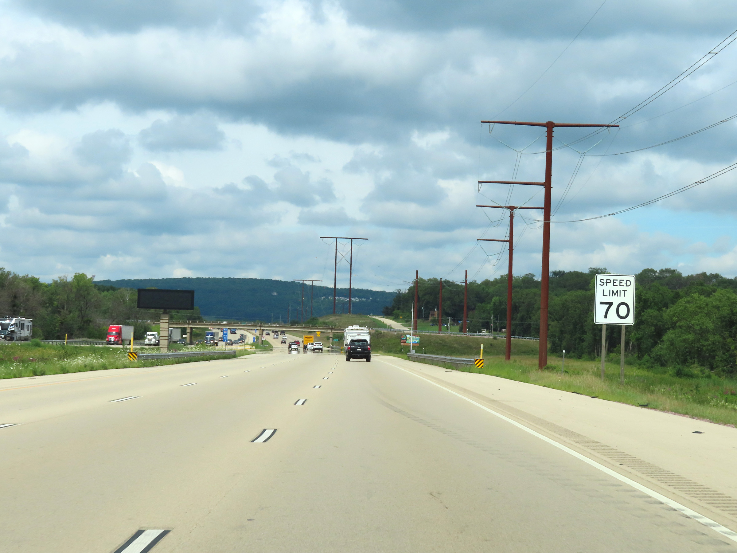
Interstate 39 North / Interstate 90 West reassurance shields upon entering Wisconsin. The speed limit starts out at 70 mph, which is the standard speed limit on most rural Interstate highways in Wisconsin. (Photo taken 8/15/22). |
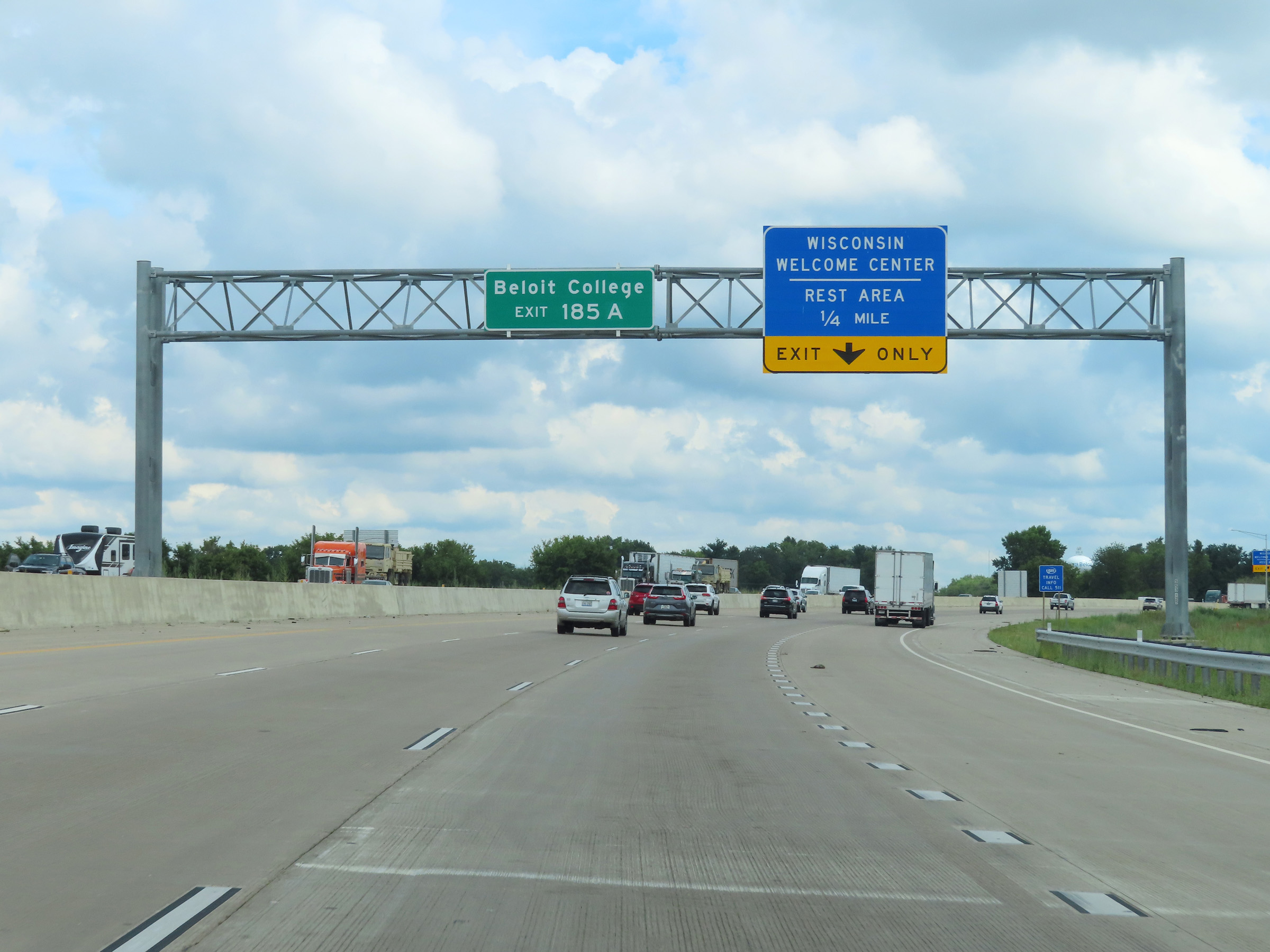 |
Take Exit 185A to Beloit College. (Photo taken 8/15/22). |
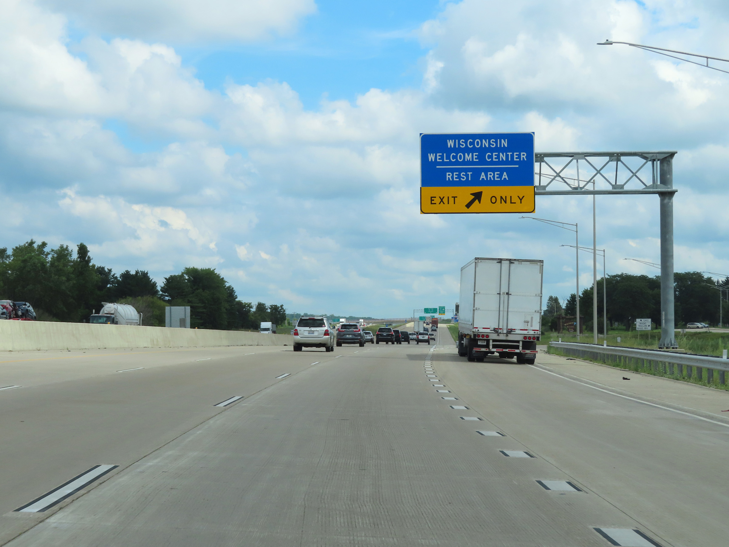 |
Wisconsin Welcome Center / Rest Area on Interstate 39 North / Interstate 90 West in Beloit, Rock County. (Photo taken 8/15/22). |
 |
Wisconsin welcome sign at the Welcome Center / Rest Area on Interstate 39 North / Interstate 90 West. (Photo taken 8/15/22). |
 |
Interstate 39 North / Interstate 90 West approaching Exits 185A-B - 1/2 mile. During the I-39 / I-90 concurrency, the mileage and exit numbers are based on the total mileage of I-90 in Wisconsin. (Photo taken 8/15/22). |
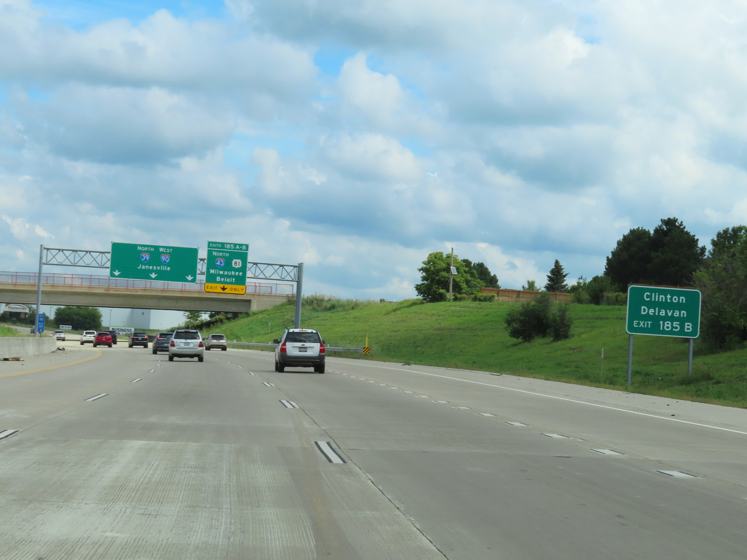 |
Take Exit 185B (Interstate 43 North) to Clinton and Delavan. (Photo taken 8/15/22). |
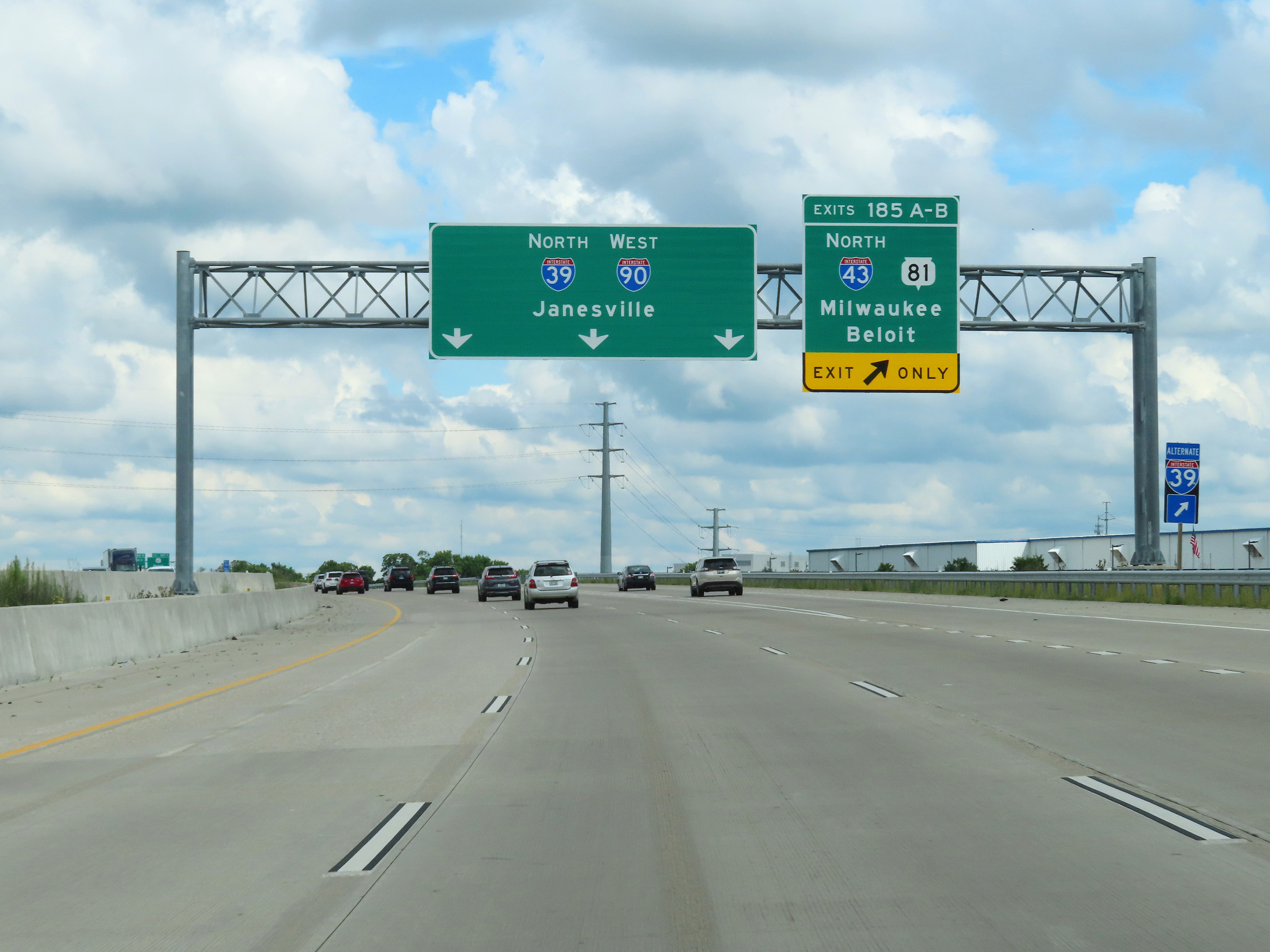 |
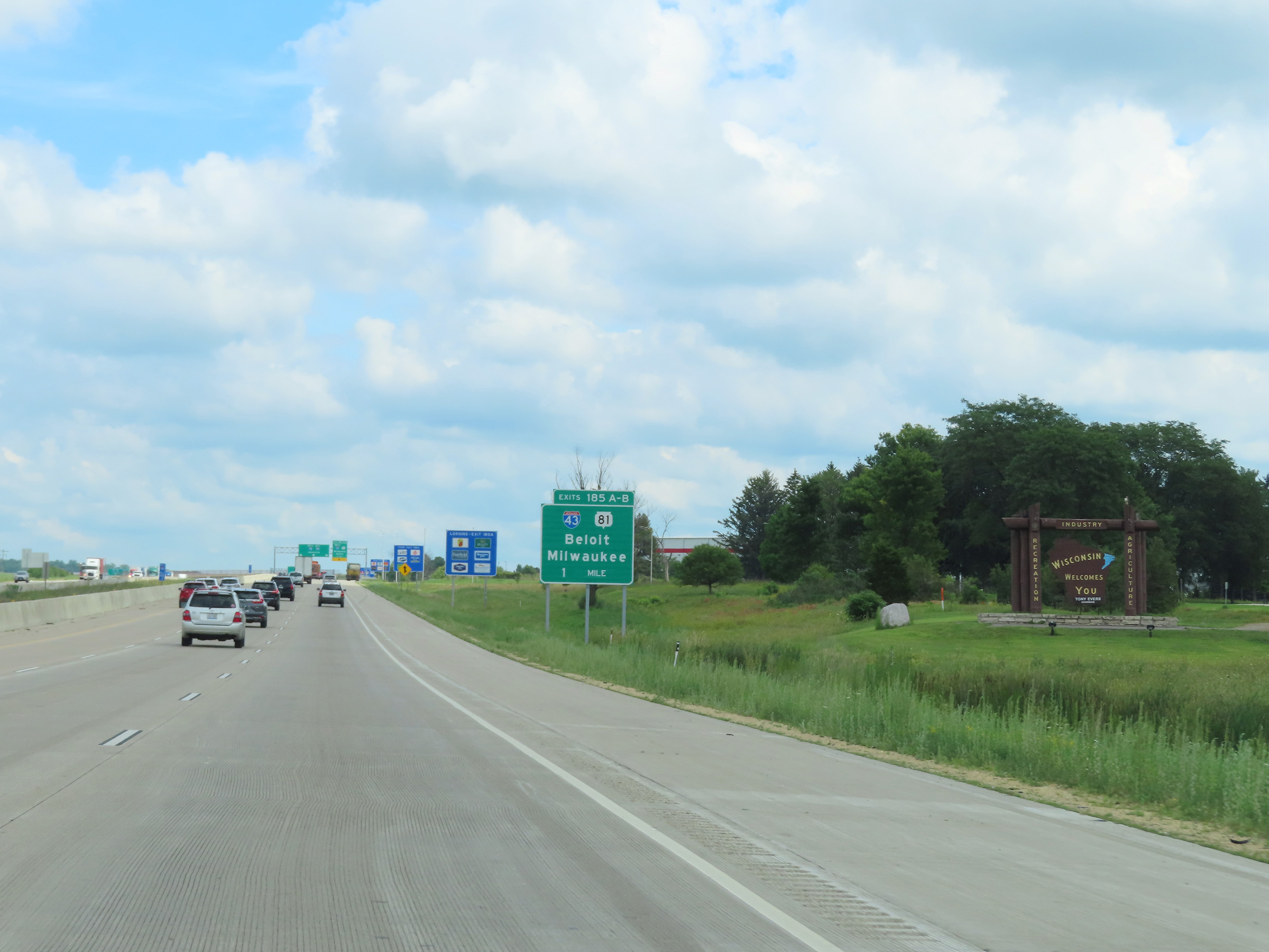
Interstate 39 North / Interstate 90 West at Exits 185A-B: Interstate 43 North / WI 81 - Milwaukee / Beloit (Photo taken 8/15/22). |
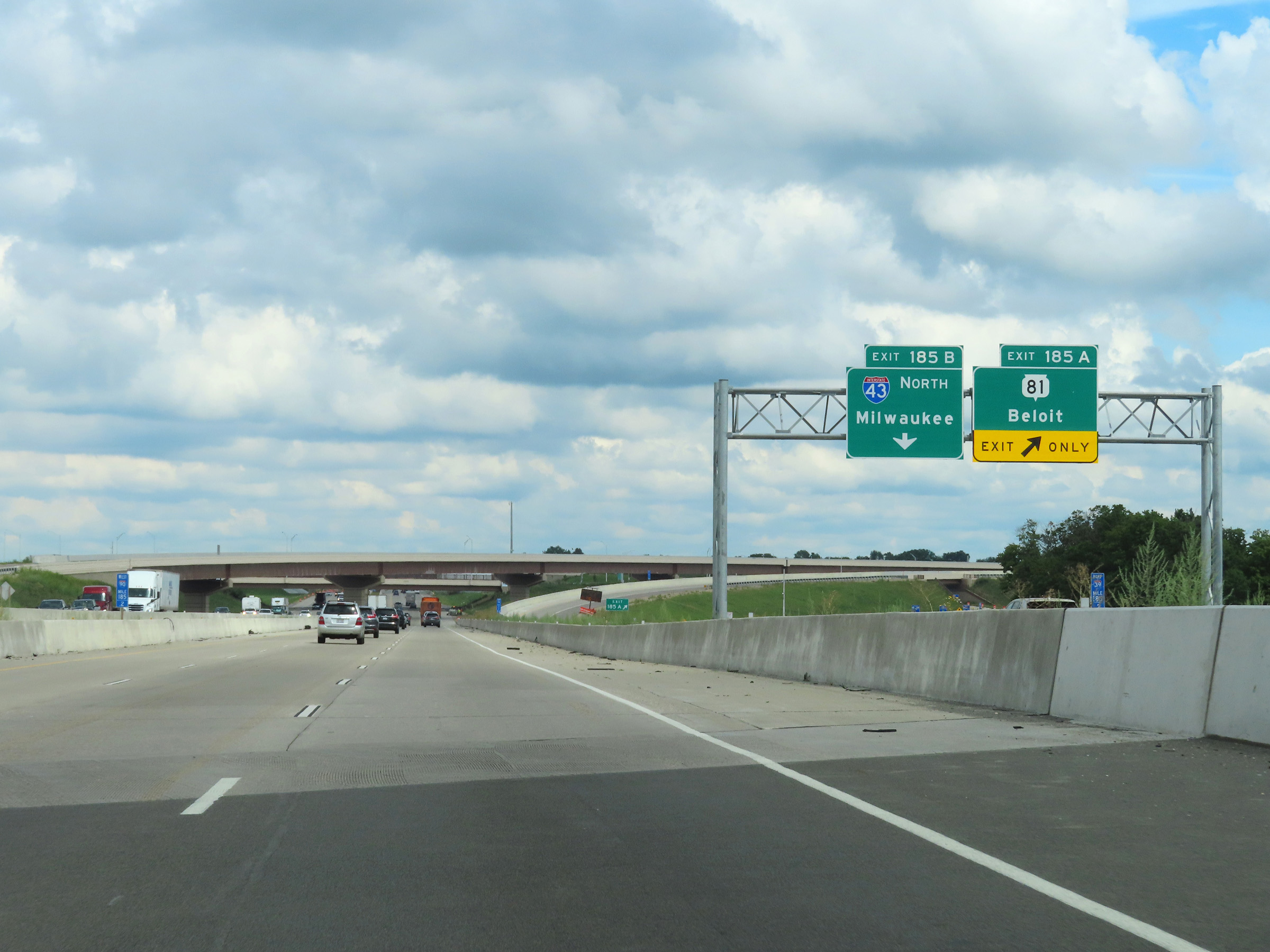 |
At mile marker 185.2 on Interstate 39 North / Interstate 90 West, the ramp to Exits 185A-B split into their respective exit ramps. (Photo taken 8/15/22). |
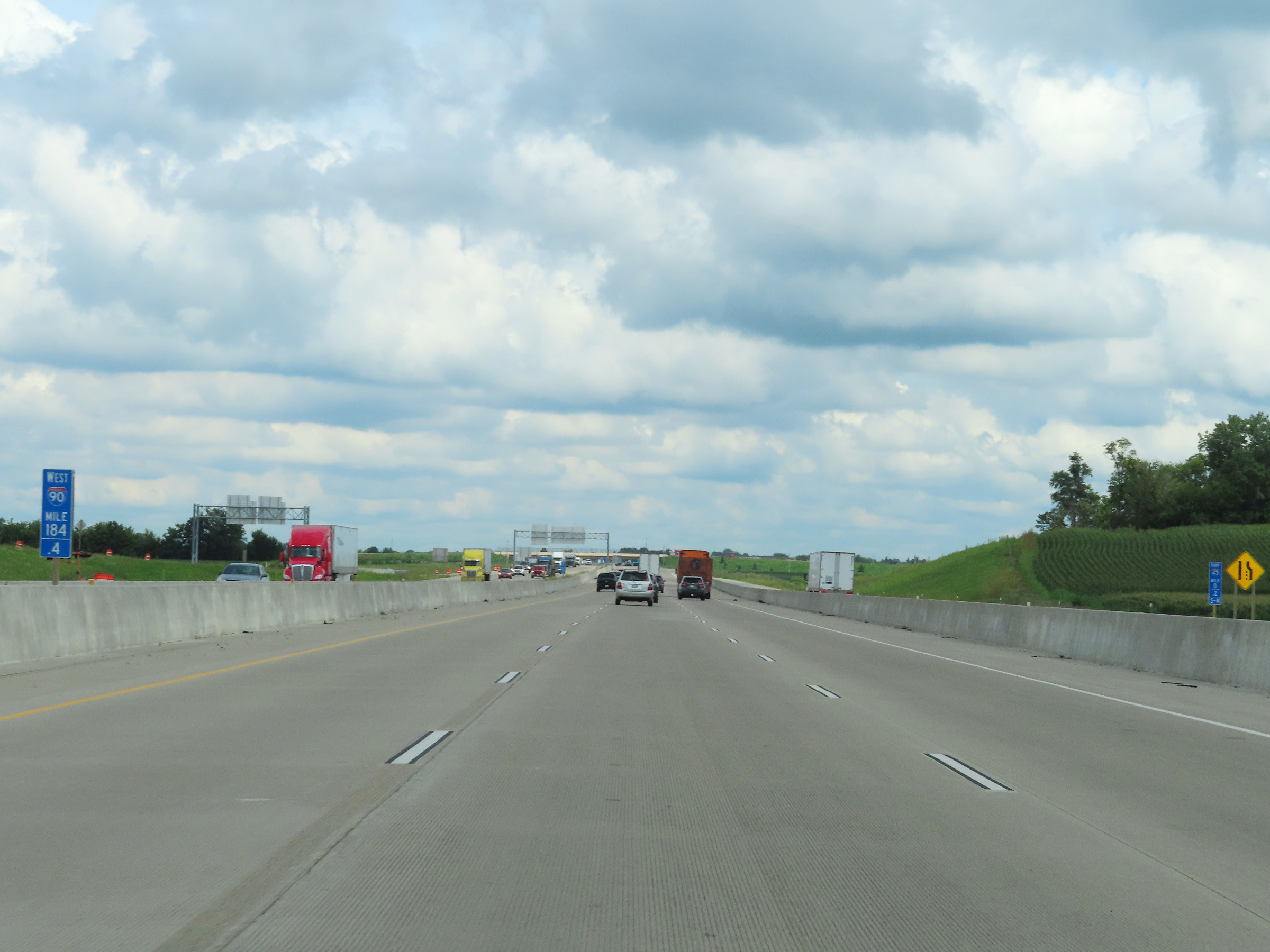 |
View on Interstate 39 North / Interstate 90 West at mile marker 184.4. (Photo taken 8/15/22). |
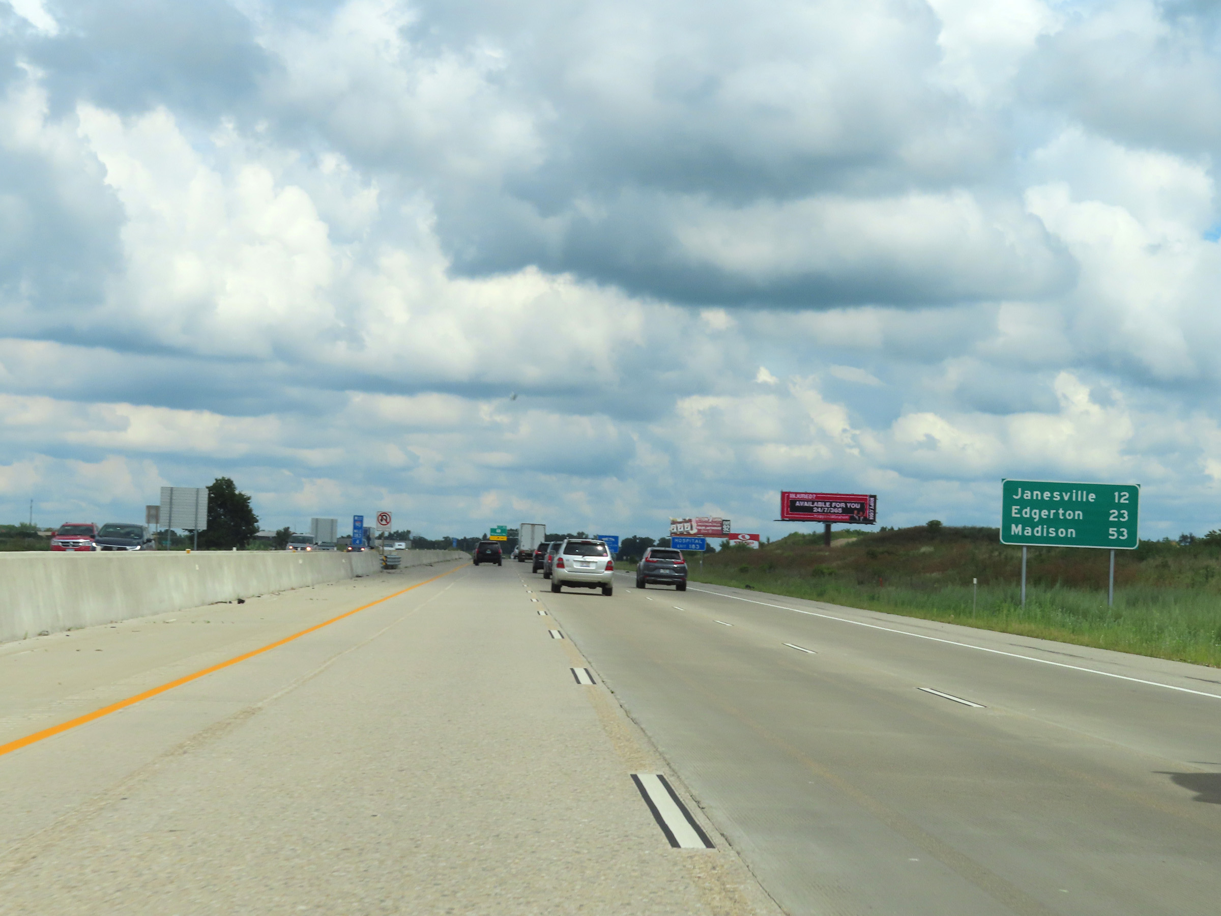 |
Mileage sign on Interstate 39 North / Interstate 90 West at mile marker 183.4. It's 12 miles to Janesville, 23 miles to Edgerton, and 53 miles to Madison. (Photo taken 8/15/22). |
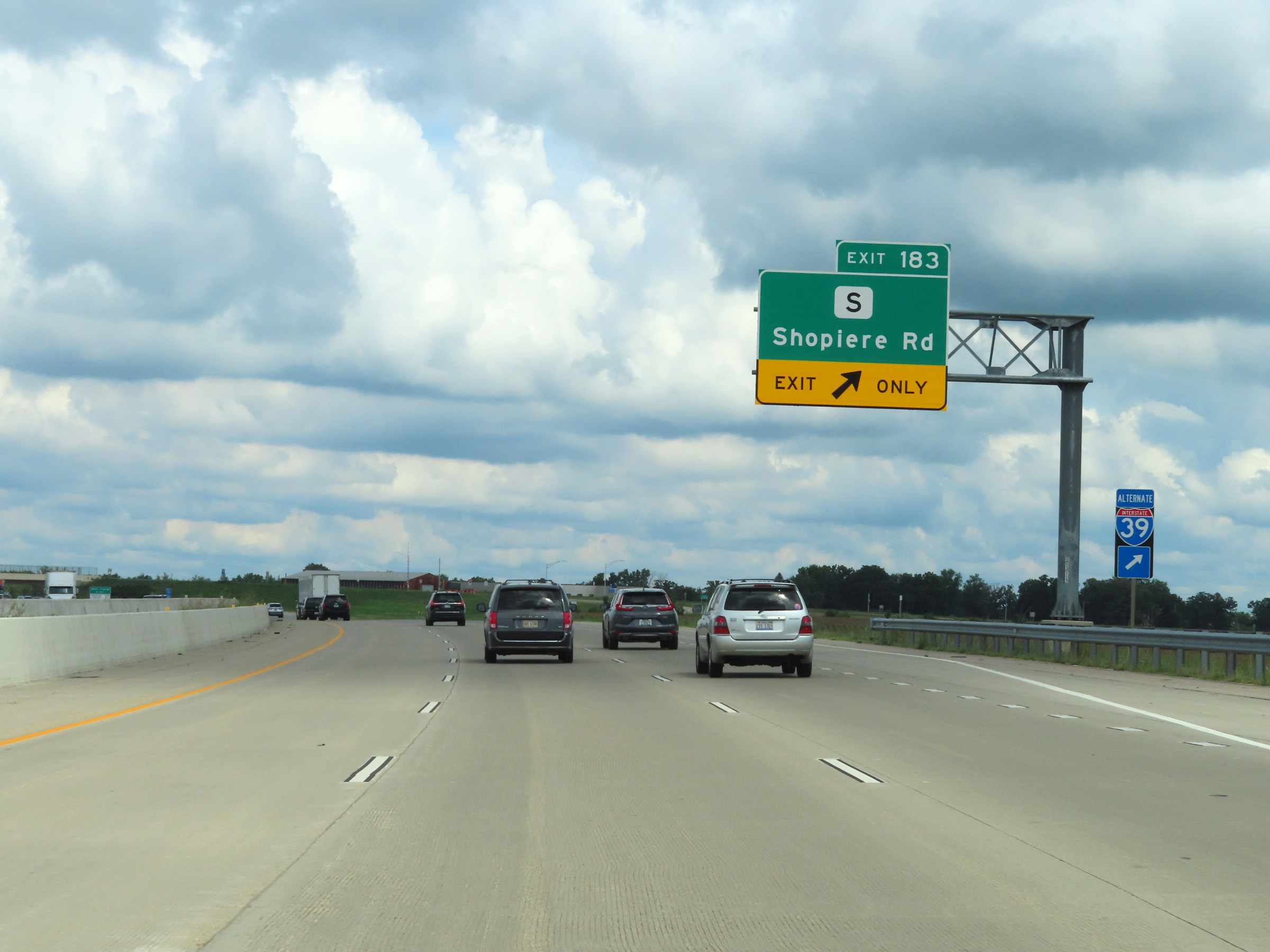 |
Interstate 39 North / Interstate 90 West at Exit 183: Hwy S - Shopiere Rd (Photo taken 8/15/22). |
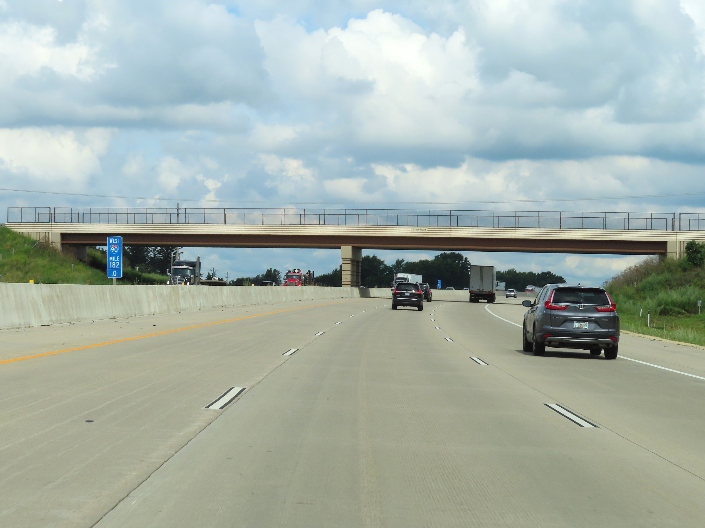 |
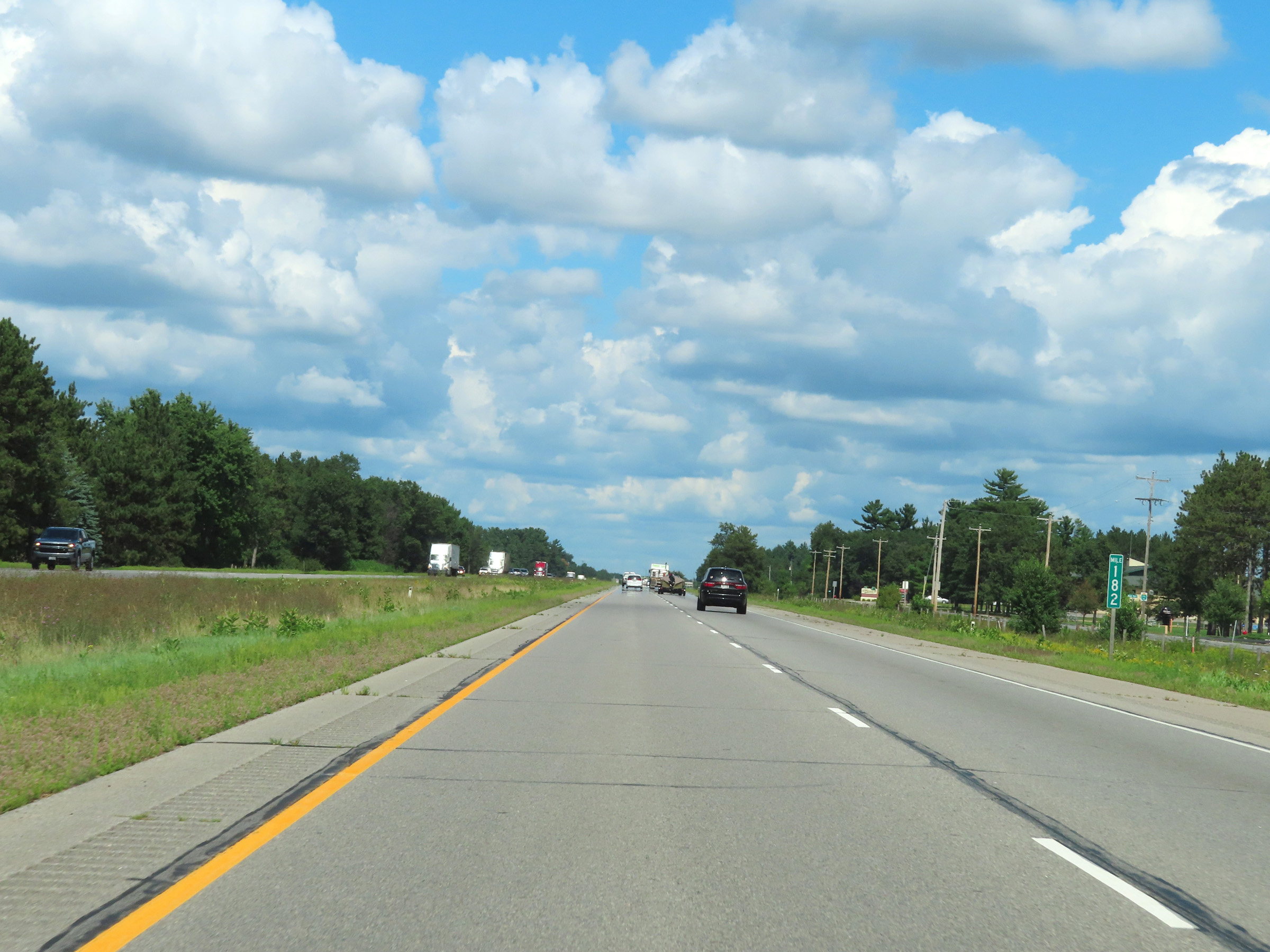
Mile marker 182 on Interstate 39 North / Interstate 90 West in Rock County. (Photo taken 8/15/22). |
 |
The speed limit remains 70 mph on Interstate 39 North / Interstate 90 West. (Photo taken 8/15/22). |
 |
Truck Parking is available 24 hours a day in the Weigh Station ahead. (Photo taken 8/15/22). |
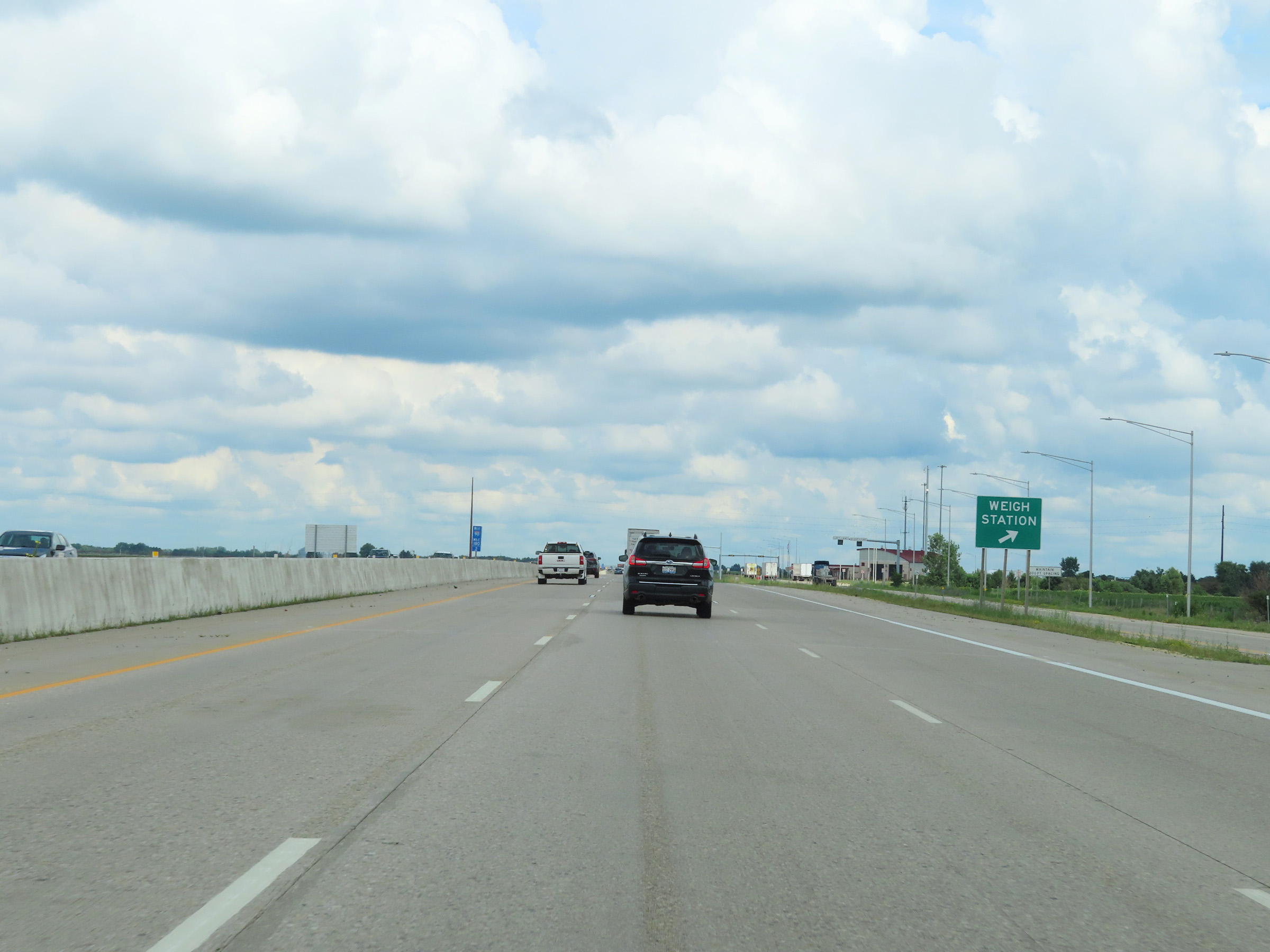 |
Weigh Station on Interstate 39 North / Interstate 90 West at mile marker 180.2 in Rock County. (Photo taken 8/15/22). |
 |
Take any of the next 4 exits to Janesville. (Photo taken 8/15/22). |
 |
Take Exit 177 to Avalon Rd. (Photo taken 8/15/22). |
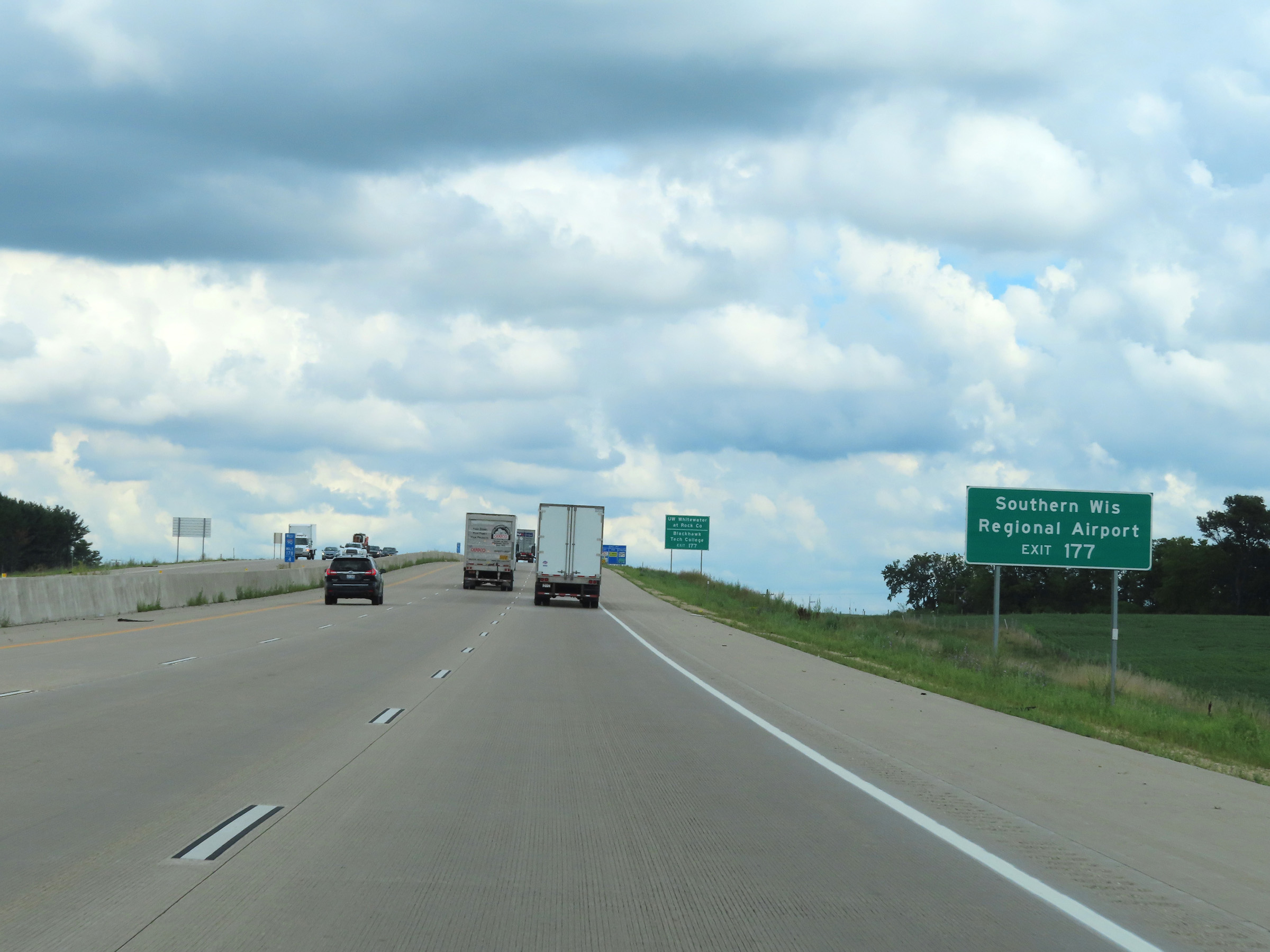 |
Also take Exit 177 to Southern Wisconsin Regional Airport. (Photo taken 8/15/22). |
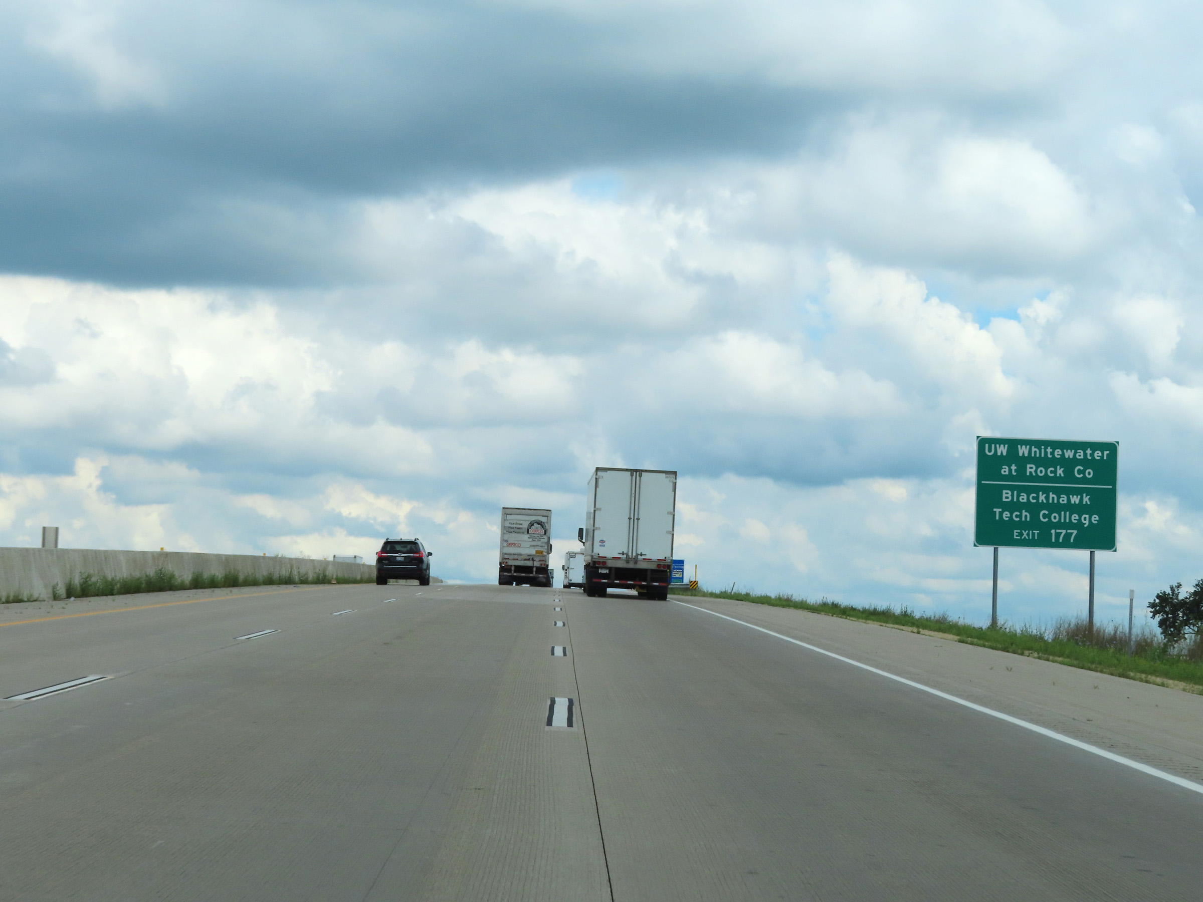 |
Take Exit 177 to UW Whitewater at Rock County and Blackhawk Tech College as well. (Photo taken 8/15/22). |
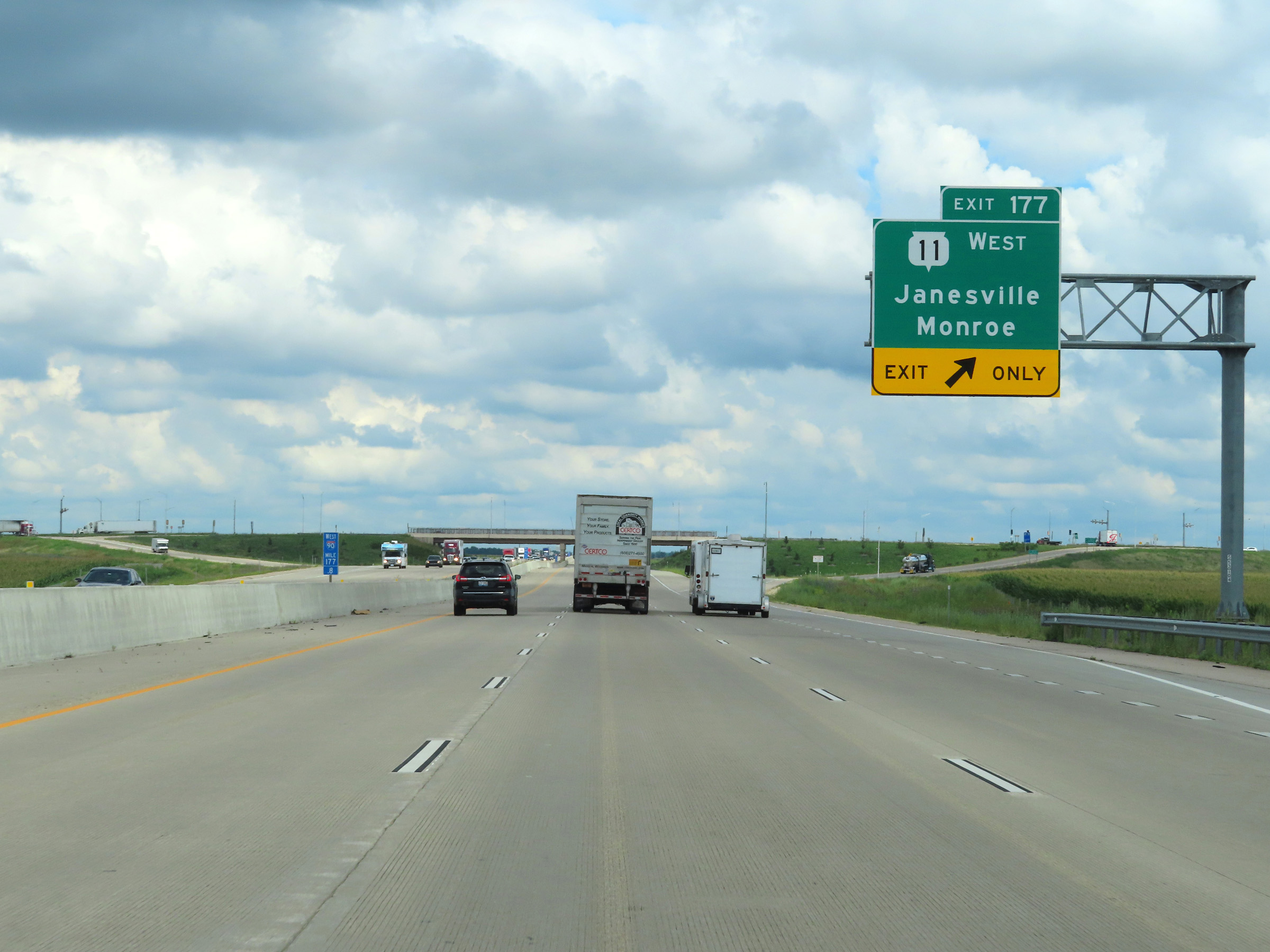 |
Interstate 39 North / Interstate 90 West at Exit 177: WI 11 West - Janesville / Monroe (Photo taken 8/15/22). |
 |
Another set of Interstate 39 North / Interstate 90 West reassurance shields in Janesville. (Photo taken 8/15/22). |
 |
Take Exit 175 to East Racine St. Trucks over 8 tons GVWR (Gross Vehicle Weight Rating) are prohibited on East Racine St, except for local deliveries. (Photo taken 8/15/22). |
 |
Also take Exit 175 to Downtown Janesville and a Visitor Information Center. (Photo taken 8/15/22). |
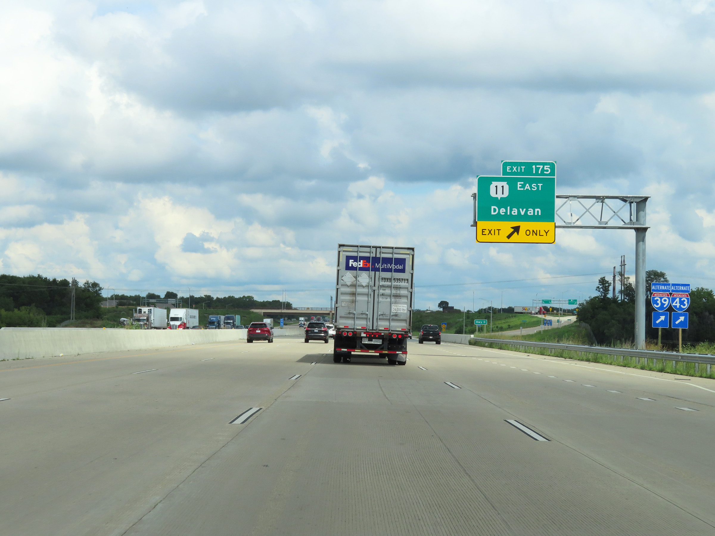 |
Interstate 39 North / Interstate 90 West at Exit 175: WI 11 East - Delavan (Photo taken 8/15/22). |
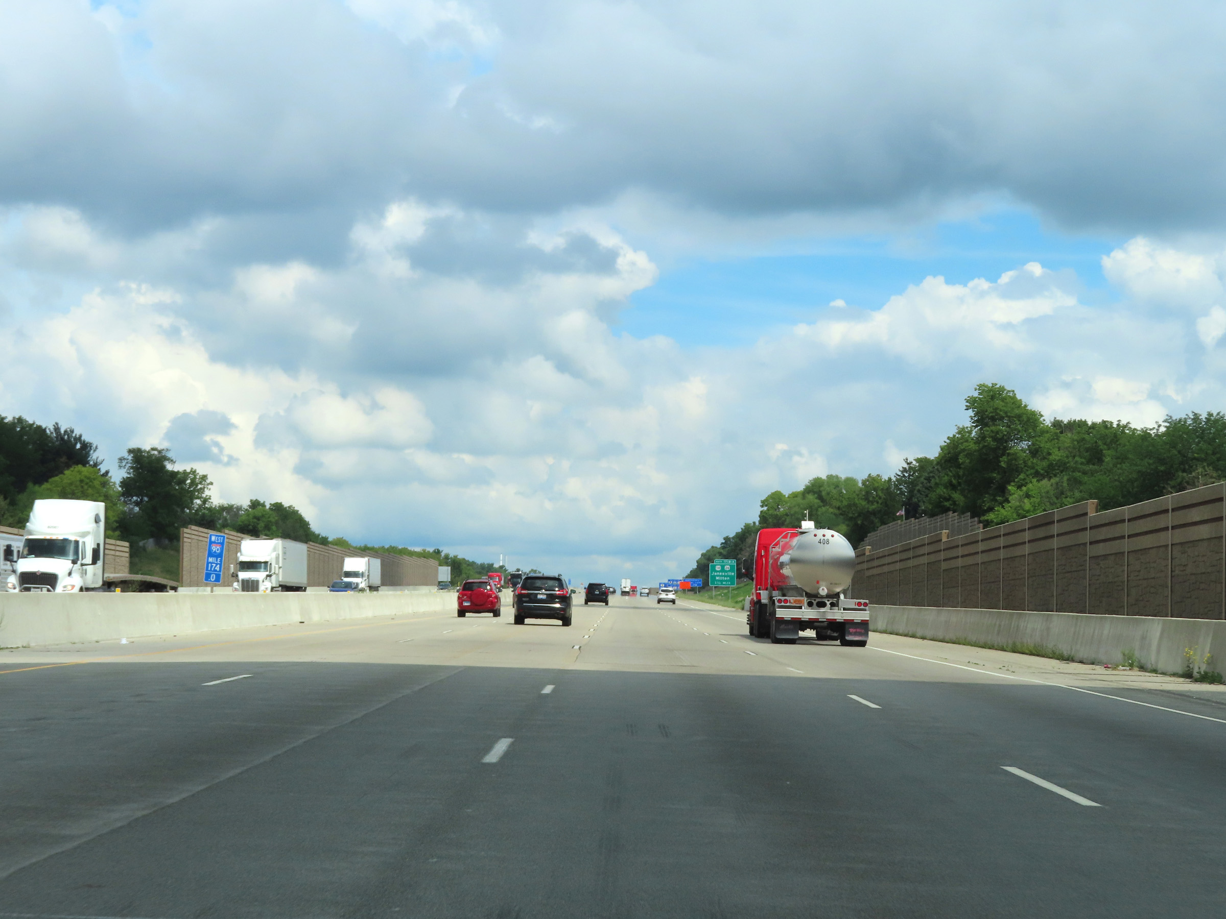 |
View on Interstate 39 North / Interstate 90 West at mile marker 174. (Photo taken 8/15/22). |
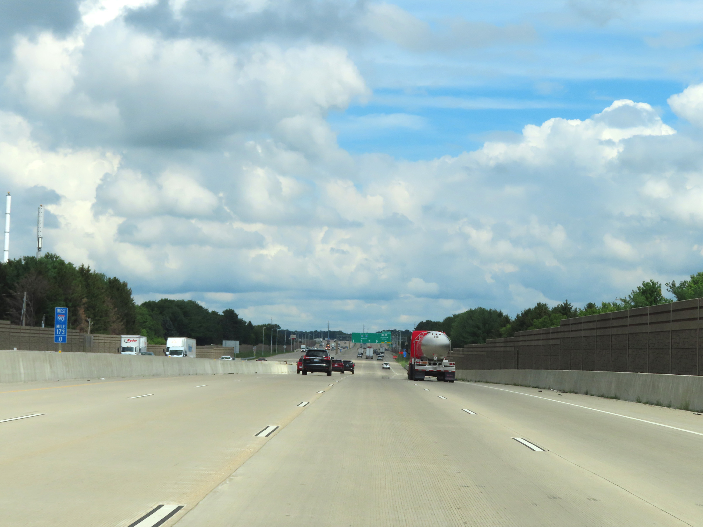 |
Mile marker 173 on Interstate 39 North / Interstate 90 West in Rock County. (Photo taken 8/15/22). |
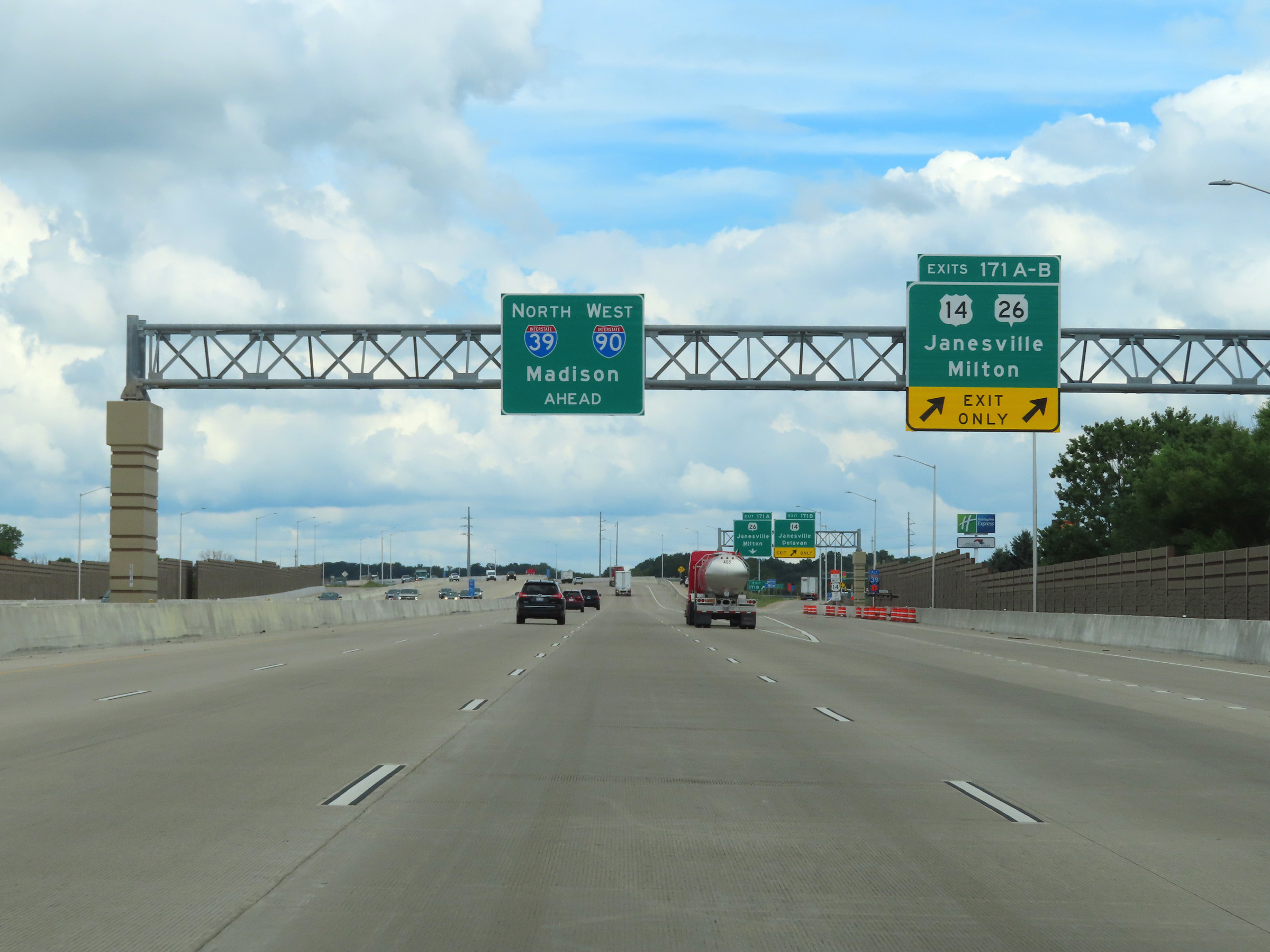 |
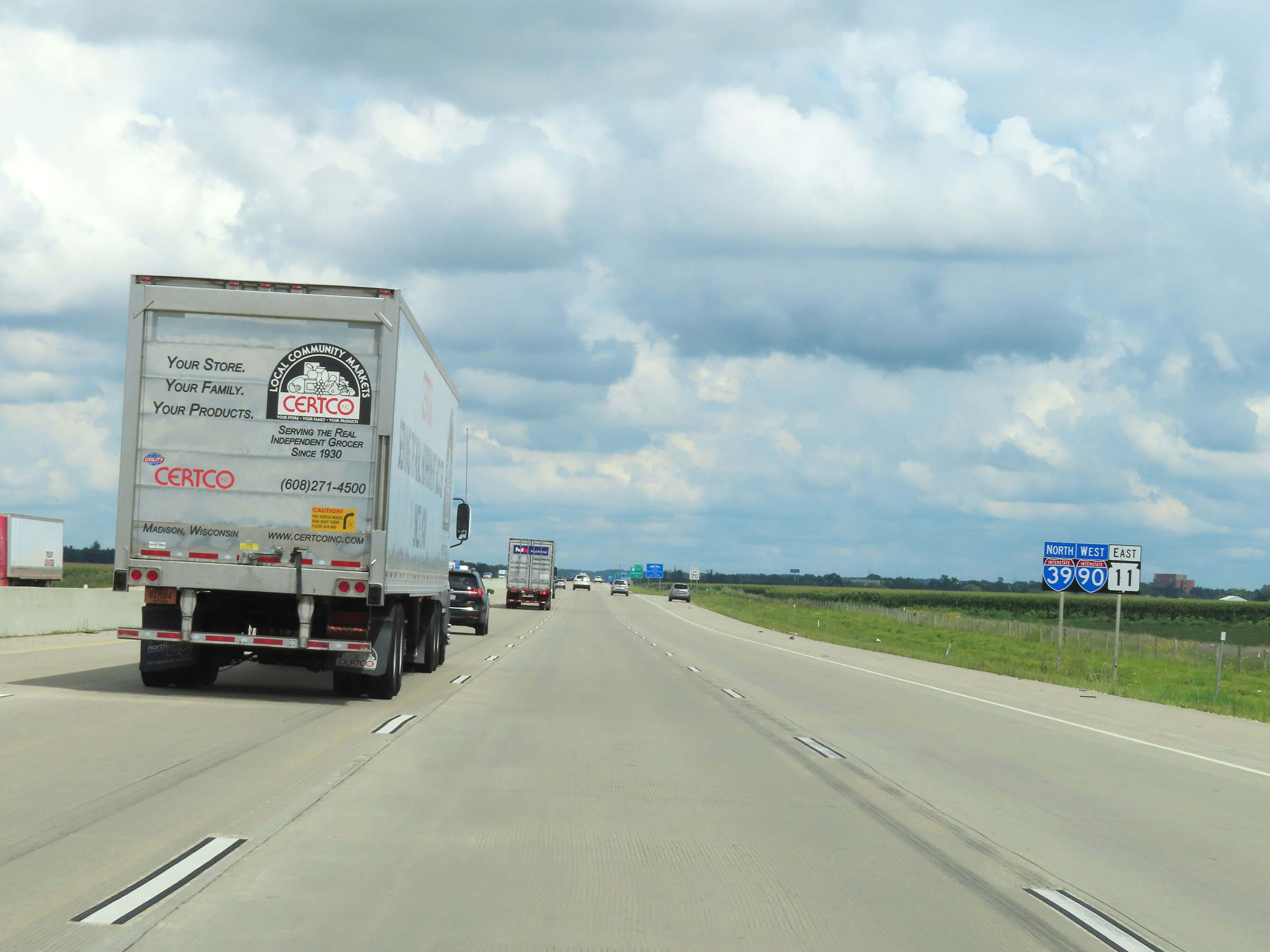
Interstate 39 North / Interstate 90 West at Exits 171A-B: US 14 / WI 26 - Janesville / Milton (Photo taken 8/15/22). |
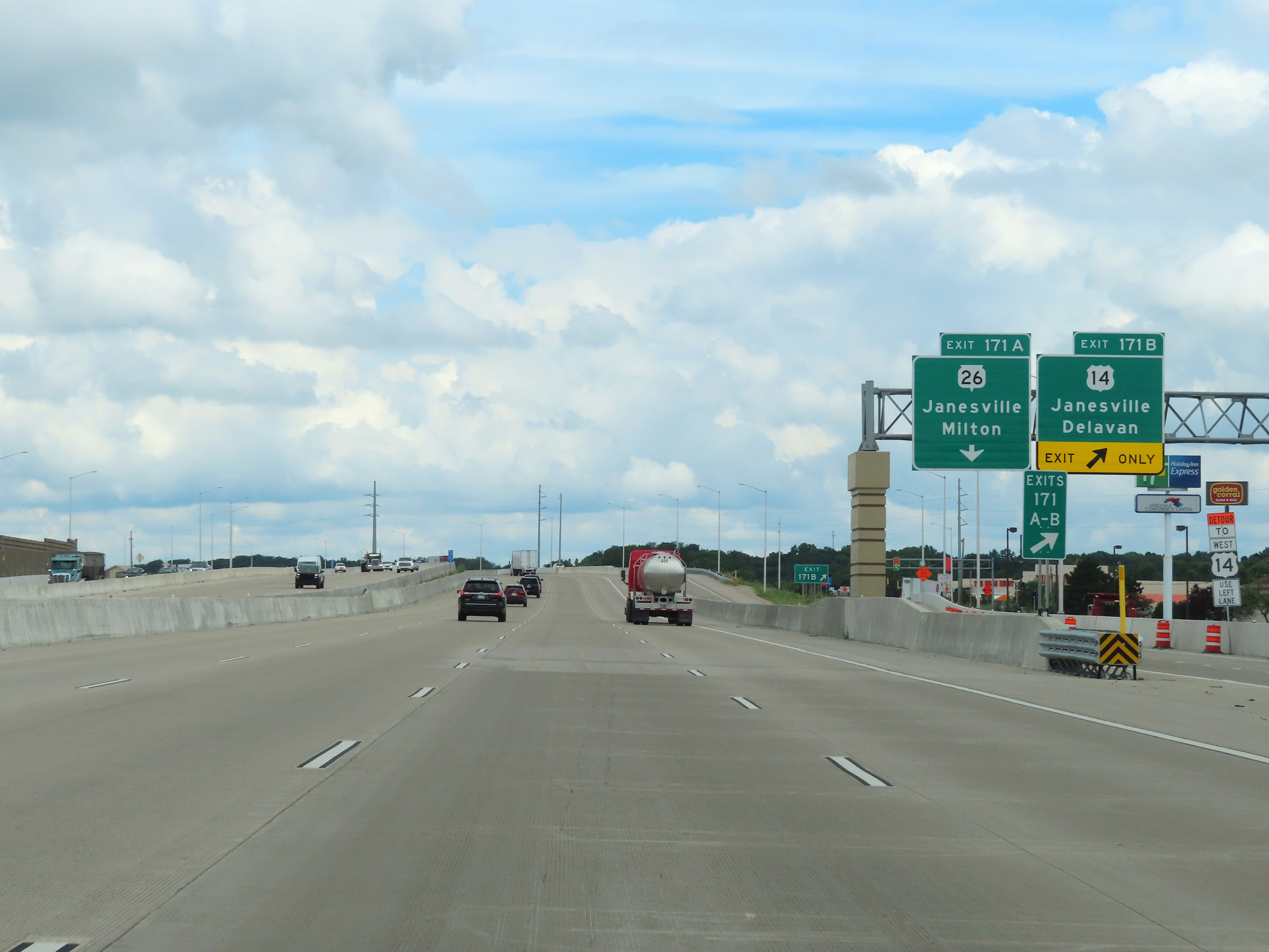 |
Interstate 39 North / Interstate 90 West at Exit 171B: US 14 - Janesville / Delavan (Photo taken 8/15/22). |
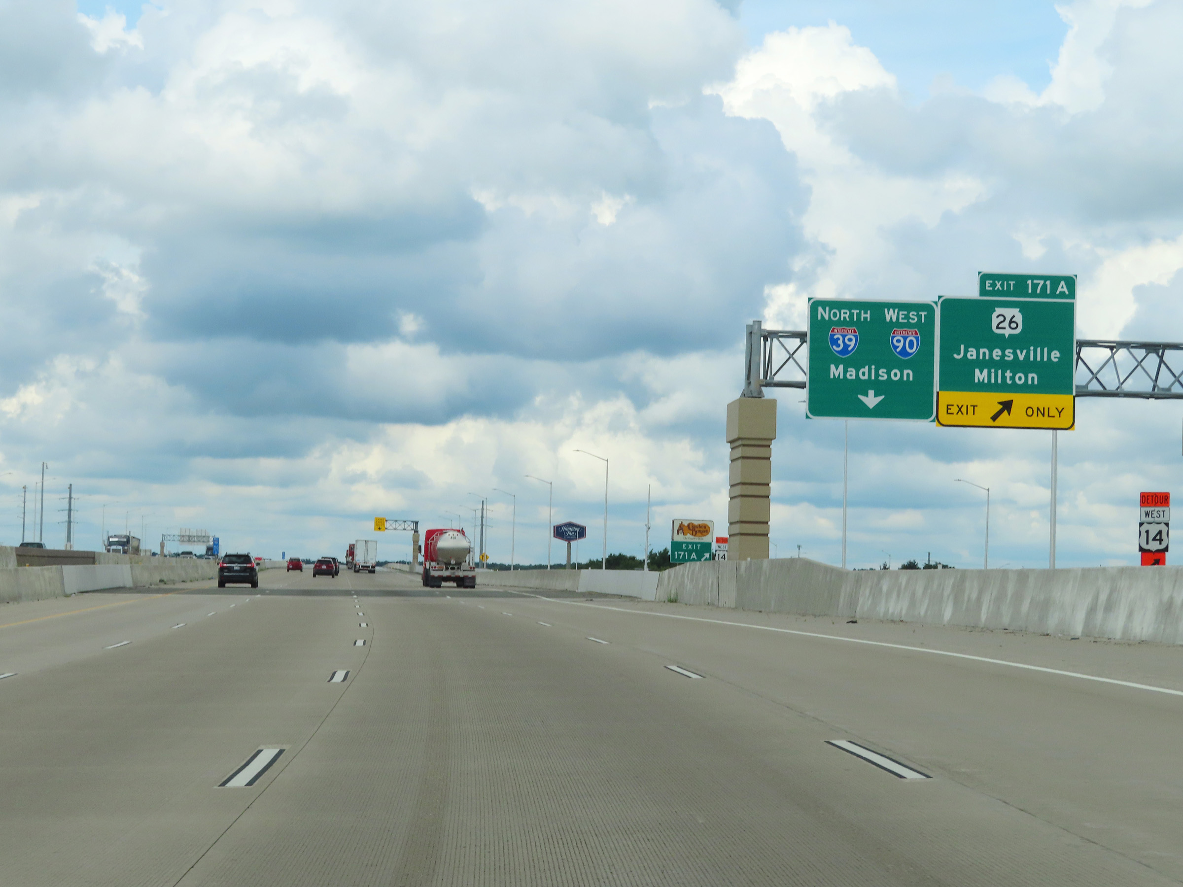 |
Interstate 39 North / Interstate 90 West at Exit 171A: WI 26 - Janesville / Milton (Photo taken 8/15/22). |
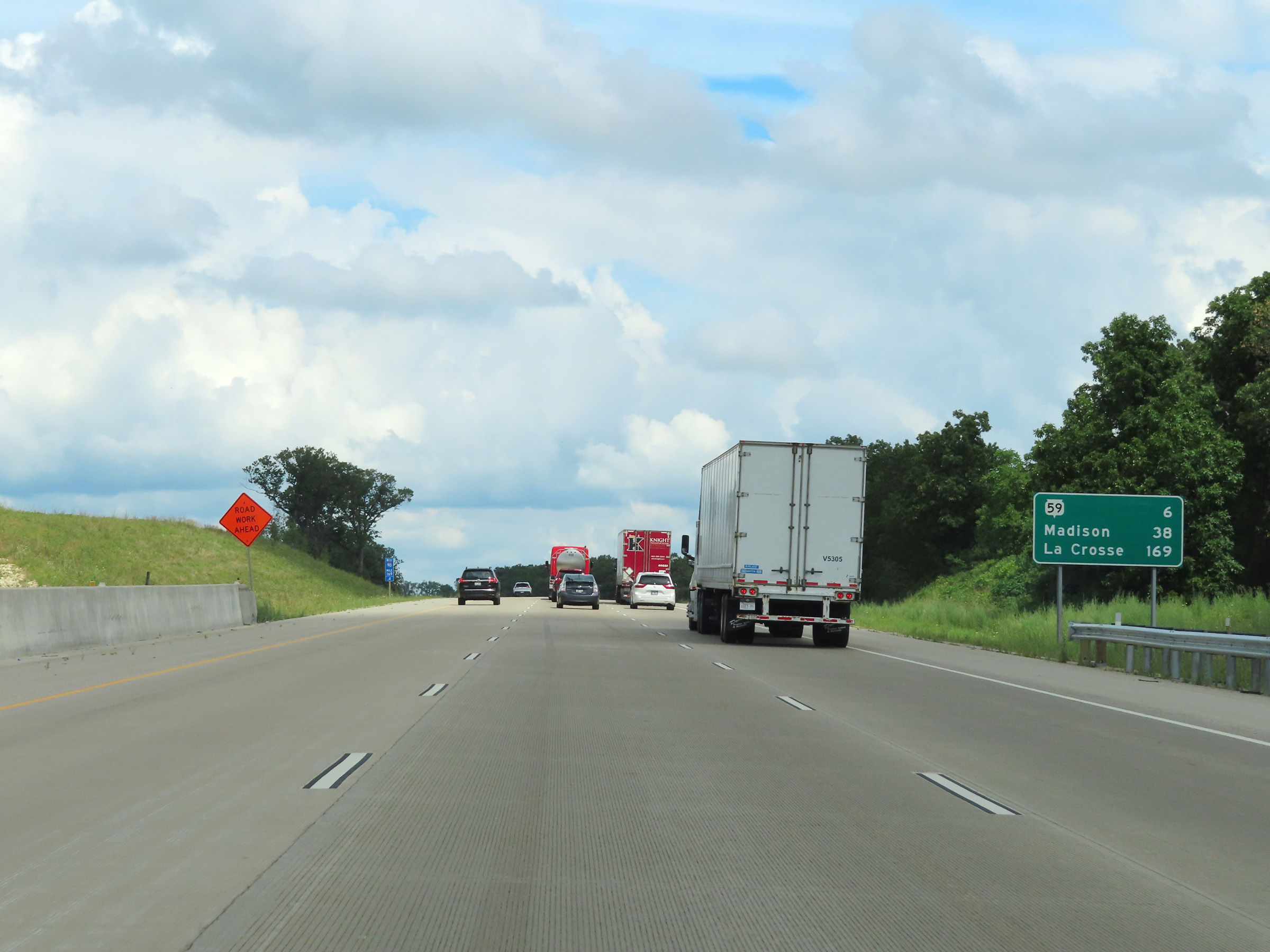 |
Mileage sign on Interstate 39 North / Interstate 90 West at mile marker 169.4. It's 6 miles to the junction of WI 59, 38 miles to Madison, and 169 miles to La Crosse. (Photo taken 8/15/22). |
 |
Interstate 39 North / Interstate 90 West at mile marker 169. (Photo taken 8/15/22). |
 |
View on Interstate 39 North / Interstate 90 West at mile marker 167. (Photo taken 8/15/22). |
 |
Mile marker 166 on Interstate 39 North / Interstate 90 West in Rock County. (Photo taken 8/15/22). |
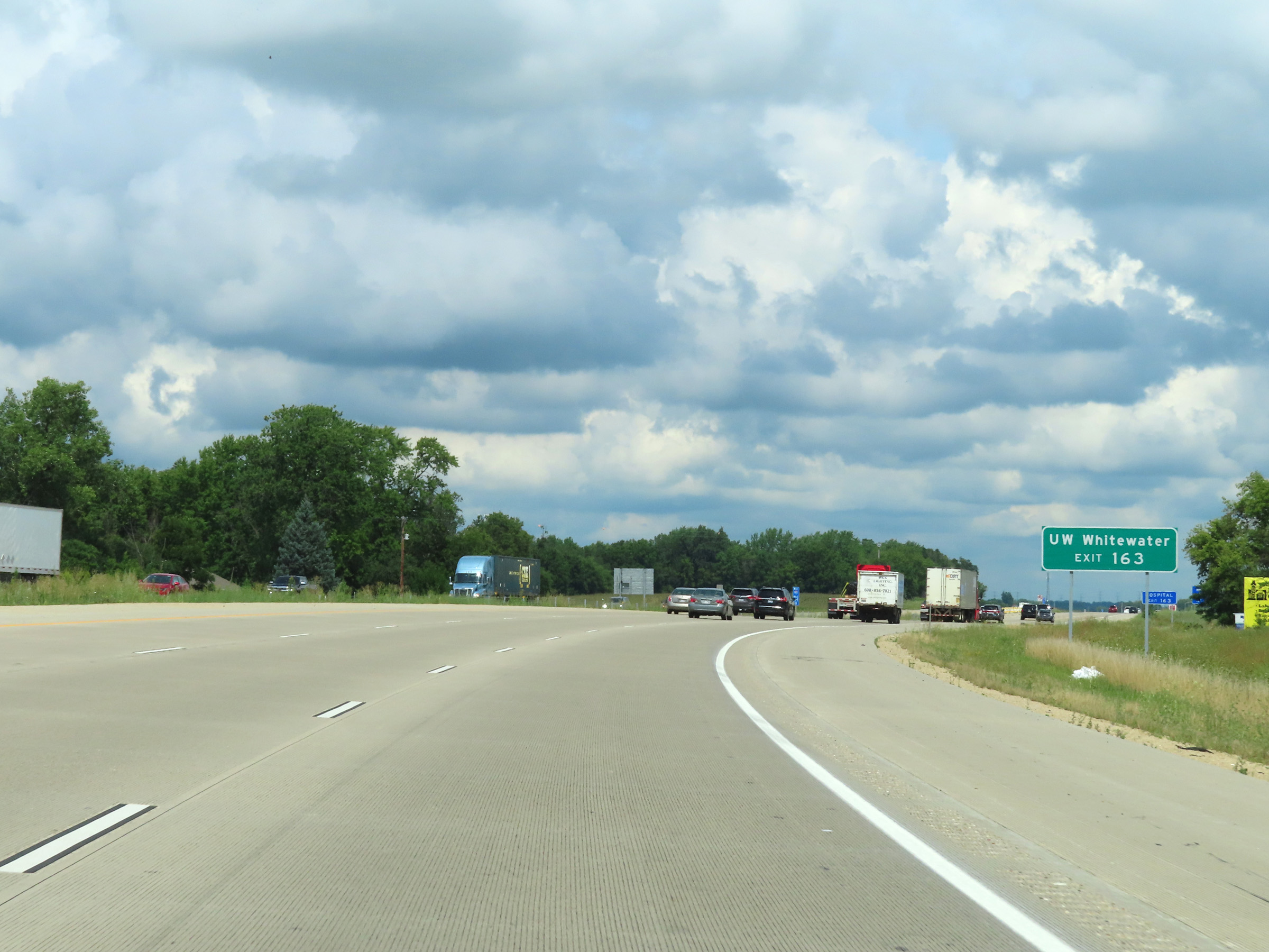 |
Take Exit 163 to UW Whitewater. (Photo taken 8/15/22). |
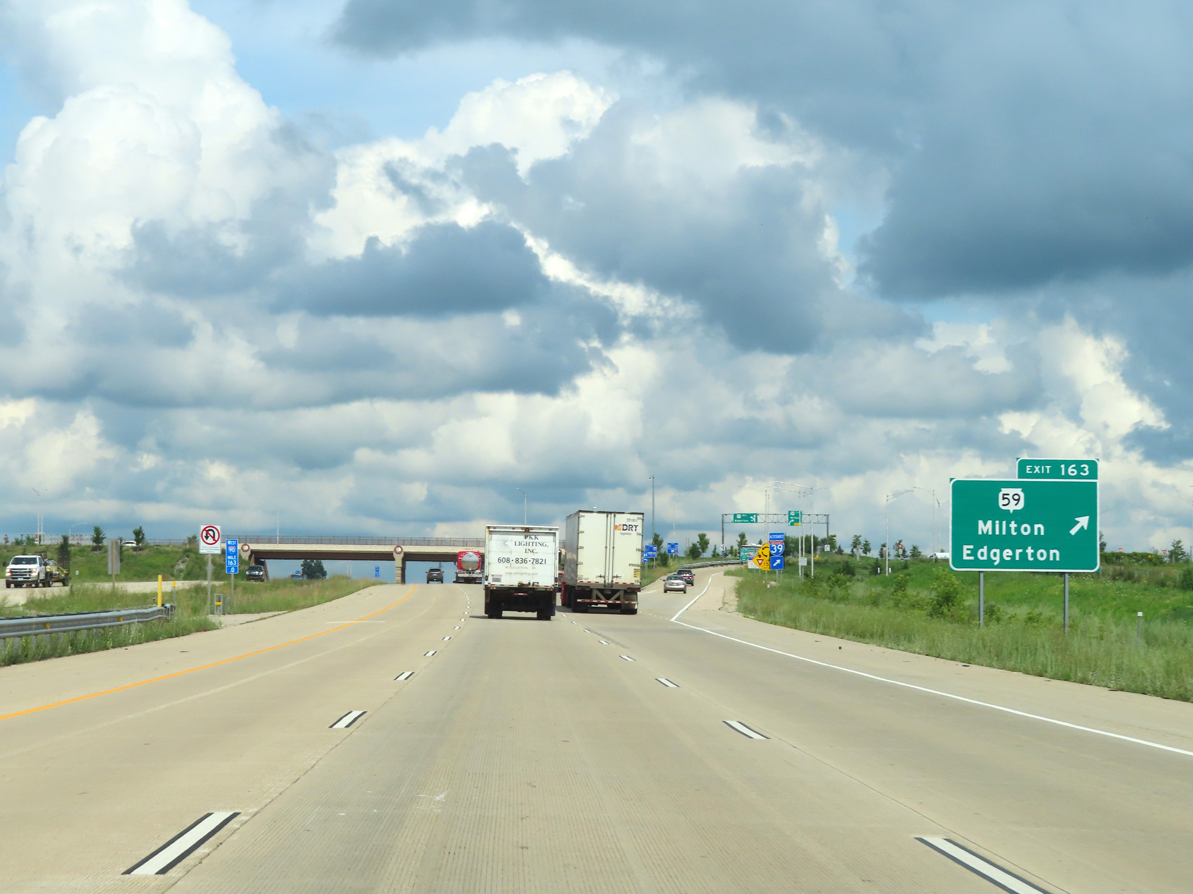 |
Interstate 39 North / Interstate 90 West at Exit 163: WI 59 - Milton / Edgerton (Photo taken 8/15/22). |
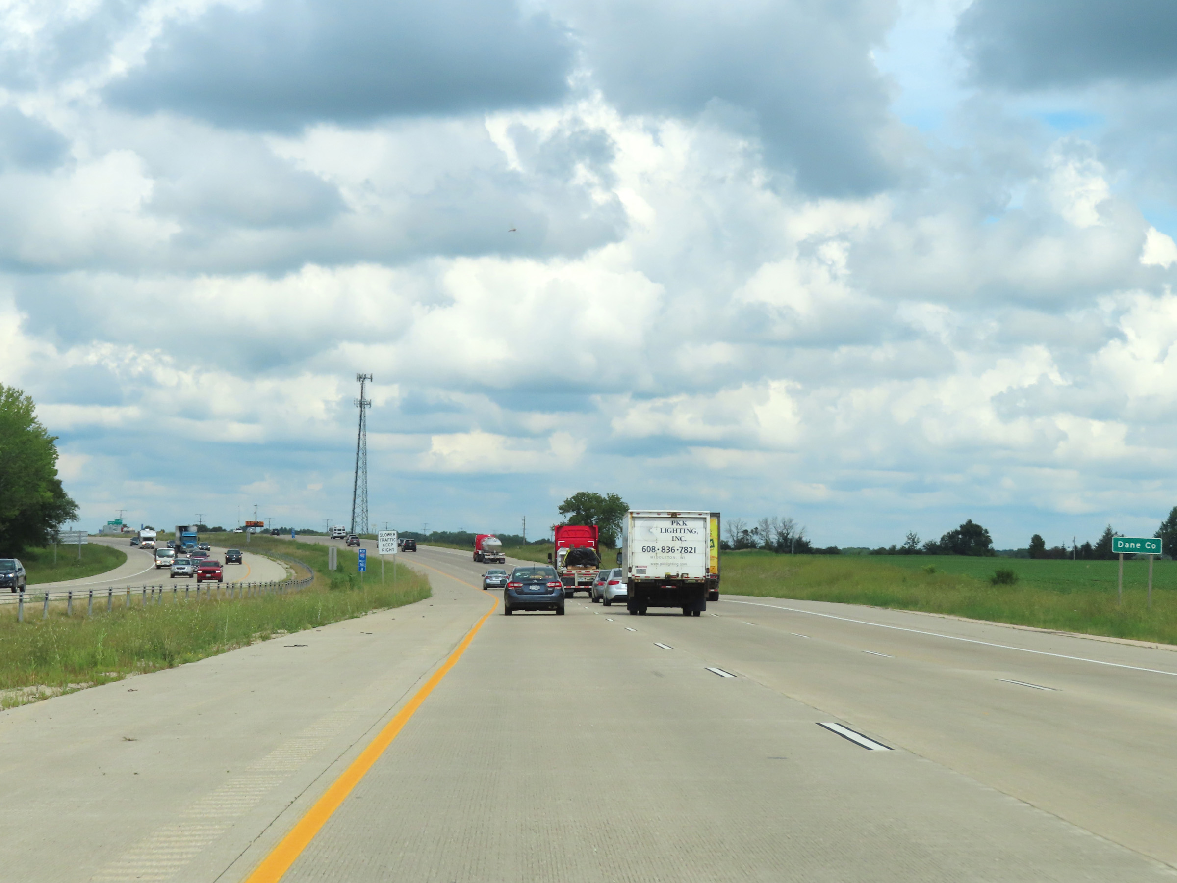 |
Interstate 39 North / Interstate 90 West as they enter Dane County at mile marker 161.8. (Photo taken 8/15/22). |
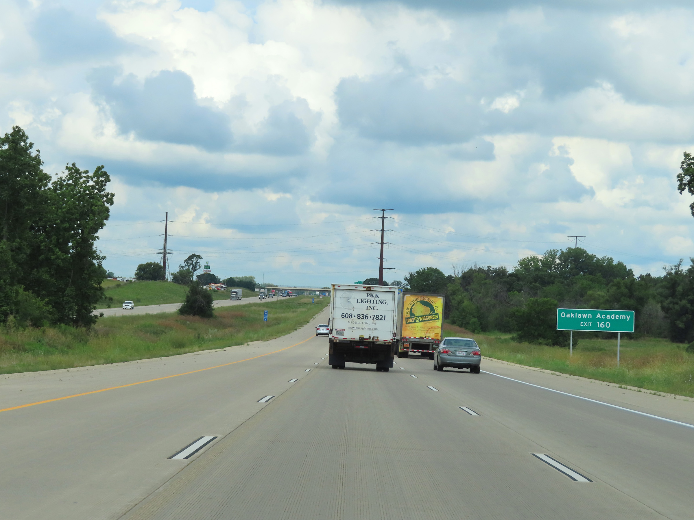 |
Take Exit 160 to Oaklawn Academy. (Photo taken 8/15/22). |
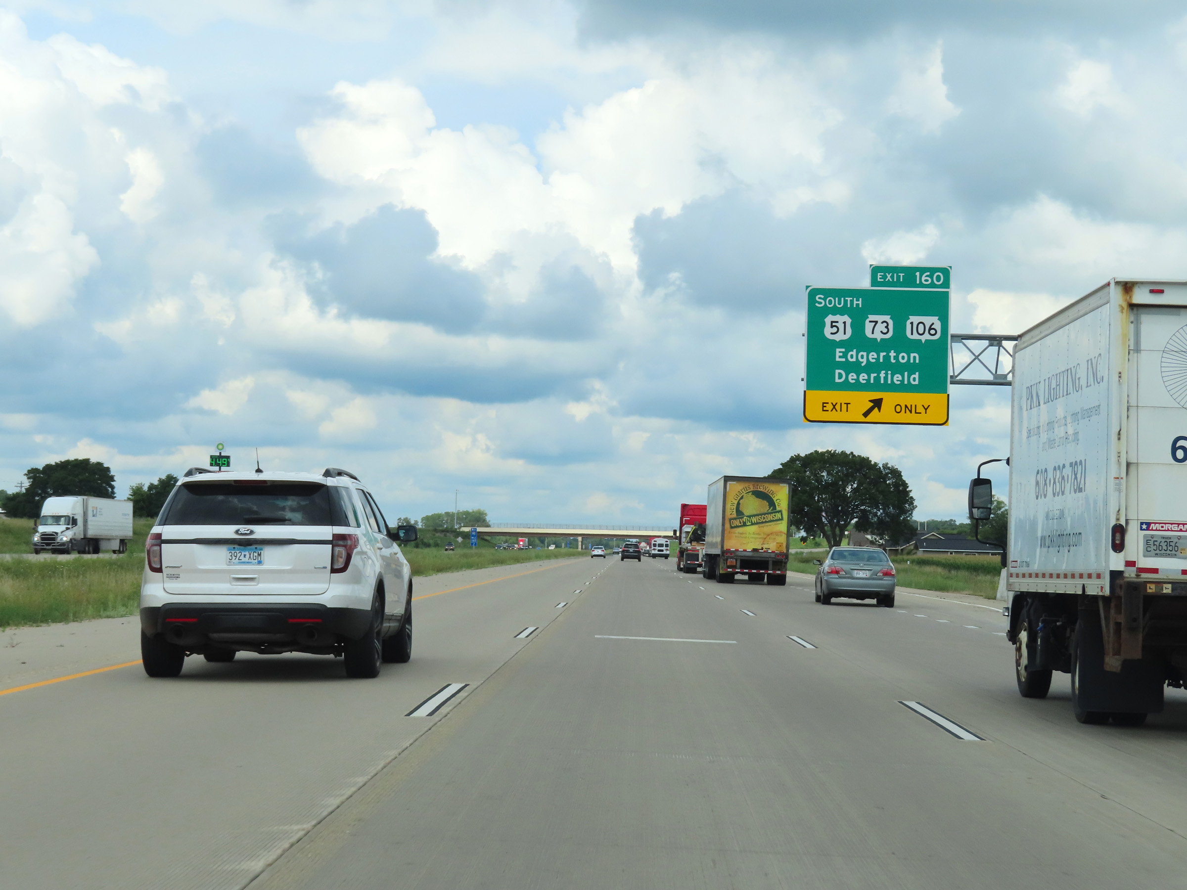 |
Interstate 39 North / Interstate 90 West at Exit 160: US 51 South / WI 73 / WI 106 - Edgerton / Deerfield (Photo taken 8/15/22). |
 |
Interstate 39 North / Interstate 90 West at mile marker 158.6. (Photo taken 8/15/22). |
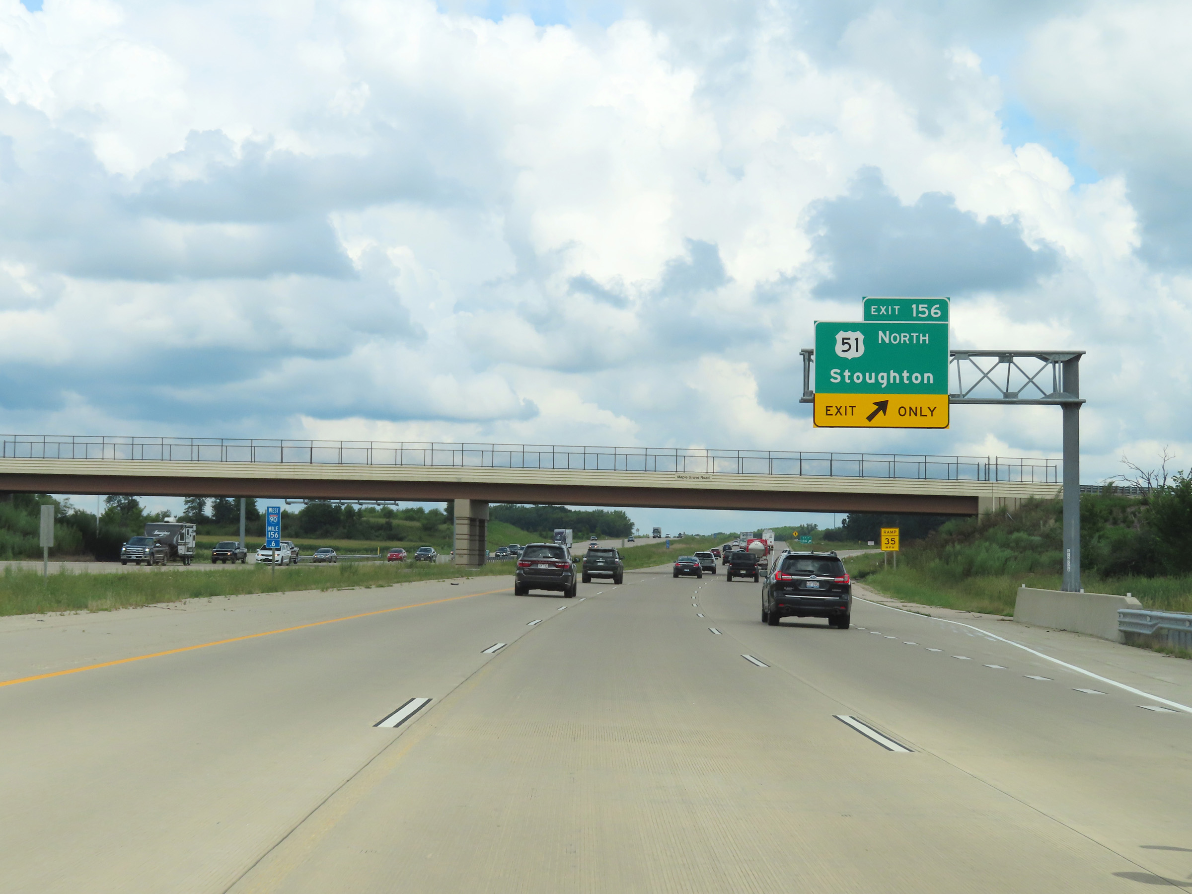 |
Interstate 39 North / Interstate 90 West at Exit 156: US 51 North - Stoughton (Photo taken 8/15/22). |
 |
Another set of Interstate 39 North / Interstate 90 West reassurance shields. (Photo taken 8/15/22). |
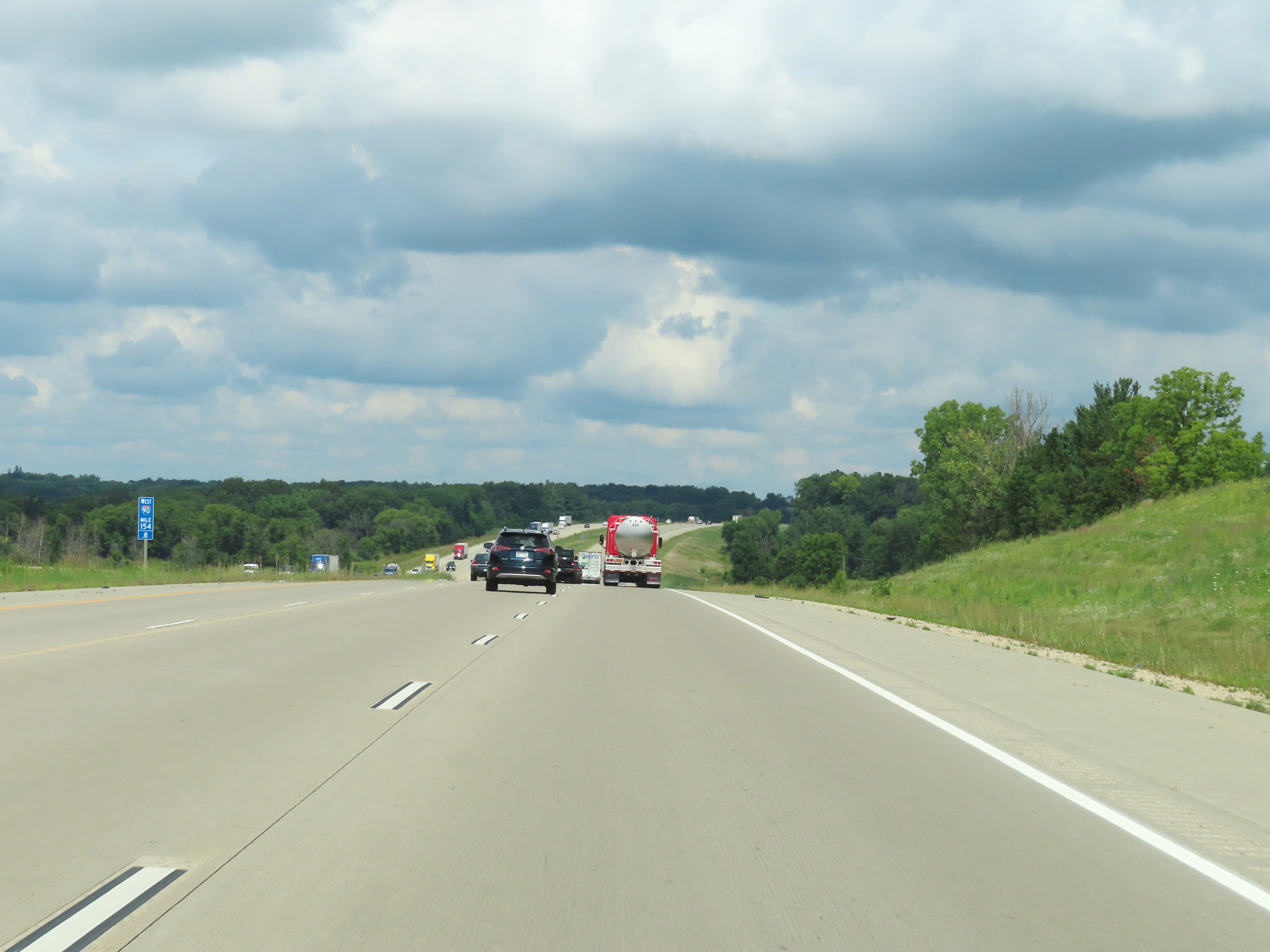 |
Mile marker 154.8 on Interstate 39 North / Interstate 90 West in Dane County. (Photo taken 8/15/22). |
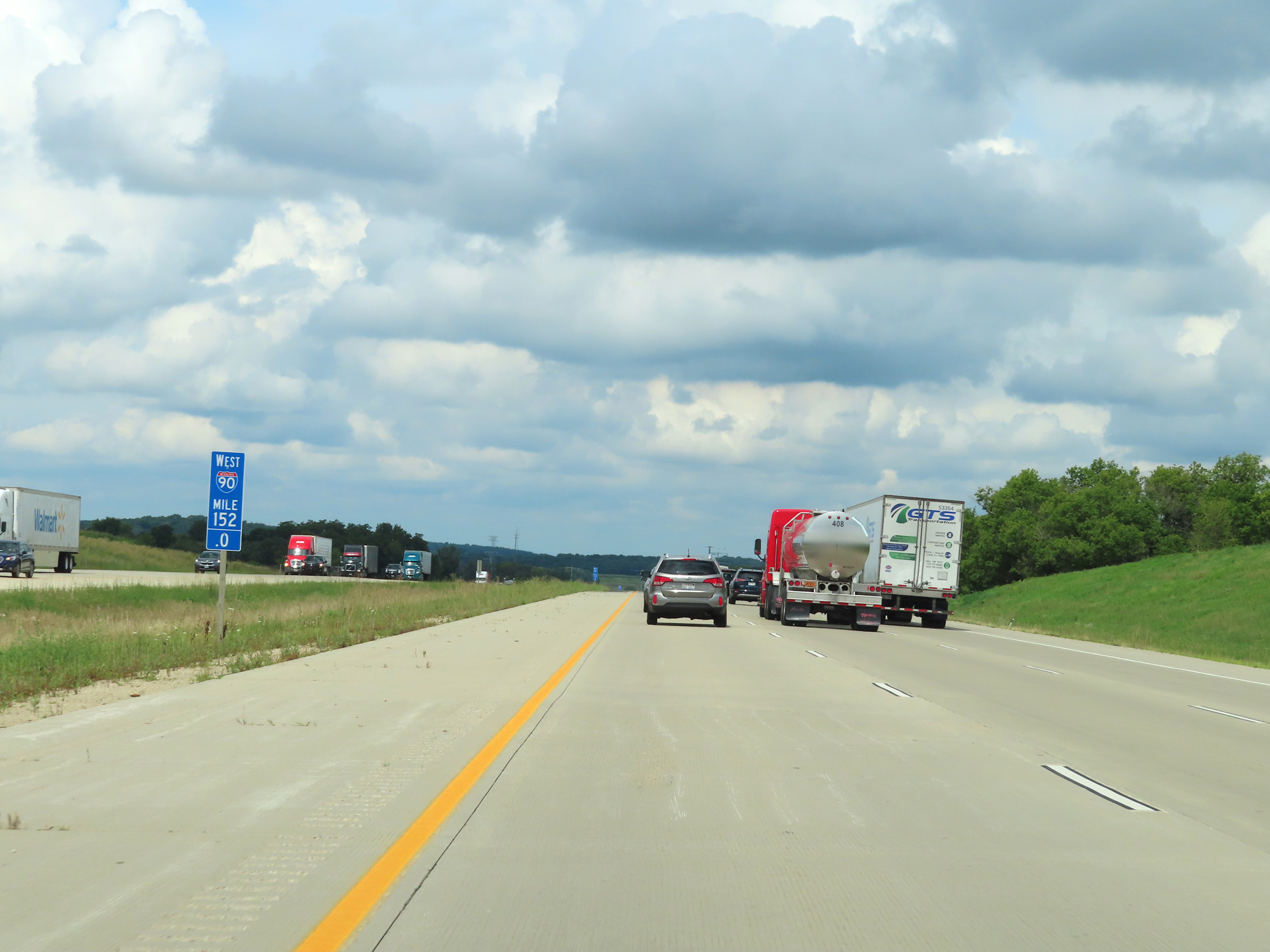 |
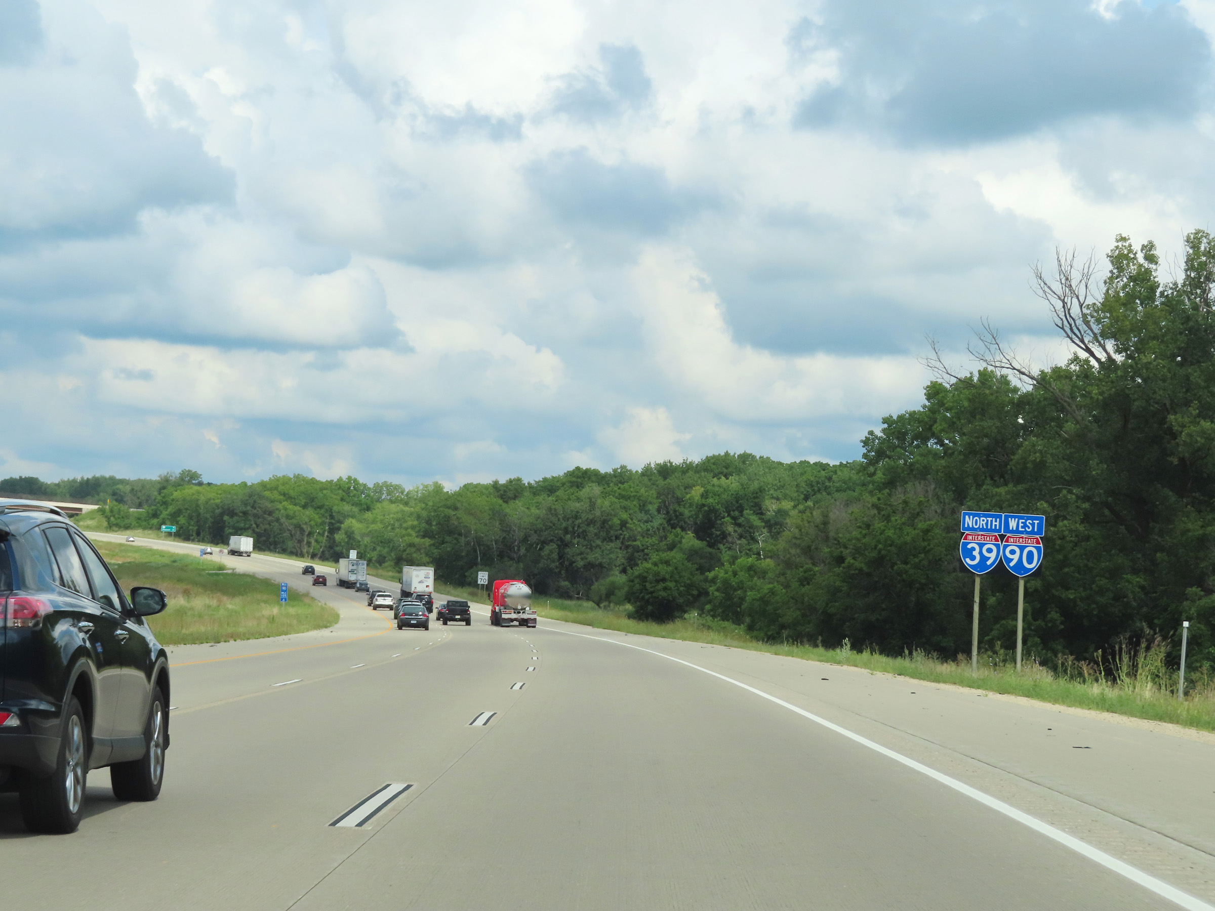
Interstate 39 North / Interstate 90 West at mile marker 152. (Photo taken 8/15/22). |
 |
View on Interstate 39 North / Interstate 90 West at mile marker 149. (Photo taken 8/15/22). |
 |
Take Exit 147 to Glacial Drumlin State Trail and Lake Kegonsa State Park. (Photo taken 8/15/22). |
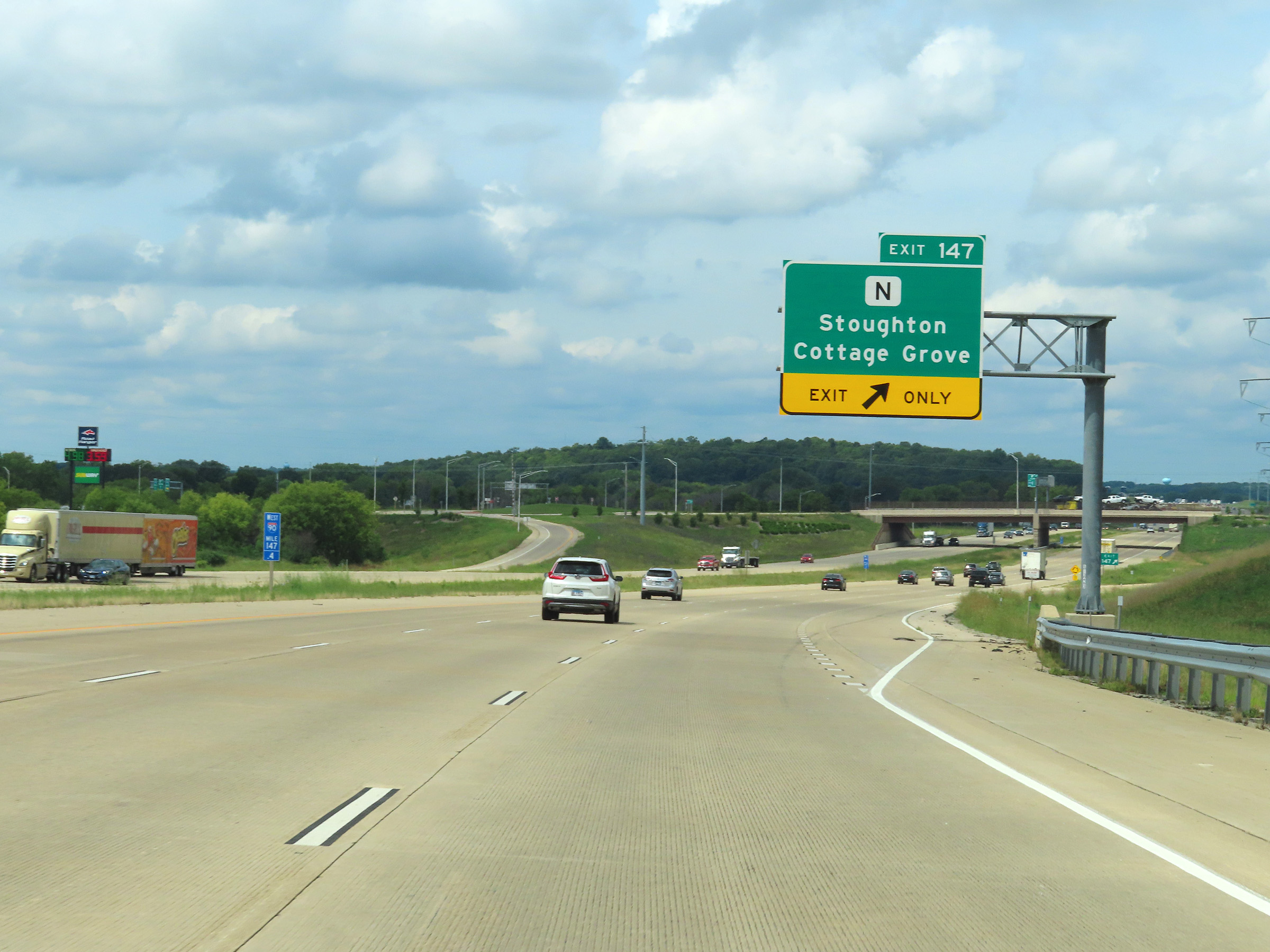 |
Interstate 39 North / Interstate 90 West at Exit 147: Hwy N - Stoughton / Cottage Grove (Photo taken 8/15/22). |
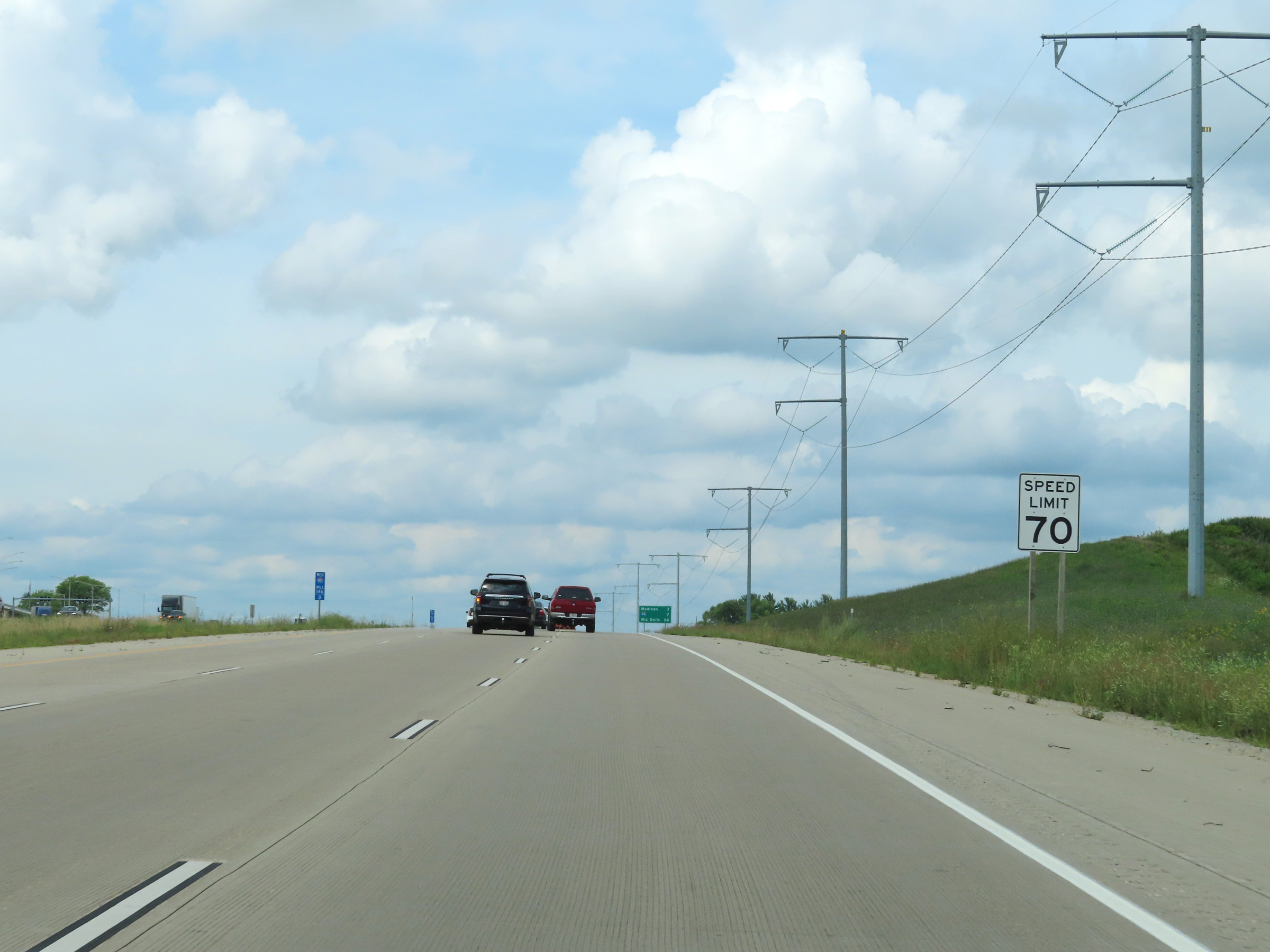 |
Speed limit sign at mile marker 146. The speed limit remains 70 mph on Interstate 39 North / Interstate 90 West. (Photo taken 8/15/22). |
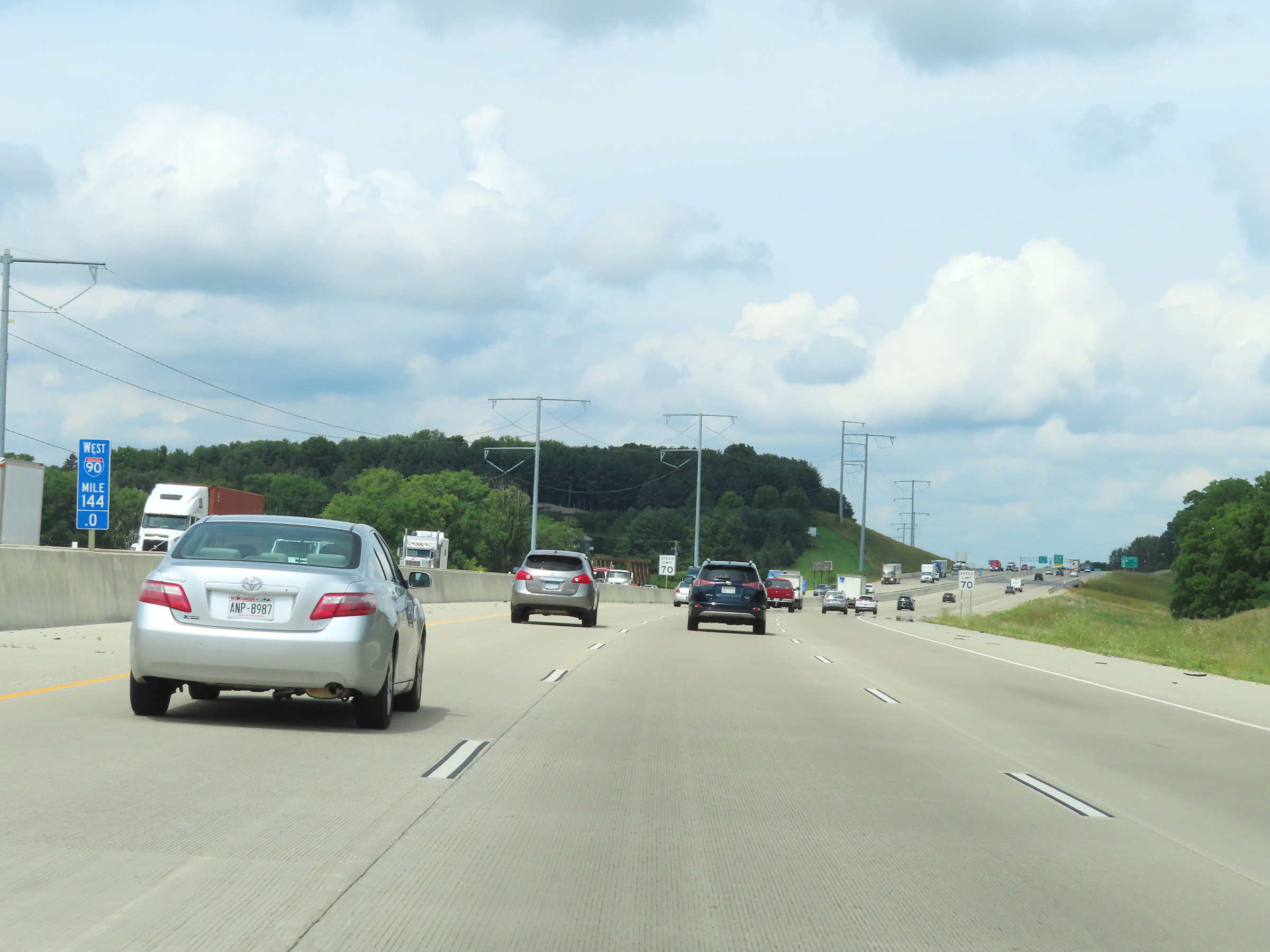 |
Mile marker 144 on Interstate 39 North / Interstate 90 West in Dane County. (Photo taken 8/15/22). |
 |
Mileage sign listing the distances to the next three exits to Madison on Interstate 39 North / Interstate 90 West as the duplex enters the city limits. (Photo taken 8/15/22). |
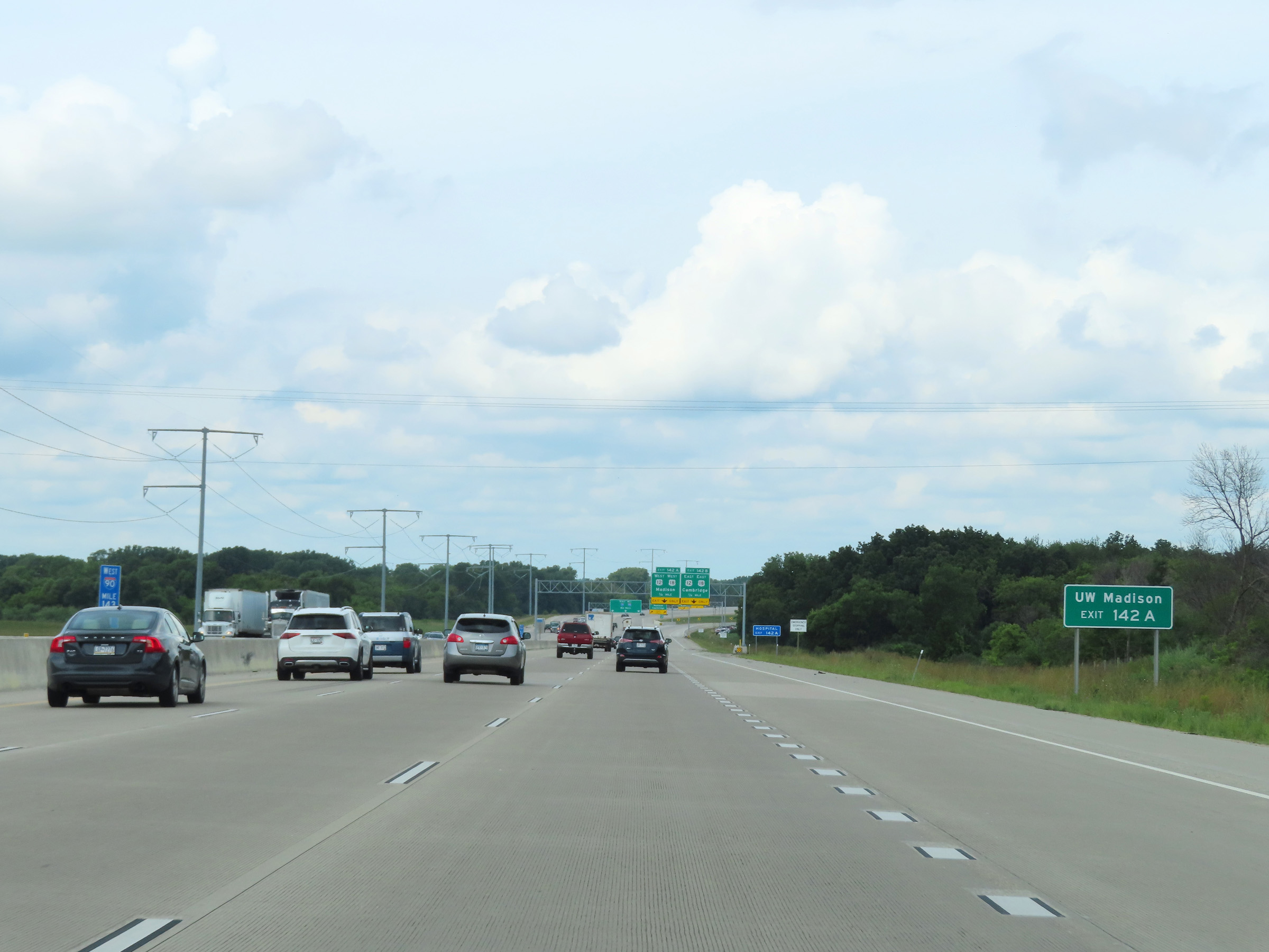 |
Take Exit 142A to the University of Wisconsin at Madison. (Photo taken 8/15/22). |
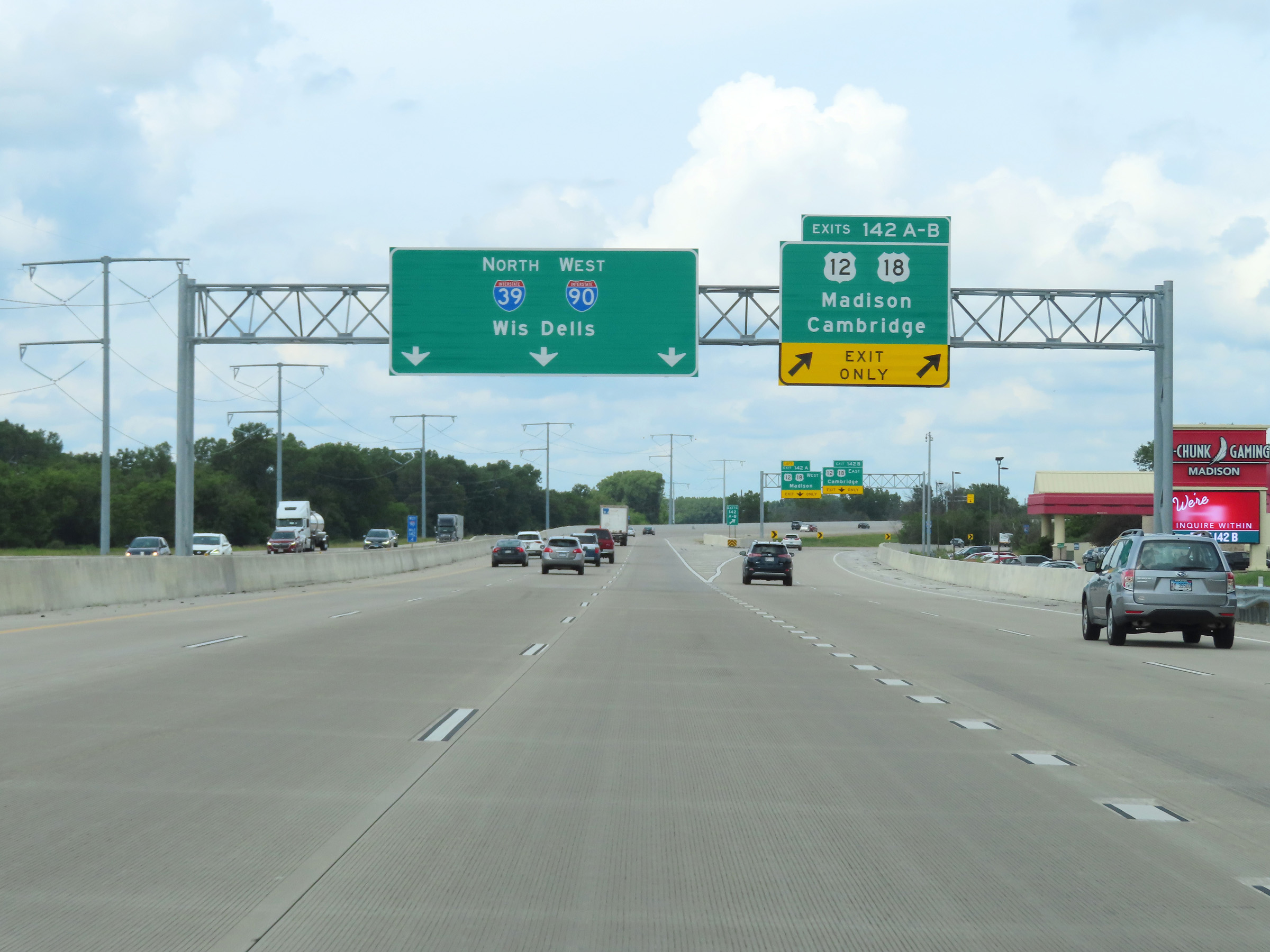 |
Interstate 39 North / Interstate 90 West at Exits 142A-B: US 12 / US 18 - Madison / Cambridge (Photo taken 8/15/22). |
 |
At mile marker 142, the left lane on Interstate 39 North / Interstate 90 West prepares to come to an end ahead. The two remaining lanes of I-39 North / I-90 West will combine with the westbound lanes of US 12 / US 18 ahead, at which point I-39 North / I-90 West will once again have three thru lanes. (Photo taken 8/15/22). |
 |
US 12 West / US 18 West traffic merges into the two thru lanes of Interstate 39 North / Interstate 90 West at mile marker 141.2. (Photo taken 8/15/22). |
 |
View on Interstate 39 North / Interstate 90 West at mile marker 140. (Photo taken 8/15/22). |
 |
Interstate 39 North / Interstate 90 West approaching Exits 138B-A - 1 mile. (Photo taken 8/15/22). |
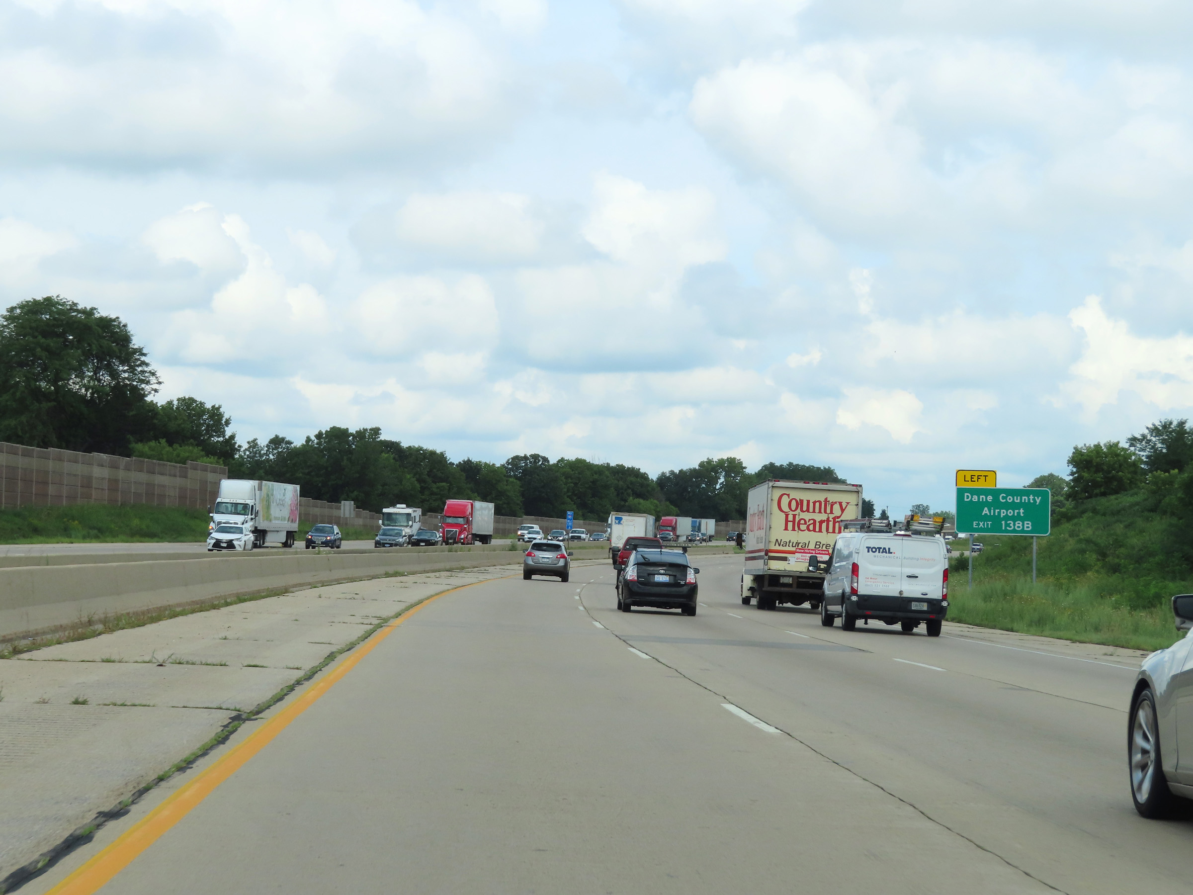 |
Take Exit 138B to Dane County Airport. (Photo taken 8/15/22). |
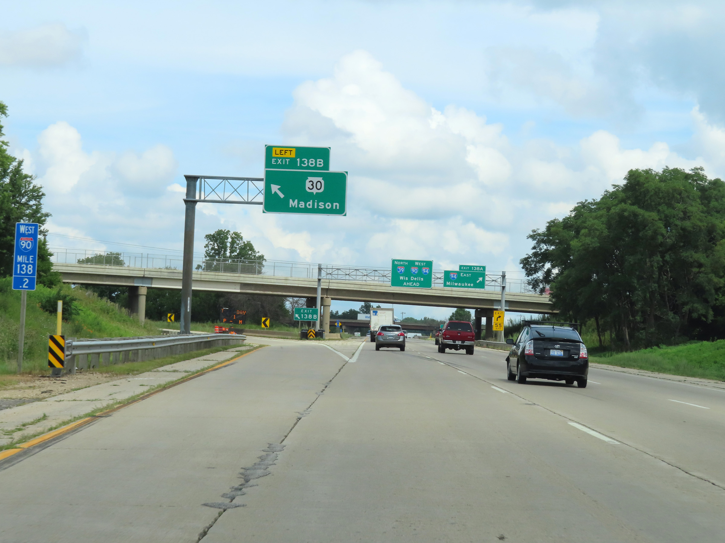 |
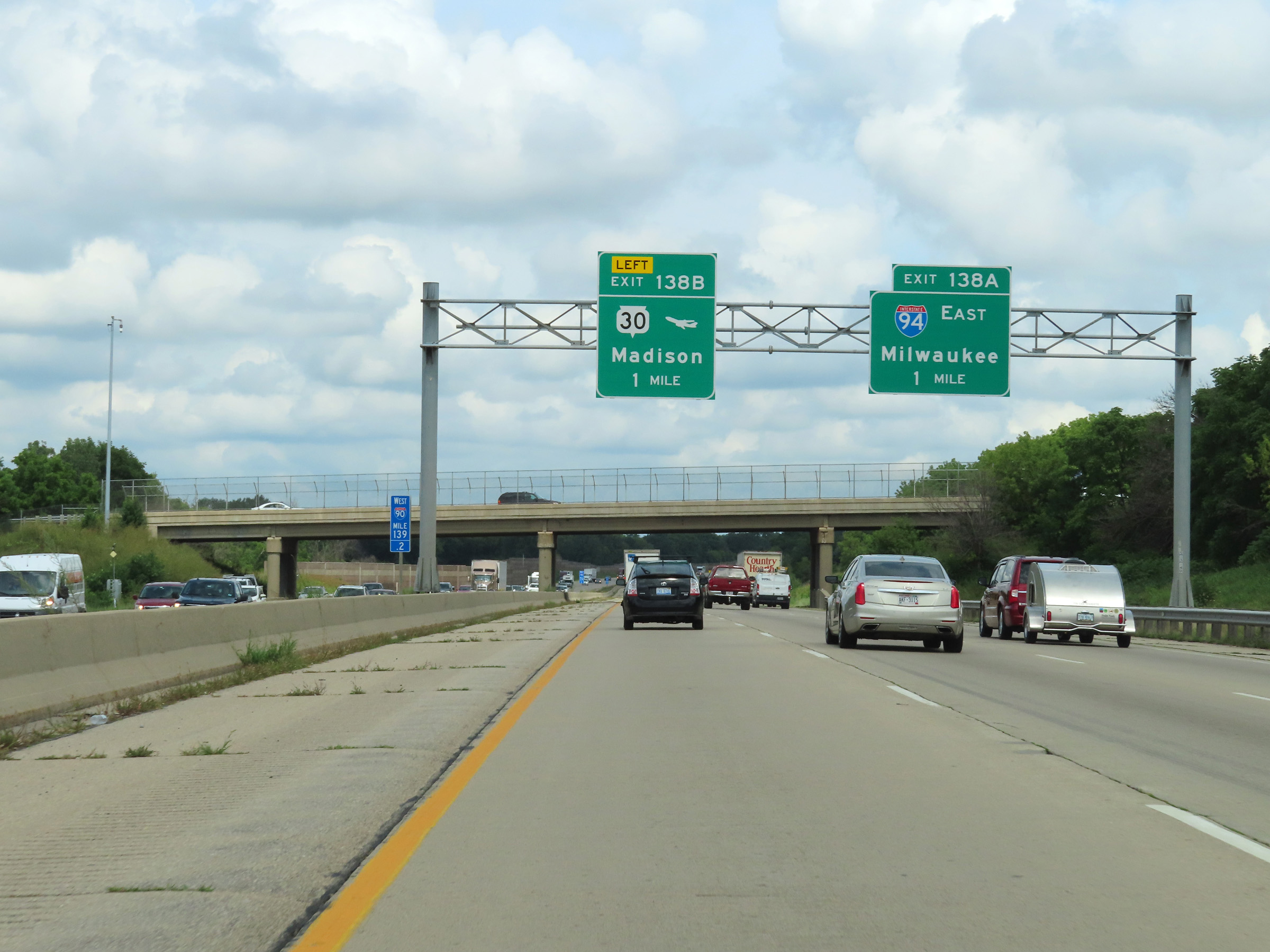
Interstate 39 North / Interstate 90 West at Exit 138B: WI 30 - Madison (Photo taken 8/15/22). |
 |
Interstate 39 North / Interstate 90 West at Exit 138A: Interstate 94 West - Milwaukee (Photo taken 8/15/22). |
Section 2: Madison (Exit 138A) to Portage (Exit 92)
 |
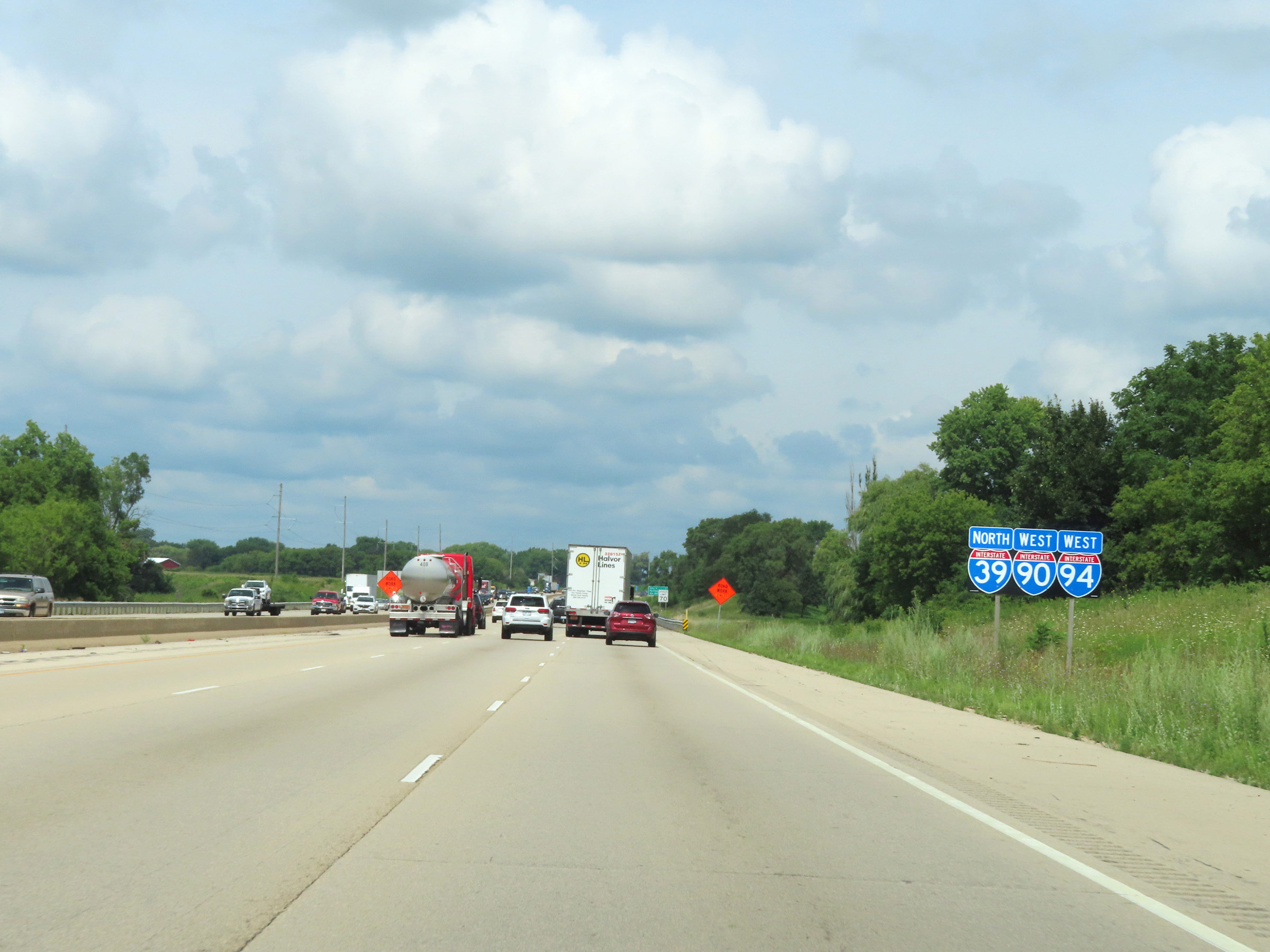
At mile marker 137.4, Interstate 94 West traffic joins Interstate 39 North / Interstate 90 West on the right, beginning a triple concurrency. There are currently only two triple concurrencies on the Interstate Highway System, and both of them occur in the state of Wisconsin. (Photo taken 8/15/22). |
 |
Interstate 39 North / Interstate 90 West / Interstate 94 West at mile marker 137. During the triple concurrency, the mileage and exit numbers remain based on the total mileage of I-90 in Wisconsin. (Photo taken 8/15/22). |
 |
Interstate 39 North / Interstate 90 West / Interstate 94 West reassurance shields at mile marker 136.8. (Photo taken 8/15/22). |
 |
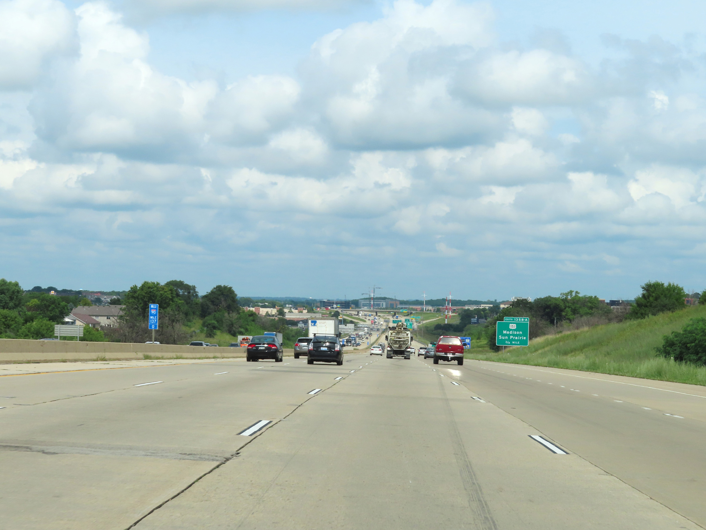
Take Exit 135C to High Crossing Blvd. (Photo taken 8/15/22). |
 |
Interstate 39 North / Interstate 90 West / Interstate 94 West at Exits 135C-B-A: US 151 - Madison / Sun Prairie (Photo taken 8/15/22). |
 |
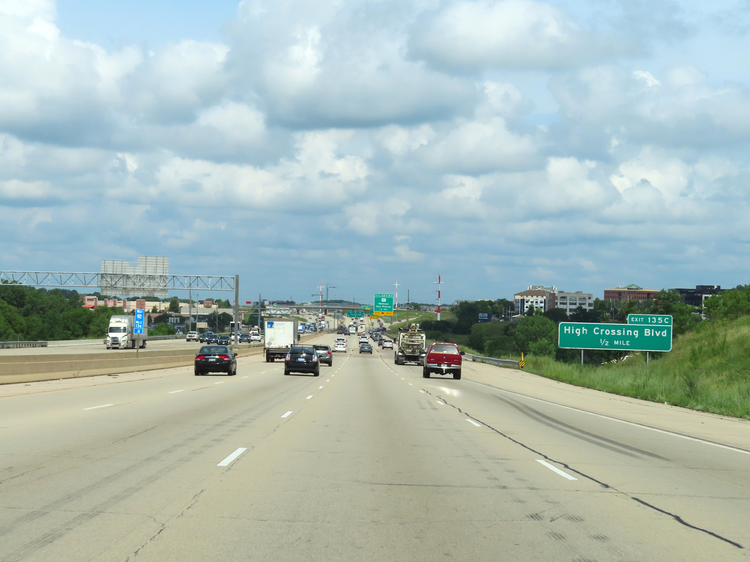
Interstate 39 North / Interstate 90 West / Interstate 94 West at Exit 135C: High Crossing Blvd (Photo taken 8/15/22). |
 |
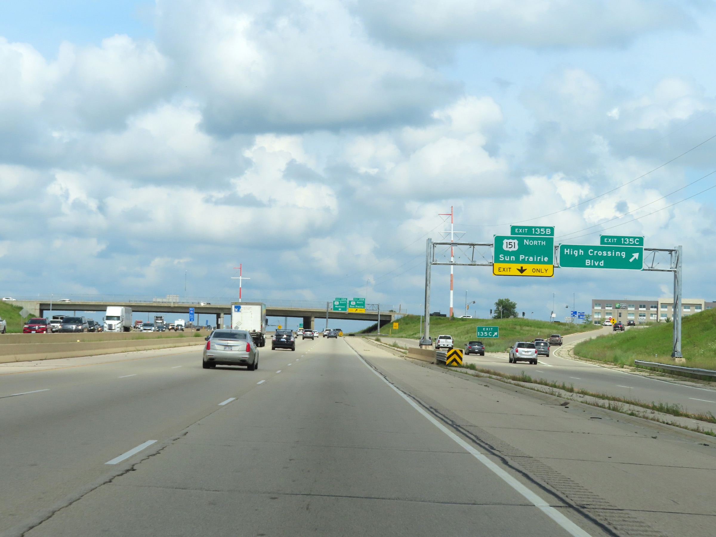
Interstate 39 North / Interstate 90 West / Interstate 94 West at Exit 135B: US 151 North - Sun Prairie (Photo taken 8/15/22). |
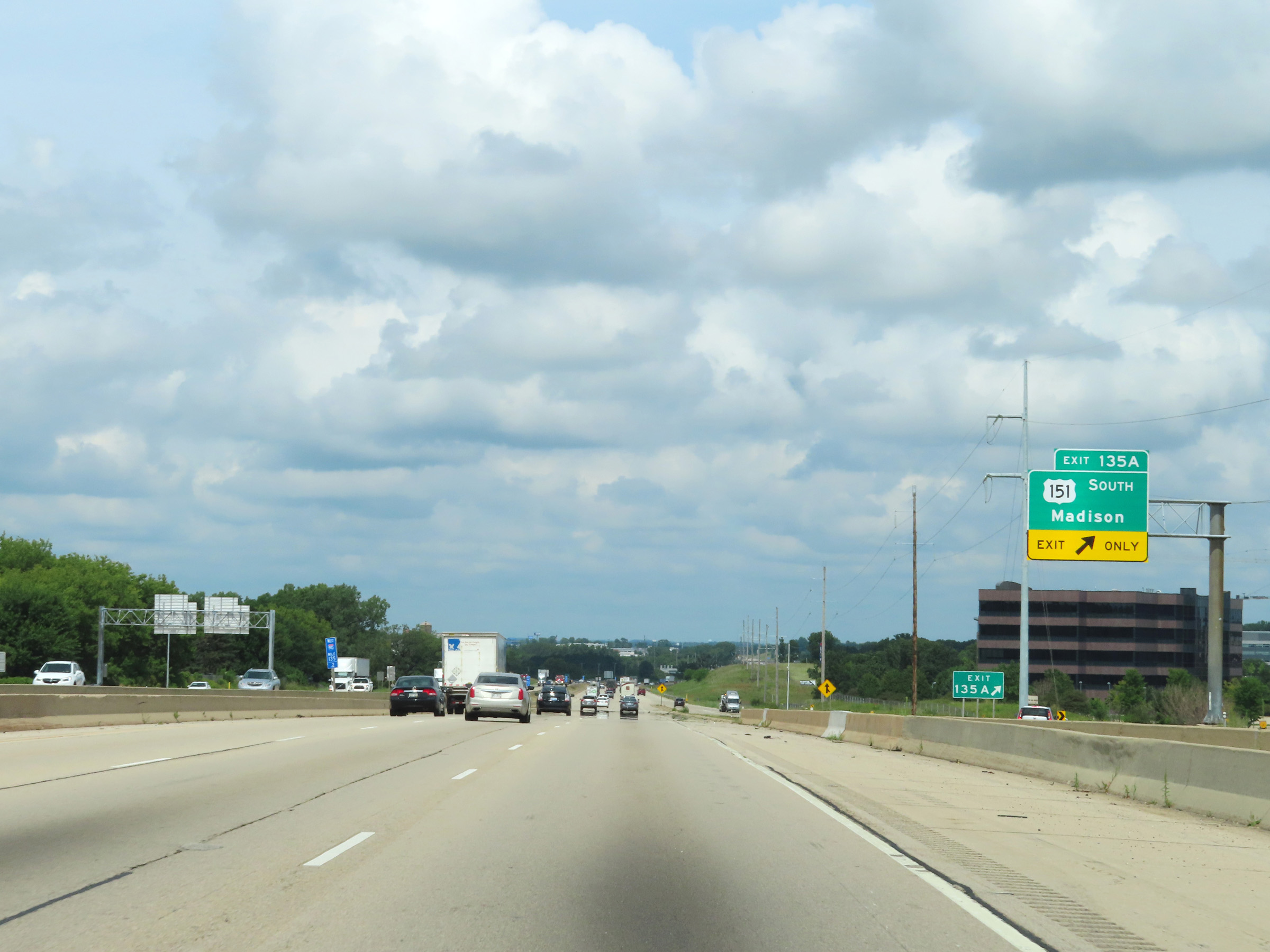 |
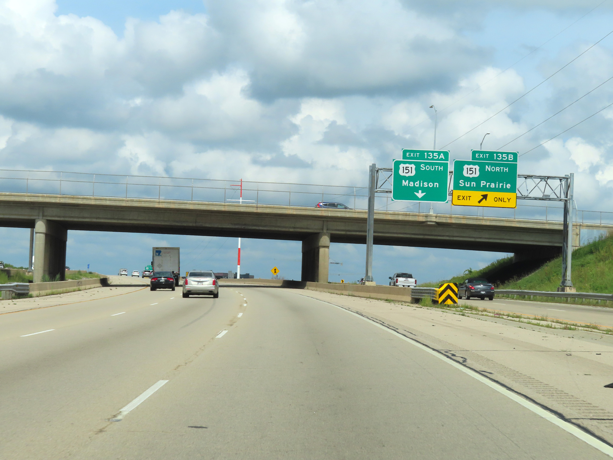
Interstate 39 North / Interstate 90 West / Interstate 94 West at Exit 135A: US 151 South - Madison (Photo taken 8/15/22). |
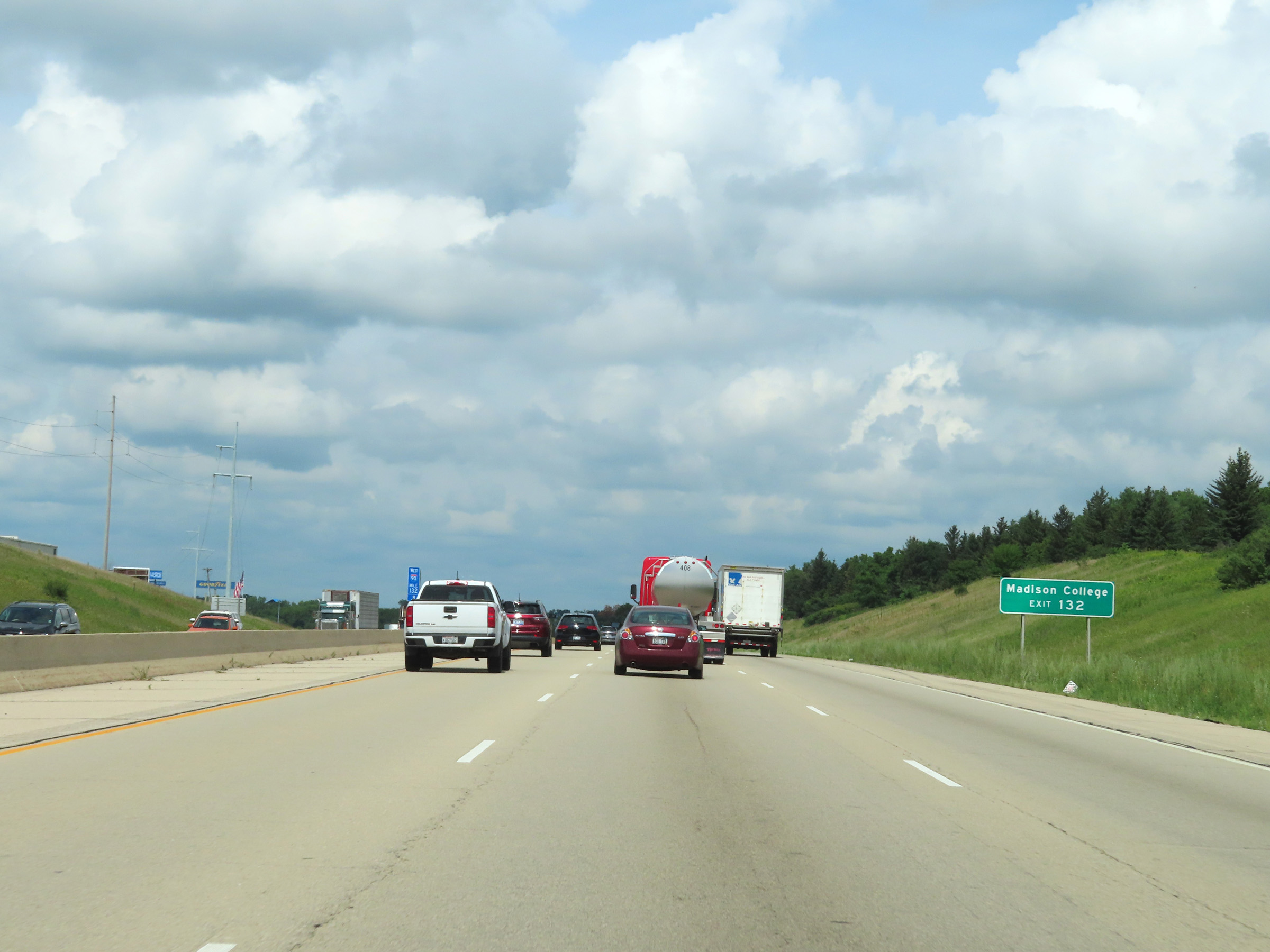 |
Take Exit 132 to Madison College. (Photo taken 8/15/22). |
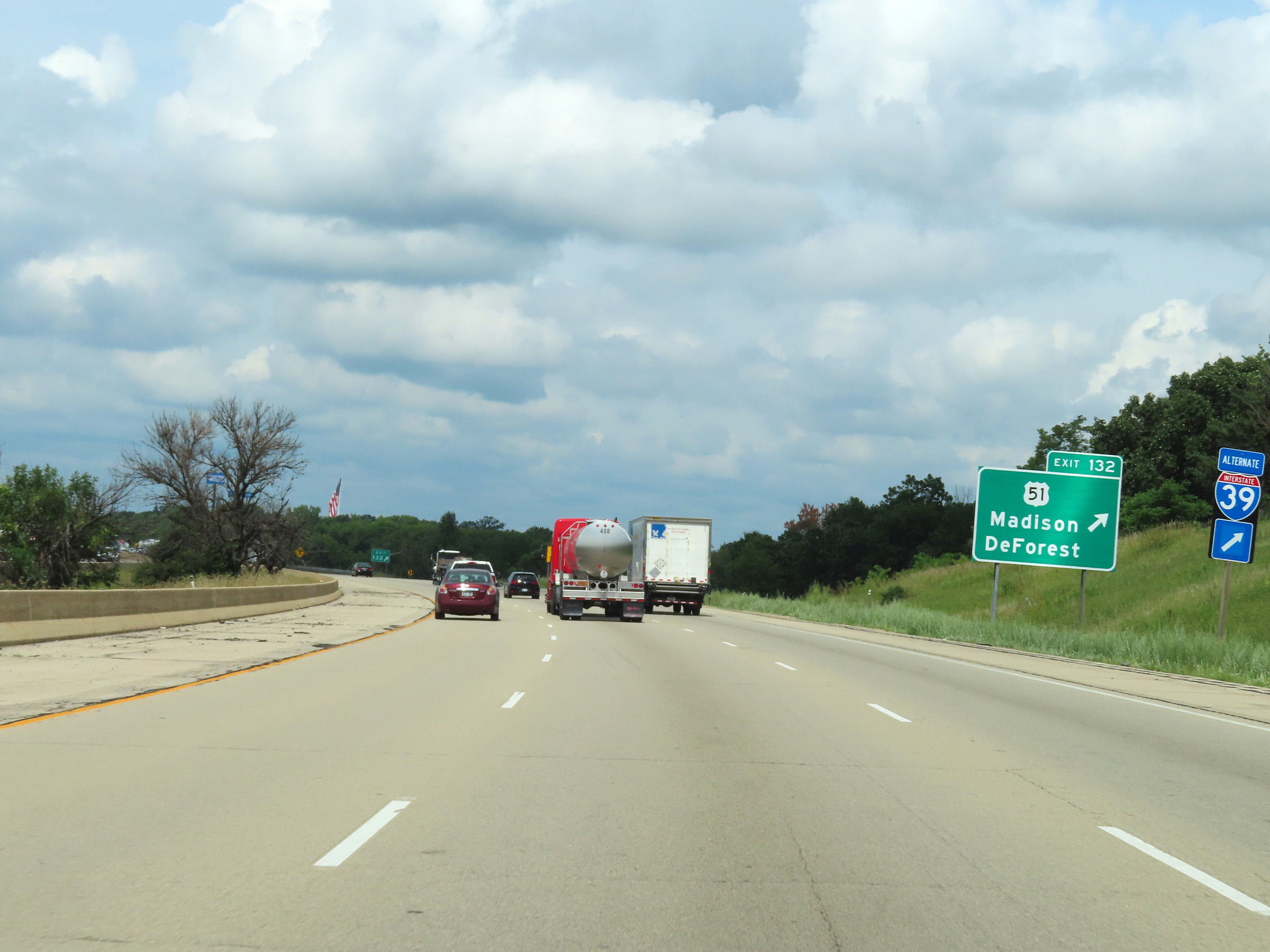 |
Interstate 39 North / Interstate 90 West / Interstate 94 West at Exit 132: US 51 - Madison / DeForest (Photo taken 8/15/22). |
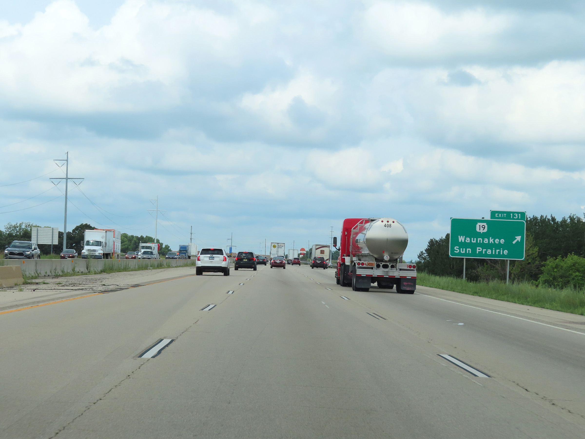 |
Interstate 39 North / Interstate 90 West / Interstate 94 West at Exit 131: WI 19 - Waunakee / Sun Prairie (Photo taken 8/15/22). |
 |
Another set of Interstate 39 North / Interstate 90 West / Interstate 94 West reassurance shields in Dane County. (Photo taken 8/15/22). |
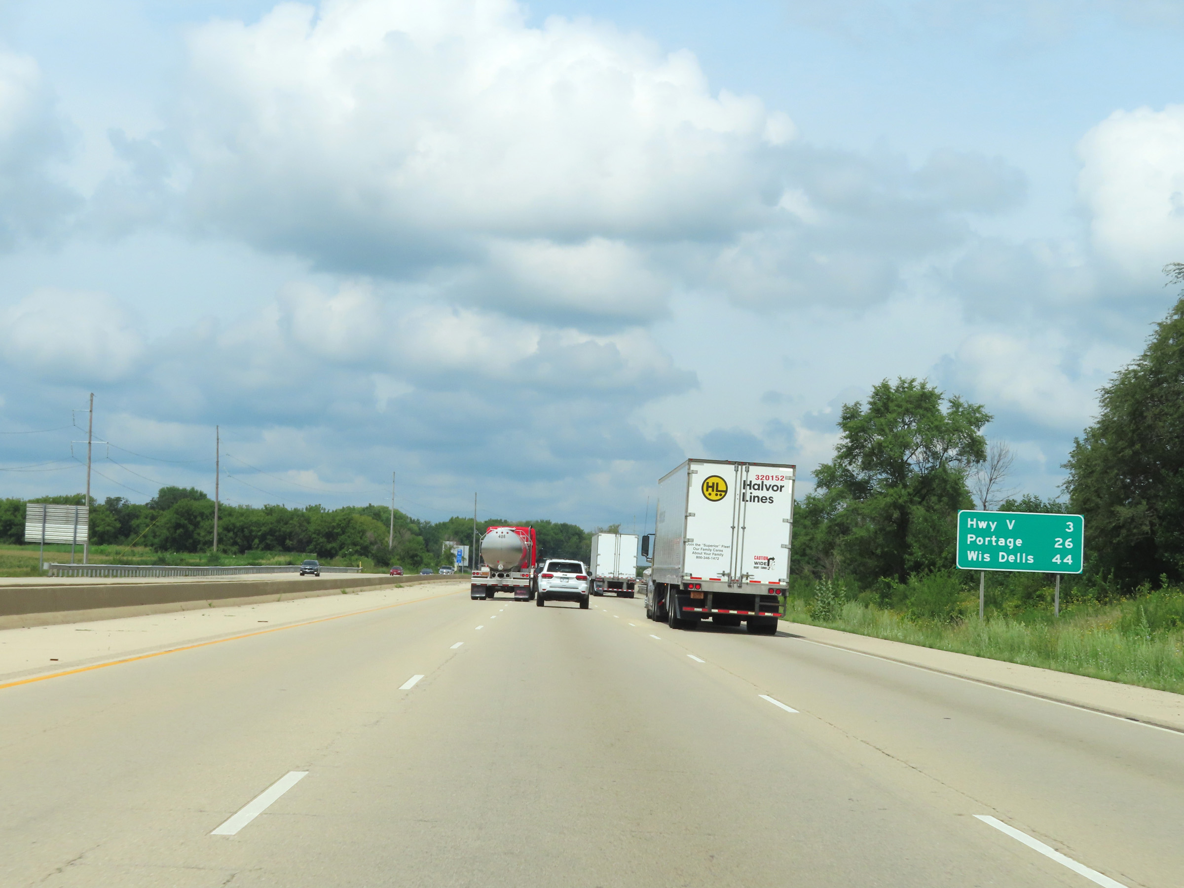 |
Mileage sign on Interstate 39 North / Interstate 90 West / Interstate 94. It's 3 miles to the junction of Hwy V, 26 miles to Portage, and 44 miles to Wisconsin Dells. (Photo taken 8/15/22). |
 |
View on Interstate 39 North / Interstate 90 West / Interstate 94 West at mile marker 128. (Photo taken 8/15/22). |
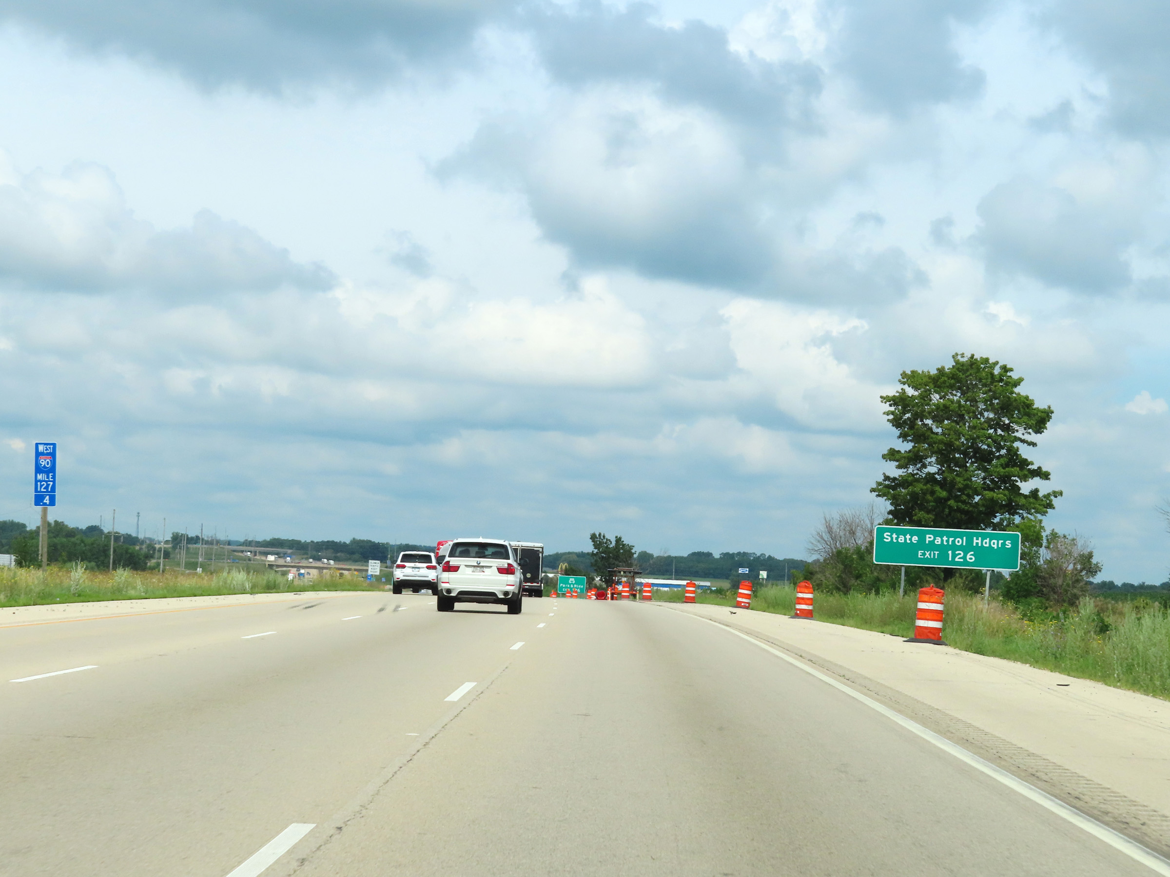 |
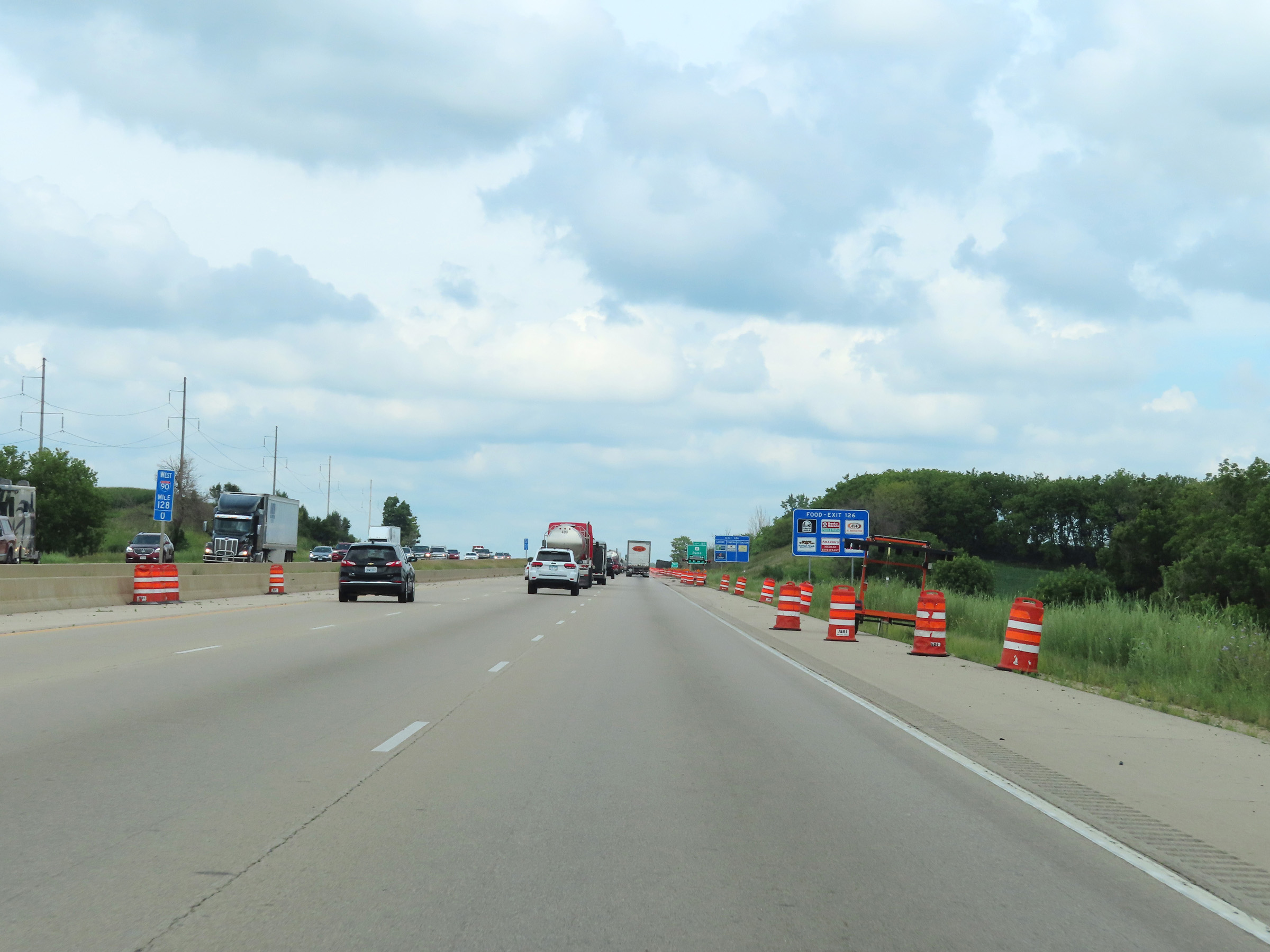
Take Exit 126 to the State Patrol Headquarters. (Photo taken 8/15/22). |
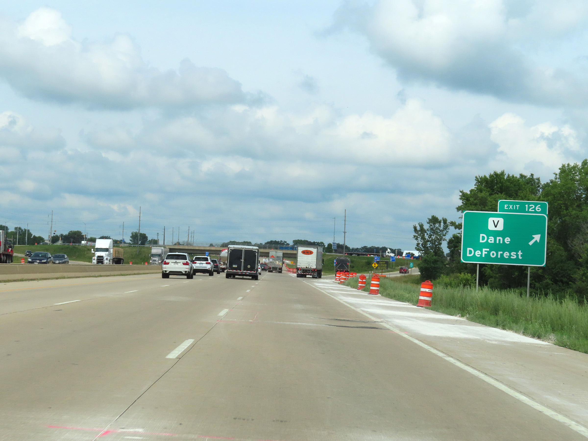 |
Interstate 39 North / Interstate 90 West / Interstate 94 West at Exit 126: Hwy V - Dane / DeForest (Photo taken 8/15/22). |
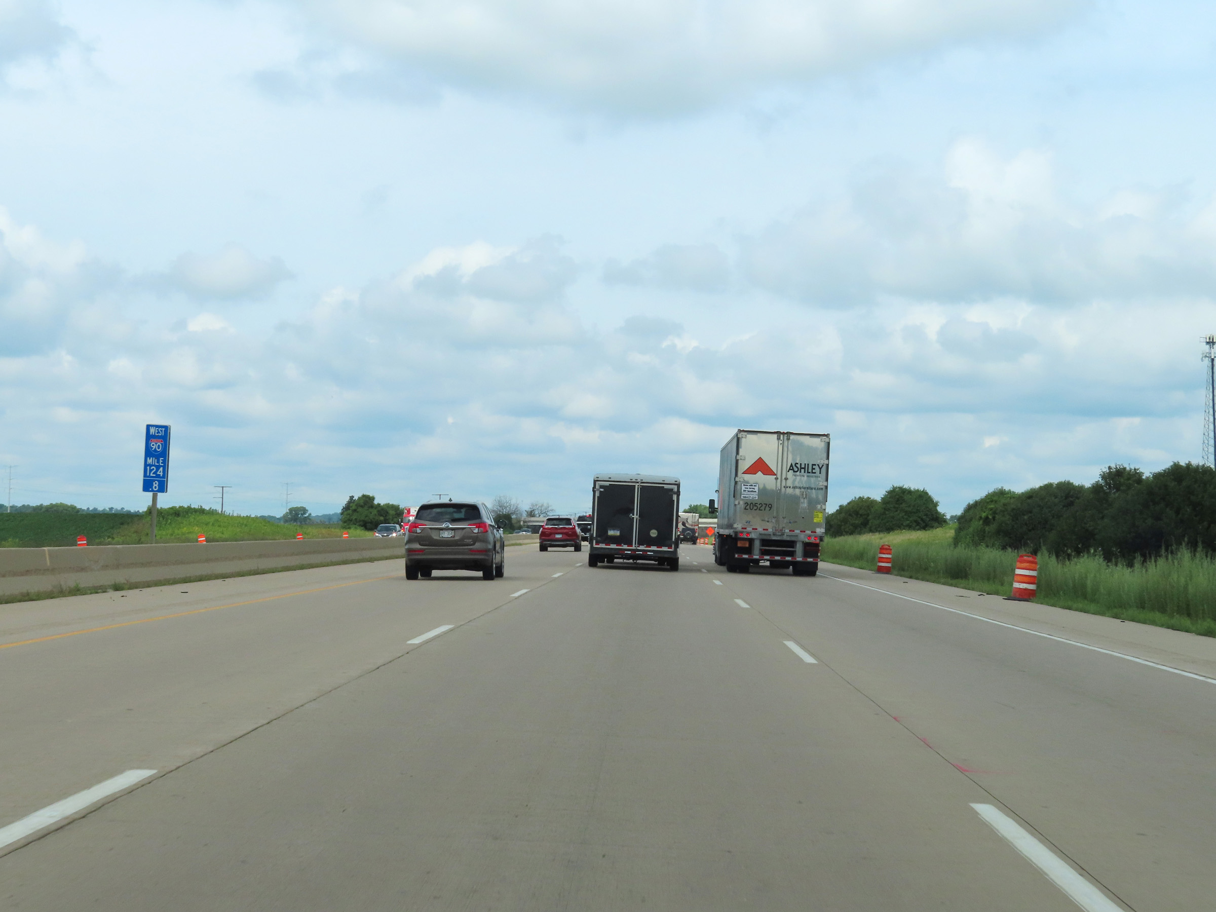 |
Mile marker 124.8 on Interstate 39 North / Interstate 90 West / Interstate 94 West in Dane County. (Photo taken 8/15/22). |
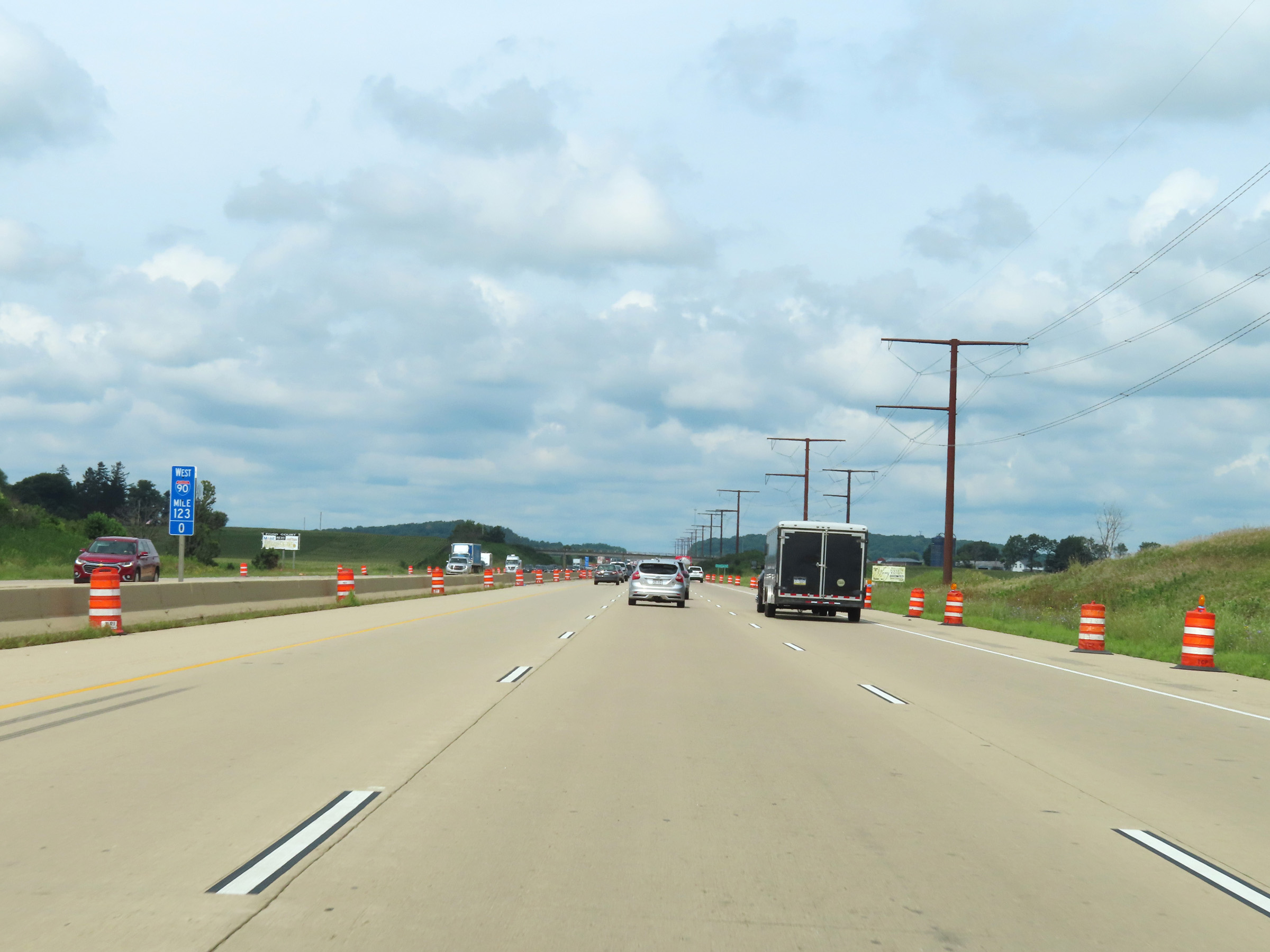 |
View on Interstate 39 North / Interstate 90 West / Interstate 94 West at mile marker 123. (Photo taken 8/15/22). |
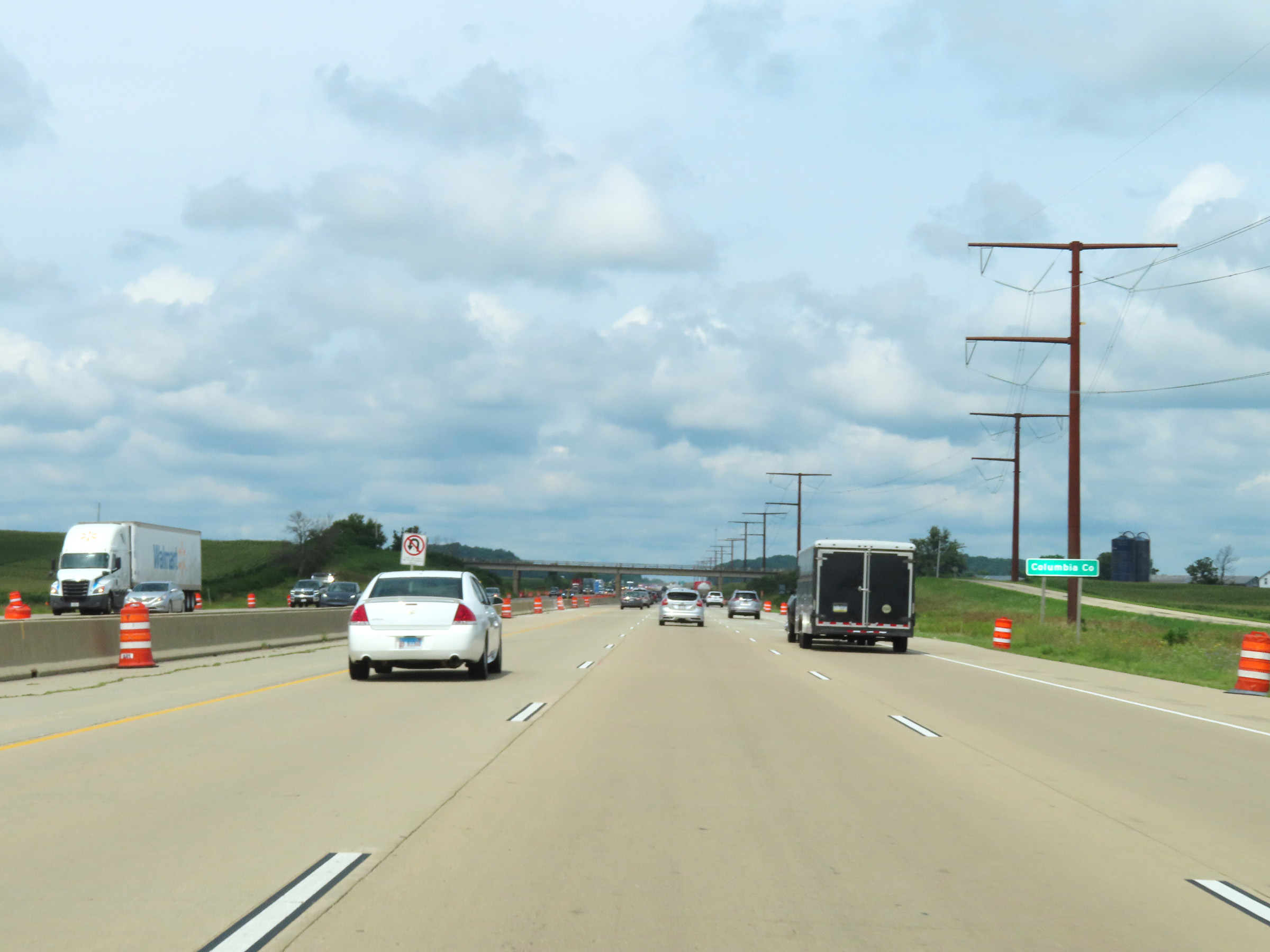 |
Interstate 39 North / Interstate 90 West / Interstate 94 West as they enter Columbia County. (Photo taken 8/15/22). |
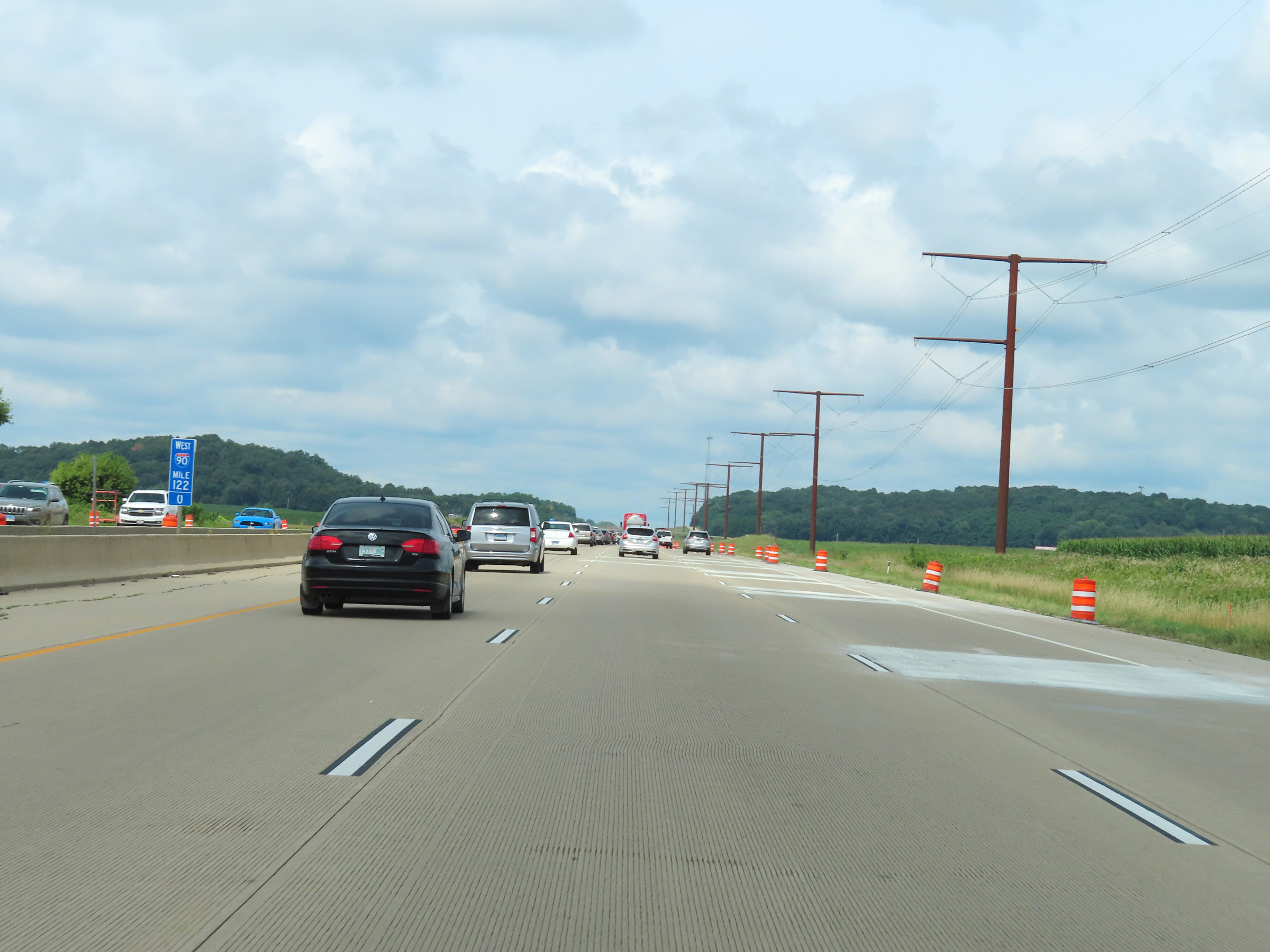 |
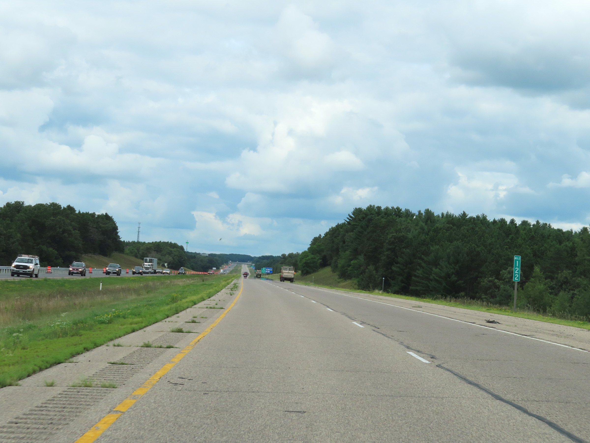
View on Interstate 39 North / Interstate 90 West / Interstate 94 West at mile marker 122. (Photo taken 8/15/22). |
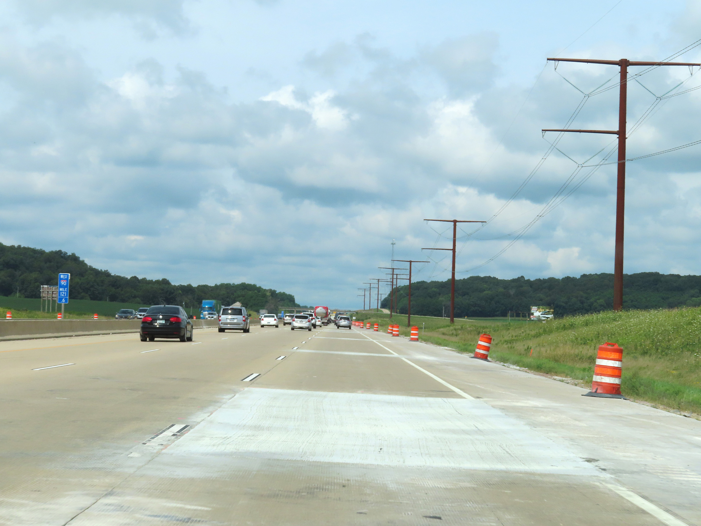 |
Interstate 39 North / Interstate 90 West / Interstate 94 West at mile marker 121.6. (Photo taken 8/15/22). |
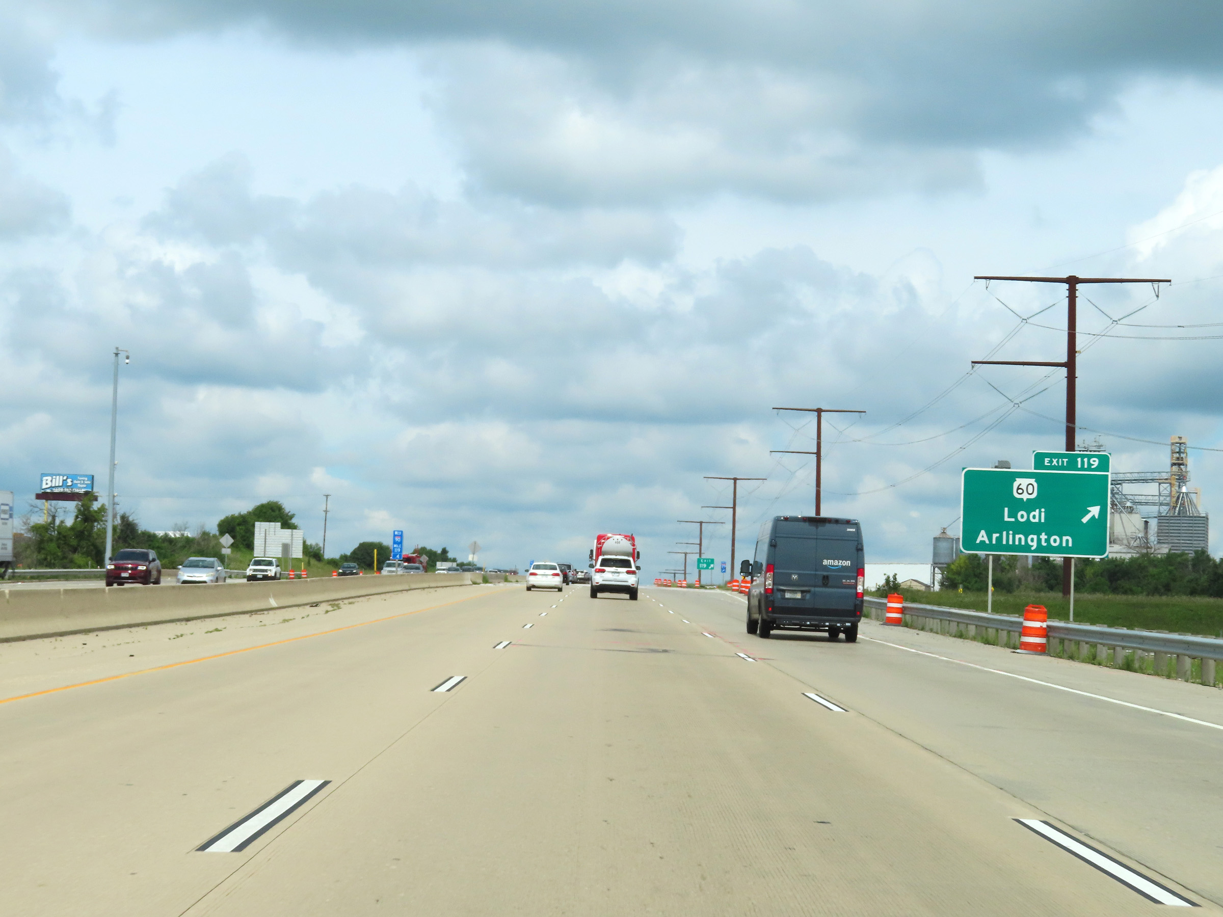 |
Interstate 39 North / Interstate 90 West / Interstate 94 West at Exit 119: WI 60 - Lodi / Arlington (Photo taken 8/15/22). |
 |
View on Interstate 39 North / Interstate 90 West / Interstate 94 West at mile marker 117. (Photo taken 8/15/22). |
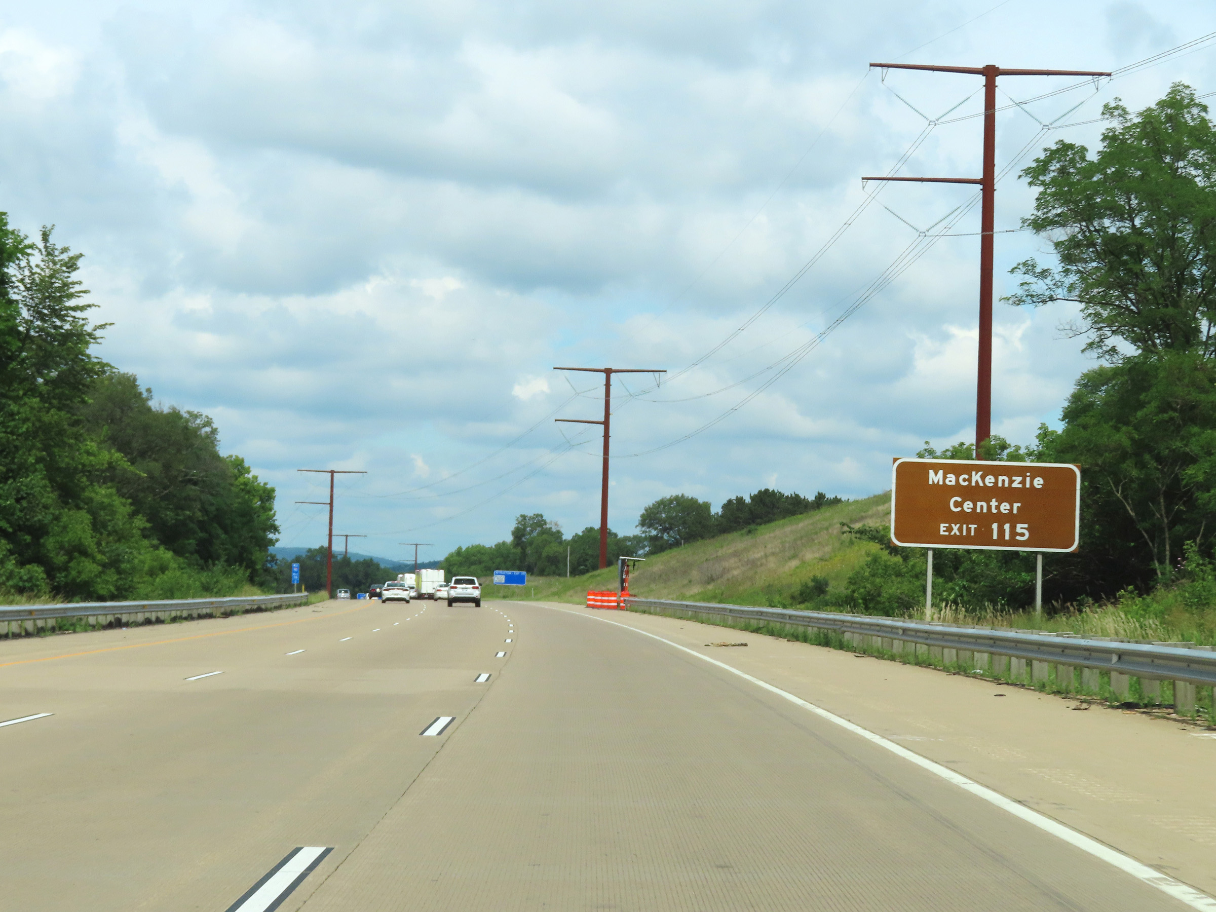 |
Take Exit 115 to MacKenzie Center. (Photo taken 8/15/22). |
 |
Interstate 39 North / Interstate 90 West / Interstate 94 West at Exit 115: Hwy CS - Poynette / Lake Wisconsin (Photo taken 8/15/22). |
 |
Interstate 39 North / Interstate 90 West / Interstate 94 West reassurance shields in Columbia County at mile marker 114.6. (Photo taken 8/15/22). |
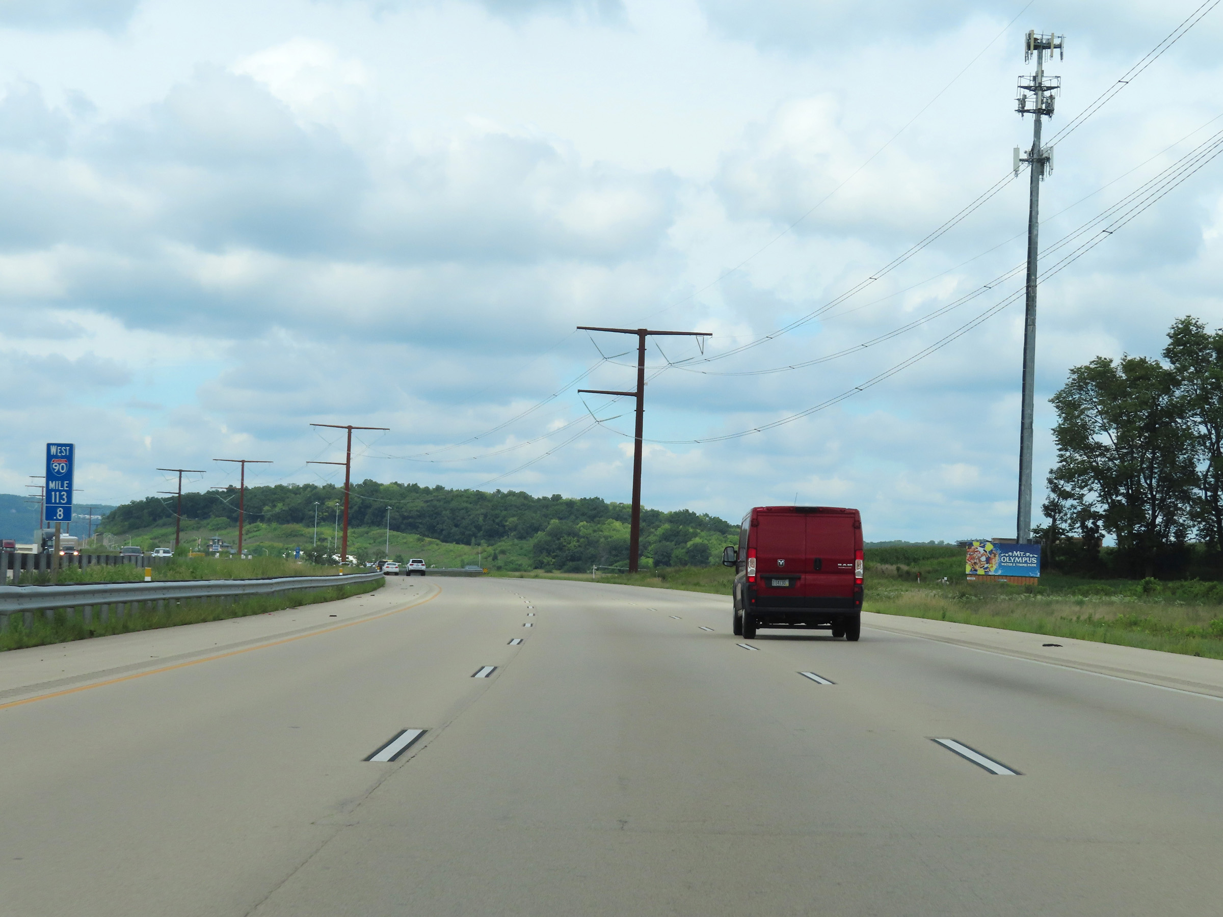 |
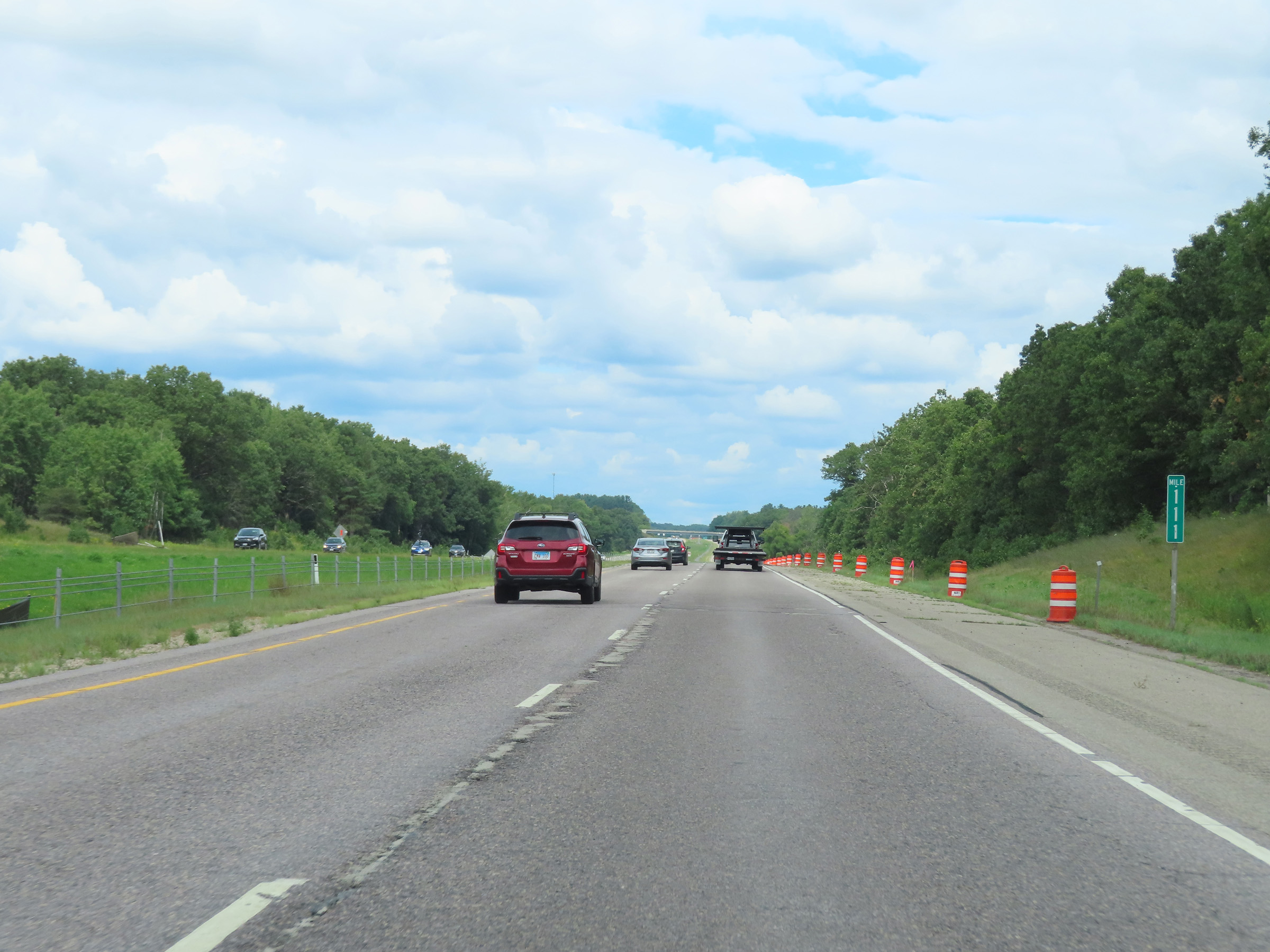
View on Interstate 39 North / Interstate 90 West / Interstate 94 West at mile marker 113.8. (Photo taken 8/15/22). |
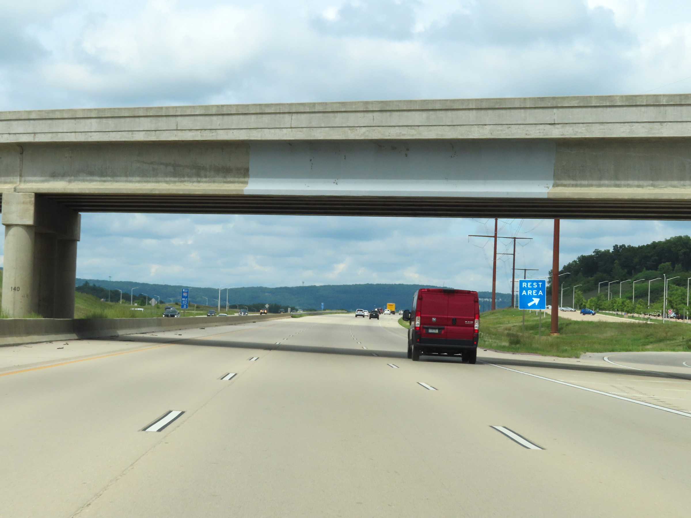 |
Rest Area on Interstate 39 North / Interstate 90 West / Interstate 94 West at mile marker 113 in Columbia County. (Photo taken 8/15/22). |
 |
Another mileage sign on Interstate 39 North / Interstate 90 West / Interstate 94 West. It's 3 miles to the junction of WI 78, 29 miles to Wisconsin Dells, and 114 miles to Wausau. (Photo taken 8/15/22). |
 |
The speed limit remains the rural standard 70 mph. (Photo taken 8/15/22). |
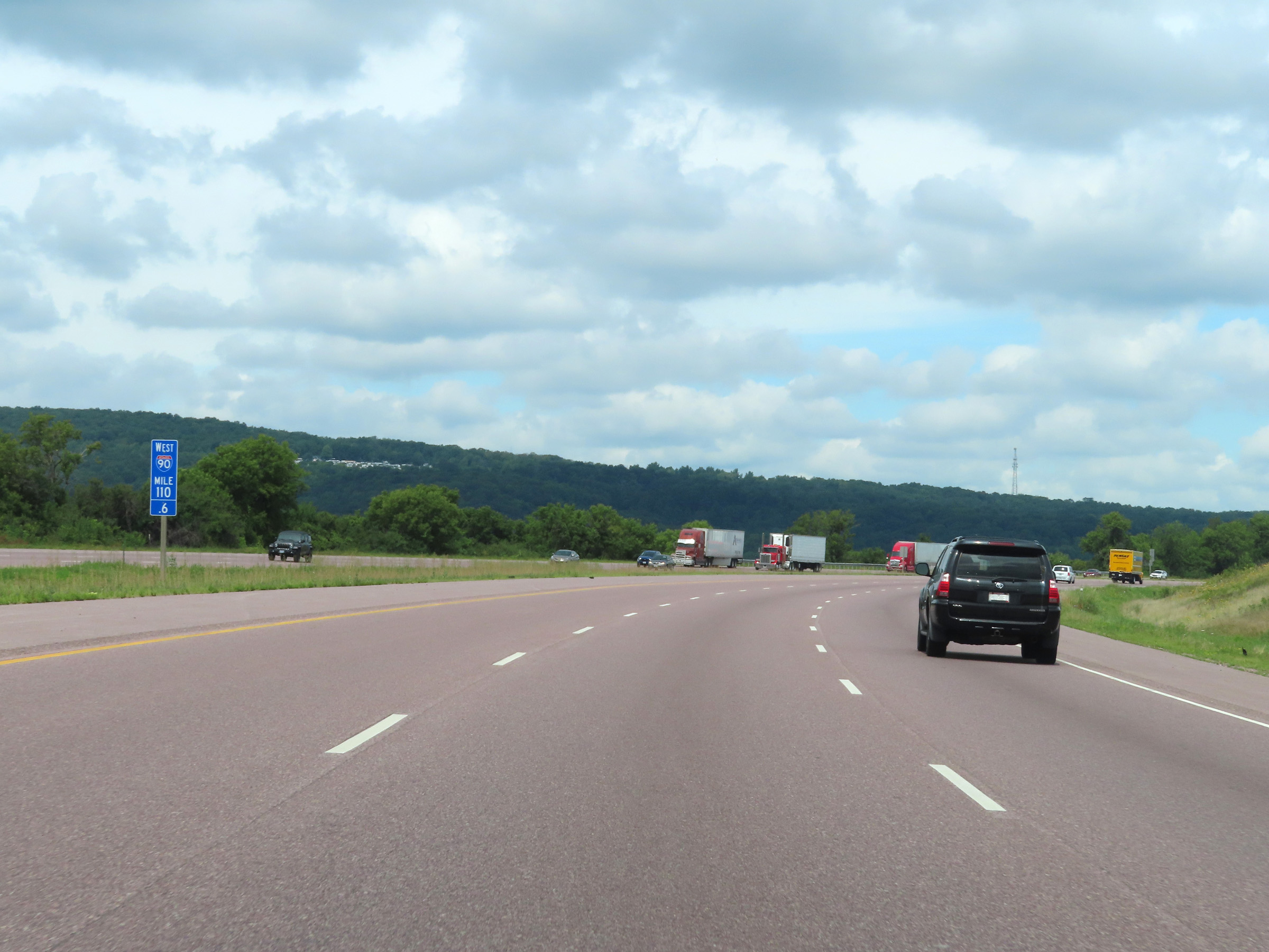 |
Interstate 39 North / Interstate 90 West / Interstate 94 West at mile marker 110.6. (Photo taken 8/15/22). |
 |
Take Exit 108B (Interstate 39 North) to Portage and Stevens Point. (Photo taken 8/15/22). |
 |
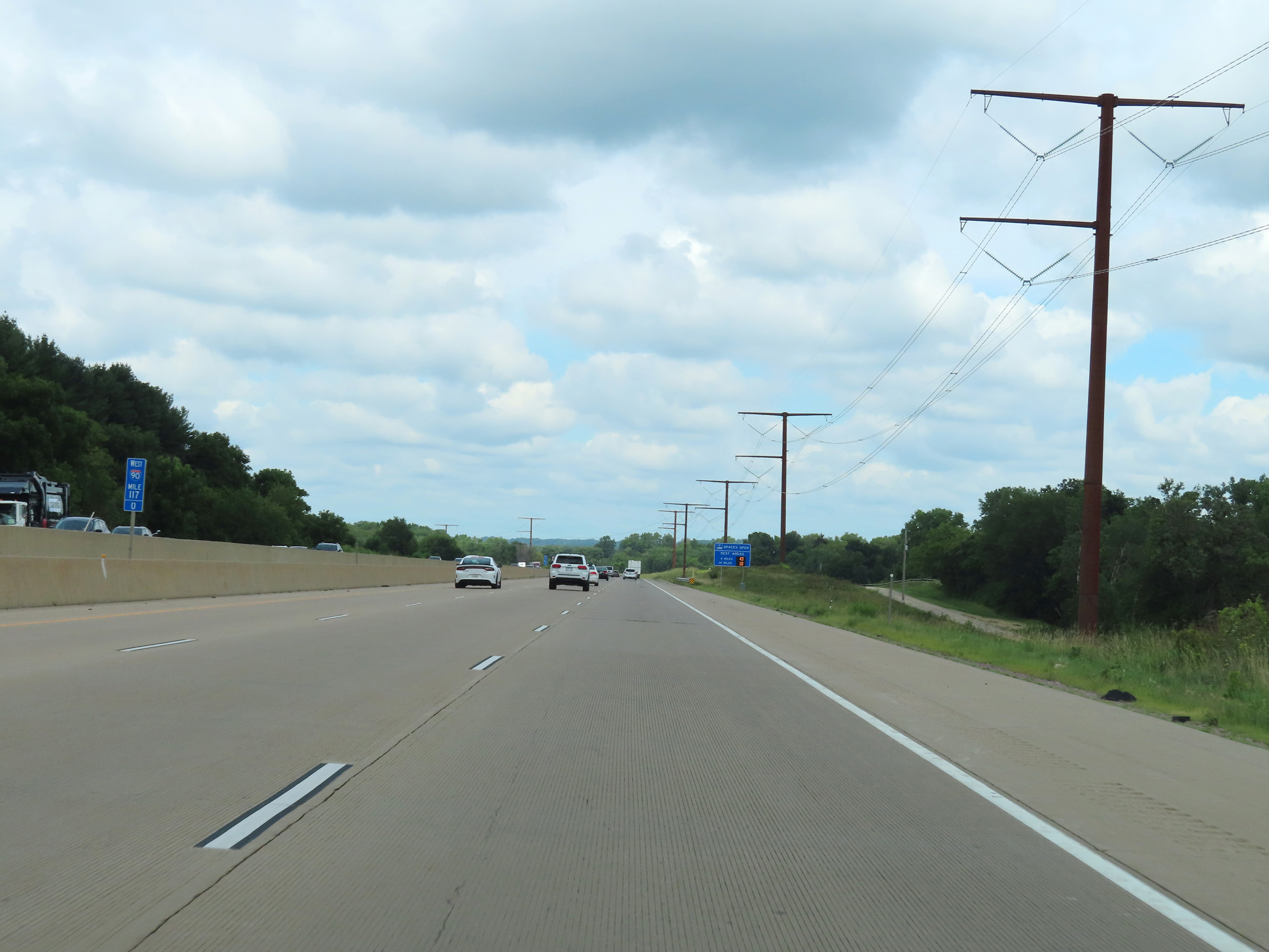
View on Interstate 39 North / Interstate 90 West / Interstate 94 West at mile marker 110. (Photo taken 8/15/22). |
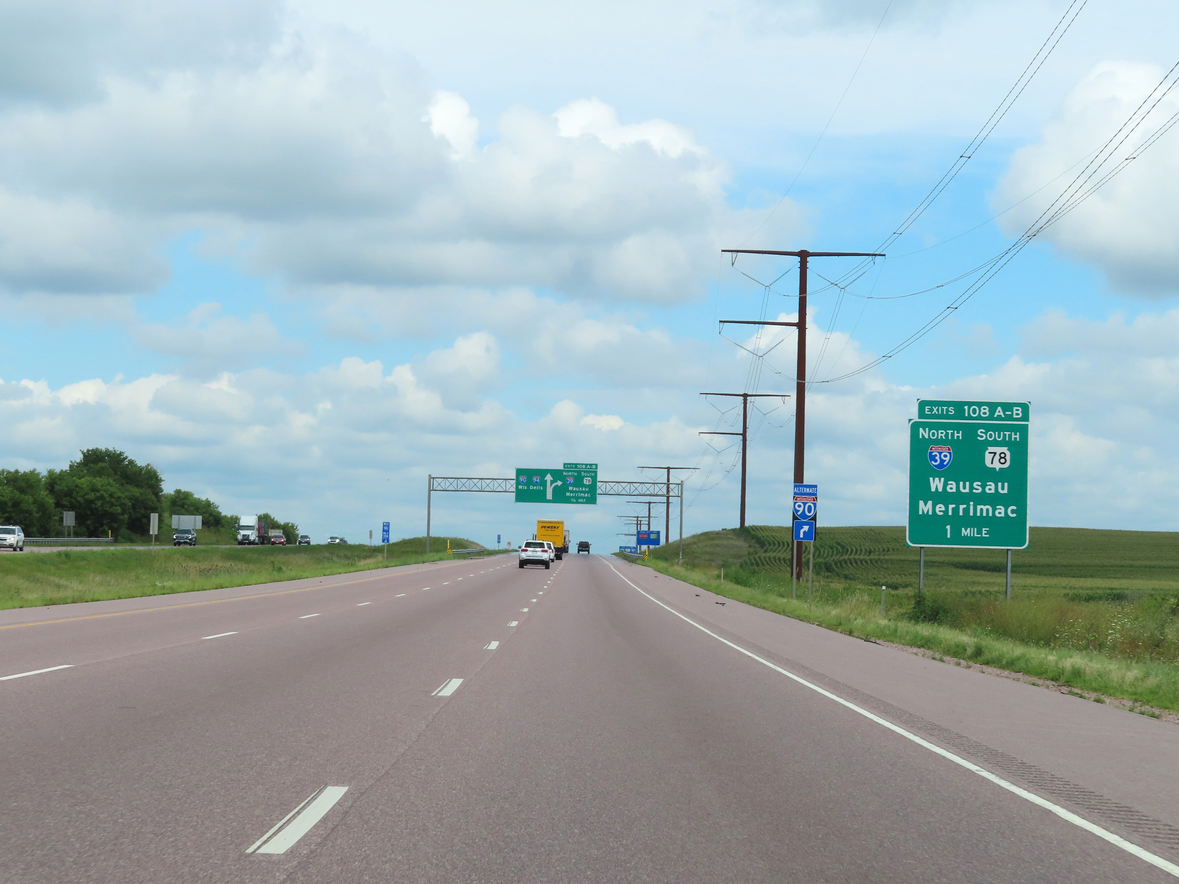 |
Interstate 39 North / Interstate 90 West / Interstate 94 West approaching Exits 108A-B - 1 mile. (Photo taken 8/15/22). |
 |
As this overhead signage shows, the two right lanes ahead can be used to access Exits 108A-B ahead. (Photo taken 8/15/22). |
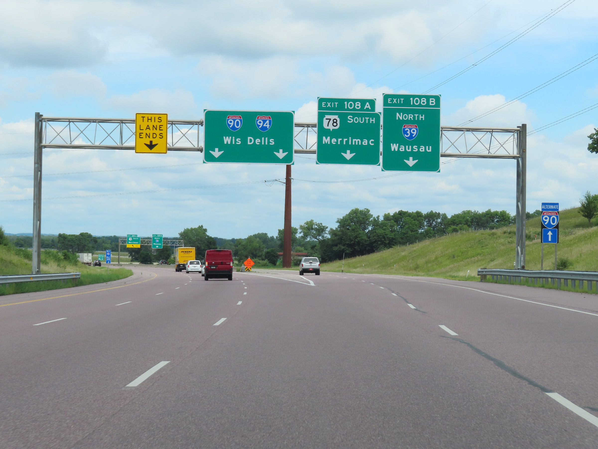 |
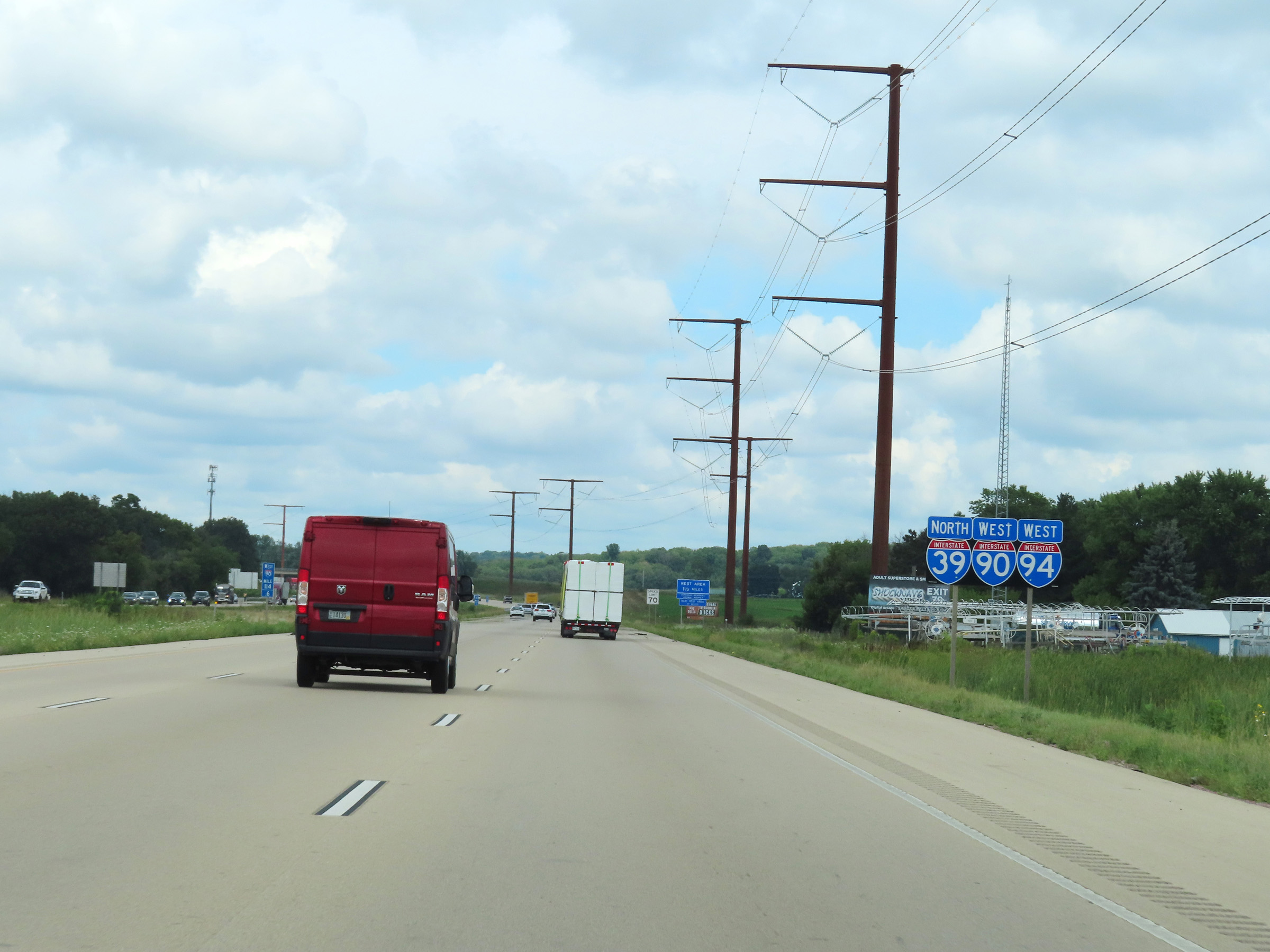
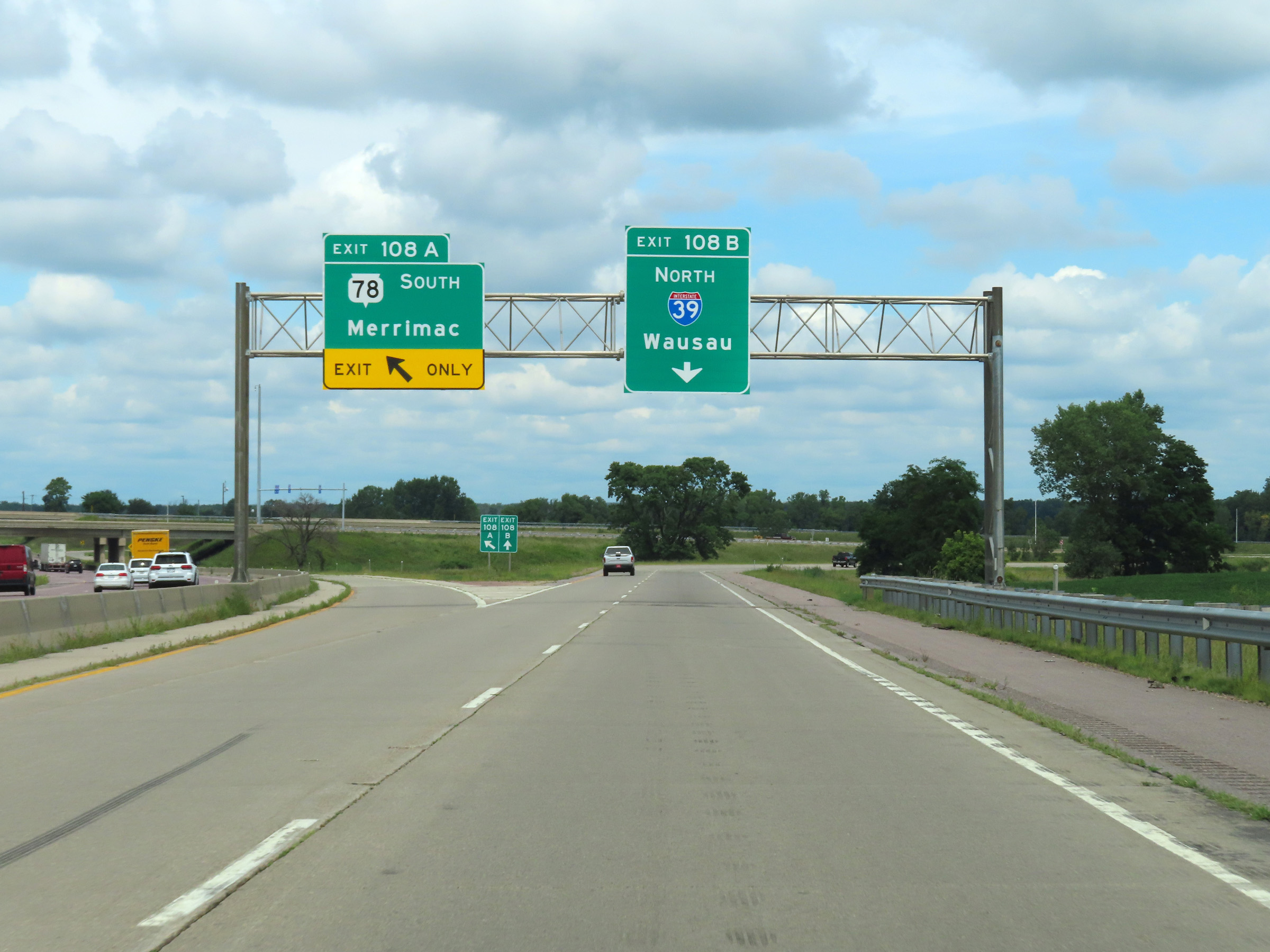
Interstate 39 North / Interstate 90 West / Interstate 94 West at Exit 108B: Interstate 39 North - Wausau; Exit 108A: WI 78 South - Merrimac (Photo taken 8/15/22). |
 |
Interstate 39 North / Interstate 90 West / Interstate 94 West at Exit 108A: WI 78 South - Merrimac. The two thru lanes of the ramp continue as Interstate 39 North via Exit 108B. (Photo taken 8/15/22). |
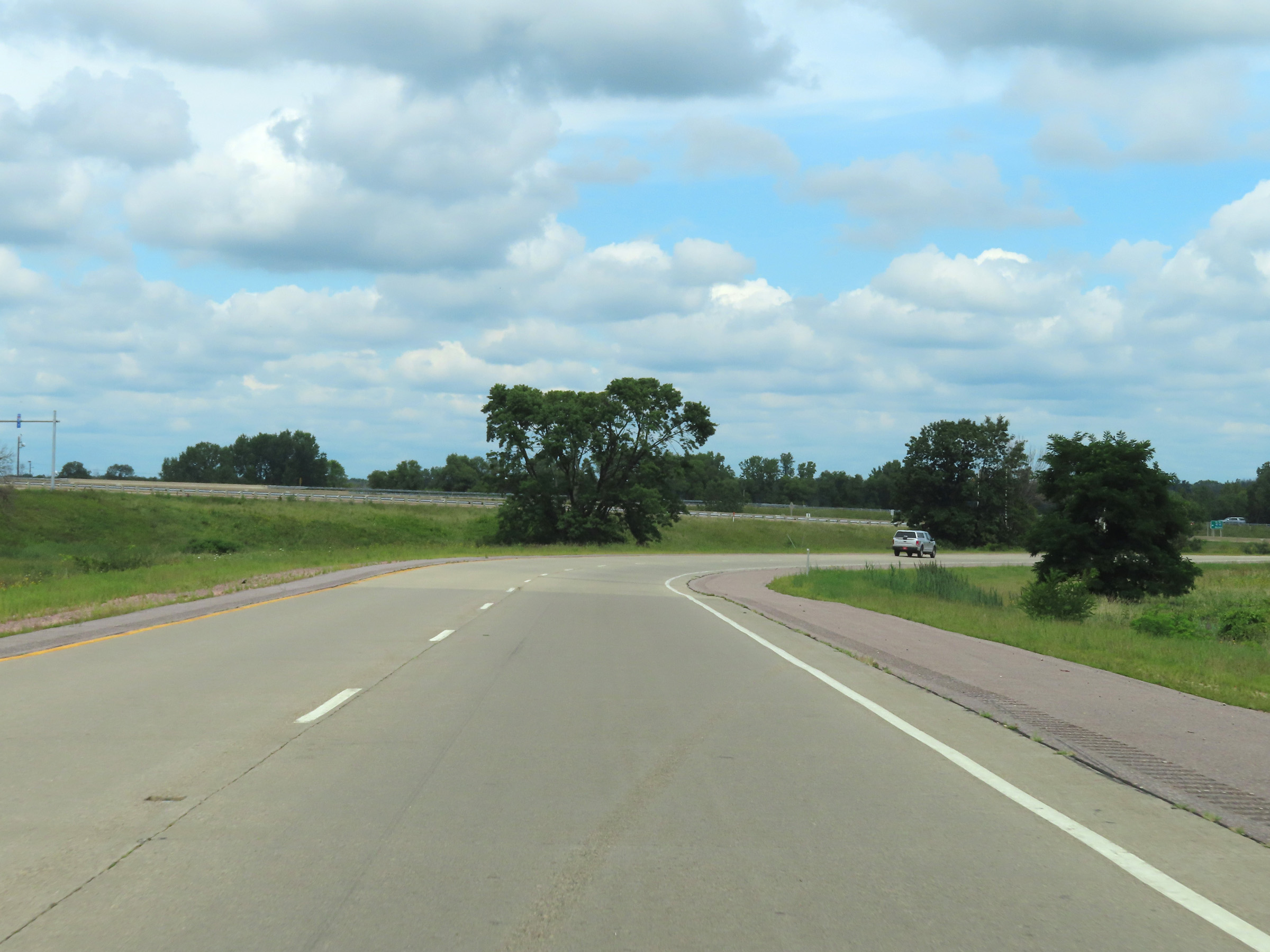 |
Interstate 39 North, now having departed from Interstate 90 West / Interstate 94 West, will curve to the north ahead. (Photo taken 8/15/22). |
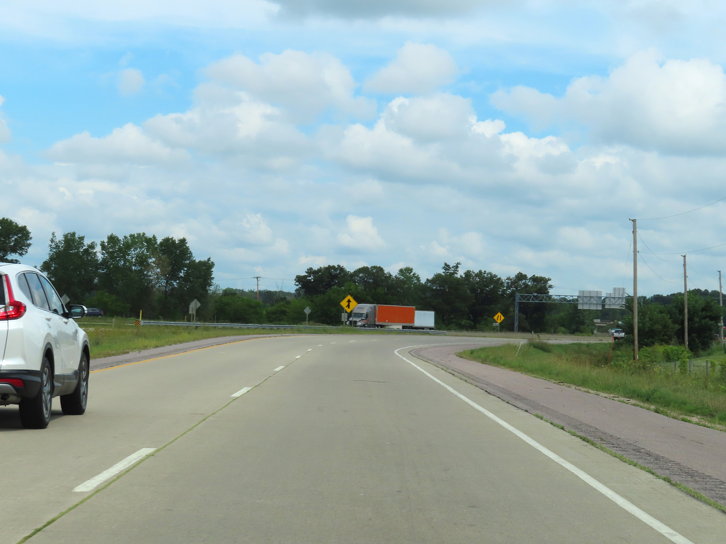 |
Traffic from both Interstate 90 East / Interstate 94 East and WI 78 North will merge into the northbound lanes of Interstate 39 ahead from the left. (Photo taken 8/15/22). |
 |
Advance signage for Exit 85, 1/4 mile ahead, which is the first exit on Interstate 39 North after its departure from Interstate 90 West / Interstate 94 West. (Photo taken 8/15/22). |
 |
Interstate 39 North reassurance shield. (Photo taken 8/15/22). |
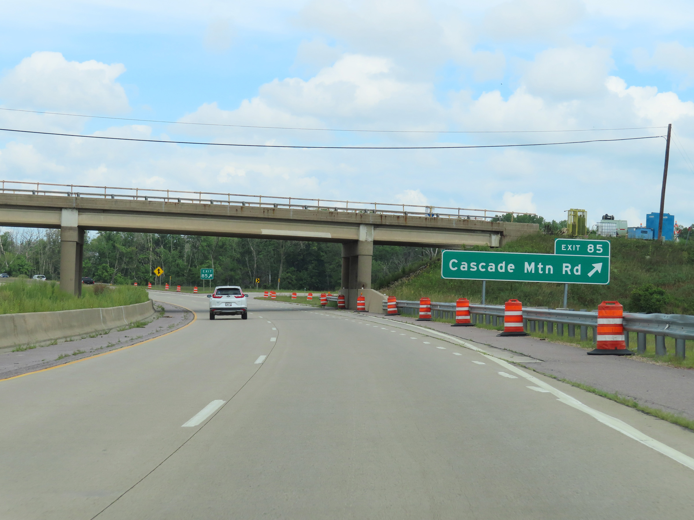 |
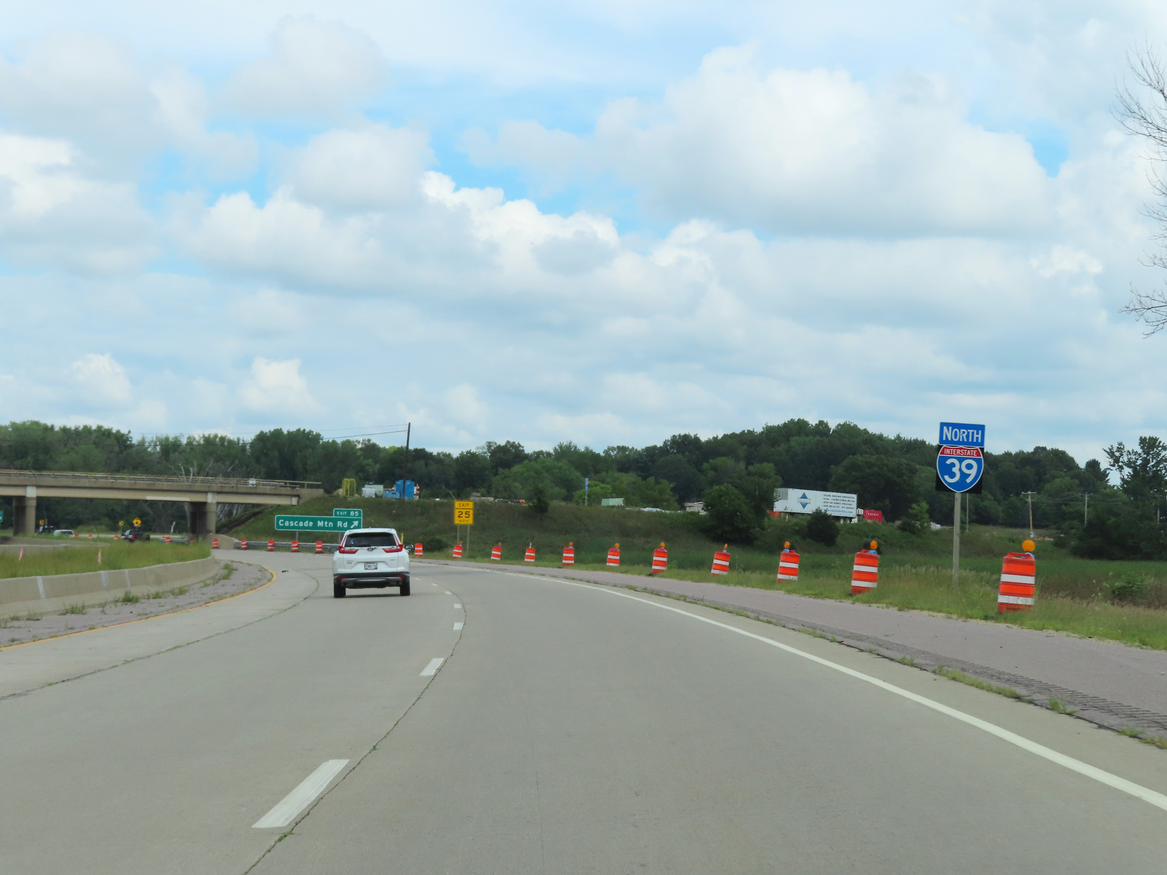
Interstate 39 North at Exit 85: Cascade Mountain Rd (Photo taken 8/15/22). |
 |
Mileage sign on Interstate 39 North as it prepares to cross the Baraboo River. It's 4 miles to Portage, 74 miles to Stevens Point, and 106 miles to Wausau. (Photo taken 8/15/22). |
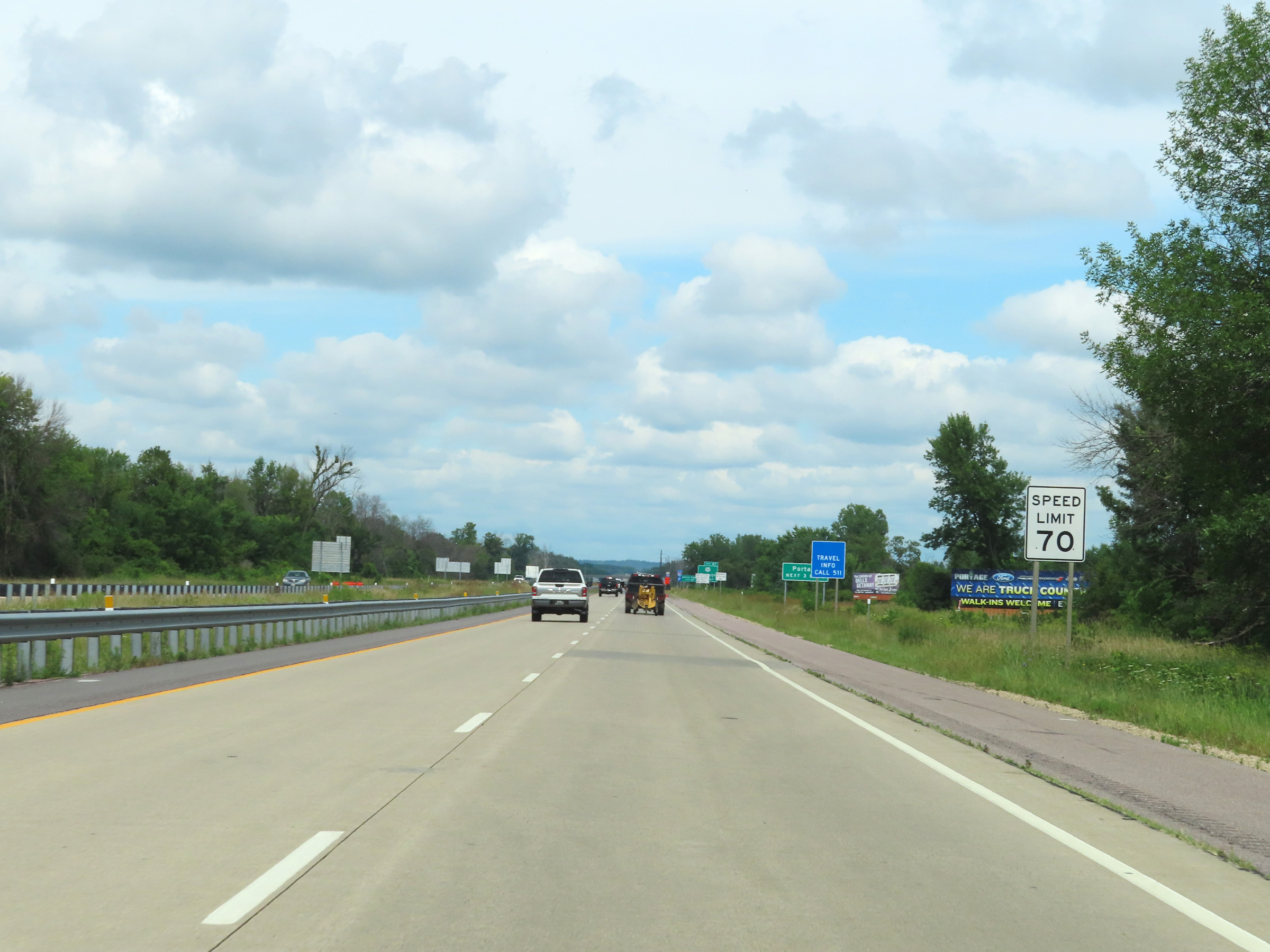 |
The speed limit remains 70 mph on Interstate 39 North. (Photo taken 8/15/22). |
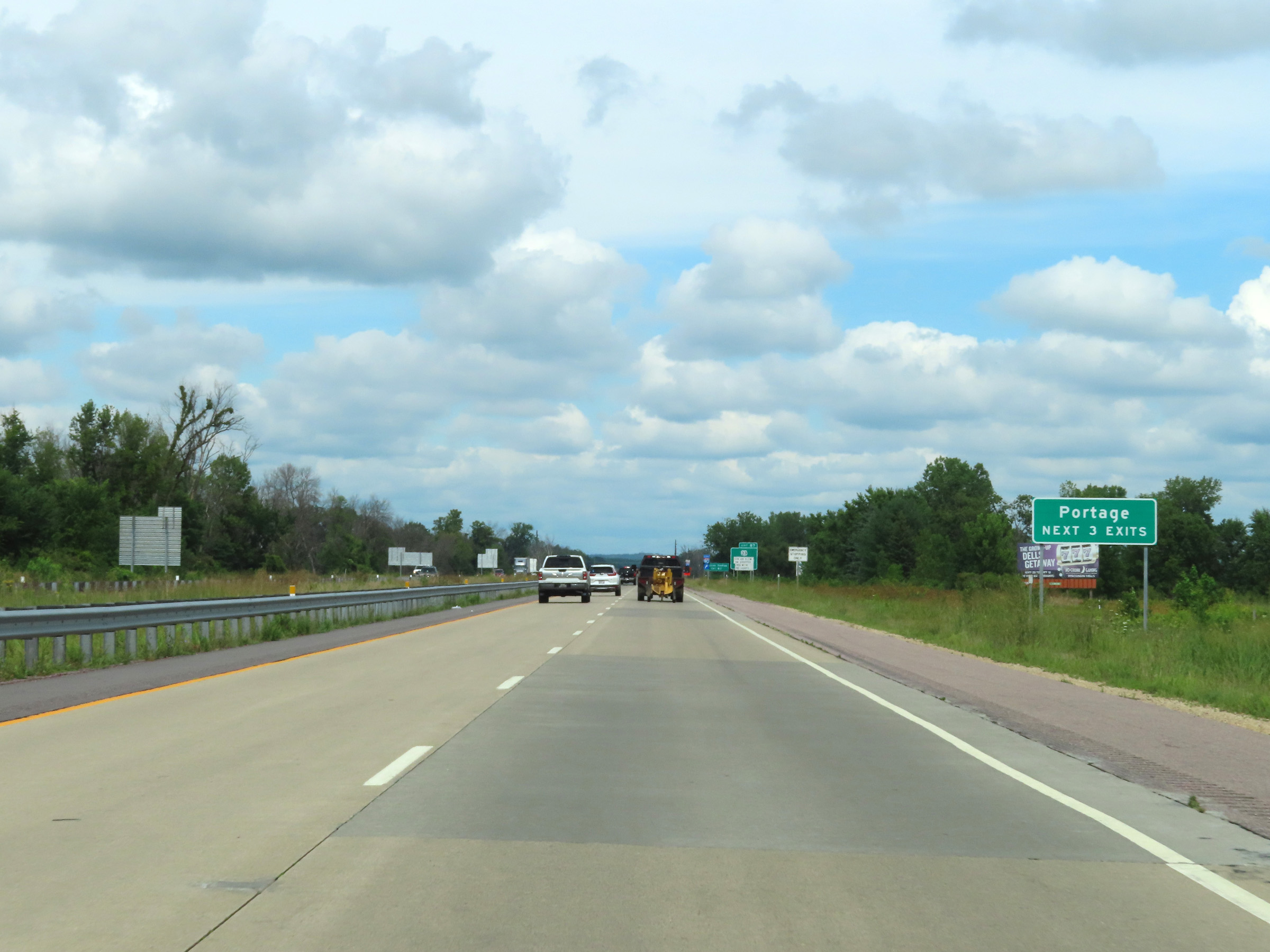 |
Take any of the next 3 exits to Portage. (Photo taken 8/15/22). |
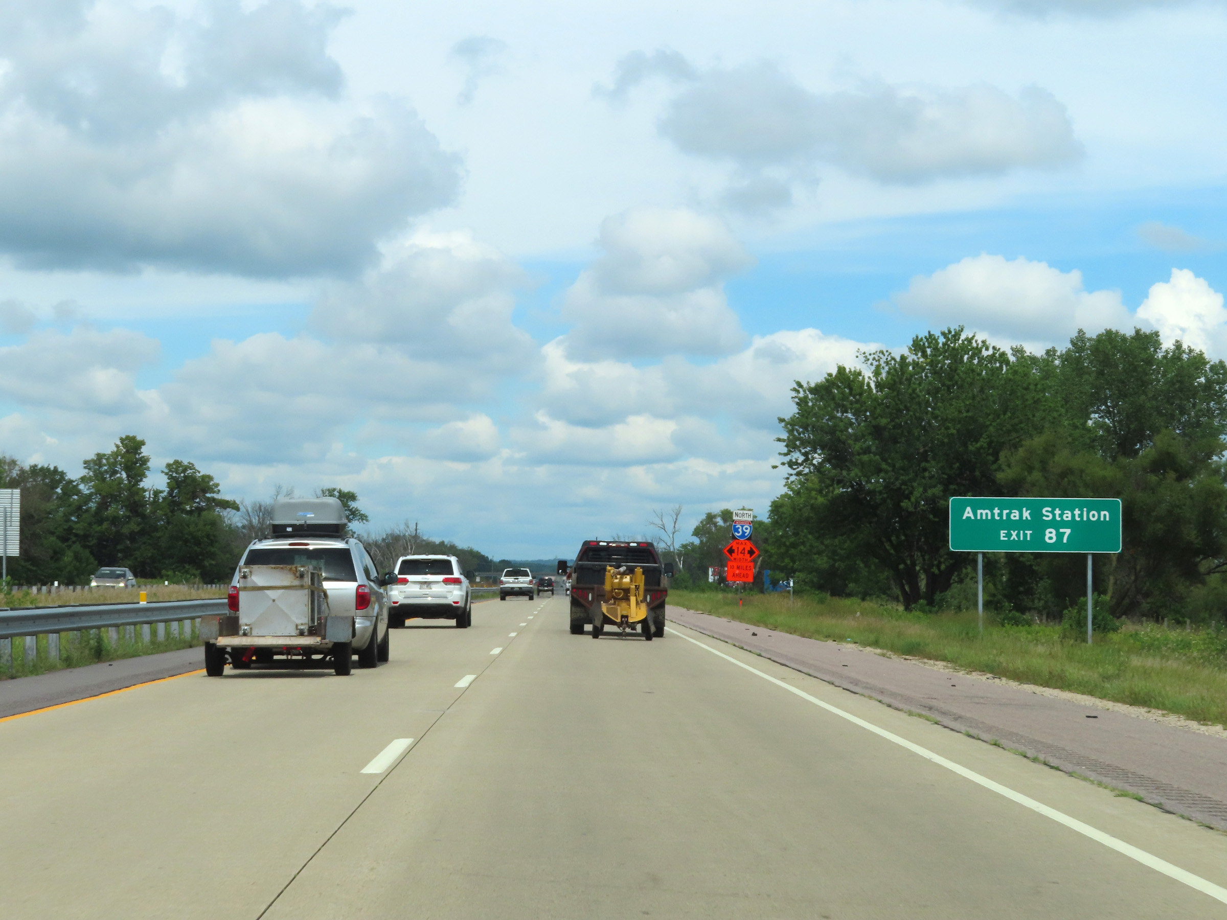 |
Take Exit 87 to the Amtrak Station. (Photo taken 8/15/22). |
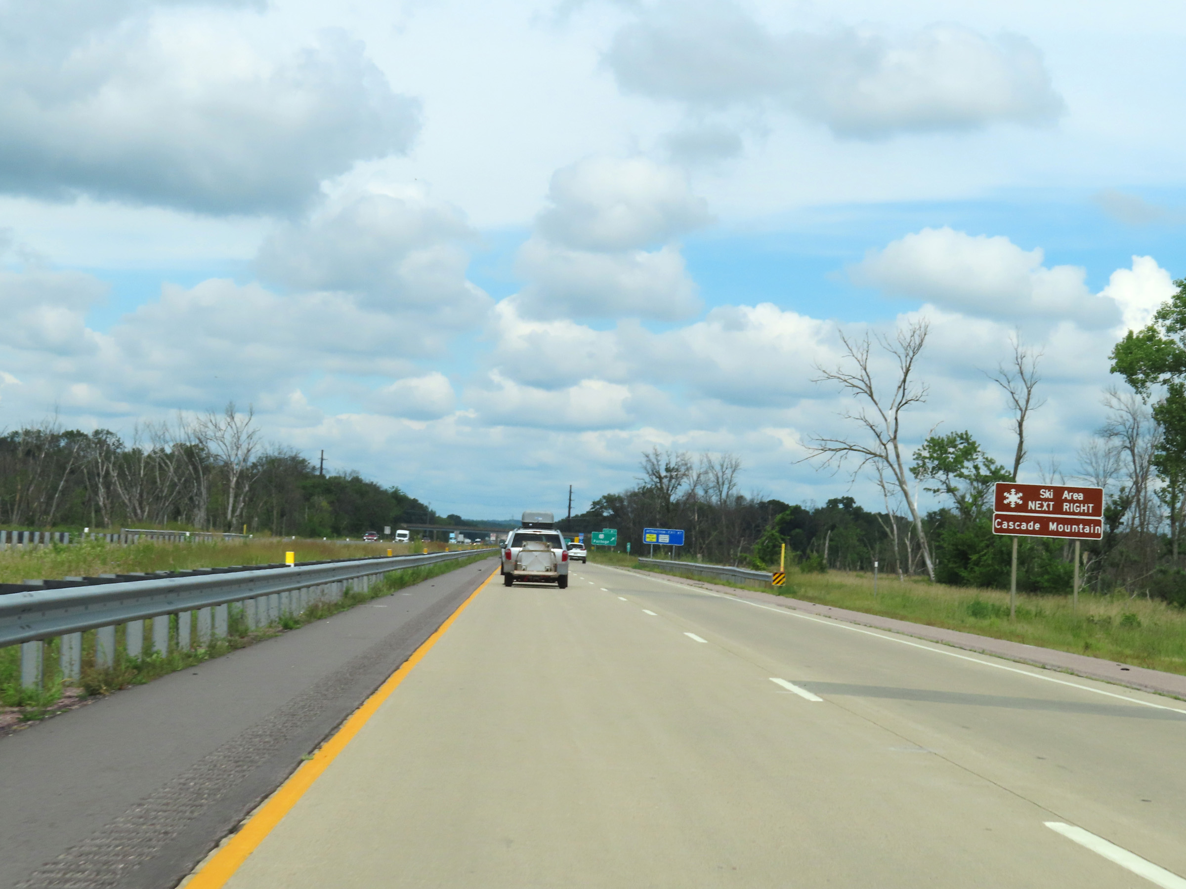 |
Also take Exit 87 to Cascade Mountain Ski Area. (Photo taken 8/15/22). |
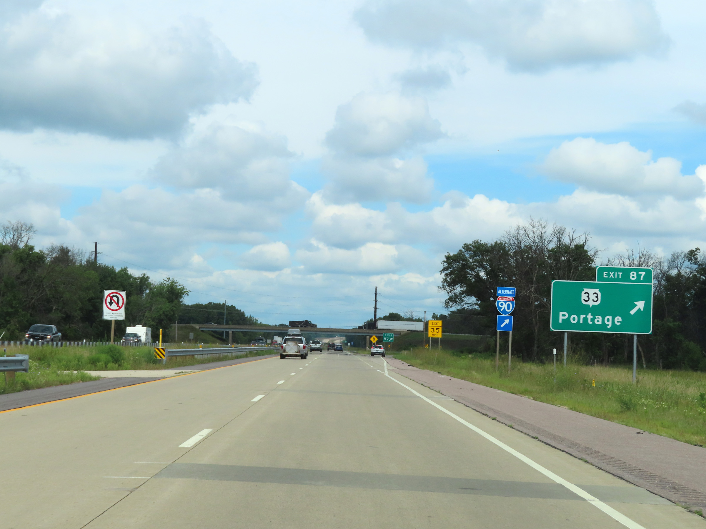 |
Interstate 39 North at Exit 87: WI 33 - Portage (Photo taken 8/15/22). |
 |
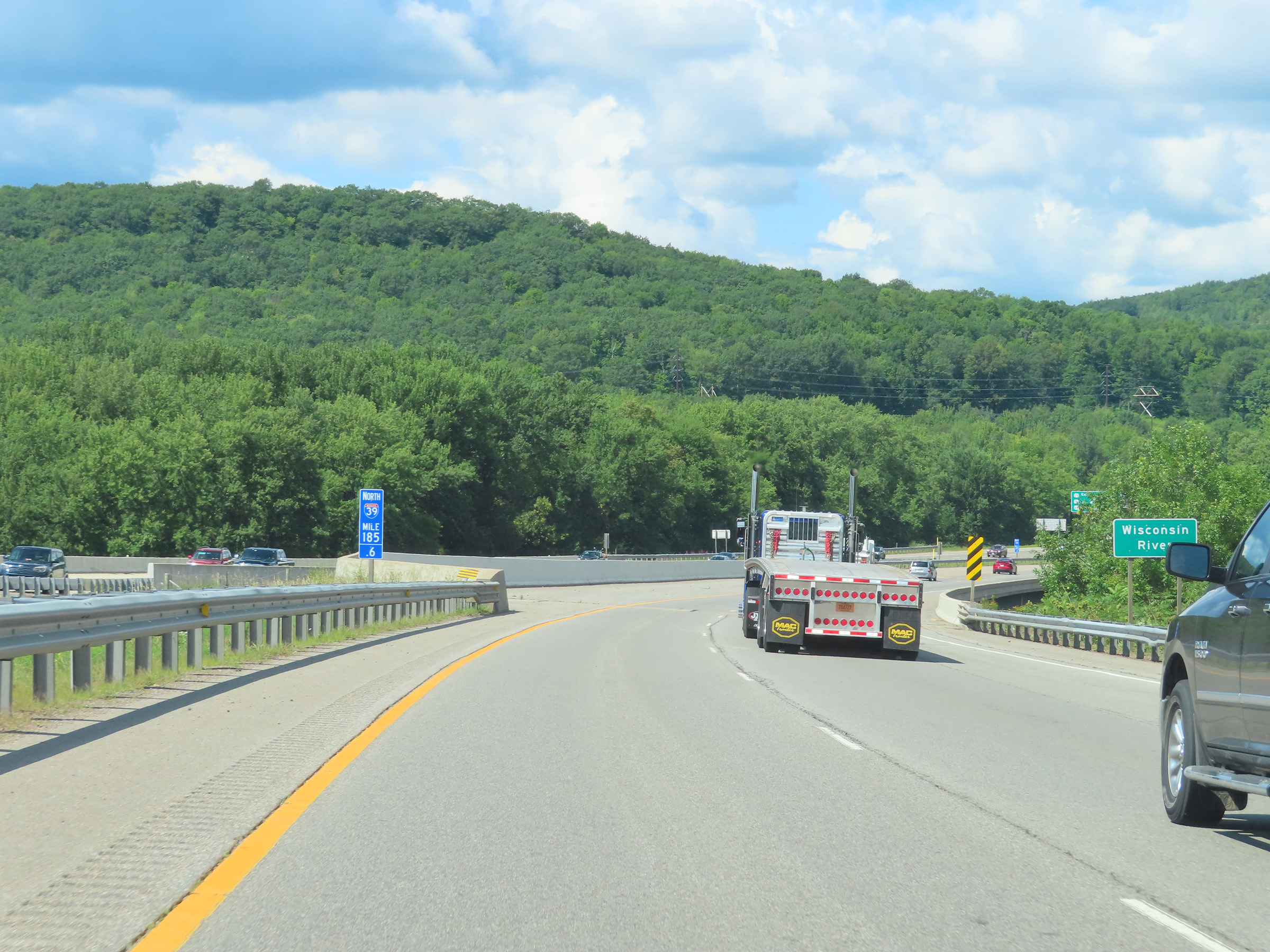
Interstate 39 North as it crosses the Wisconsin River, just north of mile marker 88. (Photo taken 8/15/22). |
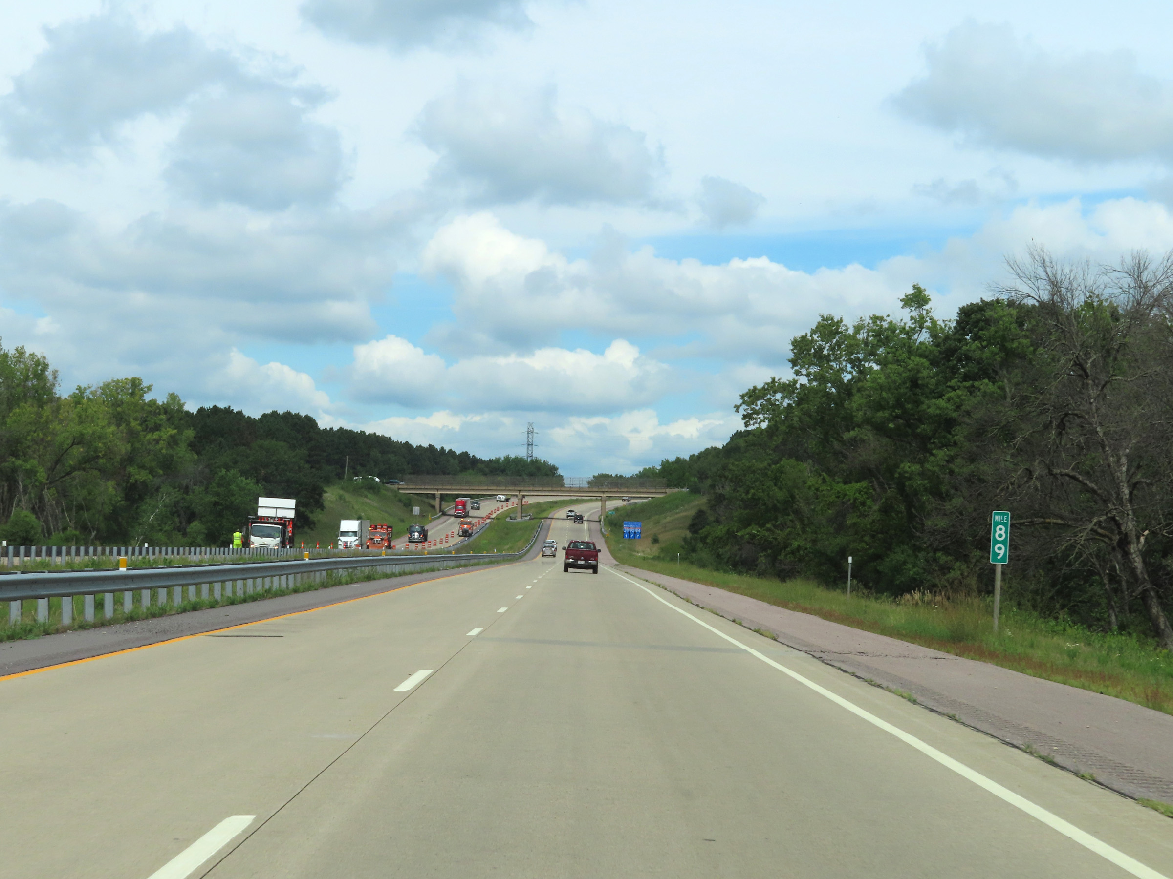 |
View on Interstate 39 North at mile marker 89. (Photo taken 8/15/22). |
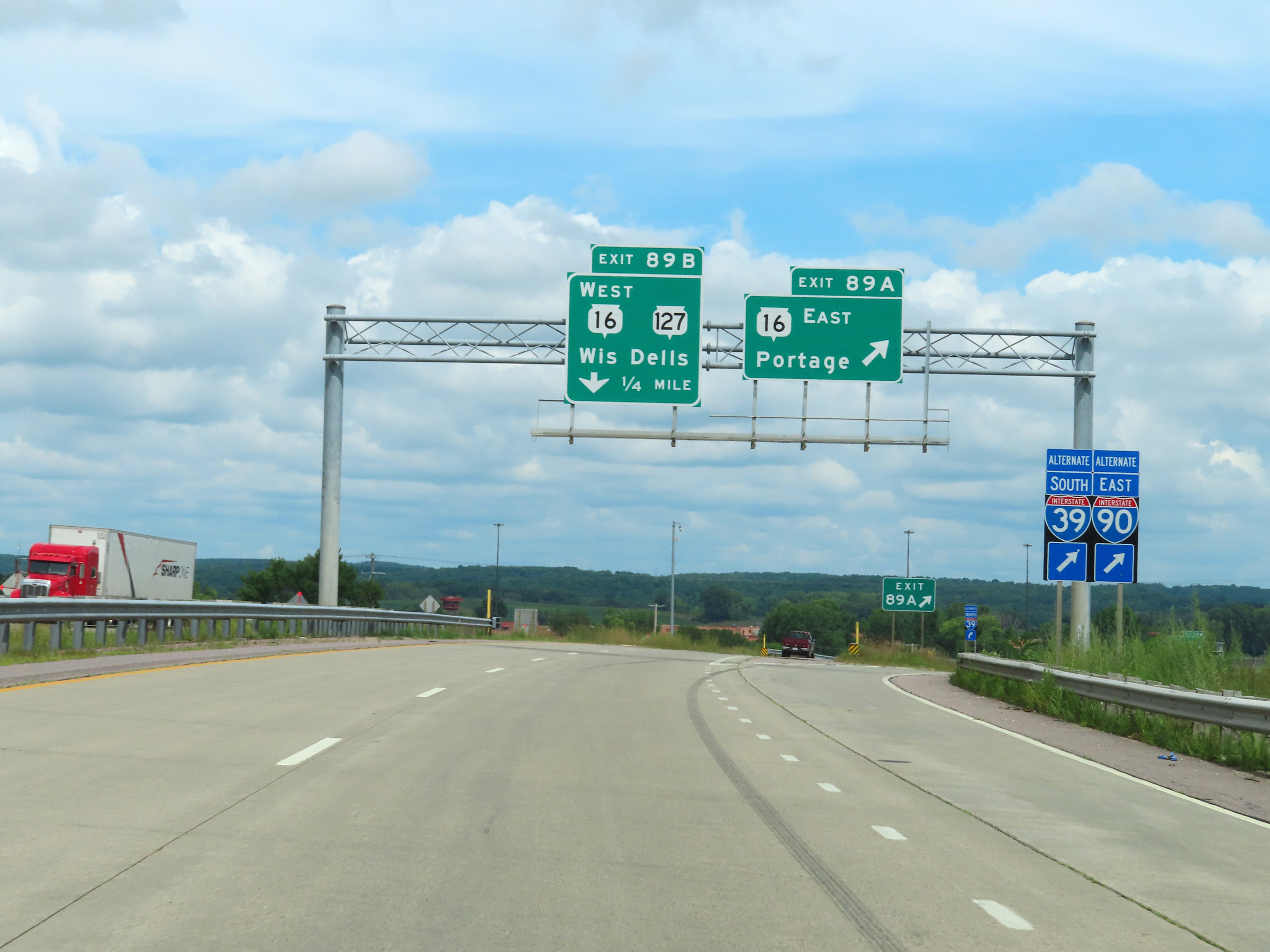 |
Interstate 39 North at Exit 89A: WI 16 East - Portage (Photo taken 8/15/22). |
 |
Interstate 39 North at Exit 89B: WI 16 West / WI 127 - Wisconsin Dells (Photo taken 8/15/22). |
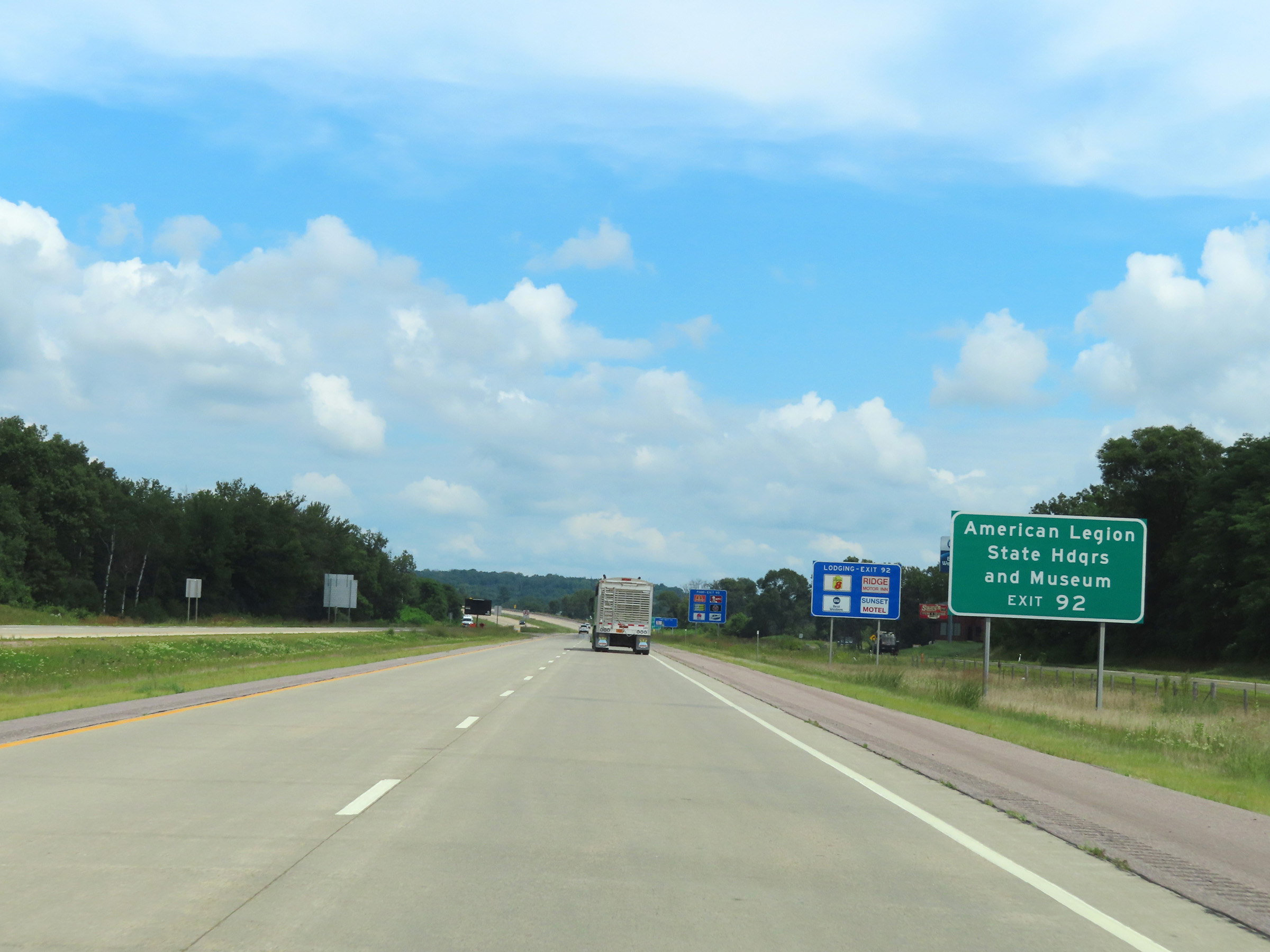 |
Take Exit 92 to the American Legion State Headquarters and Museum. (Photo taken 8/15/22). |
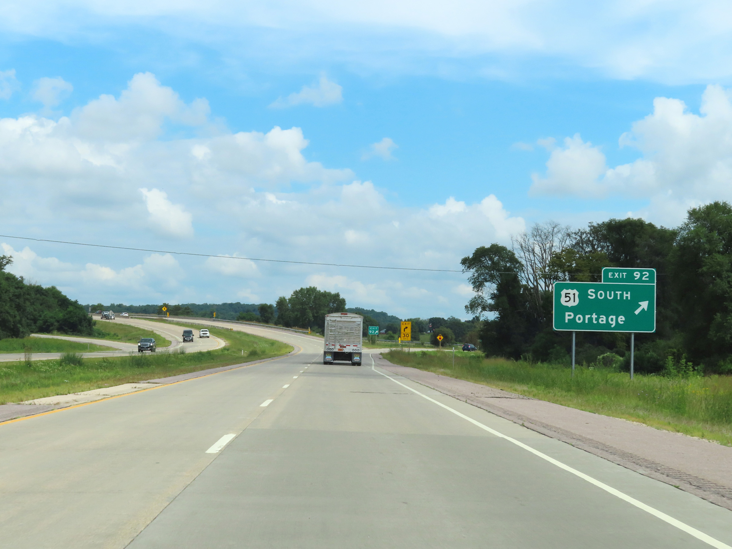 |
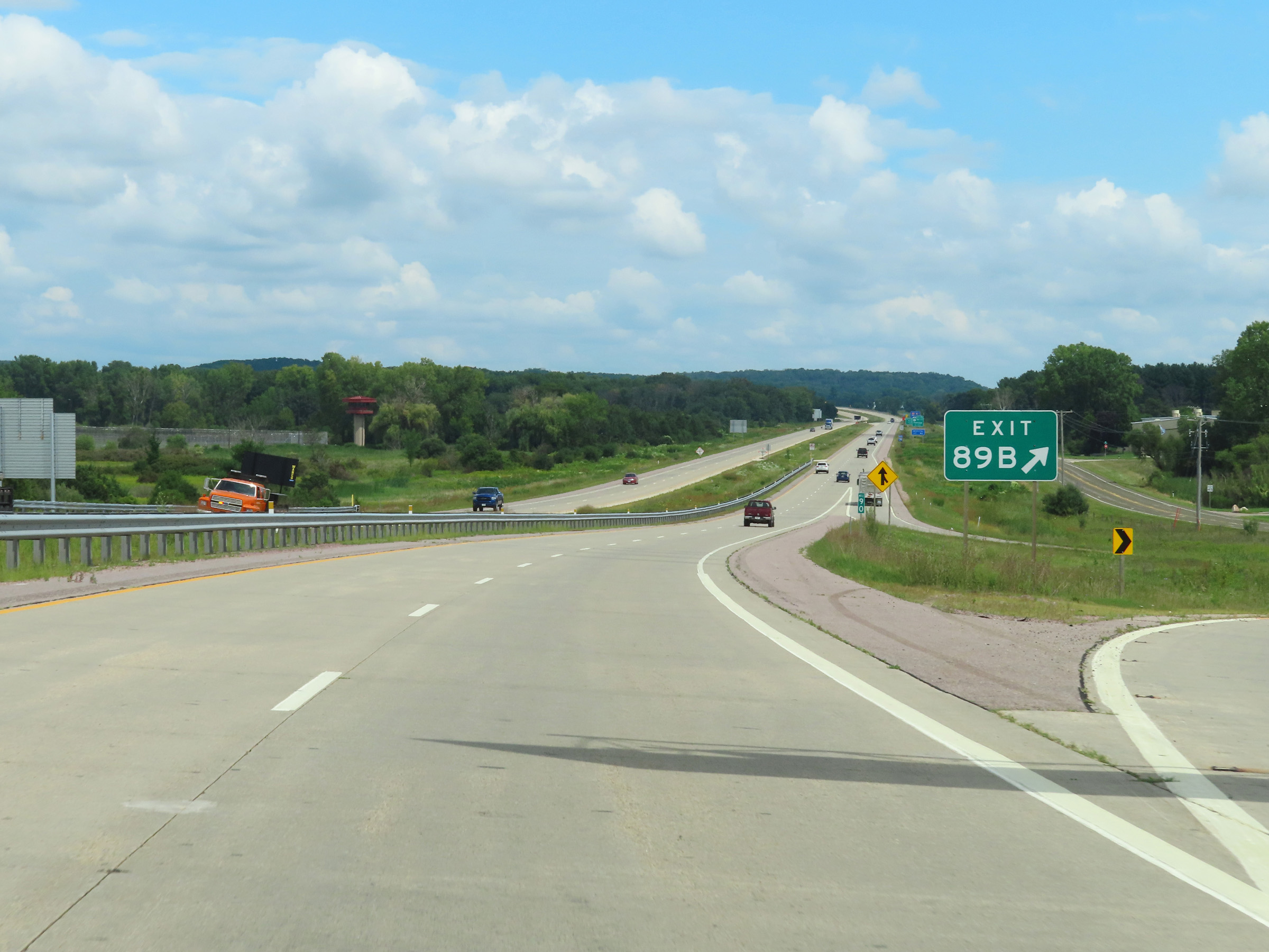
Interstate 39 North at Exit 92: US 51 South - Portage (Photo taken 8/15/22). |
Section 3: Portage (Exit 92) to Stevens Point (Exit 159)
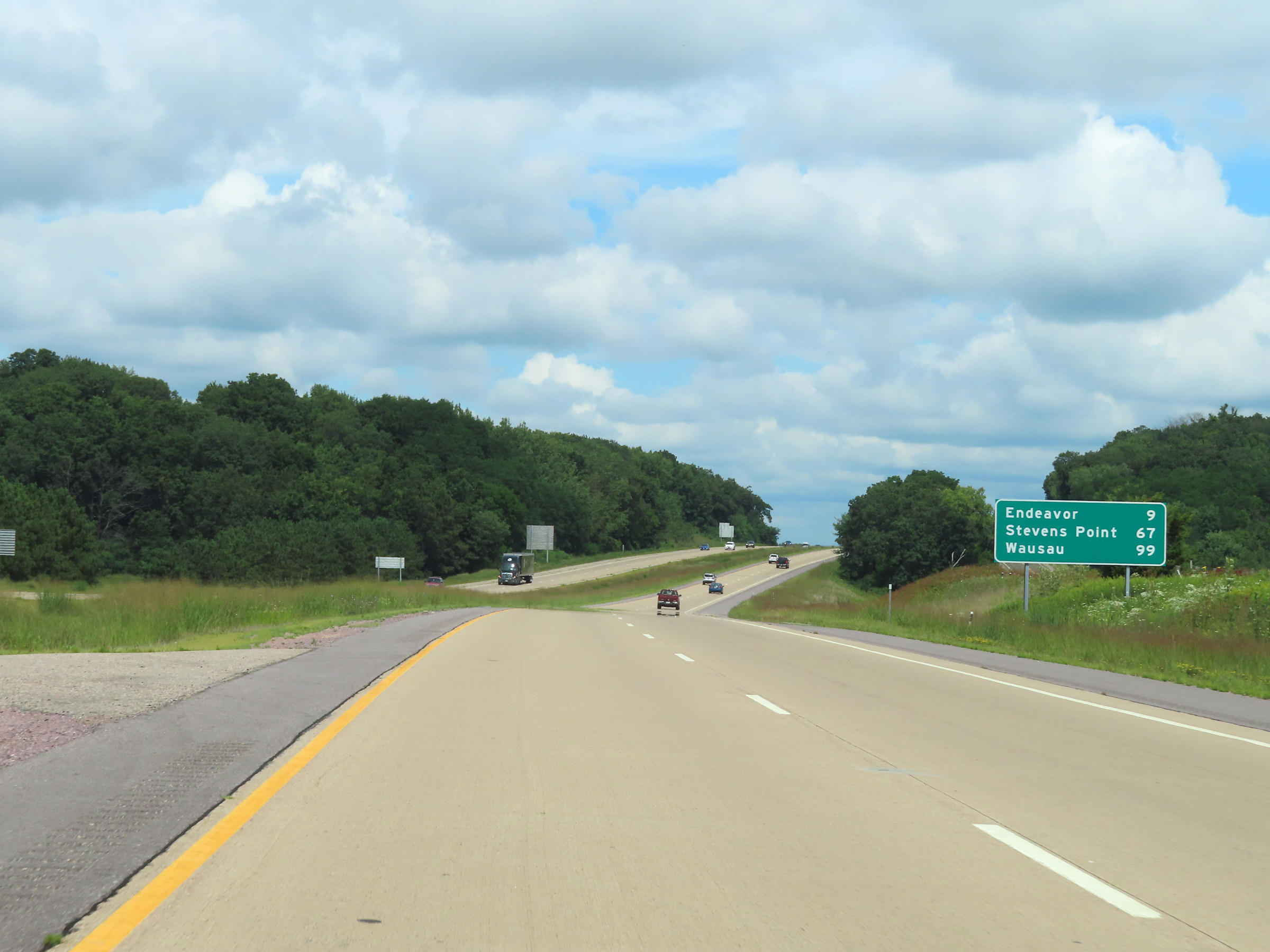 |
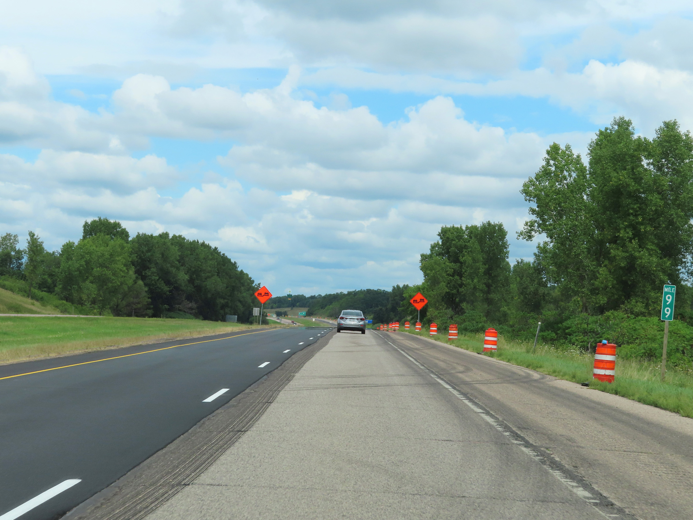
Another mileage sign on Interstate 39 North. It's 9 miles to Endeavor, 67 miles to Stevens Point, and 99 miles to Wausau. (Photo taken 8/15/22). |
 |
View on Interstate 39 North at mile marker 94. (Photo taken 8/15/22). |
 |
Mile marker 95 on Interstate 39 North in Columbia County. (Photo taken 8/15/22). |
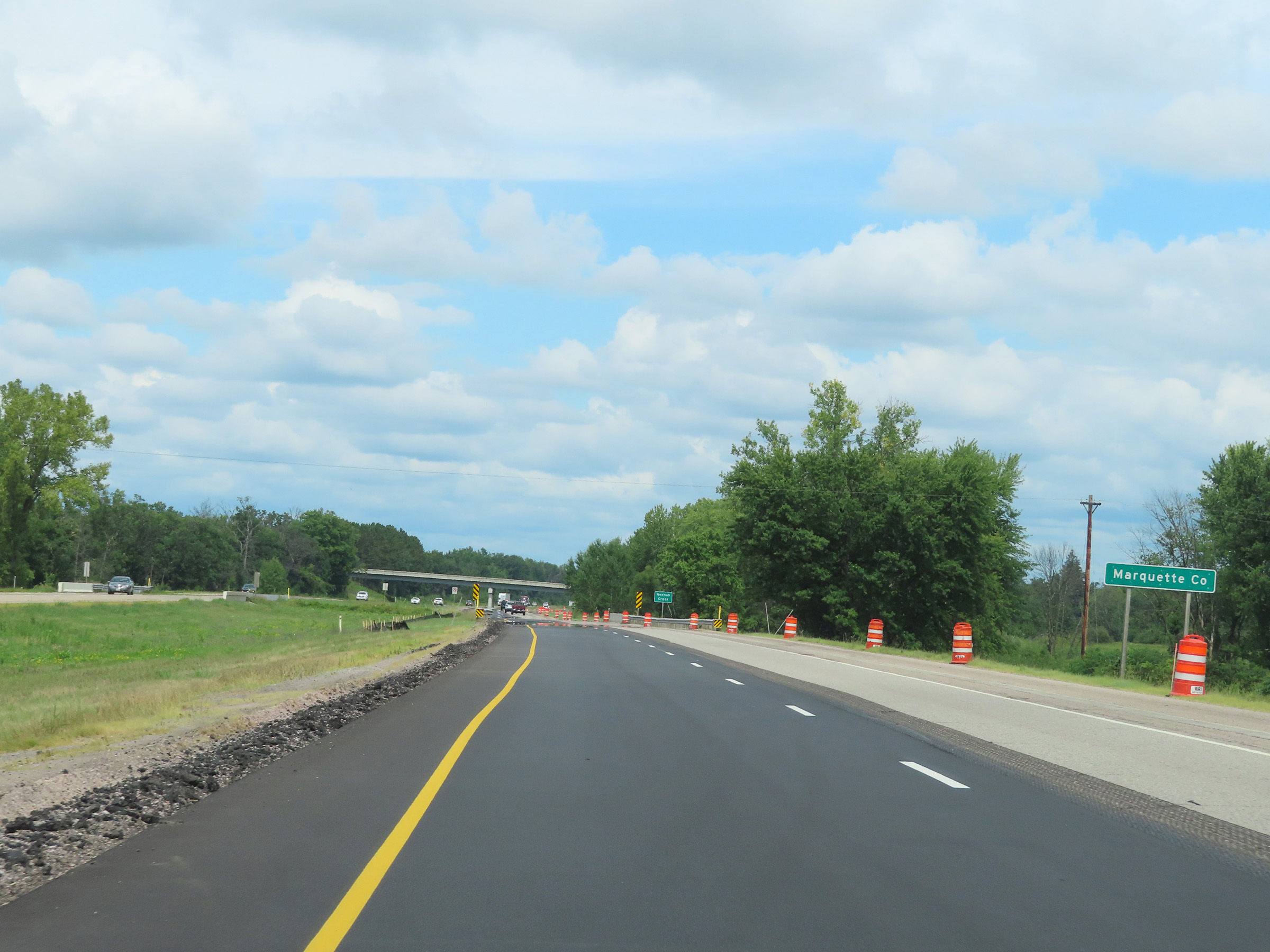 |
Interstate 39 North as it enters Marquette County. (Photo taken 8/15/22). |
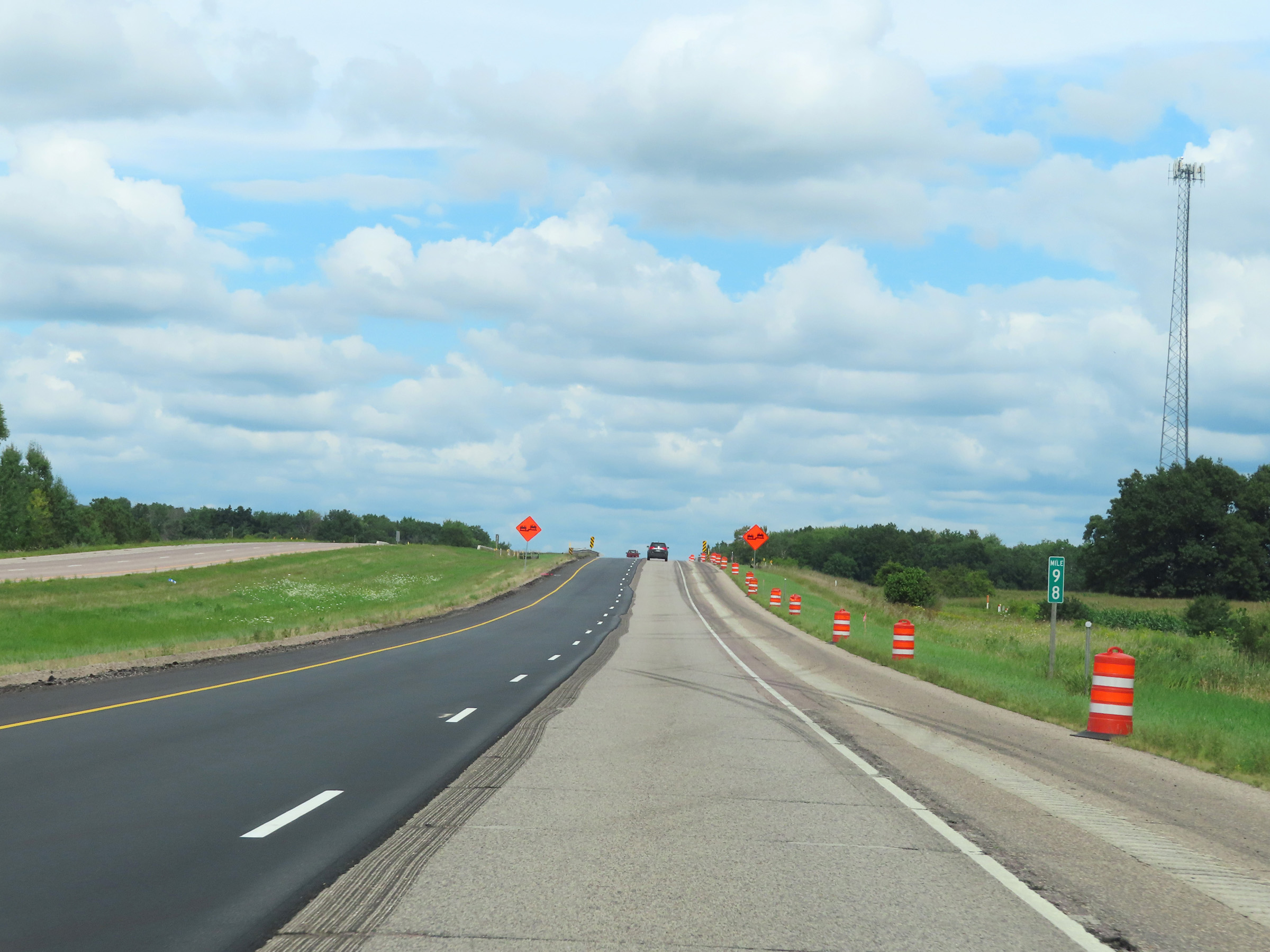 |
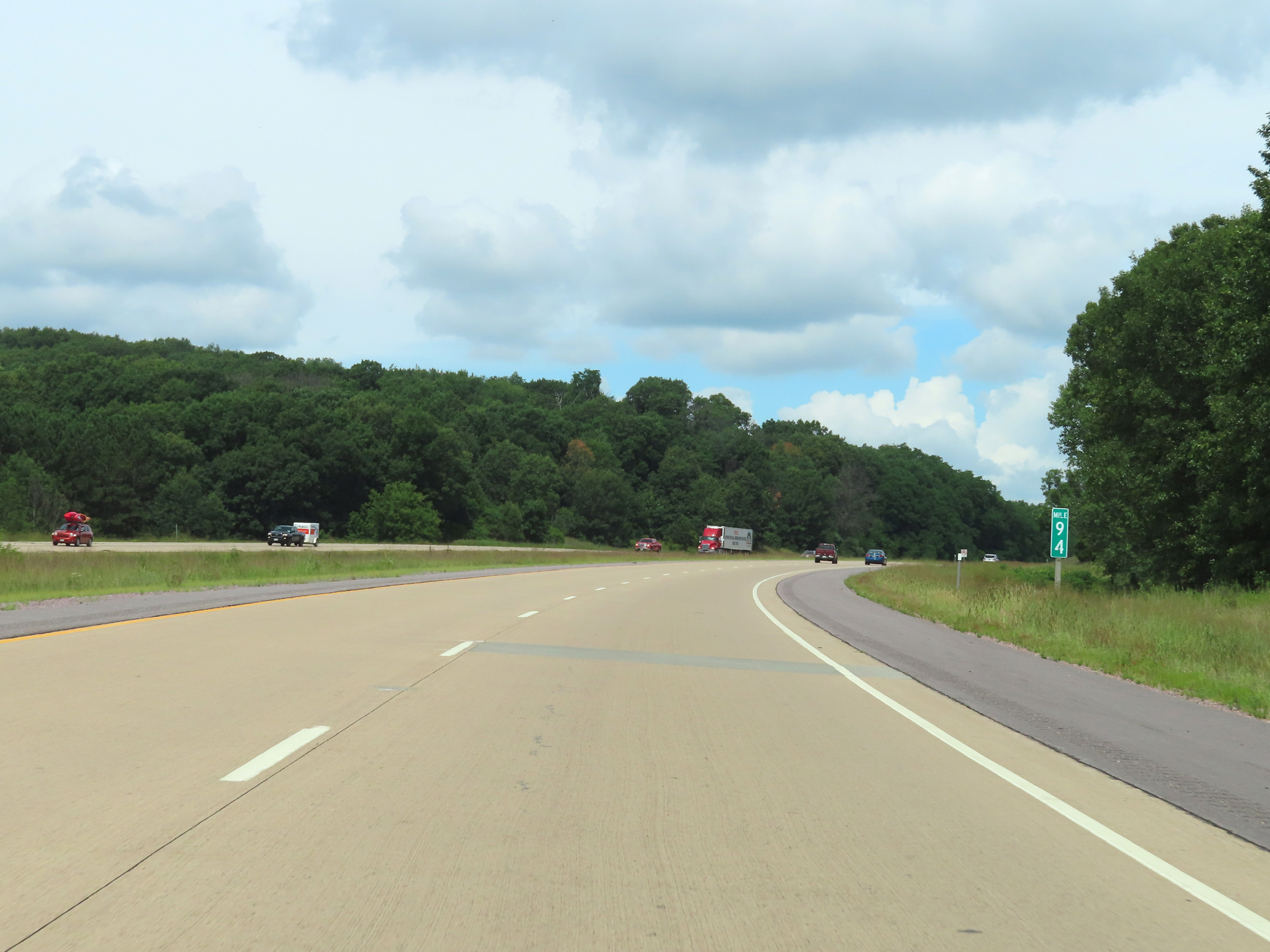
Interstate 39 North at mile marker 98. (Photo taken 8/15/22). |
 |
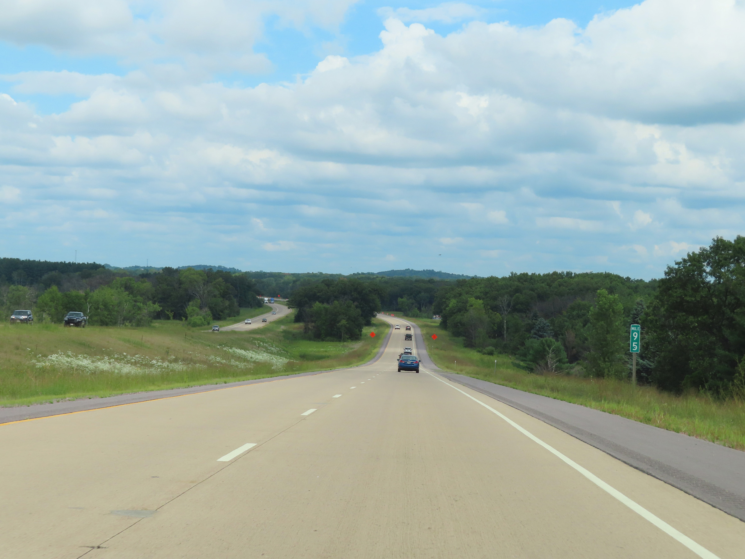
View on Interstate 39 North at mile marker 99. (Photo taken 8/15/22). |
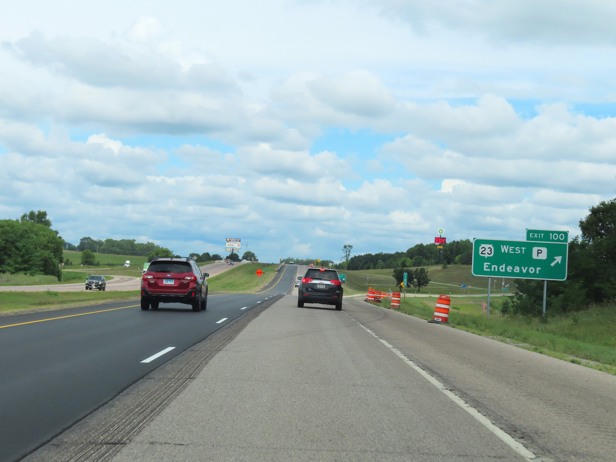 |
Interstate 39 North at Exit 100: WI 23 West / Hwy P - Endeavor (Photo taken 8/15/22). |
 |
Interstate 39 North reassurance shield just north of Exit 100. (Photo taken 8/15/22). |
 |
Speed limit sign at mile marker 101. The speed limit remains 70 mph. (Photo taken 8/15/22). |
 |
Mileage sign on Interstate 39 North in Marquette County. It's 13 miles to Montello, 59 miles to Stevens Point, and 90 miles to Wausau. (Photo taken 8/15/22). |
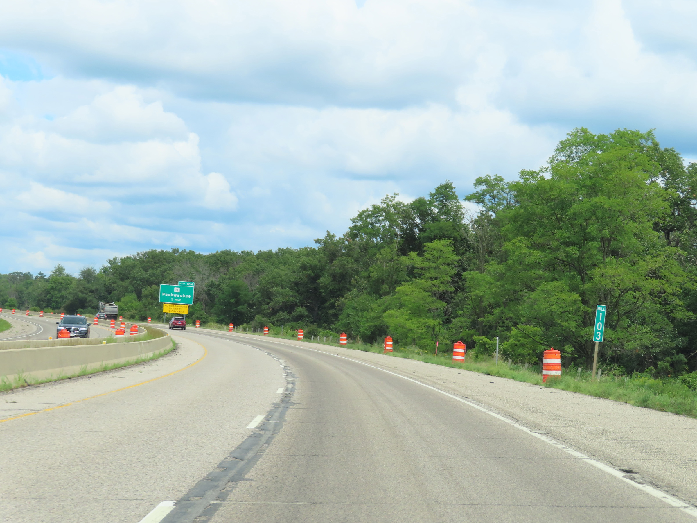 |
Interstate 39 North at mile marker 103. (Photo taken 8/15/22). |
 |
Interstate 39 North at Exit 104: Hwy D - Packwaukee (Photo taken 8/15/22). |
 |
Mile marker 105 on Interstate 39 North in Marquette County. (Photo taken 8/15/22). |
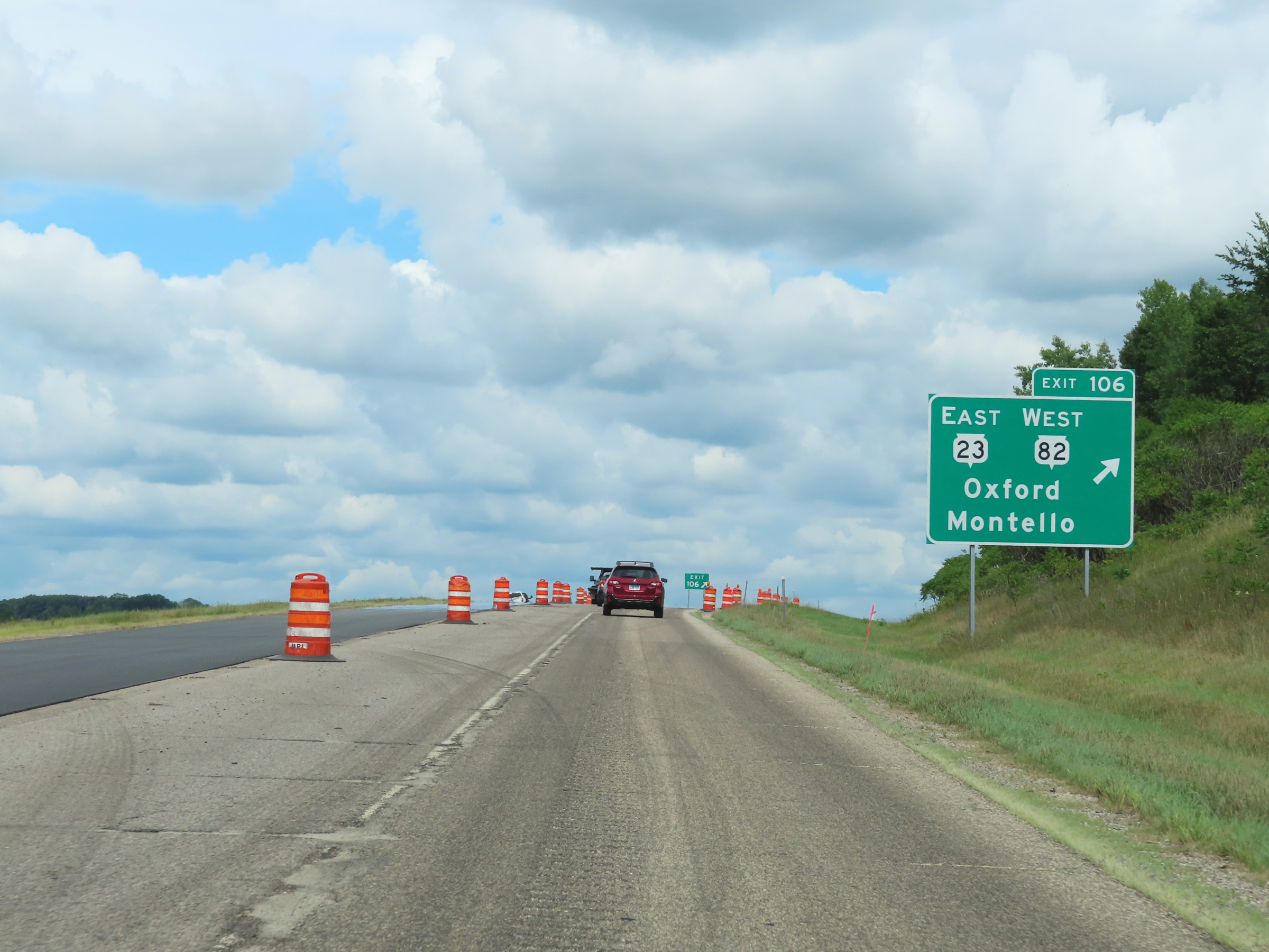 |
Interstate 39 North at Exit 106: WI 23 East / WI 82 West - Oxford / Montello (Photo taken 8/15/22). |
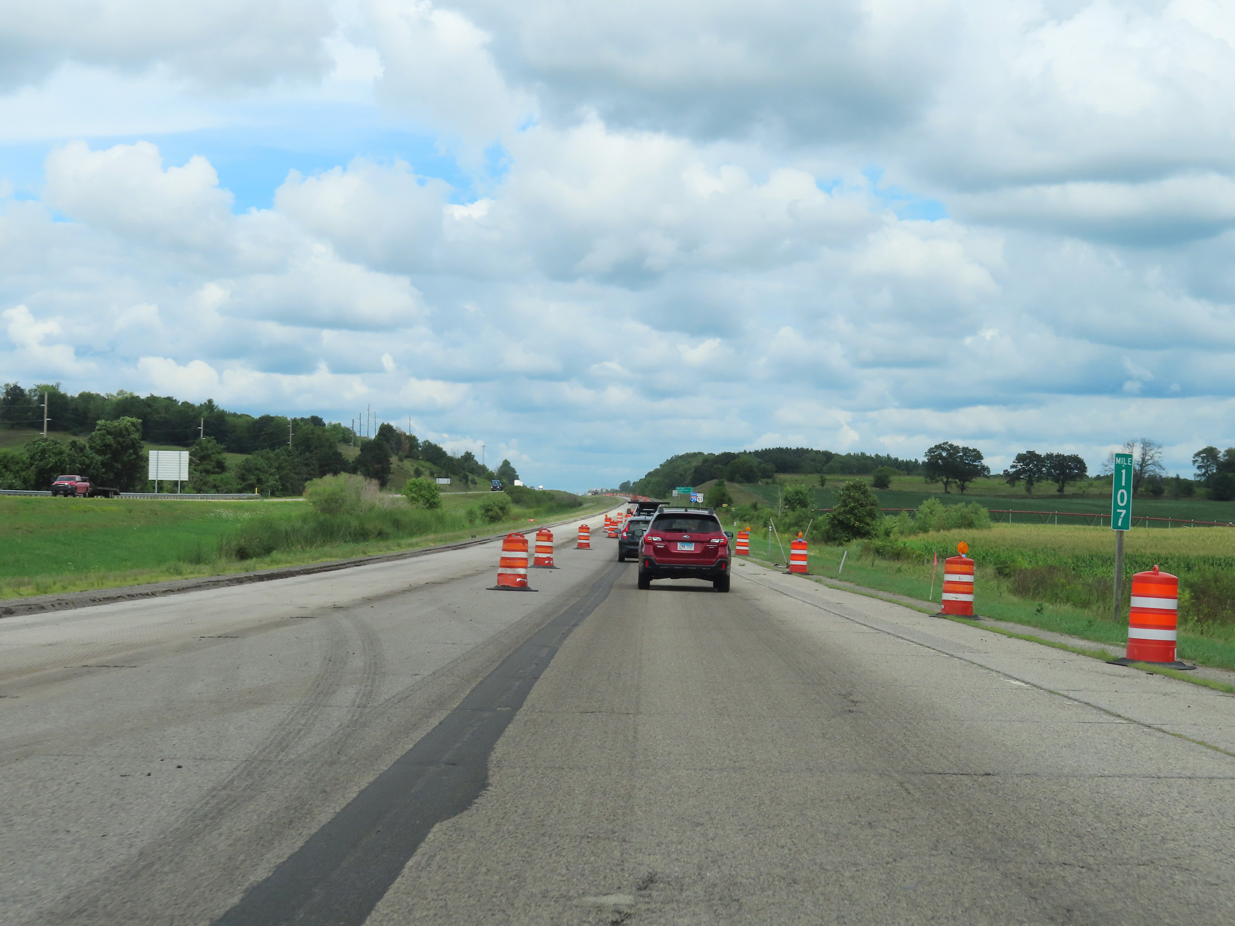 |
View on Interstate 39 North at mile marker 107. (Photo taken 8/15/22). |
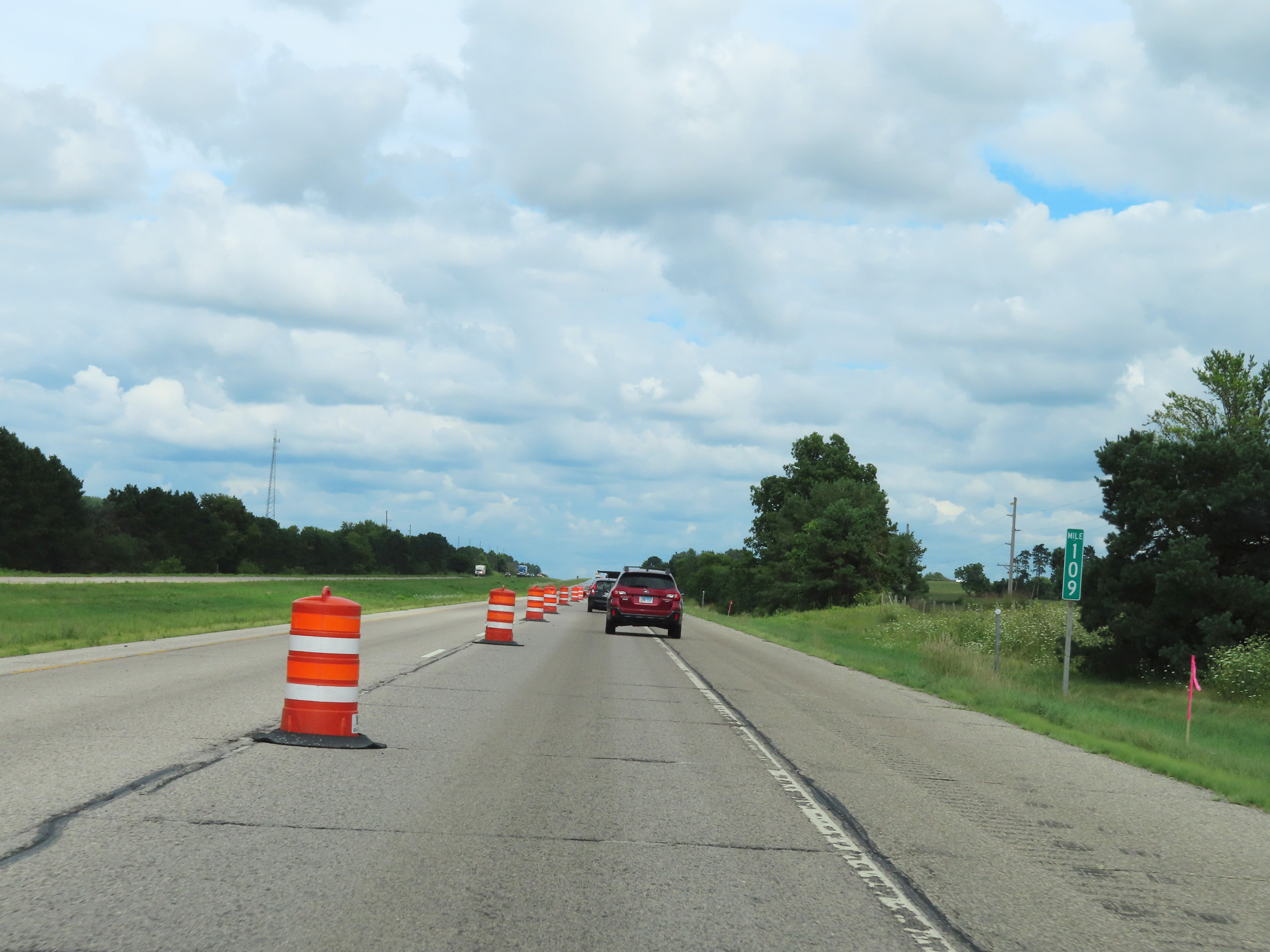 |
Interstate 39 North at mile marker 109. (Photo taken 8/15/22). |
 |
Mile marker 111 on Interstate 39 North in Marquette County. (Photo taken 8/15/22). |
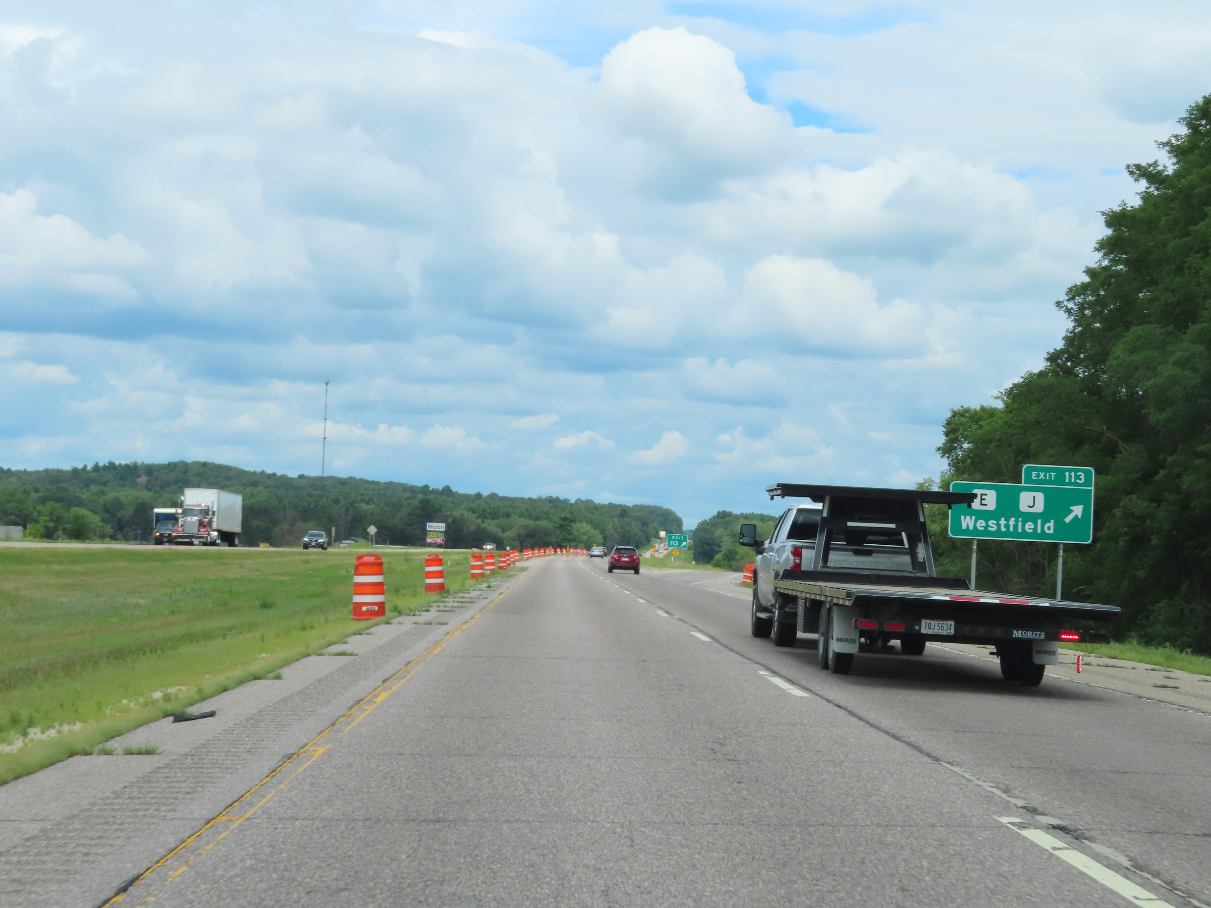 |
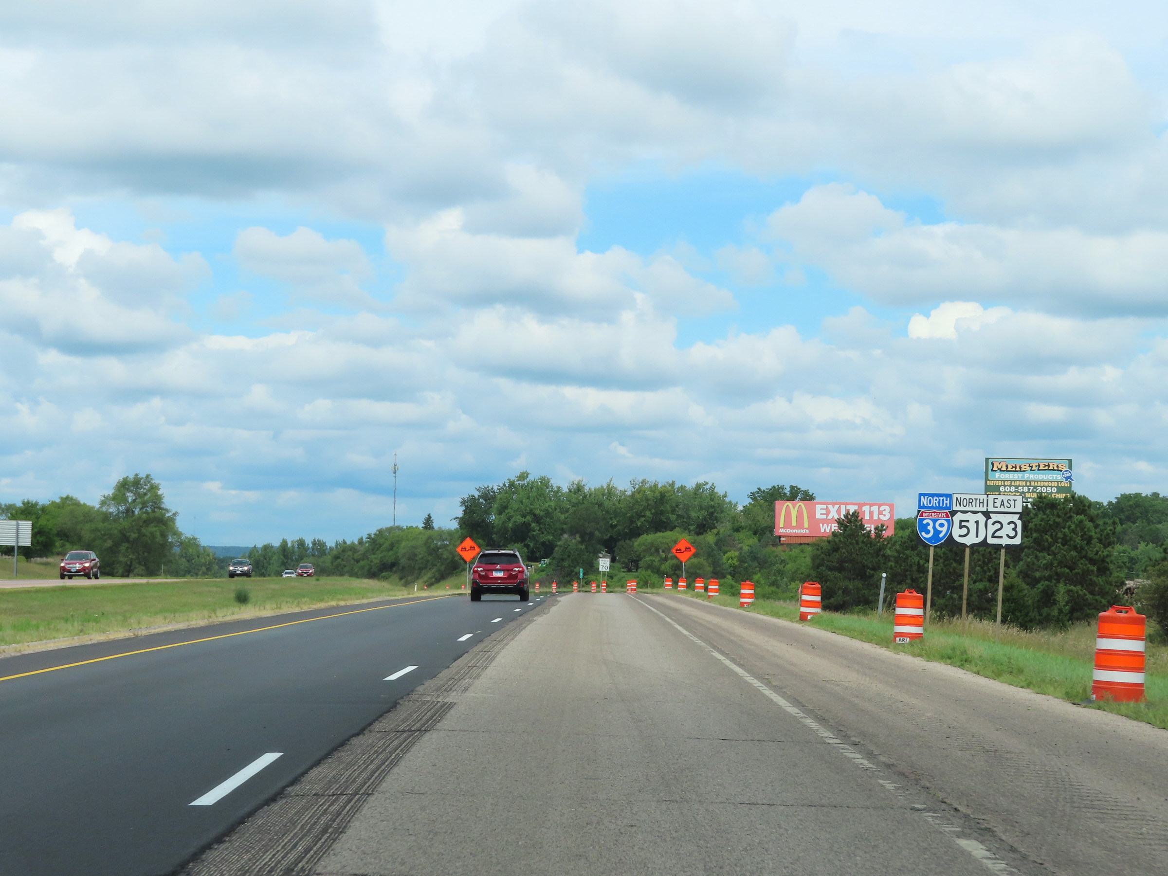
Interstate 39 North at Exit 113: Hwy E / Hwy J - Westfield (Photo taken 8/15/22). |
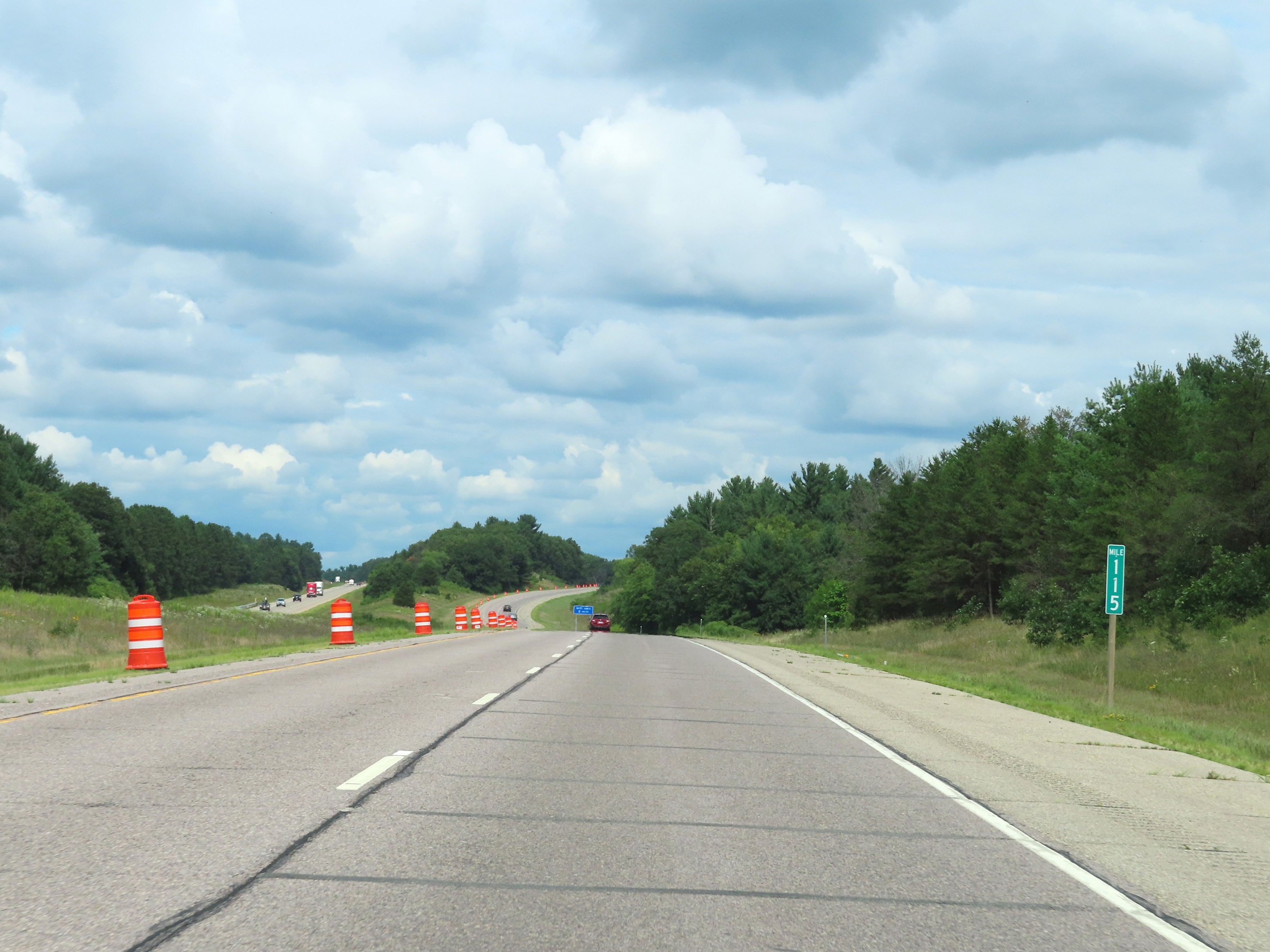 |
View on Interstate 39 North at mile marker 115. (Photo taken 8/15/22). |
 |
Interstate 39 North at mile marker 116. (Photo taken 8/15/22). |
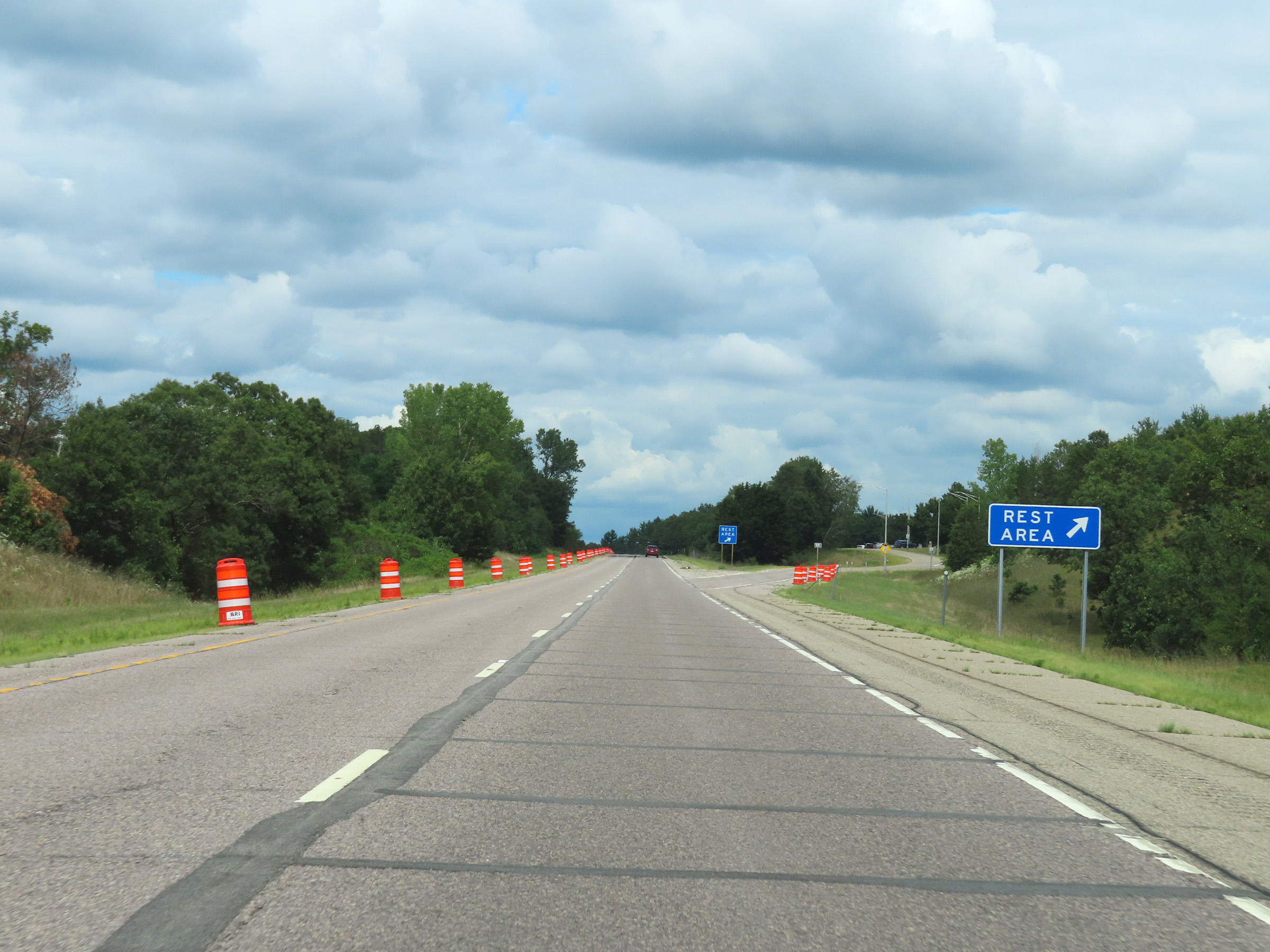 |
Rest Area on Interstate 39 North in Marquette County. (Photo taken 8/15/22). |
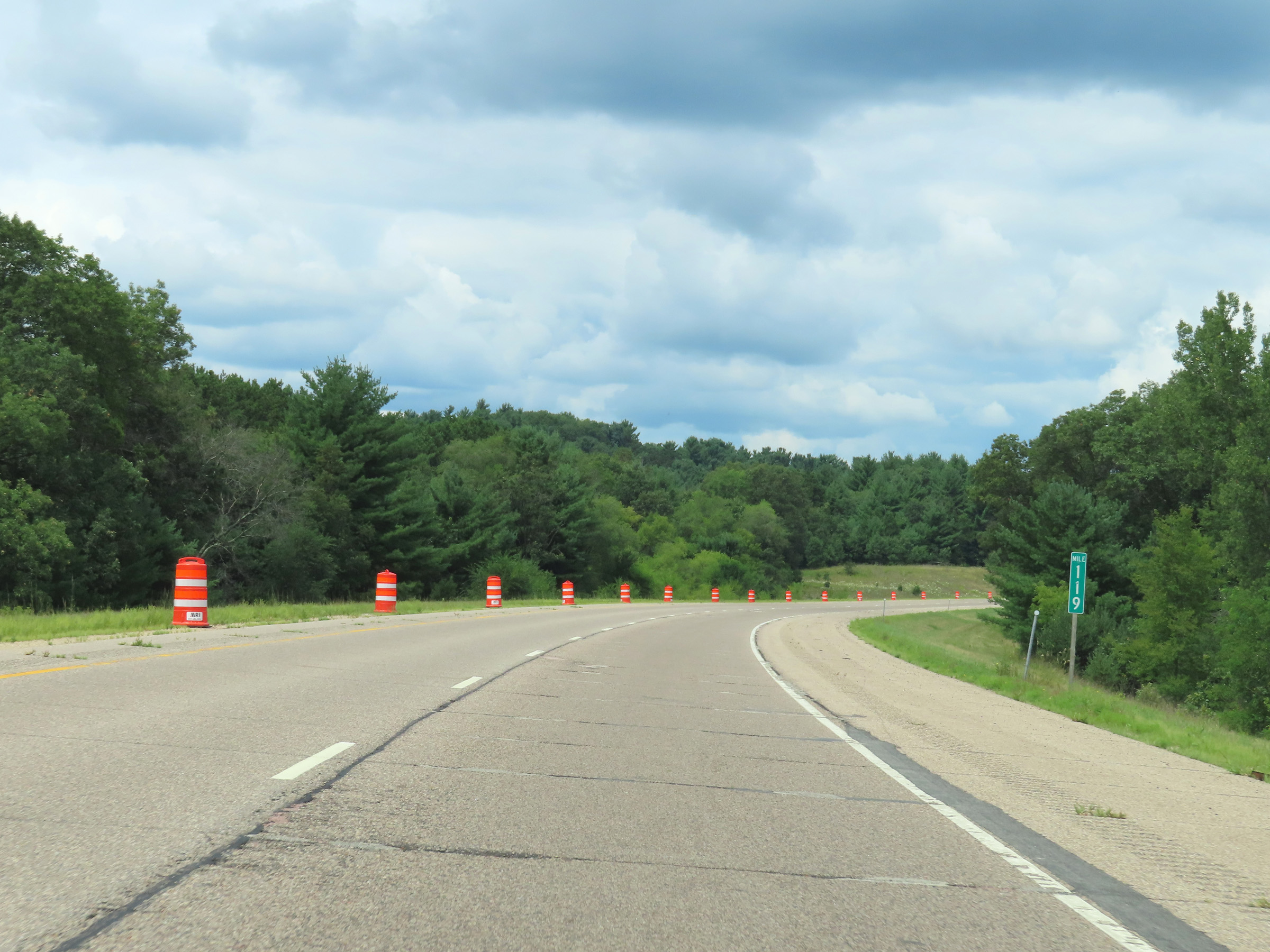 |
View on Interstate 39 North at mile marker 119. (Photo taken 8/15/22). |
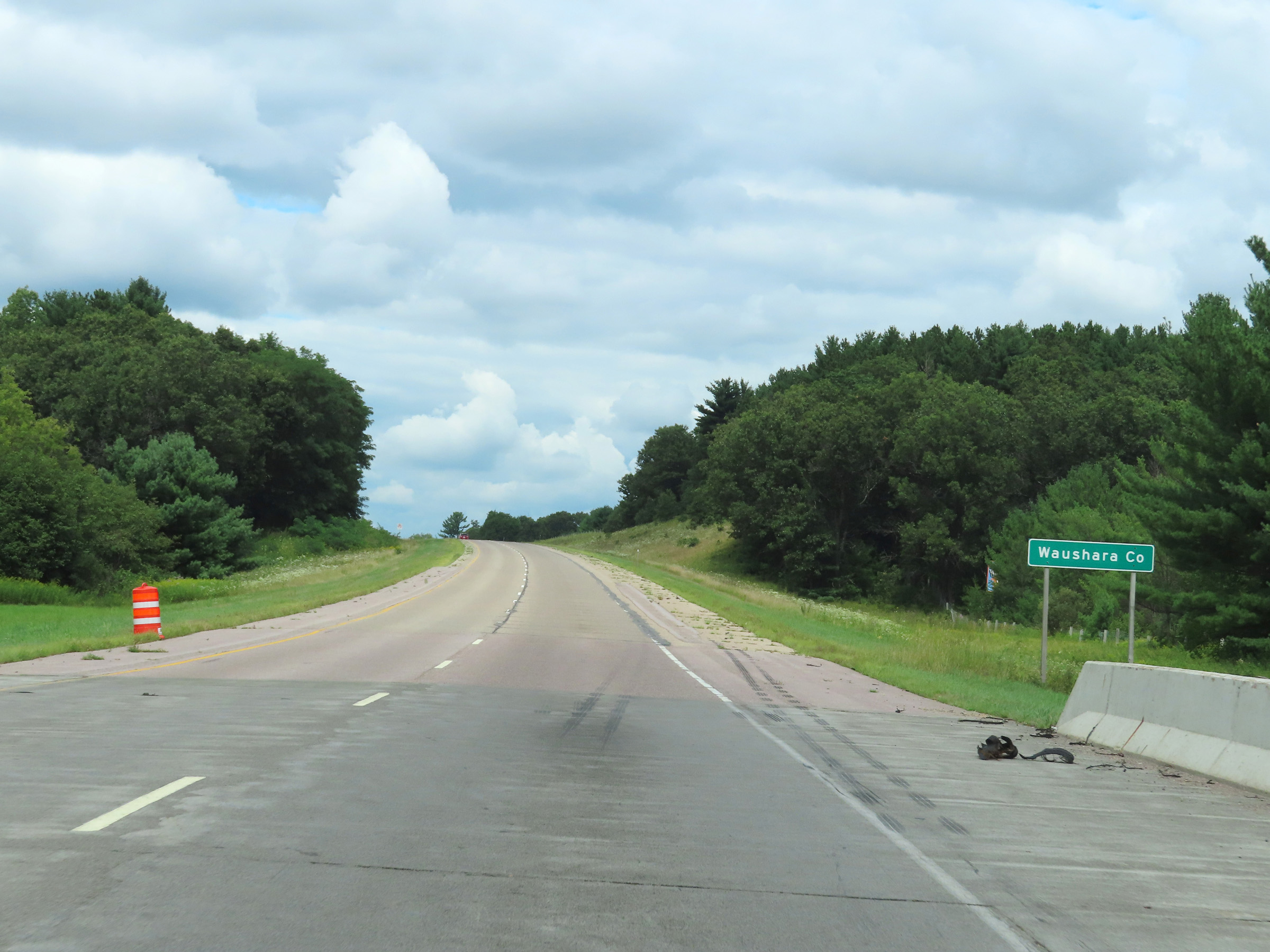 |
Interstate 39 North as it enters Waushara County. (Photo taken 8/15/22). |
 |
Interstate 39 North at mile marker 121. (Photo taken 8/15/22). |
 |
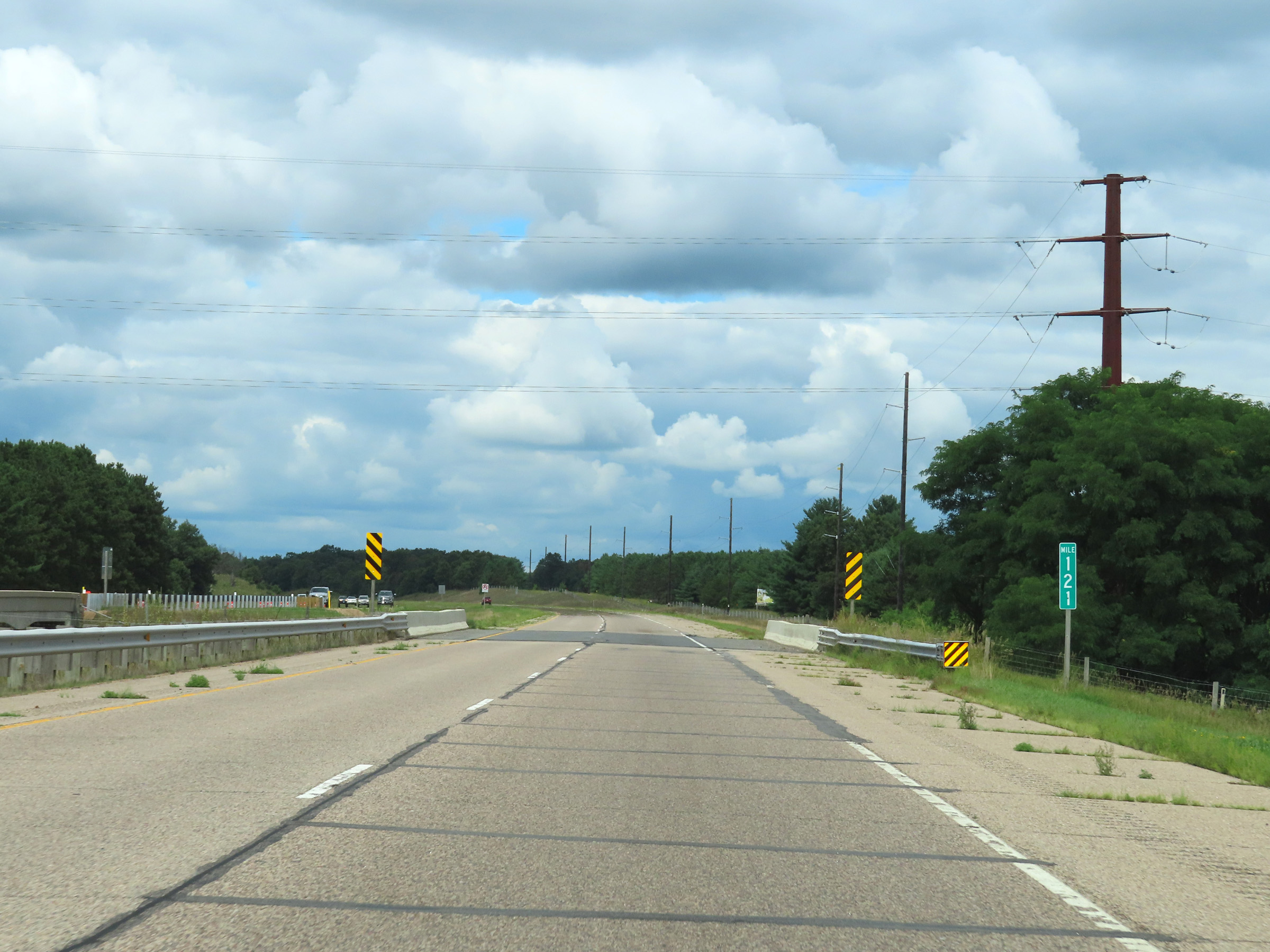
View on Interstate 39 North at mile marker 122. (Photo taken 8/15/22). |
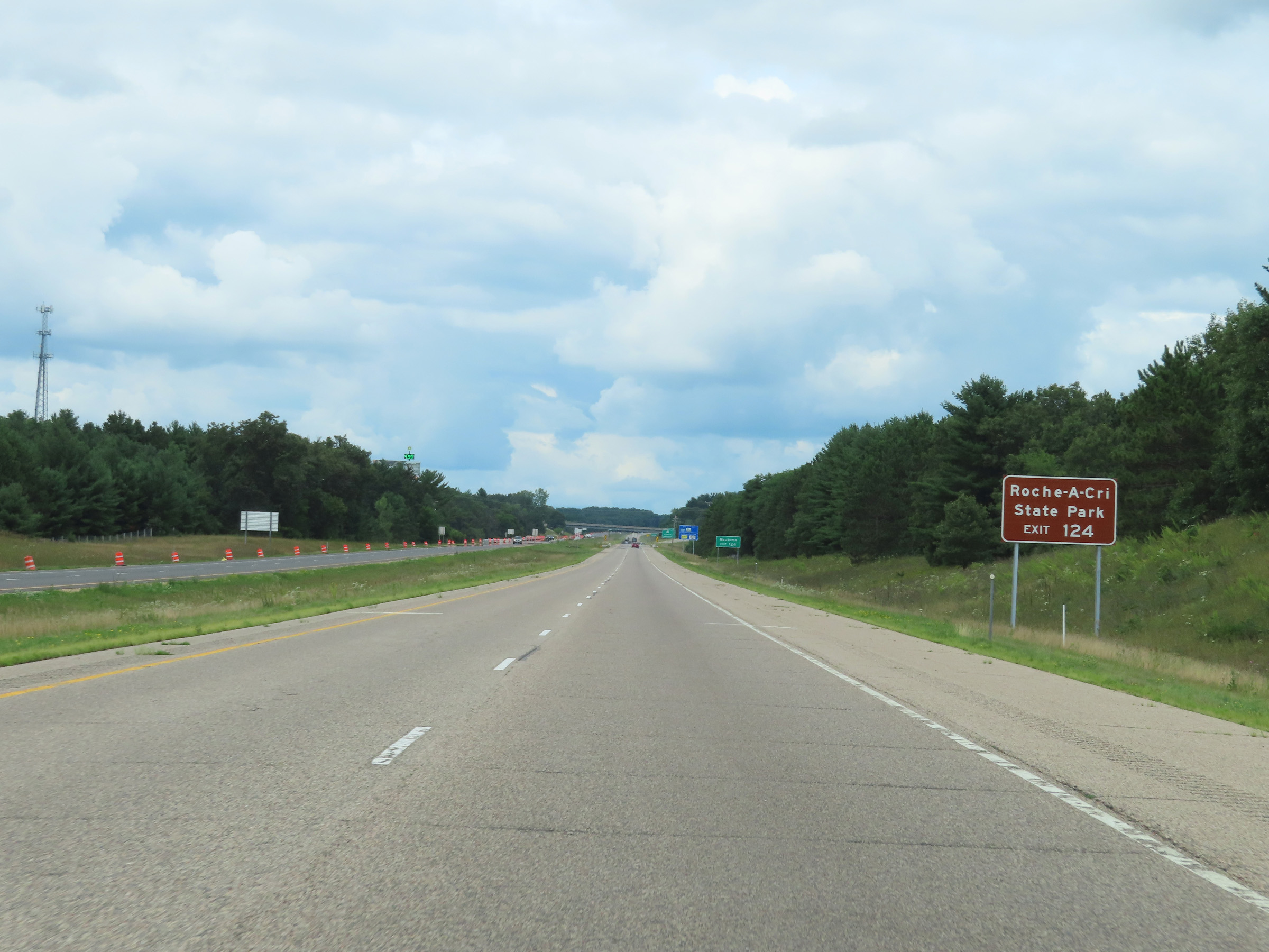 |
Take Exit 124 to Roche-A-Cri State Park. (Photo taken 8/15/22). |
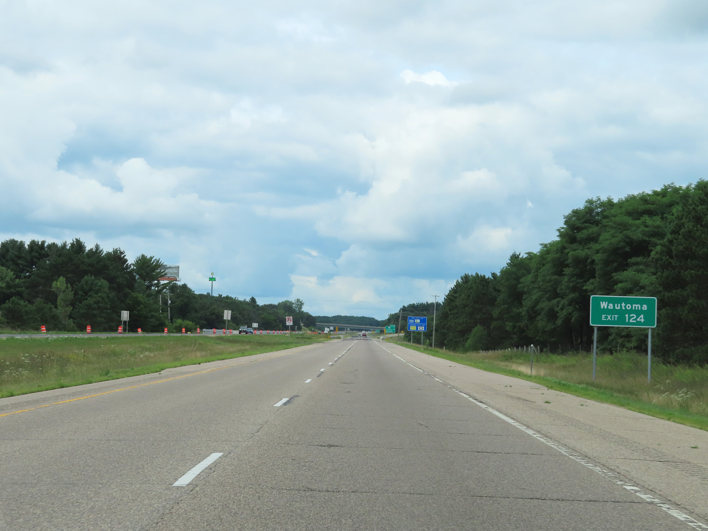 |
Also take Exit 124 to Wautoma. (Photo taken 8/15/22). |
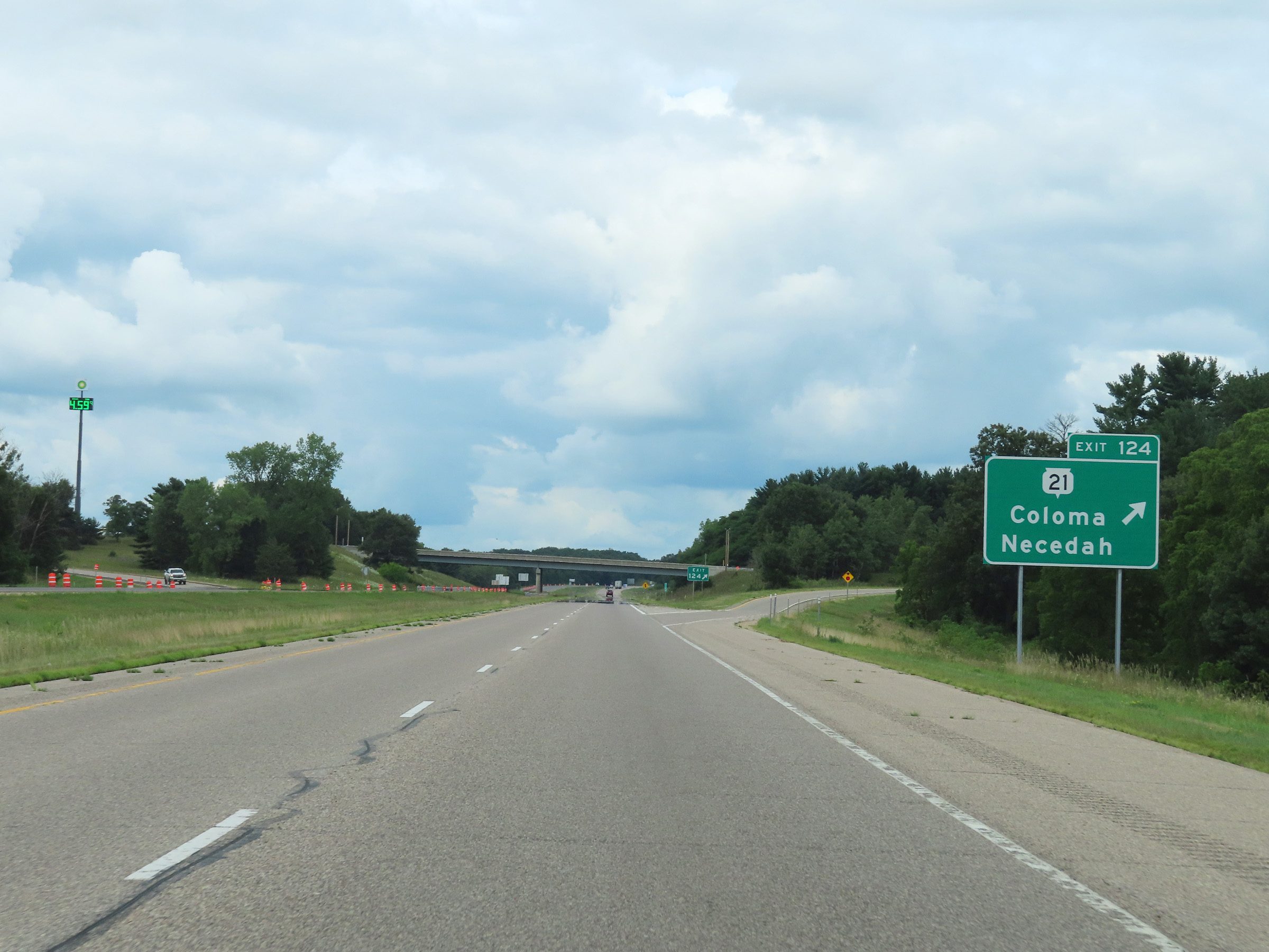 |
Interstate 39 North at Exit 124: WI 21 - Coloma / Necedah (Photo taken 8/15/22). |
 |
Another Interstate 39 North reassurance shield. (Photo taken 8/15/22). |
 |
The speed limit remains 70 mph on Interstate 39 North in Waushara County. (Photo taken 8/15/22). |
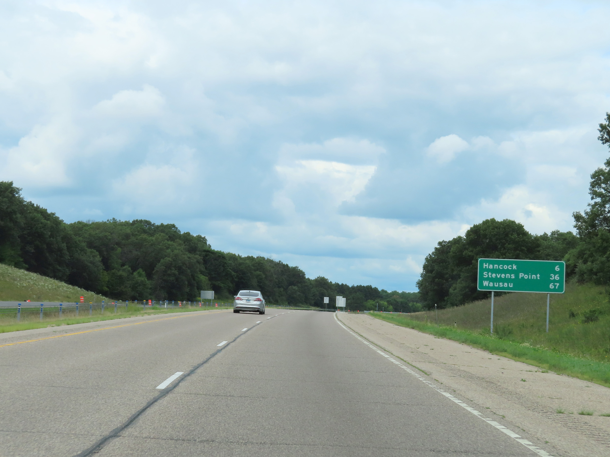 |
Mileage sign on Interstate 39 North. It's 6 miles to Hancock, 36 miles to Stevens Point, and 67 miles to Wausau. (Photo taken 8/15/22). |
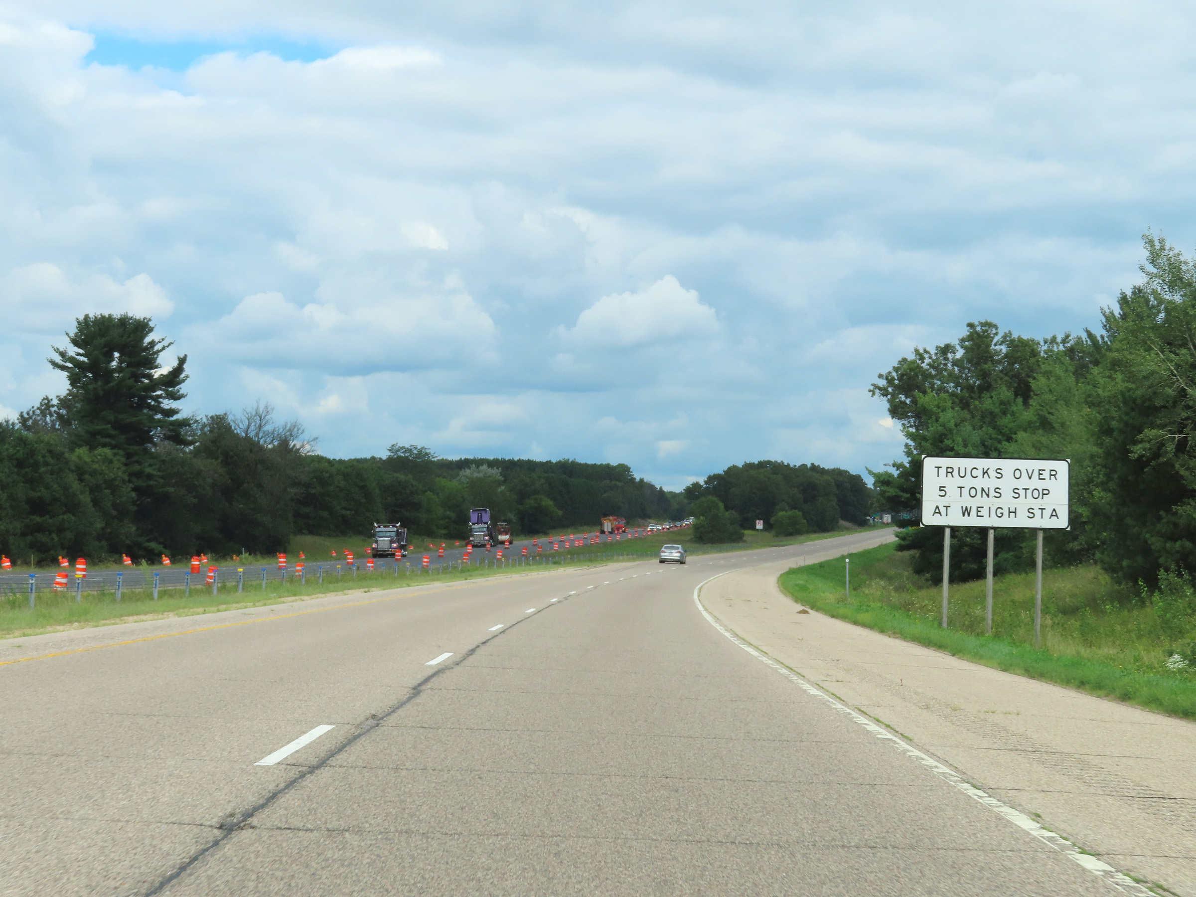 |
All trucks over 5 tons must stop at the Weigh Station ahead when it is open. (Photo taken 8/15/22). |
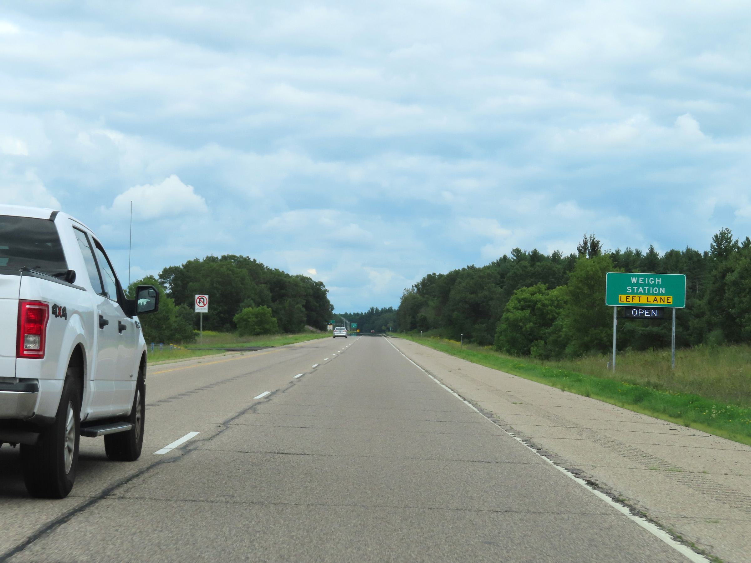 |
The Weigh Station ahead is in the median, so all trucks should move to the left lane if needing to enter it ahead. (Photo taken 8/15/22). |
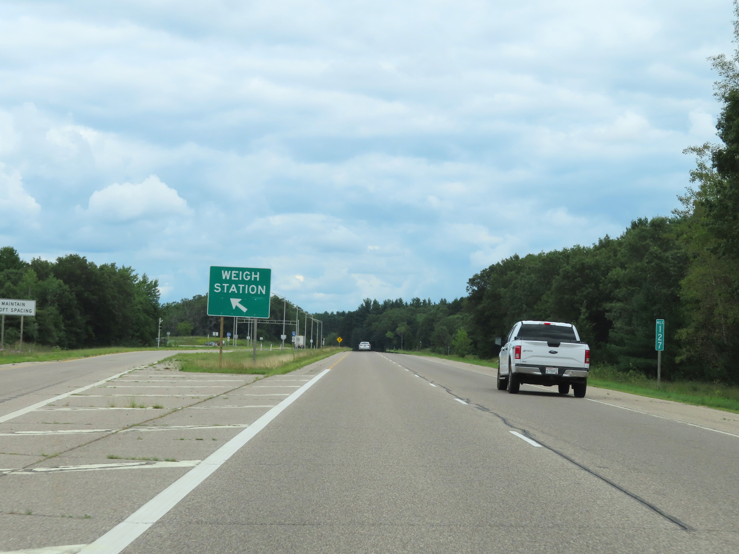 |
Weigh Station on Interstate 39 North in the median at mile marker 127 in Waushara County. (Photo taken 8/15/22). |
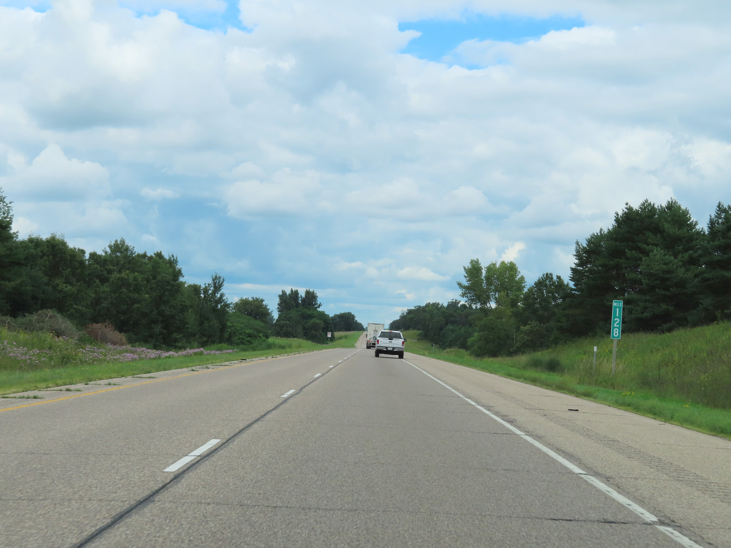 |
Interstate 39 North at mile marker 128. (Photo taken 8/15/22). |
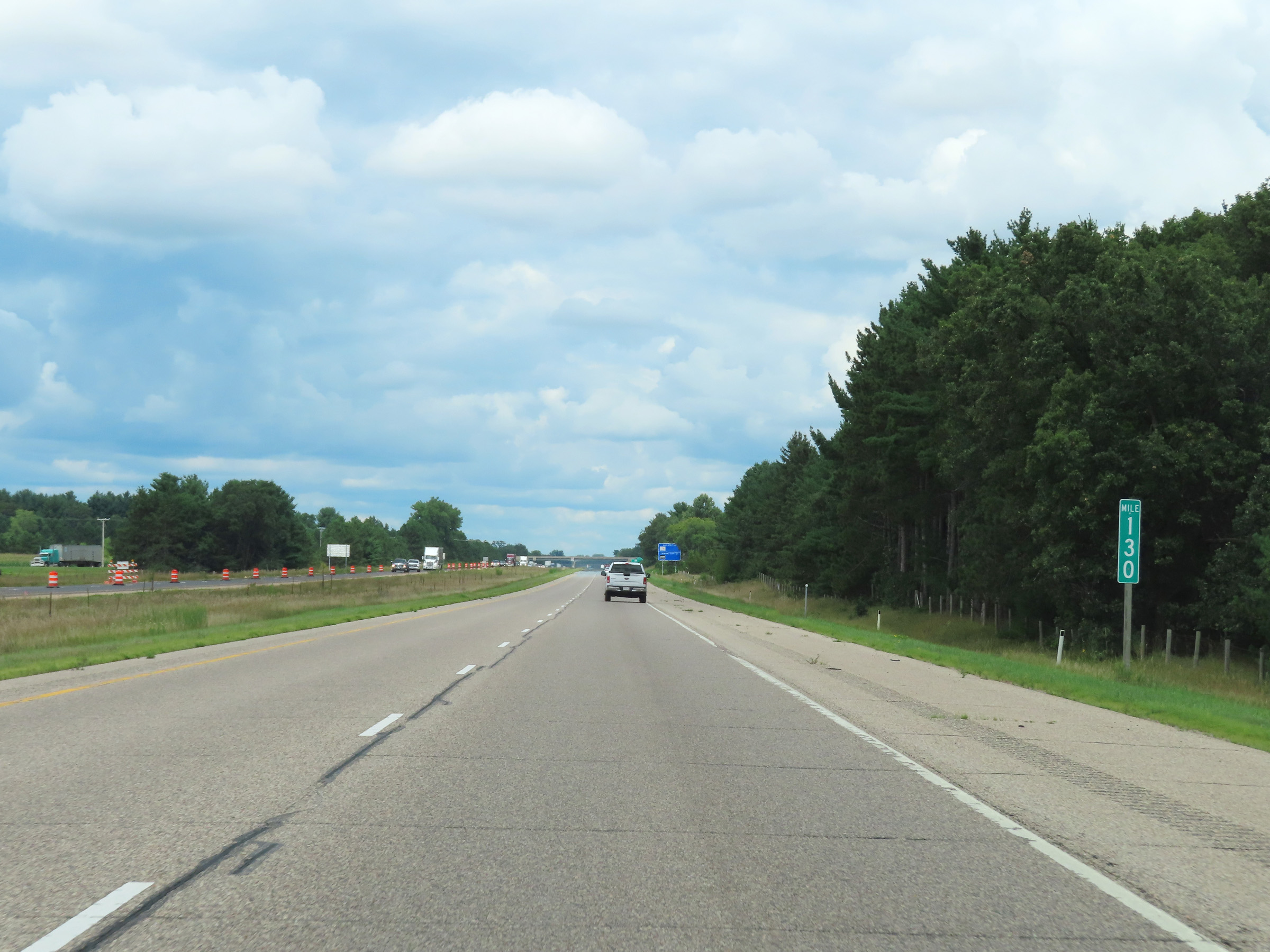 |
View on Interstate 39 North at mile marker 130. (Photo taken 8/15/22). |
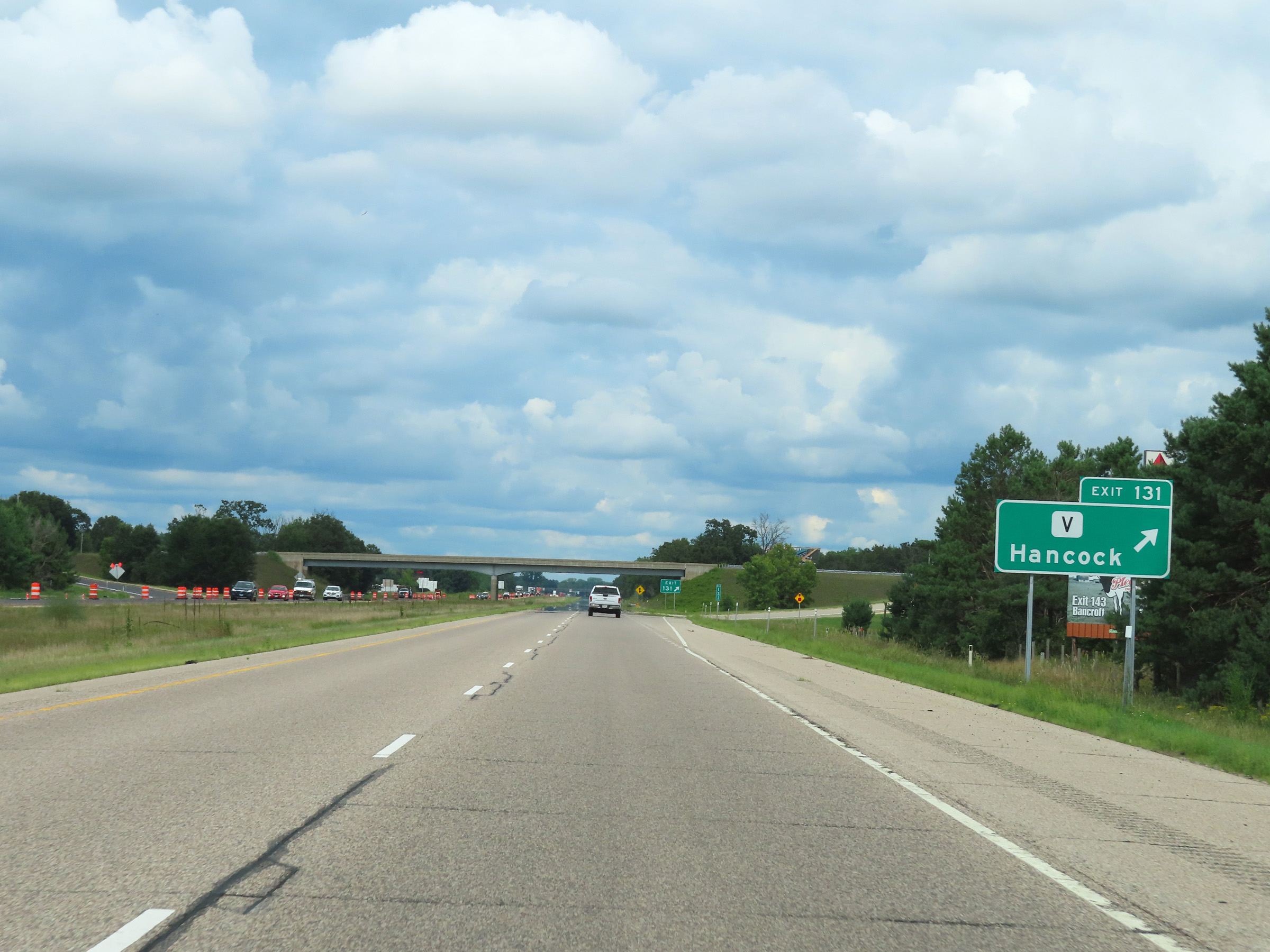 |
Interstate 39 North at Exit 131: Hwy V - Hancock (Photo taken 8/15/22). |
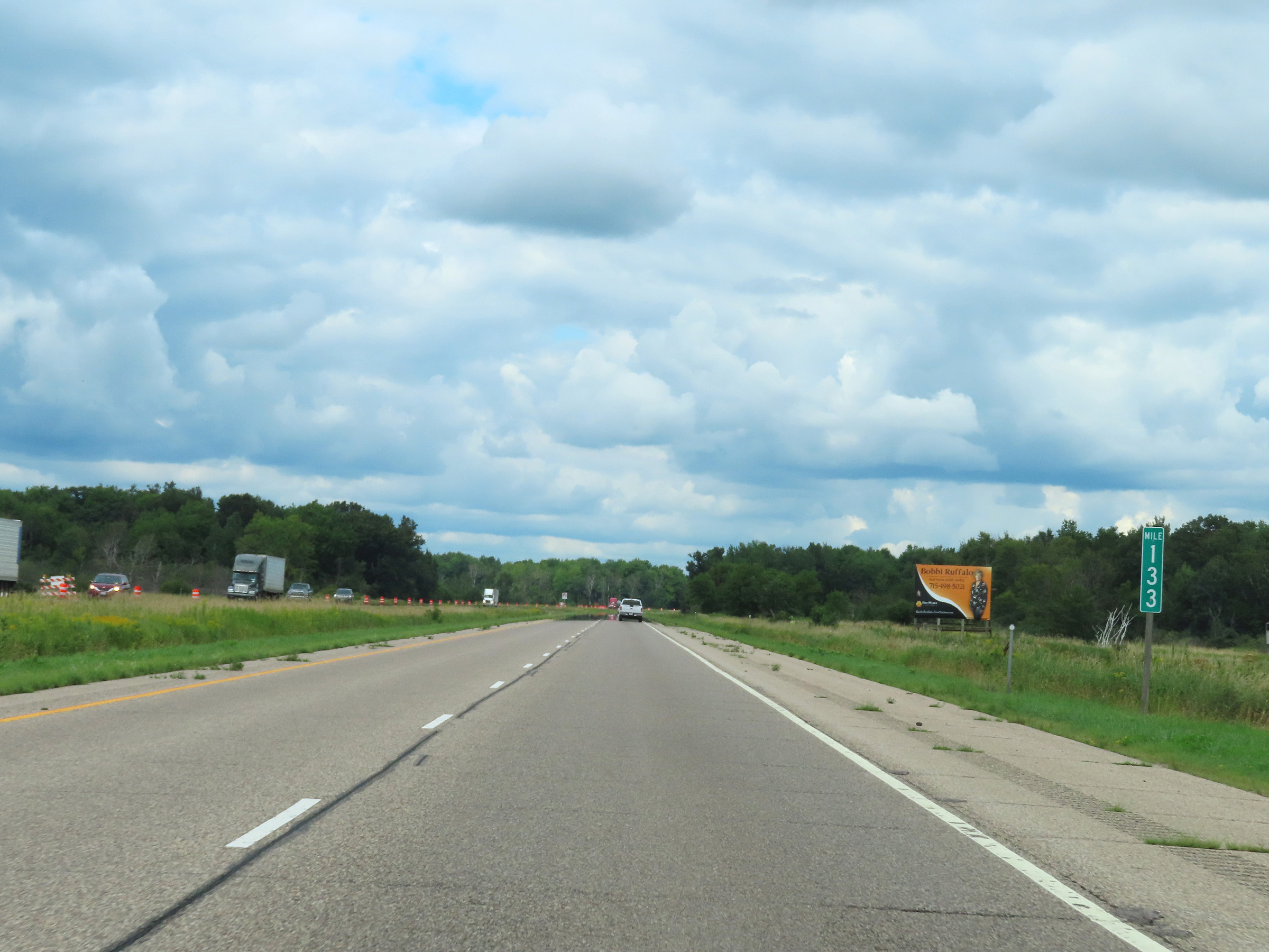 |
Interstate 39 North at mile marker 133. (Photo taken 8/15/22). |
 |
View on Interstate 39 North at mile marker 134. (Photo taken 8/15/22). |
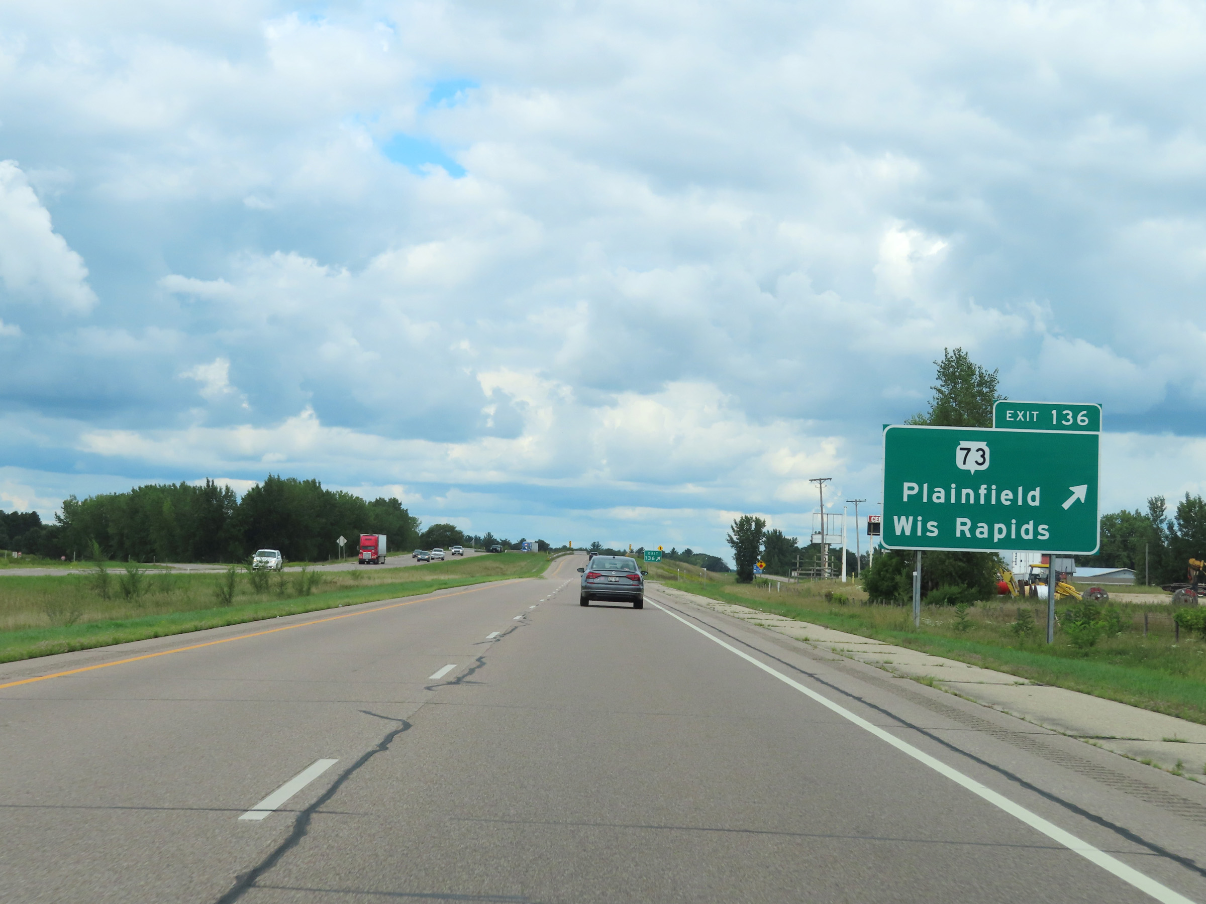 |
Interstate 39 North at Exit 136: WI 73 - Plainfield / Wisconsin Rapids (Photo taken 8/15/22). |
 |
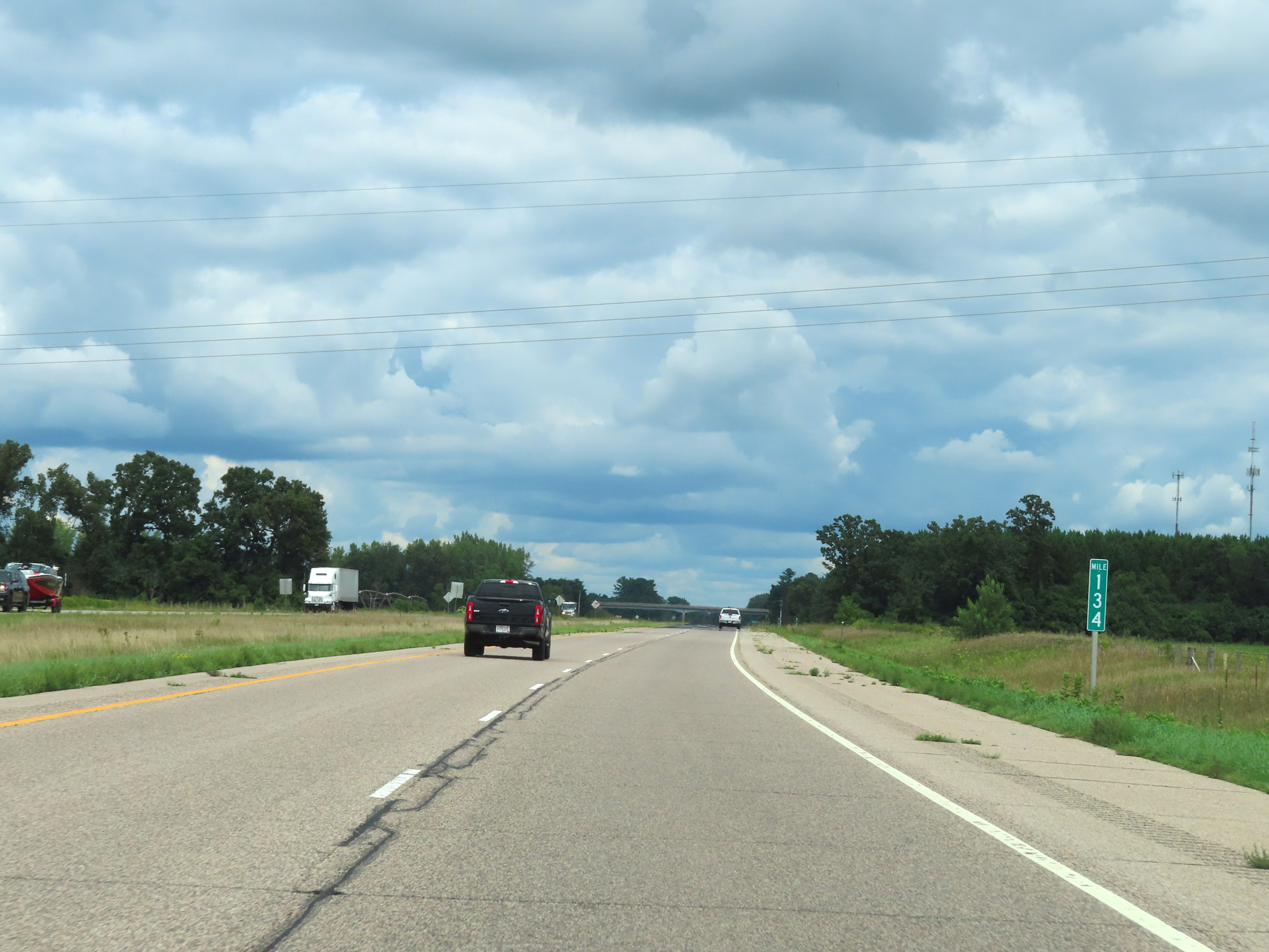
Interstate 39 North at mile marker 138. (Photo taken 8/15/22). |
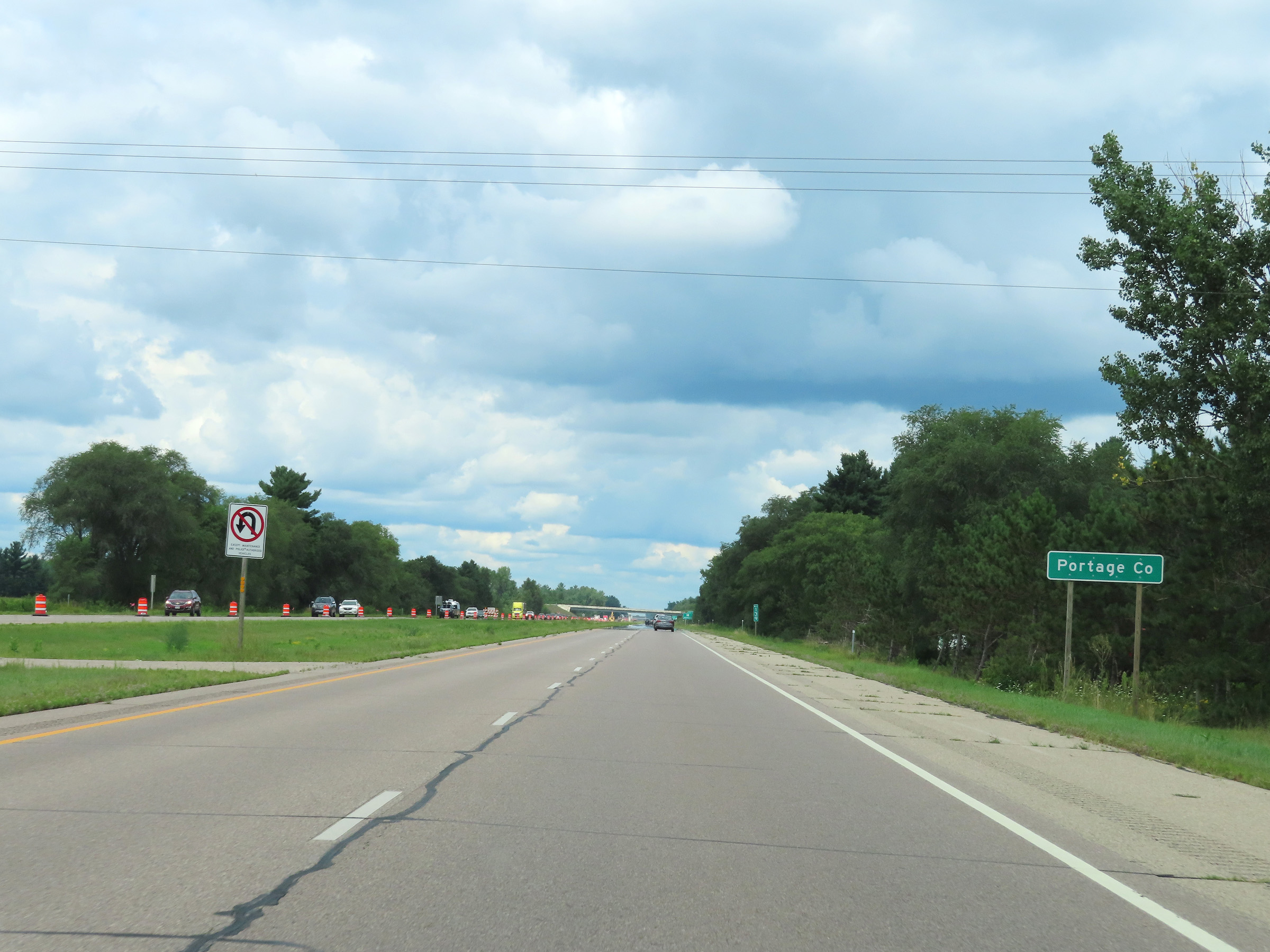 |
Interstate 39 North as it enters Portage County. (Photo taken 8/15/22). |
 |
Interstate 39 North at Exit 139: Hwy D - Almond (Photo taken 8/15/22). |
 |
Interstate 39 North reassurance shield in Portage County. (Photo taken 8/15/22). |
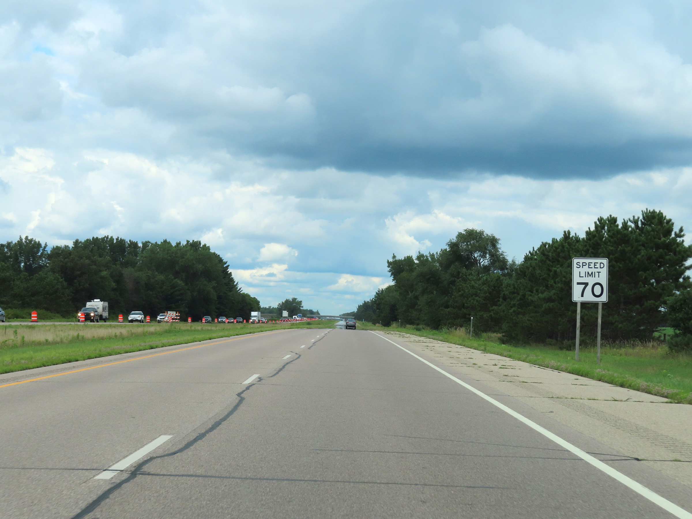 |
Speed limit signage on Interstate 39 North in Portage County. The speed limit remains 70 mph. This is the standard speed limit on most rural Interstate highways in Wisconsin. (Photo taken 8/15/22). |
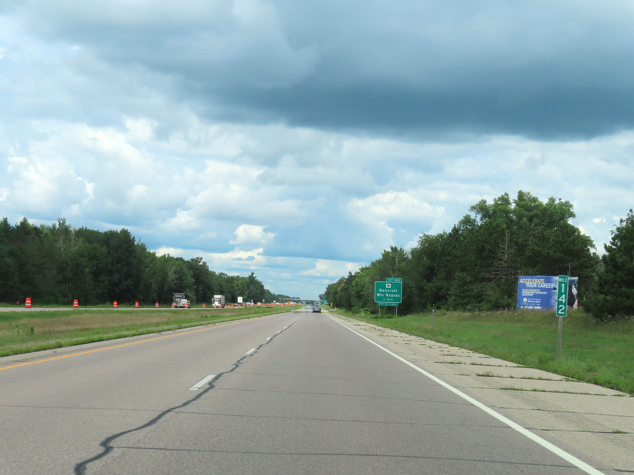 |
View on Interstate 39 North at mile marker 142. (Photo taken 8/15/22). |
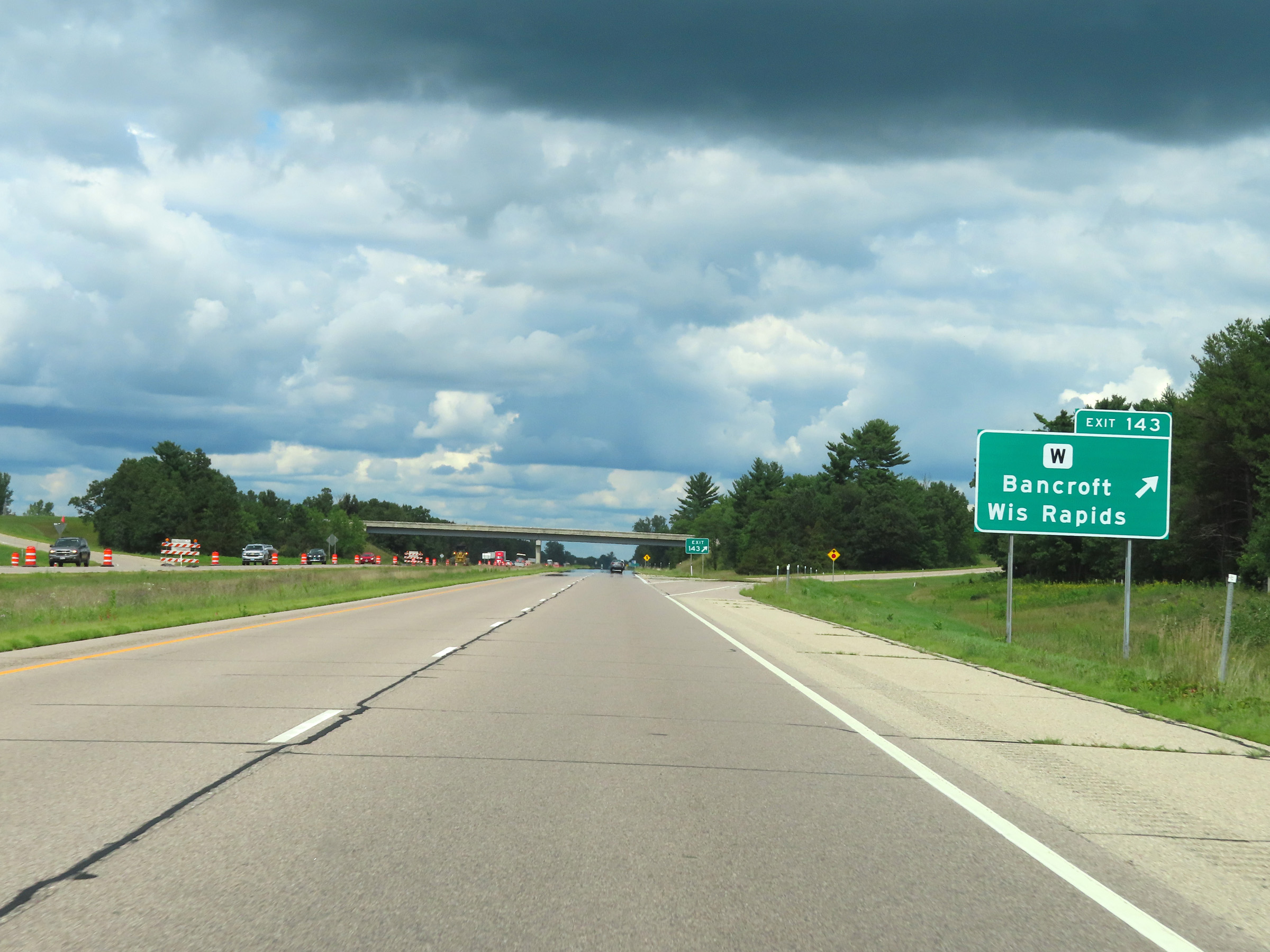 |
Interstate 39 North at Exit 143: Hwy W - Bancroft / Wisconsin Rapids (Photo taken 8/15/22). |
 |
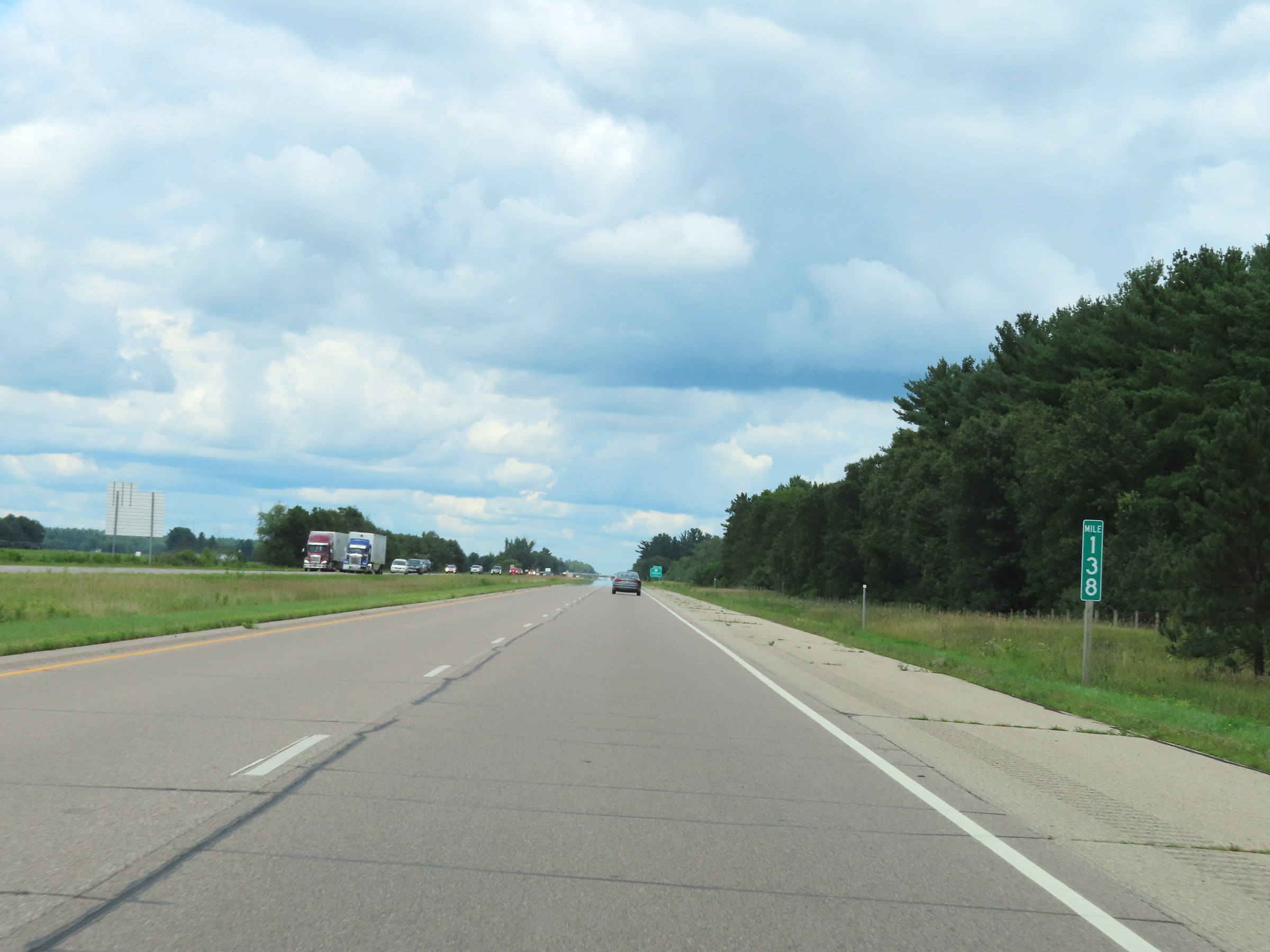
Mile marker 144 on Interstate 39 North in Portage County. (Photo taken 8/15/22). |
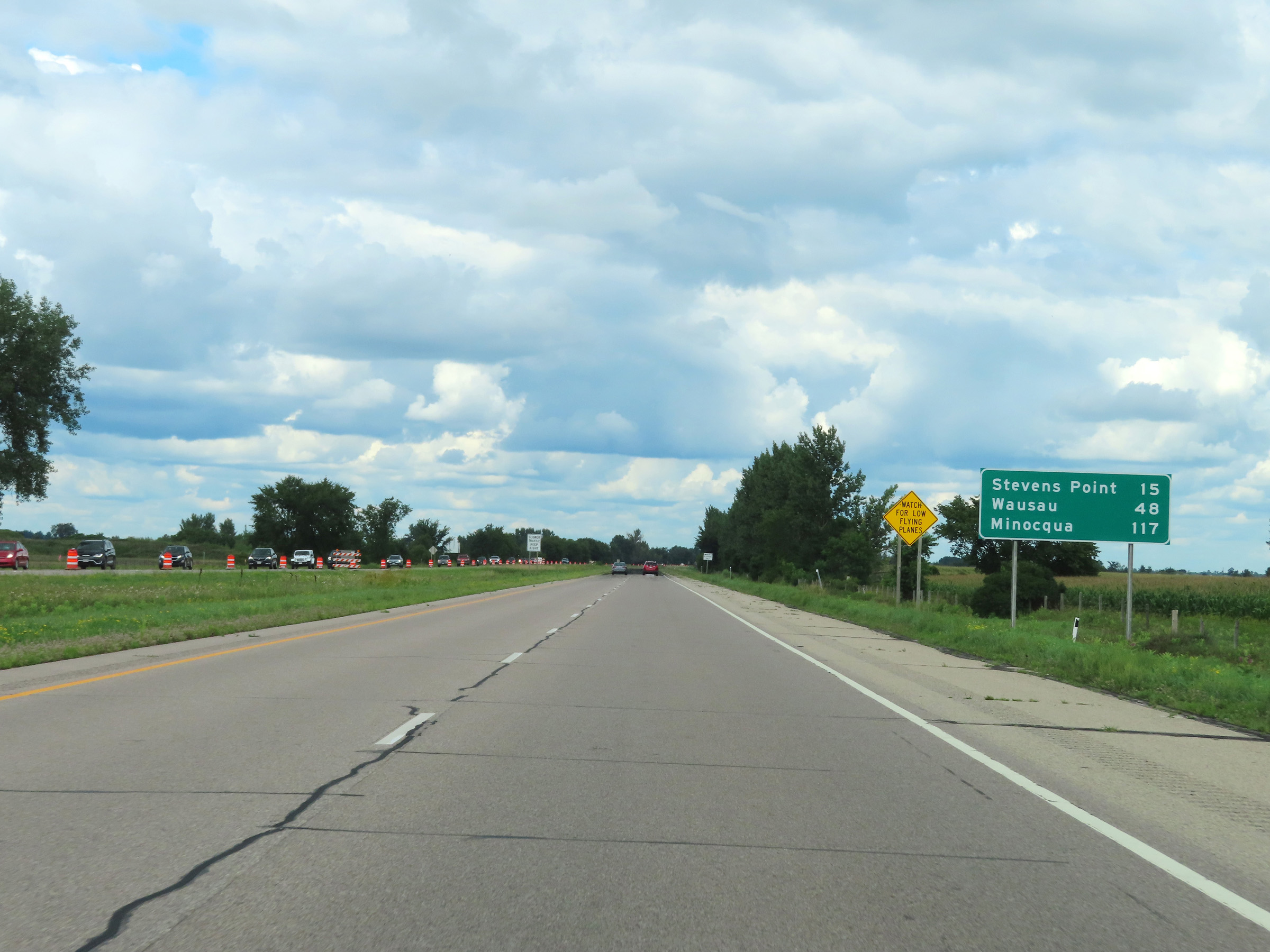 |
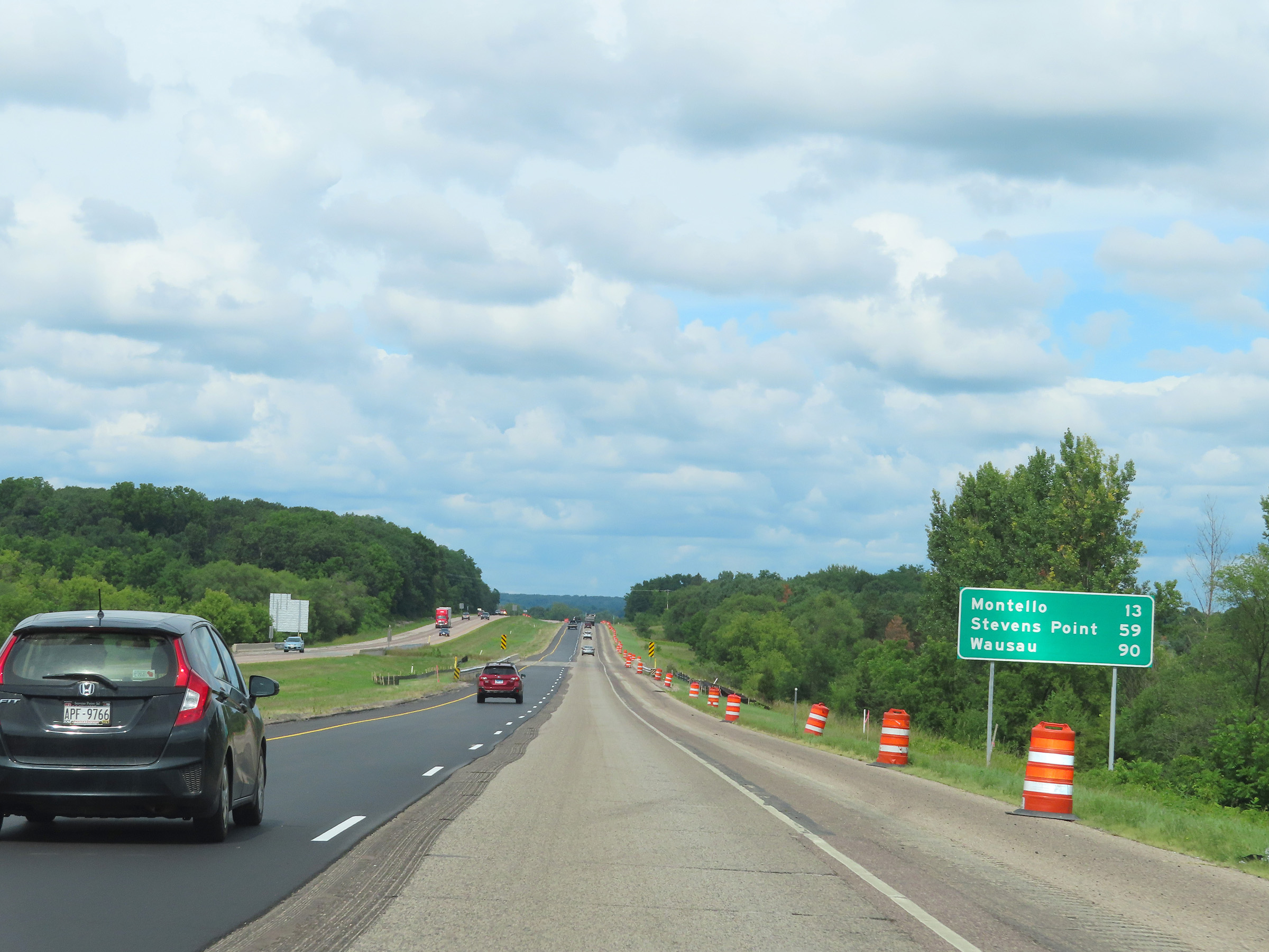
Another mileage sign on Interstate 39 North. It's 15 miles to Stevens Point, 48 miles to Wausau, and 117 miles to Minocqua. (Photo taken 8/15/22). |
 |
View on Interstate 39 North at mile marker 145. (Photo taken 8/15/22). |
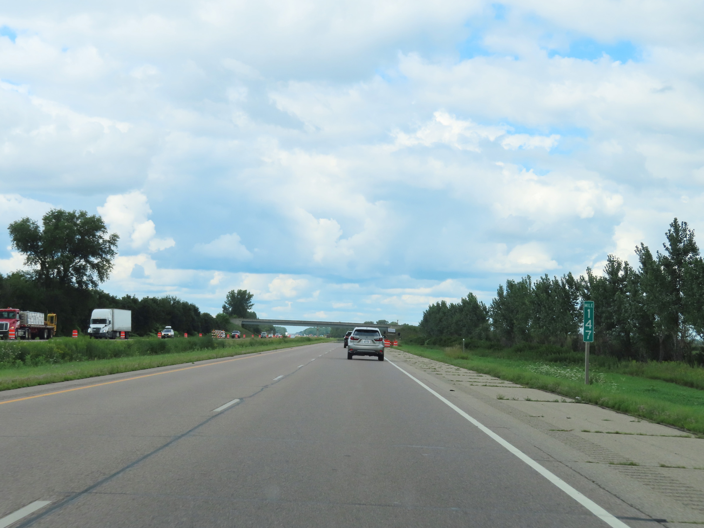 |
Interstate 39 North at mile marker 147. (Photo taken 8/15/22). |
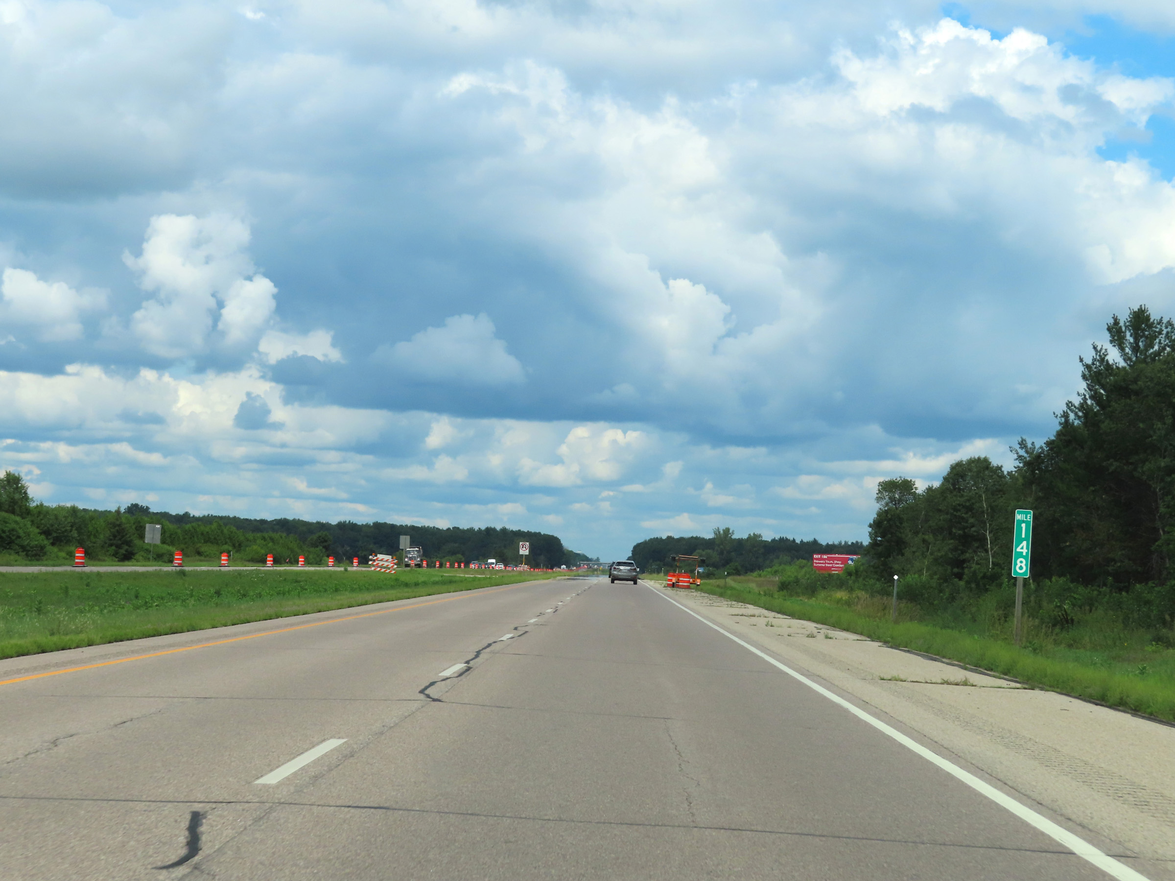 |
View on Interstate 39 North at mile marker 148. (Photo taken 8/15/22). |
 |
Mile marker 150 on Interstate 39 North in Portage County. (Photo taken 8/15/22). |
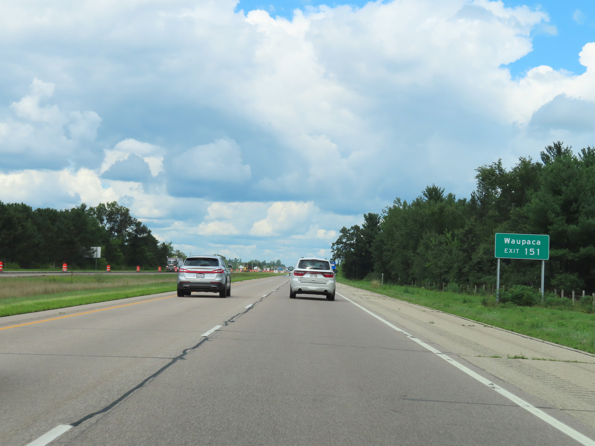 |
Take Exit 151 to Waupaca. (Photo taken 8/15/22). |
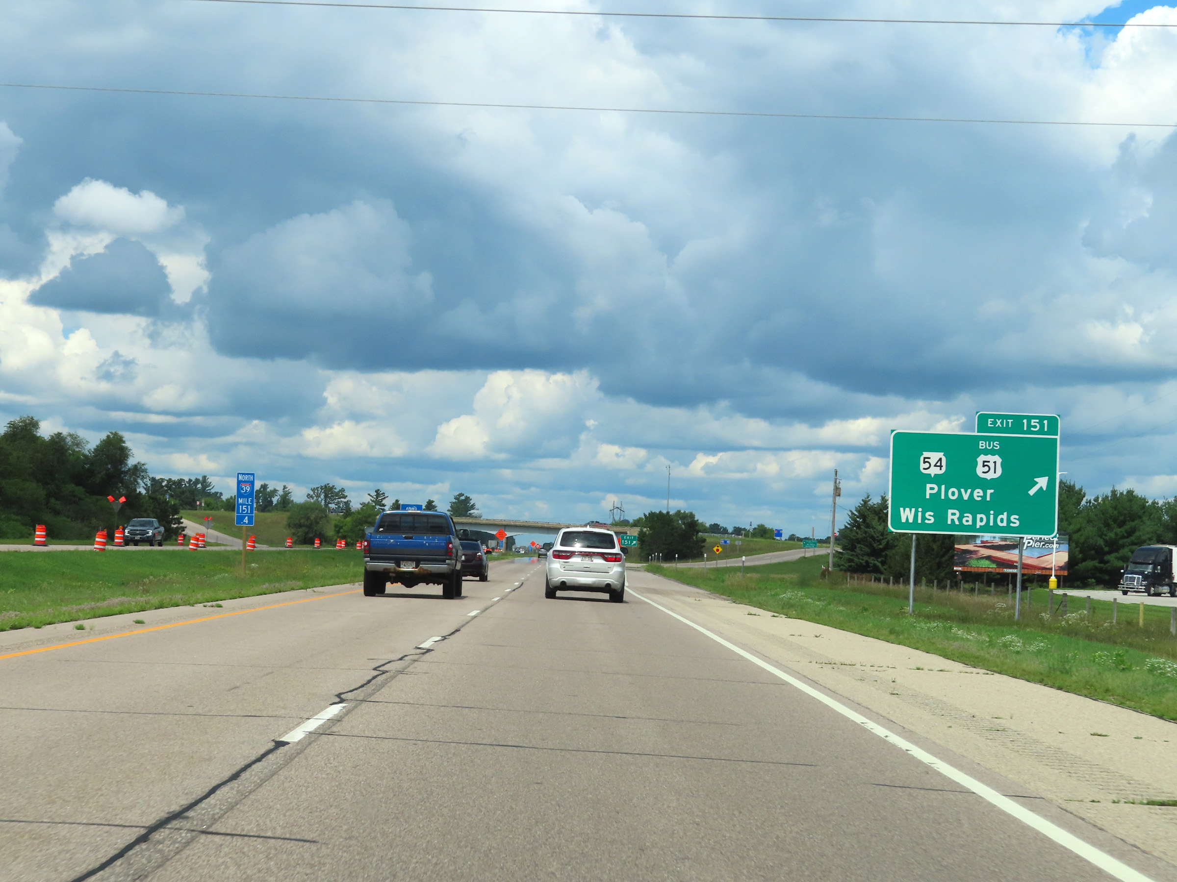 |
Interstate 39 North at Exit 151: WI 54 / US 51 Business - Plover / Wisconsin Rapids (Photo taken 8/15/22). |
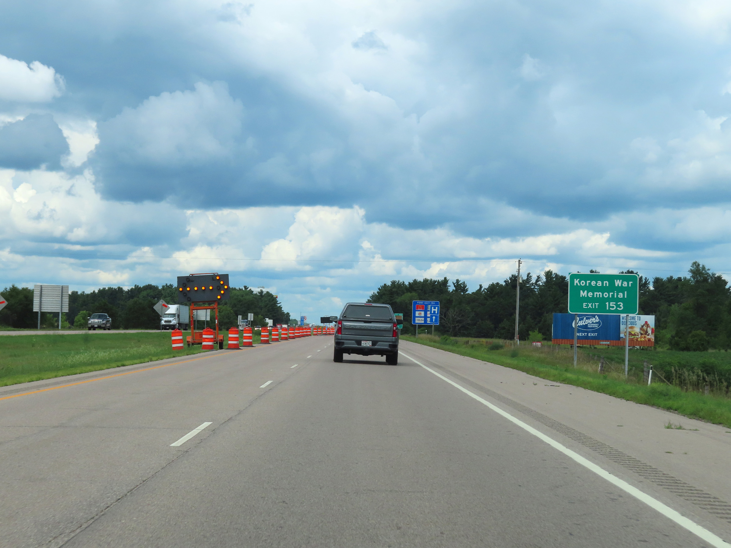 |
Take Exit 153 to the Korean War Memorial. (Photo taken 8/15/22). |
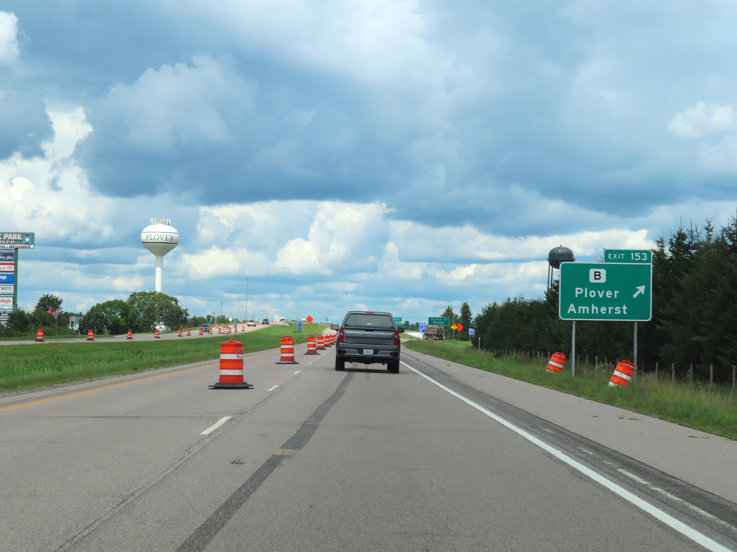 |
Interstate 39 North at Exit 153: Hwy B - Plover / Amherst (Photo taken 8/15/22). |
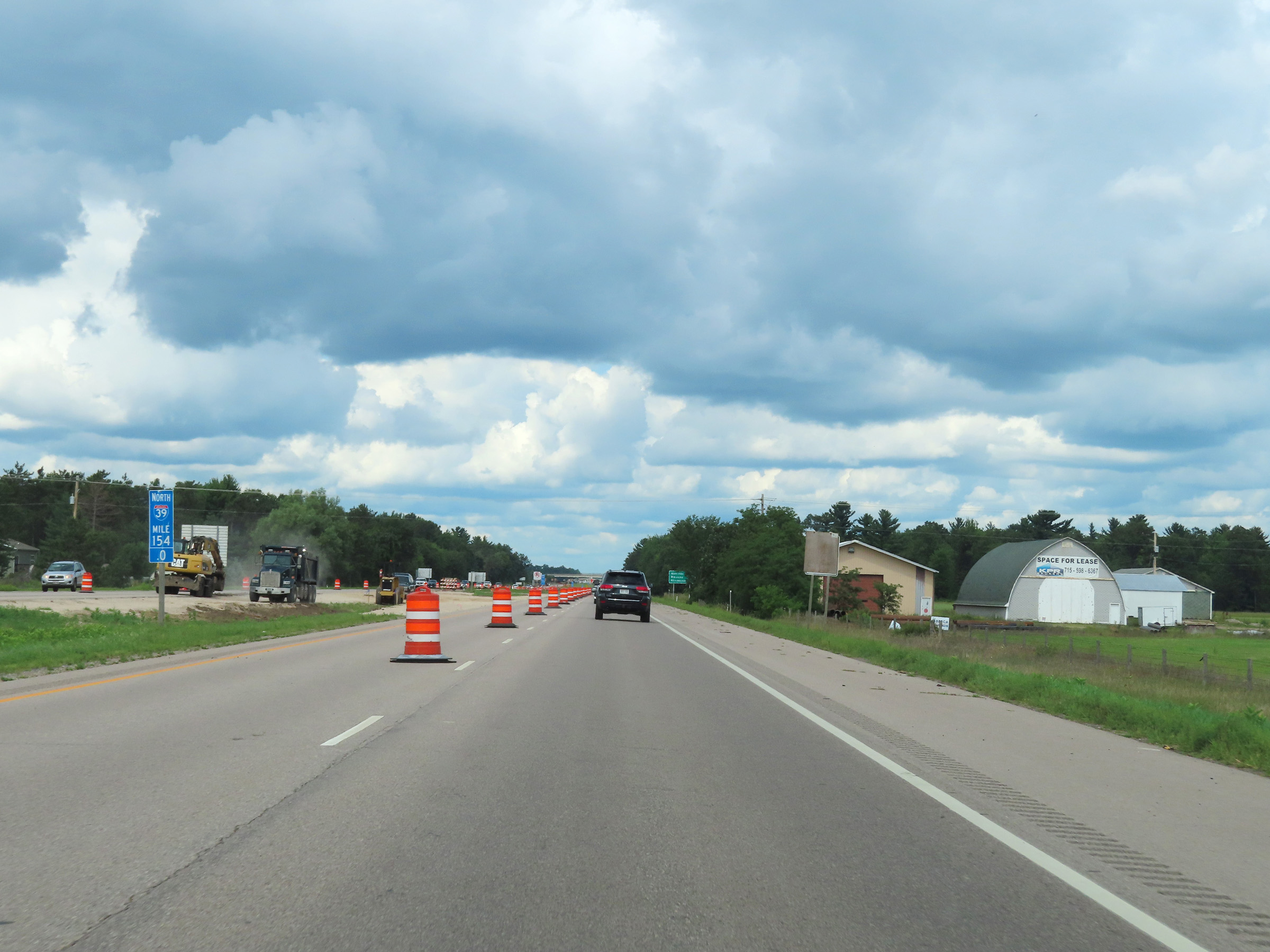 |
View on Interstate 39 North at mile marker 154. (Photo taken 8/15/22). |
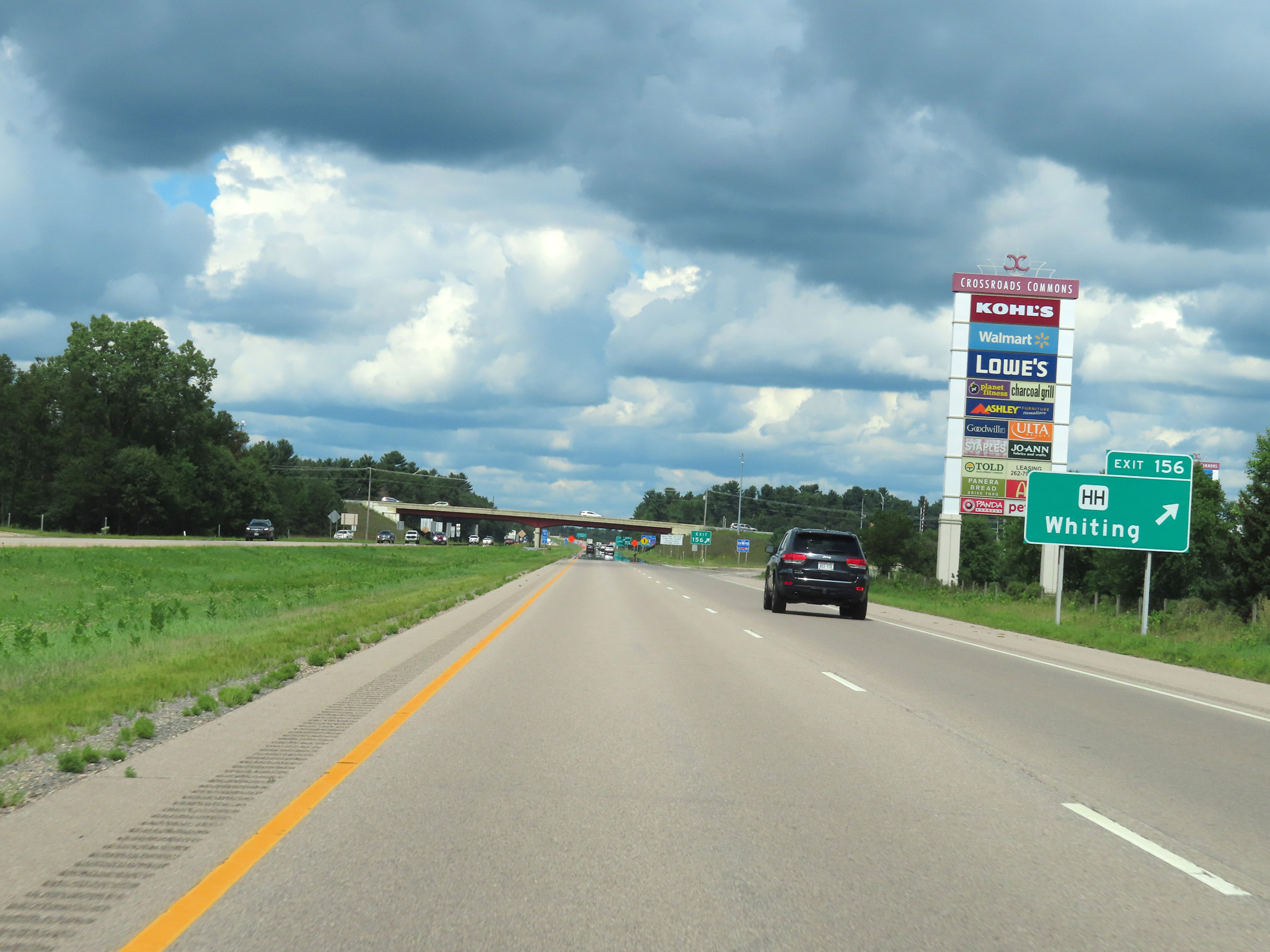 |
Interstate 39 North at Exit 156: Hwy HH - Whiting (Photo taken 8/15/22). |
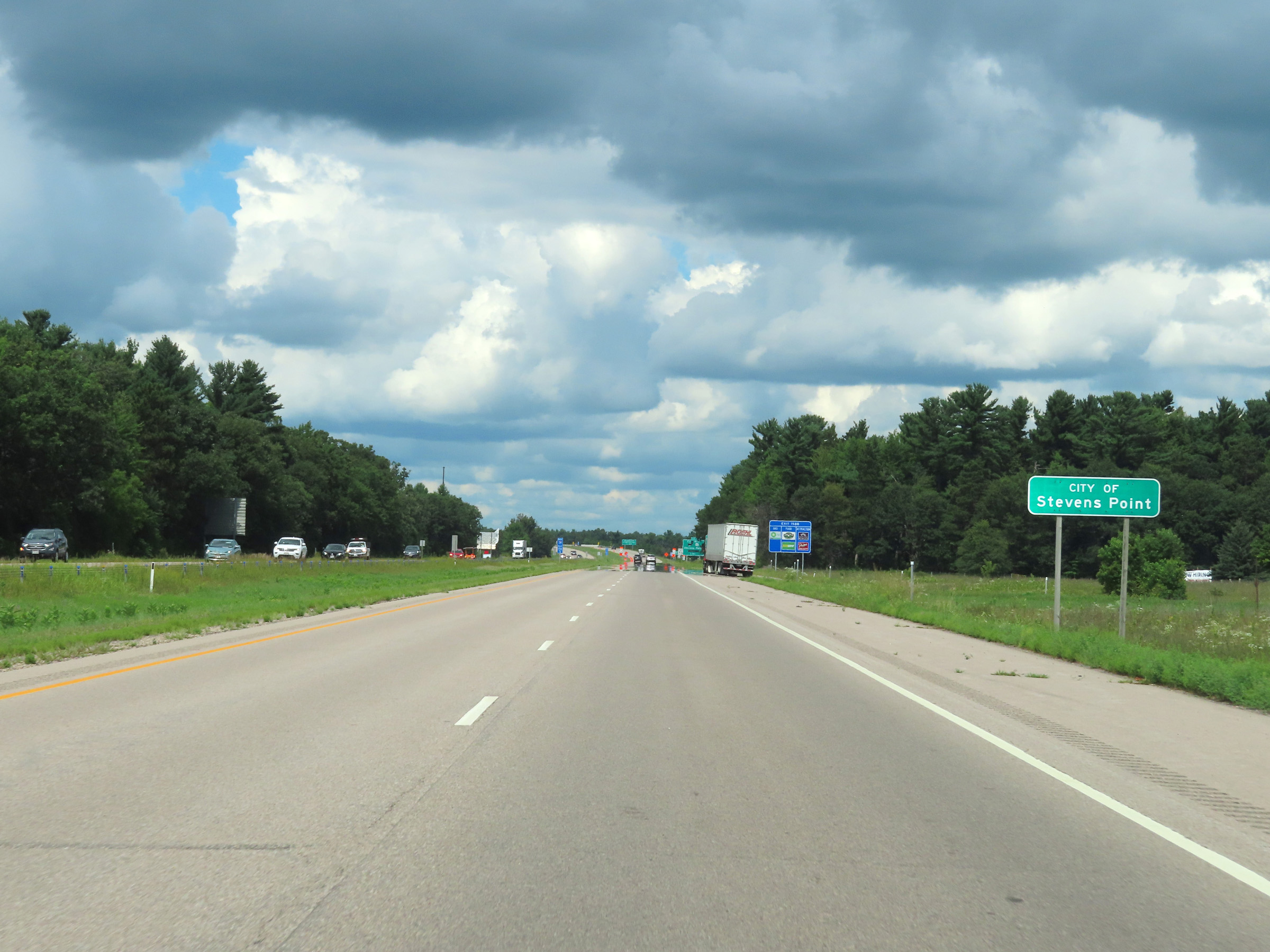 |
Interstate 39 North as it enters the Stevens Point city limits. (Photo taken 8/15/22). |
 |
Mileage sign on Interstate 39 North listing the distances to the next three exits to Stevens Point. (Photo taken 8/15/22). |
 |
Take Exit 158A to Waupaca. (Photo taken 8/15/22). |
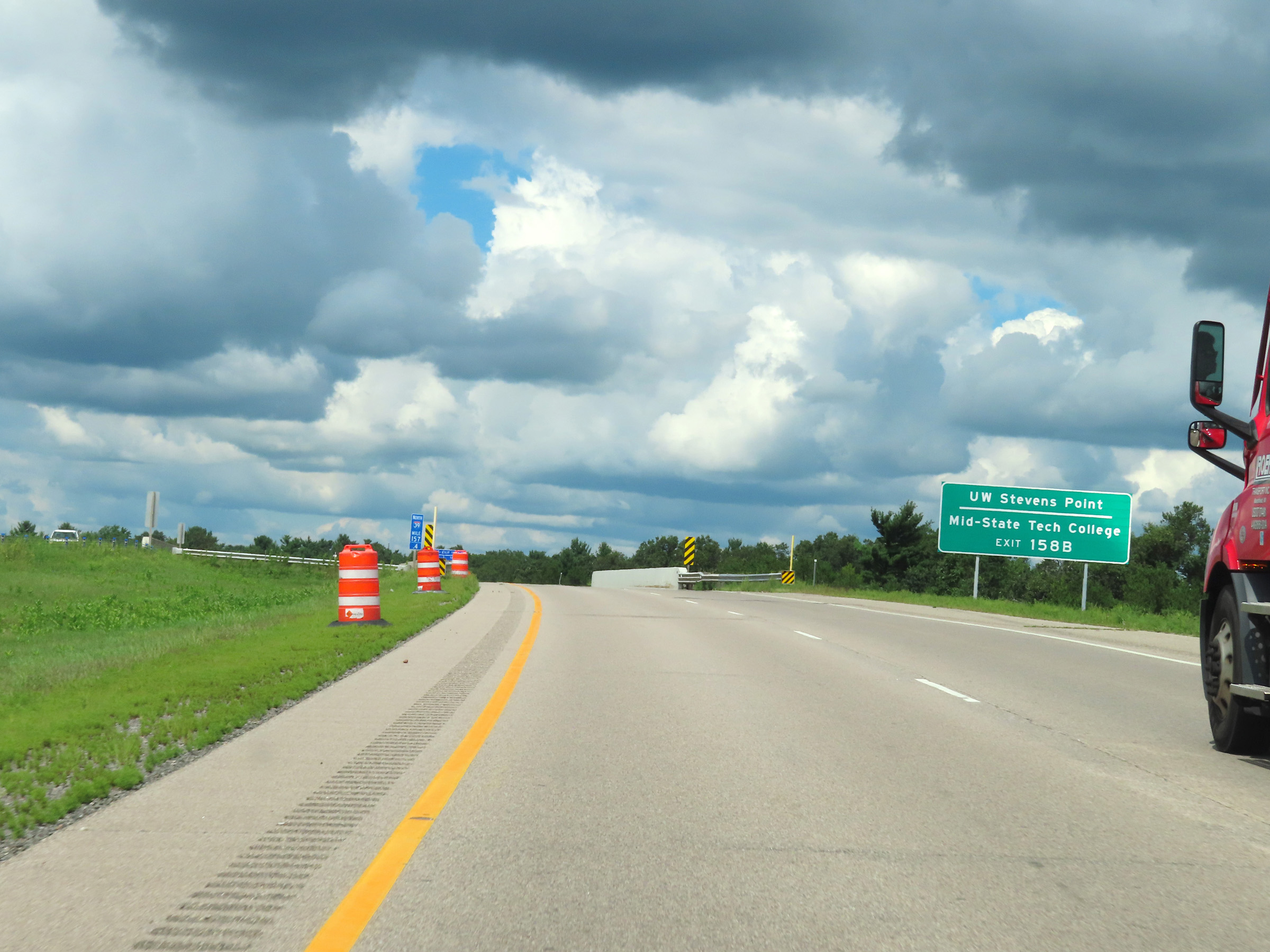 |
Take Exit 158B to UW Stevens Point and Mid-State Tech College. (Photo taken 8/15/22). |
 |
Interstate 39 North at Exit 158A: US 10 East - Waupaca / Appleton (Photo taken 8/15/22). |
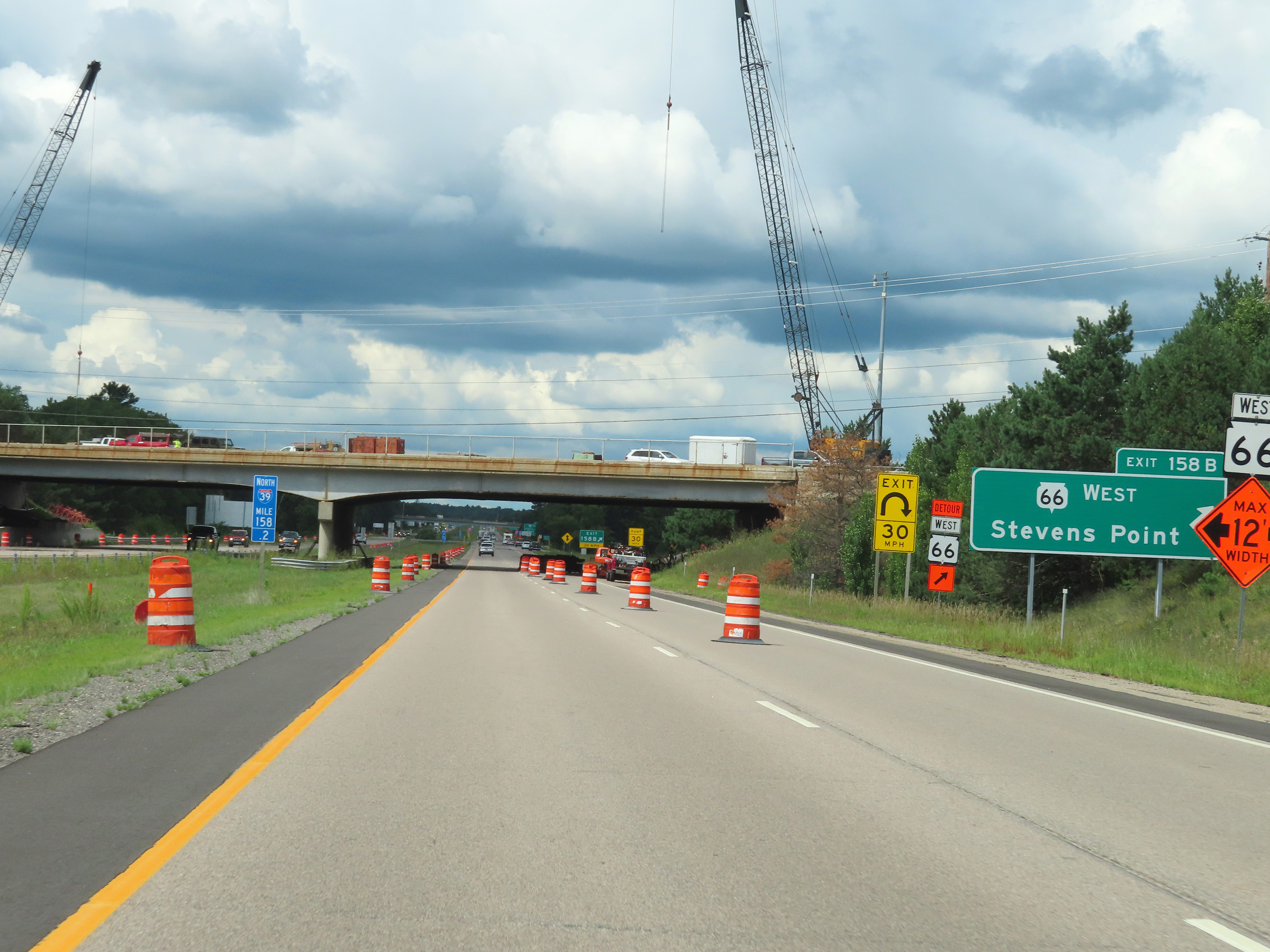 |
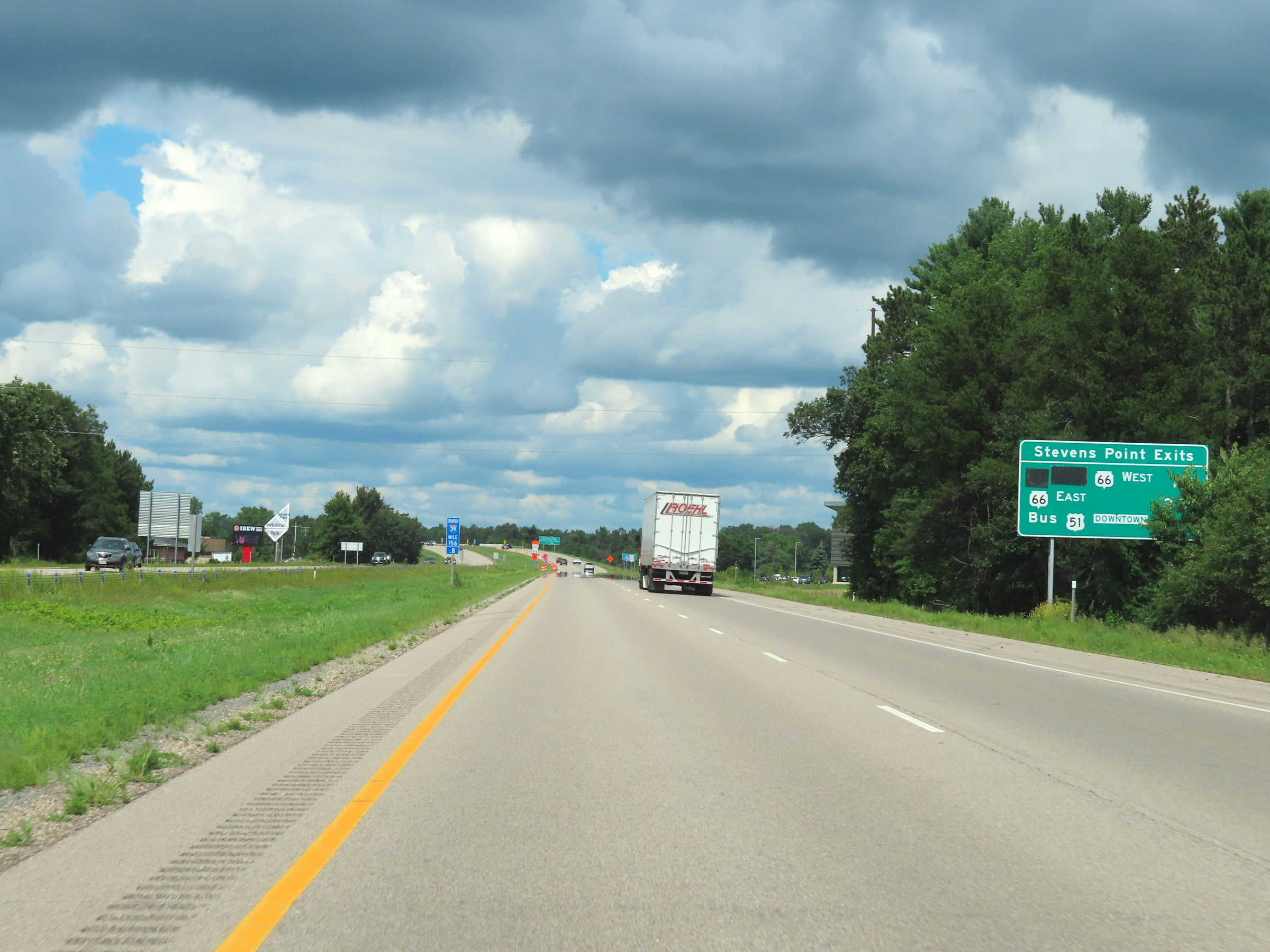
Interstate 39 North at Exit 158B: WI 66 West - Stevens Point (Photo taken 8/15/22). |
 |
Take Exit 159 to Stanley St. (Photo taken 8/15/22). |
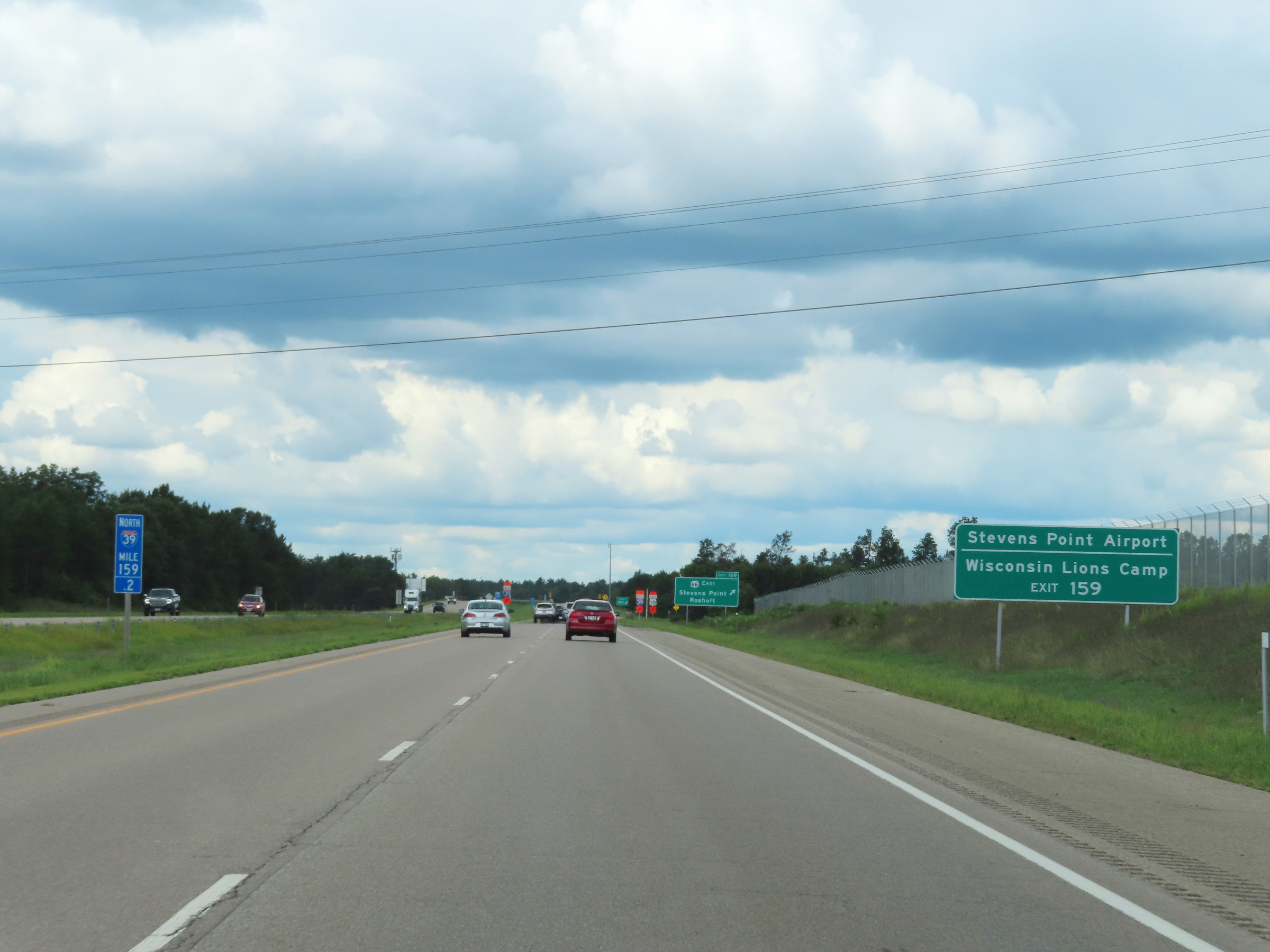 |
Also take Exit 159 to Stevens Point Airport and Wisconsin Lions Camp. (Photo taken 8/15/22). |
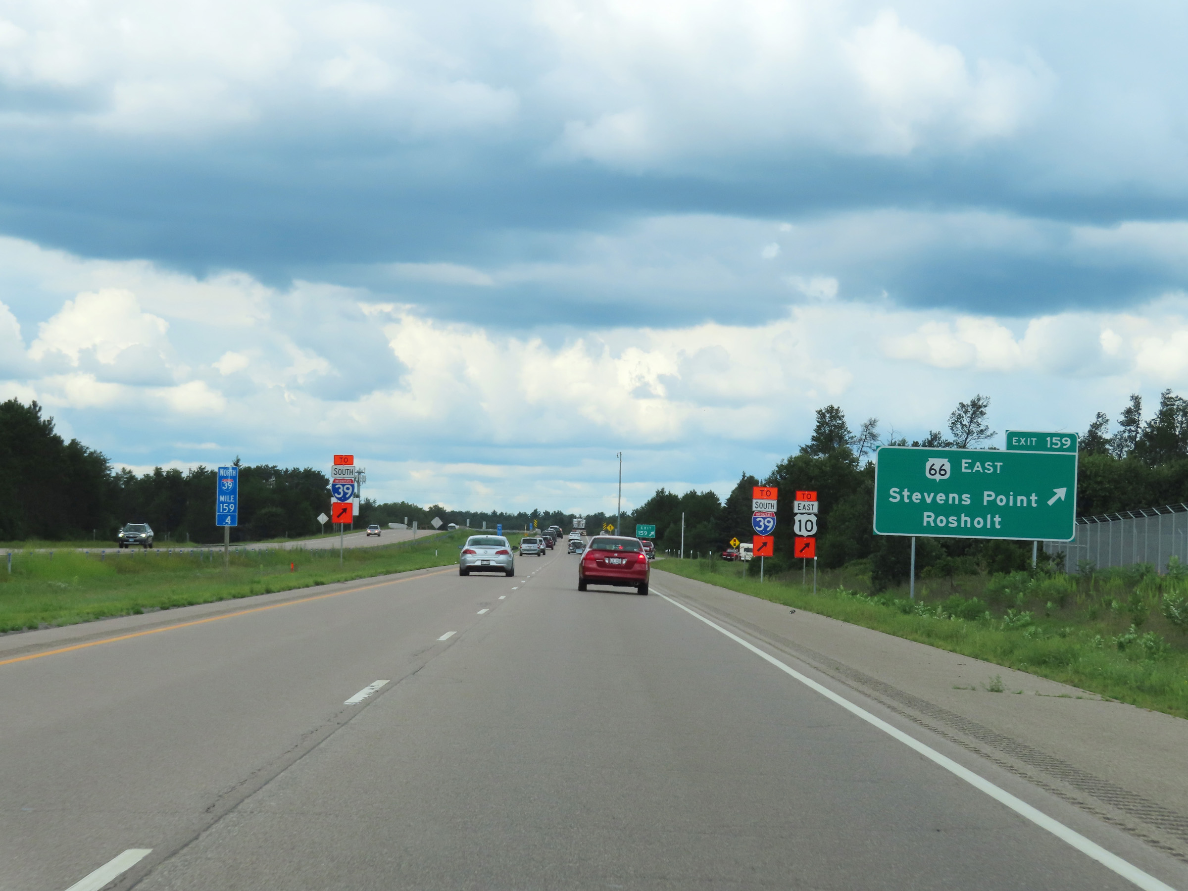 |
Interstate 39 North at Exit 159: WI 66 East - Stevens Point / Rosholt (Photo taken 8/15/22). |
Section 4: Stevens Point (Exit 159) to Northern Terminus (Exit 188)
 |
View on Interstate 39 North at mile marker 160. (Photo taken 8/15/22). |
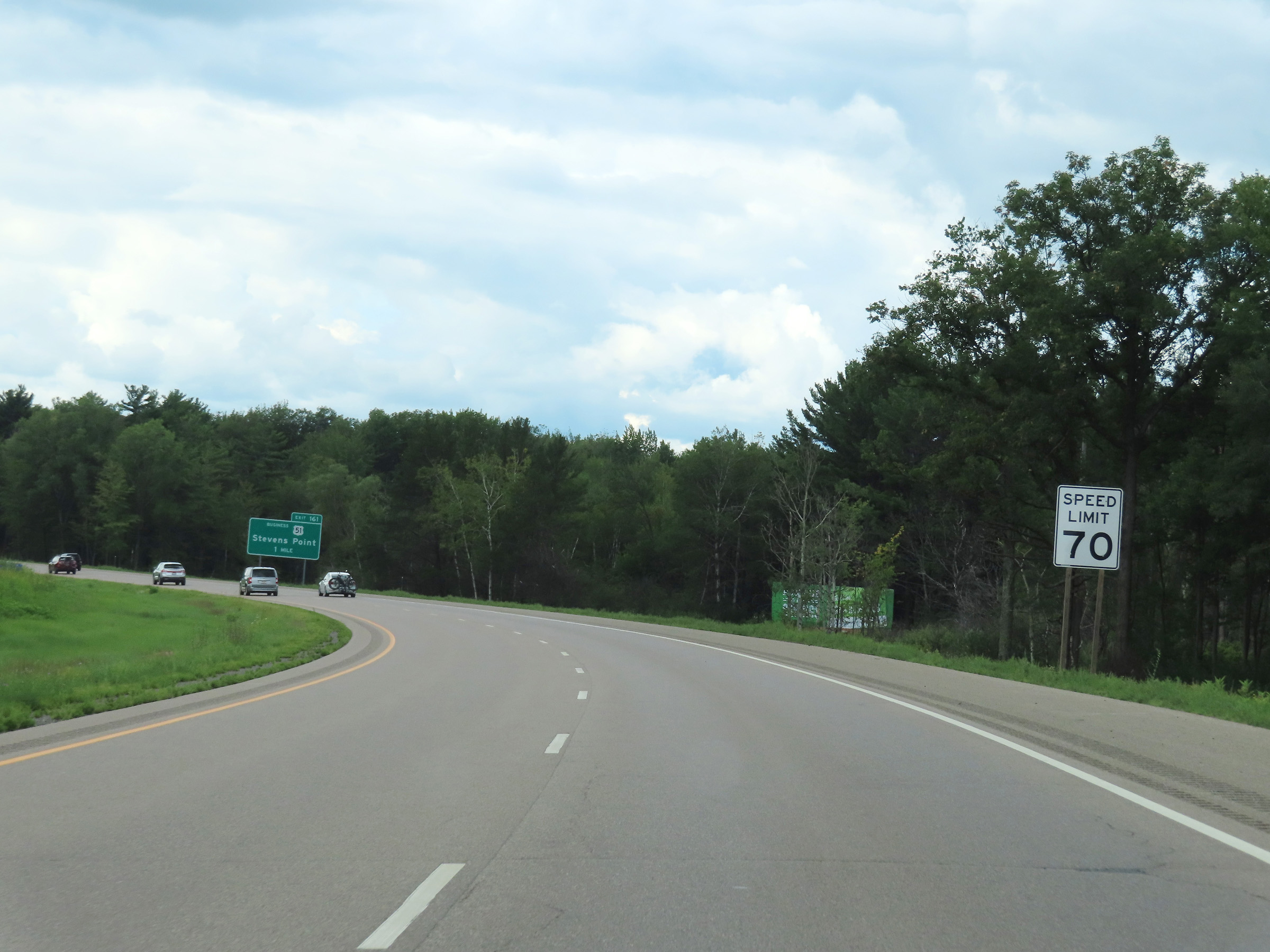 |
The speed limit remains 70 mph on Interstate 39 North through the Stevens Point area. (Photo taken 8/15/22). |
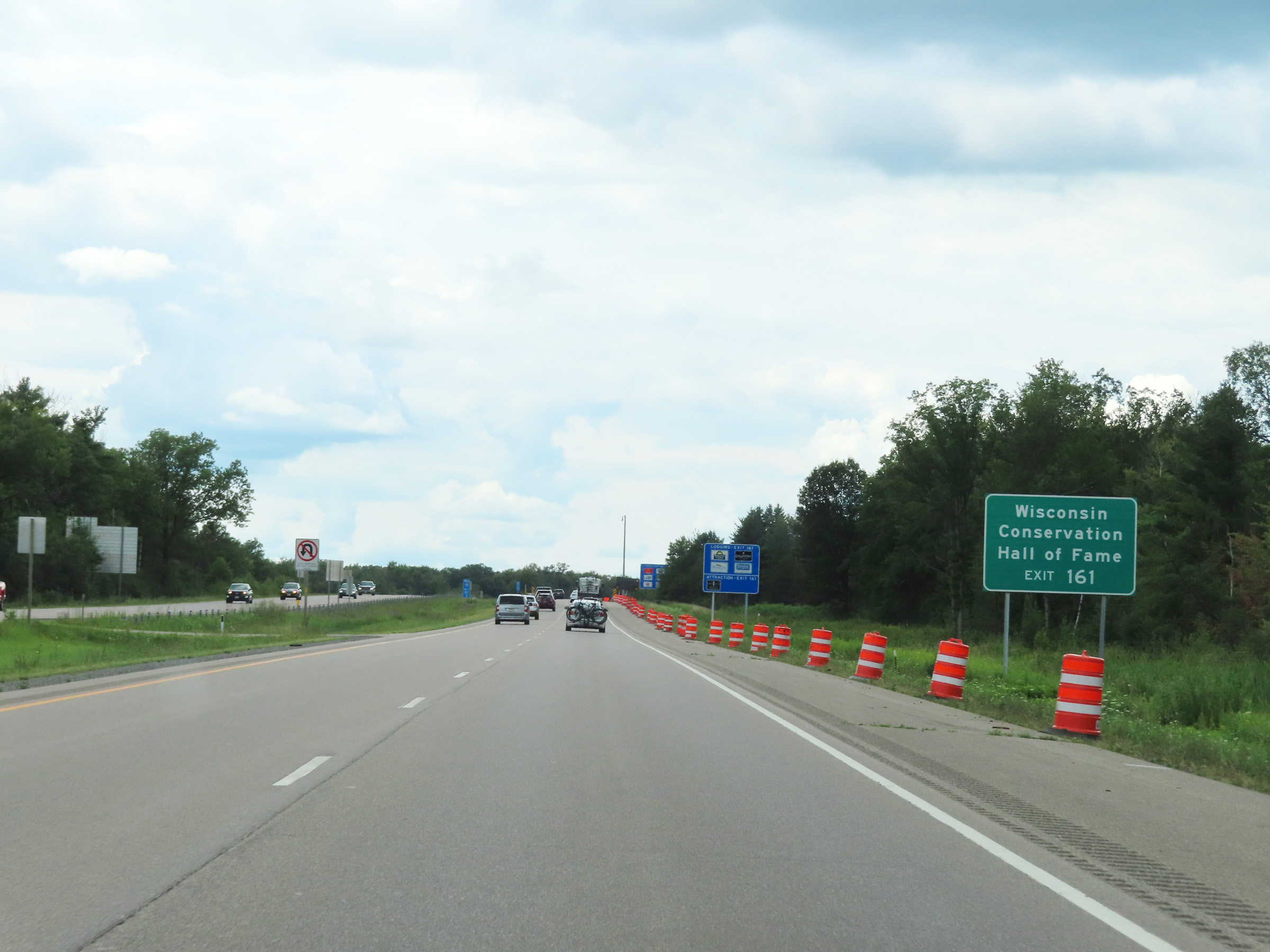 |
Take Exit 161 to the Wisconsin Conservation Hall of Fame. (Photo taken 8/15/22). |
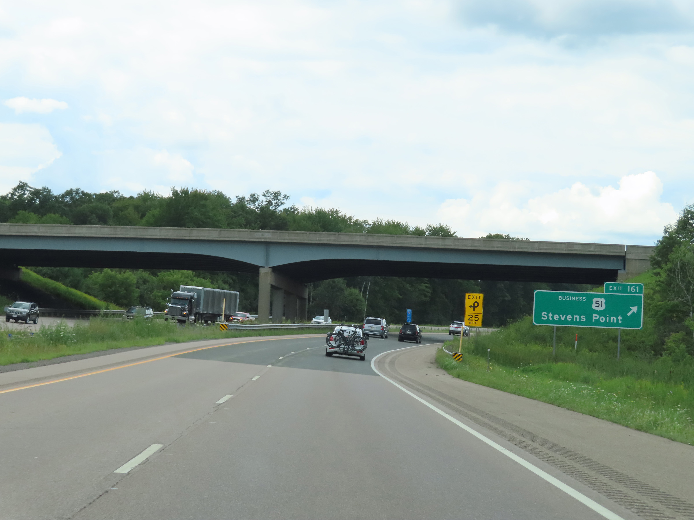 |
Interstate 39 North at Exit 161: US 51 Business - Stevens Point (Photo taken 8/15/22). |
 |
Mile marker 162 on Interstate 39 North in Portage County. (Photo taken 8/15/22). |
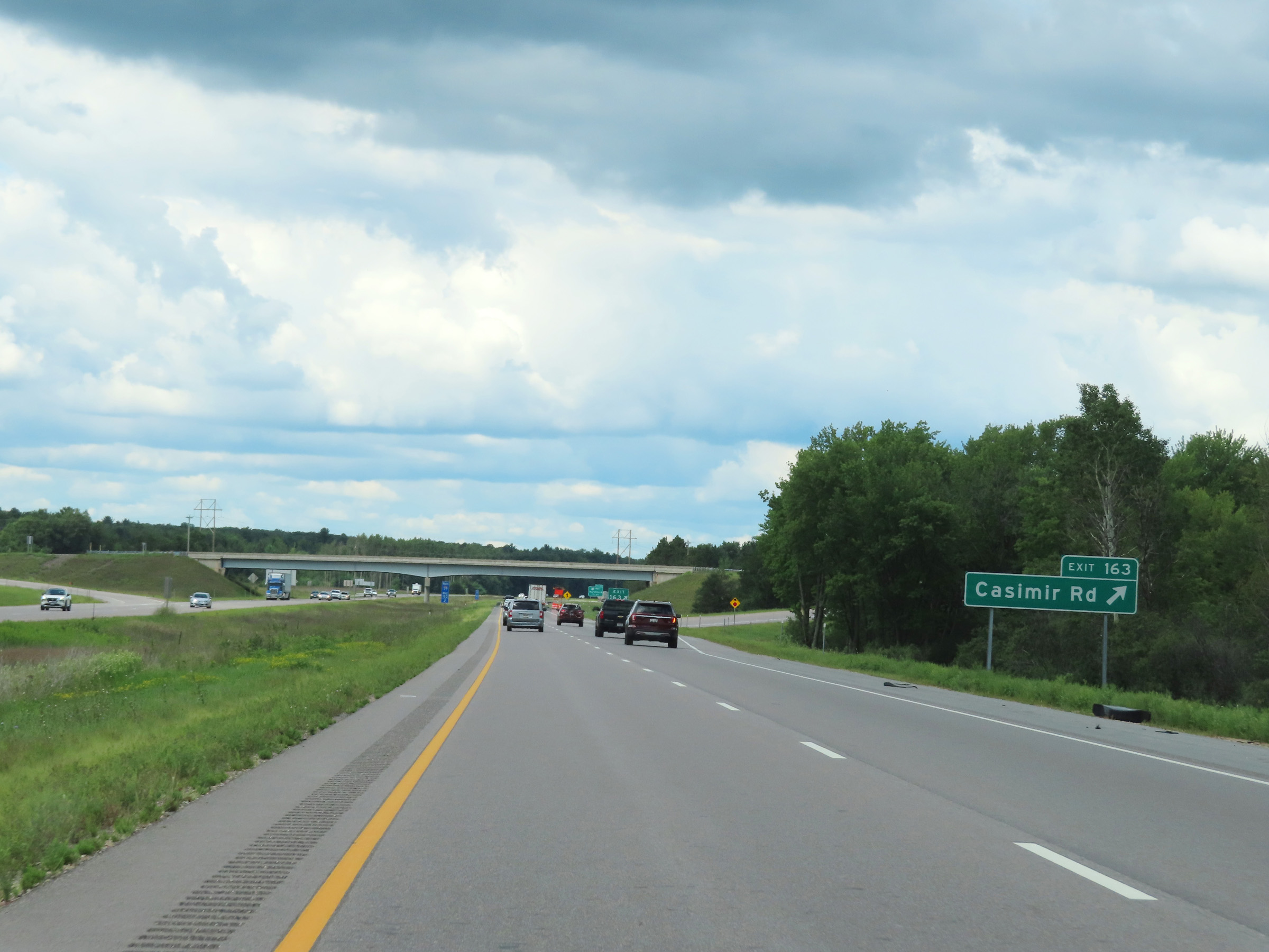 |
Interstate 39 North at Exit 163: Casimir Rd (Photo taken 8/15/22). |
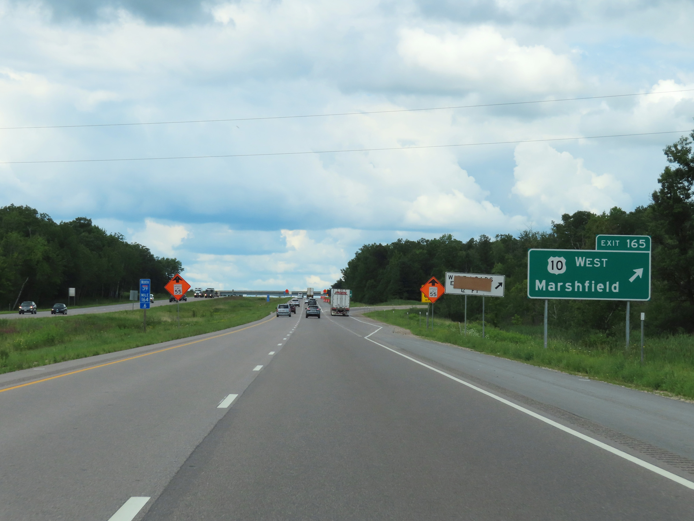 |
Interstate 39 North at Exit 165: US 10 West - Marshfield (Photo taken 8/15/22). |
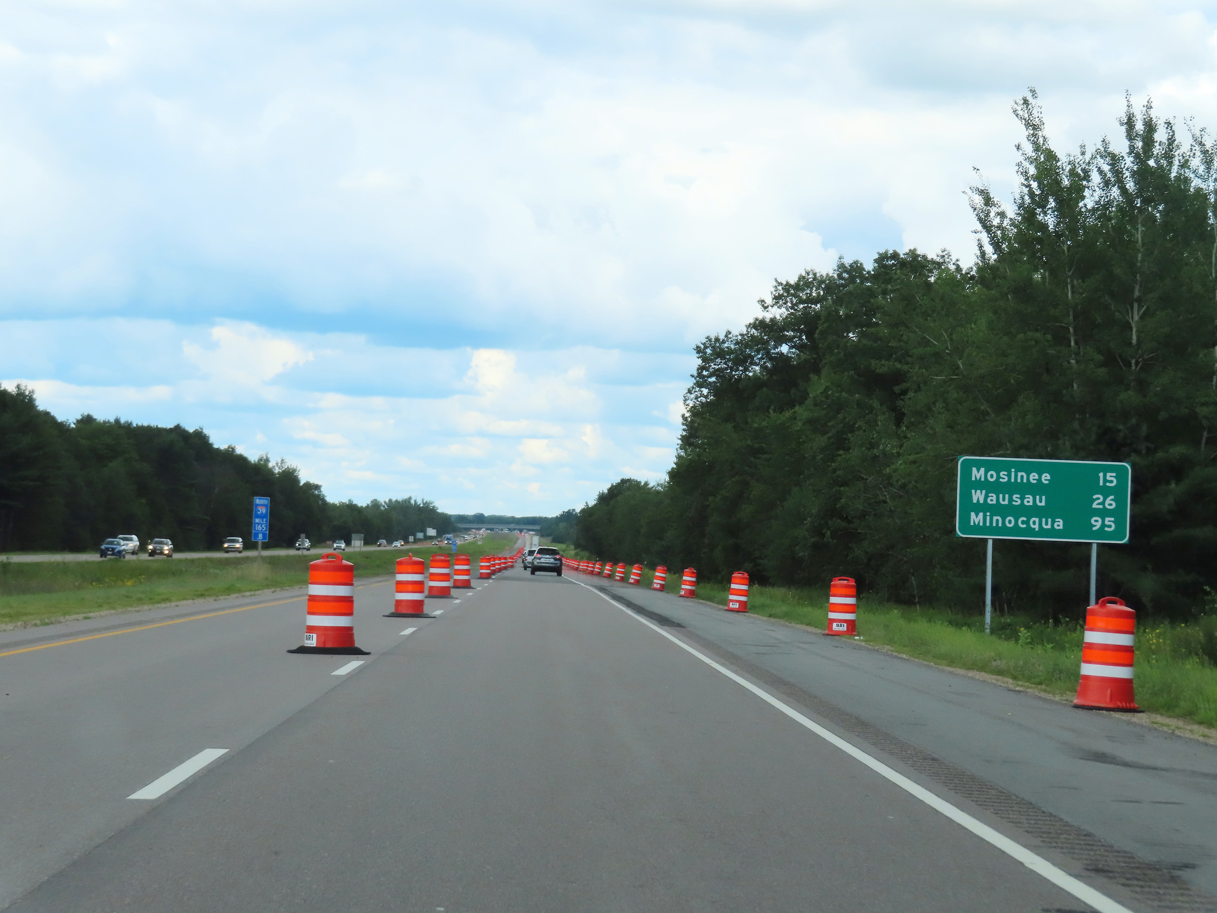 |
Mileage sign on Interstate 39 North at mile marker 165.8. It's 15 miles to Mosinee, 26 miles to Wausau, and 95 miles to Minocqua. (Photo taken 8/15/22). |
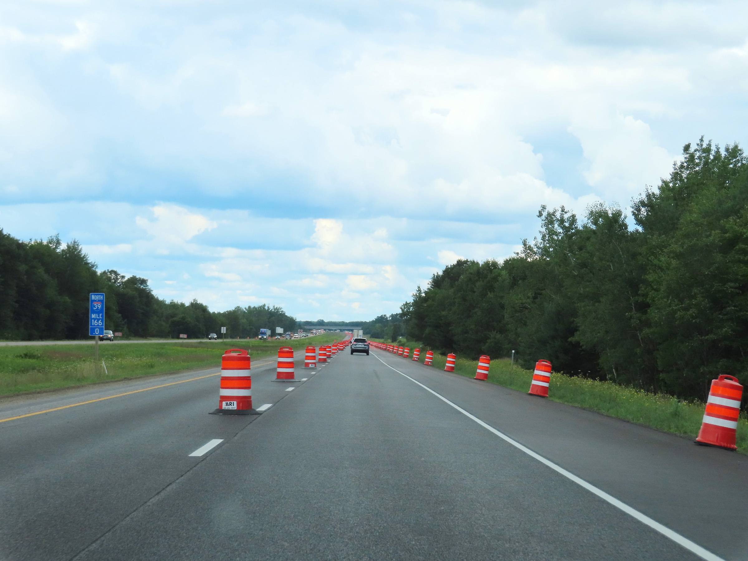 |
View on Interstate 39 North at mile marker 166. (Photo taken 8/15/22). |
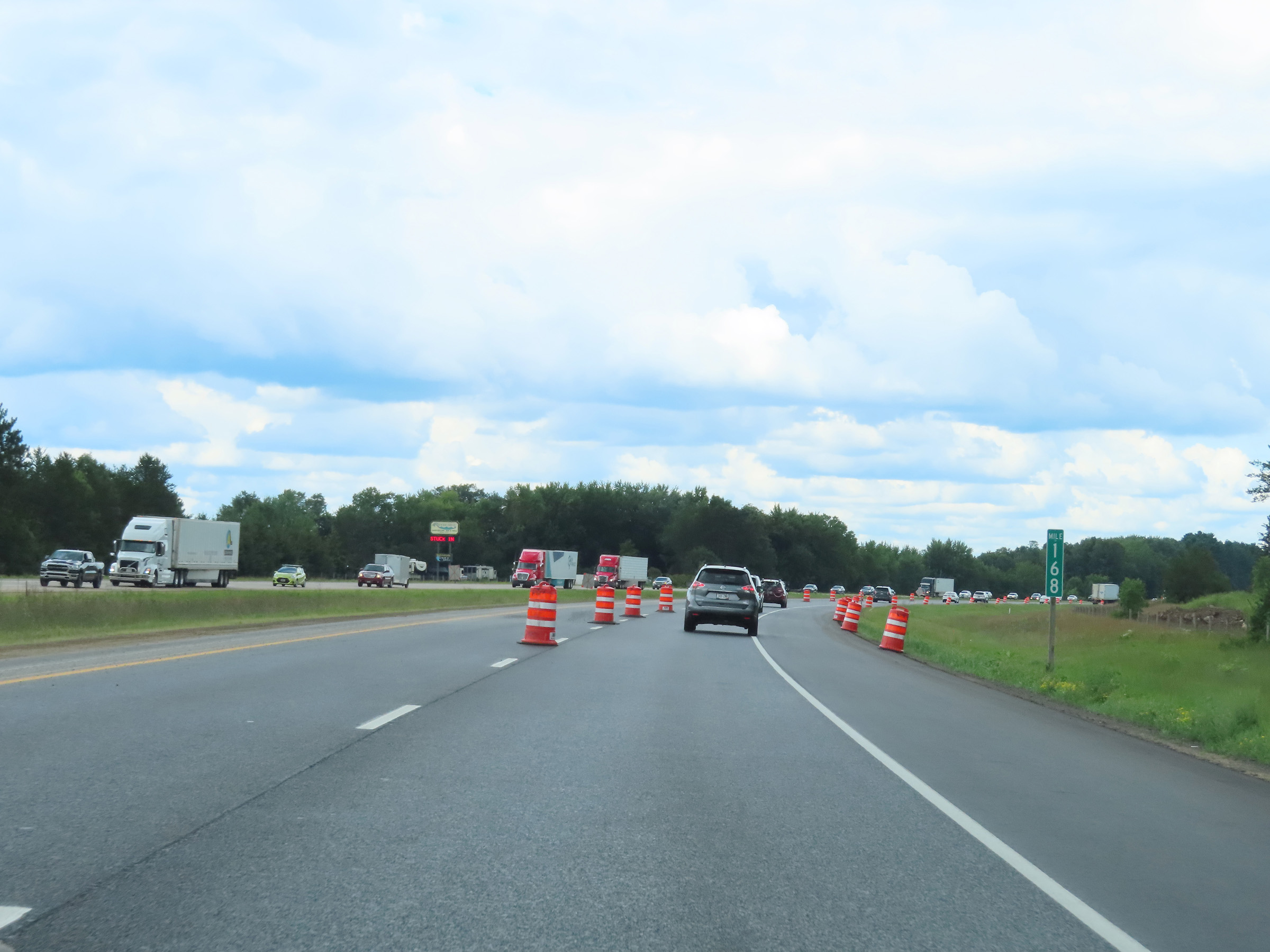 |
Interstate 39 North at mile marker 168. (Photo taken 8/15/22). |
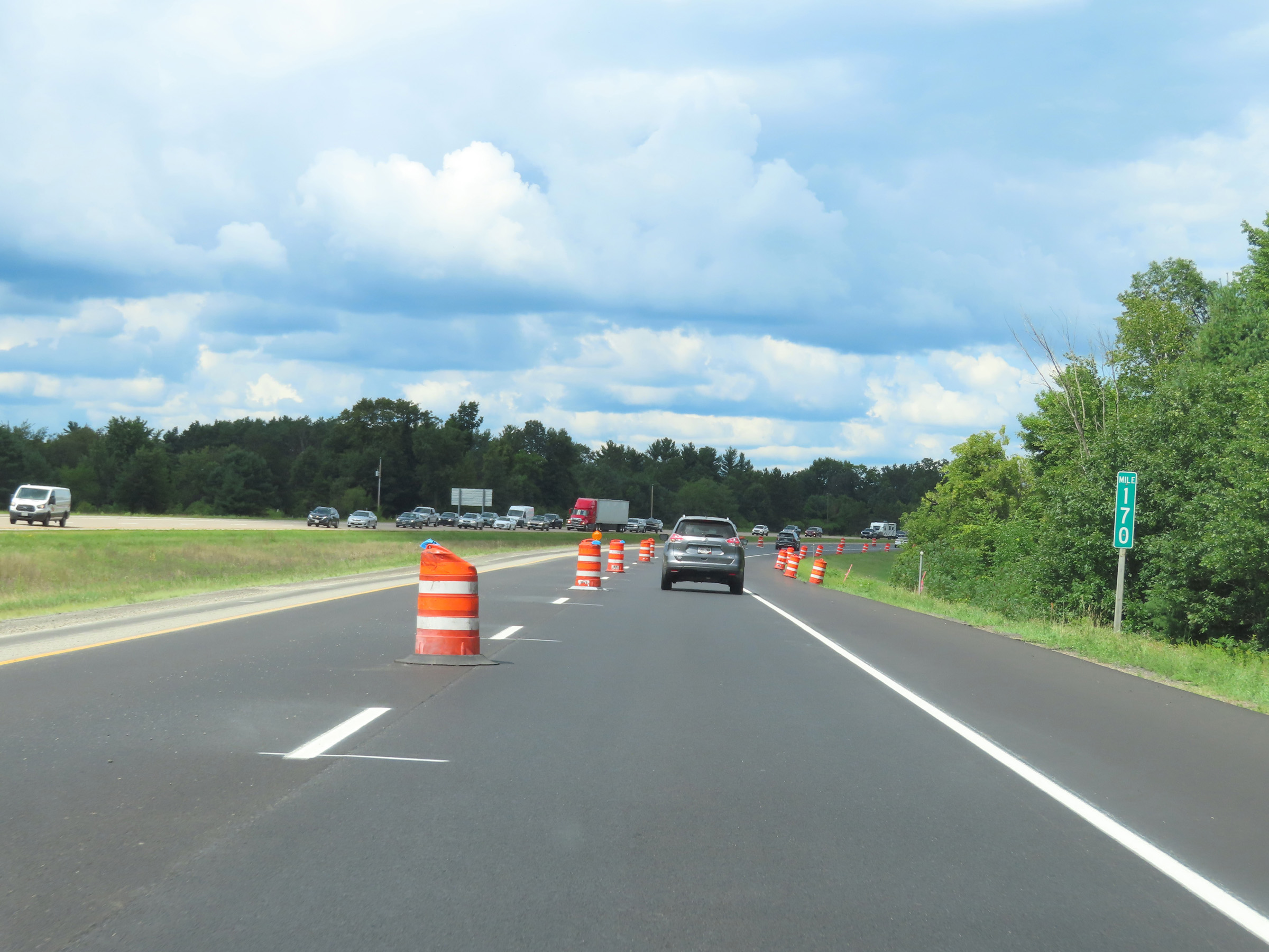 |
Mile marker 170 on Interstate 39 North in Portage County. (Photo taken 8/15/22). |
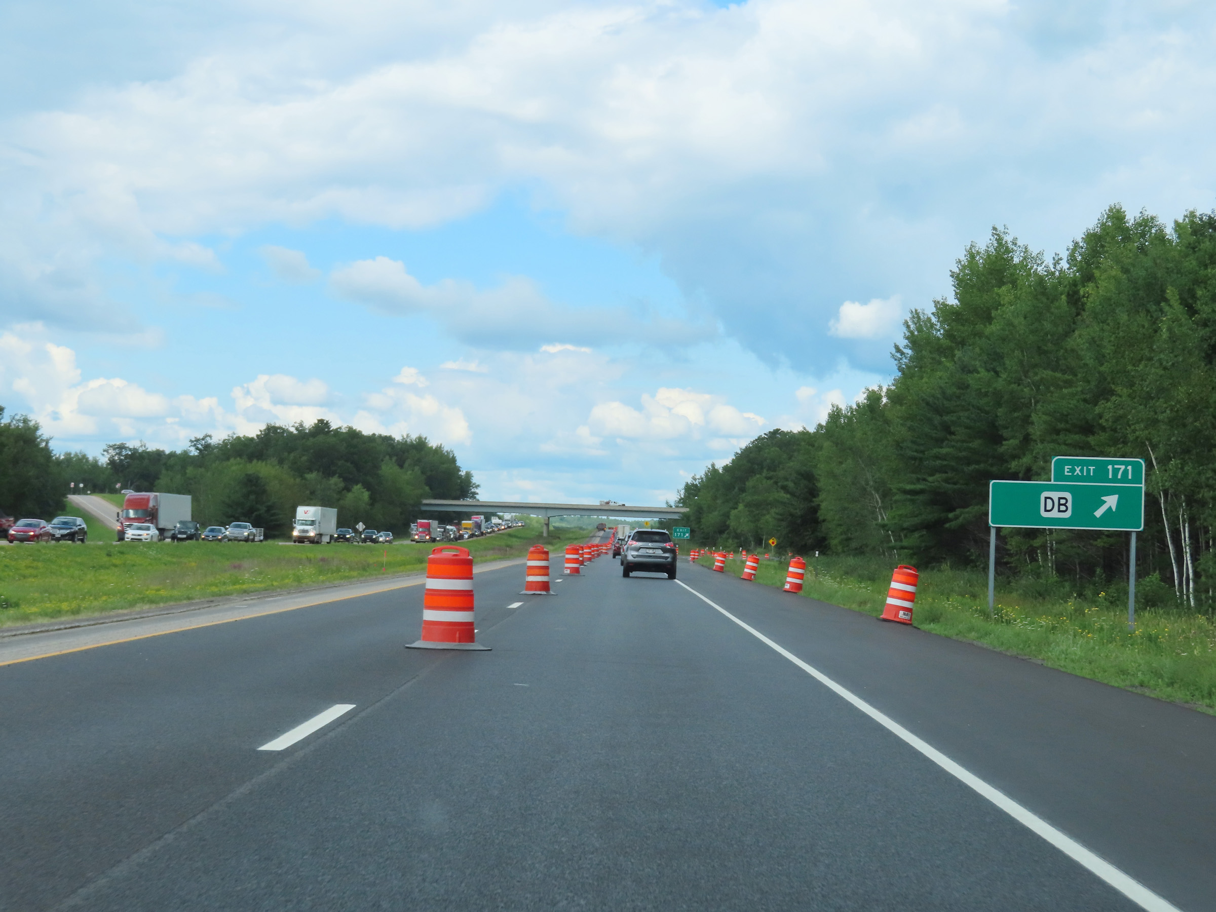 |
Interstate 39 North at Exit 171: Hwy DB (Photo taken 8/15/22). |
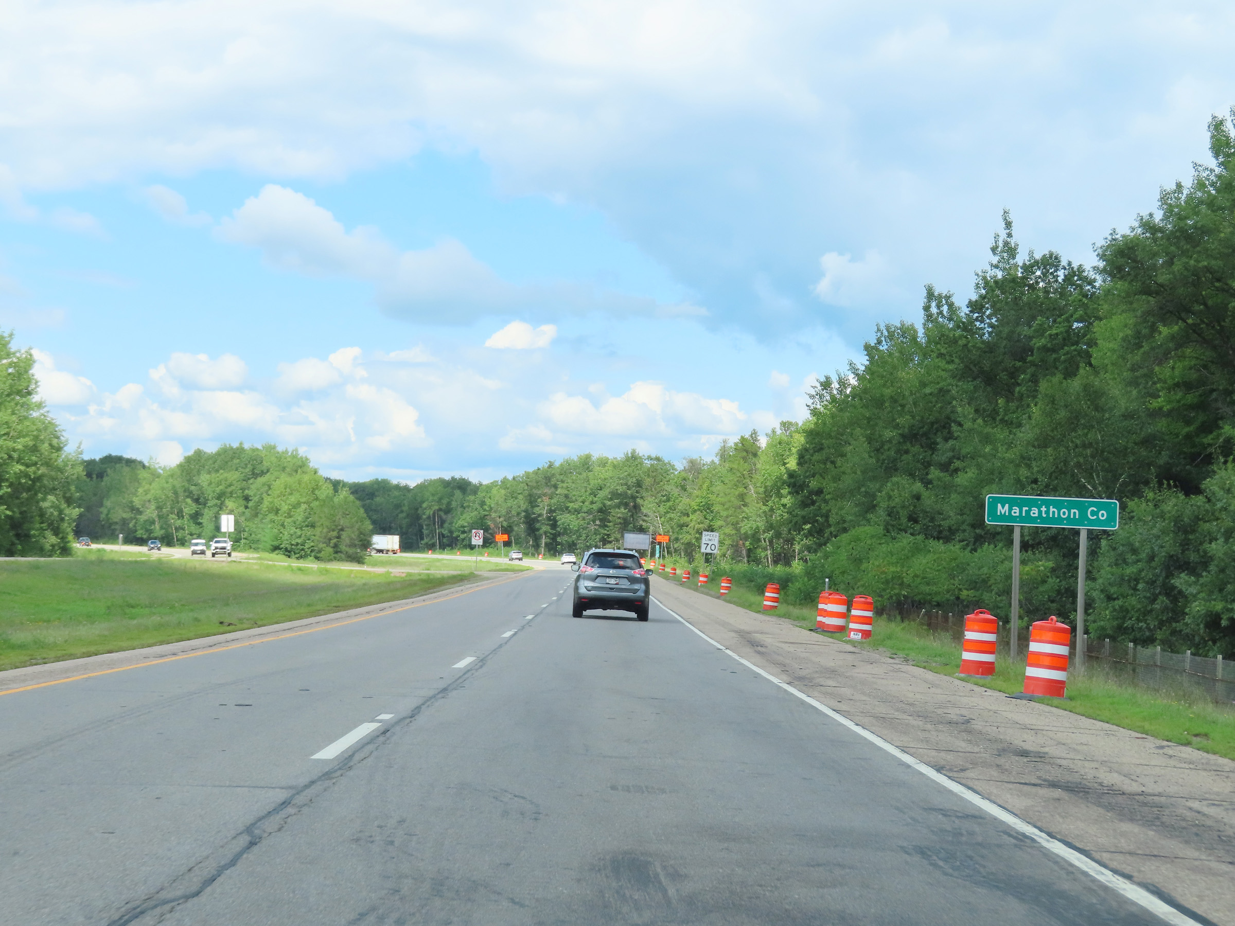 |
Interstate 39 North as it enters Marathon County. (Photo taken 8/15/22). |
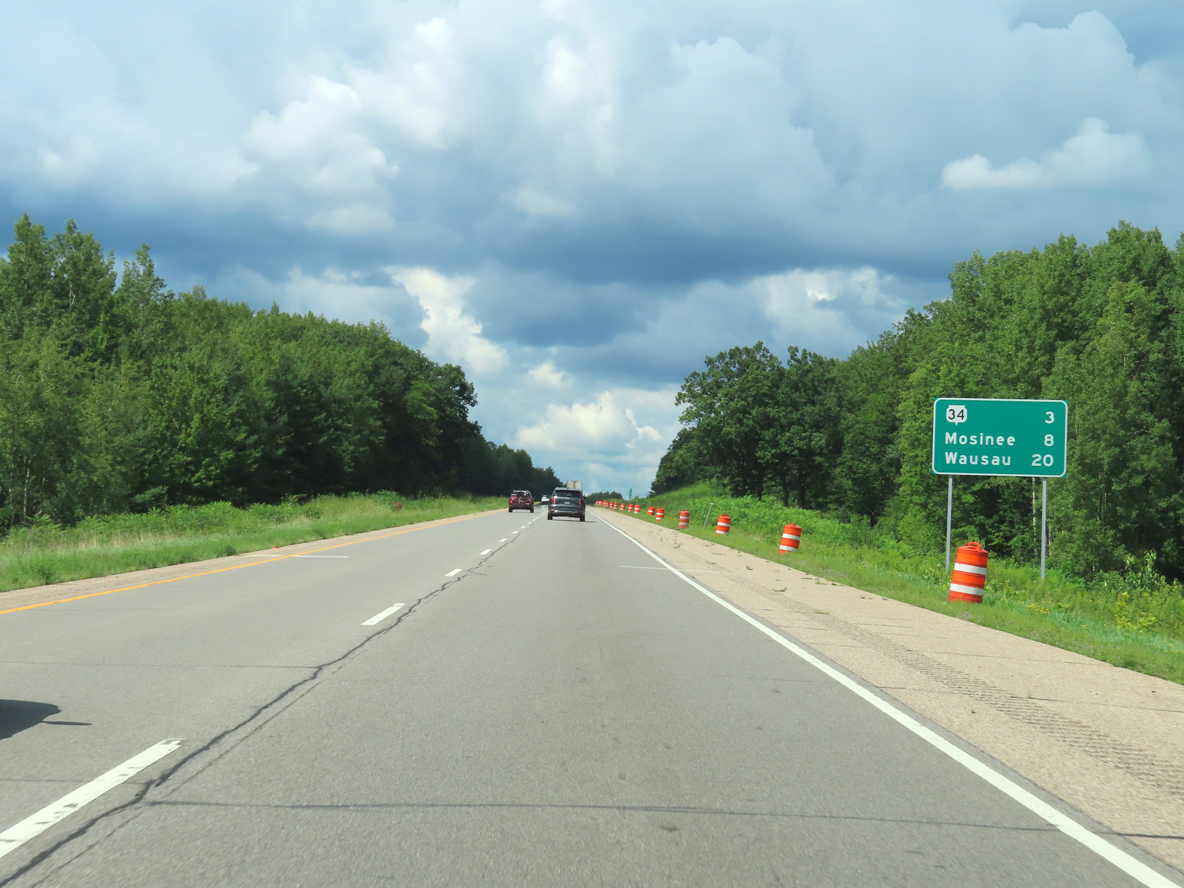 |
Mileage sign on Interstate 39 North upon entering Marathon County. It's 3 miles to the junction of WI 34, 8 miles to Mosinee, and 20 miles to Wausau. (Photo taken 8/15/22). |
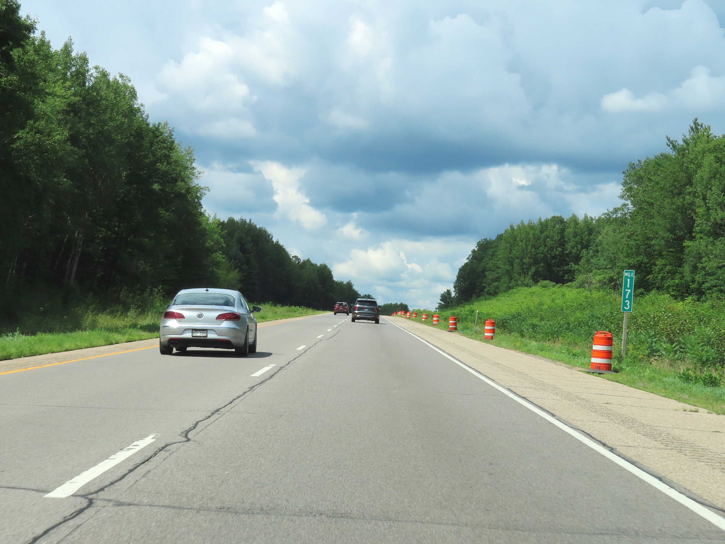 |
View on Interstate 39 North at mile marker 173. (Photo taken 8/15/22). |
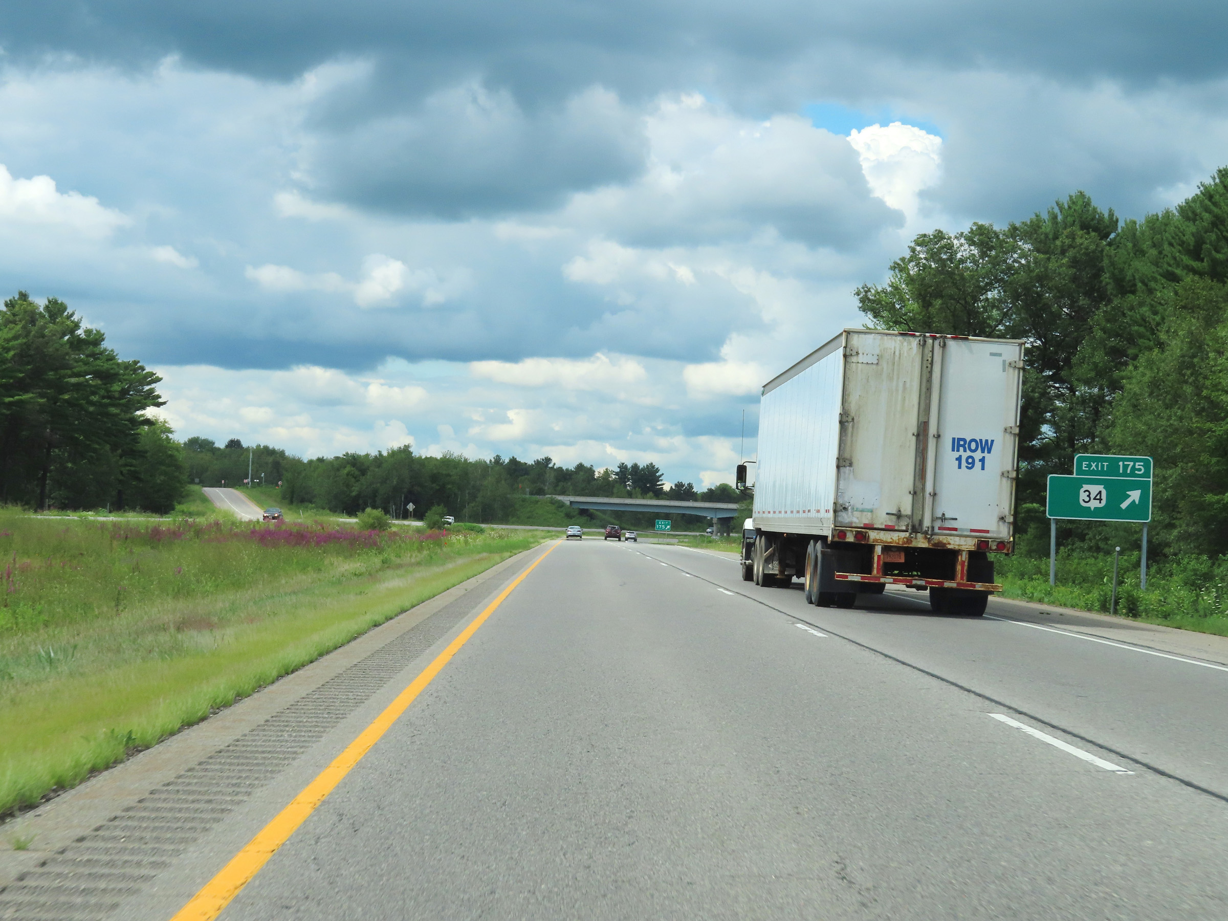 |
Interstate 39 North at Exit 175: WI 34 (Photo taken 8/15/22). |
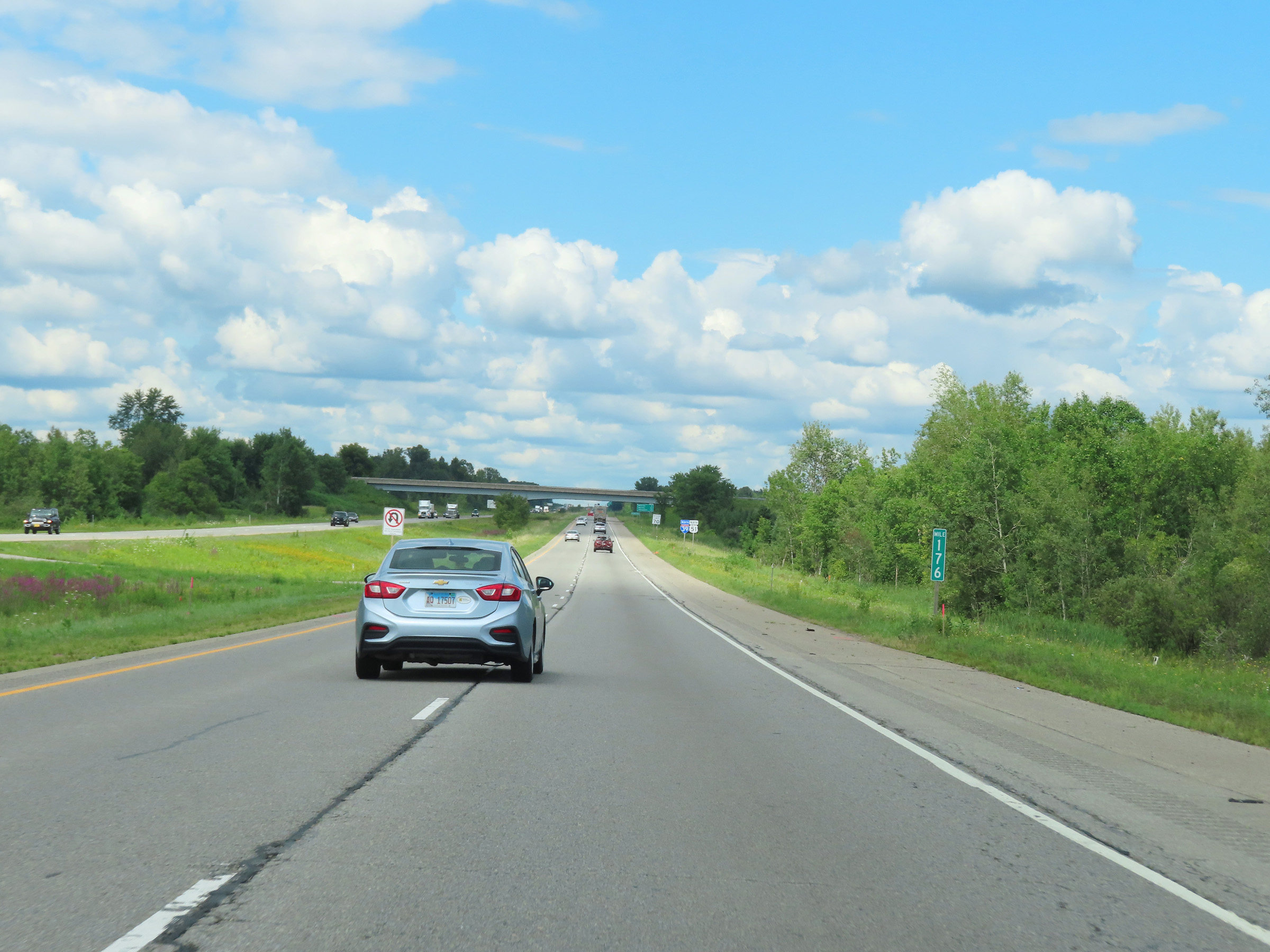 |
Interstate 39 North at mile marker 176. (Photo taken 8/15/22). |
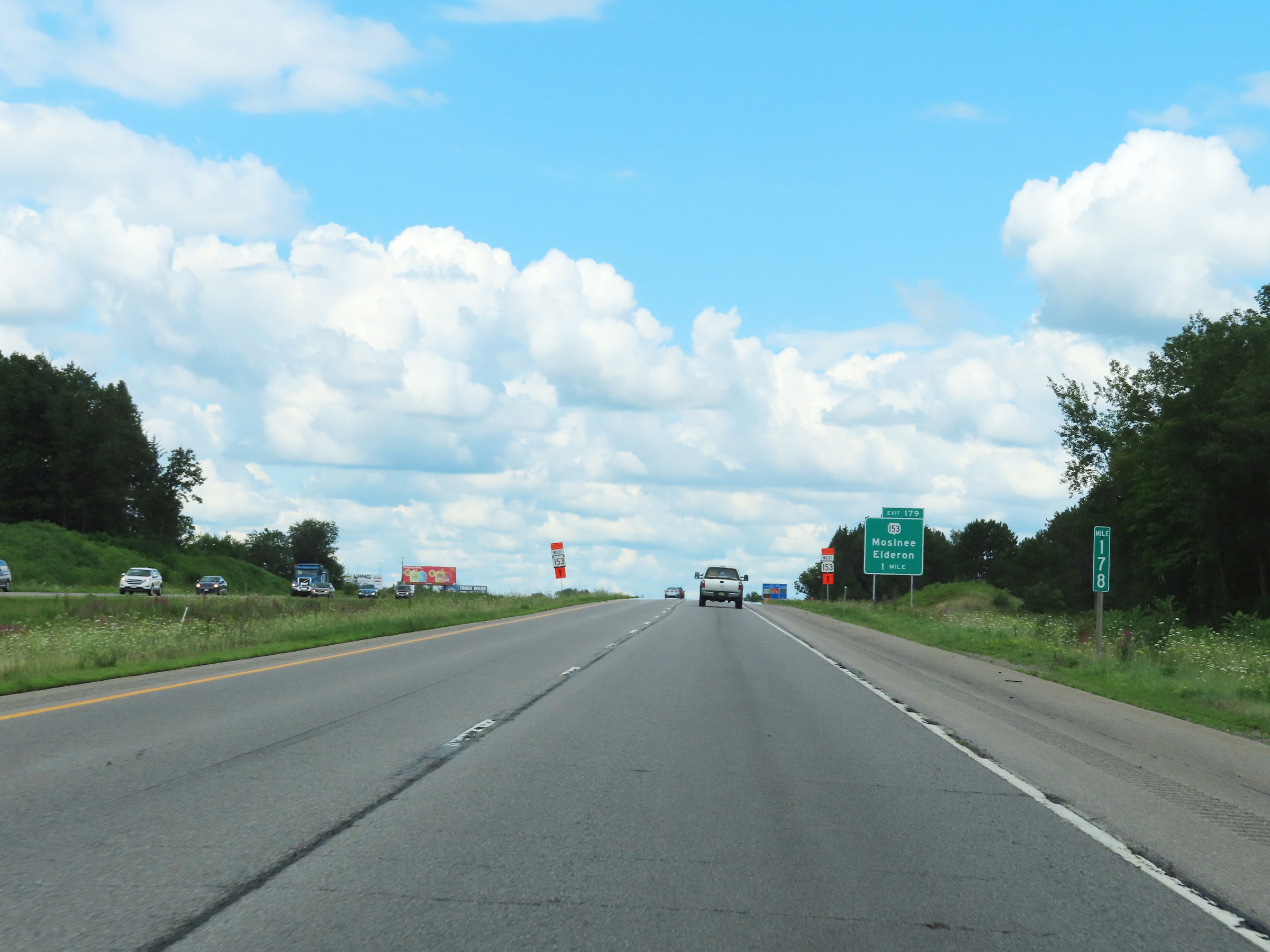 |
Mile marker 178 on Interstate 39 North in Marathon County. (Photo taken 8/15/22). |
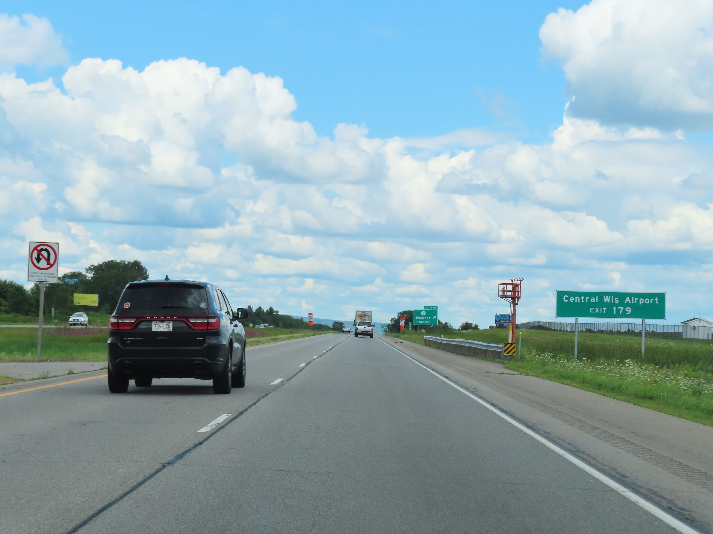 |
Take Exit 179 to Central Wisconsin Airport. (Photo taken 8/15/22). |
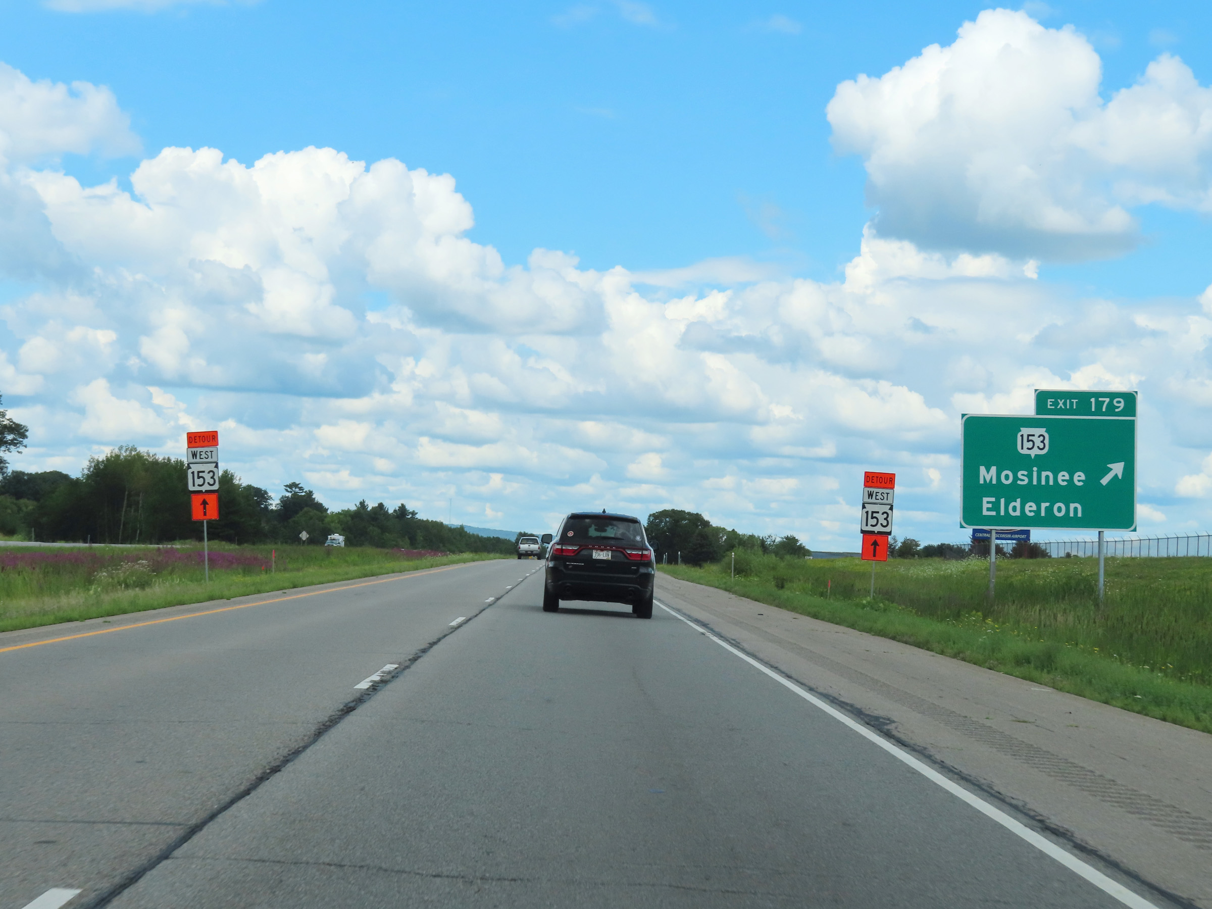 |
Interstate 39 North at Exit 179: WI 153 - Mosinee / Elderon (Photo taken 8/15/22). |
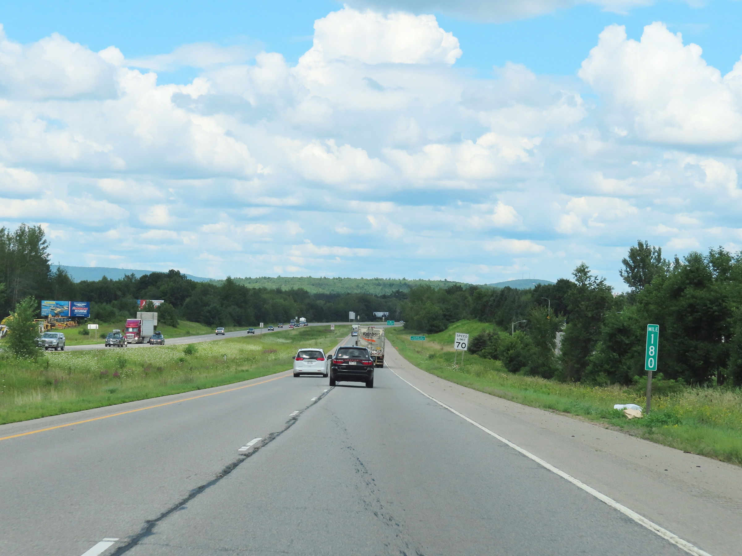 |
View on Interstate 39 North at mile marker 180. (Photo taken 8/15/22). |
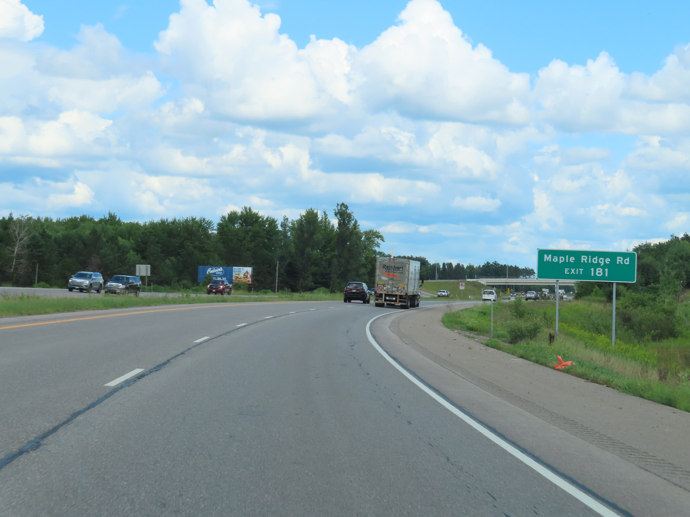 |
Take Exit 181 to Maple Ridge Rd. (Photo taken 8/15/22). |
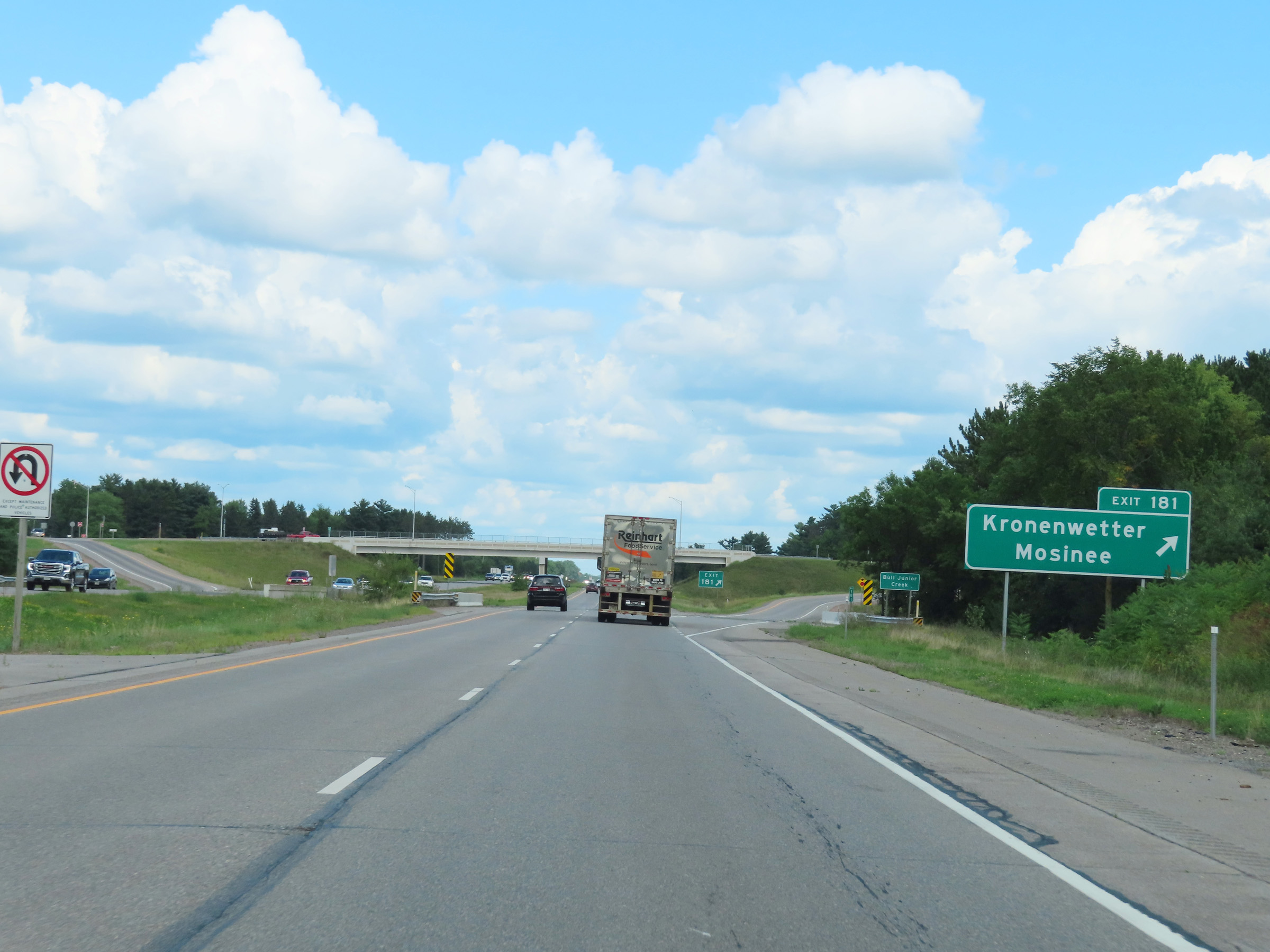 |
Interstate 39 North at Exit 181: Kronenwetter / Mosinee (Photo taken 8/15/22). |
 |
Another Interstate 39 North reassurance shield. (Photo taken 8/15/22). |
 |
View on Interstate 39 North at mile marker 182. (Photo taken 8/15/22). |
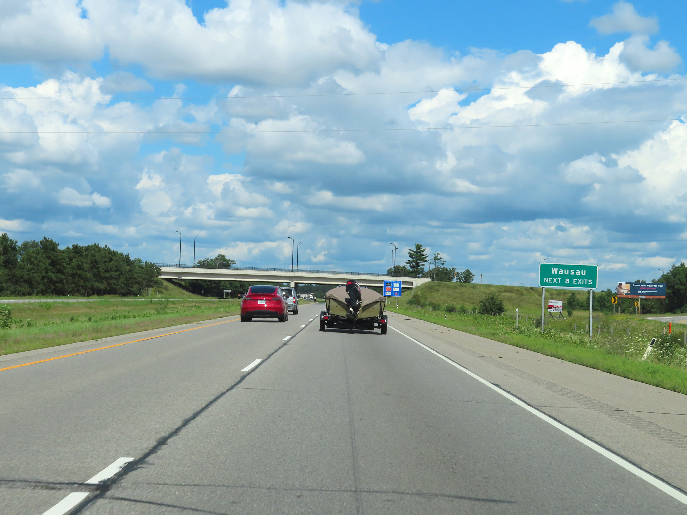 |
Take any of the next 8 exits to Wausau. (Photo taken 8/15/22). |
 |
Interstate 39 North at mile marker 184. (Photo taken 8/15/22). |
 |
Take Exit 185 to Schofield. (Photo taken 8/15/22). |
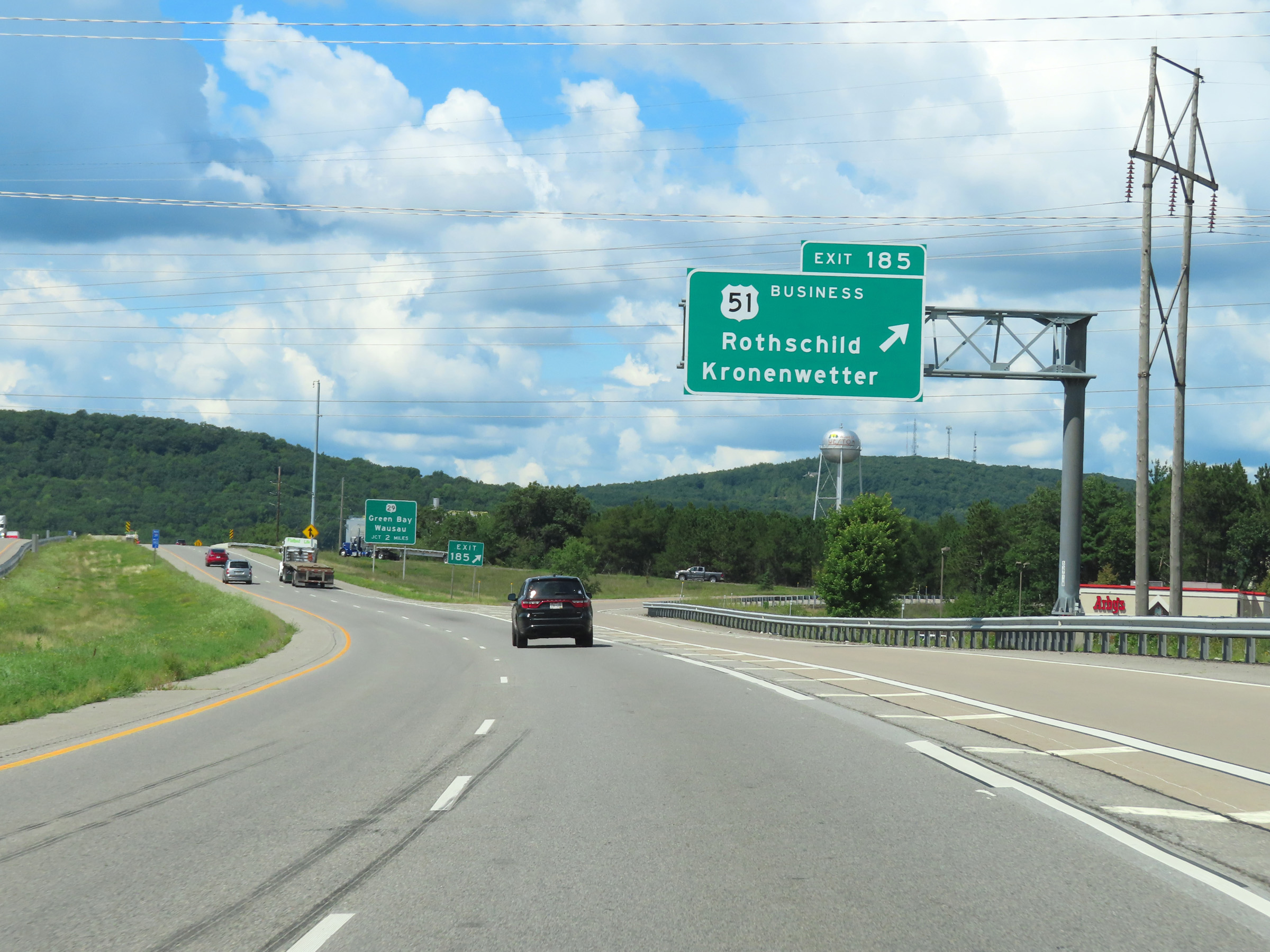 |
Interstate 39 North at Exit 185: US 51 Business - Rothschild / Kronenwetter (Photo taken 8/15/22). |
 |
The junction of WI 29, which will mark the northern terminus of Interstate 39, is 2 miles ahead. (Photo taken 8/15/22). |
 |
View on Interstate 39 North as it crosses the Wisconsin River at mile marker 185.6. (Photo taken 8/15/22). |
 |
Overhead mileage sign in the median which lists the distances to the next three interchanges on Interstate 39 North and US 51 North. (Photo taken 8/15/22). |
 |
Interstate 39 North approaching Exit 187 - 1 mile. (Photo taken 8/15/22). |
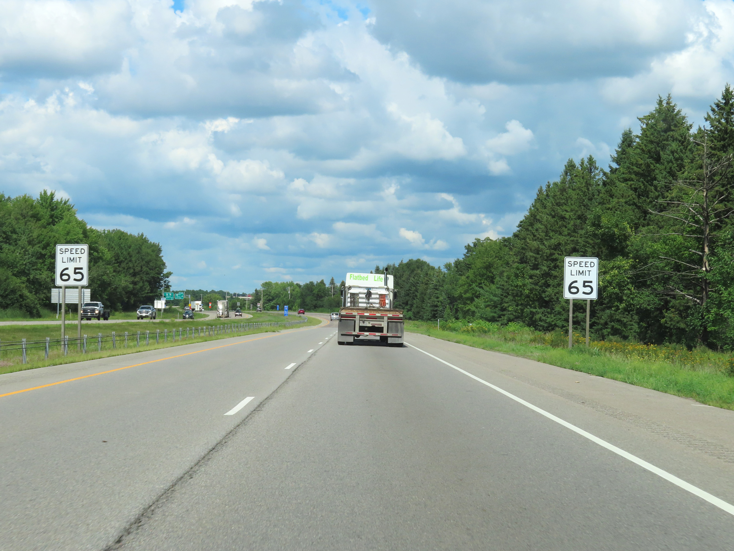 |
Nearing the junction of WI 29 at Exit 187, and entering the Wausau area, the speed limit on Interstate 39 North decreases to 65 mph. (Photo taken 8/15/22). |
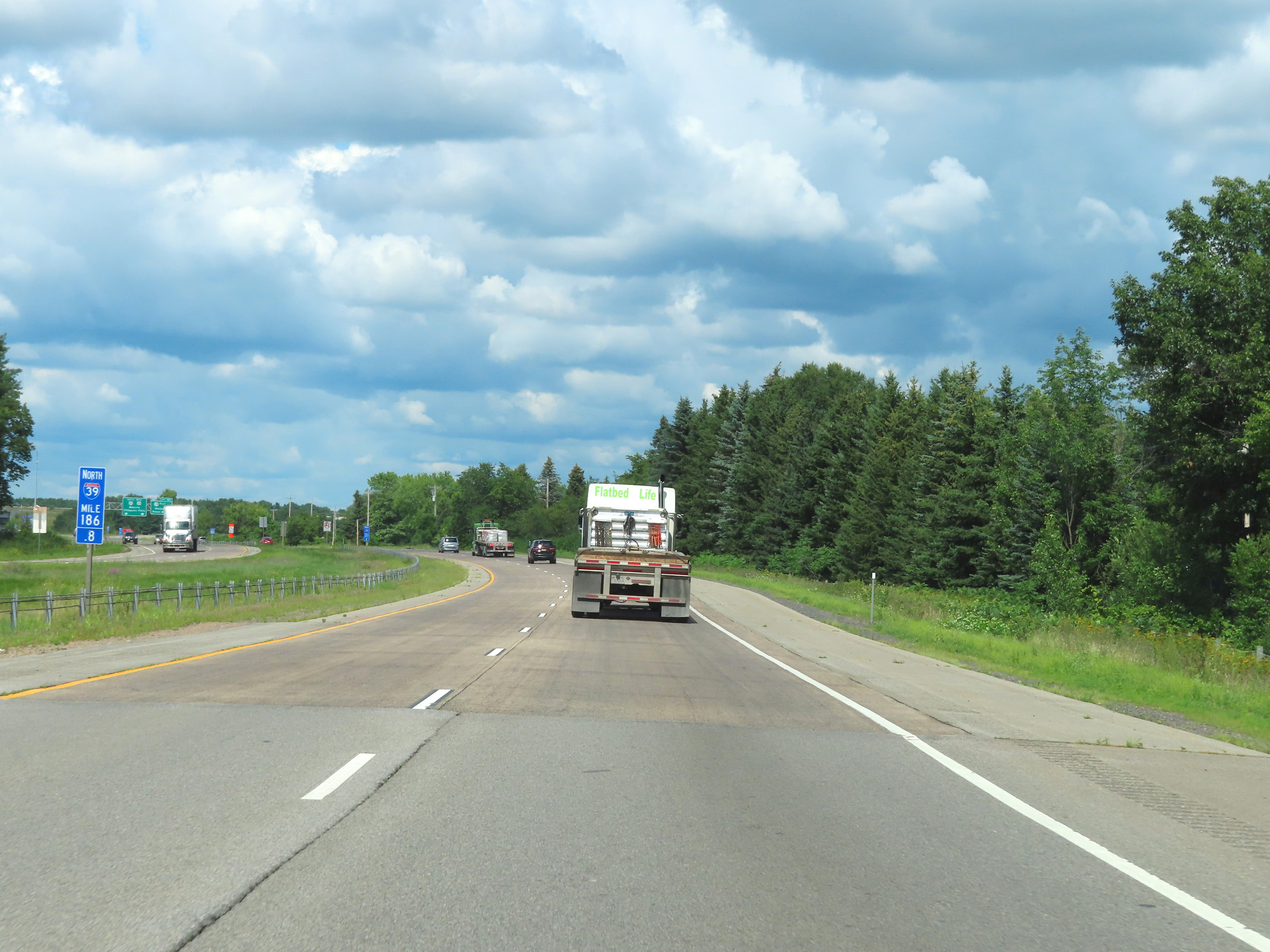 |
View on Interstate 39 North at mile marker 186.8. (Photo taken 8/15/22). |
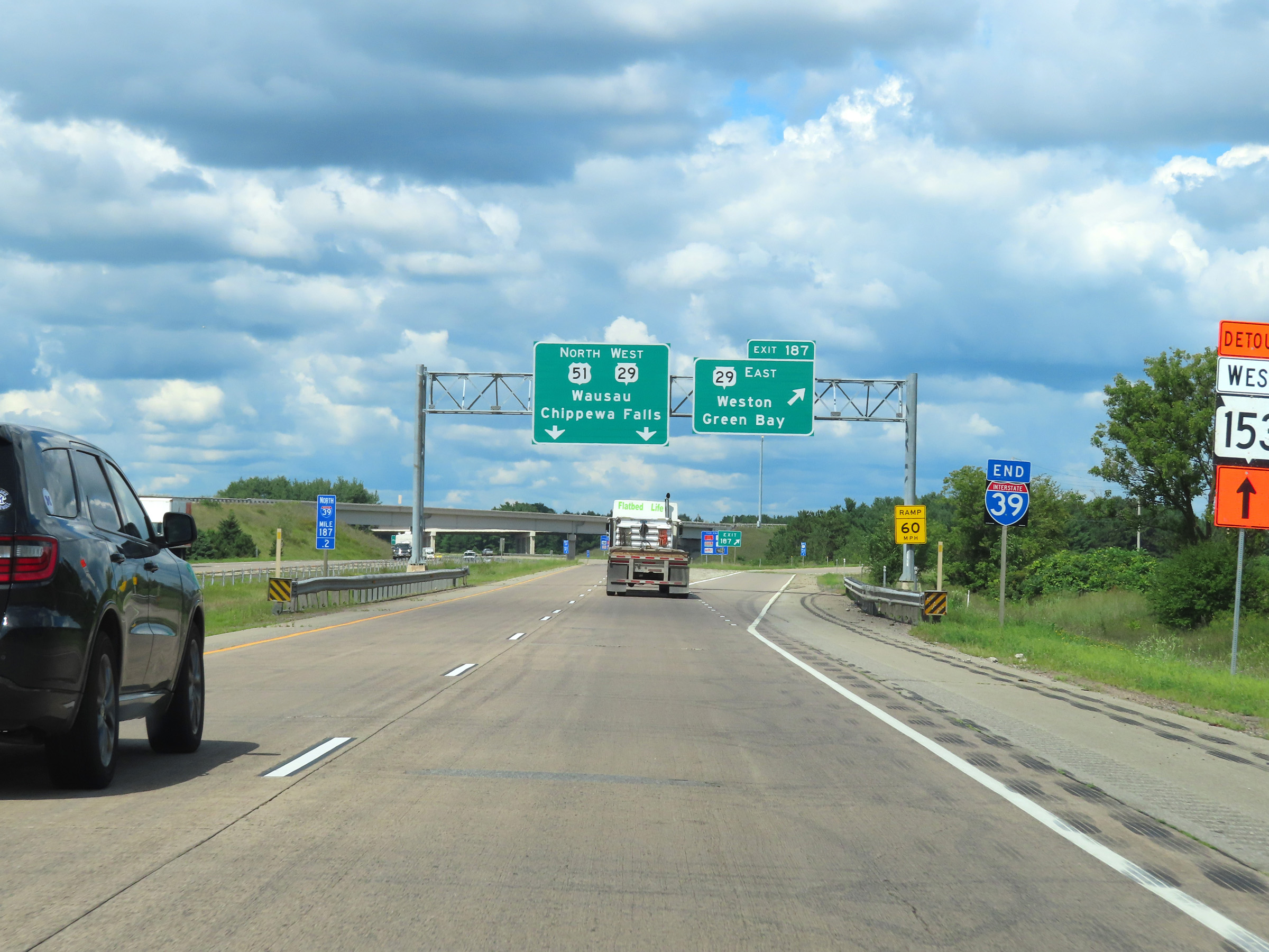 |
Interstate 39 END marker, posted immediately before Exit 187. (Photo taken 8/15/22). |
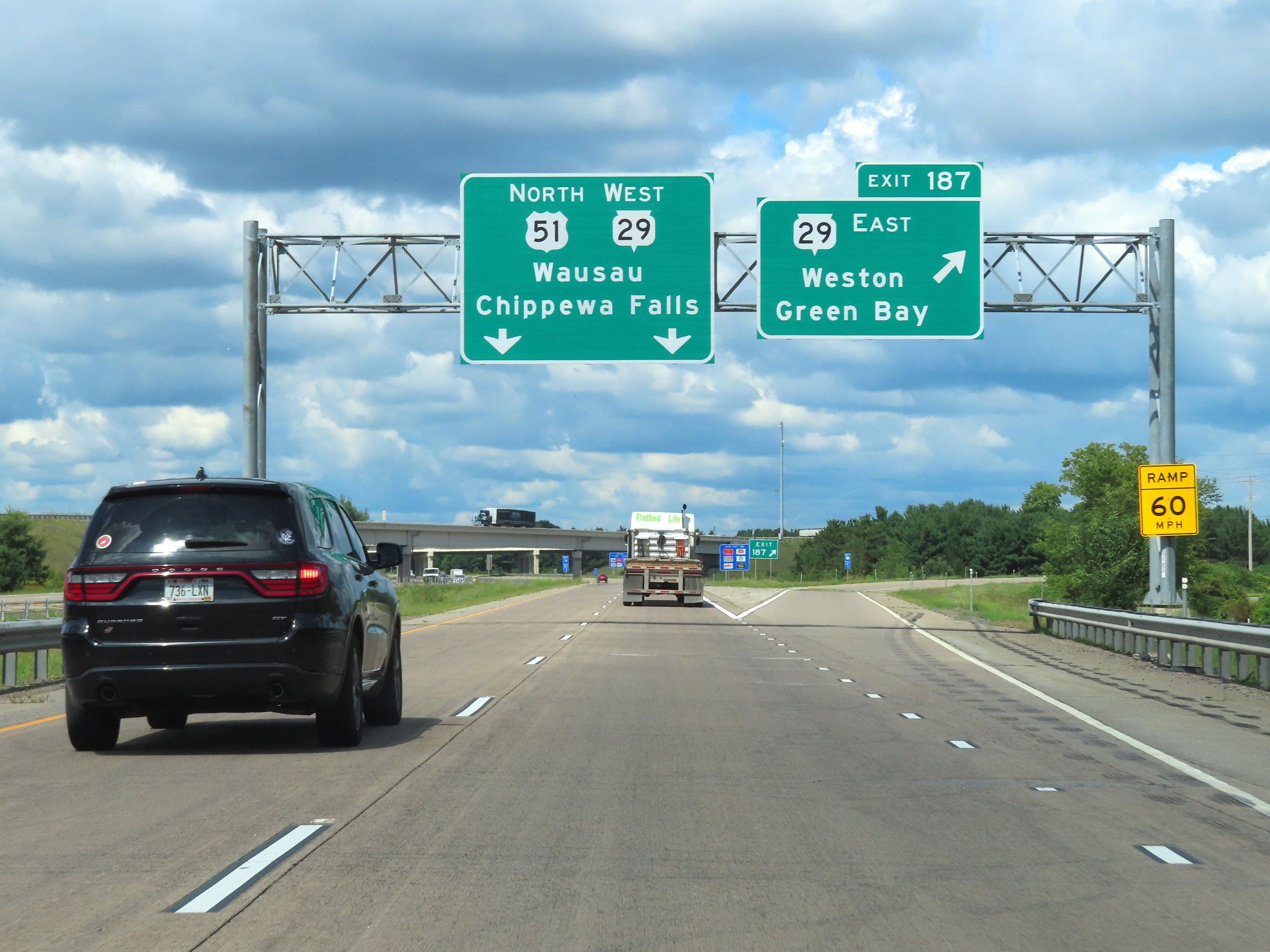 |
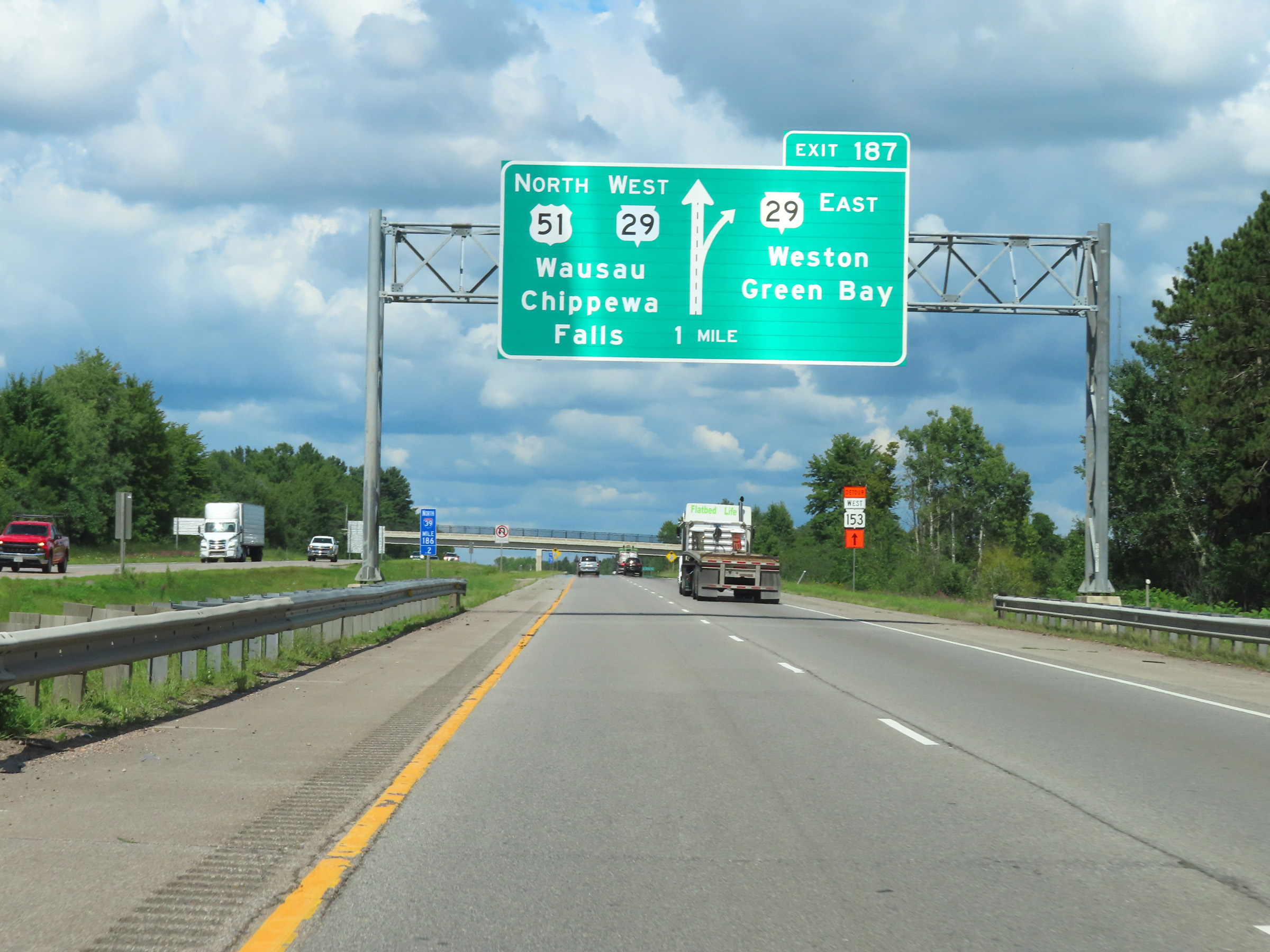
Interstate 39 North at Exit 187: WI 29 East - Weston / Green Bay (Photo taken 8/15/22). |
 |
Interstate 39 North reaches its northern terminus here as it passes under ramps to and from WI 29 East. (Photo taken 8/15/22). |
 |
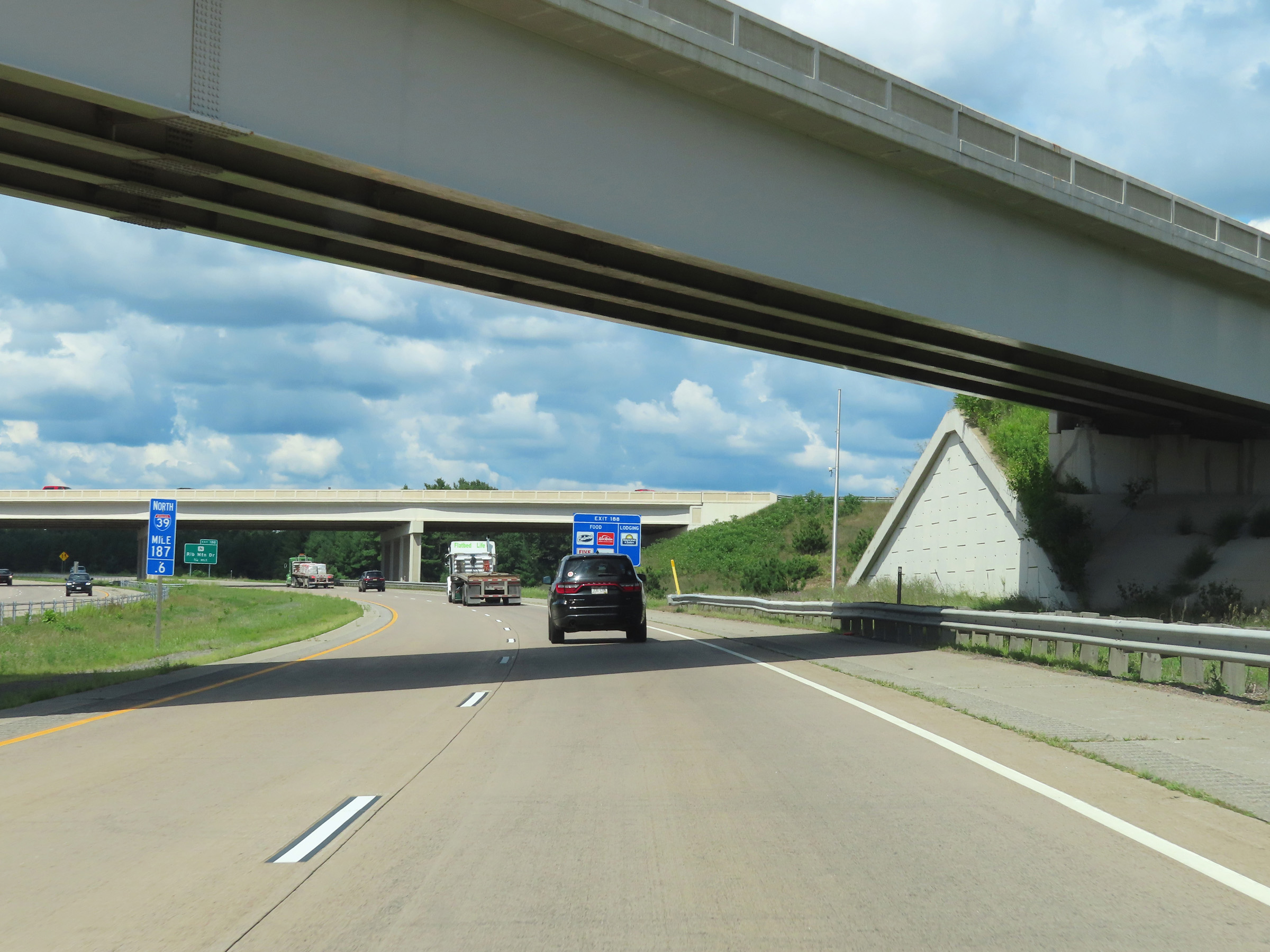
Advance signage for Exit 188, which is the first exit beyond the northern terminus of Interstate 39 as it continues as US 51 North. (Photo taken 8/15/22). |
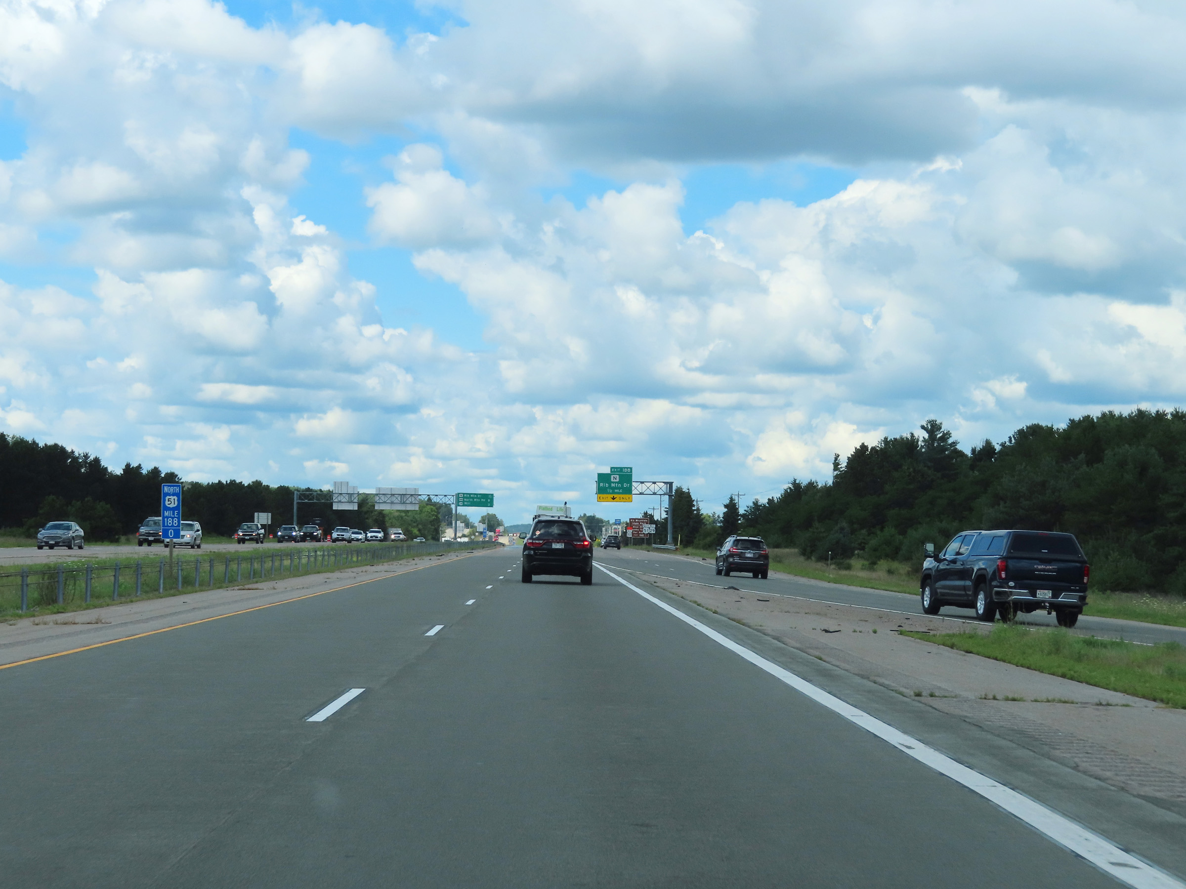 |
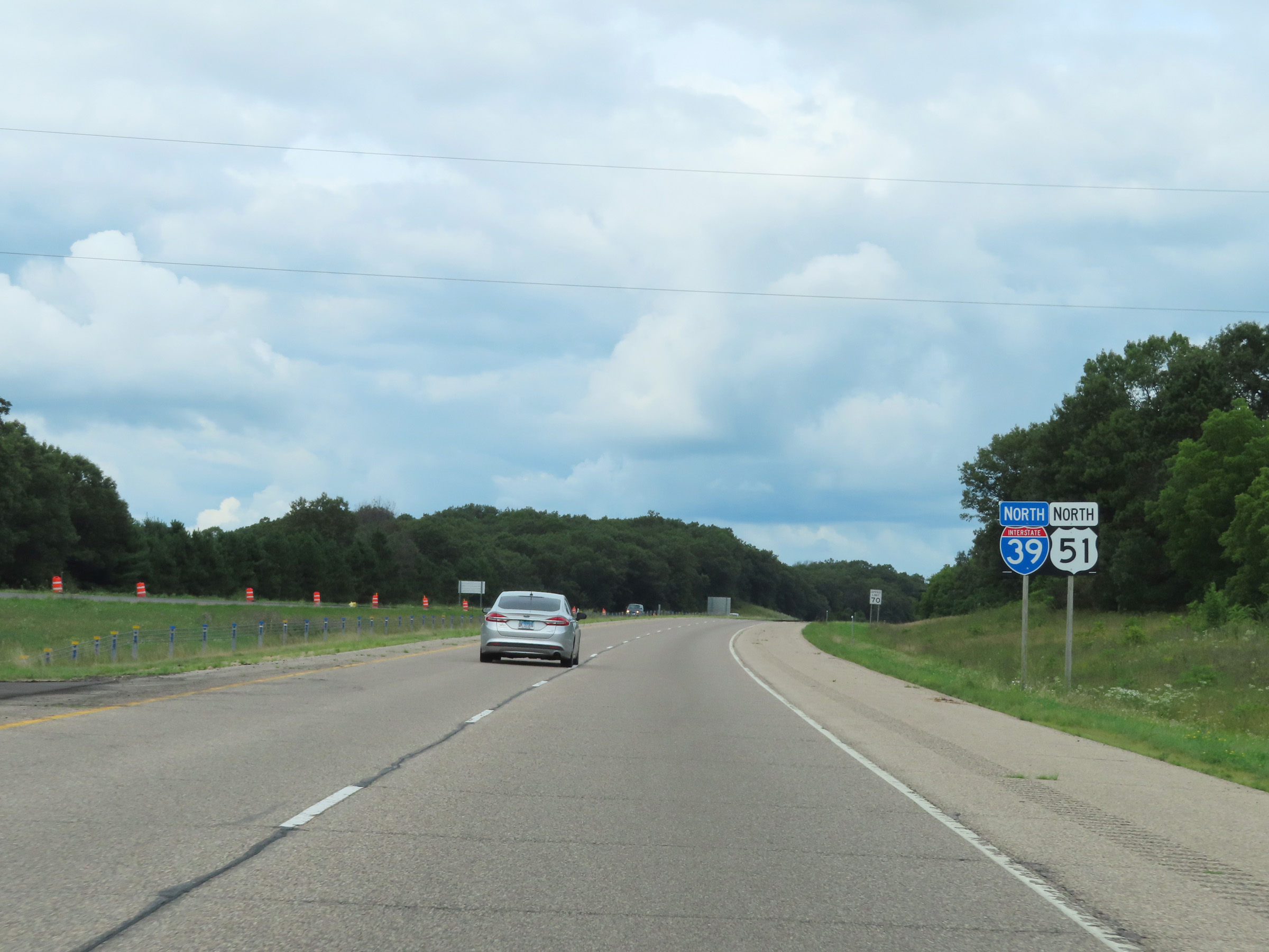
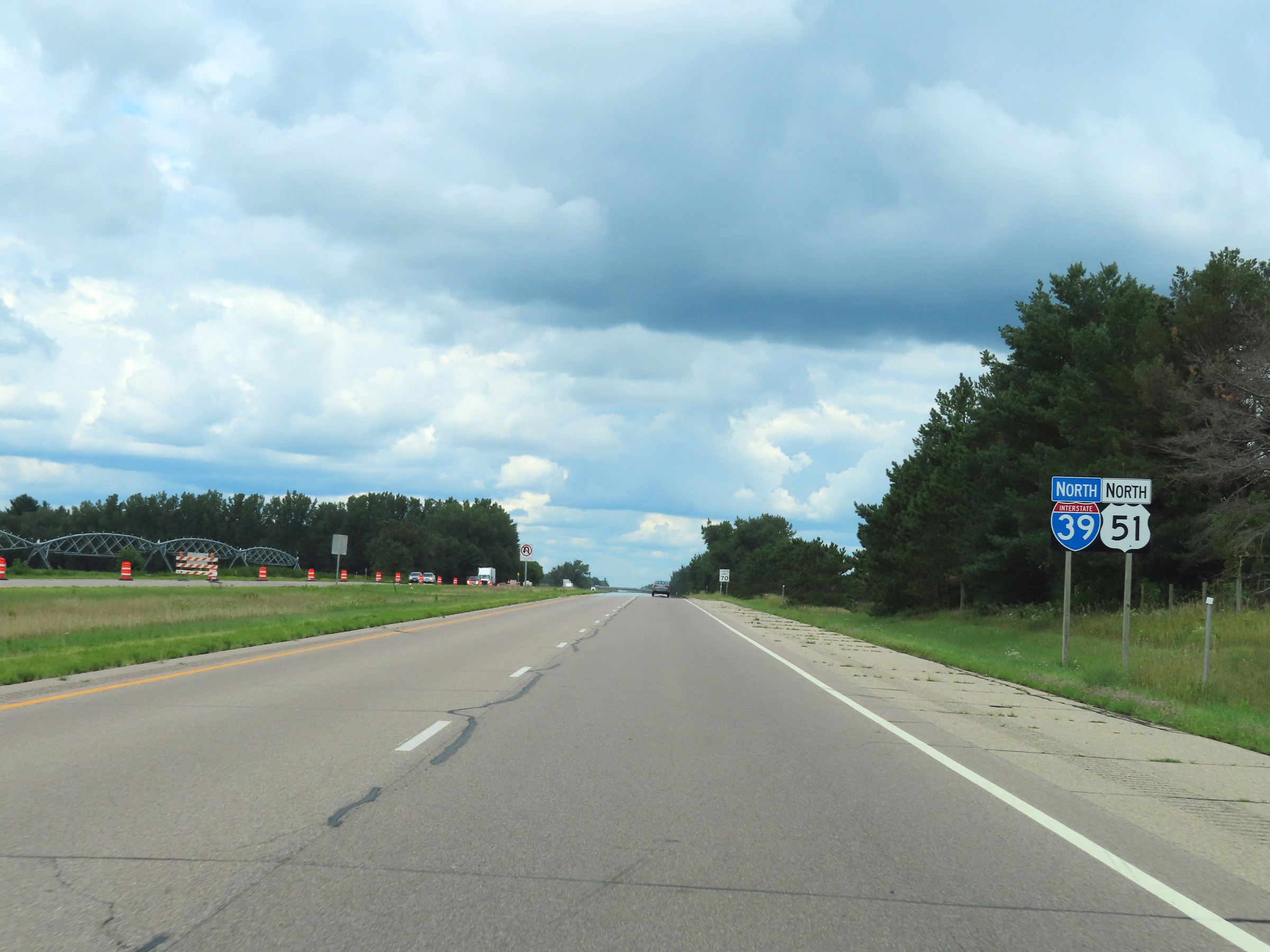
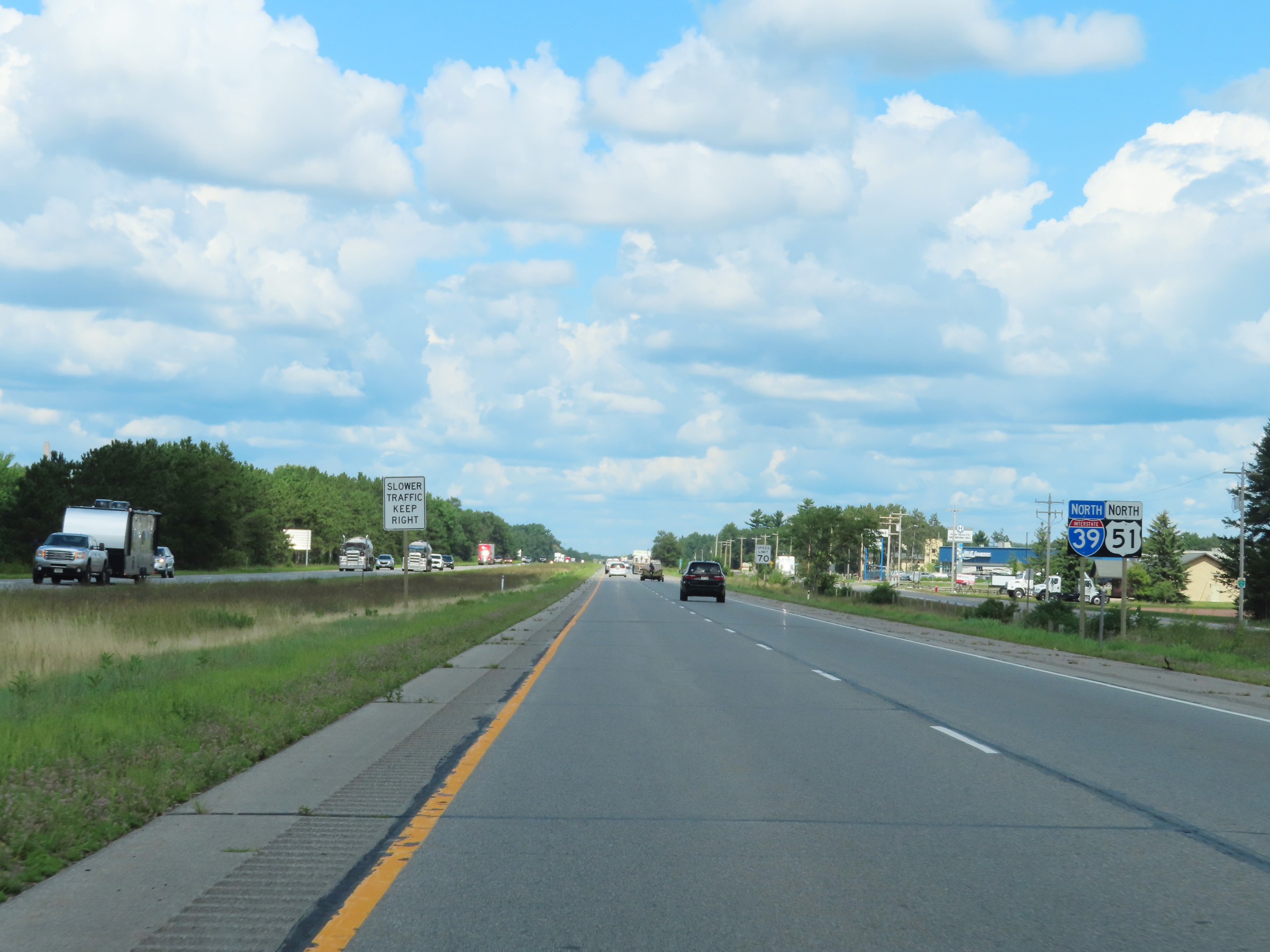
At mile marker 188, we see WI 29 West traffic join US 51 North. This is the first milepost beyond the northern terminus of Interstate 39, reflected by the shield on it showing US 51 rather than I-39. (Photo taken 8/15/22). |
 |
US 51 North / WI 29 West reassurance markers at mile marker 188.2. (Photo taken 8/15/22). |
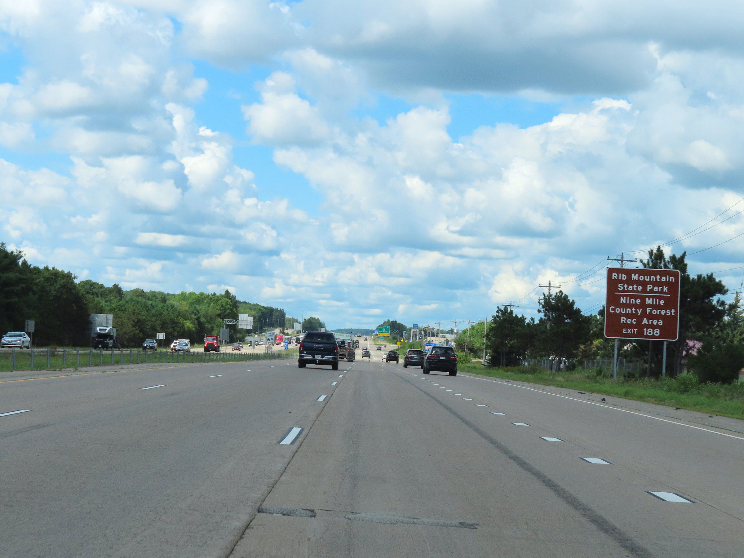 |
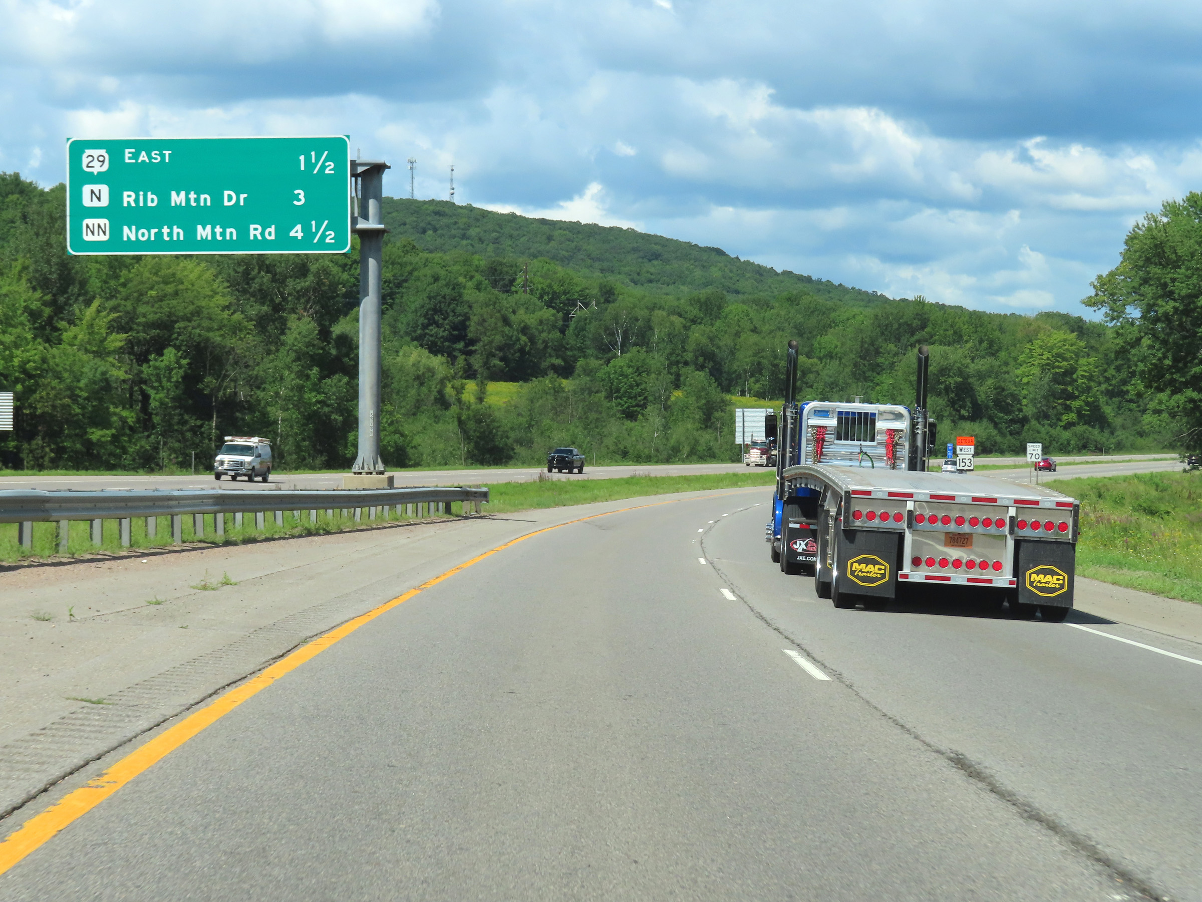
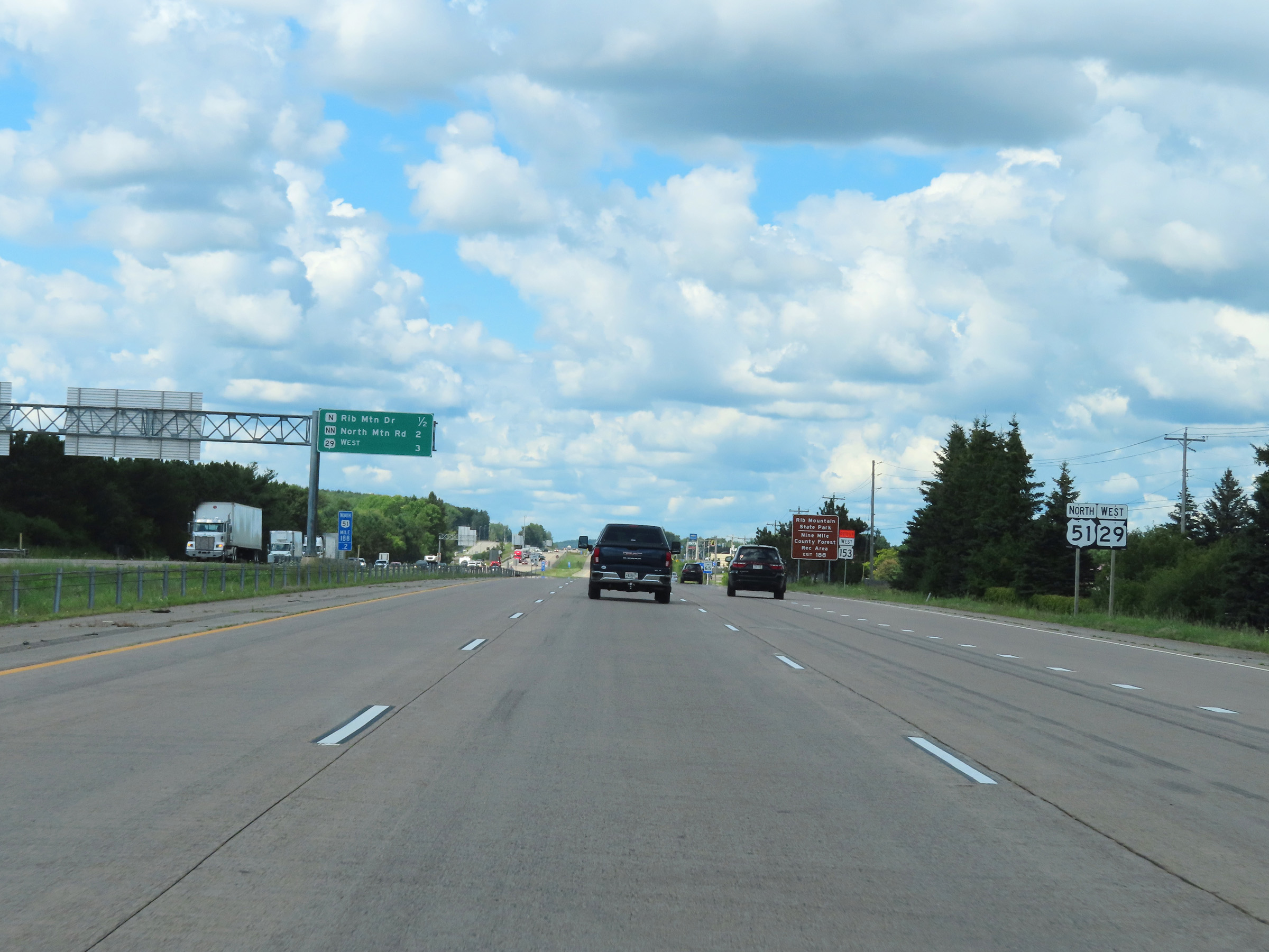
Take Exit 188 to Rib Mountain State Park and Nine Mile County Forest Recreation Area. (Photo taken 8/15/22). |
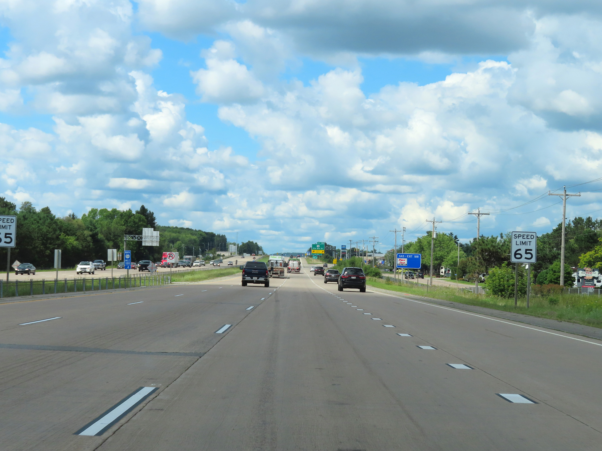 |
The speed limit remains 65 mph on US 51 North / WI 29 West. (Photo taken 8/15/22). |
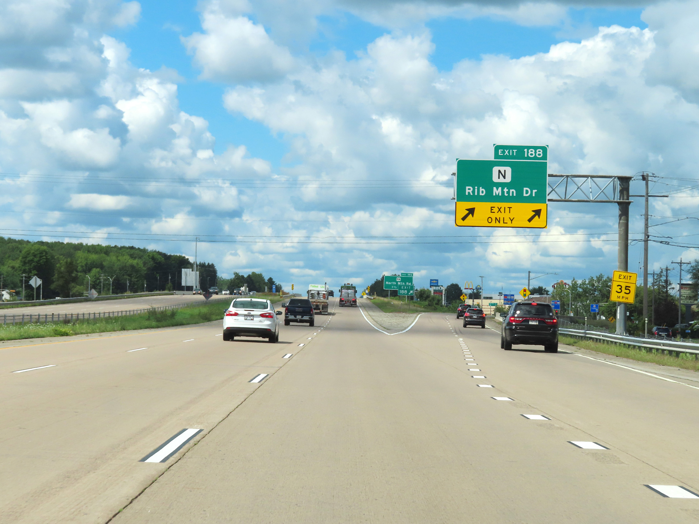 |
US 51 North / WI 29 West at Exit 188: Hwy N - Rib Mountain Rd (Photo taken 8/15/22). |