Road Information |
||
 |
||
| Total Mileage in State: | 160 miles | |
| Northern End: | At Pennsylvania state line | |
| Southern End: | At I-77, in Charleston | |
| Mileage covered in Photos: | 160 miles | |
| Counties covered in Photos: | Monongalia, Marion, Harrison, Lewis, Gilmer, Braxton, Clay, Roane, Kanawha | |
| Major Junctions in Photos: | I-68, near Morgantown US 50, near Clarksburg US 19 South, near Sutton I-77, in Charleston |
|
| Control Cities in Photos: | Morgantown, Fairmont, Clarksburg, Sutton, Charleston | |
Southbound
- Section 1: Pennsylvania Border to Weston (Exit 99)
- Section 2: Weston (Exit 99) to Charleston
Section 1: Pennsylvania Border to Weston (Exit 99)
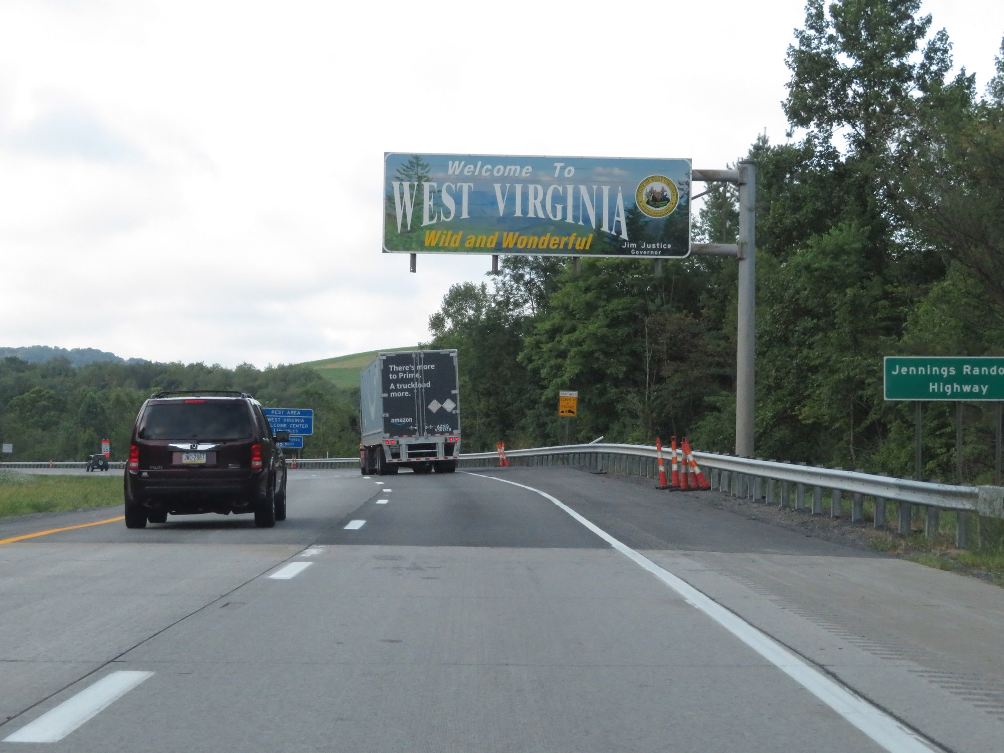 |
Entering West Virginia from Pennsylvania on Interstate 79 South. (Photo taken 8/9/19). |
 |
Interstate 79 South starts out in Monongalia County. (Photo taken 8/9/19). |
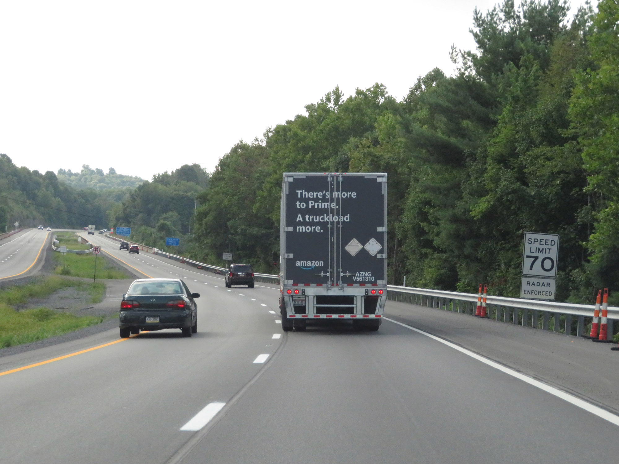 |
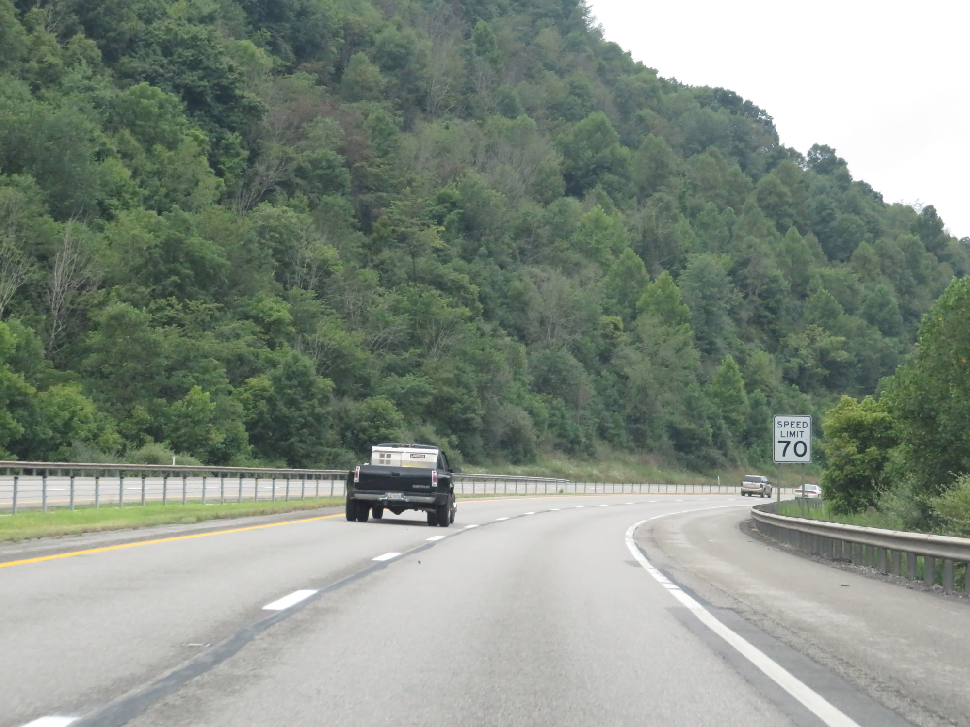
The speed limit on Interstate 79 South starts out at 70 mph, which is the standard speed limit on most rural Interstate highways in West Virginia. (Photo taken 8/9/19). |
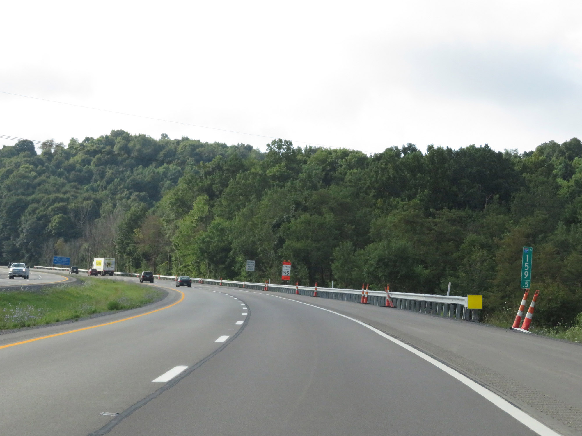 |
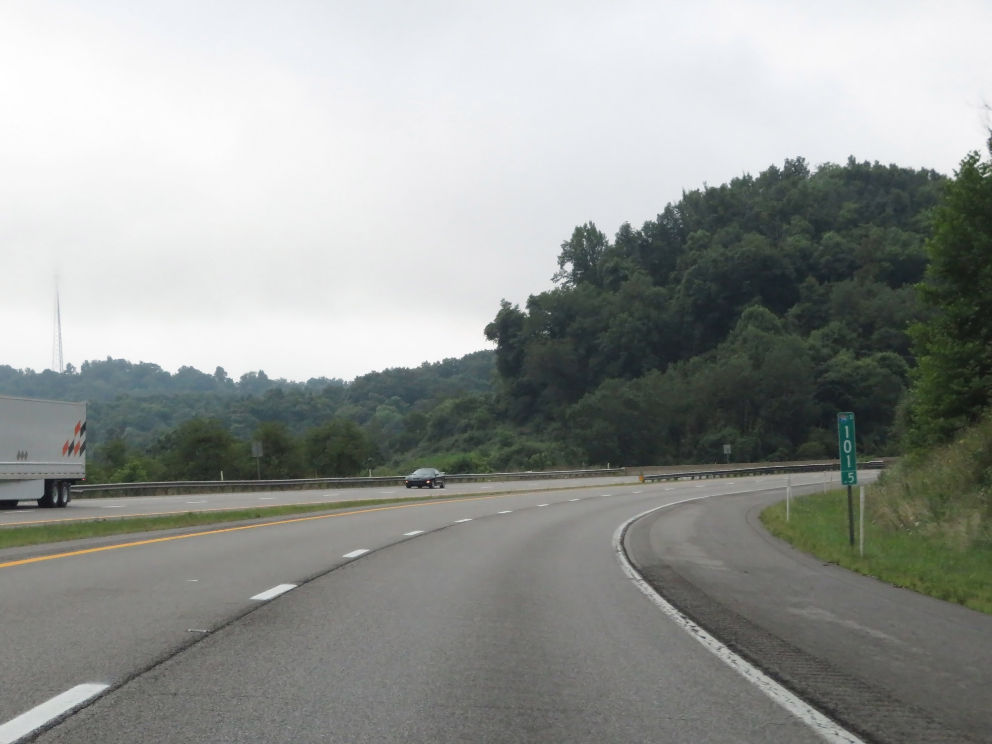
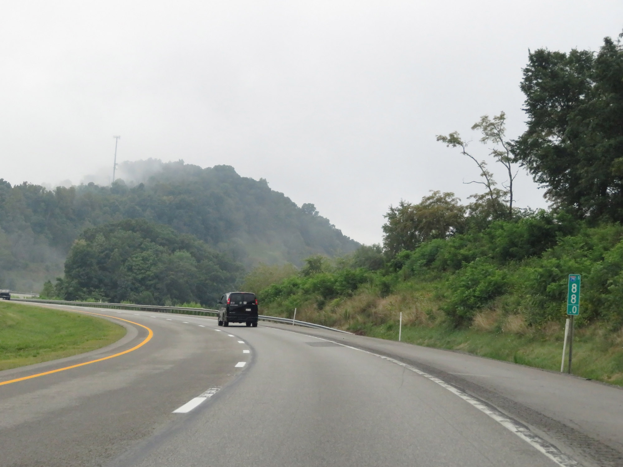
Interstate 79 South at mile marker 159.5. (Photo taken 8/9/19). |
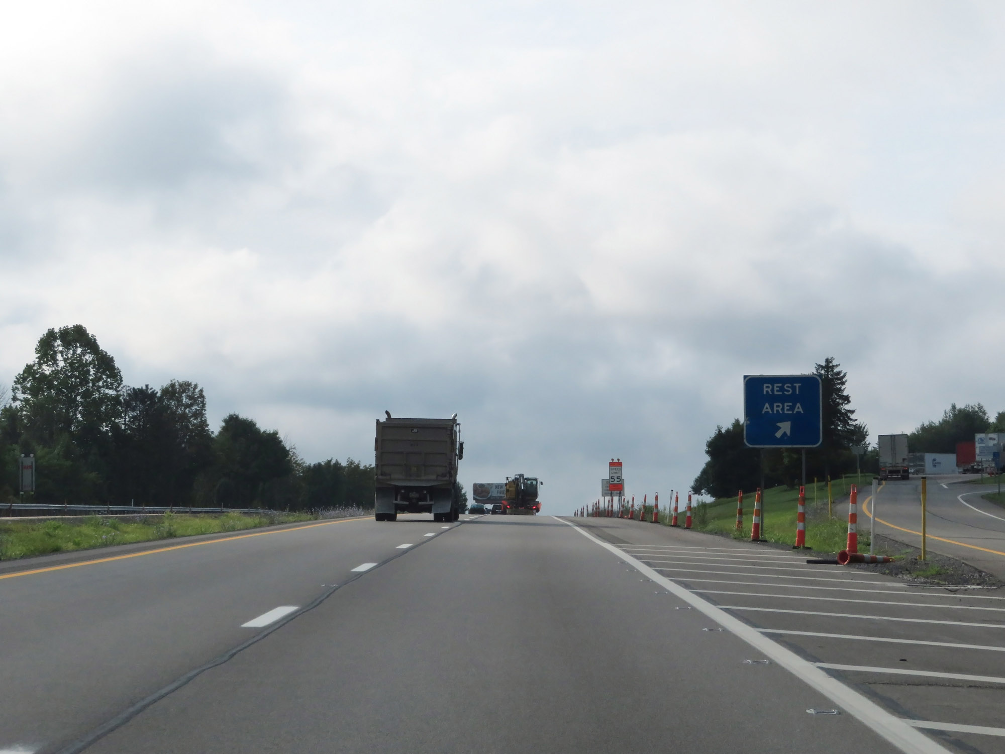 |
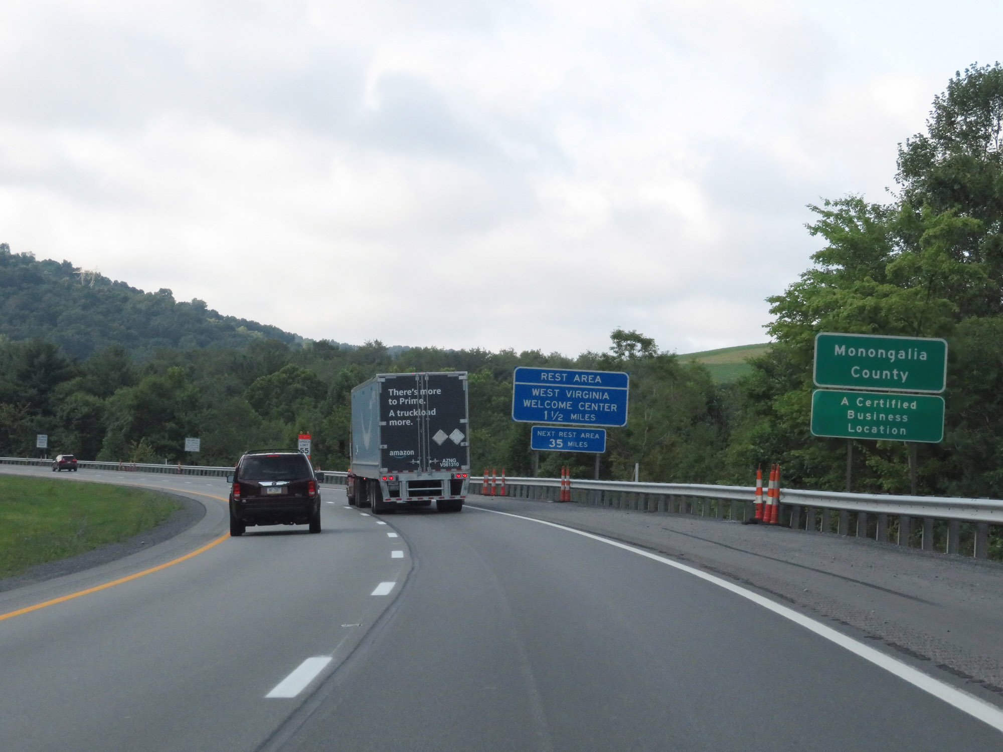
Rest Area / West Virginia Welcome Center on Interstate 79 South in Monongalia County. (Photo taken 8/9/19). |
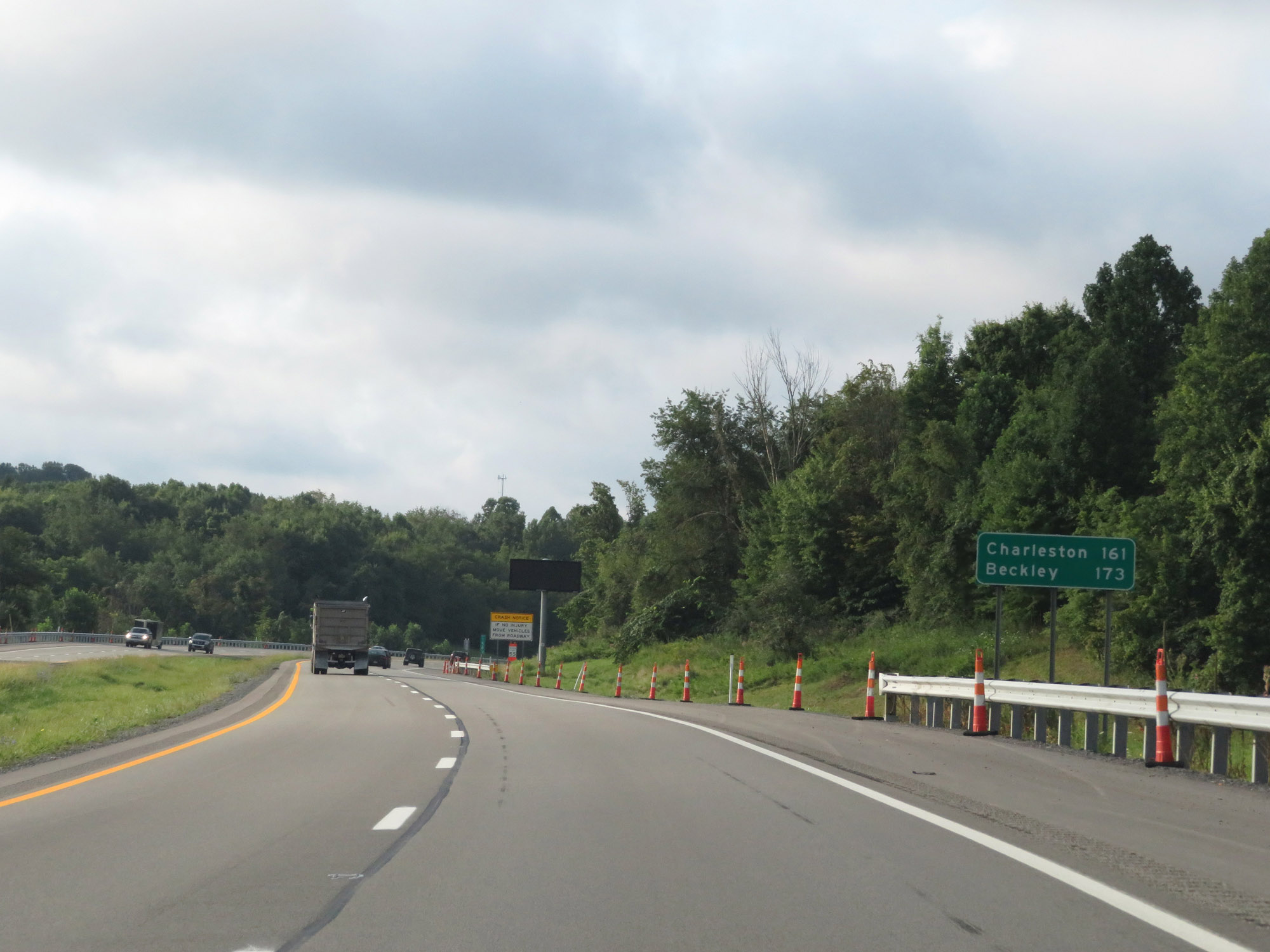 |
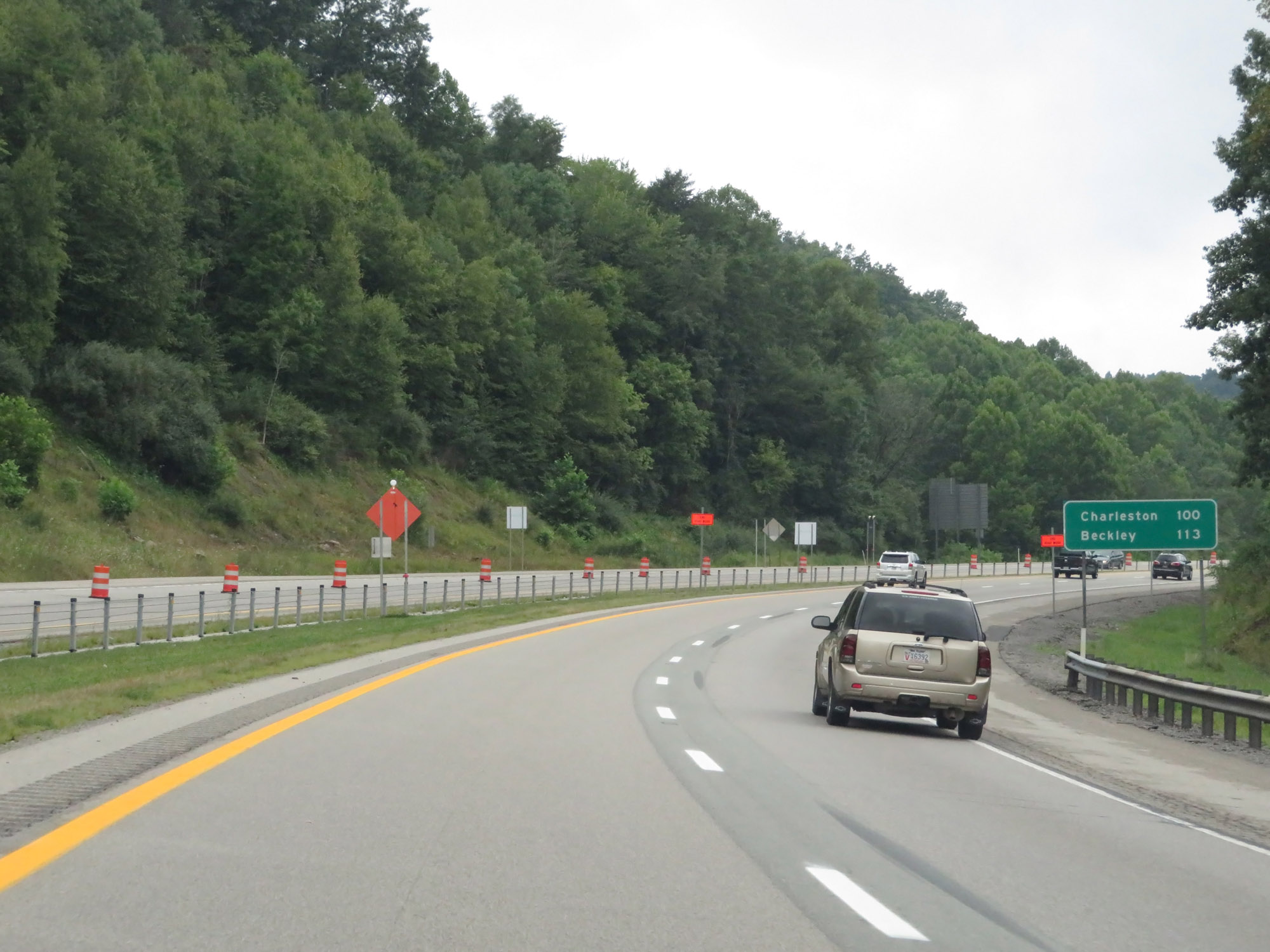
Mileage sign on Interstate 79 South. It's 161 miles to Charleston and 173 miles to Beckley. (Photo taken 8/9/19). |
 |
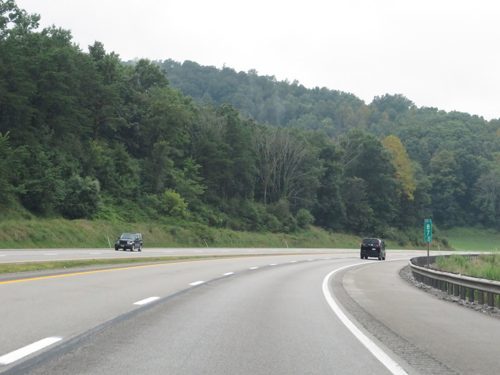
Interstate 79 South at mile marker 158. (Photo taken 8/9/19). |
 |
Sign listing the distances to the three upcoming exits to Morgantown on Interstate 79 South. (Photo taken 8/9/19). |
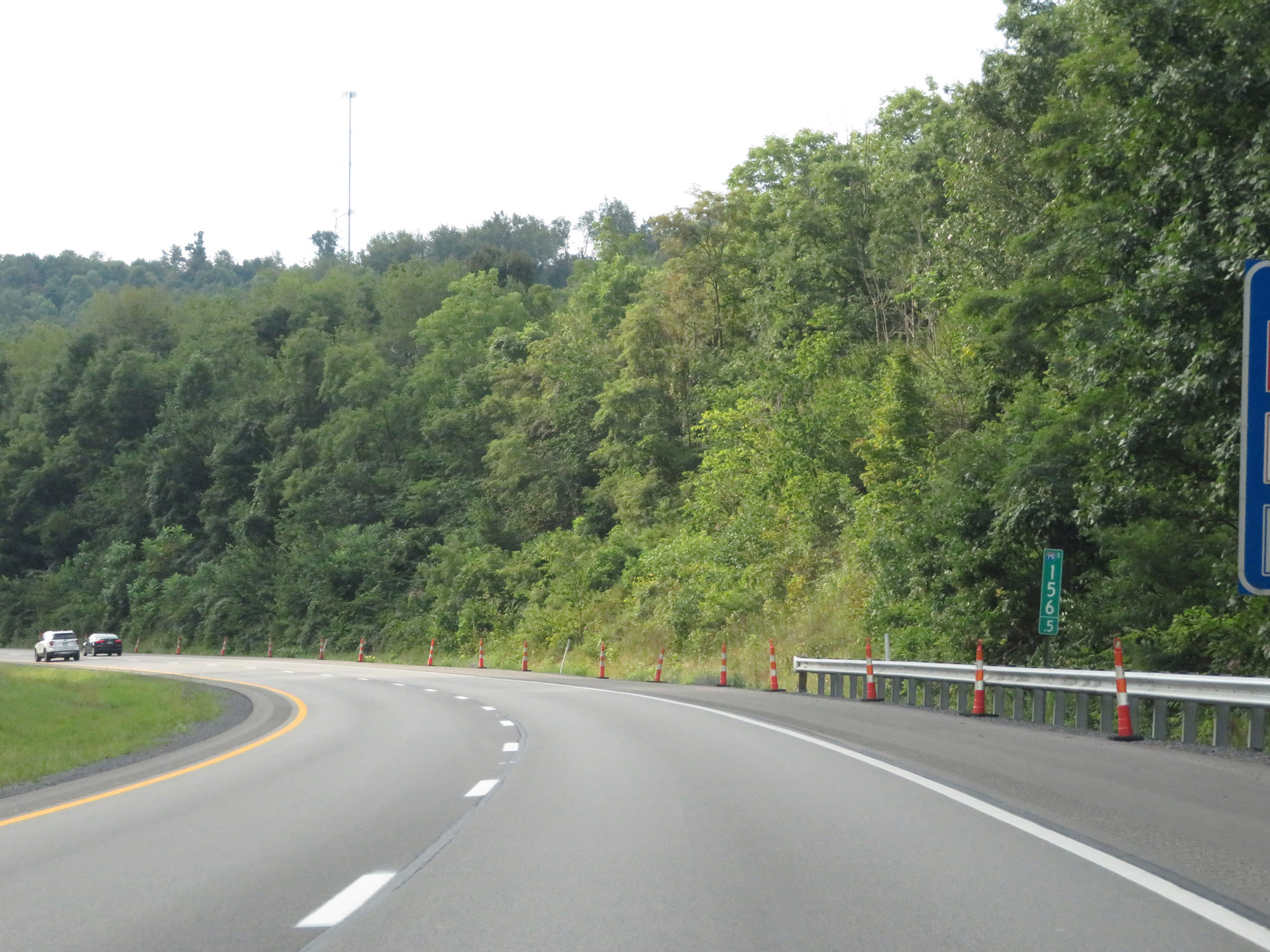 |
View on Interstate 79 South at mile marker 156.5. (Photo taken 8/9/19). |
 |
Take Exit 155 to Star City and the WVU Football Stadium. (Photo taken 8/9/19). |
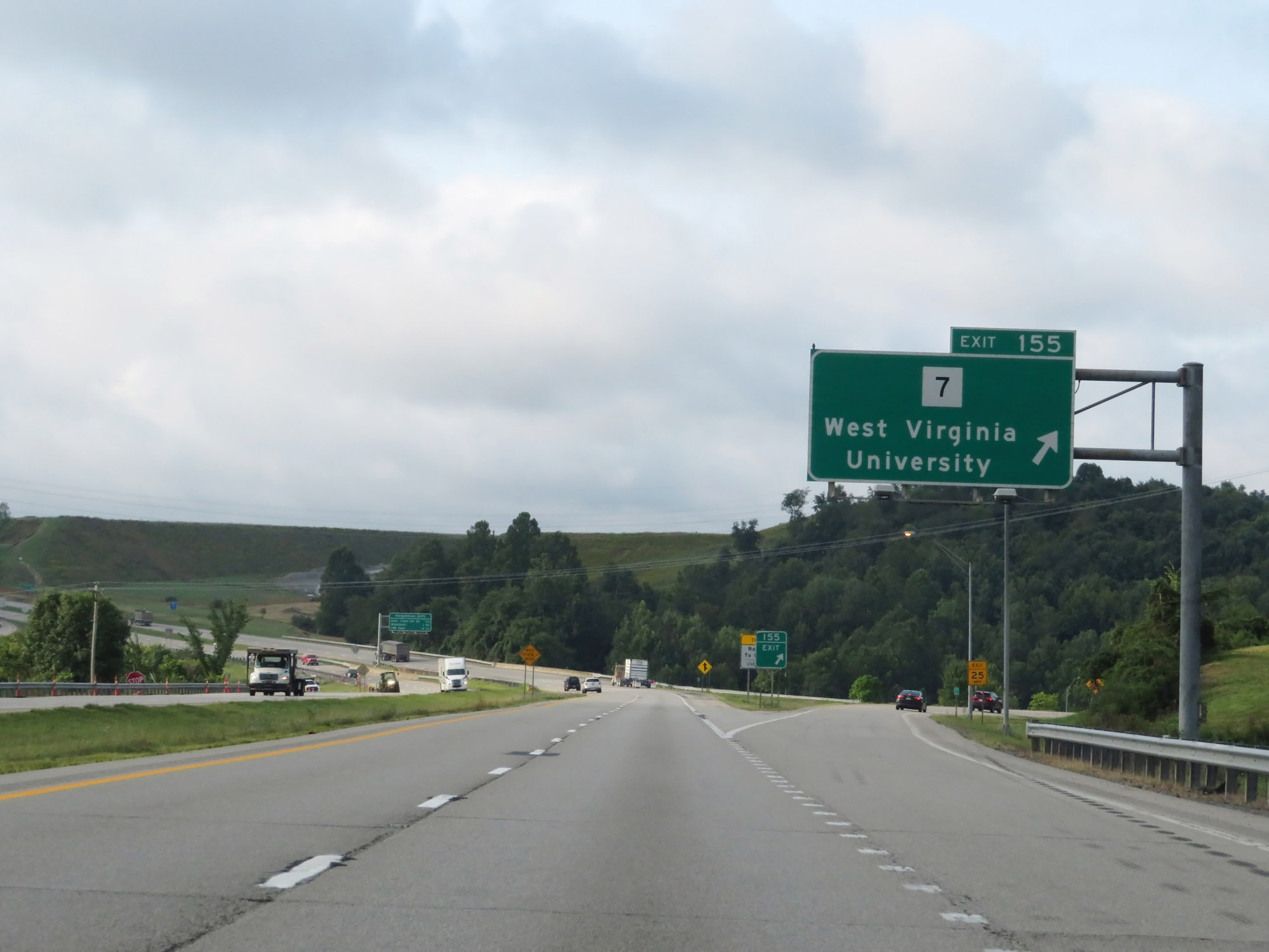 |
Interstate 79 South at Exit 155: WV 7 - West Virginia University (Photo taken 8/9/19). |
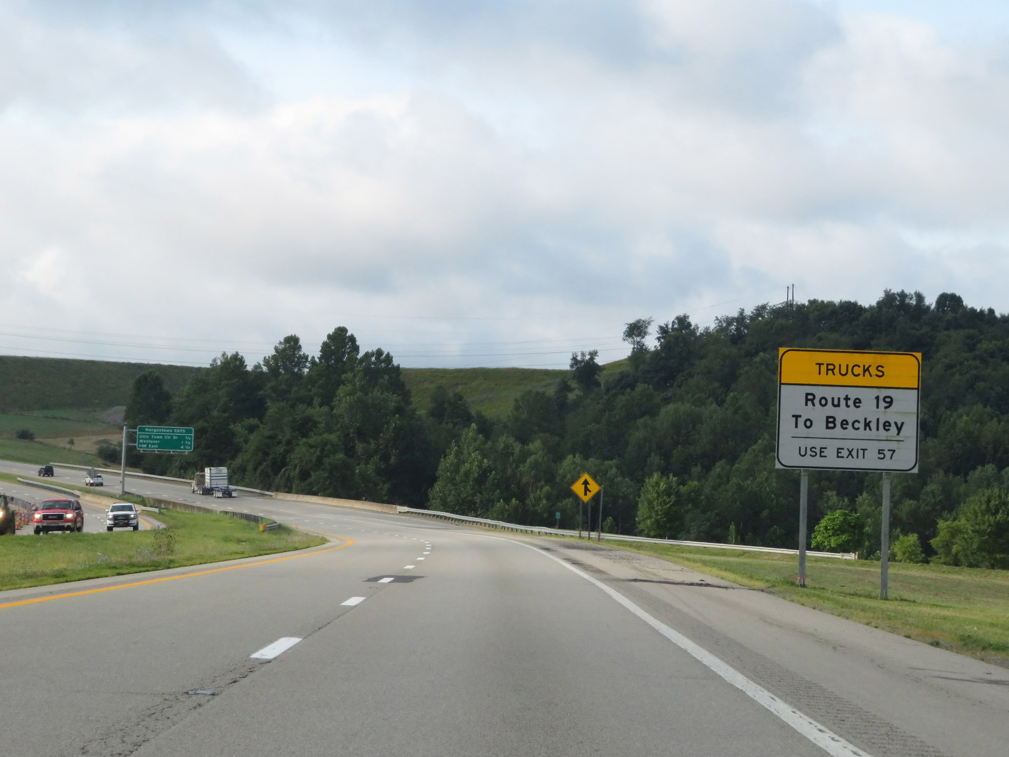 |
Trucks headed to Beckley via US 19 South should remain on Interstate 79 South to Exit 57. (Photo taken 8/9/19). |
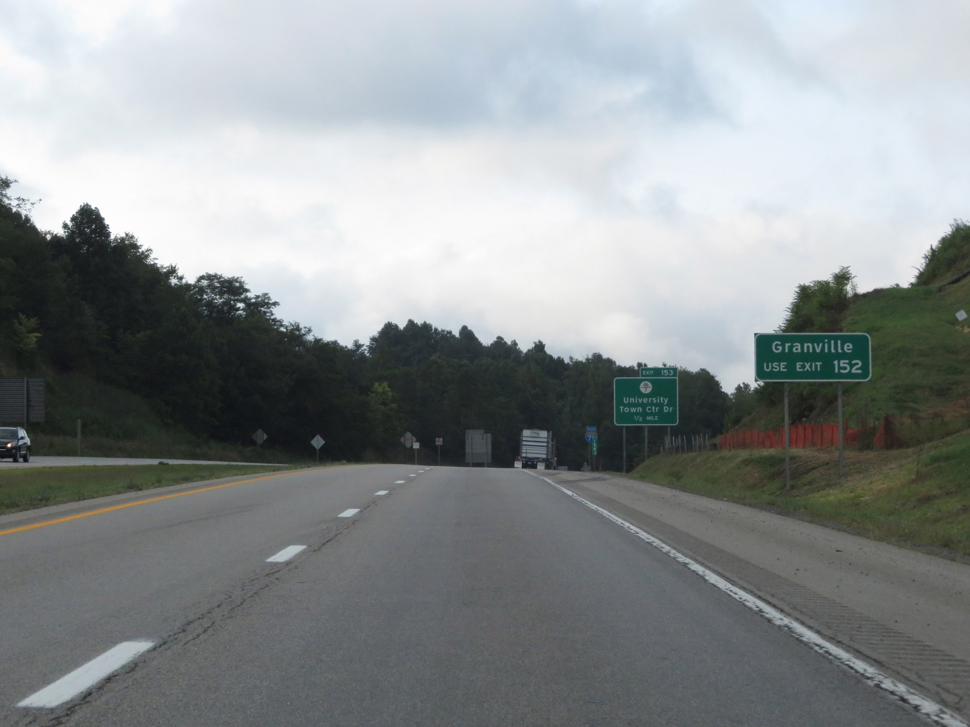 |
Take Exit 152 to Granville. (Photo taken 8/9/19). |
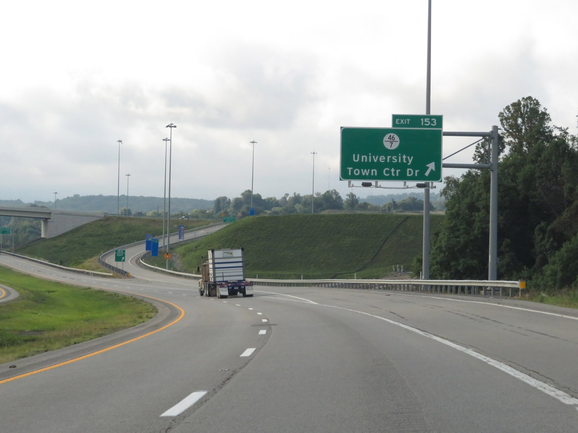 |
Interstate 79 South at Exit 153: CR 46/7 - University Town Center Dr (Photo taken 8/9/19). |
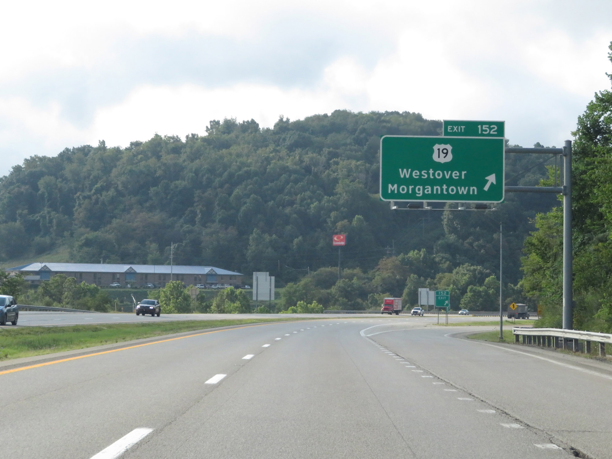 |
Interstate 79 South at Exit 152: US 19 - Westover / Morgantown (Photo taken 8/9/19). |
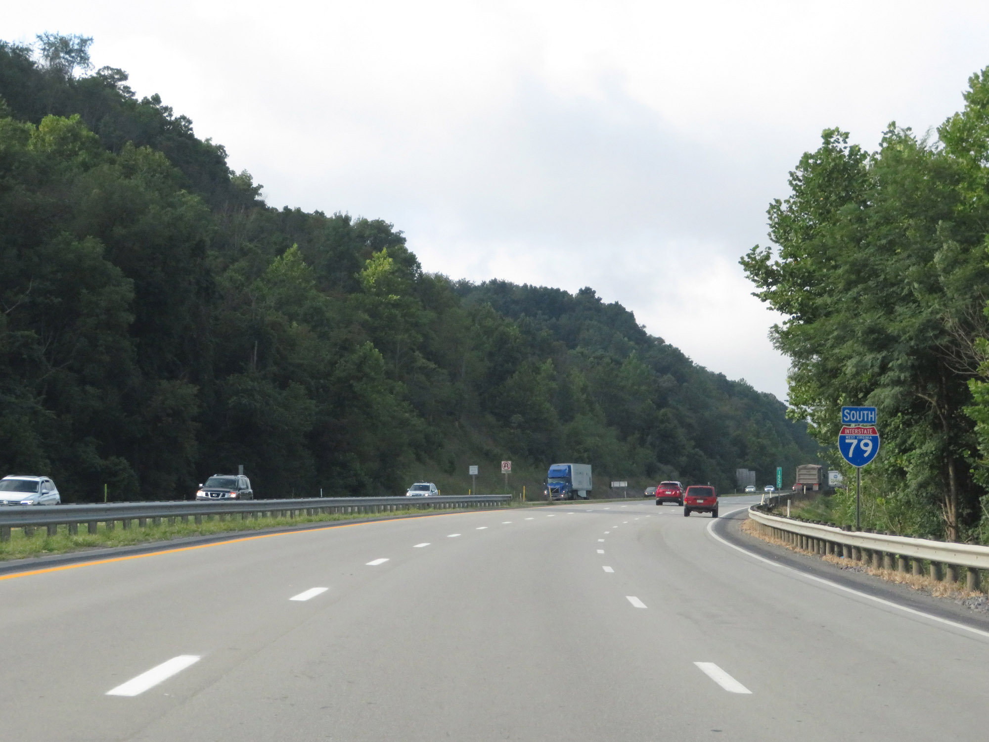 |
State-named Interstate 79 South reassurance shield south of Exit 152. (Photo taken 8/9/19). |
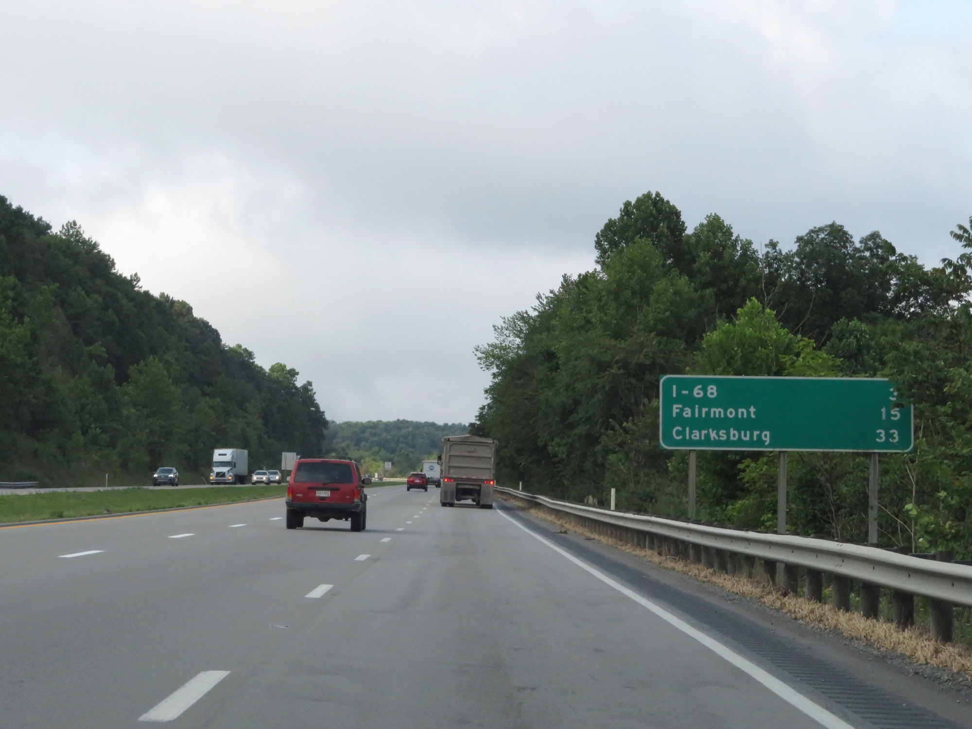 |
Mileage sign on Interstate 79 South. It's 3 miles to the junction of Interstate 68, 15 miles to Fairmont, and 33 miles to Clarksburg. (Photo taken 8/9/19). |
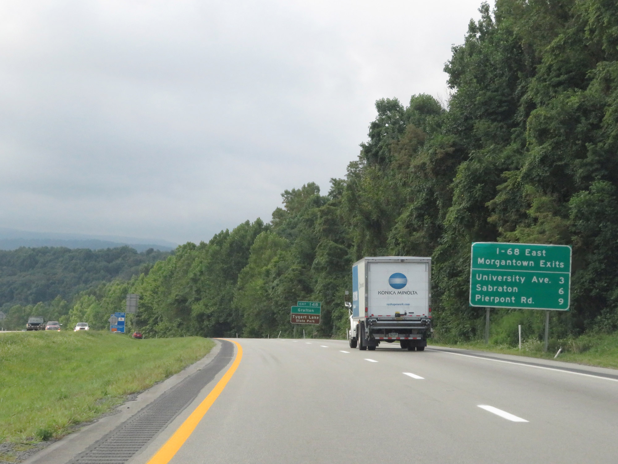 |
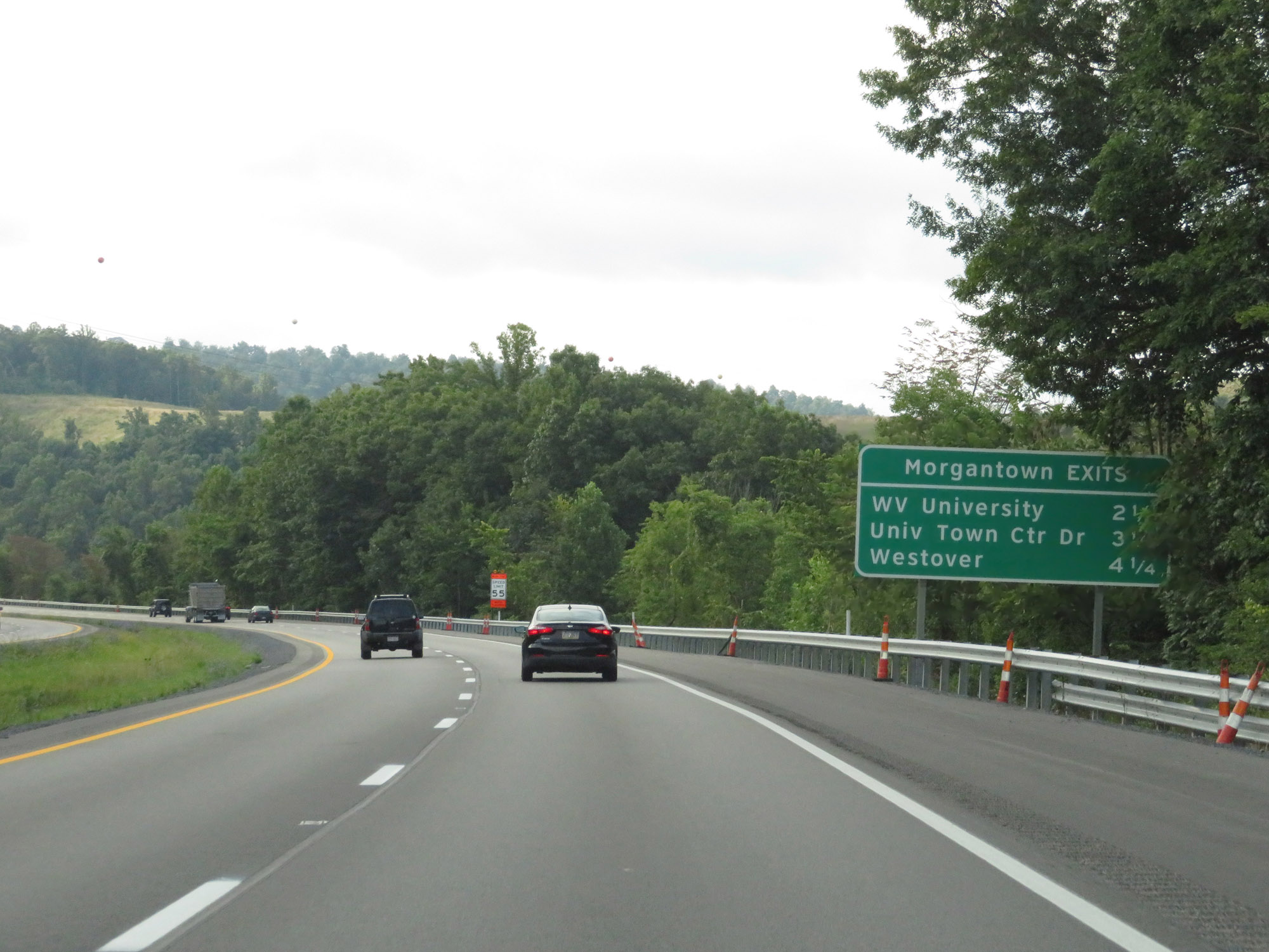
Mileage sign listing the distances to the Morgantown exits which are accessible via Interstate 68 East. (Photo taken 8/9/19). |
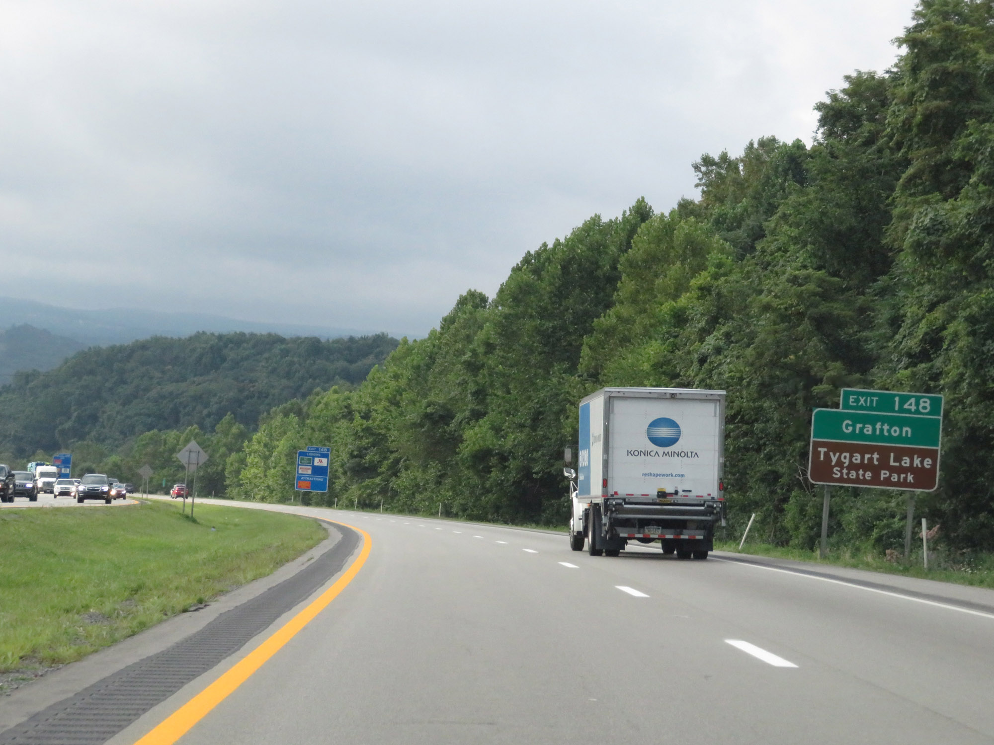 |
Take Exit 148 (Interstate 68 East) to Grafton and Tygart Lake State Park. (Photo taken 8/9/19). |
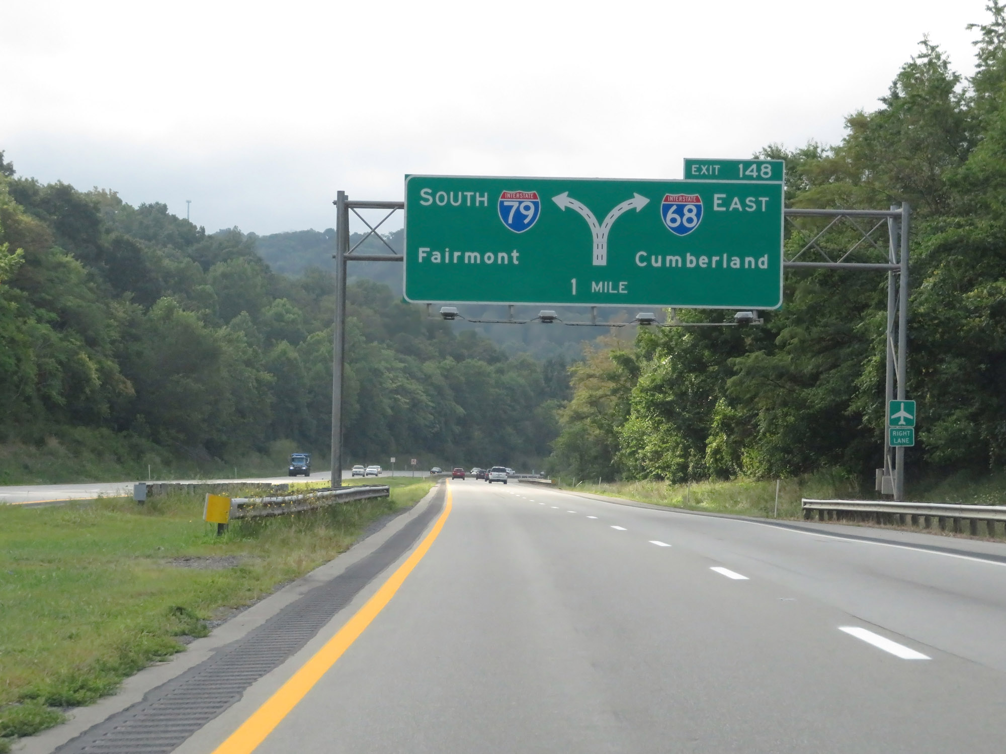 |
Interstate 79 South approaching Exit 148 - 1 mile. (Photo taken 8/9/19). |
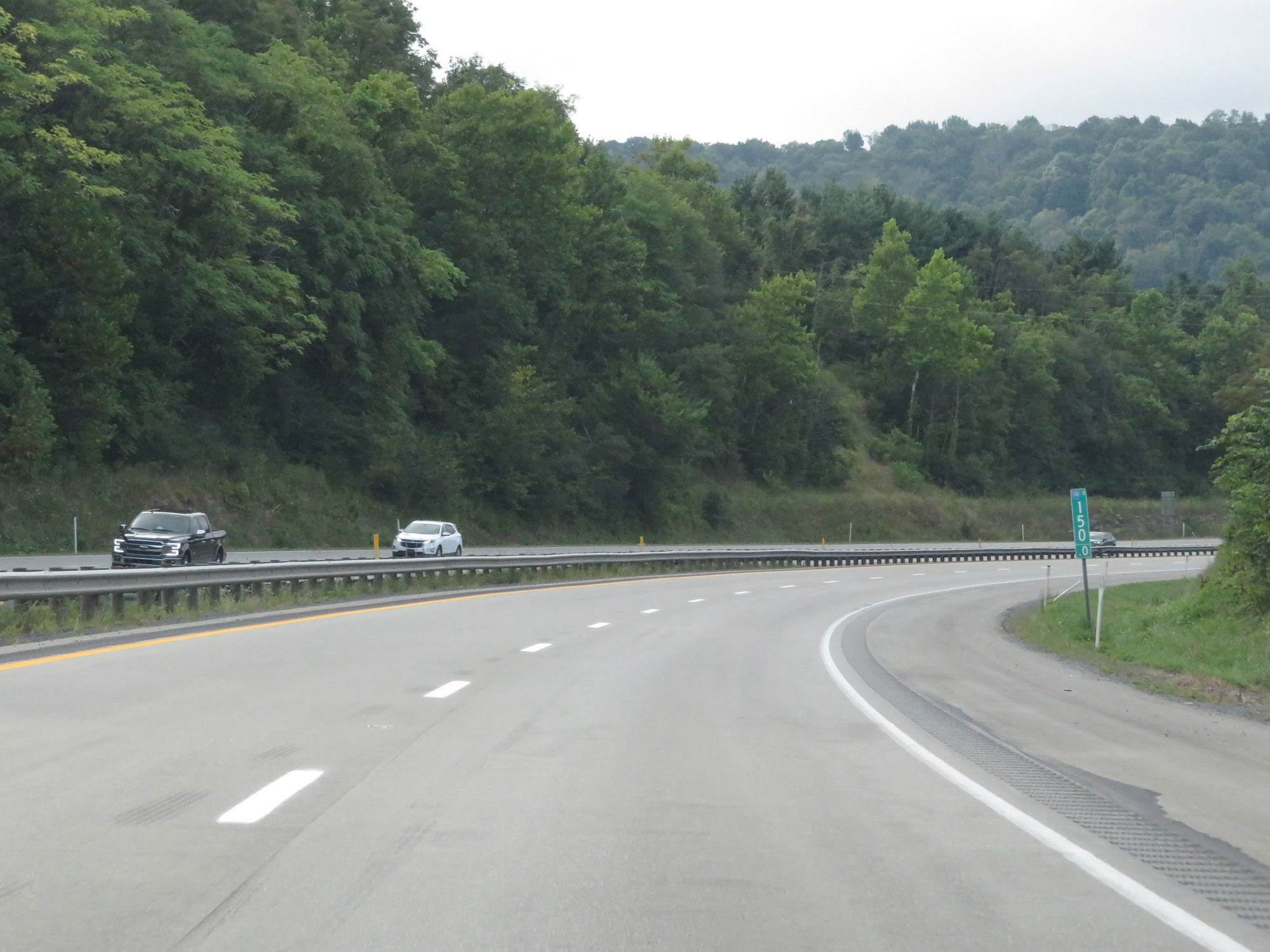 |
Interstate 79 South at mile marker 150. (Photo taken 8/9/19). |
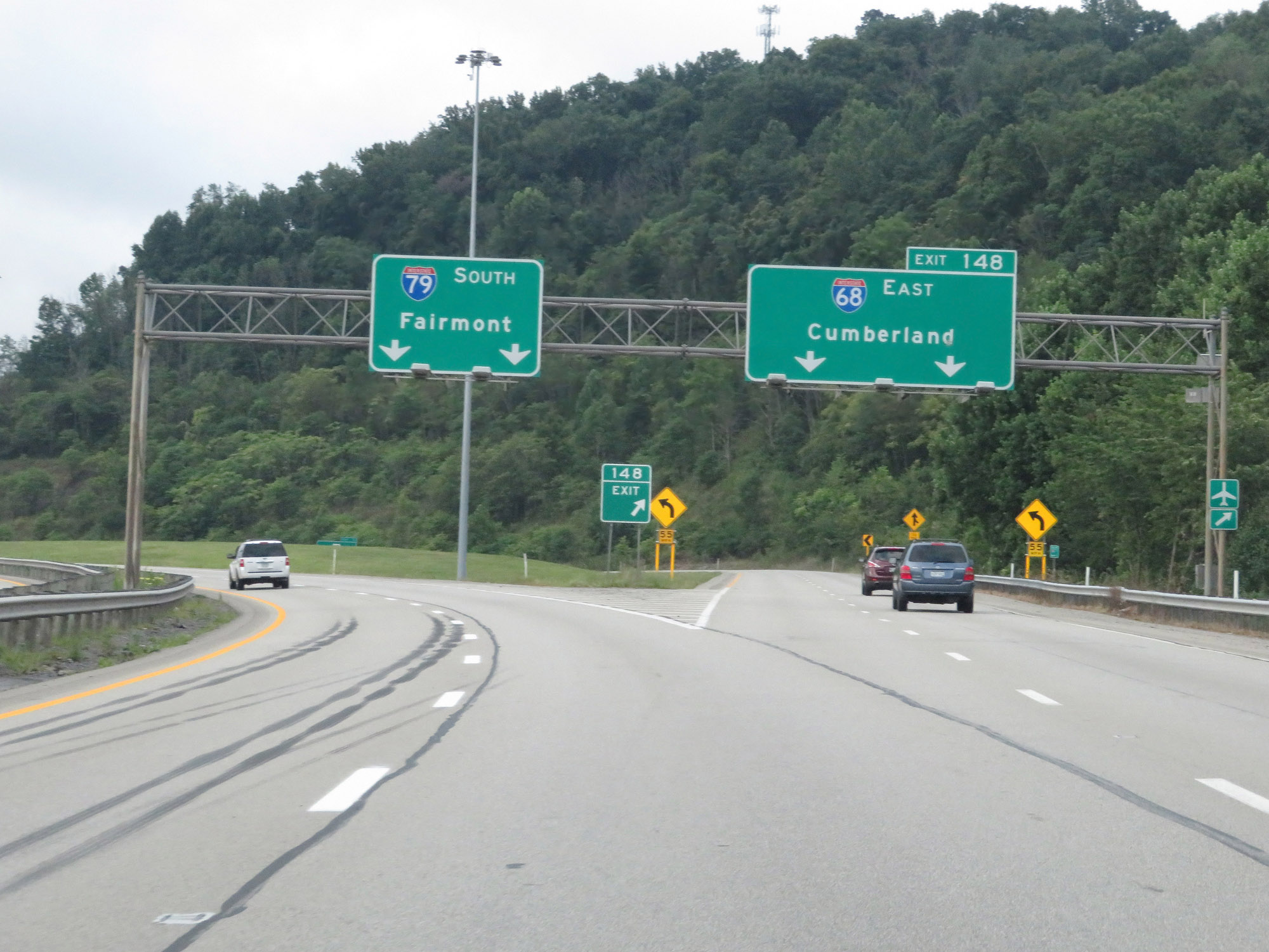 |
Interstate 79 South at Exit 148: Interstate 68 East - Cumberland (Photo taken 8/9/19). |
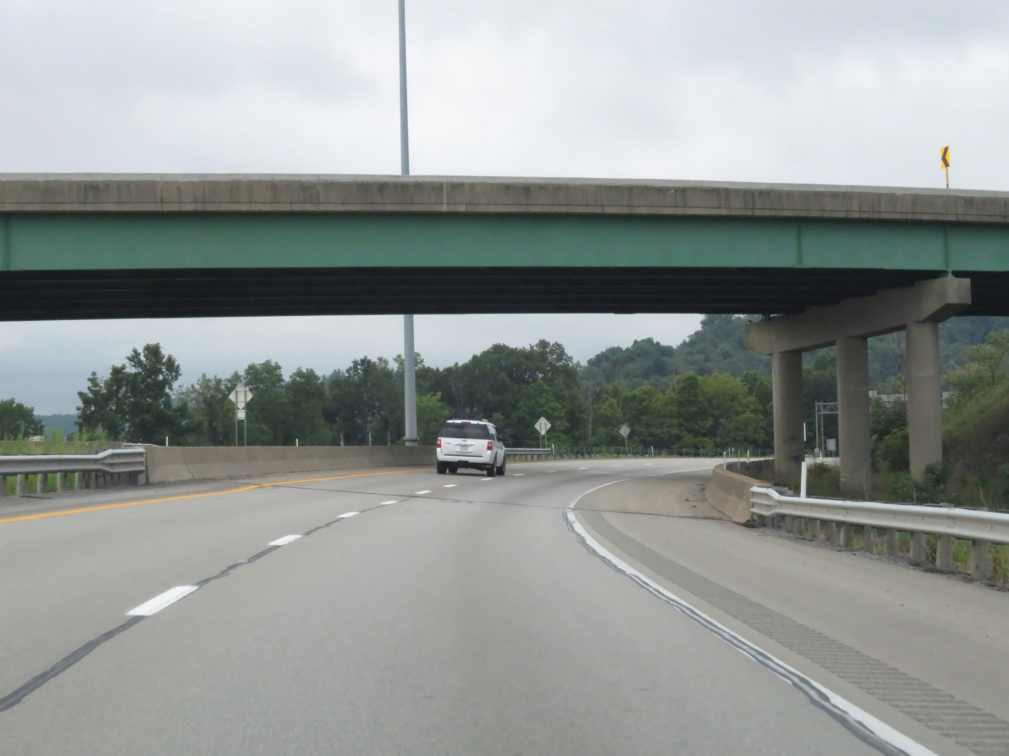 |
Interstate 79 South as it passes under the ramp from Interstate 68 West to I-79 South. (Photo taken 8/9/19). |
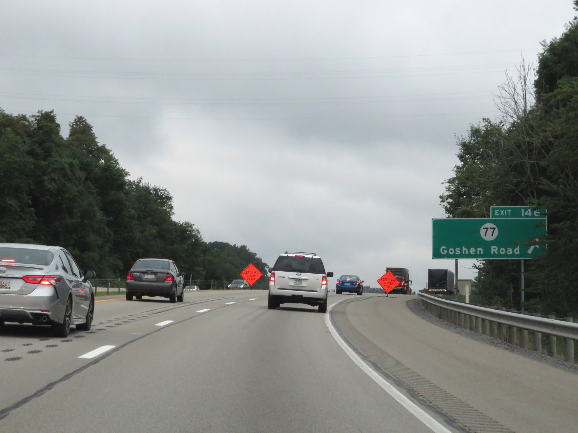 |
Interstate 79 South at Exit 146: CR 77 - Goshen Road (Photo taken 8/9/19). |
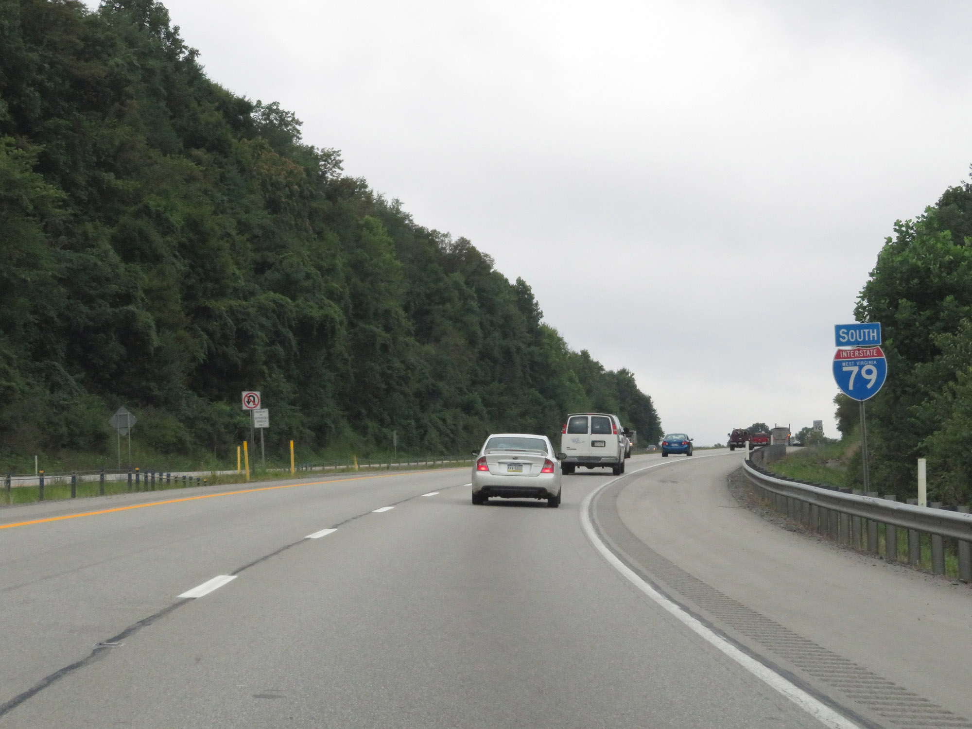 |
Another state-named Interstate 79 South reassurance shield. (Photo taken 8/9/19). |
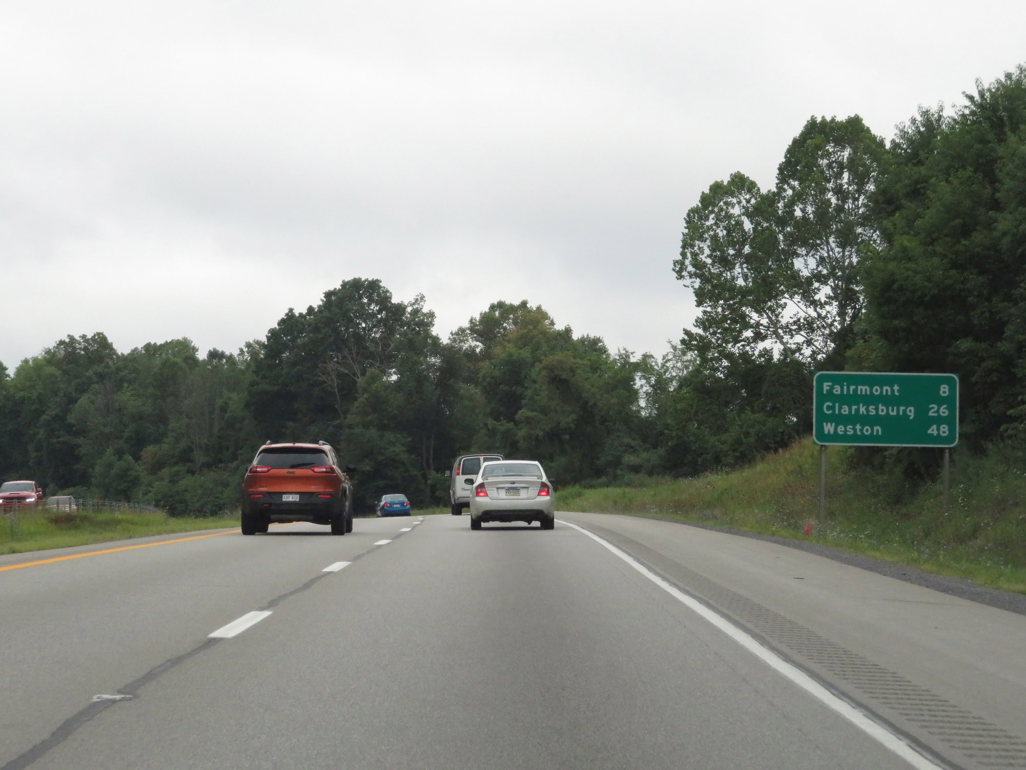 |
Mileage sign on Interstate 79 South. It's 8 miles to Fairmont, 26 miles to Clarksburg, and 48 miles to Weston. (Photo taken 8/9/19). |
 |
Interstate 79 South at mile marker 144.5. (Photo taken 8/9/19). |
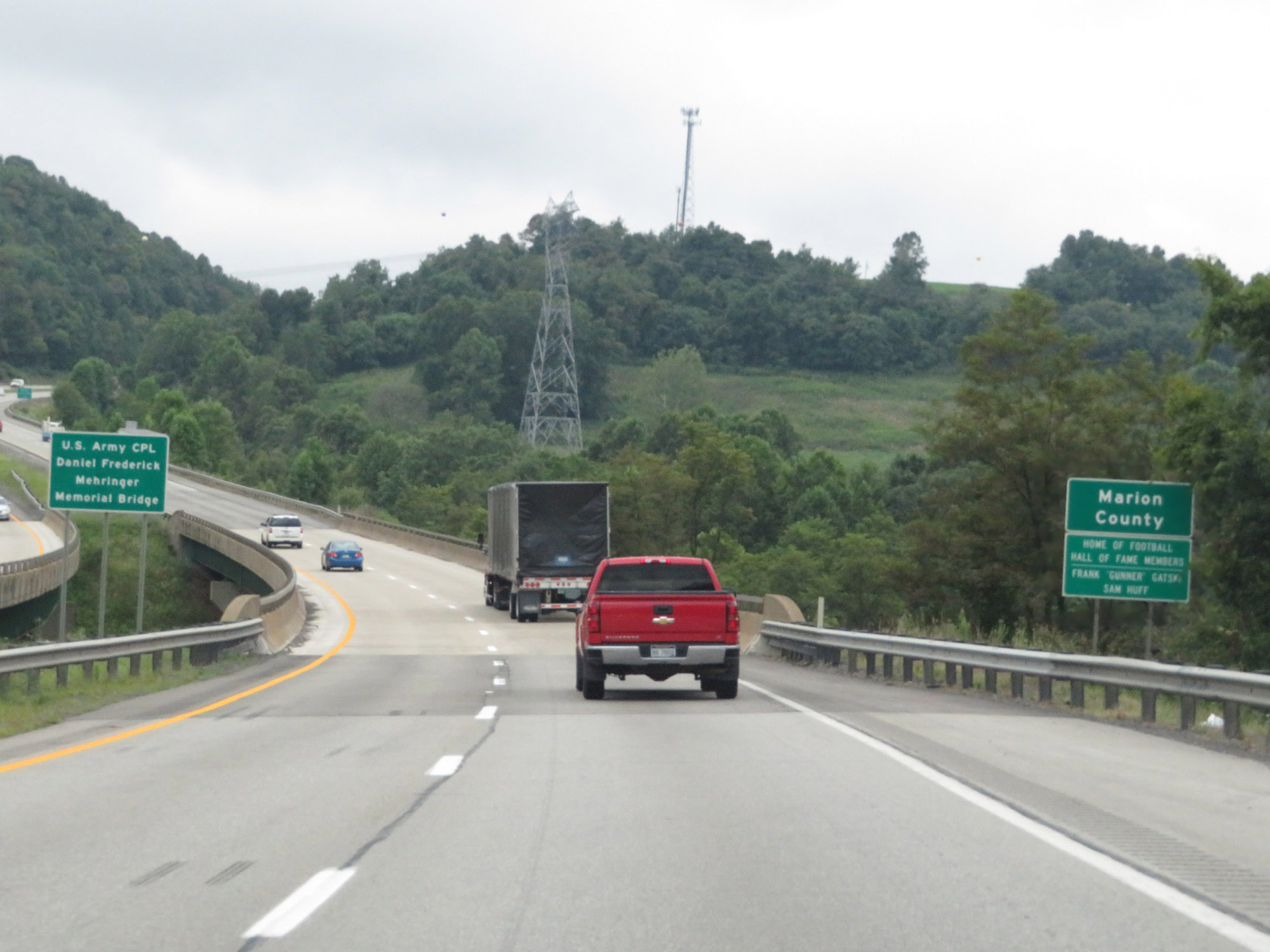 |
Entering Marion County on Interstate 79 South. (Photo taken 8/9/19). |
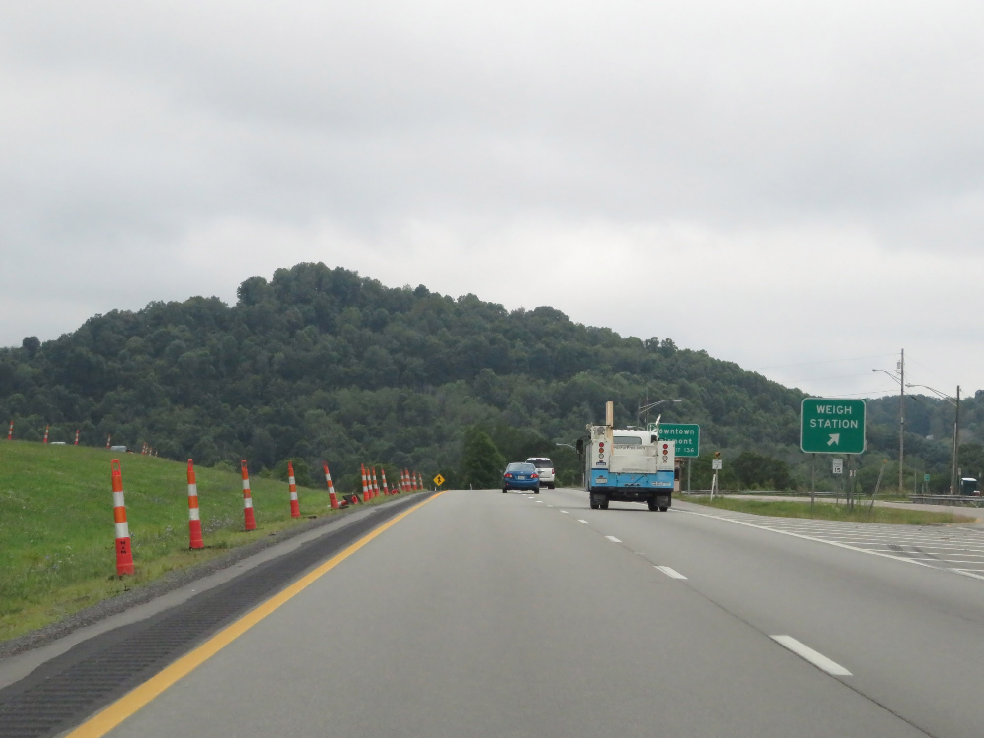 |
Weigh Station on Interstate 79 South in Marion County. (Photo taken 8/9/19). |
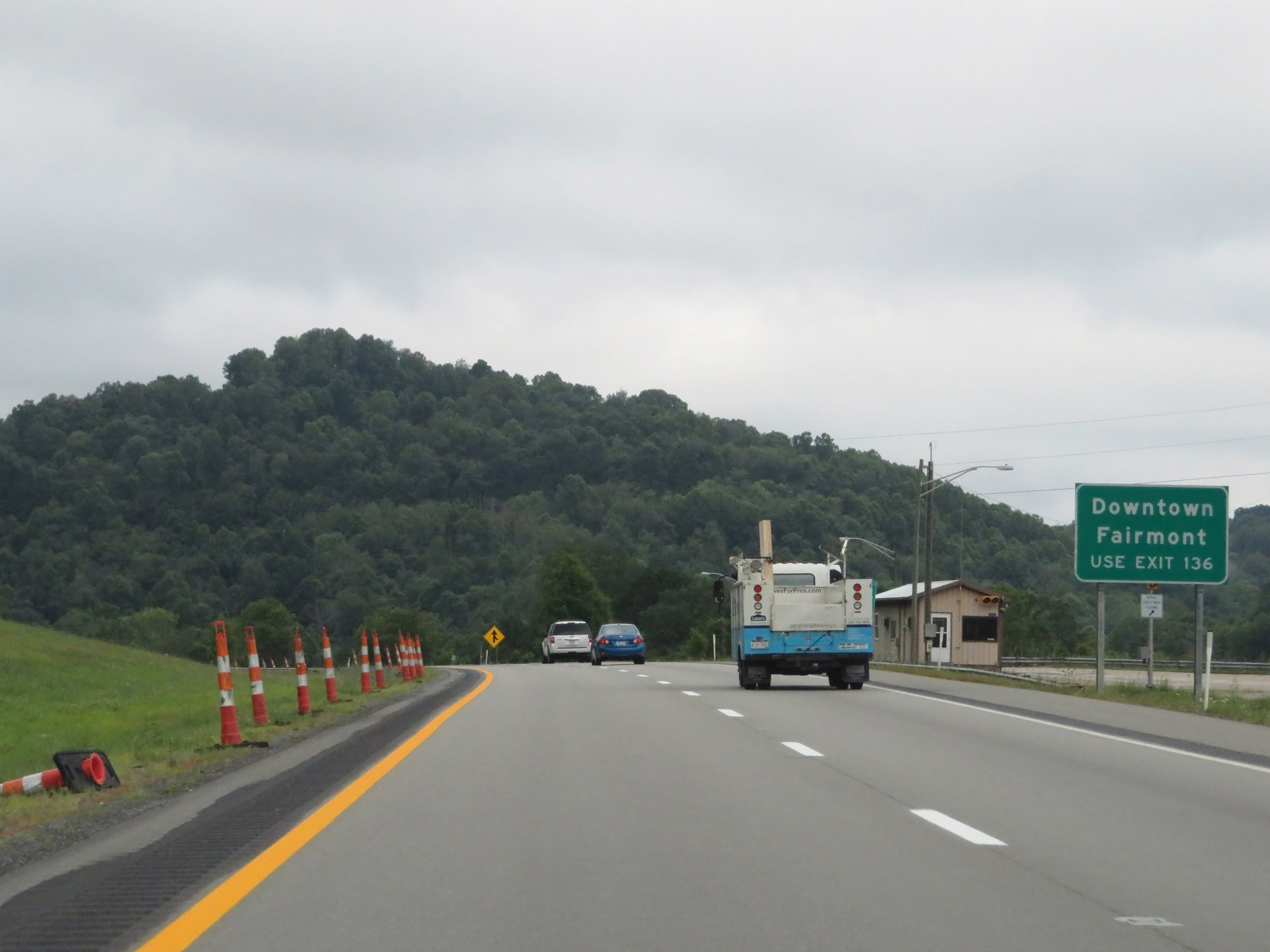 |
Take Exit 136 to Downtown Fairmont. (Photo taken 8/9/19). |
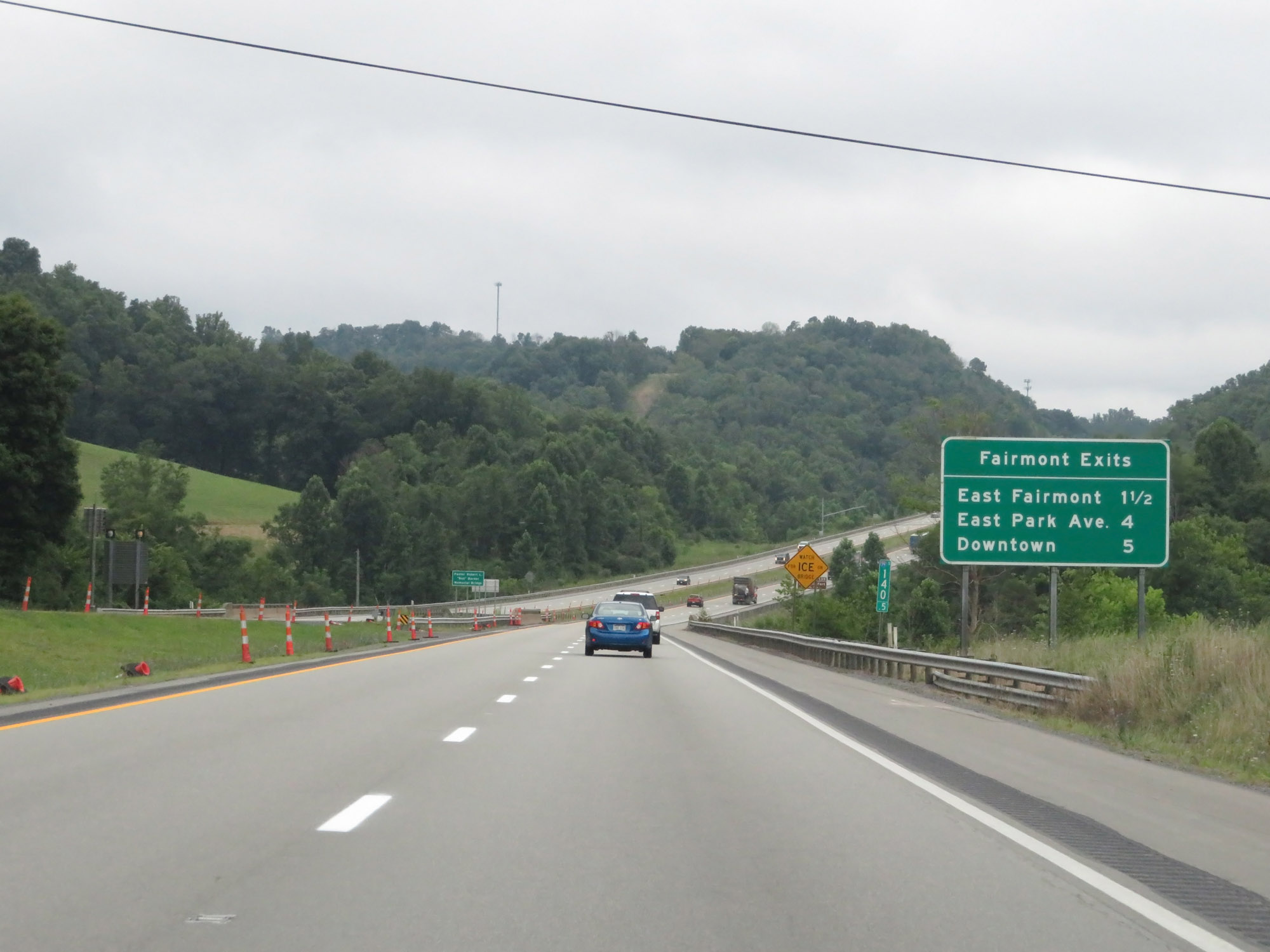 |
Mileage sign listing the distances to the three upcoming exits to Fairmont. (Photo taken 8/9/19). |
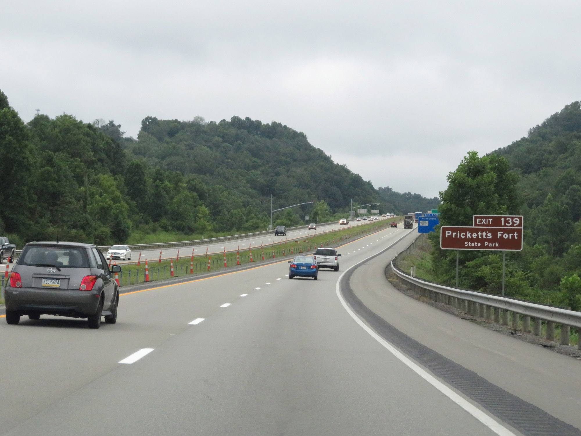 |
Take Exit 139 to Prickett's Fort State Park. (Photo taken 8/9/19). |
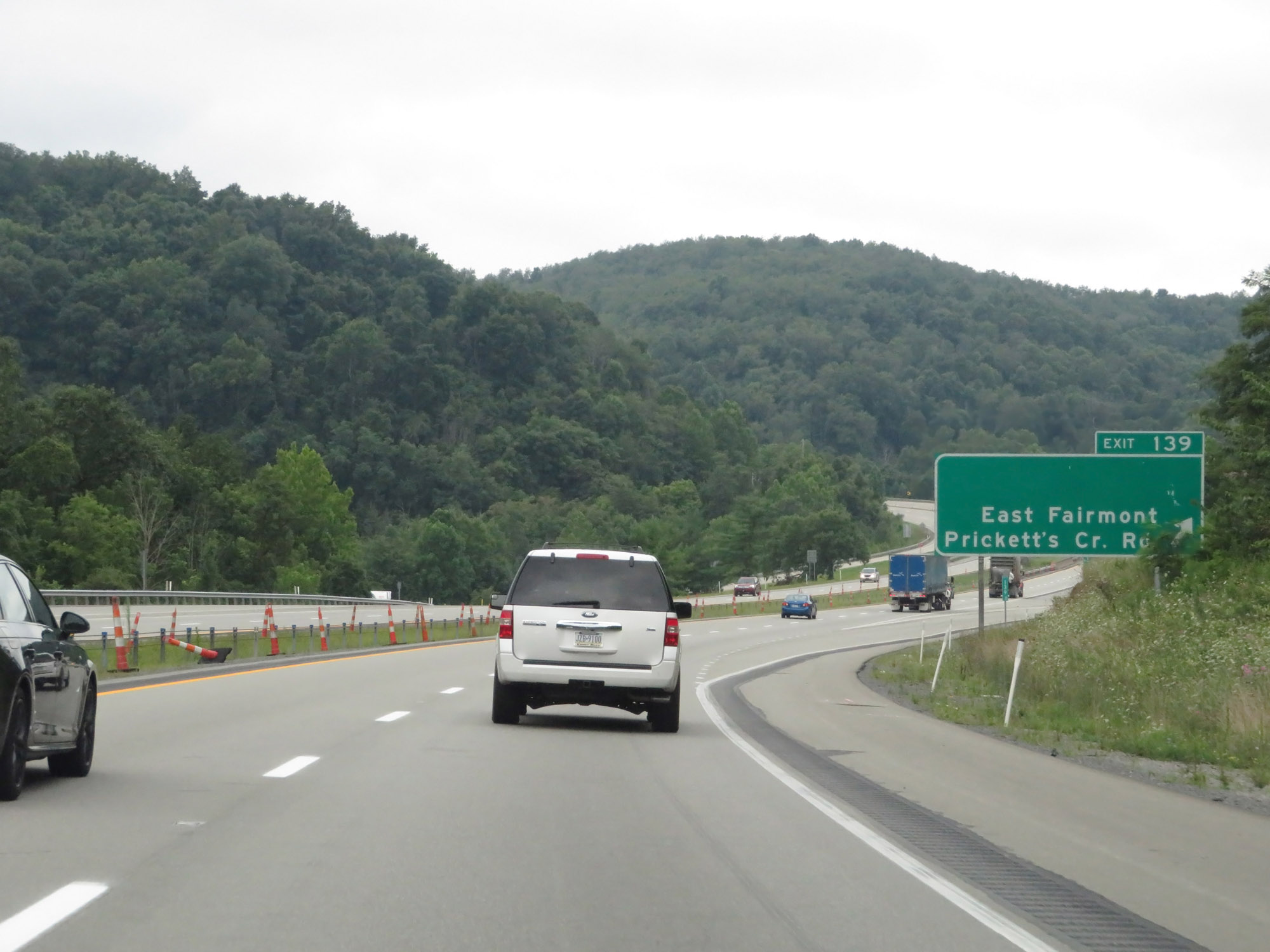 |
Interstate 79 South at Exit 139: East Fairmont / Prickett's Creek Rd (Photo taken 8/9/19). |
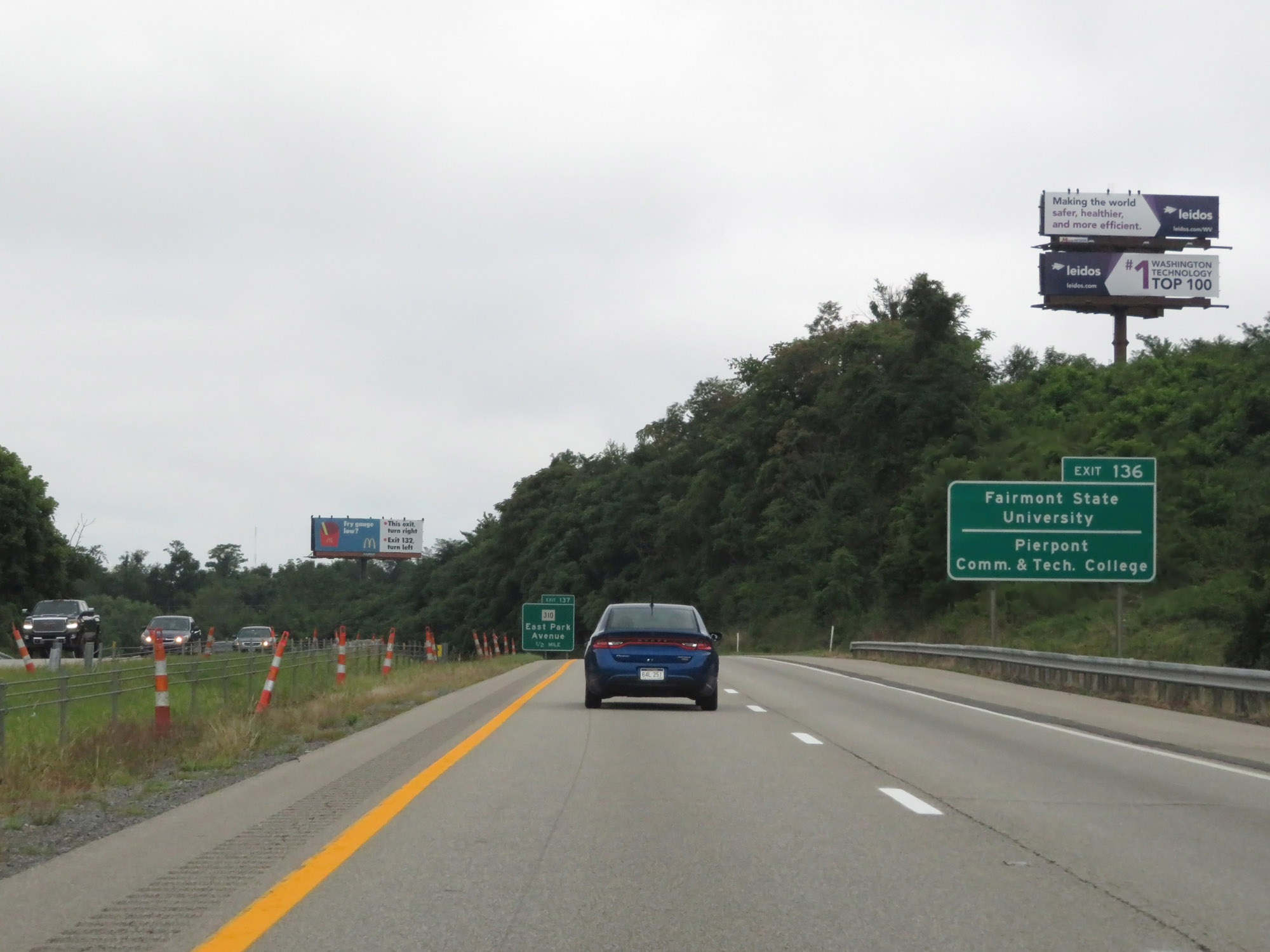 |
Take Exit 136 to Fairmont State University and Pierpont Community & Tech College. (Photo taken 8/9/19). |
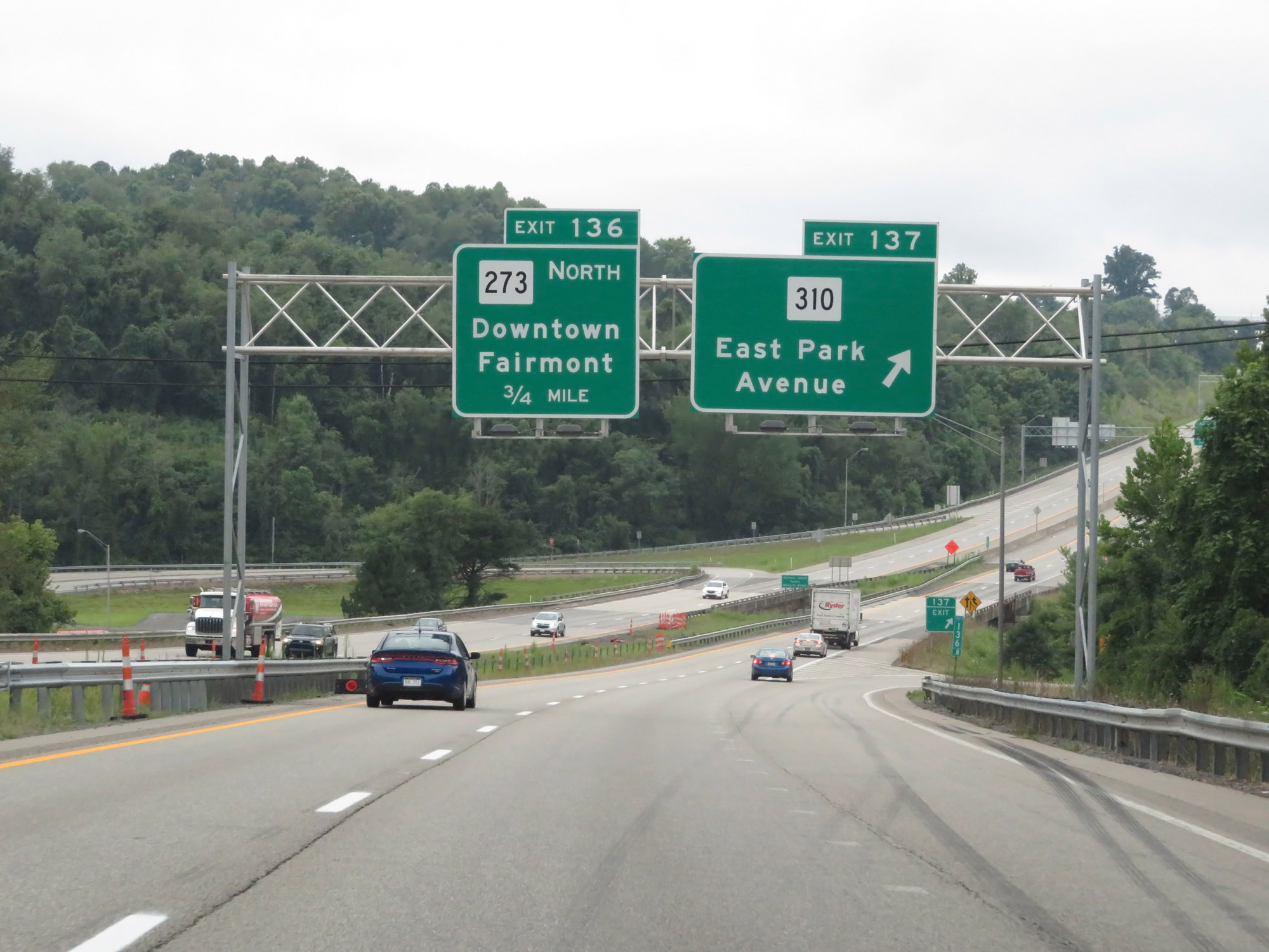 |
Interstate 79 South at Exit 137: WV 310 - East Park Avenue (Photo taken 8/9/19). |
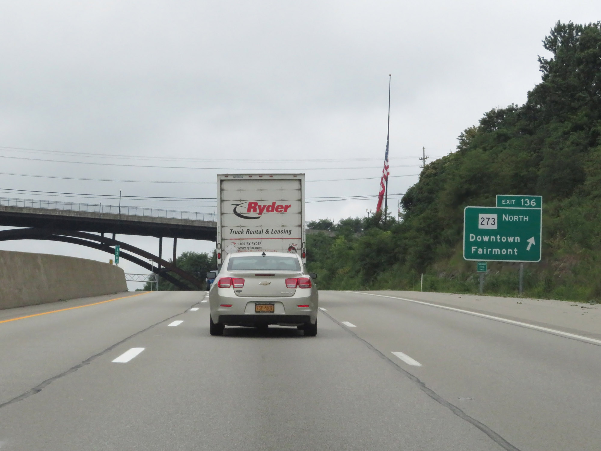 |
Interstate 79 South at Exit 136: WV 273 North - Downtown Fairmont (Photo taken 8/9/19). |
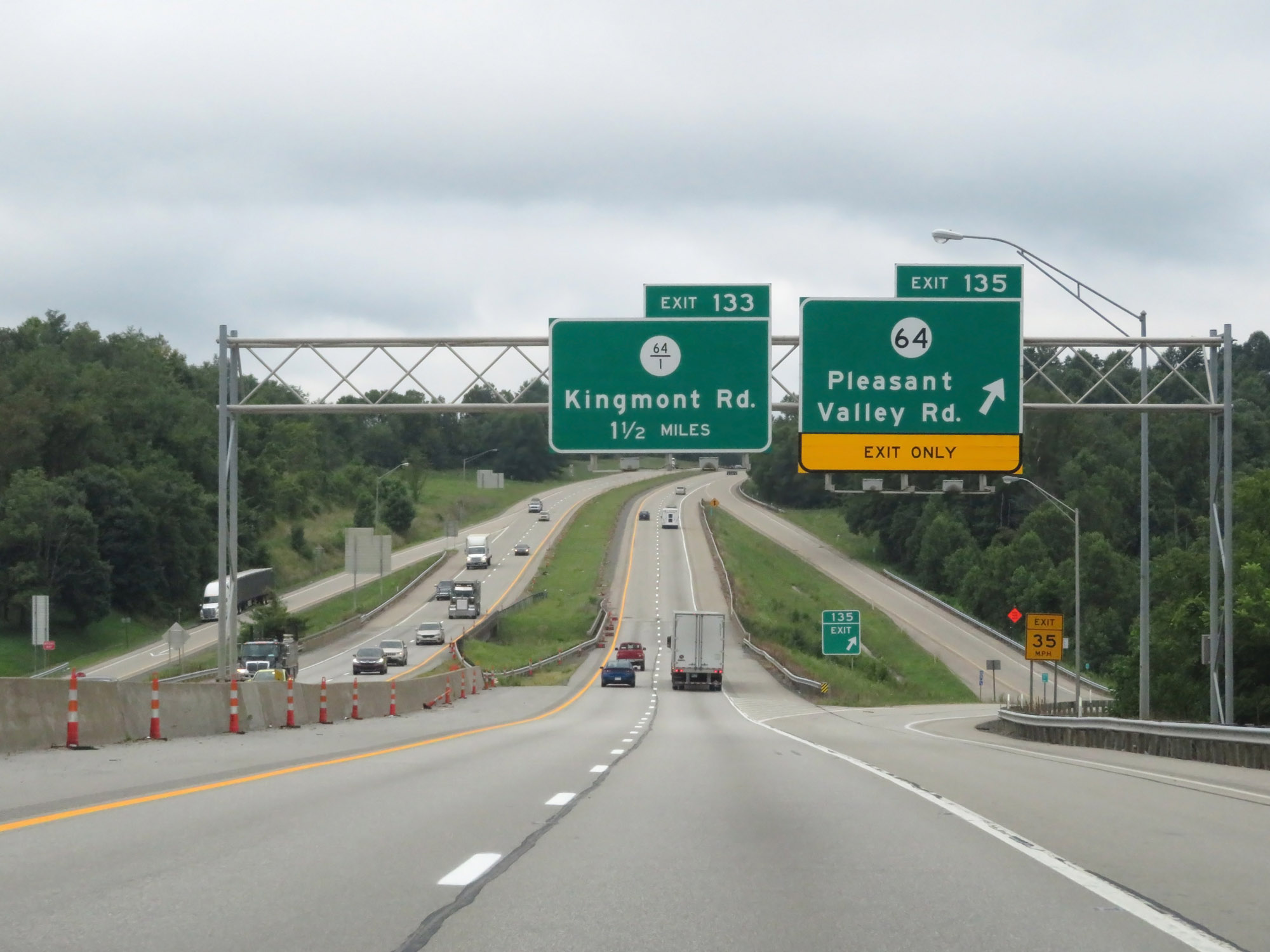 |
Interstate 79 South at Exit 135: CR 64 - Pleasant Valley Rd (Photo taken 8/9/19). |
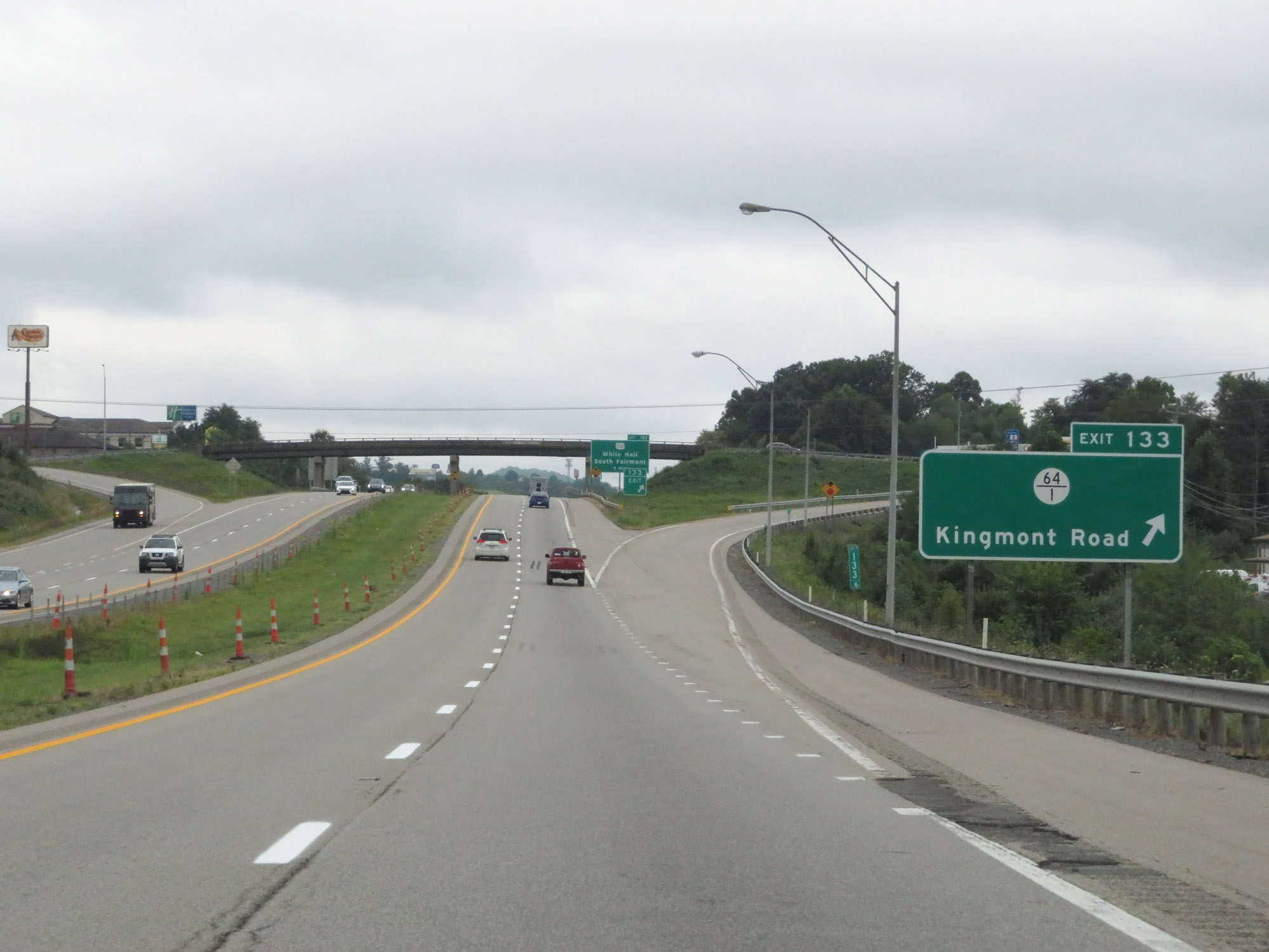 |
Interstate 79 South at Exit 133: CR 64/1 - Kingmont Road (Photo taken 8/9/19). |
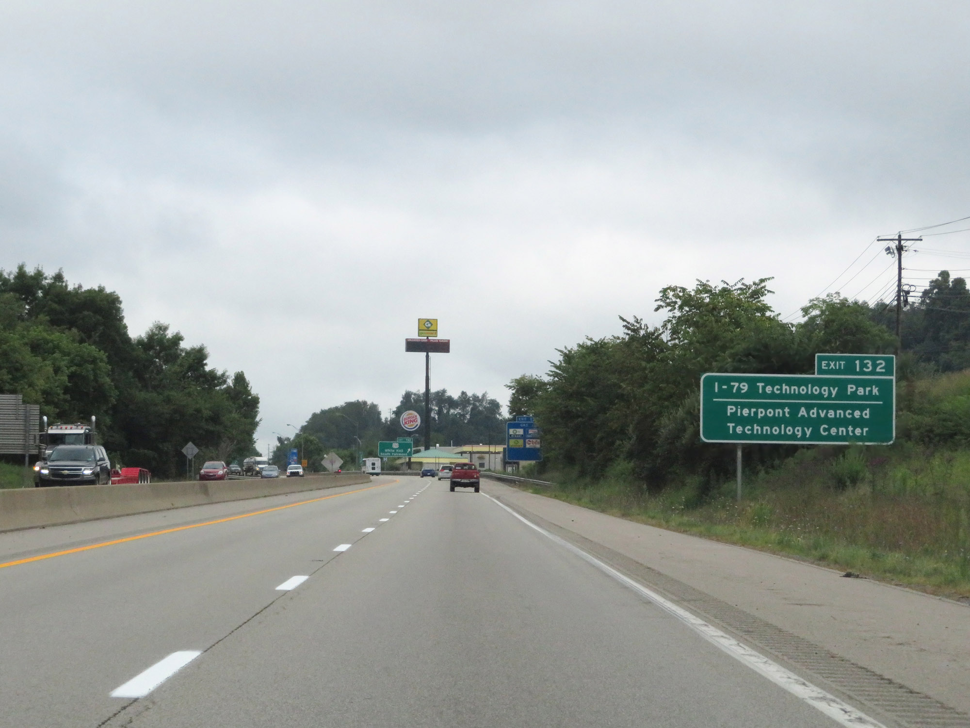 |
Take Exit 132 to I-79 Technology Park and Pierpont Advanced Technology Center. (Photo taken 8/9/19). |
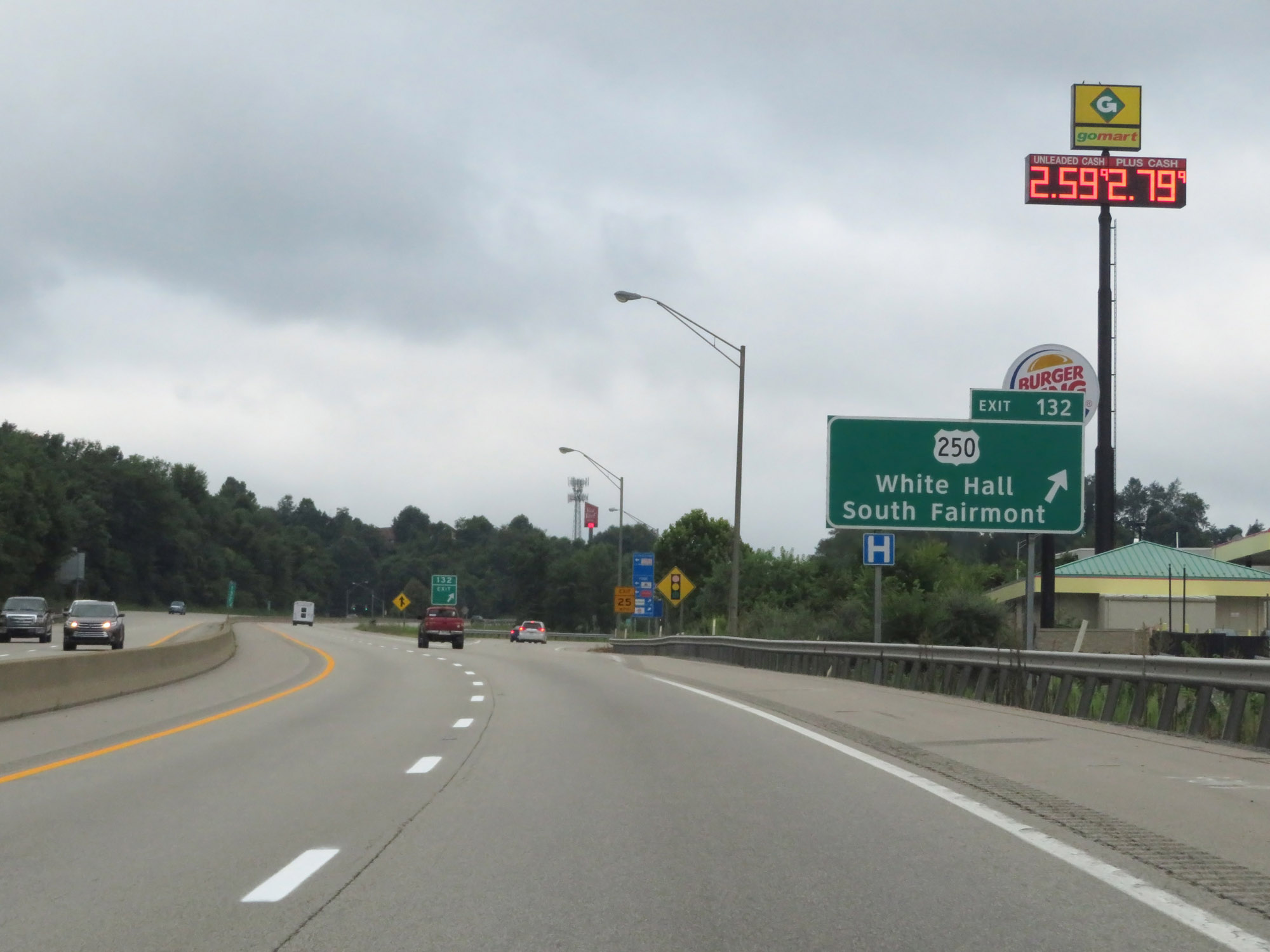 |
Interstate 79 South at Exit 132: US 250 - White Hall / South Fairmont (Photo taken 8/9/19). |
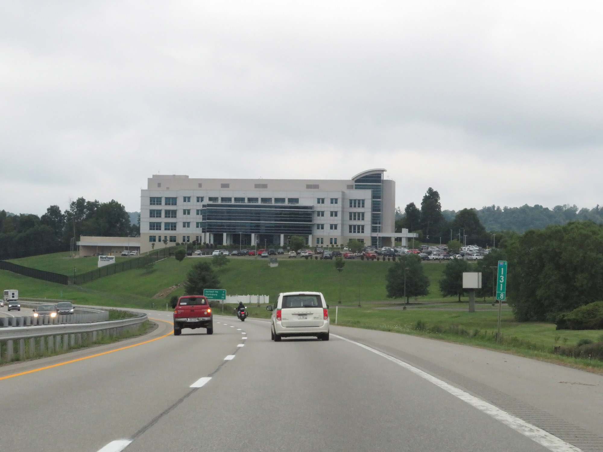 |
View on Interstate 79 South at mile marker 131.8. (Photo taken 8/9/19). |
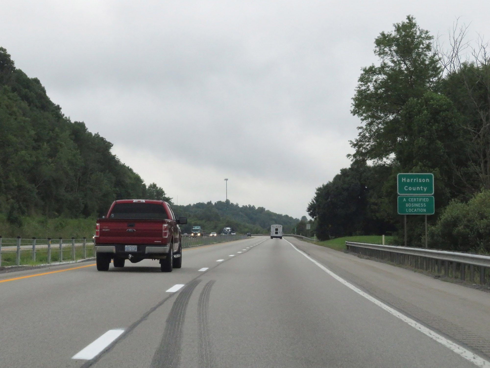 |
To the south of Fairmont, Interstate 79 South enters Harrison County. (Photo taken 8/9/19). |
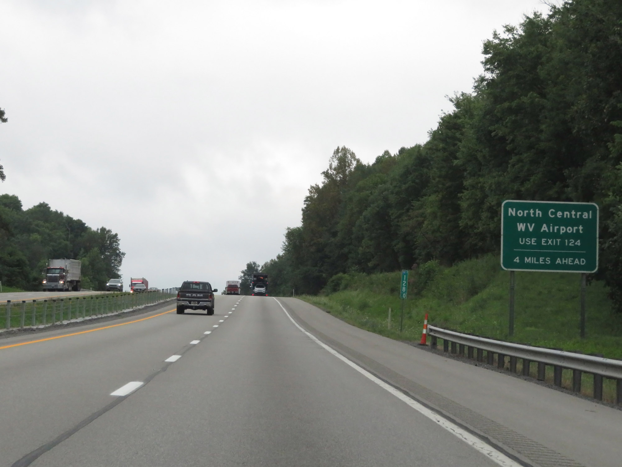 |
Use Exit 124 (4 miles ahead) to North Central West Virginia Airport. (Photo taken 8/9/19). |
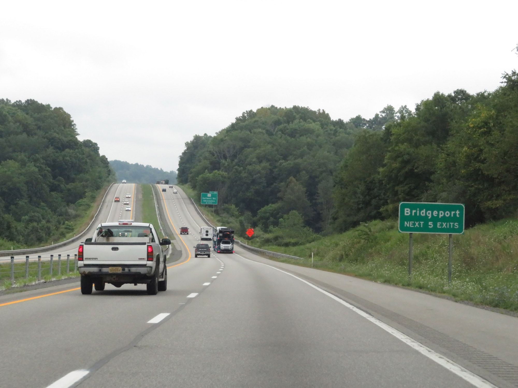 |
Take any of the next 5 exits to Bridgeport. (Photo taken 8/9/19). |
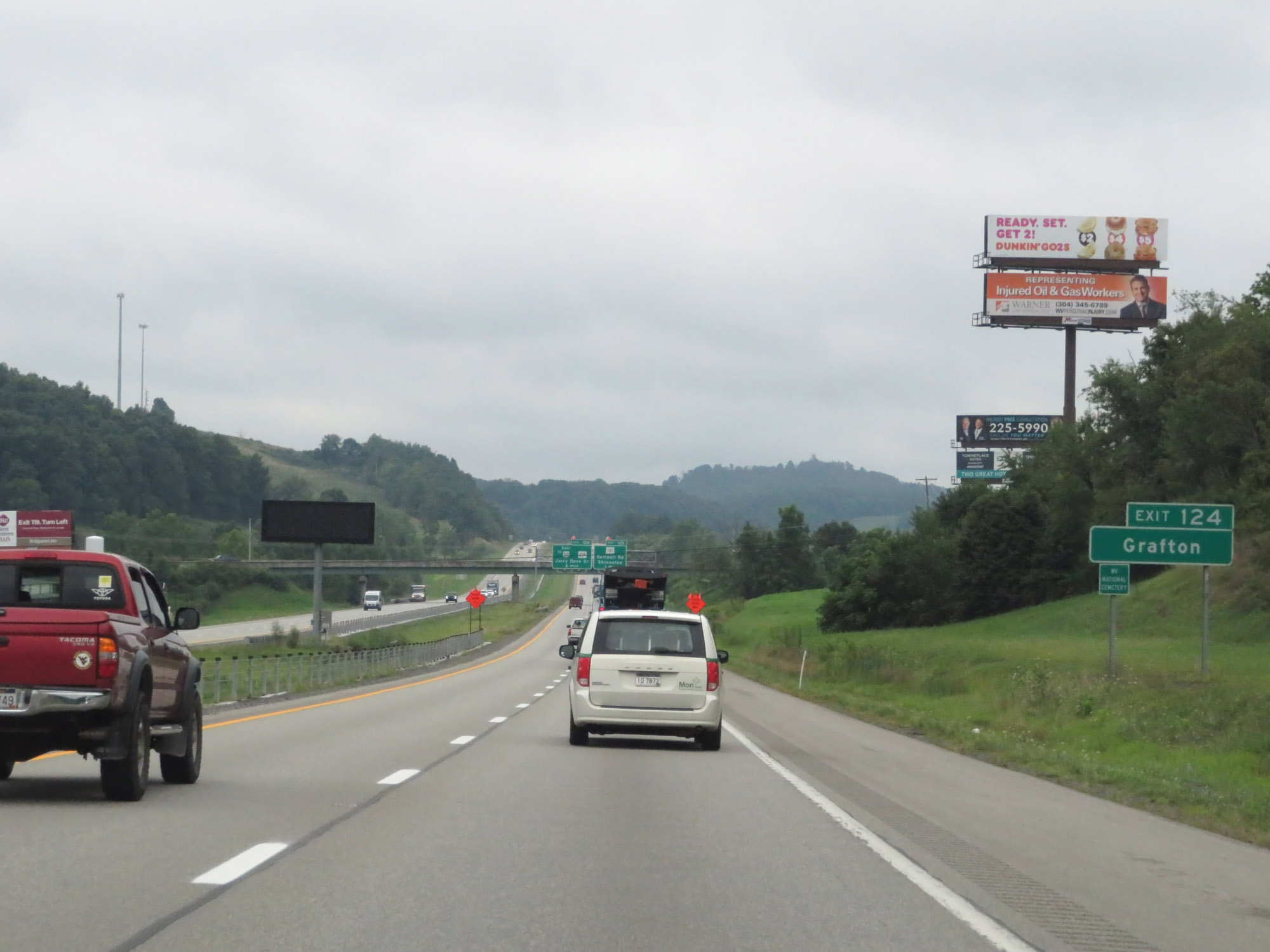 |
Take Exit 124 to Grafton. (Photo taken 8/9/19). |
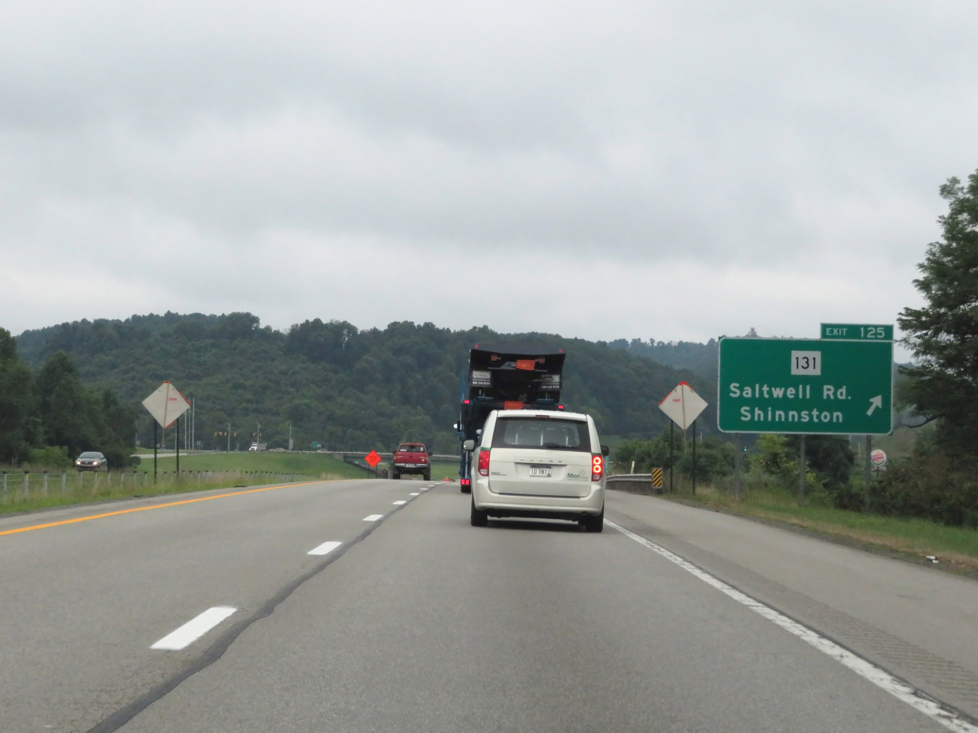 |
Interstate 79 South at Exit 125: WV 131 - Saltwell Rd / Shinnston (Photo taken 8/9/19). |
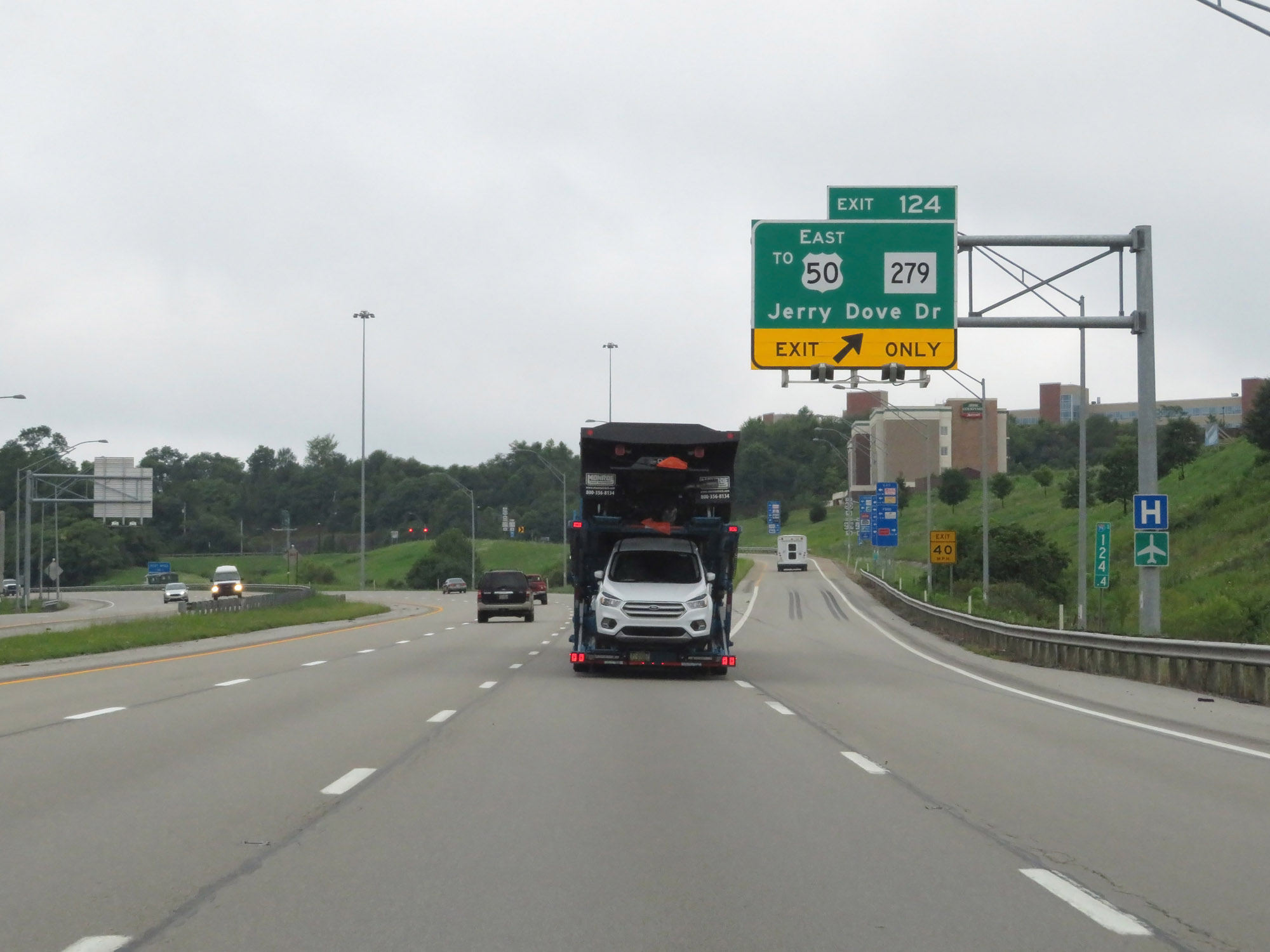 |
Interstate 79 South at Exit 124: WV 279 / To US 50 East - Jerry Dove Dr (Photo taken 8/9/19). |
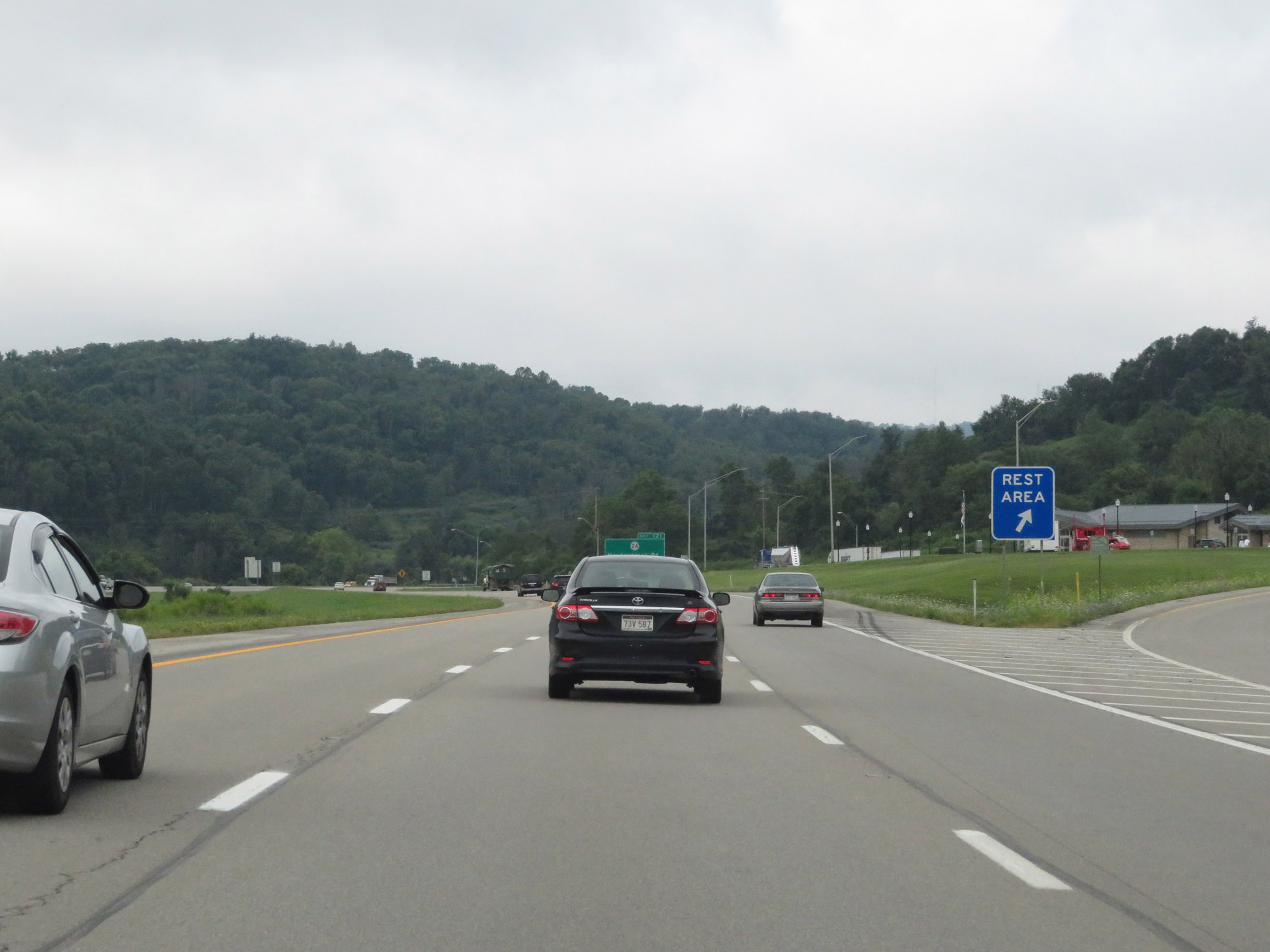 |
Rest Area on Interstate 79 South in Harrison County. (Photo taken 8/9/19). |
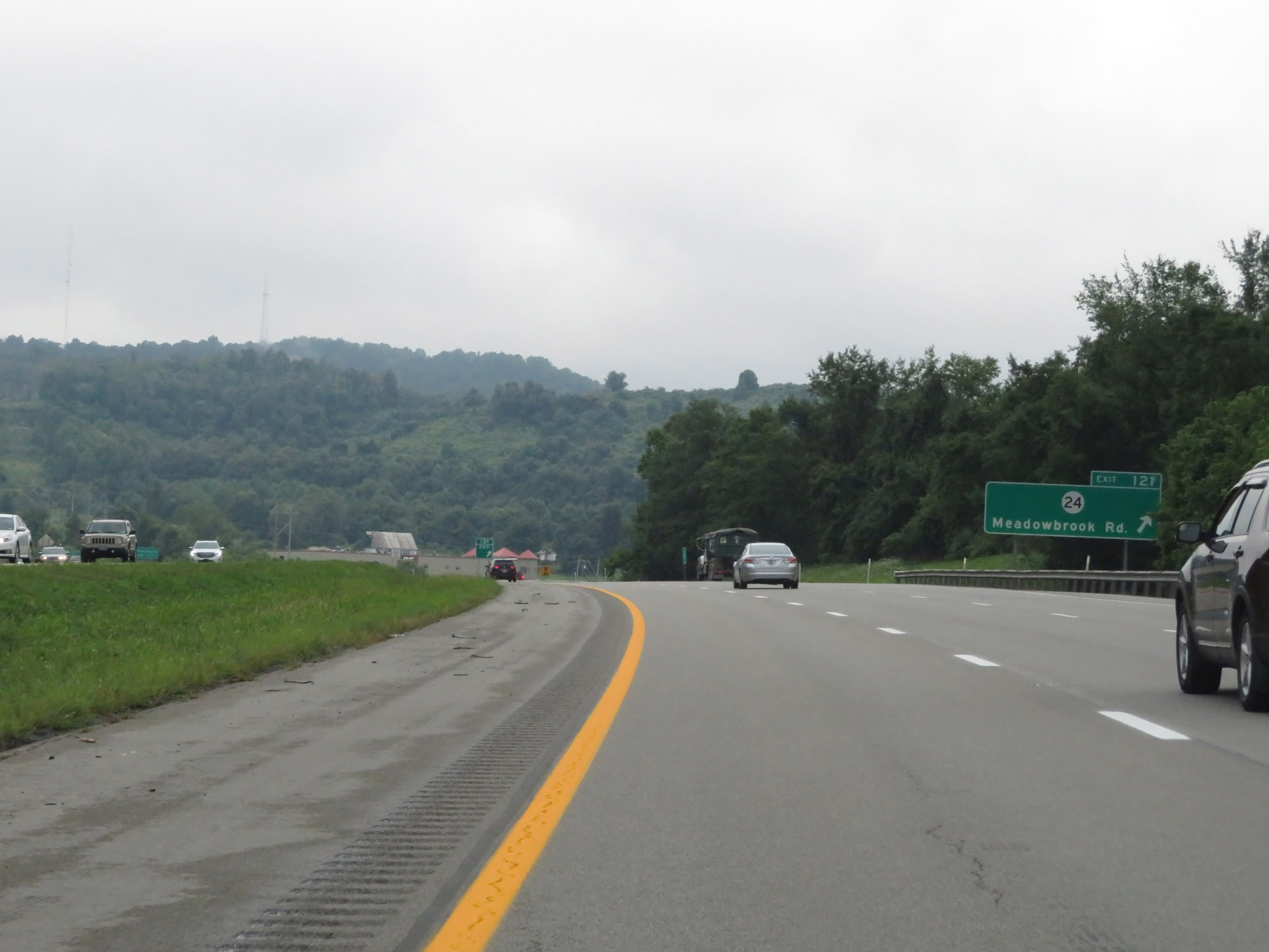 |
Interstate 79 South at Exit 121: CR 24 - Meadowbrook Rd (Photo taken 8/9/19). |
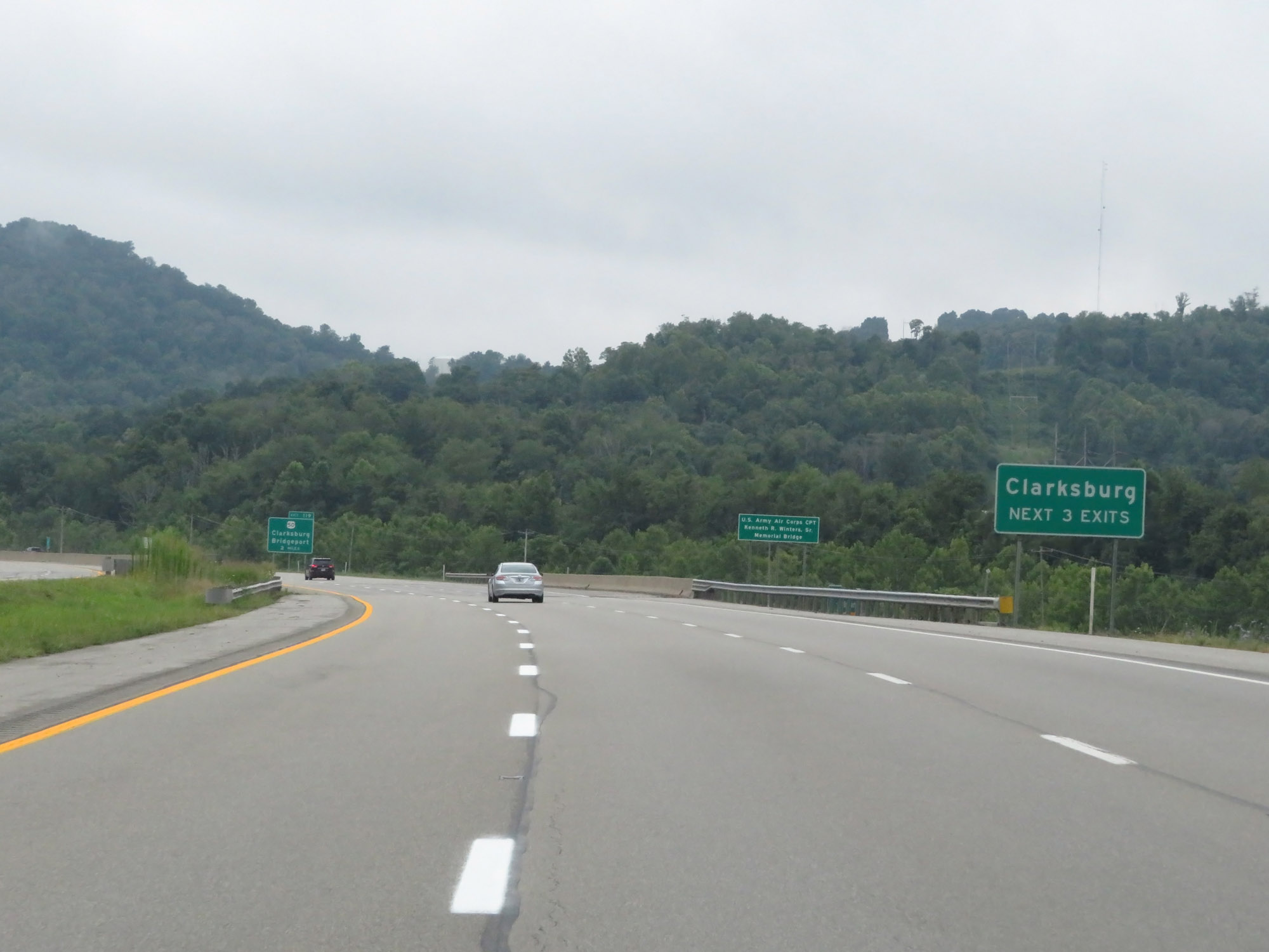 |
Take any of the next 3 exits to Clarksburg. (Photo taken 8/9/19). |
 |
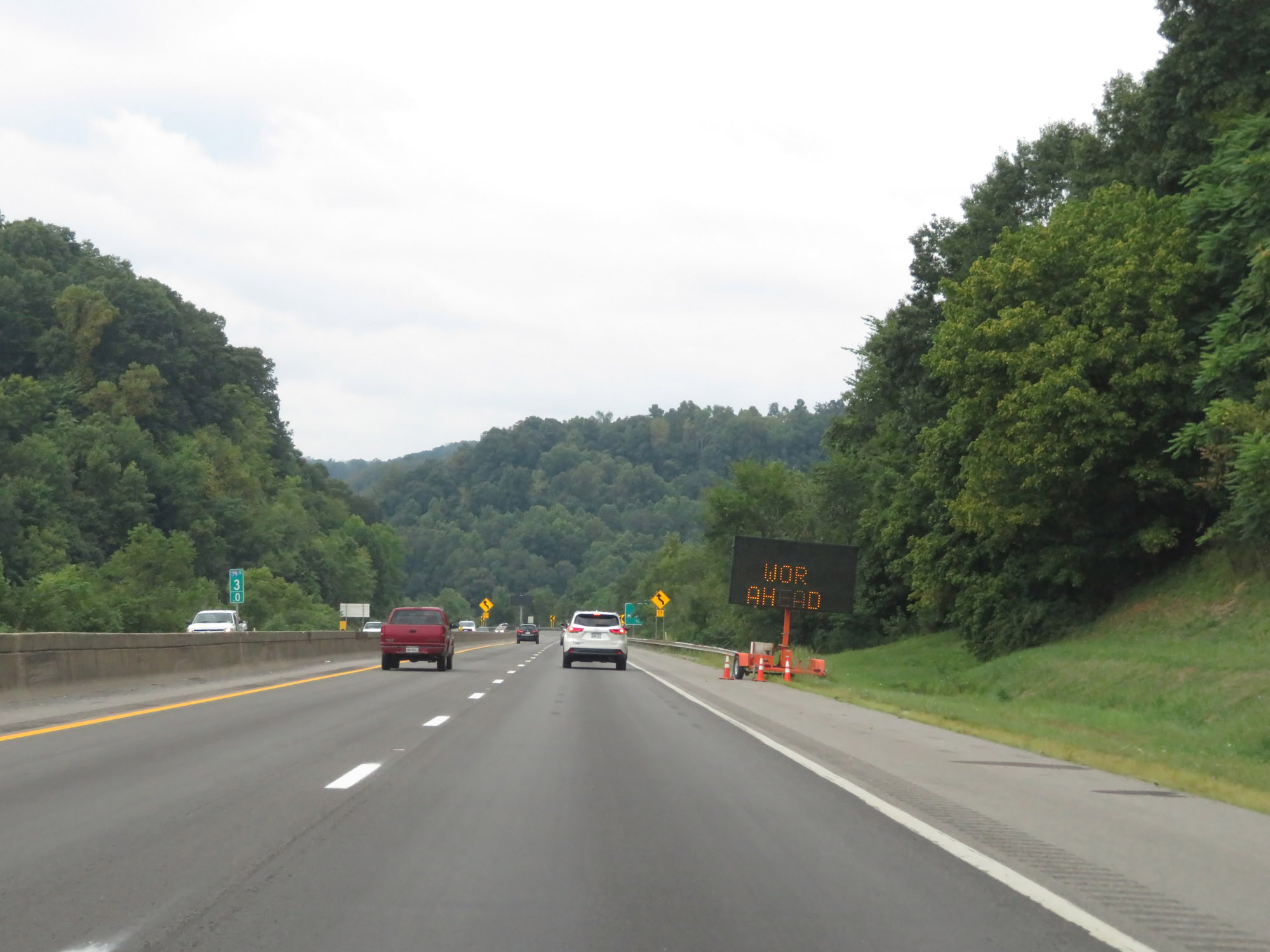
Interstate 79 South at mile marker 121. I-79 South will carry 3 lanes to the top of the hill ahead. (Photo taken 8/9/19). |
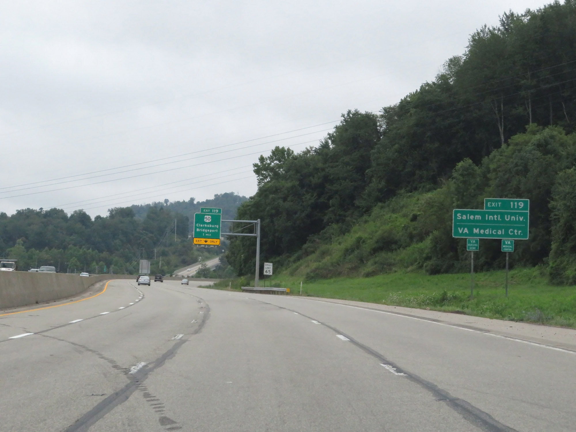 |
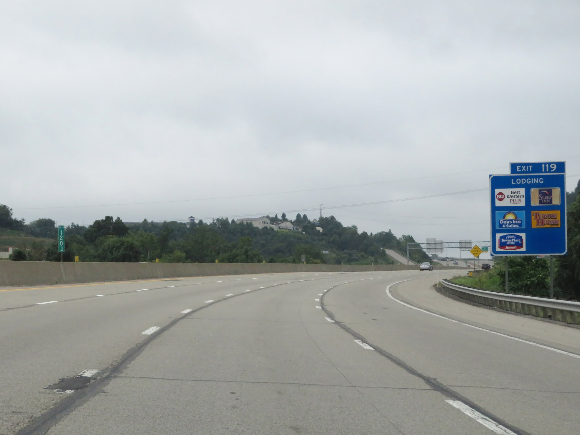
Take Exit 119 to Salen International University and the VA Medical Center. (Photo taken 8/9/19). |
 |
The speed limit decreases to 65 mph as Interstate 79 South passes by Clarksburg. (Photo taken 8/9/19). |
 |
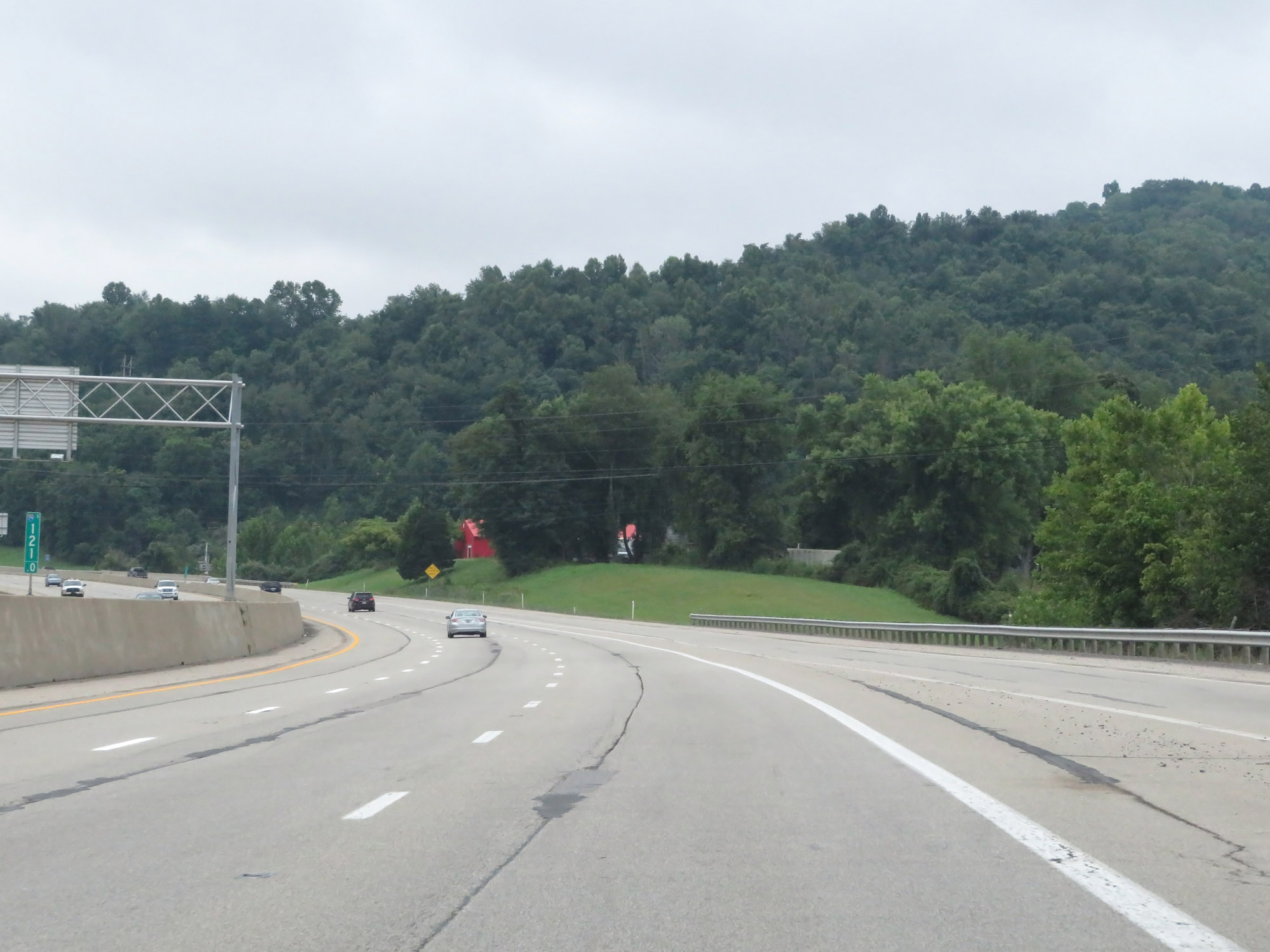
Interstate 79 South at mile marker 120.2. (Photo taken 8/9/19). |
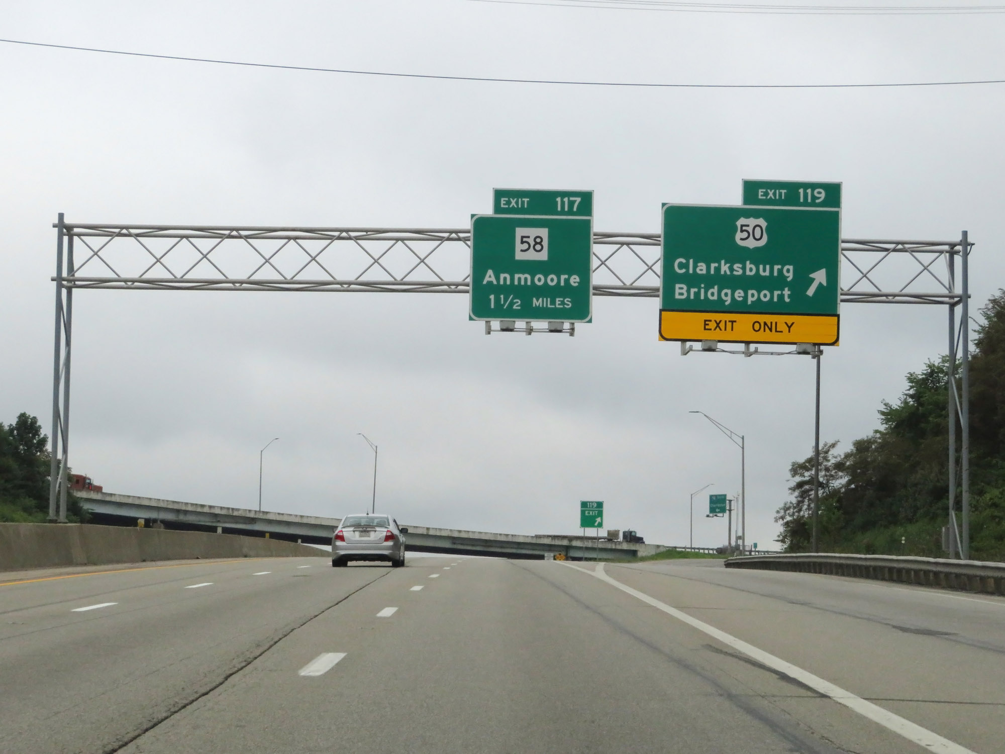 |
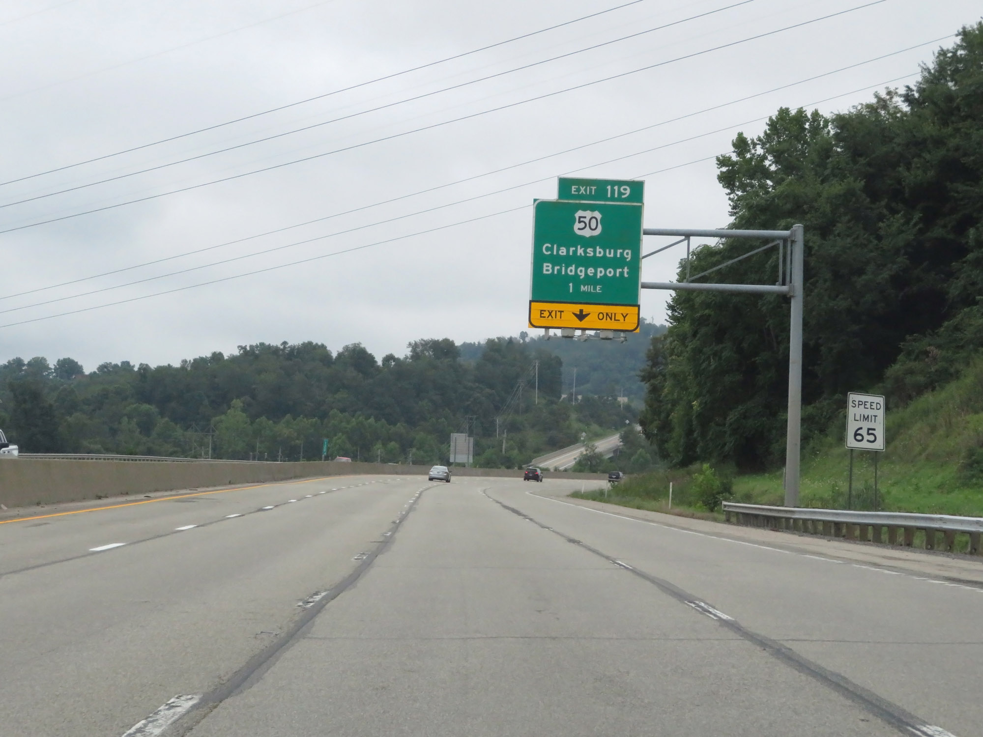
Interstate 79 South at Exit 119: US 50 - Clarksburg / Bridgeport (Photo taken 8/9/19). |
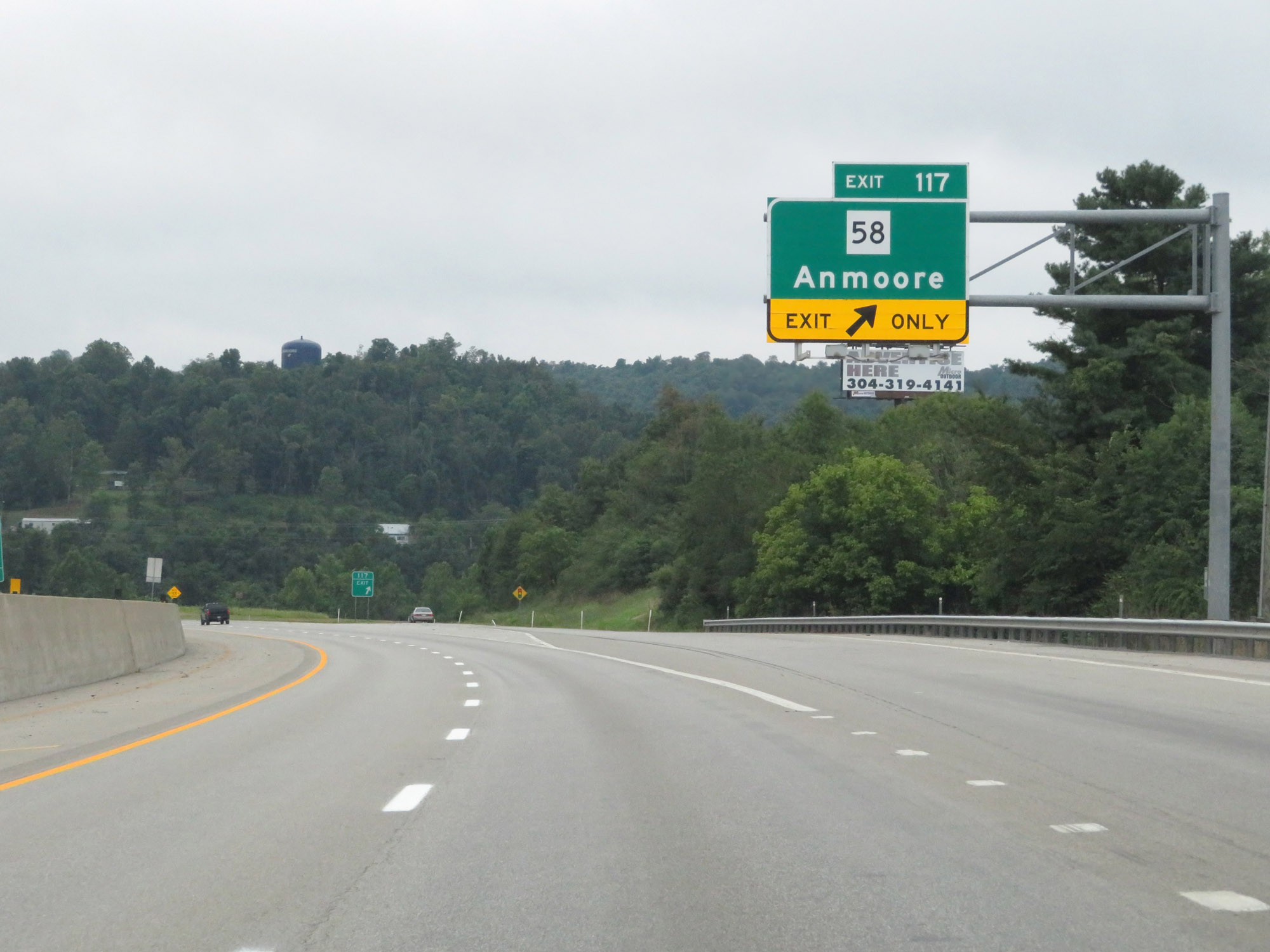 |
Interstate 79 South at Exit 117: WV 58 - Anmoore (Photo taken 8/9/19). |
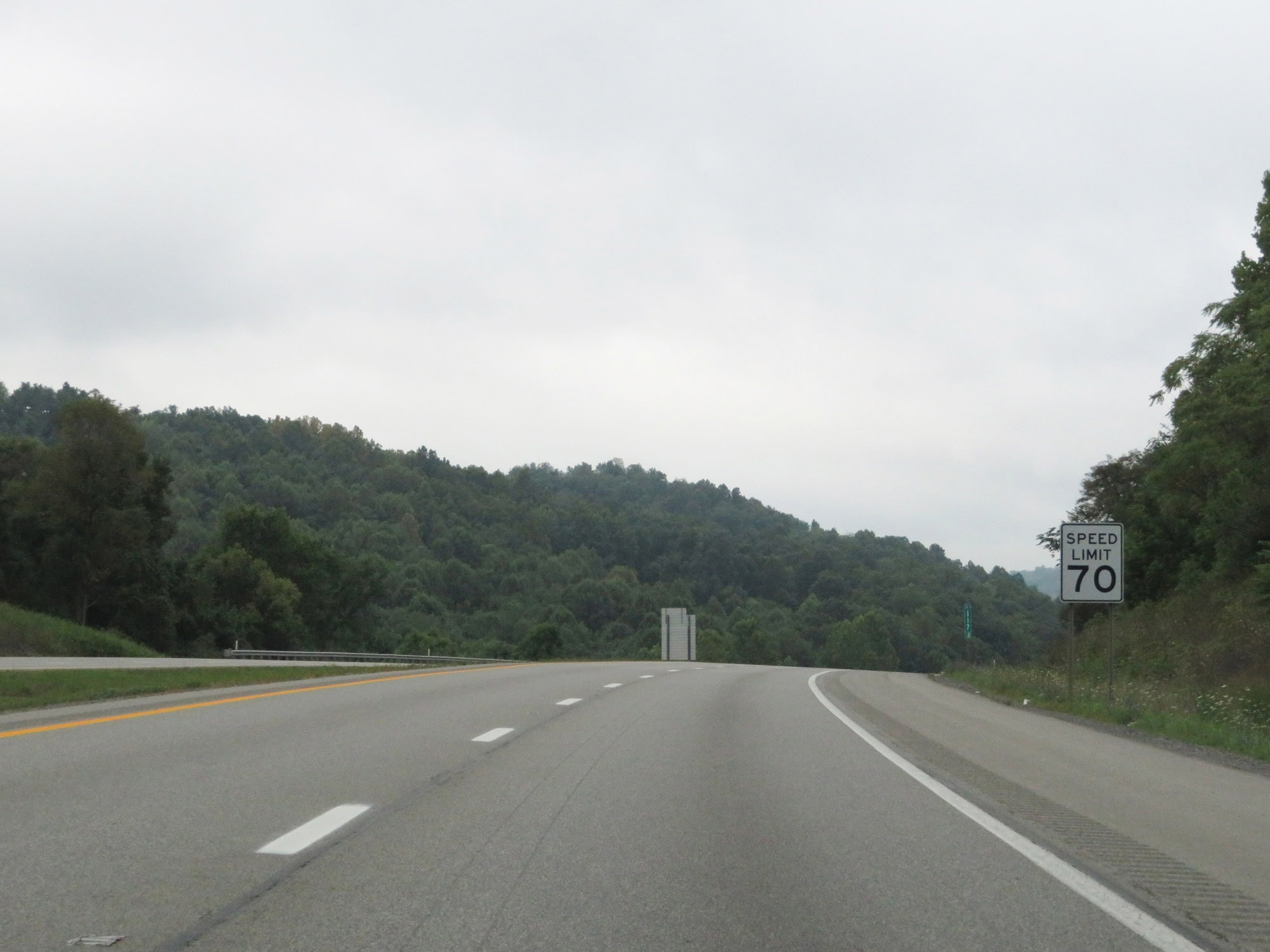 |
Beyond Exit 117, the speed limit of 70 mph resumes. (Photo taken 8/9/19). |
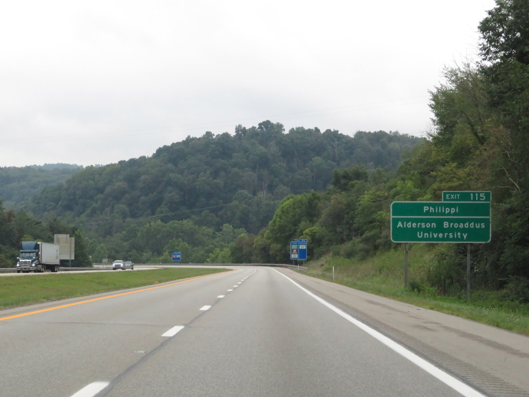 |
Take Exit 115 to Philippi and Alderson Broaddus University. (Photo taken 8/9/19). |
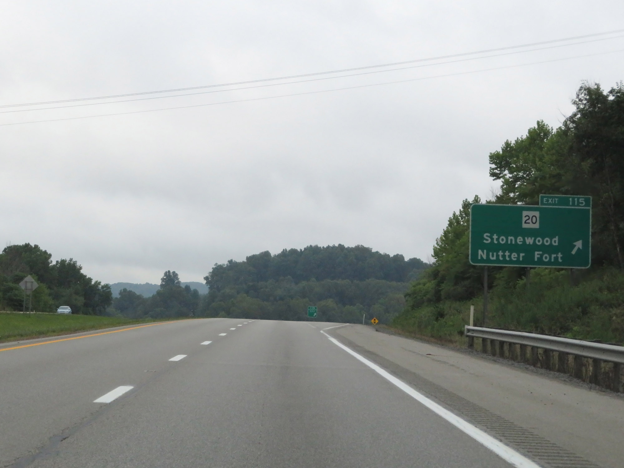 |
Interstate 79 South at Exit 115: WV 20 - Stonewood / Nutter Fort (Photo taken 8/9/19). |
 |
State-named Interstate 79 South reassurance shield. (Photo taken 8/9/19). |
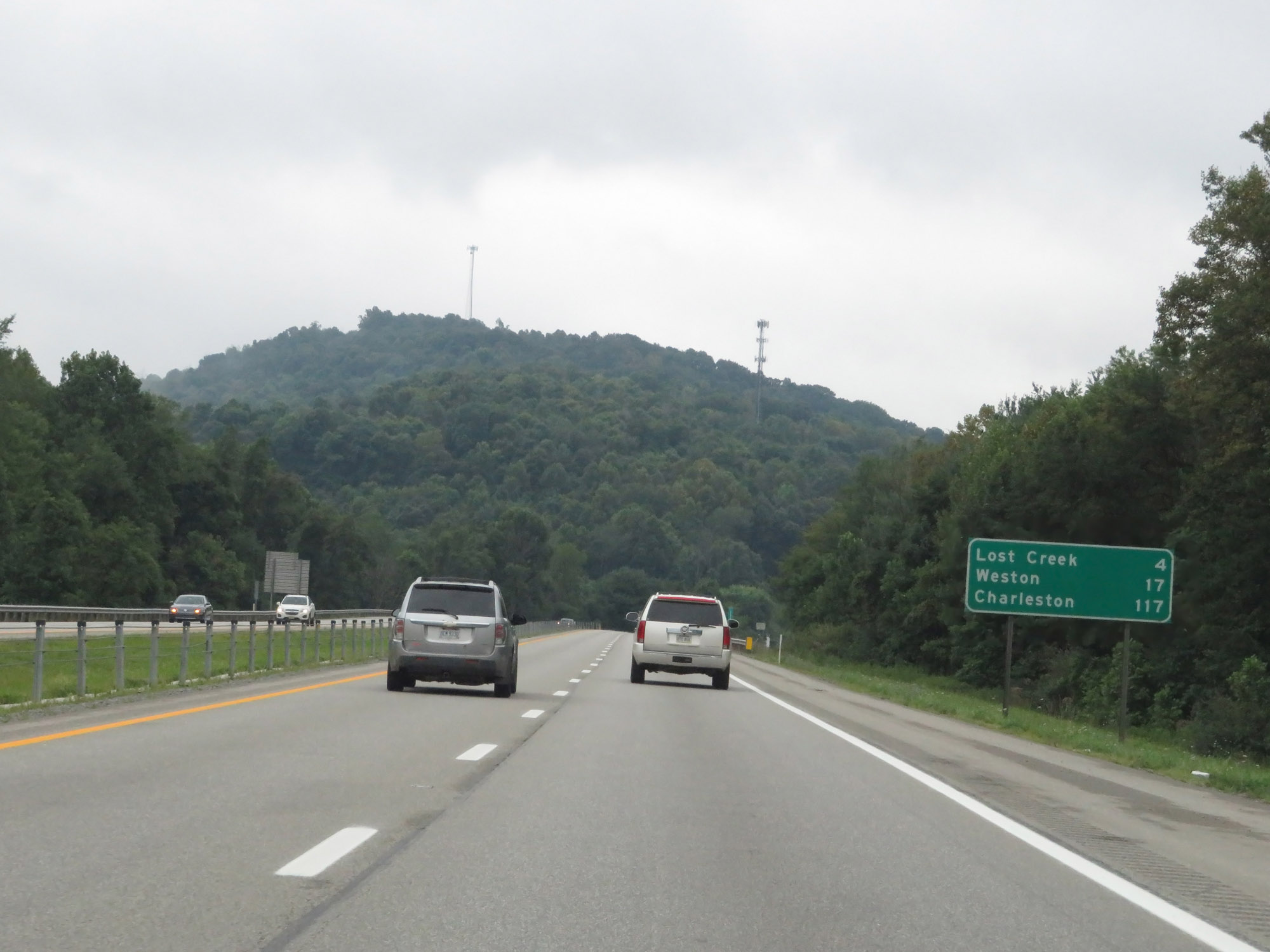 |
Mileage sign on Interstate 79 South. It's 4 miles to Lost Creek, 17 miles to Weston, and 117 miles to Charleston. (Photo taken 8/9/19). |
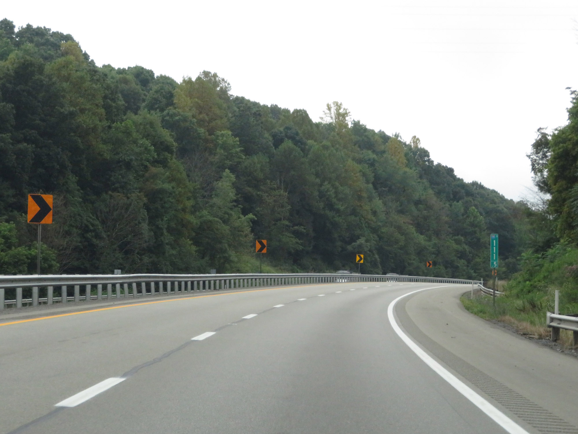 |
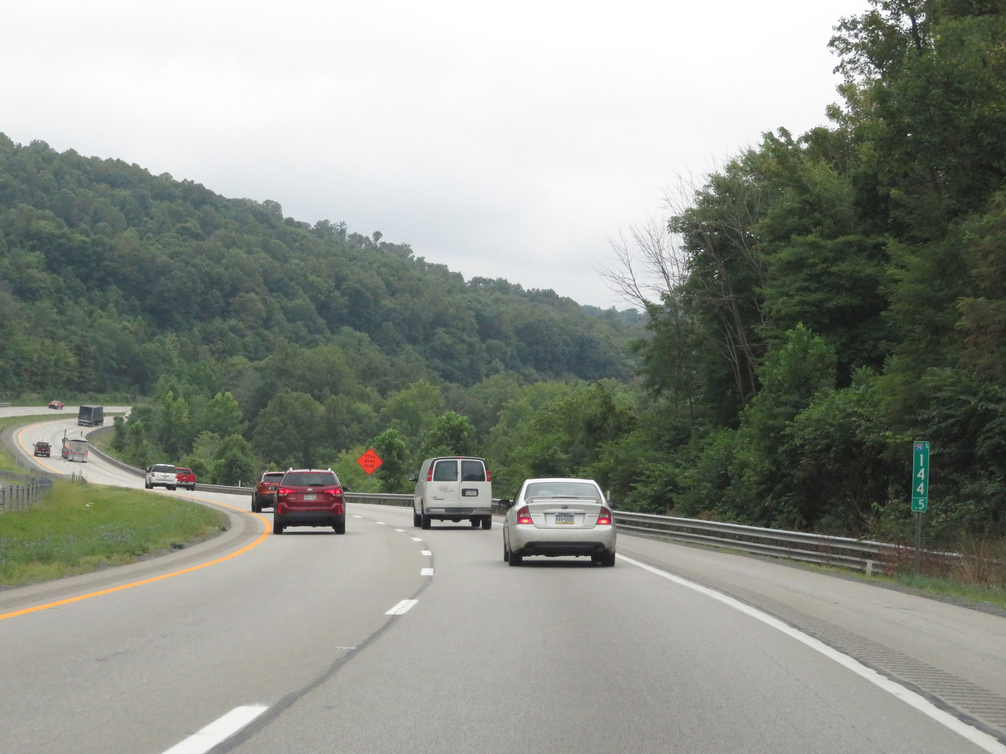
Interstate 79 South at mile marker 111.5. (Photo taken 8/9/19). |
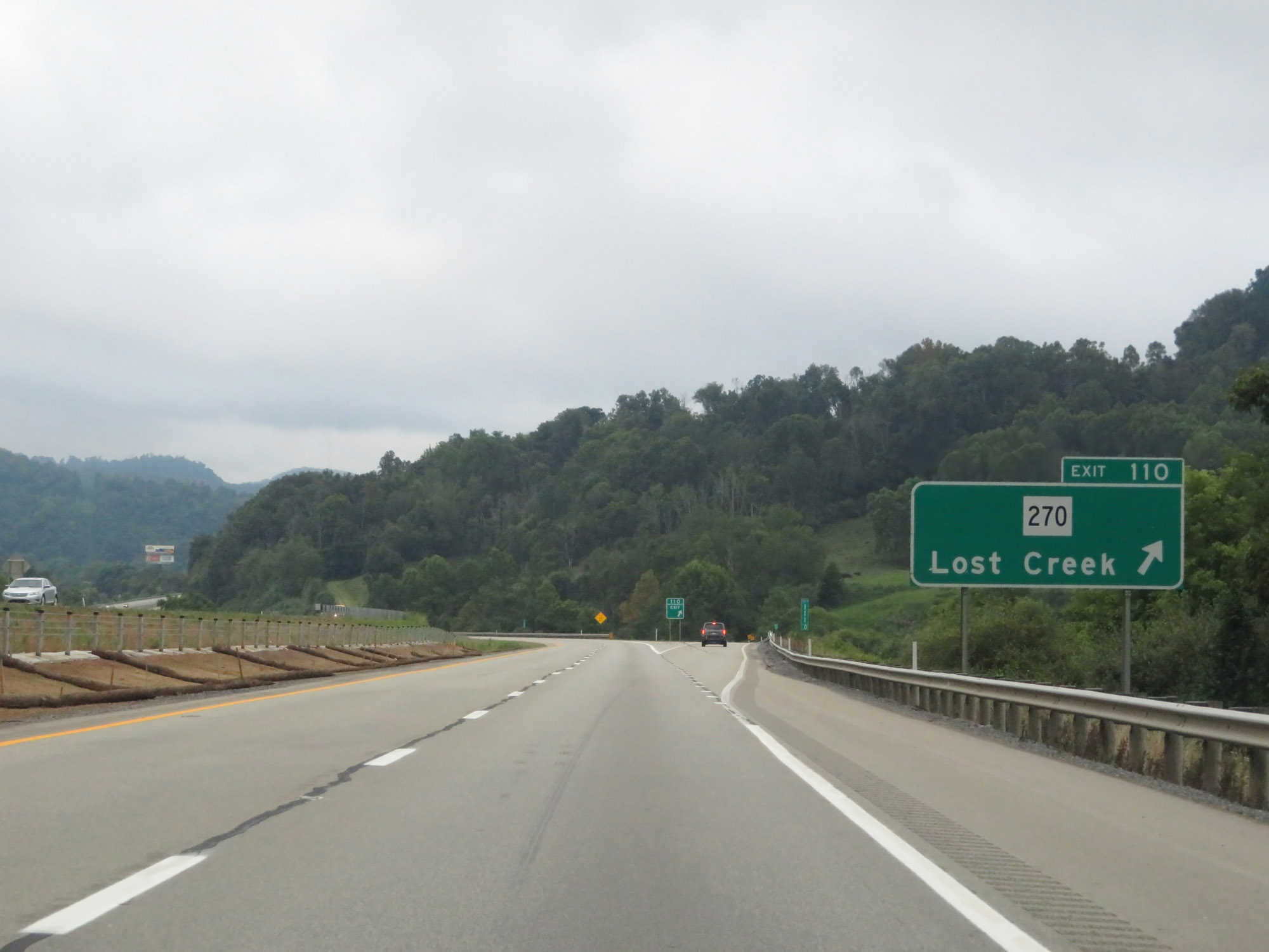 |
Interstate 79 South at Exit 110: WV 270 - Lost Creek (Photo taken 8/9/19). |
 |
Interstate 79 South at mile marker 107. (Photo taken 8/9/19). |
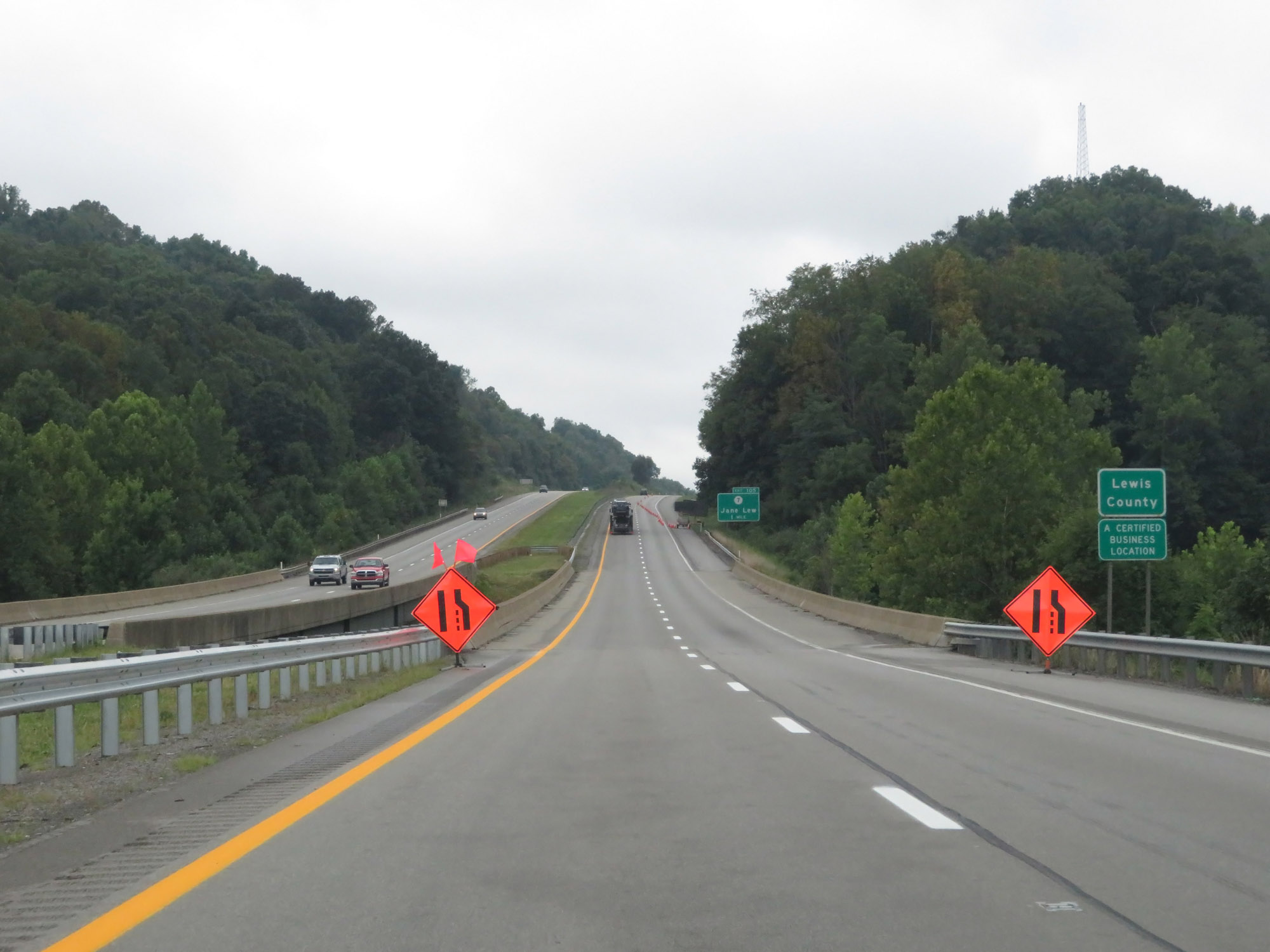 |
Just before Exit 105, Interstate 79 South enters Lewis County. (Photo taken 8/9/19). |
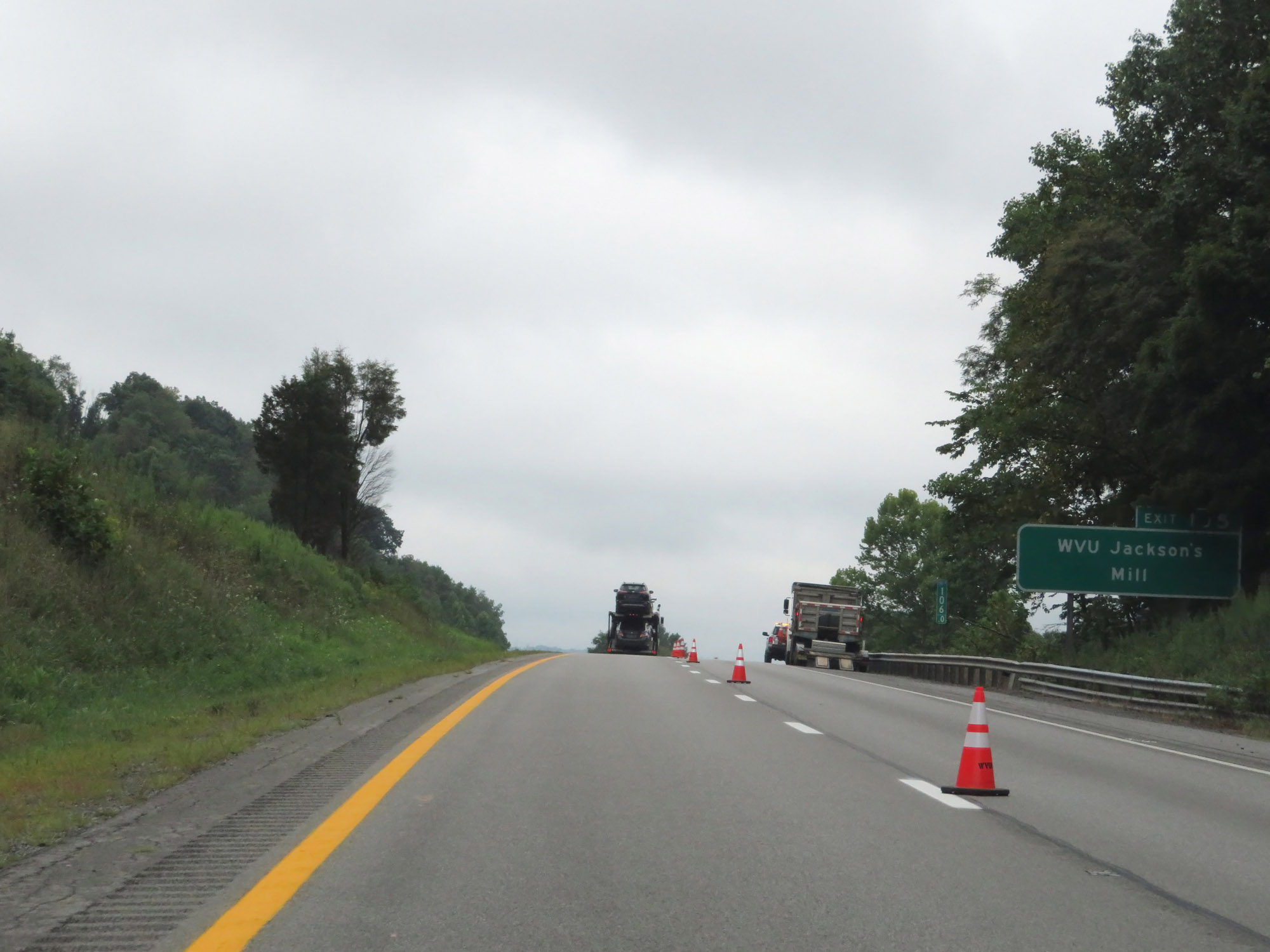 |
Take Exit 105 to WVU Jackson's Mill. (Photo taken 8/9/19). |
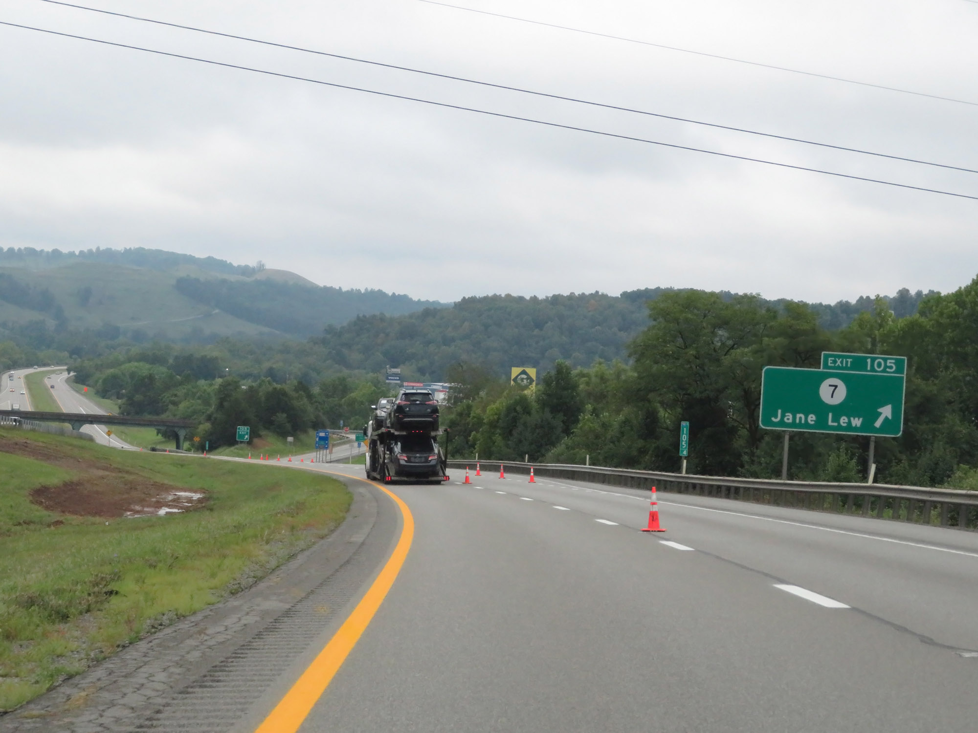 |
Interstate 79 South at Exit 105: CR 7 - Jane Lew (Photo taken 8/9/19). |
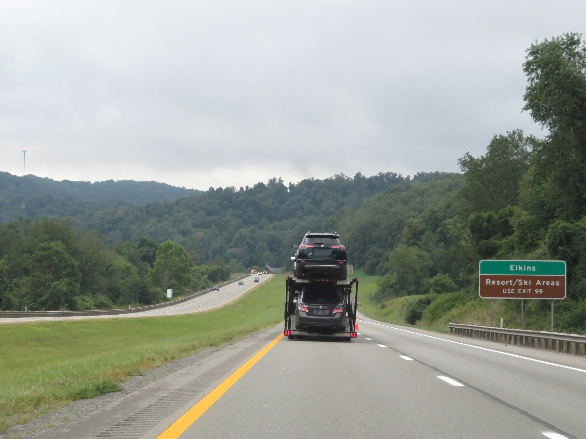 |
Take Exit 99 to Elkins and the Resort/Ski Areas. (Photo taken 8/9/19). |
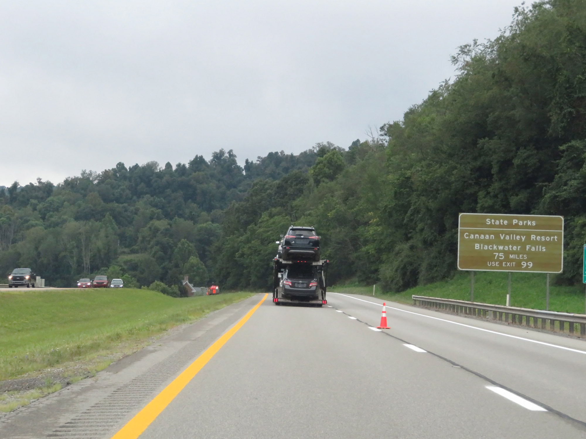 |
Also take Exit 99 to Canaan Valley Resort and Blackwater Falls State Parks, which are 75 miles from Interstate 79. (Photo taken 8/9/19). |
 |
Interstate 79 South at mile marker 101.5. (Photo taken 8/9/19). |
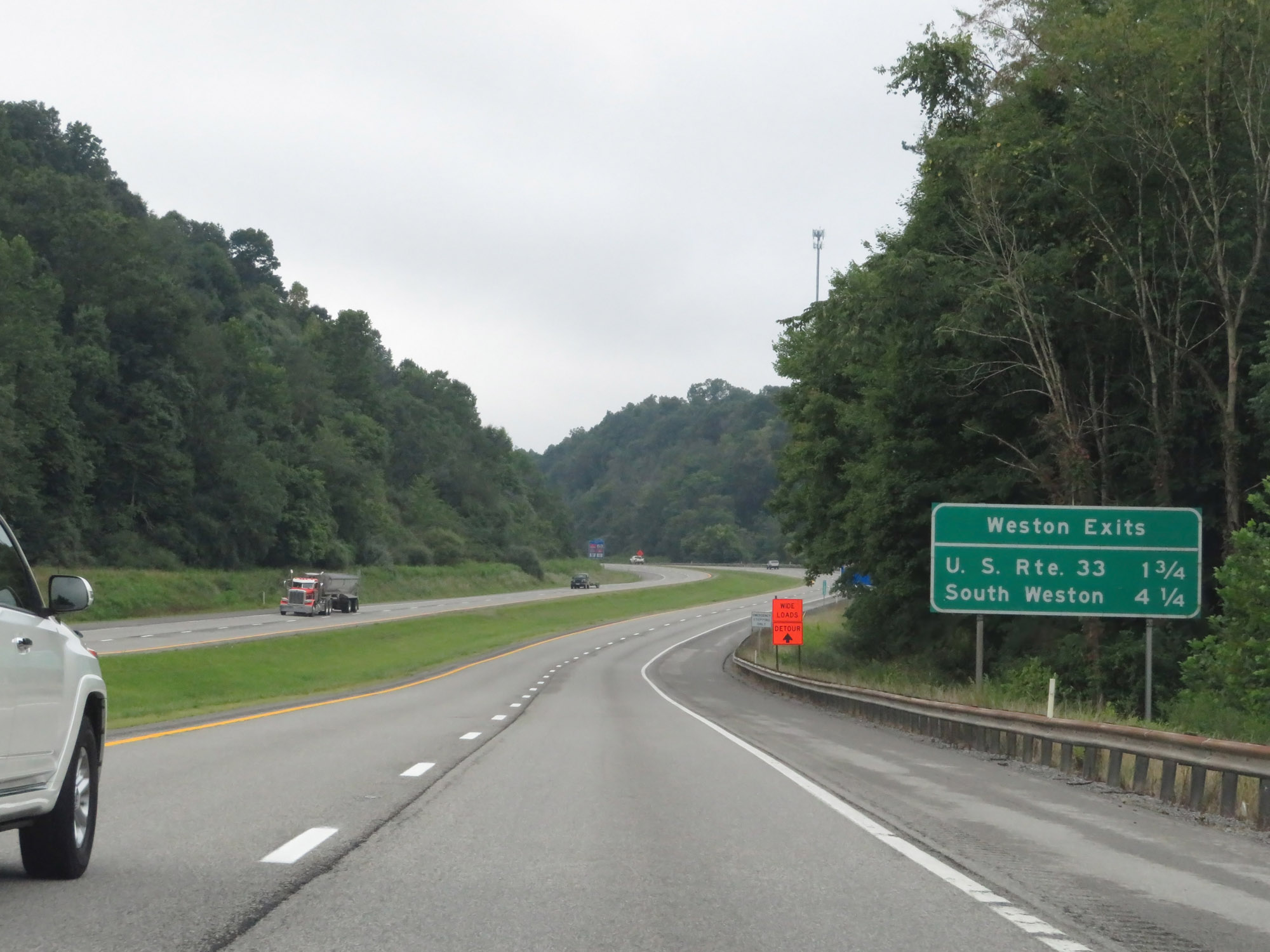 |
Mileage sign listing the distances to the two upcoming exits to Weston. (Photo taken 8/9/19). |
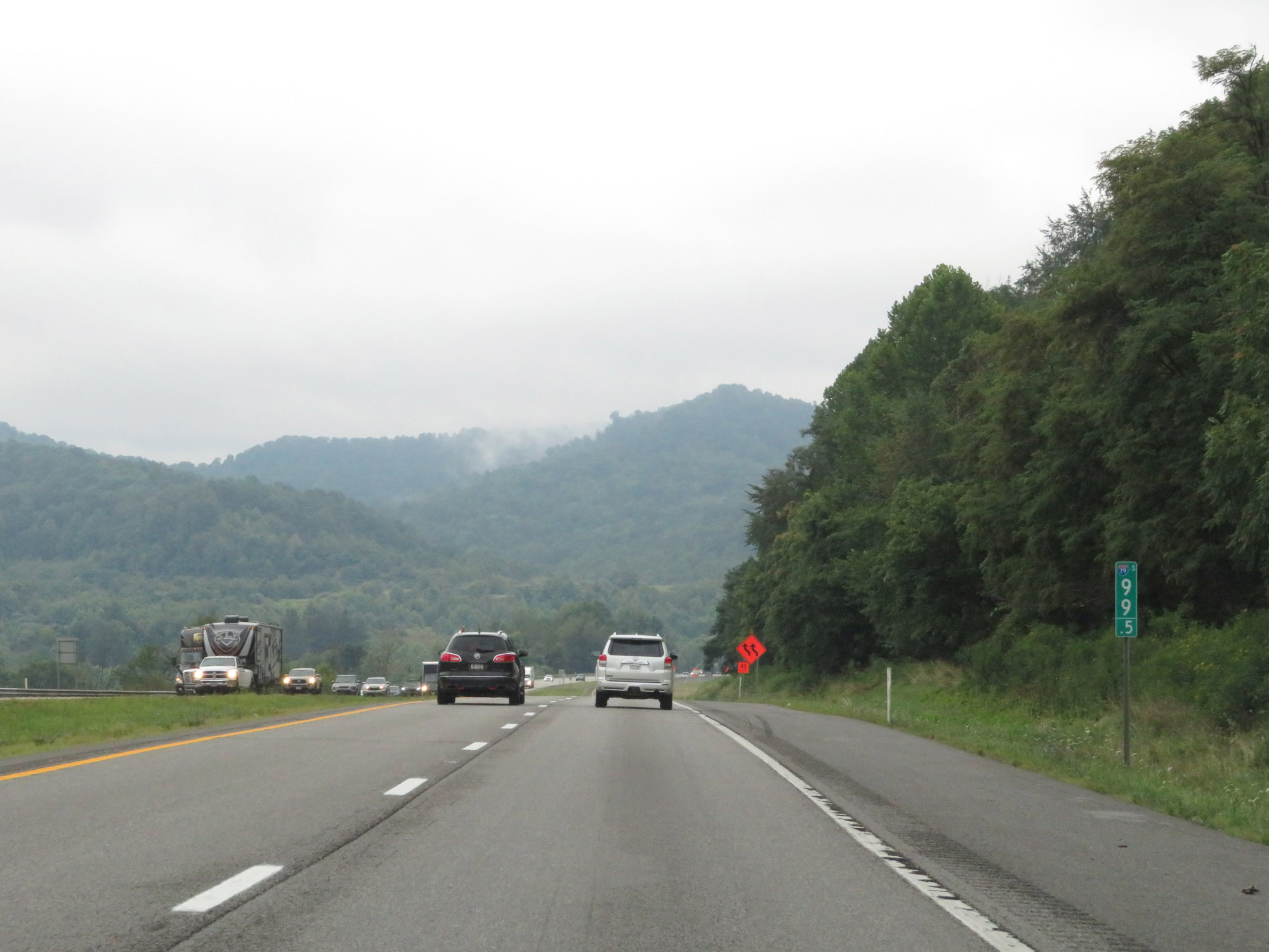 |
View on Interstate 79 South at mile marker 99.5. (Photo taken 8/9/19). |
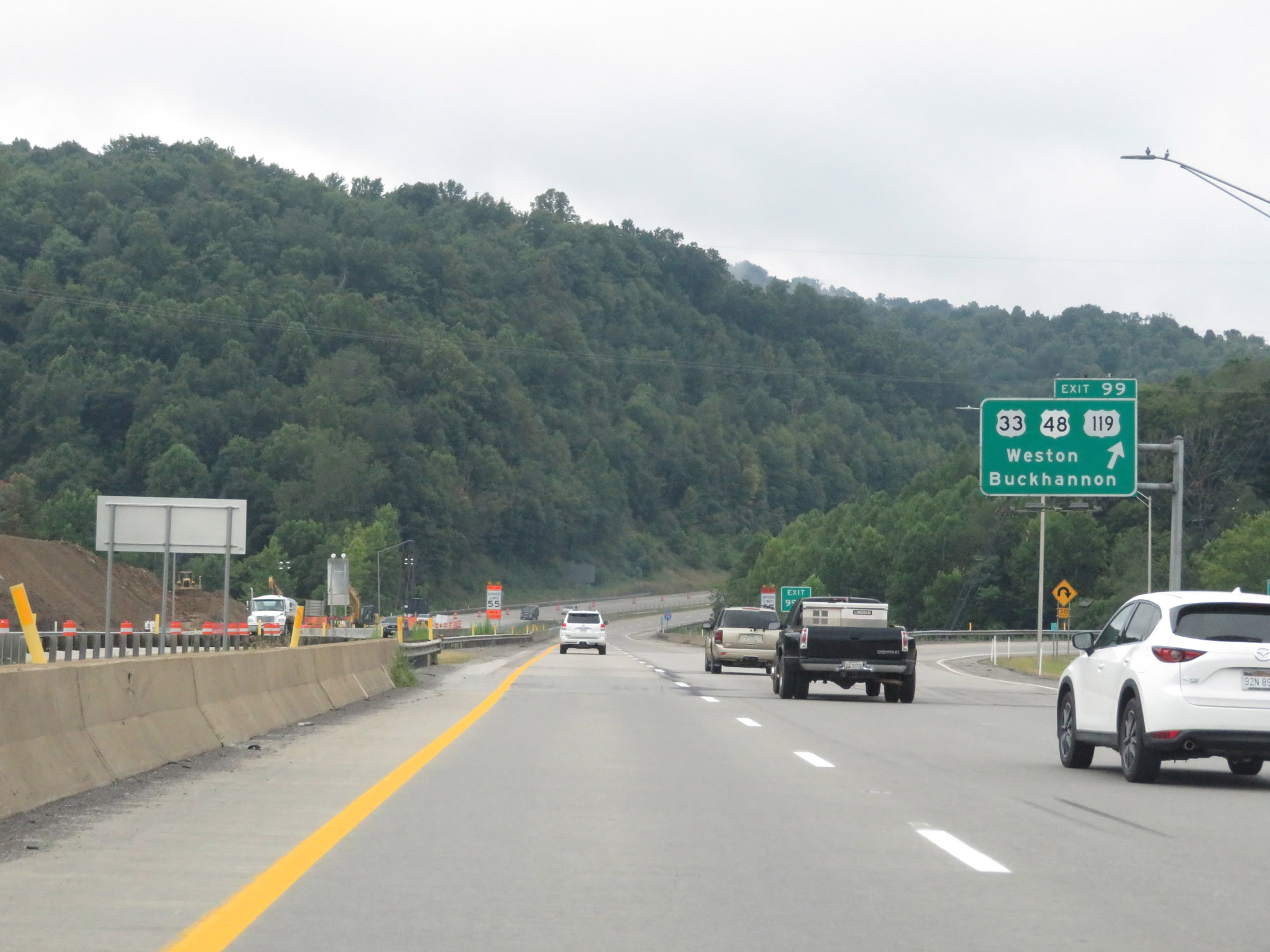 |
Interstate 79 South at Exit 99: US 33 / US 48 / US 119 - Weston / Buckhannon (Photo taken 8/9/19). |
Section 2: Weston (Exit 99) to Charleston
 |
Mileage sign on Interstate 79 South. It's 100 miles to Charleston and 113 miles to Beckley (via I-79 South and US 19 South). (Photo taken 8/9/19). |
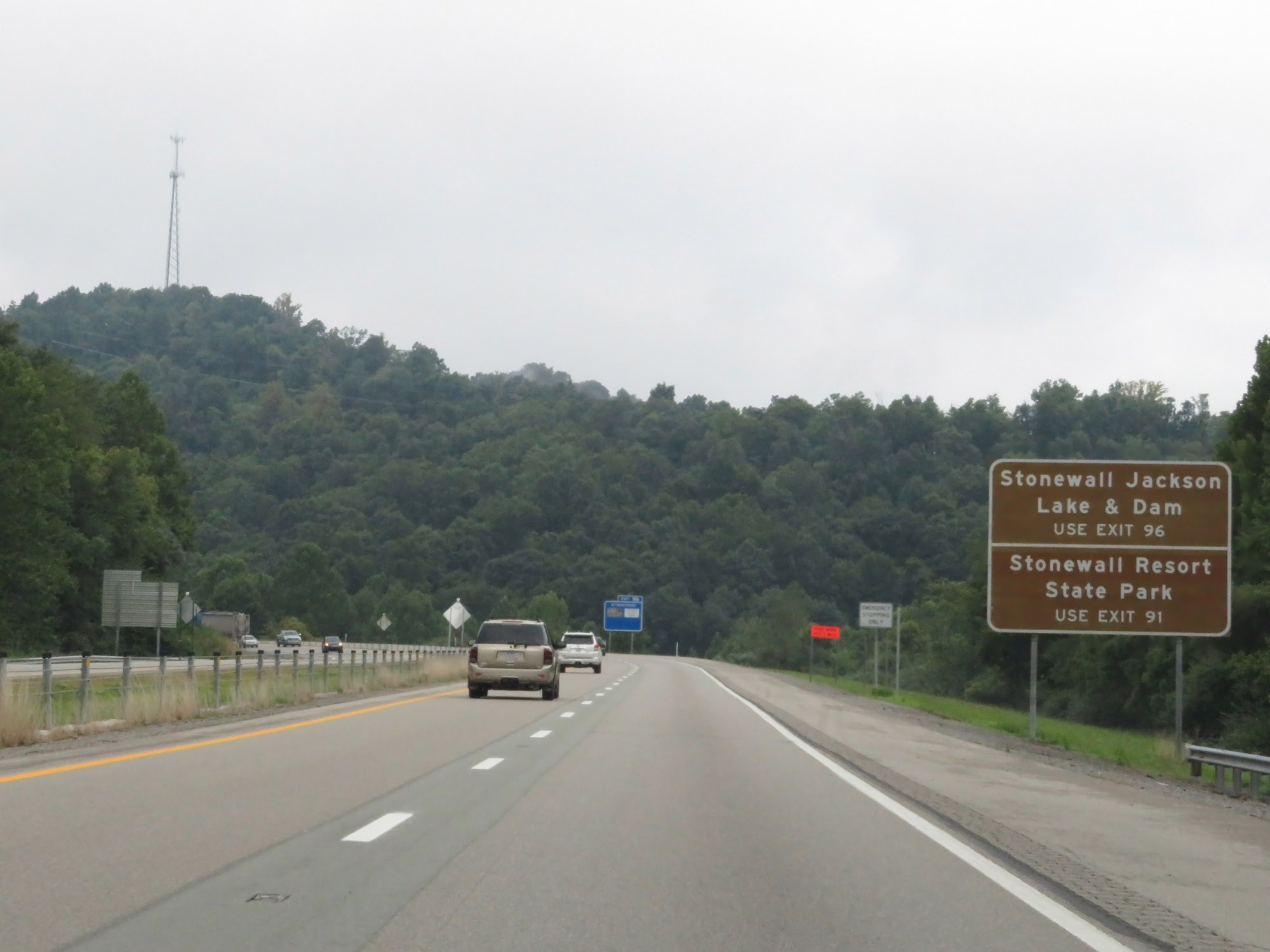 |
Take Exit 96 to Stonewall Jackson Lake & Dam. Use Exit 91 to Stonewall Resort State Park. (Photo taken 8/9/19). |
 |
View on Interstate 79 South at mile marker 97. (Photo taken 8/9/19). |
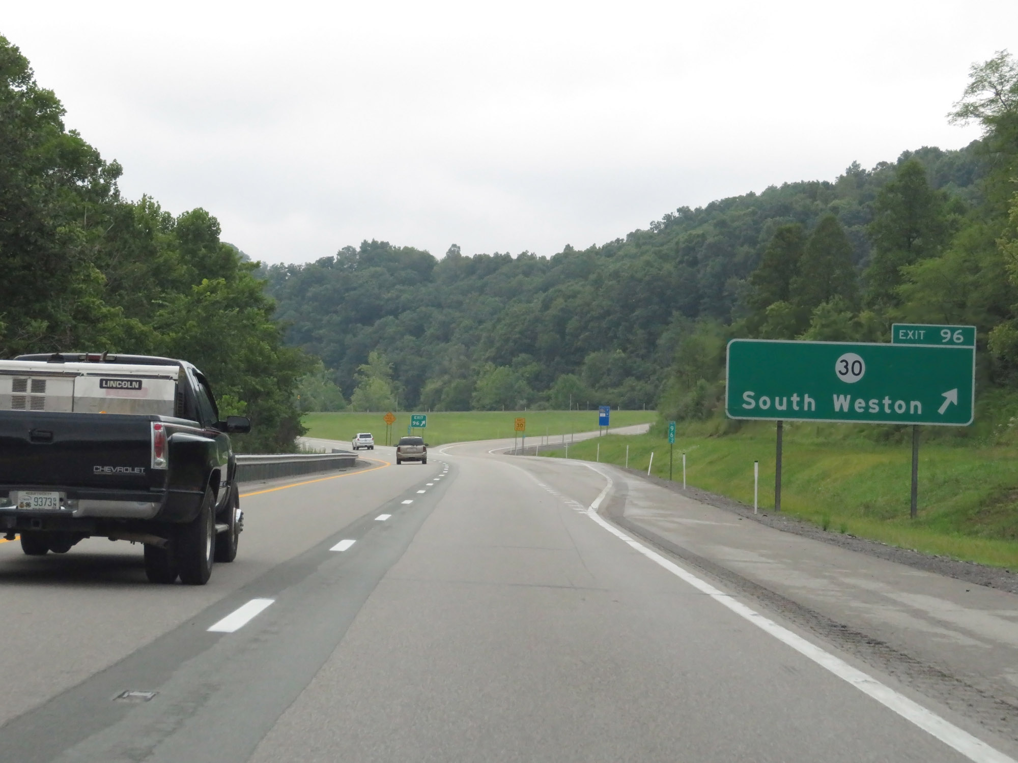 |
Interstate 79 South at Exit 96: CR 30 - South Weston (Photo taken 8/9/19). |
 |
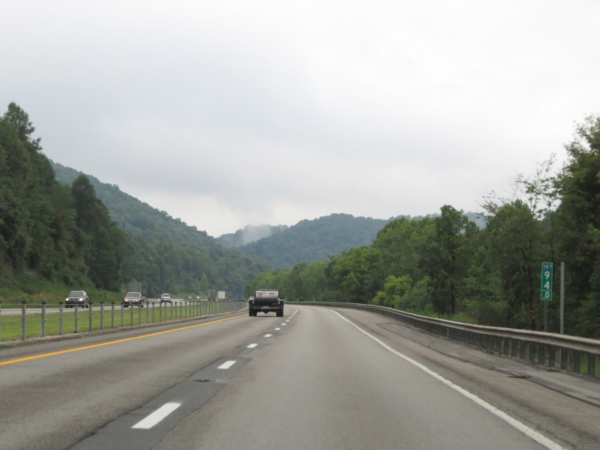
The speed limit remains 70 mph. (Photo taken 8/9/19). |
 |
Interstate 79 South at mile marker 94. (Photo taken 8/9/19). |
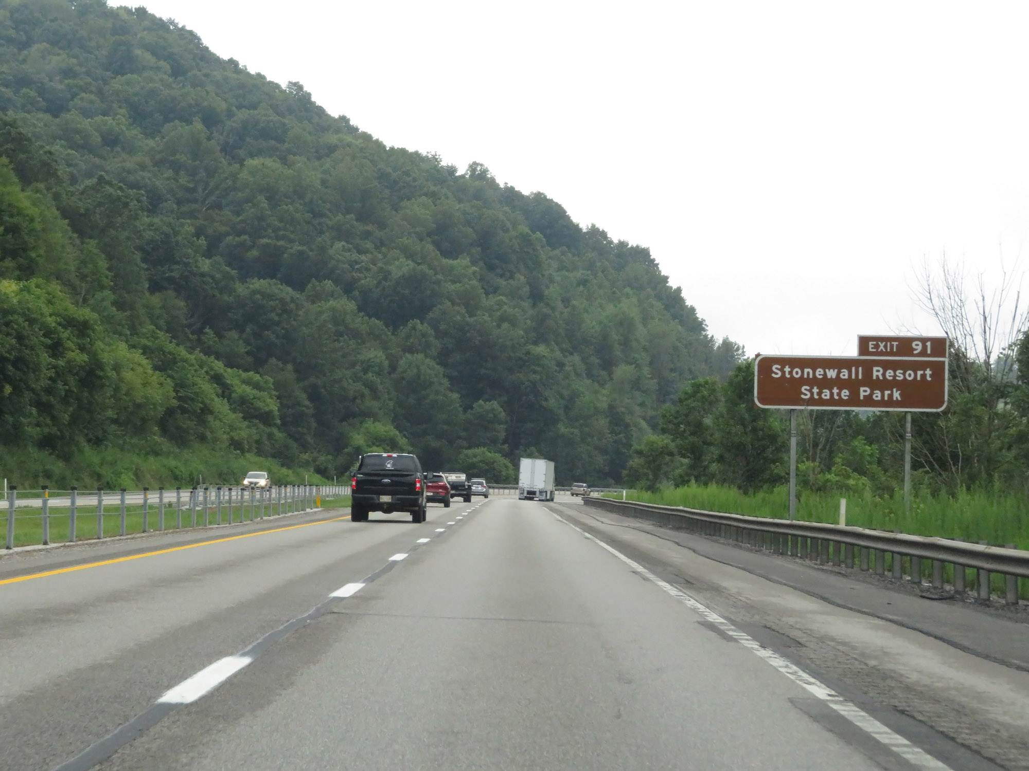 |
Take Exit 91 to Stonewall Resort State Park. (Photo taken 8/9/19). |
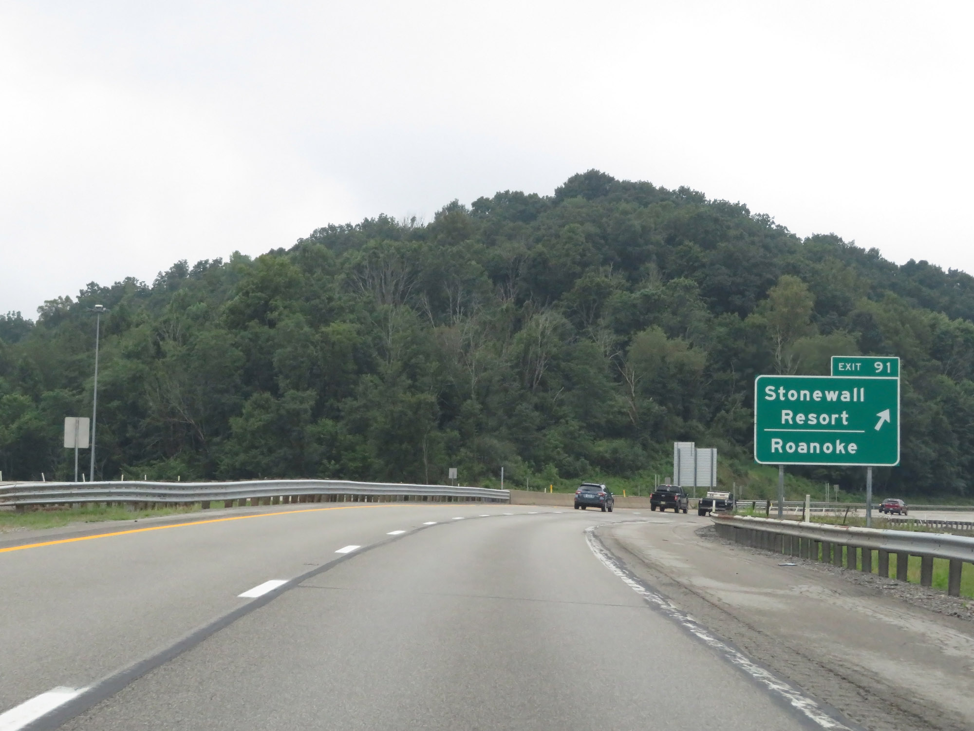 |
Interstate 79 South at Exit 91: Stonewall Resort / Roanoke (Photo taken 8/9/19). |
 |
Interstate 79 South at mile marker 88. (Photo taken 8/9/19). |
 |
View on Interstate 79 South at mile marker 87. (Photo taken 8/9/19). |
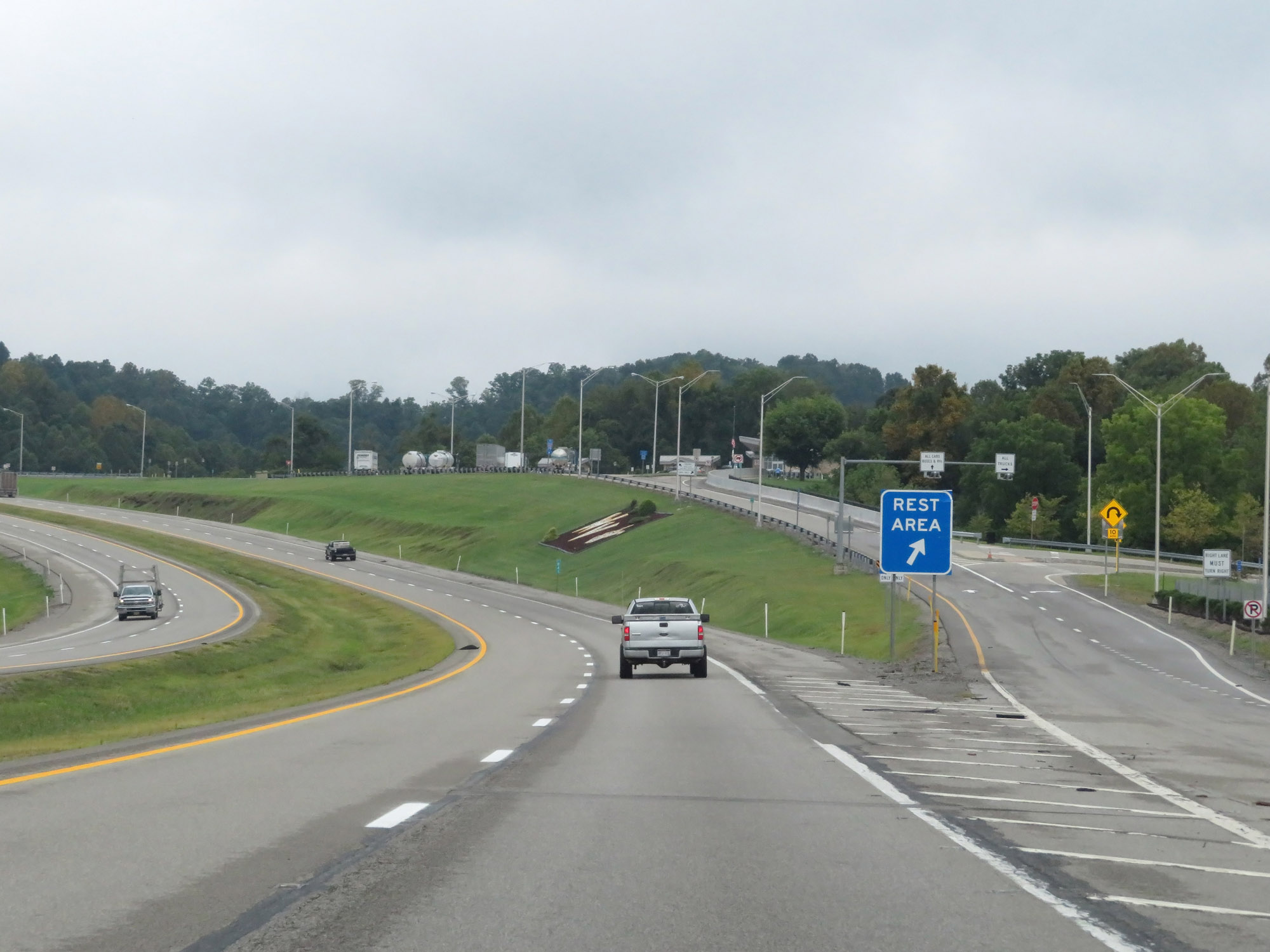 |
Rest Area on Interstate 79 South in Lewis County. (Photo taken 8/9/19). |
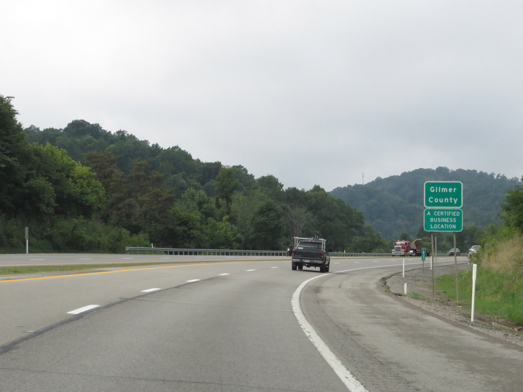 |
At mile marker 83.5, Interstate 79 South briefly dips into Gilmer County. (Photo taken 8/9/19). |
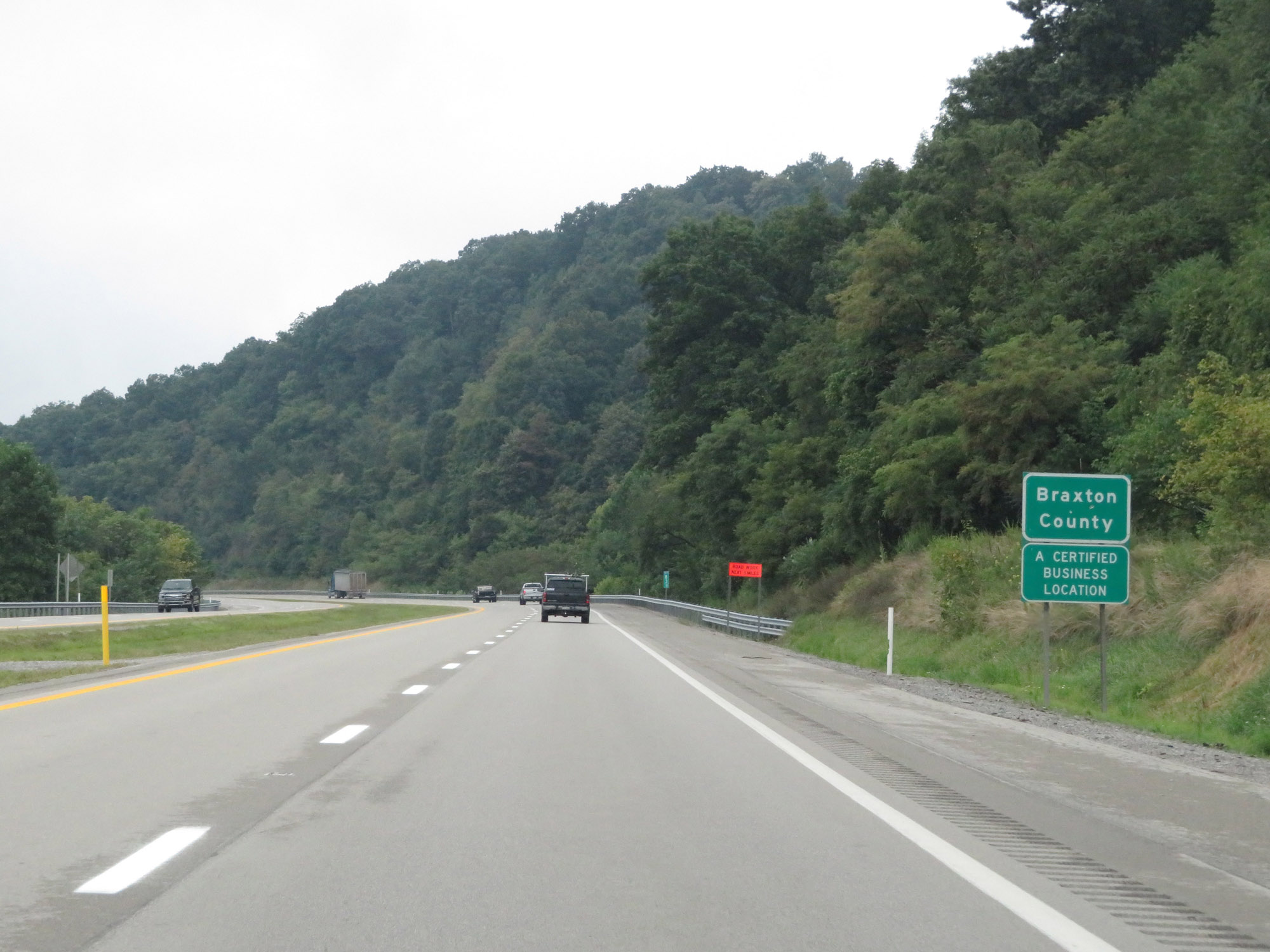 |
Shorty after entering Gilmer County, Interstate 79 South leaves it and enters Braxton County. (Photo taken 8/9/19). |
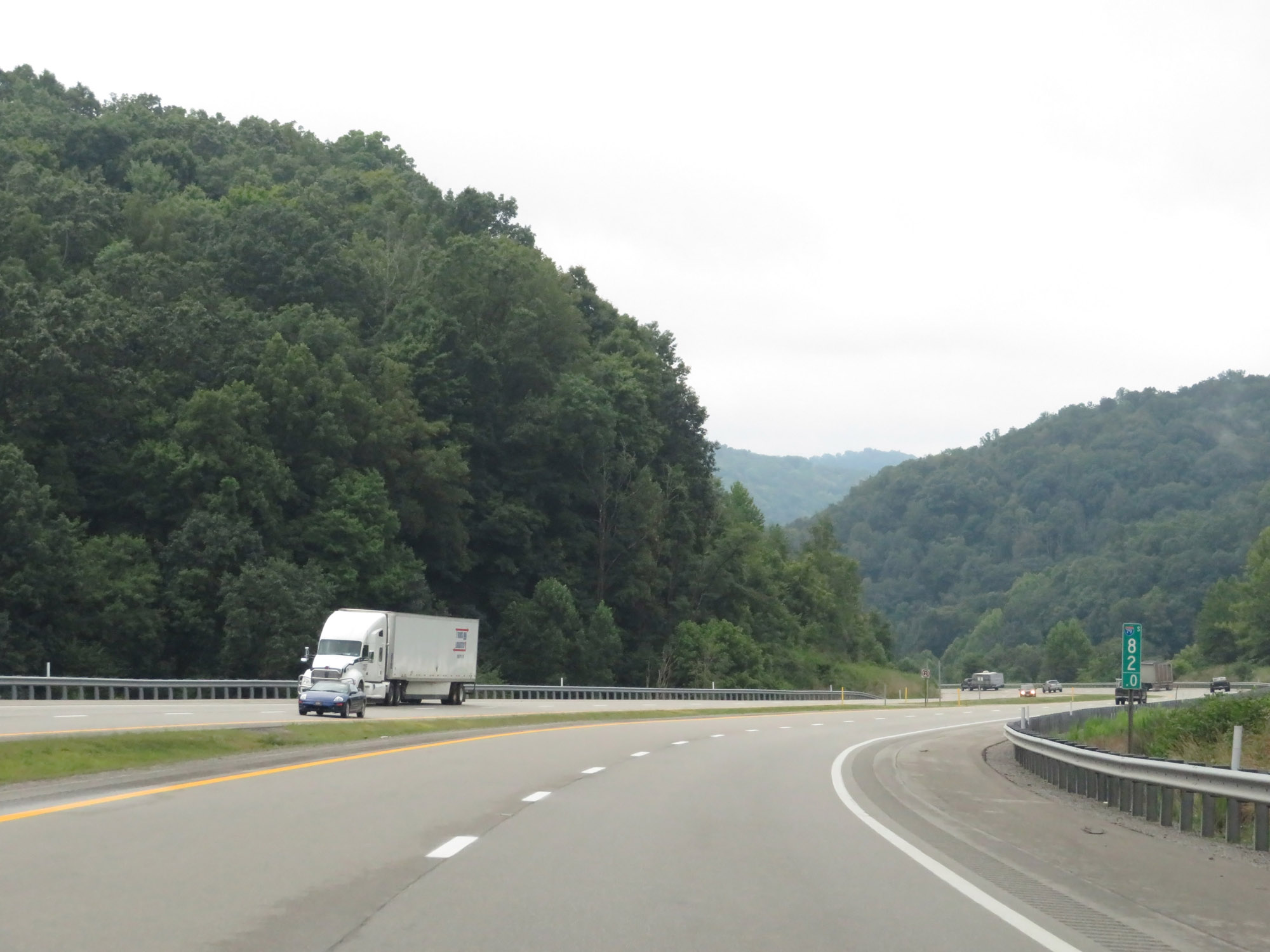 |
View on Interstate 79 South at mile marker 82. (Photo taken 8/9/19). |
 |
Interstate 79 South at mile marker 81. (Photo taken 8/9/19). |
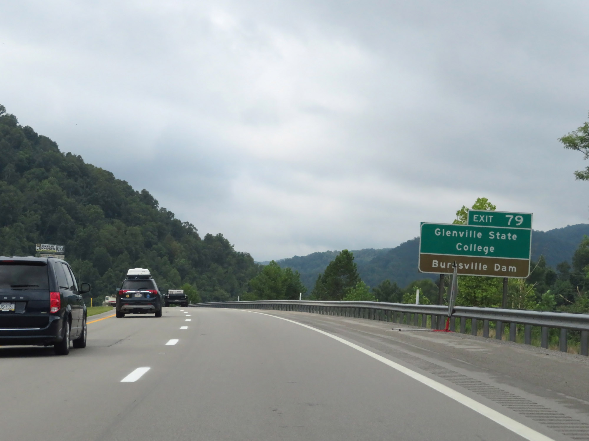 |
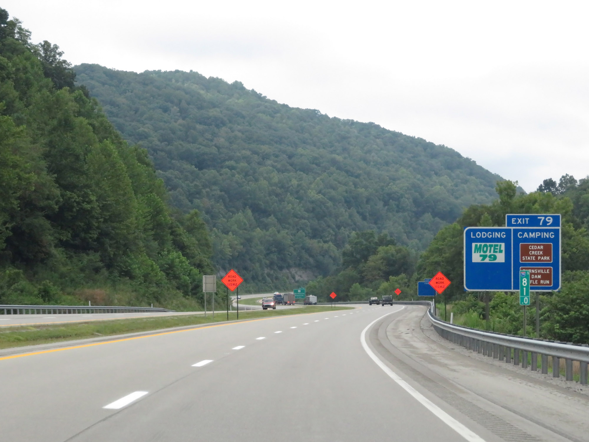
Take Exit 79 to Glenville State College and Burnsville Dam. (Photo taken 8/9/19). |
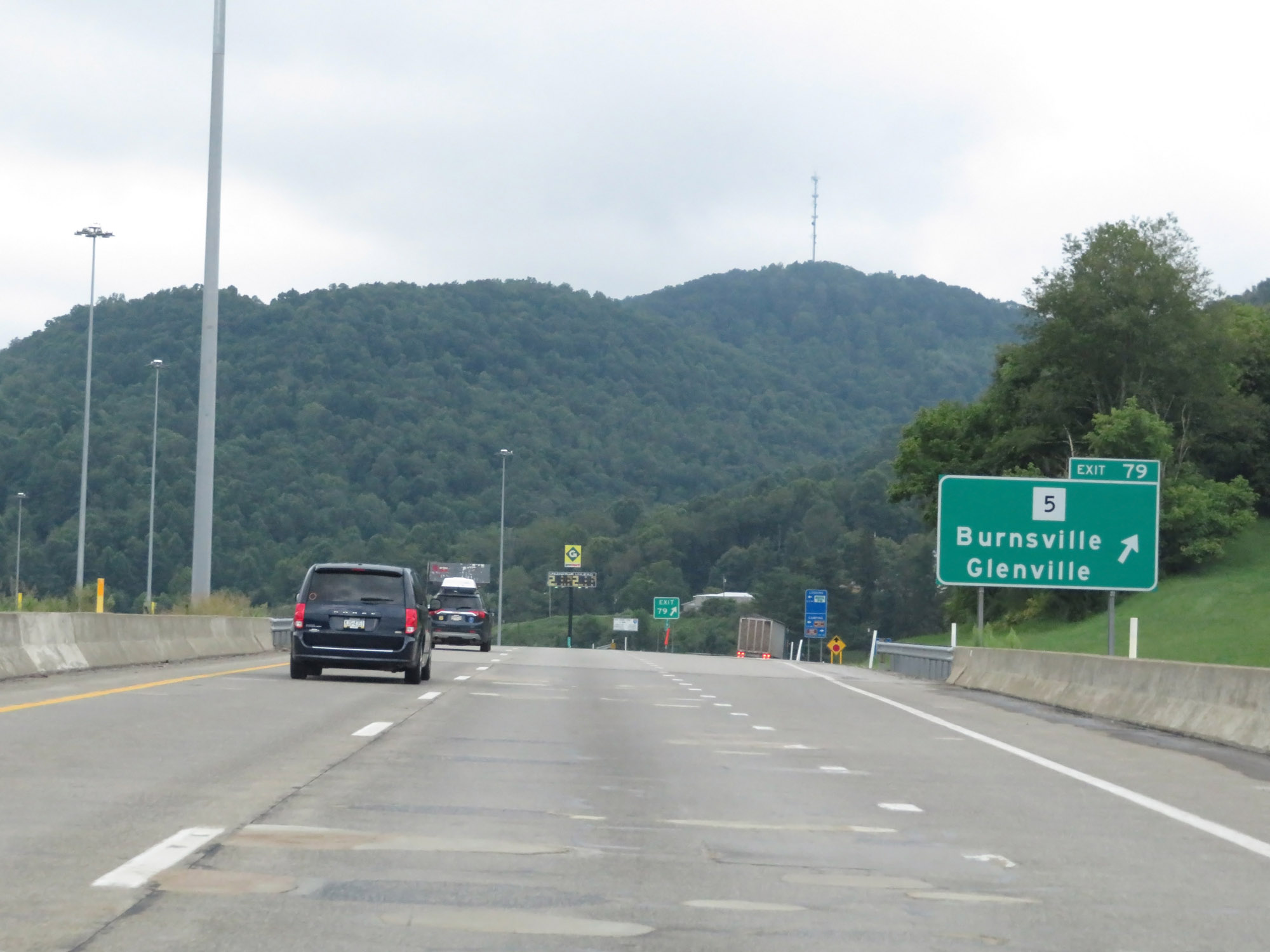 |
Interstate 79 South at Exit 79: WV 5 - Burnsville / Glenville (Photo taken 8/9/19). |
 |
Another state-named Interstate 79 South reassurance shield at mile marker 78.4. (Photo taken 8/9/19). |
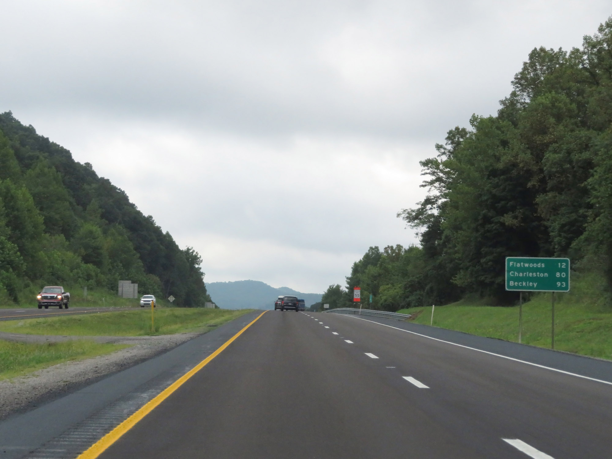 |
Mileage sign on Interstate 79 South. It's 12 miles to Flatwoods, 80 miles to Charleston, and 93 miles to Beckley. (Photo taken 8/9/19). |
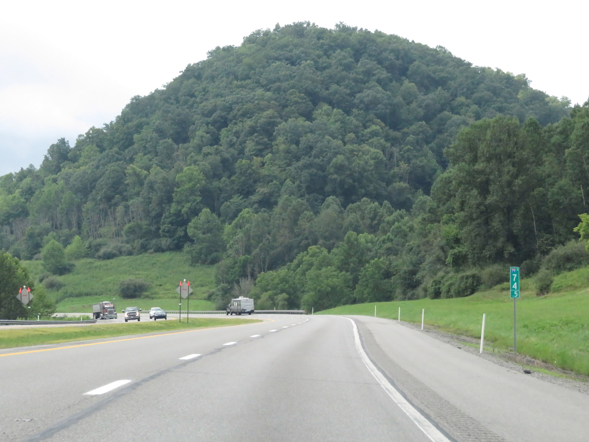 |
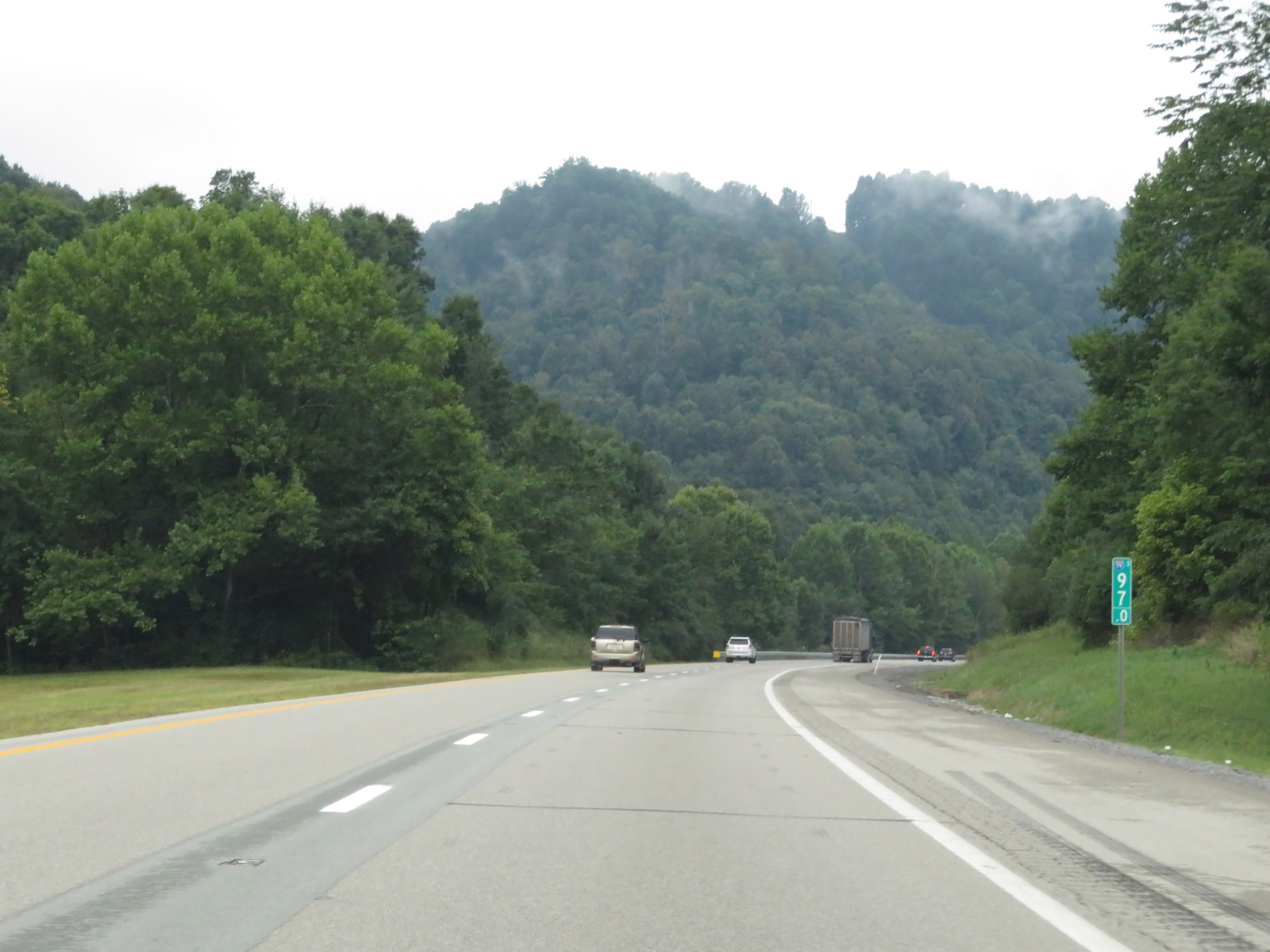
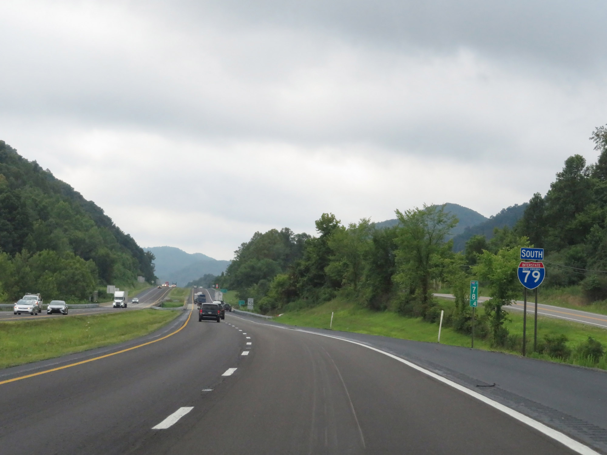
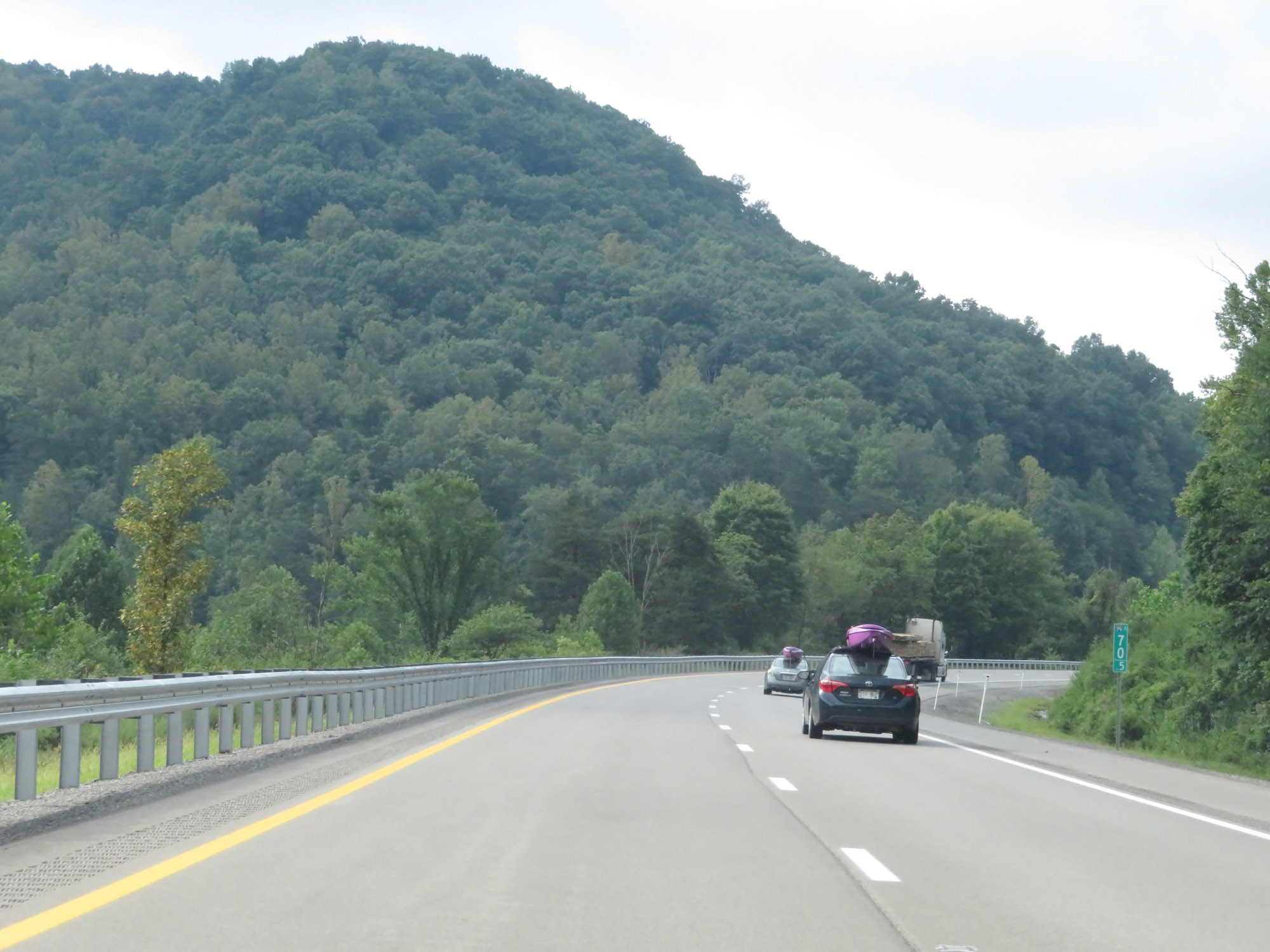
View on Interstate 79 South at mile marker 74.5. (Photo taken 8/9/19). |
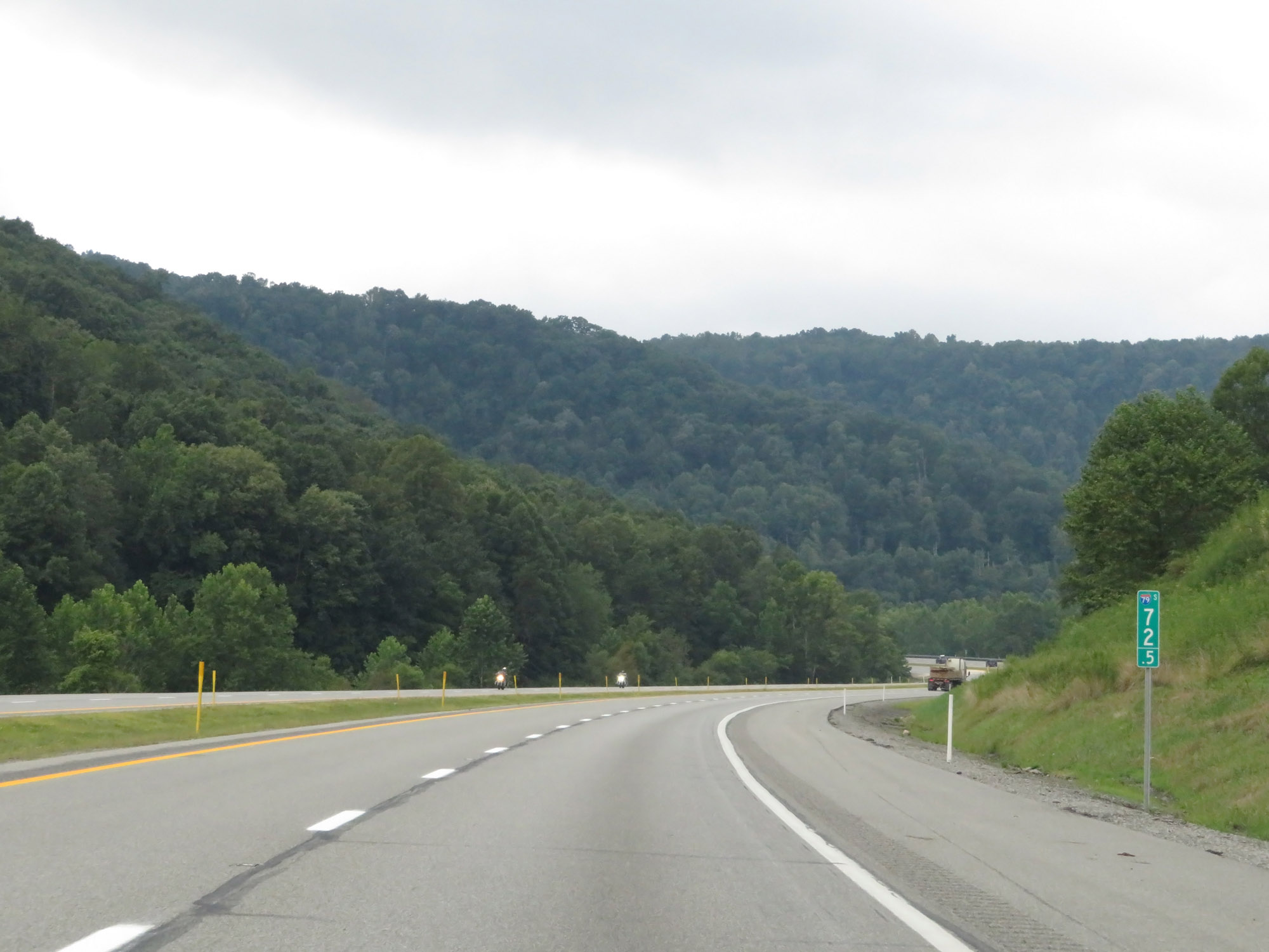 |
Interstate 79 South at mile marker 72.5. (Photo taken 8/9/19). |
 |
View on Interstate 79 South at mile marker 70.5. (Photo taken 8/9/19). |
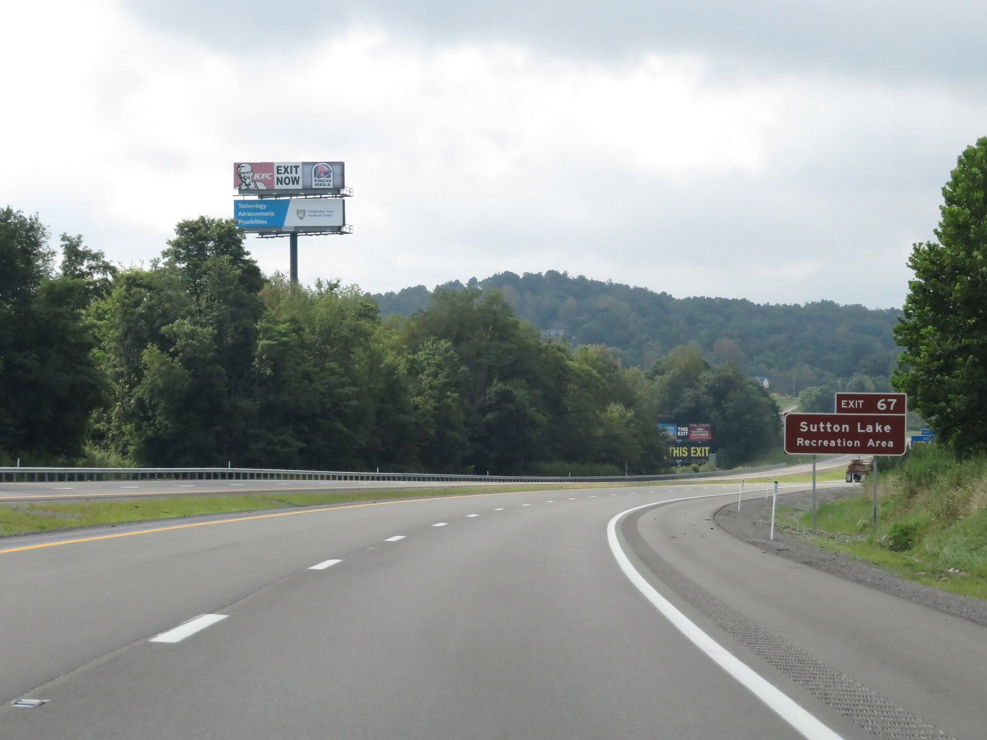 |
Take Exit 67 to Sutton Lake Recreation Area. (Photo taken 8/9/19). |
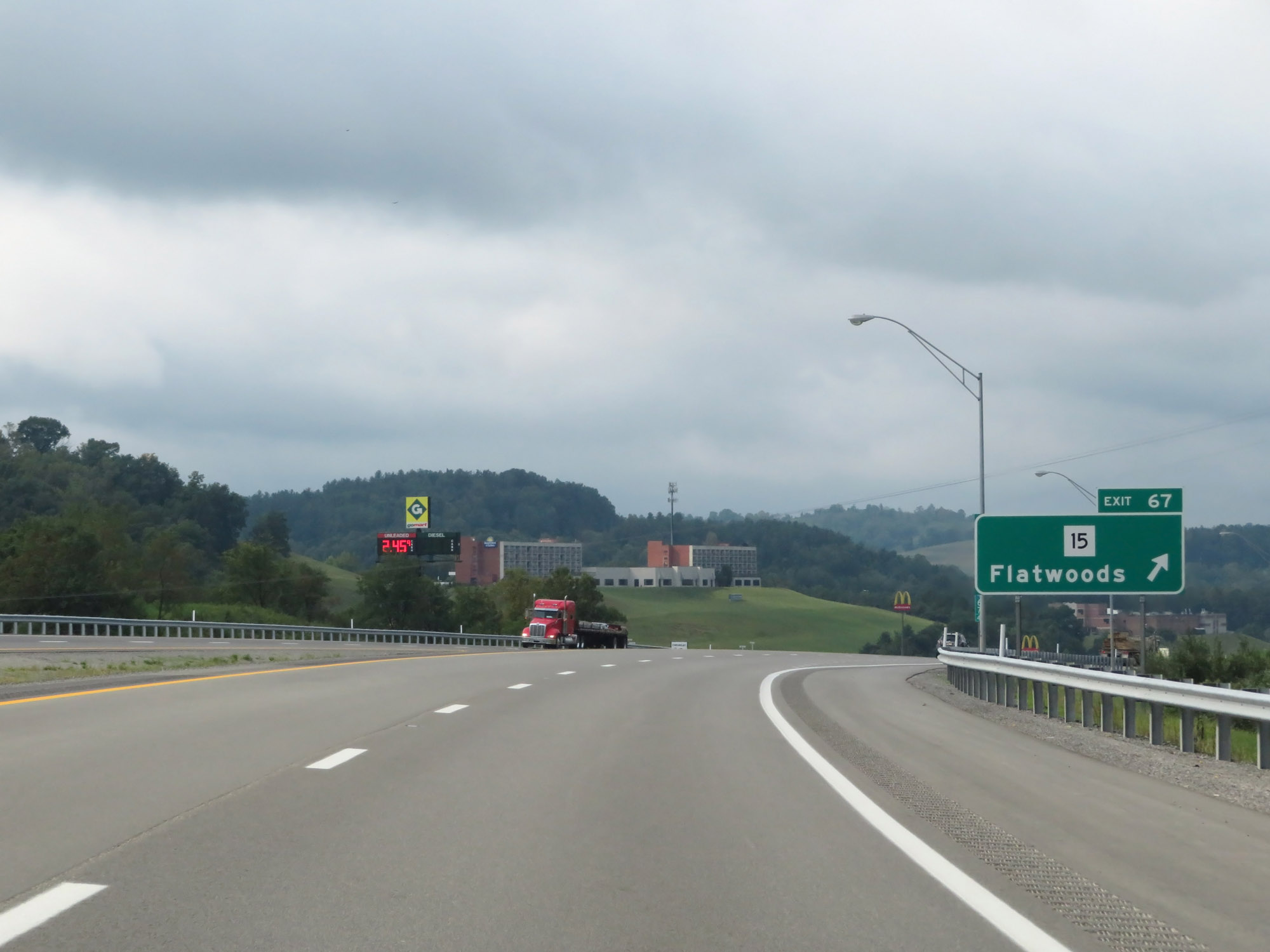 |
Interstate 79 South at Exit 67: WV 15 - Flatwoods (Photo taken 8/9/19). |
 |
Interstate 79 South at mile marker 63.5. (Photo taken 8/9/19). |
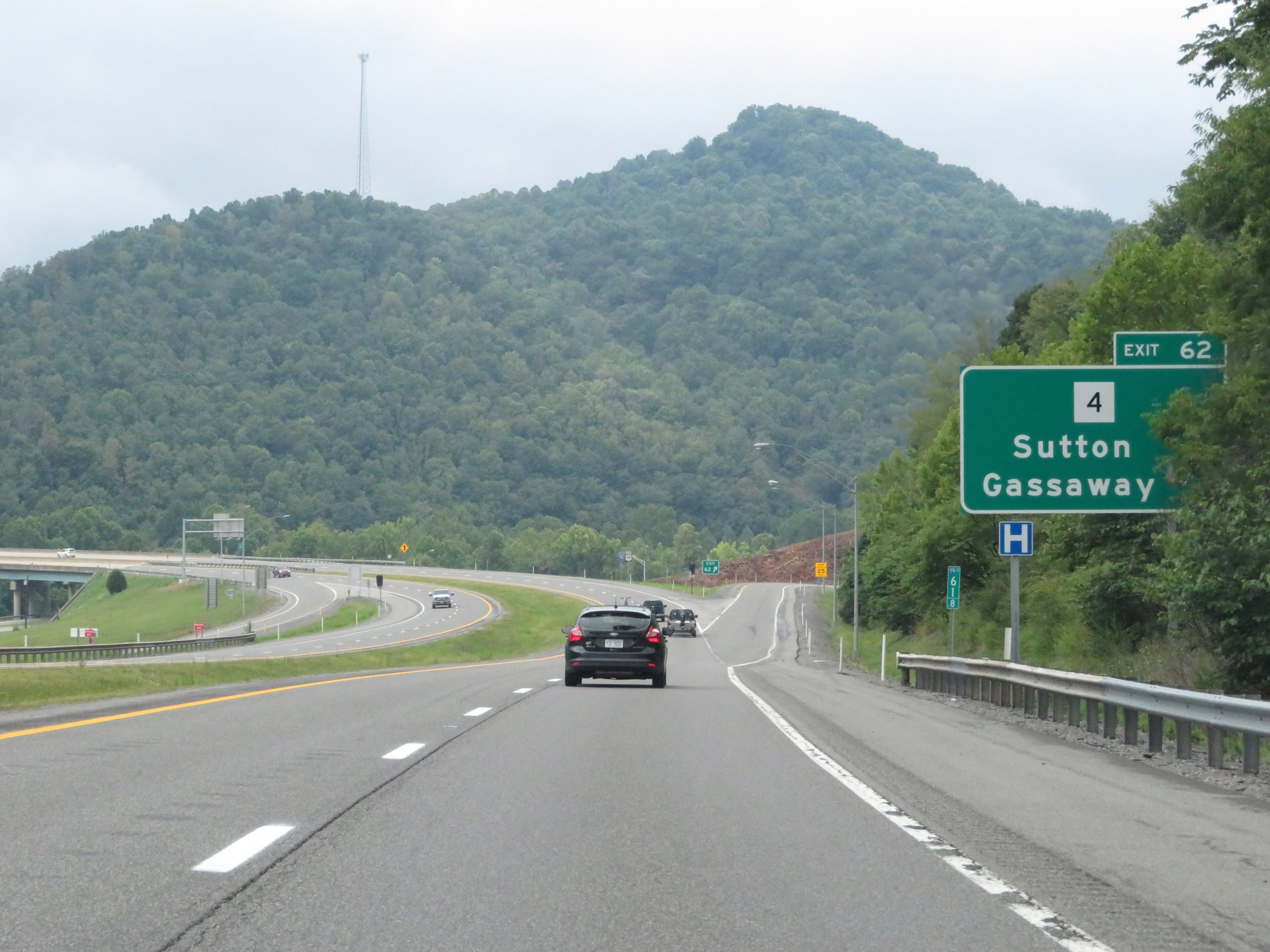 |
Interstate 79 South at Exit 62: WV 4 - Sutton / Gassaway (Photo taken 8/9/19). |
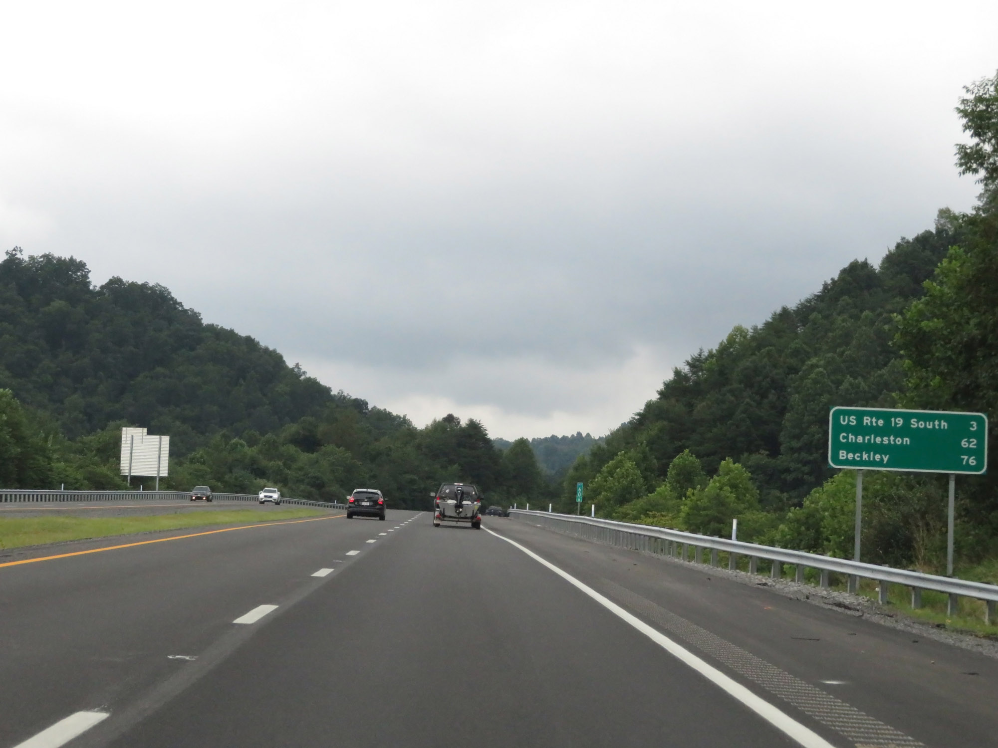 |
Mileage sign on Interstate 79 South. It's 3 miles to the junction of US 19 South (Exit 57), 62 miles to Charleston, and 76 miles to Beckley (via Exit 57). (Photo taken 8/9/19). |
 |
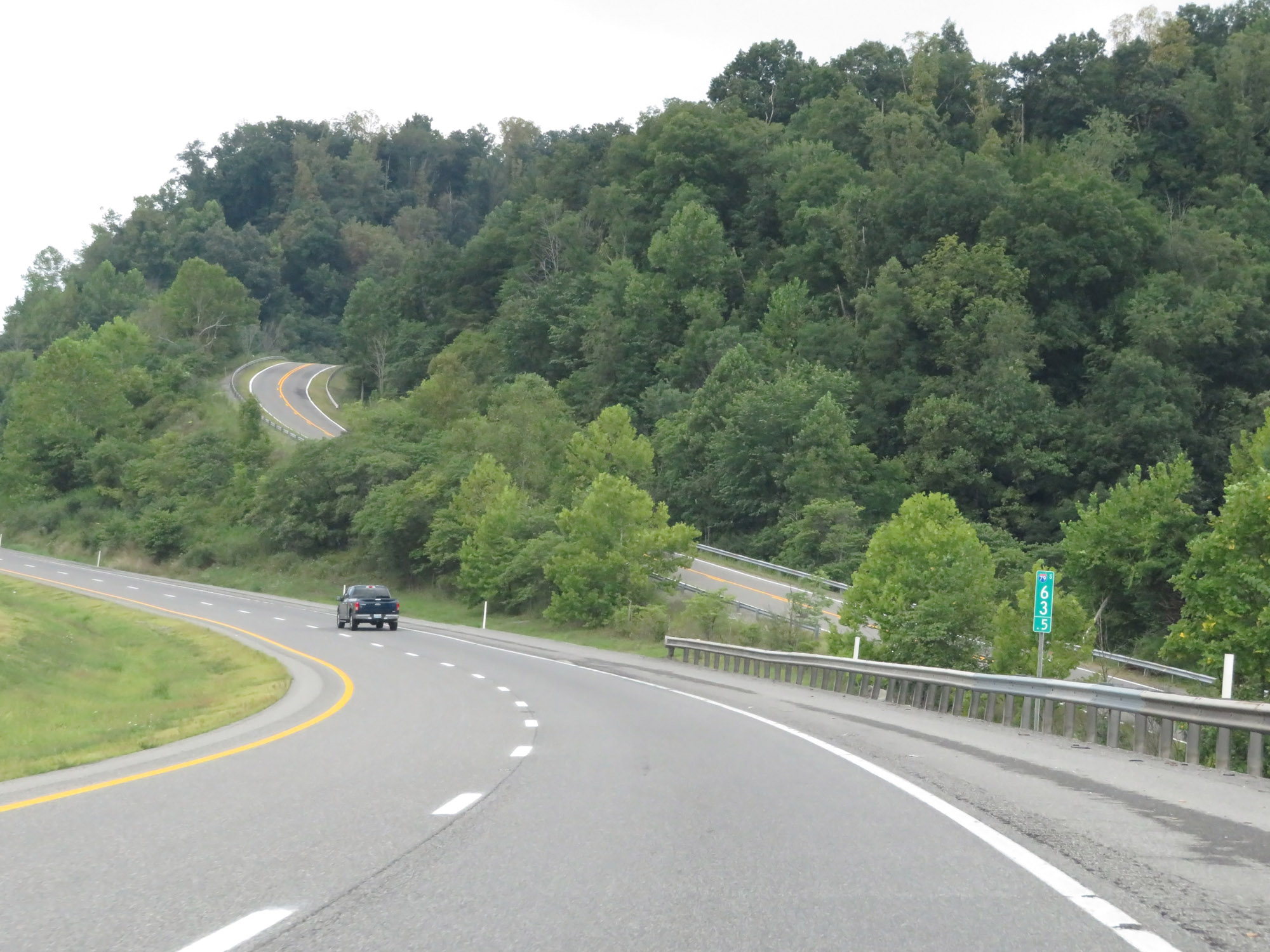
View on Interstate 79 South at mile marker 60. (Photo taken 8/9/19). |
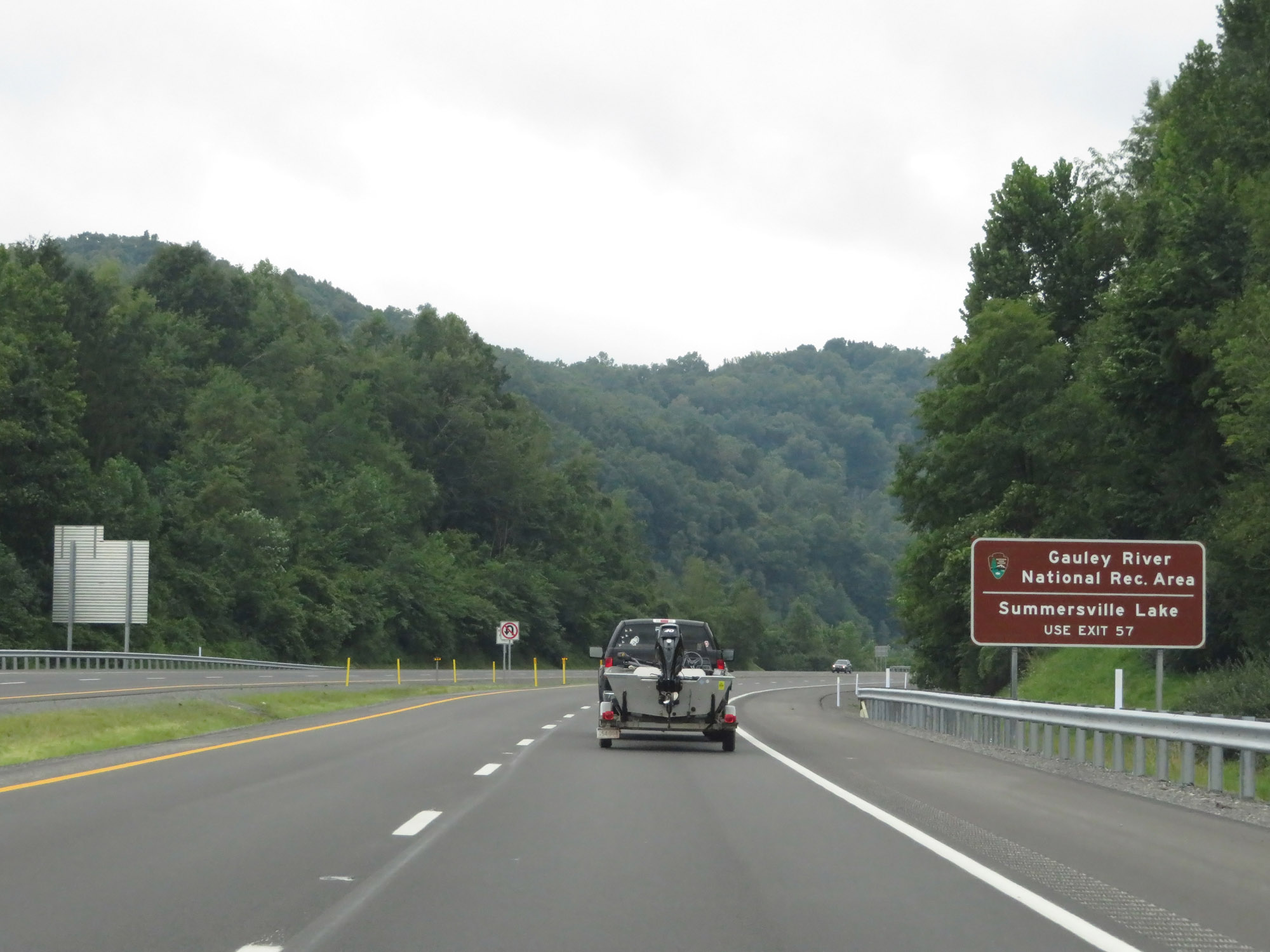 |
Take Exit 57 (US 19 South) to Gauley River National Recreation Area and Summersville Lake. (Photo taken 8/9/19). |
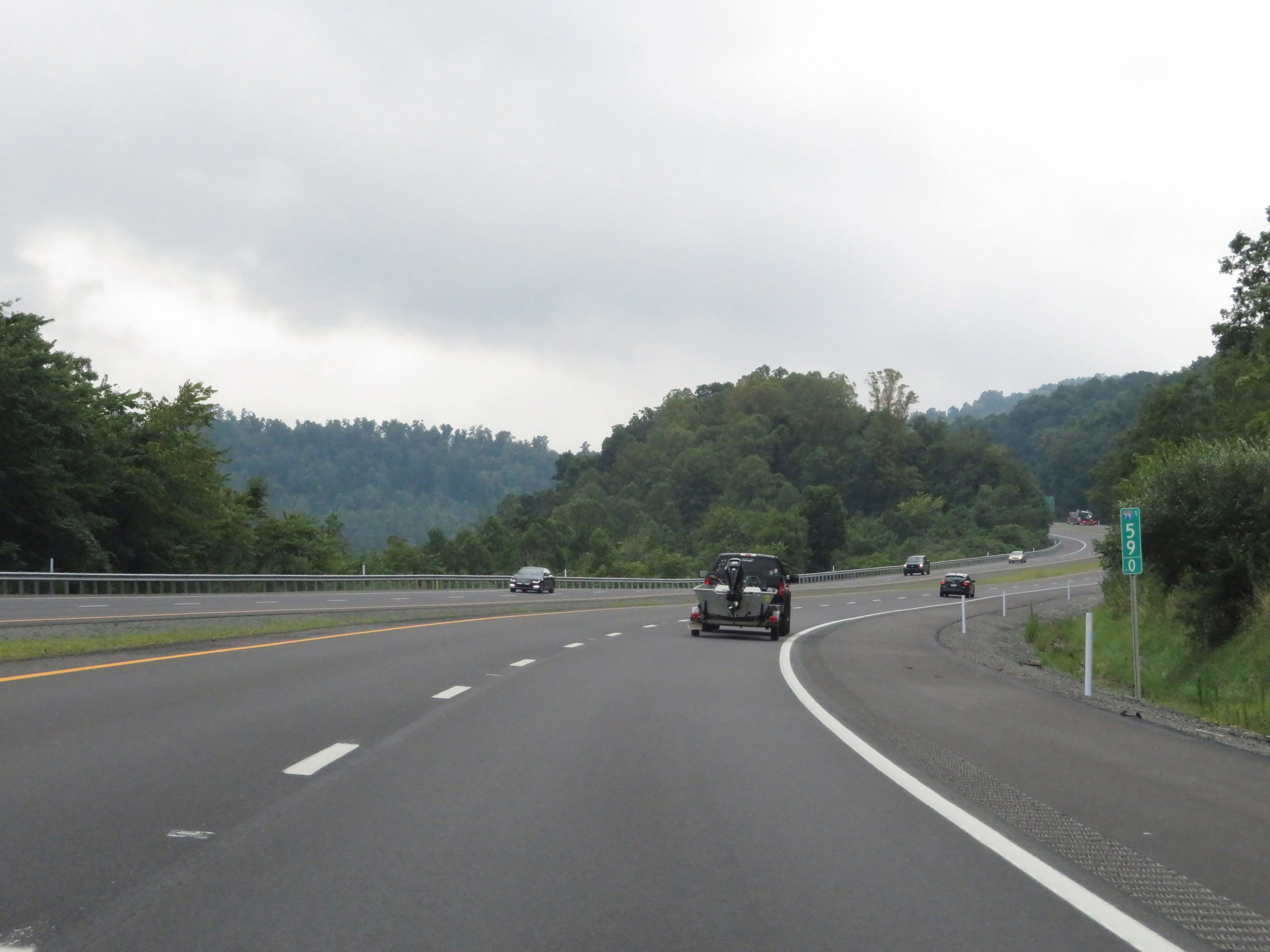 |
Interstate 79 South at mile marker 59. (Photo taken 8/9/19). |
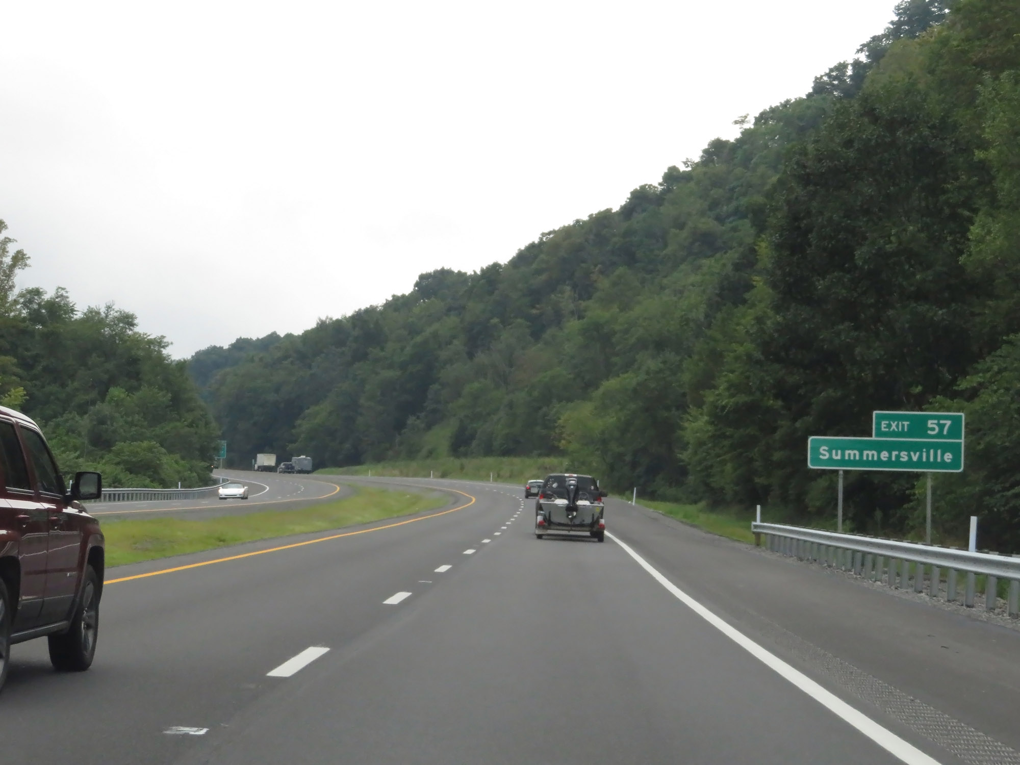 |
Take Exit 57 to Summersville. (Photo taken 8/9/19). |
 |
Interstate 79 South approaching Exit 57 - 1 mile. (Photo taken 8/9/19). |
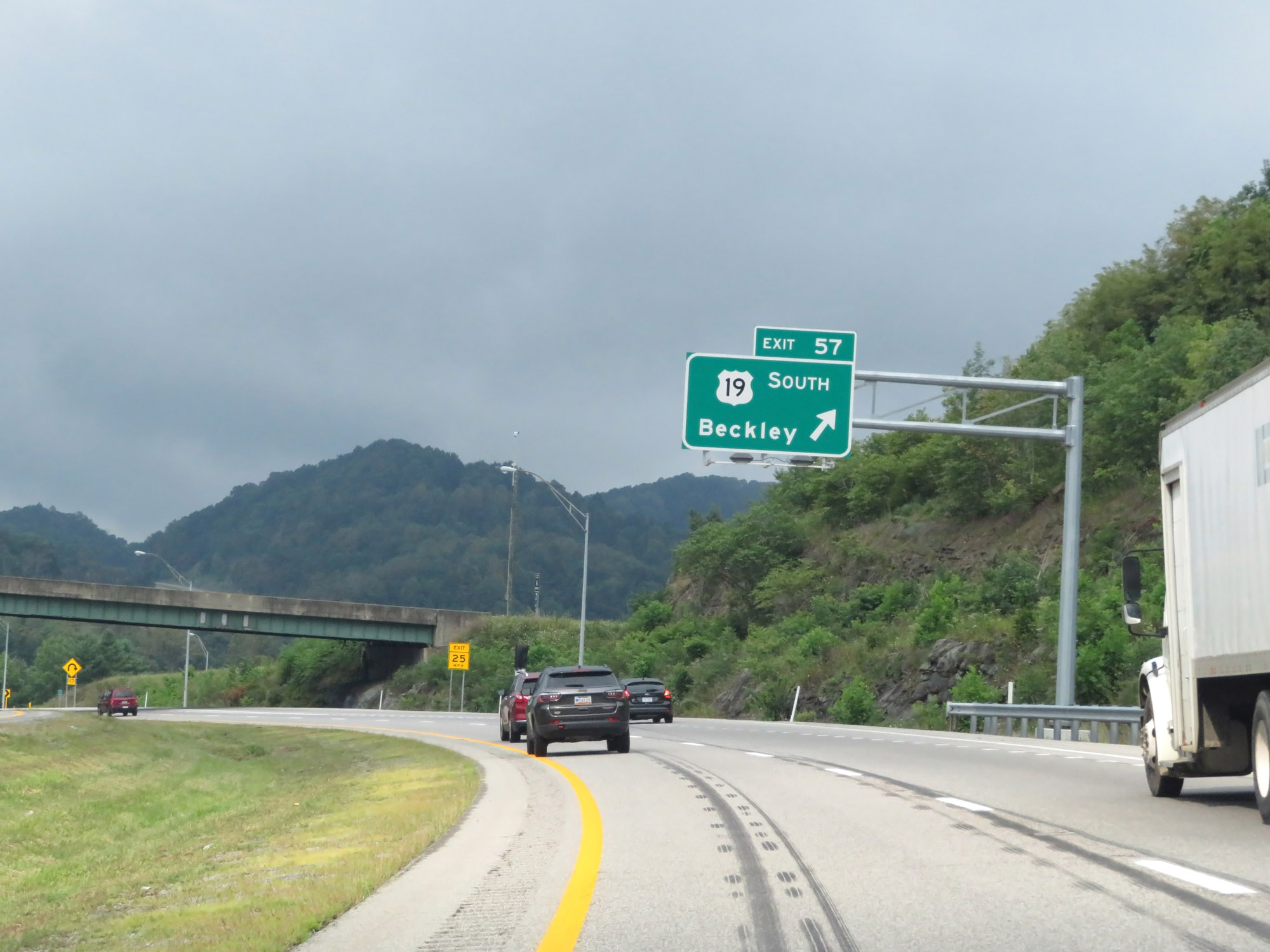 |
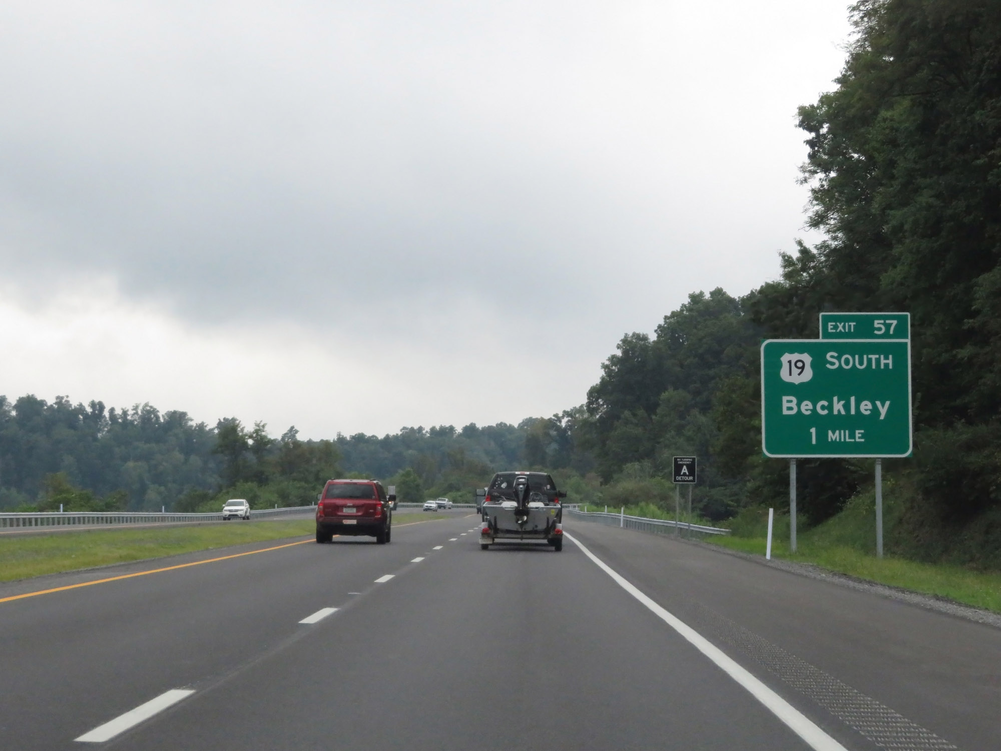
Interstate 79 South at Exit 57: US 19 South - Beckley (Photo taken 8/9/19). |
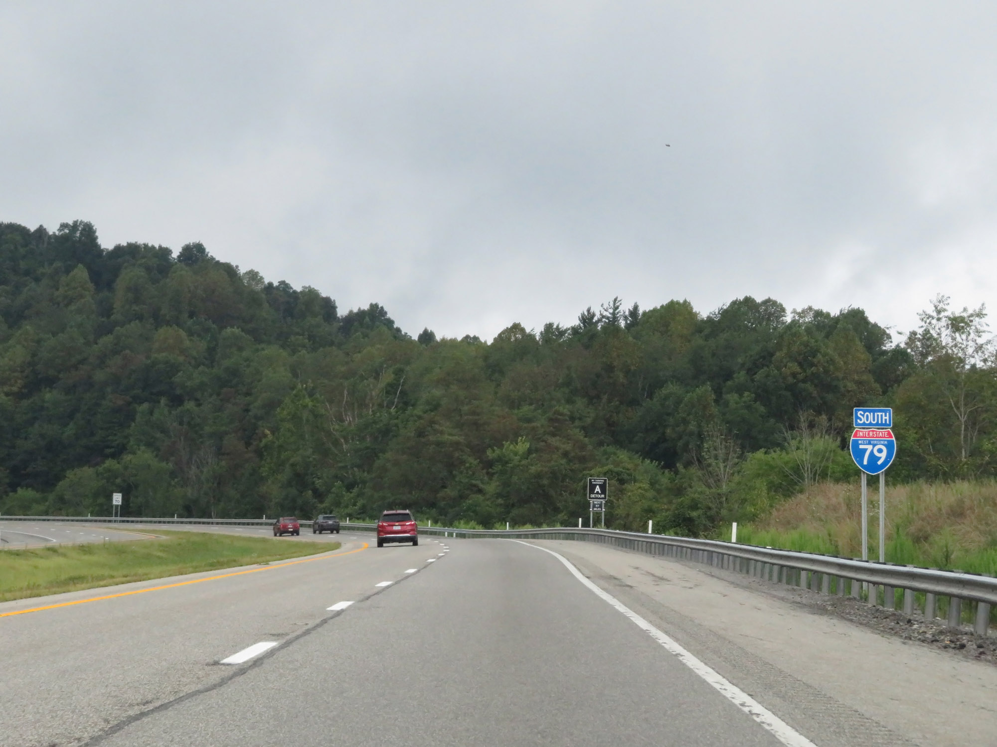 |
State-named Interstate 79 South reassurance shield to the south of Exit 57. (Photo taken 8/9/19). |
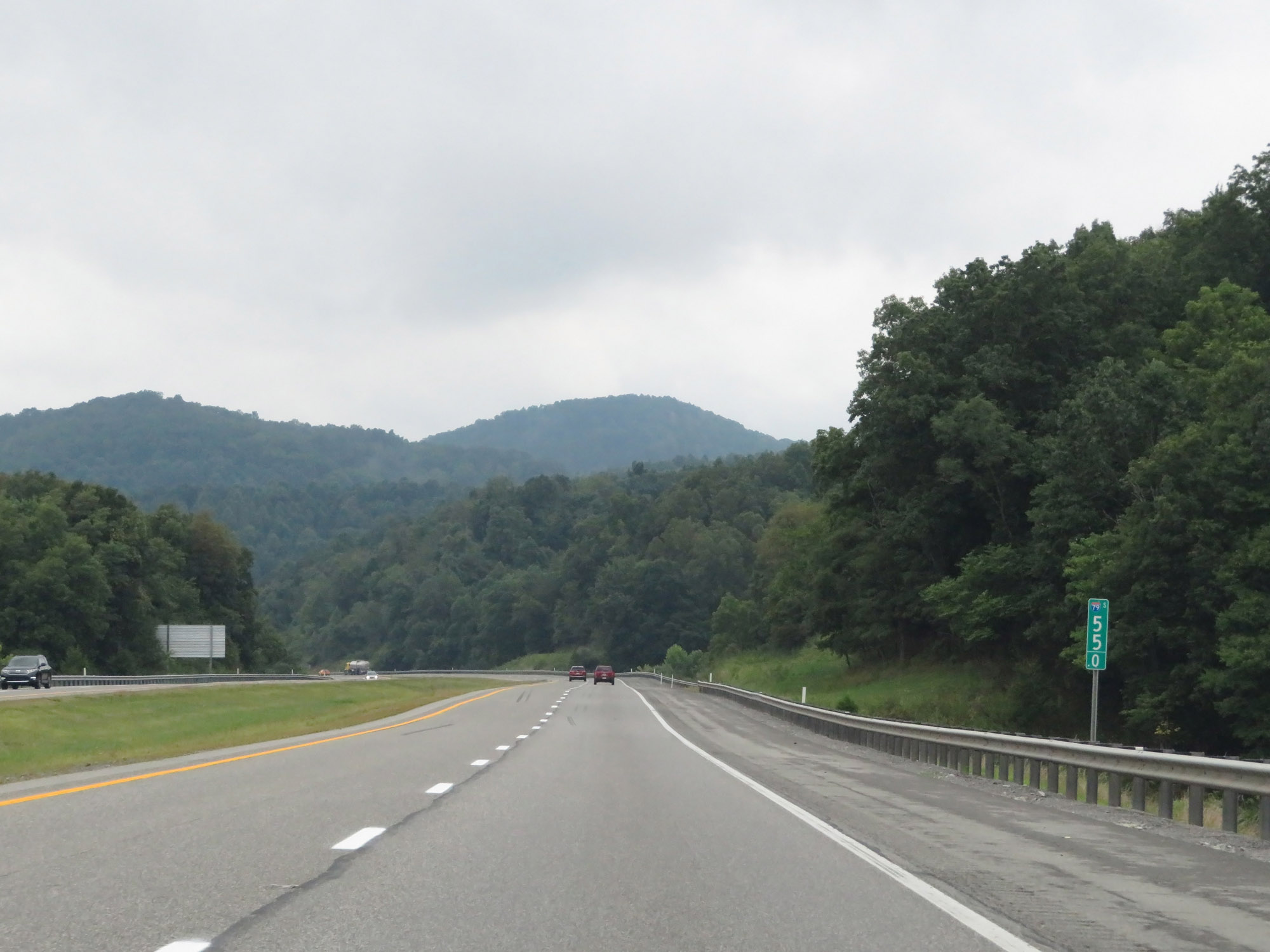 |
Interstate 79 South at mile marker 55. (Photo taken 8/9/19). |
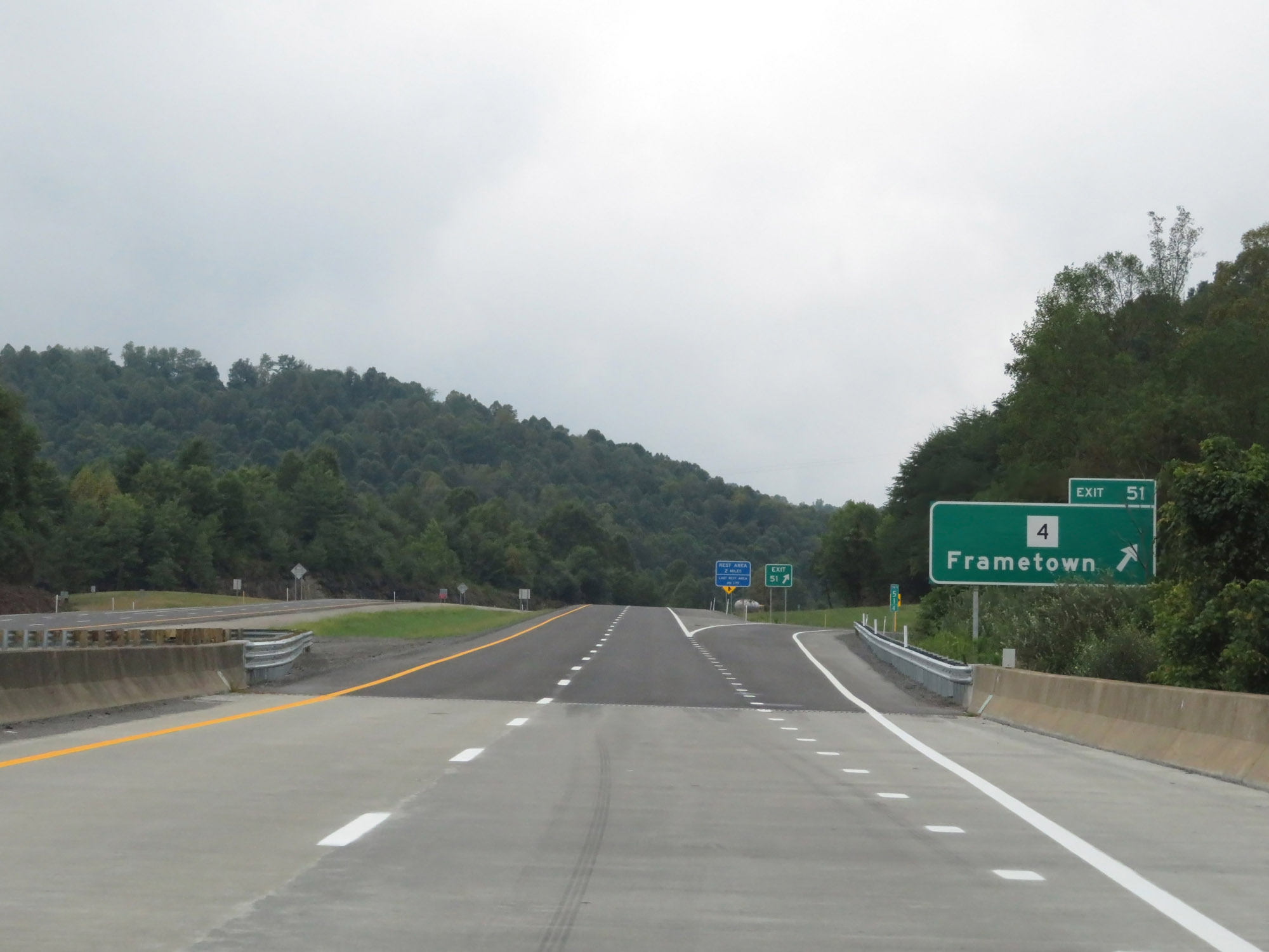 |
Interstate 79 South at Exit 51: WV 4 - Frametown (Photo taken 8/9/19). |
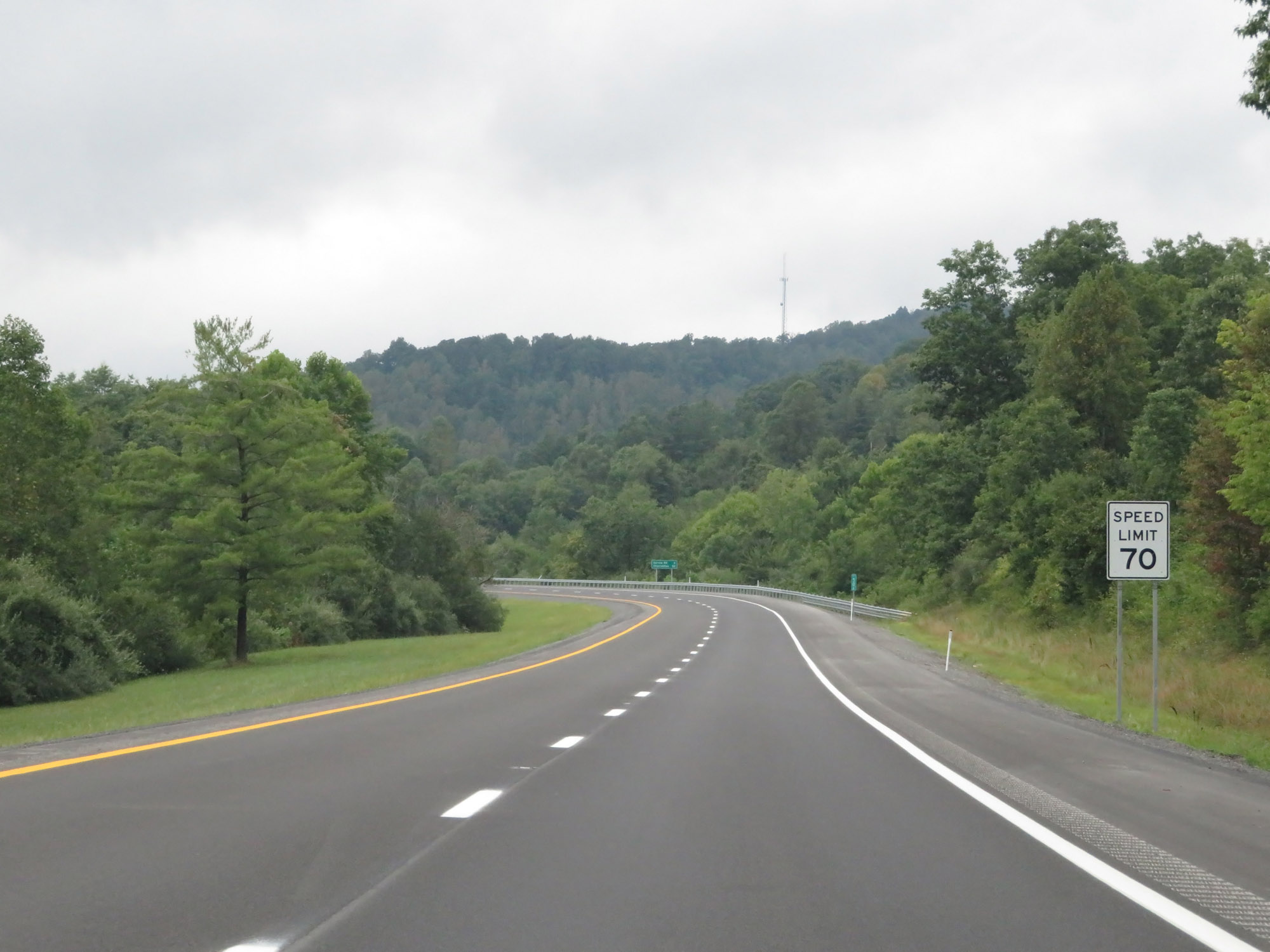 |
The speed limit remains 70 mph. (Photo taken 8/9/19). |
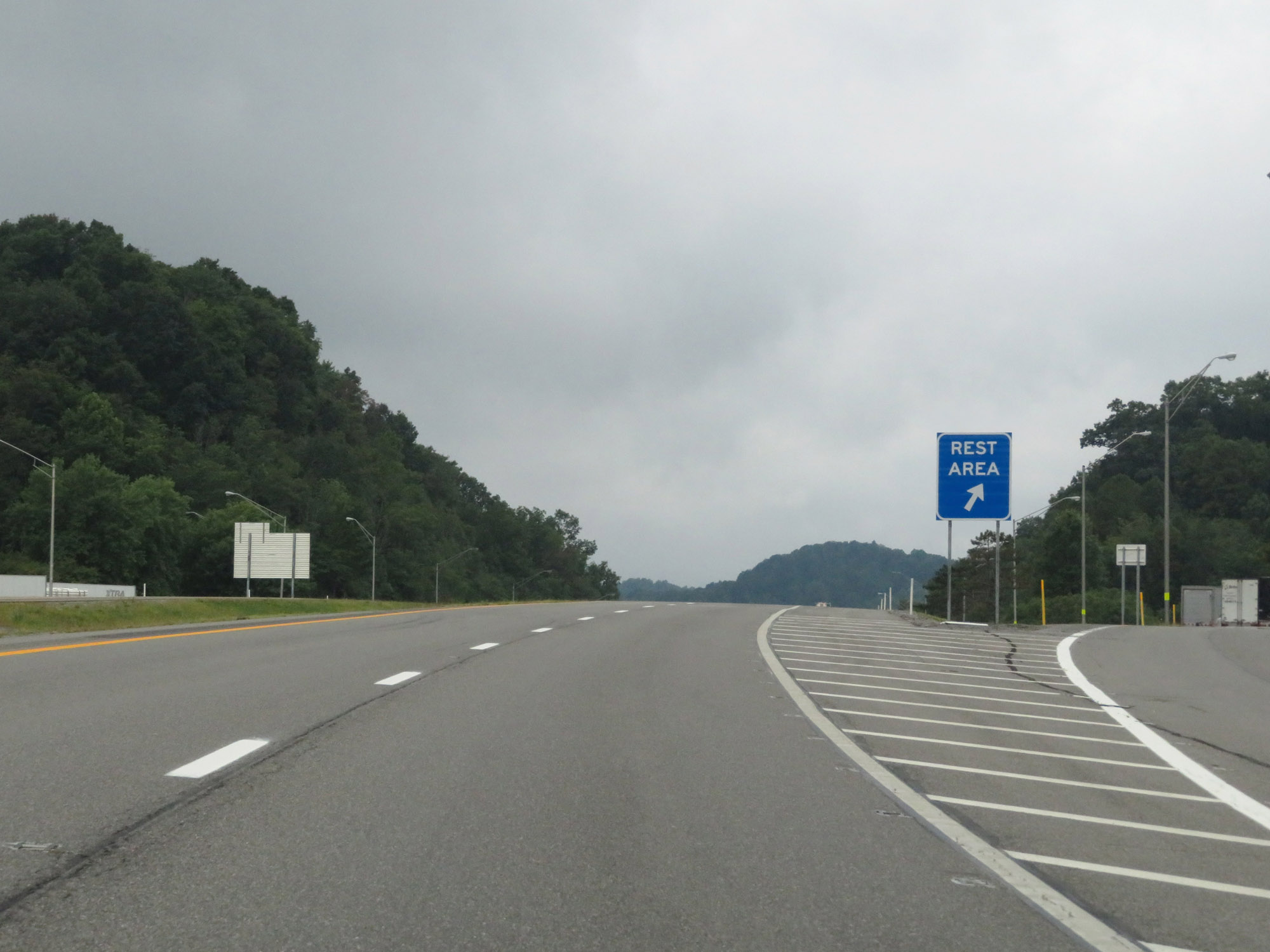 |
Rest Area on Interstate 79 South in Braxton County. (Photo taken 8/9/19). |
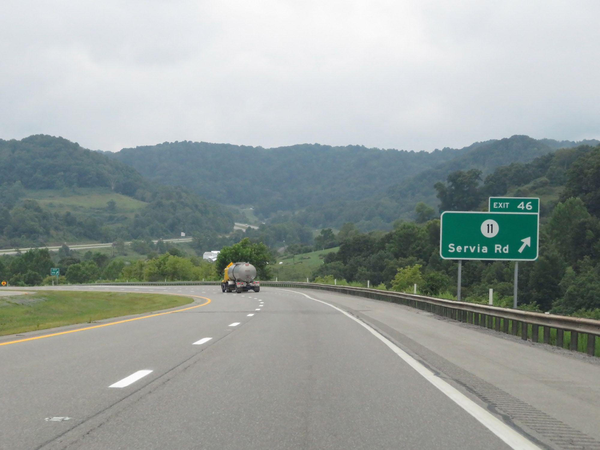 |
Interstate 79 South at Exit 46: CR 11 - Servia Rd (Photo taken 8/9/19). |
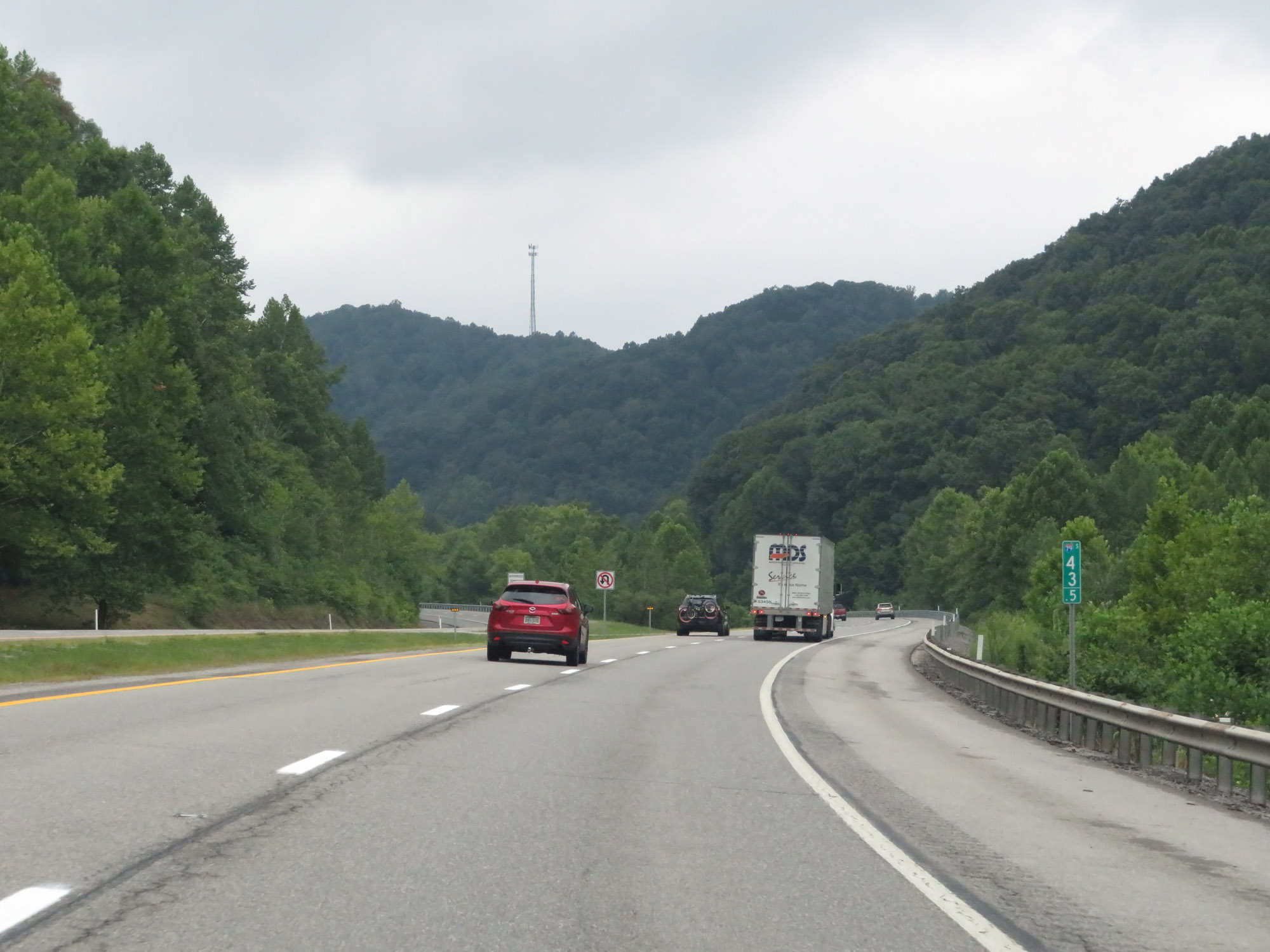 |
View on Interstate 79 South at mile marker 43.5. (Photo taken 8/9/19). |
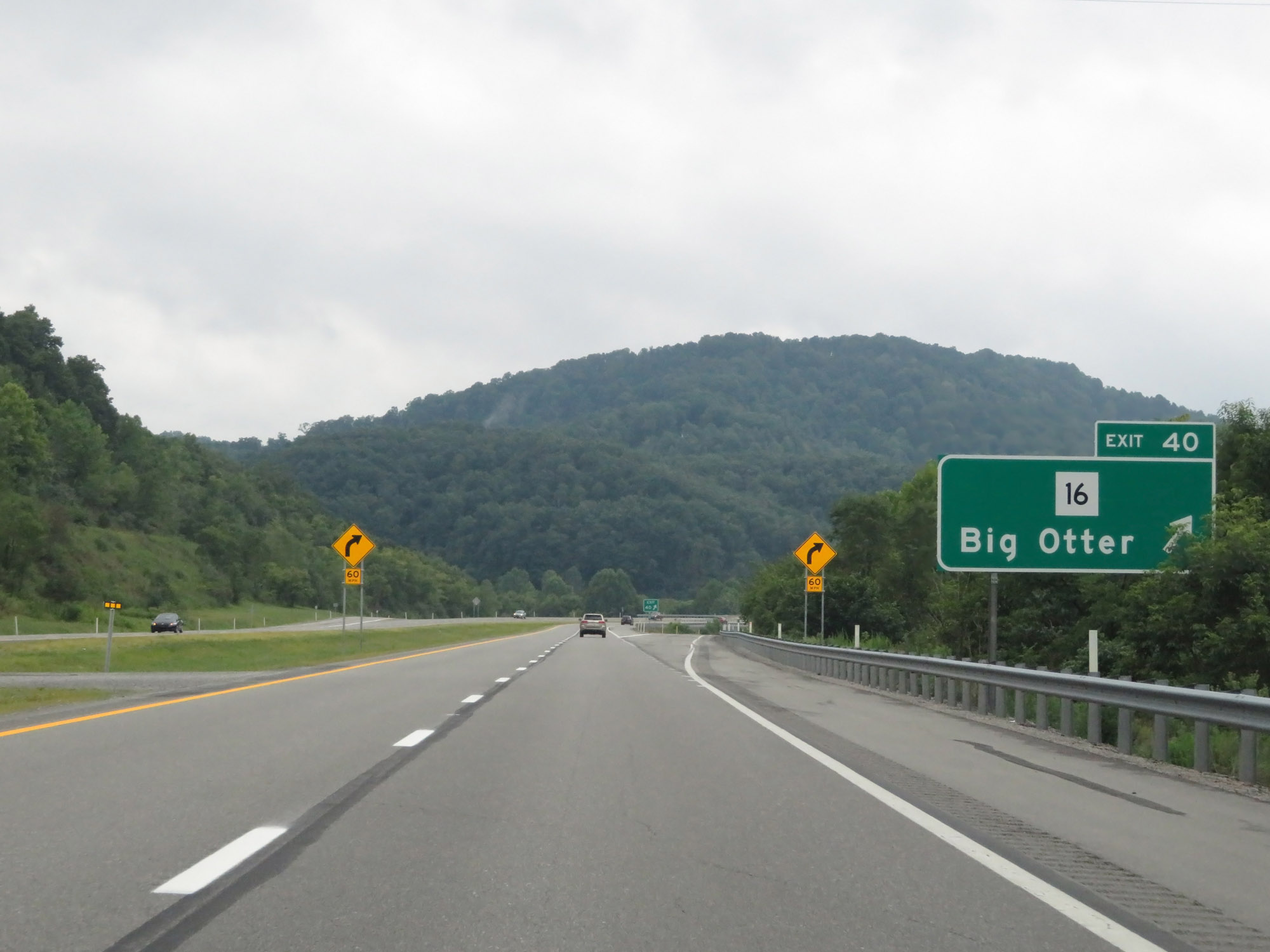 |
Interstate 79 South at Exit 40: WV 16 - Big Otter (Photo taken 8/9/19). |
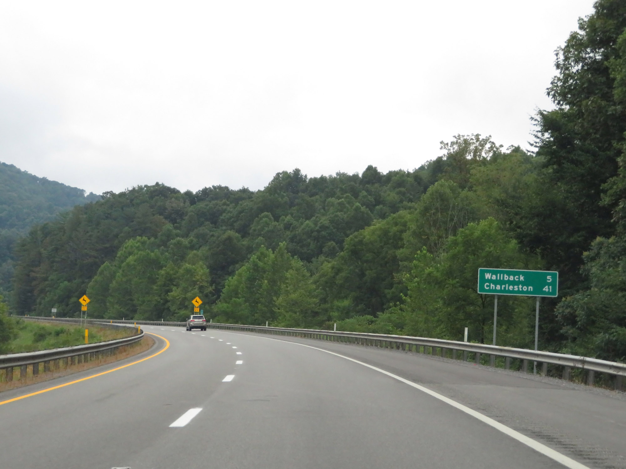 |
Mileage sign on Interstate 79 South. It's 5 miles to Wallback and 41 miles to Charleston. (Photo taken 8/9/19). |
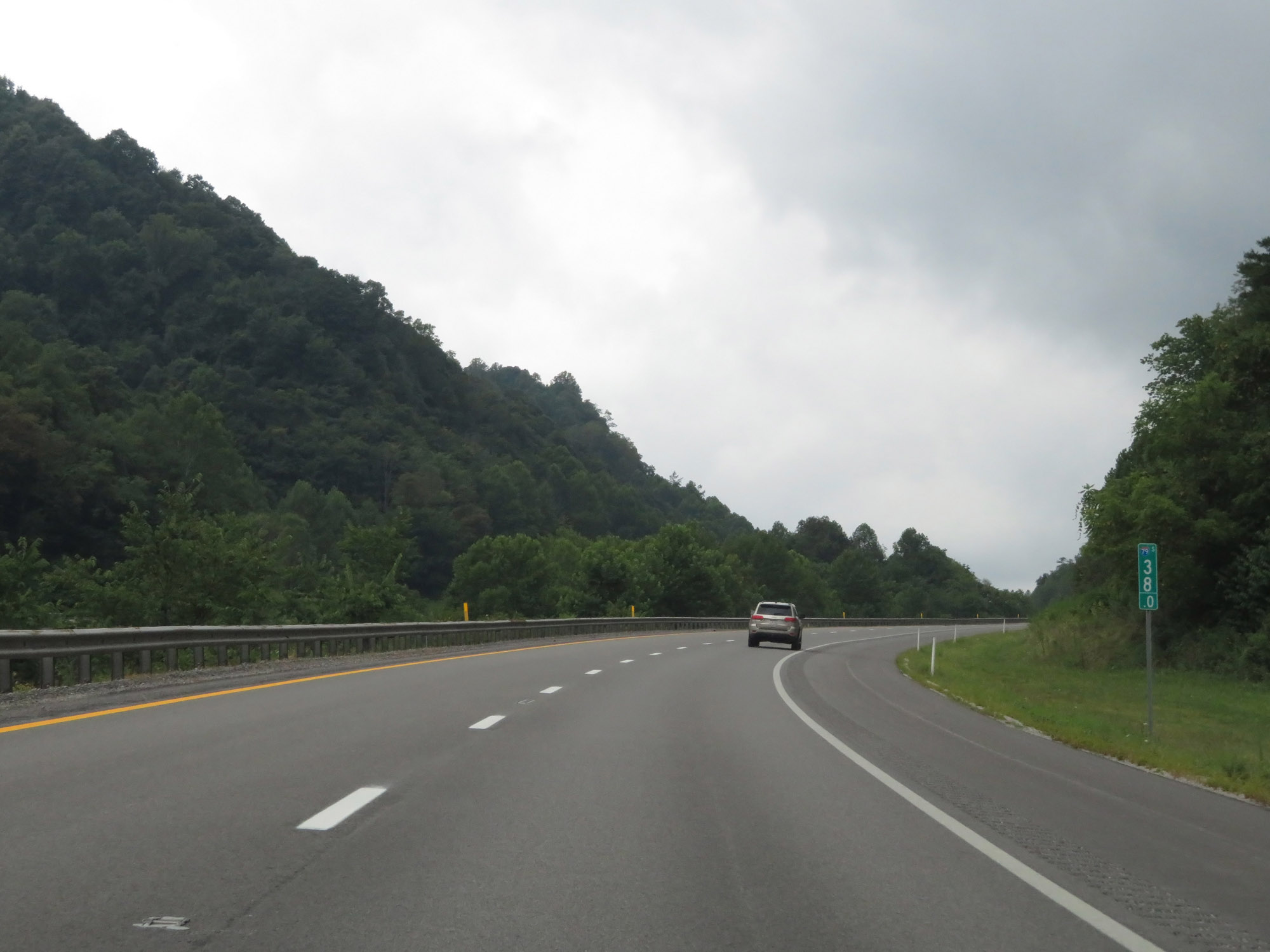 |
Interstate 79 South at mile marker 38. (Photo taken 8/9/19). |
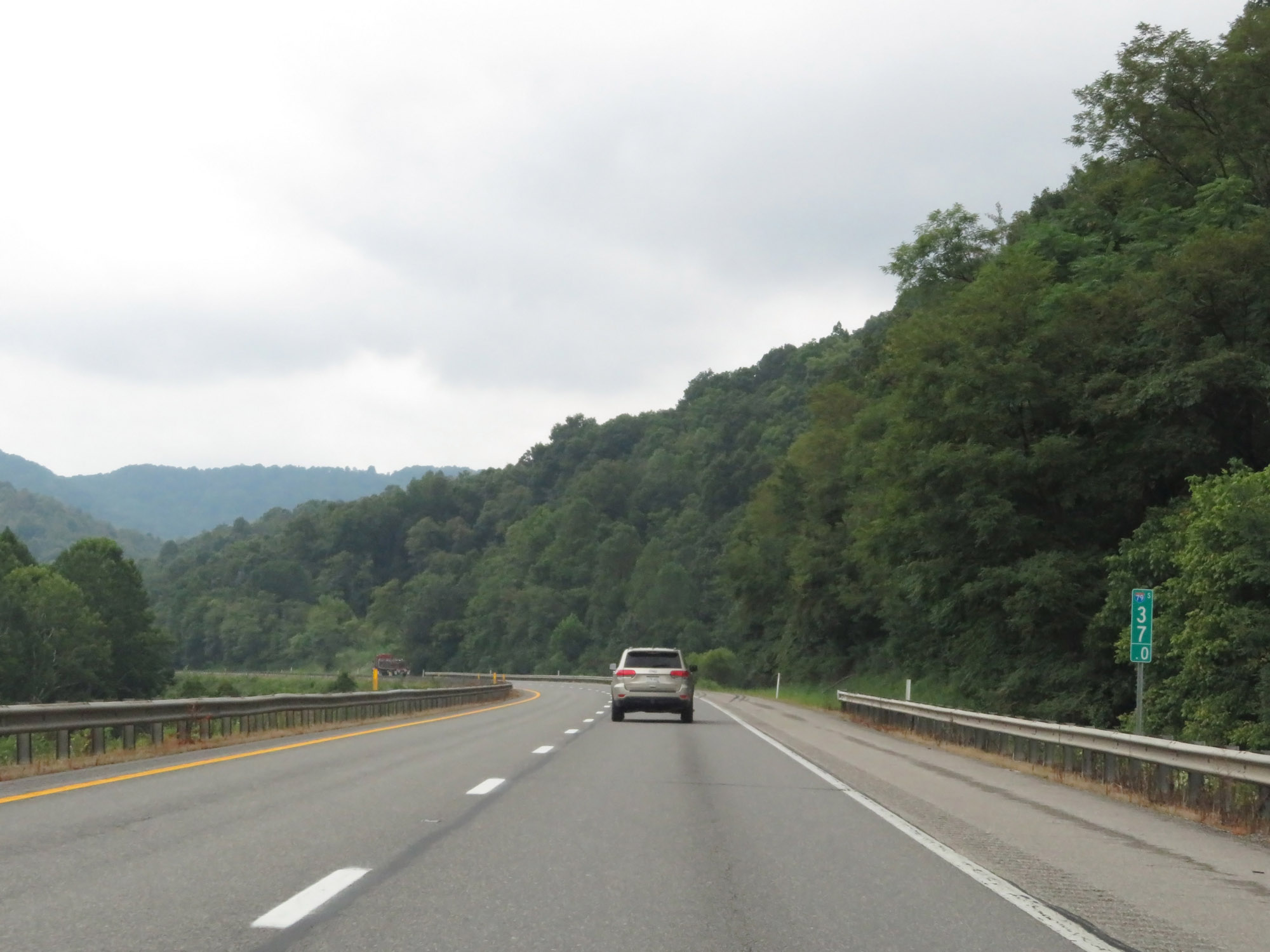 |
View on Interstate 79 South at mile marker 37. (Photo taken 8/9/19). |
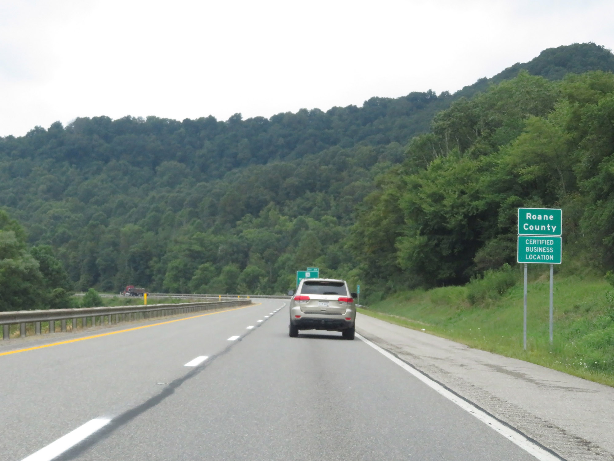 |
Entering Roane County on Interstate 79 South. (Photo taken 8/9/19). |
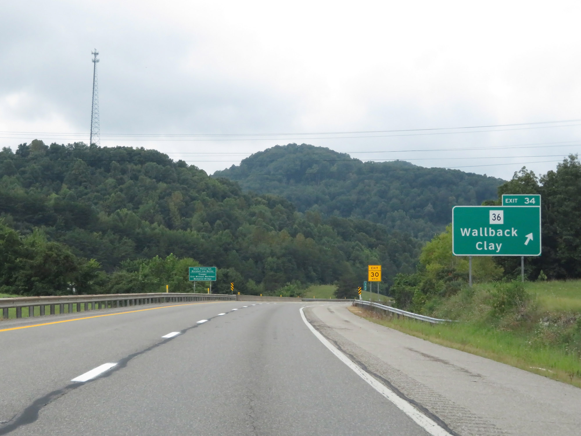 |
Interstate 79 South at Exit 34: WV 36 - Wallback / Clay (Photo taken 8/9/19). |
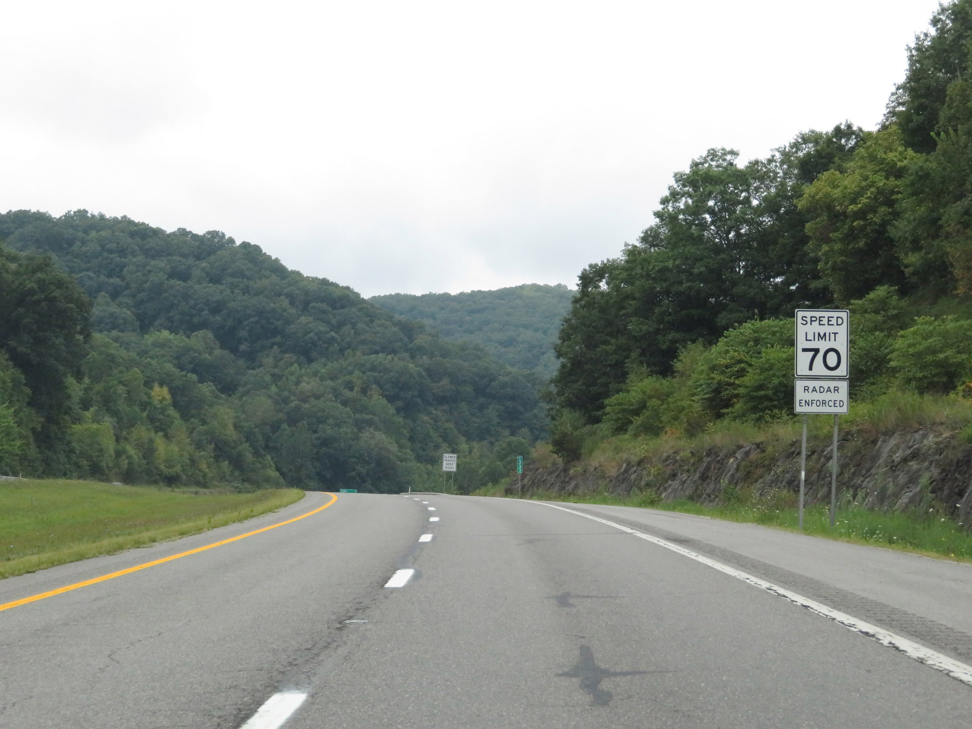 |
The speed limit remains 70 mph. (Photo taken 8/9/19). |
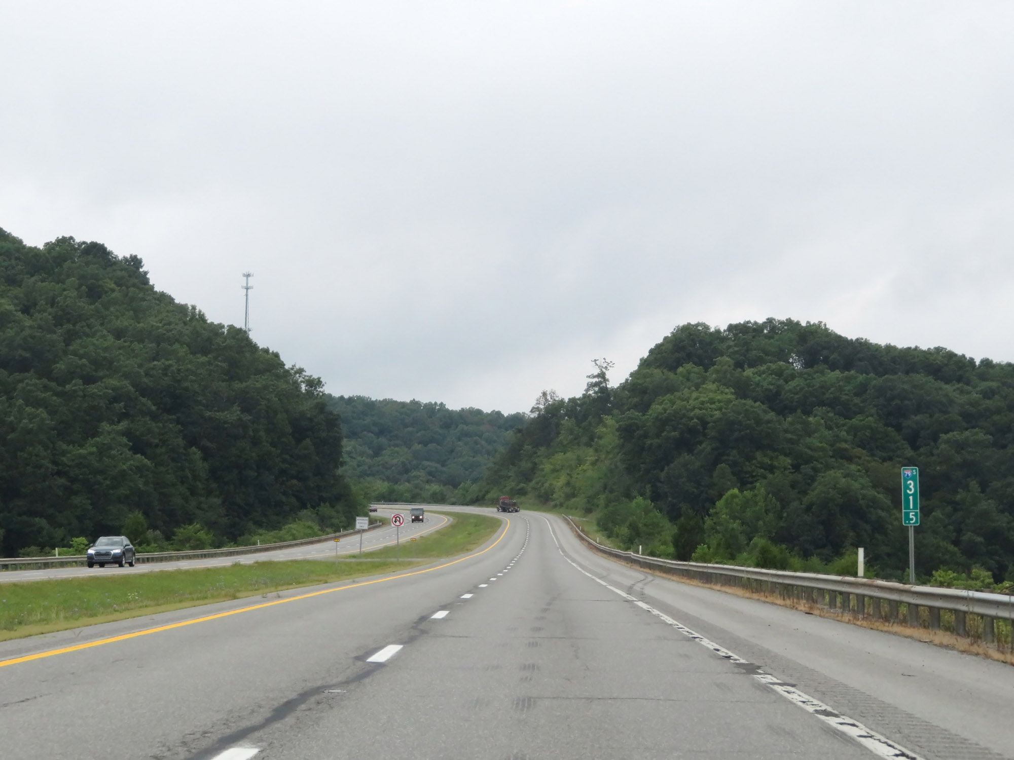 |
Interstate 79 South at mile marker 31.5. (Photo taken 8/9/19). |
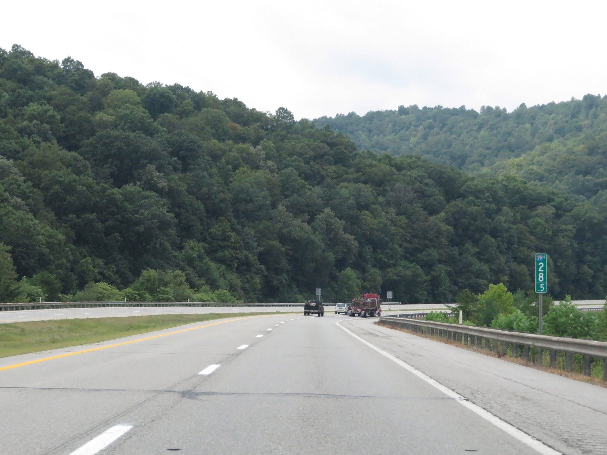 |
View on Interstate 79 South at mile marker 28.5. (Photo taken 8/9/19). |
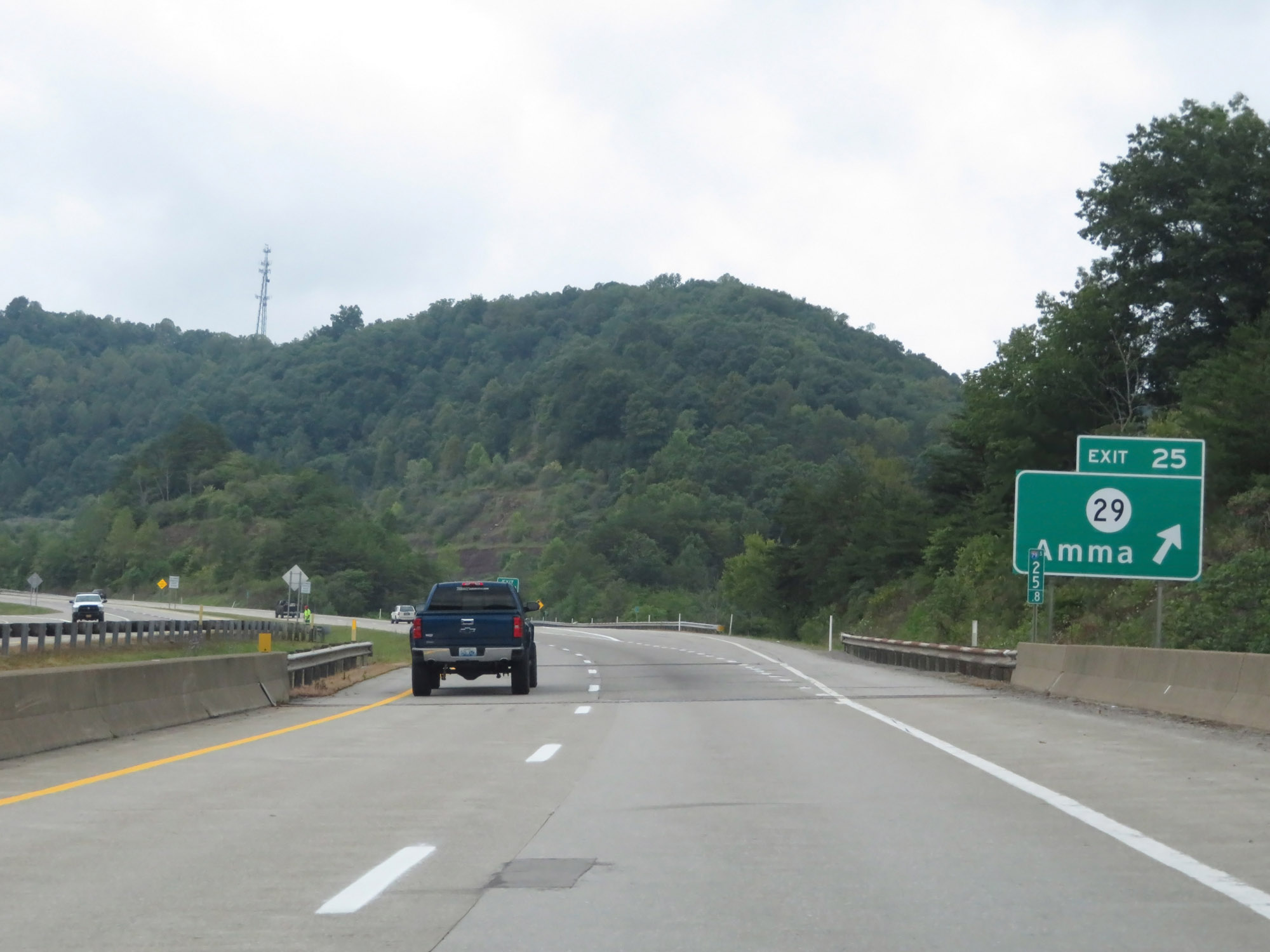 |
Interstate 79 South at Exit 25: CR 29 - Amma (Photo taken 8/9/19). |
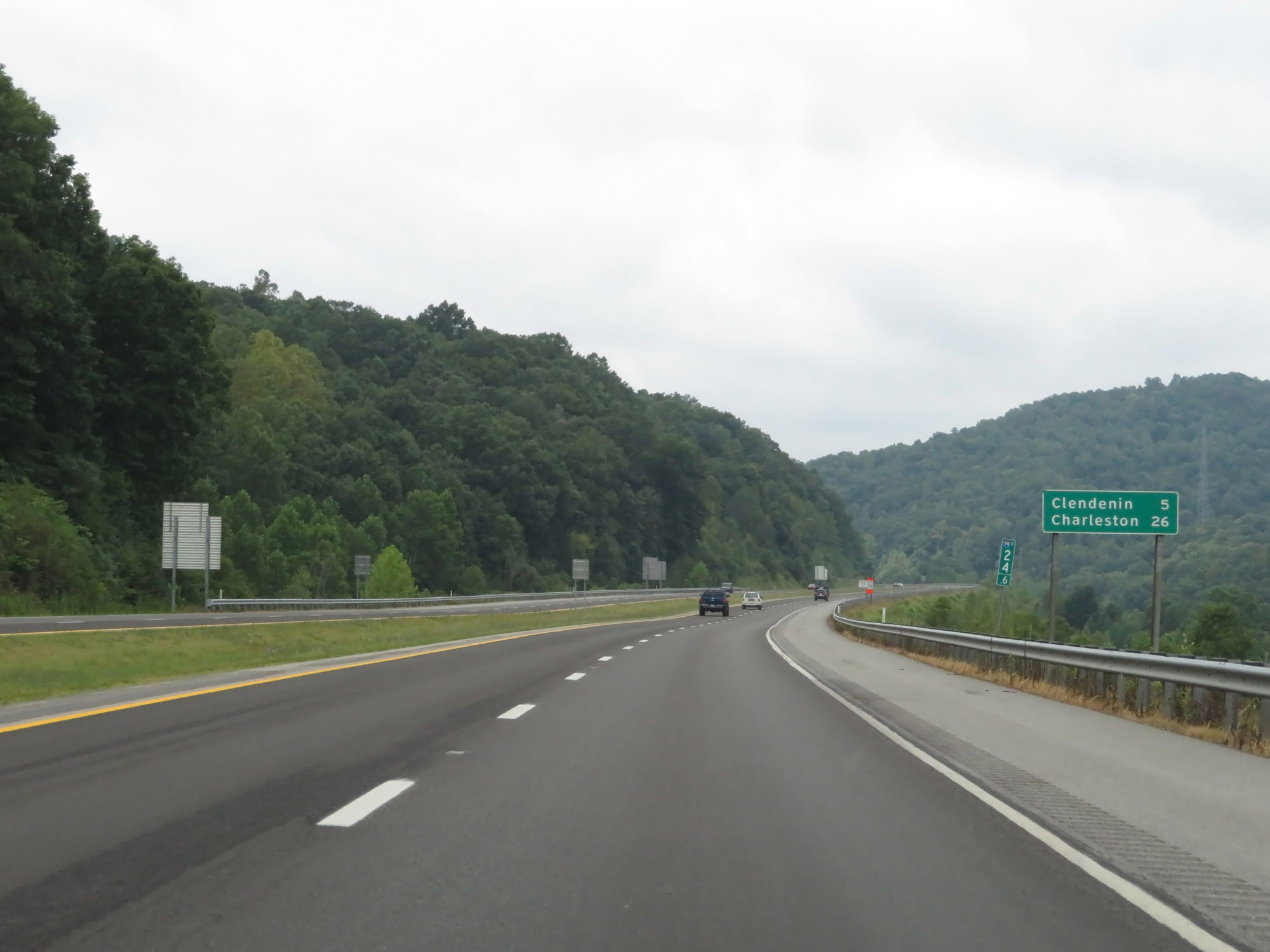 |
Mileage sign at mile marker 24.6. It's 5 miles to Clendenin and 26 miles to Charleston. (Photo taken 8/9/19). |
 |
Interstate 79 South at mile marker 23. (Photo taken 8/9/19). |
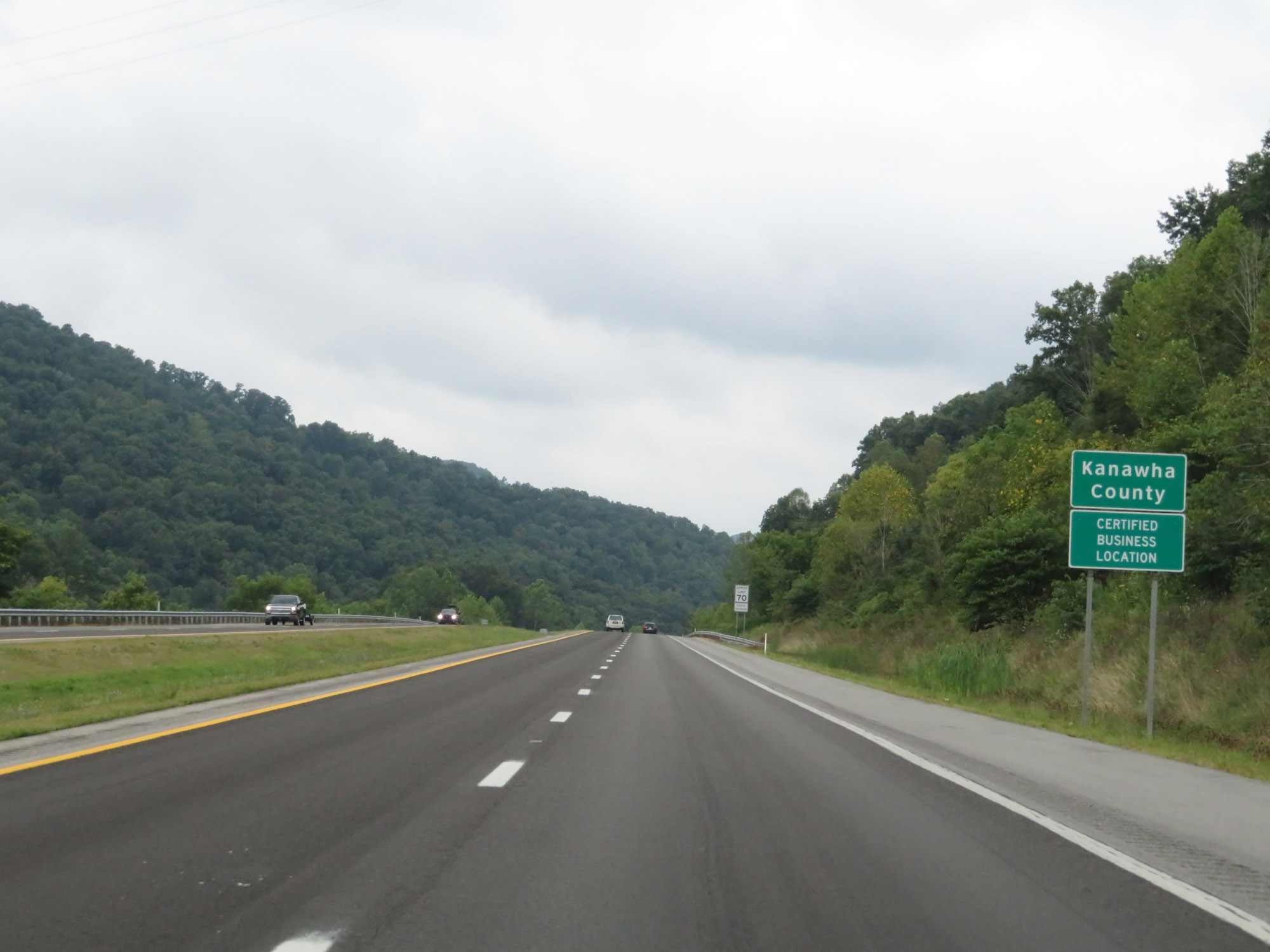 |
Interstate 79 South as it enters Kanawha County. (Photo taken 8/9/19). |
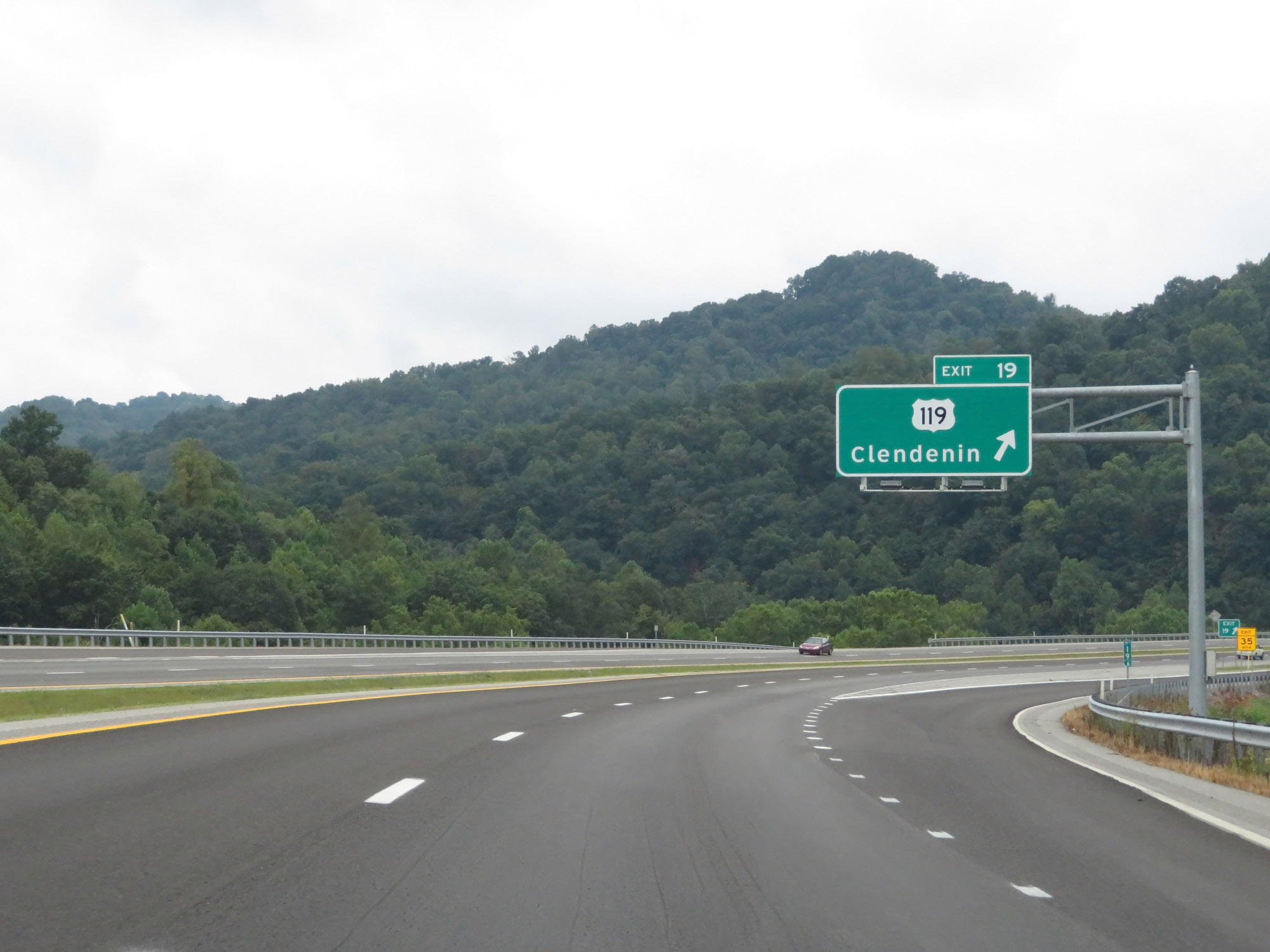 |
Interstate 79 South at Exit 19: US 119 - Clendenin (Photo taken 8/9/19). |
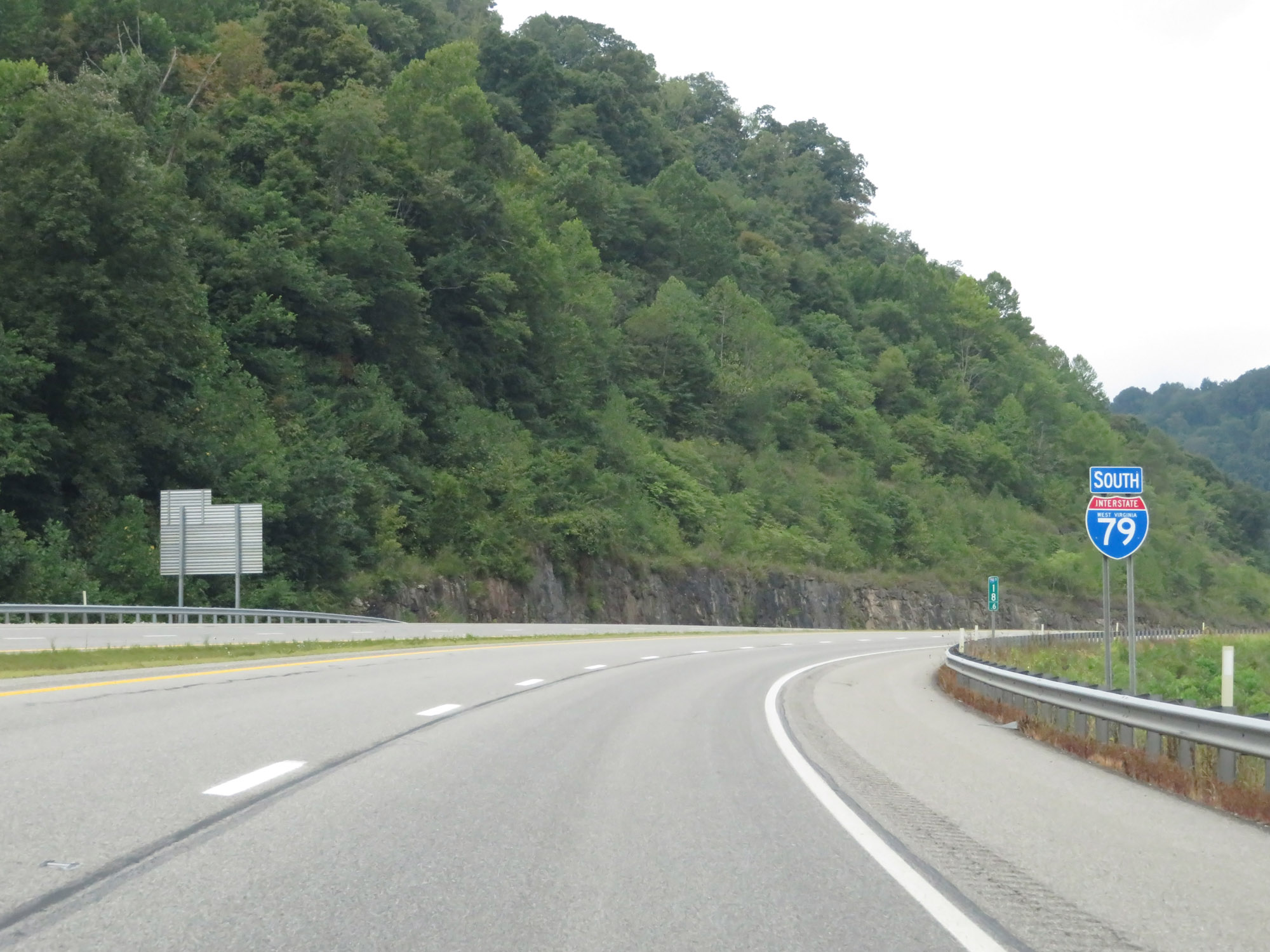 |
Another state-named Interstate 79 South reassurance shield at mile marker 18.6. (Photo taken 8/9/19). |
 |
Interstate 79 South at mile marker 13. (Photo taken 8/9/19). |
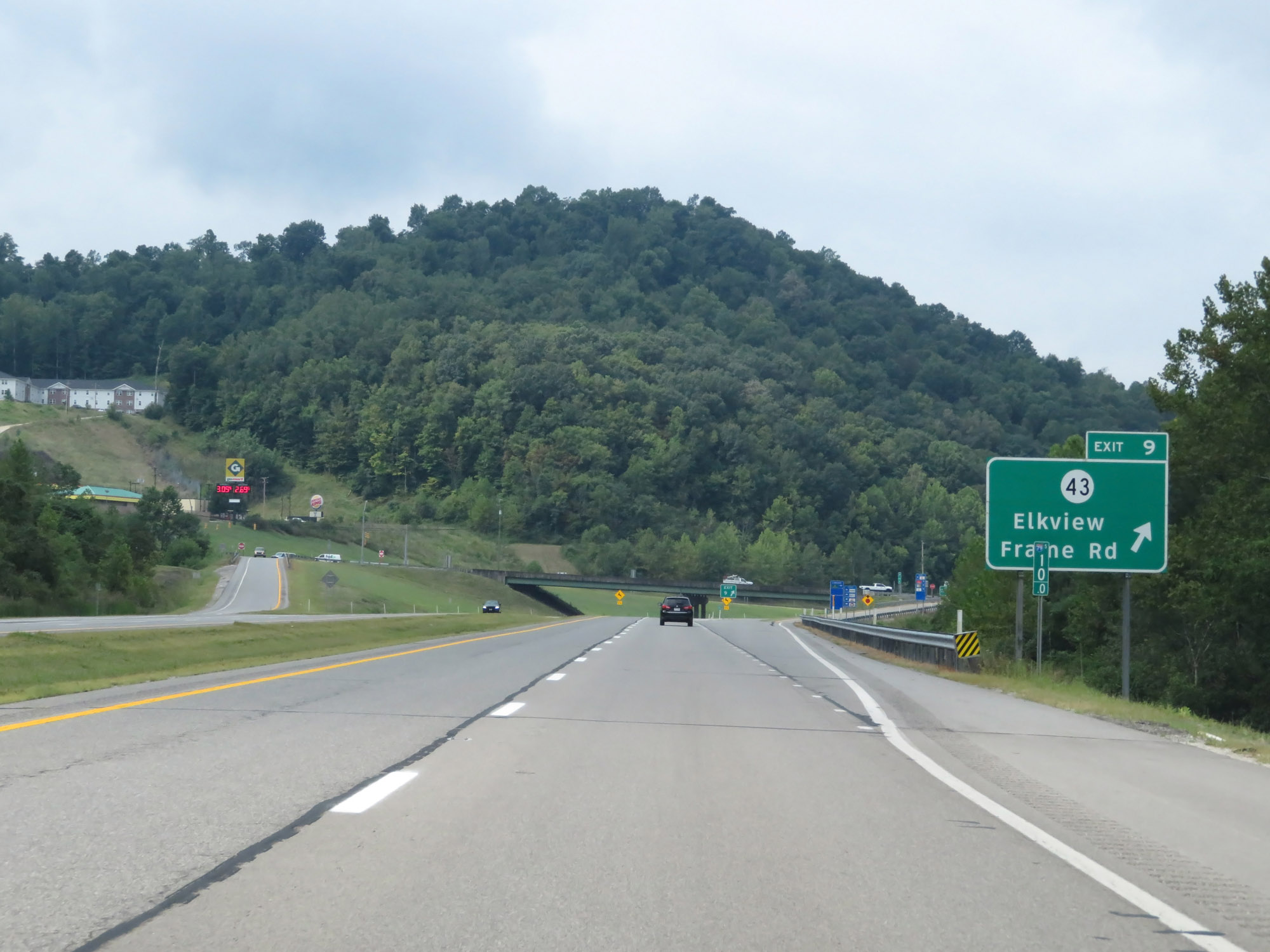 |
Interstate 79 South at Exit 9: CR 43 - Elkview / Frame Rd (Photo taken 8/9/19). |
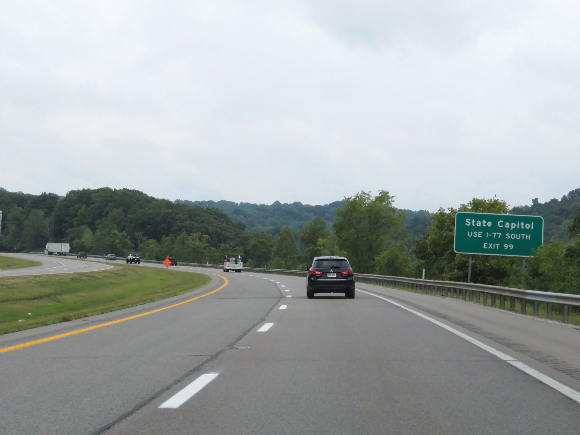 |
To get to the State Capitol, stay on Interstate 79 South to Interstate 77 South, then take Exit 99. (Photo taken 8/9/19). |
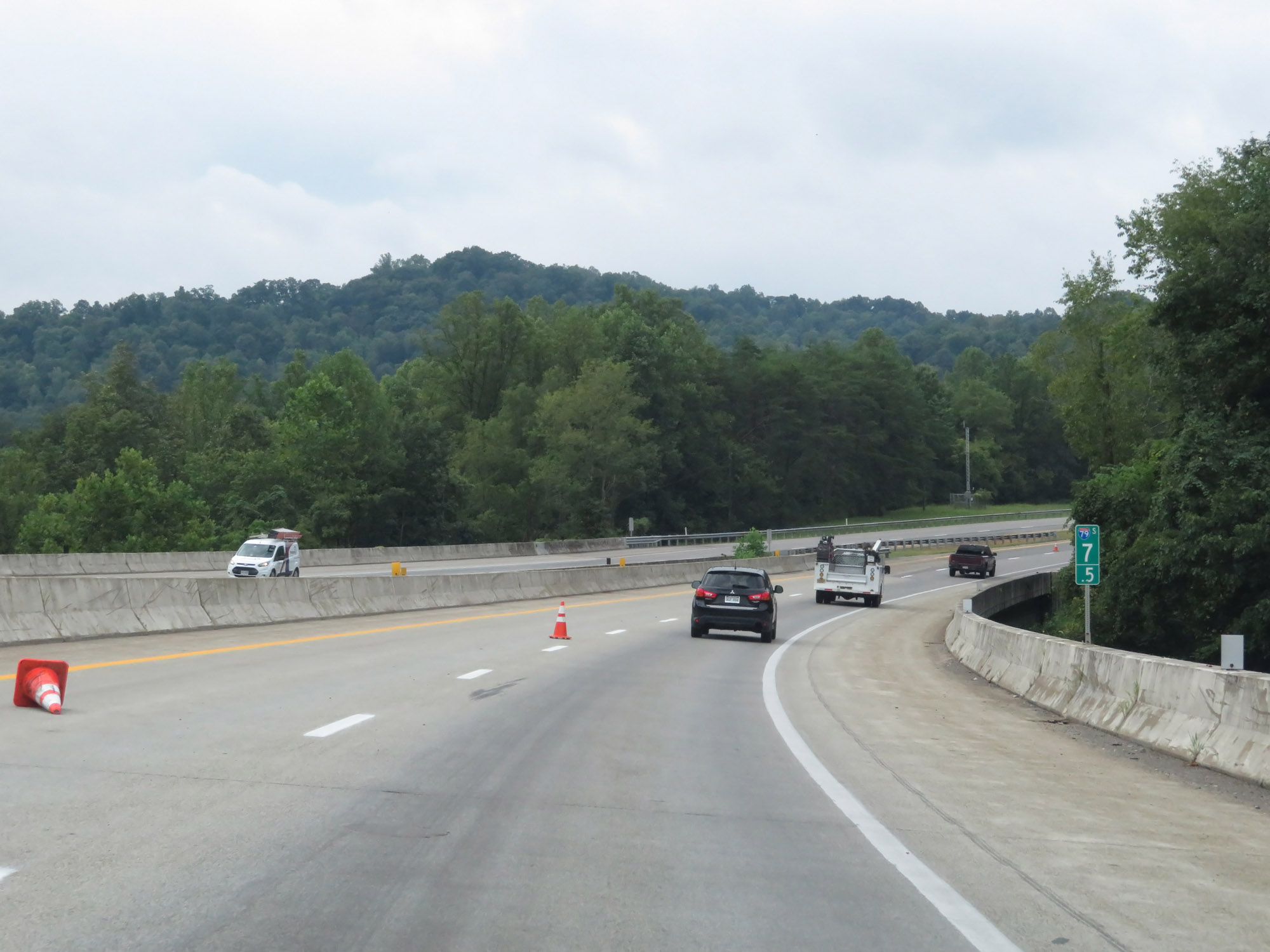 |
View on Interstate 79 South at mile marker 7.5. (Photo taken 8/9/19). |
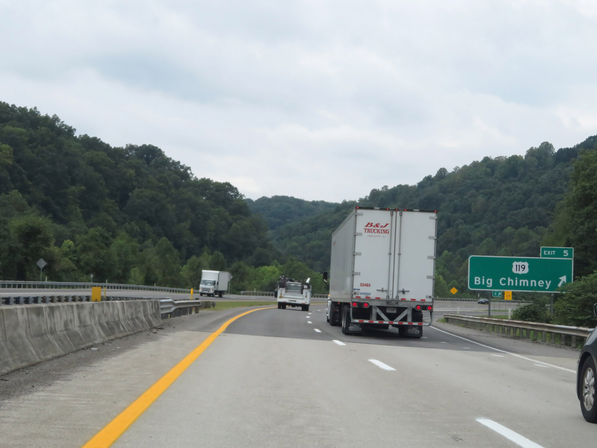 |
Interstate 79 South at Exit 5: US 119 - Big Chimney (Photo taken 8/9/19). |
 |
Interstate 79 South at mile marker 3. (Photo taken 8/9/19). |
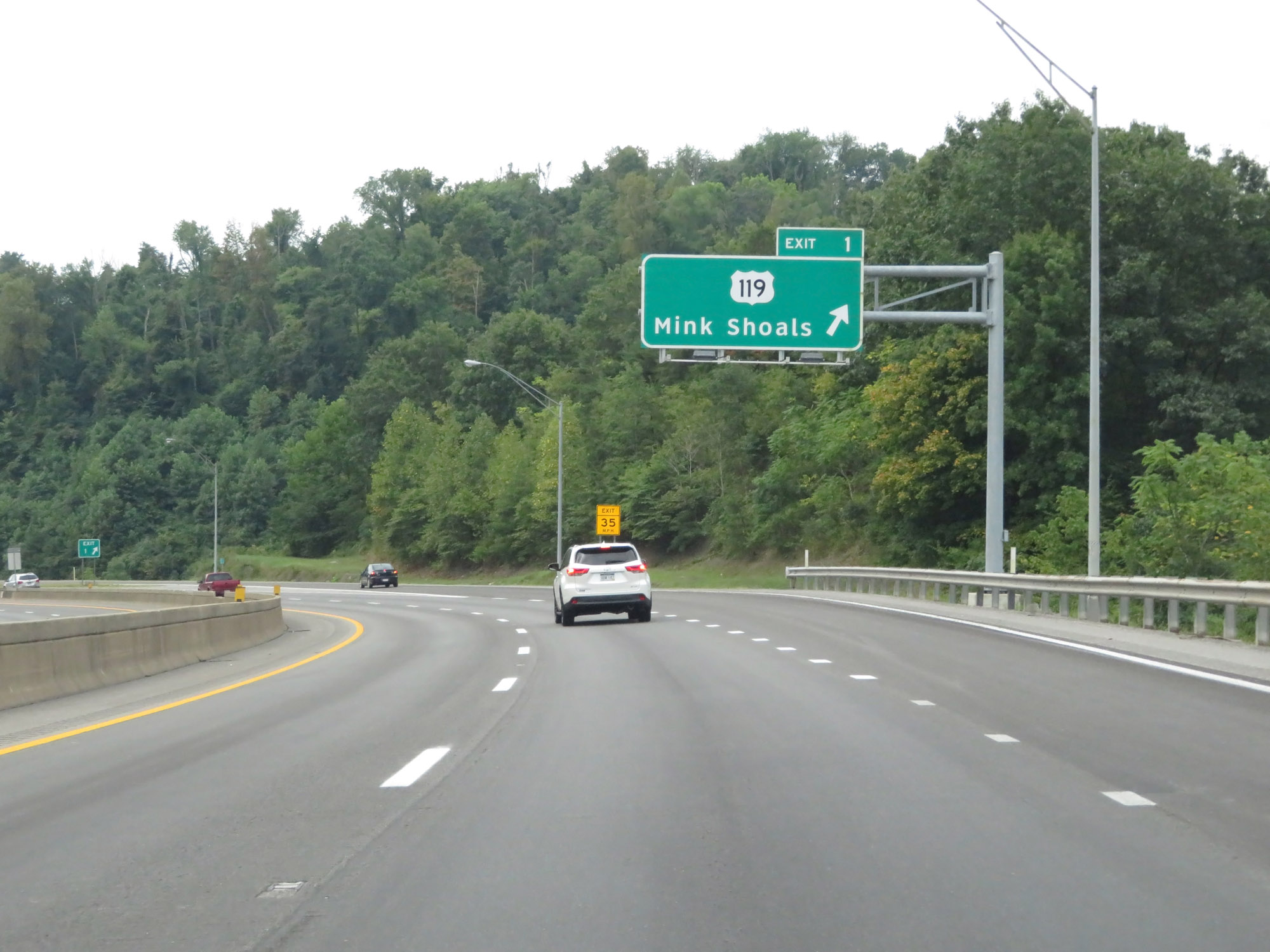 |
Interstate 79 South at Exit 1: US 119 - Mink Shoals (Photo taken 8/9/19). |
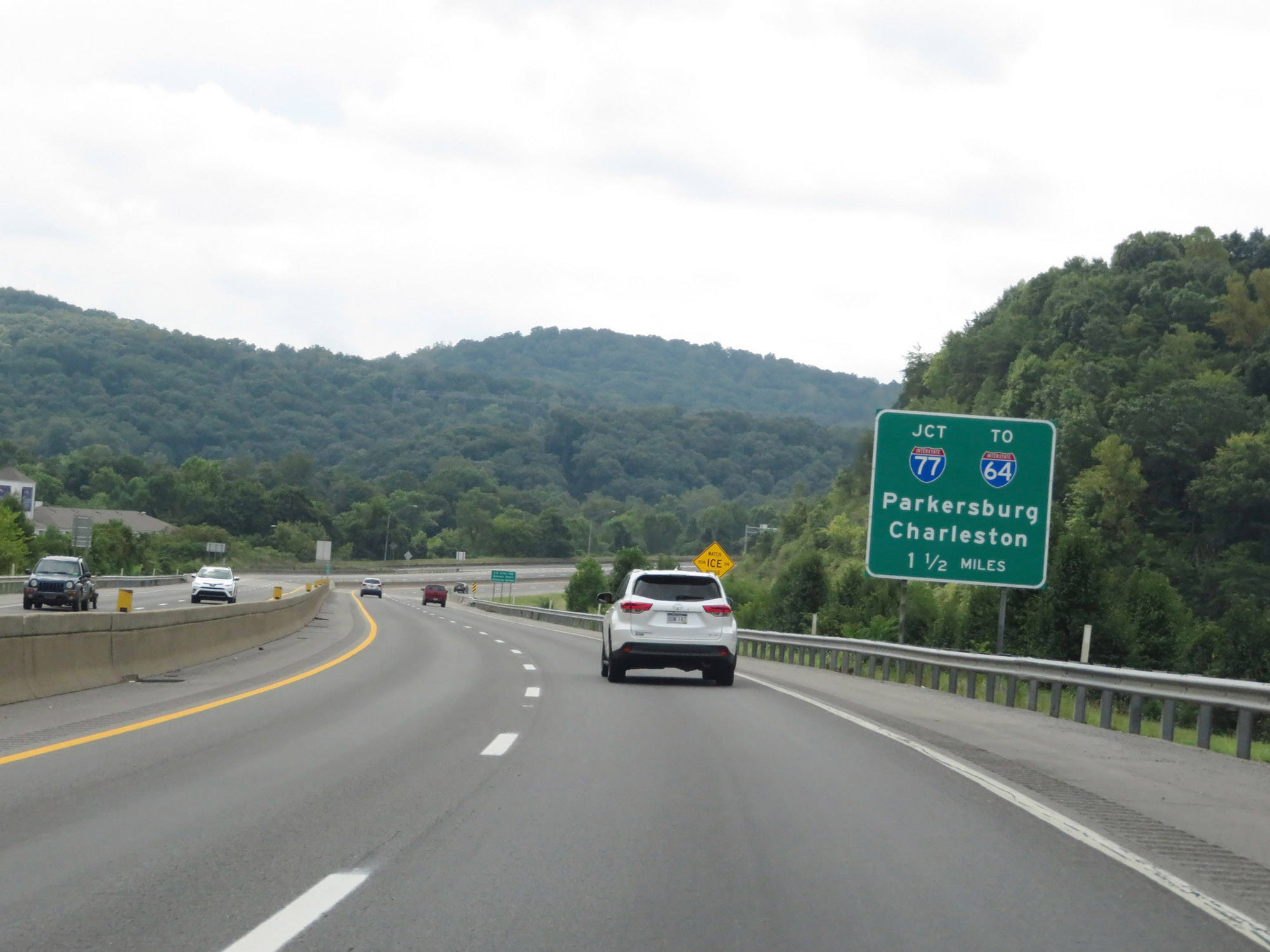 |
The junction of Interstate 77, and the southern terminus of Interstate 79, is 1 1/2 miles ahead. (Photo taken 8/9/19). |
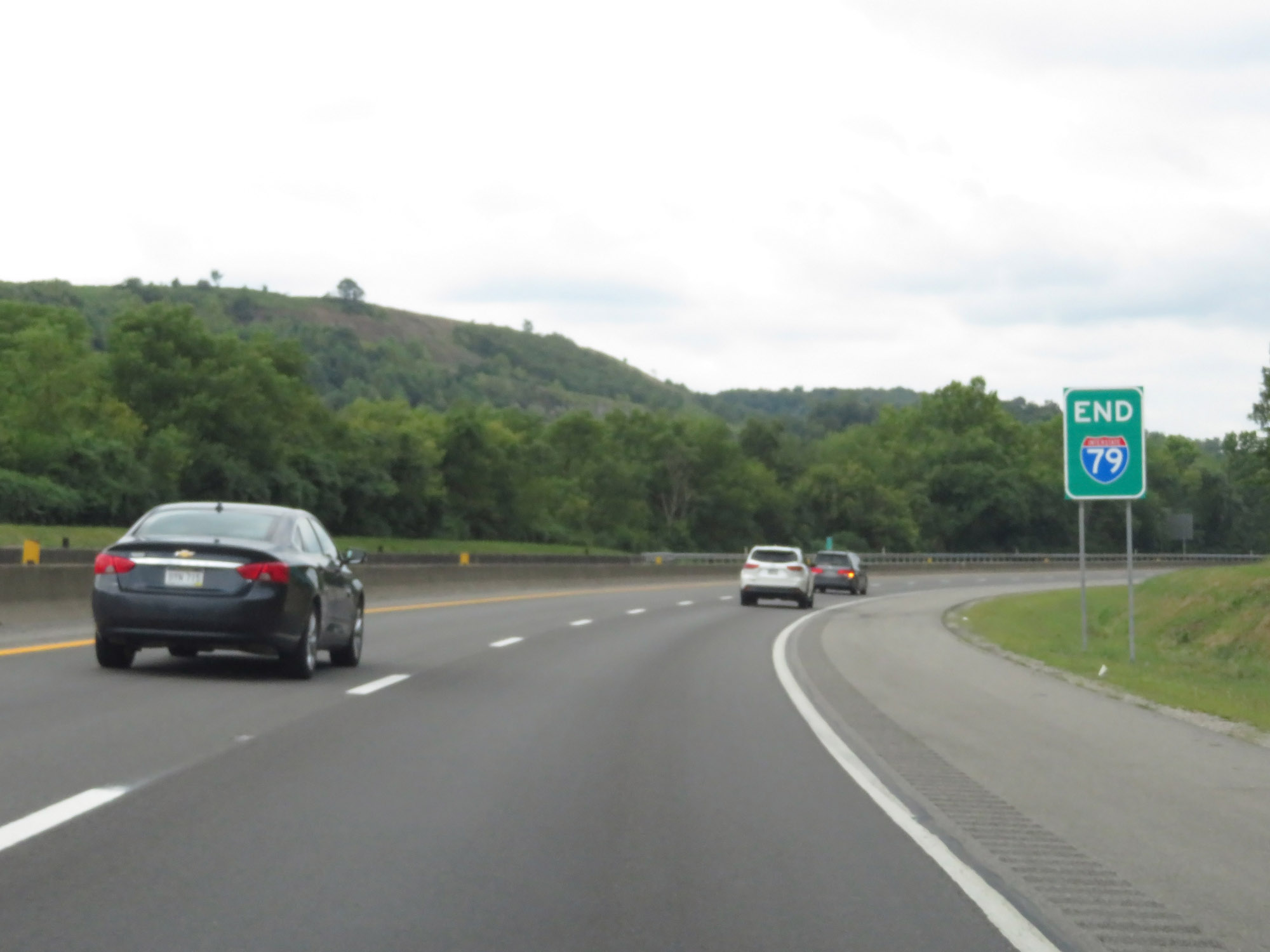 |
Interstate 79 END shield, posted a bit prematurely. (Photo taken 8/9/19). |
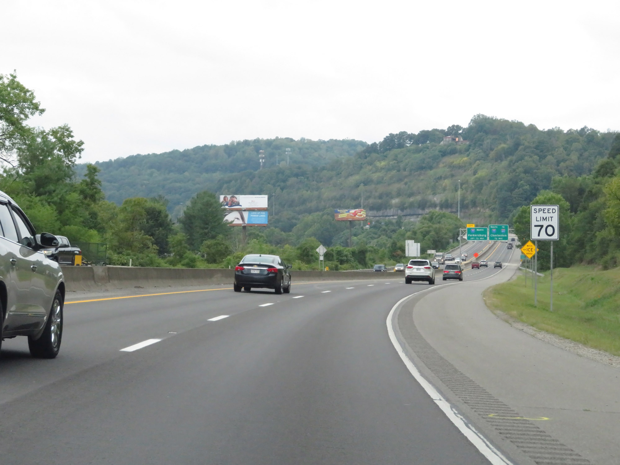 |
The speed limit remains 70 mph. (Photo taken 8/9/19). |
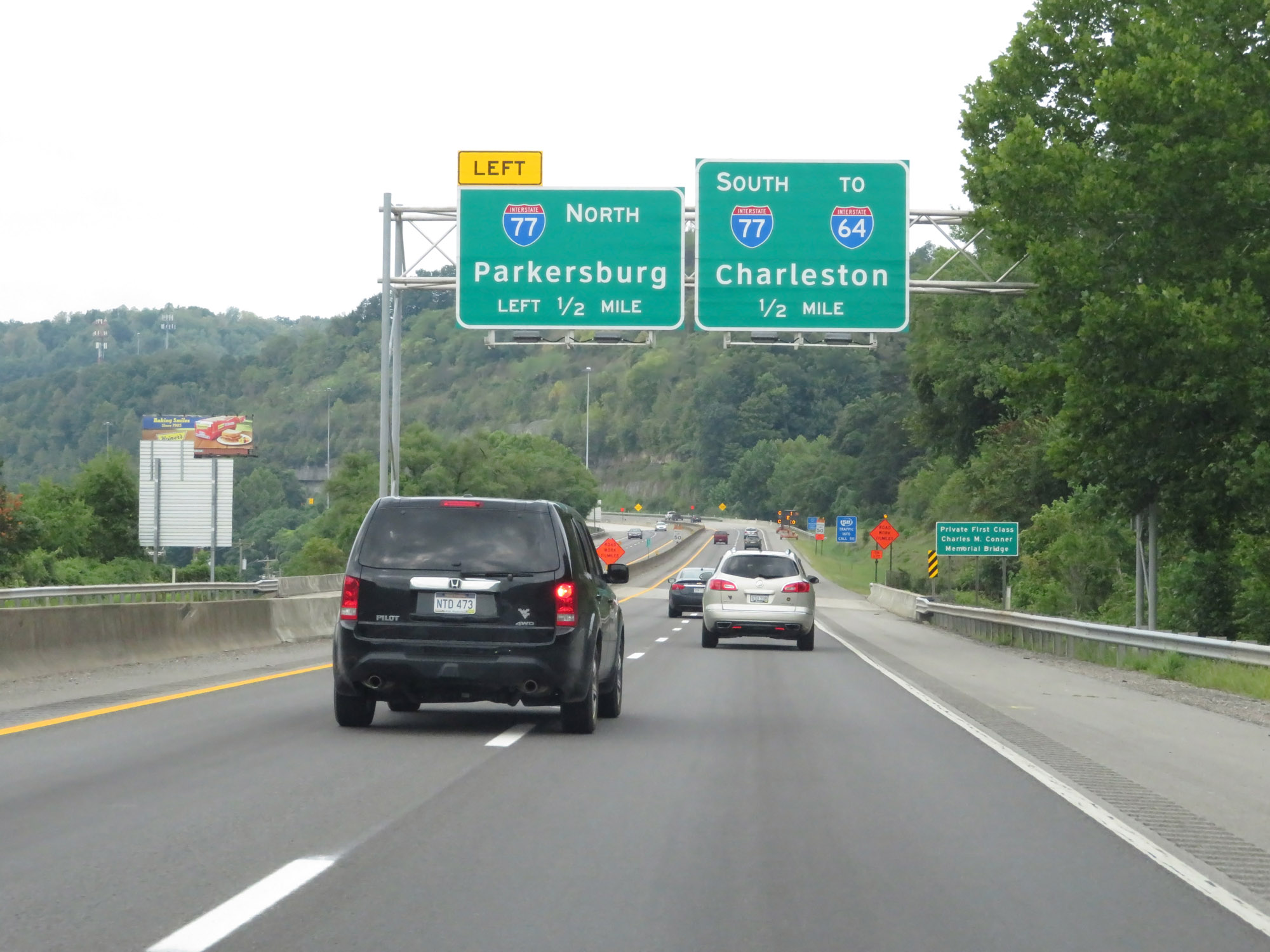 |
Interstate 79 South approaching the junction of Interstate 77 - 1/2 mile. Keep left for Interstate 77 North toward Parkersburg. (Photo taken 8/9/19). |
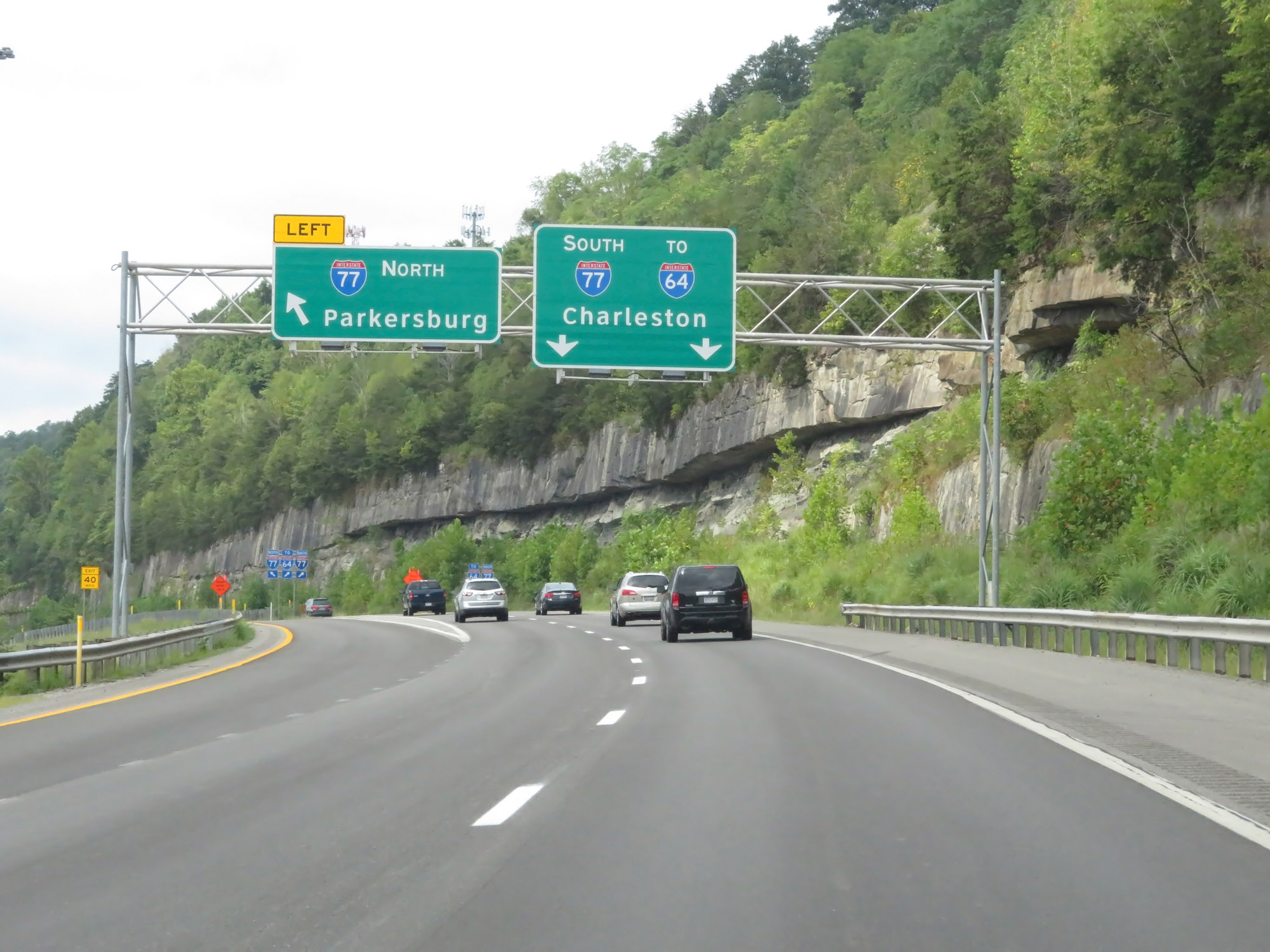 |
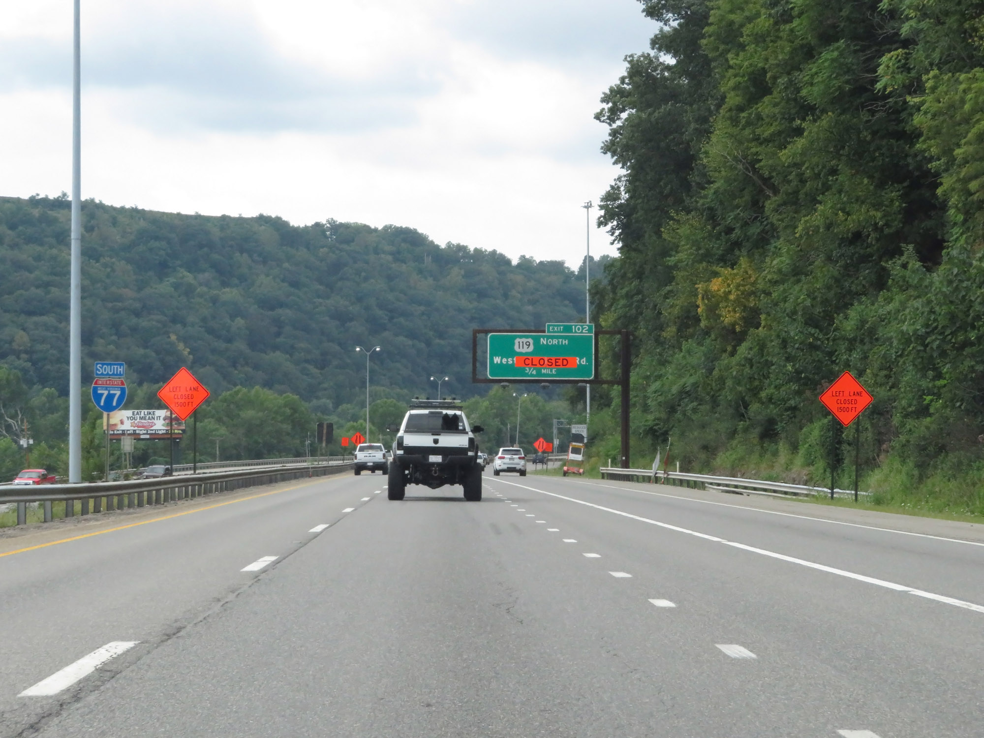
Interstate 79 South at Exit: Interstate 77 North - Parkersburg (Photo taken 8/9/19). |
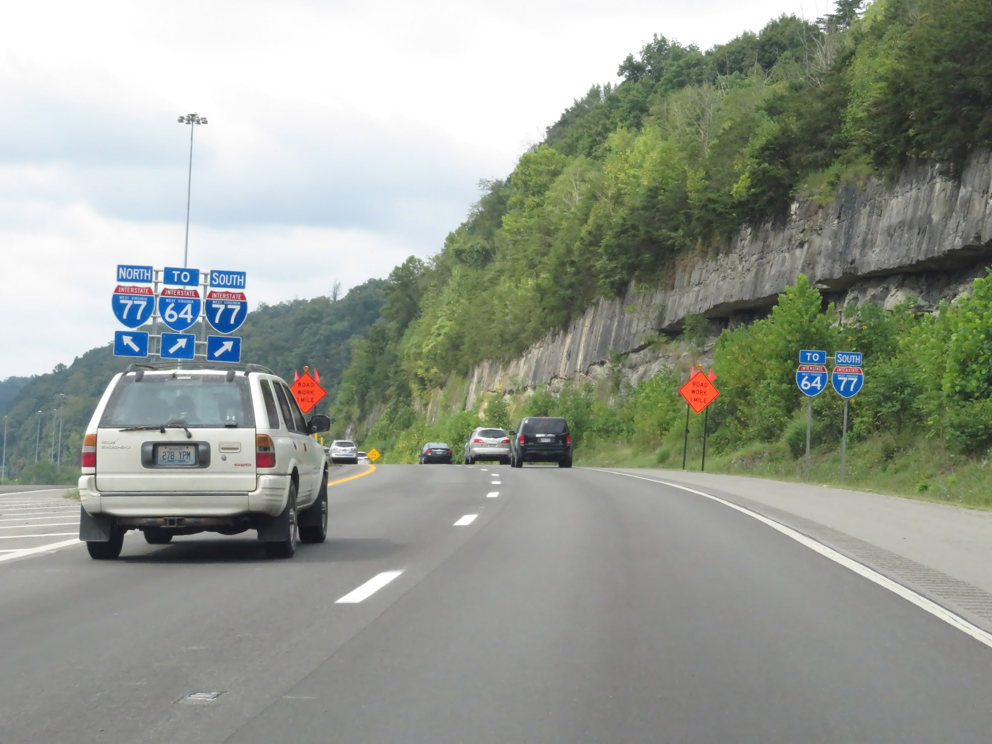 |
Stay straight ahead to go onto Interstate 77 South, which will take you to Interstate 64 in downtown Charleston. (Photo taken 8/9/19). |
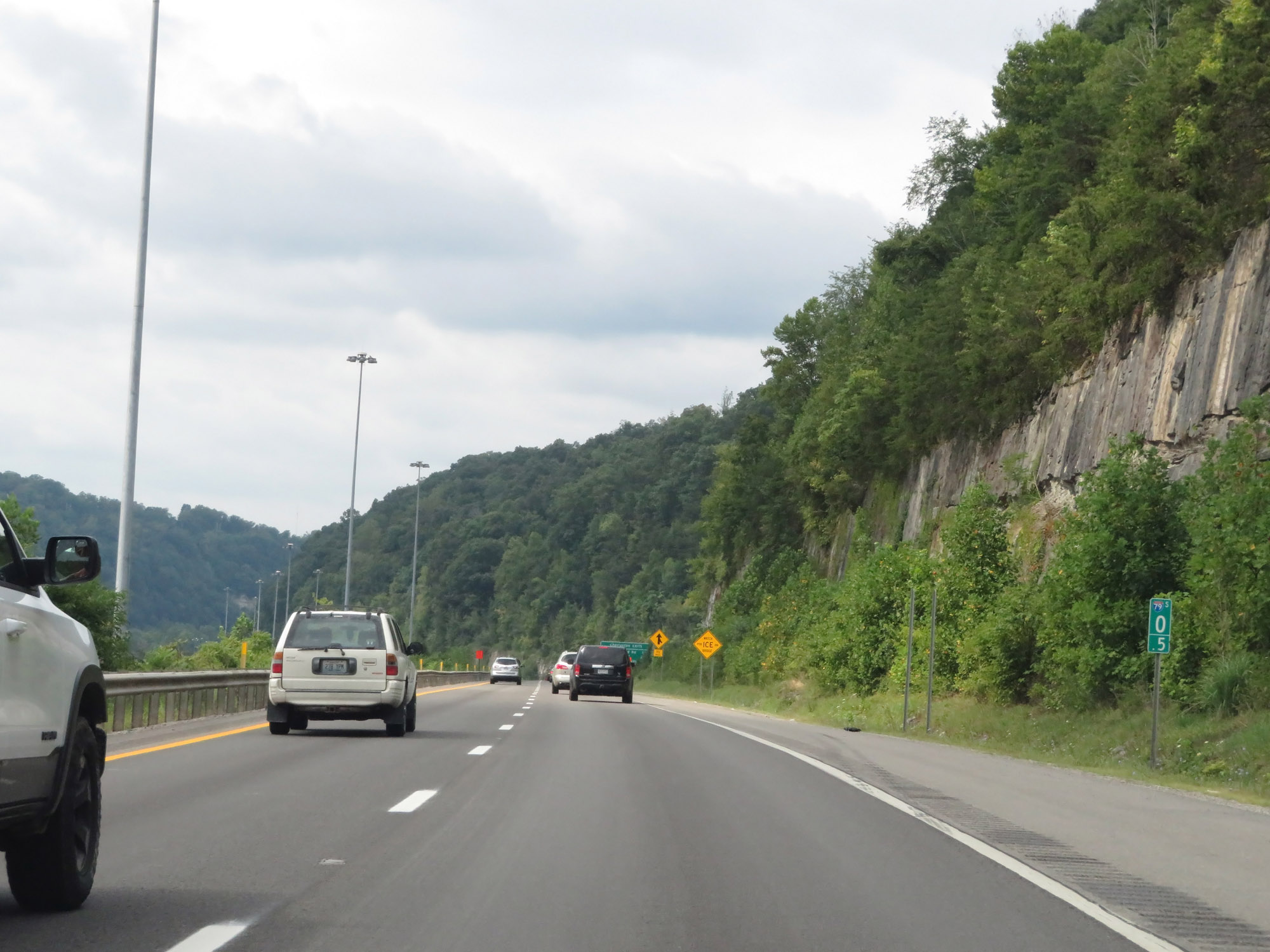 |
Interstate 79 South at mile marker 0.5. (Photo taken 8/9/19). |
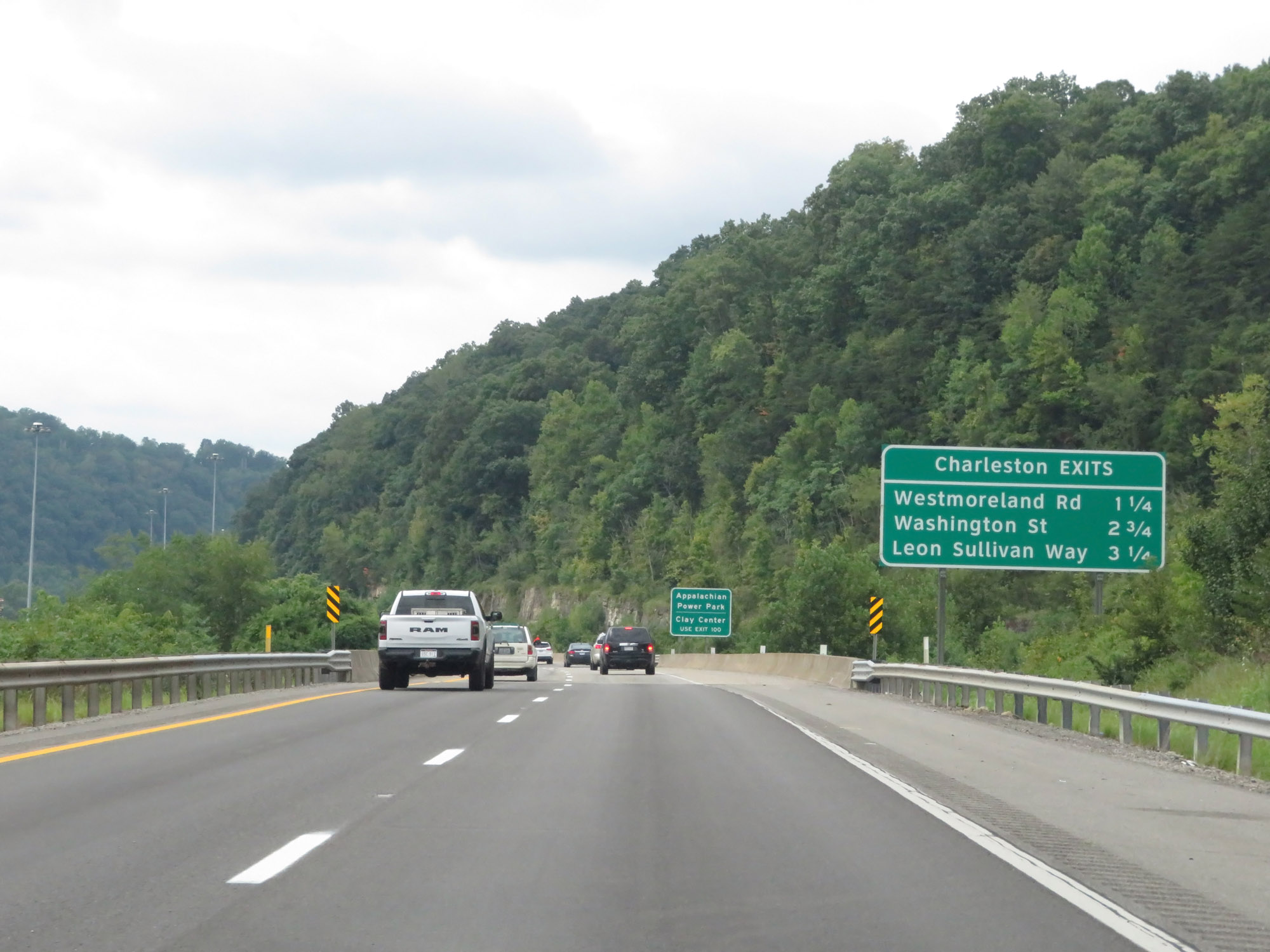 |
This sign lists the three upcoming Charleston exits on Interstate 77 South. (Photo taken 8/9/19). |
 |
Interstate 77 South reassurance shield as Interstate 79 reaches its southern terminus in Charleston. (Photo taken 8/9/19). |