Road Information |
||
 |
||
| Total Mileage in State: | 184 miles | |
| Eastern End: | At Virginia state line | |
| Western End: | At Kentucky state line | |
| Mileage covered in Photos: | 125 miles | |
| Counties covered in Photos: | Kanawha, Fayette, Raleigh, Summers, Greenbrier | |
| Major Junctions in Photos: | US 19, in Beckley I-77 South, in Beckley US 219, in Lewisburg |
|
| Control Cities in Photos: | Charleston, Beckley, Lewisburg | |
Eastbound
- Section 1: Charleston (Exit 59) to Mossy (Exit 60)
- Section 2: Mossy (Exit 60) to Bragg (Exit 133)
- Section 3: Bragg (Exit 133) to Virginia Border
Section 1: Charleston (Exit 59) to Mossy (Exit 60)
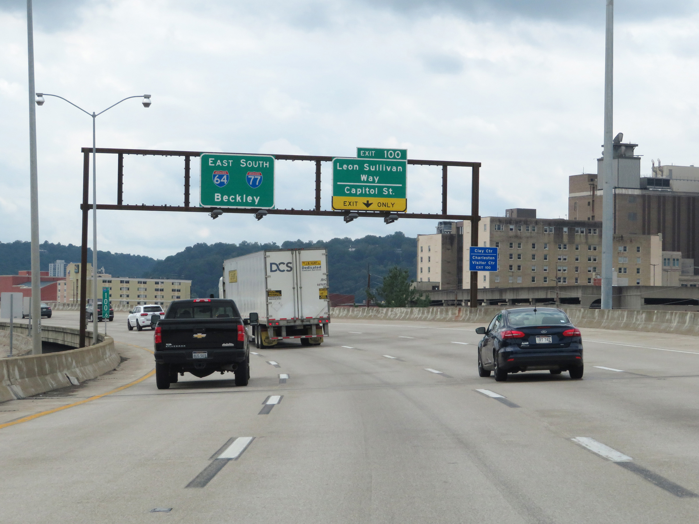 |
Interstate 64 East joins Interstate 77 South at I-77's mile marker 100.6 in downtown Charleston. I-64 East and I-77 South will run concurrently for the next 59 miles. While running together, the mileposts and exit numbers will be based on the total mileage of I-77. (Photo taken 8/9/19). |
 |
Interstate 64 East / Interstate 77 South at Exit 100: Leon Sullivan Way / Capitol St (Photo taken 8/9/19). |
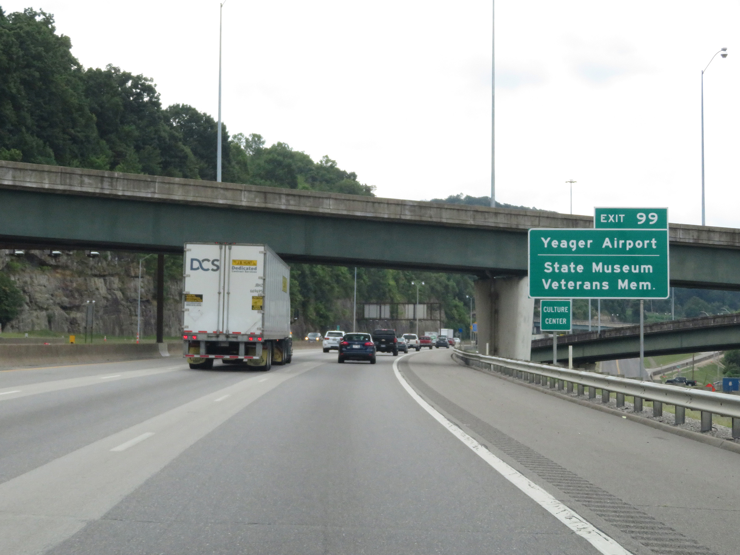 |
Take Exit 99 to Yeager Airport, the State Museum, and the Veterans Museum. (Photo taken 8/9/19). |
 |
State-named Interstate 64 East / Interstate 77 South reassurance shields in Charleston. (Photo taken 8/9/19). |
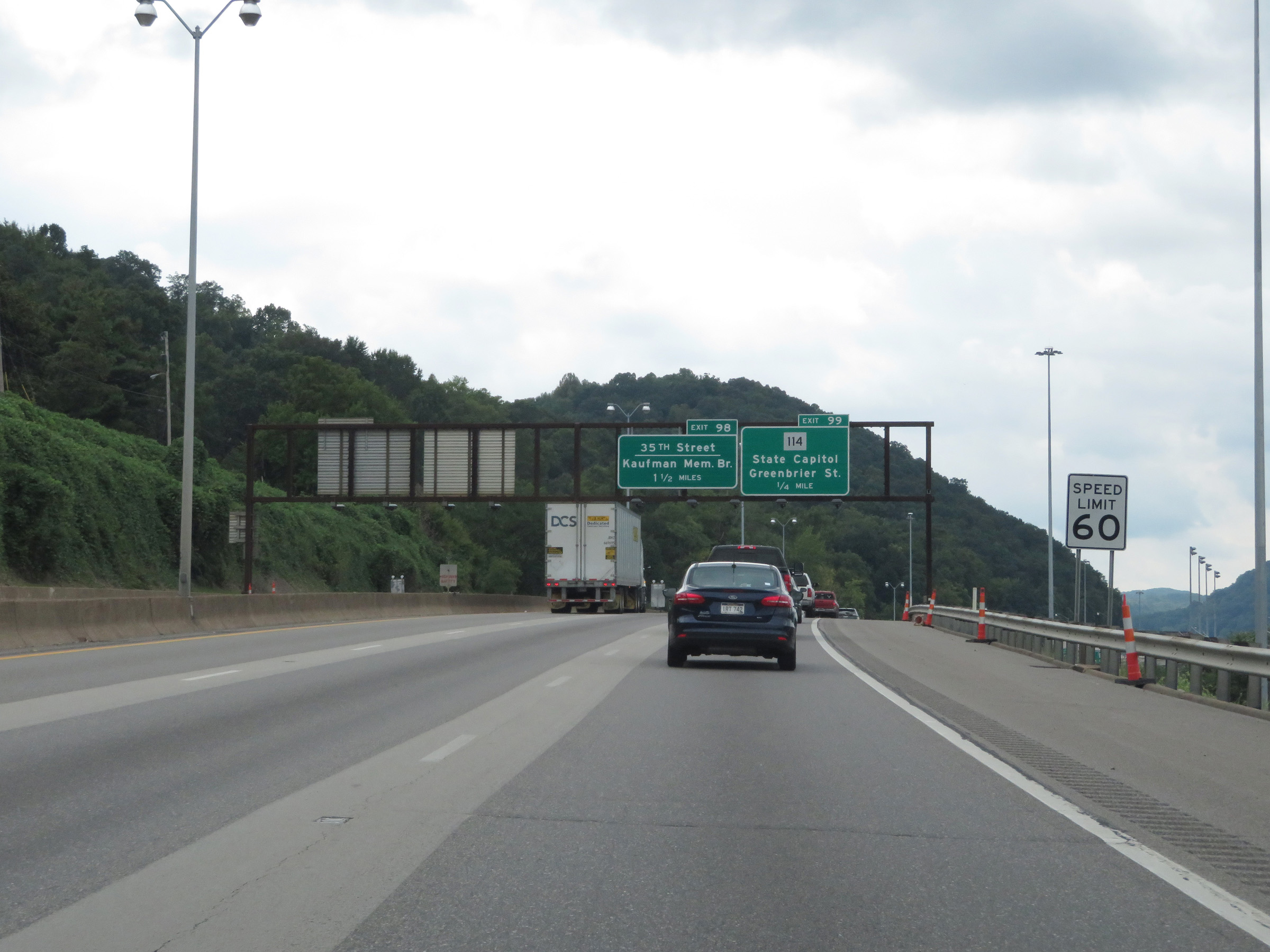 |
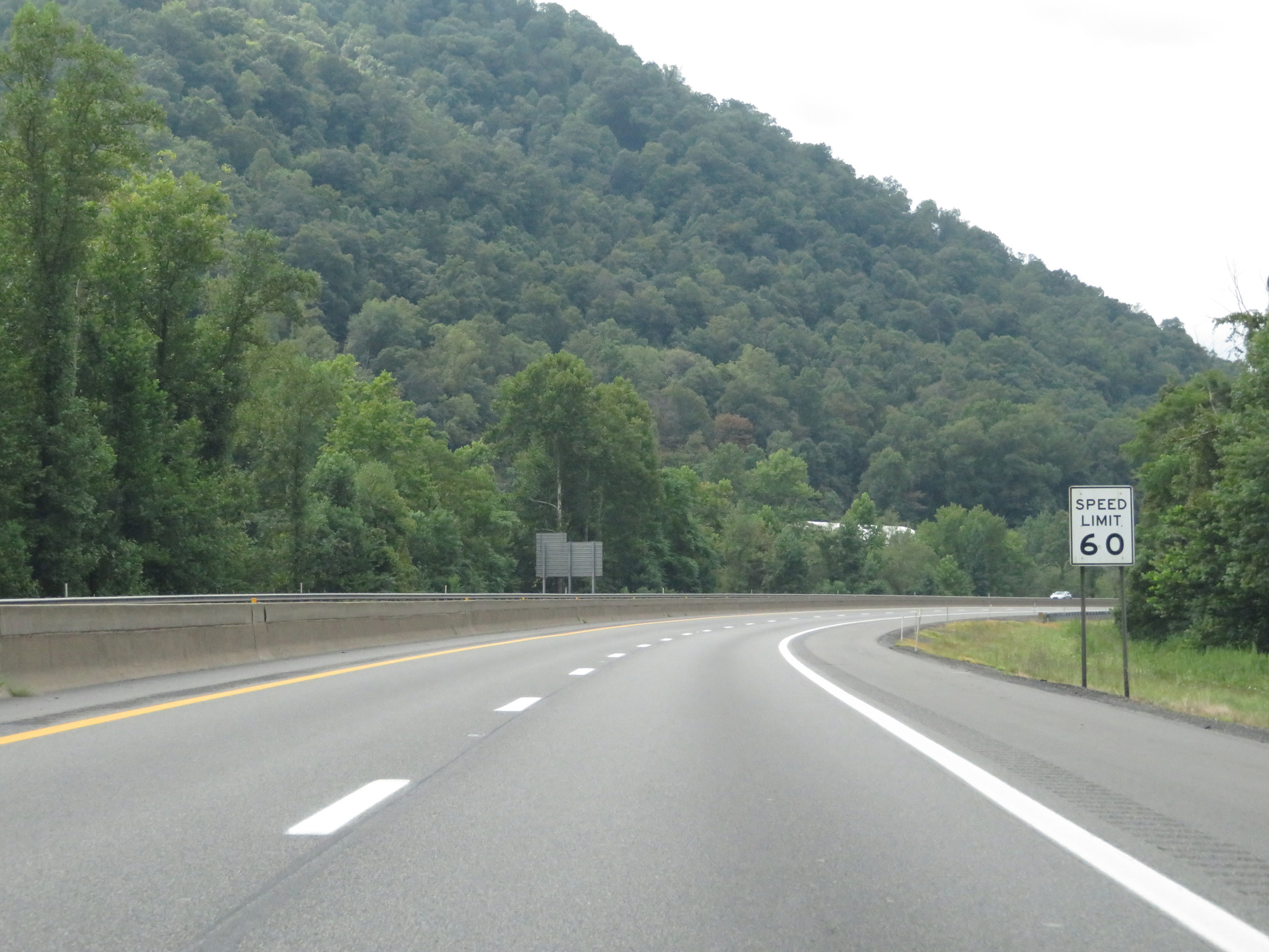
The speed limit on Interstate 64 East / Interstate 77 South through Charleston is 60 mph. (Photo taken 8/9/19). |
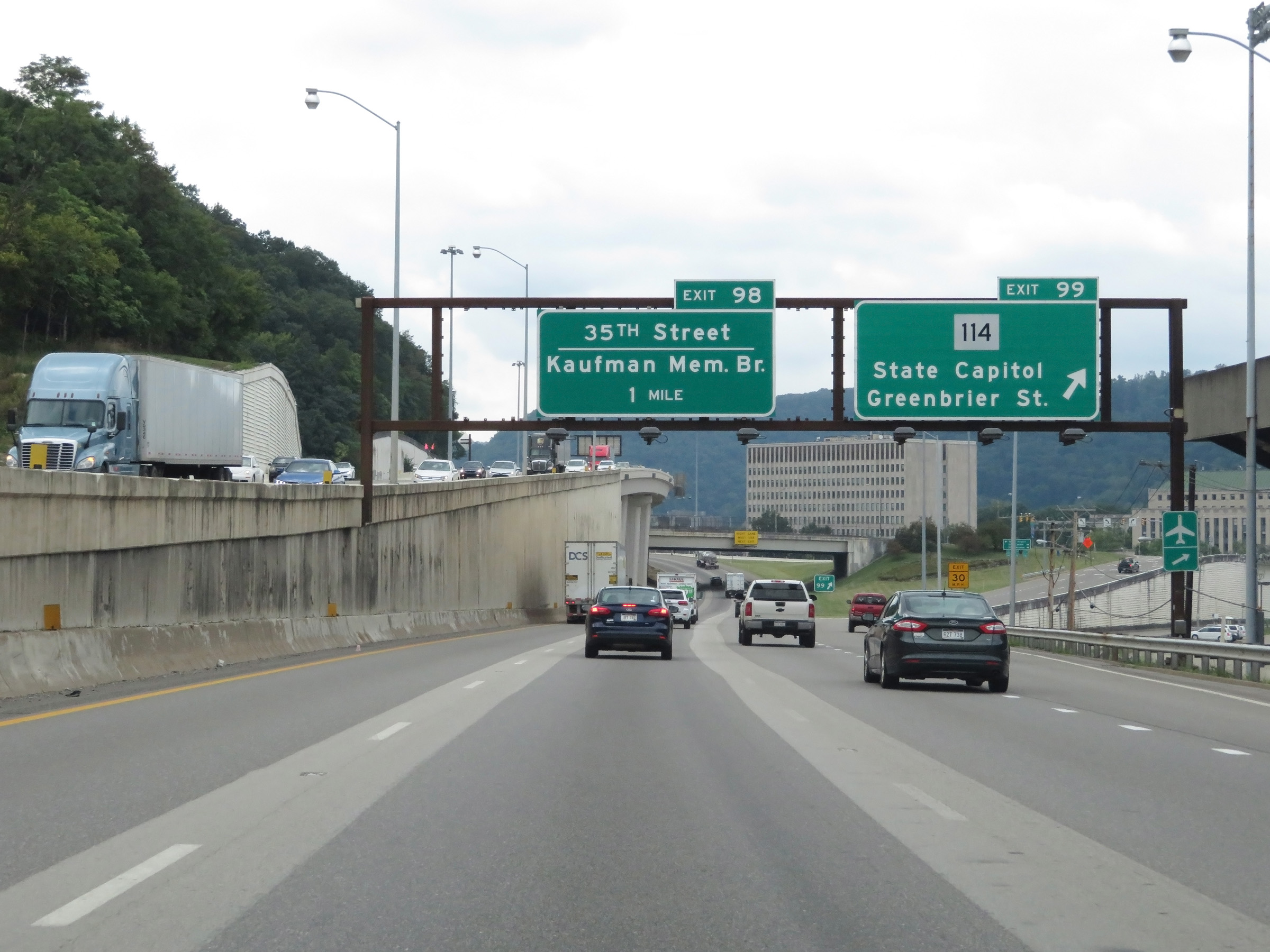 |
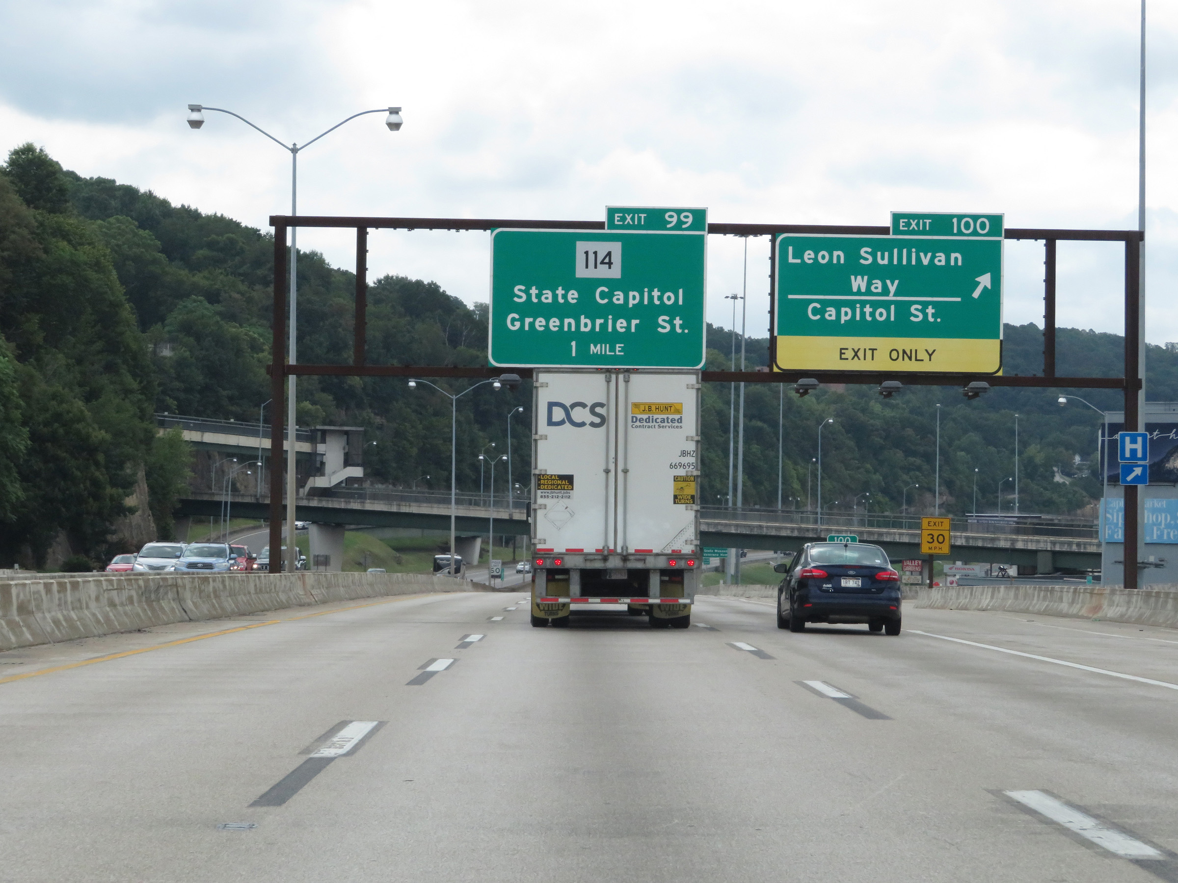
Interstate 64 East / Interstate 77 South at Exit 99: WV 114 - State Capitol / Greenbrier St (Photo taken 8/9/19). |
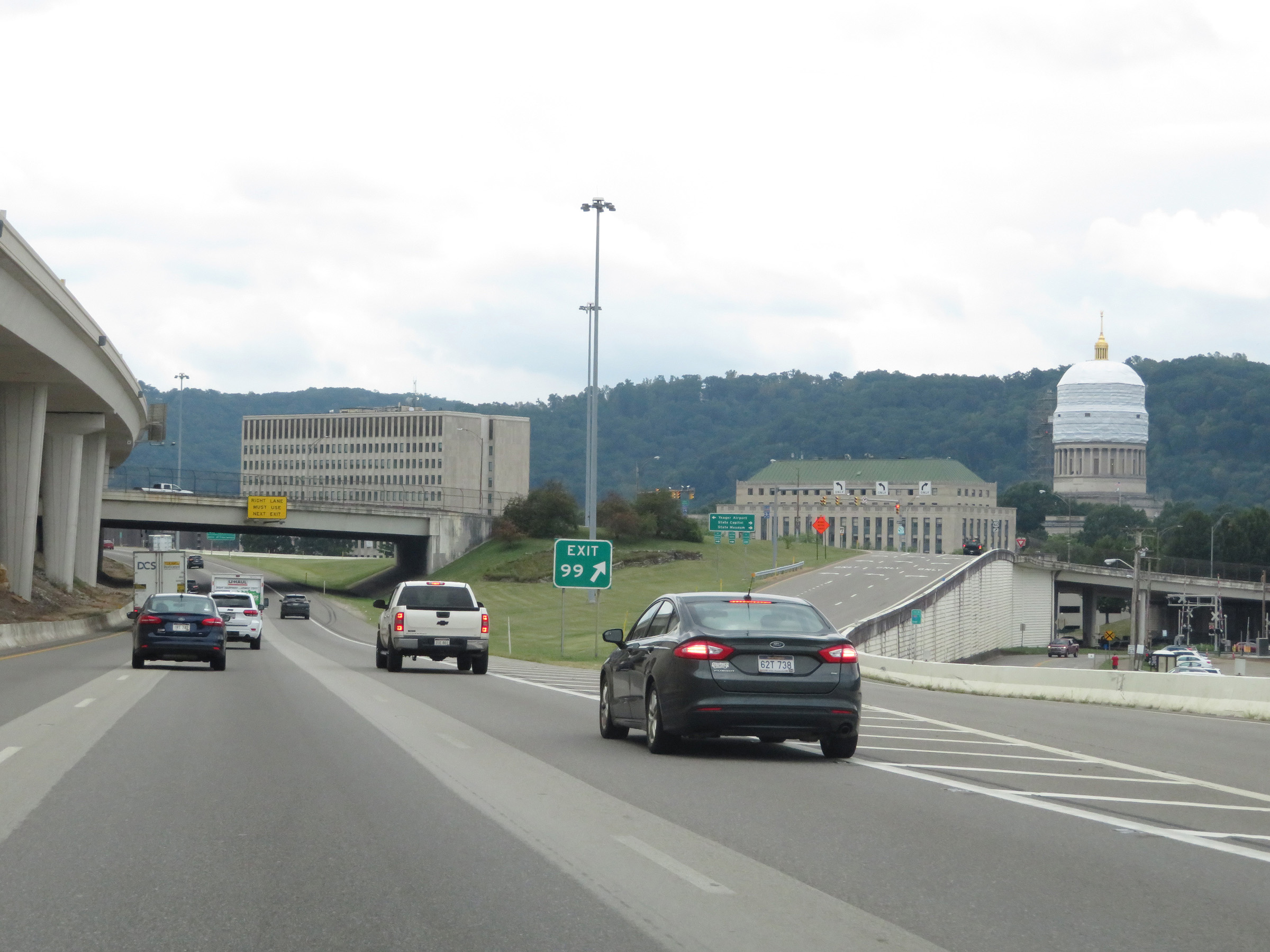 |
At the ramp for Exit 99, you get this view of the (under construction at the time) West Virginia State Capitol. (Photo taken 8/9/19). |
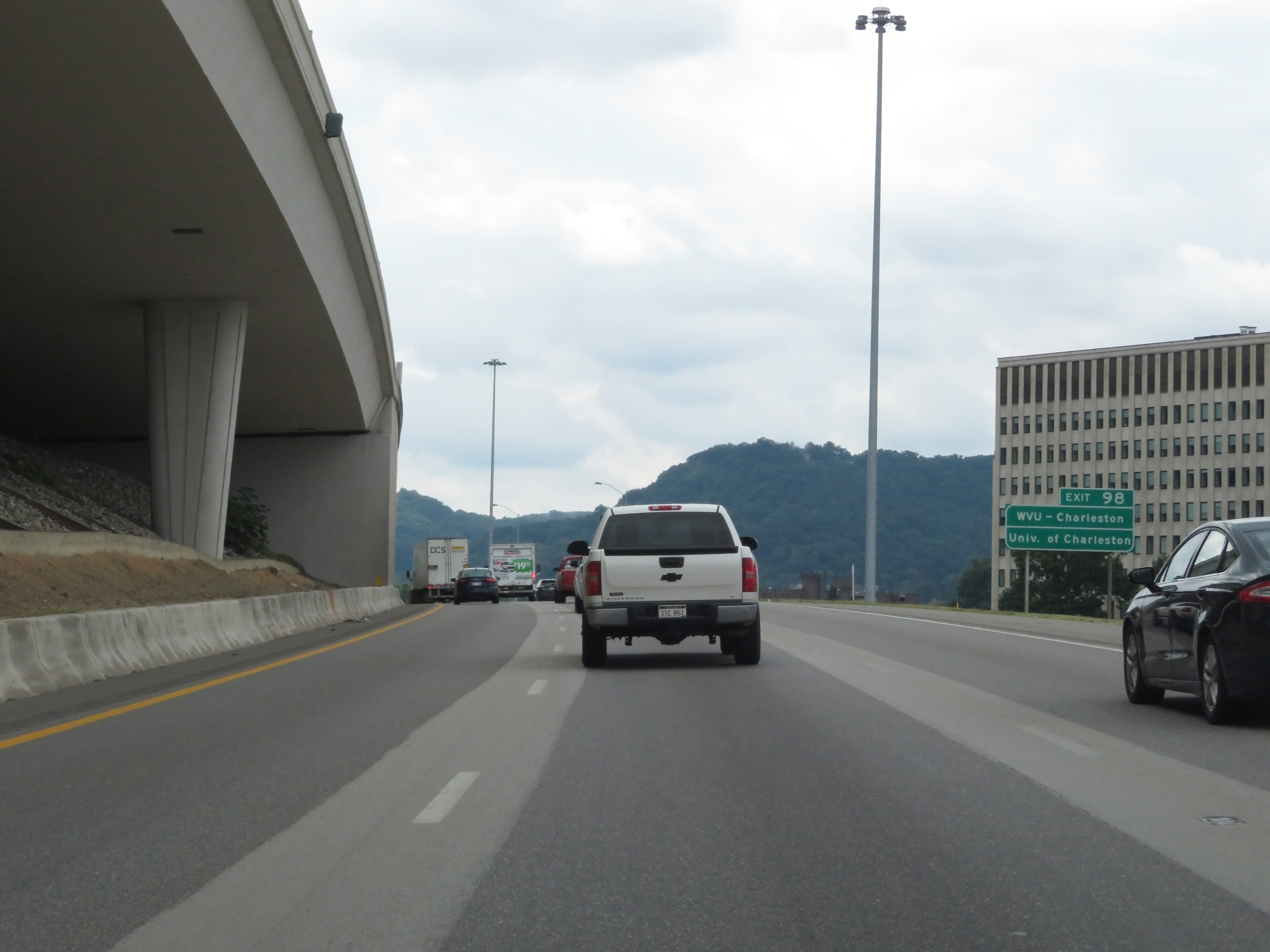 |
Take Exit 98 to WVU - Charleston and the University of Charleston. (Photo taken 8/9/19). |
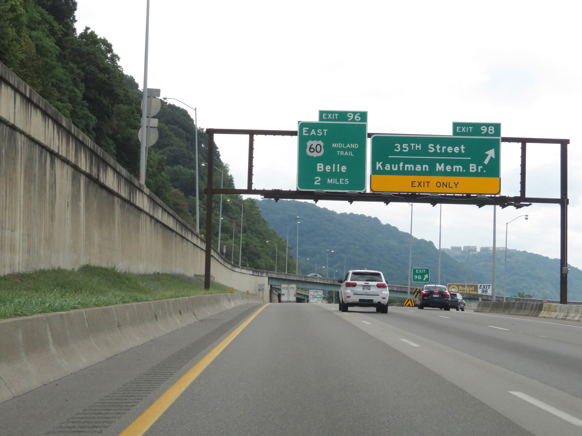 |
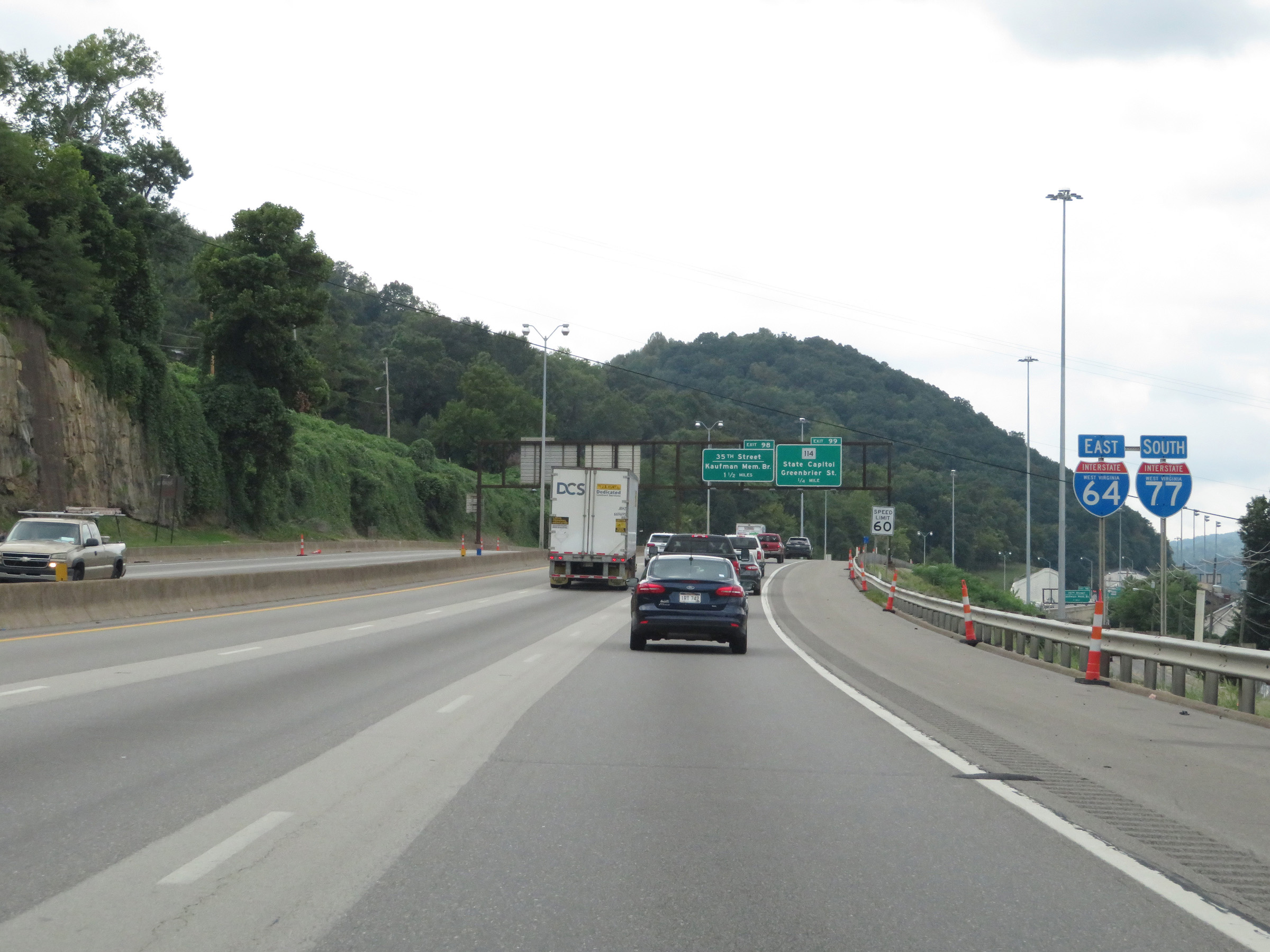
Interstate 64 East / Interstate 77 South at Exit 98: 35th Street / Kaufman Memorial Bridge (Photo taken 8/9/19). |
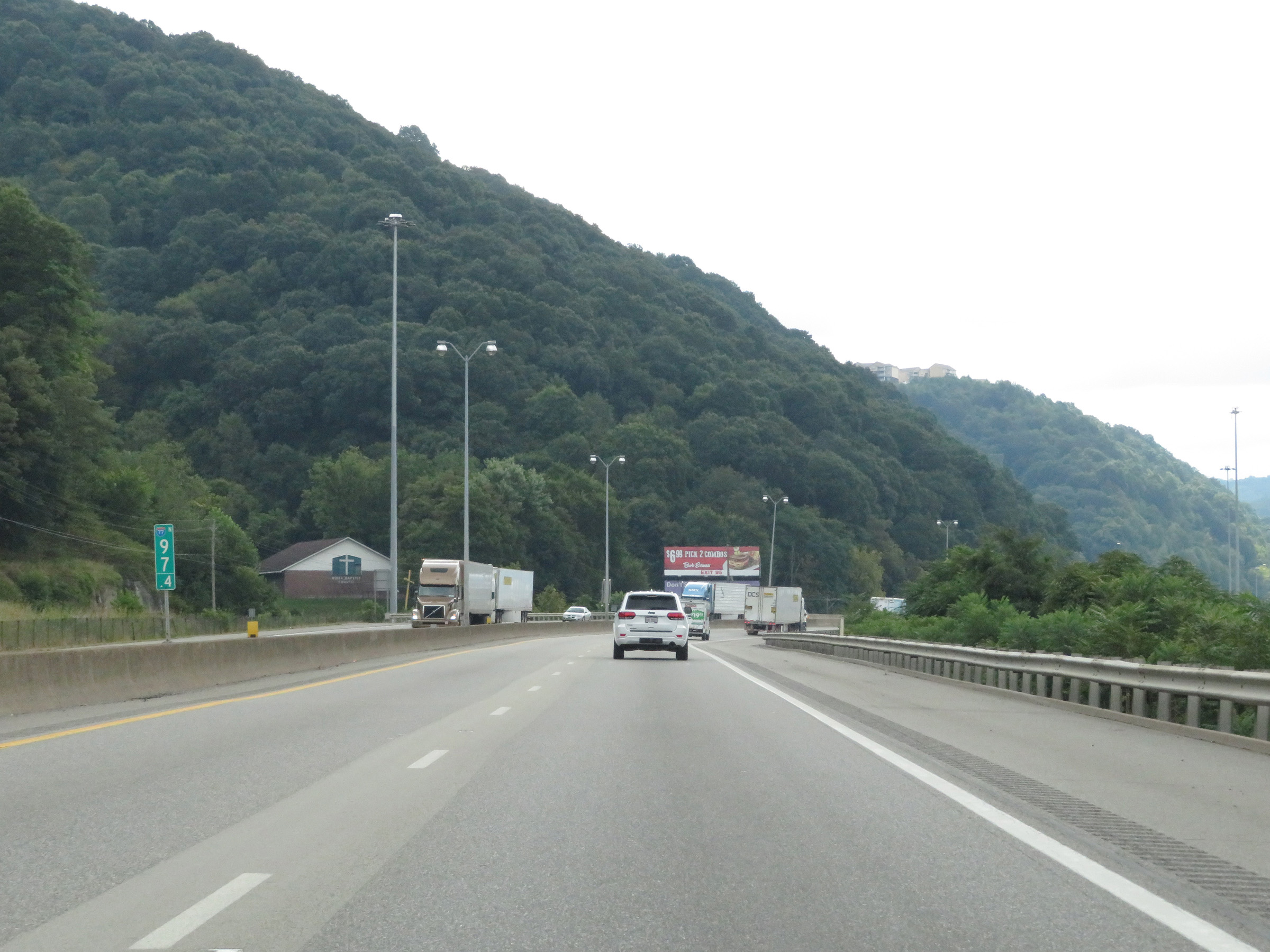 |
View on Interstate 64 East / Interstate 77 South at mile marker 97.4. (Photo taken 8/9/19). |
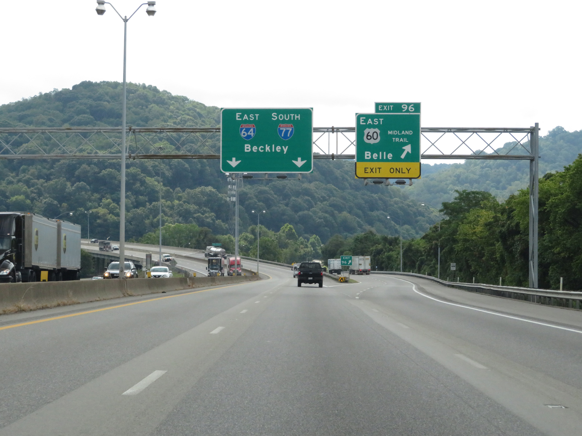 |
Interstate 64 East / Interstate 77 South at Exit 96: US 60 East - Belle (Photo taken 8/9/19). |
 |
As Interstate 64 East / Interstate 77 South near the beginning of the West Virginia Turnpike to the south of downtown Charleston, this sign warns that credit cards are NOT accepted at the turnpike's toll plazas. (Photo taken 8/9/19). |
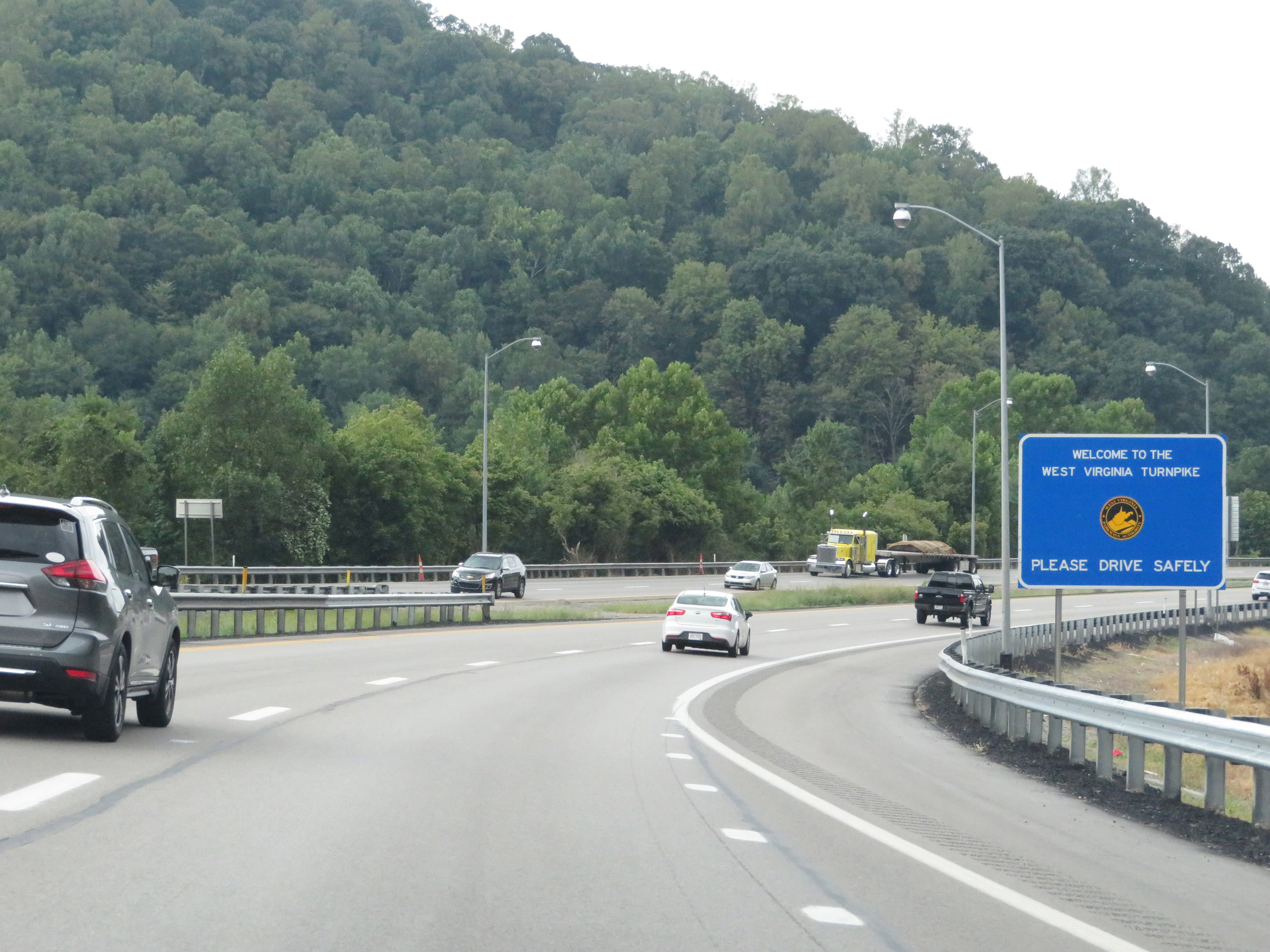 |
South of Exit 96, Interstate 64 East / Interstate 77 South enter the West Virginia Turnpike. (Photo taken 8/9/19). |
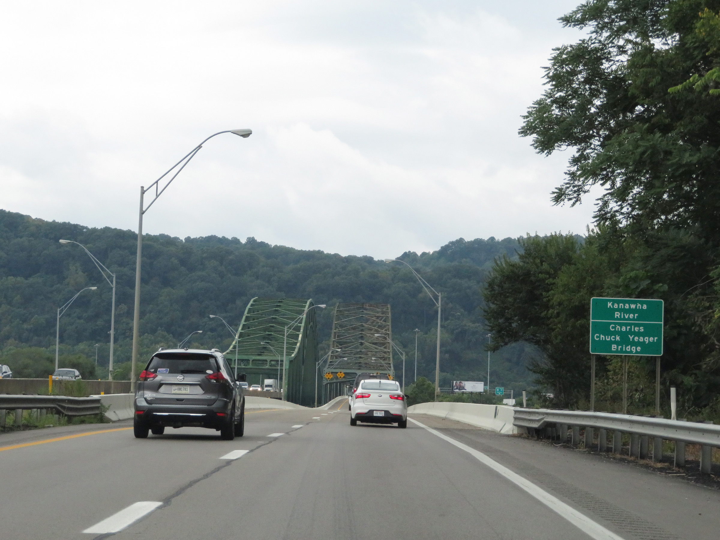 |
Interstate 64 East / Interstate 77 South (West Virginia Turnpike) as they prepare to cross the Kanawha River on the Chuck Yeager Bridge. (Photo taken 8/9/19). |
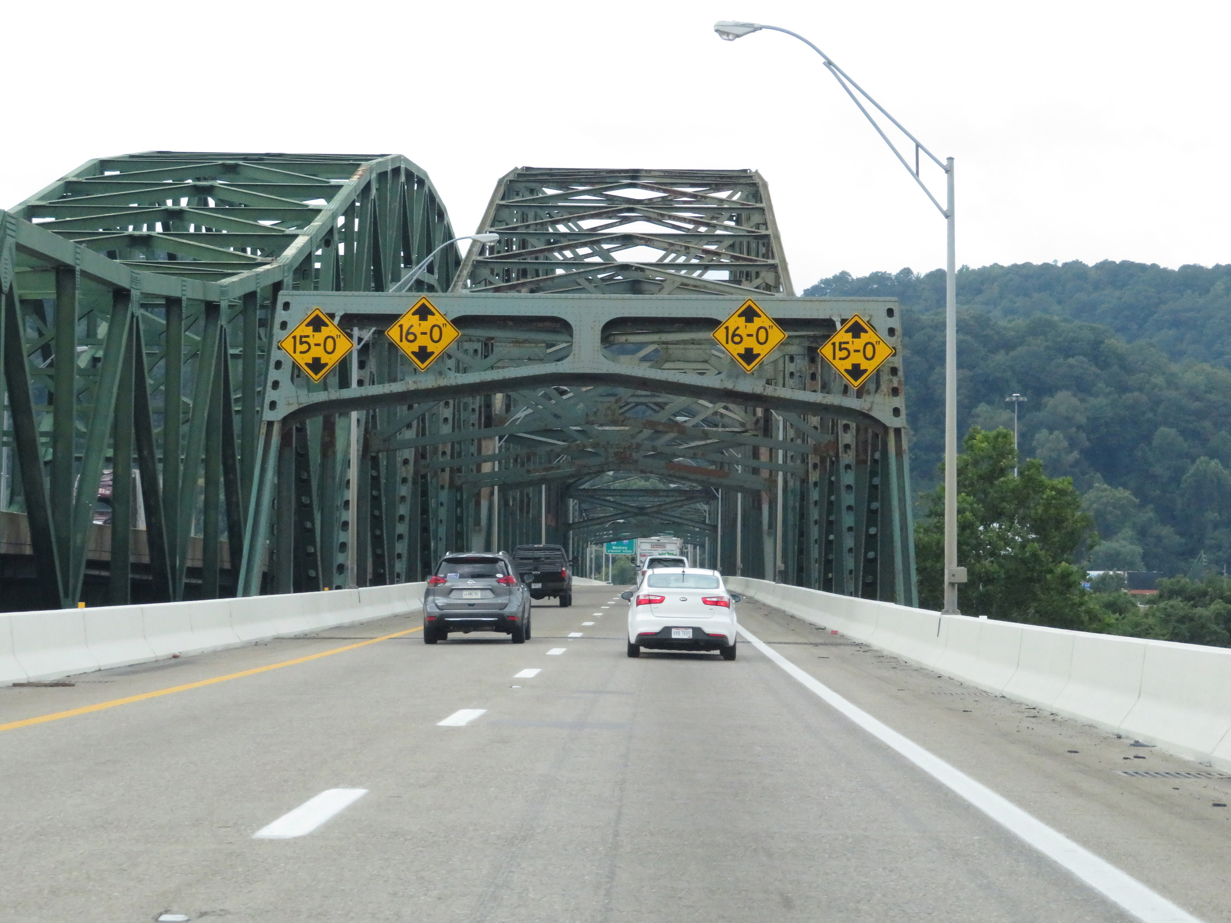 |
View on Interstate 64 East / Interstate 77 South (West Virginia Turnpike) crossing the Chuck Yeager Bridge over the Kanawha River. (Photo taken 8/9/19). |
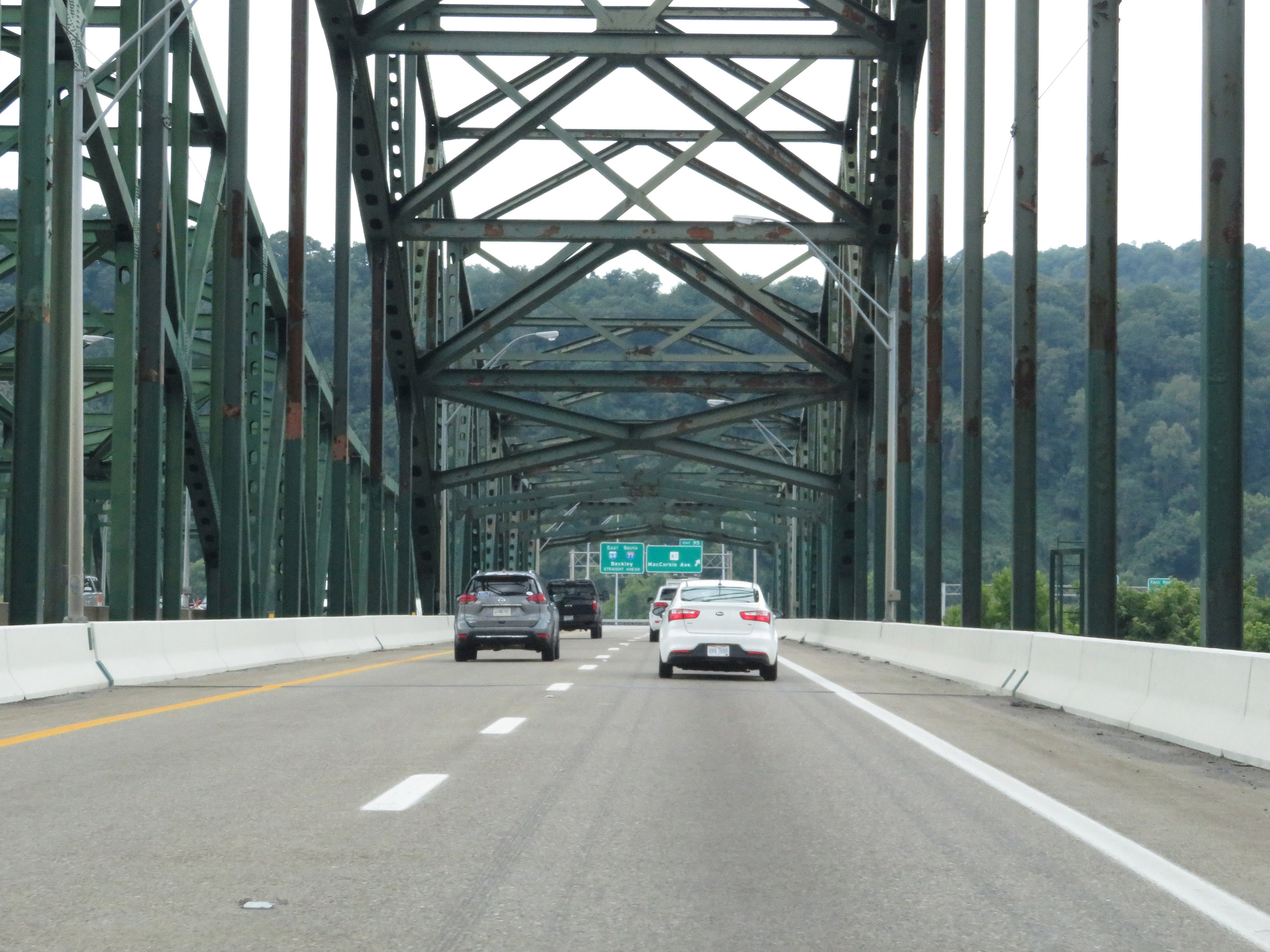 |
An additional view on the Chuck Yeager Bridge on Interstate 64 East / Interstate 77 South (West Virginia Turnpike). (Photo taken 8/9/19). |
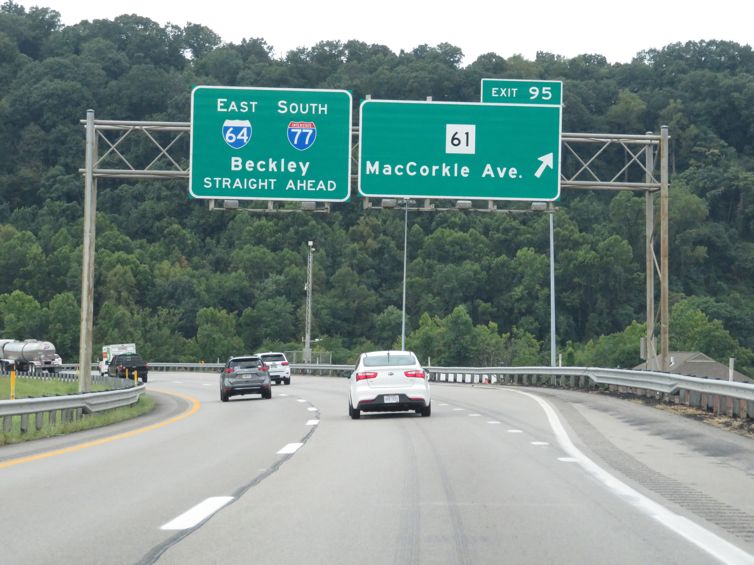 |
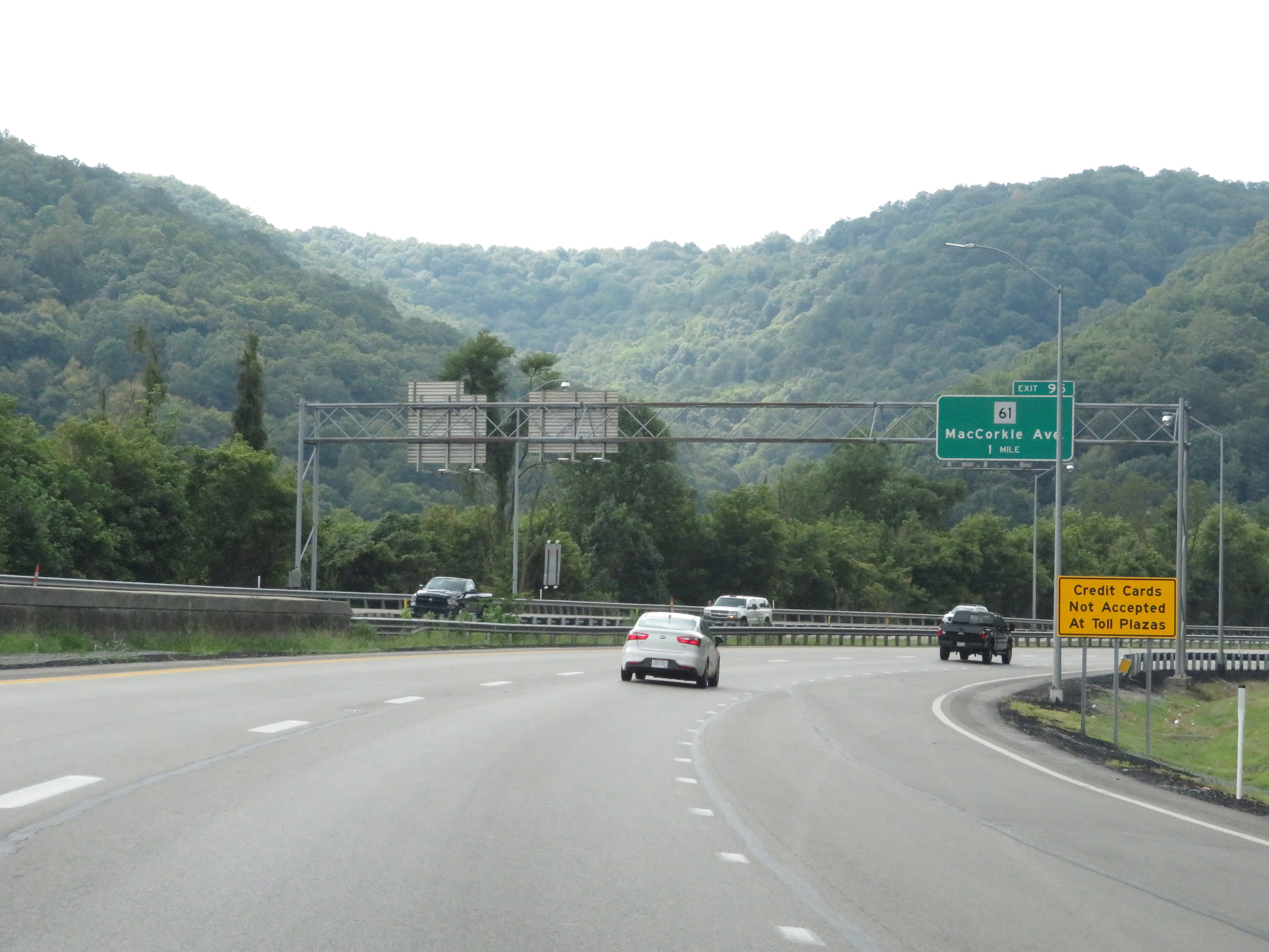
Interstate 64 East / Interstate 77 South (West Virginia Turnpike) at Exit 95: WV 61 - MacCorkle Ave (Photo taken 8/9/19). |
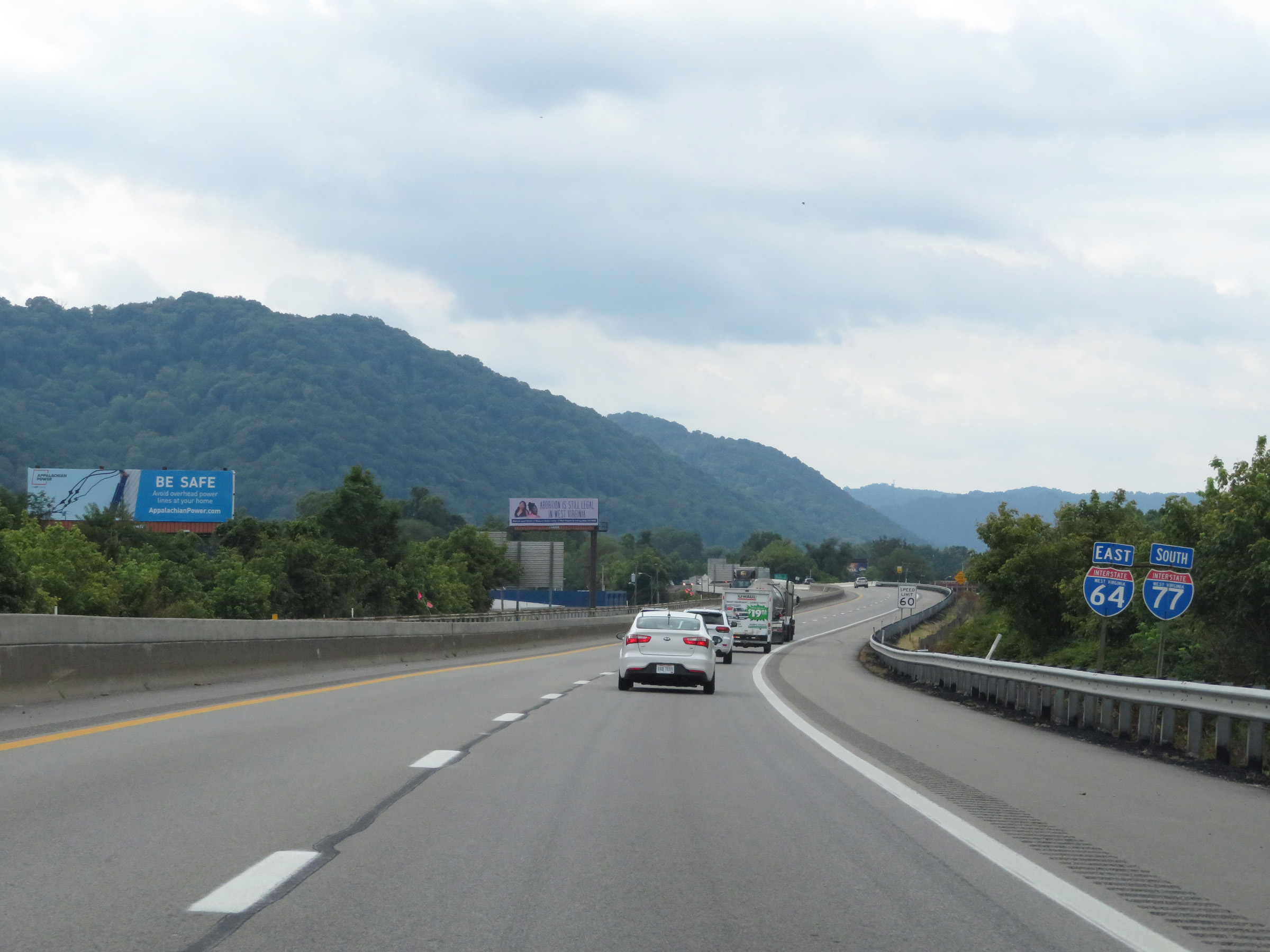 |
Another set of state-named Interstate 64 East / Interstate 77 South reassurance shields. The speed limit remains 60 mph. (Photo taken 8/9/19). |
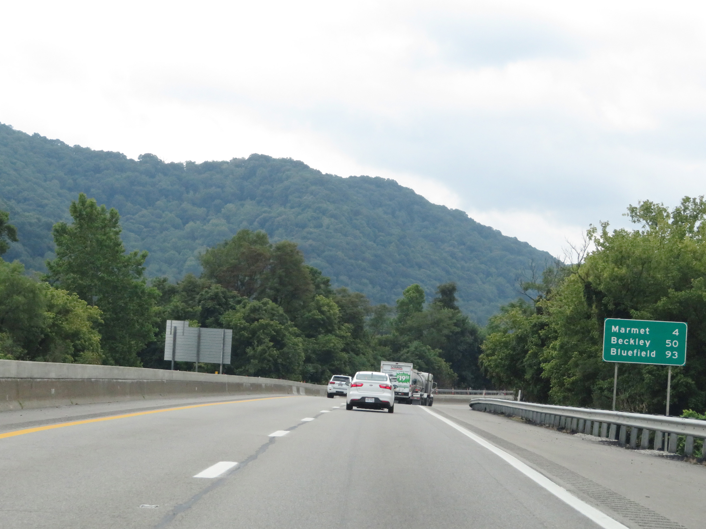 |
Mileage sign on Interstate 64 East / Interstate 77 South (West Virginia Turnpike). It's 4 miles to Marmet, 50 miles to Beckley, and 93 miles to Bluefield. (Photo taken 8/9/19). |
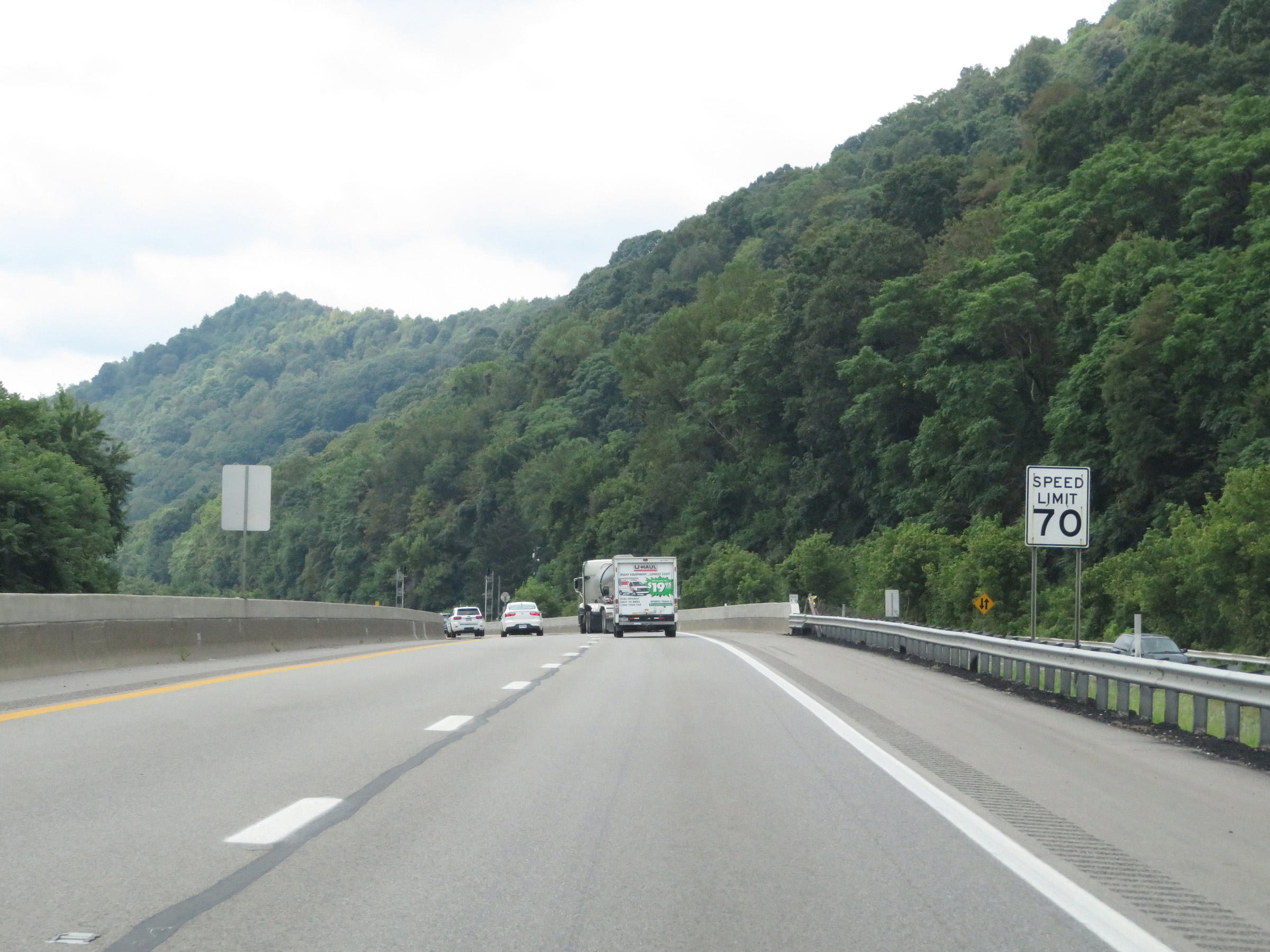 |
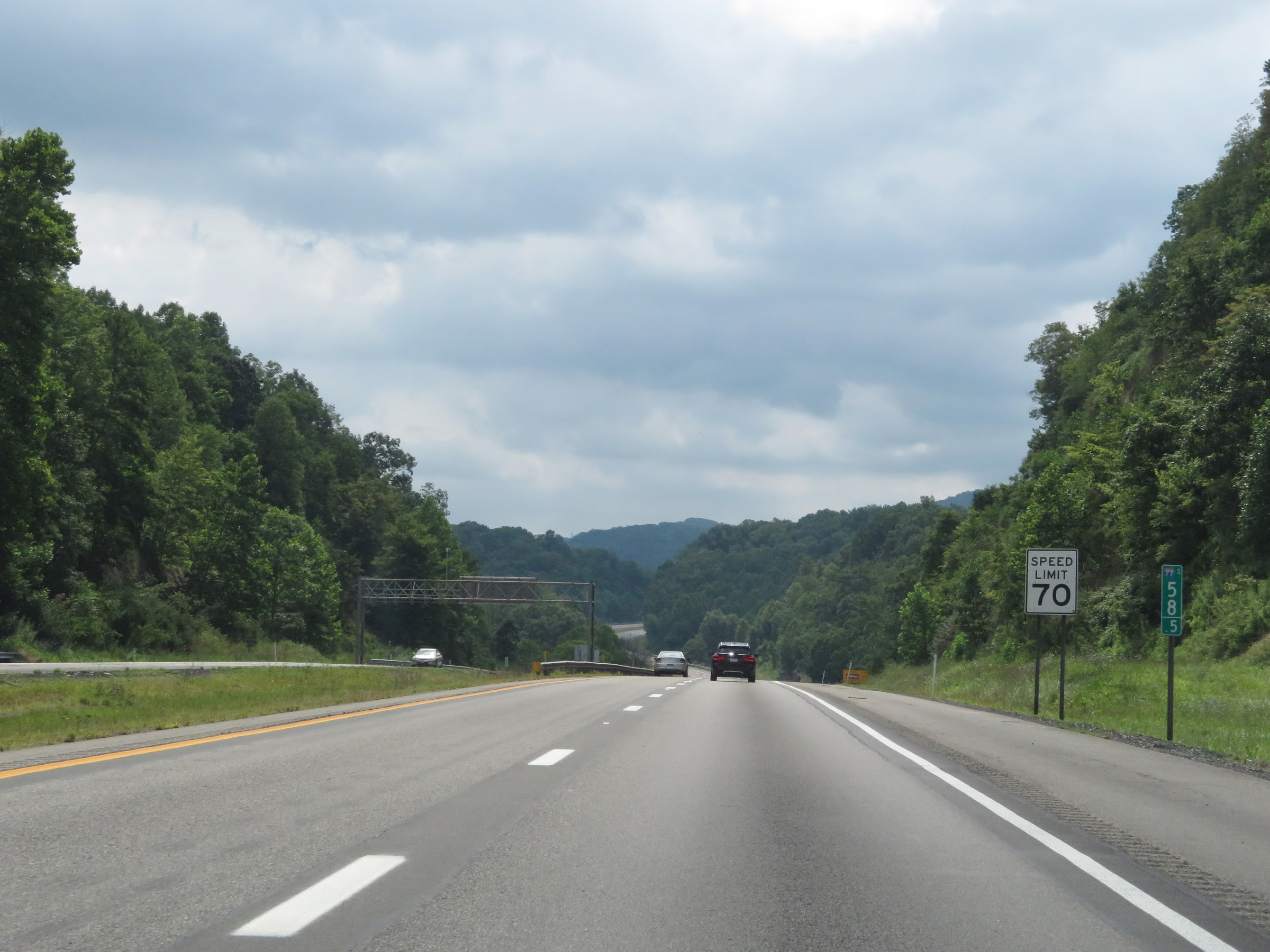
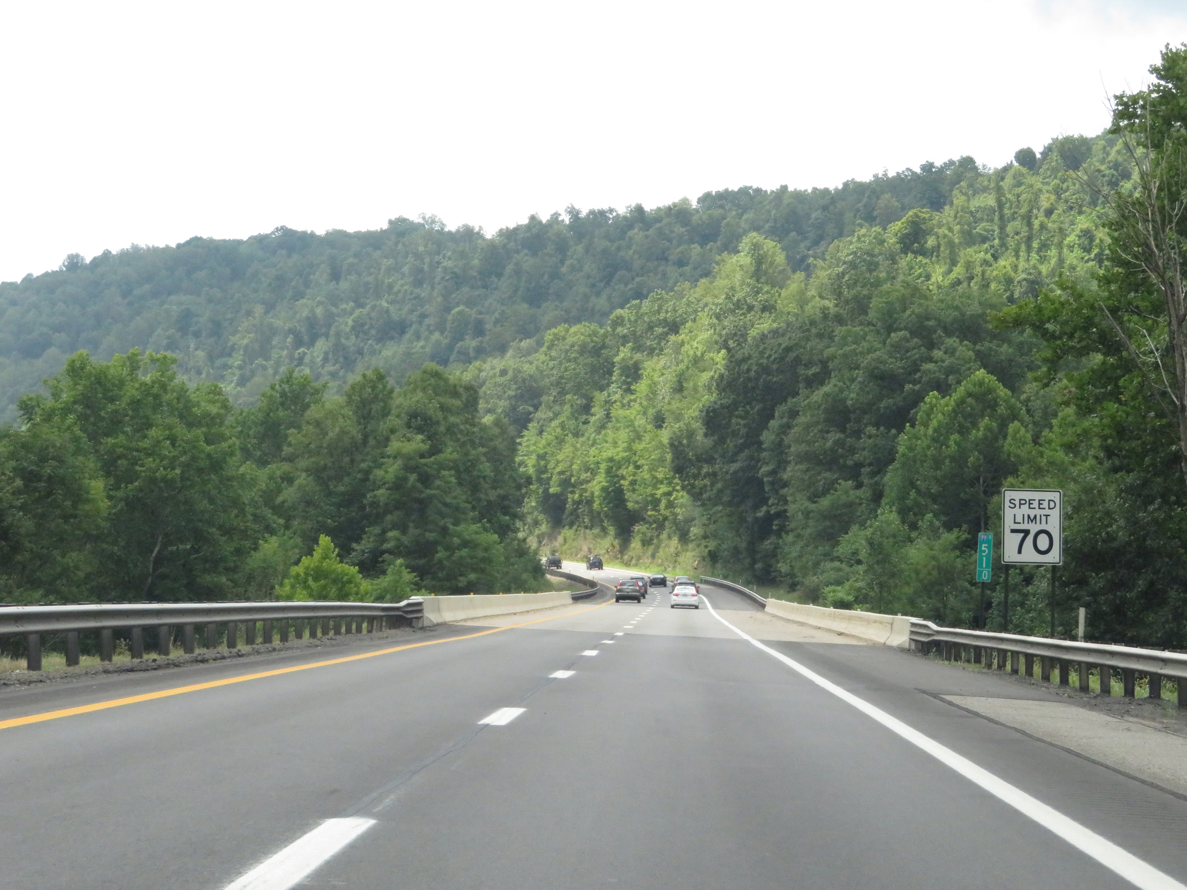
Near mile marker 93, the speed limit increases to 70 mph on Interstate 64 East / Interstate 77 South (West Virginia Turnpike). (Photo taken 8/9/19). |
 |
Interstate 64 East / Interstate 77 South (West Virginia Turnpike) at mile marker 91. (Photo taken 8/9/19). |
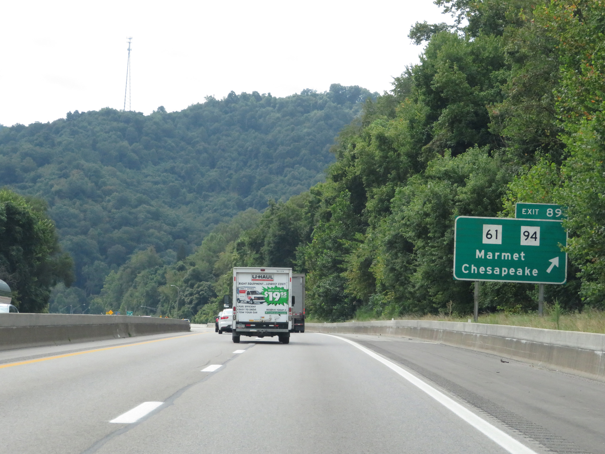 |
Interstate 64 East / Interstate 77 South (West Virginia Turnpike) at Exit 89: WV 61 / WV 94 - Marmet / Chesapeake (Photo taken 8/9/19). |
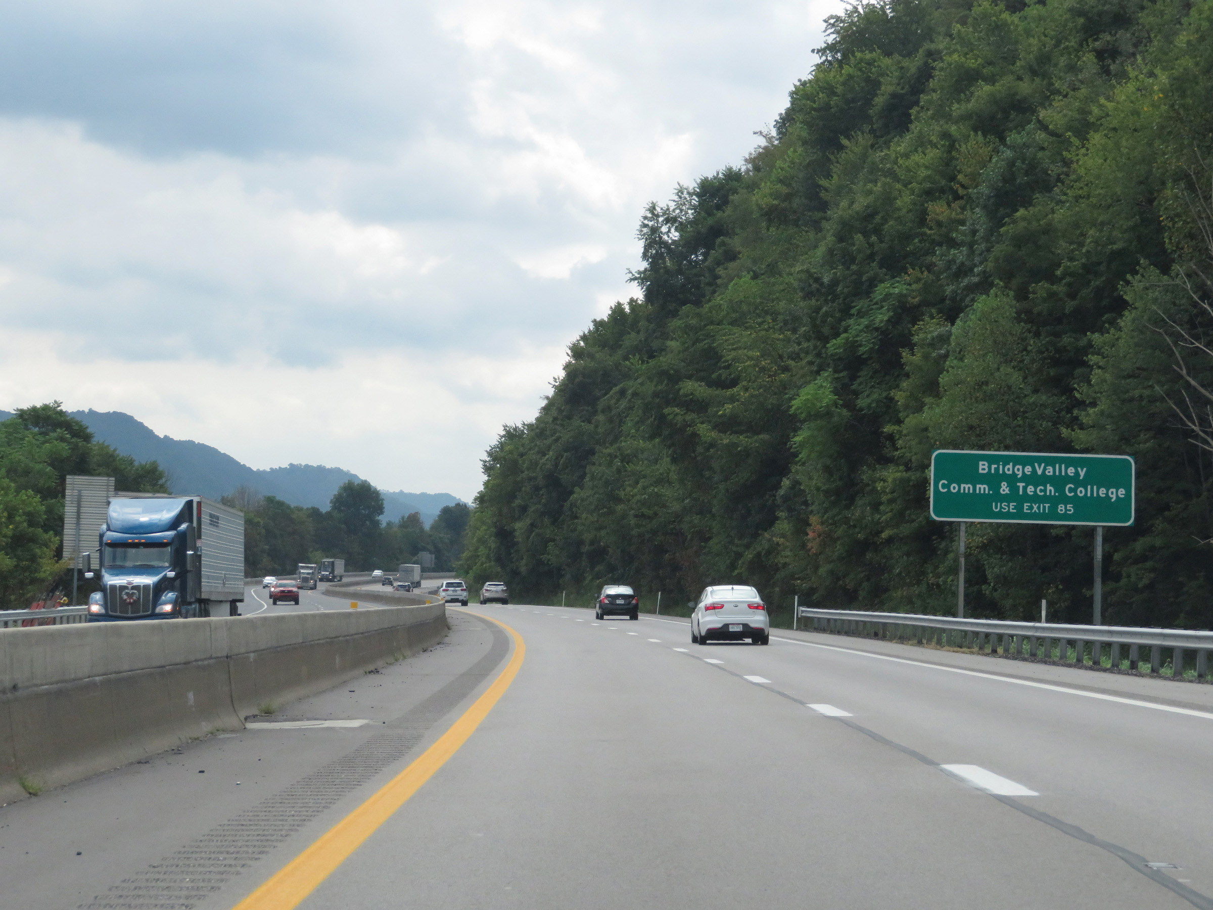 |
Take Exit 85 to Bridge Valley Community & Technical College. (Photo taken 8/9/19). |
 |
View on Interstate 64 East / Interstate 77 South (West Virginia Turnpike) at mile marker 88. (Photo taken 8/9/19). |
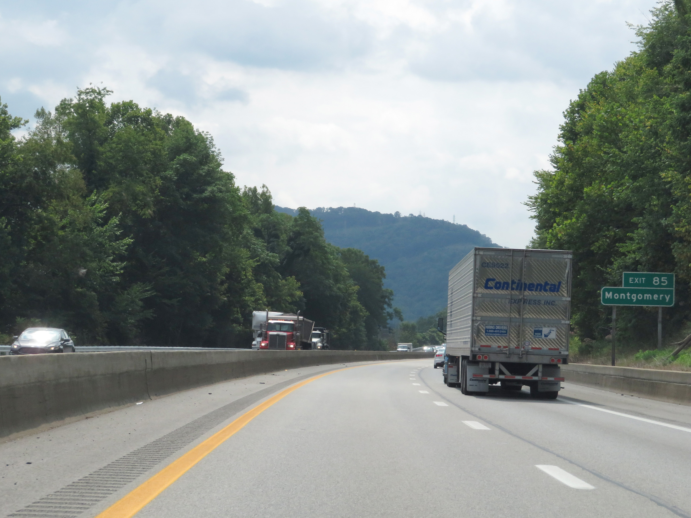 |
Also take Exit 85 to Montgomery. (Photo taken 8/9/19). |
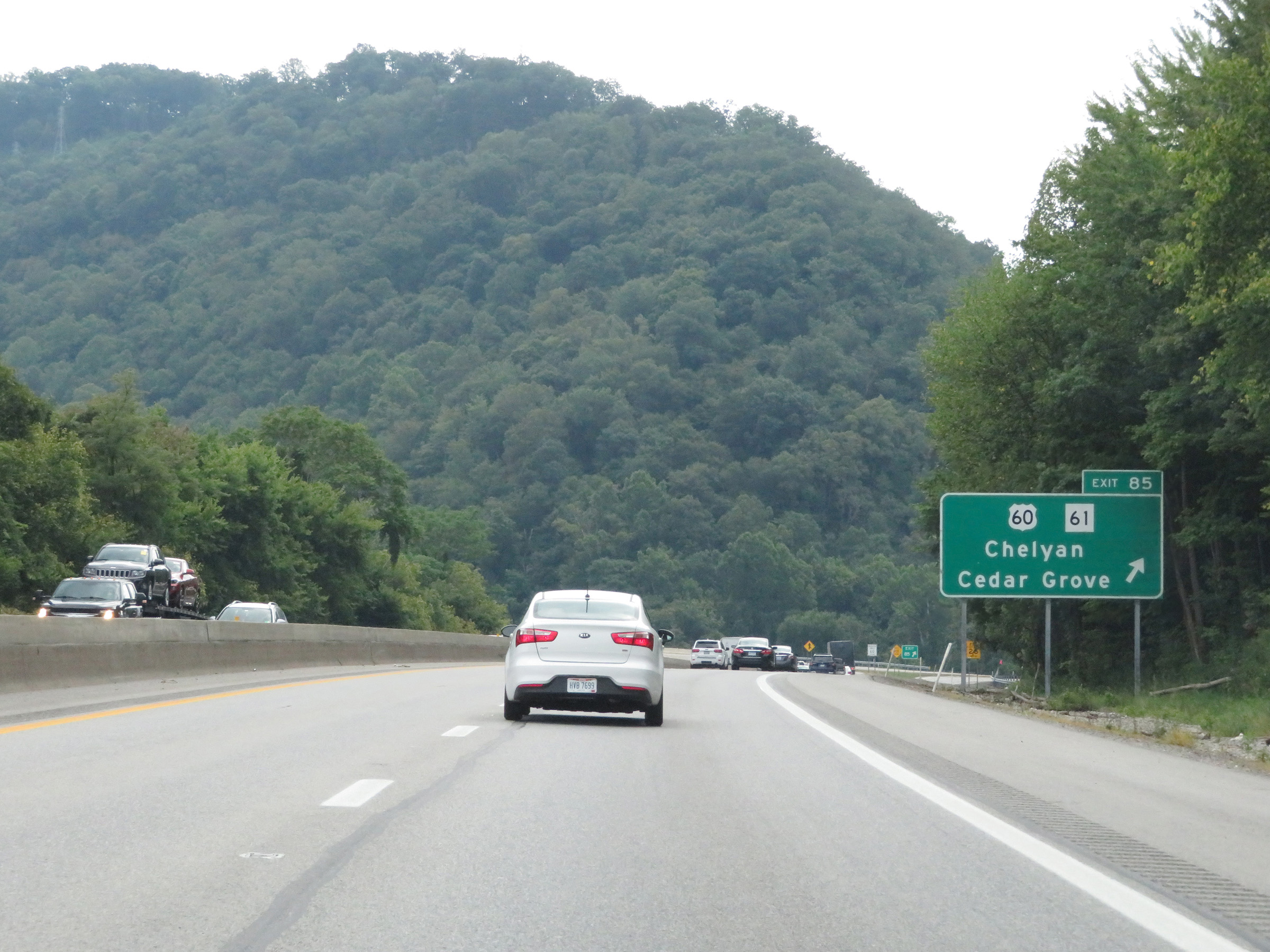 |
Interstate 64 East / Interstate 77 South (West Virginia Turnpike) at Exit 85: US 60 / WV 61 - Chelyan / Cedar Grove (Photo taken 8/9/19). |
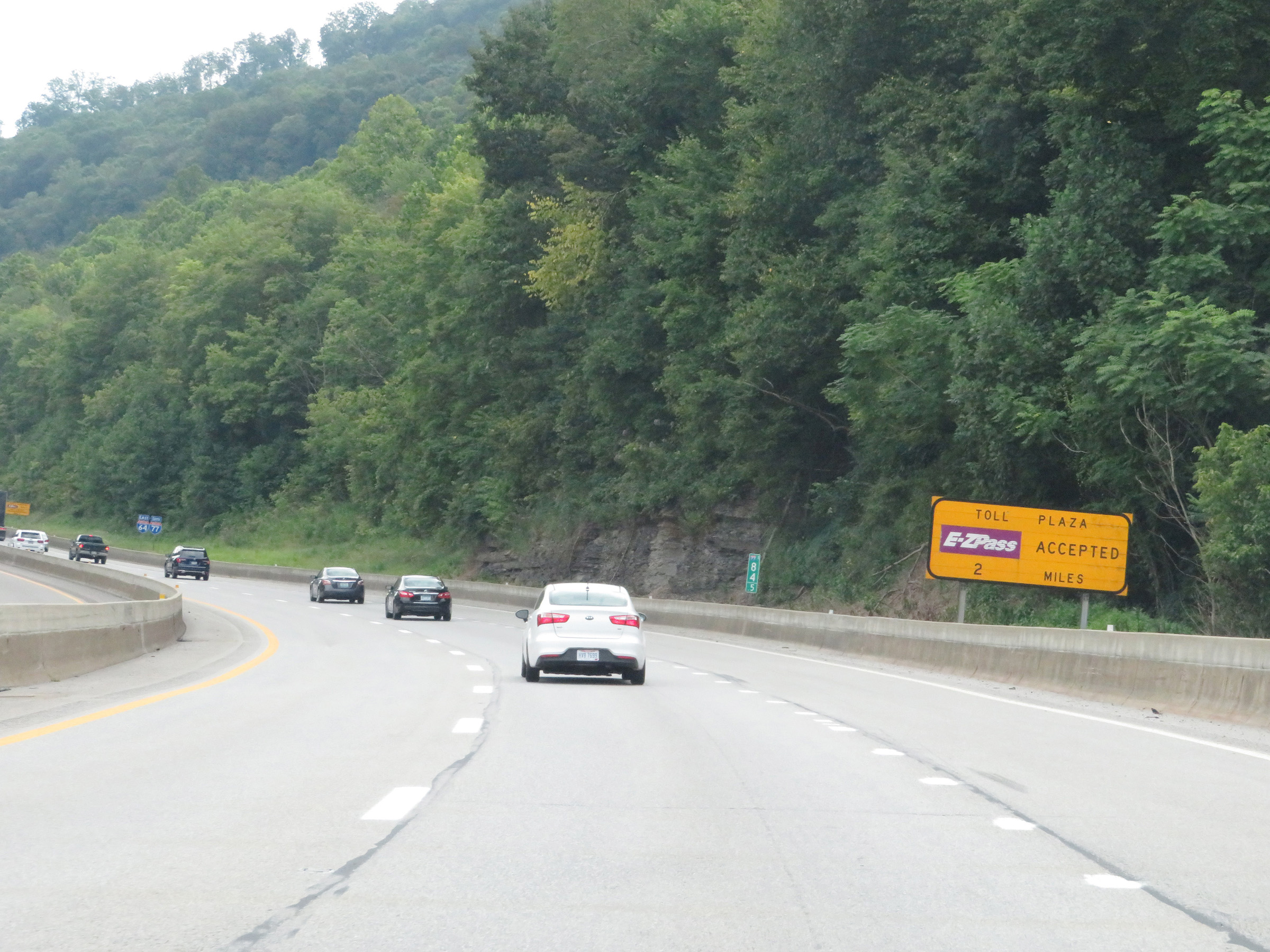 |
This sign at mile marker 84.5 warns that Interstate 64 East / Interstate 77 South (West Virginia Turnpike) will come to its first toll plaza 2 miles ahead. EZ Pass is accepted in all lanes at the toll plaza. (Photo taken 8/9/19). |
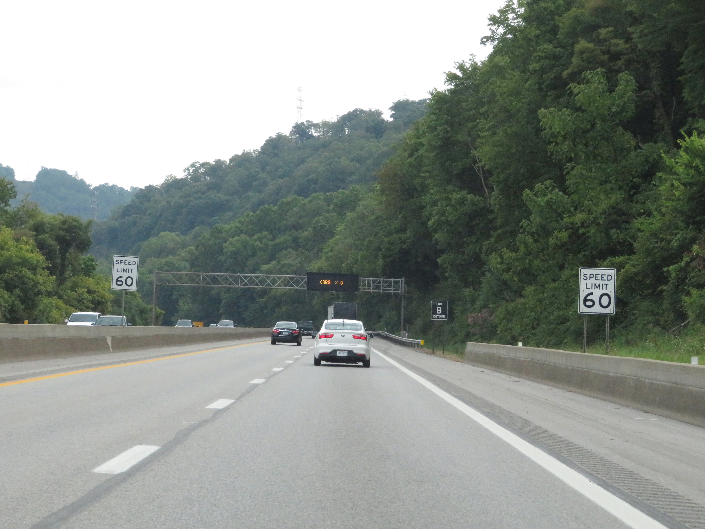 |
The speed limit decreases to 60 mph once again near mile marker 84. (Photo taken 8/9/19). |
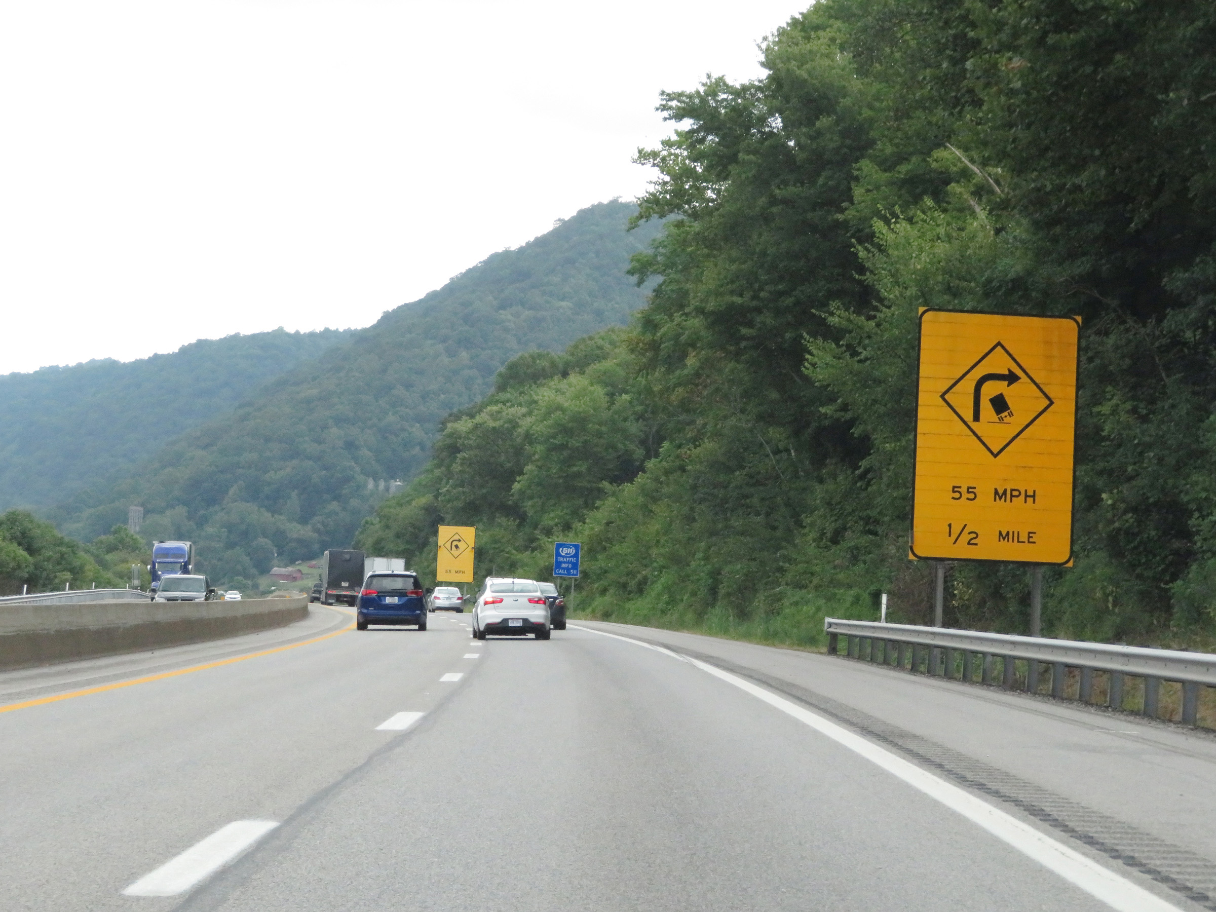 |
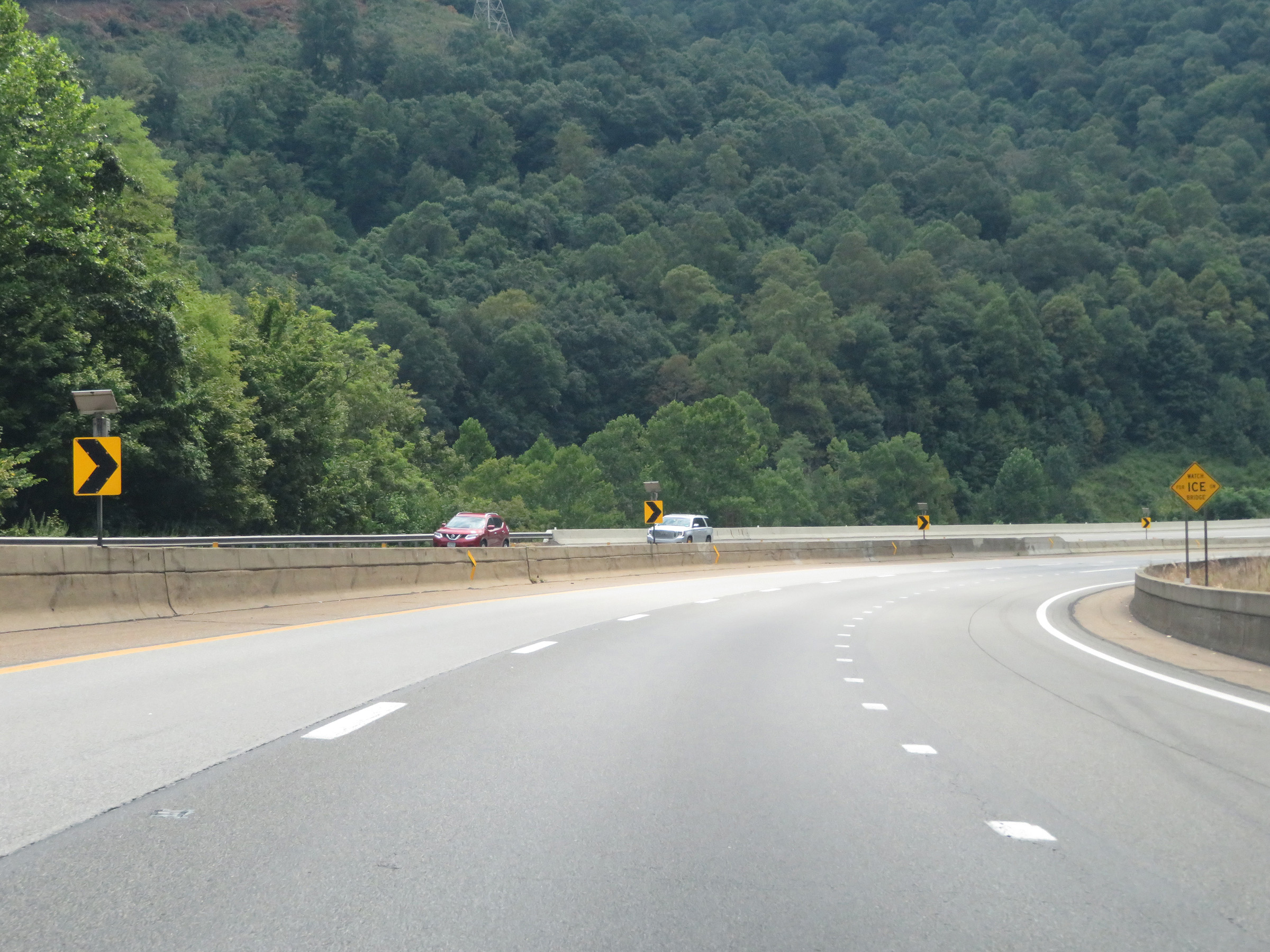
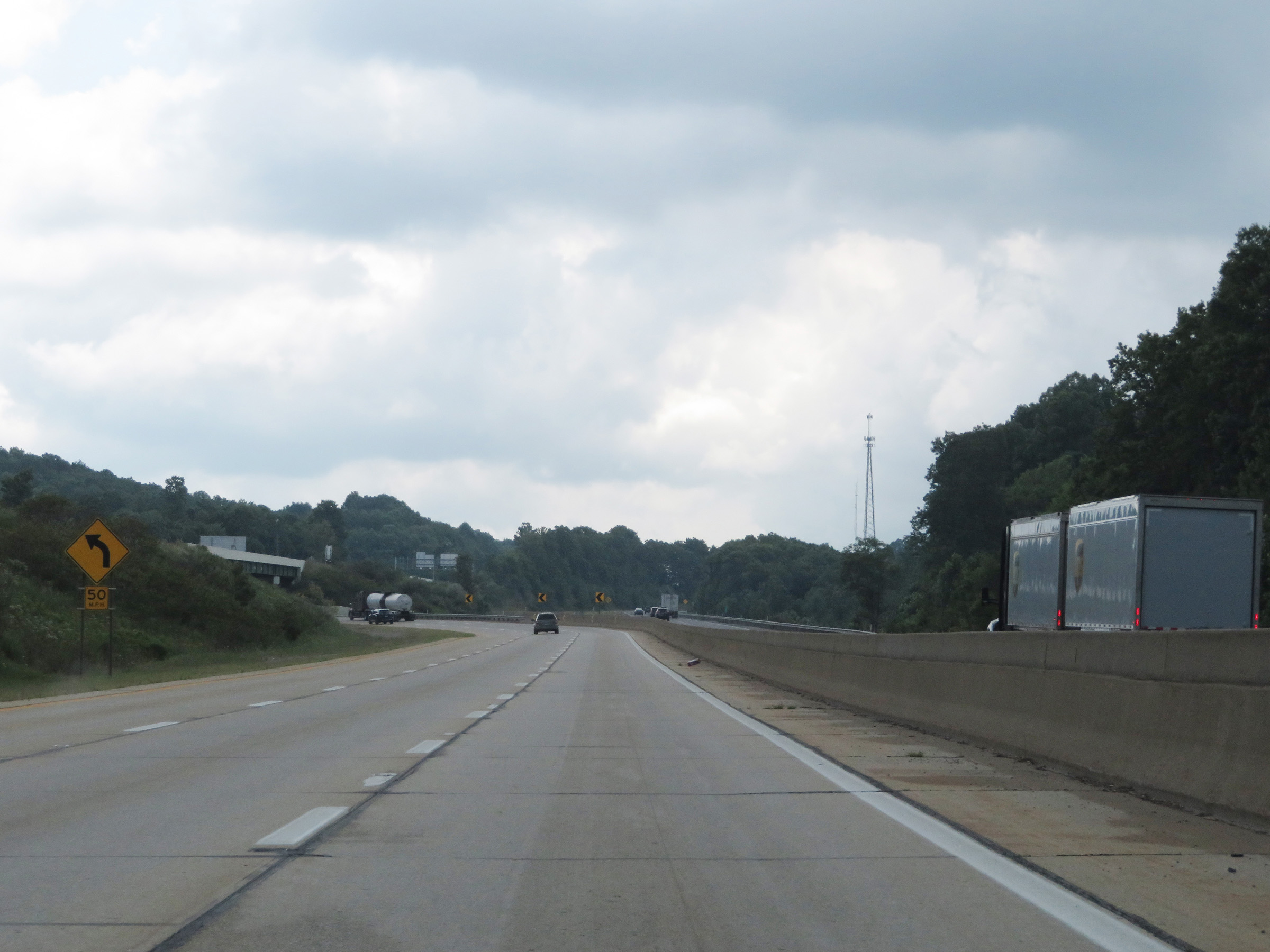
As this sign warns, Interstate 64 East / Interstate 77 South (West Virginia Turnpike) will traverse a sharp curve to the right 1/2 mile ahead. 55 mph is the advised speed. (Photo taken 8/9/19). |
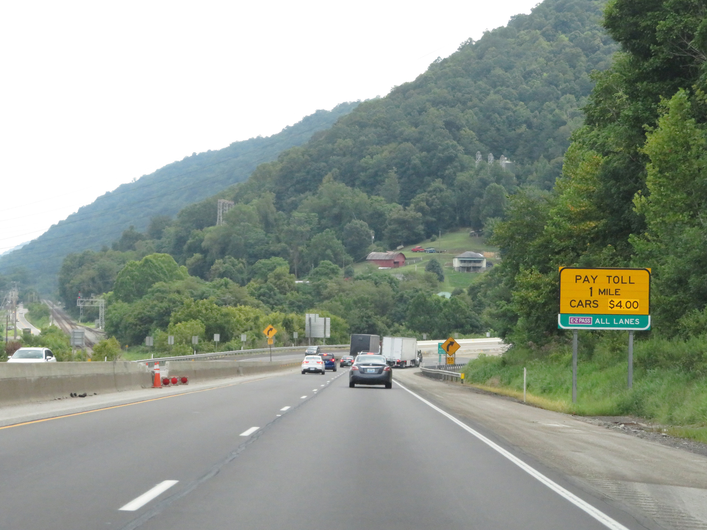 |
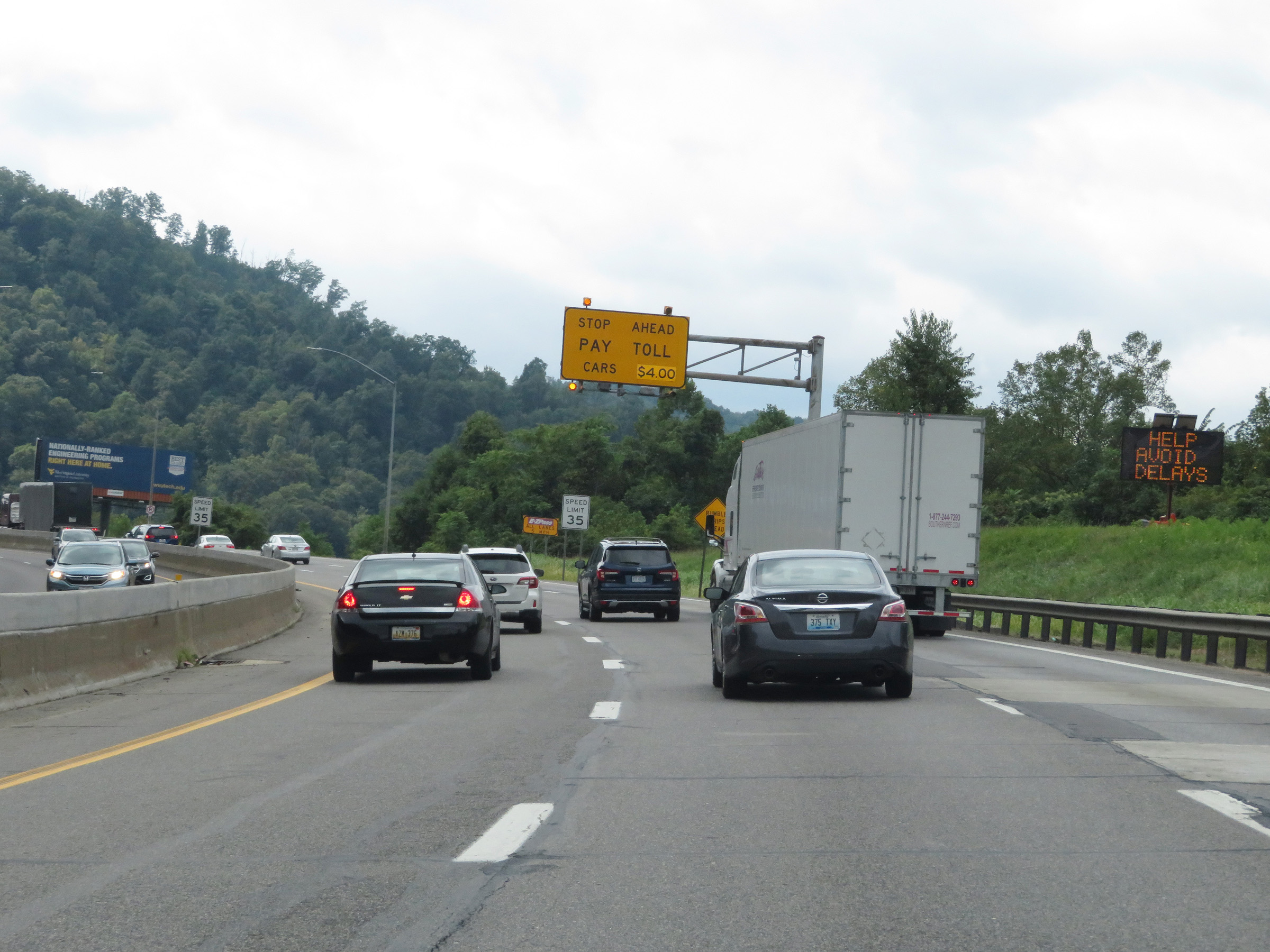
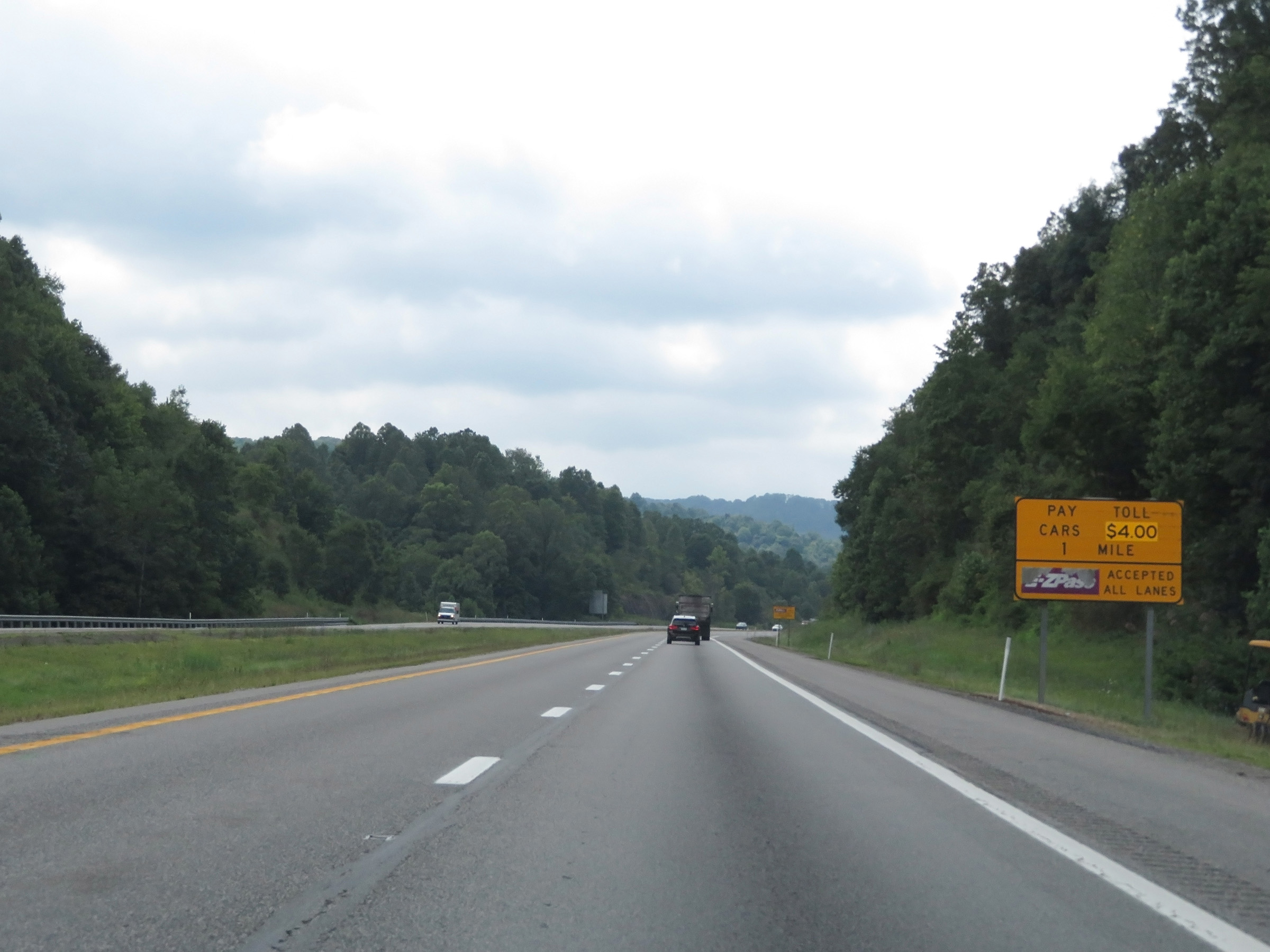
1 mile from the first toll plaza, also called Toll Plaza C, this sign shows that EZ Pass is accepted in all lanes and the toll rate for cars at the time was $4.00. (Photo taken 8/9/19). |
 |
View on Interstate 64 East / Interstate 77 South (West Virginia Turnpike) at mile marker 83.5, as it enters the aforementioned sharp curve before it will climb a steep grade to Toll Plaza C. (Photo taken 8/9/19). |
 |
View on Interstate 64 East / Interstate 77 South (West Virginia Turnpike) as it climbs the steep hill with Toll Plaza C now 1/2 mile ahead at the top. (Photo taken 8/9/19). |
 |
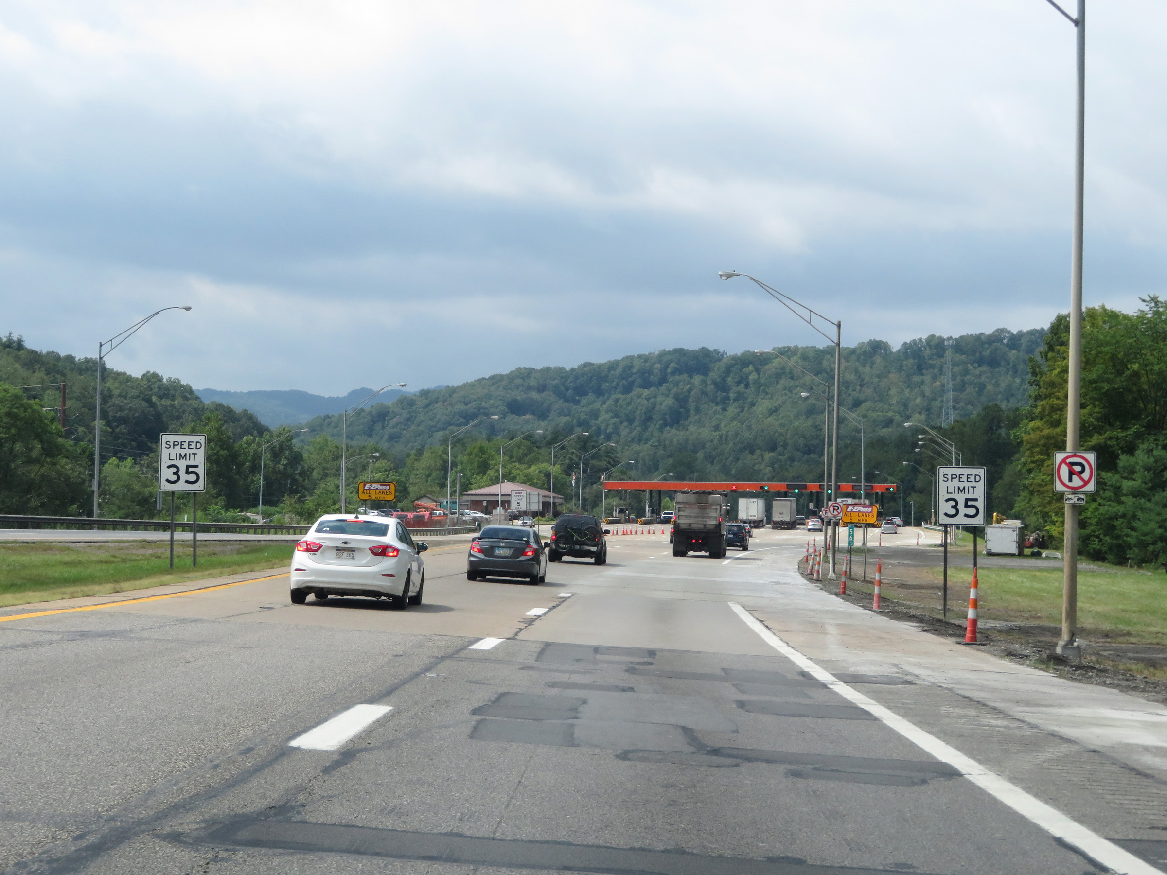
The speed limit decreases to 35 mph as approaching Toll Plaza C and the top of the grade. (Photo taken 8/9/19). |
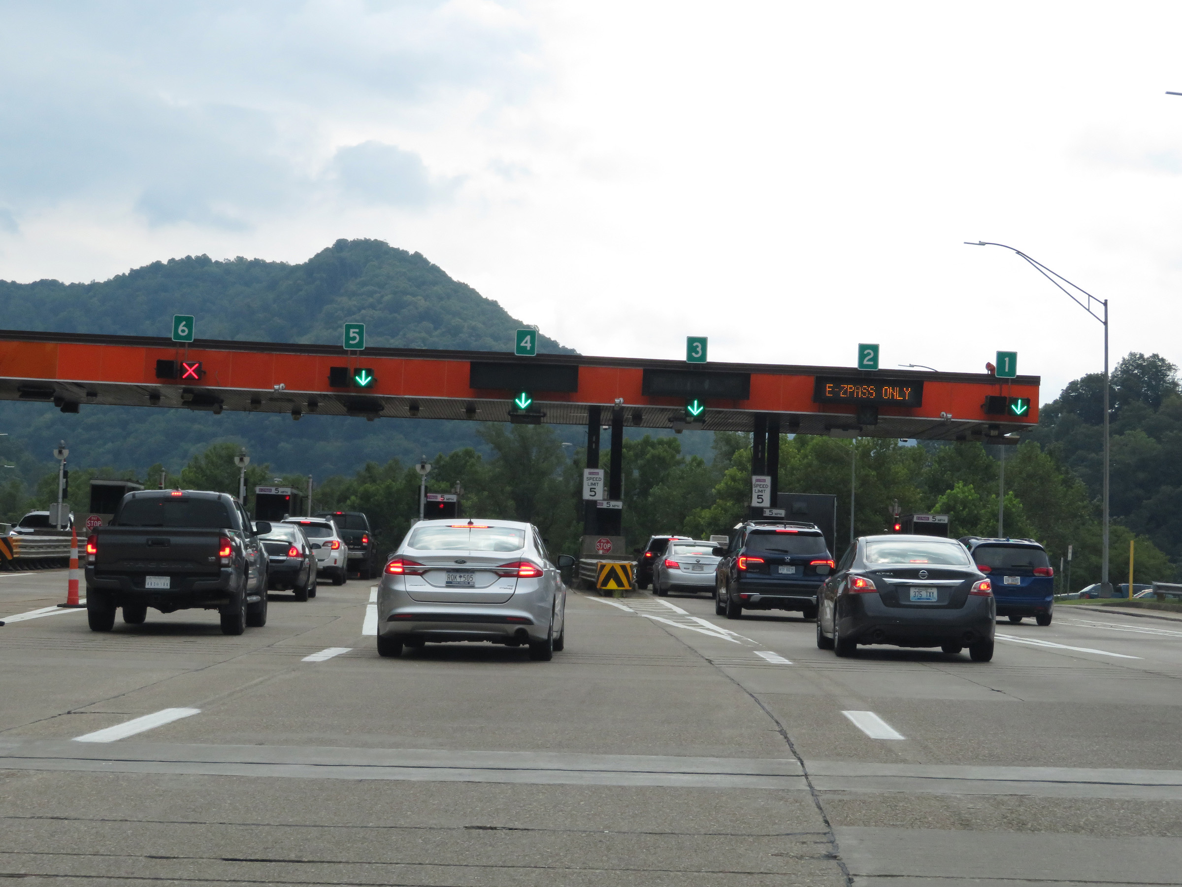 |
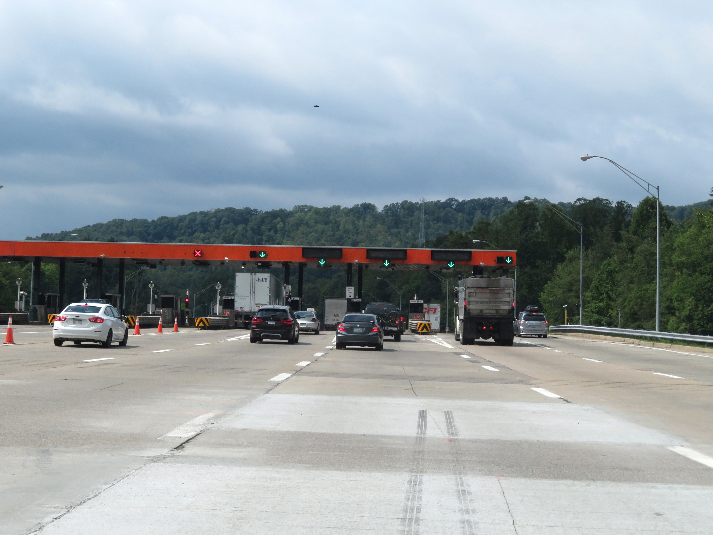
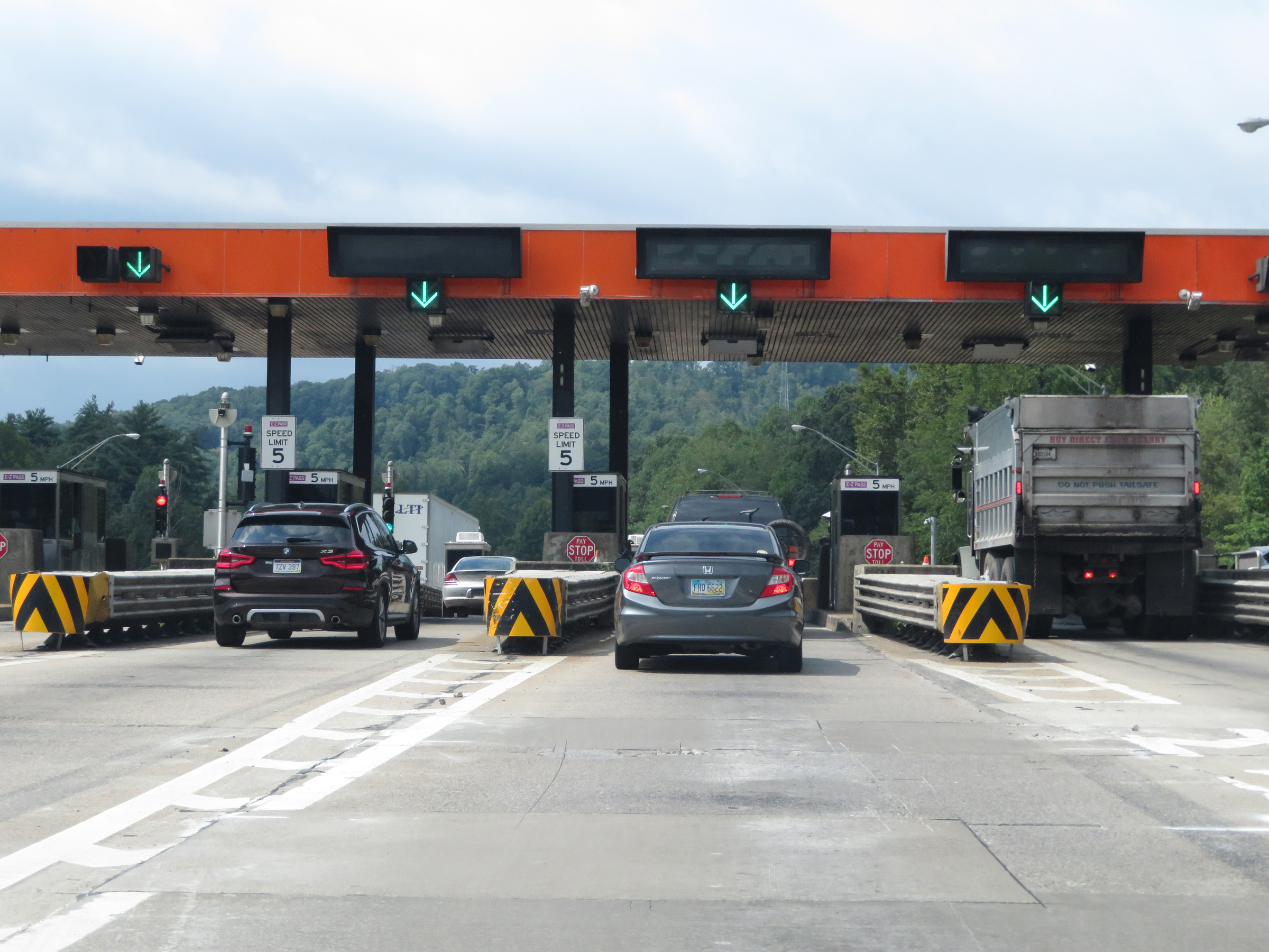
Interstate 64 East / Interstate 77 South (West Virginia Turnpike) at Toll Plaza C. (Photo taken 8/9/19). |
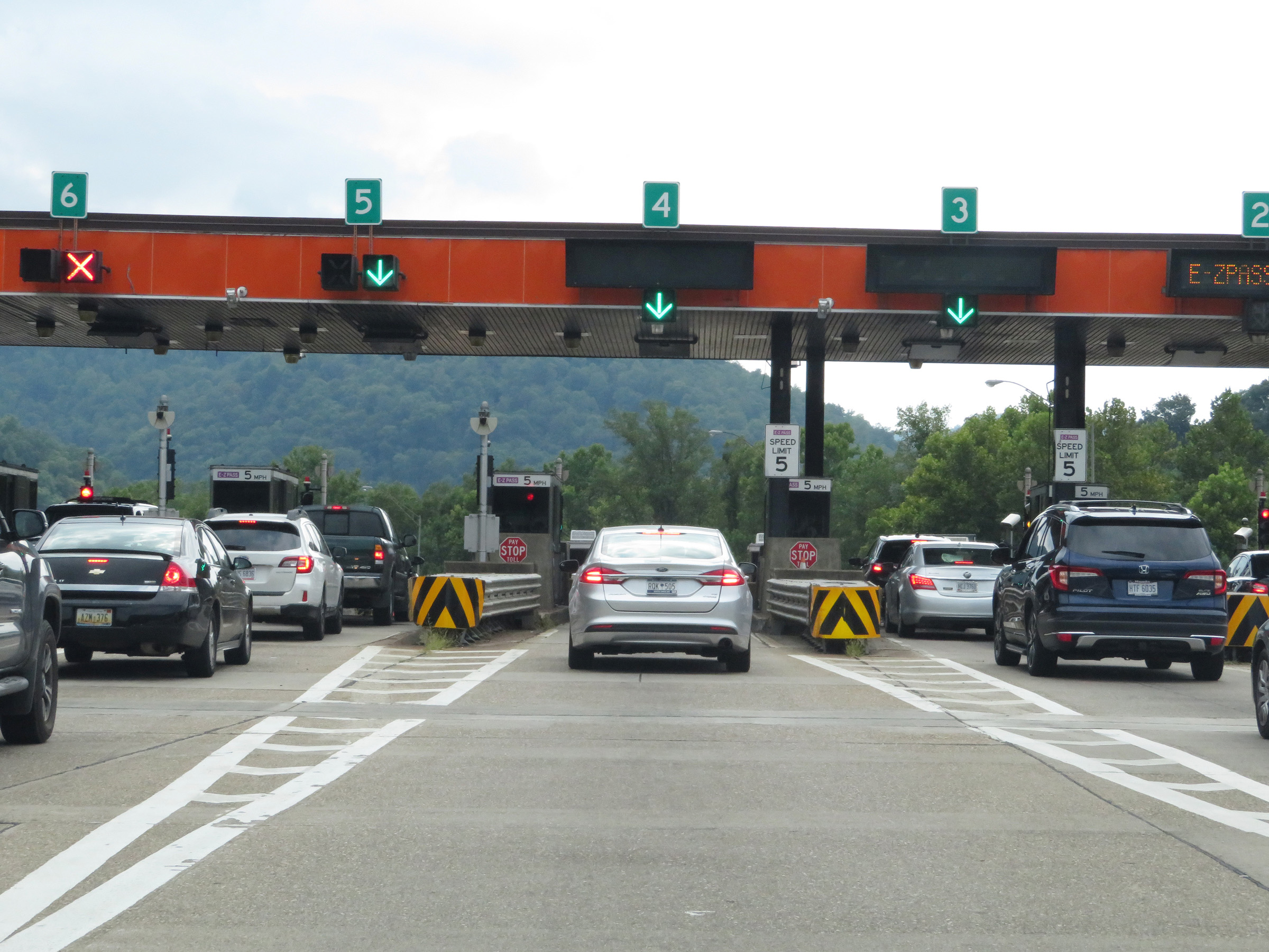 |
A closer view of Toll Plaza C on Interstate 64 East / Interstate 77 South (West Virginia Turnpike). (Photo taken 8/9/19). |
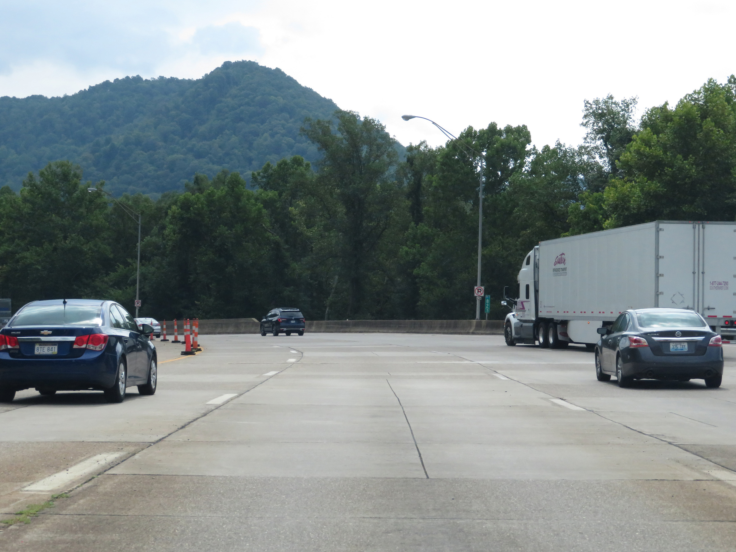 |
Interstate 64 East / Interstate 77 South (West Virginia Turnpike) at mile marker 82.5 as it leaves Toll Plaza C to the south. (Photo taken 8/9/19). |
 |
The speed limit increases to 60 mph once again on Interstate 64 East / Interstate 77 South (West Virginia Turnpike). It will remain 60 mph for the next several miles as the turnpike weaves its way through several curves and traverses a few steep grades along the way. (Photo taken 8/9/19). |
 |
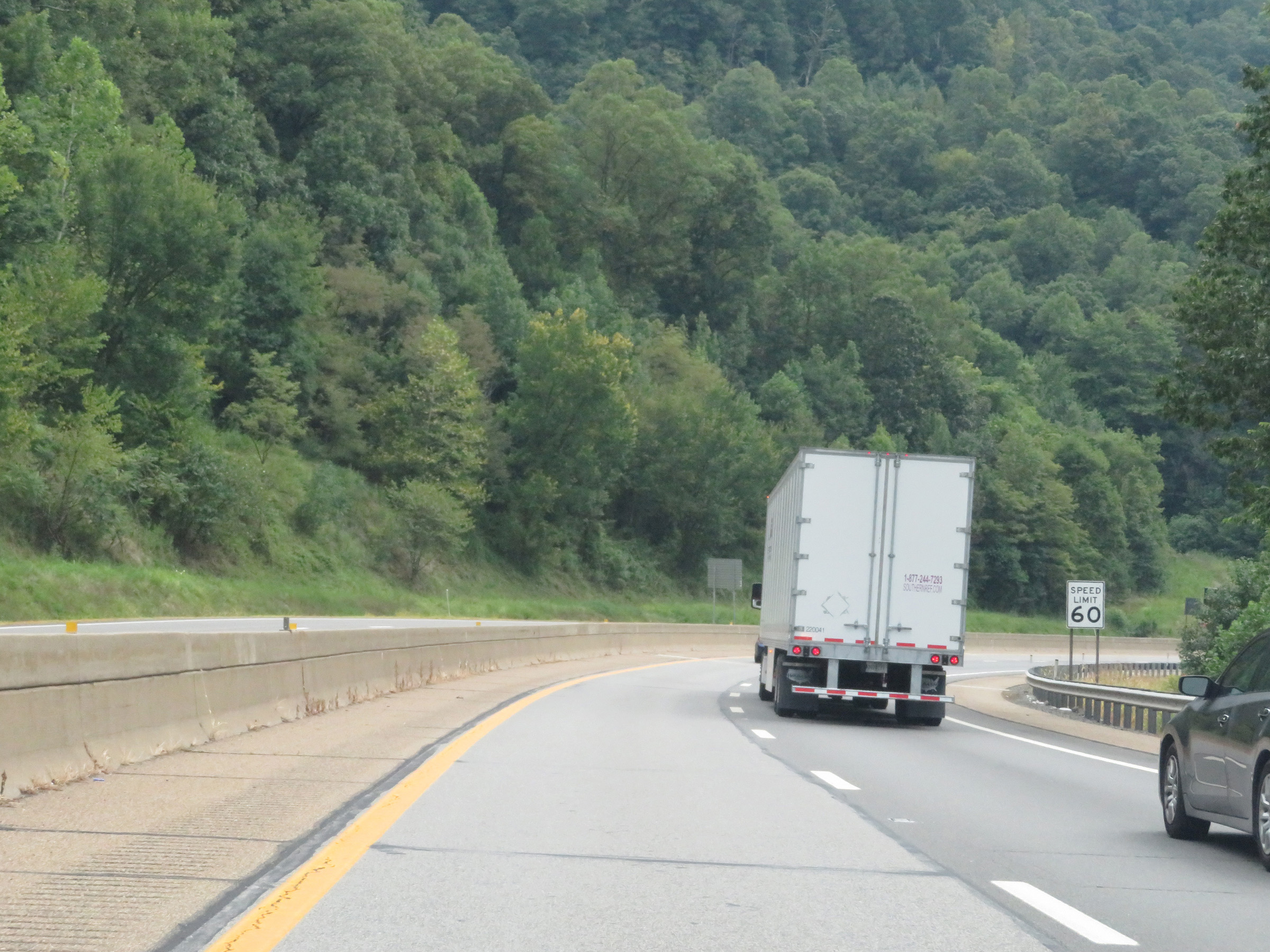
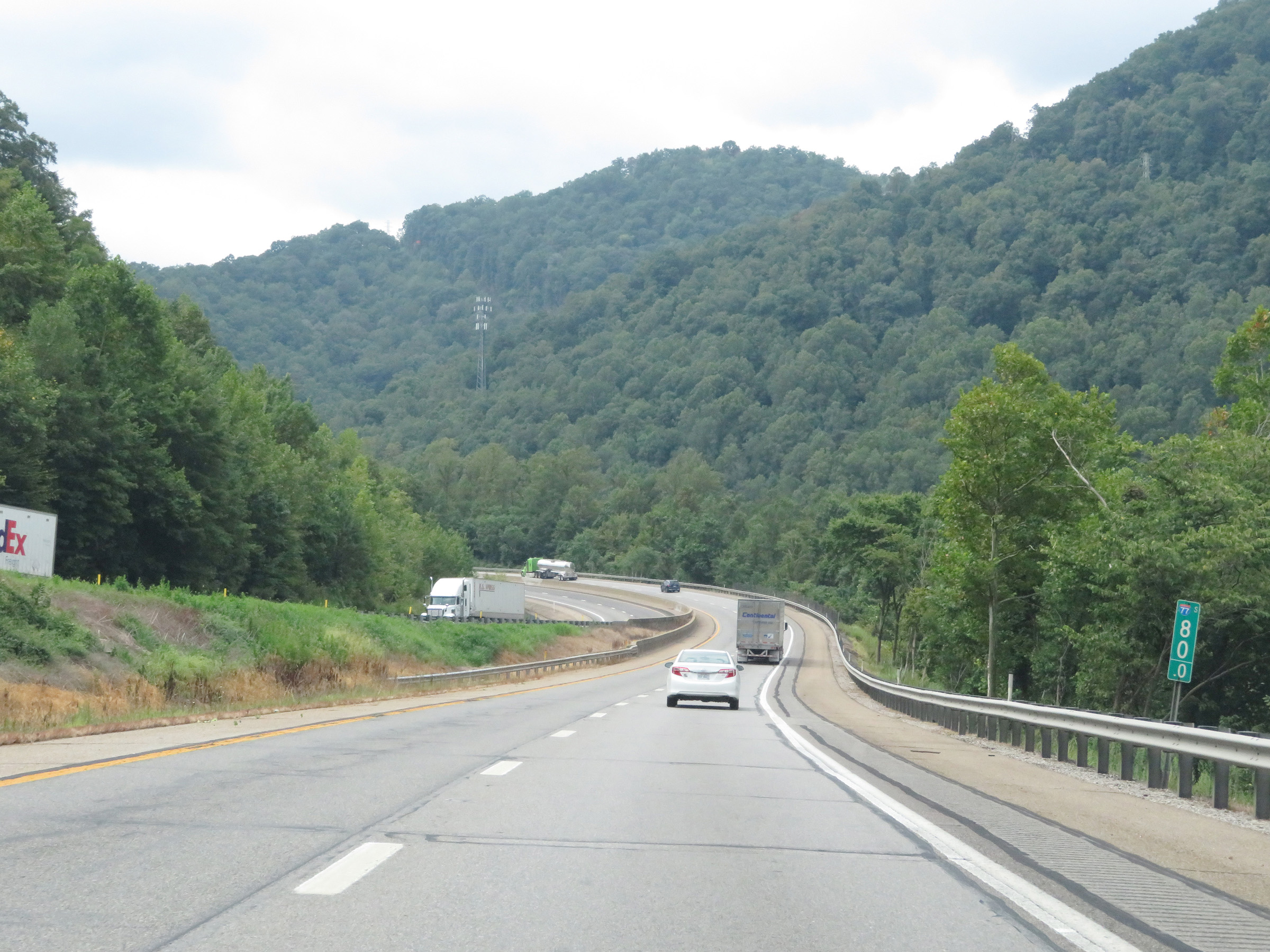
Interstate 64 East / Interstate 77 South (West Virginia Turnpike) approaching Exit 79 - 1 mile. (Photo taken 8/9/19). |
 |
View on Interstate 64 East / Interstate 77 South (West Virginia Turnpike) at mile marker 80. (Photo taken 8/9/19). |
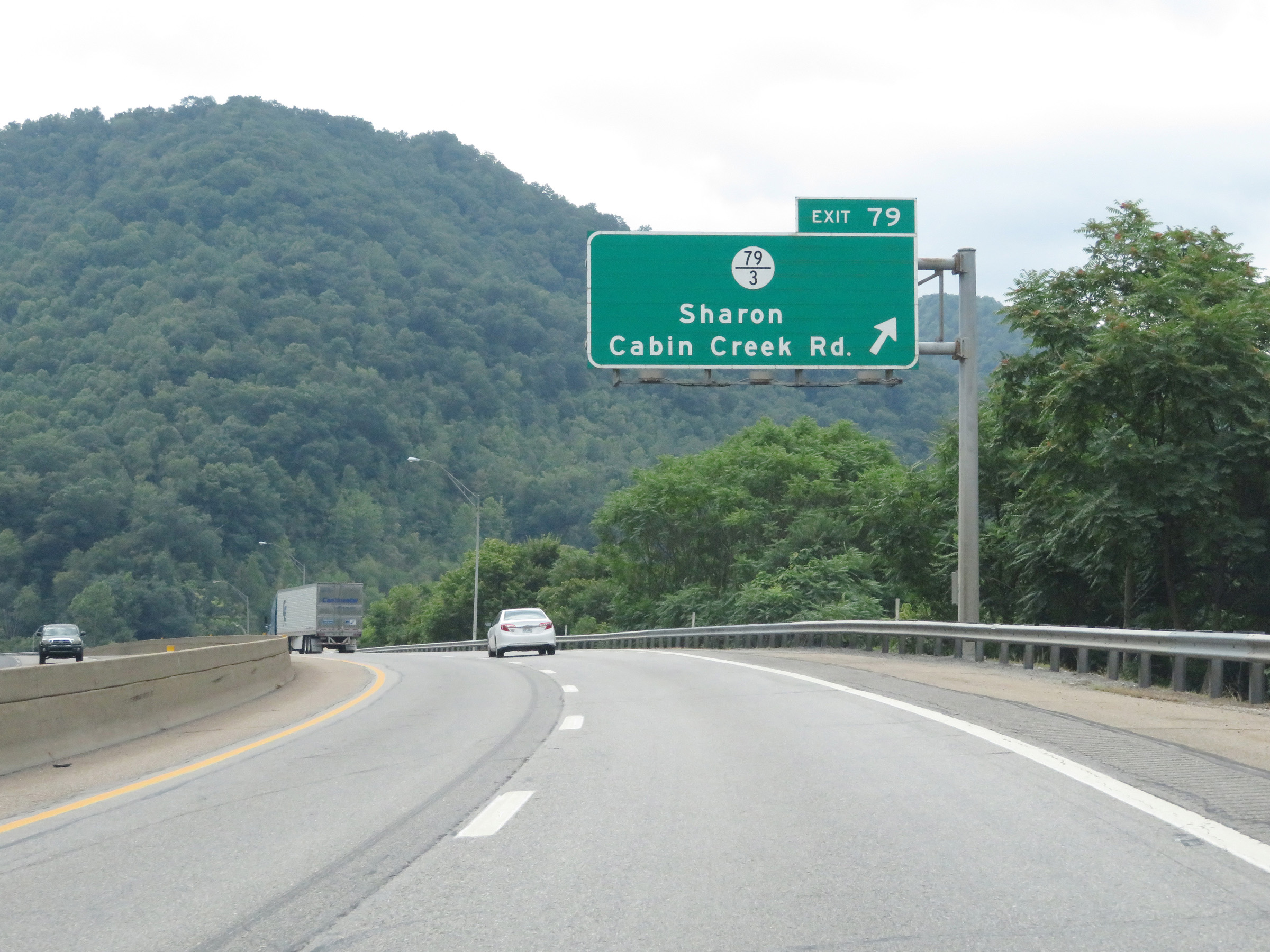 |
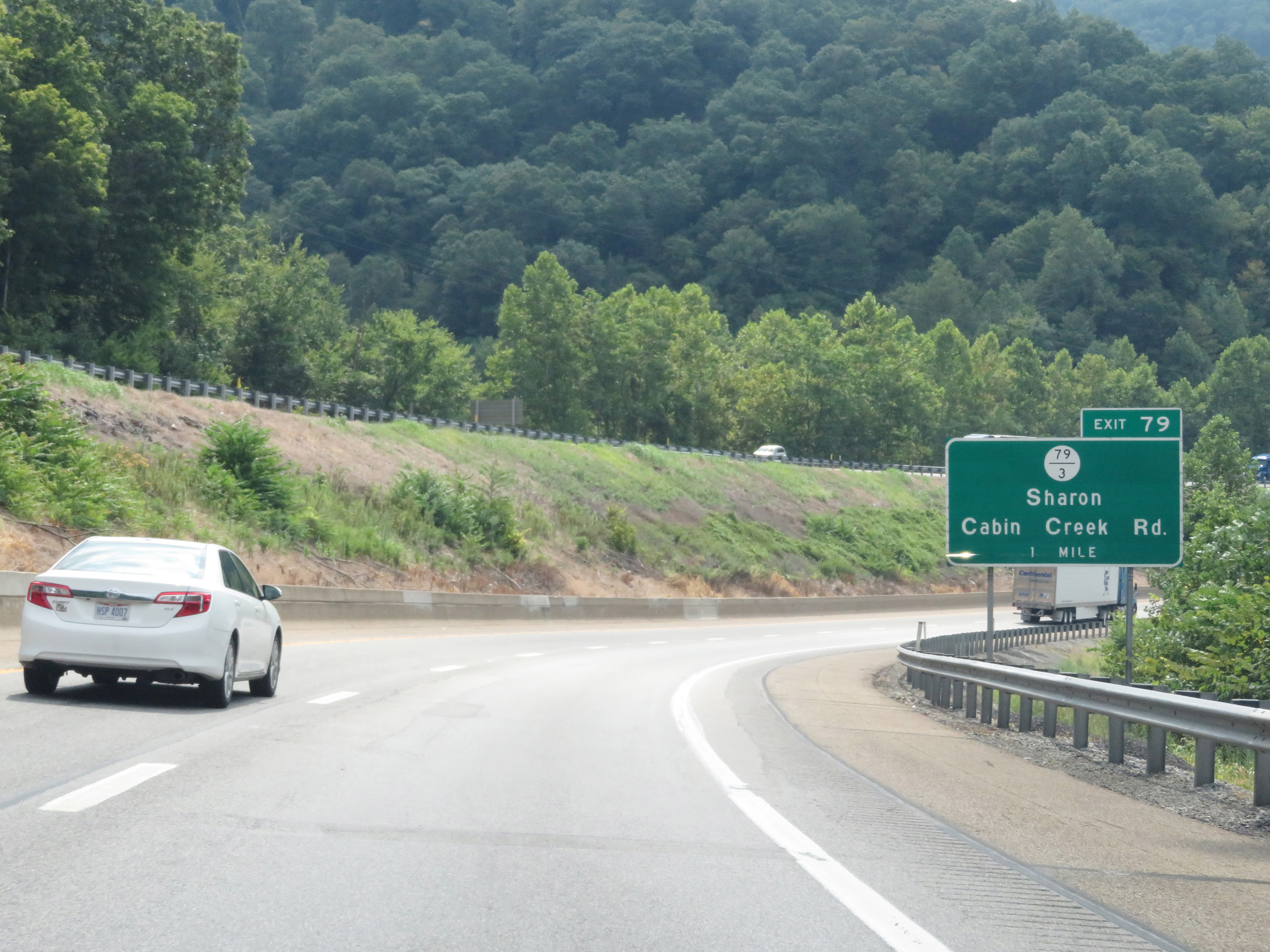
Interstate 64 East / Interstate 77 South (West Virginia Turnpike) at Exit 79: CR 79/3 - Sharon / Cabin Creek Rd (Photo taken 8/9/19). |
 |
Mile marker 76.5 on Interstate 64 East / Interstate 77 South (West Virginia Turnpike) in Kanawha County. (Photo taken 8/9/19). |
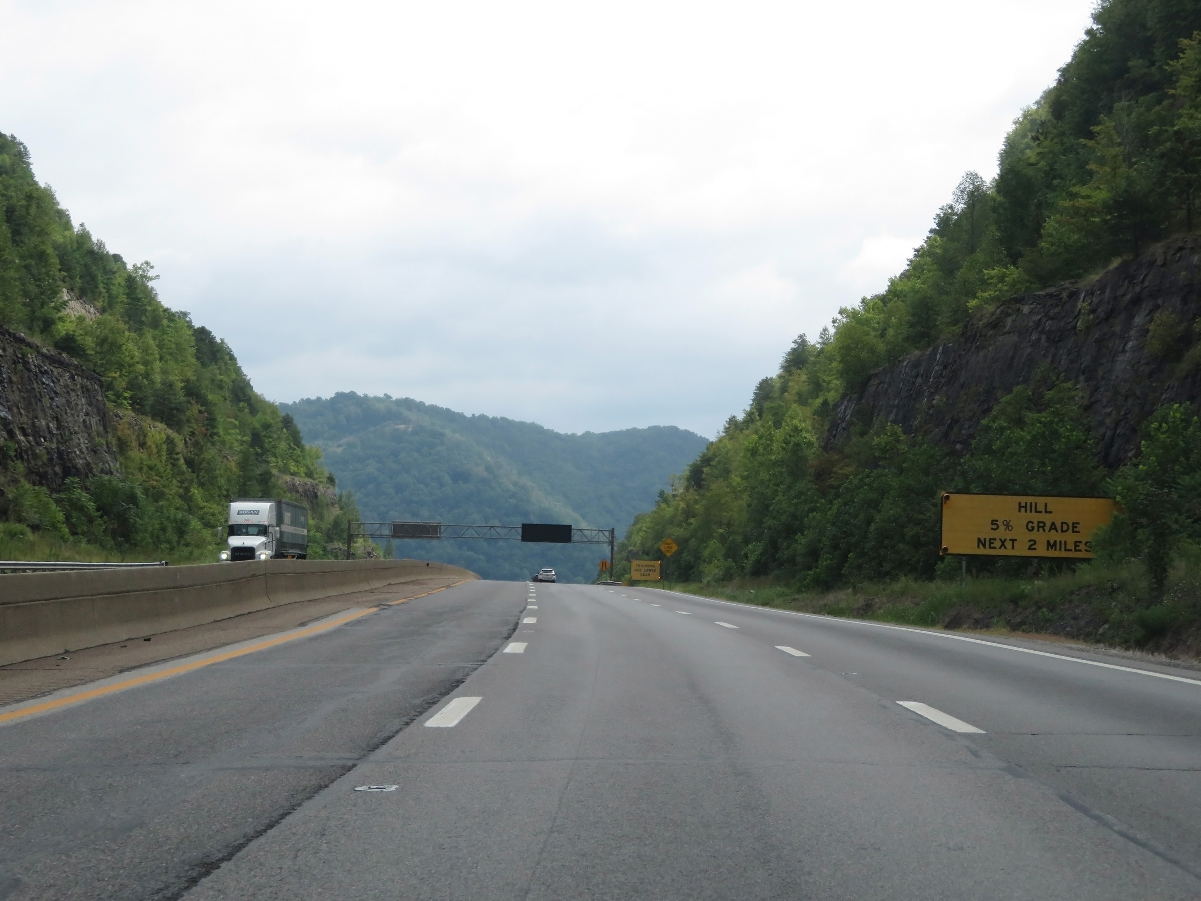 |
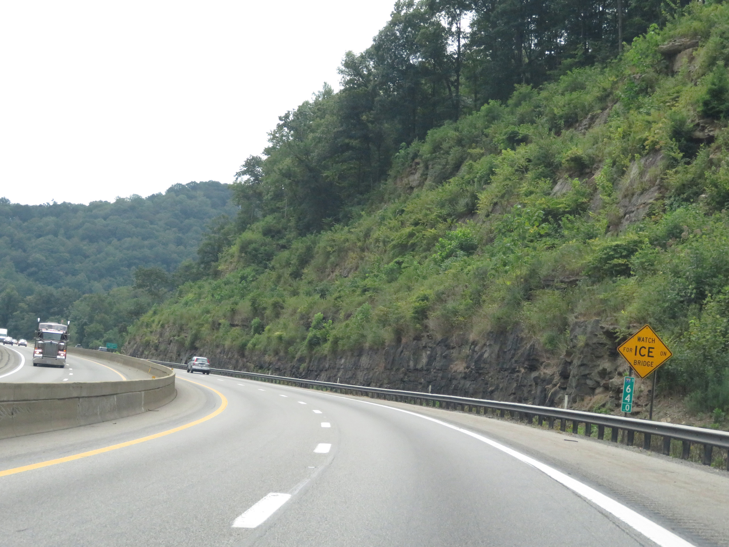
As this sign warns, Interstate 64 East / Interstate 77 South (West Virginia Turnpike) will descend a 5% grade ahead, which will last for the next 2 miles. (Photo taken 8/9/19). |
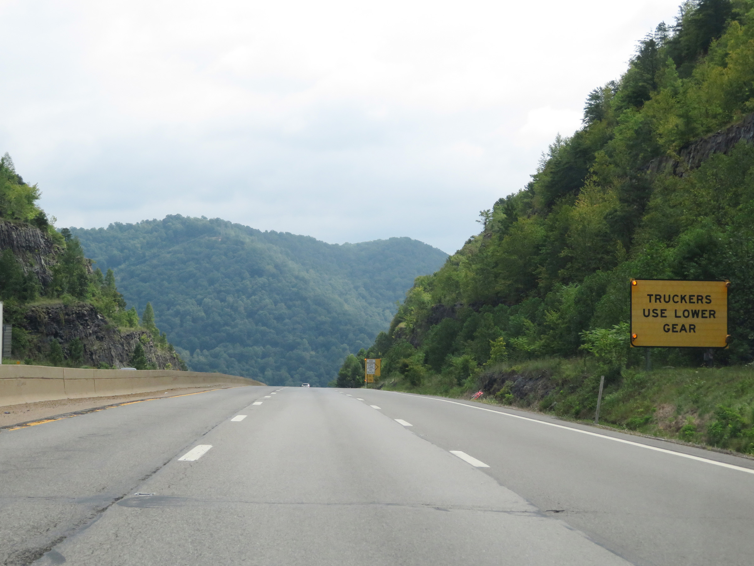 |
Starting down the grade, the right lane comes to an end and trucks are reminded to gear down. (Photo taken 8/9/19). |
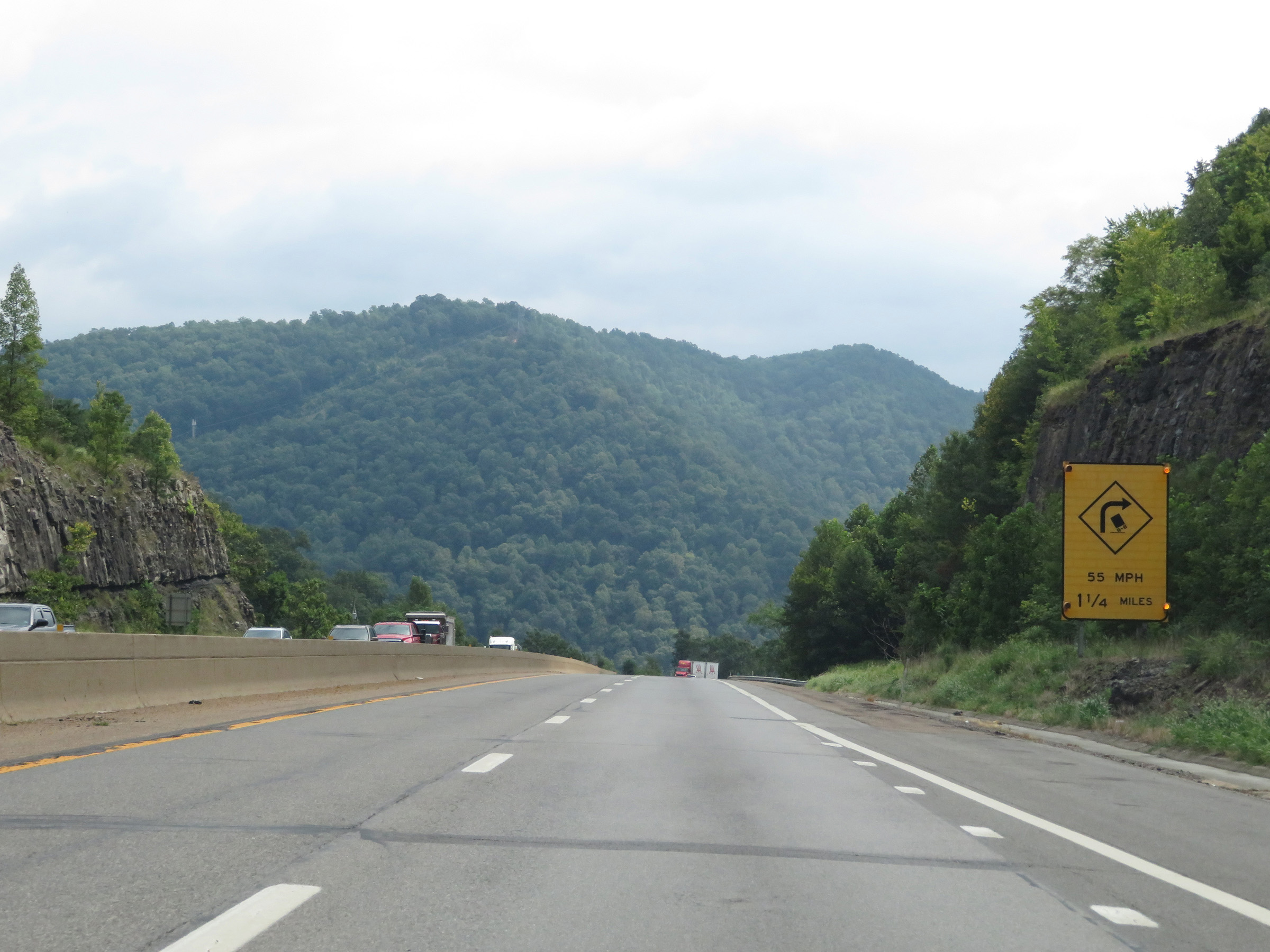 |
At the bottom of this steep downgrade, 1 1/4 miles ahead, Interstate 64 East / Interstate 77 South (West Virginia Turnpike) will curve hard to the right. The recommended speed for trucks is 55 mph. (Photo taken 8/9/19). |
 |
View on Interstate 64 East / Interstate 77 South (West Virginia Turnpike) at mile marker 75.5, going down the 5% grade. (Photo taken 8/9/19). |
 |
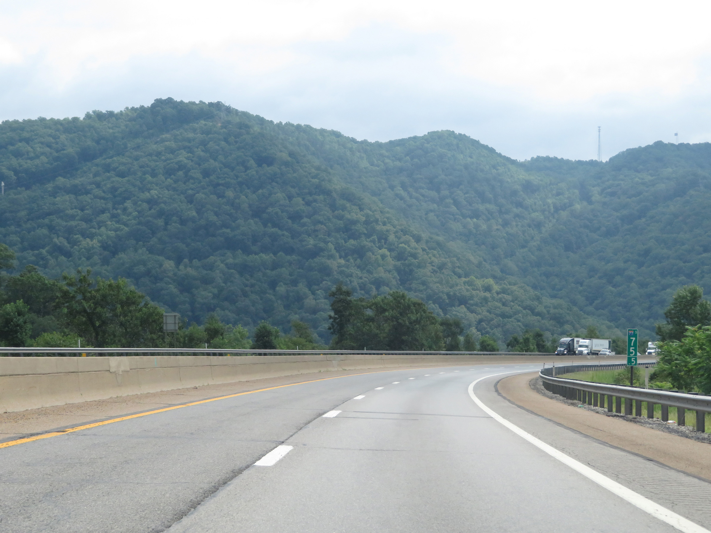
Interstate 64 East / Interstate 77 South (West Virginia Turnpike) approaching Exit 74 - 1 mile. (Photo taken 8/9/19). |
 |
Continuing down the 5% grade on Interstate 64 East / Interstate 77 South (West Virginia Turnpike) at mile marker 75. (Photo taken 8/9/19). |
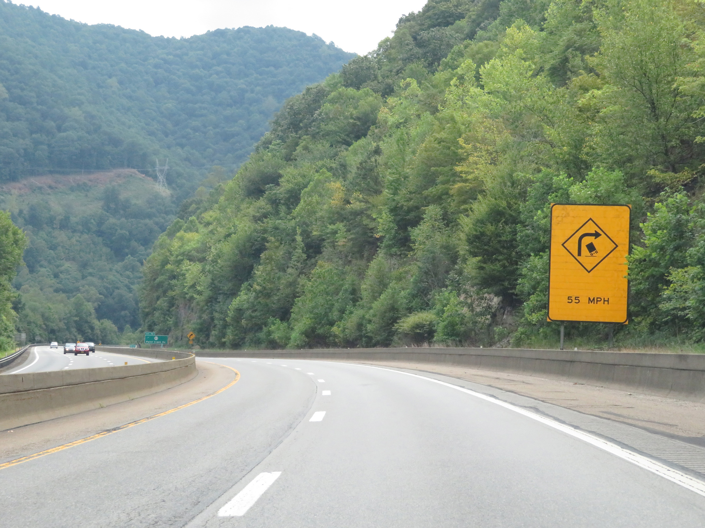 |
Another sign warning of the sharp curve to the right which lies ahead at the bottom of the grade. Again, 55 mph is the recommended speed for trucks. (Photo taken 8/9/19). |
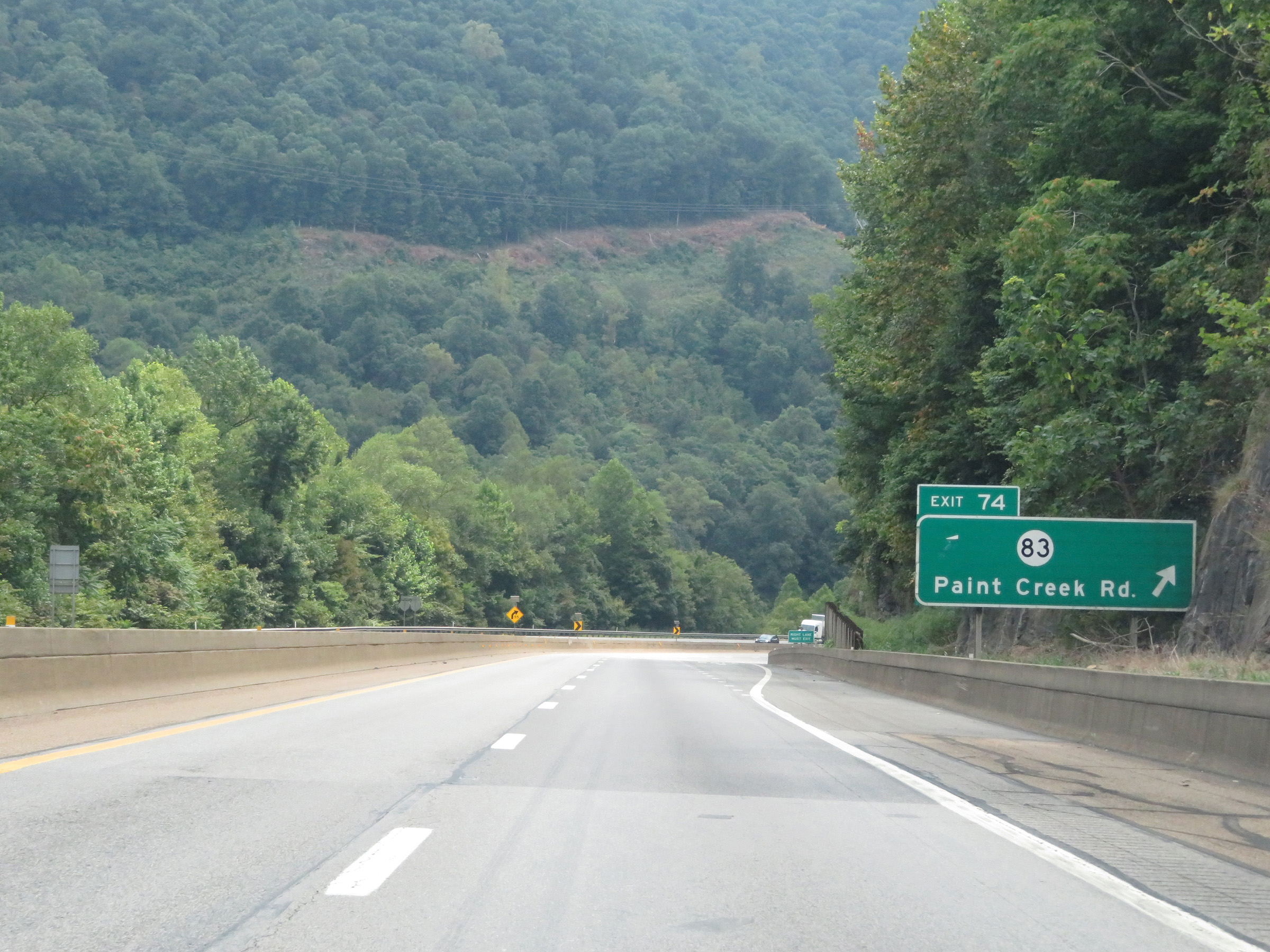 |
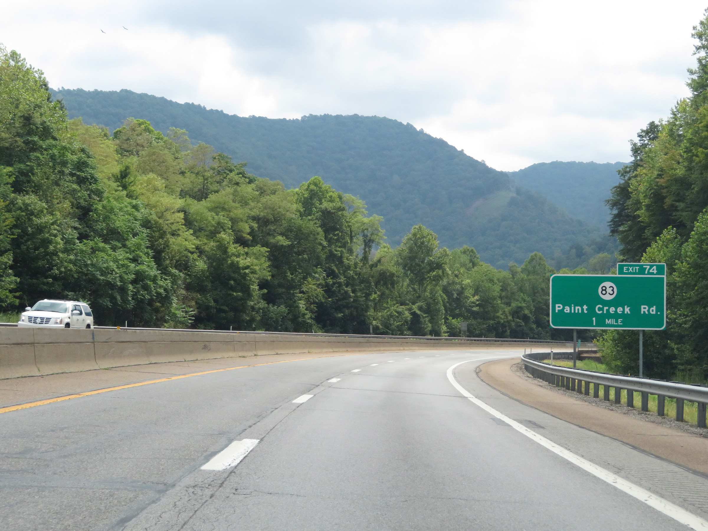
Interstate 64 East / Interstate 77 South (West Virginia Turnpike) at Exit 74: CR 83 - Paint Creek Rd (Photo taken 8/9/19). |
 |
Interstate 64 East / Interstate 77 South (West Virginia Turnpike) as it begins to traverse the aforementioned sharp curve at the bottom of the grade, right at Exit 74. (Photo taken 8/9/19). |
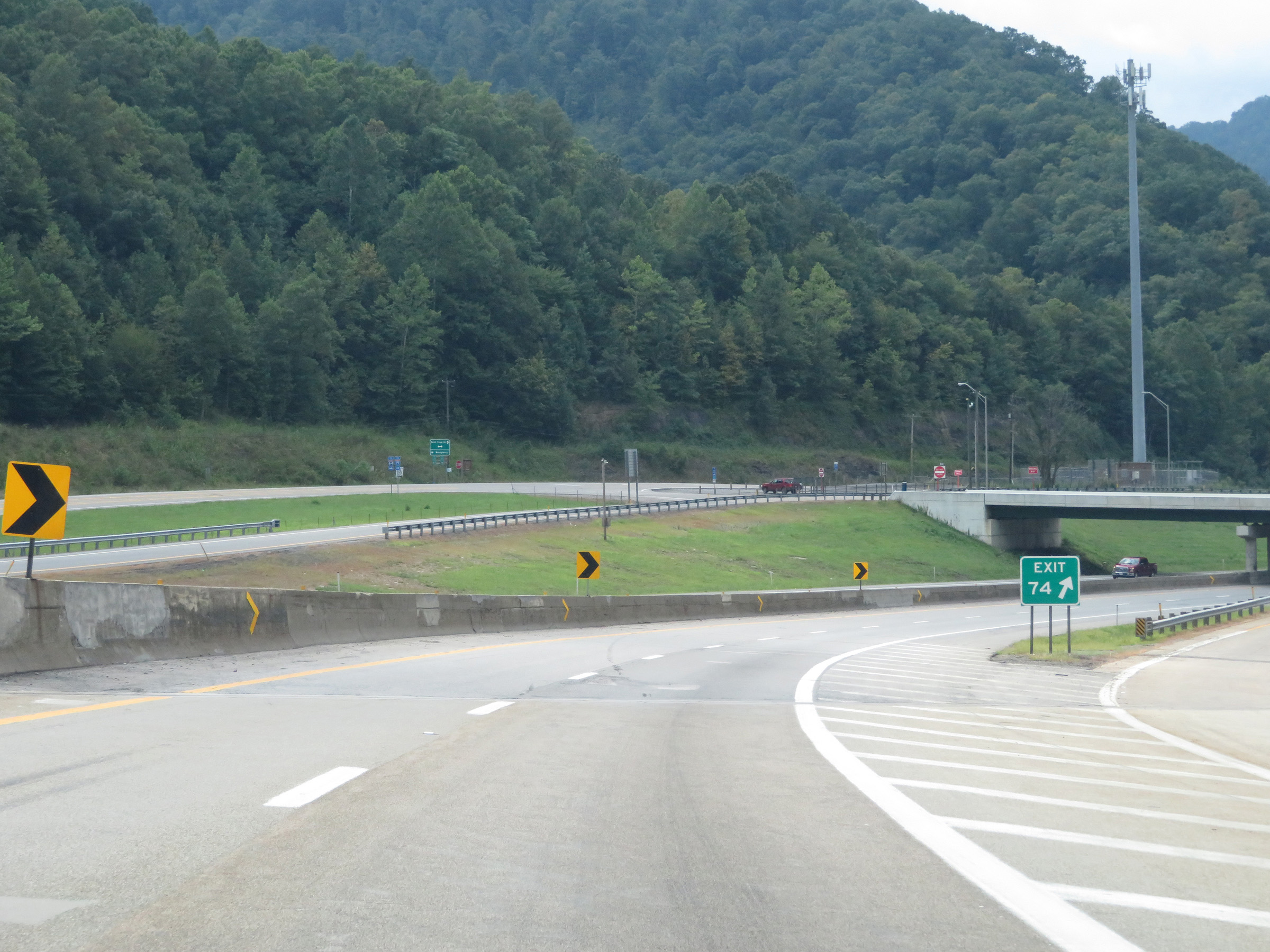 |
Gore point signage for Exit 74 on Interstate 64 East / Interstate 77 South (West Virginia Turnpike) as the curve continues. (Photo taken 8/9/19). |
 |
State-named Interstate 64 East / Interstate 77 South reassurance shields as the curve straightens out. (Photo taken 8/9/19). |
 |
The speed limit remains 60 mph for all traffic on Interstate 64 East / Interstate 77 South (West Virginia Turnpike). (Photo taken 8/9/19). |
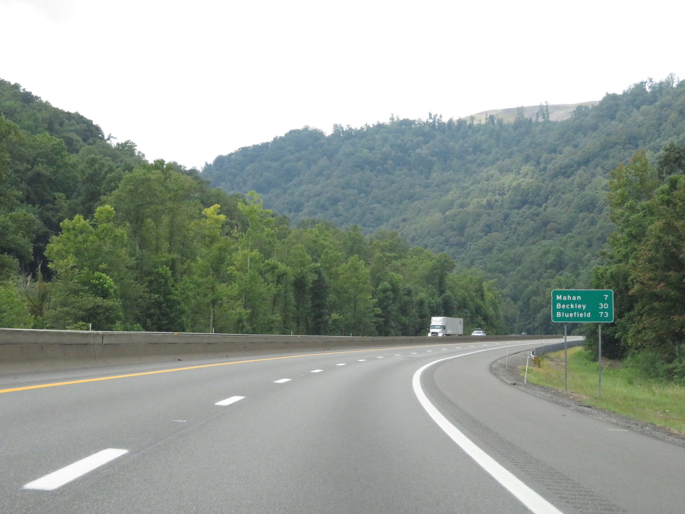 |
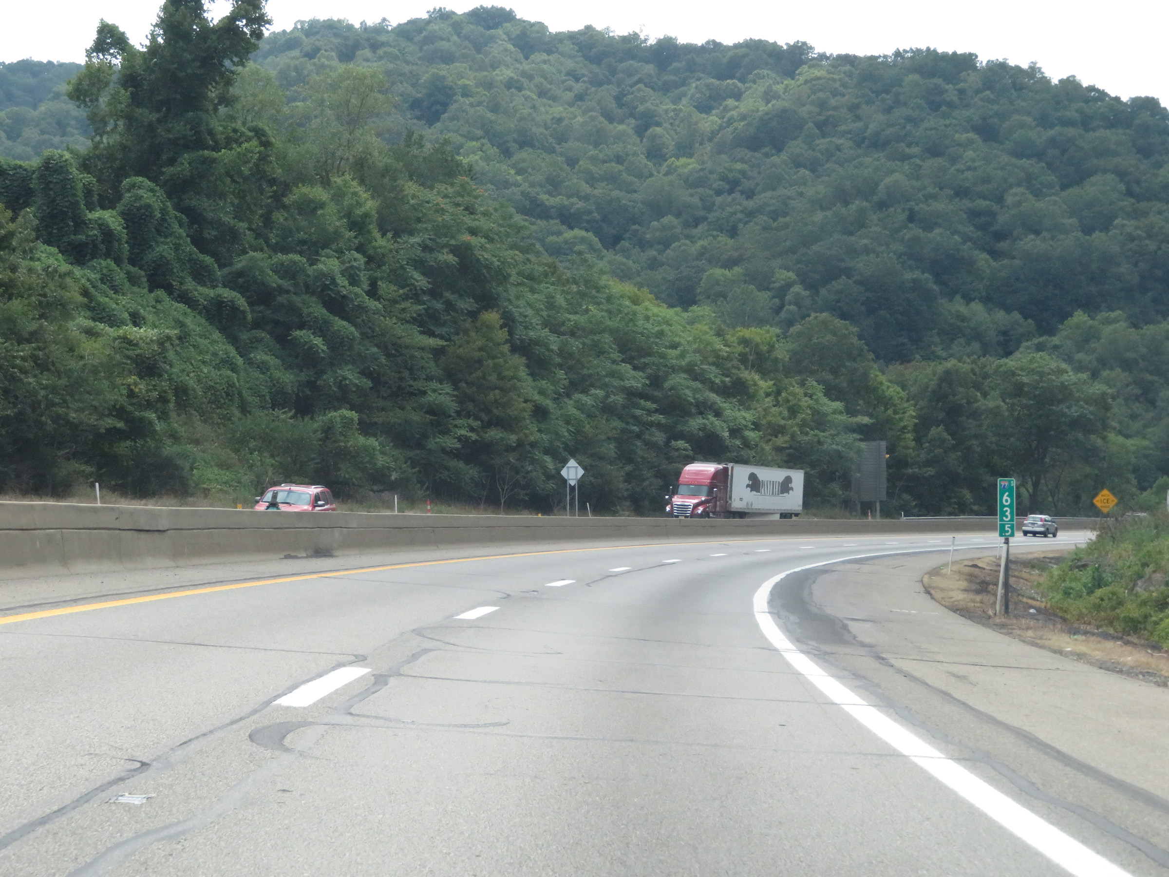
Mileage sign on Interstate 64 East / Interstate 77 South (West Virginia Turnpike). It's 7 miles to Mahan, 30 miles to Beckley, and 73 miles to Bluefield. (Photo taken 8/9/19). |
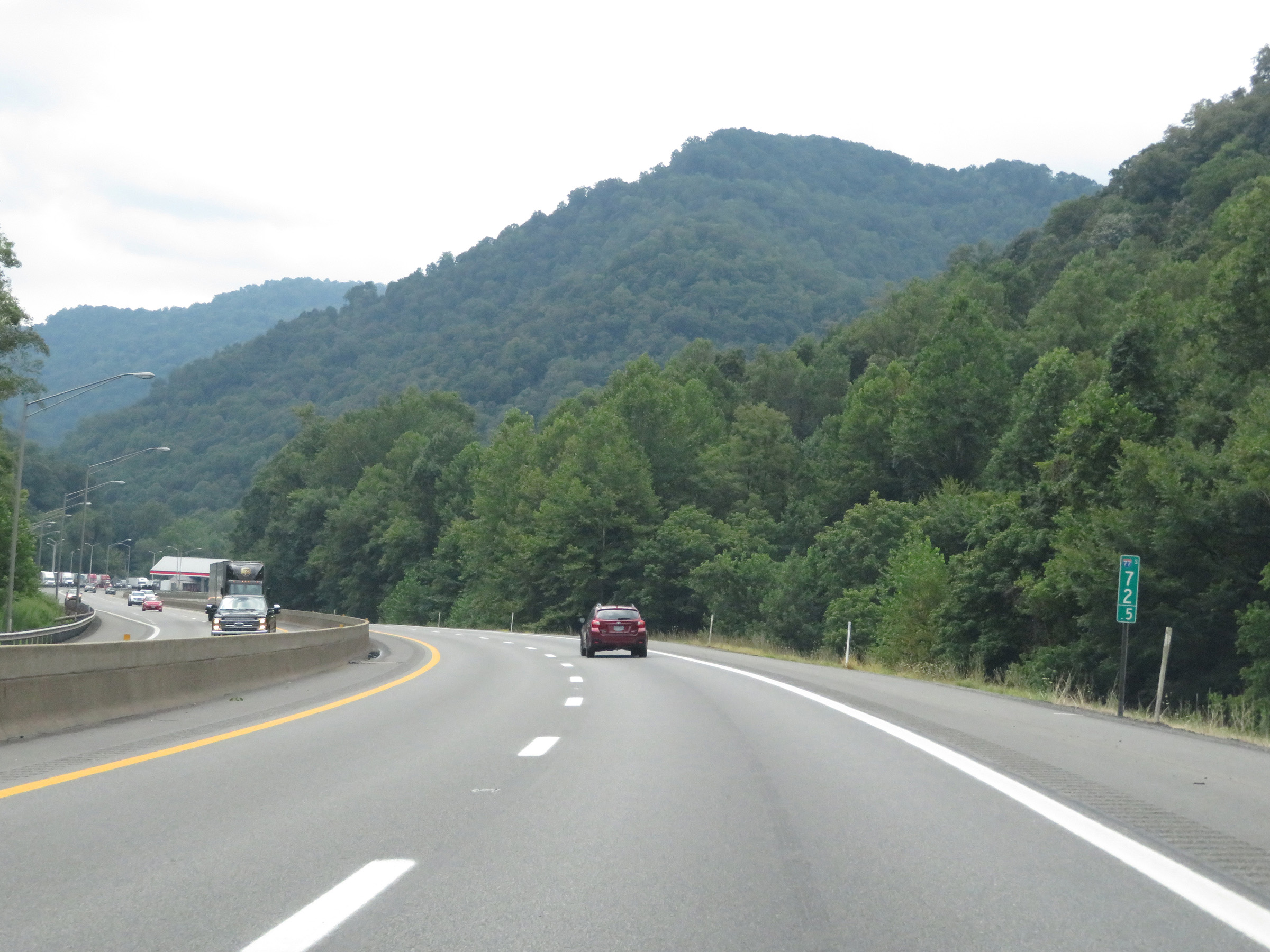 |
View on Interstate 64 East / Interstate 77 South (West Virginia Turnpike) at mile marker 72.5. (Photo taken 8/9/19). |
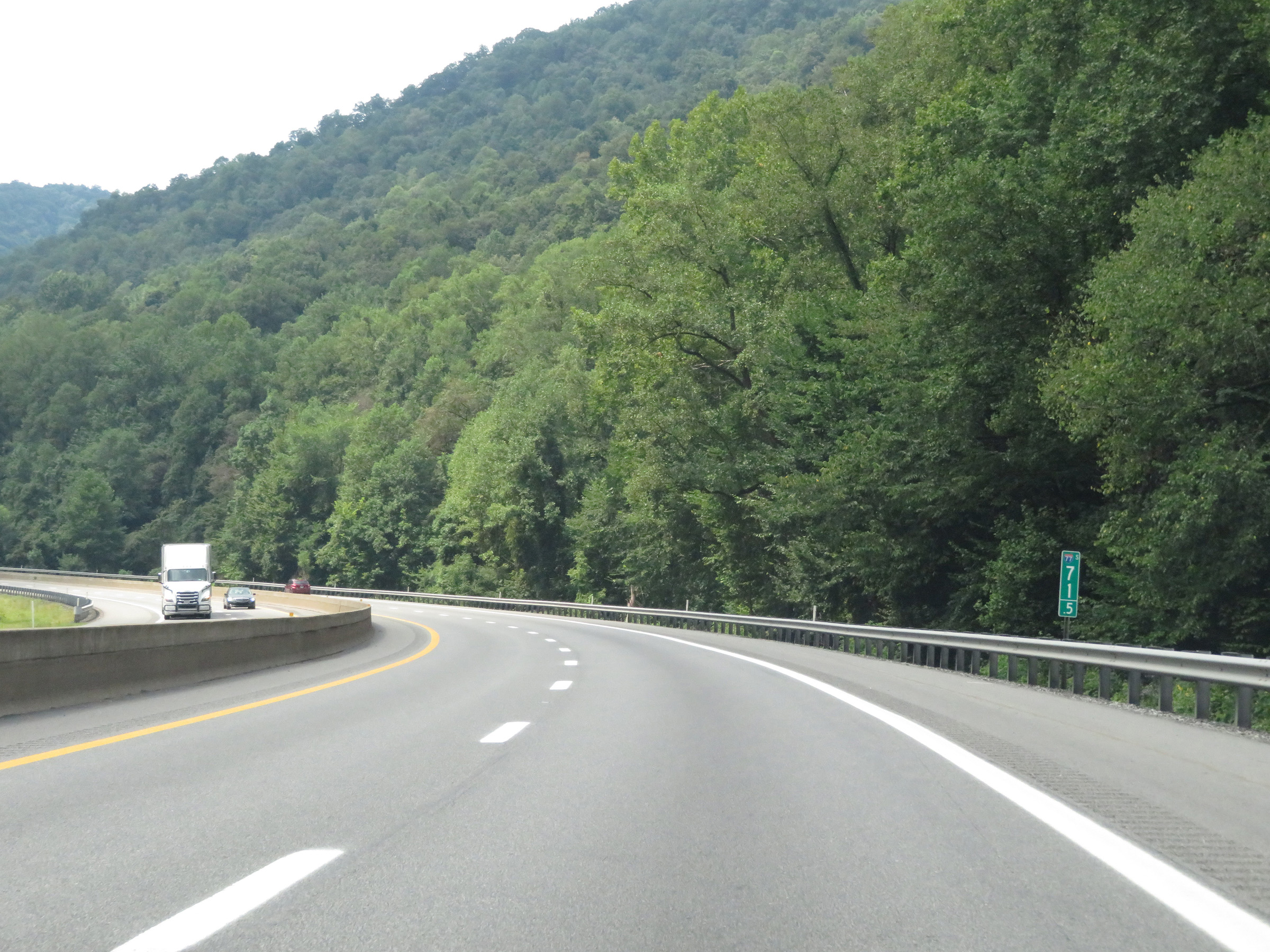 |
Mile marker 71.5 on Interstate 64 East / Interstate 77 South (West Virginia Turnpike) in Kanawha County. (Photo taken 8/9/19). |
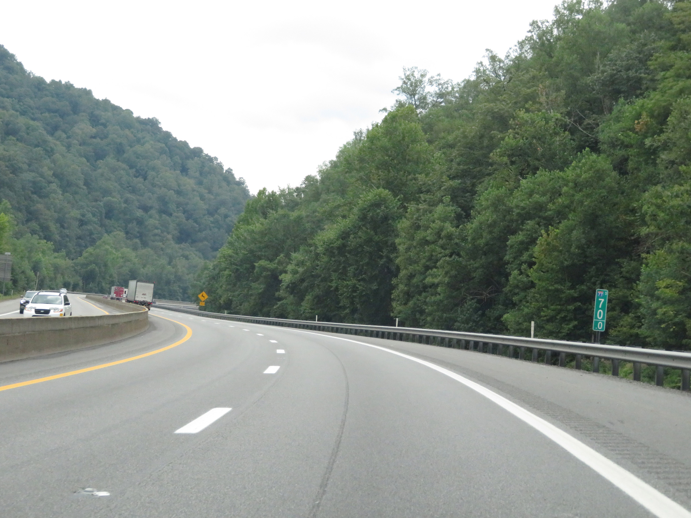 |
Interstate 64 East / Interstate 77 South (West Virginia Turnpike) at mile marker 70. (Photo taken 8/9/19). |
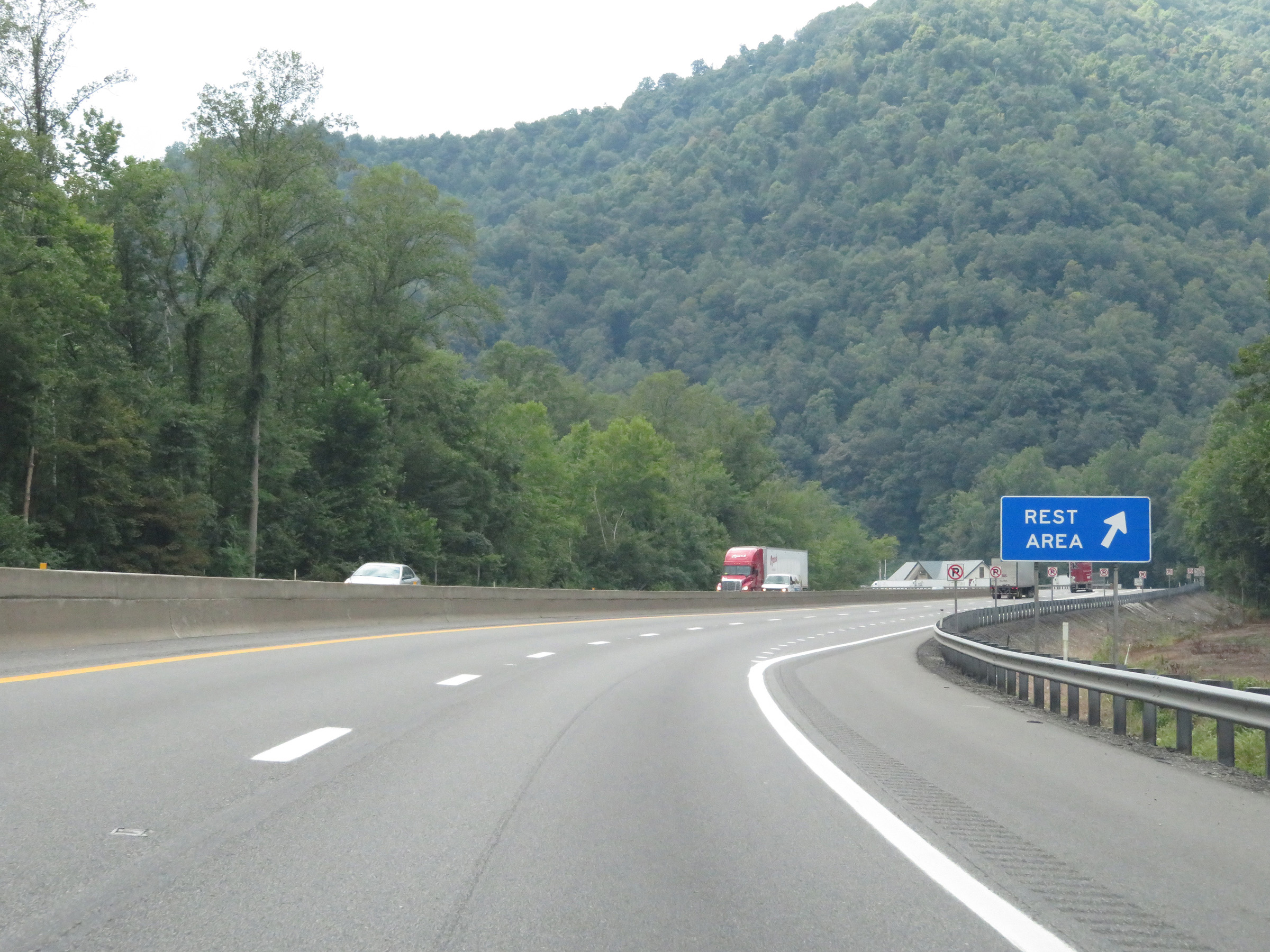 |
Rest Area on Interstate 64 East / Interstate 77 South (West Virginia Turnpike) in Kanawha County near mile marker 69.5. (Photo taken 8/9/19). |
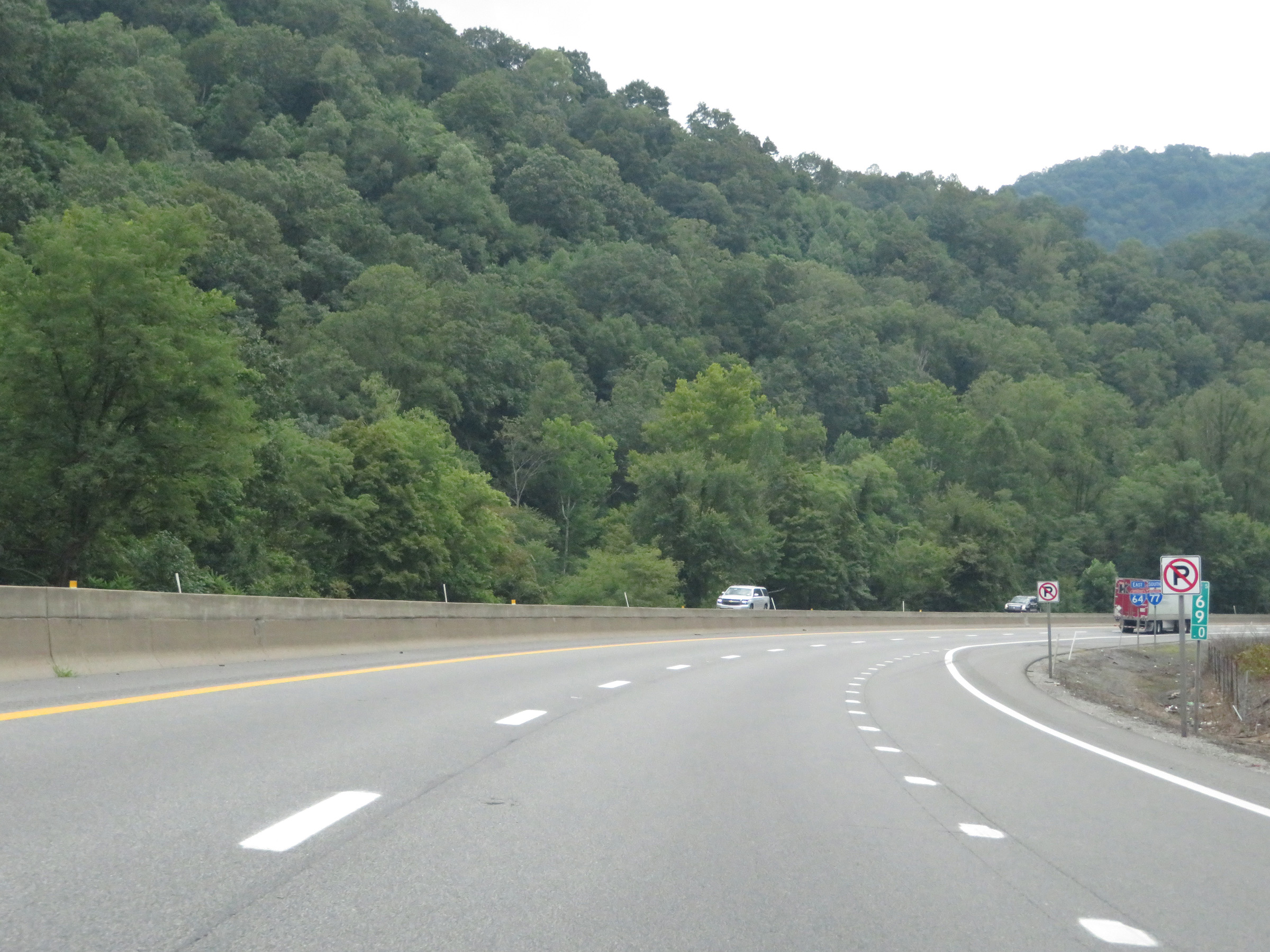 |
View on Interstate 64 East / Interstate 77 South (West Virginia Turnpike) at mile marker 69. (Photo taken 8/9/19). |
 |
Interstate 64 East / Interstate 77 South (West Virginia Turnpike) approaching Exit 66 - 1 mile. (Photo taken 8/9/19). |
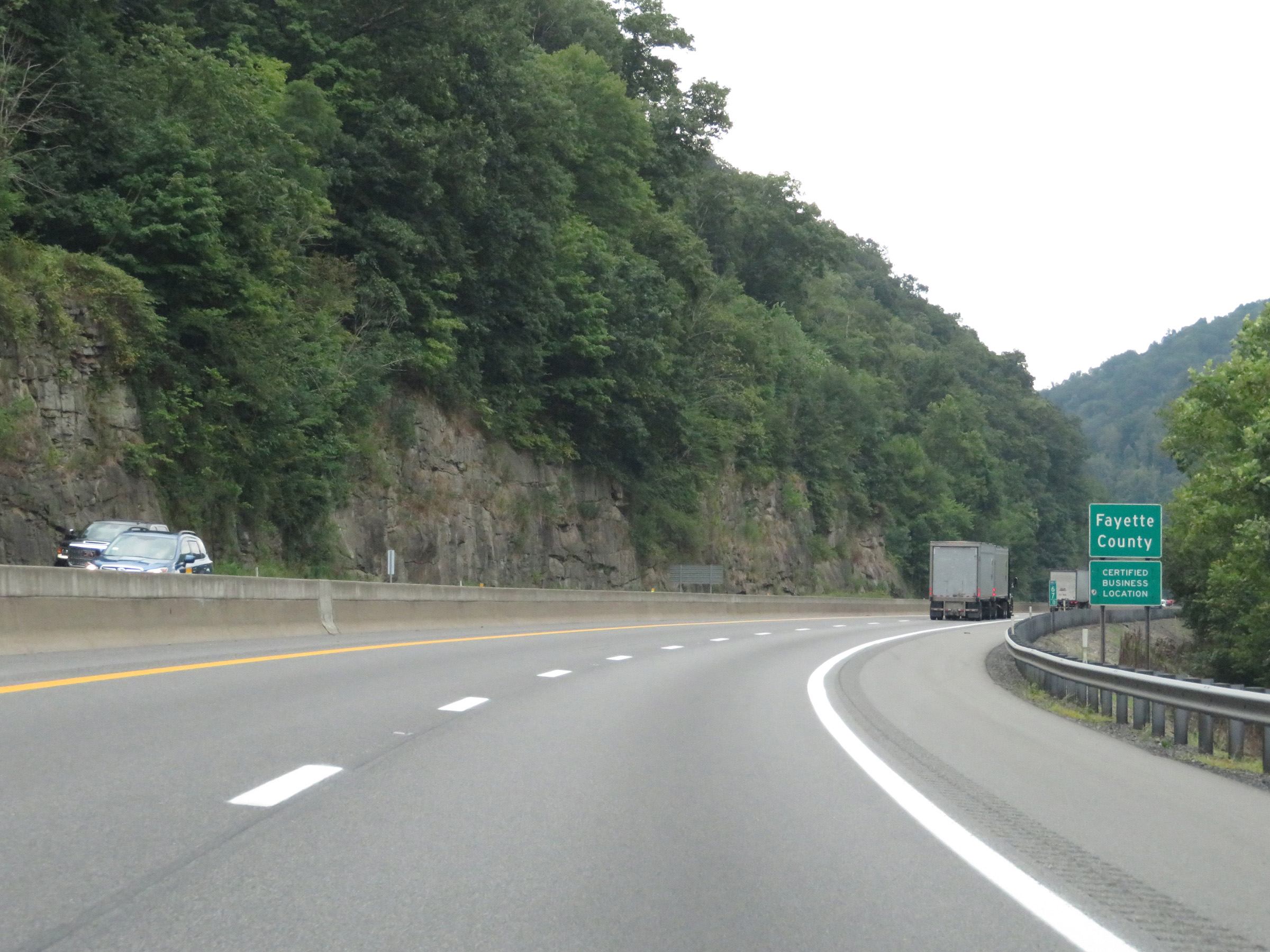 |
At mile marker 67, Interstate 64 East / Interstate 77 South (West Virginia Turnpike) enter Fayette County. (Photo taken 8/9/19). |
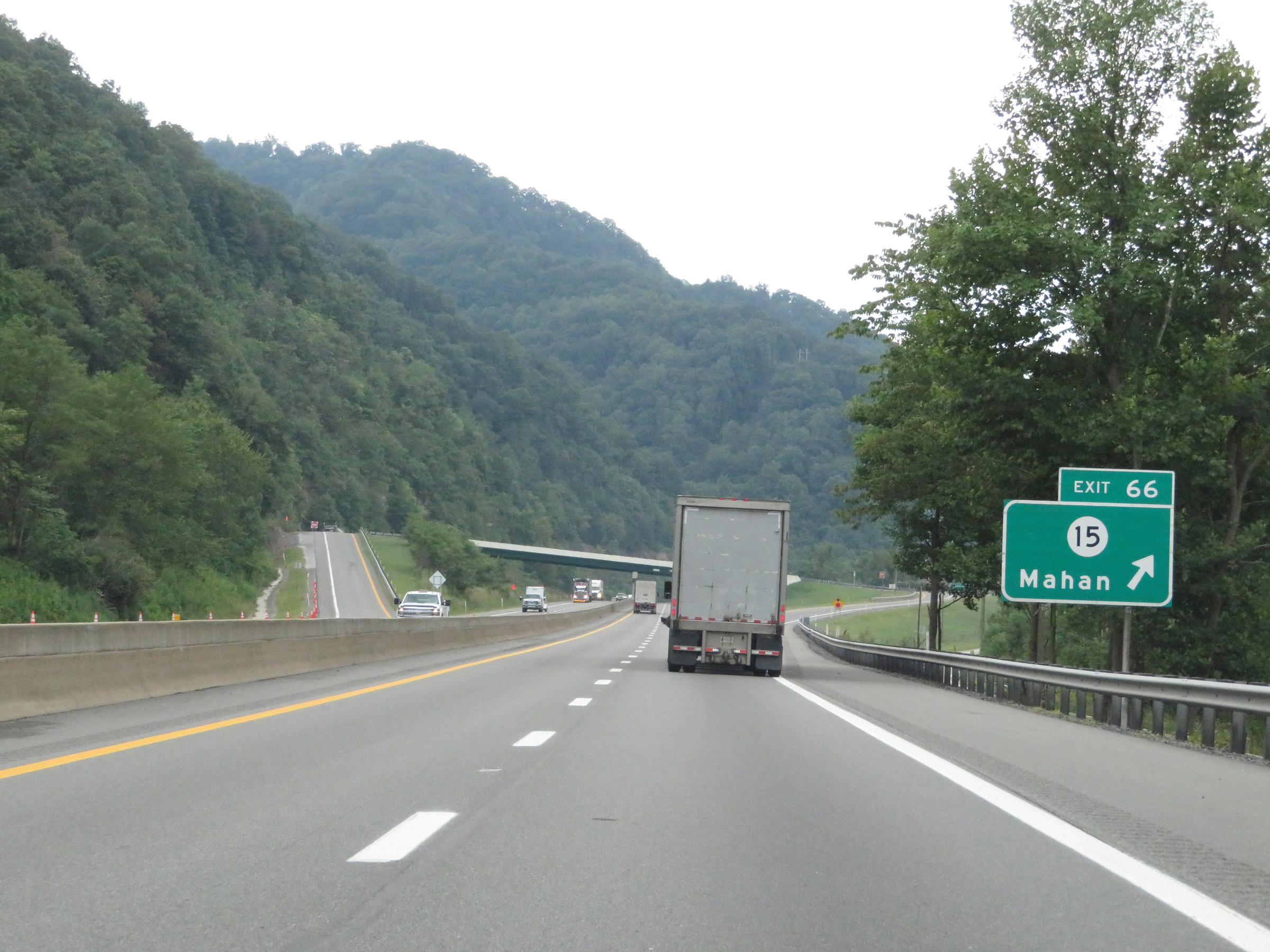 |
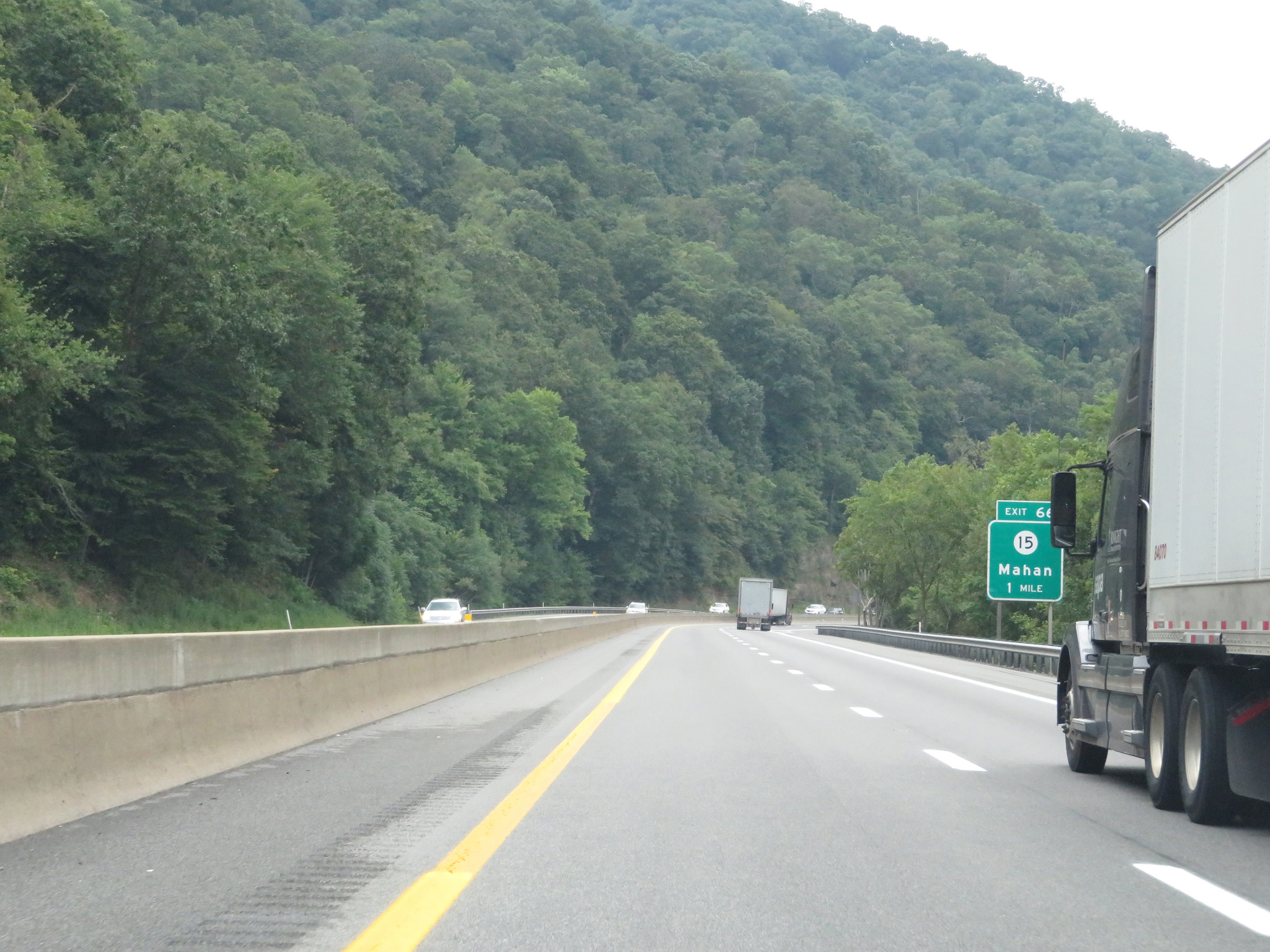
Interstate 64 East / Interstate 77 South (West Virginia Turnpike) at Exit 66: CR 15 - Mahan (Photo taken 8/9/19). |
 |
Another set of state-named Interstate 64 East / Interstate 77 South reassurance shields. (Photo taken 8/9/19). |
 |
View on Interstate 64 East / Interstate 77 South (West Virginia Turnpike) at mile marker 64. (Photo taken 8/9/19). |
 |
Climbing another grade on Interstate 64 East / Interstate 77 South (West Virginia Turnpike) at mile marker 63.5. (Photo taken 8/9/19). |
 |
A truck climbing lane appears at mile marker 62.5. (Photo taken 8/9/19). |
 |
The truck climbing lane comes to an end one mile later, at mile marker 61.5. (Photo taken 8/9/19). |
 |
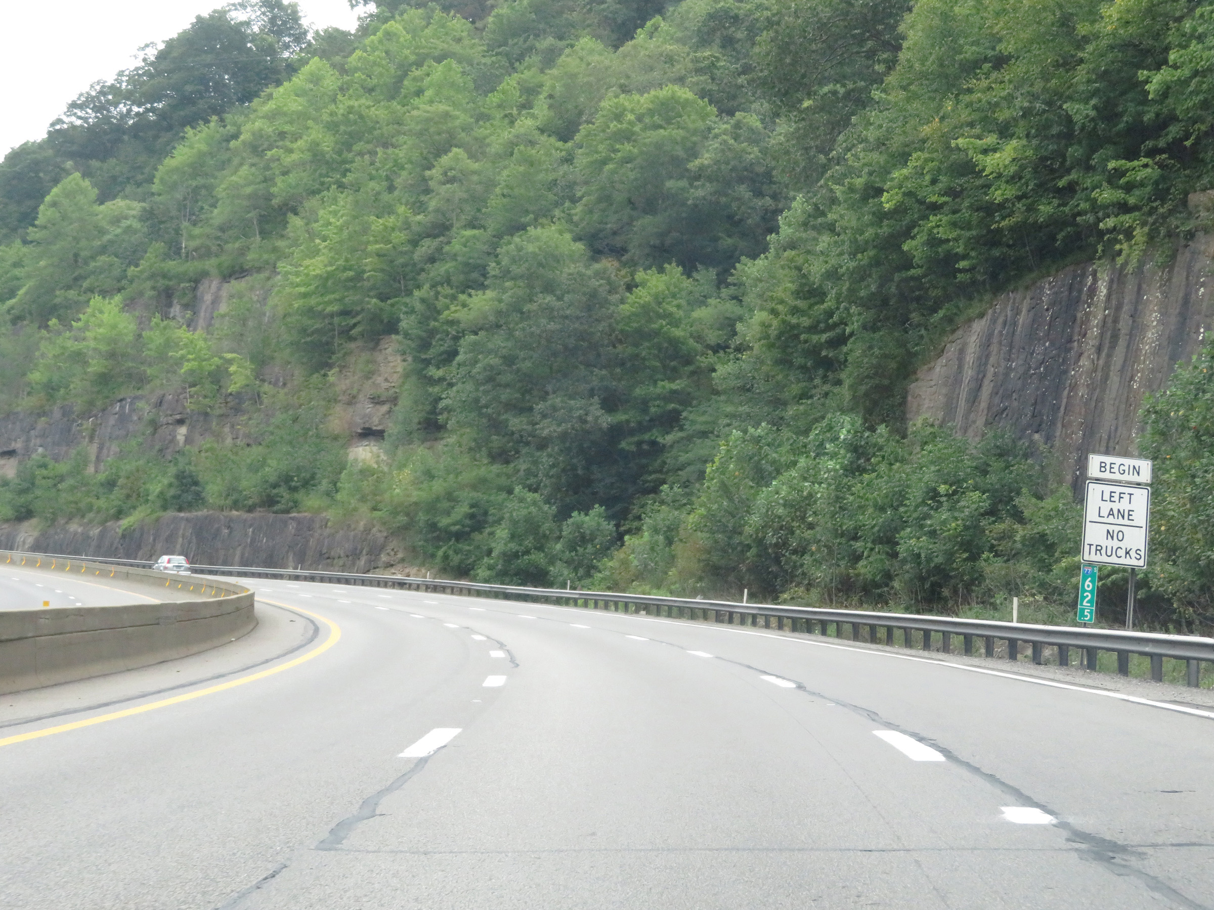
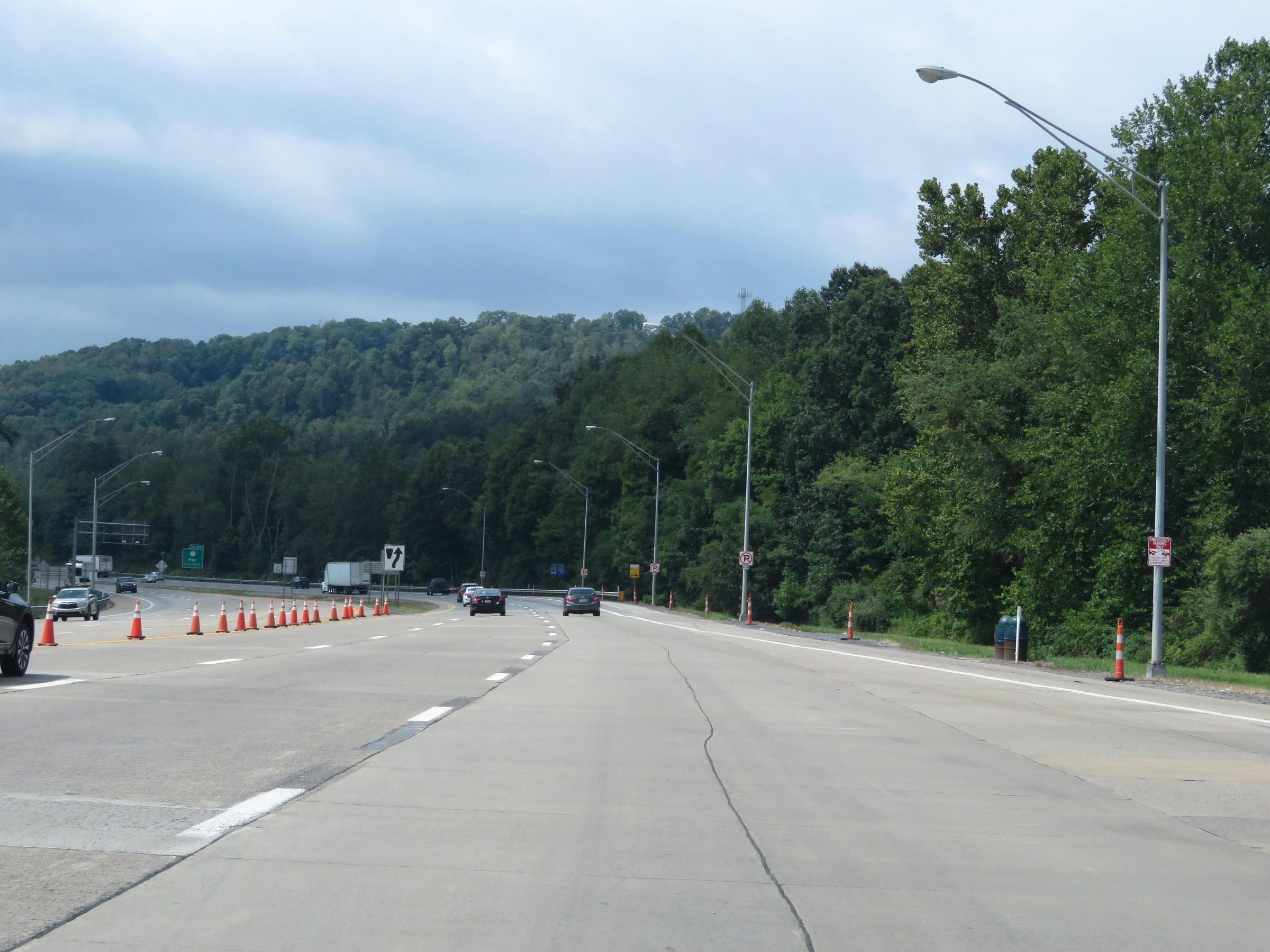
Interstate 64 East / Interstate 77 South (West Virginia Turnpike) approaching Exit 60 - 1 mile. (Photo taken 8/9/19). |
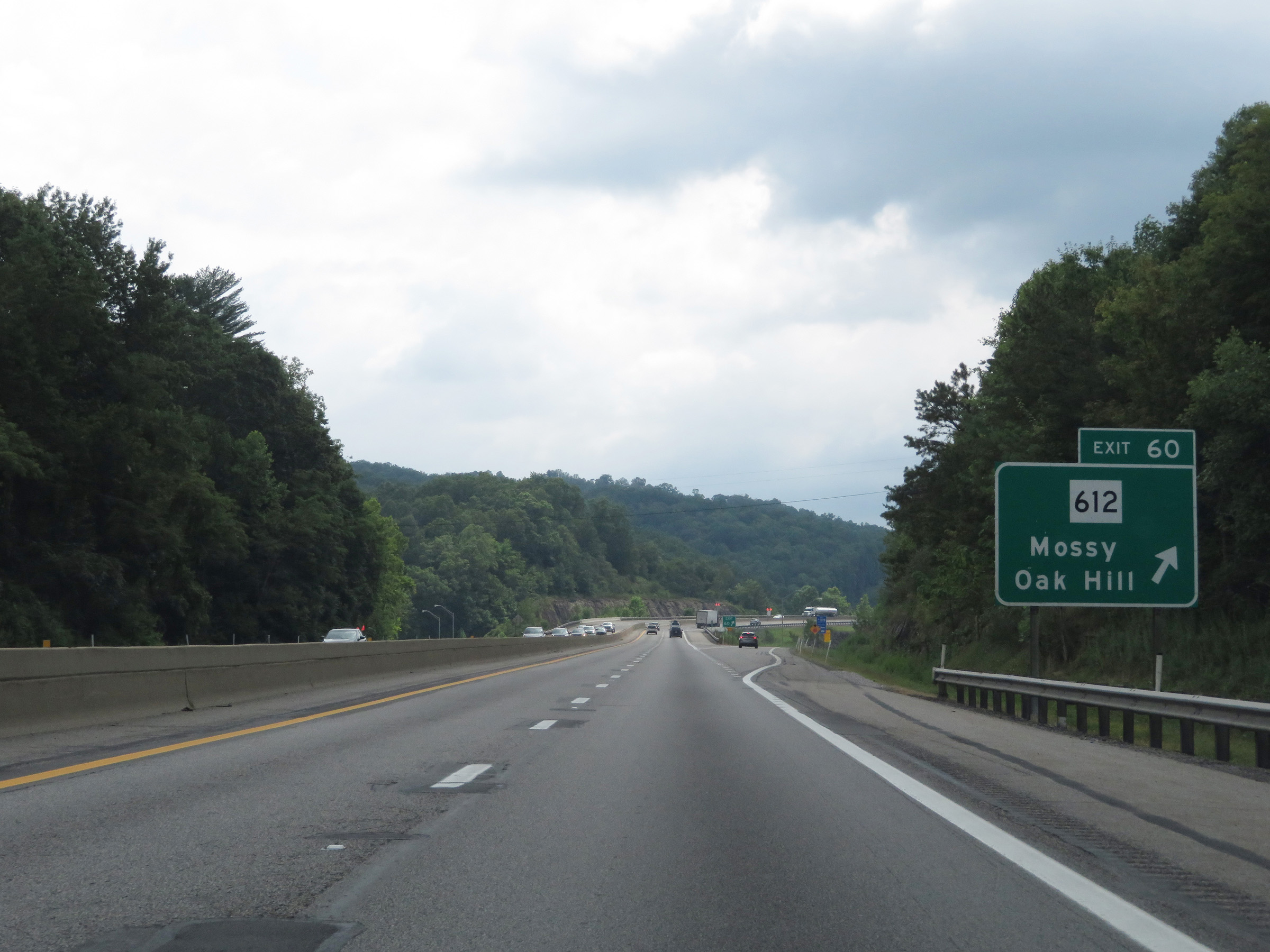 |
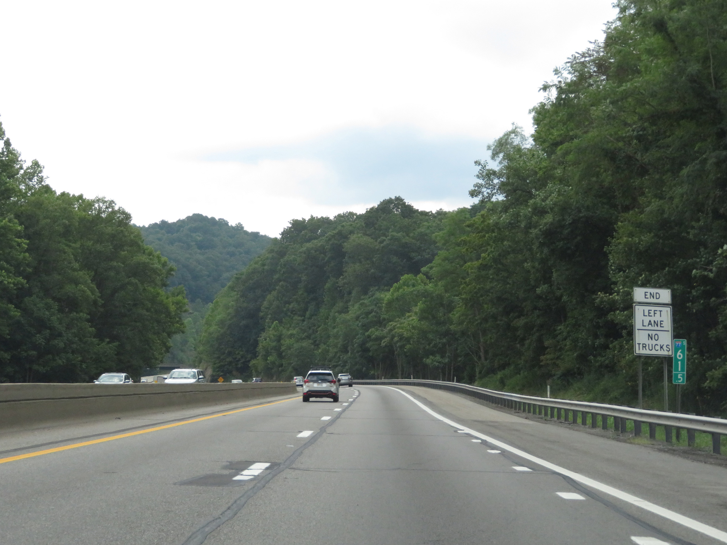
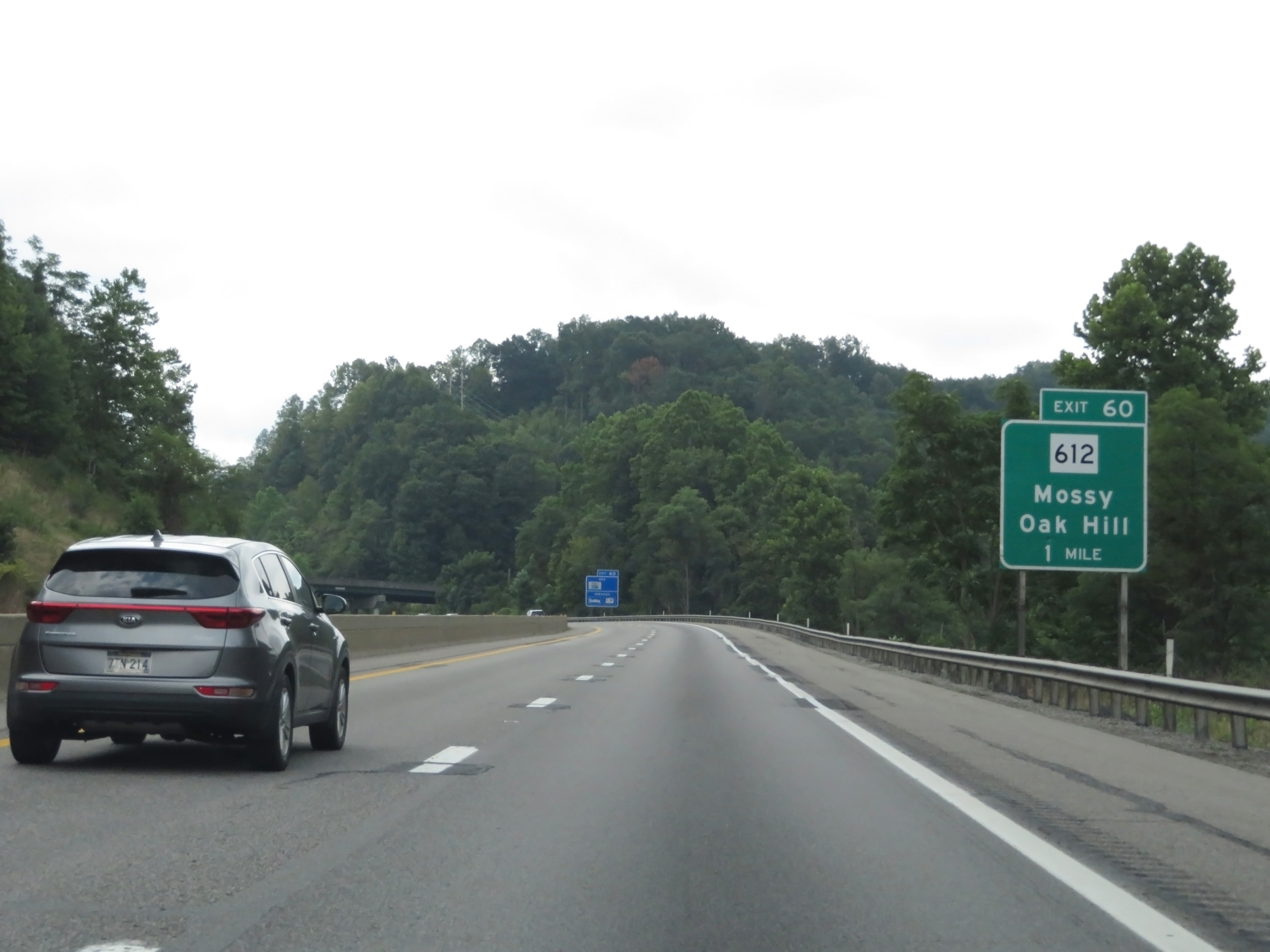
Interstate 64 East / Interstate 77 South (West Virginia Turnpike) at Exit 60: WV 612 - Mossy / Oak Hill (Photo taken 8/9/19). |
Section 2: Mossy (Exit 60) to Bragg (Exit 133)
 |
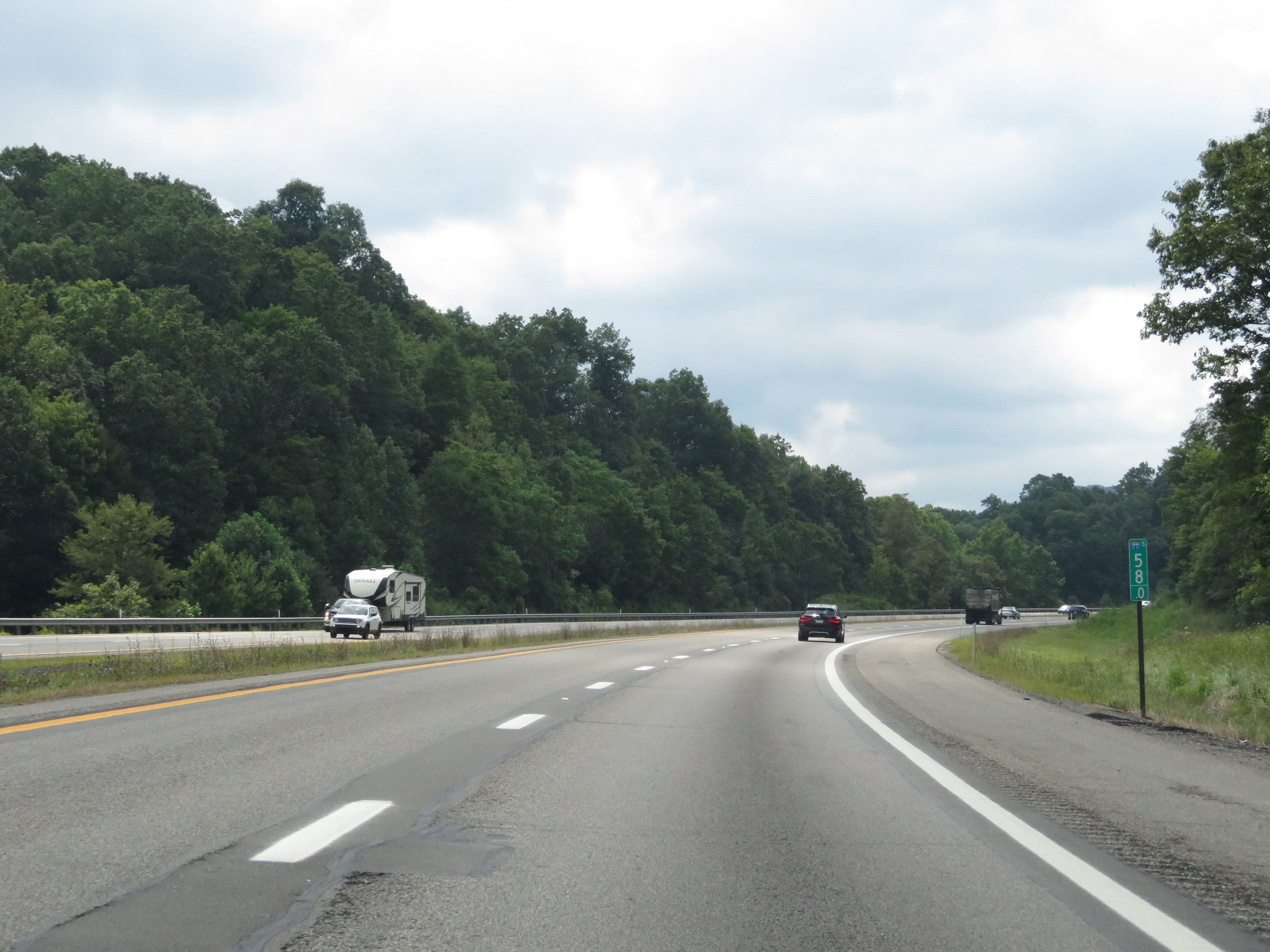
At mile marker 58.5, the speed limit finally increases to 70 mph once again. (Photo taken 8/9/19). |
 |
View on Interstate 64 East / Interstate 77 South (West Virginia Turnpike) at mile marker 58. (Photo taken 8/9/19). |
 |
The second toll plaza on the West Virginia Turnpike section of Interstate 64 East / Interstate 77 South, known as Toll Plaza B, is now 1 mile ahead. Like the previous toll plaza, EZ Pass is accepted in all lanes and the toll rate for cars at the time was $4.00. (Photo taken 8/9/19). |
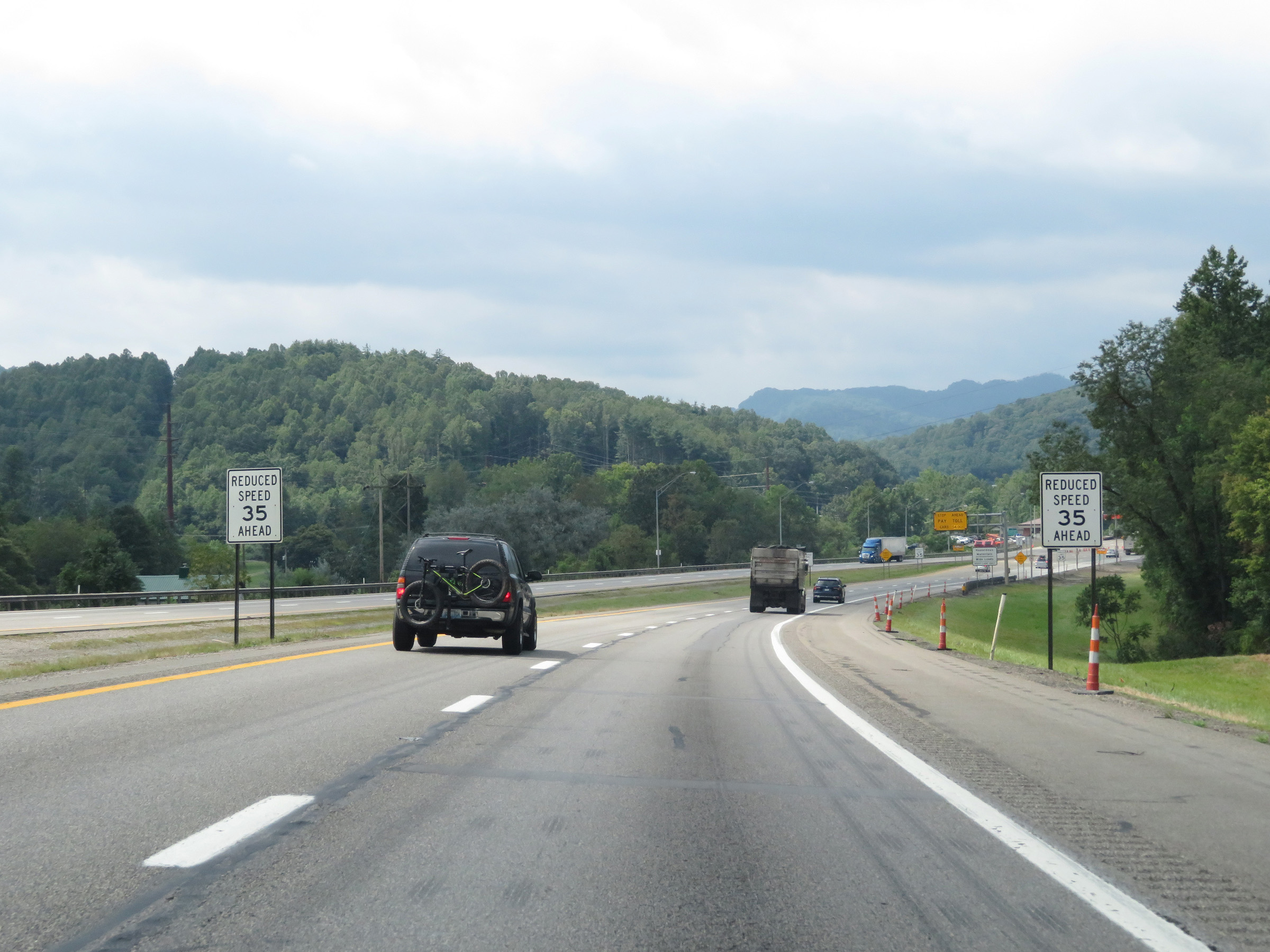 |
The speed limit will decrease to 35 mph ahead approaching Toll Plaza B. (Photo taken 8/9/19). |
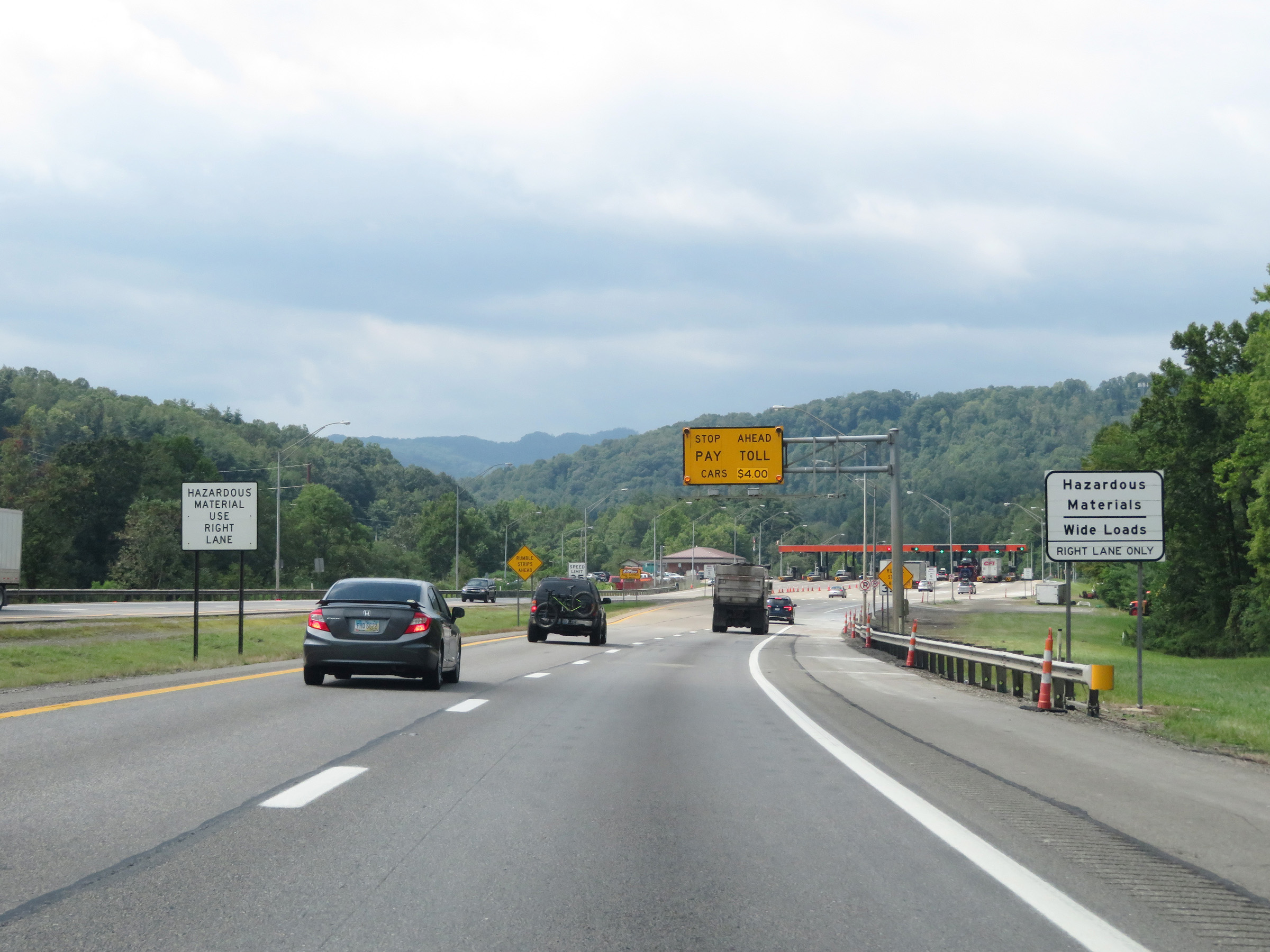 |
Trucks with wide loads or hazardous materials must use the right lane at the toll plaza. (Photo taken 8/9/19). |
 |
Interstate 64 East / Interstate 77 South (West Virginia Turnpike) as the speed limit decreases to 35 mph approaching Toll Plaza B at mile marker 56.5. (Photo taken 8/9/19). |
 |
Interstate 64 East / Interstate 77 South (West Virginia Turnpike) at Toll Plaza B. (Photo taken 8/9/19). |
 |
A closer view of the toll plaza. (Photo taken 8/9/19). |
 |
View on Interstate 64 East / Interstate 77 South (West Virginia Turnpike) as it leaves Toll Plaza B to the south. (Photo taken 8/9/19). |
 |
State-named Interstate 64 East / Interstate 77 South reassurance shields to the south of Toll Plaza B. (Photo taken 8/9/19). |
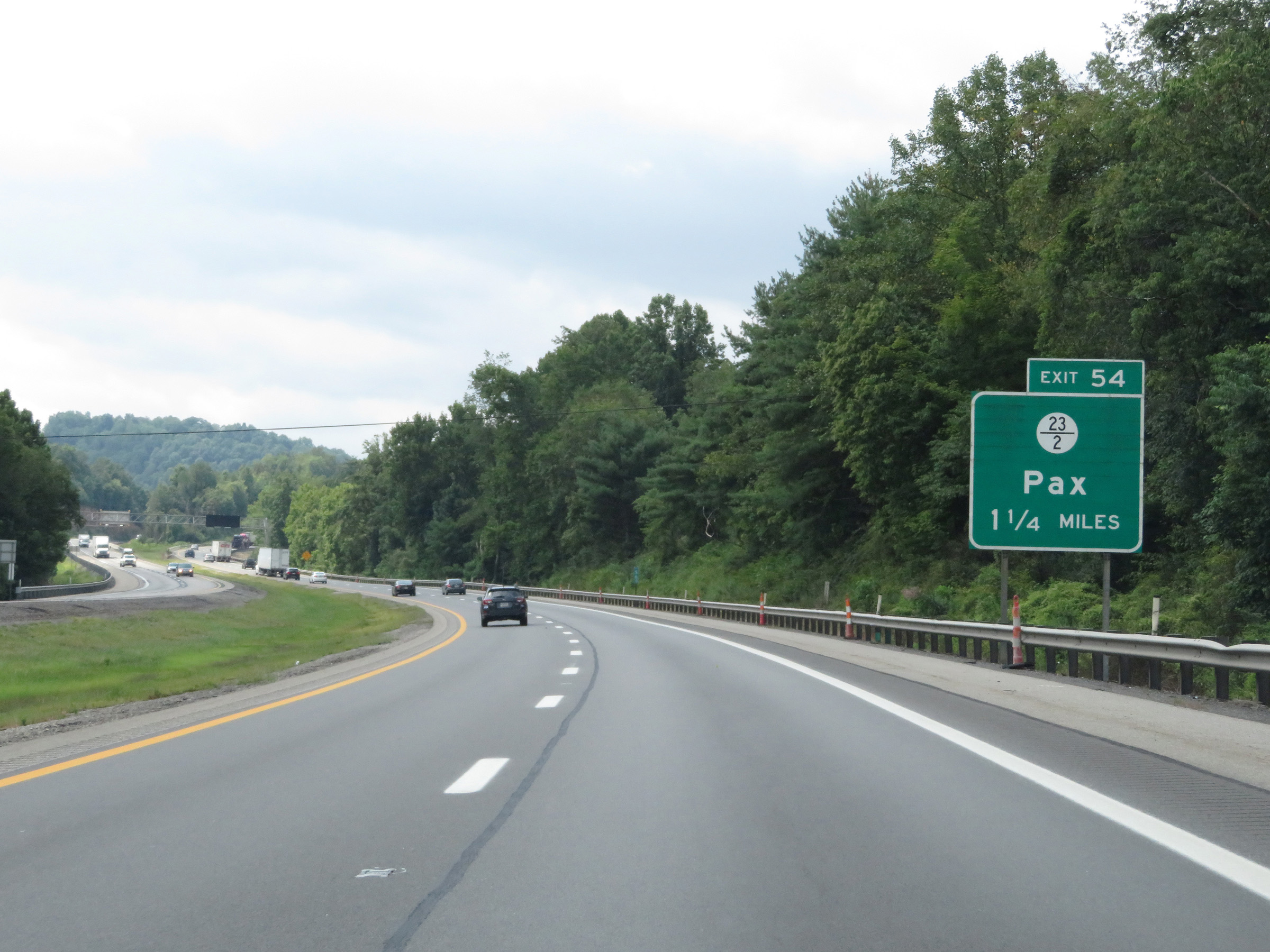 |
Interstate 64 East / Interstate 77 South (West Virginia Turnpike) approaching Exit 54 - 1 1/4 miles. (Photo taken 8/9/19). |
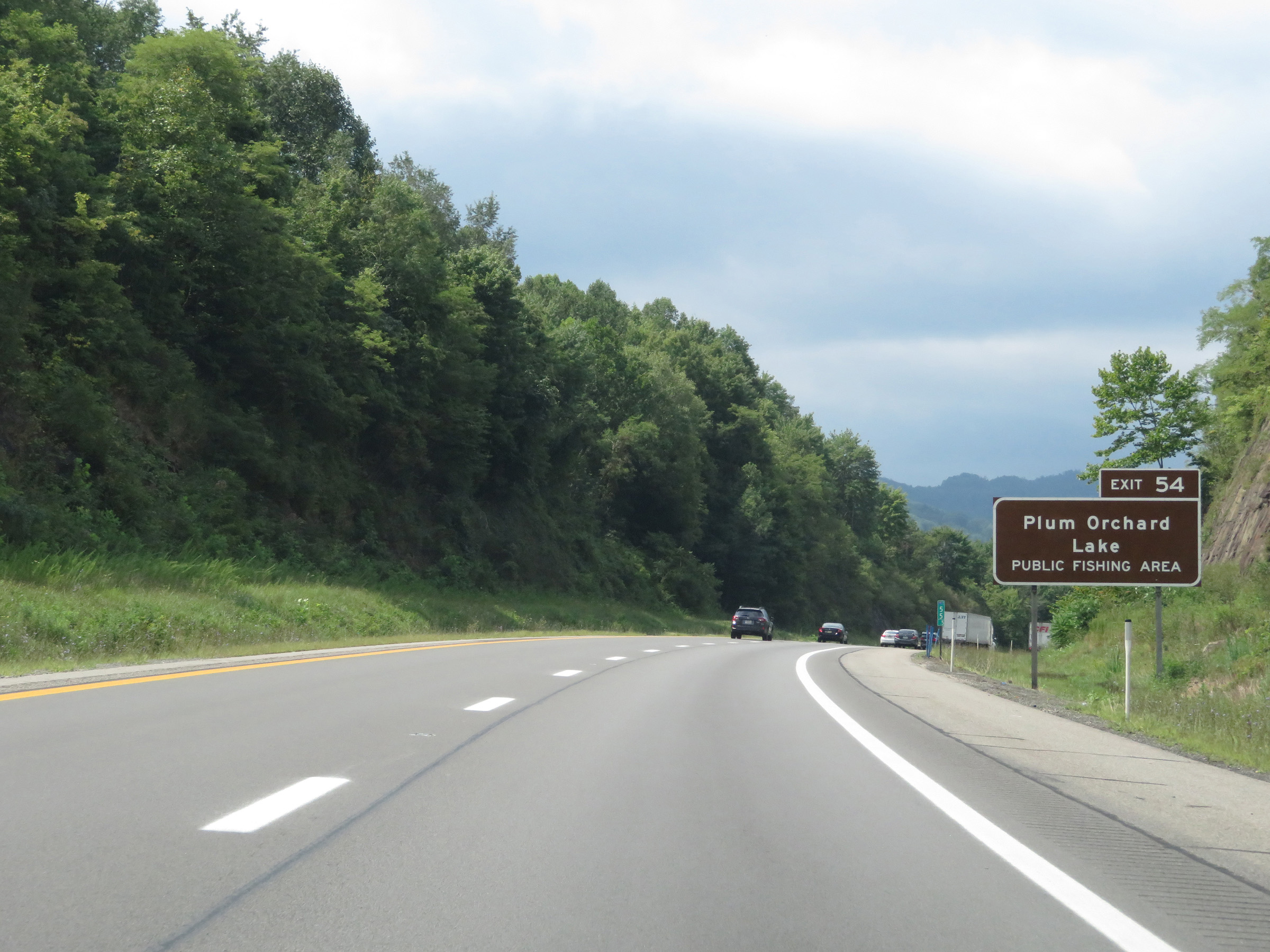 |
Take Exit 54 to Plum Orchard Lake Public Fishing Area. (Photo taken 8/9/19). |
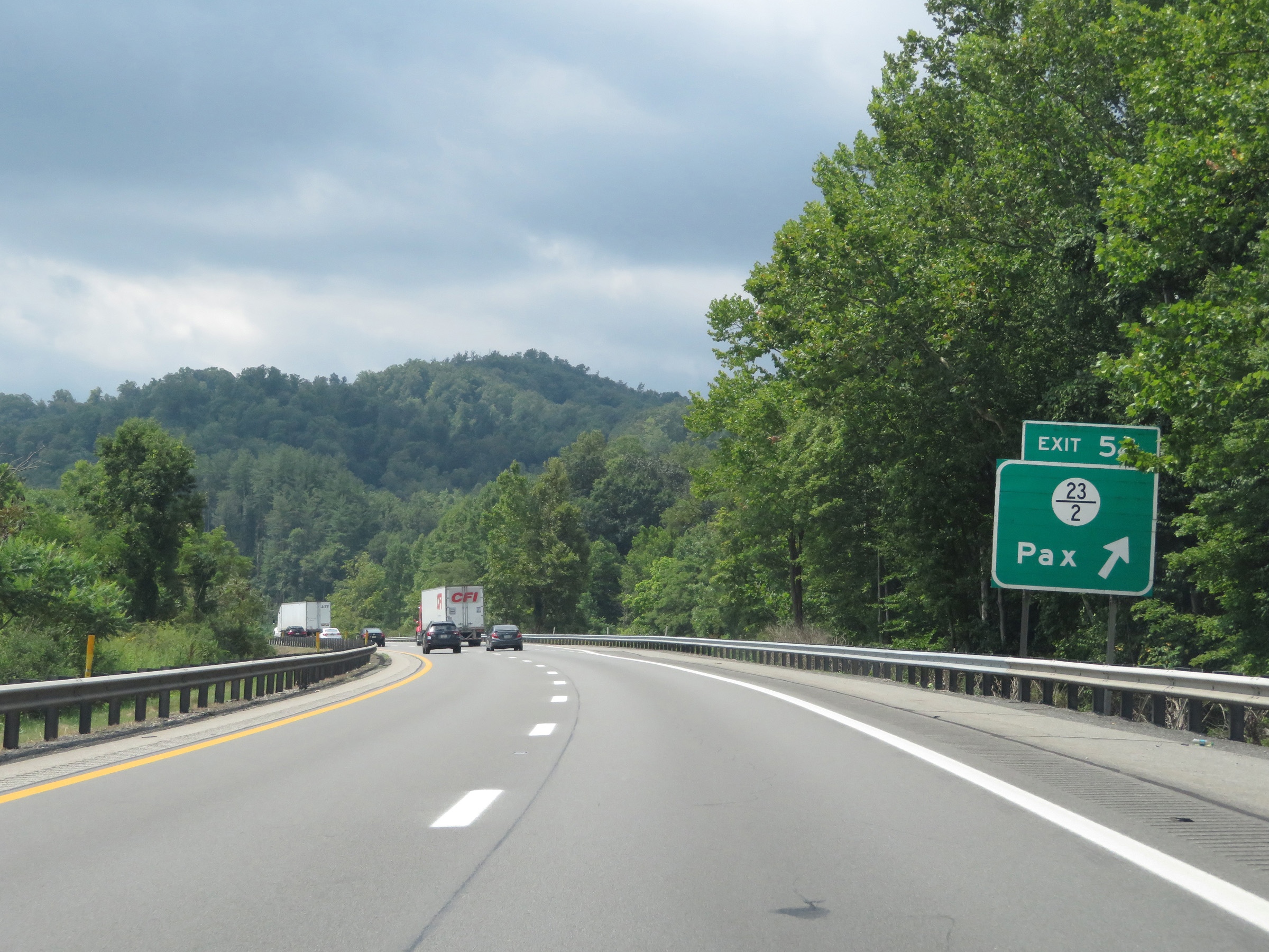 |
Interstate 64 East / Interstate 77 South (West Virginia Turnpike) at Exit 54: CR 23/2 - Pax (Photo taken 8/9/19). |
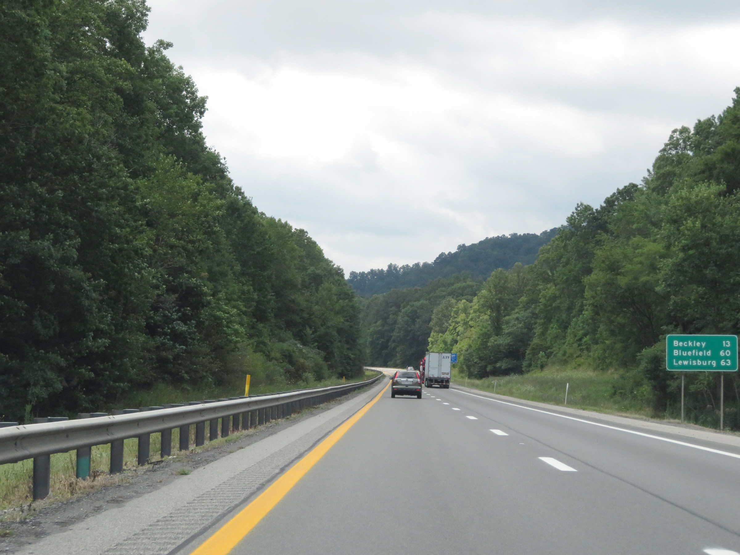 |
Another mileage sign on Interstate 64 East / Interstate 77 South (West Virginia Turnpike). It's now just 13 miles to Beckley while Bluefield is 60 miles ahead and Lewisburg is 63 miles away. (Photo taken 8/9/19). |
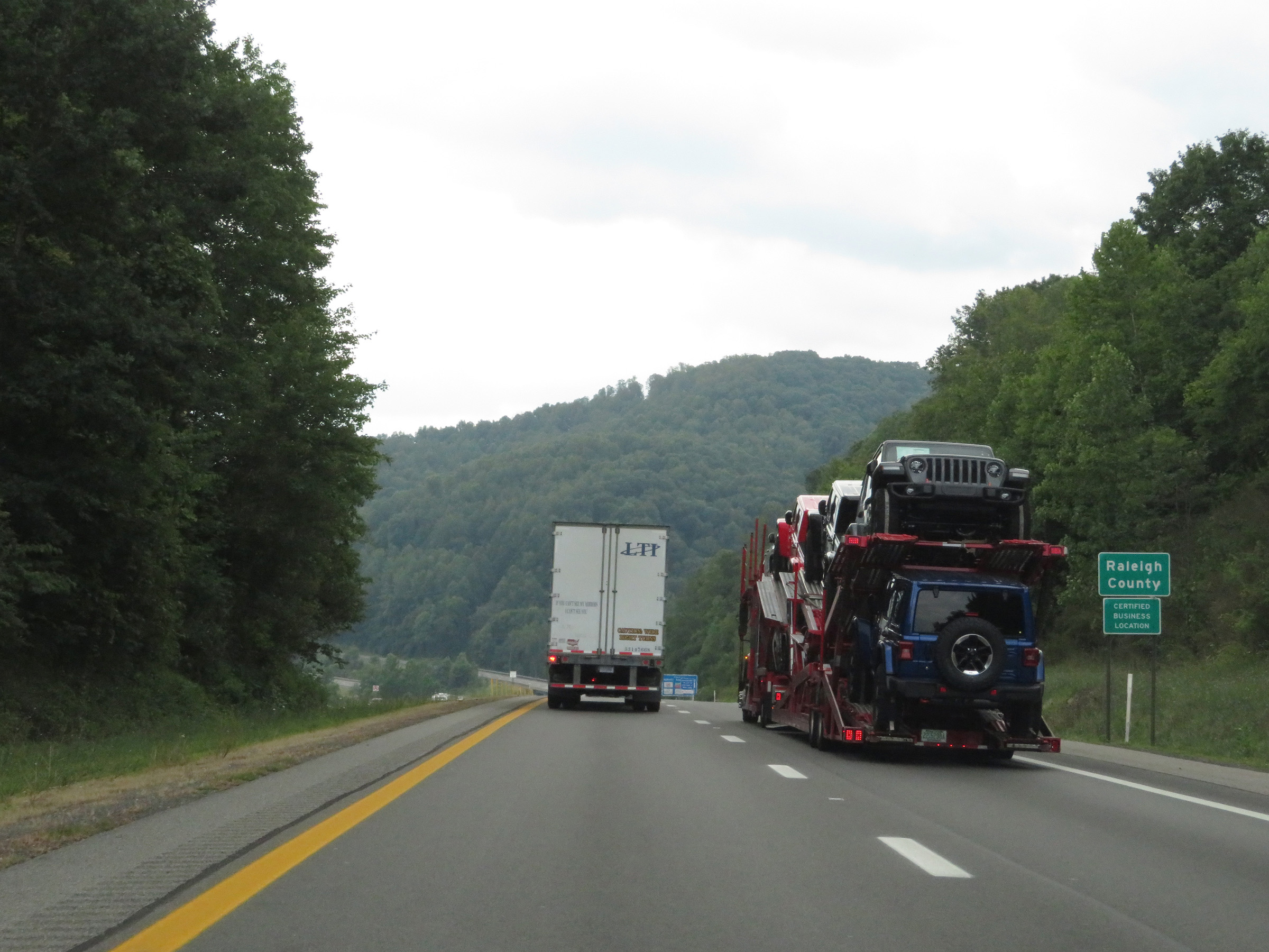 |
Interstate 64 East / Interstate 77 South (West Virginia Turnpike) as they enter Raleigh County. (Photo taken 8/9/19). |
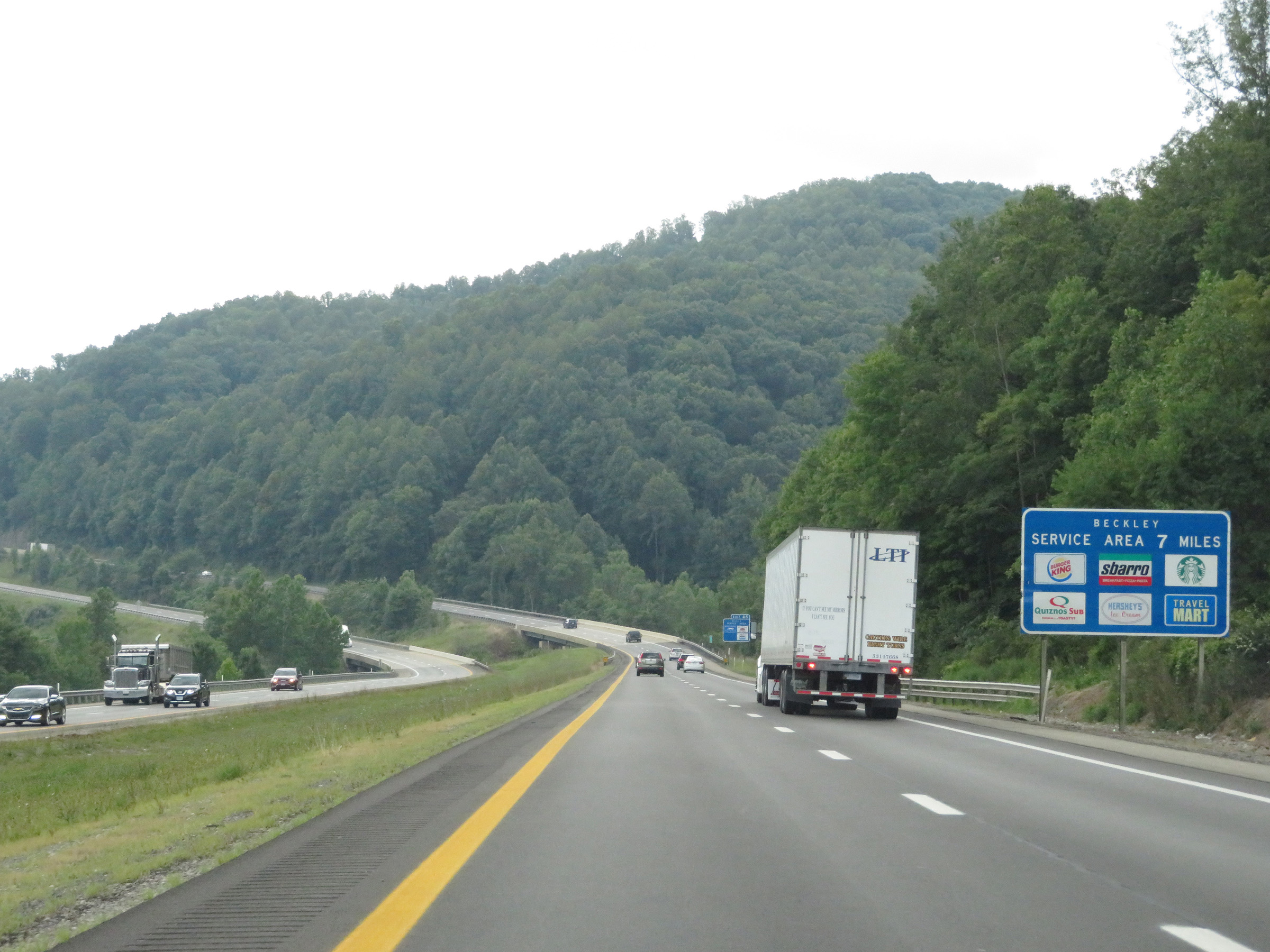 |
The Beckley Service Plaza, which is the only major southbound/eastbound plaza on the West Virginia Turnpike, is 7 miles ahead. (Photo taken 8/9/19). |
 |
The speed limit remains 70 mph on Interstate 64 East / Interstate 77 South (West Virginia Turnpike). (Photo taken 8/9/19). |
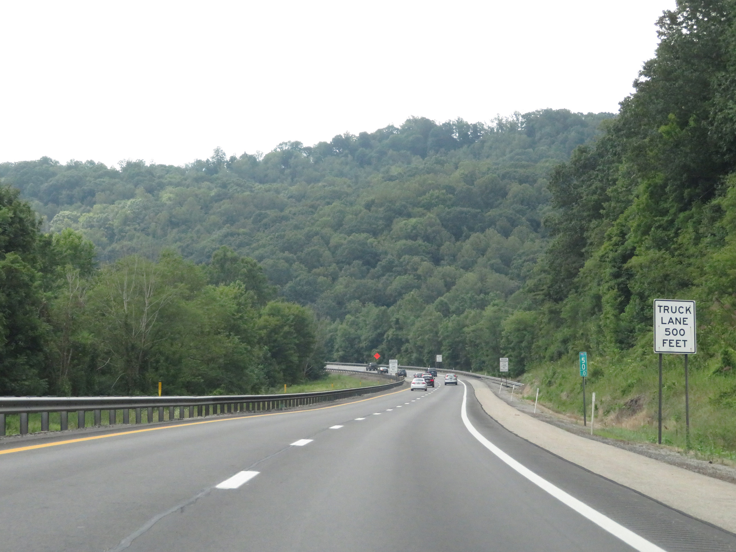 |
At mile marker 50, this sign states that a truck climbing lane will begin 500 feet ahead. (Photo taken 8/9/19). |
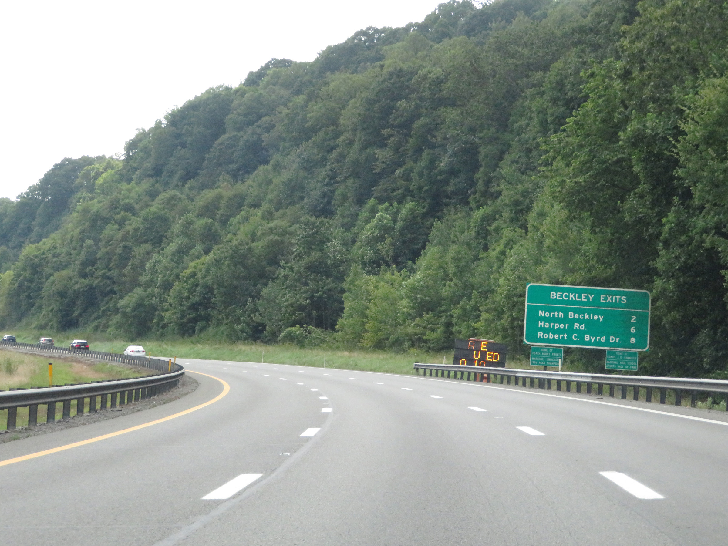 |
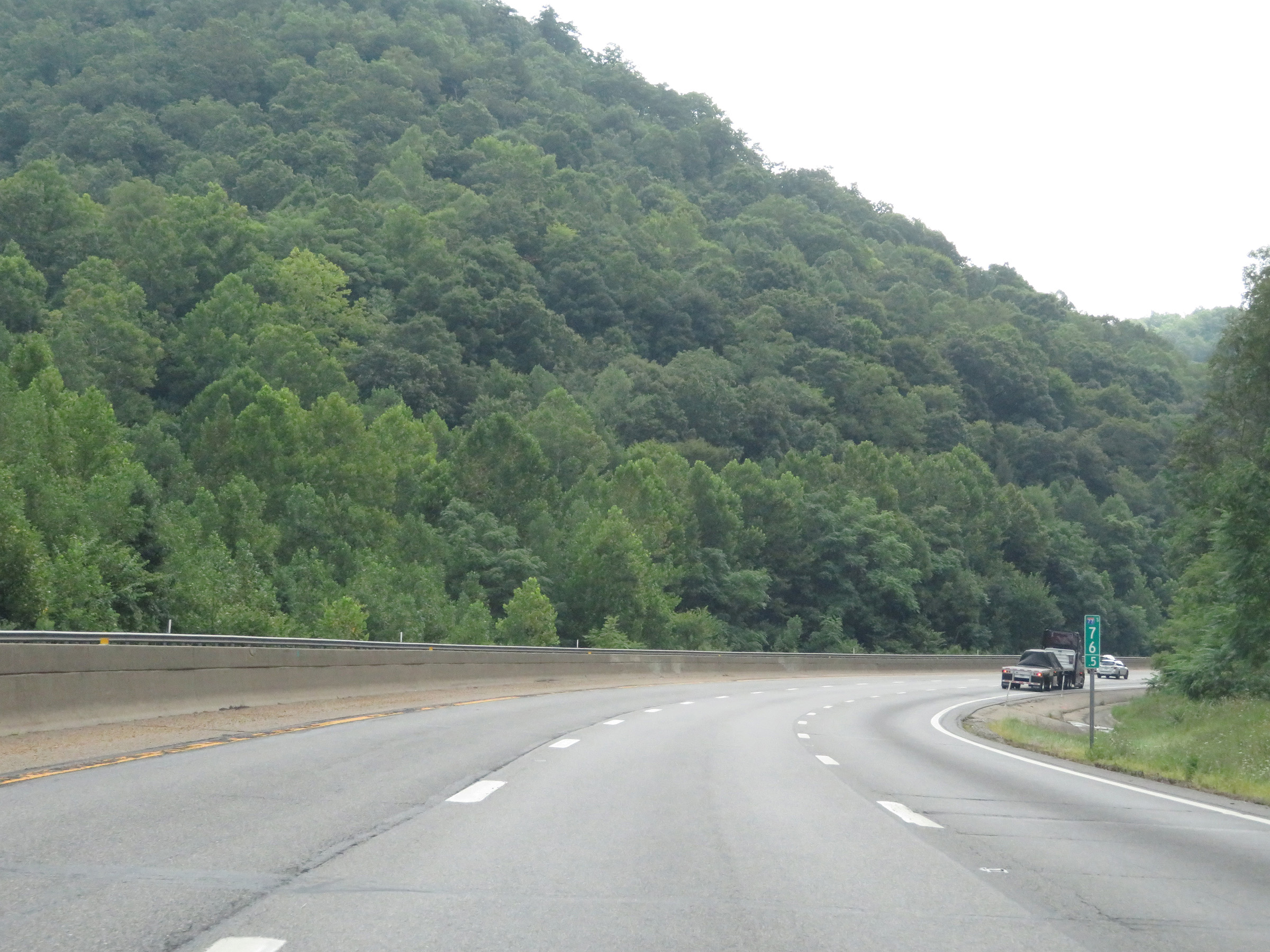
Mileage sign listing the distances to the three upcoming exits to Beckley on Interstate 64 East / Interstate 77 South (West Virginia Turnpike). (Photo taken 8/9/19). |
 |
Interstate 64 East / Interstate 77 South (West Virginia Turnpike) approaching Exit 48 - 2 miles. (Photo taken 8/9/19). |
 |
View on Interstate 64 East / Interstate 77 South (West Virginia Turnpike) at mile marker 49. (Photo taken 8/9/19). |
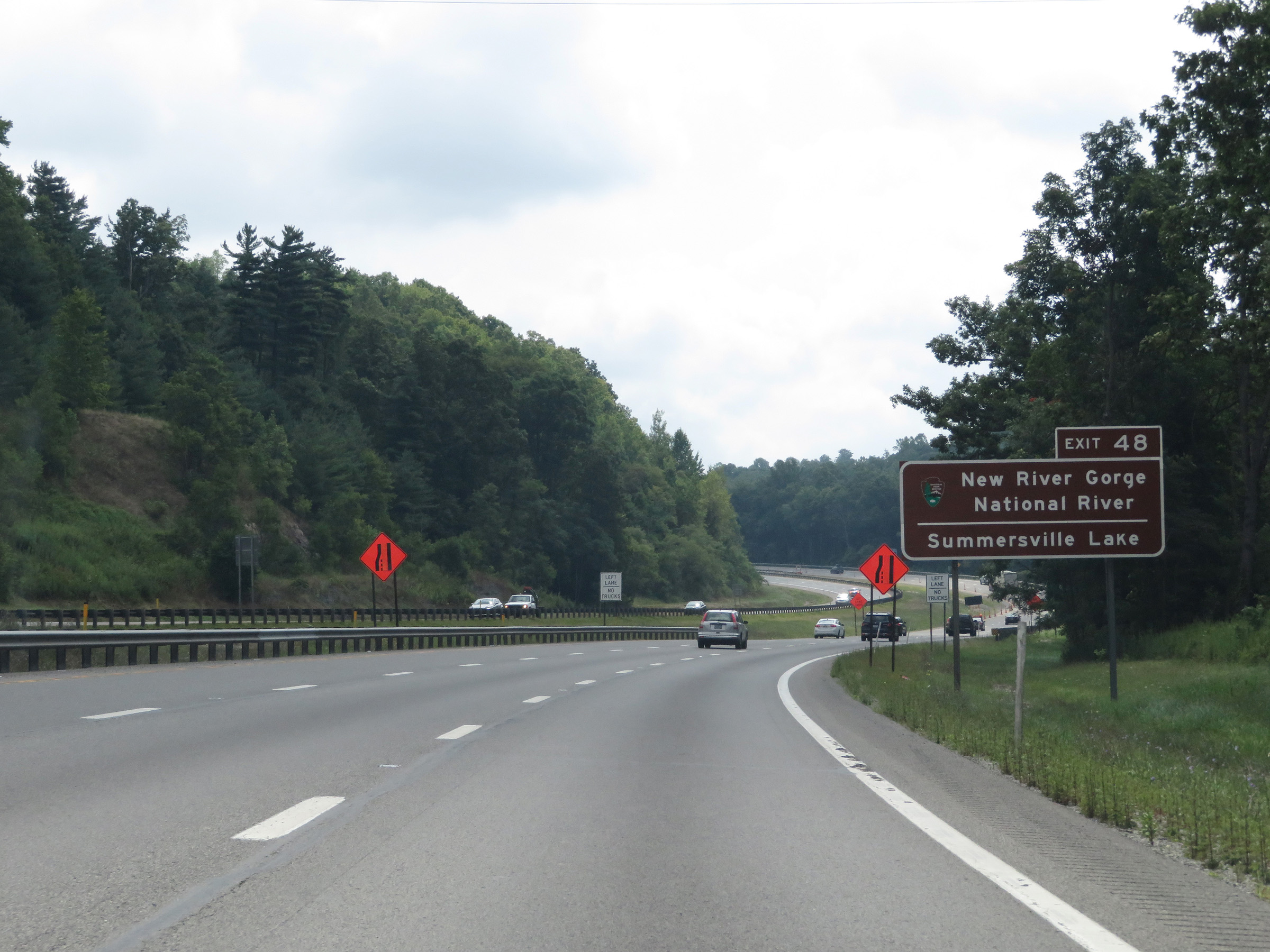 |
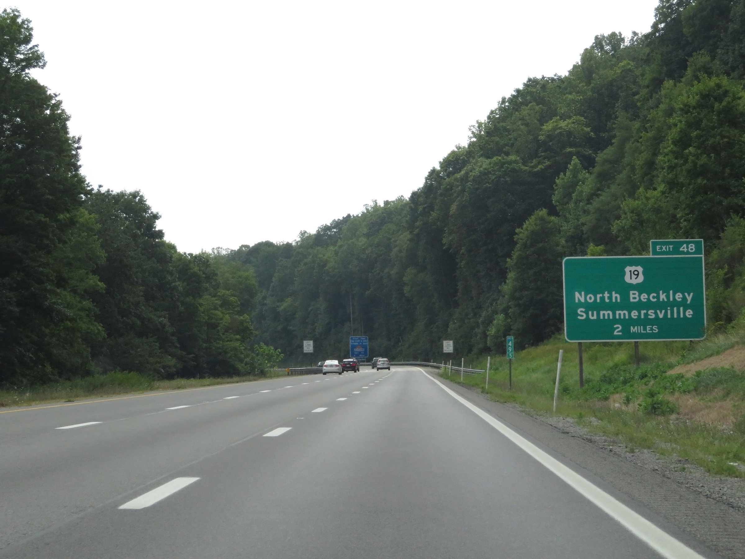
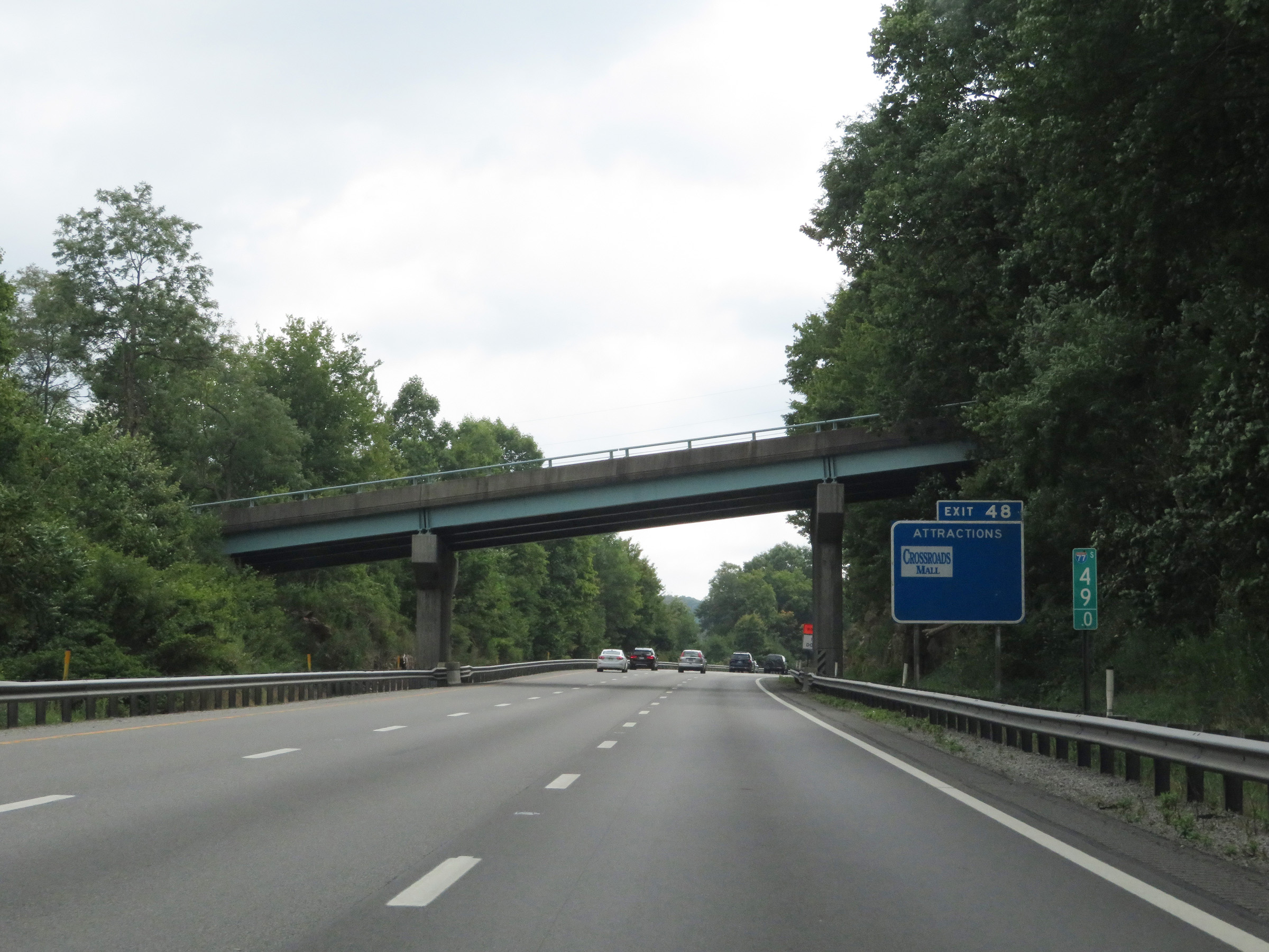
Take Exit 48 to New River Gorge National River and Summersville Lake. (Photo taken 8/9/19). |
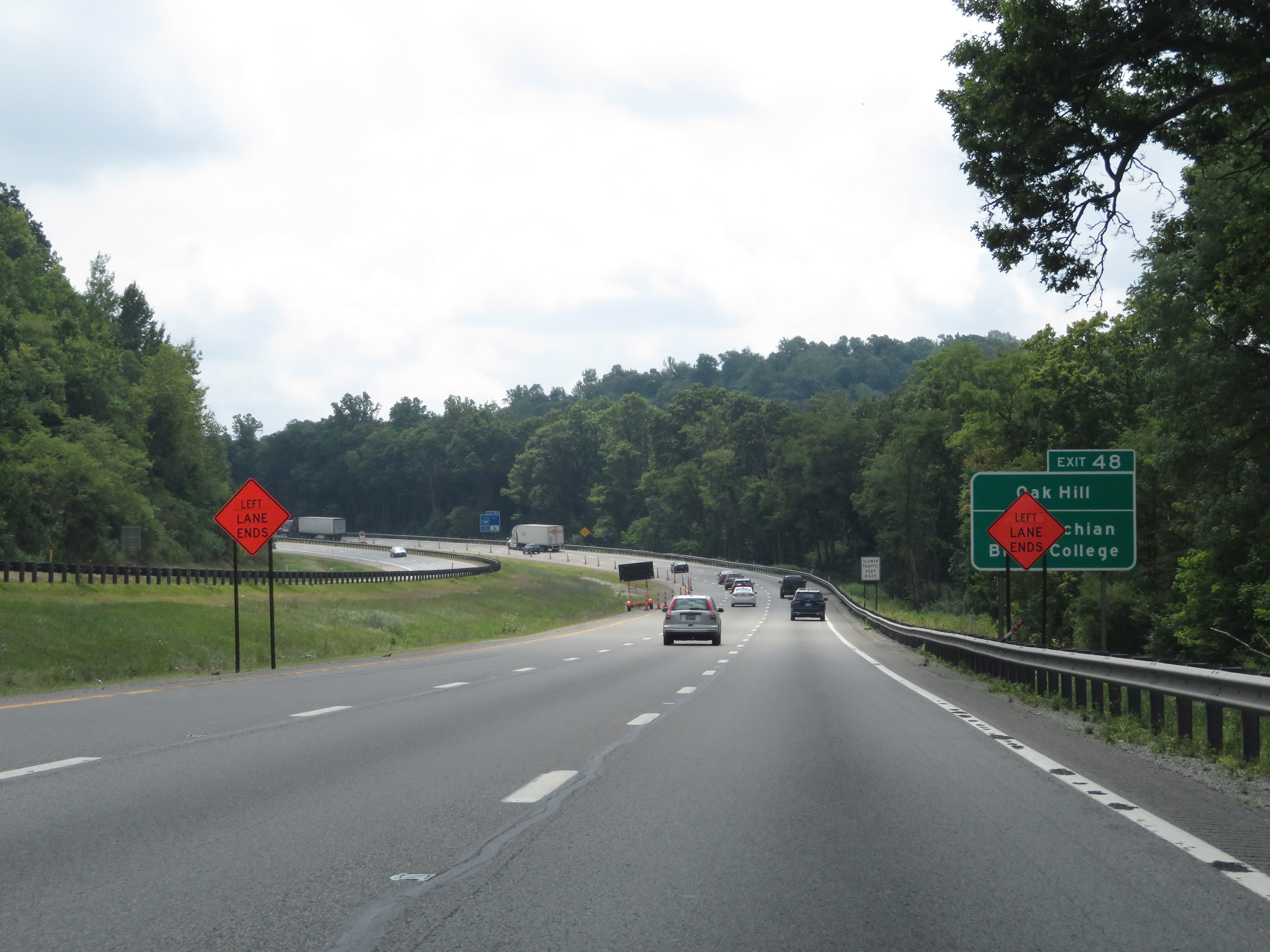 |
Also take Exit 48 to Oak Hill and Appalachian Bible College. (Photo taken 8/9/19). |
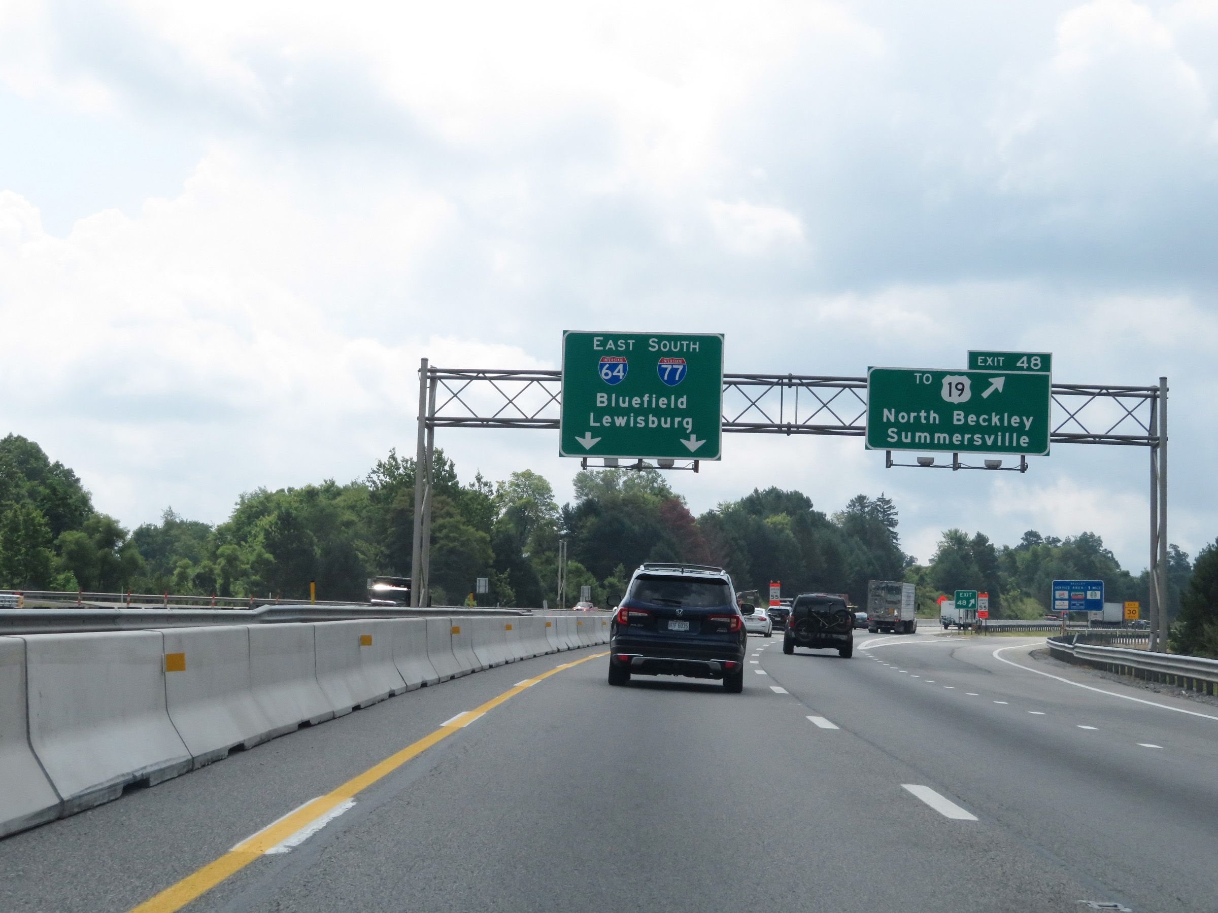 |
Interstate 64 East / Interstate 77 South (West Virginia Turnpike) at Exit 48: To US 19 - North Beckley / Summersville (Photo taken 8/9/19). |
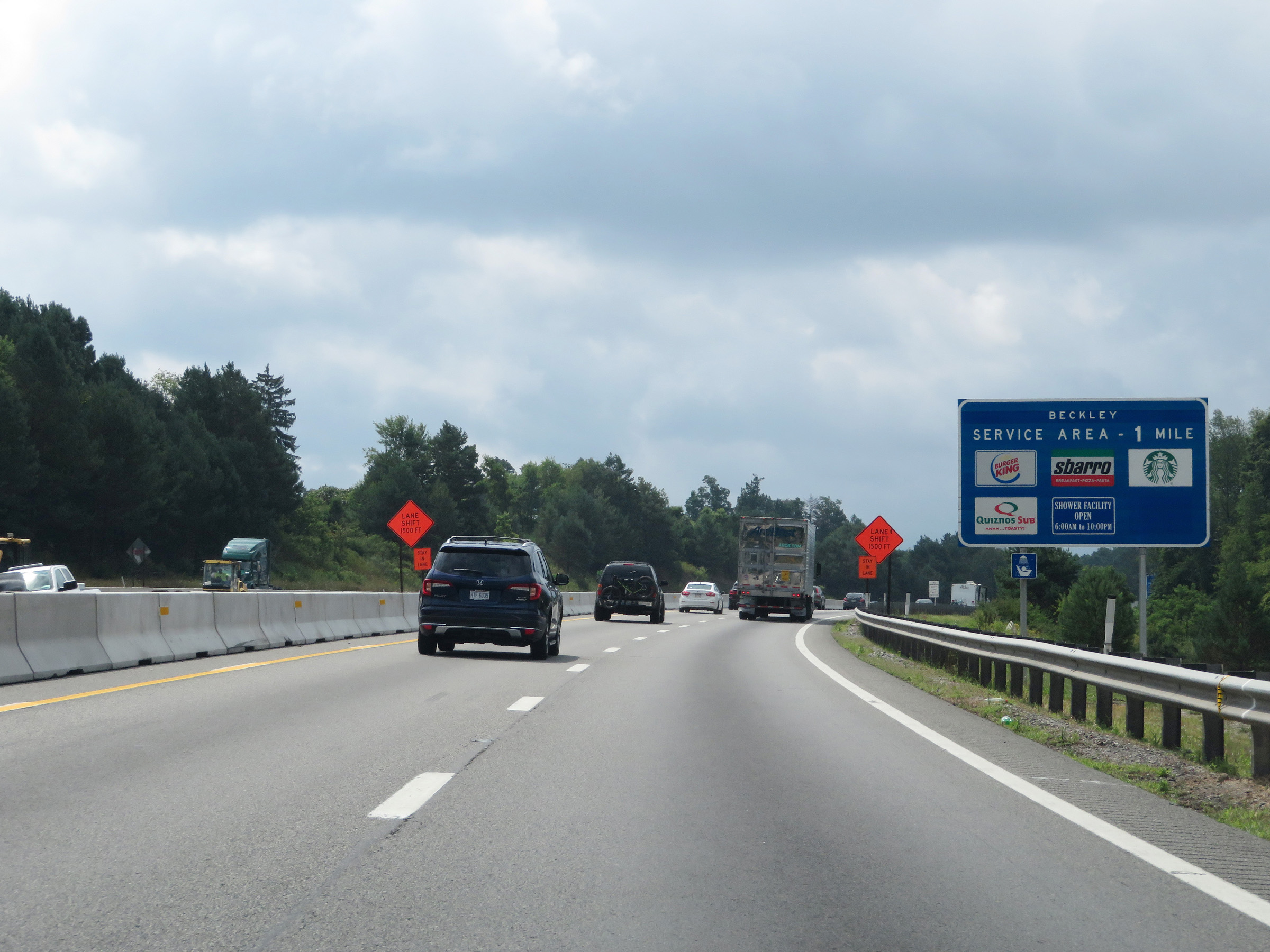 |
Interstate 64 East / Interstate 77 South (West Virginia Turnpike) approaching the Beckley Service Plaza - 1 mile. The service plaza is accessible via Exit 45. (Photo taken 8/9/19). |
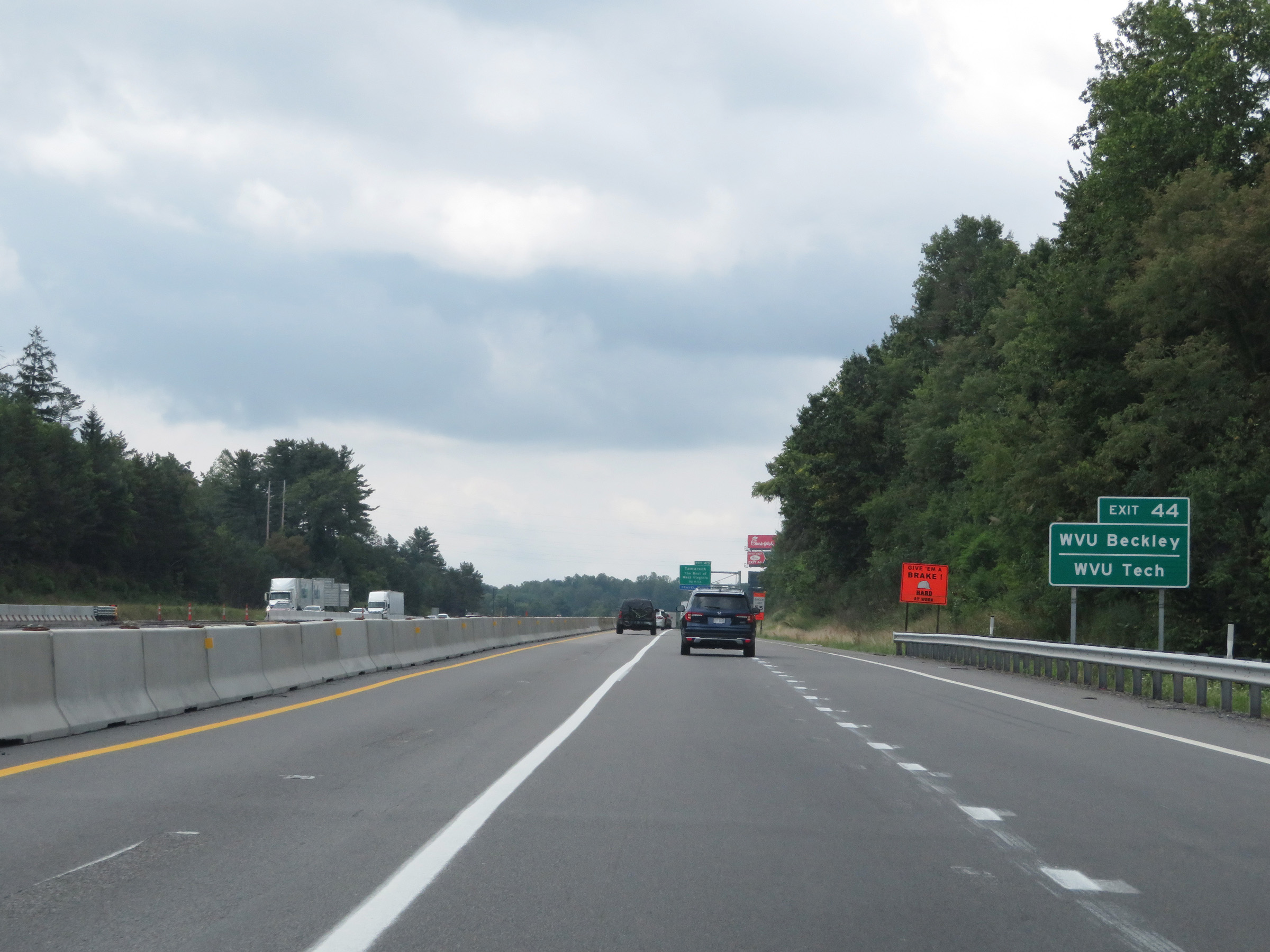 |
Take Exit 44 to WVU Beckley and WVU Tech. (Photo taken 8/9/19). |
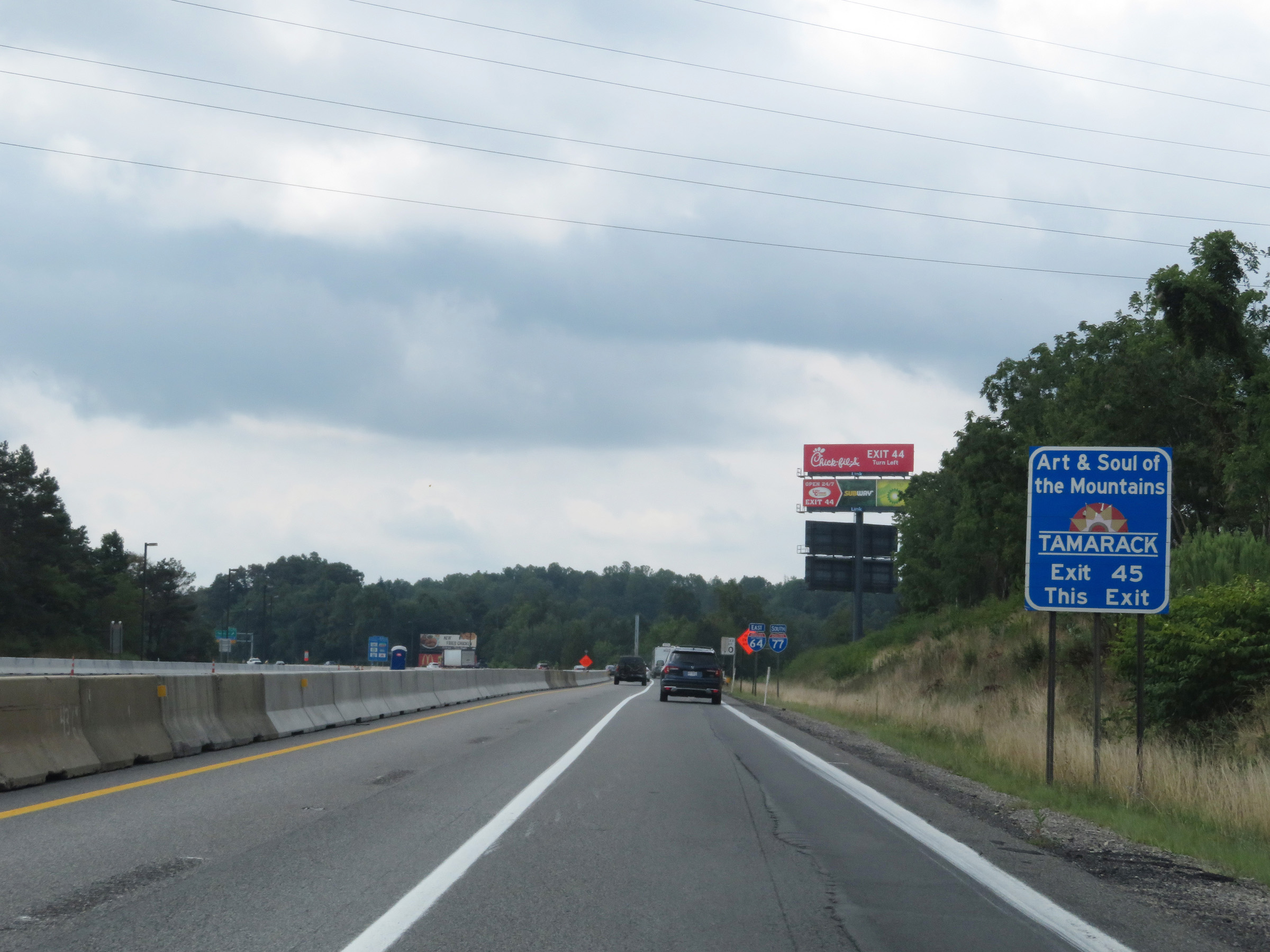 |
Take Exit 45 to the Tamarack Marketplace. (Photo taken 8/9/19). |
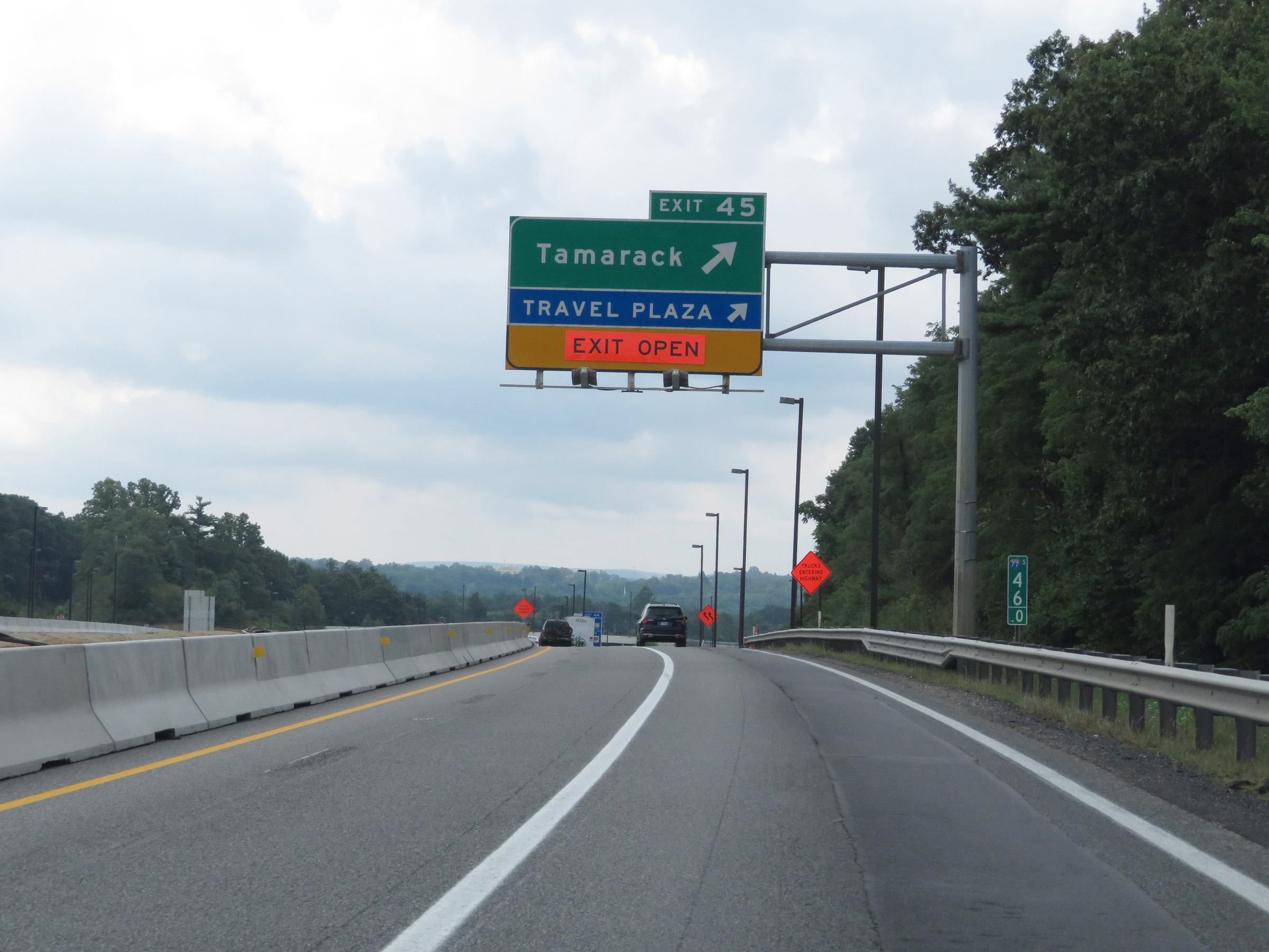 |
Interstate 64 East / Interstate 77 South (West Virginia Turnpike) at Exit 45: Tamarack / Beckley Service Plaza (Photo taken 8/9/19). |
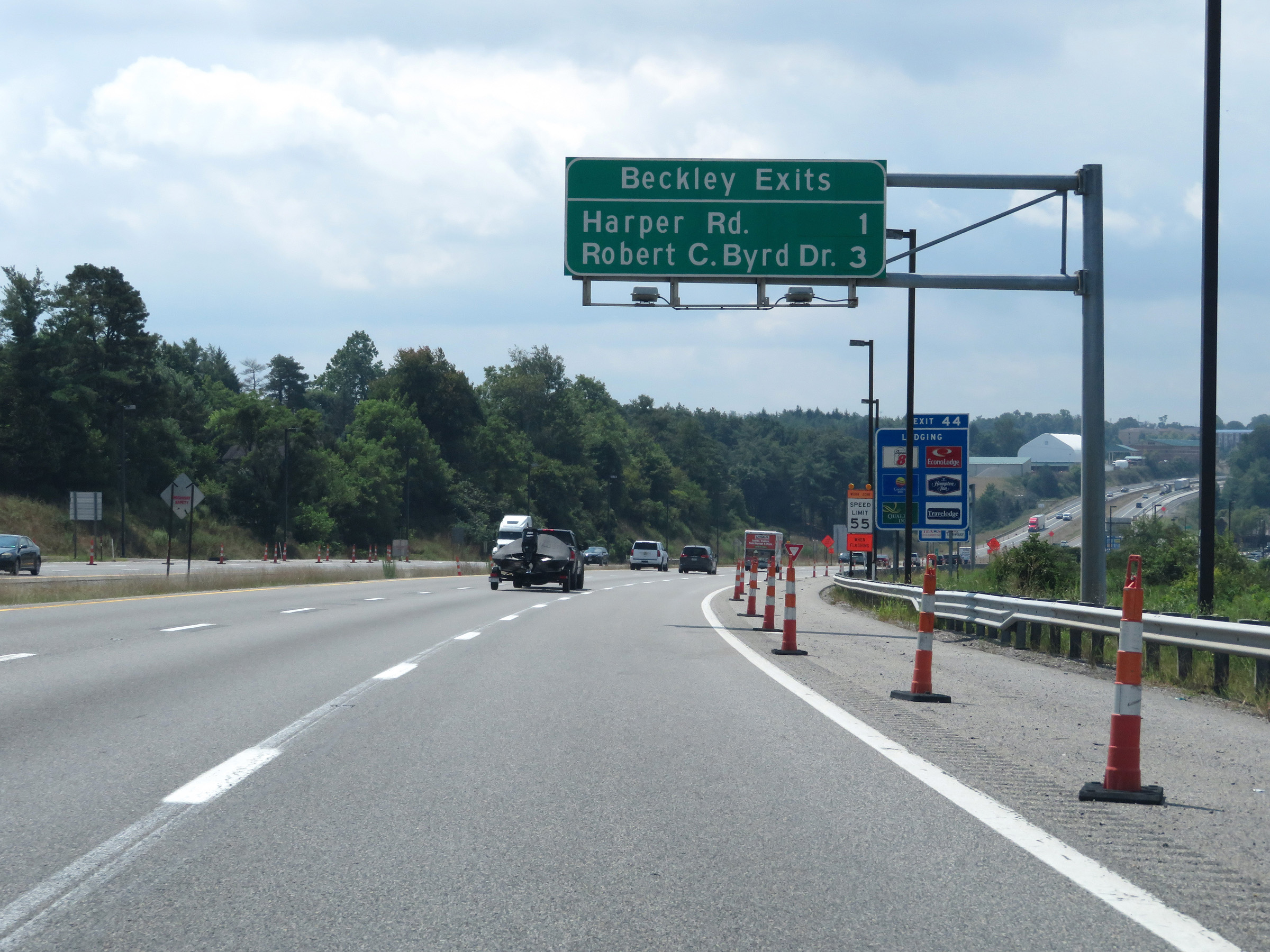 |
Overhead mileage sign listing the distances to the two upcoming Beckley exits. (Photo taken 8/9/19). |
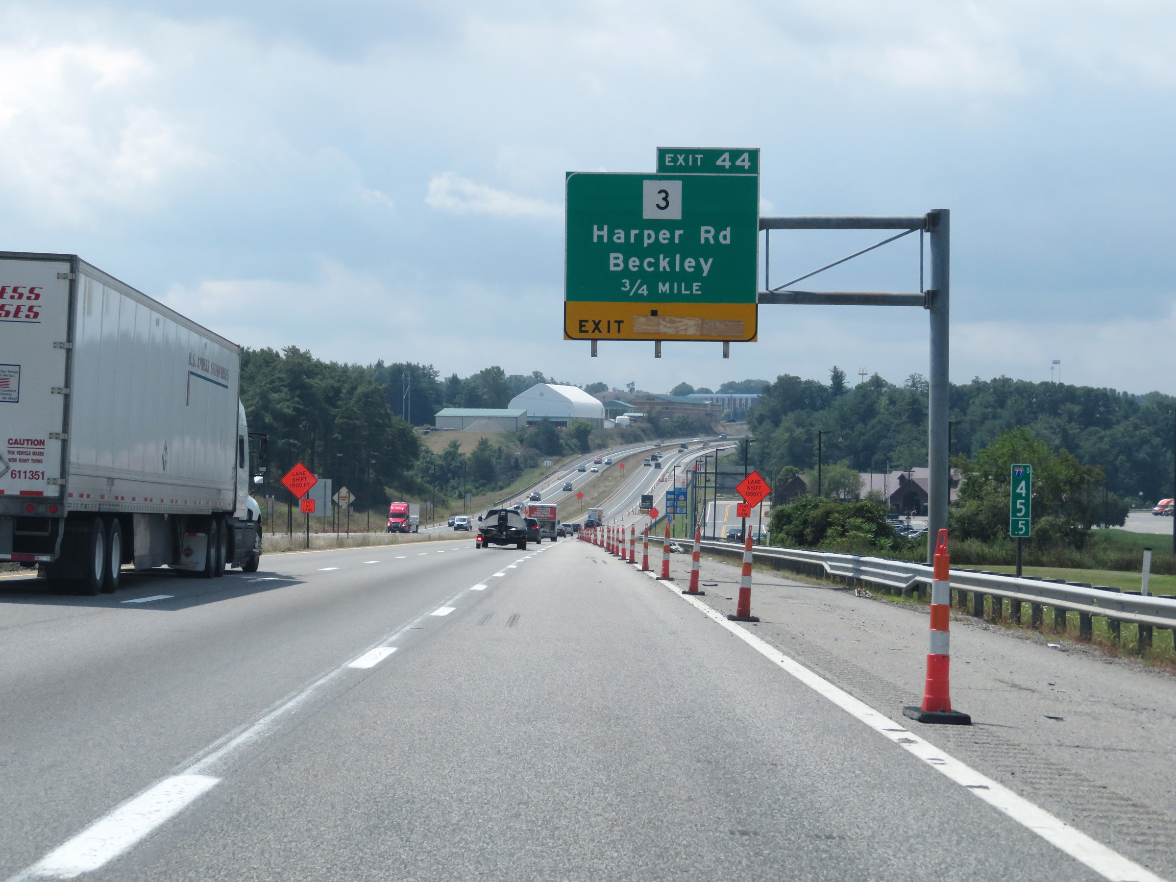 |
Interstate 64 East / Interstate 77 South (West Virginia Turnpike) approaching Exit 44 - 3/4 mile. (Photo taken 8/9/19). |
 |
Interstate 64 East / Interstate 77 South (West Virginia Turnpike) at Exit 44: WV 3 - Harper Rd / Beckley (Photo taken 8/9/19). |
 |
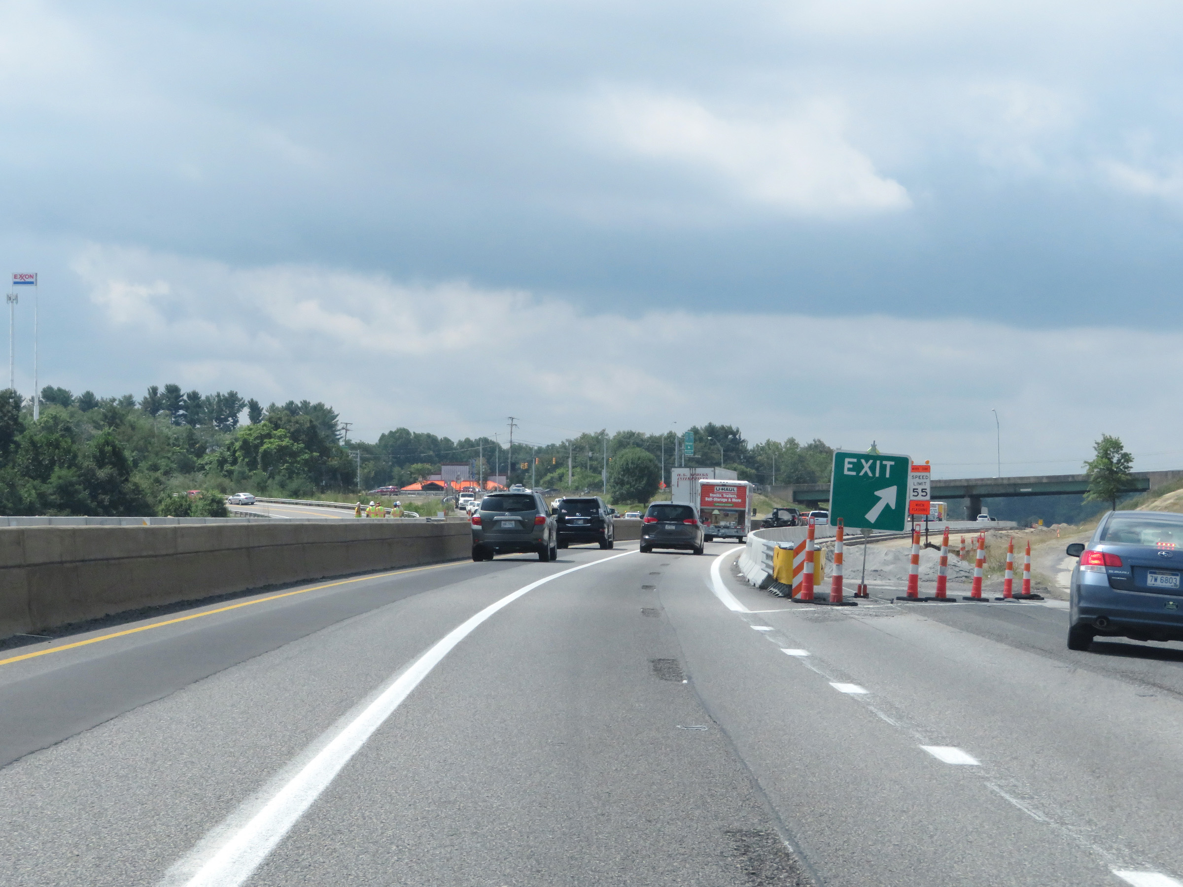
View on Interstate 64 East / Interstate 77 South (West Virginia Turnpike) at mile marker 44. (Photo taken 8/9/19). |
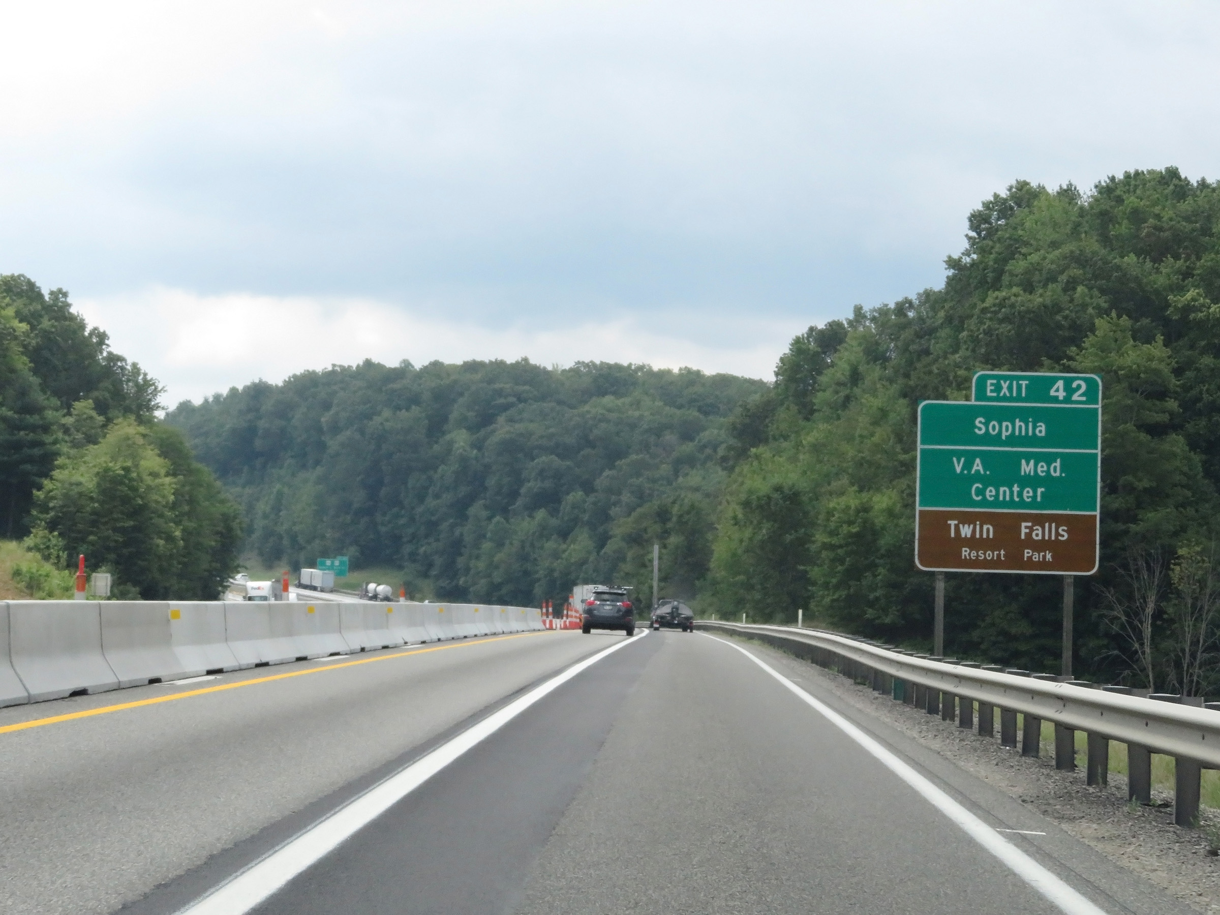 |
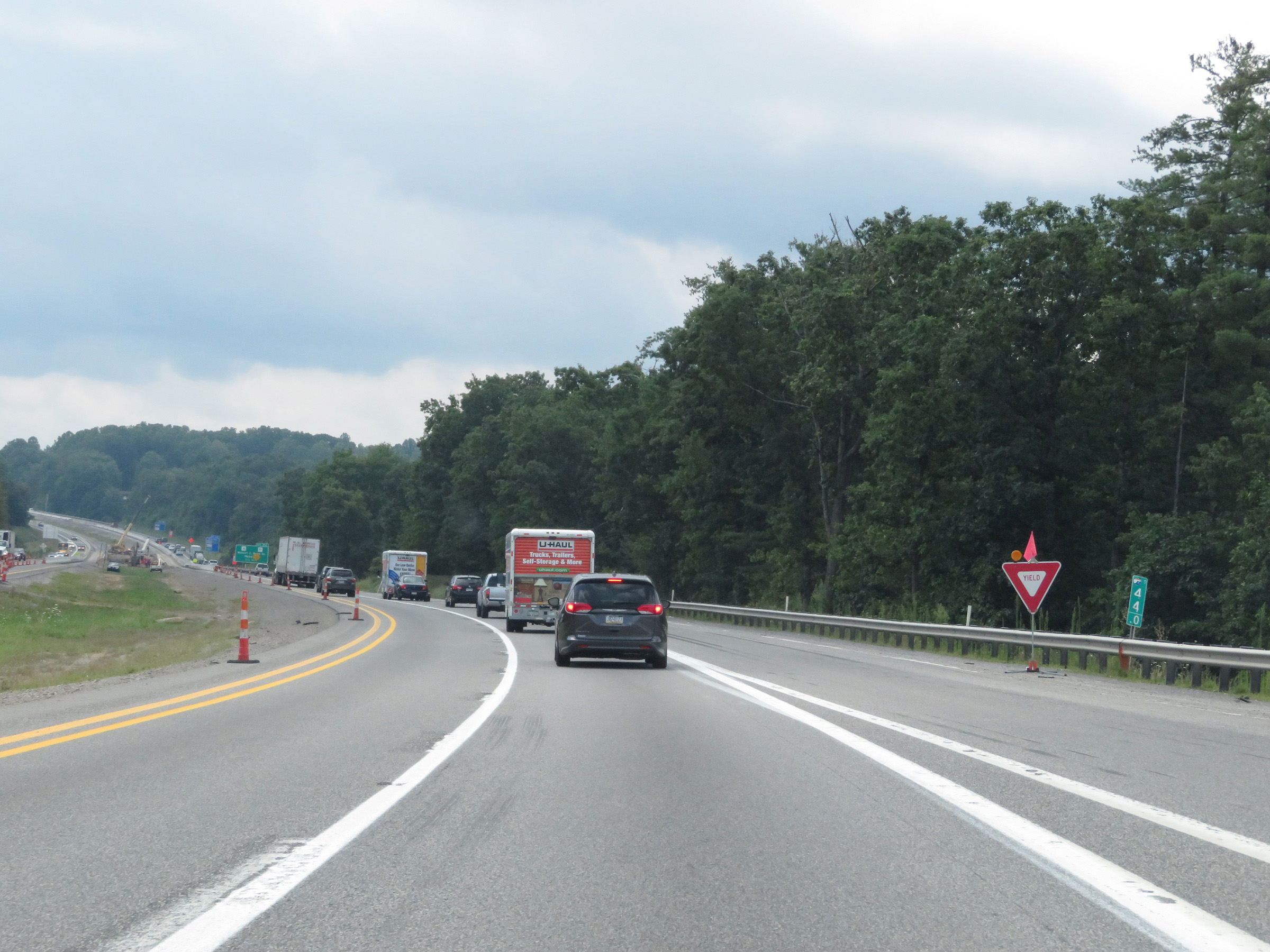
Take Exit 42 to Sophia, the V.A. Medical Center, and Twin Falls Resort Park. (Photo taken 8/9/19). |
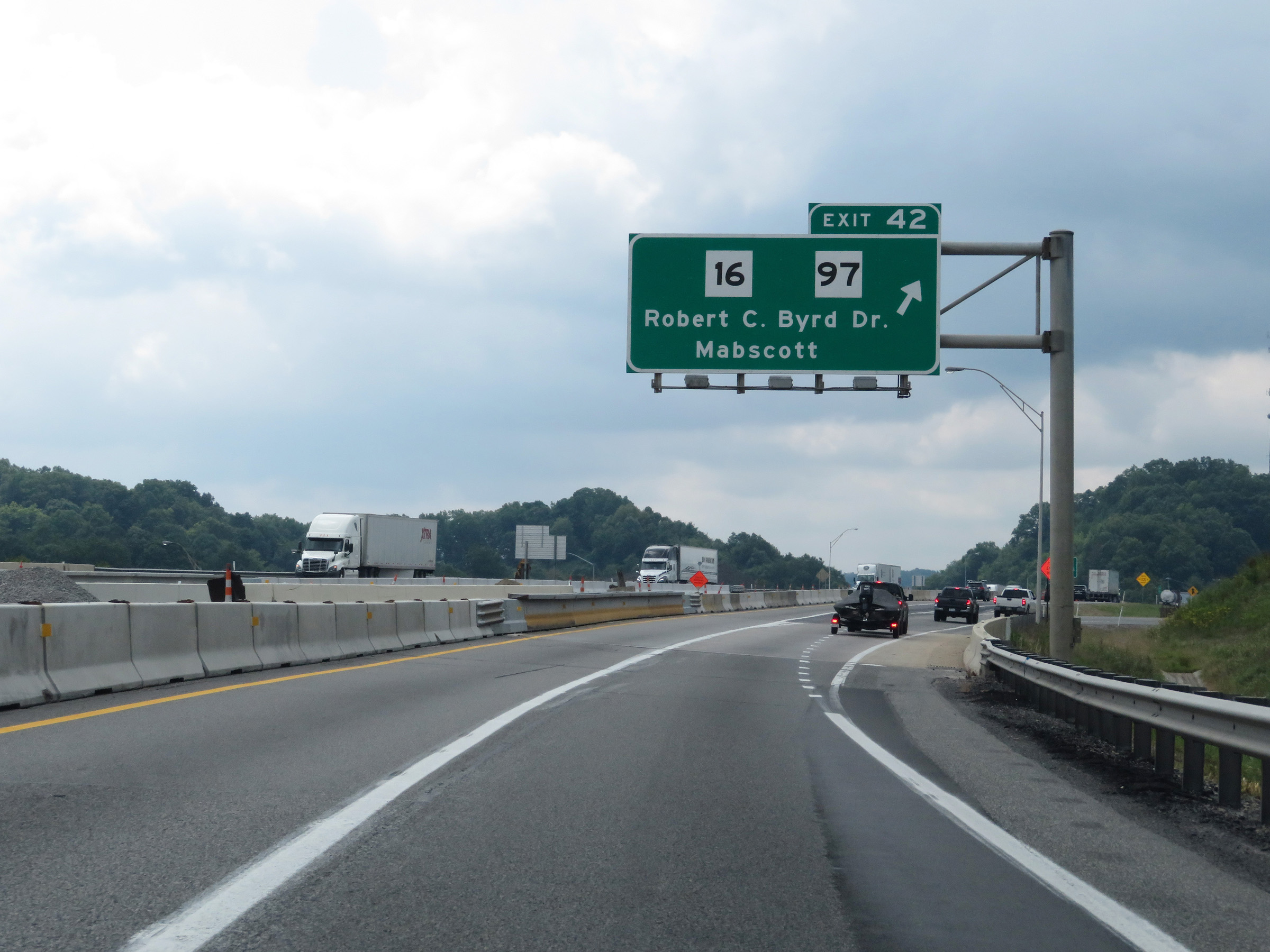 |
Interstate 64 East / Interstate 77 South (West Virginia Turnpike) at Exit 42: WV 16 / WV 97 - Robert C. Byrd Dr / Mabscott (Photo taken 8/9/19). |
 |
A set of state-named Interstate 64 East / Interstate 77 South reassurance shields leaving Beckley. (Photo taken 8/9/19). |
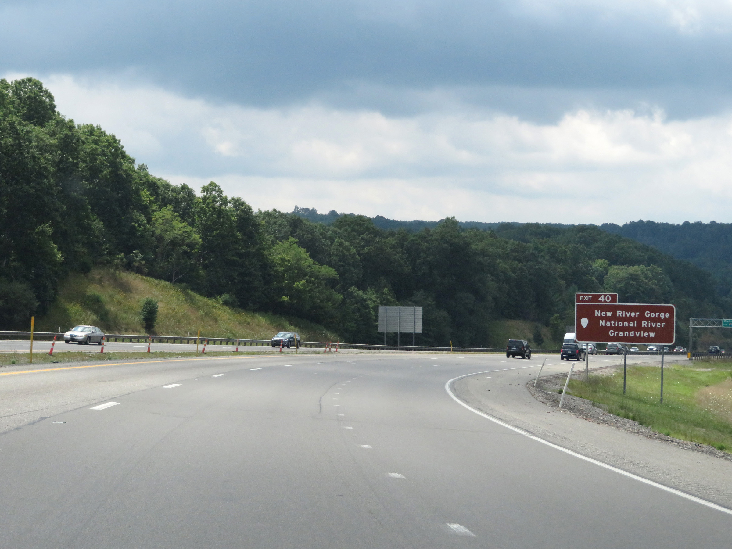 |
Take Exit 40 (Interstate 64 East) to New River Gorge National River Grandview. (Photo taken 8/9/19). |
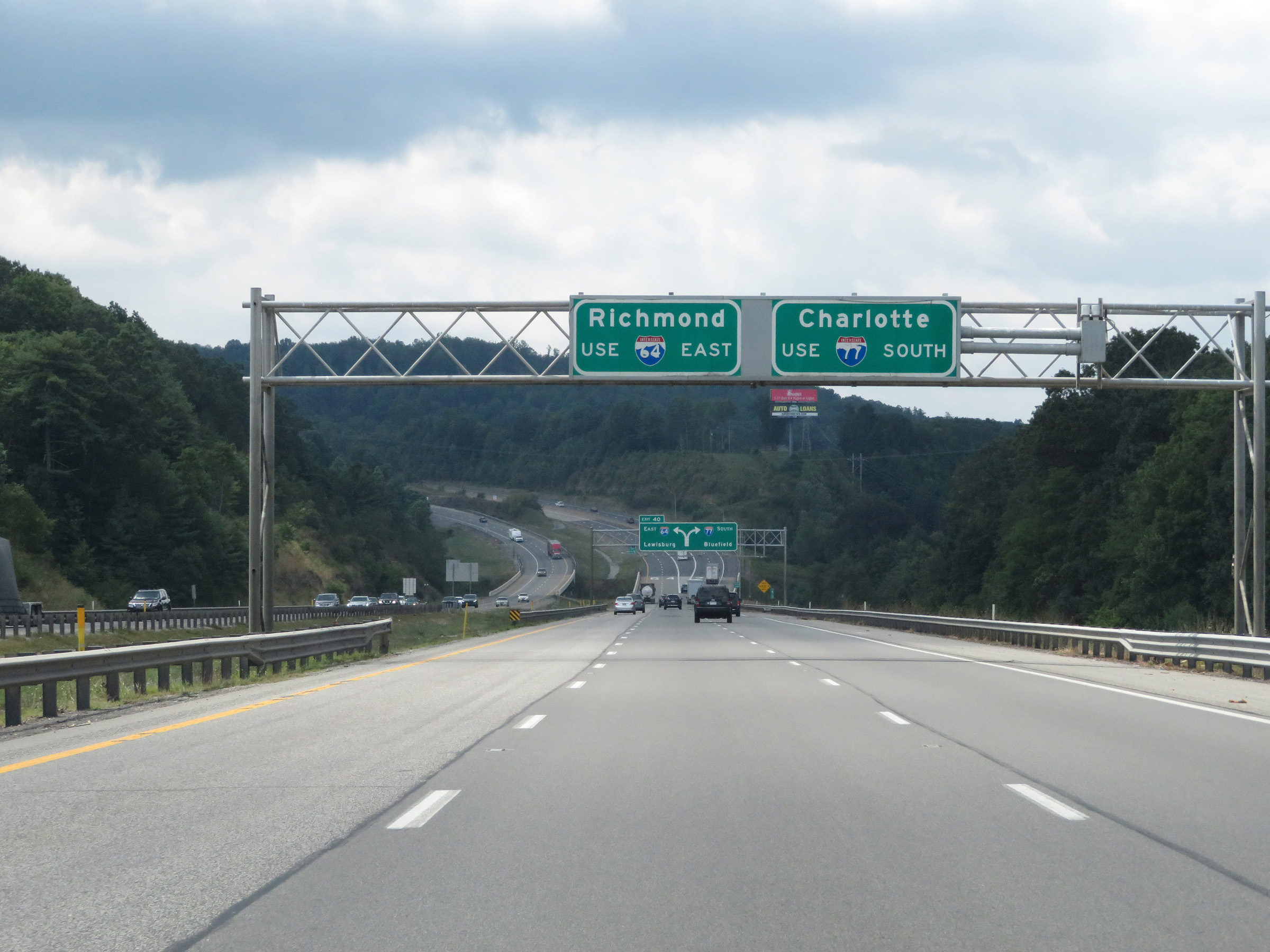 |
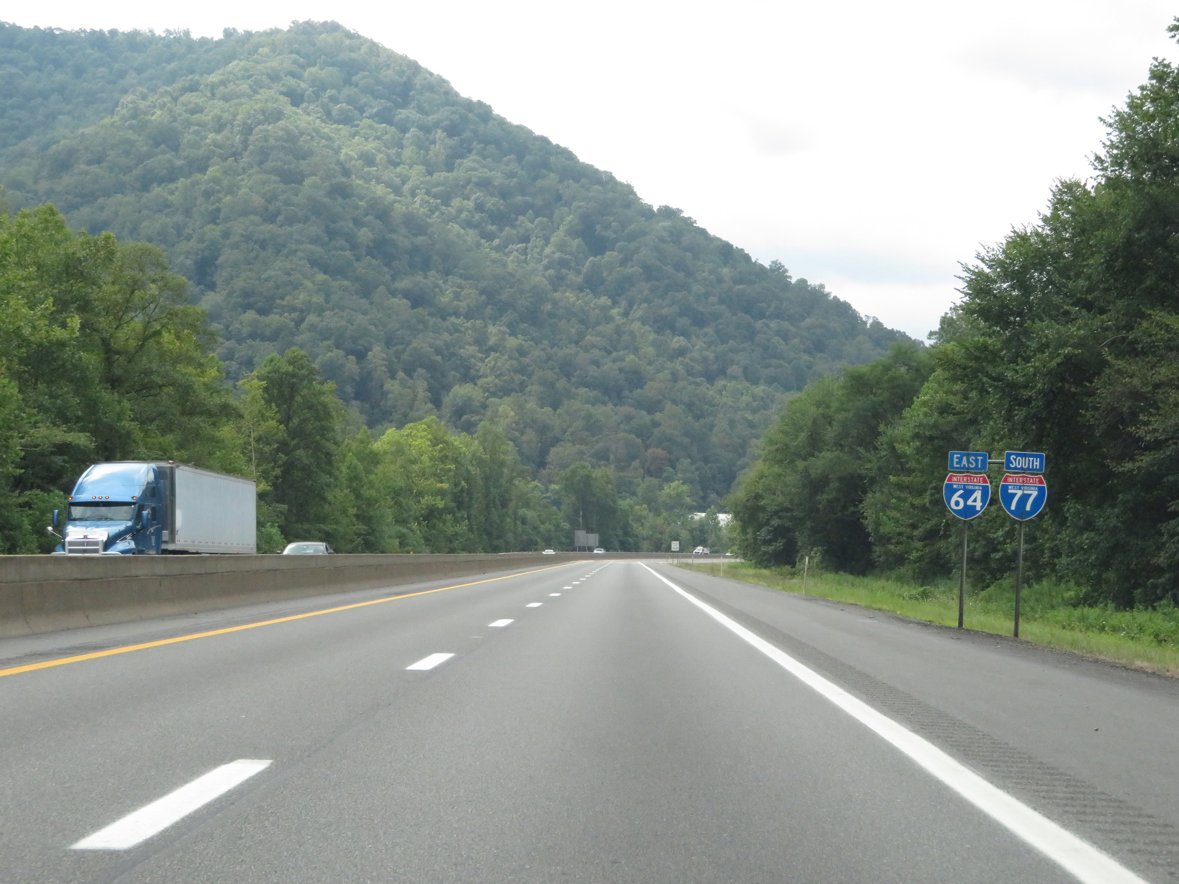
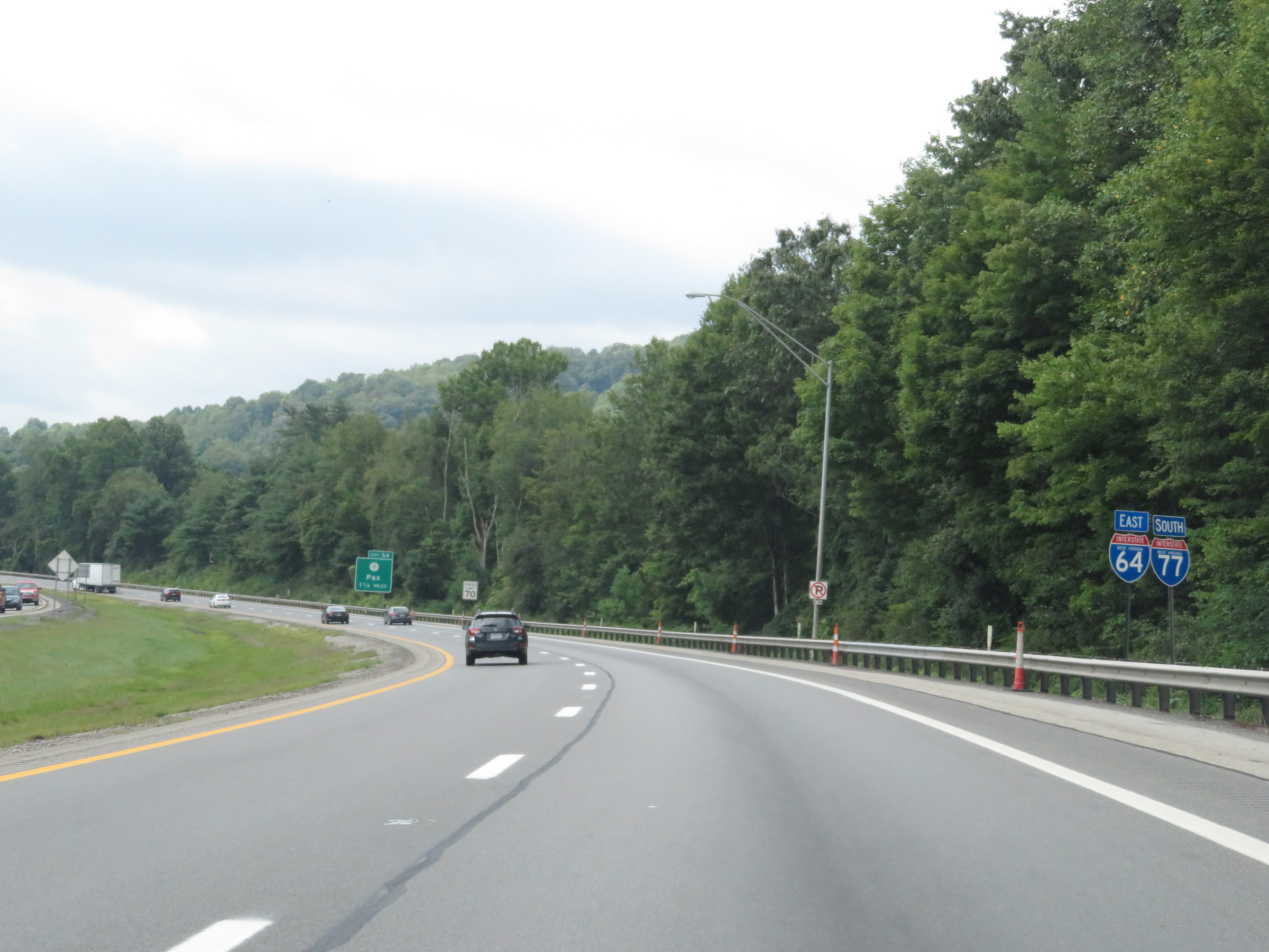
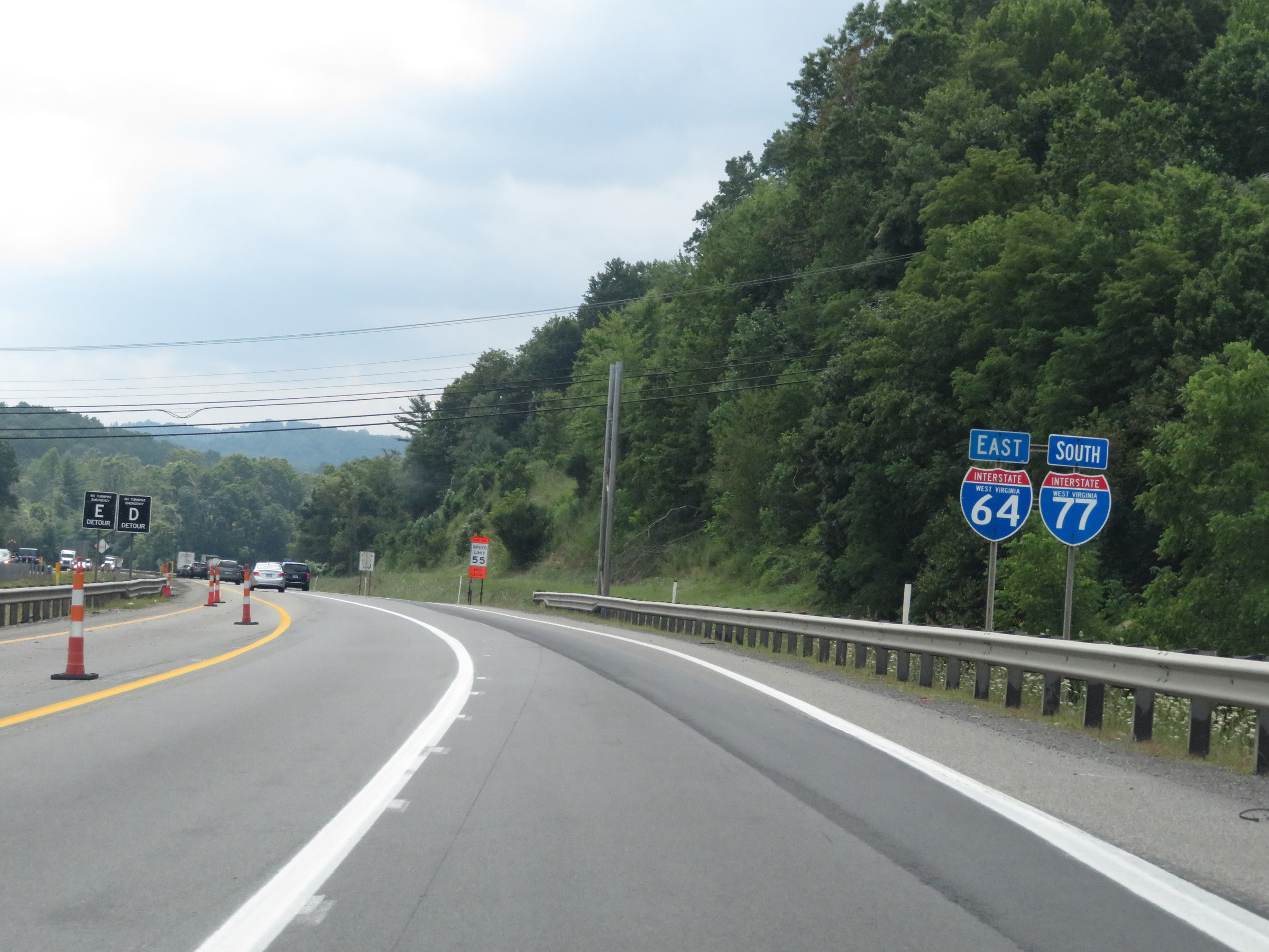
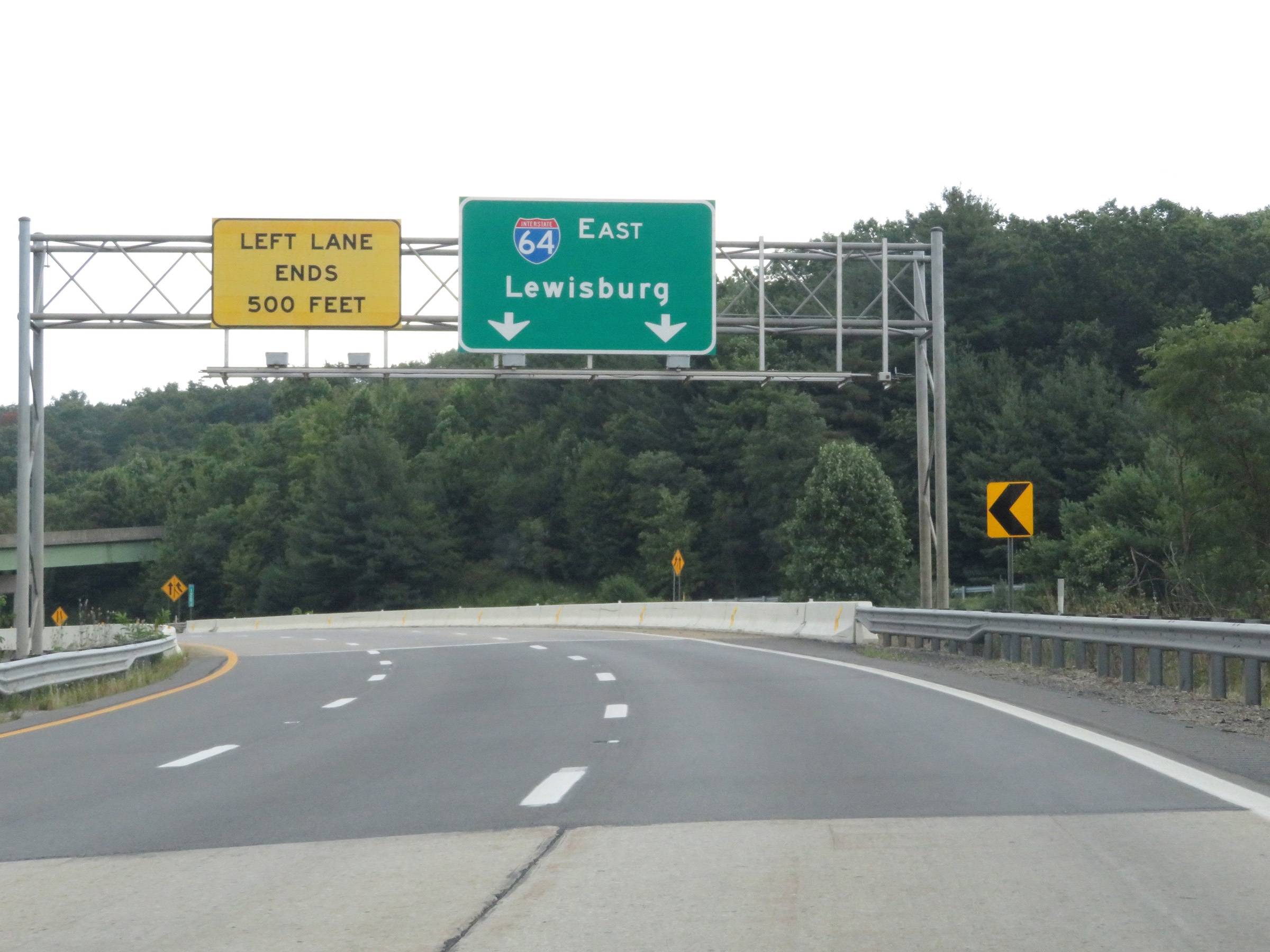
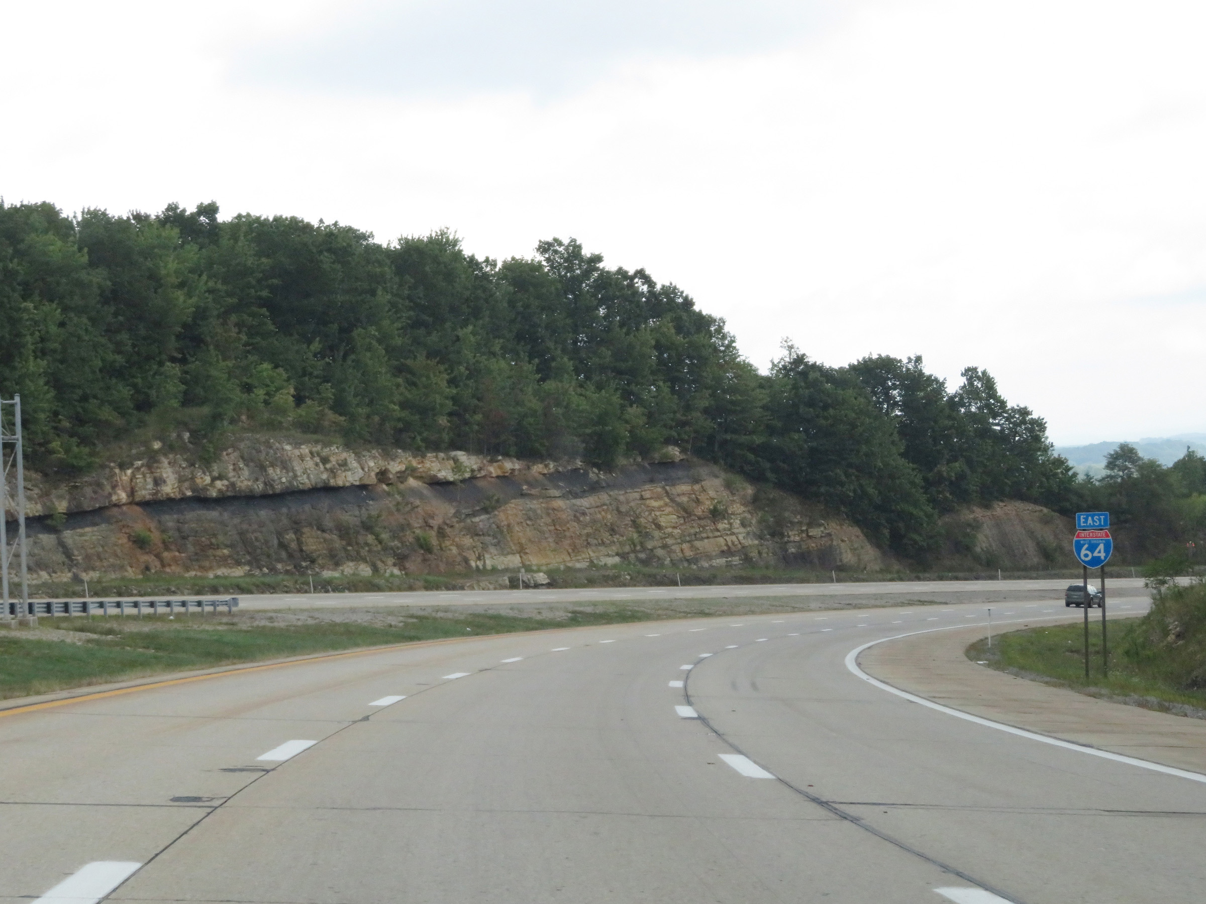
Ahead, Interstate 64 East will depart Interstate 77 South and the West Virginia Turnpike. Traffic to Charlotte, NC should remain on I-77 South (West Virginia Turnpike). Those headed to Richmond, VA should follow Interstate 64 East via Exit 40, on the left ahead. (Photo taken 8/9/19). |
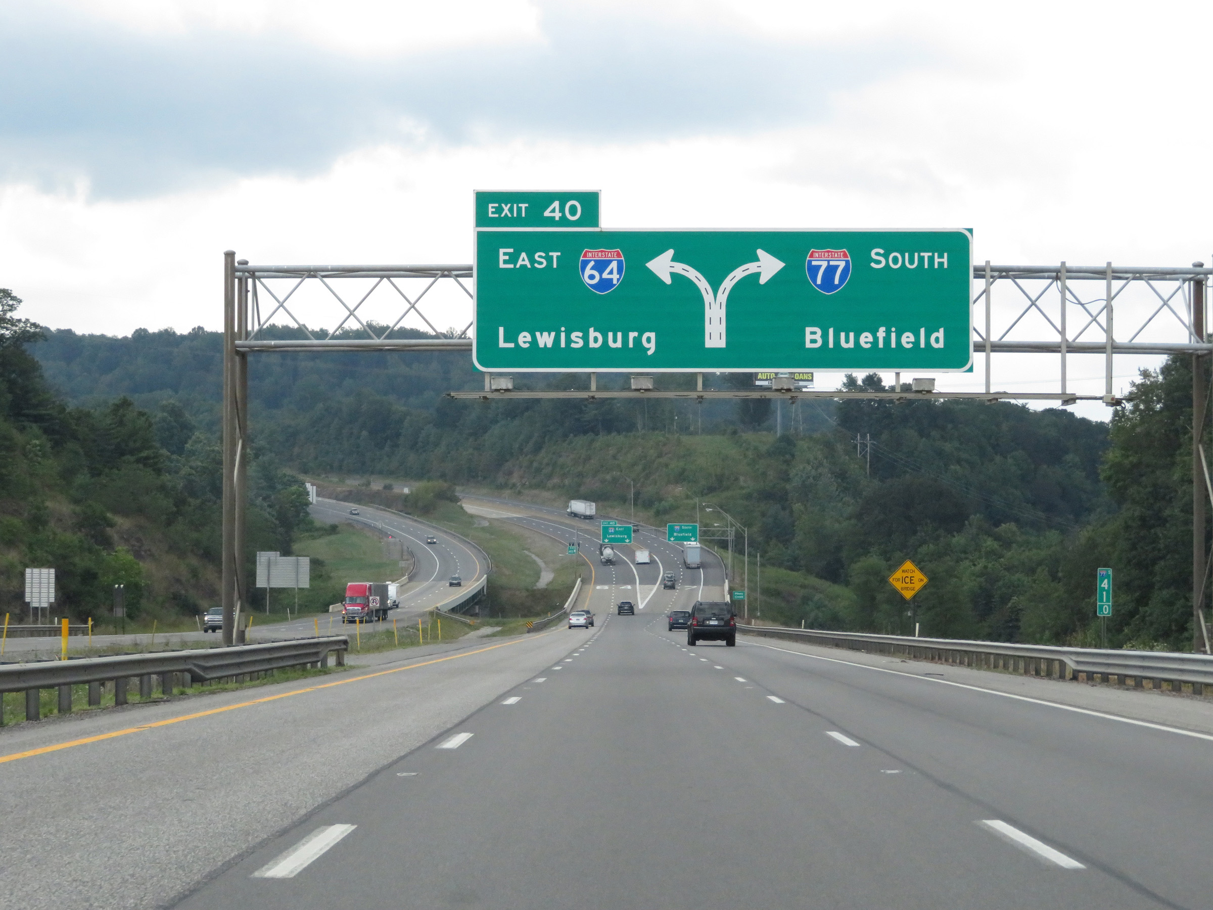 |
Approaching Exit 40, at which point Interstate 64 East will depart Interstate 77 South and the West Virginia Turnpike, this overhead guide sign shows that the center lane can be used to take either I-64 East (Exit 40) or to remain on I-77 South. (Photo taken 8/9/19). |
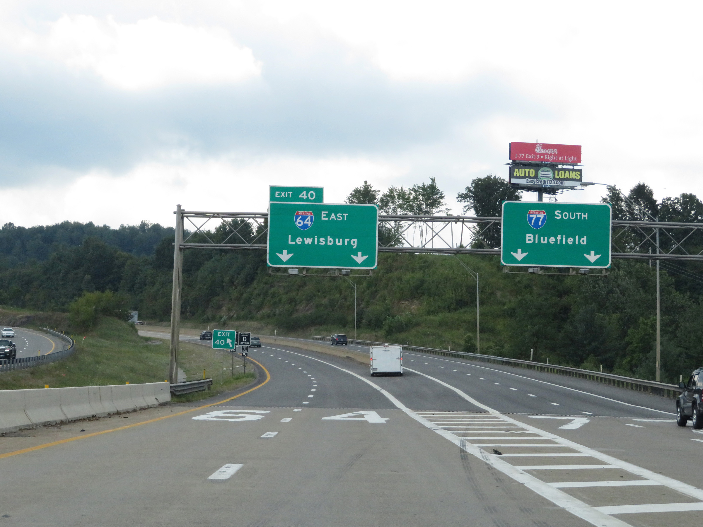 |
Interstate 64 East / Interstate 77 South (West Virginia Turnpike) at Exit 40: Interstate 64 East - Lewisburg (Photo taken 8/9/19). |
 |
After departing Interstate 77 South and the West Virginia Turnpike, Interstate 64 East traffic runs alongside I-77 South (West Virginia Turnpike) for about 1/4 mile. (Photo taken 8/9/19). |
 |
Ahead, Interstate 64 will curve hard to the left (east). 50 mph is the recommended speed around the curve. (Photo taken 8/9/19). |
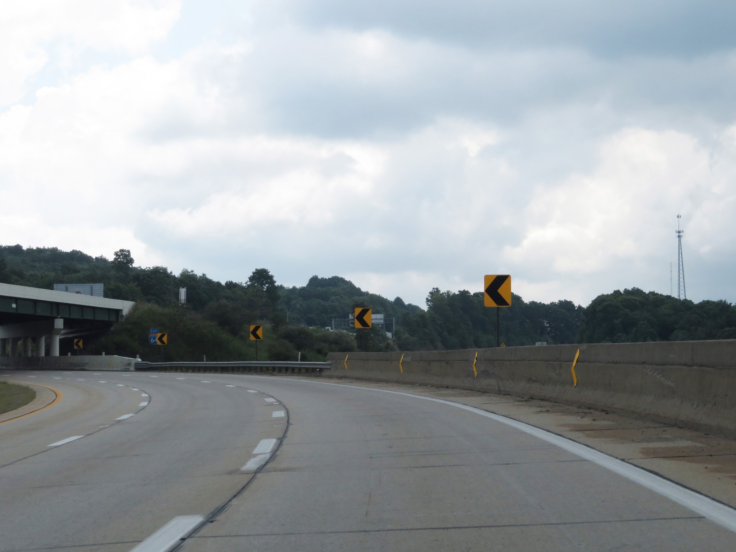 |
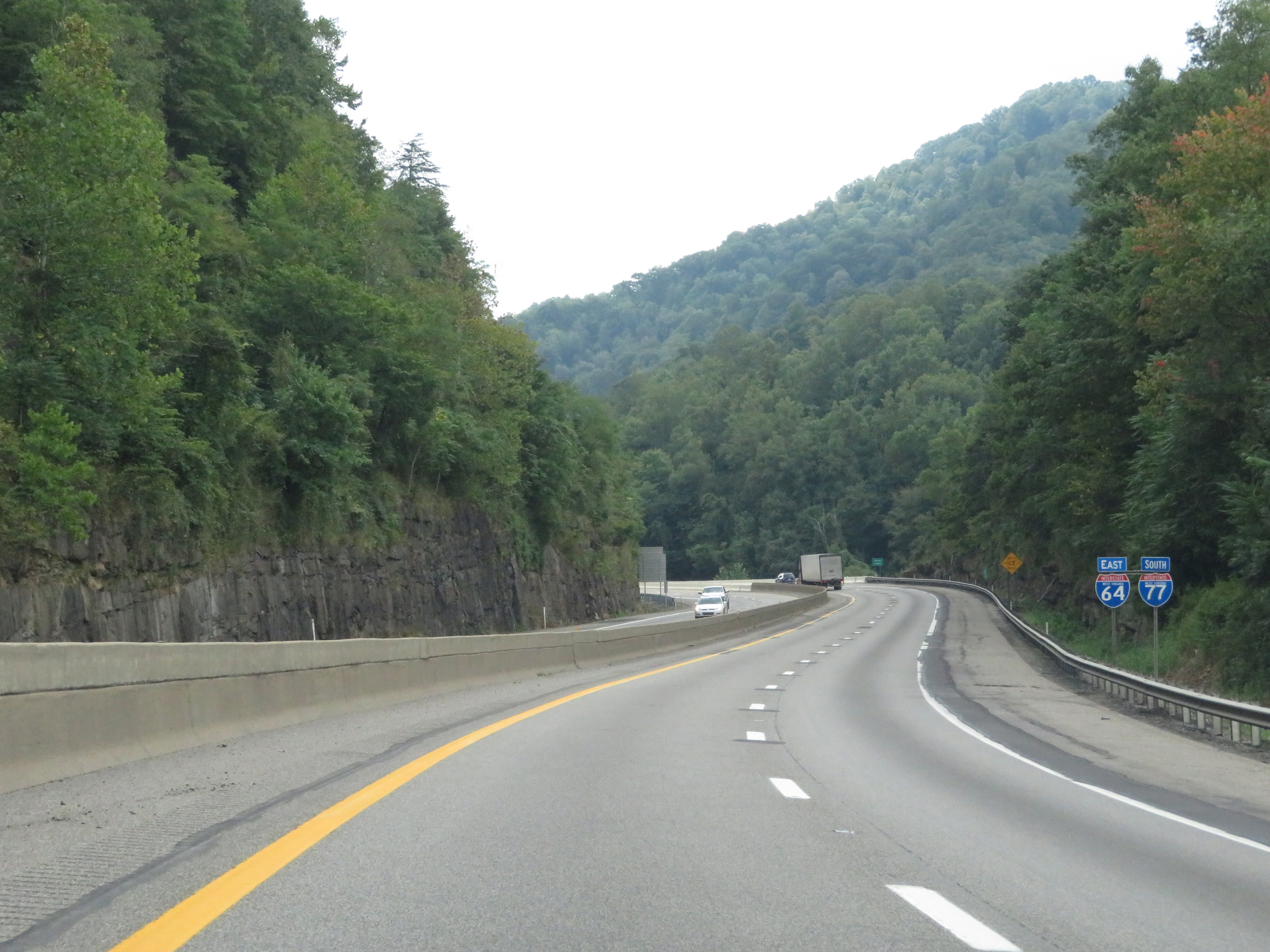
Interstate 64 East as it traverses the aforementioned curve and leaves Interstate 77 South (West Virginia Turnpike) behind for good. (Photo taken 8/9/19). |
 |
The left lane will come to an end 500 feet ahead on Interstate 64 East as it continues to curve further to the east. (Photo taken 8/9/19). |
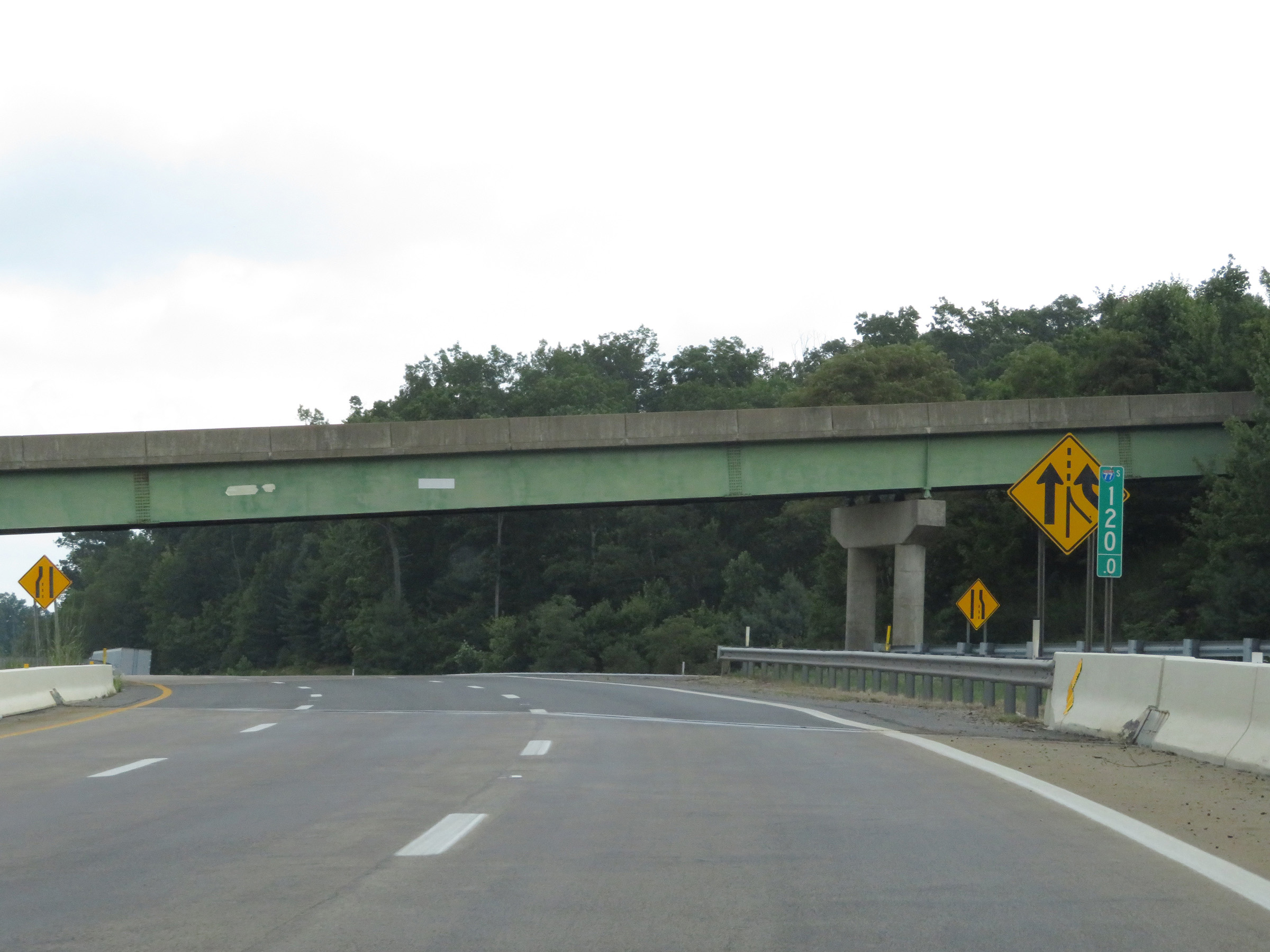 |
View on Interstate 64 East at mile marker 120, as the left lane comes to an end and traffic from Interstate 77 North (West Virginia Turnpike) prepares to merge into it ahead on the right. (Photo taken 8/9/19). |
 |
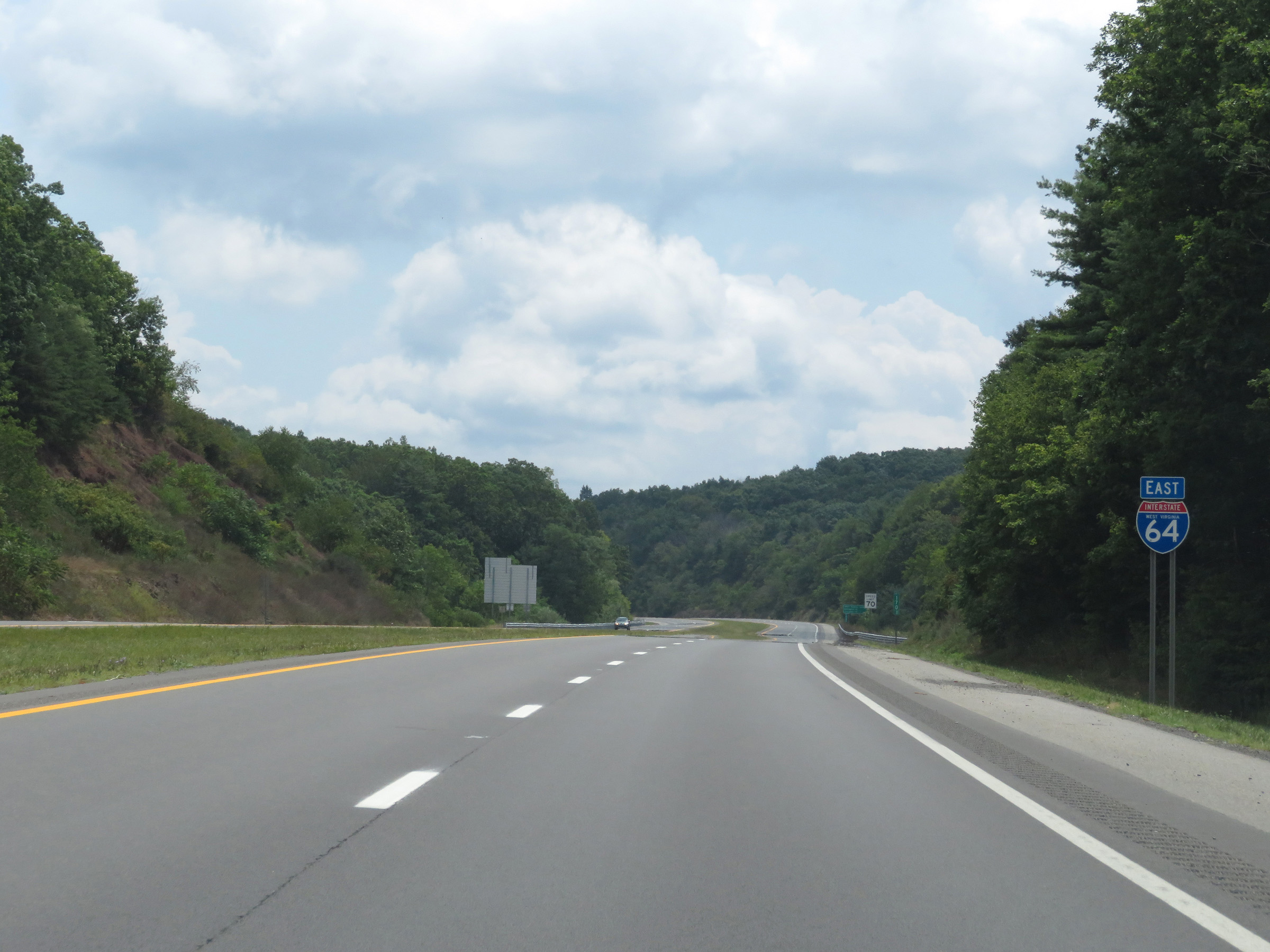
State-named Interstate 64 East reassurance shield. (Photo taken 8/9/19). |
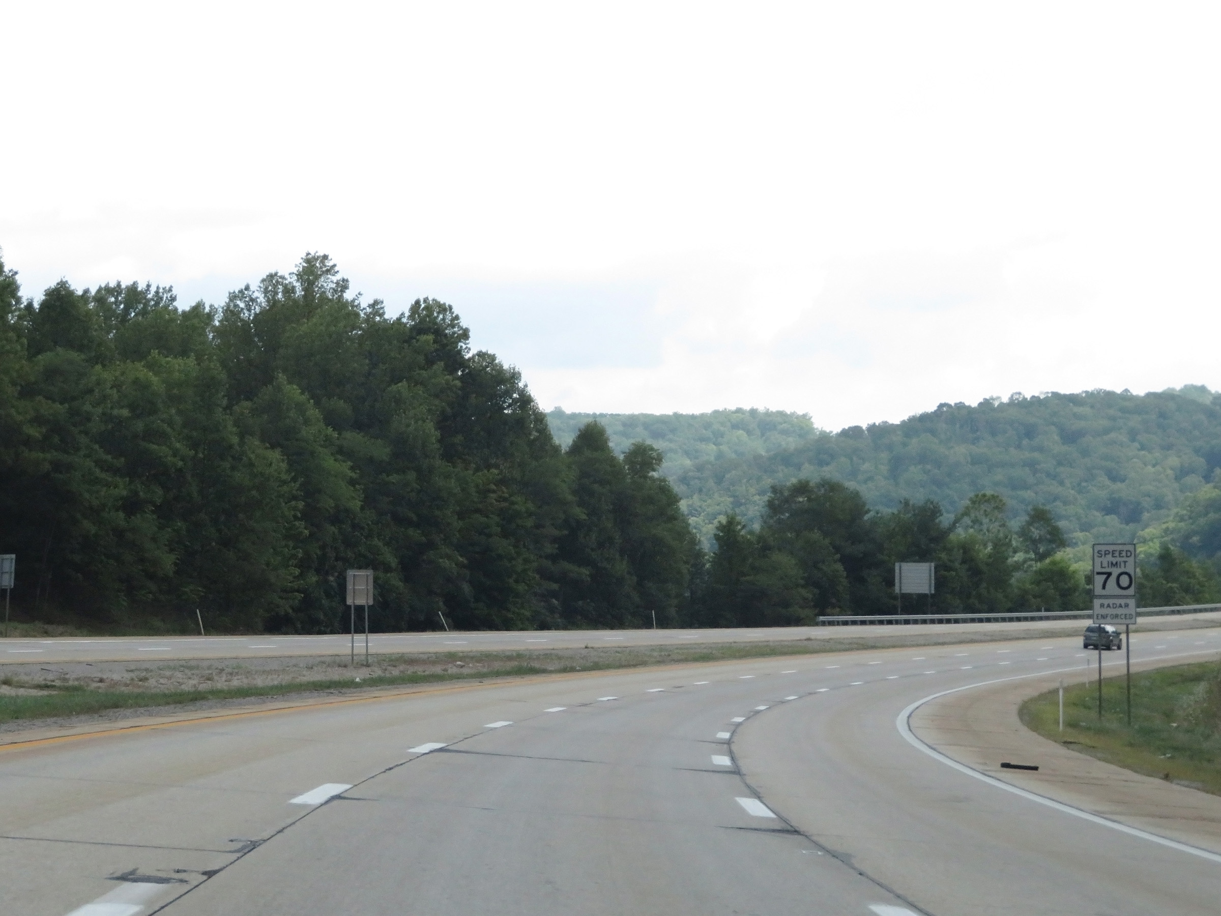 |
The speed limit remains 70 mph on Interstate 64 East now that it has departed Interstate 77 South (West Virginia Turnpike). (Photo taken 8/9/19). |
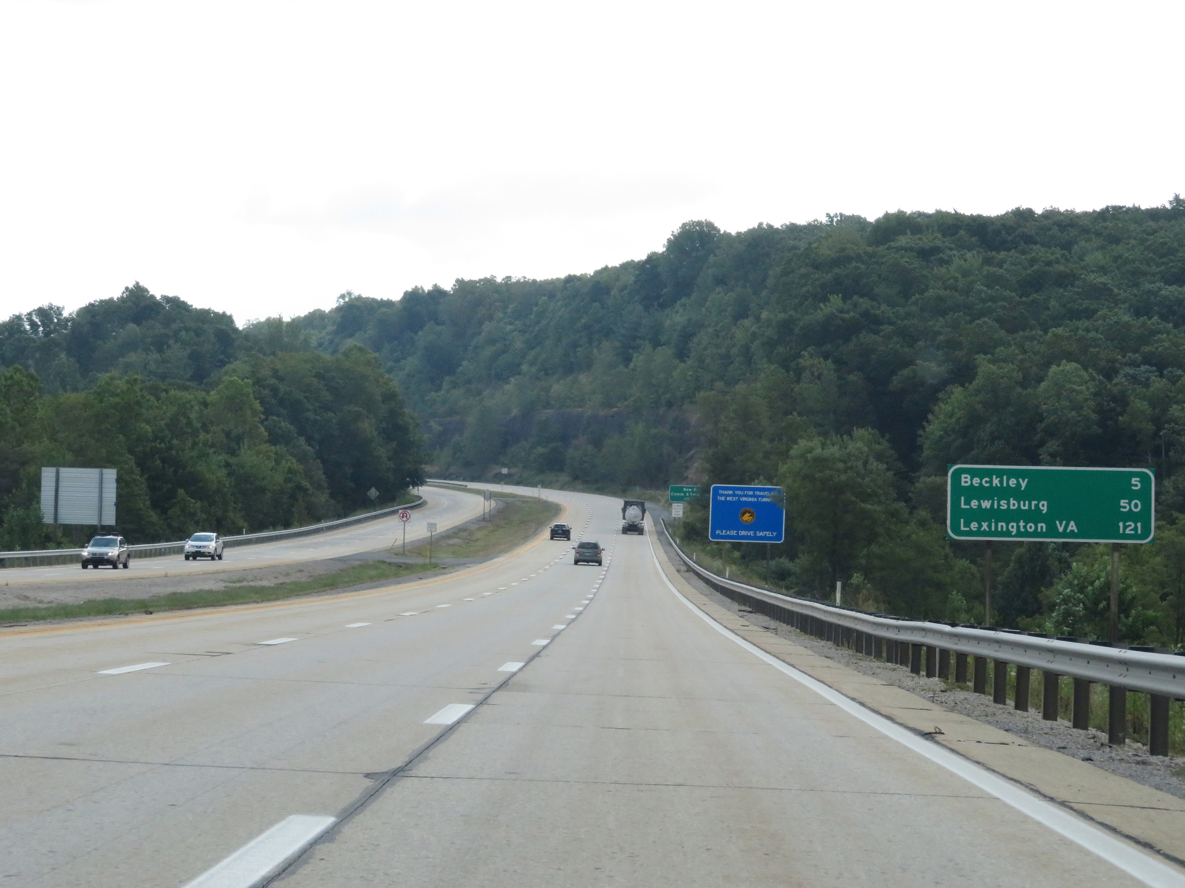 |
Mileage sign on Interstate 64 East. It's 5 miles to Beckley, 50 miles to Lewisburg, and 121 miles to Lexington, VA. (Photo taken 8/9/19). |
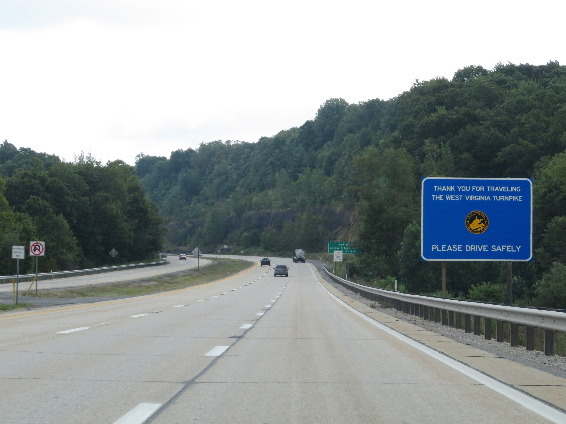 |
After departing from Interstate 77 South about a mile ago, Interstate 64 East also departed from the West Virginia Turnpike. As a result, this sign thanks you for traveling on the West Virginia Turnpike, signaling that I-64 East is toll-free from this point on. (Photo taken 8/9/19). |
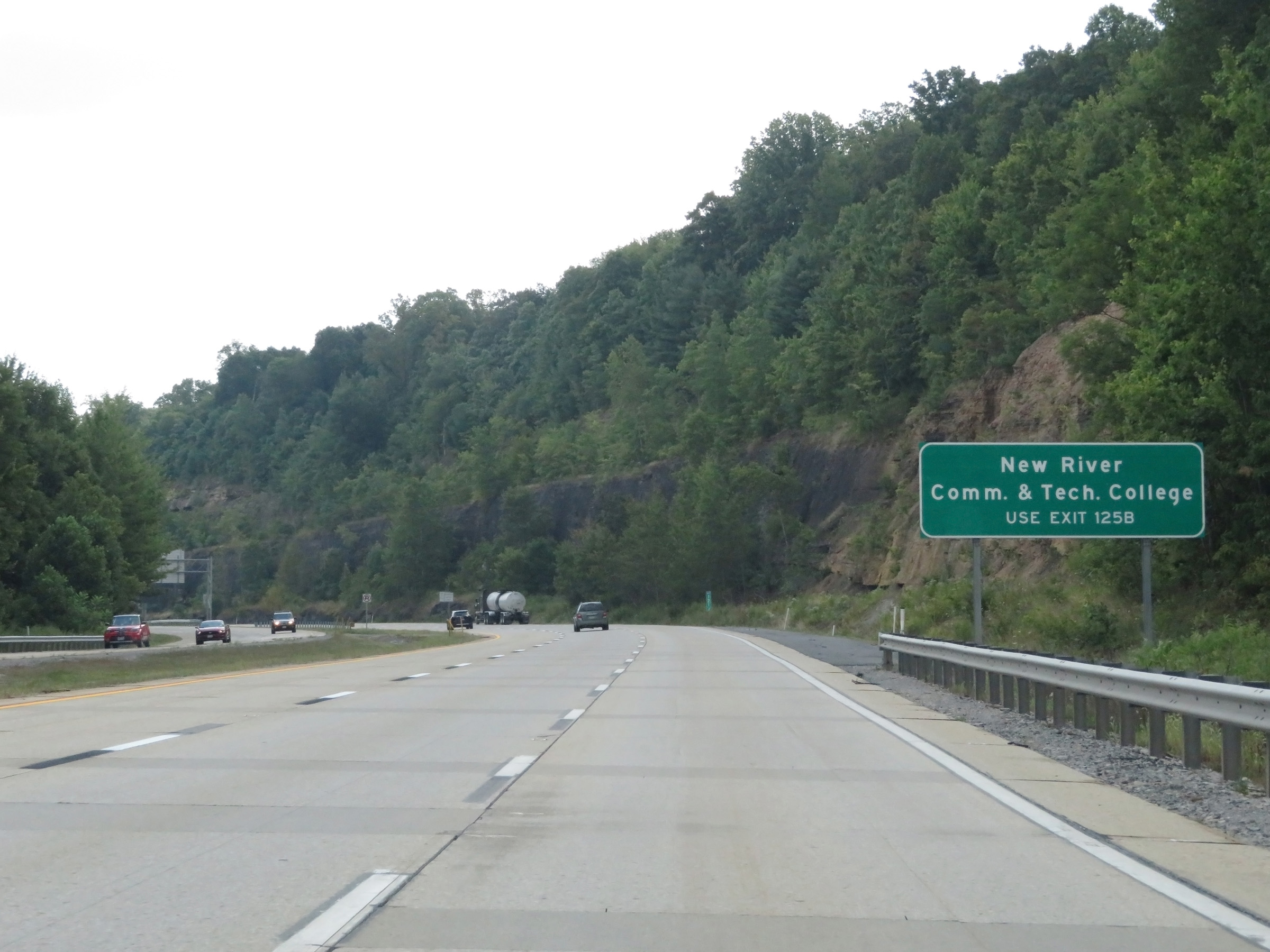 |
Take Exit 125B to New River Community & Technical College. (Photo taken 8/9/19). |
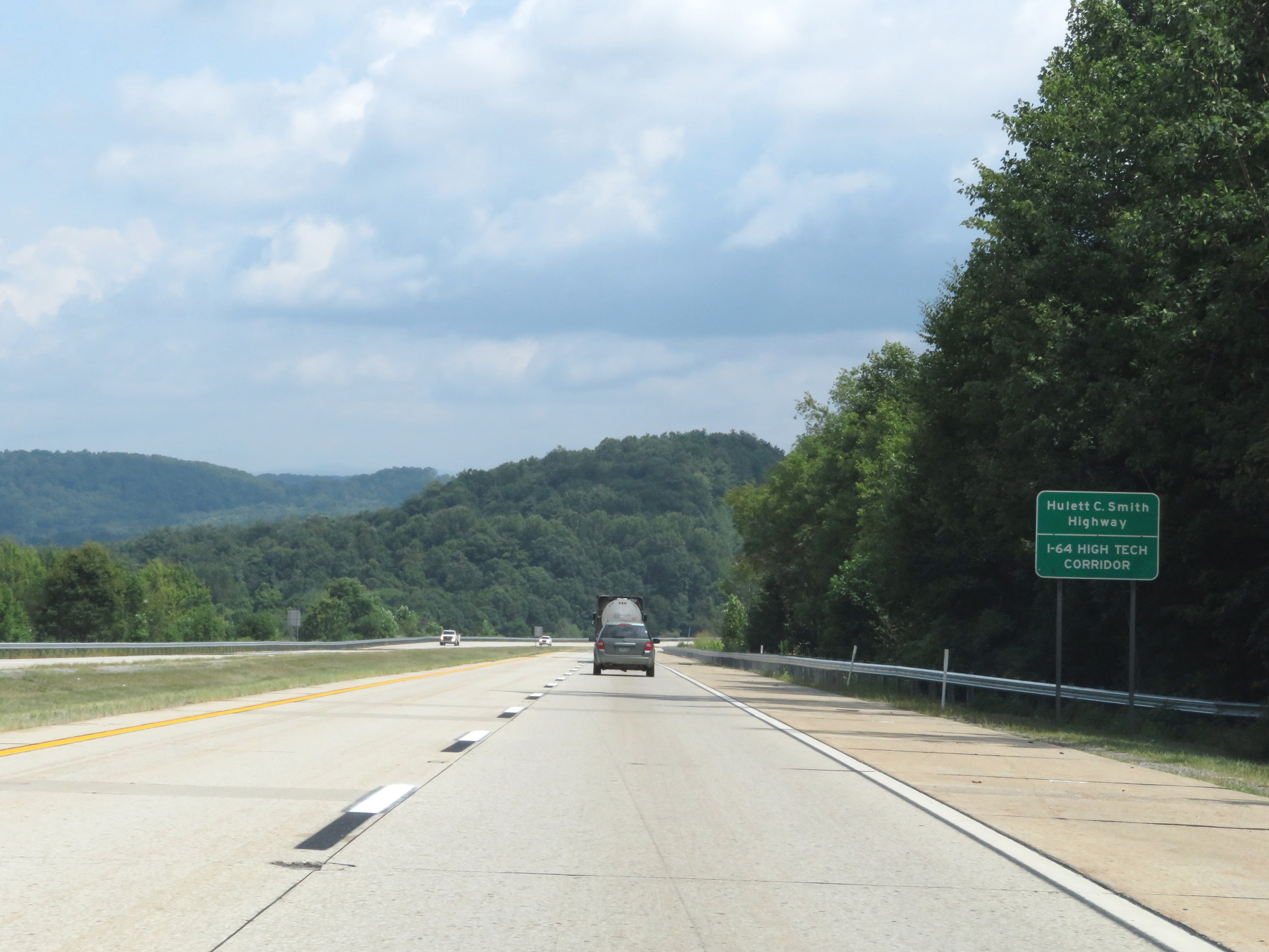 |
As this sign reads, this stretch of Interstate 64 is also known as Hulett C. Smith Highway. (Photo taken 8/9/19). |
 |
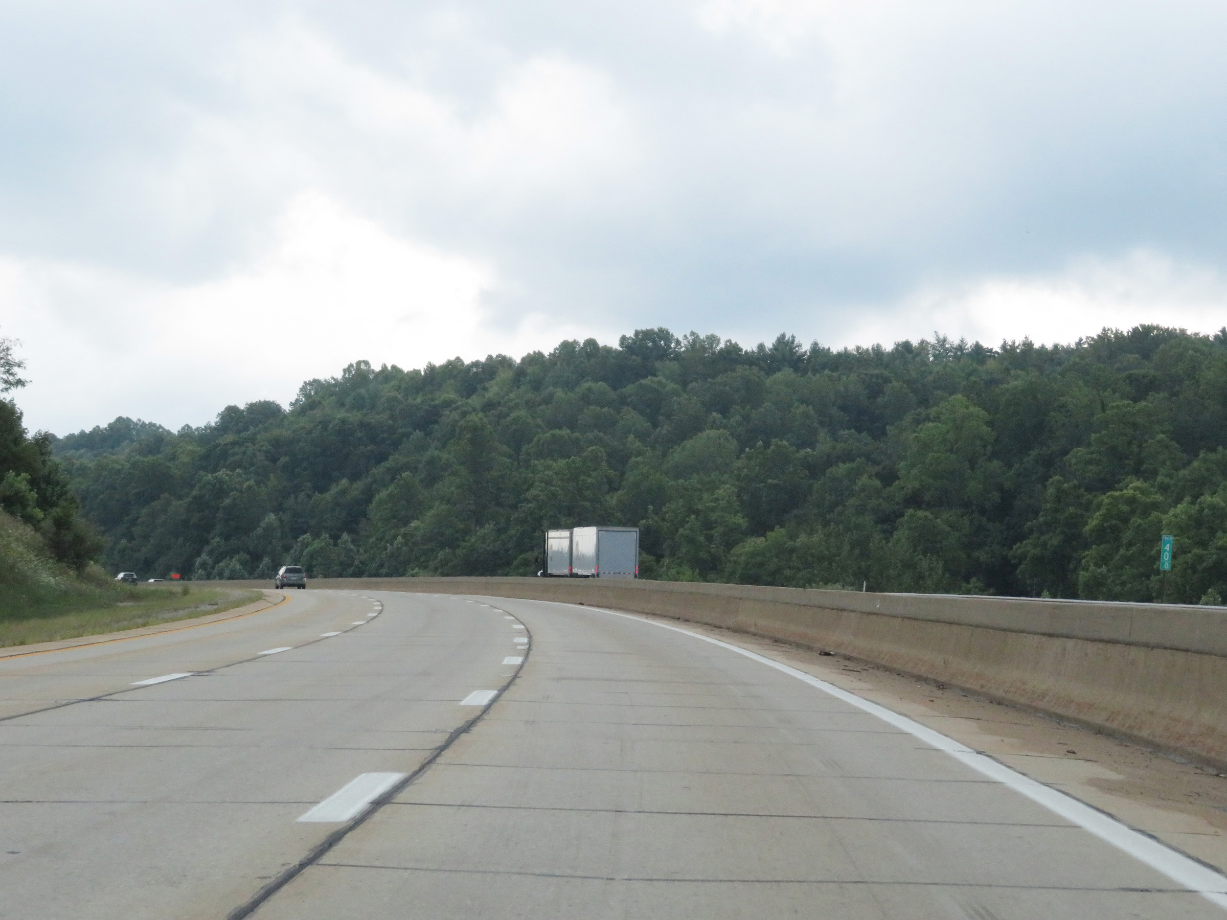
View on Interstate 64 East at mile marker 122.5. (Photo taken 8/9/19). |
 |
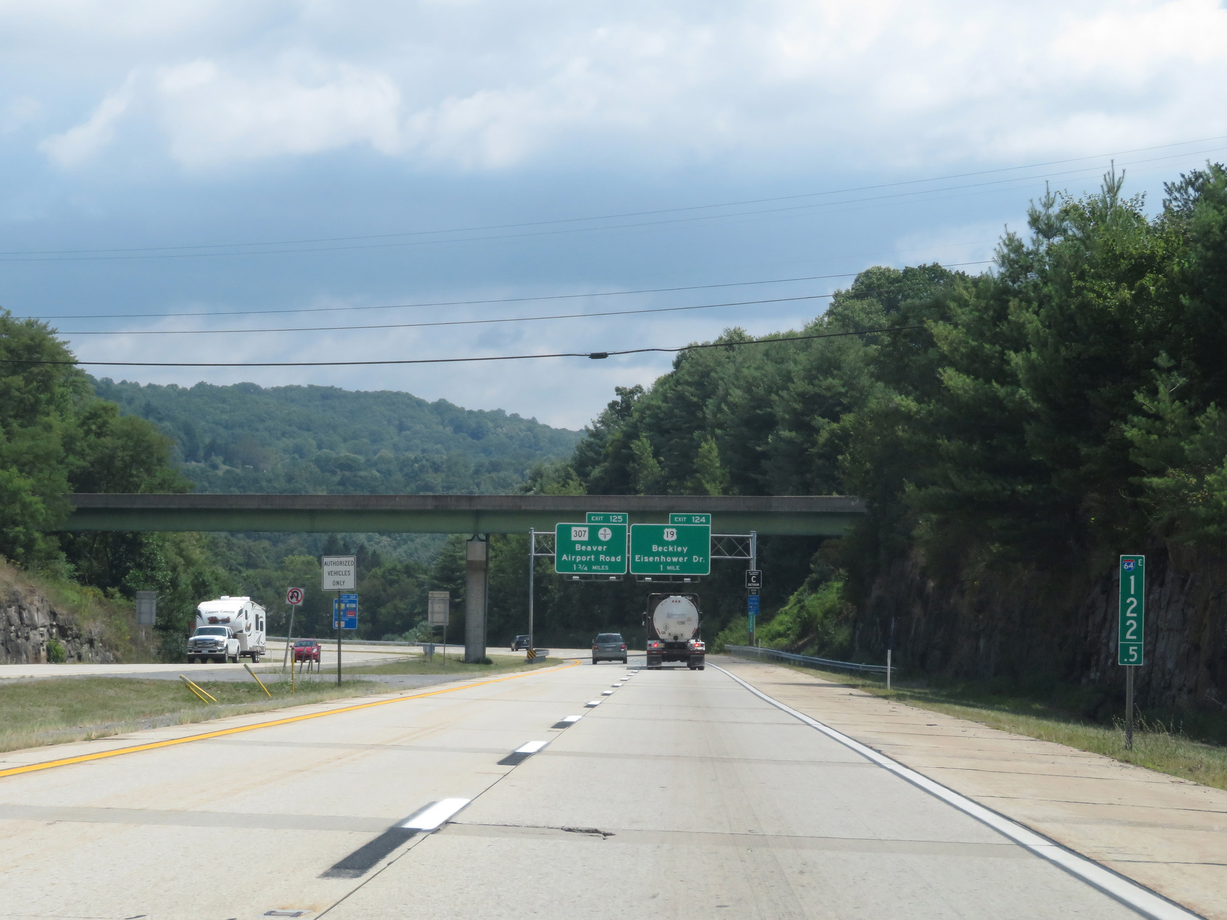
Interstate 64 East at Exit 124: US 19 - Beckley / Eisenhower Dr (Photo taken 8/9/19). |
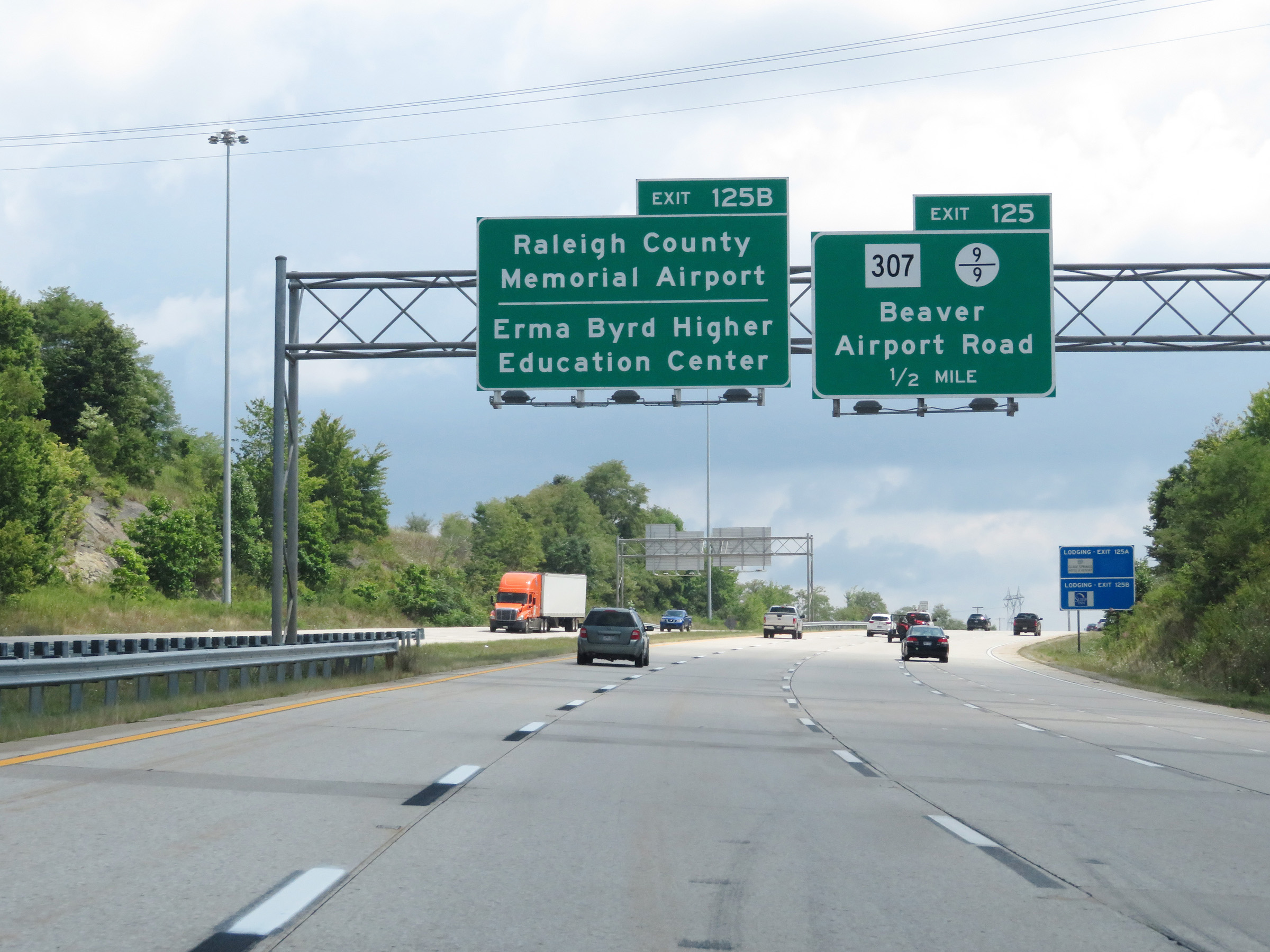 |
Take Exit 125B to Raleigh County Memorial Airport and Erma Byrd Higher Education Center. (Photo taken 8/9/19). |
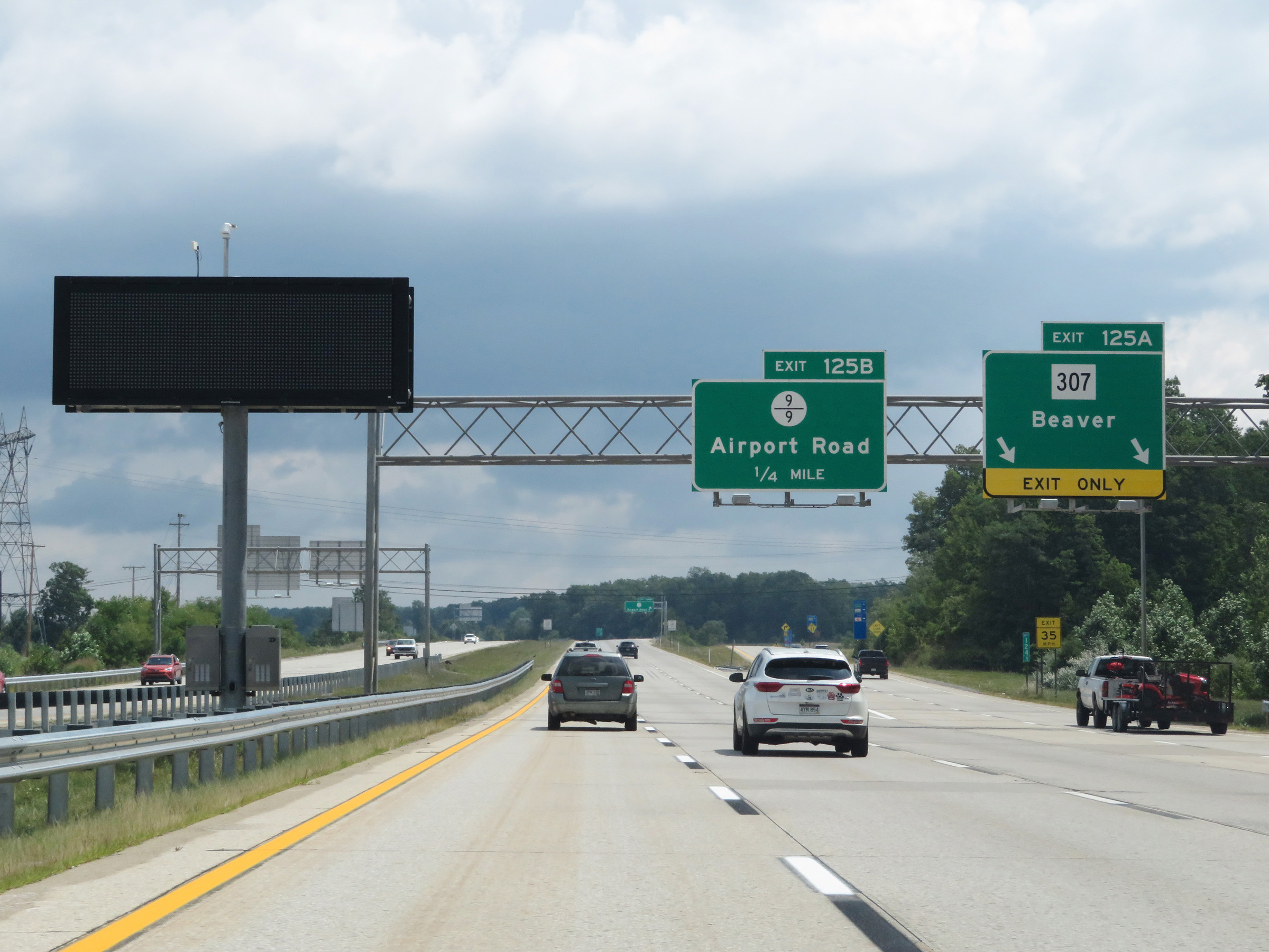 |
Interstate 64 East at Exit 125A: WV 307 - Beaver (Photo taken 8/9/19). |
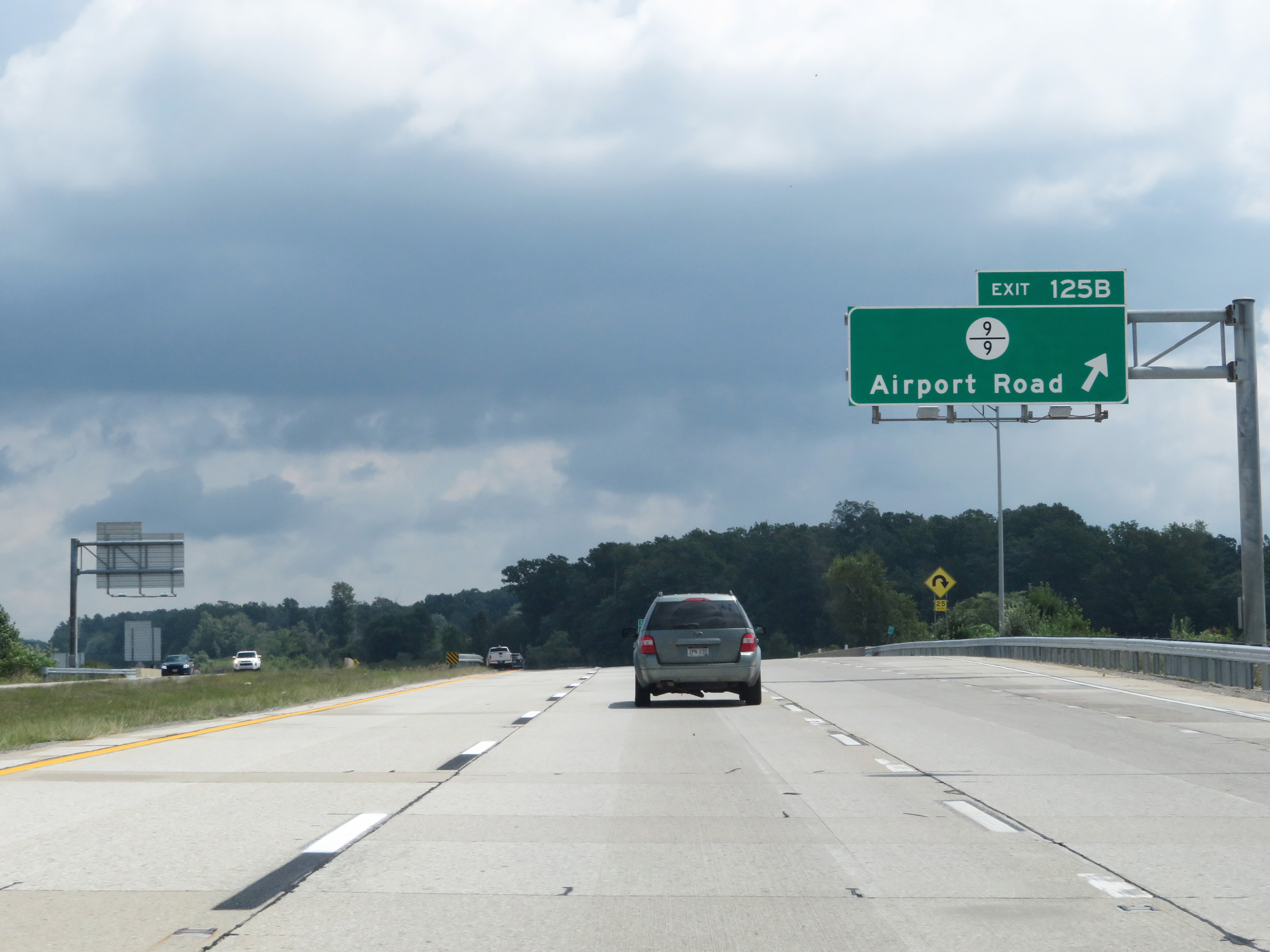 |
Interstate 64 East at Exit 125B: CR 9/9 - Airport Rd (Photo taken 8/9/19). |
 |
Another state-named Interstate 64 East reassurance shield at mile marker 125.5. (Photo taken 8/9/19). |
 |
The speed limit remains 70 mph. (Photo taken 8/9/19). |
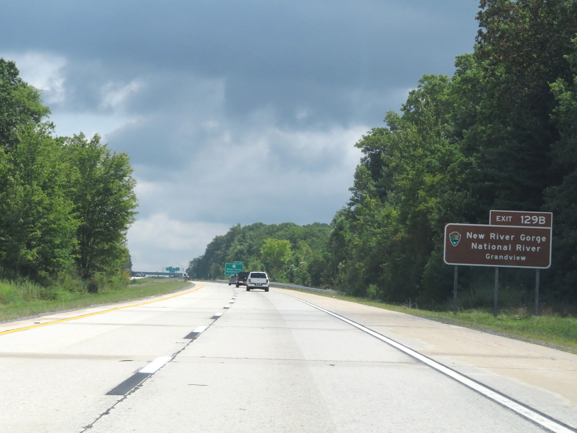 |
Take Exit 129B to New River Gorge National River Grandview. (Photo taken 8/9/19). |
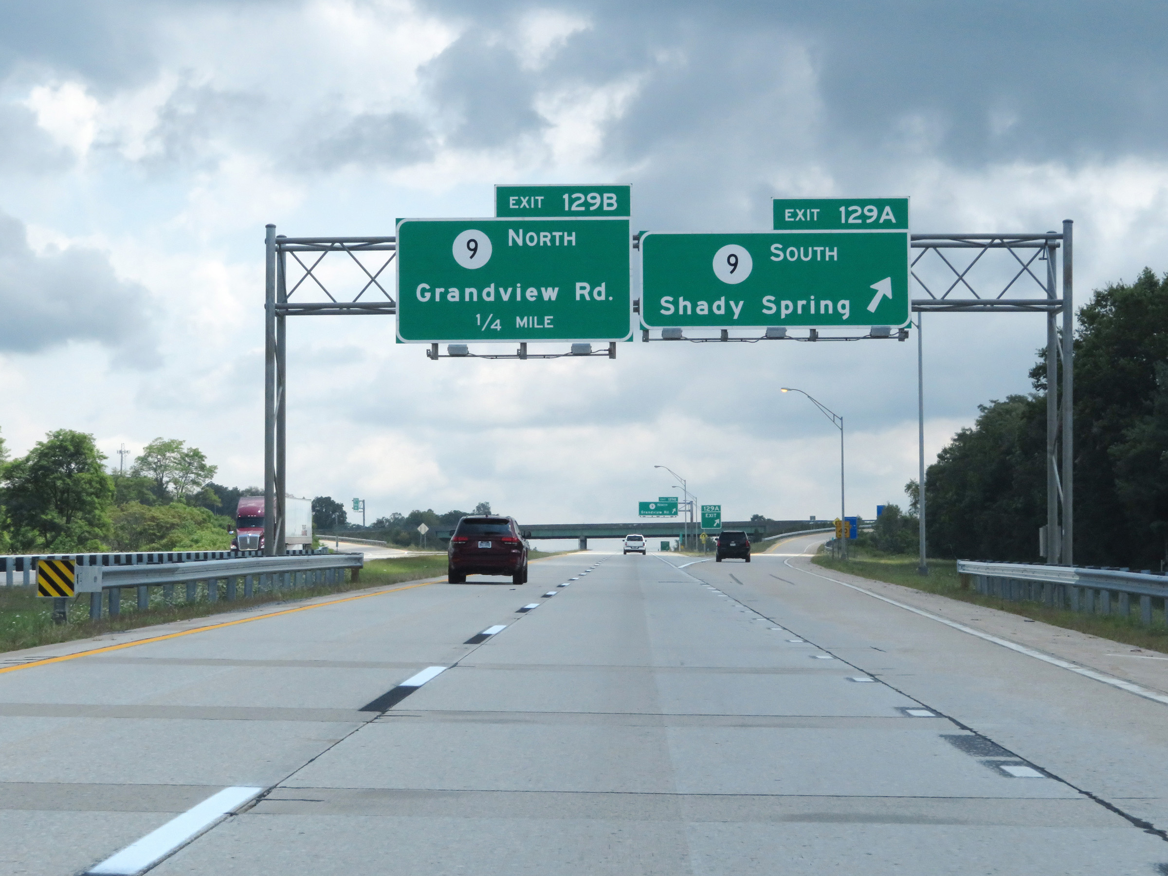 |
Interstate 64 East at Exit 129A: CR 9 South - Shady Spring (Photo taken 8/9/19). |
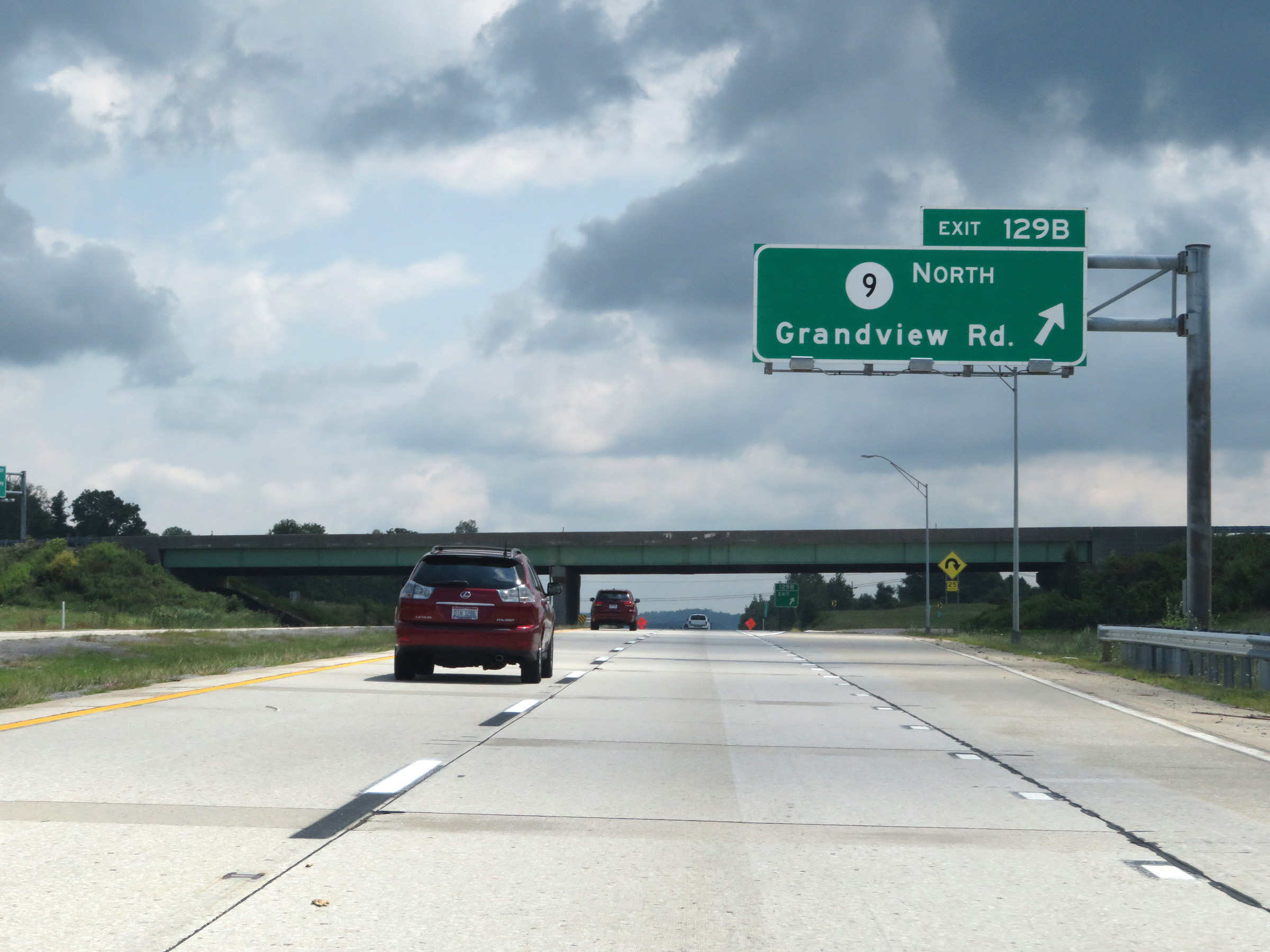 |
Interstate 64 East at Exit 129B: CR 9 North - Grandview Rd (Photo taken 8/9/19). |
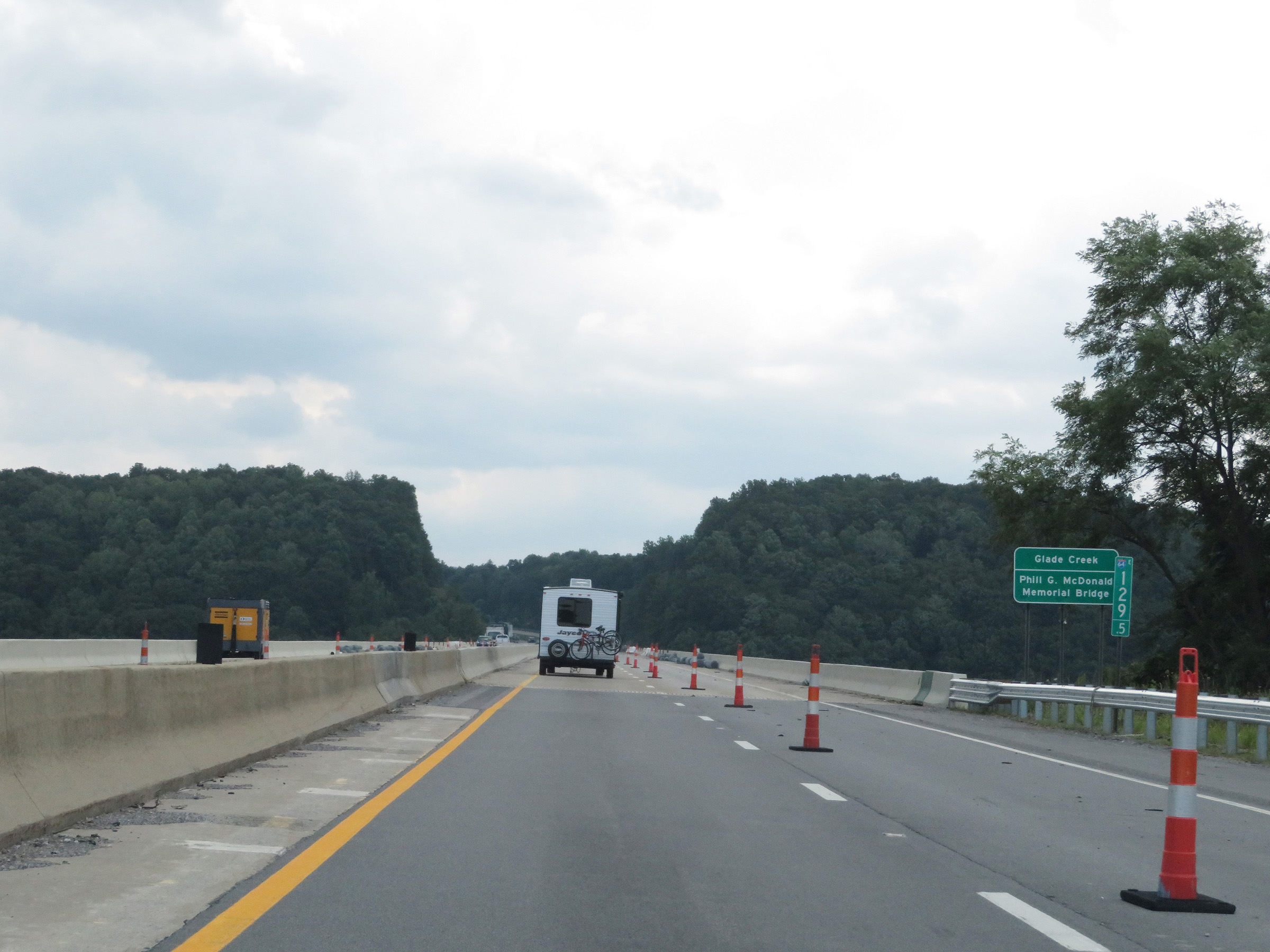 |
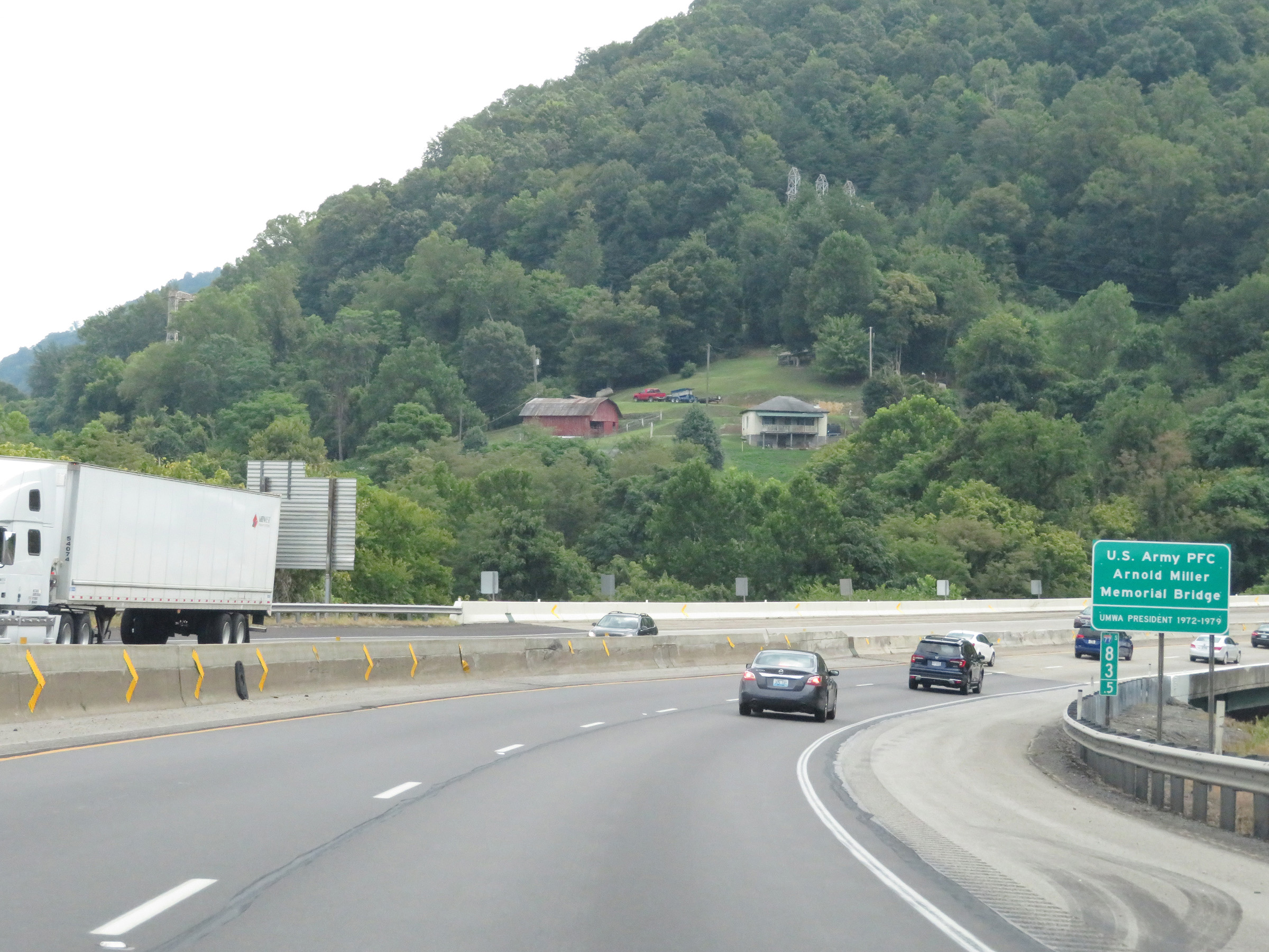
At mile marker 129.5, Interstate 64 East crosses Glade Creek on the Phil G. McDonald Memorial Bridge. (Photo taken 8/9/19). |
 |
View on Interstate 64 East at mile marker 131. (Photo taken 8/9/19). |
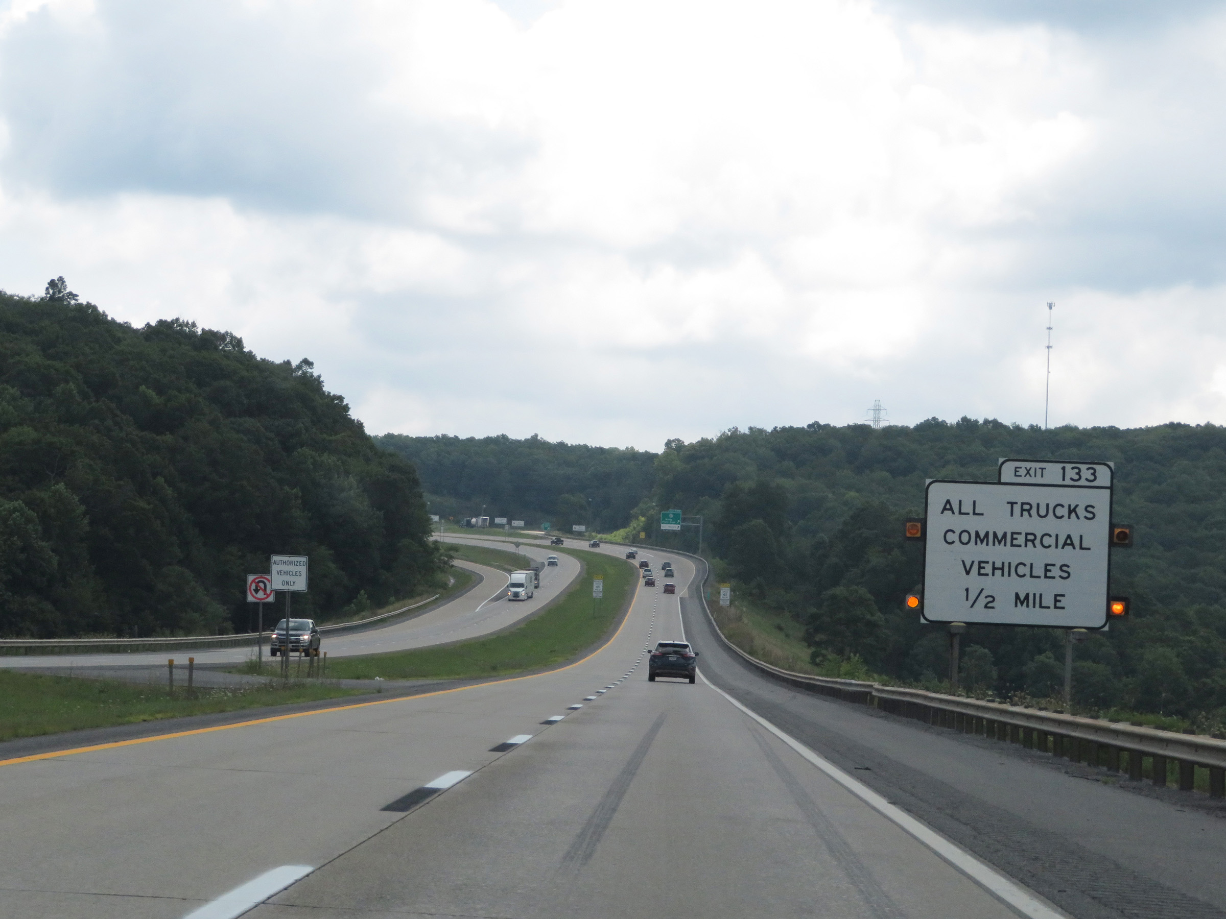 |
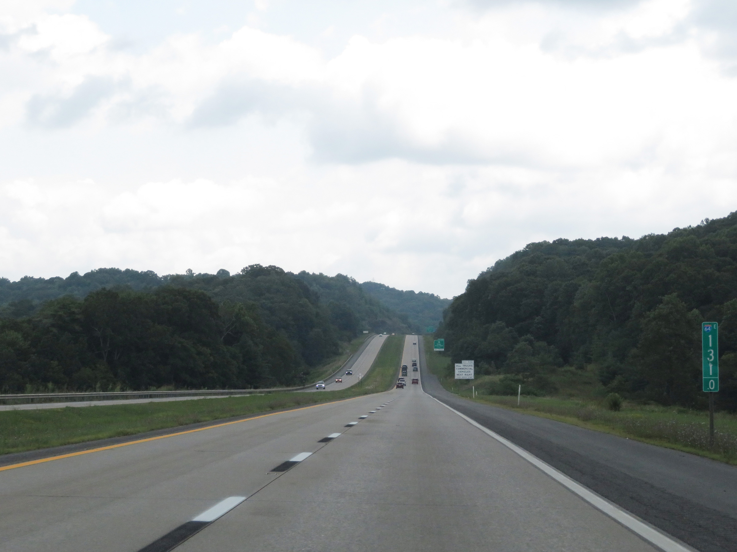
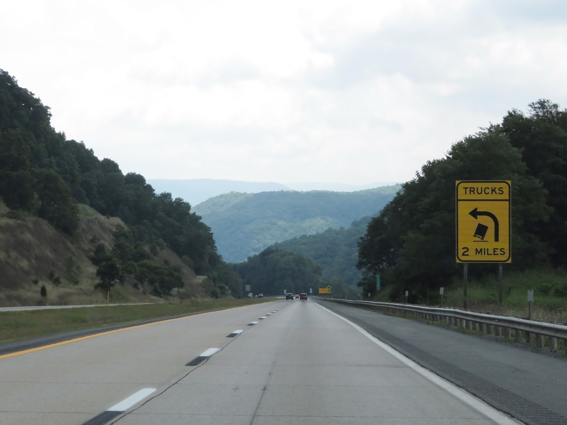
As Interstate 64 East nears the top of Sandstone Mountain, this sign warns that all trucks must take Exit 133 before heading down the long, steep grade that awaits ahead. (Photo taken 8/9/19). |
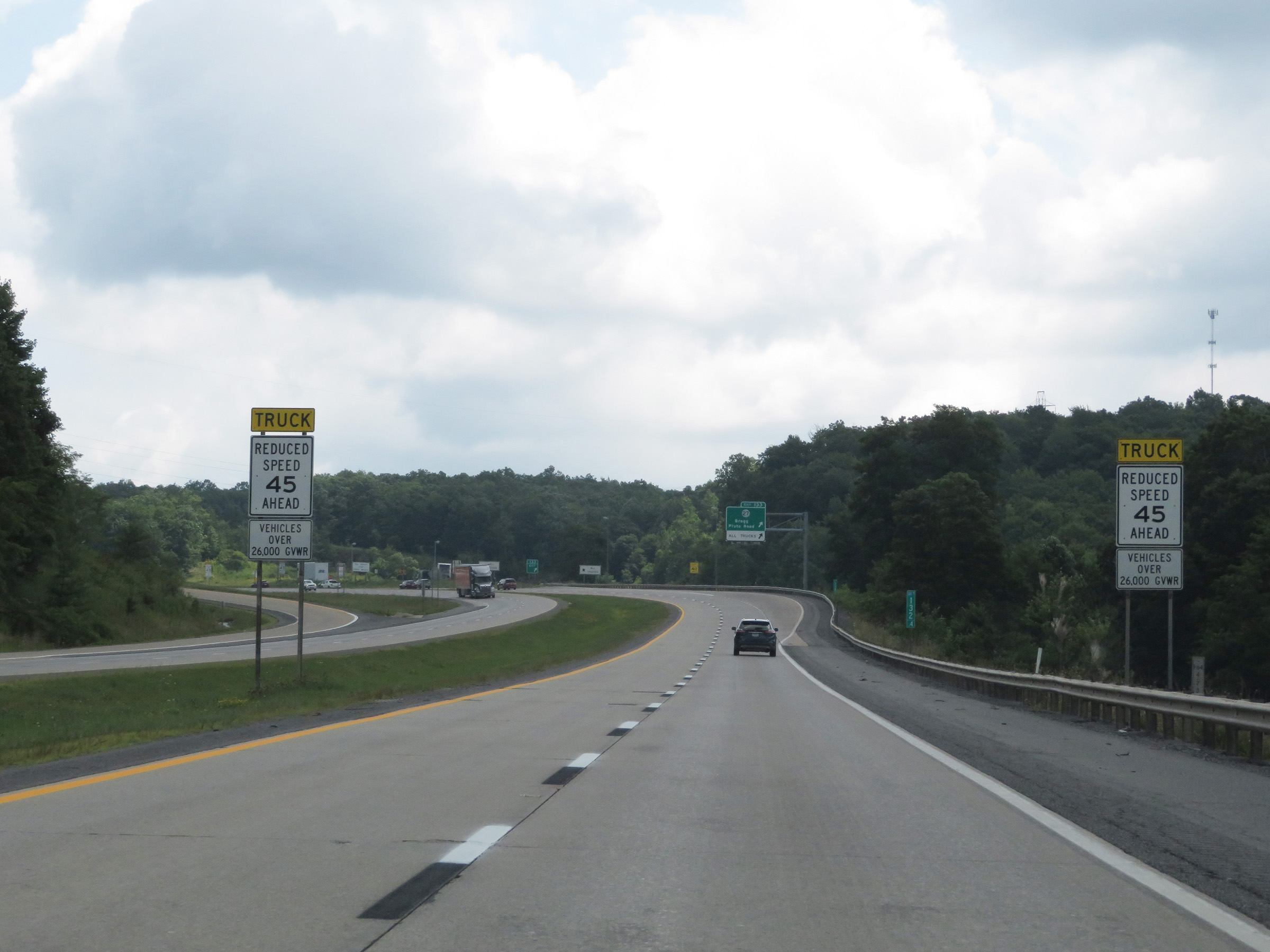 |
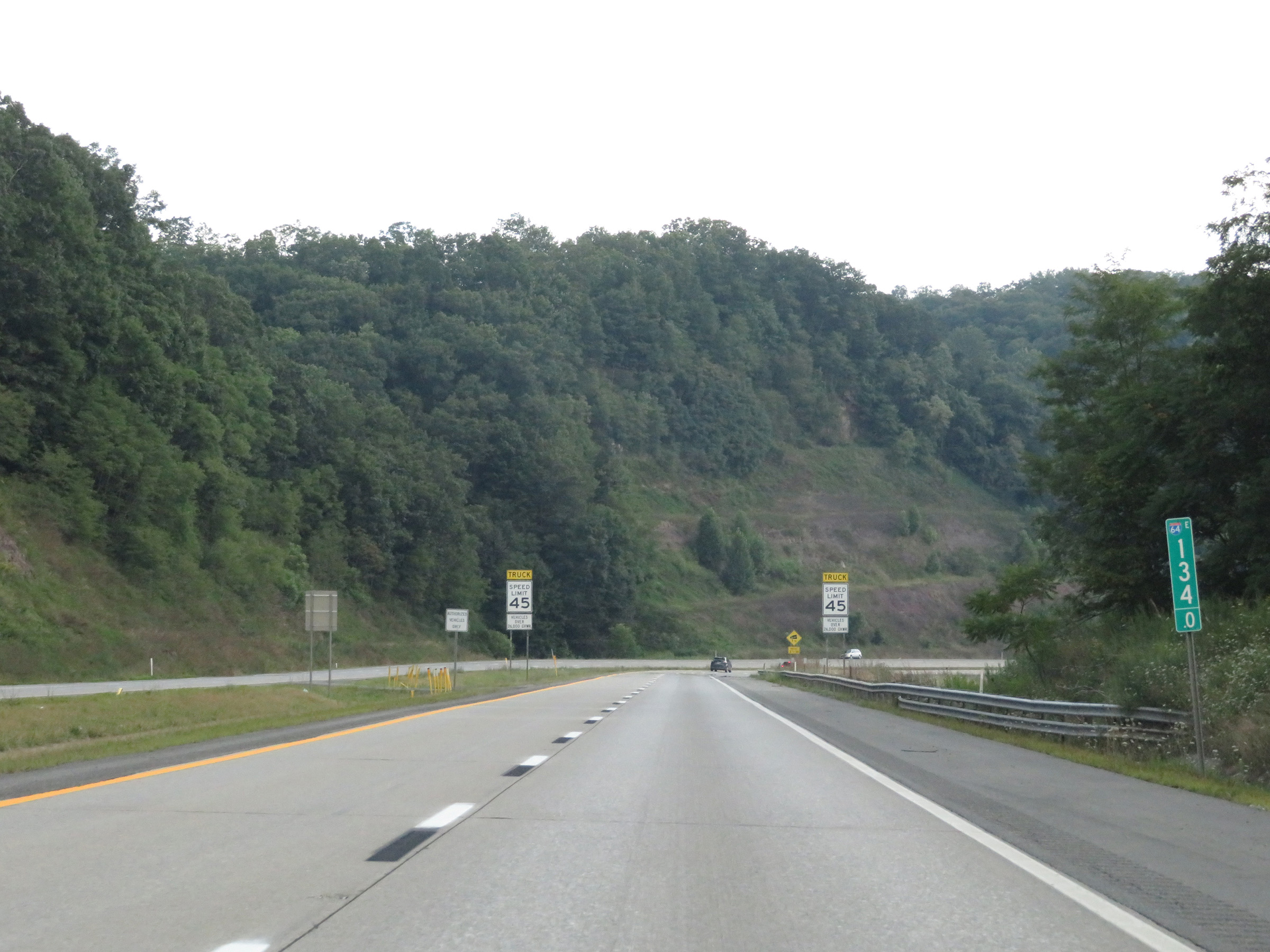
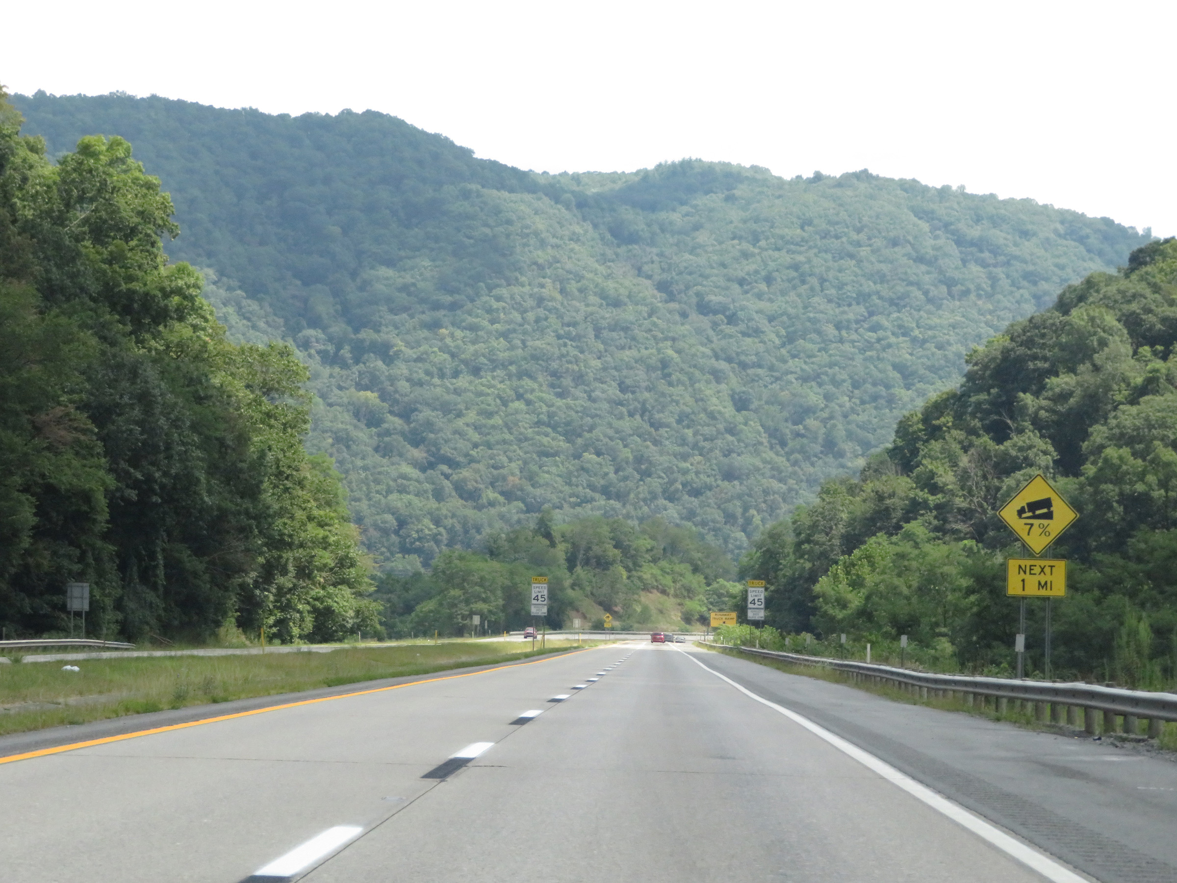
The truck speed limit will be reduced to 45 mph ahead when Interstate 64 East starts to make its way down the east side of Sandstone Mountain. All trucks over 26,000 lbs GVWR (Gross Vehicle Weight Rating) are subject to this speed limit. (Photo taken 8/9/19). |
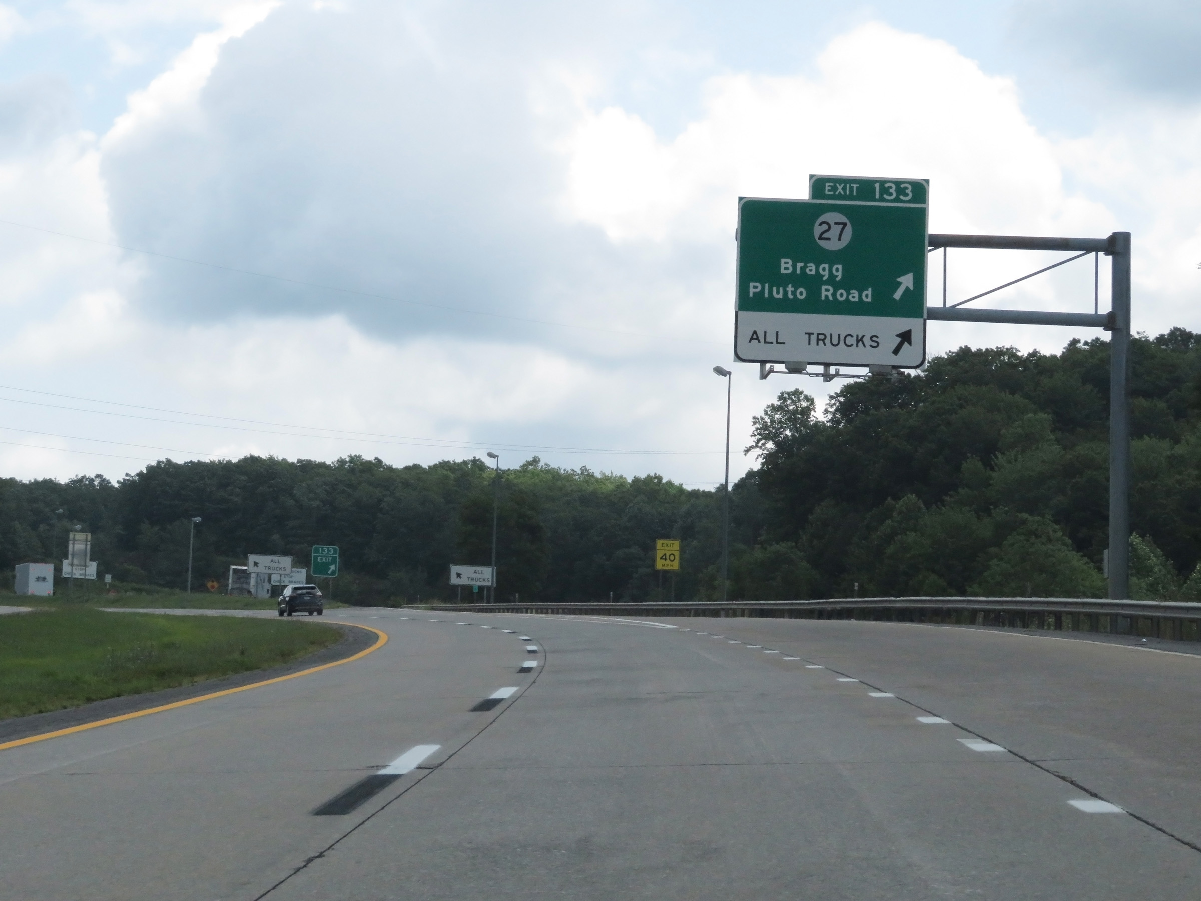 |
Interstate 64 East at Exit 133: CR 27 - Bragg / Pluto Road (Photo taken 8/9/19). |
Section 3: Bragg (Exit 133) to Virginia Border
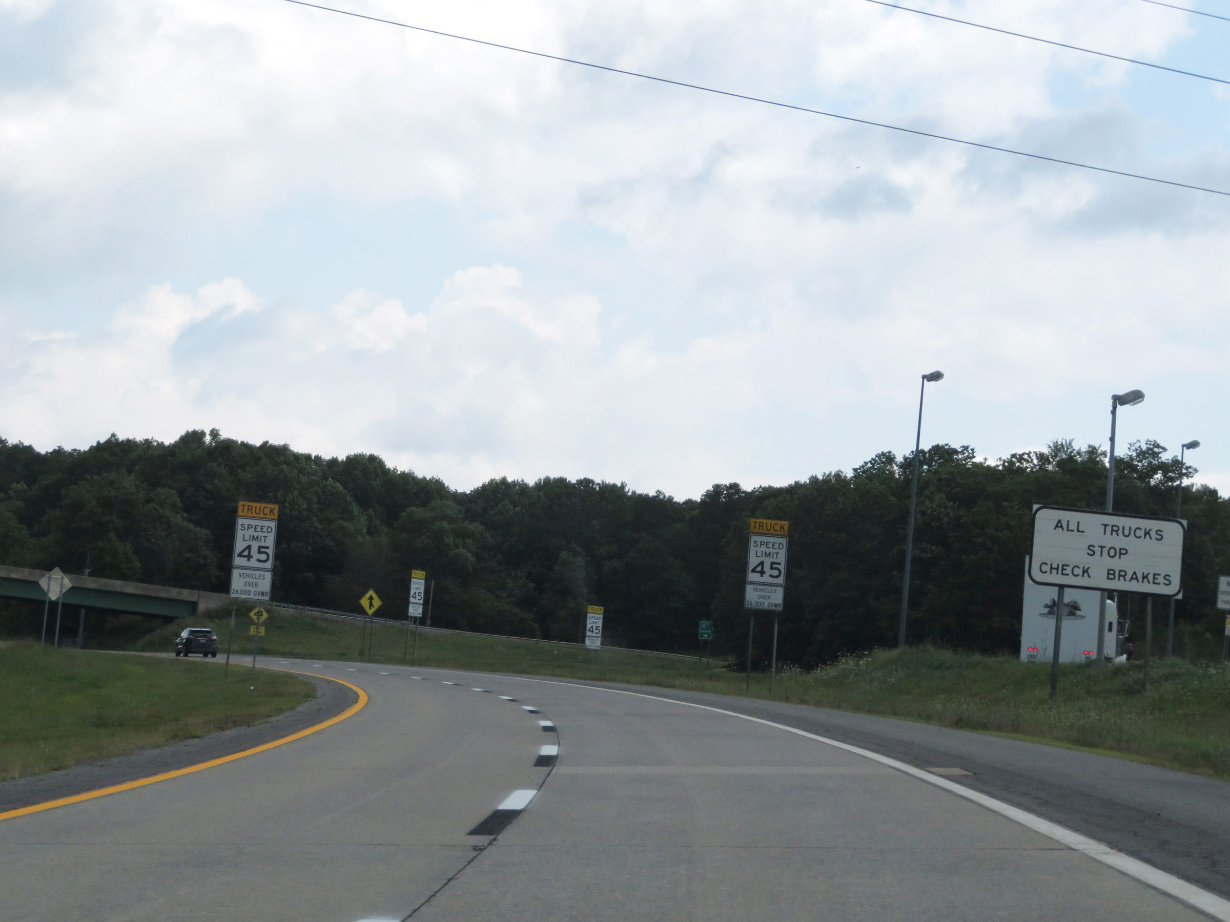 |
As this sign clearly states, all trucks are to stop off Exit 133 to check their brakes before proceeding down Sandstone Mountain ahead. Also at this point, the truck speed limit of 45 mph begins. (Photo taken 8/9/19). |
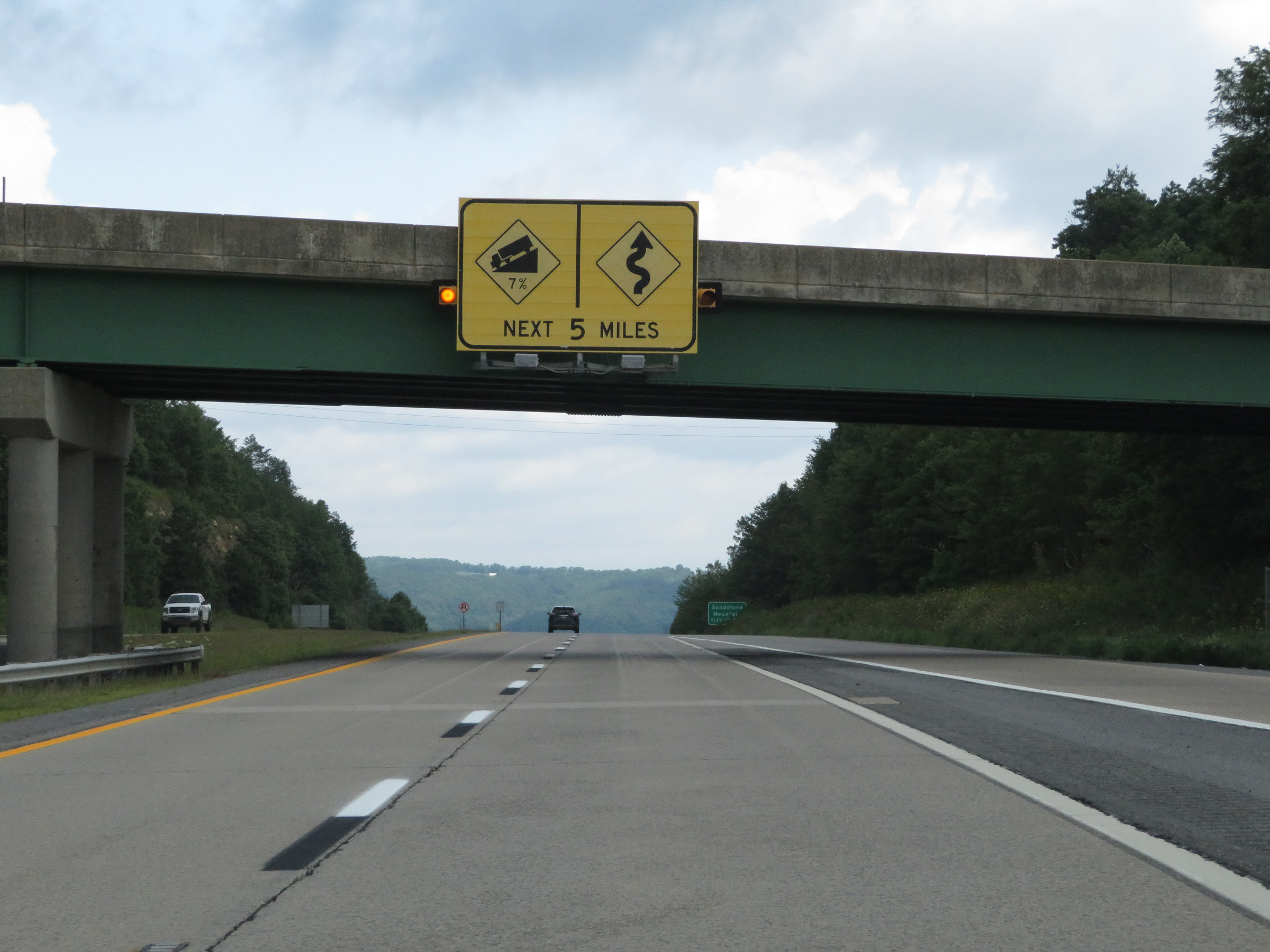 |
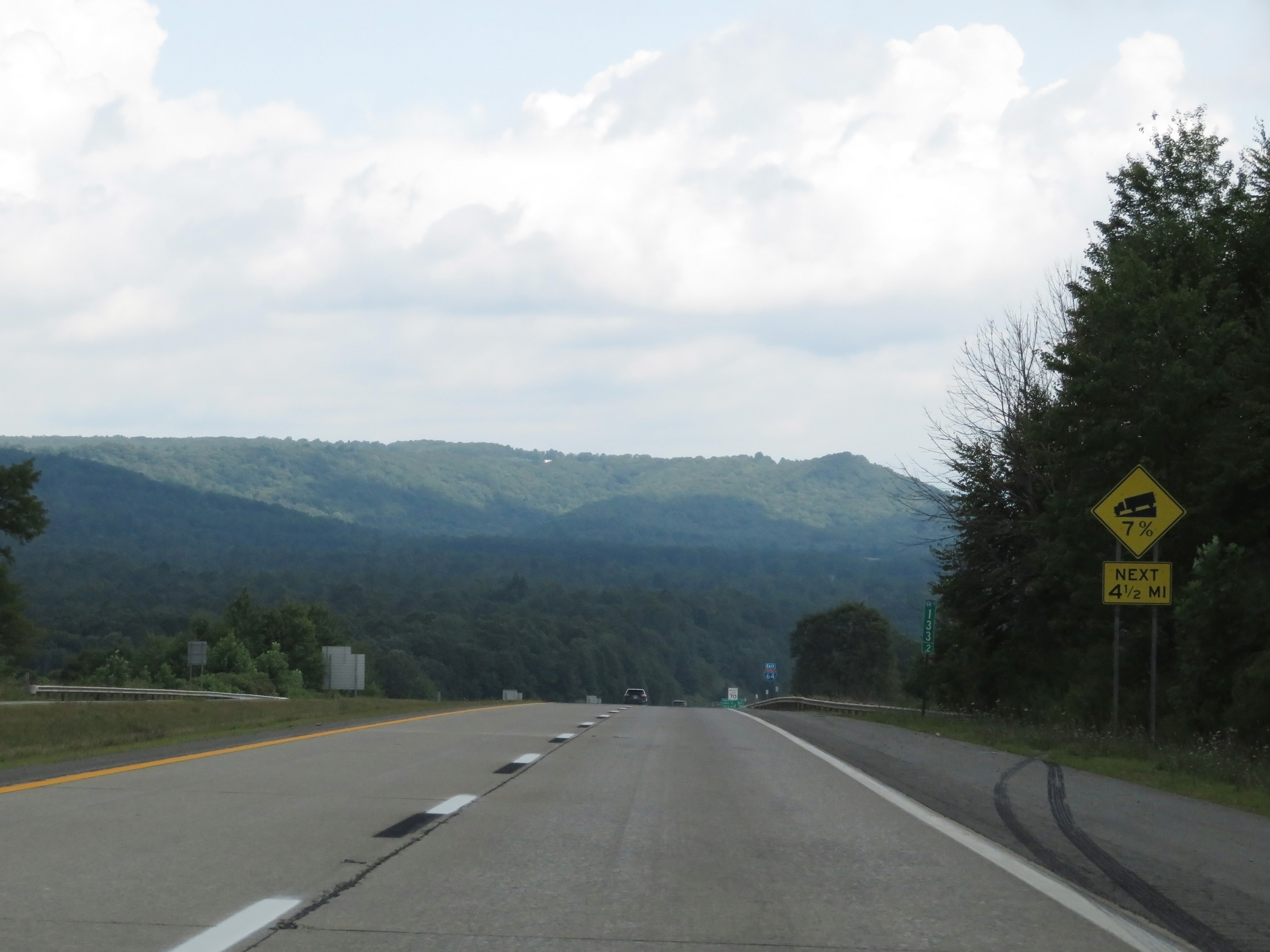
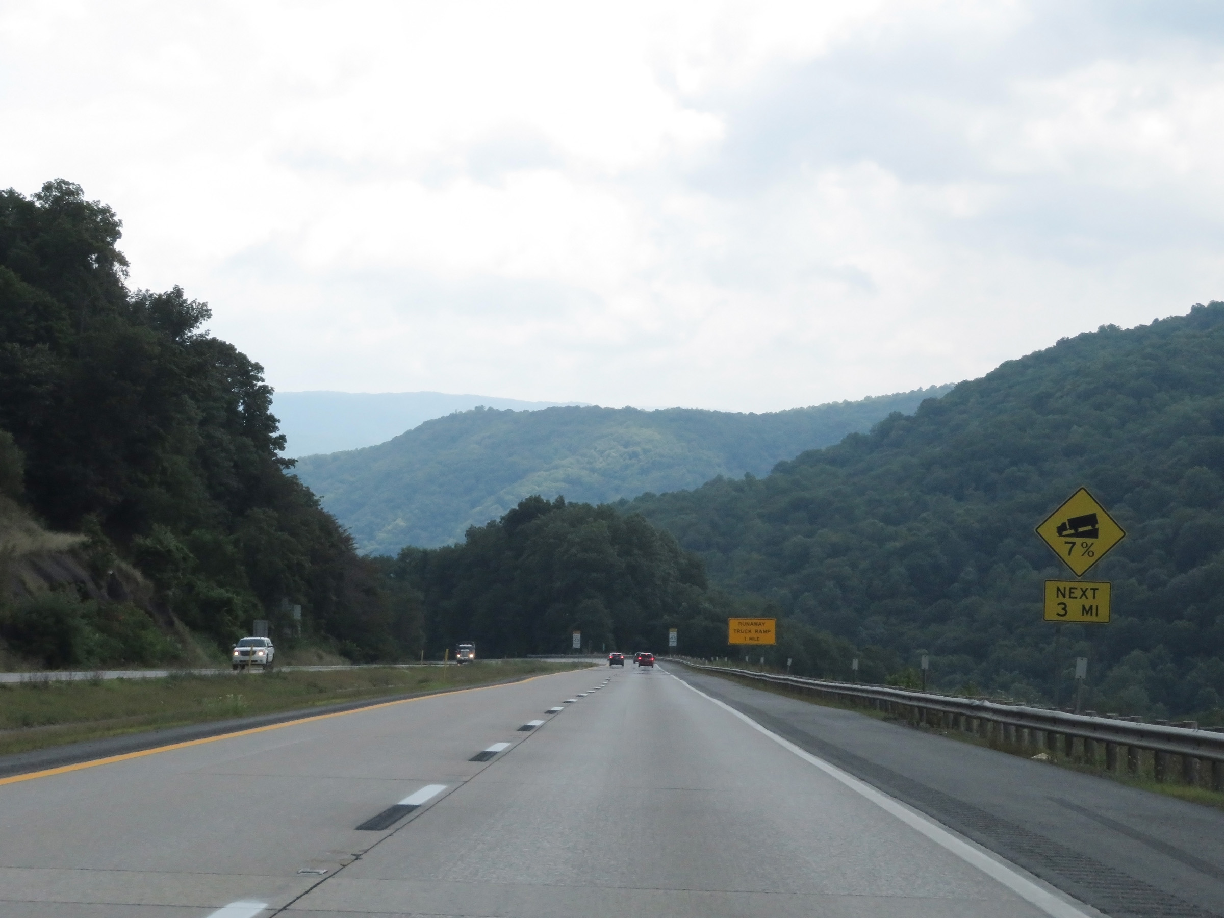
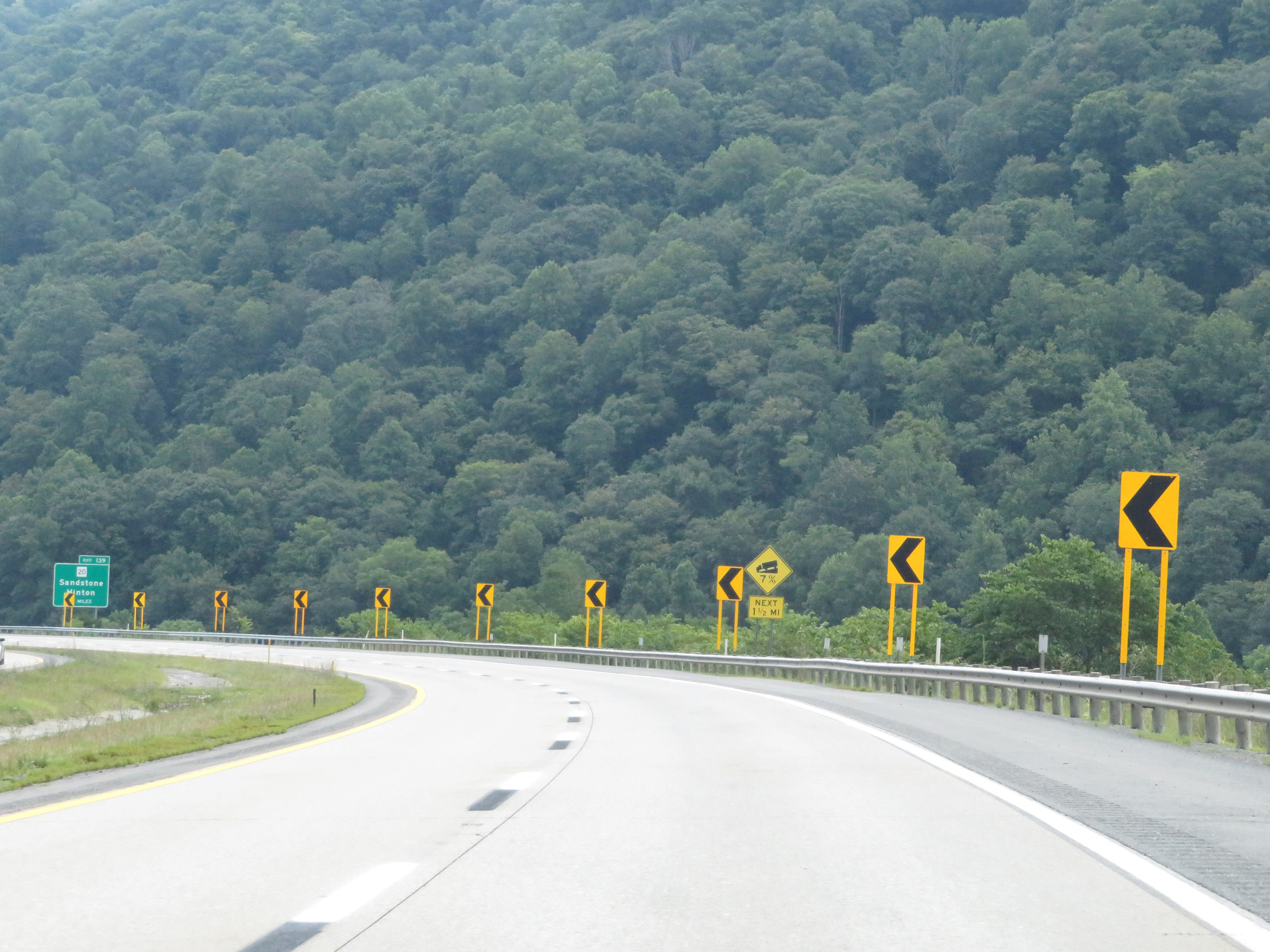
The upcoming grade is a 7% downgrade which will last for the next 5 miles, with winding curves along the way as Interstate 64 East heads down Sandstone Mountain. This grade is certainly not to be taken lightly. (Photo taken 8/9/19). |
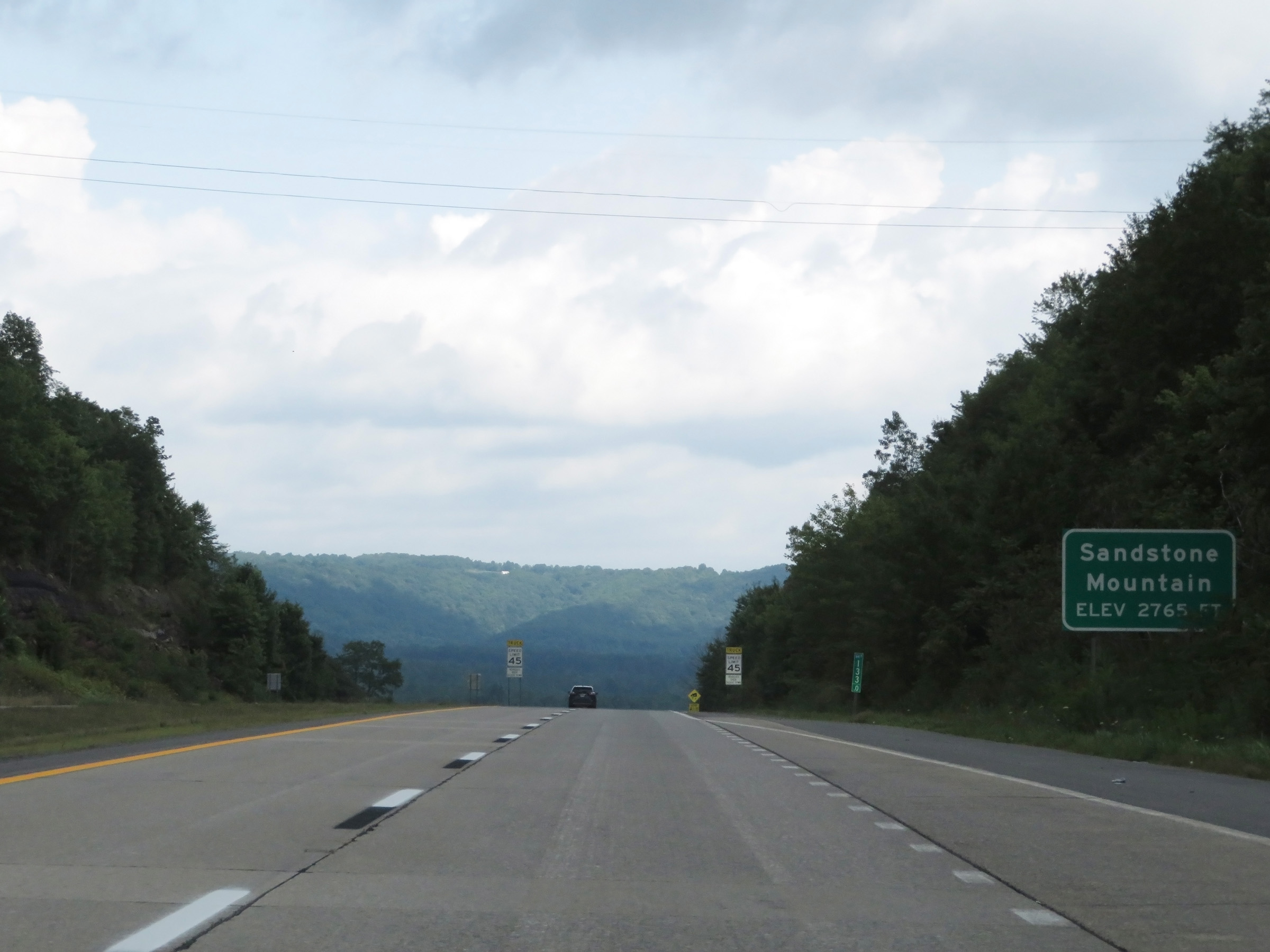 |
At mile marker 133, Interstate 64 East reaches the summit of Sandstone Mountain at an altitude of 2,765 feet above sea level. (Photo taken 8/9/19). |
 |
Starting down the long, steep grade, this warning sign shows that you have 4 1/2 miles to go to the bottom. (Photo taken 8/9/19). |
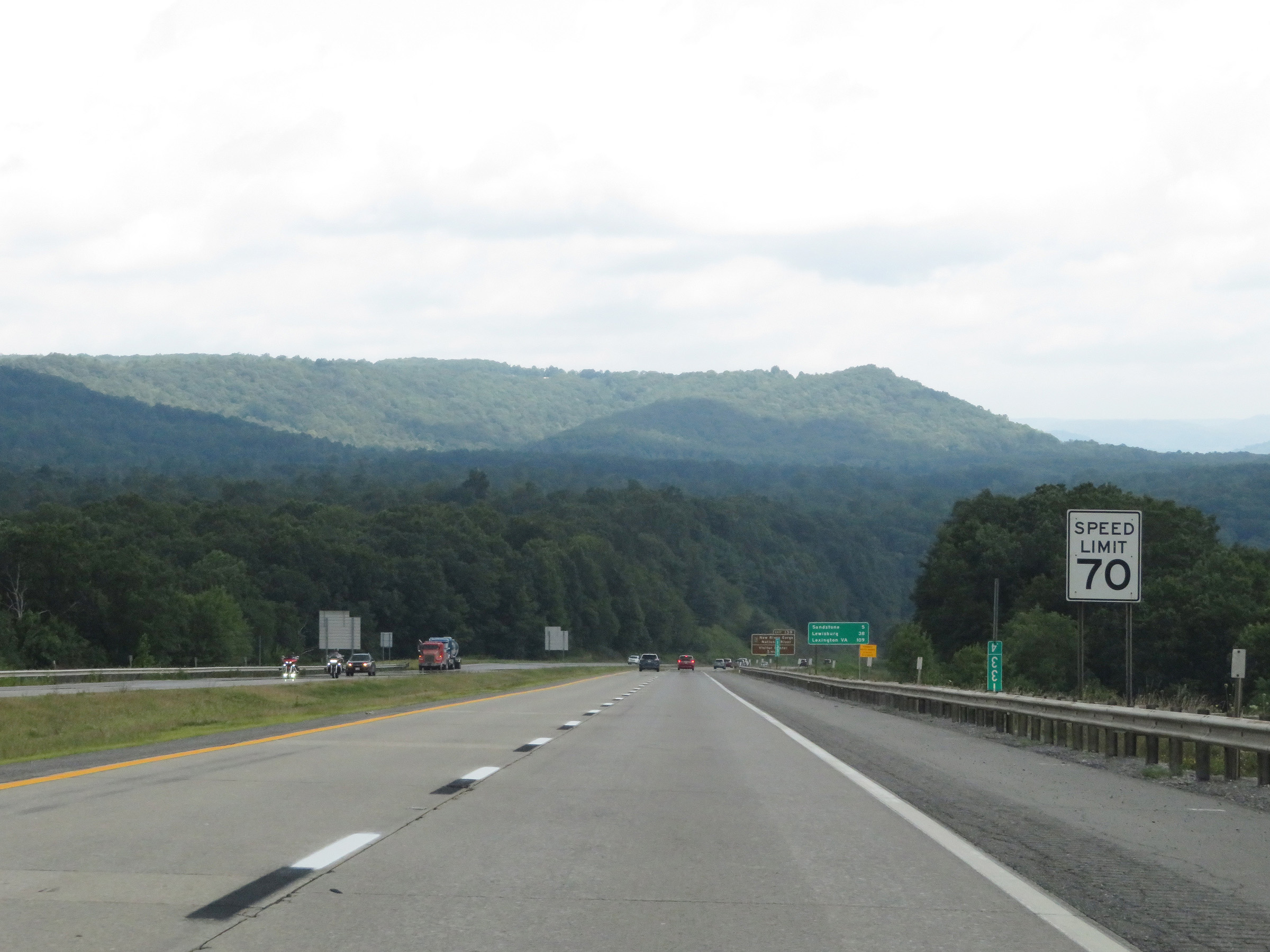 |
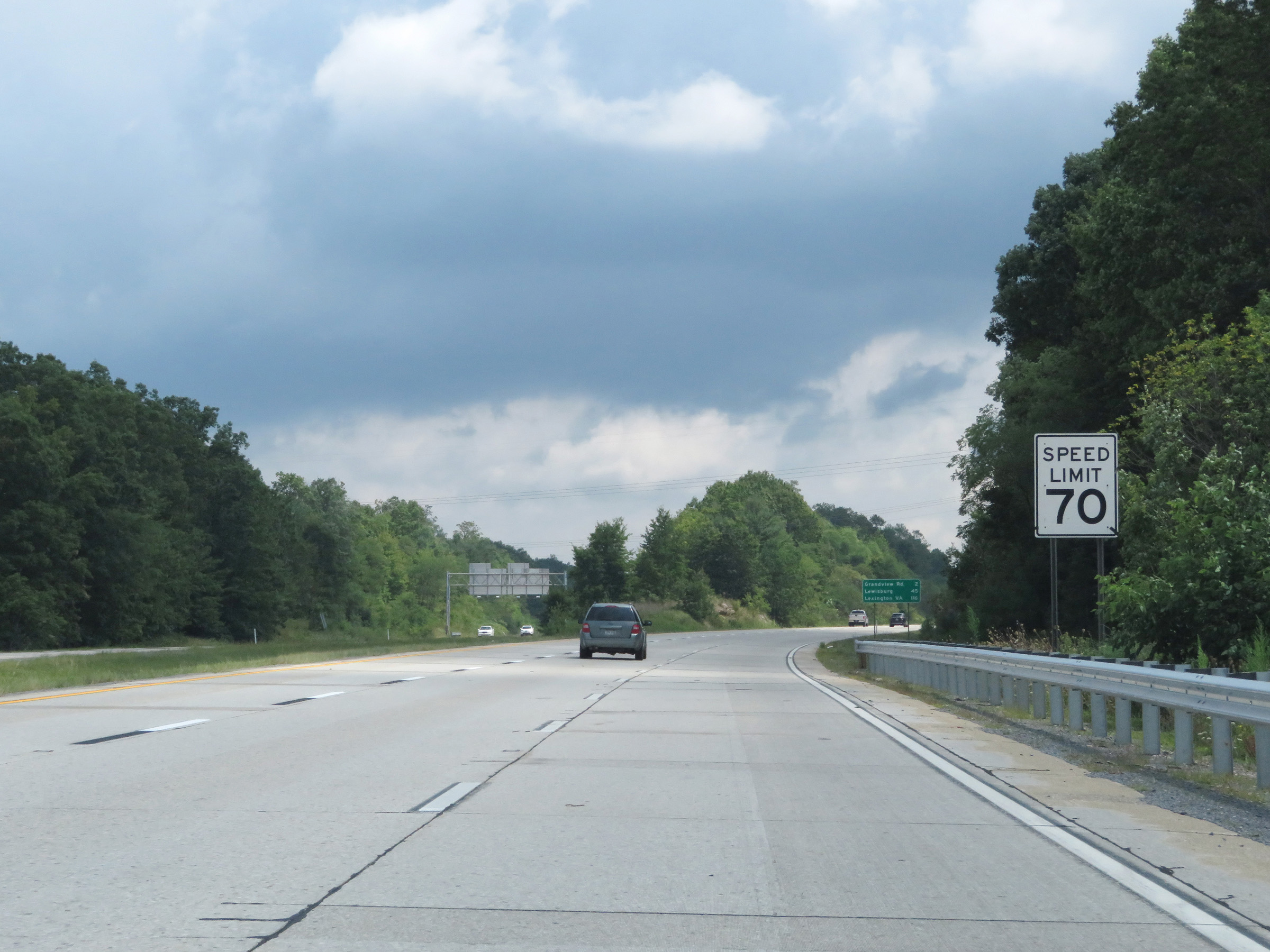
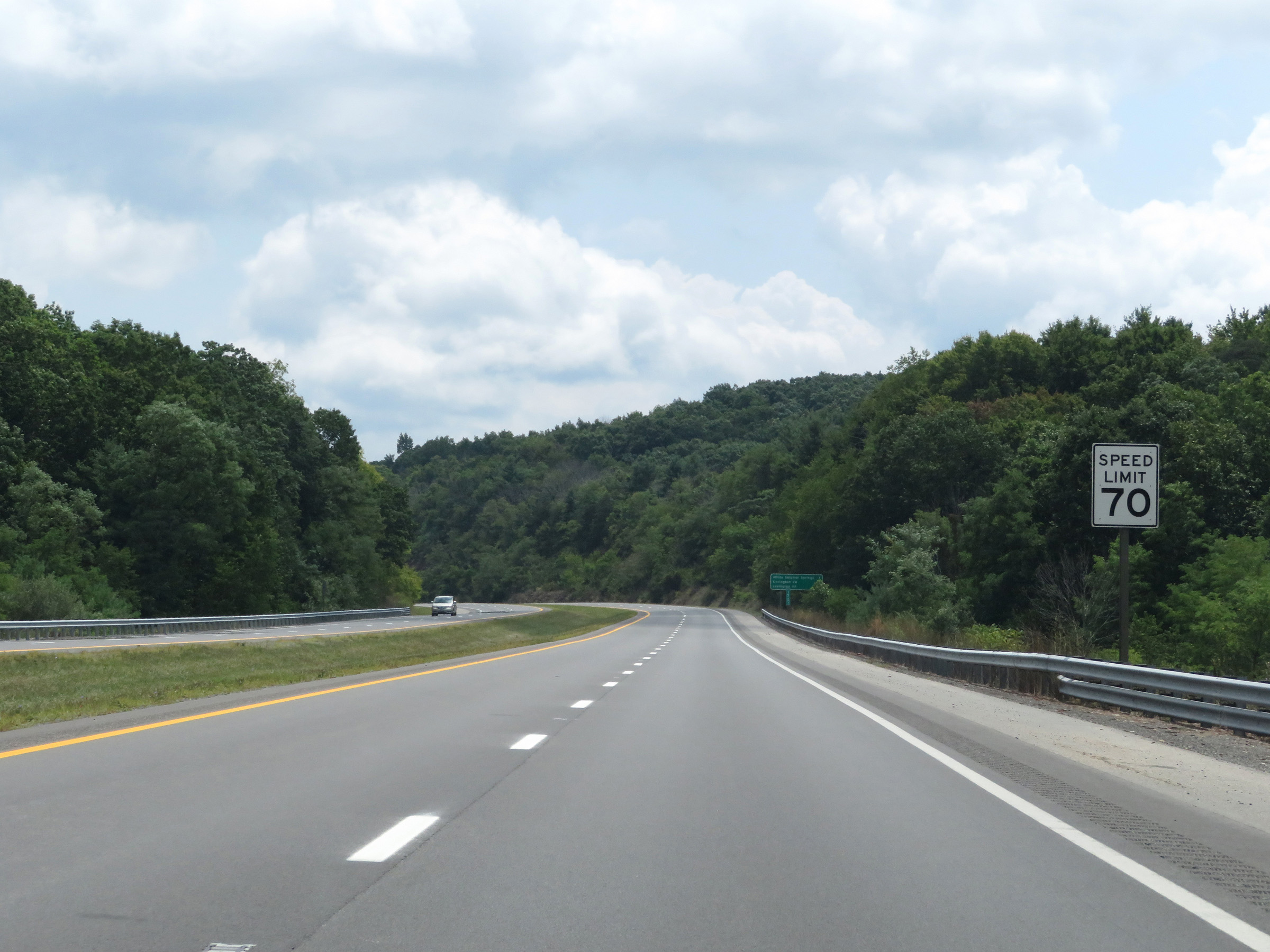
The speed limit for automobiles remains 70 mph as Interstate 64 East heads down Sandstone Mountain. (Photo taken 8/9/19). |
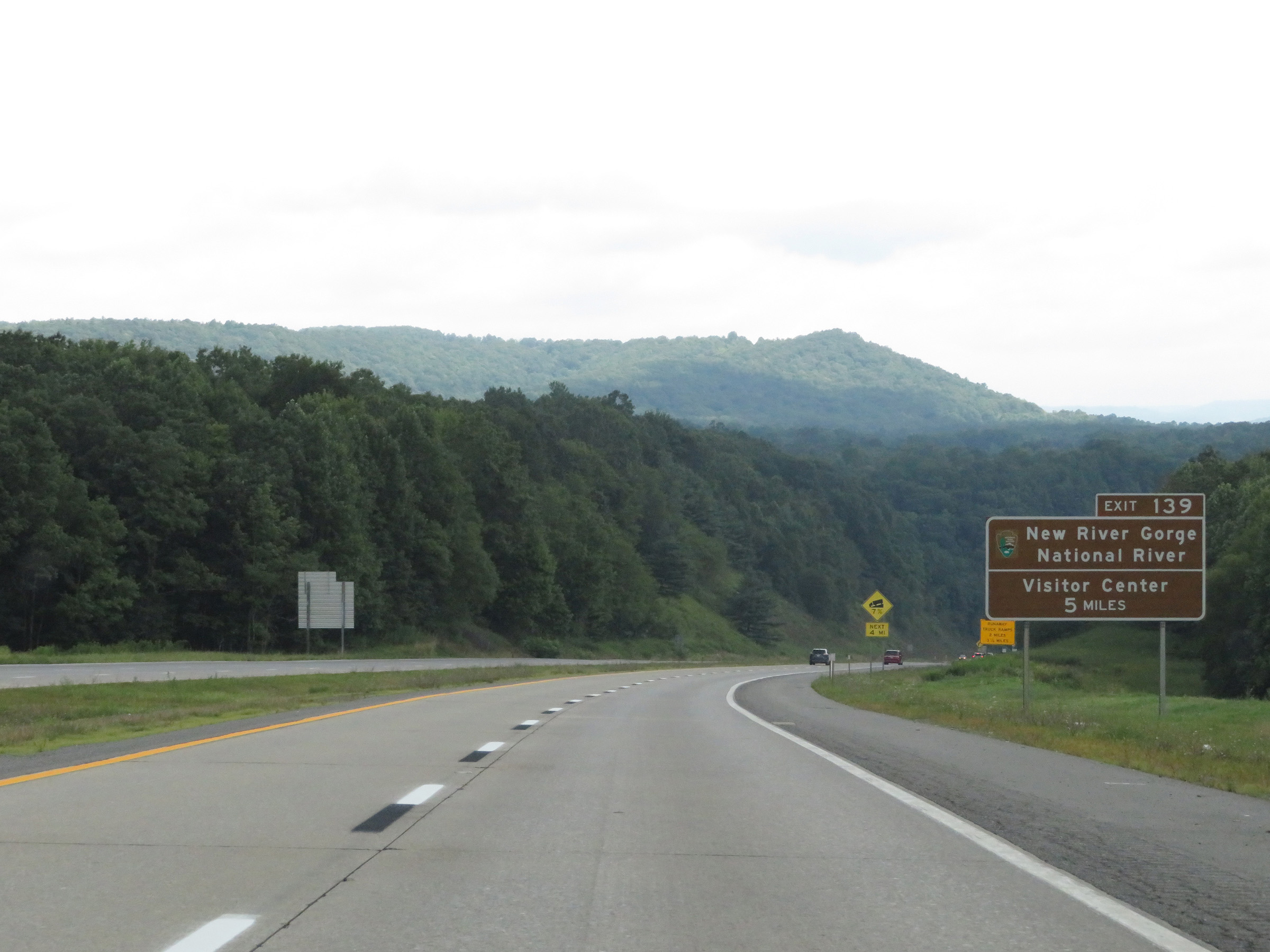 |
Take Exit 139, 5 miles ahead, to the New River Gorge National River Visitor Center. (Photo taken 8/9/19). |
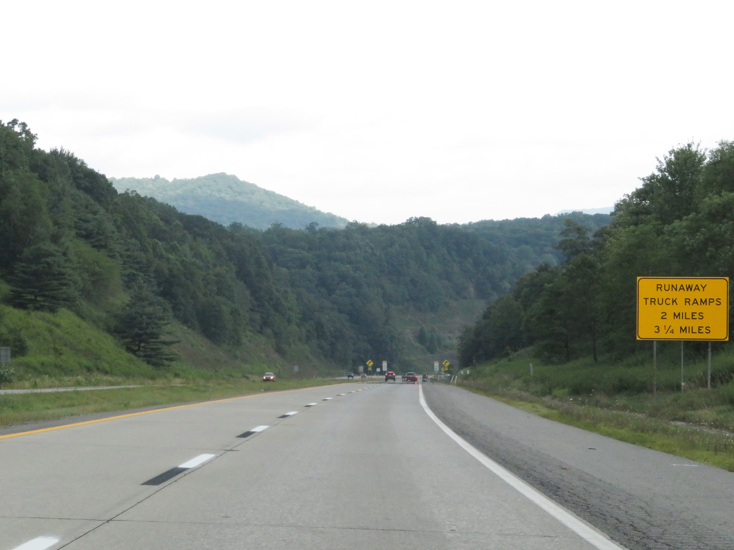 |
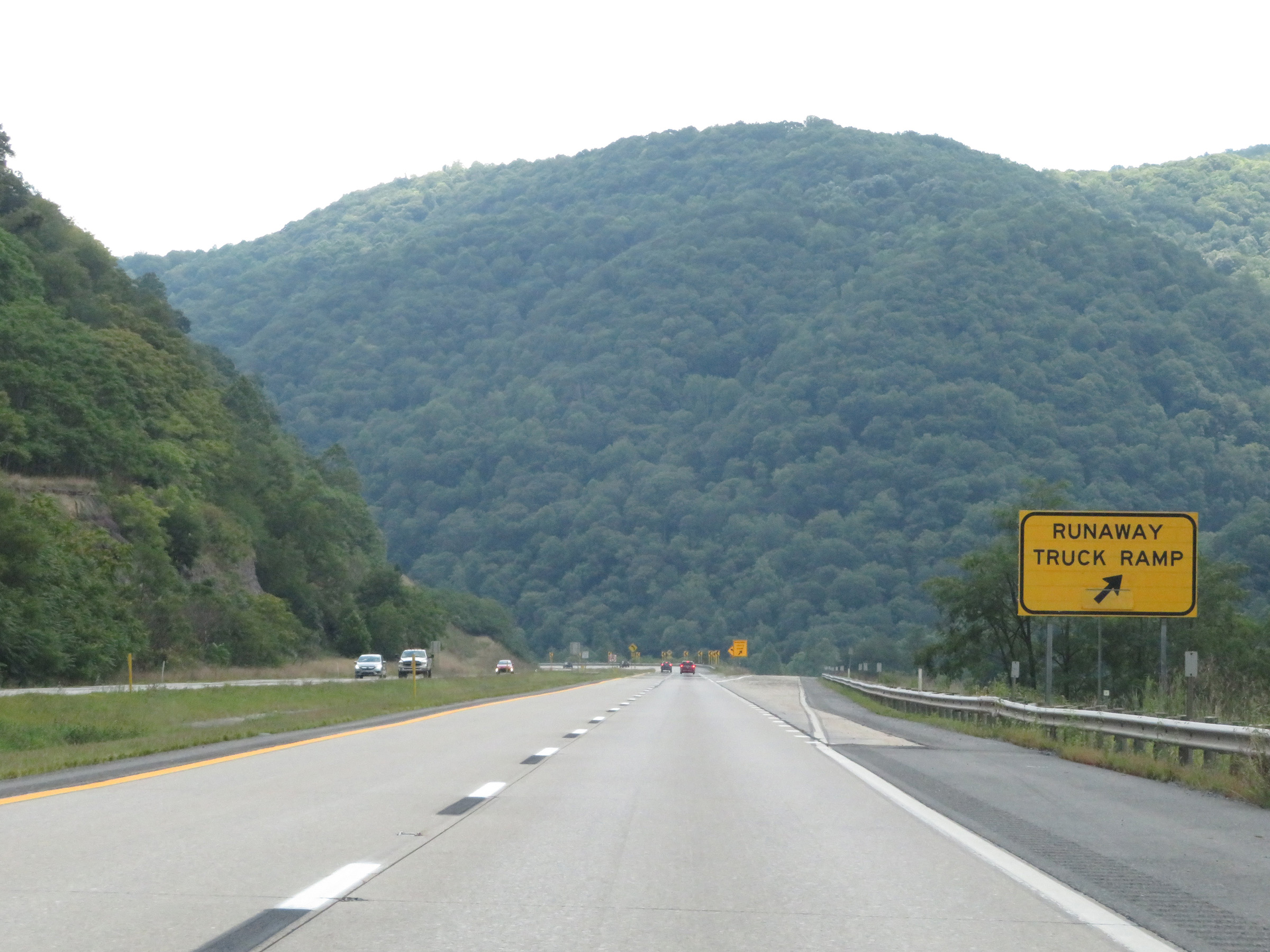
There are two Runaway Truck Ramps on Interstate 64 East as it goes down Sandstone Mountain. The first one is 2 miles ahead while the second is 3 1/4 miles ahead. (Photo taken 8/9/19). |
 |
View on Interstate 64 East at mile marker 134, as it continues its descent down Sandstone Mountain. The truck speed limit for trucks over 26,000 lbs GVWR remains 45 mph. (Photo taken 8/9/19). |
 |
Two miles ahead, Interstate 64 East will traverse a sharp curve to the left heading down the mountain. (Photo taken 8/9/19). |
 |
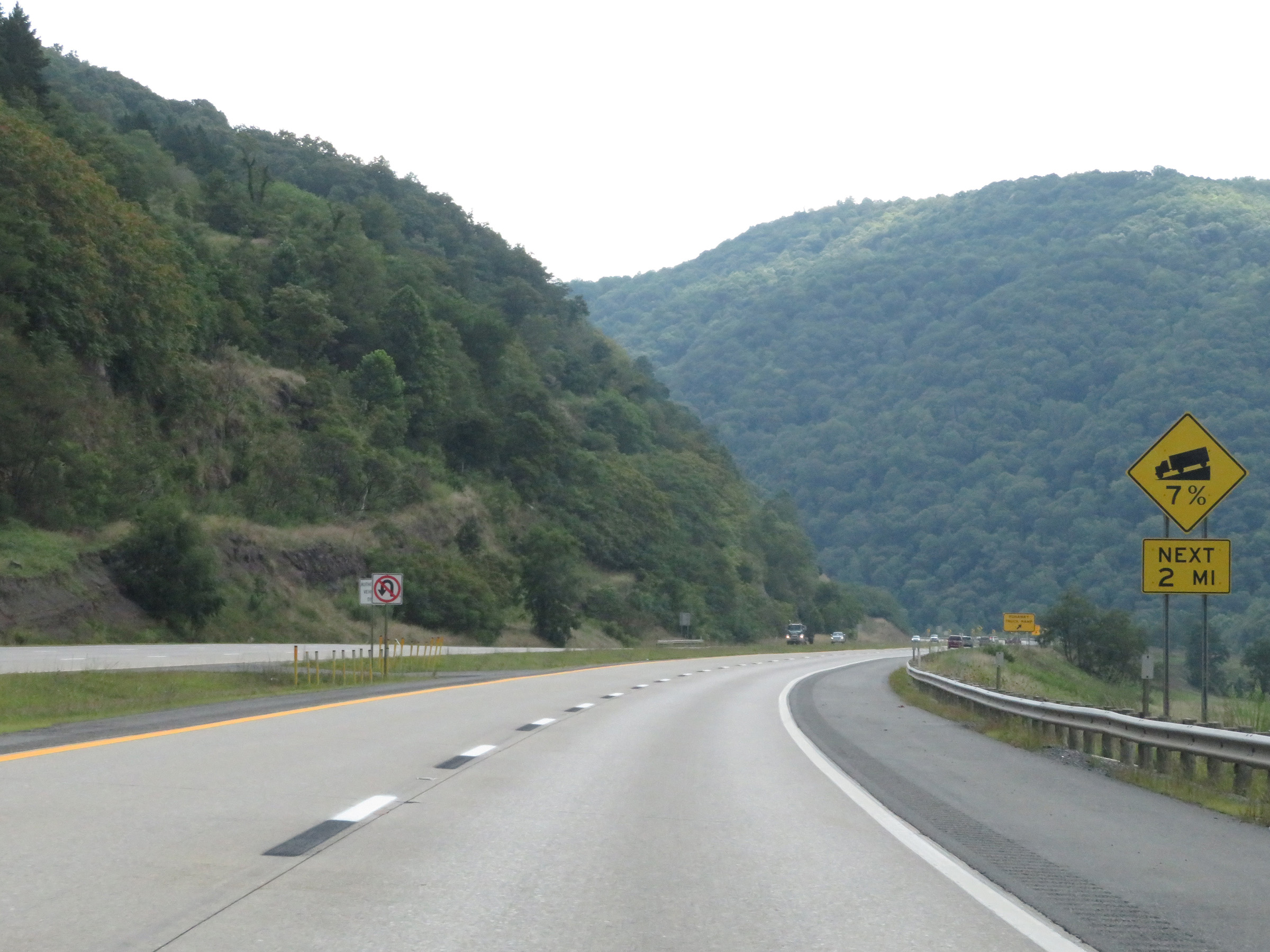
The steep 7% downgrade continues for 3 more miles. (Photo taken 8/9/19). |
 |
Interstate 64 East at mile marker 135. (Photo taken 8/9/19). |
 |
Two more miles of the 7% downgrade to go. (Photo taken 8/9/19). |
 |
Interstate 64 East at the first of two Runaway Truck Ramps heading down Sandstone Mountain. (Photo taken 8/9/19). |
 |
View on Interstate 64 East as it makes its way into the sharp curve mentioned earlier. 1 1/2 miles to go to the bottom of Sandstone Mountain. (Photo taken 8/9/19). |
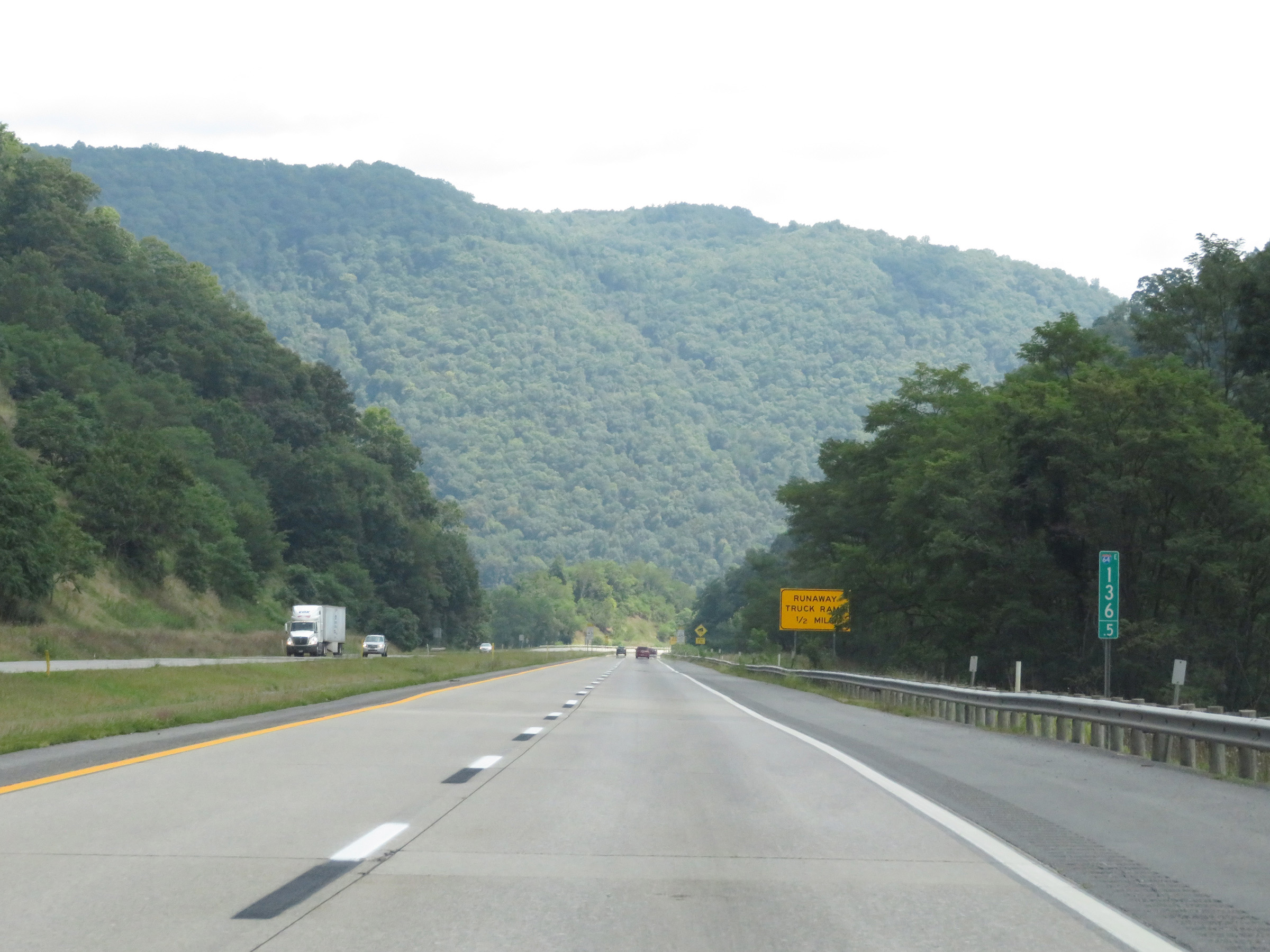 |
View on Interstate 64 East at mile marker 136.5, continuing down the 7% grade of Sandstone Mountain. (Photo taken 8/9/19). |
 |
The steep downgrade will continue for 1 more mile, as this warning sign reads. (Photo taken 8/9/19). |
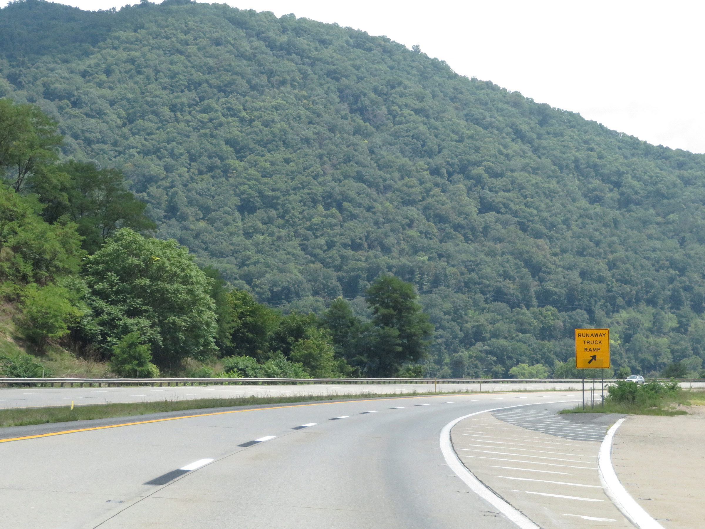 |
Interstate 64 East at the second and final Runaway Truck Ramp as you near the bottom of Sandstone Mountain. (Photo taken 8/9/19). |
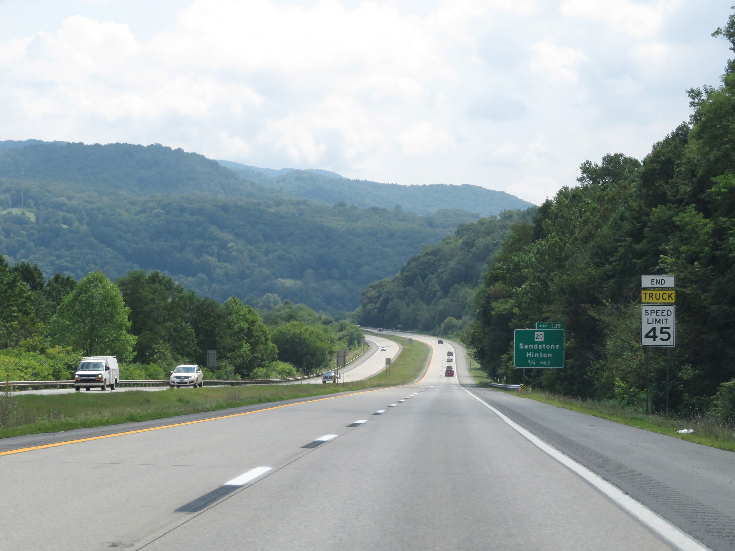 |
As the bottom of Sandstone Mountain comes into view, the 45 mph truck speed limit comes to an end. (Photo taken 8/9/19). |
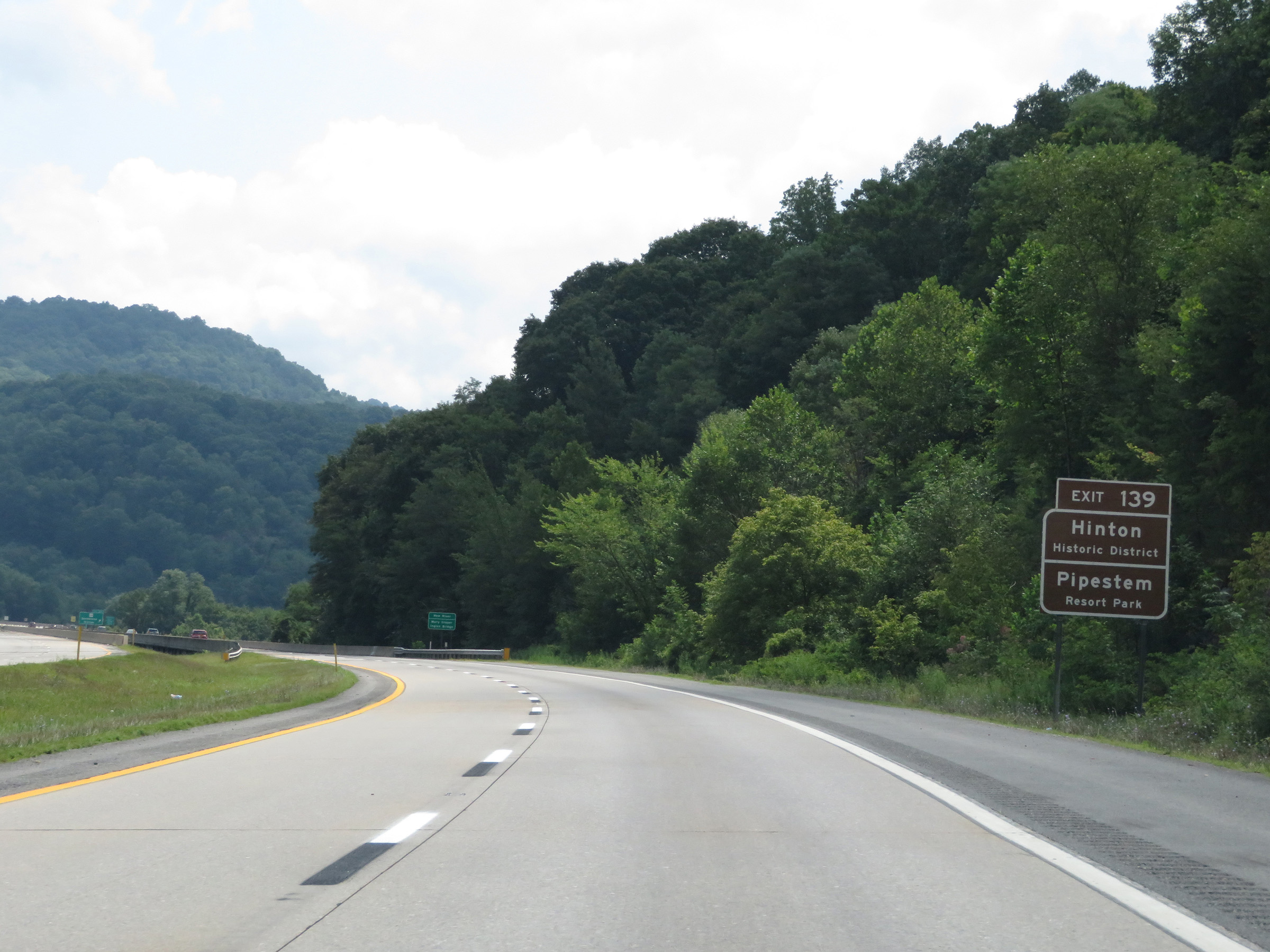 |
Take Exit 139 to Hinton Historic District and Pipestem Resort Park. (Photo taken 8/9/19). |
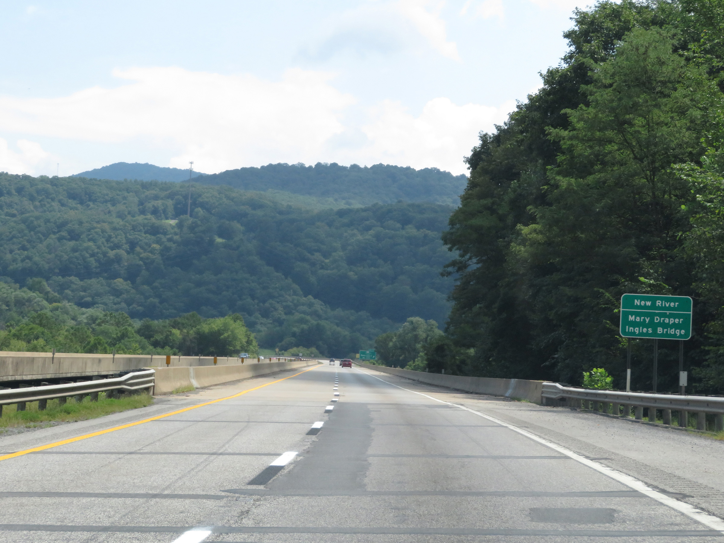 |
View on Interstate 64 East as it prepares to cross the New River via the Mary Draper Ingles Bridge. (Photo taken 8/9/19). |
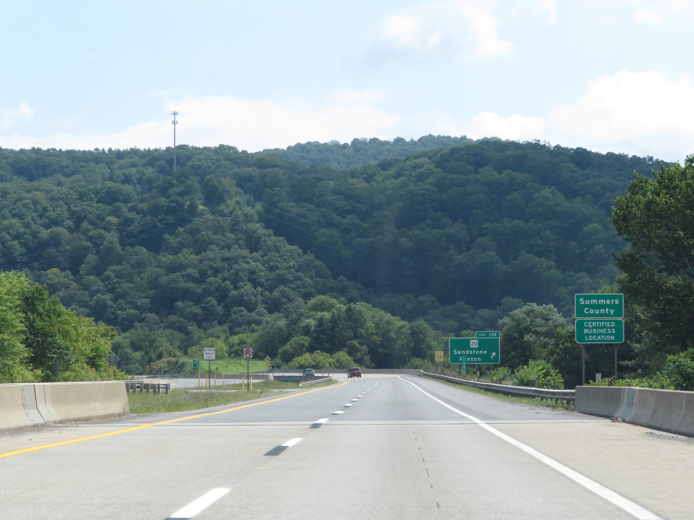 |
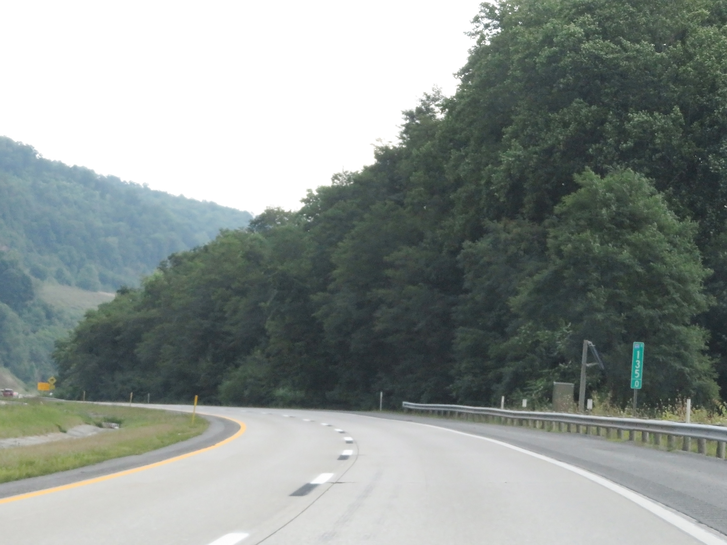
Upon crossing the New River on the Mary Draper Ingles Bridge, Interstate 64 East enters Summers County. (Photo taken 8/9/19). |
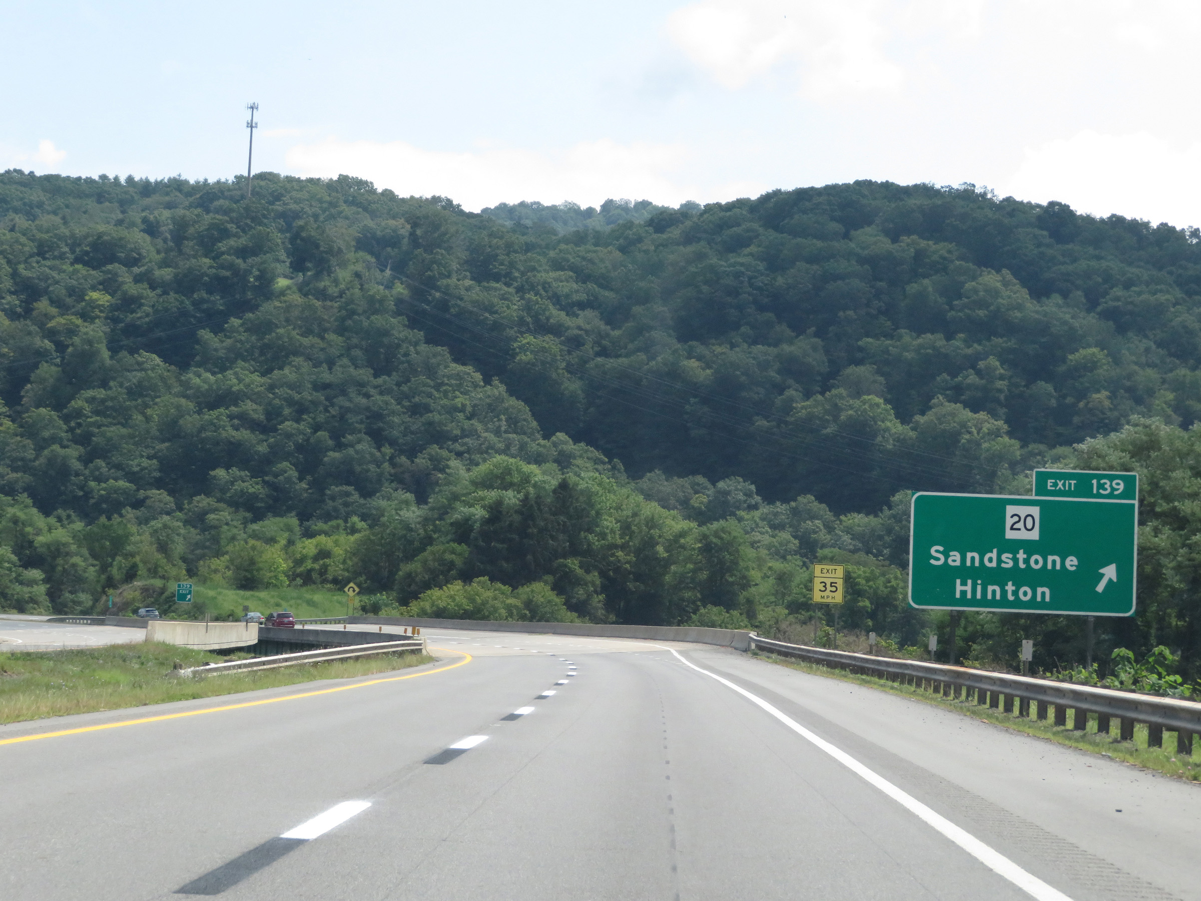 |
Interstate 64 East at Exit 139: WV 20 - Sandstone / Hinton (Photo taken 8/9/19). |
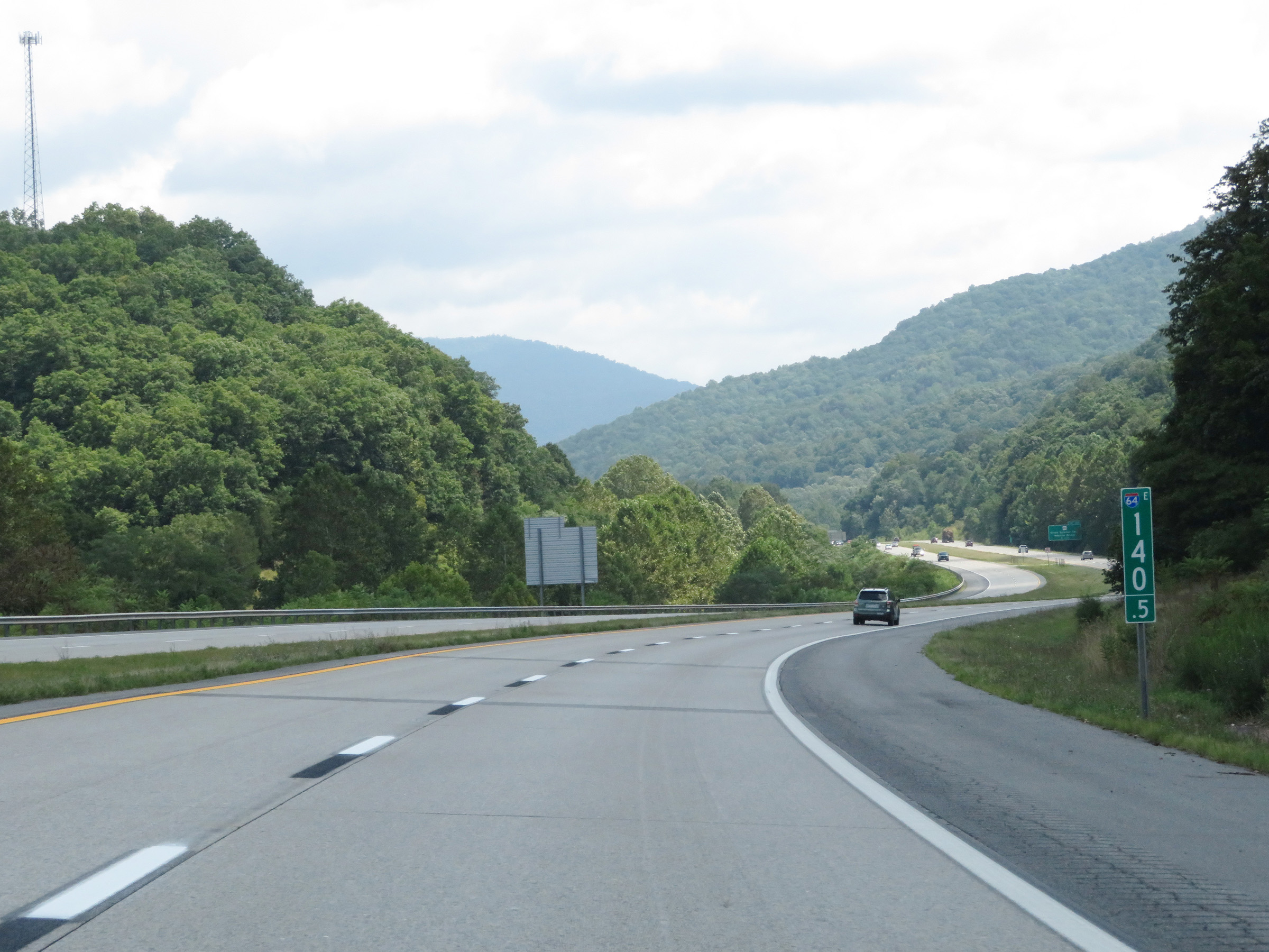 |
Mile marker 140.5 on Interstate 64 East in Summers County. (Photo taken 8/9/19). |
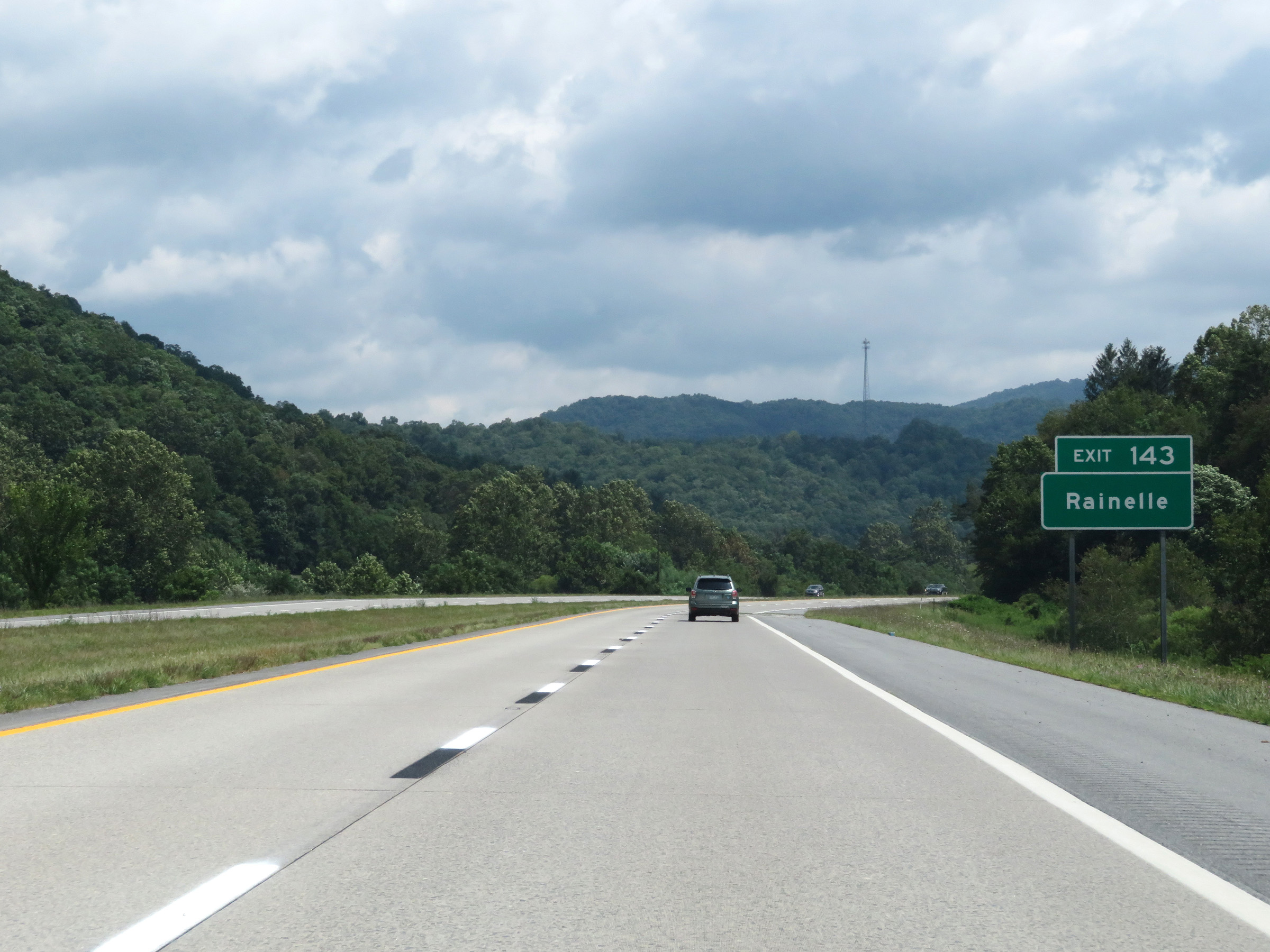 |
Take Exit 143 to Rainelle. (Photo taken 8/9/19). |
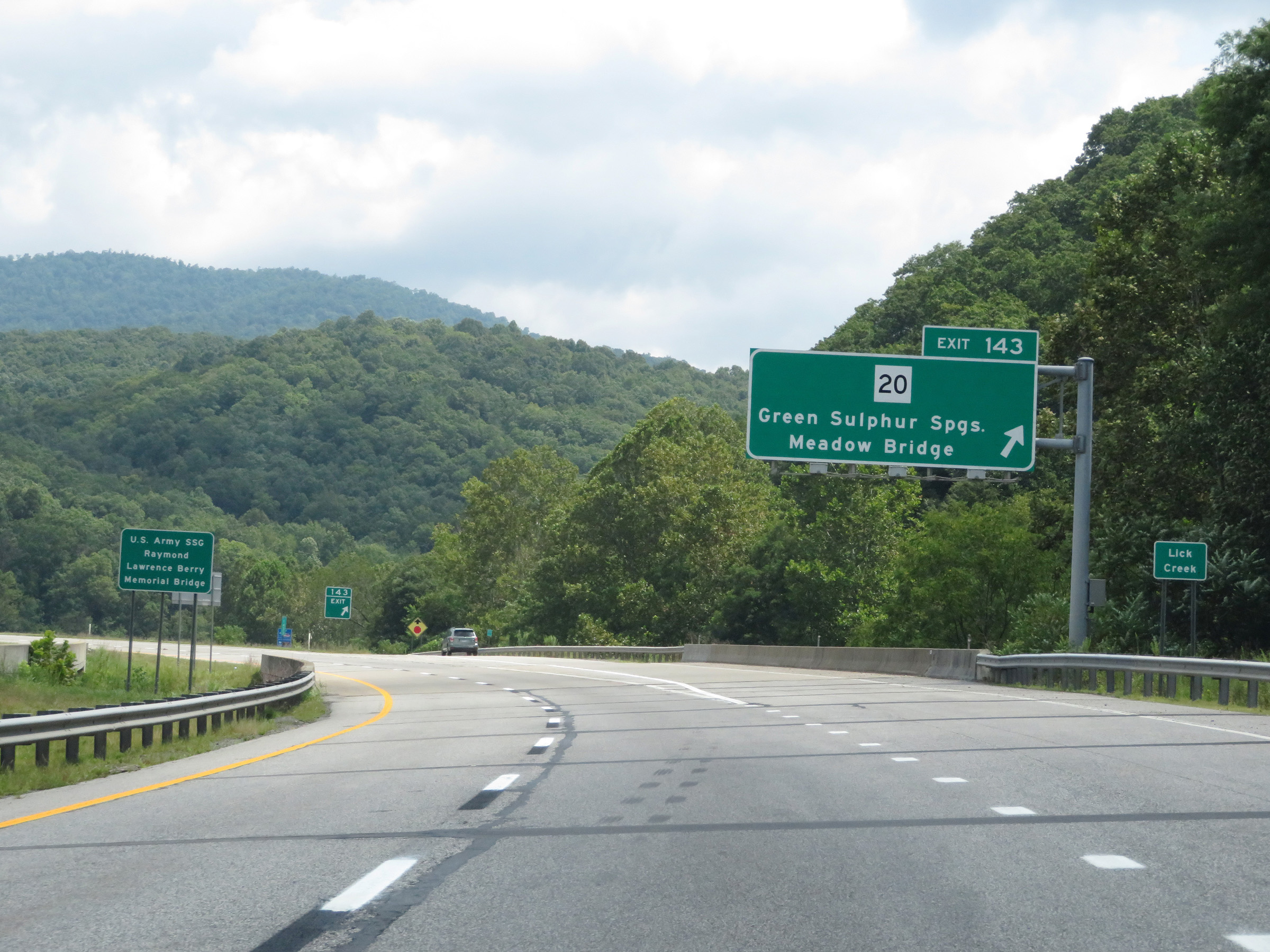 |
Interstate 64 East at Exit 143: WV 20 - Green Sulphur Springs / Meadow Bridge (Photo taken 8/9/19). |
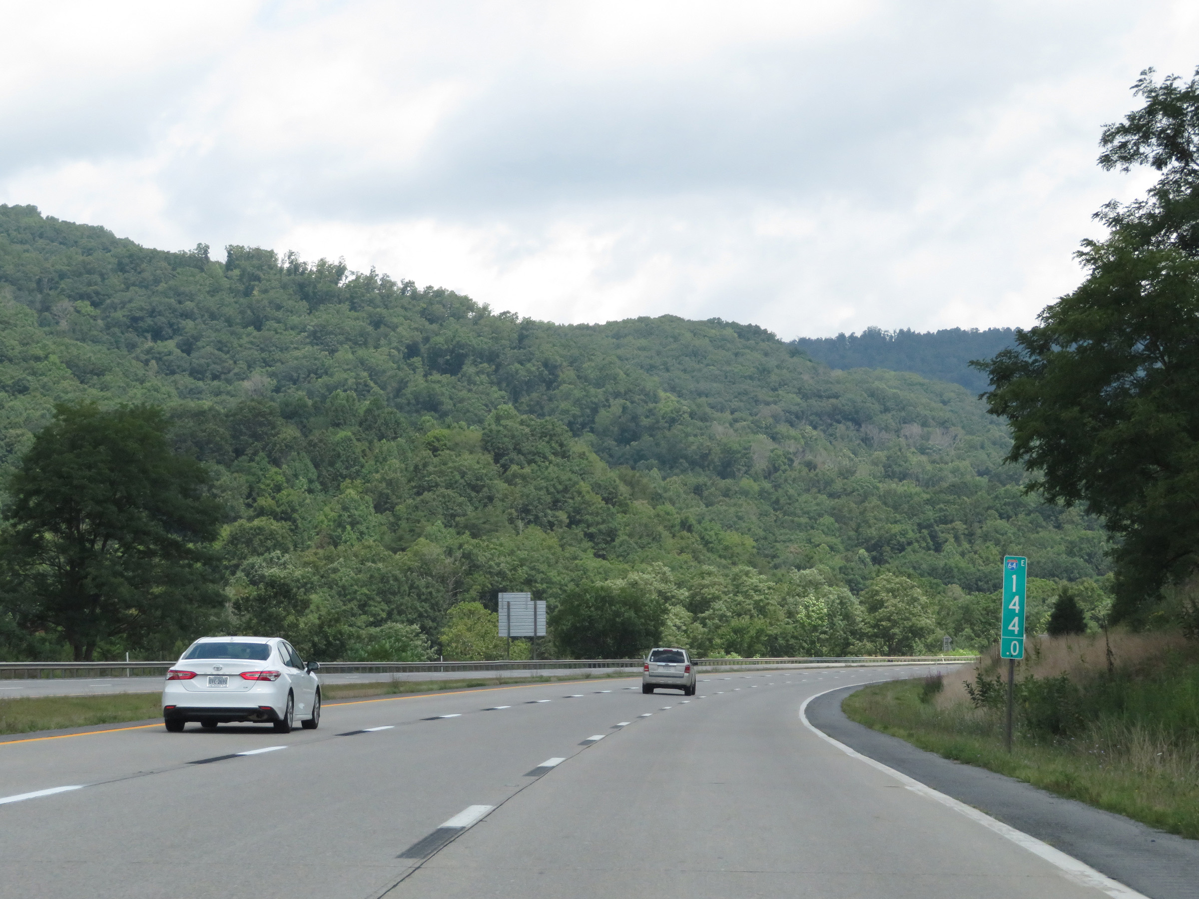 |
View on Interstate 64 East at mile marker 144. (Photo taken 8/9/19). |
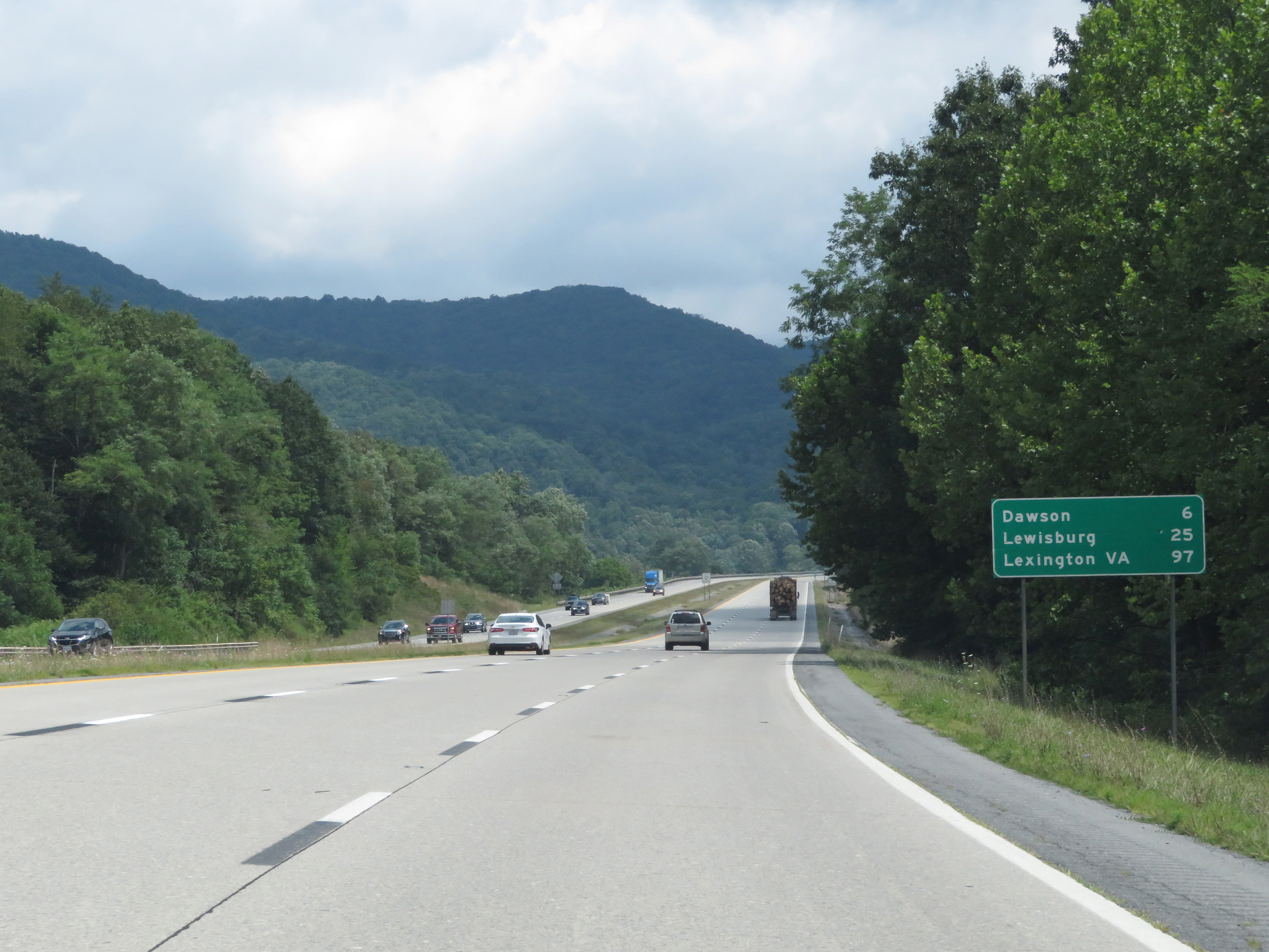 |
Mileage sign on Interstate 64 East. It's 6 miles to Dawson, 25 miles to Lewisburg, and 97 miles to Lexington, VA. (Photo taken 8/9/19). |
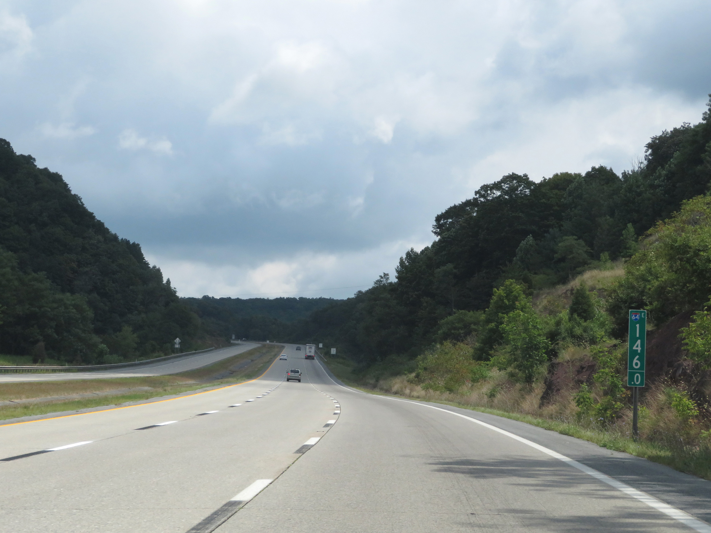 |
Interstate 64 East at mile marker 146. (Photo taken 8/9/19). |
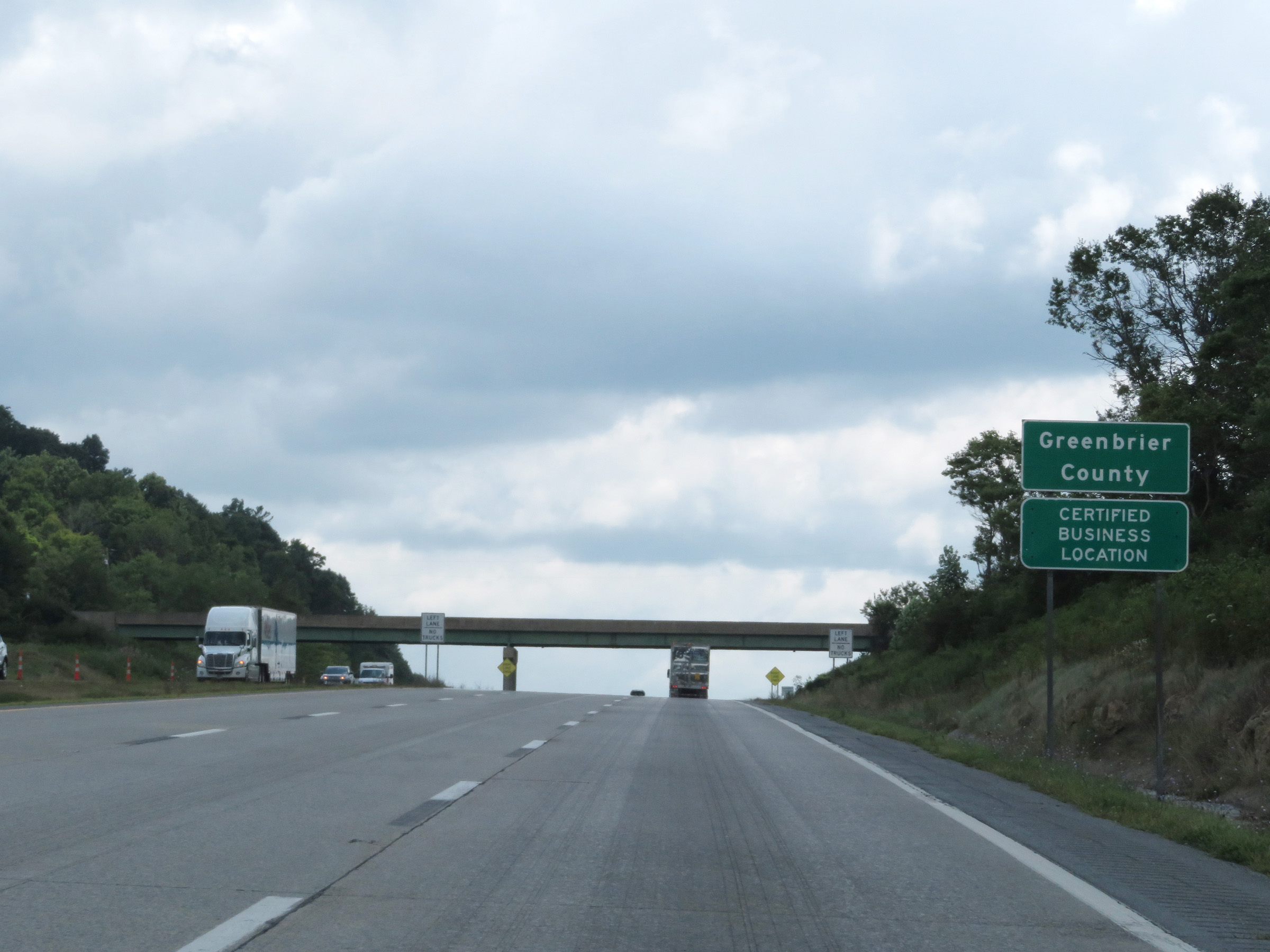 |
Interstate 64 East as it enters Greenbrier County. (Photo taken 8/9/19). |
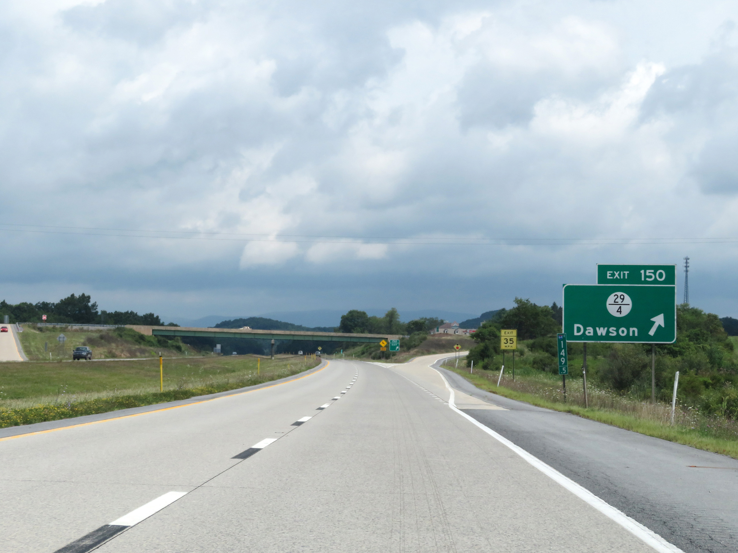 |
Interstate 64 East at Exit 150: CR 29/4 - Dawson (Photo taken 8/9/19). |
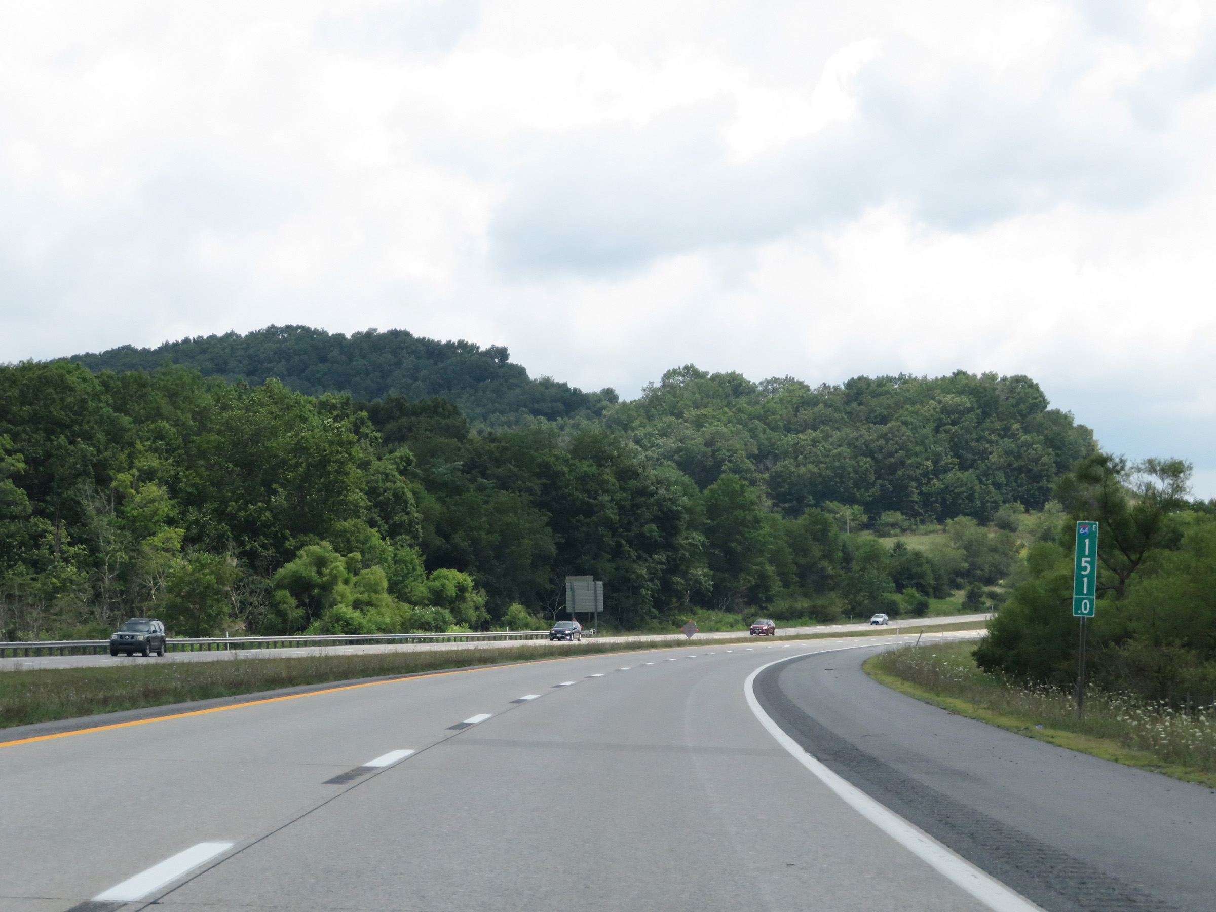 |
View on Interstate 64 East at mile marker 151. (Photo taken 8/9/19). |
 |
Mile marker 153 on Interstate 64 East in Greenbrier County. (Photo taken 8/9/19). |
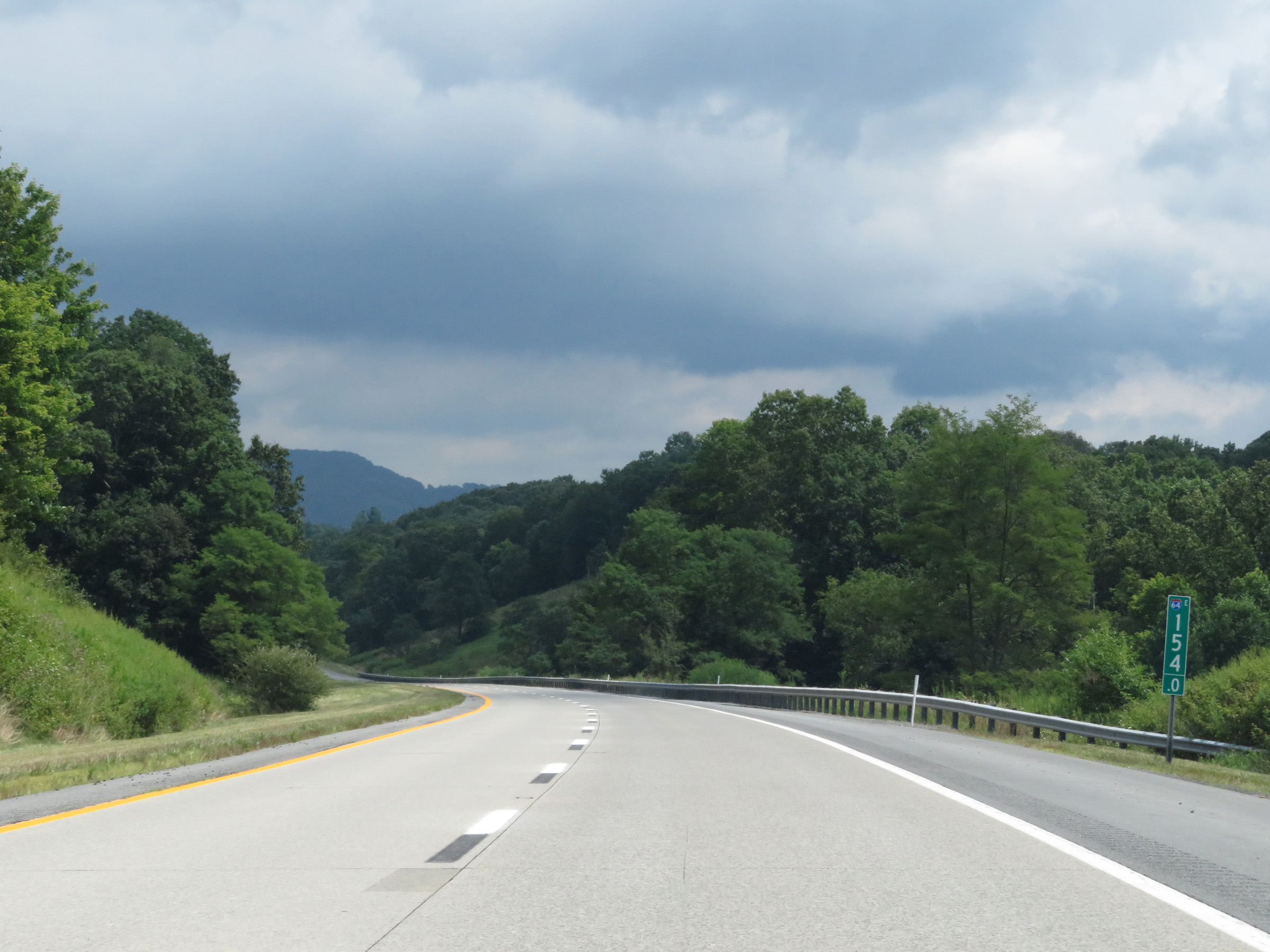 |
View on Interstate 64 East at mile marker 154. (Photo taken 8/9/19). |
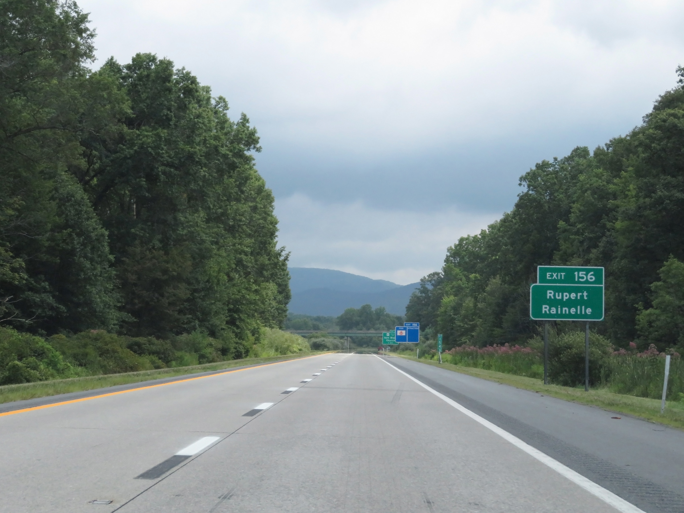 |
Take Exit 156 to Rupert and Rainelle. (Photo taken 8/9/19). |
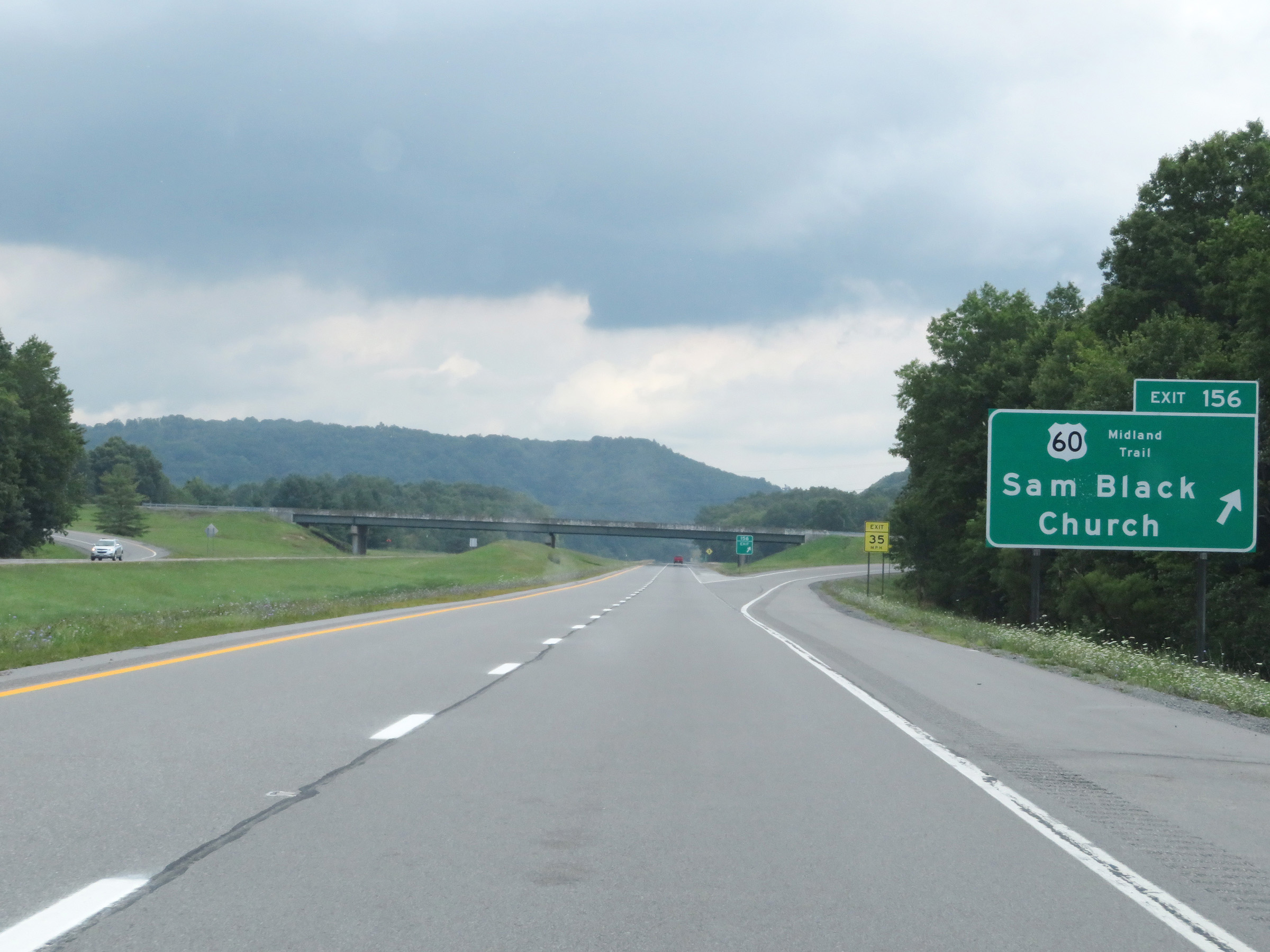 |
Interstate 64 East at Exit 156: US 60 - Sam Black Church (Photo taken 8/9/19). |
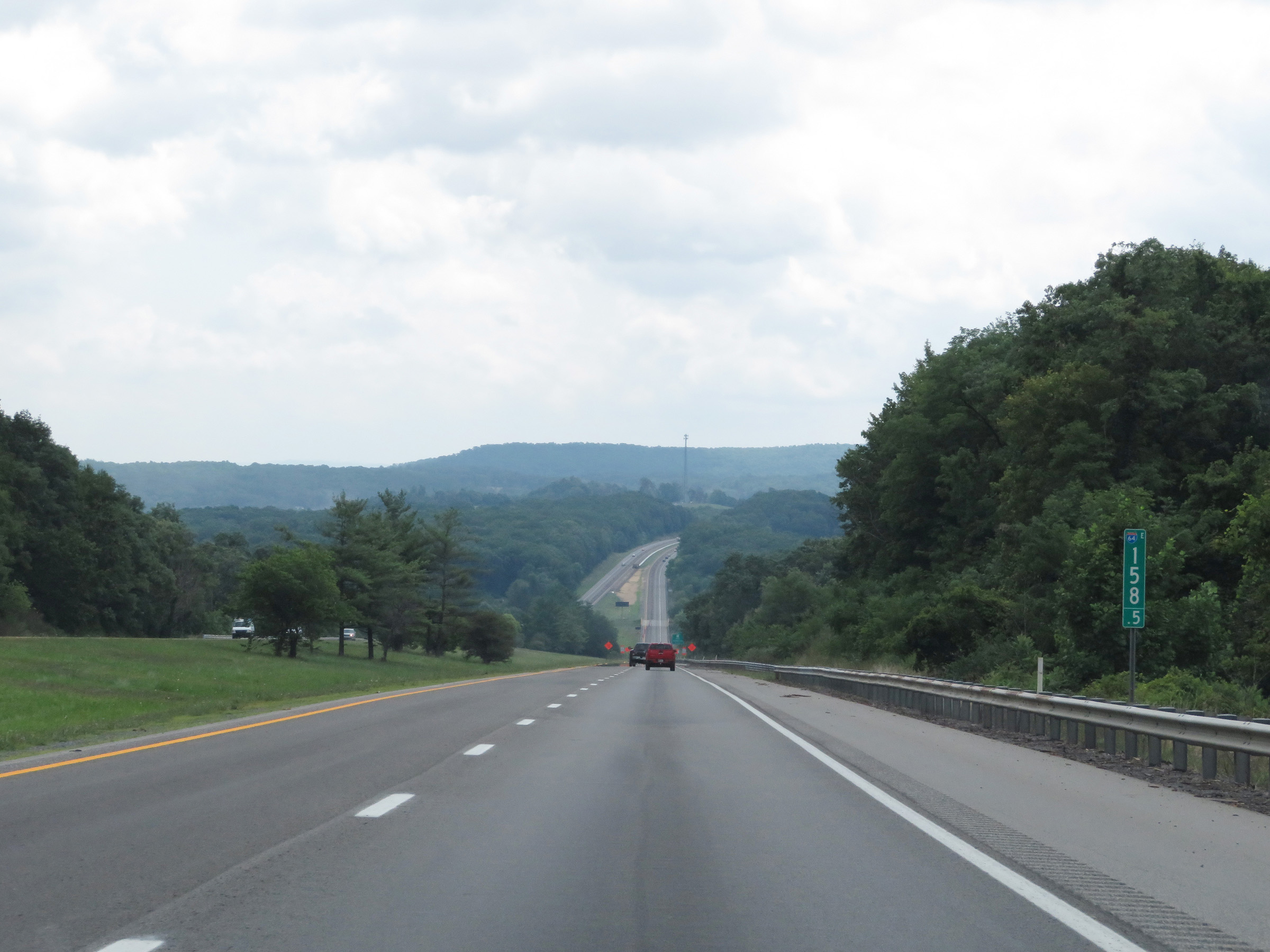 |
Interstate 64 East at mile marker 158.5. (Photo taken 8/9/19). |
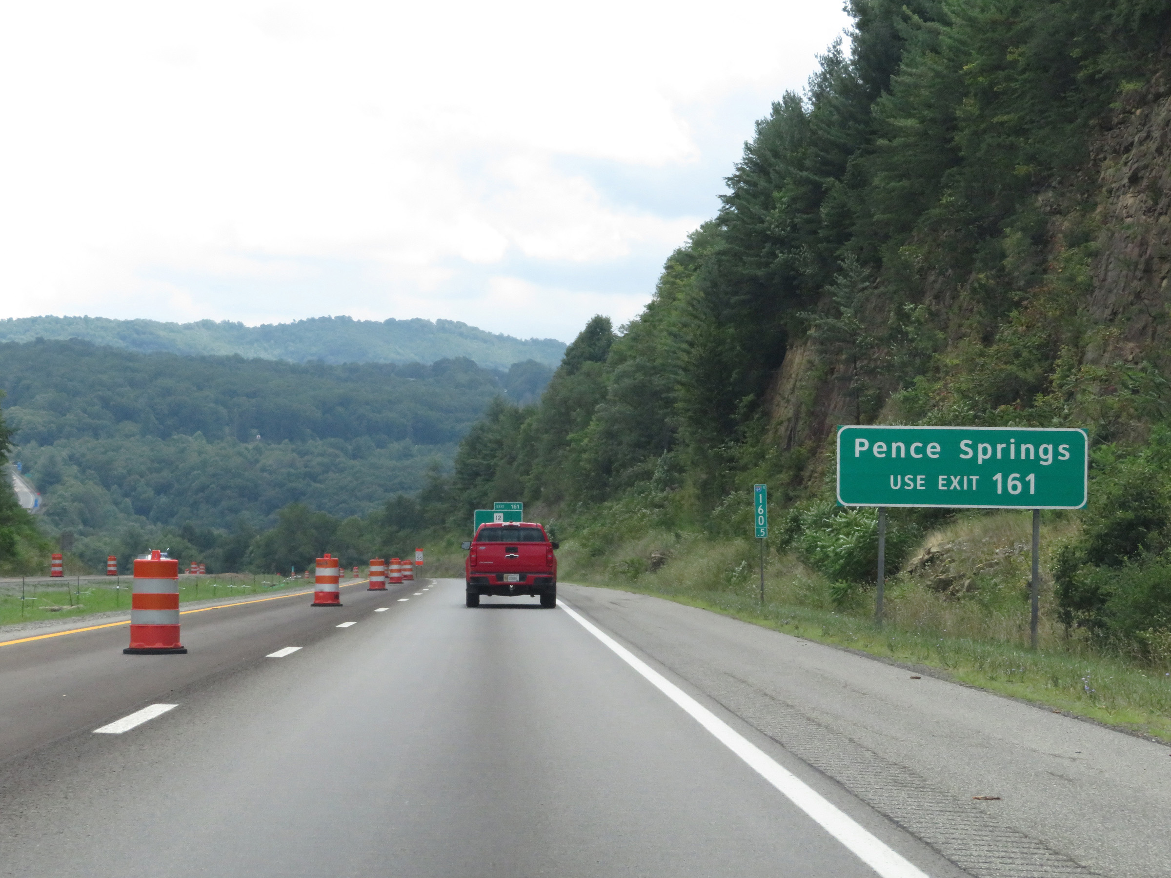 |
Take Exit 161 to Pence Springs. (Photo taken 8/9/19). |
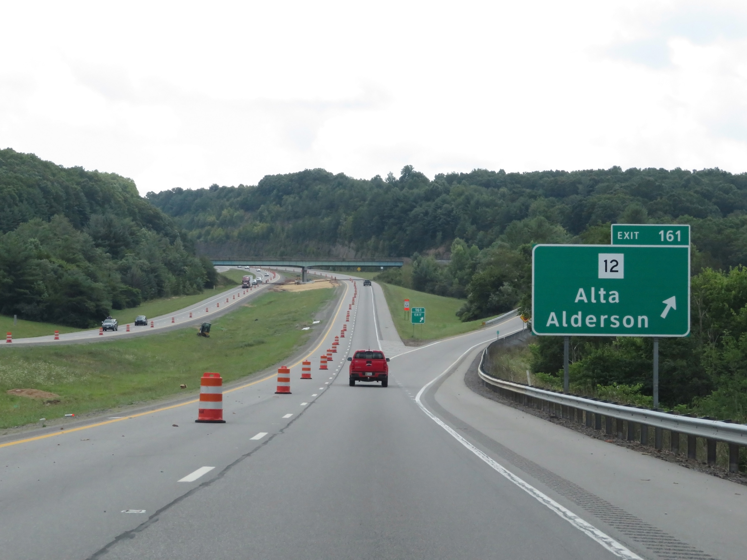 |
Interstate 64 East at Exit 161: WV 12 - Alta / Alderson (Photo taken 8/9/19). |
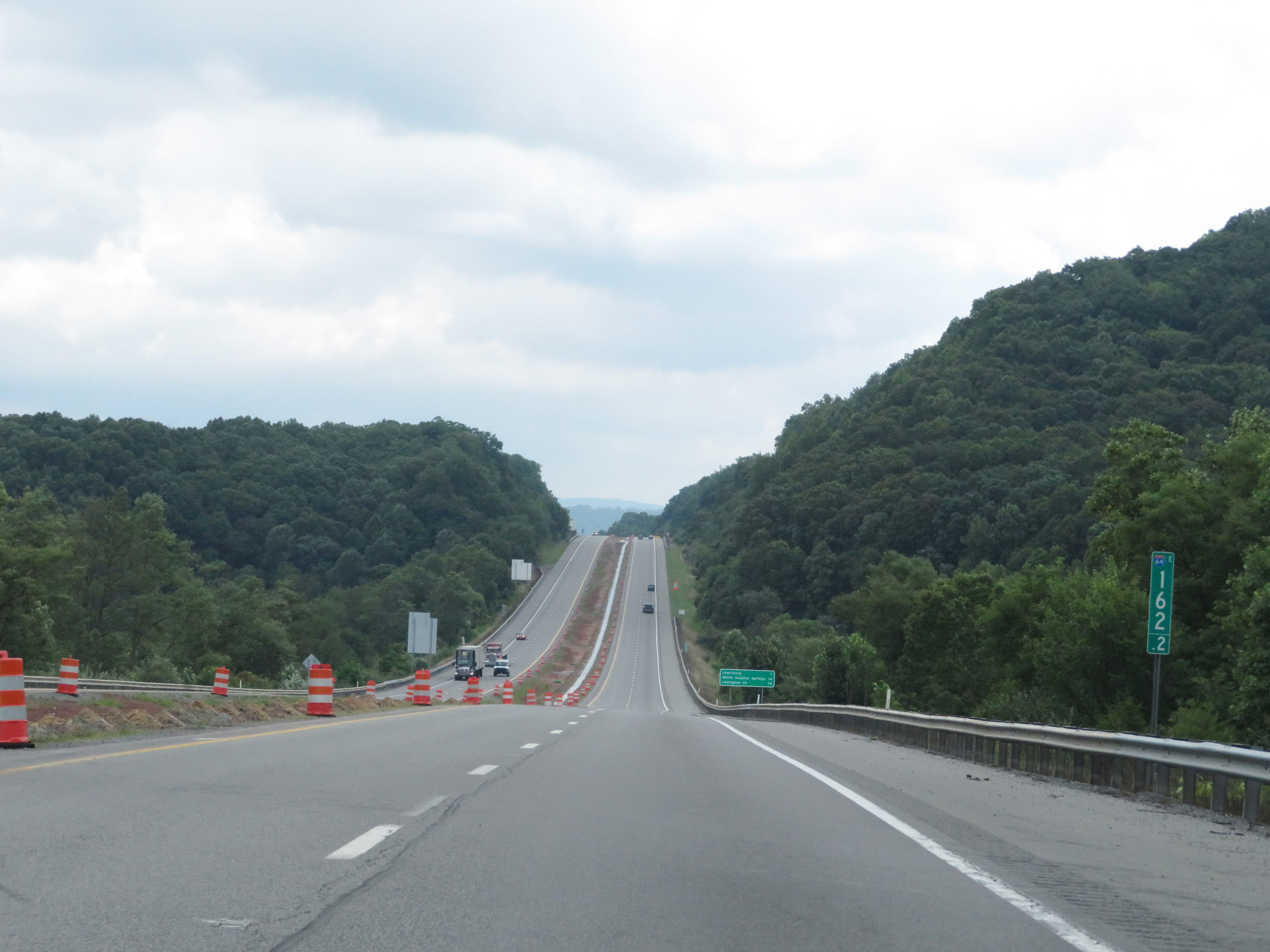 |
View on Interstate 64 East at mile marker 162.2. (Photo taken 8/9/19). |
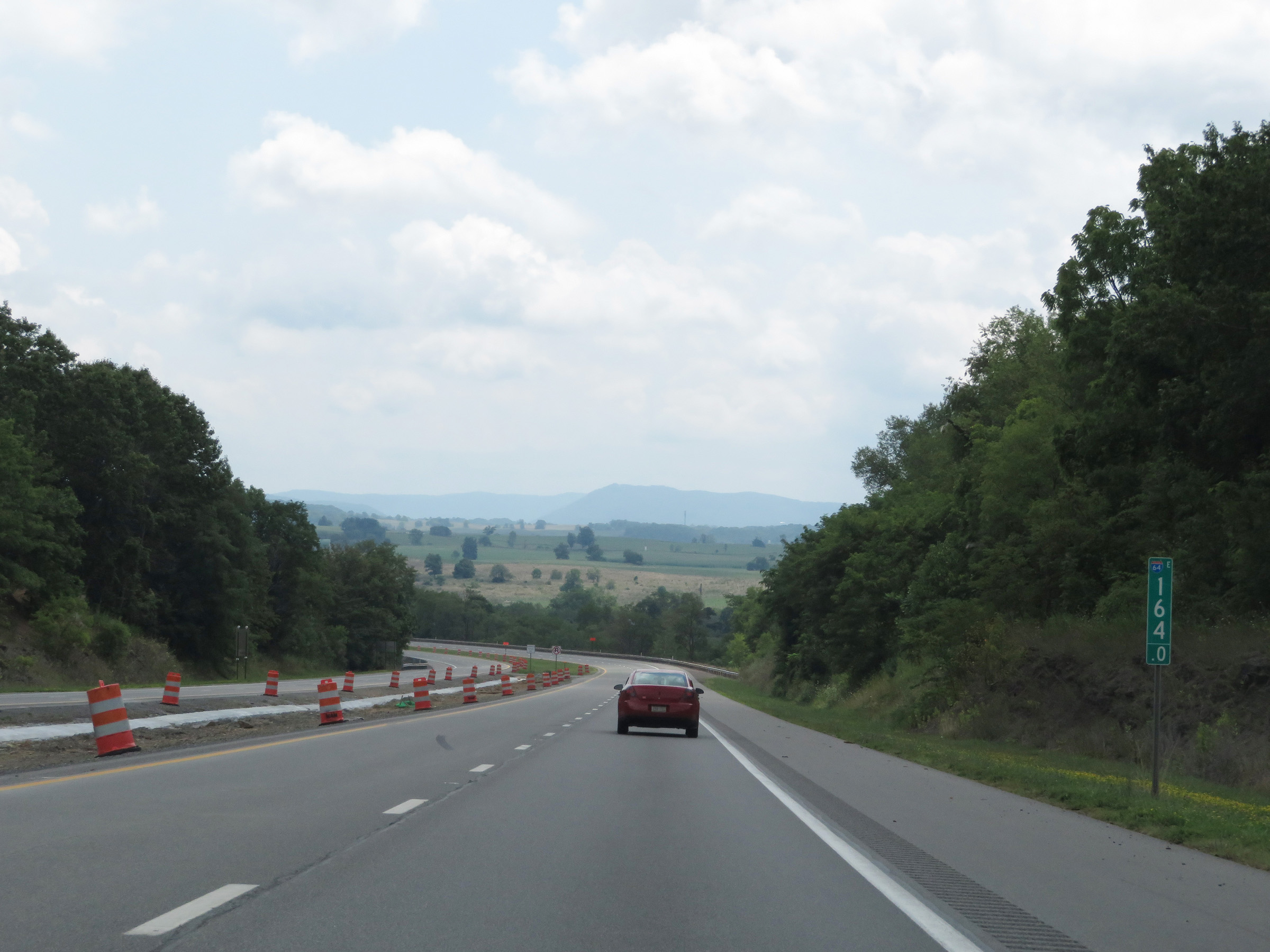 |
Interstate 64 East at mile marker 164. (Photo taken 8/9/19). |
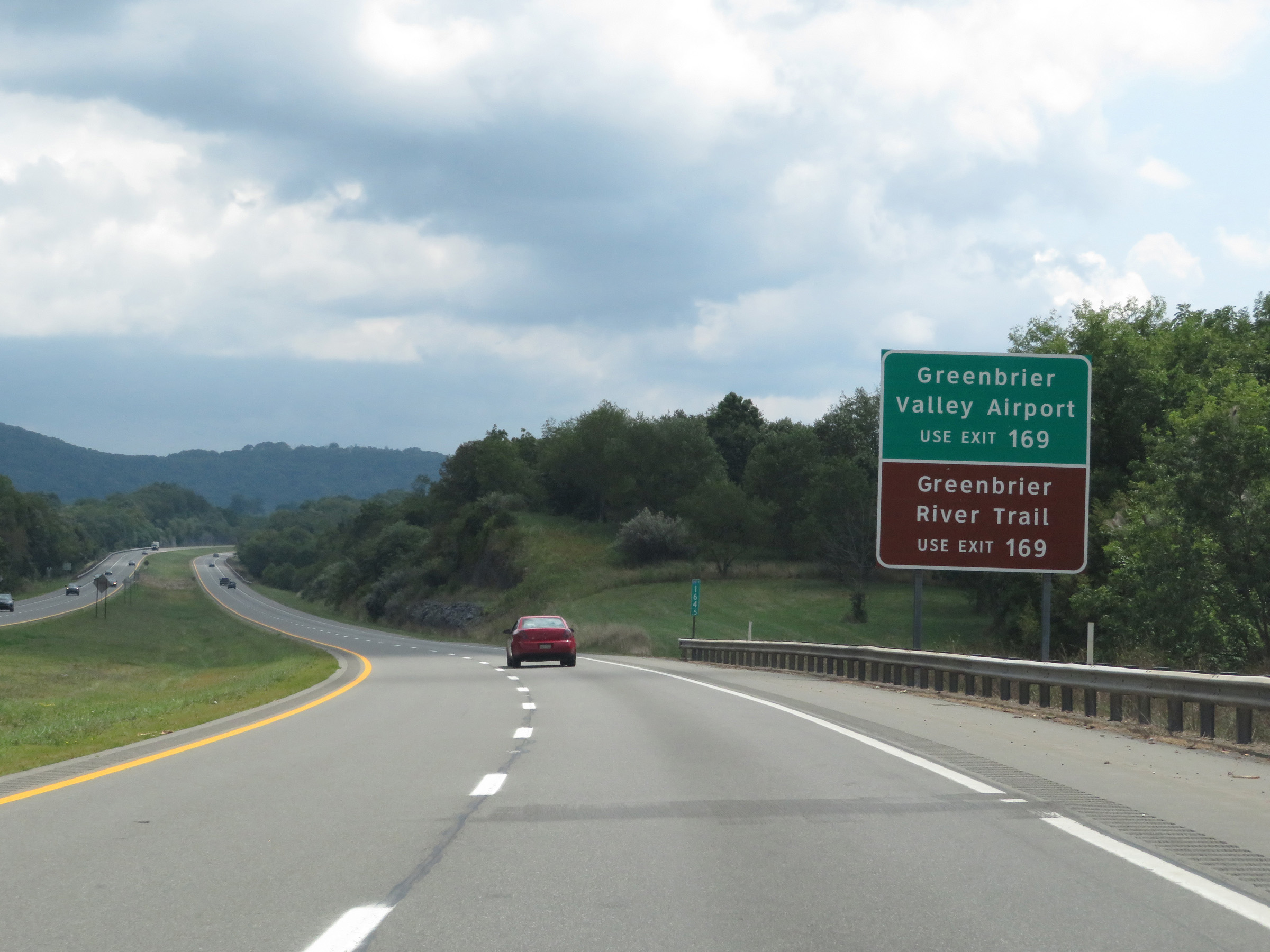 |
Take Exit 169 to Greenbrier Valley Airport and Greenbrier River Trail. (Photo taken 8/9/19). |
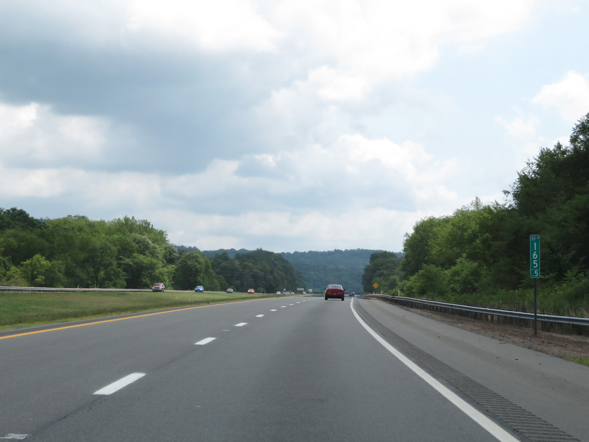 |
Mile marker 165.5 on Interstate 64 East in Greenbrier County. (Photo taken 8/9/19). |
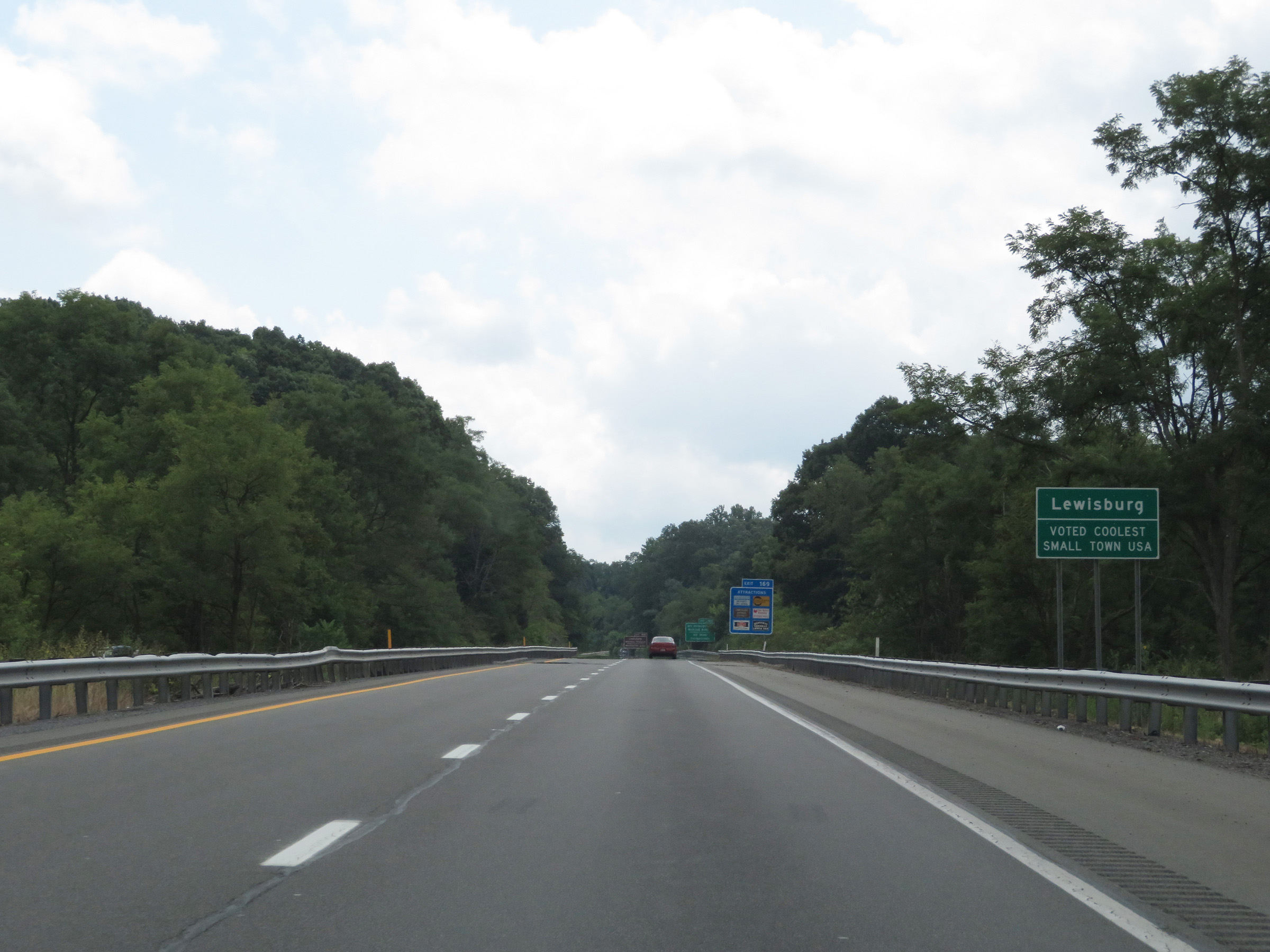 |
This sign is posted as Interstate 64 East enters Lewisburg. (Photo taken 8/9/19). |
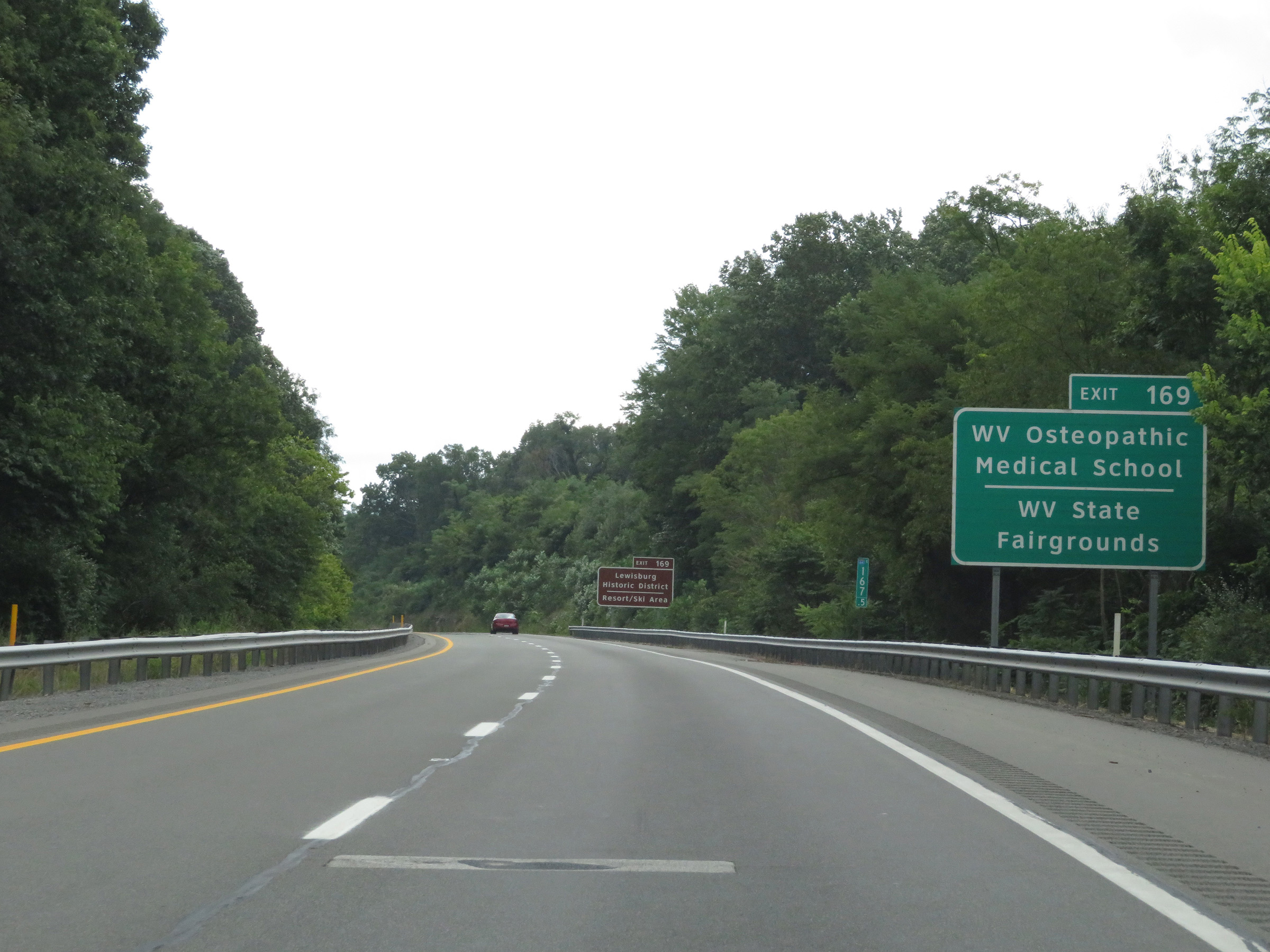 |
Also take Exit 169 to WV Osteopathic Medical School, the West Virginia State Fairgrounds, Lewisburg Historic District, and the Resort/Ski Area. (Photo taken 8/9/19). |
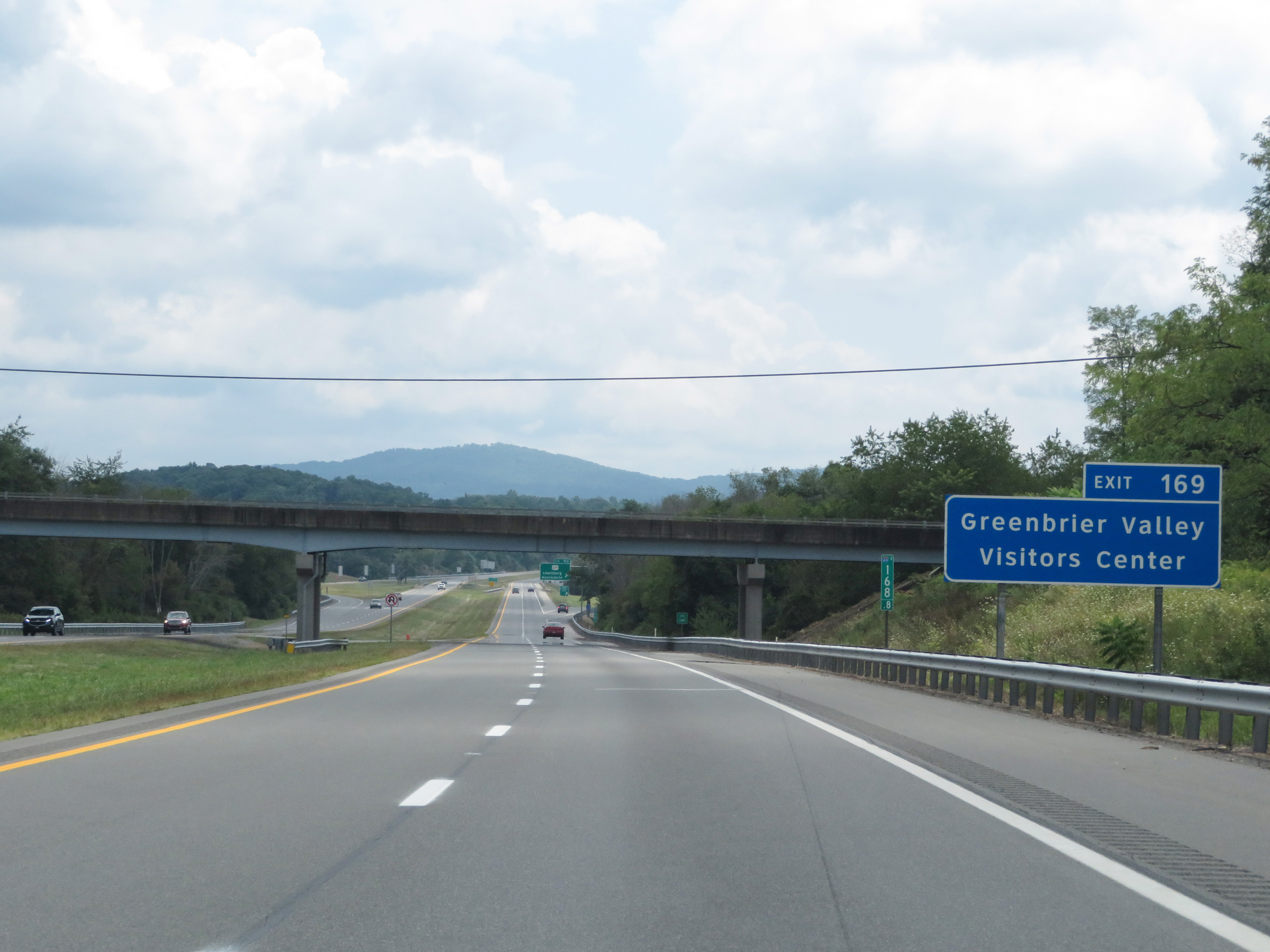 |
Take Exit 169 to the Greenbrier Valley Visitors Center as well. (Photo taken 8/9/19). |
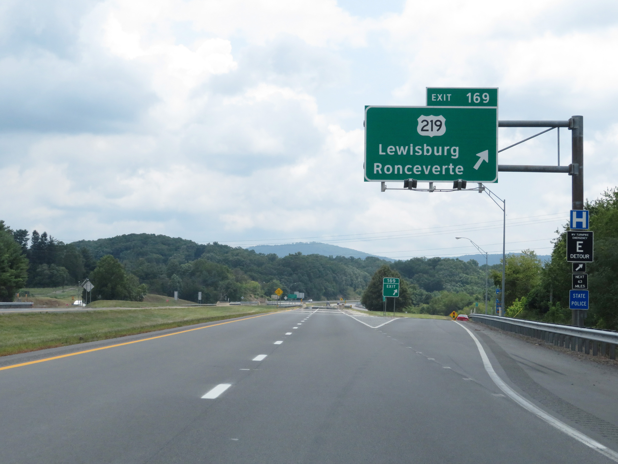 |
Interstate 64 East at Exit 169: US 219 - Lewisburg / Ronceverte (Photo taken 8/9/19). |
 |
State-named Interstate 64 East reassurance shield at mile marker 170 near Lewisburg. (Photo taken 8/9/19). |
 |
The speed limit remains 70 mph on Interstate 64 East. This is the standard speed limit on most rural Interstate highways in West Virginia. (Photo taken 8/9/19). |
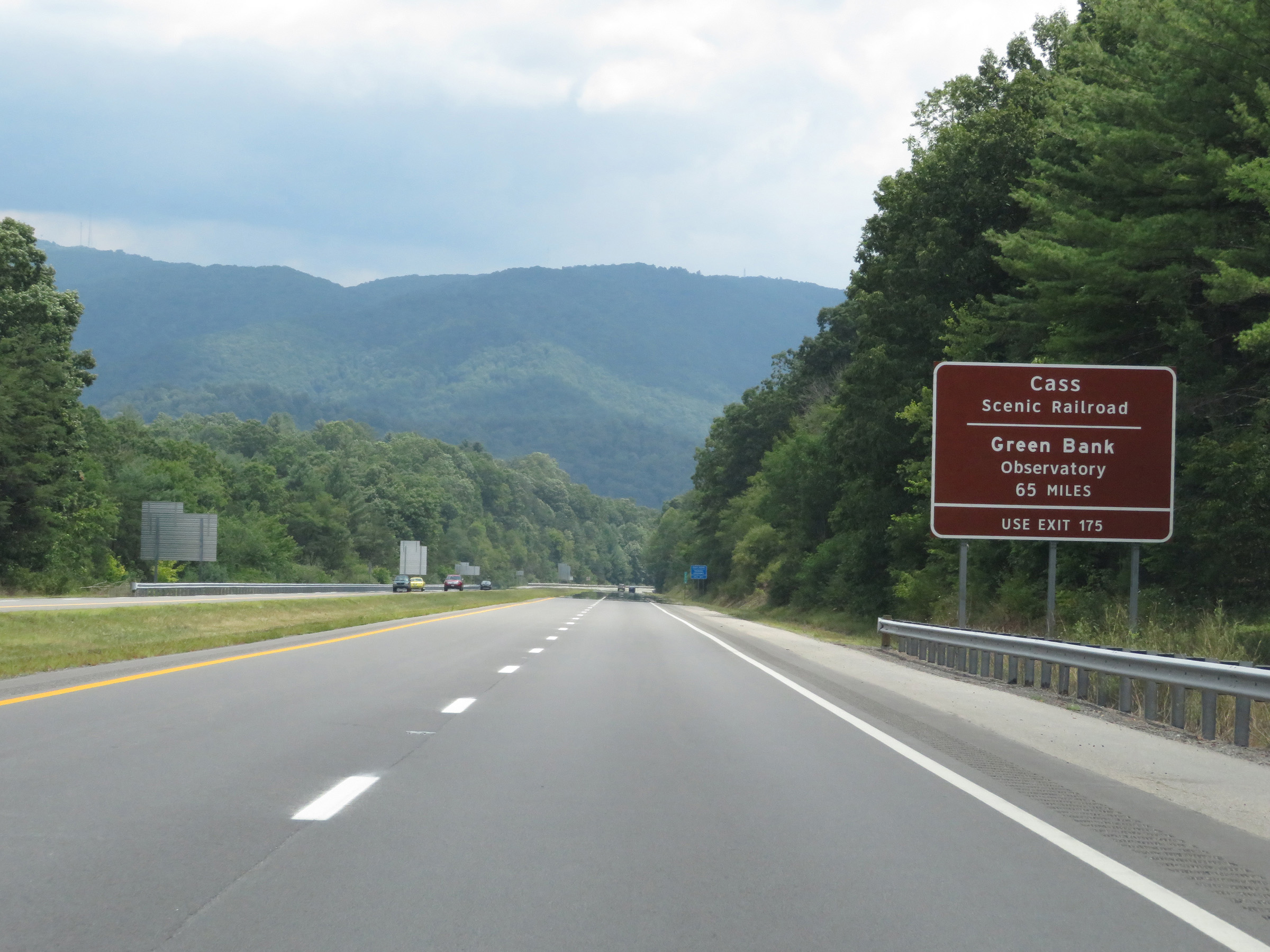 |
Take Exit 175 to Cass Scenic Railroad and Green Bank Observatory. (Photo taken 8/9/19). |
 |
View on Interstate 64 East at mile marker 171. (Photo taken 8/9/19). |
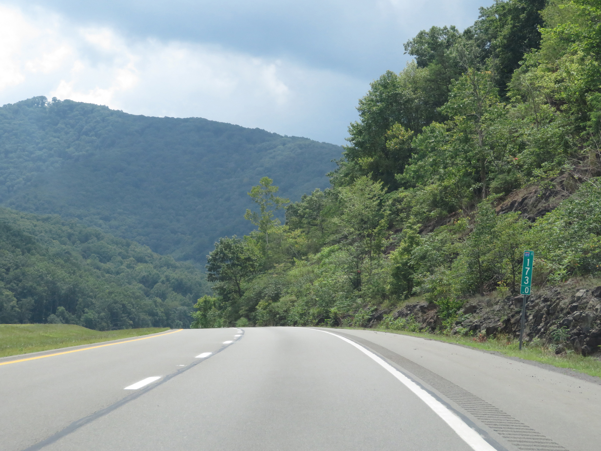 |
Interstate 64 East at mile marker 173. (Photo taken 8/9/19). |
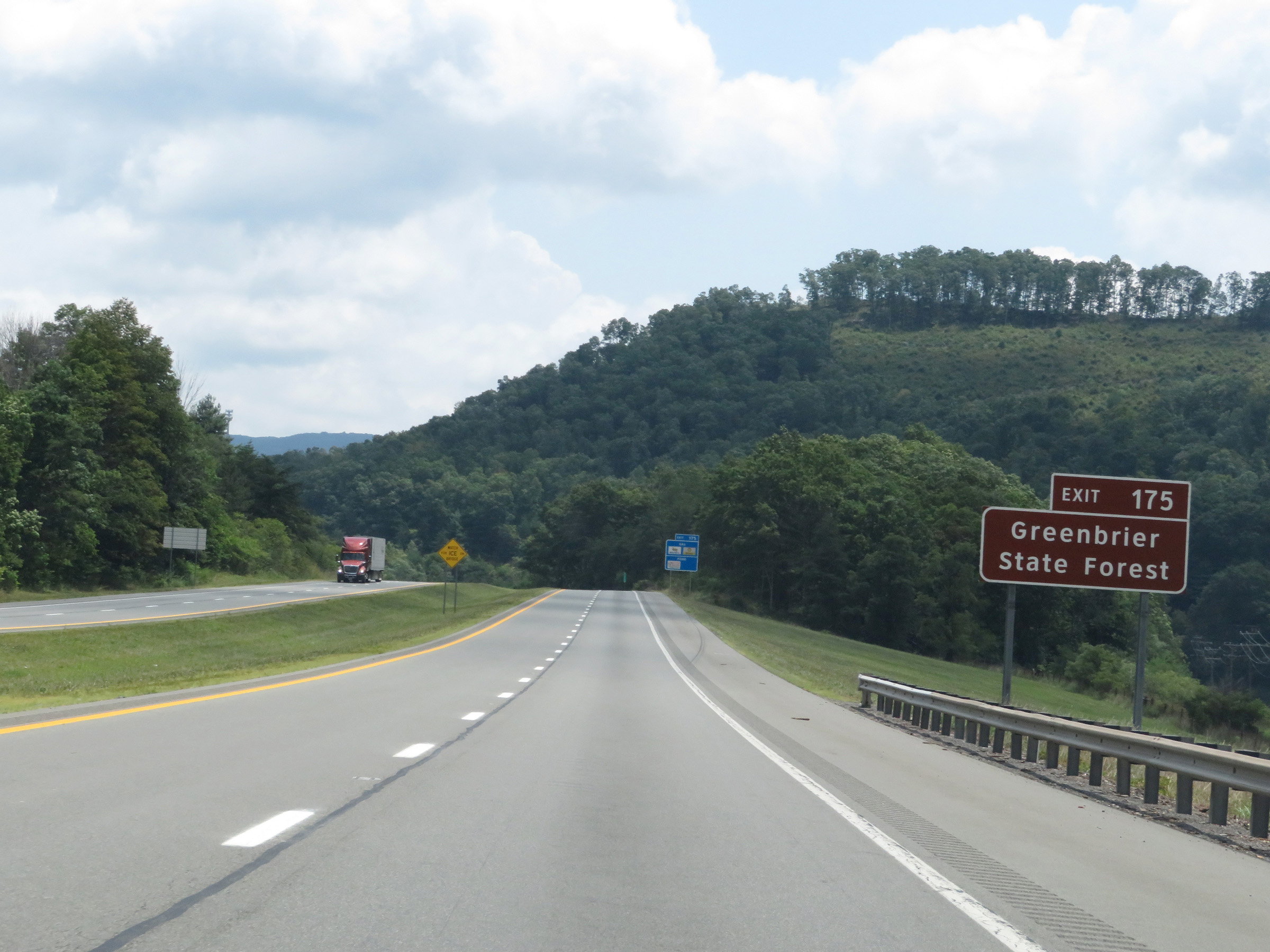 |
Also take Exit 175 to Greenbrier State Forest. (Photo taken 8/9/19). |
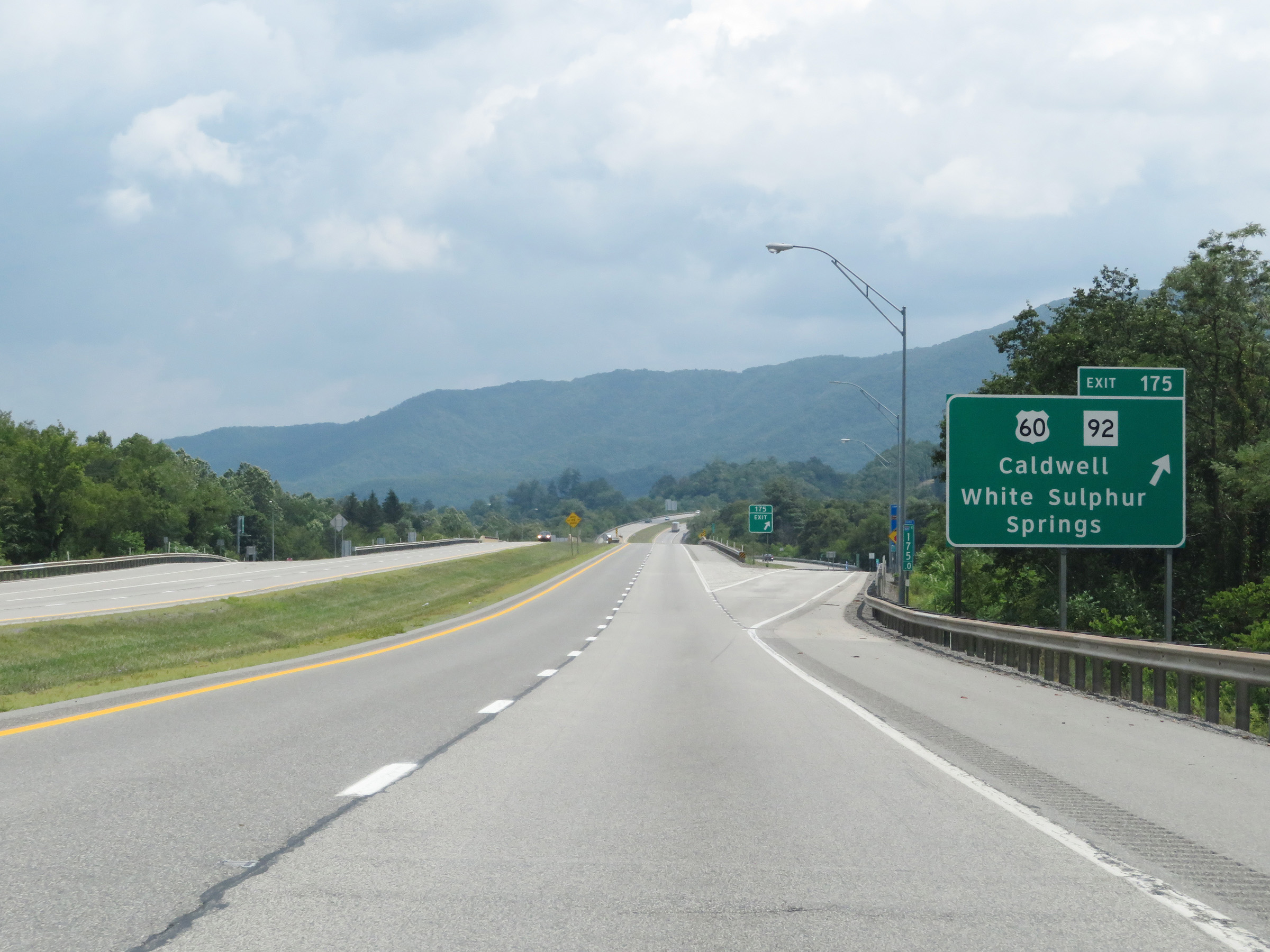 |
Interstate 64 East at Exit 175: US 60 / WV 92 - Caldwell / White Sulphur Springs (Photo taken 8/9/19). |
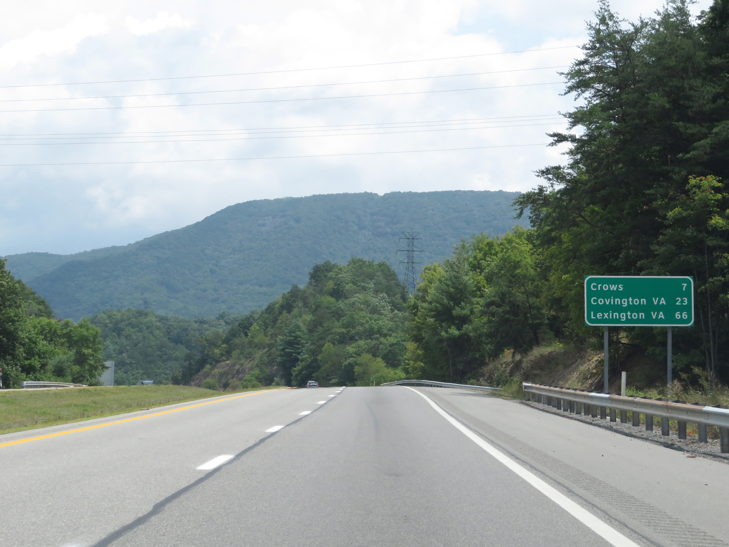 |
Mileage sign on Interstate 64 East. It's 7 miles to Crows, 23 miles to Covington, VA and 66 miles to Lexington, VA. (Photo taken 8/9/19). |
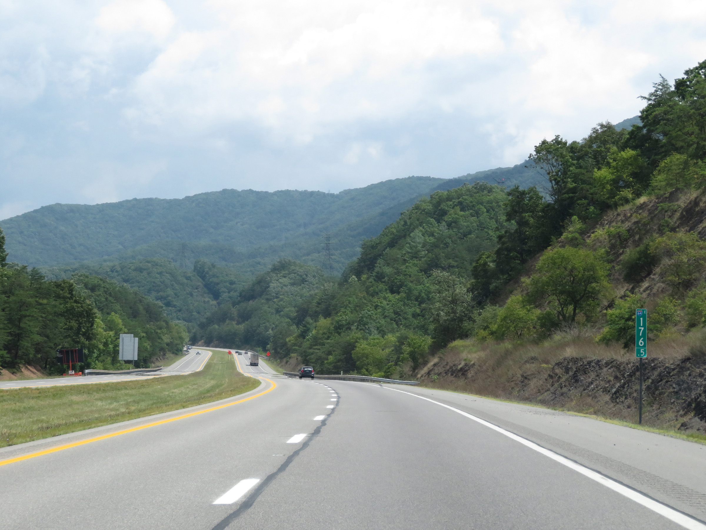 |
View on Interstate 64 East at mile marker 176.5. (Photo taken 8/9/19). |
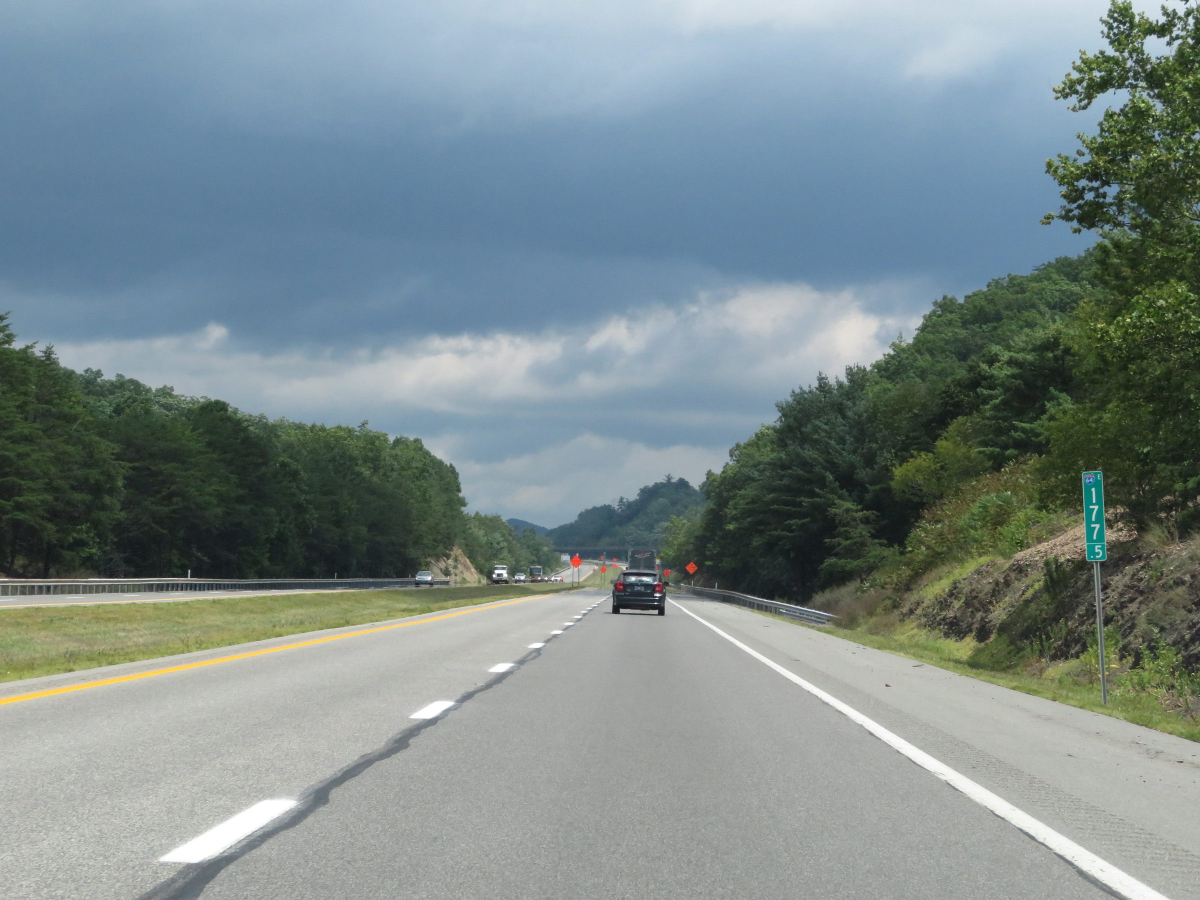 |
Interstate 64 East at mile marker 177.5. (Photo taken 8/9/19). |
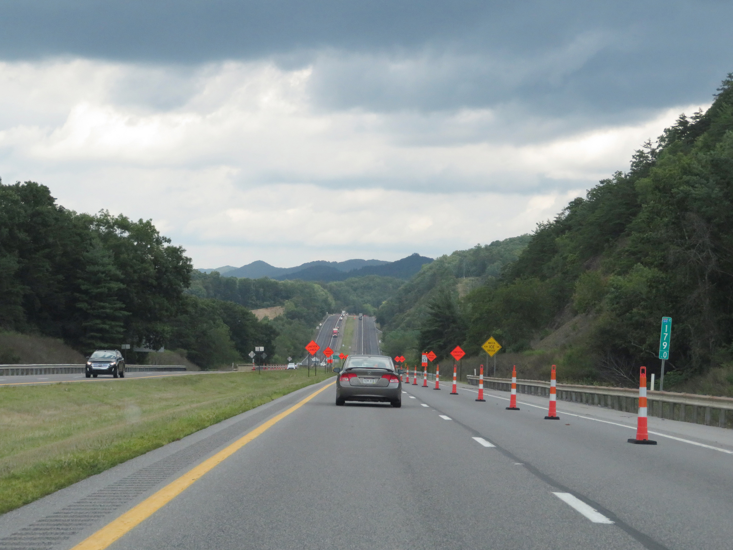 |
Mile marker 179 on Interstate 64 East in Greenbrier County. (Photo taken 8/9/19). |
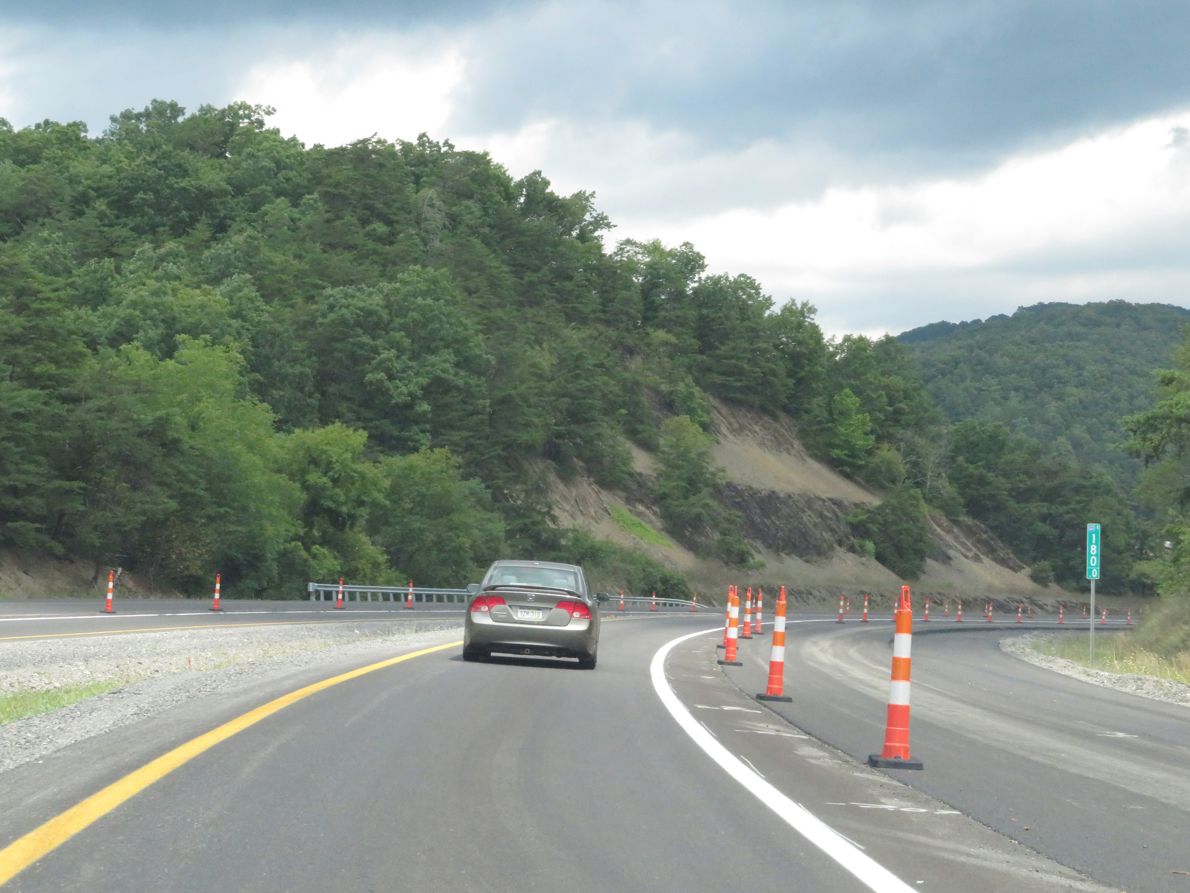 |
View on Interstate 64 East at mile marker 180. (Photo taken 8/9/19). |
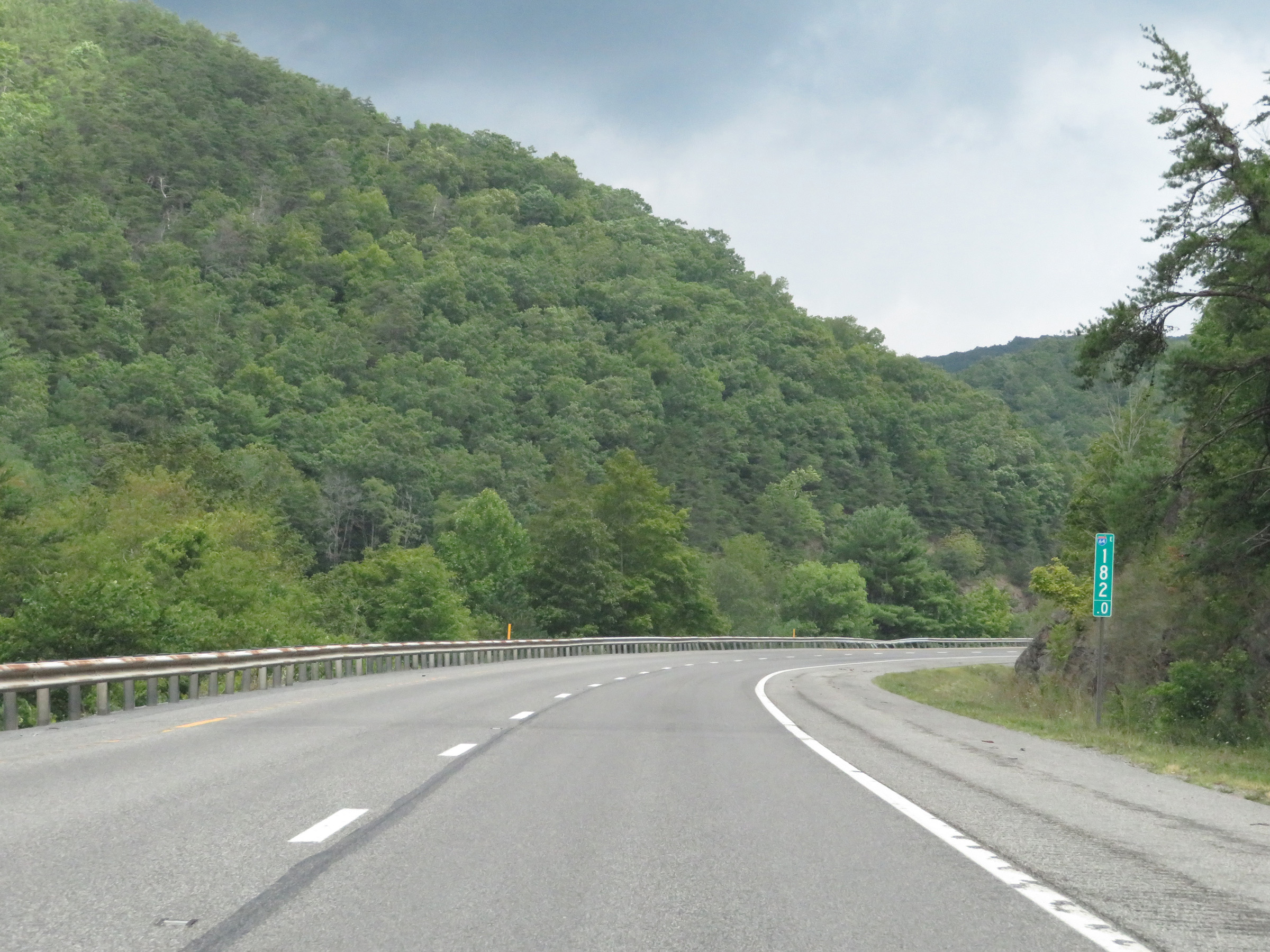 |
Interstate 64 East at mile marker 182. (Photo taken 8/9/19). |
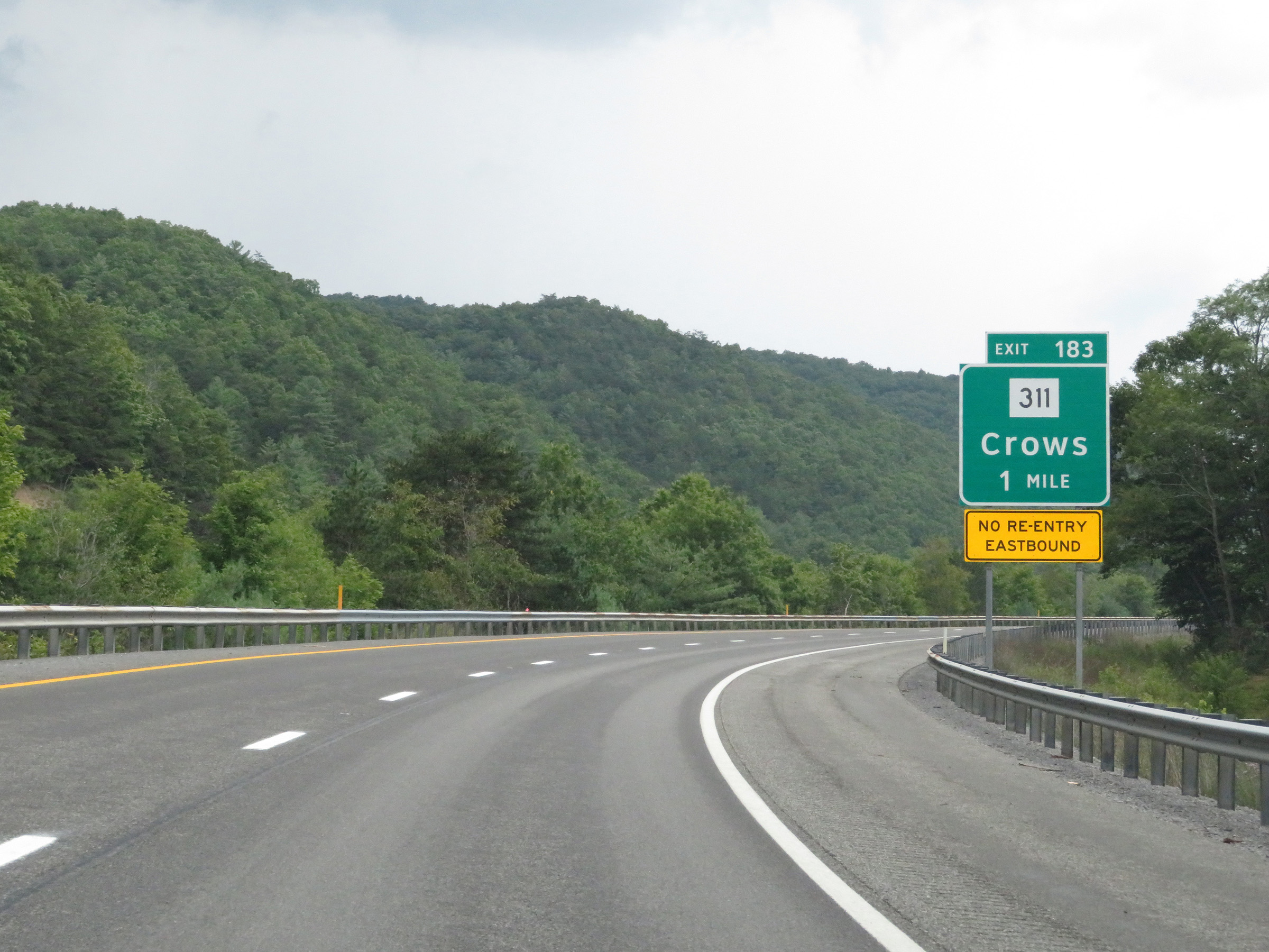 |
Exit 183, which is 1 mile ahead and the final exit on Interstate 64 East in West Virginia, provides no return access to I-64 East. (Photo taken 8/9/19). |
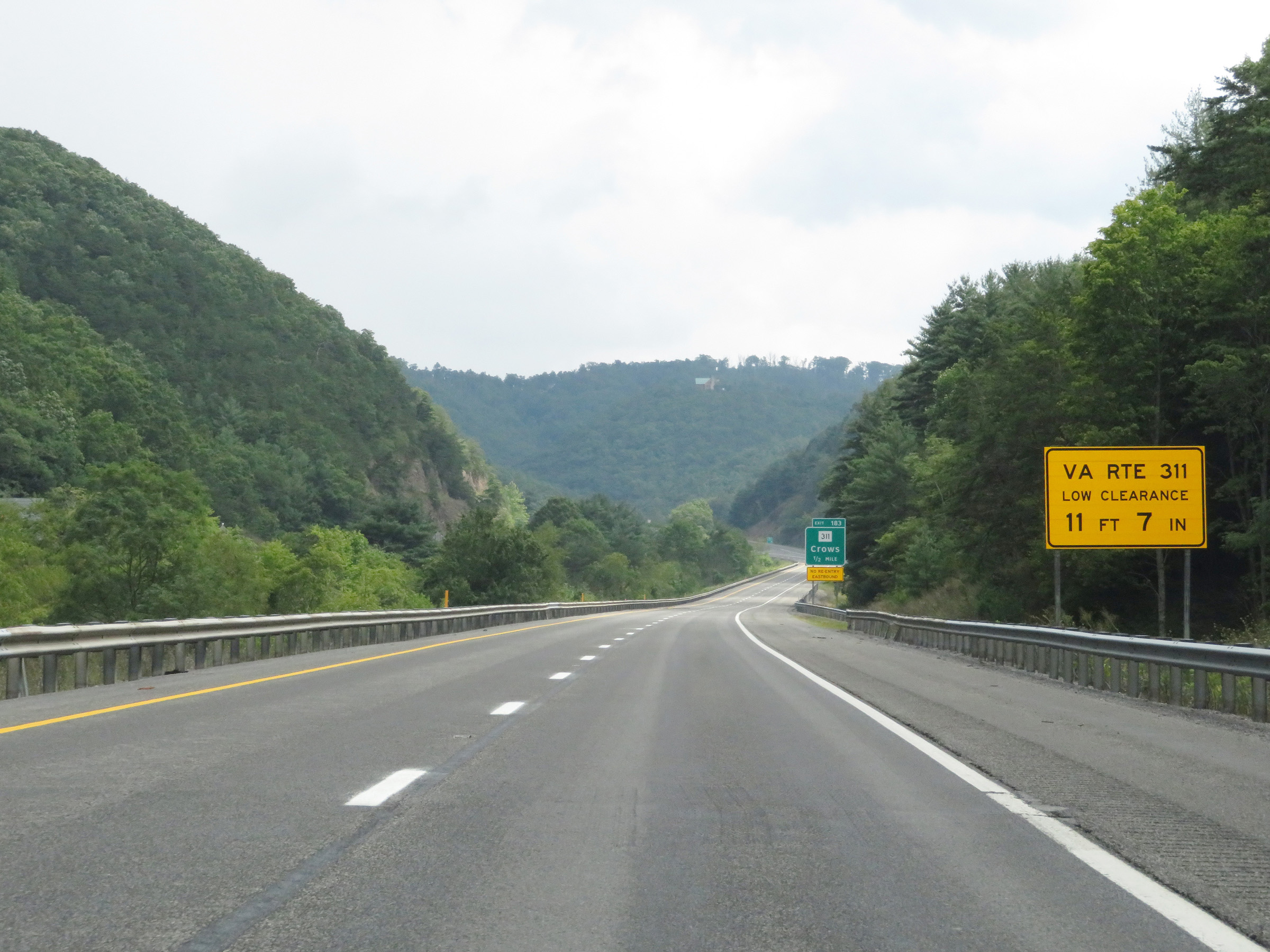 |
Trucks following WV 311 into Virginia, at which point it becomes VA 311, are warned that there is a low overhead clearance of 11' 7" in Virginia. (Photo taken 8/9/19). |
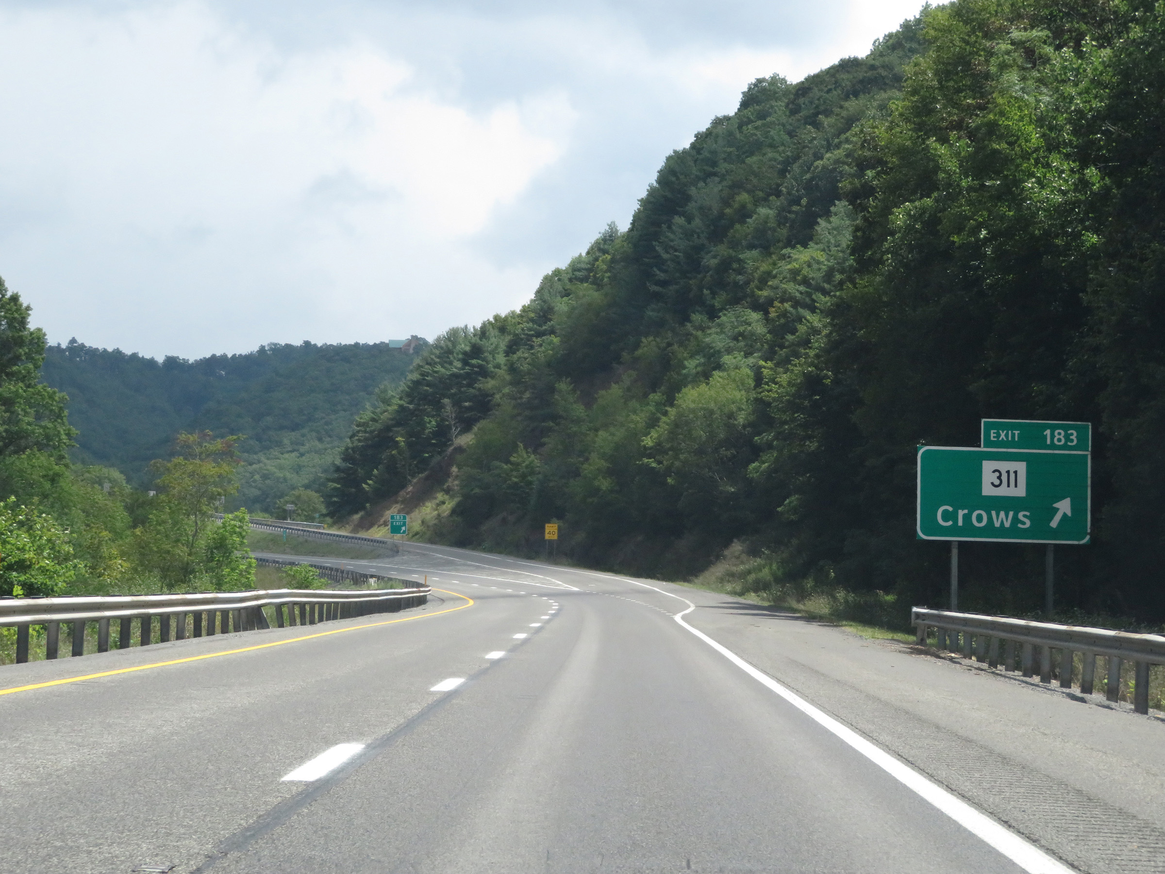 |
Interstate 64 East at Exit 183: WV 311 - Crows (Photo taken 8/9/19). |
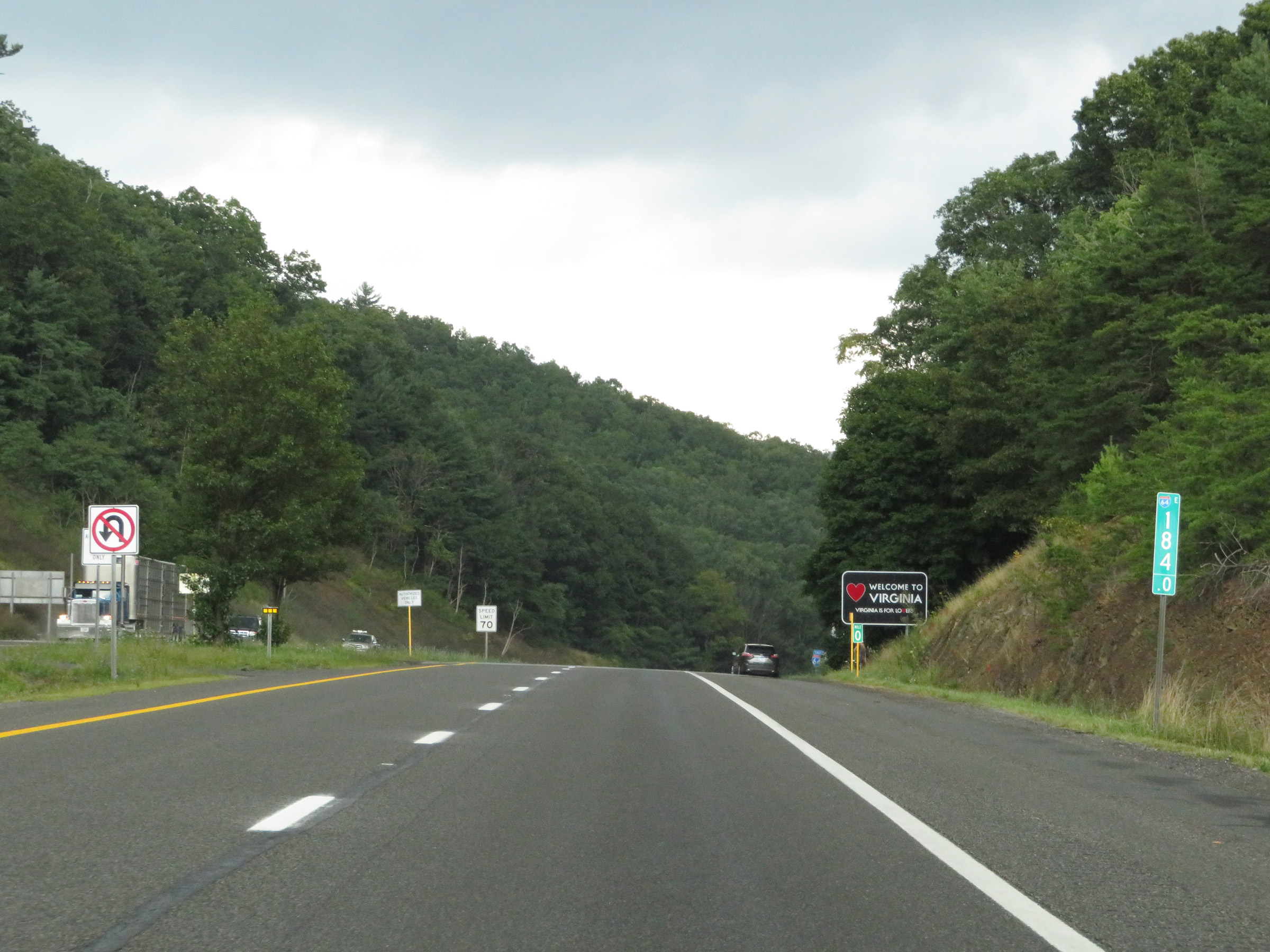 |
At mile marker 184, Interstate 64 East prepares to cross the state line into Virginia. (Photo taken 8/9/19). |