Road Information |
||
 |
||
| Total Mileage in State: | 4 miles | |
| Eastern End: | At I-70, near Elm Grove | |
| Western End: | At Ohio state line | |
| Mileage covered in Photos: | 4 miles | |
| Counties covered in Photos: | Ohio | |
| Major Junctions in Photos: | US 250, near Wheeling | |
| Control Cities in Photos: | Wheeling | |
Westbound
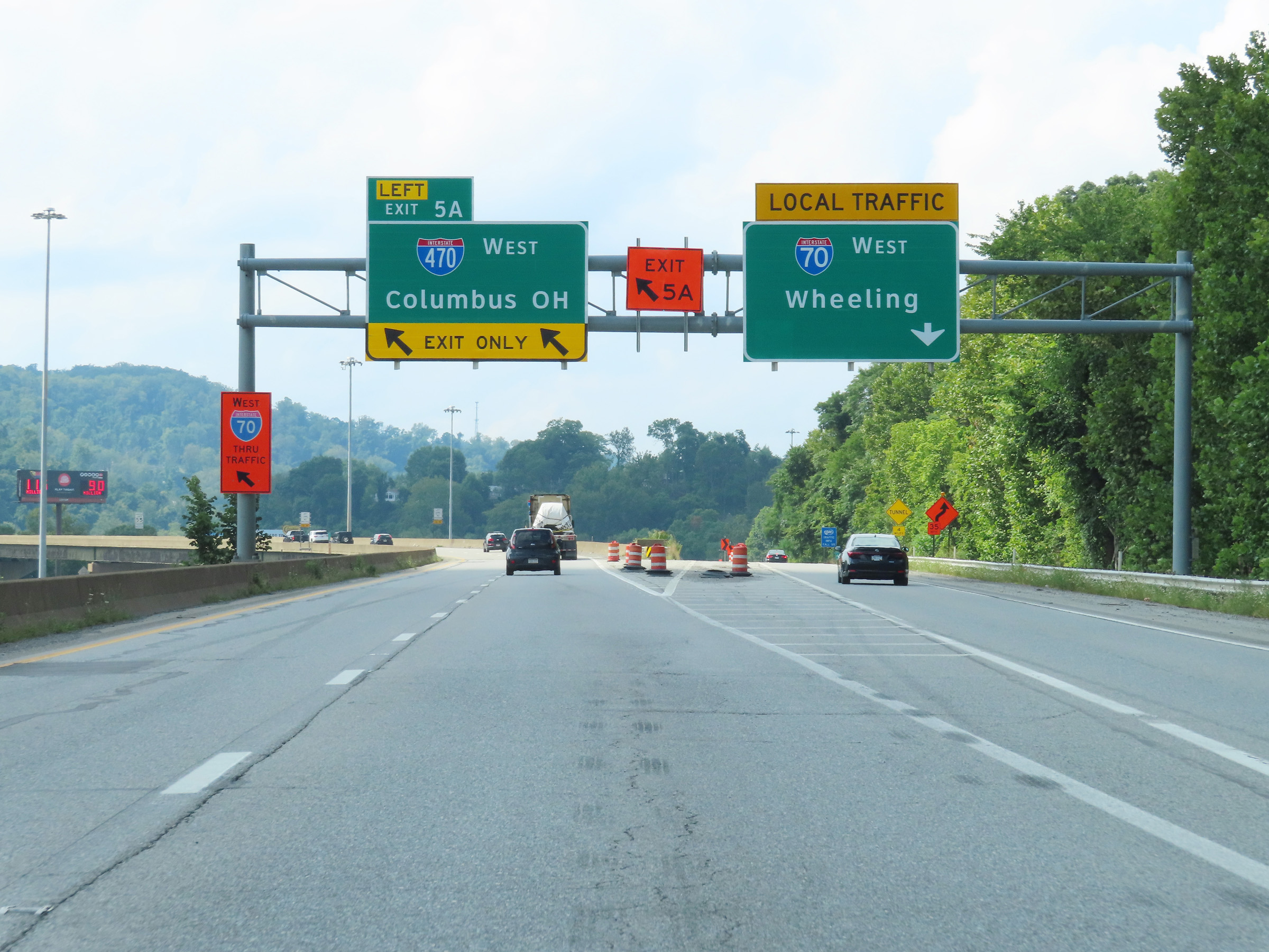 |
Interstate 470 West begins at left Exit 5A on Interstate 70 East in West Virginia. I-470 serves as a bypass of downtown Wheeling and the Wheeling Tunnel. (Photo taken 8/21/22). |
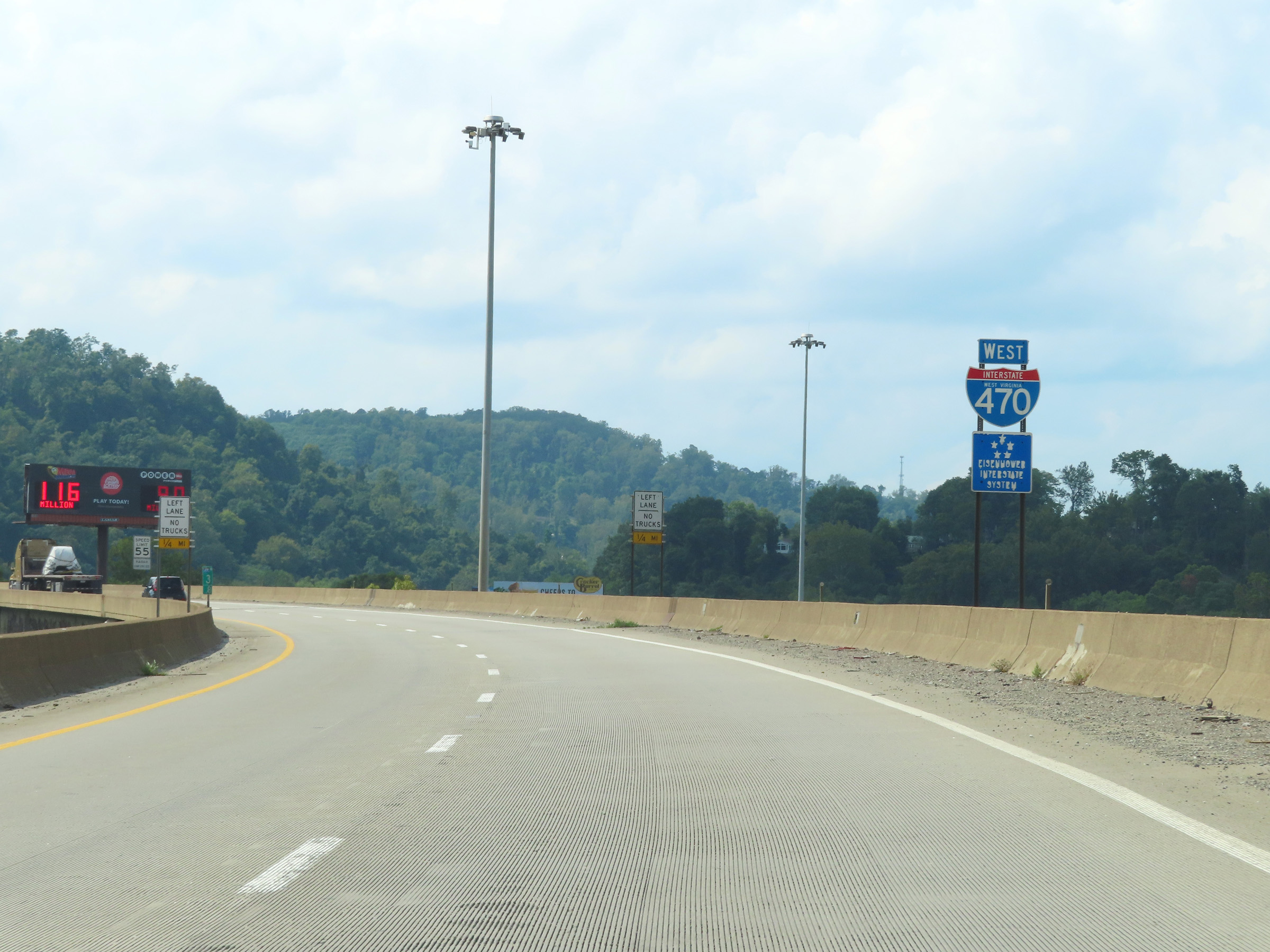 |
State-named Interstate 470 West reassurance shield as the alignment begins at mile marker 3.8. (Photo taken 8/21/22). |
 |
The speed limit on Interstate 470 West in West Virginia is 55 mph. (Photo taken 8/21/22). |
 |
About 1/2 mile after it begins, Interstate 470 West starts to climb the grade seen here. A truck climbing lane begins, and as these signs read, trucks are prohibited in the left lane while climbing the hill. (Photo taken 8/21/22). |
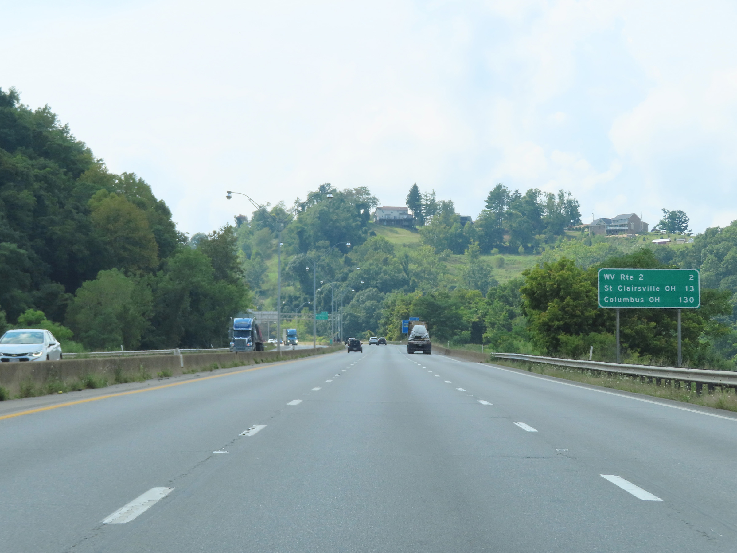 |
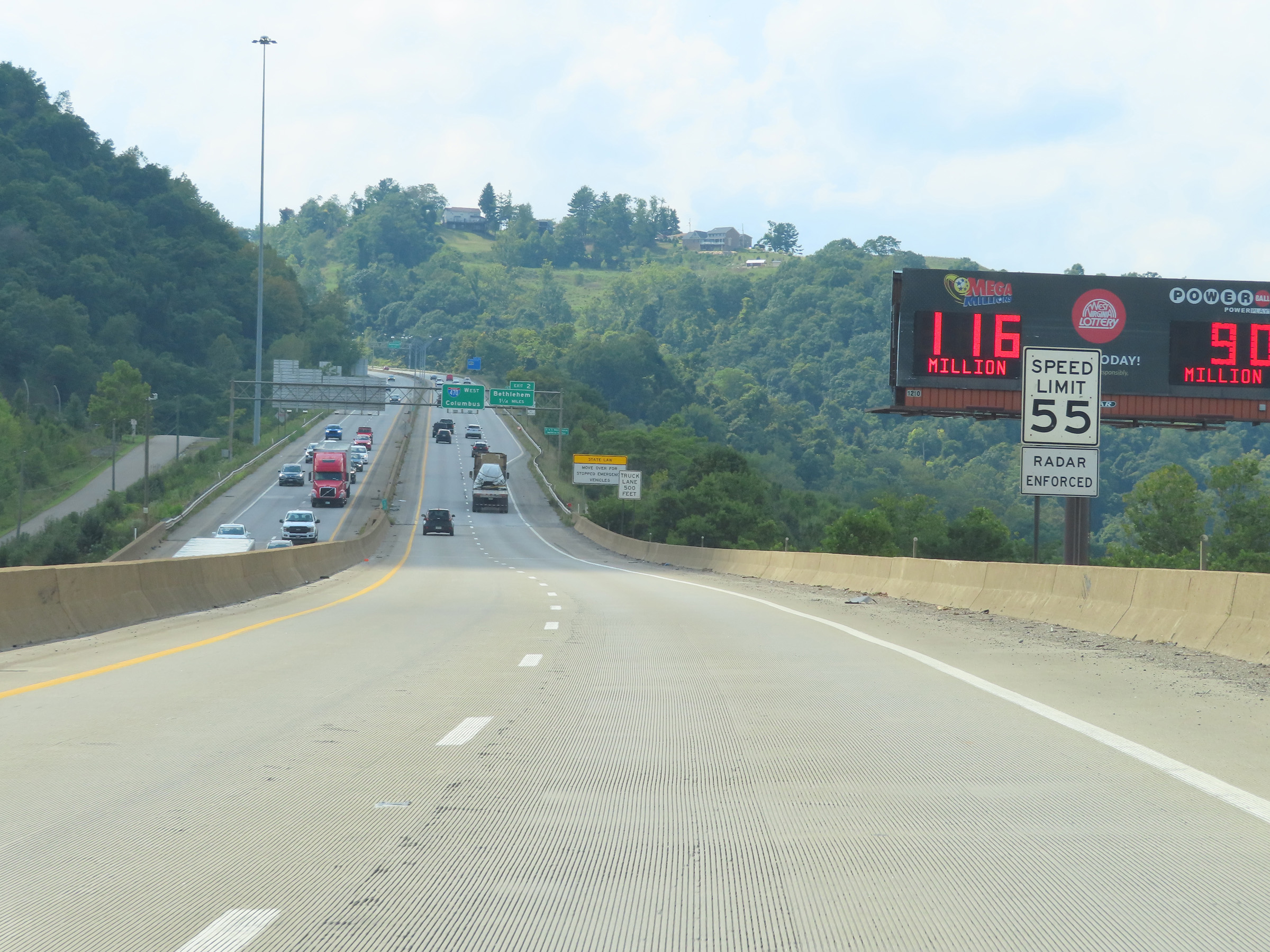
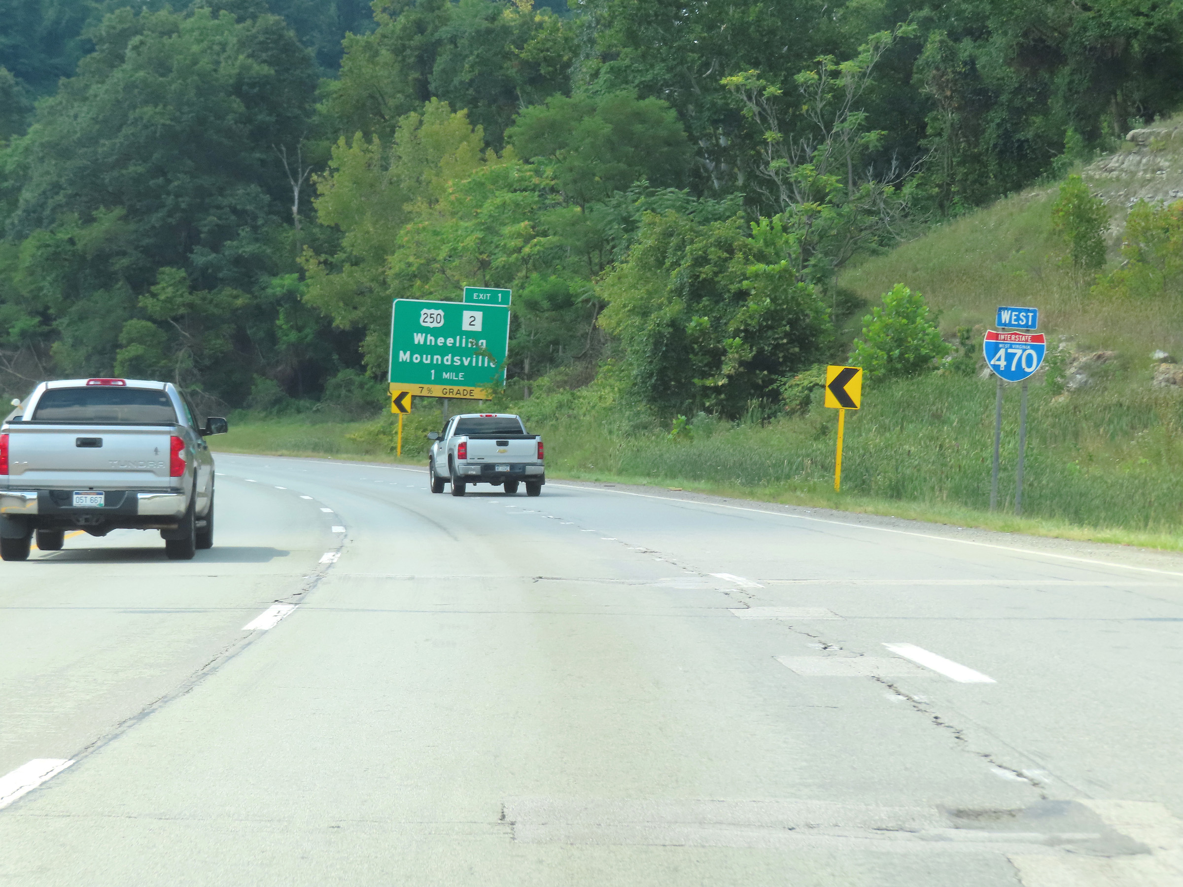
Mileage sign on Interstate 470 West. It's 2 miles to the junction of WV 2, 13 miles to St. Clairsville, OH, and 130 miles to Columbus, OH. (Photo taken 8/21/22). |
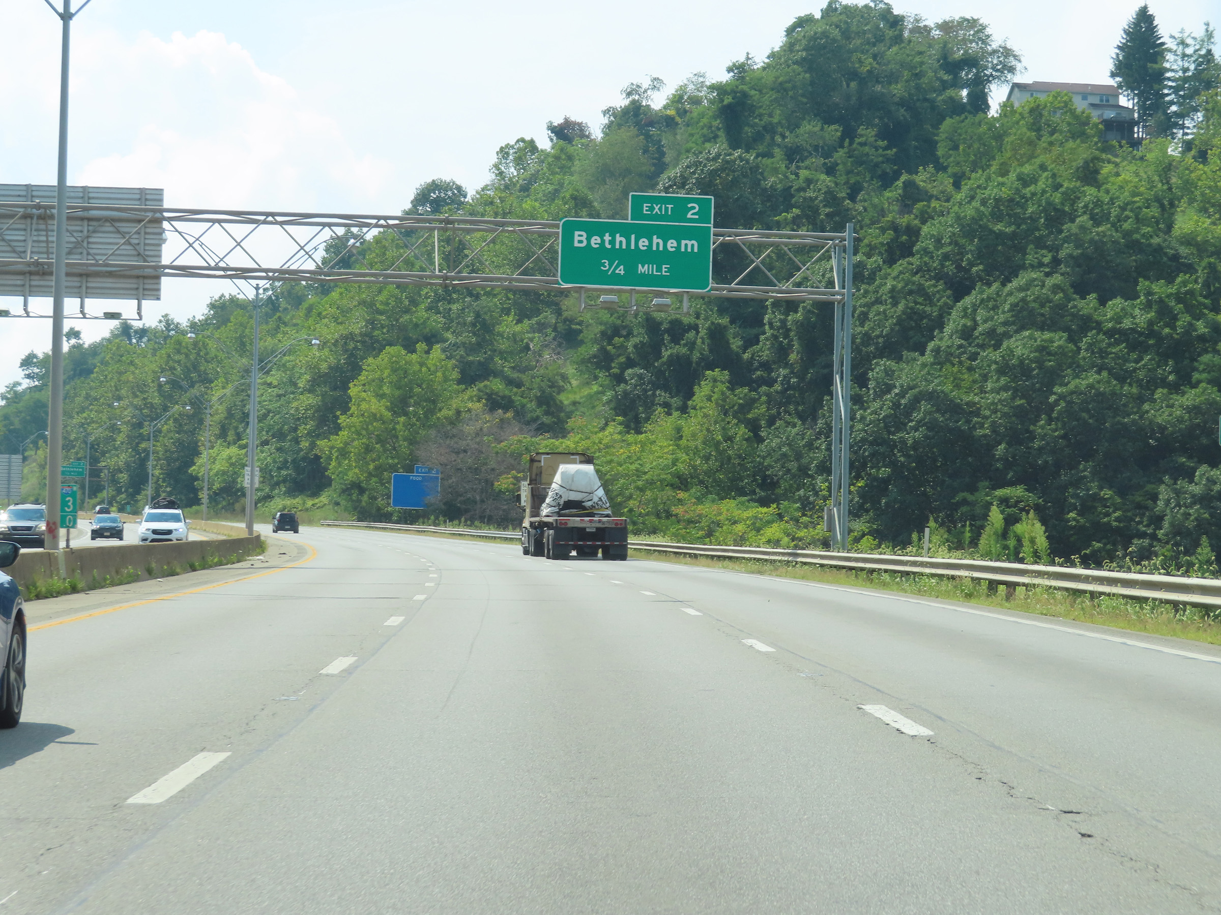 |
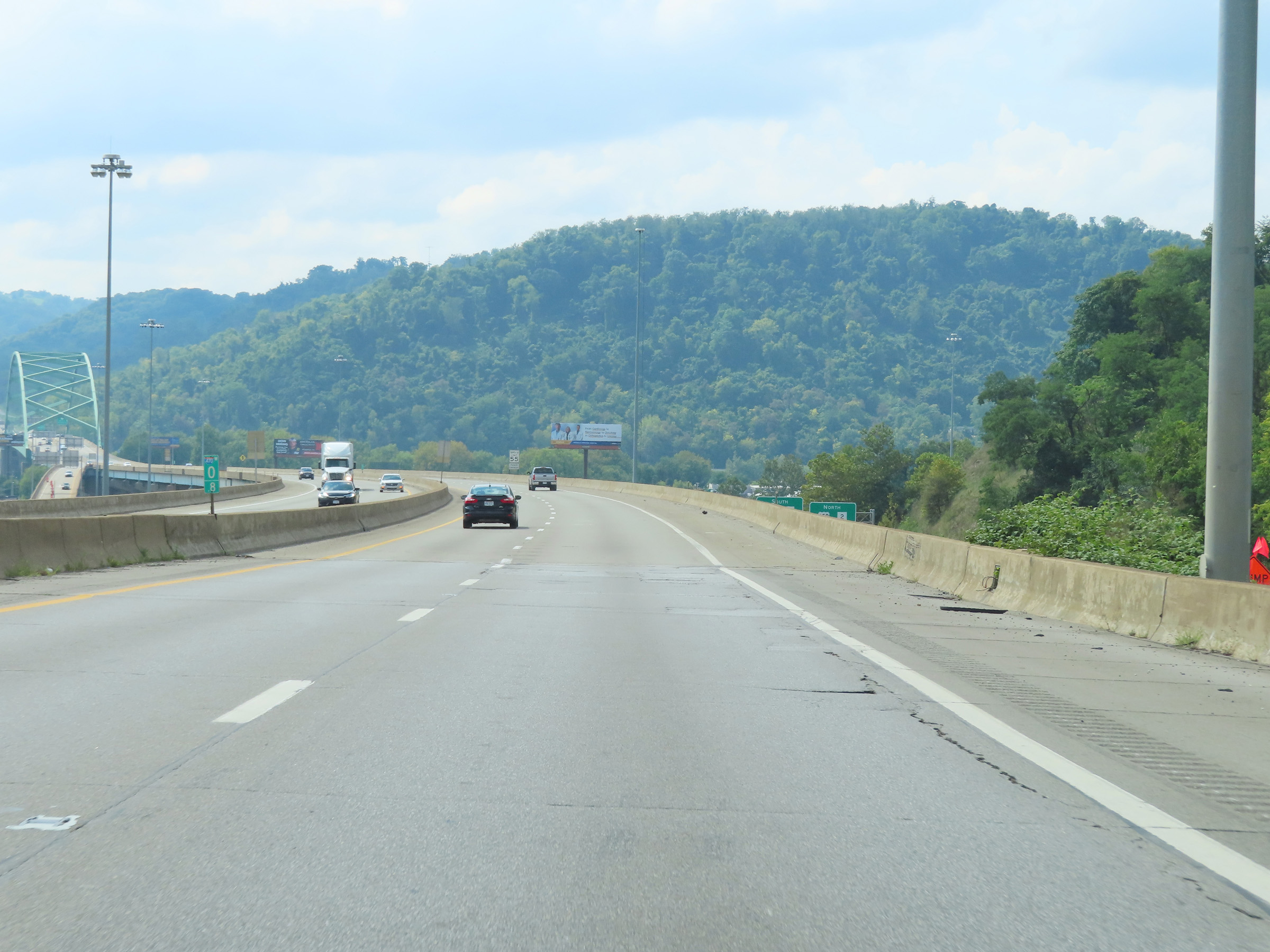
View on Interstate 470 West at mile marker 3, as it continues to climb the grade. We also see advance signage for Exit 2, which is at the top of the grade. (Photo taken 8/21/22). |
 |
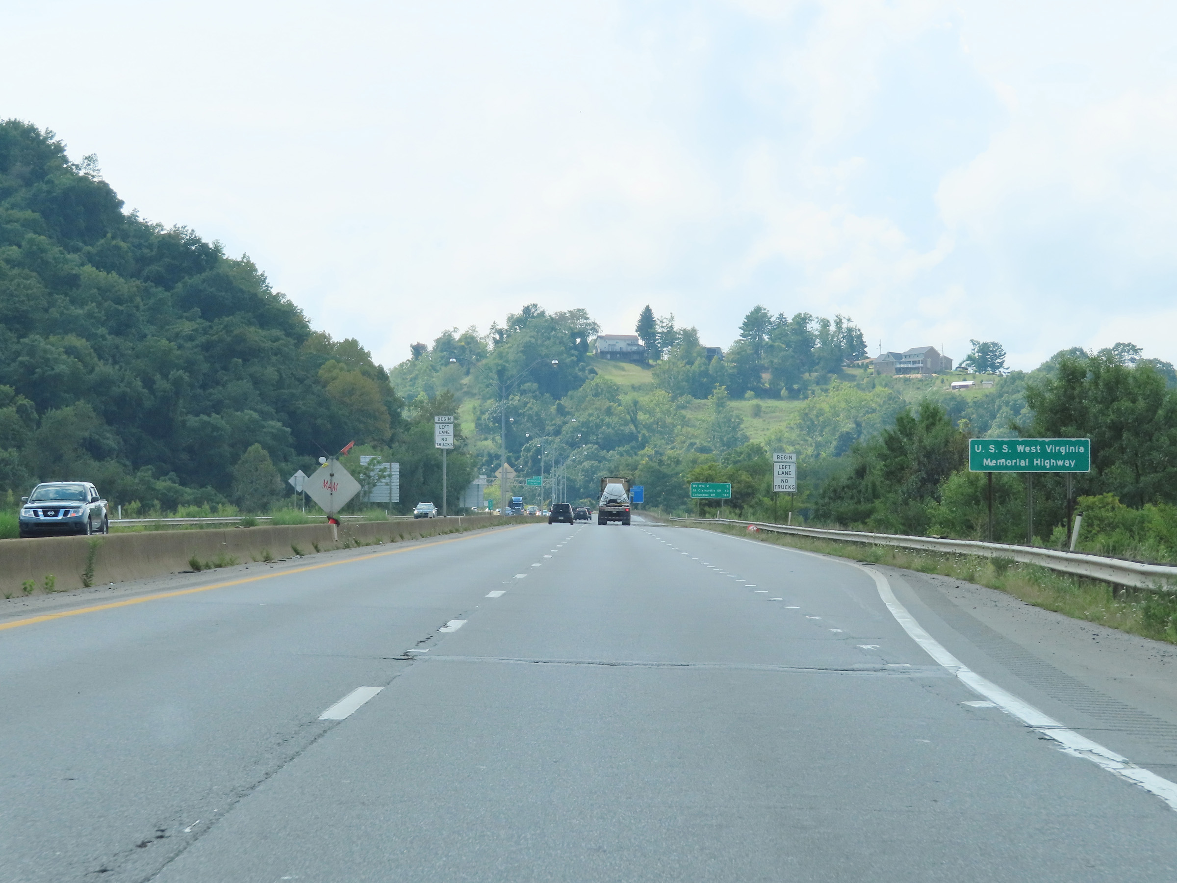
Mile marker 2.6 on Interstate 470 West at mile marker 2.6, continuing its climb. (Photo taken 8/21/22). |
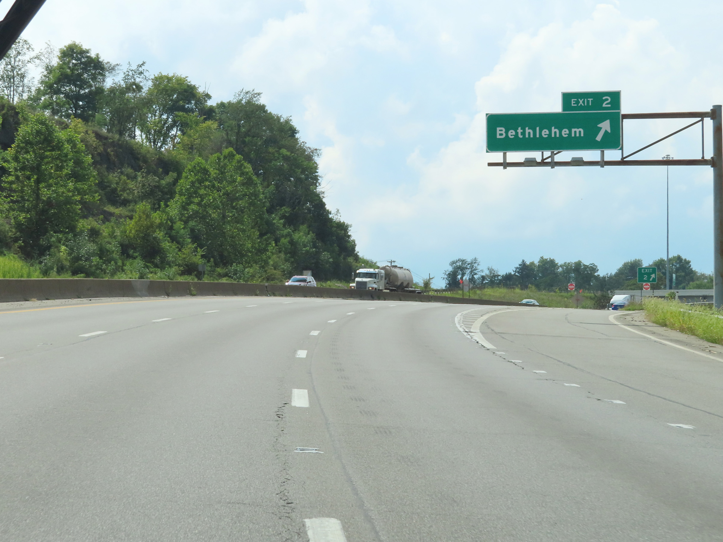 |
Interstate 470 West at Exit 2: Bethlehem (Photo taken 8/21/22). |
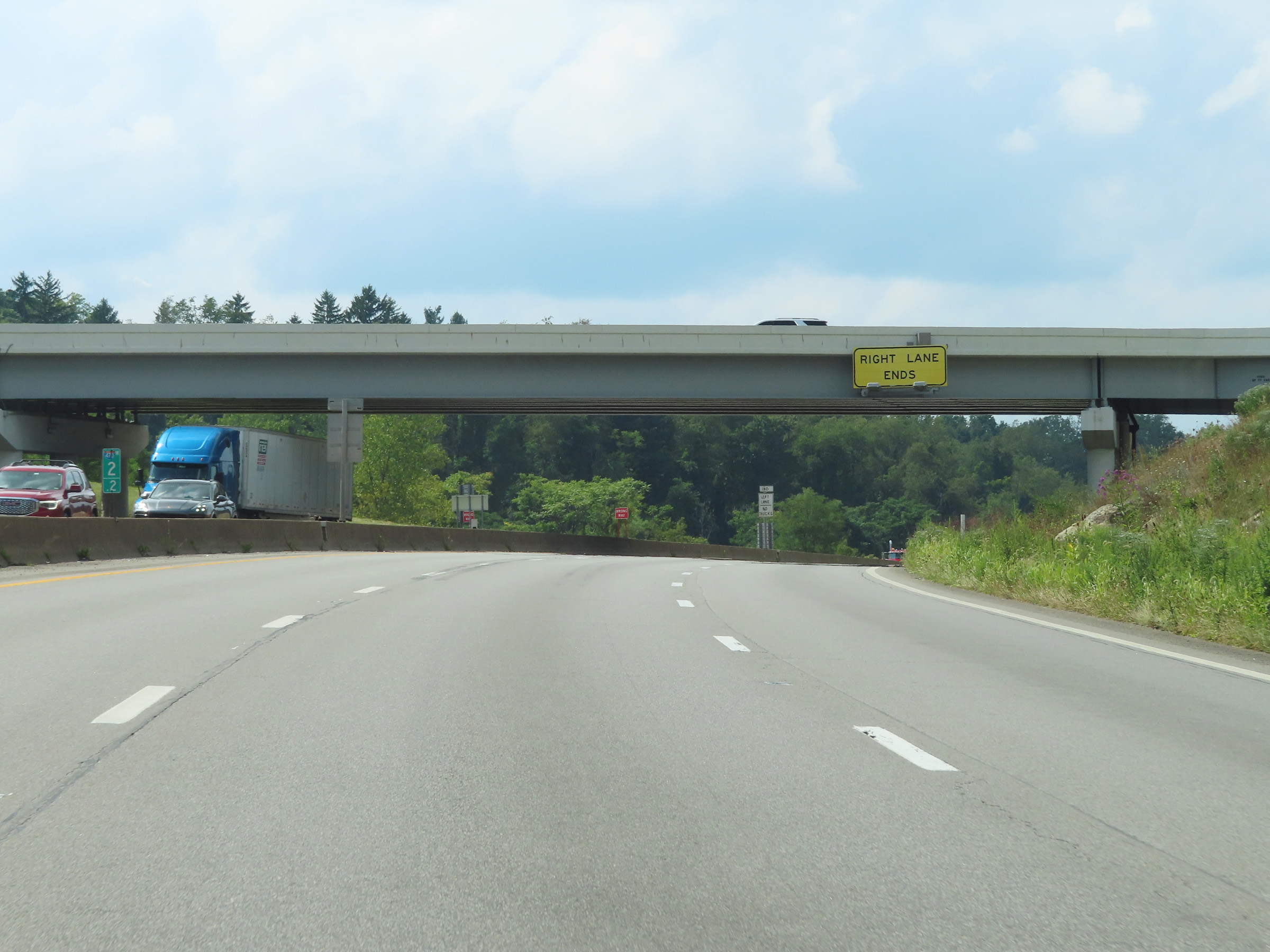 |
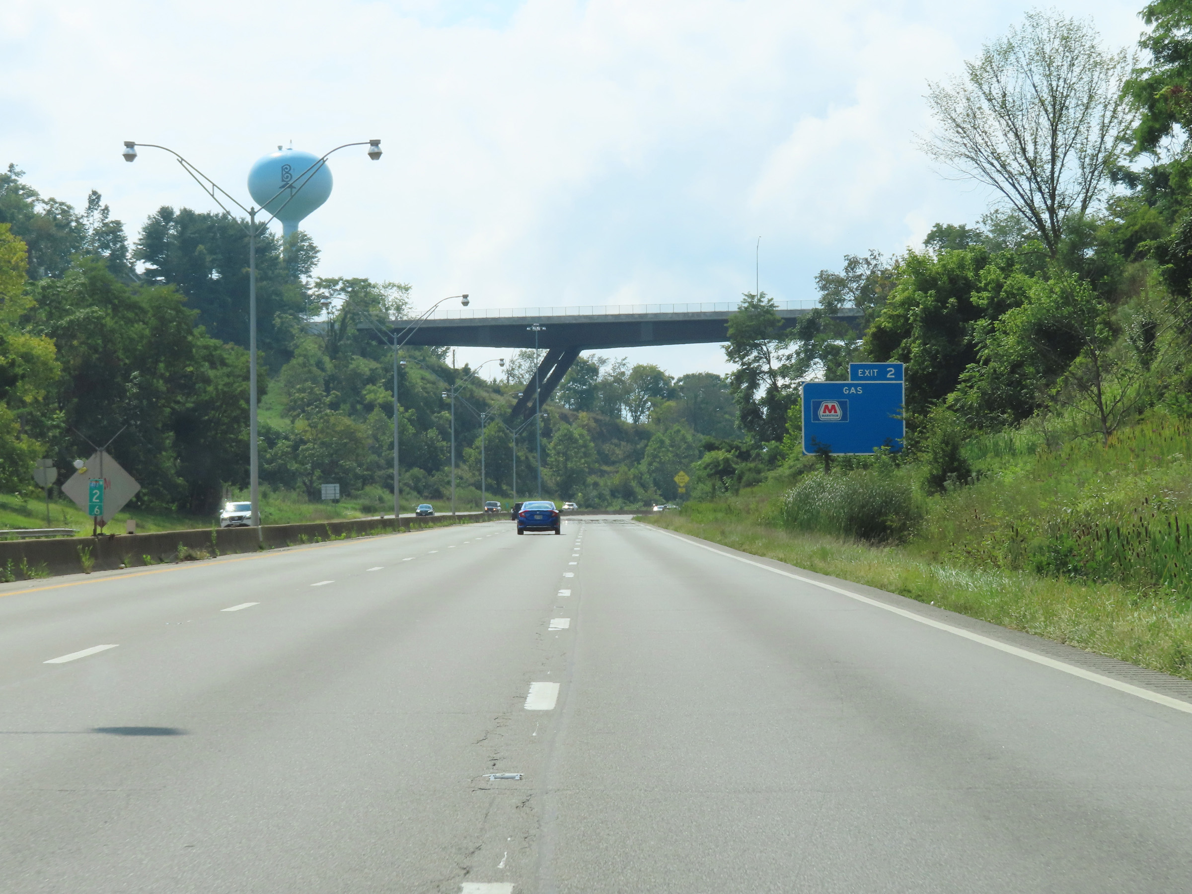
At mile marker 2.2, this overhead warning sign shows that the right lane will come to an end ahead now that Interstate 470 West has reached the top of the grade. (Photo taken 8/21/22). |
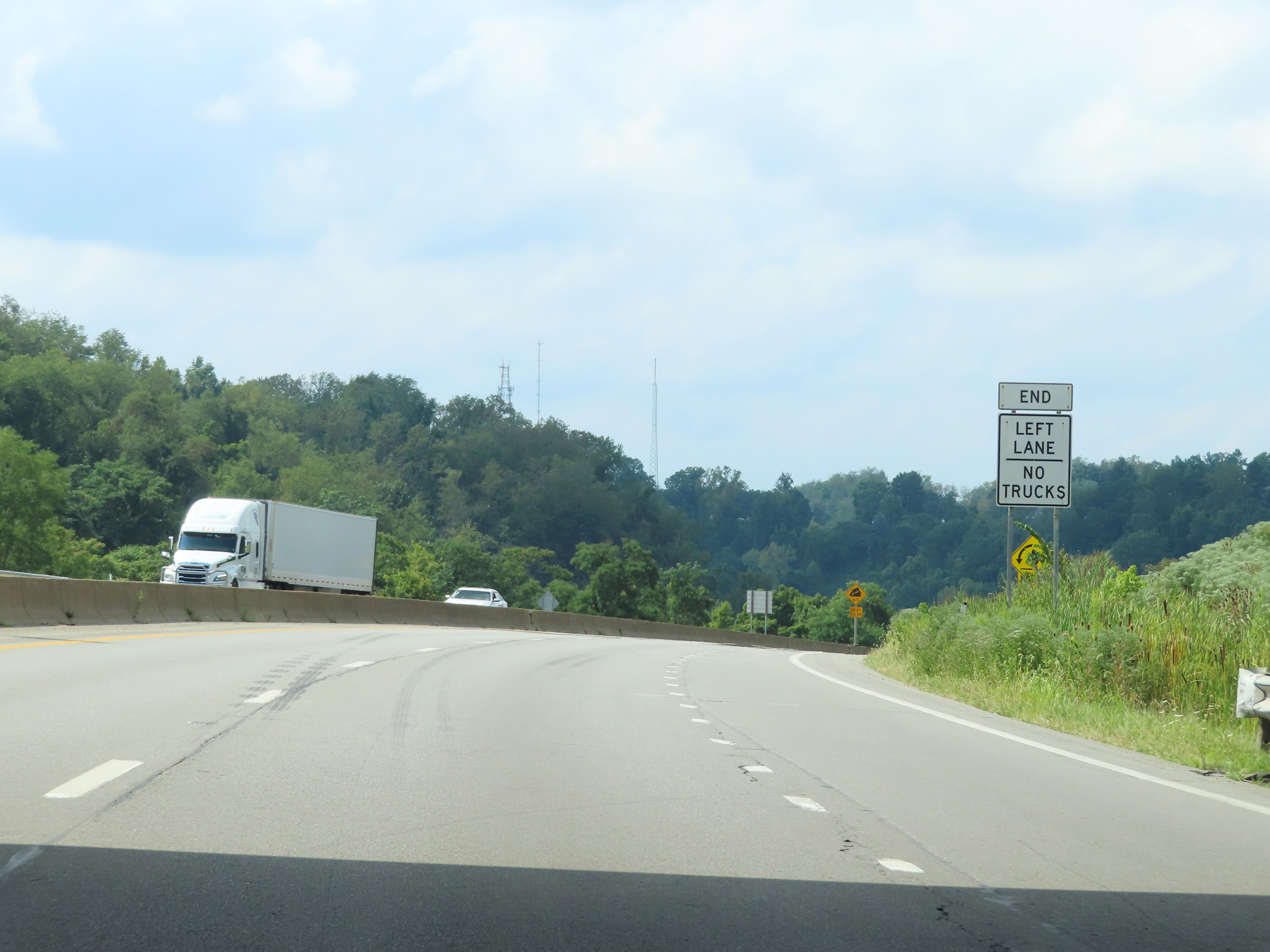 |
As the right lane ends, so do the truck lane restrictions. (Photo taken 8/21/22). |
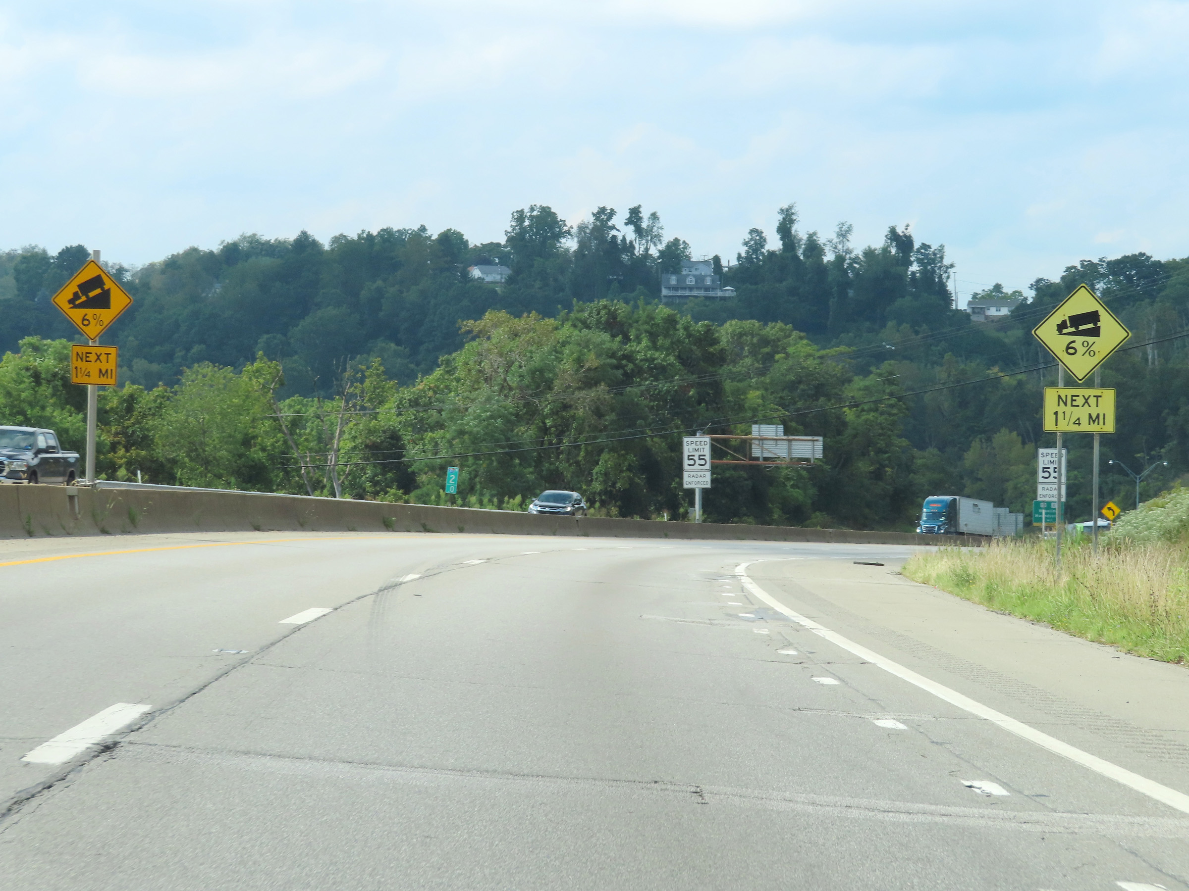 |
These warning signs at mile marker 2 show that Interstate 470 West will traverse a 6% downgrade which lasts for the next 1 1/4 miles as it descends down toward the Ohio River. (Photo taken 8/21/22). |
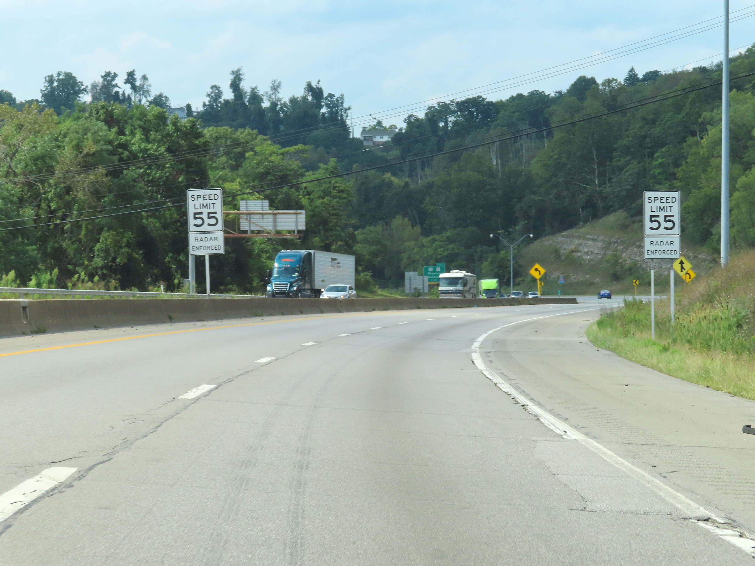 |
Speed limit signs on Interstate 470 West as it begins its steep descent into the Ohio River valley. The speed limit remains 55 mph. (Photo taken 8/21/22). |
 |
Another state-named Interstate 470 West reassurance shield. (Photo taken 8/21/22). |
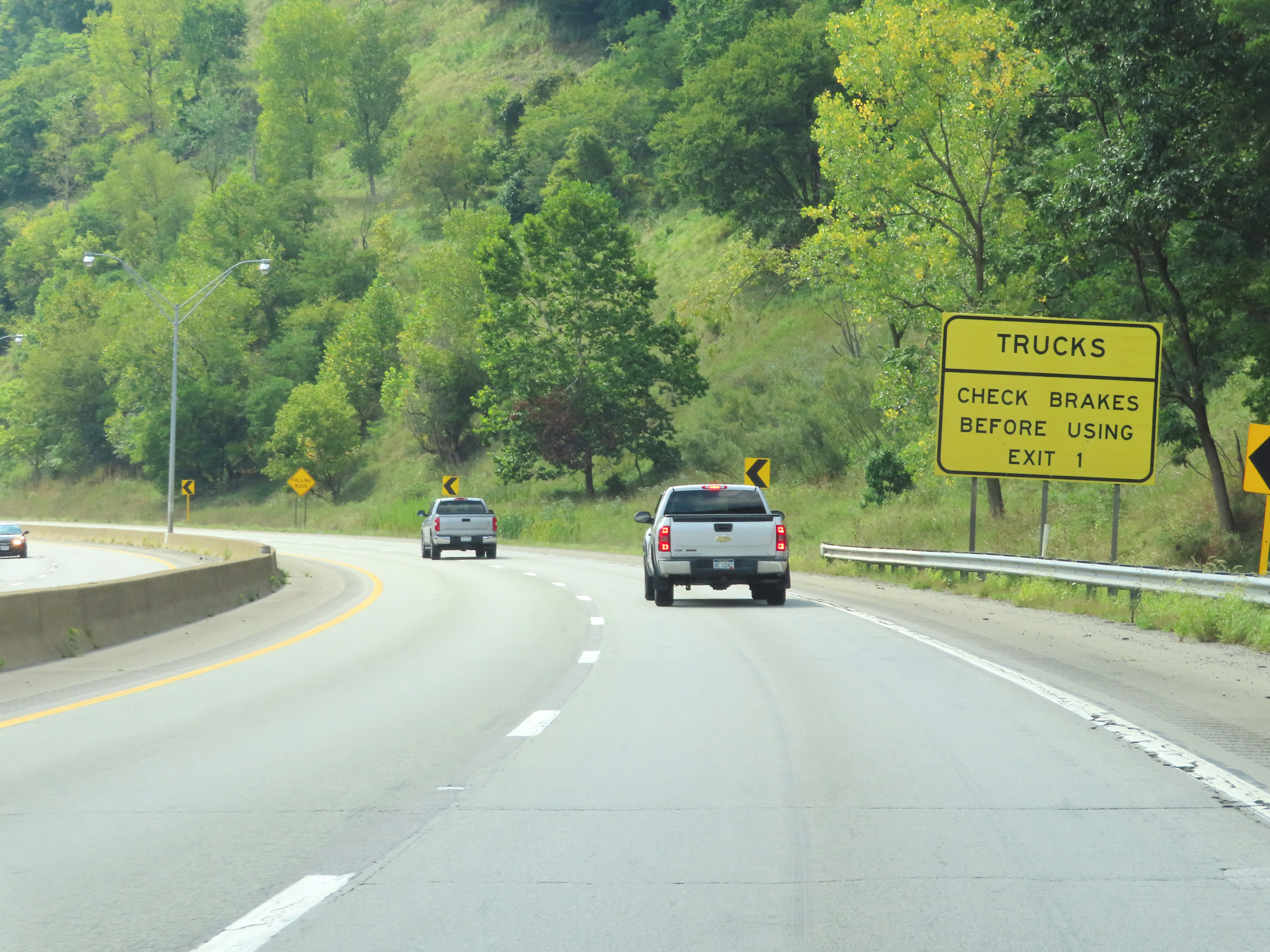 |
While traversing the 6% downgrade toward the Ohio River, this sign warns that any trucks using Exit 1 ahead must check their brakes before exiting since the off ramp is very steep and has a traffic signal at the bottom of it. (Photo taken 8/21/22). |
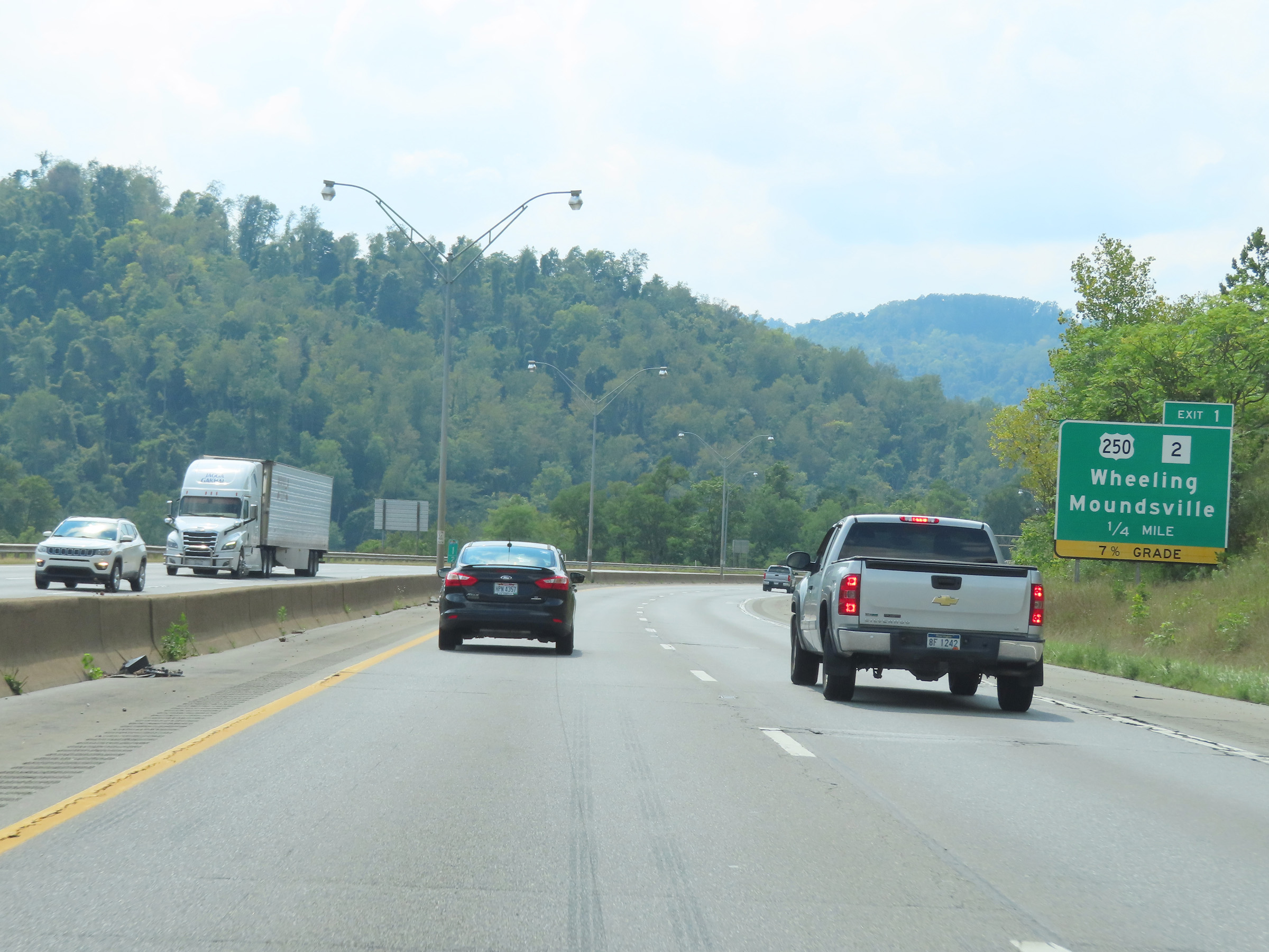 |
Advance signage for Exit 1, which is now 1/4 mile ahead. This signage also shows that the off ramp for Exit 1 is a 7% downgrade which has a traffic signal at the bottom of it. (Photo taken 8/21/22). |
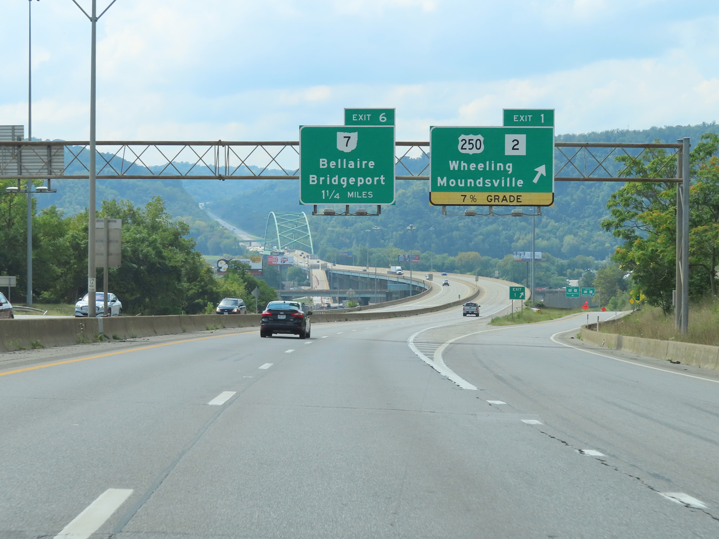 |
Interstate 470 West at Exit 1: US 250 / WV 2 - Wheeling / Moundsville (Photo taken 8/21/22). |
 |
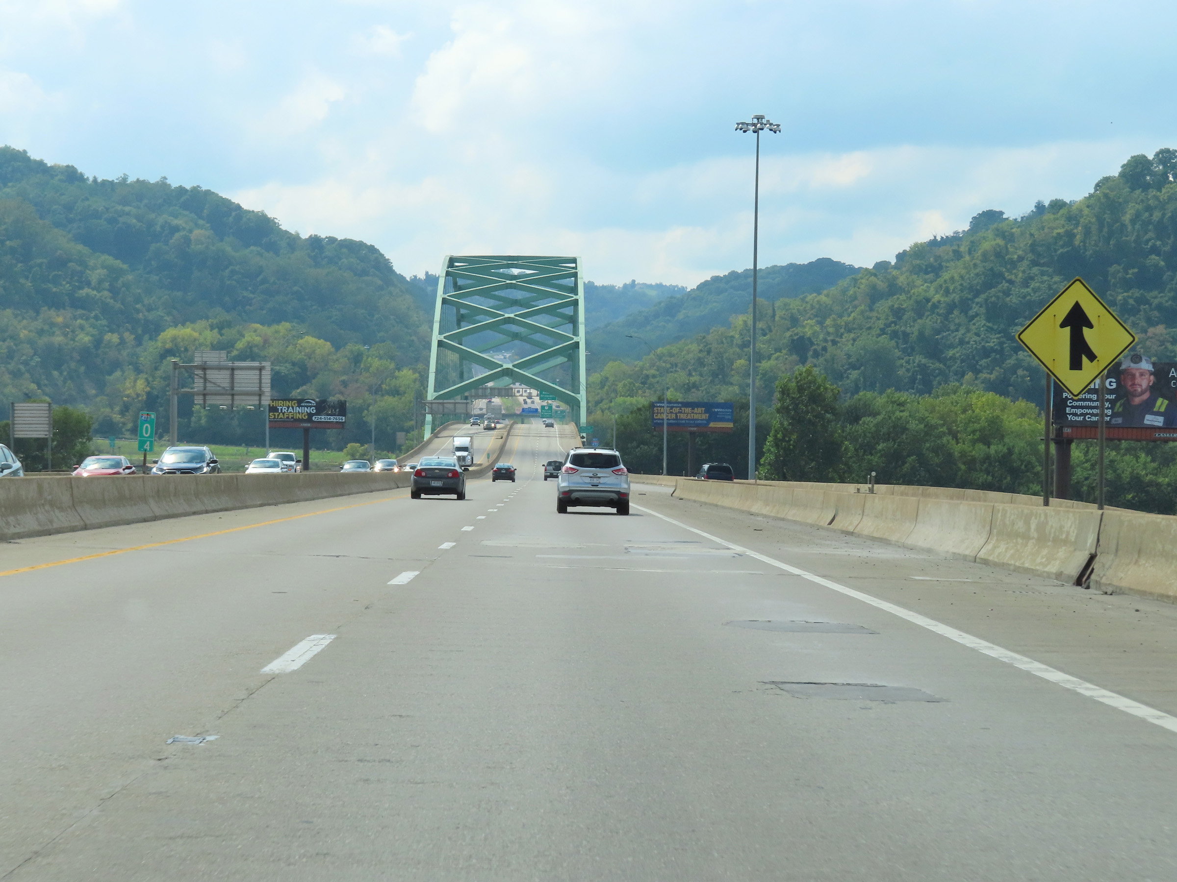
At mile marker 0.8, Interstate 470 West starts across the Vietnam Veterans Memorial Bridge which will carry Interstate 470 West traffic over the Ohio River and into Ohio. (Photo taken 8/21/22). |
 |
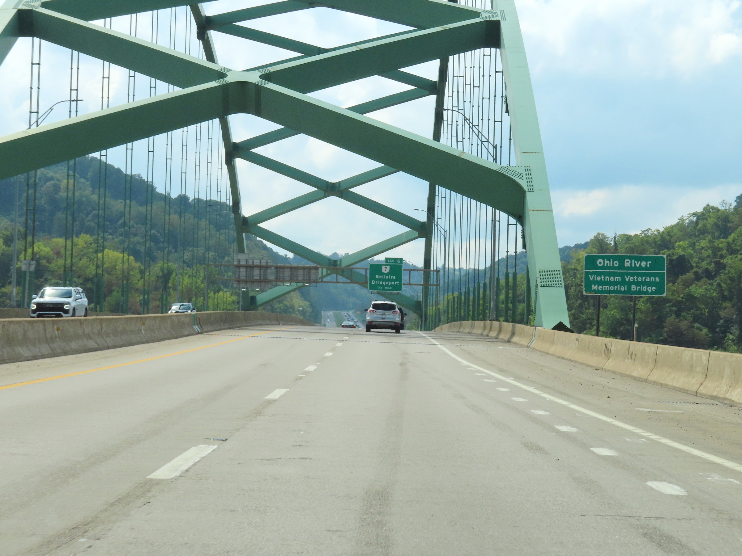
View on Interstate 470 West at mile marker 0.4, as it continues to make its way across the Vietnam Veterans Memorial Bridge. (Photo taken 8/21/22). |
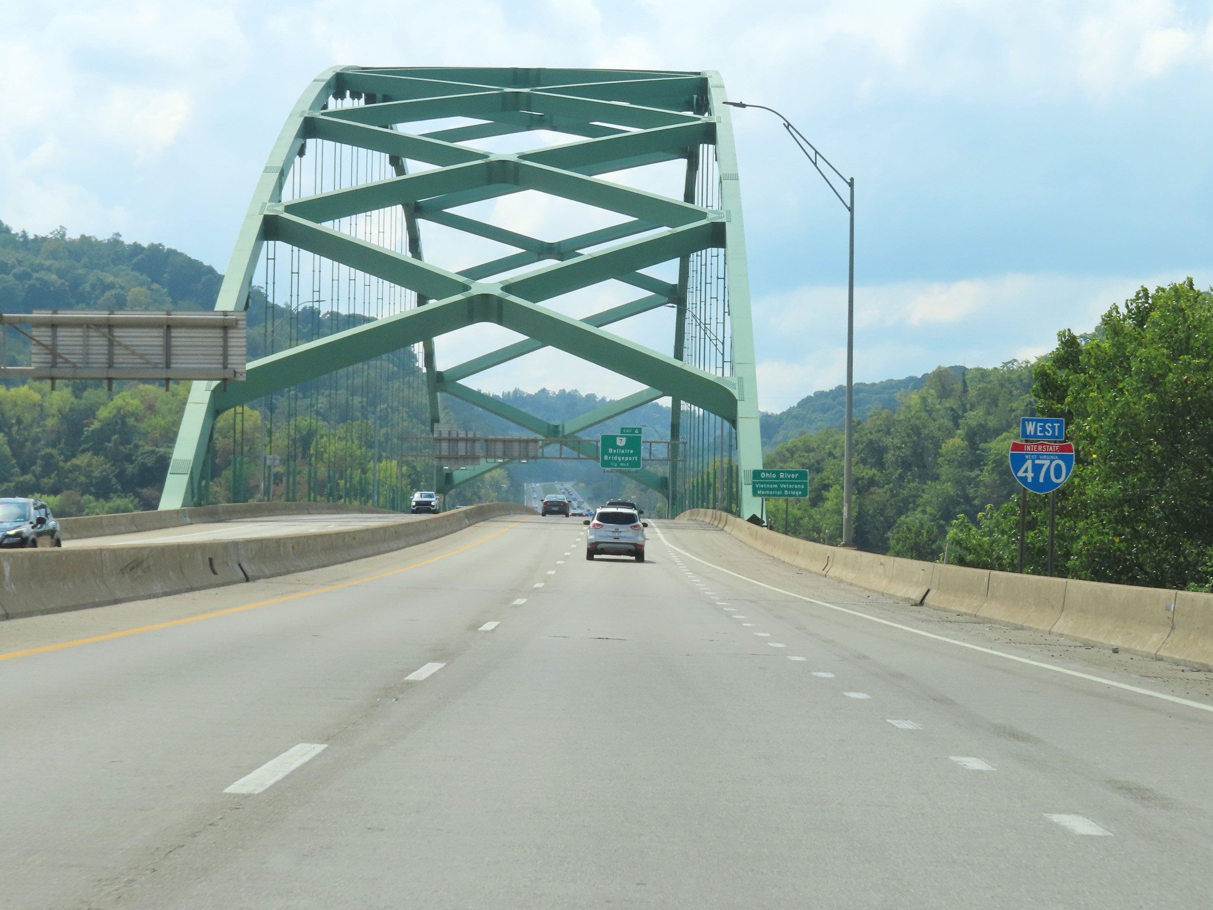 |
One final state-named Interstate 470 West reassurance shield as it crosses the Ohio River on the Vietnam Veterans Memorial Bridge. (Photo taken 8/21/22). |
 |
Interstate 470 West as it crosses the Vietnam Veterans Memorial Bridge over the Ohio River, which marks the state line between West Virginia and Ohio. (Photo taken 8/21/22). |