Road Information |
||
 |
||
| Total Mileage in State: | 276 miles | |
| Northern End: | At Canadian Border | |
| Southern End: | At Oregon state line | |
| Mileage covered in Photos: | 276 miles | |
| Counties covered in Photos: | Whatcom, Skagit, Snohomish, King, Pierce, Thurston, Lewis, Cowlitz, Clark | |
| Major Junctions in Photos: | US 2, in Everett I-405, in Lynnwood I-90, in Seattle I-405/WA 518, in Tukwila I-705, in Tacoma I-205, near Vancouver |
|
| Control Cities in Photos: | Blaine, Bellingham, Everett, Seattle, Tacoma, Olympia, Chehalis, Vancouver | |
Southbound
- Section 1: Canadian Border to Bellingham (Exit 250)
- Section 2: Bellingham (Exit 250) to Everett (Exit 198)
- Section 3: Everett (Exit 198) to Seattle (Exit 162)
- Section 4: Seattle (Exit 162) to Tacoma (Exit 129)
- Section 5: Tacoma (Exit 129) to Chehalis (Exit 74)
- Section 6: Chehalis (Exit 74) to Kalama (Exit 30)
- Section 7: Kalama (Exit 30) to Oregon Border
Section 1: Canadian Border to Bellingham (Exit 250)
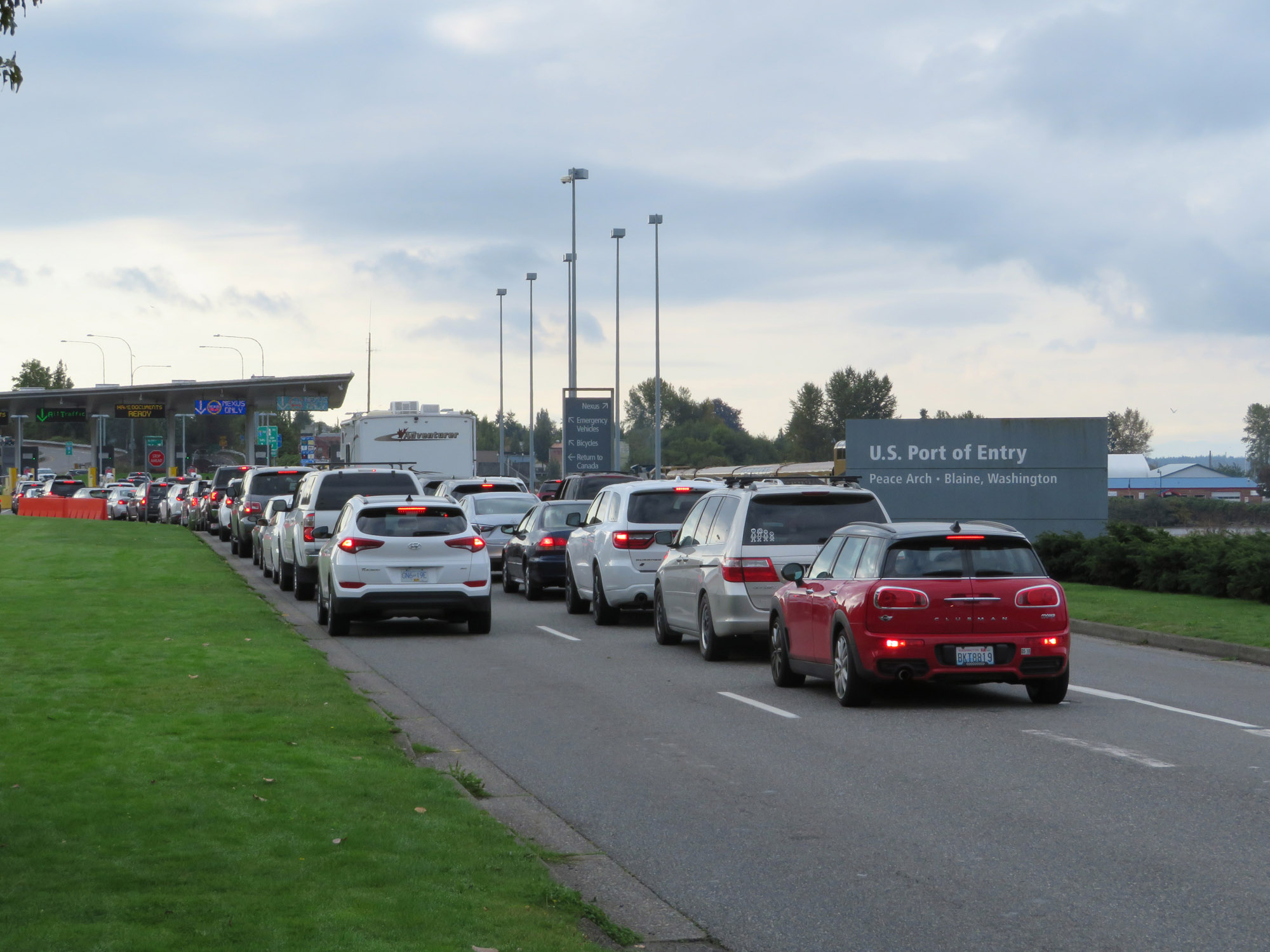 |
Entering the U.S. and Washington State from British Columbia brings you to the Port of Entry in Blaine. To the left here is the Peace Arch and Peace Arch State Park. (Photo taken 9/21/19). |
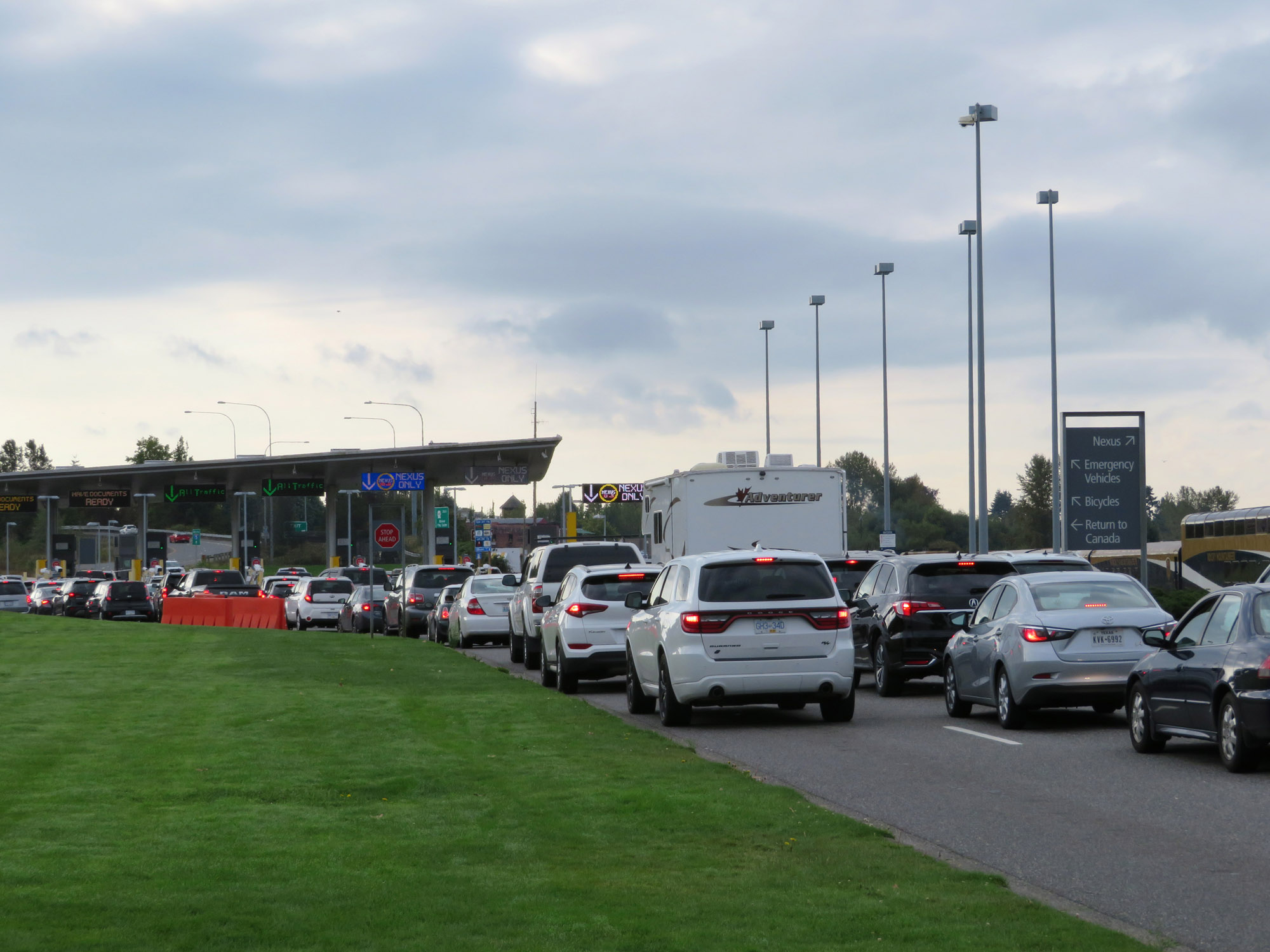 |
Approaching the customs station, this sign directs various traffic. As the sign reads, there is also the option to make a U-turn and return to Canada. (Photo taken 9/21/19). |
 |
A view of the customs station in Blaine, as seen from Peace Arch State Park. (Photo taken 9/21/19). |
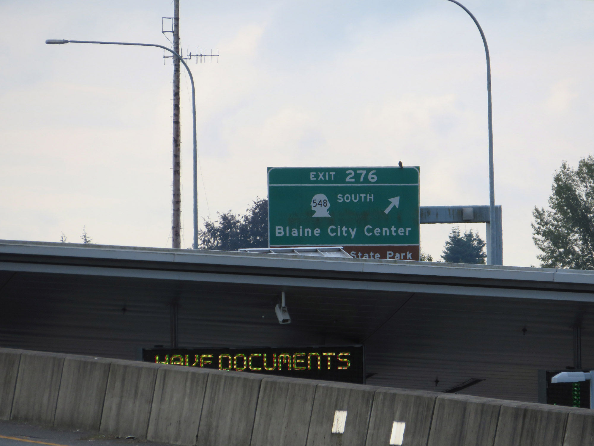 |
Interstate 5 South at Exit 276: WA 548 South - Blaine City Center / Peace Arch State Park (Photo taken 9/21/19). |
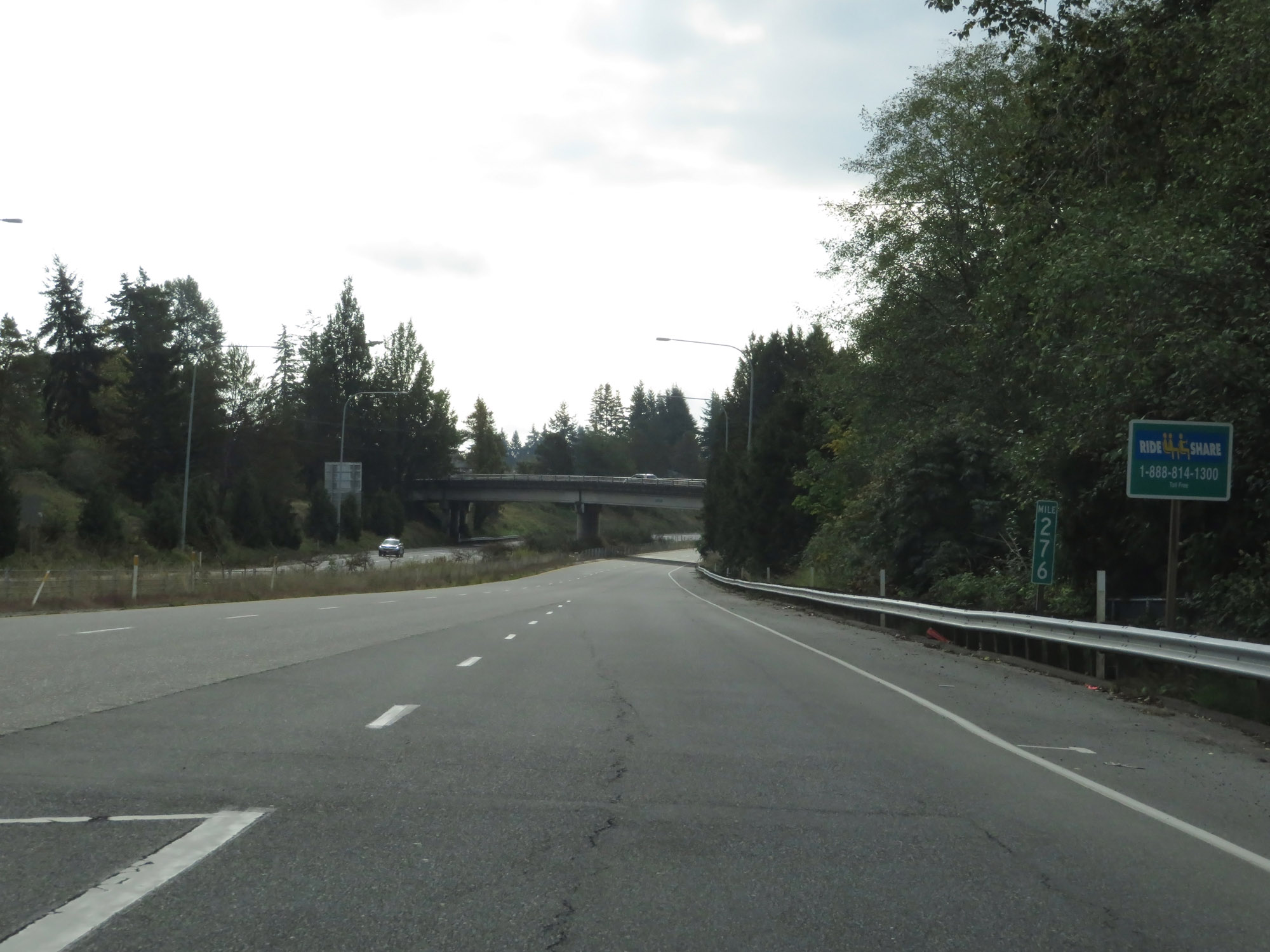 |
Interstate 5 South at mile marker 276. (Photo taken 9/21/19). |
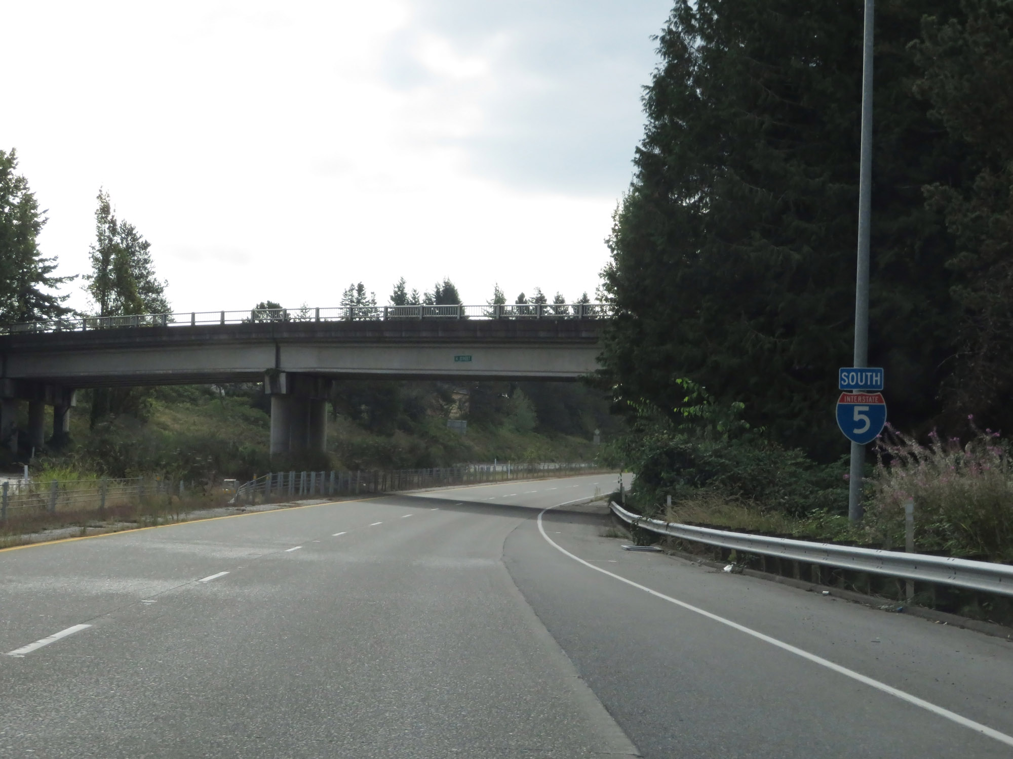 |
Interstate 5 South reassurance shield. (Photo taken 9/21/19). |
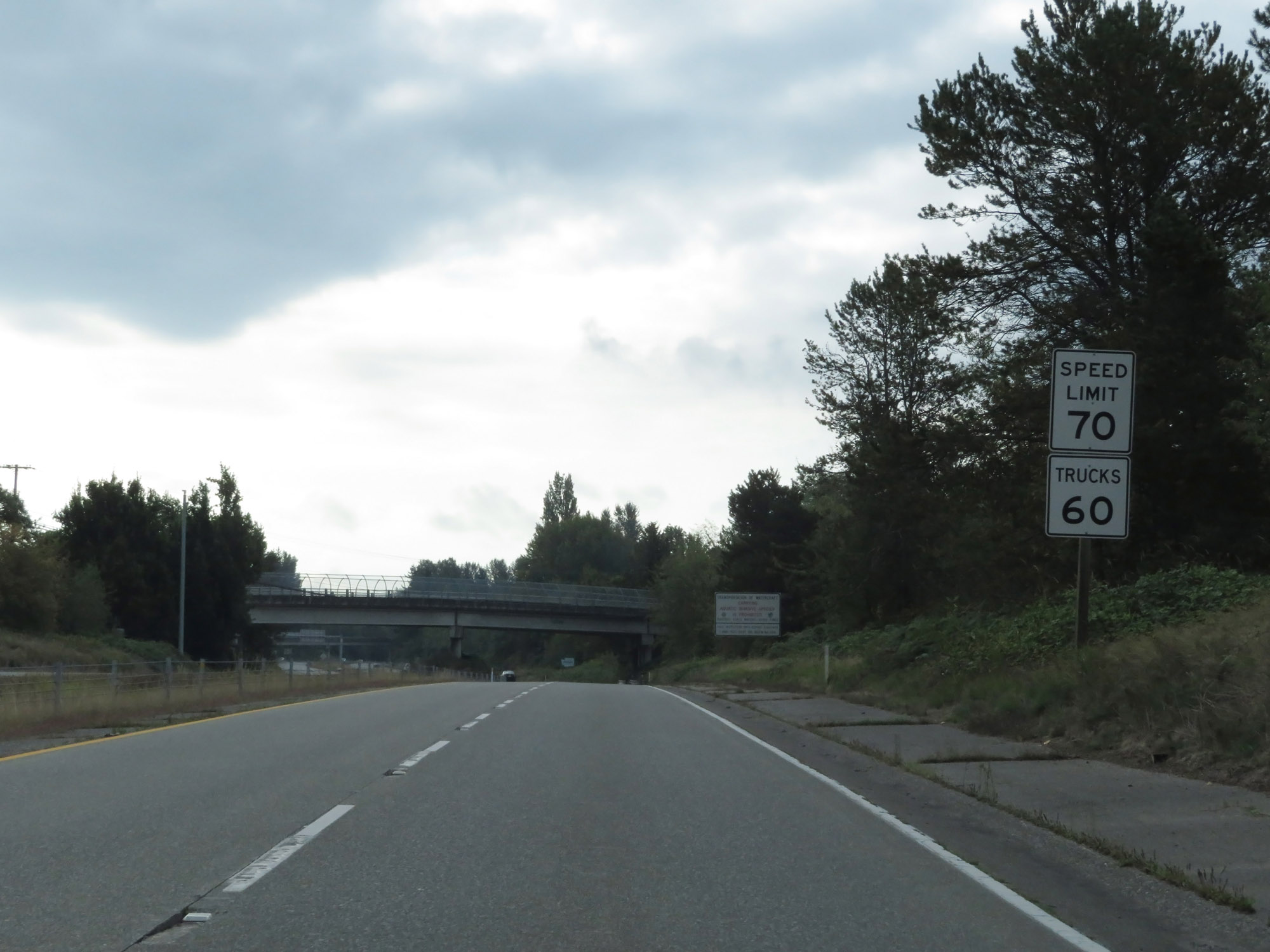 |
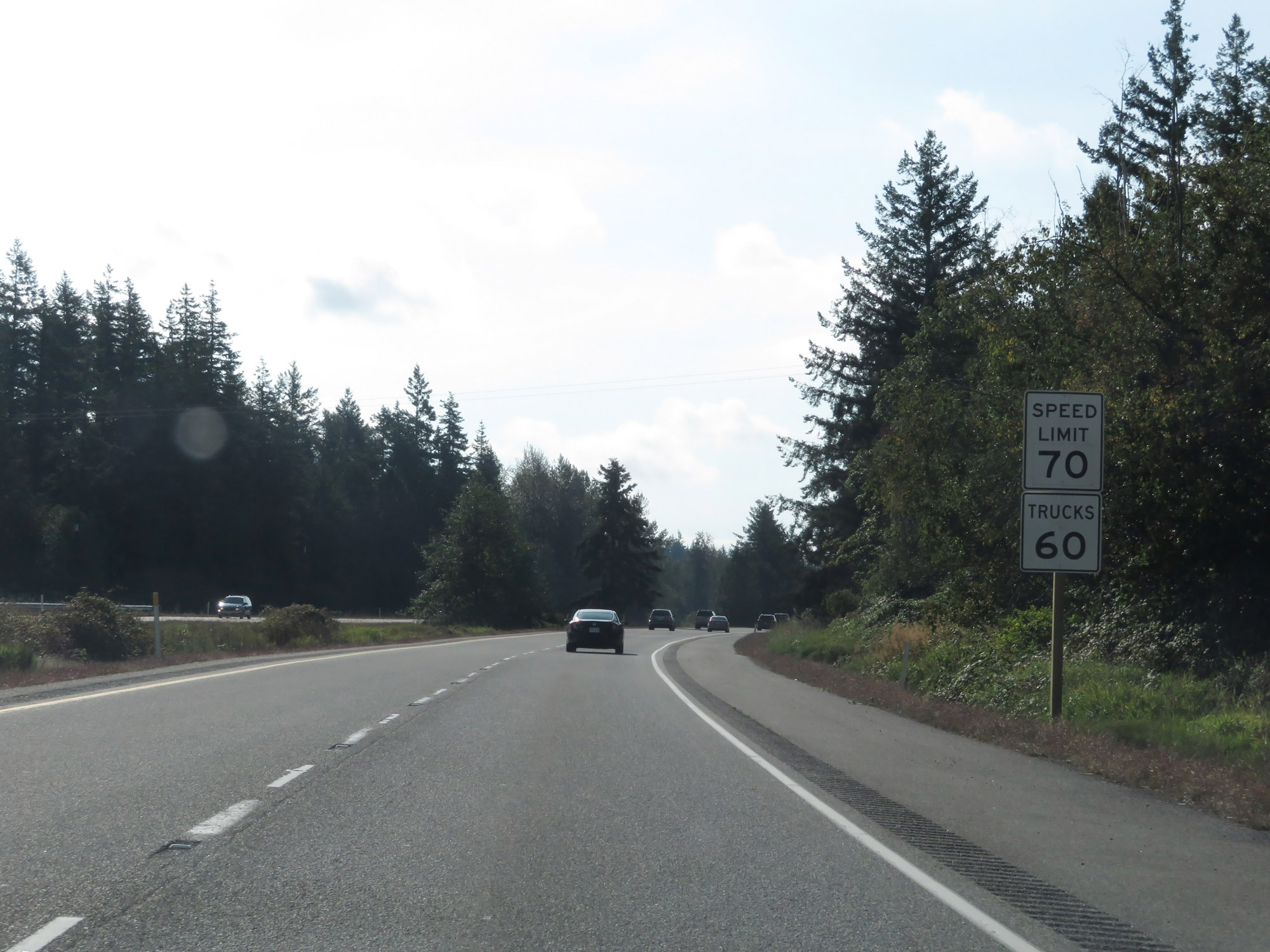
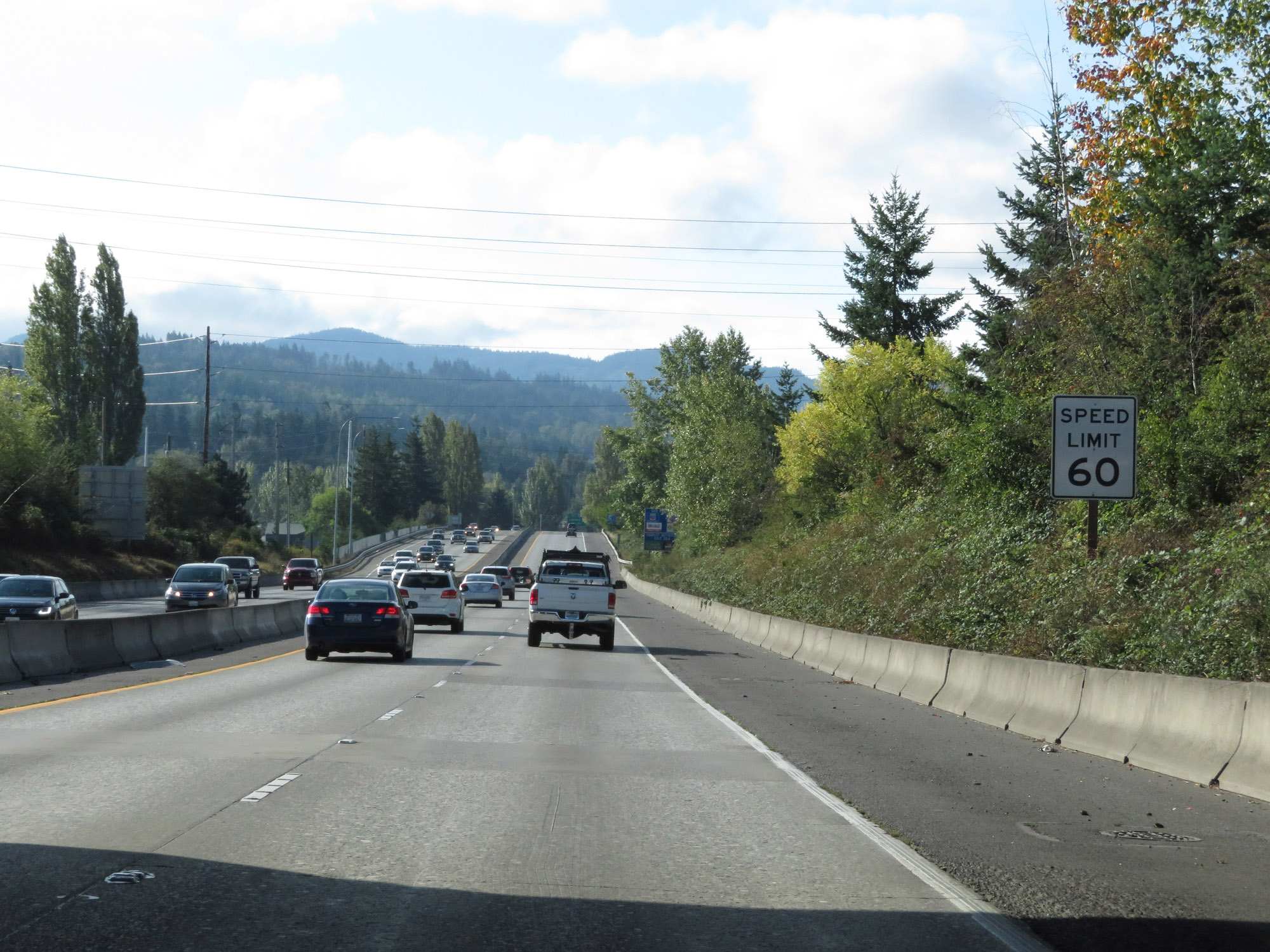
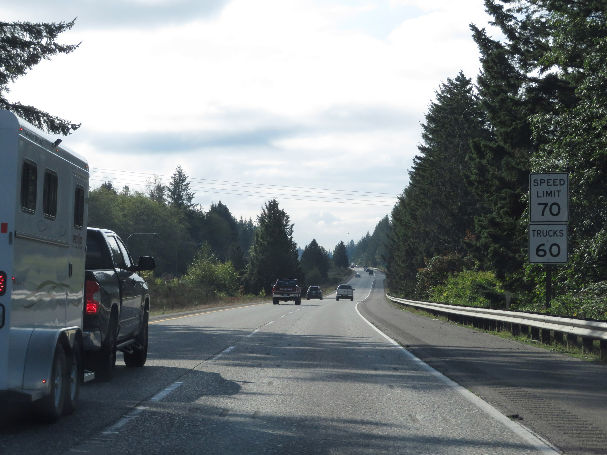
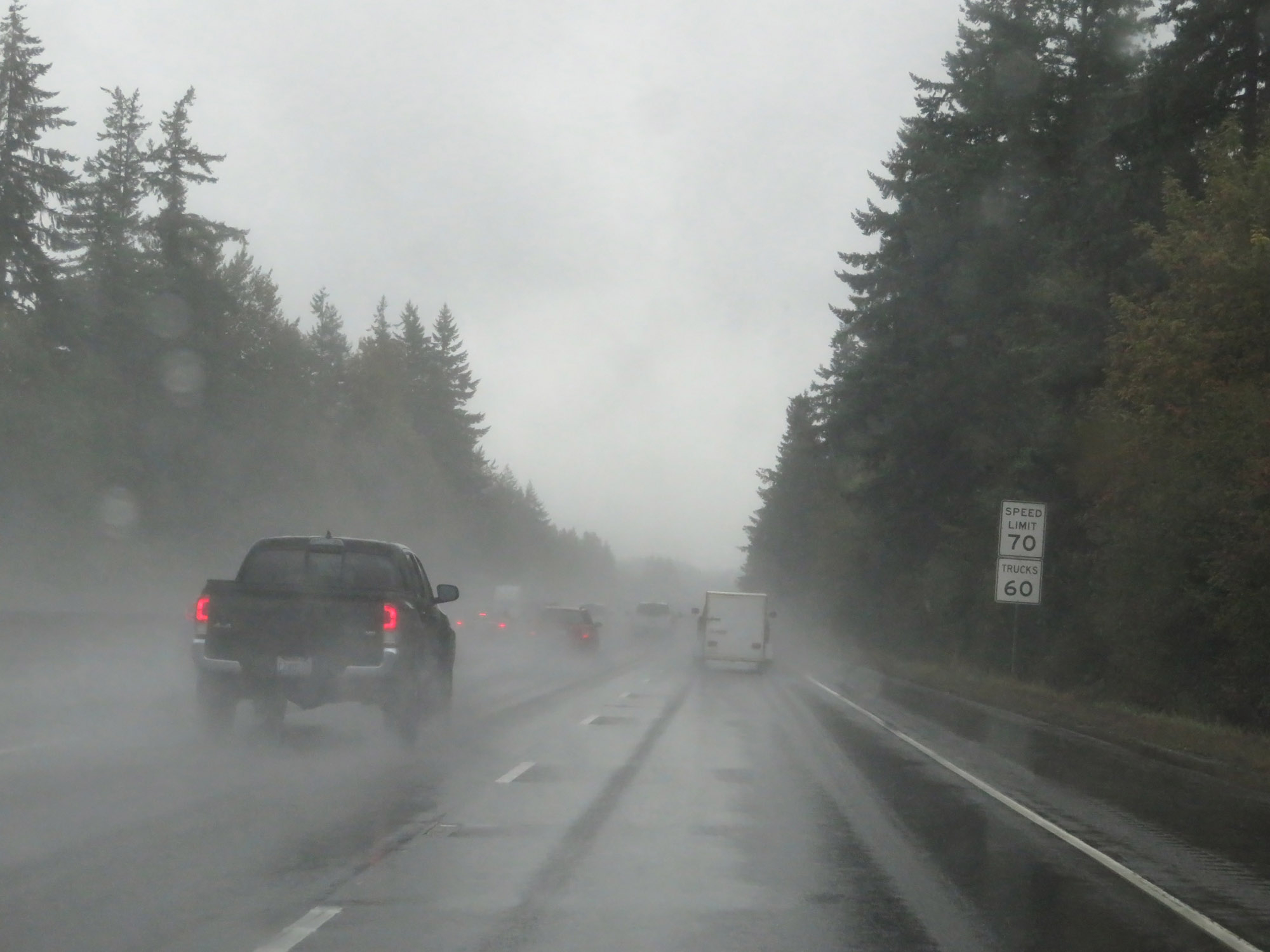
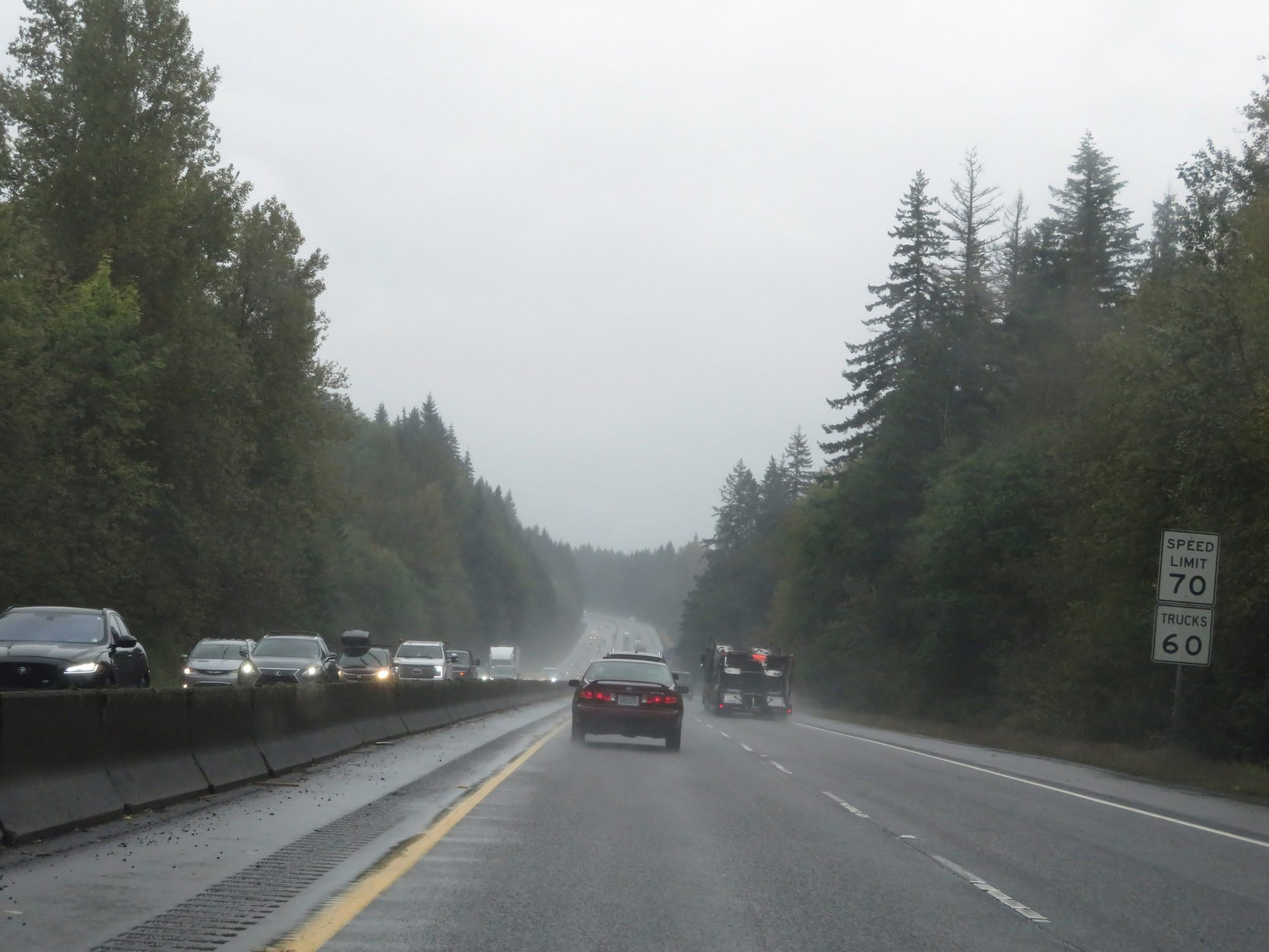
Speed limit signs on Interstate 5 South. The speed limits start out at 70 mph for automobiles and 60 mph for trucks. These are the standard speed limits on most rural Interstate highways in Washington State. (Photo taken 9/21/19). |
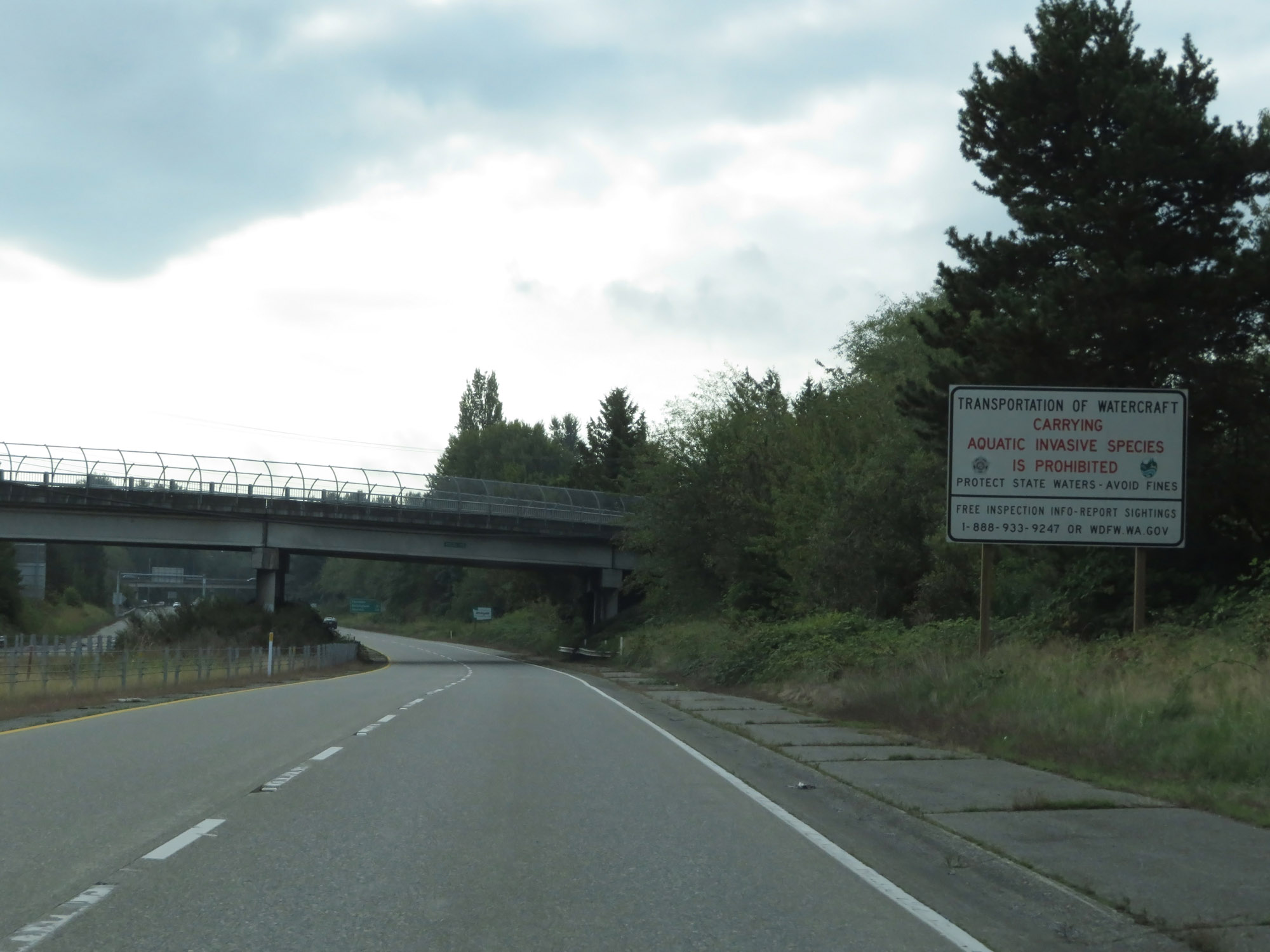 |
As this sign reads, the transportation of watercraft carrying aquatic invasive species from Canada is prohibited. (Photo taken 9/21/19). |
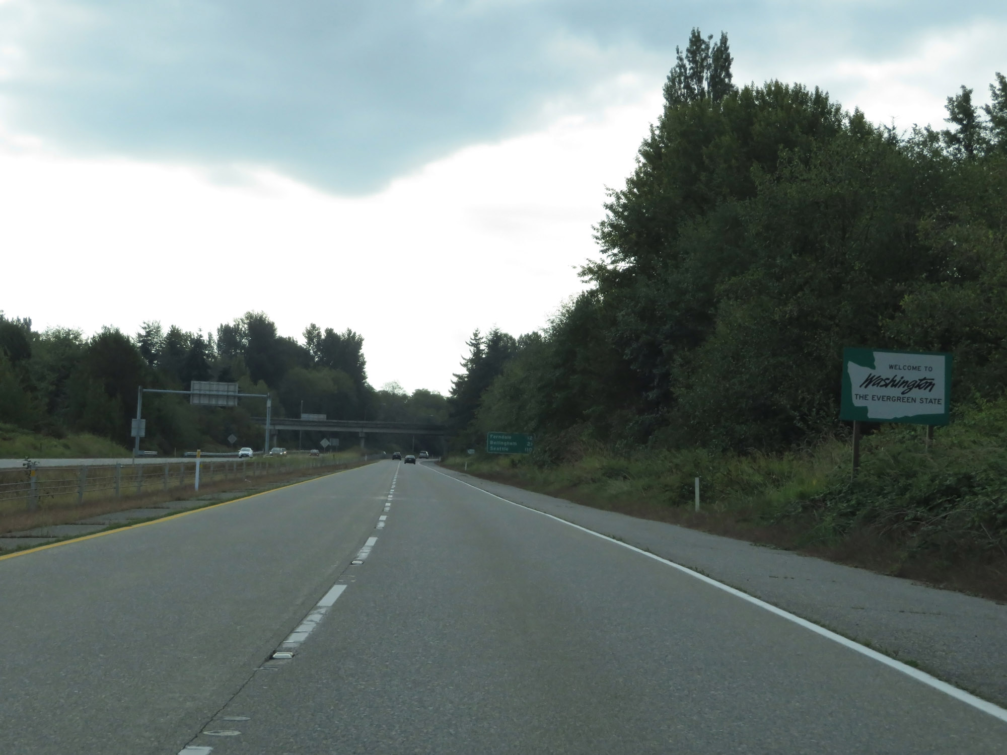 |
Washington welcome sign on Interstate 5 South. (Photo taken 9/21/19). |
 |
Mileage sign on Interstate 5 South. It's 12 miles to Ferndale, 21 miles to Bellingham, and 110 miles to Seattle. (Photo taken 9/21/19). |
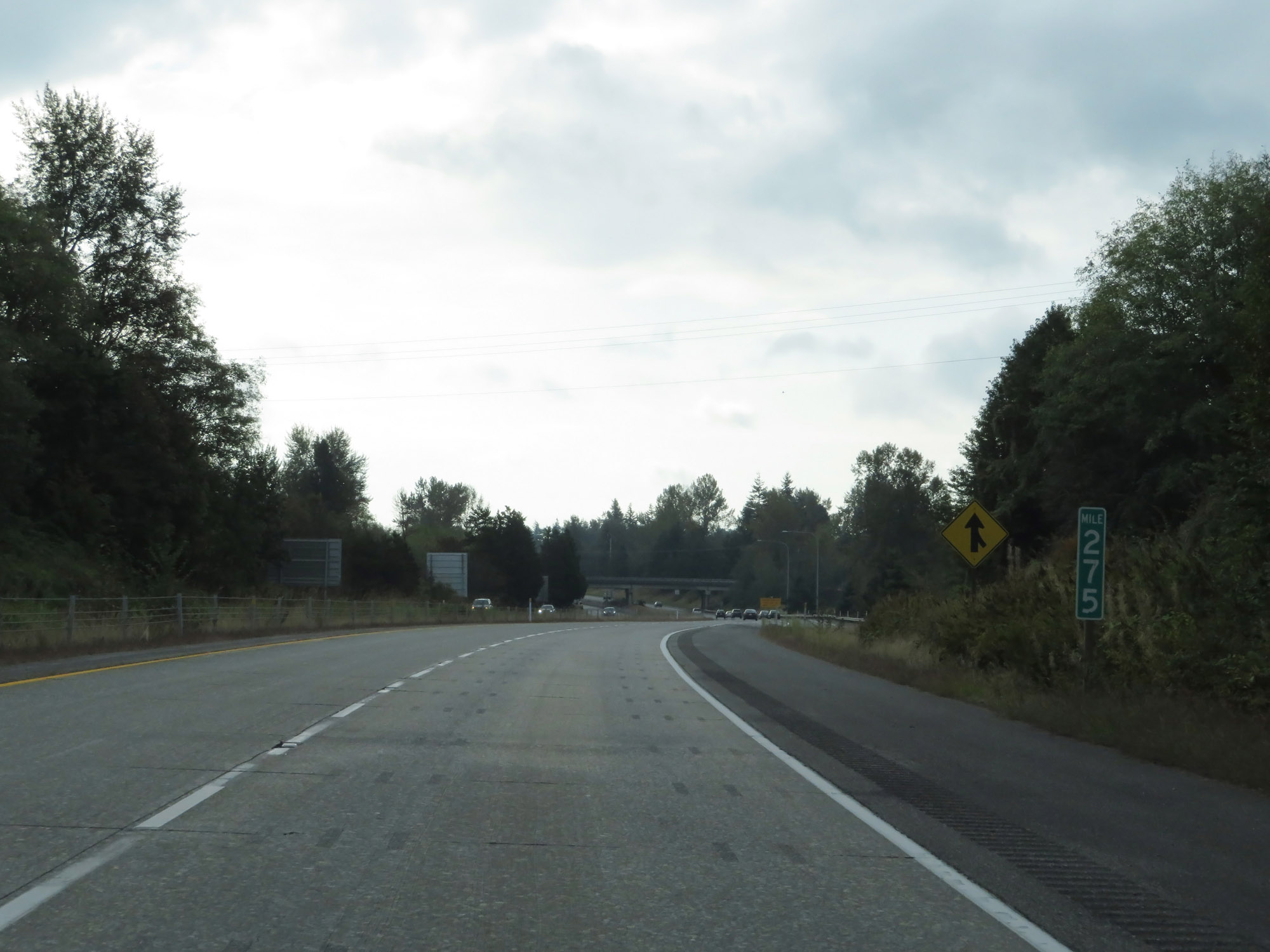 |
View on Interstate 5 South at mile marker 275. (Photo taken 9/21/19). |
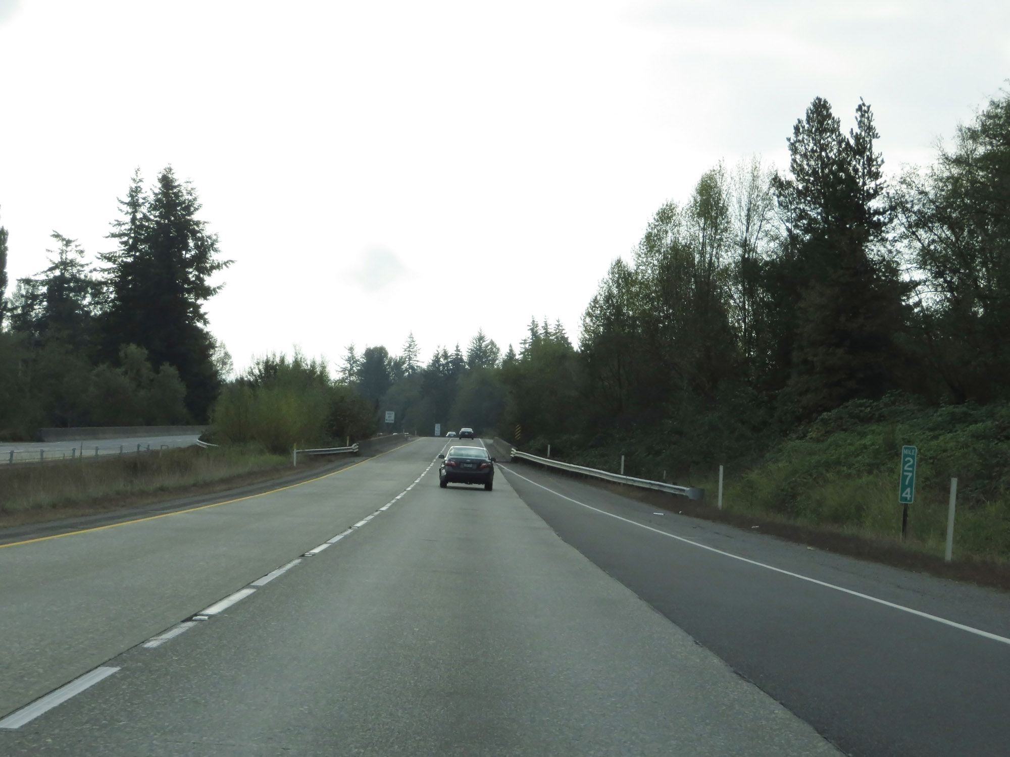 |
Interstate 5 South at mile marker 274. (Photo taken 9/21/19). |
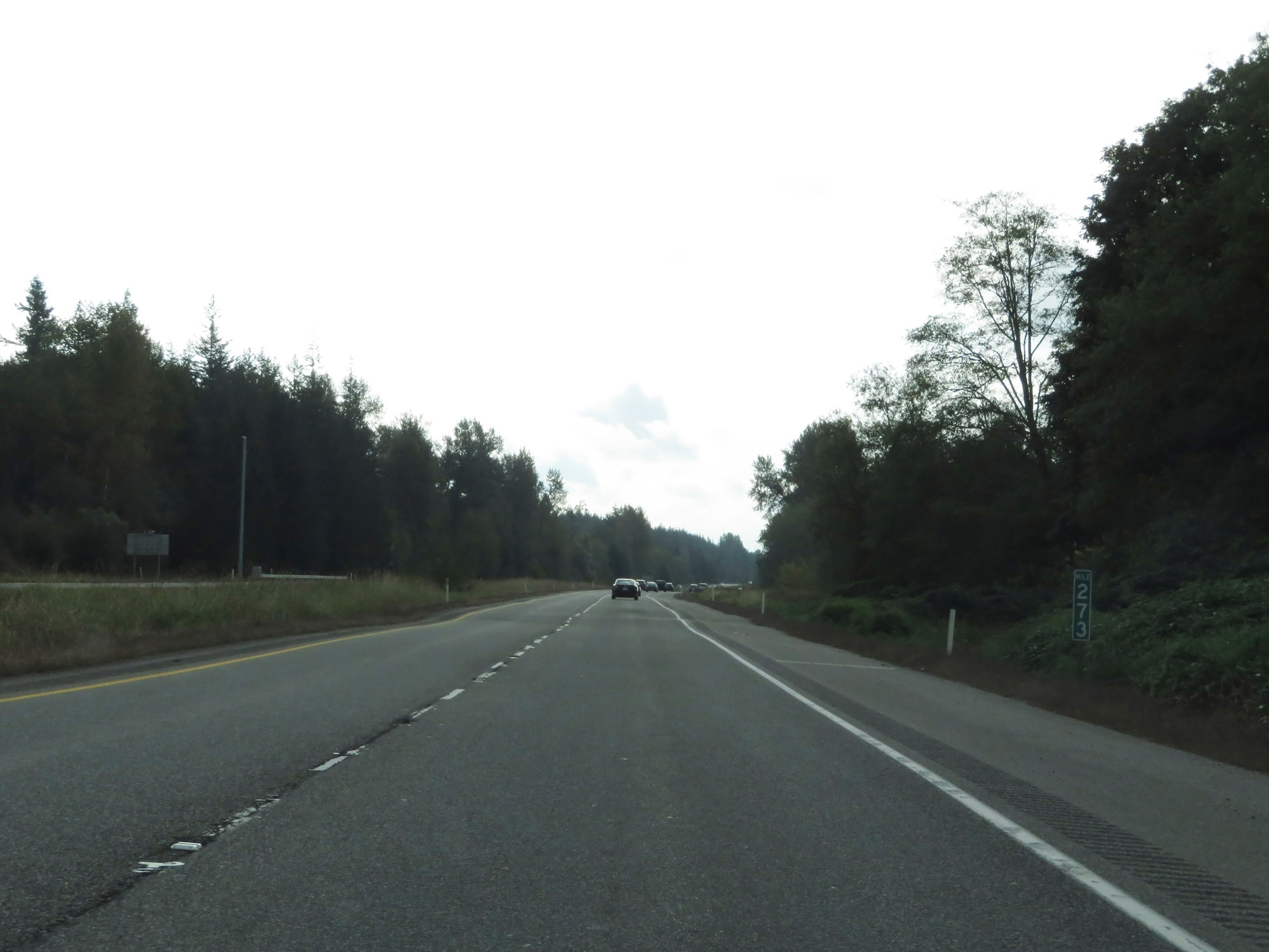 |
View on Interstate 5 South at mile marker 273. (Photo taken 9/21/19). |
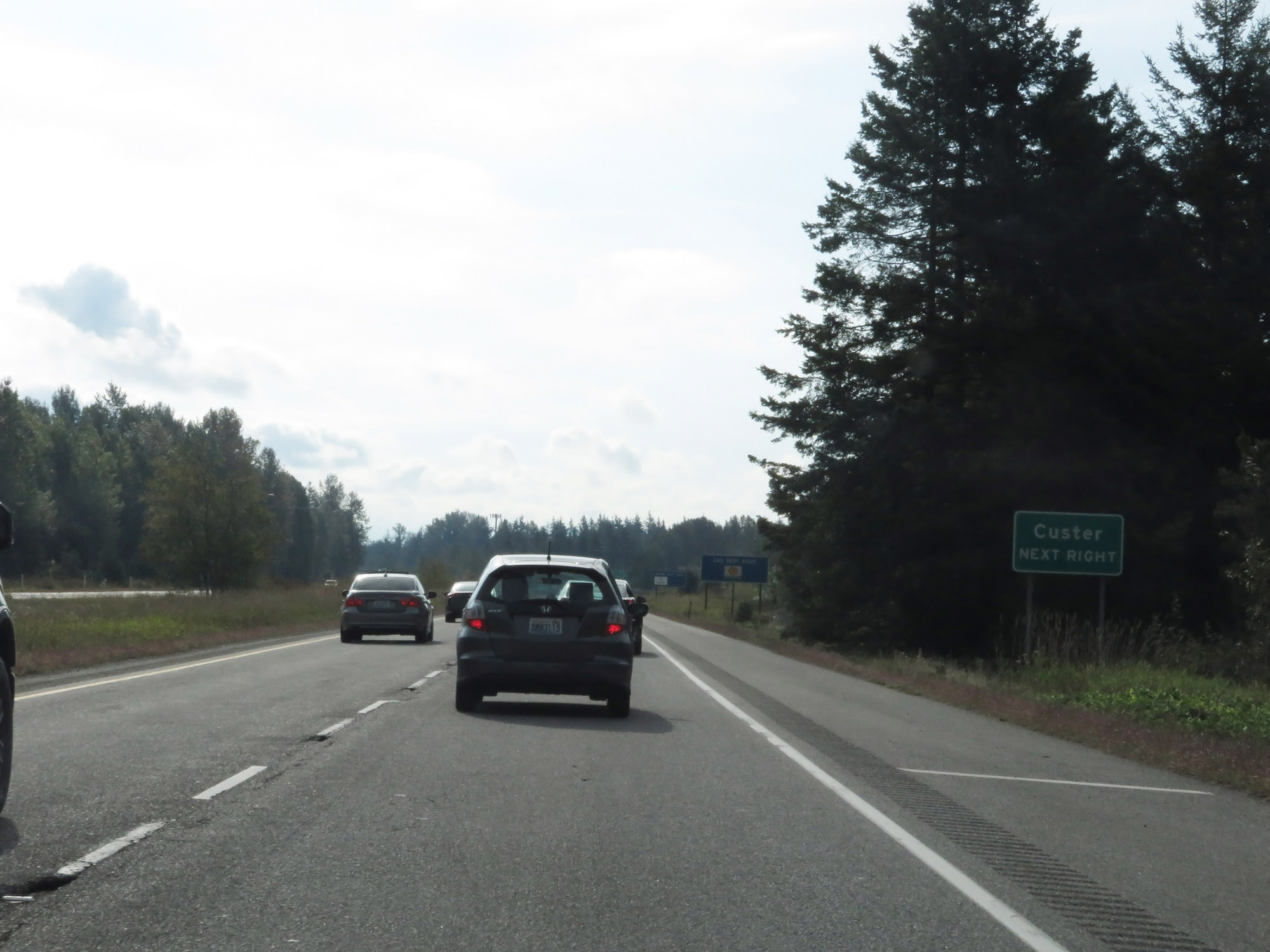 |
Take Exit 270 to Custer. (Photo taken 9/21/19). |
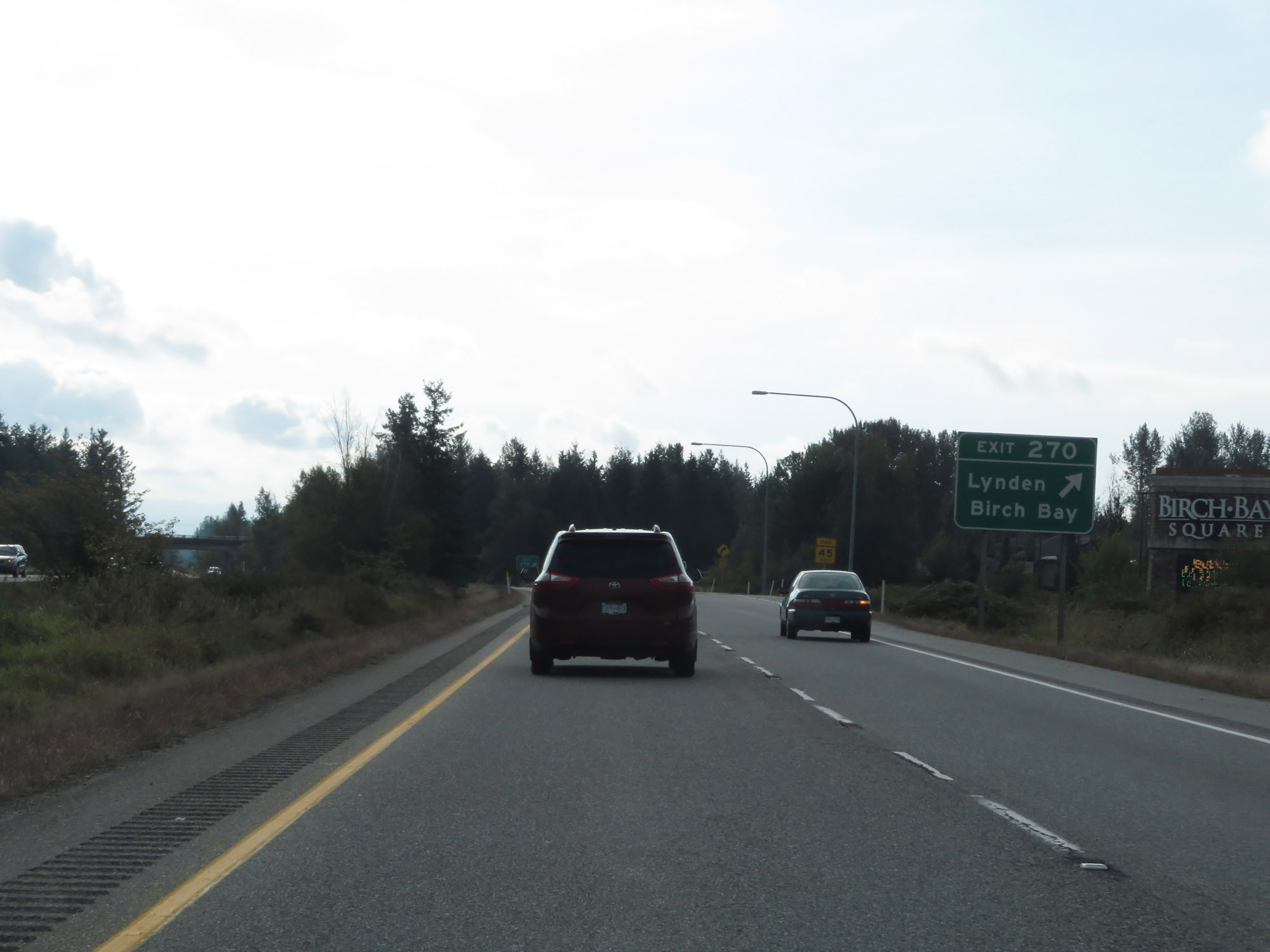 |
Interstate 5 South at Exit 270: Lynden / Birch Bay (Photo taken 9/21/19). |
 |
Rest Area on Interstate 5 South in Whatcom County. (Photo taken 9/21/19). |
 |
The speed limits remain 70 mph for cars and 60 mph for trucks. (Photo taken 9/21/19). |
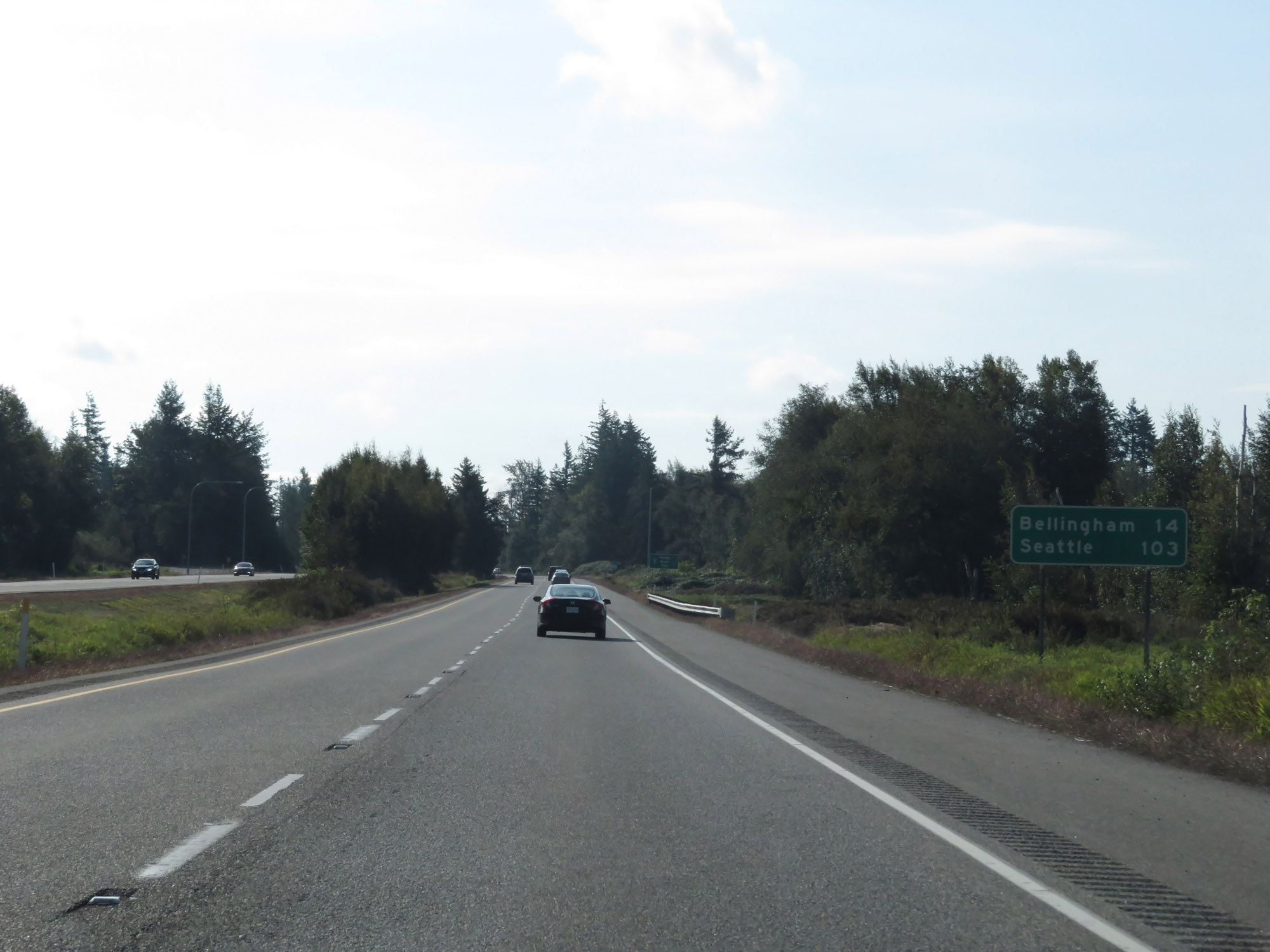 |
Another mileage sign on Interstate 5 South. It's 14 miles to Bellingham and 103 miles to Seattle. (Photo taken 9/21/19). |
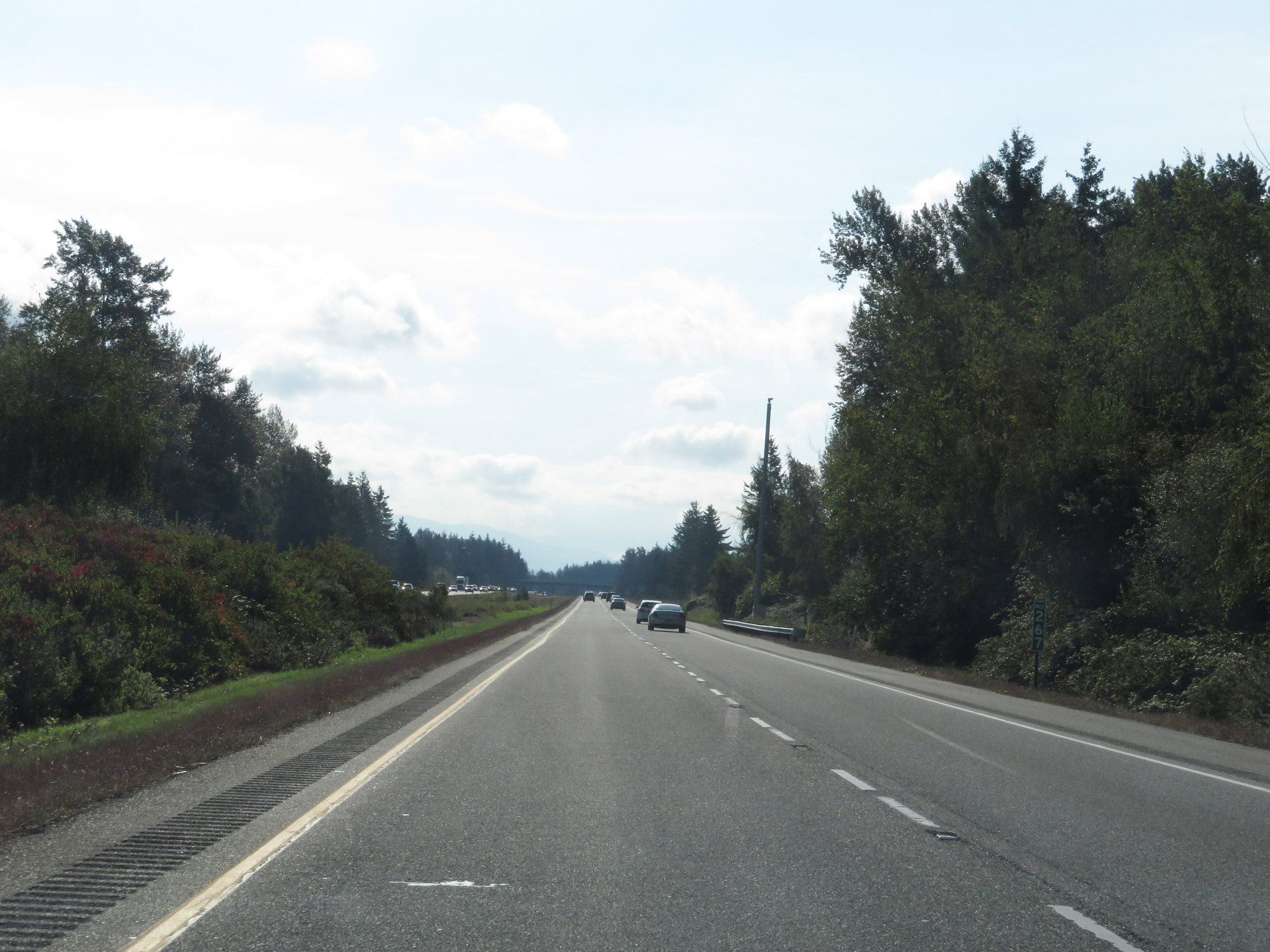 |
Interstate 5 South at mile marker 267. (Photo taken 9/21/19). |
 |
Take Exit 266 to Birch Bay State Park. (Photo taken 9/21/19). |
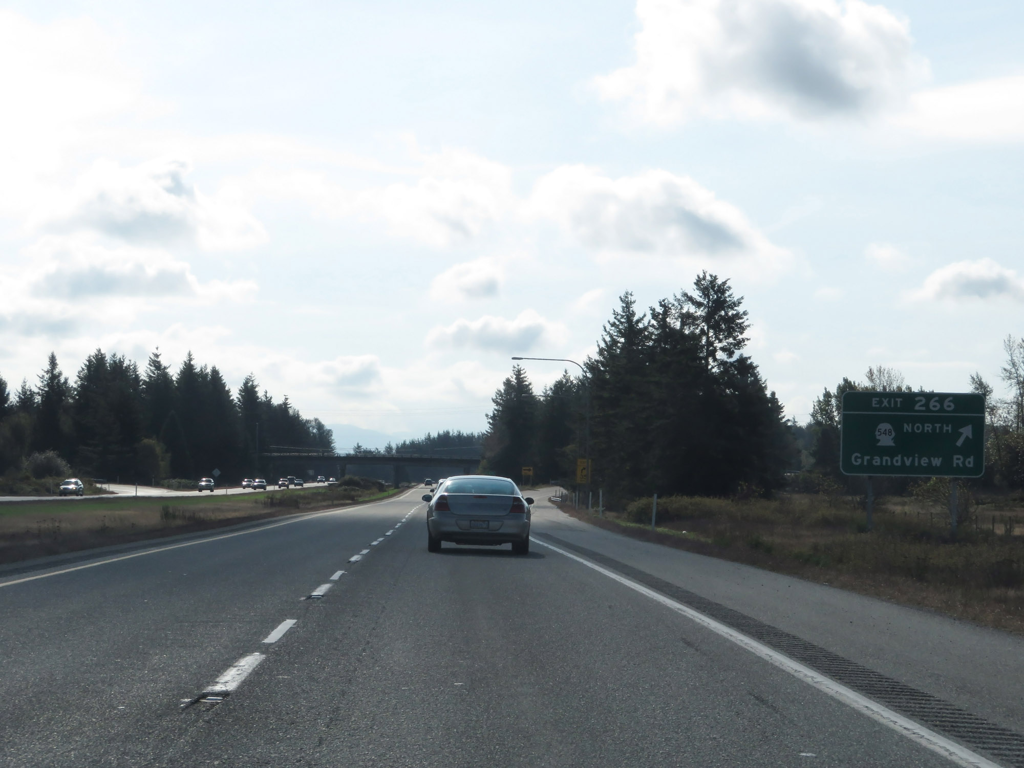 |
Interstate 5 South at Exit 266: WA 548 North - Grandview Rd (Photo taken 9/21/19). |
 |
Another Interstate 5 South reassurance shield. (Photo taken 9/21/19). |
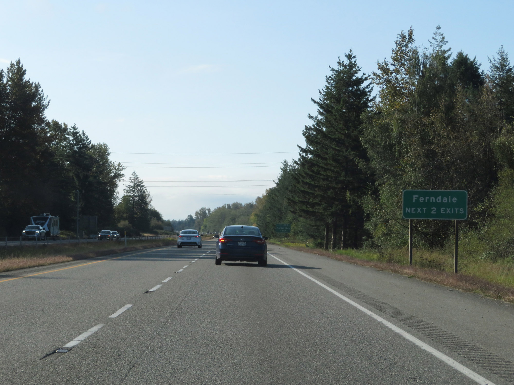 |
Take either of the next 2 exits to Ferndale. (Photo taken 9/21/19). |
 |
Interstate 5 South at Exit 263: Portal Way (Photo taken 9/21/19). |
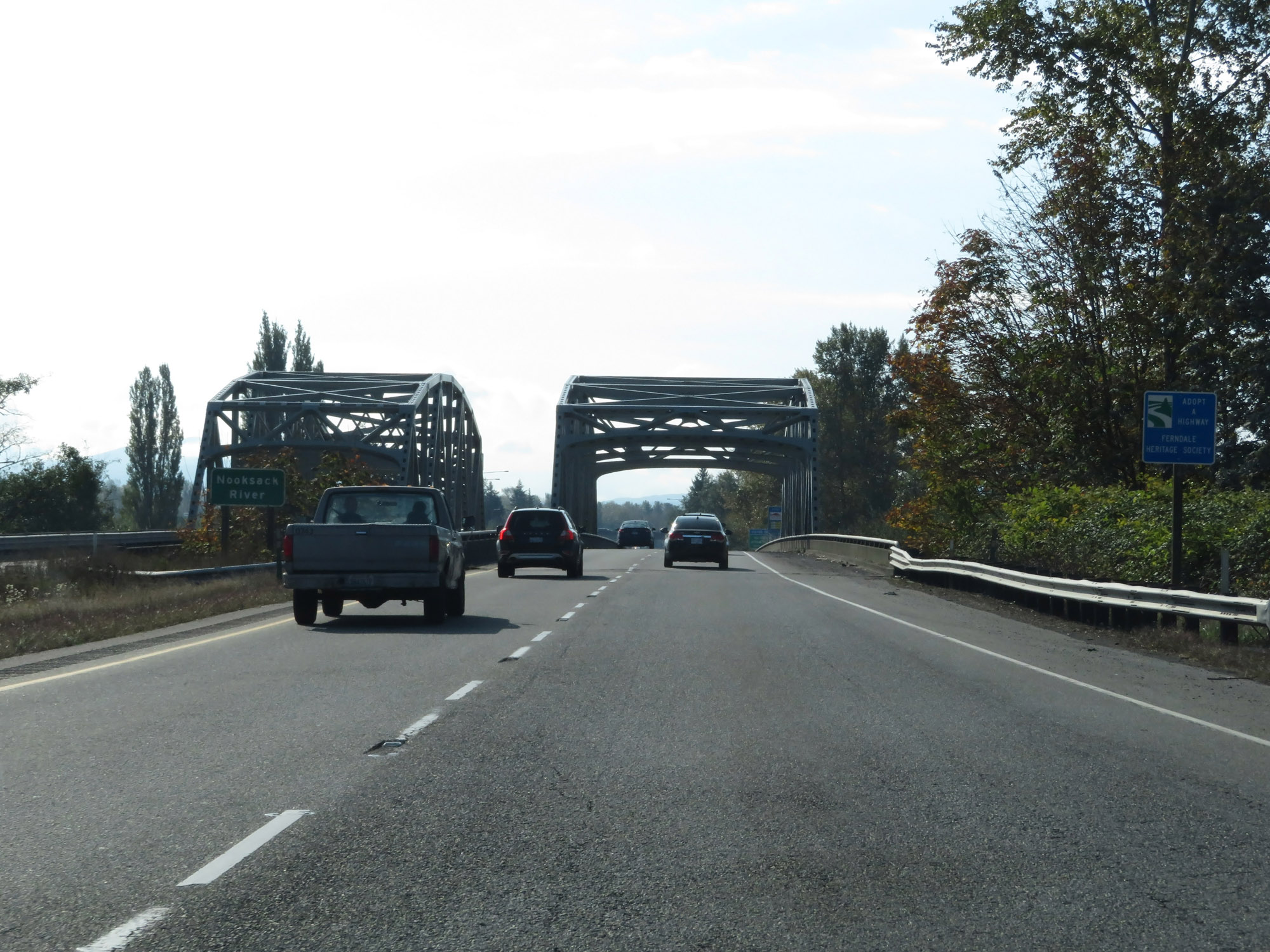 |
Preparing to cross the Nooksack River on Interstate 5 South in Ferndale. (Photo taken 9/21/19). |
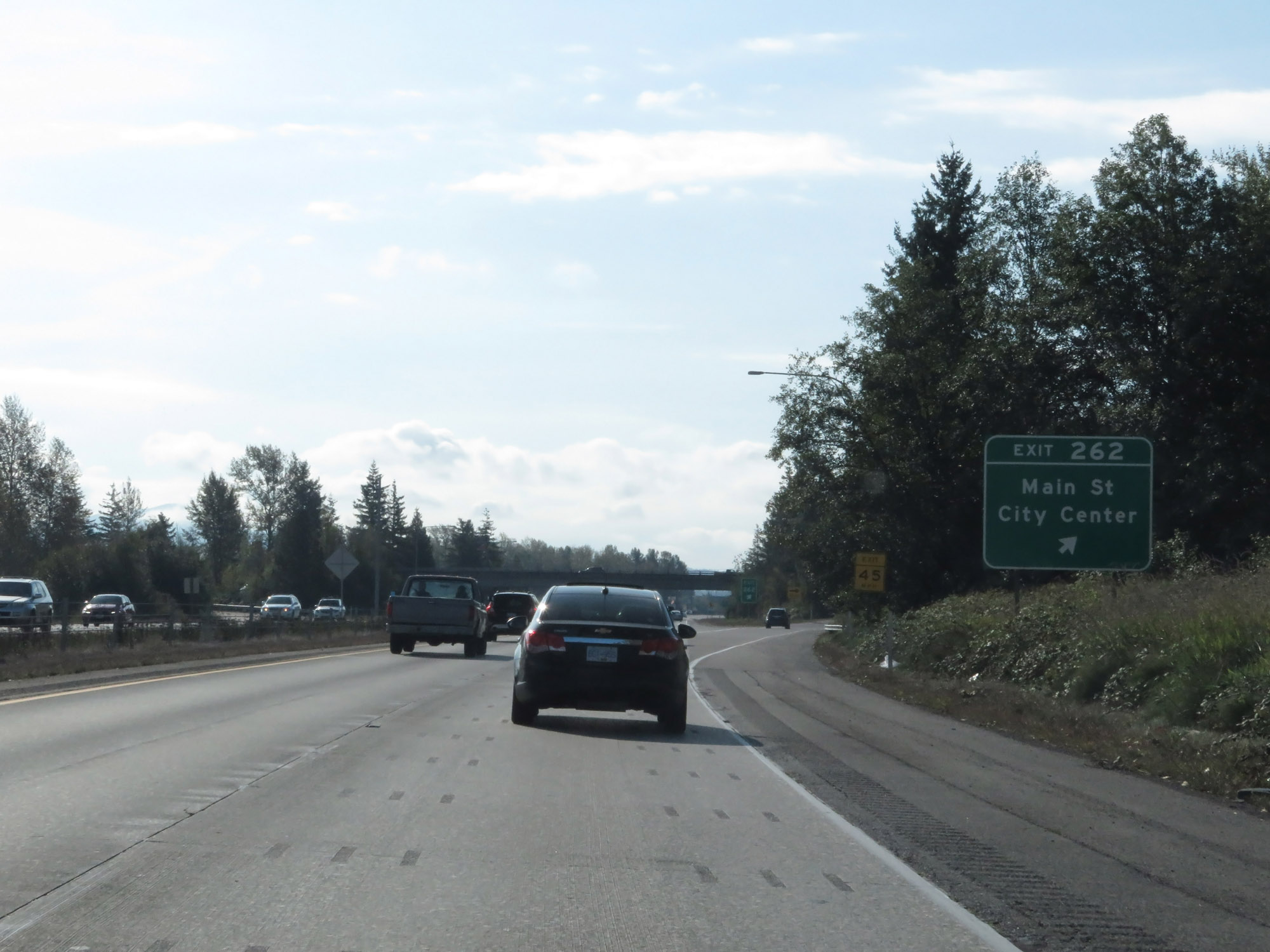 |
Interstate 5 South at Exit 262: Main St / City Center (Photo taken 9/21/19). |
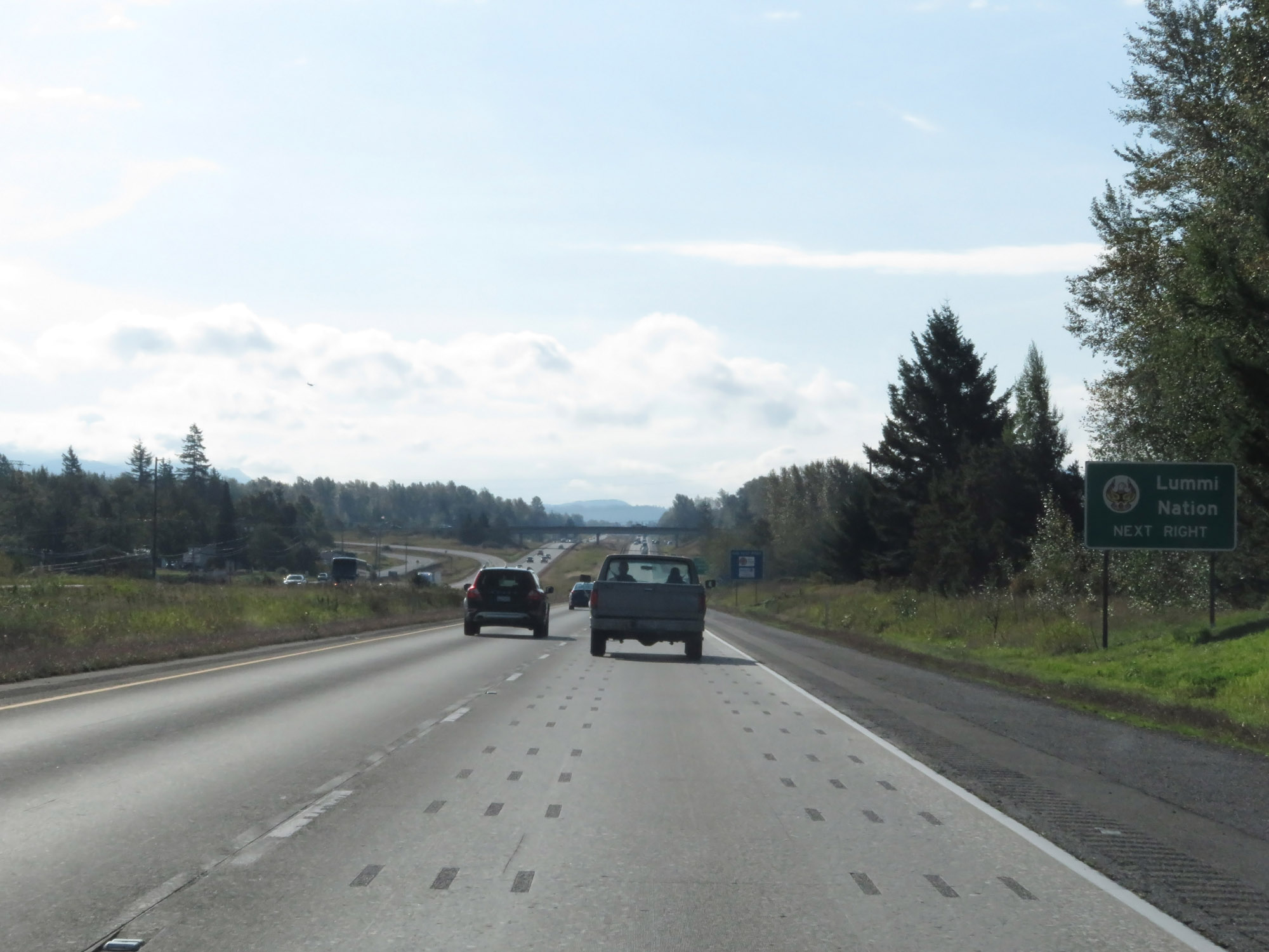 |
Take Exit 260 to the Lummi Nation. (Photo taken 9/21/19). |
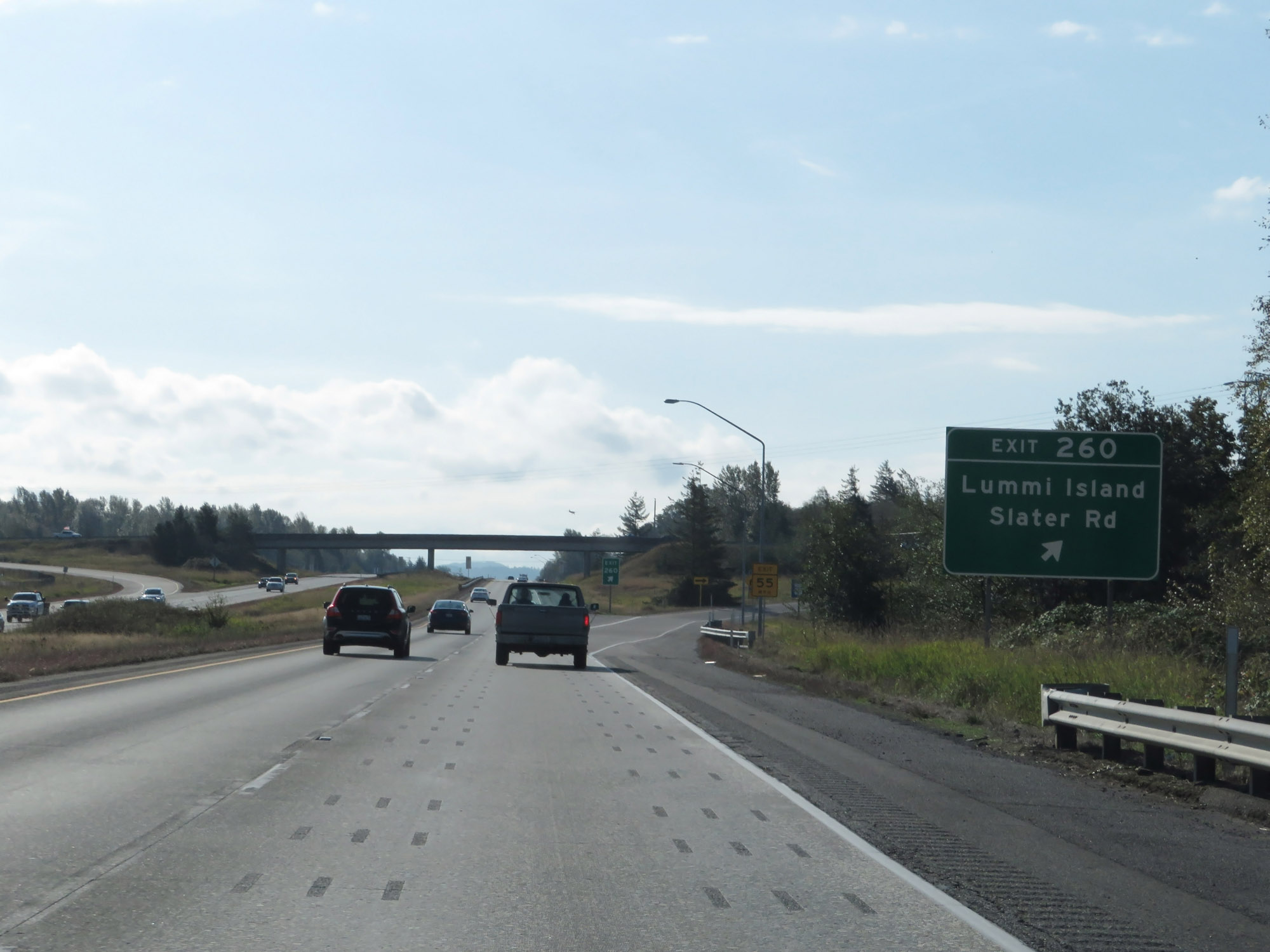 |
Interstate 5 South at Exit 260: Lummi Island / Slater Rd (Photo taken 9/21/19). |
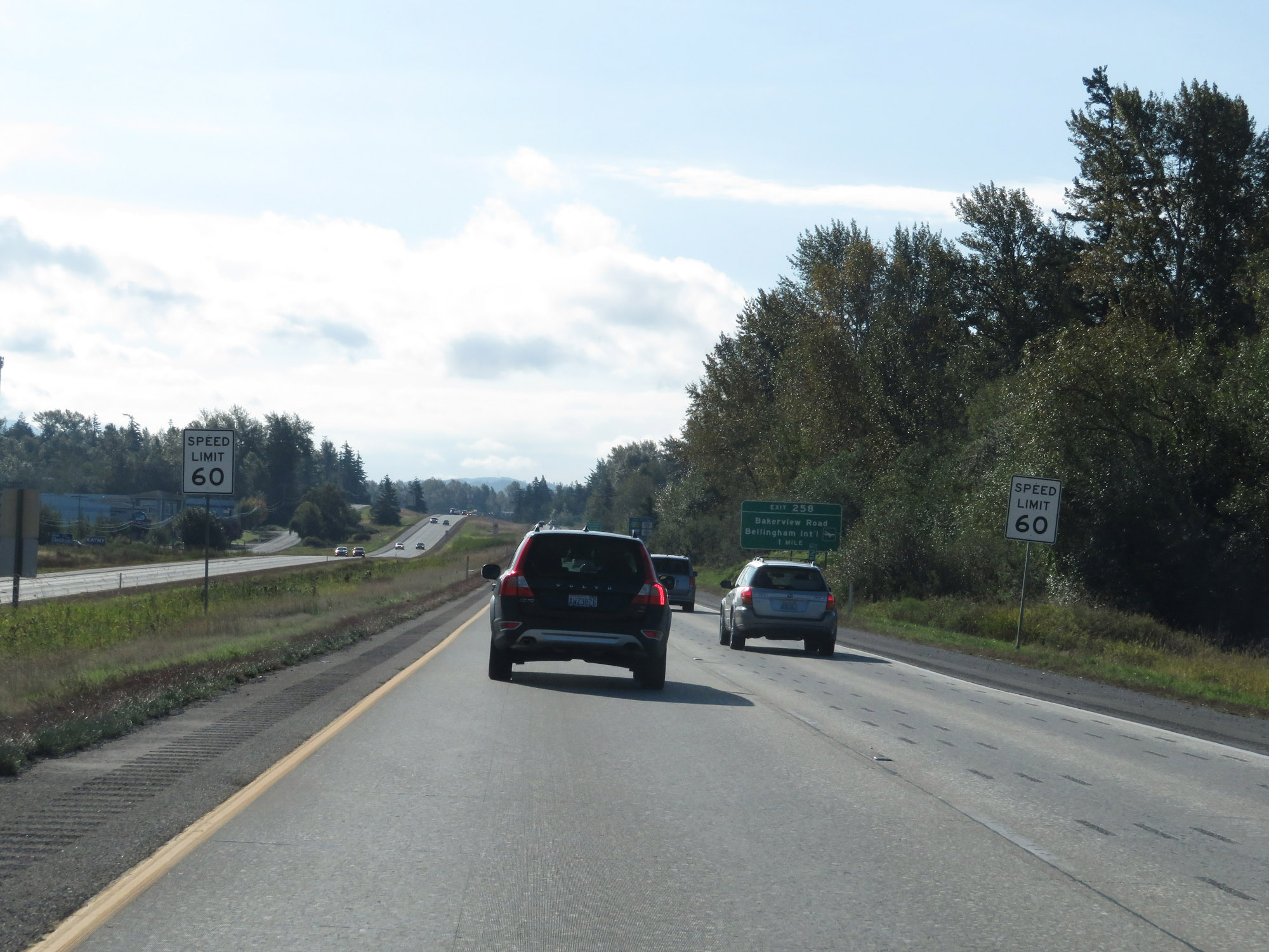 |
Approaching the Bellingham area, the speed limit decreases to 60 mph for all traffic. (Photo taken 9/21/19). |
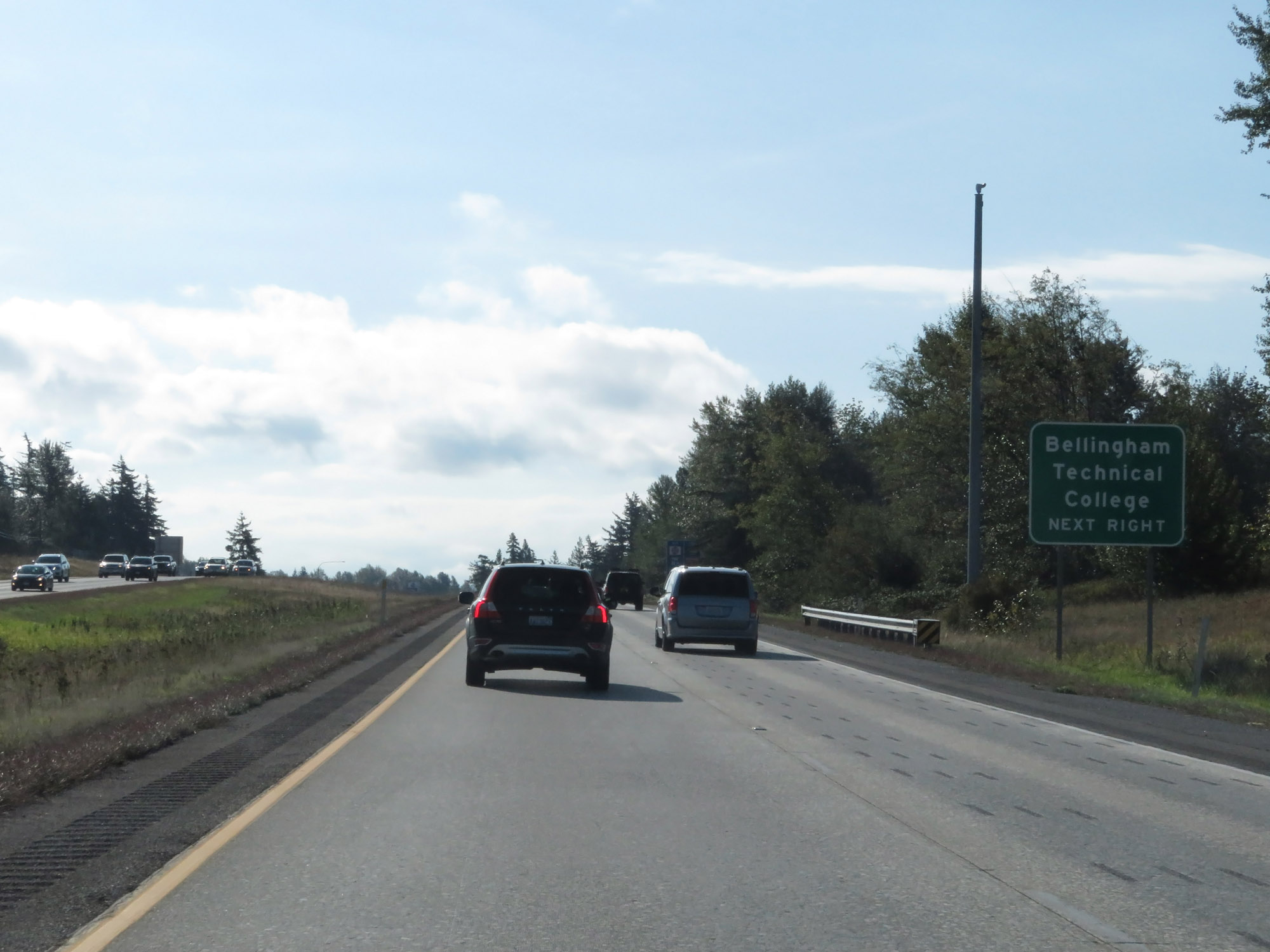 |
Take Exit 258 to Bellingham Technical College. (Photo taken 9/21/19). |
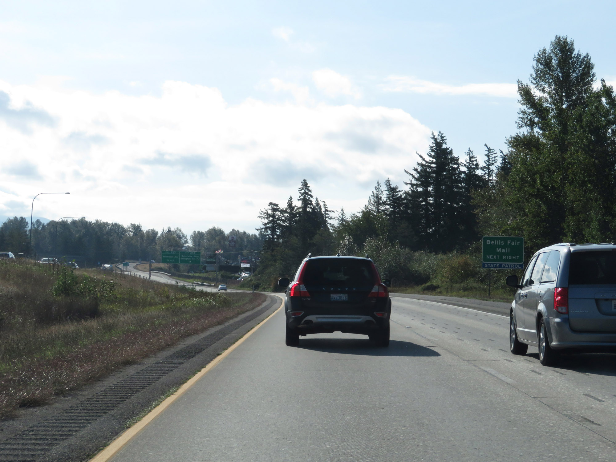 |
Also take Exit 258 to Bellis Fair Mall. (Photo taken 9/21/19). |
 |
Interstate 5 South at Exit 258: Bakerview Road / Bellingham International Airport (Photo taken 9/21/19). |
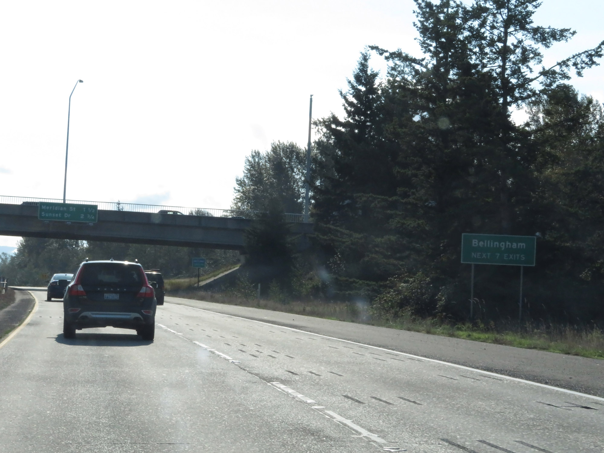 |
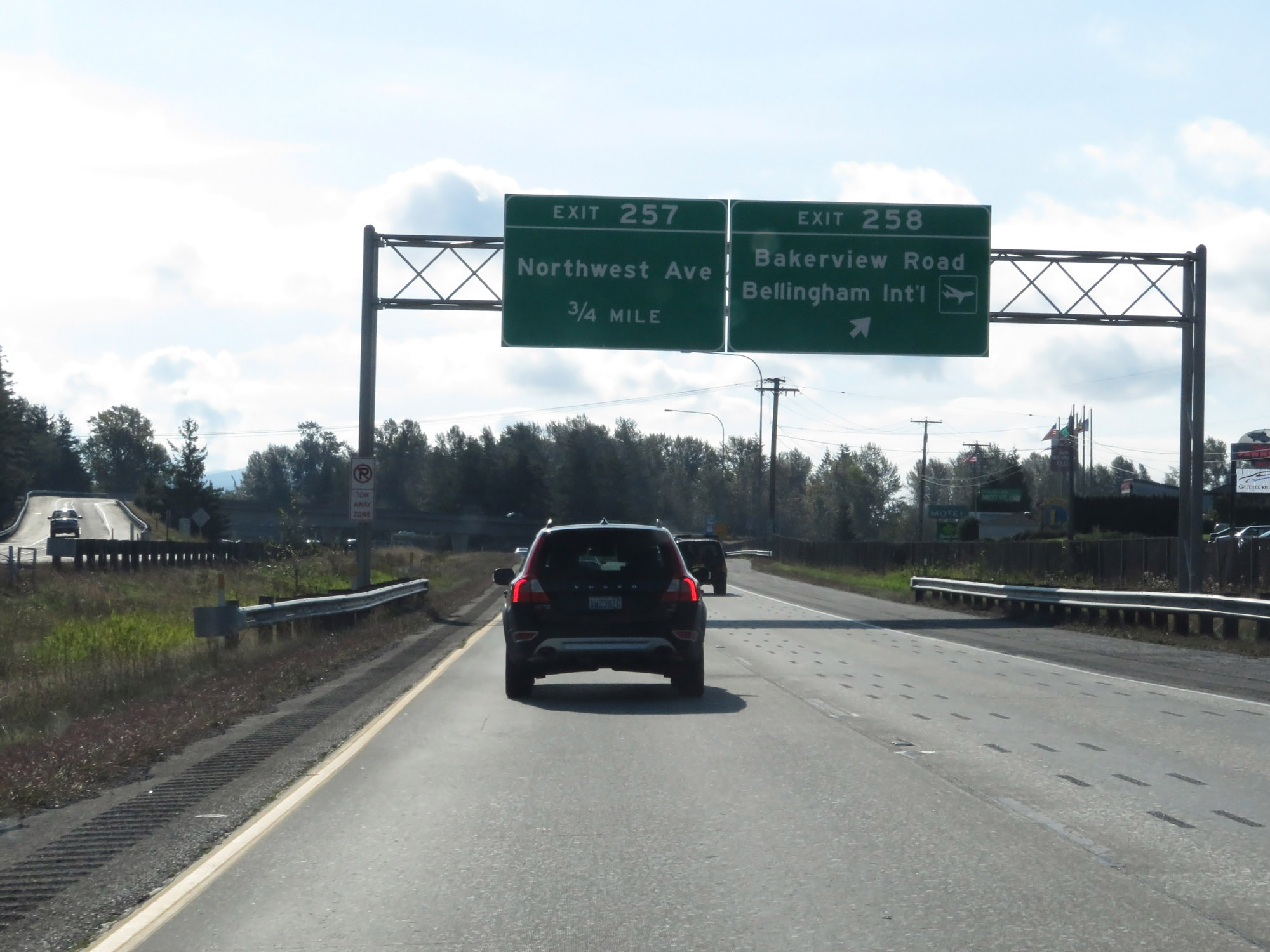
Take any of the next 7 exits to Bellingham. (Photo taken 9/21/19). |
 |
Interstate 5 South at Exit 257: Northwest Ave (Photo taken 9/21/19). |
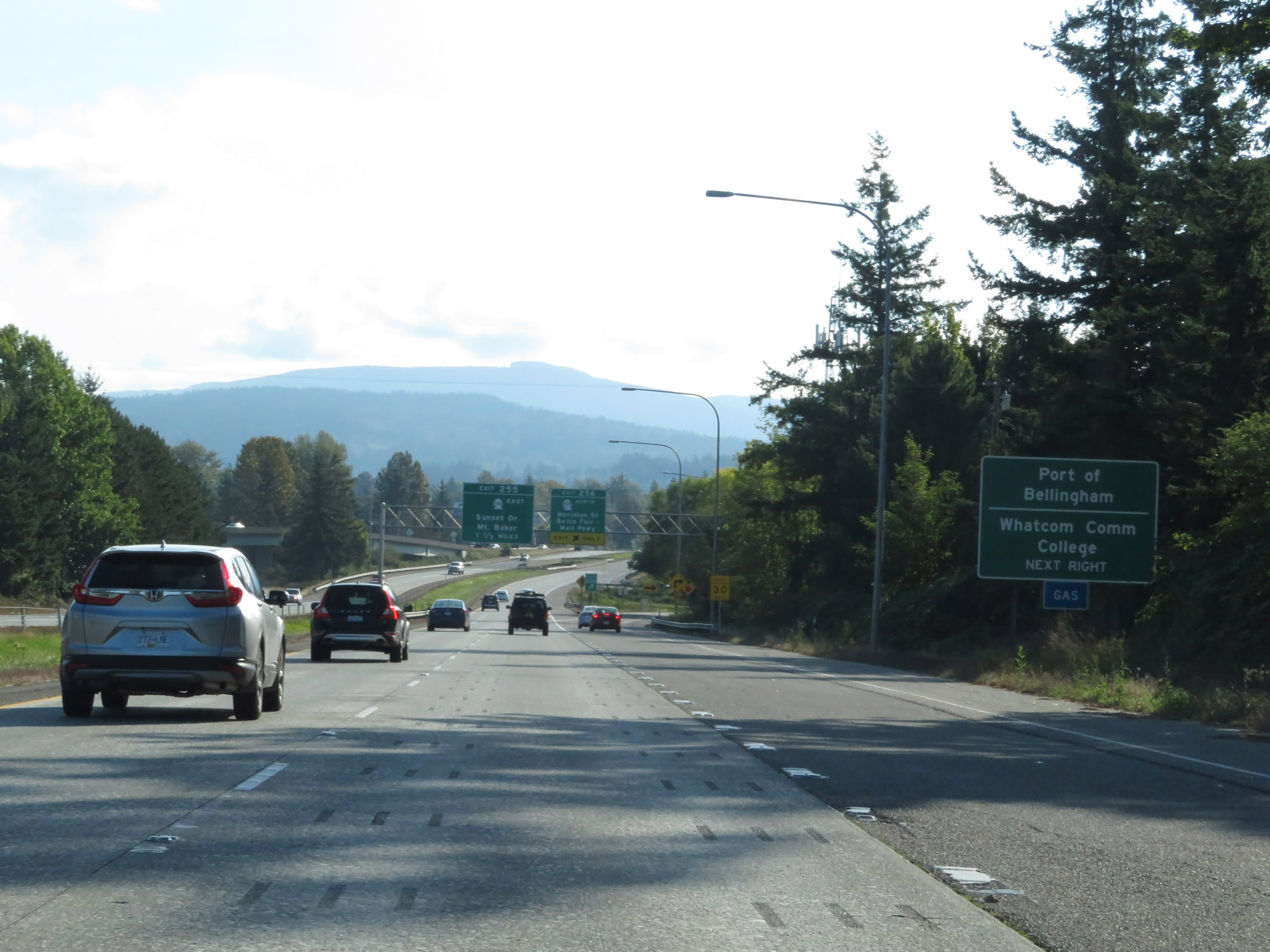 |
Take Exit 256 to Port of Bellingham and Whatcom Community College. (Photo taken 9/21/19). |
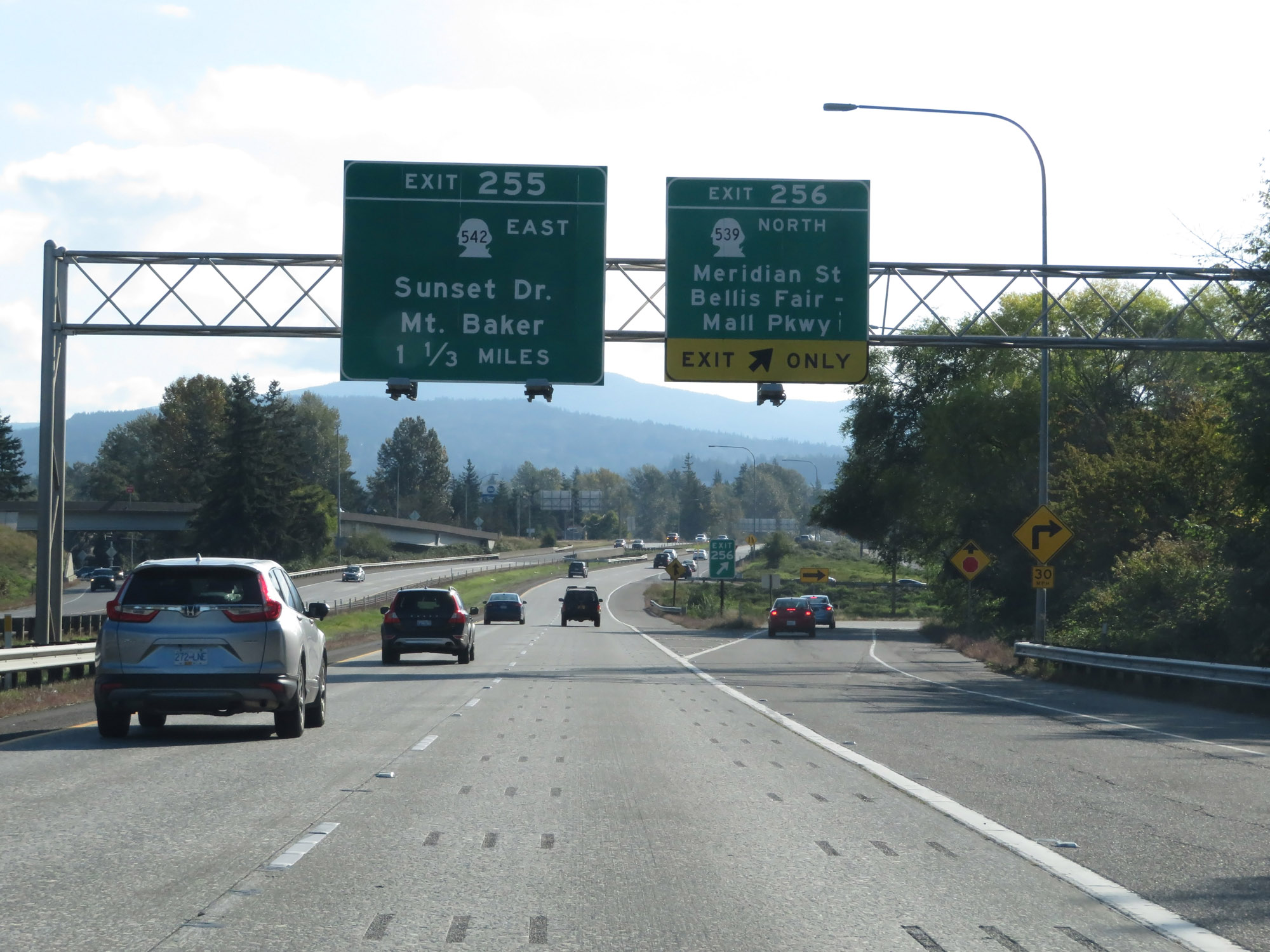 |
Interstate 5 South at Exit 256: WA 539 North - Meridian St / Bellis Fair-Mall Pkwy (Photo taken 9/21/19). |
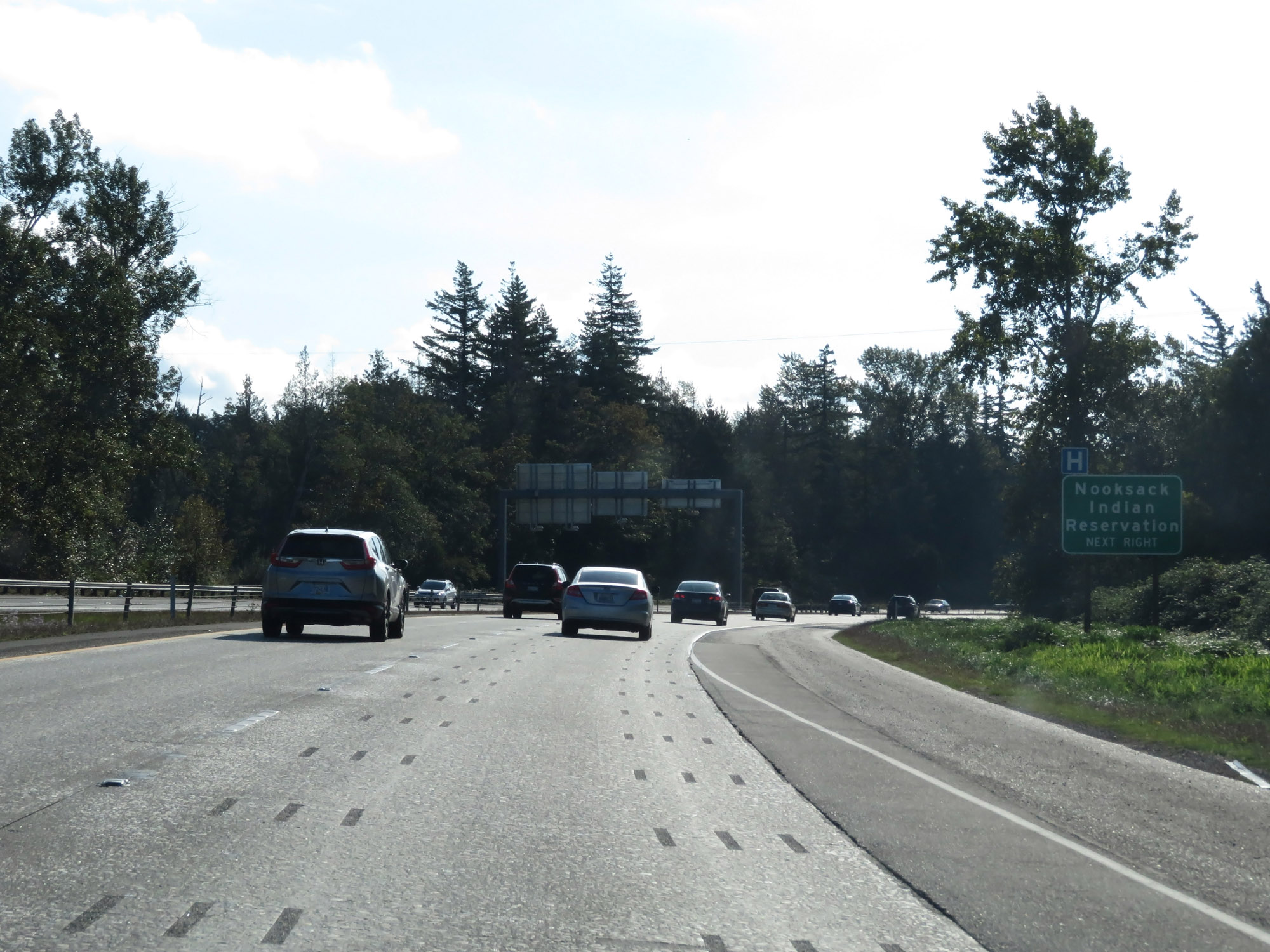 |
Take Exit 255 to the Nooksack Indian Reservation. (Photo taken 9/21/19). |
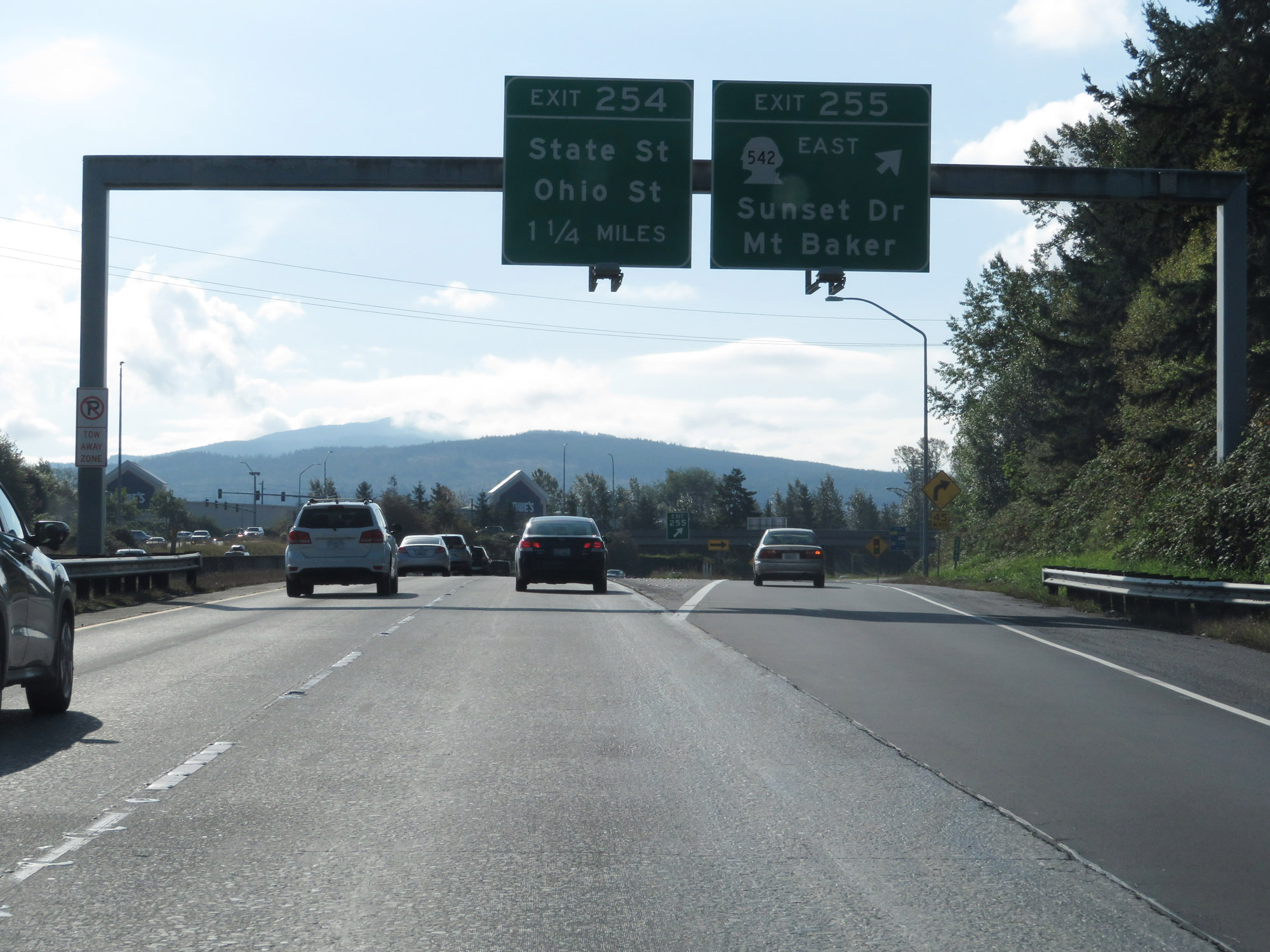 |
Interstate 5 South at Exit 255: WA 542 East - Sunset Dr / Mt Baker (Photo taken 9/21/19). |
 |
The speed limit remains 60 mph for all traffic through the Bellingham area. (Photo taken 9/21/19). |
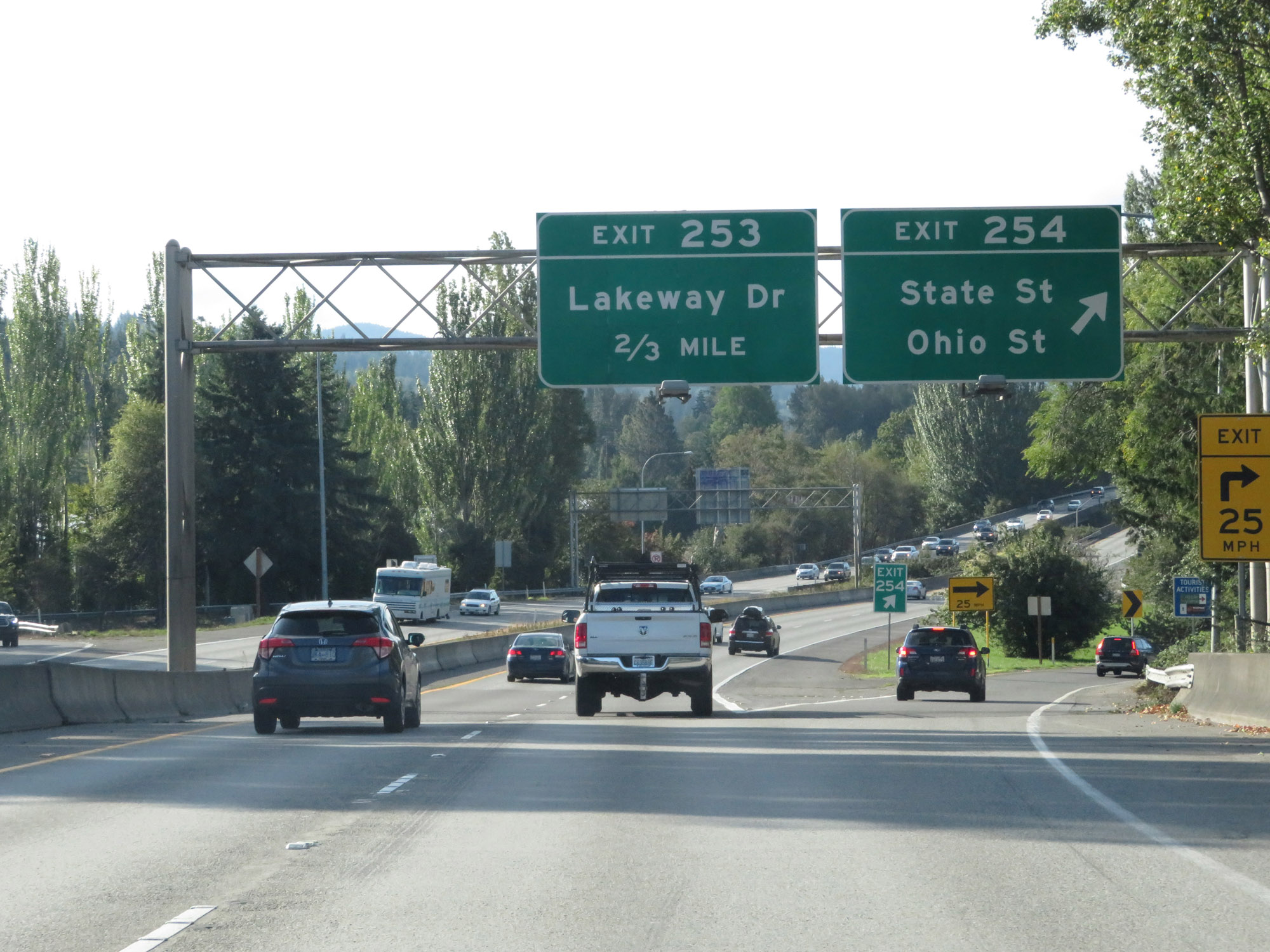 |
Interstate 5 South at Exit 254: State St / Ohio St (Photo taken 9/21/19). |
 |
Interstate 5 South at Exit 253: Lakeway Dr (Photo taken 9/21/19). |
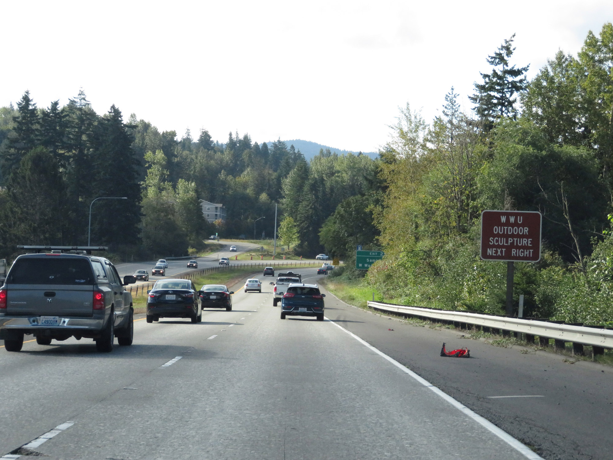 |
Take Exit 252 to the WWU Outdoor Sculpture. (Photo taken 9/21/19). |
 |
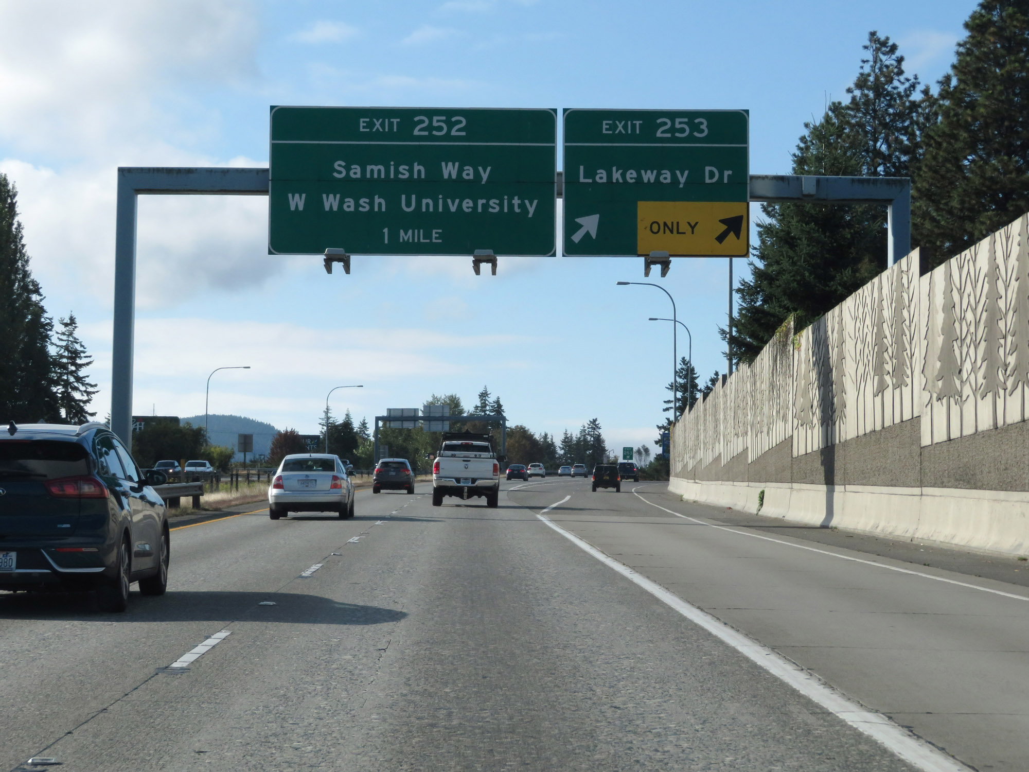
Interstate 5 South at Exit 252: Samish Way / Western Washington University (Photo taken 9/21/19). |
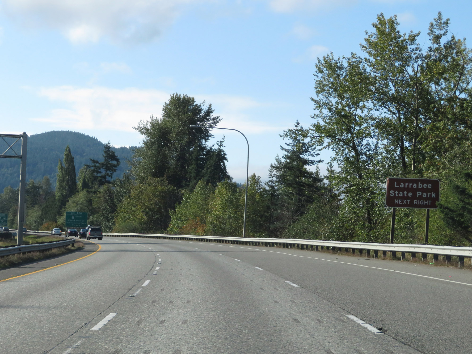 |
Take Exit 250 to Larrabee State Park. (Photo taken 9/21/19). |
 |
Also take Exit 250 to the Fairhaven Terminals (Ferry and Bus) and Fairhaven Historic District. (Photo taken 9/21/19). |
 |
Interstate 5 South at Exit 250: WA 11 South - Chuckanut Dr / Old Fairhaven Pkwy (Photo taken 9/21/19). |
Section 2: Bellingham (Exit 250) to Everett (Exit 198)
 |
Interstate 5 South reassurance shield. (Photo taken 9/21/19). |
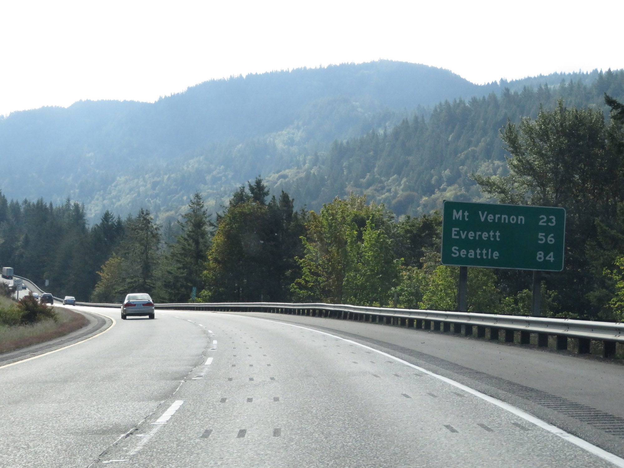 |
Mileage sign on Interstate 5 South. It's 23 miles to Mt Vernon, 56 miles to Everett, and 84 miles to Seattle. (Photo taken 9/21/19). |
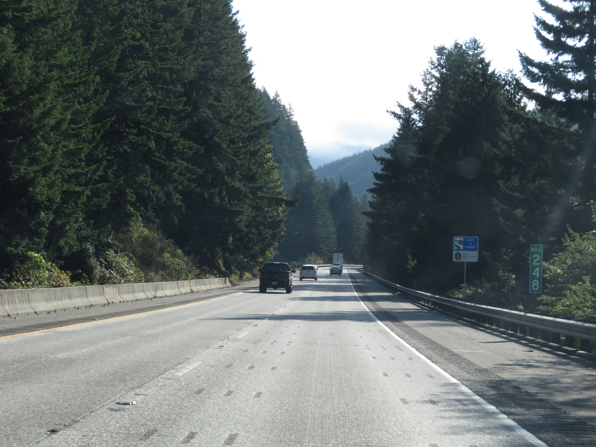 |
View on Interstate 5 South at mile marker 248. (Photo taken 9/21/19). |
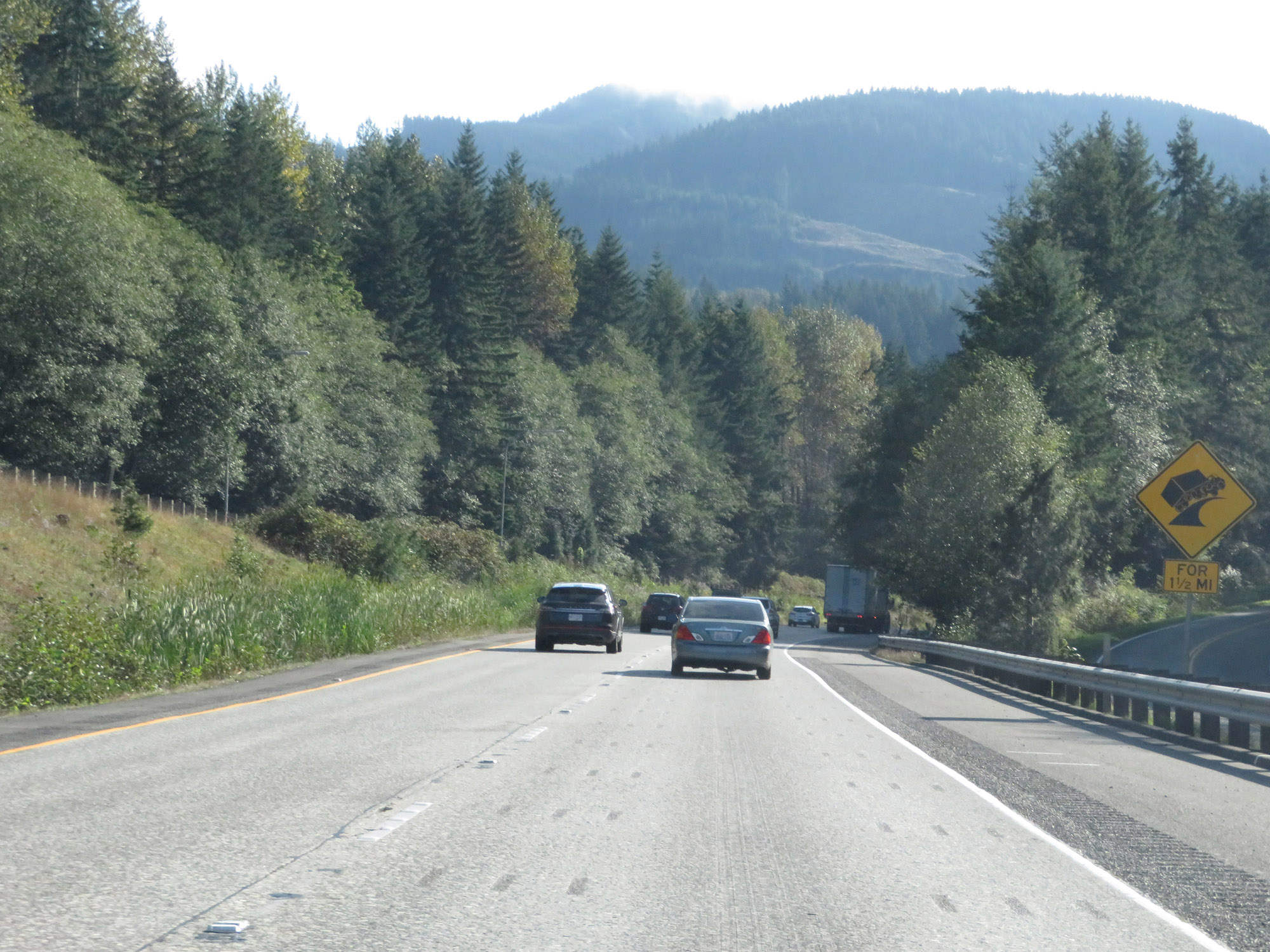 |
Interstate 5 South prepares to traverse a steep downgrade ahead, which will last for the next 1 1/2 miles. (Photo taken 9/21/19). |
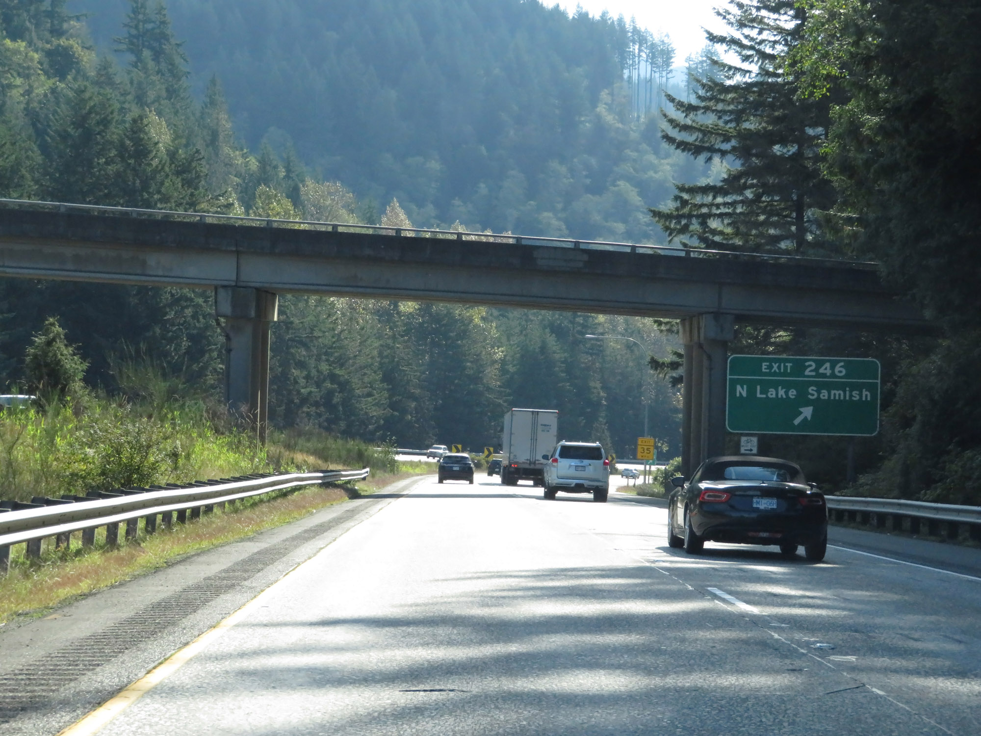 |
Interstate 5 South at Exit 246: N Lake Samish (Photo taken 9/21/19). |
 |
Interstate 5 South as the aforementioned downgrade continues. (Photo taken 9/21/19). |
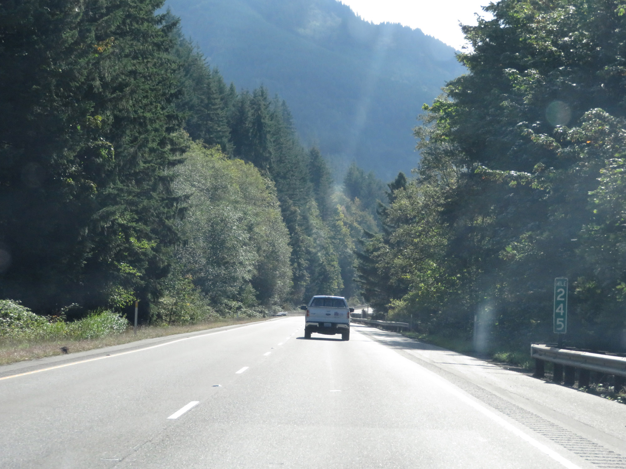 |
View on Interstate 5 South at mile marker 245. (Photo taken 9/21/19). |
 |
At the bottom of the grade, the standard speed limits of 70 mph for cars and 60 mph for trucks resume. (Photo taken 9/21/19). |
 |
Interstate 5 South at Exit 242: Nulle Rd / S Lake Samish (Photo taken 9/21/19). |
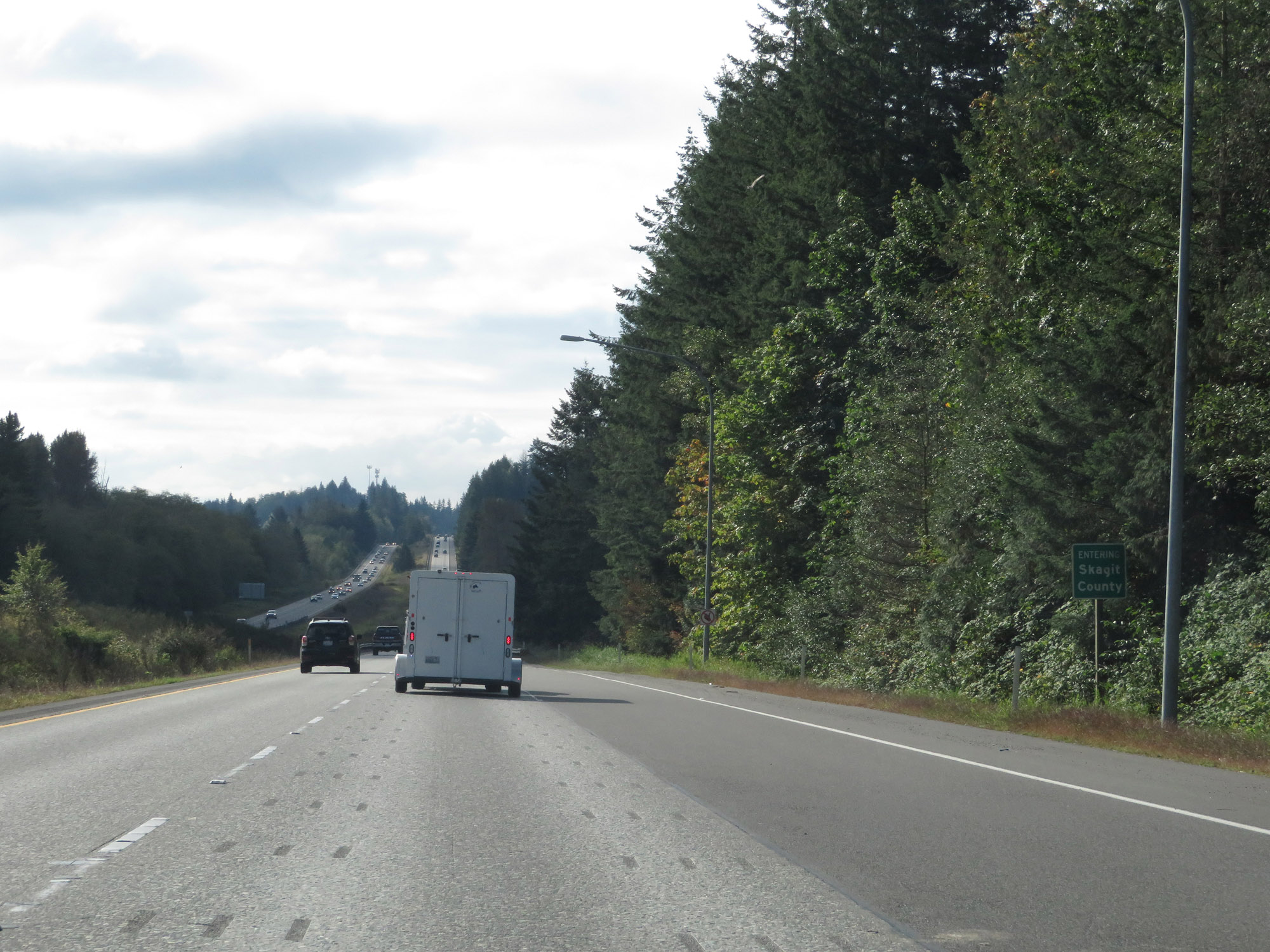 |
Interstate 5 South as it enters Skagit County. (Photo taken 9/21/19). |
 |
Interstate 5 South at Exit 240: Alger (Photo taken 9/21/19). |
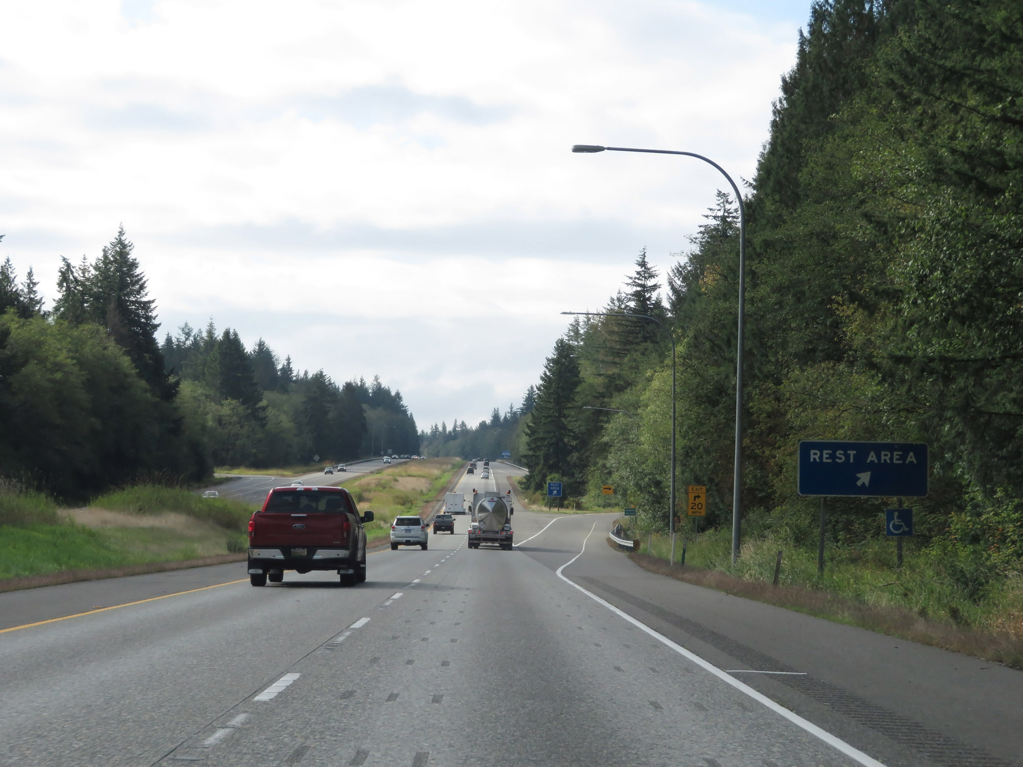 |
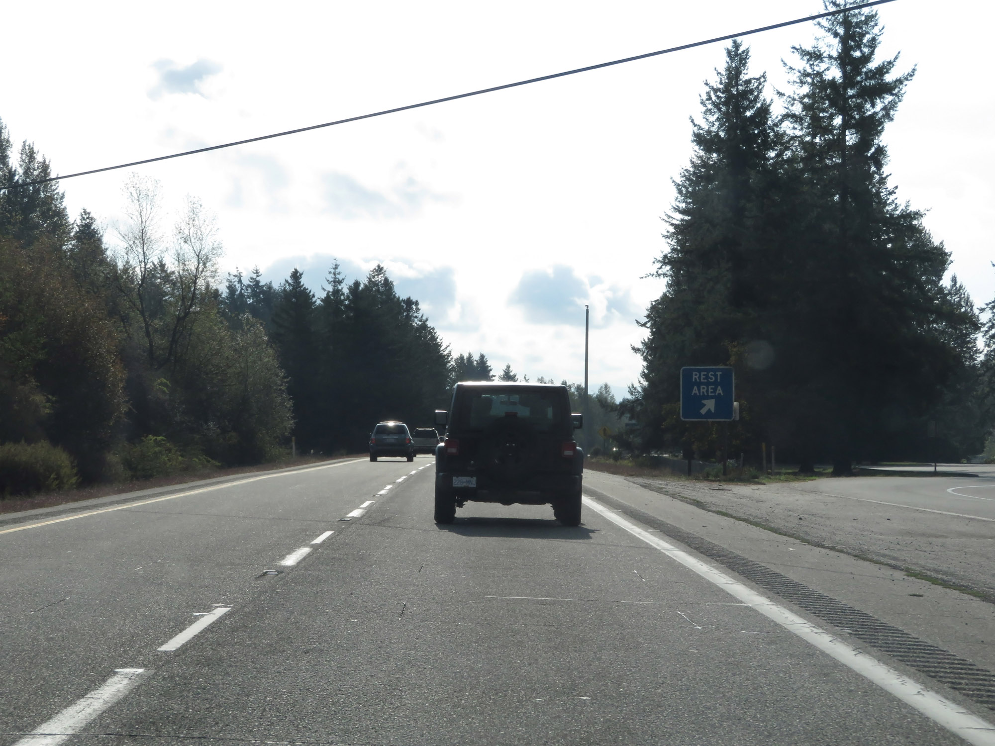
Rest Area on Interstate 5 South in Skagit County. (Photo taken 9/21/19). |
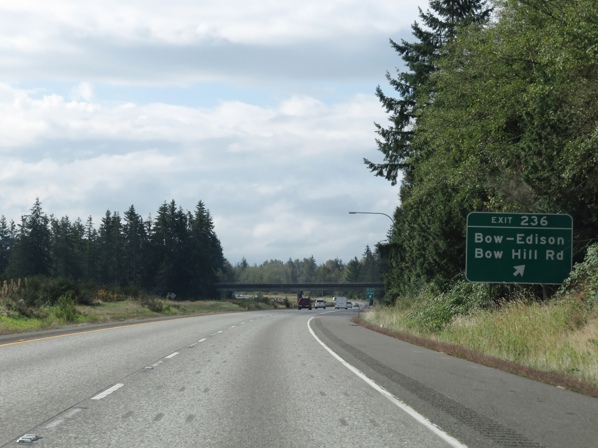 |
Interstate 5 South at Exit 236: Bow-Edison / Bow Hill Rd (Photo taken 9/21/19). |
 |
Weigh Station on Interstate 5 South in Skagit County. (Photo taken 9/21/19). |
 |
Interstate 5 South at mile marker 234. (Photo taken 9/21/19). |
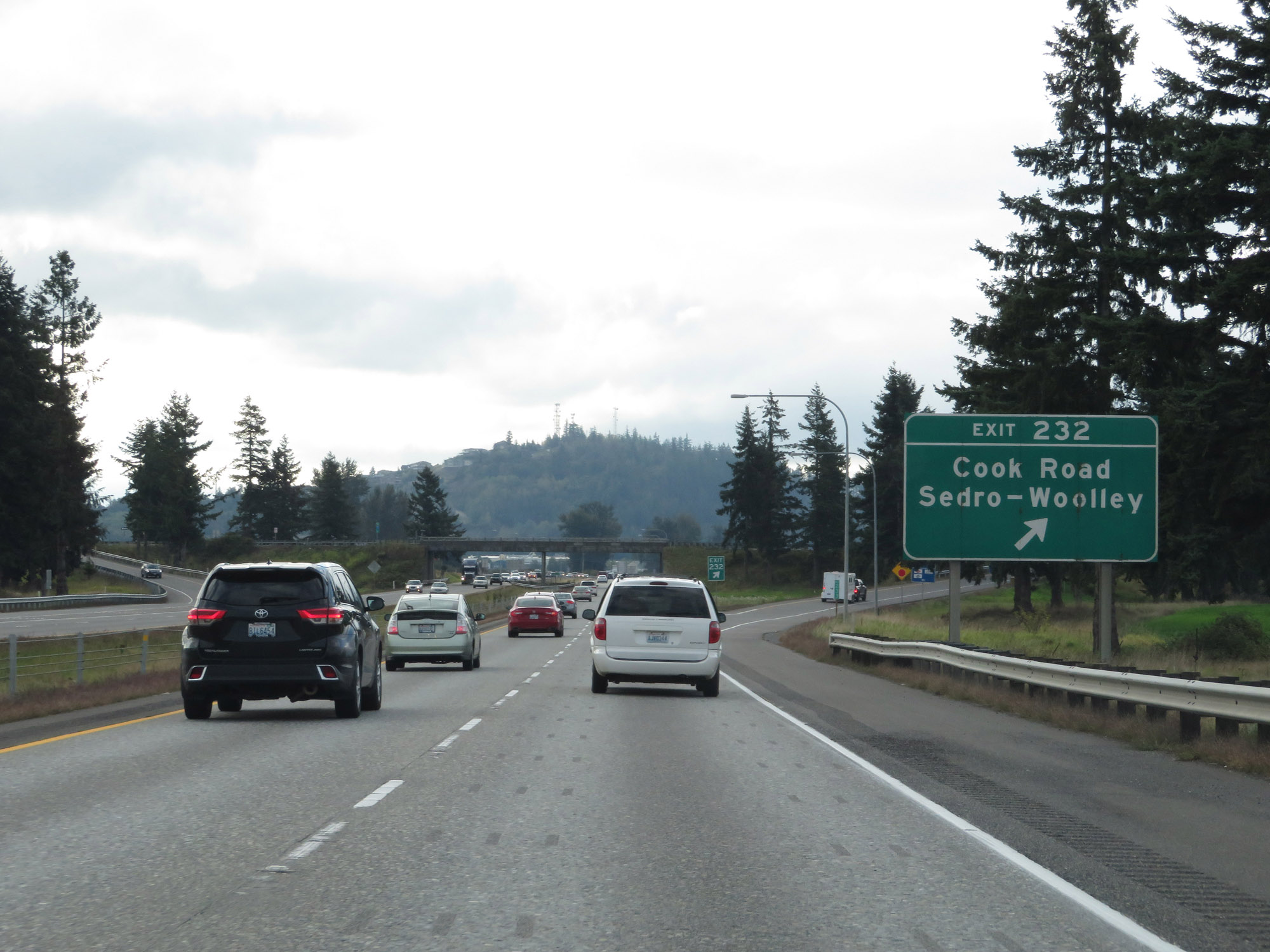 |
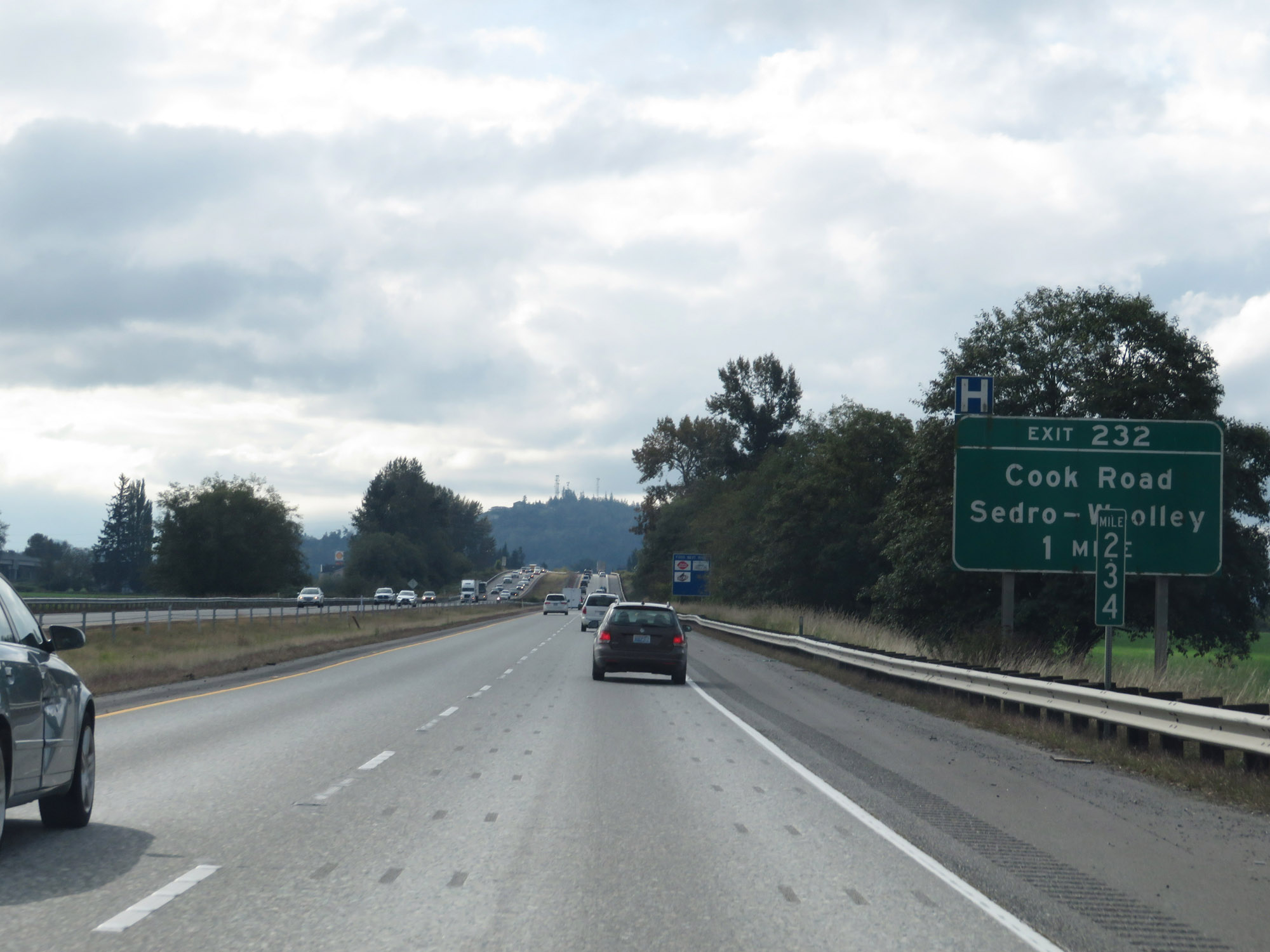
Interstate 5 South at Exit 232: Cook Road / Sedro-Woolley (Photo taken 9/21/19). |
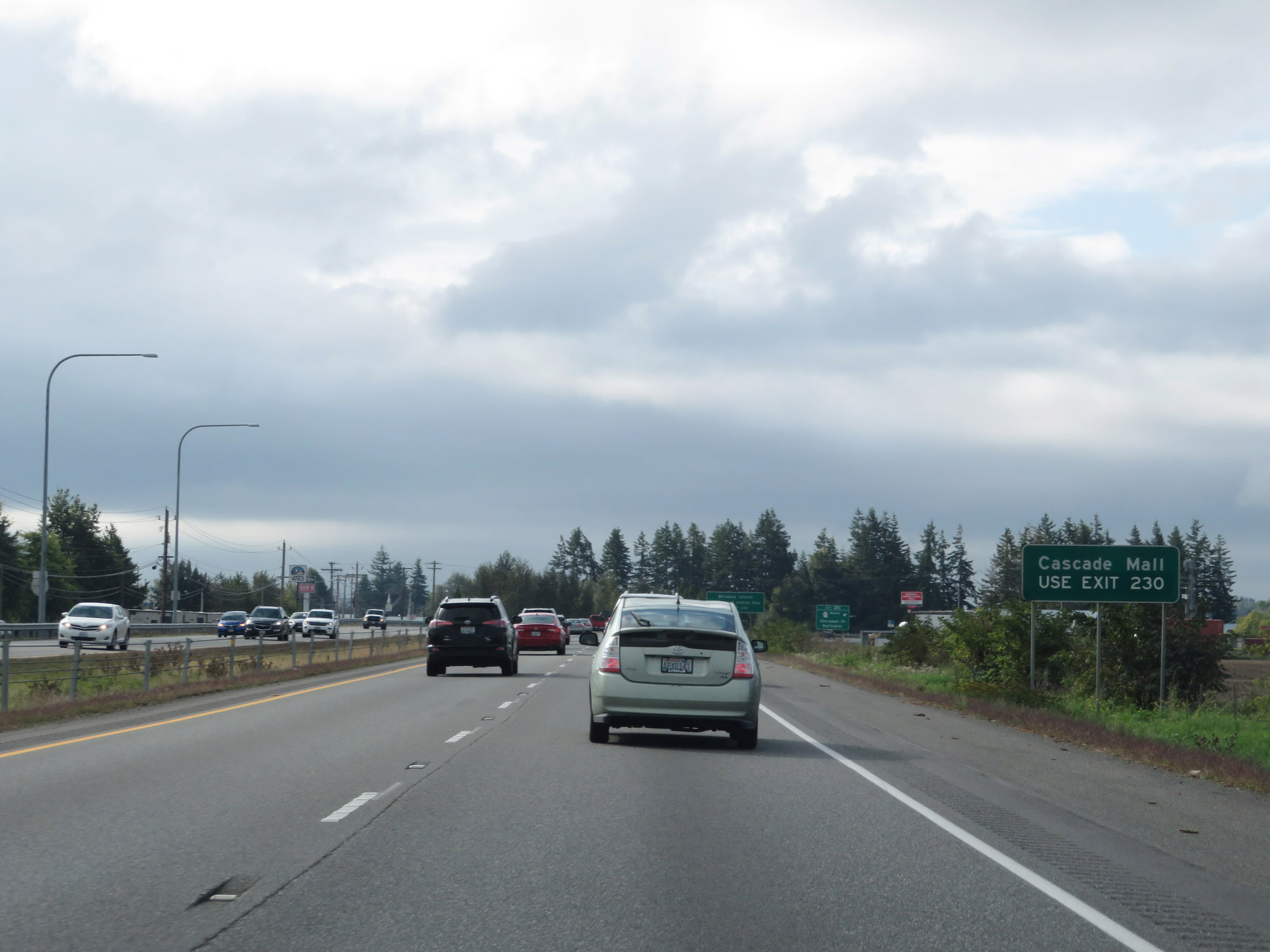 |
Take Exit 230 to Cascade Mall. (Photo taken 9/21/19). |
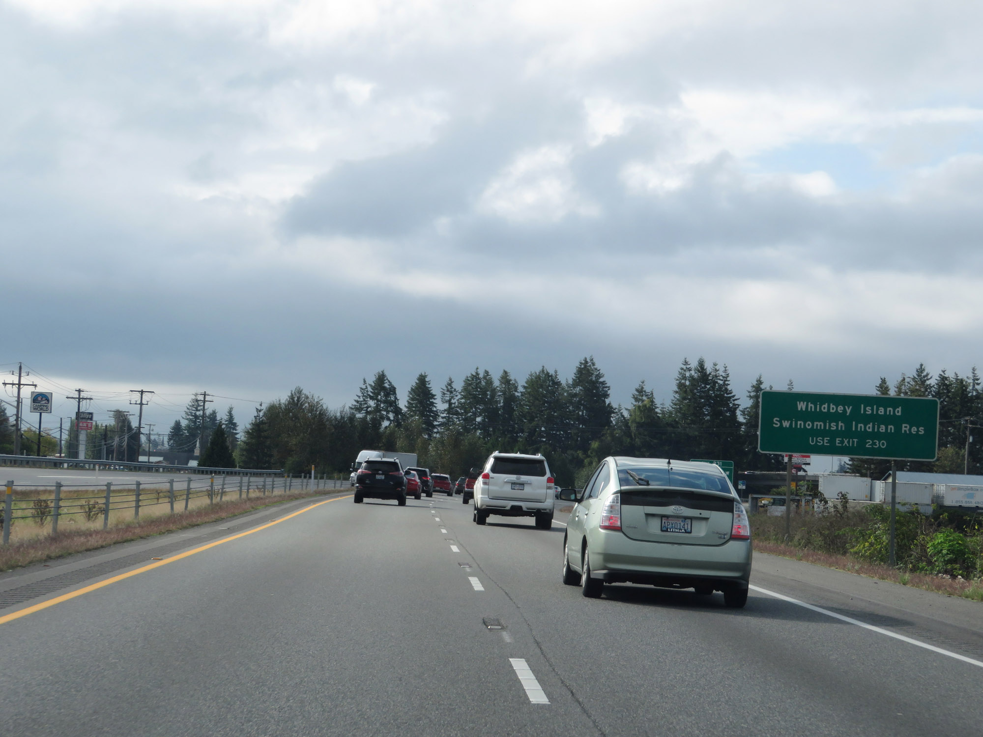 |
Also take Exit 230 to Whidbey Island and the Swinomish Indian Reservation. (Photo taken 9/21/19). |
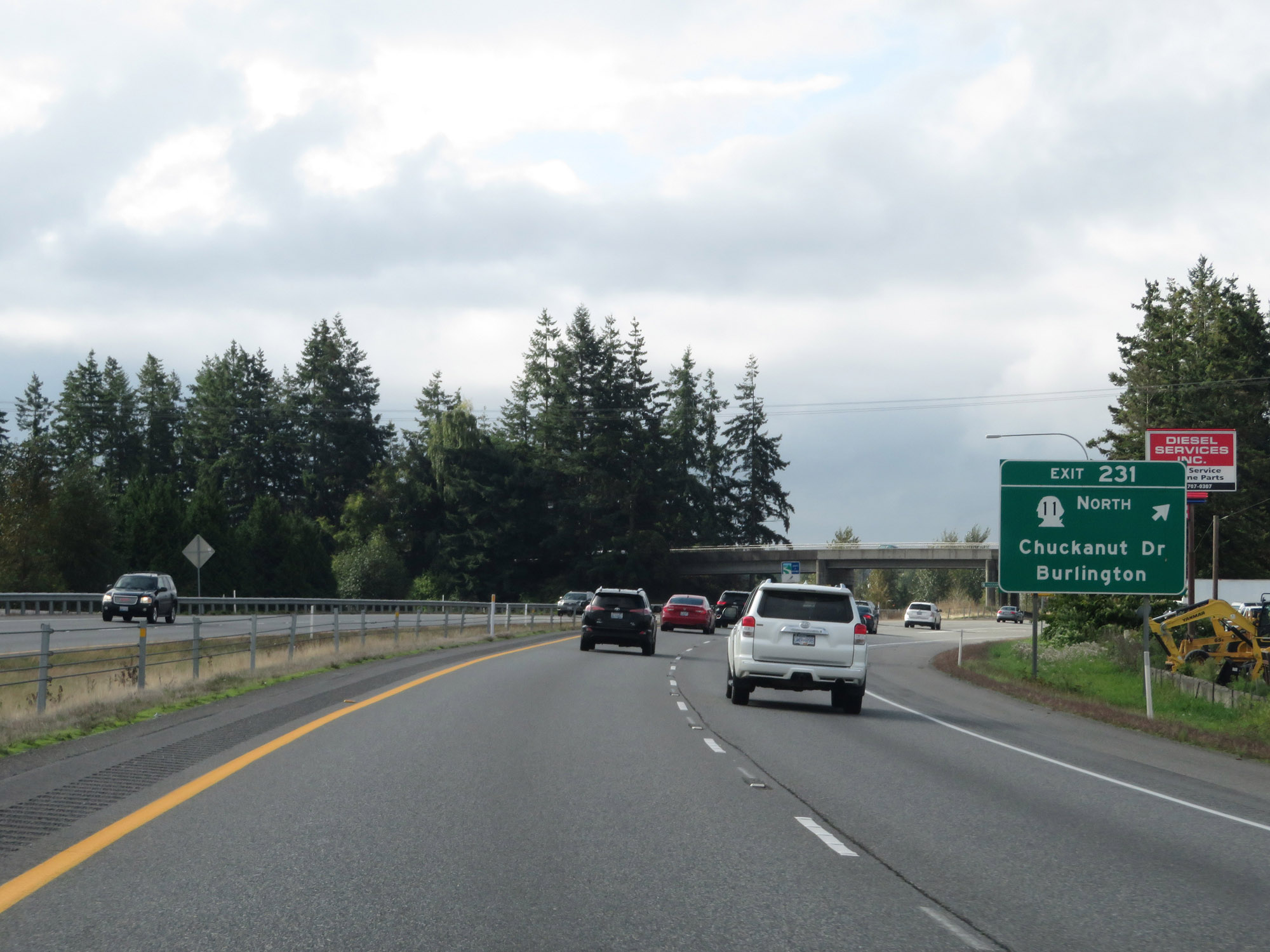 |
Interstate 5 South at Exit 231: WA 11 North - Chuckanut Dr / Burlington (Photo taken 9/21/19). |
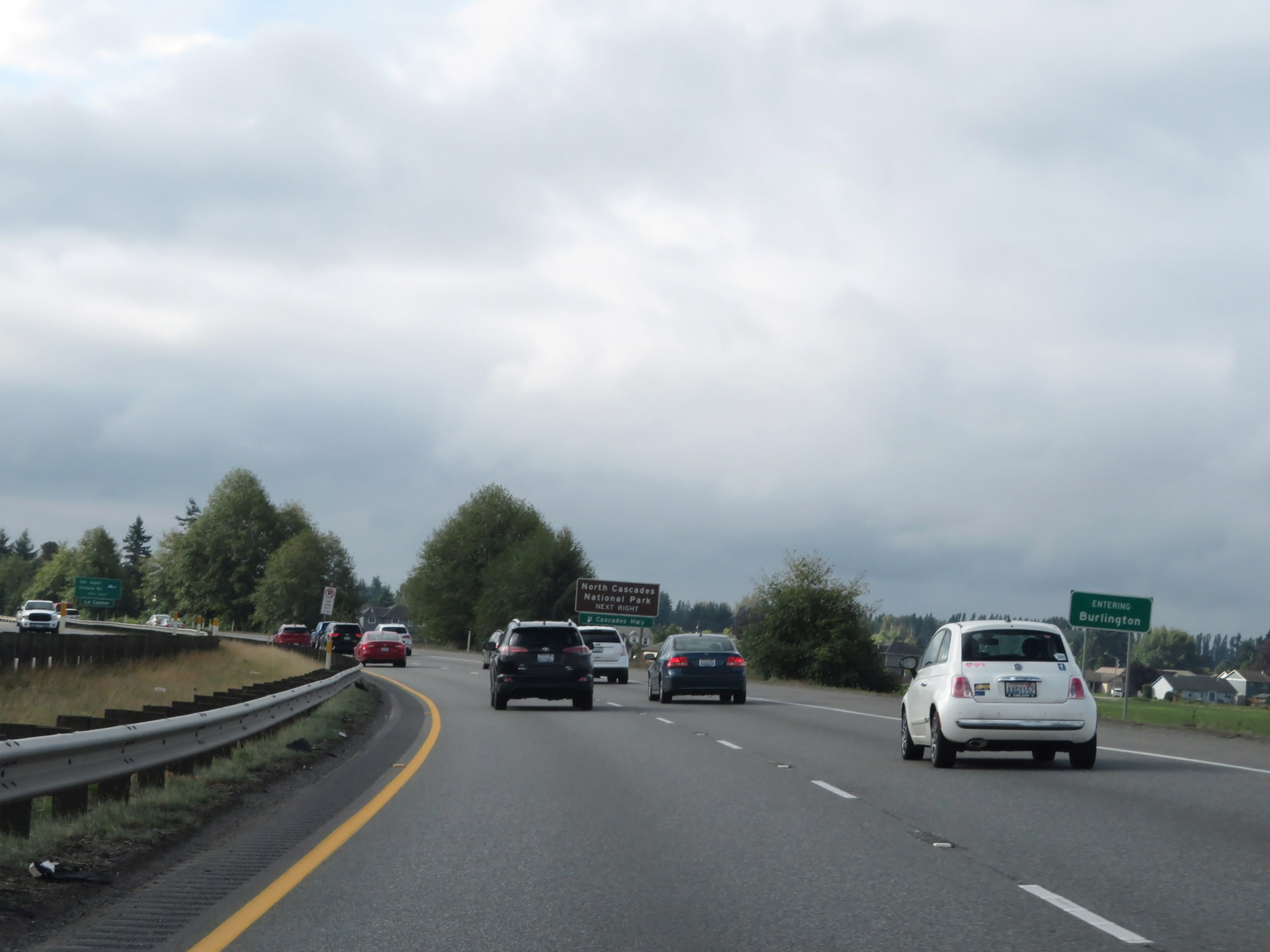 |
Entering the Burlington city limits on Interstate 5 South. (Photo taken 9/21/19). |
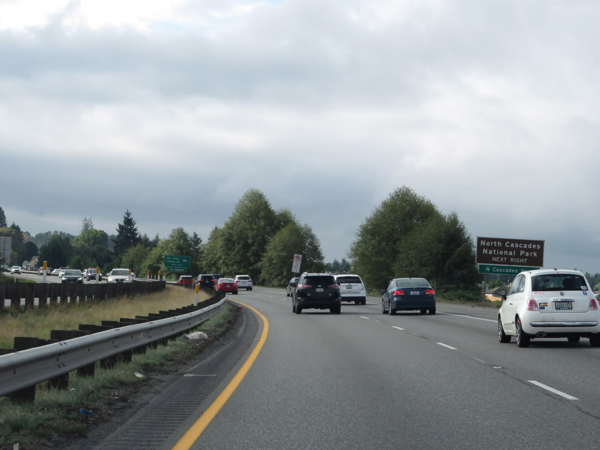 |
Take Exit 230 to North Cascades National Park. (Photo taken 9/21/19). |
 |
Also take Exit 230 to the ferry to San Juans and Victoria, BC. (Photo taken 9/21/19). |
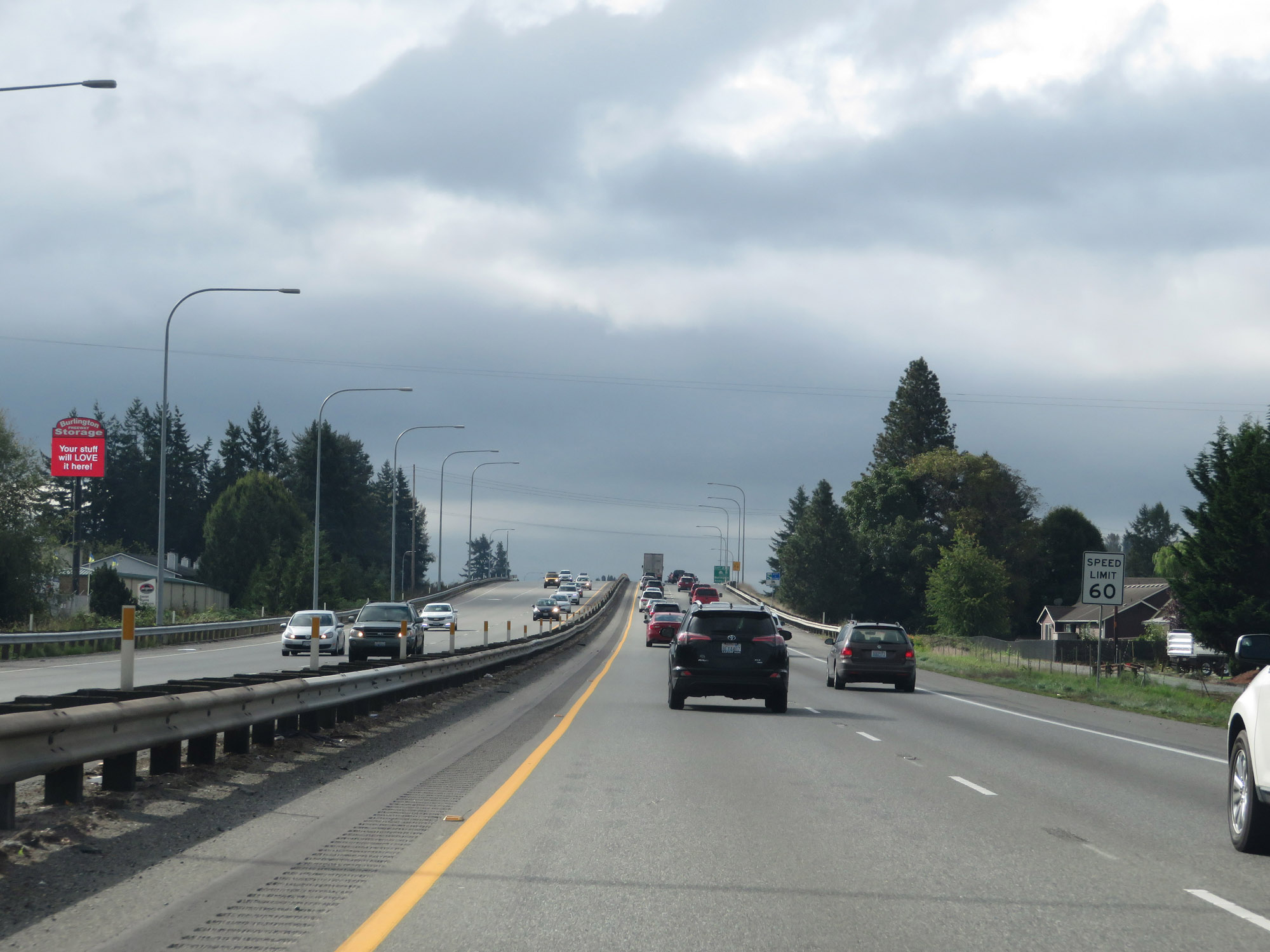 |
Upon entering Burlington, the speed limit decreases to 60 mph for all traffic once again. (Photo taken 9/21/19). |
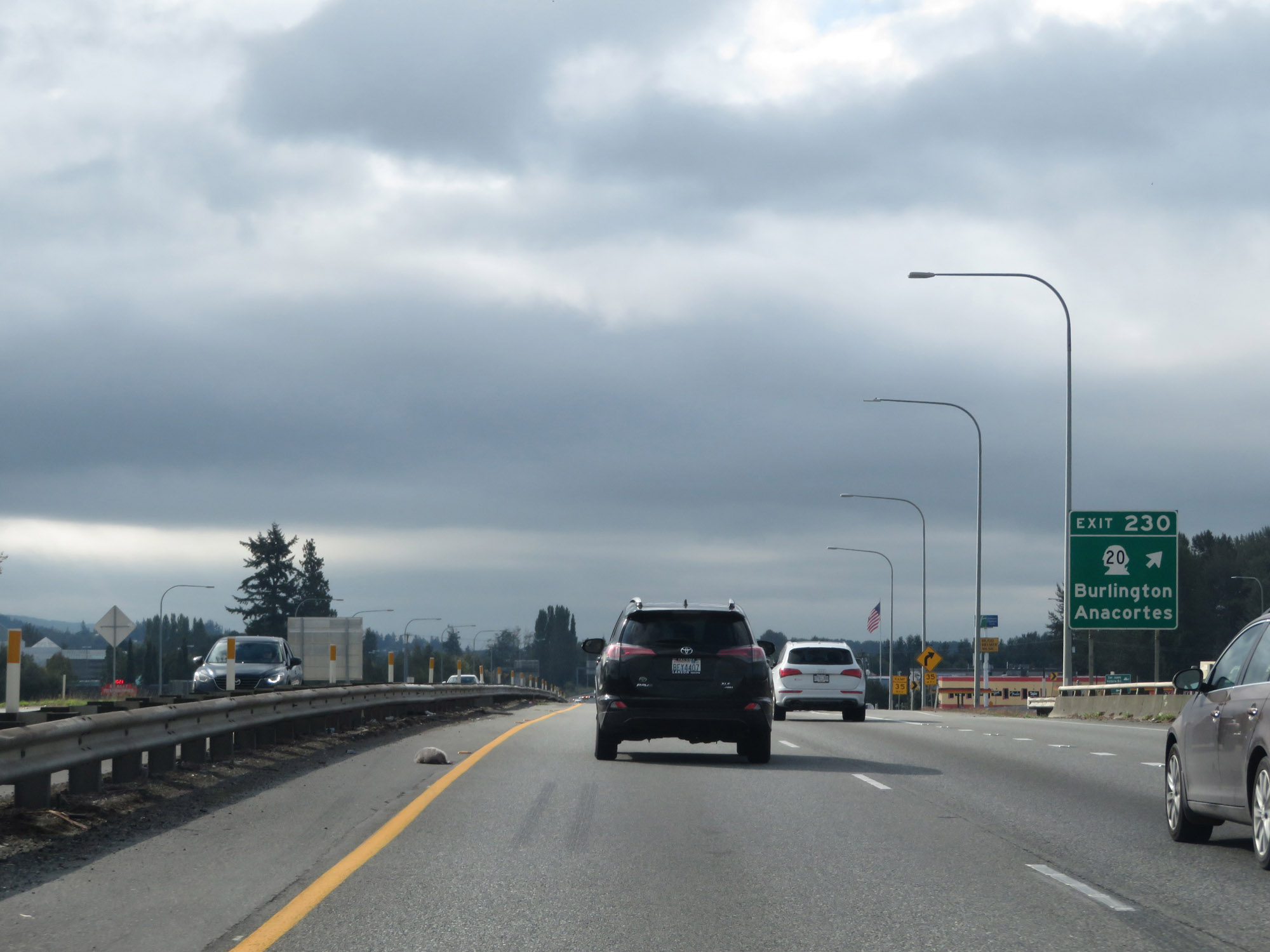 |
Interstate 5 South at Exit 230: WA 20 - Burlington / Anacortes (Photo taken 9/21/19). |
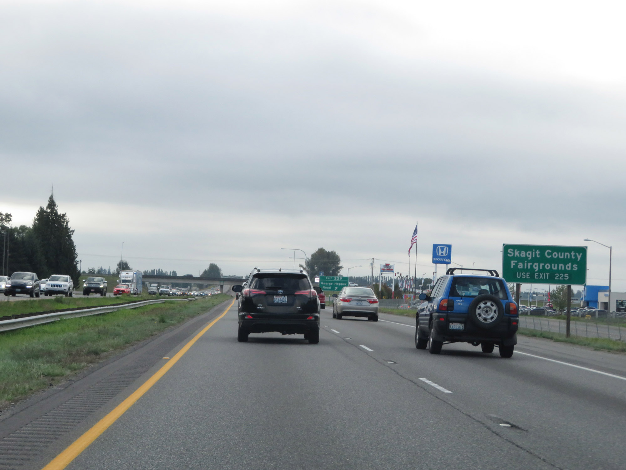 |
Traffic to the Skagit County Fairgrounds should use Exit 225. (Photo taken 9/21/19). |
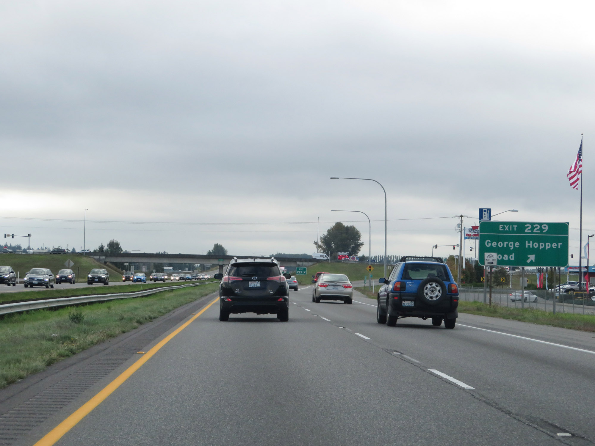 |
Interstate 5 South at Exit 229: George Hopper Road (Photo taken 9/21/19). |
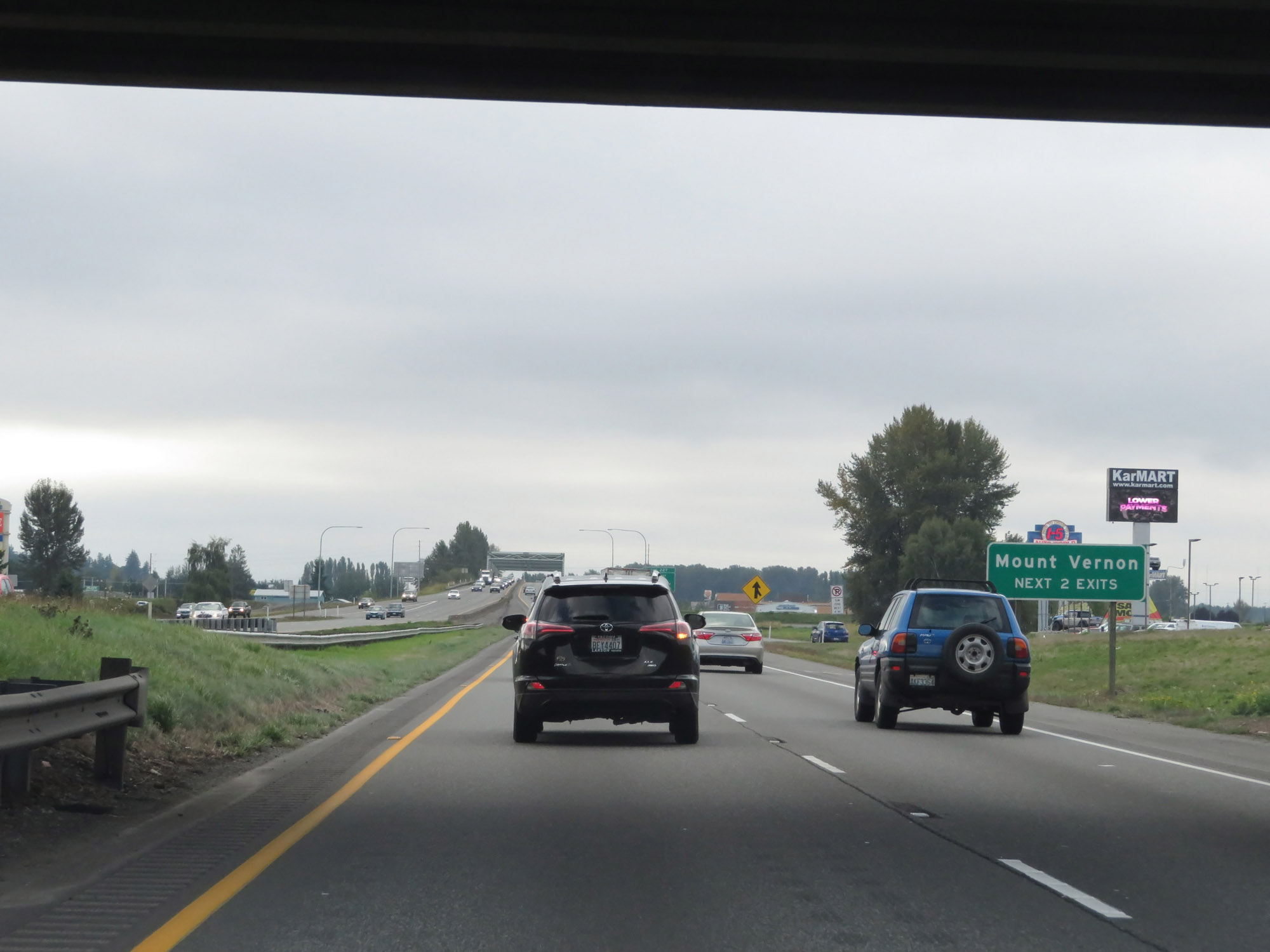 |
Take either of the next 2 exits to Mount Vernon. (Photo taken 9/21/19). |
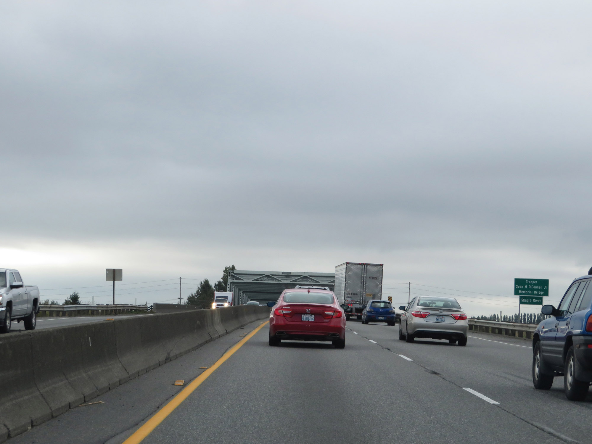 |
Interstate 5 South as it prepares to cross the Skagit River in Mount Vernon. (Photo taken 9/21/19). |
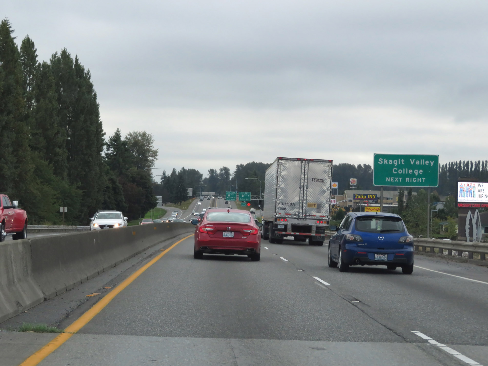 |
Take Exit 227 to Skagit Valley College. (Photo taken 9/21/19). |
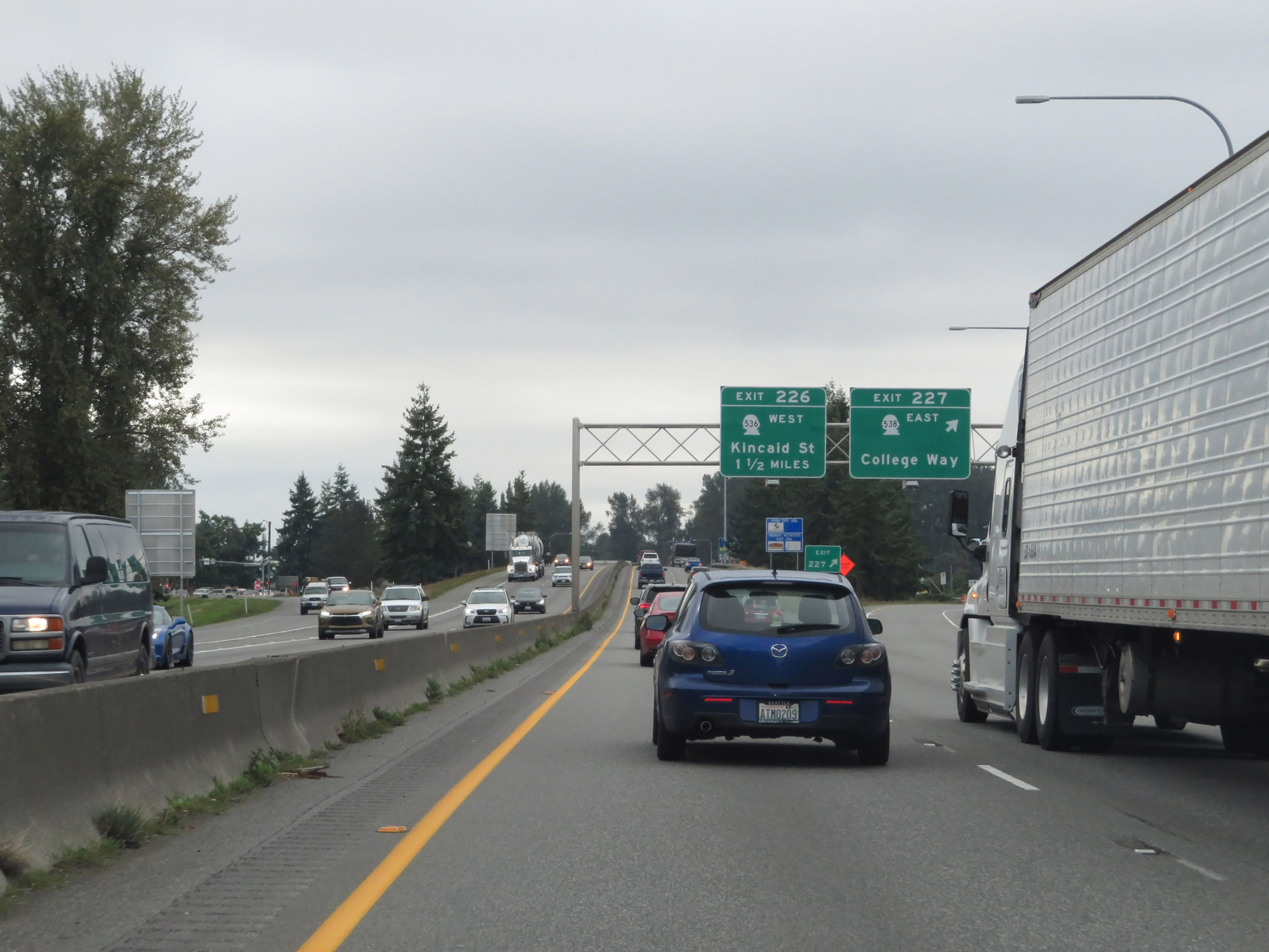 |
Interstate 5 South at Exit 227: WA 538 East - College Way (Photo taken 9/21/19). |
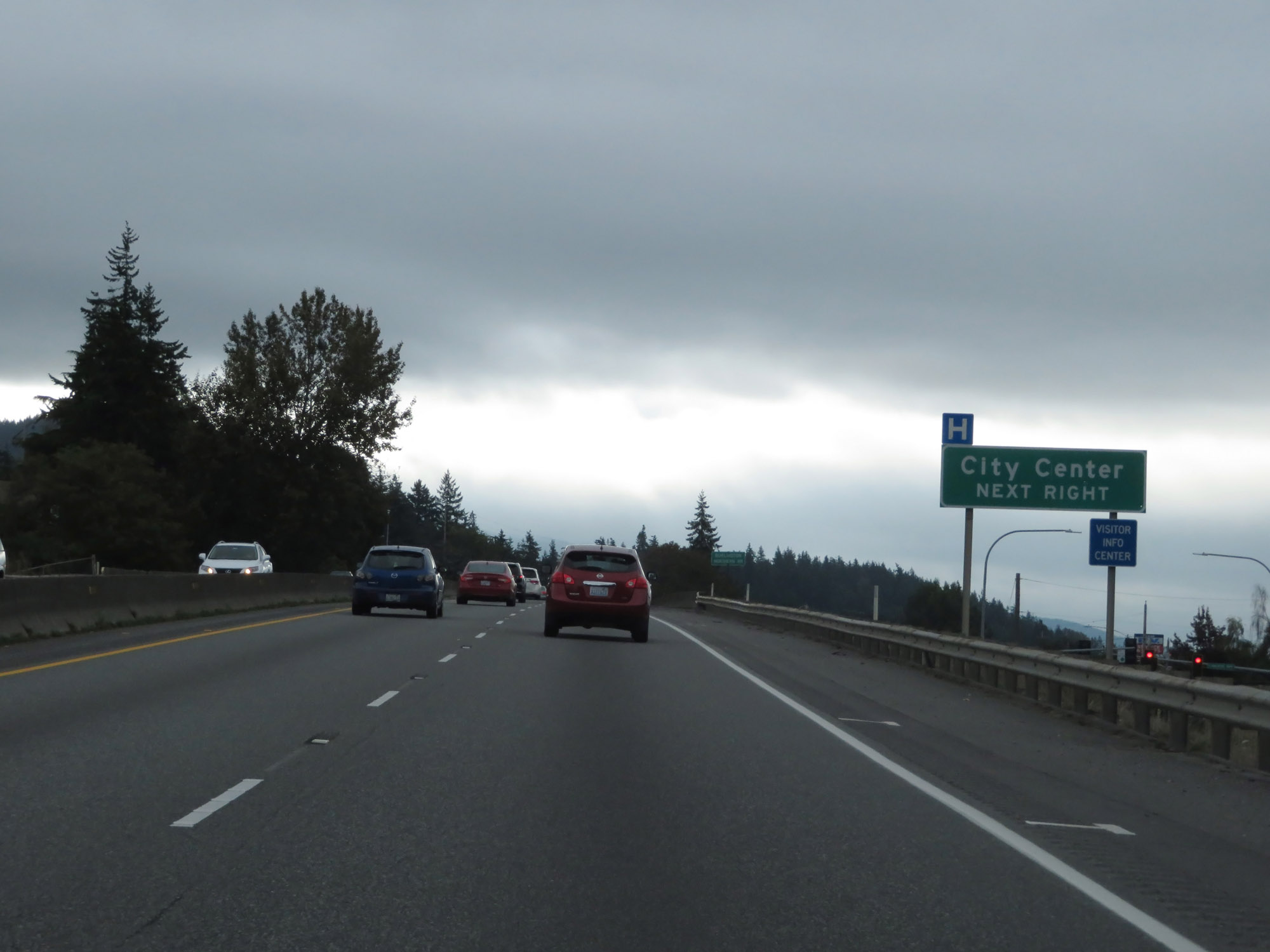 |
Take Exit 226 to the City Center. (Photo taken 9/21/19). |
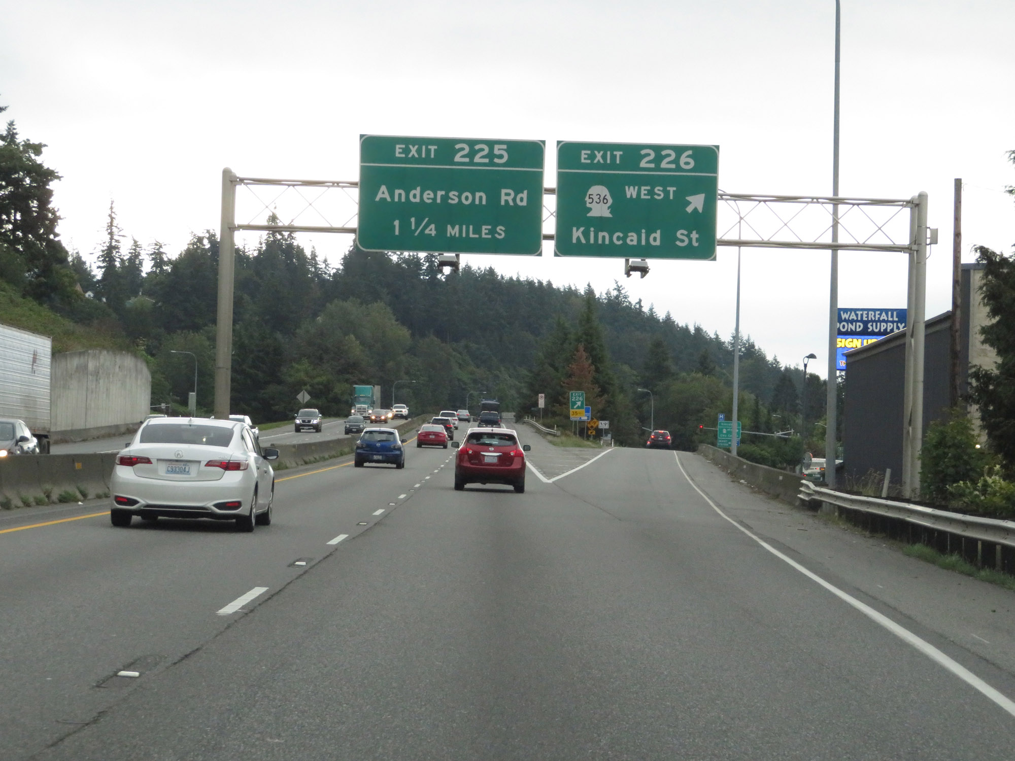 |
Interstate 5 South at Exit 226: WA 536 West - Kincaid St (Photo taken 9/21/19). |
 |
Interstate 5 South reassurance shield at mile marker 226. (Photo taken 9/21/19). |
 |
Interstate 5 South at Exit 225: Anderson Rd (Photo taken 9/21/19). |
 |
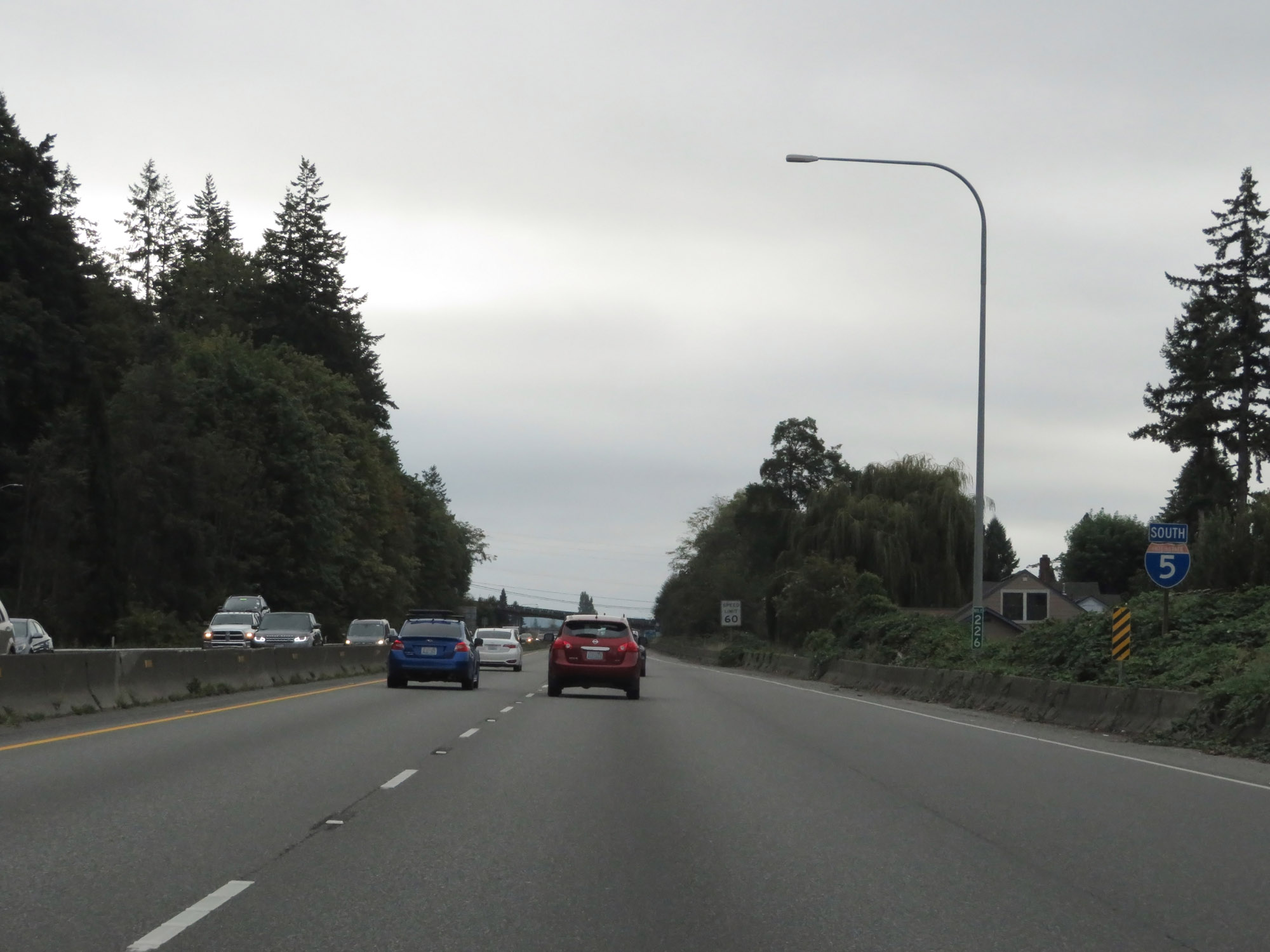
South of Exit 225, the speed limits increases to 70 mph for cars and 60 mph for trucks once again. (Photo taken 9/21/19). |
 |
View on Interstate 5 South at mile marker 223. (Photo taken 9/21/19). |
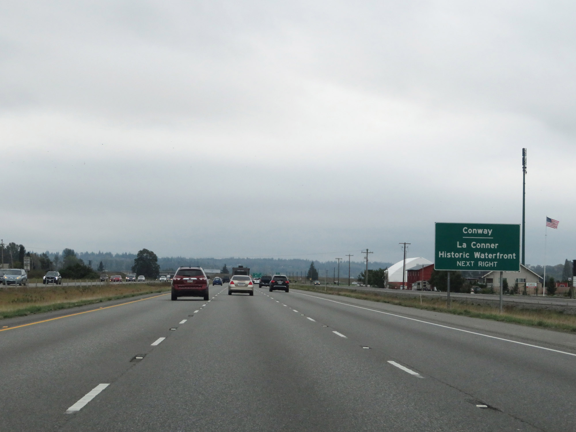 |
Take Exit 221 to Conway and La Conner Historic Waterfront. (Photo taken 9/21/19). |
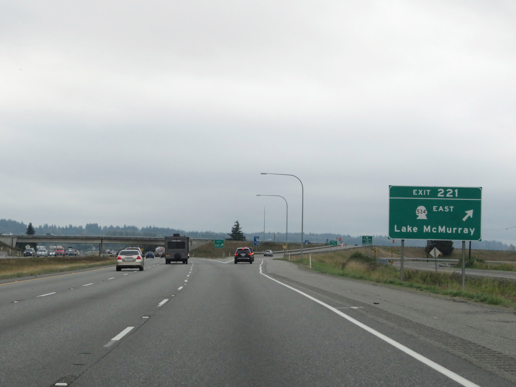 |
Interstate 5 South at Exit 221: WA 534 East - Lake McMurray (Photo taken 9/21/19). |
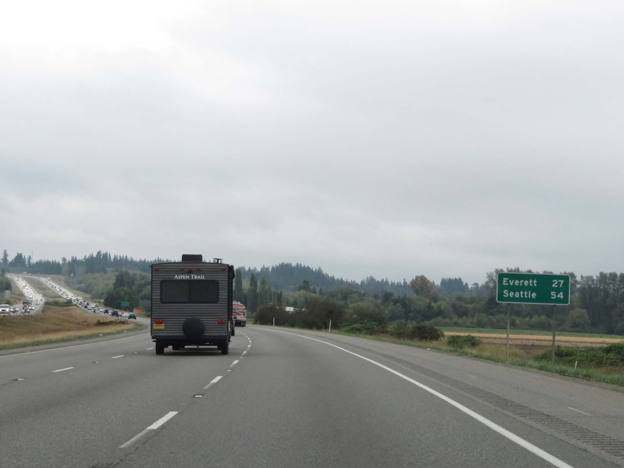 |
Mileage sign on Interstate 5 South. It's 27 miles to Everett and 54 miles to Seattle. (Photo taken 9/21/19). |
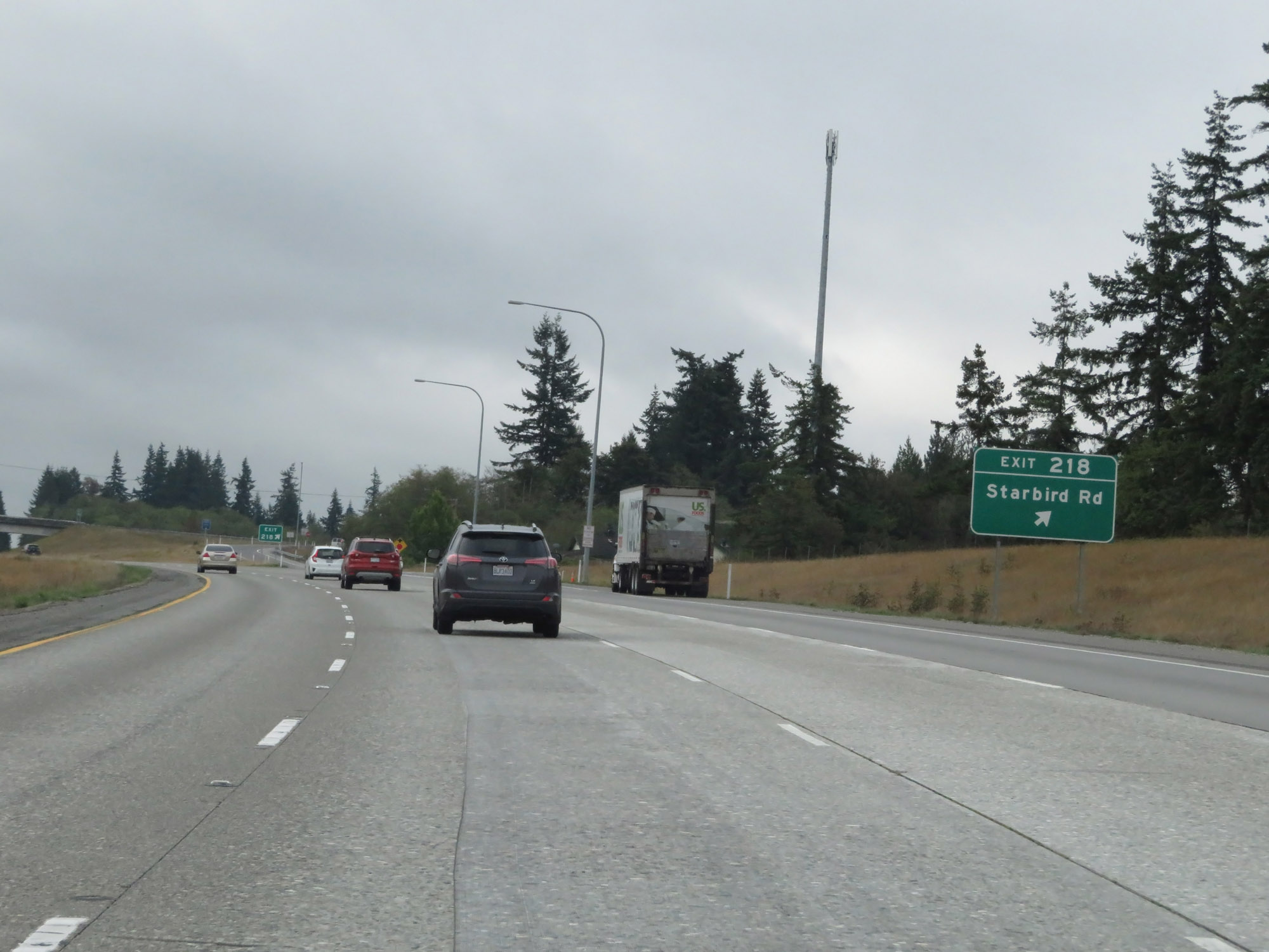 |
Interstate 5 South at Exit 218: Starbird Rd (Photo taken 9/21/19). |
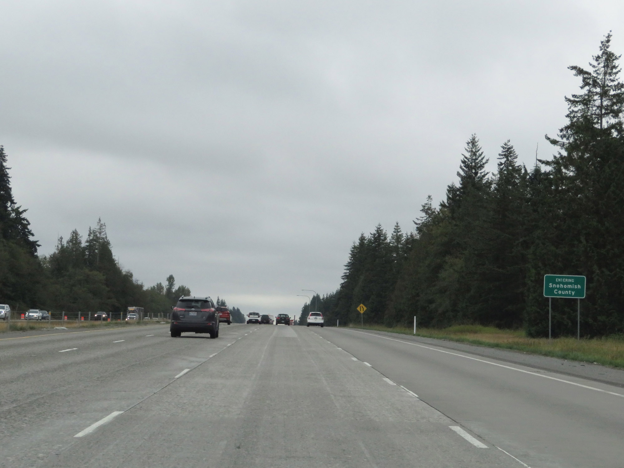 |
Entering Snohomish County on Interstate 5 South. (Photo taken 9/21/19). |
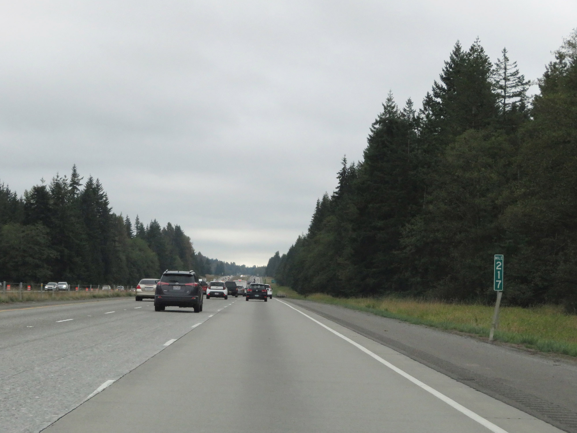 |
View on Interstate 5 South at mile marker 217. (Photo taken 9/21/19). |
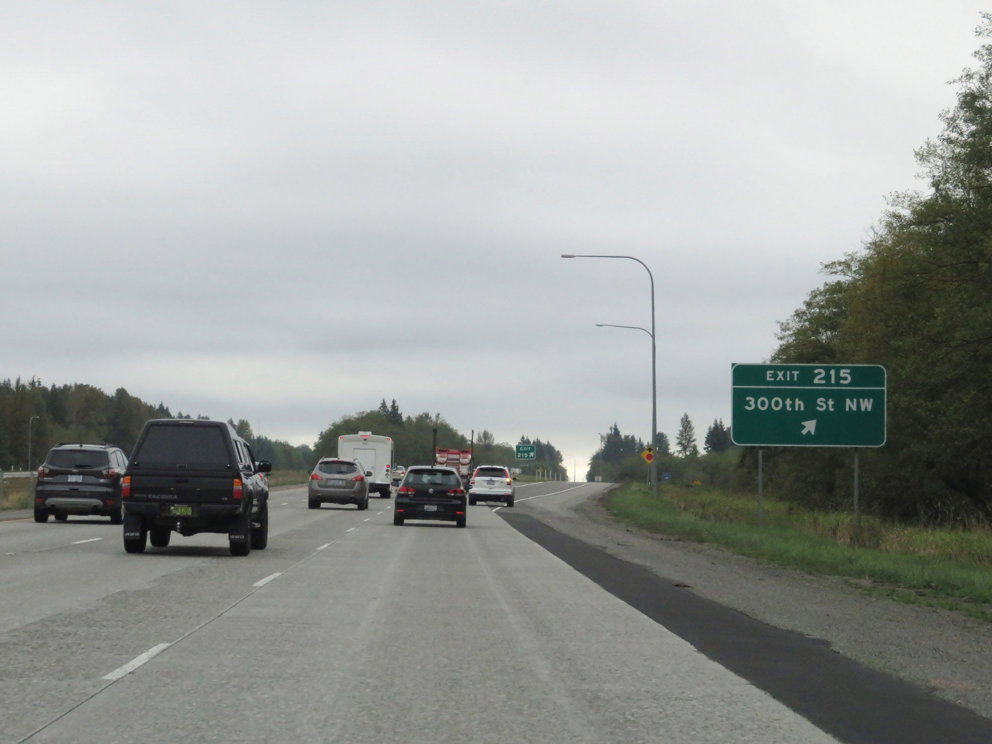 |
Interstate 5 South at Exit 215: 300th St NW (Photo taken 9/21/19). |
 |
Take Exit 212 to Camano Island and Cama Beach State Parks. (Photo taken 9/21/19). |
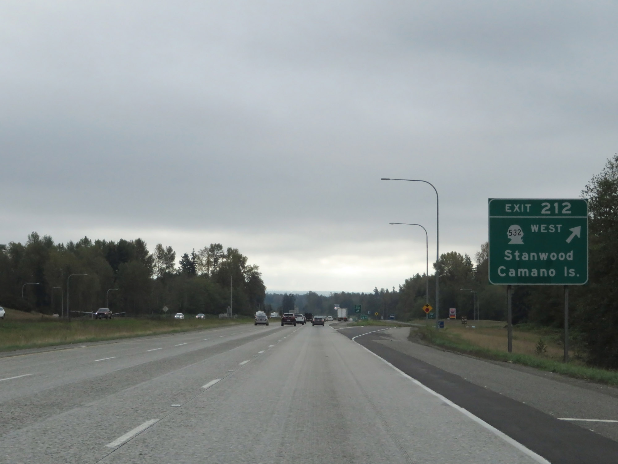 |
Interstate 5 South at Exit 212: WA 532 West - Stanwood / Camano Island (Photo taken 9/21/19). |
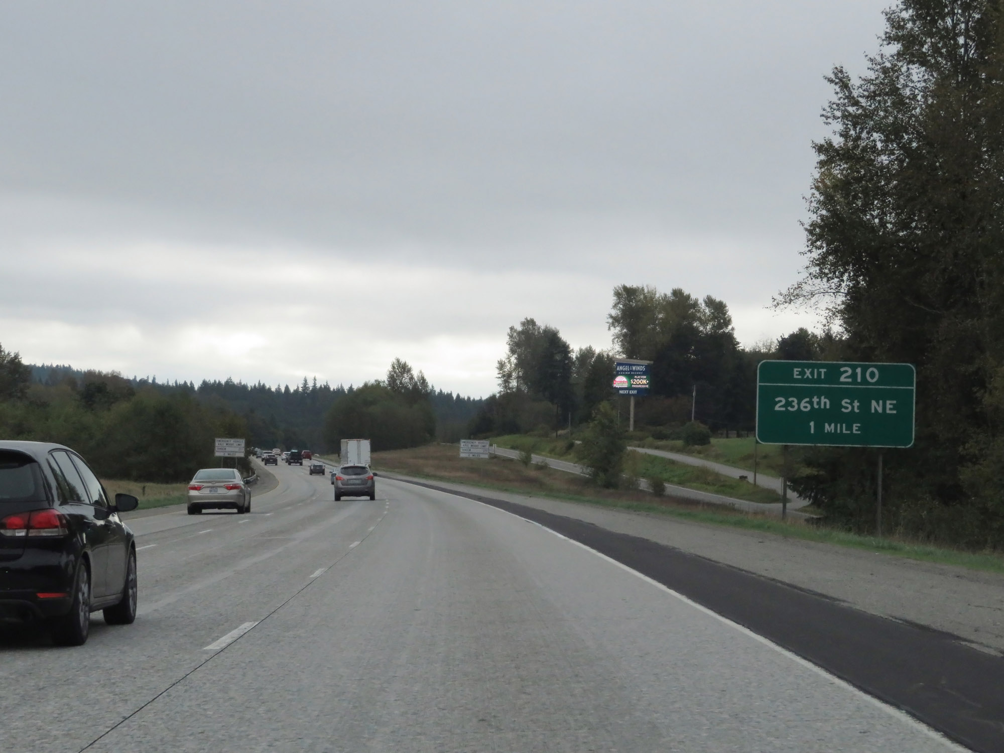 |
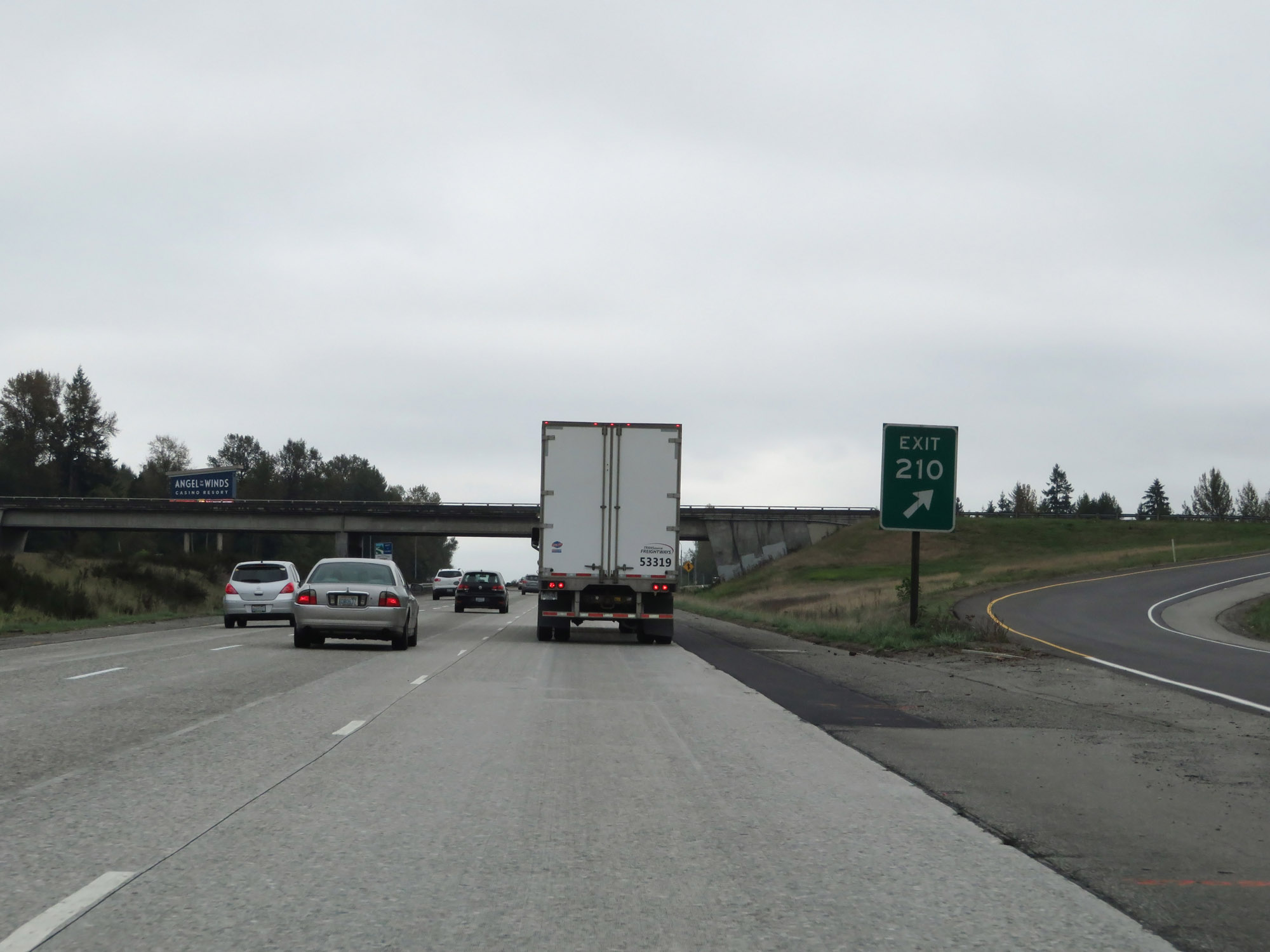
Interstate 5 South approaching Exit 210 - 1 mile. (Photo taken 9/21/19). |
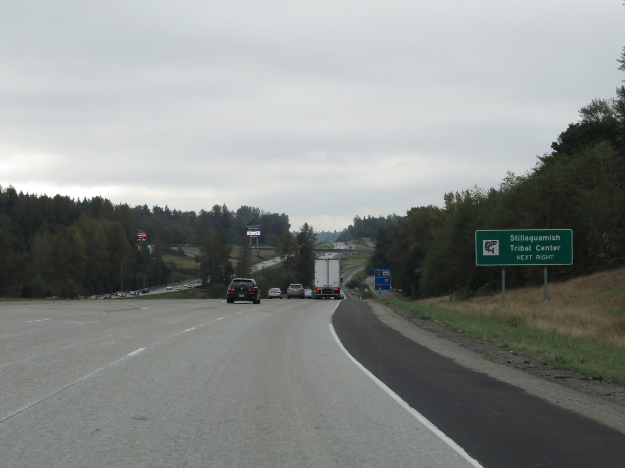 |
Take Exit 210 to the Stillaguamish Tribal Center. (Photo taken 9/21/19). |
 |
Interstate 5 South at Exit 210: 236th St NE (Photo taken 9/21/19). |
 |
Interstate 5 South approaching Exit 208 - 1 mile. (Photo taken 9/21/19). |
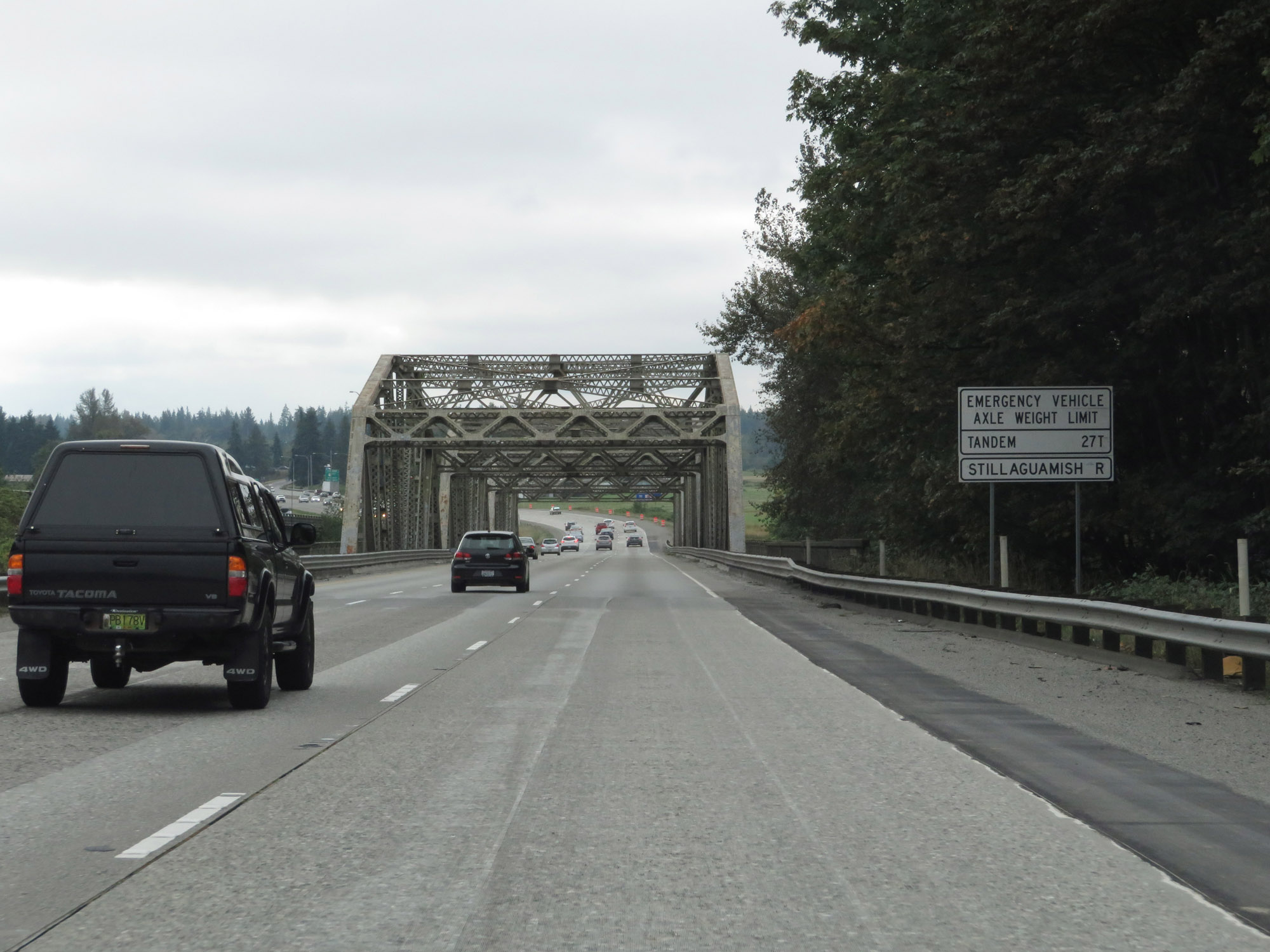 |
View on Interstate 5 South as it prepares to cross the Stillaguamish River. (Photo taken 9/21/19). |
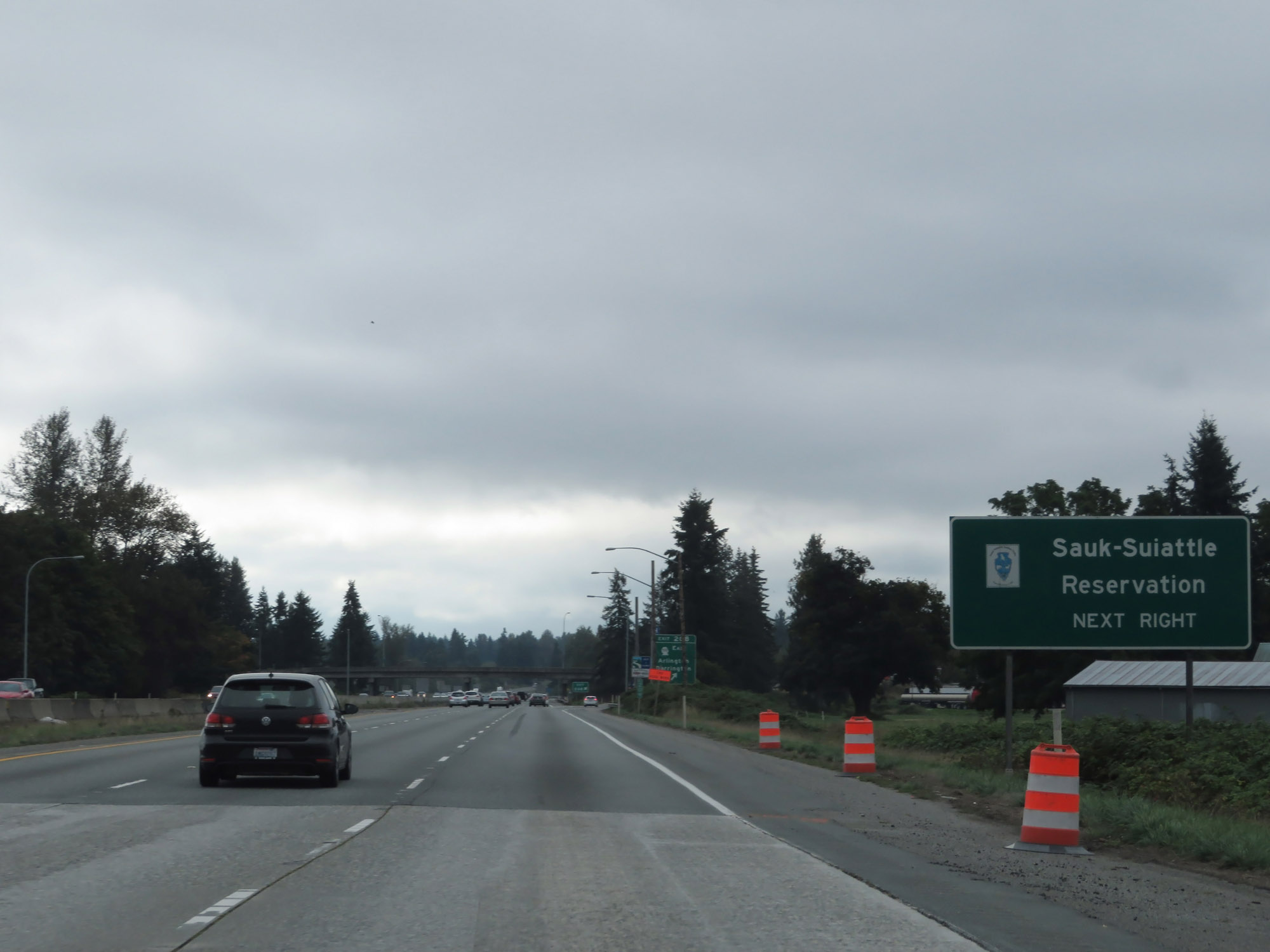 |
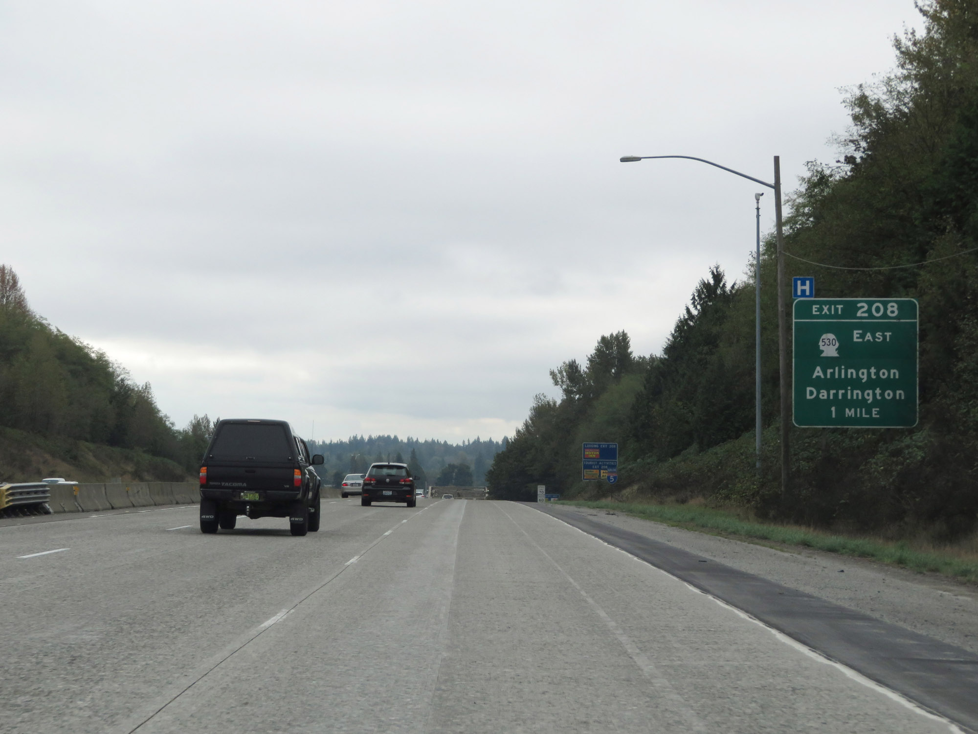
Take Exit 208 to the Sauk-Suiattle Reservation. (Photo taken 9/21/19). |
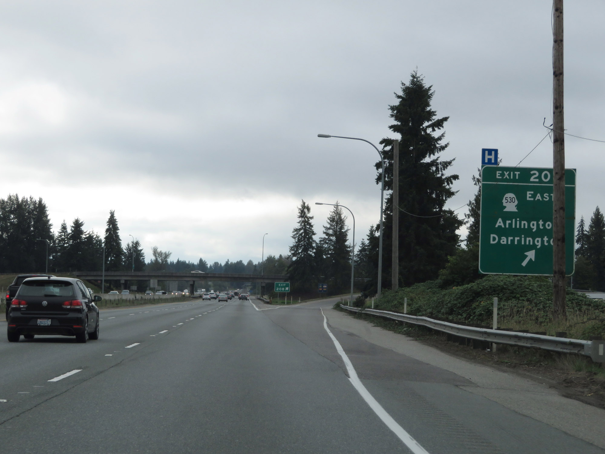 |
Interstate 5 South at Exit 208: WA 530 East - Arlington / Darrington (Photo taken 9/21/19). |
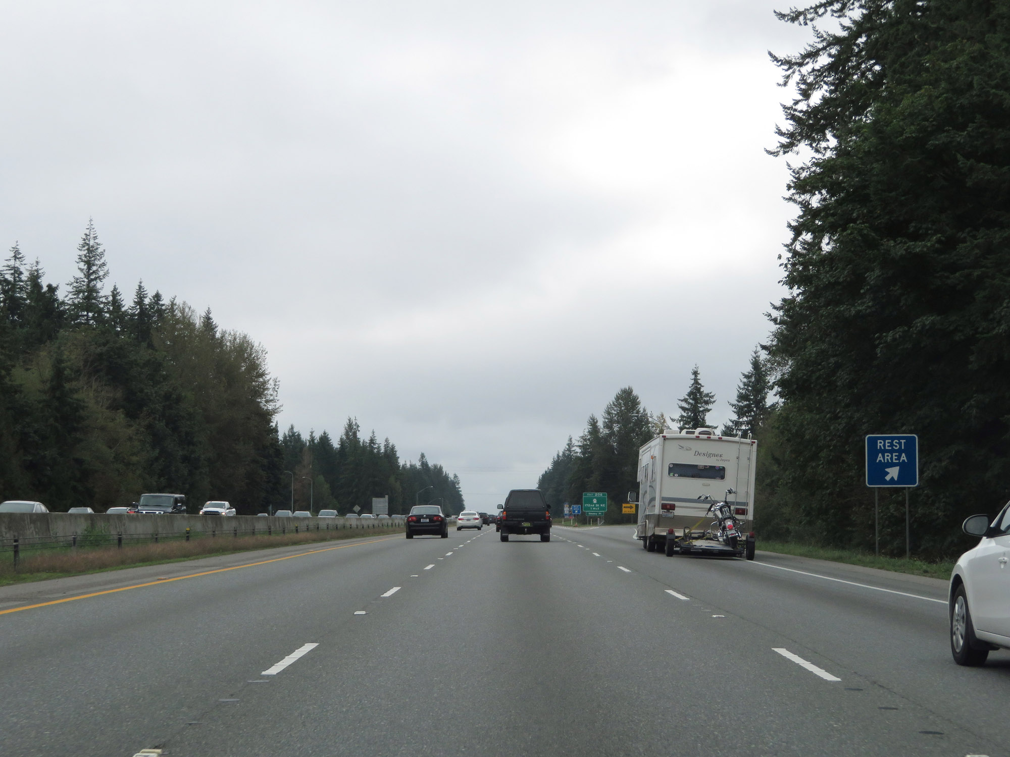 |
Rest Area on Interstate 5 South in Snohomish County. (Photo taken 9/21/19). |
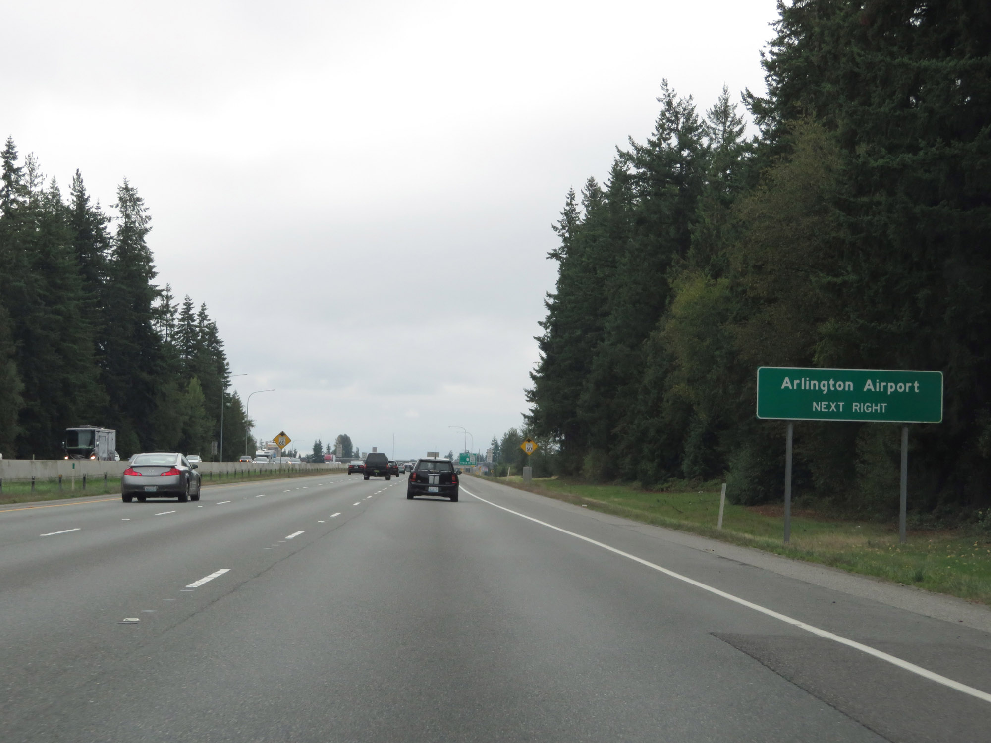 |
Take Exit 206 to Arlington Airport. (Photo taken 9/21/19). |
 |
Nearing the Everett area, the speed limit decreases to 60 mph for all traffic once again. (Photo taken 9/21/19). |
 |
Interstate 5 South at Exit 206: WA 531 - 172nd St NE (Photo taken 9/21/19). |
 |
Interstate 5 South reassurance shield. (Photo taken 9/21/19). |
 |
View on Interstate 5 South at mile marker 204. (Photo taken 9/21/19). |
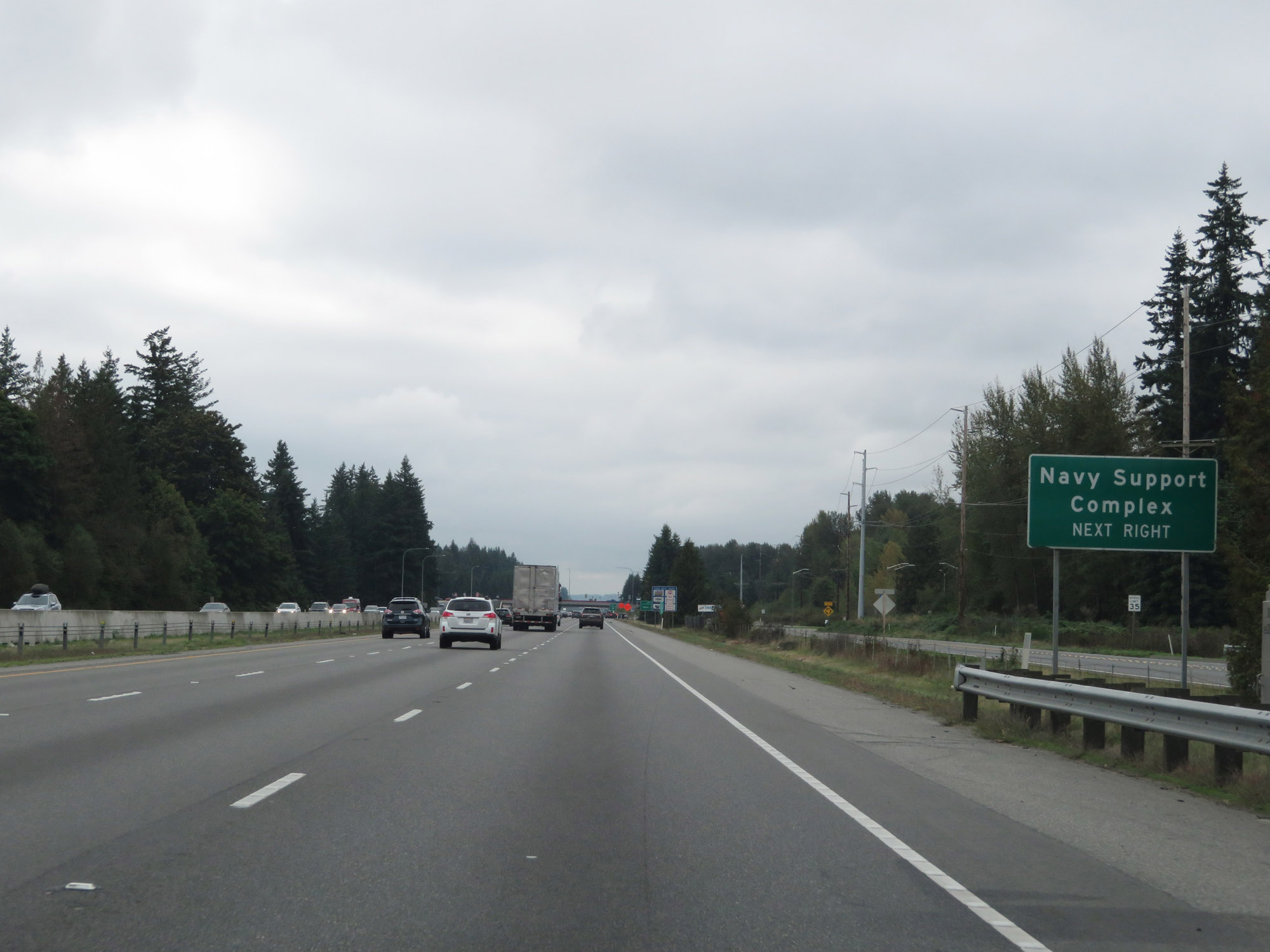 |
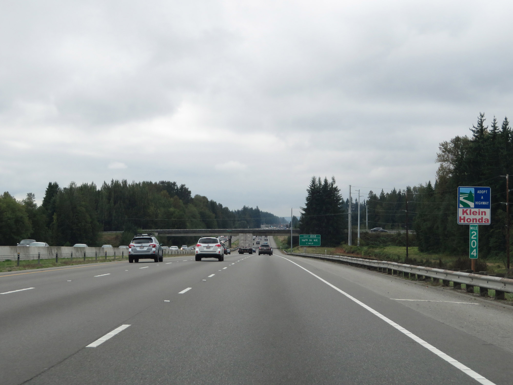
Take Exit 202 to the Navy Support Complex. (Photo taken 9/21/19). |
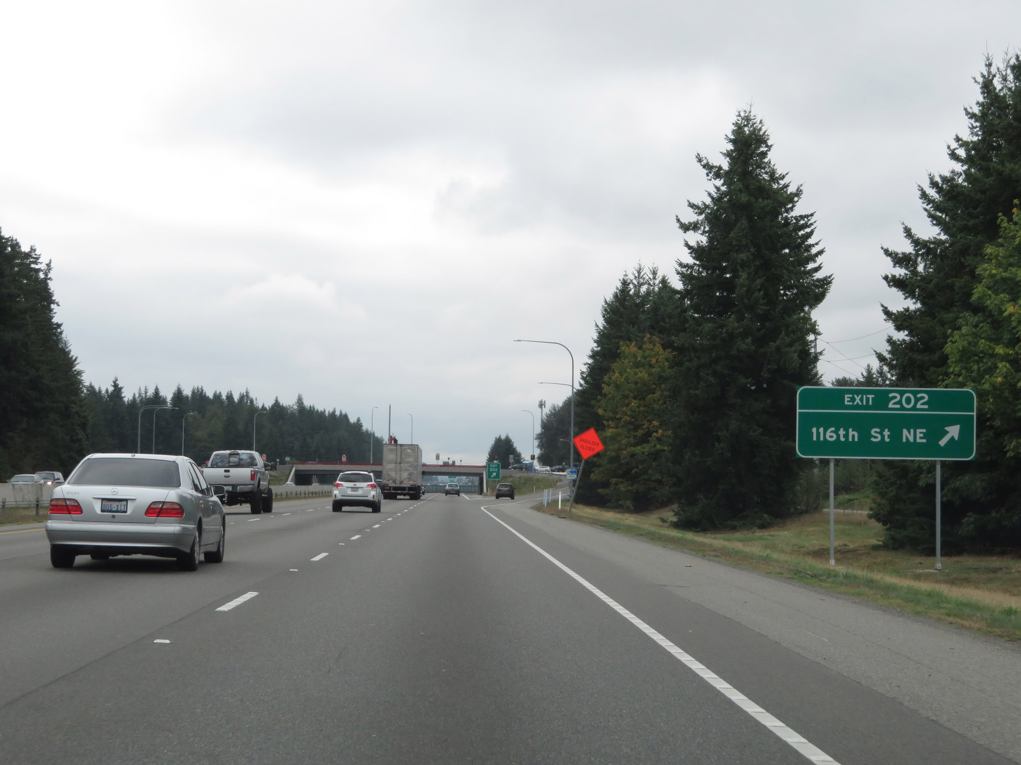 |
Interstate 5 South at Exit 202: 116th St NE (Photo taken 9/21/19). |
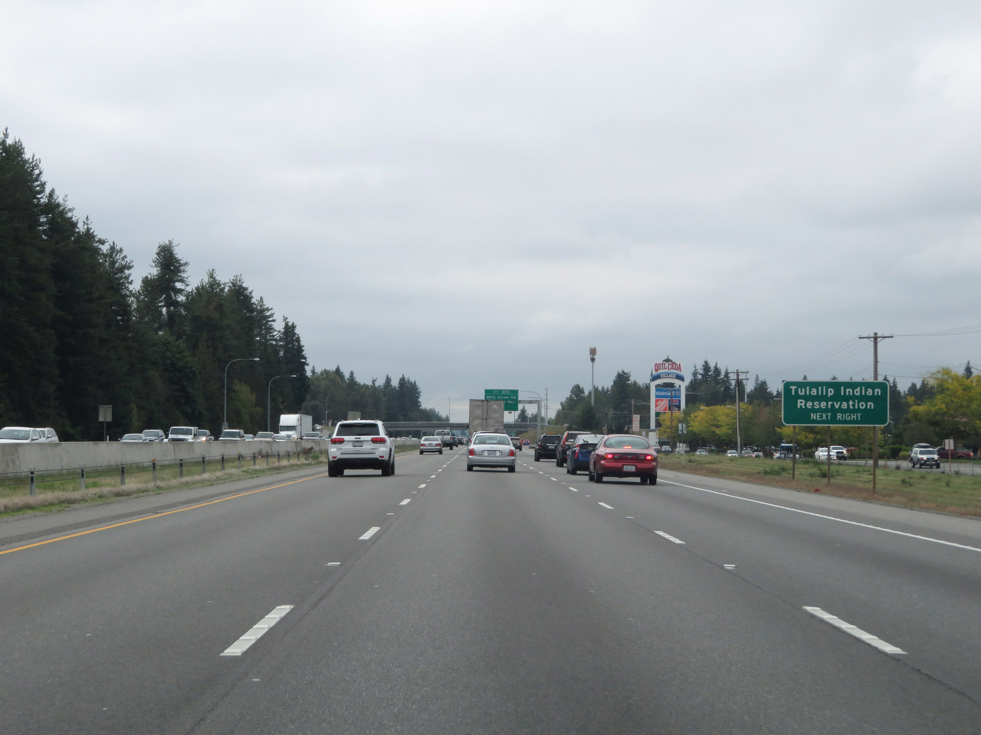 |
Take Exit 200 to the Tulalip Indian Reservation. (Photo taken 9/21/19). |
 |
Interstate 5 South at Exit 200: 88th Street NE / Quil Ceda Way (Photo taken 9/21/19). |
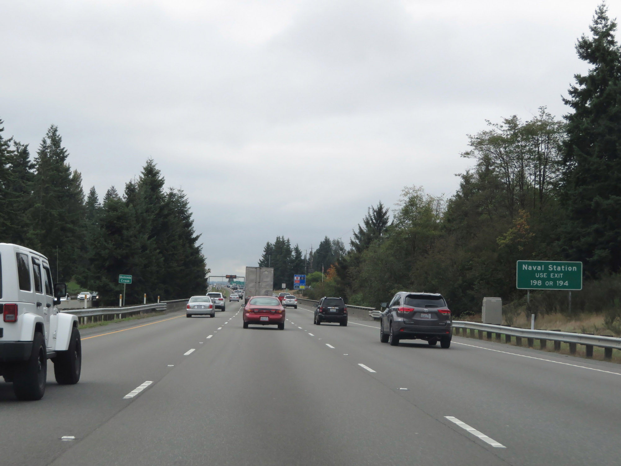 |
Use either Exit 198 or Exit 194 to the Naval Station. (Photo taken 9/21/19). |
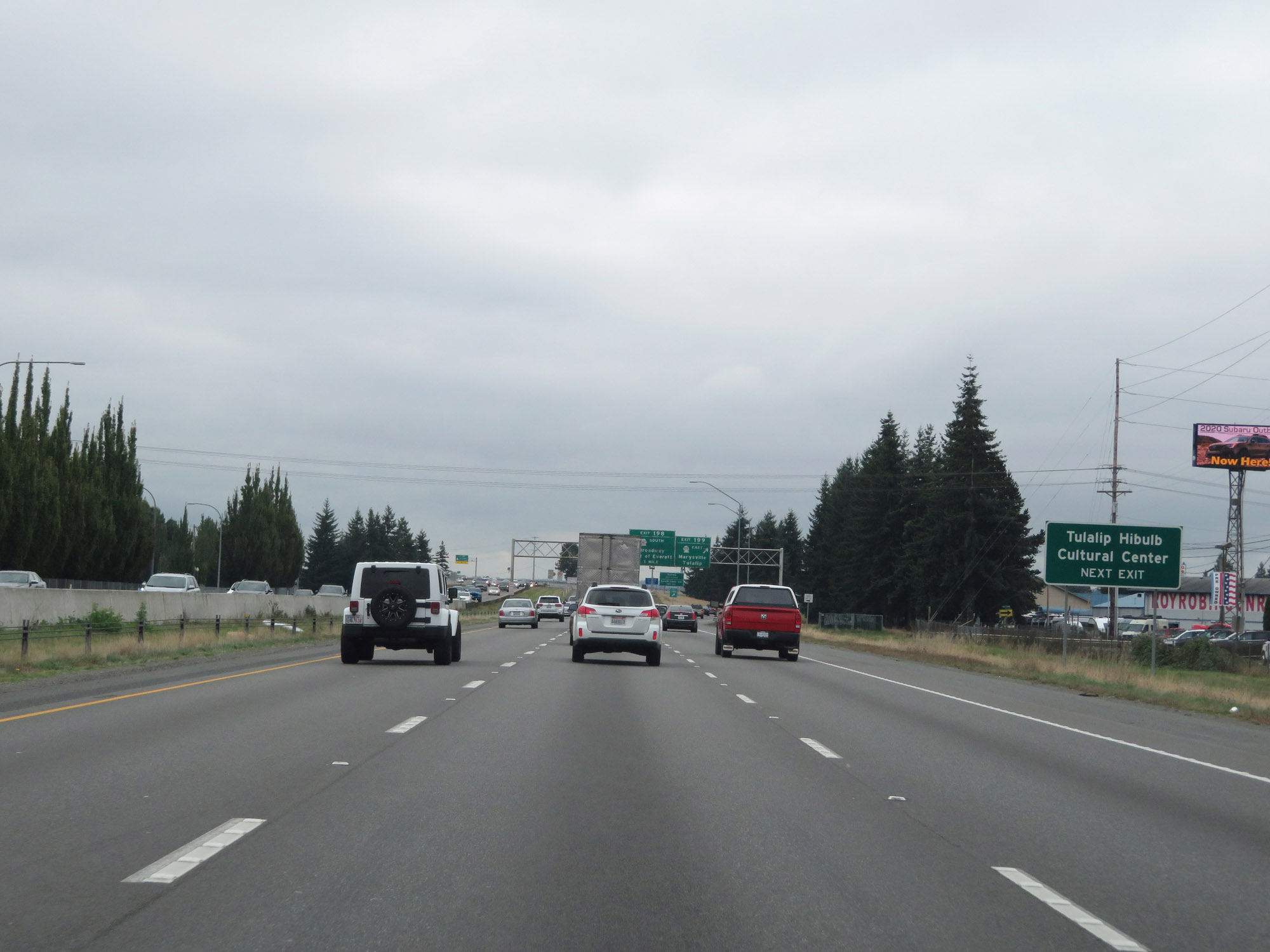 |
Take Exit 199 to the Tulalip Hibulb Cultural Center. (Photo taken 9/21/19). |
 |
Interstate 5 South at Exit 199: WA 528 East - Marysville / Tulalip (Photo taken 9/21/19). |
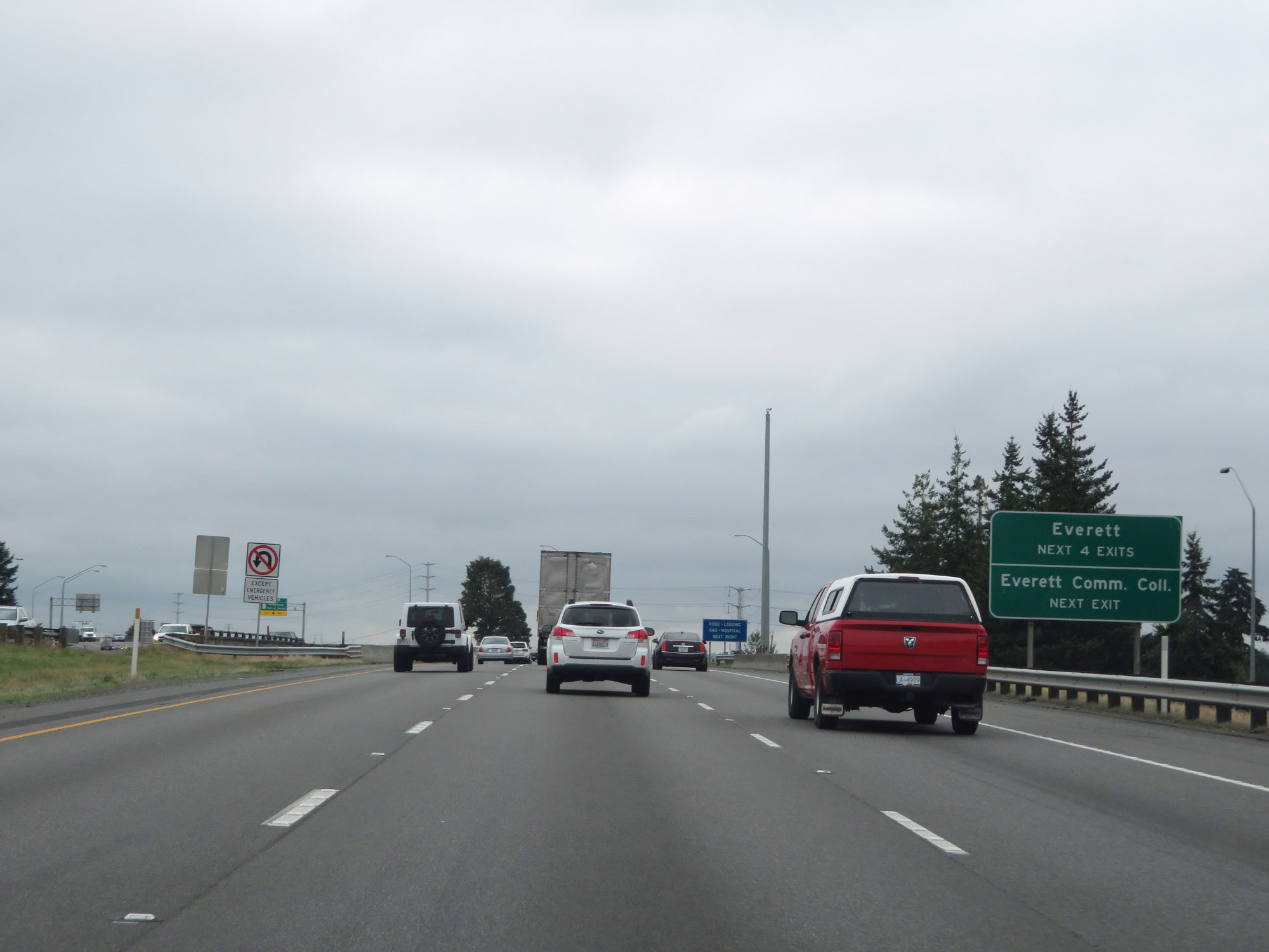 |
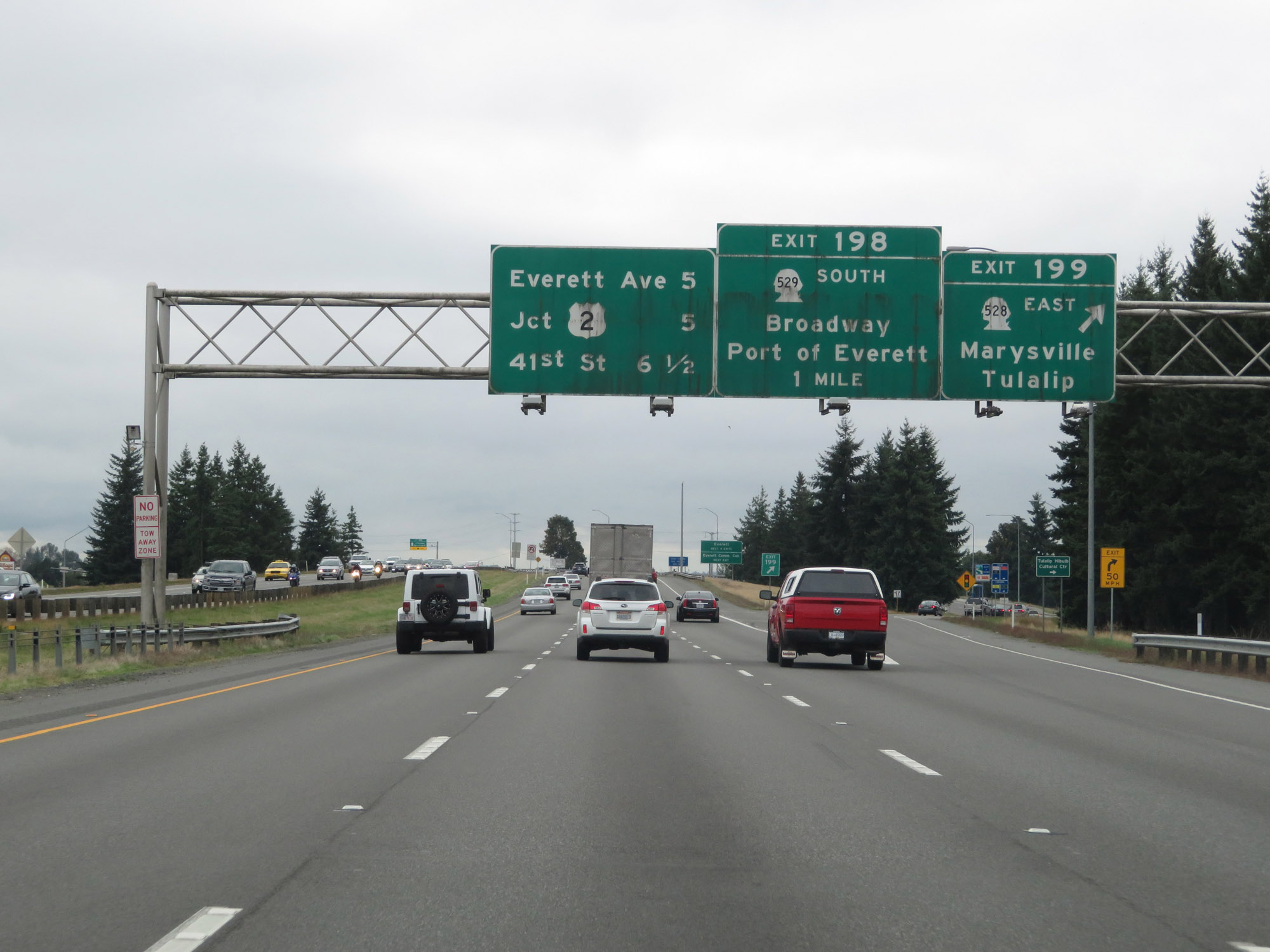
Take any of the next 4 exits to Everett. Take Exit 198 to Everett Community College. (Photo taken 9/21/19). |
 |
Interstate 5 South at Exit 198: WA 529 South - N Broadway / Port of Everett (Photo taken 9/21/19). |
Section 3: Everett (Exit 198) to Seattle (Exit 162)
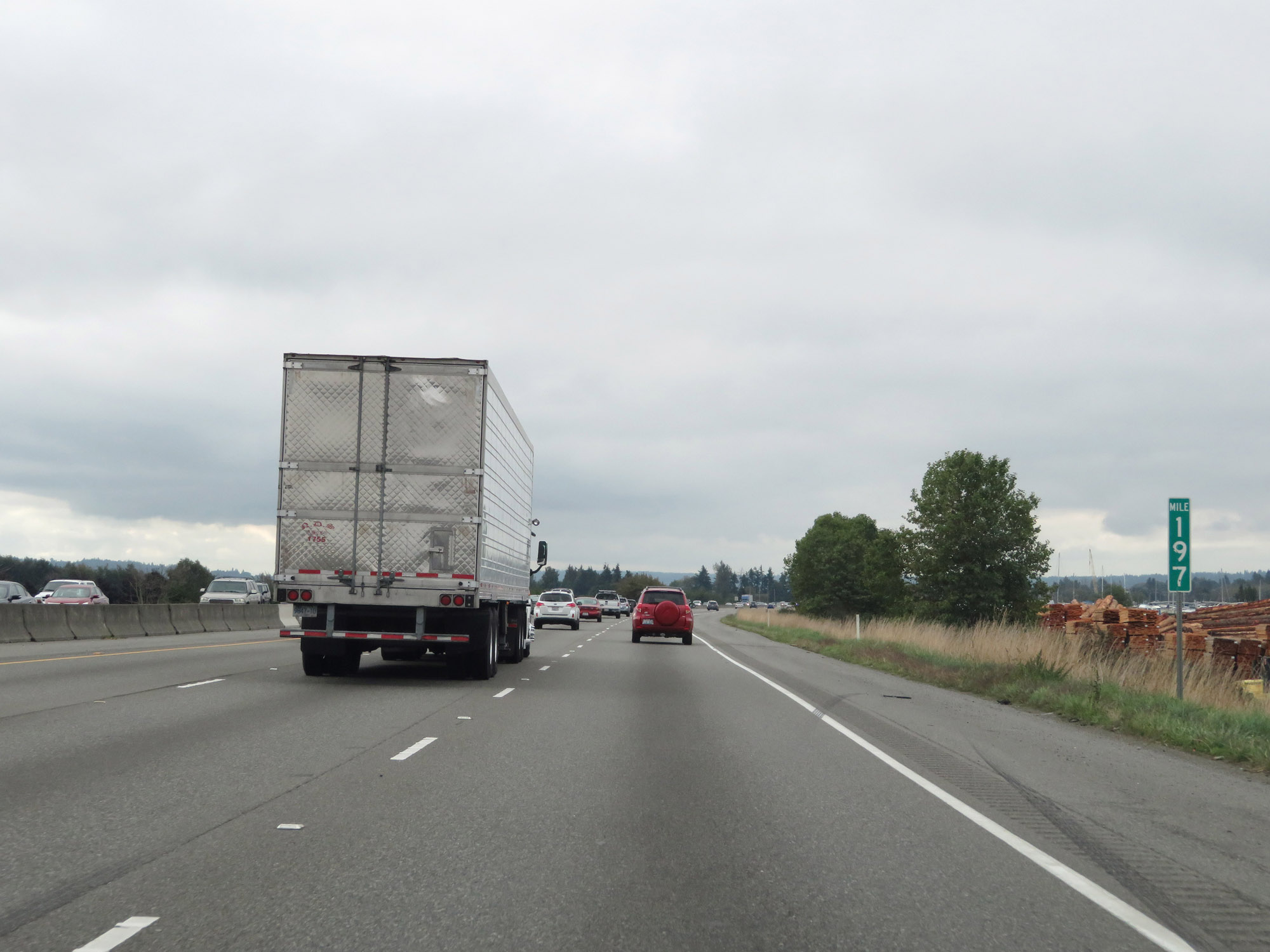 |
View on Interstate 5 South at mile marker 197. (Photo taken 9/21/19). |
 |
Interstate 5 South officiall enters the Everett city limits at mile marker 196. (Photo taken 9/21/19). |
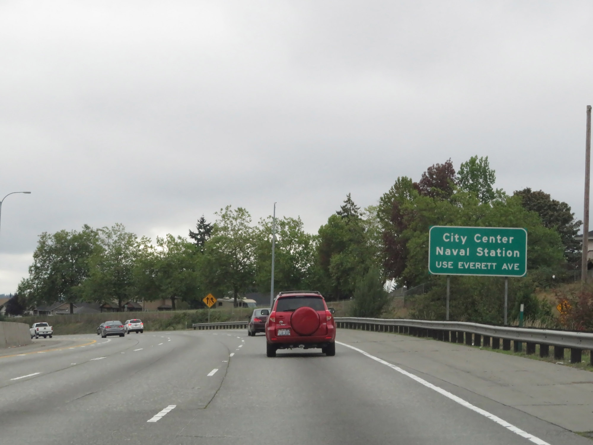 |
Take Exit 194 to City Center and the Naval Station. (Photo taken 9/21/19). |
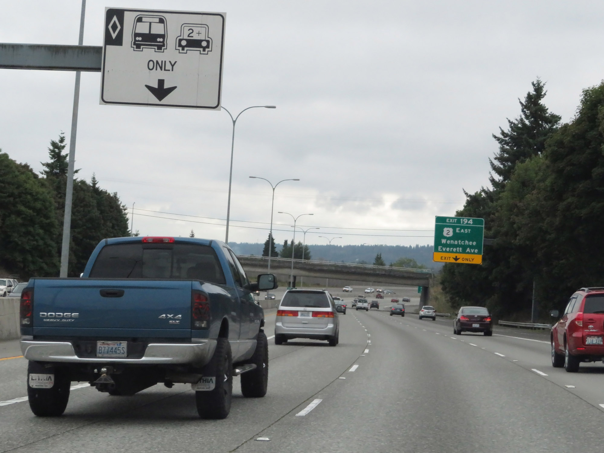 |
Approaching Exit 194 in Everett, we see HOV lanes begin on Interstate 5 South. (Photo taken 9/21/19). |
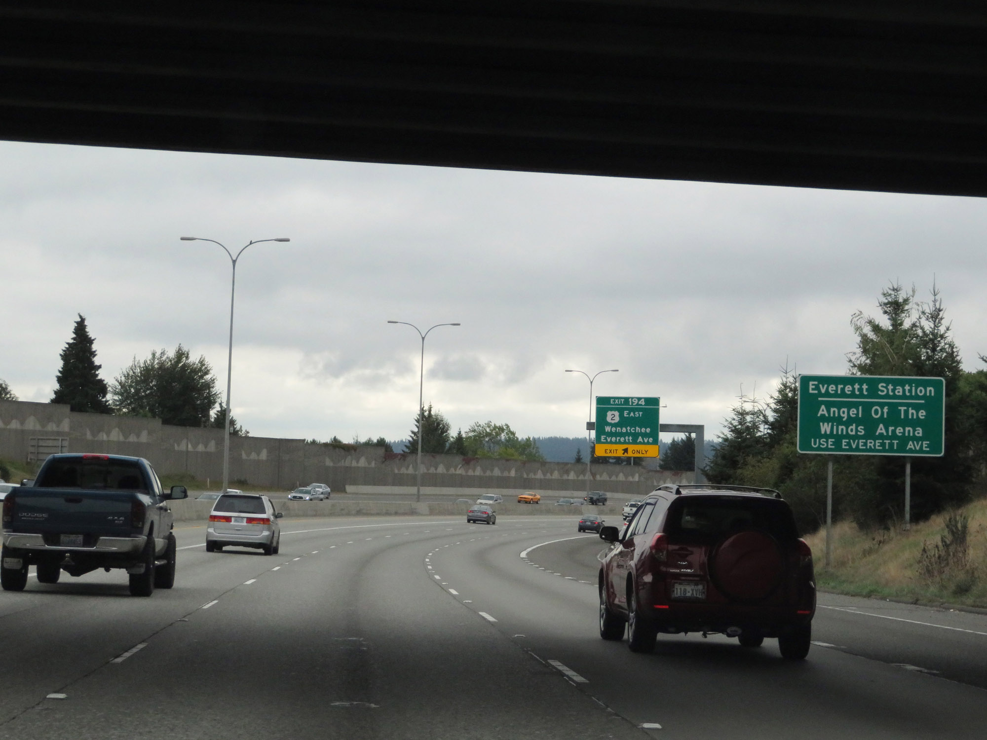 |
Also take Exit 194 to Everett Station and Angel Of The Winds Arena. (Photo taken 9/21/19). |
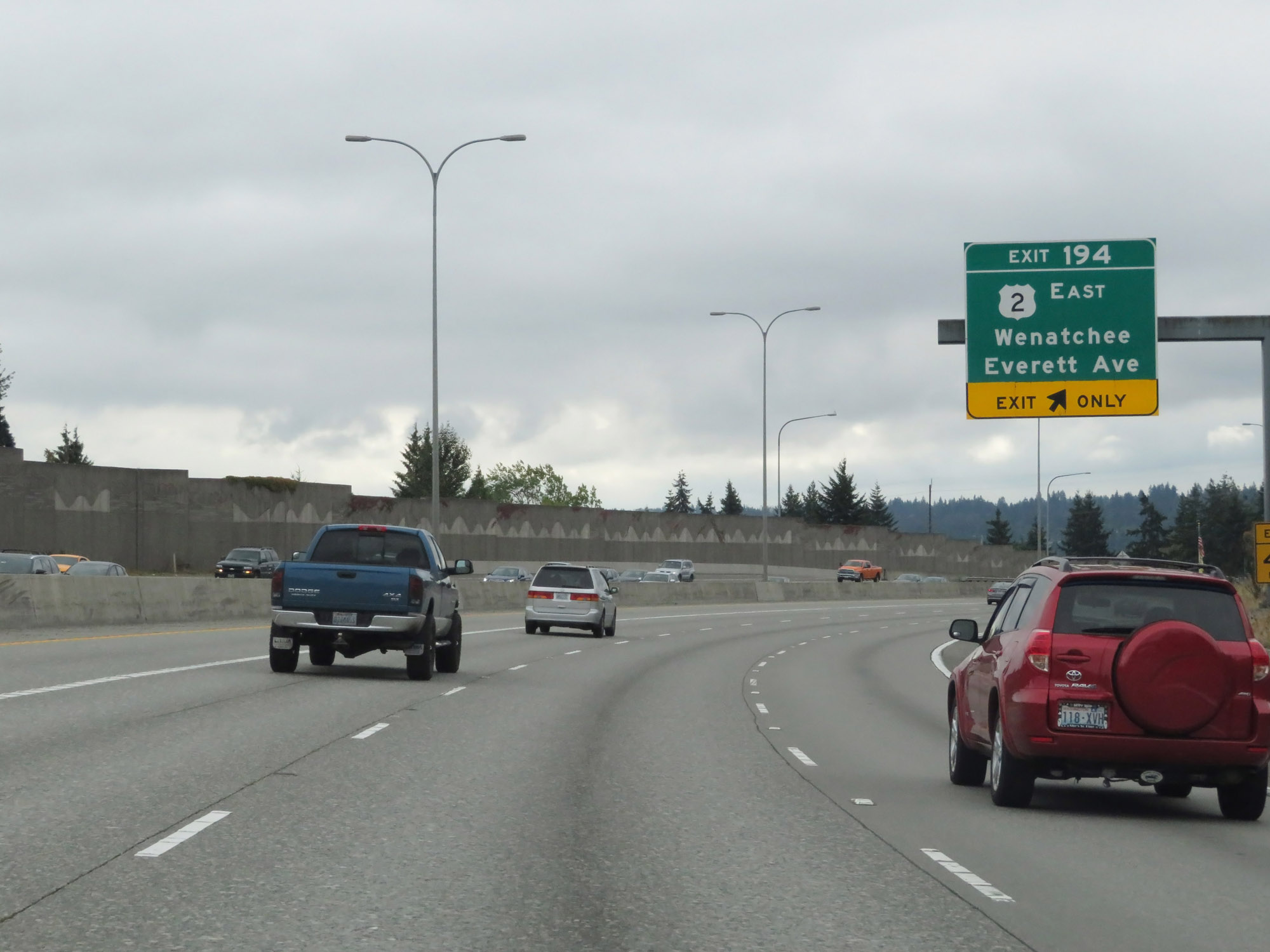 |
Interstate 5 South at Exit 194: US 2 East - Wenatchee / Everett Ave (Photo taken 9/21/19). |
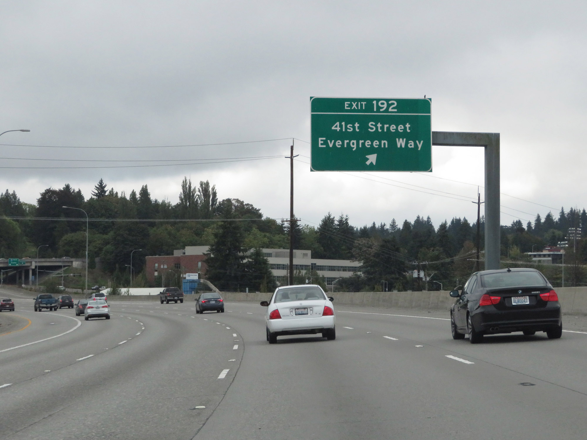 |
Interstate 5 South at Exit 192: 41st Street / Evergreen Way (Photo taken 9/21/19). |
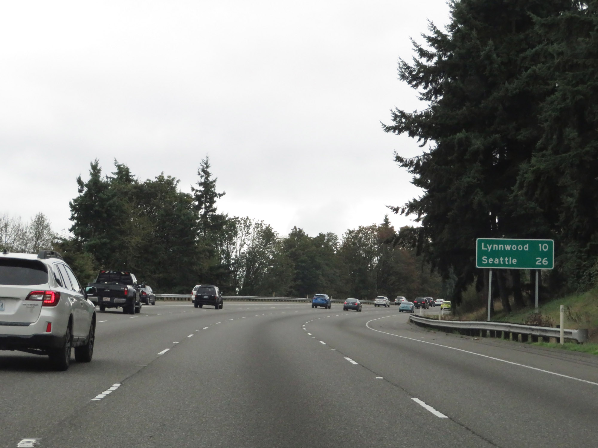 |
Mileage sign on Interstate 5 South in Everett. It's 10 miles to Lynnwood and 26 miles to Seattle. (Photo taken 9/21/19). |
 |
View on Interstate 5 South at mile marker 191. (Photo taken 9/21/19). |
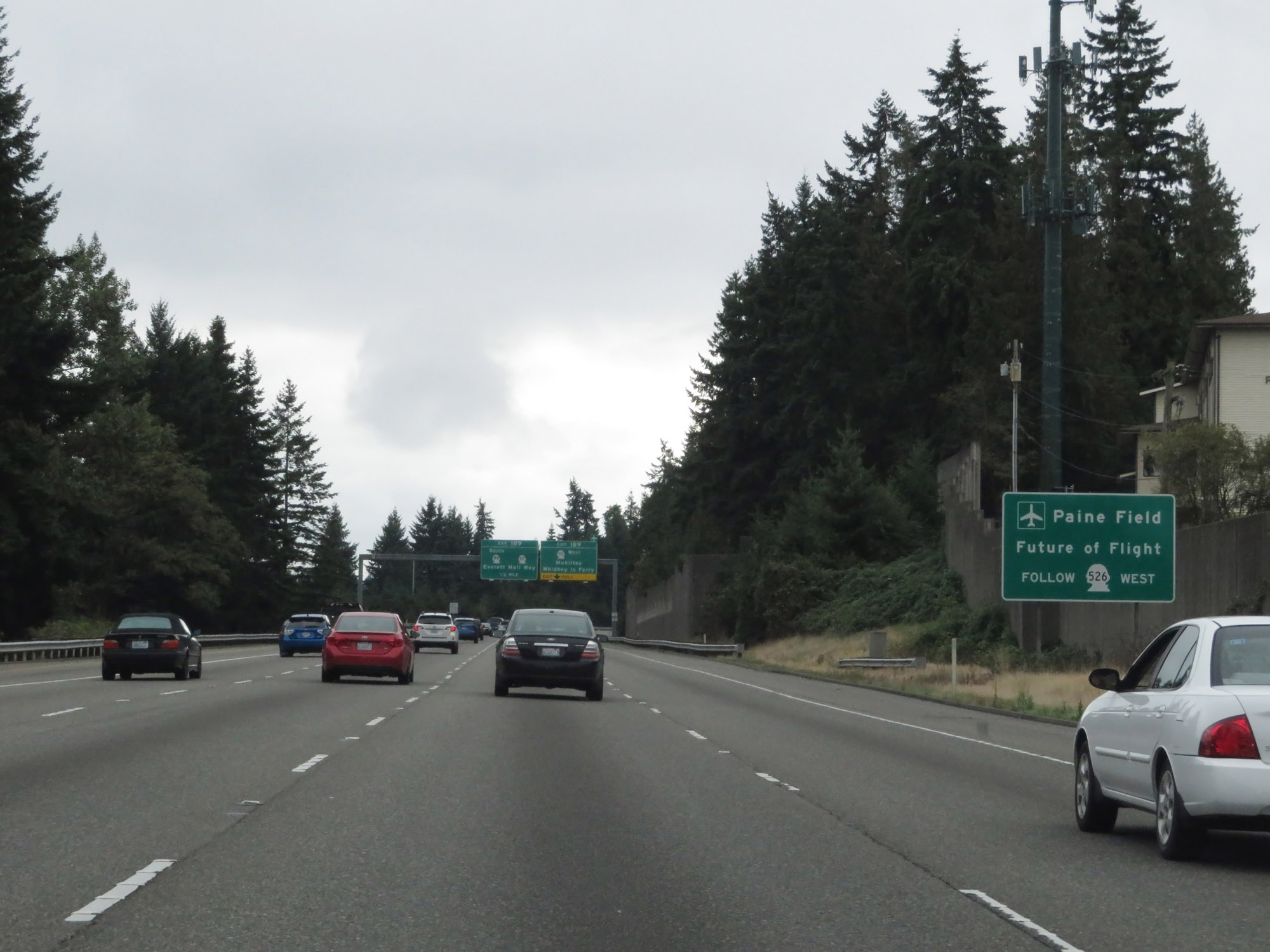 |
Take Exit 189 to Paine Field and Future of Flight. (Photo taken 9/21/19). |
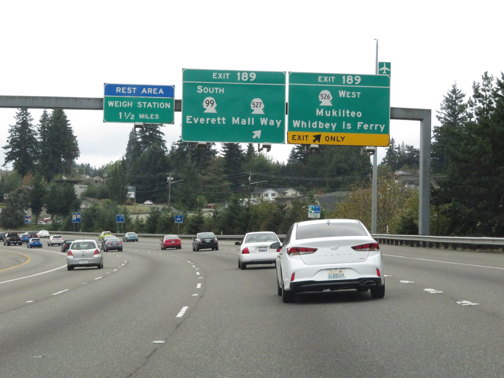 |
Interstate 5 South at Exit 189: WA 526 West - Mukilteo / Whidbey Island Ferry (Photo taken 9/21/19). |
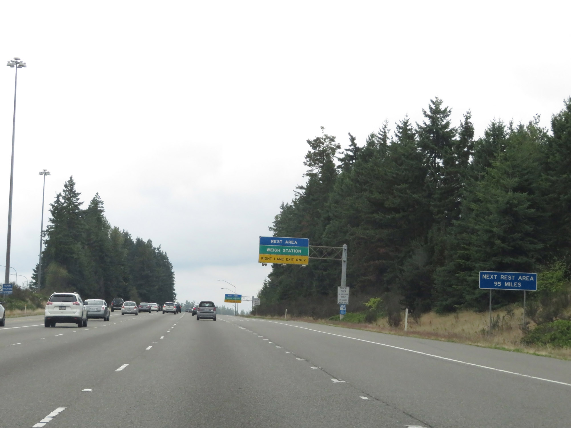 |
This sign warns that the next Rest Area on Interstate 5 South after the upcoming one is 95 miles ahead, well to the south of Seattle. (Photo taken 9/21/19). |
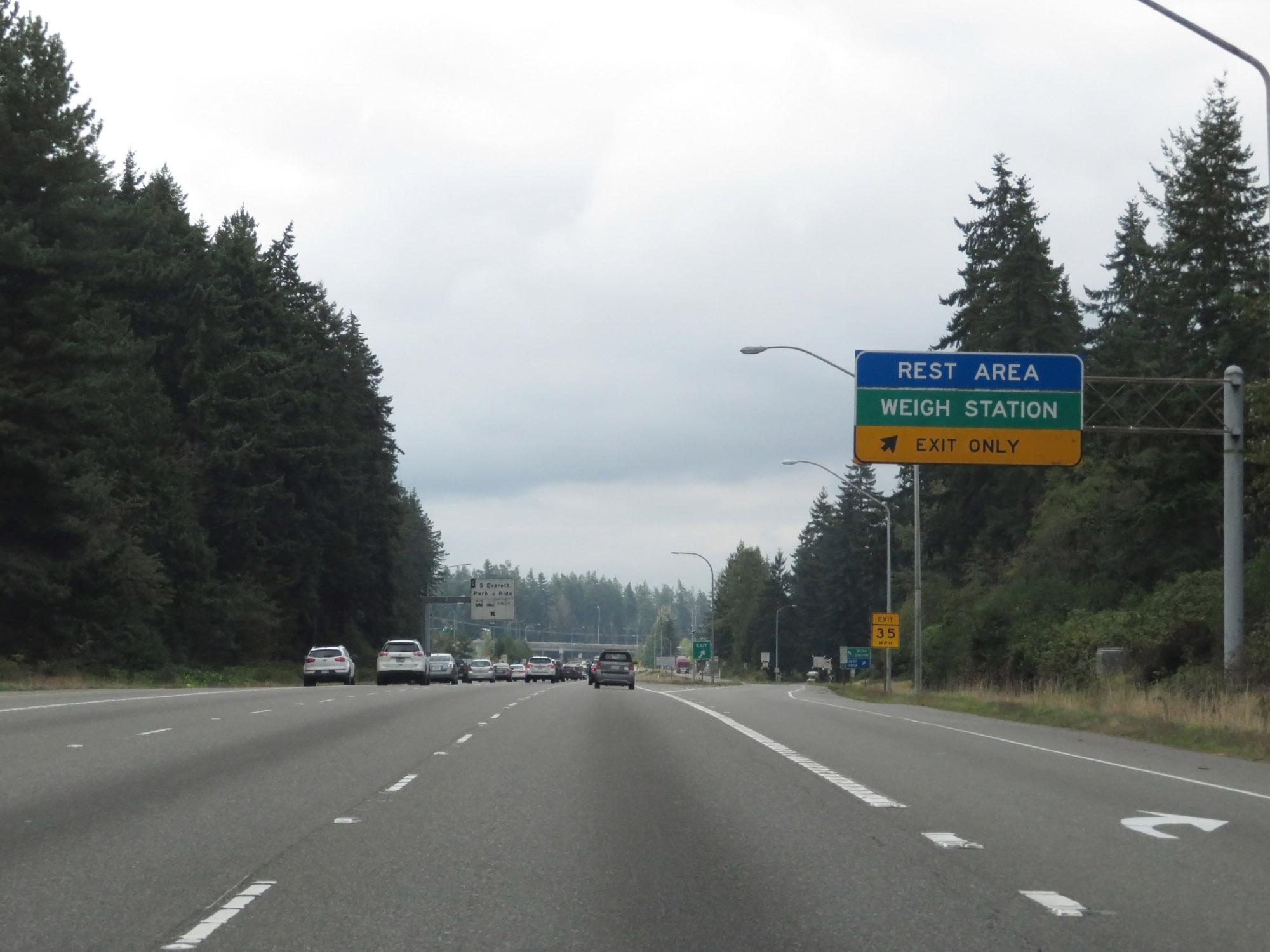 |
Rest Area / Weigh Station on Interstate 5 South in Snohomish County. (Photo taken 9/21/19). |
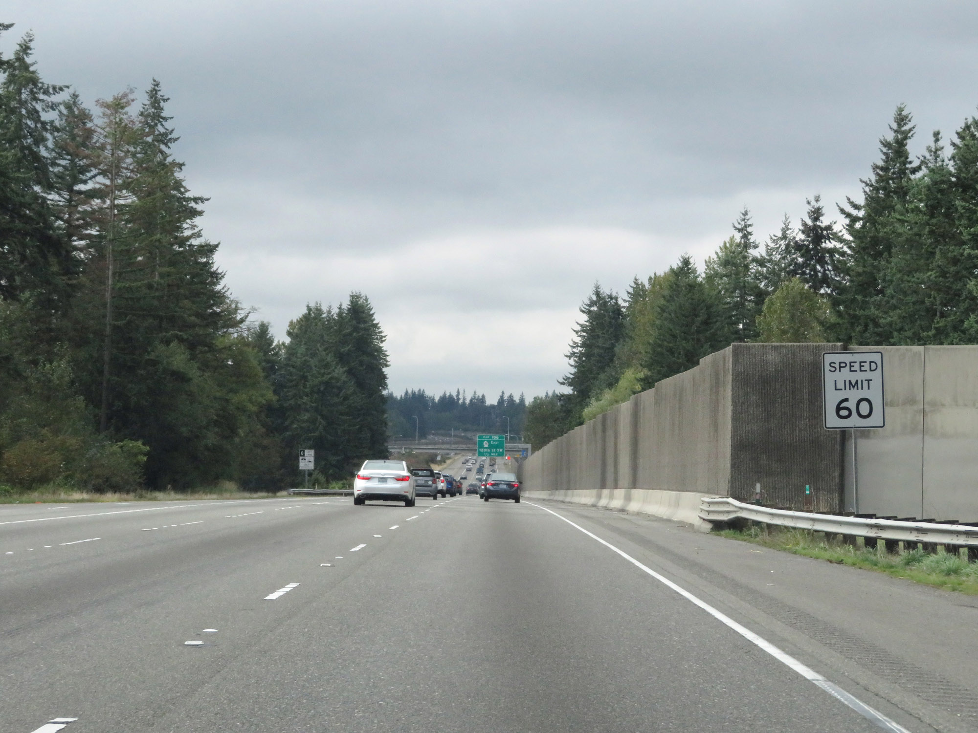 |
The speed limit remains 60 mph for all traffic. It will stay that way for quite a while on Interstate 5 South, well to the south of Seattle and Tacoma. (Photo taken 9/21/19). |
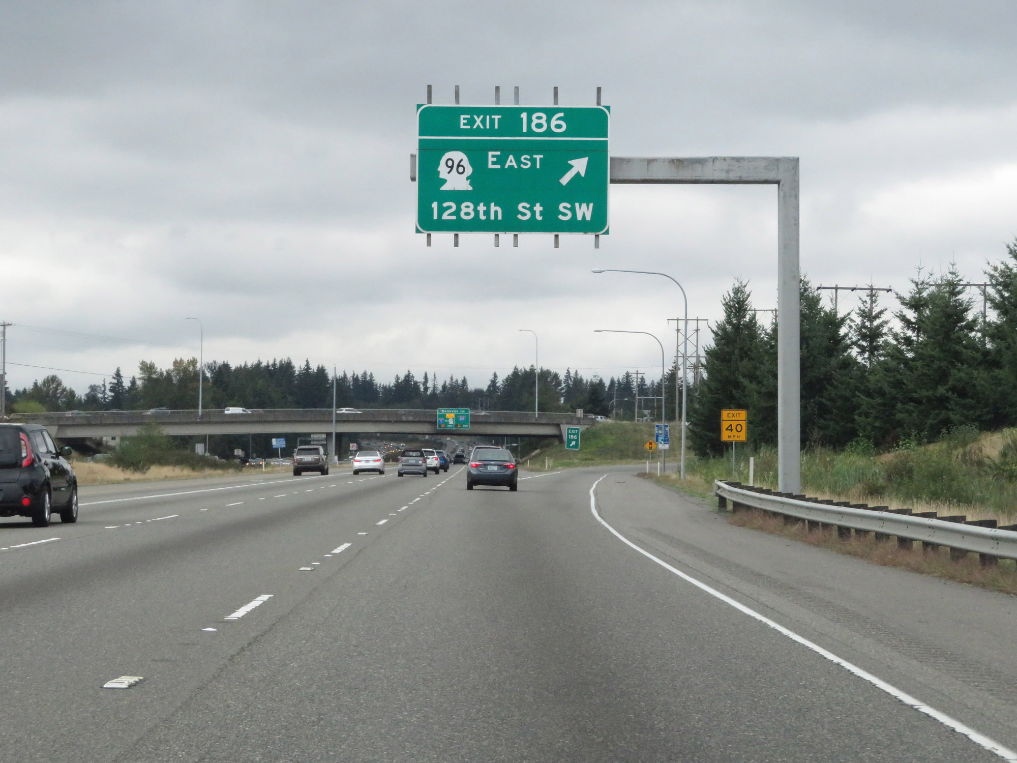 |
Interstate 5 South at Exit 186: WA 96 East - 128th St SW (Photo taken 9/21/19). |
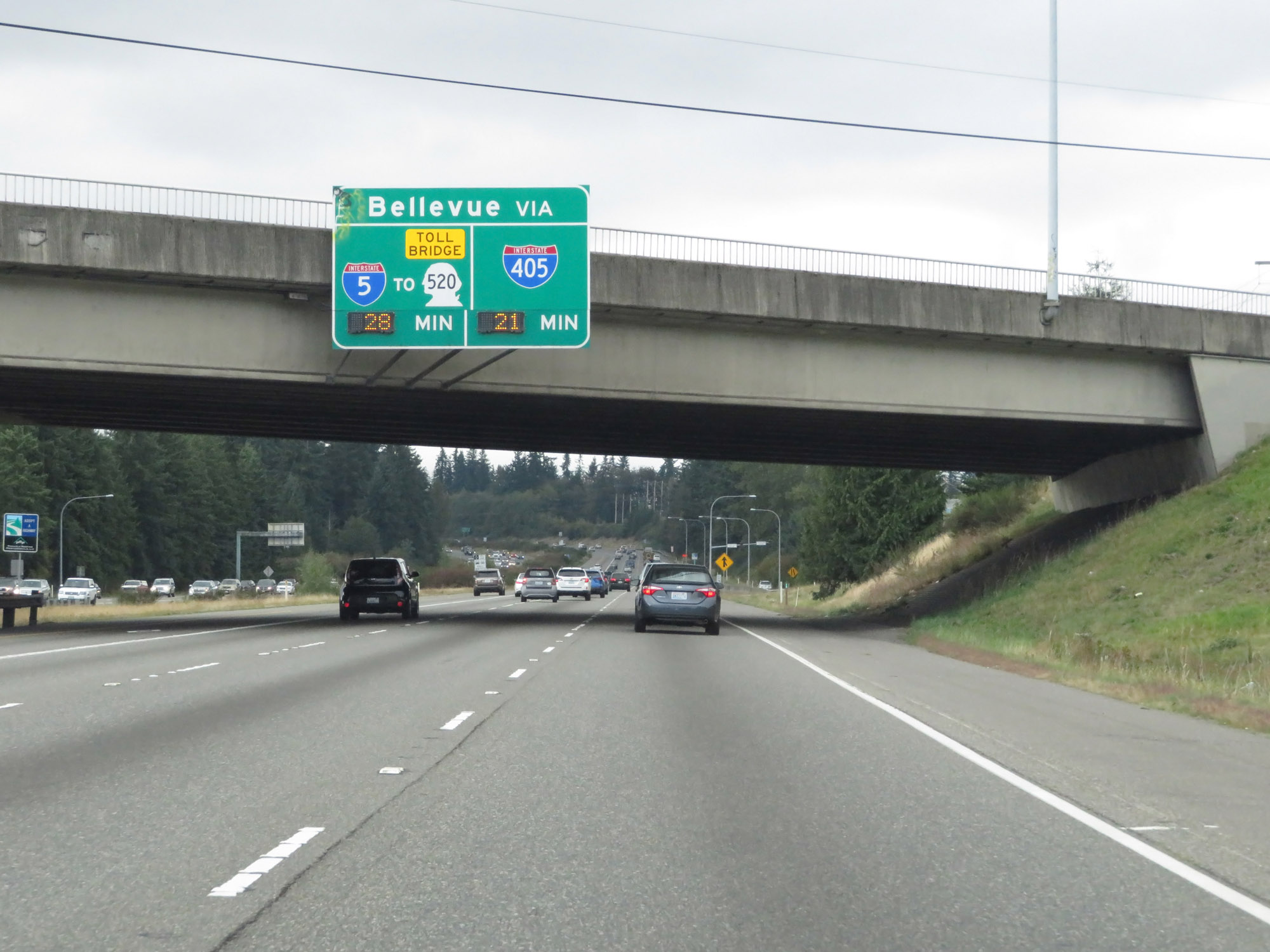 |
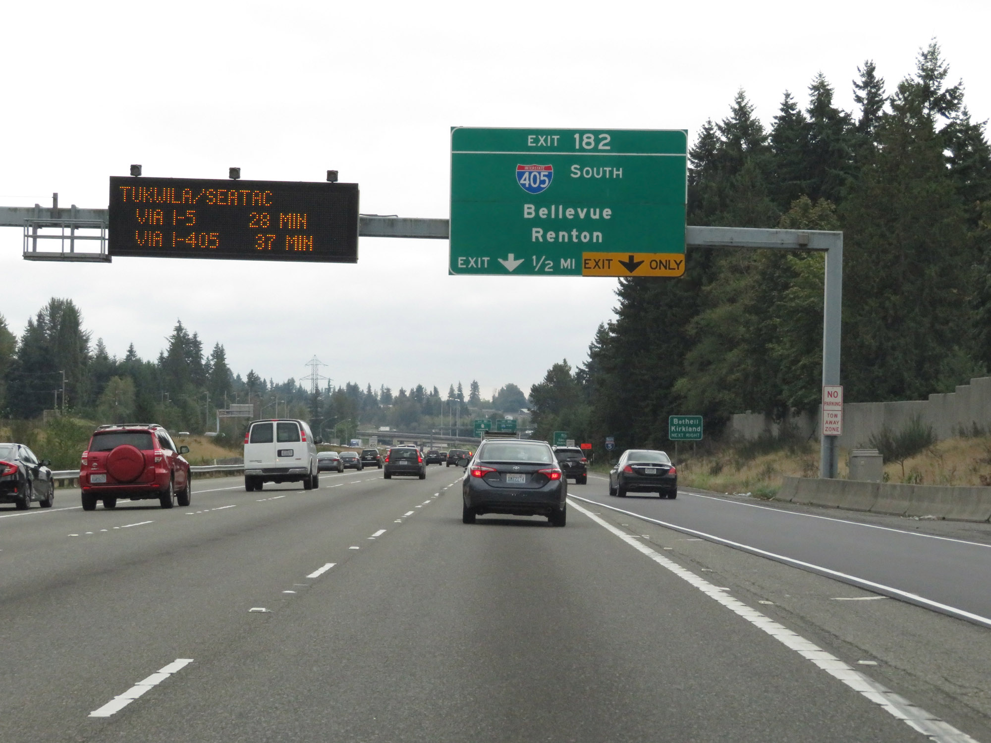
This overhead sign dynamically shows the estimated travel times to Bellvue via Interstate 5 / WA 520 and Interstate 405. (Photo taken 9/21/19). |
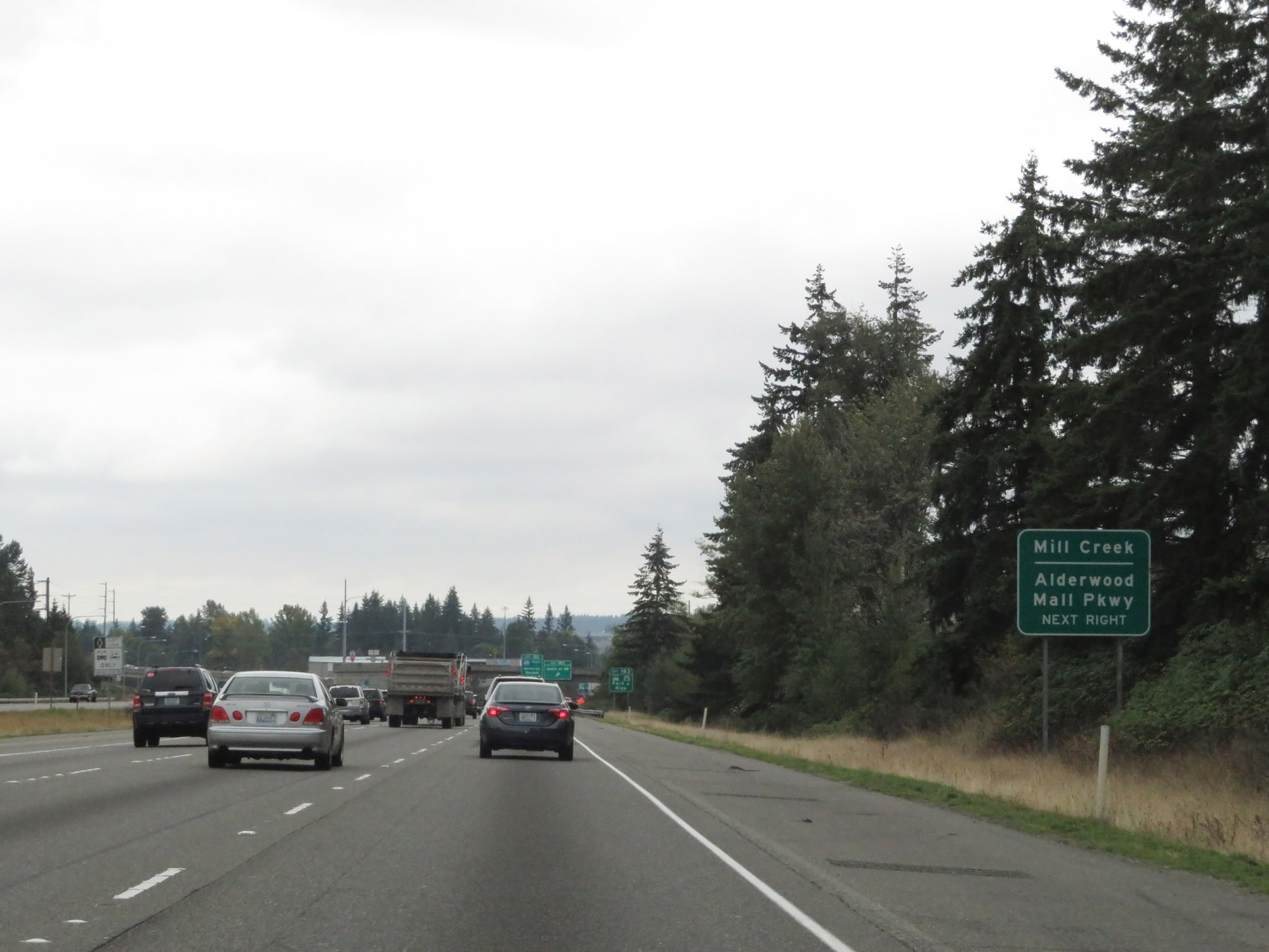 |
Take Exit 183 to Mill Creek and Alderwood Mall Pkwy. (Photo taken 9/21/19). |
 |
Interstate 5 South at Exit 183: 164th St SW (Photo taken 9/21/19). |
 |
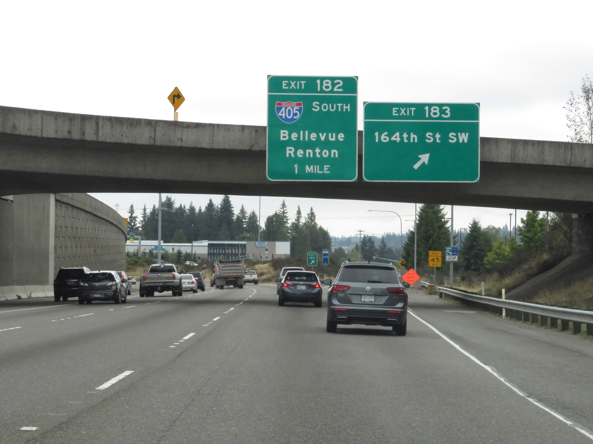
Interstate 5 South approaching Exit 182 - 1/2 mile. (Photo taken 9/21/19). |
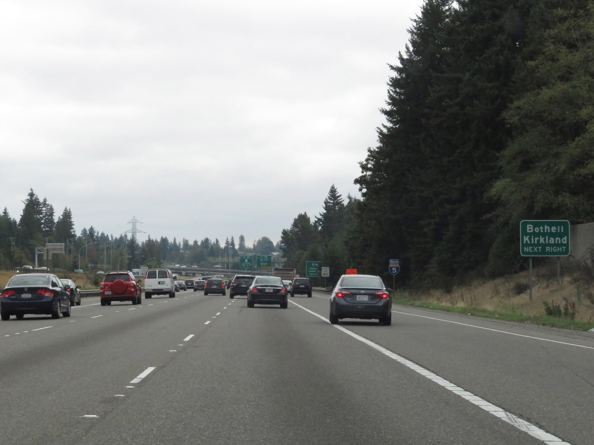 |
Take Exit 182 (Interstate 405 South) to Bothell and Kirkland. (Photo taken 9/21/19). |
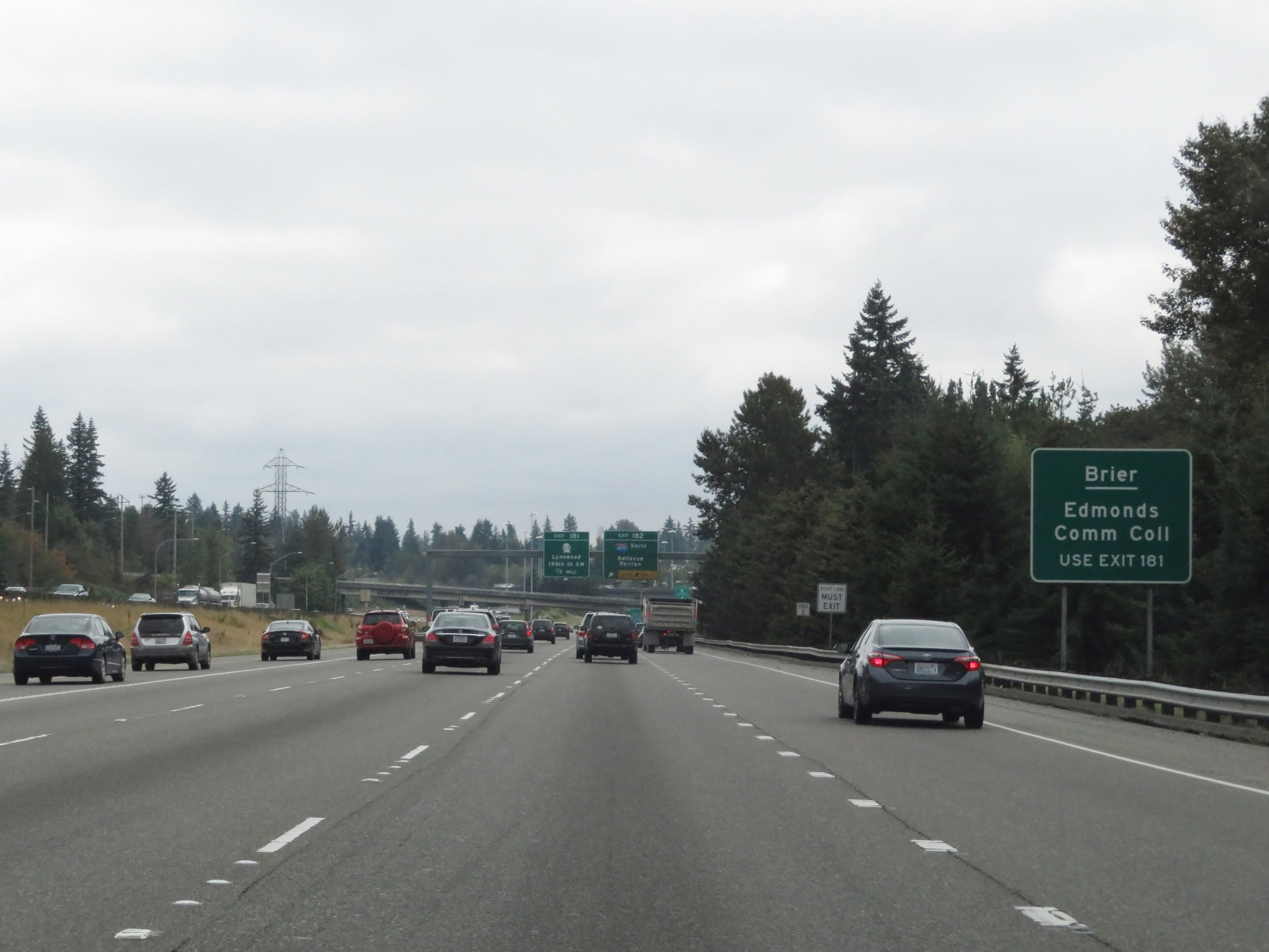 |
Take Exit 181 to Brier and Edmonds Community College. (Photo taken 9/21/19). |
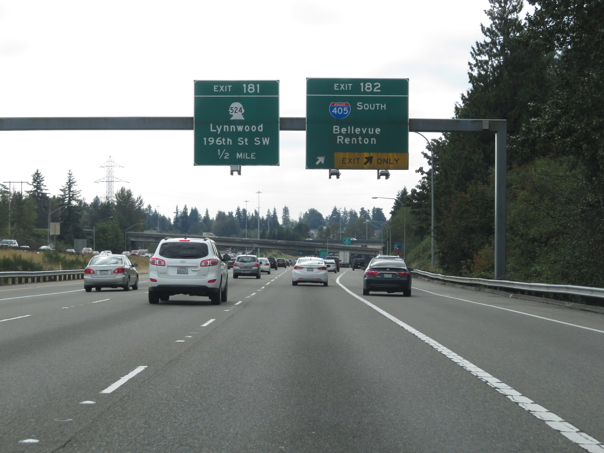 |
Interstate 5 South at Exit 182: Interstate 405 South - Bellevue / Renton (Photo taken 9/21/19). |
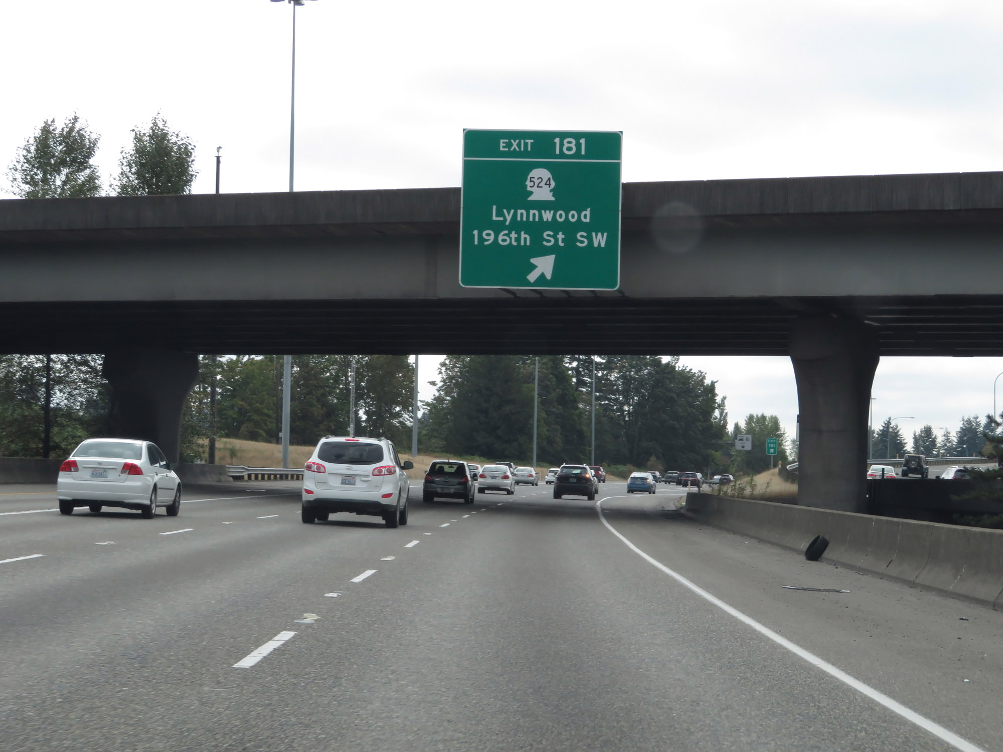 |
Interstate 5 South at Exit 181: WA 524 - Lynnwood / 196th St SW (Photo taken 9/21/19). |
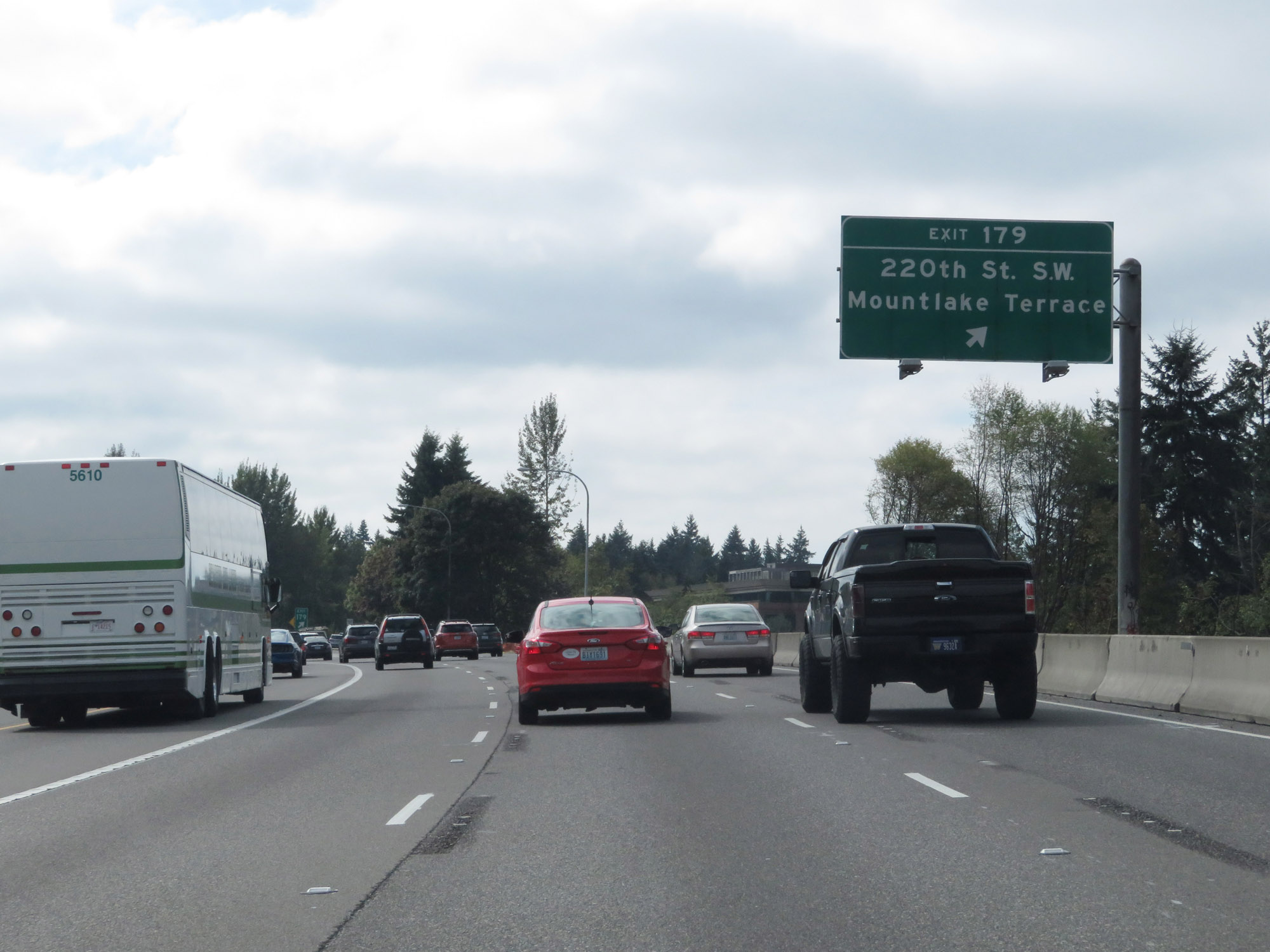 |
Interstate 5 South at Exit 179: 220th St SW / Mountlake Terrace (Photo taken 9/21/19). |
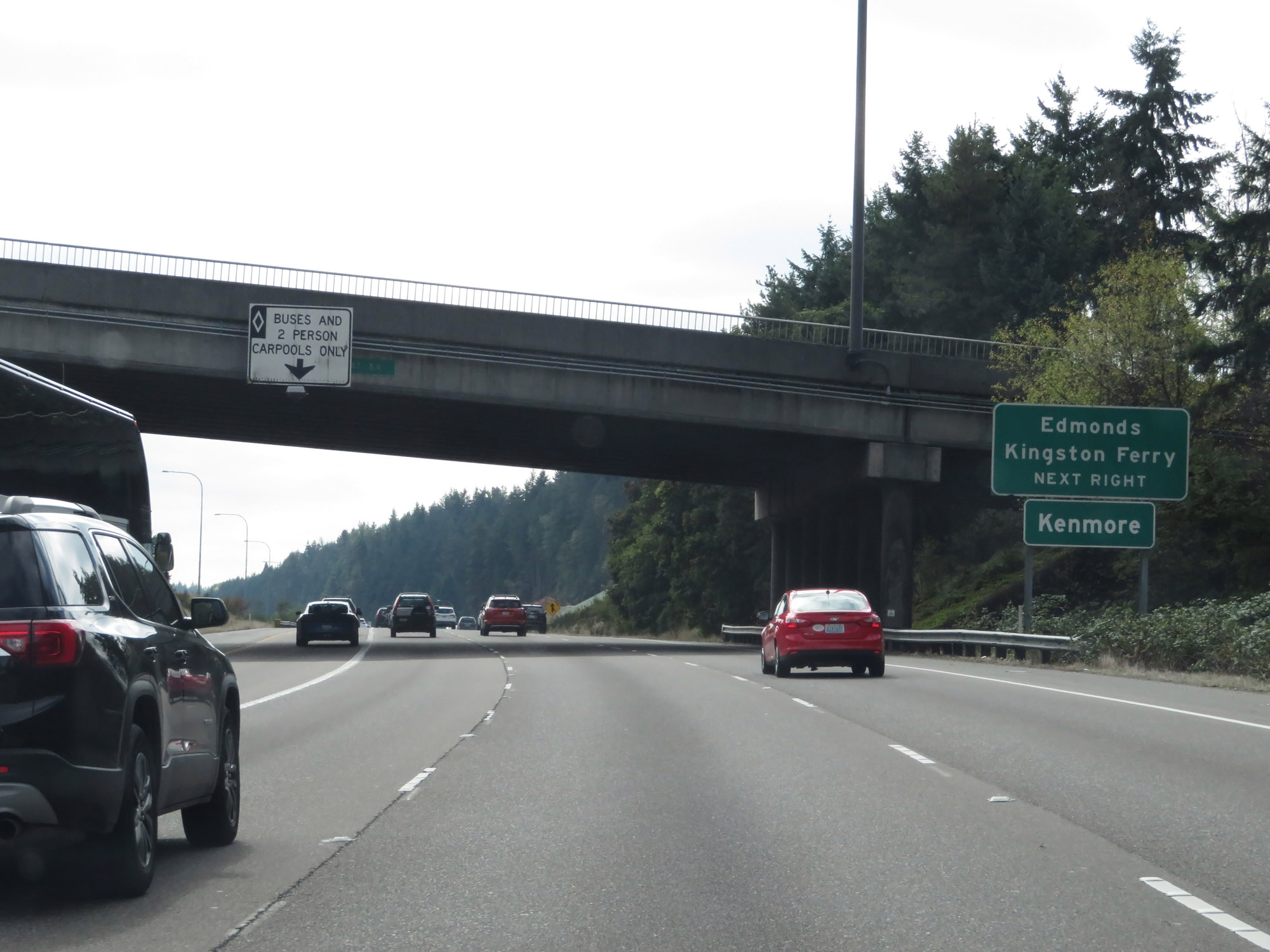 |
Take Exit 177 to Edmonds, Kingston Verry, and Kenmore. (Photo taken 9/21/19). |
 |
Interstate 5 South at mile marker 179. (Photo taken 9/21/19). |
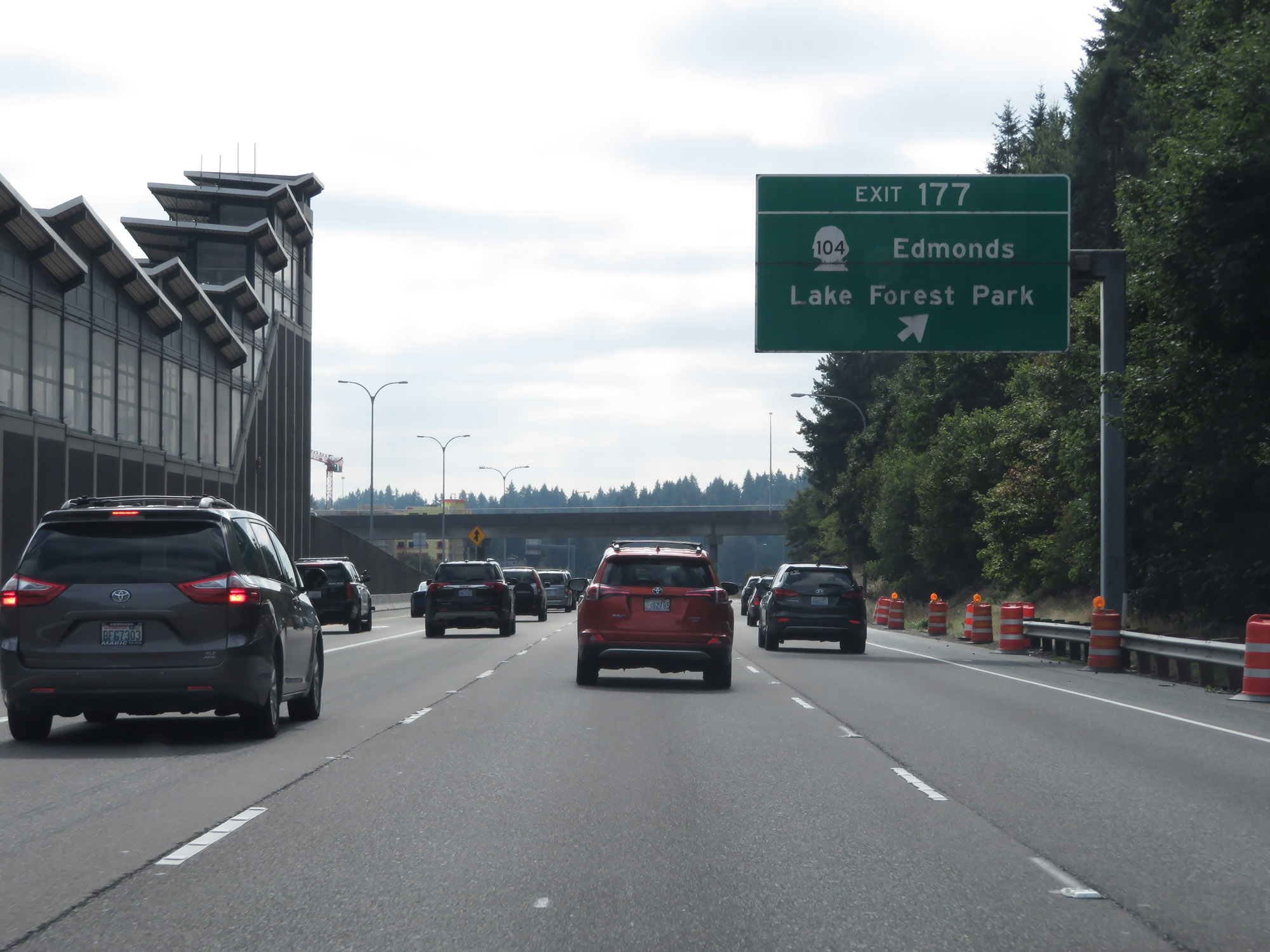 |
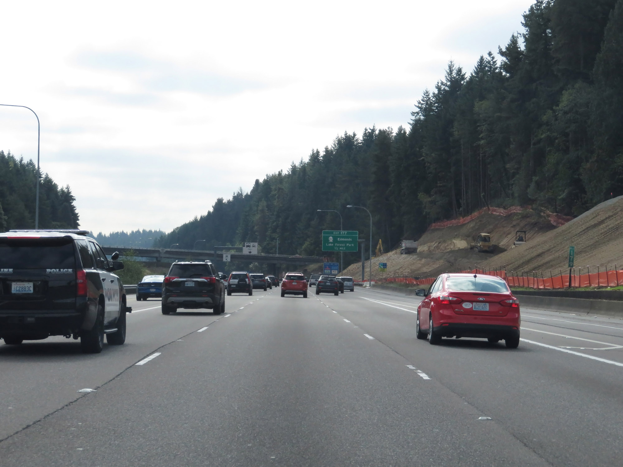
Interstate 5 South at Exit 177: WA 104 - Edmonds / Lake Forest Park (Photo taken 9/21/19). |
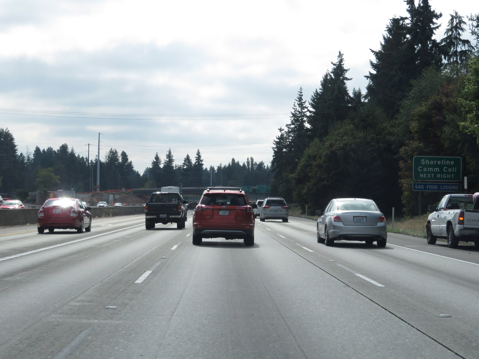 |
Take Exit 176 to Shoreline Community College. (Photo taken 9/21/19). |
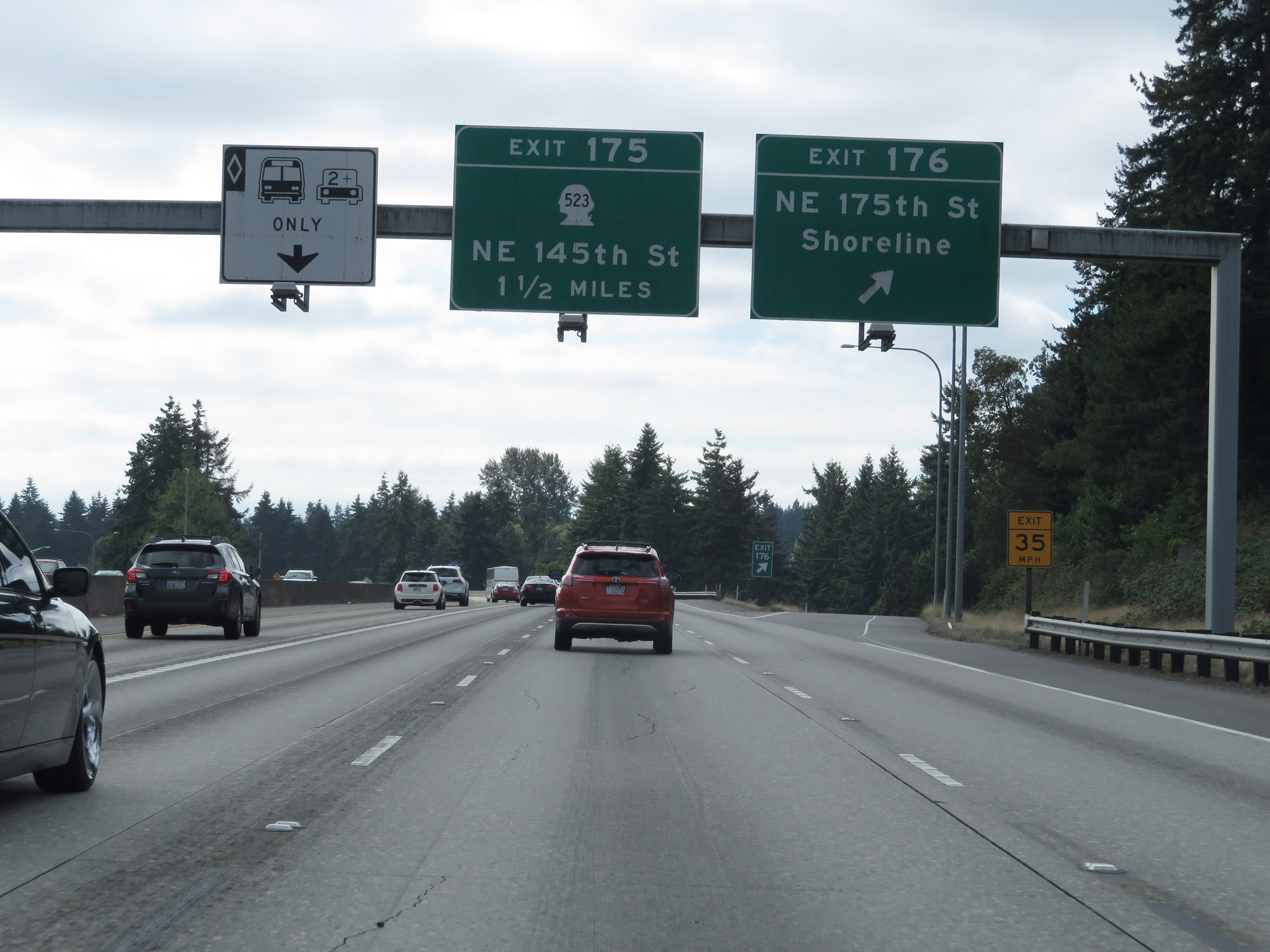 |
Interstate 5 South at Exit 176: NE 175th St / Shoreline (Photo taken 9/21/19). |
 |
Interstate 5 South at Exit 175: WA 523 - NE 145th St / 5th Ave NE (Photo taken 9/21/19). |
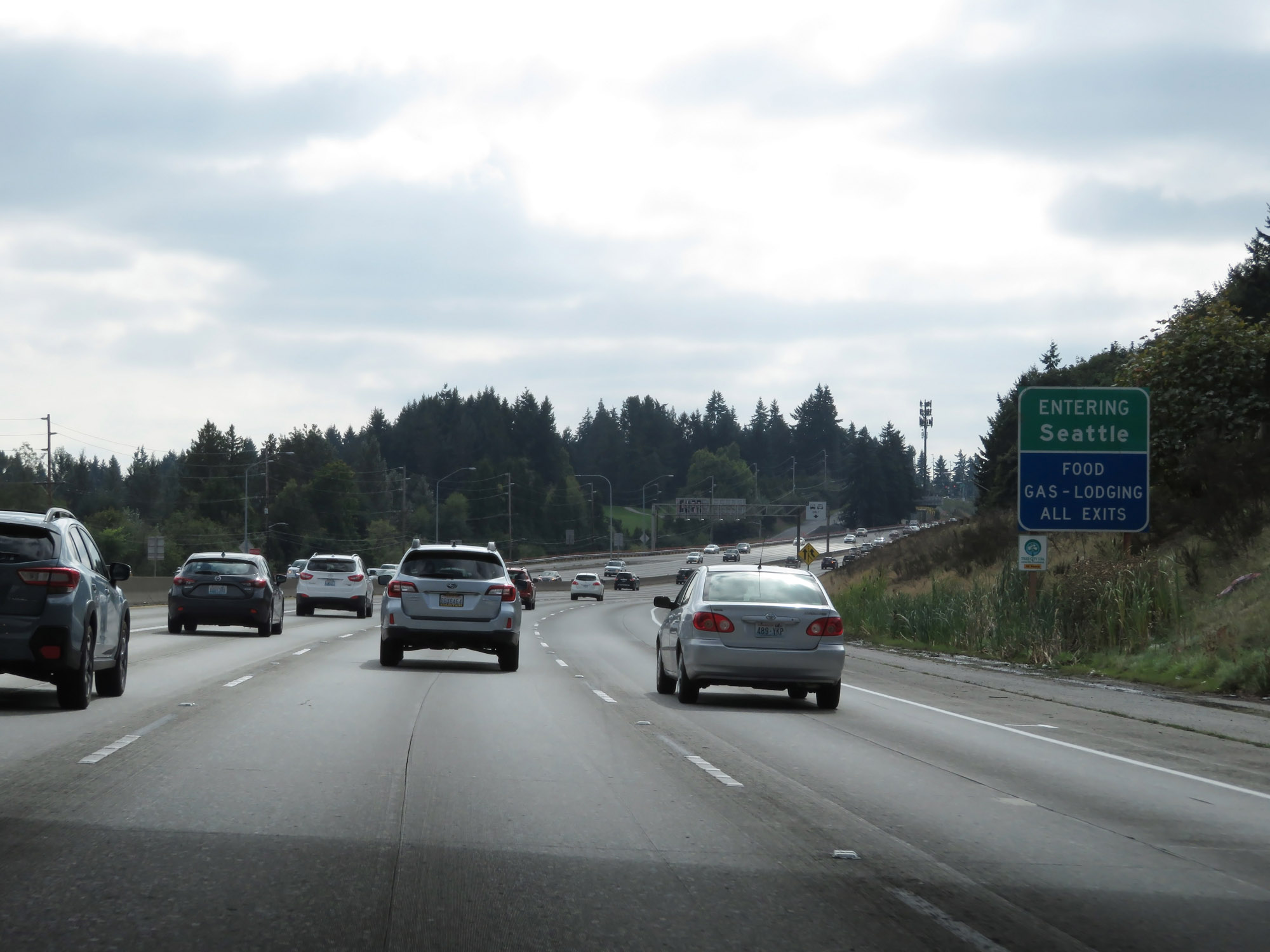 |
Interstate 5 South as it enters King County and the Seattle city limits. (Photo taken 9/21/19). |
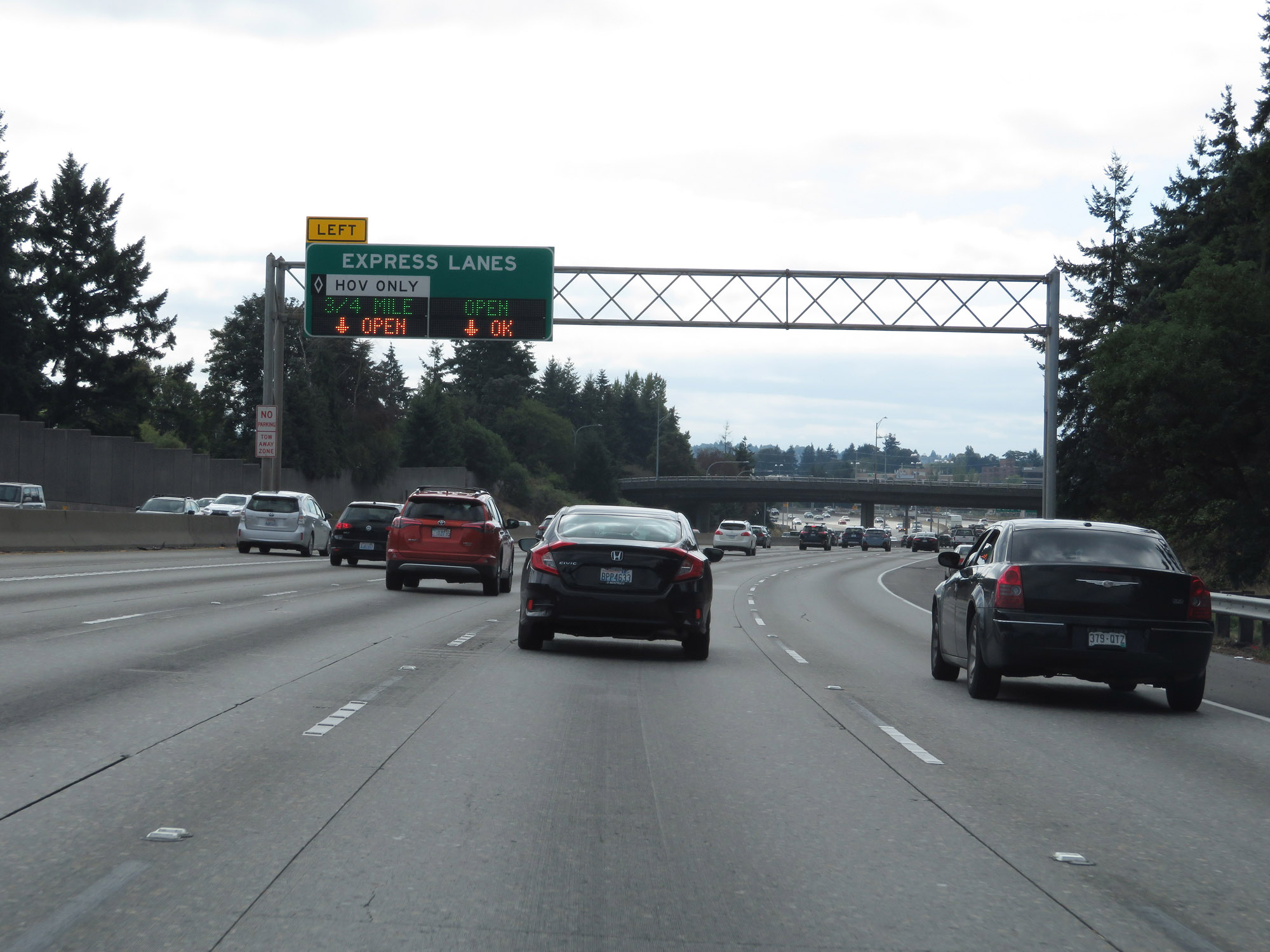 |
Upon entering the Seattle city limits, express lanes begin on Interstate 5 South. (Photo taken 9/21/19). |
 |
Take Exit 173 to North Seattle College. (Photo taken 9/21/19). |
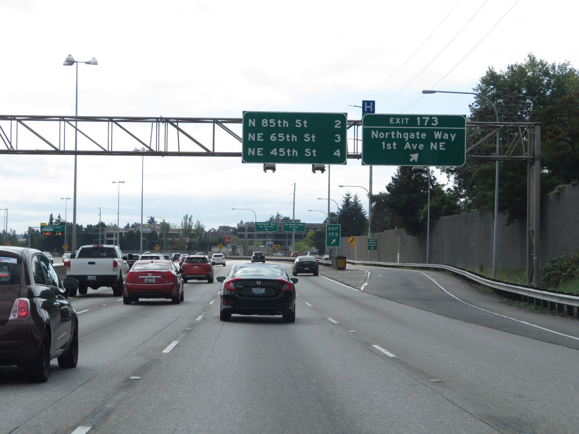 |
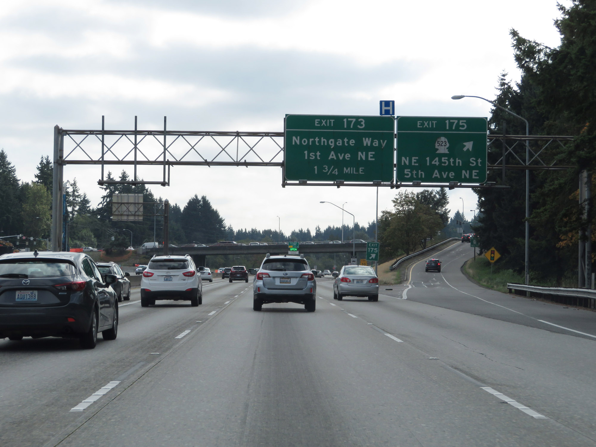
Interstate 5 South at Exit 173: Northgate Way / 1st Ave NE (Photo taken 9/21/19). |
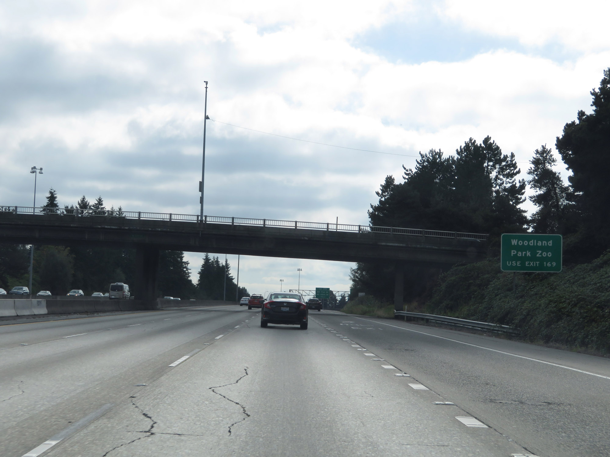 |
Take Exit 169 to Woodland Park Zoo. (Photo taken 9/21/19). |
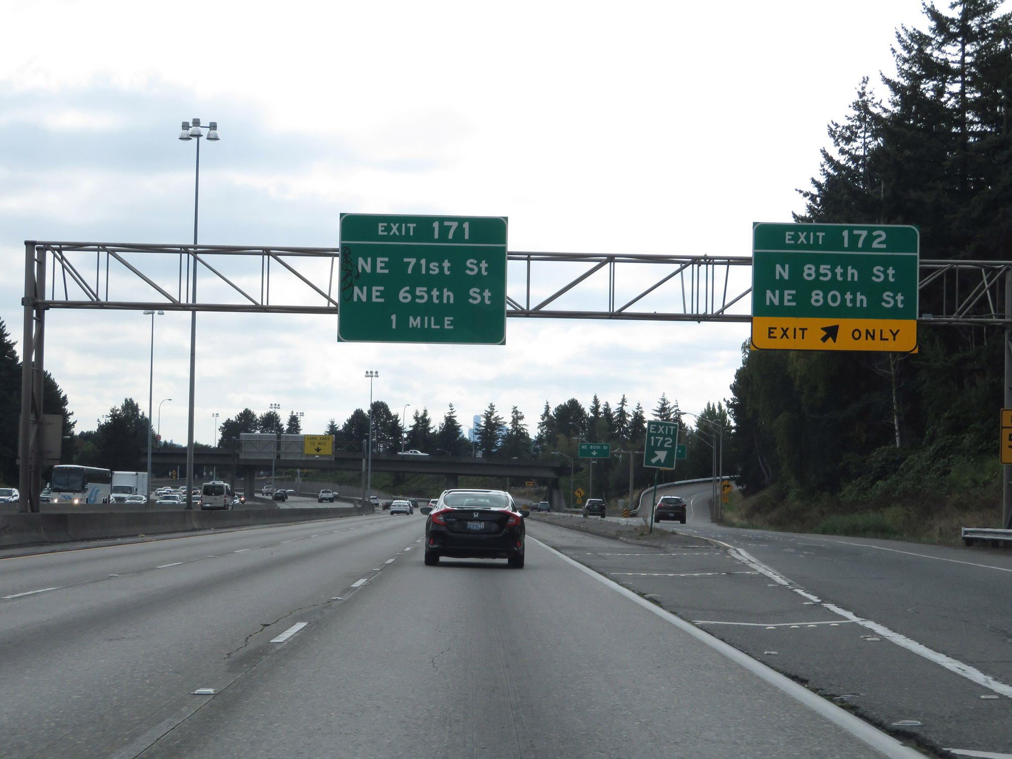 |
Interstate 5 South at Exit 172: N 85th St / NE 80th St (Photo taken 9/21/19). |
 |
Interstate 5 South at Exit 171: NE 71st St / NE 65th St (Photo taken 9/21/19). |
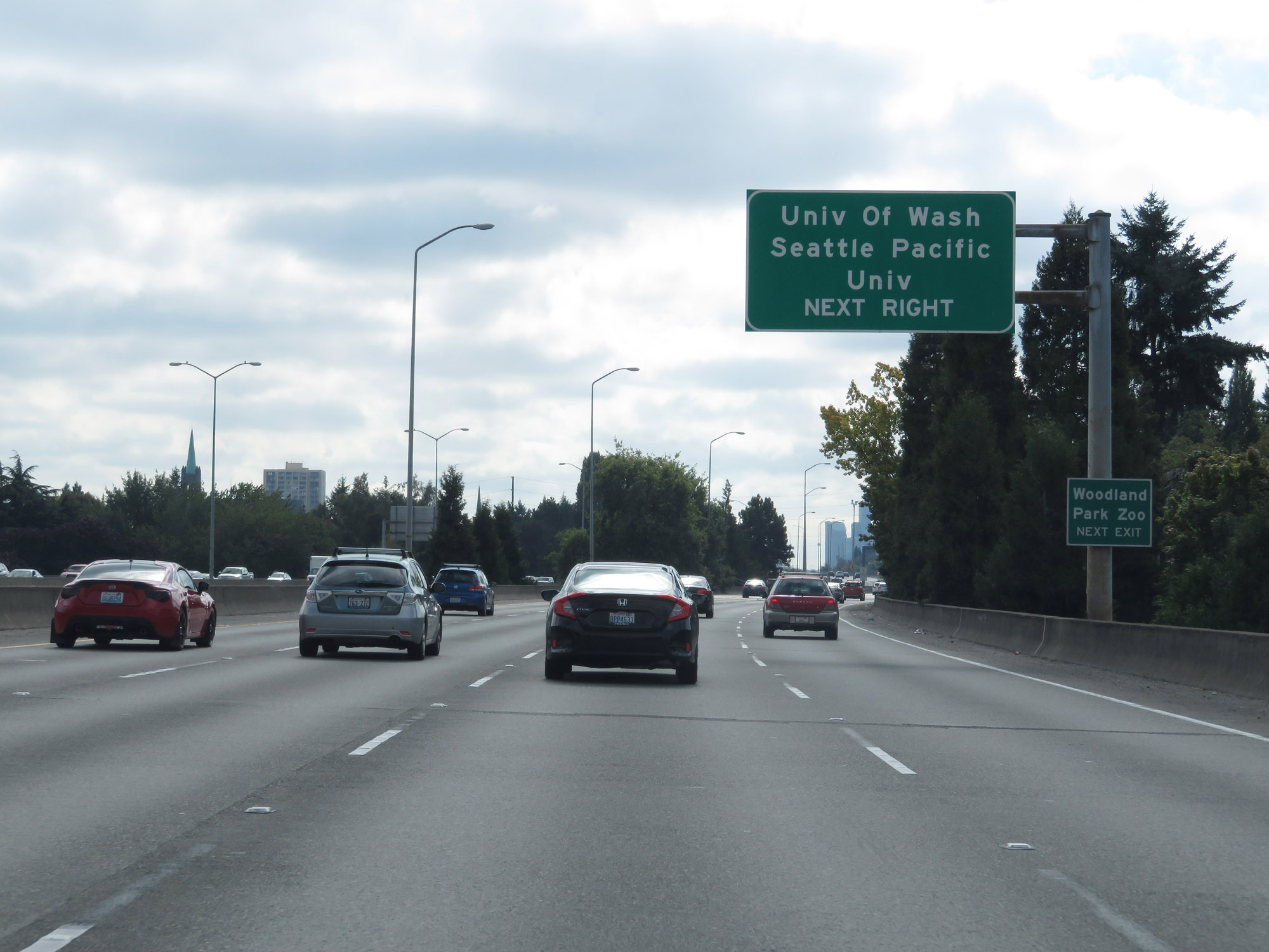 |
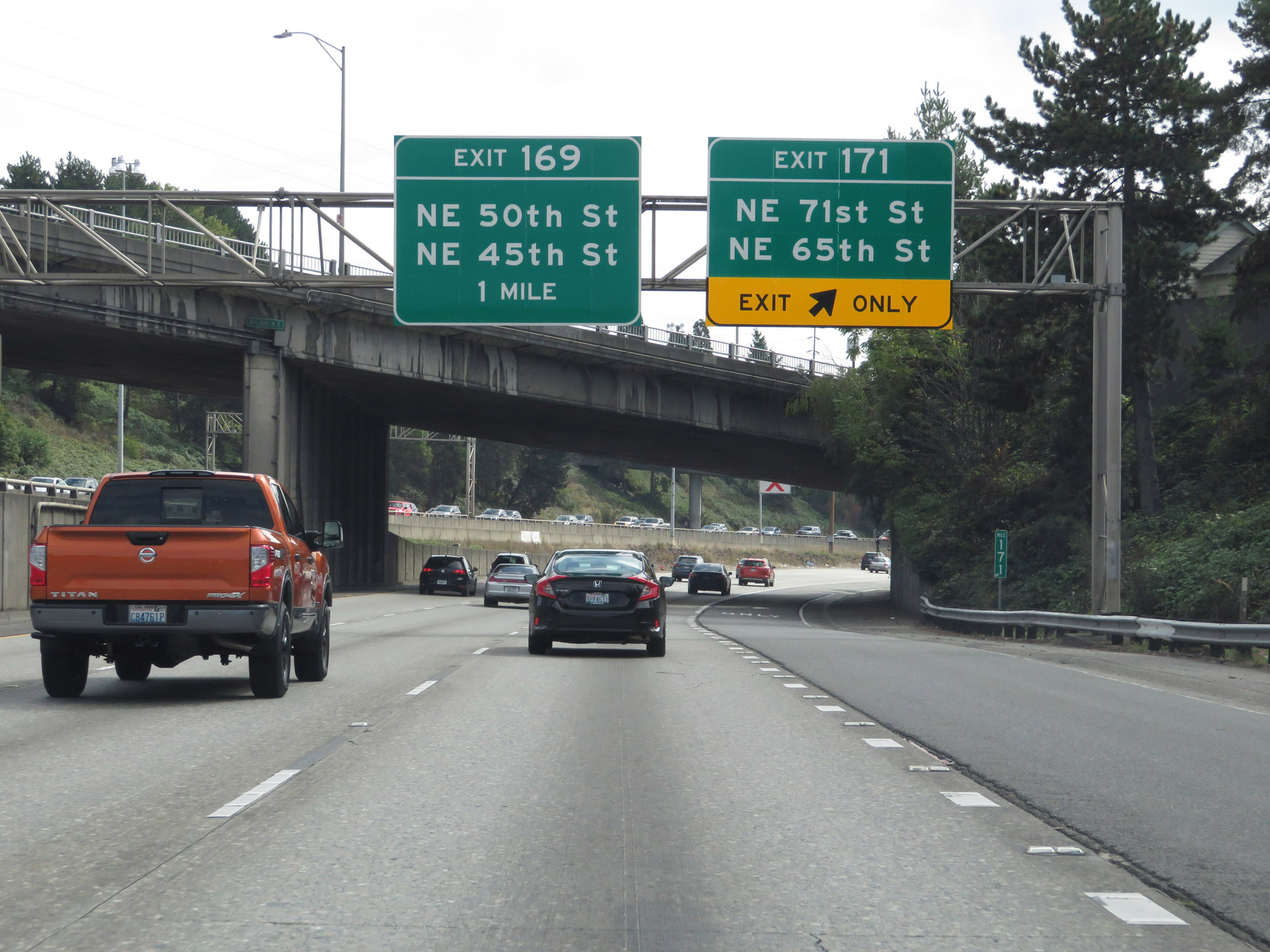
Take Exit 169 to the University of Washington, Seattle Pacific University, and Woodland Park Zoo. (Photo taken 9/21/19). |
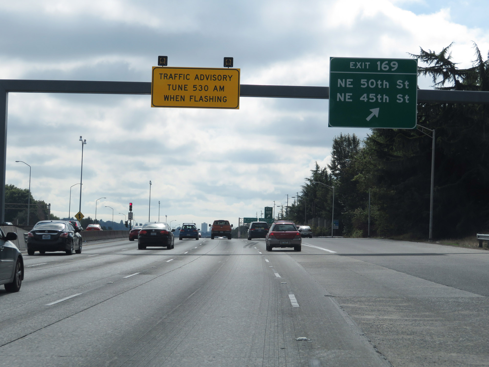 |
Interstate 5 South at Exit 169: NE 50th St / NE 45th St (Photo taken 9/21/19). |
 |
Interstate 5 South approaching Exits 168B-A - 1 mile. (Photo taken 9/21/19). |
 |
A view of the Seattle skyline from Interstate 5 South approaching Exits 168B-A. (Photo taken 9/21/19). |
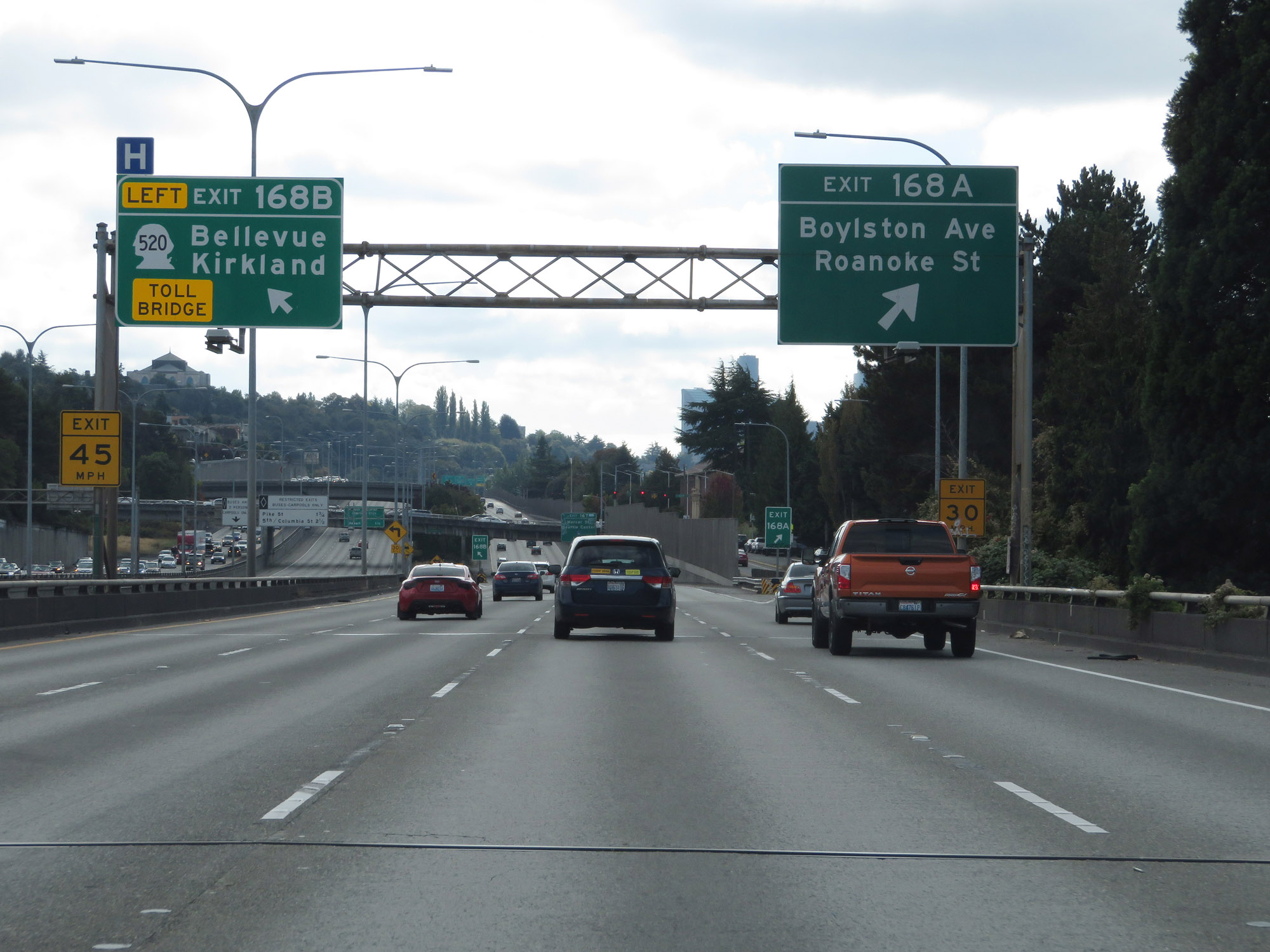 |
Interstate 5 South at Exit 168B: WA 520 - Bellevue / Kirkland; Exit 168A: Boylston Ave / Roanoke St (Photo taken 9/21/19). |
 |
Interstate 5 South approaching Exit 167 - 1 mile. (Photo taken 9/21/19). |
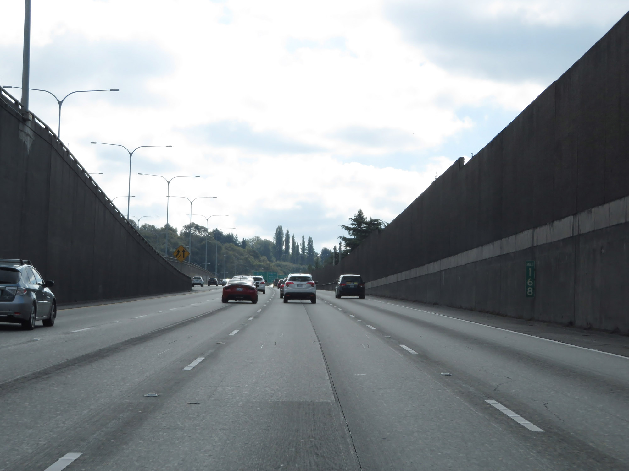 |
View on Interstate 5 South at mile marker 168. (Photo taken 9/21/19). |
 |
Interstate 5 South at Exit 167: Mercer St / Seattle Center (Photo taken 9/21/19). |
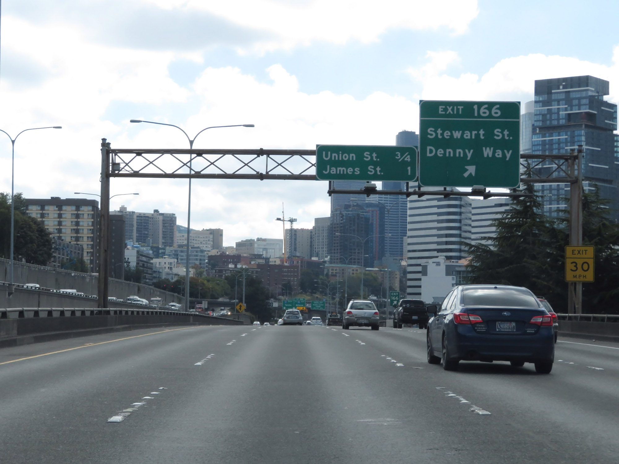 |
Interstate 5 South at Exit 166: Stewart St / Denny Way (Photo taken 9/21/19). |
 |
Take Exit 165A to Seattle University and Seattle Central College. (Photo taken 9/21/19). |
 |
Take Exit 164 to Dearborn St, 4th Ave S, and Airport Way. (Photo taken 9/21/19). |
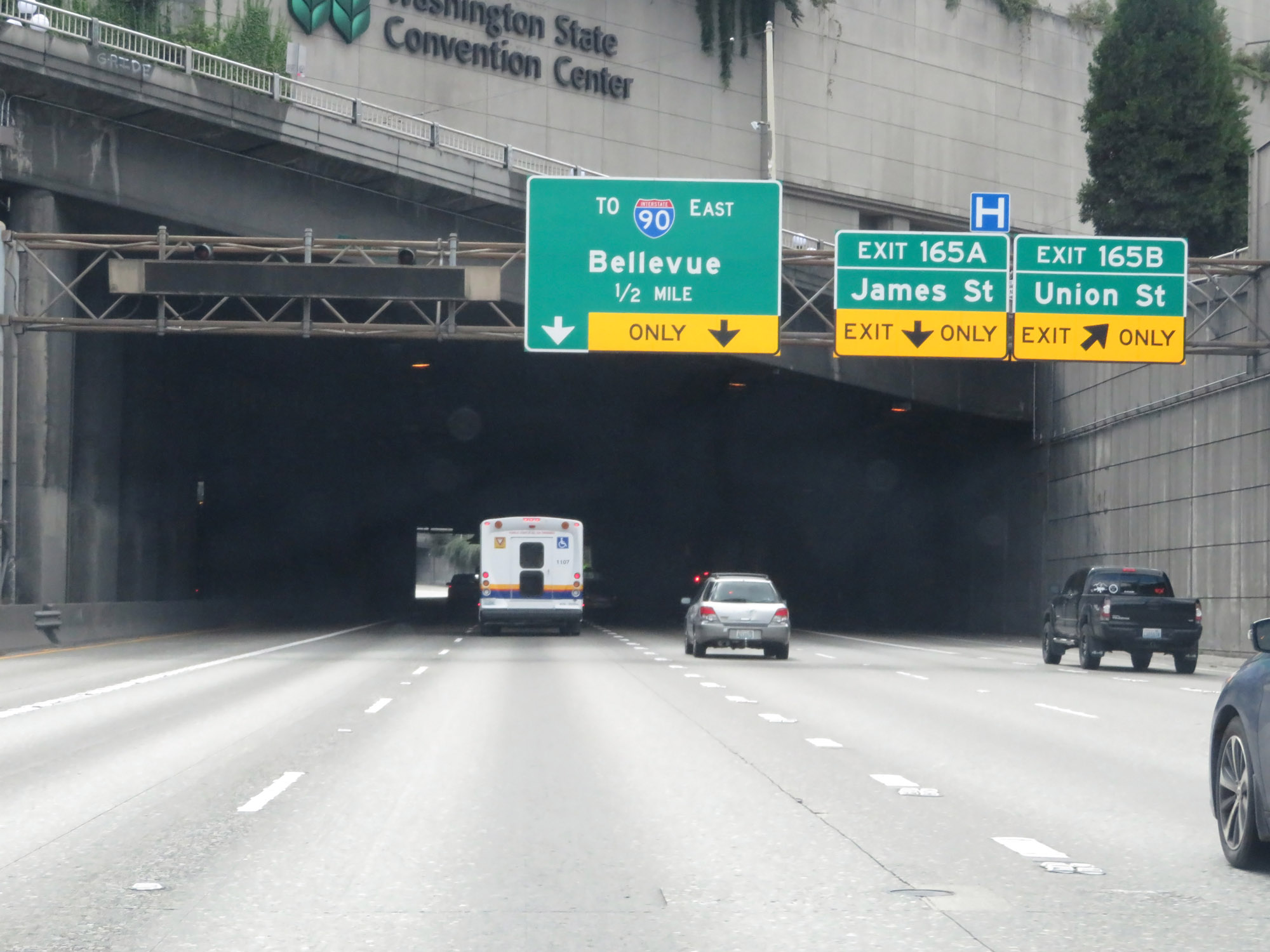 |
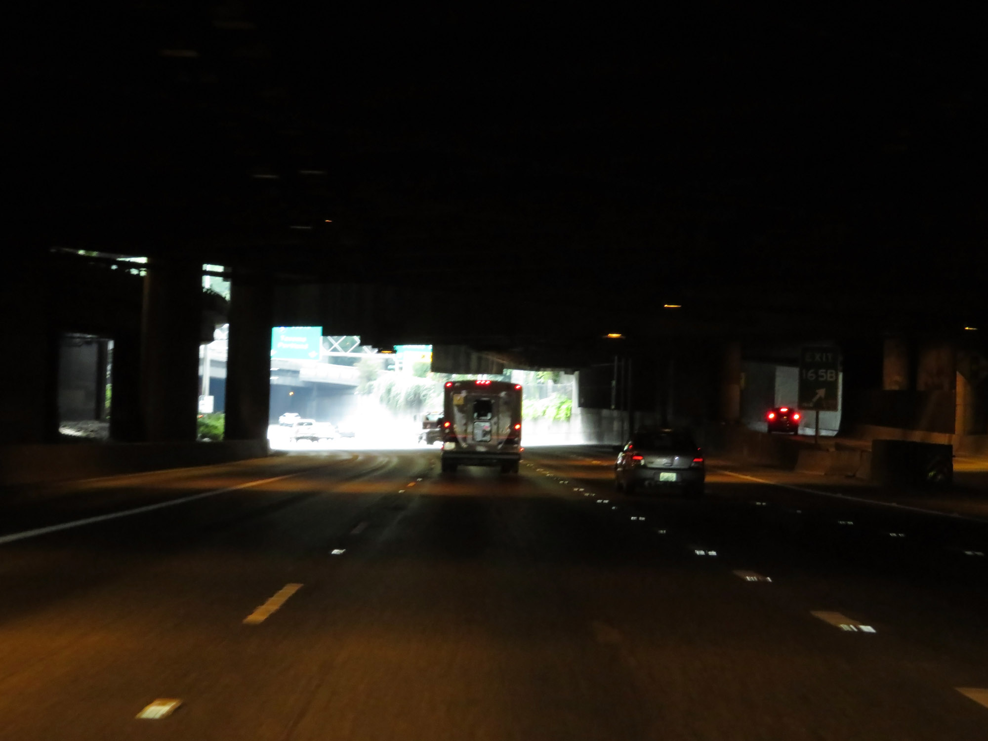
Interstate 5 South at Exit 165B: Union St (Photo taken 9/21/19). |
 |
View of the ramp for Exit 165B. (Photo taken 9/21/19). |
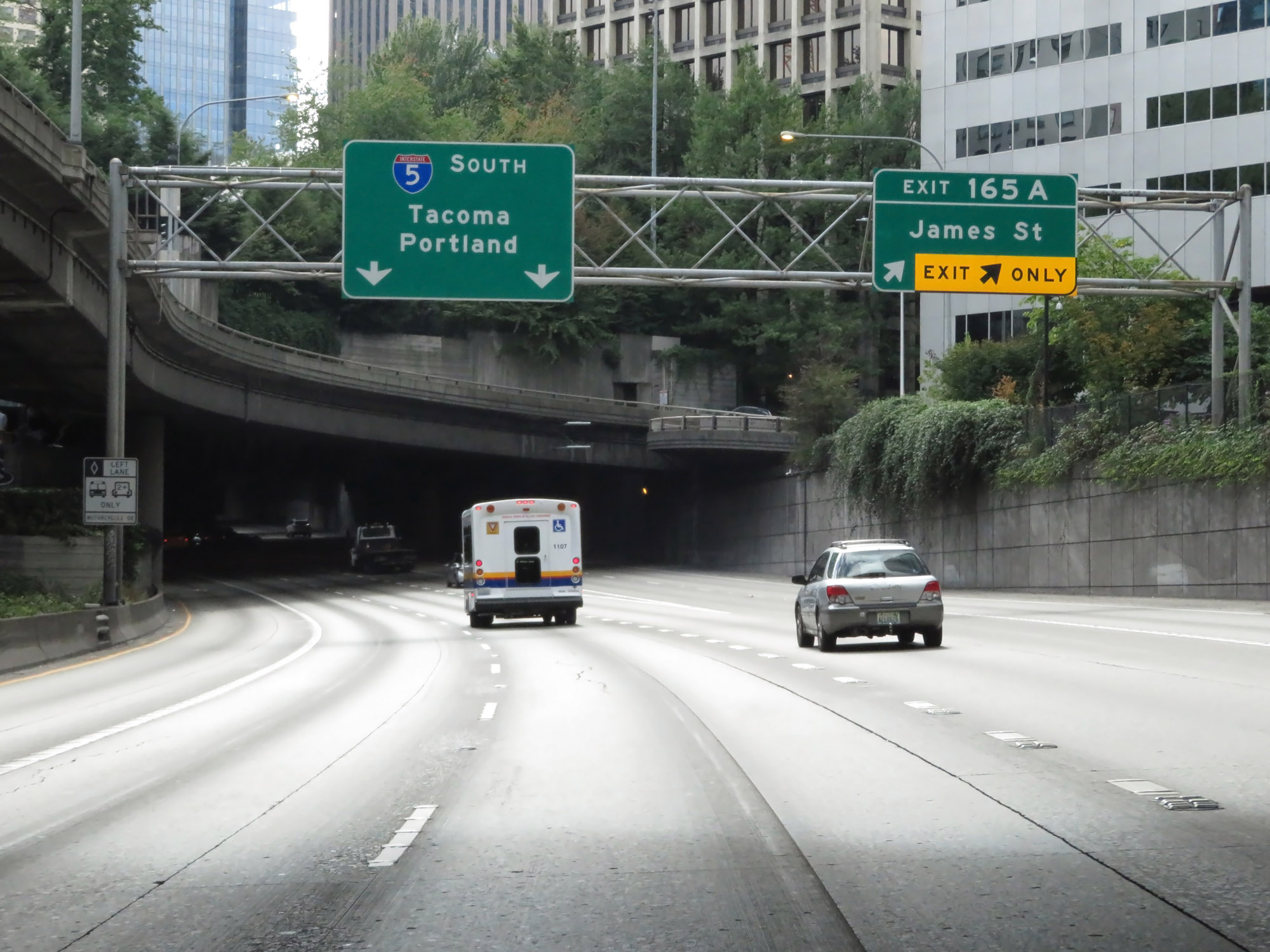 |
Interstate 5 South at Exit 165A: James St (Photo taken 9/21/19). |
 |
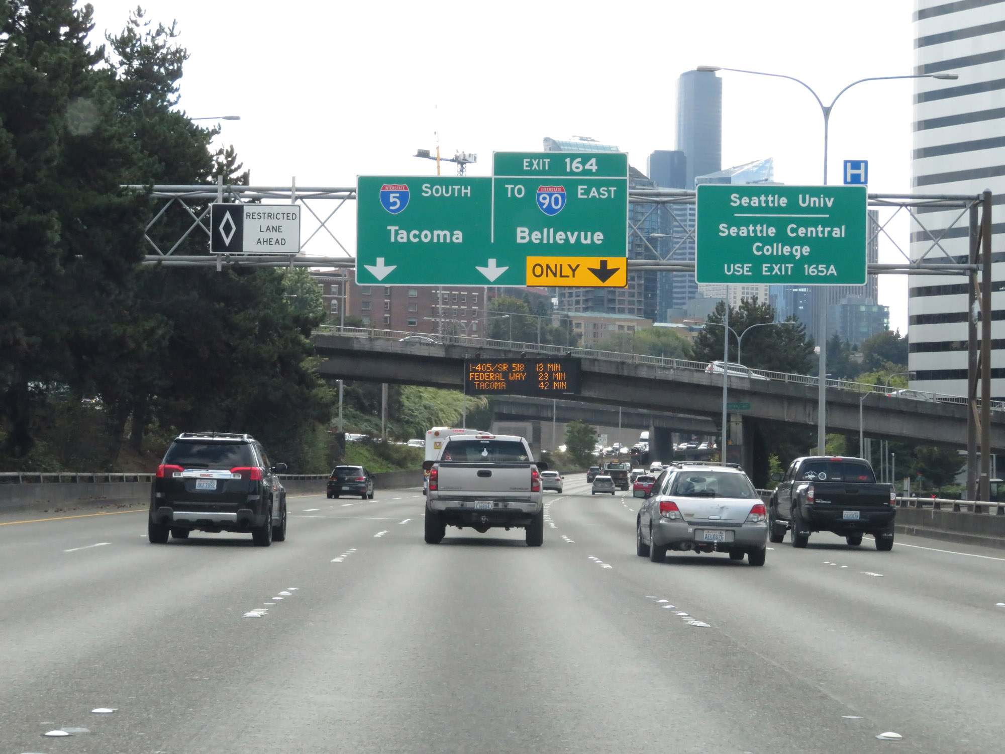
Take Exit 164 to Edgar Martinez Dr, CenturyLink Field, and T-Mobile Park. (Photo taken 9/21/19). |
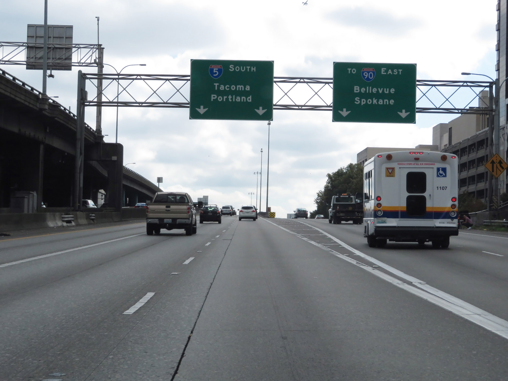 |
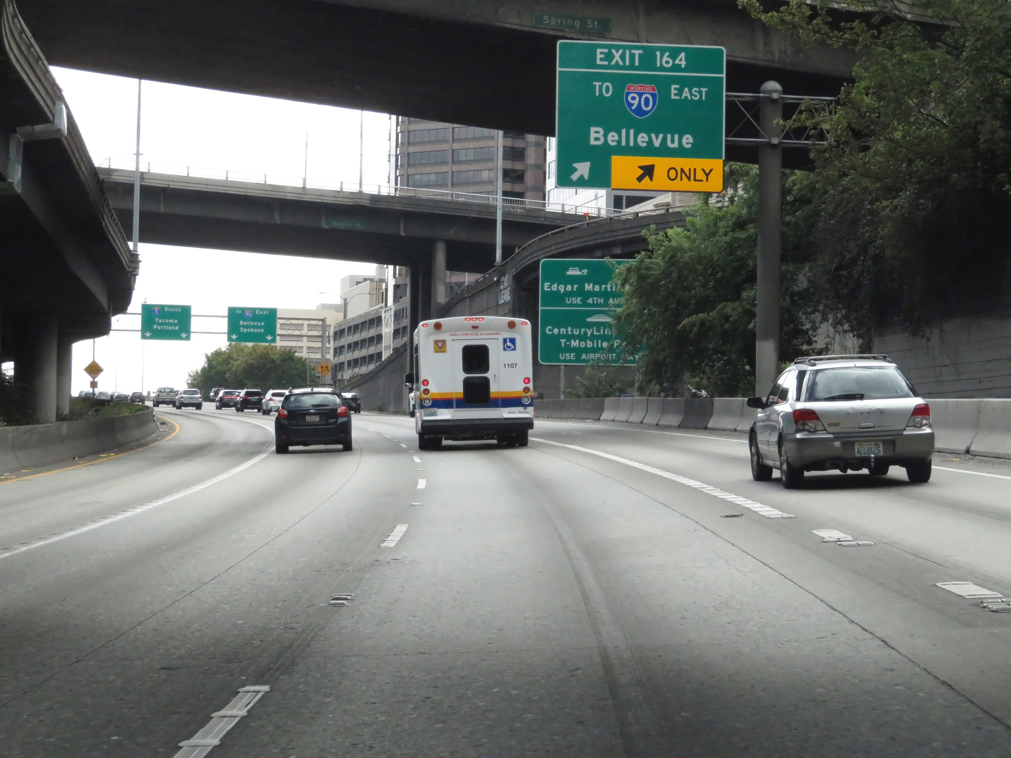
Interstate 5 South at Exit 164: To Interstate 90 East - Bellevue / Spokane (Photo taken 9/21/19). |
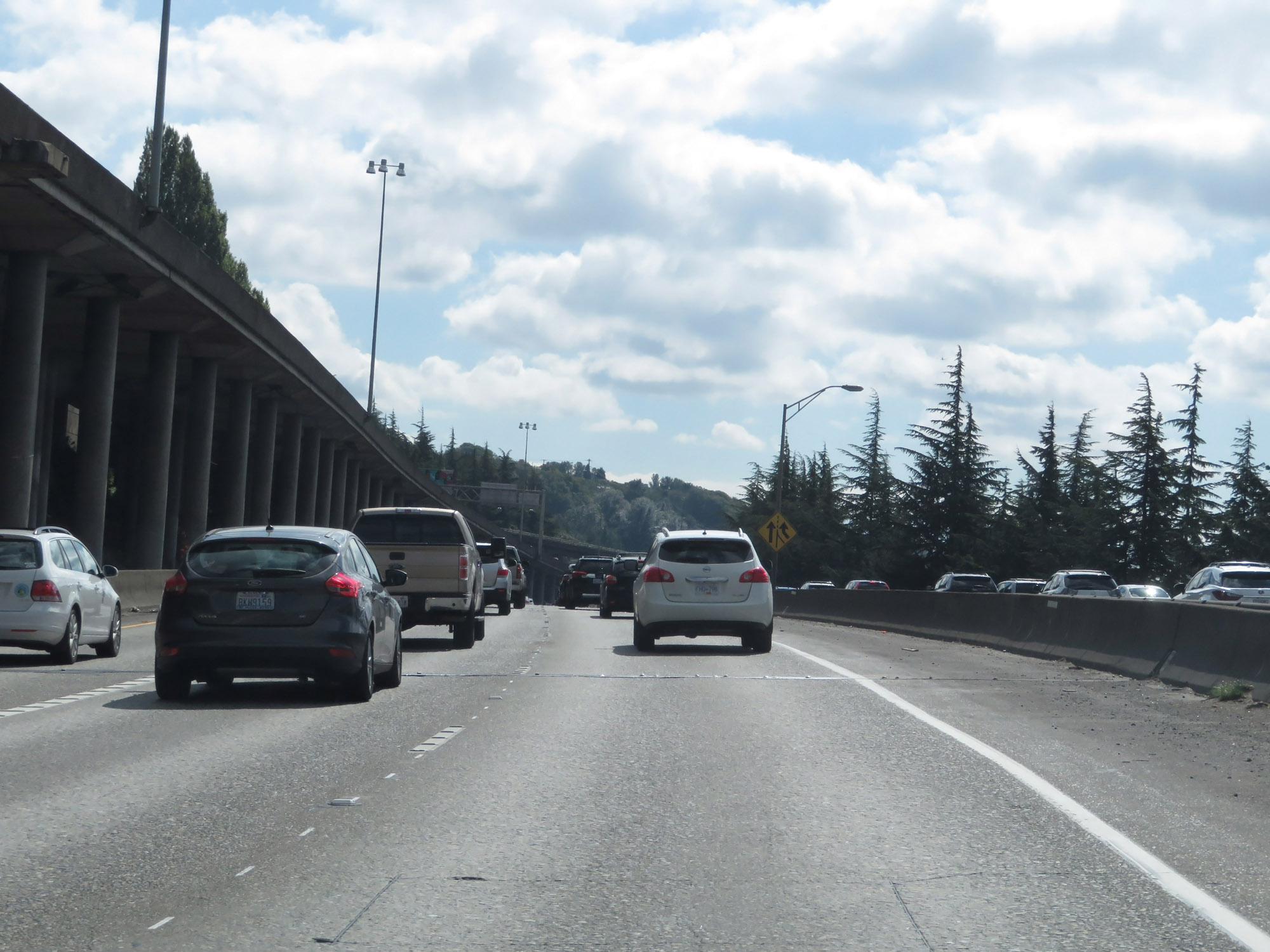 |
View on Interstate 5 South in Seattle, as traffic from Interstate 90 West and the stadium area of Seattle merges in on the right. (Photo taken 9/21/19). |
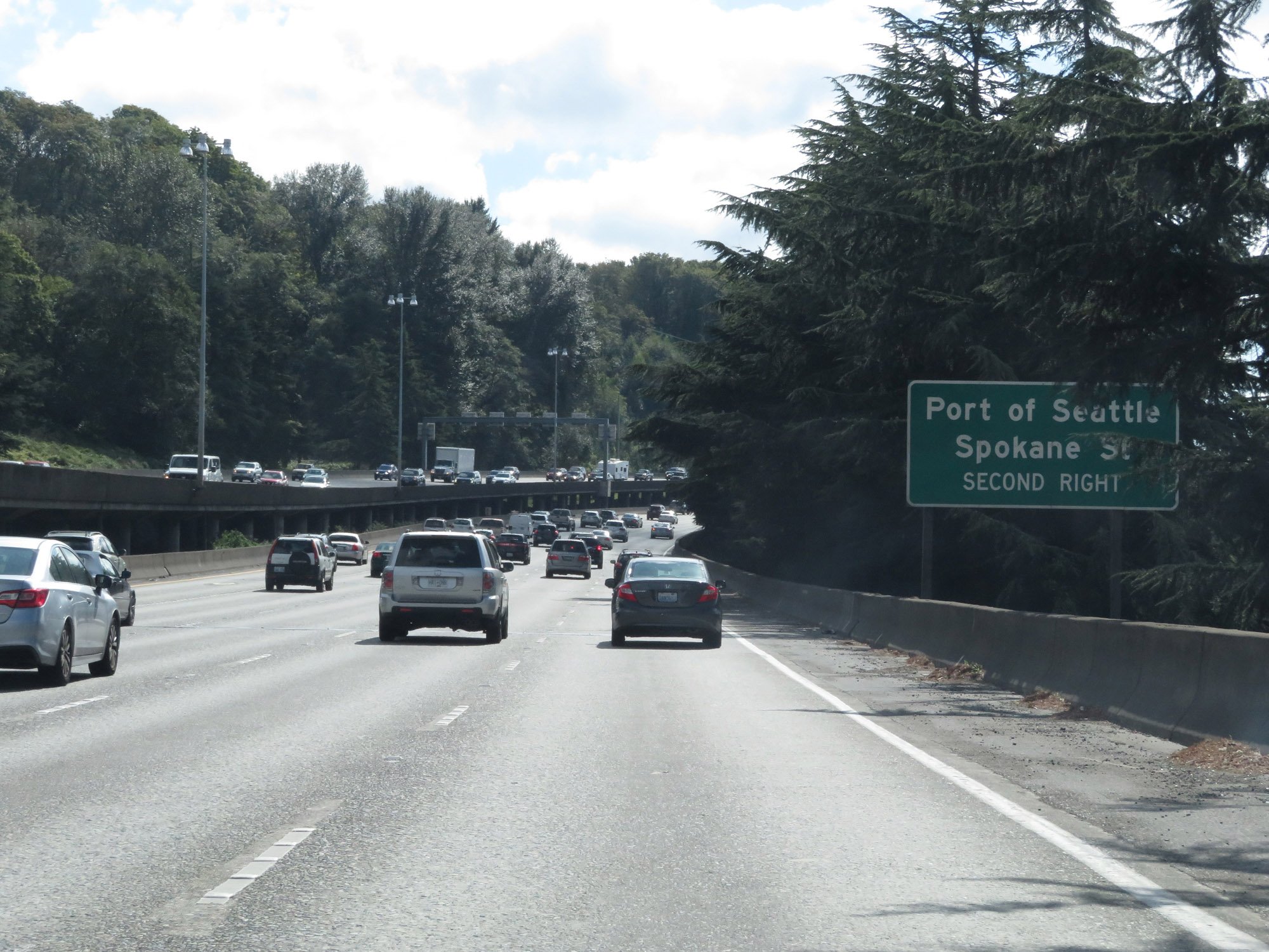 |
Take Exit 163A to the Port of Seattle and Spokane St. (Photo taken 9/21/19). |
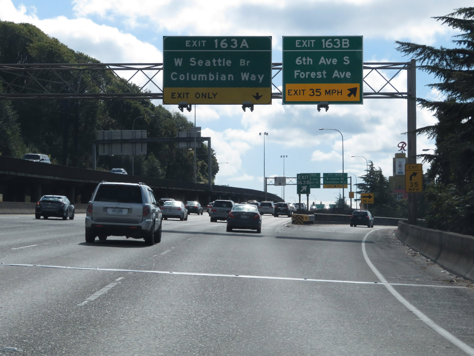 |
Interstate 5 South at Exit 163B: 6th Ave S / Forest Ave (Photo taken 9/21/19). |
 |
Interstate 5 South at Exit 163A: W Seattle Bridge / Columbian Way (Photo taken 9/22/19). |
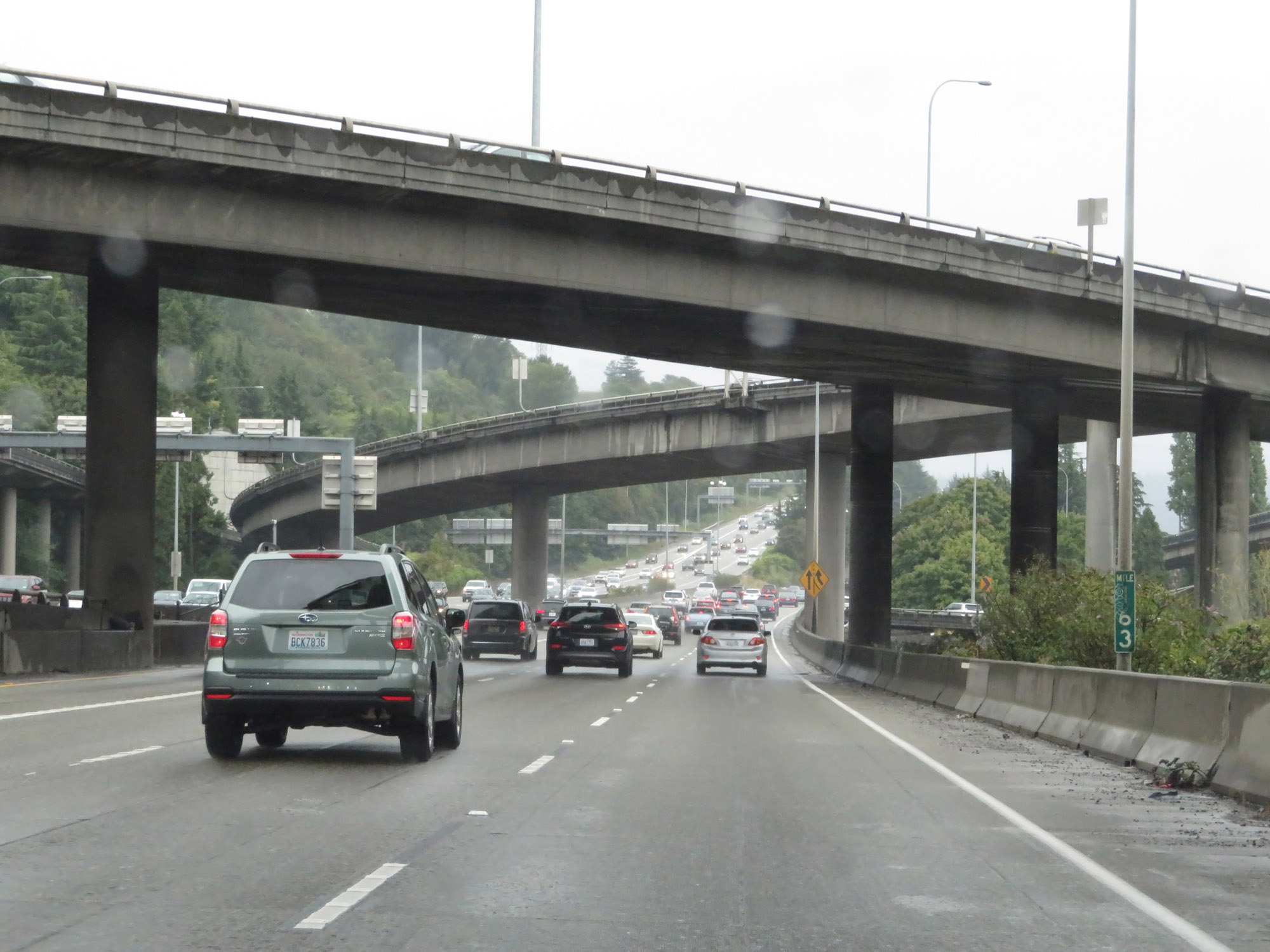 |
View on Interstate 5 South at mile marker 163. (Photo taken 9/22/19). |
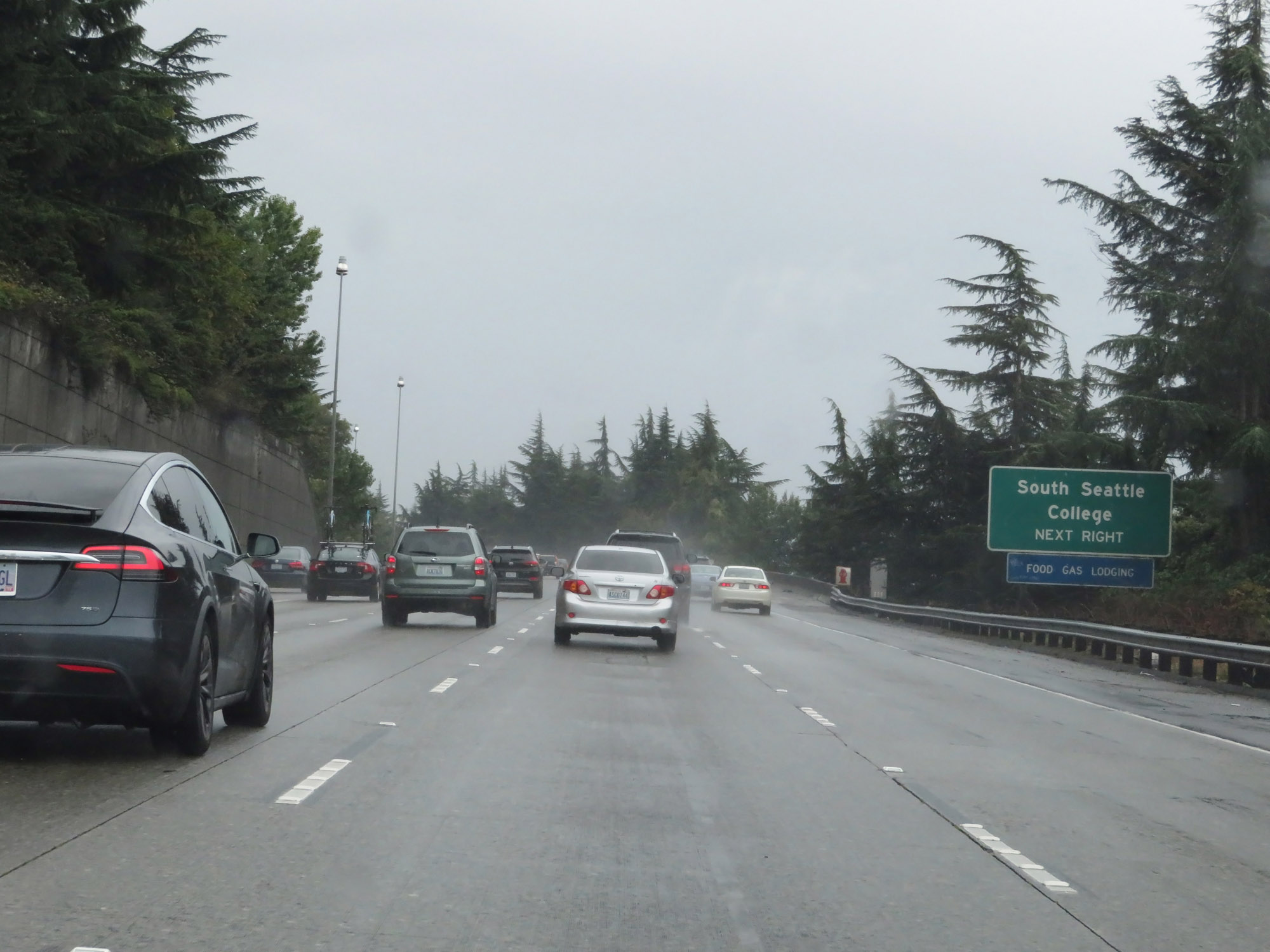 |
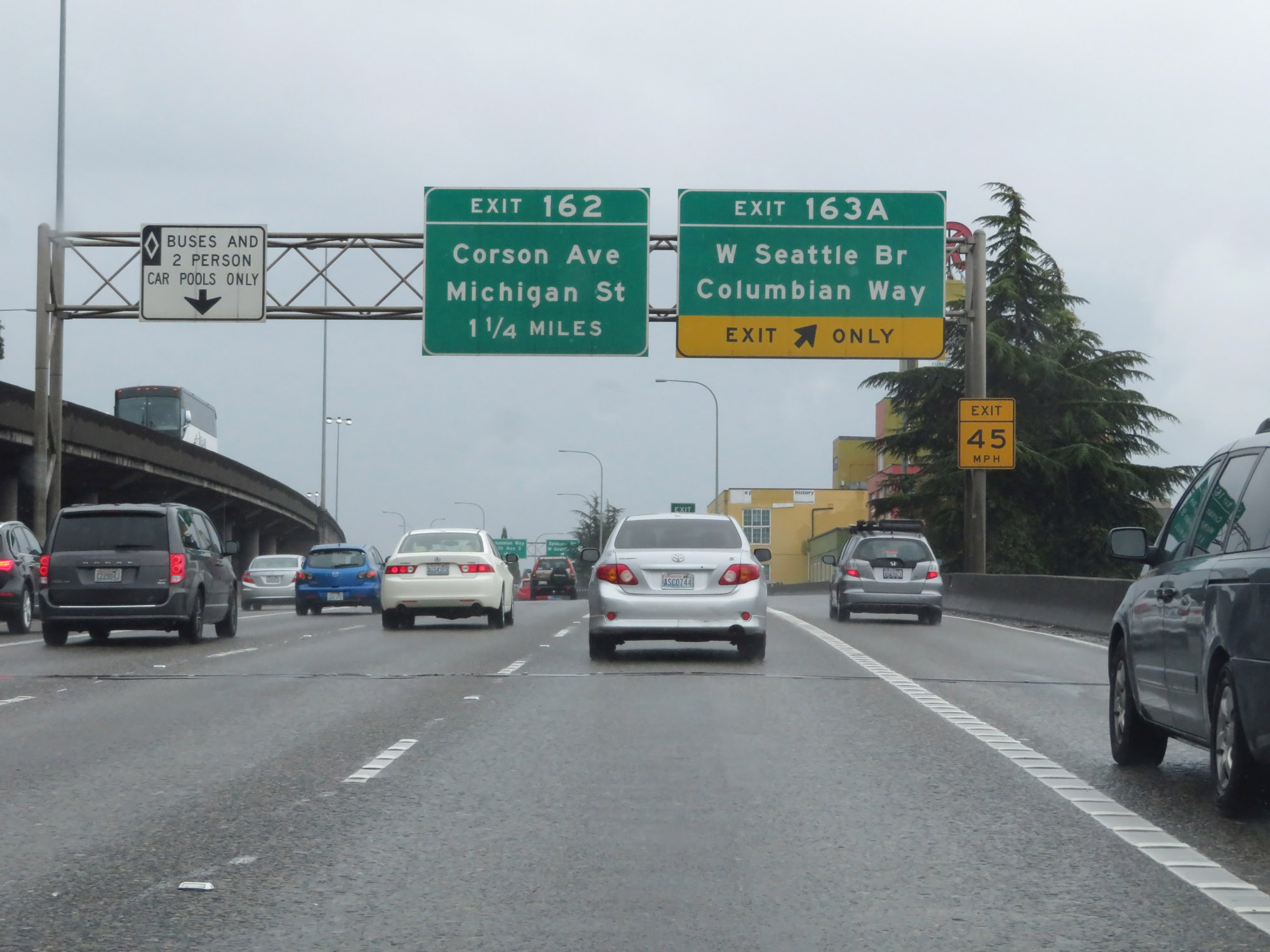
Take Exit 162 to South Seattle College. (Photo taken 9/22/19). |
 |
Interstate 5 South at Exit 162: Corson Ave / Michigan St (Photo taken 9/22/19). |
Section 4: Seattle (Exit 162) to Tacoma (Exit 129)
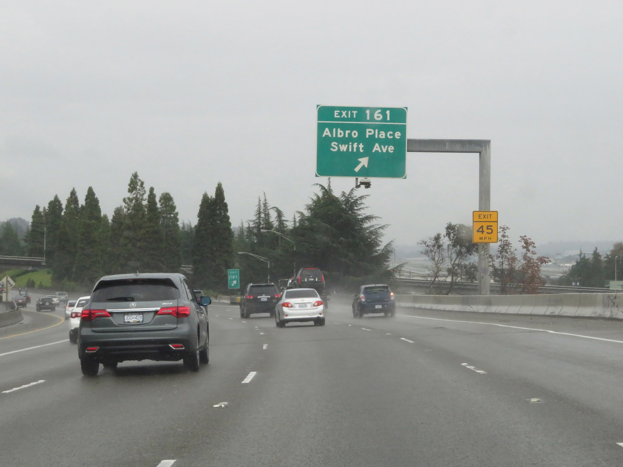 |
Interstate 5 South at Exit 161: Albro Place / Swift Ave (Photo taken 9/22/19). |
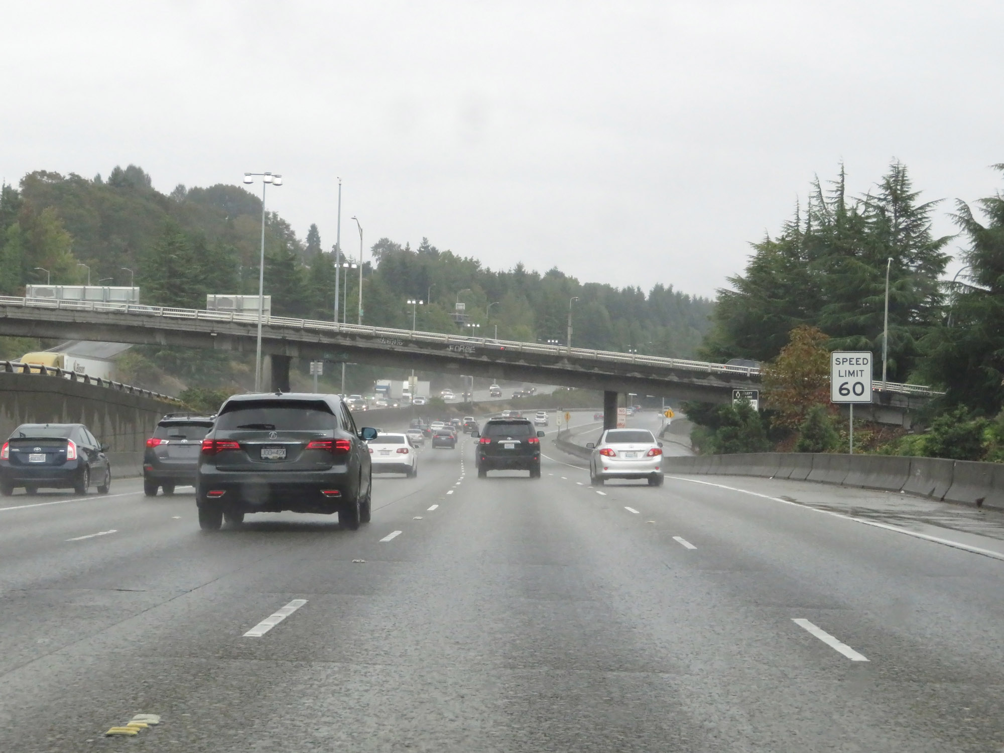 |
The speed limit remains 60 mph for all traffic. (Photo taken 9/22/19). |
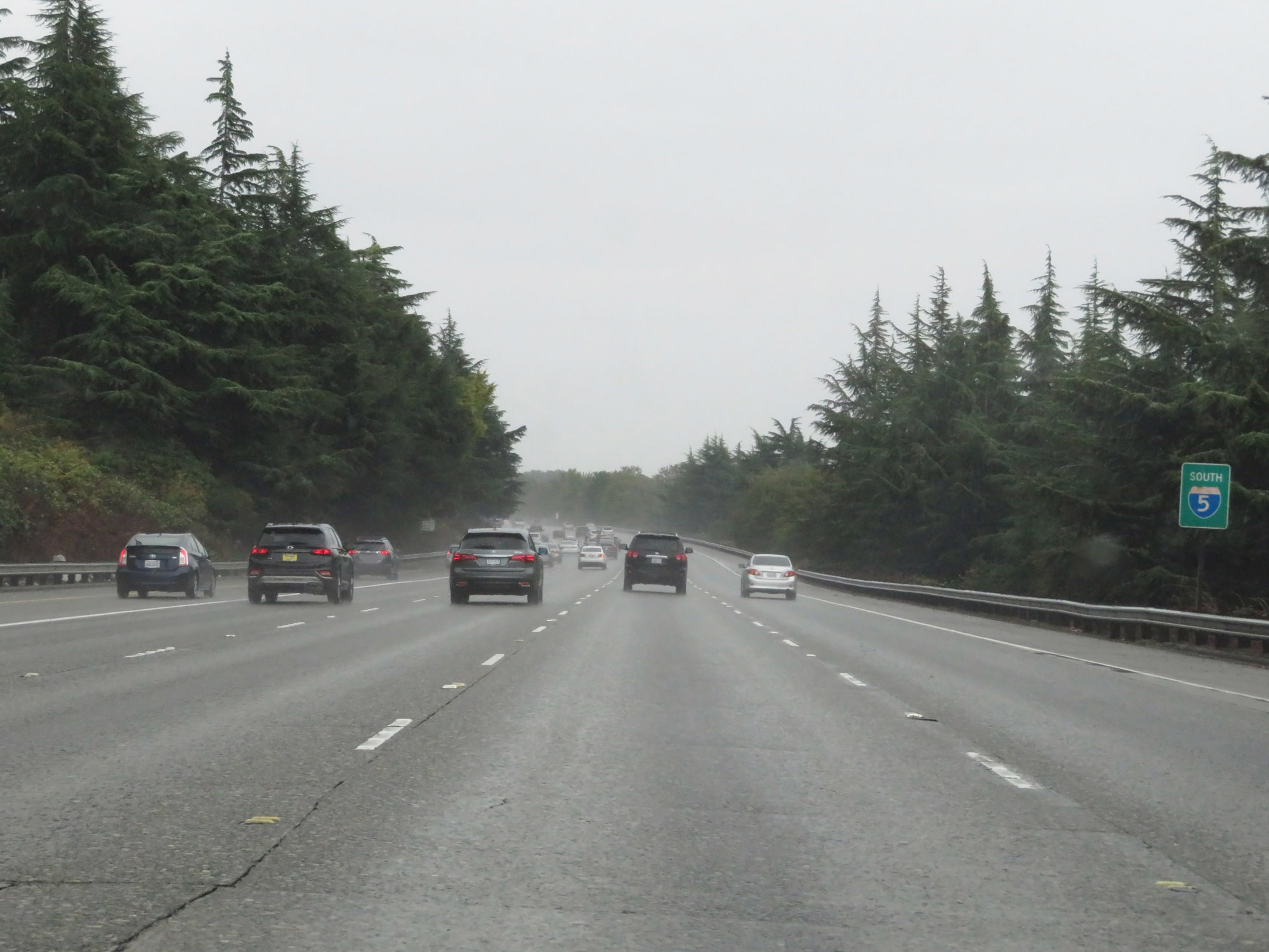 |
Interstate 5 South reassurance shield with green backing. (Photo taken 9/22/19). |
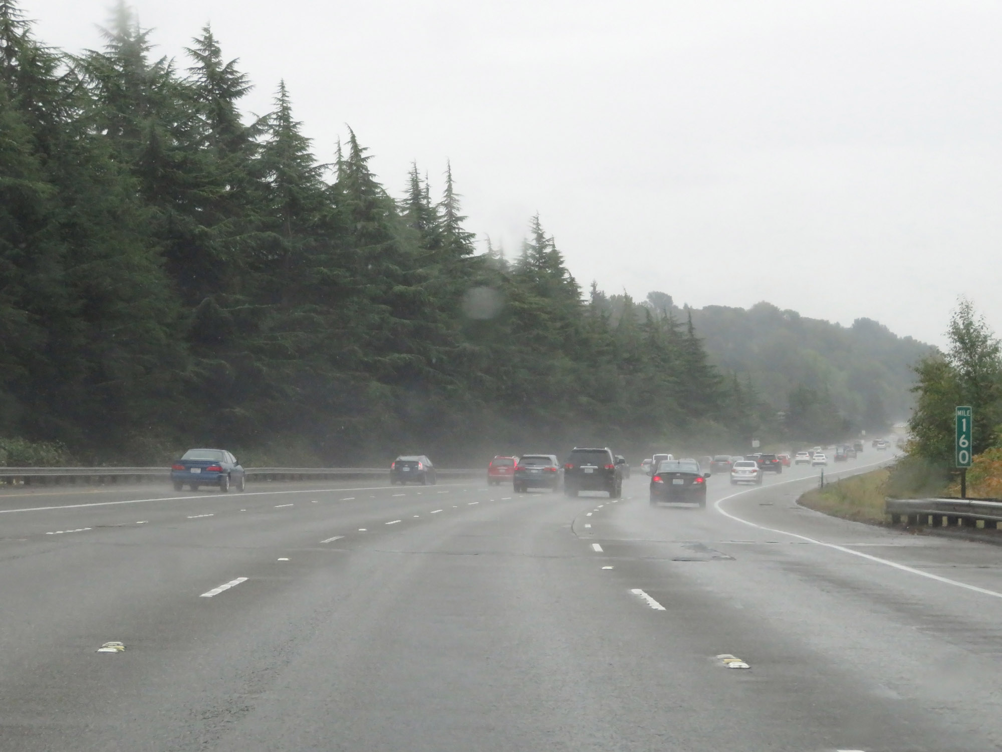 |
View on Interstate 5 South at mile marker 160. (Photo taken 9/22/19). |
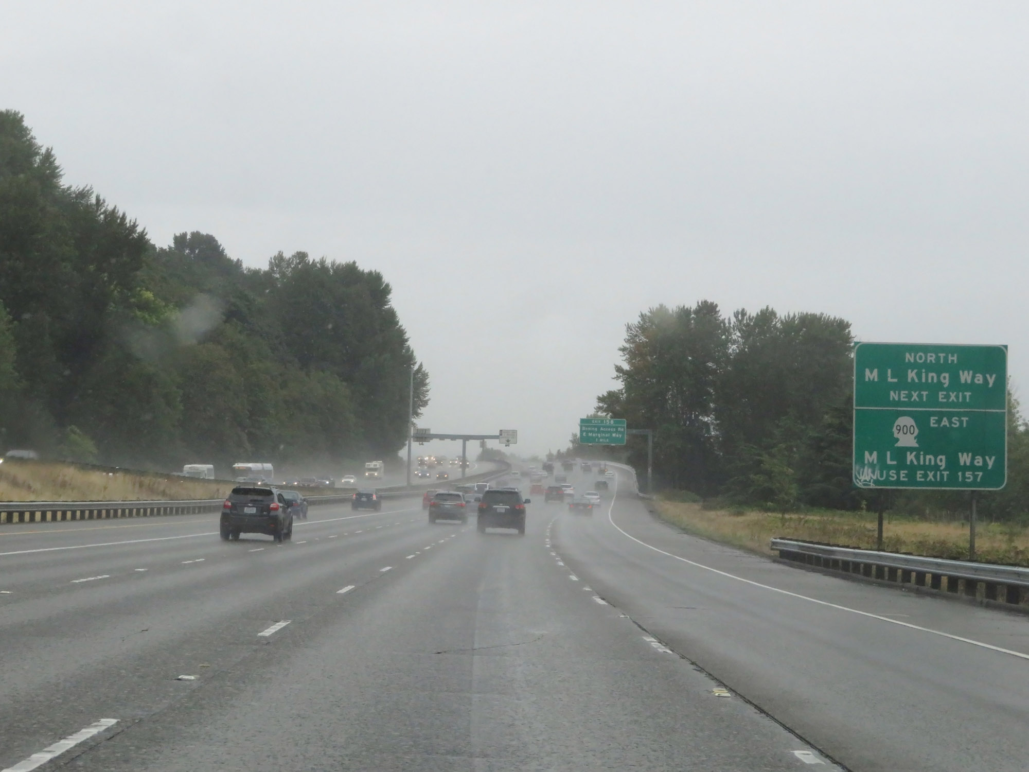 |
Take Exit 158 to Martin Luther King Way North. Use Exit 157 to WA 900 East. (Photo taken 9/22/19). |
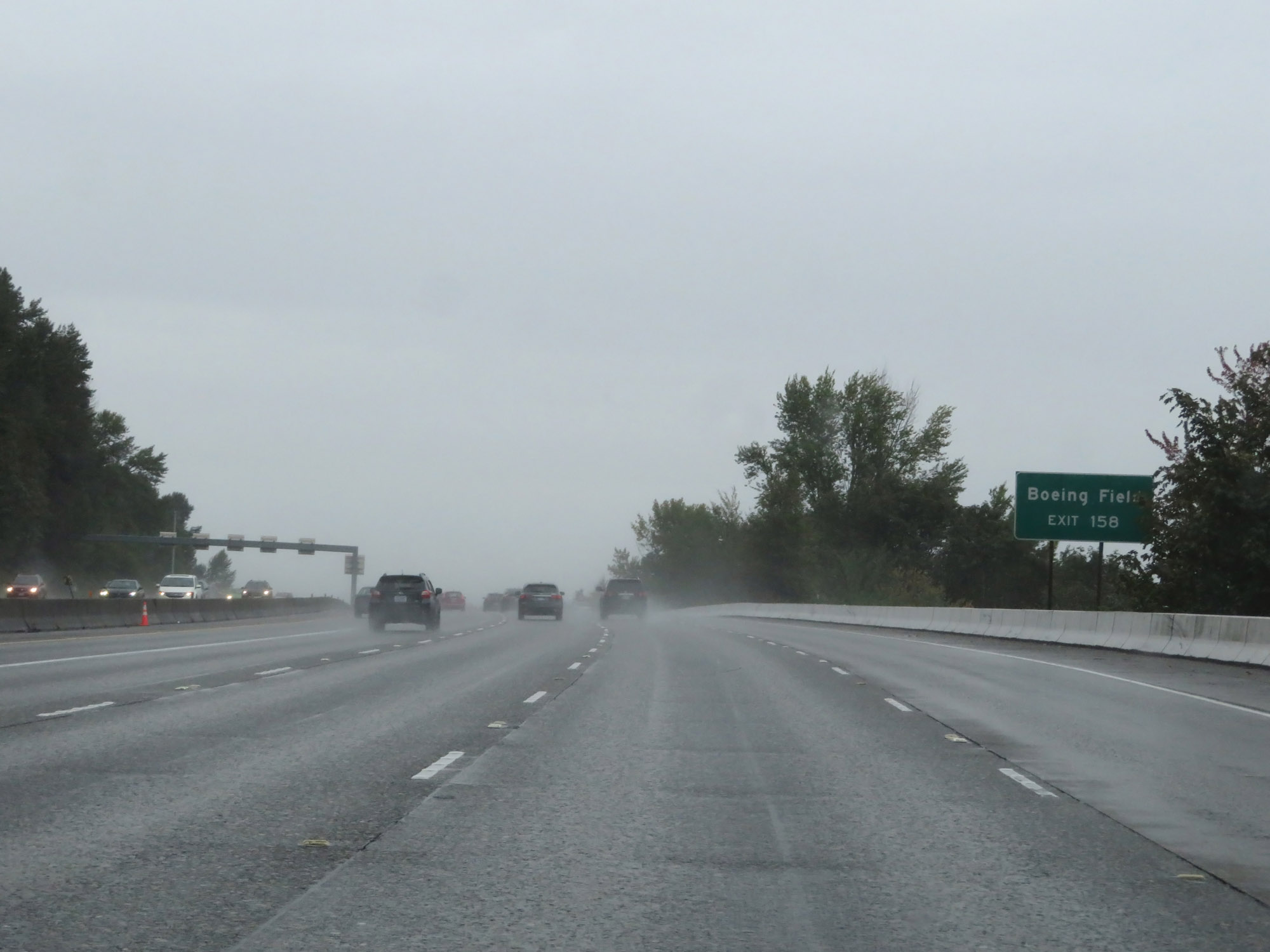 |
Also take Exit 158 to Boeing Field. (Photo taken 9/22/19). |
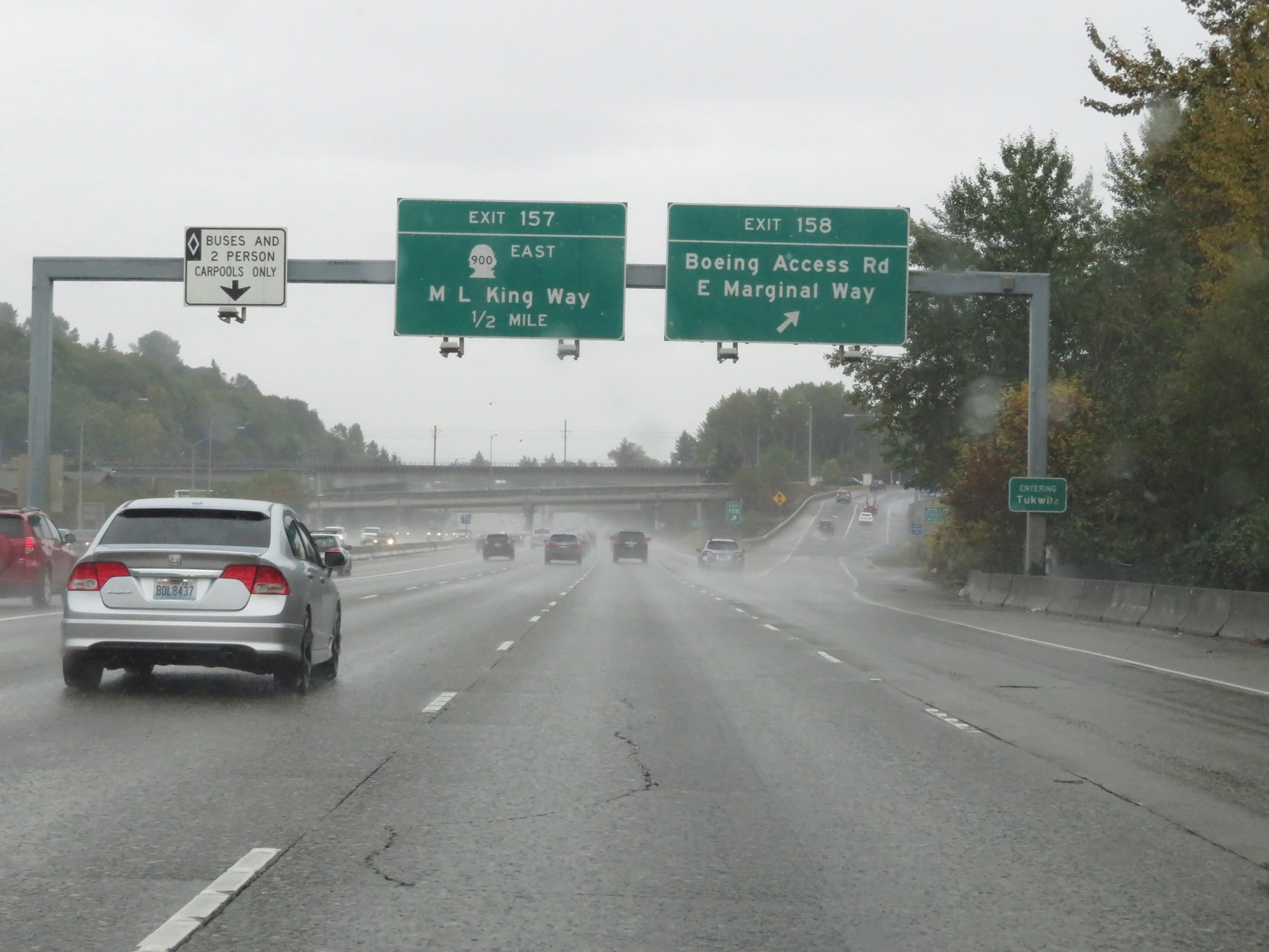 |
Interstate 5 South at Exit 158: Boeing Access Rd / E Marginal Way (Photo taken 9/22/19). |
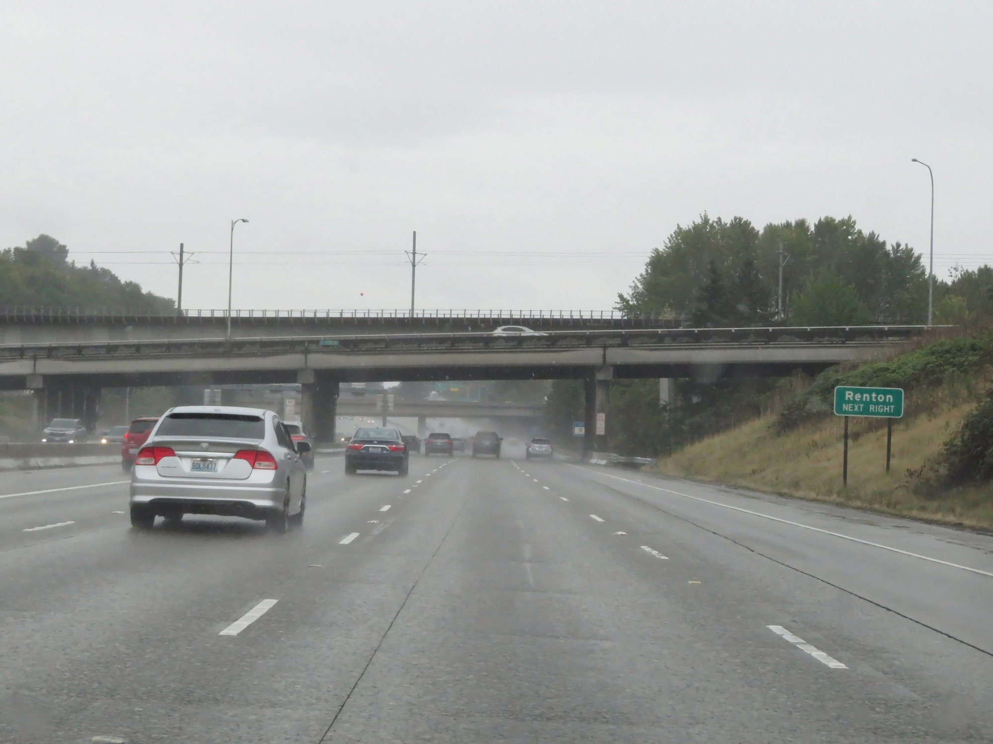 |
Take Exit 157 to Renton. (Photo taken 9/22/19). |
 |
Interstate 5 South at Exit 157: WA 900 East - Martin Luther King Way (Photo taken 9/22/19). |
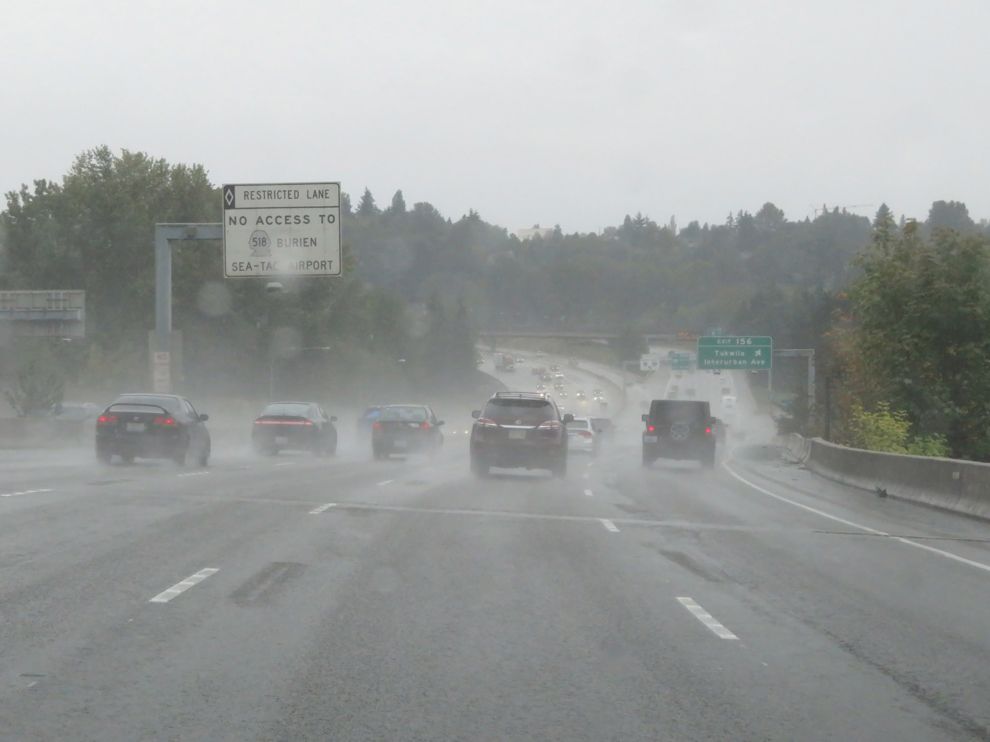 |
This sign warns that the HOV lane does NOT provide access to WA 518 and Sea-Tac Airport. (Photo taken 9/22/19). |
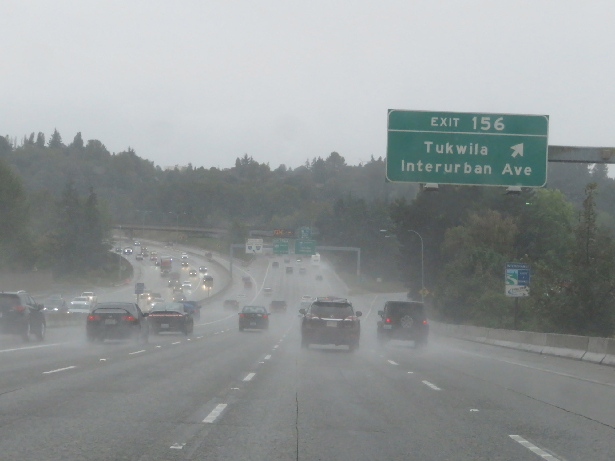 |
Interstate 5 South at Exit 156: Tukwila / Interurban Ave (Photo taken 9/22/19). |
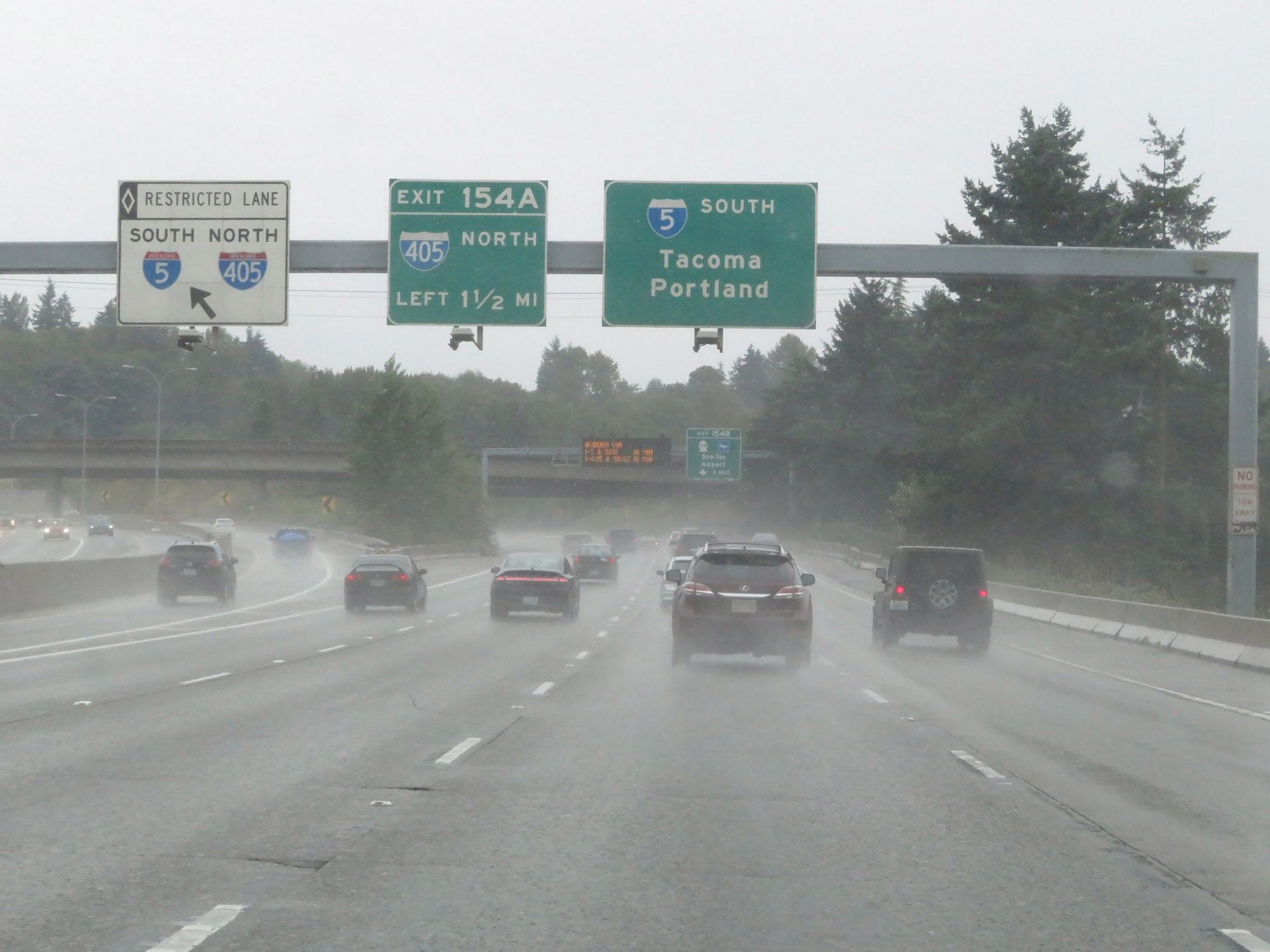 |
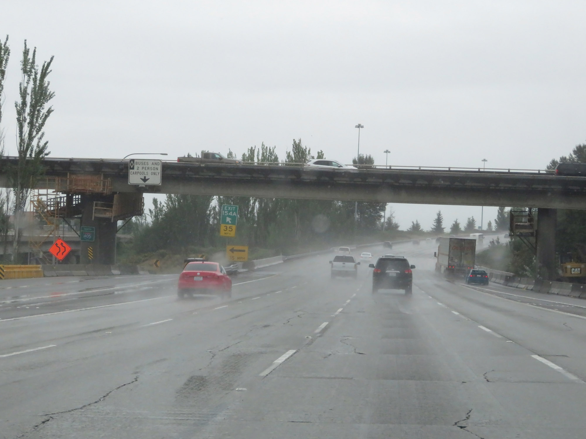
Interstate 5 South approaching Exit 154A - 1/2 mile. The HOV lane provides early access to Interstate 405 North at this point, on the left. (Photo taken 9/22/19). |
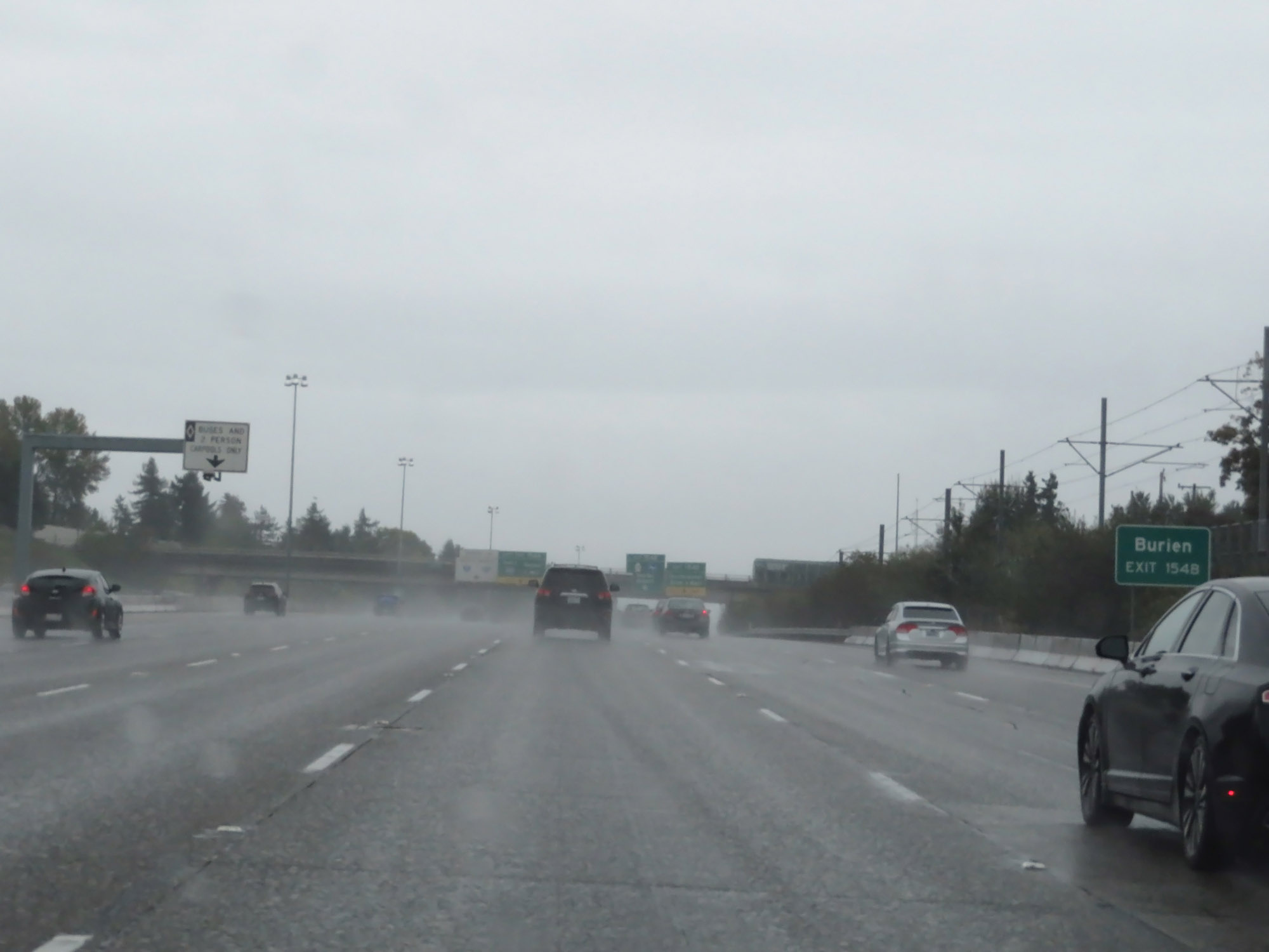 |
Take Exit 154B to Burien. (Photo taken 9/22/19). |
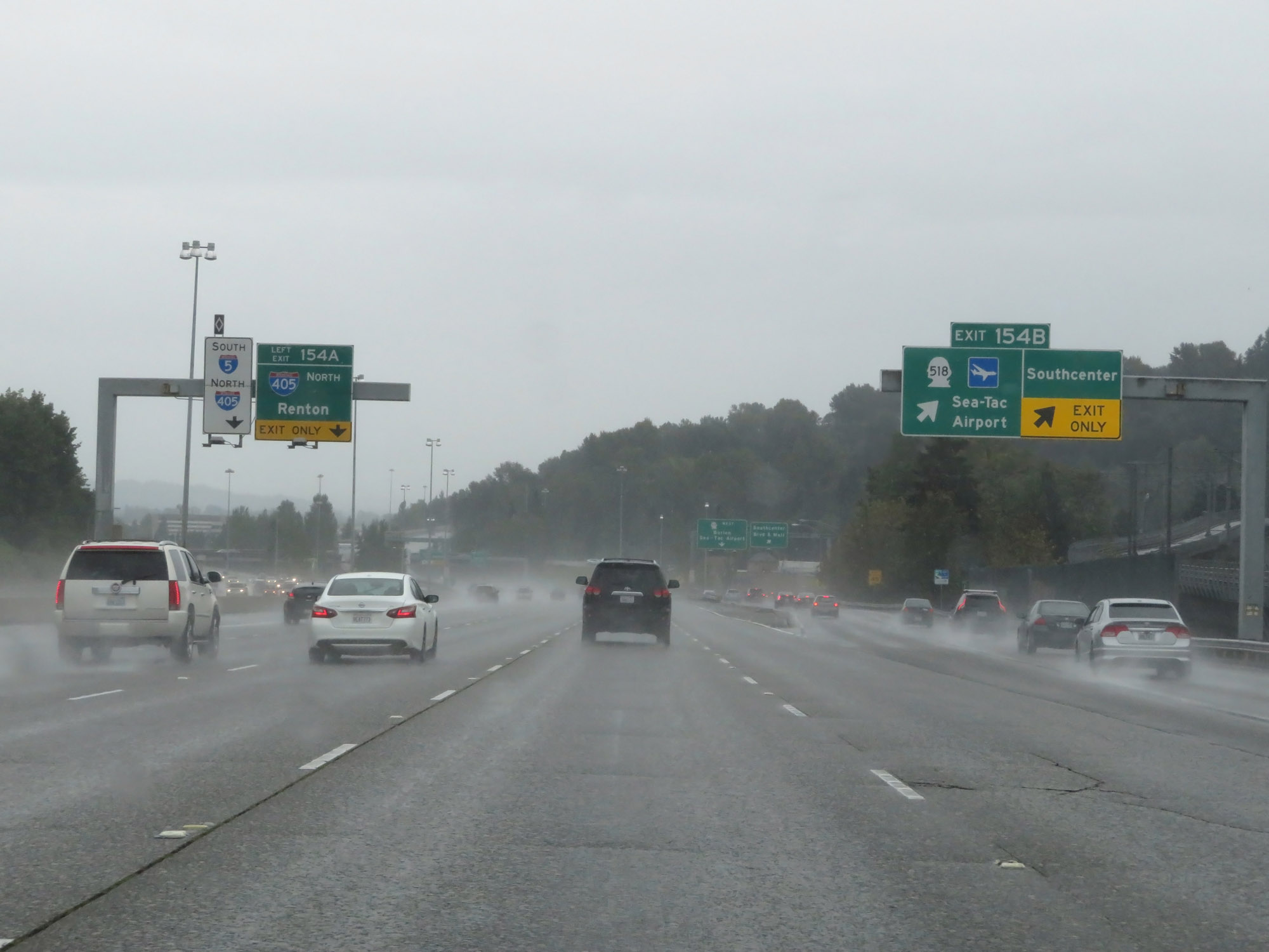 |
Interstate 5 South at Exit 154B: WA 518 - Sea-Tac Airport / Southcenter (Photo taken 9/22/19). |
 |
Interstate 5 South at Exit 154A: Interstate 405 North - Renton (Photo taken 9/22/19). |
 |
View of the ramp for Exit 154A (Interstate 405 North), on the left. (Photo taken 9/22/19). |
 |
The speed limit remains 60 mph for all traffic on Interstate 5 South. (Photo taken 9/22/19). |
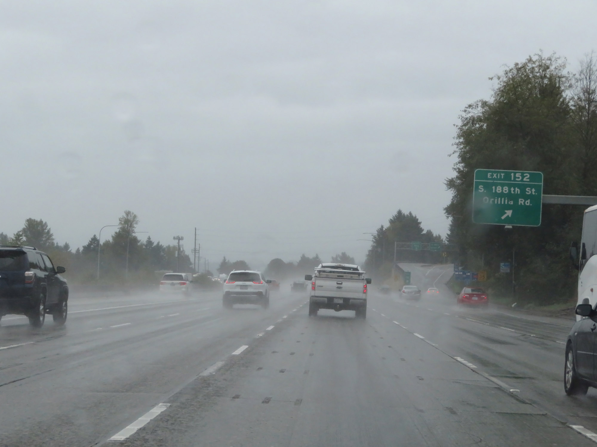 |
Interstate 5 South at Exit 152: S 188th St / Orillia Rd (Photo taken 9/22/19). |
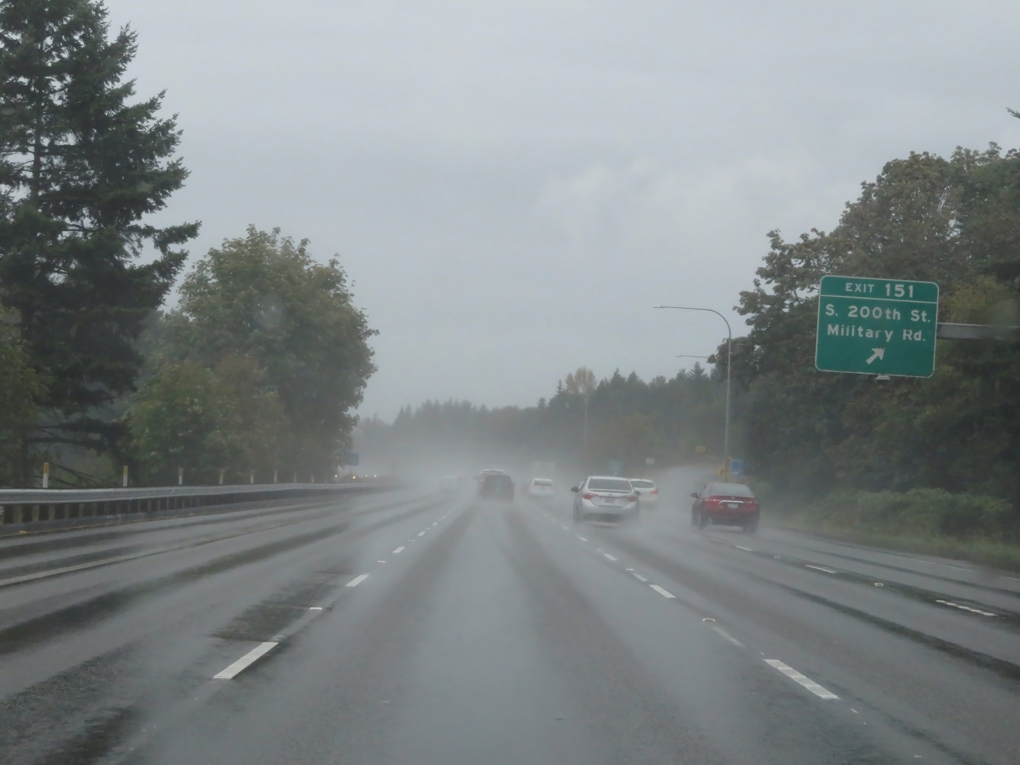 |
Interstate 5 South at Exit 151: S 200th St / Military Rd (Photo taken 9/22/19). |
 |
Take Exit 149 to Saltwater State Park and Beach Park Historic Waterfront. (Photo taken 9/22/19). |
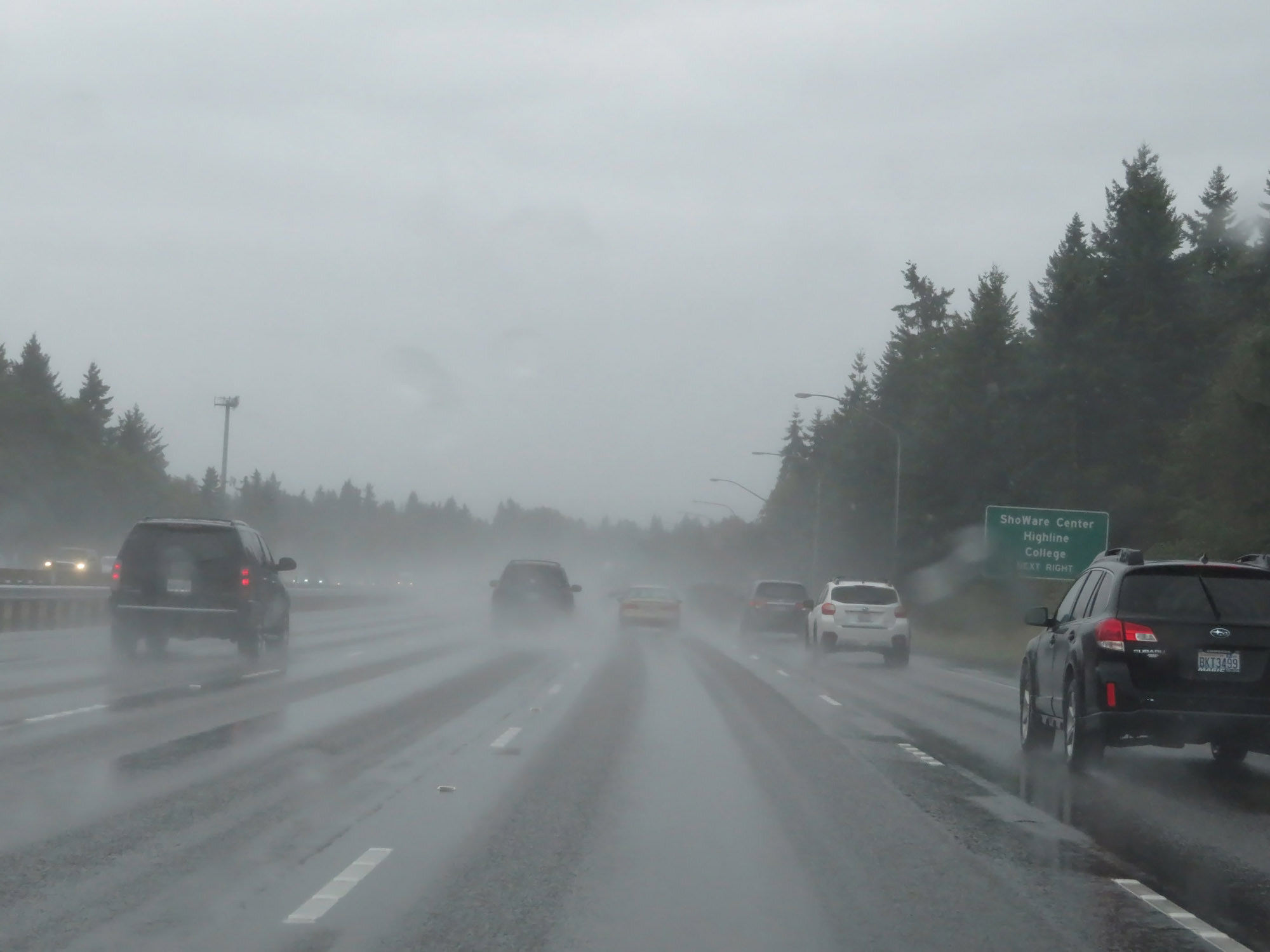 |
Also take Exit 149 to the ShoWare Center and Highline College. (Photo taken 9/22/19). |
 |
Interstate 5 South at Exit 149: WA 516 - Kent / Des Moines (Photo taken 9/22/19). |
 |
Interstate 5 South reassurance shield. (Photo taken 9/22/19). |
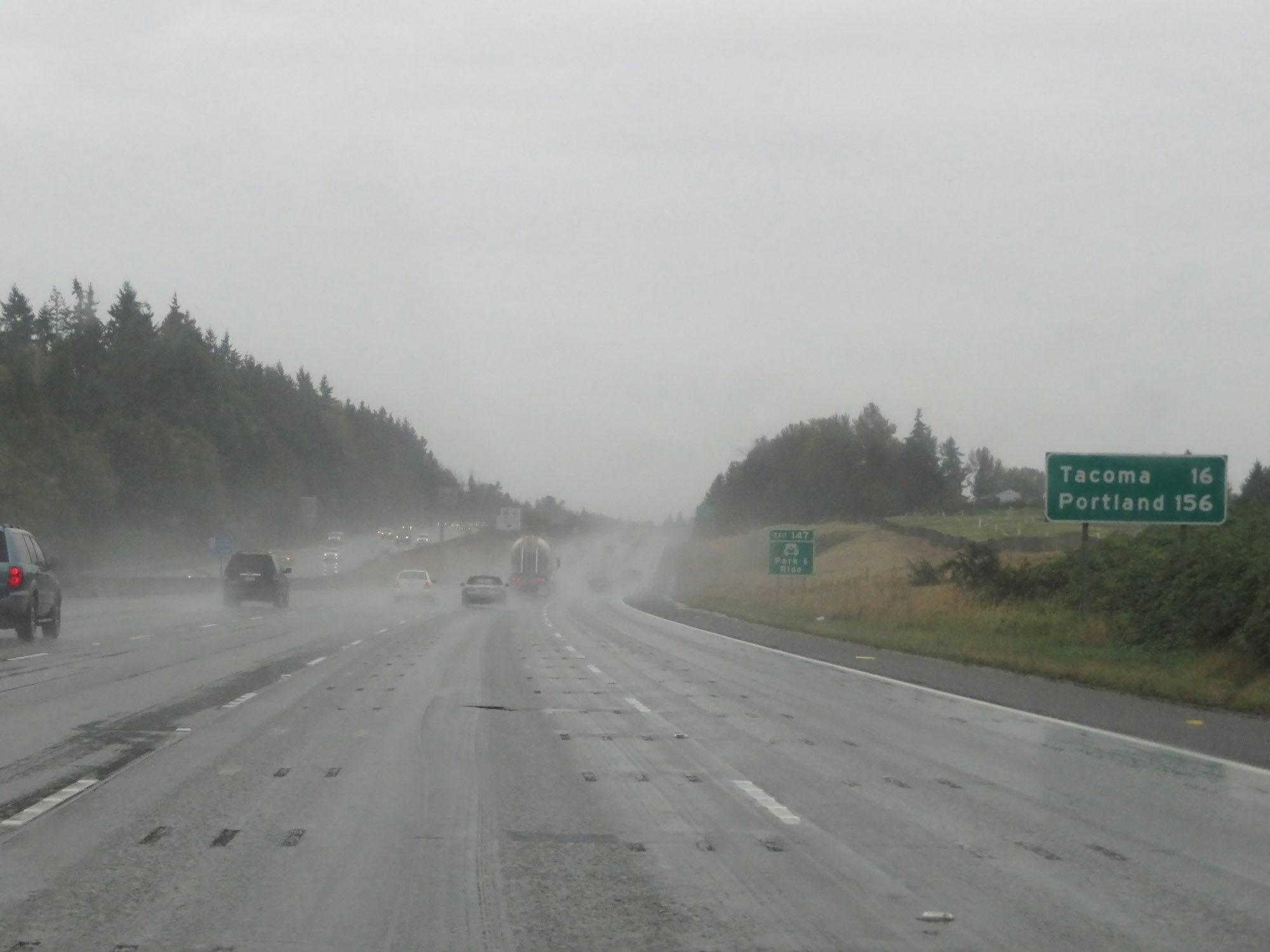 |
Mileage sign on Interstate 5 South. It's 16 miles to Tacoma and 156 miles to Portland. (Photo taken 9/22/19). |
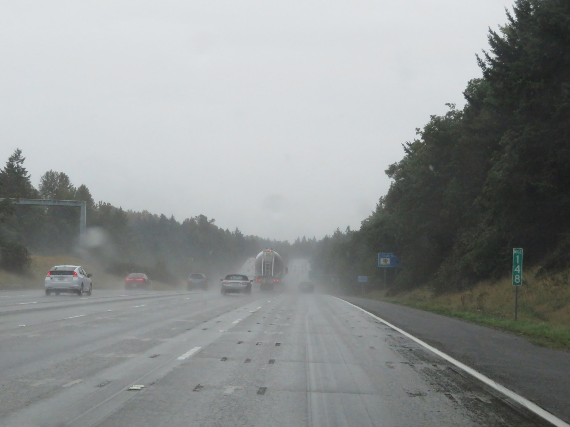 |
View on Interstate 5 South at mile marker 148. (Photo taken 9/22/19). |
 |
Interstate 5 South at Exit 147: S 272nd St (Photo taken 9/22/19). |
 |
Take Exit 143 to Dash Point State Park. (Photo taken 9/22/19). |
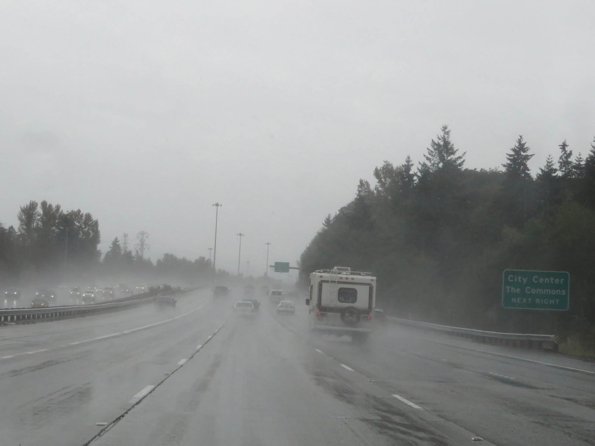 |
Also take Exit 143 to the Federal Way City Center and The Commons. (Photo taken 9/22/19). |
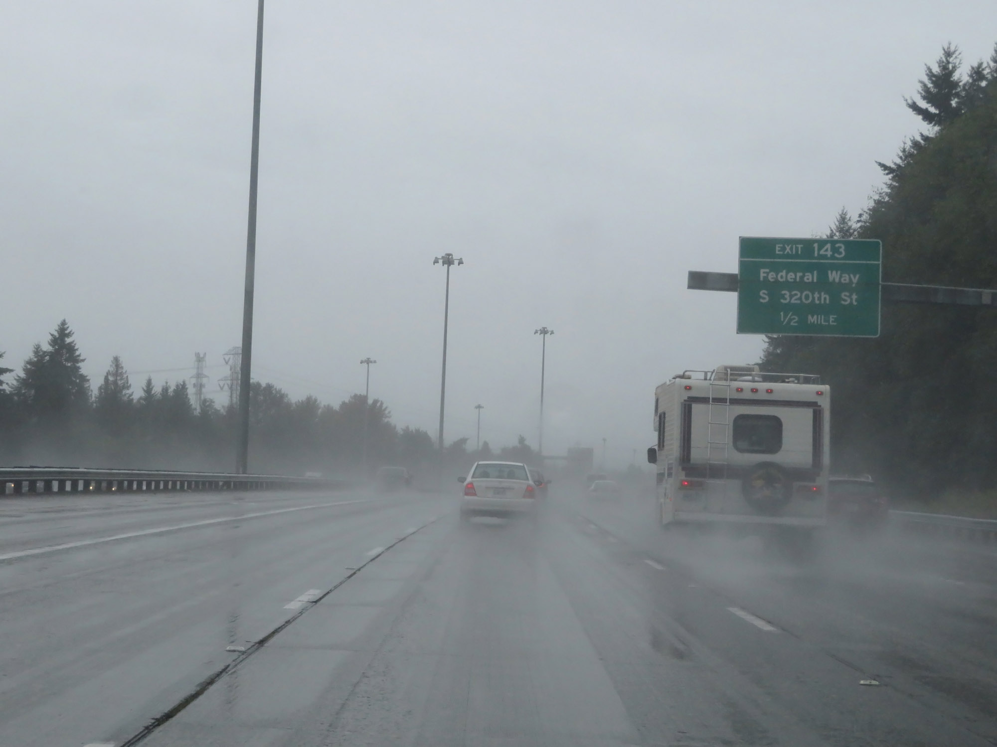 |
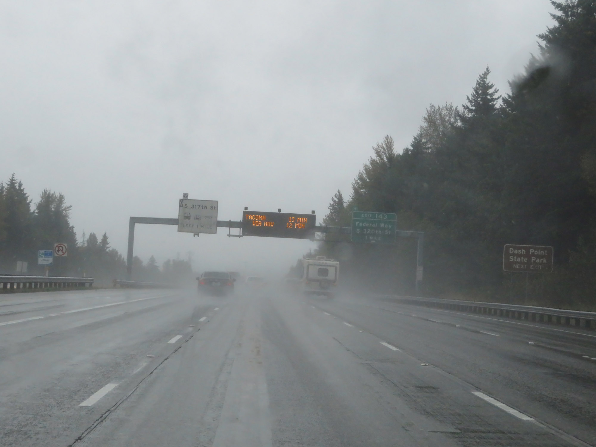
Interstate 5 South approaching Exit 143 - 1/2 mile. (Photo taken 9/22/19). |
 |
Interstate 5 South at Exit 143: Federal Way / S 320th St (Photo taken 9/22/19). |
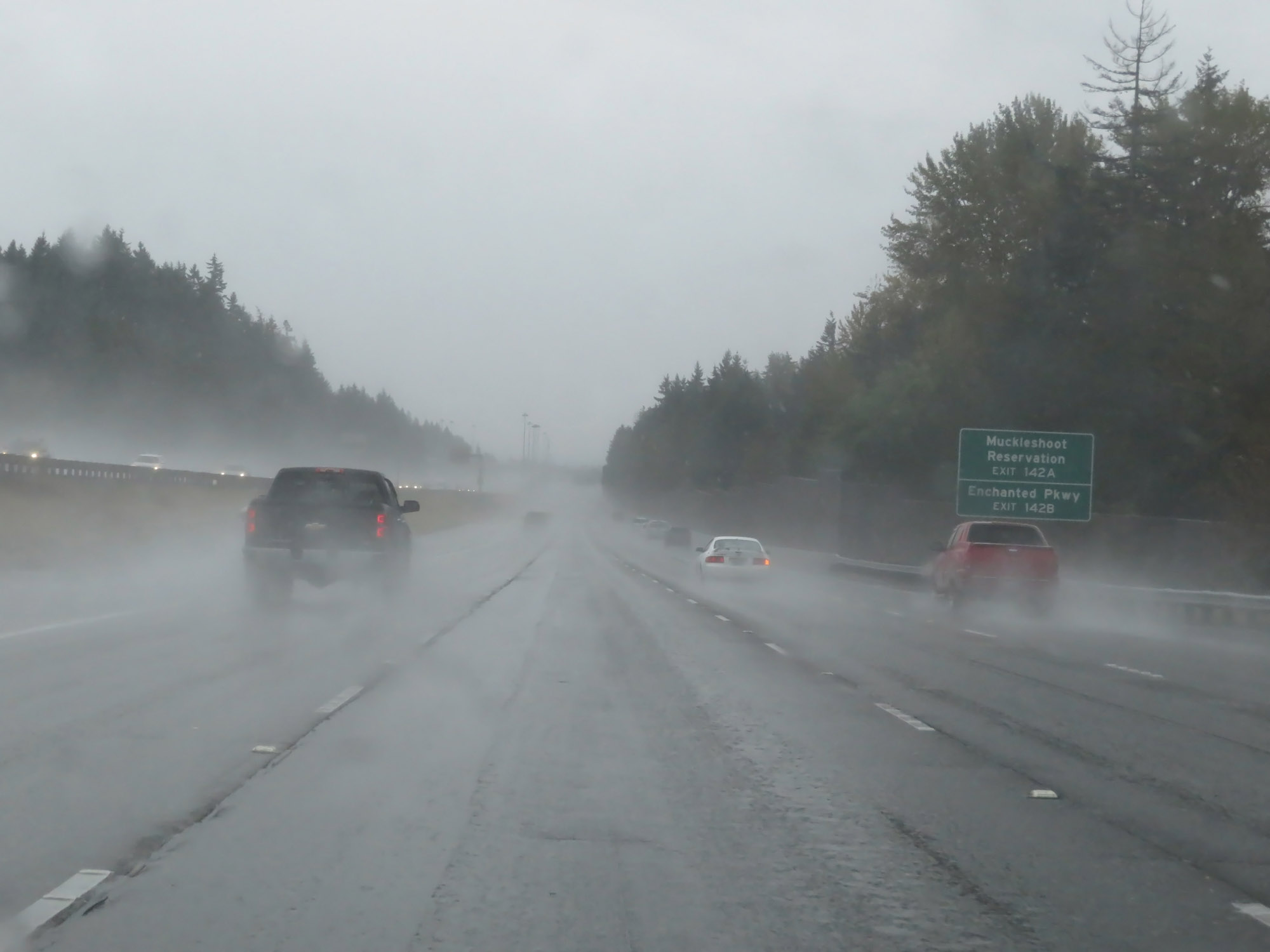 |
Take Exit 142A to the Muckleshoot Reservation. Take Exit 142B to Enchanted Pkwy. (Photo taken 9/22/19). |
 |
Take Exit 142B to S 348th St. Take Exit 142A to Mt Rainier. (Photo taken 9/22/19). |
 |
Interstate 5 South at Exit 142B: WA 18 West - S 348th St (Photo taken 9/22/19). |
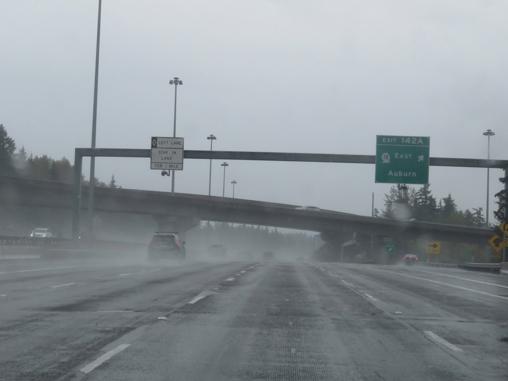 |
Interstate 5 South at Exit 142A: WA 18 East - Auburn (Photo taken 9/22/19). |
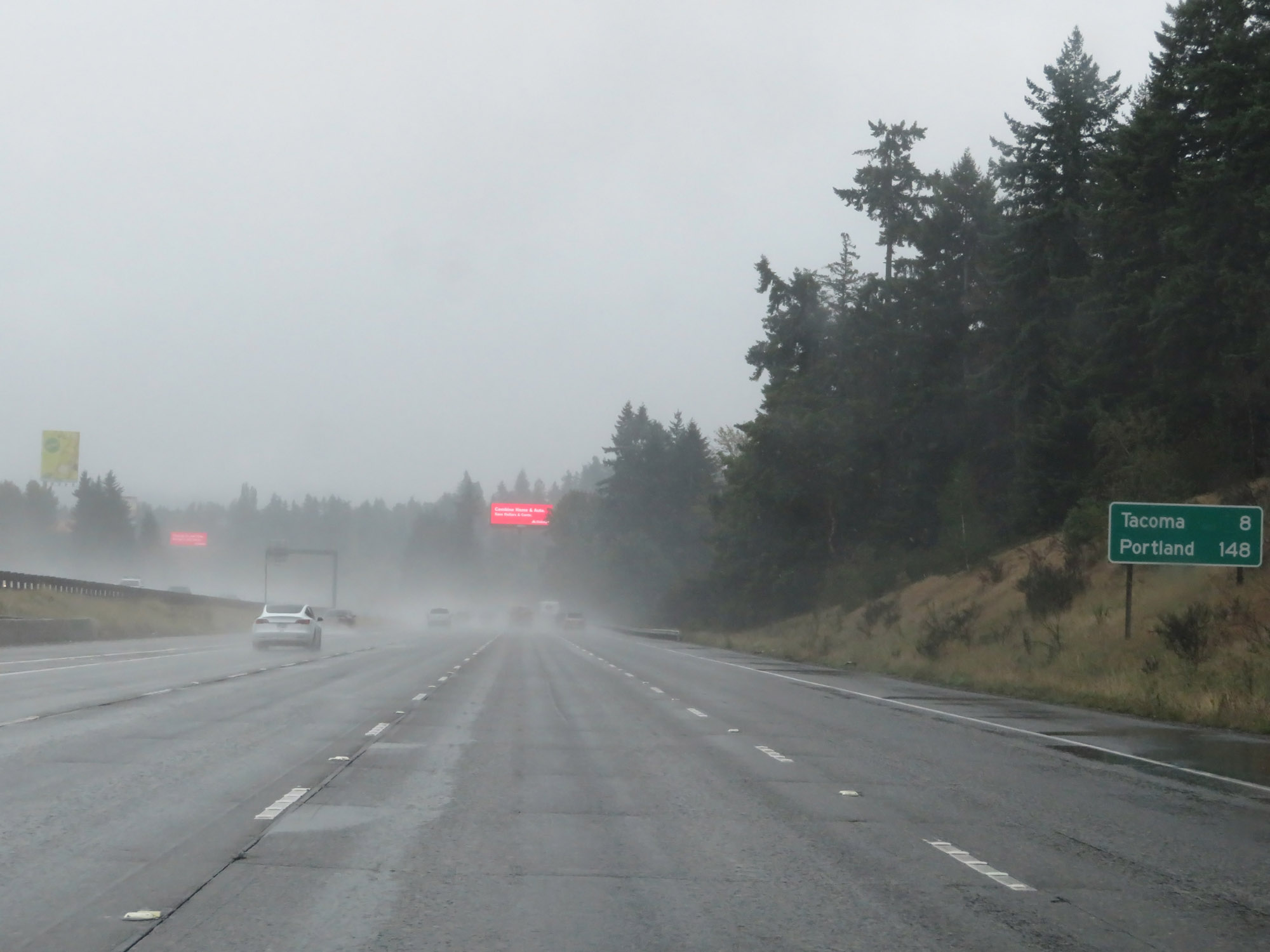 |
Mileage sign on Interstate 5 South. It's 8 miles to Tacoma and 148 miles to Portland. (Photo taken 9/22/19). |
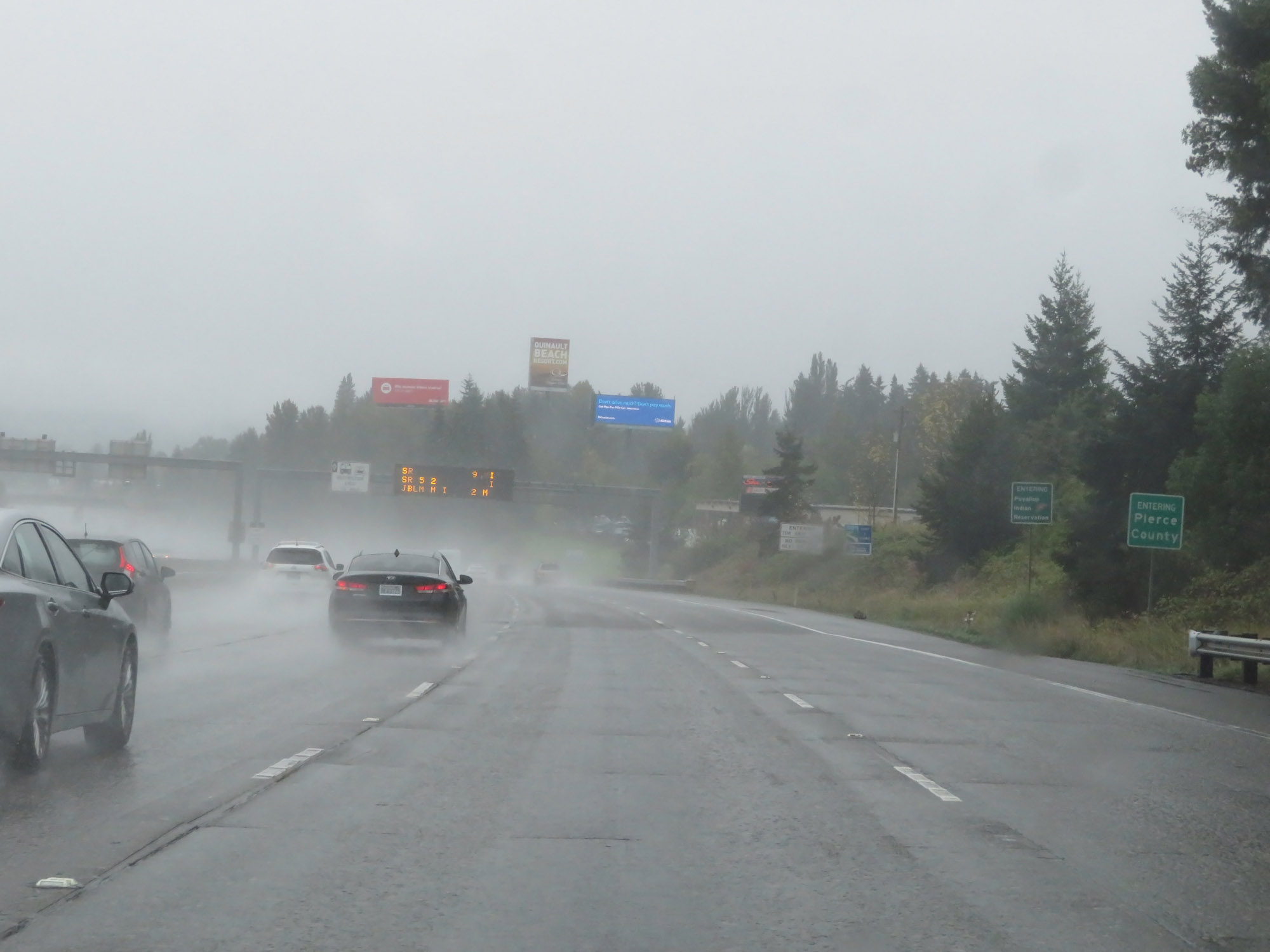 |
Entering Pierce County on Interstate 5 South. (Photo taken 9/22/19). |
 |
Interstate 5 South at mile marker 139. (Photo taken 9/22/19). |
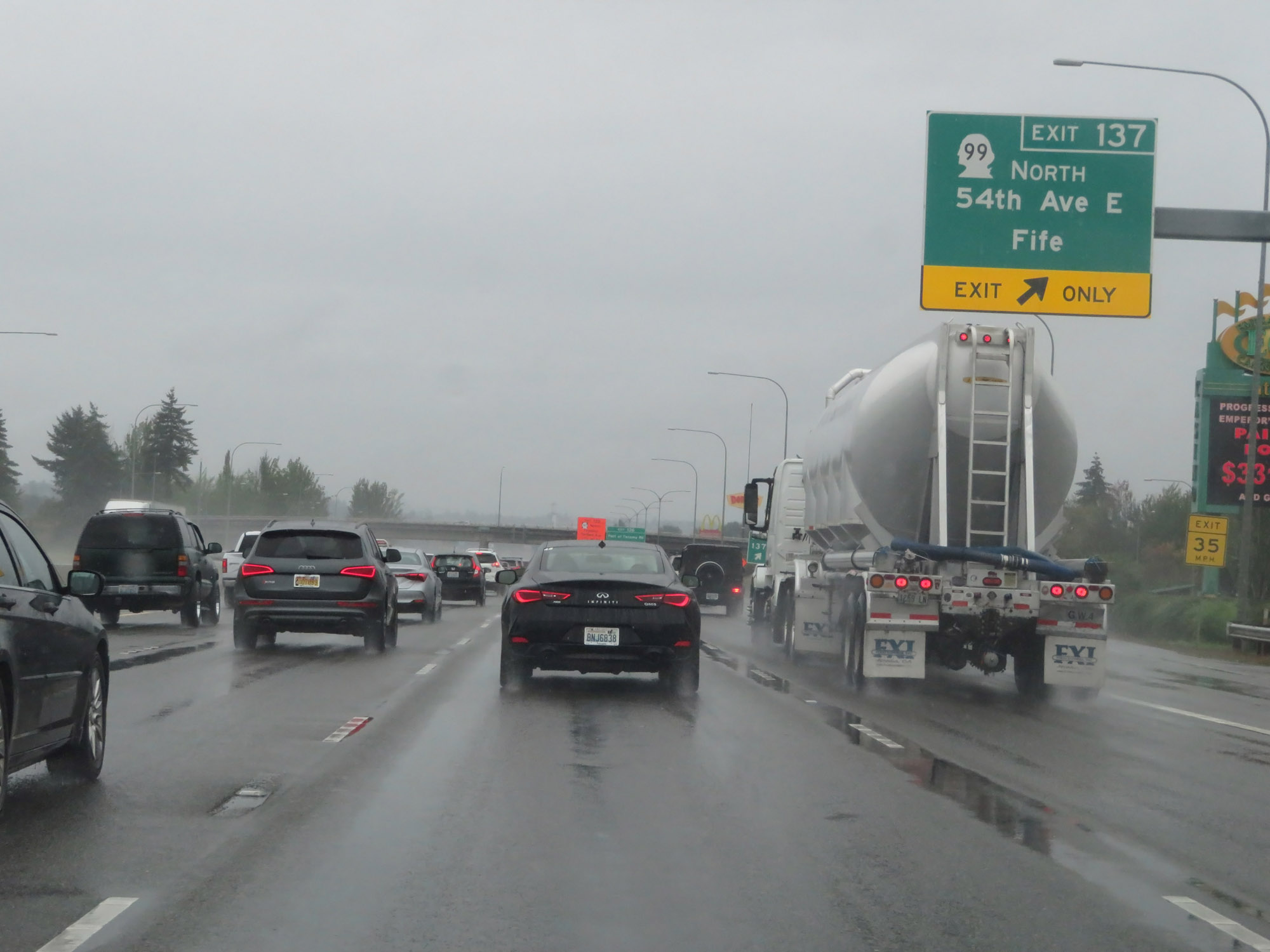 |
Interstate 5 South at Exit 137: WA 99 North - 54th Ave E / Fife (Photo taken 9/22/19). |
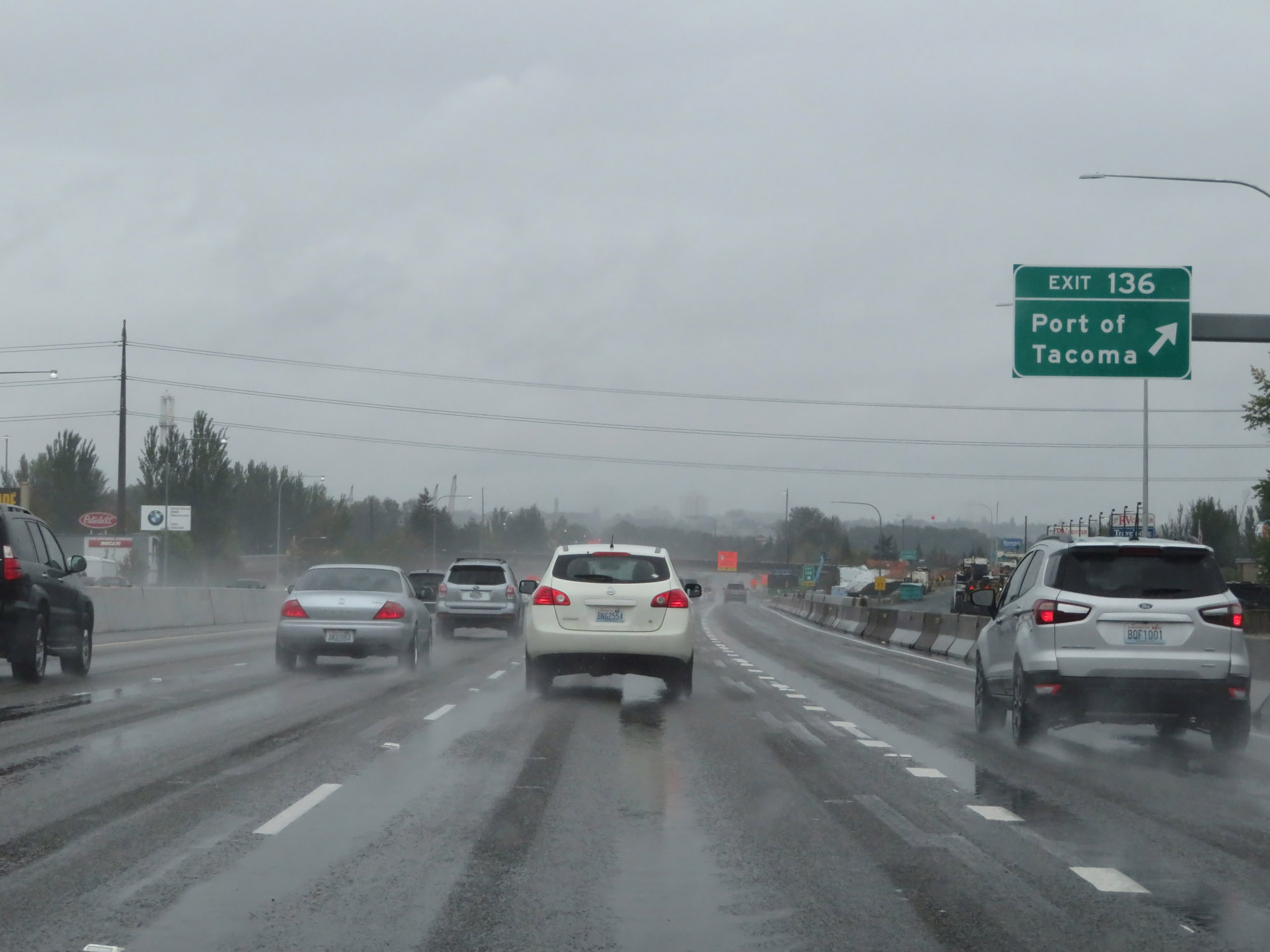 |
Interstate 5 South at Exit 136: Port of Tacoma (Photo taken 9/22/19). |
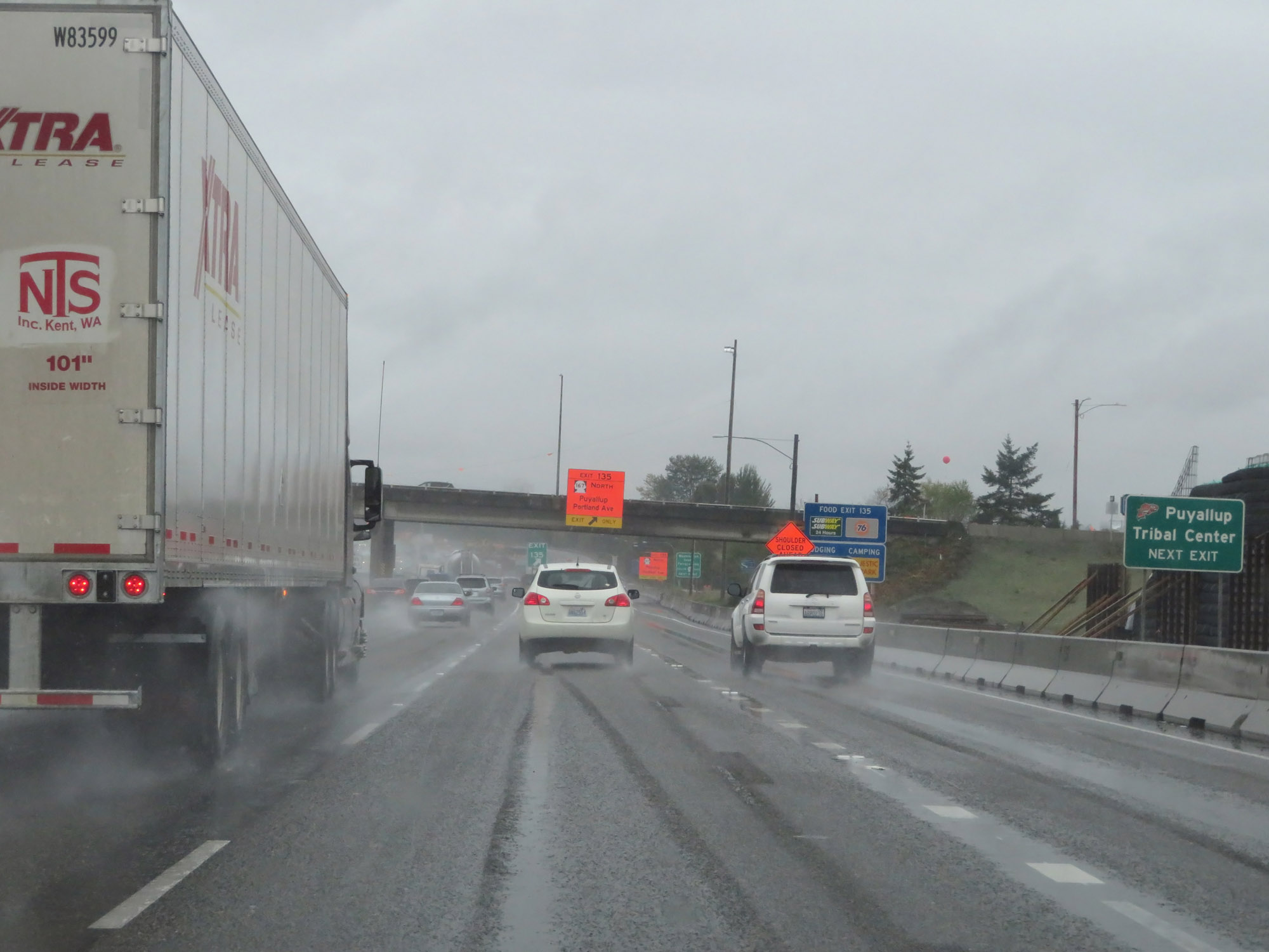 |
Take Exit 135 to the Puyallup Tribal Center. (Photo taken 9/22/19). |
 |
Interstate 5 South at Exit 135: WA 167 North - Puyallup / Portland Ave (Photo taken 9/22/19). |
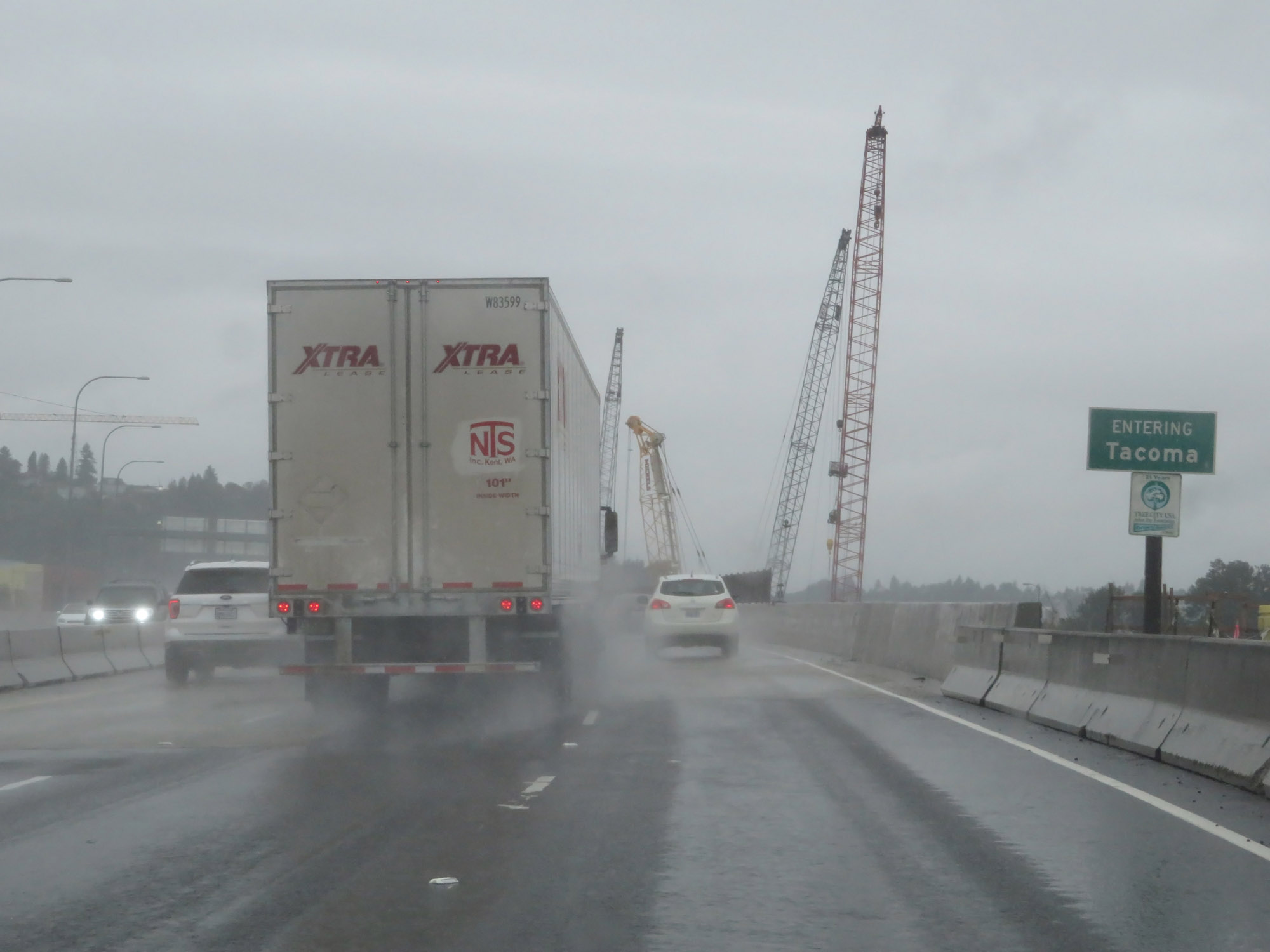 |
Entering the Tacoma city limits on Interstate 5 South. (Photo taken 9/22/19). |
 |
Interstate 5 South approaching Exit 133 - 1 1/4 miles. (Photo taken 9/22/19). |
 |
View on Interstate 5 South in Tacoma. (Photo taken 9/22/19). |
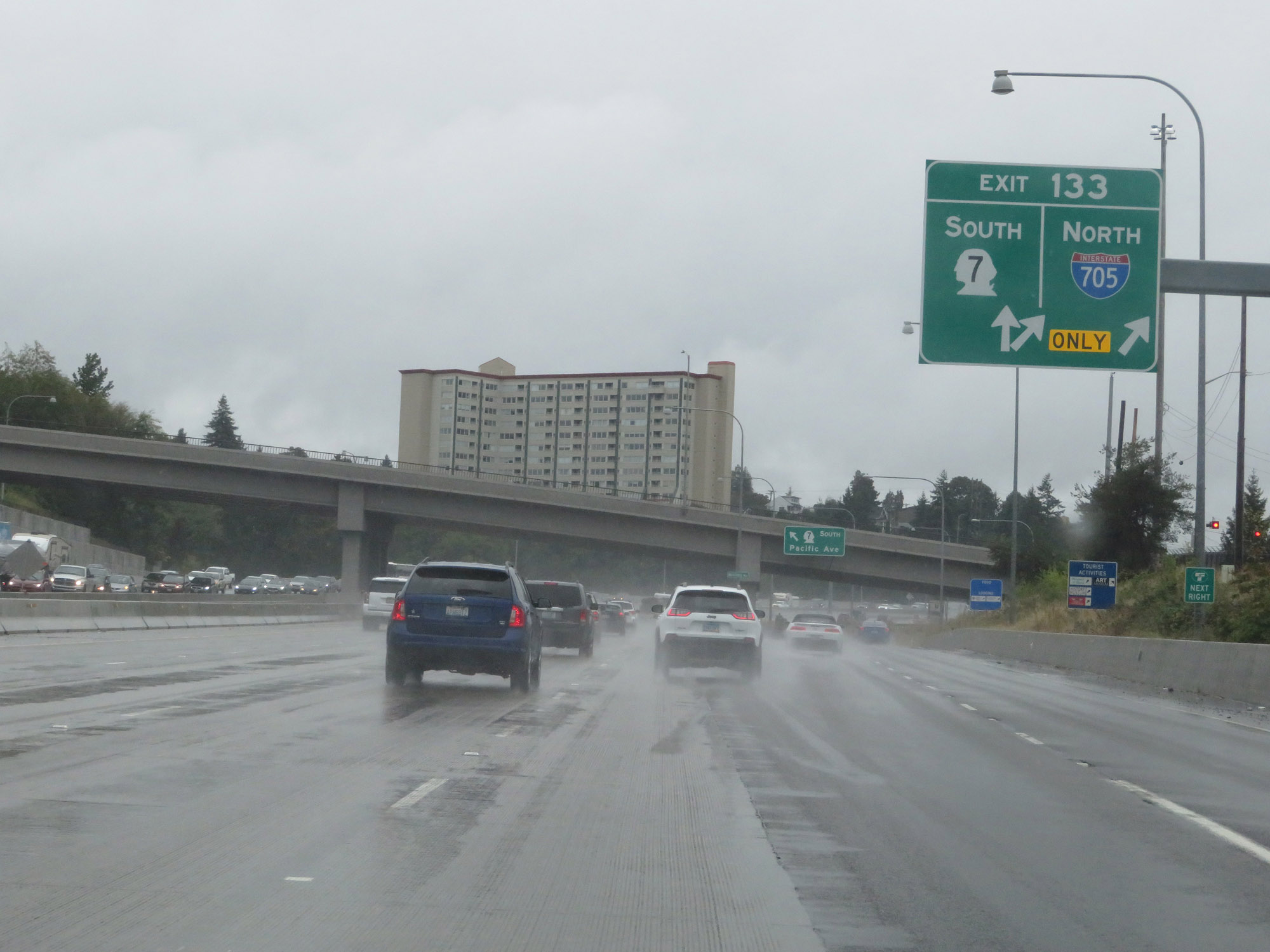 |
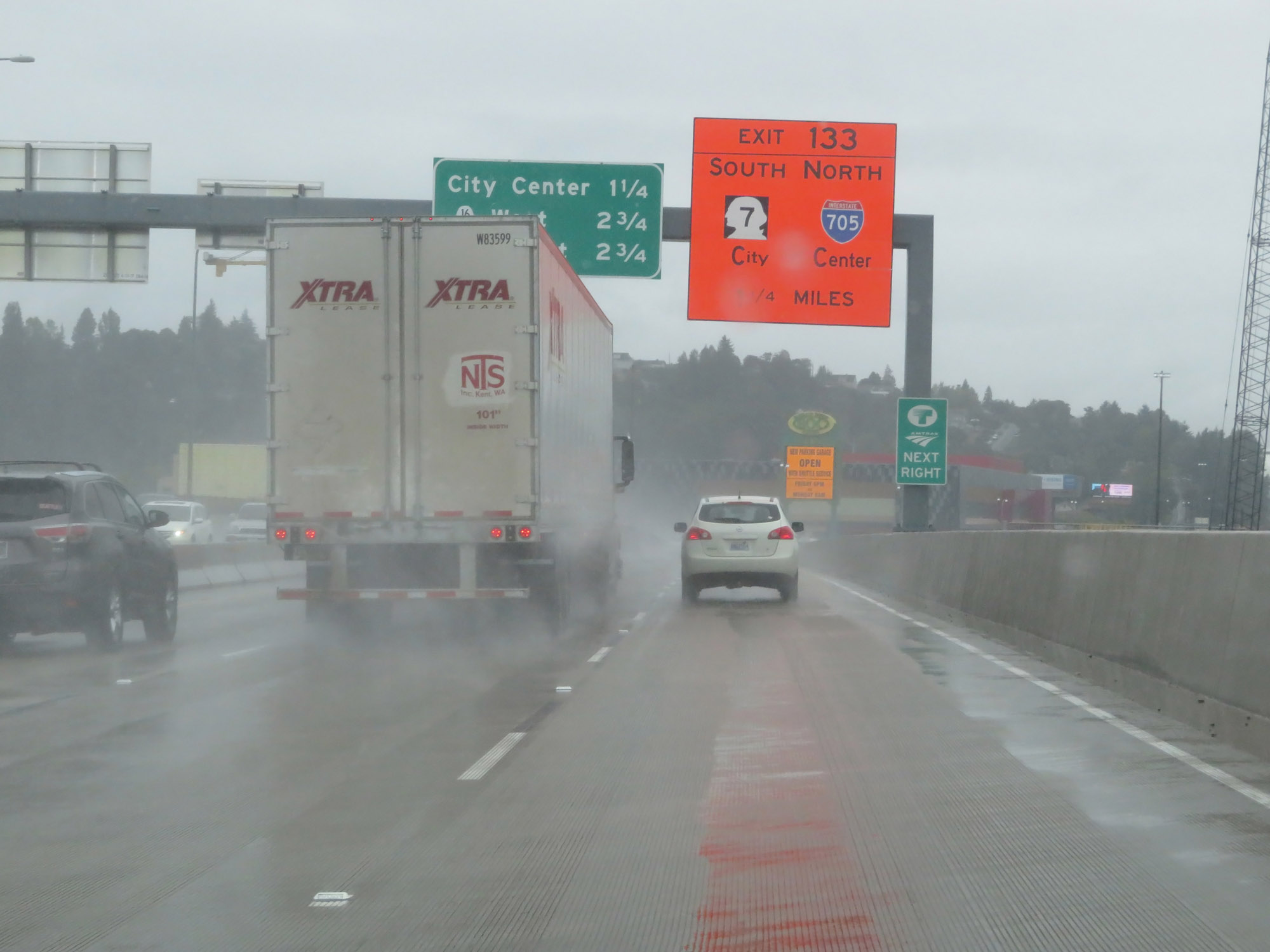
Interstate 5 South at Exit 133: Interstate 705 North / WA 7 South (Photo taken 9/22/19). |
 |
Interstate 5 South approaching Exits 132B-A - 1/2 mile. (Photo taken 9/22/19). |
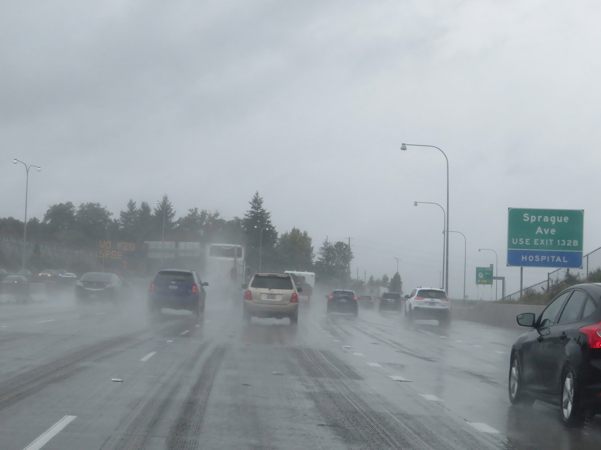 |
Take Exit 132B to Sprague Ave. (Photo taken 9/22/19). |
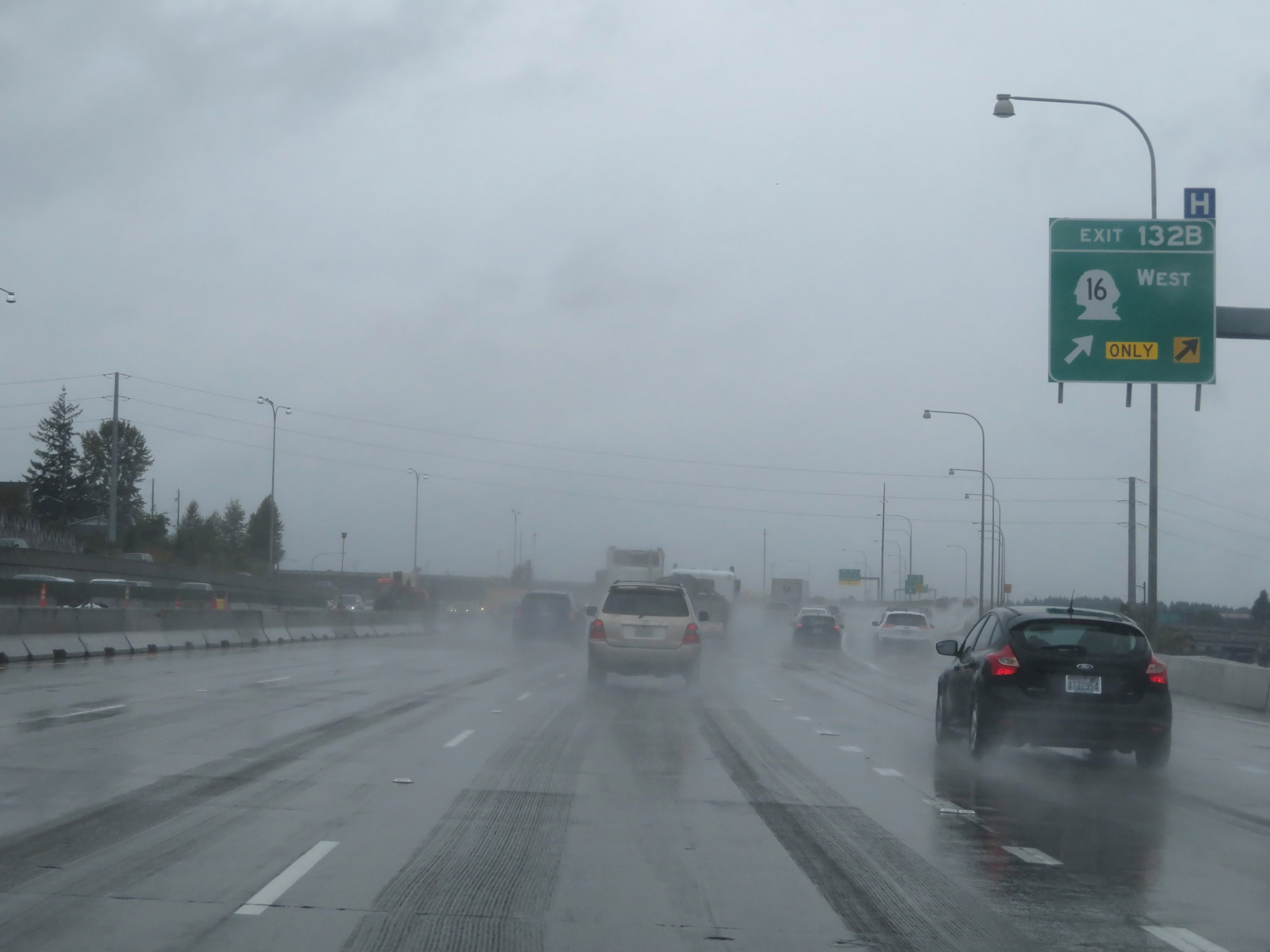 |
Interstate 5 South at Exit 132B: WA 16 West - Gig Harbor / Bremerton (Photo taken 9/22/19). |
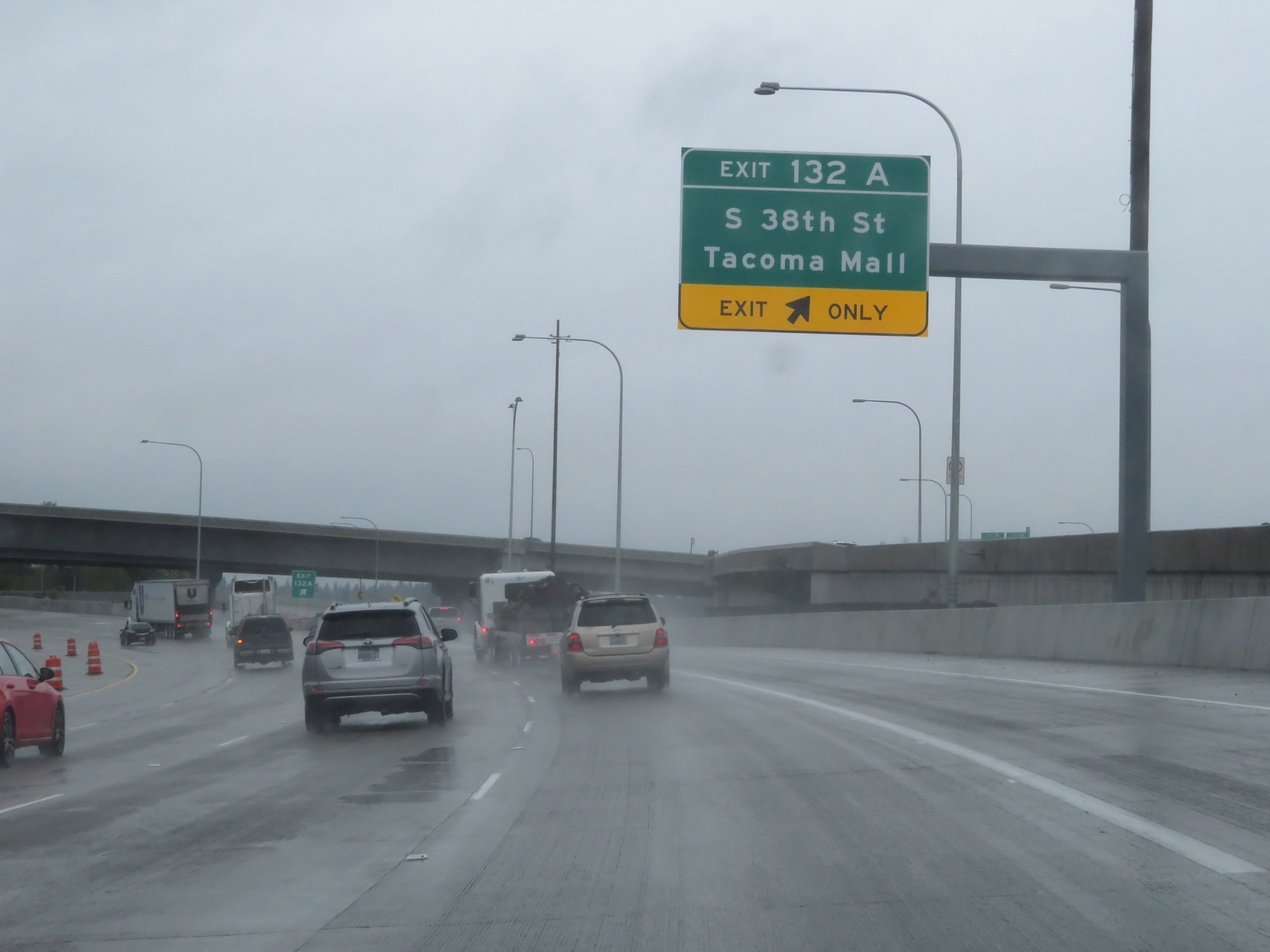 |
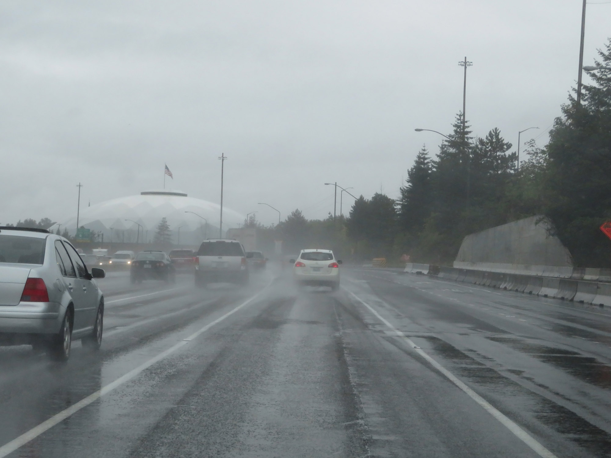
Interstate 5 South at Exit 132A: S 38th St / Tacoma Mall (Photo taken 9/22/19). |
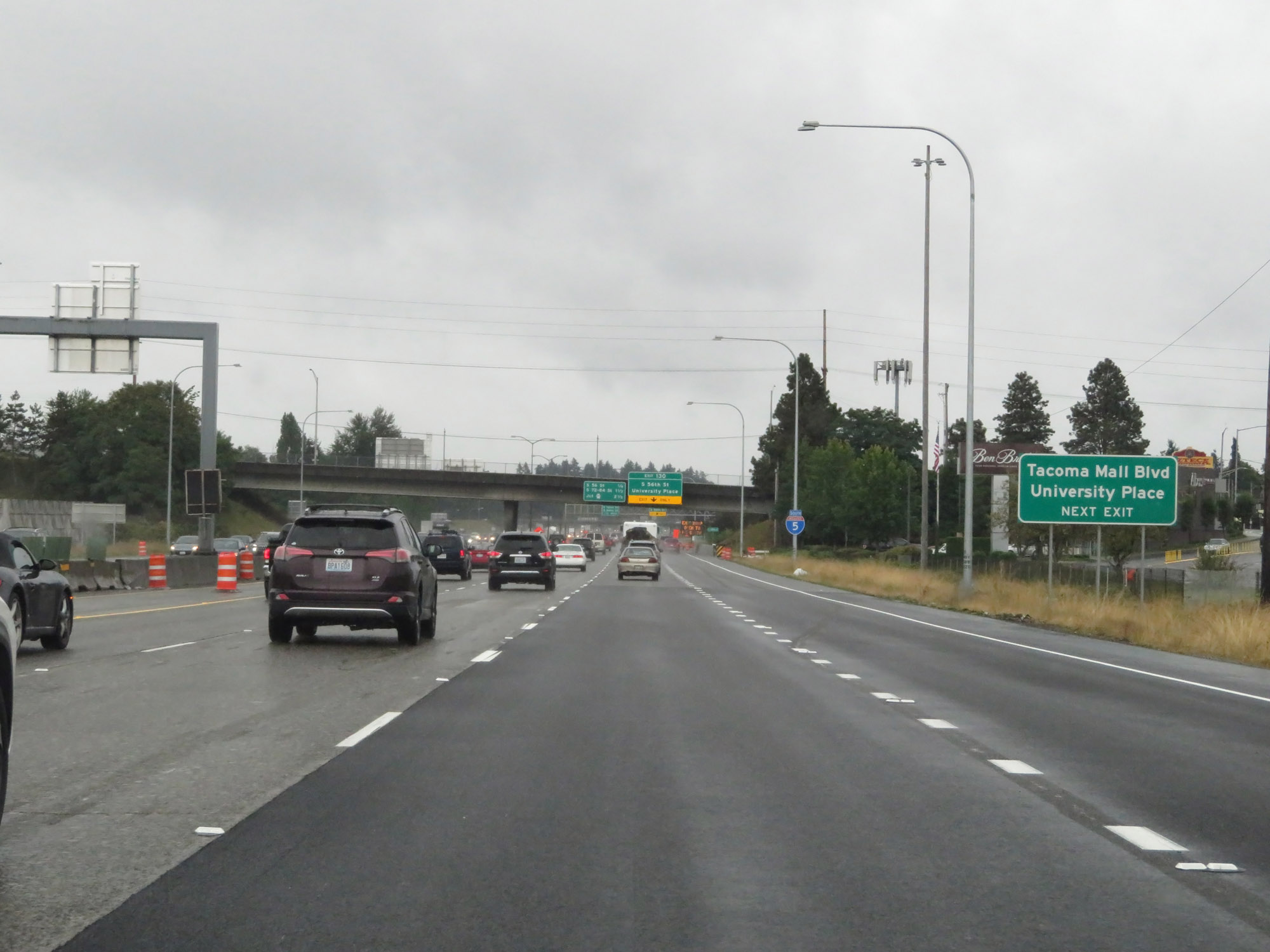 |
Take Exit 130 to Tacoma Mall Blvd and University Place. (Photo taken 9/22/19). |
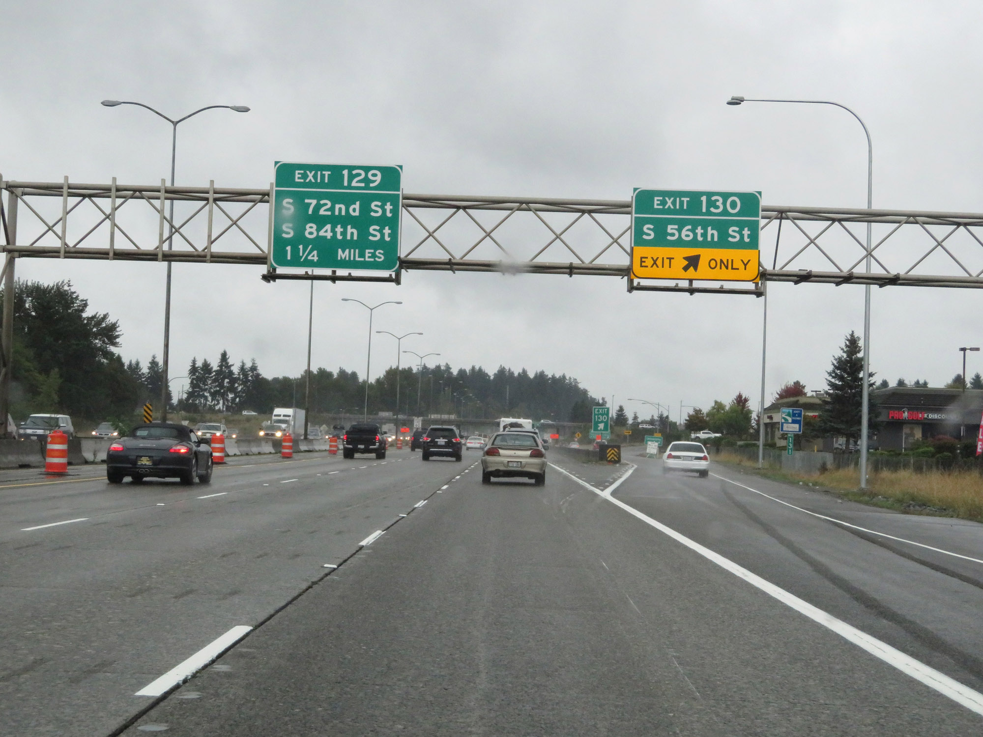 |
Interstate 5 South at Exit 130: S 56th St (Photo taken 9/22/19). |
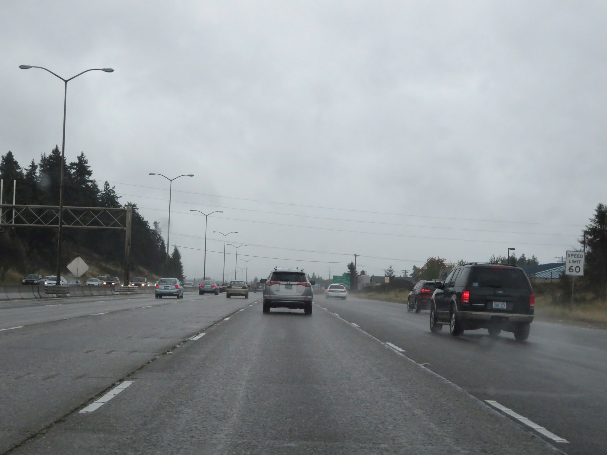 |
The speed limit remains 60 mph for all traffic through the Tacoma area. (Photo taken 9/22/19). |
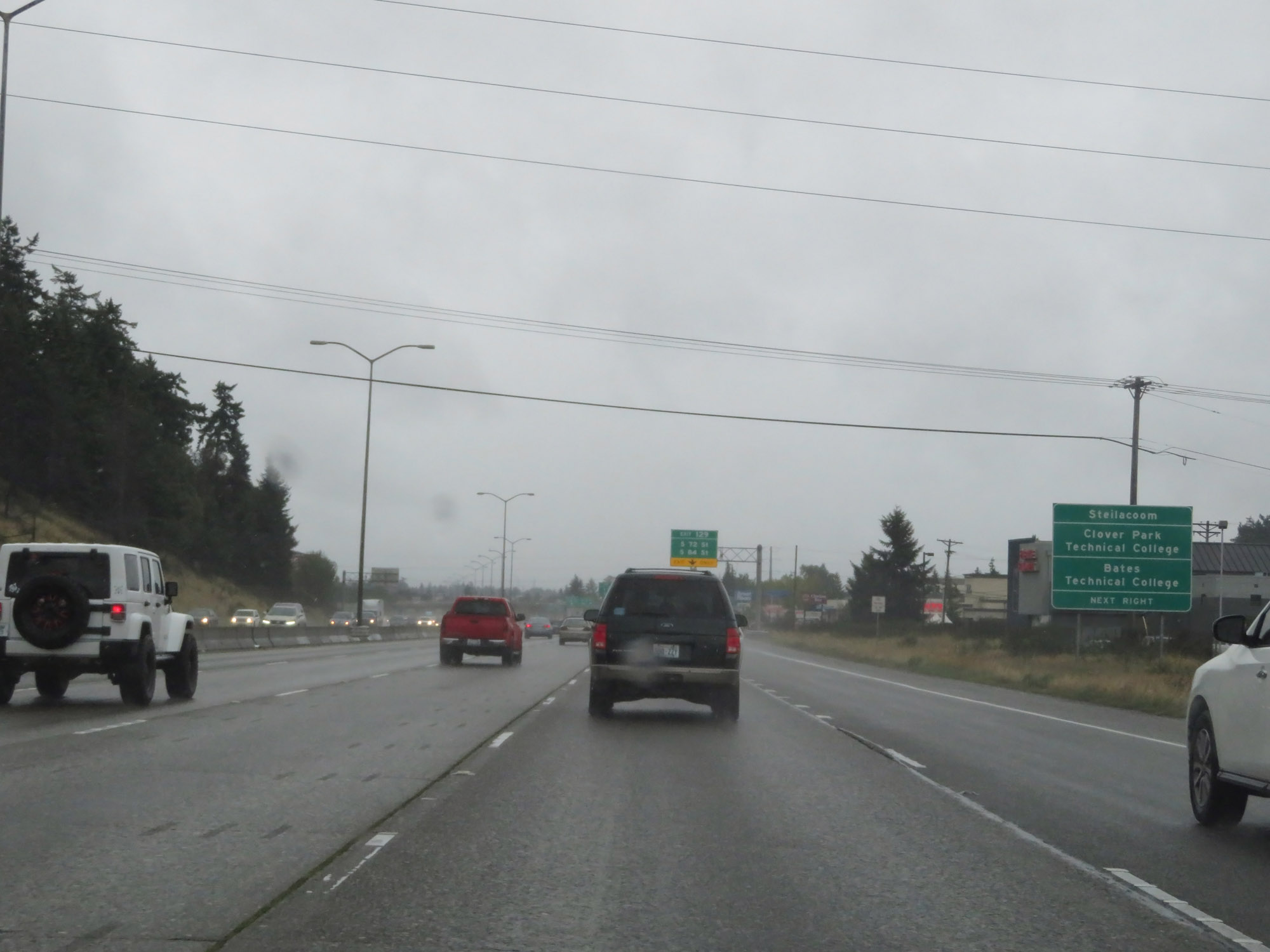 |
Take Exit 129 to Steilacoom, Clover Park Technical College, and Bates Technical College. (Photo taken 9/22/19). |
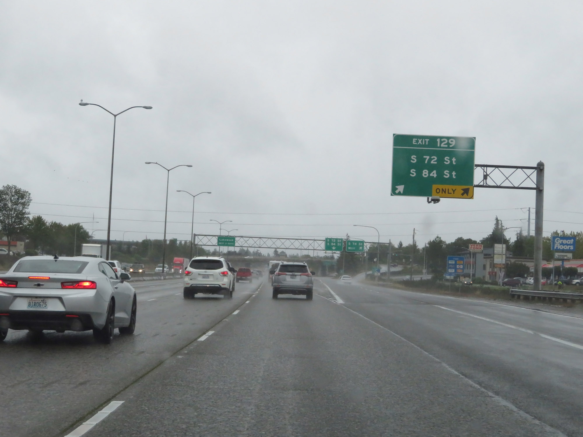 |
Interstate 5 South at Exit 129: S 72nd St / S 84th St (Photo taken 9/22/19). |
Section 5: Tacoma (Exit 129) to Chehalis (Exit 74)
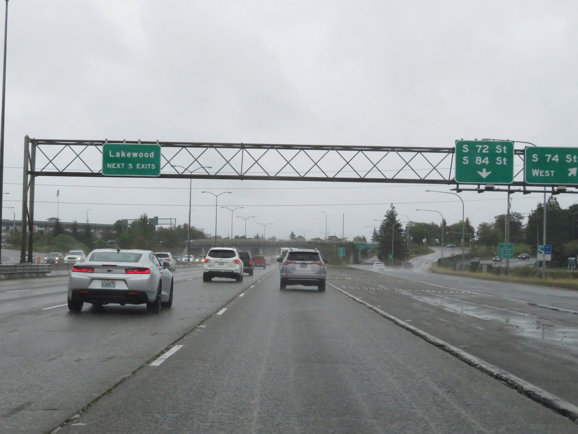 |
Take any of the next 5 exits to Lakewood. (Photo taken 9/22/19). |
 |
Sign listing the distances to the three upcoming exits to Lakewood. (Photo taken 9/22/19). |
 |
Interstate 5 South at Exit 127: WA 512 East - Puyallup / S Tacoma Way (Photo taken 9/22/19). |
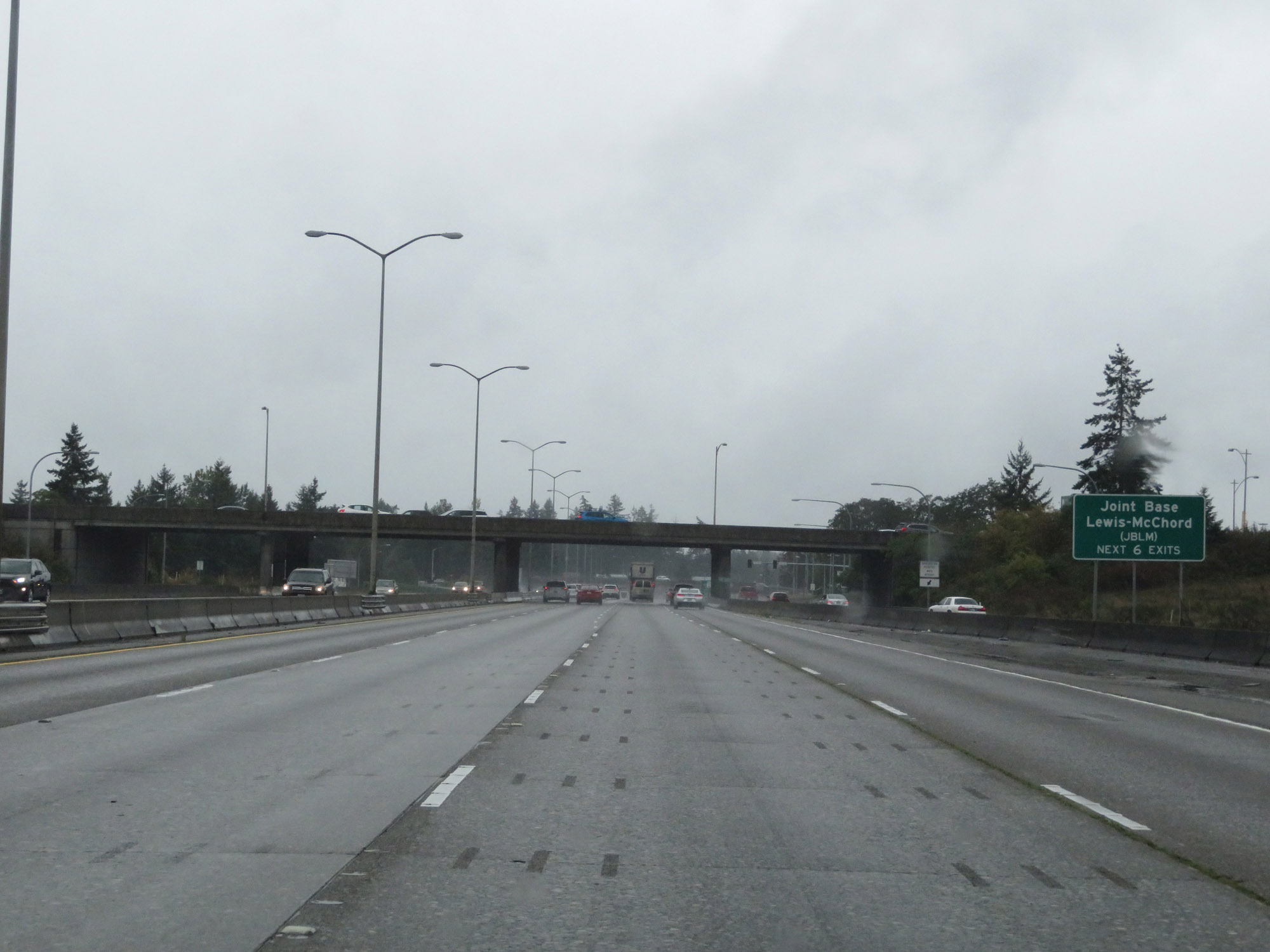 |
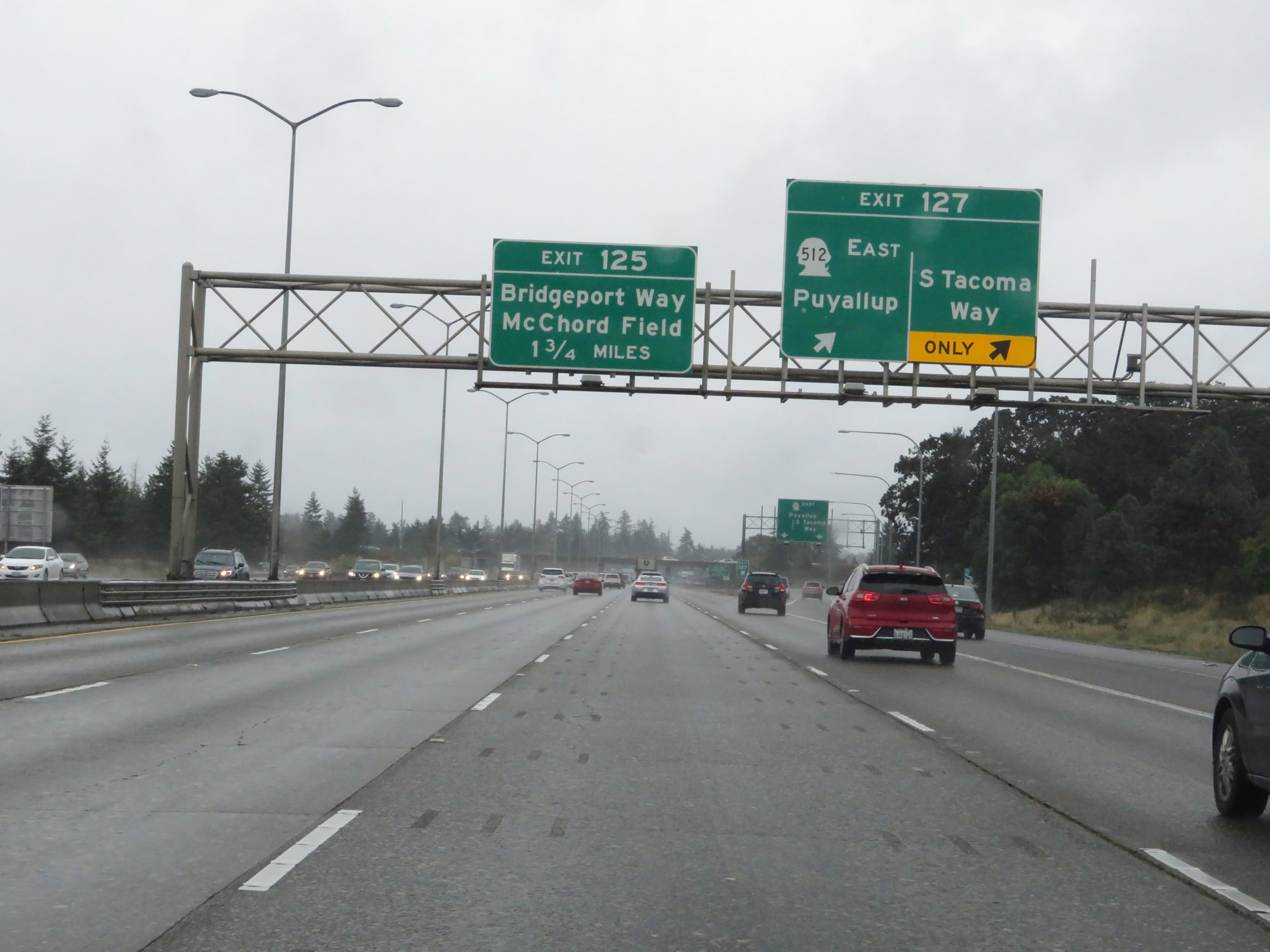
Take any of the next 6 exits to Joint Base Lewis-McChord (JBLM). (Photo taken 9/22/19). |
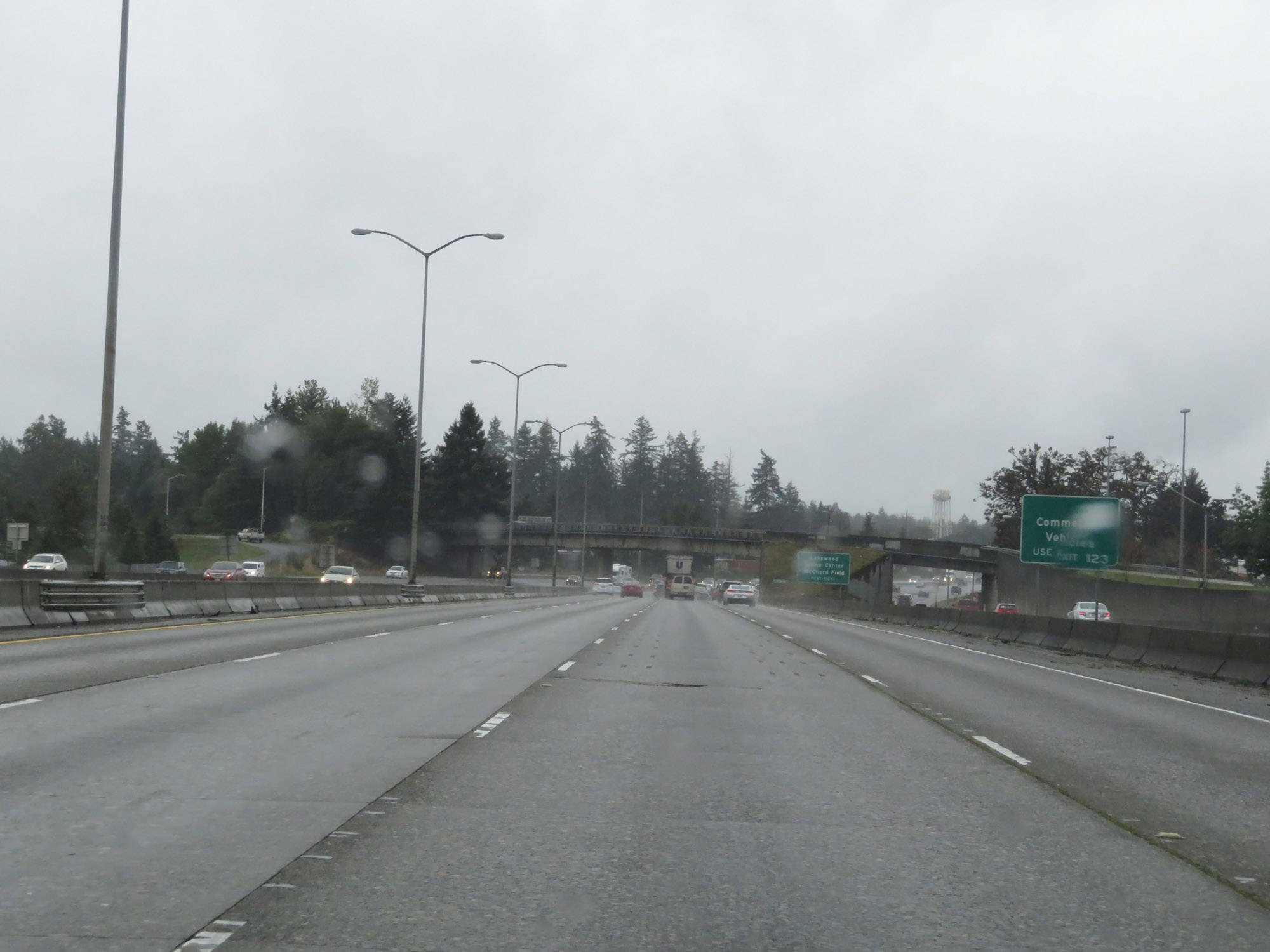 |
Commercial Vehicles to JBLM should use Exit 123. (Photo taken 9/22/19). |
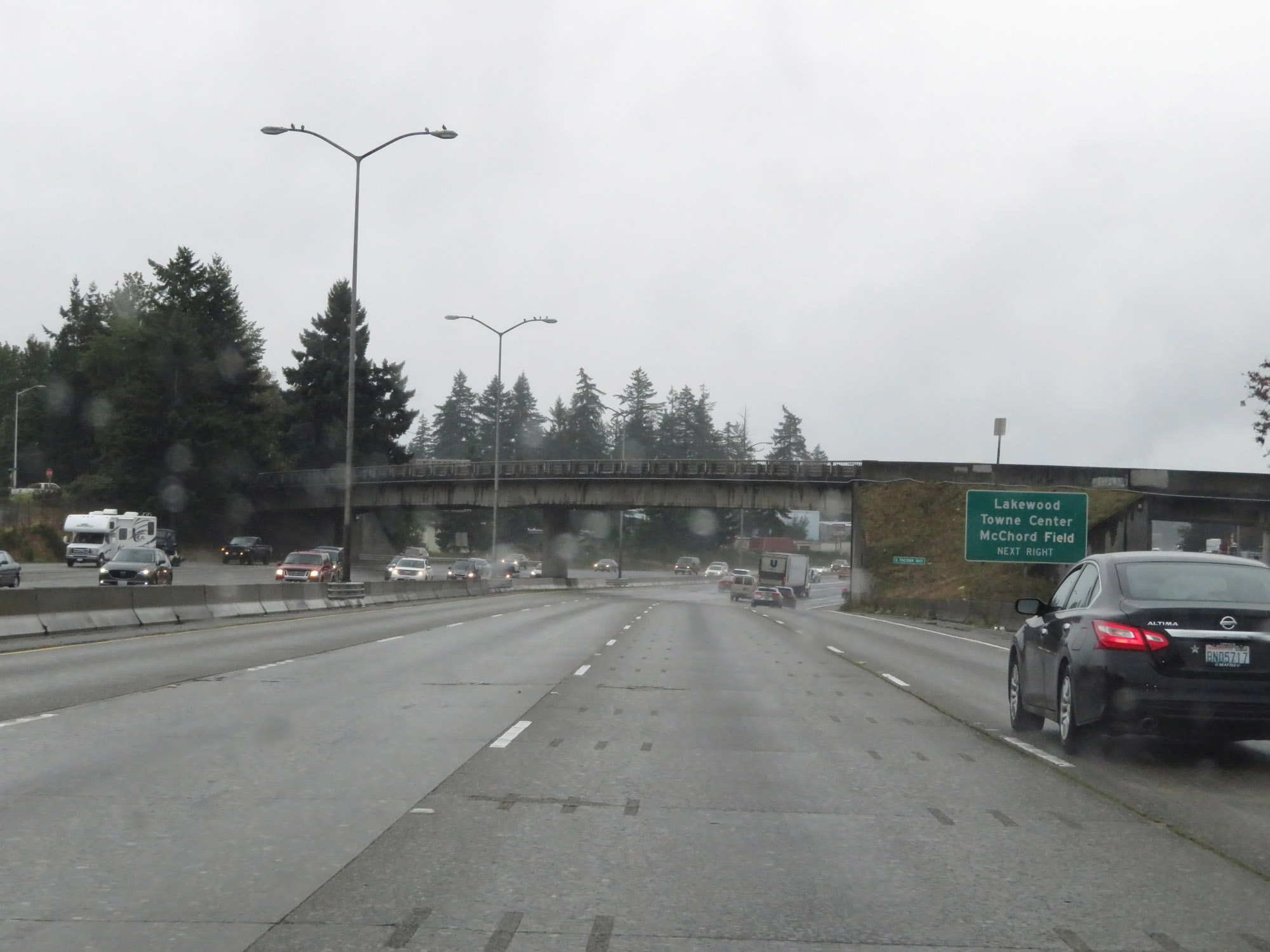 |
Take Exit 125 to Lakewood Towne Center and McChord Field. (Photo taken 9/22/19). |
 |
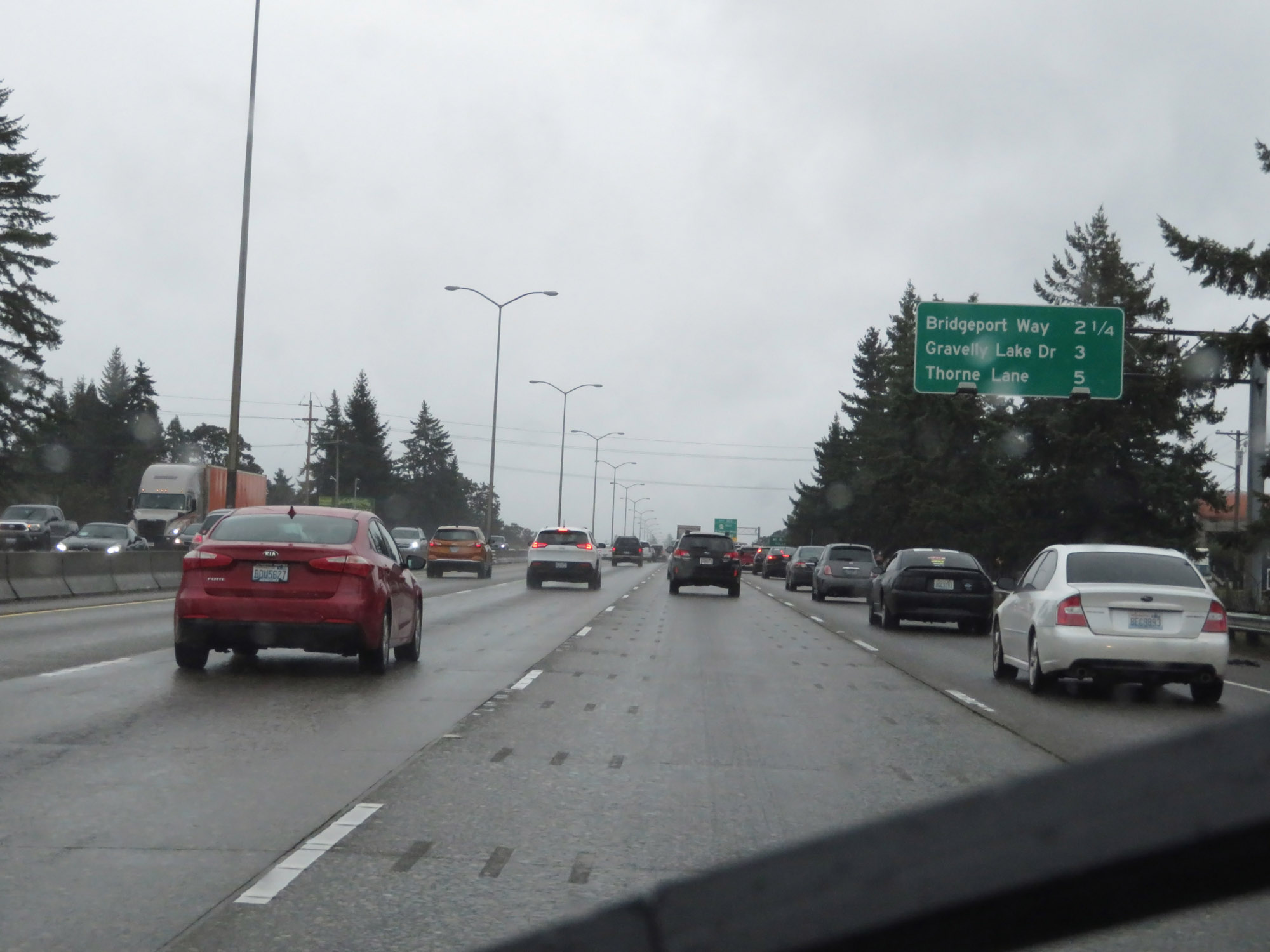
Mileage sign on Interstate 5 South. It's 7 miles to DuPont, 22 miles to Olympia, and 135 miles to Portland. (Photo taken 9/22/19). |
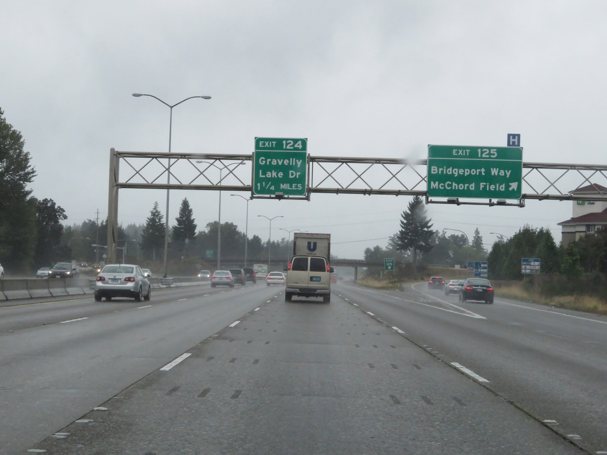 |
Interstate 5 South at Exit 125: Bridgeport Way / McChord Field (Photo taken 9/22/19). |
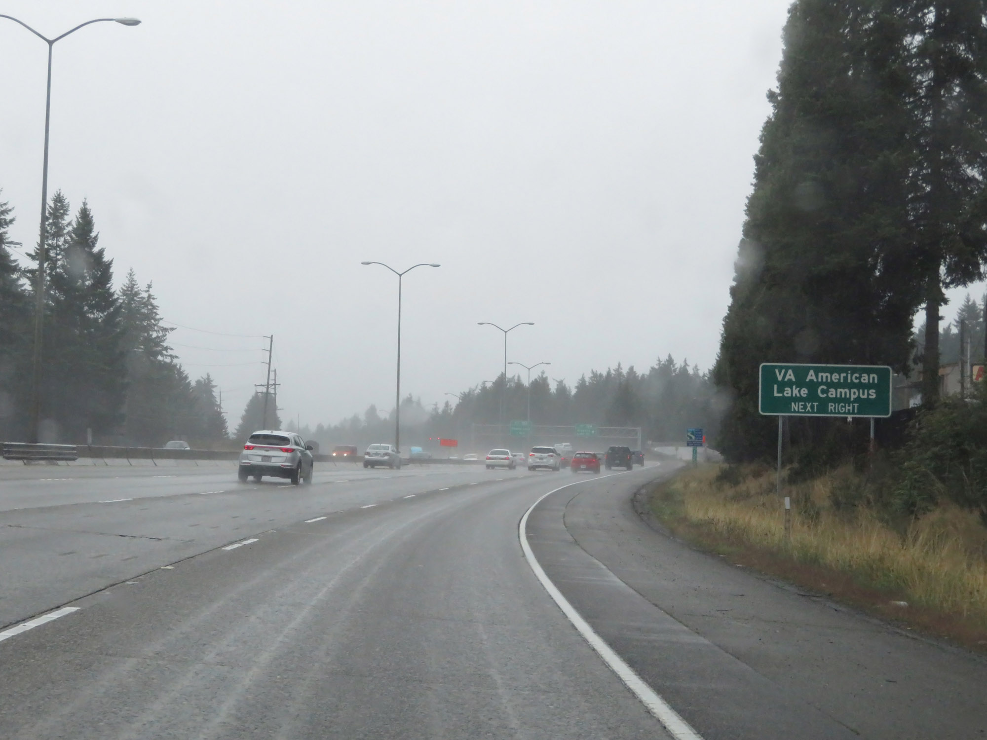 |
Take Exit 124 to the VA American Lake Campus. (Photo taken 9/22/19). |
 |
Interstate 5 South at Exit 124: Gravelly Lake Dr (Photo taken 9/22/19). |
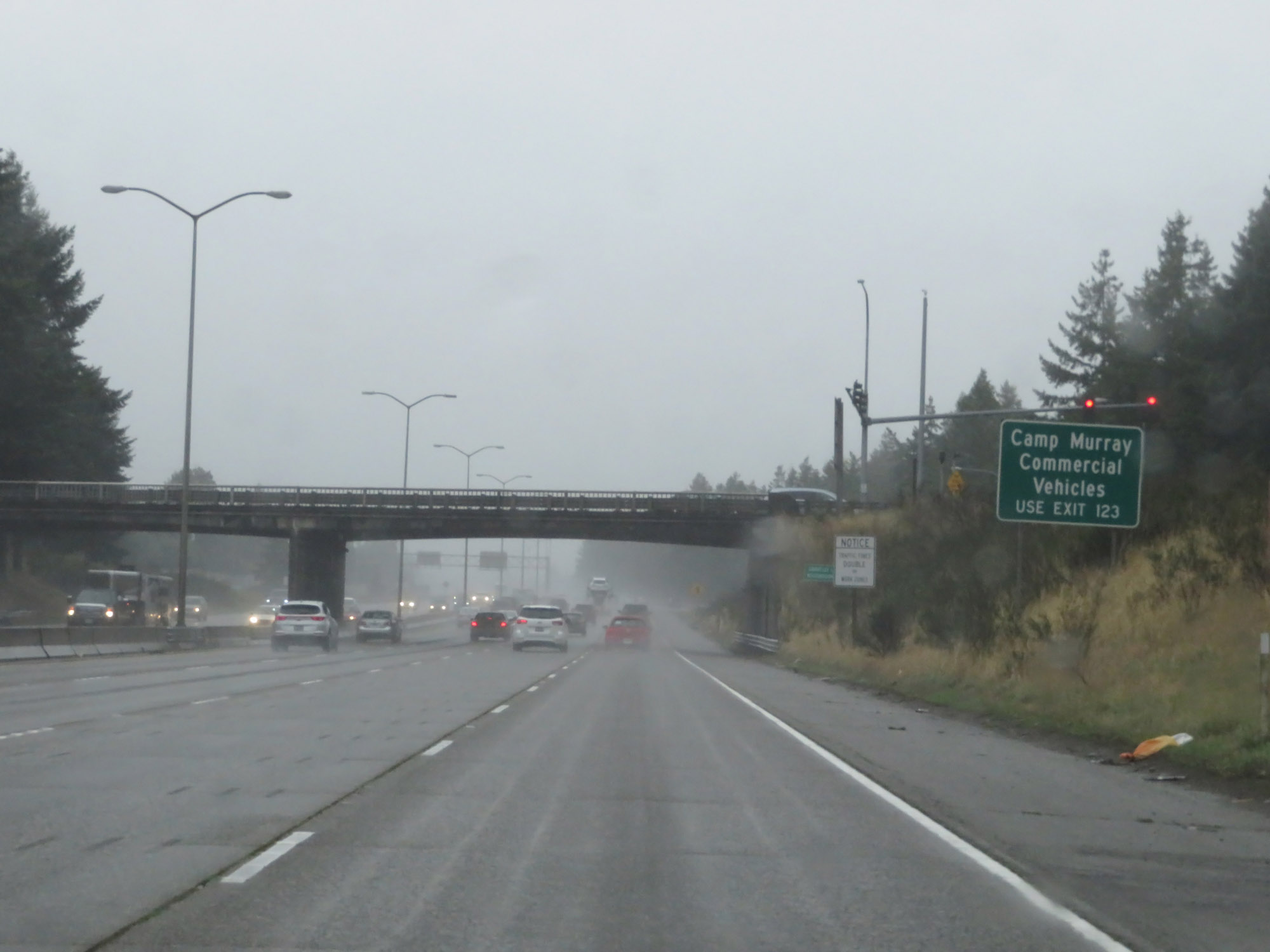 |
Commercial Vehicles to Camp Murray should use Exit 123. (Photo taken 9/22/19). |
 |
Take Exit 123 to the JBLM Logistics Gate. (Photo taken 9/22/19). |
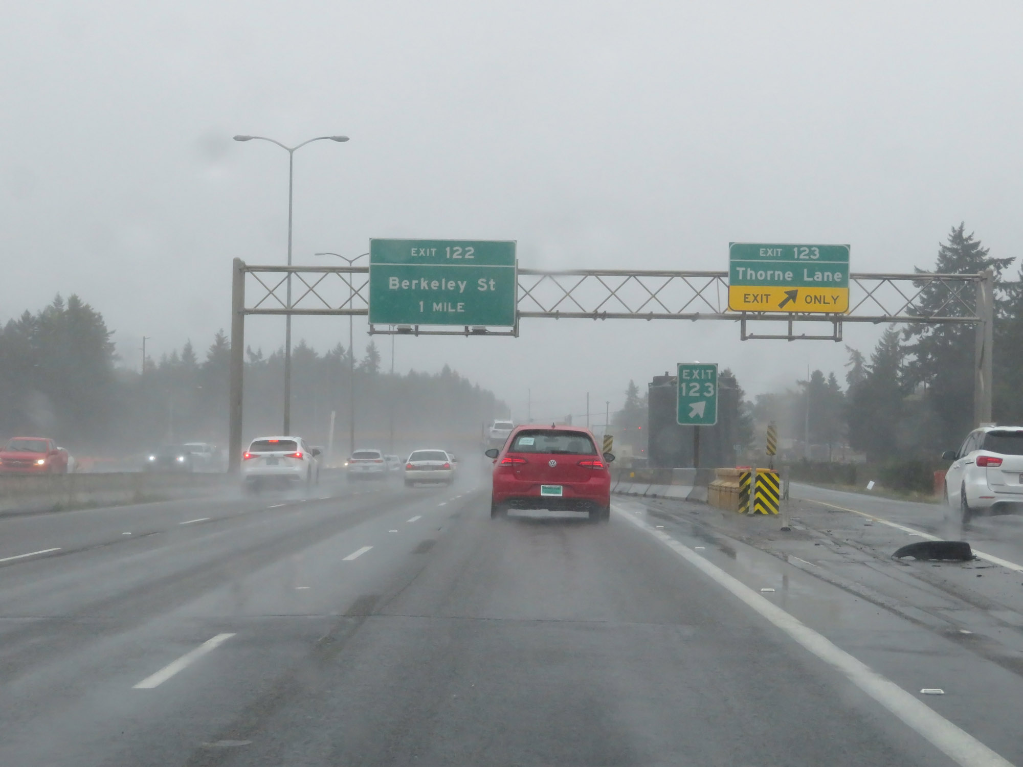 |
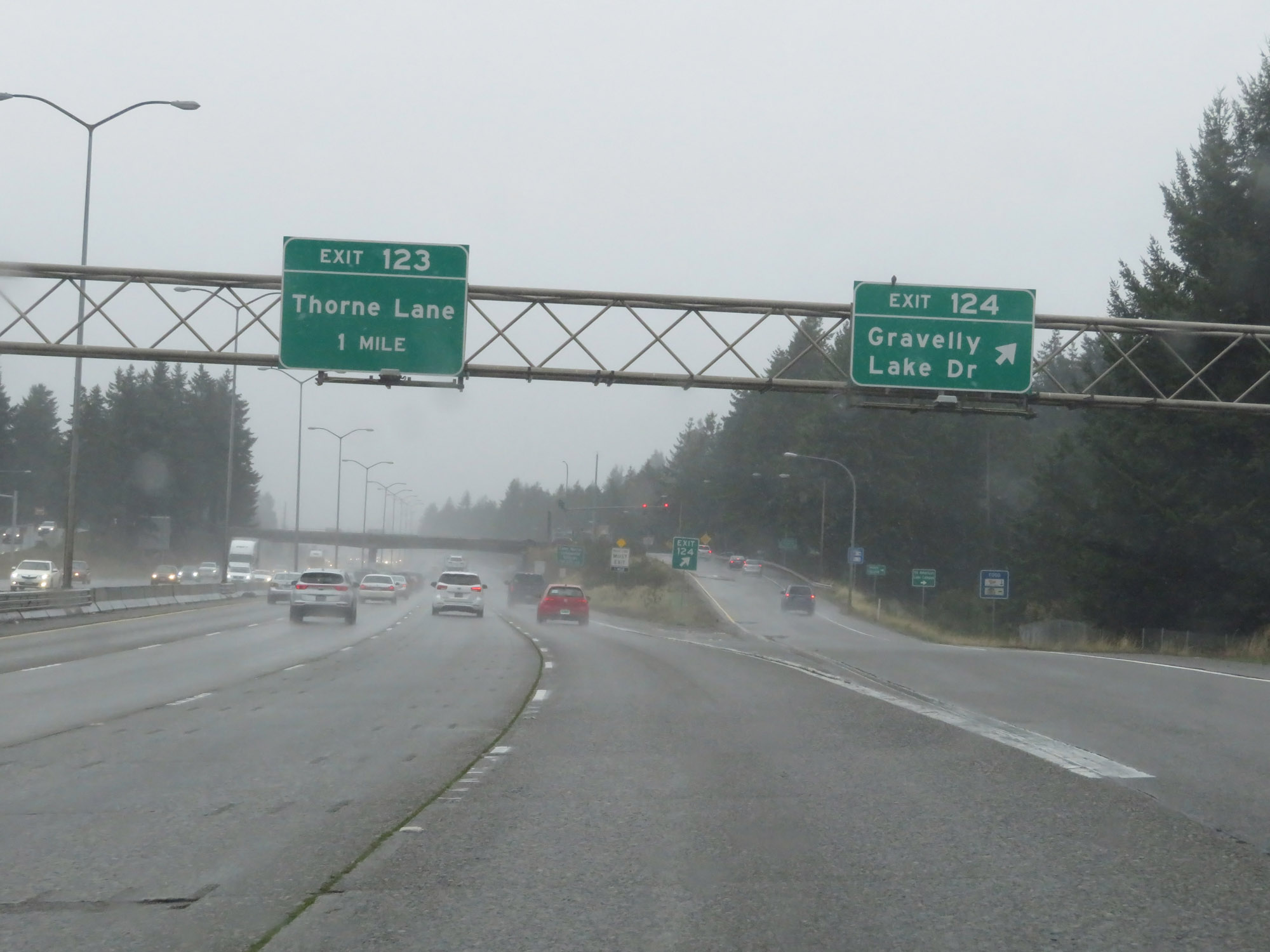
Interstate 5 South at Exit 123: Thorne Lane (Photo taken 9/22/19). |
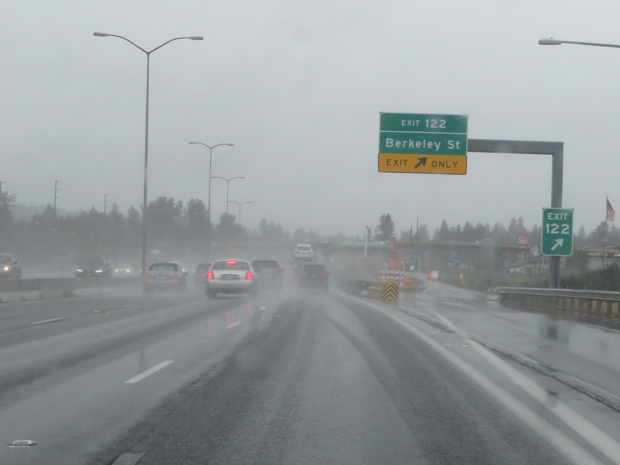 |
Interstate 5 South at Exit 122: Berkeley St (Photo taken 9/22/19). |
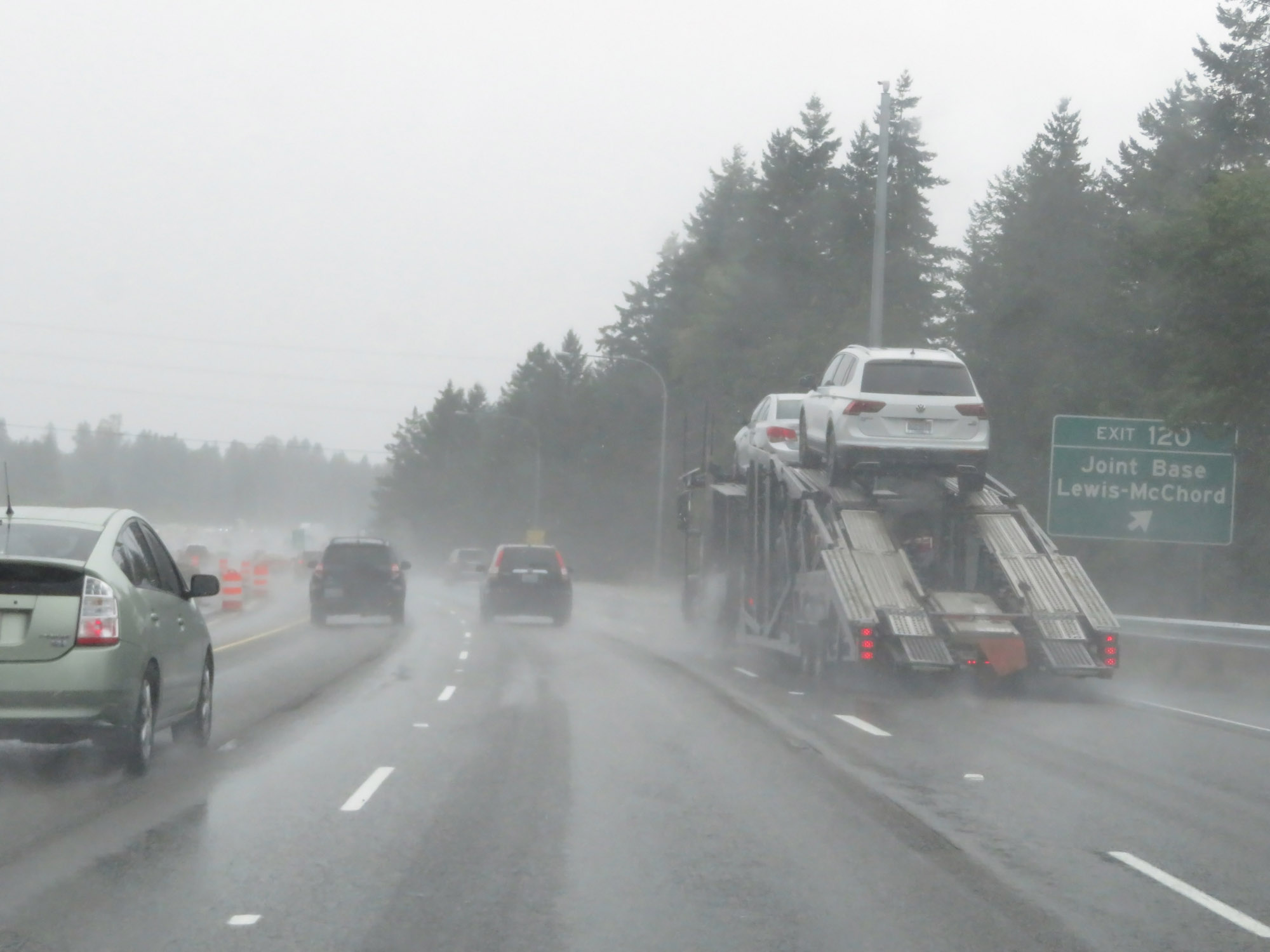 |
Interstate 5 South at Exit 120: Joint Base Lewis-McChord (Photo taken 9/22/19). |
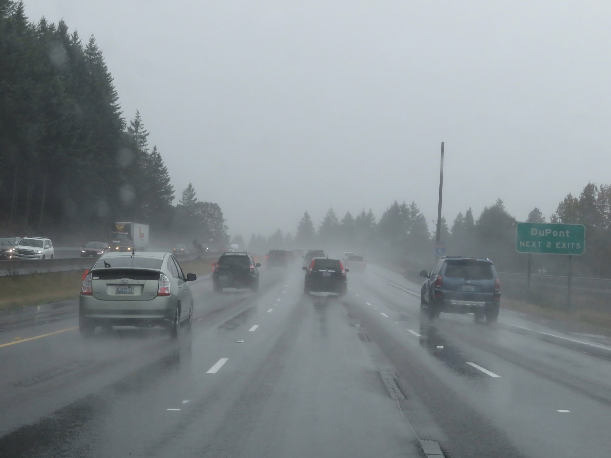 |
Take either of the next 2 exits to DuPont. (Photo taken 9/22/19). |
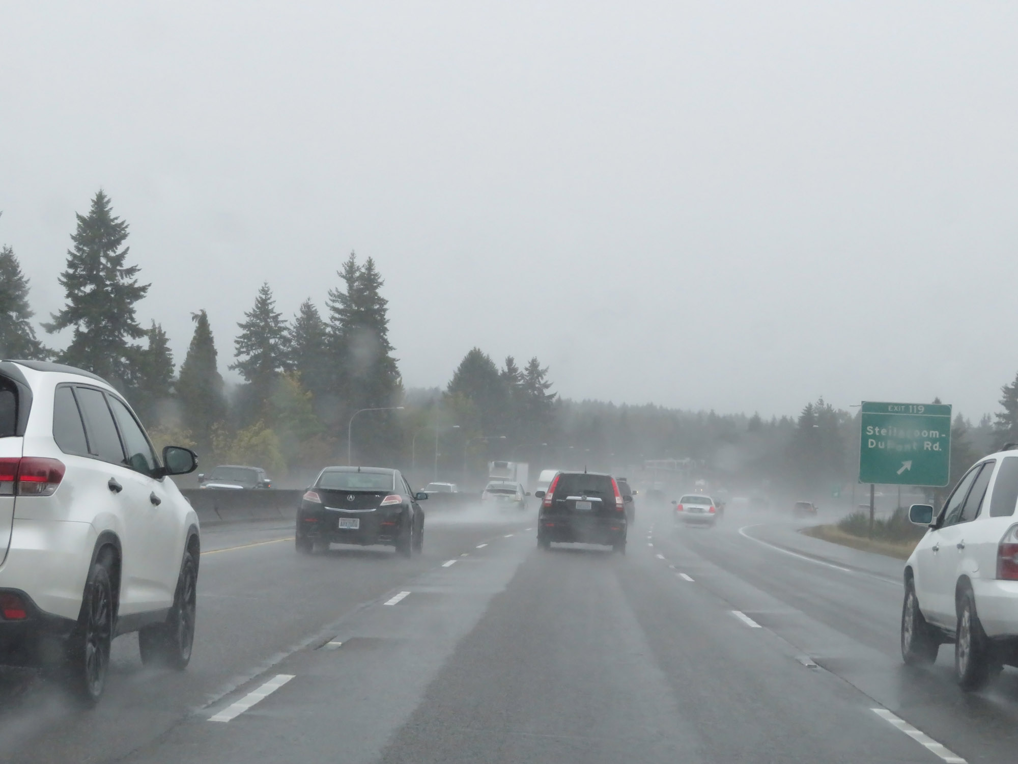 |
Interstate 5 South at Exit 119: Steilacoom-DuPont Rd (Photo taken 9/22/19). |
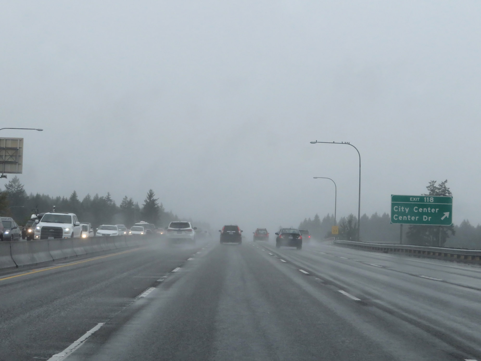 |
Interstate 5 South at Exit 118: City Center / Center Dr (Photo taken 9/22/19). |
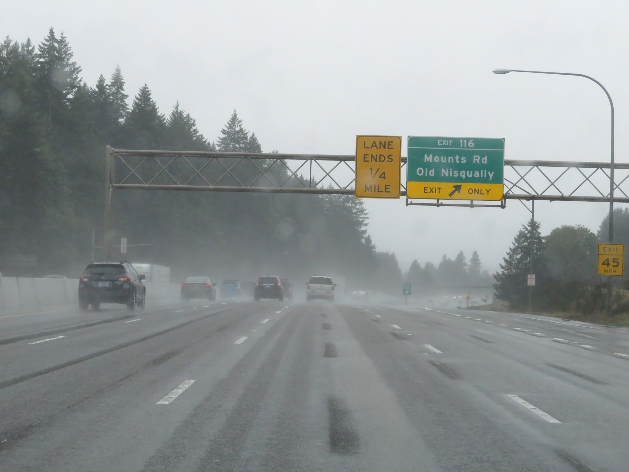 |
Interstate 5 South at Exit 116: Mounts Rd / Old Nisqually (Photo taken 9/22/19). |
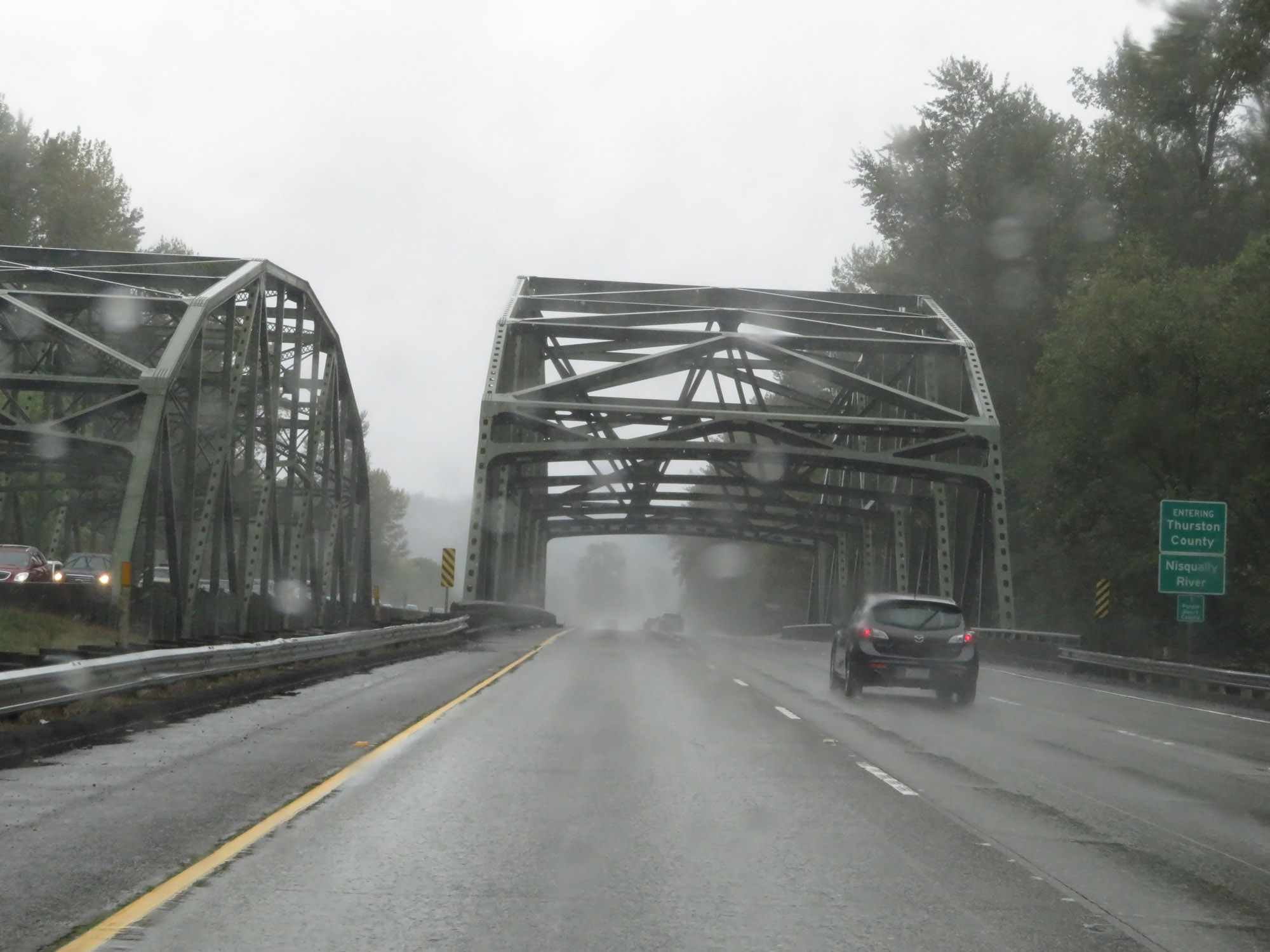 |
Entering Thurston County on Interstate 5 South, as it prepares to cross the Nisqually River. (Photo taken 9/22/19). |
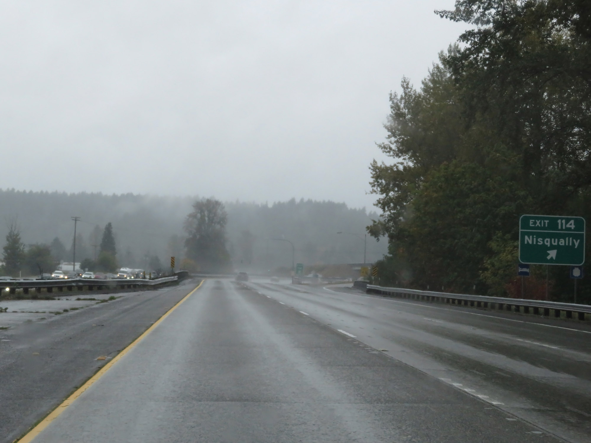 |
Interstate 5 South at Exit 114: Nisqually (Photo taken 9/22/19). |
 |
Interstate 5 South reassurance shield. (Photo taken 9/22/19). |
 |
Sign listing the distances to the three upcoming exits to Lacey. (Photo taken 9/22/19). |
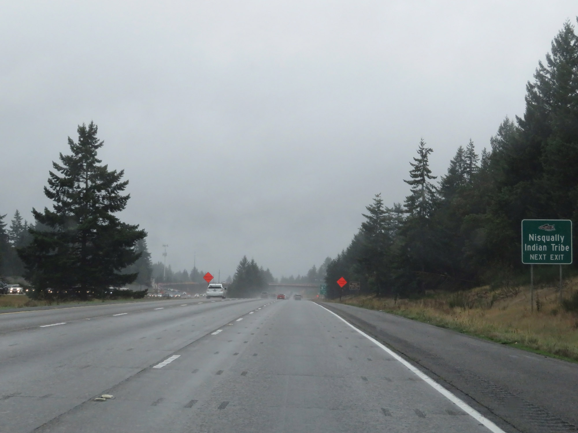 |
Take Exit 111 to the Nisqually Indian Tribe. (Photo taken 9/22/19). |
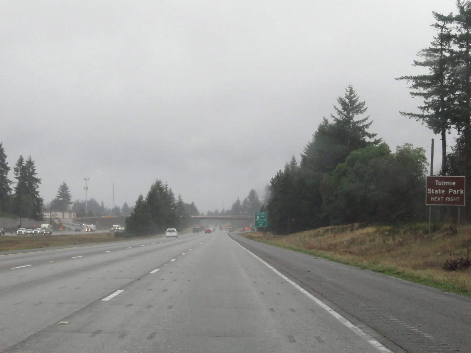 |
Also take Exit 111 to Tolmie State Park. (Photo taken 9/22/19). |
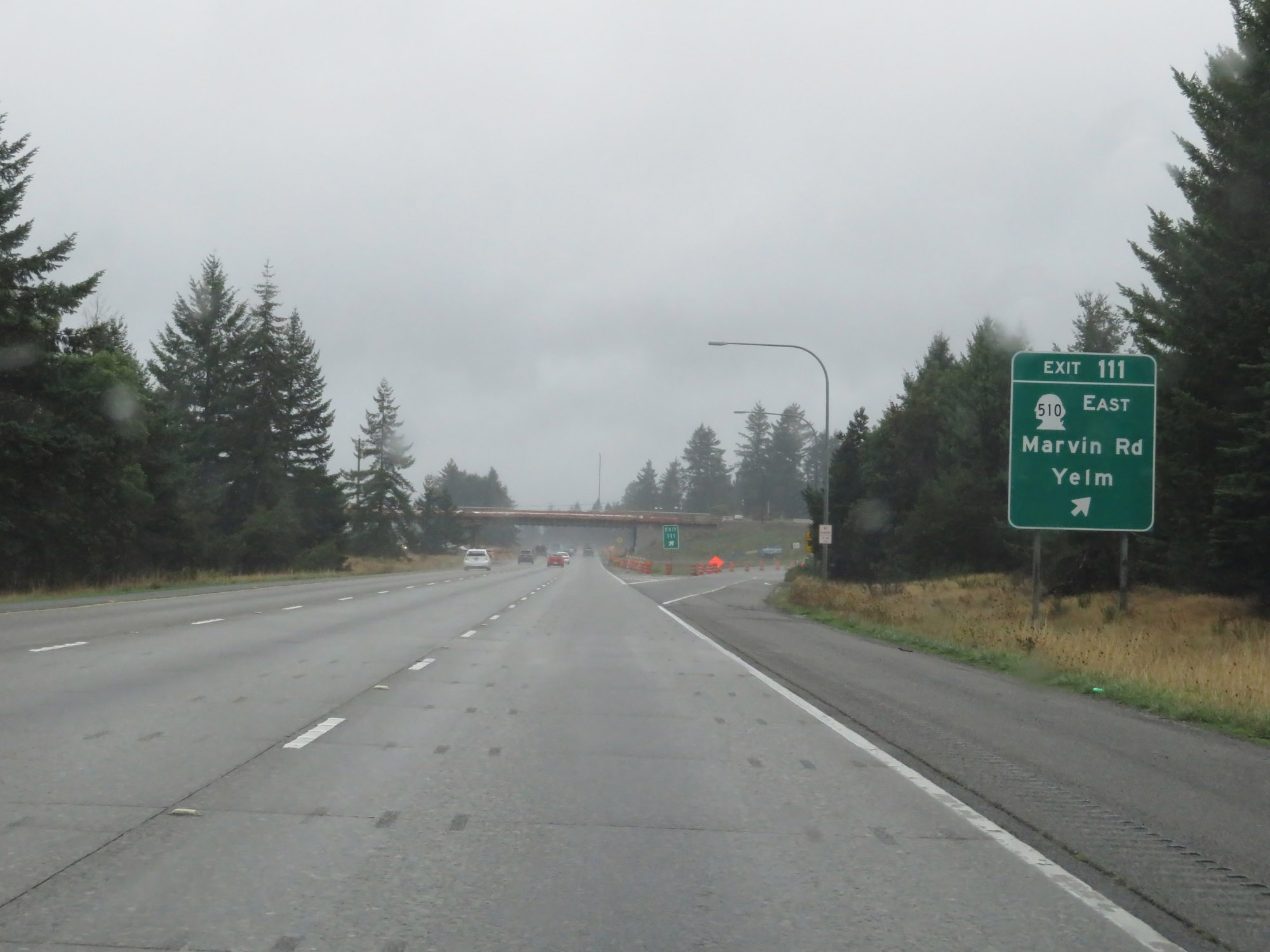 |
Interstate 5 South at Exit 111: WA 510 East - Marvin Rd / Yelm (Photo taken 9/22/19). |
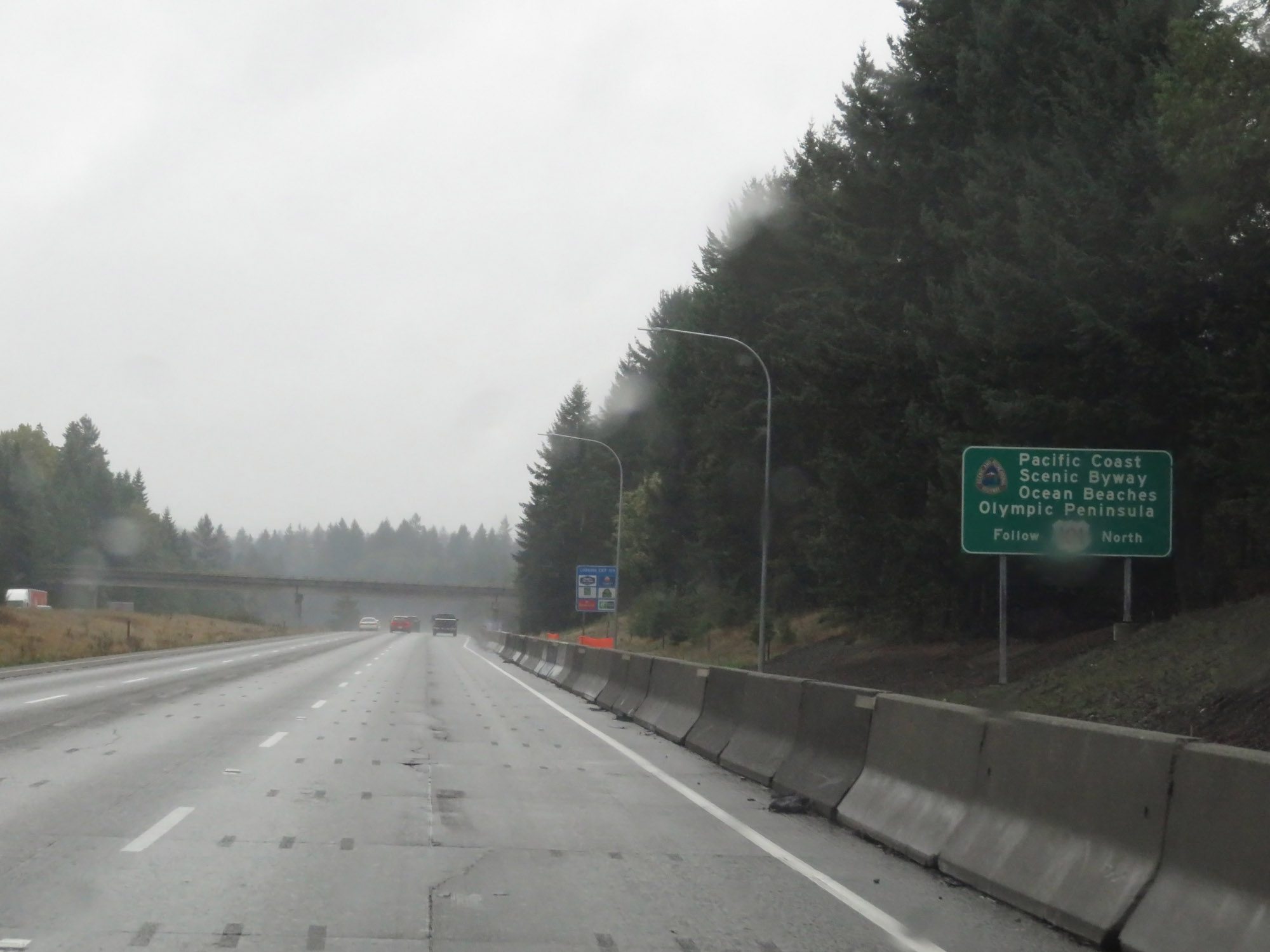 |
Traffic headed to the Ocean Beaches and Olympic Peninsula should follow US 101 North, which is the Pacific Coast Scenic Byway. (Photo taken 9/22/19). |
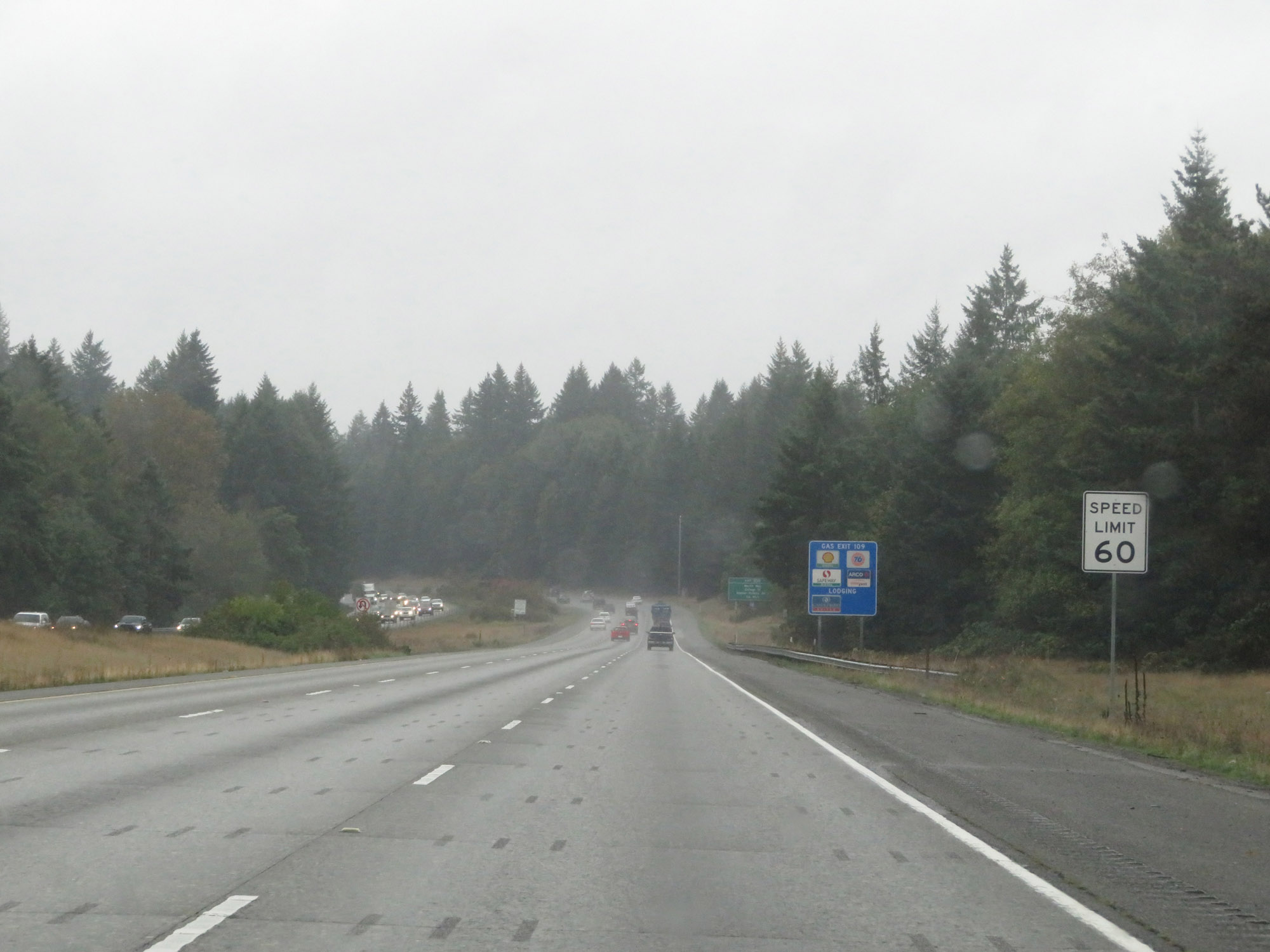 |
The speed limit remains 60 mph for all traffic. (Photo taken 9/22/19). |
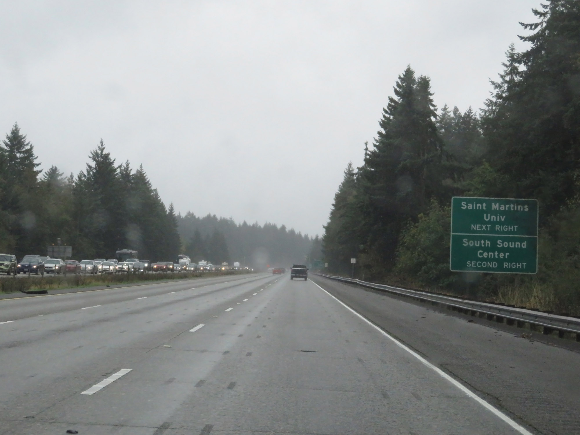 |
Take Exit 109 to Saint Martins University. Take Exit 108 to South Sound Center. (Photo taken 9/22/19). |
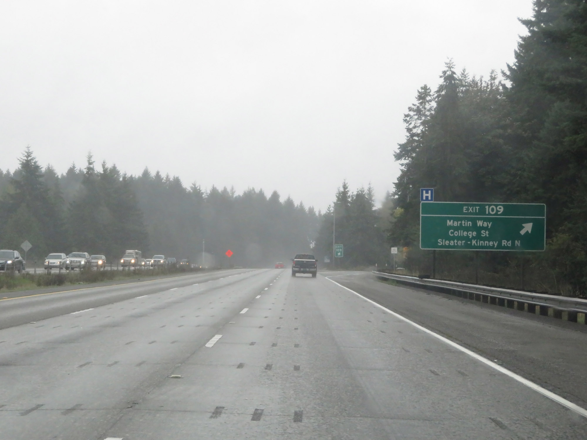 |
Interstate 5 South at Exit 109: Martin Way / College St / Sleater-Kinney Rd N (Photo taken 9/22/19). |
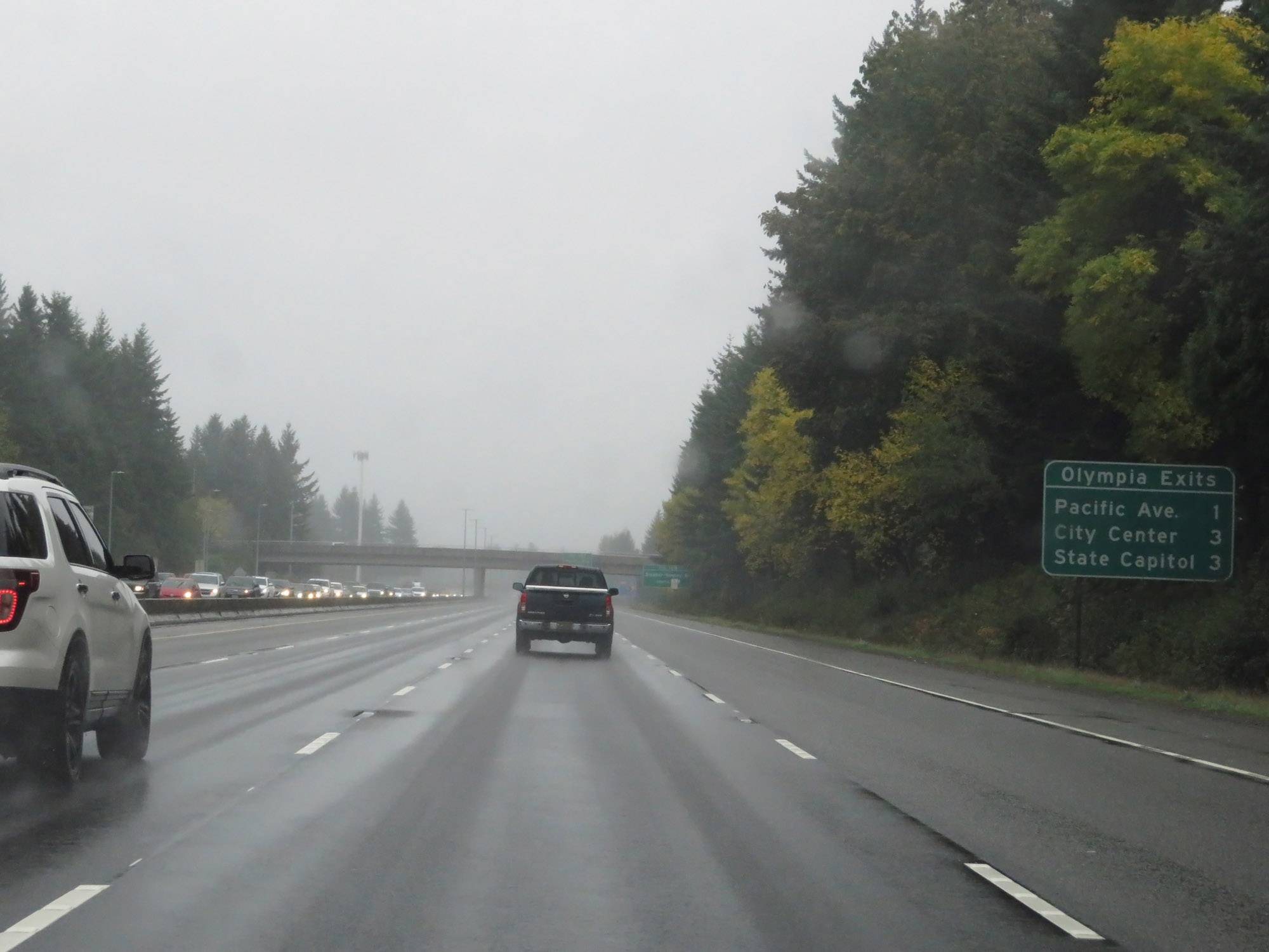 |
Sign listing the distances to the three upcoming exits to Olympia. (Photo taken 9/22/19). |
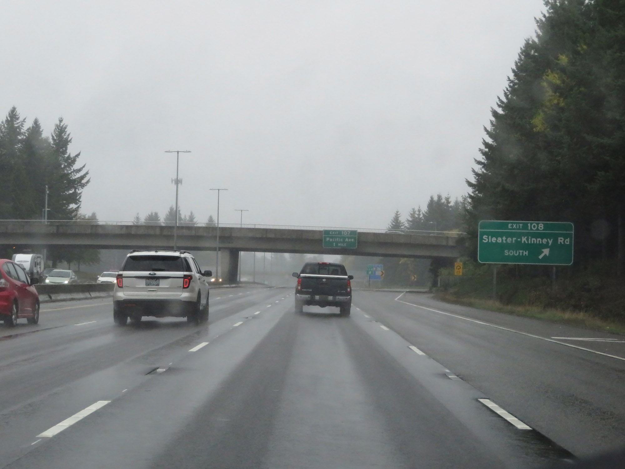 |
Interstate 5 South at exit 108: Sleater-Kinney Rd South (Photo taken 9/22/19). |
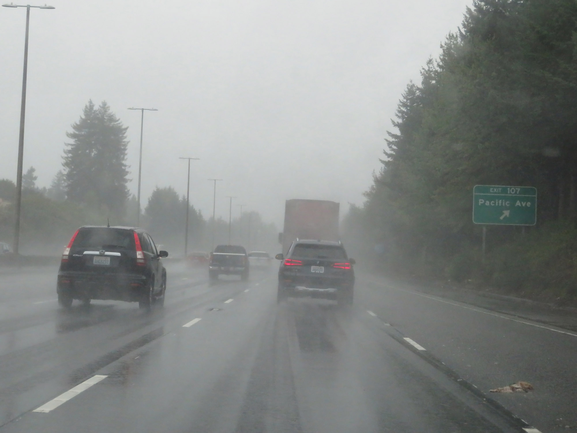 |
Interstate 5 South at Exit 107: Pacific Ave (Photo taken 9/22/19). |
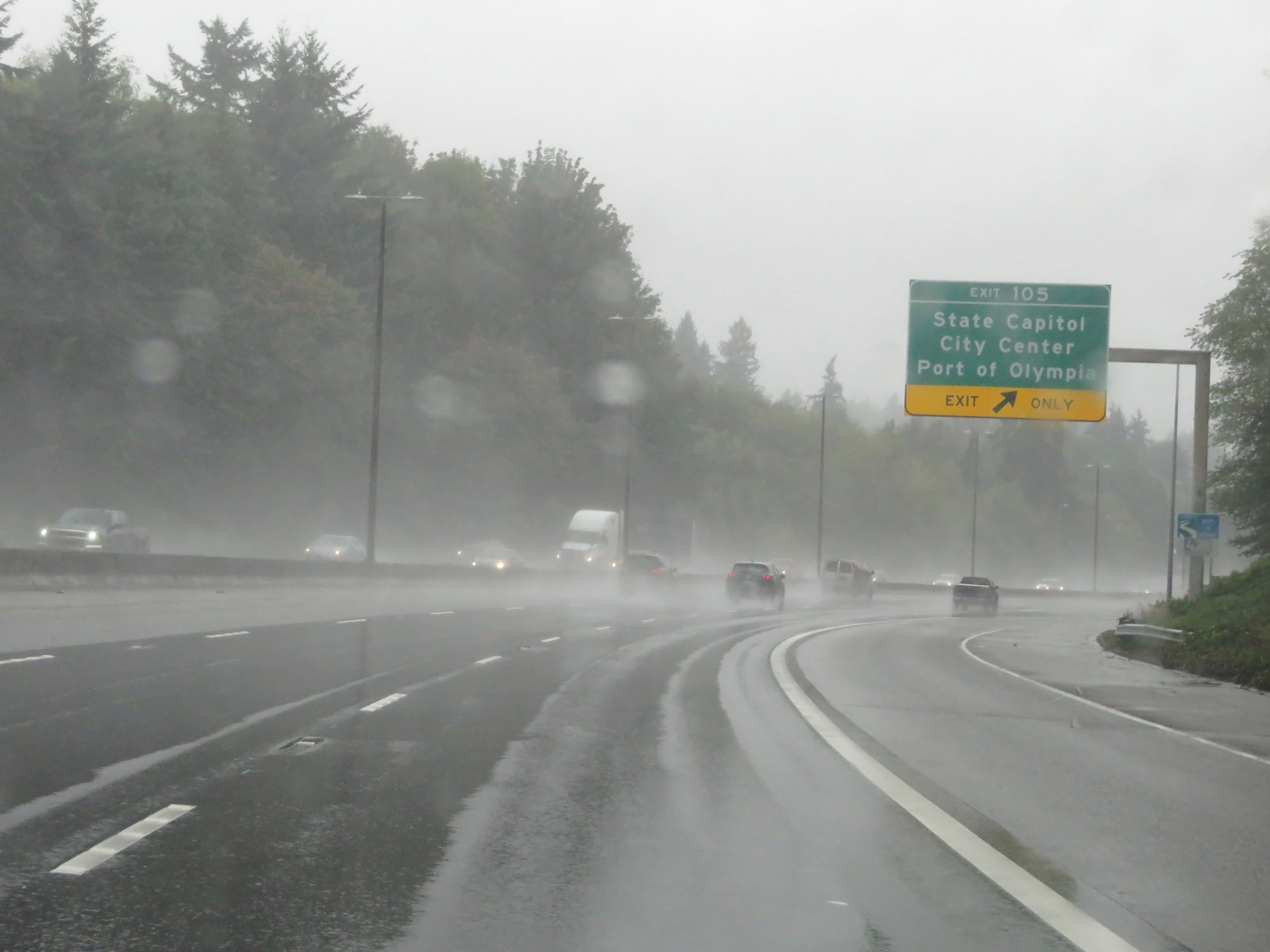 |
Interstate 5 South at Exit 105: State Capitol / City Center / Port of Olympia (Photo taken 9/22/19). |
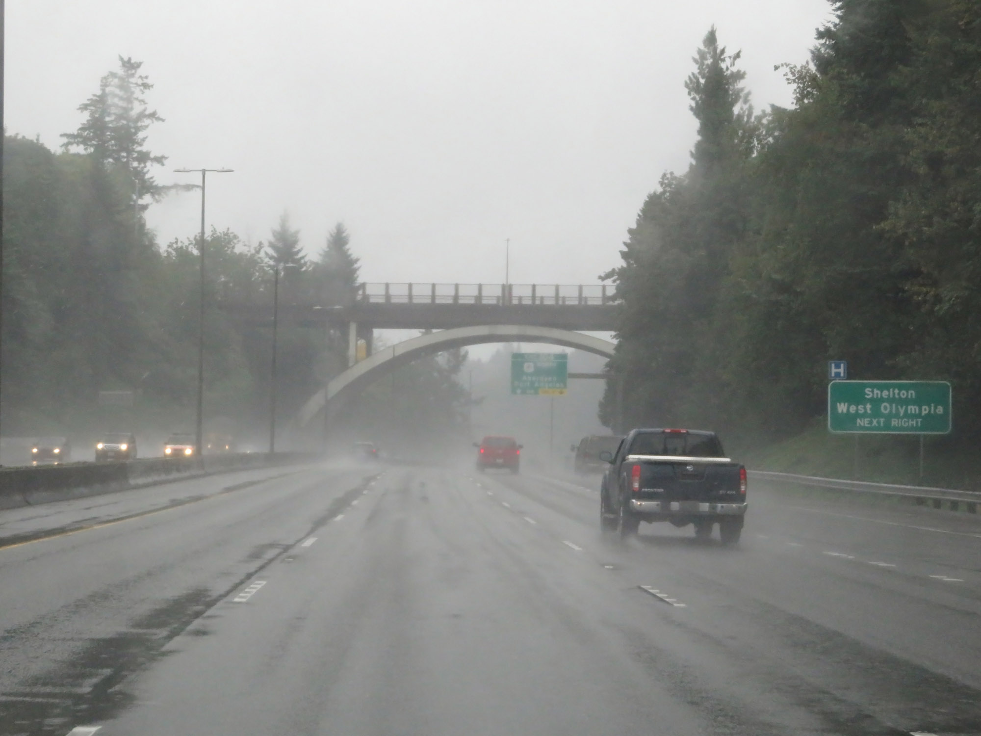 |
Take Exit 104 to Shelton and West Olympia. (Photo taken 9/22/19). |
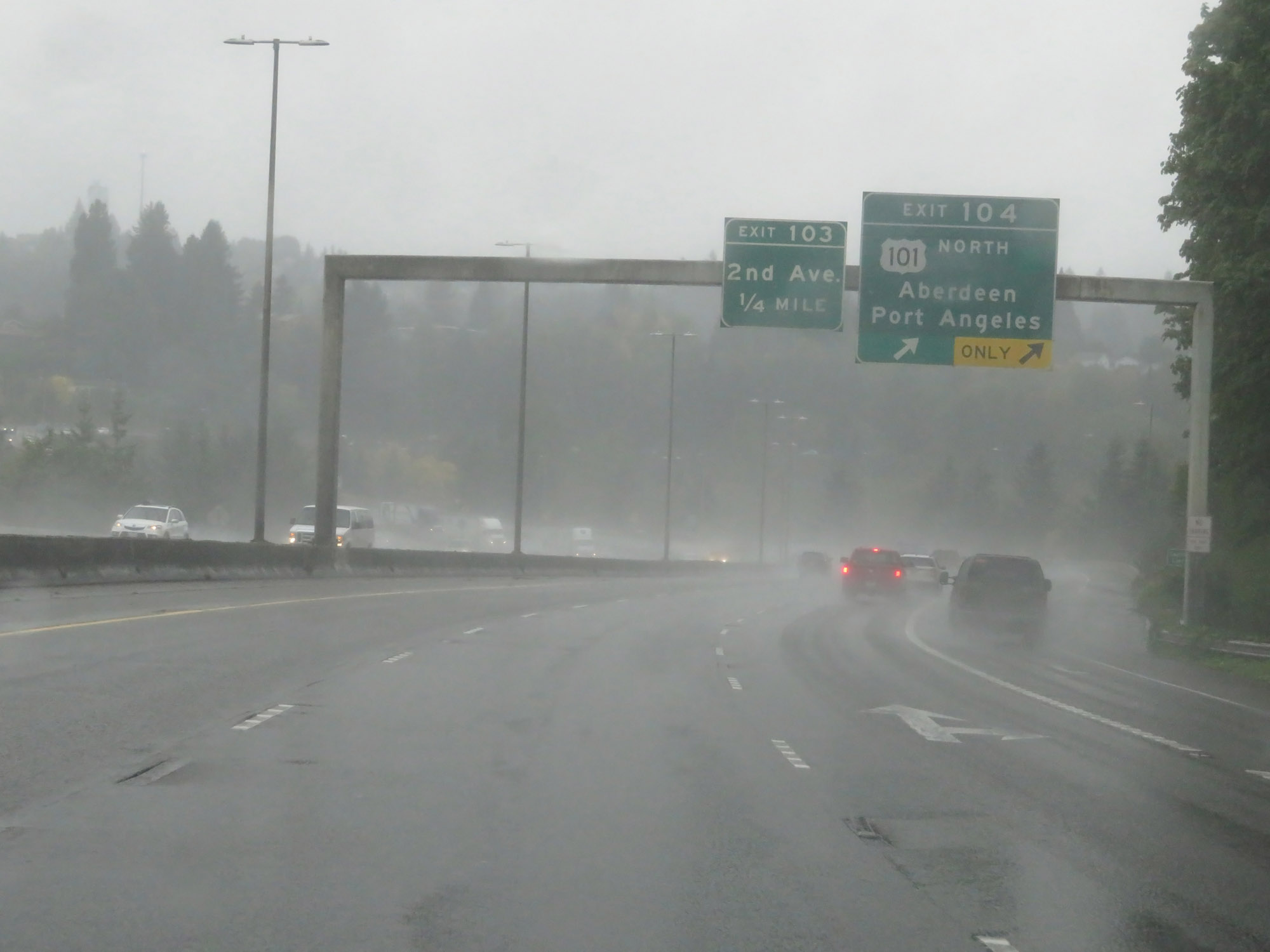 |
Interstate 5 South at Exit 104: US 101 North - Aberdeen / Port Angeles (Photo taken 9/22/19). |
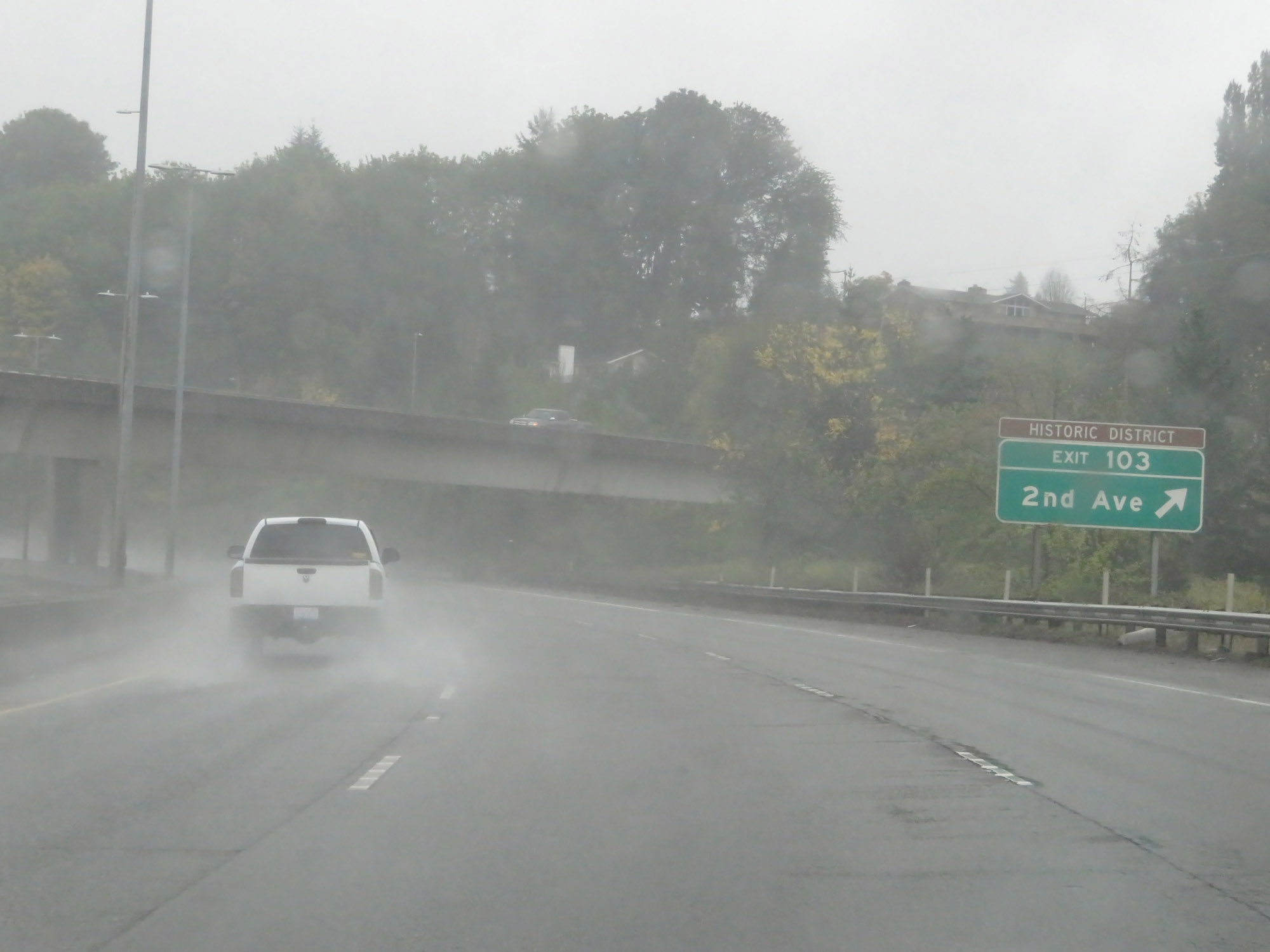 |
Interstate 5 South at Exit 103: 2nd Ave (Photo taken 9/22/19). |
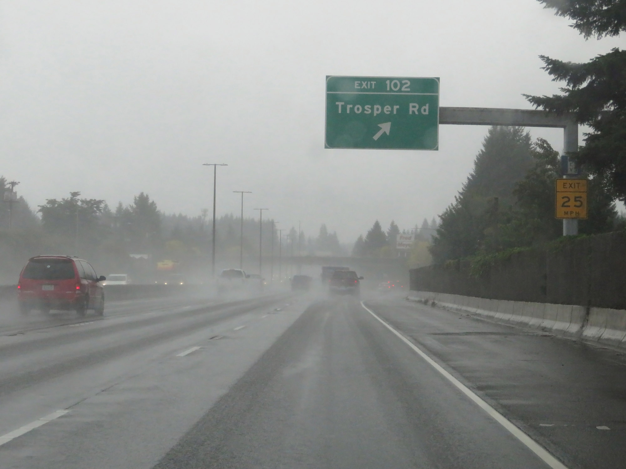 |
Interstate 5 South at Exit 102: Trosper Rd (Photo taken 9/22/19). |
 |
Interstate 5 South approaching Exit 101 - 1 mile. (Photo taken 9/22/19). |
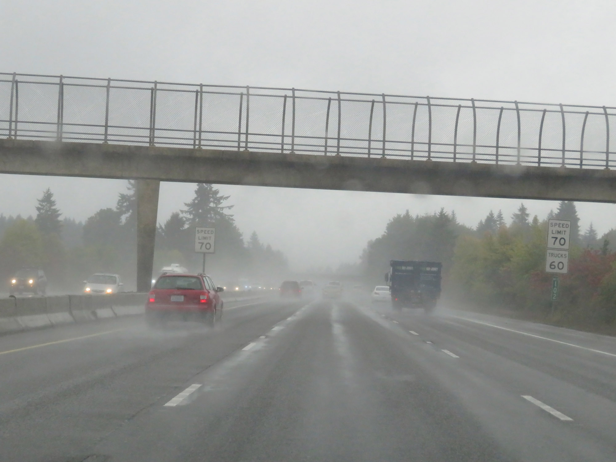 |
At mile marker 102, the speed limit for cars finally increases to 70 mph once again. As usual, the maximum speed limit for trucks remains 60 mph. (Photo taken 9/22/19). |
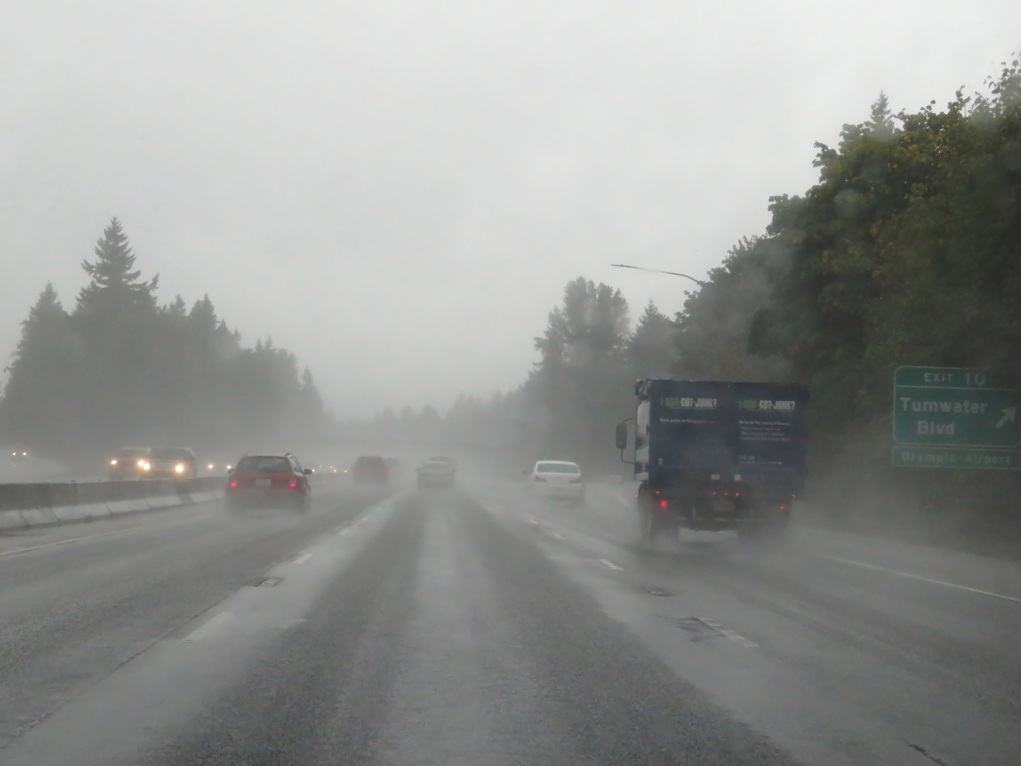 |
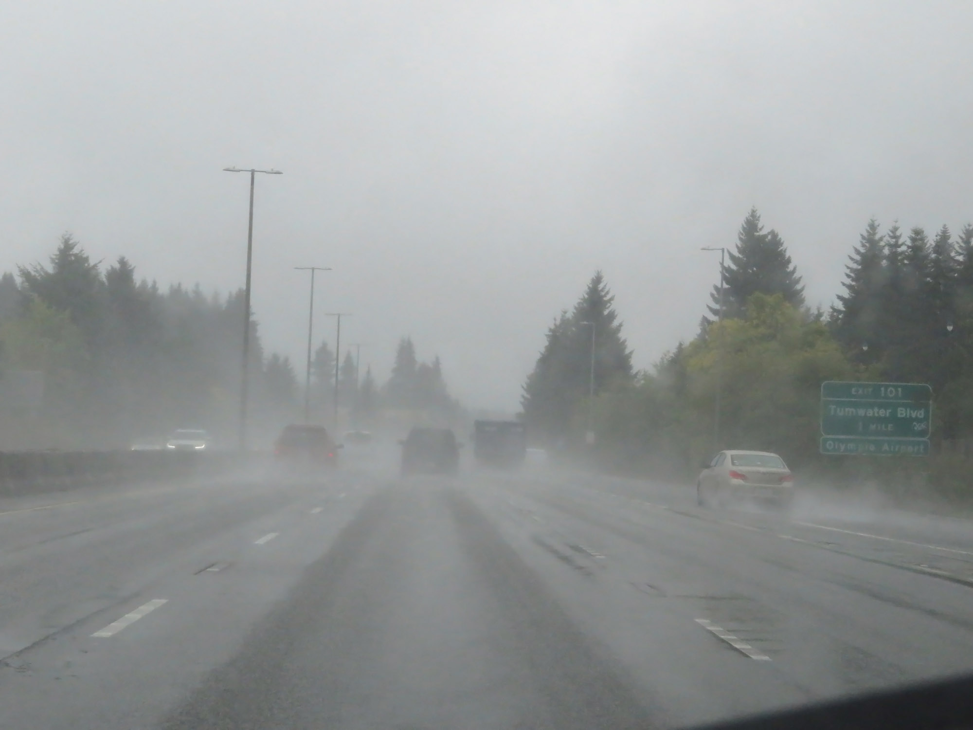
Interstate 5 South at Exit 101: Tumwater Blvd (Photo taken 9/22/19). |
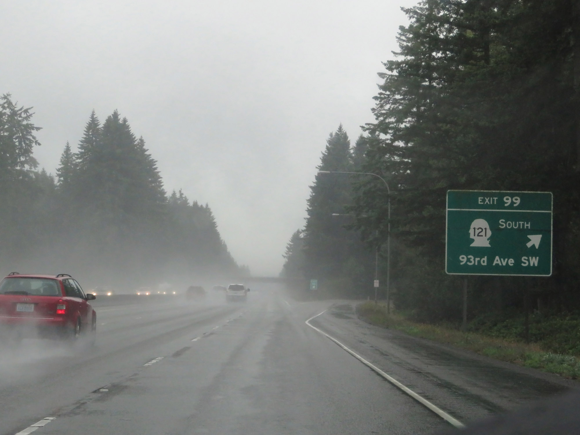 |
Interstate 5 South at Exit 99: WA 121 South - 93rd Ave SW (Photo taken 9/22/19). |
 |
The speed limits remain 70 mph for cars and 60 mph for trucks for quite a distance during this stretch. (Photo taken 9/22/19). |
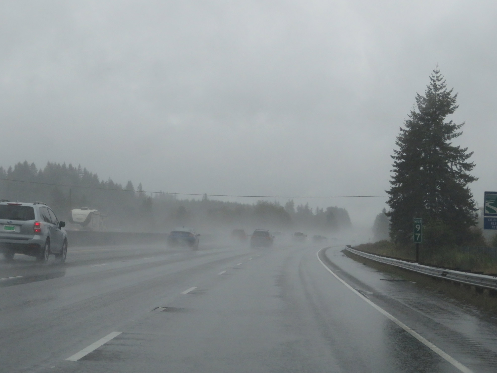 |
Interstate 5 South at mile marker 97. (Photo taken 9/22/19). |
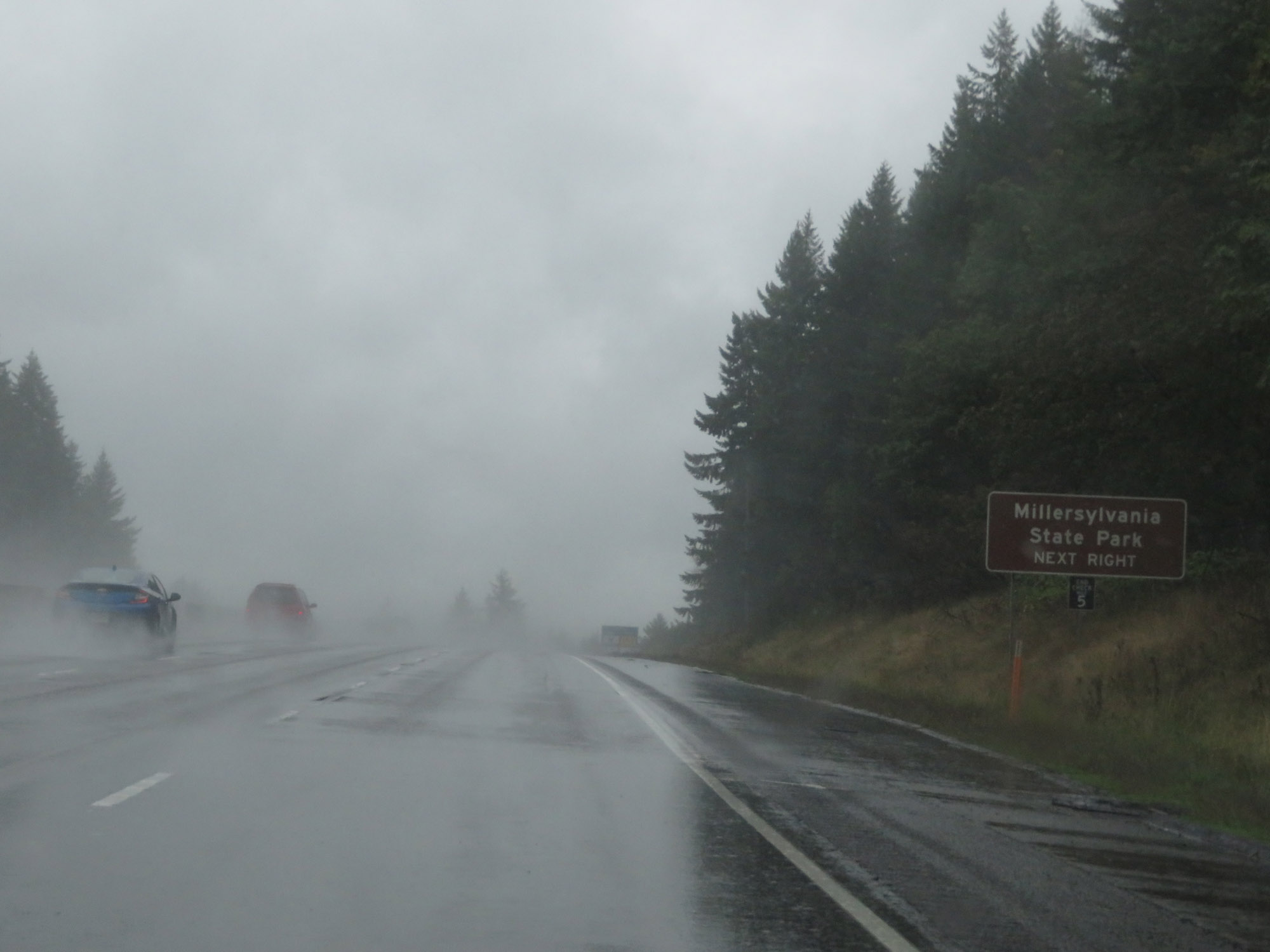 |
Take Exit 95 to Millersylvania State Park. (Photo taken 9/22/19). |
 |
Interstate 5 South at Exit 95: WA 121 North - Littlerock / Maytown (Photo taken 9/22/19). |
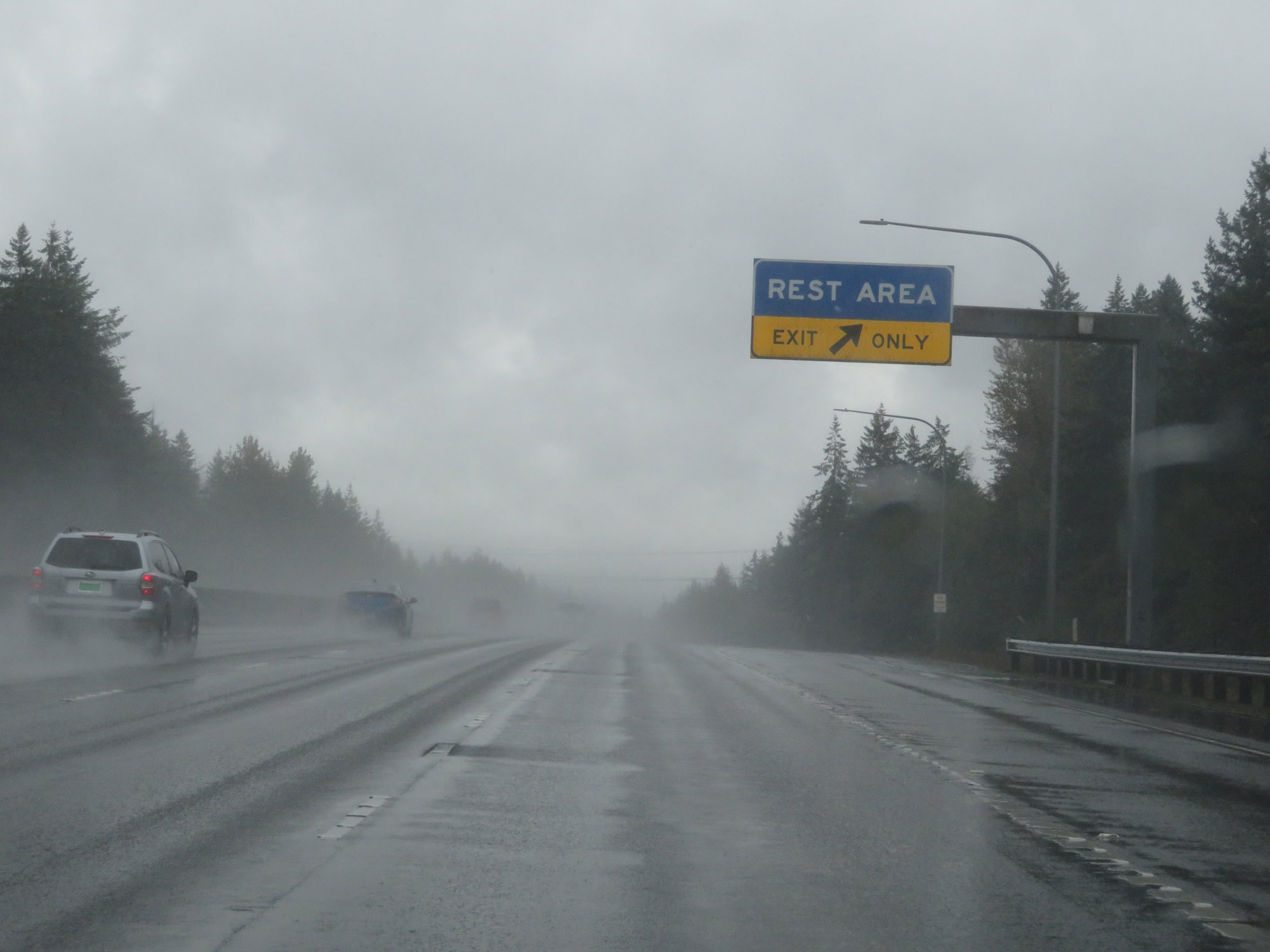 |
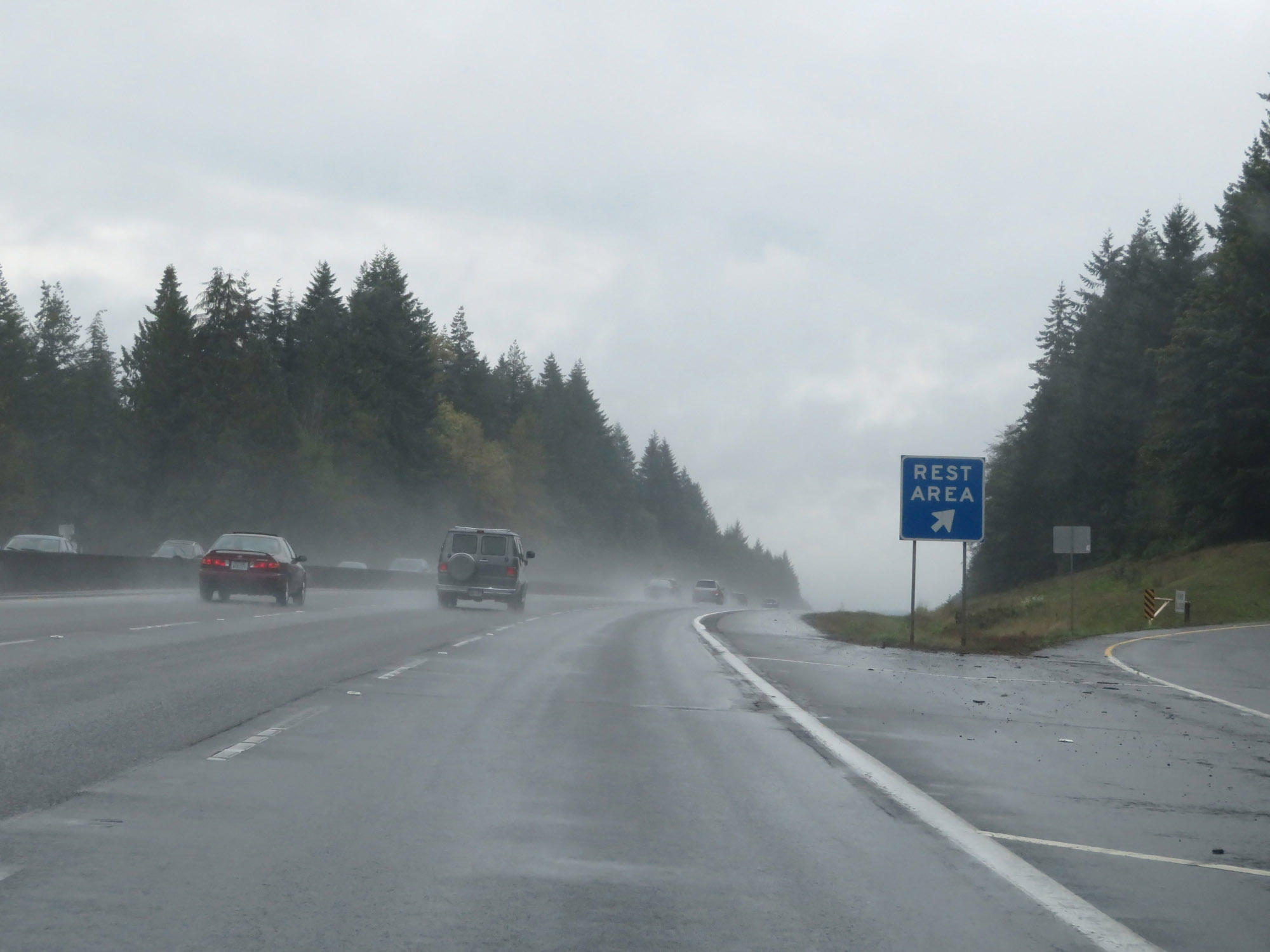
Rest Area on Interstate 5 South in Thurston County. (Photo taken 9/22/19). |
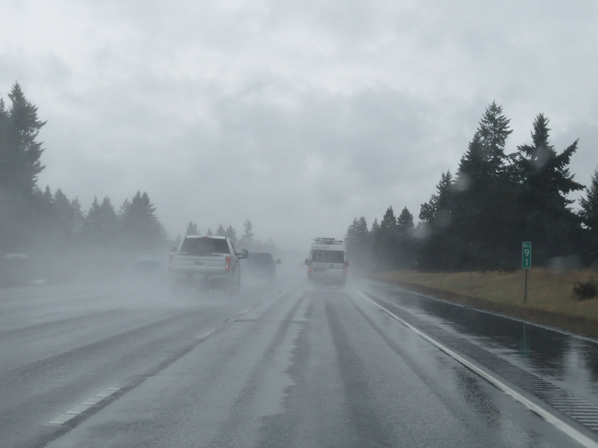 |
Interstate 5 South at mile marker 91. (Photo taken 9/22/19). |
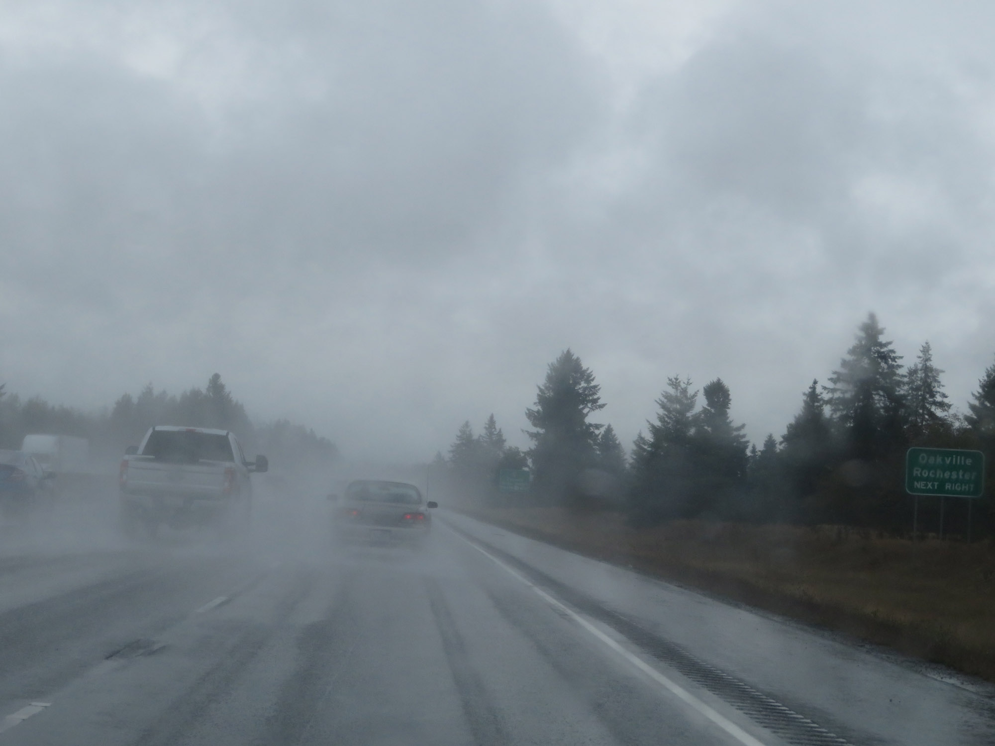 |
Take Exit 88 to Oakville and Rochester. (Photo taken 9/22/19). |
 |
Also take Exit 88 to Chehalis Tribal Center. (Photo taken 9/22/19). |
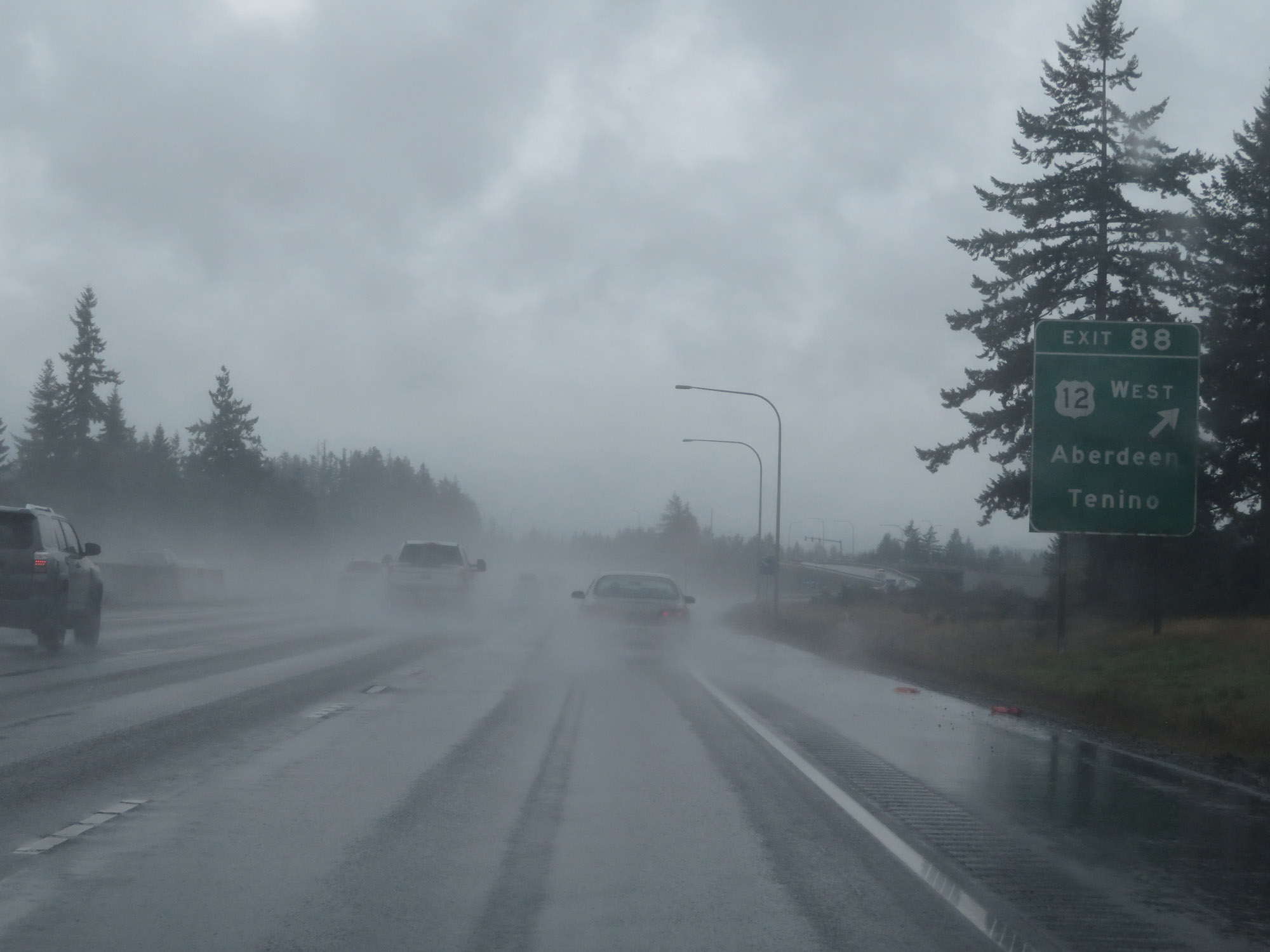 |
Interstate 5 South at Exit 88: US 12 West - Aberdeen / Tenino (Photo taken 9/22/19). |
 |
View on Interstate 5 South at mile marker 87. (Photo taken 9/22/19). |
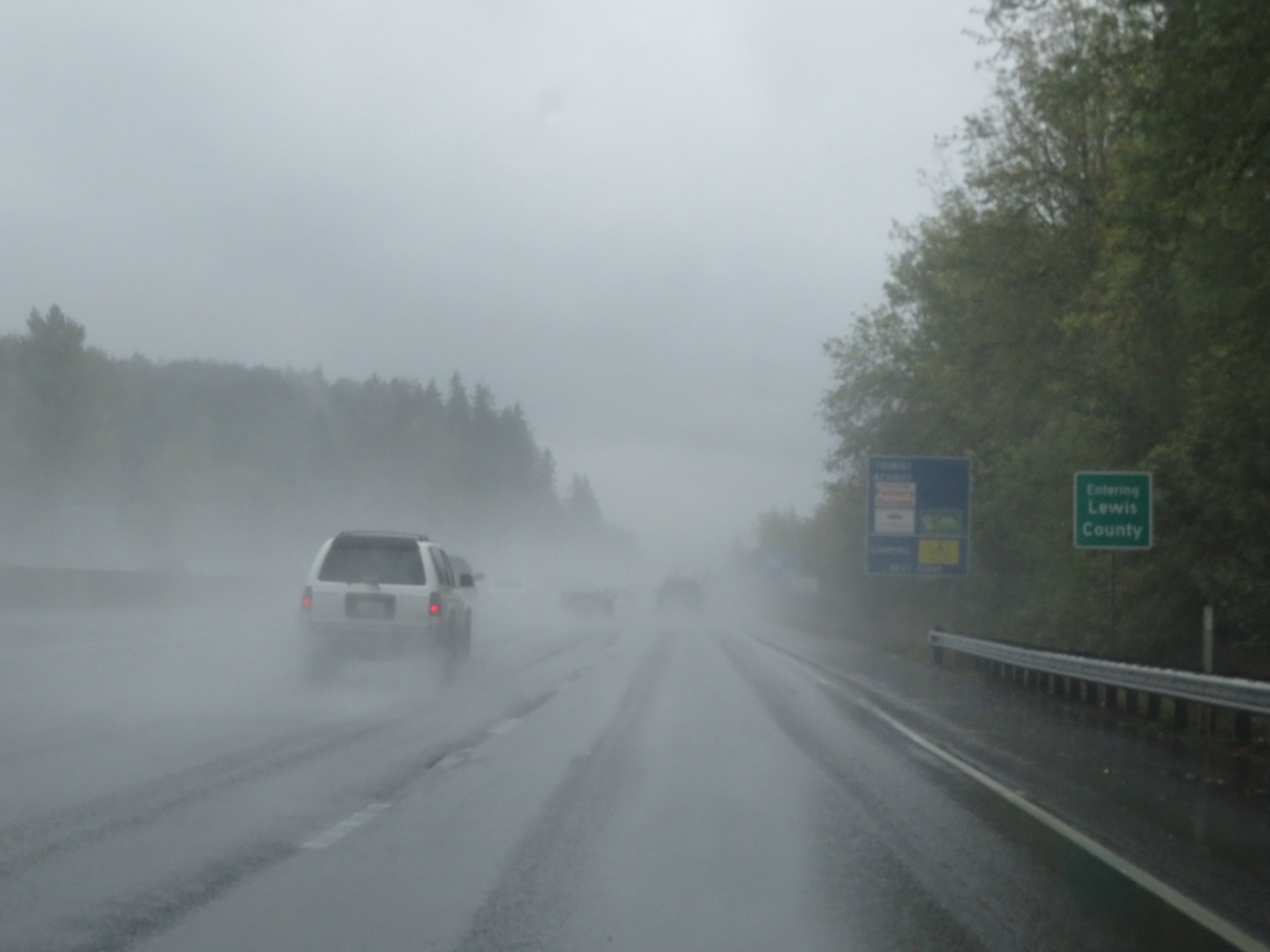 |
Entering Lewis County on Interstate 5 South. (Photo taken 9/22/19). |
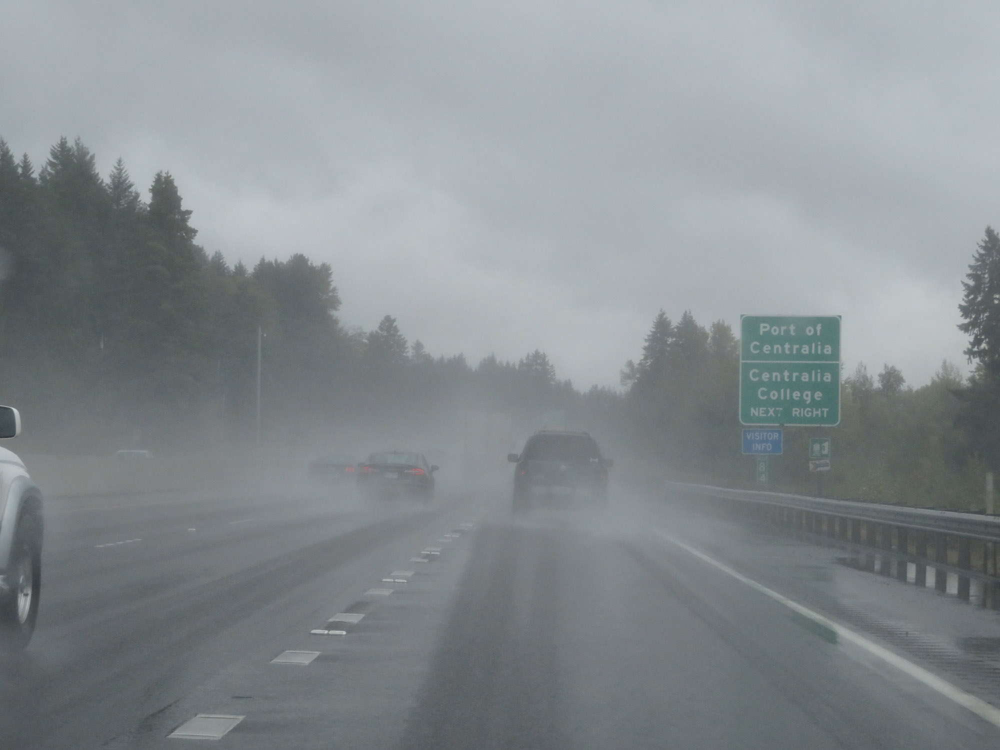 |
Take Exit 82 to Port of Centralia and Centralia College. (Photo taken 9/22/19). |
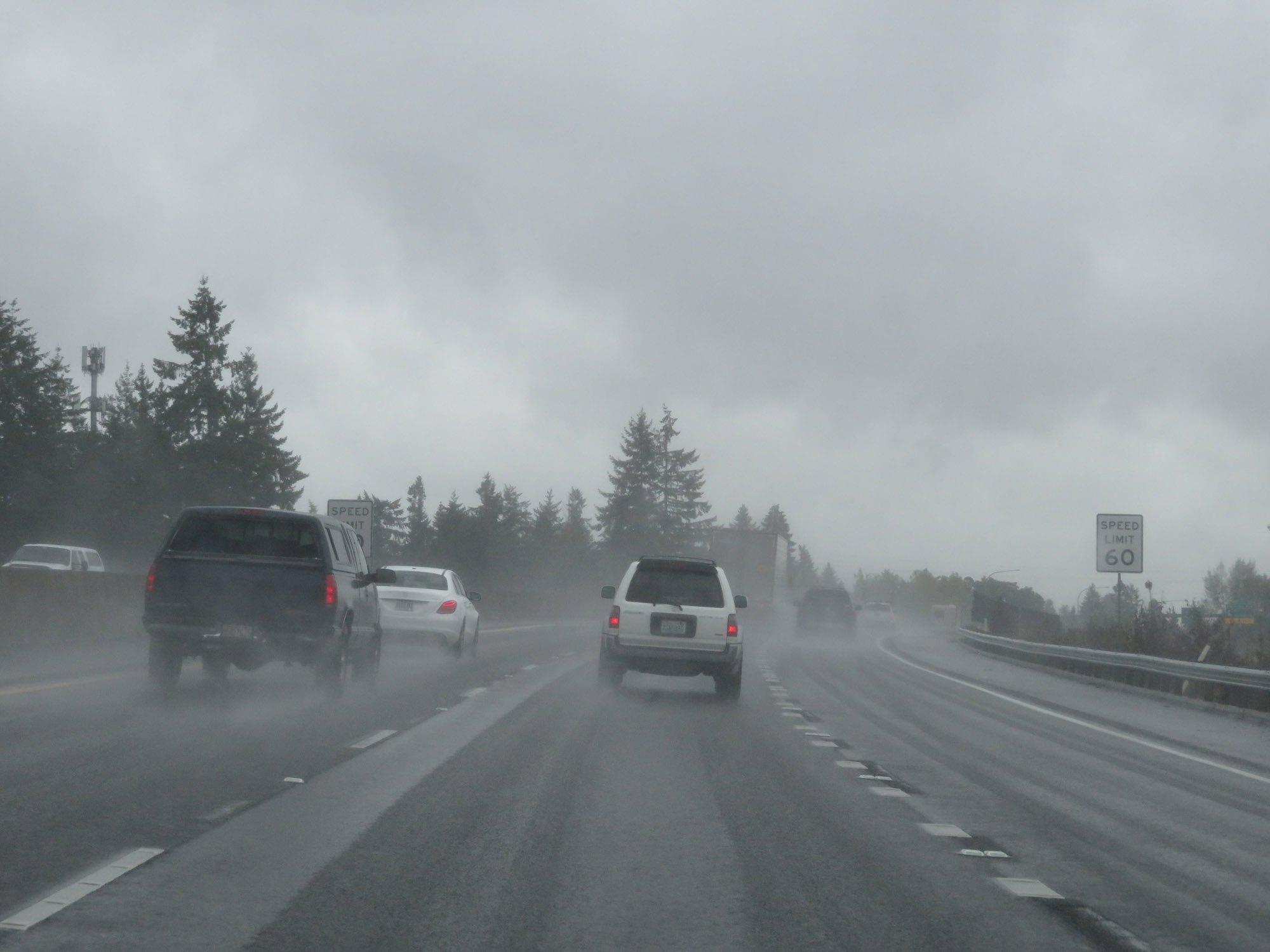 |
Approaching Exit 82, the speed limit decreases to 60 mph for all traffic once again. (Photo taken 9/22/19). |
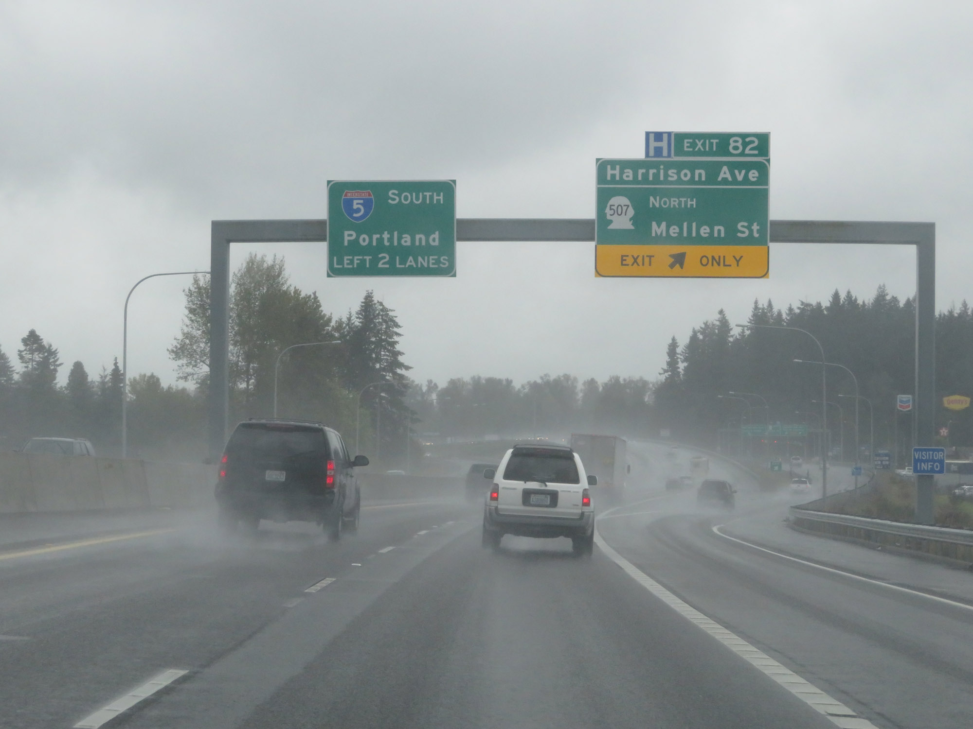 |
Interstate 5 South at Exit 82: WA 507 North - Harrison Ave / Mellen St (Photo taken 9/22/19). |
 |
View on Interstate 5 South as it prepares to cross the Skookumchuck River. (Photo taken 9/22/19). |
 |
Non-cutout Interstate 5 South / US 12 East reassurance markers at mile marker 81. (Photo taken 9/22/19). |
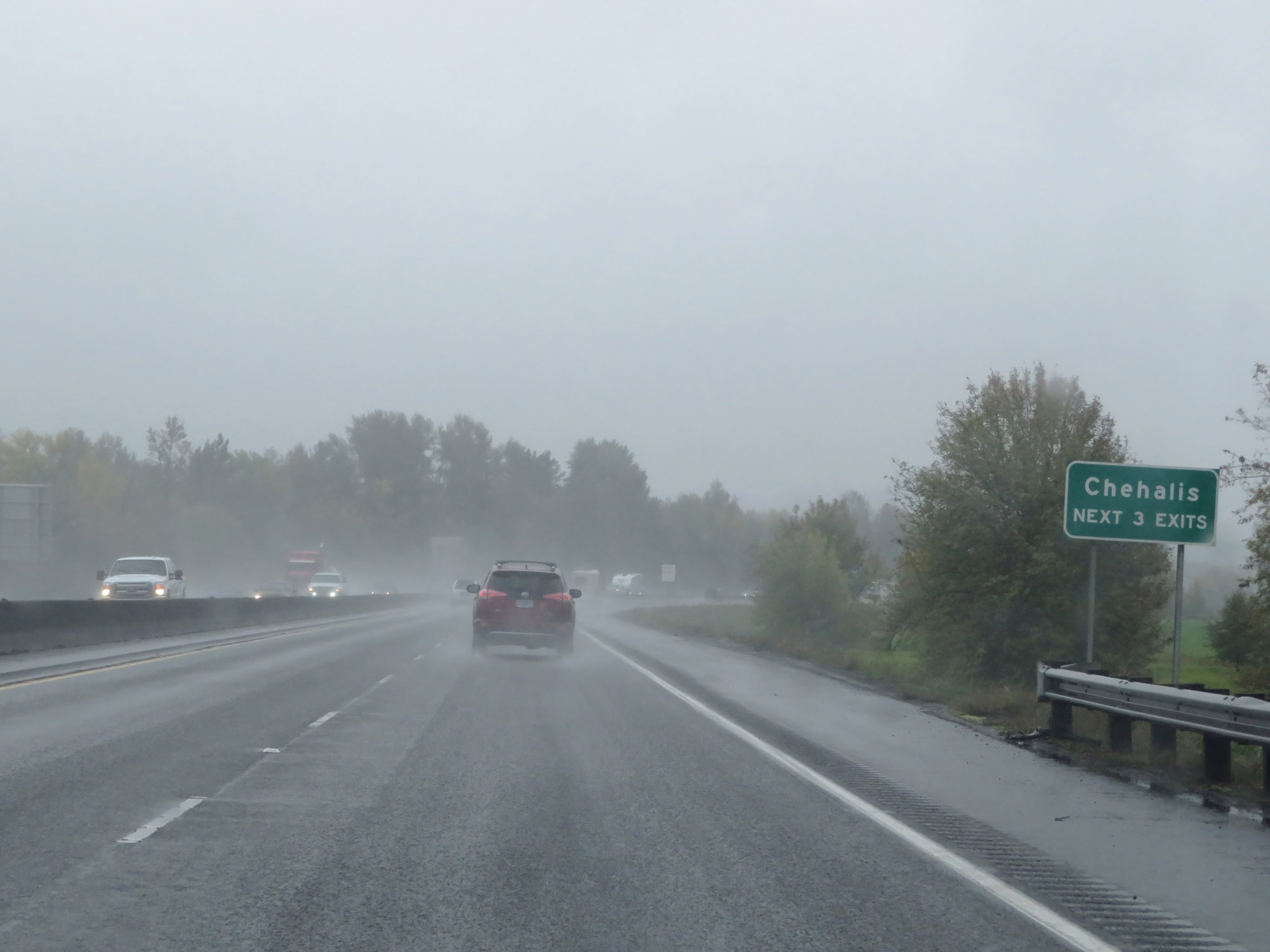 |
Take any of the next 3 exits to Chehalis. (Photo taken 9/22/19). |
 |
Take Exit 79 to the Lewis County Museum and Fairgrounds. (Photo taken 9/22/19). |
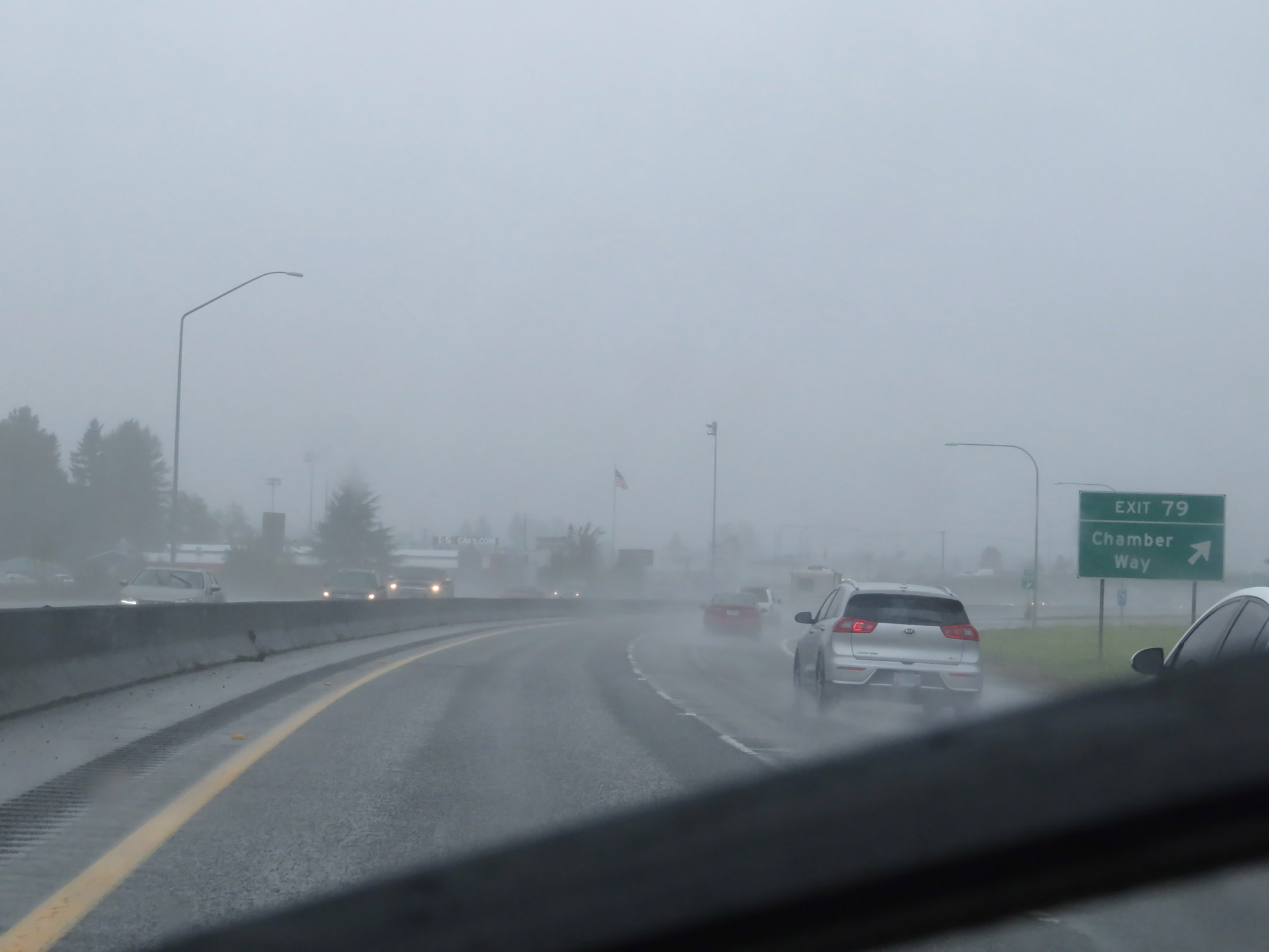 |
Interstate 5 South at Exit 79: Chamber Way (Photo taken 9/22/19). |
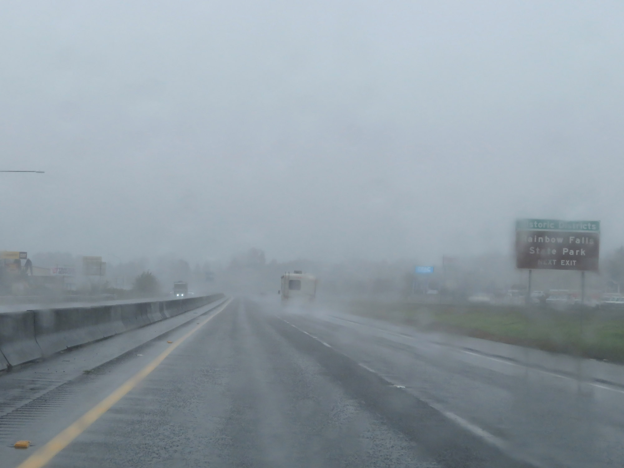 |
Take Exit 77 to Rainbow Falls State Park. (Photo taken 9/22/19). |
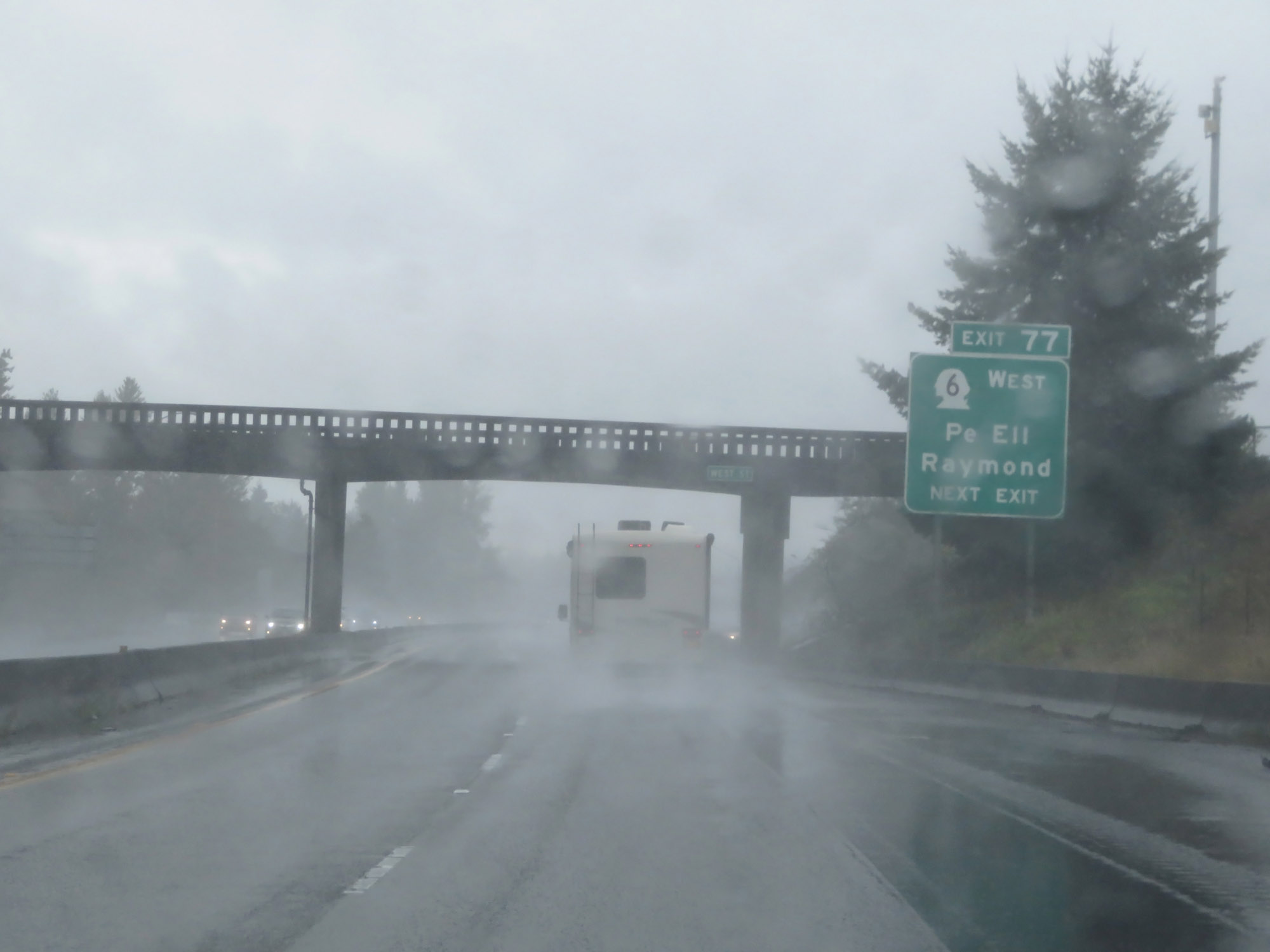 |
Interstate 5 South at Exit 77: WA 6 West - Pe Ell / Raymond (Photo taken 9/22/19). |
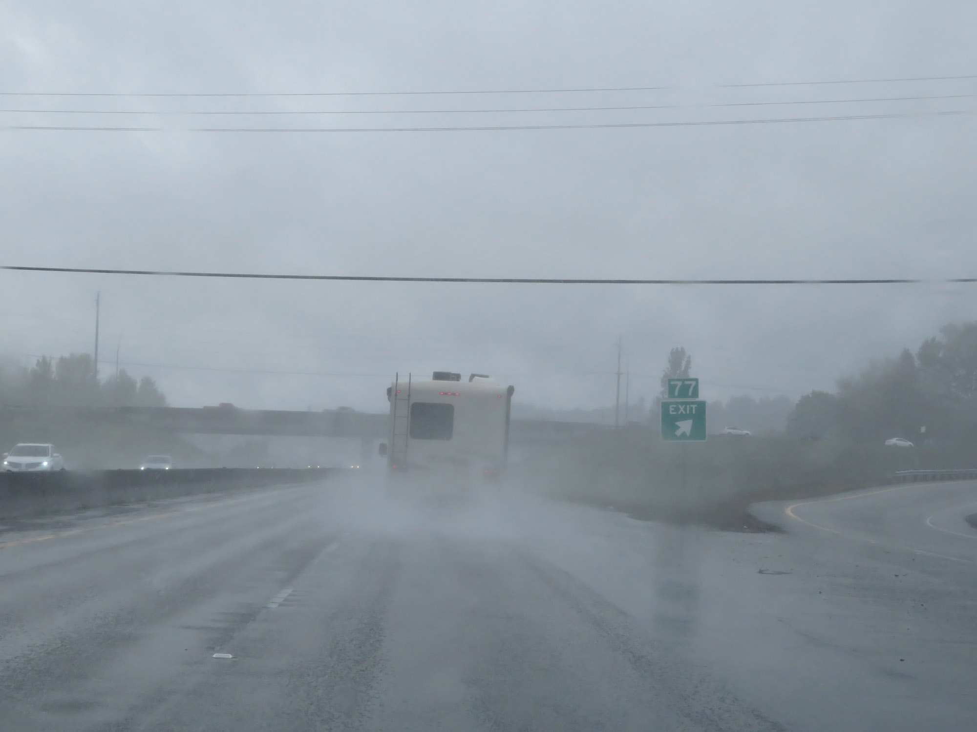 |
Gore point signage for Exit 77. (Photo taken 9/22/19). |
 |
Take Exit 76 to Chehalis City Parks. (Photo taken 9/22/19). |
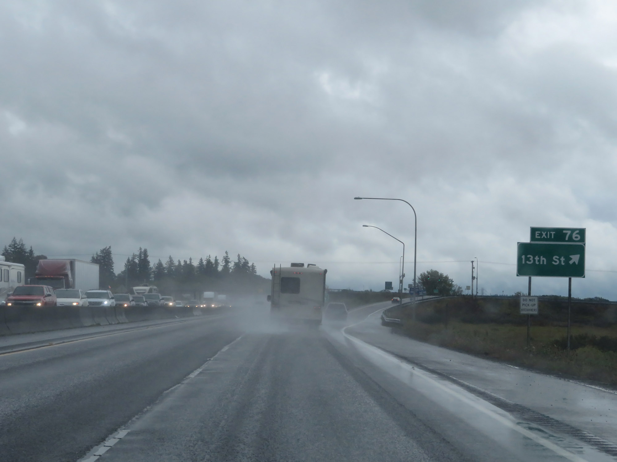 |
Interstate 5 South at Exit 76: 13th St (Photo taken 9/22/19). |
 |
South of Exit 76, the standard rural speed limits of 70 mph for cars and 60 mph for trucks resume. (Photo taken 9/22/19). |
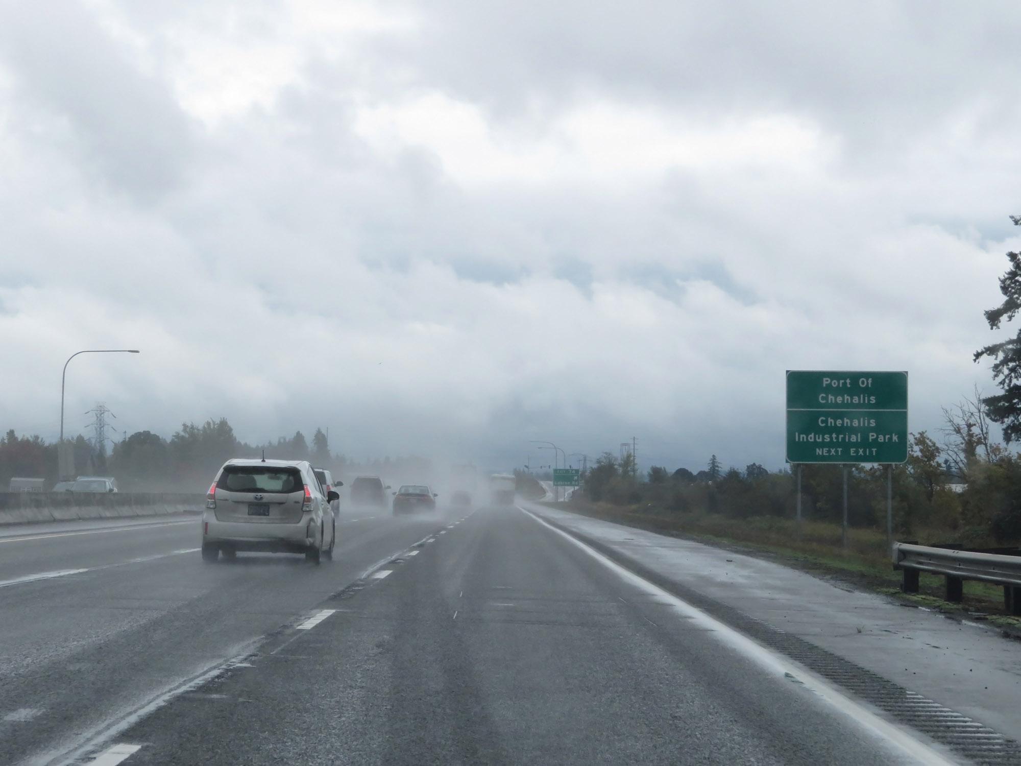 |
Take Exit 74 to Port of Chehalis and Chehalis Industrial Park. (Photo taken 9/22/19). |
 |
Interstate 5 South at Exit 74: Labree Rd (Photo taken 9/22/19). |
Section 6: Chehalis (Exit 74) to Kalama (Exit 30)
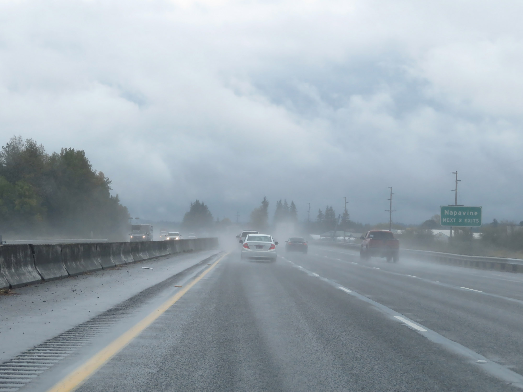 |
Take either of the next 2 exits to Napavine. (Photo taken 9/22/19). |
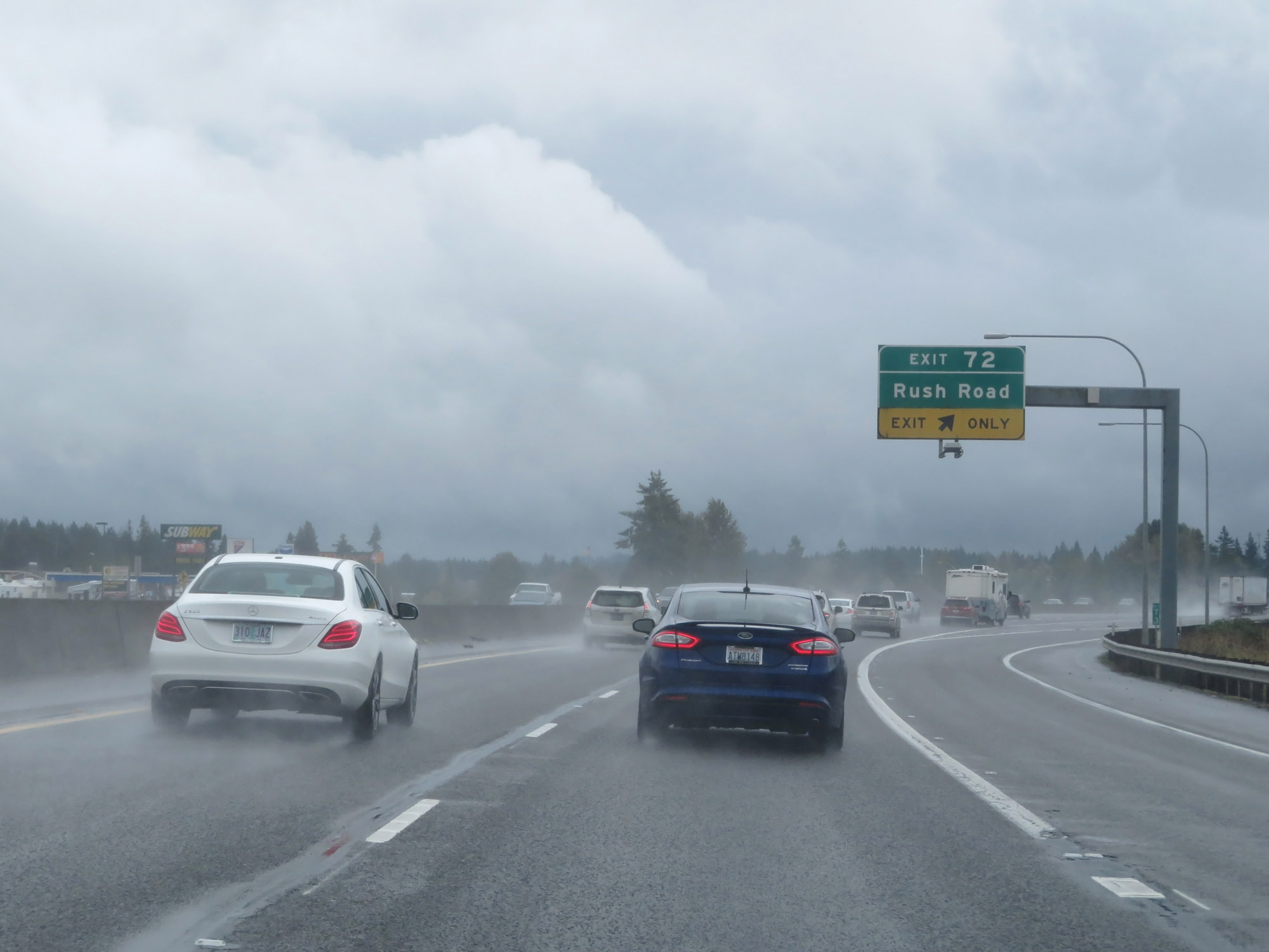 |
Interstate 5 South at Exit 72: Rush Road (Photo taken 9/22/19). |
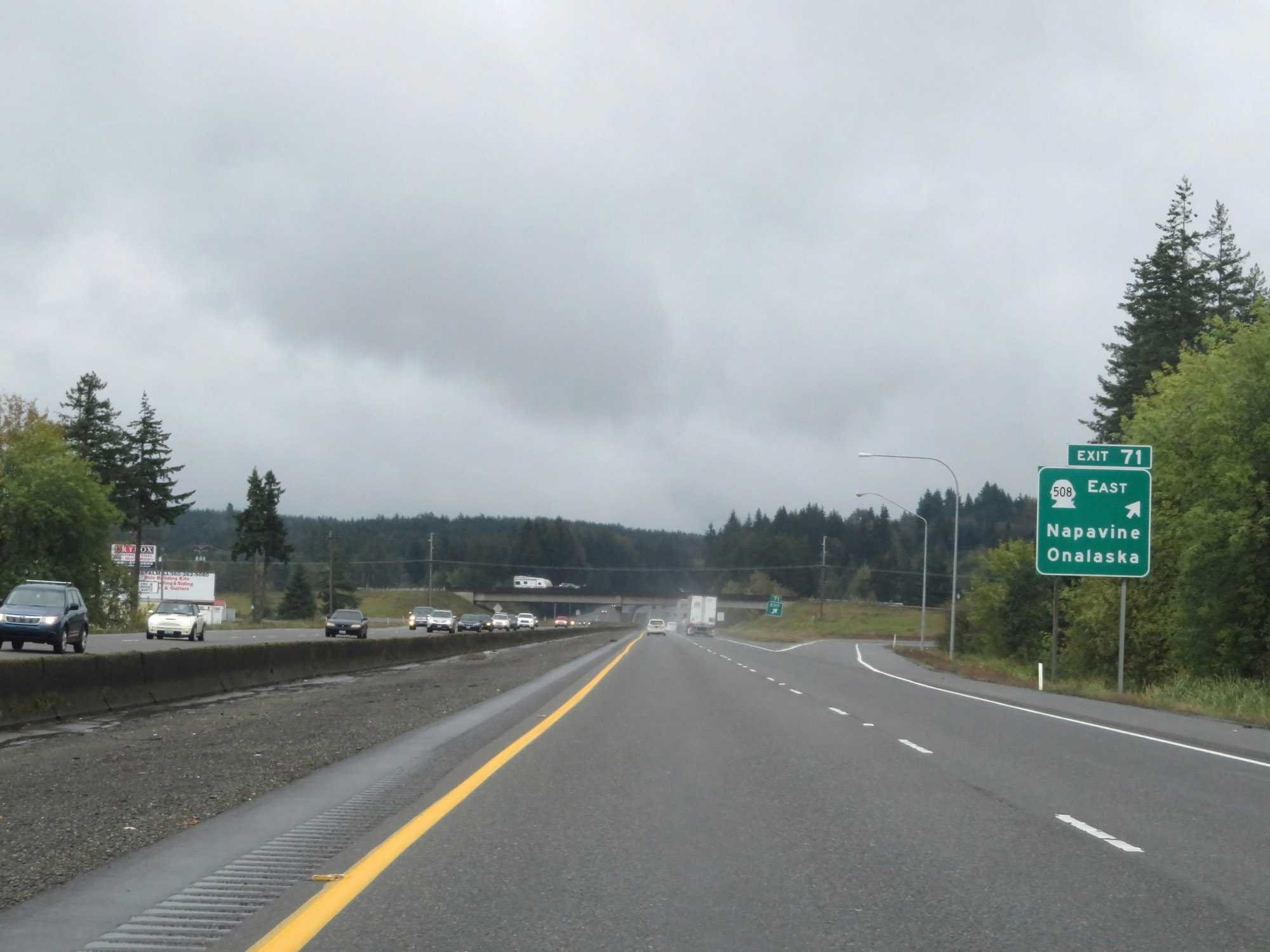 |
Interstate 5 South at Exit 71: WA 508 East - Napavine / Onalaska (Photo taken 9/22/19). |
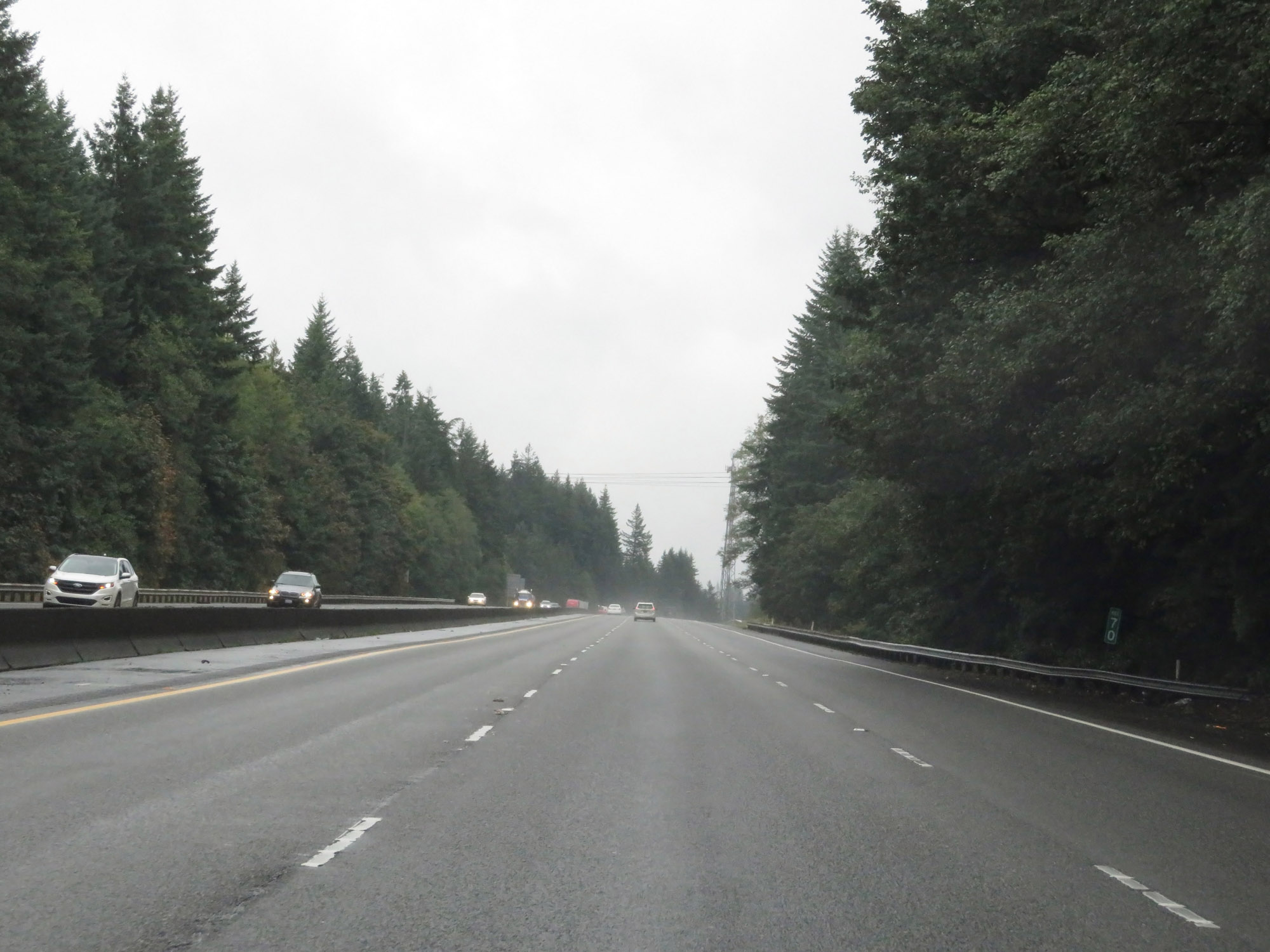 |
View on Interstate 5 South at mile marker 70. (Photo taken 9/22/19). |
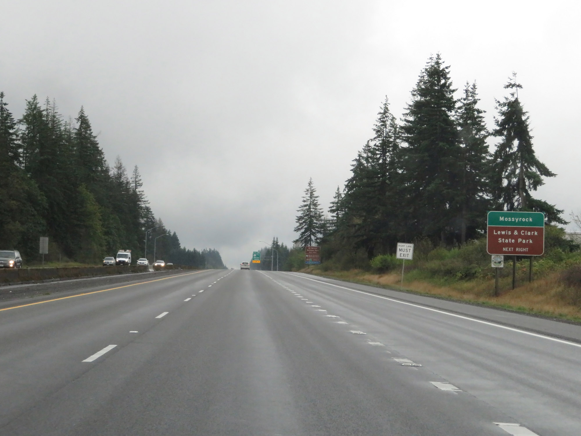 |
Take Exit 68 to Mossyrock and Lewis & Clark State Park. (Photo taken 9/22/19). |
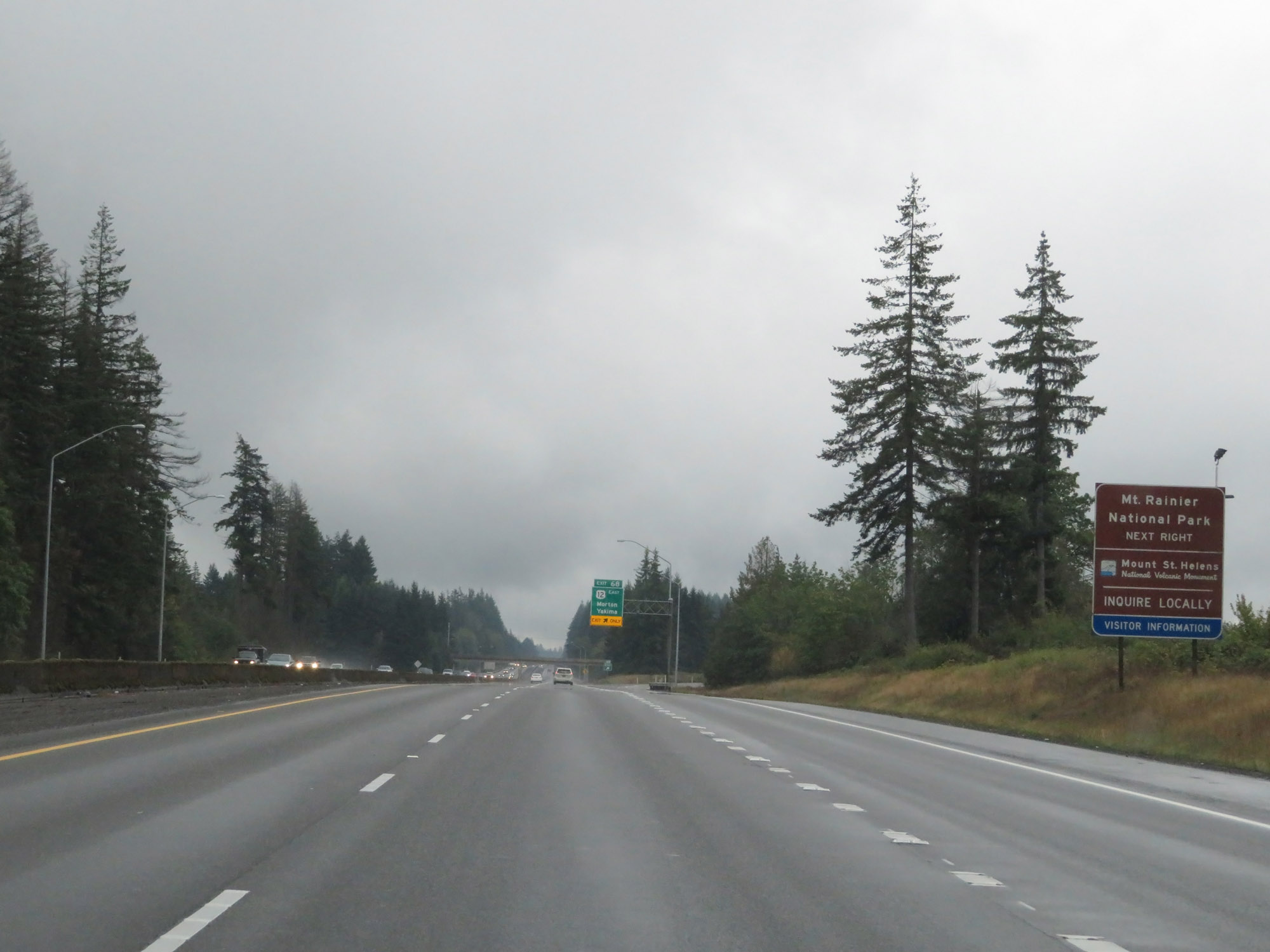 |
Also take Exit 68 to Mt. Rainier National Park and Mount St. Helens National Volcanic Monument. (Photo taken 9/22/19). |
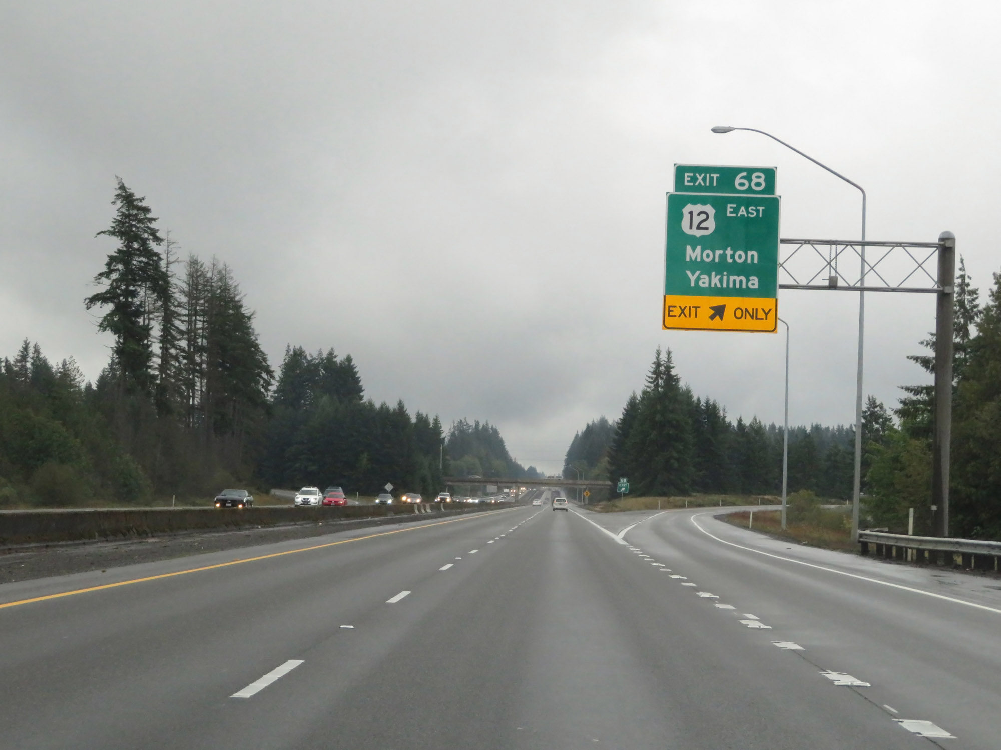 |
Interstate 5 South at Exit 68: US 12 East - Morton / Yakima (Photo taken 9/22/19). |
 |
Another non-cutout Interstate 5 South reassurance shield. (Photo taken 9/22/19). |
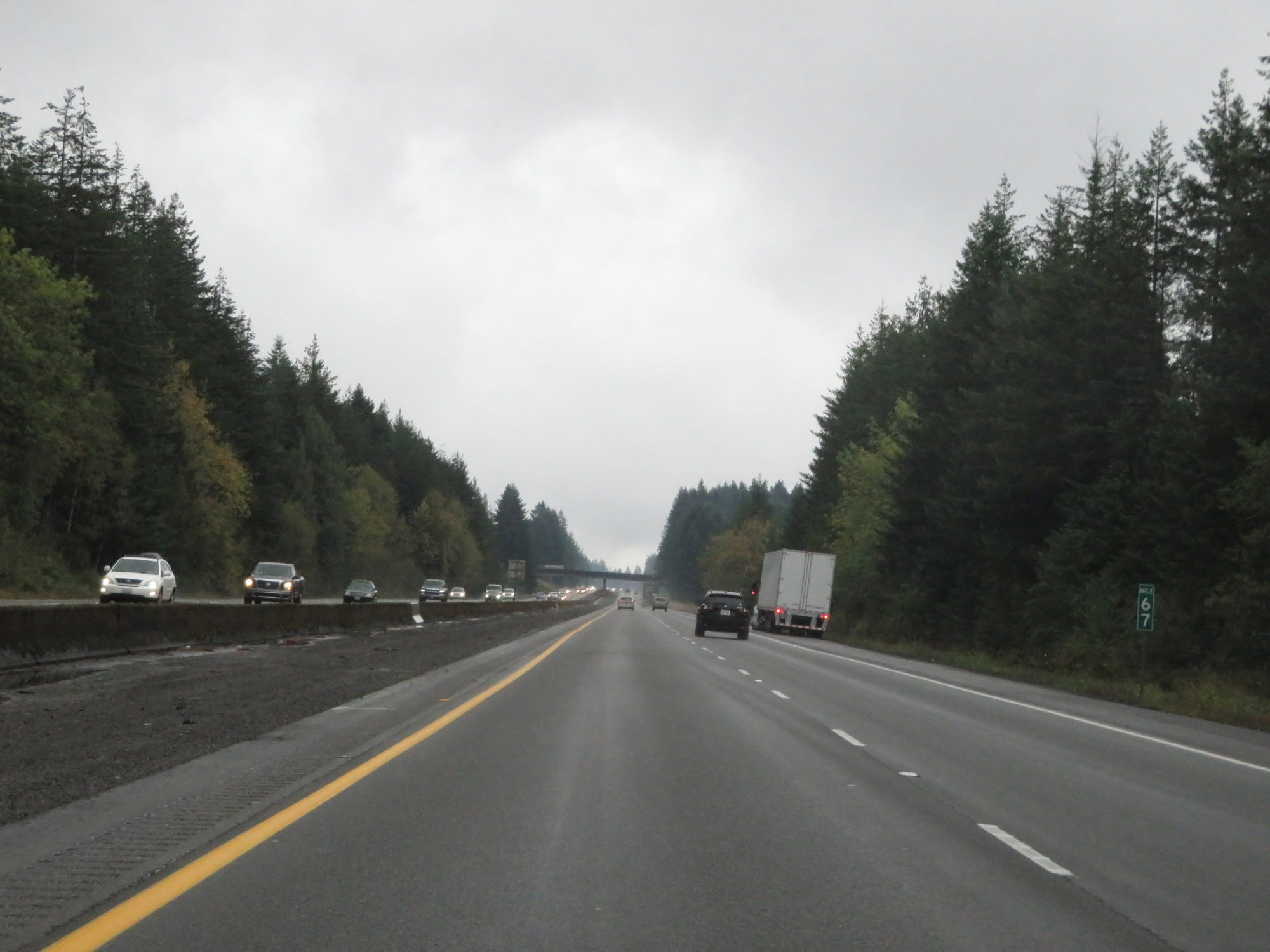 |
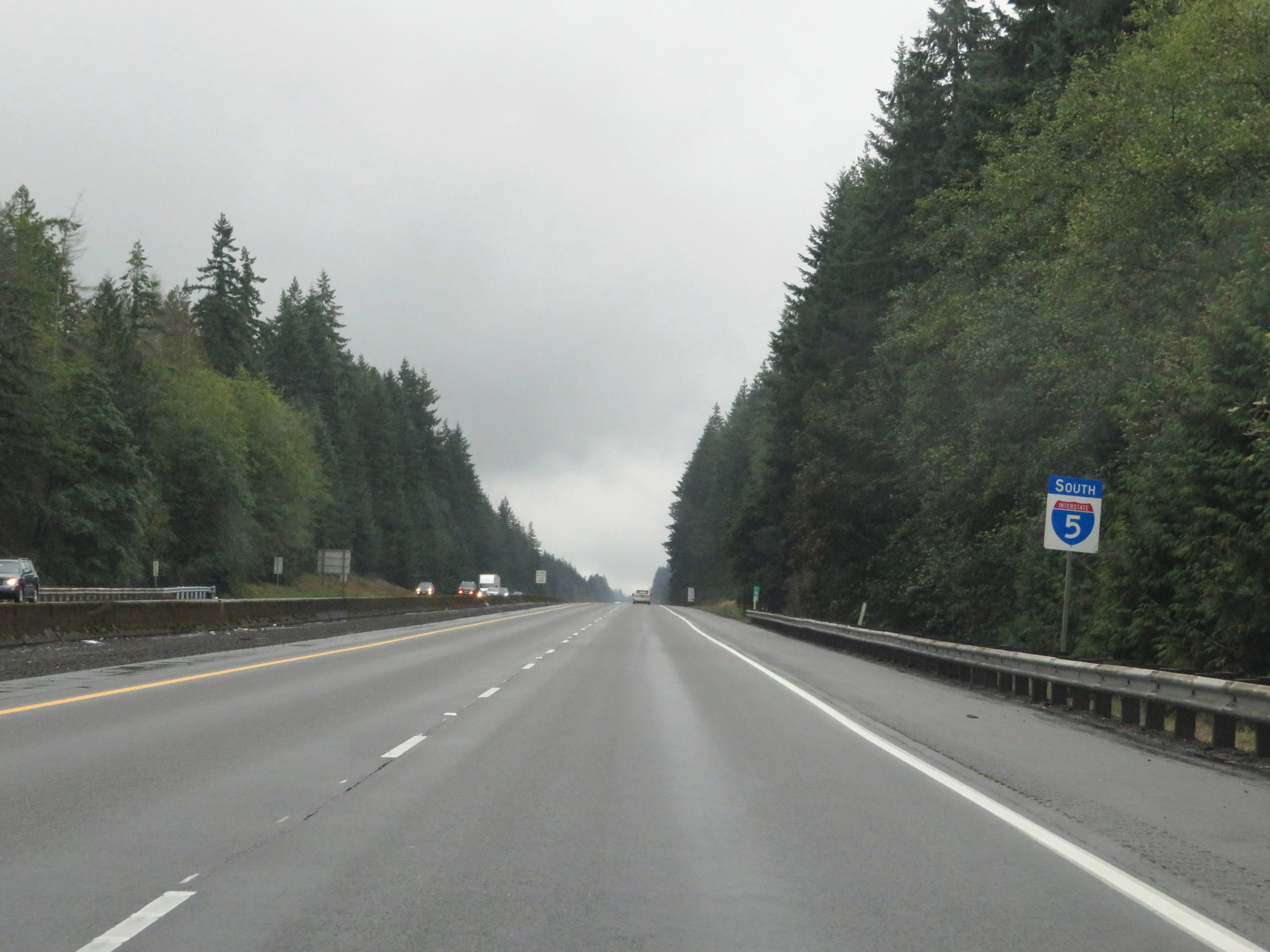
View on Interstate 5 South at mile marker 67. (Photo taken 9/22/19). |
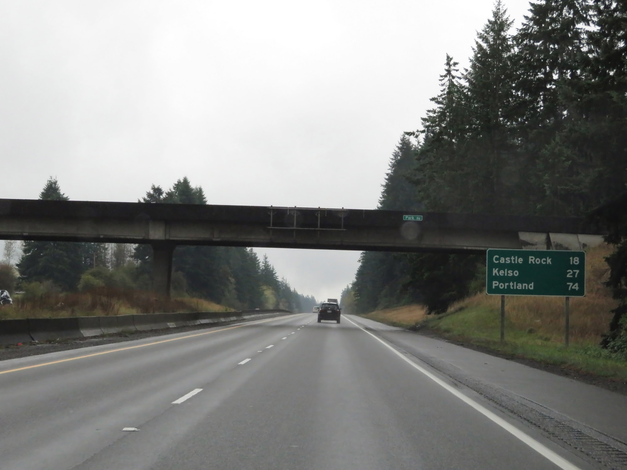 |
Mileage sign on Interstate 5 South. It's 18 miles to Castle Rock, 27 miles to Kelso, and 74 miles to Portland. (Photo taken 9/22/19). |
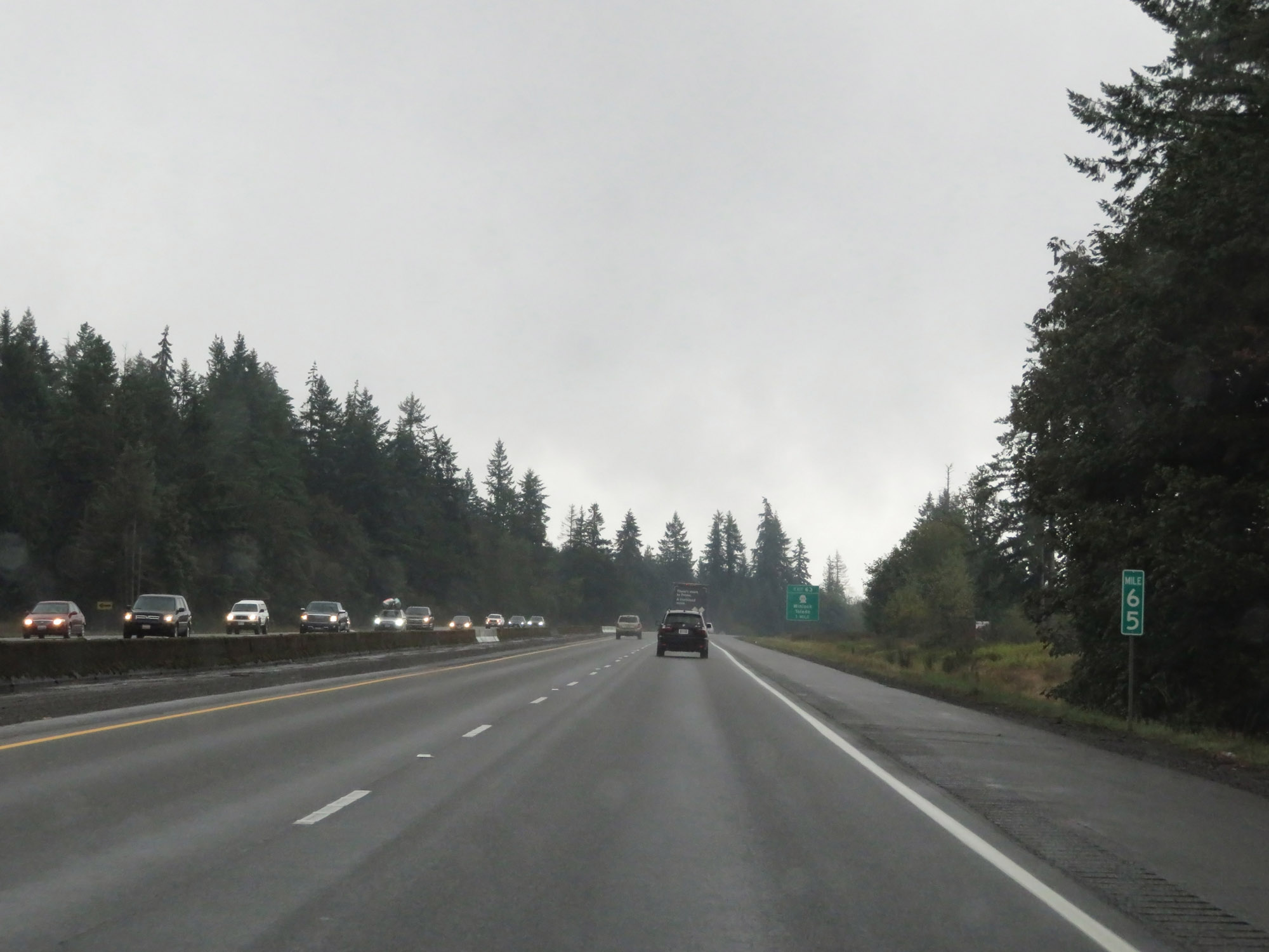 |
Interstate 5 South at mile marker 65. (Photo taken 9/22/19). |
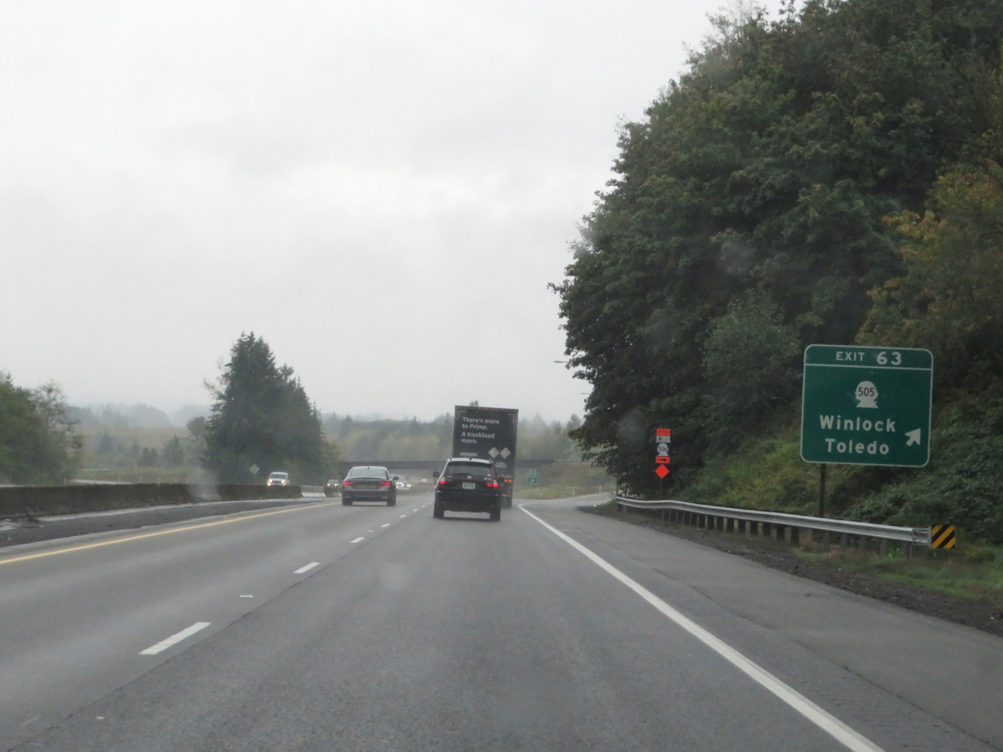 |
Interstate 5 South at Exit 63: WA 505 - Winlock / Toledo (Photo taken 9/22/19). |
 |
View on Interstate 5 South at mile marker 62. (Photo taken 9/22/19). |
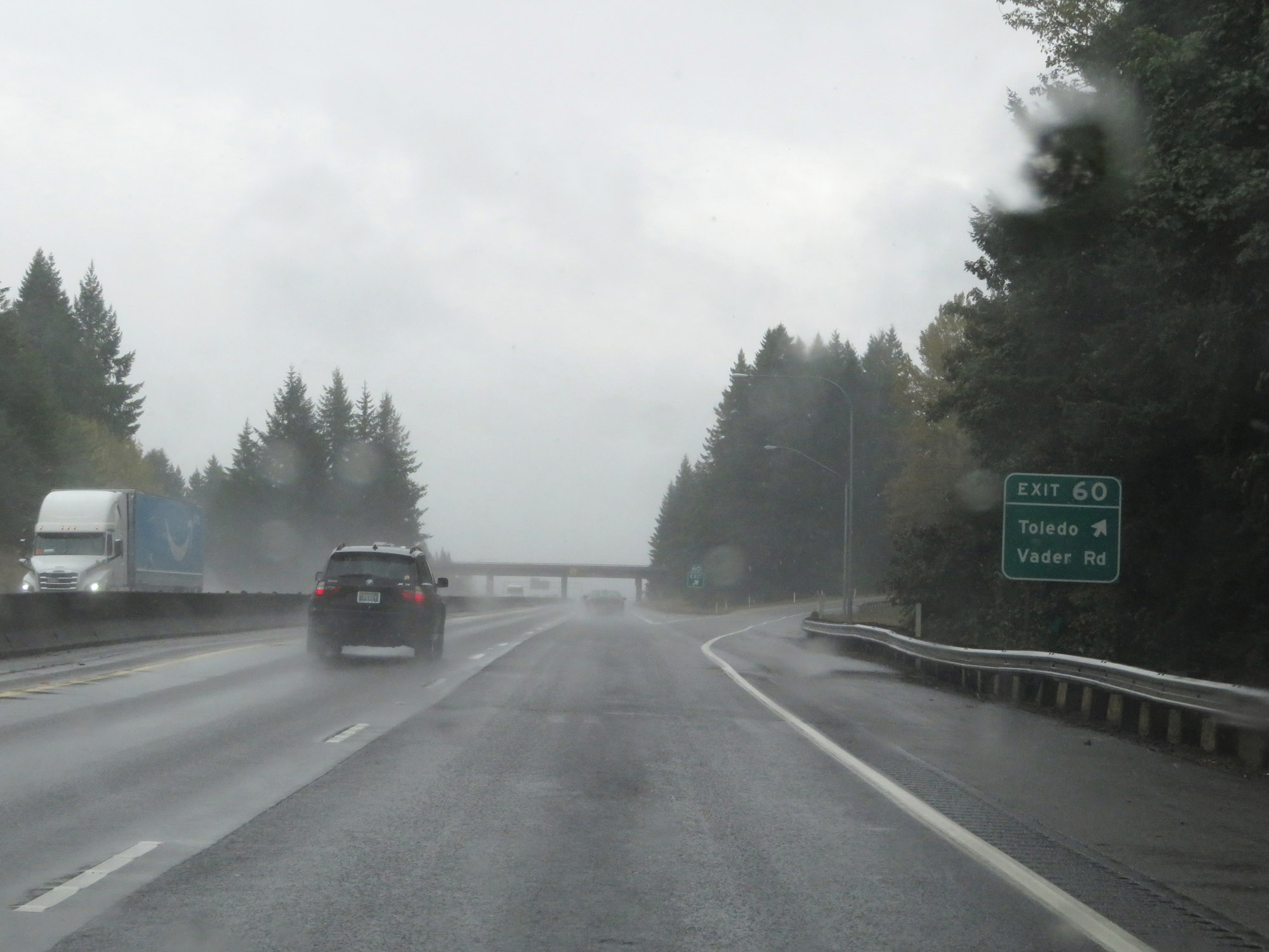 |
Interstate 5 South at Exit 60: Toledo / Vader Rd (Photo taken 9/22/19). |
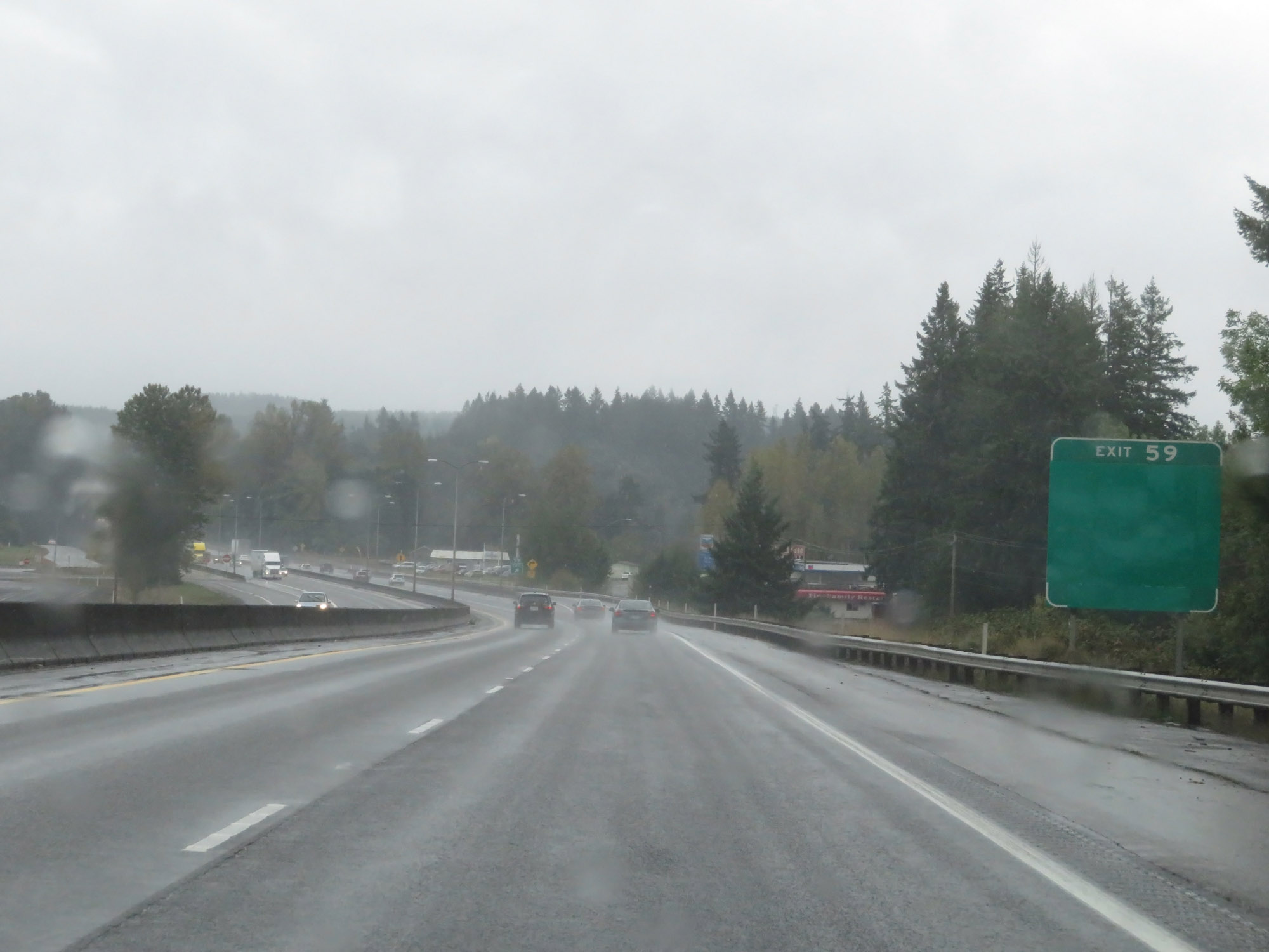 |
Interstate 5 South at Exit 59: WA 506 - Ryderwood / Vader (Photo taken 9/22/19). |
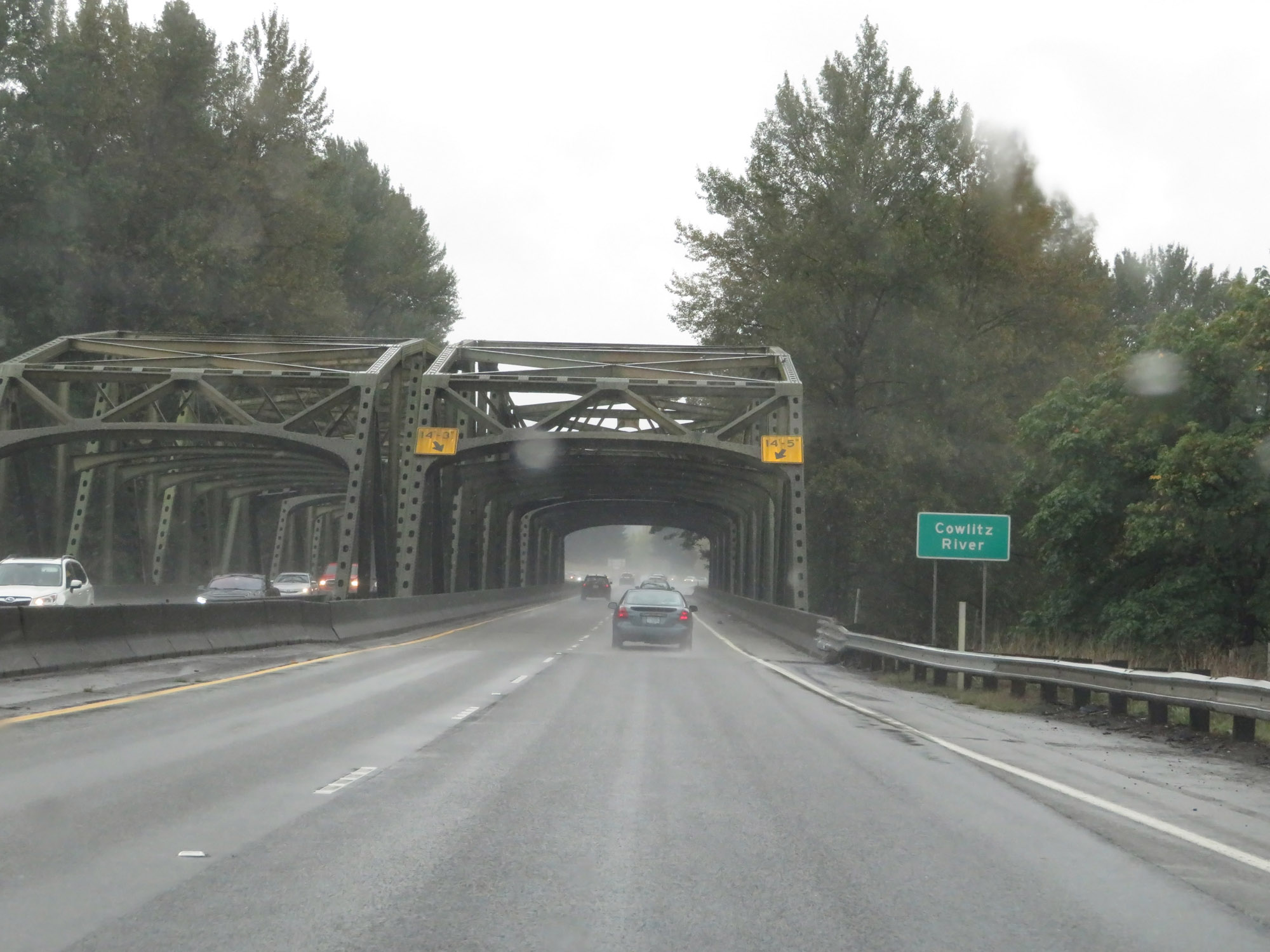 |
View on Interstate 5 South as it prepares to cross the Cowlitz River in Lewis County. (Photo taken 9/22/19). |
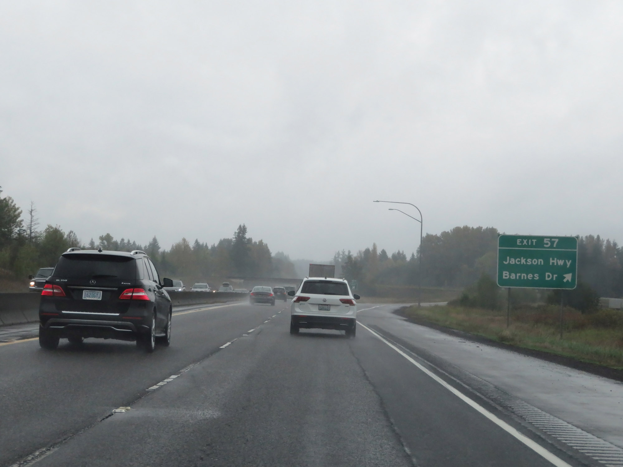 |
Interstate 5 South at Exit 57: Jackson Hwy / Barnes Dr (Photo taken 9/22/19). |
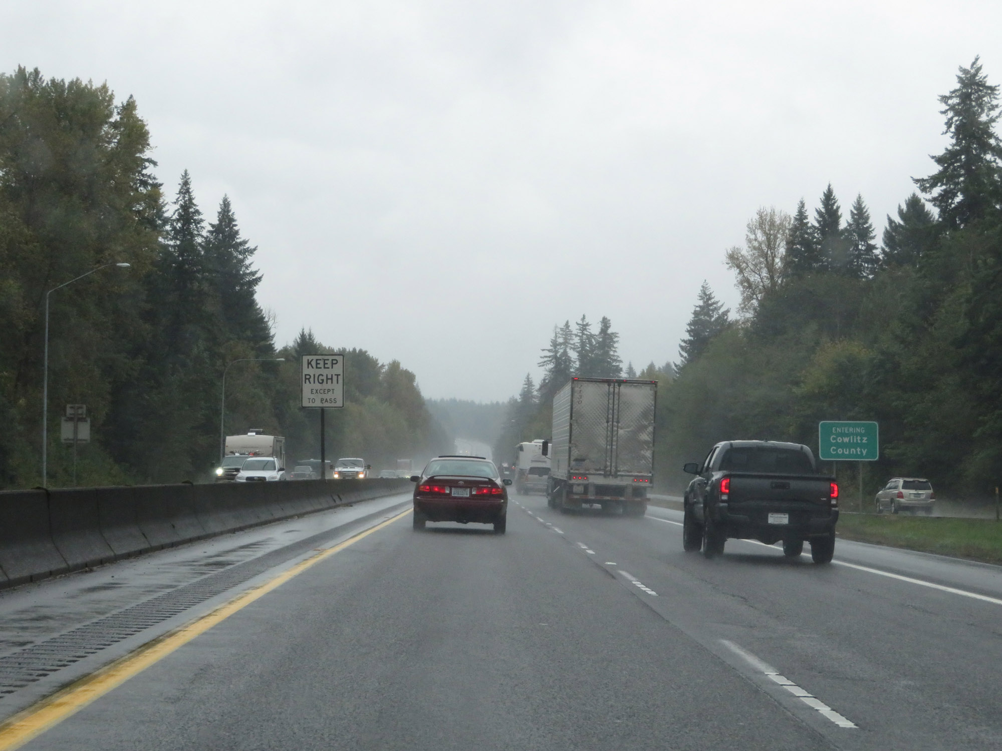 |
Entering Cowlitz County on Interstate 5 South. (Photo taken 9/22/19). |
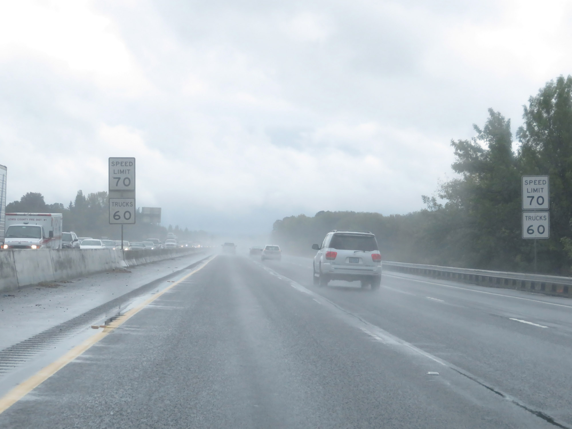
 |
The speed limits remain 70 mph for cars and 60 mph for trucks. (Photo taken 9/22/19). |
 |
Rest Area on Interstate 5 South in Cowlitz County. (Photo taken 9/22/19). |
 |
Interstate 5 South at mile marker 54. (Photo taken 9/22/19). |
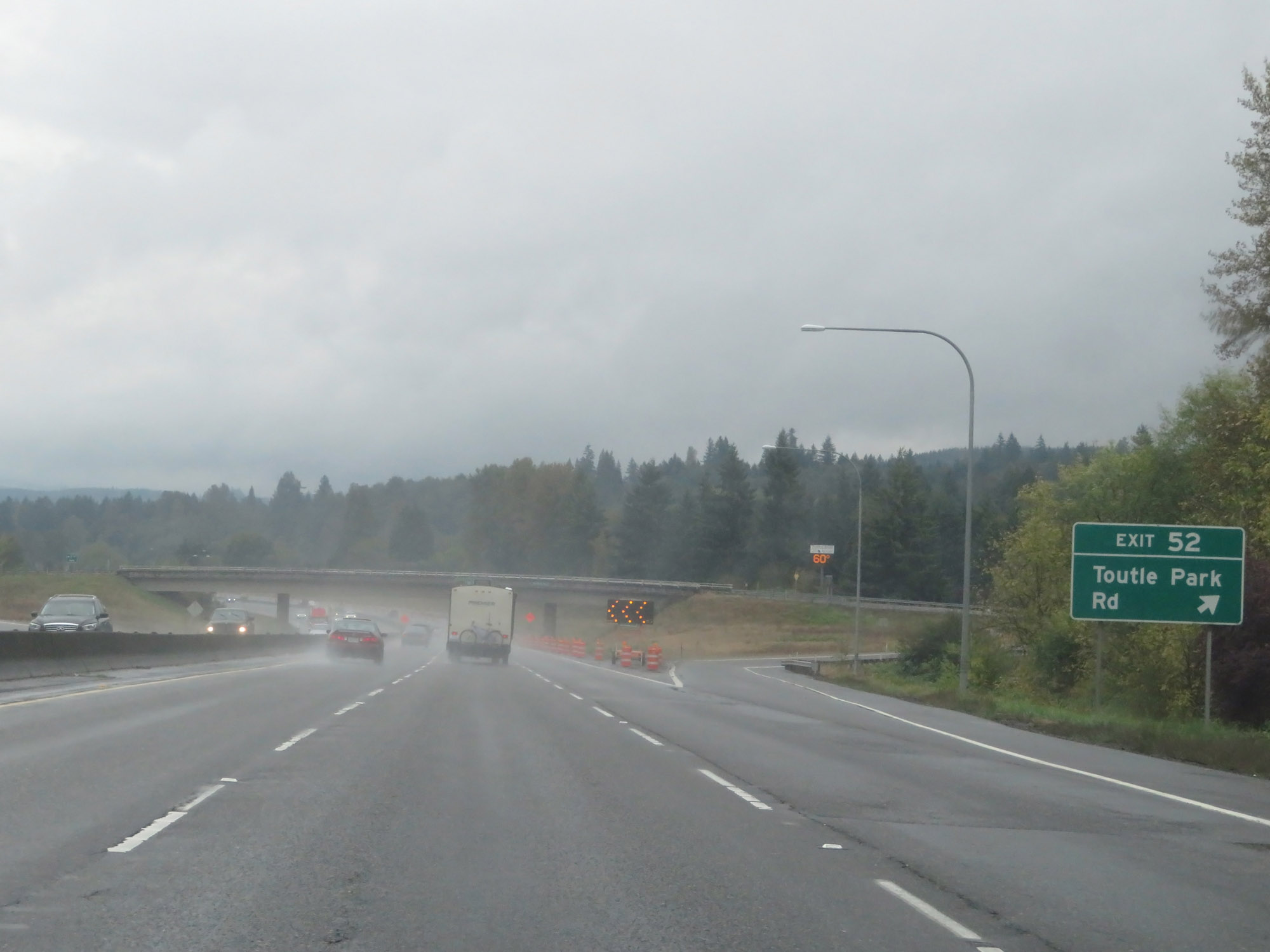 |
Interstate 5 South at Exit 52: Toutle Park Rd (Photo taken 9/22/19). |
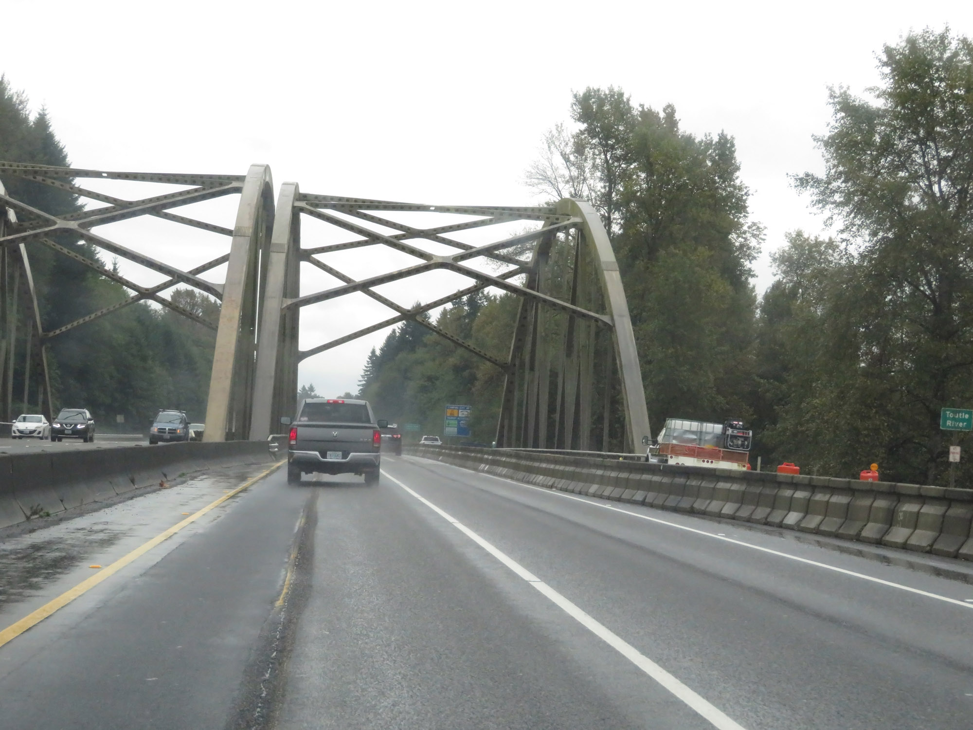 |
Preparing to cross the Toutle River on Interstate 5 South in Cowlitz County. (Photo taken 9/22/19). |
 |
Take either of the next 2 exits to Castle Rock. (Photo taken 9/22/19). |
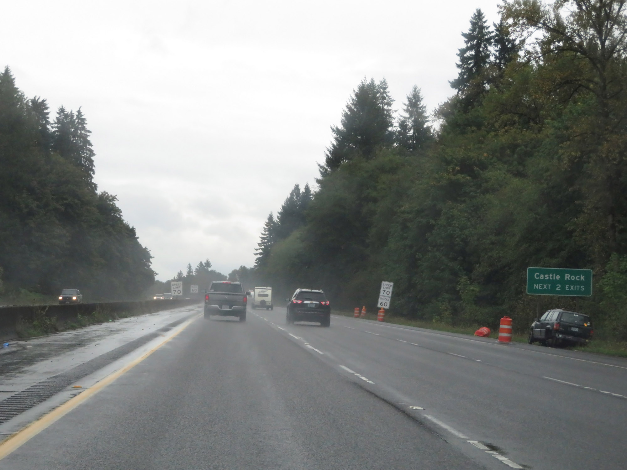
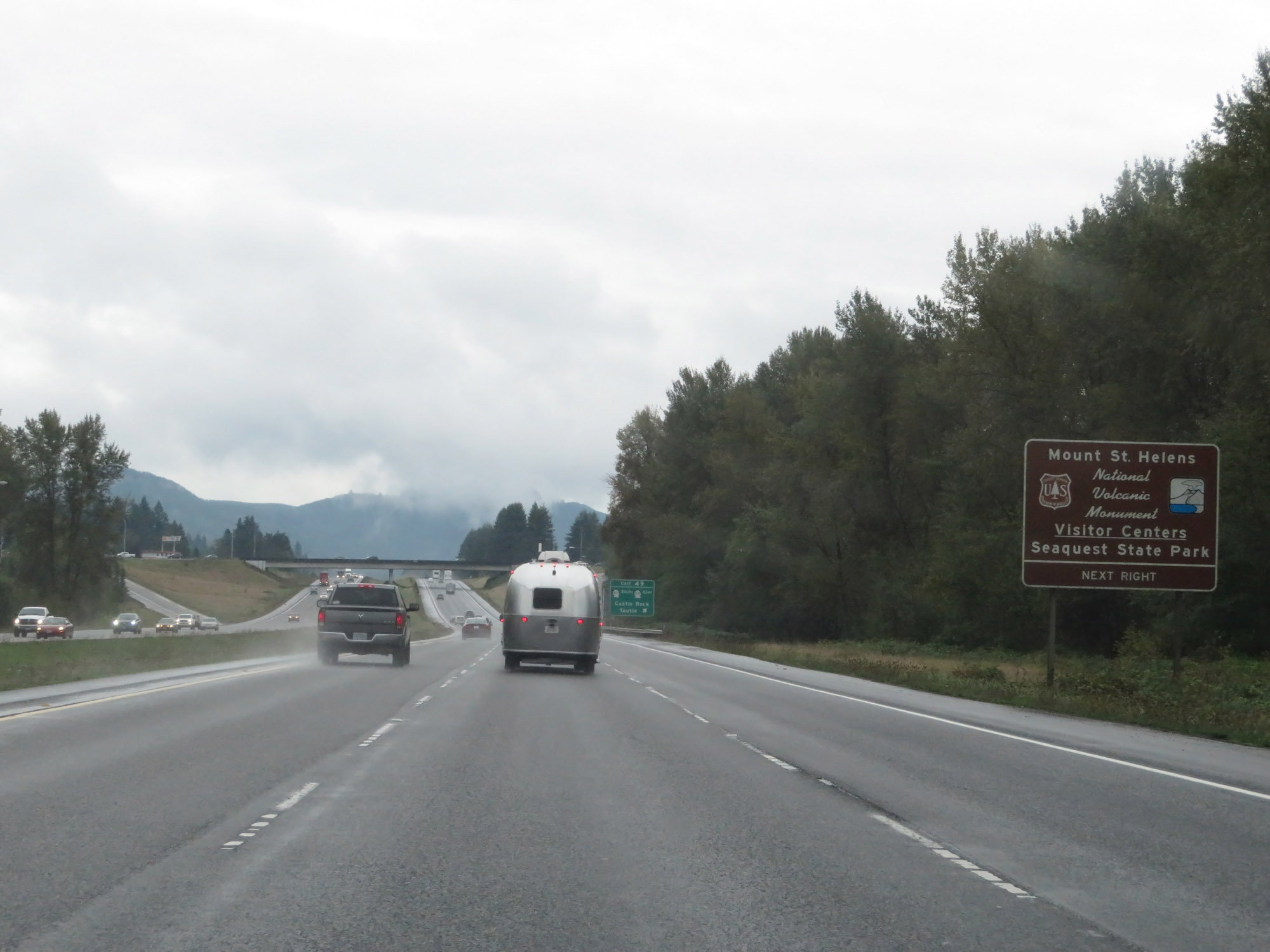 |
Take Exit 49 to Mount St. Helens National Volcanic Monument, its Visitor Centers, and Seaquest State Park. (Photo taken 9/22/19). |
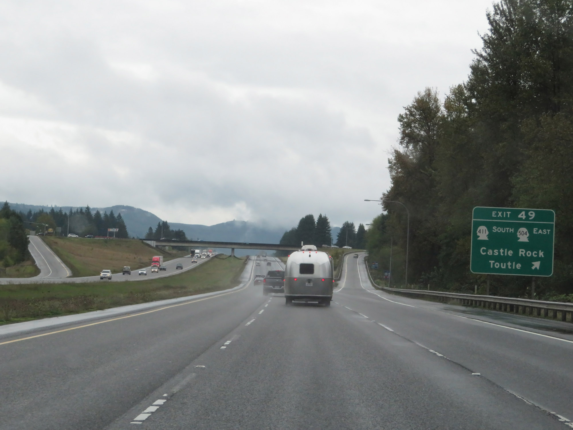 |
Interstate 5 South at Exit 49: WA 411 South / WA 504 East - Castle Rock / Toutle (Photo taken 9/22/19). |
 |
Another Interstate 5 South reassurance shield. (Photo taken 9/22/19). |
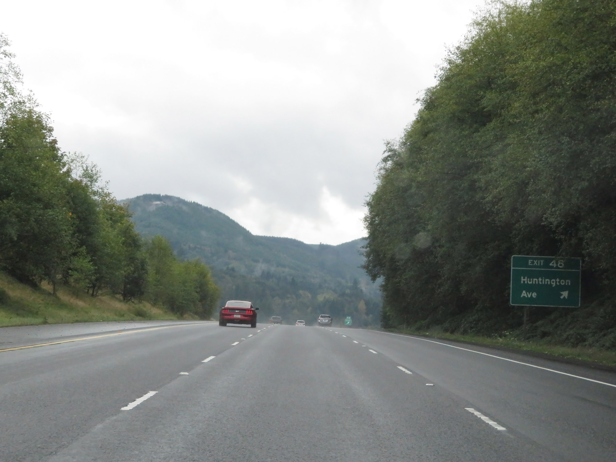 |
Interstate 5 South at Exit 48: Huntington Ave (Photo taken 9/22/19). |
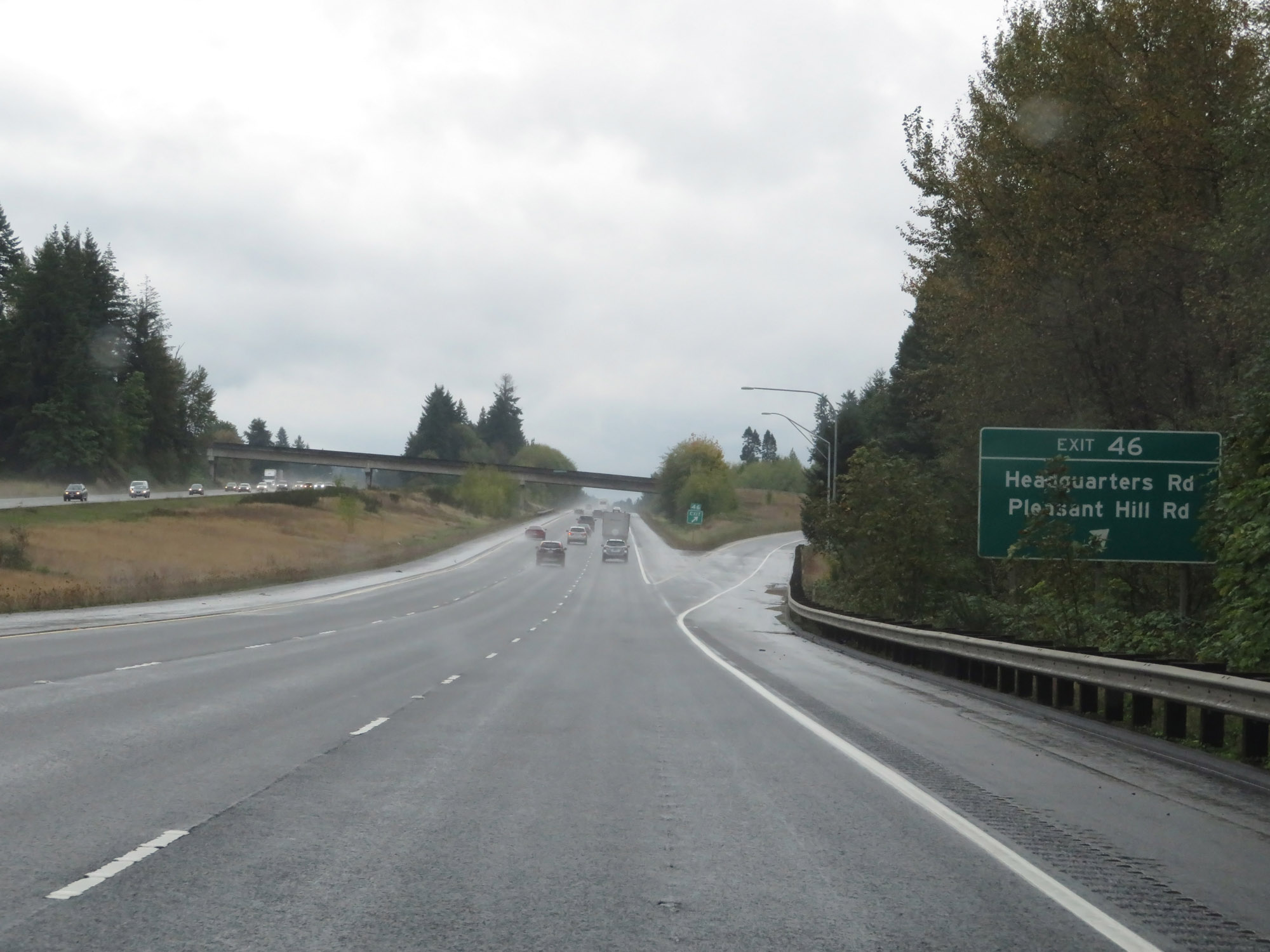 |
Interstate 5 South at Exit 46: Headquarters Rd / Pleasant Hill Rd (Photo taken 9/22/19). |
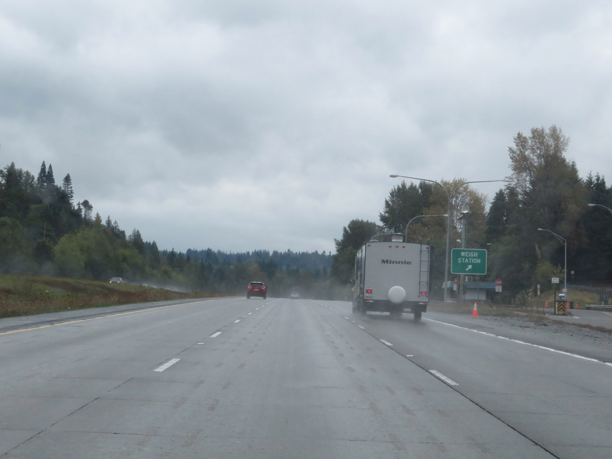 |
Weigh Station on Interstate 5 South in Cowlitz County. (Photo taken 9/22/19). |
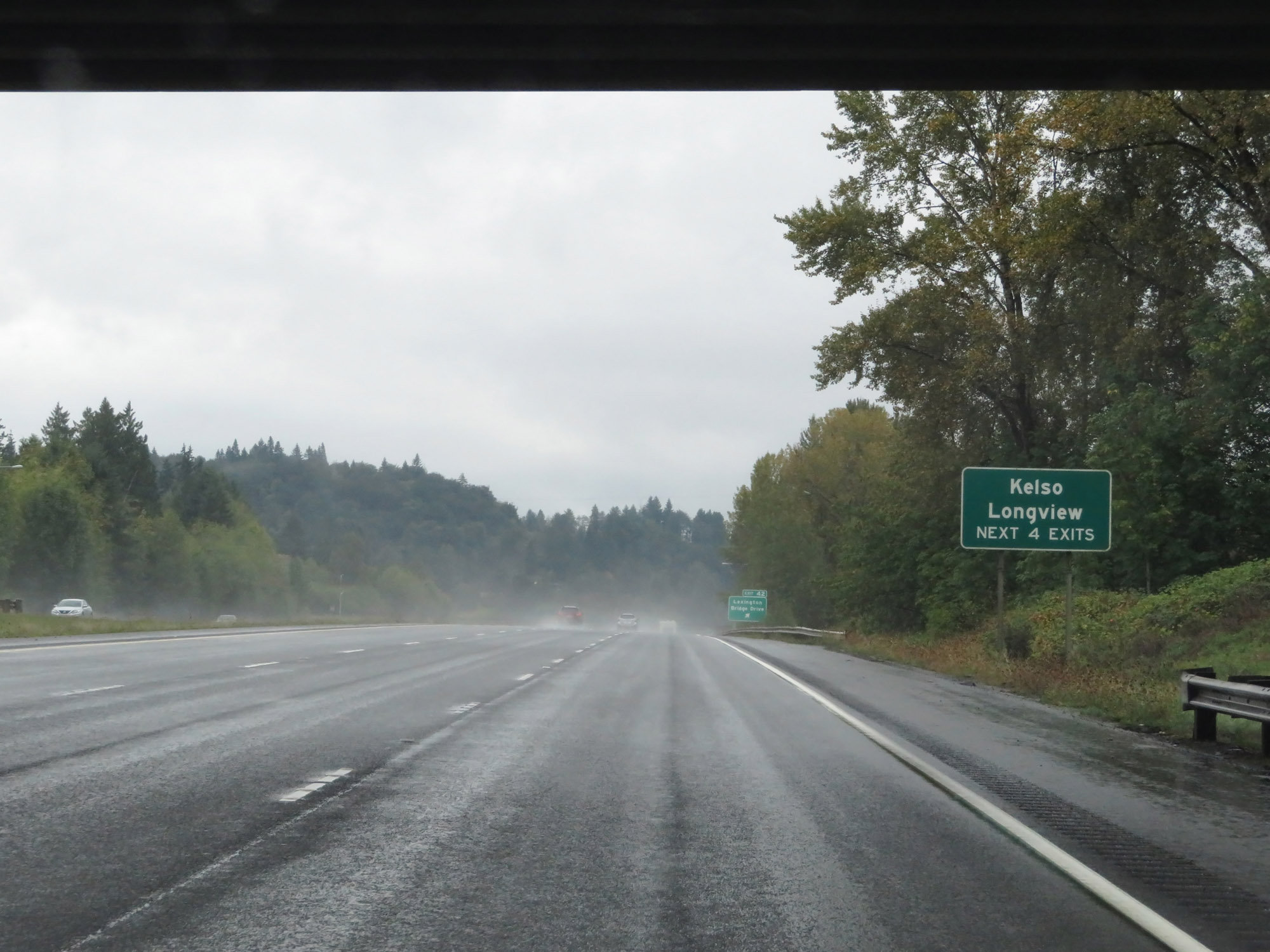 |
Take any of the next 4 exits to Kelso and Longview. (Photo taken 9/22/19). |
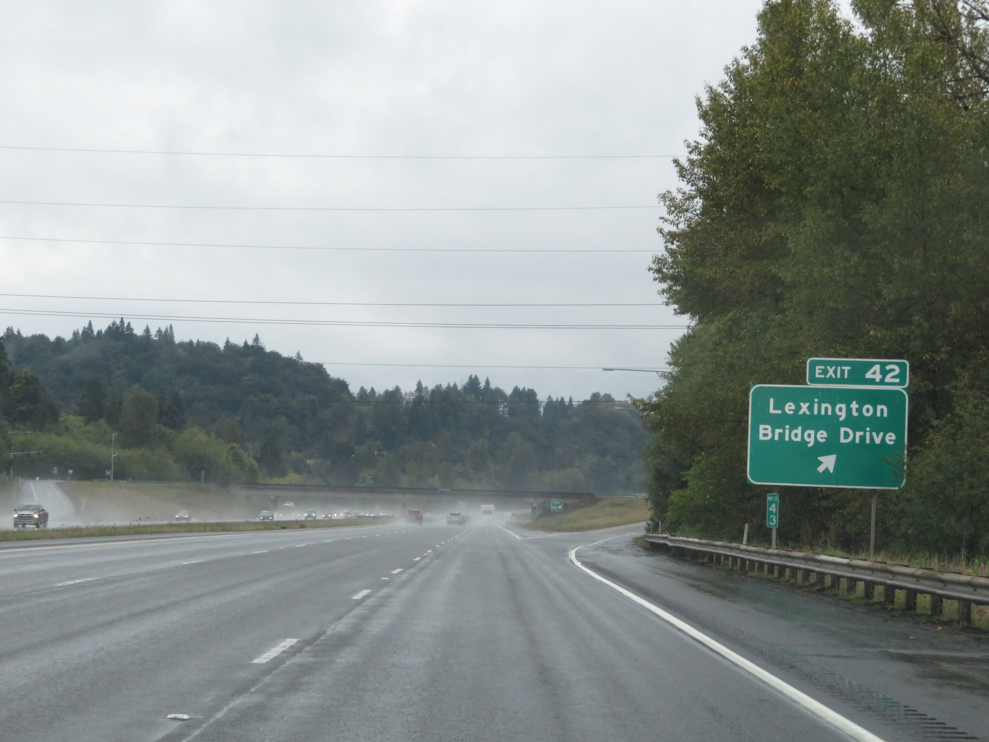 |
Interstate 5 South at Exit 42: Lexington / Bridge Drive (Photo taken 9/22/19). |
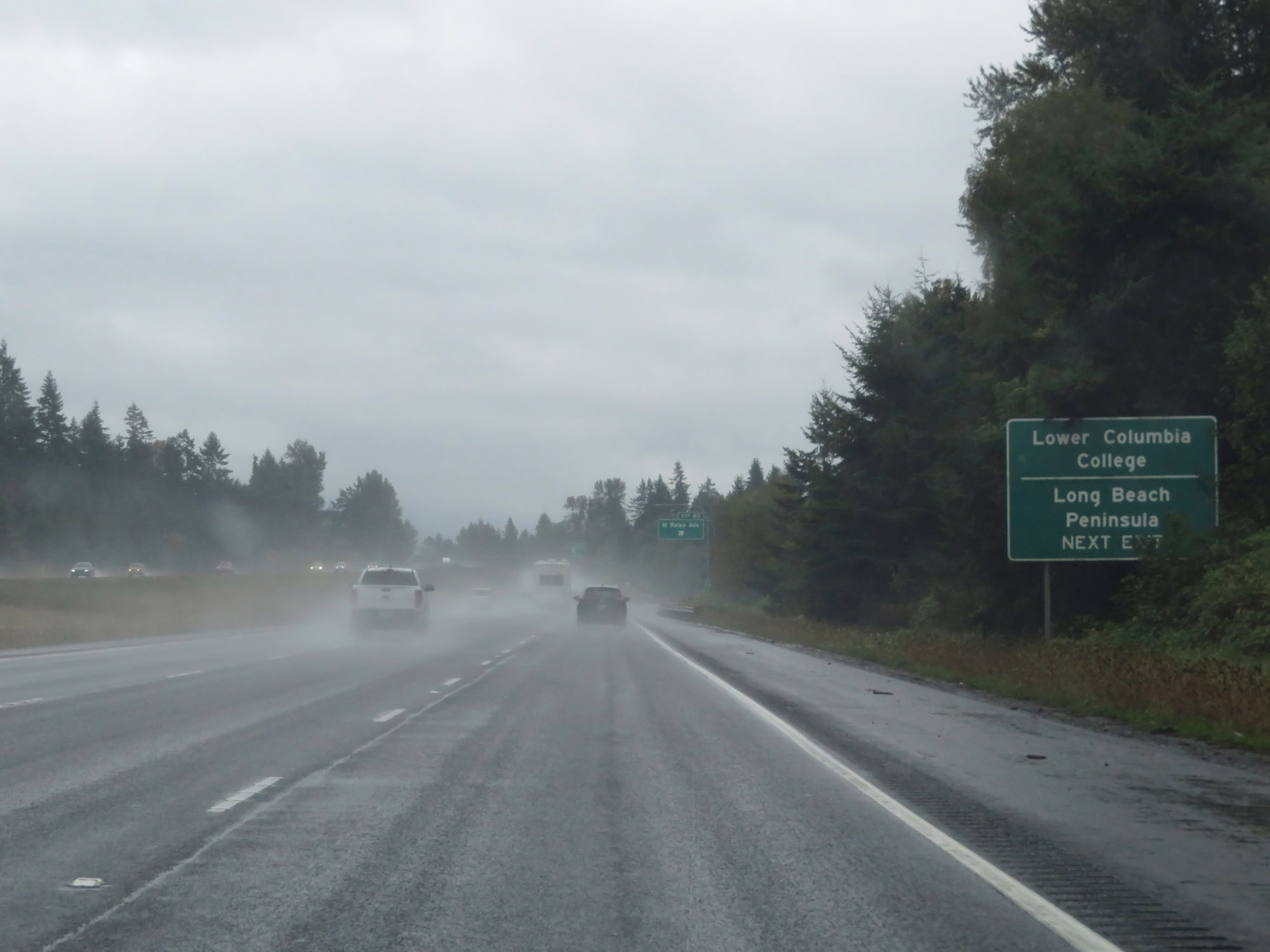 |
Take Exit 40 to Lower Columbia College and Long Beach Peninsula. (Photo taken 9/22/19). |
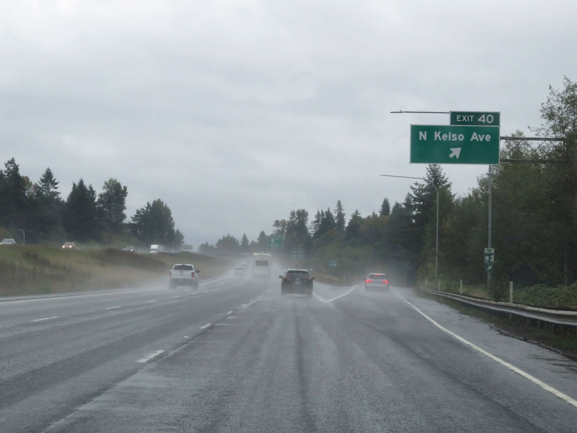 |
Interstate 5 South at Exit 40: N Kelso Ave (Photo taken 9/22/19). |
 |
Take Exit 39 to Three Rivers Mall and the Cowlitz County Event Center. (Photo taken 9/22/19). |
 |
Interstate 5 South at Exit 39: WA 4 West - Kelso / Allen Street (Photo taken 9/22/19). |
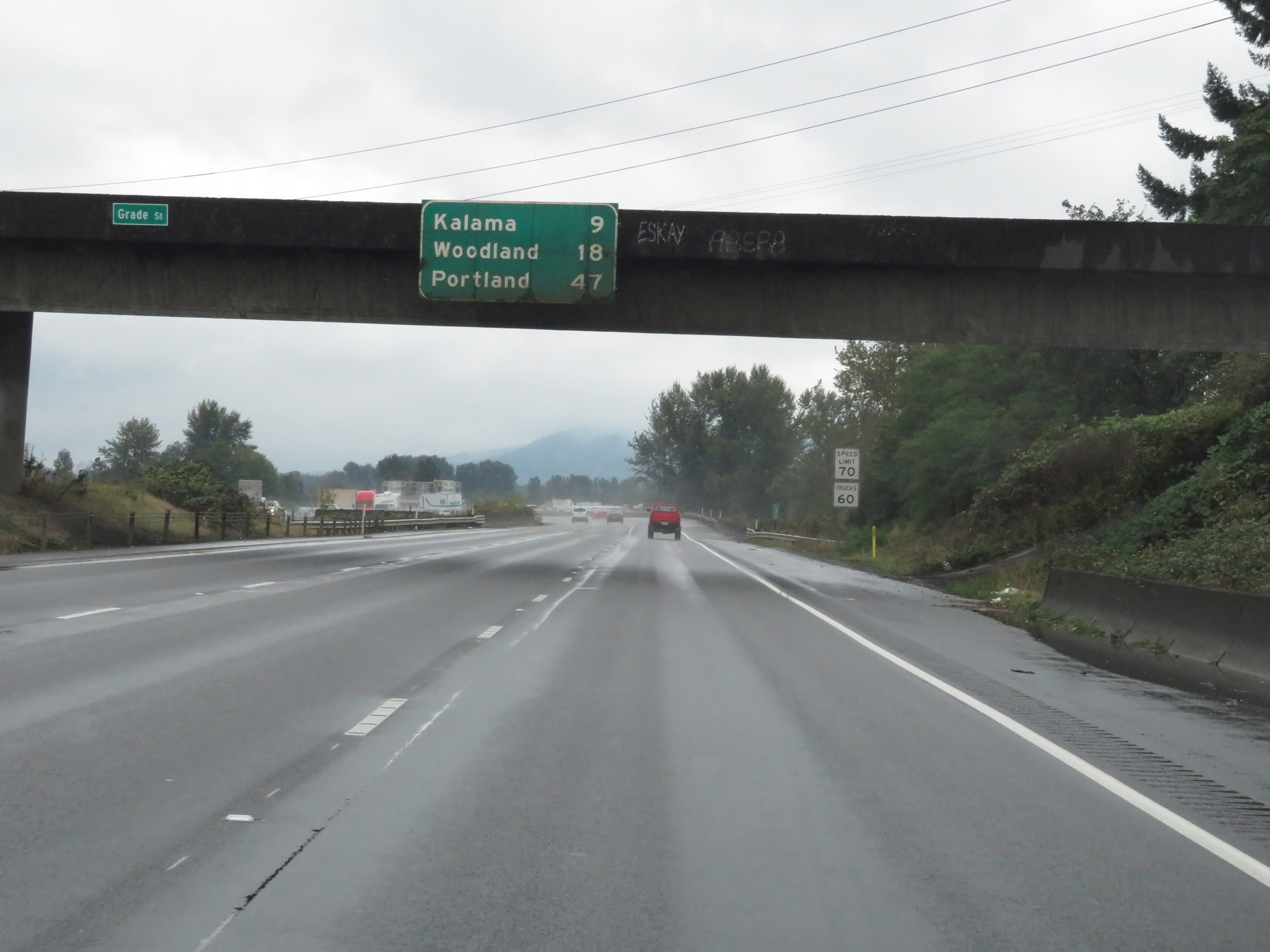 |
Overhead mileage sign on Interstate 5 South. It's 9 miles to Kalama, 18 miles to Woodland, and 47 miles to Portland. (Photo taken 9/22/19). |
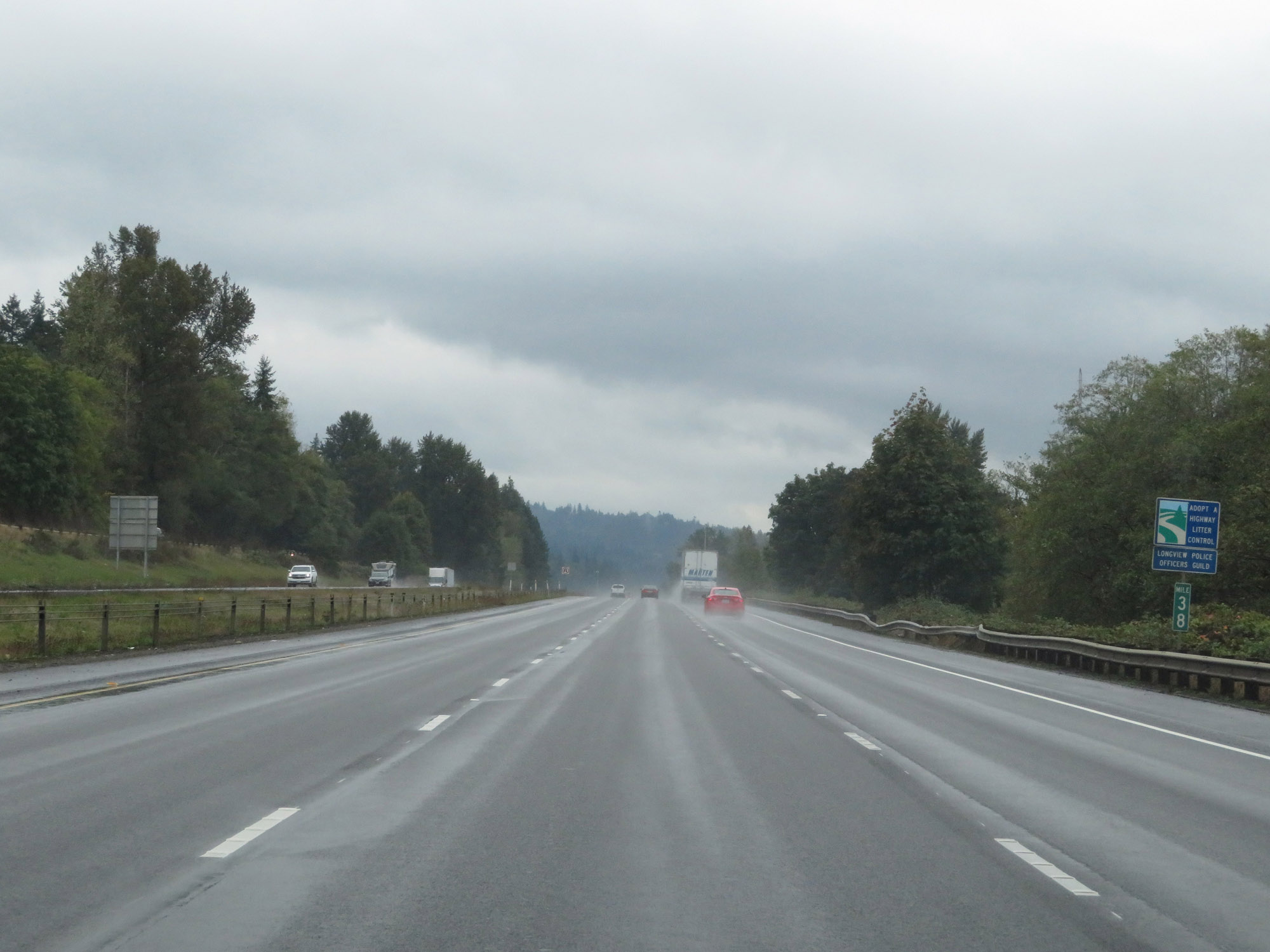 |
View on Interstate 5 South at mile marker 38. (Photo taken 9/22/19). |
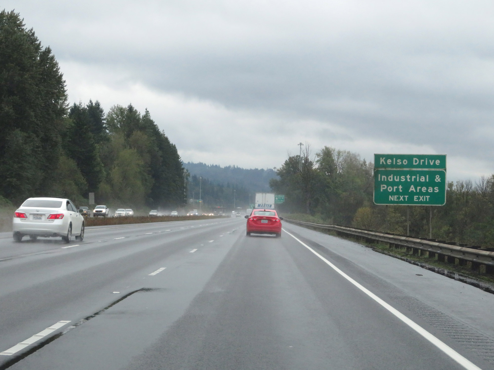 |
Take Exit 36A to Kelso Drive and the Industrial & Port Areas. (Photo taken 9/22/19). |
 |
Interstate 5 South at Exits 36A-B: WA 432 West - Talley Way / Longview (Photo taken 9/22/19). |
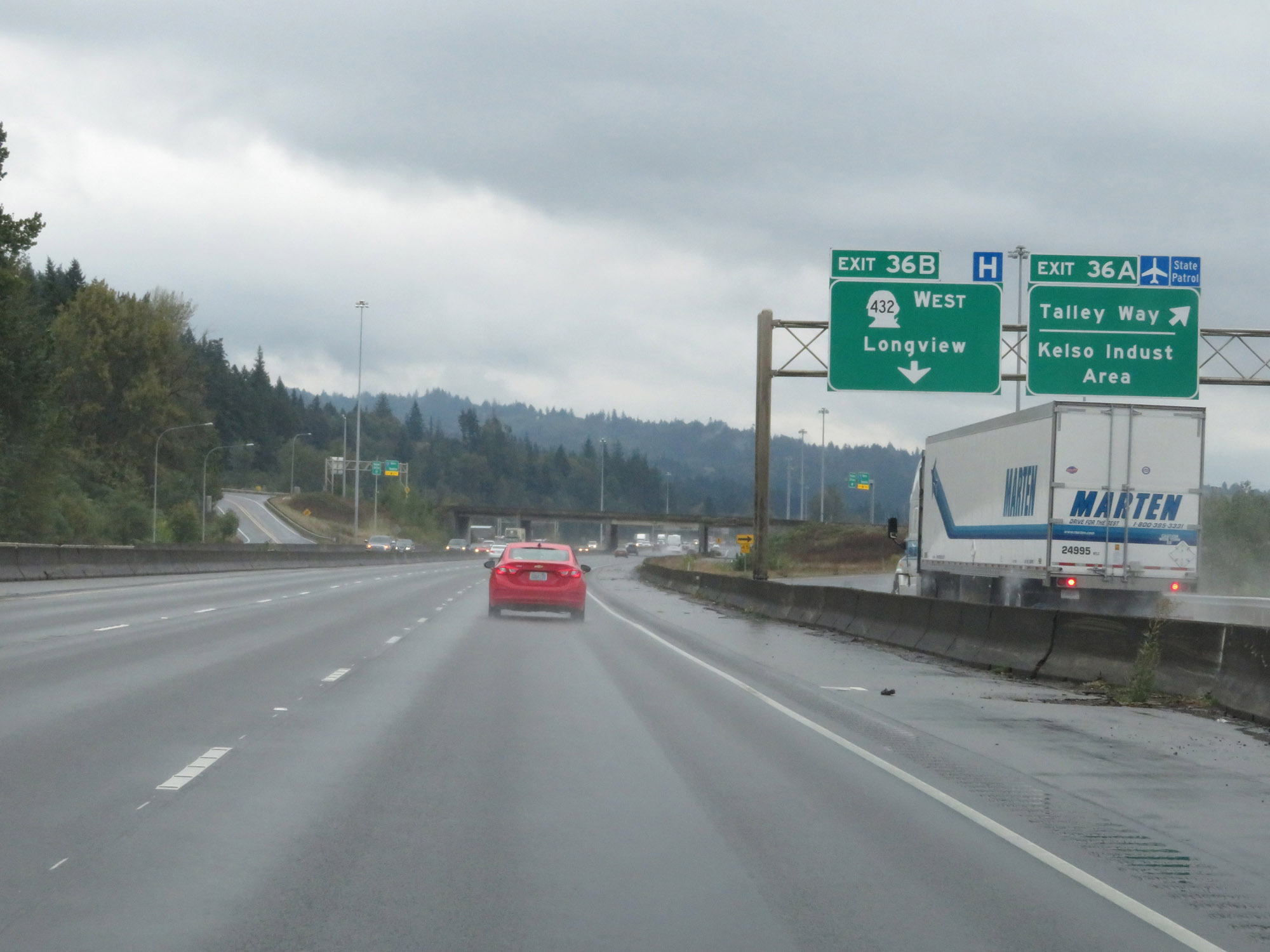 |
Interstate 5 South at Exit 36A: Talley Way / Kelso Industrial Area; Exit 36B: WA 432 West - Longview (Photo taken 9/22/19). |
 |
Interstate 5 South reassurance shield. (Photo taken 9/22/19). |
 |
View on Interstate 5 South at mile marker 35. (Photo taken 9/22/19). |
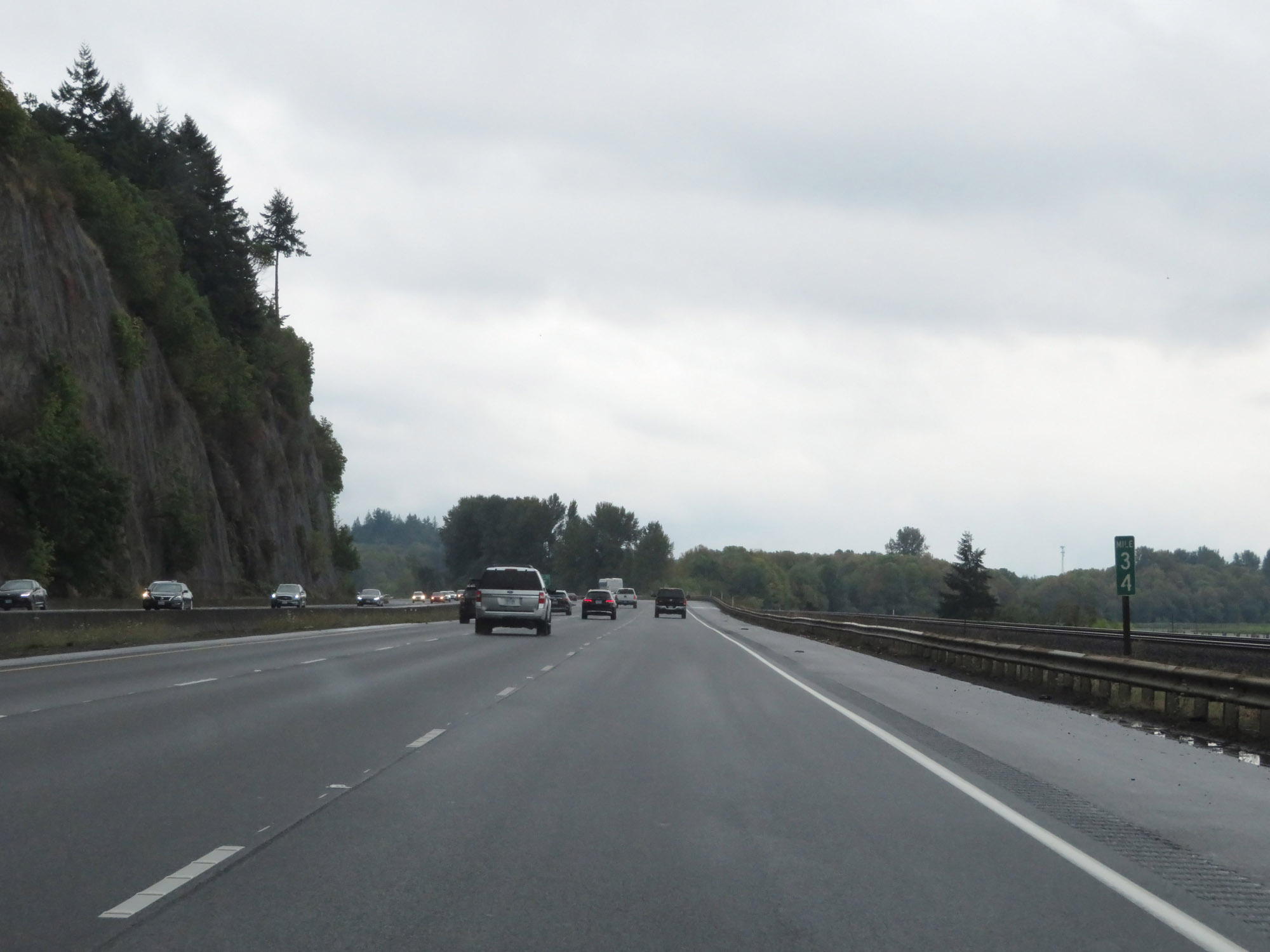 |
Interstate 5 South at mile marker 34. (Photo taken 9/22/19). |
 |
Sign listing the distances to the three upcoming exits to Kalama. (Photo taken 9/22/19). |
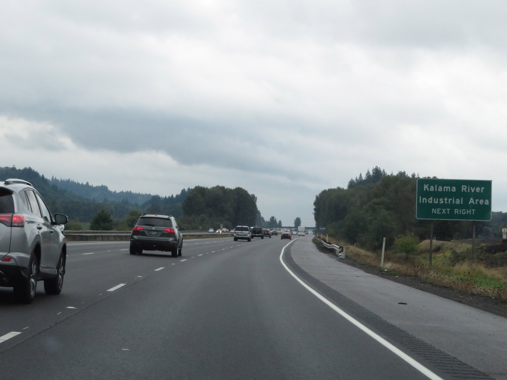 |
Take Exit 32 to Kalama River Industrial Area. (Photo taken 9/22/19). |
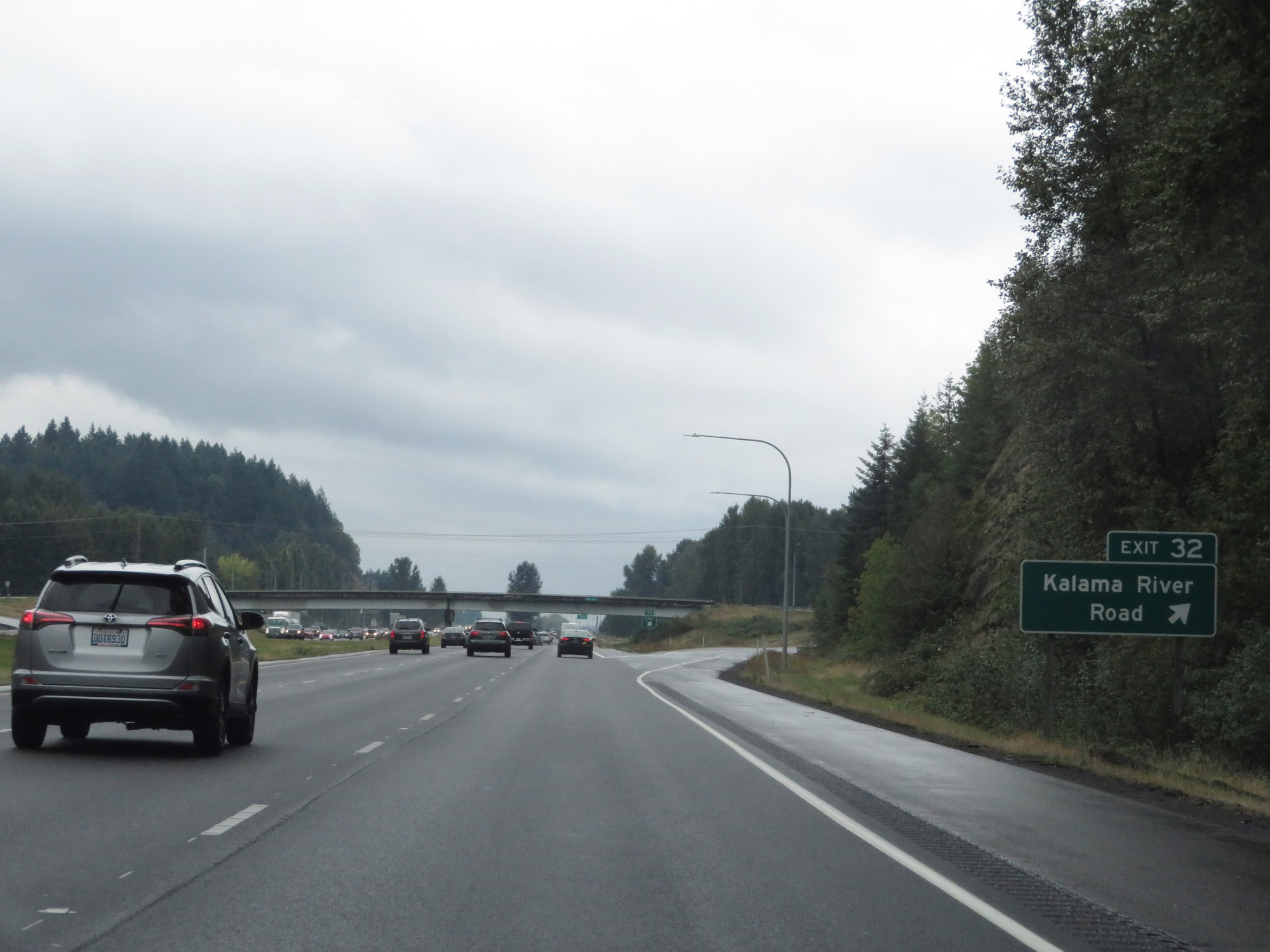 |
Interstate 5 South at Exit 32: Kalama River Road (Photo taken 9/22/19). |
 |
Interstate 5 South as it prepares to cross the Kalama River. (Photo taken 9/22/19). |
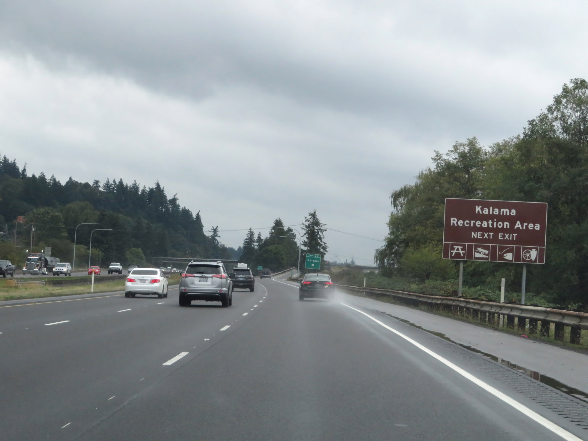 |
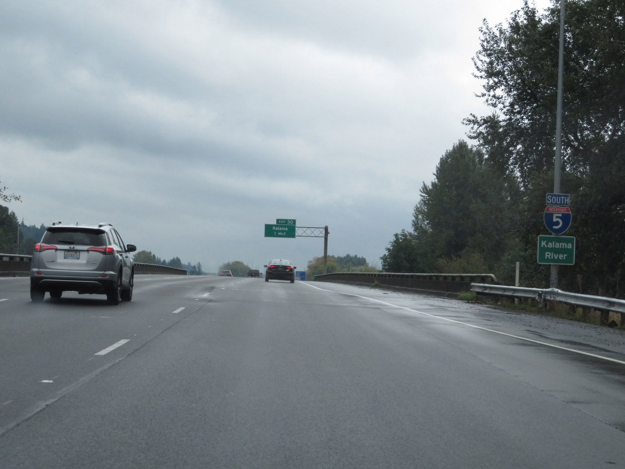
Take Exit 30 to Kalama Recreation Area. (Photo taken 9/22/19). |
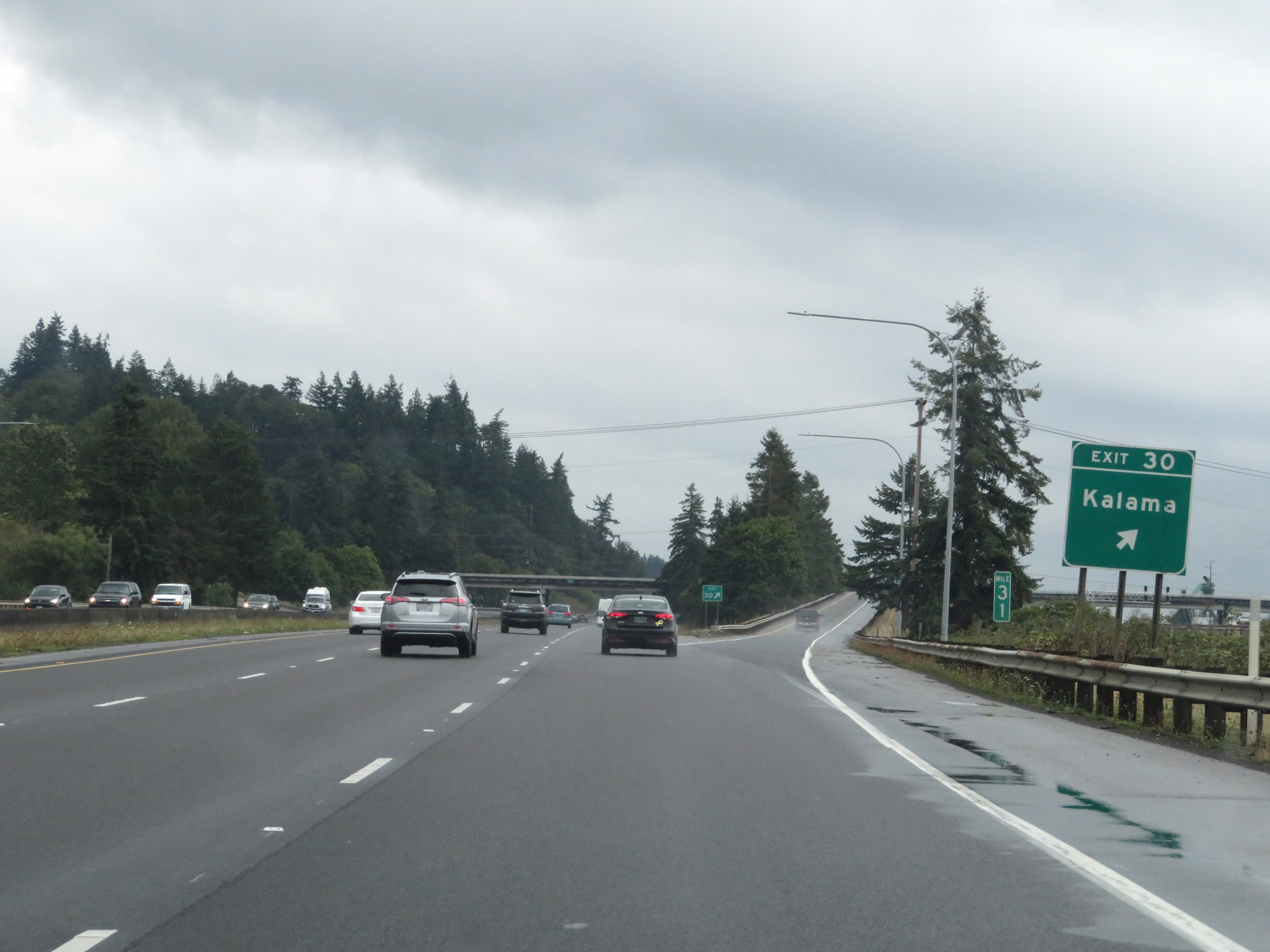 |
Interstate 5 South at Exit 30: Kalama (Photo taken 9/22/19). |
Section 7: Kalama (Exit 30) to Oregon Border
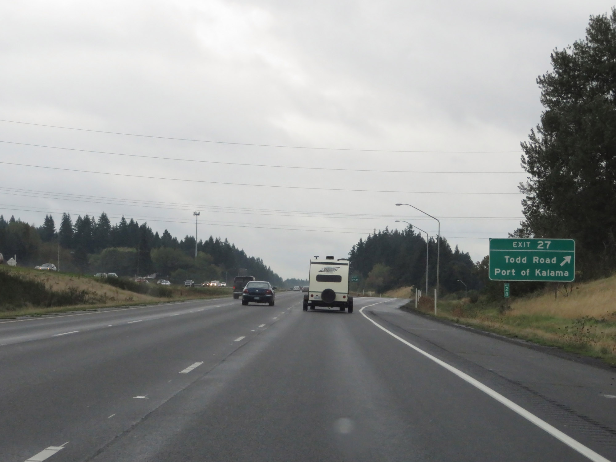 |
Interstate 5 South at Exit 27: Todd Road / Port of Kalama (Photo taken 9/22/19). |
 |
View on Interstate 5 South. (Photo taken 9/22/19). |
 |
Take Exit 22 to Port of Woodland. (Photo taken 9/22/19). |
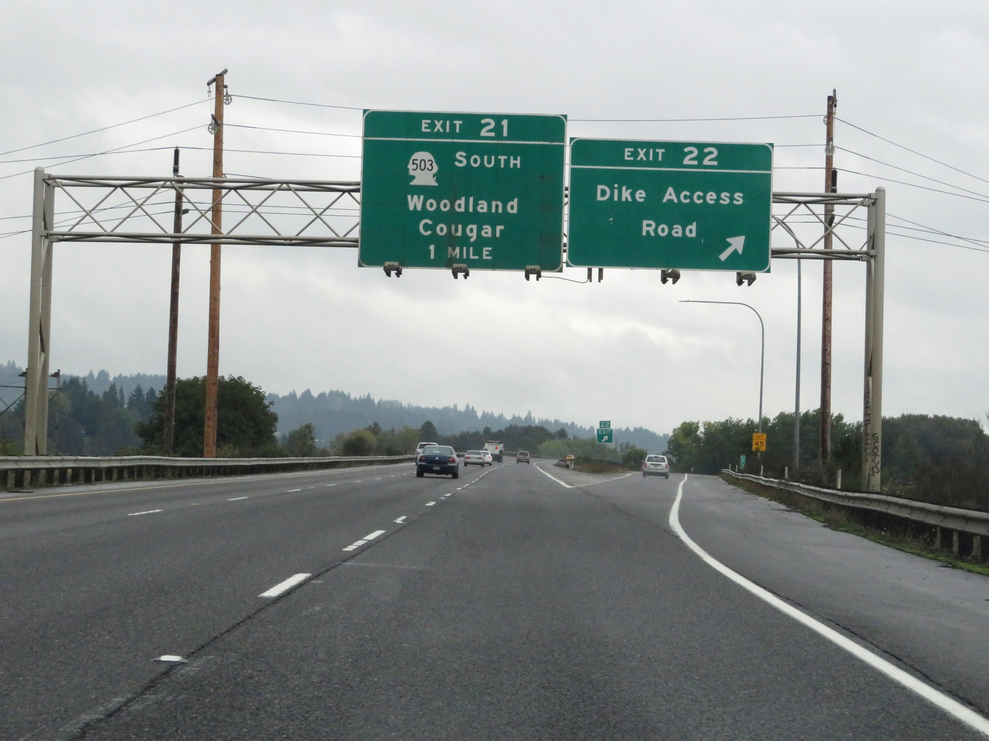 |
Interstate 5 South at Exit 22: Dike Access Road (Photo taken 9/22/19). |
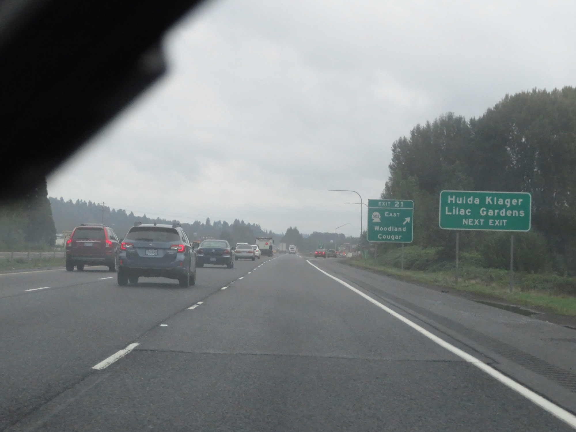 |
Take Exit 21 to Hulda Klager Lilac Gardens. (Photo taken 9/22/19). |
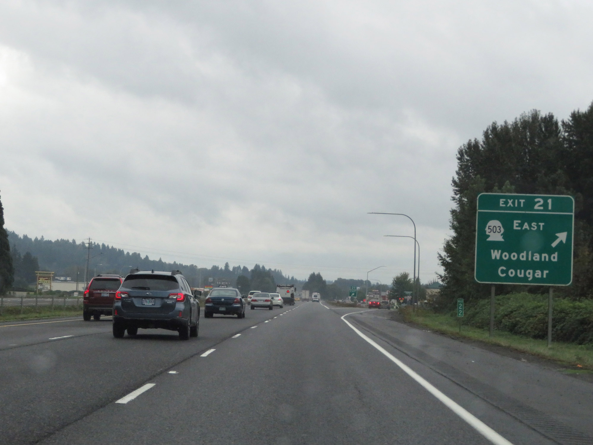 |
Interstate 5 South at Exit 21: WA 503 East - Woodland / Cougar (Photo taken 9/22/19). |
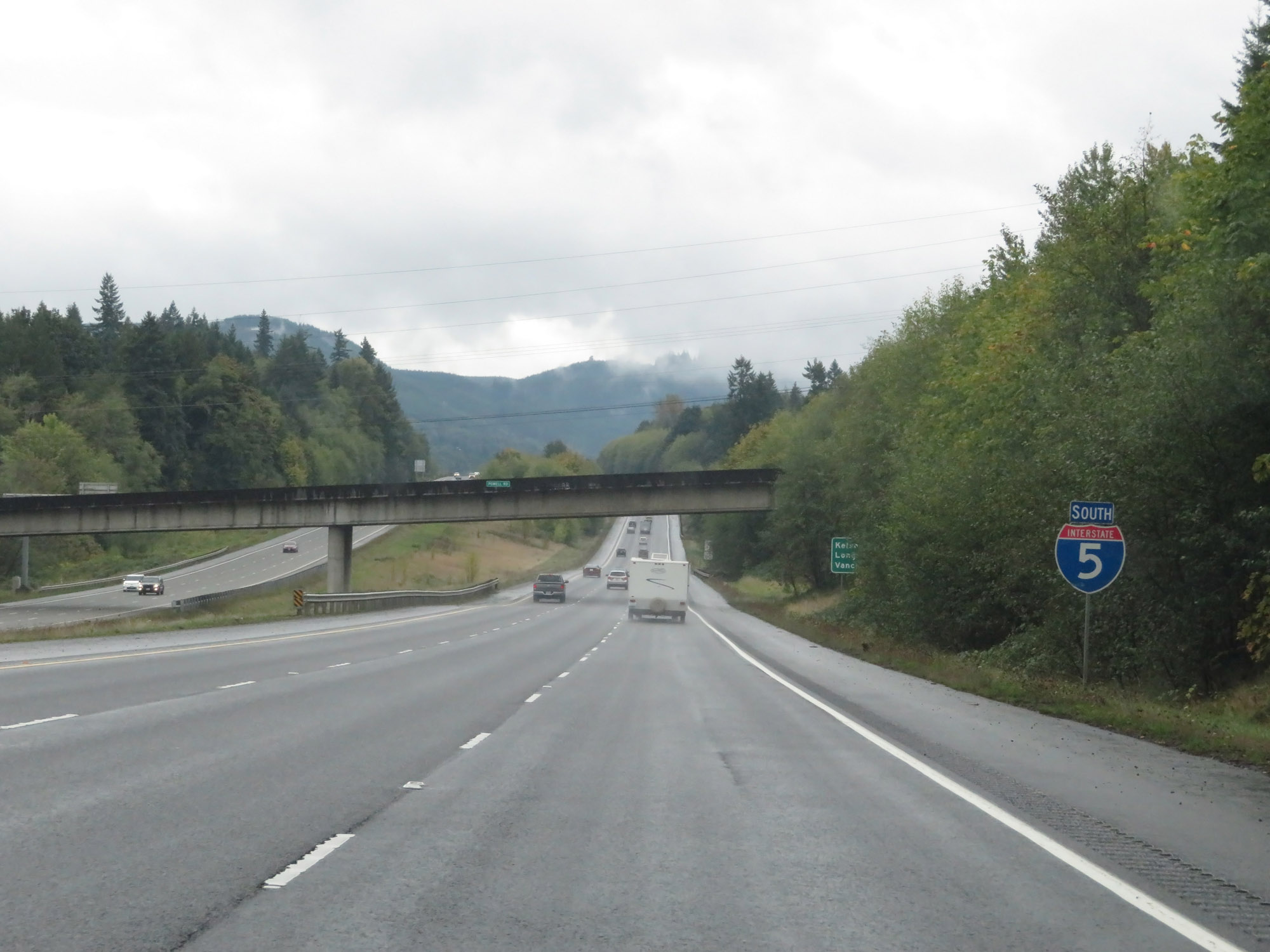
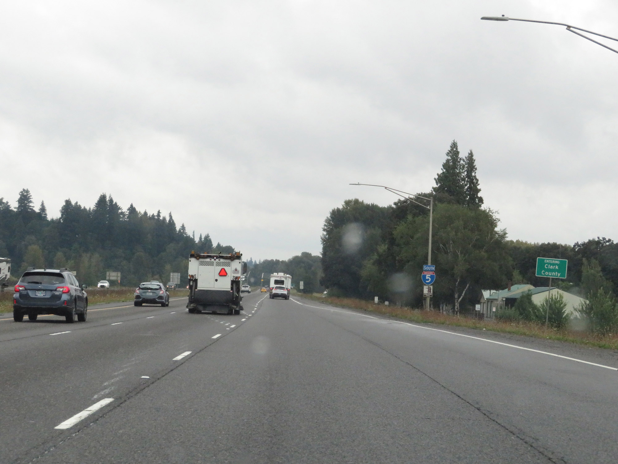 |
Entering Clark County on Interstate 5 South. (Photo taken 9/22/19). |
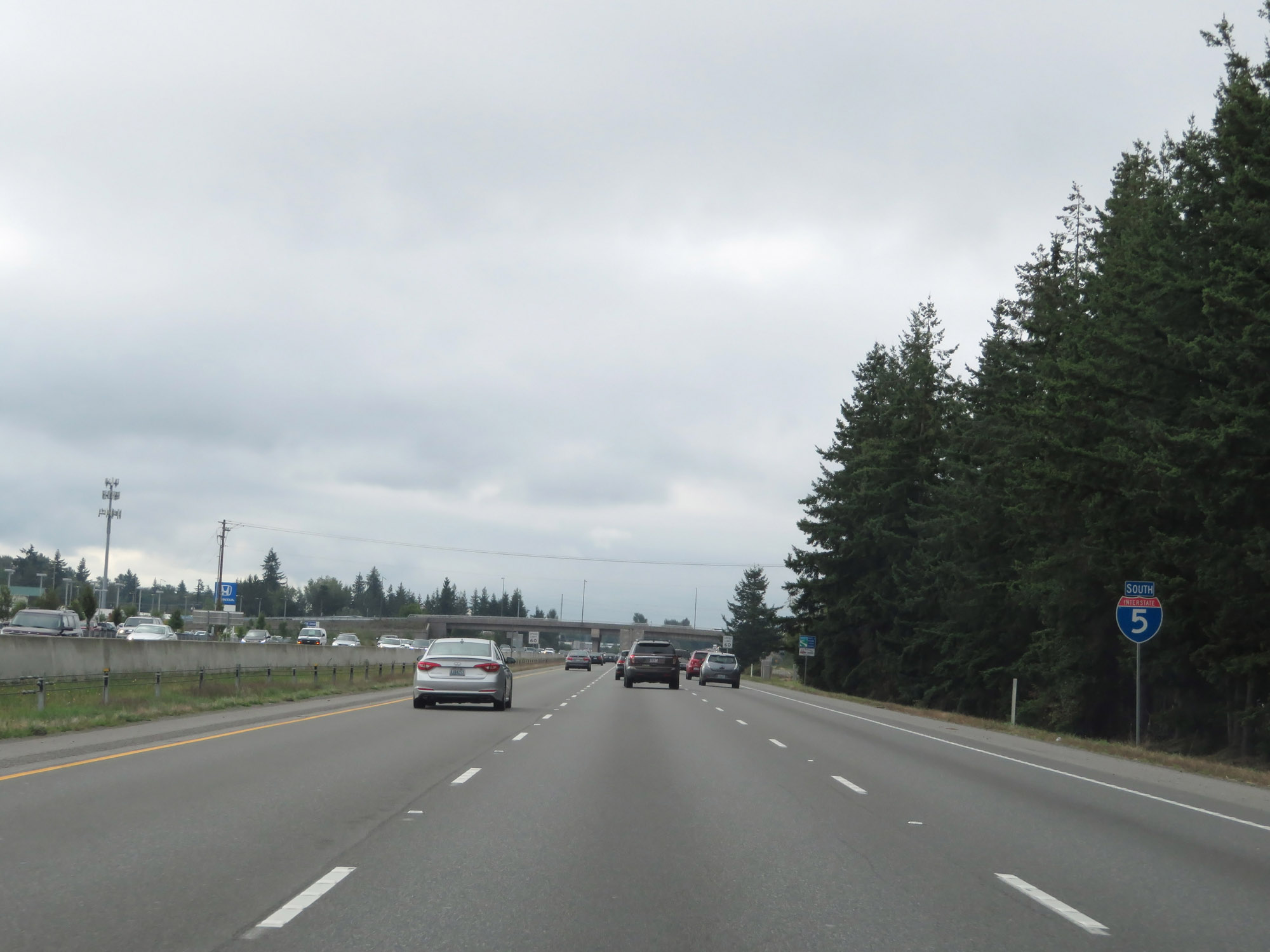
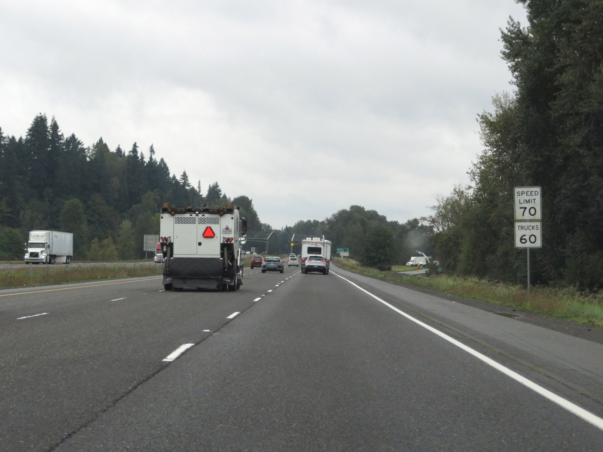 |
The speed limits remain 70 mph for cars and 60 mph for trucks. These are the standard speed limits on most rural Interstate highways in Washington State. (Photo taken 9/22/19). |
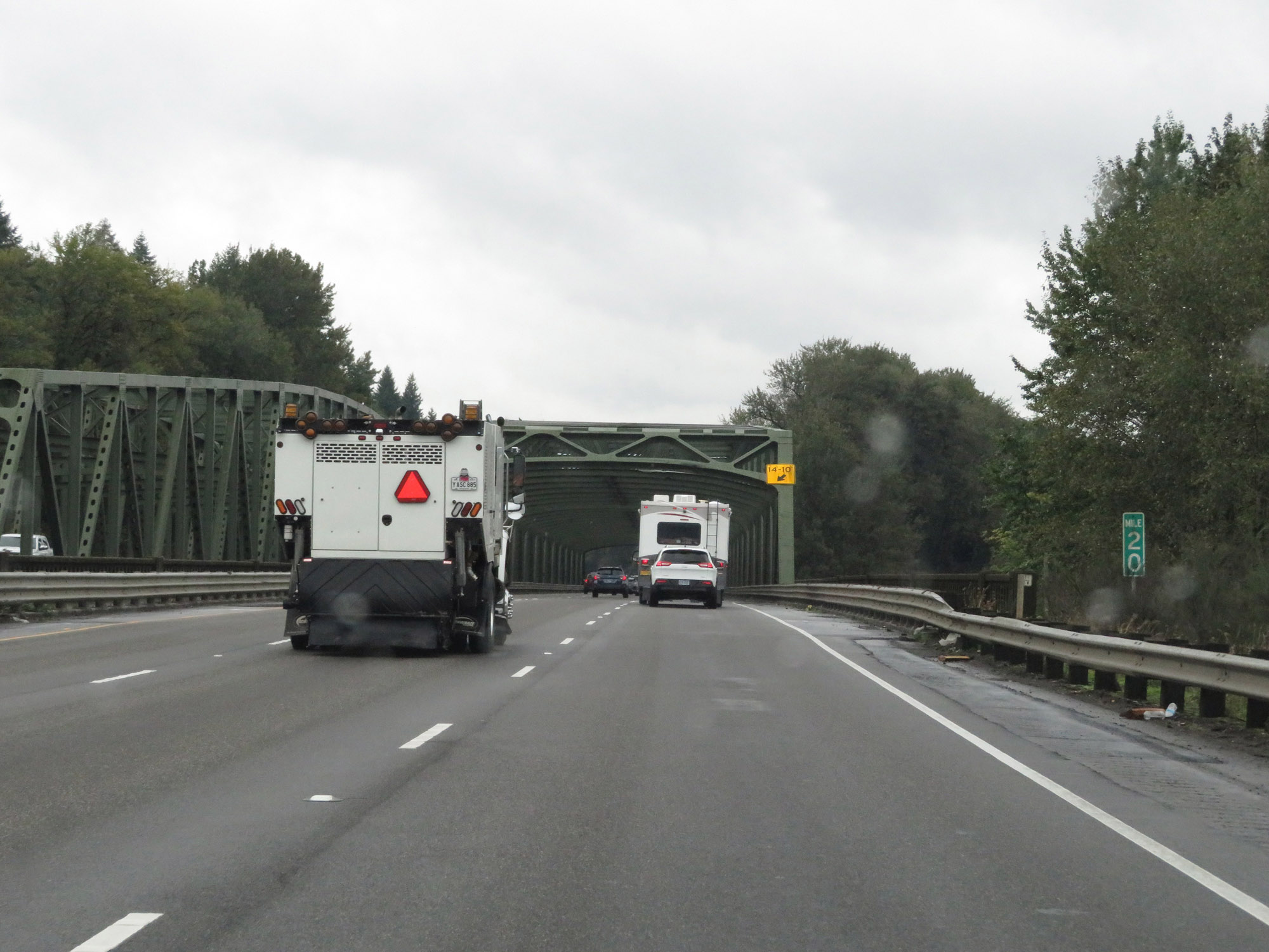 |
View on Interstate 5 South at mile marker 20. (Photo taken 9/22/19). |
 |
Interstate 5 South at mile marker 18. (Photo taken 9/22/19). |
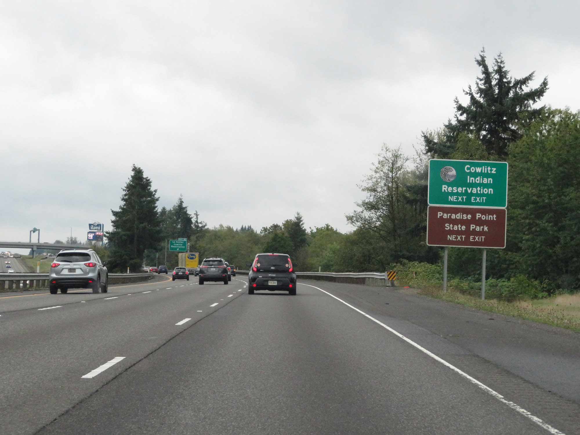 |
Take Exit 16 to the Cowlitz Indian Reservation and Paradise Point State Park. (Photo taken 9/22/19). |
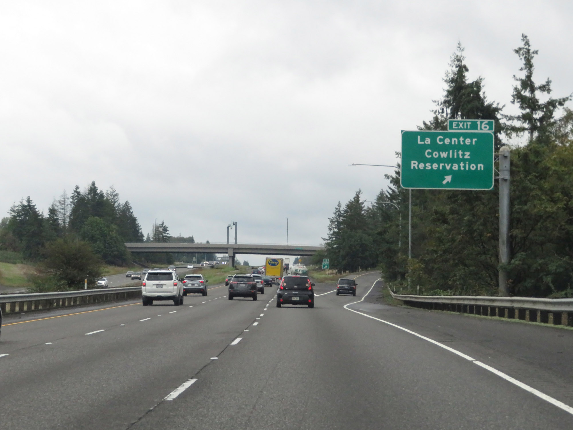 |
Interstate 5 South at Exit 16: La Center / Cowlitz Reservation (Photo taken 9/22/19). |
 |
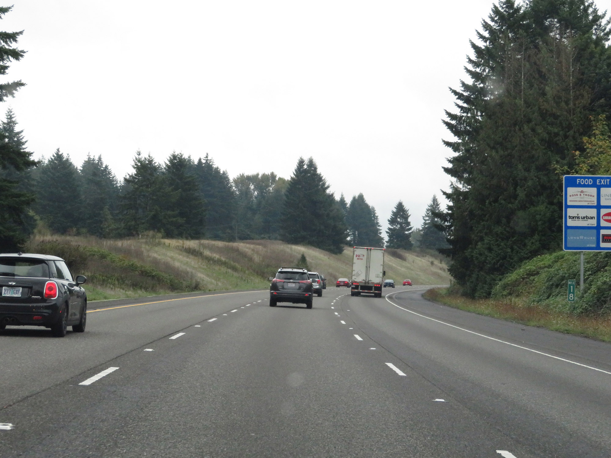
Take Exit 14 to the Ridgefield Industrial Areas and Ridgefield National Wildlife Refuge. (Photo taken 9/22/19). |
 |
View on Interstate 5 South at mile marker 15. (Photo taken 9/22/19). |
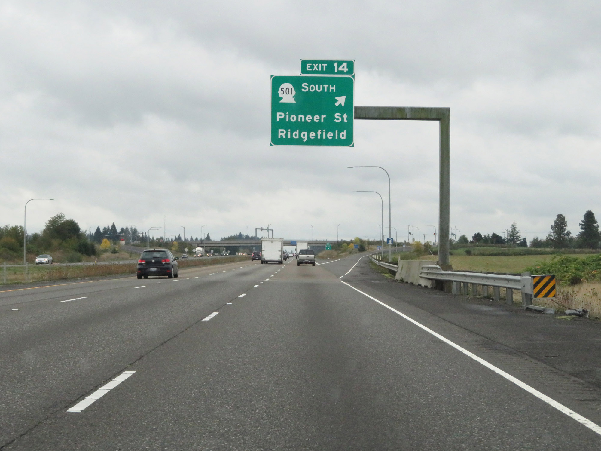 |
Interstate 5 South at Exit 14: WA 501 South - Pioneer St / Ridgefield (Photo taken 9/22/19). |
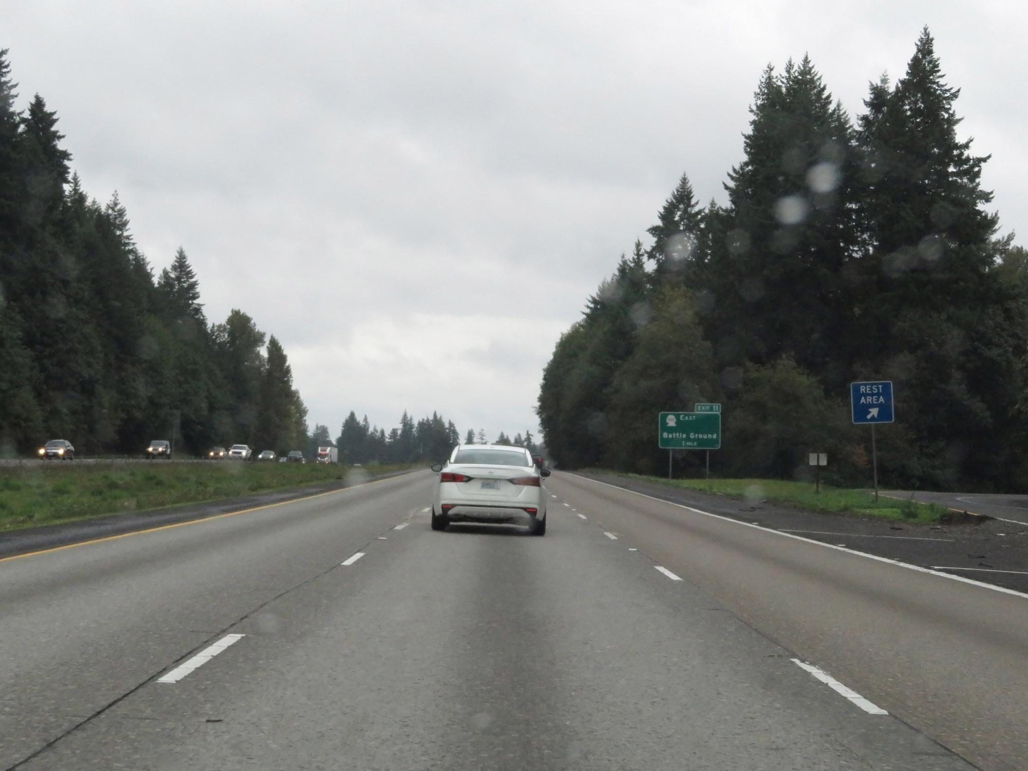 |
Rest Area on Interstate 5 South in Clark County. (Photo taken 9/22/19). |
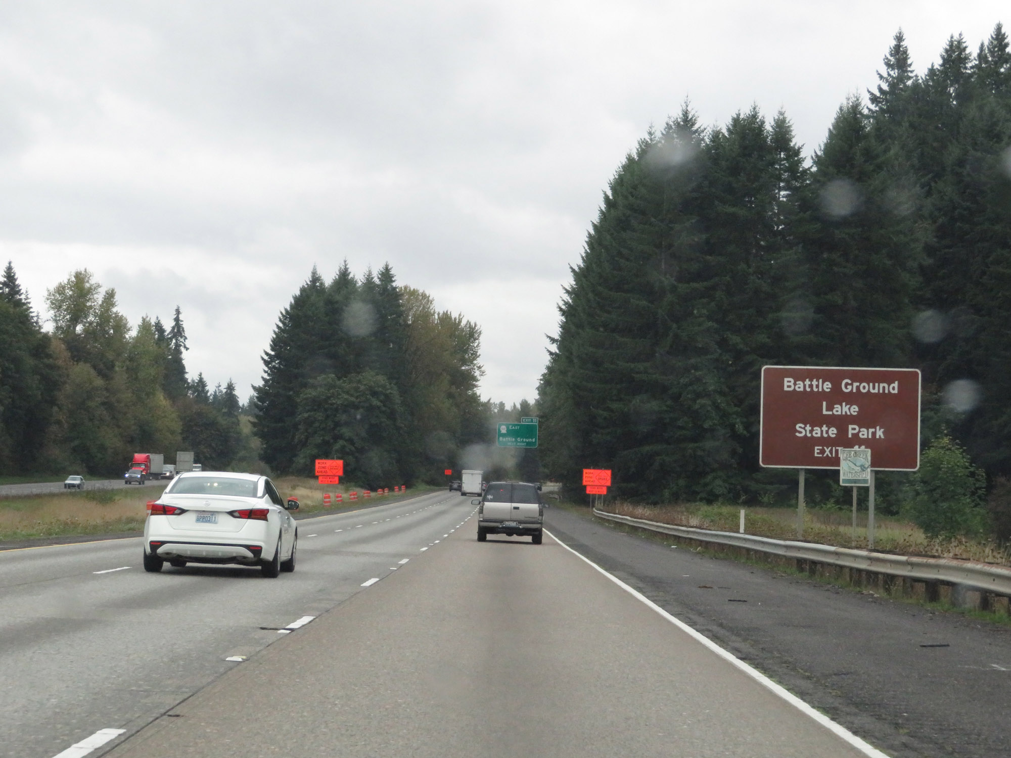 |
Take Exit 11 to Battle Ground Lake State Park. (Photo taken 9/22/19). |
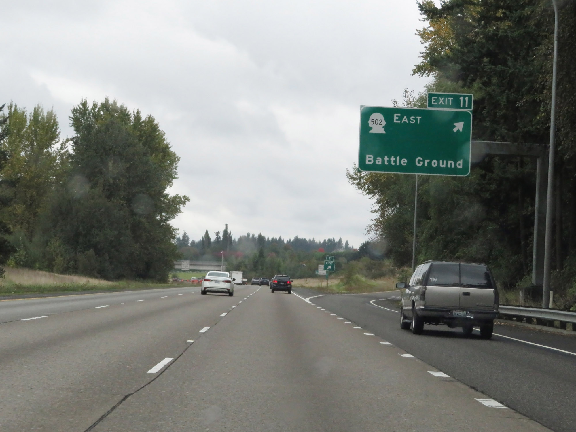 |
Interstate 5 South at Exit 11: WA 502 East - Battle Ground (Photo taken 9/22/19). |
 |
The speed limits remain 70 mph for automobiles and 60 mph for trucks. (Photo taken 9/22/19). |
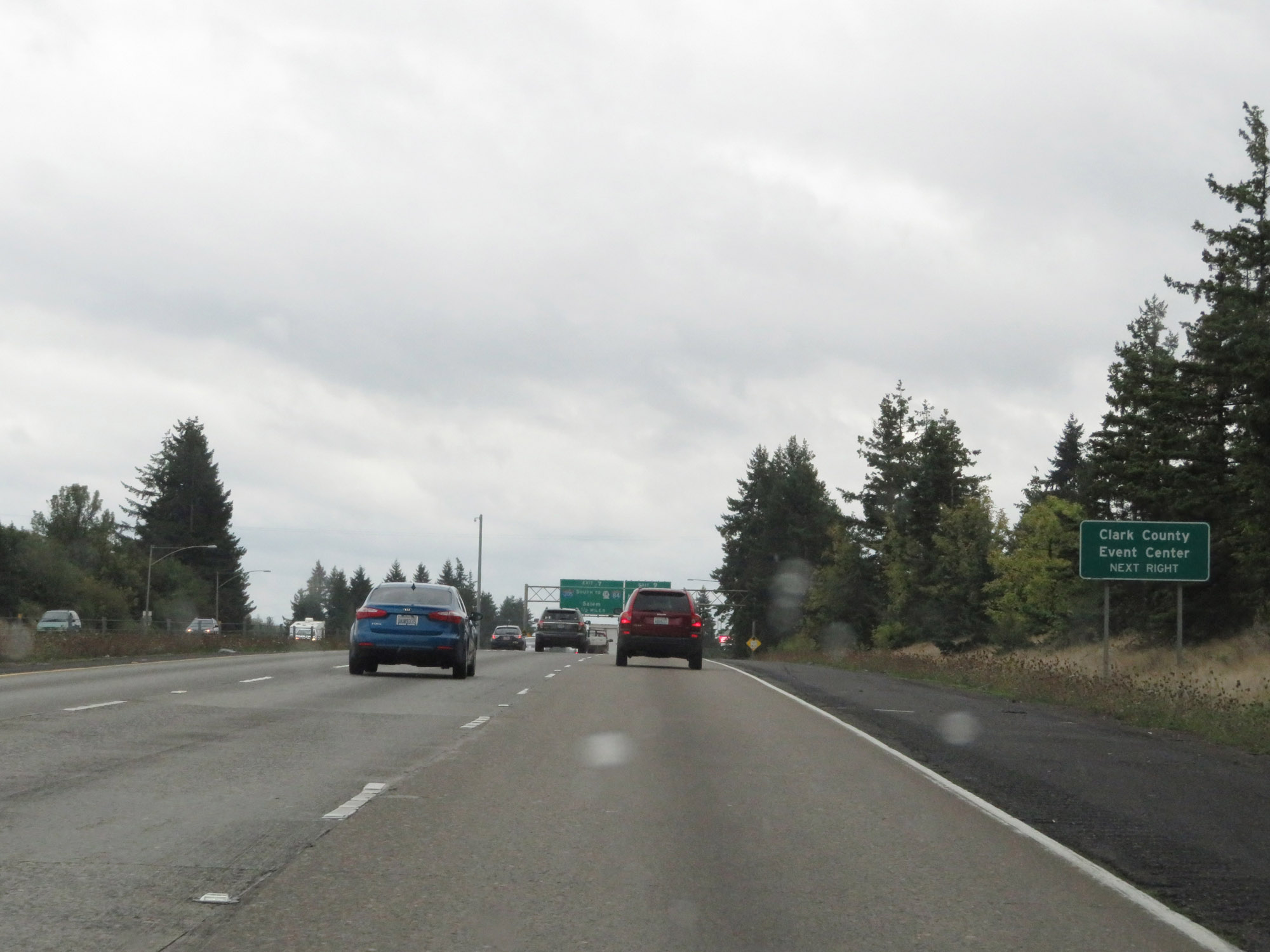 |
Take Exit 9 to the Clark County Event Center. (Photo taken 9/22/19). |
 |
Interstate 5 South at Exit 9: NE 179th St (Photo taken 9/22/19). |
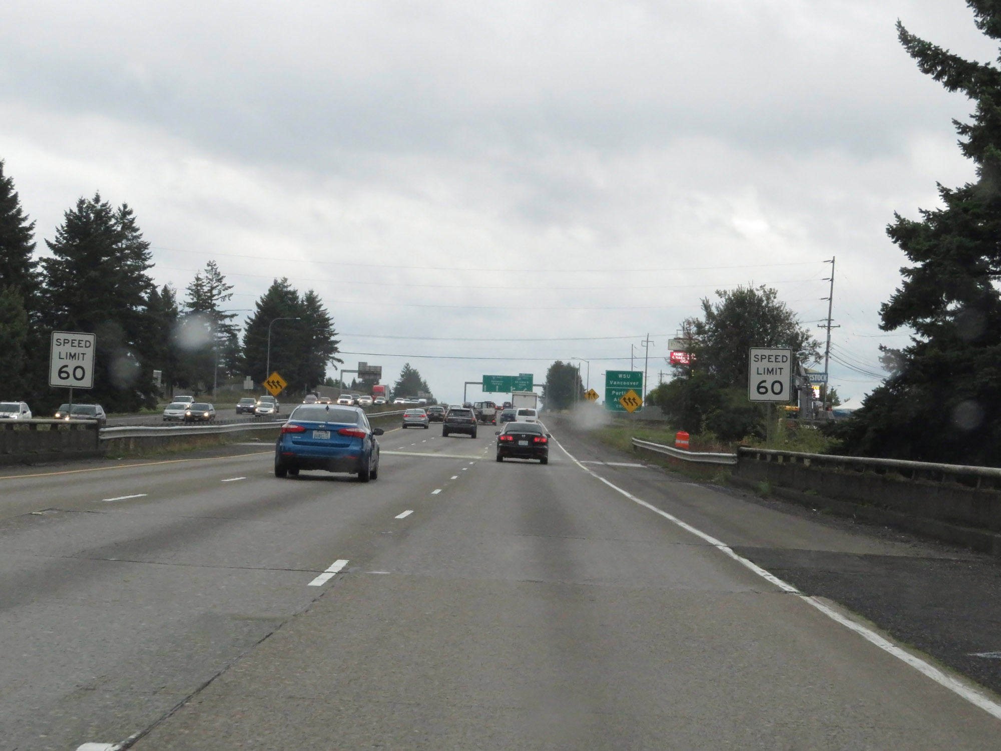 |
South of Exit 9, the speed limit decreases to 60 mph for all traffic as Interstate 5 South nears Vancouver. (Photo taken 9/22/19). |
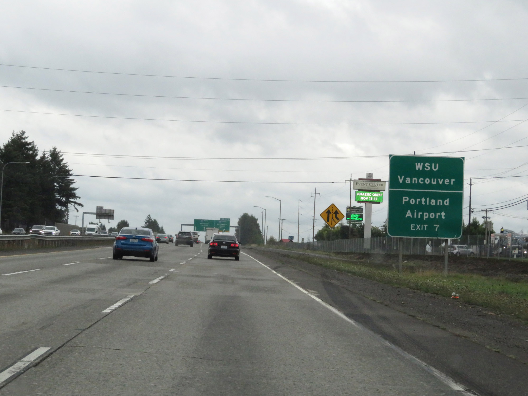 |
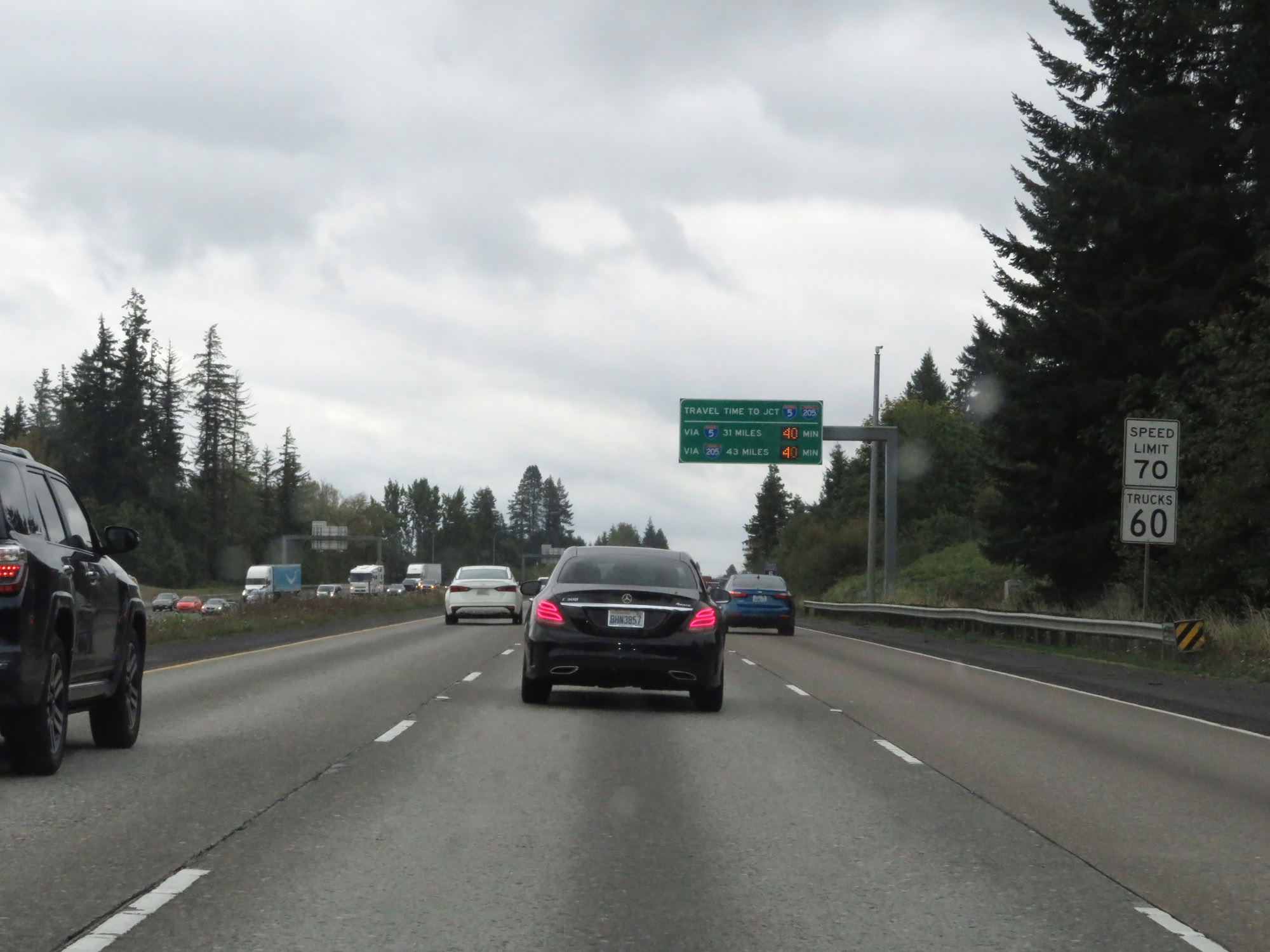
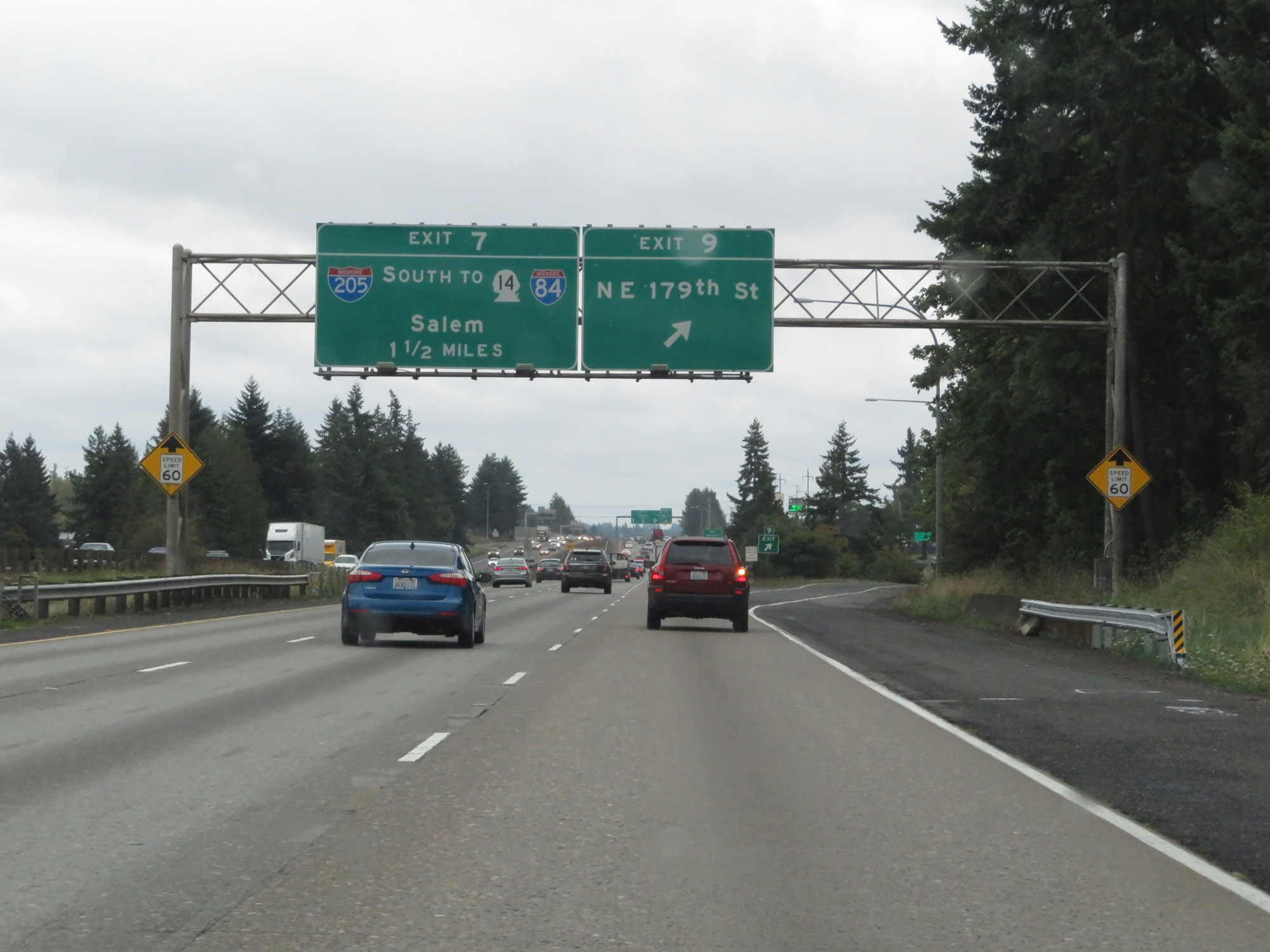
Take Exit 7 (Interstate 205 South) to WSU Vancouver and Portland International Airport. (Photo taken 9/22/19). |
 |
Interstate 5 South approaching Exit 7 - 1 mile. (Photo taken 9/22/19). |
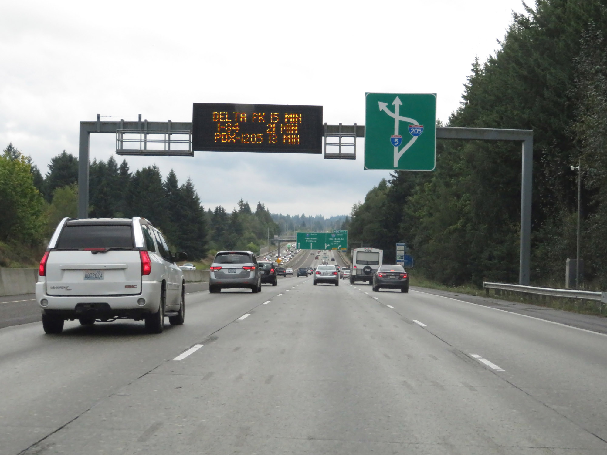 |
This sign shows the layout of Exit 7, which will take Interstate 205 South traffic underneath Interstate 5. (Photo taken 9/22/19). |
 |
Interstate 5 South at Exit 7: Interstate 205 South - NE 134th St / Salem (Photo taken 9/22/19). |
 |
View on Interstate 5 South in Vancouver. (Photo taken 9/22/19). |
 |
Interstate 5 South reassurance shield. (Photo taken 9/22/19). |
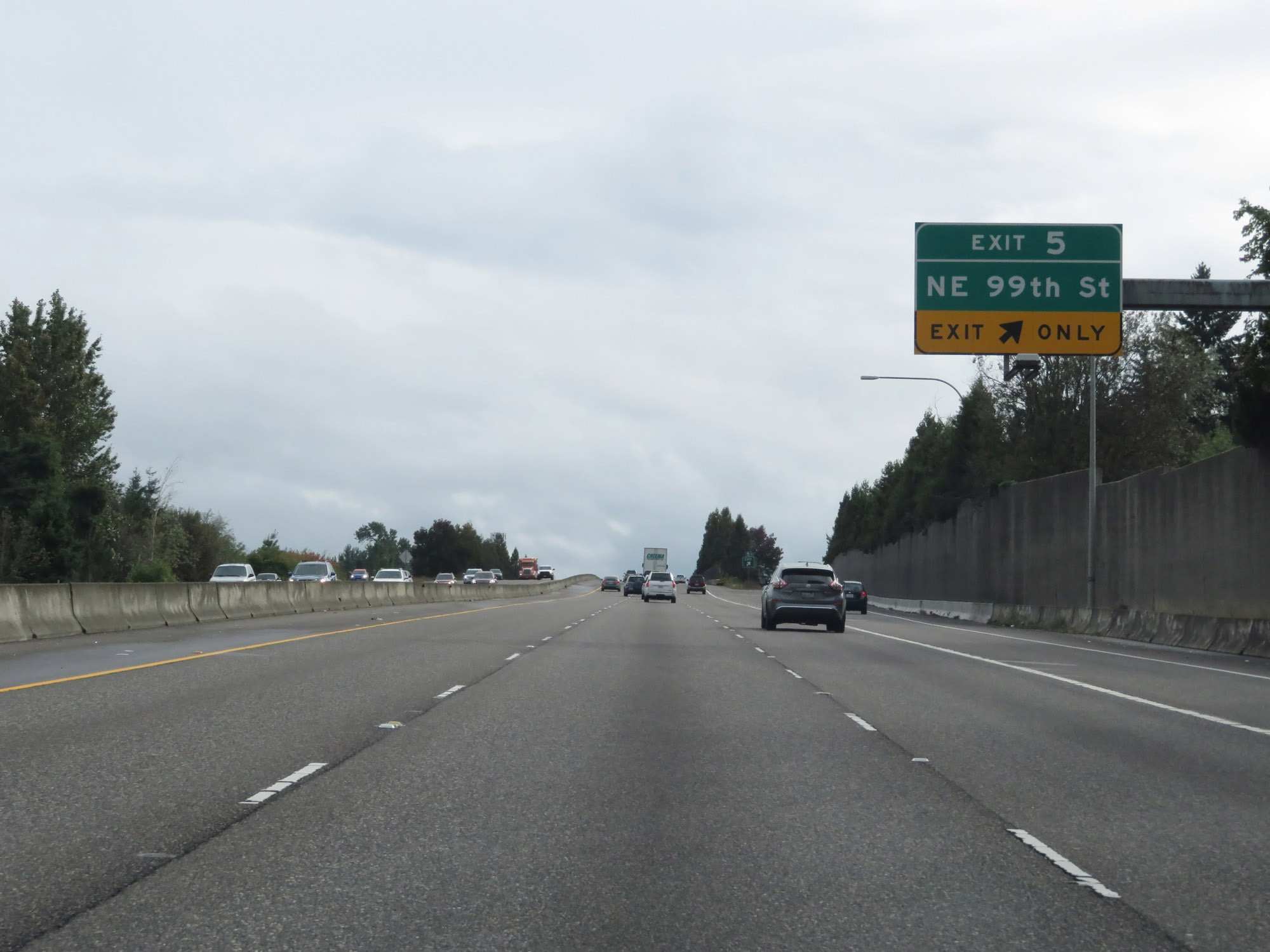 |
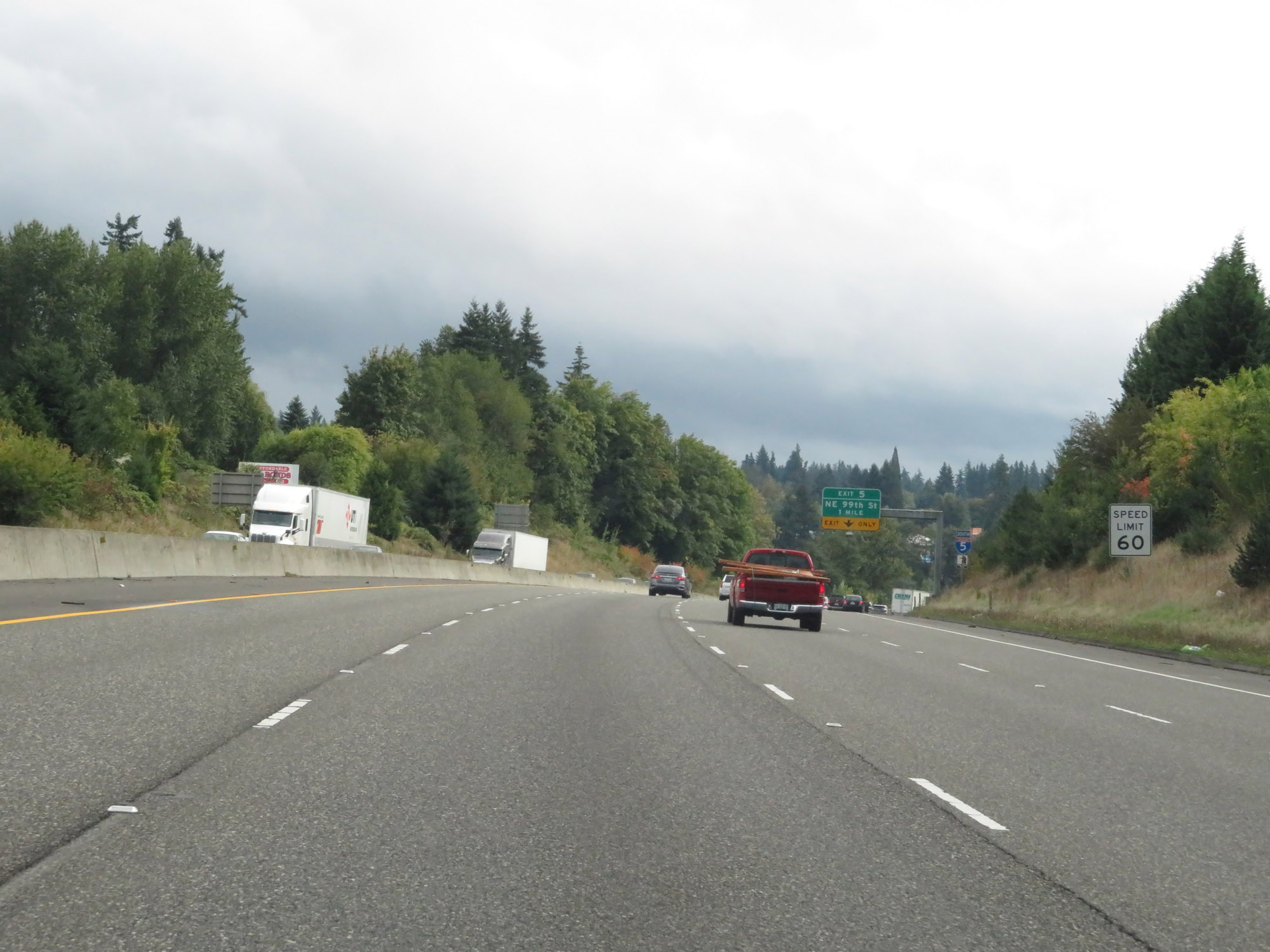
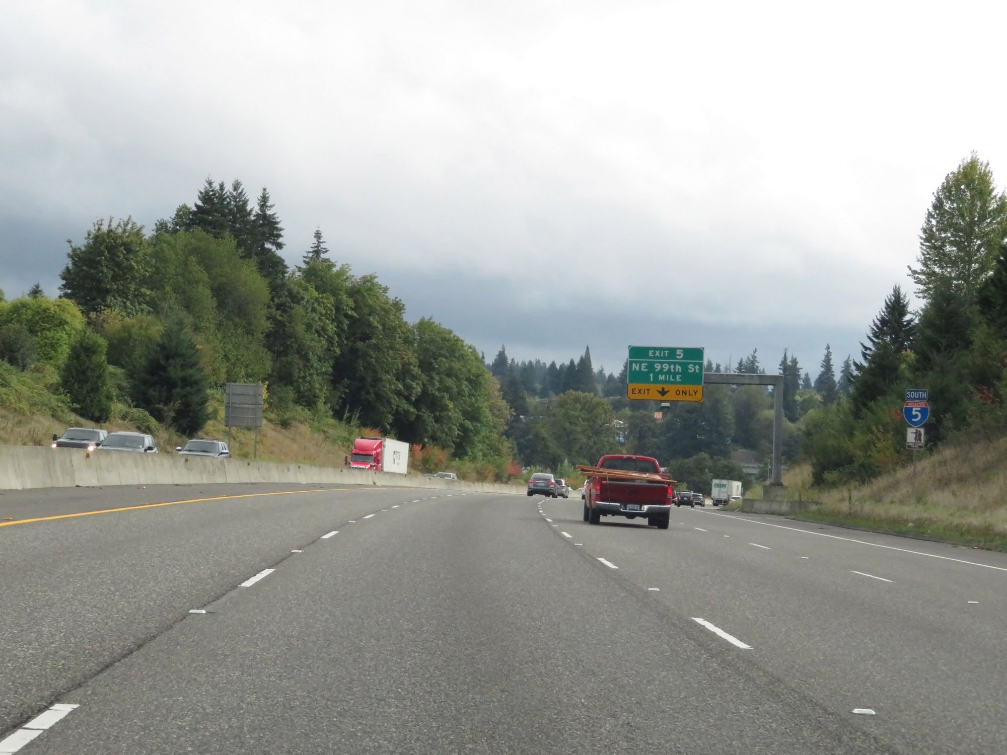
Interstate 5 South at Exit 5: NE 99th St (Photo taken 9/22/19). |
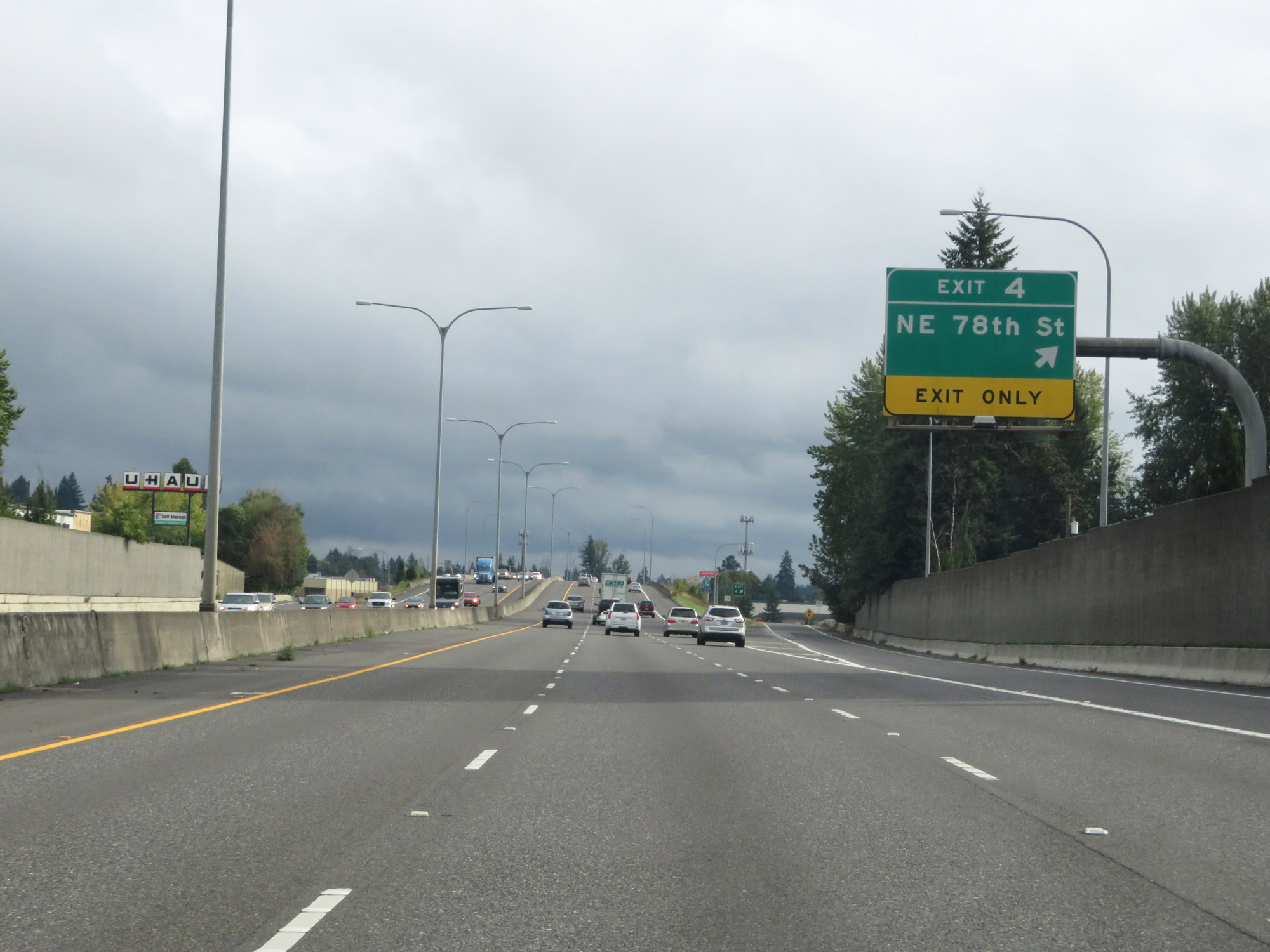 |
Interstate 5 South at Exit 4: NE 78th St (Photo taken 9/22/19). |
 |
Another Interstate 5 South reassurance shield. (Photo taken 9/22/19). |
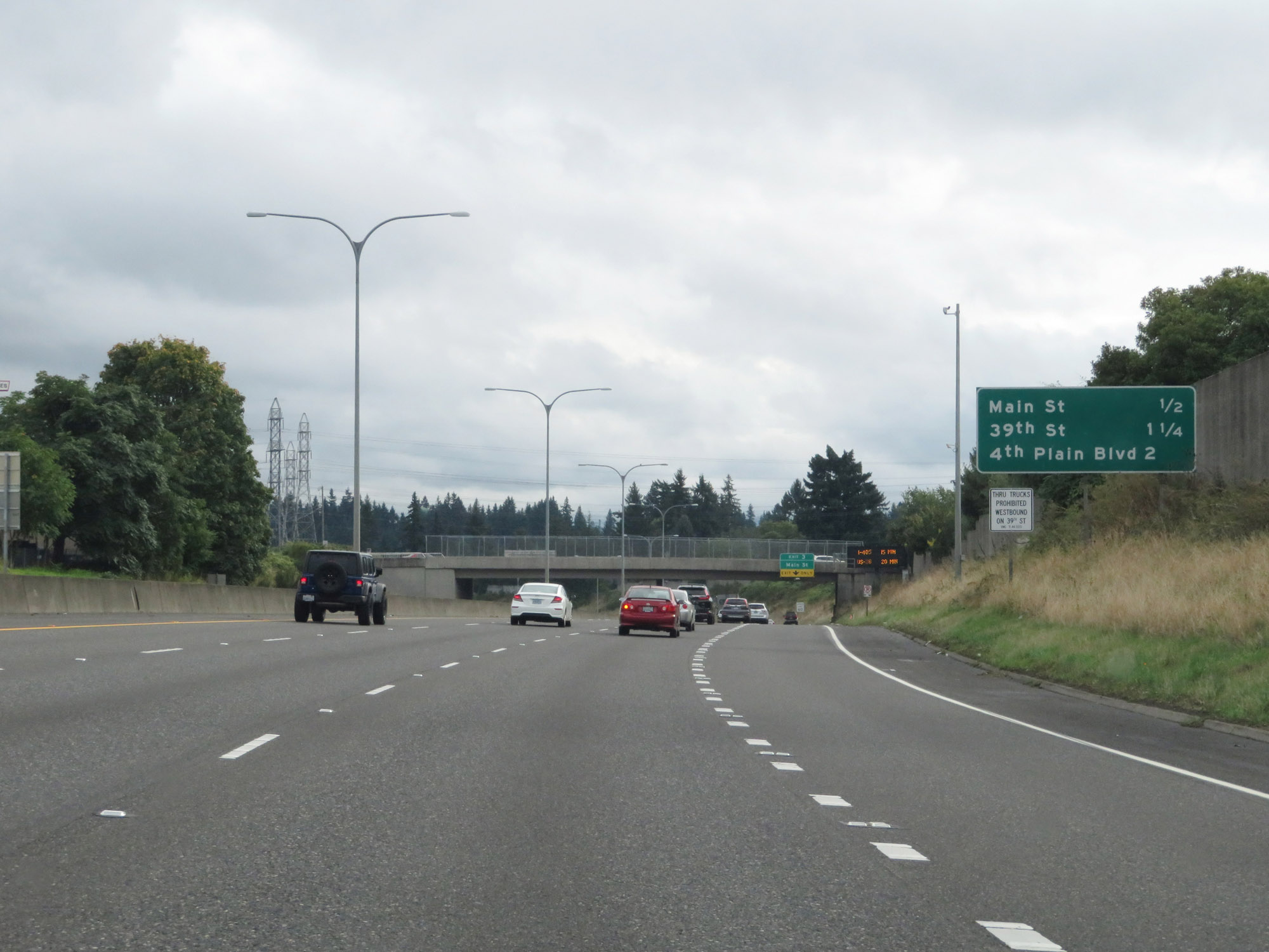 |
Mileage sign listing the distances to the next 3 exits to Vancouver. (Photo taken 9/22/19). |
 |
The speed limit remains 60 mph for all traffic. (Photo taken 9/22/19). |
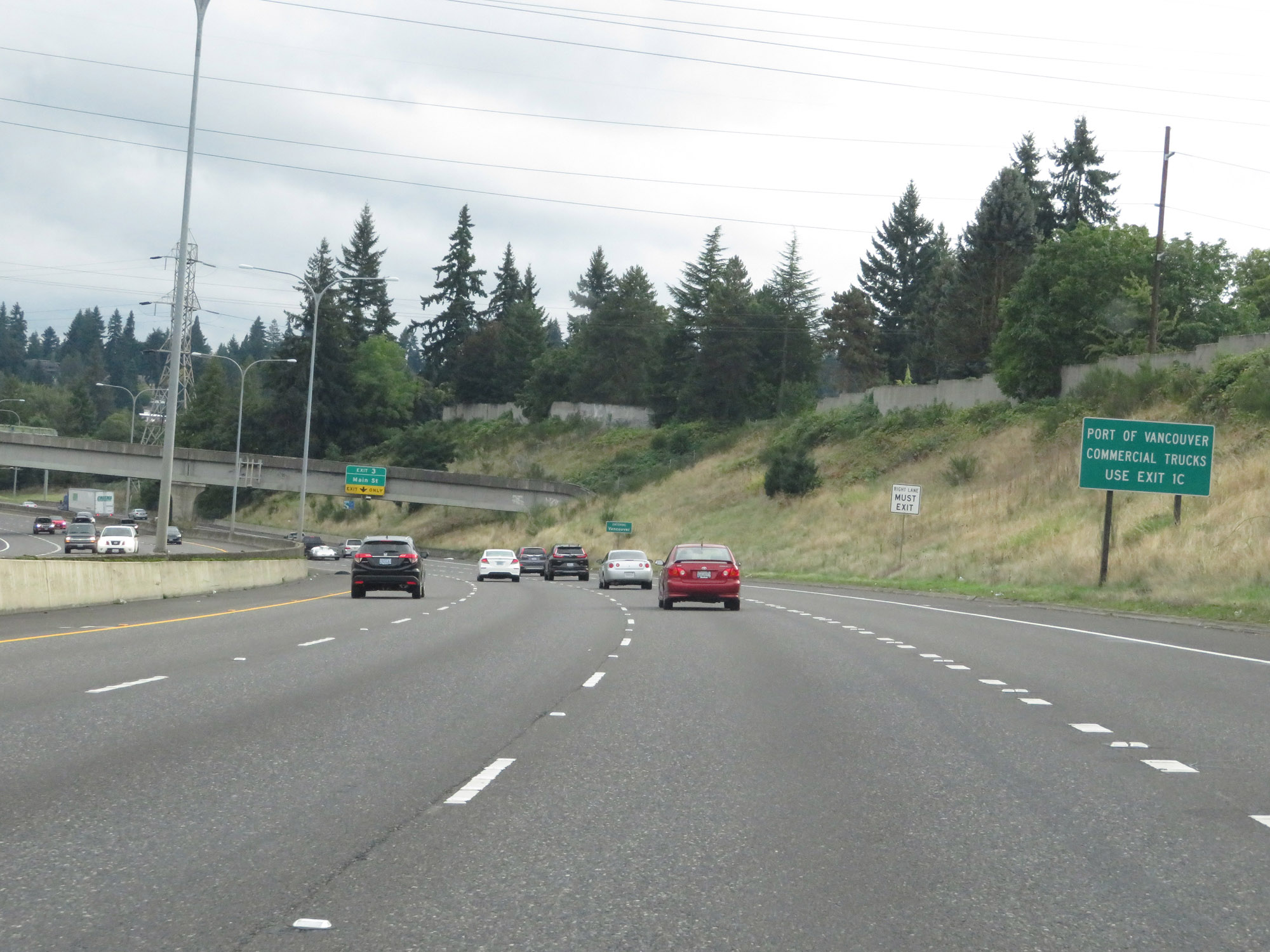 |
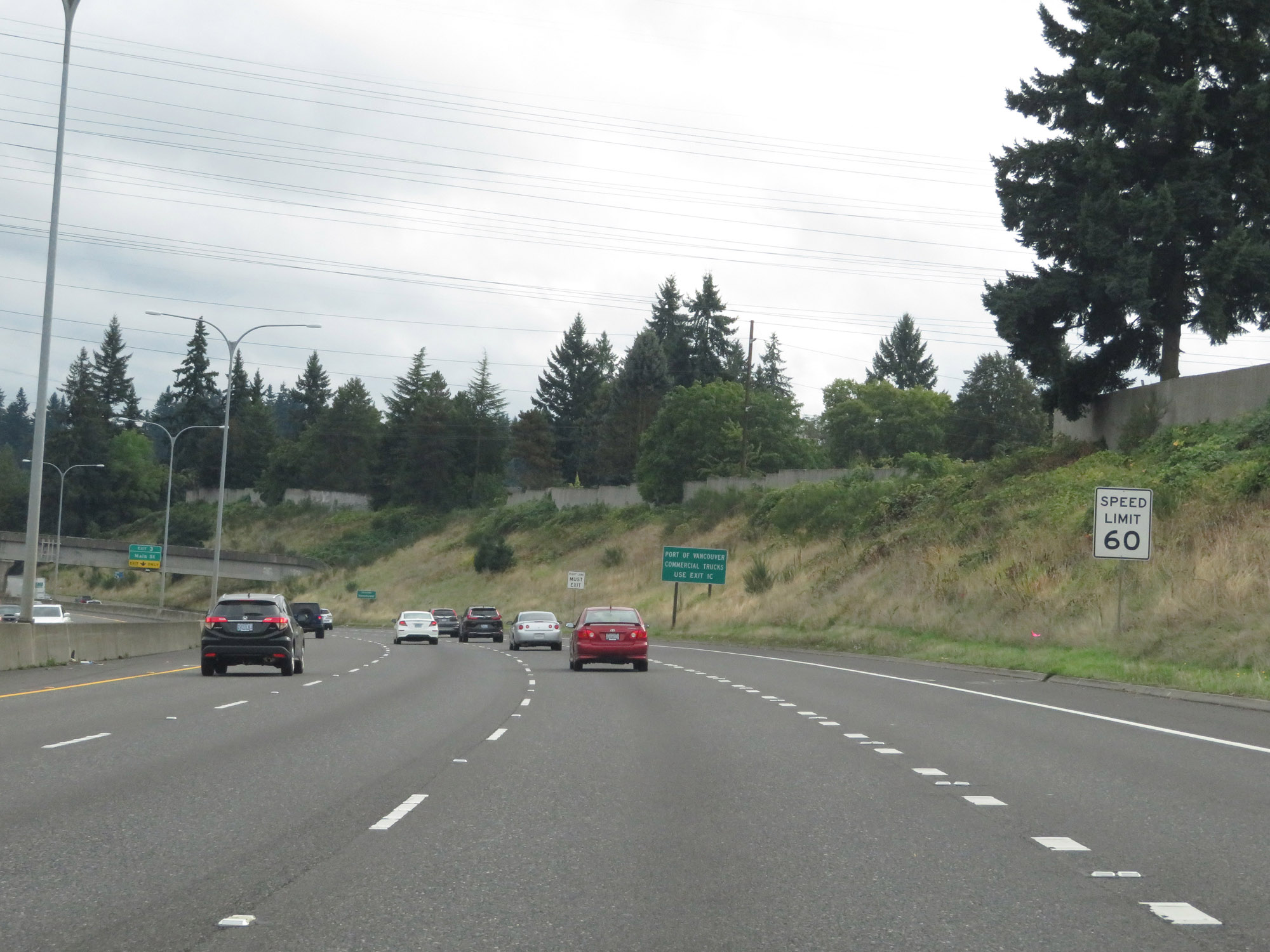
All commercial trucks to the Port of Vancouver should use Exit 1C. (Photo taken 9/22/19). |
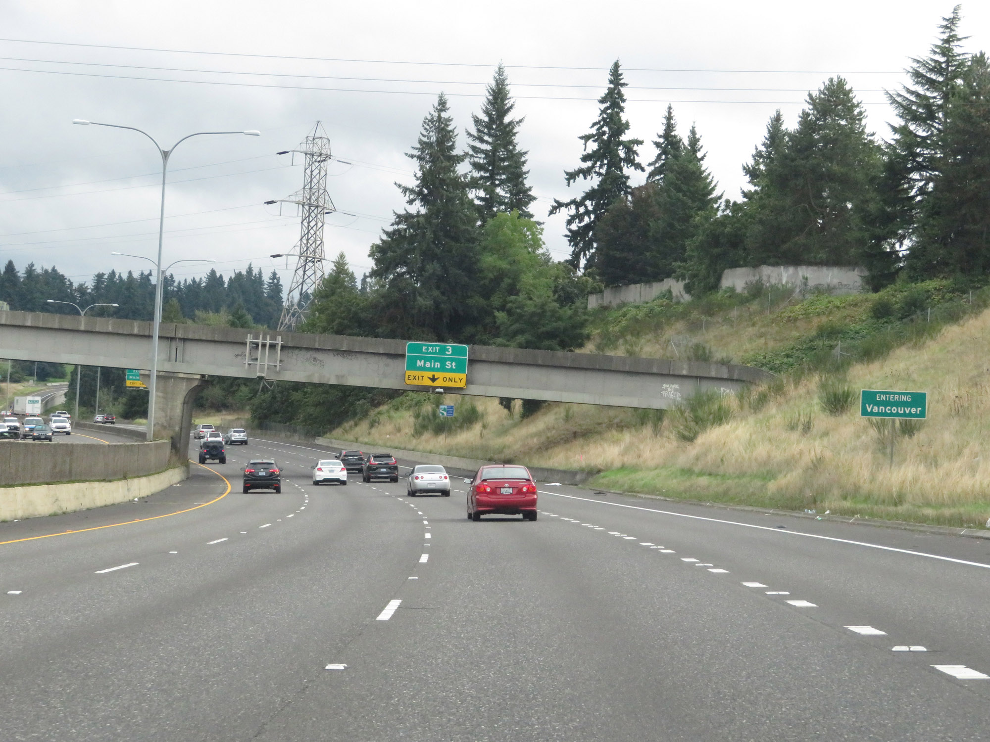 |
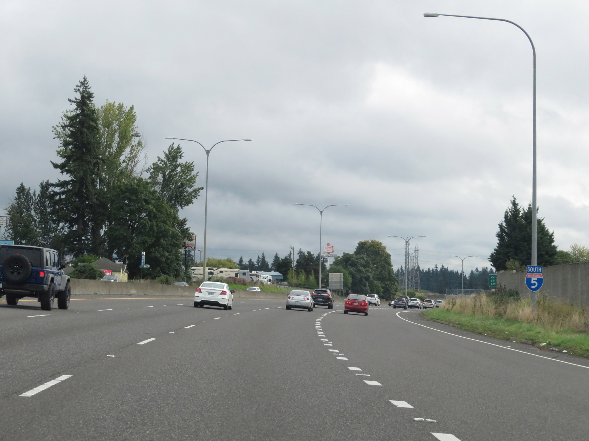
Interstate 5 South as it enters the Vancouver city limits. (Photo taken 9/22/19). |
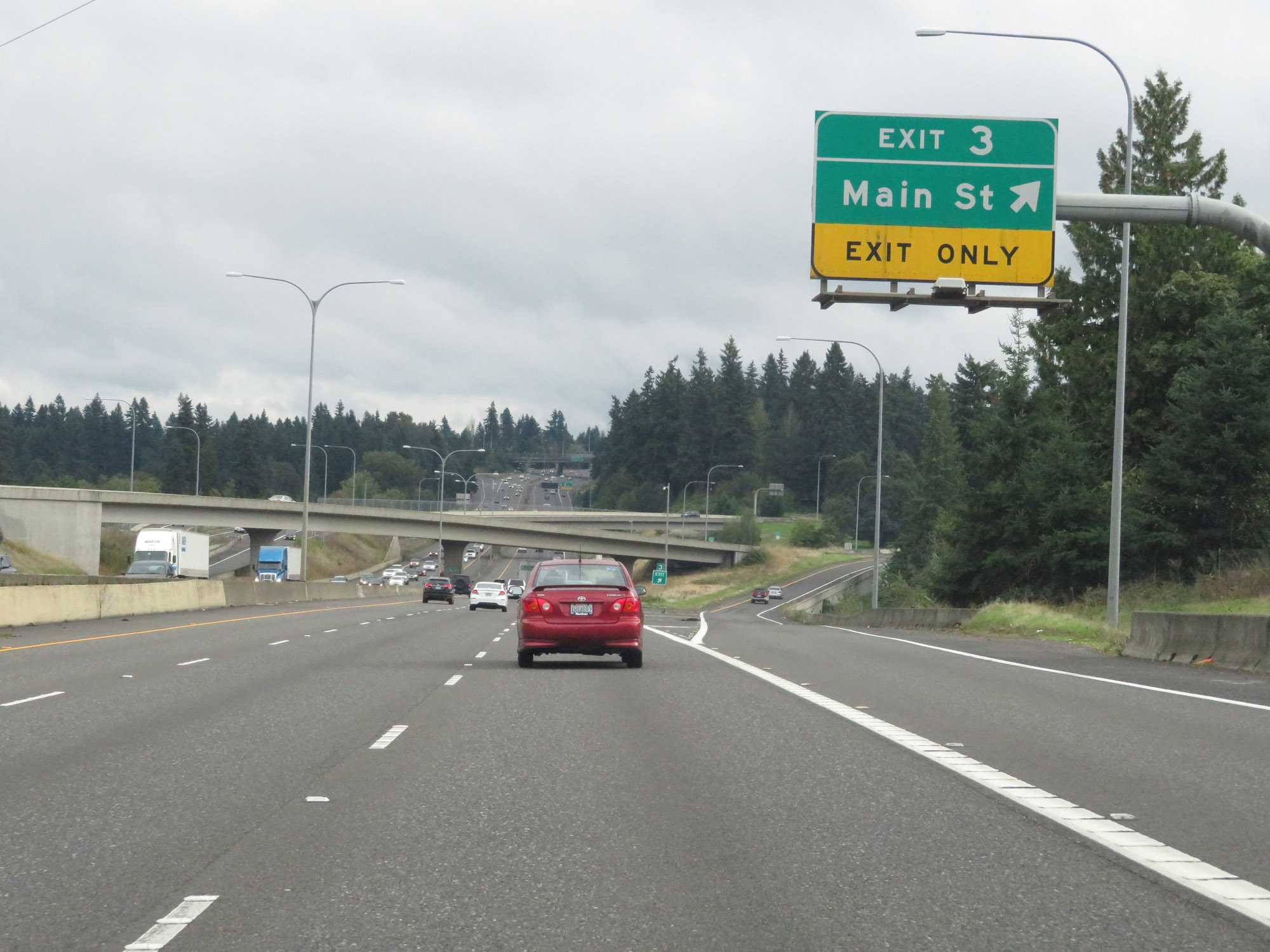 |
Interstate 5 South at Exit 3: Main St (Photo taken 9/22/19). |
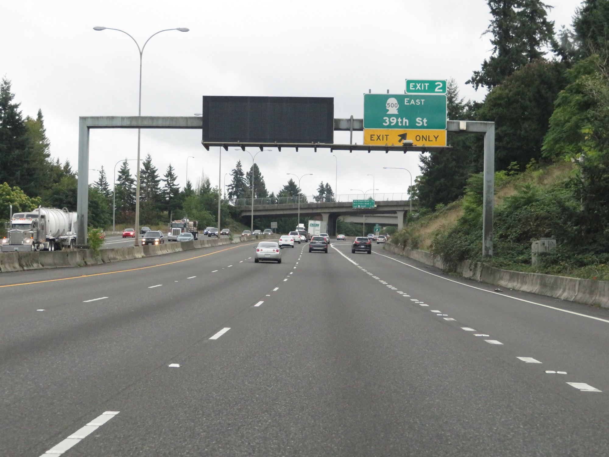 |
Interstate 5 South at Exit 2: WA 500 East - 39th St (Photo taken 9/22/19). |
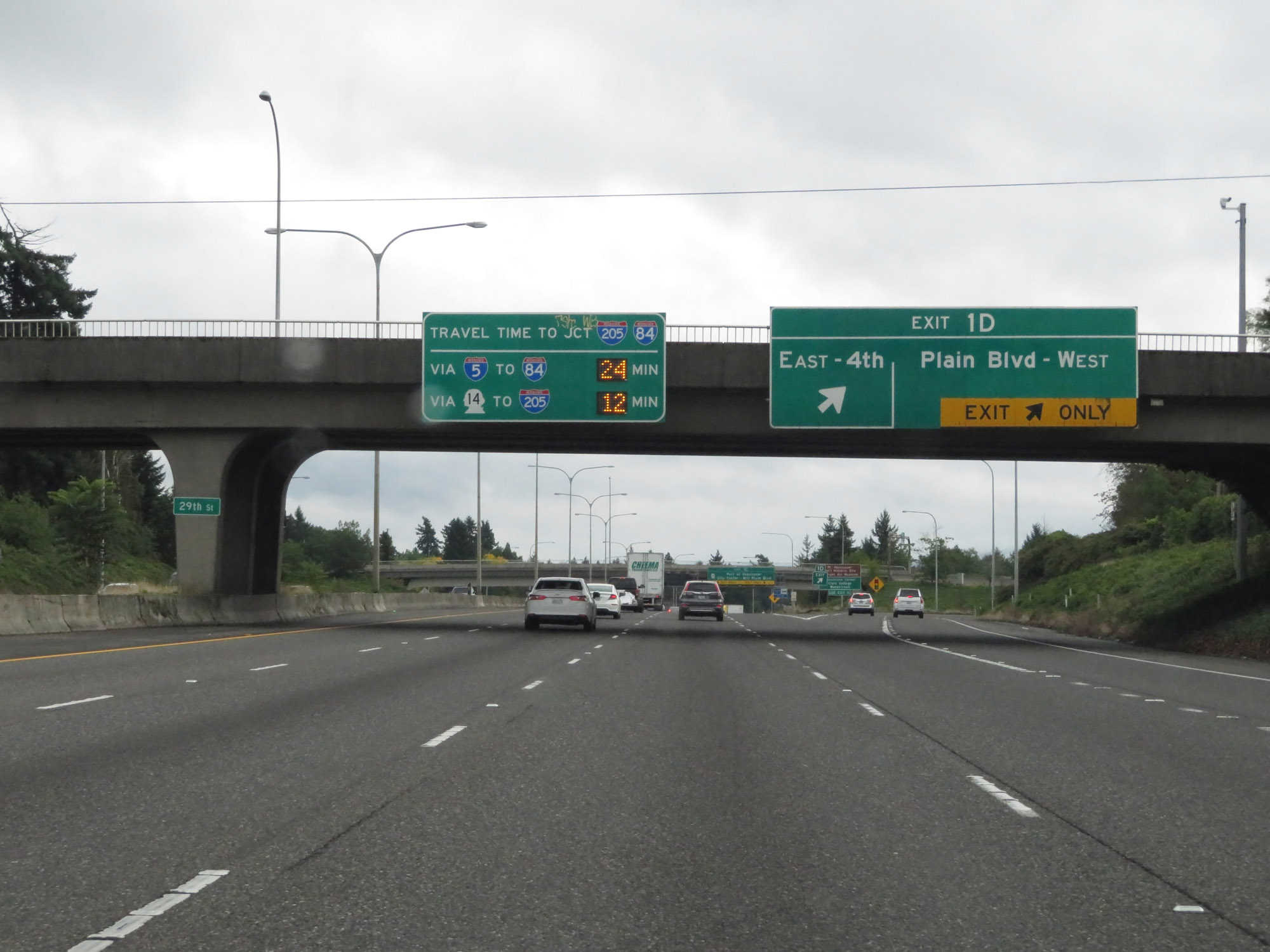 |
Interstate 5 South at Exit 1D: 4th Plain Blvd (Photo taken 9/22/19). |
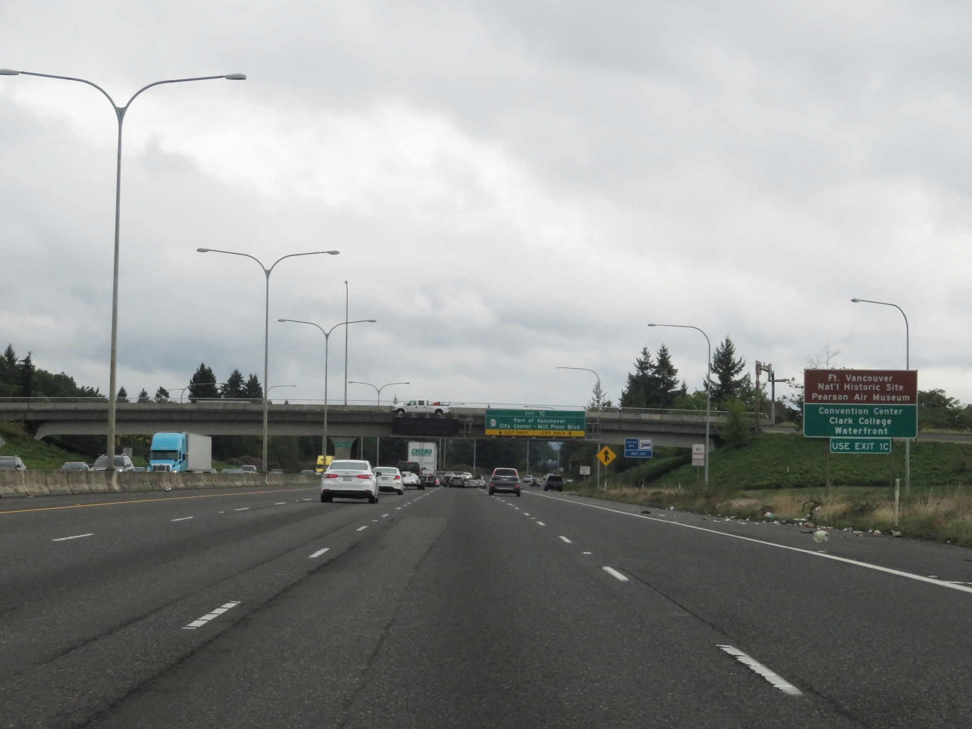 |
Take Exit 1C to Fort Vancouver National Historic Site, Pearson Air Museum, the Convention Center, Clark College, and the Waterfront. (Photo taken 9/22/19). |
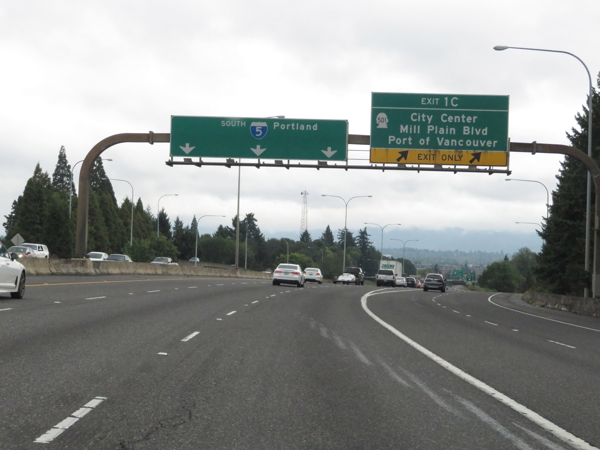 |
Interstate 5 South at Exit 1C: WA 501 - City Center / Mill Plain Blvd / Port of Vancouver (Photo taken 9/22/19). |
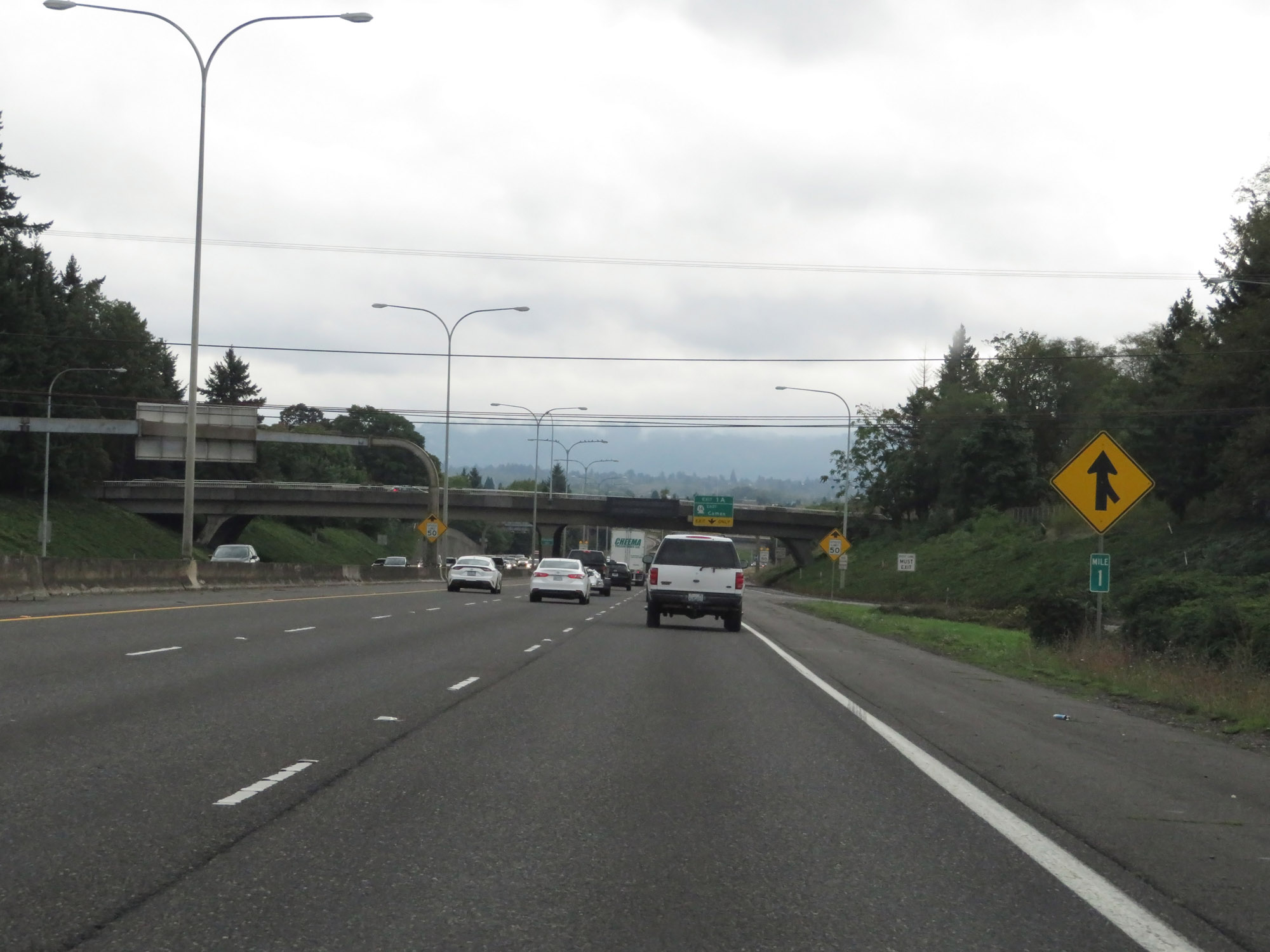 |
View on Interstate 5 South at mile marker 1 in Vancouver. (Photo taken 9/22/19). |
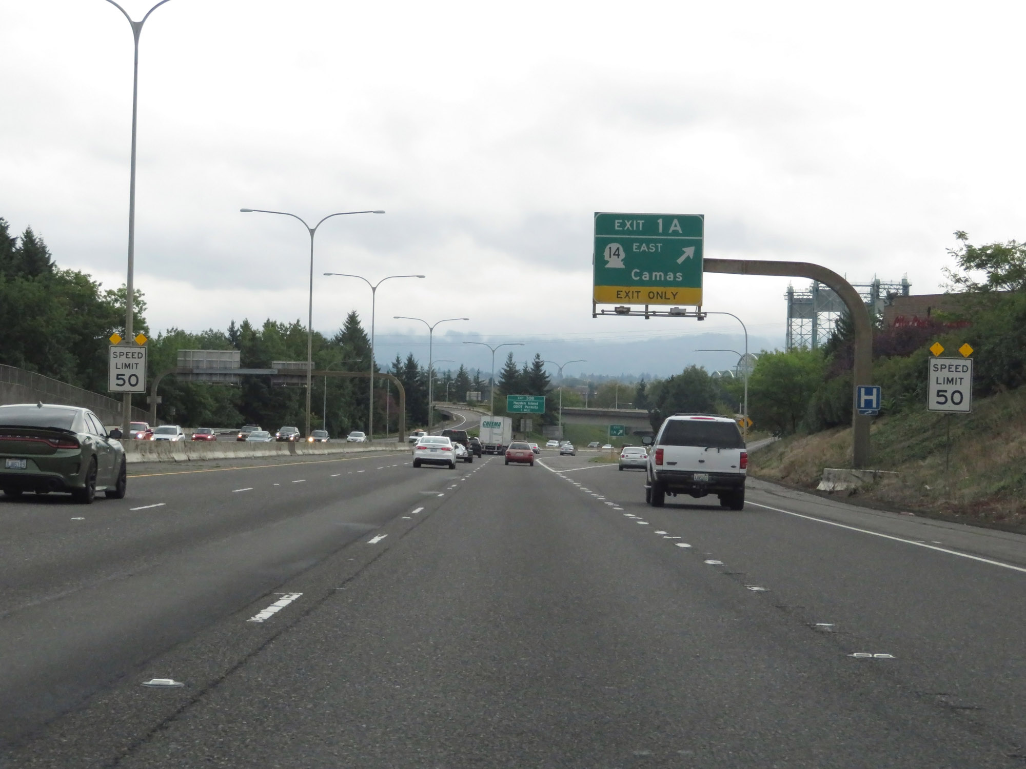 |
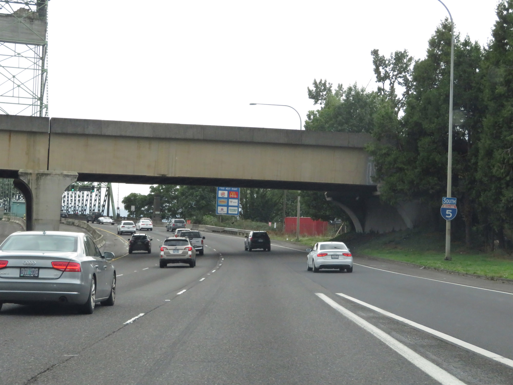
Interstate 5 South at Exit 1A: WA 14 East - Camas. At Exit 1A, the speed limit decreases to 50 mph for all traffic as the Interstate Bridge, which will carry I-5 traffic over the Columbia River from Washington State into Oregon, comes into view. (Photo taken 9/22/19). |
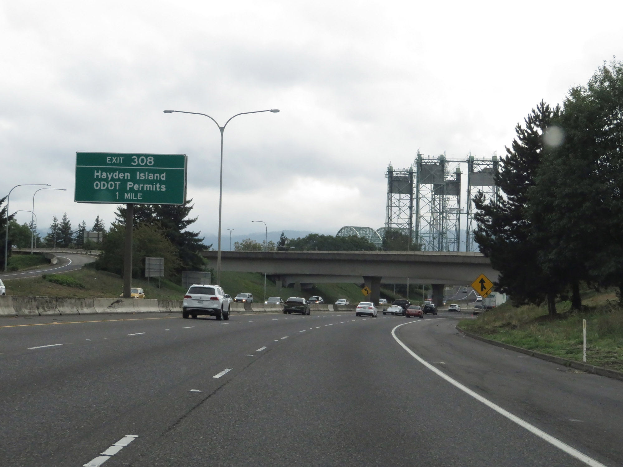 |
Advance signage for Exit 308 on Interstate 5 South, which will be the first exit in Oregon. (Photo taken 9/22/19). |
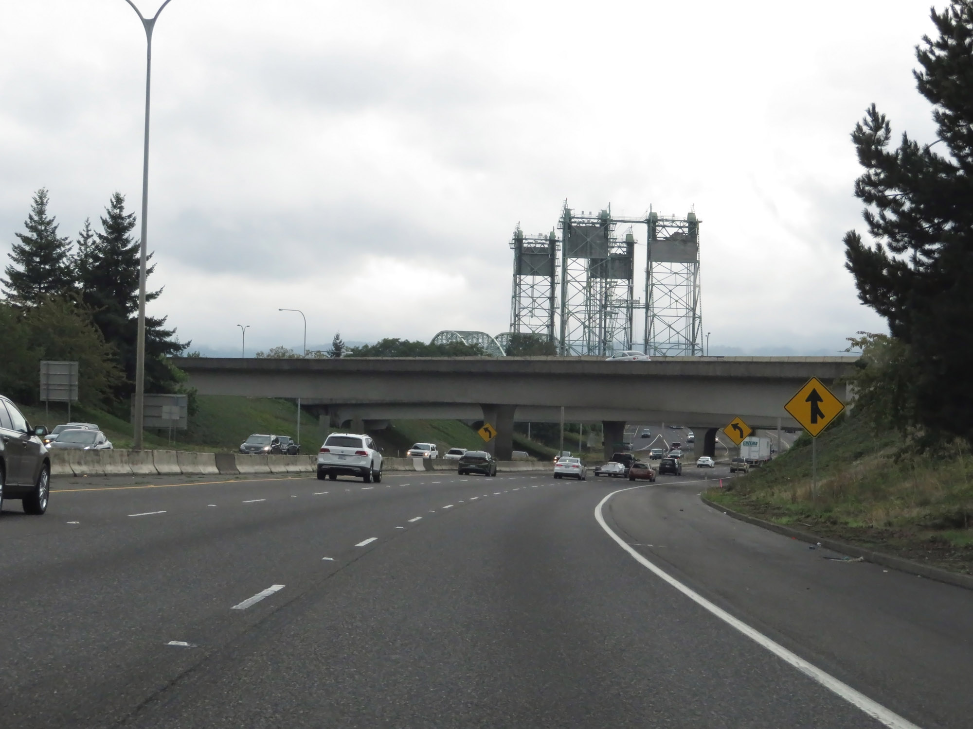 |
A long view of the Interstate Bridge. (Photo taken 9/22/19). |
 |
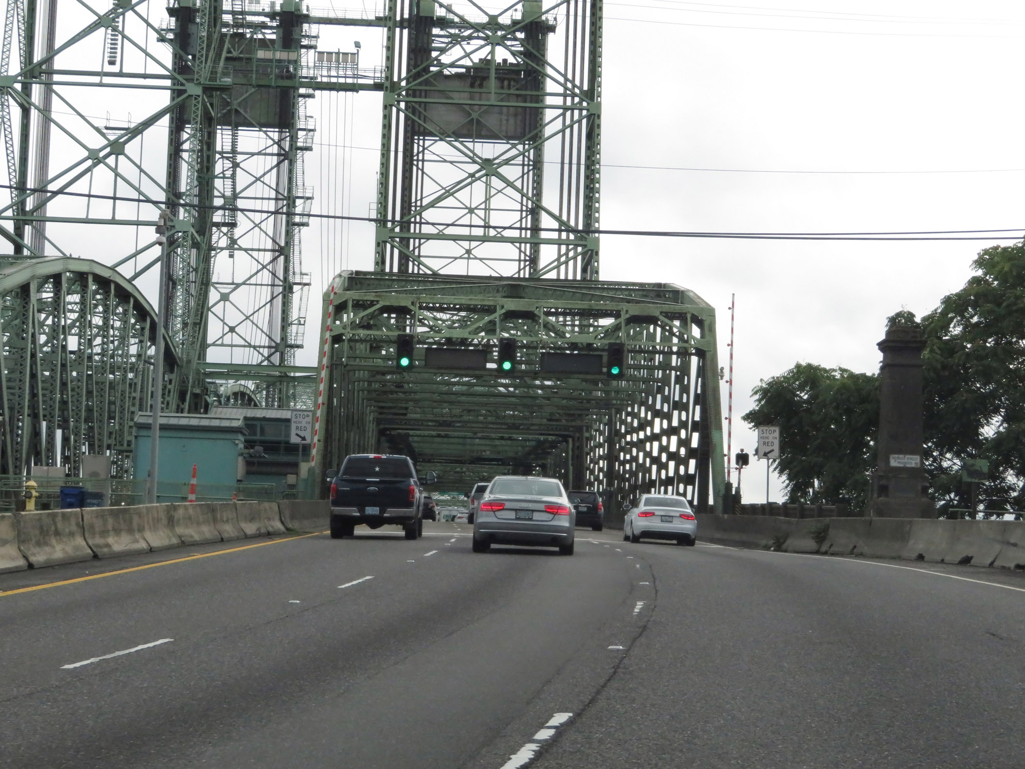
One final Interstate 5 South reassurance shield and it prepares to cross the Columbia River via the Interstate Bridge. (Photo taken 9/22/19). |
 |
View on Interstate 5 South as it starts across the Interstate Bridge over the Columbia River. (Photo taken 9/22/19). |
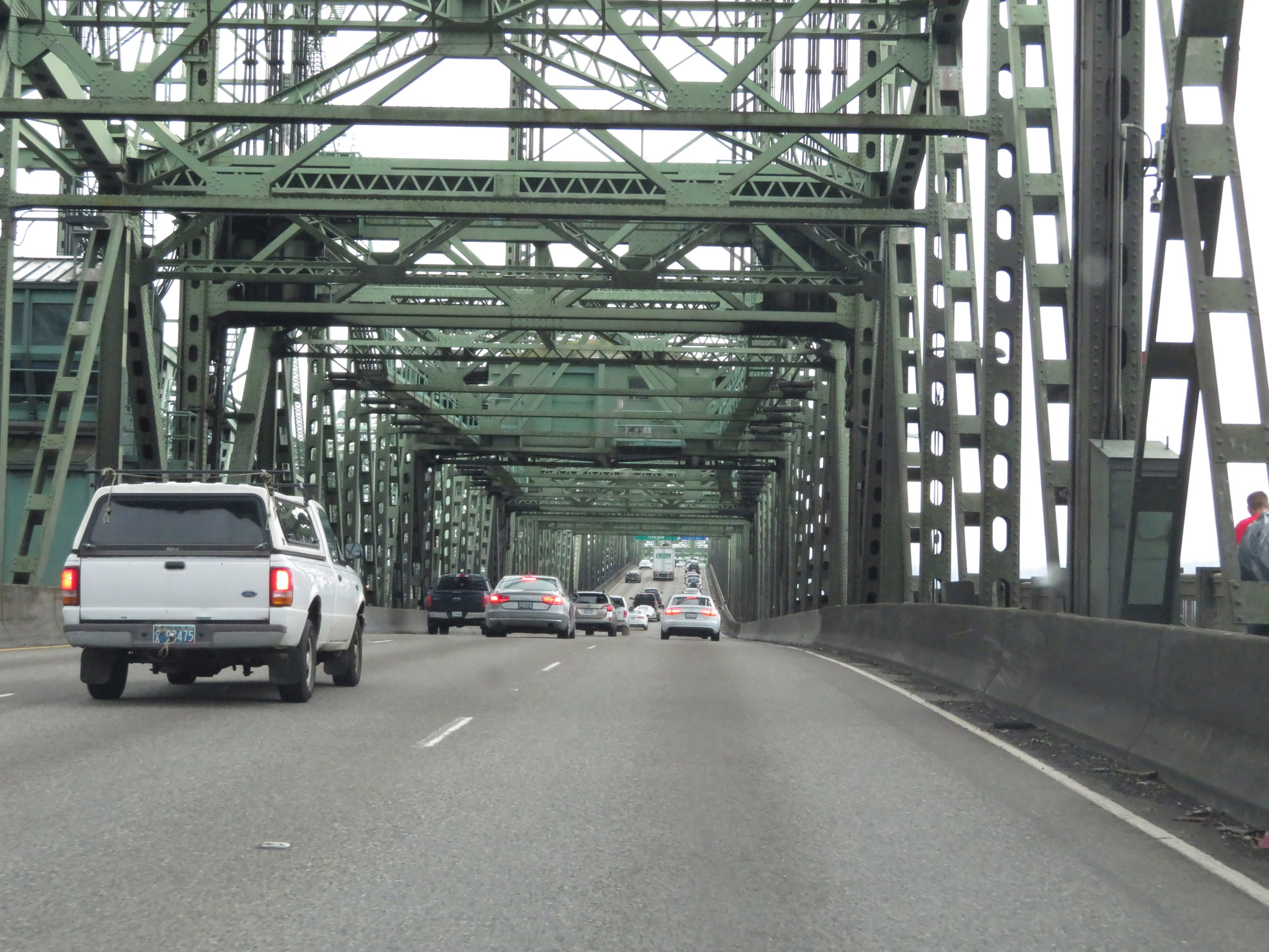 |
Interstate 5 South as it crosses the Interstate Bridge over the Columbia River and prepares to cross into Oregon. (Photo taken 9/22/19). |