Road Information |
||
 |
||
| Total Mileage in State: | 25 miles | |
| Eastern End: | At Parks Ave/21st St/22nd St, in Virginia Beach | |
| Western End: | At I-64/I-664, in Chesapeake | |
| Mileage covered in Photos: | 18 miles | |
| Counties covered in Photos: | Norfolk (city), Virginia Beach (city) | |
| Major Junctions in Photos: | I-64, in Norfolk |
|
| Control Cities in Photos: | Norfolk, Virginia Beach | |
Eastbound
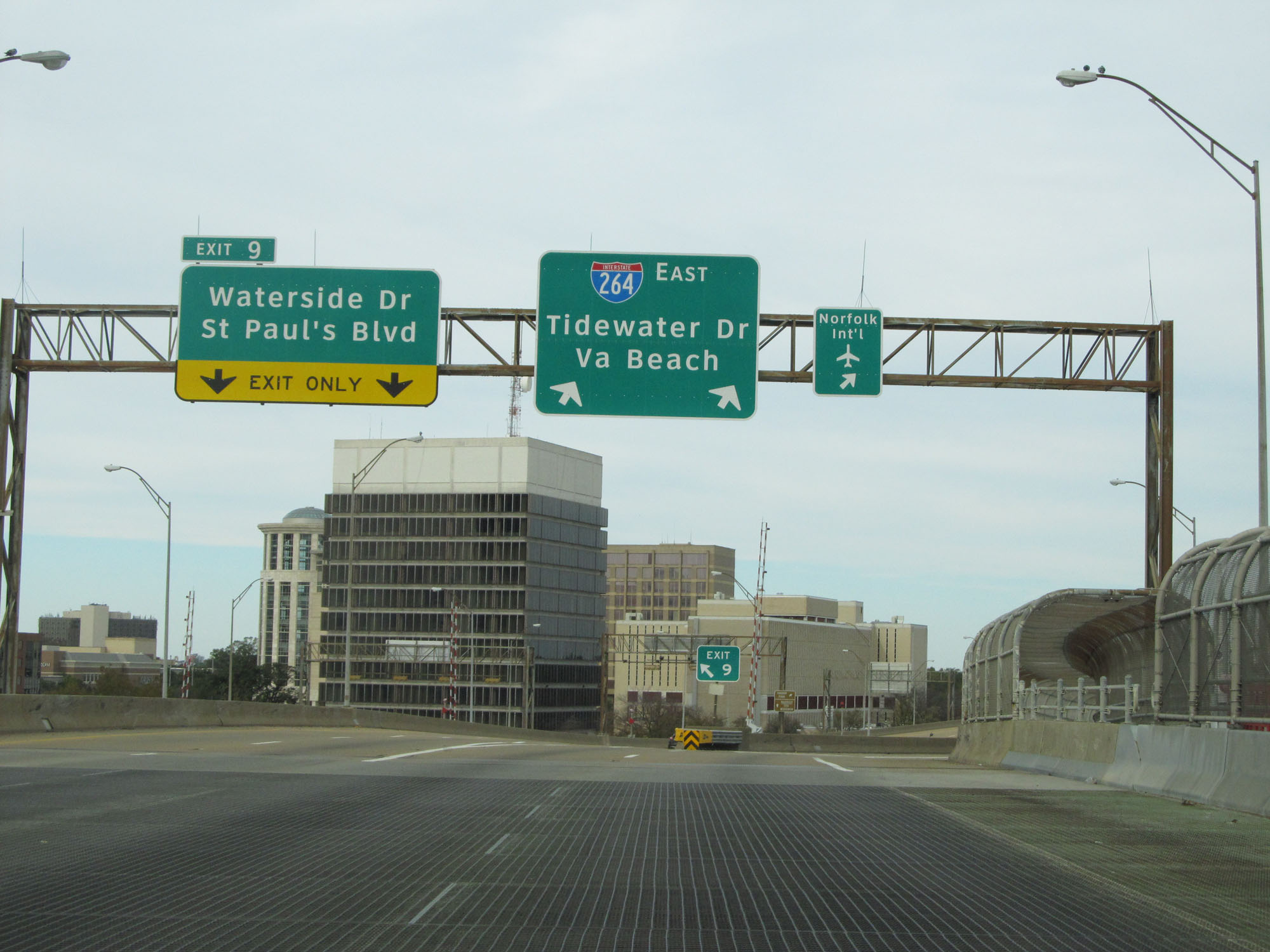 |
Interstate 264 East at Exit 9: Waterside Dr / St Paul's Blvd (Photo taken 11/8/15). |
 |
The speed limit on Interstate 264 East in downtown Norfolk is 55 mph. (Photo taken 11/8/15). |
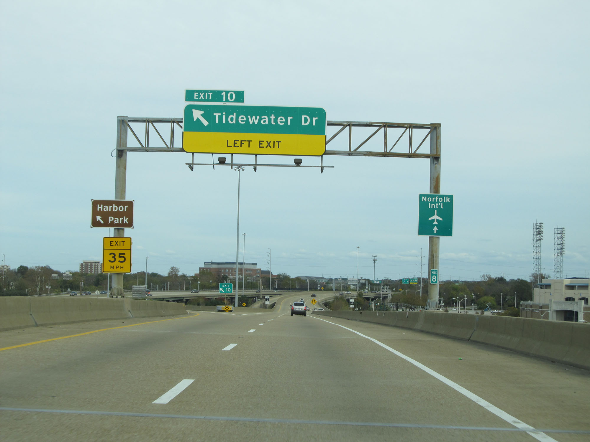 |
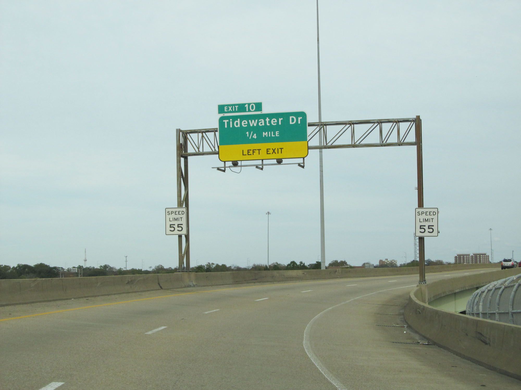
Interstate 264 East at Exit 10: Tidewater Dr (Photo taken 11/8/15). |
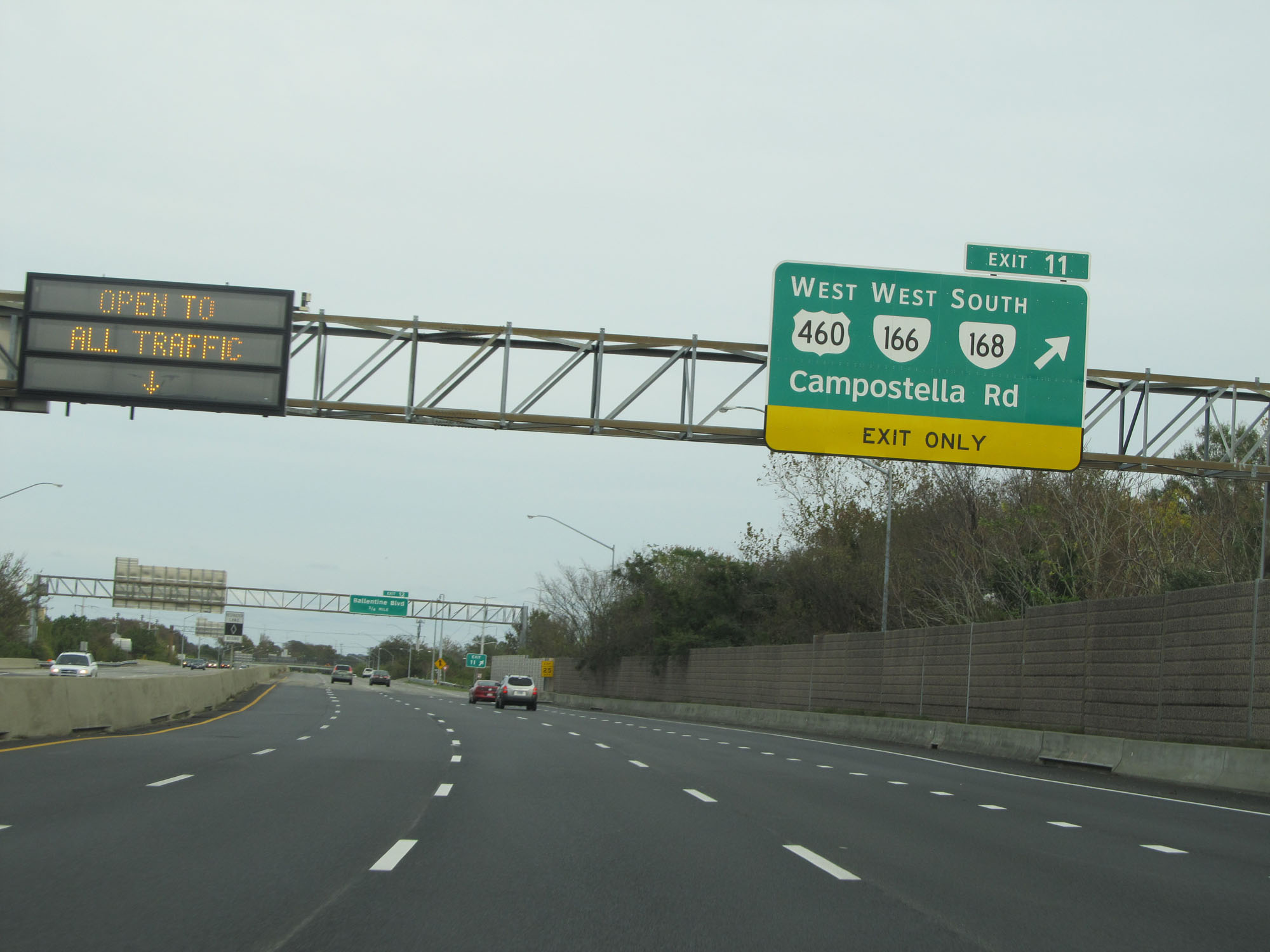 |
Interstate 264 East at Exit 11: US 460 West / VA 166 West / VA 168 South - Campostella Rd (Photo taken 11/8/15). |
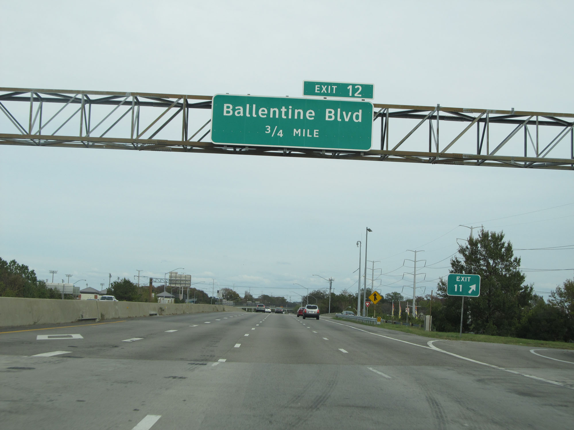 |
Interstate 264 East approaching Exit 12 - 3/4 mile. (Photo taken 11/8/15). |
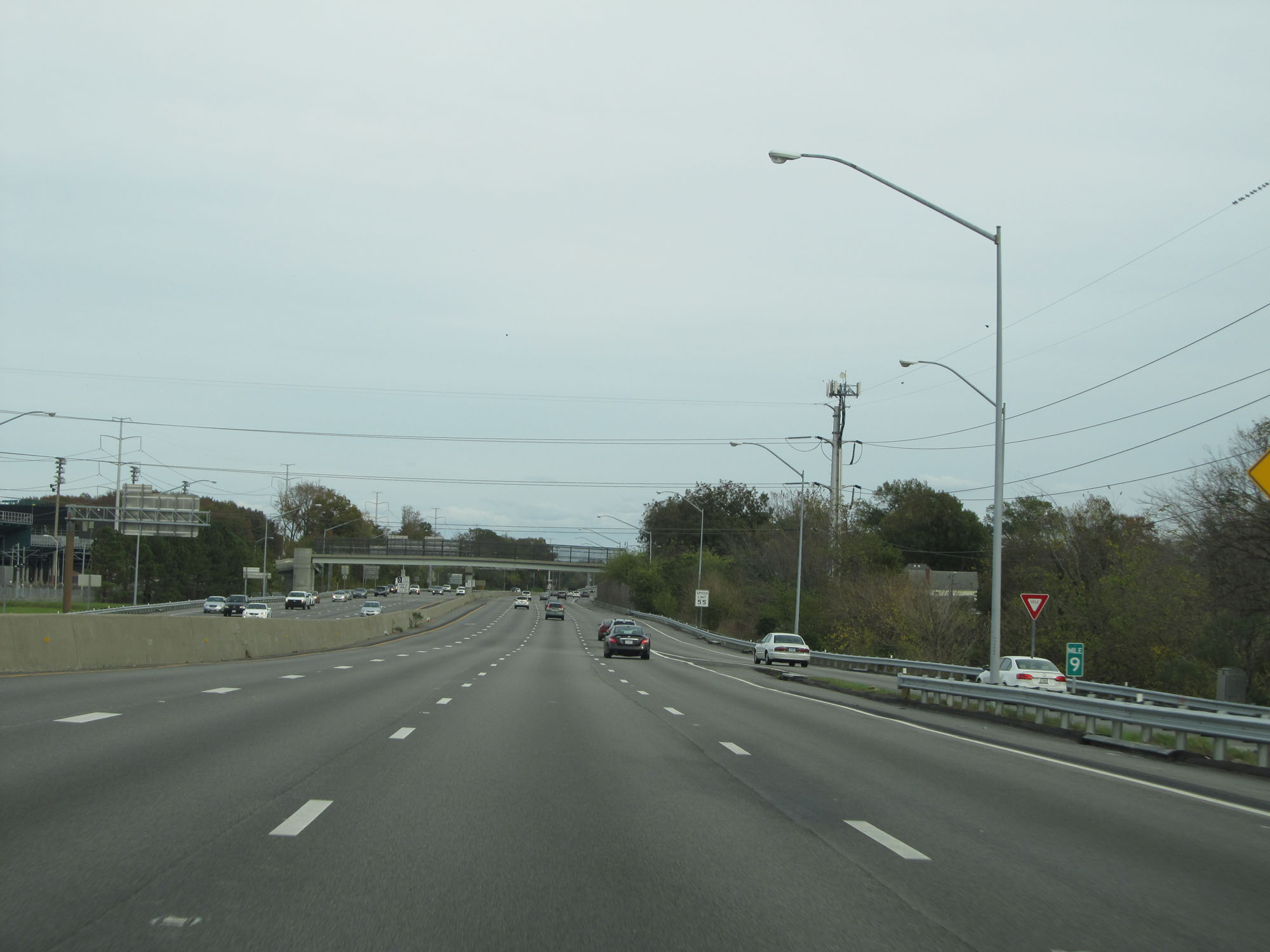 |
View on Interstate 264 East at mile marker 9. (Photo taken 11/8/15). |
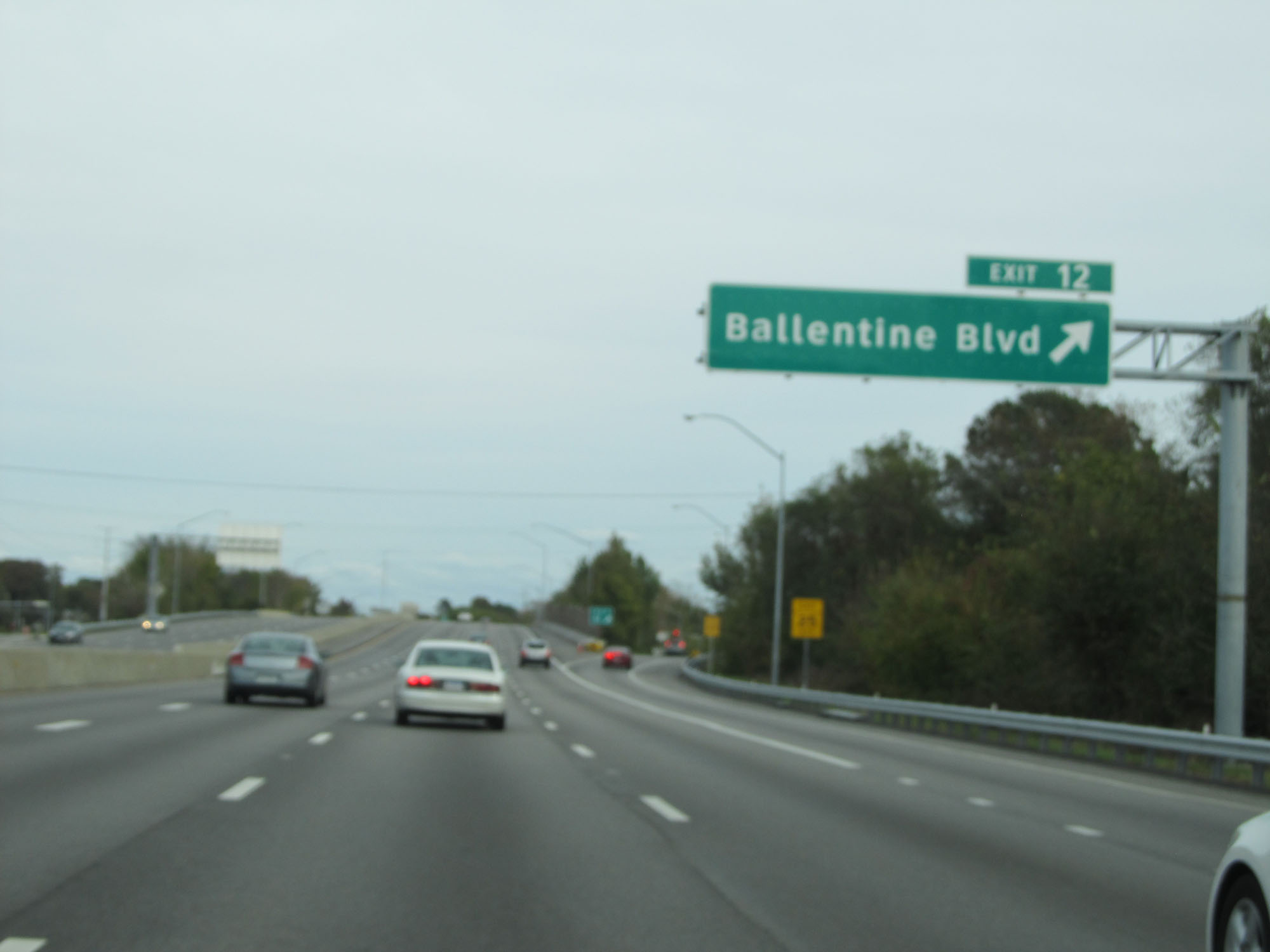 |
Interstate 264 East at Exit 12: Ballentine Blvd (Photo taken 11/8/15). |
 |
The speed limit remains 55 mph. (Photo taken 11/8/15). |
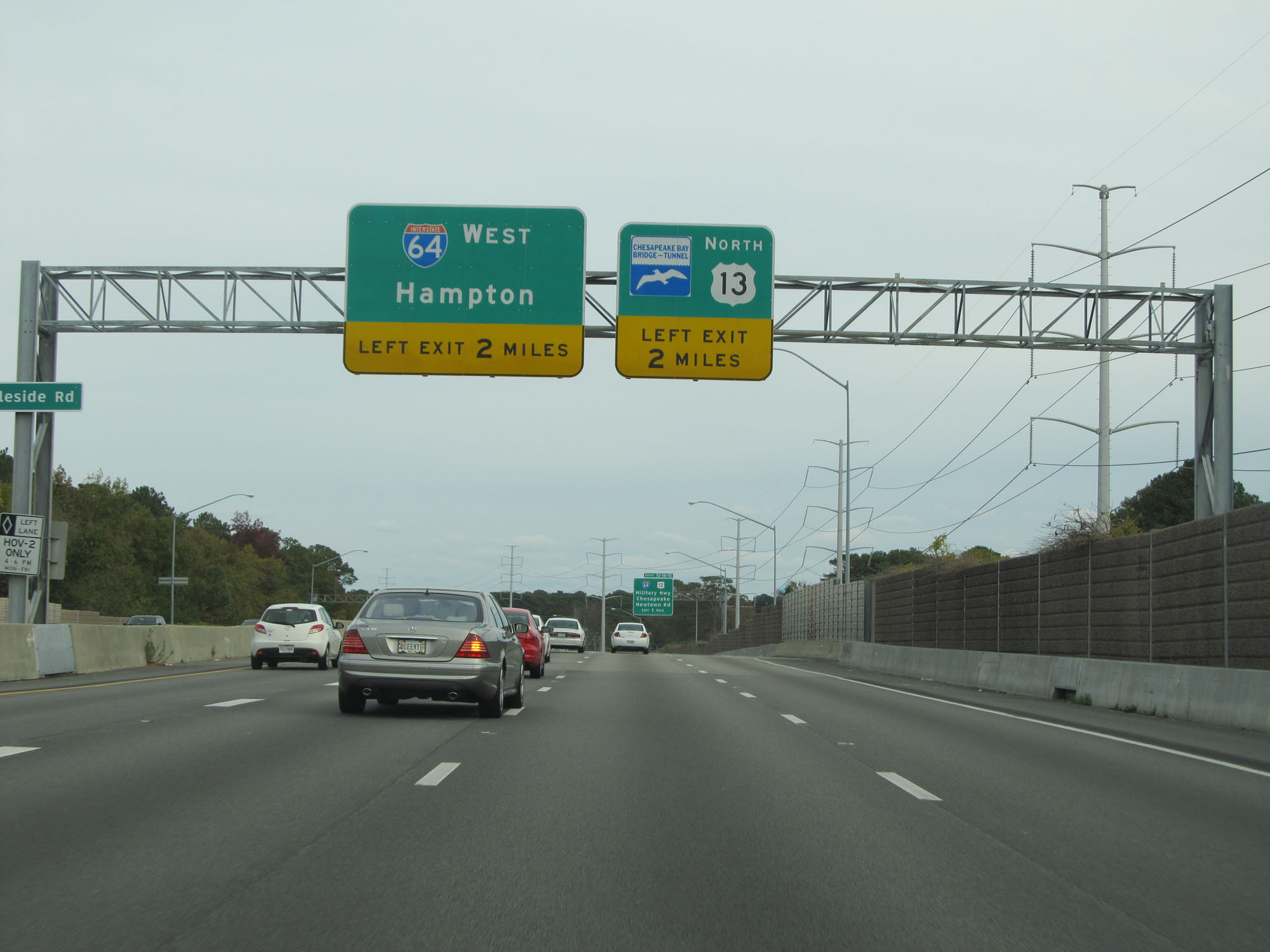 |
Interstate 64 West can be accessed directly from Interstate 264 East 2 miles ahead on the left. (Photo taken 11/8/15). |
 |
Interstate 264 East approaching Exits 13-14-15 - 1 mile. (Photo taken 11/8/15). |
 |
Interstate 264 East reassurance shield. (Photo taken 11/8/15). |
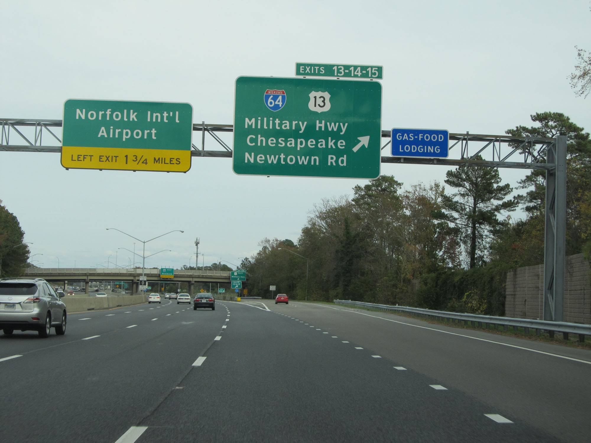 |
Interstate 264 East at Exits 13-14-15: Interstate 64 / US 13 - Military Hwy / Chesapeake / Newtown Rd (Photo taken 11/8/15). |
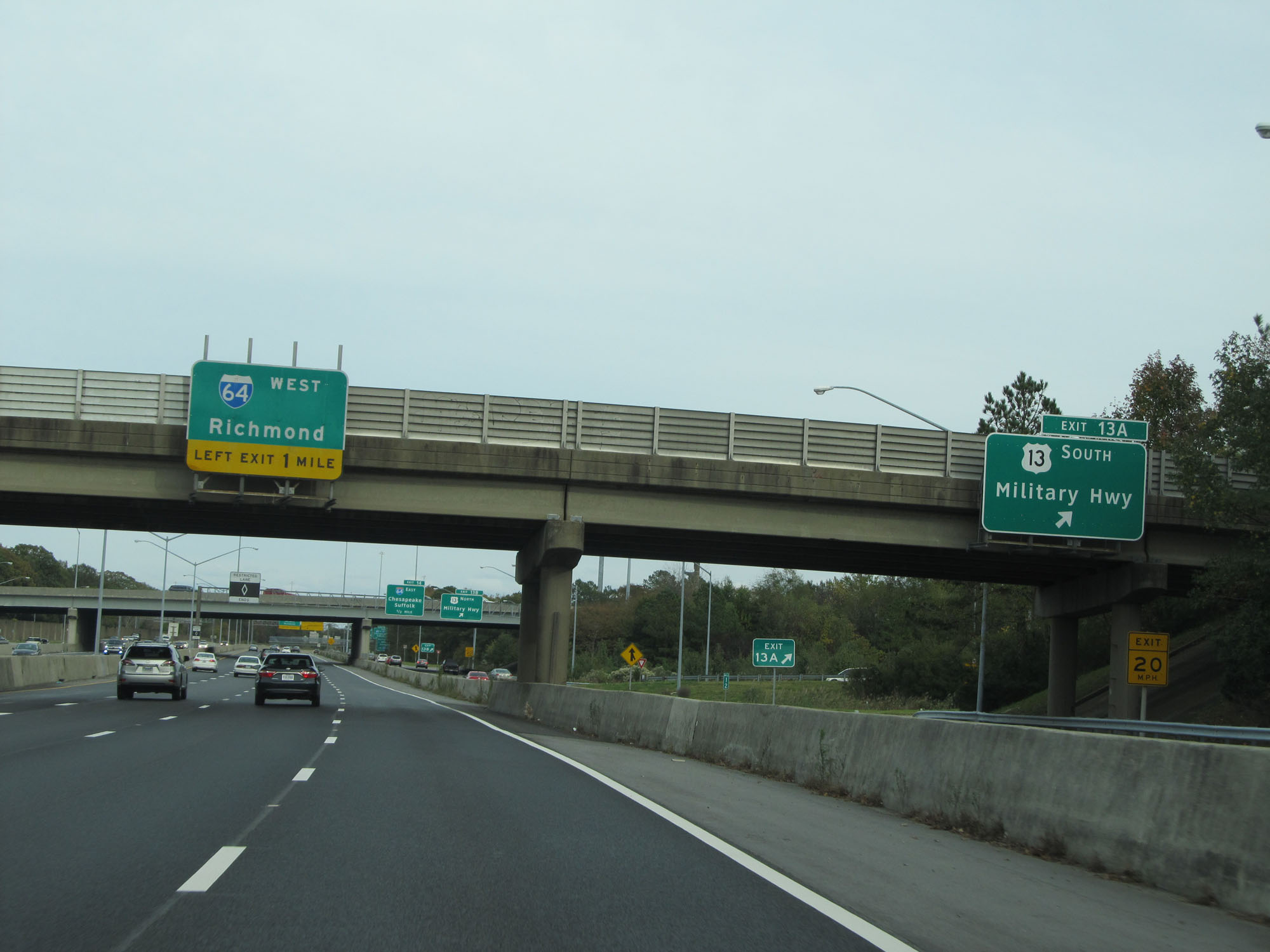 |
Interstate 264 East at Exit 13A: US 13 South - Military Hwy (Photo taken 11/8/15). |
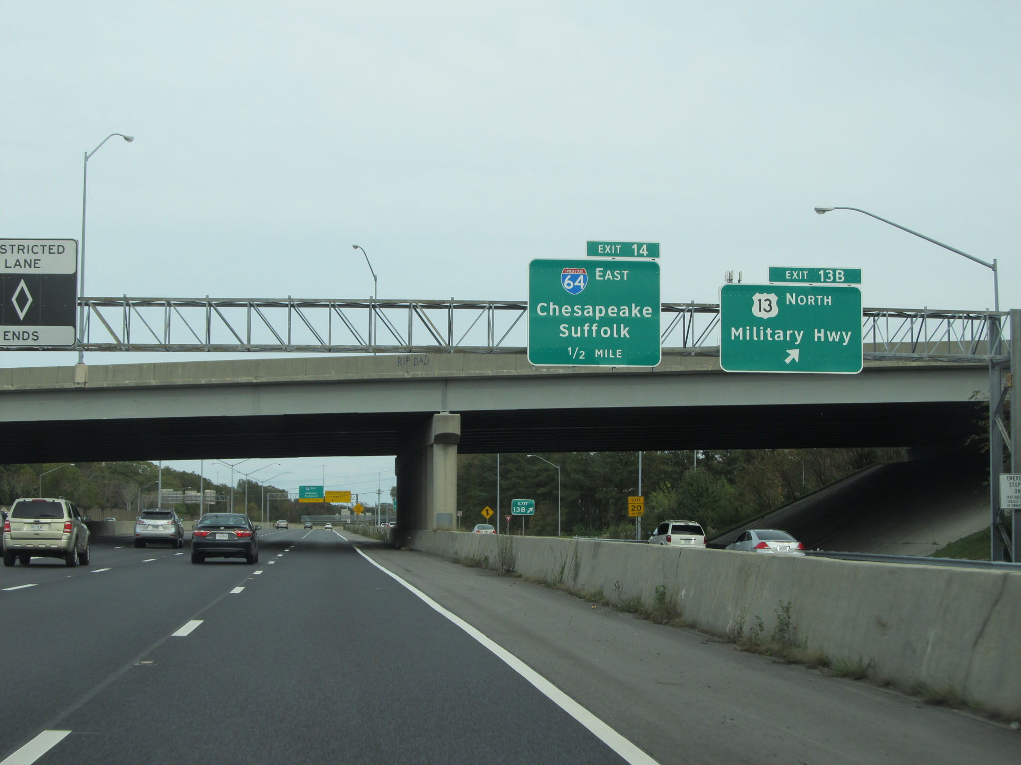 |
Interstate 264 East at Exit 13B: US 13 North - Military Hwy (Photo taken 11/8/15). |
 |
Traffic to Norfolk International Airport should follow Interstate 64 West. (Photo taken 11/8/15). |
 |
Interstate 264 East at Exit 14A: Interstate 64 East / To Interstate 664 North - Chesapeake / Suffolk (Photo taken 11/8/15). |
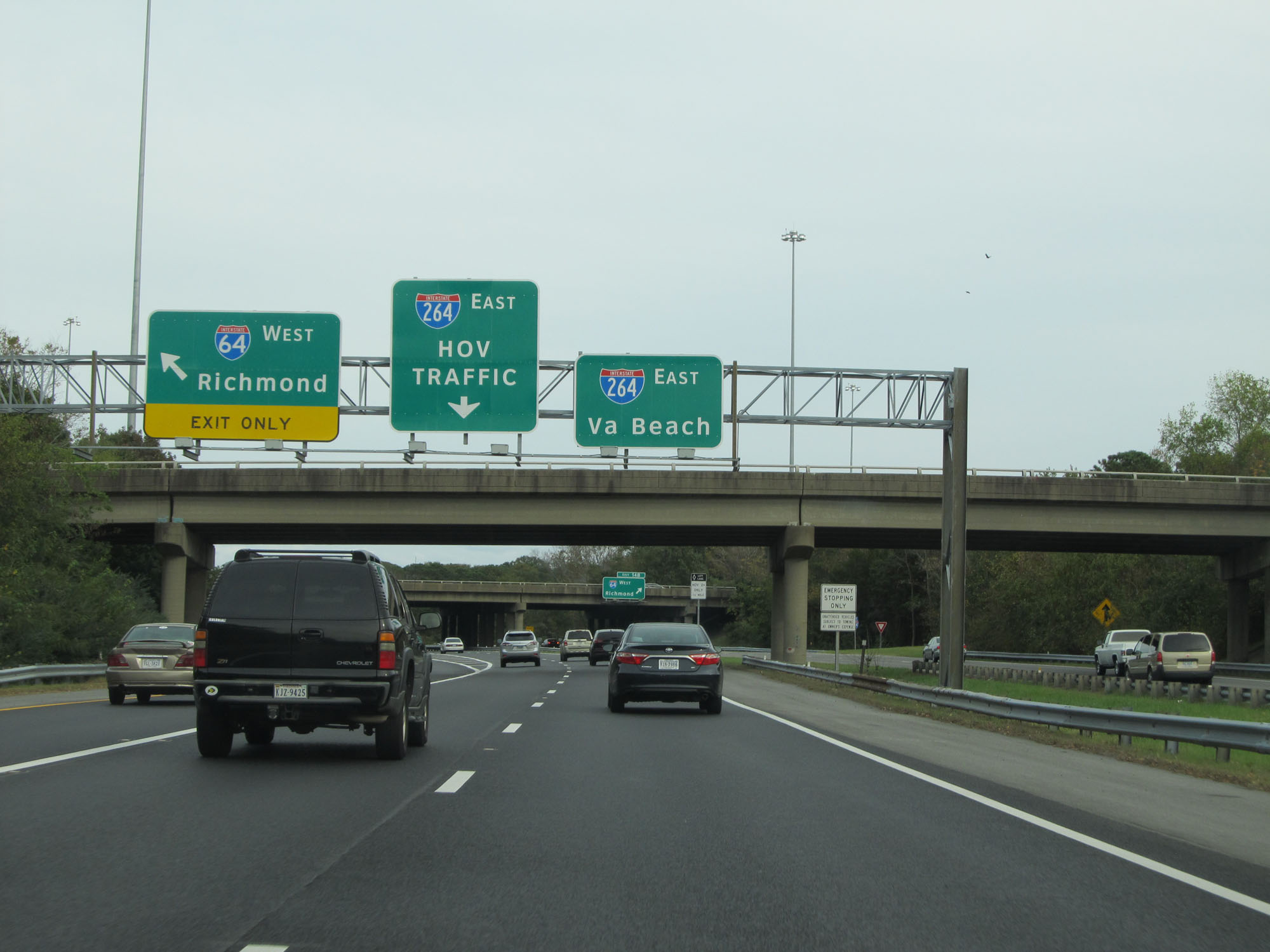 |
As mentioned earlier, this ramp on the left provides direct access to Interstate 64 West from Interstate 264 East. (Photo taken 11/8/15). |
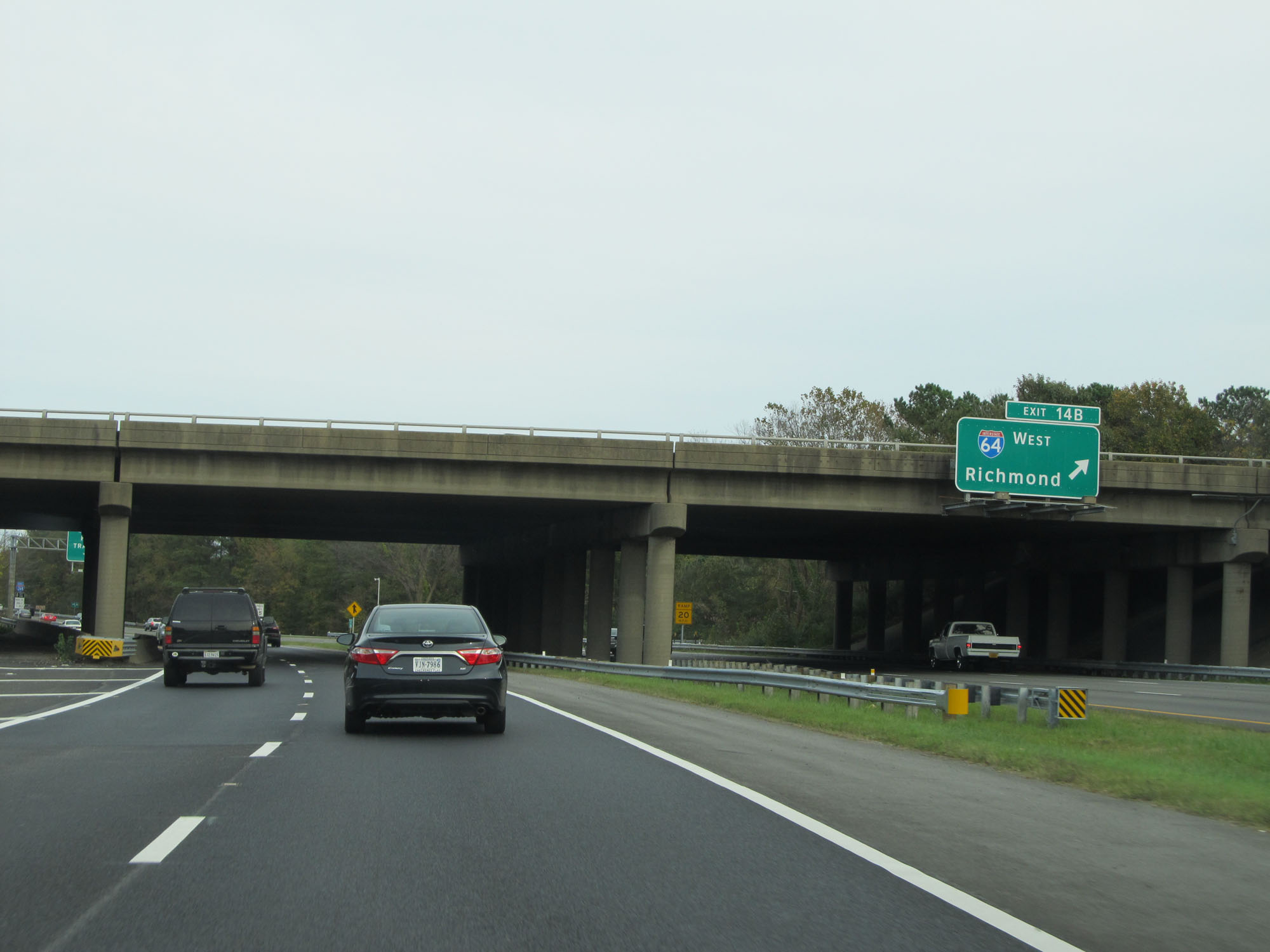 |
Interstate 264 East at Exit 14B: Interstate 64 West - Richmond (Photo taken 11/8/15). |
 |
Another Interstate 264 East reassurance shield. (Photo taken 11/8/15). |
 |
Take Exit 15A to ECPI University. (Photo taken 11/8/15). |
 |
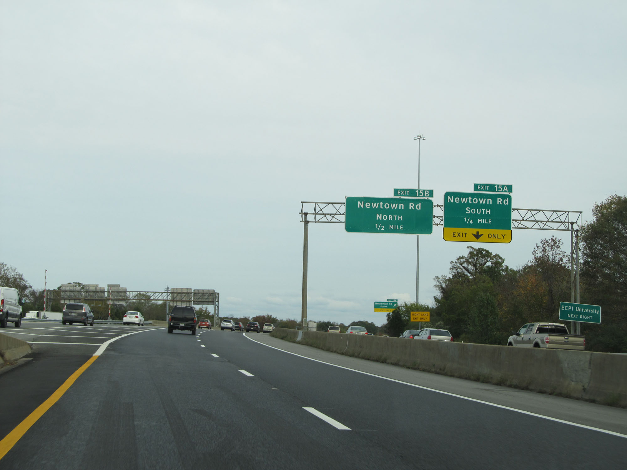
Interstate 264 East at Exit 15A: Newtown Rd South (Photo taken 11/8/15). |
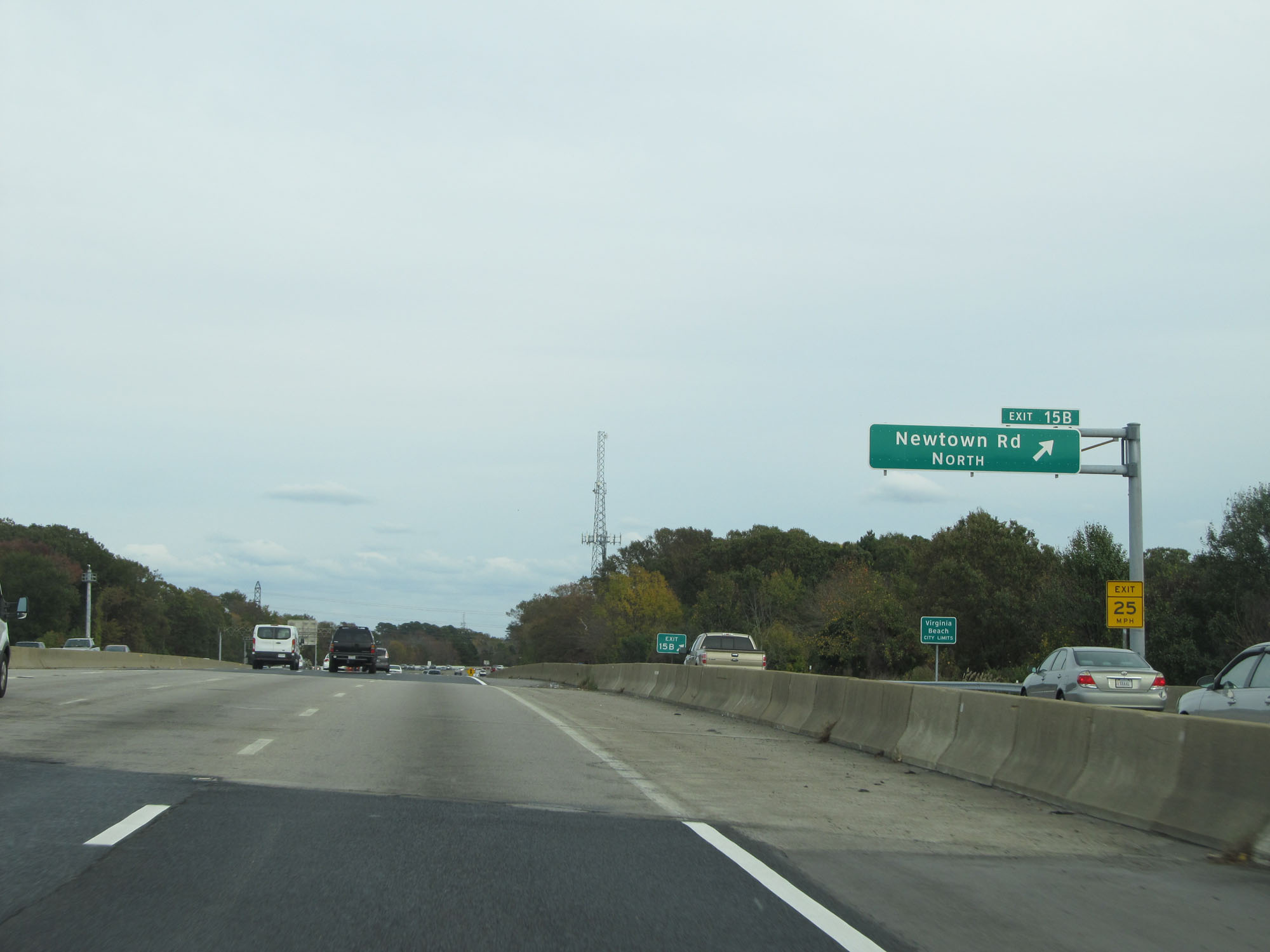 |
Interstate 264 East at Exit 15B: Newtown Rd North (Photo taken 11/8/15). |
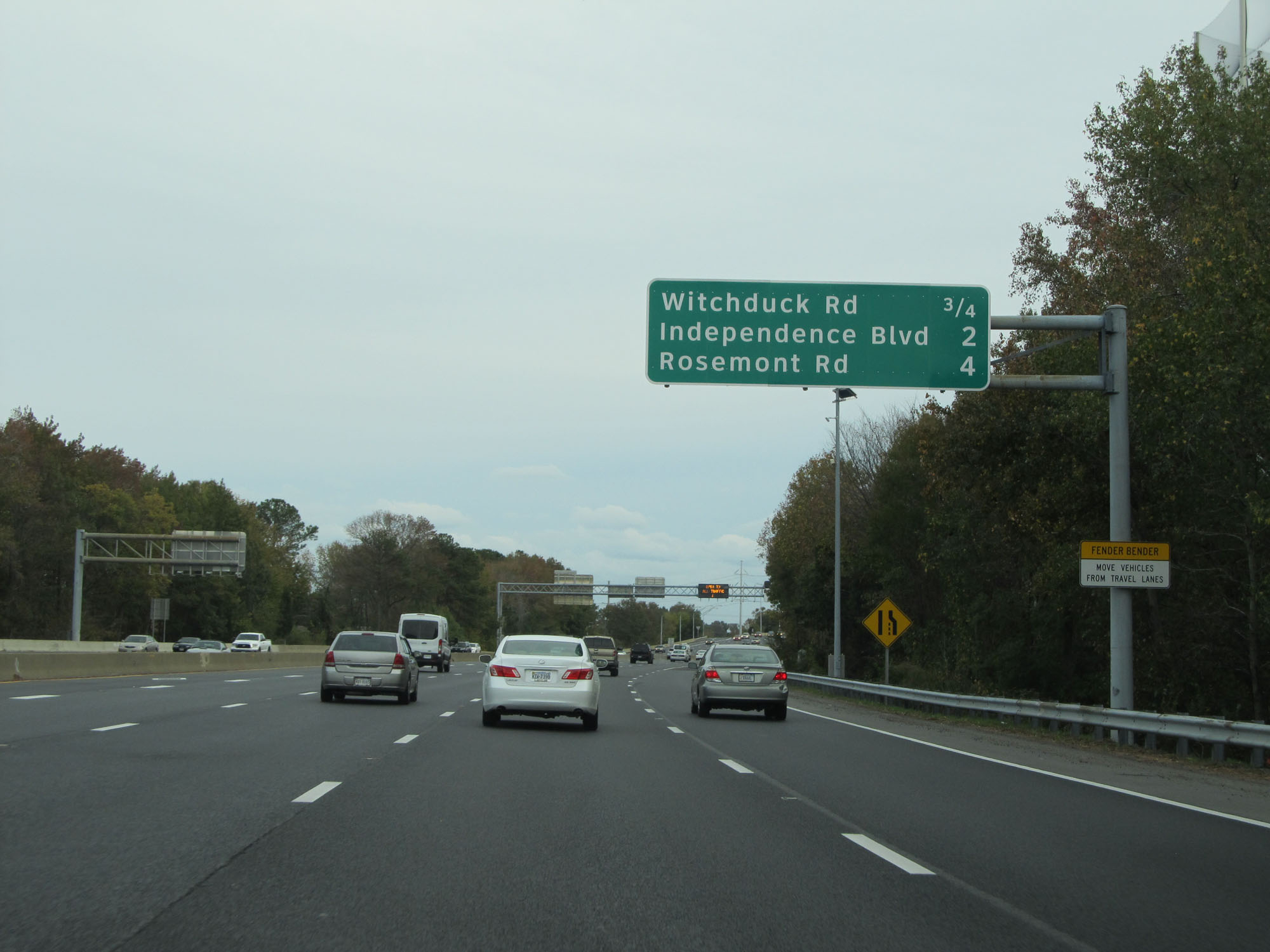 |
Overhead mileage sign listing the distances to the three upcoming interchanges on Interstate 264 East. (Photo taken 11/8/15). |
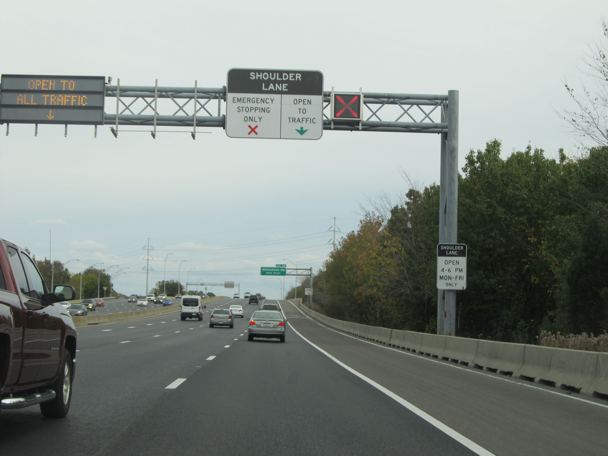 |
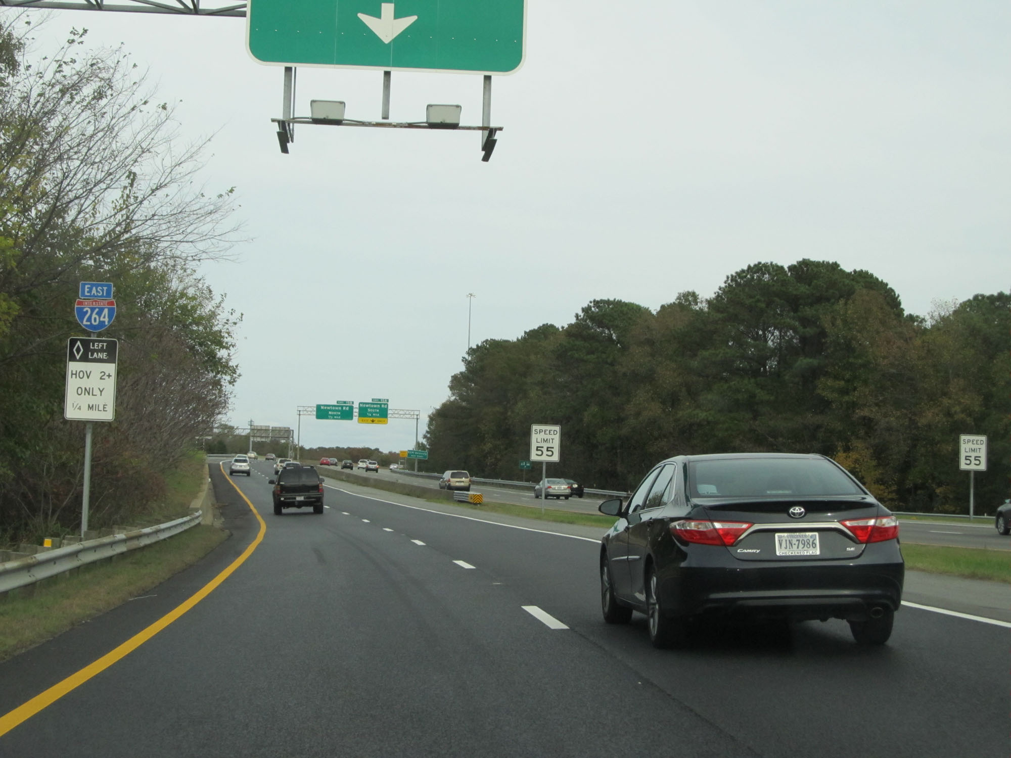
During peak traffic times, the shoulder may be open to travel on this stretch of Interstate 264 East. (Photo taken 11/8/15). |
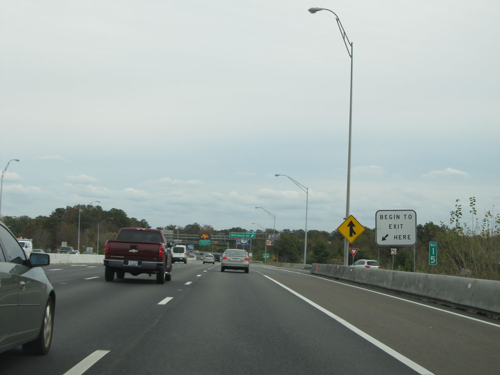 |
View on Interstate 264 East at mile marker 15. (Photo taken 11/8/15). |
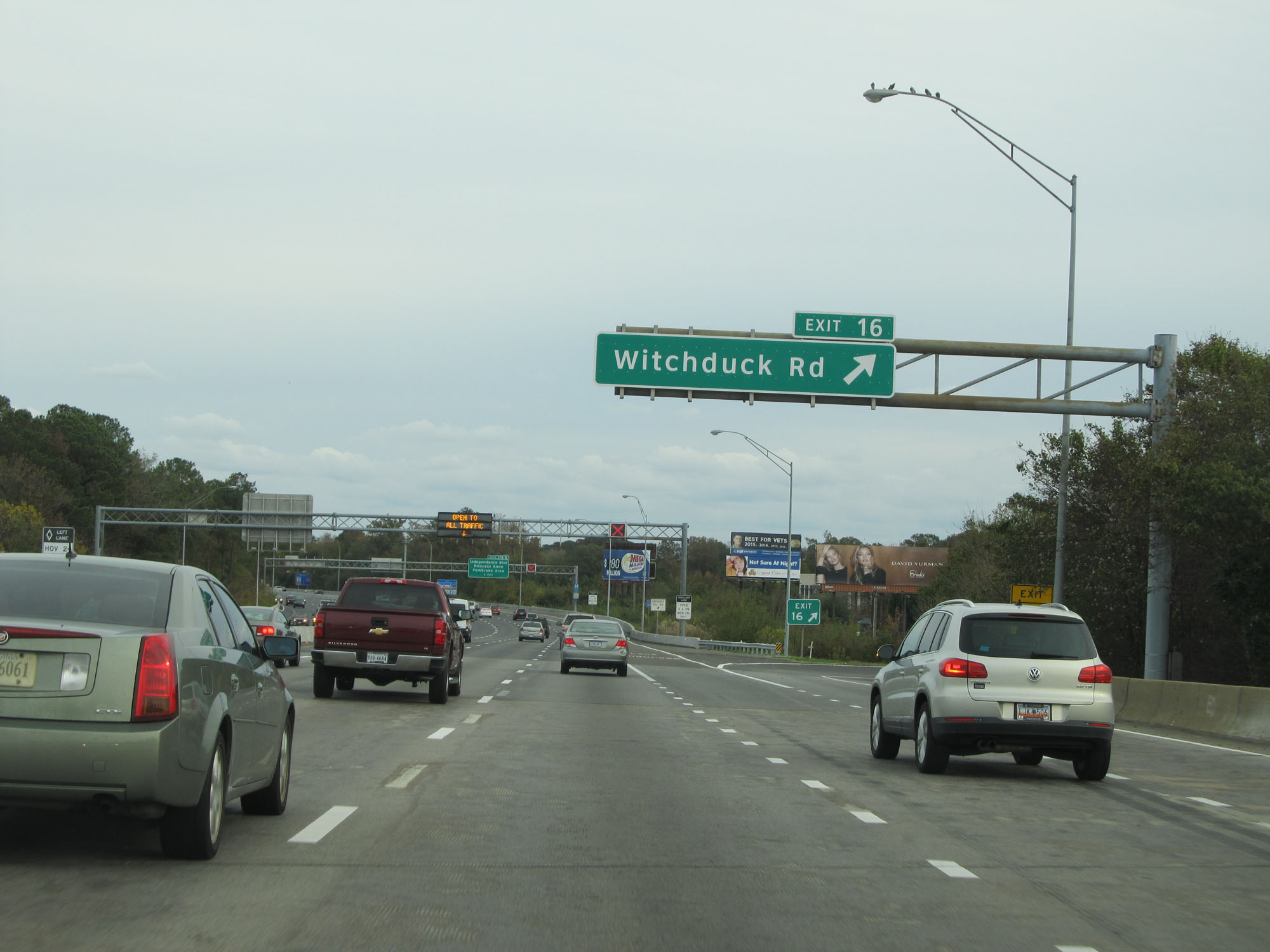 |
Interstate 264 East at Exit 16: Witchduck Rd (Photo taken 11/8/15). |
 |
More signage showing the signals for shoulder lane usage during peak hours. (Photo taken 11/8/15). |
 |
Take Exit 17A to Virginia Beach Municipal Center. (Photo taken 11/8/15). |
 |
Also take Exit 17A to Alicia Rd and Baxter Rd. (Photo taken 11/8/15). |
 |
Interstate 264 East at Exit 17A: Independence Blvd South / Princess Anne (Photo taken 11/8/15). |
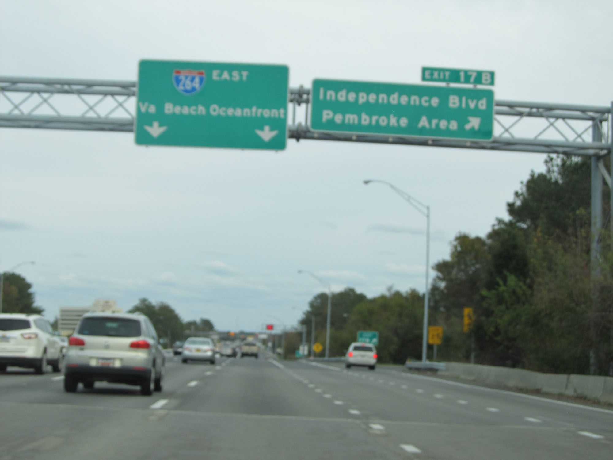 |
Interstate 264 East at Exit 17B: Independence Blvd North / Pembroke Area (Photo taken 11/8/15). |
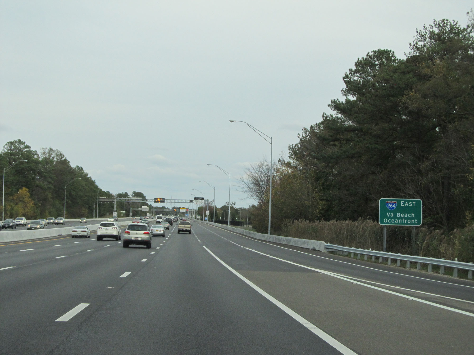 |
Interstate 264 East reassurance shield, with the destinations of Virginia Beach and Oceanfront listed. (Photo taken 11/8/15). |
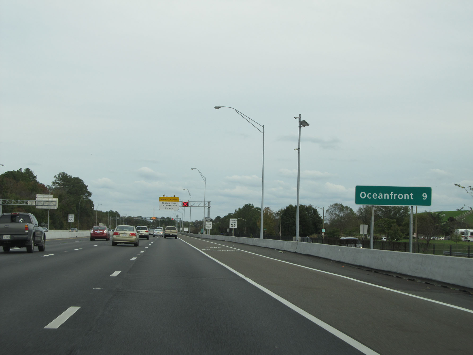 |
At this point, it's 9 miles to the Oceanfront. (Photo taken 11/8/15). |
 |
Interstate 264 East at mile marker 17. (Photo taken 11/8/15). |
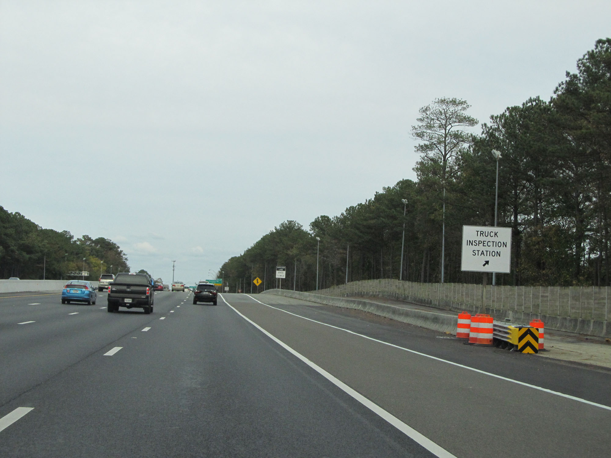 |
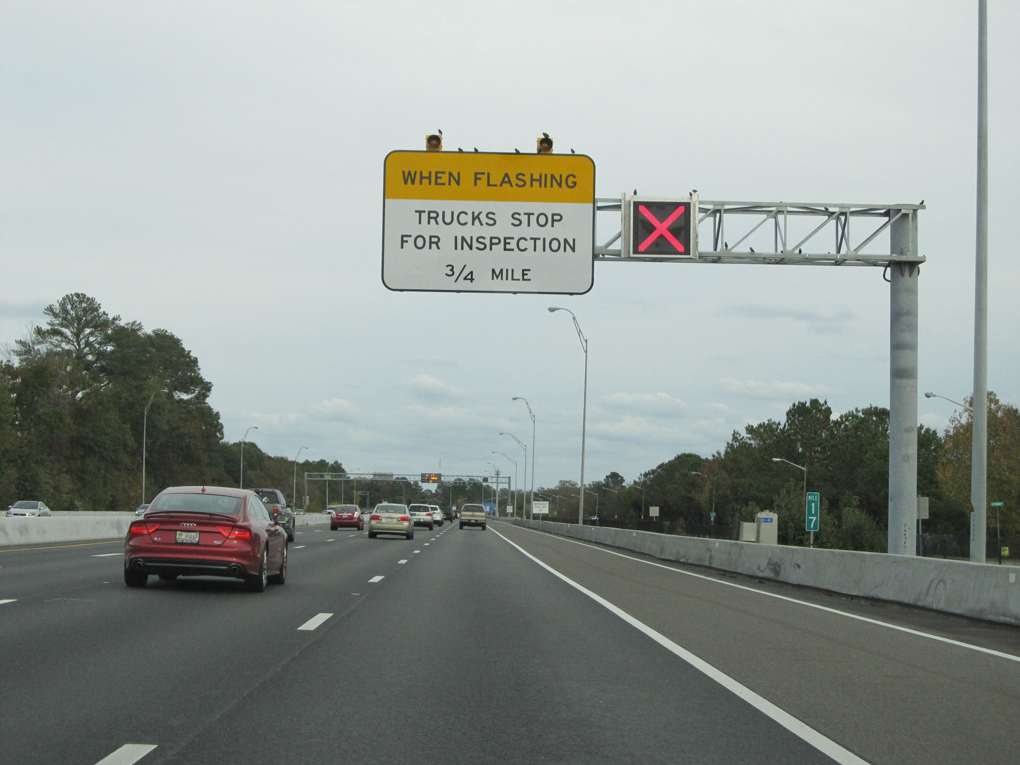
Truck Inspection Station on Interstate 264 East in the city of Virginia Beach. (Photo taken 11/8/15). |
 |
Interstate 264 East at Exit 18: Rosemont Rd (Photo taken 11/8/15). |
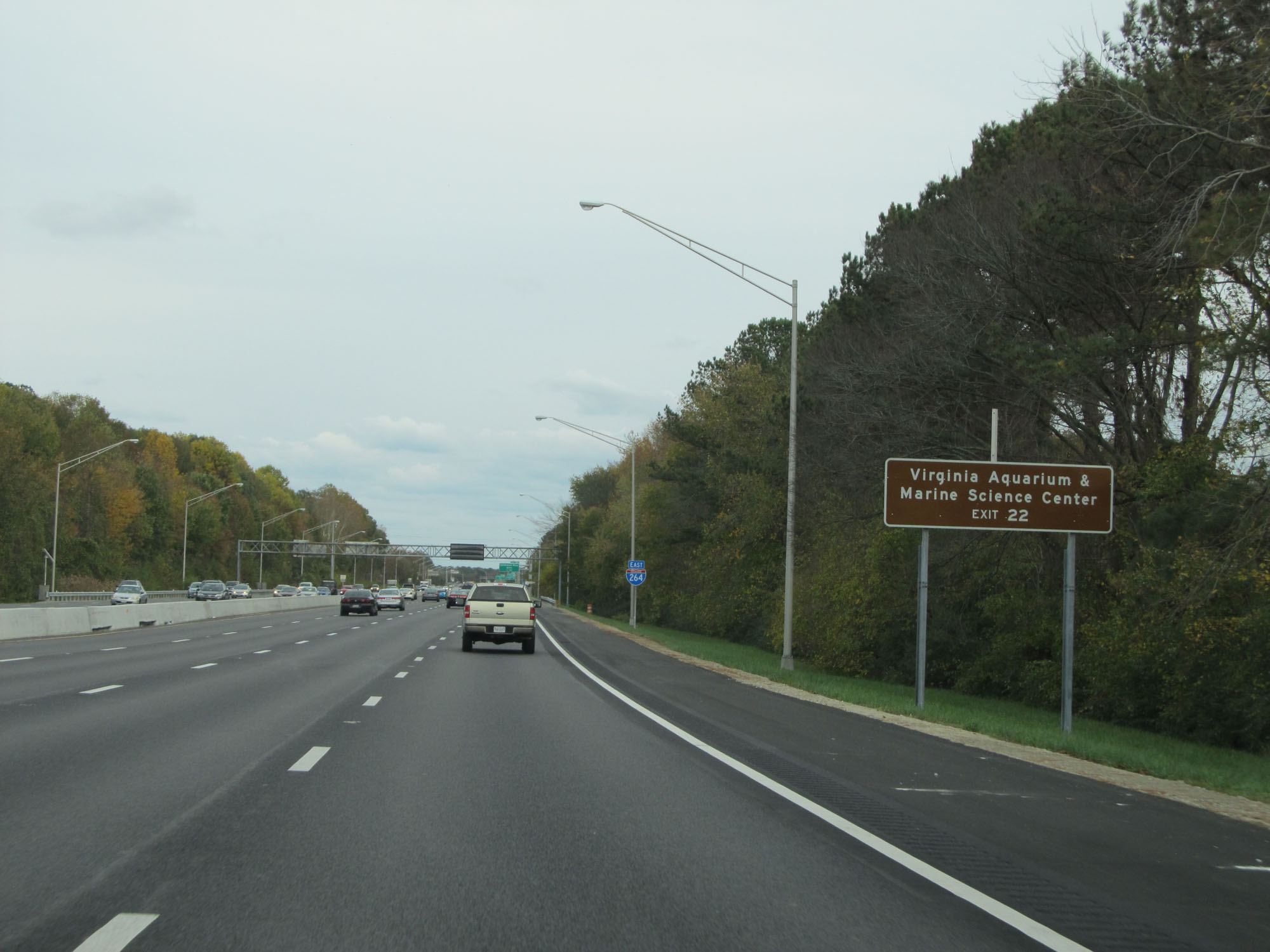 |
Take Exit 22 to the Virginia Aquarium & Marine Science Center. (Photo taken 11/8/15). |
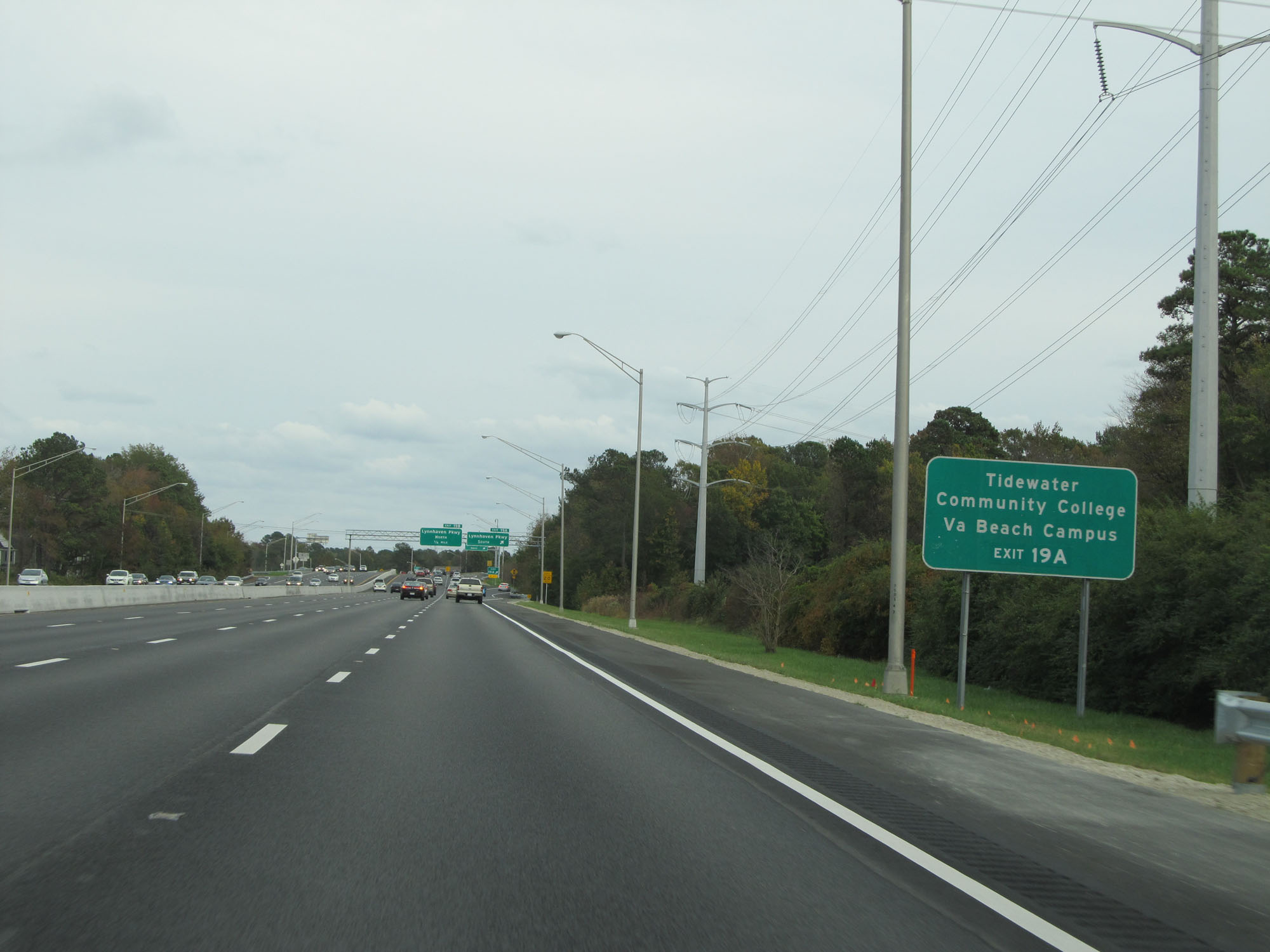 |
Take Exit 19A to Tidewater Community College Virginia Beach Campus. (Photo taken 11/8/15). |
 |
Interstate 264 East at Exit 19A: Lynnhaven Pkwy South (Photo taken 11/8/15). |
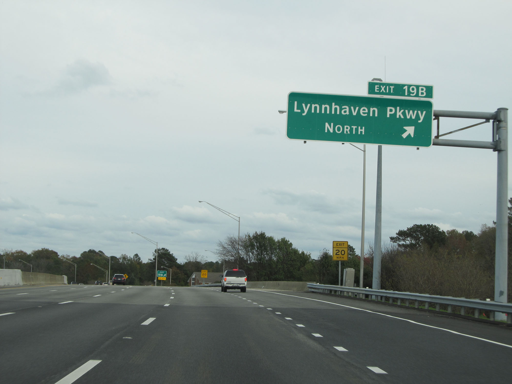 |
Interstate 264 East at Exit 19B: Lynnhaven Pkwy North (Photo taken 11/8/15). |
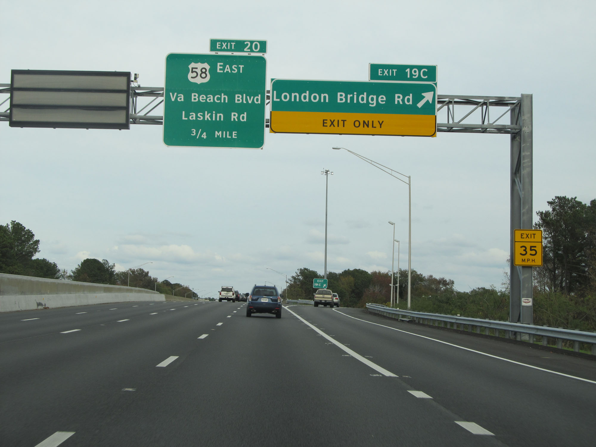 |
Interstate 264 East at Exit 19C: London Bridge Rd (Photo taken 11/8/15). |
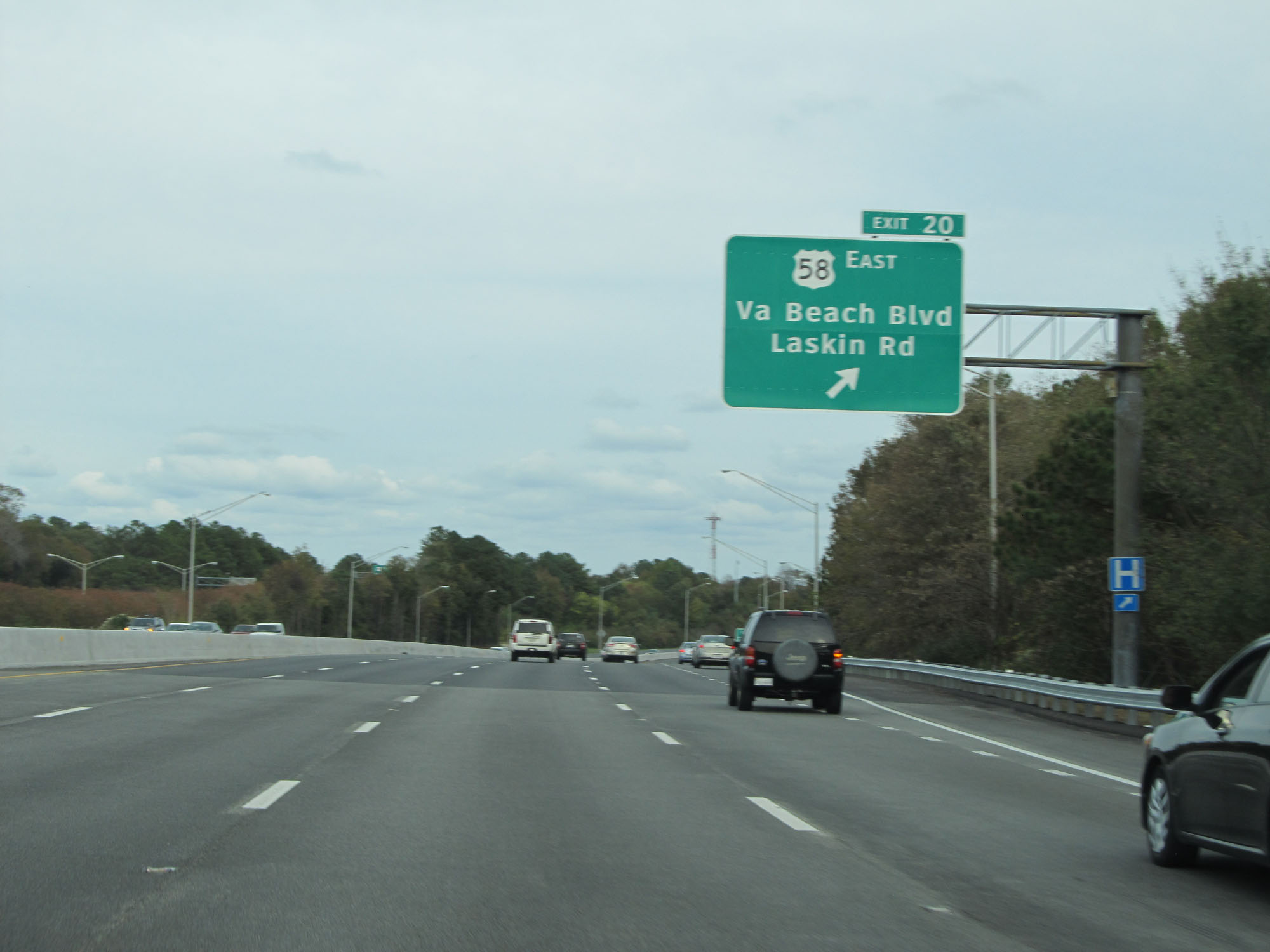 |
Interstate 264 East at Exit 20: US 58 East - Virginia Beach Blvd / Laskin Rd (Photo taken 11/8/15). |
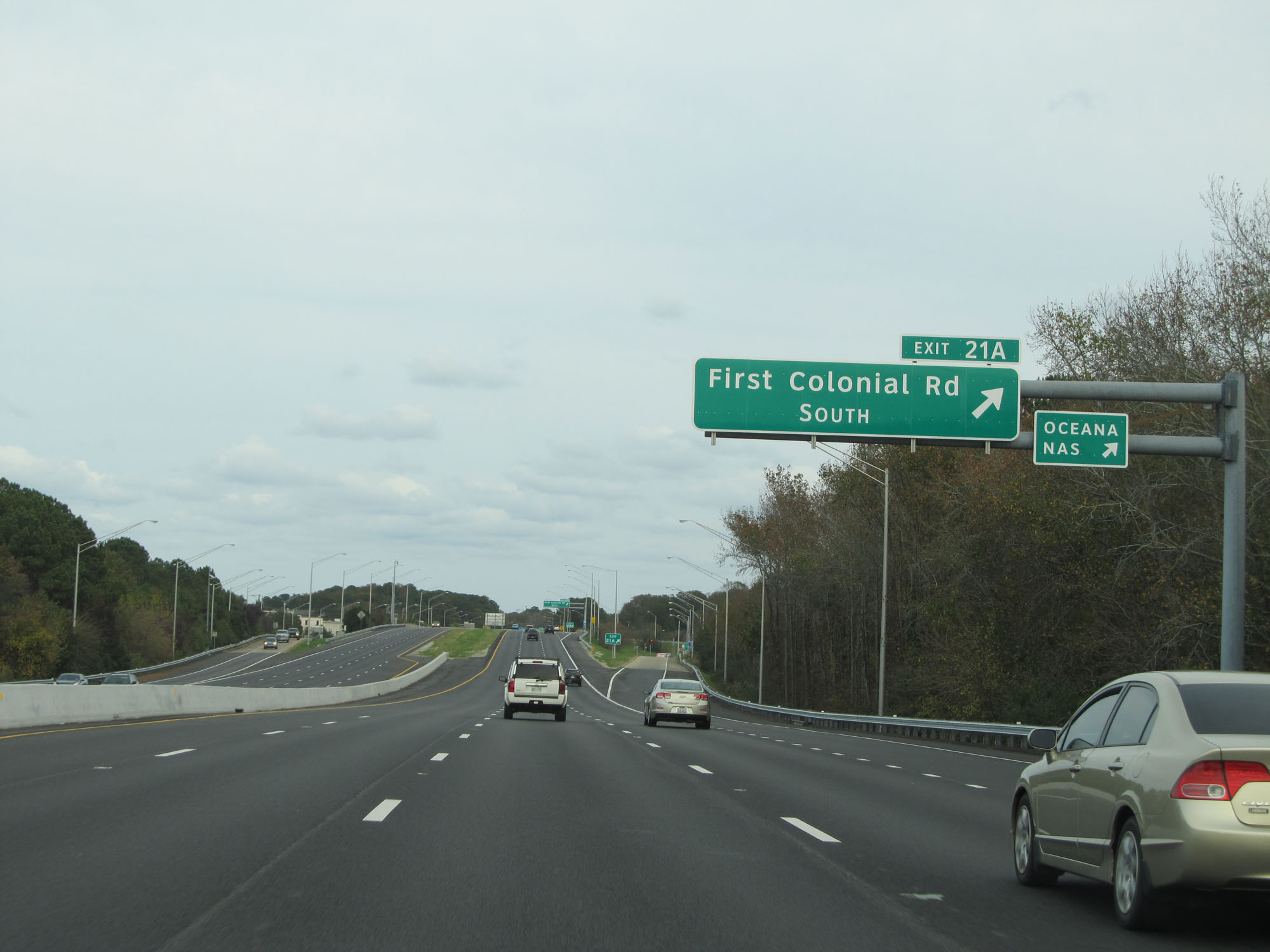 |
Interstate 264 East at Exit 21A: First Colonial Rd South (Photo taken 11/8/15). |
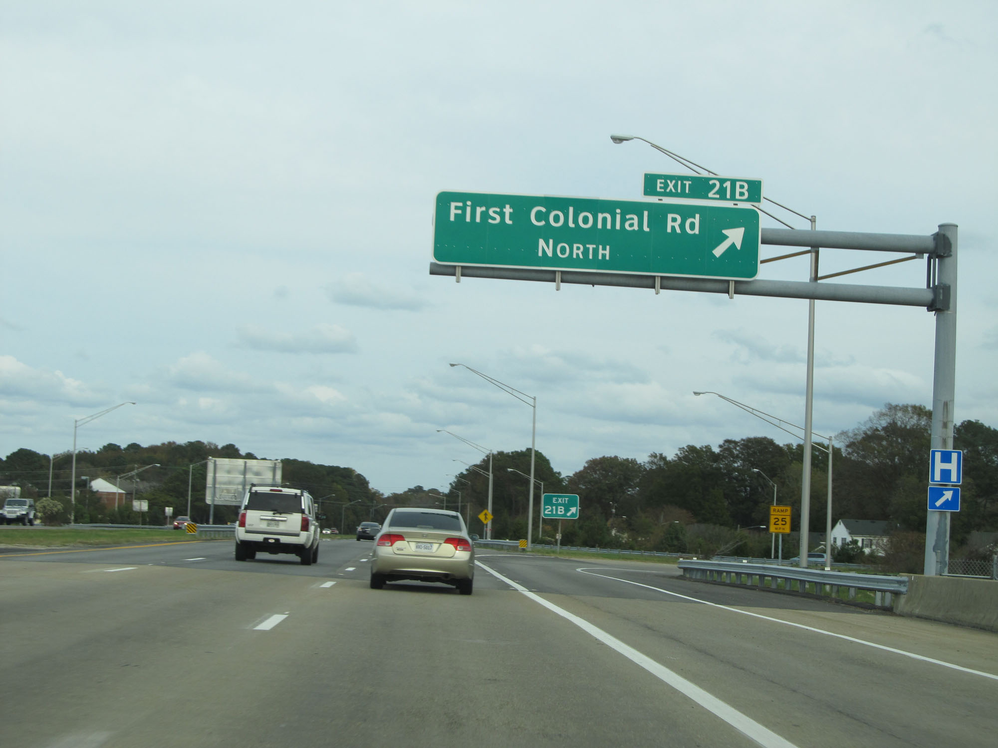 |
Interstate 264 East at Exit 21B: First Colonial Rd North (Photo taken 11/8/15). |
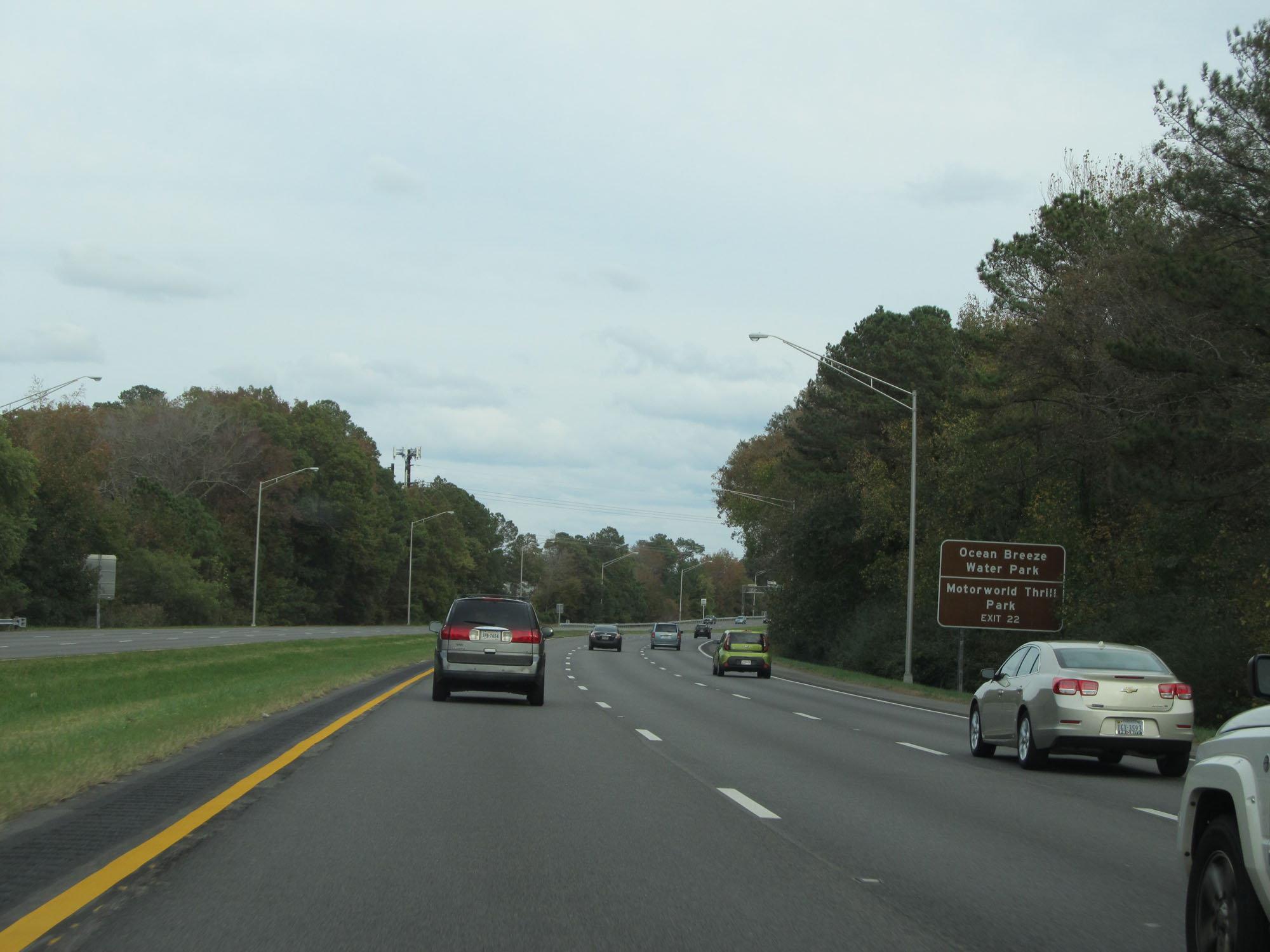 |
Take Exit 22 to Ocean Breeze Water Park and Motorworld Thrill Park. (Photo taken 11/8/15). |
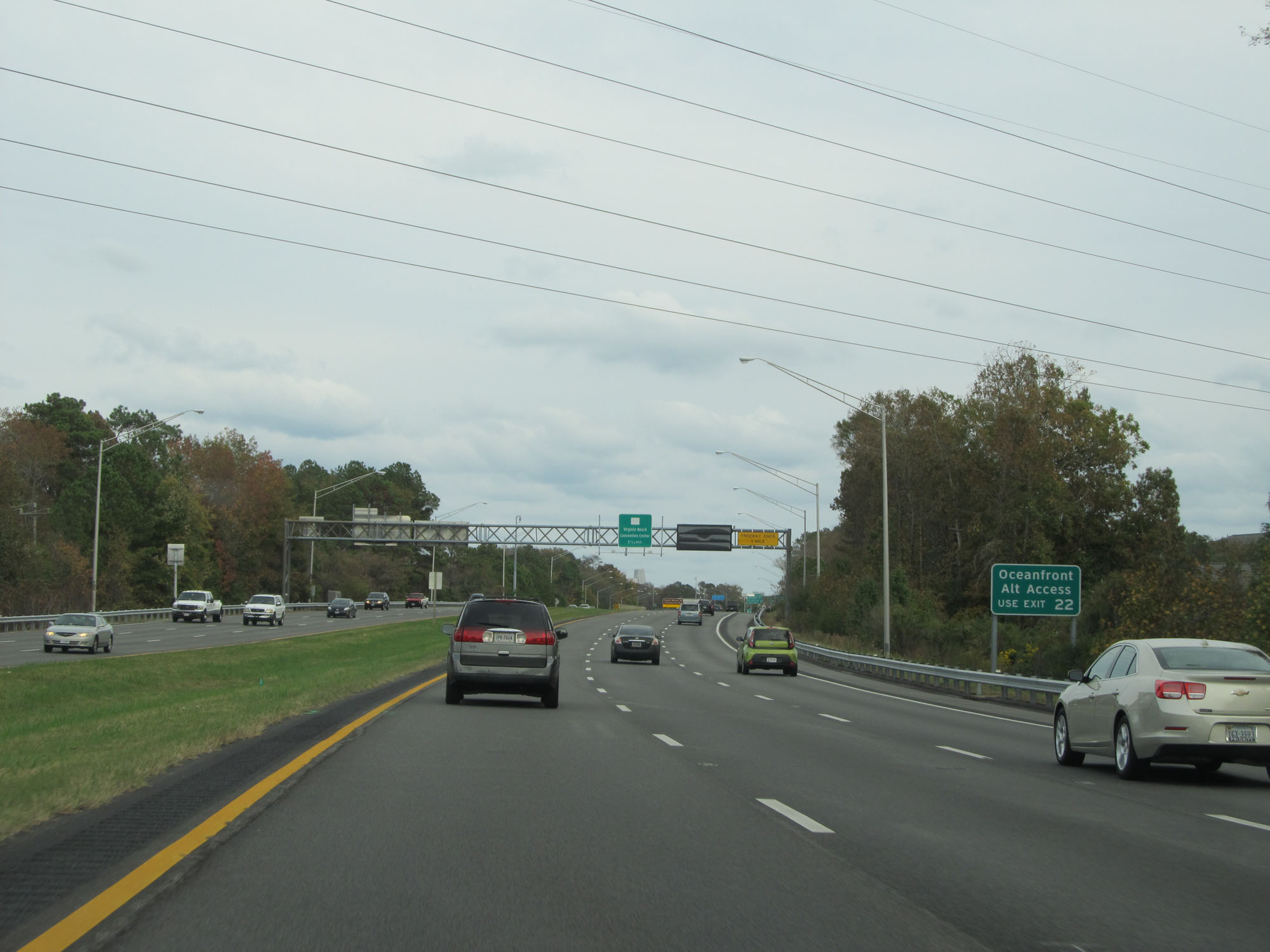 |
Also take Exit 22 as an alternate route to Oceanfront access. (Photo taken 11/8/15). |
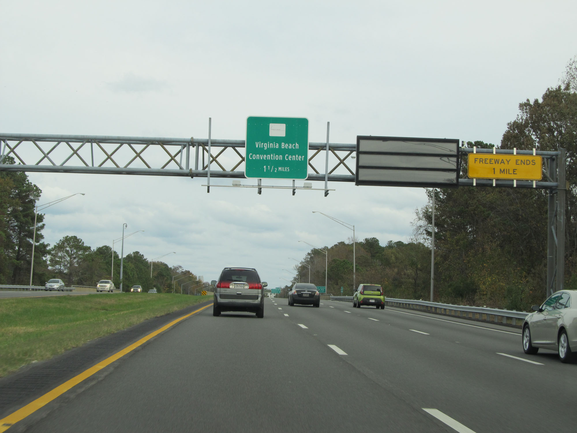 |
This overhead sign warns that Interstate 264 East comes to an end 1 mile ahead. (Photo taken 11/8/15). |
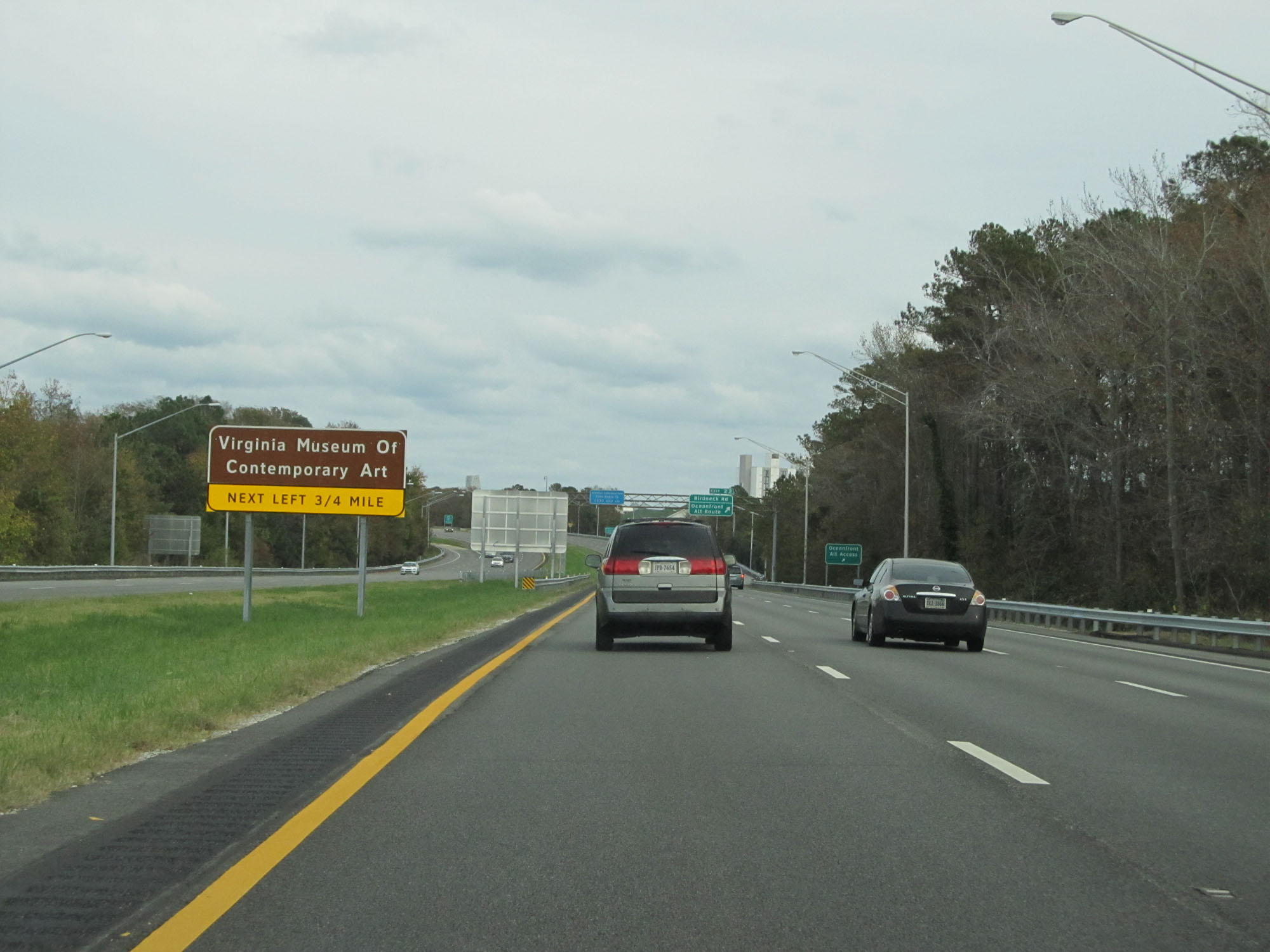 |
Keep left and make the next left onto Parks Ave to get to the Virginia Museum of Contemporary Art. (Photo taken 11/8/15). |
 |
Interstate 264 East at Exit 22: Birdneck Rd / Oceanfront Alt Route (Photo taken 11/8/15). |
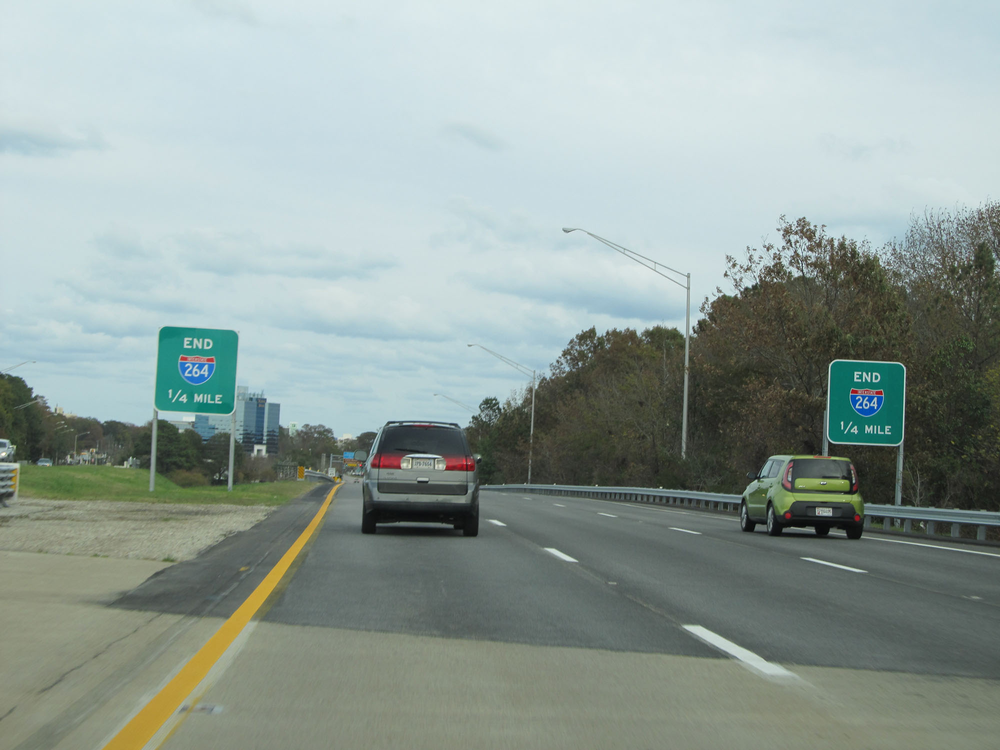 |
Interstate 264 will come to its eastern terminus 1/4 mile ahead, as these signs make clear. (Photo taken 11/8/15). |
 |
Approaching the eastern terminus of Interstate 264, the speed limit decreases to 45 mph. (Photo taken 11/8/15). |
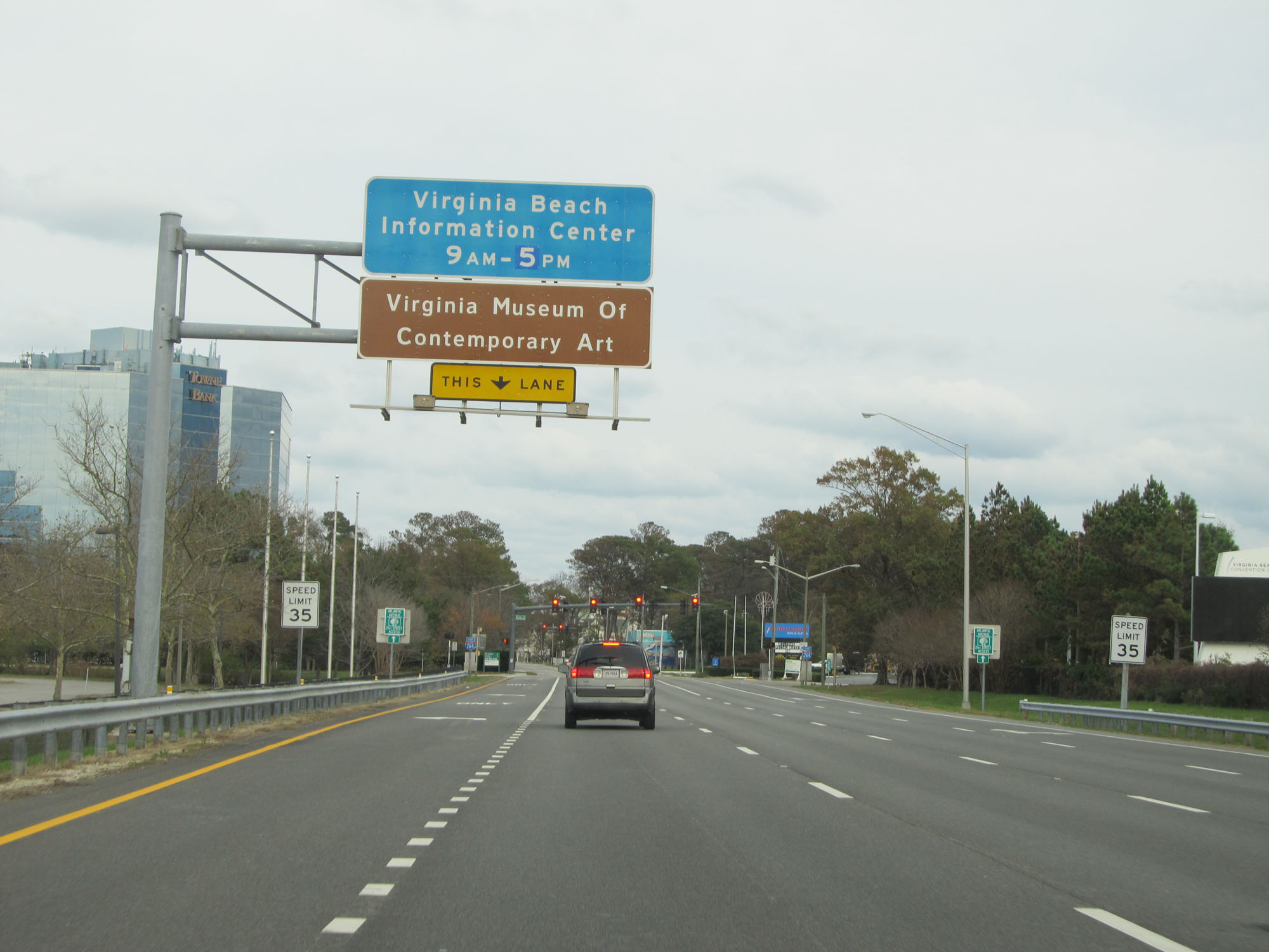 |
Use the left lane at this point to turn left at the signal ahead to get to the Virginia Museum of Contemporary Art. (Photo taken 11/8/15). |
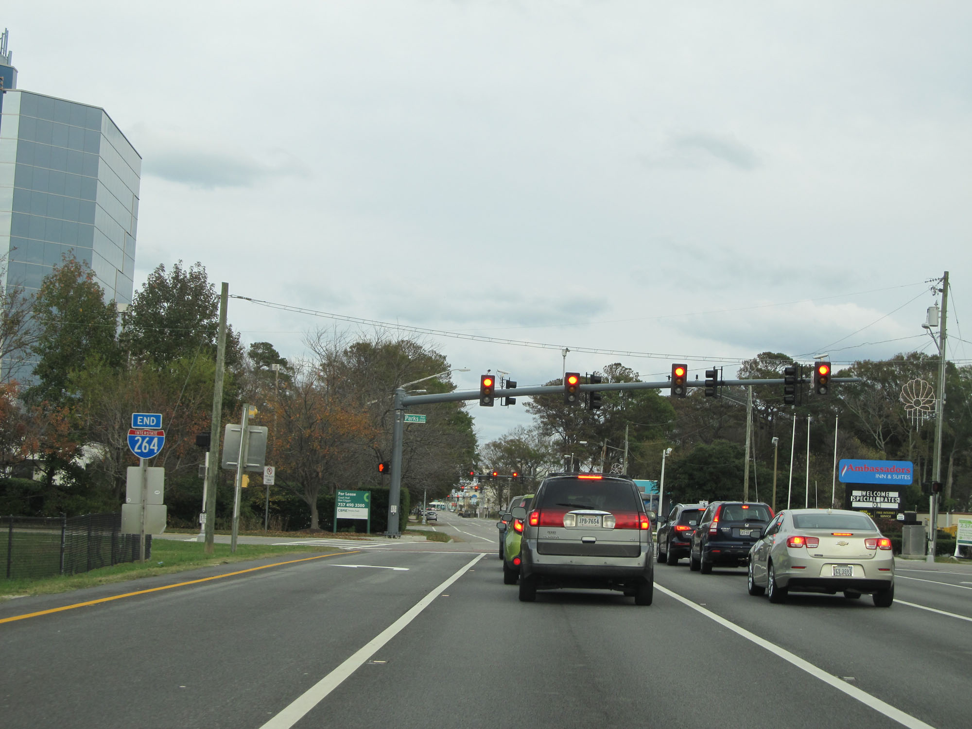 |
Interstate 264 END shield at its eastern terminus at a traffic signal at the intersection of Parks Ave in Virginia Beach. (Photo taken 11/8/15). |