Road Information |
||
 |
||
| Total Mileage in State: | 177 miles | |
| Eastern End: | At Oklahoma state line | |
| Western End: | At New Mexico state line | |
| Mileage covered in Photos: | 177 miles | |
| Counties covered in Photos: | Wheeler, Gray, Donley, Gray, Donley, Gray, Carson, Potter, Oldham, Deaf Smith | |
| Major Junctions in Photos: | US 83, in Shamrock I-27, in Amarillo, TX US 385, in Vega |
|
| Control Cities in Photos: | Shamrock, Groom, Amarillo, Vega, Adrian | |
Westbound
- Section 1: Oklahoma Border to Groom (Exit 114)
- Section 2: Groom (Exit 114) to Amarillo (Exit 70)
- Section 3: Amarillo (Exit 70) to New Mexico Border
Section 1: Oklahoma Border to Groom (Exit 114)
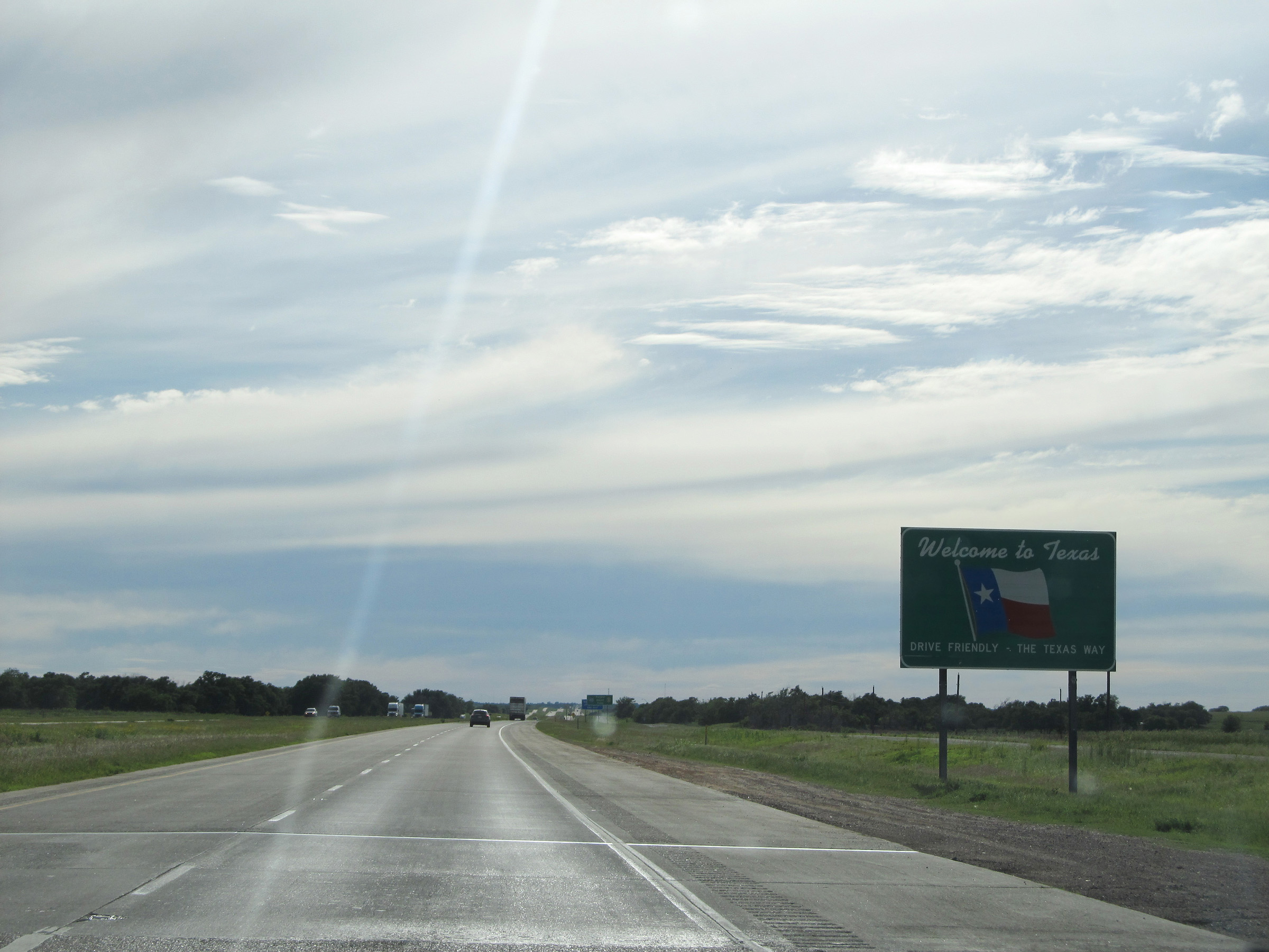 |
Texas welcome sign as Interstate 40 West enters the Lone Star State from Oklahoma. (Photo taken 5/17/15). |
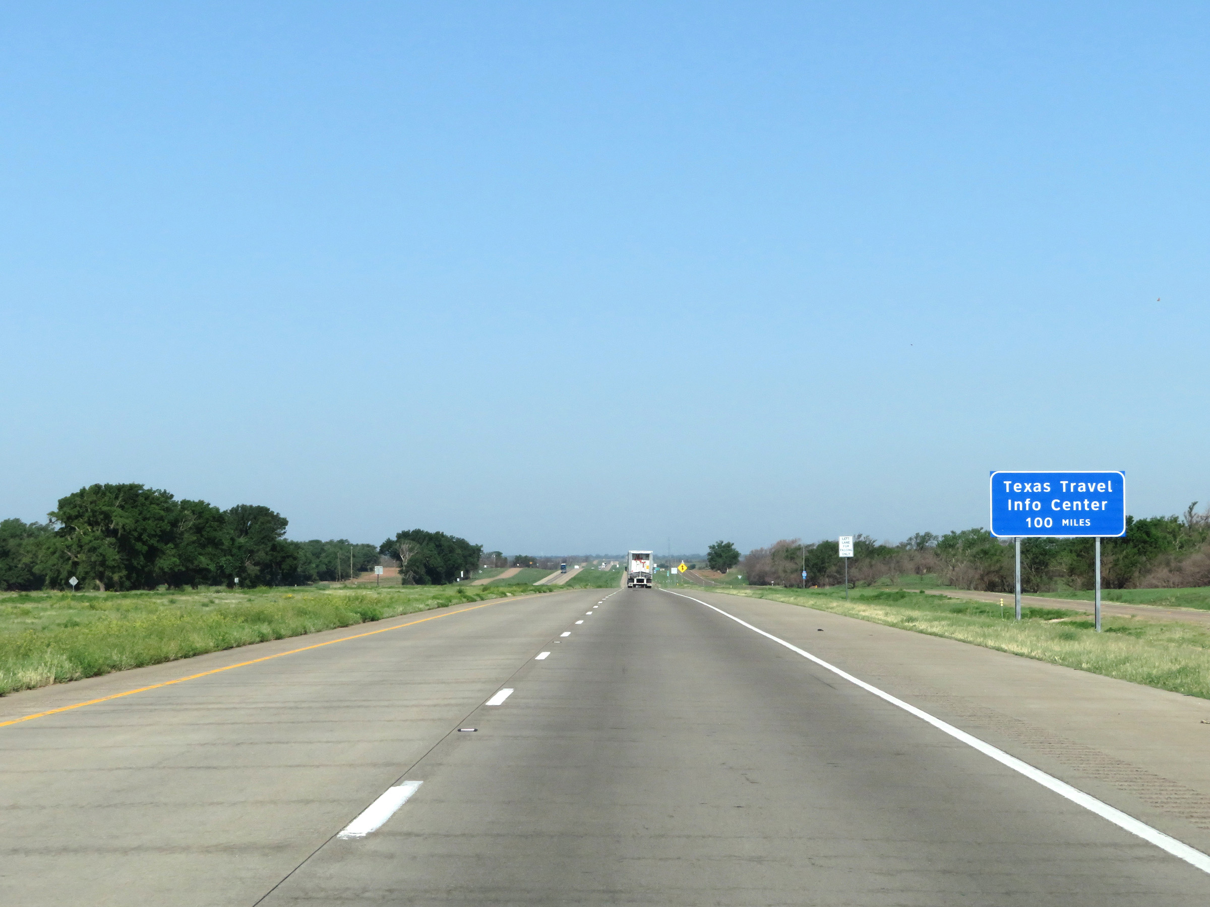 |
A Texas Travel Info Center exists 100 miles ahead in Amarillo. (Photo taken 5/19/18). |
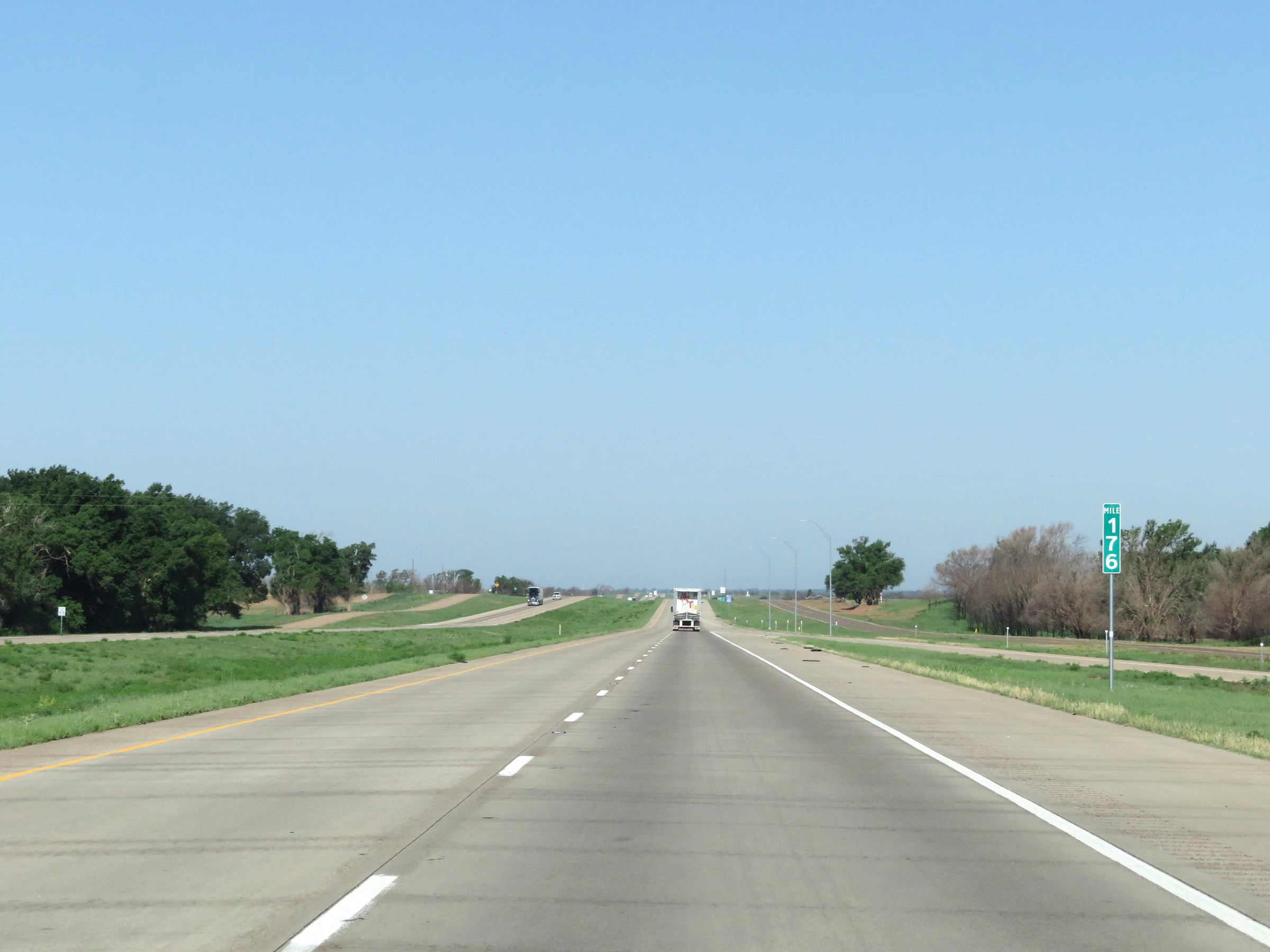 |
View on Interstate 40 West at mile marker 176. (Photo taken 5/19/18). |
 |
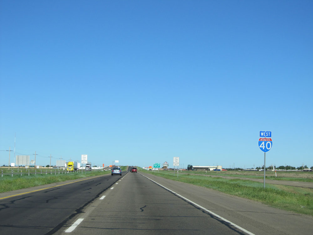
State-named Interstate 40 West reassurance shield. (Photo taken 5/19/18). |
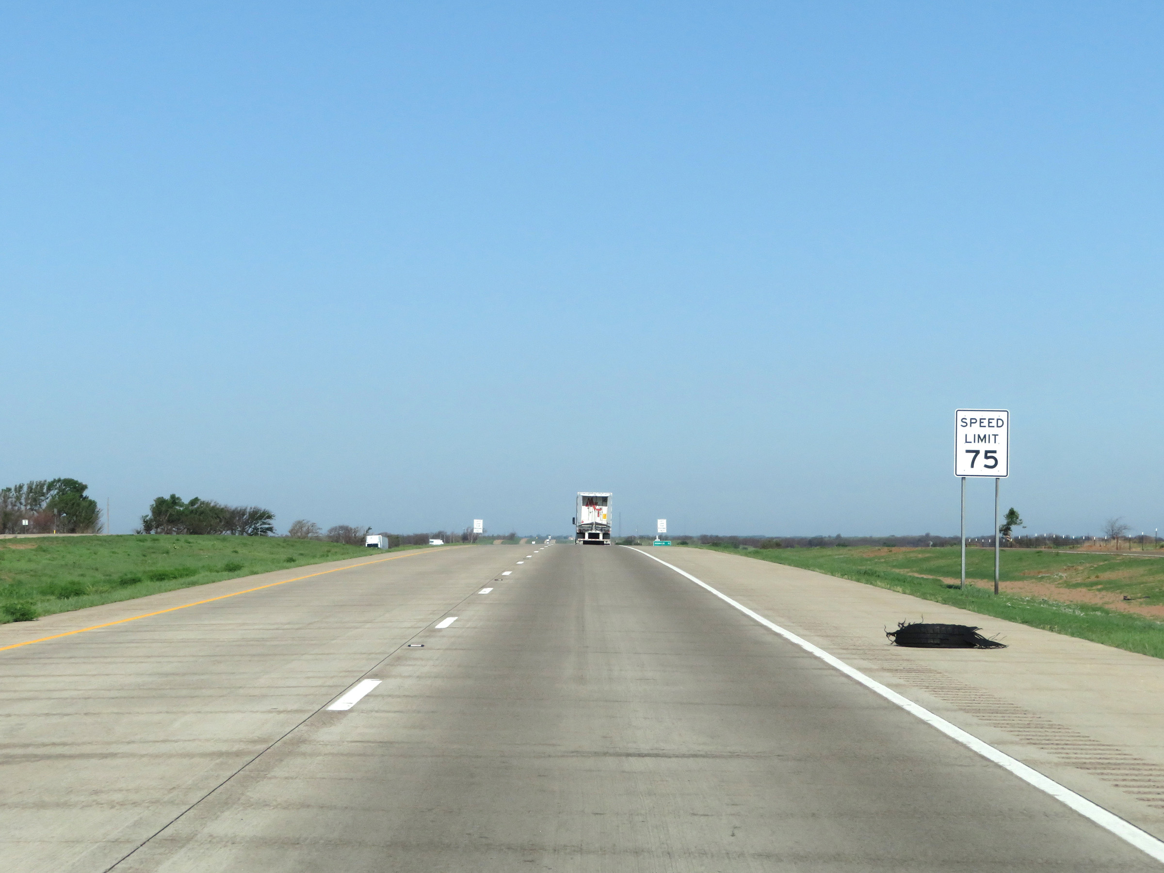 |
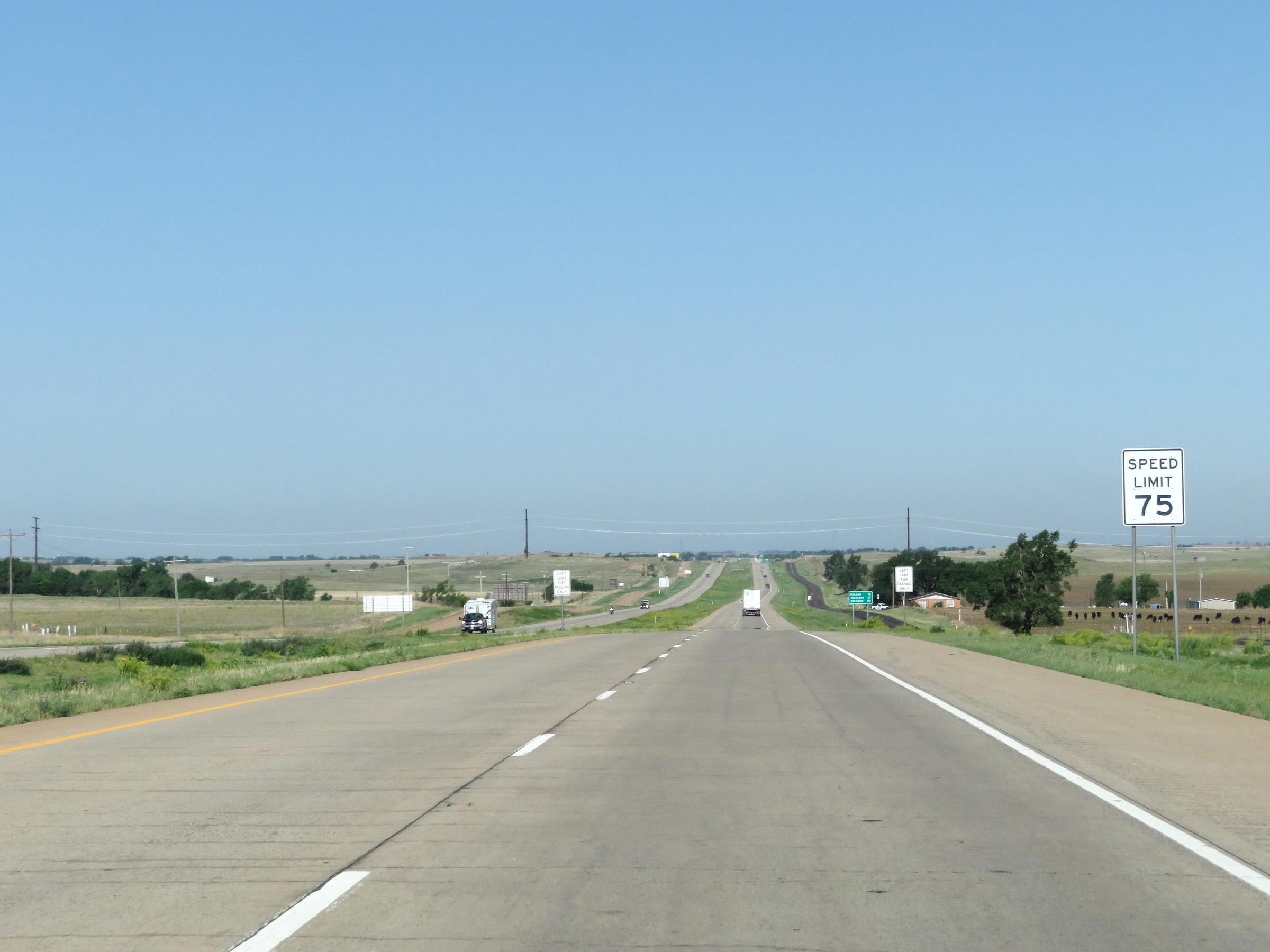
The speed limit on Interstate 40 West in Texas starts out at 75 mph. This is the standard speed limit on most rural Interstate highways in the state. (Photo taken 5/19/18). |
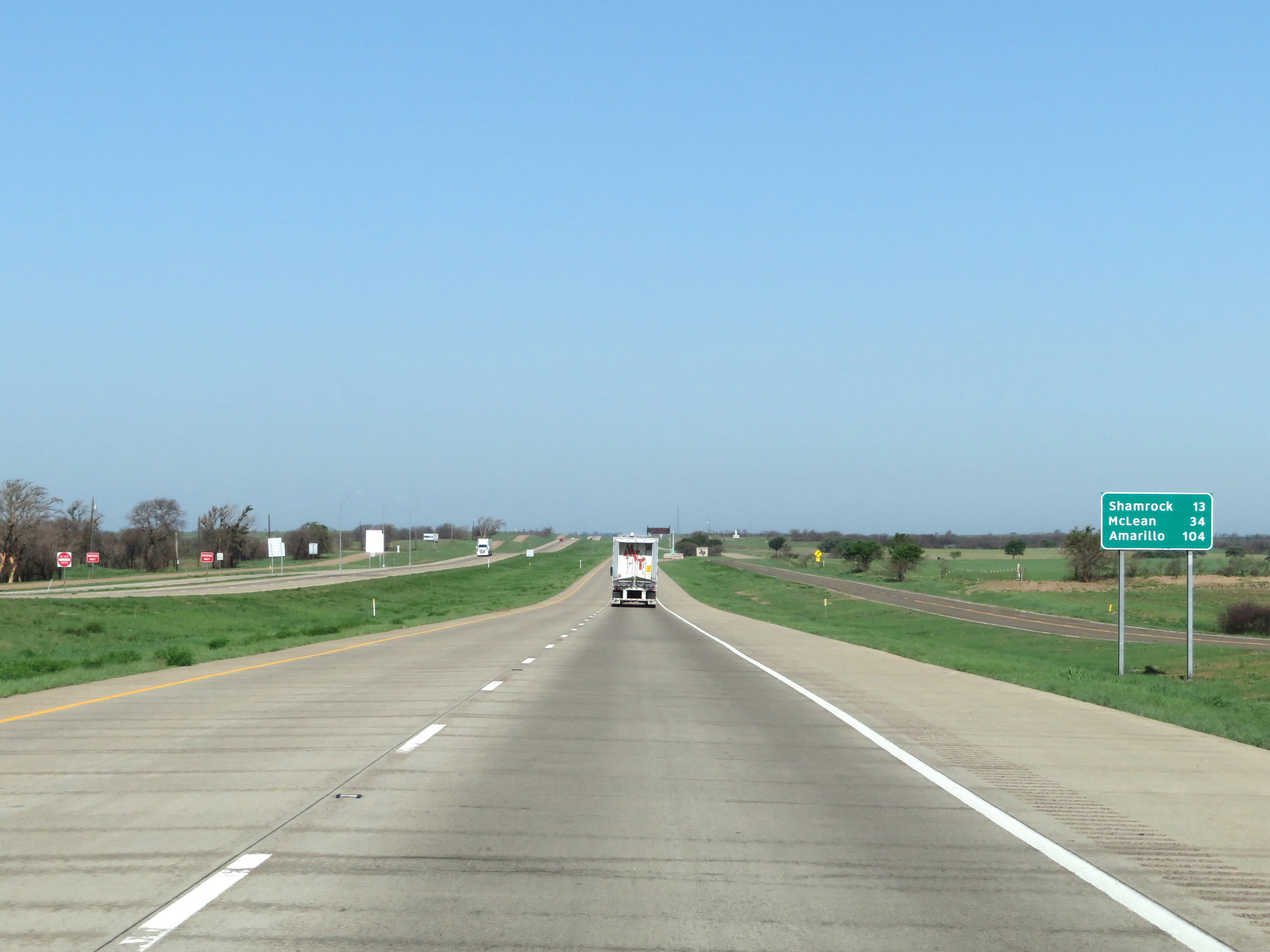 |
Mileage sign on Interstate 40 West. It's 13 miles to Shamrock, 34 miles to McLean, and 104 miles to Amarillo. (Photo taken 5/19/18). |
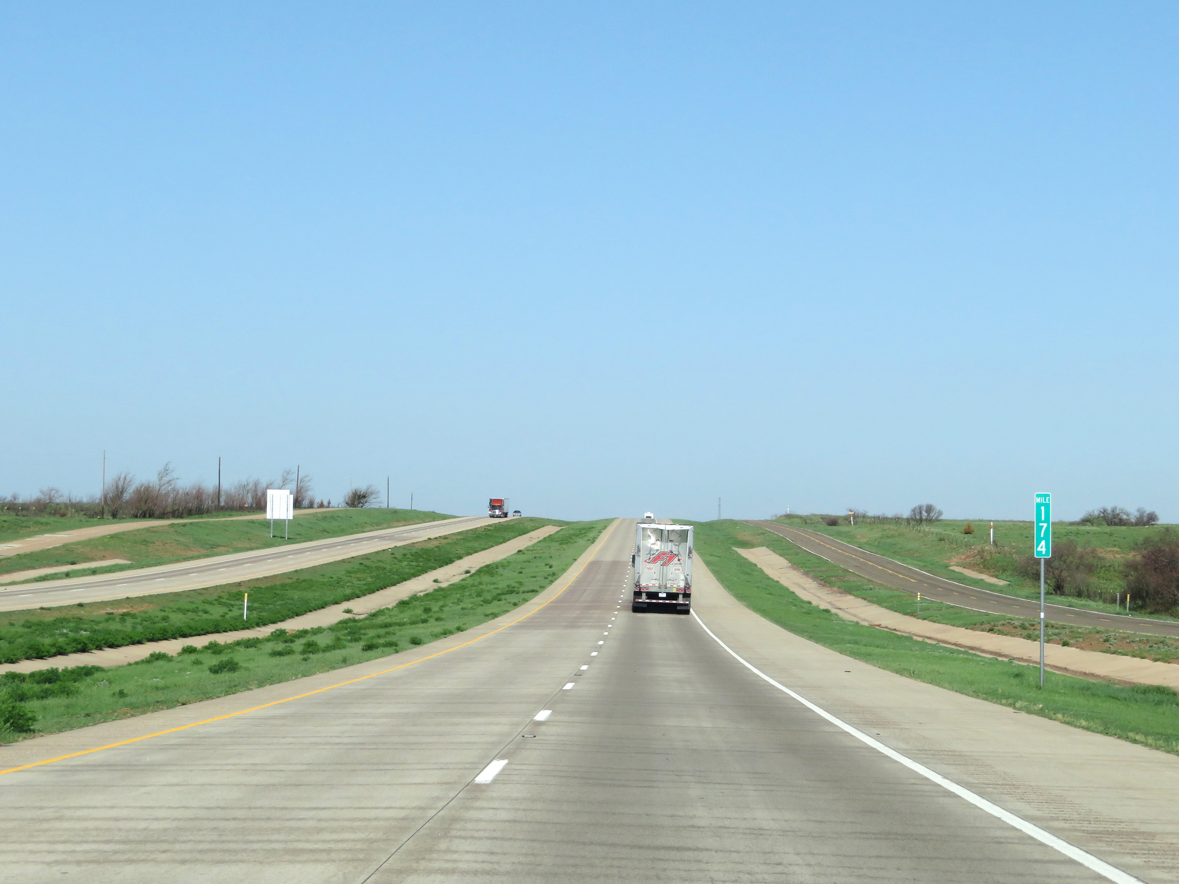 |
Mile marker 174 on Interstate 40 West in Wheeler County. (Photo taken 5/19/18). |
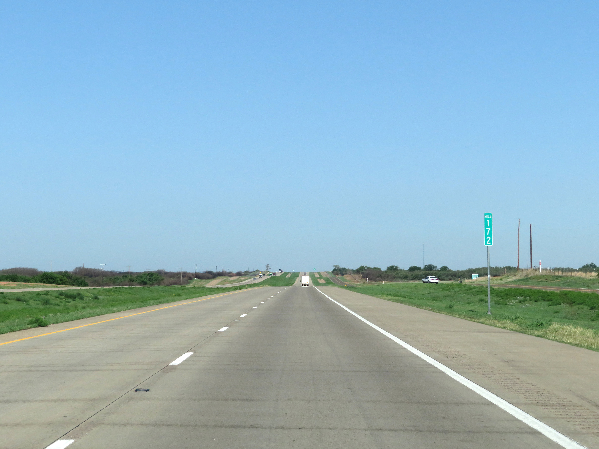 |
View on Interstate 40 West at mile marker 172. (Photo taken 5/19/18). |
 |
Interstate 40 West at Exit 169: FM 1802 (Photo taken 5/19/18). |
 |
Interstate 40 West at Exit 167: FM 2168 - Daberry Rd (Photo taken 5/19/18). |
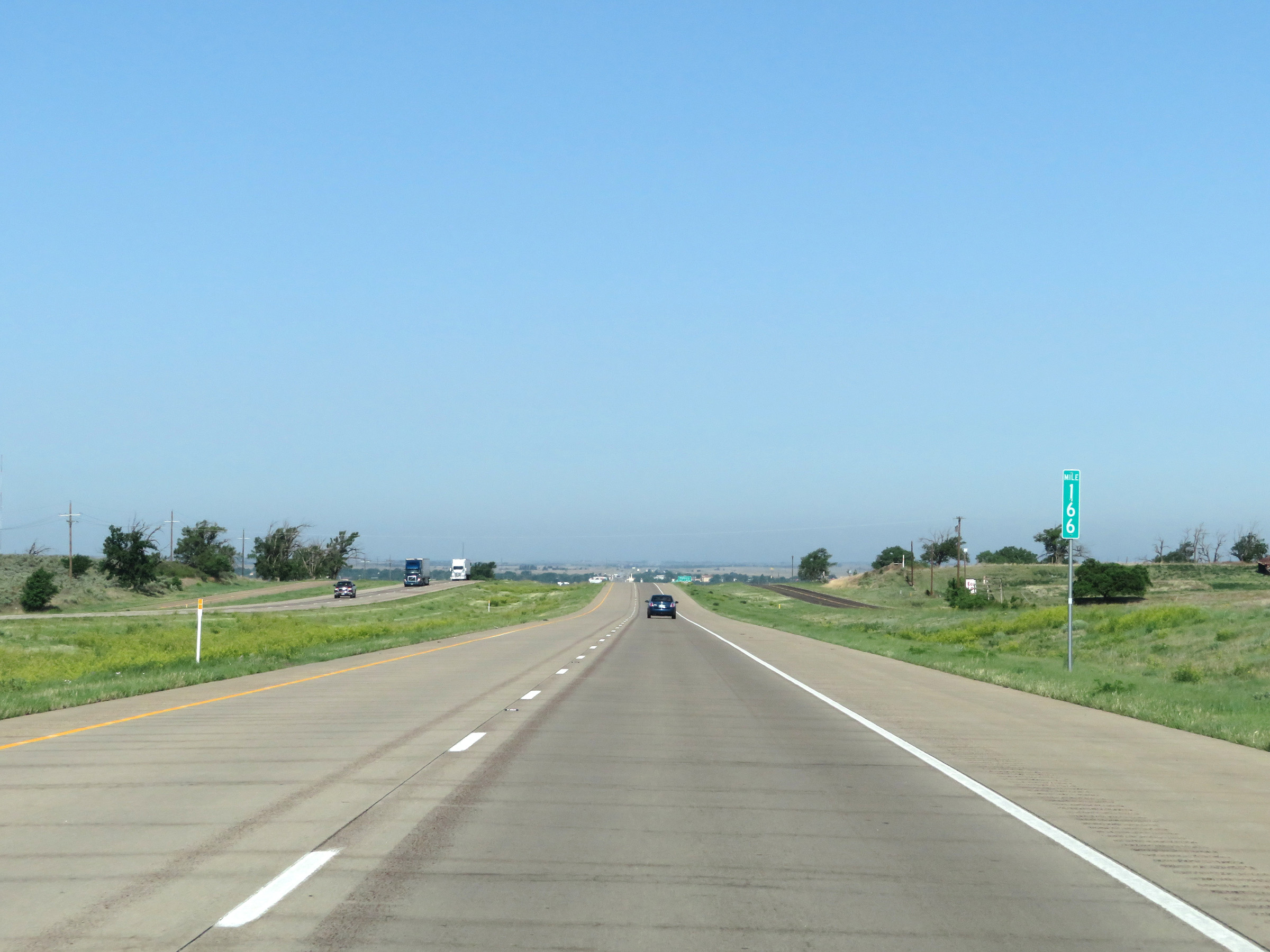 |
Interstate 40 West at mile marker 166. (Photo taken 5/19/18). |
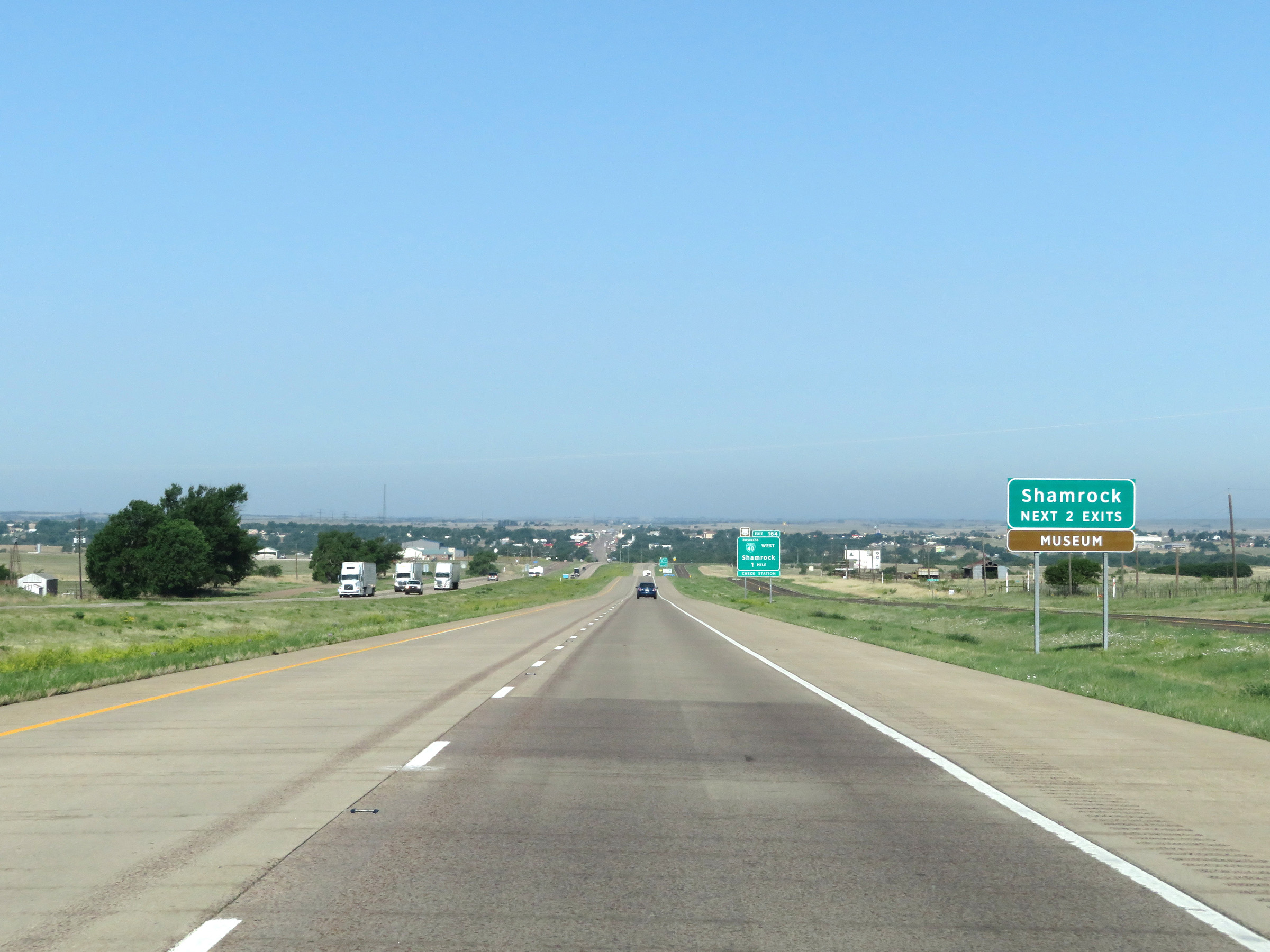 |
Take either of the next 2 exits to Shamrock. (Photo taken 5/19/18). |
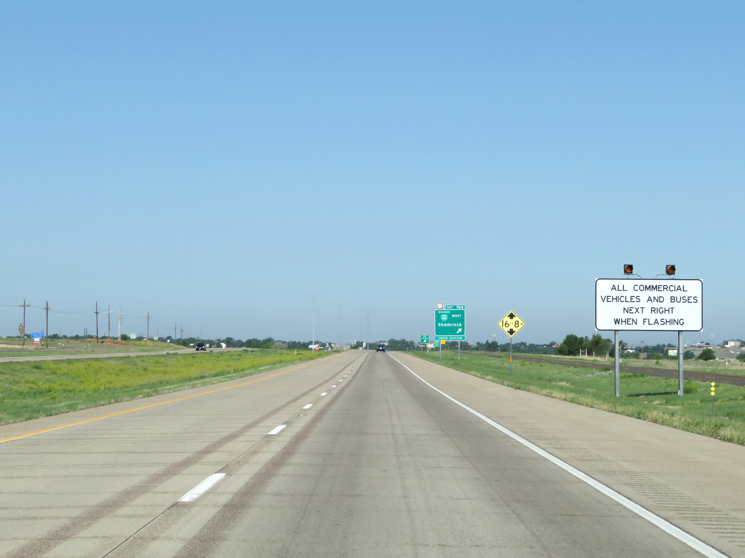 |
When the lights on this sign are flashing, the CMV Check Station off Exit 164 is open and all commercial vehicles must exit. (Photo taken 5/19/18). |
 |
Interstate 40 West at Exit 164: Interstate 40 Business Loop West - Shamrock (Photo taken 5/19/18). |
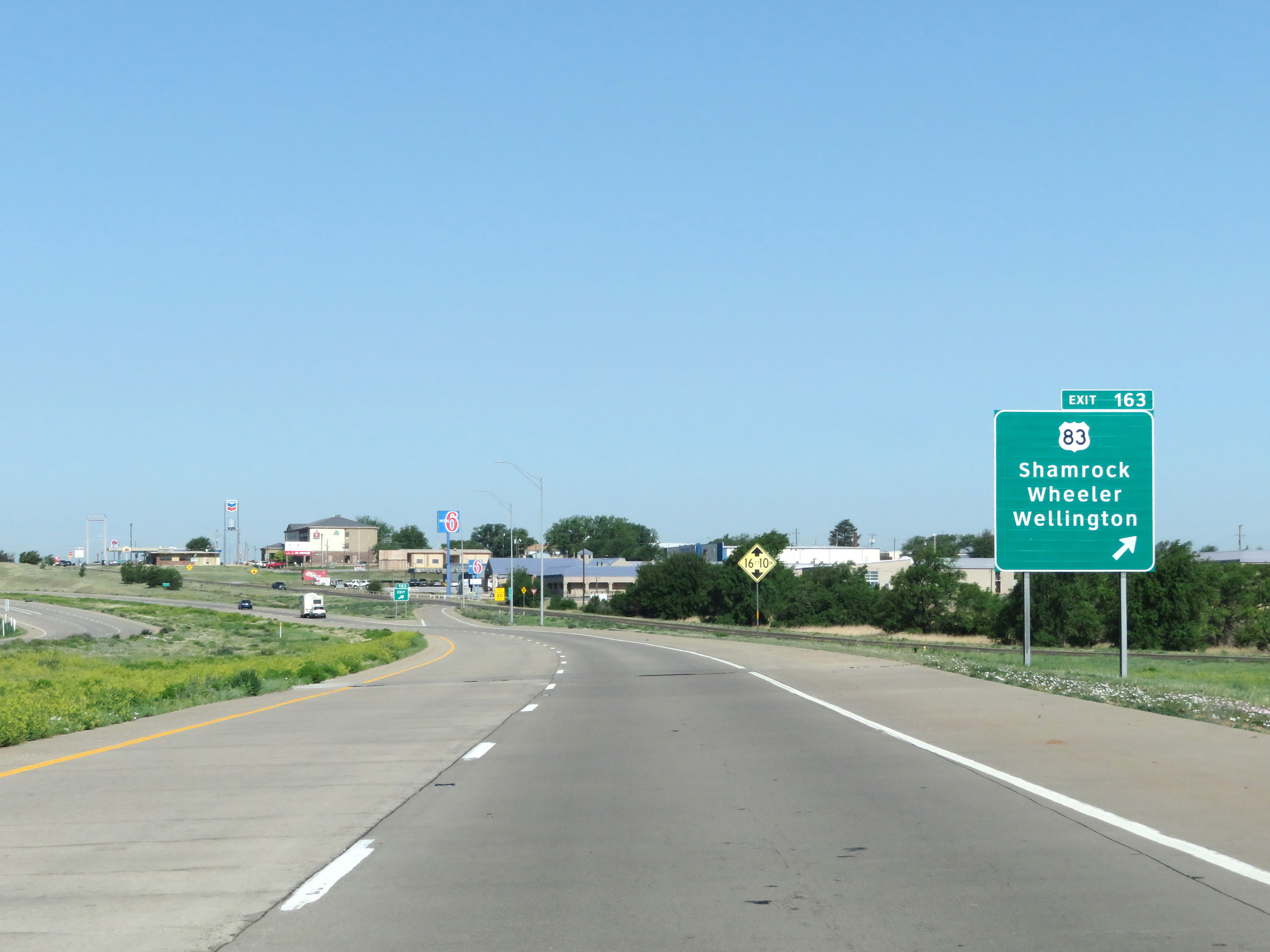 |
Interstate 40 West at Exit 163: US 83 - Shamrock / Wheeler / Wellington (Photo taken 5/19/18). |
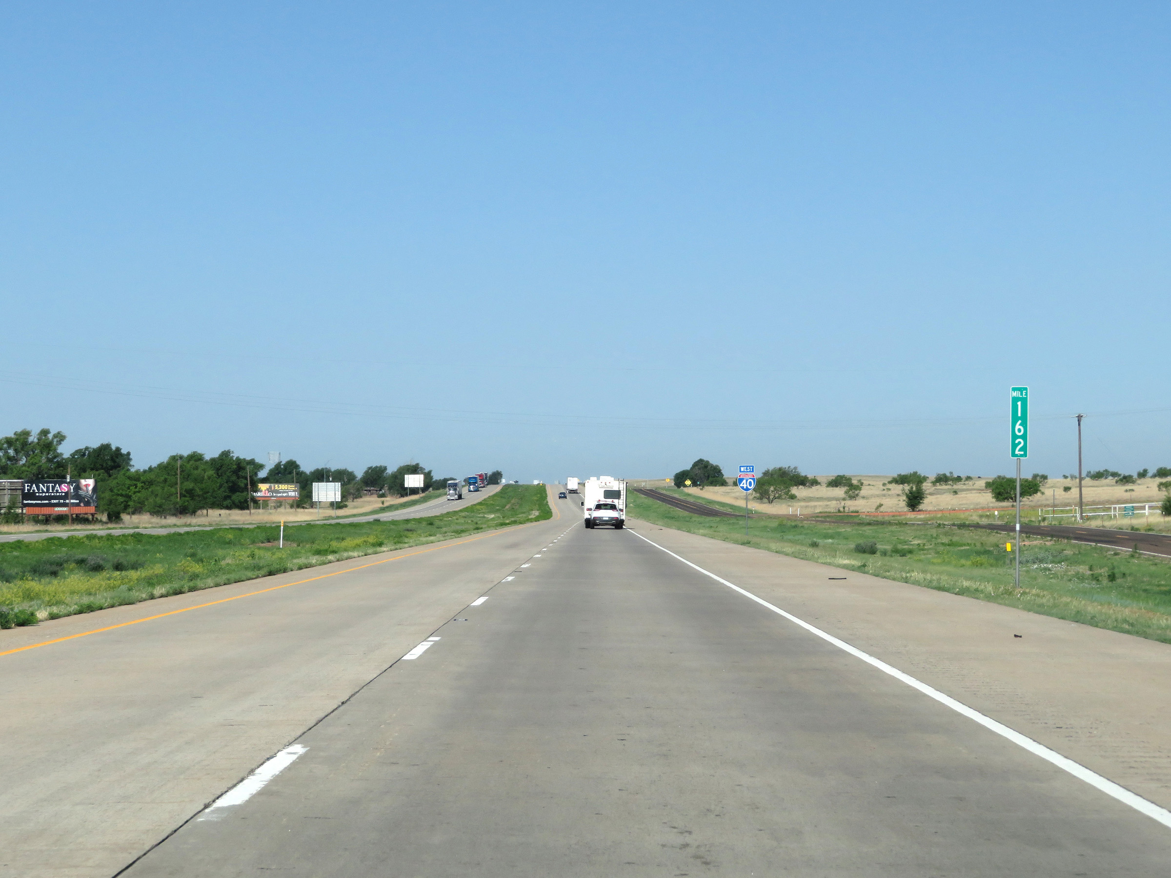 |
View on Interstate 40 West at mile marker 162. (Photo taken 5/19/18). |
 |
The speed limit remains 75 mph on Interstate 40 West. (Photo taken 5/19/18). |
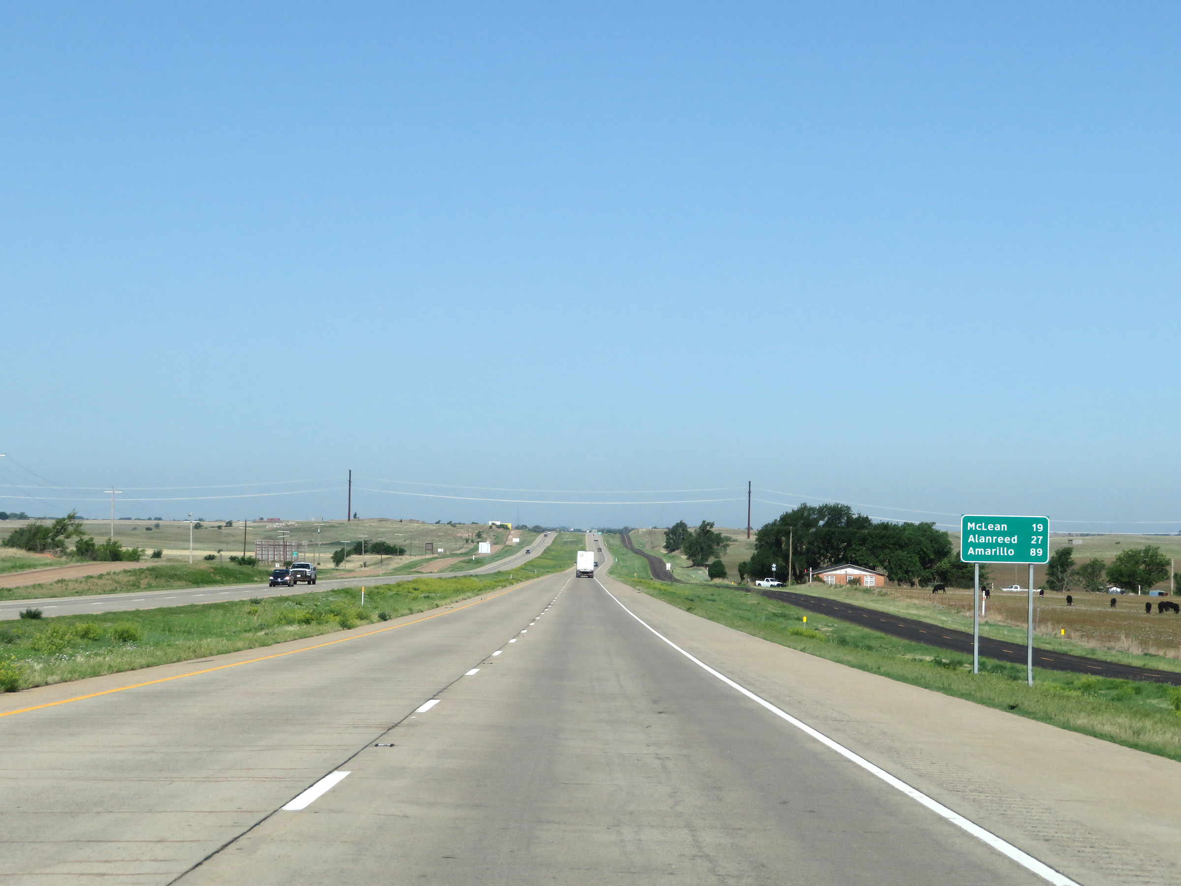 |
Another mileage sign on Interstate 40 West. It's 19 miles to McLean, 27 miles to Alanreed, and 89 miles to Amarillo. (Photo taken 5/19/18). |
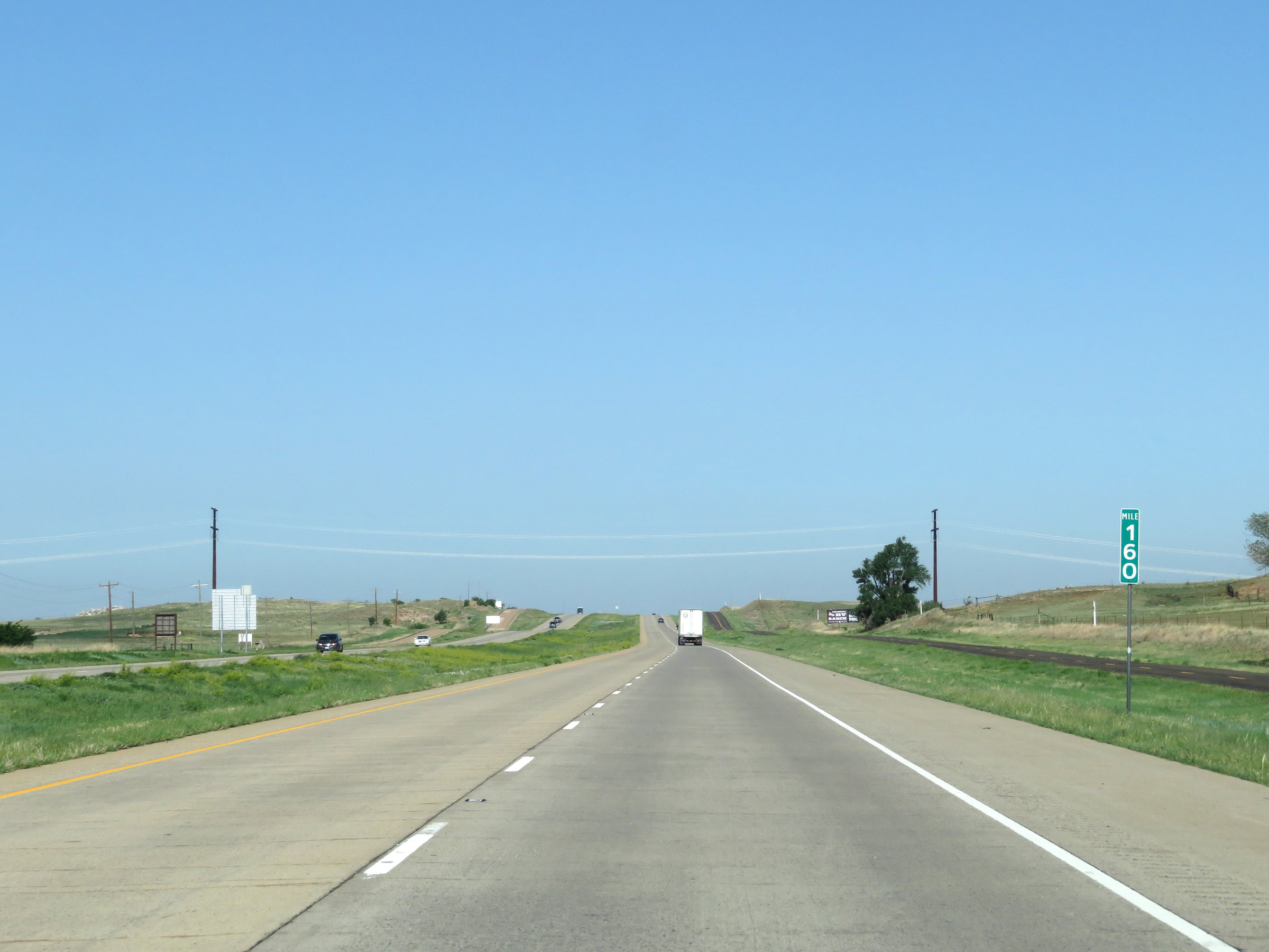 |
Mile marker 160 on Interstate 40 West in Wheeler County. (Photo taken 5/19/18). |
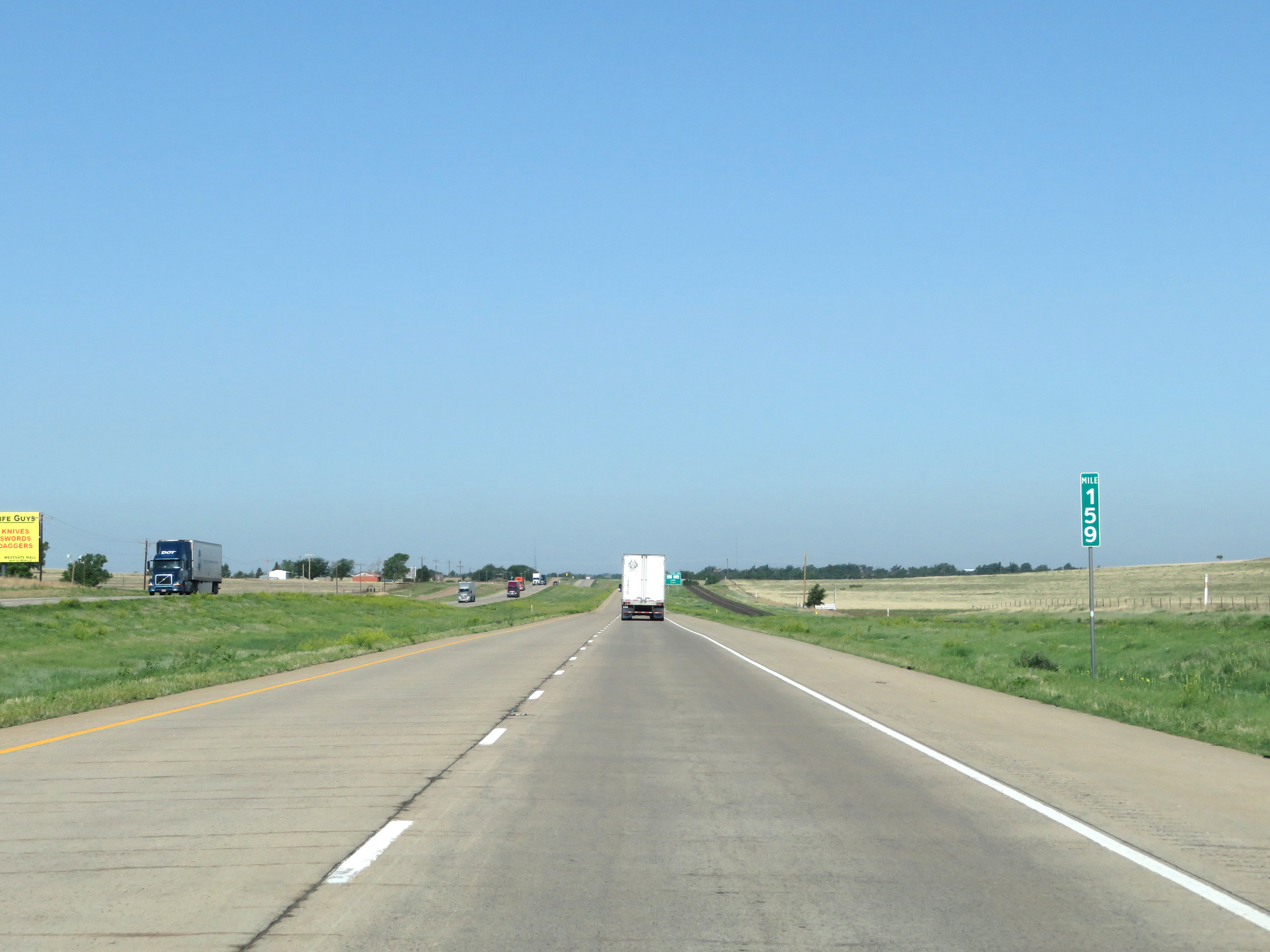 |
View on Interstate 40 West at mile marker 159. (Photo taken 5/19/18). |
 |
Interstate 40 West at Exit 157: FM 1547 / FM 3075 - Lela (Photo taken 5/19/18). |
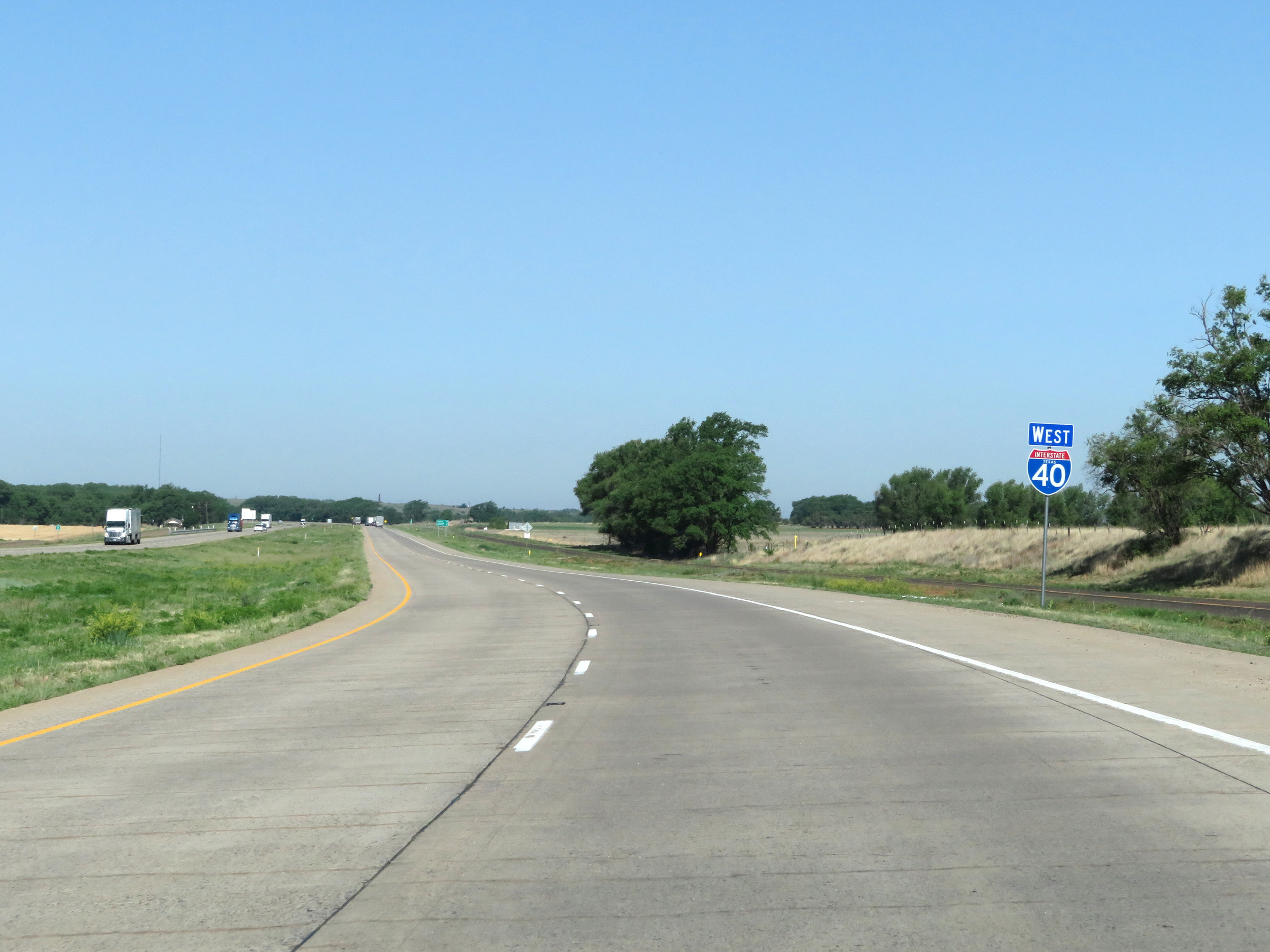 |
Another state-named Interstate 40 West reassurance shield. (Photo taken 5/19/18). |
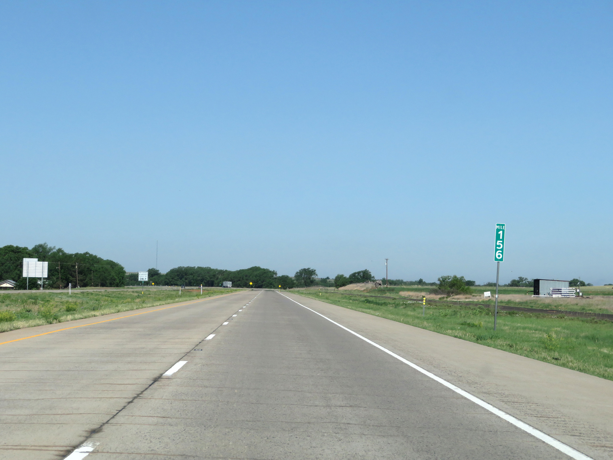 |
View on Interstate 40 West at mile marker 156. (Photo taken 5/19/18). |
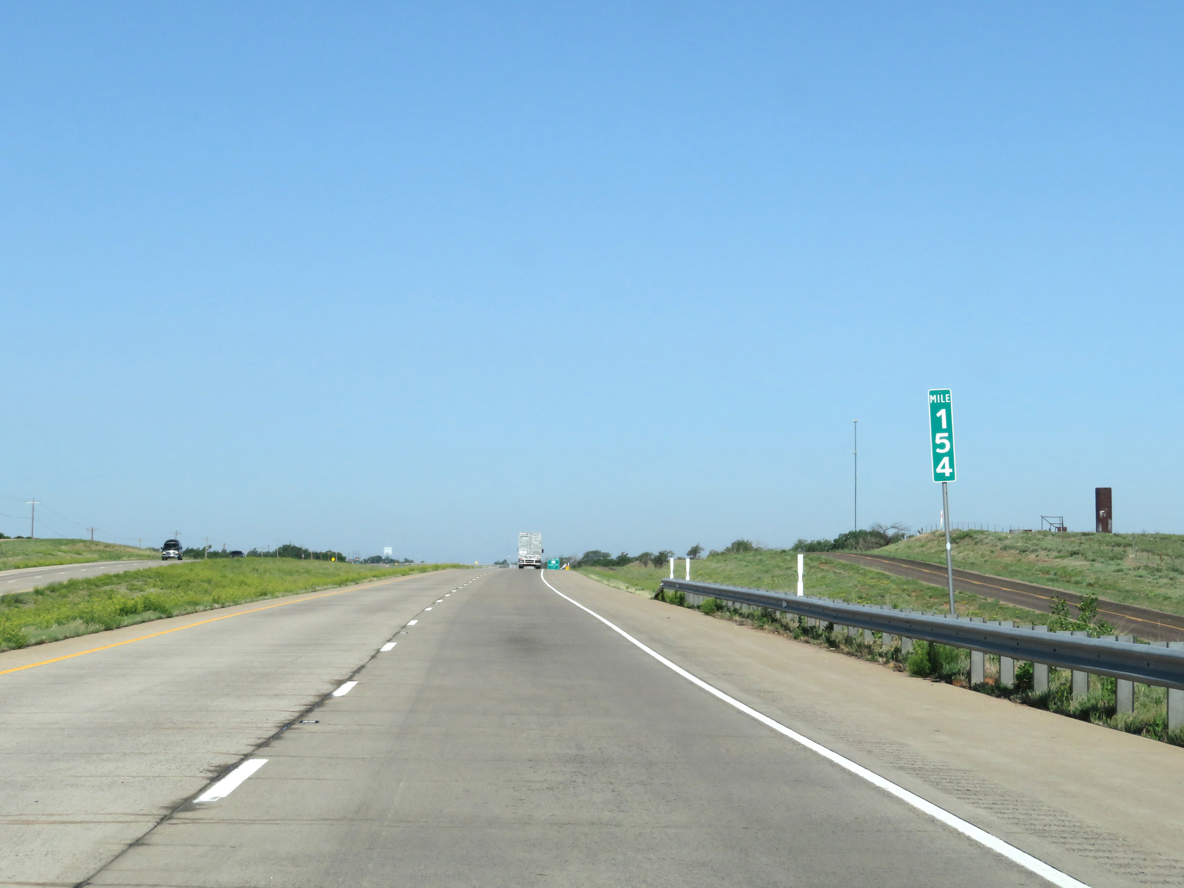 |
Interstate 40 West at mile marker 154. (Photo taken 5/19/18). |
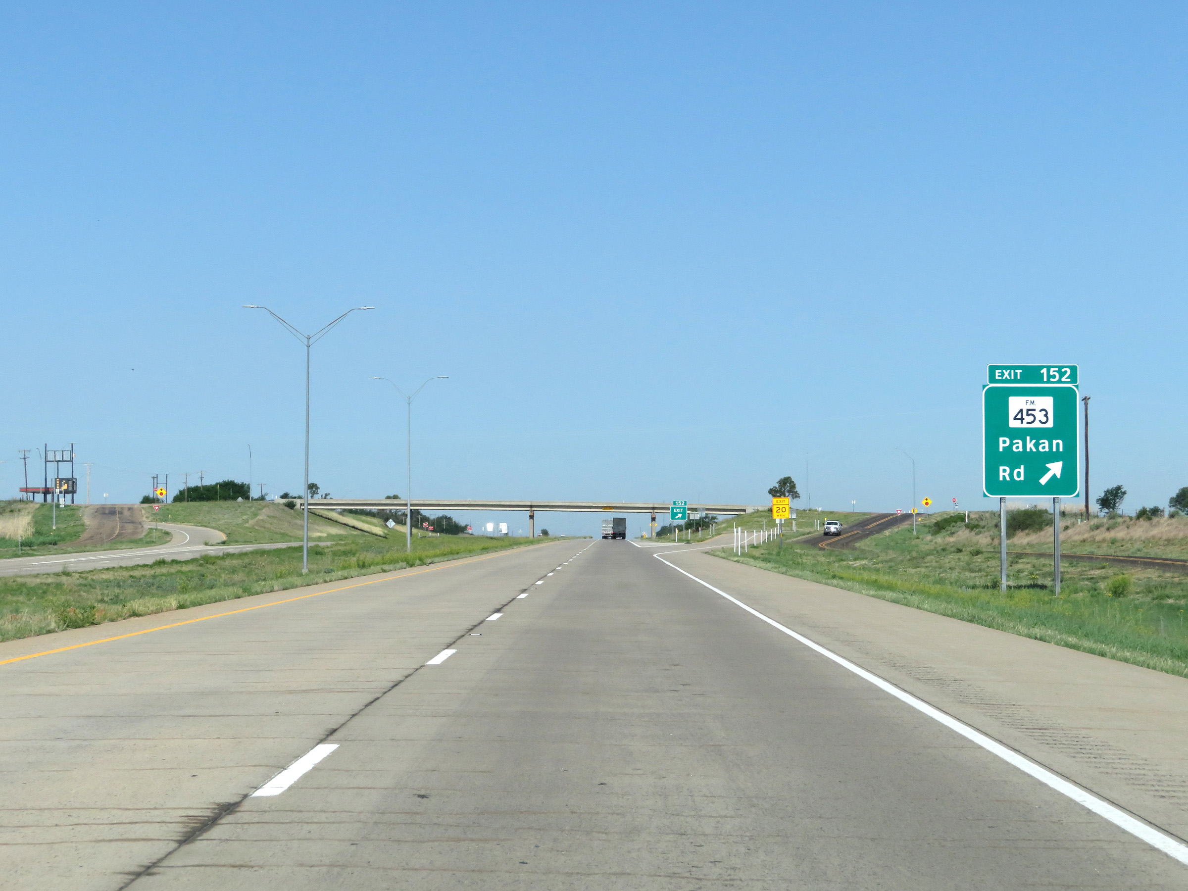 |
Interstate 40 West at Exit 152: FM 453 - Pakan Rd (Photo taken 5/19/18). |
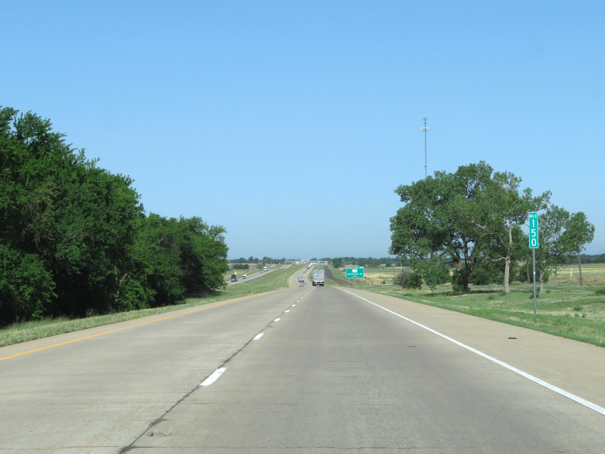 |
View on Interstate 40 West at mile marker 150. (Photo taken 5/19/18). |
 |
Interstate 40 West at Exit 148: FM 1443 - Kellerville Rd (Photo taken 5/19/18). |
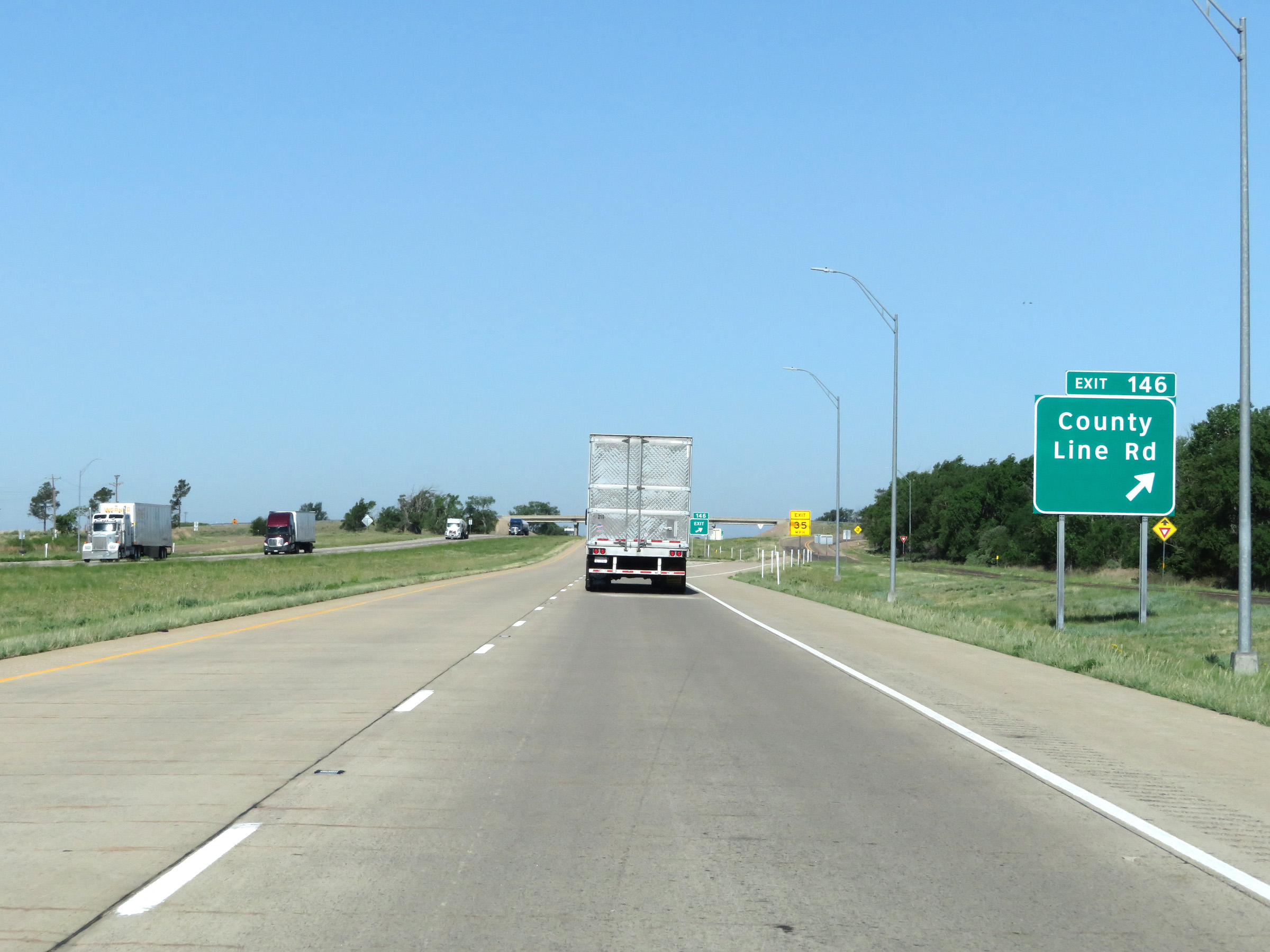 |
Interstate 40 West at Exit 146: County Line Rd (Photo taken 5/19/18). |
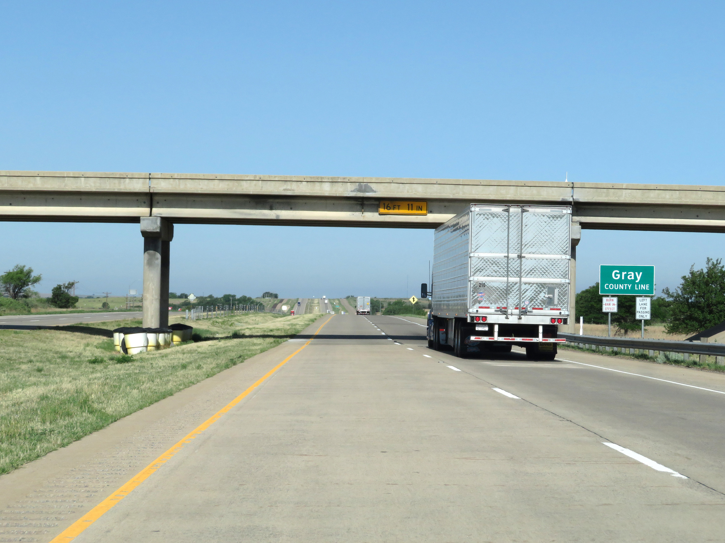 |
Interstate 40 West as it enters Gray County for the first time. (Photo taken 5/19/18). |
 |
State-named Interstate 40 West reassurance shield. (Photo taken 5/19/18). |
 |
Take either of the next 2 exits to McLean. (Photo taken 5/19/18). |
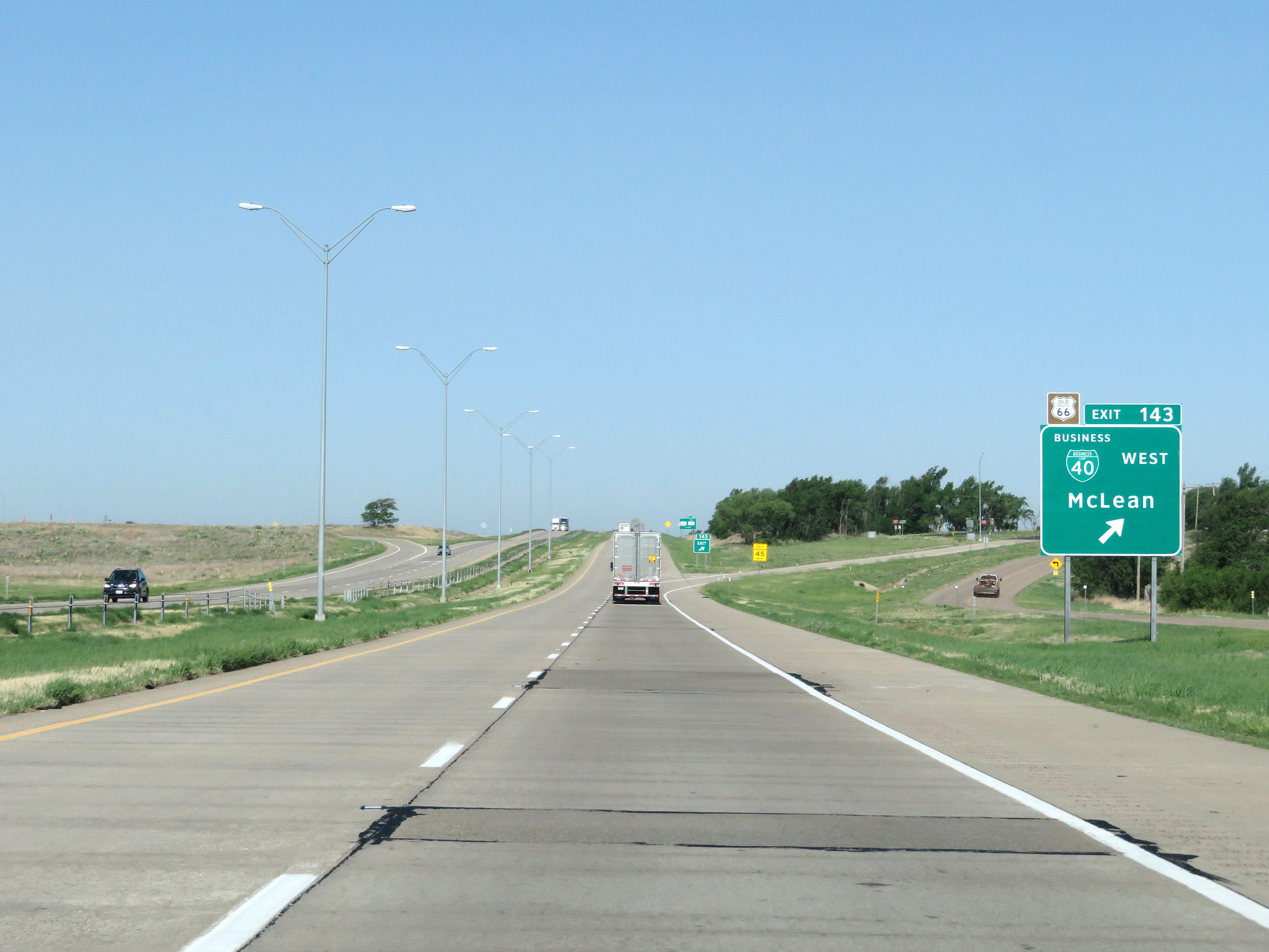 |
Interstate 40 West at Exit 143: Interstate 40 Business Loop West - McLean (Photo taken 5/19/18). |
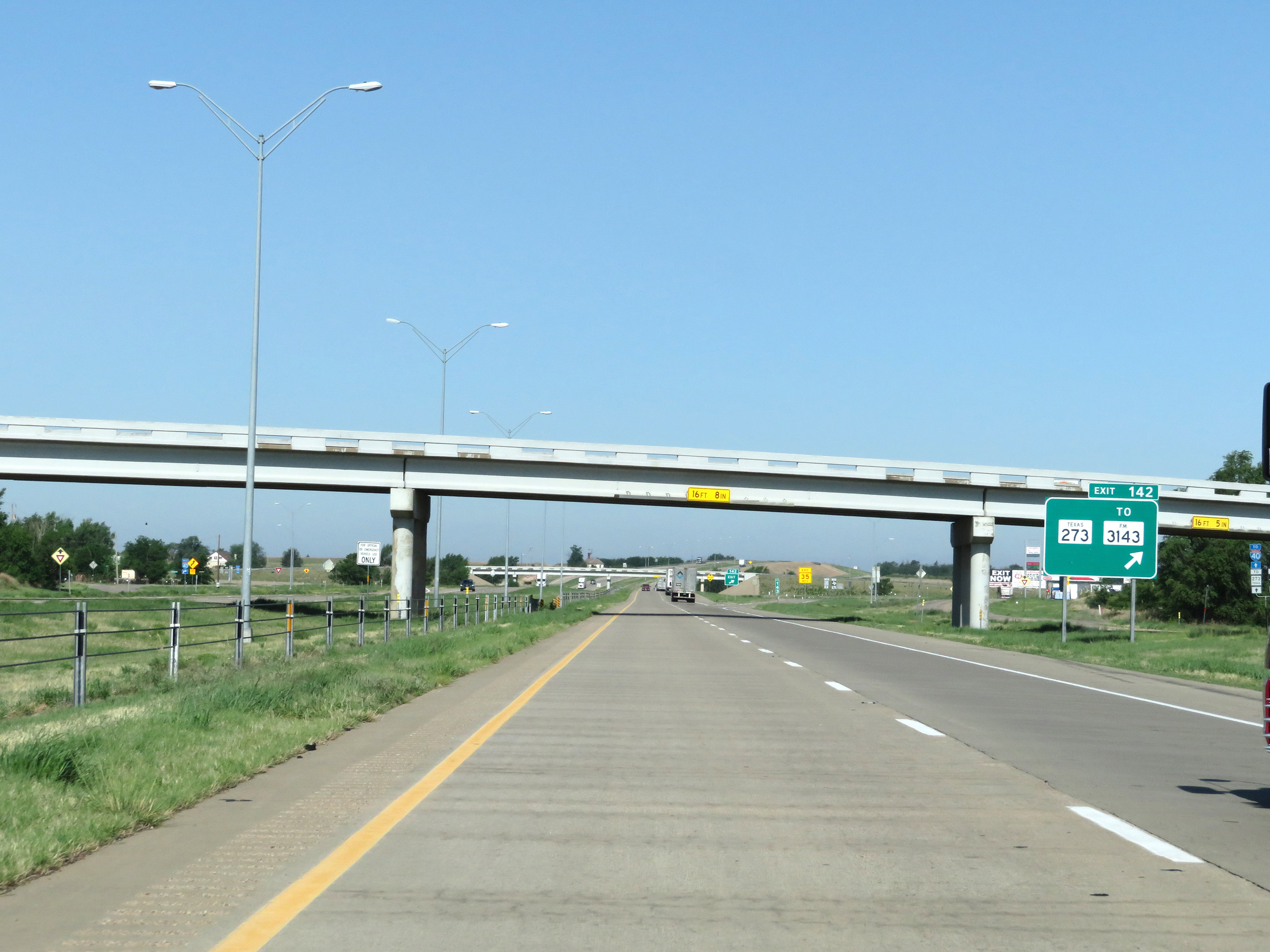 |
Interstate 40 West at Exit 142: TX 273 / To FM 3143 (Photo taken 5/19/18). |
 |
View on Interstate 40 West at mile marker 141. (Photo taken 5/19/18). |
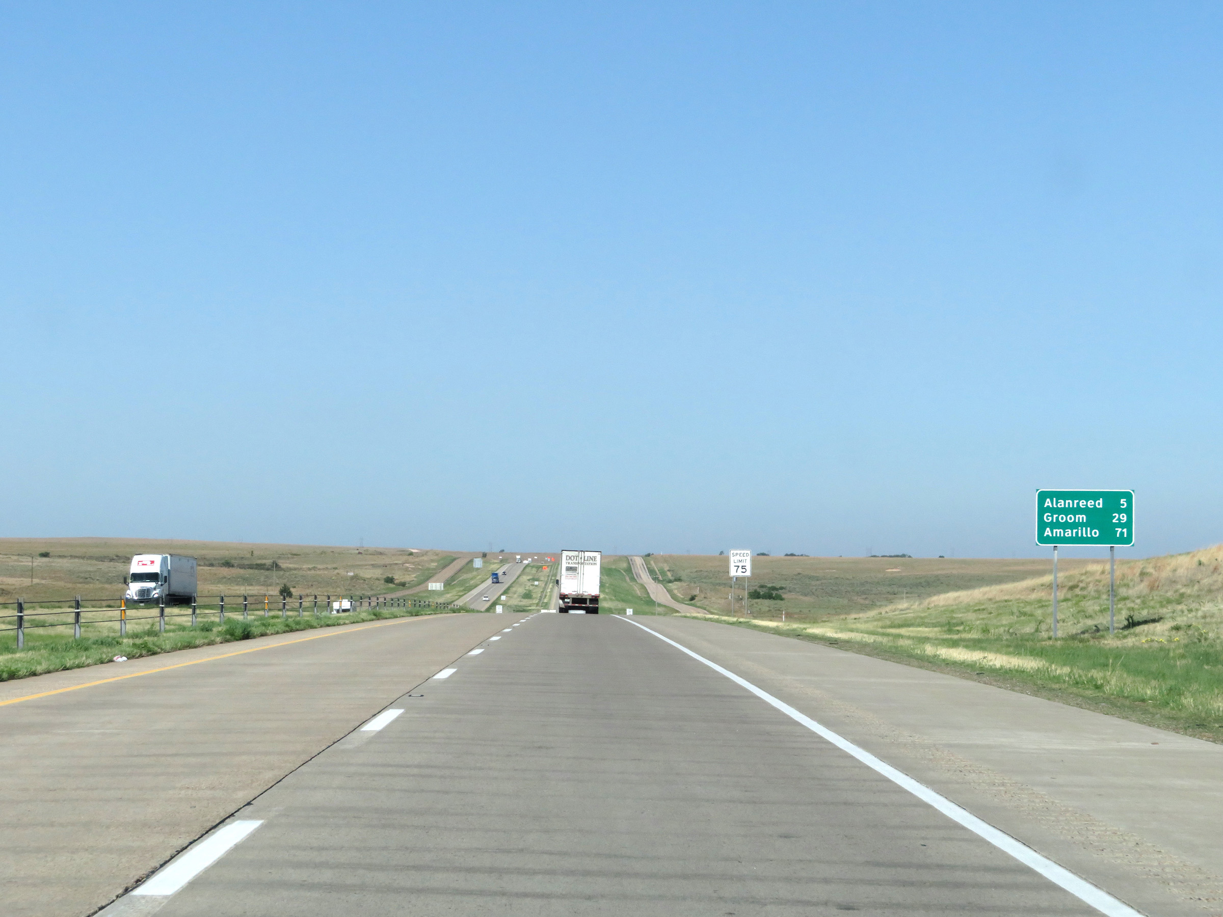 |
Mileage sign on Interstate 40 West. It's 5 miles to Alanreed, 29 miles to Groom, and 71 miles to Amarillo. (Photo taken 5/19/18). |
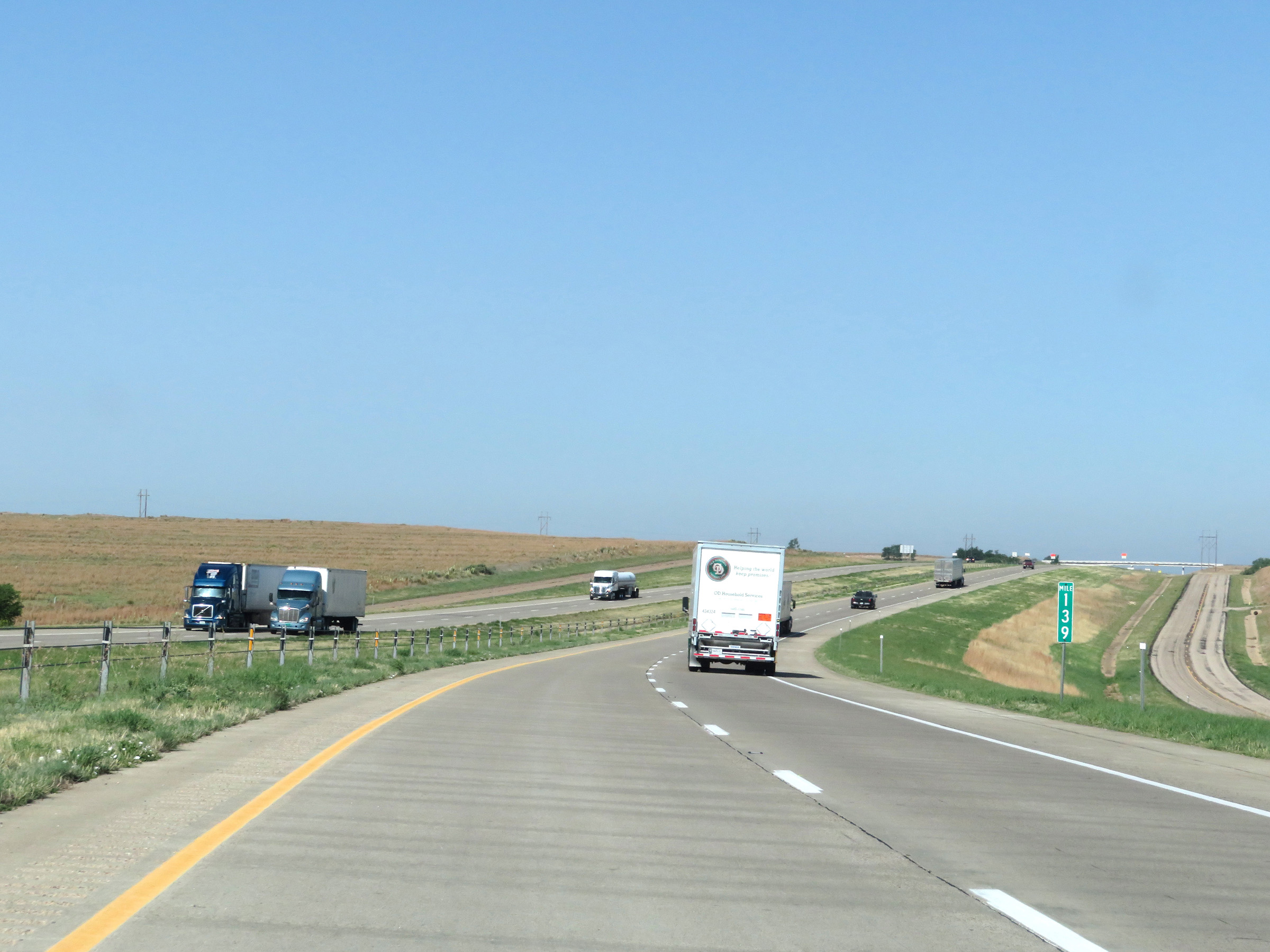 |
Interstate 40 West at mile marker 139. (Photo taken 5/19/18). |
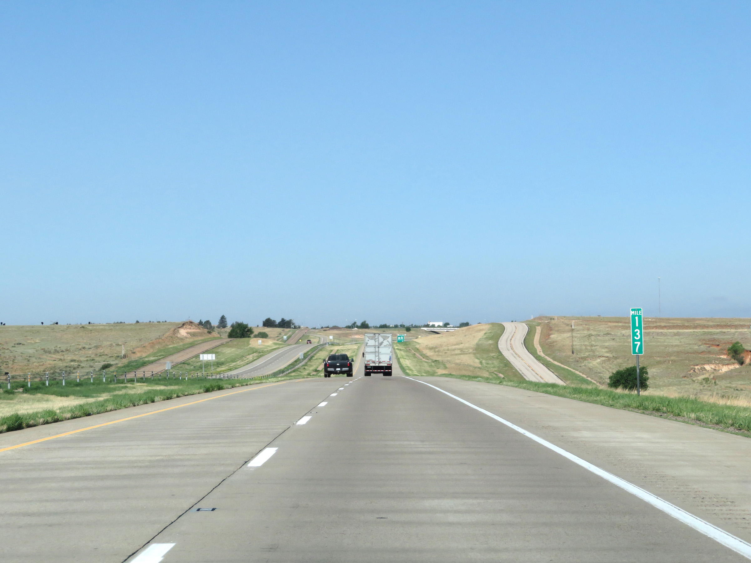 |
View on Interstate 40 West at mile marker 137. (Photo taken 5/19/18). |
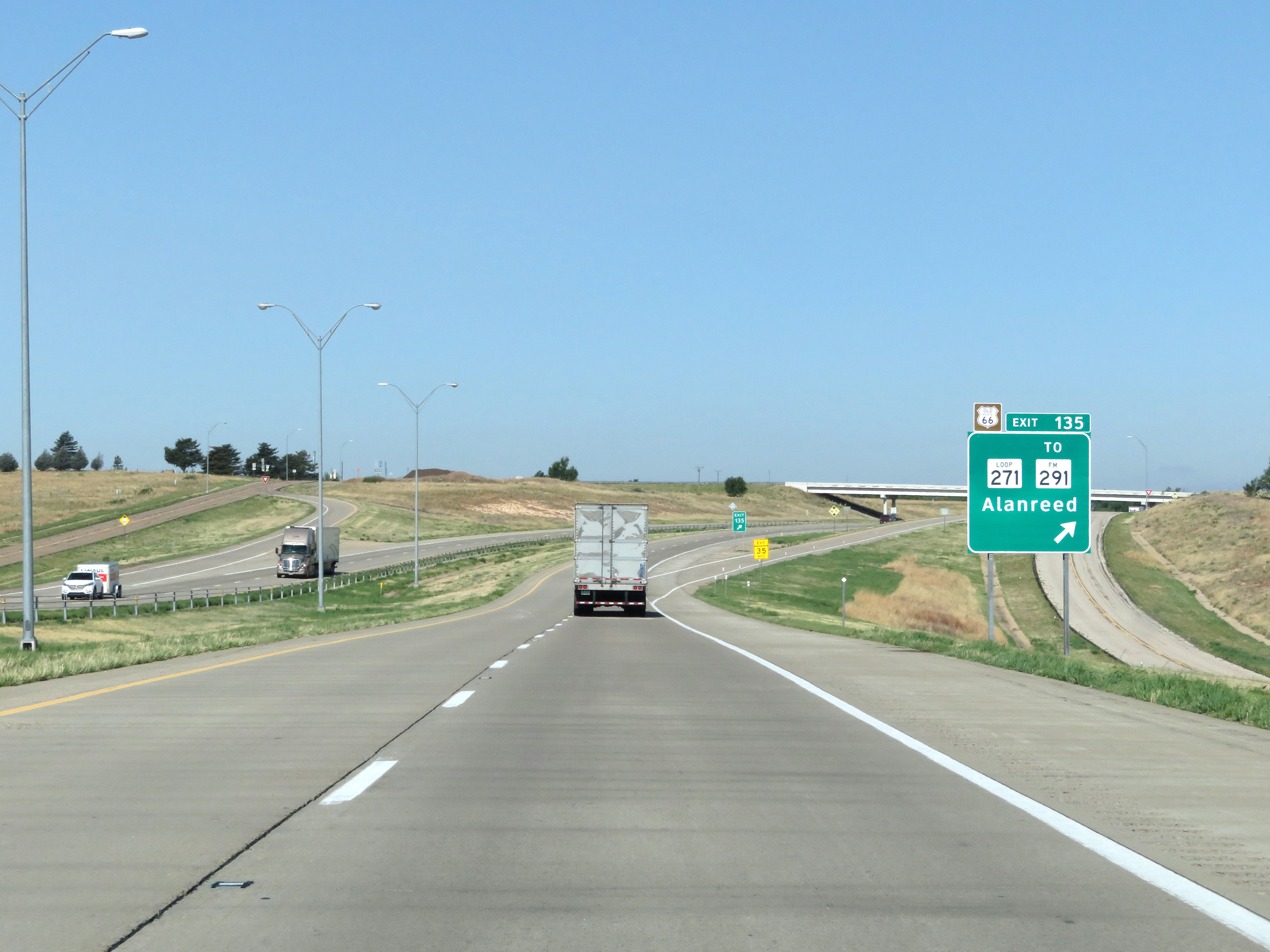 |
Interstate 40 West at Exit 135: TX Loop 271 / To FM 291 - Alanreed (Photo taken 5/19/18). |
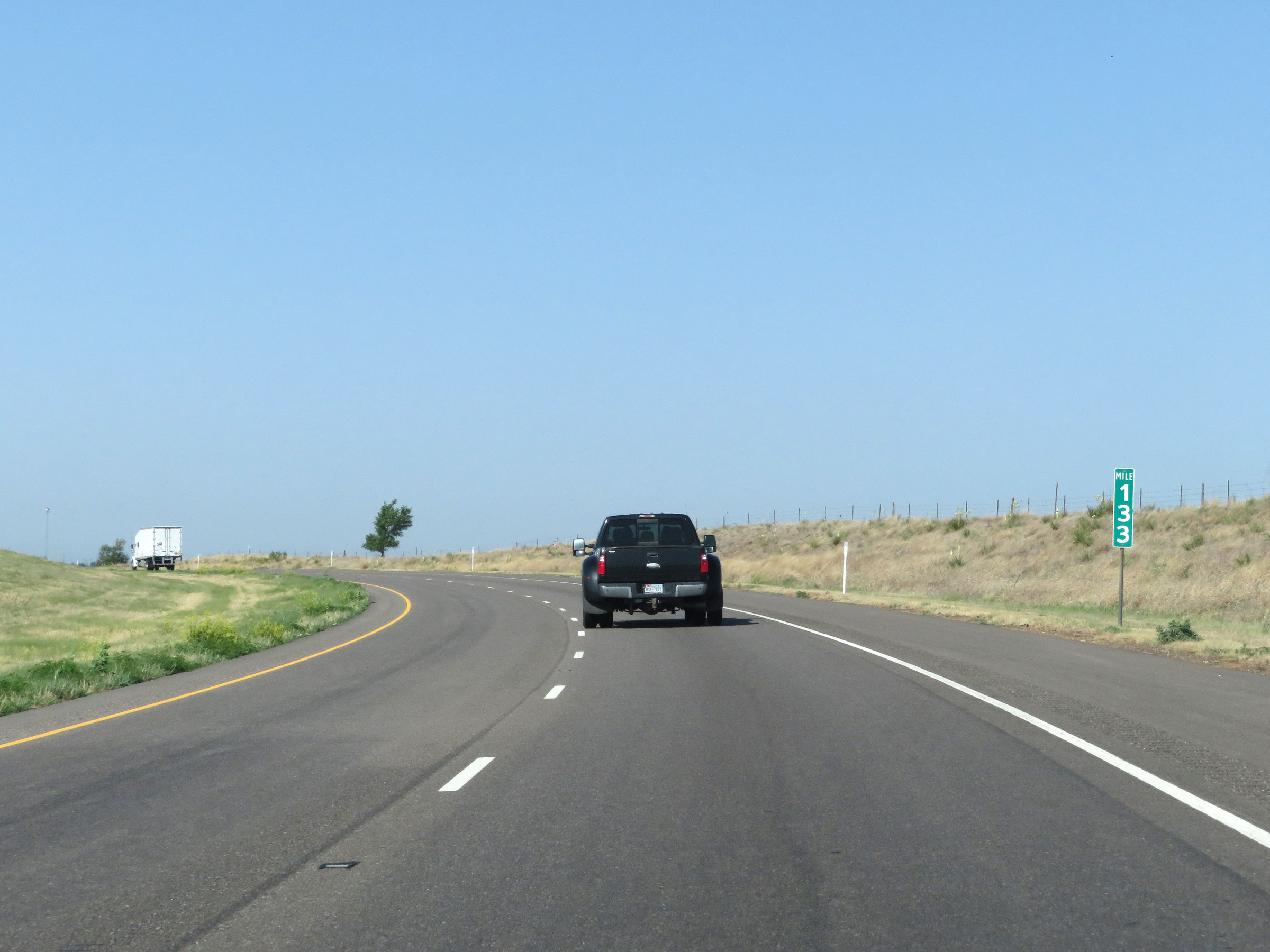 |
Interstate 40 West at mile marker 133. (Photo taken 5/19/18). |
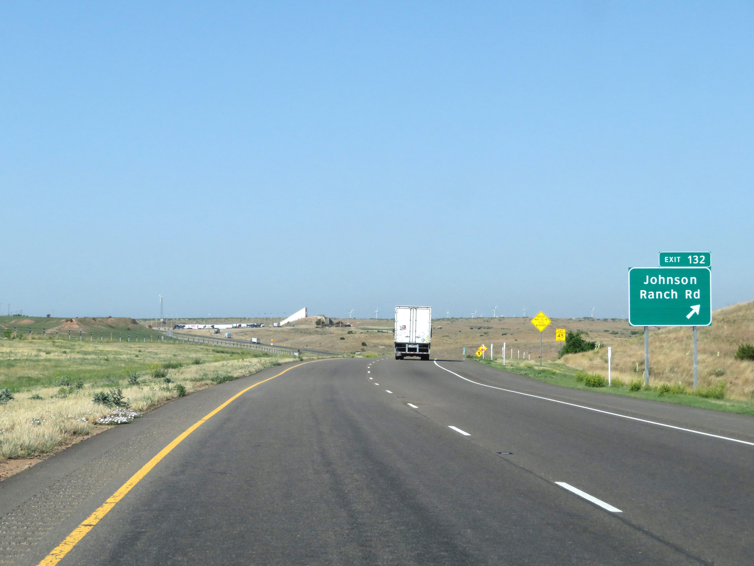 |
Interstate 40 West at Exit 132: Johnson Ranch Rd (Photo taken 5/19/18). |
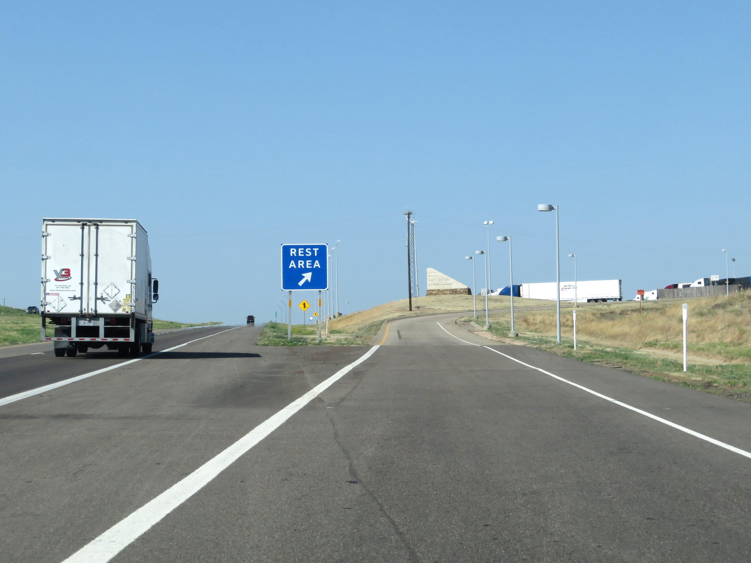 |
Rest Area on Interstate 40 West in Gray County. (Photo taken 5/19/18). |
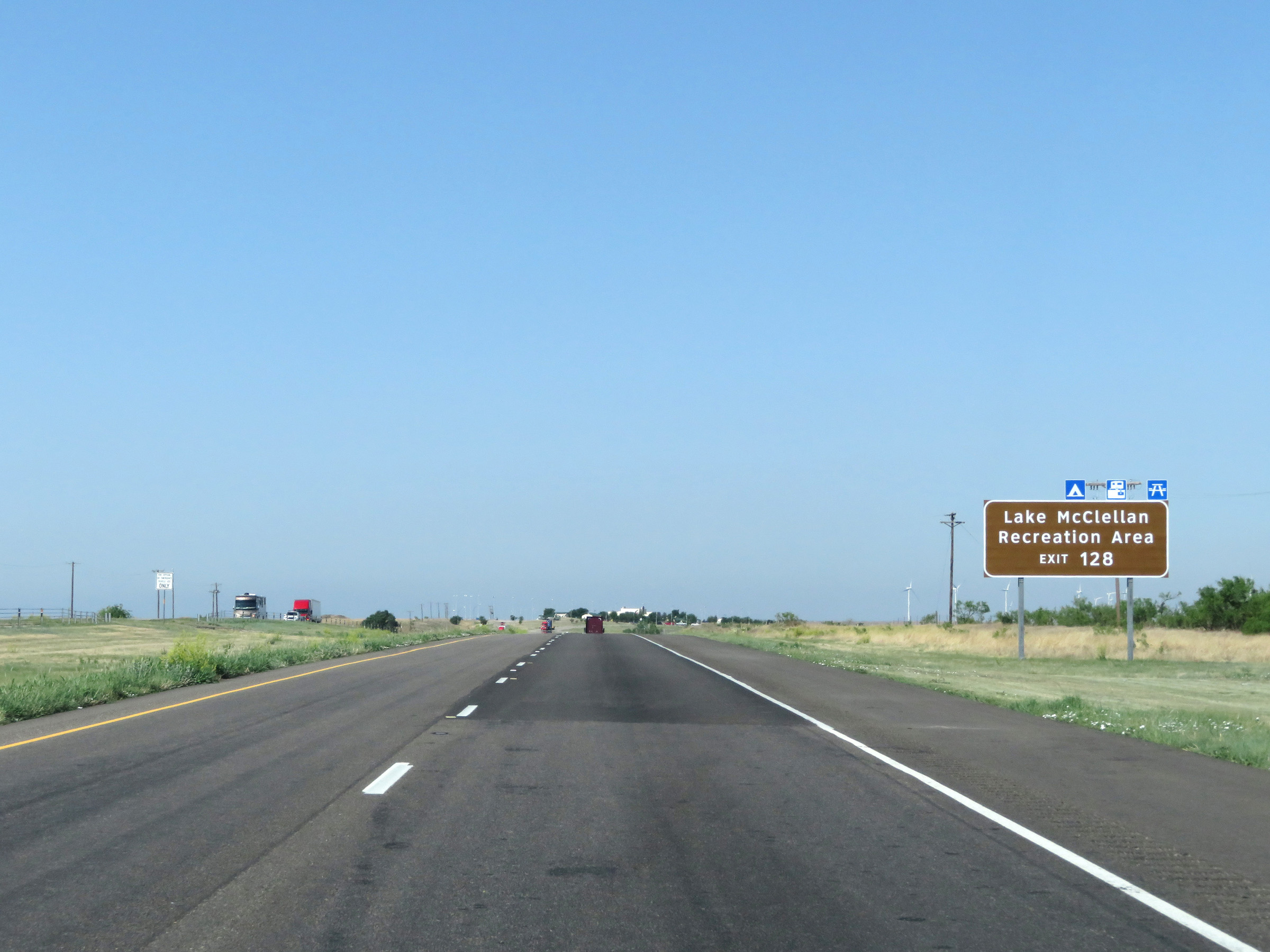 |
Take Exit 128 to Lake McClellan Recreation Area. (Photo taken 5/19/18). |
 |
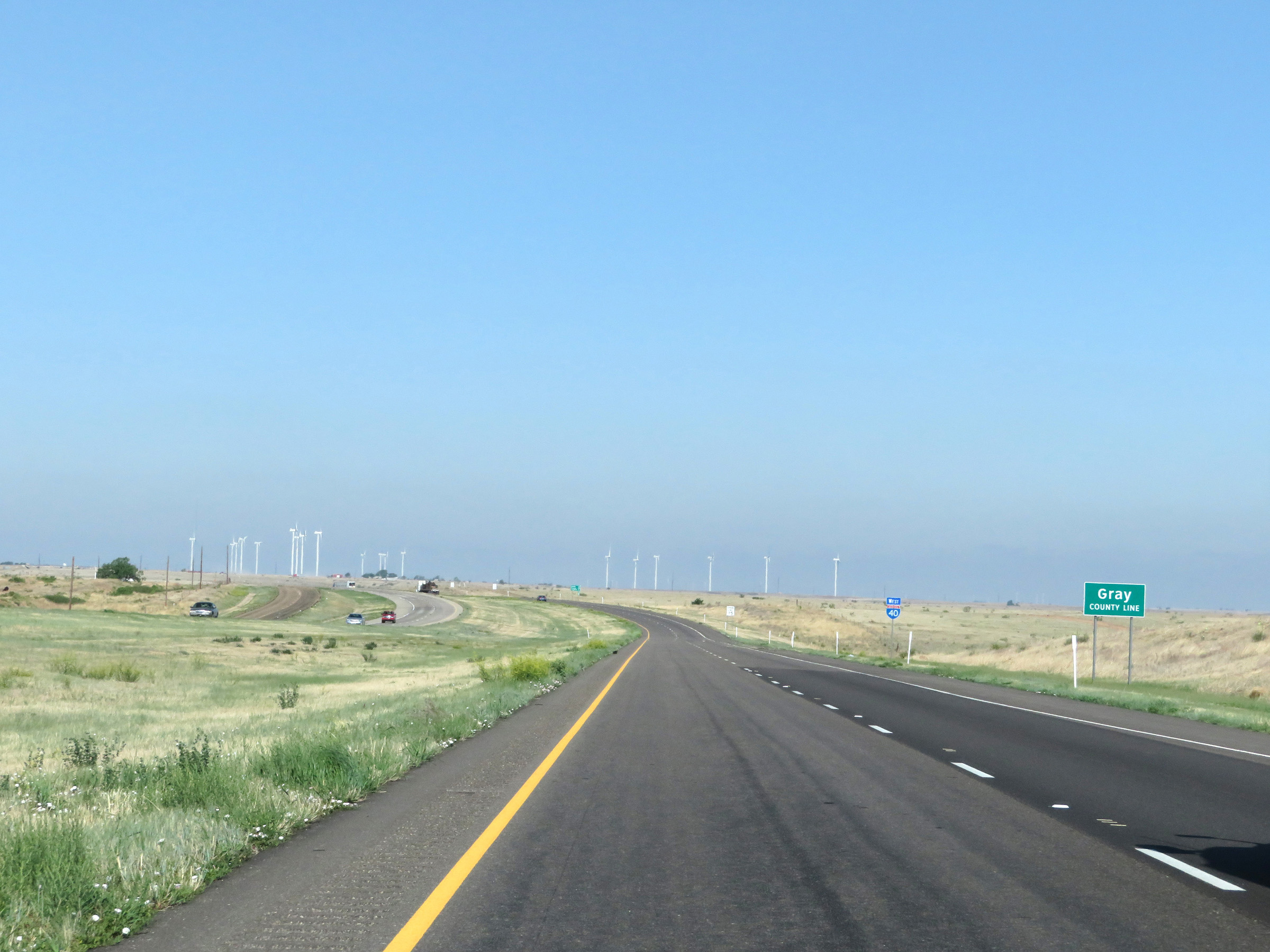
Interstate 40 West as it enters Donley County for the first time. (Photo taken 5/19/18). |
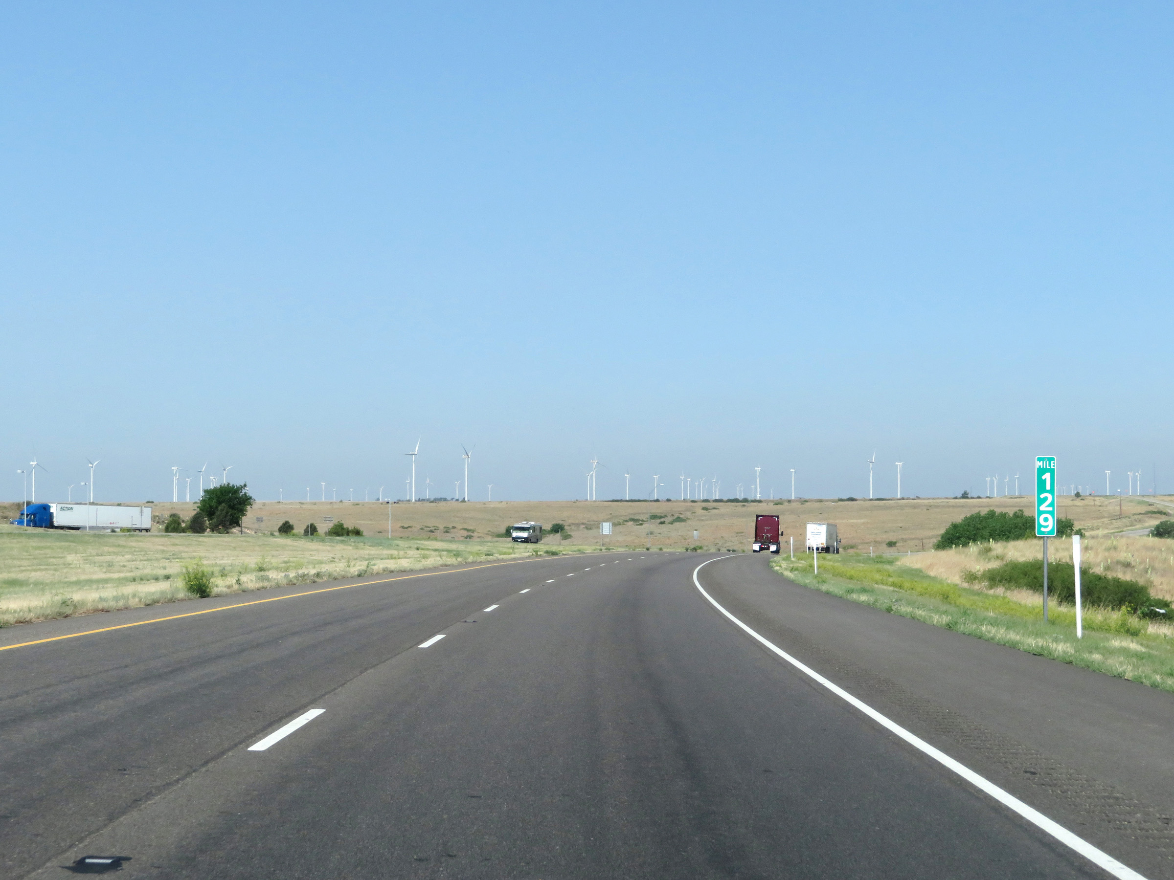 |
View on Interstate 40 West at mile marker 129. (Photo taken 5/19/18). |
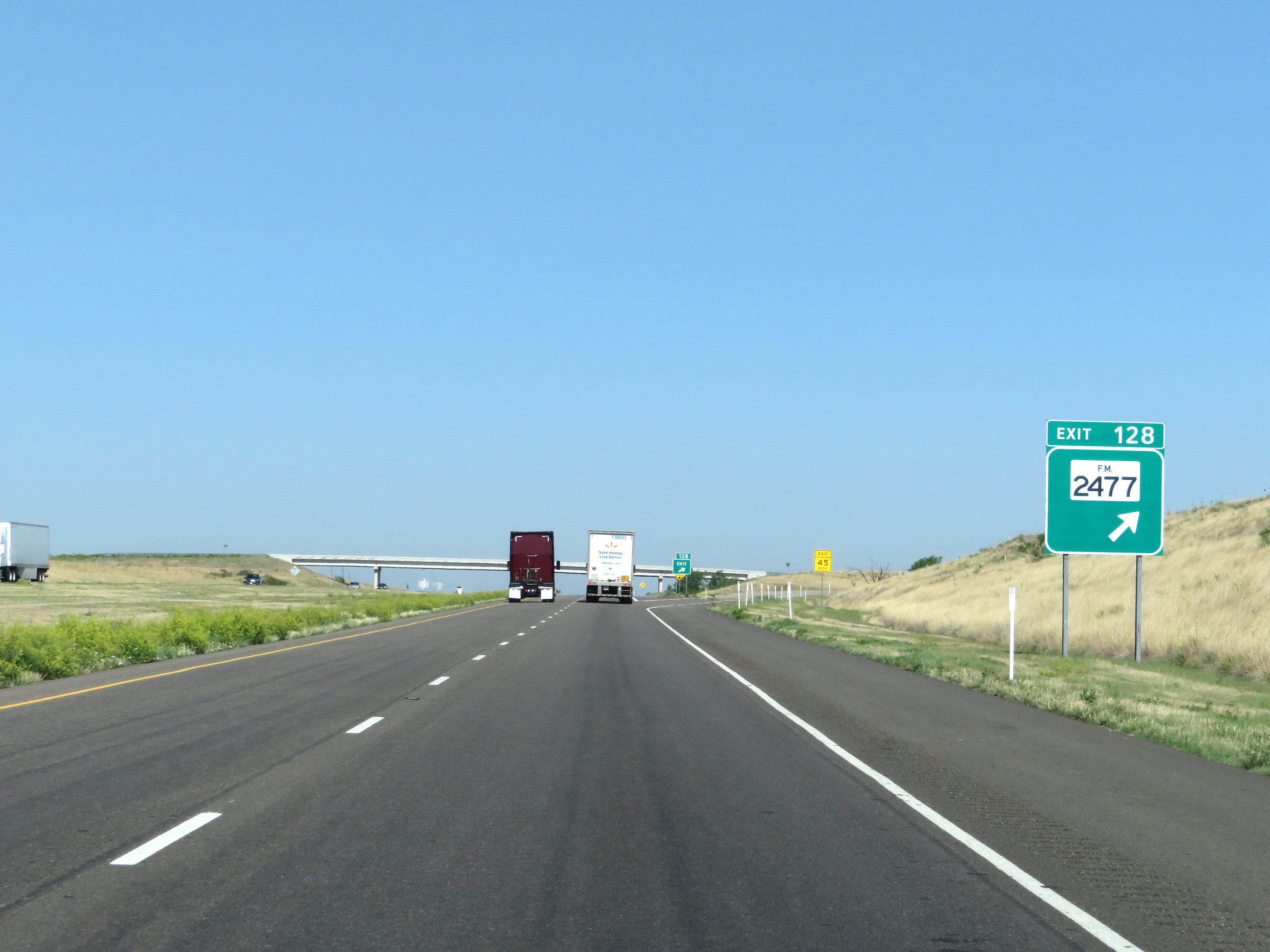 |
Interstate 40 West at Exit 128: FM 2477 (Photo taken 5/19/18). |
 |
Interstate 40 West as it reenters Gray County. (Photo taken 5/19/18). |
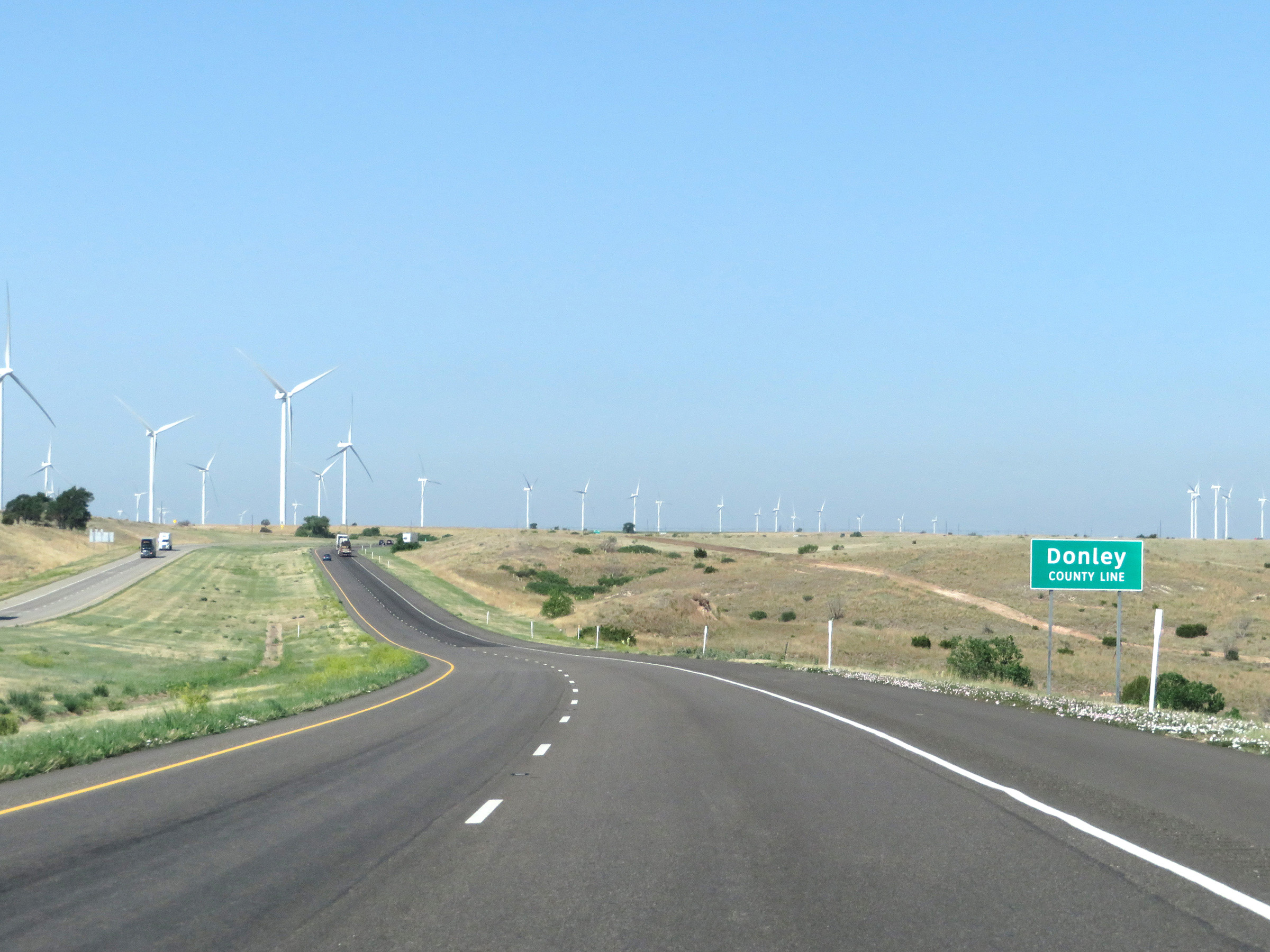 |
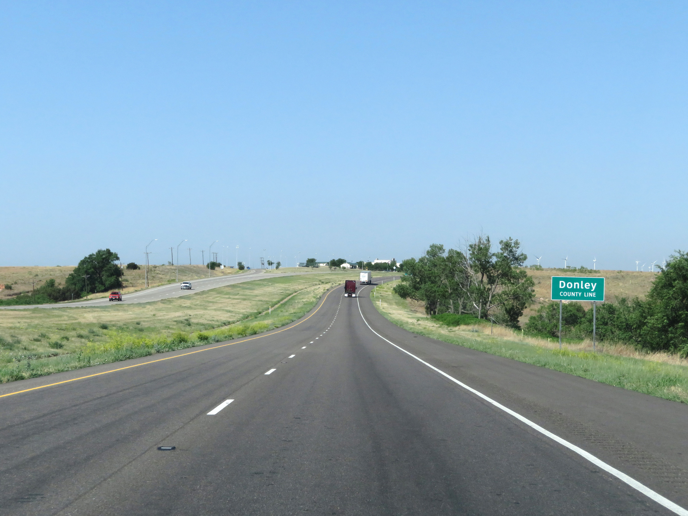
Soon after, Interstate 40 West enters Donley County once again. (Photo taken 5/19/18). |
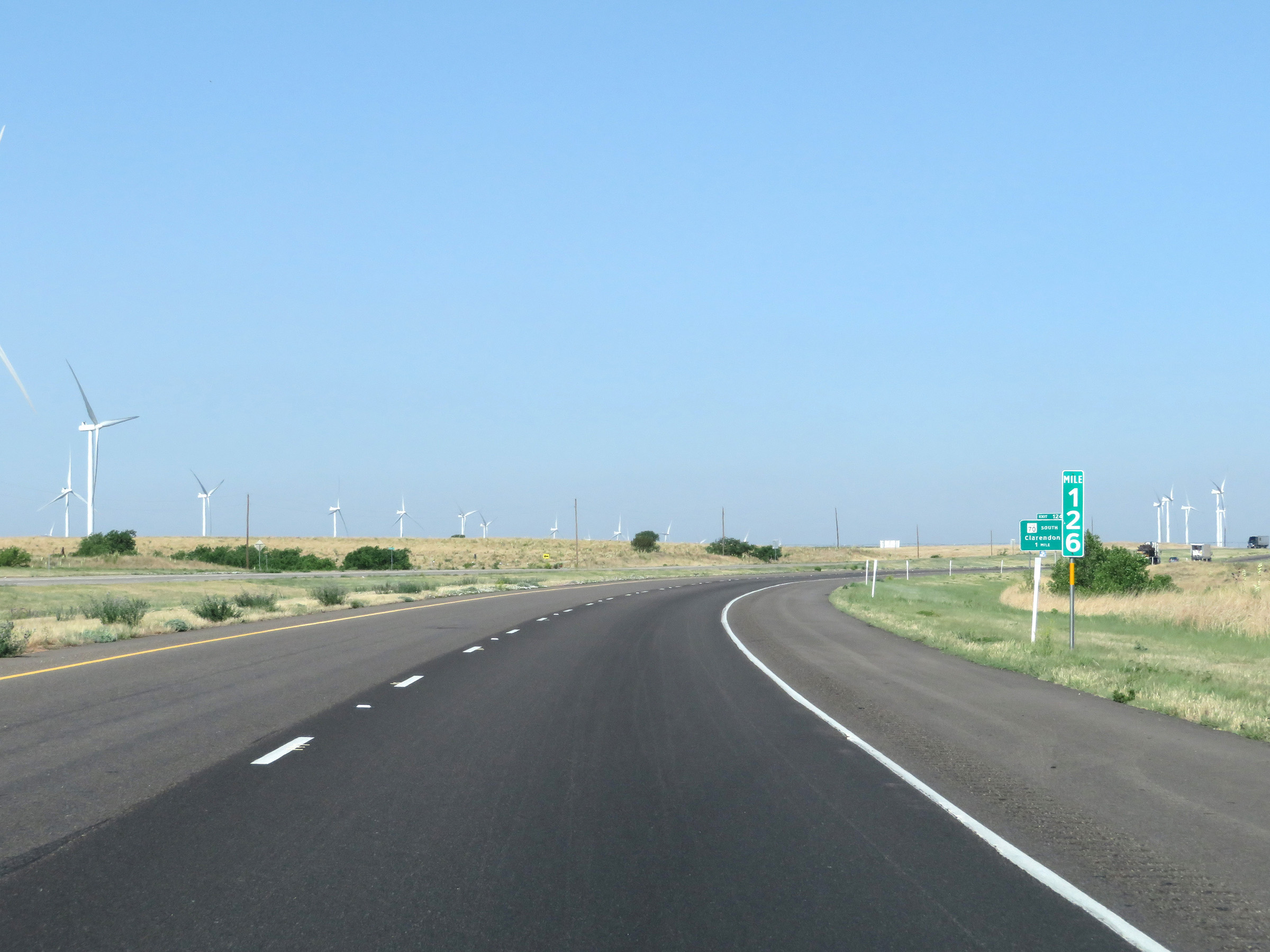 |
Mile marker 126 on Interstate 40 West in Donley County. (Photo taken 5/19/18). |
 |
Interstate 40 West at Exit 124: TX 70 South - Clarendon (Photo taken 5/19/18). |
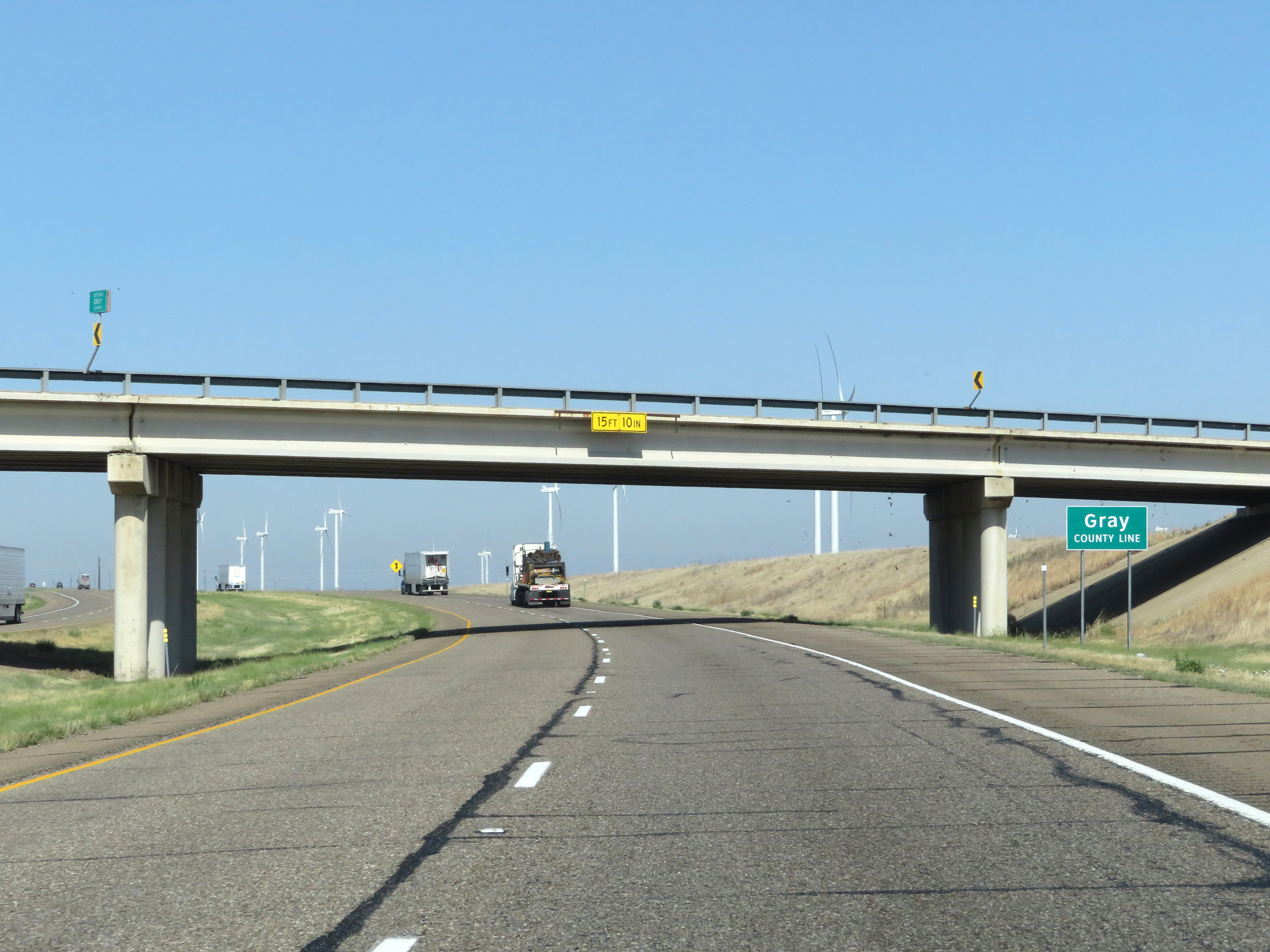 |
At Exit 124, Interstate 40 West enters Gray County once again. (Photo taken 5/19/18). |
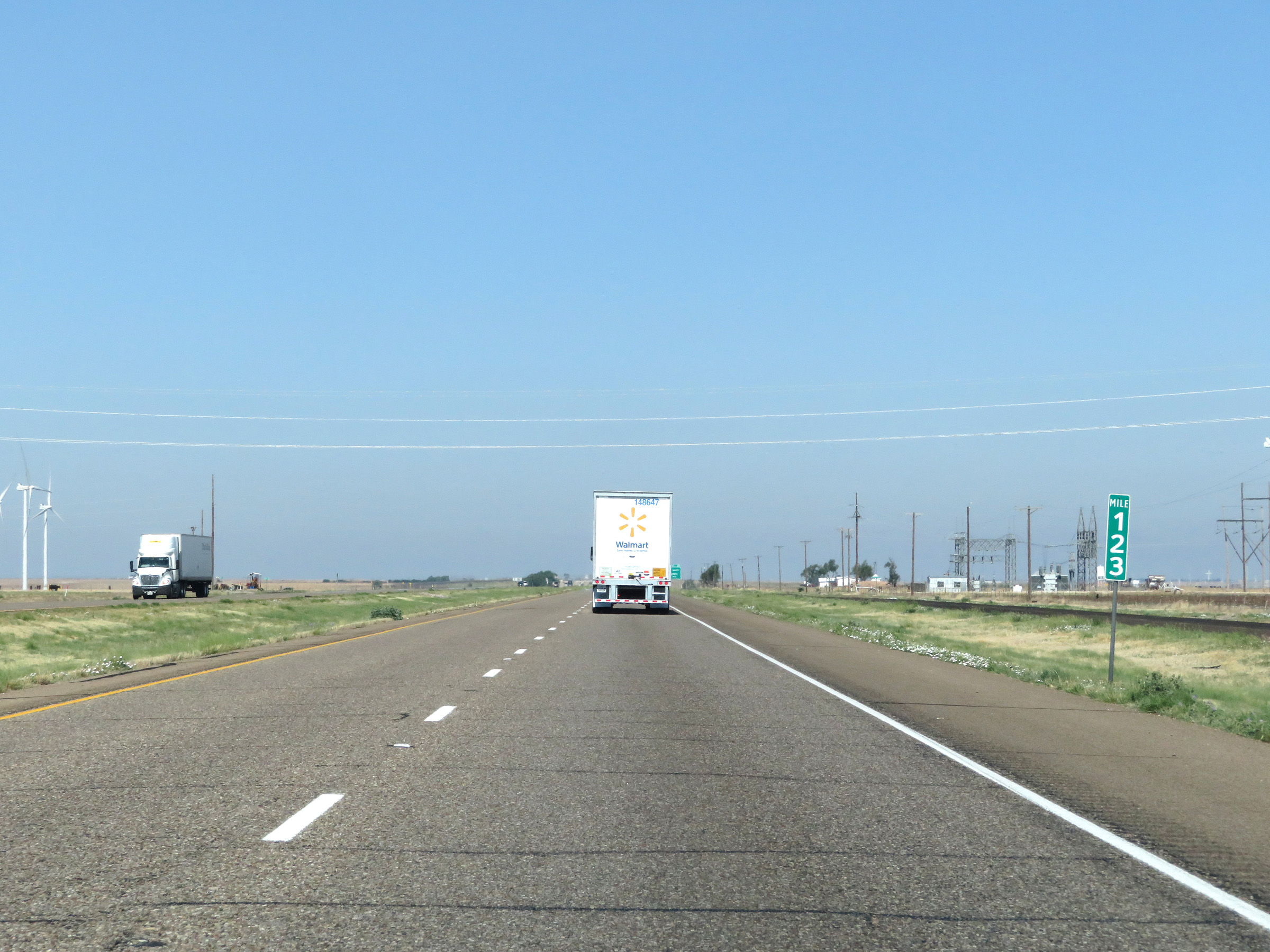 |
Interstate 40 West at mile marker 123. (Photo taken 5/19/18). |
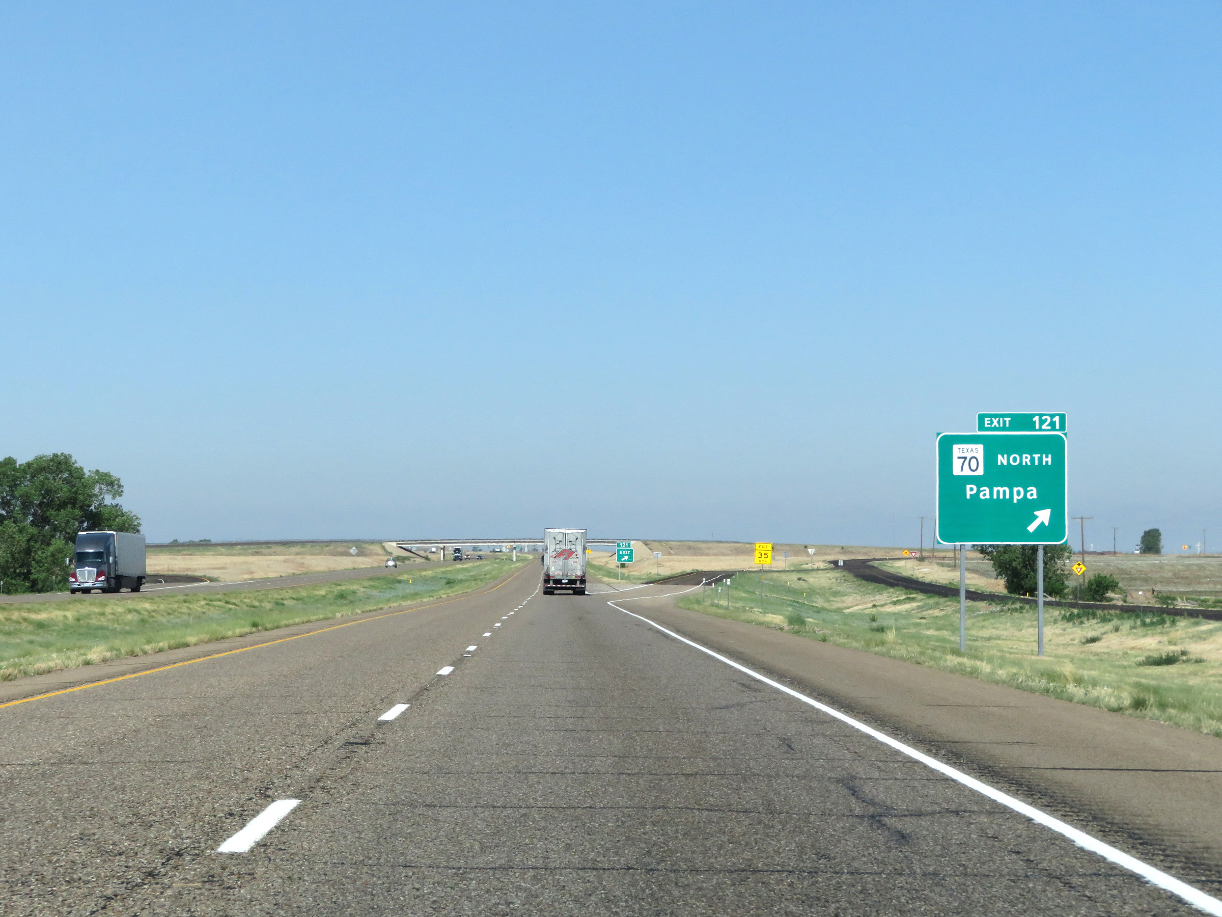 |
Interstate 40 West at Exit 121: TX 70 North - Pampa (Photo taken 5/19/18). |
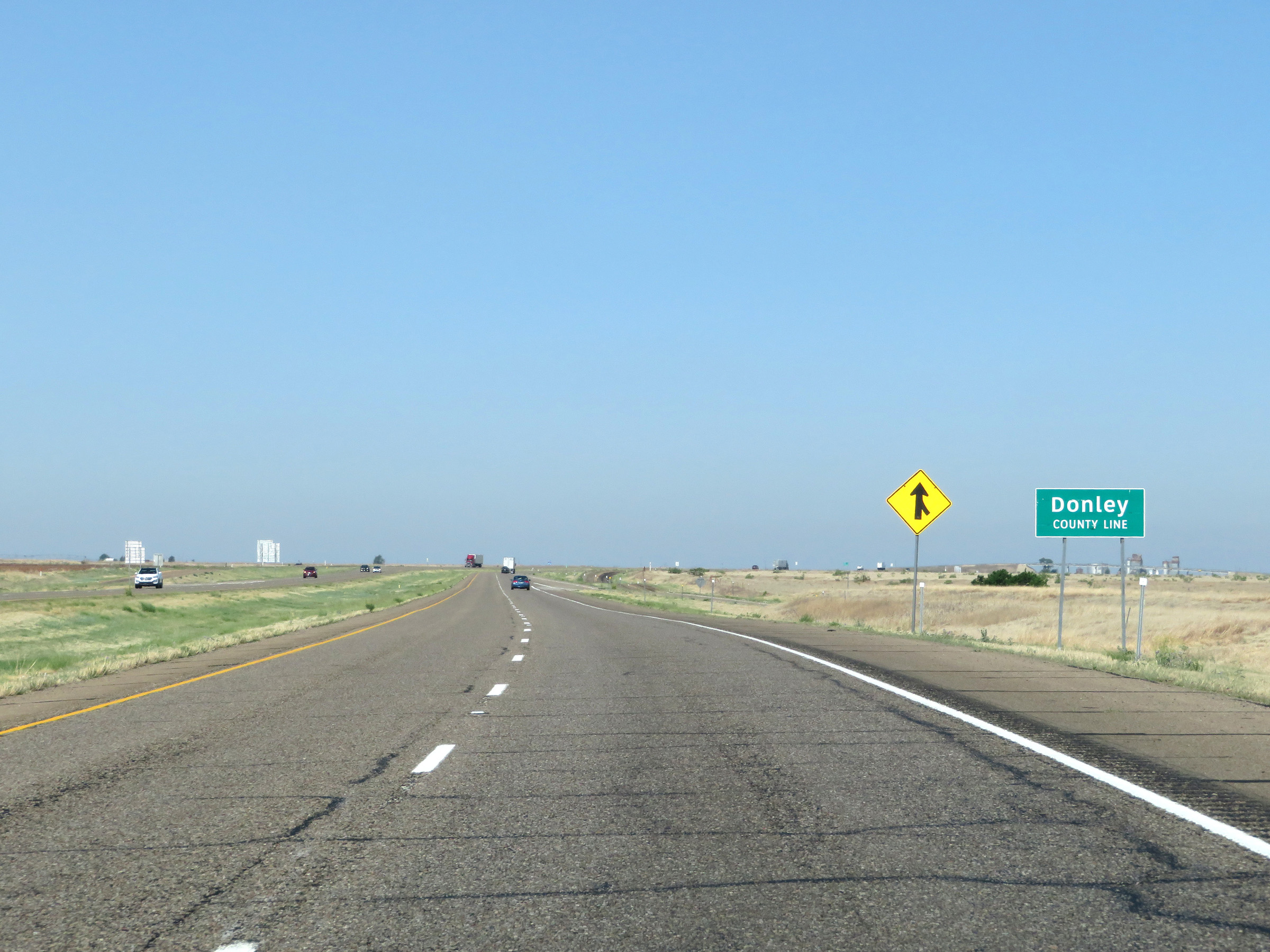 |
Just west of Exit 121, Interstate 40 West dips back into Donley County. (Photo taken 5/19/18). |
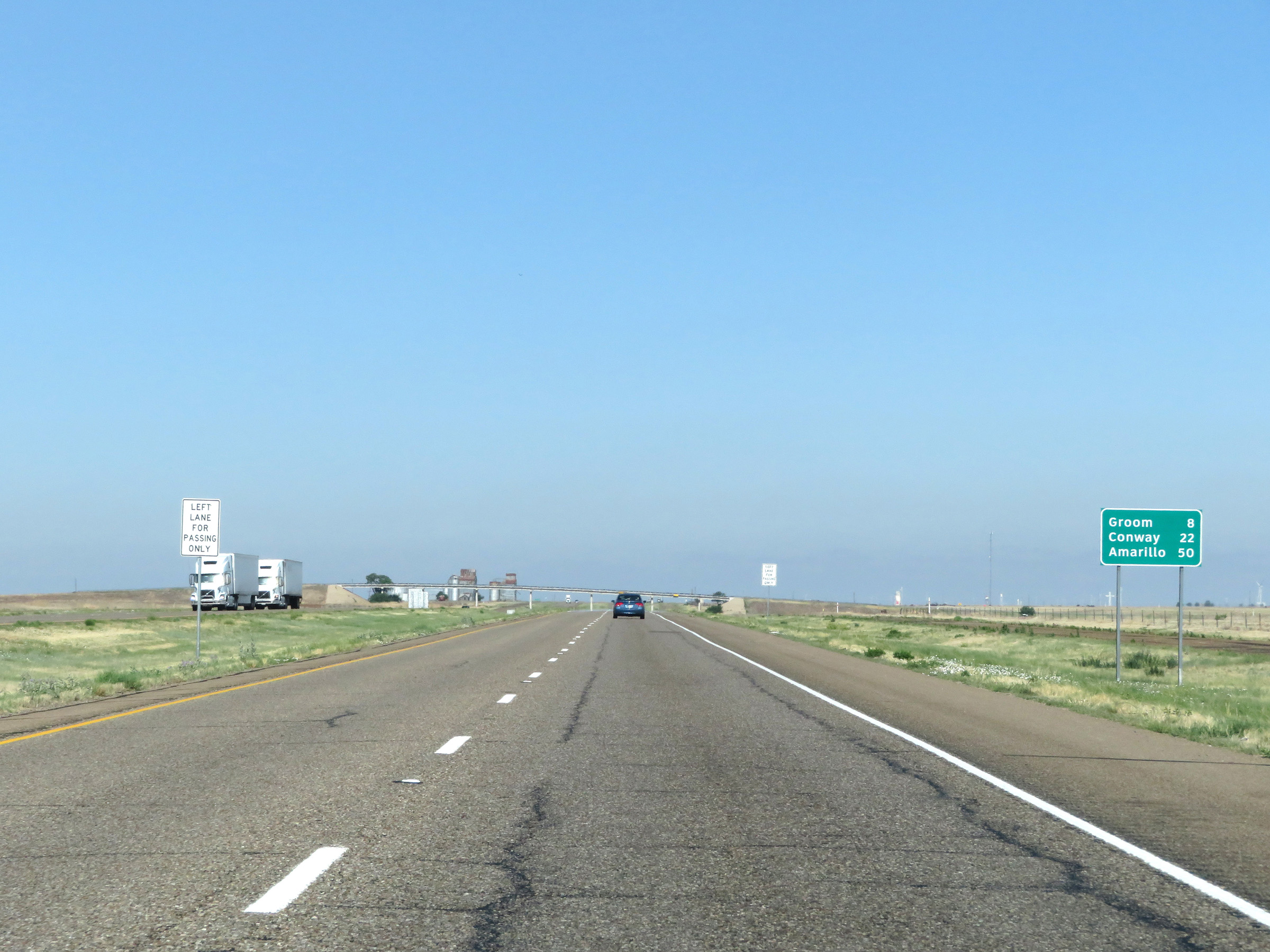 |
Another mileage sign on Interstate 40 West. It's 8 miles to Groom, 22 miles to Conway, and 50 miles to Amarillo. (Photo taken 5/19/18). |
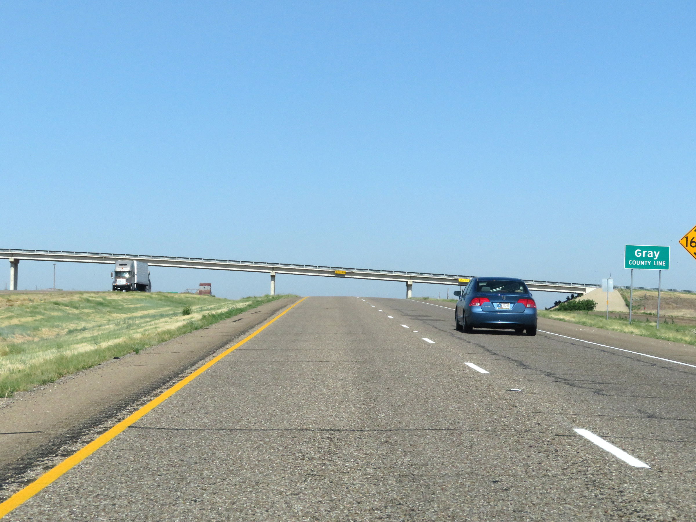 |
Once again, Interstate 40 West enters Gray County one last time. (Photo taken 5/19/18). |
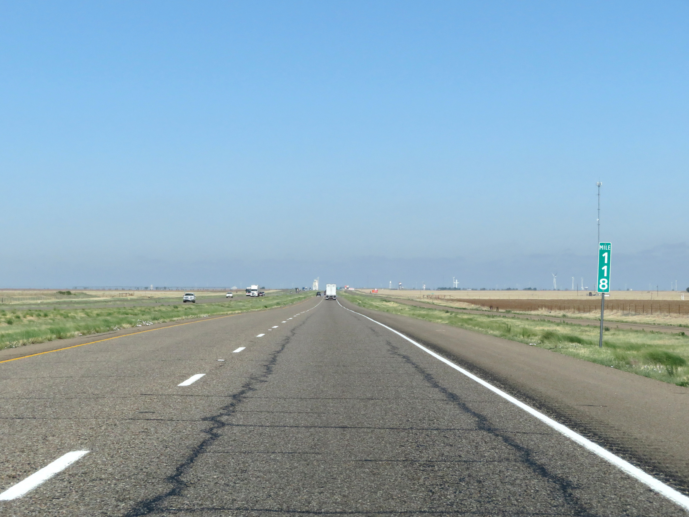 |
View on Interstate 40 West at mile marker 118. (Photo taken 5/19/18). |
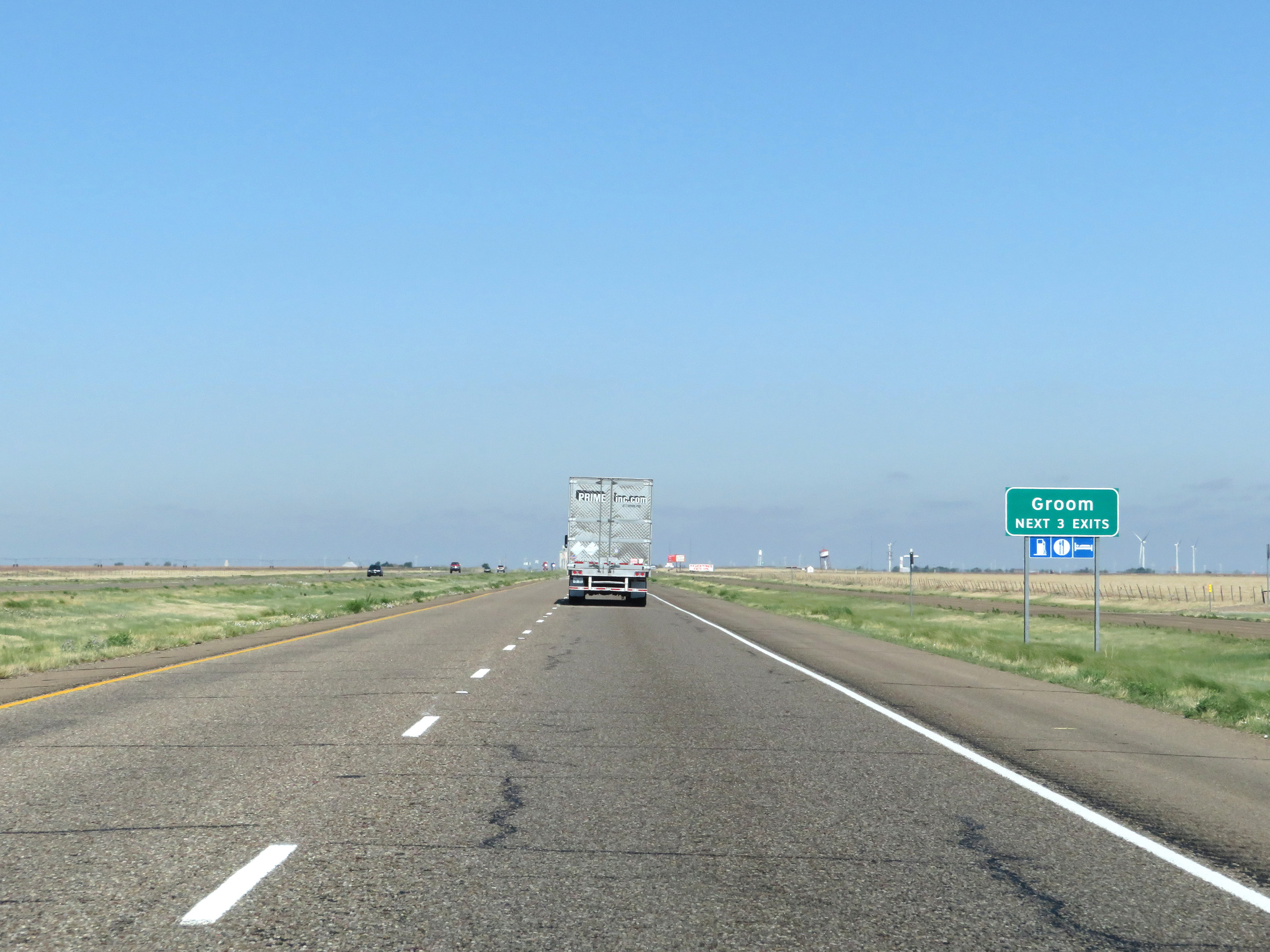 |
Take any of the next 3 exits to Groom. (Photo taken 5/19/18). |
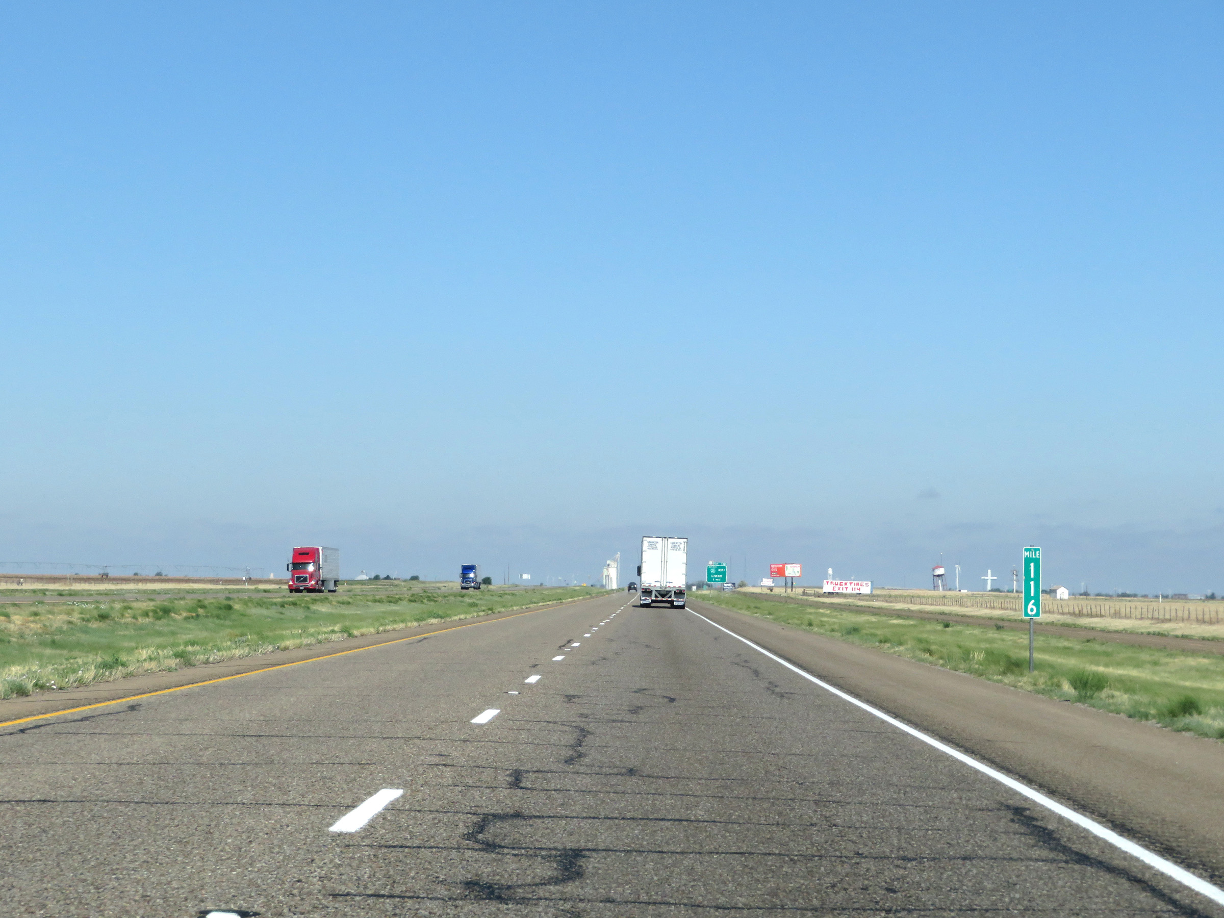 |
Mile marker 116 on Interstate 40 West in Gray County. (Photo taken 5/19/18). |
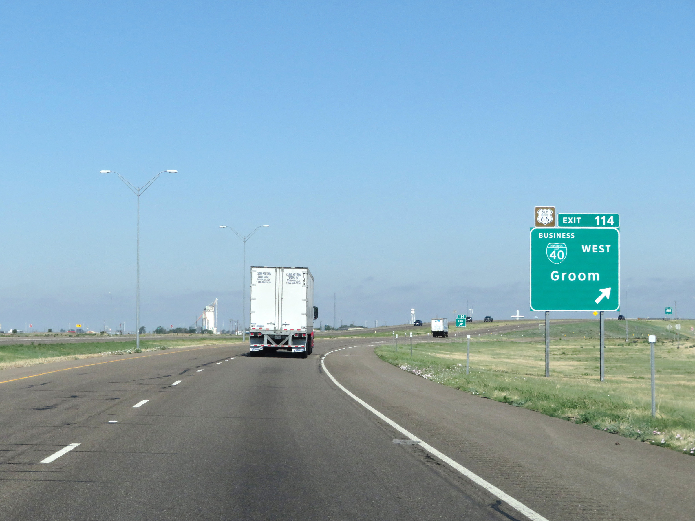 |
Interstate 40 West at Exit 114: Interstate 40 Business Loop West - Groom (Photo taken 5/19/18). |
Section 2: Groom (Exit 114) to Amarillo (Exit 70)
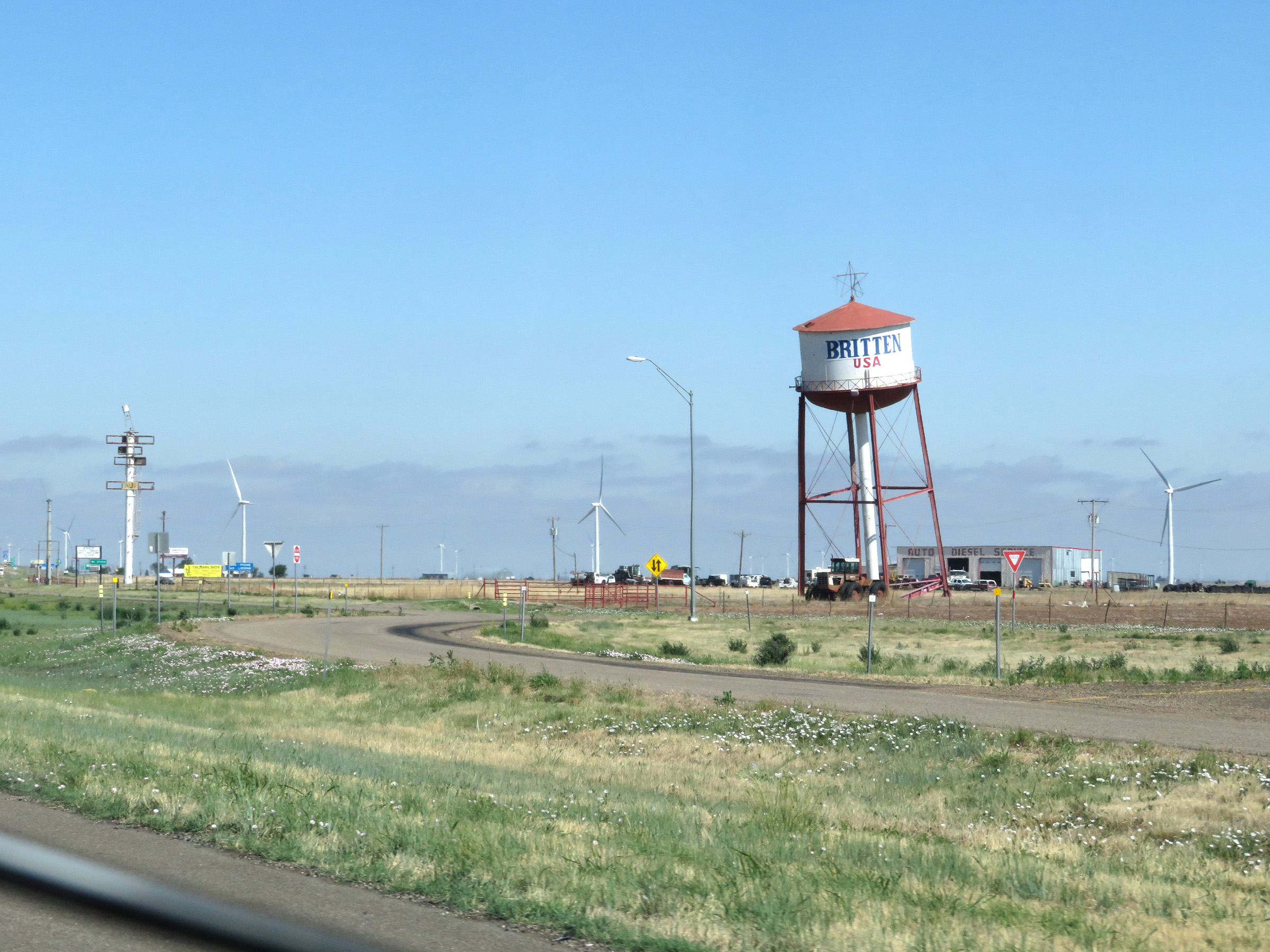 |
A view of the leaning water tower in Groom, which is a well known Route 66 landmark. This view is looking to the north from Interstate 40 West. (Photo taken 5/19/18). |
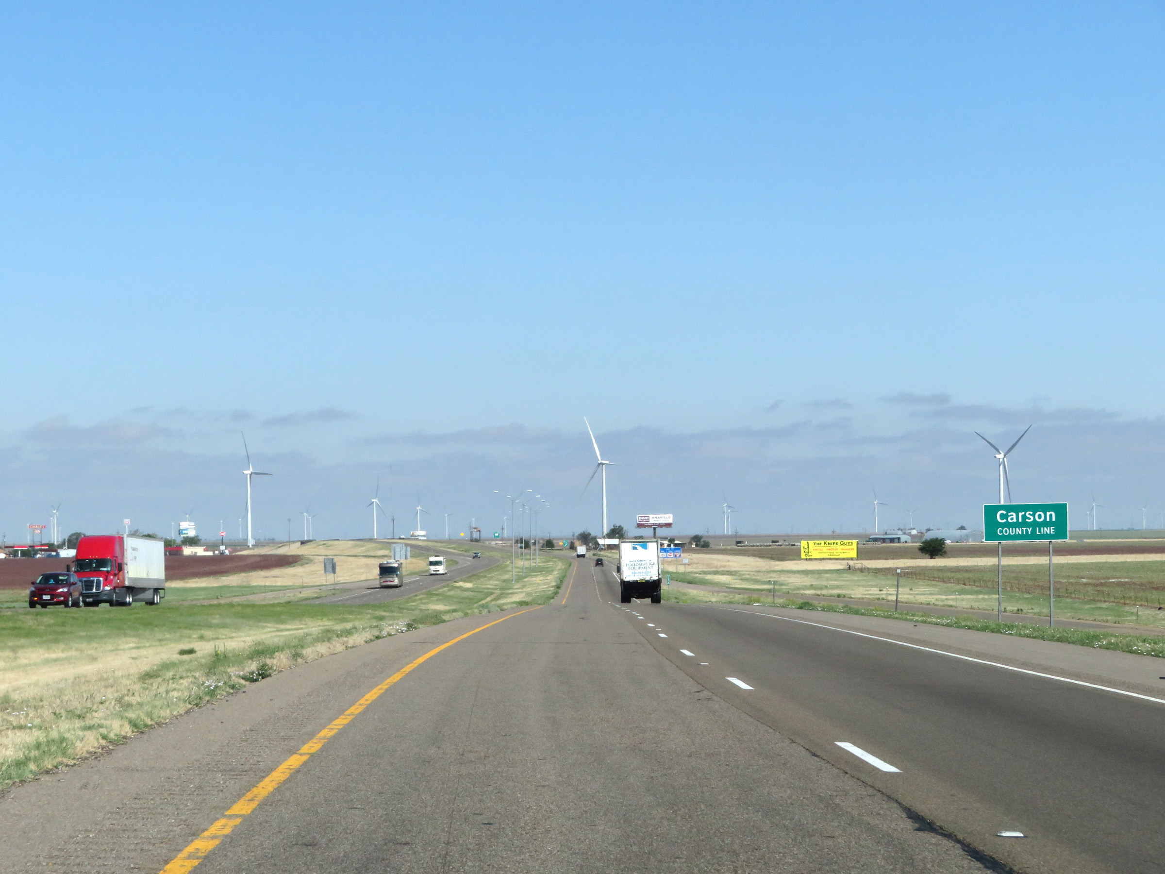 |
Interstate 40 West as it enters Carson County. (Photo taken 5/19/18). |
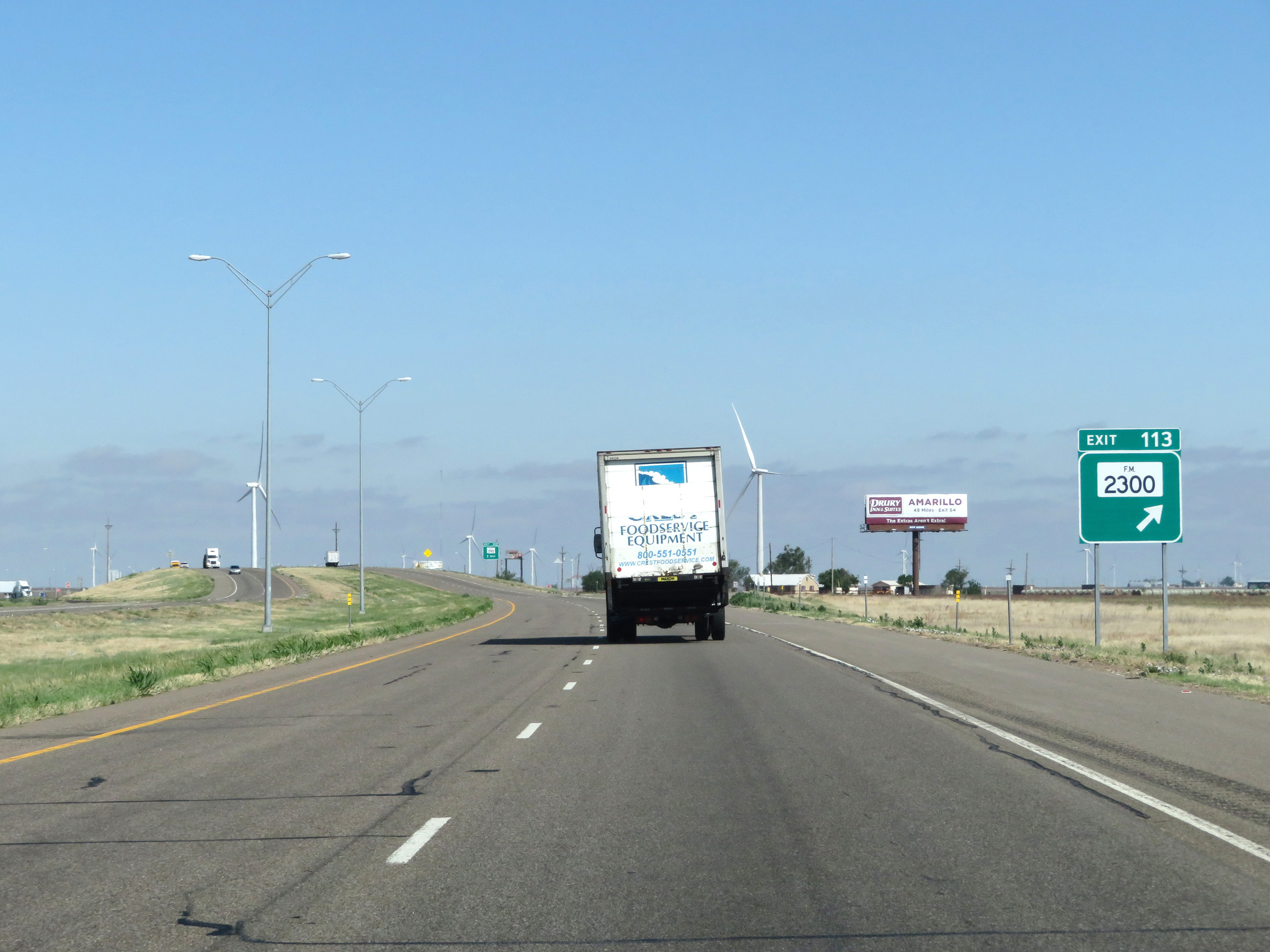 |
Interstate 40 West at Exit 113: FM 2300 (Photo taken 5/19/18). |
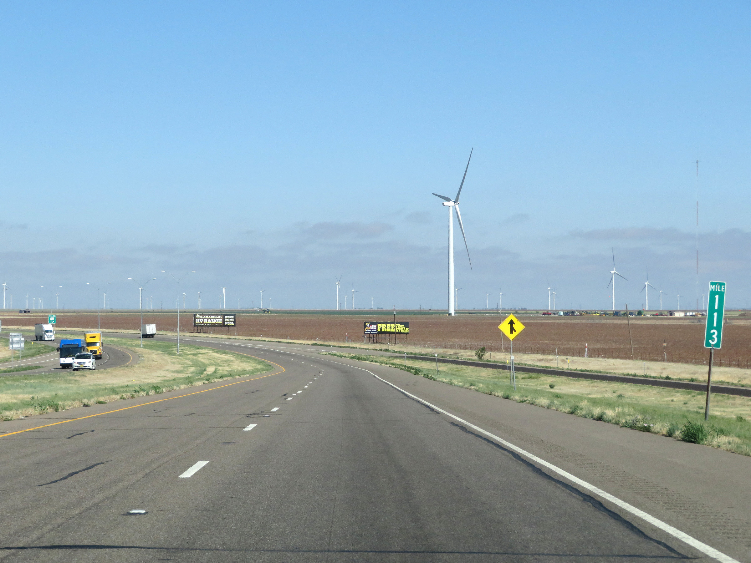 |
View on Interstate 40 West at mile marker 113. (Photo taken 5/19/18). |
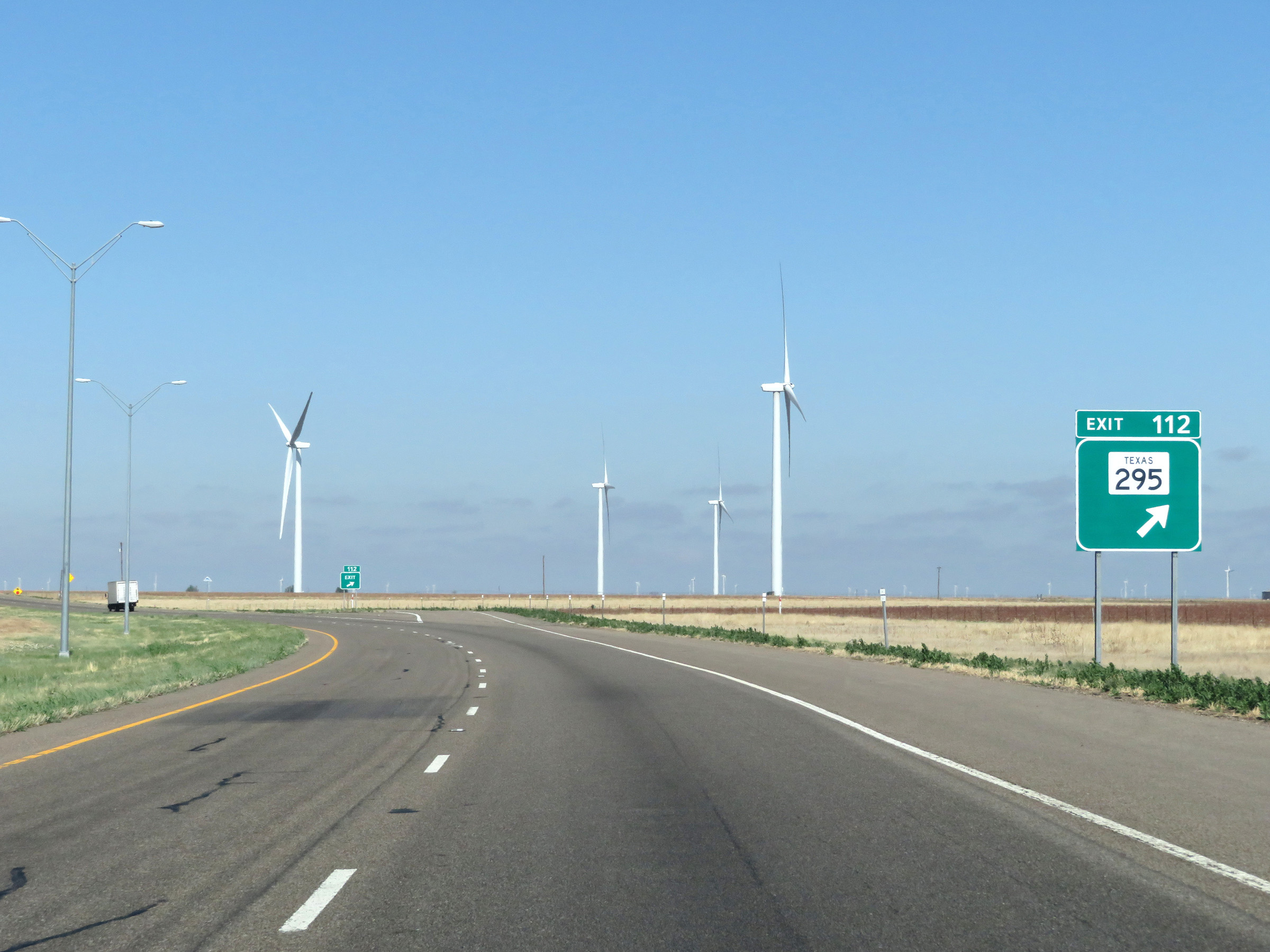 |
Interstate 40 West at Exit 112: TX 295 (Photo taken 5/19/18). |
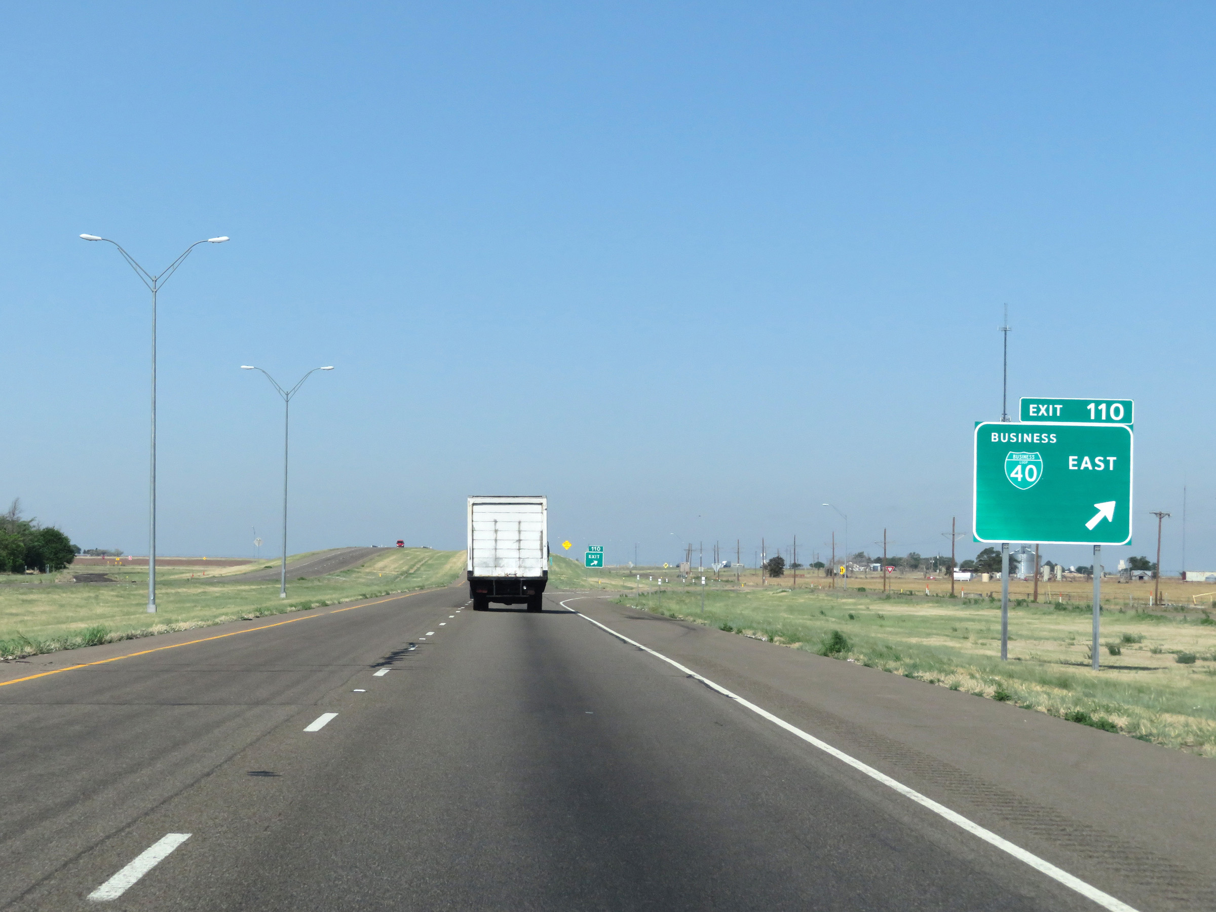 |
Interstate 40 West at Exit 110: Interstate 40 Business Loop East (Photo taken 5/19/18). |
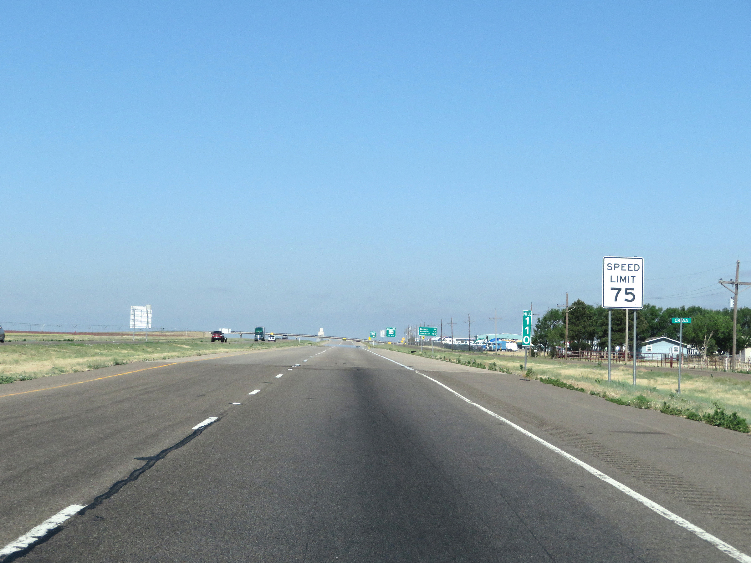 |
Speed limit sign at mile marker 110. The speed limit remains the rural standard 75 mph. (Photo taken 5/19/18). |
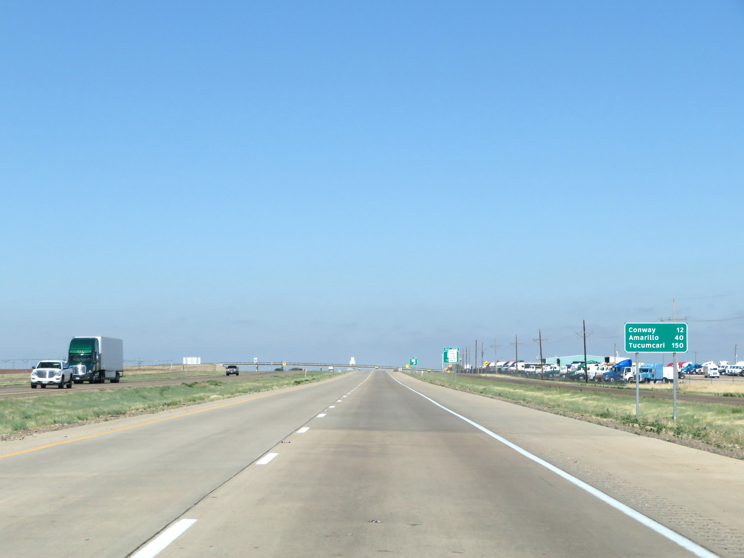 |
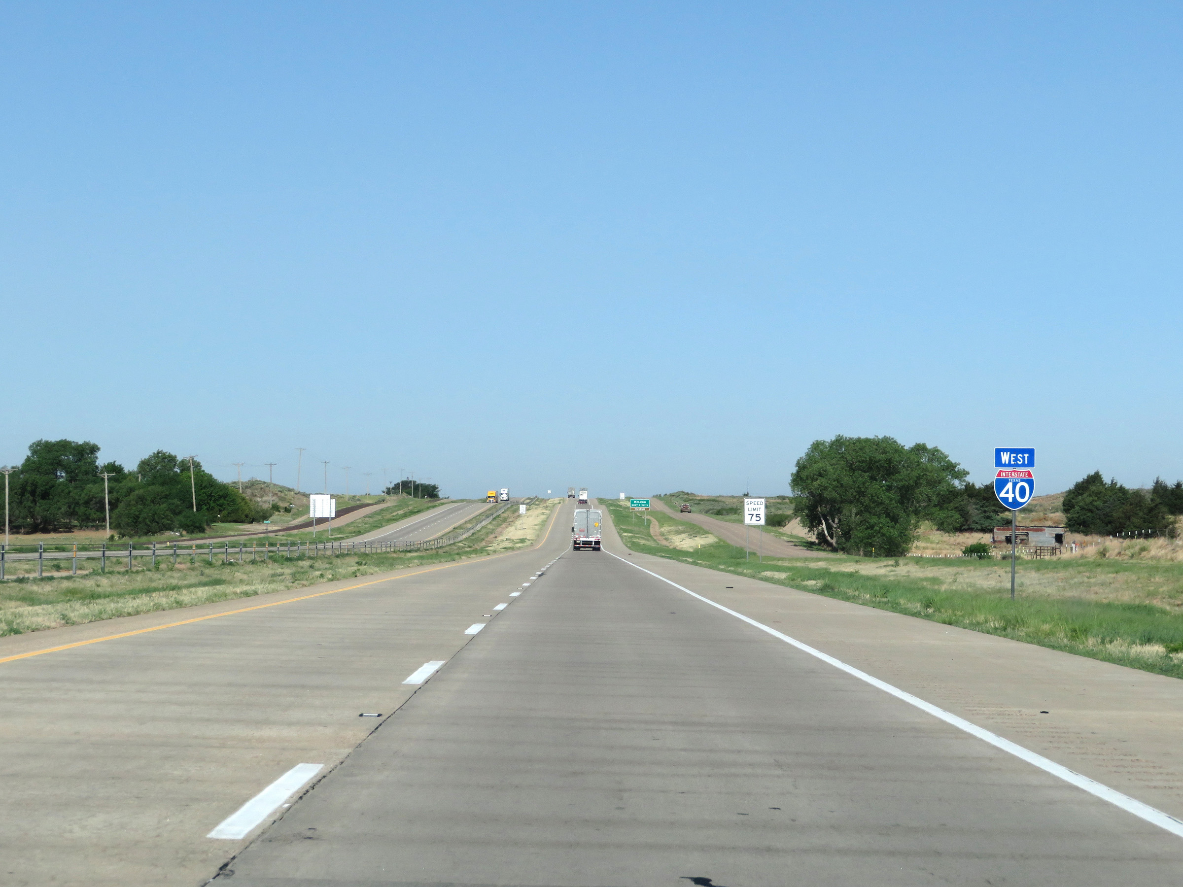
Mileage sign on Interstate 40 West. It's 12 miles to Conway, 40 miles to Amarillo, and 150 miles to Tucumcari. (Photo taken 5/19/18). |
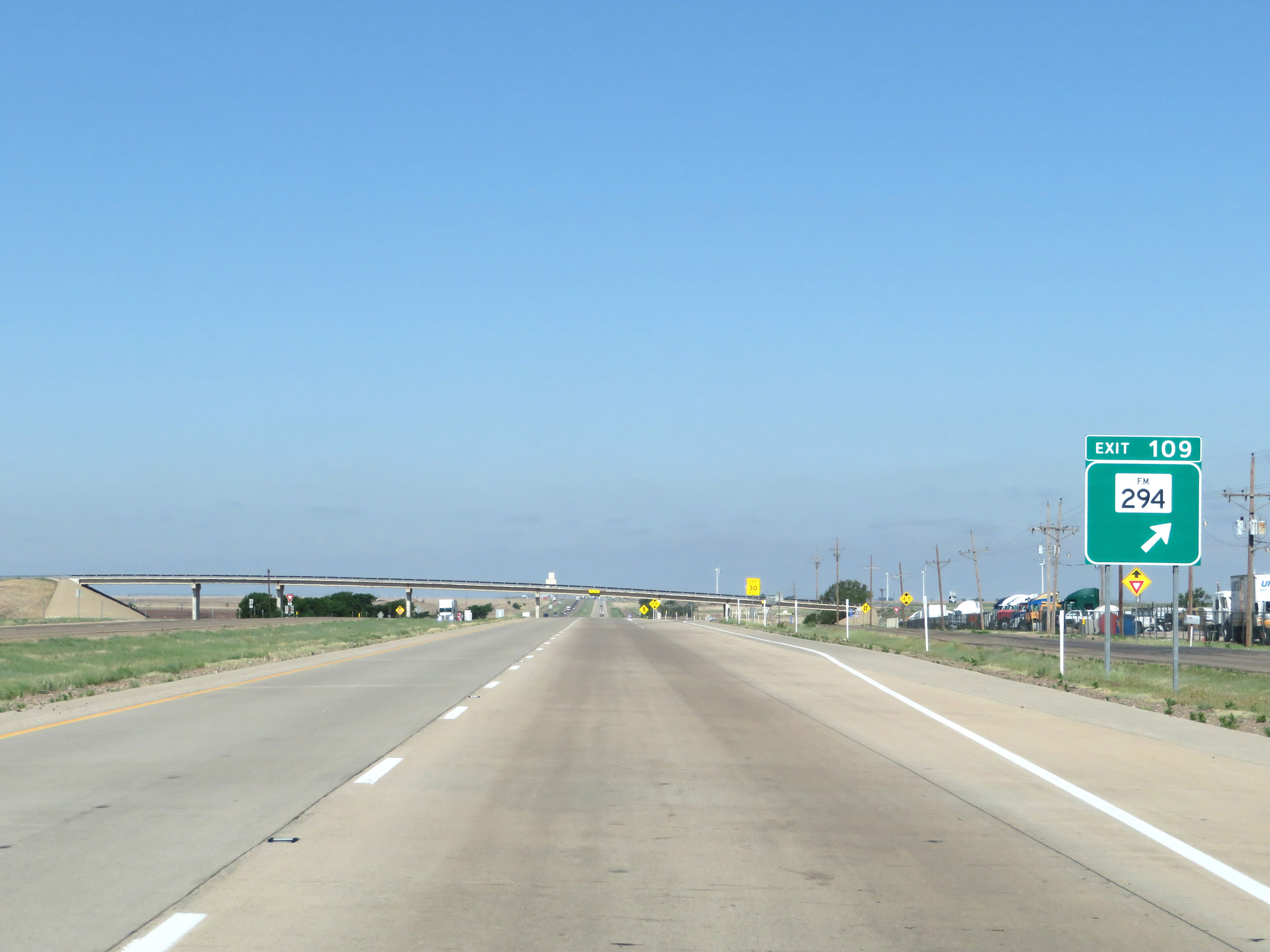 |
Interstate 40 West at Exit 109: FM 294 (Photo taken 5/19/18). |
 |
Interstate 40 West reassurance shield. (Photo taken 5/19/18). |
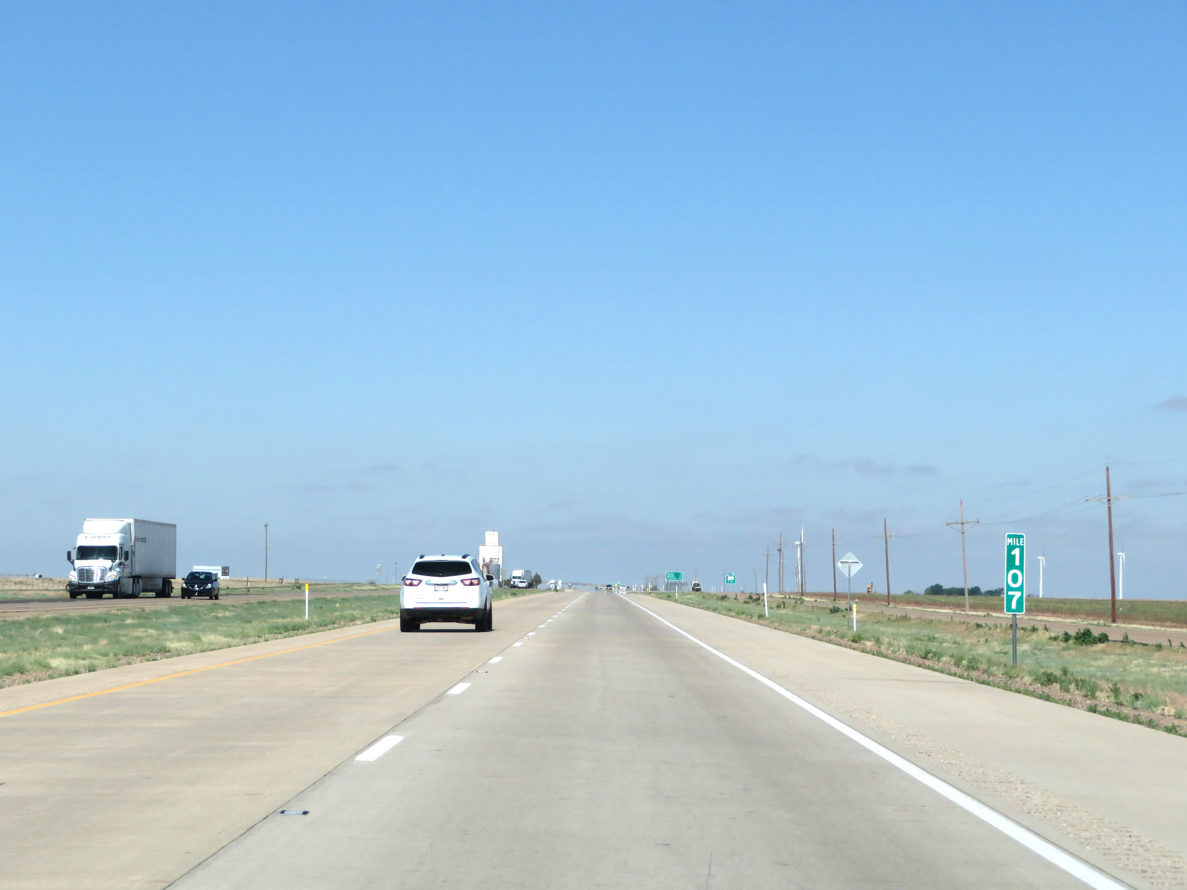 |
Mile marker 107 on Interstate 40 West in Carson County. (Photo taken 5/19/18). |
 |
Interstate 40 West at Exit 105: FM 2880 (Photo taken 5/19/18). |
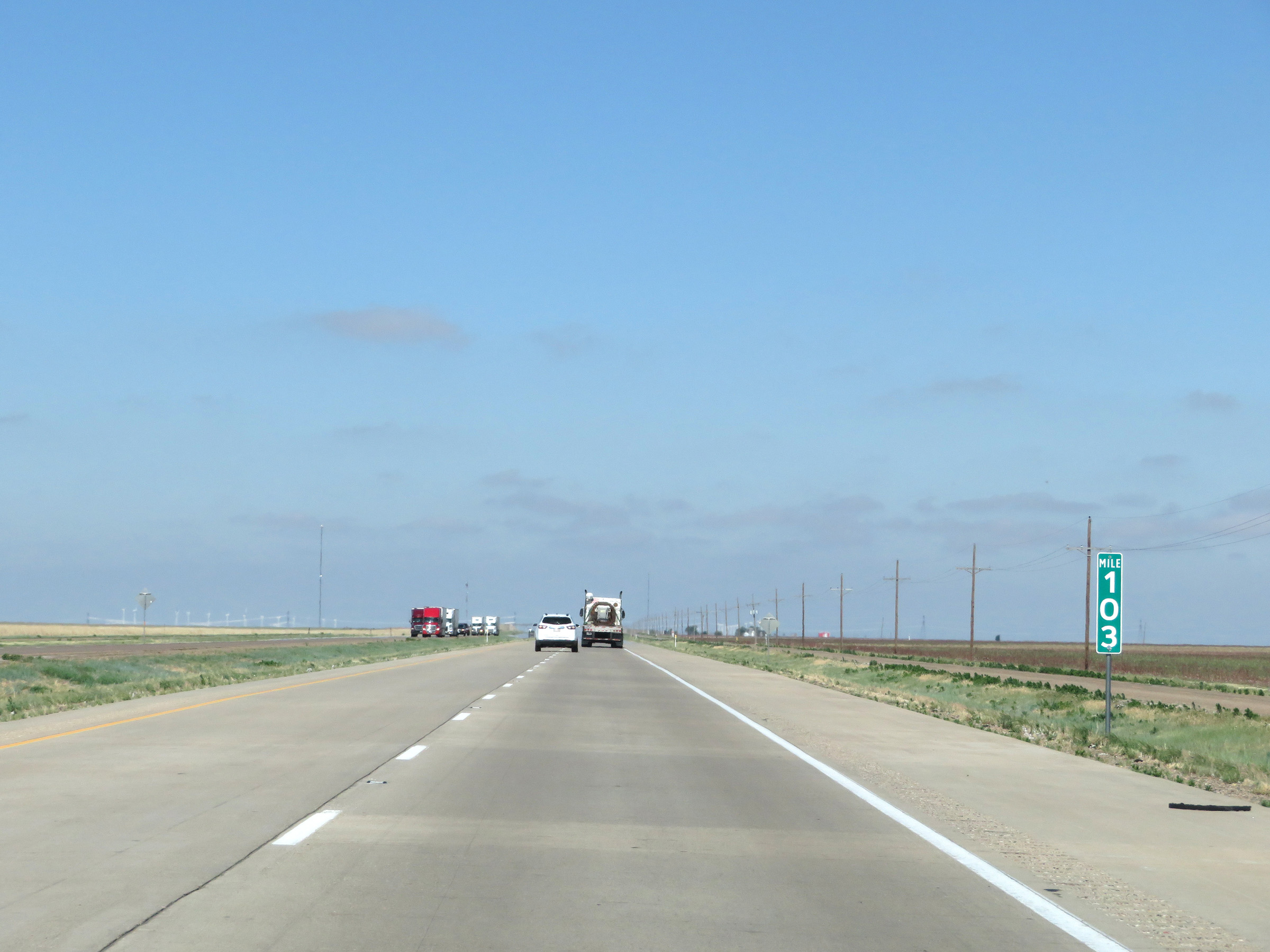 |
View on Interstate 40 West at mile marker 103. (Photo taken 5/19/18). |
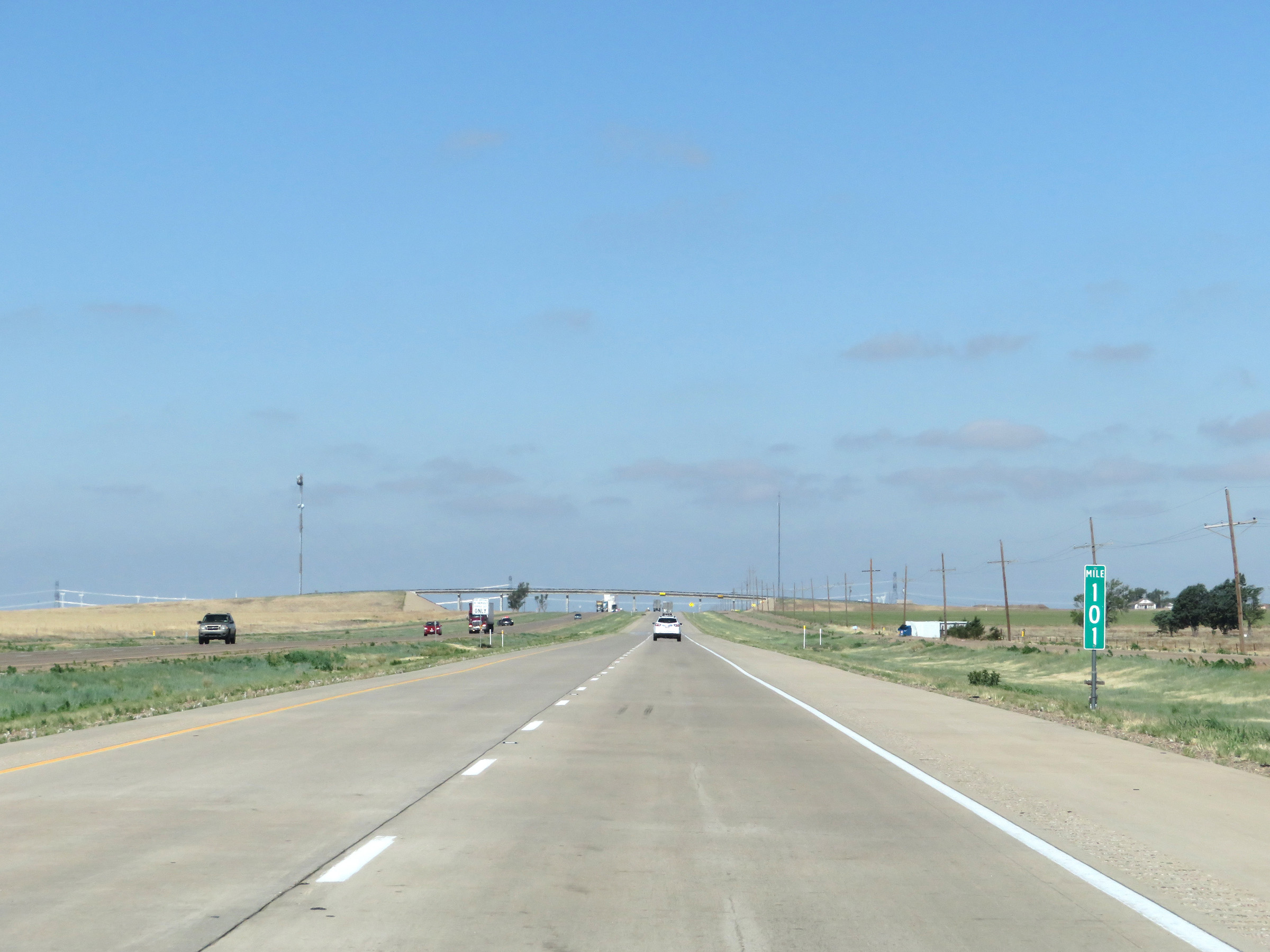 |
Interstate 40 West at mile marker 101. (Photo taken 5/19/18). |
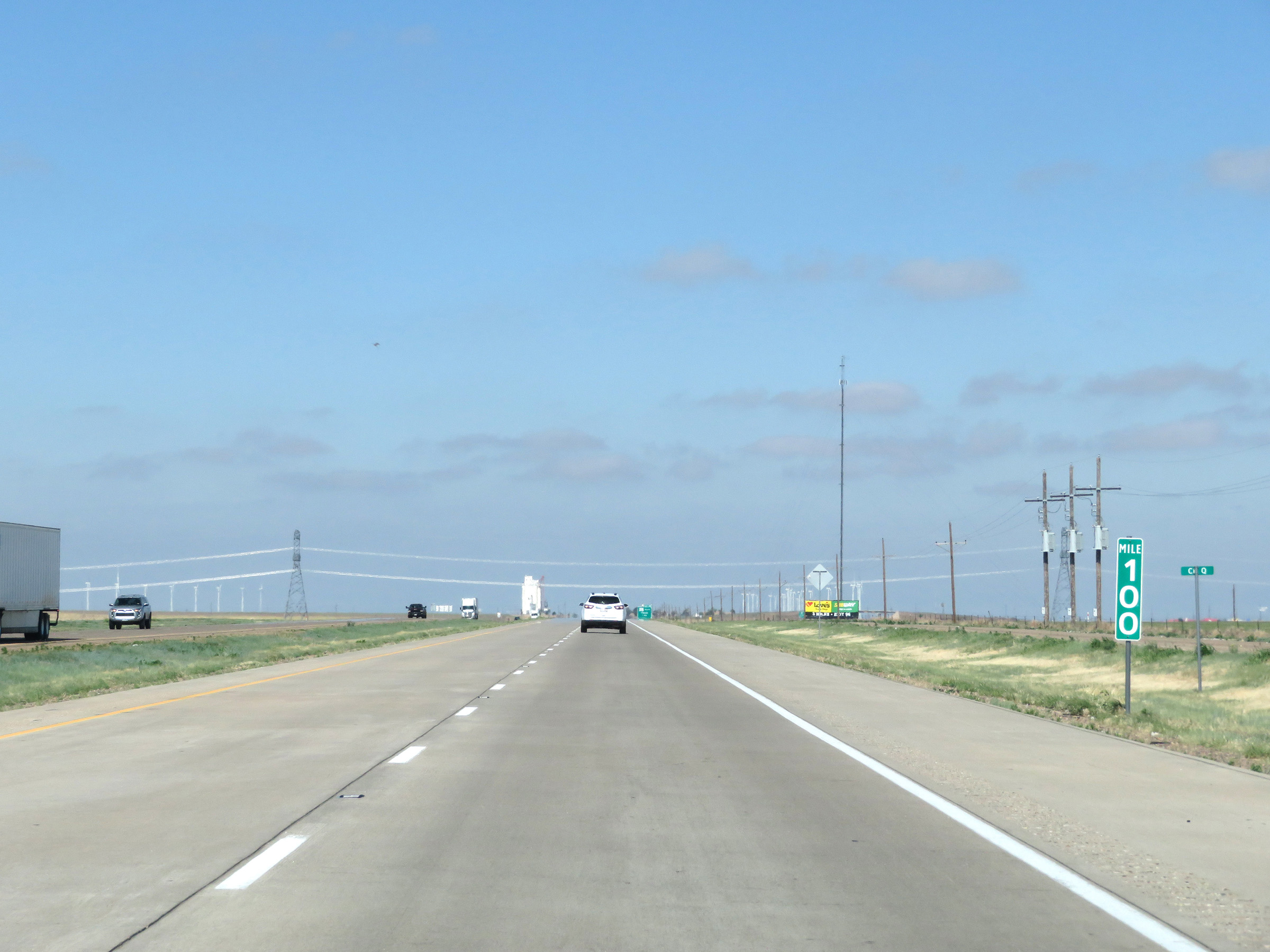 |
View on Interstate 40 West at mile marker 100. (Photo taken 5/19/18). |
 |
Interstate 40 West at Exit 98: TX 207 South - Claude (Photo taken 5/19/18). |
 |
Interstate 40 West at Exit 96: TX 207 - Conway / Panhandle (Photo taken 5/19/18). |
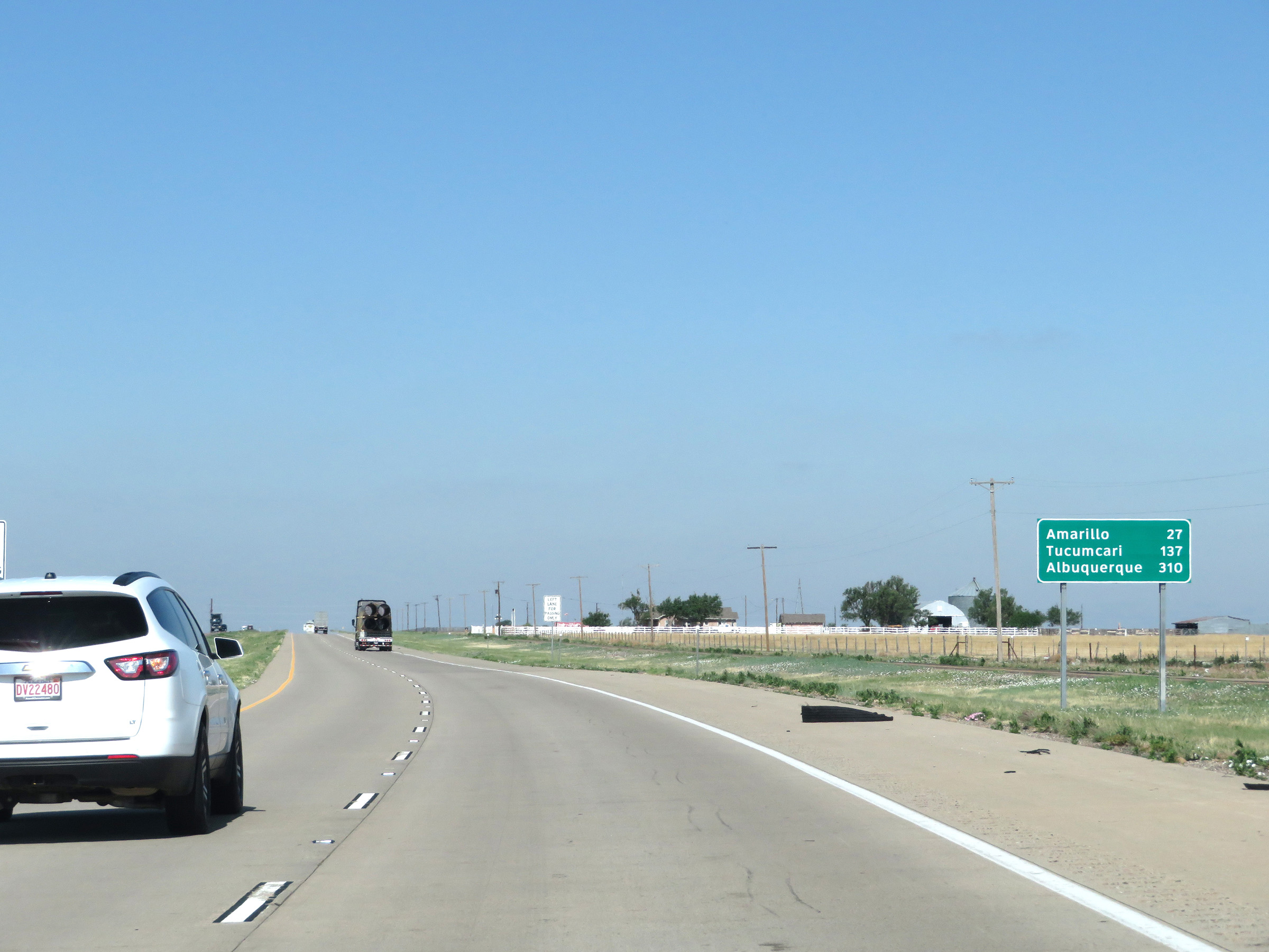 |
Another mileage sign on Interstate 40 West. It's 27 miles to Amarillo, 137 miles to Tucumcari, and 310 miles to Albuquerque. (Photo taken 5/19/18). |
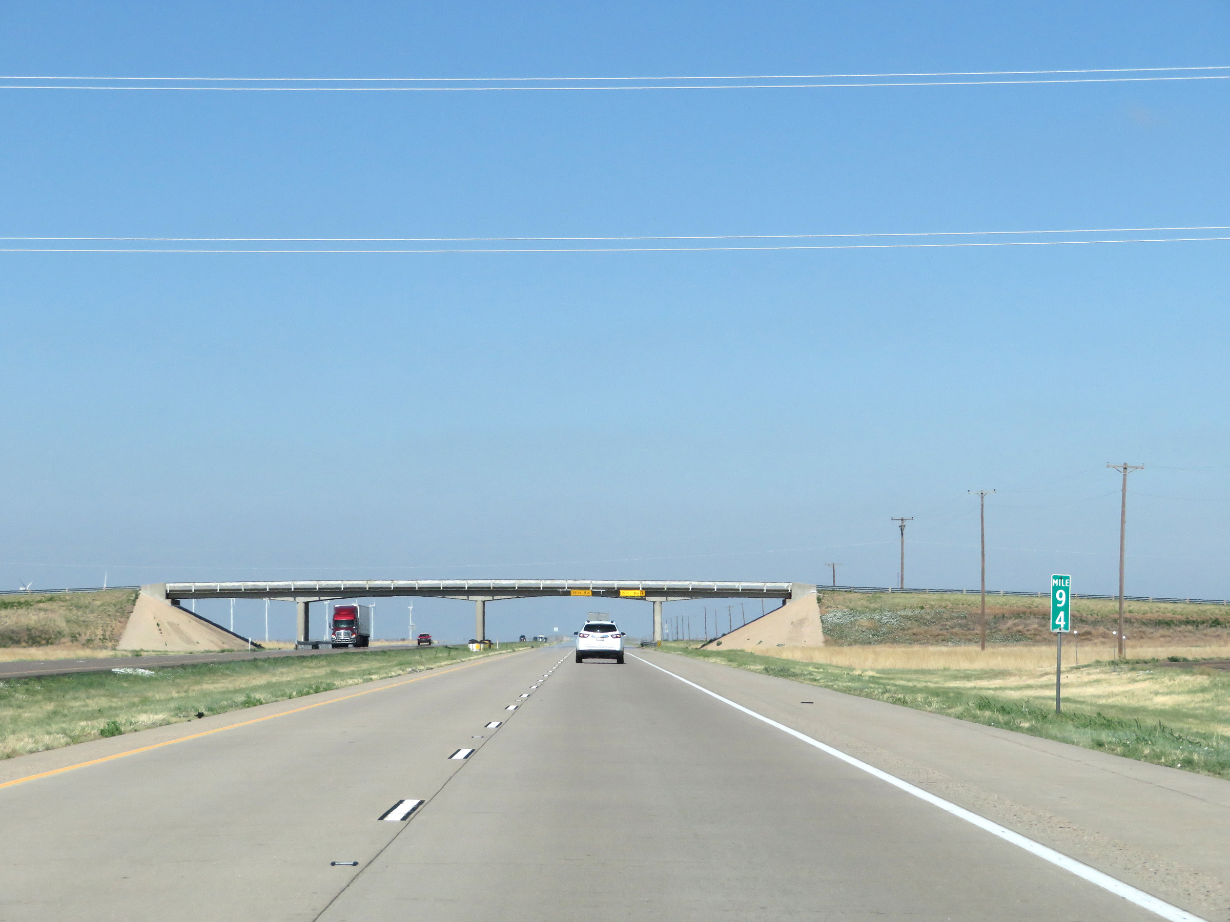 |
Interstate 40 West at mile marker 94. (Photo taken 5/19/18). |
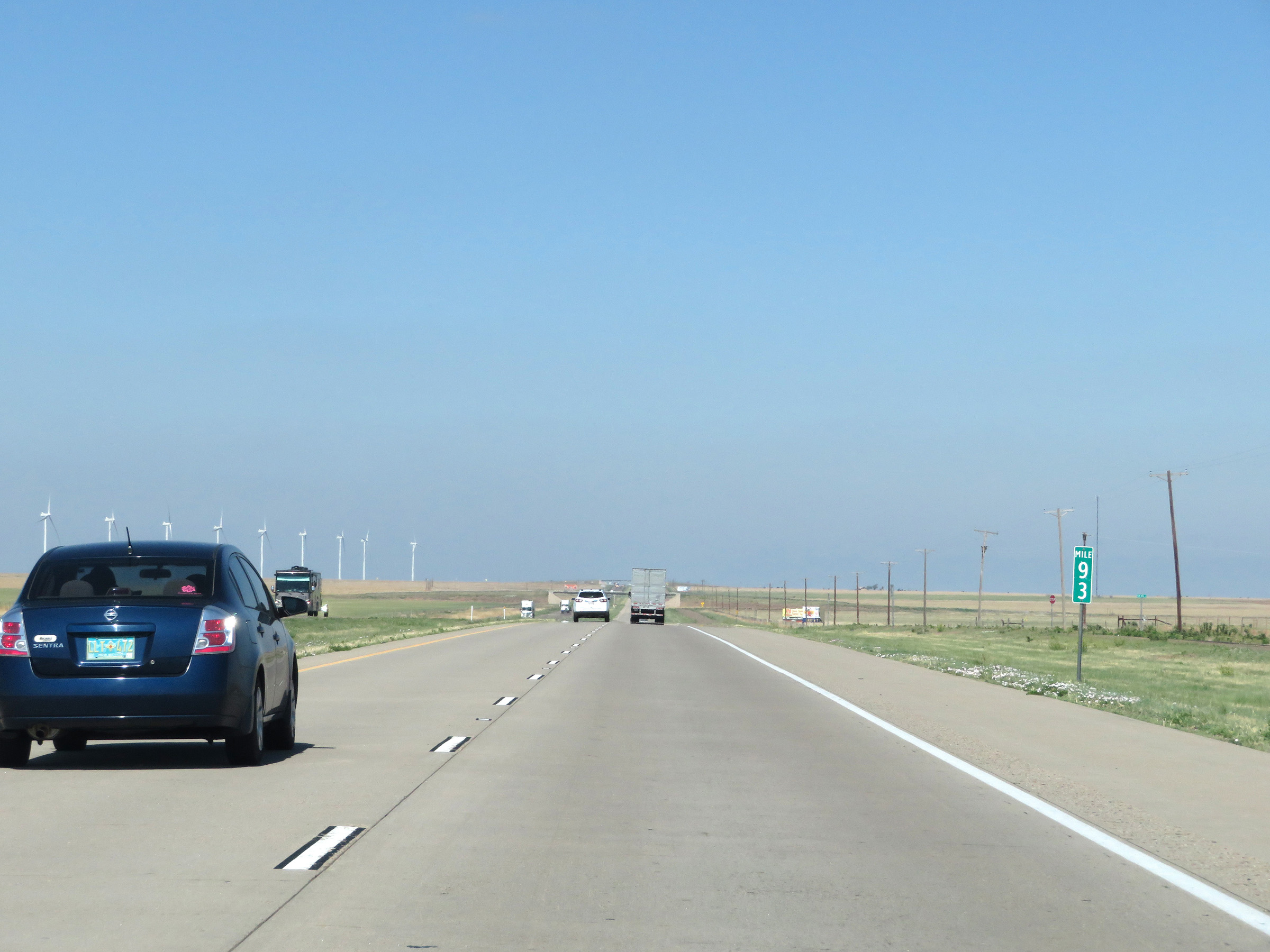 |
View on Interstate 40 West at mile marker 93. (Photo taken 5/19/18). |
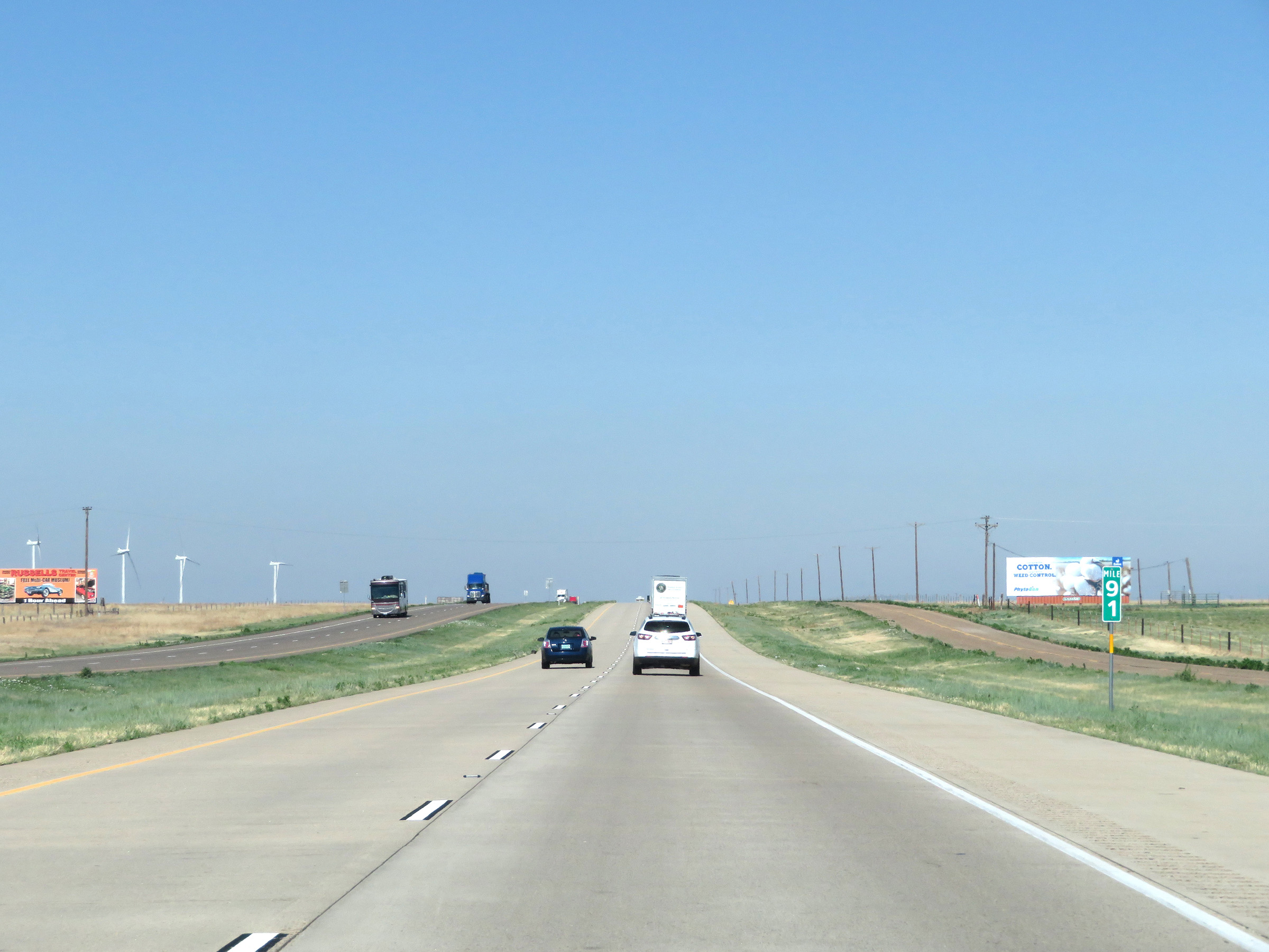 |
Mile marker 91 on Interstate 40 West in Carson County. (Photo taken 5/19/18). |
 |
Interstate 40 West at Exit 89: FM 2161 (Photo taken 5/19/18). |
 |
The speed limit remains 75 mph on Interstate 40 West. (Photo taken 5/19/18). |
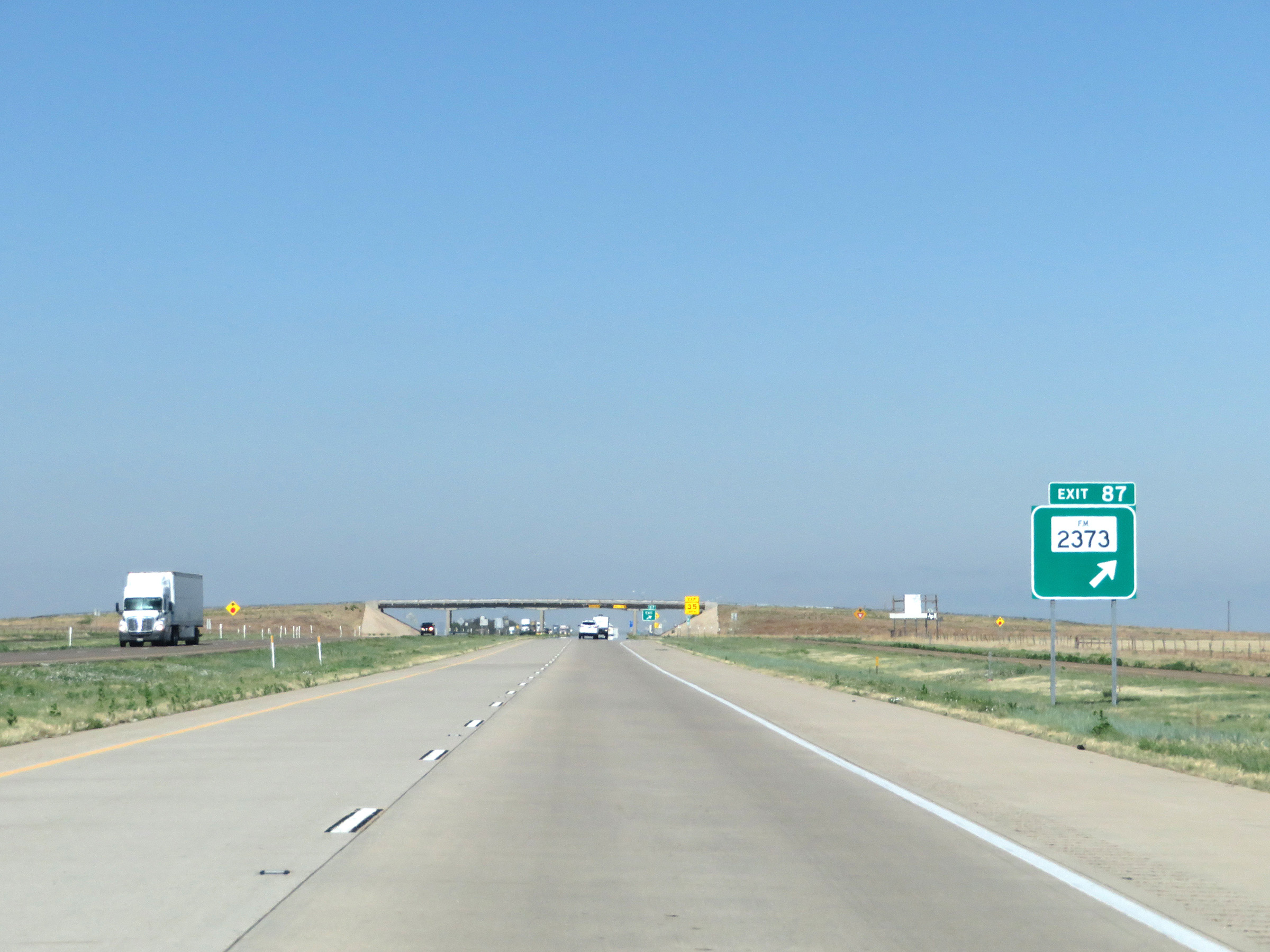 |
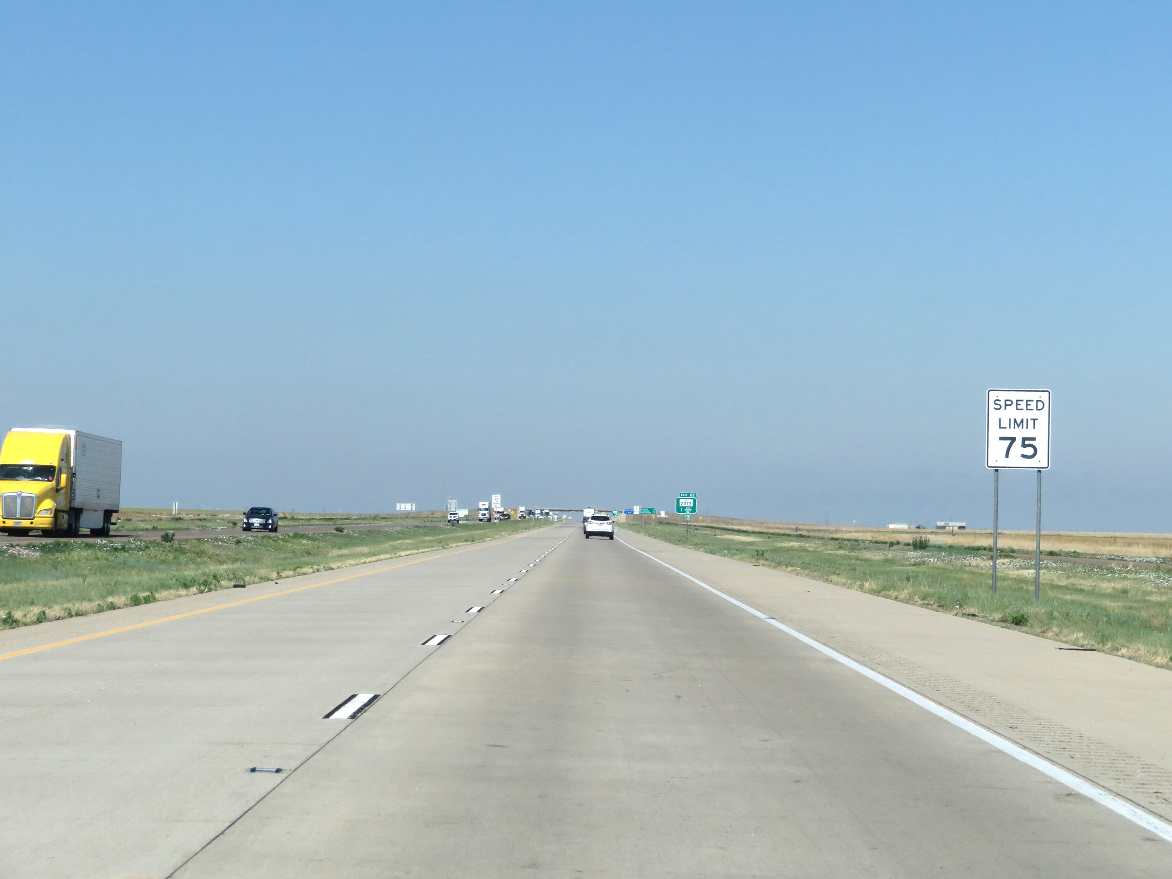
Interstate 40 West at Exit 87: FM 2373 (Photo taken 5/19/18). |
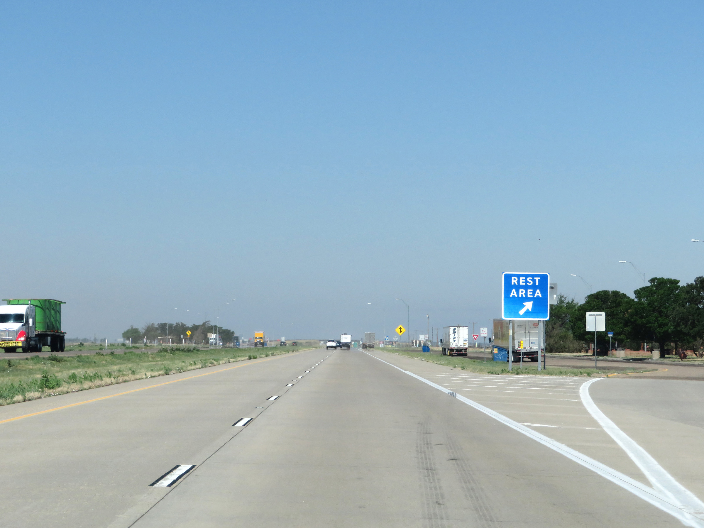 |
Rest Area on Interstate 40 West in Carson County. (Photo taken 5/19/18). |
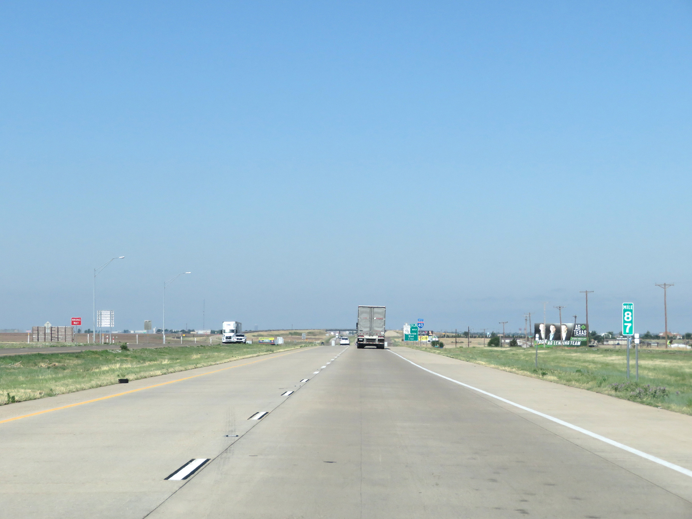 |
Interstate 40 West at mile marker 87. (Photo taken 5/19/18). |
 |
Interstate 40 West at Exit 85: Interstate 40 Business Loop West - Amarillo Blvd (Photo taken 5/19/18). |
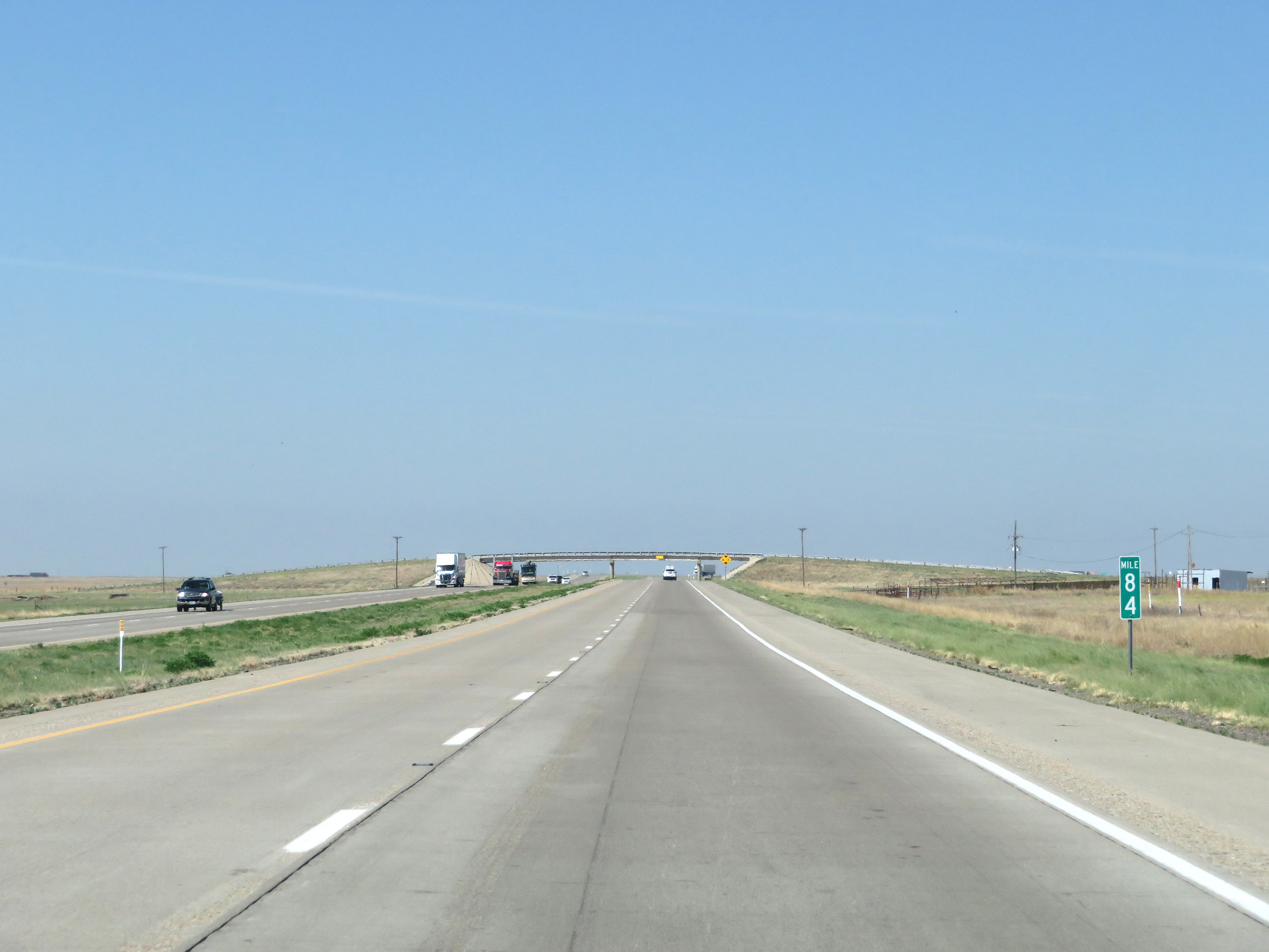 |
View on Interstate 40 West at mile marker 84. (Photo taken 5/19/18). |
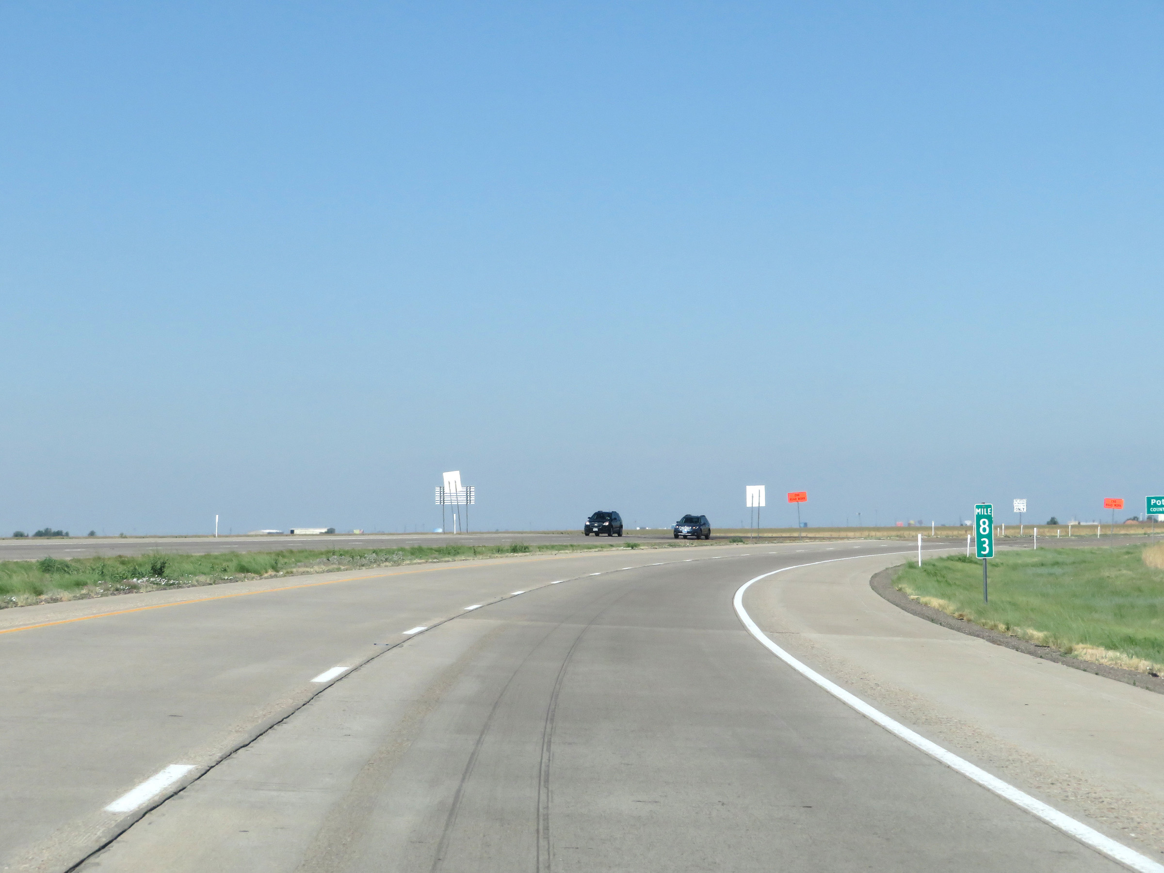 |
Interstate 40 West at mile marker 83. (Photo taken 5/19/18). |
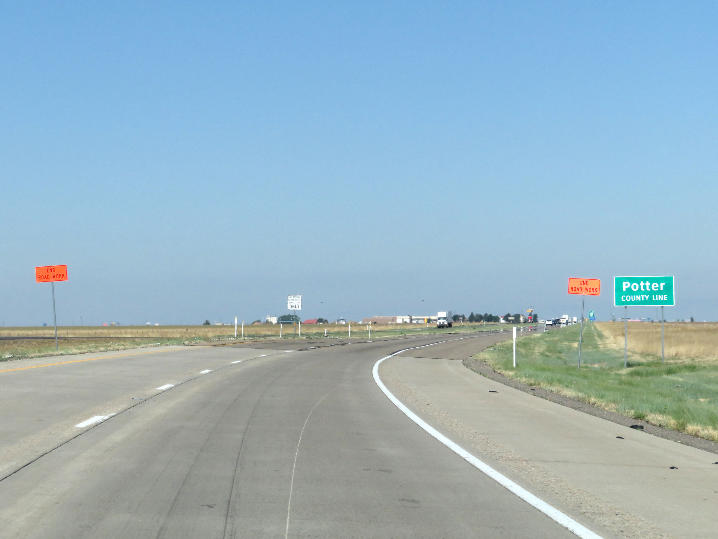 |
Entering Potter County on Interstate 40 West. (Photo taken 5/19/18). |
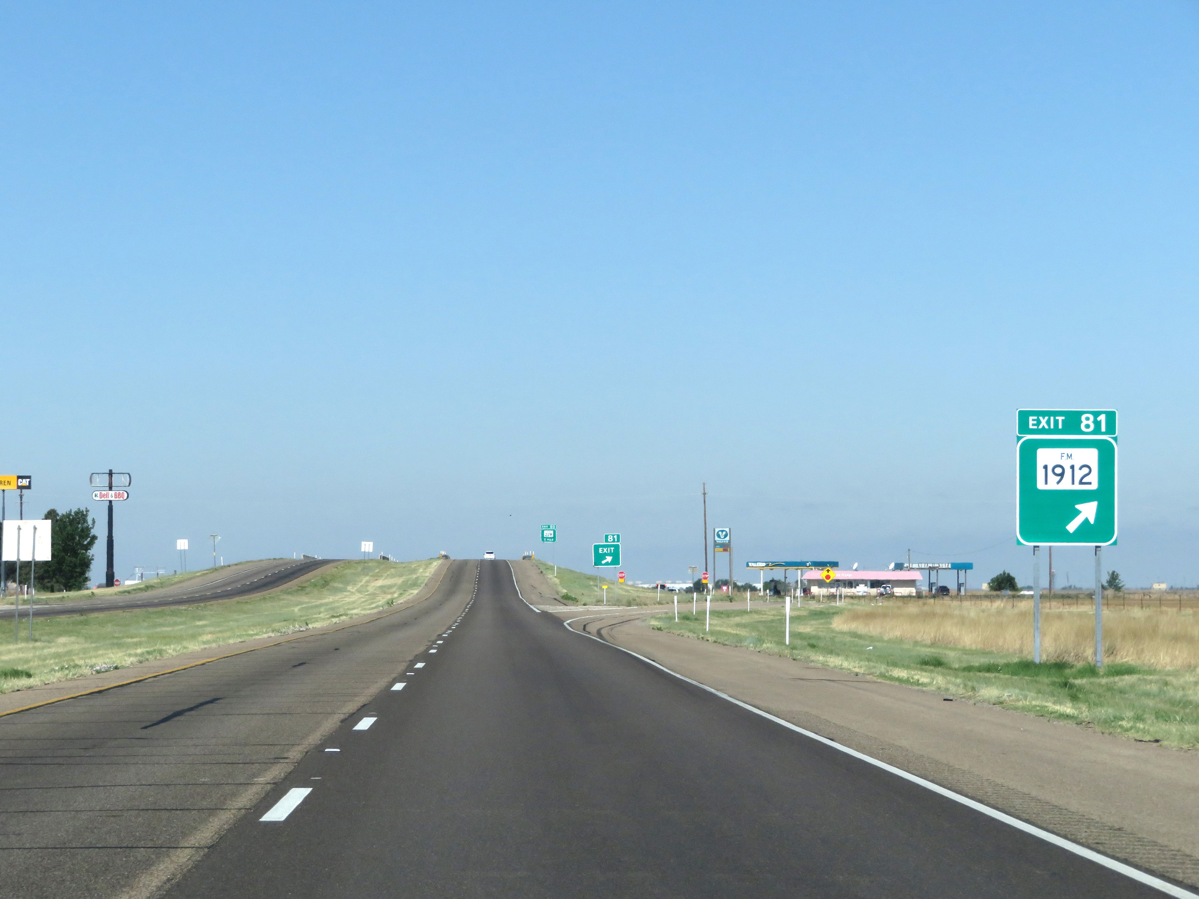 |
Interstate 40 West at Exit 81: FM 1912 (Photo taken 5/19/18). |
 |
Take Exit 80 to Amarillo College East Campus. (Photo taken 5/19/18). |
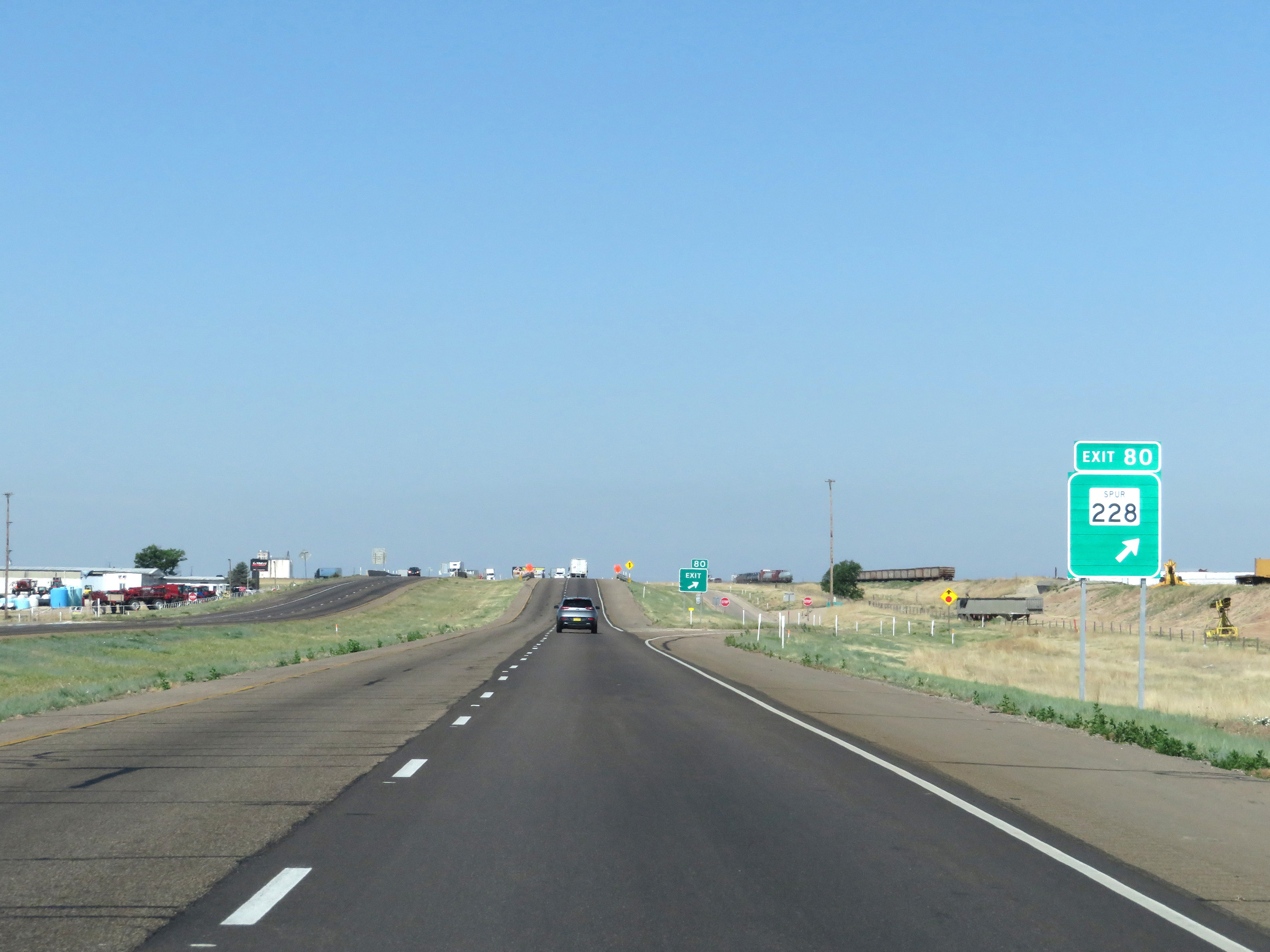 |
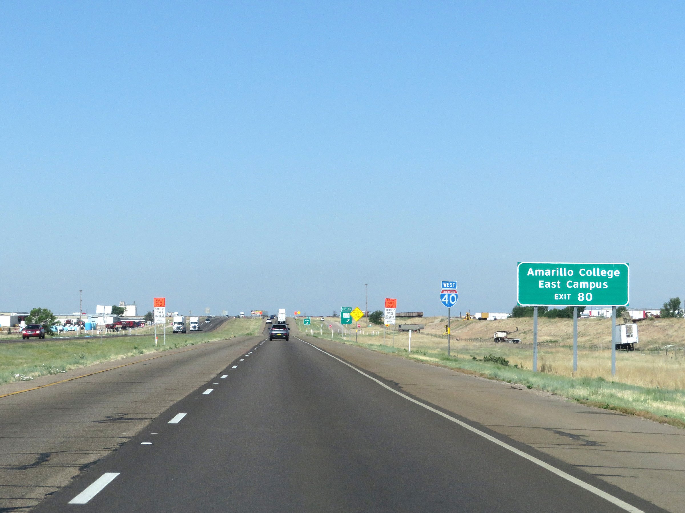
Interstate 40 West at Exit 80: TX Spur 228 (Photo taken 5/19/18). |
 |
View on Interstate 40 West at mile marker 79. (Photo taken 5/19/18). |
 |
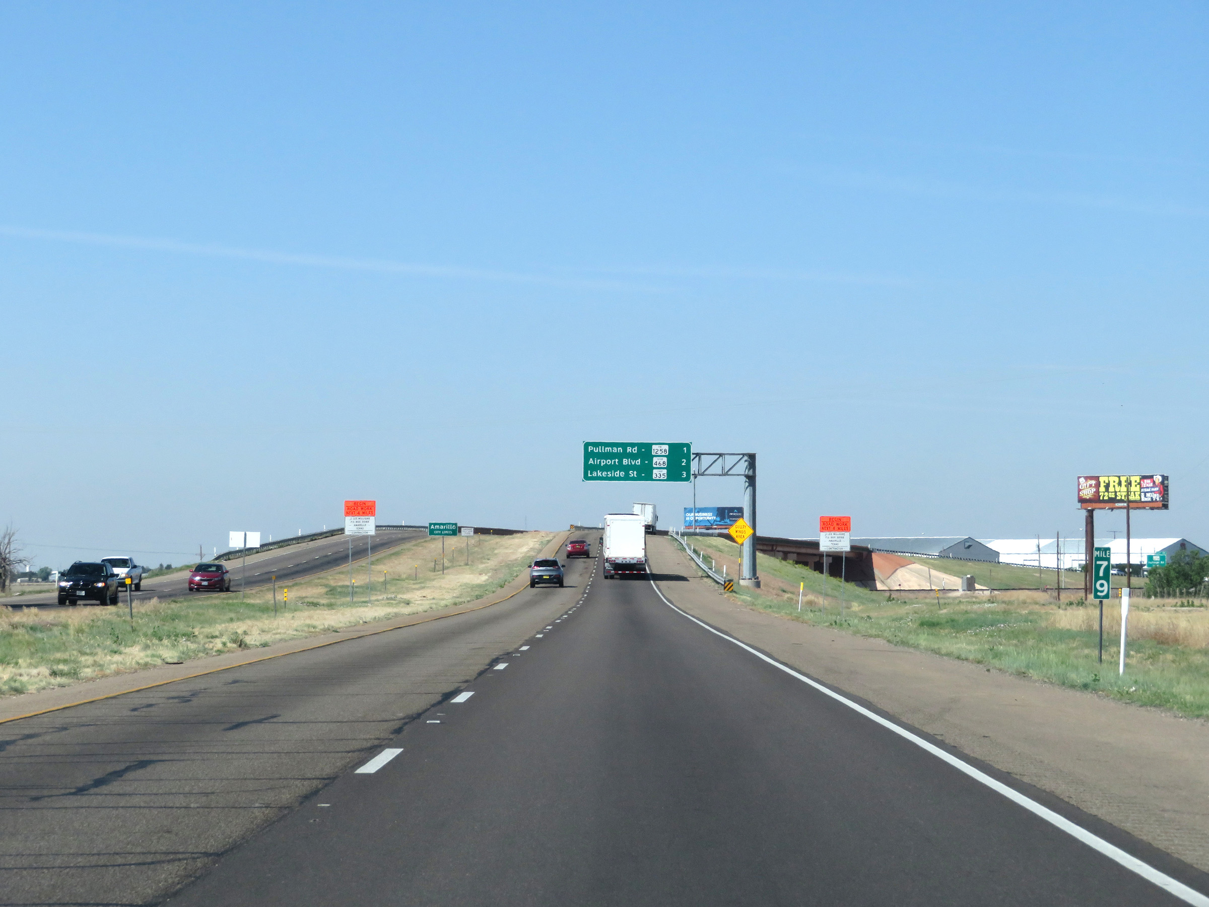
Interstate 40 West as it enters the Amarillo city limits. This overhead mileage sign lists the distances to the first three Amarillo exits on Interstate 40 West. (Photo taken 5/19/18). |
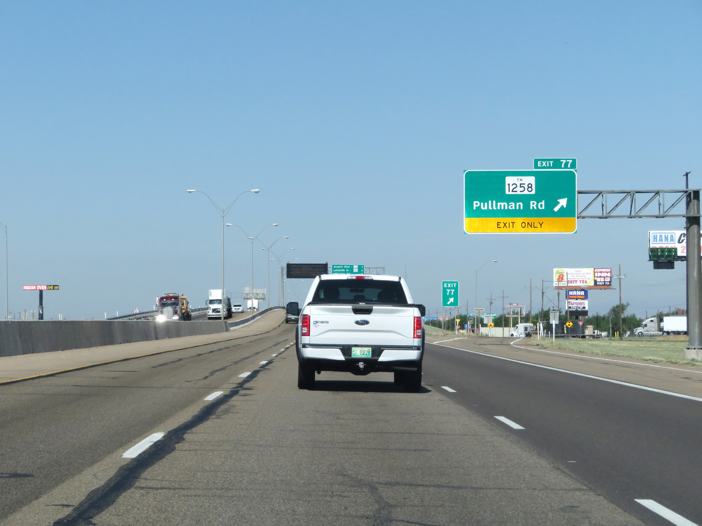 |
Interstate 40 West at Exit 77: FM 1258 - Pullman Rd (Photo taken 5/19/18). |
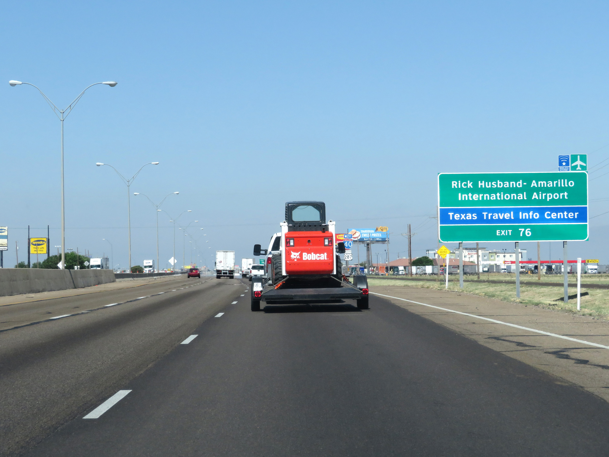 |
Take Exit 76 to Rick Husband-Amarillo International Airport and the Texas Travel Info Center. (Photo taken 5/19/18). |
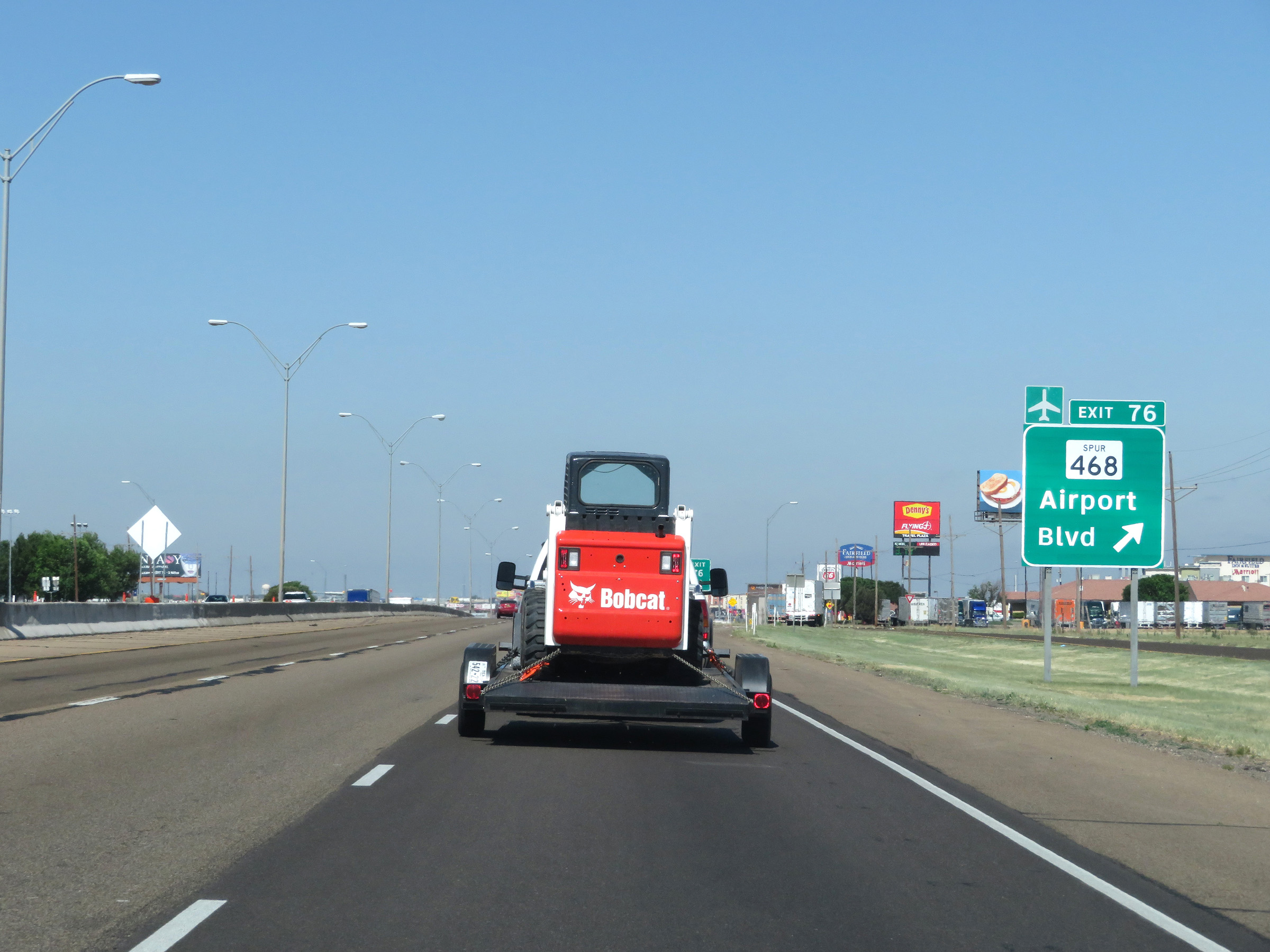 |
Interstate 40 West at Exit 76: TX Spur 468 - Airport Blvd (Photo taken 5/19/18). |
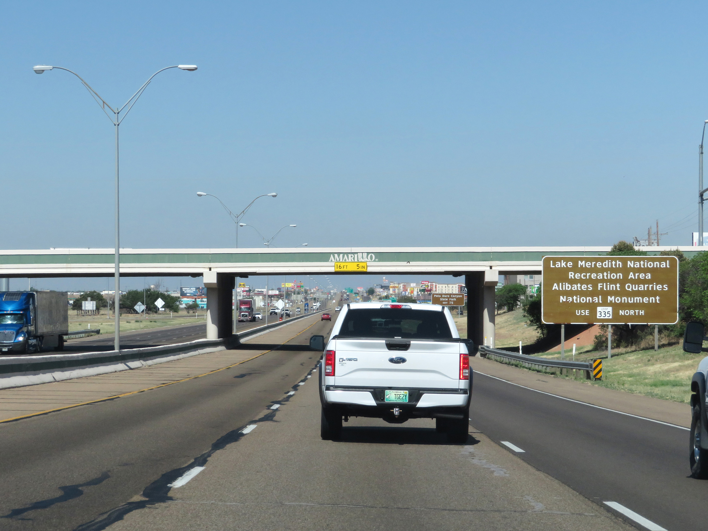 |
Take Exit 75 and follow TX Loop 335 North to Lake Meredith National Recreation Area and Alibates Flint Quarries National Monument. (Photo taken 5/19/18). |
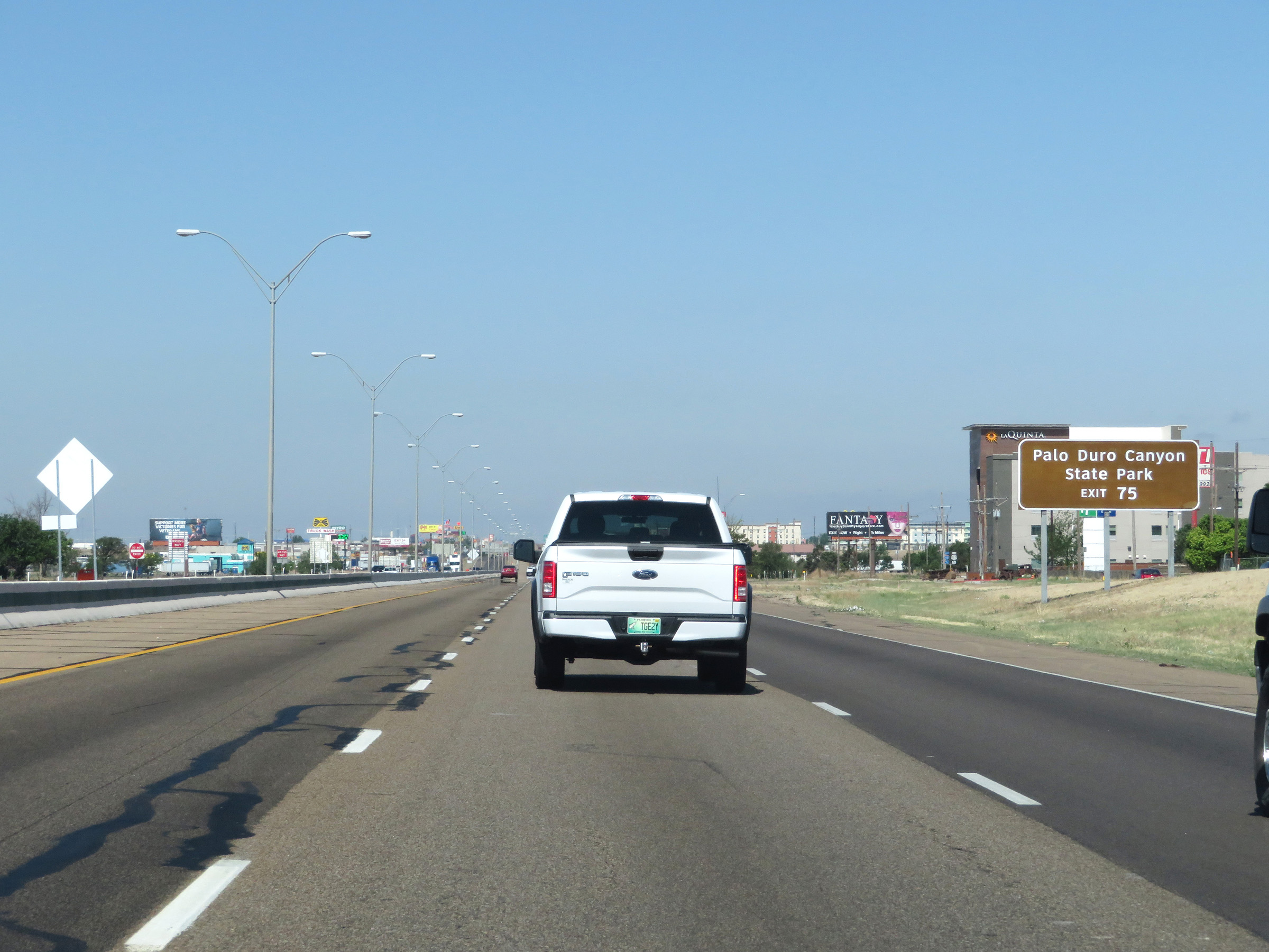 |
Also take Exit 75 to Palo Duro Canyon State Park. (Photo taken 5/19/18). |
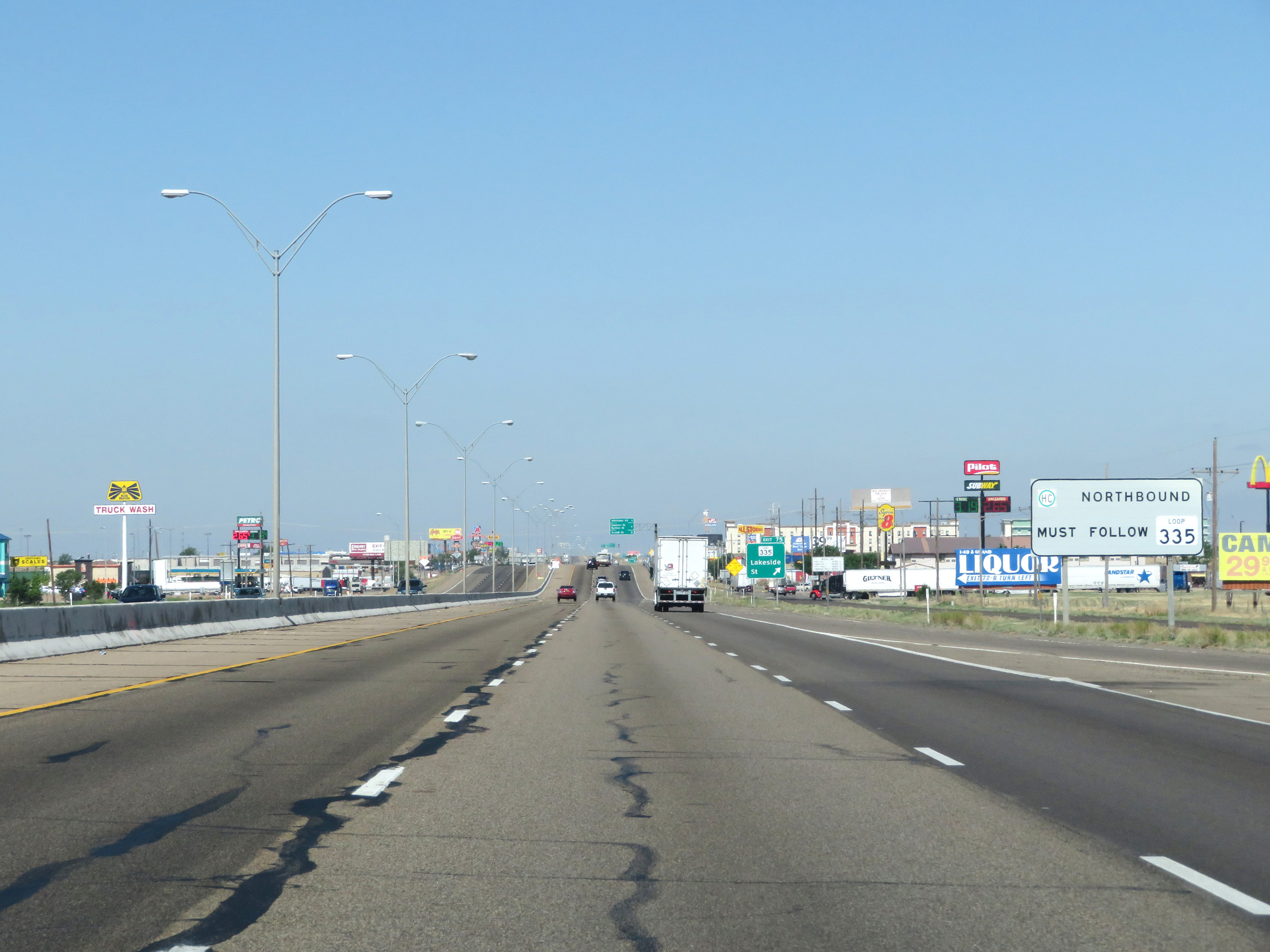 |
All northbound thru trucks with hazardous materials in a class or weight requiring placards must use TX Loop 335. (Photo taken 5/19/18). |
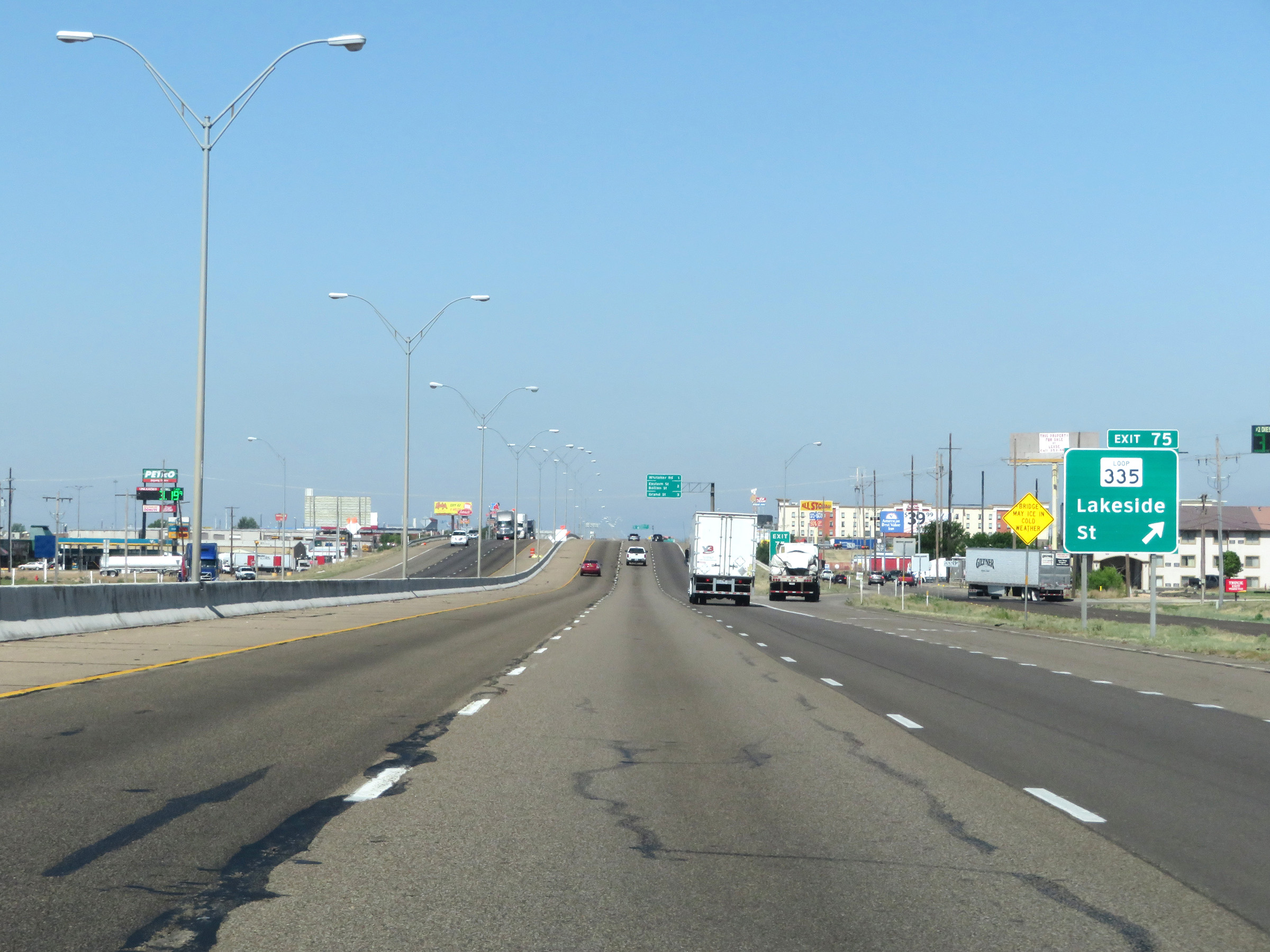 |
Interstate 40 West at Exit 75: TX Loop 335 - Lakeside St (Photo taken 5/19/18). |
 |
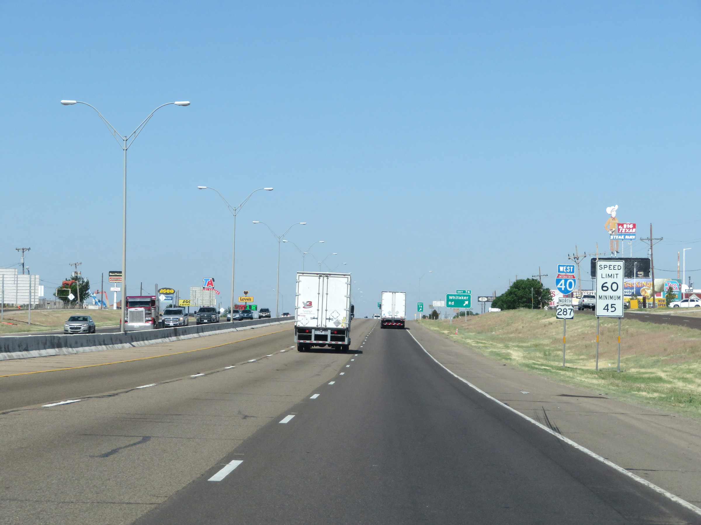
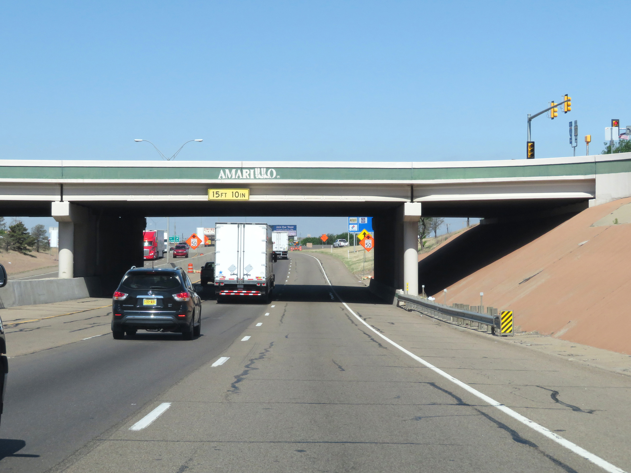
Passing through Amarillo, the maximum speed limit on Interstate 40 West decreases to 60 mph. A minimum speed limit of 45 mph also applies. (Photo taken 5/19/18). |
 |
Interstate 40 West reassurance shield in Amarillo. (Photo taken 5/19/18). |
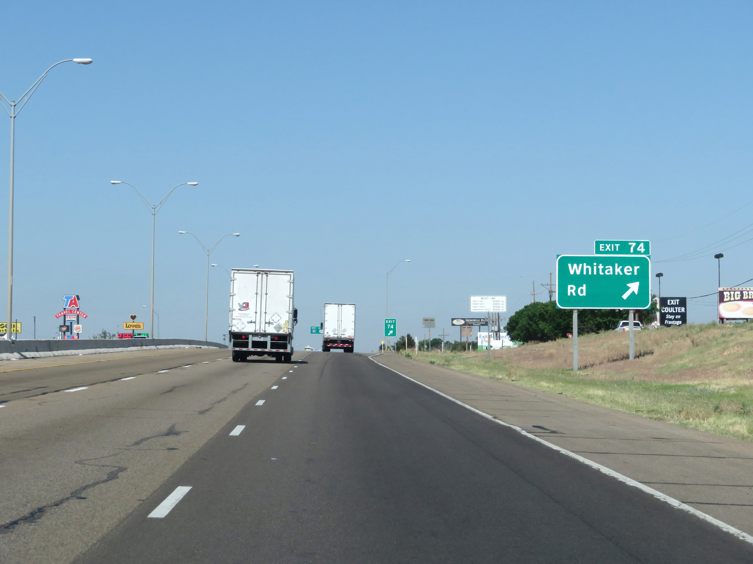 |
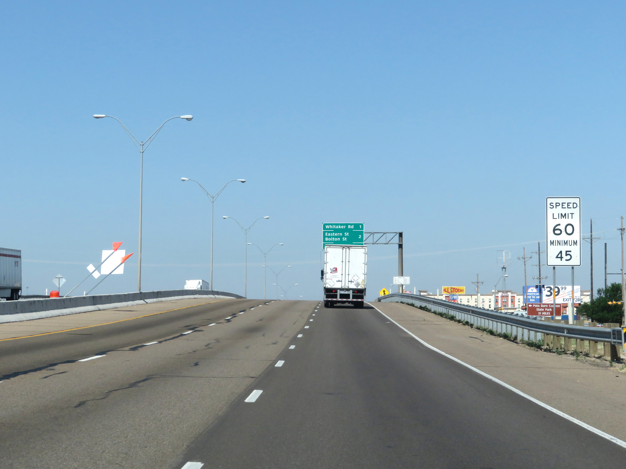
Interstate 40 West at Exit 74: Whitaker Rd (Photo taken 5/19/18). |
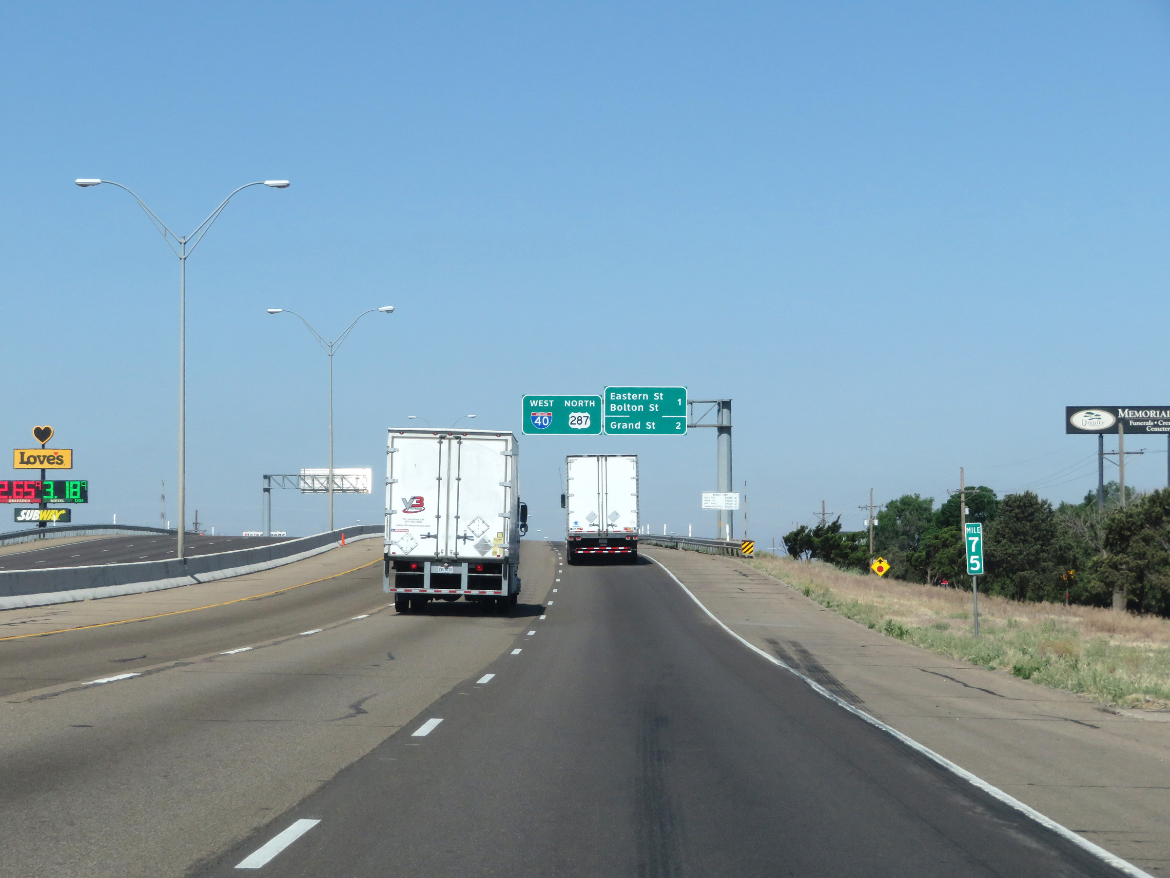 |
View on Interstate 40 West at mile marker 75 in Amarillo. (Photo taken 5/19/18). |
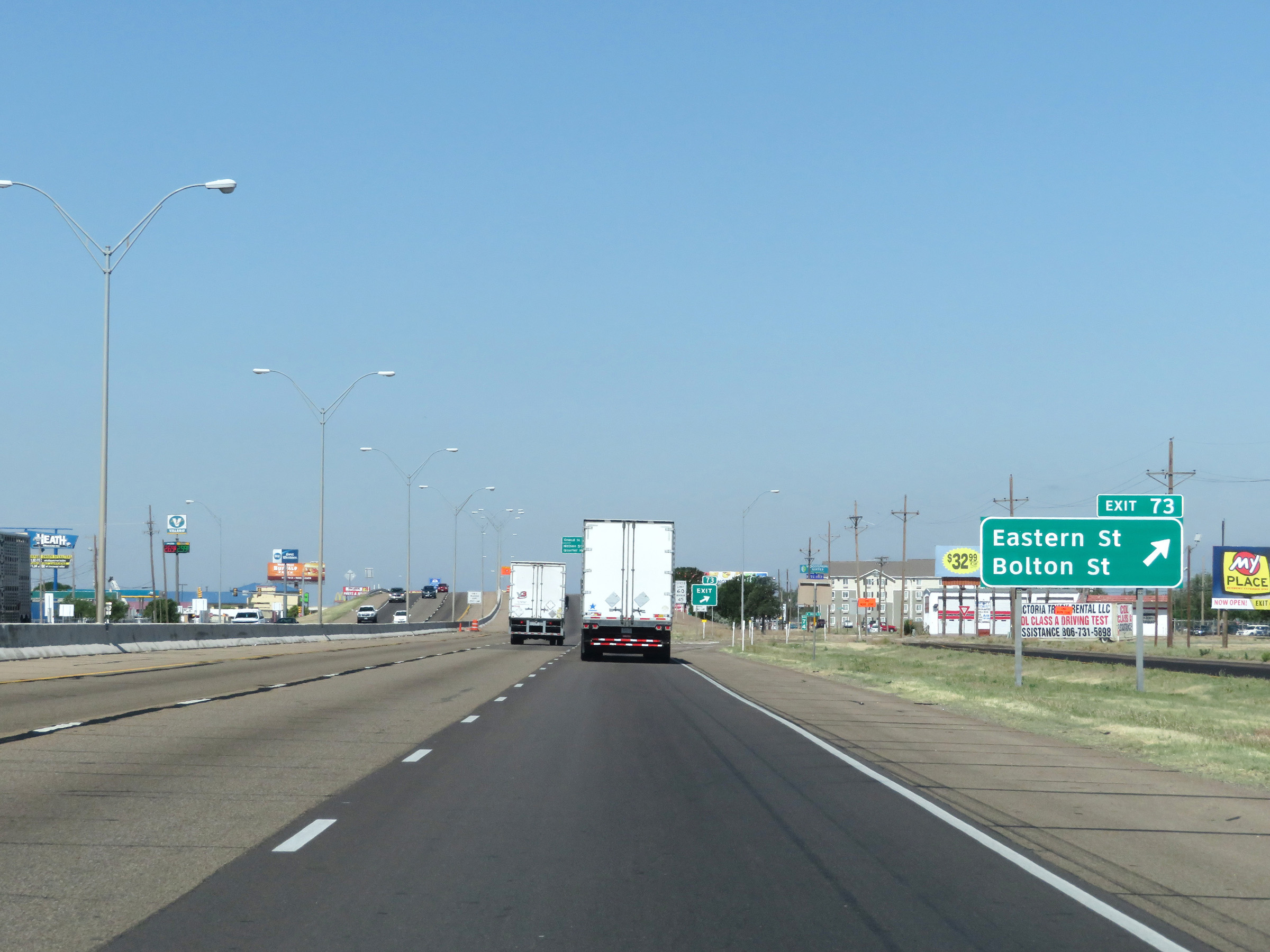 |
Interstate 40 West at Exit 73: Eastern St / Bolton St (Photo taken 5/19/18). |
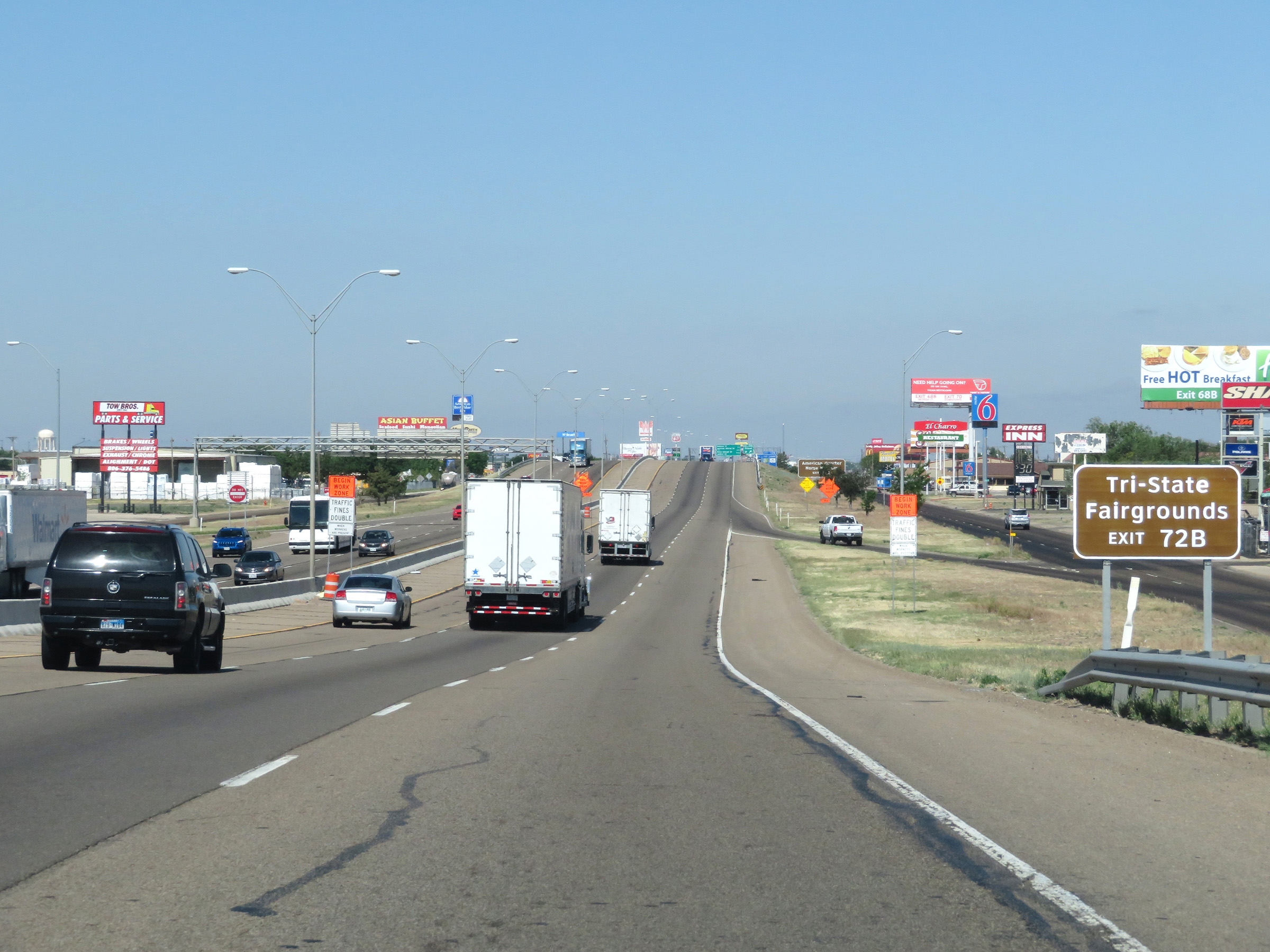 |
Take Exit 72B to the Tri-State Fairgrounds. (Photo taken 5/19/18). |
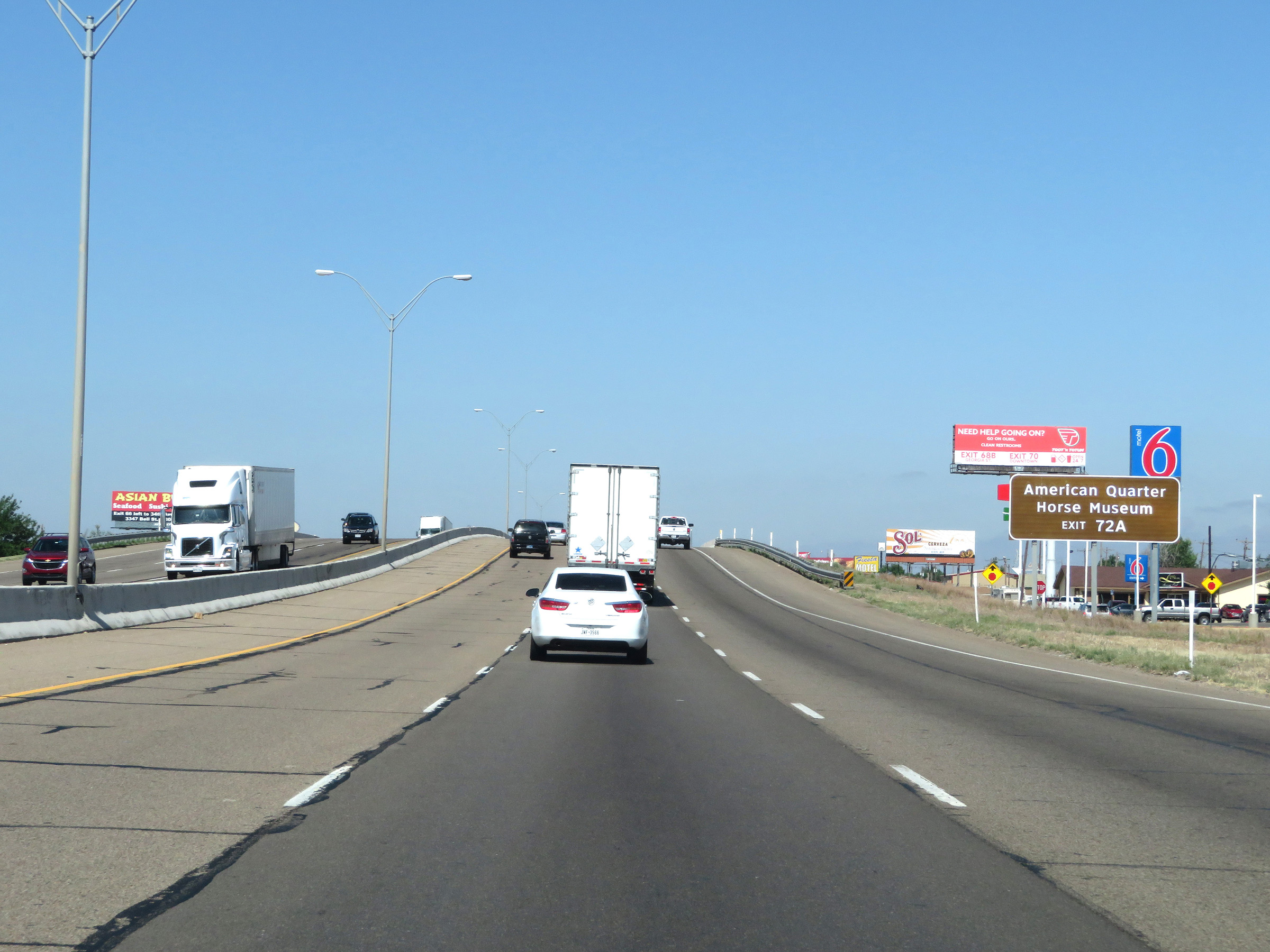 |
Take Exit 72A to the American Quarter Horse Museum. (Photo taken 5/19/18). |
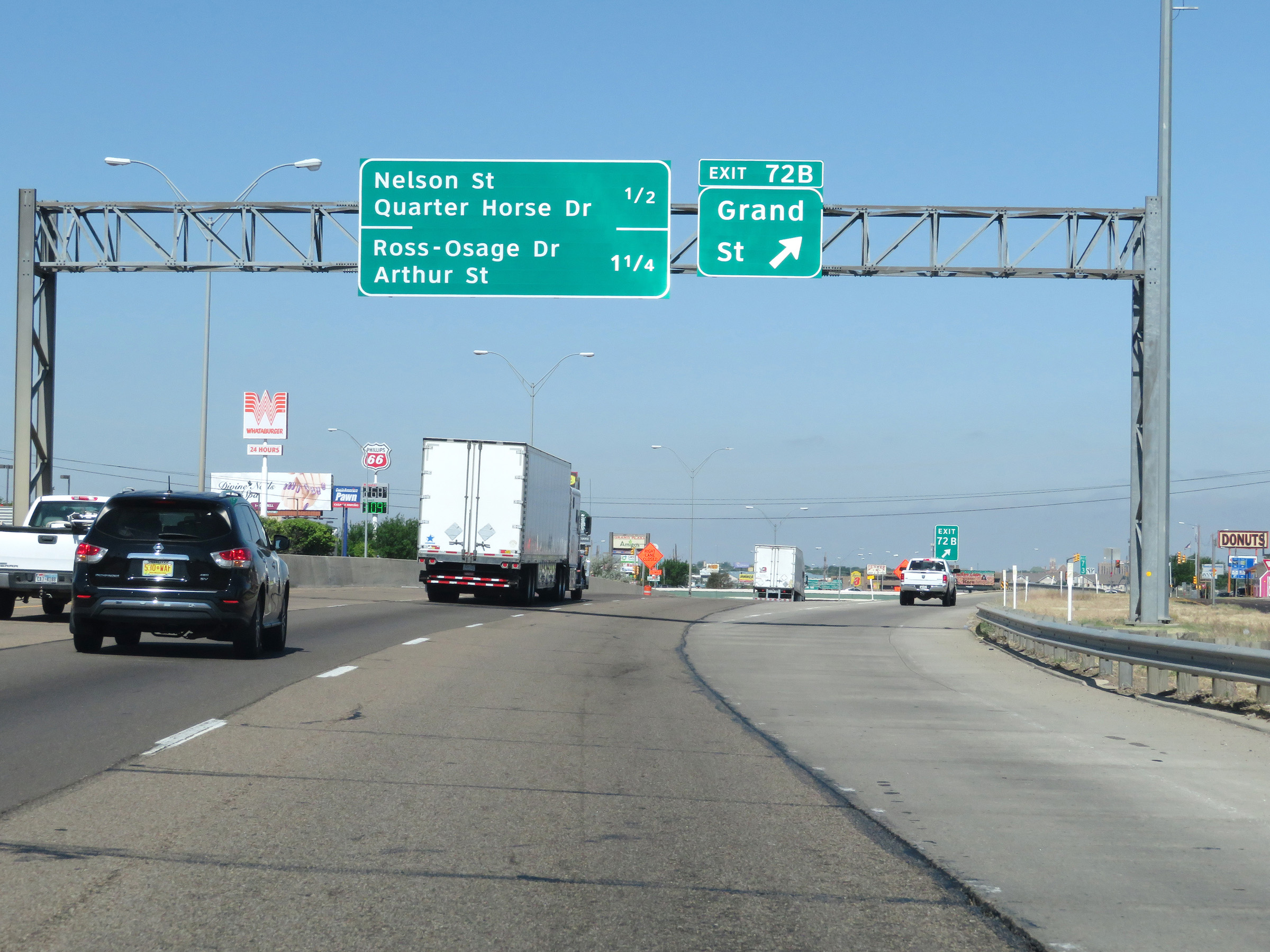 |
Interstate 40 West at Exit 72B: Grand St (Photo taken 5/19/18). |
 |
View on Interstate 40 West in Amarillo. (Photo taken 5/19/18). |
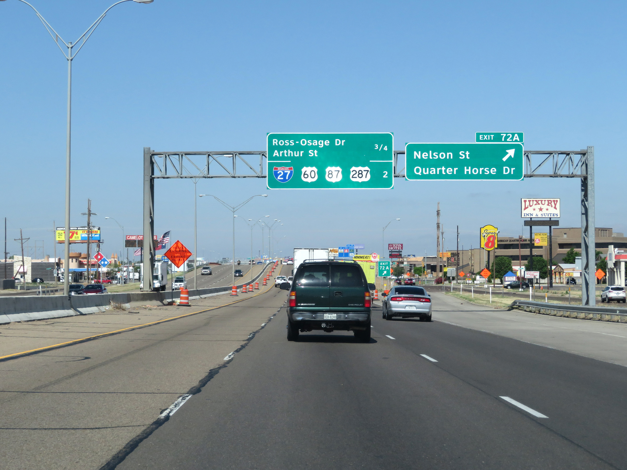 |
Interstate 40 West at Exit 72A: Nelson St / Quarter Horse Dr (Photo taken 5/19/18). |
 |
Interstate 40 West at Exit 71: Ross-Osage Dr / Arthur St (Photo taken 5/19/18). |
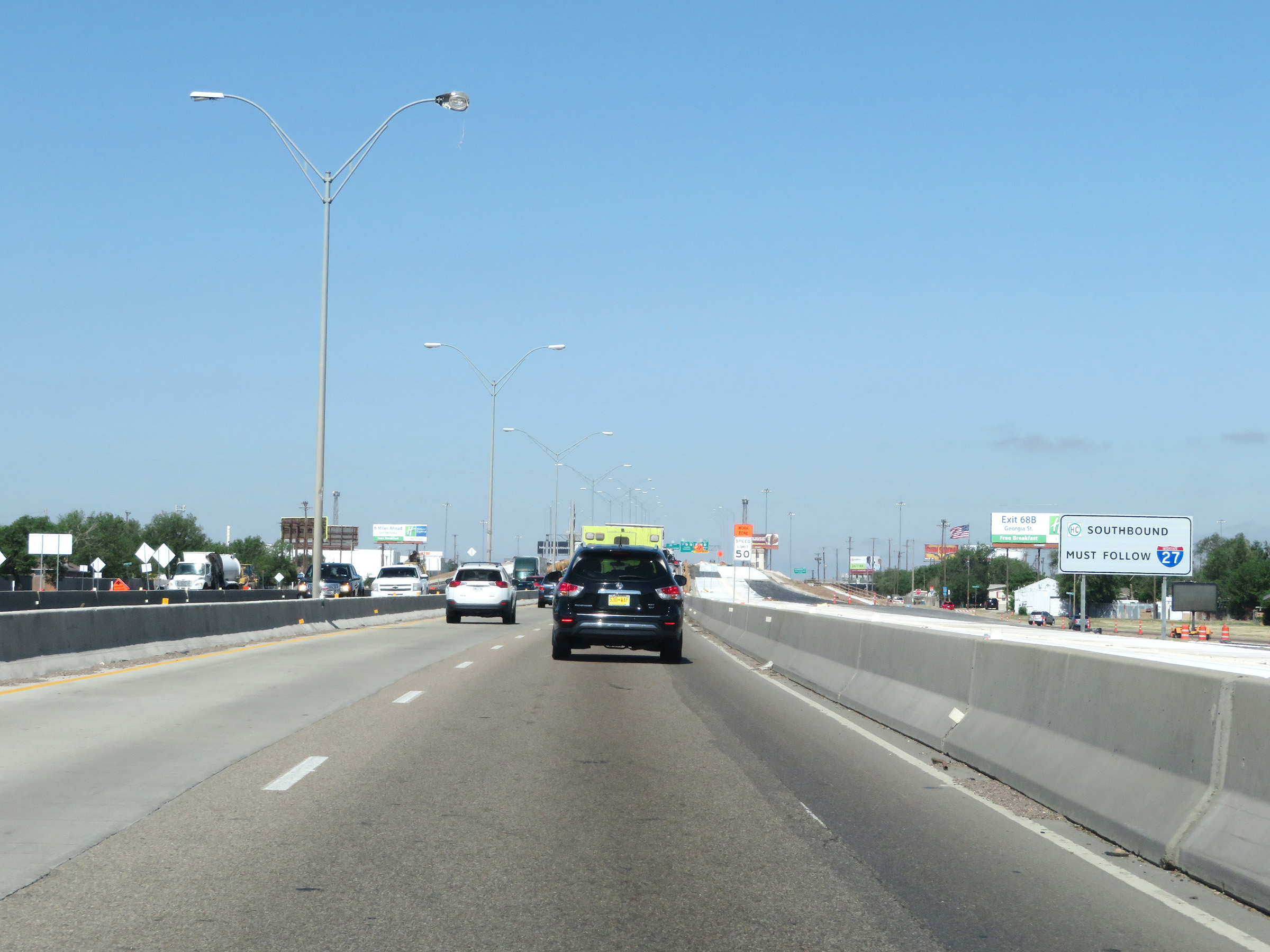 |
All thru southbound trucks with hazardous materials in a class or weight requiring placards must follow Interstate 27 via Exit 70. (Photo taken 5/19/18). |
 |
Interstate 40 West at Exit 70: Interstate 27 South / US 87 / US 60 / US 287 North - Canyon / Lubbock / Dumas / Pampa / Downtown (Photo taken 5/19/18). |
Section 3: Amarillo (Exit 70) to New Mexico Border
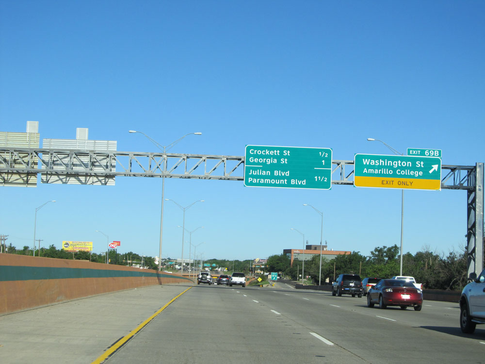 |
Interstate 40 West at Exit 69B: Washington St / Amarillo College (Photo taken 5/18/15). |
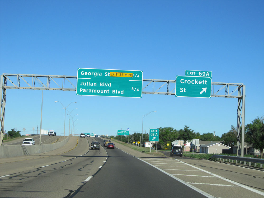 |
Interstate 40 West at Exit 69A: Crockett St (Photo taken 5/18/15). |
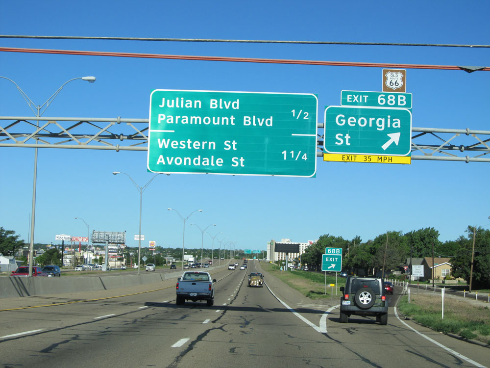 |
Interstate 40 West at Exit 68B: Georgia St (Photo taken 5/18/15). |
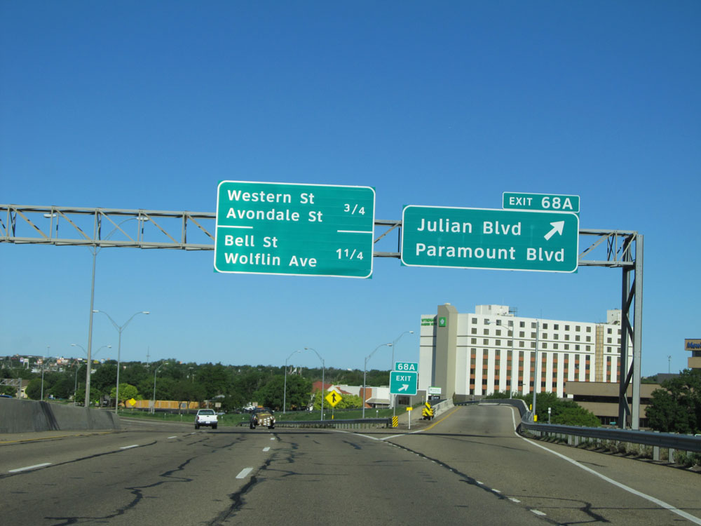 |
Interstate 40 West at Exit 68A: Julian Blvd / Paramount Blvd (Photo taken 5/18/15). |
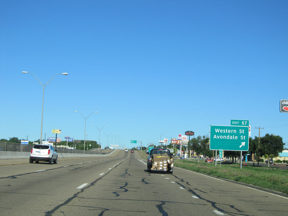 |
Interstate 40 West at Exit 67: Western St / Avondale St (Photo taken 5/18/15). |
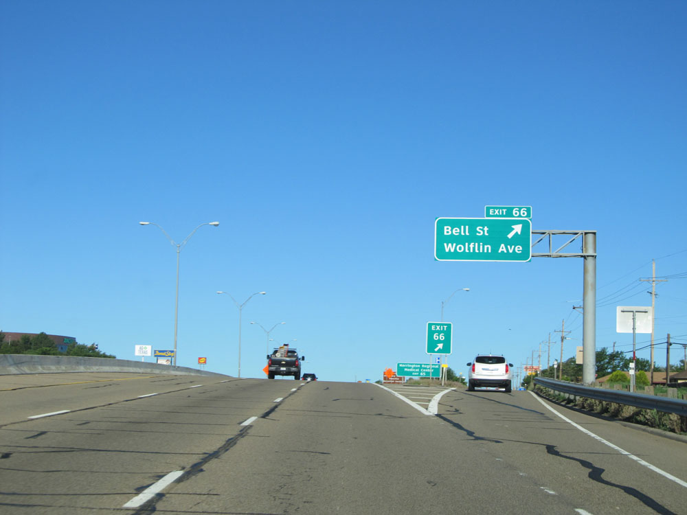 |
Interstate 40 West at Exit 66: Bell St / Wolflin Ave (Photo taken 5/18/15). |
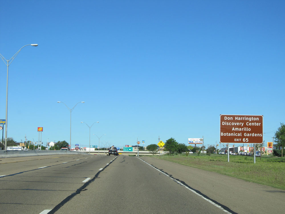 |
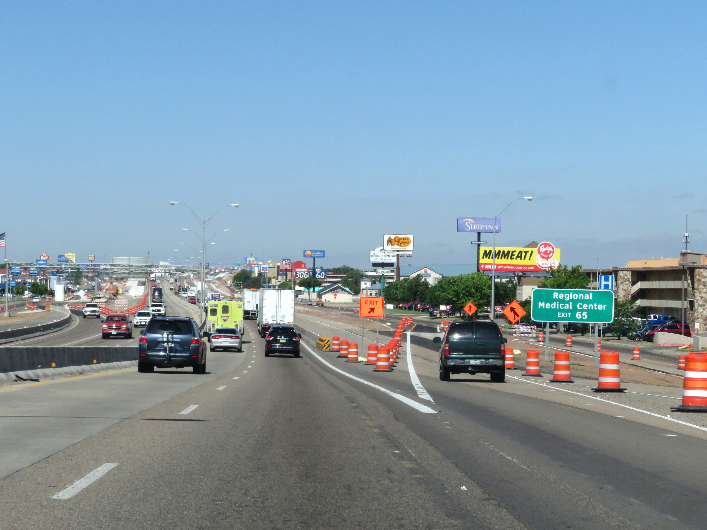
Take Exit 65 to Don Harrington Discovery Center and Amarillo Botanical Gardens. (Photo taken 5/18/15). |
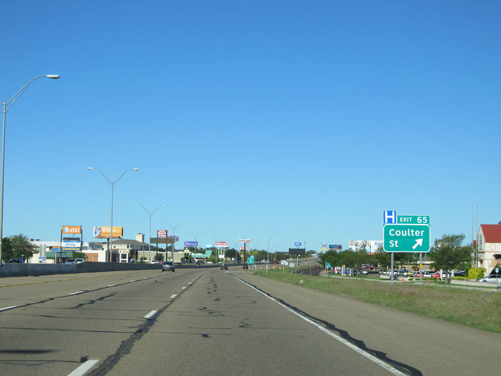 |
Interstate 40 West at Exit 65: Coulter St (Photo taken 5/18/15). |
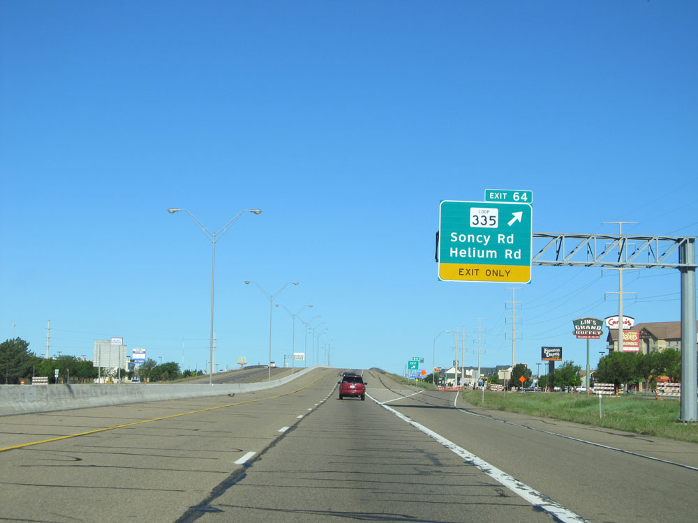 |
Interstate 40 West at Exit 64: TX Loop 335 - Soncy Rd / Helium Rd (Photo taken 5/18/15). |
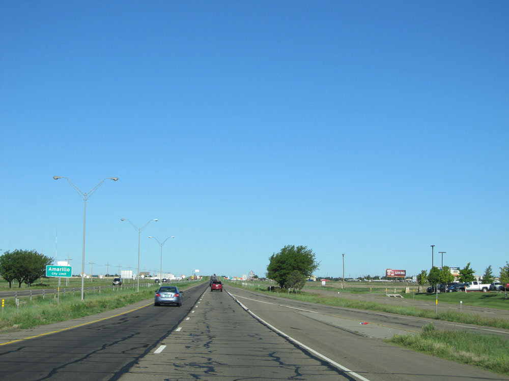 |
Interstate 40 West as it leaves the Amarillo city limits. (Photo taken 5/18/15). |
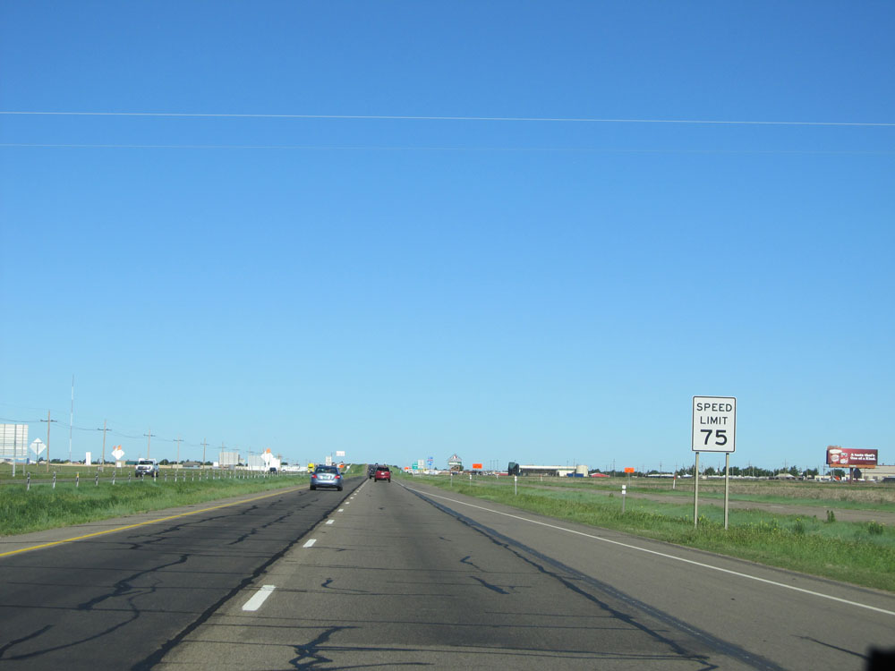 |
Now that you've left the city limits, the standard speed limit of 75 mph resumes. (Photo taken 5/18/15). |
 |
Interstate 40 West assurance shield. (Photo taken 5/18/15). |
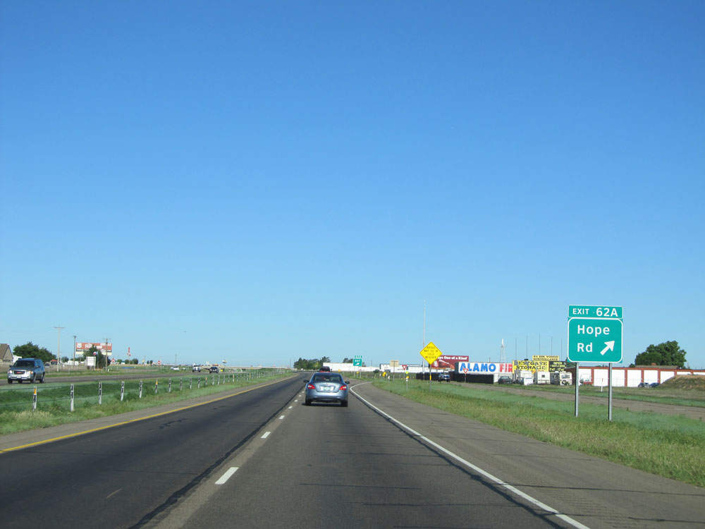 |
Interstate 40 West at Exit 62A: Hope Rd (Photo taken 5/18/15). |
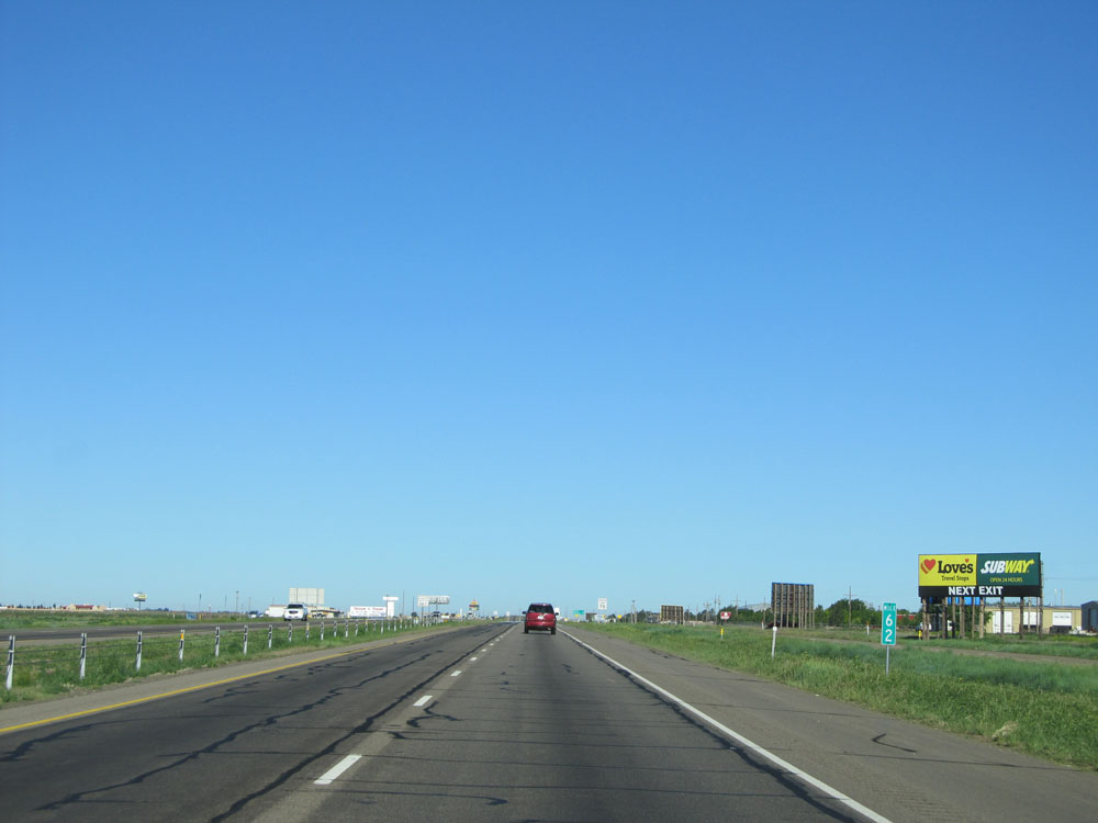 |
Interstate 40 West: Road view from mile marker 62. (Photo taken 5/18/15). |
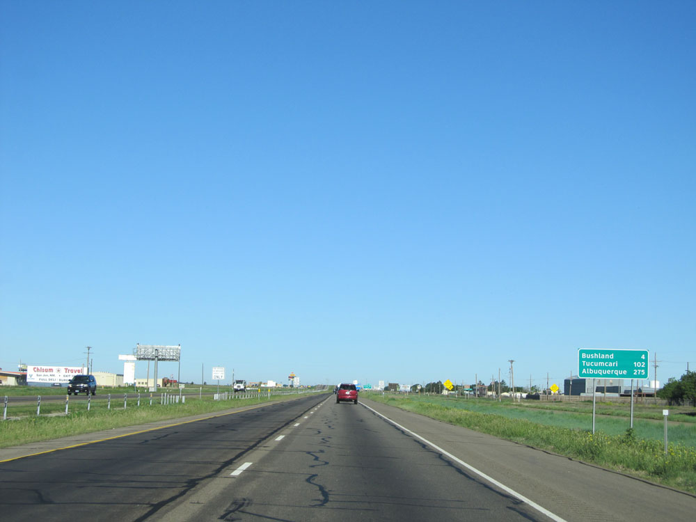 |
Mileage sign located past mile marker 62. It's 4 miles to Bushland, 102 miles to Tucumcari, and 275 miles to Albuquerque. (Photo taken 5/18/15). |
 |
Interstate 40 West at Exit 60: Arnot Rd (Photo taken 5/18/15). |
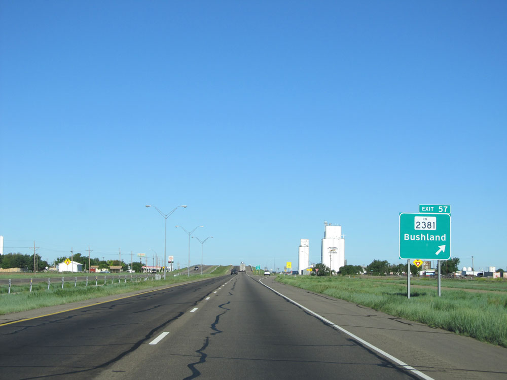 |
Interstate 40 West at Exit 57: RM 2381 - Bushland (Photo taken 5/18/15). |
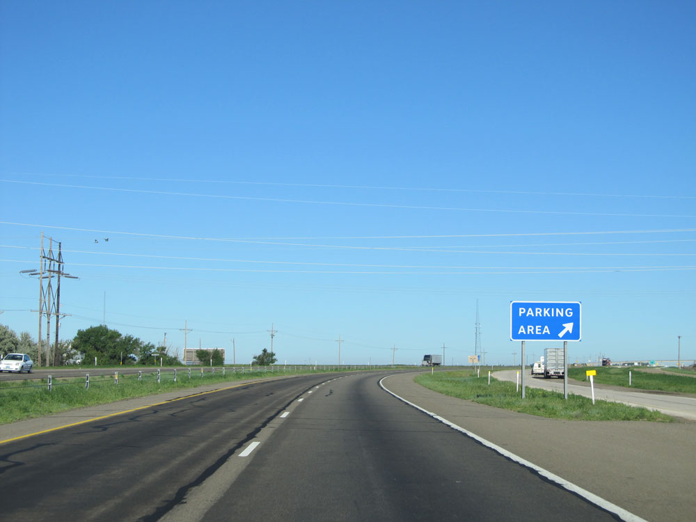 |
Interstate 40 West at the Parking Area located near mile marker 55. (Photo taken 5/18/15). |
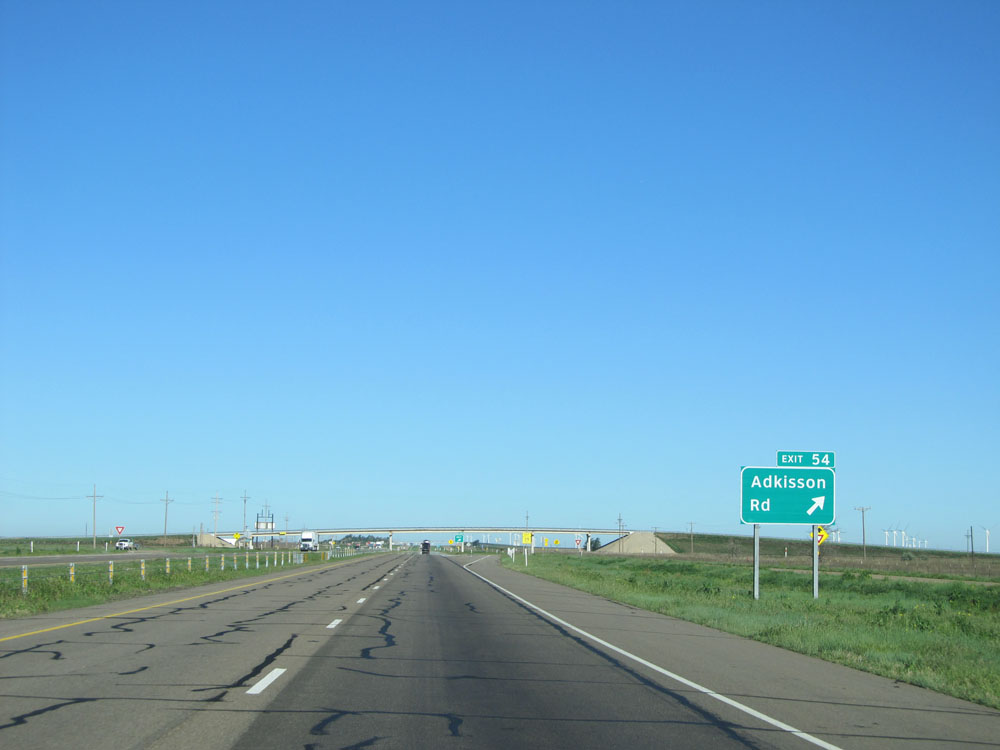 |
Interstate 40 West at Exit 54: Adkisson Rd (Photo taken 5/18/15). |
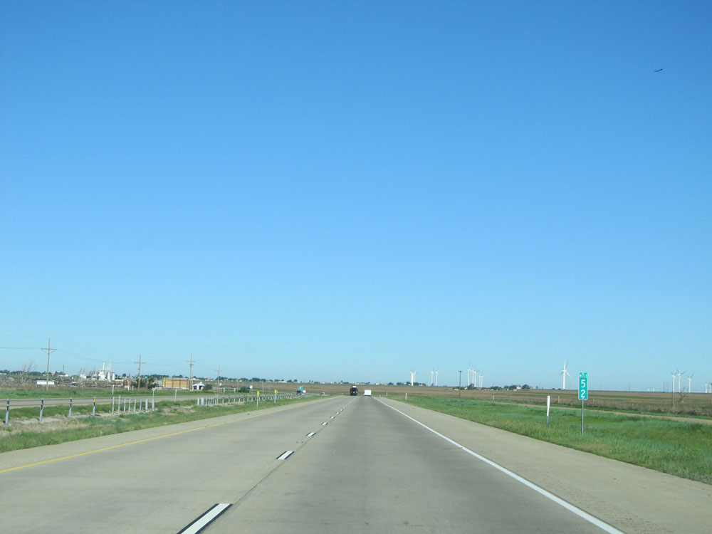 |
Interstate 40 West: Road view from mile marker 52. (Photo taken 5/18/15). |
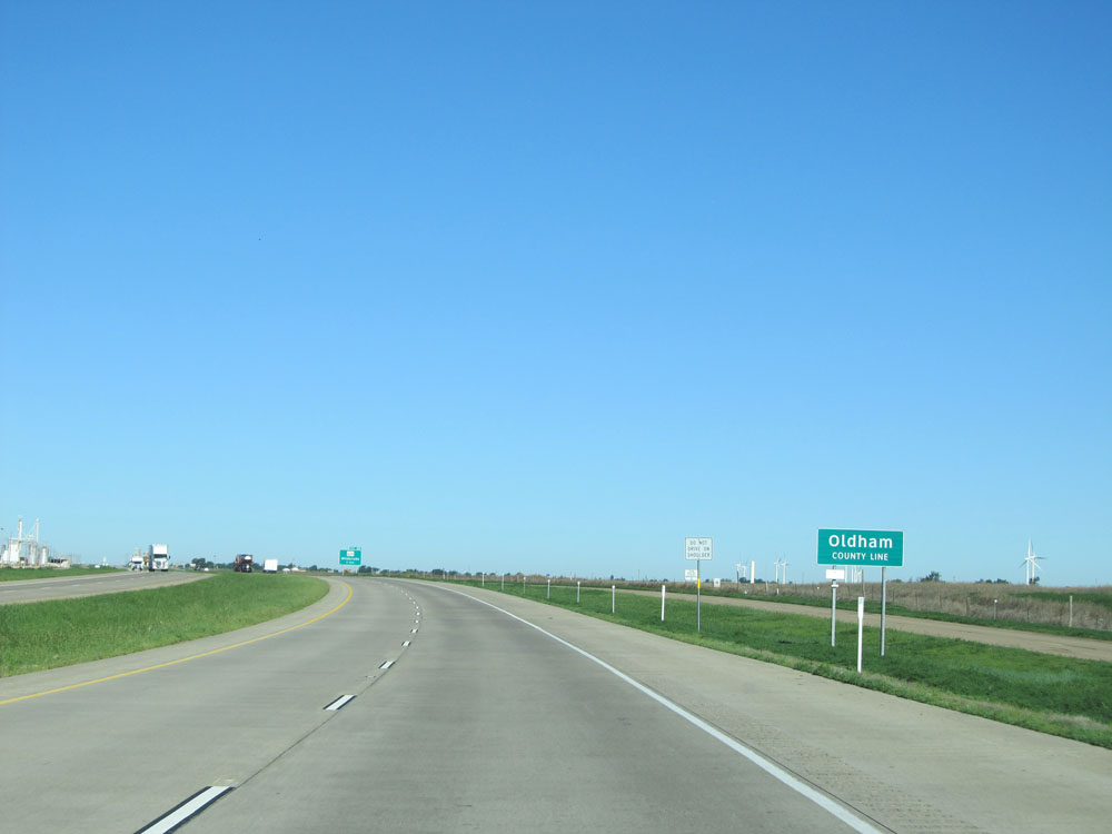 |
Interstate 40 West as it enters Oldham County. (Photo taken 5/18/15). |
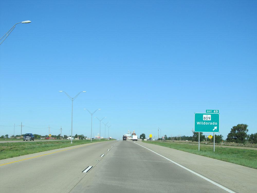 |
Interstate 40 West at Exit 49: FM 809 - Wildorado (Photo taken 5/18/15). |
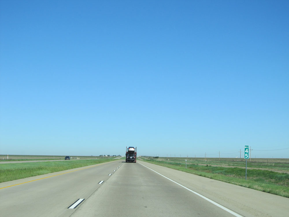 |
Interstate 40 West: Road view from mile marker 45. (Photo taken 5/18/15). |
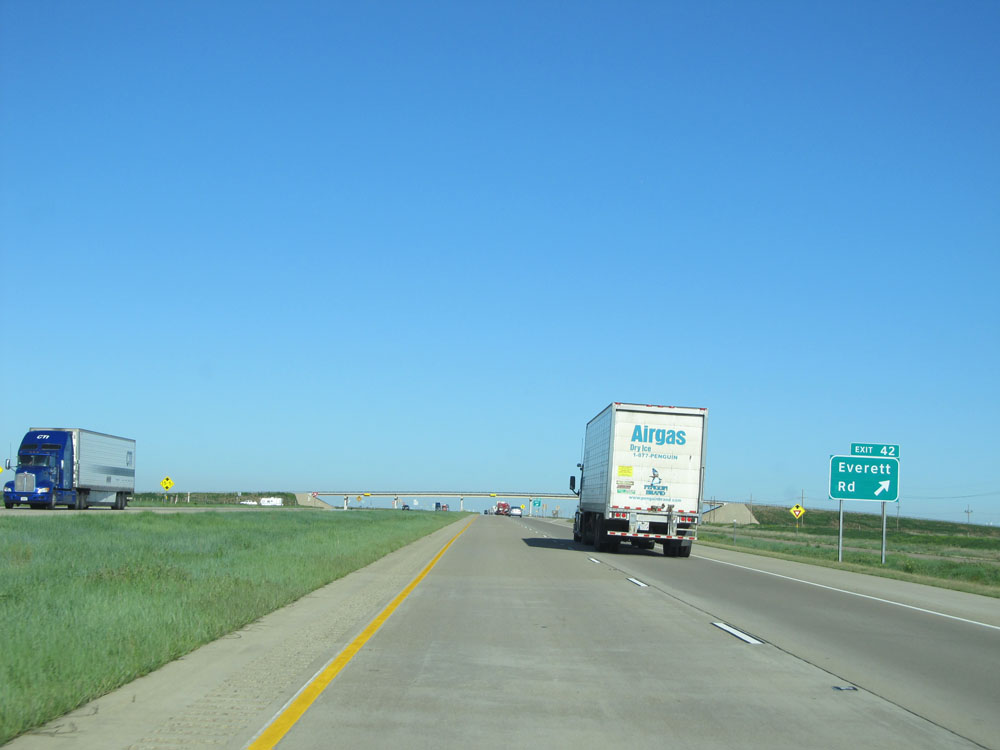 |
Interstate 40 West at Exit 42: Everett Rd (Photo taken 5/18/15). |
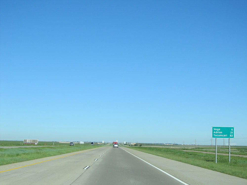 |
Mileage sign near mile marker 42. Vega - 6 miles, Adrian - 21 miles, Tucumcari - 82 miles. (Photo taken 5/18/15). |
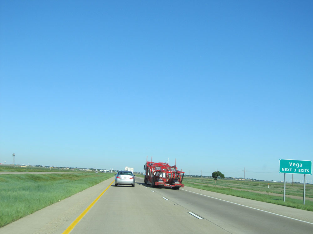 |
Take any of the next 3 exits to Vega. (Photo taken 5/18/15). |
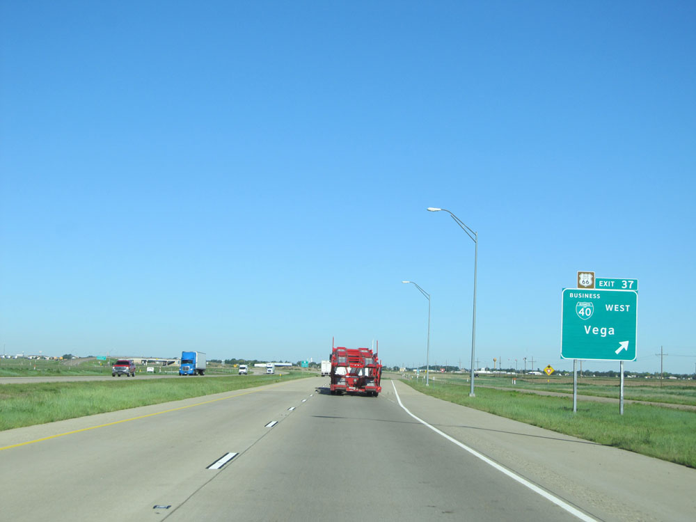 |
Interstate 40 West at Exit 37: Interstate 40 BL West - Vega (Photo taken 5/18/15). |
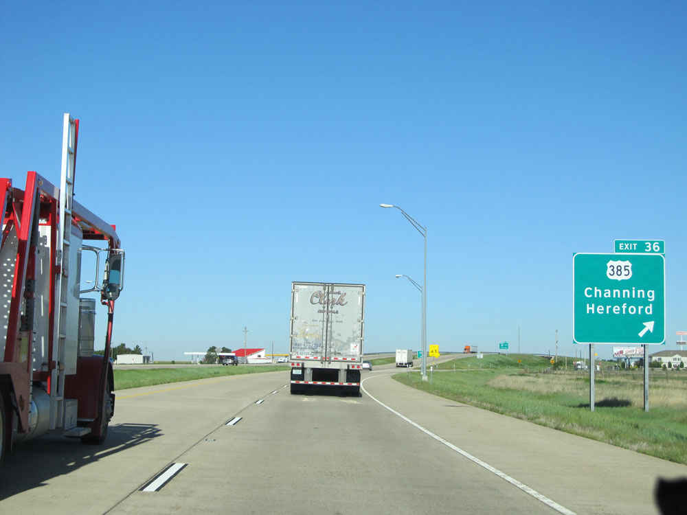 |
Interstate 40 West at Exit 36: US 385 - Channing / Hereford (Photo taken 5/18/15). |
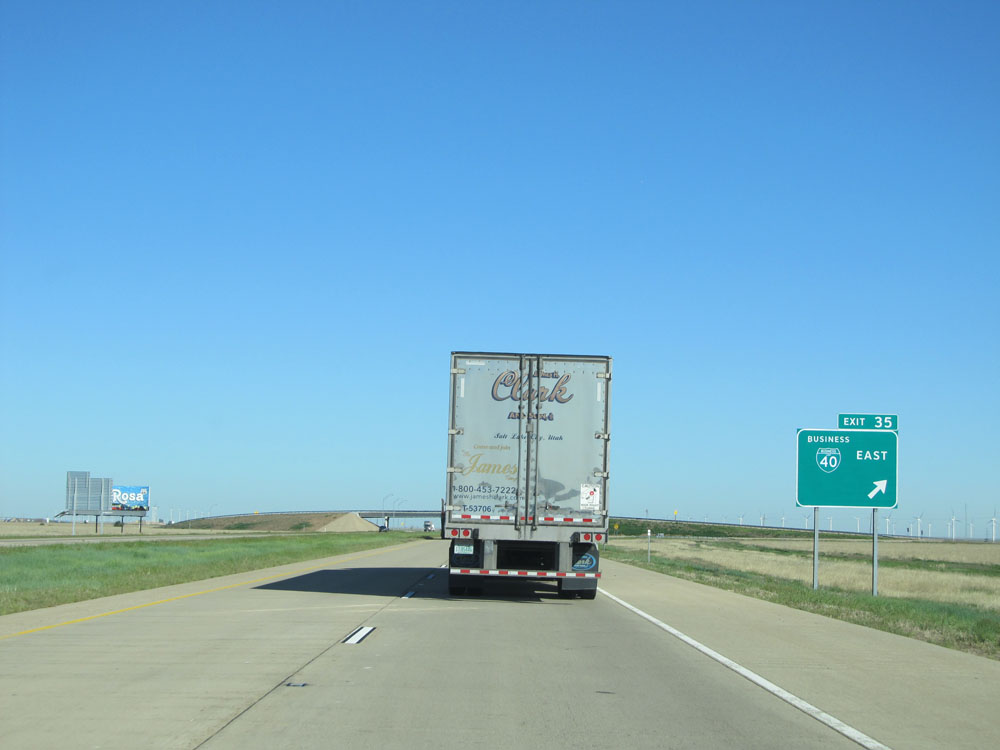 |
Interstate 40 West at Exit 35: Interstate 40 BL East (Photo taken 5/18/15). |
 |
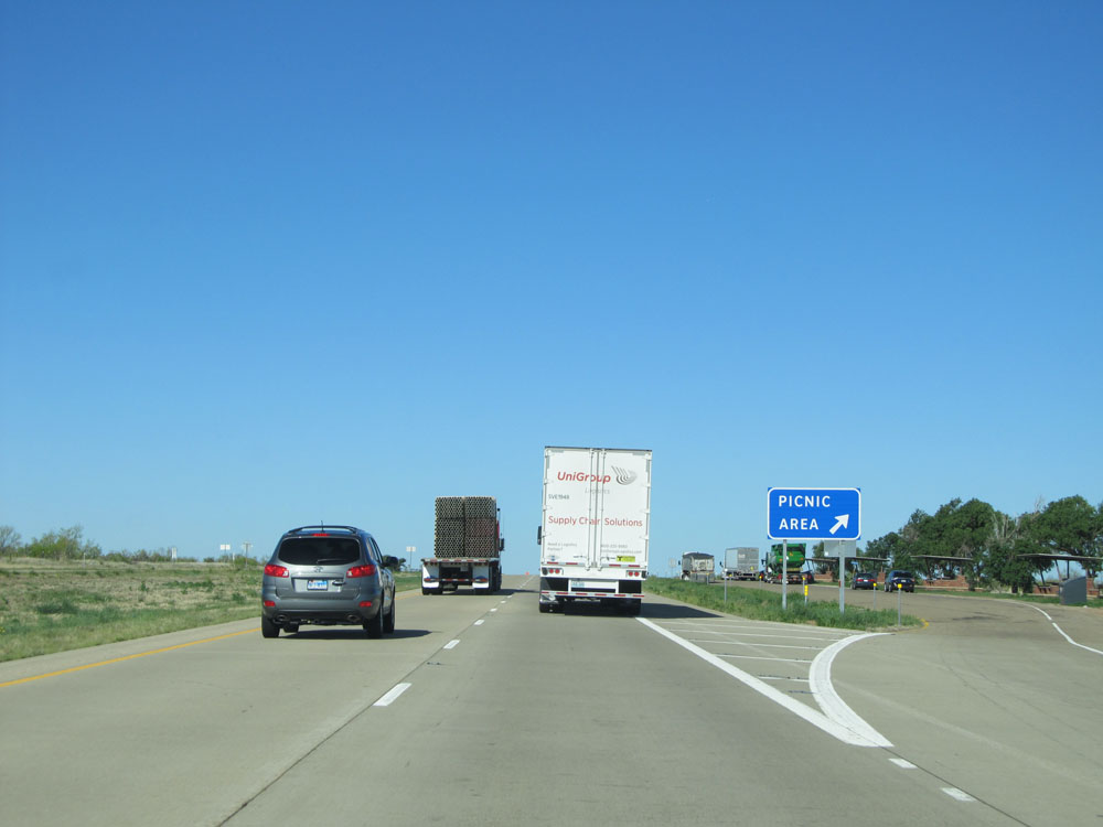
Interstate 40 West at the Picnic Area located at mile marker 32. (Photo taken 5/18/15). |
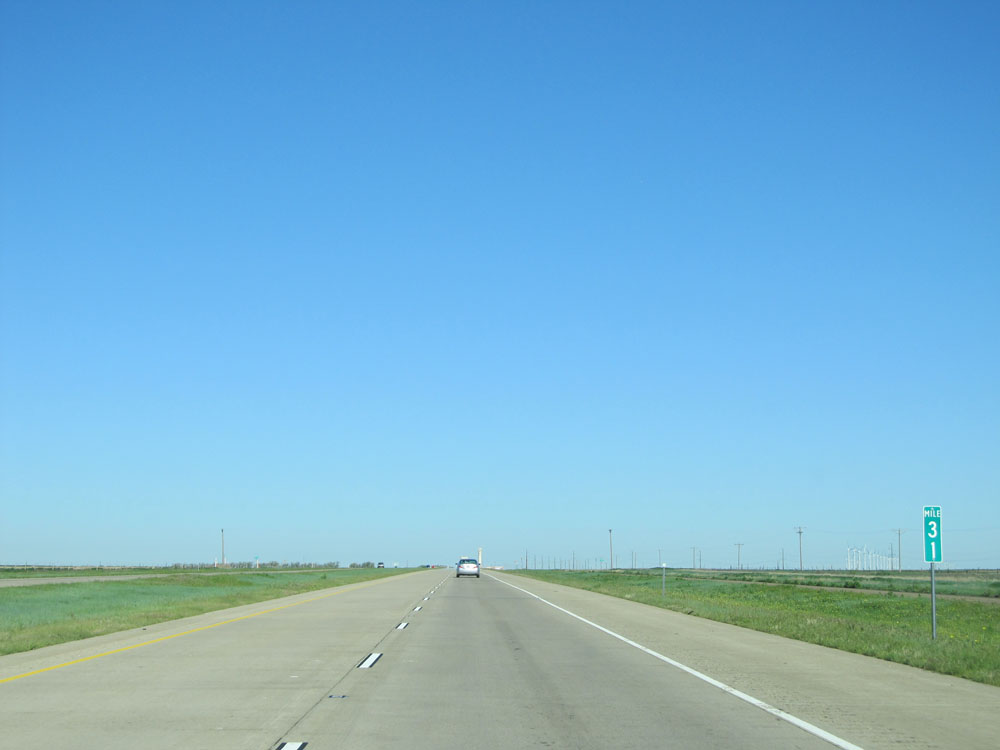 |
Interstate 40 West: Road view from mile marker 31. (Photo taken 5/18/15). |
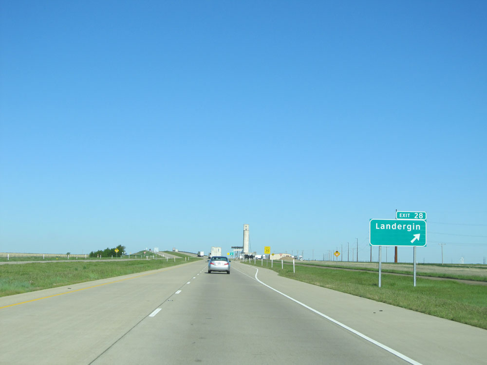 |
Interstate 40 West at Exit 28: Landergin (Photo taken 5/18/15). |
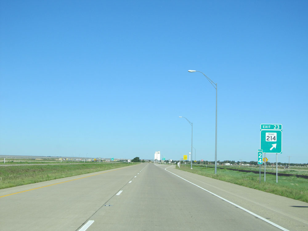 |
Interstate 40 West at Exit 23: TX 214 (Photo taken 5/18/15). |
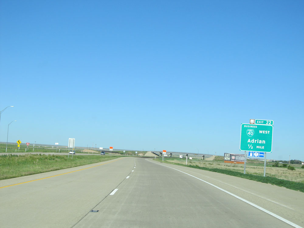 |
Interstate 40 West approaching Exit 22 - 1/2 mile. (Photo taken 5/18/15). |
 |
Interstate 40 West at Exit 22: Interstate 40 BL West - Adrian (Photo taken 5/18/15). |
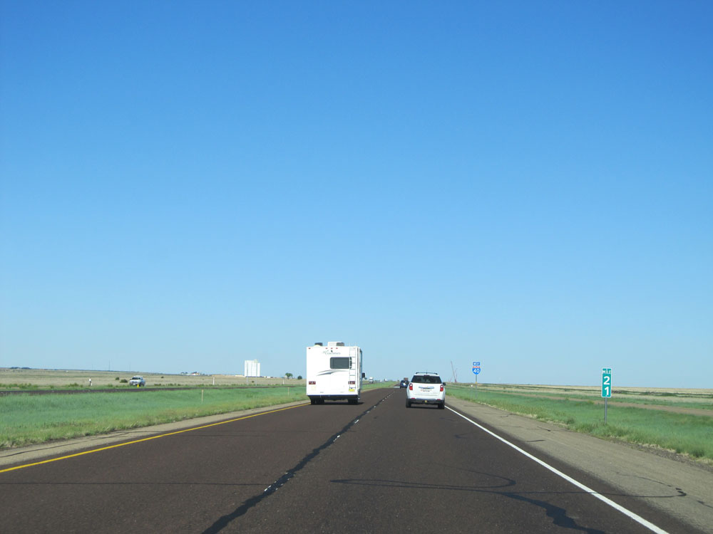 |
Interstate 40 West: Road view from mile marker 21. (Photo taken 5/18/15). |
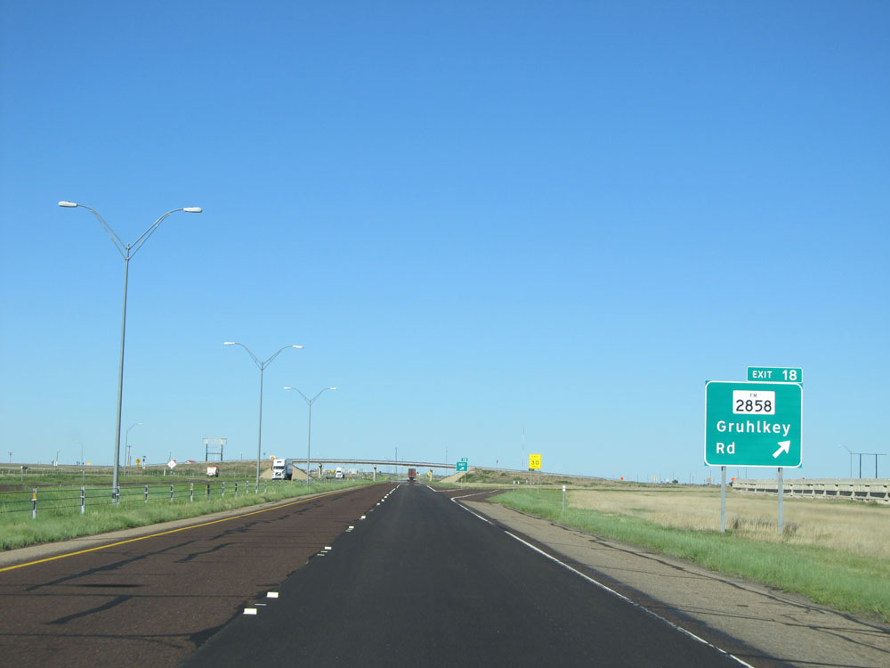 |
Interstate 40 West at Exit 18: FM 2858 - Gruhlkey Rd (Photo taken 5/18/15). |
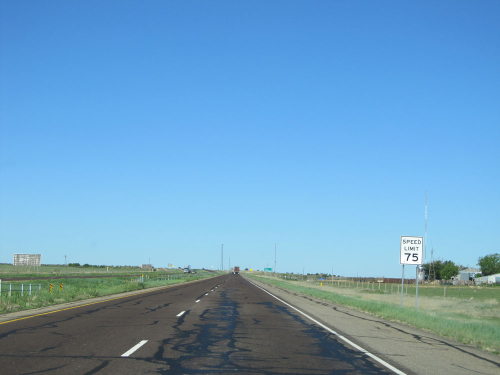 |
Speed limit - 75 sign located near mile marker 17. (Photo taken 5/18/15). |
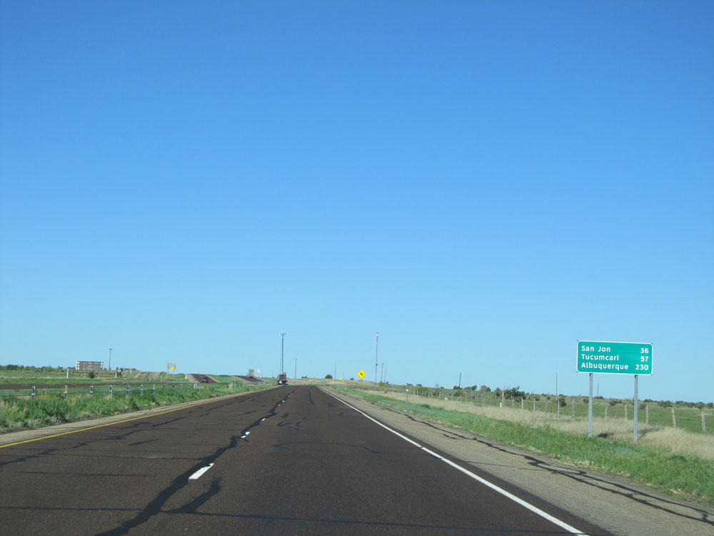 |
Mileage sign located near mile marker 17. It's 36 miles to San Jon, 57 miles to Tucumcari, and 230 miles to Albuquerque. (Photo taken 5/18/15). |
 |
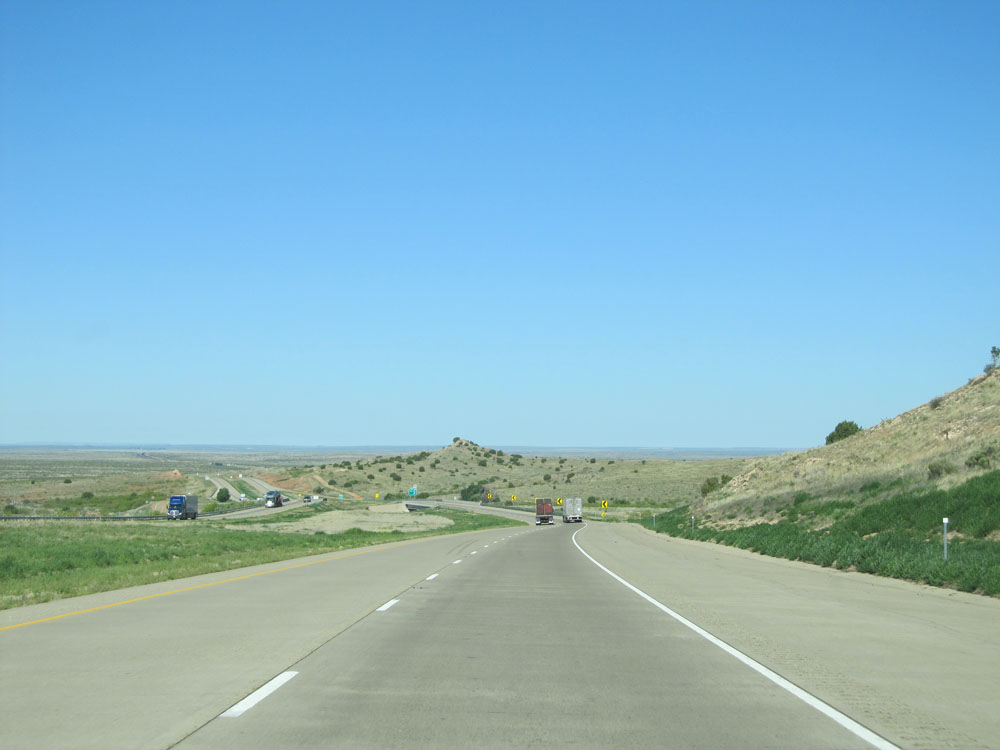
Interstate 40 West: Road view from mile marker 16. (Photo taken 5/18/15). |
 |
View on Interstate 40 West near mile marker 15. (Photo taken 5/18/15). |
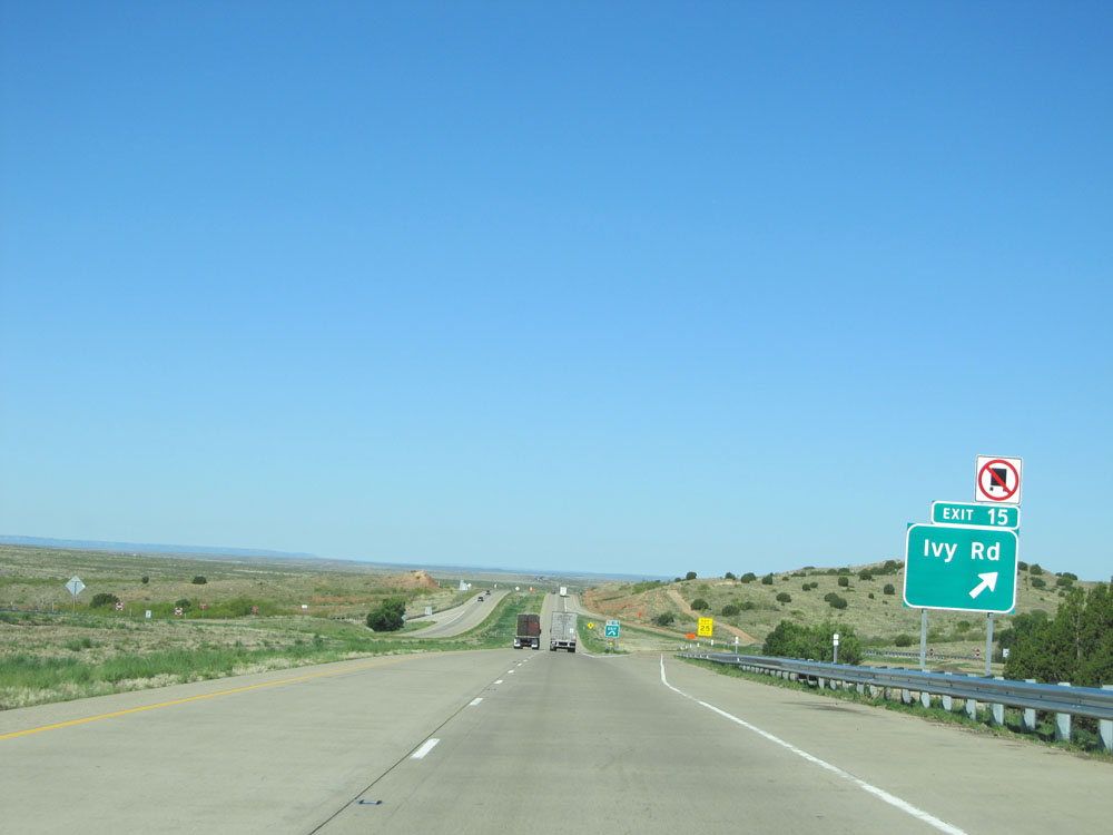 |
Interstate 40 West at Exit 15: Ivy Rd (Photo taken 5/18/15). |
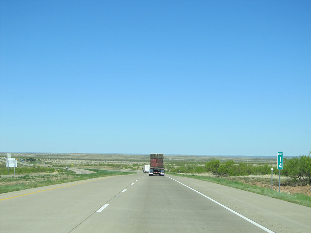 |
Interstate 40 West: Road view from mile marker 14. (Photo taken 5/18/15). |
 |
Picnic Area on Interstate 40 West. (Photo taken 5/18/15). |
 |
Interstate 40 West: Road view from mile marker 9. (Photo taken 5/18/15). |
 |
Interstate 40 West: Road view from mile marker 5. (Photo taken 5/18/15). |
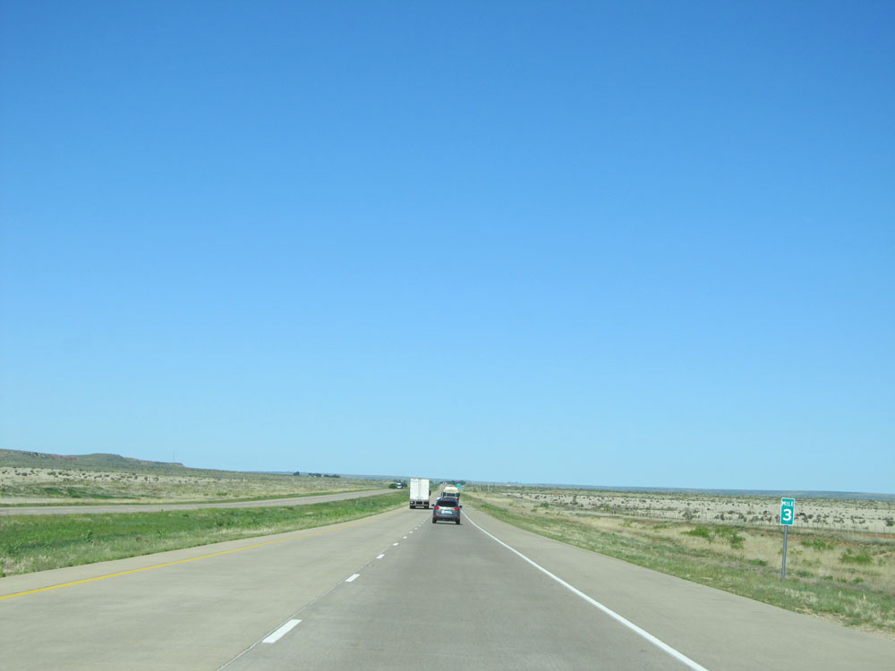 |
Interstate 40 West at mile marker 3. (Photo taken 5/18/15). |
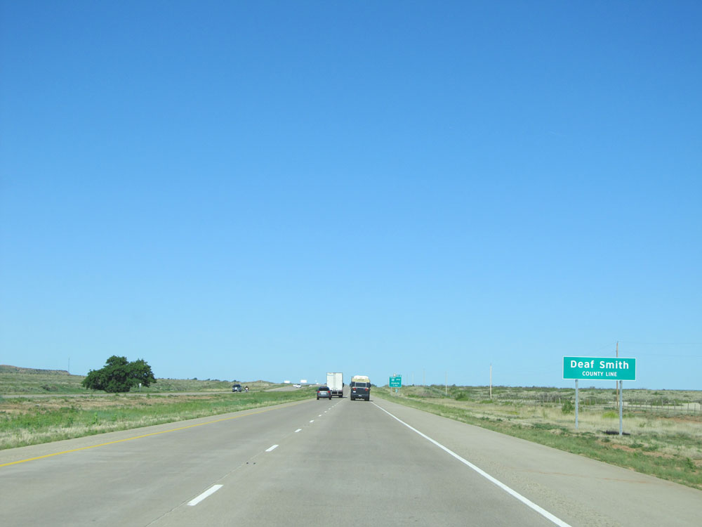 |
Interstate 40 West as it enters Deaf Smith County. (Photo taken 5/18/15). |
 |
Interstate 40 West at Exit 0: Interstate 40 BL West - Glenrio (Photo taken 5/18/15). |
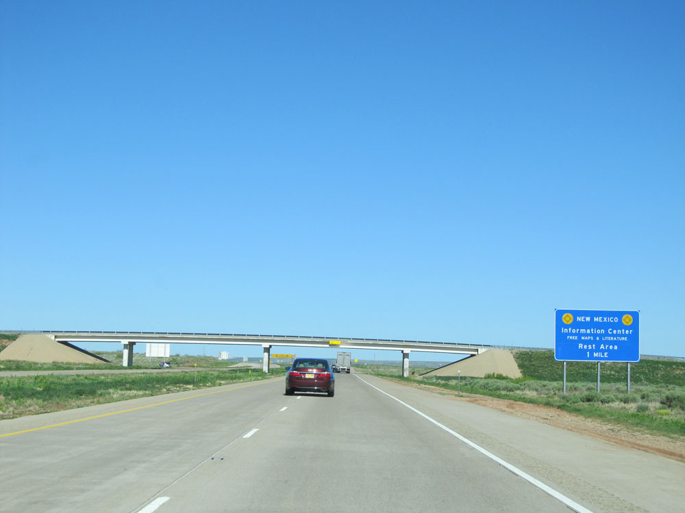 |
The New Mexico Information Center and Rest Area lies 1 mile ahead as Interstate 40 West prepares to enter New Mexico. (Photo taken 5/18/15). |