Road Information |
||
 |
||
| Total Mileage in State: | 881 miles | |
| Eastern End: | At Louisiana state line | |
| Western End: | At New Mexico state line | |
| Mileage covered in Photos: | 881 miles | |
| Counties covered in Photos: | El Paso, Hudspeth, Culberson, Jeff Davis, Reeves, Pecos, Crockett, Sutton, Kimble, Gillespie, Kerr, Kendall, Bexar, Guadalupe, Caldwell, Gonzales, Fayette, Colorado, Austin, Waller, Fort Bend, Harris, Chambers, Jefferson, Orange | |
| Major Junctions in Photos: | I-20, near Kent (Scroggins Draw) I-35, in San Antonio I-37, in San Antonio I-45, in Houston I-69/US 59, in Houston |
|
| Control Cities in Photos: | El Paso, Van Horn, Fort Stockton, Junction, Boerne, San Antonio, Seguin, Columbus, Katy, Houston, Beaumont | |
Eastbound
- Section 1: New Mexico Border to El Paso (Exit 30)
- Section 2: El Paso (Exit 30) to Sierra Blanca (Exit 107)
- Section 3: Sierra Blanca (Exit 107) to Fort Stockton (Exit 256)
- Section 4: Fort Stockton (Exit 256) to Ozona (Exit 368)
- Section 5: Ozona (Exit 368) to Kerrville (Exit 508)
- Section 6: Kerrville (Exit 508) to San Antonio (Exit 569C)
- Section 7: San Antonio (Exit 569C) to Seguin (Exit 612)
- Section 8: Seguin (Exit 612) to Brookshire (Exit 731)
- Section 9: Brookshire (Exit 731) to Houston (Exit 770C)
- Section 10: Houston (Exit 770C) to Winnie (Exit 827)
- Section 11: Winnie (Exit 827) to Louisiana Border
Section 1: New Mexico Border to El Paso (Exit 30)
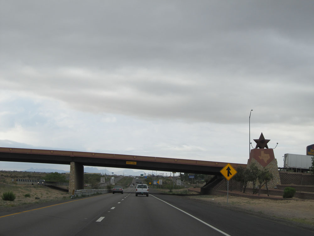 |
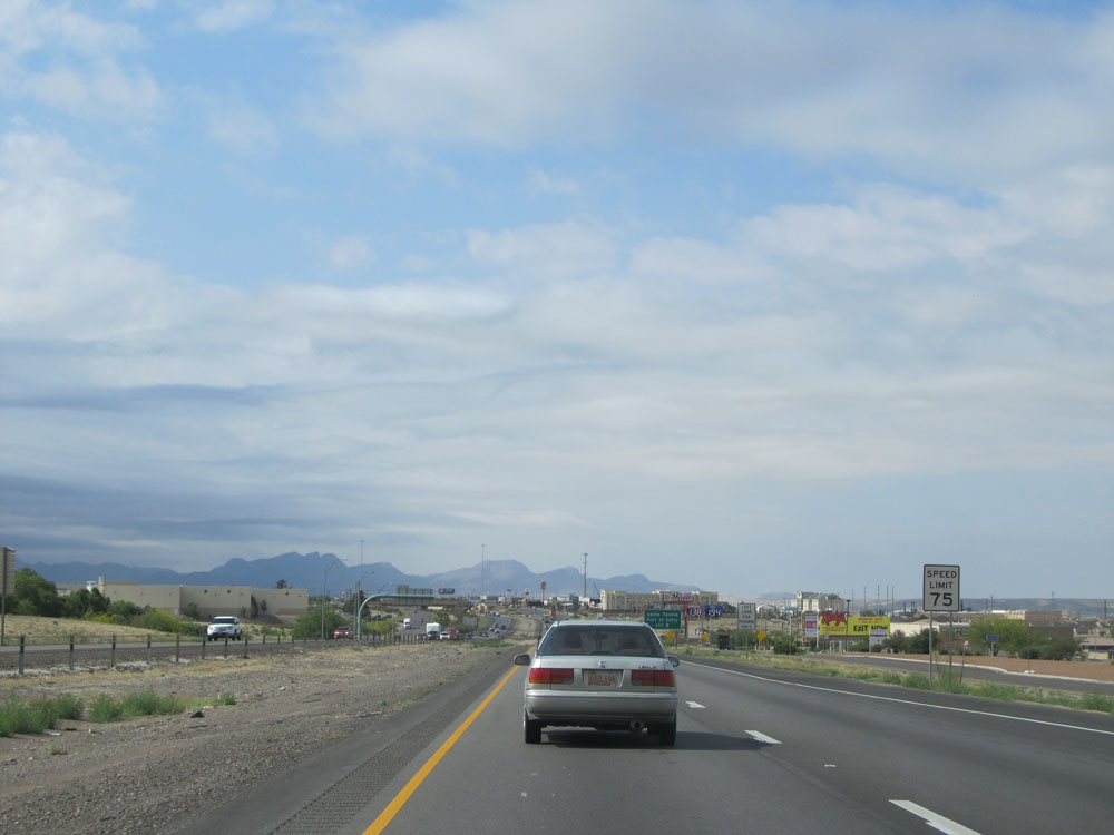
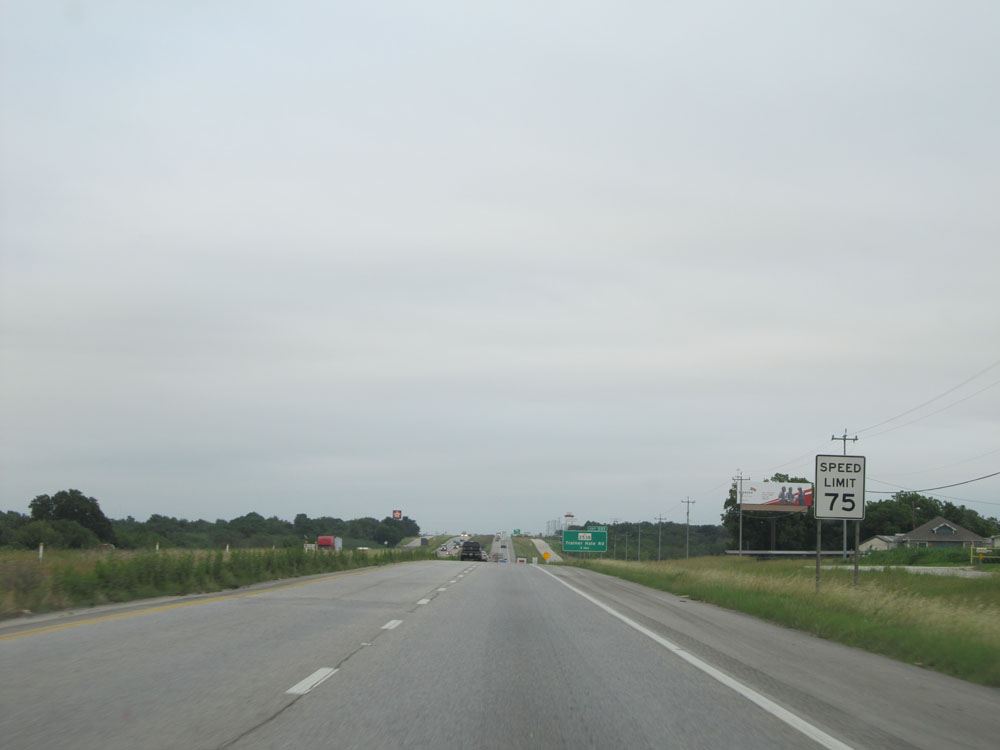
Monument as Interstate 10 East enters Texas from New Mexico. As you can see from the speed limit signs in the distance here, the speed limit starts out at 75 mph, just as it was when you left New Mexico. (Photo taken 5/21/15). |
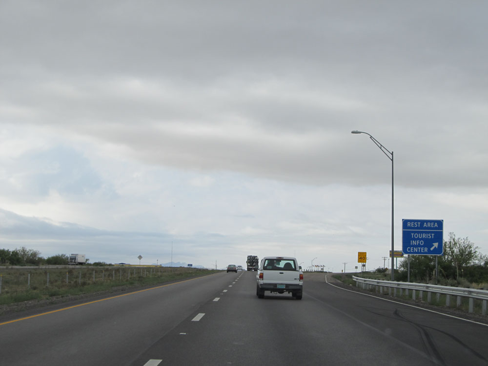 |
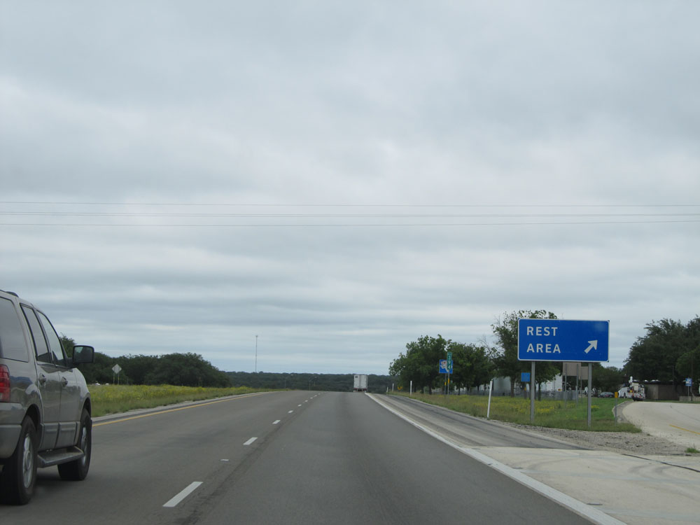
Interstate 10 East at the Rest Area / Tourist Info Center upon entering the Lone Star State. (Photo taken 5/21/15). |
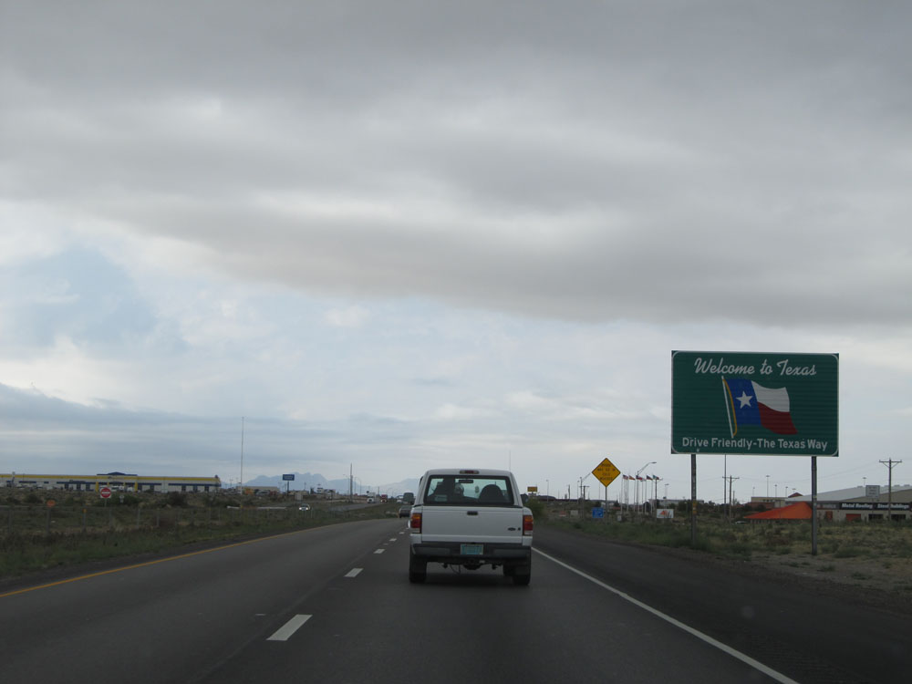 |
Texas welcome sign located near mile marker 1. (Photo taken 5/21/15). |
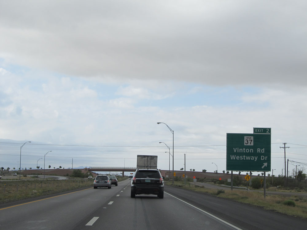 |
Interstate 10 East at Exit 2: TX Spur 37 - Vinton Rd / Westway Dr (Photo taken 5/21/15). |
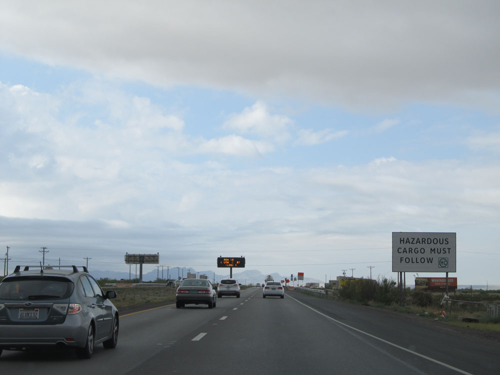 |
Trucks carrying hazardous materials must follow the HC symbol on this sign through the El Paso area. (Photo taken 5/21/15). |
 |
Interstate 10 East shield near mile marker 3. (Photo taken 5/21/15). |
 |
Interstate 10 East as it enters the El Paso city limits. (Photo taken 5/21/15). |
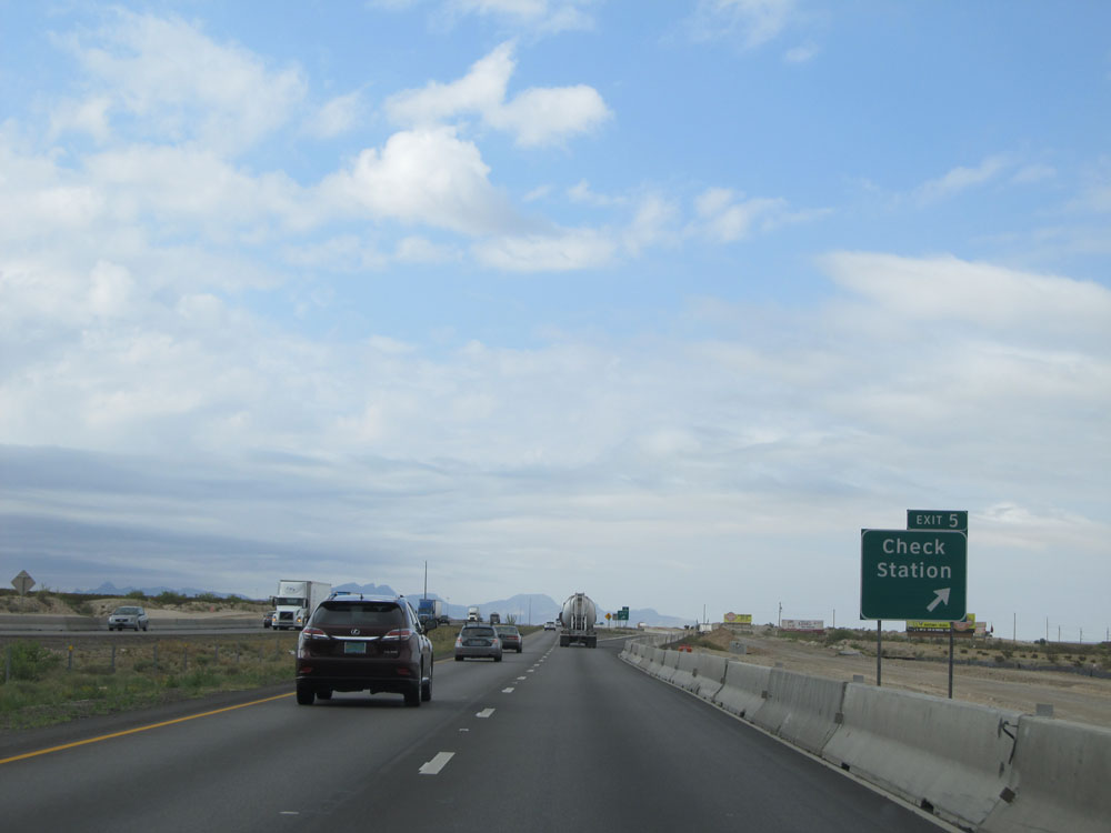 |
Interstate 10 East at Exit 5: Check Station (Photo taken 5/21/15). |
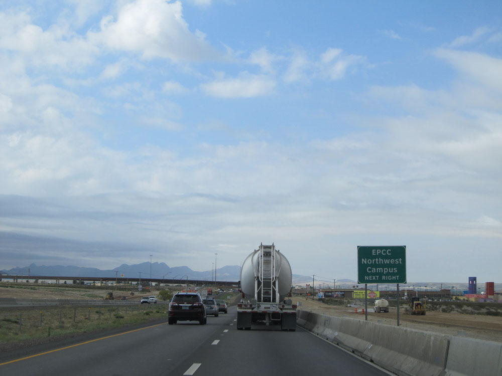 |
Take Exit 6 to EPCC Northwest Campus. (Photo taken 5/21/15). |
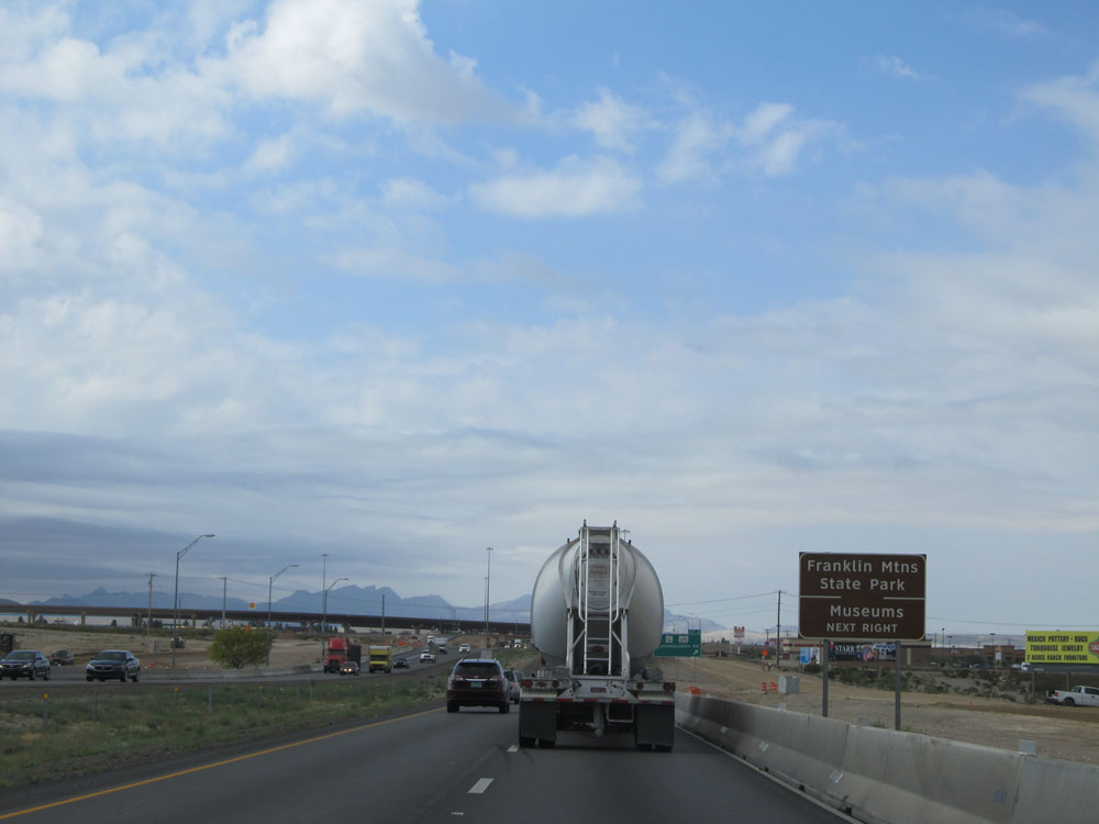 |
Also take Exit 6 to Franklin Mountains State Park and Museums. (Photo taken 5/21/15). |
 |
Interstate 10 East at Exit 6: TX Spur 16 / TX Loop 375 - Transmountain Rd (Photo taken 5/21/15). |
 |
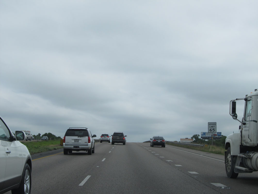
Speed limit sign located near mile marker 6. The speed limit on most rural Interstates in Texas is 75 mph, and it remains that way here for a little bit longer until we get near downtown El Paso. (Photo taken 5/21/15). |
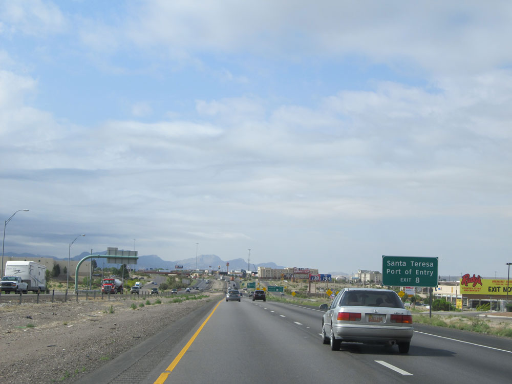 |
Take Exit 8 to Santa Teresa and Port of Entry. (Photo taken 5/21/15). |
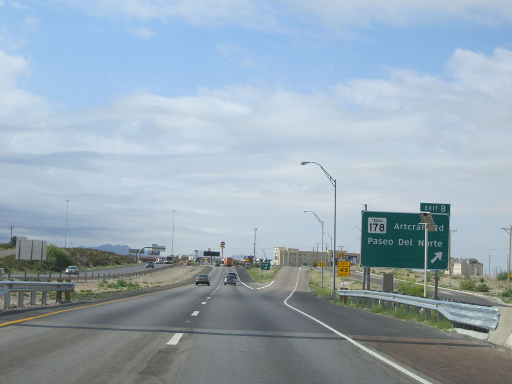 |
Interstate 10 East at Exit 8: TX 178 - Artcraft Rd / Paseo Del Norte (Photo taken 5/21/15). |
 |
Interstate 10 East at Exit 9: Redd Rd (Photo taken 5/21/15). |
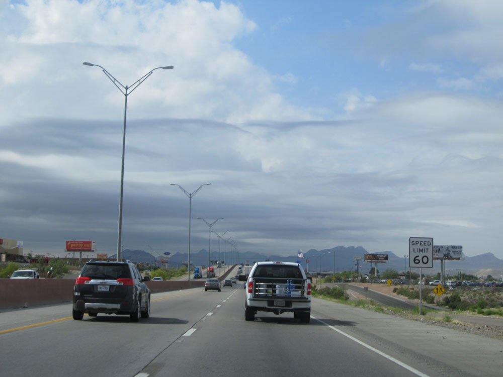 |
A little bit past Exit 9, the speed limit drops to 60 mph as you pass through El Paso. (Photo taken 5/21/15). |
 |
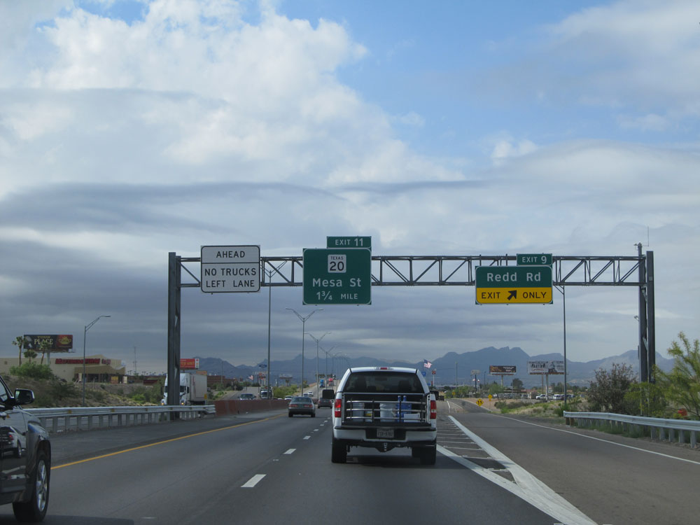
Interstate 10 East at Exit 11: TX 20 - Mesa St (Photo taken 5/21/15). |
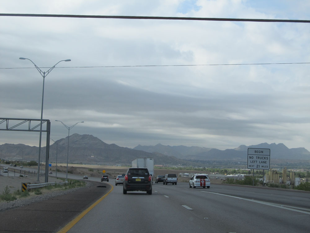 |
Near mile marker 11, this sign marks the beginning of a truck lane restriction for the next 21 miles. Trucks are not allowed in the left lane on Interstate 10 East until near mile marker 32. (Photo taken 5/21/15). |
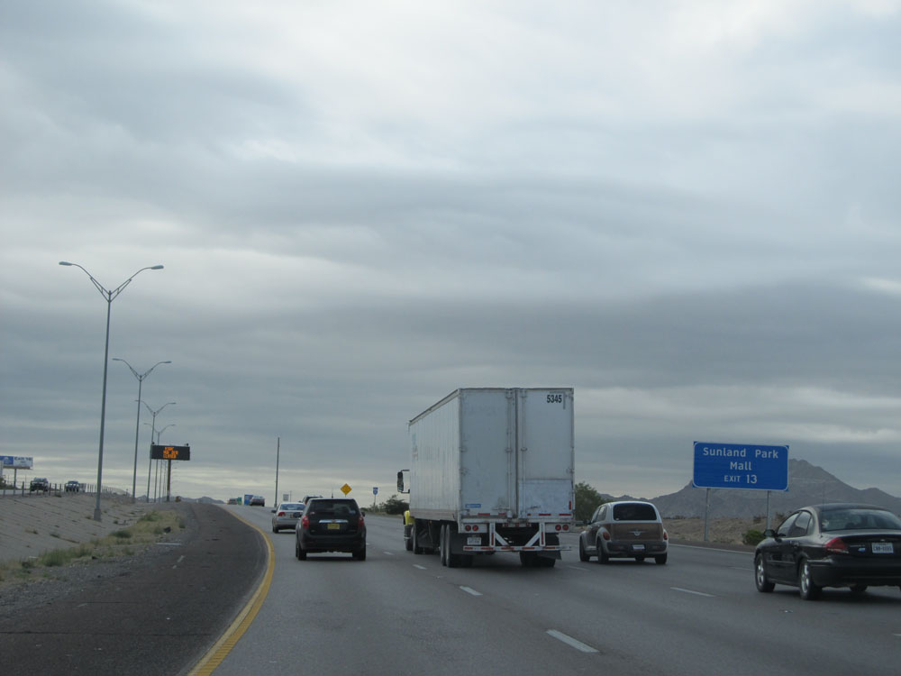 |
Take Exit 13 to Sunland Park Mall. (Photo taken 5/21/15). |
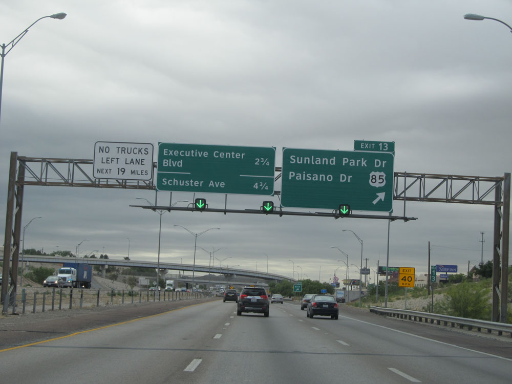 |
Interstate 10 East at Exit 13: US 85 - Sunland Park Dr / Paisano Dr (Photo taken 5/21/15). |
 |
Interstate 10 East approaching a 50 mph curve to the east. (Photo taken 5/21/15). |
 |
Interstate 10 East as it curves to the east to head toward downtown El Paso. (Photo taken 5/21/15). |
 |
Interstate 10 East assurance shield. (Photo taken 5/21/15). |
 |
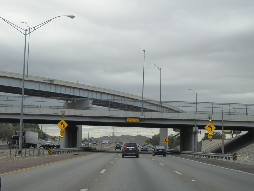
Interstate 10 East at Exit 16: Executive Center Blvd (Photo taken 5/21/15). |
 |
Interstate 10 East: Road view from mile marker 17. (Photo taken 5/21/15). |
 |
Take Exit 19 for Gateway to Juarez, Mexico. (Photo taken 5/21/15). |
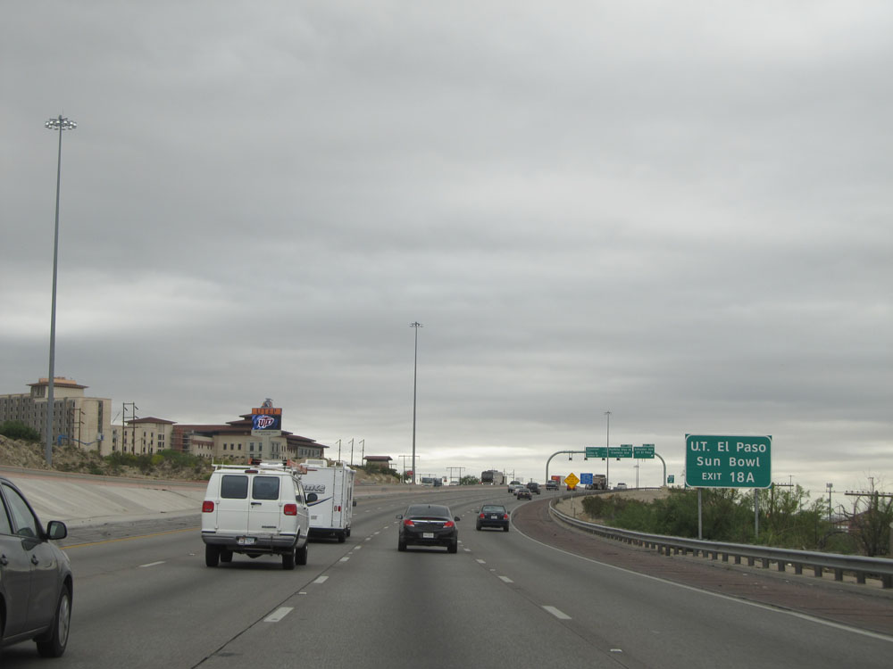 |
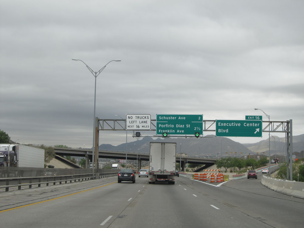
Take Exit 18A to the University of Texas at El Paso and the Sun Bowl. (Photo taken 5/21/15). |
 |
Interstate 10 East at Exit 18A: Schuster Ave / UT El Paso (Photo taken 5/21/15). |
 |
Interstate 10 East at Exit 18B: Porfirio Diaz St / Franklin Ave (Photo taken 5/21/15). |
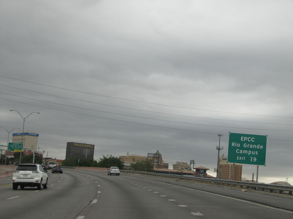 |
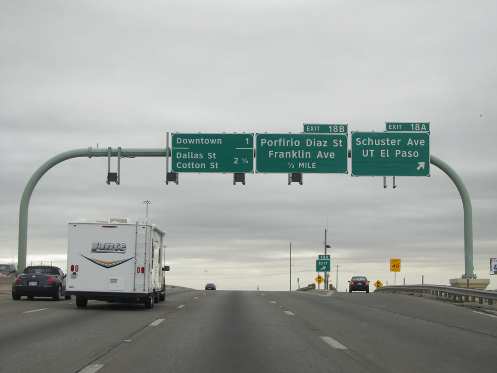
Take Exit 19 to EPCC Rio Grande Campus. (Photo taken 5/21/15). |
|
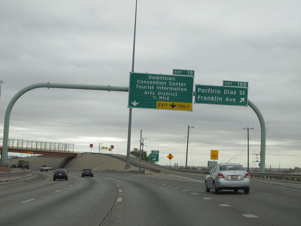
Interstate 10 East at Exit 19: Downtown / Convention Center / Tourist Information / Arts District (Photo taken 5/21/15). |
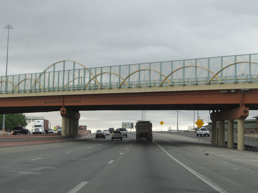 |
Interstate 10 East as it passes under Missouri Avenue in El Paso. (Photo taken 5/21/15). |
 |
Interstate 10 East at Exit 20: Dallas St / Cotton St (Photo taken 5/21/15). |
 |
Interstate 10 East assurance shield. (Photo taken 5/21/15). |
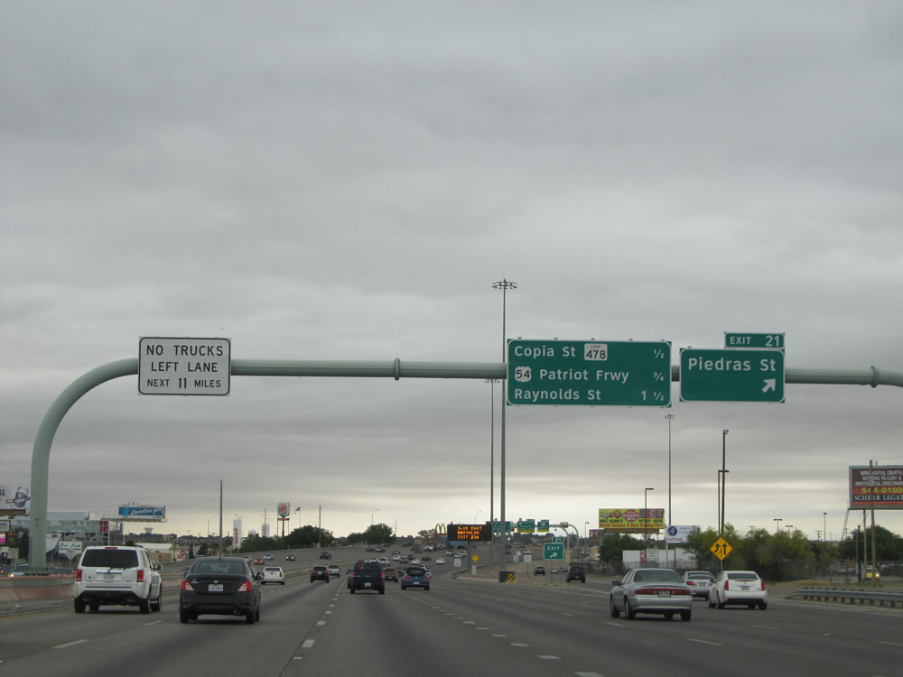 |
Interstate 10 East at Exit 21: Piedras St (Photo taken 5/21/15). |
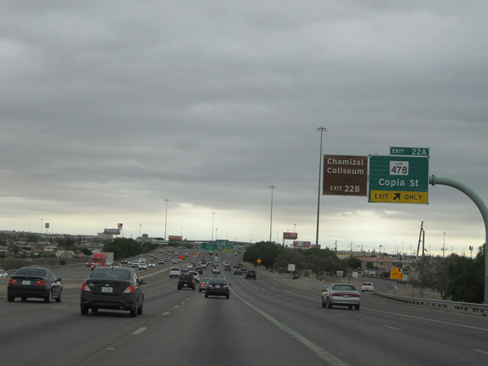 |
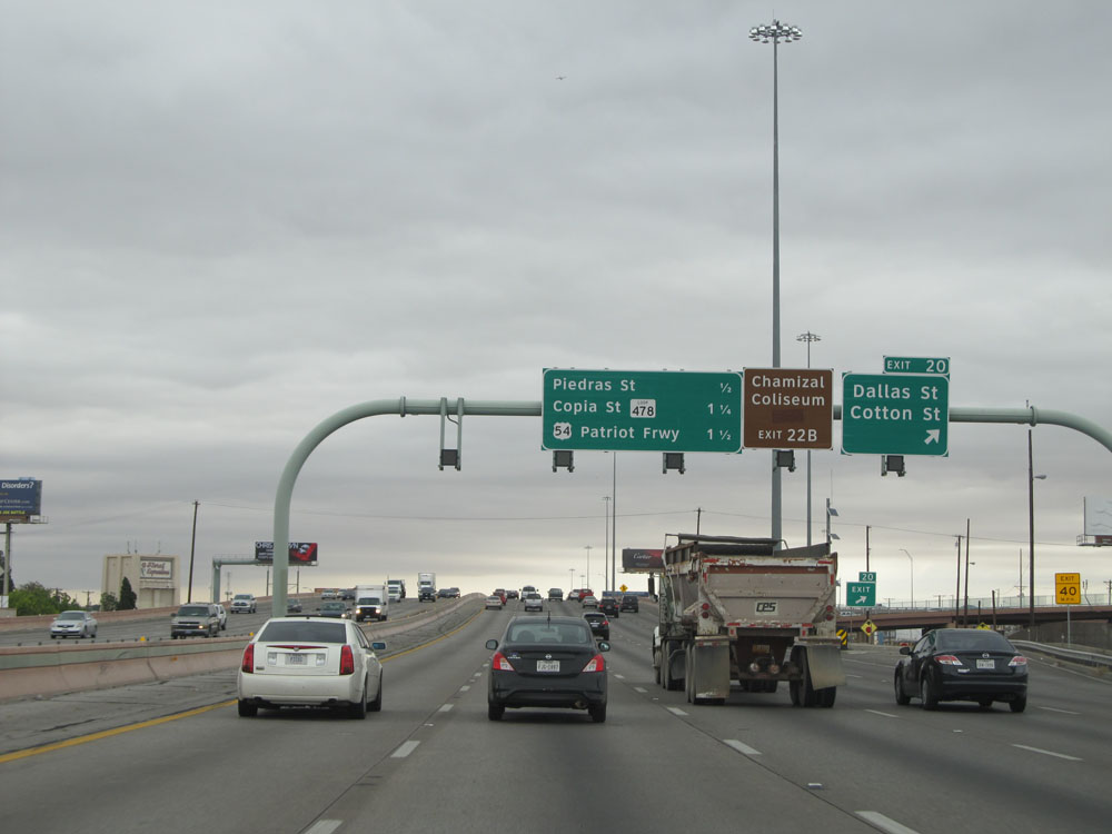
Interstate 10 East at Exit 22A: TX Loop 478 - Copia St (Photo taken 5/21/15). |
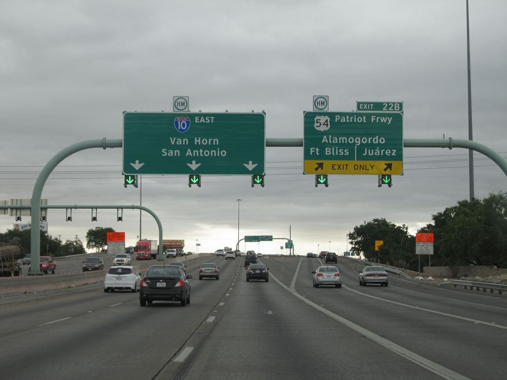 |
Interstate 10 East at Exit 22B: US 54 (Patriot Frwy) - Alamogordo / Fort Bliss / Juarez (Photo taken 5/21/15). |
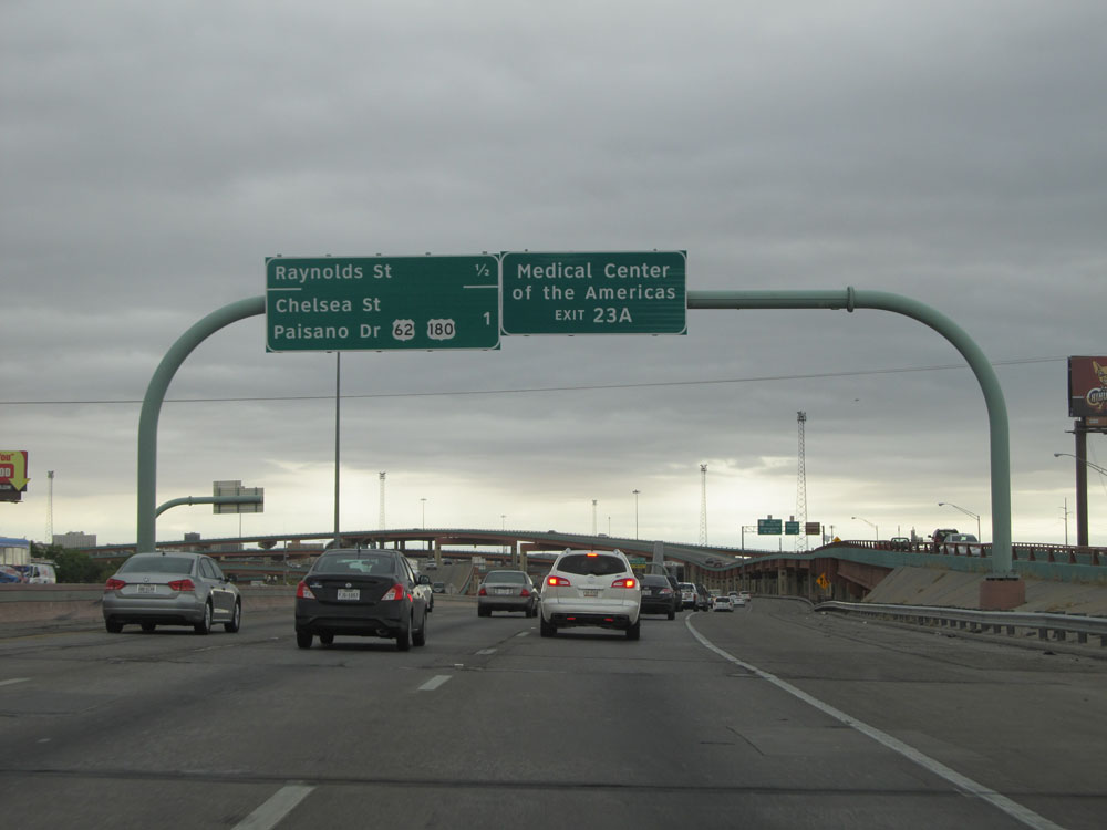 |
Take Exit 23A to Medical Center of the Americas. (Photo taken 5/21/15). |
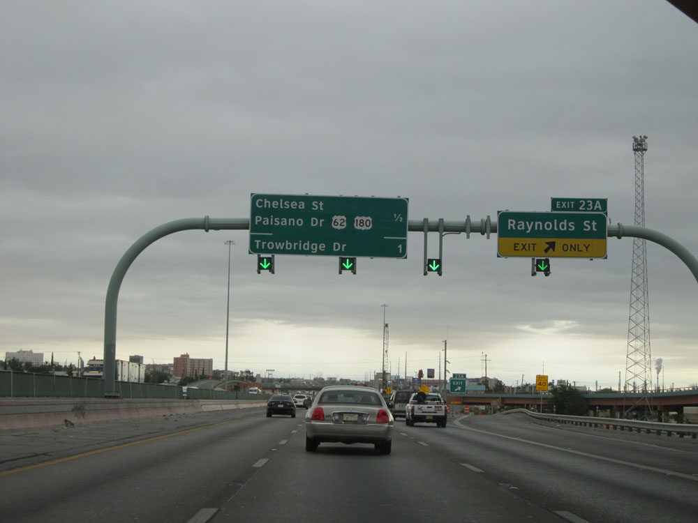 |
Interstate 10 East at Exit 23A: Raynolds St (Photo taken 5/21/15). |
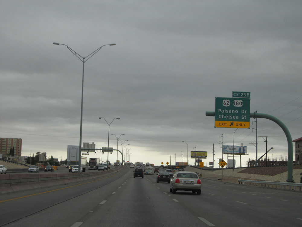 |
Interstate 10 East at Exit 23B: US 62 / US 180 - Paisano Dr / Chelsea St (Photo taken 5/21/15). |
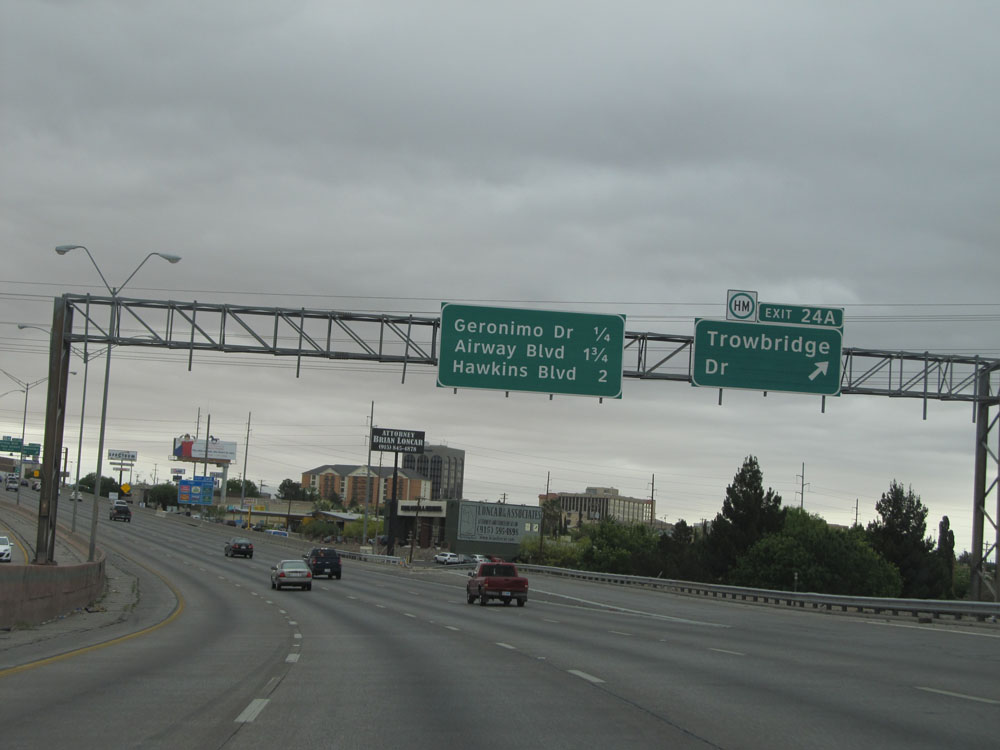 |
Interstate 10 East at Exit 24A: Trowbridge Dr (Photo taken 5/21/15). |
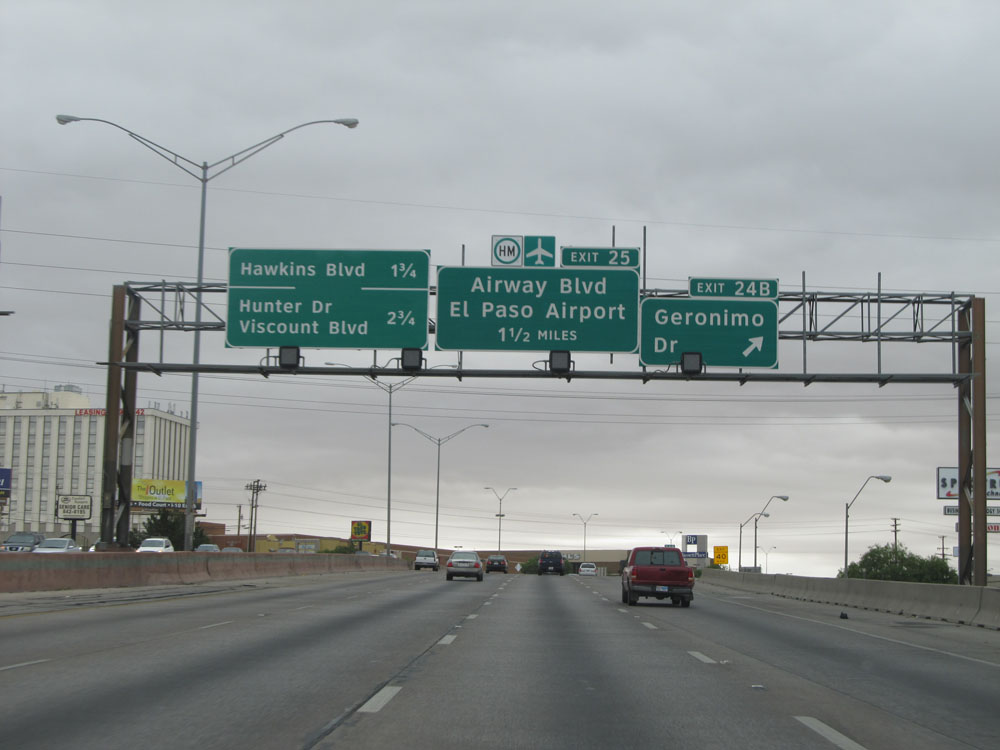 |
Interstate 10 East at Exit 24B: Geronimo Dr (Photo taken 5/21/15). |
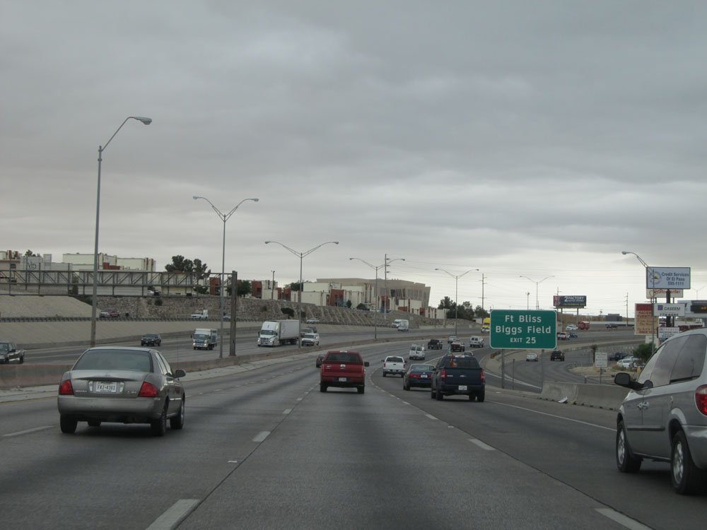 |
Take Exit 25 to Fort Bliss and Biggs Field. (Photo taken 5/21/15). |
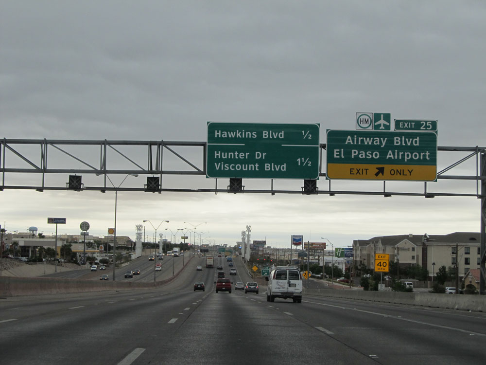 |
Interstate 10 East at Exit 25: Airway Blvd / El Paso Airport (Photo taken 5/21/15). |
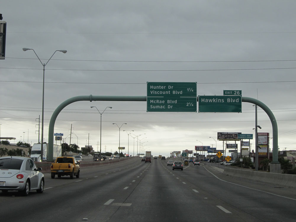 |
Interstate 10 East at Exit 26: Hawkins Blvd (Photo taken 5/21/15). |
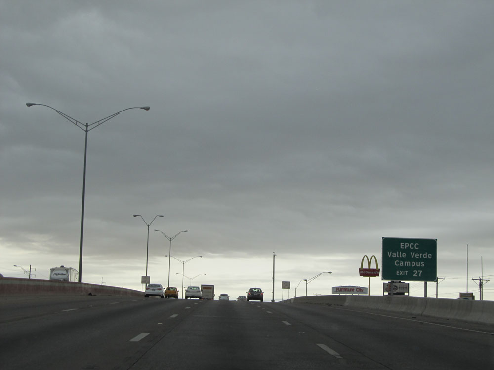 |
Take Exit 27 to EPCC Valle Verde Campus. (Photo taken 5/21/15). |
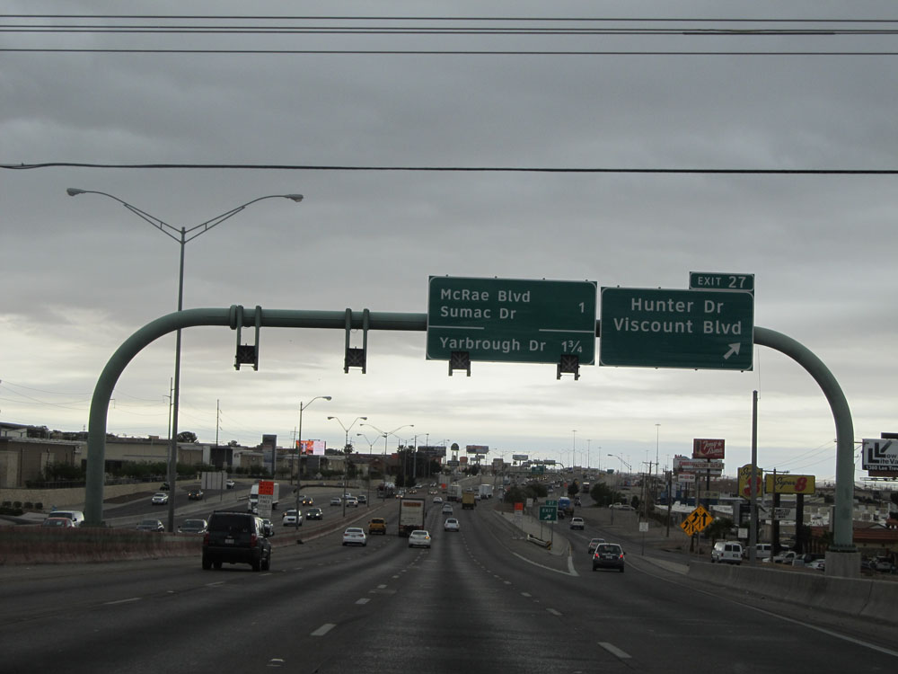 |
Interstate 10 East at Exit 27: Hunter Dr / Viscount Blvd (Photo taken 5/21/15). |
 |
Interstate 10 East approaching Exit 28A - 1/2 mile. (Photo taken 5/21/15). |
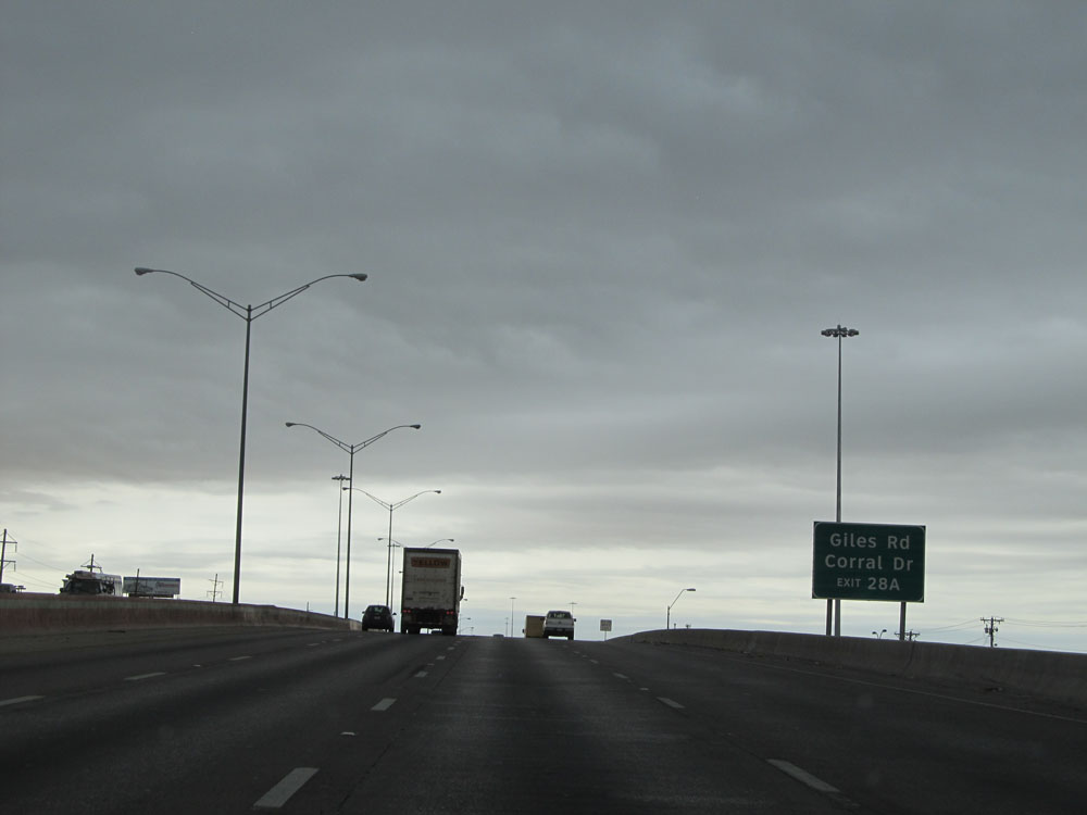 |
Take Exit 28A to Giles Rd and Corral Dr. (Photo taken 5/21/15). |
 |
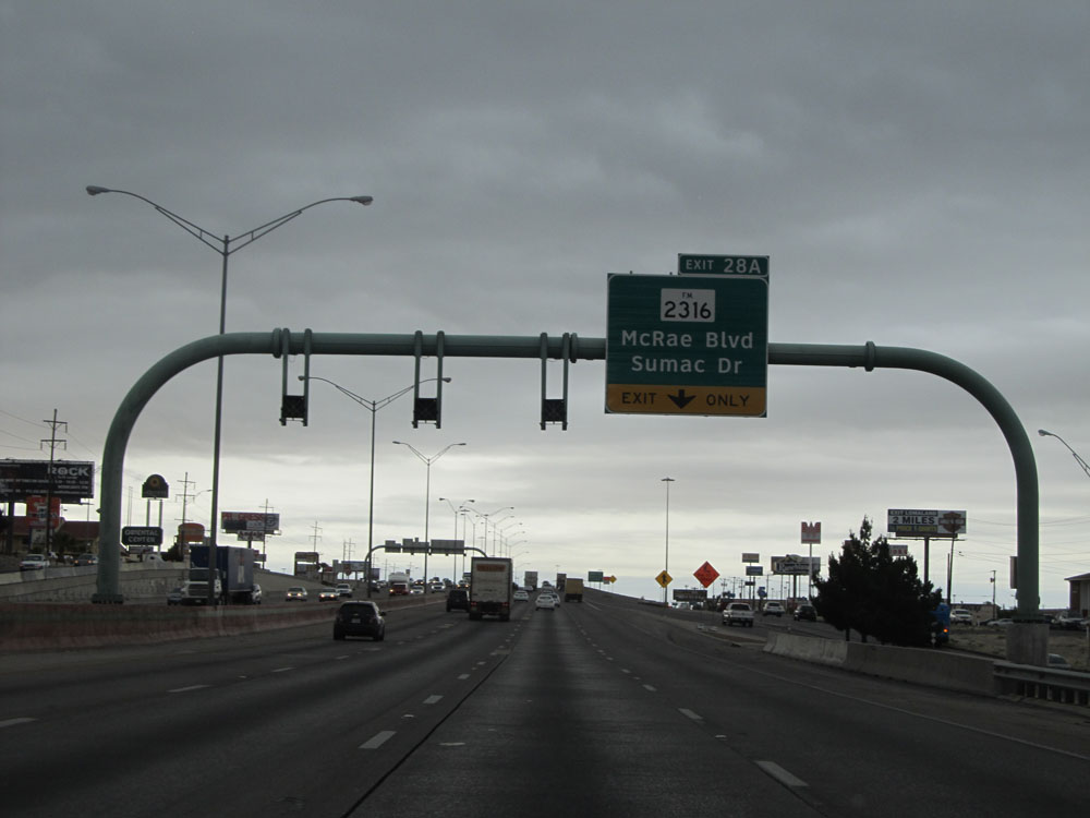
Interstate 10 East at Exit 28A: FM 2316 - McRae Blvd / Sumac Dr (Photo taken 5/21/15). |
 |
Interstate 10 East at Exit 28B: Yarbrough Dr / Sumac Dr (Photo taken 5/21/15). |
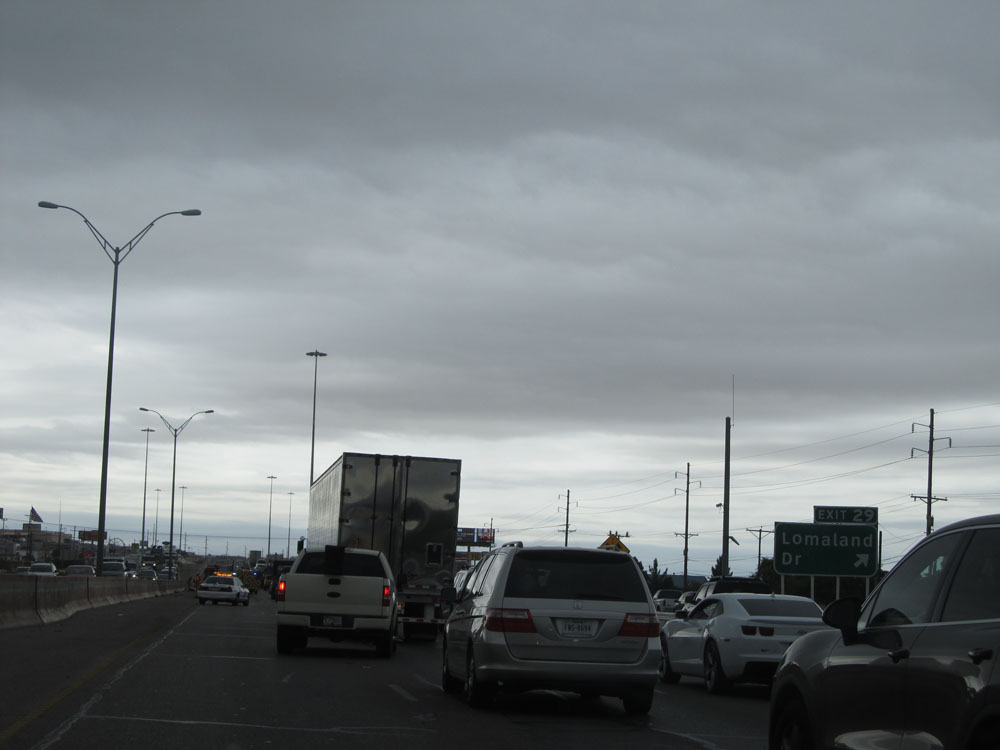 |
Interstate 10 East at Exit 29: Lomaland Dr (Photo taken 5/21/15). |
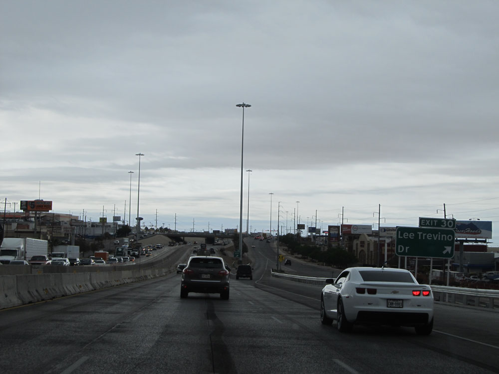 |
Interstate 10 East at Exit 30: Lee Trevino Dr (Photo taken 5/21/15). |
Section 2: El Paso (Exit 30) to Sierra Blanca (Exit 107)
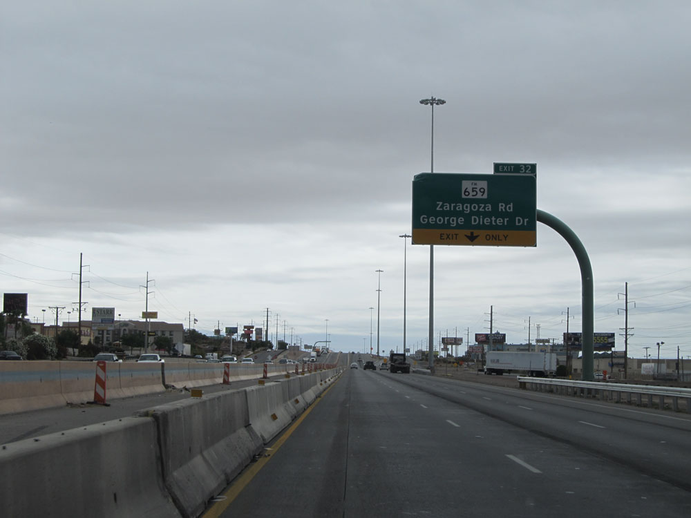 |
Interstate 10 East at Exit 32: FM 659 - Zaragoza Rd / George Dieter Dr (Photo taken 5/21/15). |
 |
Interstate 10 East at mile marker 32. The truck lane restrictions come to an end at this point. (Photo taken 5/21/15). |
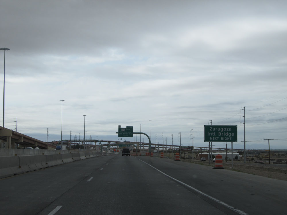 |
Take Exit 32A to Zaragoza International Bridge. (Photo taken 5/21/15). |
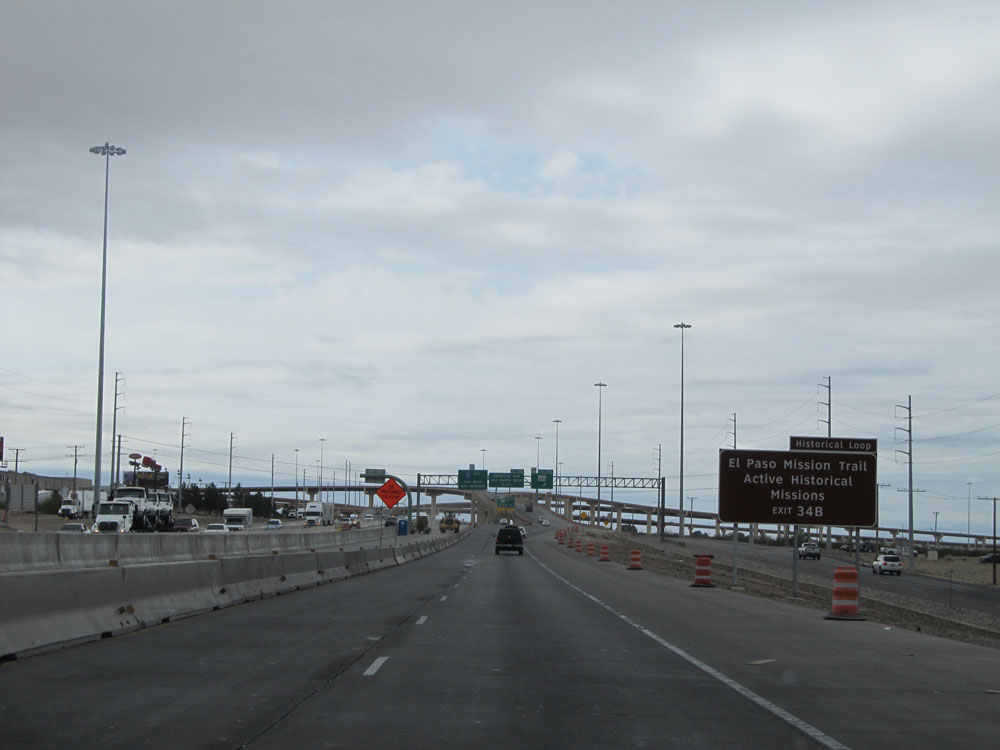 |
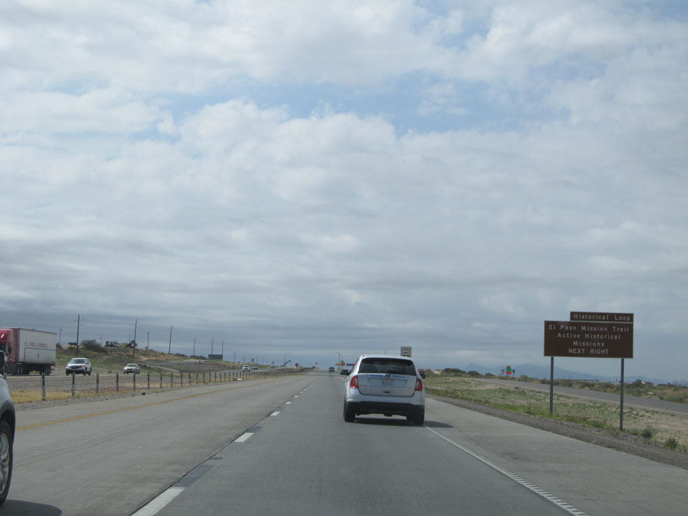
Take Exit 34B to El Paso Mission Trail / Active Historical Missions. (Photo taken 5/21/15). |
 |
Interstate 10 East at Exit 34A: TX Loop 375 (Photo taken 5/21/15). |
 |
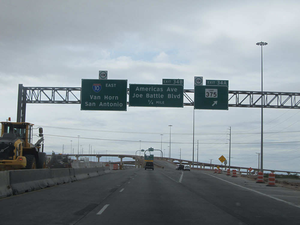
Interstate 10 East at Exit 34B: TX Loop 375 South - Americas Ave / Joe Battle Blvd (Photo taken 5/21/15). |
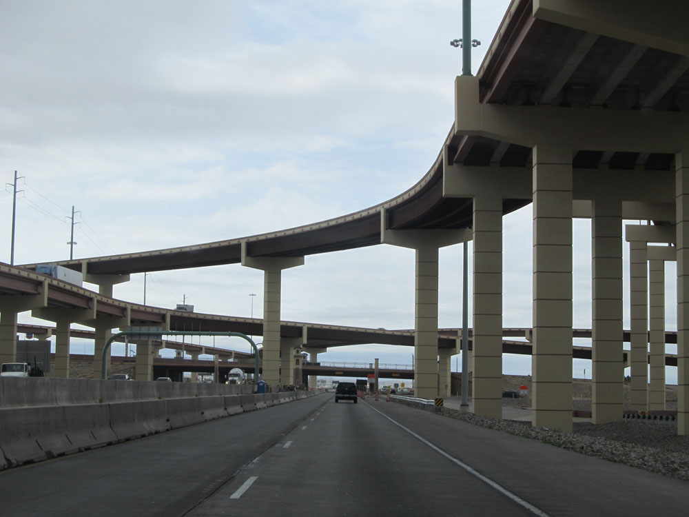 |
Interstate 10 East as it passes under the ramps to and from TX Loop 375. (Photo taken 5/21/15). |
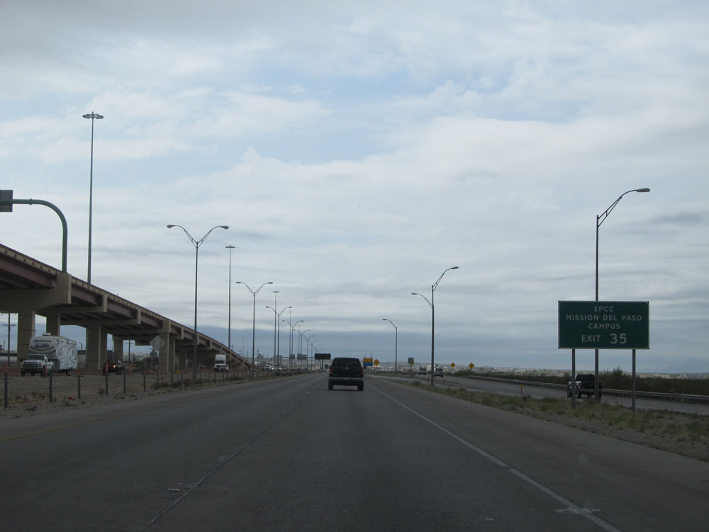 |
Take Exit 35 to EPCC Mission Del Paso Campus. (Photo taken 5/21/15). |
 |
Interstate 10 East assurance shield. (Photo taken 5/21/15). |
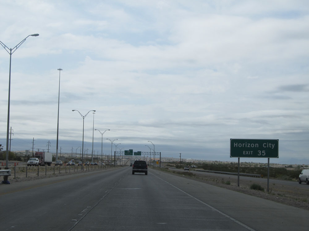 |
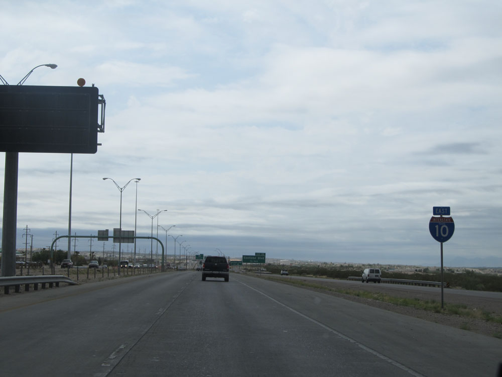
Take Exit 35 to Horizon City. (Photo taken 5/21/15). |
 |
Interstate 10 East at Exit 35: Eastlake Blvd (Photo taken 5/21/15). |
 |
Having now left the El Paso city limits, the standard speed limit of 75 mph resumes just past exit 35. (Photo taken 5/21/15). |
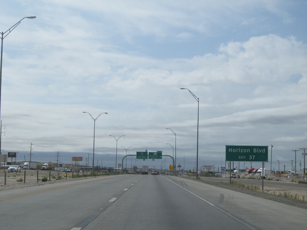 |
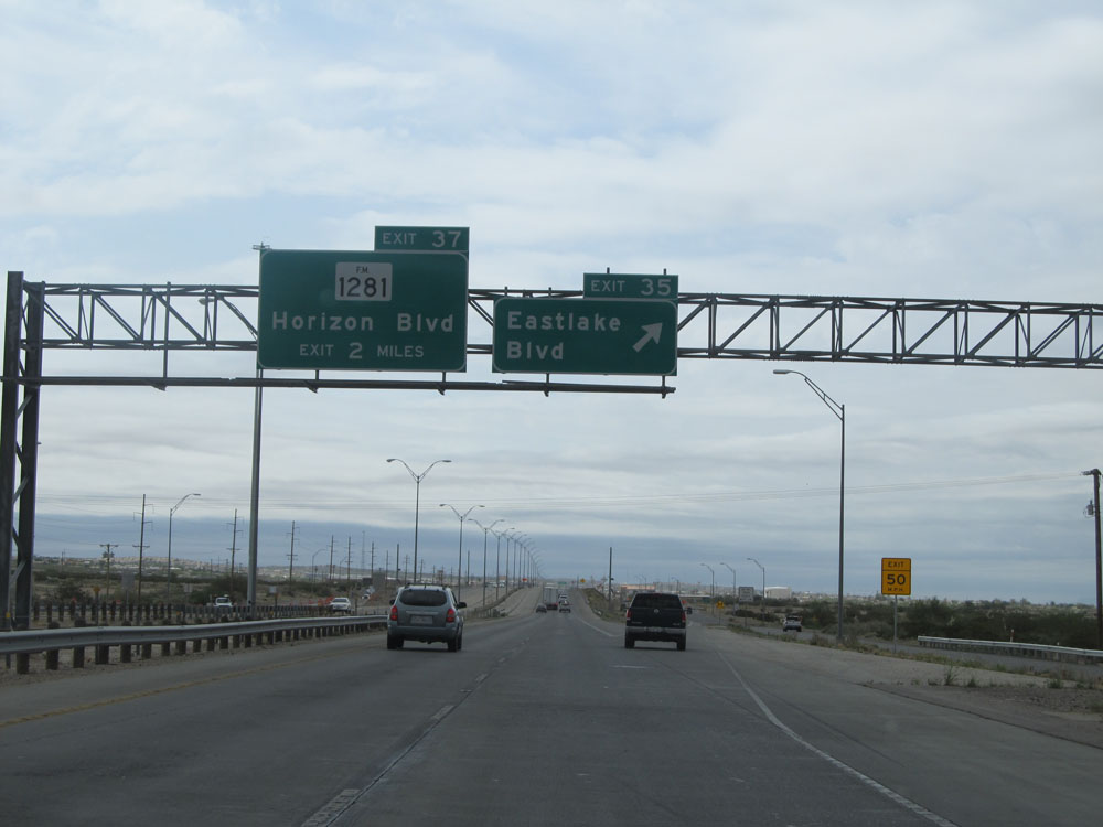
Take Exit 37 to Horizon Blvd. (Photo taken 5/21/15). |
 |
Interstate 10 East at Exit 37: FM 1281 - Horizon City / Socorro (Photo taken 5/21/15). |
 |
Interstate 10 East: Road view from mile marker 39. (Photo taken 5/21/15). |
 |
Take Exit 42 to San Elizario. (Photo taken 5/21/15). |
 |
Use Exit 42 to El Paso Mission Trail / Active Historical Missions. (Photo taken 5/21/15). |
 |
Also take Exit 42 to the landfill. (Photo taken 5/21/15). |
 |
Interstate 10 East at Exit 42: FM 1110 - Clint (Photo taken 5/21/15). |
 |
Speed limit sign just past Exit 42. The speed limit is still 75 mph at the moment, but we'll be upping that pretty shortly..... (Photo taken 5/21/15). |
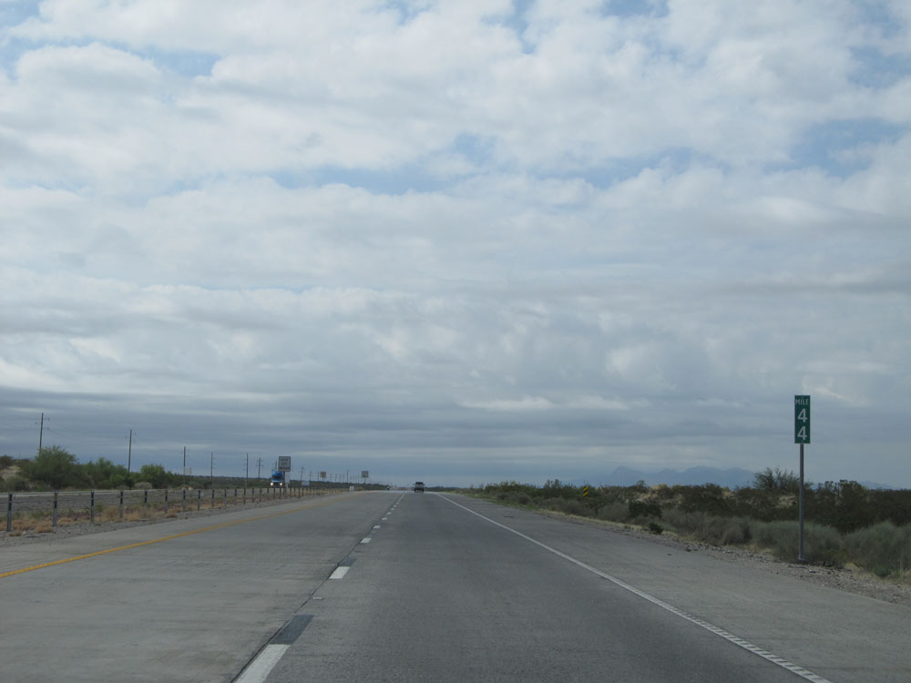 |
Interstate 10 East at mile marker 44. (Photo taken 5/21/15). |
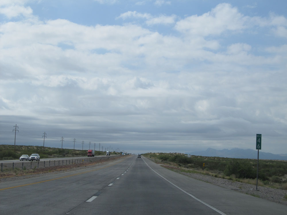 |
Interstate 10 East: Road view from mile marker 46. (Photo taken 5/21/15). |
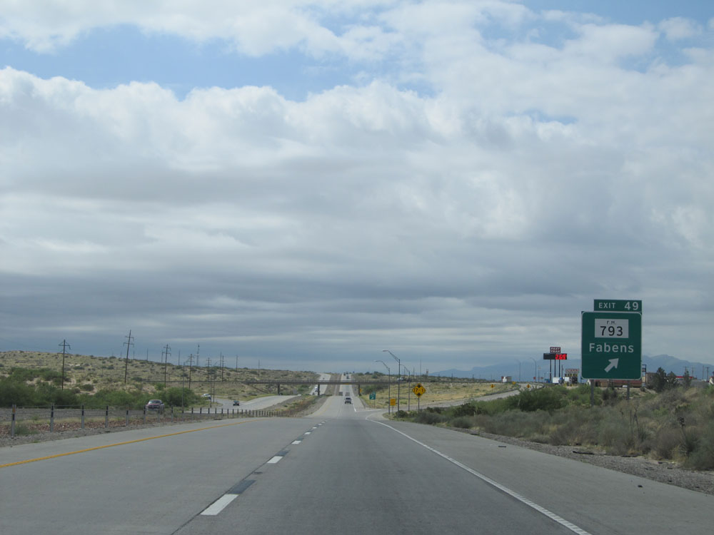 |
Interstate 10 East at Exit 49: FM 793 - Fabens (Photo taken 5/21/15). |
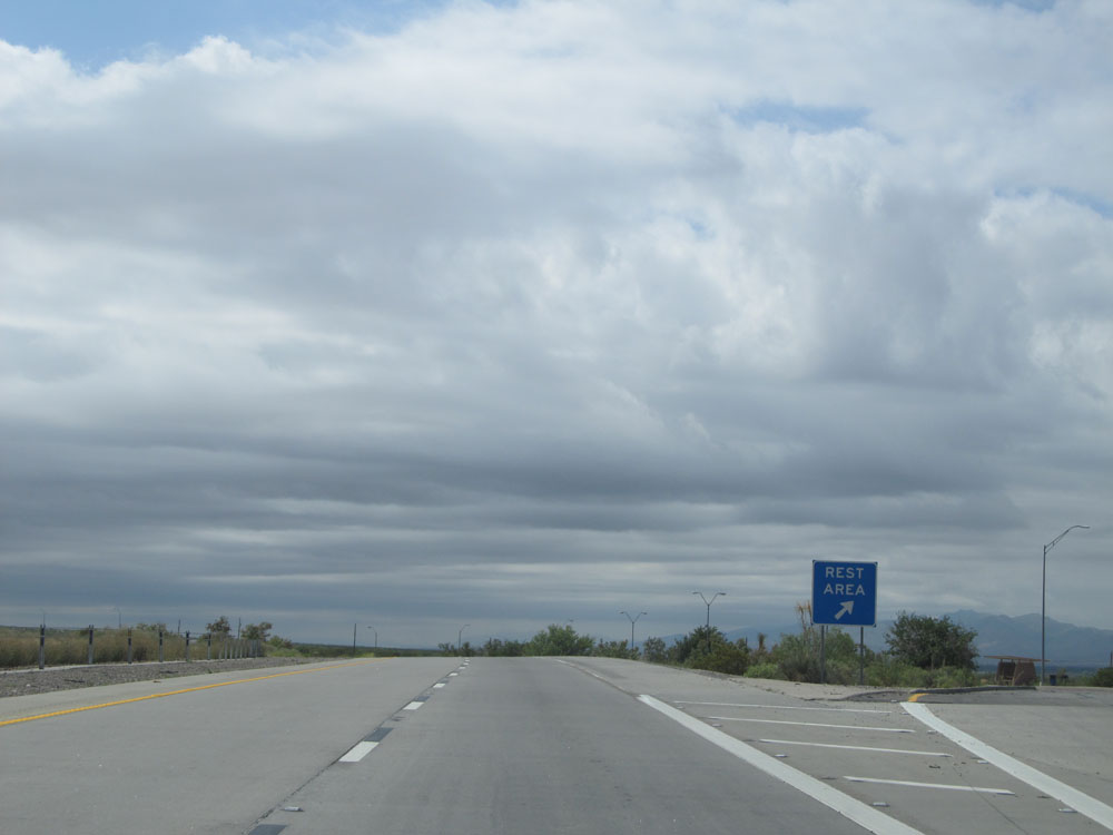 |
Interstate 10 East at the Rest Area located near mile marker 50. (Photo taken 5/21/15). |
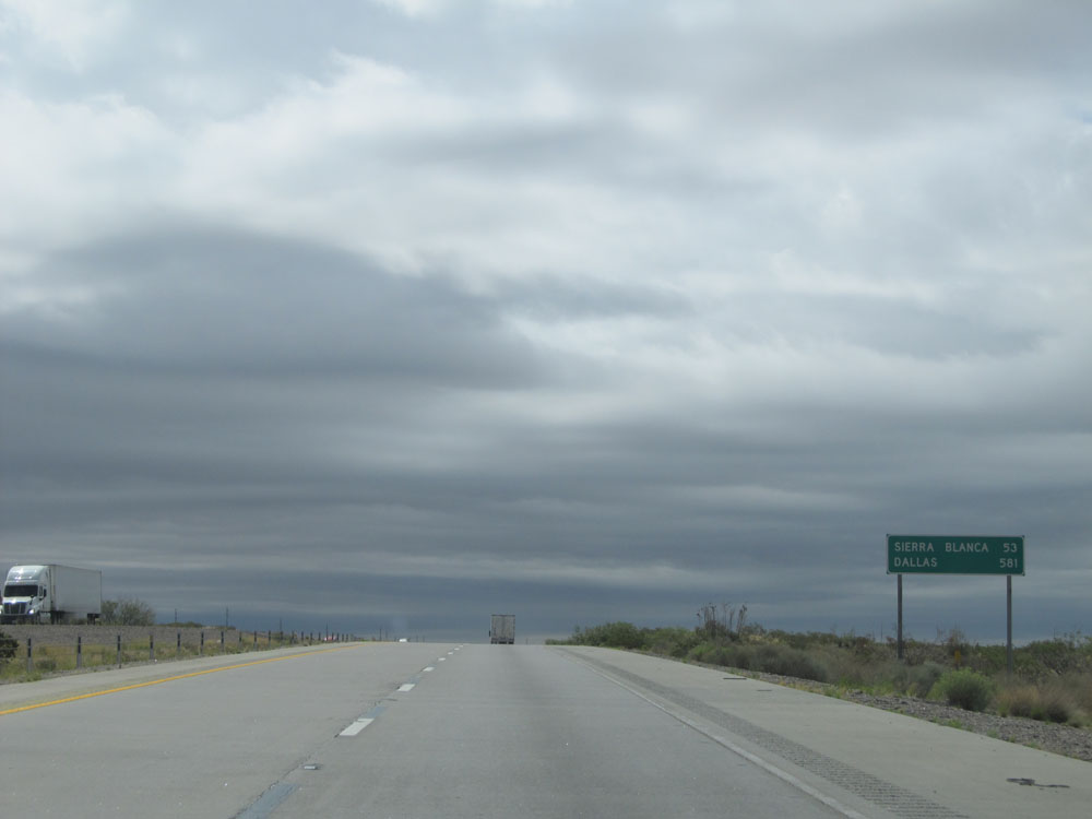 |
Mileage sign on Interstate 10 East. It's 53 miles to Sierra Blanca and 581 miles to Dallas. (Photo taken 5/21/15). |
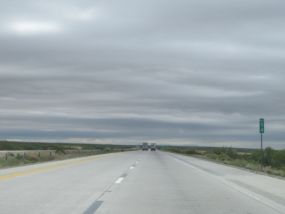 |
Interstate 10 East: Road view from mile marker 54. (Photo taken 5/21/15). |
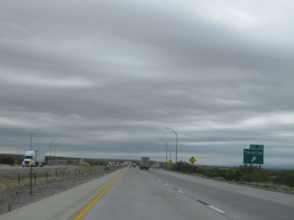 |
Interstate 10 East at Exit 55: Tornillo (Photo taken 5/21/15). |
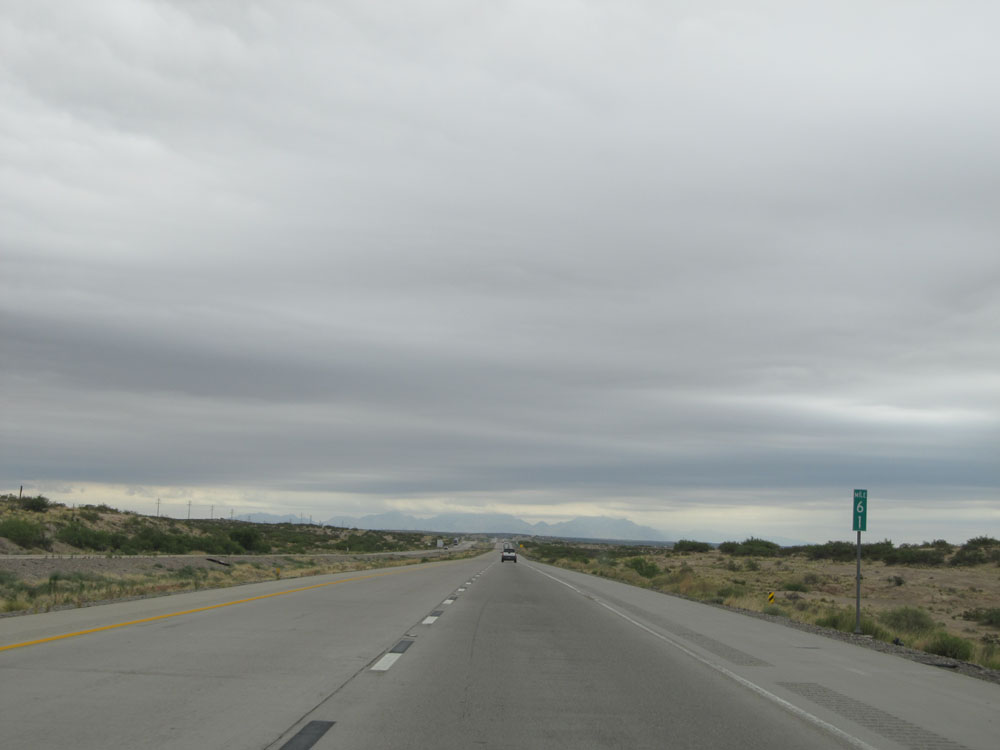 |
Interstate 10 East at mile marker 61. (Photo taken 5/21/15). |
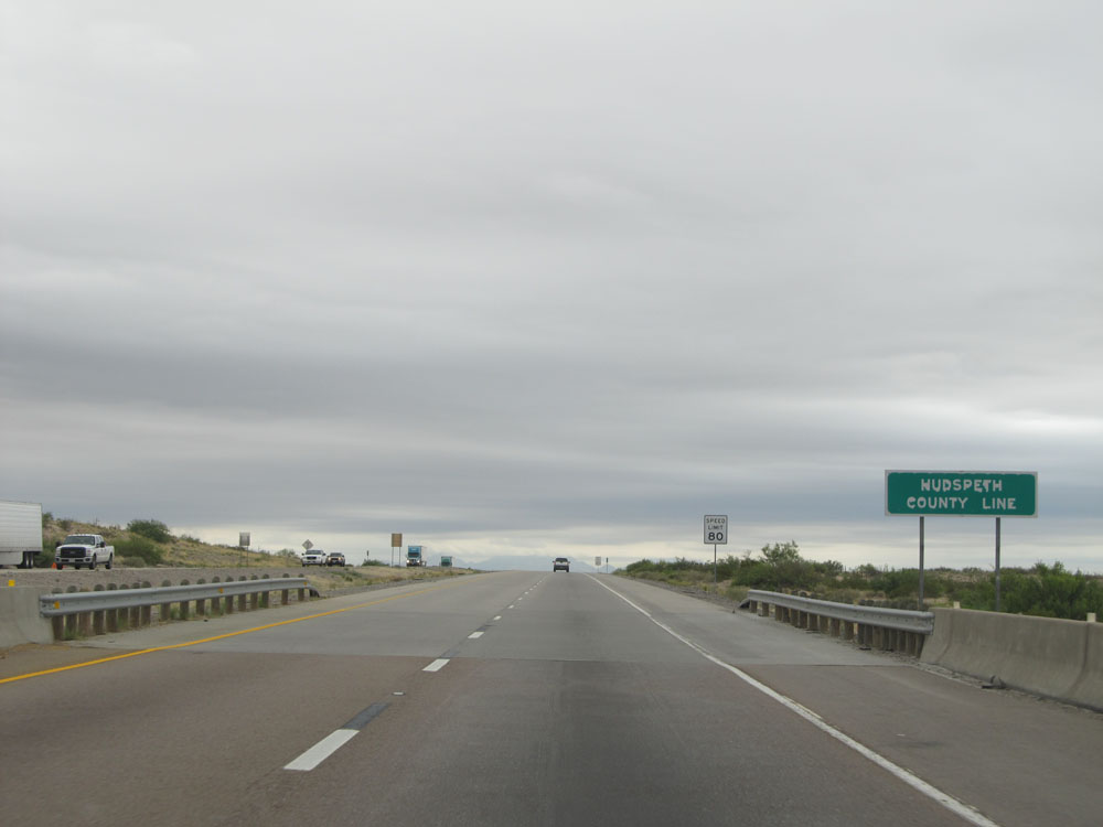 |
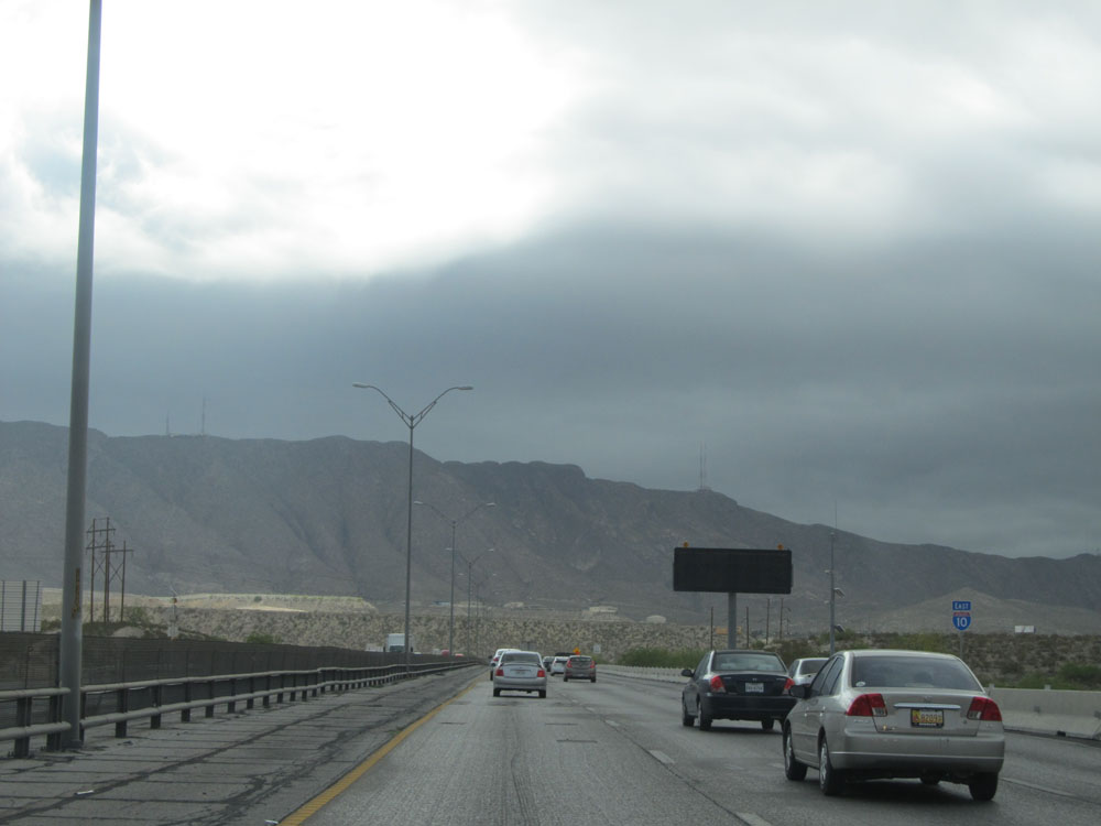
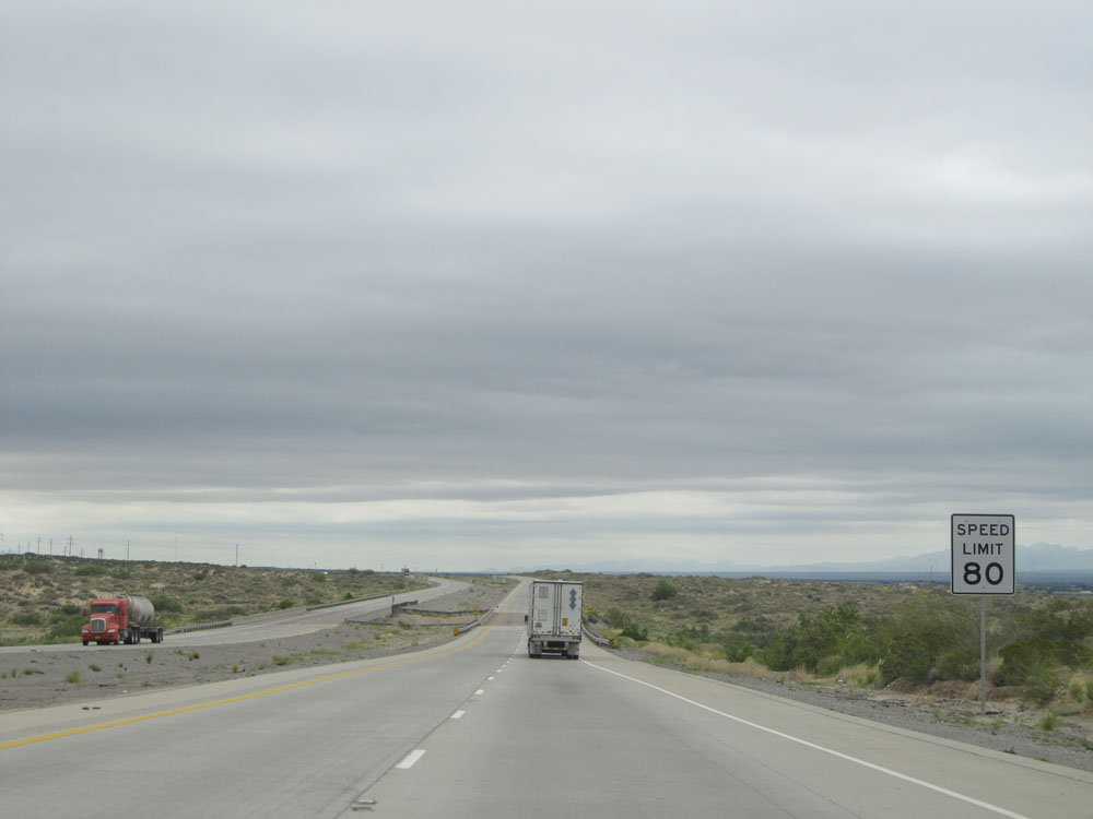
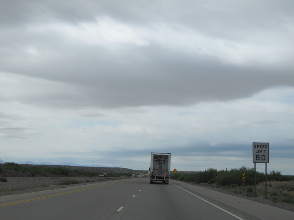
Interstate 10 East entering Hudspeth County. As you can see from the speed limit sign ahead, the speed limit now increases to 80 mph. Hammer down! (Photo taken 5/21/15). |
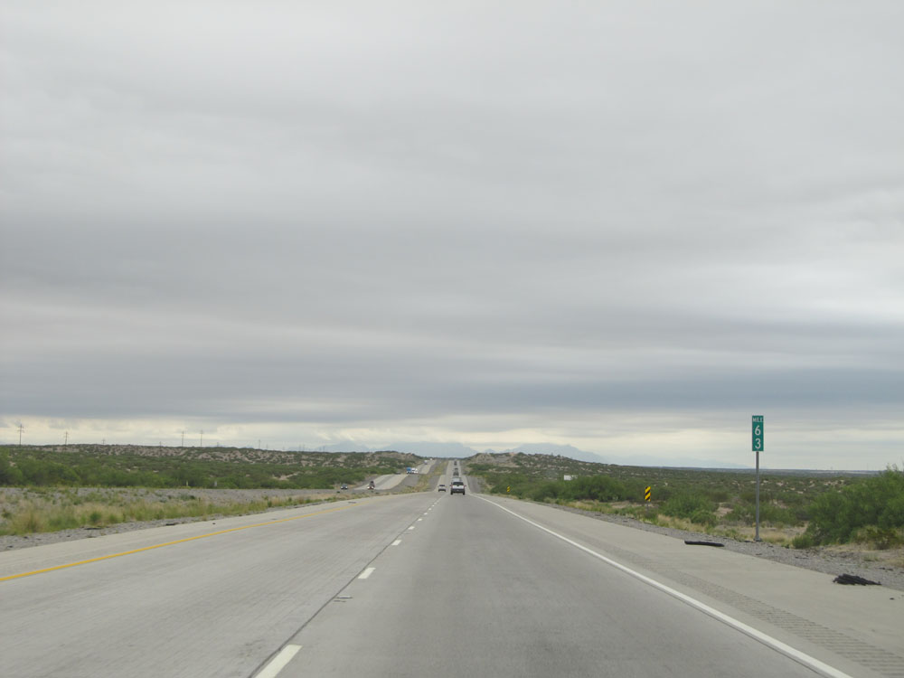 |
Interstate 10 East: Road view from mile marker 63. (Photo taken 5/21/15). |
 |
Interstate 10 East at mile marker 66. (Photo taken 5/21/15). |
 |
Interstate 10 East at Exit 68: Acala Rd (Photo taken 5/21/15). |
 |
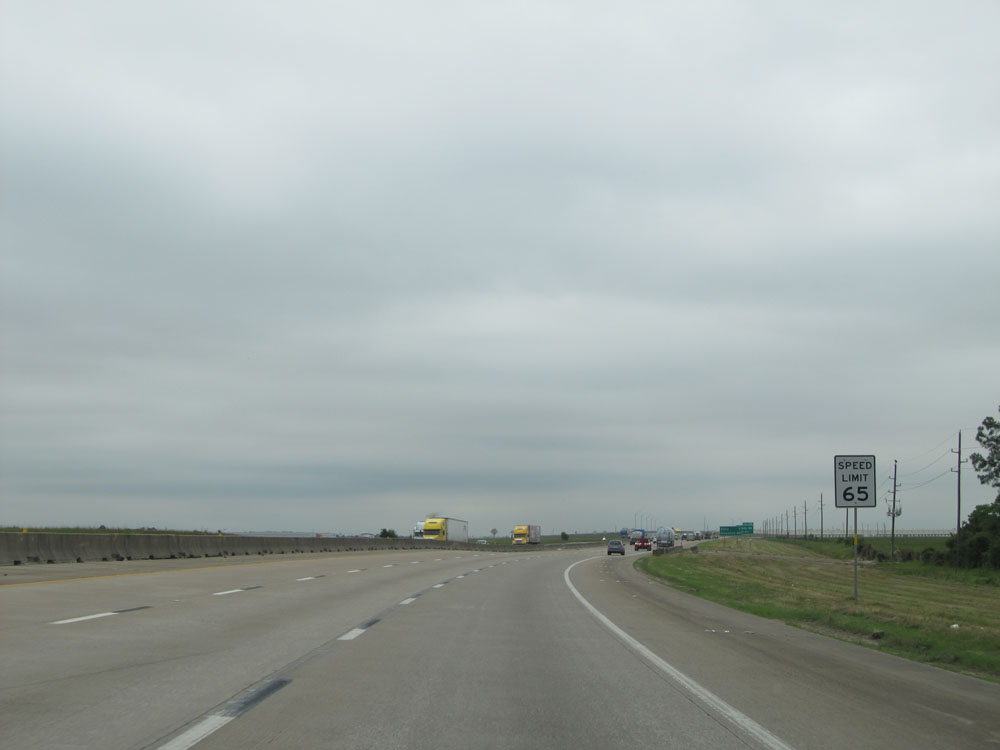
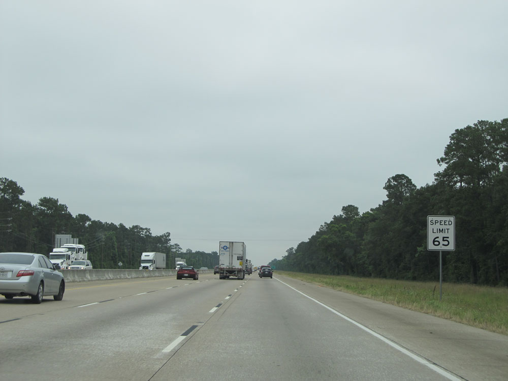
Speed limit sign near mile marker 68. The speed limit remains 80 mph on Interstate 10 East from here to Gillespie County, near mile marker 496. (Photo taken 5/21/15). |
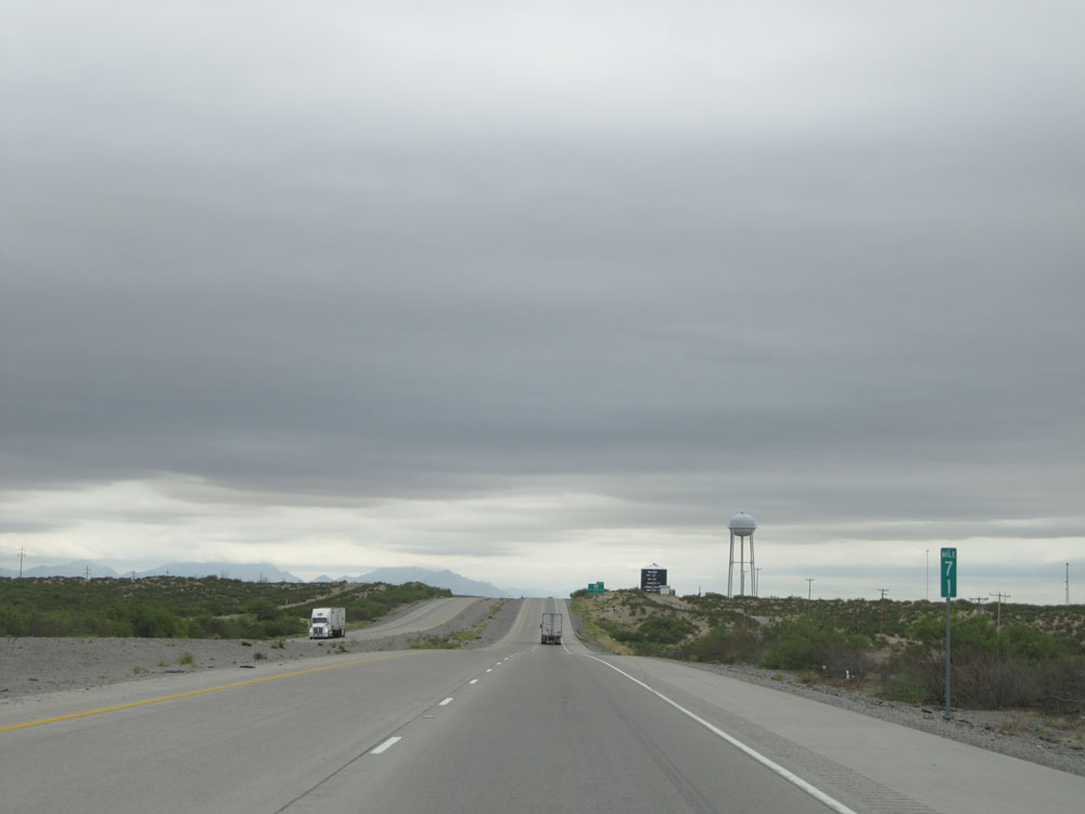 |
Interstate 10 East: Road view from mile marker 71. (Photo taken 5/21/15). |
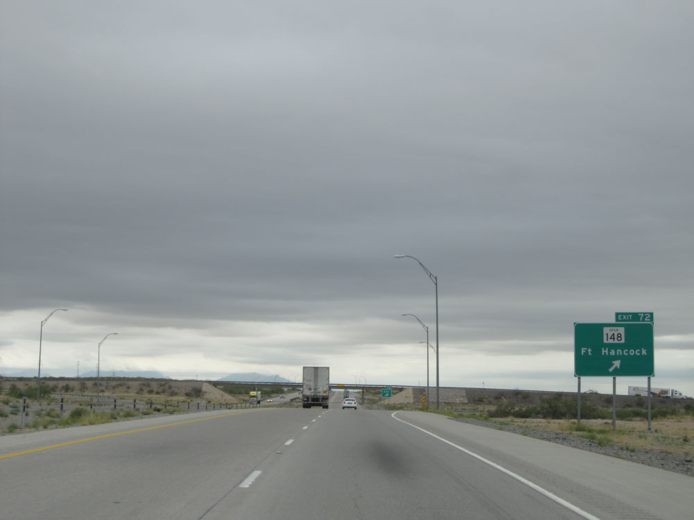 |
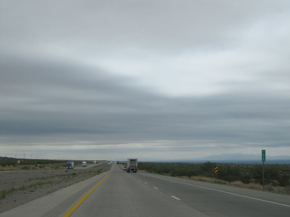
Interstate 10 East at Exit 72: TX Spur 148 - Ft Hancock (Photo taken 5/21/15). |
 |
Interstate 10 East assurance shield at mile marker 73. (Photo taken 5/21/15). |
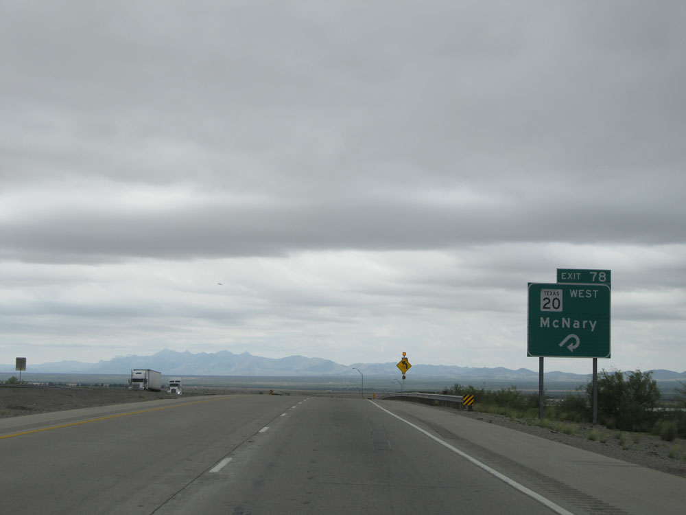 |
Interstate 10 East at Exit 78: TX 20 West - McNary (Photo taken 5/21/15). |
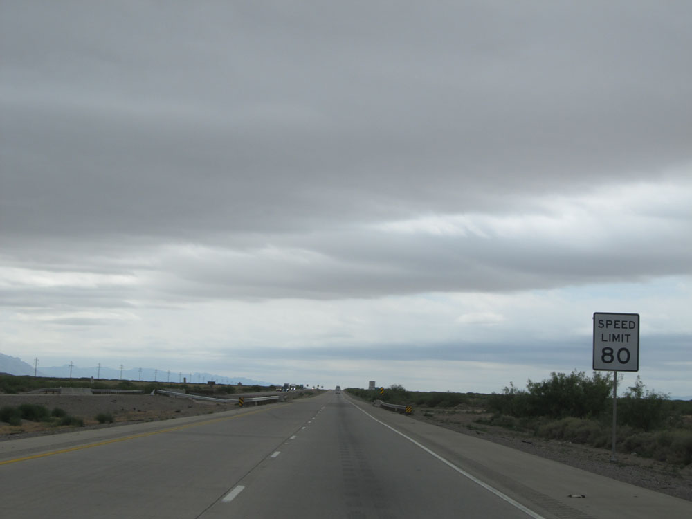 |
Speed Limit - 80 sign, near mile marker 78. (Photo taken 5/21/15). |
 |
Mileage sign near mile marker 78. It's 27 miles to Sierra Blanca and 510 miles to San Antonio. (Photo taken 5/21/15). |
 |
Interstate 10 East at Exit 81: FM 2217 (Photo taken 5/21/15). |
 |
Speed Limit - 80 sign near mile marker 81. I apologize for the overkill of these 80 mph speed limit signs, but I have to admit I like the way they look! (Photo taken 5/21/15). |
 |
Interstate 10 East as it curves slightly more to the east, briefly, before it curves back to to the southeast to continue paralleling the Rio Grande. (Photo taken 5/21/15). |
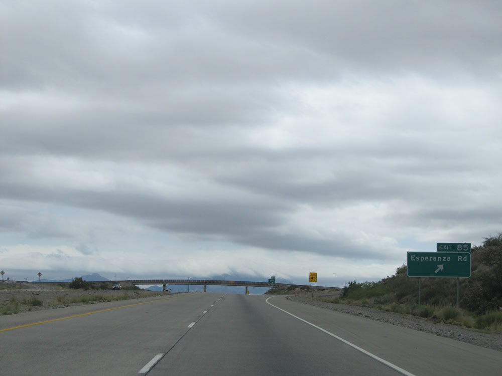 |
Interstate 10 East at Exit 85: Esperanza Rd (Photo taken 5/21/15). |
 |
Interstate 10 East assurance shield near mile marker 85. Oh, and the view is decent as well. (Photo taken 5/21/15). |
 |
Interstate 10 East at Exit 87: FM 34 (Photo taken 5/21/15). |
 |
Interstate 10 East: Road view from mile marker 91, as I-10 curves back to the southeast in preparation to climb over the mountain pass we've been facing for the past several miles, up into the Sierra Blanca. (Photo taken 5/21/15). |
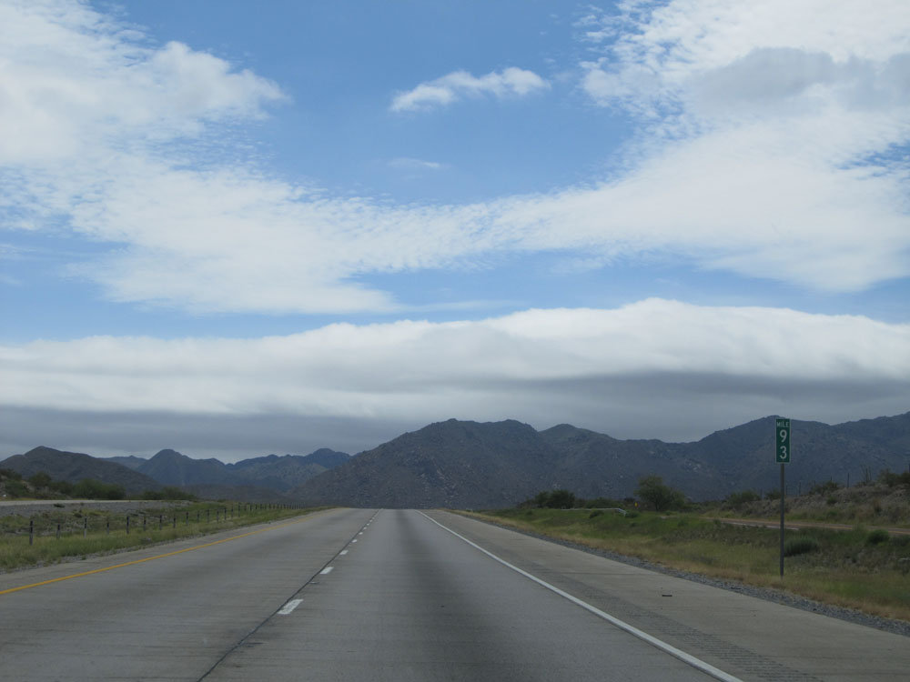 |
Interstate 10 East at mile marker 93. (Photo taken 5/21/15). |
 |
In 2 miles, a truck climbing lane will appear as we go over this pass up to the Sierra Blanca. (Photo taken 5/21/15). |
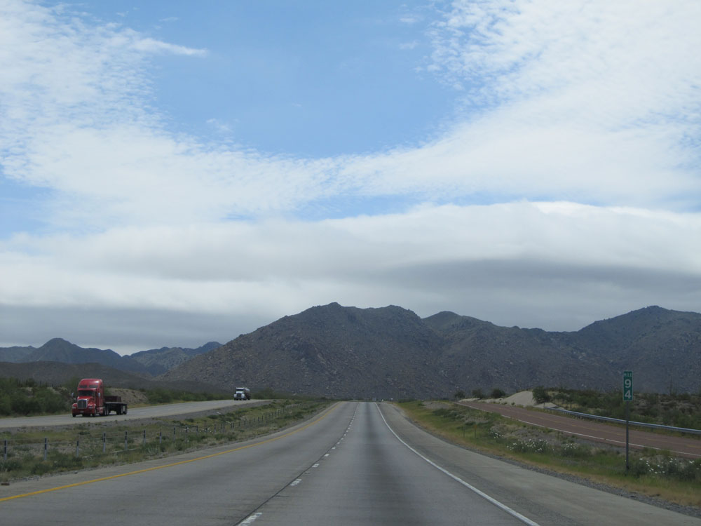 |
Interstate 10 East: Road view from mile marker 94. (Photo taken 5/21/15). |
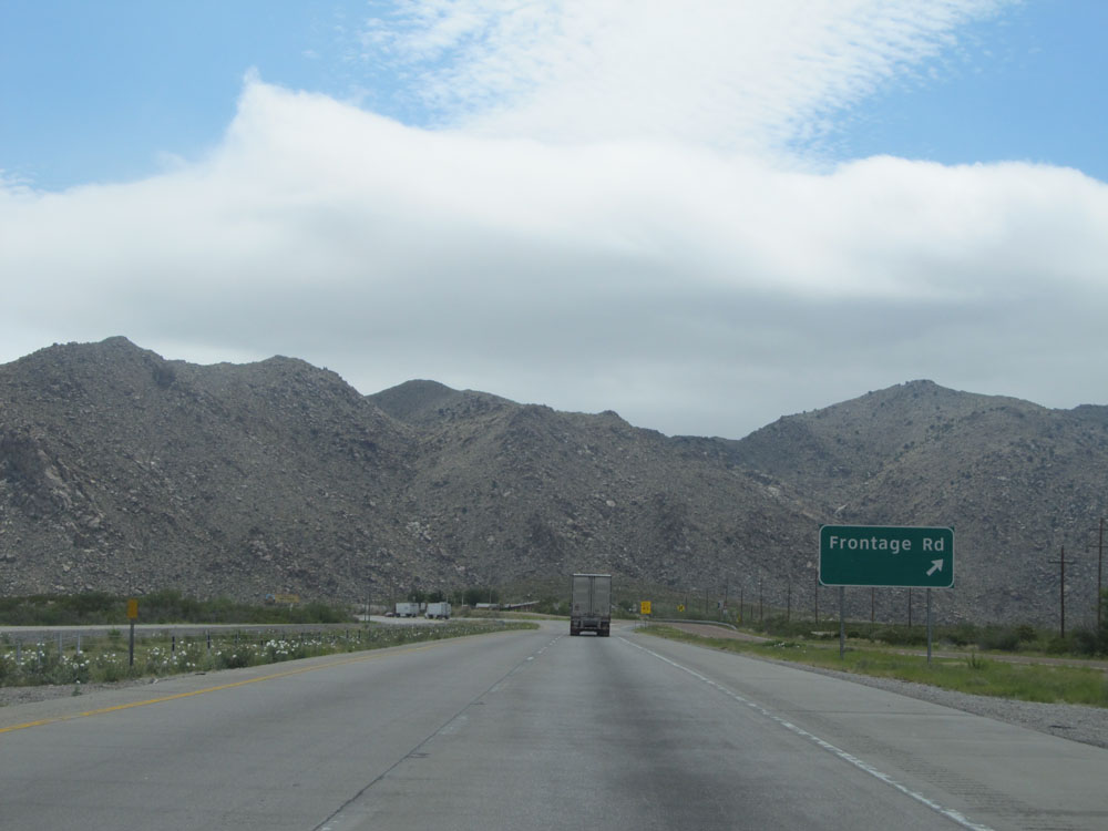 |
Interstate 10 East at Exit 95: Frontage Rd (Photo taken 5/21/15). |
 |
Interstate 10 East at mile marker 96. The on ramp from Exit 95 continues as the truck climbing lane as we climb the grade. (Photo taken 5/21/15). |
 |
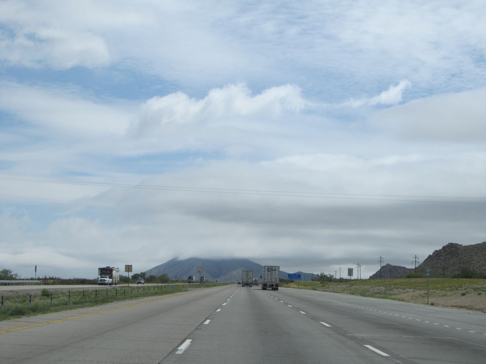
Interstate 10 East: Road view from mile marker 97. (Photo taken 5/21/15). |
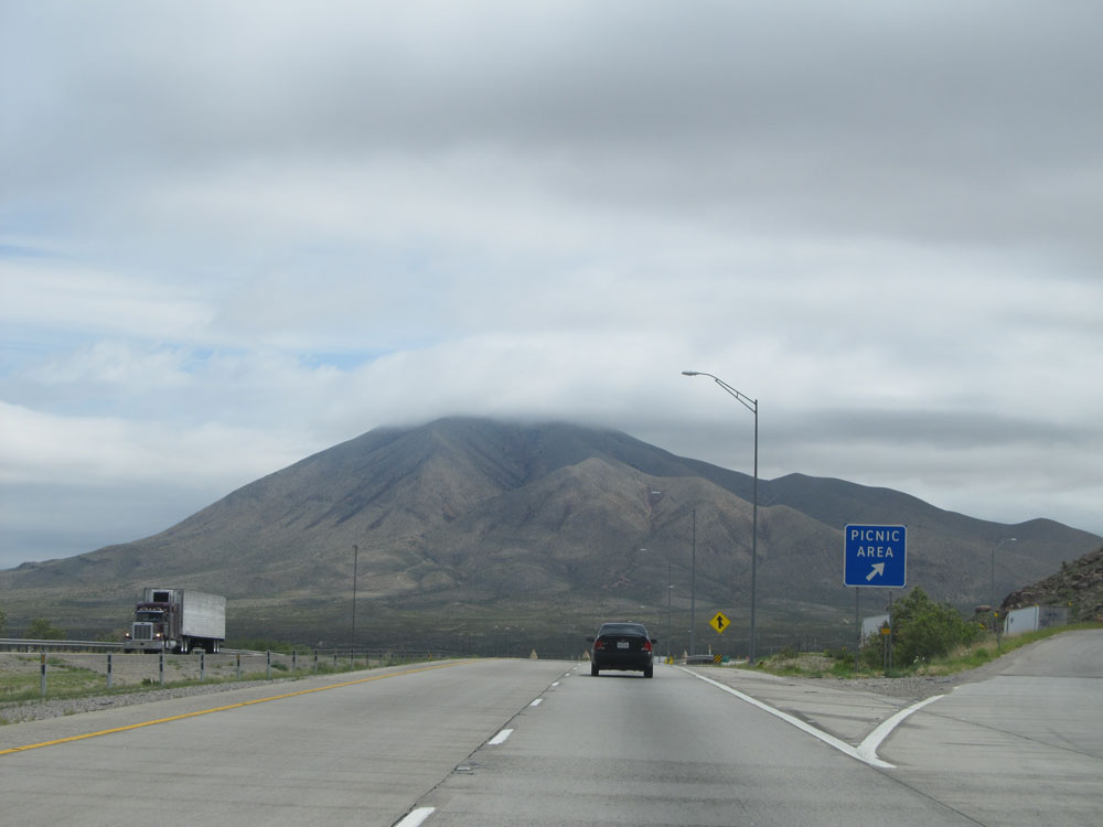 |
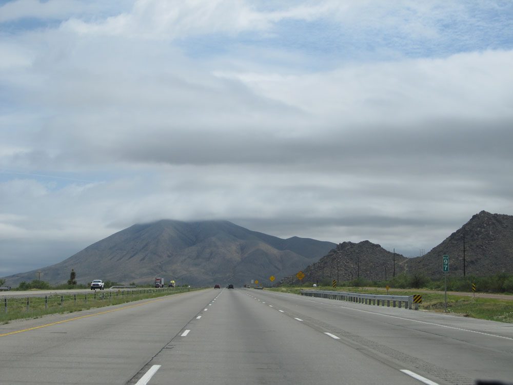
Interstate 10 East at the Picnic Area near mile marker 98. (Photo taken 5/21/15). |
 |
Interstate 10 East at Exit 99: Lasca Rd (Photo taken 5/21/15). |
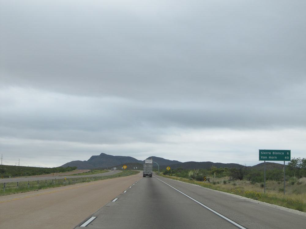 |
Mileage sign near mile marker 99, approaching the top of the grade. It's 6 miles to Sierra Blanca and 40 miles to Van Horn. (Photo taken 5/21/15). |
 |
Interstate 10 East approaching the Border Patrol Checkpoint near mile marker 102 - 1 mile. All trucks must exit when this sign's lights are flashing. (Photo taken 5/21/15). |
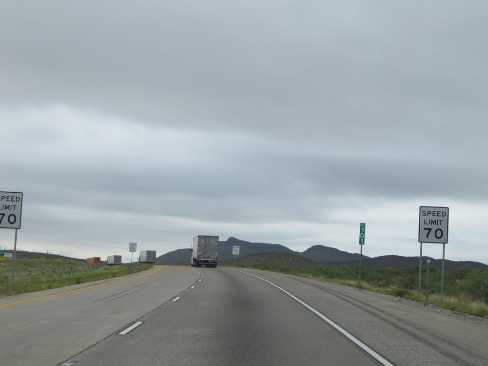 |
At mile marker 101, the speed limit drops to 70 mph as Interstate 10 East approaches the Border Patrol Checkpoint. (Photo taken 5/21/15). |
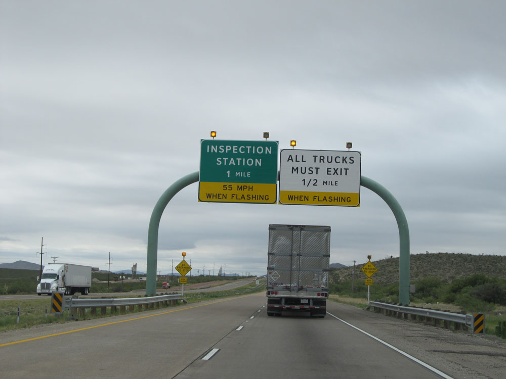 |
Trucks must exit in 1/2 mile when the lights on this sign are flashing, indicating the commercial vehicle Inspection Station is open. All non-commercial vehicles should stay straight ahead. (Photo taken 5/21/15). |
 |
Interstate 10 East approaching the Border Patrol Checkpoint near mile marker 102. Trucks must exit off at this point, separating commercial vehicle traffic from automobiles. For automobiles, the speed limit approaching the checkpoint is 45 mph when the lights on this sign are flashing. (Photo taken 5/21/15). |
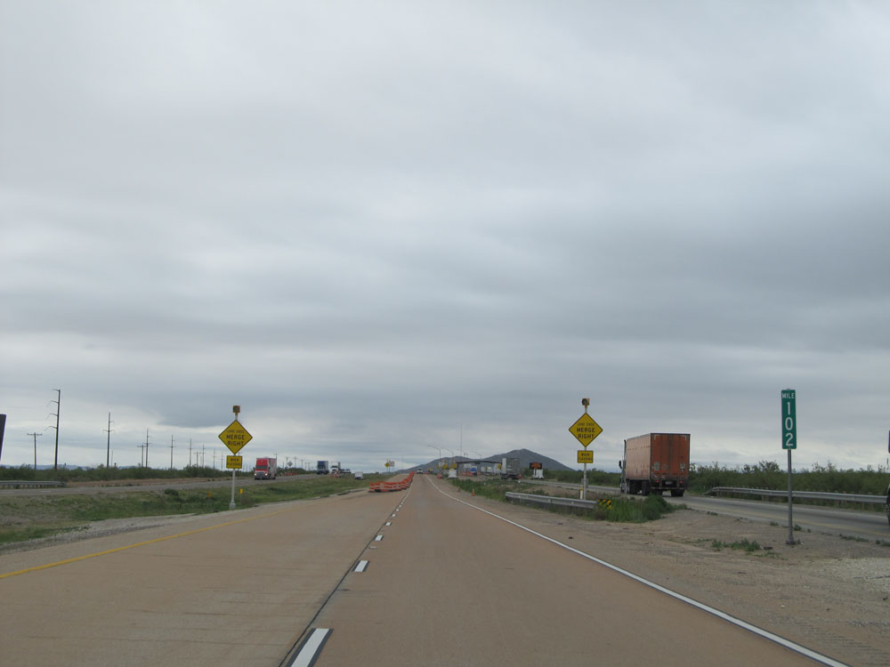 |
Interstate 10 East: Road view from mile marker 102, as commercial vehicle traffic is separated from non-commercial traffic approaching the Border Patrol Checkpoint. (Photo taken 5/21/15). |
 |
Interstate 10 East approaching the non-commercial vehicle side of the Border Patrol Checkpoint. All vehicles must stop. (Photo taken 5/21/15). |
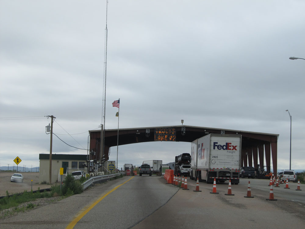 |
A closer view approaching the Border Patrol Checkpoint. Usually, when you stop, an officer will ask you if you're a U.S. Citizen. As long as you don't look too suspicious, they will most likely wave you on through. (Photo taken 5/21/15). |
 |
Leaving the Border Patrol Checkpoint, the speed limit of 80 mph resumes almost immediately. (Photo taken 5/21/15). |
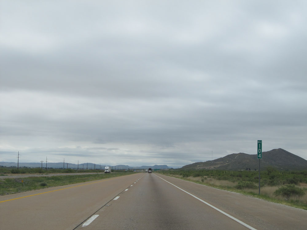 |
Interstate 10 East: Road view from mile marker 104. (Photo taken 5/21/15). |
 |
Take either of the next 2 exits to Sierra Blanca. (Photo taken 5/21/15). |
 |
Interstate 10 East at Exit 105: Interstate 10 BL - El Paso St (Photo taken 5/21/15). |
 |
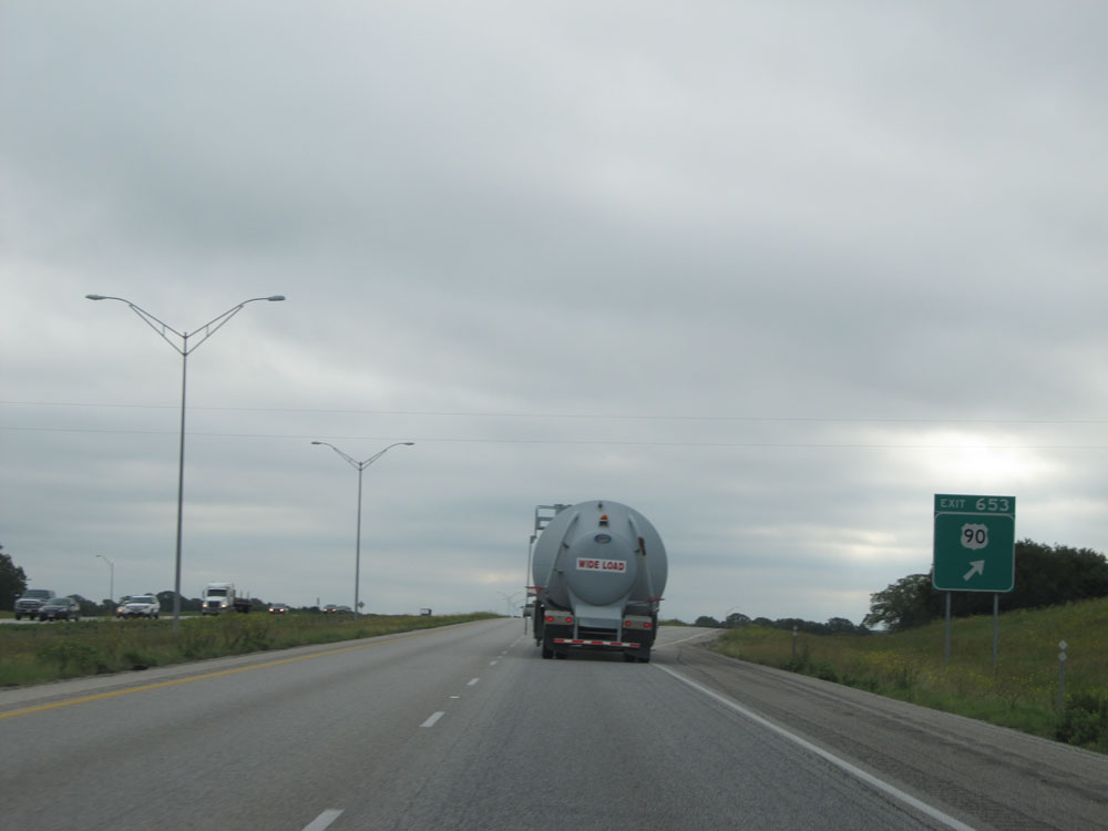
Interstate 10 East at Exit 107: RM 1111 - Sierra Blanca Ave (Photo taken 5/21/15). |
Section 3: Sierra Blanca (Exit 107) to Fort Stockton (Exit 256)
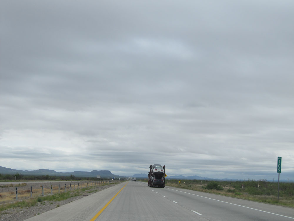 |
Interstate 10 East: Road view from mile marker 109. (Photo taken 5/21/15). |
 |
Interstate 10 East: Road view from mile marker 116. (Photo taken 5/21/15). |
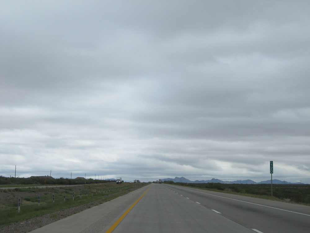 |
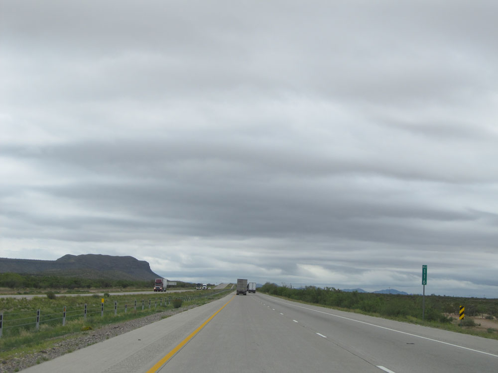
Interstate 10 East at mile marker 120. (Photo taken 5/21/15). |
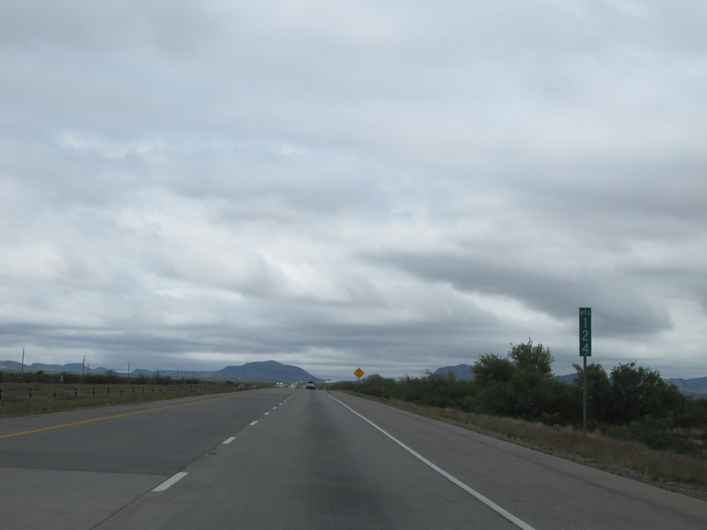 |
Interstate 10 East: Road view from mile marker 124. (Photo taken 5/21/15). |
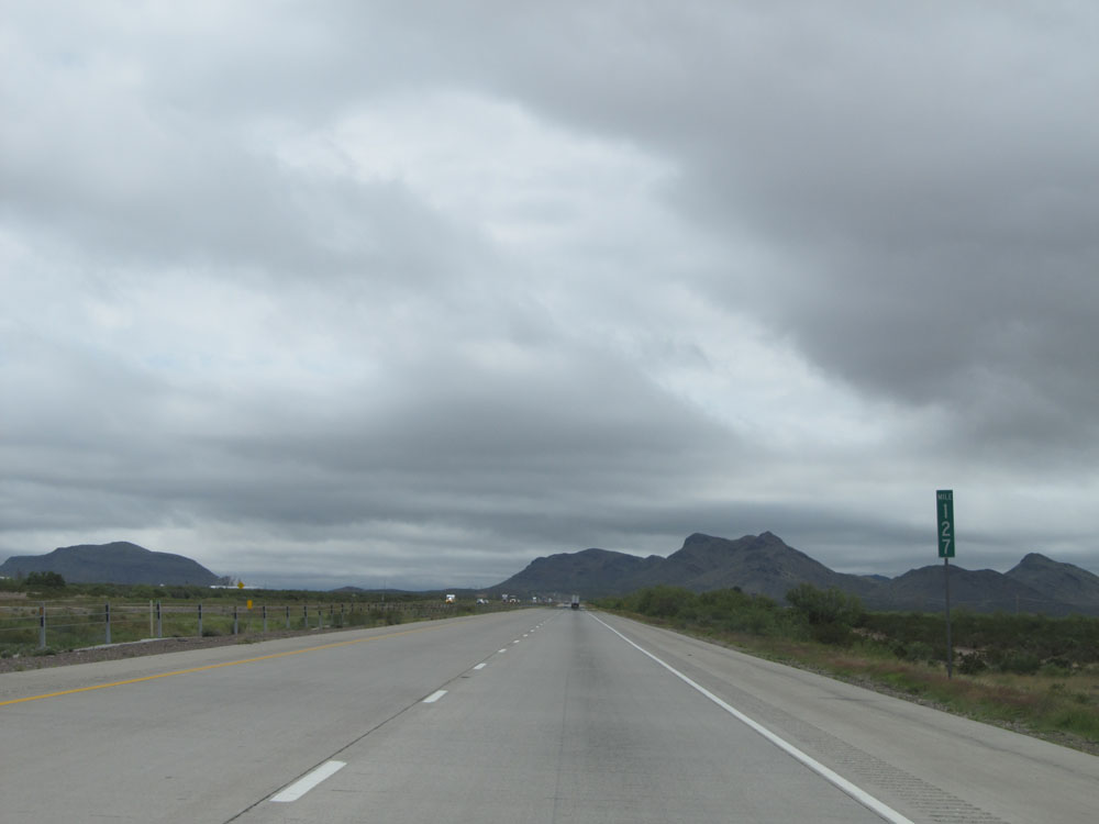 |
Interstate 10 East at mile marker 127. (Photo taken 5/21/15). |
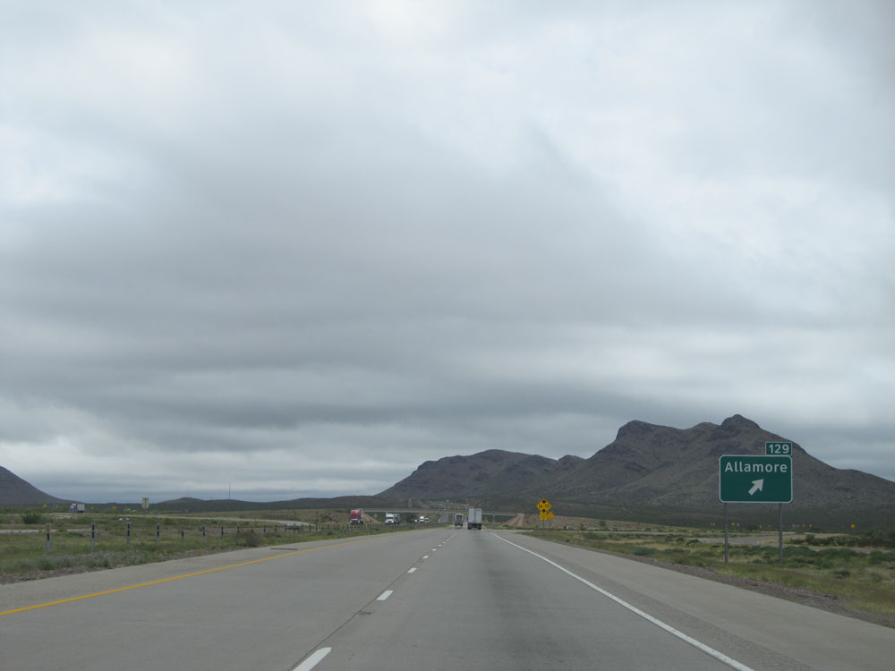 |
Interstate 10 East at Exit 129: Allamore (Photo taken 5/21/15). |
 |
Interstate 10 East: Road view from mile marker 132. (Photo taken 5/21/15). |
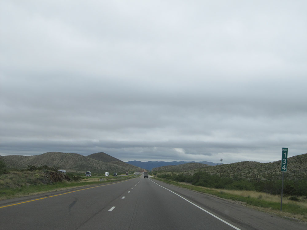 |
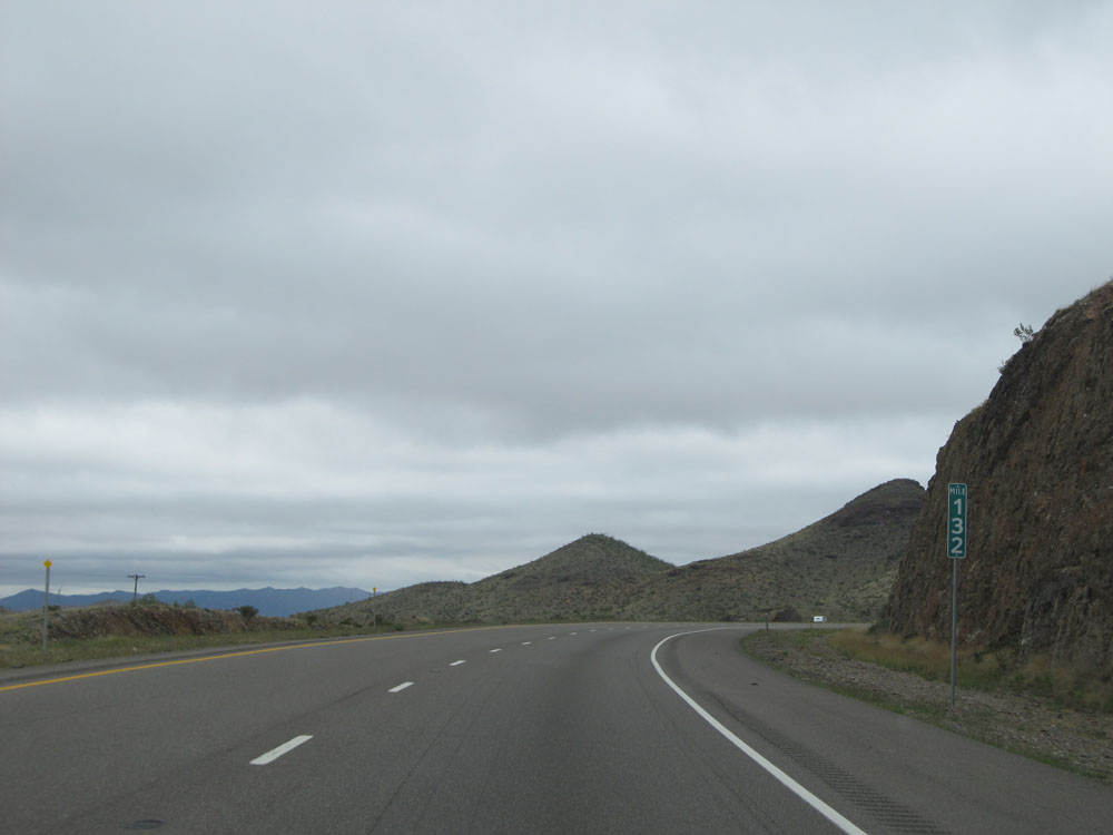
Interstate 10 East at mile marker 134. (Photo taken 5/21/15). |
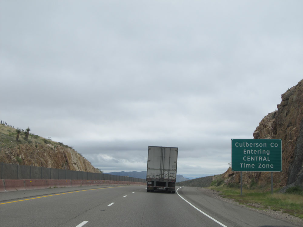 |
Interstate 10 East entering Culberson County and the Central Time Zone. (Photo taken 5/21/15). |
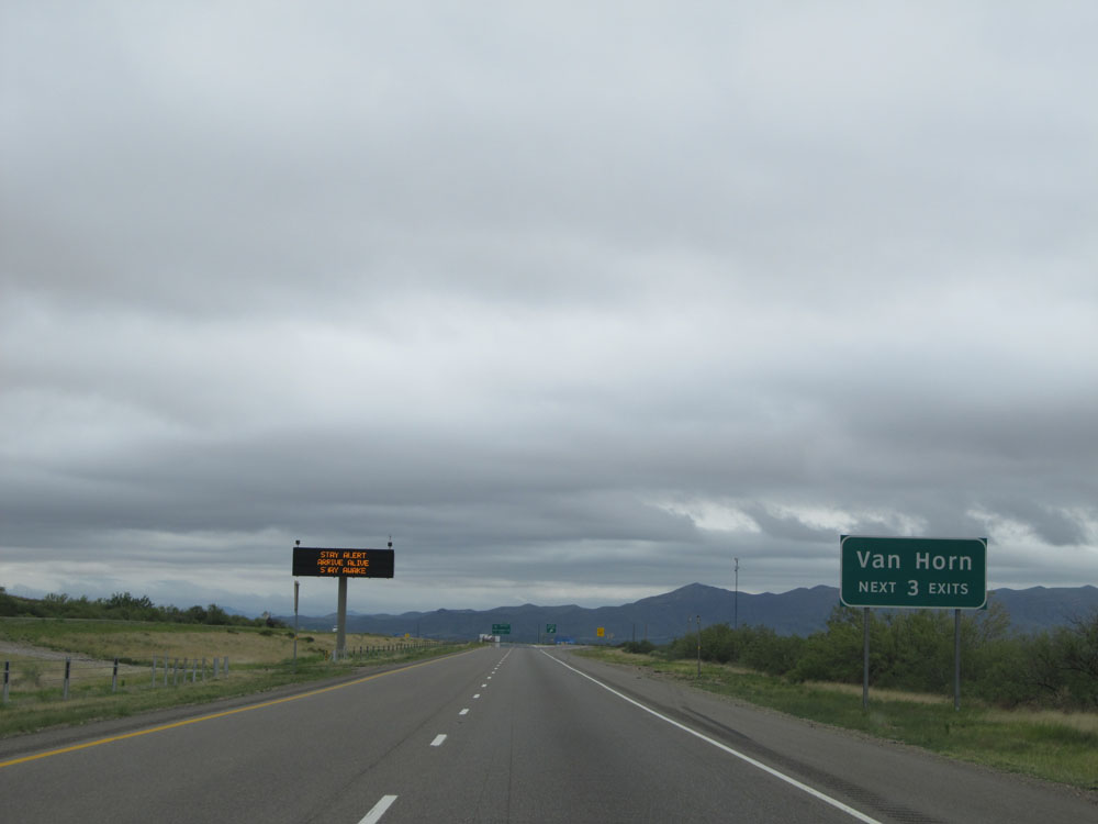 |
Take any of the next 3 exits to Van Horn. (Photo taken 5/21/15). |
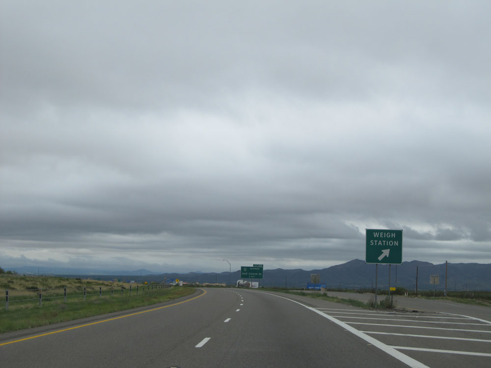 |
Interstate 10 East at the Weigh Station located near mile marker 137. (Photo taken 5/21/15). |
 |
Interstate 10 East at Exit 138: Interstate 10 BL - Golf Course Dr (Photo taken 5/21/15). |
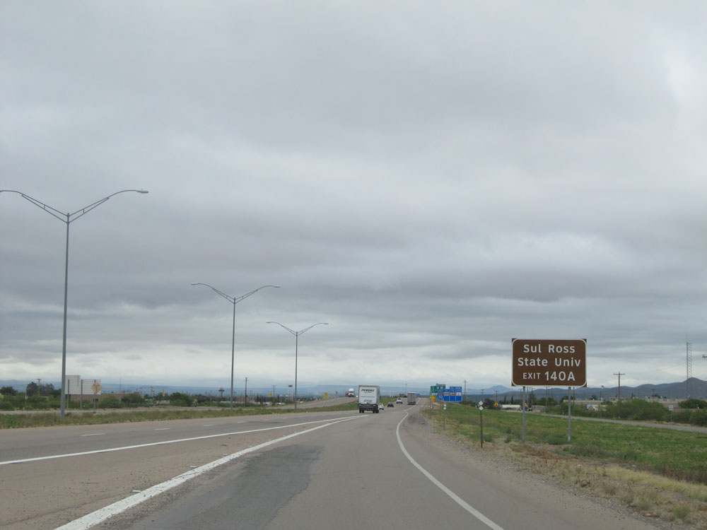 |
Take Exit 140A to Sul Ross State University. (Photo taken 5/21/15). |
 |
Take Exit 140A to McDonald Observatory and Visitors Center. (Photo taken 5/21/15). |
 |
Also use Exit 140A to Guadalupe Mountains, Carlsbad Caverns, and Big Bend National Parks. (Photo taken 5/21/15). |
 |
Interstate 10 East at Exit 140A: US 90 / TX 54 - Van Horn Dr (Photo taken 5/21/15). |
 |
Interstate 10 East at Exit 140B: Ross Dr (Photo taken 5/21/15). |
 |
Interstate 10 East assurance shield. (Photo taken 5/21/15). |
 |
The speed limit remains 80 mph. (Photo taken 5/21/15). |
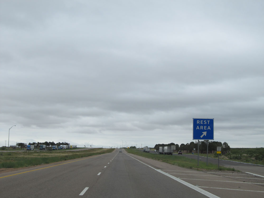 |
Interstate 10 East at the Rest Area located near mile marker 144. (Photo taken 5/21/15). |
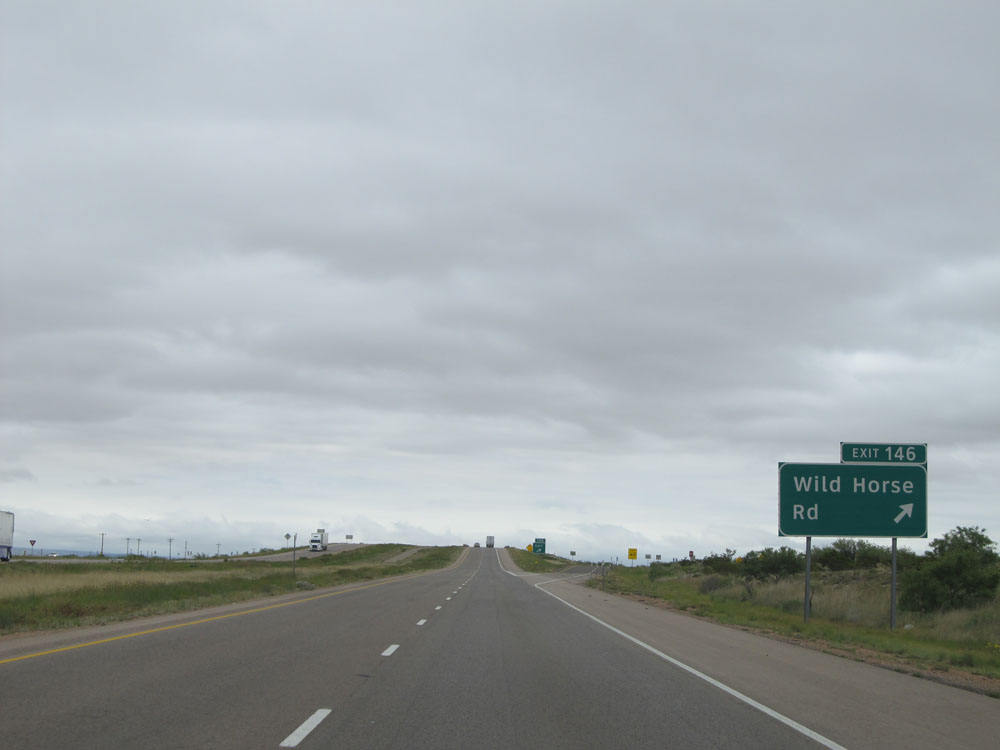 |
Interstate 10 East at Exit 146: Wild Horse Rd (Photo taken 5/21/15). |
 |
Interstate 10 East: Road view from mile marker 151. (Photo taken 5/21/15). |
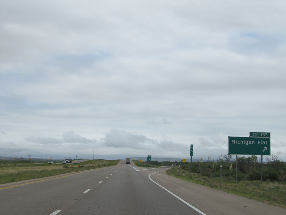 |
Interstate 10 East at Exit 153: Michigan Flat (Photo taken 5/21/15). |
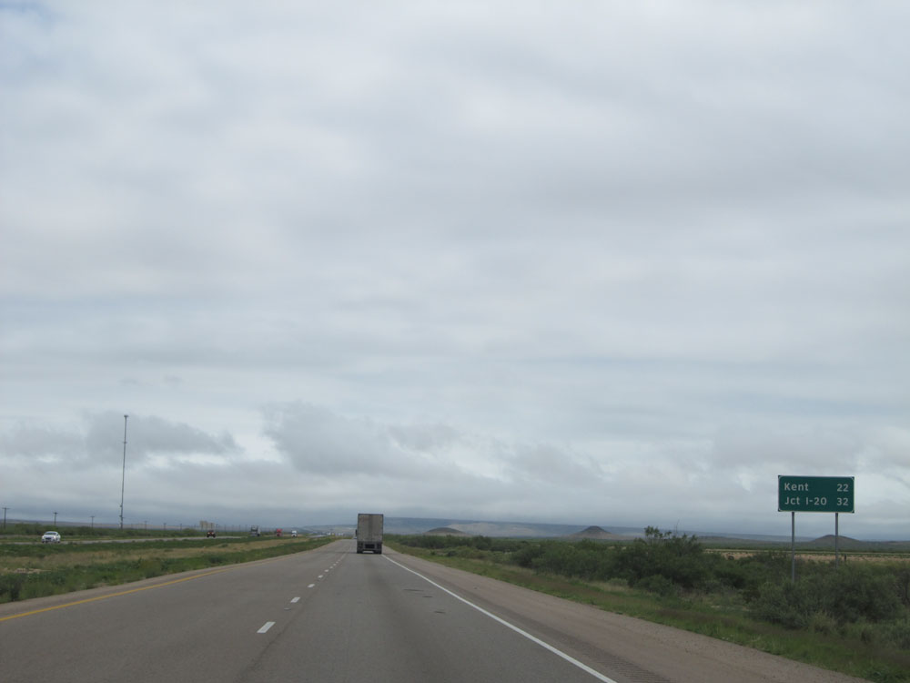 |
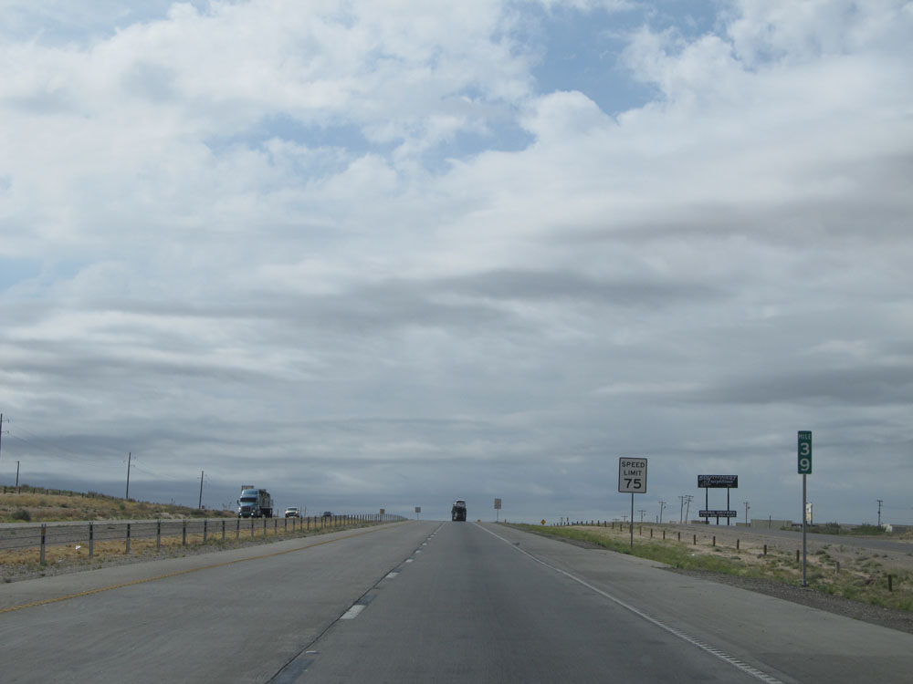
Mileage sign near mile marker 154. It's 22 miles to Kent and 32 miles to the junction of Interstate 20, near Scroggins Draw. (Photo taken 5/21/15). |
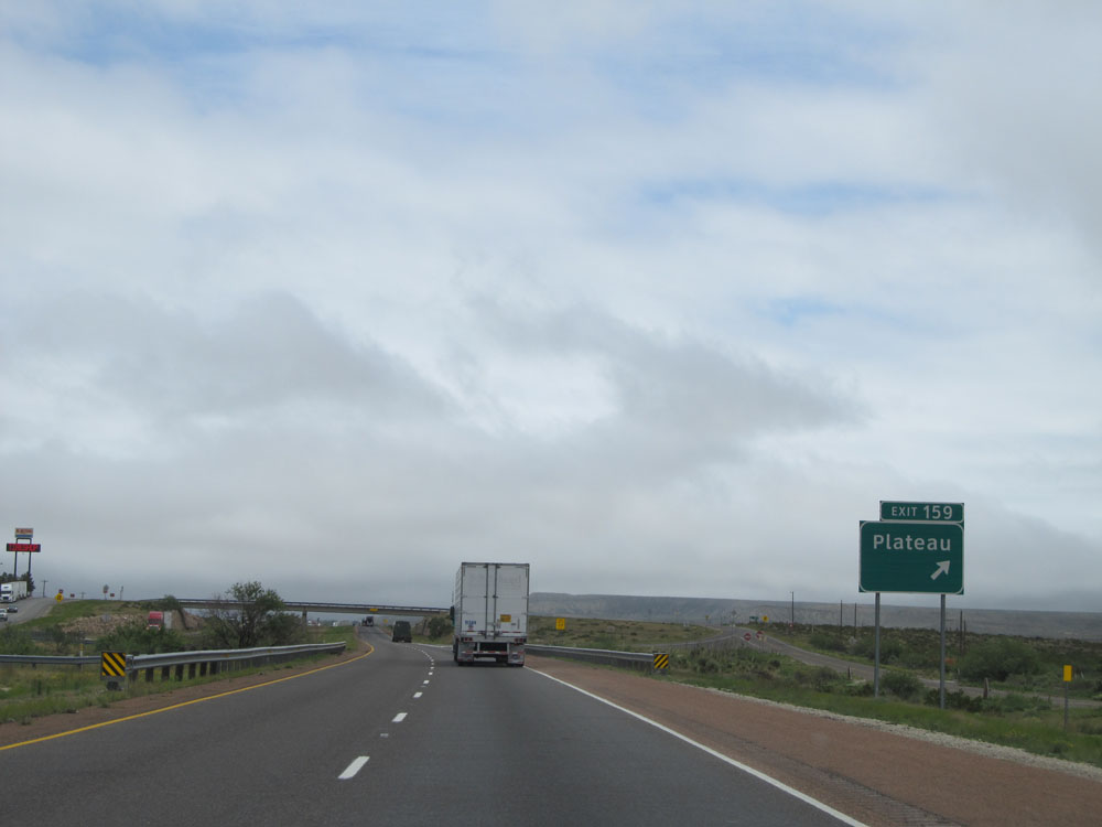 |
Interstate 10 East at Exit 159: Plateau (Photo taken 5/21/15). |
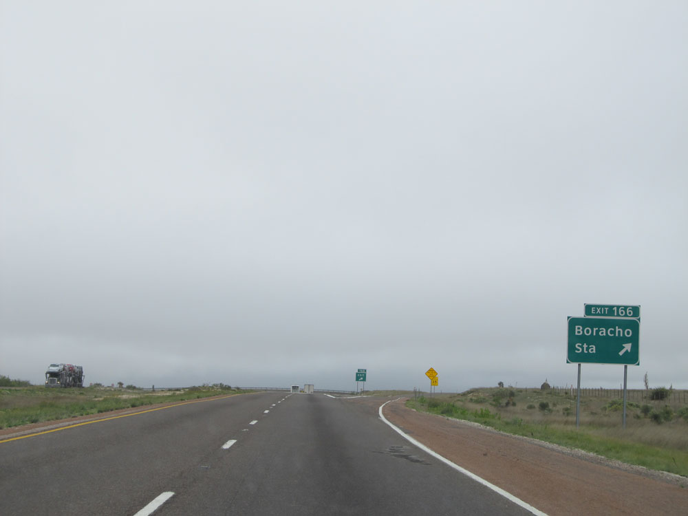 |
Interstate 10 East at Exit 166: Boracho Station (Photo taken 5/21/15). |
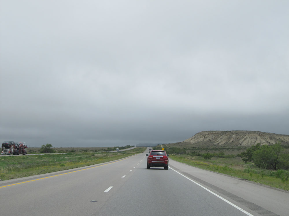 |
Road view on Interstate 10 East. (Photo taken 5/21/15). |
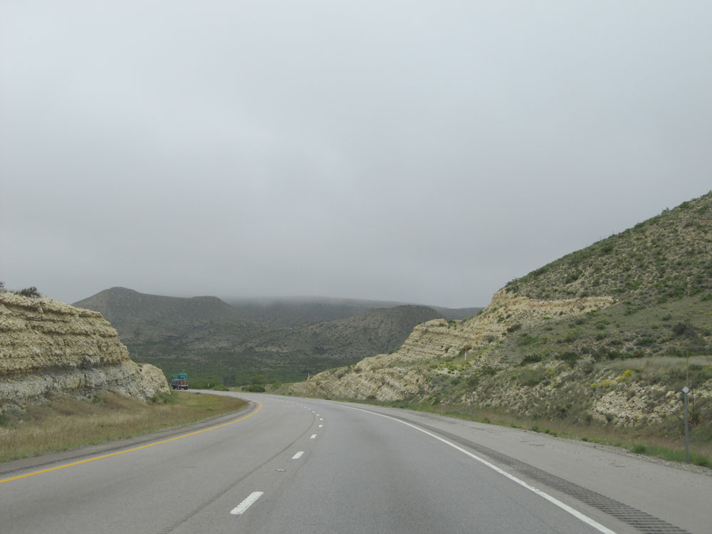 |
Another road view on Interstate 10 East. (Photo taken 5/21/15). |
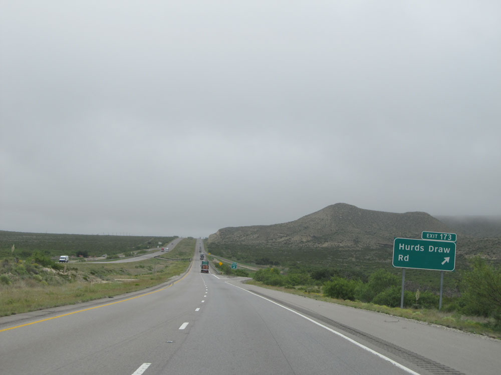 |
Interstate 10 East at Exit 173: Hurds Draw Rd (Photo taken 5/21/15). |
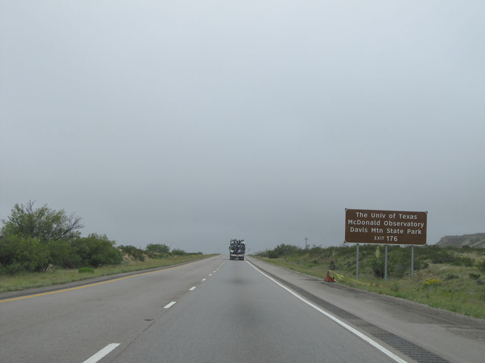 |
Take Exit 176 to The University of Texas McDonald Observatory and Davis Mountain State Park. (Photo taken 5/21/15). |
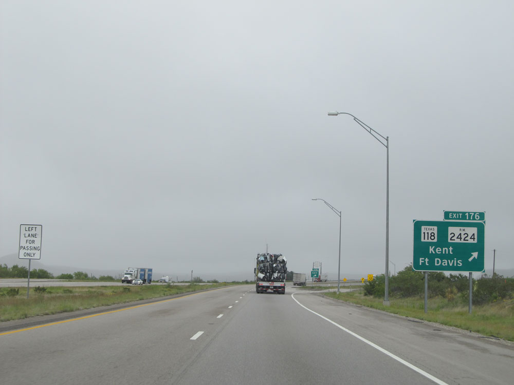 |
Interstate 10 East at Exit 176: TX 118 / FM 2424 - Kent / Ft Davis (Photo taken 5/21/15). |
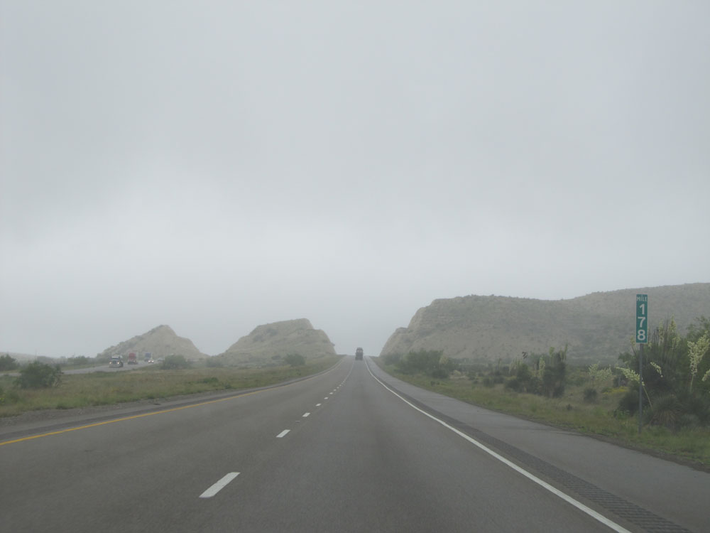 |
Interstate 10 East: Road view from mile marker 178. (Photo taken 5/21/15). |
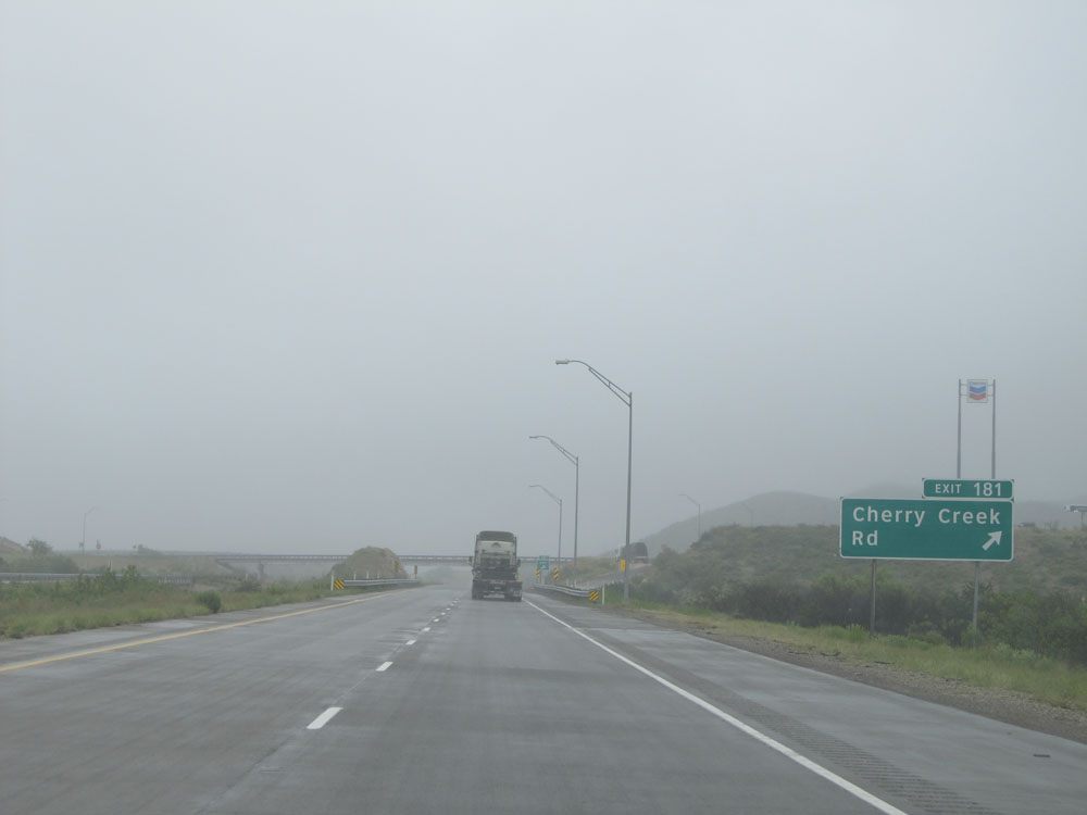 |
Interstate 10 East at Exit 181: Cherry Creek Rd (Photo taken 5/21/15). |
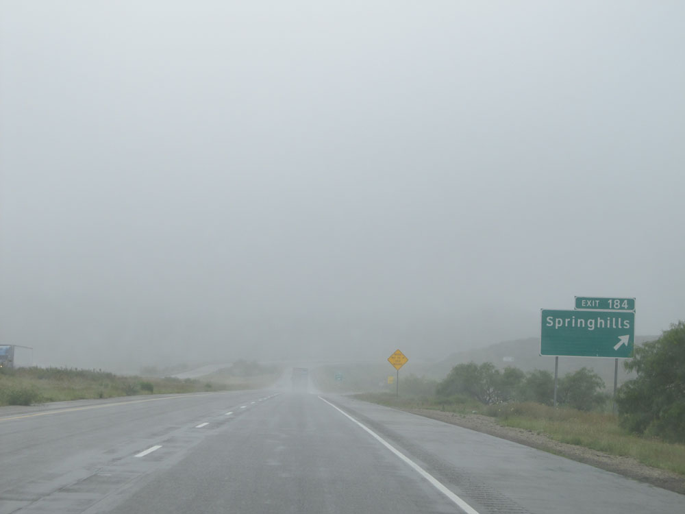 |
Interstate 10 East at Exit 184: Springhills (Photo taken 5/21/15). |
 |
Interstate 10 East at Exit 185: Picnic Area (Photo taken 5/21/15). |
 |
Interstate 10 East approaching Exit 186, which is the junction of Interstate 20 - 1 mile. (Photo taken 5/21/15). |
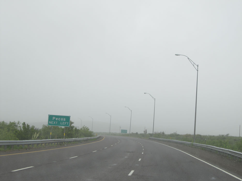 |
Keep to the left onto Interstate 20 East to Pecos. (Photo taken 5/21/15). |
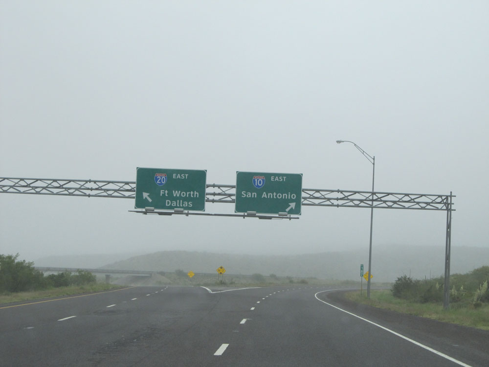 |
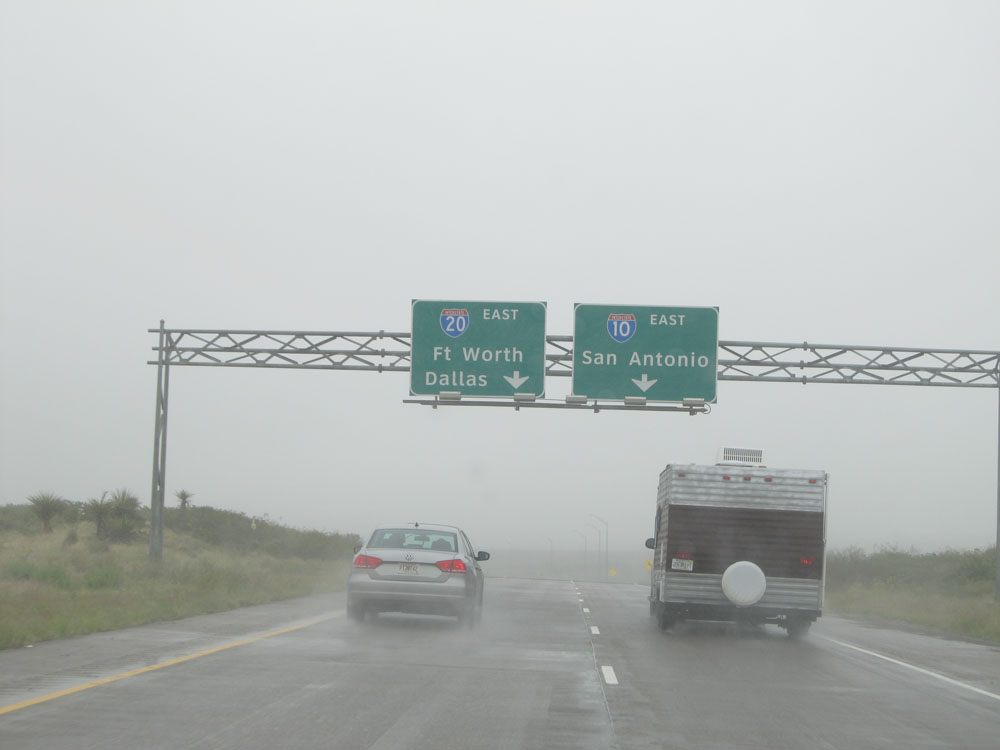
Interstate 10 East at Exit 186: Interstate 20 East - Fort Worth / Dallas (Photo taken 5/21/15). |
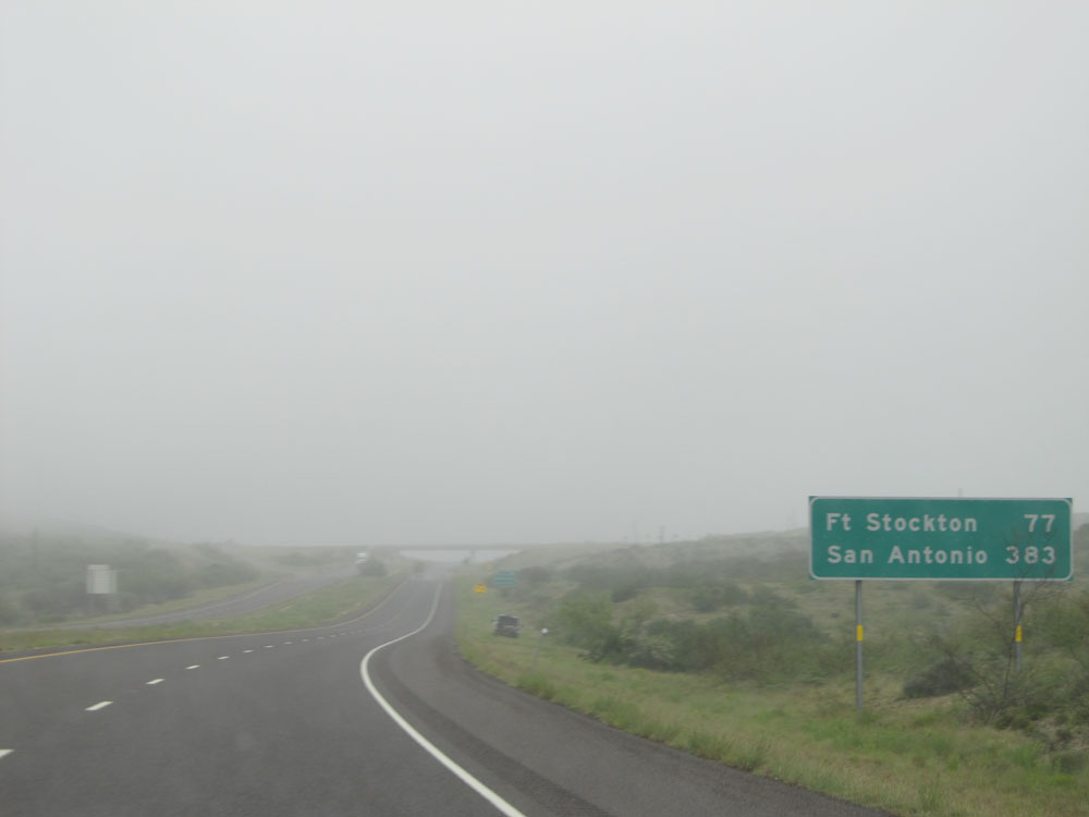 |
Mileage sign just past mile marker 187. Fort Stockton, the next control city, lies 77 miles ahead and San Antonio is 383 miles ahead. (Photo taken 5/21/15). |
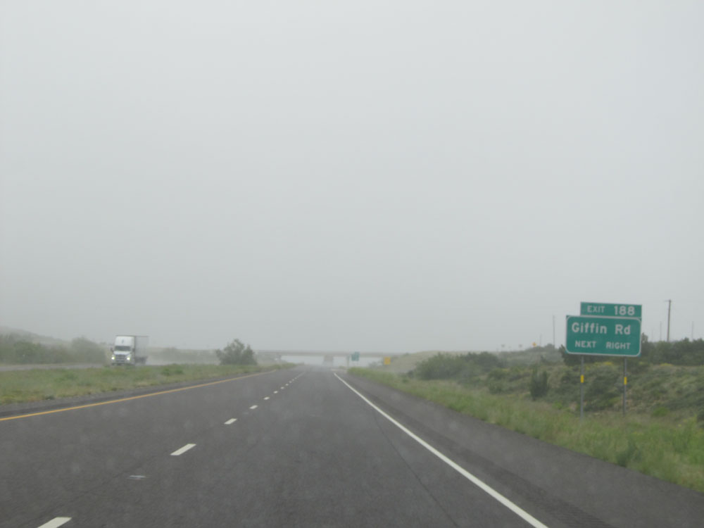 |
Interstate 10 East at Exit 188: Giffin Rd (Photo taken 5/21/15). |
 |
Interstate 10 East assurance shield near mile marker 188. (Photo taken 5/21/15). |
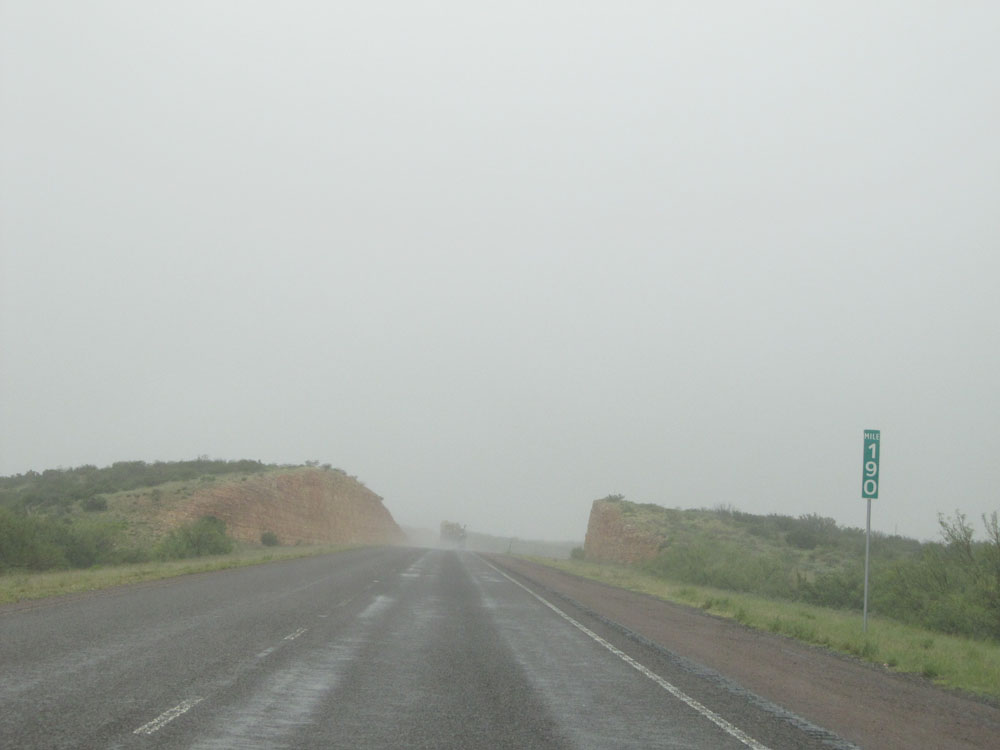 |
Interstate 10 East at mile marker 190. (Photo taken 5/21/15). |
 |
Interstate 10 East approaching Exit 192 - 1 mile. (Photo taken 5/21/15). |
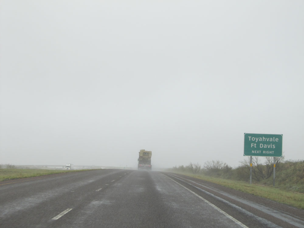 |
Take Exit 192 to Toyahvale and Ft Davis. (Photo taken 5/21/15). |
 |
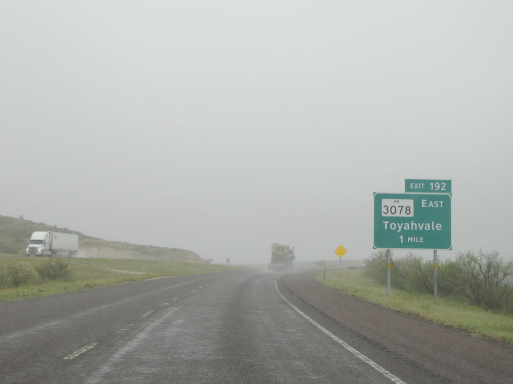
Interstate 10 East at Exit 192: FM 3078 - Toyahvale (Photo taken 5/21/15). |
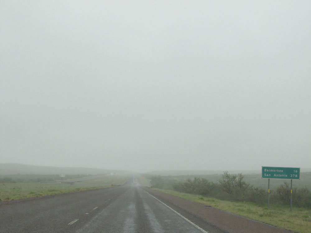 |
Mileage sign near mile marker 192. It's 16 miles to Balmorhea and 378 miles to San Antonio. (Photo taken 5/21/15). |
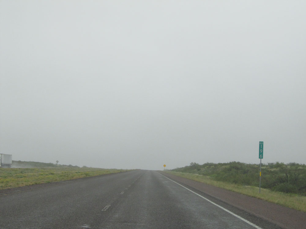 |
Interstate 10 East: Road view from mile marker 196. (Photo taken 5/21/15). |
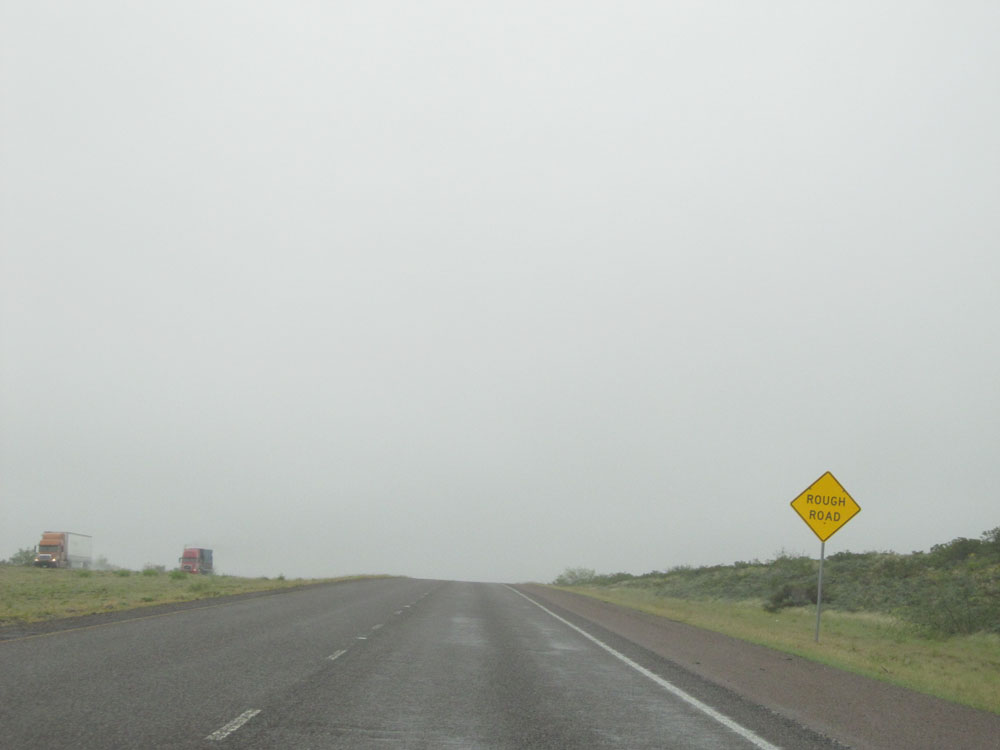 |
This warning sign near mile marker 197 alerts motorists of Rough Road conditions ahead. Trust me, this sign was no exaggeration. Interstate 10 was in dire need of some work during the stretch that these signs appeared. The left lane was in no better condition than the right lane was either. (Photo taken 5/21/15). |
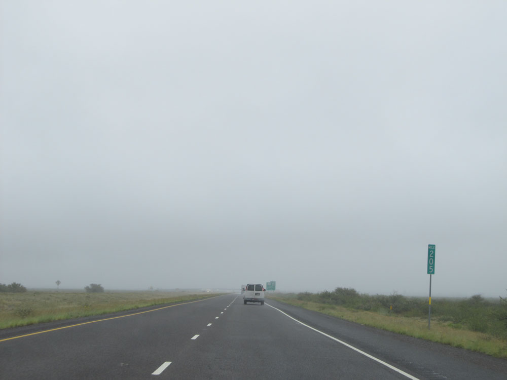 |
Interstate 10 East: Road view from mile marker 205. (Photo taken 5/21/15). |
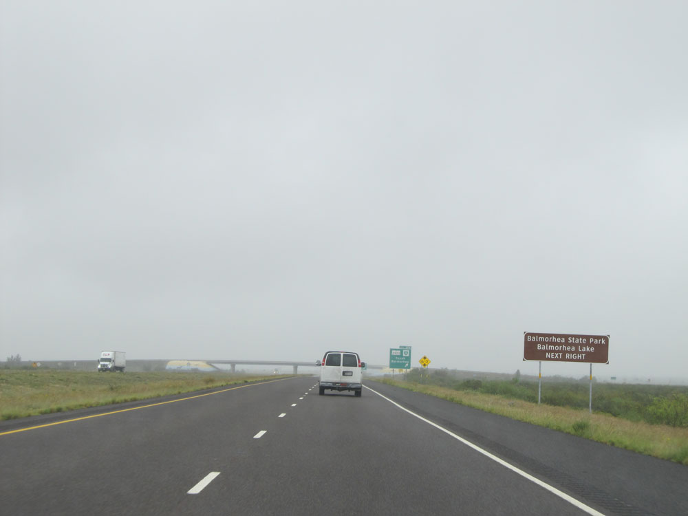 |
Take Exit 206 to Balmorhea State Park and Balmorhea Lake. (Photo taken 5/21/15). |
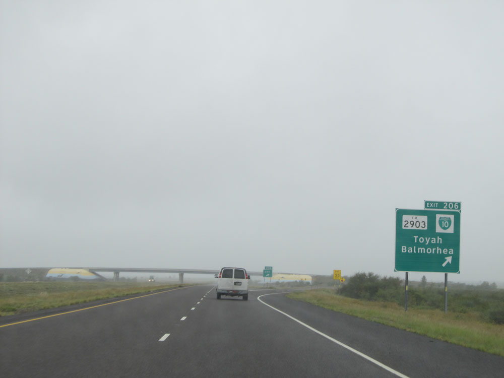 |
Interstate 10 East at Exit 206: FM 2903 / Interstate 10 BL - Toyah / Balmorhea (Photo taken 5/21/15). |
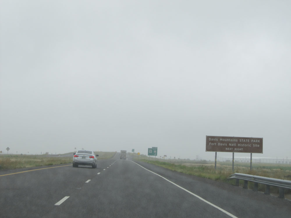 |
Take Exit 209 to Davis Mountains State Park and Fort Davis National Historic Site. (Photo taken 5/21/15). |
 |
Interstate 10 East at Exit 209: Interstate 10 BL West / TX 17 South (Photo taken 5/21/15). |
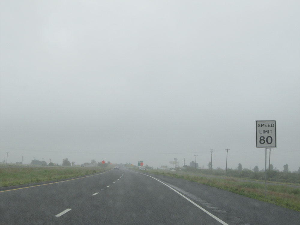 |
Near mile marker 209, the speed limit remains 80 mph. (Photo taken 5/21/15). |
 |
Interstate 10 East at Exit 212: TX 17 / FM 2448 - Pecos (Photo taken 5/21/15). |
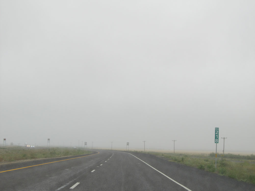 |
Interstate 10 East: Road view from mile marker 218. (Photo taken 5/21/15). |
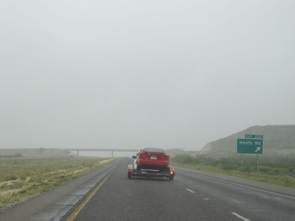 |
Interstate 10 East at Exit 222: Hoefs Rd. Due to the rough road conditions, this person and I were testing the left lane to see if it was any smoother. It wasn't. (Photo taken 5/21/15). |
 |
Interstate 10 East entering Pecos County. (Photo taken 5/21/15). |
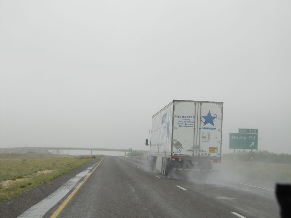 |
Interstate 10 East at Exit 229: Hovey Rd (Photo taken 5/21/15). |
 |
Interstate 10 East at the Rest Area located at mile marker 233. (Photo taken 5/21/15). |
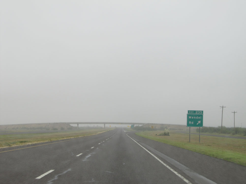 |
Interstate 10 East at Exit 235: Mendel Rd (Photo taken 5/21/15). |
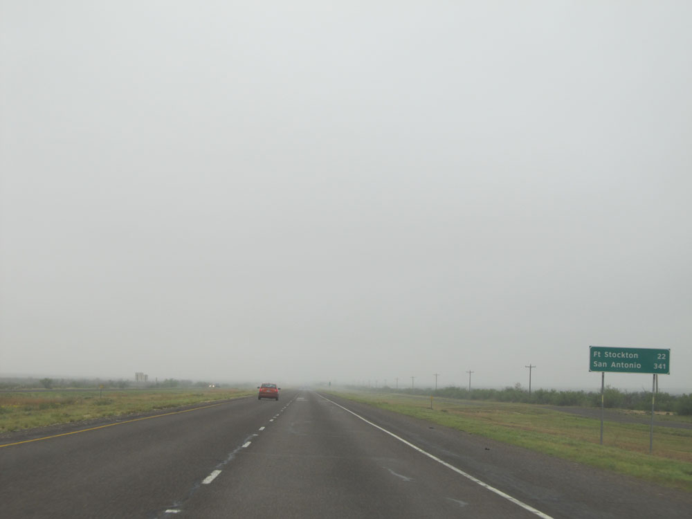 |
Mileage sign near mile marker 235. It's 22 miles to Fort Stockton and 341 miles to San Antonio. (Photo taken 5/21/15). |
 |
Interstate 10 East: Road view from mile marker 240. (Photo taken 5/21/15). |
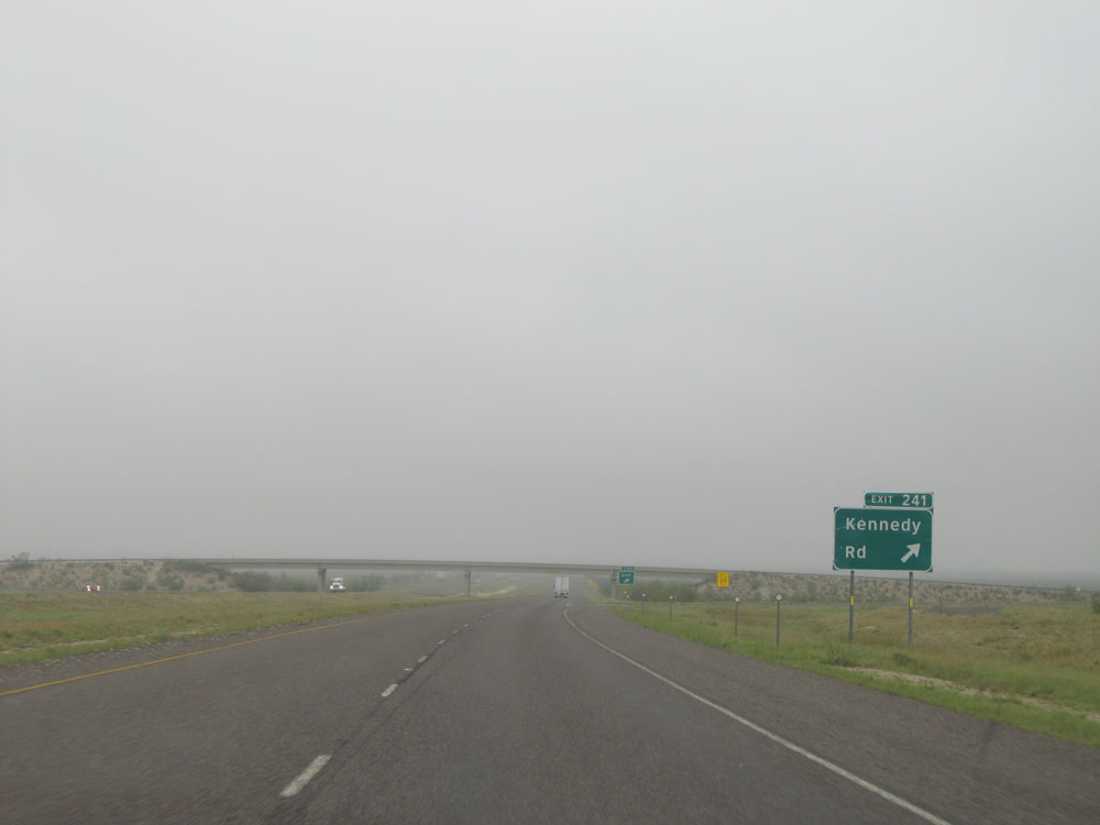 |
Interstate 10 East at Exit 241: Kennedy Rd (Photo taken 5/21/15). |
 |
Interstate 10 East at Exit 246: Firestone Rd (Photo taken 5/21/15). |
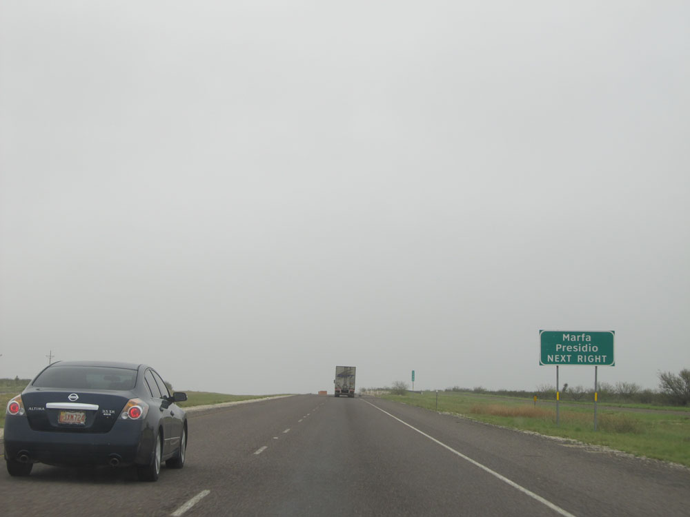 |
Take Exit 248 to Marfa and Presidio. (Photo taken 5/21/15). |
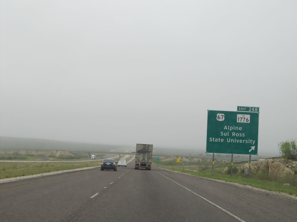 |
Interstate 10 East at Exit 248: US 67 / FM 1776 - Alpine / Sul Ross State University (Photo taken 5/21/15). |
 |
Dual Interstate 10 East / US 67 North assurance shields. (Photo taken 5/21/15). |
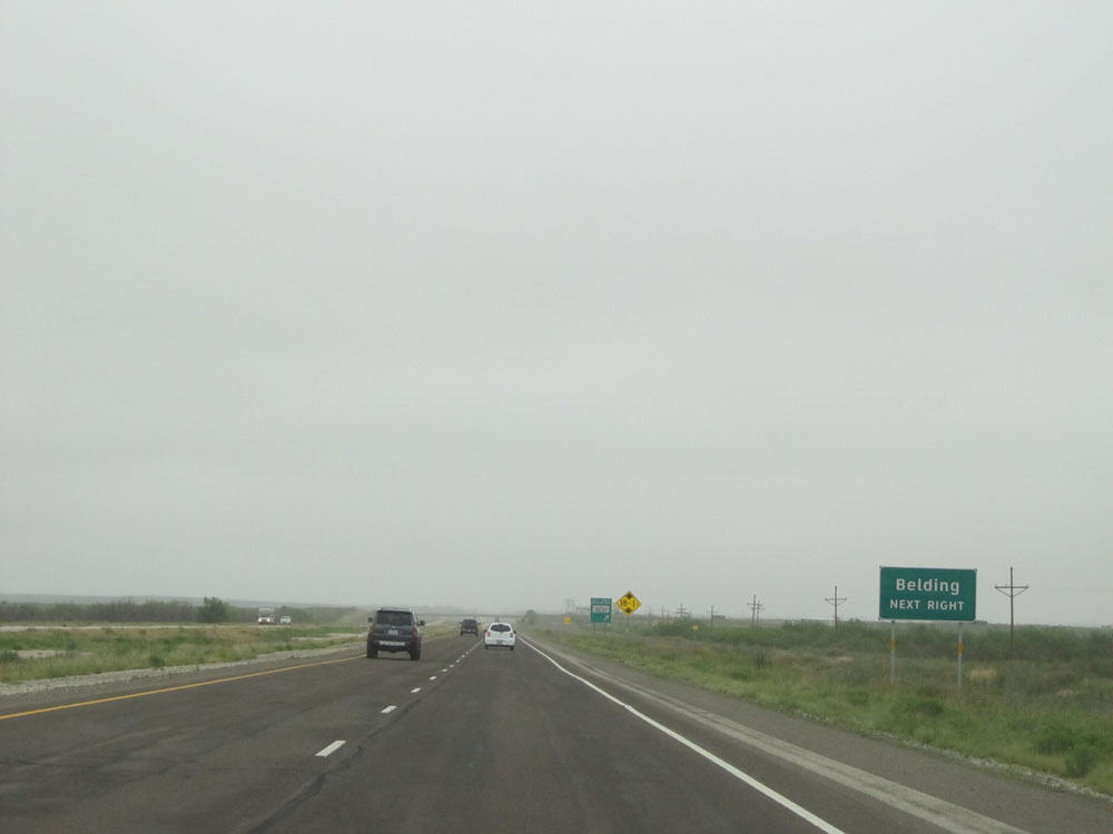 |
Take Exit 253 to Belding. (Photo taken 5/21/15). |
 |
Interstate 10 East at Exit 253: FM 2037 (Photo taken 5/21/15). |
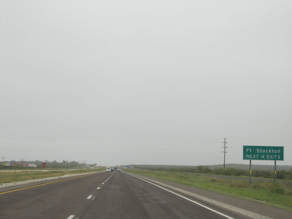 |
Take any of the next 4 exits to Fort Stockton. (Photo taken 5/21/15). |
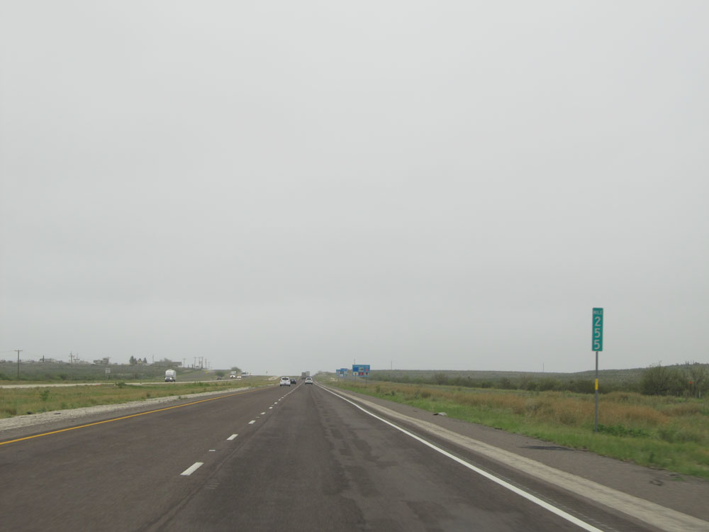 |
Interstate 10 East: Road view from mile marker 255. (Photo taken 5/21/15). |
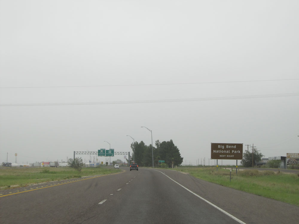 |
Take Exit 256 to Big Bend National Park. (Photo taken 5/21/15). |
 |
Interstate 10 East at Exit 256: Interstate 10 BL - Fort Stockton (Photo taken 5/21/15). |
Section 4: Fort Stockton (Exit 256) to Ozona (Exit 368)
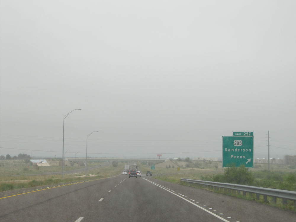 |
Interstate 10 East at Exit 257: US 285 - Sanderson / Pecos (Photo taken 5/21/15). |
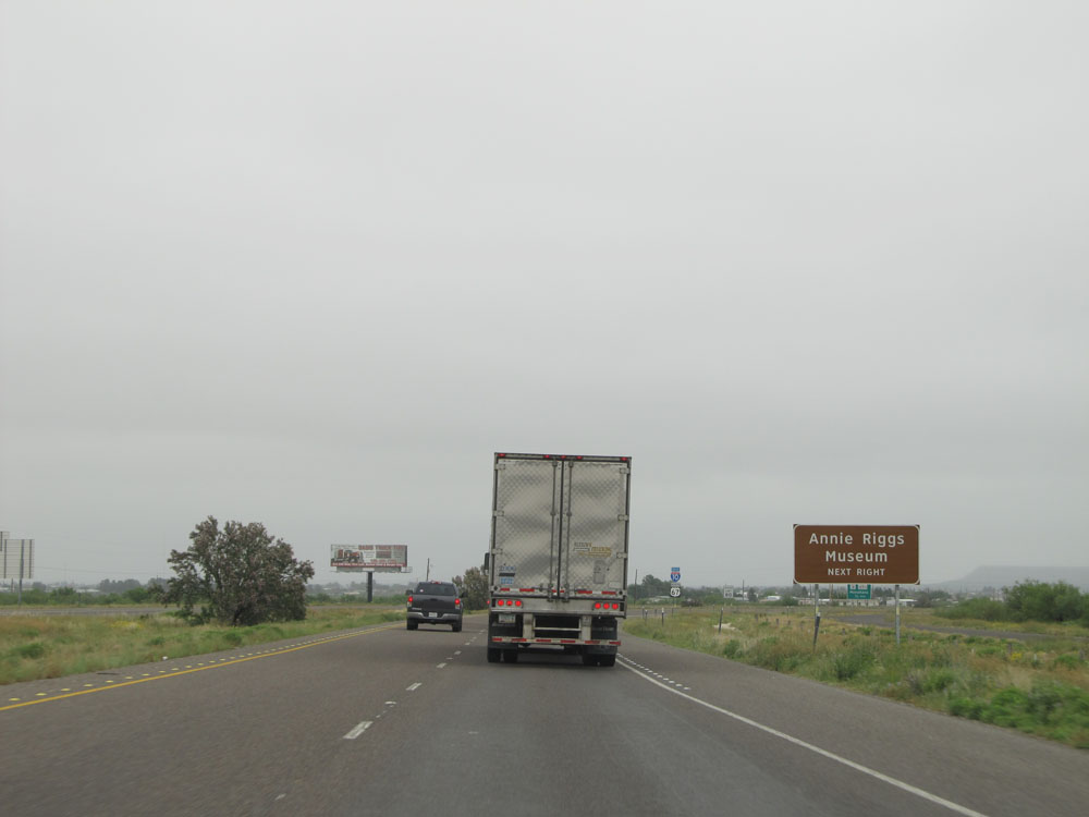 |
Take Exit 259 to the Annie Riggs Museum. (Photo taken 5/21/15). |
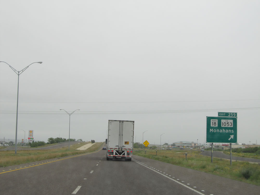 |
Interstate 10 East at Exit 259: TX 18 / FM 1053 - Monahans (Photo taken 5/21/15). |
 |
Interstate 10 East at Exit 261: Interstate 10 BL West / US 385 South - Marathon (Photo taken 5/21/15). |
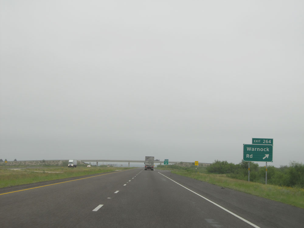 |
Interstate 10 East at Exit 264: Warnock Rd (Photo taken 5/21/15). |
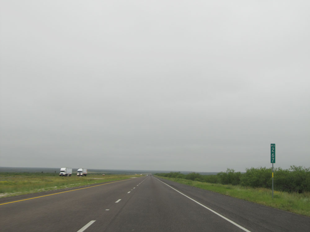 |
Interstate 10 East: Road view from mile marker 267. (Photo taken 5/21/15). |
 |
Interstate 10 East approaching Exit 272 - 1/4 mile. (Photo taken 5/21/15). |
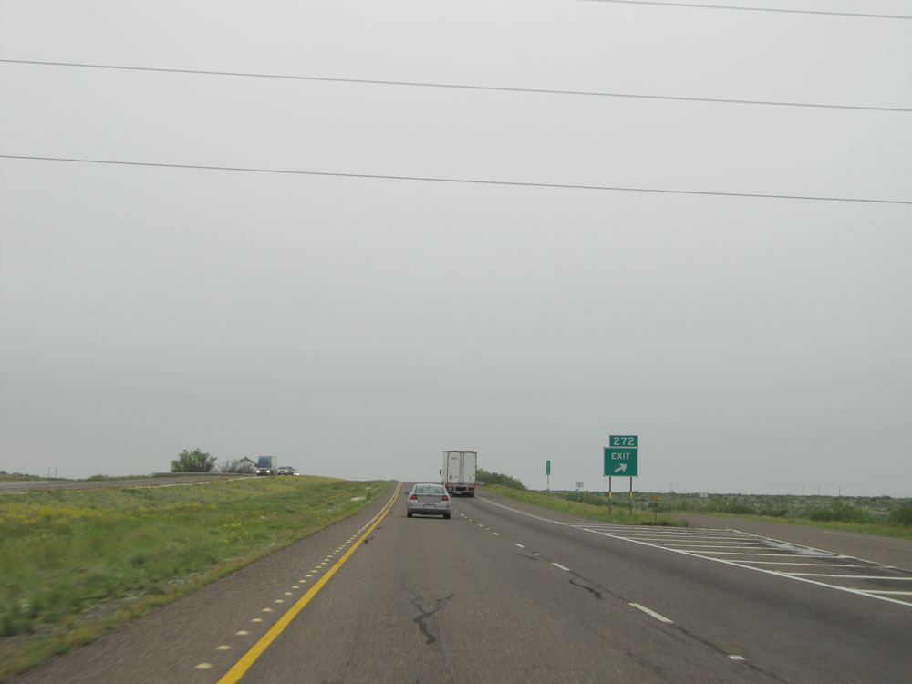 |
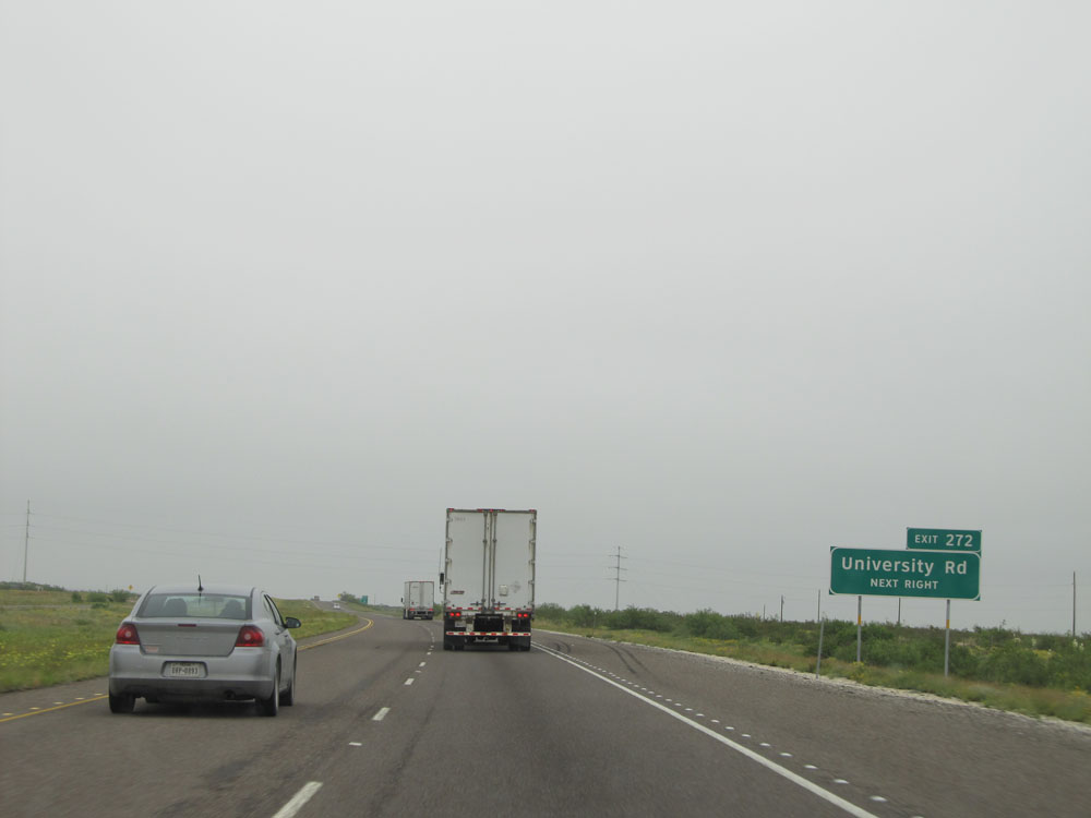
Interstate 10 East at Exit 272: University Rd (Photo taken 5/21/15). |
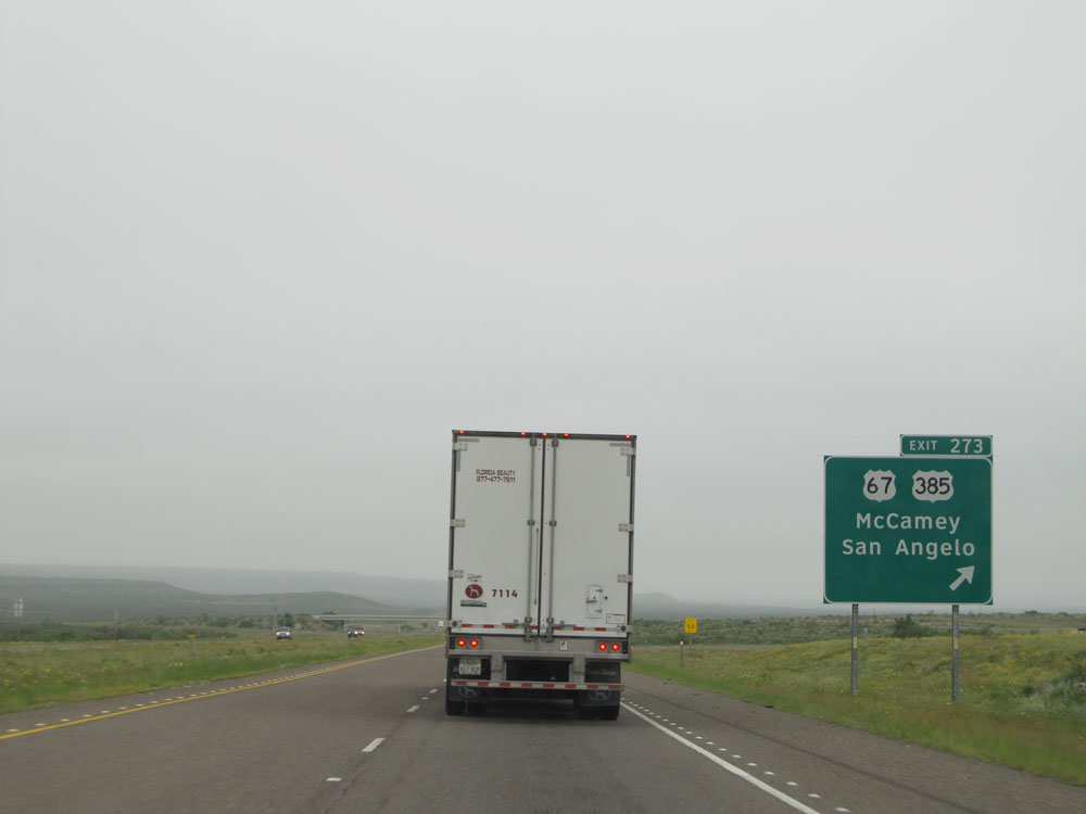 |
Interstate 10 East at Exit 273: US 67 / US 385 - McCamey / San Angelo (Photo taken 5/21/15). |
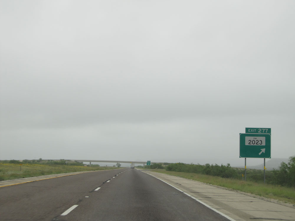 |
Interstate 10 East at Exit 277: FM 2023 (Photo taken 5/21/15). |
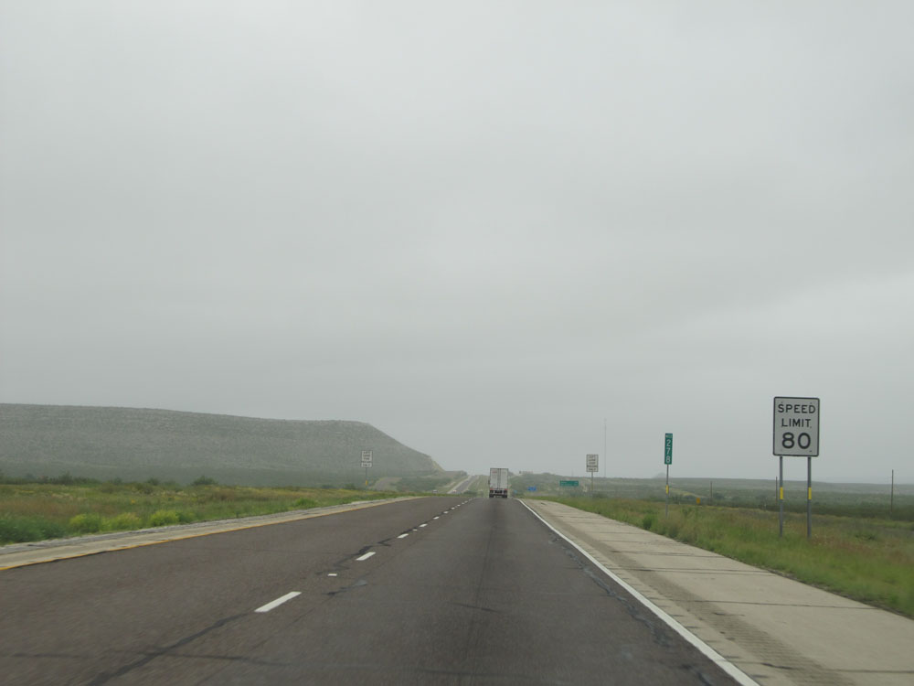 |
Speed limit sign at mile marker 278. Since we're still about 218 miles from the Gillespie County line, the speed limit remains 80 mph until that point. (Photo taken 5/21/15). |
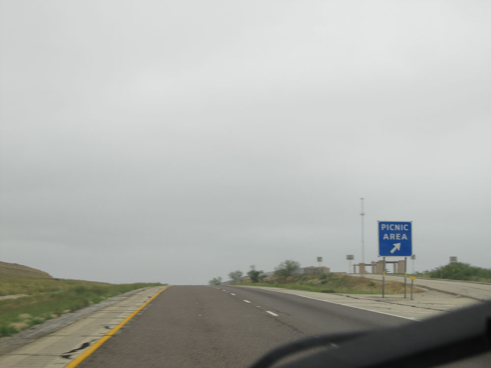 |
Interstate 10 East at the Picnic Area located near mile marker 279. (Photo taken 5/21/15). |
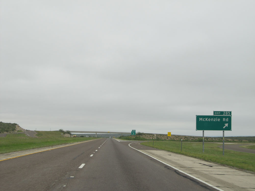 |
Interstate 10 East at Exit 285: McKenzie Rd (Photo taken 5/21/15). |
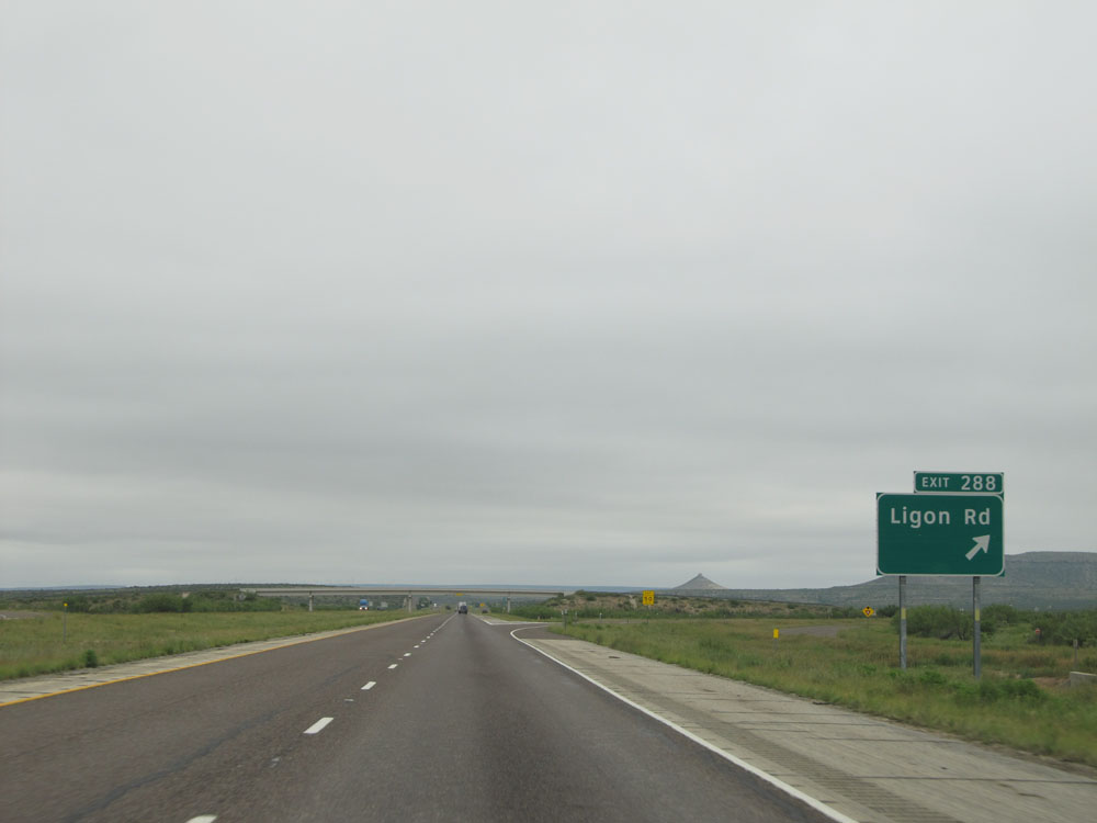 |
Interstate 10 East at Exit 288: Ligon Rd (Photo taken 5/21/15). |
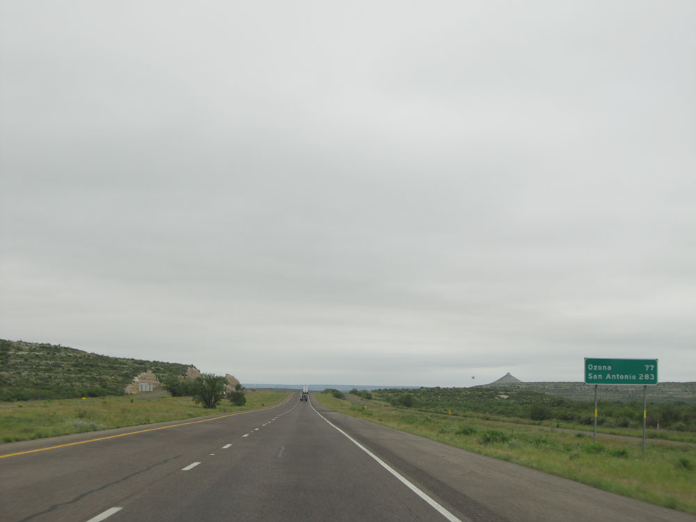 |
Mileage sign located near mile marker 289. It's 77 miles to Ozona and 283 miles to San Antonio. (Photo taken 5/21/15). |
 |
Interstate 10 East: Road view from mile marker 290. (Photo taken 5/21/15). |
 |
Interstate 10 East: Road view from mile marker 292. (Photo taken 5/21/15). |
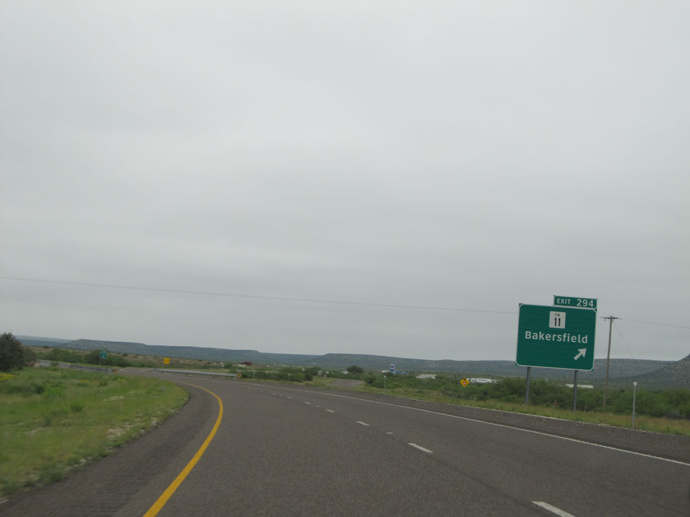 |
Interstate 10 East at Exit 294: FM 11 - Bakersfield (Photo taken 5/21/15). |
 |
Speed limit sign near mile marker 295. Speed limit - 80 mph for all vehicles. Again, sorry for the overkill on the 80 mph speed limit signs, but they just look too awesome to not share all of them with you. (Photo taken 5/21/15). |
 |
Interstate 10 East at Exit 298: FM 2886 (Photo taken 5/21/15). |
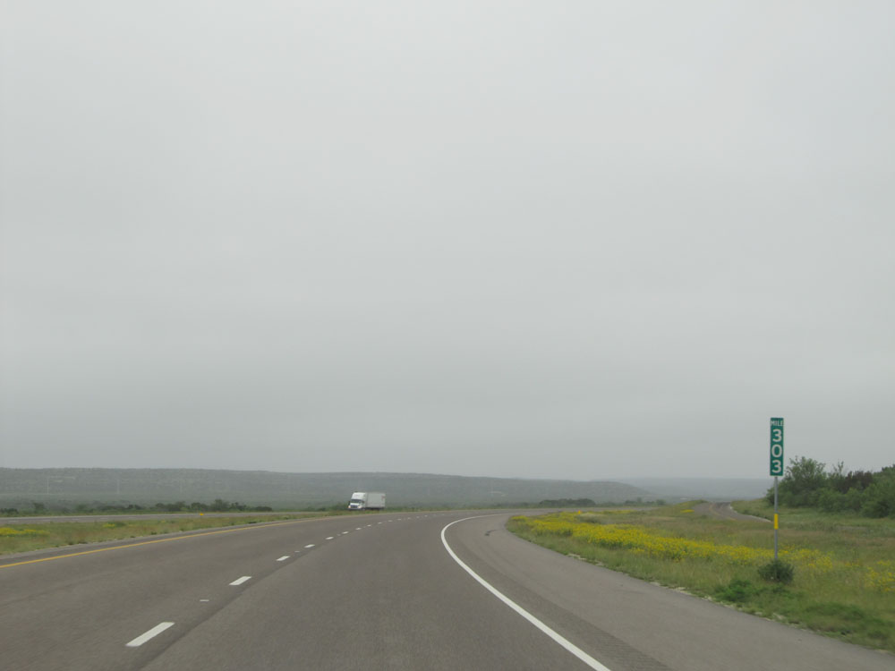 |
Interstate 10 East at mile marker 303. (Photo taken 5/21/15). |
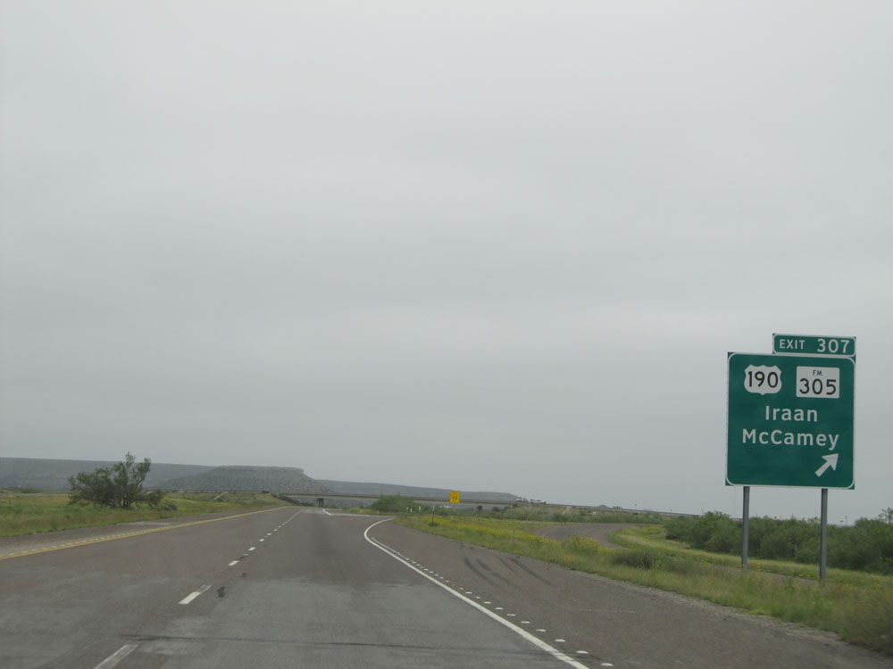 |
Interstate 10 East at Exit 307: US 190 / FM 305 - Iraan / McCamey (Photo taken 5/21/15). |
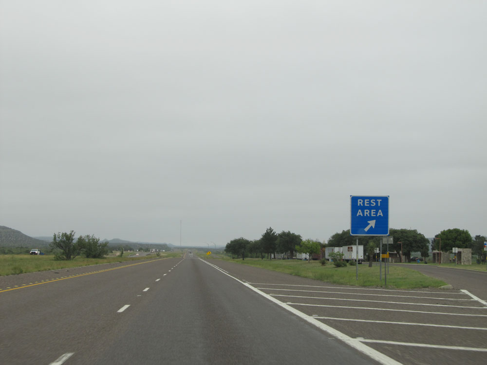 |
Interstate 10 East at the Rest Area located at mile marker 308. (Photo taken 5/21/15). |
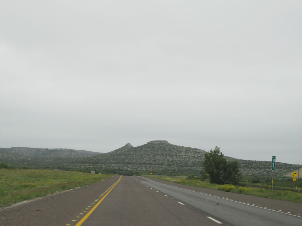 |
Interstate 10 East: Road view from mile marker 313. (Photo taken 5/21/15). |
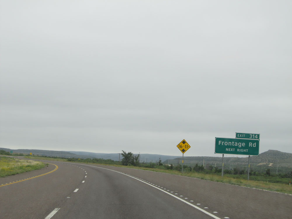 |
Interstate 10 East approaching Exit 314 - 1/4 mile. (Photo taken 5/21/15). |
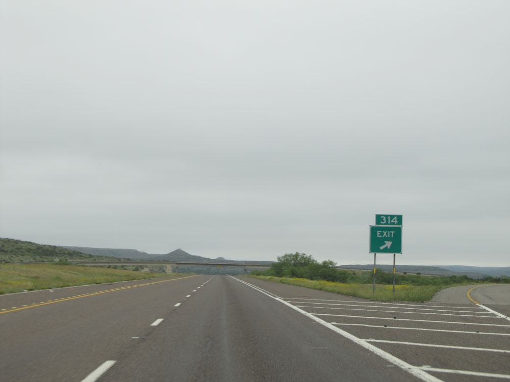 |
Interstate 10 East at Exit 314: Frontage Rd (Photo taken 5/21/15). |
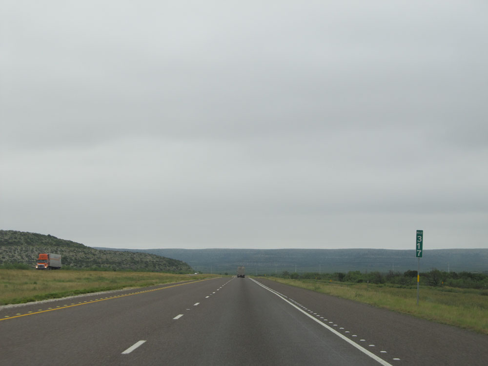 |
Interstate 10 East: Road view from mile marker 317. (Photo taken 5/21/15). |
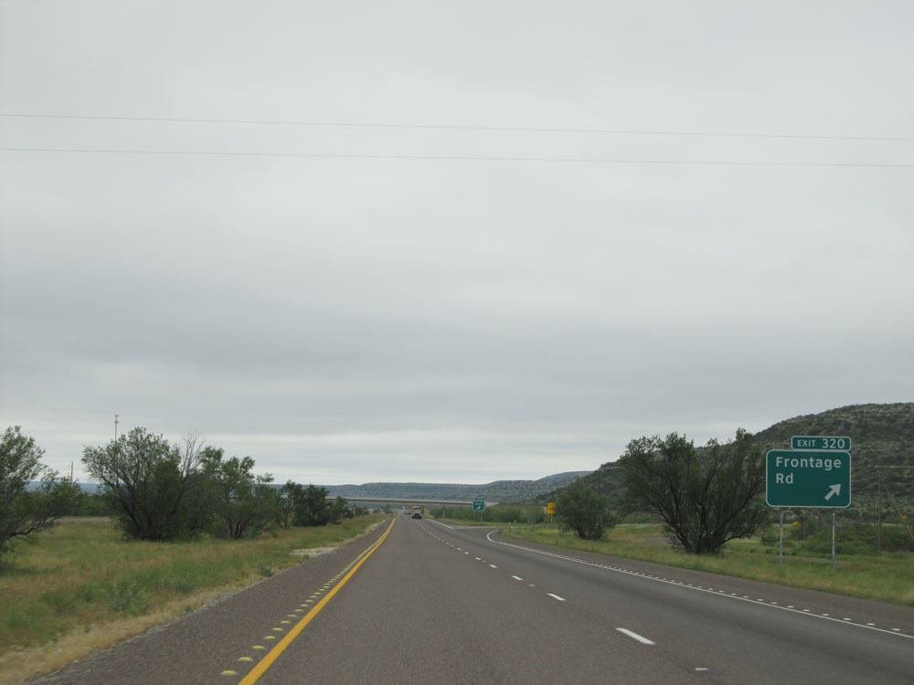 |
Interstate 10 East at Exit 320: Frontage Rd (Photo taken 5/21/15). |
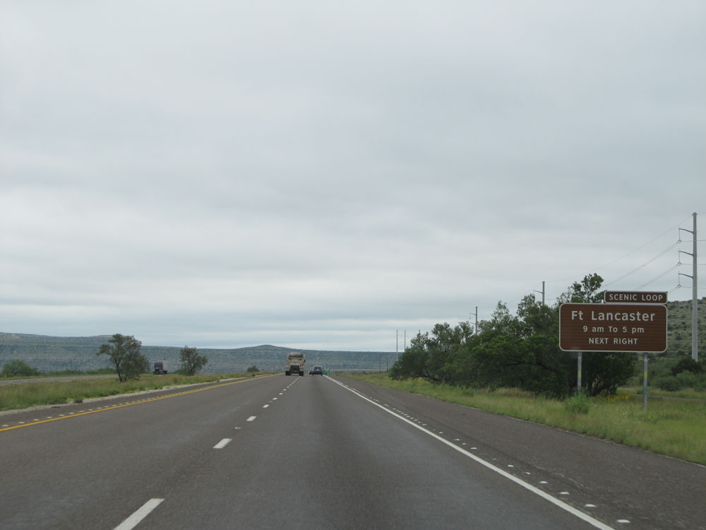 |
Take Exit 325 to Ft Lancaster Scenic Loop. (Photo taken 5/21/15). |
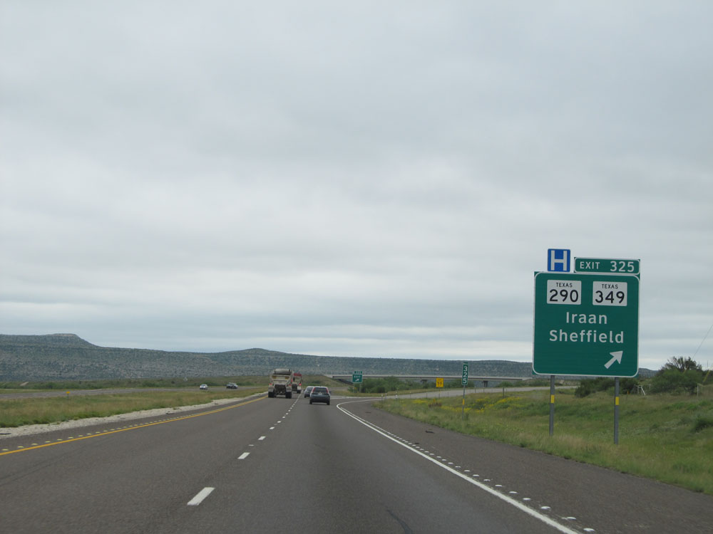 |
Interstate 10 East at Exit 325: TX 290 / TX 349 - Iraan / Sheffield (Photo taken 5/21/15). |
 |
Interstate 10 East crossing the Pecos River near mile marker 328. (Photo taken 5/21/15). |
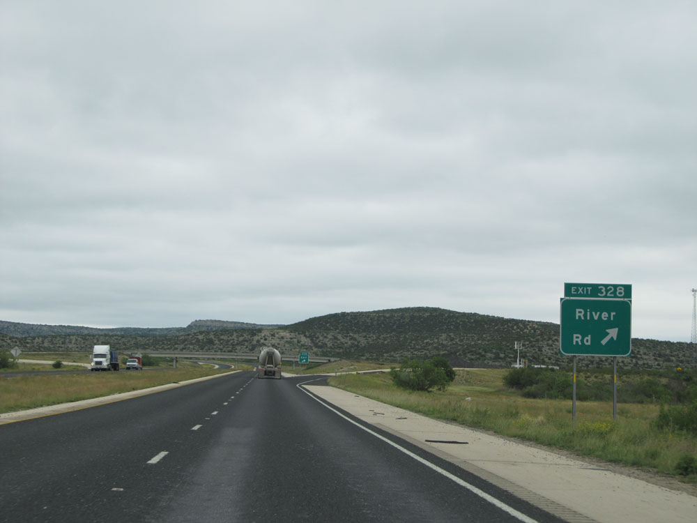 |
Interstate 10 East at Exit 328: River Rd (Photo taken 5/21/15). |
 |
Mileage sign near mile marker 329. It's 36 miles to Ozona and 247 miles to San Antonio. (Photo taken 5/21/15). |
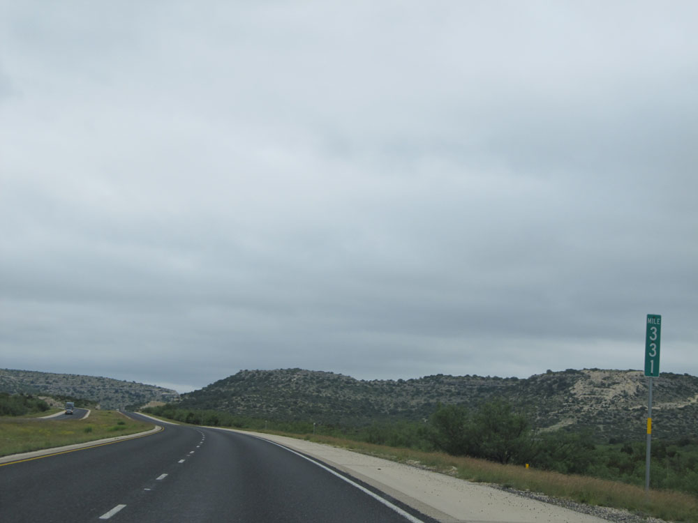 |
Interstate 10 East: Road view from mile marker 331. (Photo taken 5/21/15). |
 |
A nice road cut on Interstate 10 East. (Photo taken 5/21/15). |
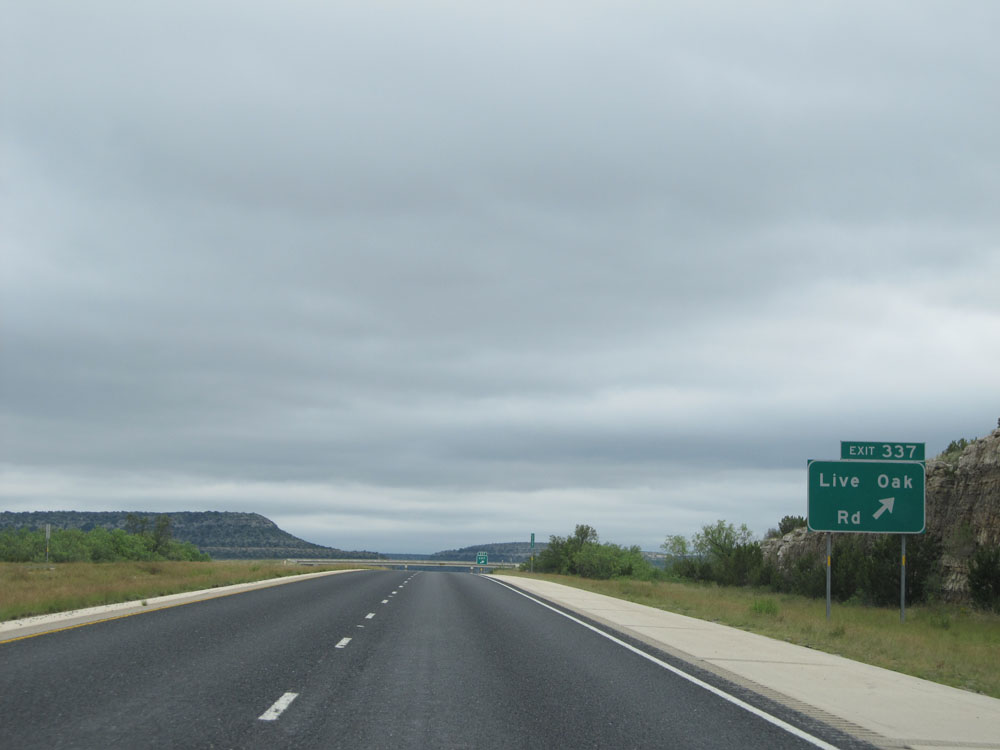 |
Interstate 10 East at Exit 337: Live Oak Rd (Photo taken 5/21/15). |
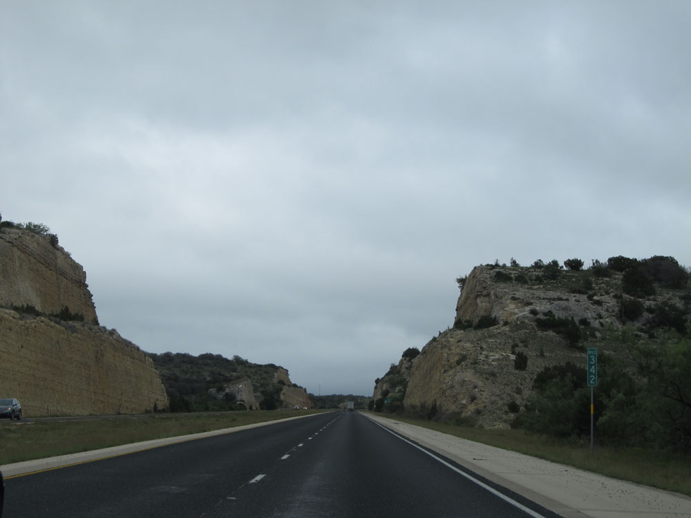 |
Interstate 10 East: Road view from mile marker 342. (Photo taken 5/21/15). |
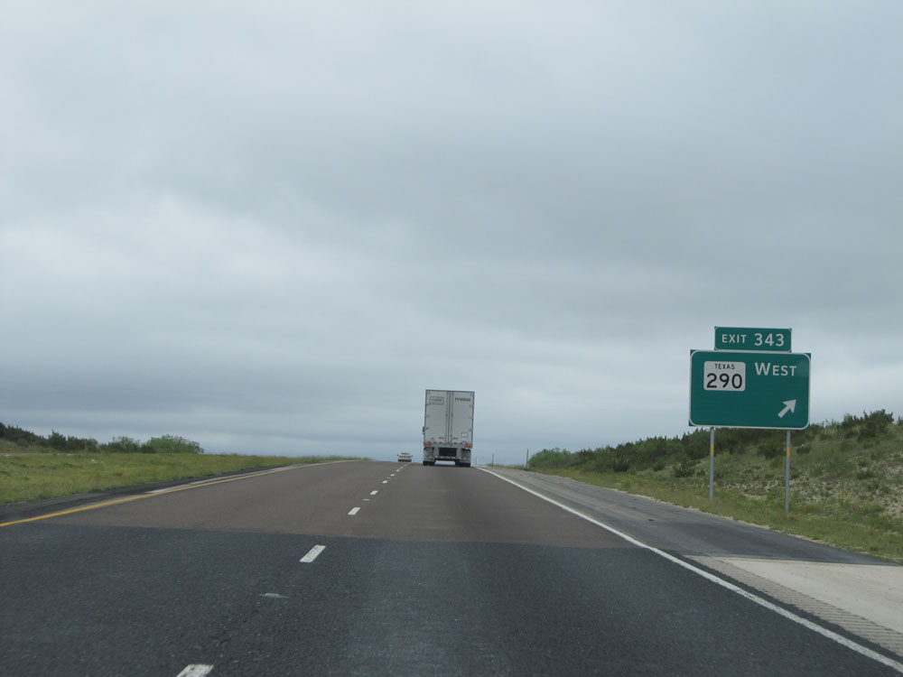 |
Interstate 10 East at Exit 343: TX 290 West (Photo taken 5/21/15). |
 |
Interstate 10 East assurance shield near mile marker 344. Several nice road cuts like those seen here exist on this stretch of I-10 in west Texas. (Photo taken 5/21/15). |
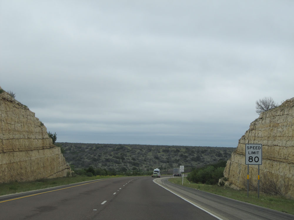 |
The speed limit remains 80 mph for the next 158 miles or so, approximately. (Photo taken 5/21/15). |
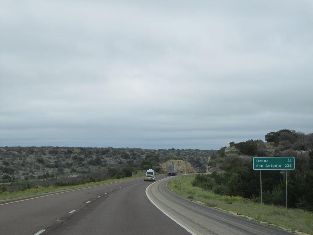 |
Another mileage sign on Interstate 10 East. Ozona is now just 21 miles ahead, while it's still 232 miles to San Antonio. (Photo taken 5/21/15). |
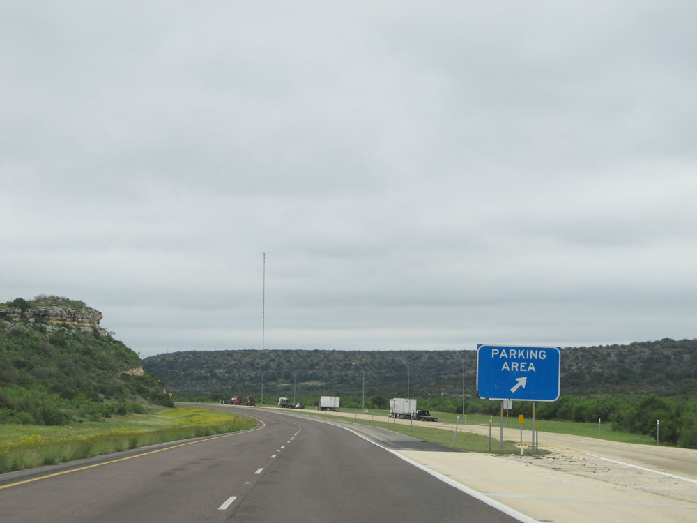 |
Interstate 10 East at the Parking Area located at mile marker 346. (Photo taken 5/21/15). |
 |
Interstate 10 East at Exit 350: RM 2398 - Howard Draw Rd (Photo taken 5/21/15). |
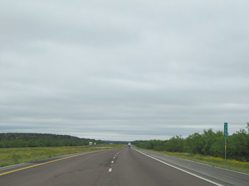 |
Interstate 10 East: Road view from mile marker 355. (Photo taken 5/21/15). |
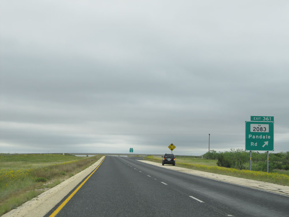 |
Interstate 10 East at Exit 361: FM 2083 - Pandale Rd (Photo taken 5/21/15). |
 |
Take either of the next 2 exits to Ozona. (Photo taken 5/21/15). |
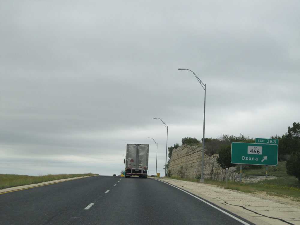 |
Interstate 10 East at Exit 363: TX Loop 466 - Ozona (Photo taken 5/21/15). |
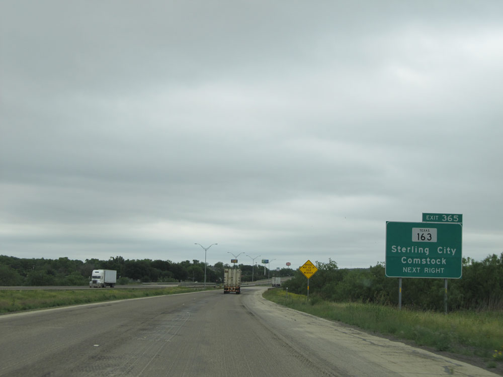 |
Interstate 10 East at Exit 365: TX 163 - Sterling City / Comstock (Photo taken 5/21/15). |
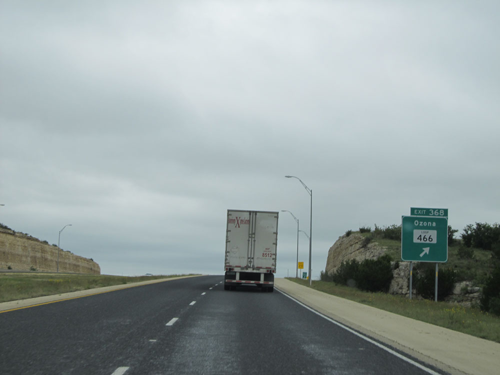 |
Interstate 10 East at Exit 368: TX Loop 466 - Ozona (Photo taken 5/21/15). |
Section 5: Ozona (Exit 368) to Kerrville (Exit 508)
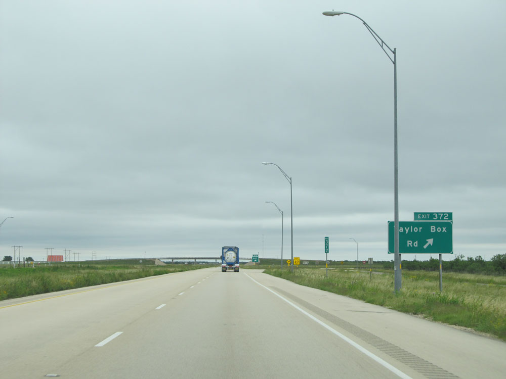 |
Interstate 10 East at Exit 372: Taylor Box Rd (Photo taken 5/21/15). |
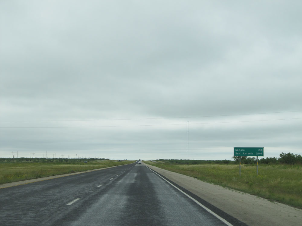 |
Mileage sign near mile marker 373. It's 28 miles to Sonora, the next control city on Interstate 10 East. Meanwhile, it's still 204 miles to San Antonio. (Photo taken 5/21/15). |
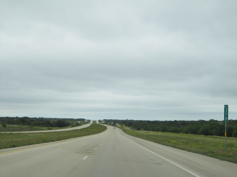 |
Interstate 10 East: Road view from mile marker 378. (Photo taken 5/21/15). |
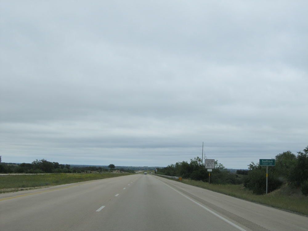 |
Interstate 10 East as it enters Sutton County. (Photo taken 5/21/15). |
 |
Interstate 10 East at Exit 381: RM 1312 (Photo taken 5/21/15). |
 |
Interstate 10 East: Road view from mile marker 384. (Photo taken 5/21/15). |
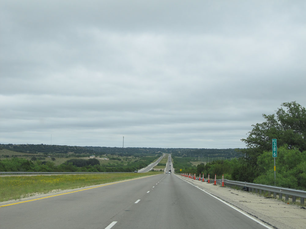 |
Interstate 10 East at mile marker 386. (Photo taken 5/21/15). |
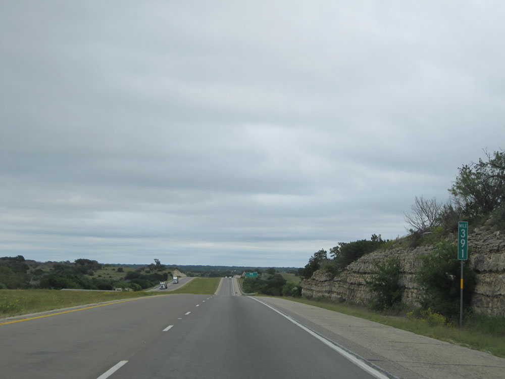 |
Interstate 10 East at mile marker 391. (Photo taken 5/21/15). |
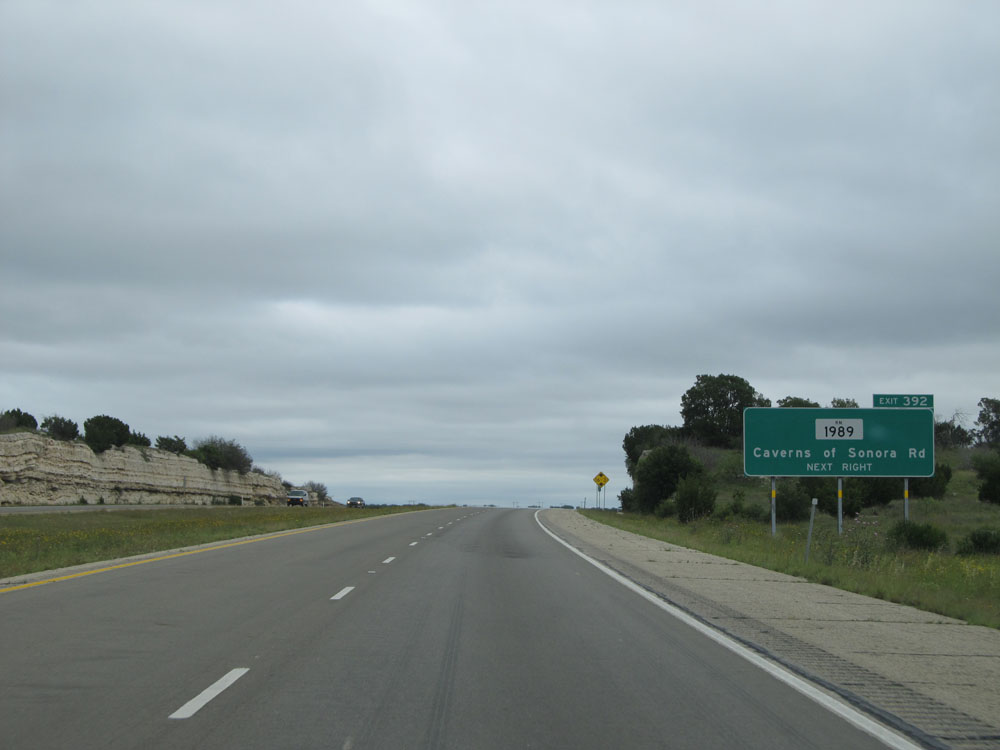 |
Interstate 10 East at Exit 392: RM 1989 - Caverns of Sonora Rd (Photo taken 5/21/15). |
 |
Interstate 10 East at the Rest Area located at mile marker 394. (Photo taken 5/21/15). |
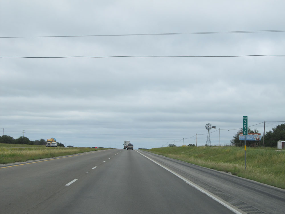 |
Interstate 10 East: Road view from mile marker 396. (Photo taken 5/21/15). |
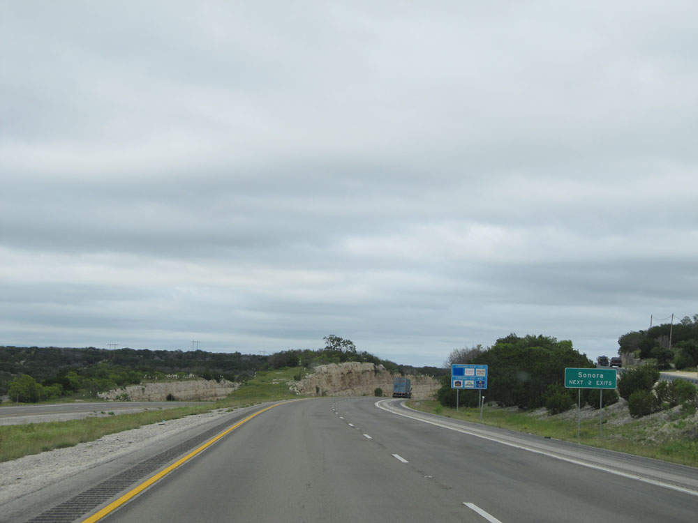 |
Take either of the next 2 exits to Sonora. (Photo taken 5/21/15). |
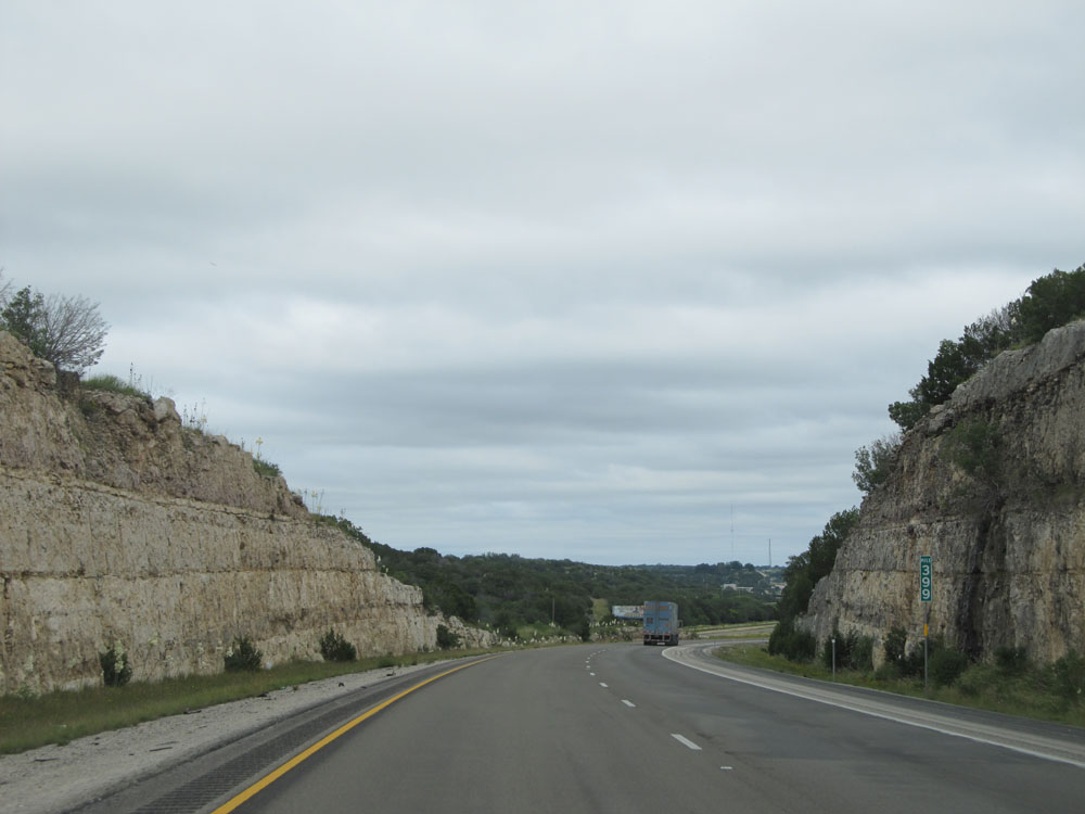 |
Interstate 10 East: Road view from mile marker 399. Another cool road cut. (Photo taken 5/21/15). |
 |
Interstate 10 East at Exit 399: TX Loop 467 - Sonora (Photo taken 5/21/15). |
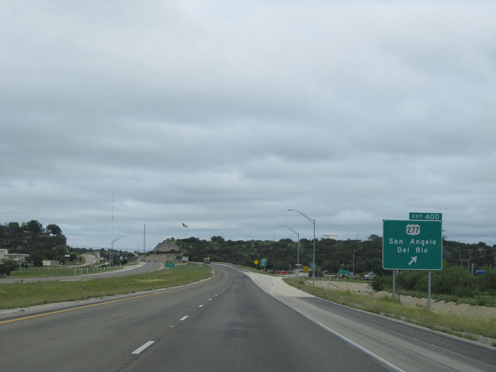 |
Interstate 10 East at Exit 400: US 277 - San Angelo / Del Rio (Photo taken 5/21/15). |
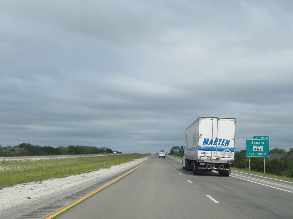 |
Take Exit 404 to TX Loop 467 back to Sonora. (Photo taken 5/21/15). |
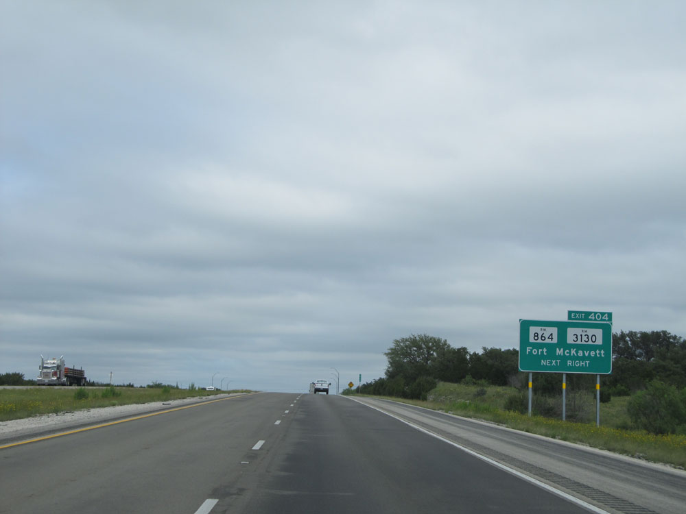 |
Interstate 10 East at Exit 404: RM 864 / RM 3130 - Fort McKavett (Photo taken 5/21/15). |
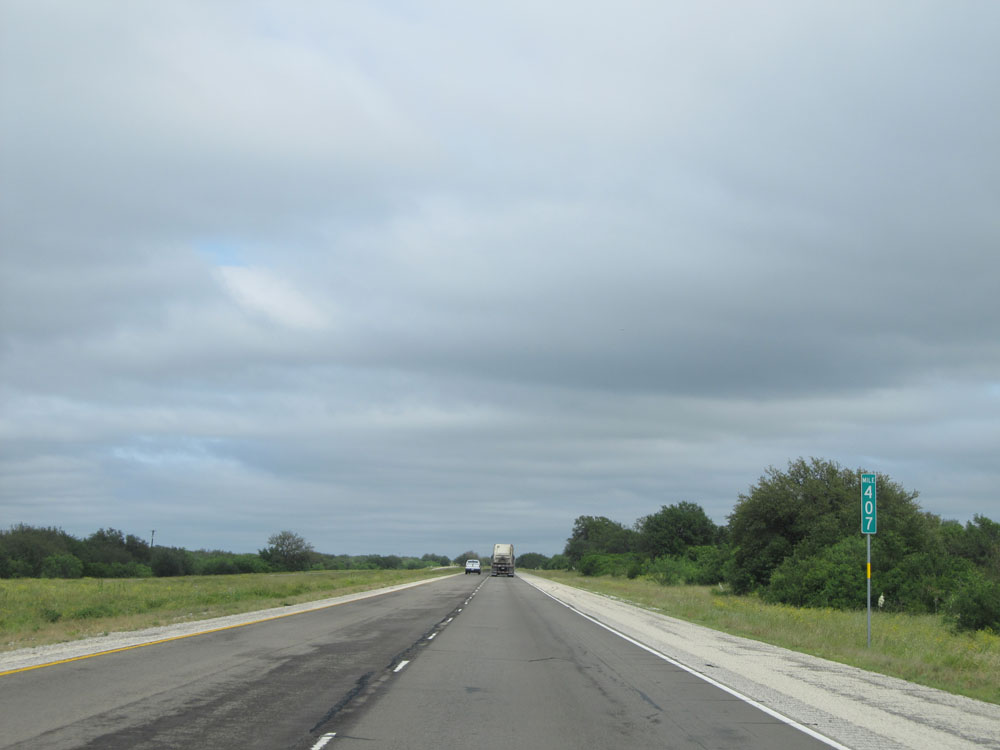 |
Interstate 10 East: Road view from mile marker 407. (Photo taken 5/21/15). |
 |
Interstate 10 East at Exit 412: RM 3130 - Allison Rd (Photo taken 5/21/15). |
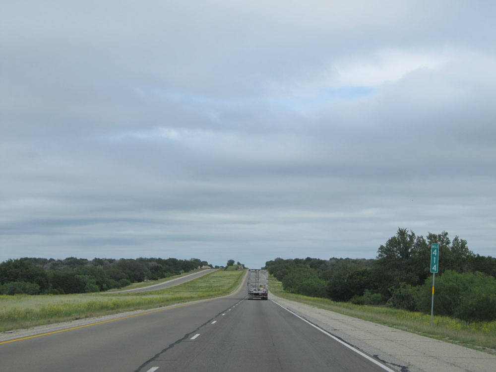 |
Interstate 10 East: Road view from mile marker 414. (Photo taken 5/21/15). |
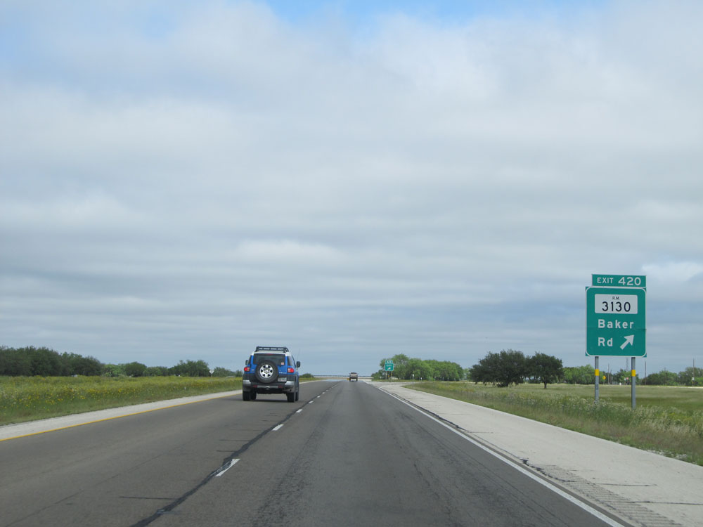 |
Interstate 10 East at Exit 420: RM 3130 - Baker Rd (Photo taken 5/21/15). |
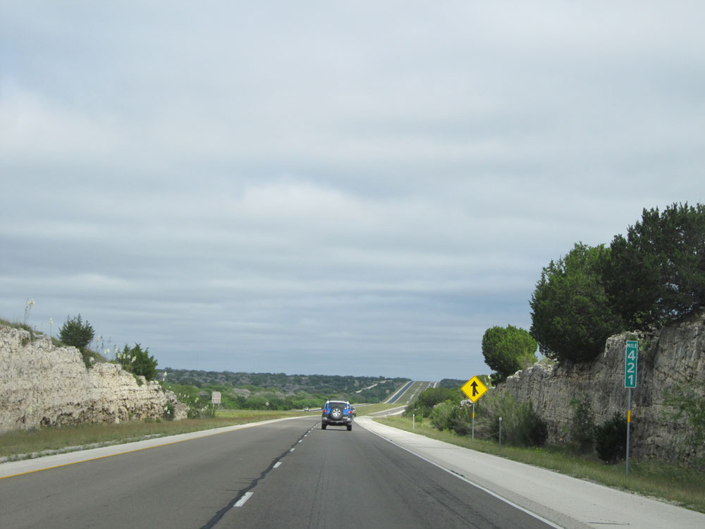 |
Interstate 10 East at mile marker 421. (Photo taken 5/21/15). |
 |
Interstate 10 East at the Parking Area located just past mile marker 423. (Photo taken 5/21/15). |
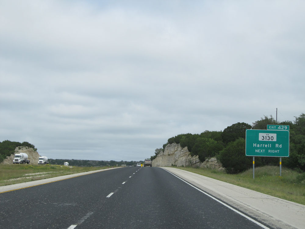 |
Interstate 10 East at Exit 429: RM 3130 - Harrell Rd (Photo taken 5/21/15). |
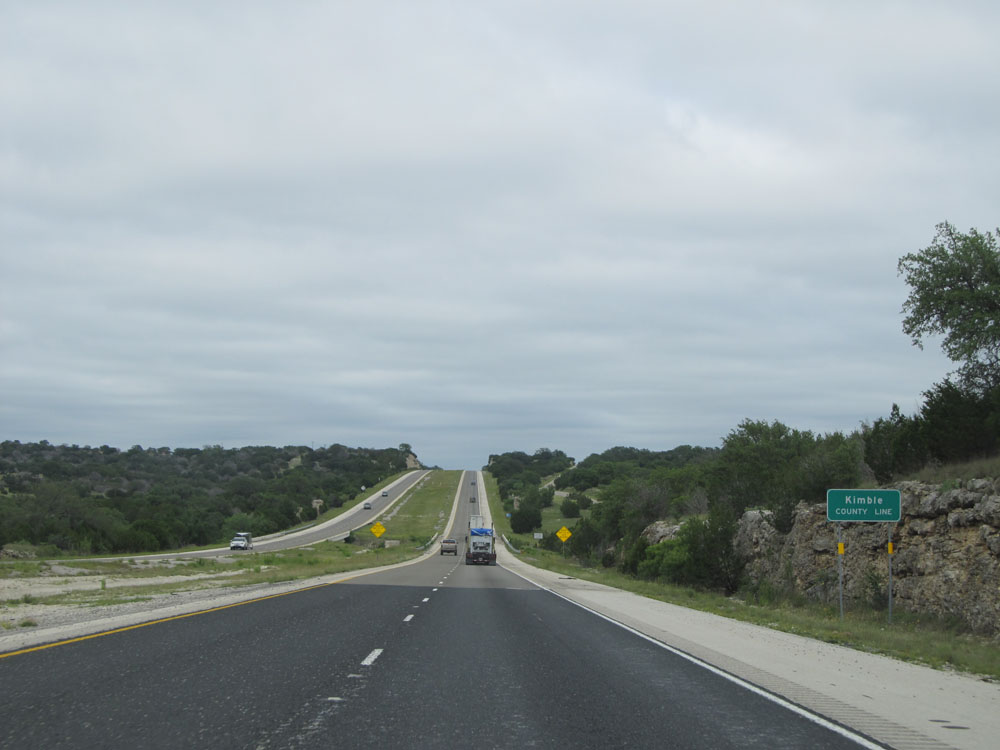 |
Interstate 10 East entering Kimble County. (Photo taken 5/21/15). |
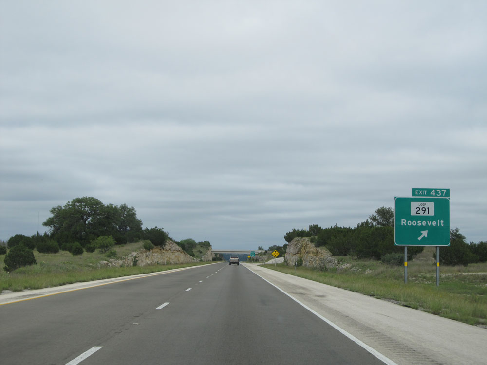 |
Interstate 10 East at Exit 437: TX Loop 291 - Roosevelt (Photo taken 5/21/15). |
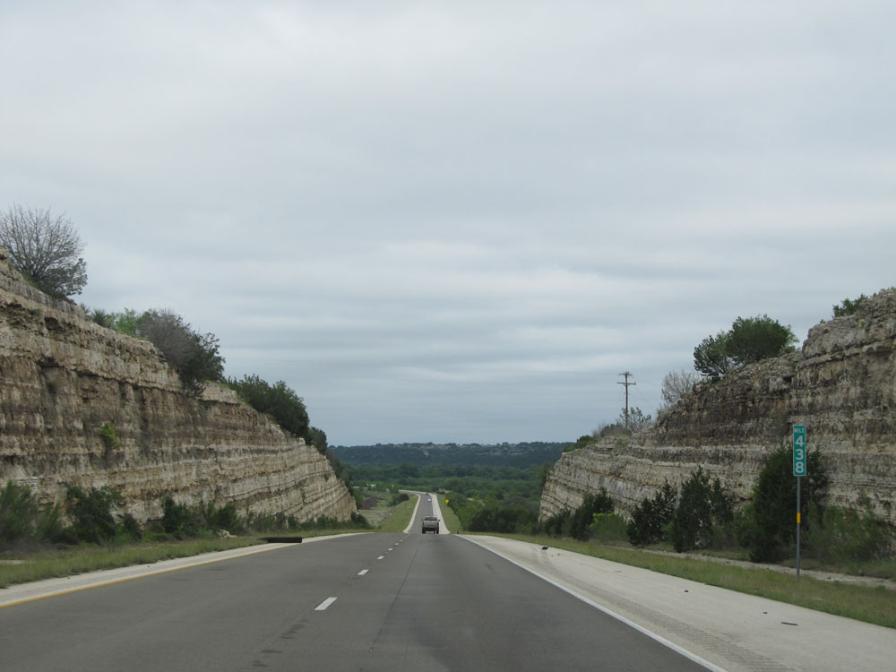 |
Another road cut at mile marker 438. (Photo taken 5/21/15). |
 |
Interstate 10 East at Exit 442: RM 1674 / TX Loop 291 - Fort McKavett (Photo taken 5/21/15). |
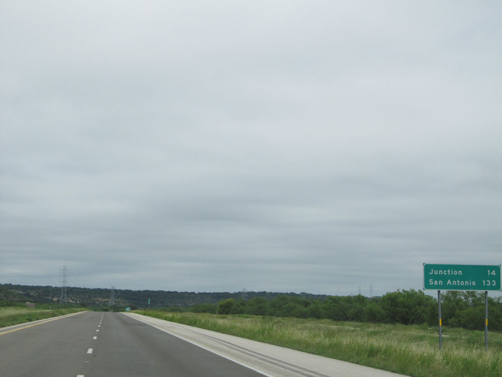 |
Mileage sign near mile marker 443. It's 12 miles to Junction, the next control city on Interstate 10 East, and still 133 miles to San Antonio. (Photo taken 5/21/15). |
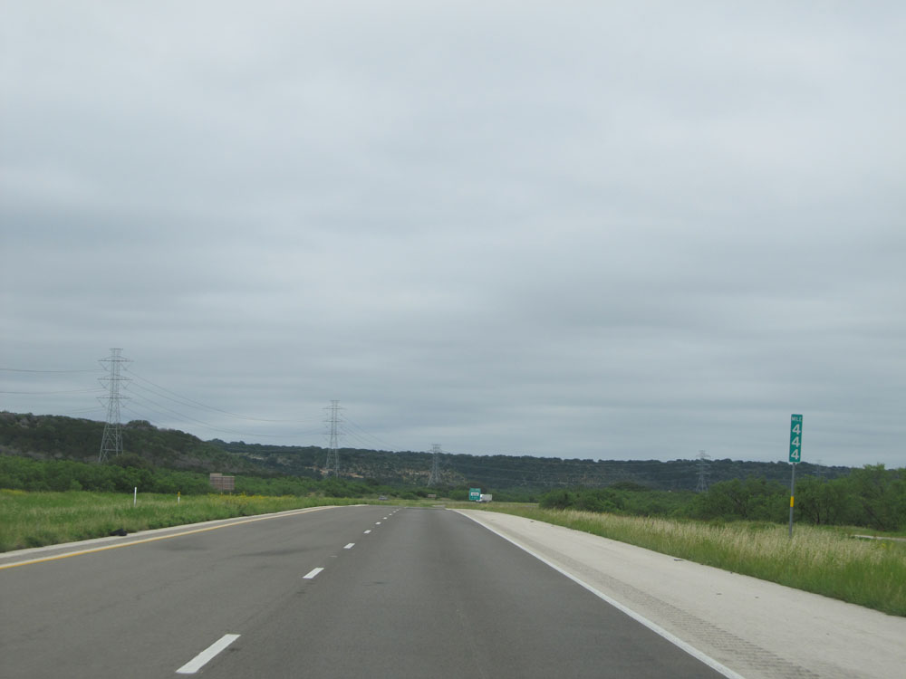 |
Interstate 10 East at mile marker 444. (Photo taken 5/21/15). |
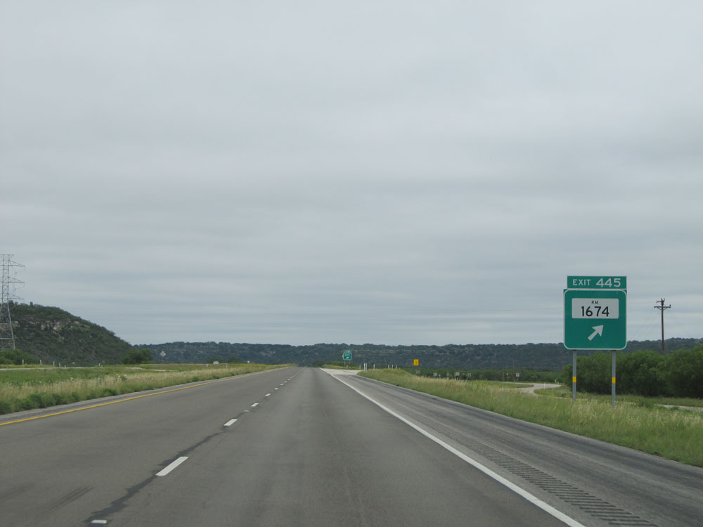 |
Interstate 10 East at Exit 445: RM 1674 (Photo taken 5/21/15). |
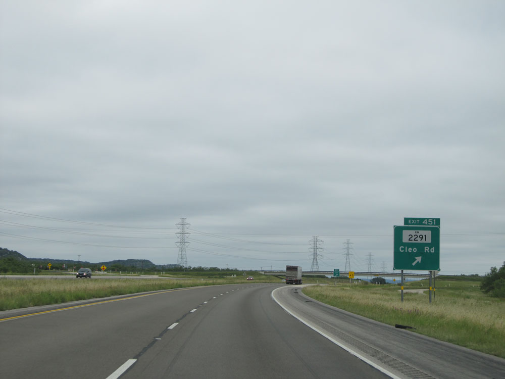 |
Interstate 10 East at Exit 451: RM 2291 - Cleo Rd (Photo taken 5/21/15). |
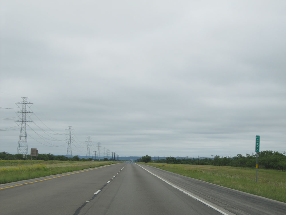 |
Interstate 10 East: Road view from mile marker 453. (Photo taken 5/21/15). |
 |
Take either of the next 2 exits to Junction. (Photo taken 5/21/15). |
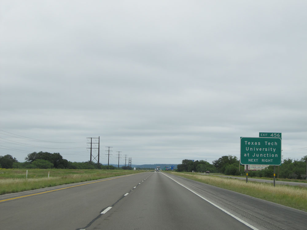 |
Take Exit 456 to Texas Tech University at Junction. (Photo taken 5/21/15). |
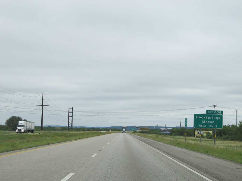 |
Also take Exit 456 to Rocksprings and Mason. (Photo taken 5/21/15). |
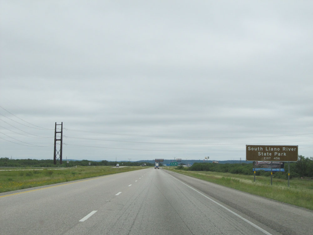 |
Take Exit 456 to South Llano River State Park as well. (Photo taken 5/21/15). |
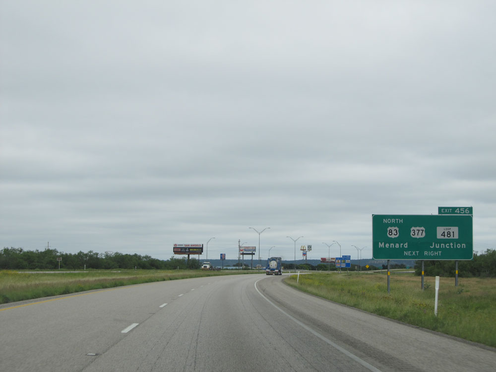 |
Interstate 10 East at Exit 456: US 83 North / US 377 / TX Loop 481 - Menard / Junction (Photo taken 5/21/15). |
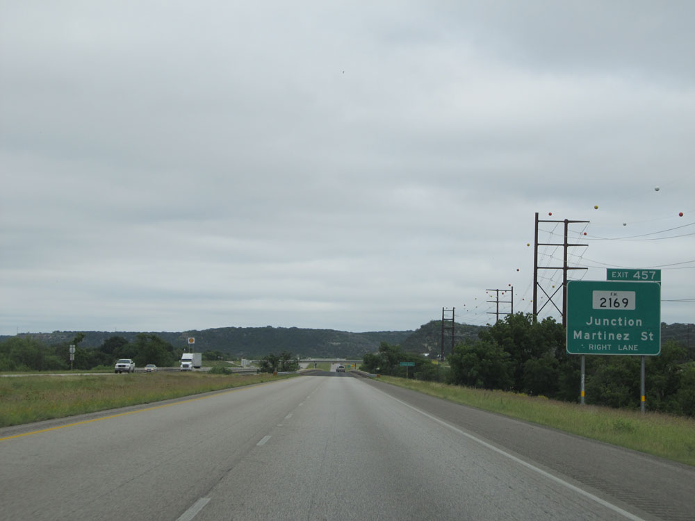 |
Interstate 10 East at Exit 457: FM 2169 - Junction / Martinez St (Photo taken 5/21/15). |
 |
View on Interstate 10 East. (Photo taken 5/21/15). |
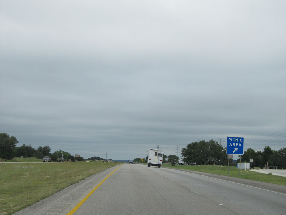 |
Interstate 10 East at the Picnic Area located near mile marker 461. (Photo taken 5/21/15). |
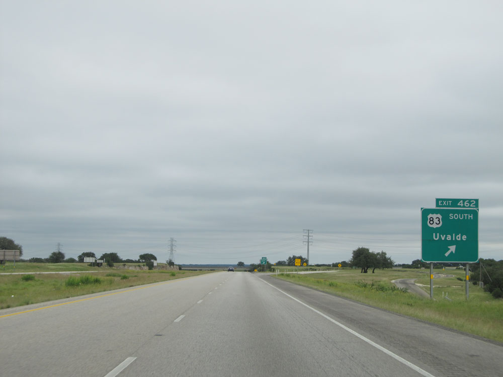 |
Interstate 10 East at Exit 462: US 83 South - Uvalde (Photo taken 5/21/15). |
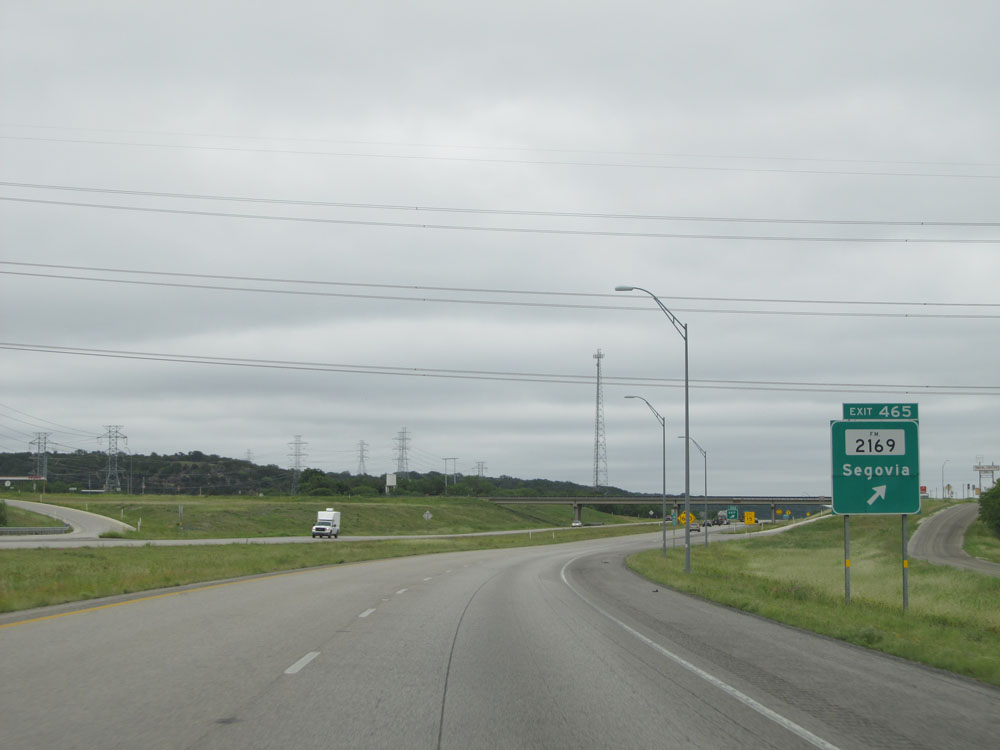 |
Interstate 10 East at Exit 465: FM 2169 - Segovia (Photo taken 5/21/15). |
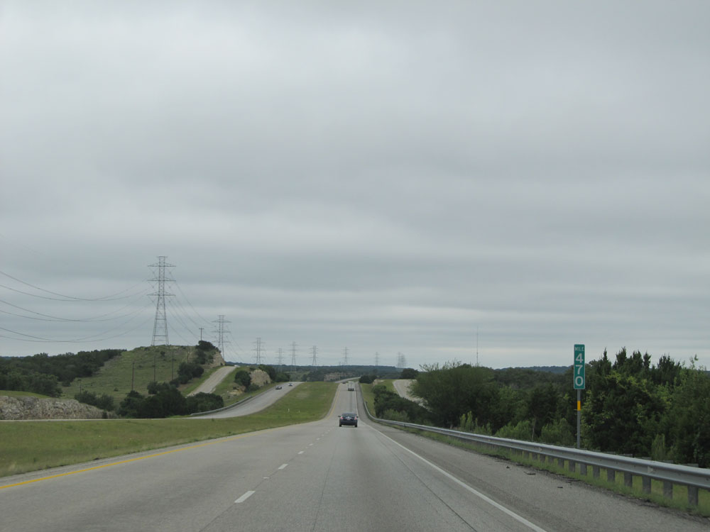 |
Interstate 10 East: Road view from mile marker 470. (Photo taken 5/21/15). |
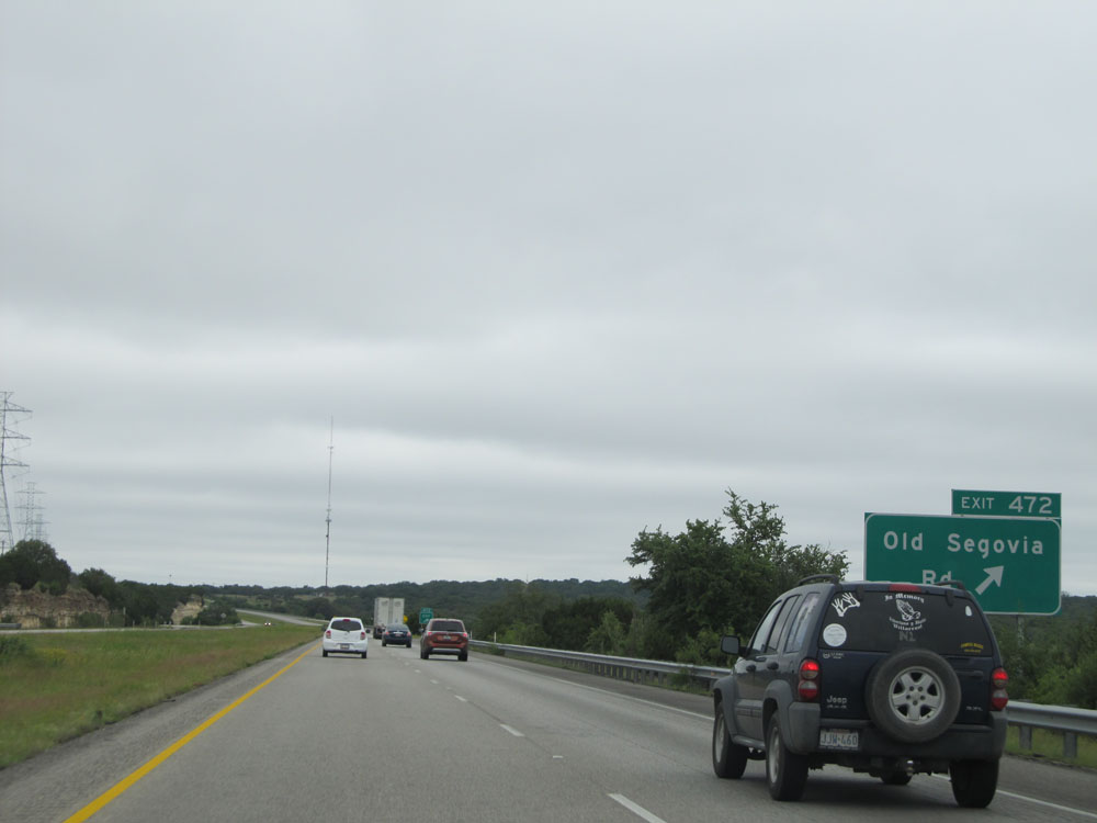 |
Interstate 10 East at Exit 472: Old Segovia Rd (Photo taken 5/21/15). |
 |
Take Exit 477 to Johnson City and Austin. (Photo taken 5/21/15). |
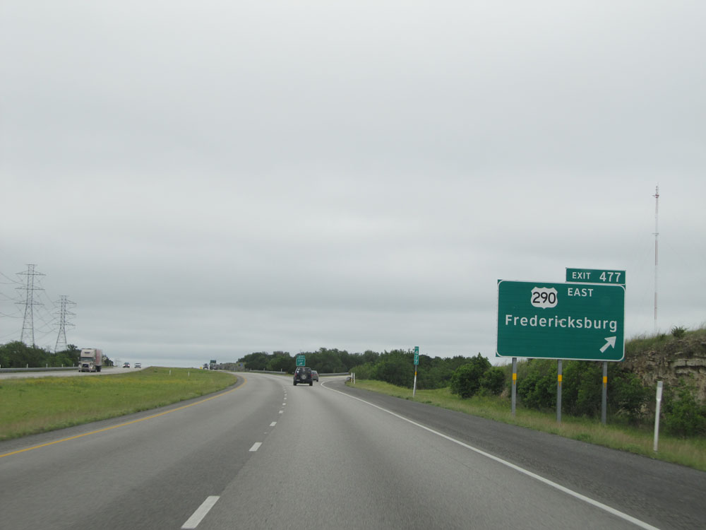 |
Interstate 10 East at Exit 477: US 290 East - Fredericksburg (Photo taken 5/21/15). |
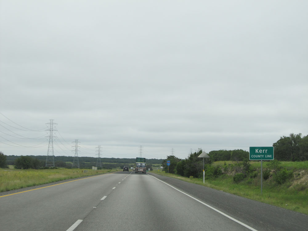 |
Interstate 10 East entering Kerr County, for the first time. (Photo taken 5/21/15). |
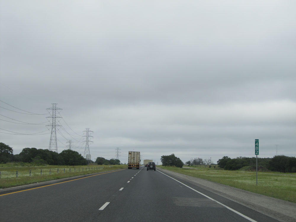 |
Interstate 10 East at mile marker 482. (Photo taken 5/21/15). |
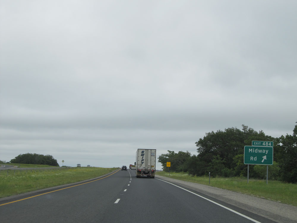 |
Interstate 10 East at Exit 484: Midway Rd (Photo taken 5/21/15). |
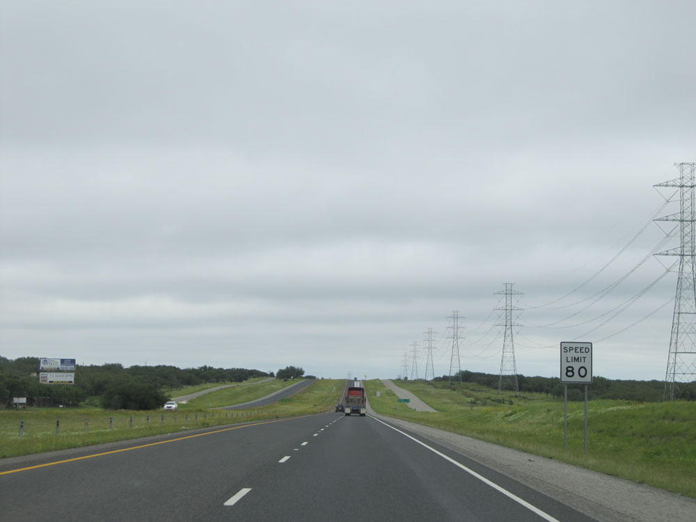 |
Speed limit sign near mile marker 485. The speed limit remains 80 mph on Interstate 10 East for a bit longer (roughly 11 more miles). (Photo taken 5/21/15). |
 |
Mileage sign near mile marker 485. It's 24 miles to Kerrville, the next control city on Interstate 10 East. It's now just 87 miles to San Antonio. (Photo taken 5/21/15). |
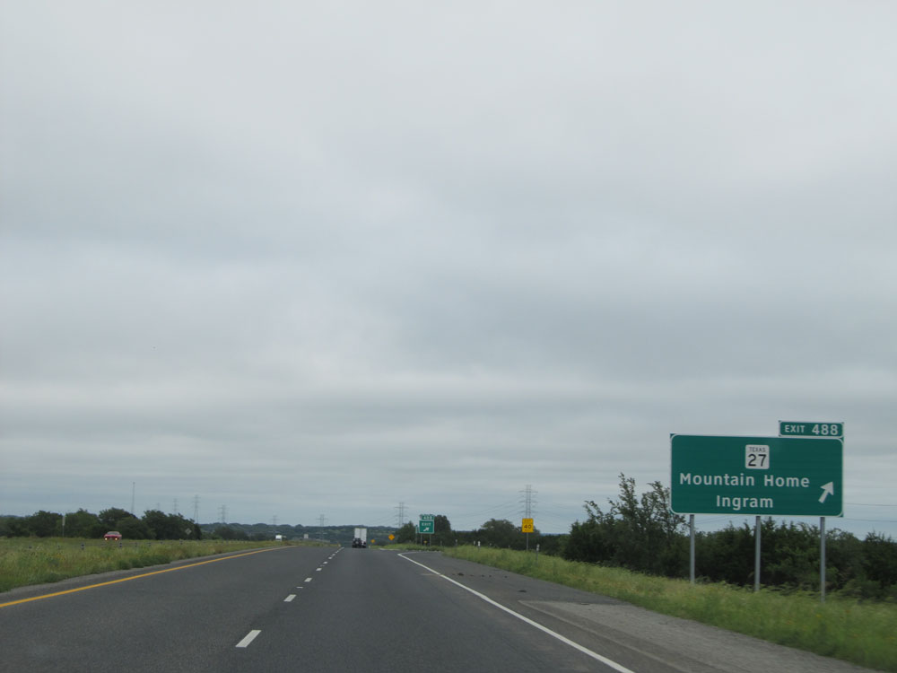 |
Interstate 10 East at Exit 488: TX 27 - Mountain Home / Ingram (Photo taken 5/21/15). |
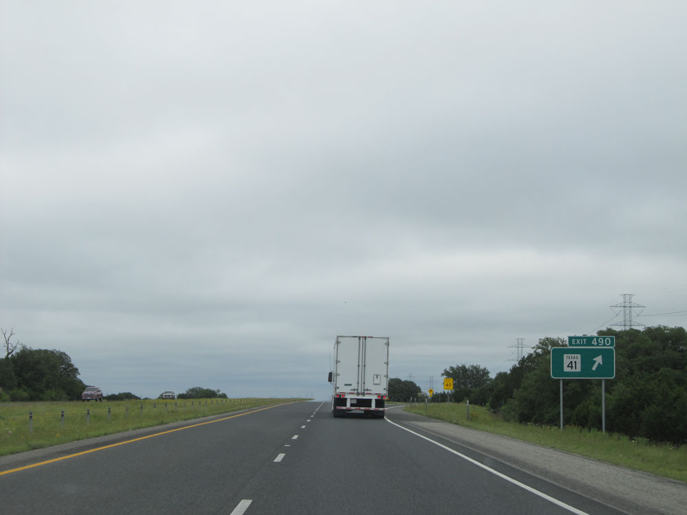 |
Interstate 10 East at Exit 490: TX 41. We're now about halfway through Texas on I-10 East. (Photo taken 5/21/15). |
 |
Interstate 10 East at Exit 492: RM 479 (Photo taken 5/21/15). |
 |
Approaching the Gillespie County line, the speed limit finally drops to 75 mph. 80 mph speed limit, we had fun while you lasted, and you will be missed dearly! (Photo taken 5/21/15). |
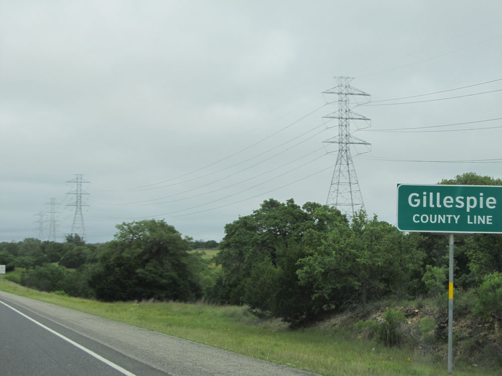 |
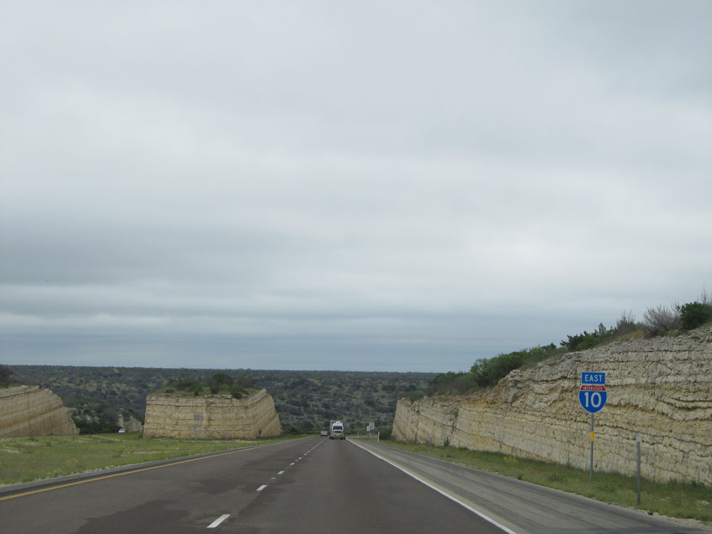
Interstate 10 East entering Gillespie County, near mile marker 496. This unfortunately marks the end of the 80 mph speed limit on Interstate 10 East in Texas. (Photo taken 5/21/15). |
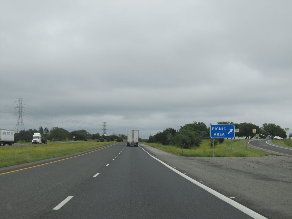 |
Interstate 10 East at the Picnic Area located just past mile marker 497. (Photo taken 5/21/15). |
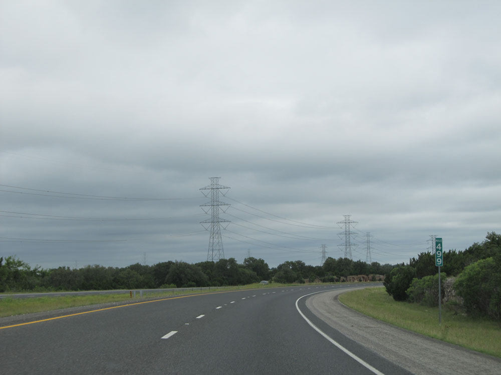 |
Interstate 10 East: Road view from mile marker 499. (Photo taken 5/21/15). |
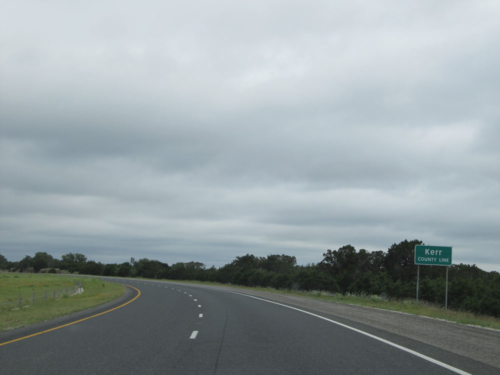 |
Interstate 10 East entering Kerr County for the second time. (Photo taken 5/21/15). |
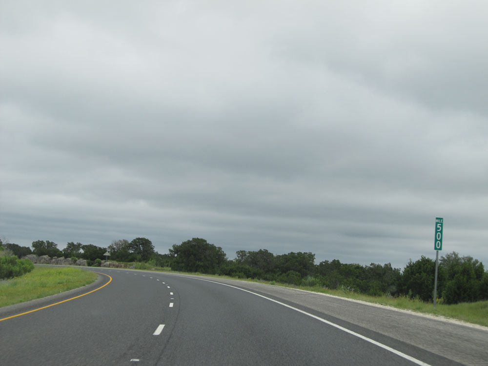 |
Interstate 10 East at mile marker 500. (Photo taken 5/21/15). |
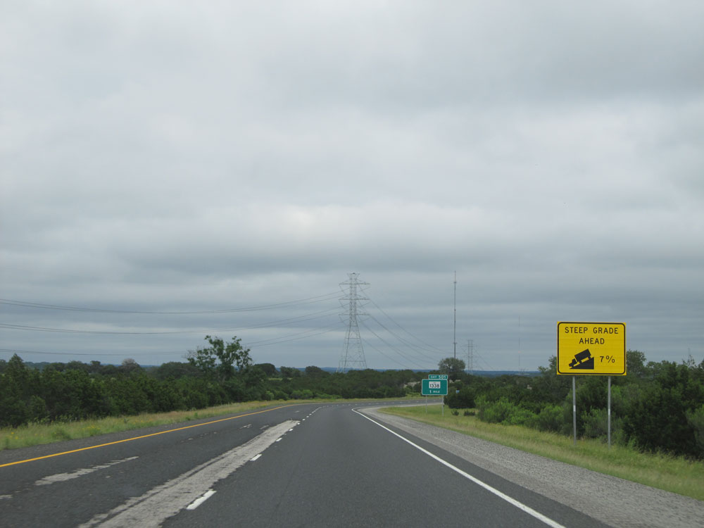 |
Interstate 10 East approaching the first of a few steep (7%) grades over the next several miles. Although these grades are short (less than a mile), 7% is still very steep and can cause you to pick up downhill speed rather quickly! (Photo taken 5/21/15). |
 |
Interstate 10 East: Road view from mile marker 501, starting down the 7% grade mentioned in the last picture caption. (Photo taken 5/21/15). |
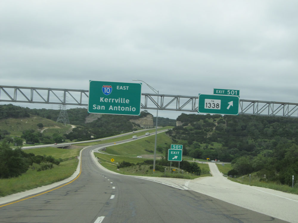 |
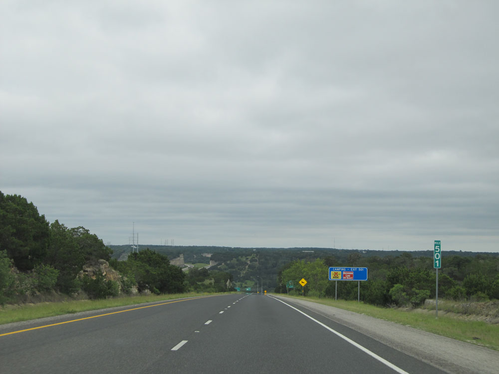
Interstate 10 East at Exit 501: FM 1338 (Photo taken 5/21/15). |
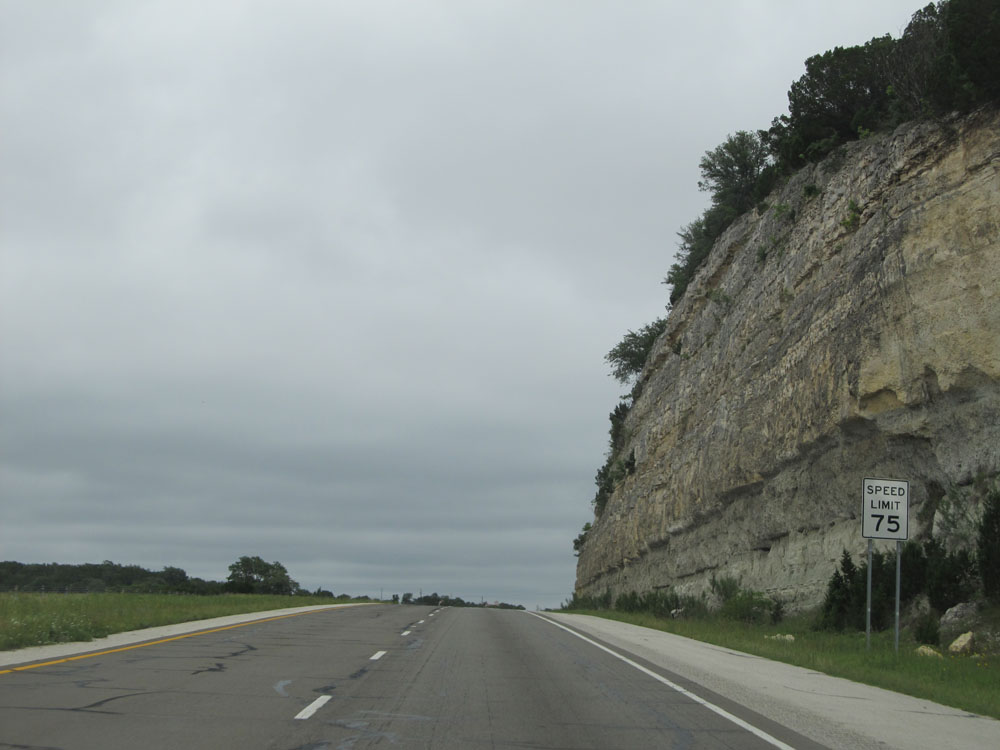 |
Speed limit sign near mile marker 502. As previously mentioned, the highest speed limit you will see on Interstate 10 East in Texas from this point forward is 75 mph, like this one here. (Photo taken 5/21/15). |
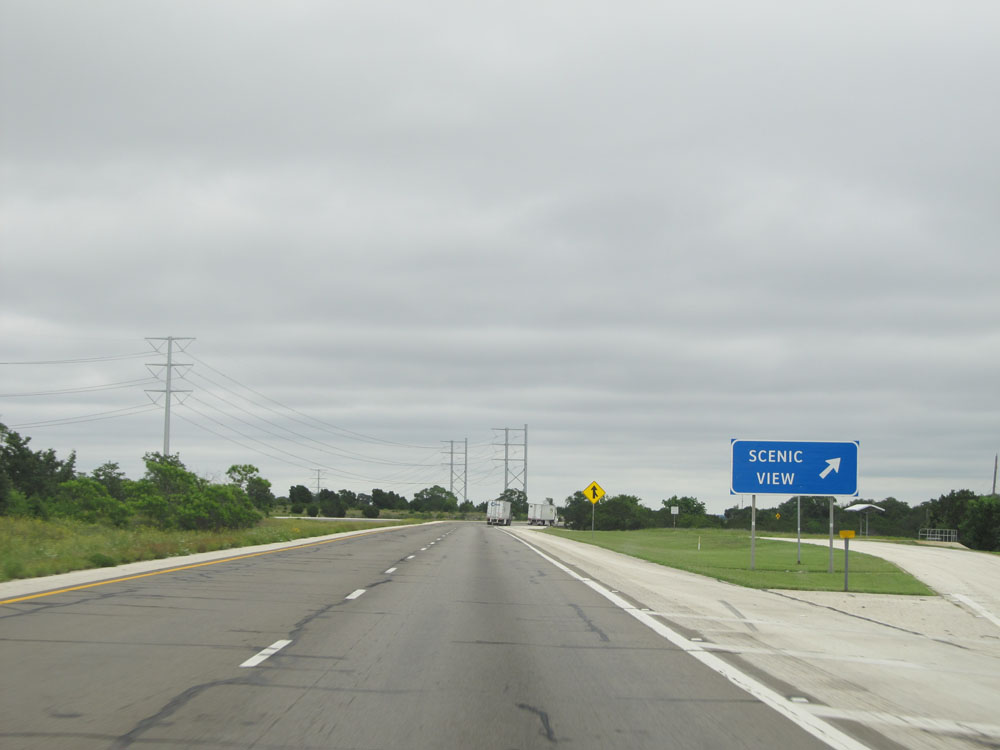 |
Interstate 10 East at the Scenic View Area located near mile marker 503. (Photo taken 5/21/15). |
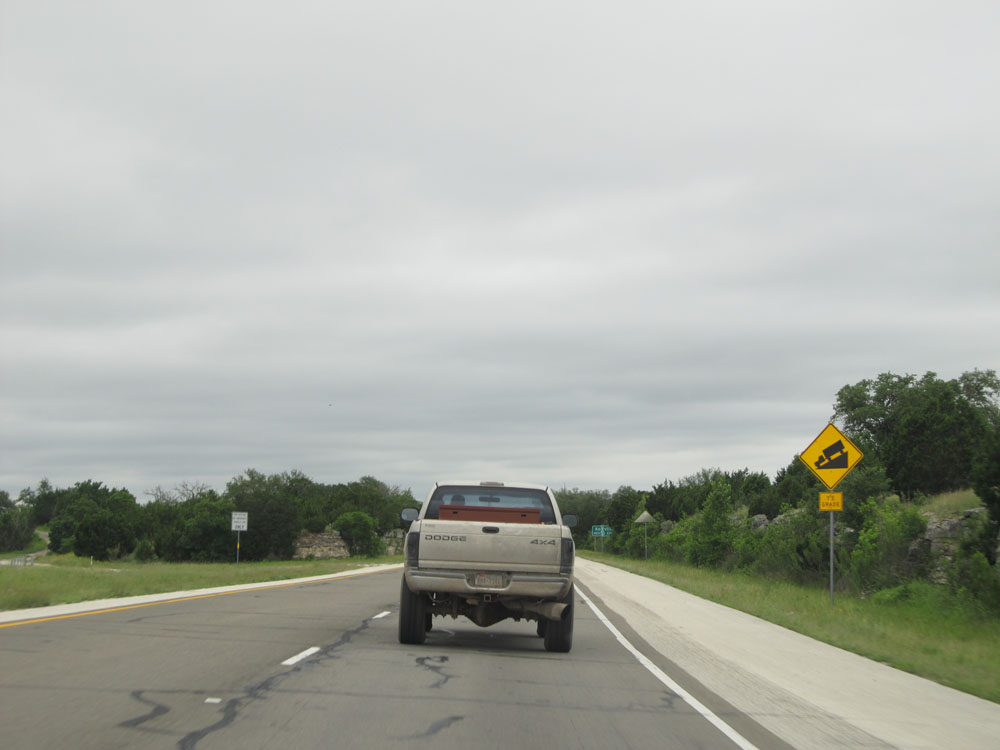 |
Interstate 10 East approaching another steep 7% downgrade near mile marker 504. (Photo taken 5/21/15). |
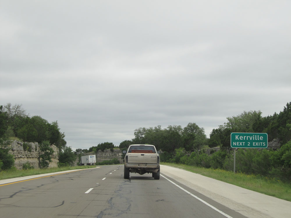 |
Take either of the next 2 exits to Kerrville. (Photo taken 5/21/15). |
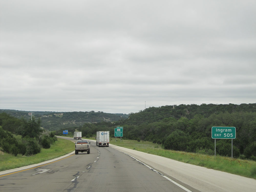 |
Take Exit 505 to Ingram. (Photo taken 5/21/15). |
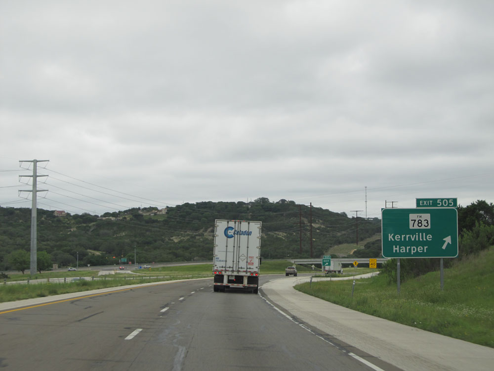 |
Interstate 10 East at Exit 505: FM 783 - Kerrville / Harper (Photo taken 5/21/15). |
 |
Interstate 10 East entering the Kerrville city limits. (Photo taken 5/21/15). |
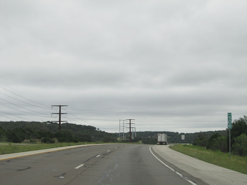 |
Interstate 10 East: Road view from mile marker 506. (Photo taken 5/21/15). |
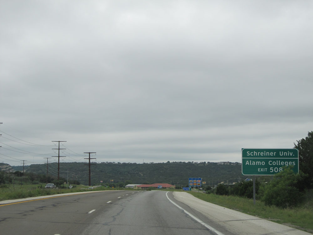 |
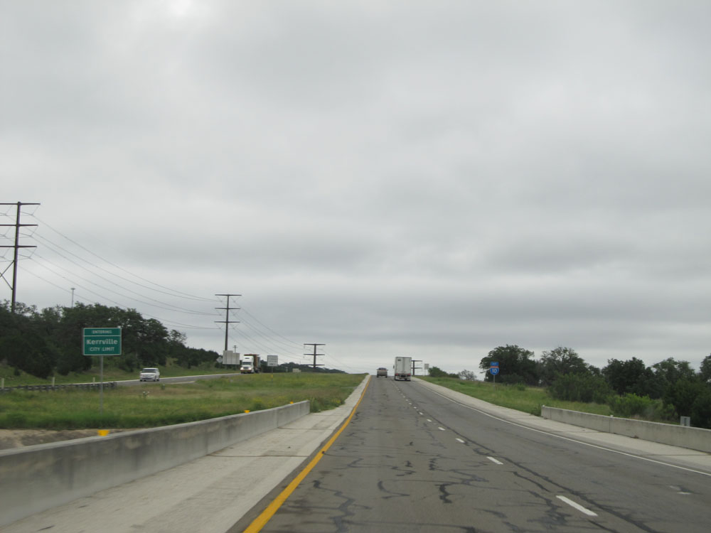
Take Exit 508 to Schreiner University and Alamo Colleges. (Photo taken 5/21/15). |
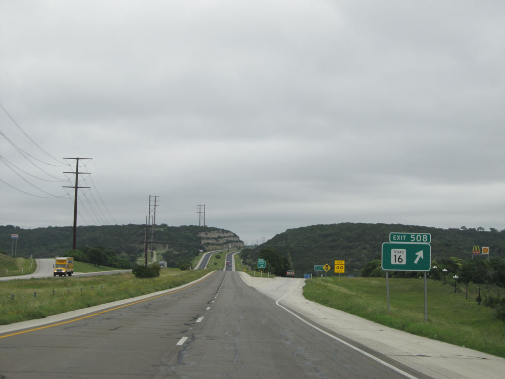 |
Interstate 10 East at Exit 508: TX 16 (Photo taken 5/21/15). |
Section 6: Kerrville (Exit 508) to San Antonio (Exit 569C)
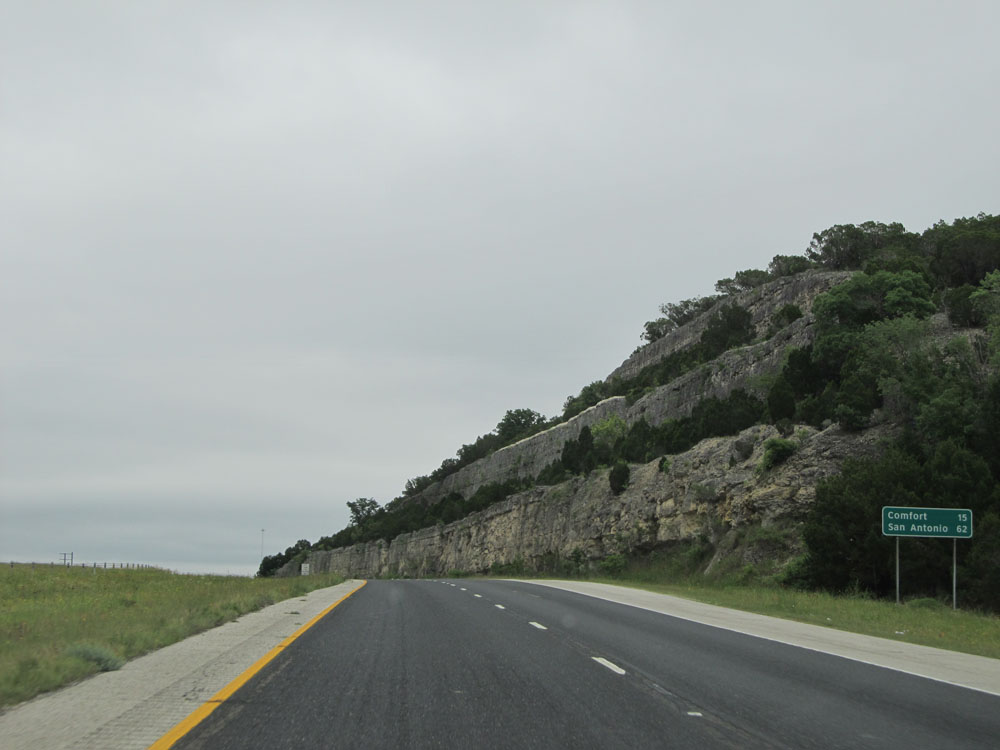 |
Mileage sign near mile marker 509. It's 15 miles to Comfort and 62 miles to San Antonio. (Photo taken 5/21/15). |
 |
Interstate 10 East at mile marker 513. (Photo taken 5/21/15). |
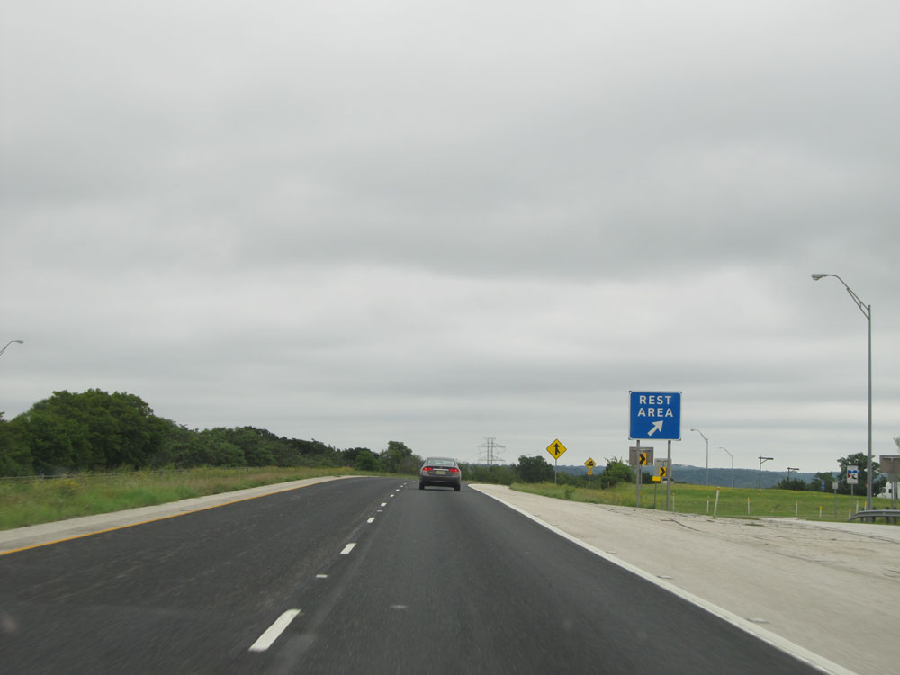 |
Interstate 10 East at the Rest Area located near mile marker 514. (Photo taken 5/21/15). |
 |
Interstate 10 East at mile marker 514, as we prepare to head down yet another brief 7% grade. (Photo taken 5/21/15). |
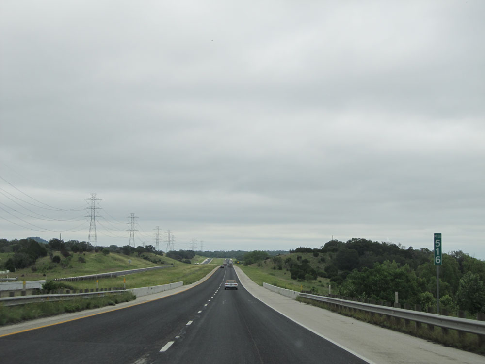 |
Interstate 10 East at mile marker 516. (Photo taken 5/21/15). |
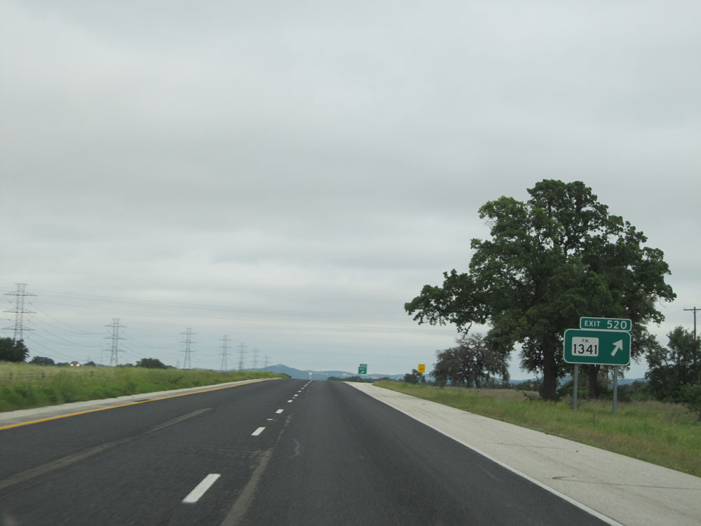 |
Interstate 10 East at Exit 520: FM 1341 (Photo taken 5/21/15). |
 |
Take either of the next 2 exits to Comfort. (Photo taken 5/21/15). |
 |
Interstate 10 East entering Kendall County at mile marker 522. (Photo taken 5/21/15). |
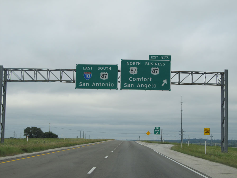 |
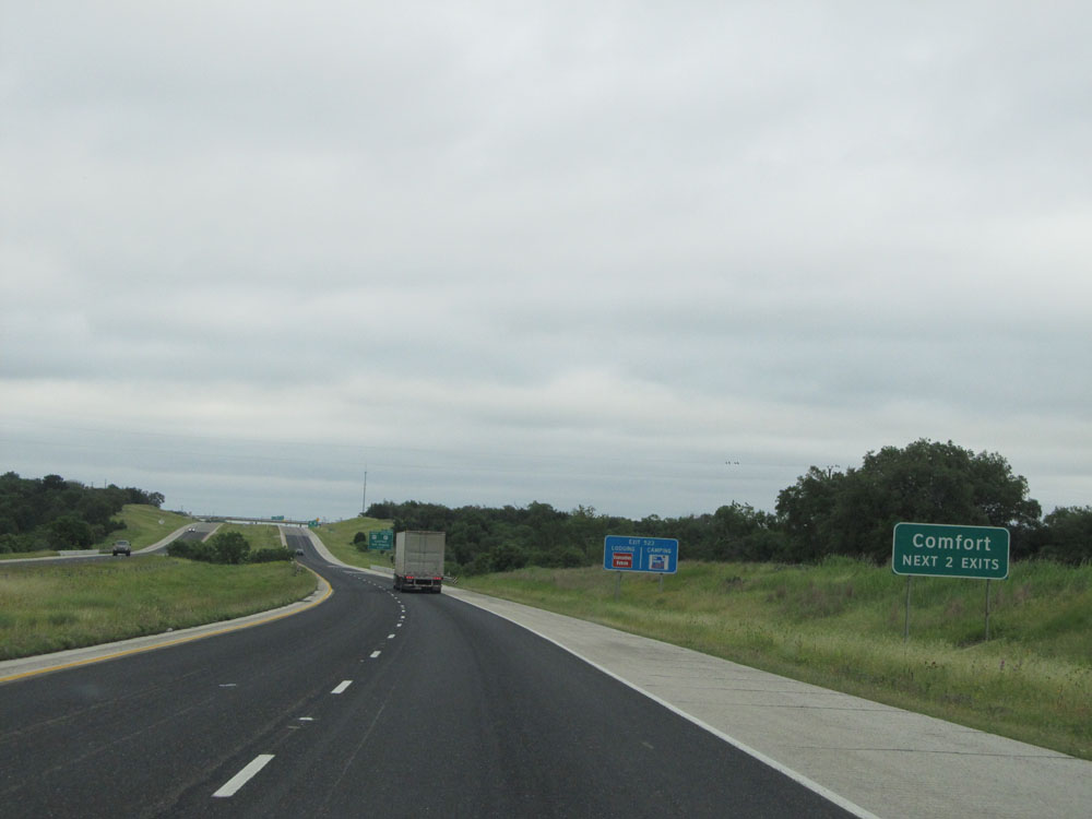
Interstate 10 East at Exit 523: US 87 North / US 87 BR - Comfort / San Angelo (Photo taken 5/21/15). |
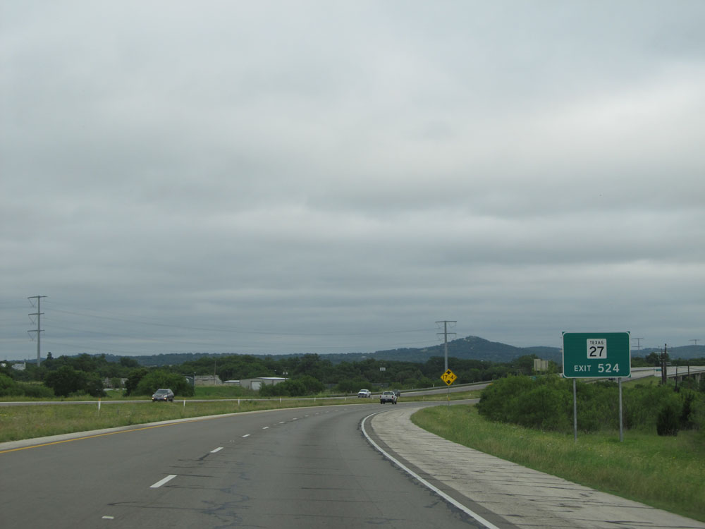 |
Take Exit 524 to TX 27. (Photo taken 5/21/15). |
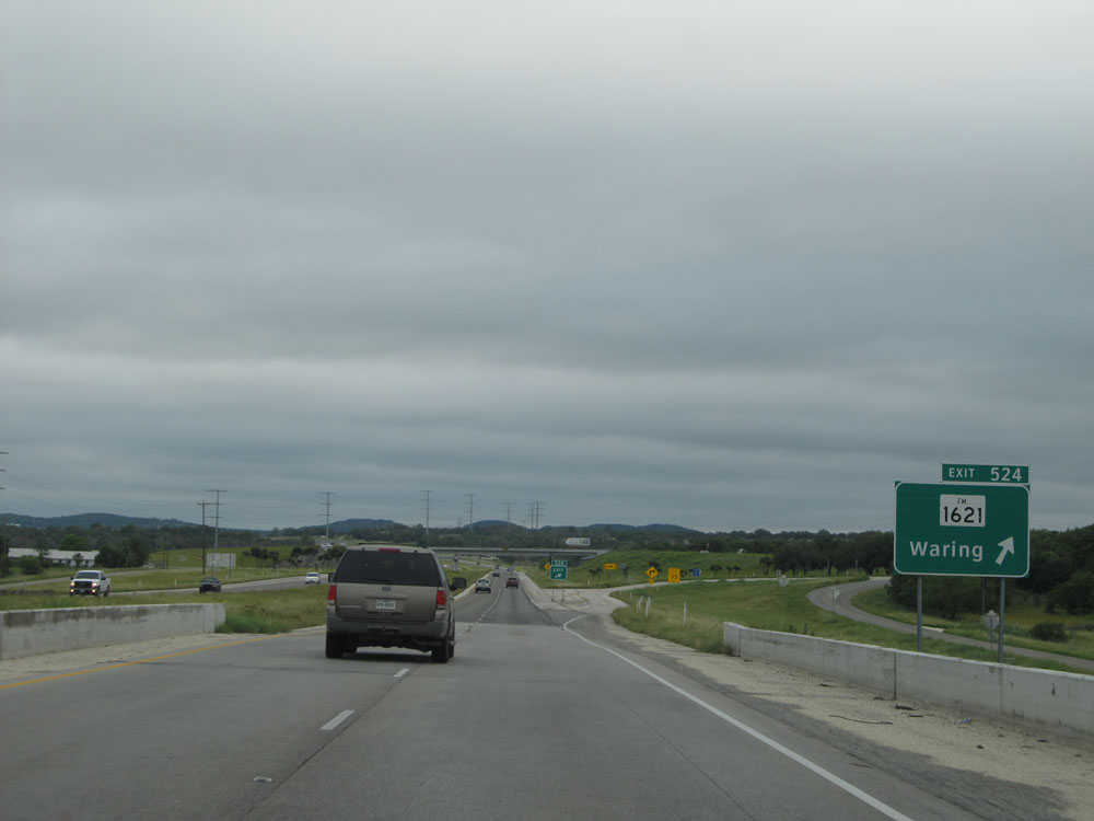 |
Interstate 10 East at Exit 524: FM 1621 - Waring (Photo taken 5/21/15). |
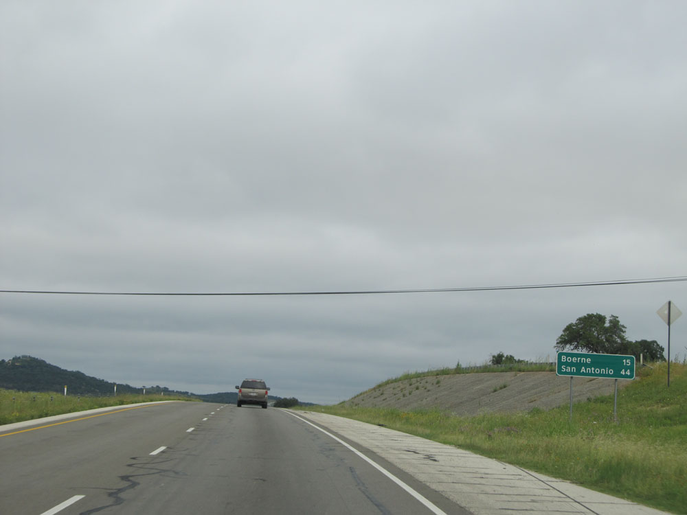 |
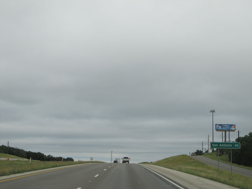
Mileage sign near mile marker 525. It's 15 miles to Boerne and just 44 miles to San Antonio. (Photo taken 5/21/15). |
 |
Dual Interstate 10 East / US 87 South shields near mile marker 525. (Photo taken 5/21/15). |
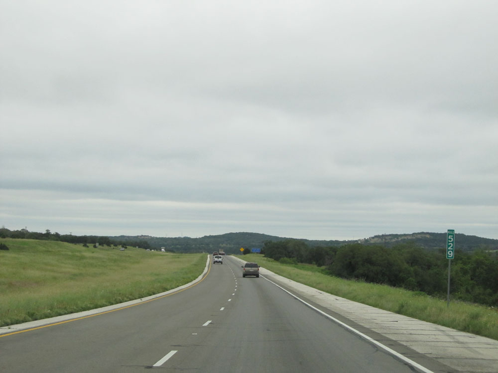 |
Interstate 10 East: Road view from mile marker 529. (Photo taken 5/21/15). |
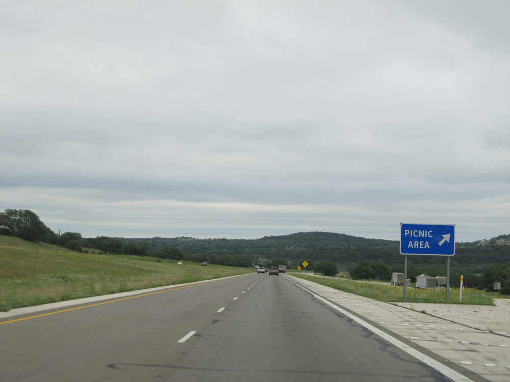 |
Interstate 10 East at the Picnic Area located just past mile marker 529. (Photo taken 5/21/15). |
 |
Interstate 10 East at Exit 533: FM 289 - Welfare (Photo taken 5/21/15). |
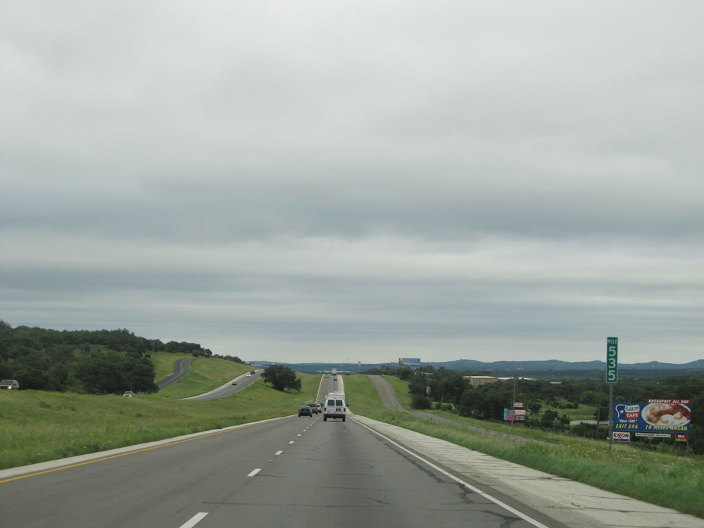 |
Interstate 10 East: Road view from mile marker 535. (Photo taken 5/21/15). |
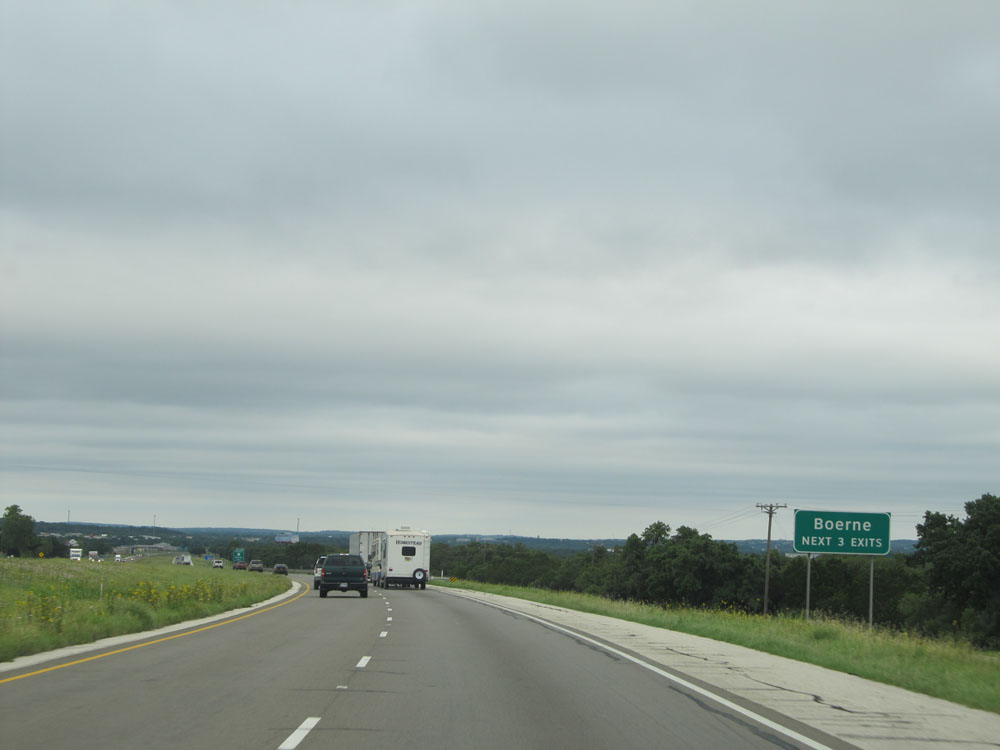 |
Take any of the next 3 exits to Boerne. (Photo taken 5/21/15). |
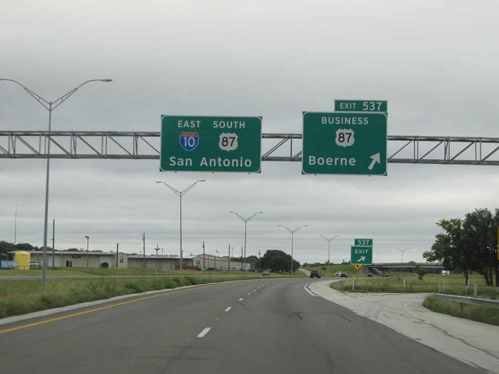 |
Interstate 10 East at Exit 537: US 87 BR - Boerne (Photo taken 5/21/15). |
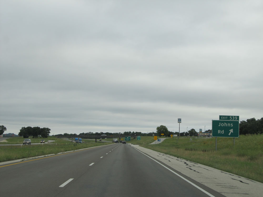 |
Interstate 10 East at Exit 539: Johns Rd (Photo taken 5/21/15). |
 |
Interstate 10 East assurance shield near mile marker 539. (Photo taken 5/21/15). |
 |
Interstate 10 East at Exit 540: TX 46 - New Braunfels / Bandera (Photo taken 5/21/15). |
 |
Near mile marker 540, this sign indicates that we're now just 30 miles outside of San Antonio. (Photo taken 5/21/15). |
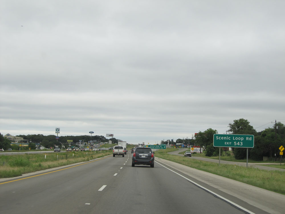 |
Take Exit 543 to Scenic Loop Rd. (Photo taken 5/21/15). |
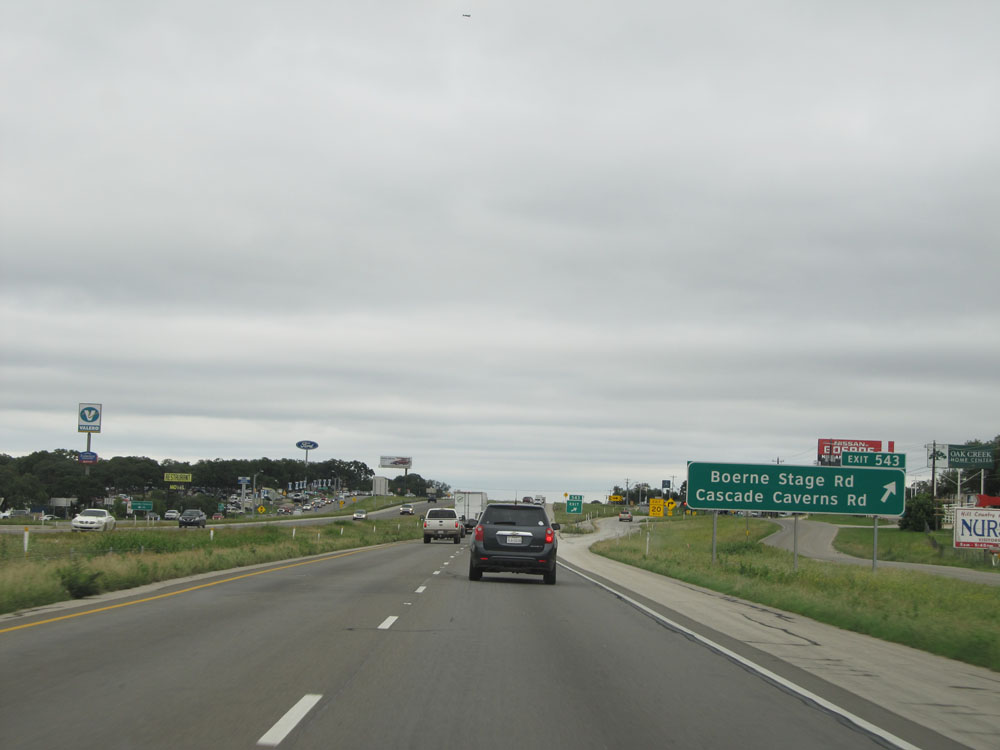 |
Interstate 10 East at Exit 543: Boerne Stage Rd / Cascade Caverns Rd (Photo taken 5/21/15). |
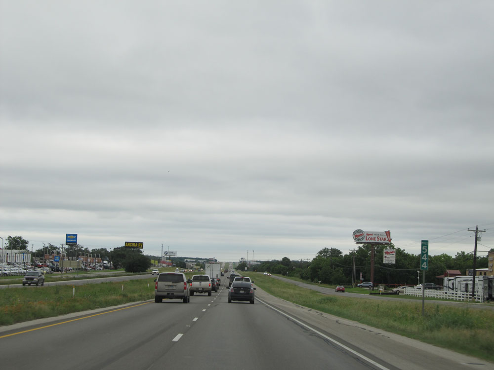 |
Interstate 10 East at mile marker 544. (Photo taken 5/21/15). |
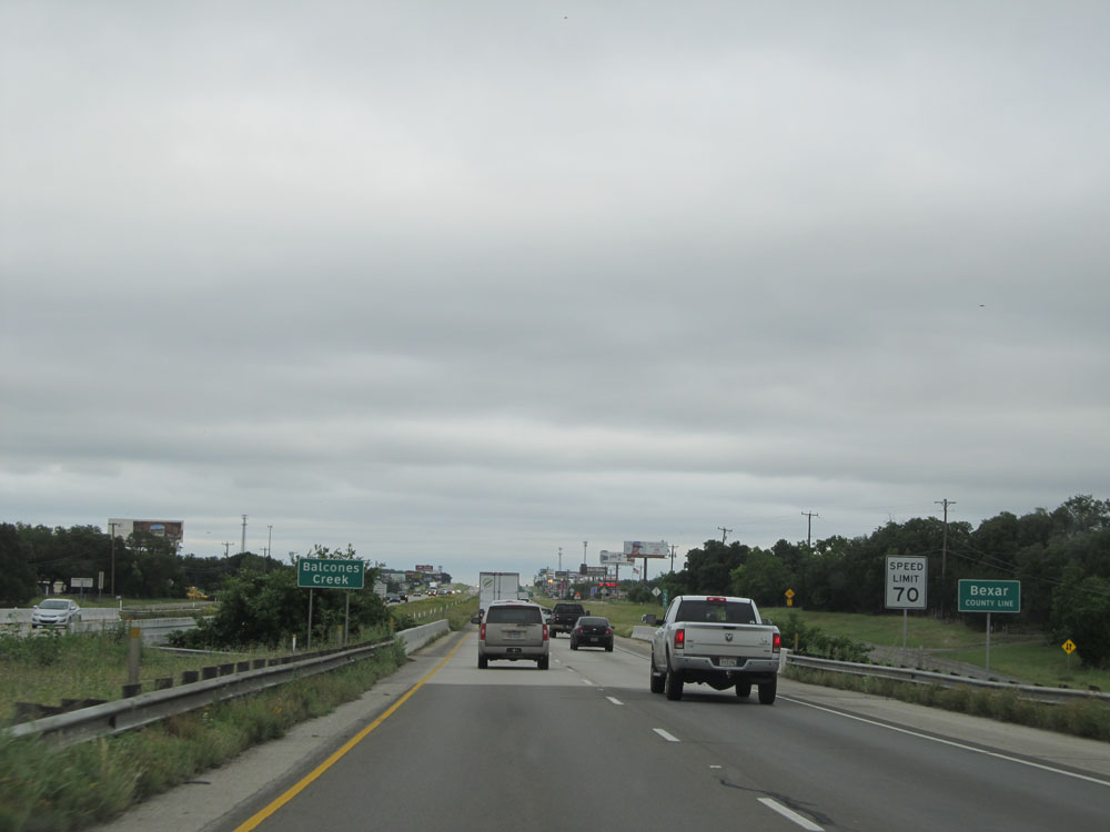 |
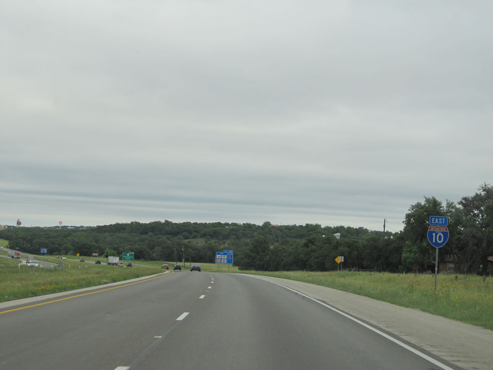
Interstate 10 East entering Bexar County. As you can see, the speed limit decreases to 70 mph upon crossing the county line. (Photo taken 5/21/15). |
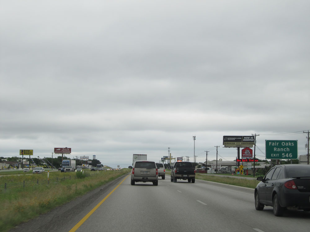 |
Take Exit 546 to Fair Oaks Ranch. (Photo taken 5/21/15). |
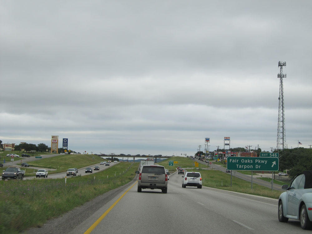 |
Interstate 10 East at Exit 546: Fair Oaks Pkwy / Tarpon Dr (Photo taken 5/21/15). |
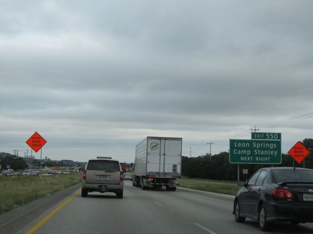 |
Take Exit 550 to Leon Springs and Camp Stanley. (Photo taken 5/21/15). |
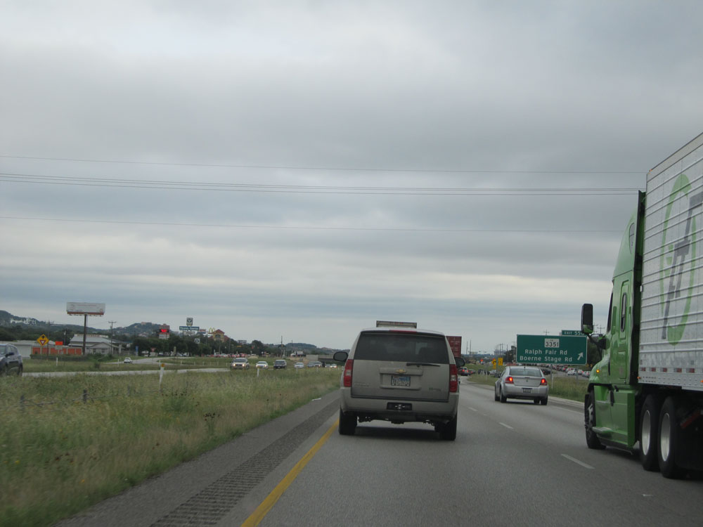 |
Interstate 10 East at Exit 550: RM 3351 - Ralph Fair Rd / Boerne Stage Rd (Photo taken 5/21/15). |
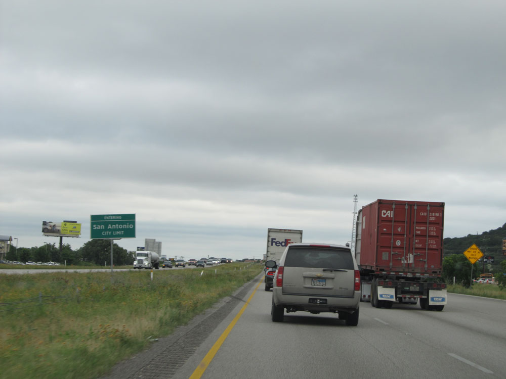 |
Interstate 10 East entering the San Antonio city limits. (Photo taken 5/21/15). |
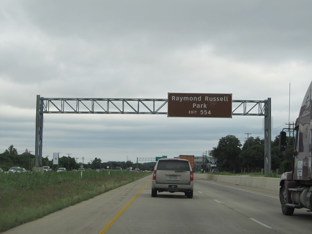 |
Take Exit 554 to Raymond Russell Park. (Photo taken 5/21/15). |
 |
Interstate 10 East at Exit 554: Camp Bullis Rd (Photo taken 5/21/15). |
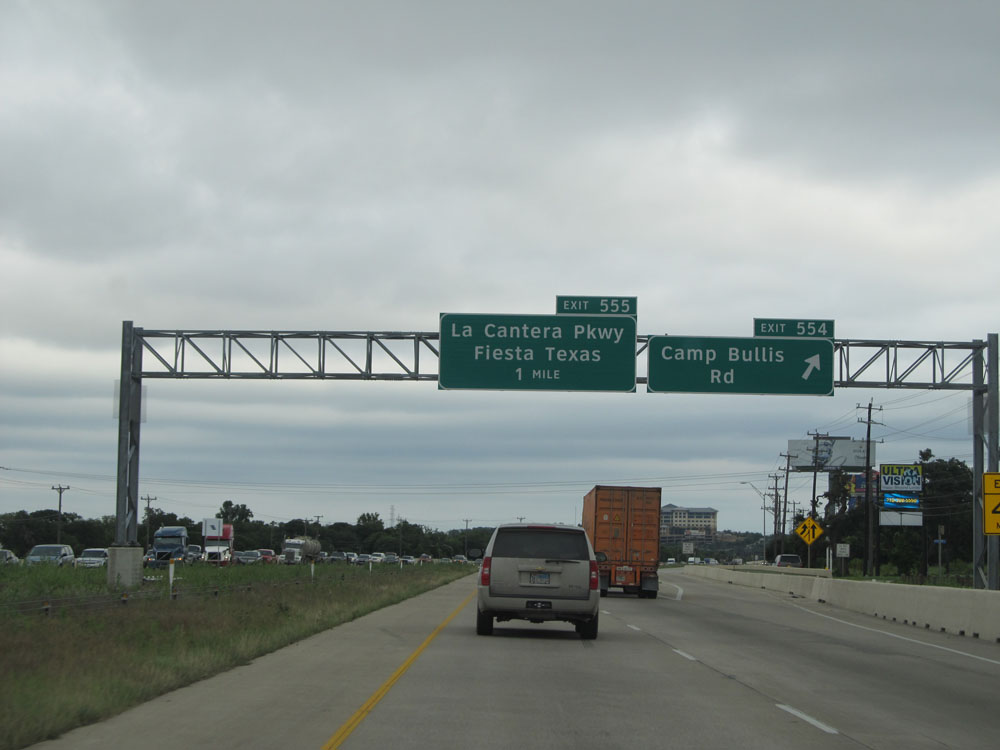
 |
Interstate 10 East at Exit 555: La Cantera Pkwy / Fiesta Texas (Photo taken 5/21/15). |
 |
Interstate 10 East assurance shield near mile marker 555. (Photo taken 5/21/15). |
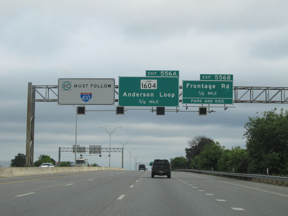 |
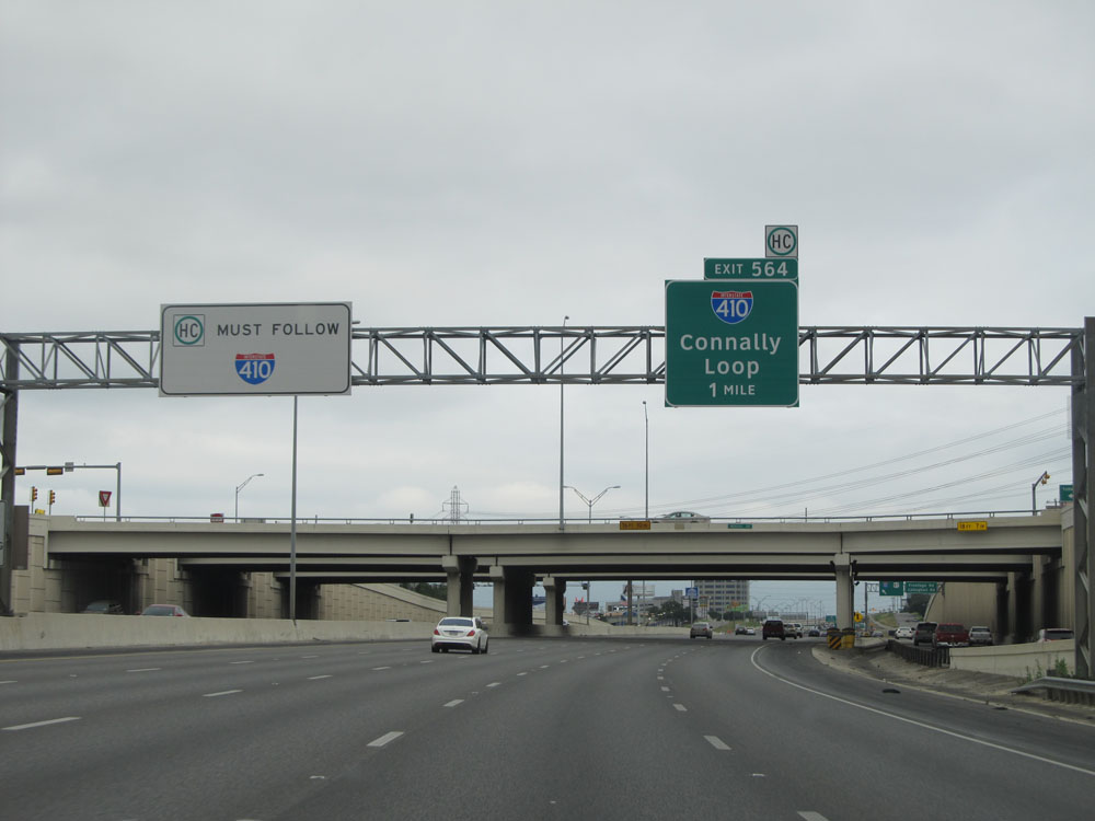
Through hazardous materials carriers must follow Interstate 410 (Connally Loop) around downtown San Antonio. (Photo taken 5/21/15). |
 |
Interstate 10 East at Exit 556B: Frontage Rd (Photo taken 5/21/15). |
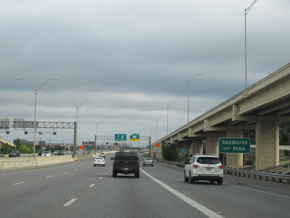 |
Take Exit 556A to SeaWorld. (Photo taken 5/21/15). |
 |
Approaching Exit 556A, the speed limit decreases to 65 mph as we near downtown San Antonio. (Photo taken 5/21/15). |
 |
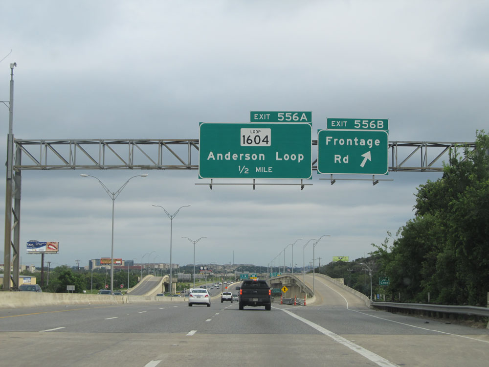
Interstate 10 East at Exit 556A: TX Loop 1604 - Anderson Loop. Although 'Anderson Loop' is omitted from the exit sign itself, it is fairly common around the San Antonio area to see advance signs for upcoming exits which include the road's locally known name. You will see another example of this ahead with Interstate 410 (Connally Loop). (Photo taken 5/21/15). |
 |
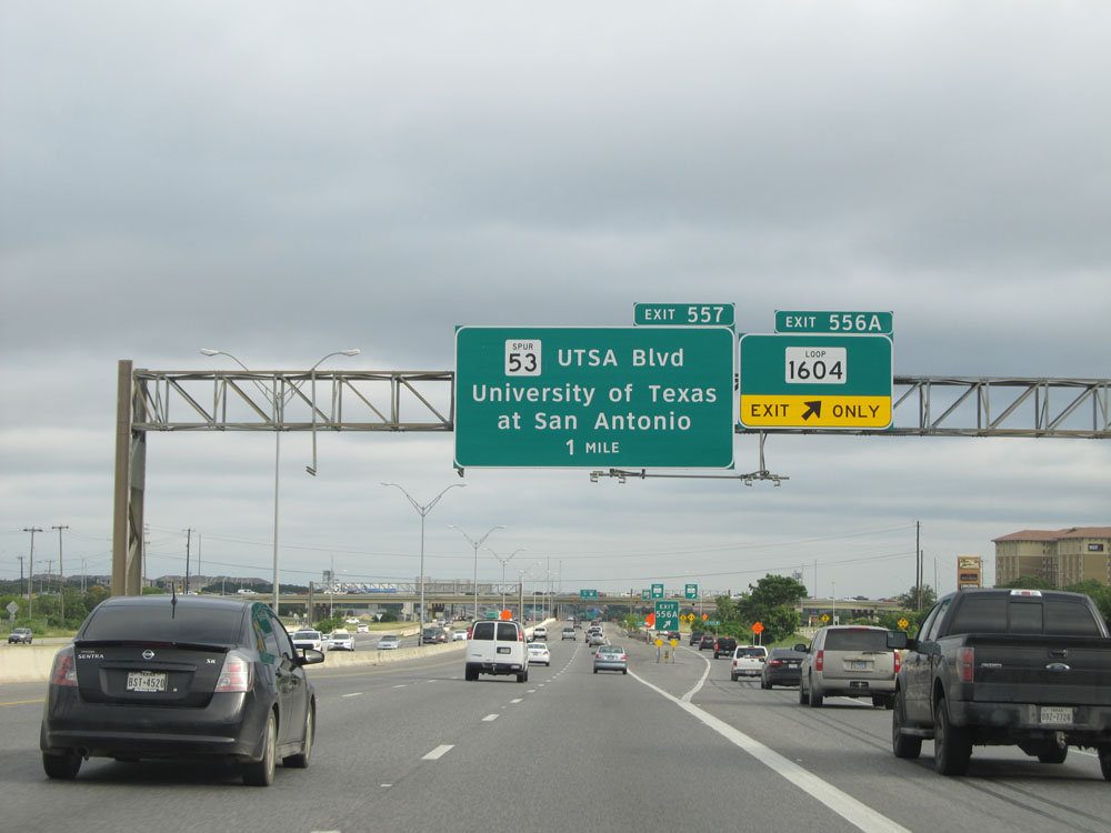
Interstate 10 East at Exit 557: TX Spur 53 - UTSA Blvd / University of Texas at San Antonio (Photo taken 5/21/15). |
 |
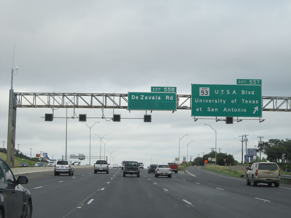
Interstate 10 East at Exit 558: De Zavala Rd (Photo taken 5/21/15). |
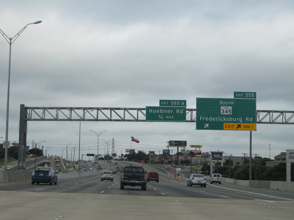 |
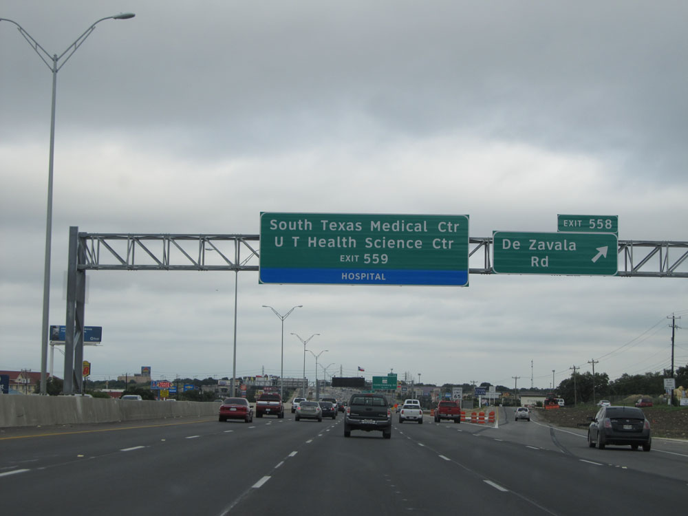
Interstate 10 East at Exit 559: TX Loop 345 South - Fredericksburg Rd (Photo taken 5/21/15). |
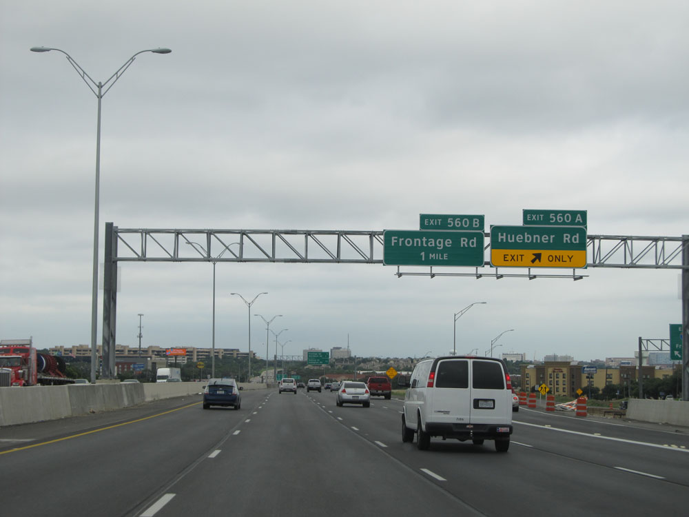 |
Interstate 10 East at Exit 560A: Huebner Rd (Photo taken 5/21/15). |
 |
Overhead mileage sign, listing the distances to the three upcoming exits. (Photo taken 5/21/15). |
 |
Interstate 10 East at Exit 560B: Frontage Rd (Photo taken 5/21/15). |
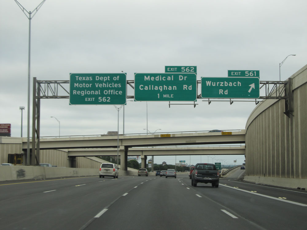 |
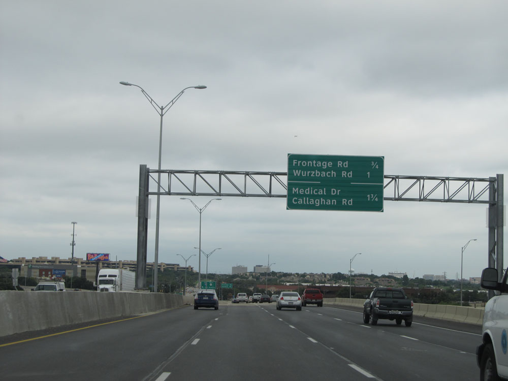
Interstate 10 East at Exit 561: Wurzbach Rd (Photo taken 5/21/15). |
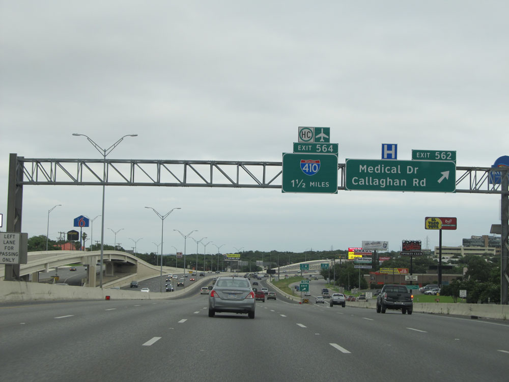 |
Interstate 10 East at Exit 562: Medical Dr / Callaghan Rd (Photo taken 5/21/15). |
 |
Interstate 10 East approaching Exit 564 - 1 mile. Through trucks with hazardous materials must use Exit 564. (Photo taken 5/21/15). |
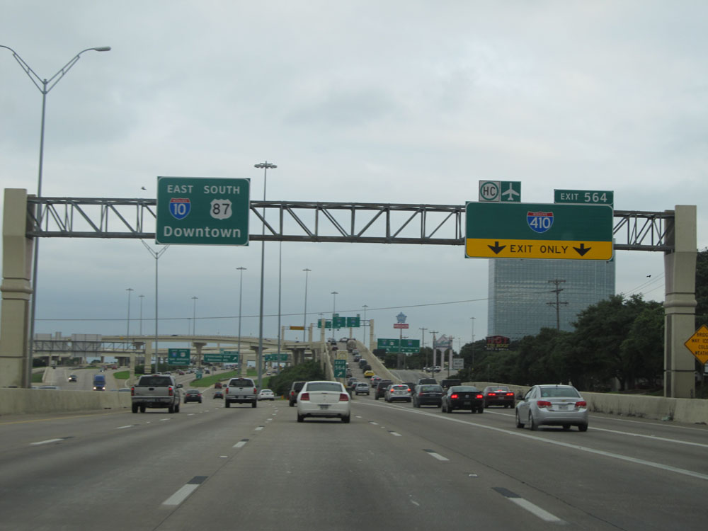 |
Interstate 10 East at Exit 564: Interstate 410 - Connally Loop (Photo taken 5/21/15). |
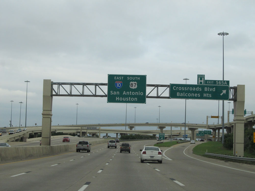 |
Interstate 10 East at Exit 565A: Crossroads Blvd / Balcones Heights (Photo taken 5/21/15). |
 |
Interstate 10 East as it passes under the ramps to and from Interstate 410. (Photo taken 5/21/15). |
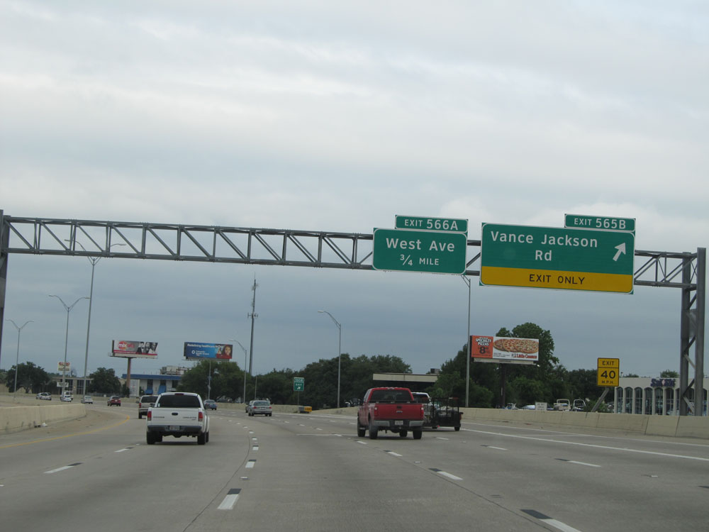 |
Interstate 10 East at Exit 565B: Vance Jackson Rd (Photo taken 5/21/15). |
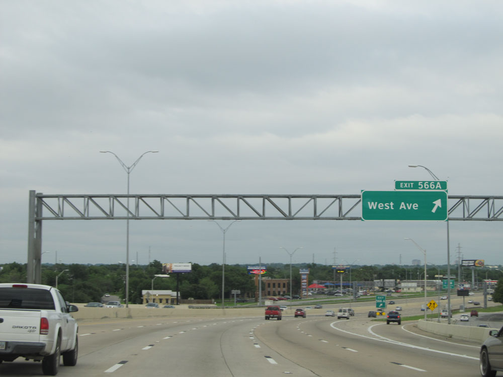 |
Interstate 10 East at Exit 566A: West Ave (Photo taken 5/21/15). |
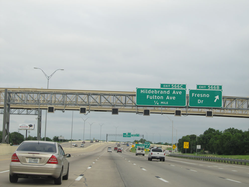 |
Interstate 10 East at Exit 566B: Fresno Dr (Photo taken 5/21/15). |
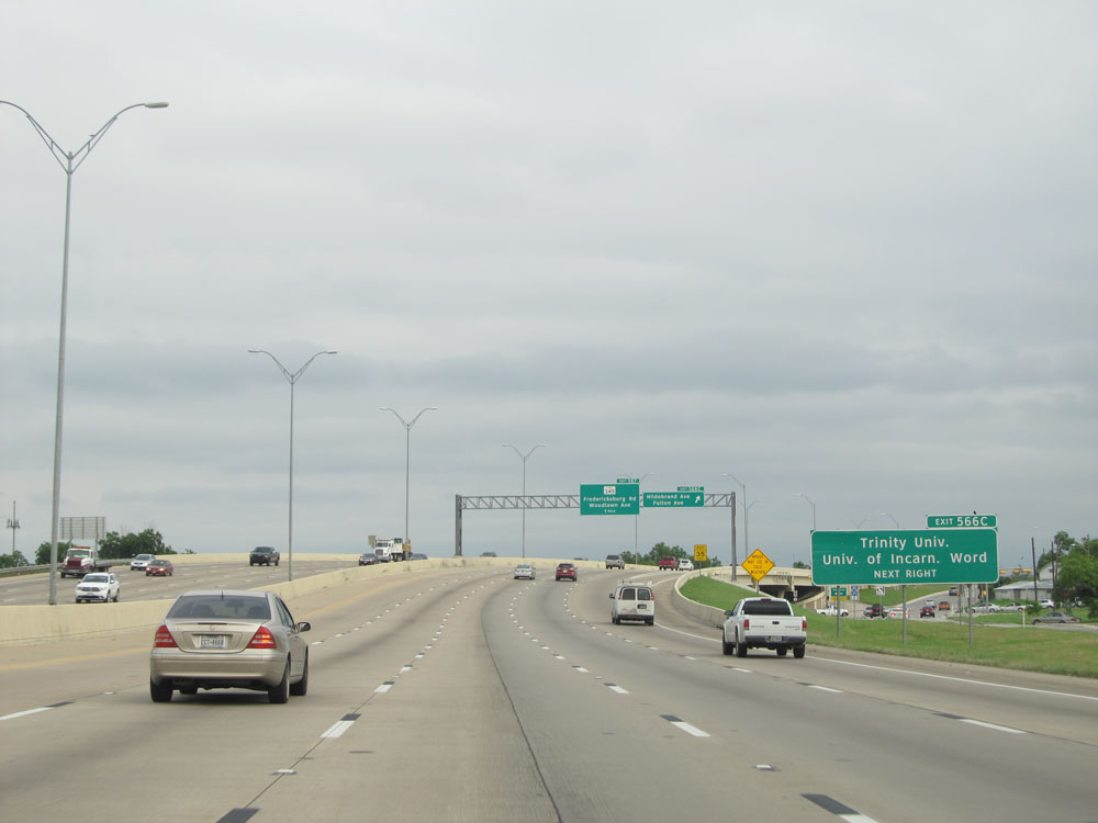 |
Take Exit 566C to Trinity University and University of Incarnate Word. (Photo taken 5/21/15). |
 |
Interstate 10 East at Exit 566C: Hildebrand Ave / Fulton Ave (Photo taken 5/21/15). |
 |
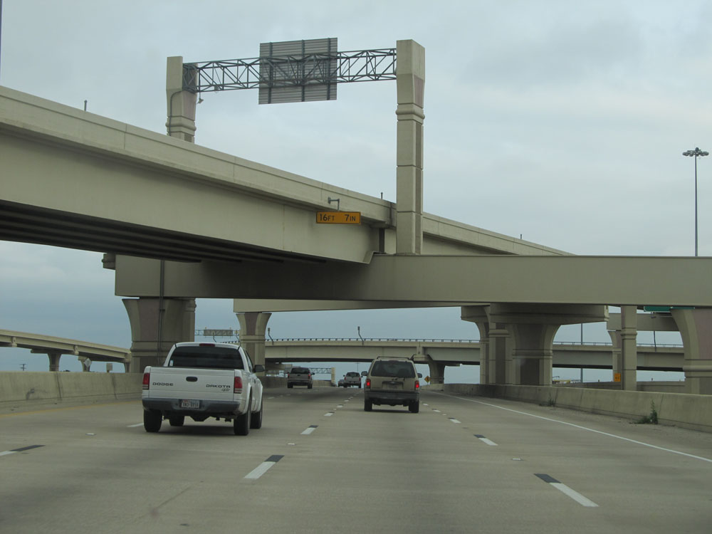
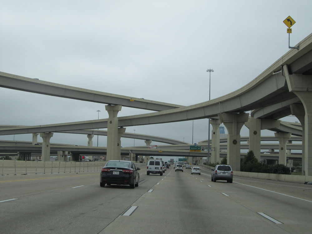
Ahead, Interstate 10 undergoes a brief upper and lower level split. Essentially, this means that I-10 is double decked for a brief distance ahead. This upper/lower level configuration was built as the "Downtown Y Project", which was completed in 1991. Since the I-10 and I-35 mainlines through the downtown San Antonio area were built in narrow canyons, this limited them to 2 lanes in each direction. As San Antonio grew rapidly, this soon became inadequate for carrying traffic through downtown. The best solution was to add elevated structures which overhang the the lower level and adjacent side streets, making the "widening" of I-10 possible through this double decking with the upper level carrying 3 lanes of traffic in addition to the original 2 lanes. The main benefit of this upper/lower level configuration is that it allows through traffic to separate itself from local traffic, and when the two decks (levels) re-merge about a mile or so later, through traffic can already be in the proper lane(s) to merge onto Interstate 35 North, which is the example in this picture. This made for much improved traffic flow through downtown. (Photo taken 5/21/15). |
 |
As we near downtown San Antonio, the speed limit decreases to 60 mph. (Photo taken 5/21/15). |
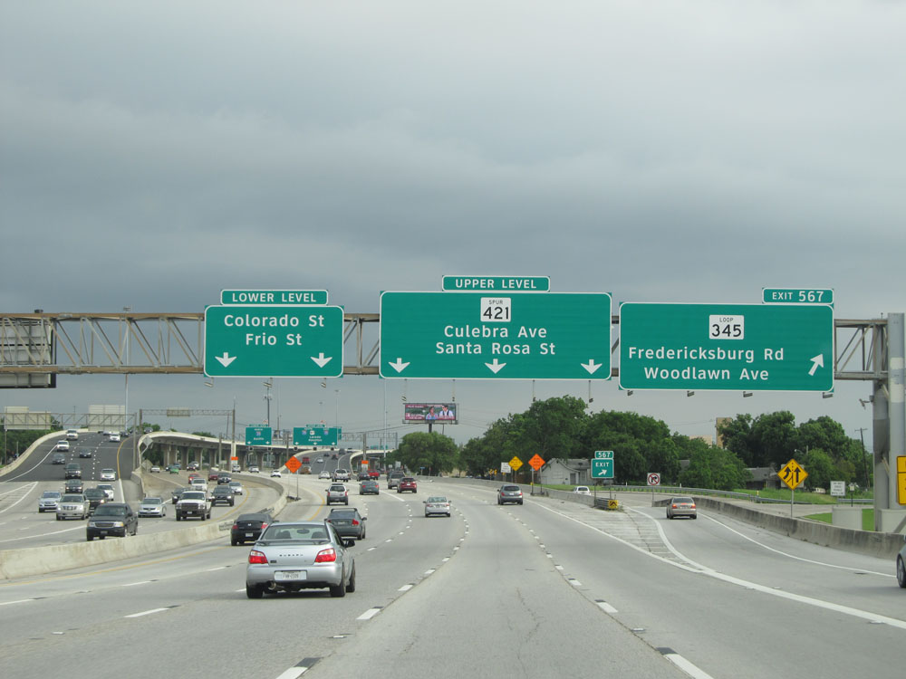 |
Interstate 10 East at Exit 567: TX Loop 345 - Fredericksburg Rd / Woodlawn Ave. The signs to the left of this exit sign show which level (deck) you should take to access the exits listed on each sign. Take the lower level (to the left) to access Colorado St and Frio St. Stay on the upper level to access Culebra Ave and Santa Rosa St. (Photo taken 5/21/15). |
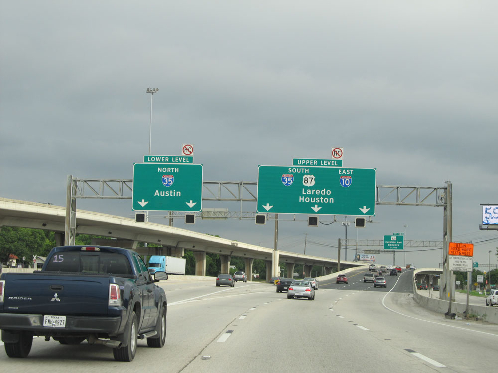 |
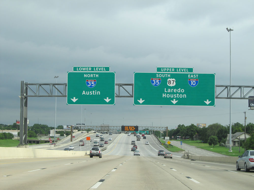
Interstate 10 East at the upper/lower level split just past Exit 567. Through traffic headed for Interstate 35 North toward Austin is advised to take the lower level here, to the left. I-10 through traffic and traffic headed to Interstate 35 South toward Laredo is advised to remain on the upper level of I-10 (right 3 lanes). Since I was headed through San Antonio on I-10 East, I remained on the upper level, which is what the next few pictures will be from. (Photo taken 5/21/15). |
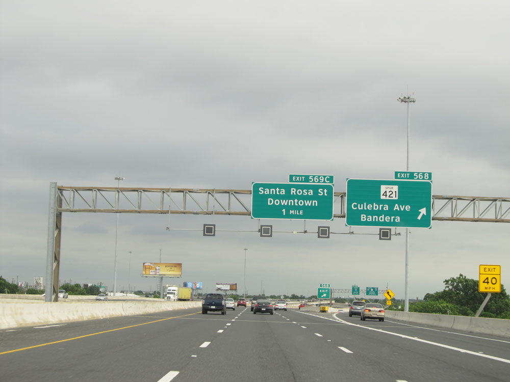 |
Interstate 10 East at Exit 568: TX Spur 421 - Culebra Ave / Bandera (Photo taken 5/21/15). |
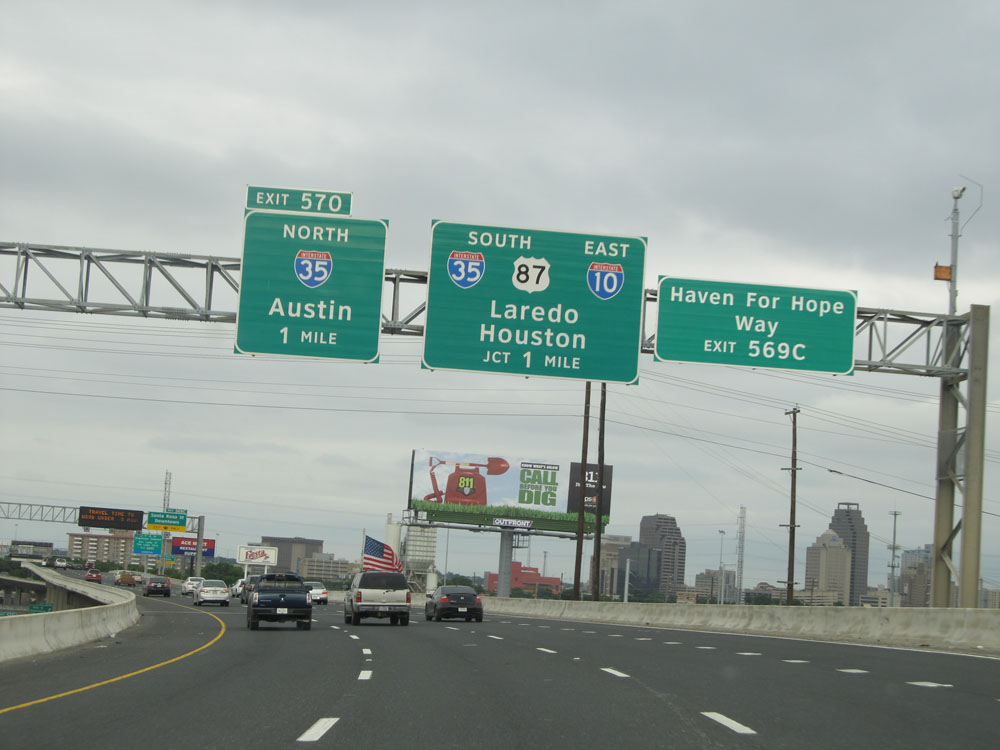 |
Interstate 10 East approaching Exit 570, the junction of Interstate 35 in downtown San Antonio - 1 mile. (Photo taken 5/21/15). |
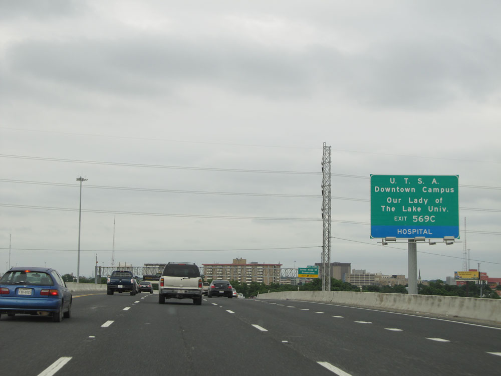 |
Take Exit 569C to UTSA Downtown Campus and Our Lady of the Lake University. (Photo taken 5/21/15). |
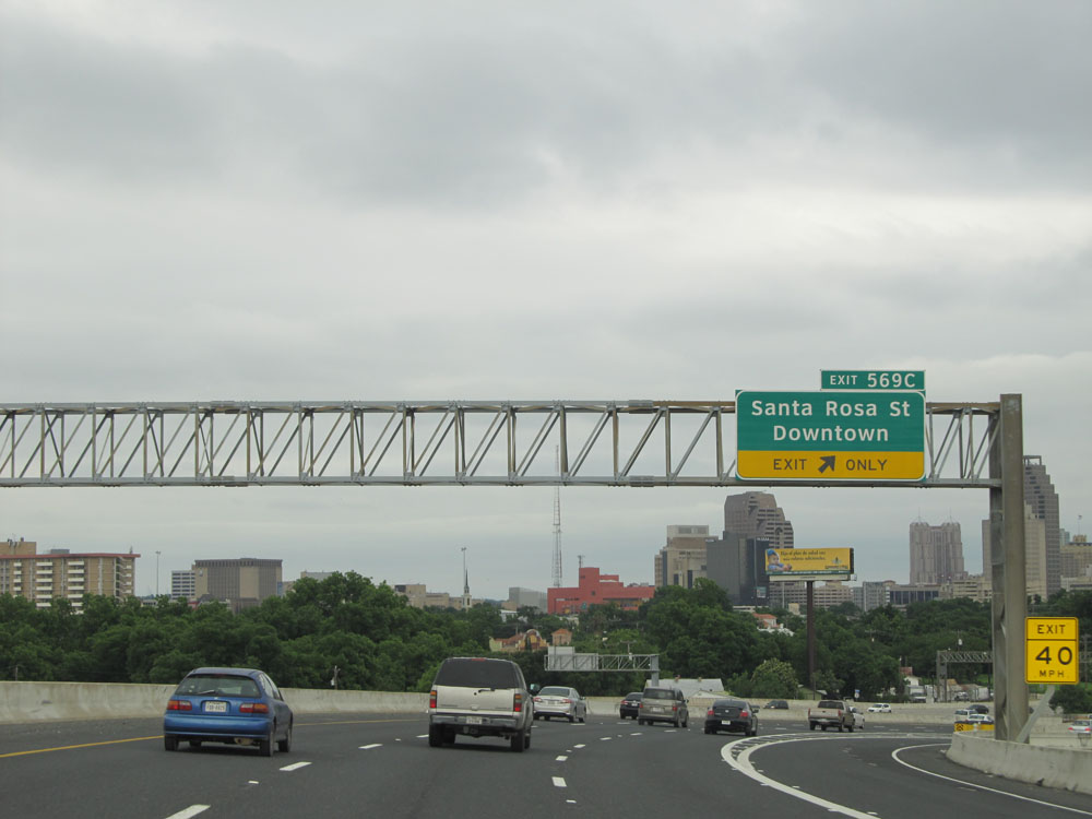 |
Interstate 10 East at Exit 569C: Santa Rosa St / Downtown (Photo taken 5/21/15). |
Section 7: San Antonio (Exit 569C) to Seguin (Exit 612)
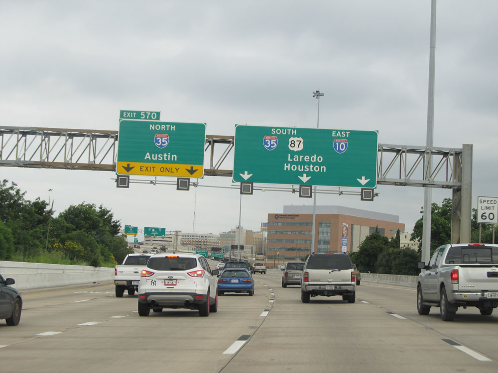 |
Interstate 10 East at Exit 570: Interstate 35 North - Austin. Here we see the two lanes from the lower level of the upper/lower level split merge back into the upper level's 3 lanes. With Exit 570 being a left exit, this is why traffic headed to I-35 North was advised to use the lower level about a mile ago, when the split occurred: It dumps them into the proper lanes to take Exit 570, with no quick lane changing necessary. (Photo taken 5/21/15). |
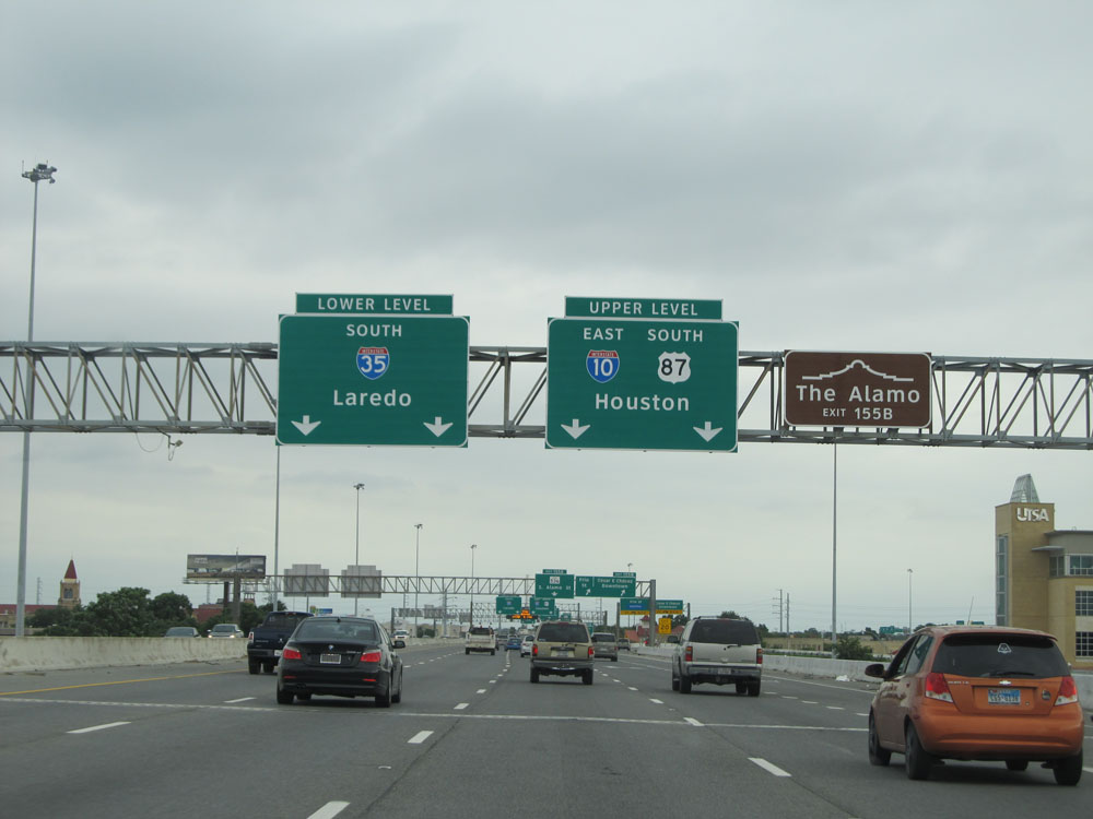 |
Interstate 10 East / Interstate 35 South duplex in downtown San Antonio undergoes an upper/lower level configuration of its own ahead. Interstate 35 South through traffic is advised to use the lower level ahead. Through traffic for Interstate 10 East and US 87 South is advised to remain on the upper level. Oh, and use Exit 155B to The Alamo. (Photo taken 5/21/15). |
 |
Interstate 10 East / Interstate 35 South at Exit 155B: Frio St / Cesar E Chavez / Downtown (Photo taken 5/21/15). |
 |
Interstate 10 East / Interstate 35 South approaching the upper/lower level split. This one provides two lanes for each deck. Again, through traffic for Interstate 35 South toward Laredo is advised to use the lower deck ahead, since when it re-merges with the upper deck, it will put you in the proper lanes to stay straight onto I-35 South, avoiding any need for sudden lane changing. Interstate 10 East through traffic should stay to the right to take the upper level. (Photo taken 5/21/15). |
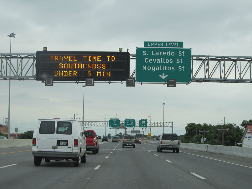 |
Use the upper level of Interstate 10 East / Interstate 35 South to access the exits to S. Laredo St, Cevallos St, and Nogalitos St. (Photo taken 5/21/15). |
 |
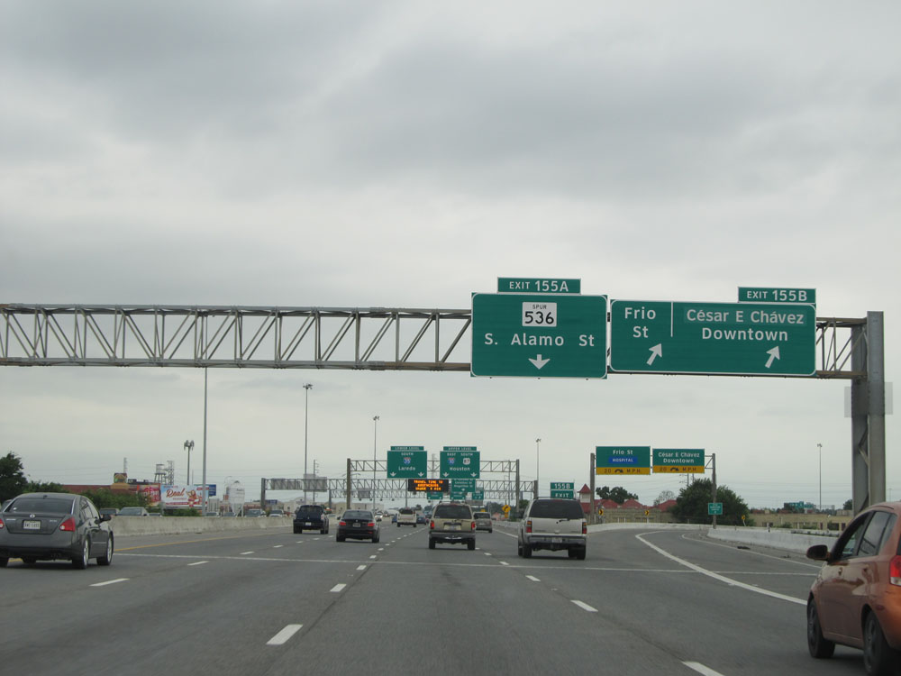
Interstate 10 East / Interstate 35 South at Exit 155A: TX 536 Spur - S. Alamo St. Just past this exit, you see the upper/lower level split begin to take place. (Photo taken 5/21/15). |
 |
Now on the upper level of the Interstate 10 East / Interstate 35 South upper/lower level configuration, two lanes are carried on each of the decks (levels) as you see here. Take Exit 154B to the Produce Terminal. (Photo taken 5/21/15). |
 |
Interstate 10 East / Interstate 35 South at Exit 154B: S Laredo St / Cevallos St (Photo taken 5/21/15). |
 |
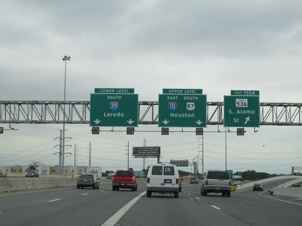
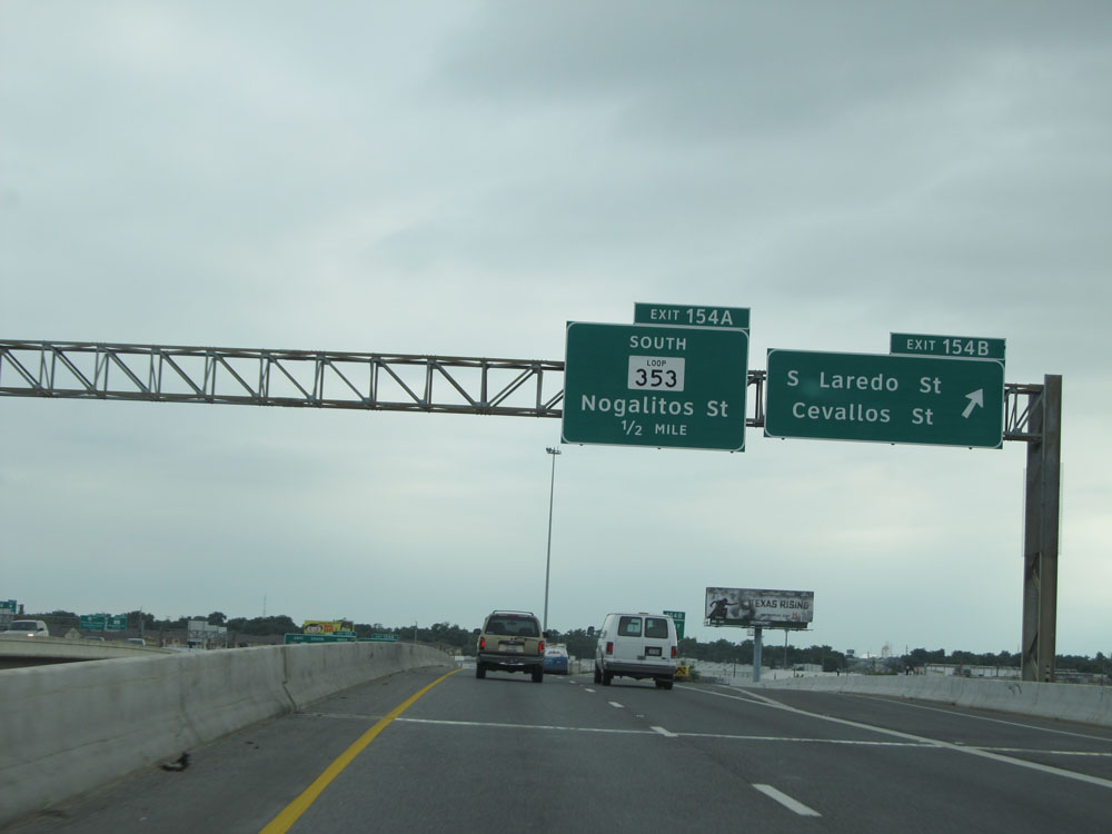
Here we see the two lanes of the lower level of the Interstate 10 East / Interstate 35 South double deck configuration merge back with the upper level's two lanes. You can see why through traffic headed for Interstate 35 South toward Laredo was advised to take the lower level, since it places you in the proper two left lanes to continue on I-35 South once the re-merging with the upper level takes place here. Exit 153, for Interstate 10 East/ US 90 East / US 87 South toward Houston and US 90 West toward Del Rio is 3/4 mile ahead, on the right. (Photo taken 5/21/15). |
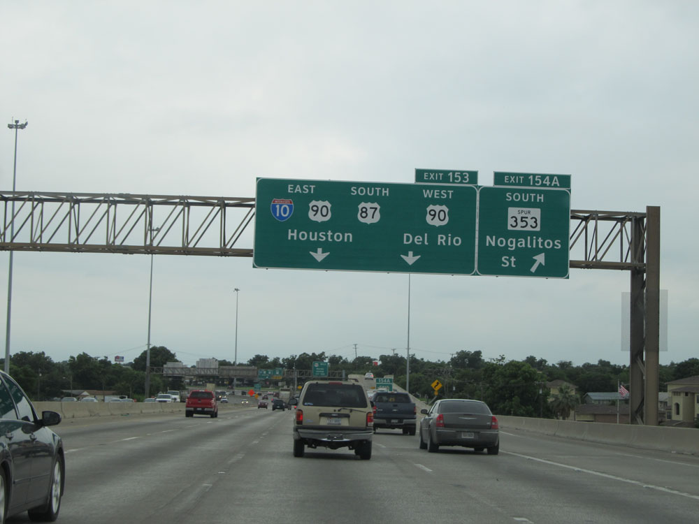 |
Interstate 10 East / Interstate 35 South at Exit 154A: TX Spur 353 South - Nogalitos St (Photo taken 5/21/15). |
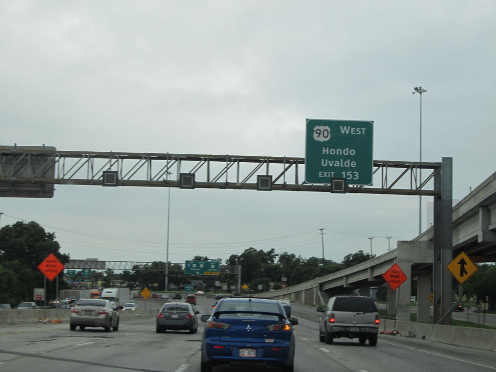 |
Use Exit 153 to US 90 West to Hondo and Uvalde. (Photo taken 5/21/15). |
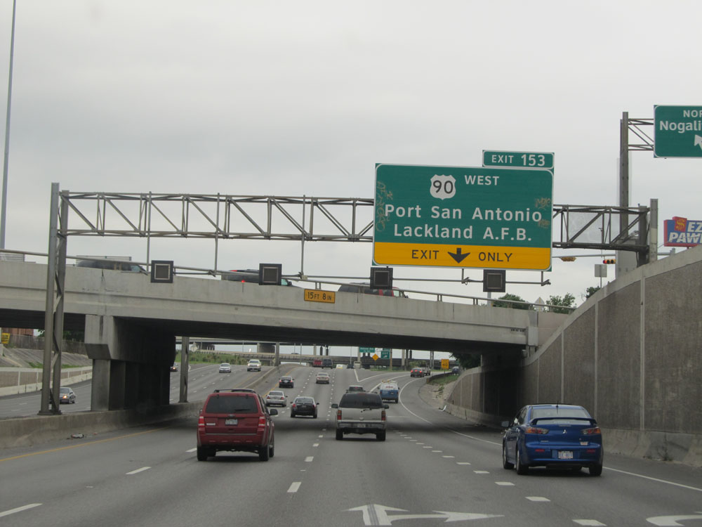 |
Also use Exit 153 to US 90 West for Port San Antonio and Lackland Air Force Base. Stay to the right off Exit 153 to access US 90 West, as you will see in the next two pictures. (Photo taken 5/21/15). |
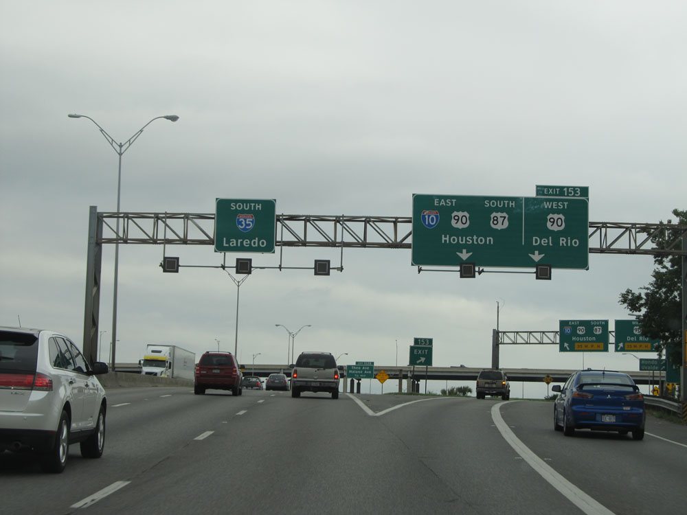 |
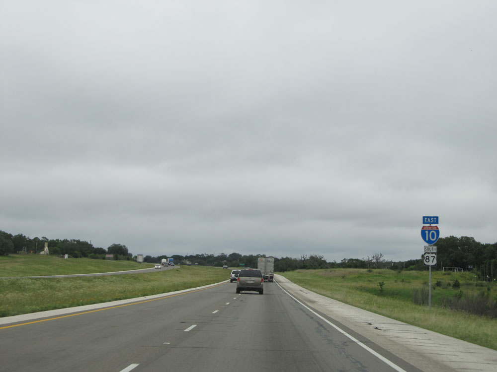
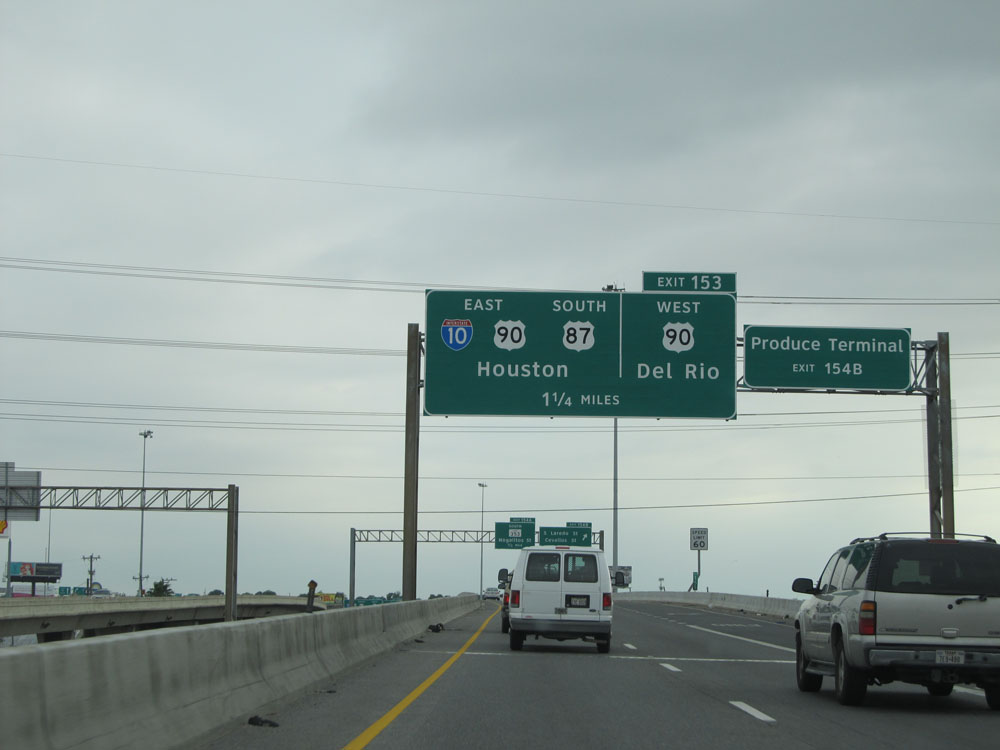
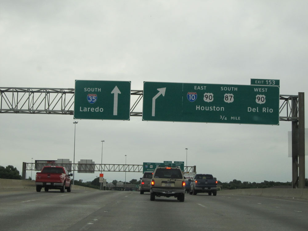
Interstate 10 East / Interstate 35 South at Exit 153: Interstate 10 East / US 90 East / US 87 South - Houston; US 90 West - Del Rio (Photo taken 5/21/15). |
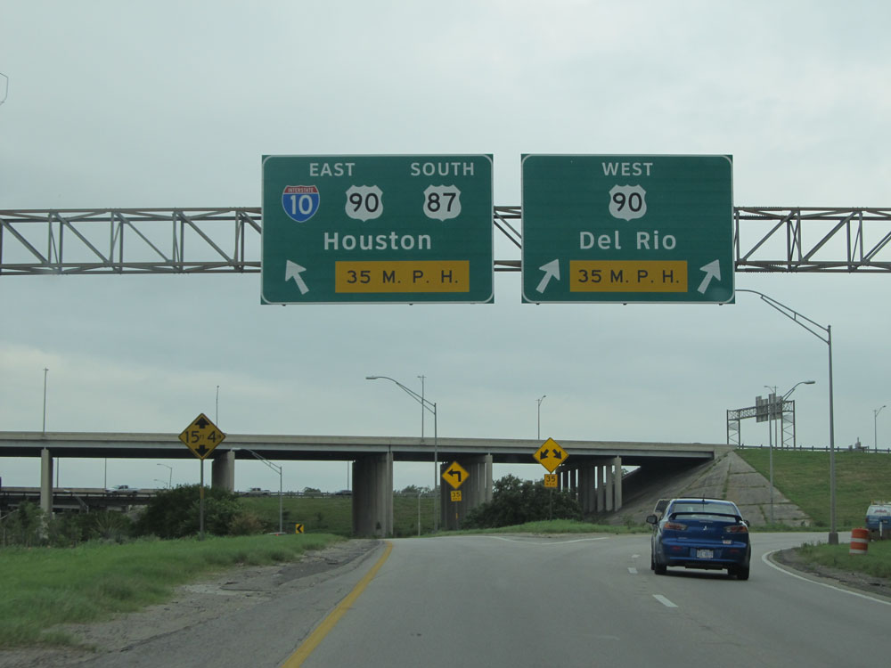 |
On the ramp for Exit 153, keep to the left to remain on Interstate 10 East / US 90 East / US 87 South toward Houston. Stay to the right to go onto US 90 West toward Del Rio. (Photo taken 5/21/15). |
 |
Now that Interstate 10 East has freed itself from its concurrency with Interstate 35, the speed limit increases to 65 mph. (Photo taken 5/21/15). |
 |
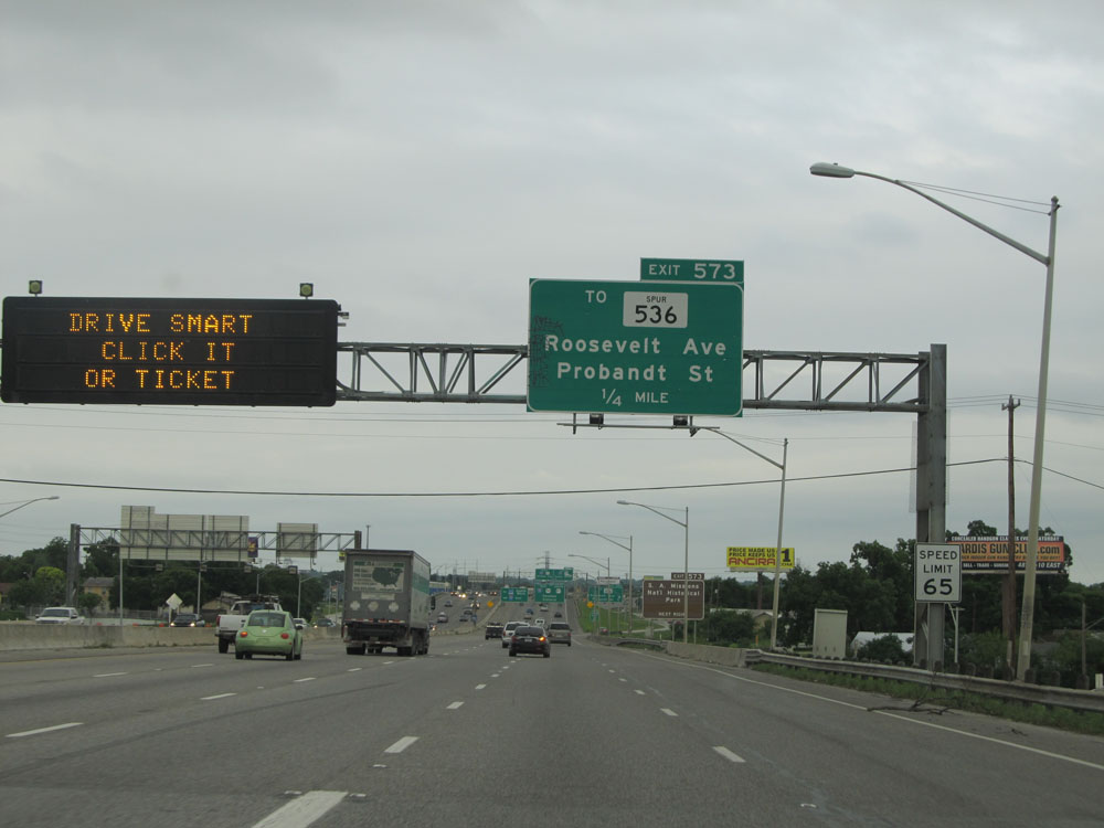
Take Exit 573 to San Antonio Missions National Historic Park. (Photo taken 5/21/15). |
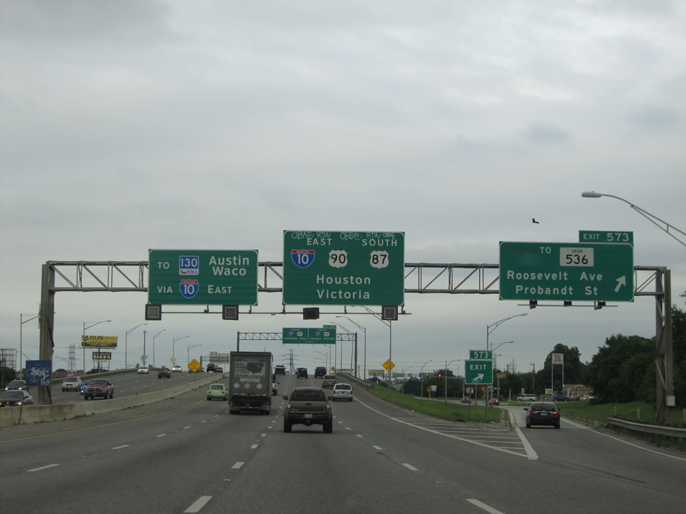 |
Interstate 10 East at Exit 573: To TX Spur 536 - Roosevelt Ave / Probandt St (Photo taken 5/21/15). |
 |
Interstate 10 East approaching Exit 574 (junction of Interstate 37) - 1 mile. (Photo taken 5/21/15). |
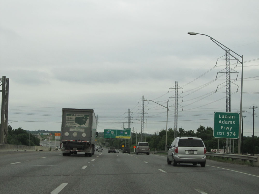 |
Take Exit 574 for Lucian Adams Freeway. (Photo taken 5/21/15). |
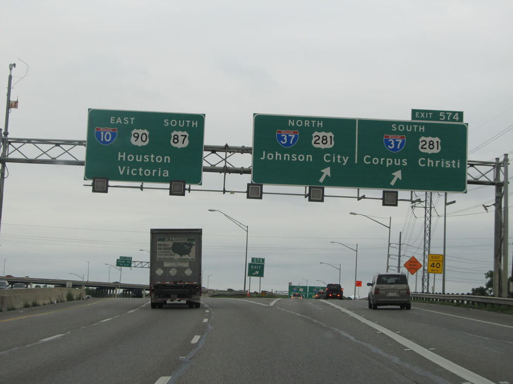 |
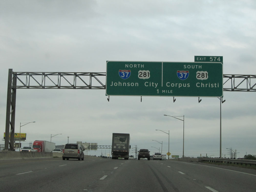
Interstate 10 East at Exit 574: Interstate 37 North / US 281 North - Johnson City; Interstate 37 South / US 281 South - Corpus Christi (Photo taken 5/21/15). |
 |
Take Exit 575 to Hackberry St. (Photo taken 5/21/15). |
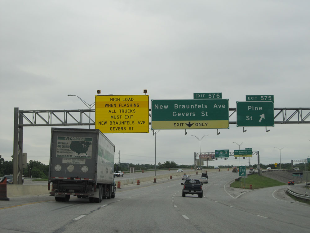 |
Interstate 10 East at Exit 575: Pine St (Photo taken 5/21/15). |
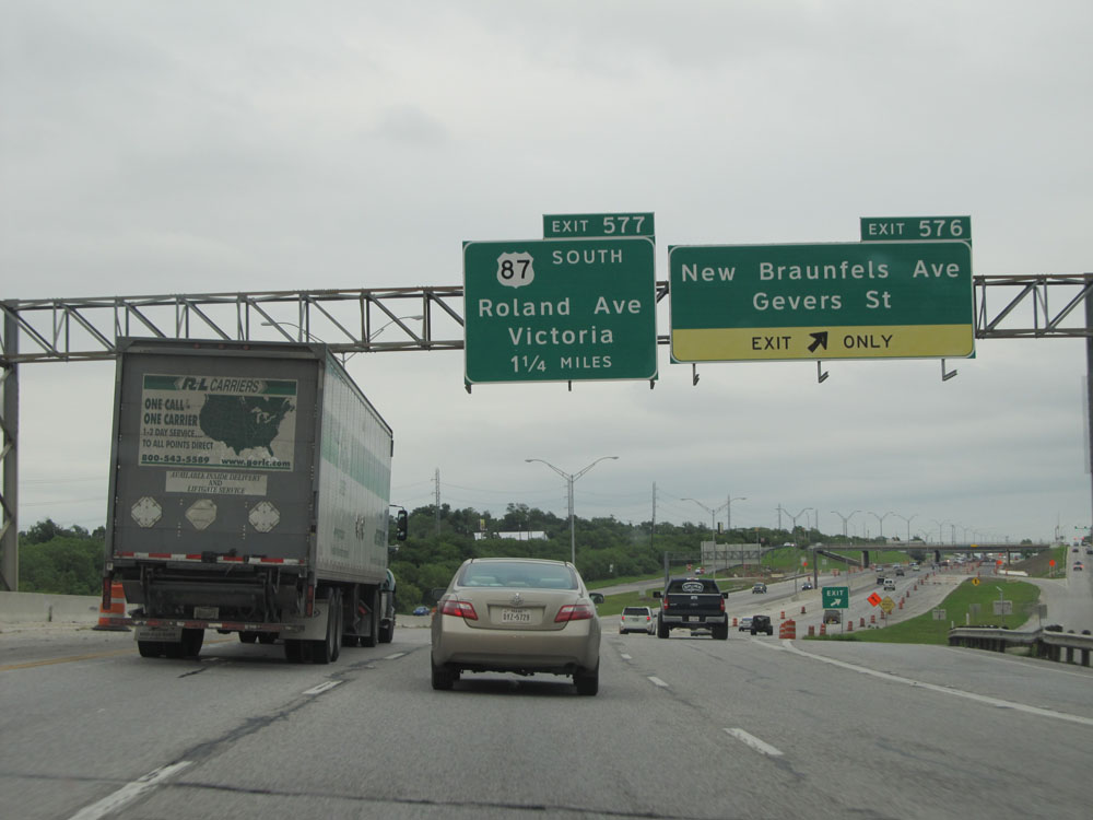 |
Interstate 10 East at Exit 576: New Braunfels Ave / Gevers St (Photo taken 5/21/15). |
 |
Interstate 10 East at Exit 577: US 87 South - Roland Ave / Victoria (Photo taken 5/21/15). |
 |
Interstate 10 East at Exit 578: Pecan Valley Dr / M.L. King Dr (Photo taken 5/21/15). |
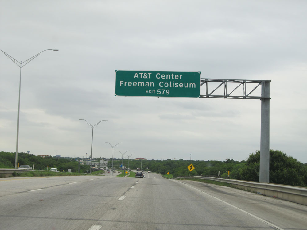 |
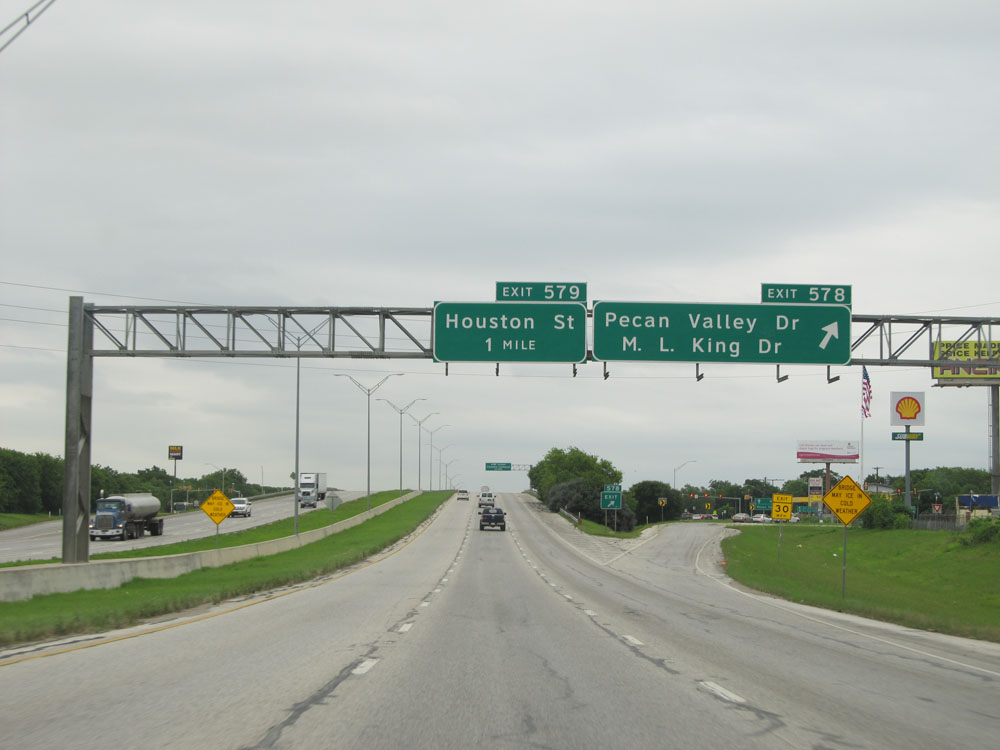
Take Exit 579 to AT&T Center and Freeman Coliseum. (Photo taken 5/21/15). |
 |
Interstate 10 East at Exit 579: Houston St (Photo taken 5/21/15). |
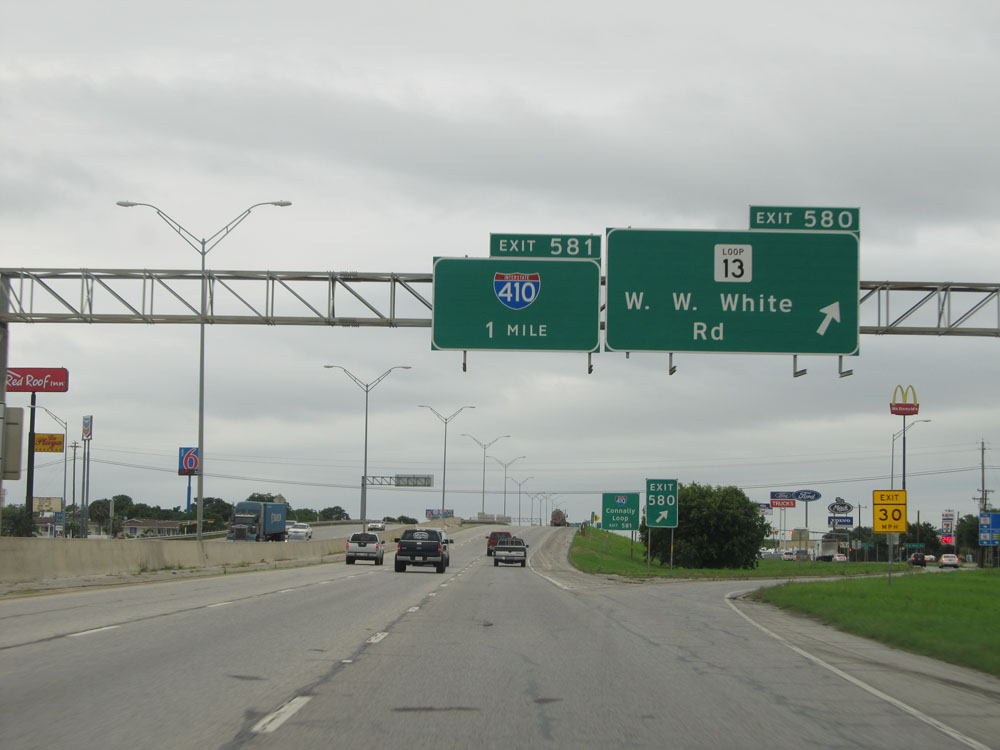 |
Interstate 10 East at Exit 580: TX Loop 13 - W.W. White Rd (Photo taken 5/21/15). |
 |
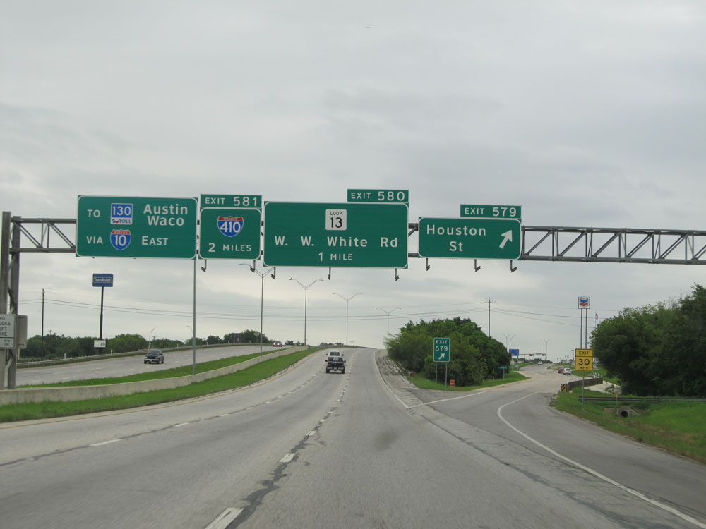
Take Exit 581 1/2 mile ahead to Interstate 410, Connally Loop. Once again we see an example of how advance mileage signs in the San Antonio area will include the locally known name of the road on them, in this case, Connally Loop, but omit them from the exit signs themselves. (Photo taken 5/21/15). |
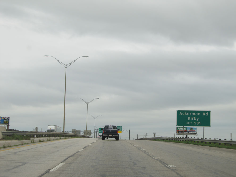 |
Take Exit 581 to Ackerman Rd and Kirby. (Photo taken 5/21/15). |
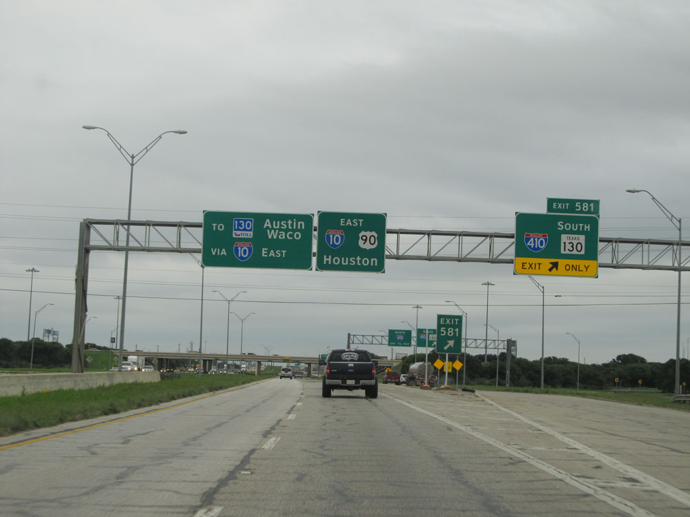 |
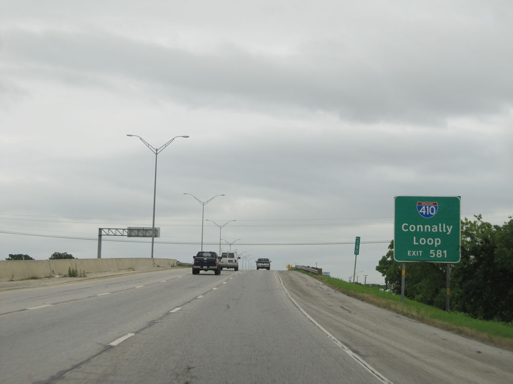
Interstate 10 East at Exit 581: Interstate 410 / TX 130 South (Photo taken 5/21/15). |
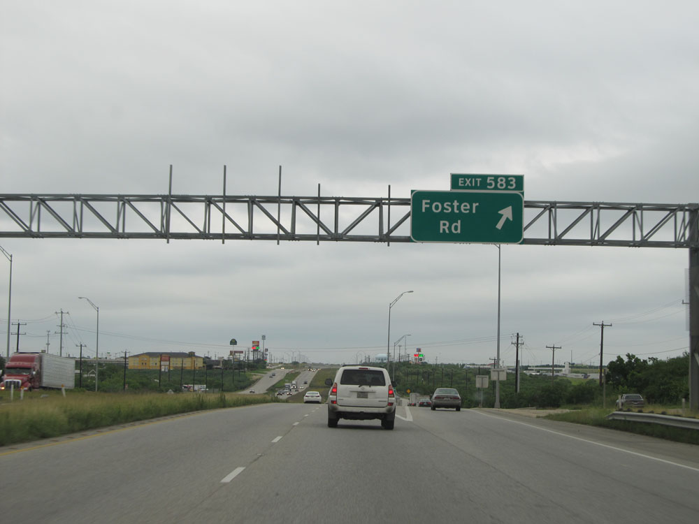 |
Interstate 10 East at Exit 583: Foster Rd (Photo taken 5/21/15). |
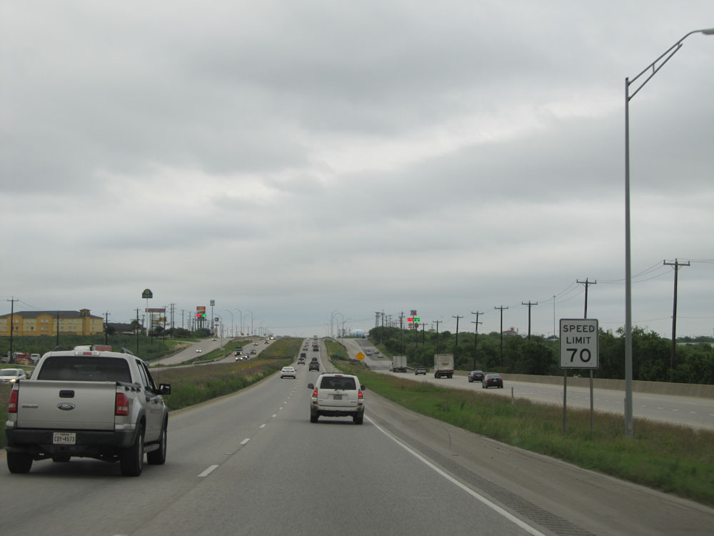 |
Just past Exit 583, the speed limit is bumped up to 70 mph. (Photo taken 5/21/15). |
 |
Interstate 10 East assurance shield. (Photo taken 5/21/15). |
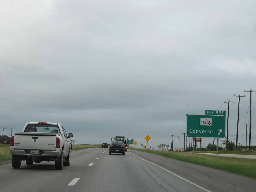 |
Interstate 10 East at Exit 585: FM 1516 - Converse (Photo taken 5/21/15). |
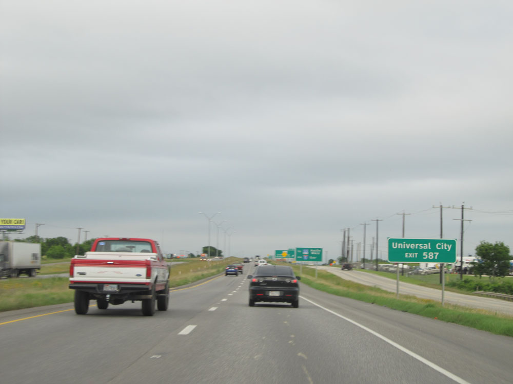 |
Take Exit 587 to Universal City. (Photo taken 5/21/15). |
 |
Interstate 10 East at Exit 587: TX Loop 1604 - Anderson Loop / Randolph Air Force Base. This is one of the few exit signs in the San Antonio area that does include the road's locally-known name (Anderson Loop) on the exit sign. (Photo taken 5/21/15). |
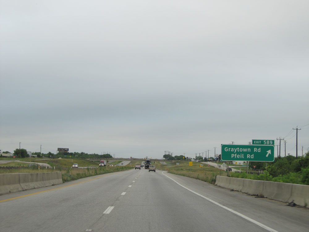 |
Interstate 10 East at Exit 589: Graytown Rd / Pfiel Rd (Photo taken 5/21/15). |
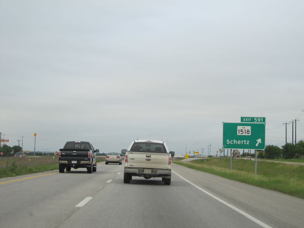 |
Interstate 10 East at Exit 591: FM 1518 - Schertz (Photo taken 5/21/15). |
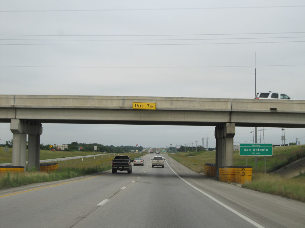 |
As Interstate 10 East passes under FM 1518, this sign indicates that you're now leaving the San Antonio city limits. (Photo taken 5/21/15). |
 |
Immediately upon leaving the San Antonio city limits, the speed limit increases to 75 mph. (Photo taken 5/21/15). |
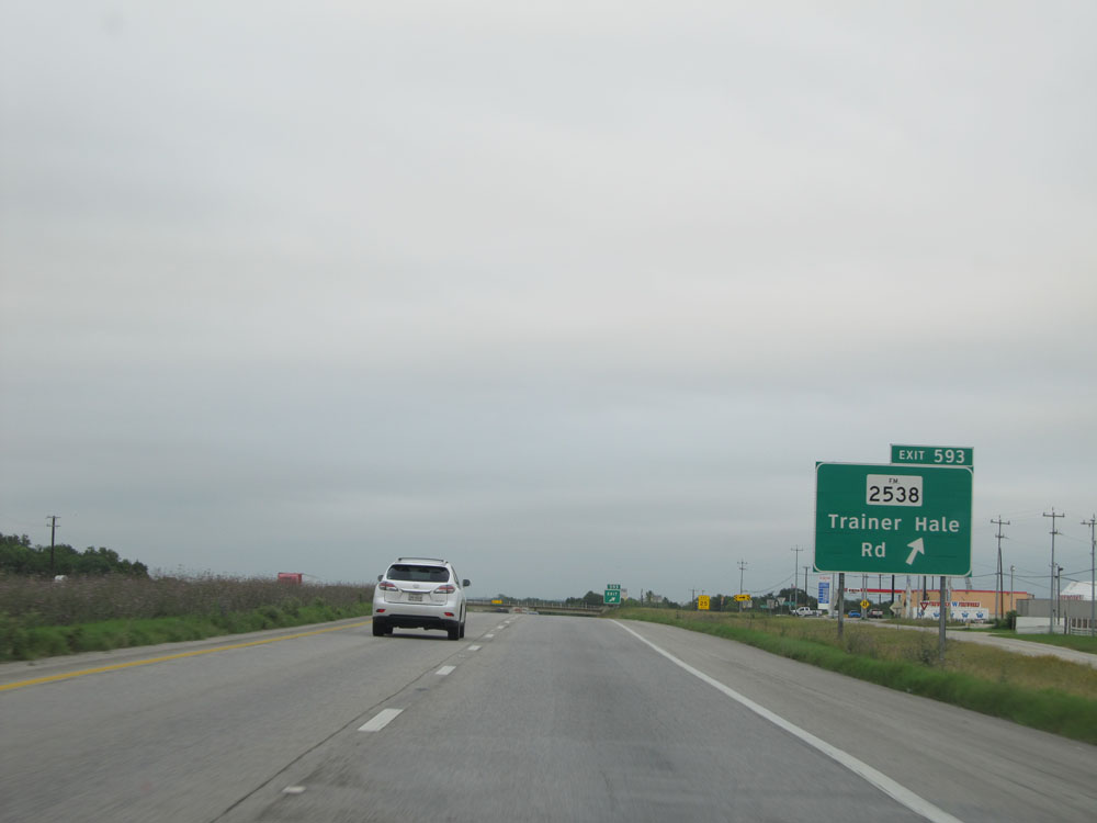 |
Interstate 10 East at Exit 593: FM 2538 - Trainer Hale Rd (Photo taken 5/21/15). |
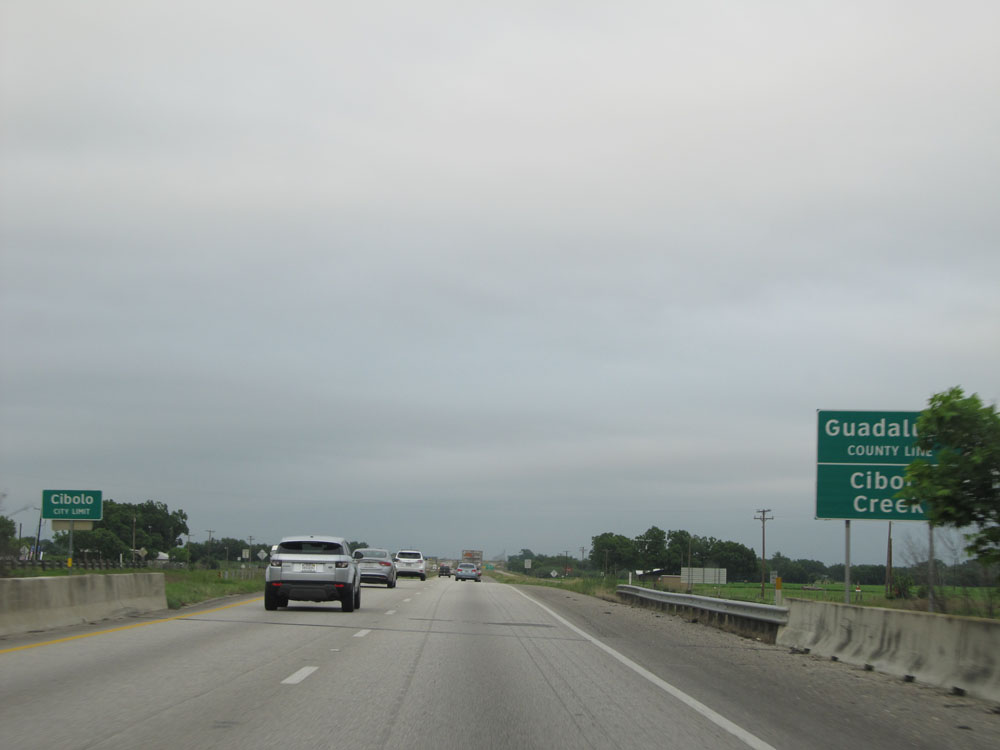 |
Interstate 10 East entering Guadalupe County, just past mile marker 594. (Photo taken 5/21/15). |
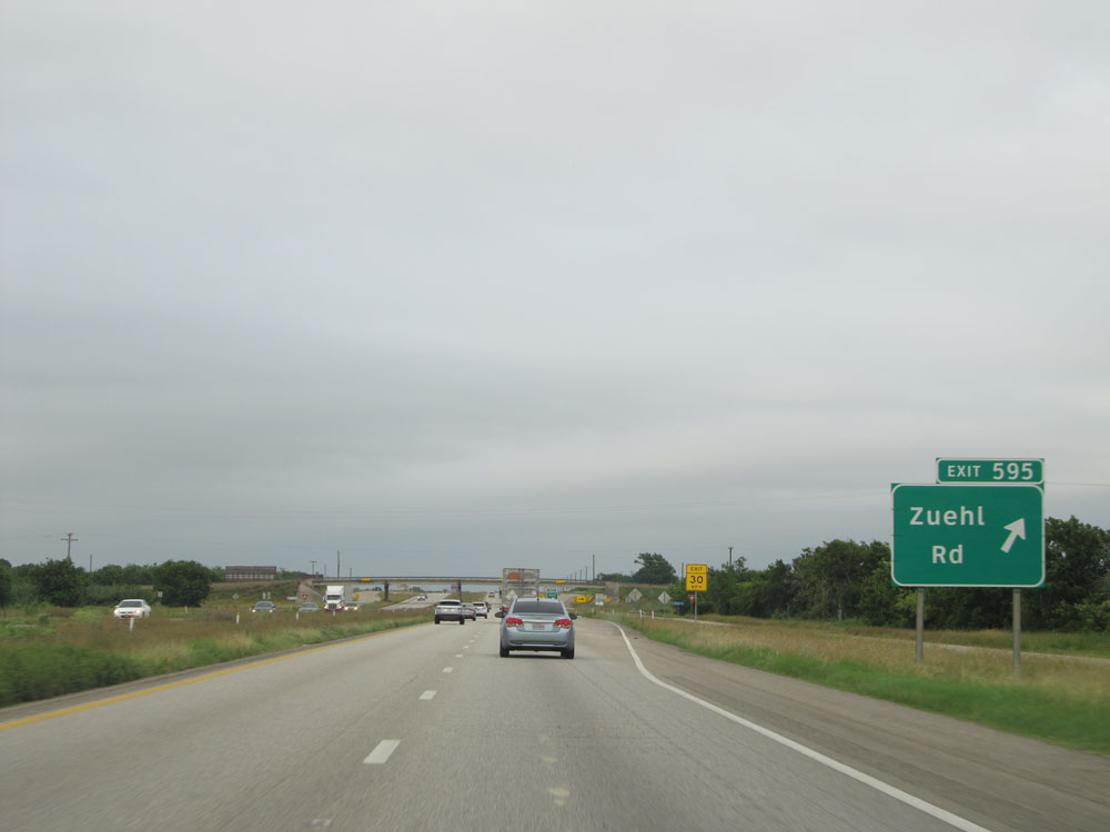 |
Interstate 10 East at Exit 595: Zuehl Rd (Photo taken 5/21/15). |
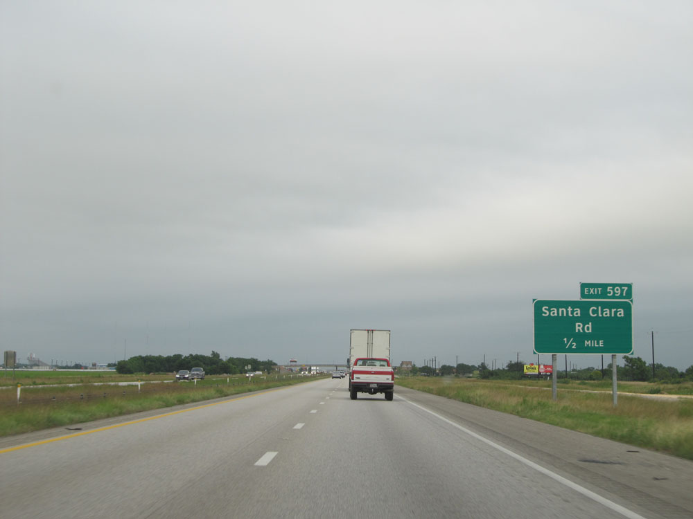 |
Interstate 10 East approaching Exit 597 - 1/2 mile. (Photo taken 5/21/15). |
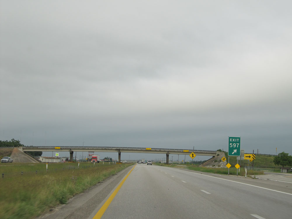 |
Interstate 10 East at Exit 597: Santa Clara Rd (Photo taken 5/21/15). |
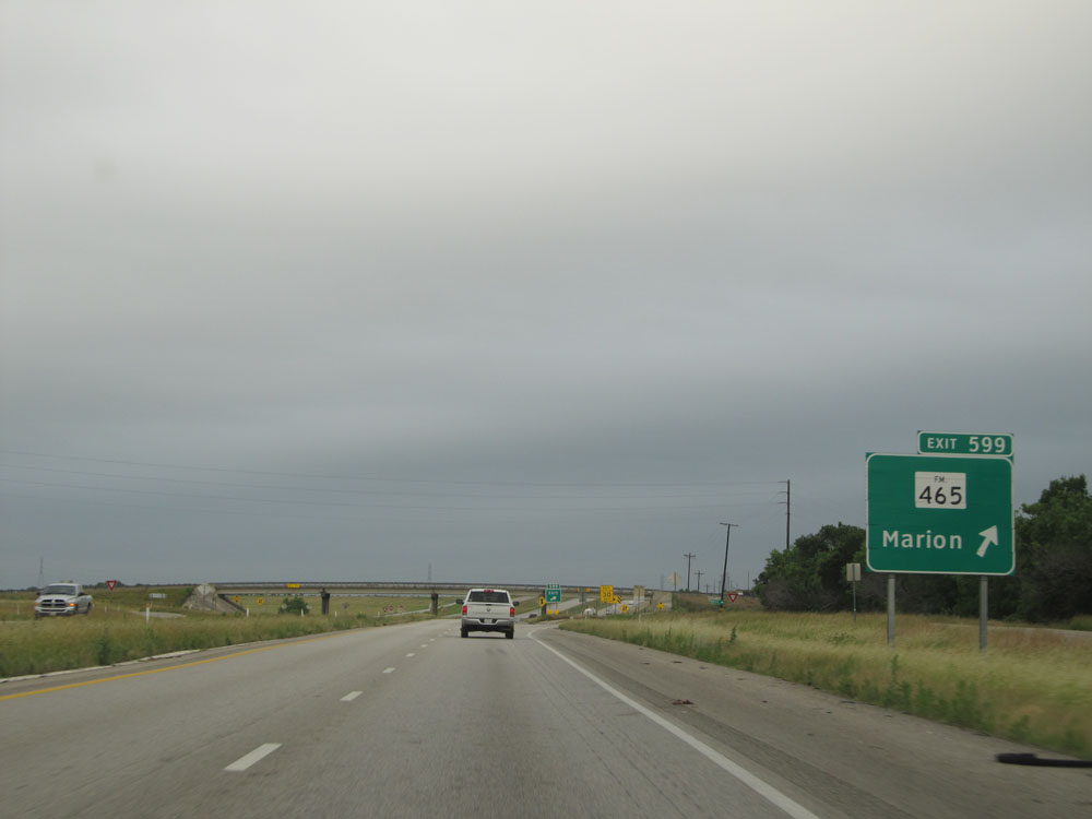 |
Interstate 10 East at Exit 599: FM 465 - Marion (Photo taken 5/21/15). |
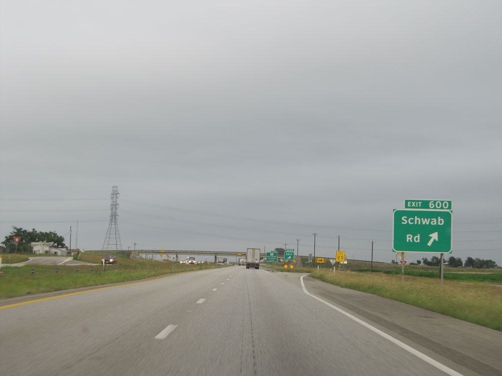 |
Interstate 10 East at Exit 600: Schwab Rd (Photo taken 5/21/15). |
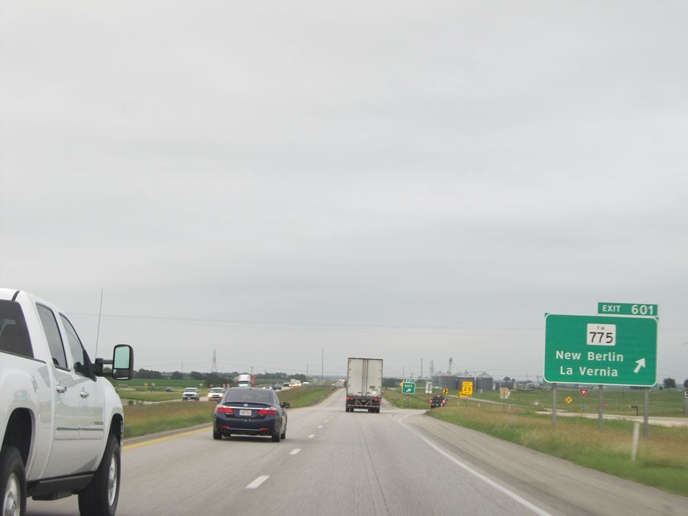 |
Interstate 10 East at Exit 601: FM 775 - New Berlin / La Vernia (Photo taken 5/21/15). |
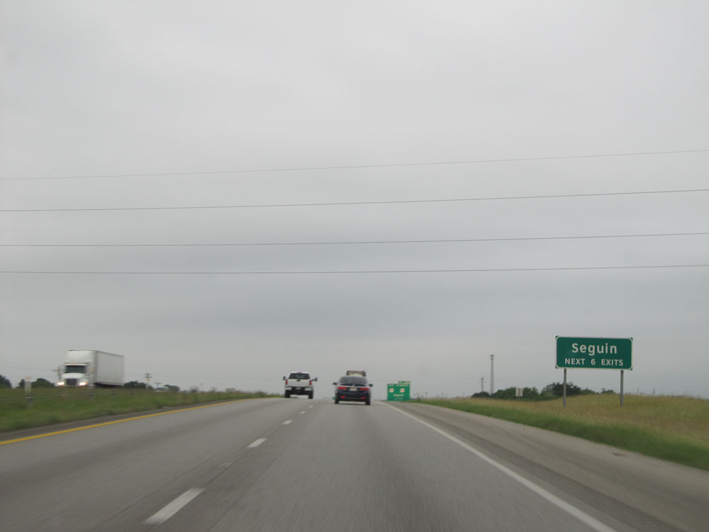 |
Take any of the next 6 exits to Seguin. (Photo taken 5/21/15). |
 |
Interstate 10 East approaching Exit 603 - 1/4 mile. (Photo taken 5/21/15). |
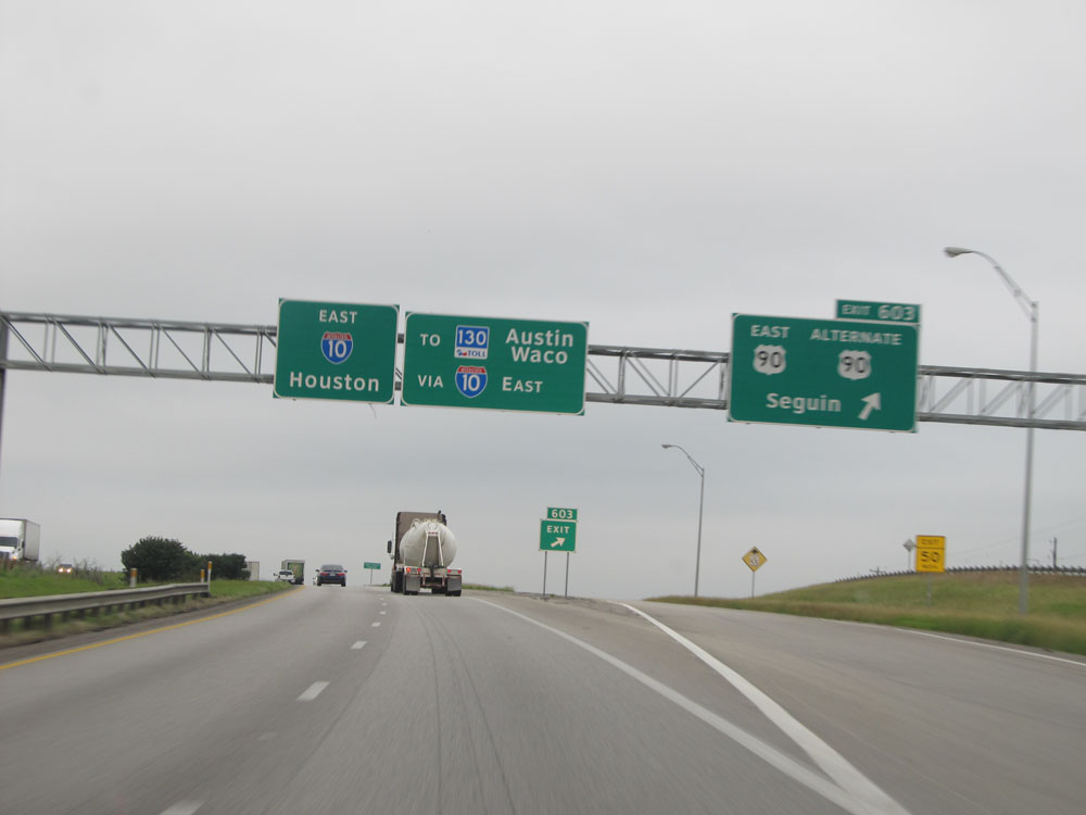 |
Interstate 10 East at Exit 603: US 90 East / US 90 ALT - Seguin (Photo taken 5/21/15). |
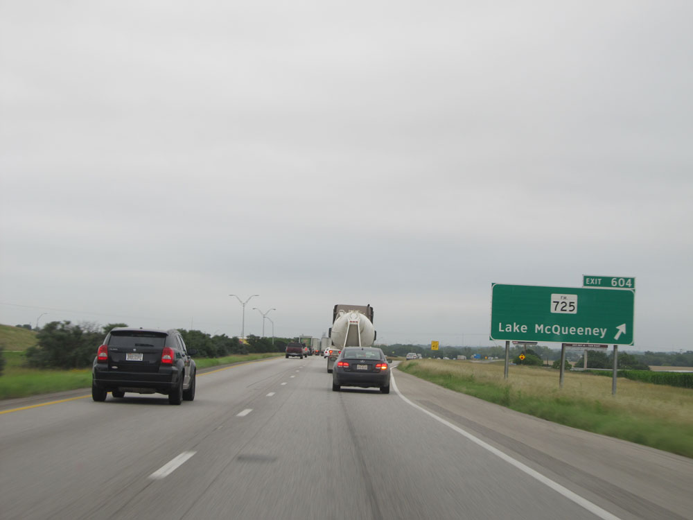 |
Interstate 10 East at Exit 604: FM 725 - Lake McQueeney (Photo taken 5/21/15). |
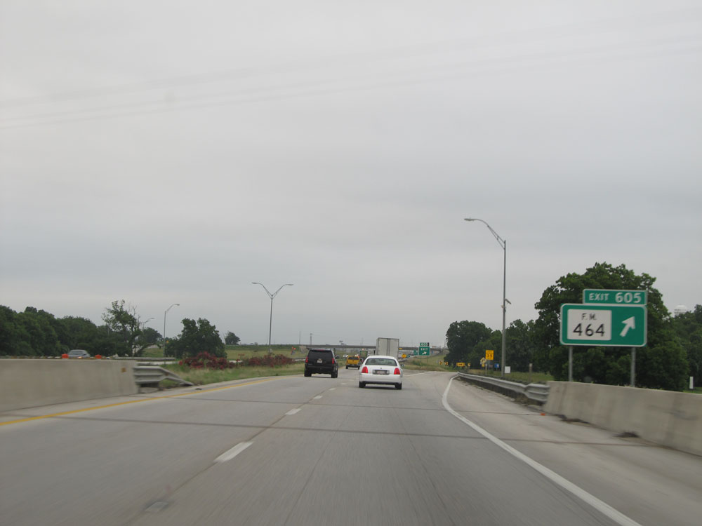 |
Interstate 10 East at Exit 605: FM 464 (Photo taken 5/21/15). |
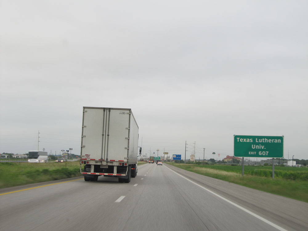 |
Take Exit 607 to Texas Lutheran University. (Photo taken 5/21/15). |
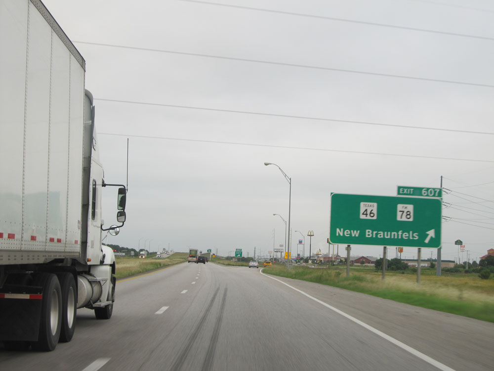 |
Interstate 10 East at Exit 607: TX 46 / FM 78 - New Braunfels (Photo taken 5/21/15). |
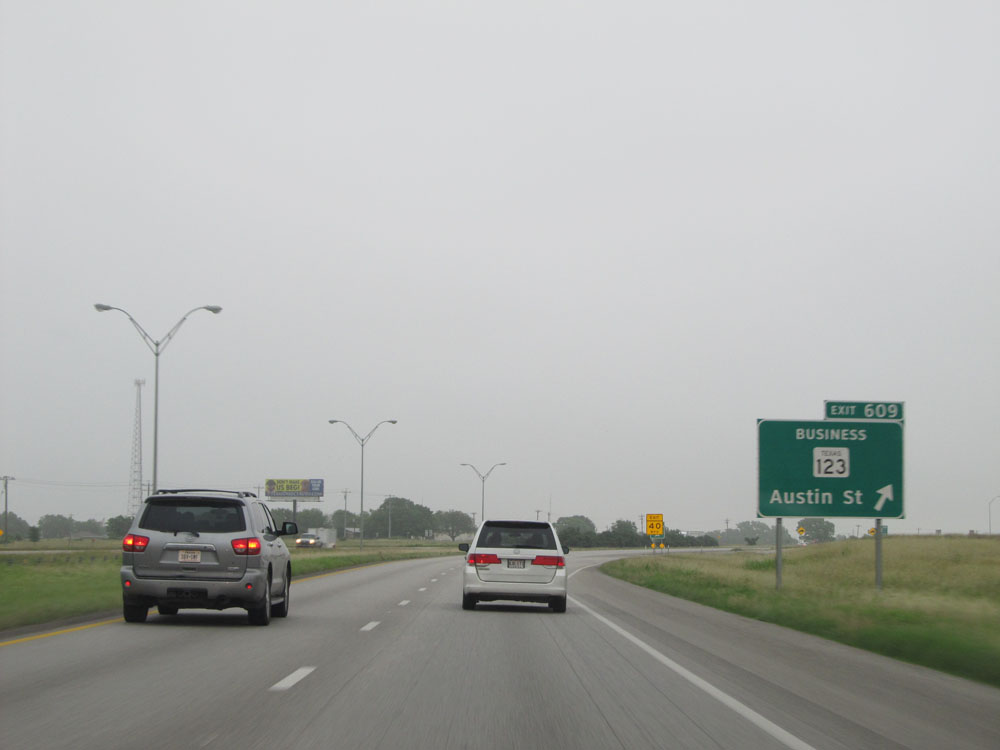 |
Interstate 10 East at Exit 609: TX 123 BR - Austin St (Photo taken 5/22/15). |
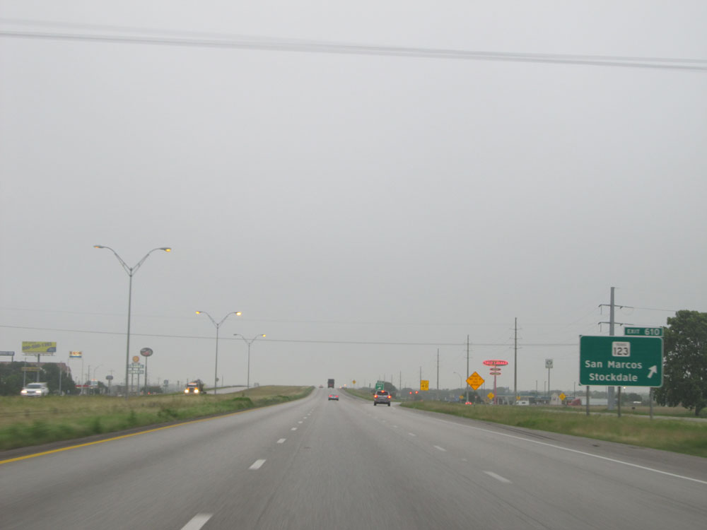 |
Interstate 10 East at Exit 610: TX 123 - San Marcos / Stockdale (Photo taken 5/22/15). |
 |
Interstate 10 East approaching Exit 612 - 3/4 mile. (Photo taken 5/22/15). |
 |
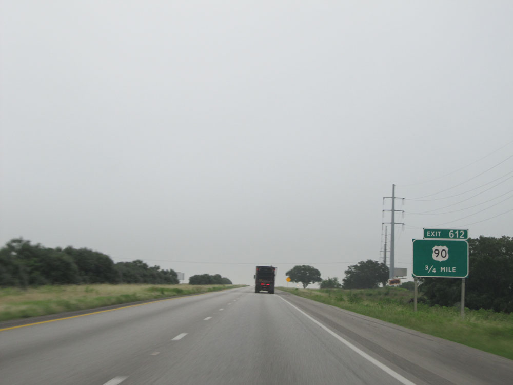
Interstate 10 East at Exit 612: US 90 (Photo taken 5/22/15). |
Section 8: Seguin (Exit 612) to Brookshire (Exit 731)
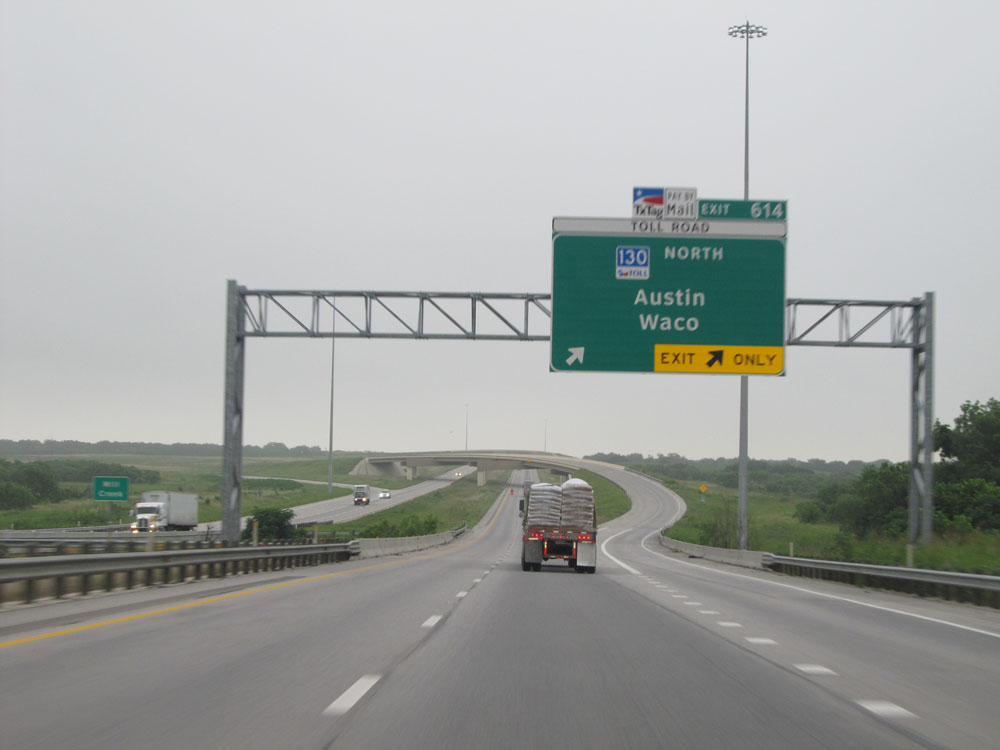 |
Interstate 10 East at Exit 614: TX 130 Toll North - Austin / Waco (Photo taken 5/22/15). |
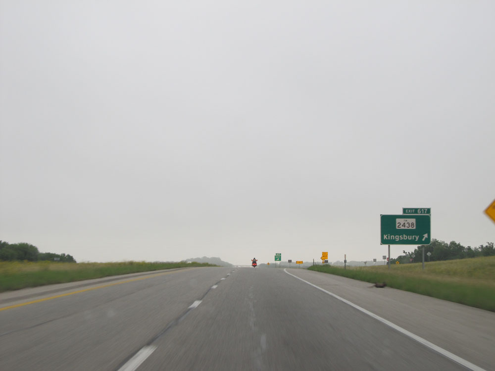 |
Interstate 10 East at Exit 617: FM 2438 - Kingsbury (Photo taken 5/22/15). |
 |
Interstate 10 East at the Rest Area located at mile marker 618. (Photo taken 5/22/15). |
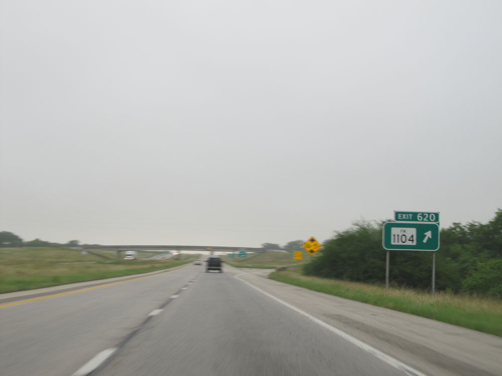 |
Interstate 10 East at Exit 620: FM 1104. I apologize for these few pictures and their less-than-perfect quality. The low clouds this morning led to a lack of sufficient light for good photography for a while. (Photo taken 5/22/15). |
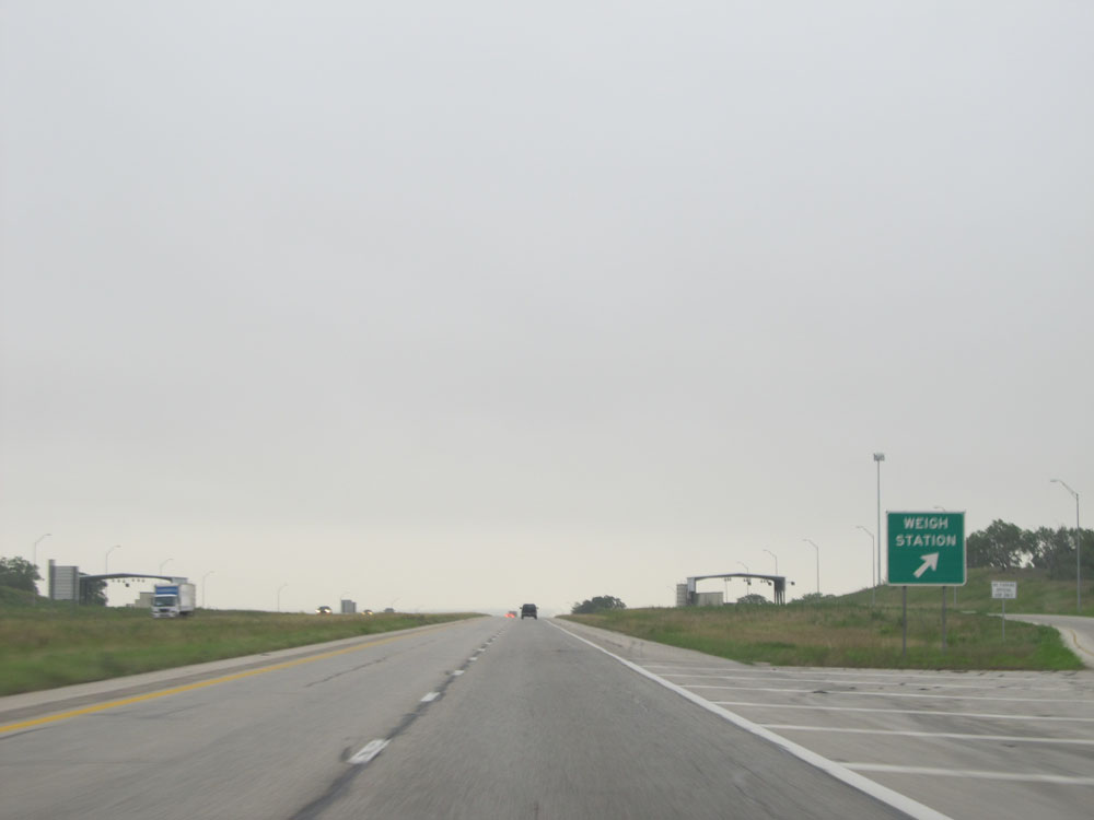 |
Interstate 10 East at the Weigh Station located near mile marker 622. (Photo taken 5/22/15). |
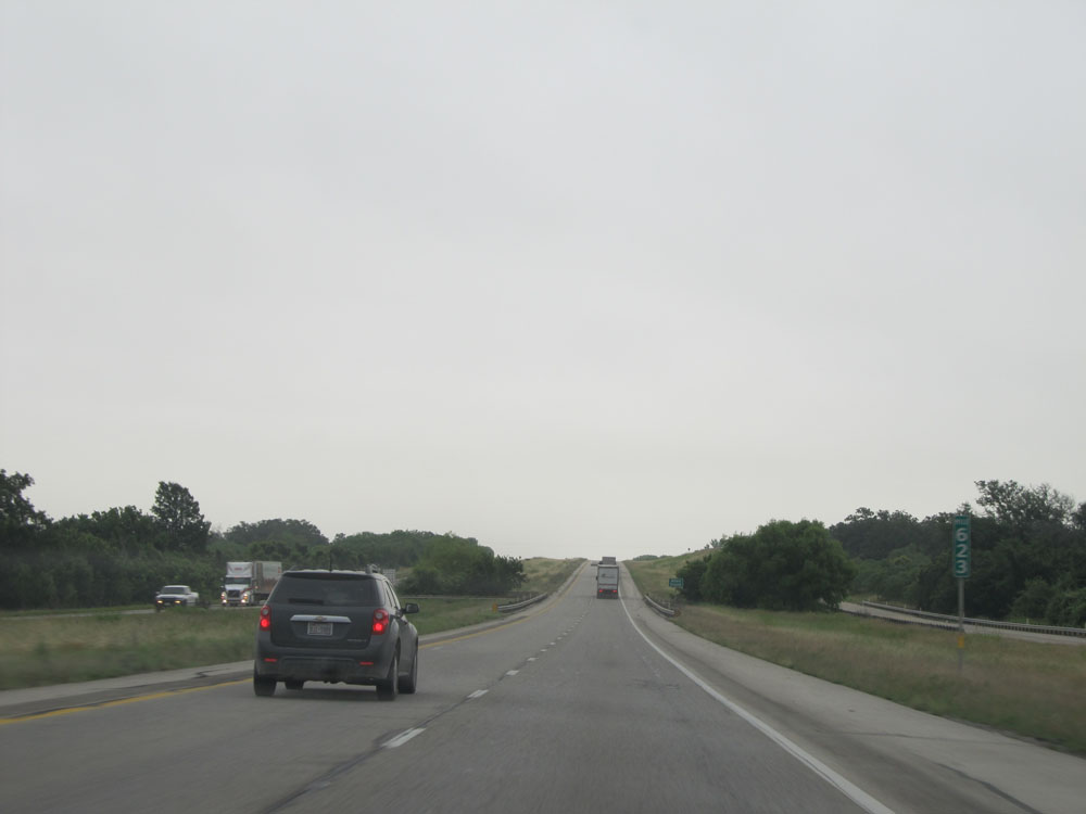 |
Interstate 10 East: Road view from mile marker 623. (Photo taken 5/22/15). |
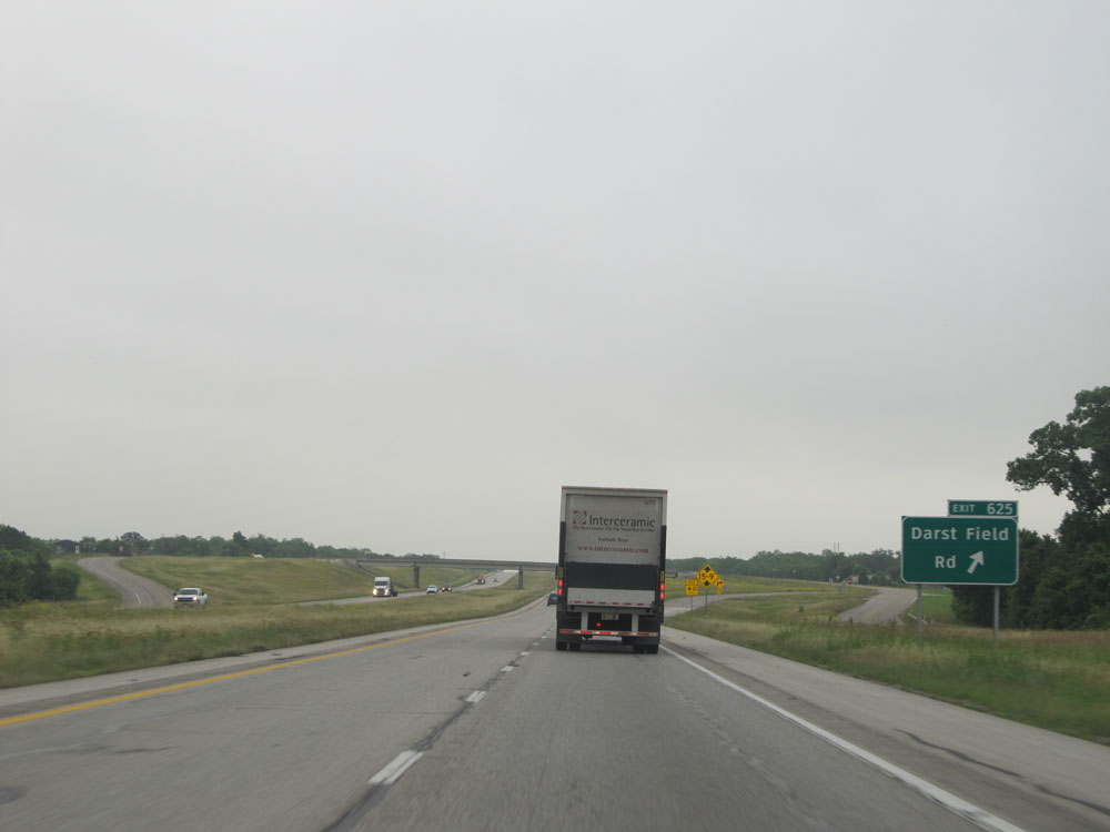 |
Interstate 10 East at Exit 625: Darst Field Rd (Photo taken 5/22/15). |
 |
Take either of the next 2 exits to Luling. (Photo taken 5/22/15). |
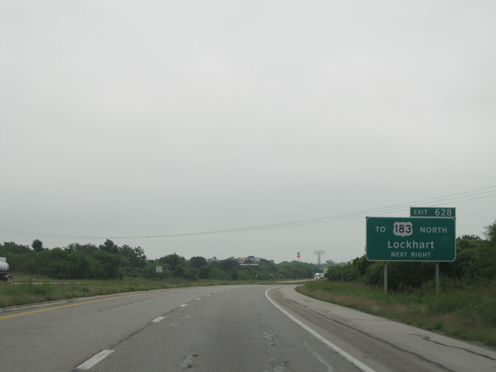 |
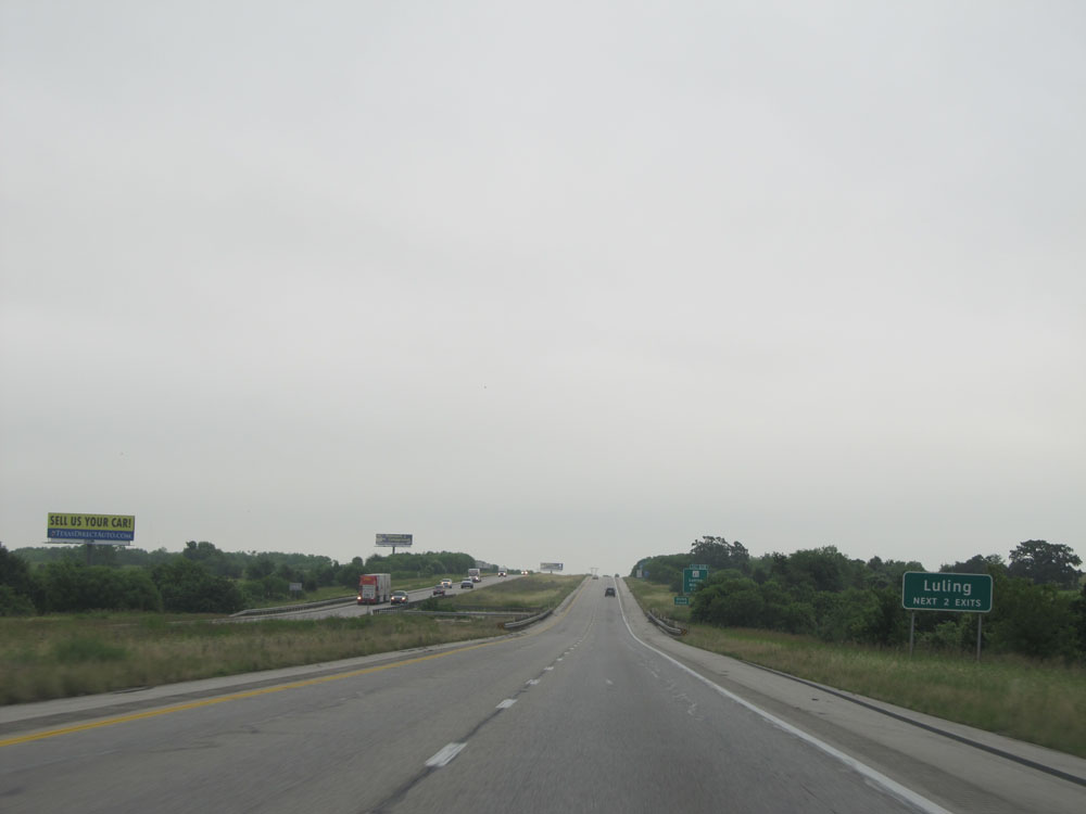
Take Exit 628 to US 183 North toward Lockhart. (Photo taken 5/22/15). |
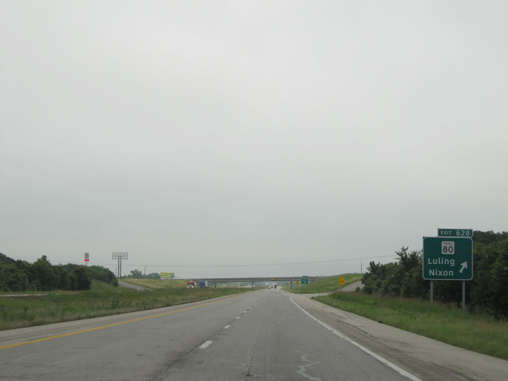 |
Interstate 10 East at Exit 628: TX 80 - Luling / Nixon (Photo taken 5/22/15). |
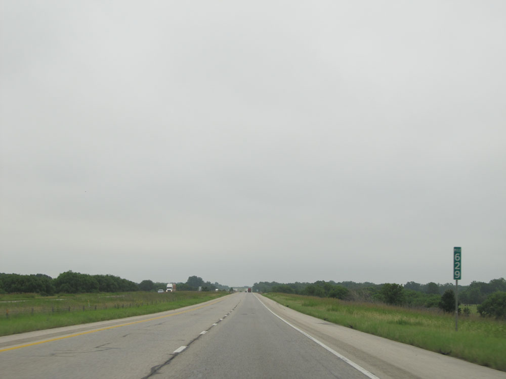 |
Interstate 10 East at mile marker 629. (Photo taken 5/22/15). |
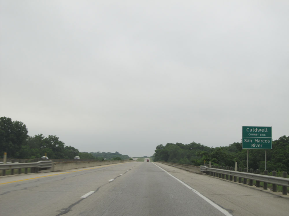 |
Interstate 10 East crossing the San Marcos River into Caldwell County. (Photo taken 5/22/15). |
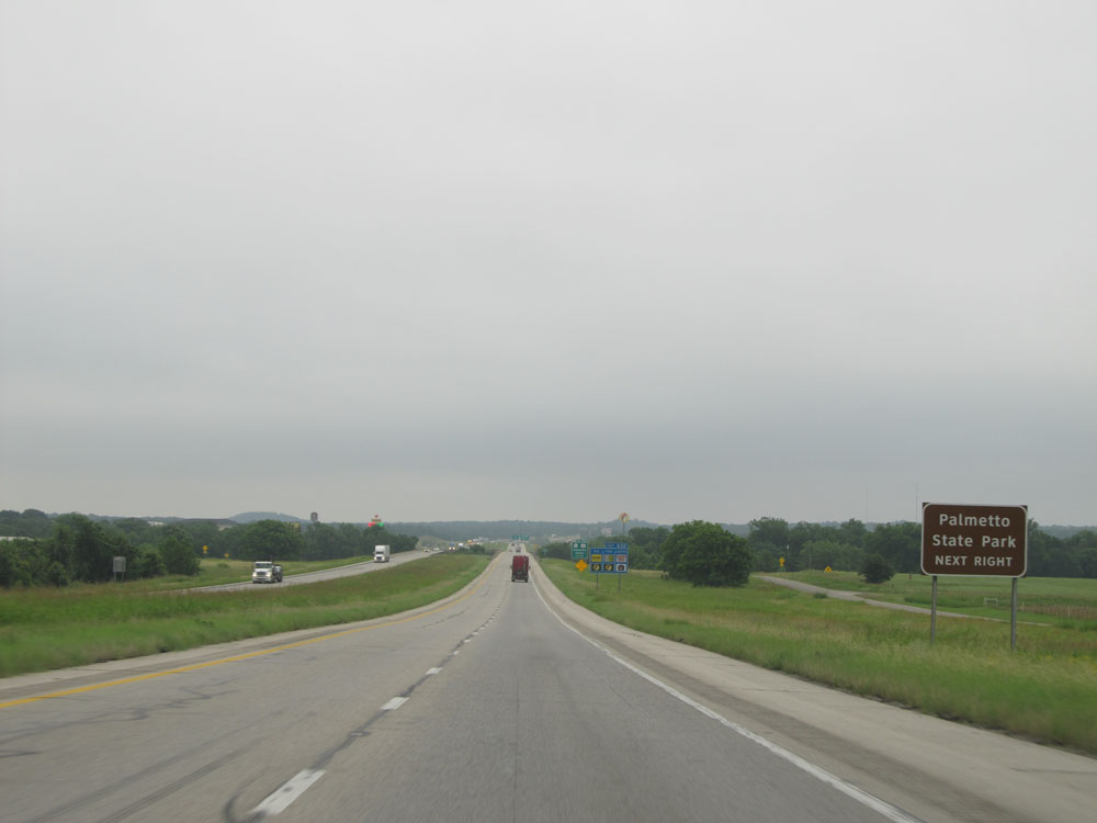 |
Take Exit 632 to Palmetto State Park. (Photo taken 5/22/15). |
 |
Interstate 10 East at Exit 632: US 90 / US 183 - Gonzales / Cuero (Photo taken 5/22/15). |
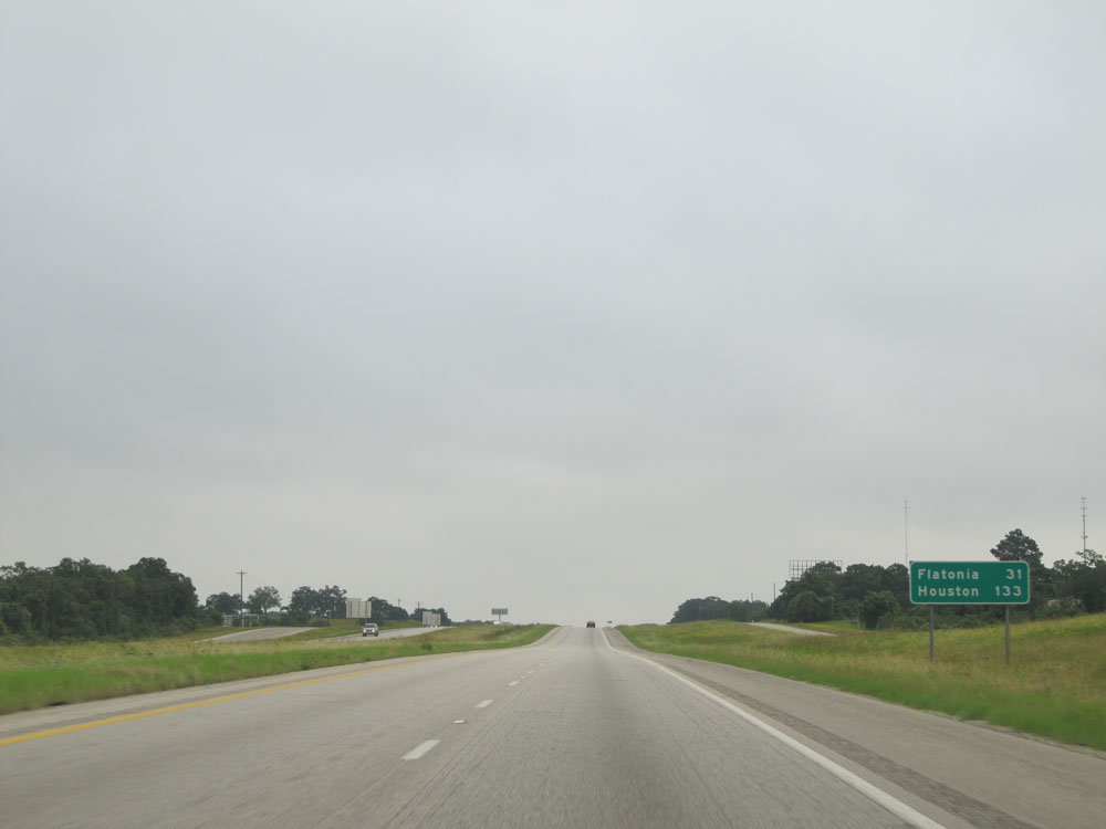 |
Mileage sign near mile marker 633. It's 31 miles to Flatonia and 133 miles to Houston. (Photo taken 5/22/15). |
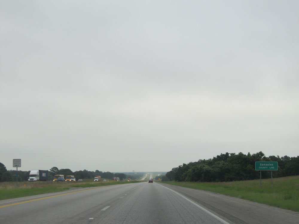 |
Interstate 10 East entering Gonzales County. (Photo taken 5/22/15). |
 |
Interstate 10 East at Exit 637: FM 794 - Harwood (Photo taken 5/22/15). |
 |
Interstate 10 East assurance shield near mile marker 637. (Photo taken 5/22/15). |
 |
Speed limit sign near mile marker 637. The speed limit between San Antonio and Houston tops out at 75 mph, like it says here. (Photo taken 5/22/15). |
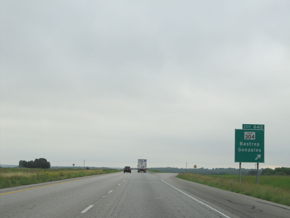 |
Interstate 10 East at Exit 642: TX 304 - Bastrop / Gonzales (Photo taken 5/22/15). |
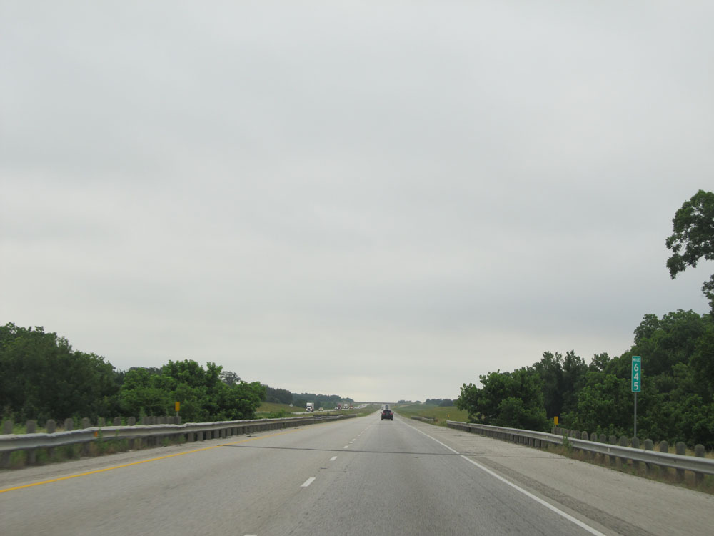 |
Interstate 10 East: Road view from mile marker 645. (Photo taken 5/22/15). |
 |
Interstate 10 East at Exit 649: TX 97 - Waelder (Photo taken 5/22/15). |
 |
Interstate 10 East at Exit 651: US 90 (Photo taken 5/22/15). |
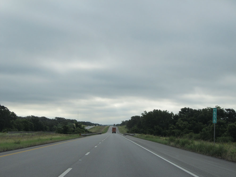 |
Interstate 10 East: Road view from mile marker 656. (Photo taken 5/22/15). |
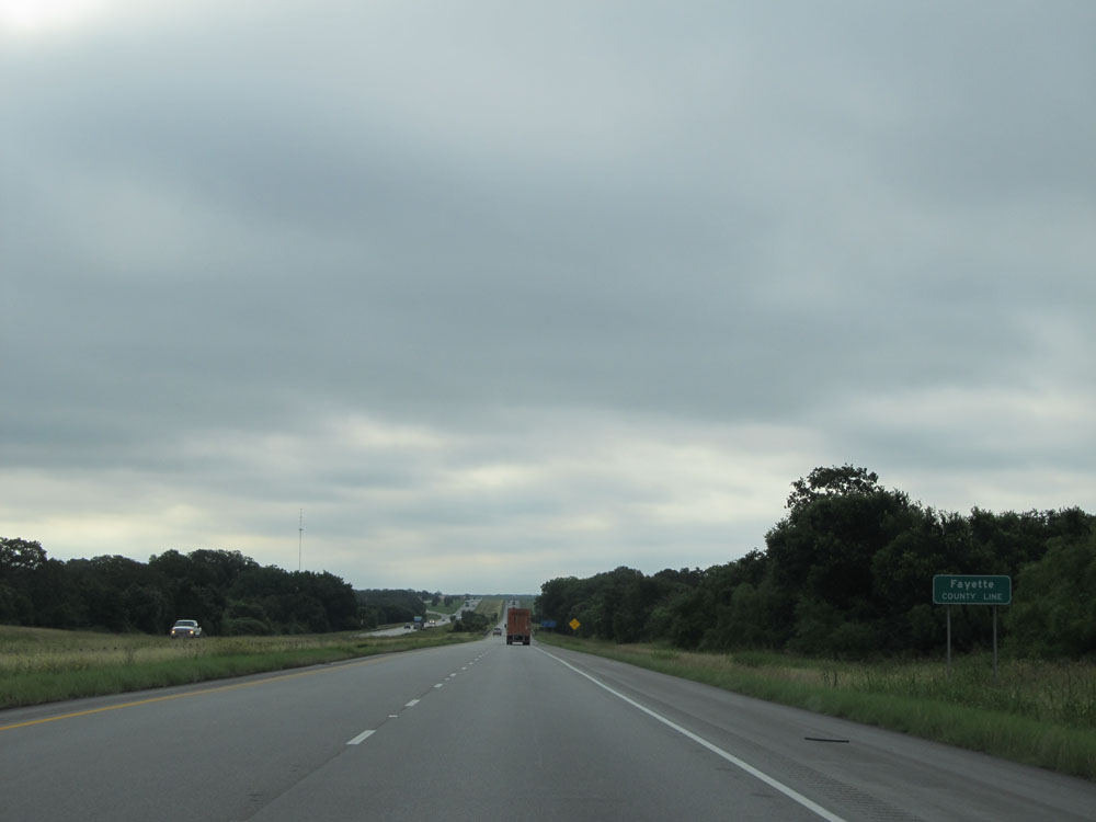 |
Interstate 10 East entering Fayette County. (Photo taken 5/22/15). |
 |
Interstate 10 East at the Picnic Area located just past mile marker 657. (Photo taken 5/22/15). |
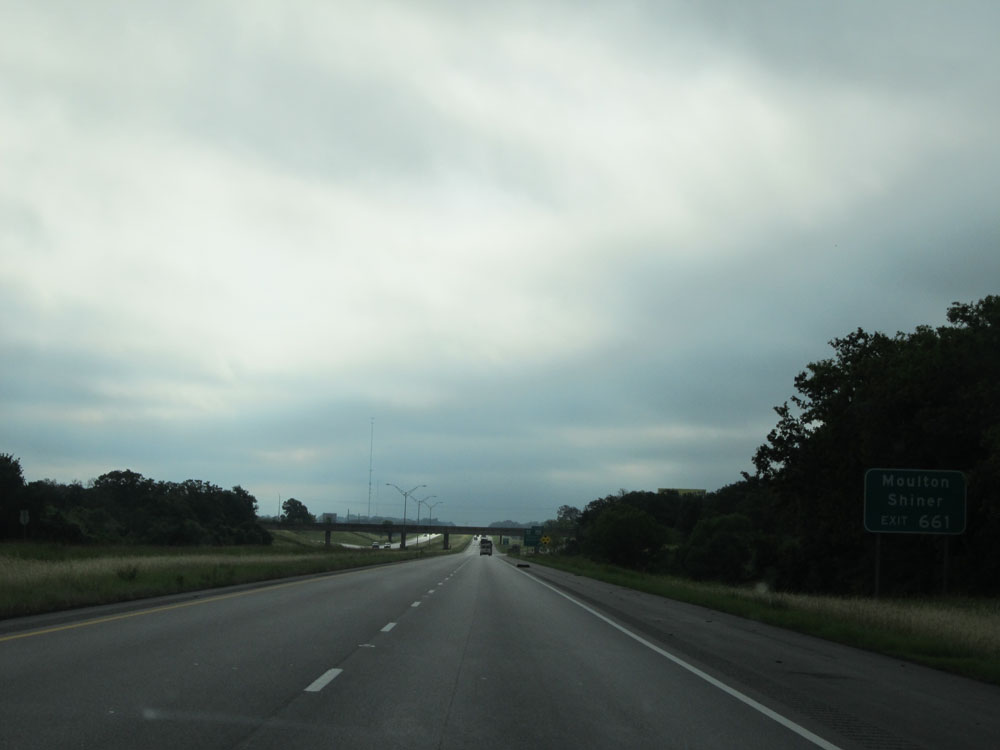 |
Take Exit 661 to Maulton and Shiner. (Photo taken 5/22/15). |
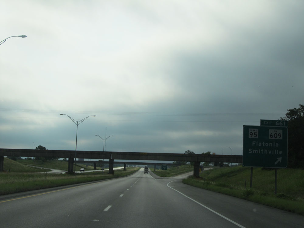 |
Interstate 10 East at Exit 661: TX 95 / FM 609 - Flatonia / Smithville (Photo taken 5/22/15). |
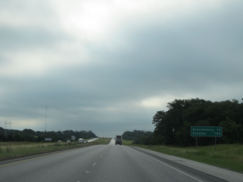 |
Mileage sign near mile marker 662. It's 12 miles to Schulenburg and 106 miles to Houston. (Photo taken 5/22/15). |
 |
Interstate 10 East at Exit 668: FM 2238 - Engle (Photo taken 5/22/15). |
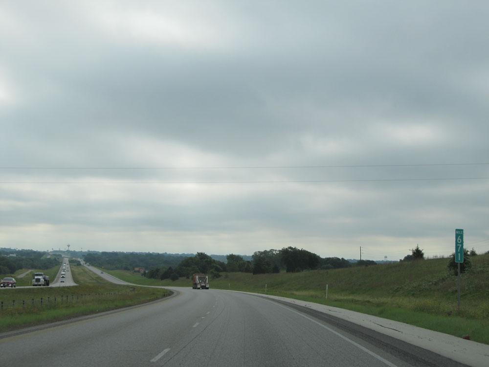 |
Interstate 10 East: Road view from mile marker 671. (Photo taken 5/22/15). |
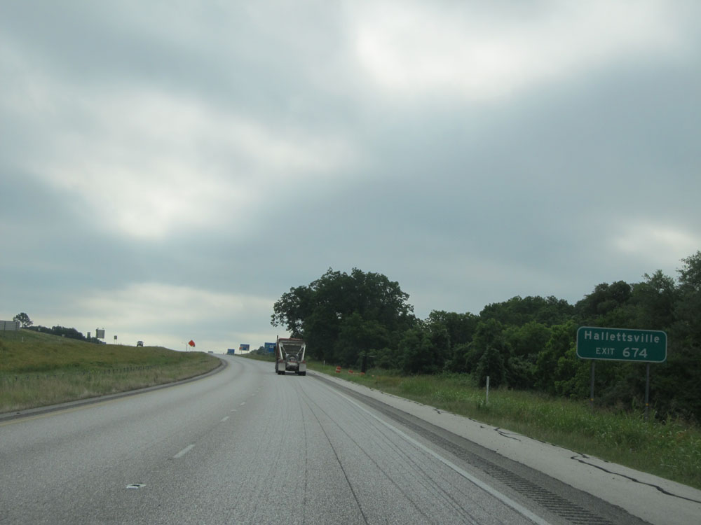 |
Take Exit 674 to Hallettsville. (Photo taken 5/22/15). |
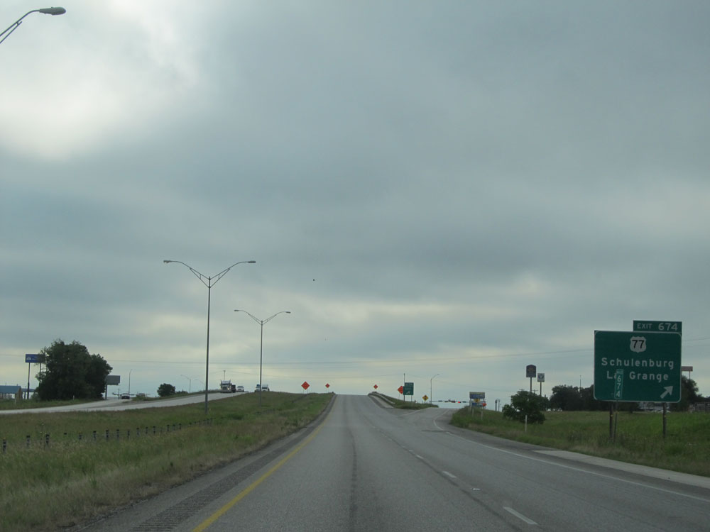 |
Interstate 10 East at Exit 674: US 77 - Schulenburg / La Grange (Photo taken 5/22/15). |
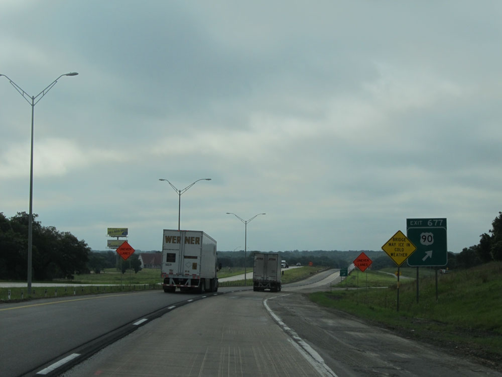 |
Interstate 10 East at Exit 677: US 90 (Photo taken 5/22/15). |
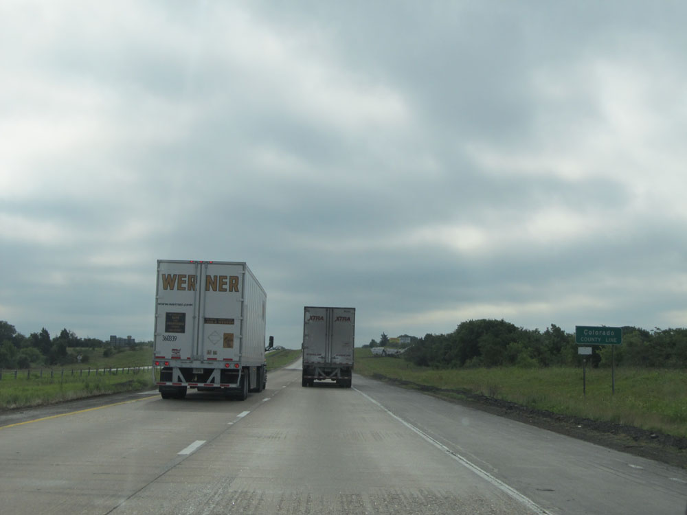 |
Interstate 10 East entering Colorado County. (Photo taken 5/22/15). |
 |
Interstate 10 East at Exit 682: FM 155 - Weimar (Photo taken 5/22/15). |
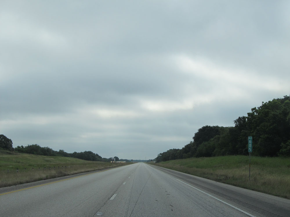 |
Interstate 10 East: Road view from mile marker 685. (Photo taken 5/22/15). |
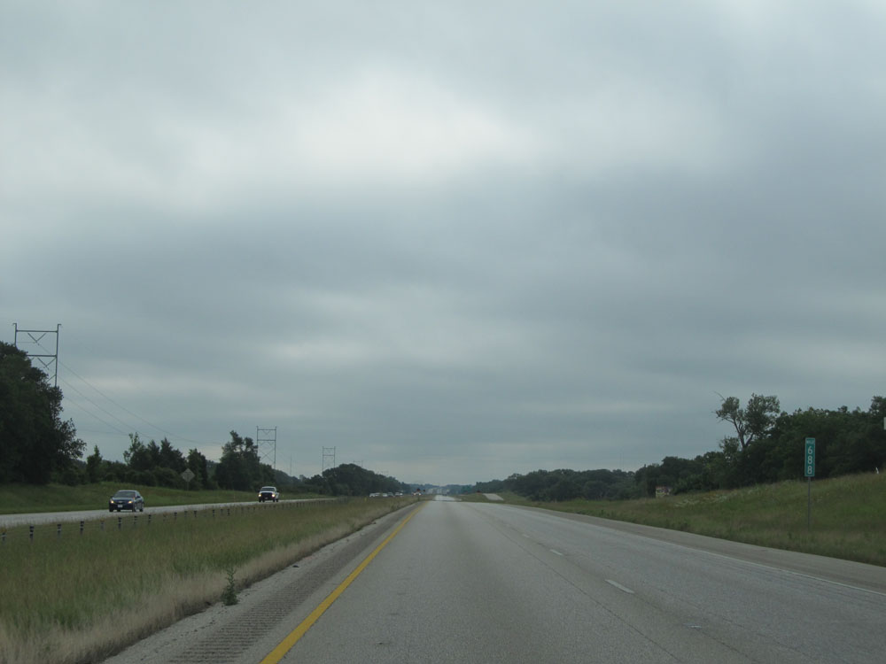 |
Interstate 10 East at mile marker 688. (Photo taken 5/22/15). |
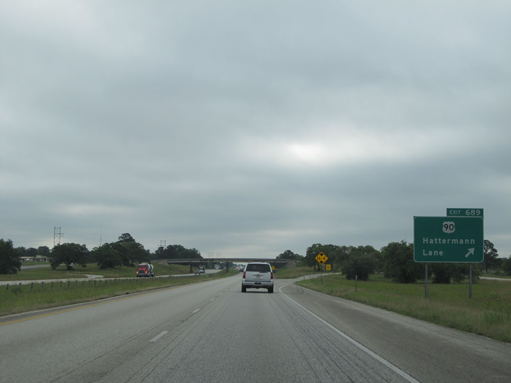 |
Interstate 10 East at Exit 689: US 90 - Hattermann Lane (Photo taken 5/22/15). |
 |
Mileage sign near mile marker 690. It's 6 miles to Columbus and 79 miles to Houston. (Photo taken 5/22/15). |
 |
Interstate 10 East at the Rest Area located at mile marker 692. (Photo taken 5/22/15). |
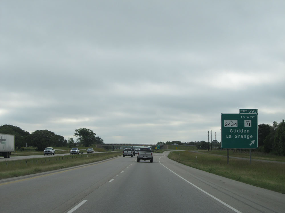 |
Interstate 10 East at Exit 693: FM 2434 / To TX 71 West - Glidden / La Grange (Photo taken 5/22/15). |
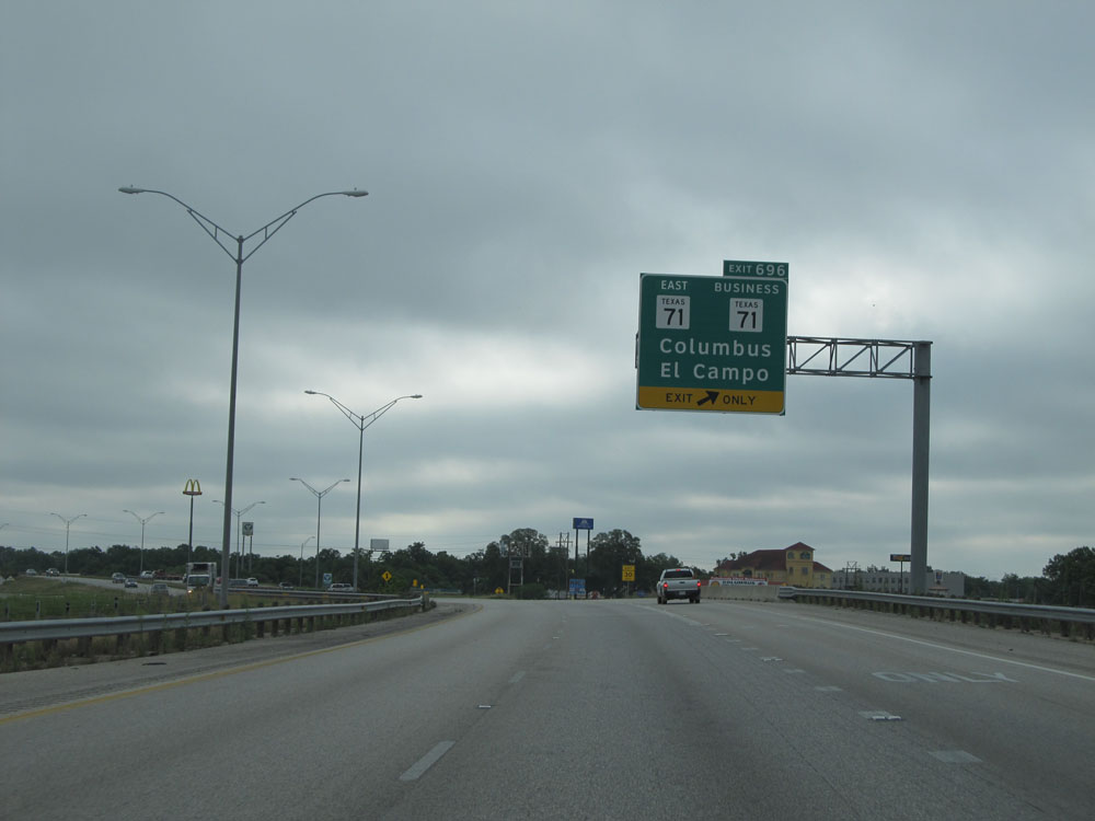 |
Interstate 10 East at Exit 696: TX 71 East / TX 71 BR - Columbus / El Campo (Photo taken 5/22/15). |
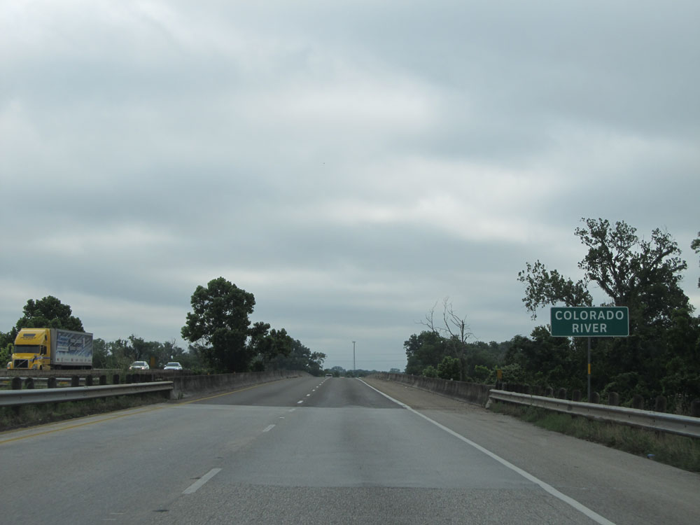 |
Interstate 10 East as it crosses the Colorado River. (Photo taken 5/22/15). |
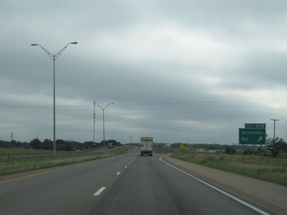 |
Interstate 10 East at Exit 698: Alleyton Rd (Photo taken 5/22/15). |
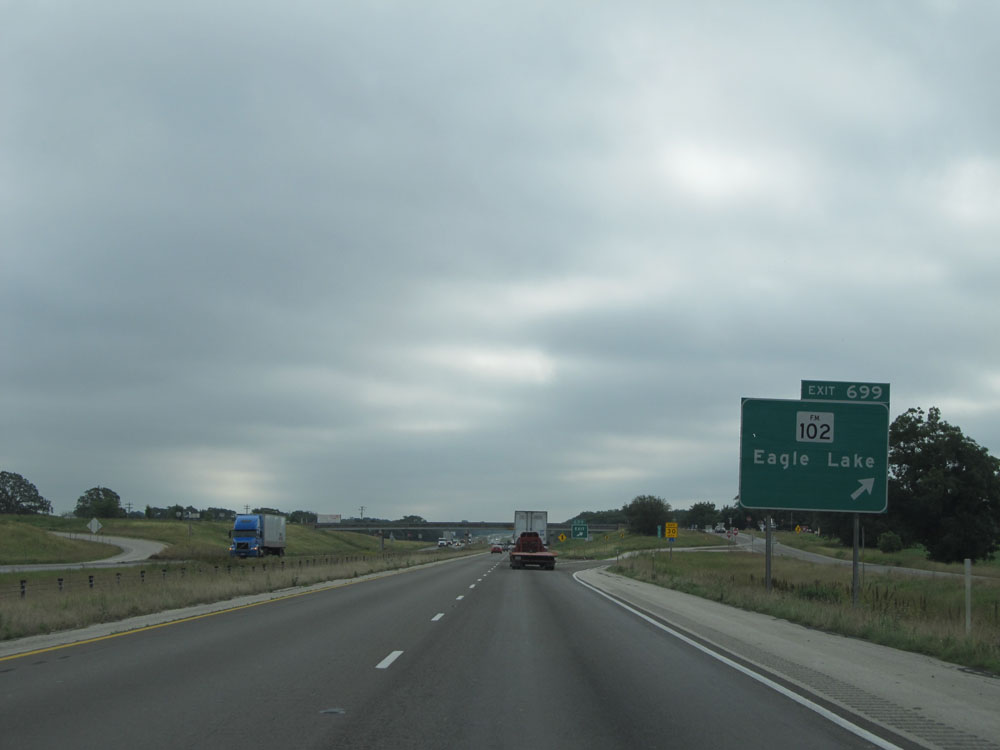 |
Interstate 10 East at Exit 699: FM 102 - Eagle Lake (Photo taken 5/22/15). |
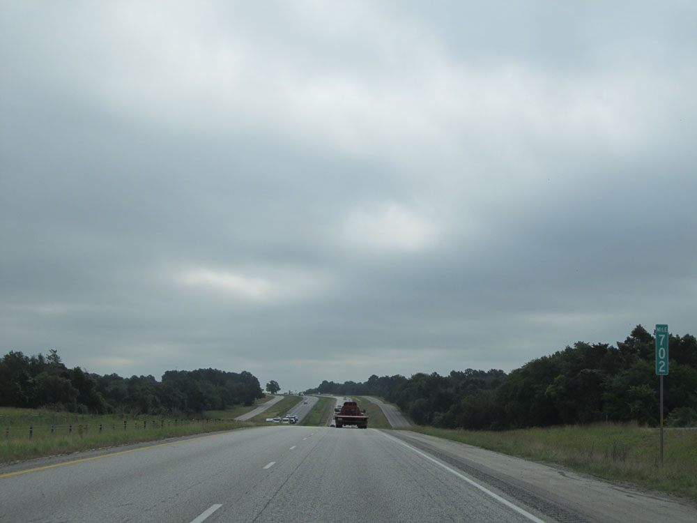 |
Interstate 10 East: Road view from mile marker 702. (Photo taken 5/22/15). |
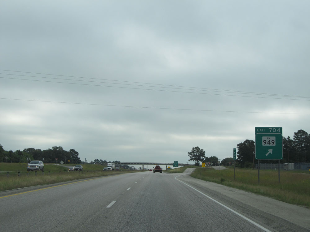 |
Interstate 10 East at Exit 704: FM 949 (Photo taken 5/22/15). |
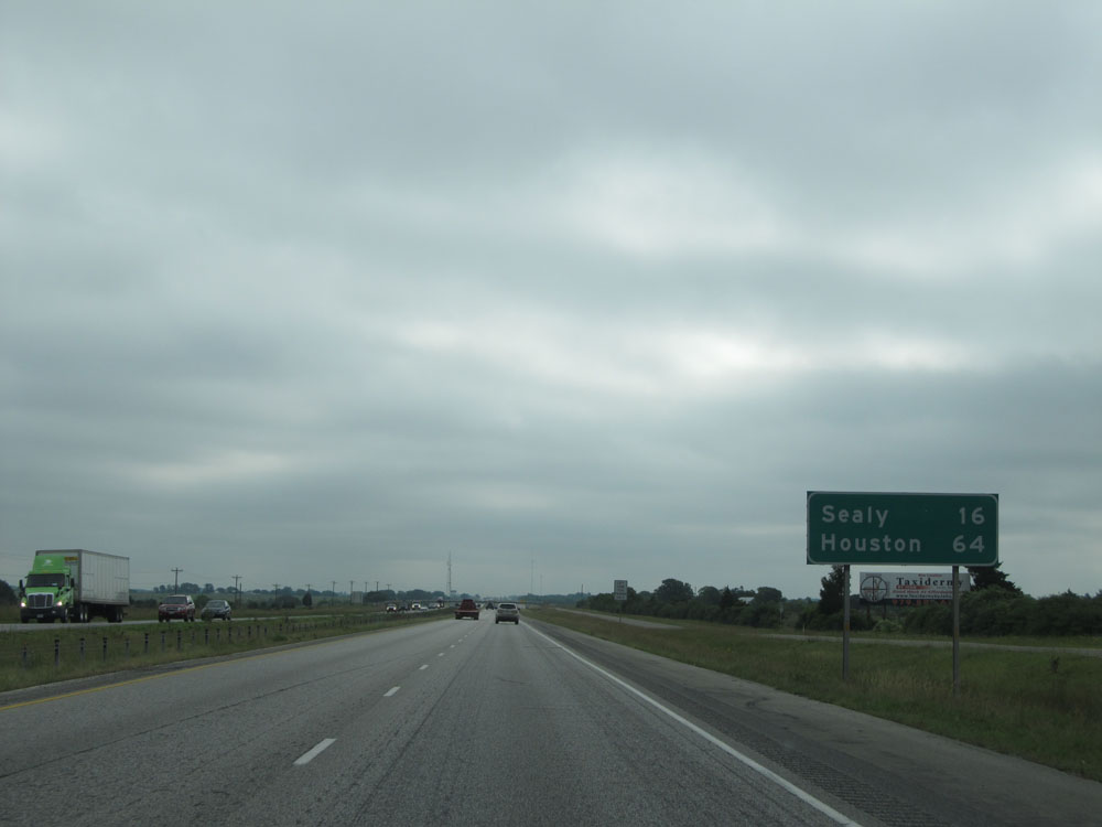 |
Mileage sign just past mile marker 705. It's 16 miles to Sealy and 64 miles to Houston. (Photo taken 5/22/15). |
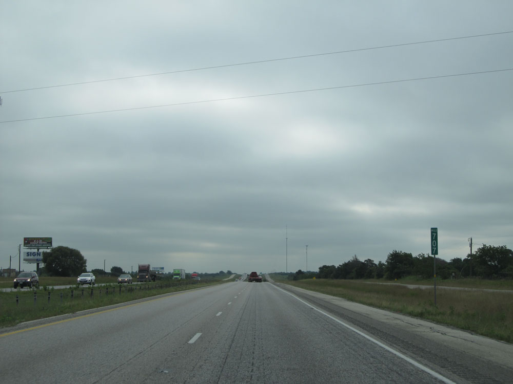 |
Interstate 10 East: Road view from mile marker 707. (Photo taken 5/22/15). |
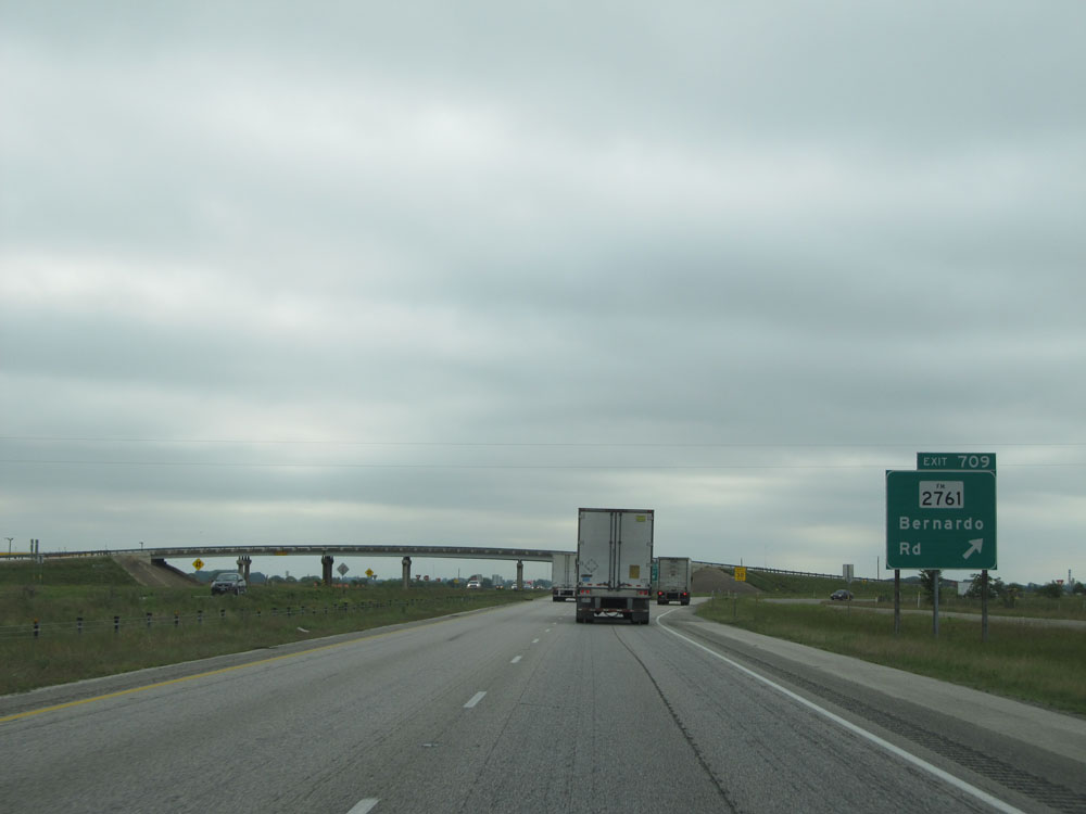 |
Interstate 10 East at Exit 709: FM 2761 - Bernardo Rd (Photo taken 5/22/15). |
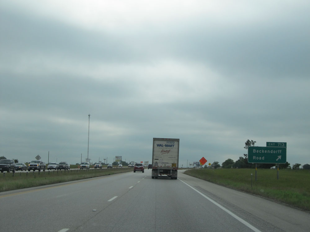 |
Interstate 10 East at Exit 713: Beckendorff Road (Photo taken 5/22/15). |
 |
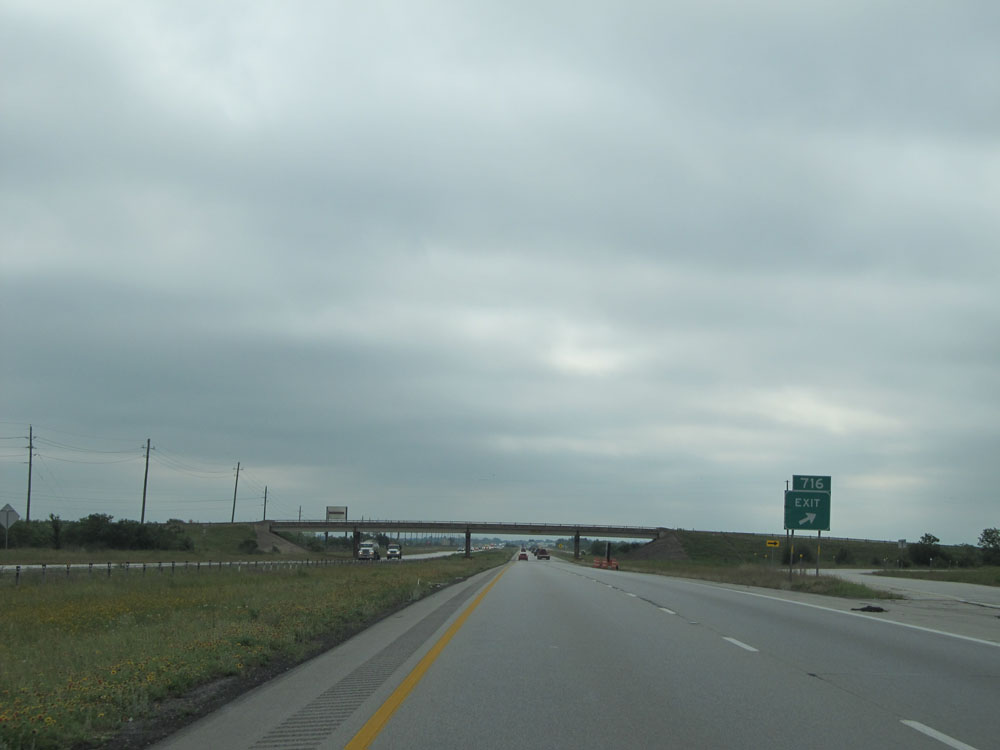
Interstate 10 East approaching Exit 716 - 1 mile. (Photo taken 5/22/15). |
 |
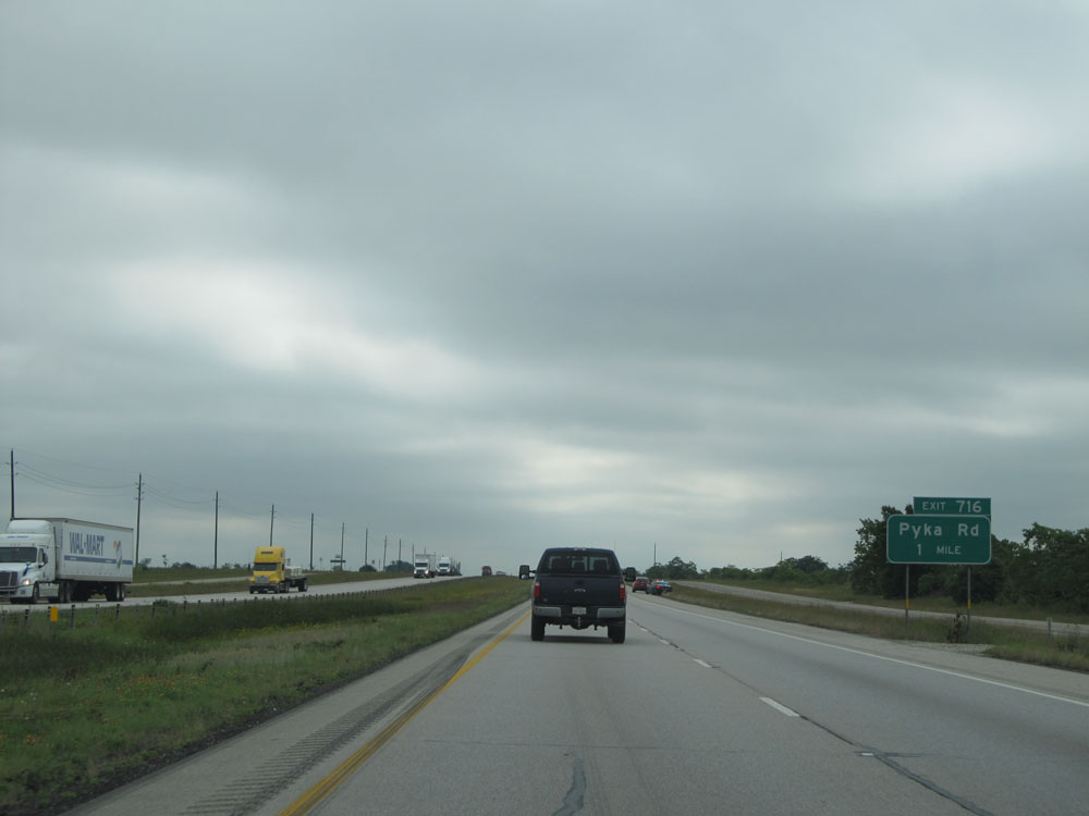
Interstate 10 East at Exit 716: Pyka Rd (Photo taken 5/22/15). |
 |
Interstate 10 East assurance shield near mile marker 717. (Photo taken 5/22/15). |
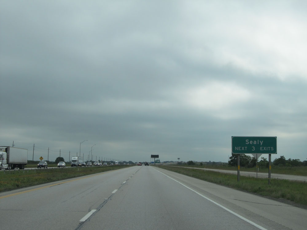 |
Take any of the next 3 exits to Sealy. (Photo taken 5/22/15). |
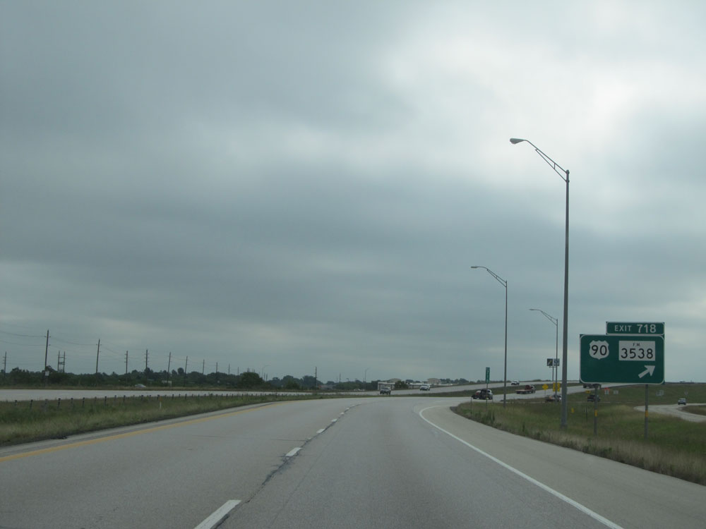 |
Interstate 10 East at Exit 718: US 90 / FM 3538 (Photo taken 5/22/15). |
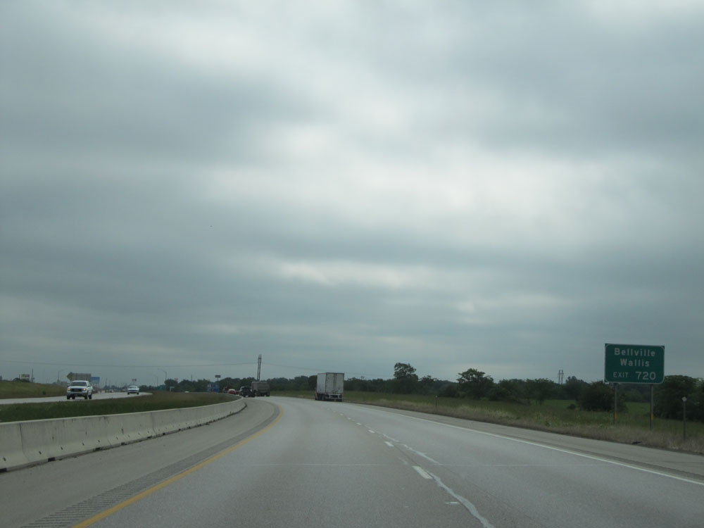 |
Take Exit 720 to Bellville and Wallis. (Photo taken 5/22/15). |
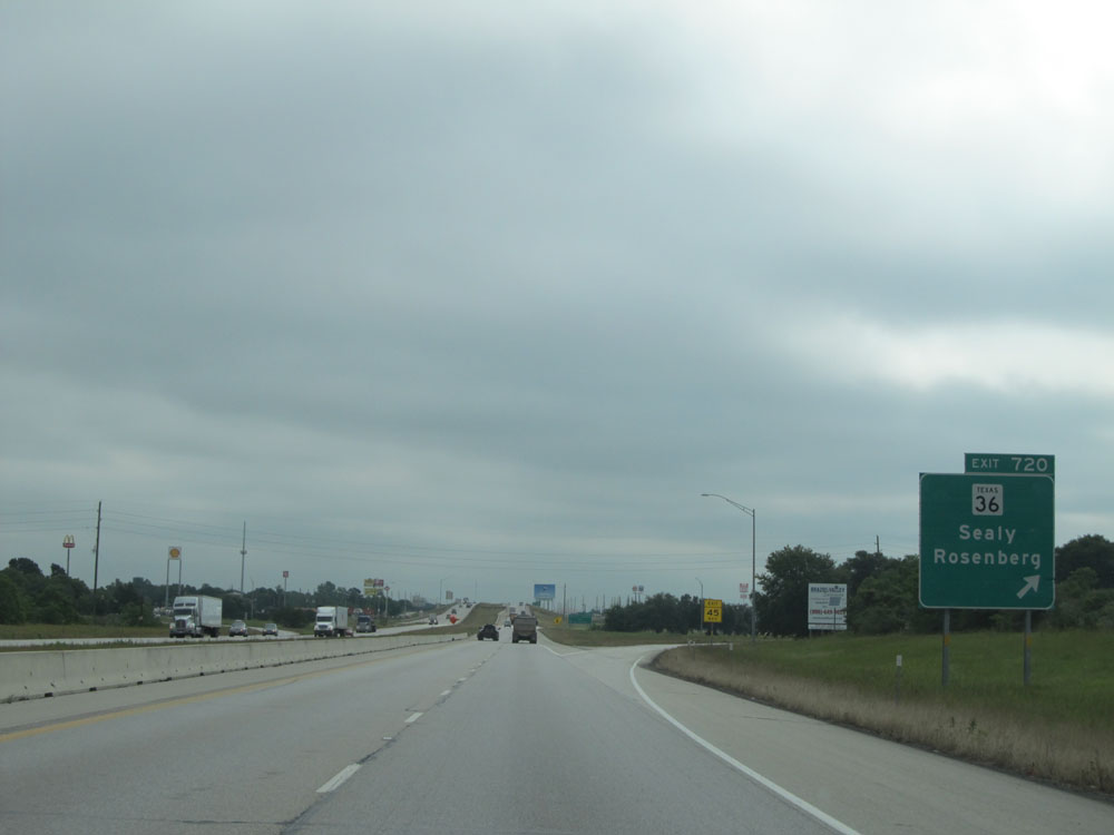 |
Interstate 10 East at Exit 720: TX 36 - Sealy / Rosenberg (Photo taken 5/22/15). |
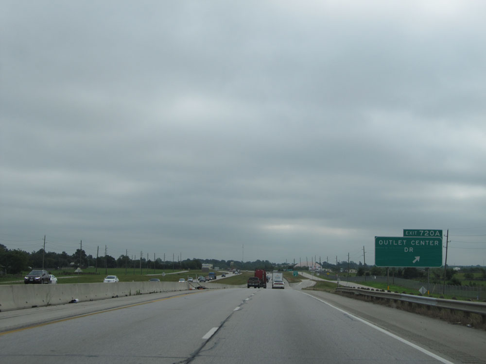 |
Interstate 10 East at Exit 720A: Outlet Center Dr (Photo taken 5/22/15). |
 |
Take Exit 723 to Stephen F. Austin State Park. (Photo taken 5/22/15). |
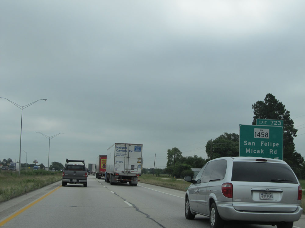 |
Interstate 10 East at Exit 723: FM 1458 - San Felipe / Mlcak Rd (Photo taken 5/22/15). |
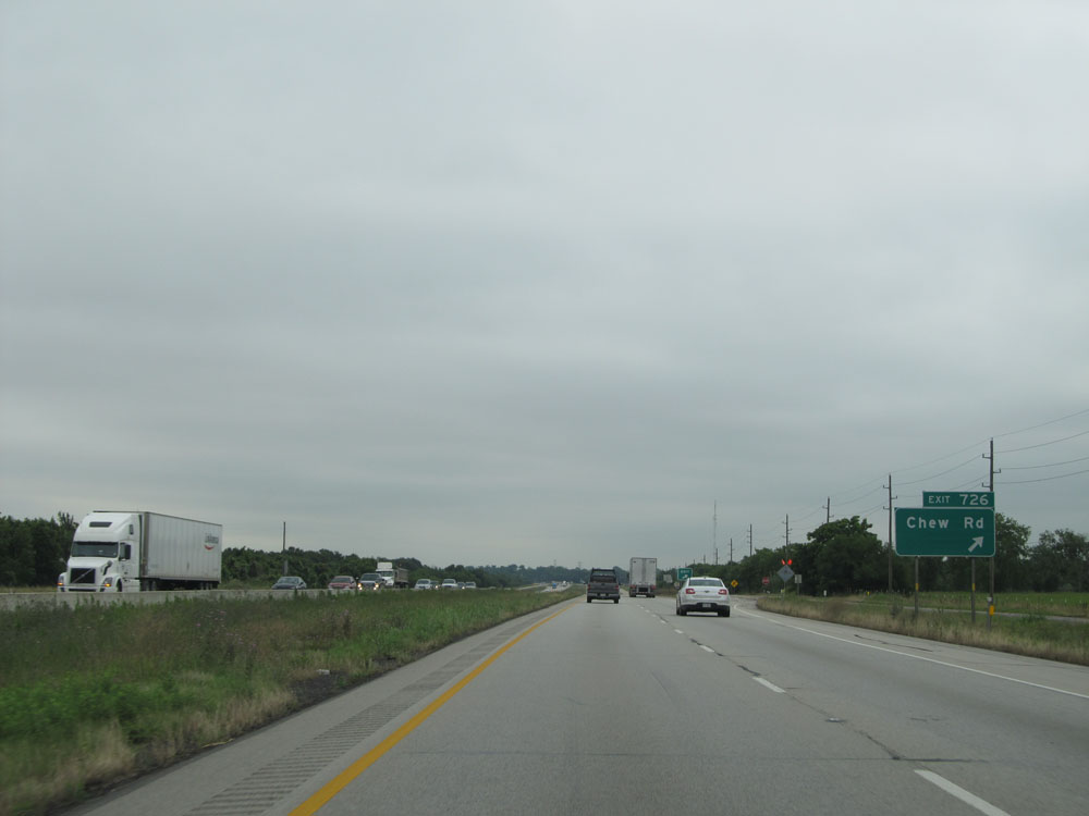 |
Interstate 10 East at Exit 726: Chew Rd (Photo taken 5/22/15). |
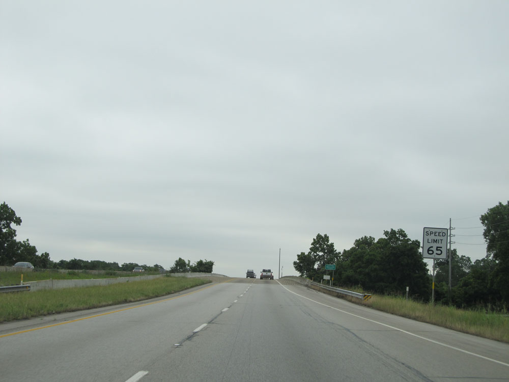 |
Just past mile marker 727, the speed limit drops to 65 mph. (Photo taken 5/22/15). |
 |
A Commercial Motor Vehicle (CMV) Inspection Station exists off Exit 729, 1/2 mile ahead. (Photo taken 5/22/15). |
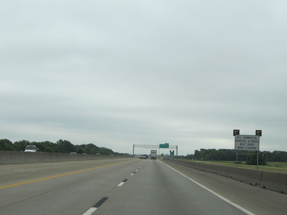 |
All commercial vehicles must take the next exit (Exit 729) when the lights on this sign are flashing. (Photo taken 5/22/15). |
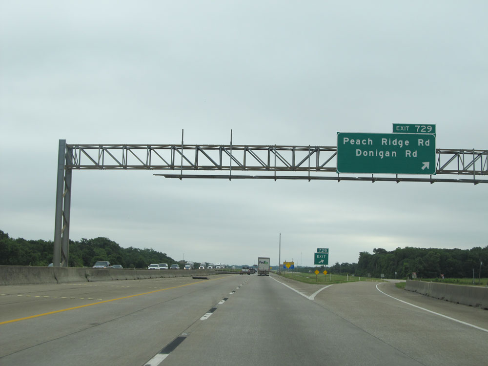 |
Interstate 10 East at Exit 729: Peach Ridge Rd / Donigan Rd (Photo taken 5/22/15). |
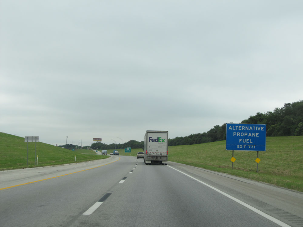 |
Take Exit 731 for Alternative Propane Fuel. (Photo taken 5/22/15). |
 |
Interstate 10 East at Exit 731: FM 1489 - Koomey Rd / Simonton (Photo taken 5/22/15). |
Section 9: Brookshire (Exit 731) to Houston (Exit 770C)
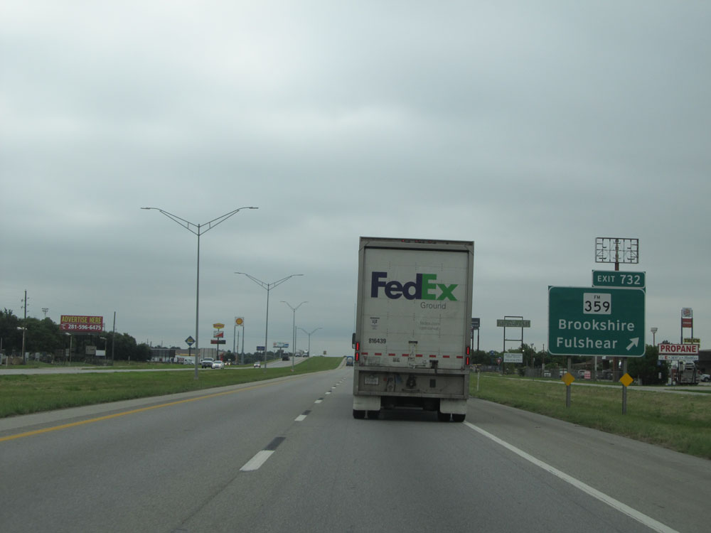 |
Interstate 10 East at Exit 732: FM 359 - Brookshire / Fulshear (Photo taken 5/22/15). |
 |
Speed limit sign near mile marker 733. Once again, the speed limit is now 65 mph as we near Katy. (Photo taken 5/22/15). |
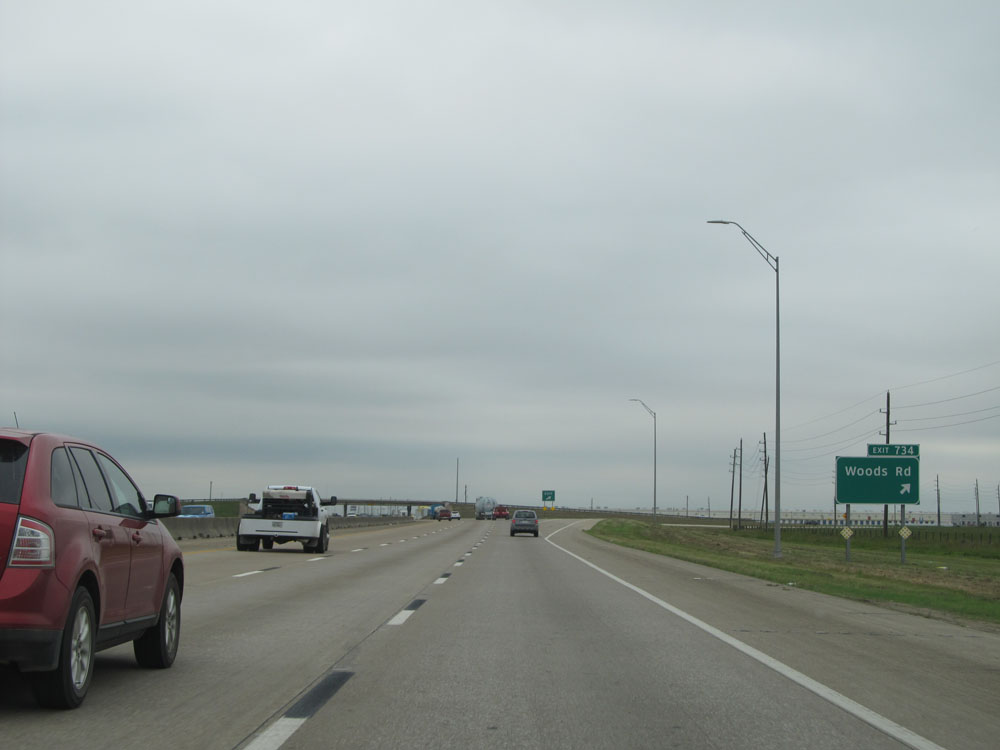 |
Interstate 10 East at Exit 734: Woods Rd (Photo taken 5/22/15). |
 |
Interstate 10 East at Exit 735: Igloo Road (Photo taken 5/22/15). |
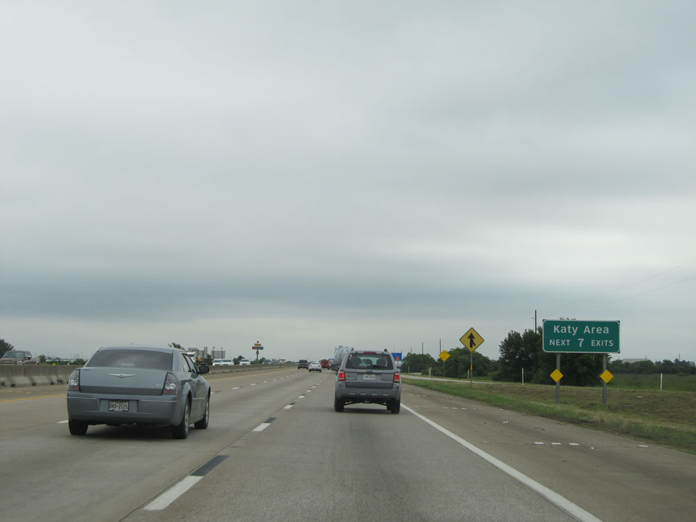 |
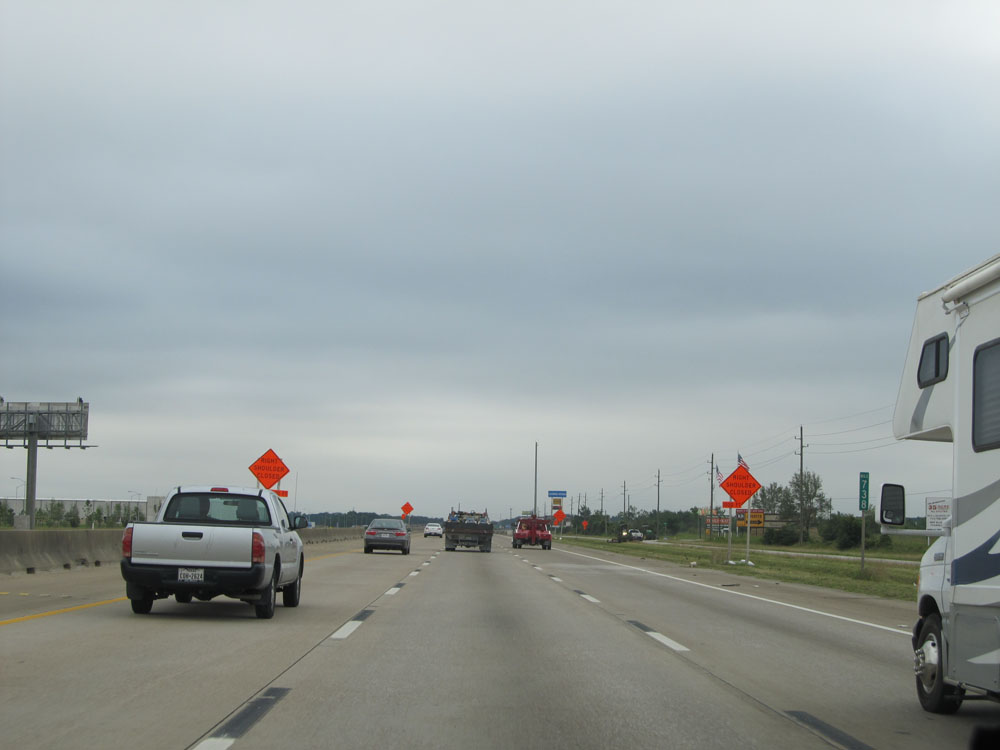
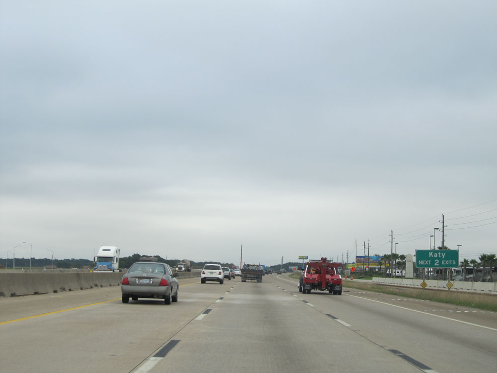
Take any of the next 7 exits to the Katy Area. (Photo taken 5/22/15). |
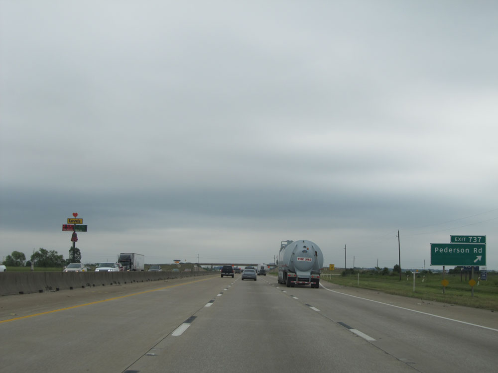 |
Interstate 10 East at Exit 737: Pederson Rd (Photo taken 5/22/15). |
 |
Interstate 10 East: Road view from mile marker 738. (Photo taken 5/22/15). |
 |
Take either of the next 2 exits to Katy. (Photo taken 5/22/15). |
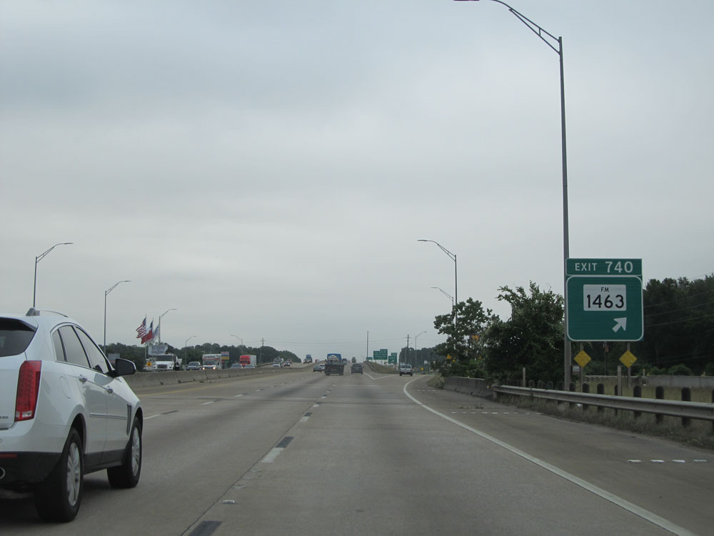 |
Interstate 10 East at Exit 740: FM 1463 (Photo taken 5/22/15). |
 |
Take Exit 741 to Katy Mills. (Photo taken 5/22/15). |
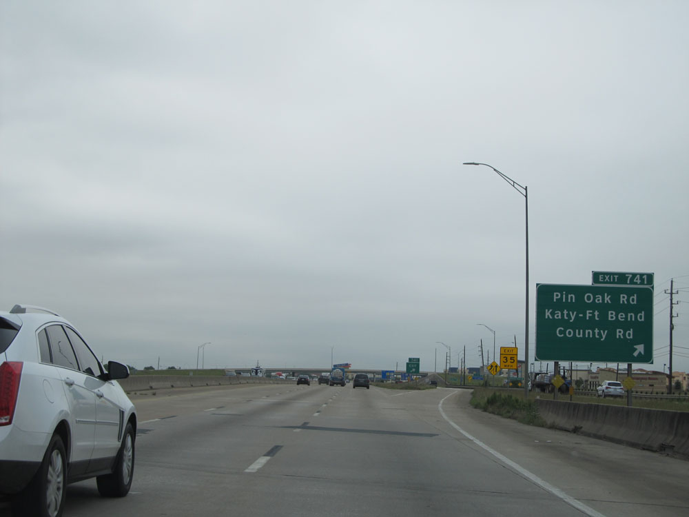 |
Interstate 10 East at Exit 741: Pin Oak Rd / Katy-Ft Bend / County Rd (Photo taken 5/22/15). |
 |
Interstate 10 East entering Harris County. (Photo taken 5/22/15). |
 |
Interstate 10 East at Exit 743A: TX 99 - Frontage Rd (Photo taken 5/22/15). |
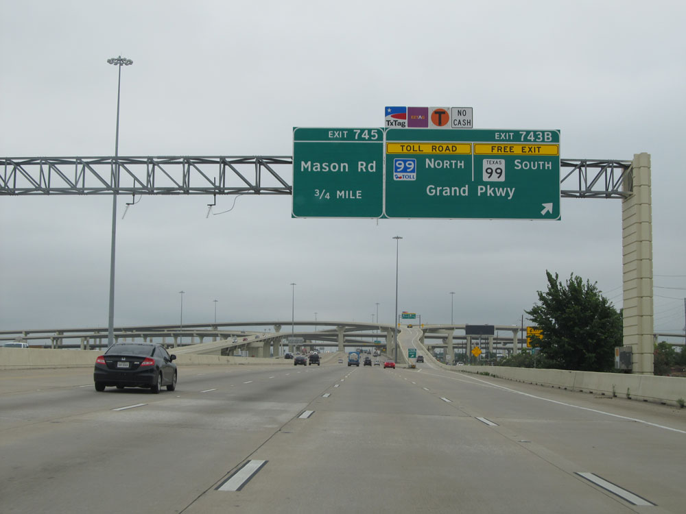 |
Interstate 10 East at Exit 743B: TX 99 Toll North / TX 99 South - Grand Pkwy (Photo taken 5/22/15). |
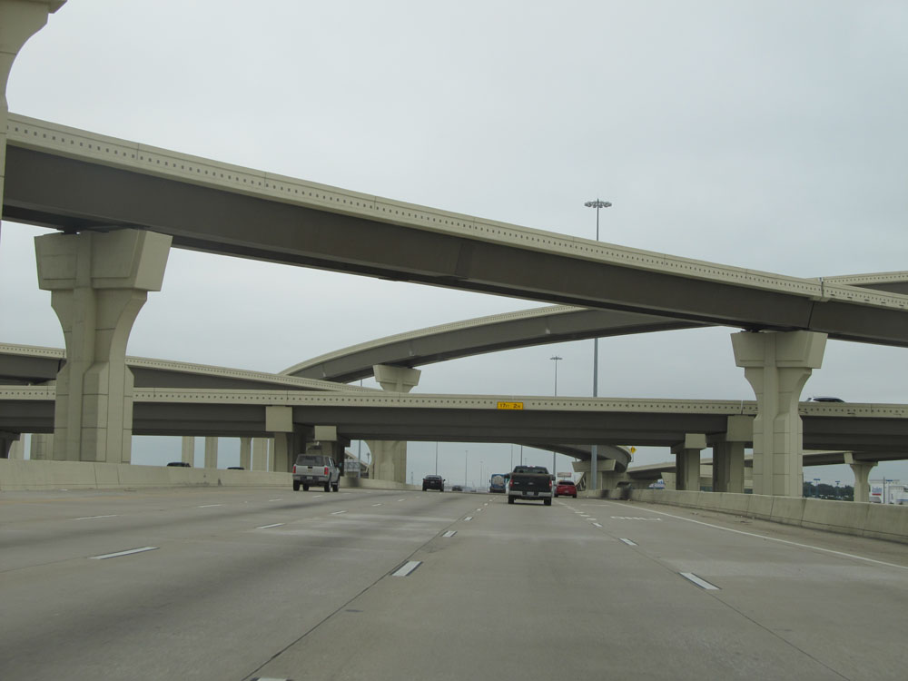 |
Interstate 10 East as it passes under the ramps to and from TX 99 Toll. (Photo taken 5/22/15). |
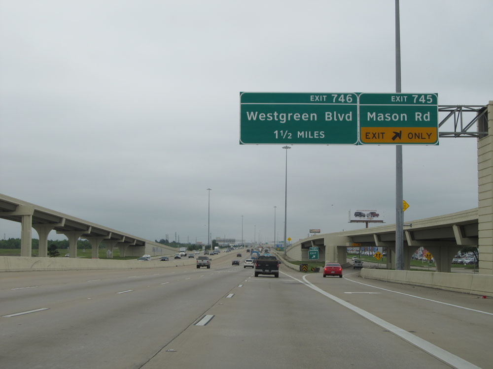 |
Interstate 10 East at Exit 745: Mason Rd (Photo taken 5/22/15). |
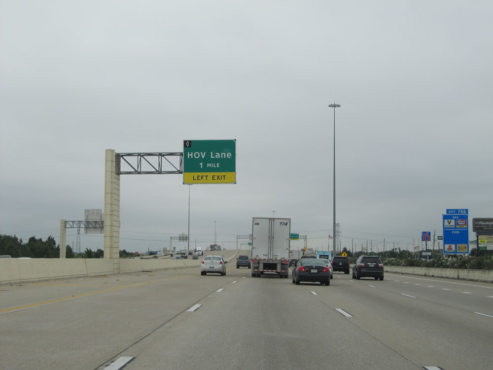 |
Interstate 10 East approaching the first HOV Lane entrance - 1 mile on the left. (Photo taken 5/22/15). |
 |
Interstate 10 East at Exit 746: Westgreen Blvd (Photo taken 5/22/15). |
 |
Interstate 10 East at Exit 747A: Fry Rd (Photo taken 5/22/15). |
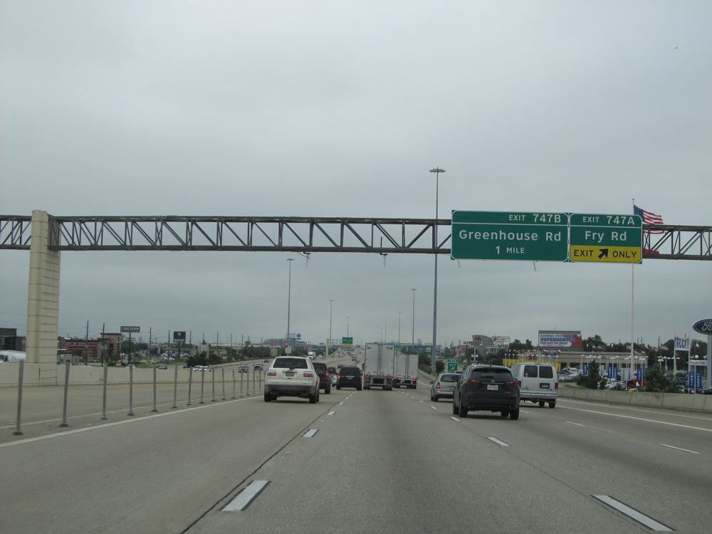
 |
Interstate 10 East at Exit 747B: Greenhouse Rd (Photo taken 5/22/15). |
 |
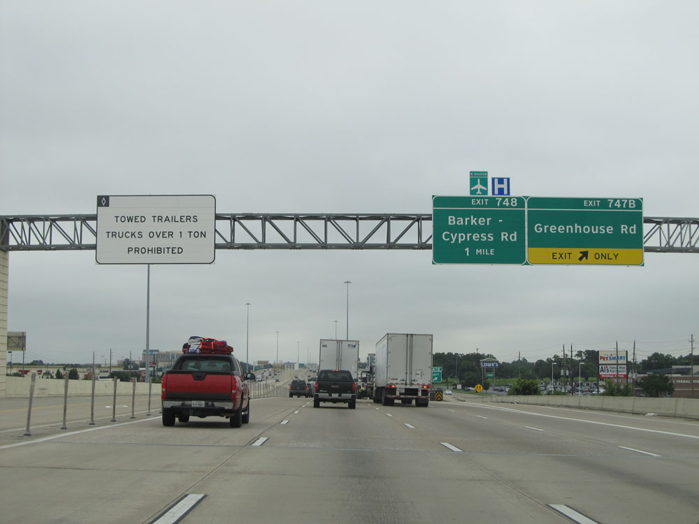
Interstate 10 East at Exit 748: Barker-Cypress Rd. To the left, we see HOV Lane traffic for Exit 750 being alerted to exit the HOV Lanes ahead, 1 mile before the exit. (Photo taken 5/22/15). |
 |
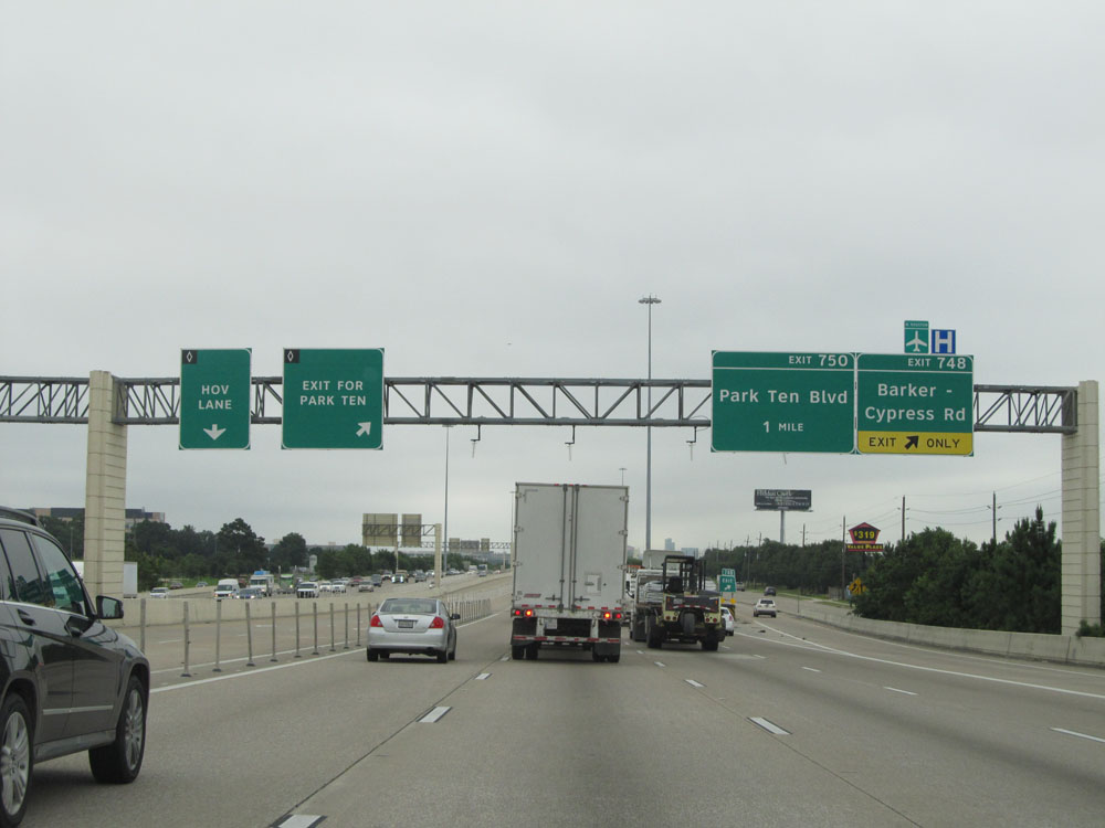
Interstate 10 East at Exit 750: Park Ten Blvd (Photo taken 5/22/15). |
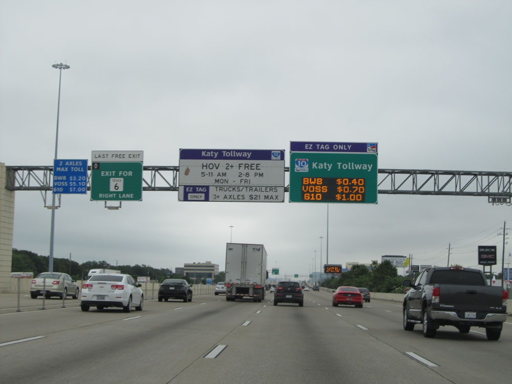 |
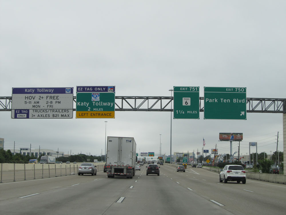
The HOV Lanes become the Katy Tollway ahead. The Katy Tollway is for EZ Tag Holders only (no cash customers). We see HOV Lane traffic headed to Exit 751 (TX 6) being directed to exit the HOV Lanes to the right ahead in order to reach the exit. Exit 751 is the last free exit for the HOV Lanes, as they turn into the Katy Tollway in about 1 mile. (Photo taken 5/22/15). |
 |
Interstate 10 East at Exit 751: TX 6 (Photo taken 5/22/15). |
 |
Take Exit 753A to Bear Creek Park. (Photo taken 5/22/15). |
 |
Past Exit 751, the speed limit decreases to 60 mph as we near the Houston city limits. (Photo taken 5/22/15). |
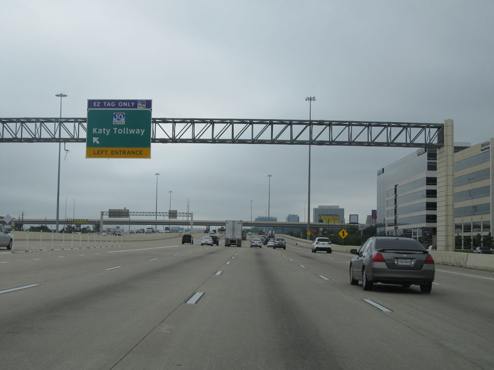 |
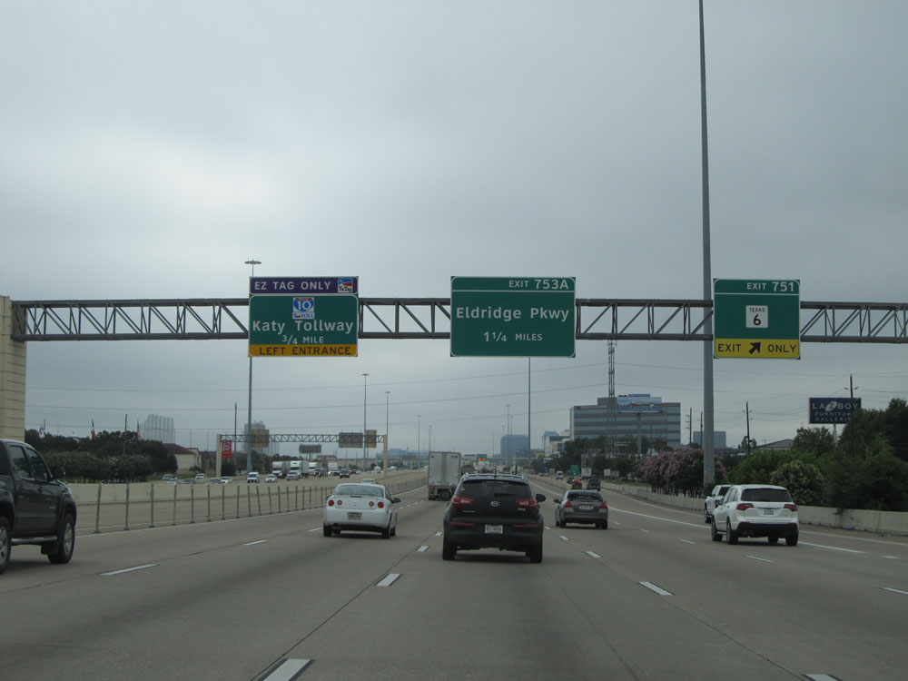
Interstate 10 East at the first entrance to the Katy Tollway, on the left. The HOV Lanes and the Katy Tollway are essentially one and the same. HOVs can use the tollway for free during peak hours. Single occupancy vehicles can use the tollway's HOV lanes at any time, but for a toll. (Photo taken 5/22/15). |
 |
Interstate 10 East at Exit 753A: Eldridge Pkwy (Photo taken 5/22/15). |
 |
Mileage sign on Interstate 10 East, just past Exit 753A. It's 17 miles to downtown Houston and 105 miles to Beaumont. (Photo taken 5/22/15). |
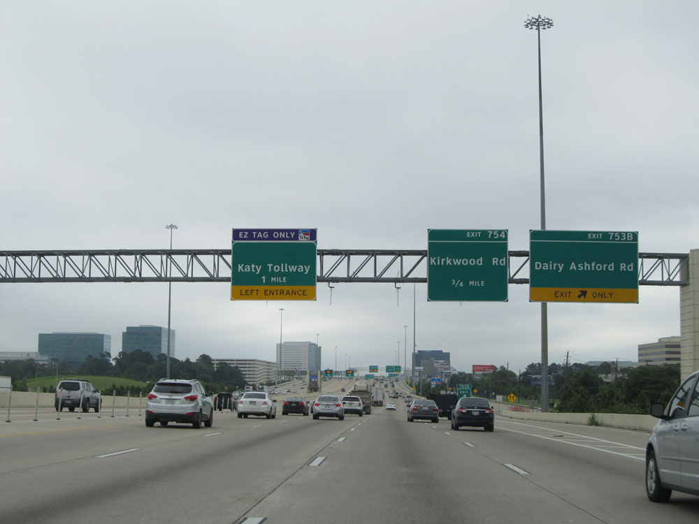 |
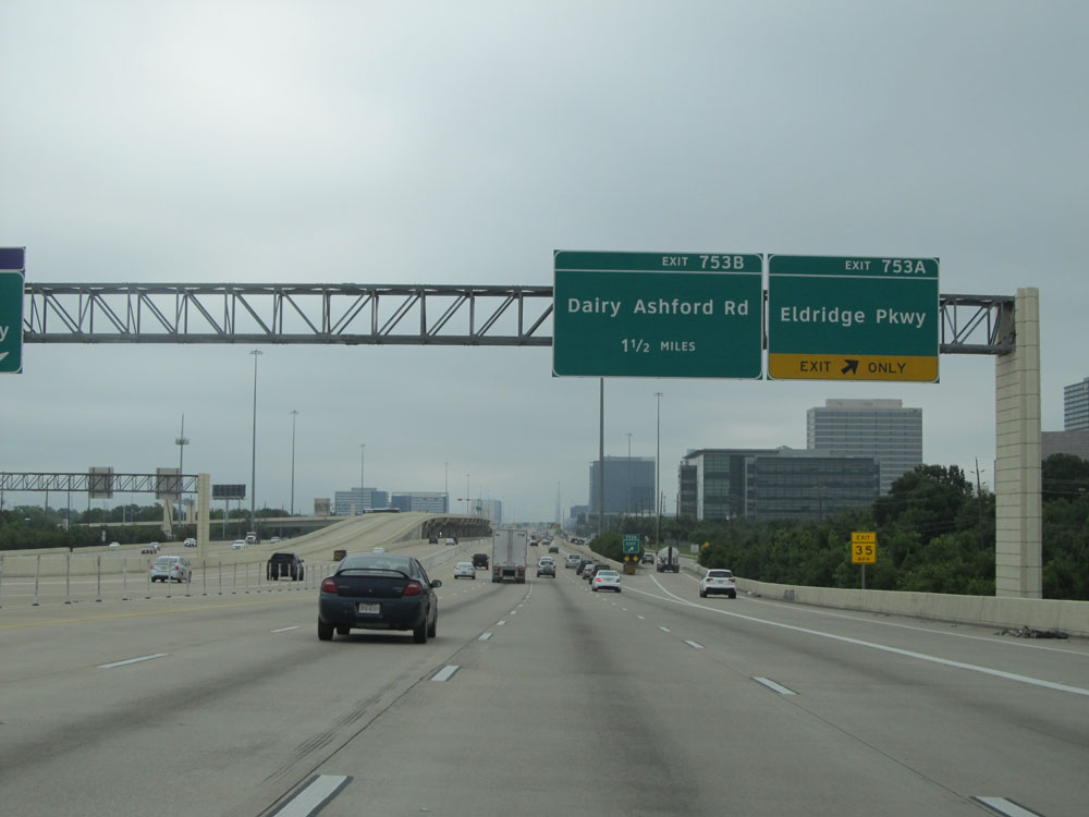
Interstate 10 East at Exit 753B: Dairy Ashford Rd (Photo taken 5/22/15). |
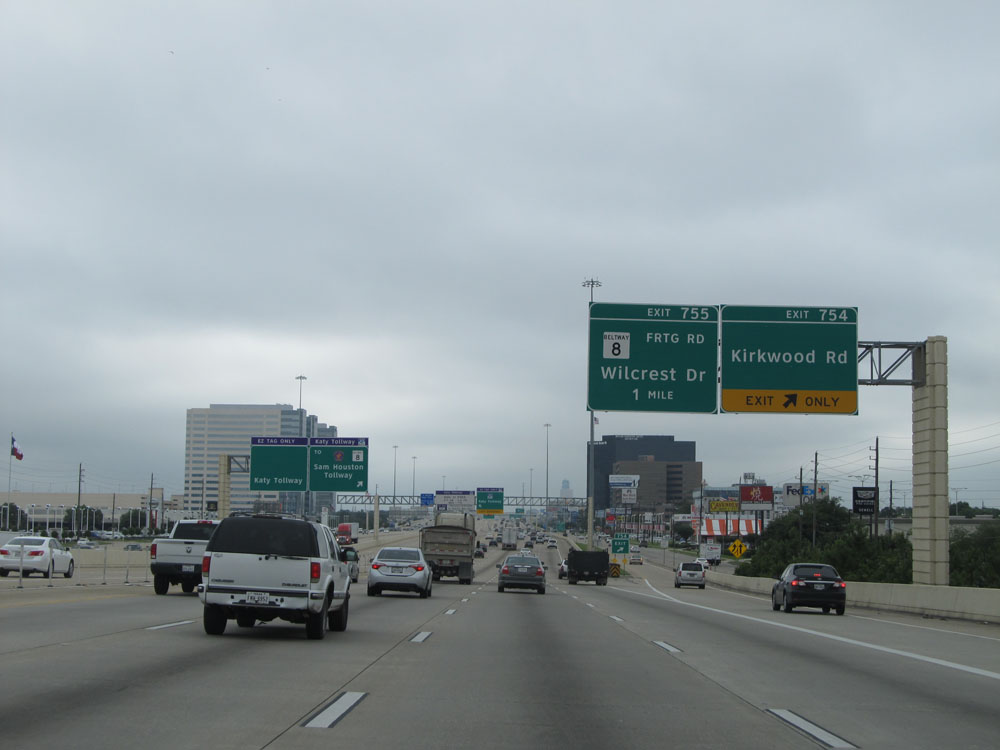 |
Interstate 10 East at Exit 754: Kirkwood Rd (Photo taken 5/22/15). |
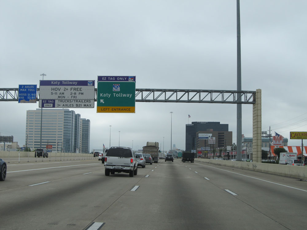 |
Interstate 10 East at the second entrance to the Katy Tollway on the left. As a reminder, the Katy Tollway is only electronically tolled via EZ Tag. There are no toll plazas or toll collectors anywhere, so you cannot pay by cash. (Photo taken 5/22/15). |
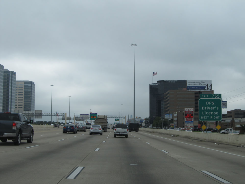 |
Take Exit 755 to DPS Driver's License center. (Photo taken 5/22/15). |
 |
Interstate 10 East at Exit 755: TX 8 - Wilcrest Dr (Photo taken 5/22/15). |
 |
Interstate 10 East at Exit 756: Sam Houston Tollway (Photo taken 5/22/15). |
 |
Interstate 10 East as it passes under the ramps to and from the Sam Houston Tollway. (Photo taken 5/22/15). |
 |
Interstate 10 East at Exit 757: Gessner Rd (Photo taken 5/22/15). |
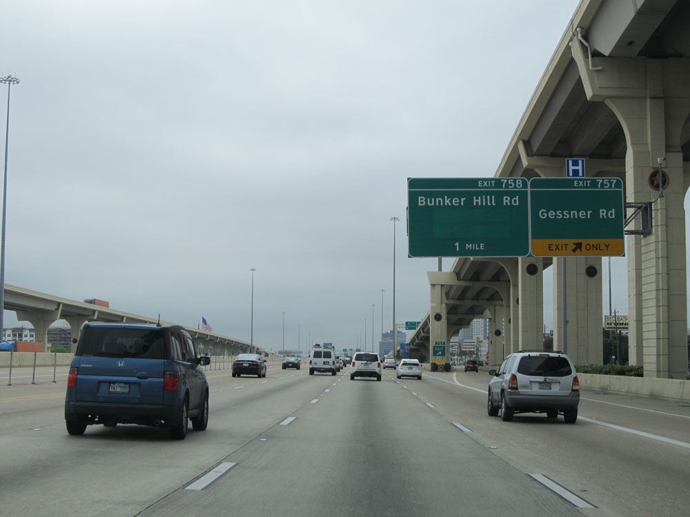
 |
Interstate 10 East at Exit 758: Bunker Hill Rd (Photo taken 5/22/15). |
 |
Interstate 10 East at Exit 759: Blalock Rd / Echo Ln / Campbell Rd (Photo taken 5/22/15). |
 |
Interstate 10 East at Exit 760: Bingle Rd / Voss Rd (Photo taken 5/22/15). |
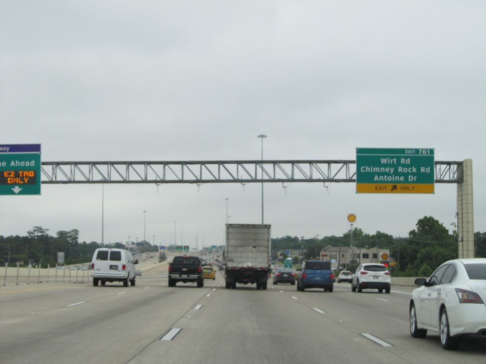 |
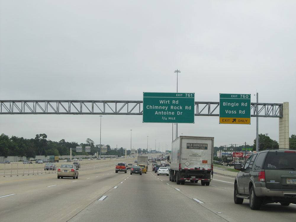
Interstate 10 East at Exit 761: Wirt Rd / Chimney Rock Rd / Antoine Dr (Photo taken 5/22/15). |
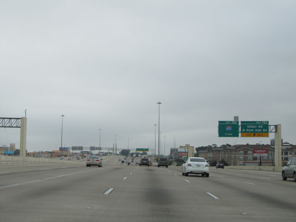 |
Interstate 10 East at Exit 762: Silber Rd / N Post Oak Rd (Photo taken 5/22/15). |
 |
Interstate 10 East approaching Exit 763 - 1/2 mile. (Photo taken 5/22/15). |
 |
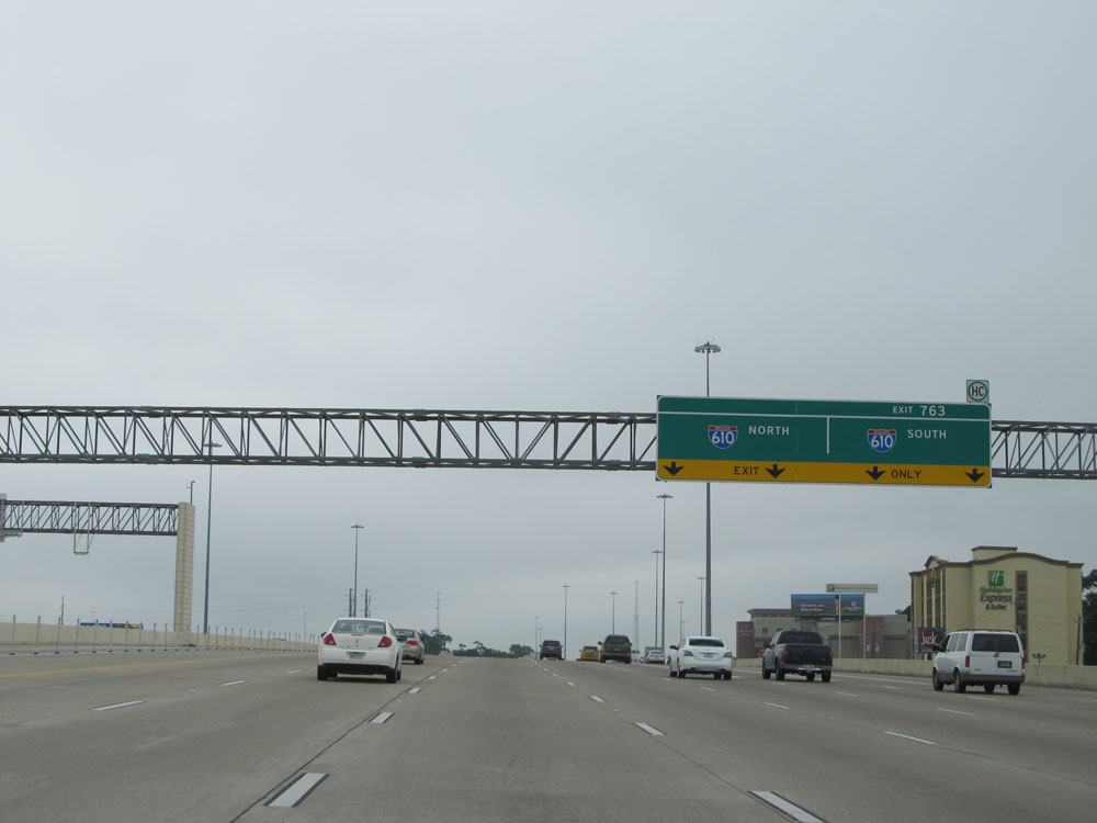
Interstate 10 East at Exit 763: Interstate 610 North / Interstate 610 South (Photo taken 5/22/15). |
 |
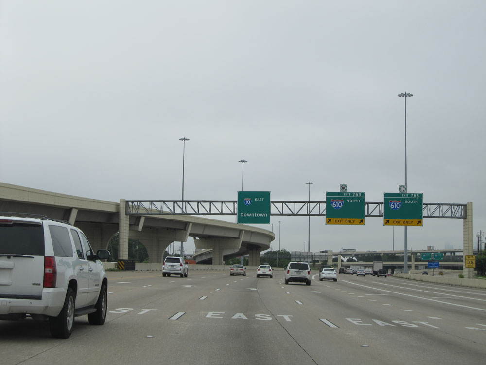
Interstate 10 East as it passes under Interstate 610 and the ramps to and from it. (Photo taken 5/22/15). |
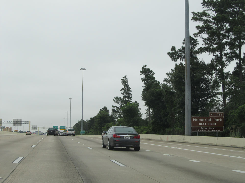 |
Take Exit 764 to Memorial Park. (Photo taken 5/22/15). |
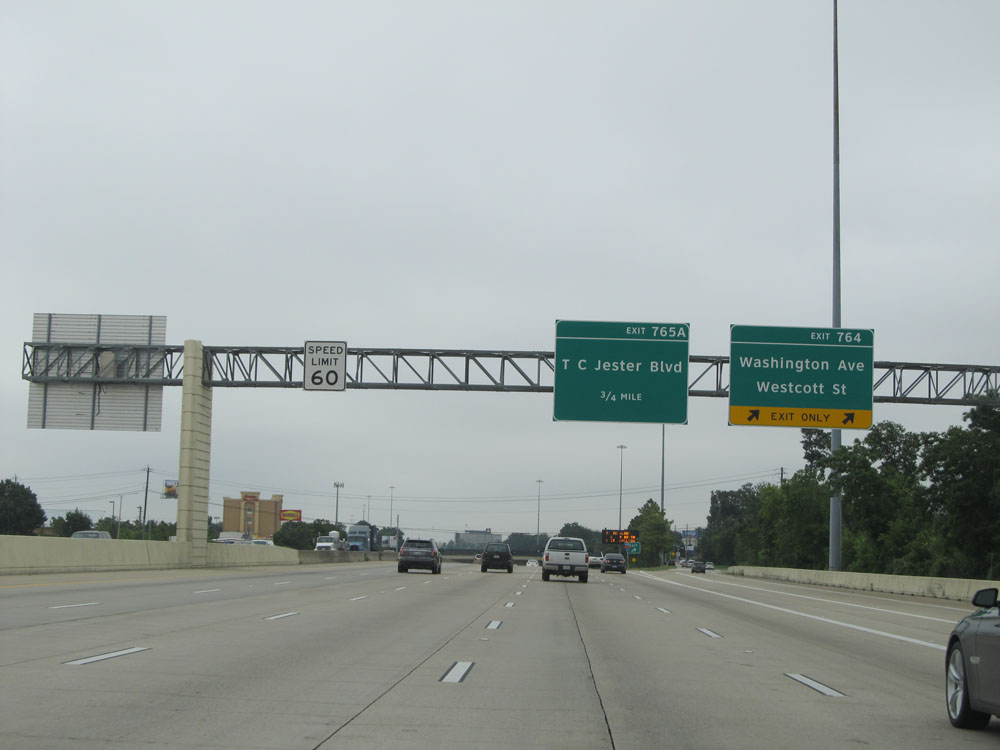 |
Interstate 10 East at Exit 764: Washington Ave / Westcott St (Photo taken 5/22/15). |
 |
Sign listing the distances to the three upcoming exits nearing downtown Houston. (Photo taken 5/22/15). |
 |
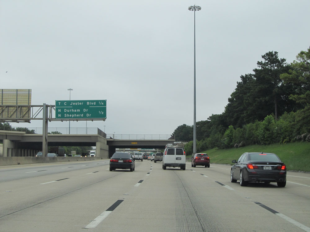
Interstate 10 East at Exit 765A: TC Jester Blvd (Photo taken 5/22/15). |
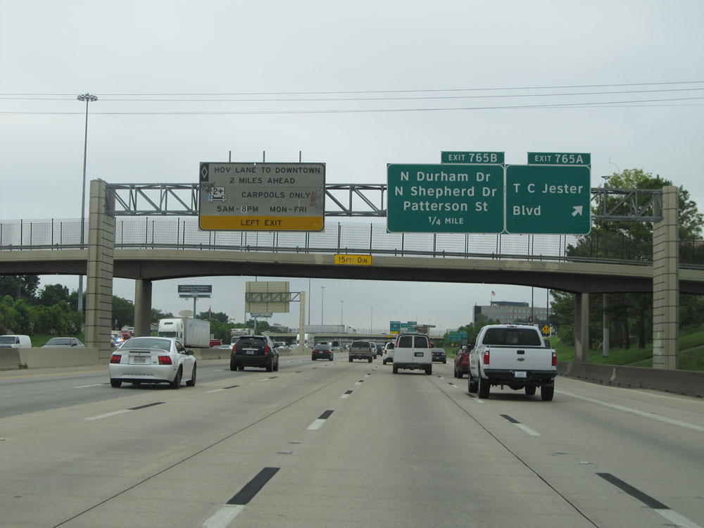
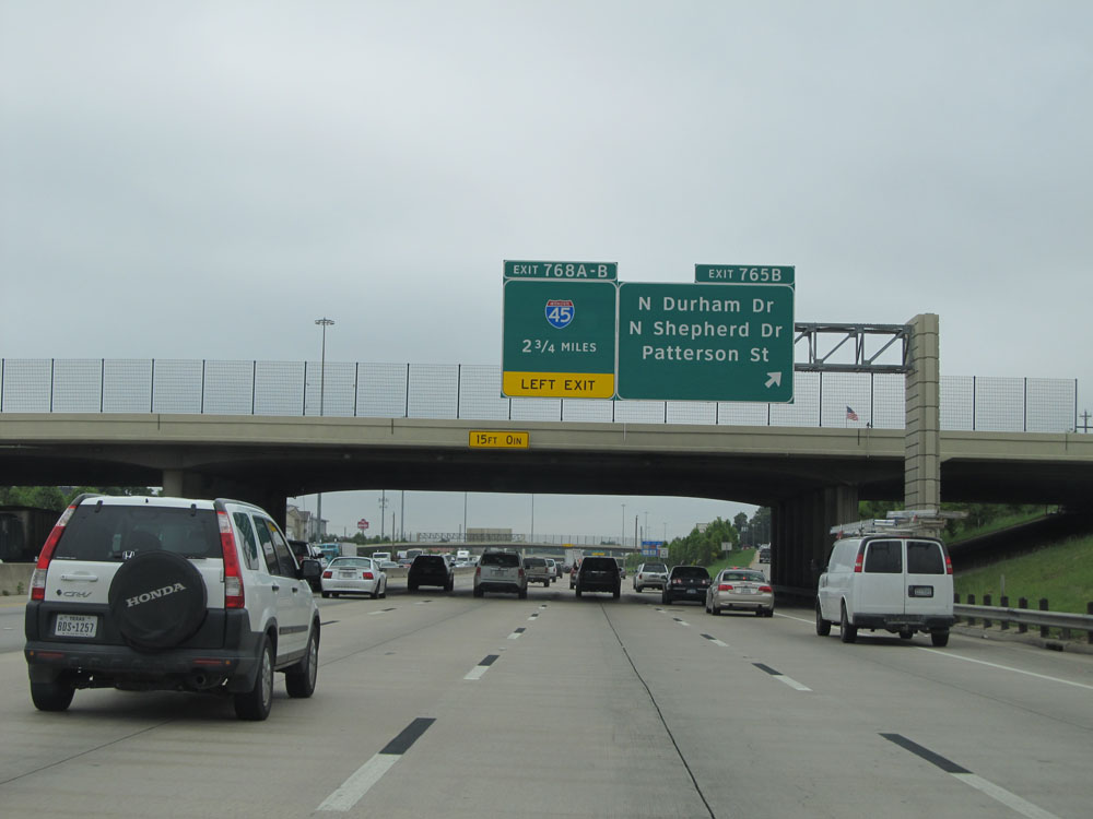 |
Interstate 10 East at Exit 765B: N Durham Dr / N Shepherd Dr / Patterson St (Photo taken 5/22/15). |
 |
Interstate 10 East at Exit 766: Yale St / Heights Blvd (Photo taken 5/22/15). |
 |
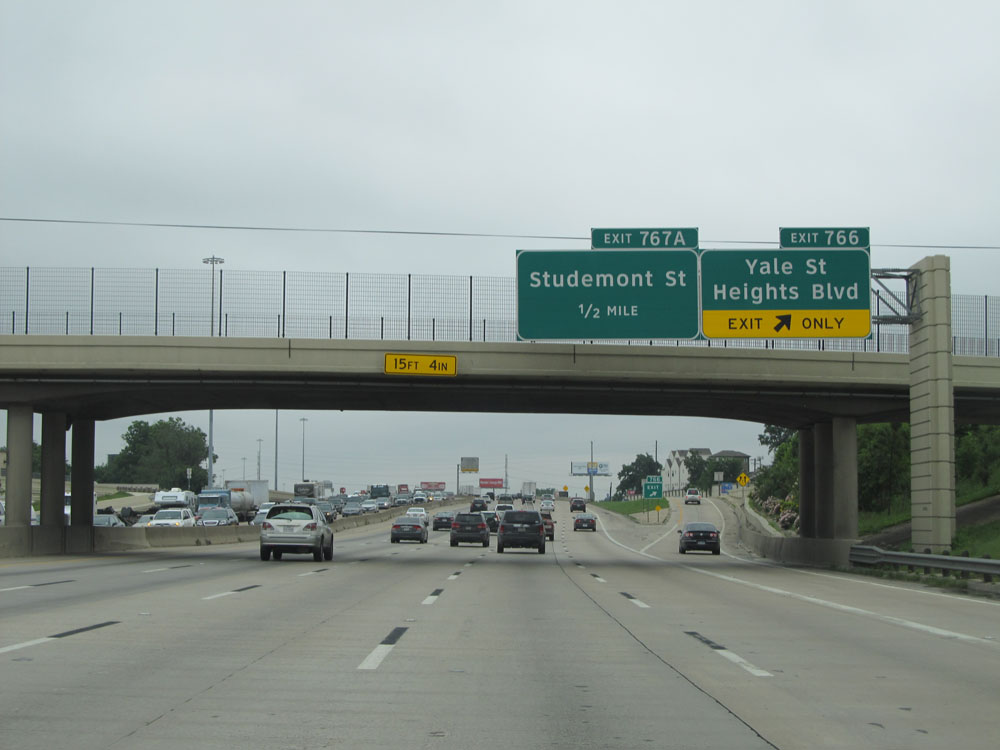
Interstate 10 East at Exit 767A: Studemont St (Photo taken 5/22/15). |
 |
Interstate 10 East: Road view from mile marker 767. (Photo taken 5/22/15). |
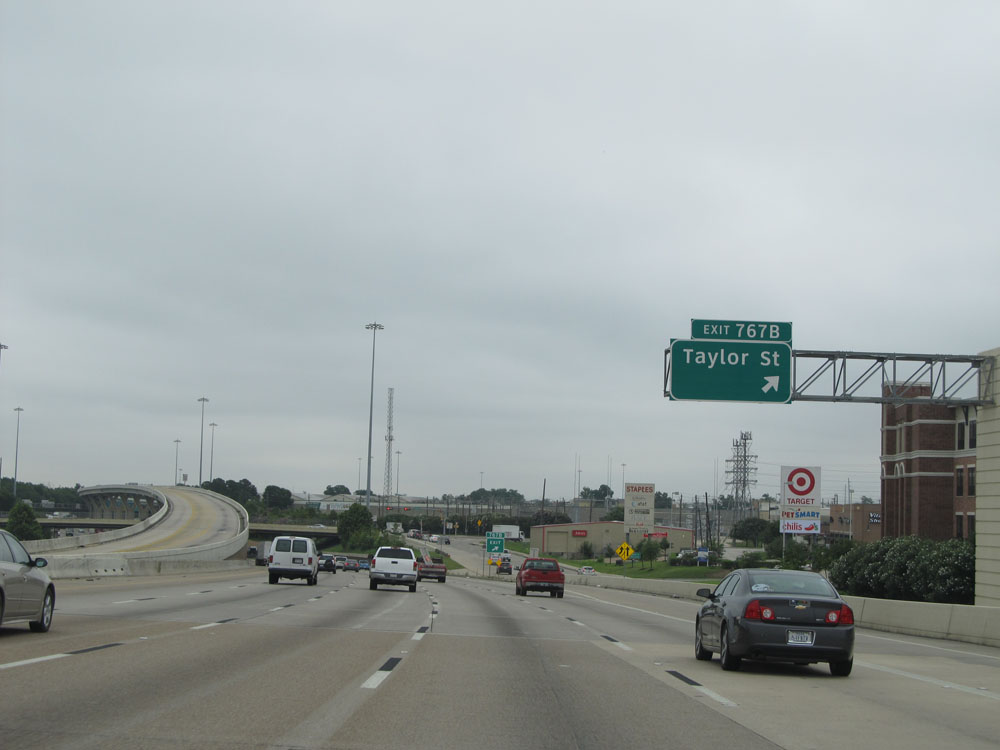 |
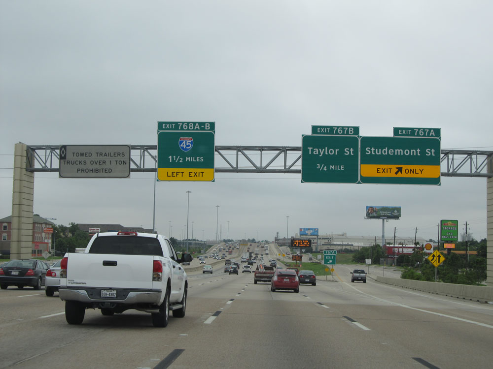
Interstate 10 East at Exit 767B: Taylor St (Photo taken 5/22/15). |
 |
Interstate 10 East approaching Exits 768A-B - 1/2 mile on the left. (Photo taken 5/22/15). |
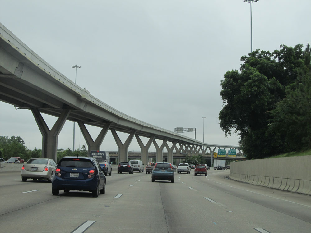 |
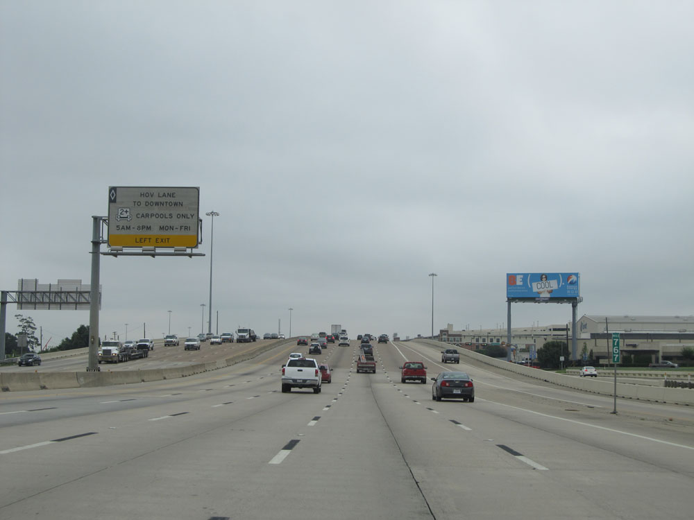
Approaching the junction of Interstate 45, you get a nice view of the elevated HOV Lanes for Interstate 10 West. (Photo taken 5/22/15). |
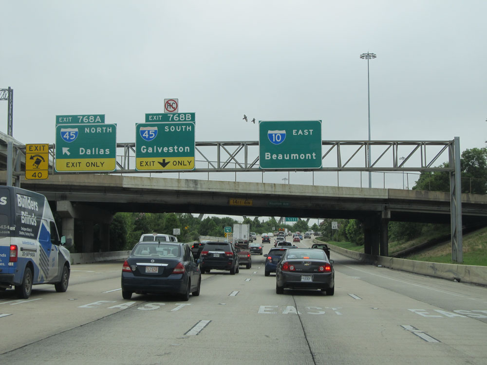 |
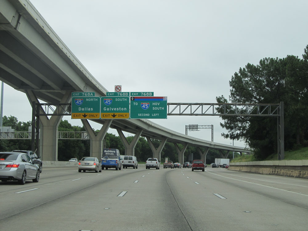
Interstate 10 East at Exit 768A: Interstate 45 North - Dallas (Photo taken 5/22/15). |
 |
Interstate 10 East at Exit 768B: Interstate 45 South - Galveston (Photo taken 5/22/15). |
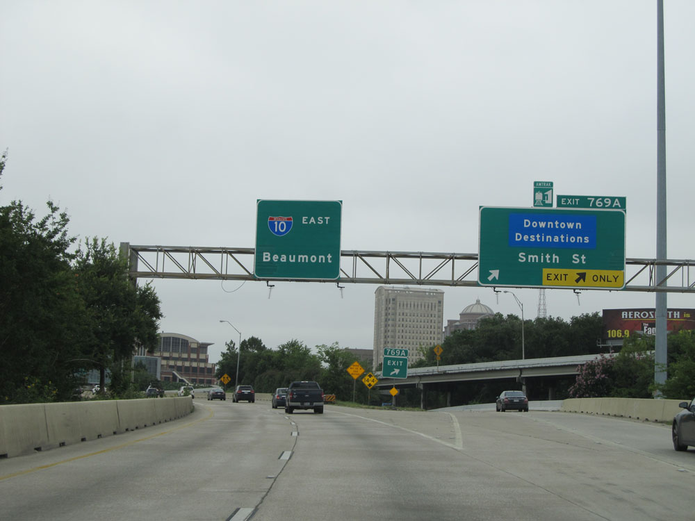 |
Interstate 10 East at Exit 769A: Downtown Destinations / Smith St (Photo taken 5/22/15). |
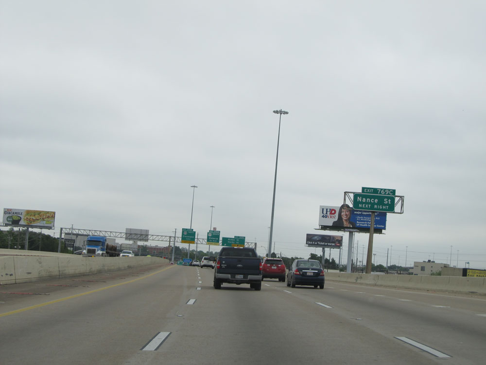 |
Take Exit 769C to Nance St. (Photo taken 5/22/15). |
 |
Interstate 10 East at Exit 769C: McKee St / Hardy St (Photo taken 5/22/15). |
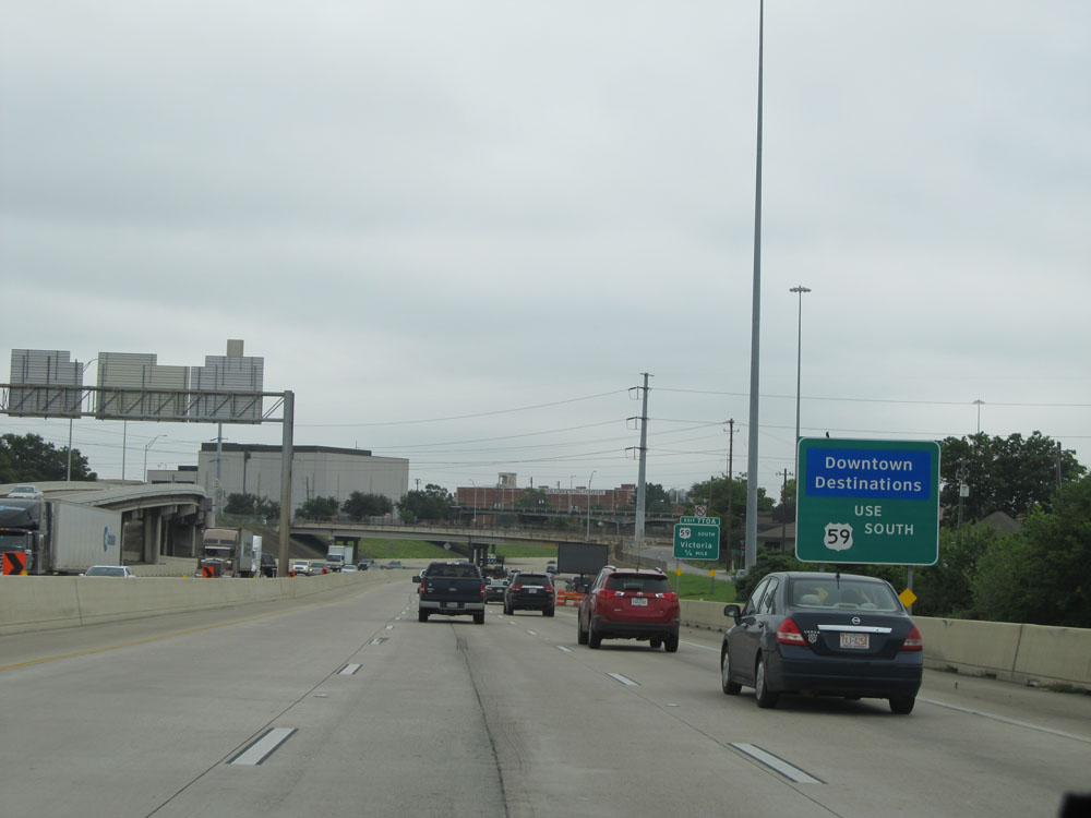 |
Use Exit 770A (US 59 South) to Downtown Destinations. (Photo taken 5/22/15). |
 |
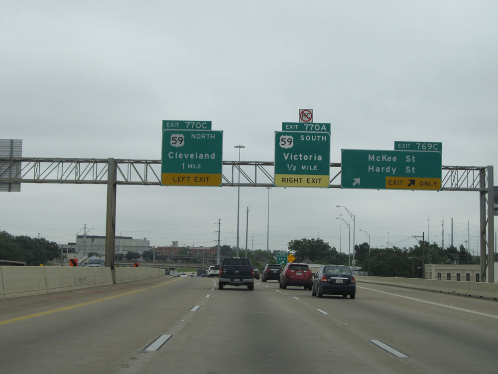
Interstate 10 East at Exit 770A: US 59 South - Victoria (Photo taken 5/22/15). |
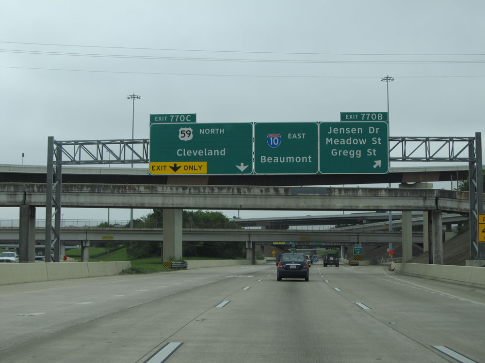 |
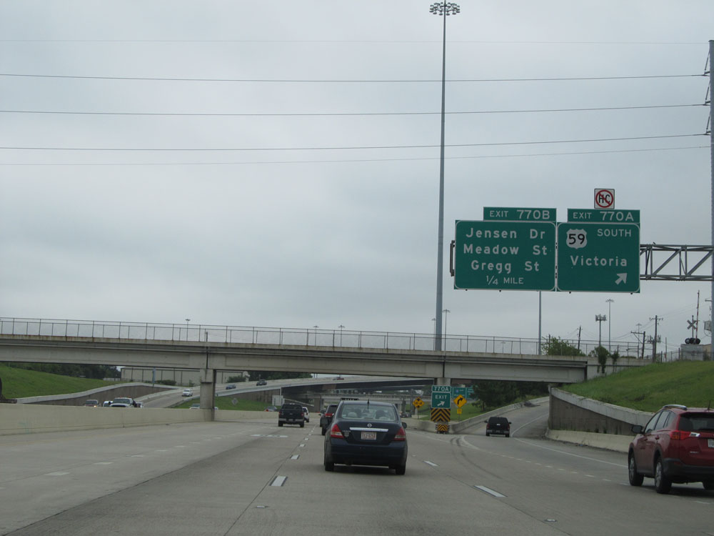
Interstate 10 East at Exit 770B: Jensen Dr / Meadow St / Gregg St (Photo taken 5/22/15). |
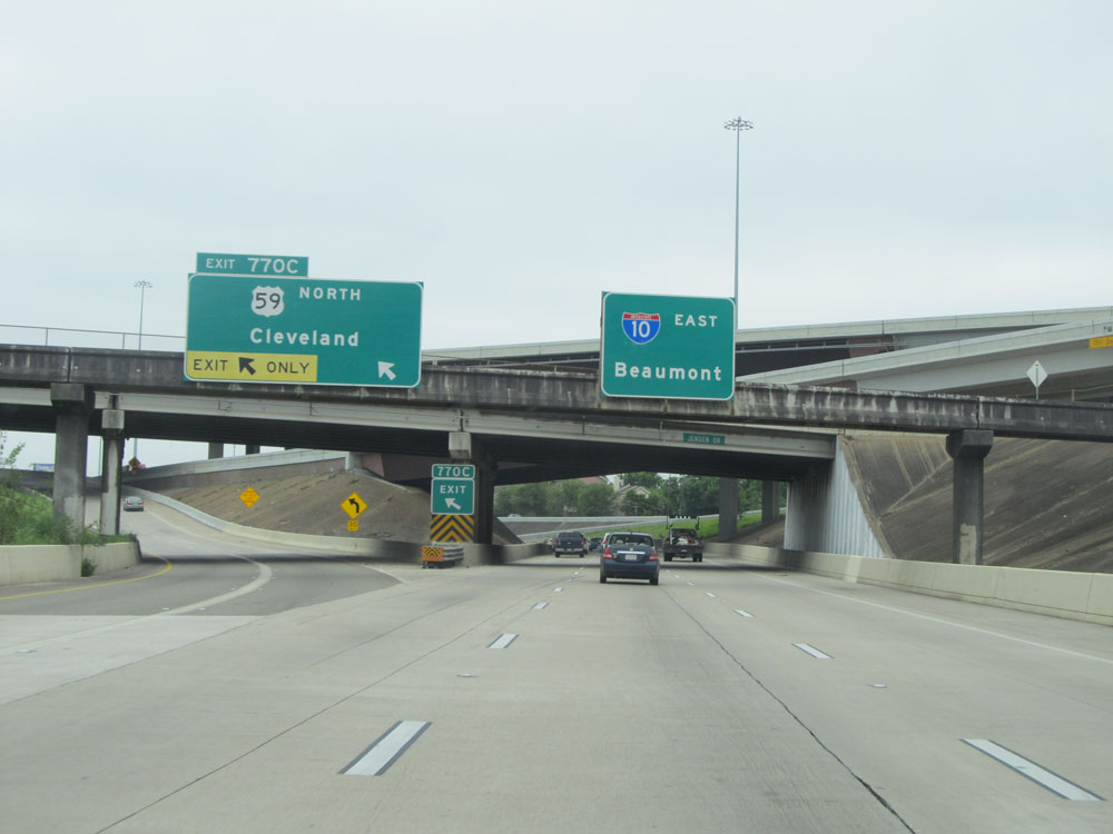 |
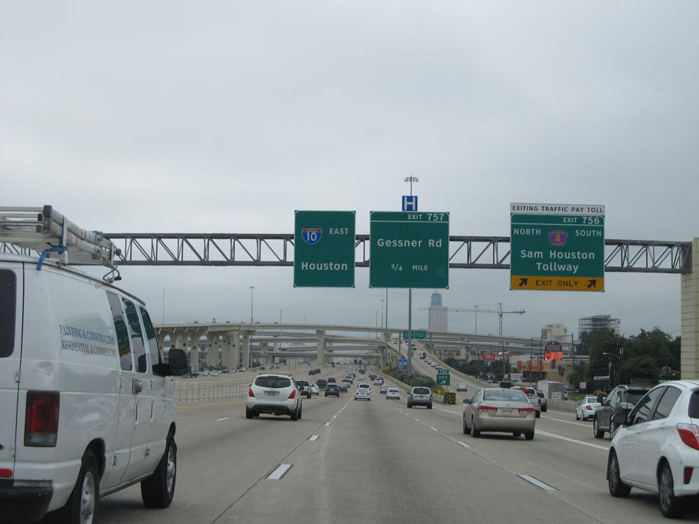
Interstate 10 East at Exit 770C: US 59 North - Cleveland (Photo taken 5/22/15). |
Section 10: Houston (Exit 770C) to Winnie (Exit 827)
 |
Interstate 10 East at Exit 771A: Waco St (Photo taken 5/22/15). |
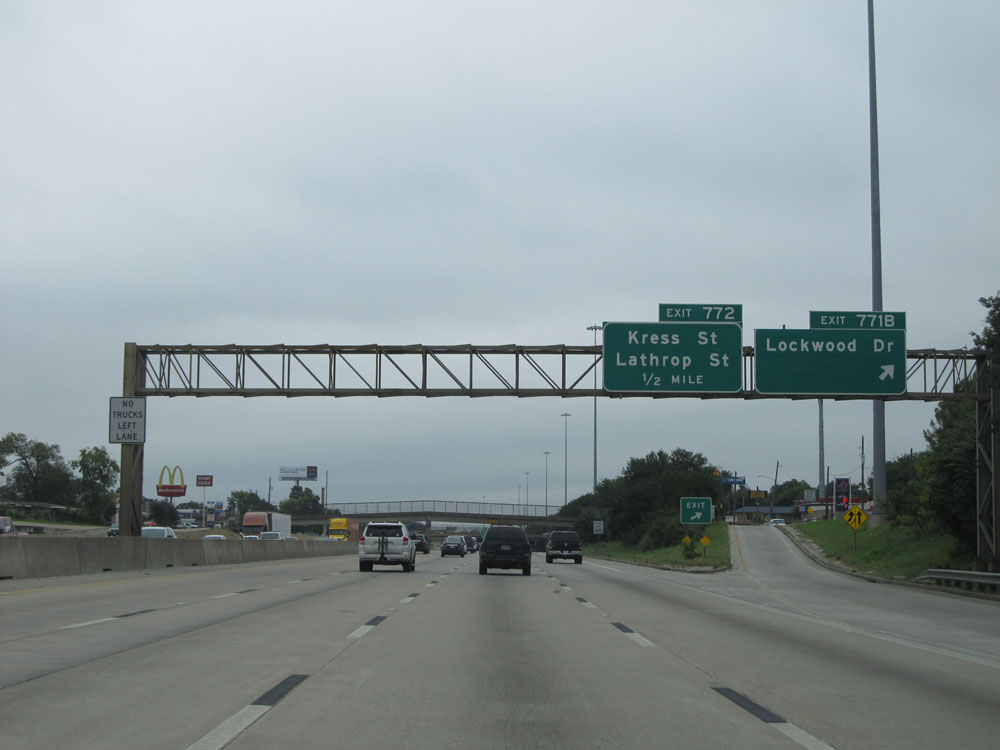 |
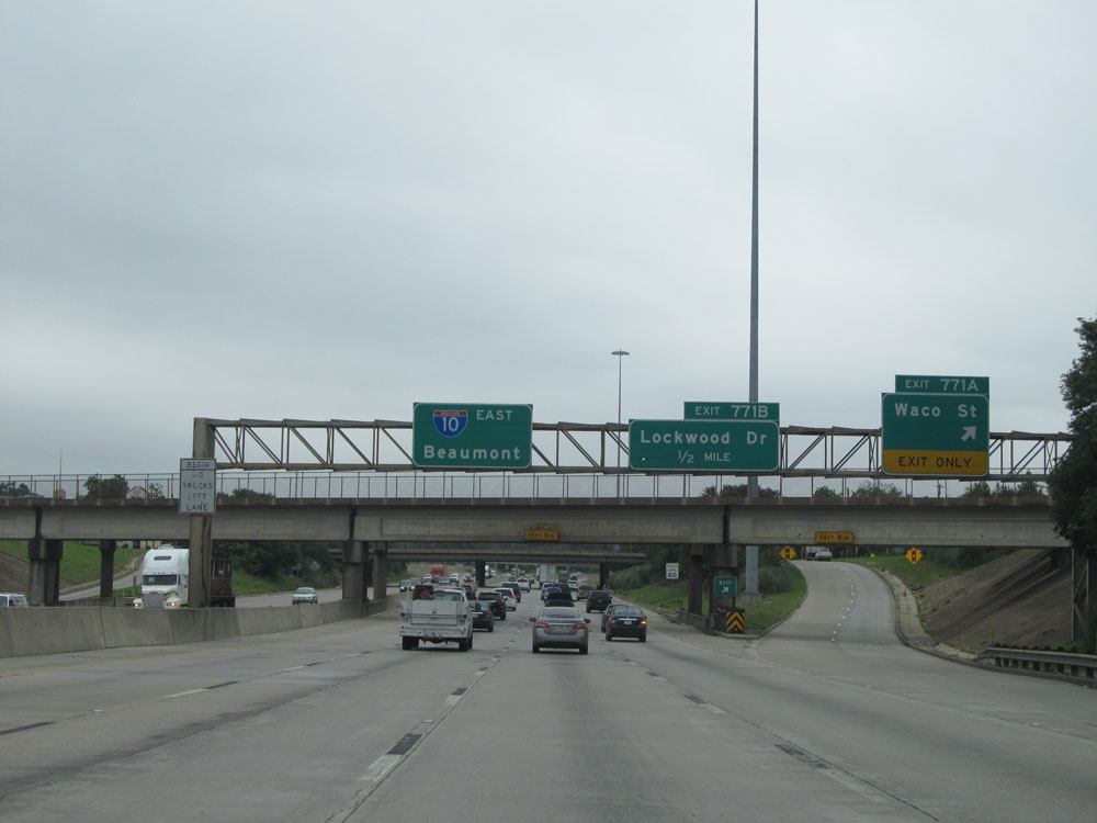
Interstate 10 East at Exit 771B: Lockwood Dr (Photo taken 5/22/15). |
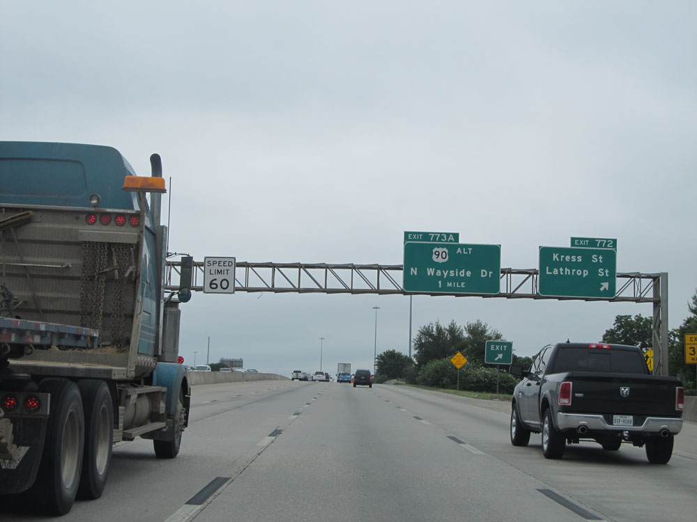 |
Interstate 10 East at Exit 772: Kress St / Lathrop St (Photo taken 5/22/15). |
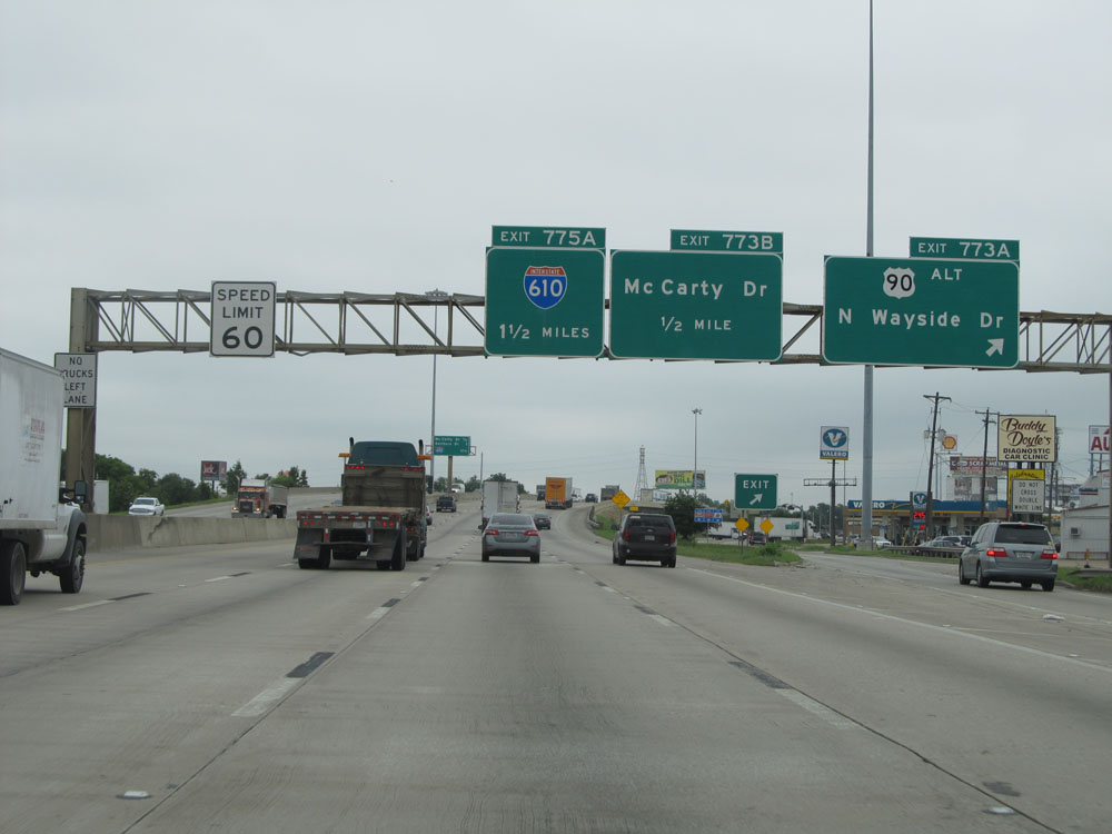 |
Interstate 10 East at Exit 773A: US 90 ALT - N Wayside Dr (Photo taken 5/22/15). |
 |
Interstate 10 East at Exit 773B: McCarty Dr (Photo taken 5/22/15). |
 |
Interstate 10 East approaching Exit 775A - 1/2 mile. (Photo taken 5/22/15). |
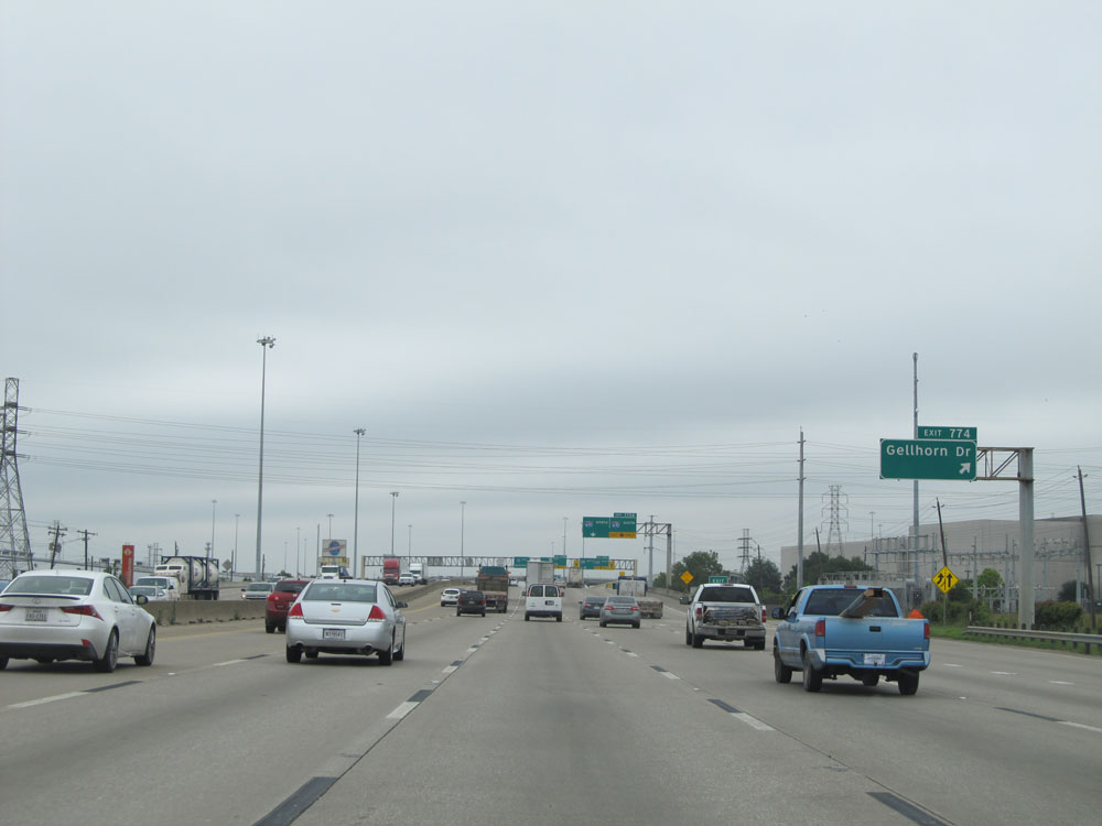 |
Interstate 10 East at Exit 774: Gellhorn Dr (Photo taken 5/22/15). |
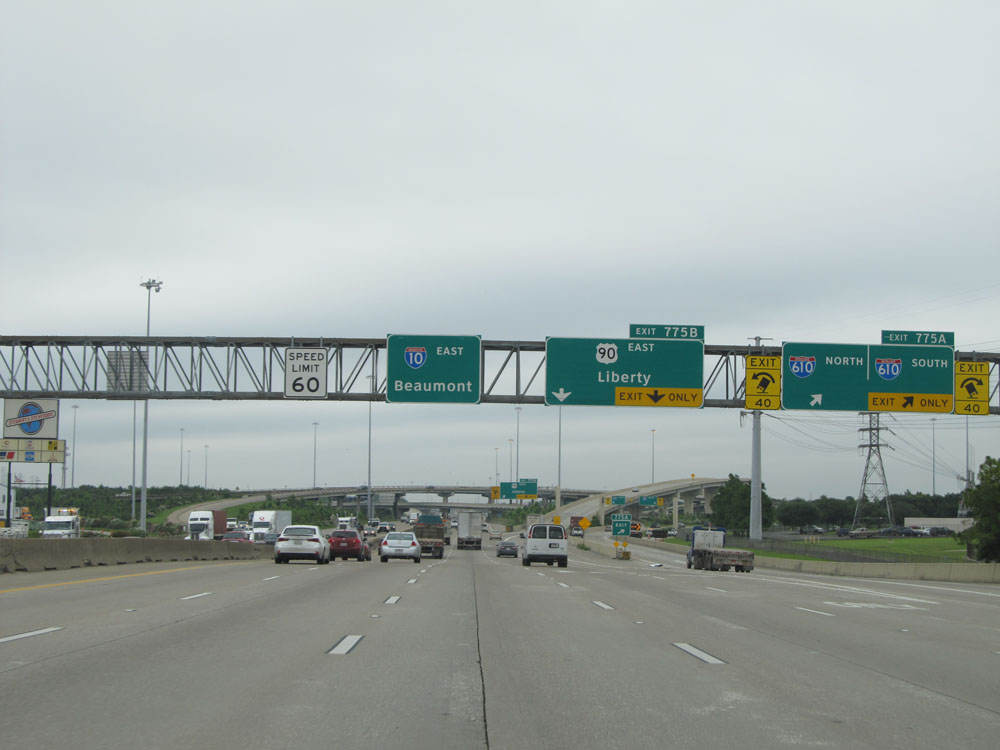 |
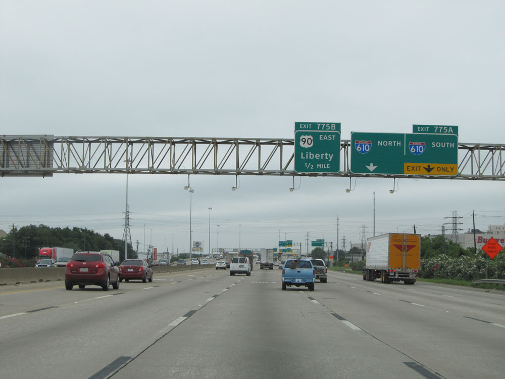
Interstate 10 East at Exit 775A: Interstate 610 North / Interstate 610 South (Photo taken 5/22/15). |
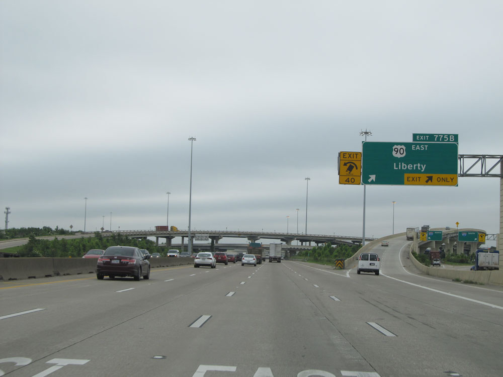 |
Interstate 10 East at Exit 775B: US 90 East - Liberty (Photo taken 5/22/15). |
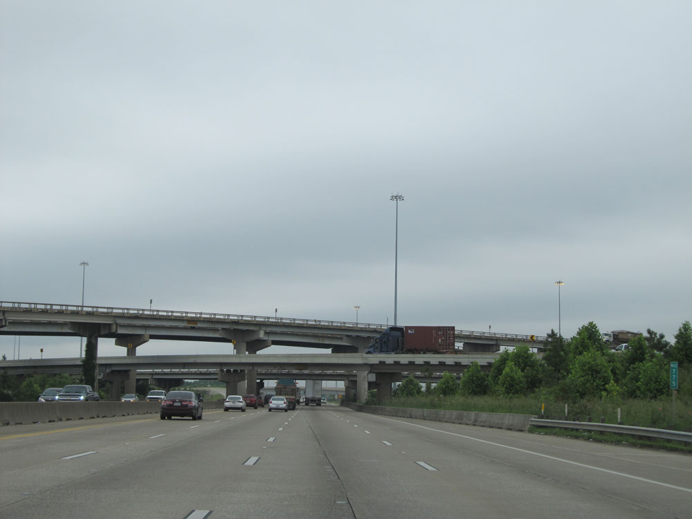 |
Interstate 10 East: Road view from mile marker 775, as you prepare to pass under Interstate 610 and the ramps leading to and from it. (Photo taken 5/22/15). |
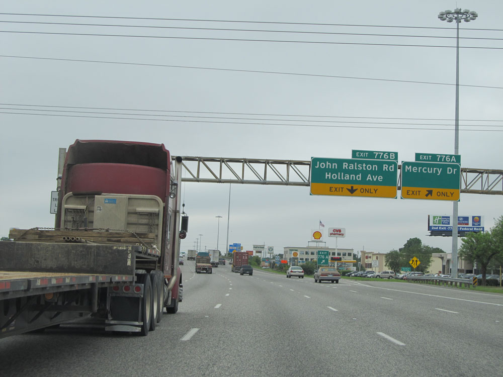 |
Interstate 10 East at Exit 776A: Mercury Dr (Photo taken 5/22/15). |
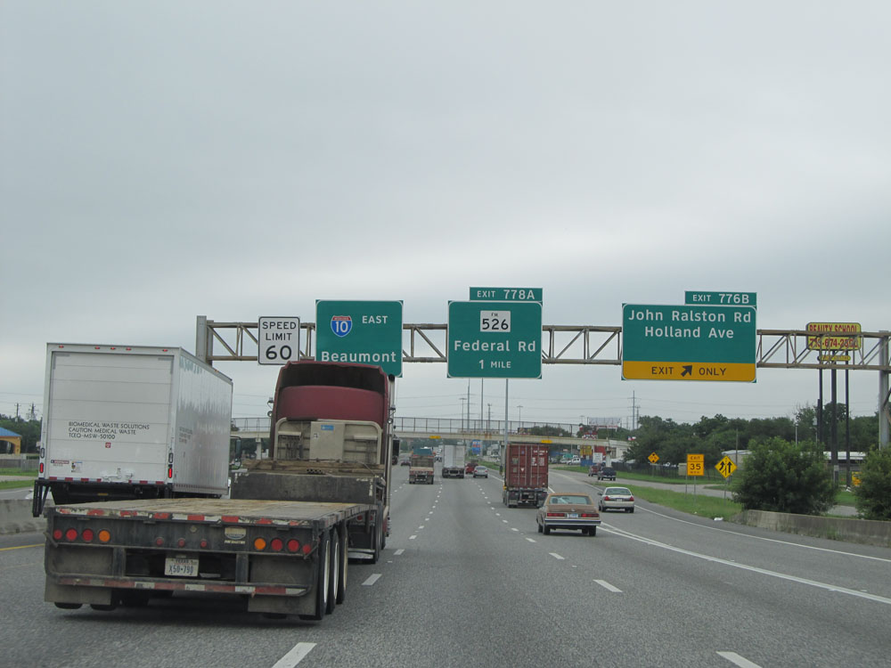 |
Interstate 10 East at Exit 776B: John Ralston Rd / Holland Ave (Photo taken 5/22/15). |
 |
Take Exit 778A to Pasadena. (Photo taken 5/22/15). |
 |
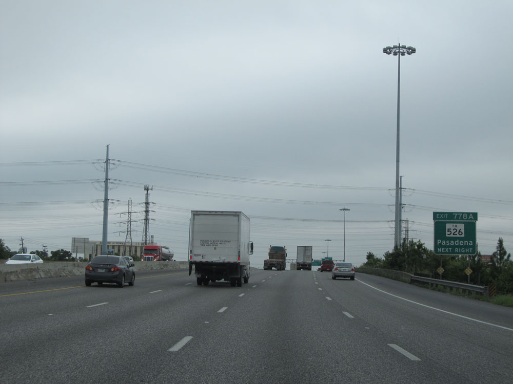
Interstate 10 East at Exit 778A: FM 526 - Federal Rd (Photo taken 5/22/15). |
 |
Interstate 10 East at Exit 778B: Normandy St (Photo taken 5/22/15). |
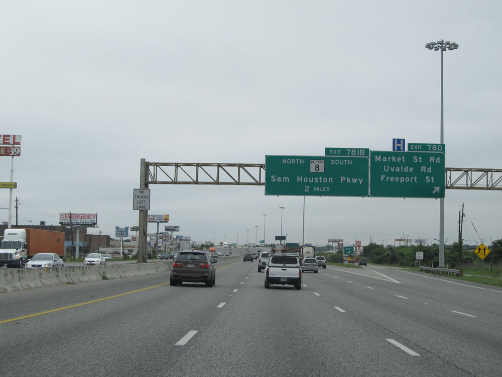 |
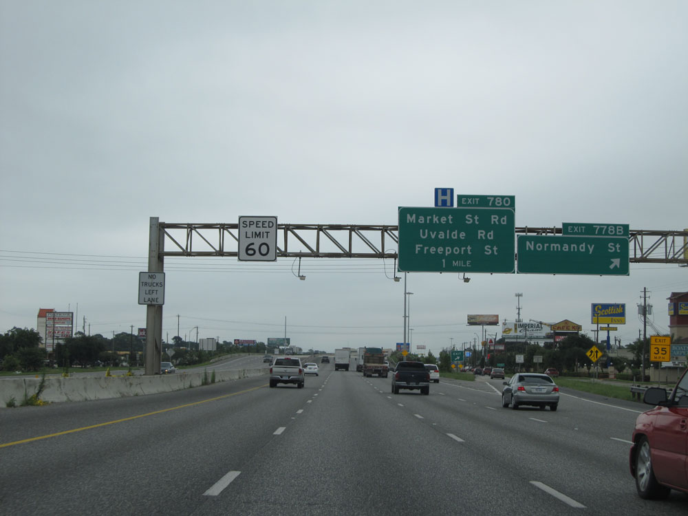
Interstate 10 East at Exit 780: Market St Rd / Uvalde Rd / Freeport St (Photo taken 5/22/15). |
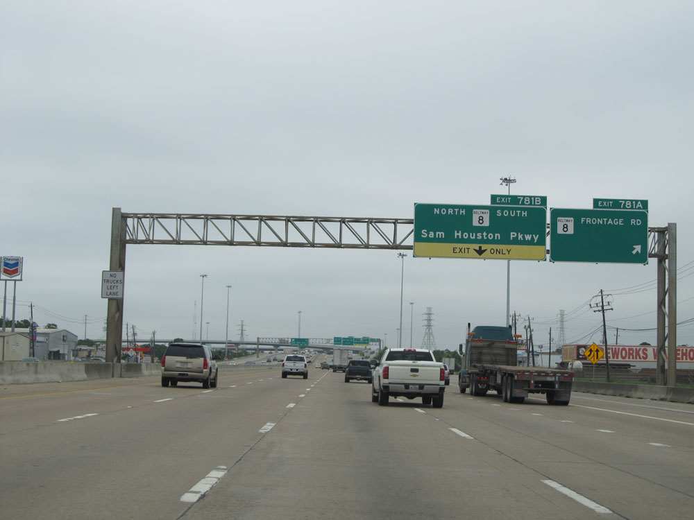 |
Interstate 10 East at Exit 781A: TX Beltway 8 - Frontage Rd (Photo taken 5/22/15). |
 |
Interstate 10 East at Exit 781B: TX Beltway 8 - Sam Houston Pkwy (Photo taken 5/22/15). |
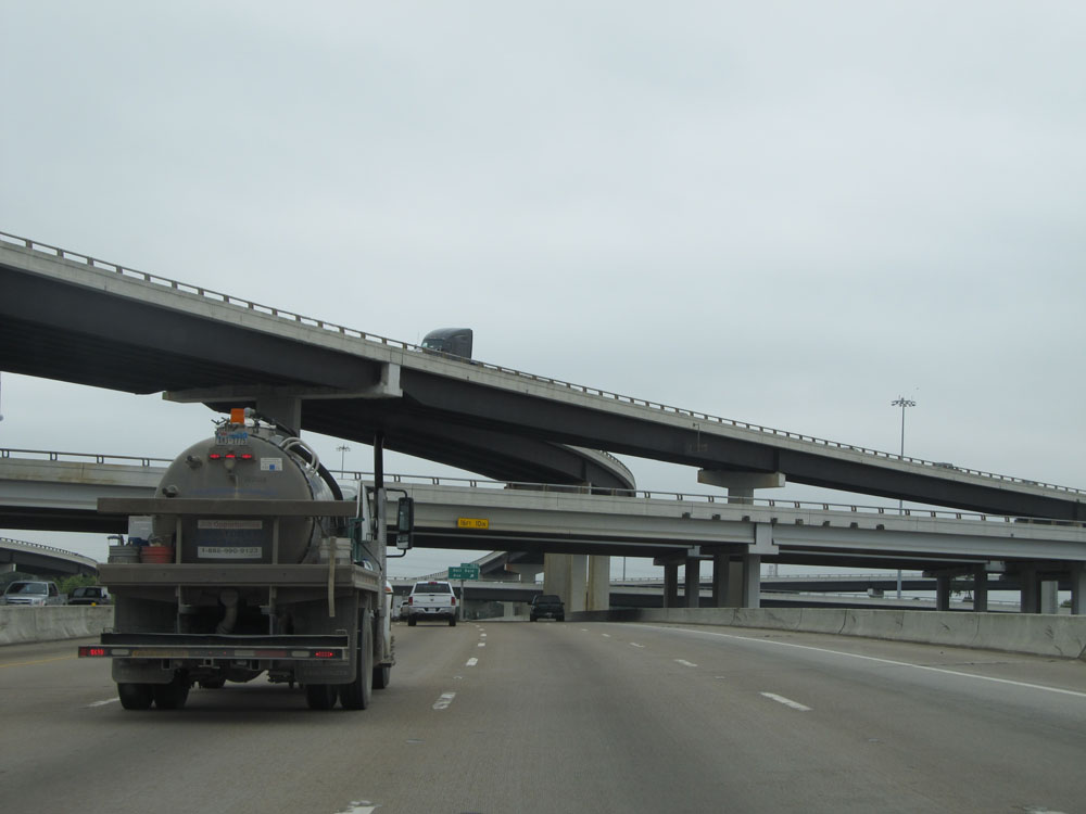 |
Interstate 10 East as it passes under TX Beltway 8 and the ramps leading to and from it. (Photo taken 5/22/15). |
 |
Interstate 10 East at Exit 782: Dell Dale Ave (Photo taken 5/22/15). |
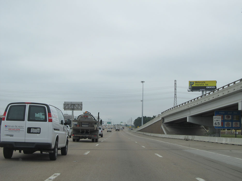 |
Leaving the Houston city limits, the speed limit increases to 65 mph near mile marker 782. (Photo taken 5/22/15). |
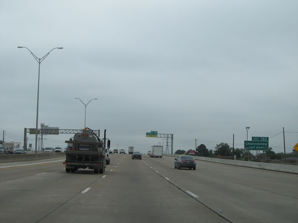 |
Take Exit 783 to Channelview. (Photo taken 5/22/15). |
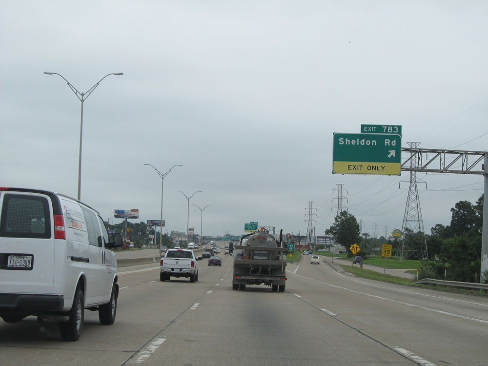 |
Interstate 10 East at Exit 783: Sheldon Rd (Photo taken 5/22/15). |
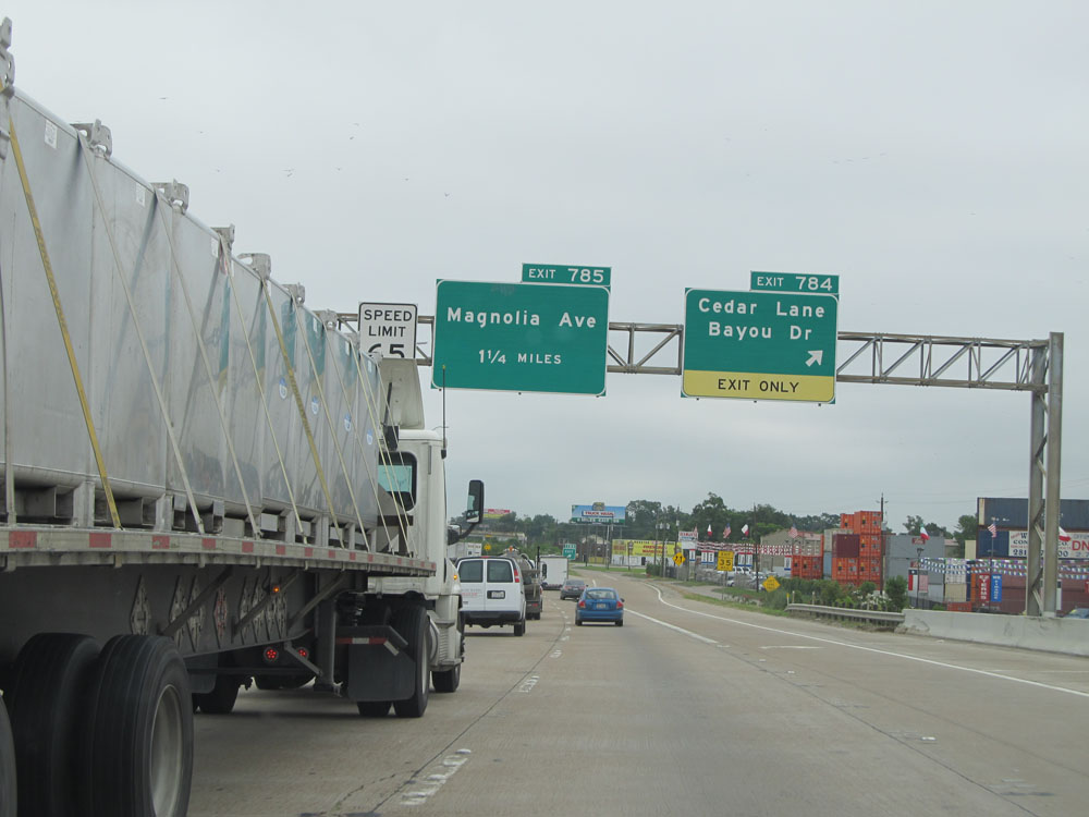 |
Interstate 10 East at Exit 784: Cedar Lane / Bayou Dr (Photo taken 5/22/15). |
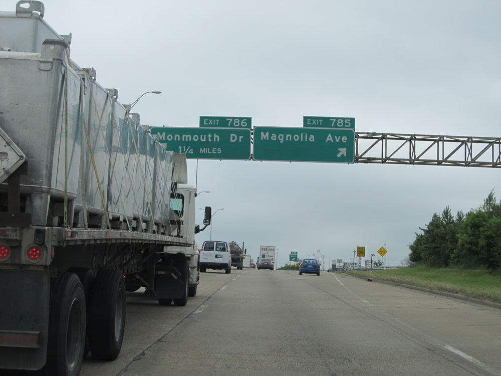 |
Interstate 10 East at Exit 785: Magnolia Ave (Photo taken 5/22/15). |
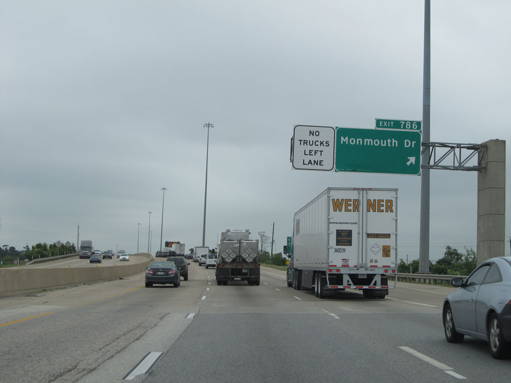 |
Interstate 10 East at Exit 786: Monmouth Dr (Photo taken 5/22/15). |
 |
Take Exit 787 to San Jacinto Monument and Battleship Texas. (Photo taken 5/22/15). |
 |
Interstate 10 East approaching Exit 787 - 3/4 mile. (Photo taken 5/22/15). |
 |
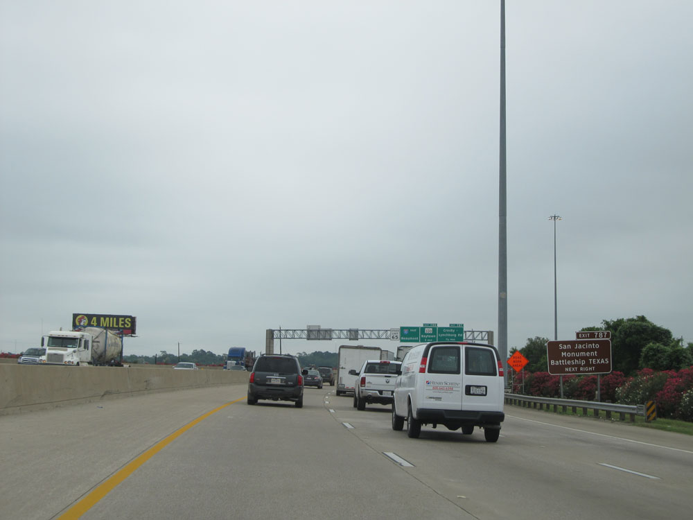
Interstate 10 East at Exit 787: Crosby-Lynchburg Rd (Photo taken 5/22/15). |
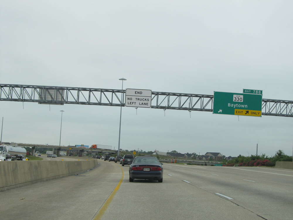 |
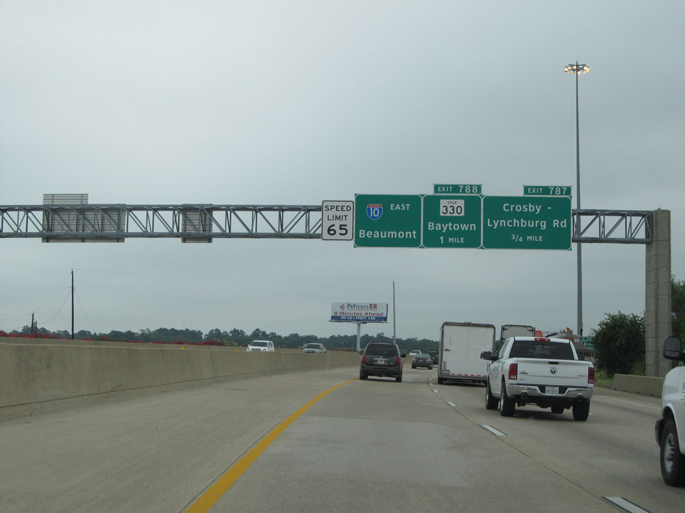
Interstate 10 East at Exit 788: TX Spur 330 - Baytown (Photo taken 5/22/15). |
 |
Interstate 10 East at Exit 789: Thompson Rd (Photo taken 5/22/15). |
 |
Interstate 10 East at Exit 790: Wade Rd (Photo taken 5/22/15). |
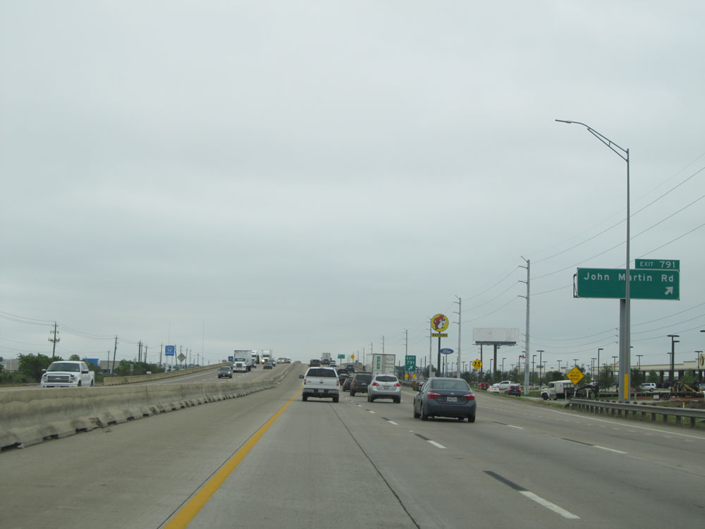 |
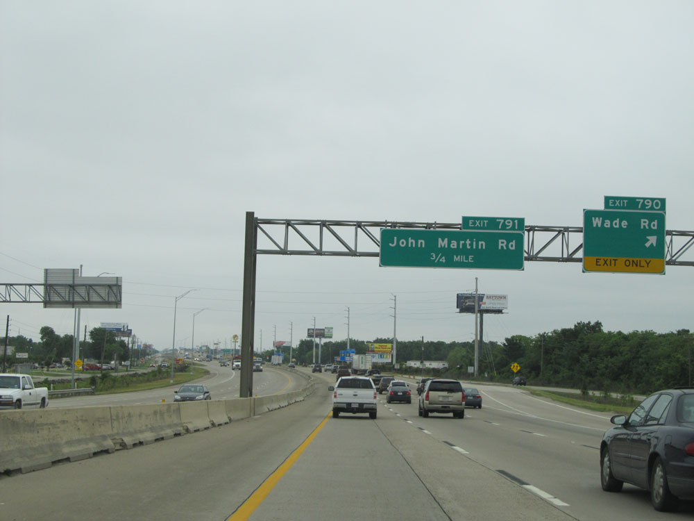
Interstate 10 East at Exit 791: John Martin Rd (Photo taken 5/22/15). |
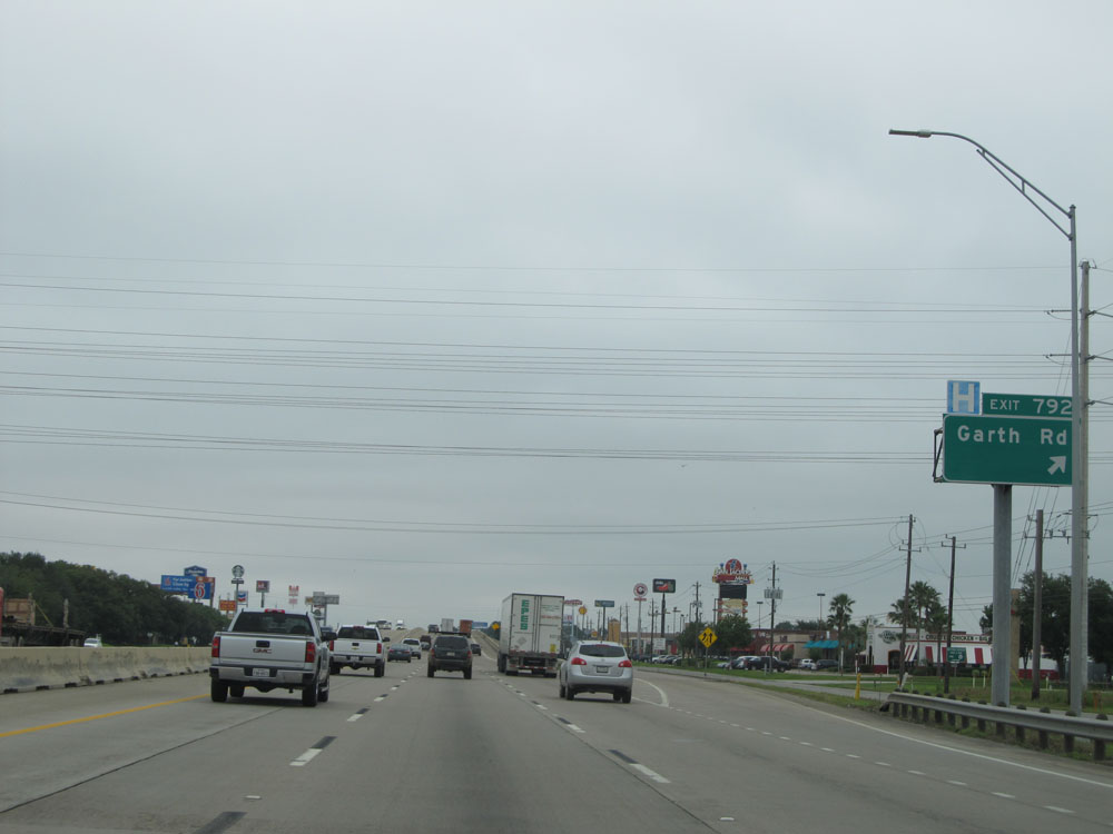 |
Interstate 10 East at Exit 792: Garth Rd (Photo taken 5/22/15). |
 |
Take Exit 793 to the Sports Complex and Water Park. (Photo taken 5/22/15). |
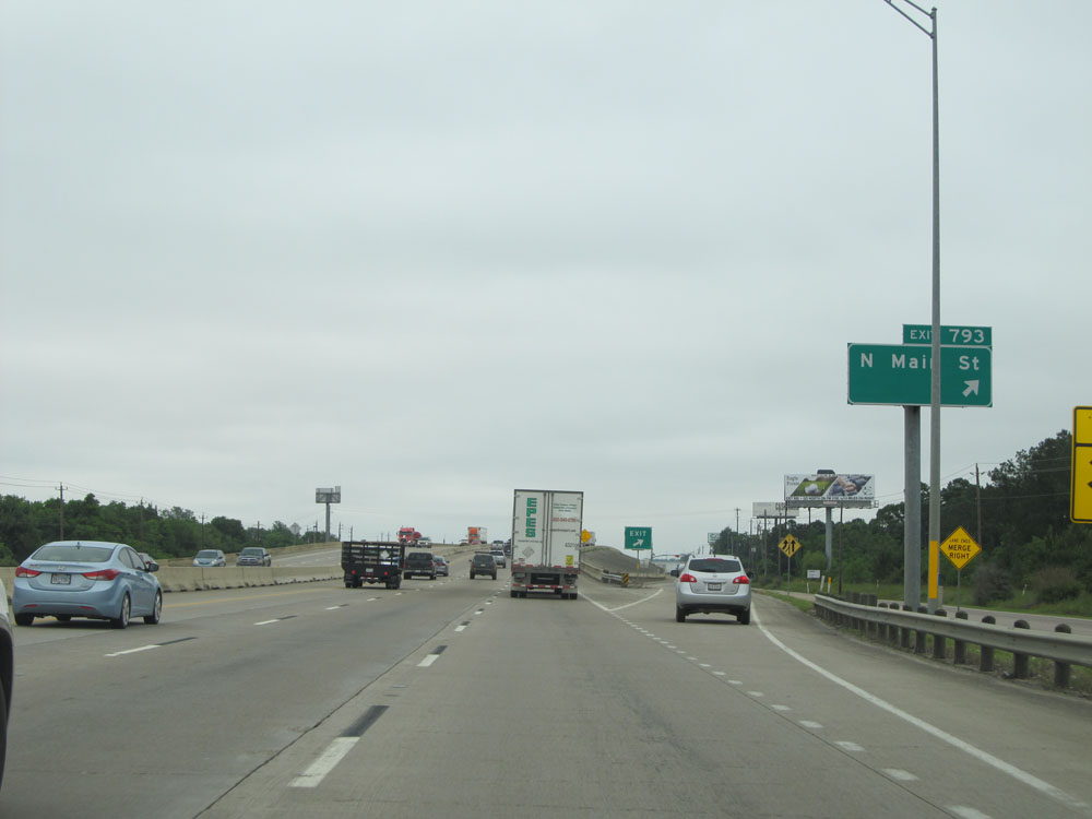 |
Interstate 10 East at Exit 793: N Main St (Photo taken 5/22/15). |
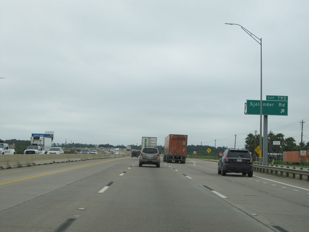 |
Interstate 10 East at Exit 795: Sjolander Rd (Photo taken 5/22/15). |
 |
Interstate 10 East at Exit 796: Frontage Rd (Photo taken 5/22/15). |
 |
Interstate 10 East entering Chambers County. (Photo taken 5/22/15). |
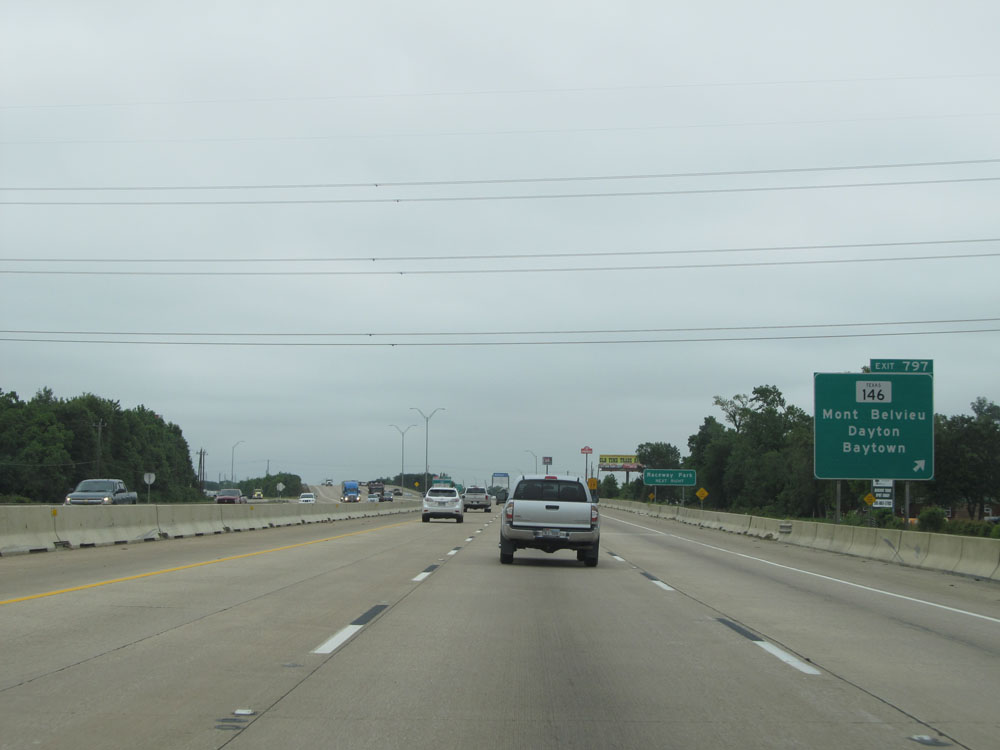 |
Interstate 10 East at Exit 797: TX 146 - Mont Belvieu / Dayton / Baytown (Photo taken 5/22/15). |
 |
Interstate 10 East assurance shield located near mile marker 797. (Photo taken 5/22/15). |
 |
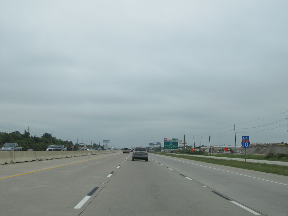
Interstate 10 East approaching Exit 799 - 3/4 mile. (Photo taken 5/22/15). |
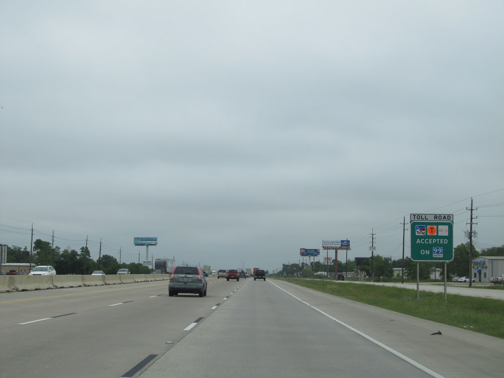 |
Sign listing the three different electronic tolling methods accepted on TX 99 Toll. Only electronic tolling is accepted; no cash and no pay-by-mail. (Photo taken 5/22/15). |
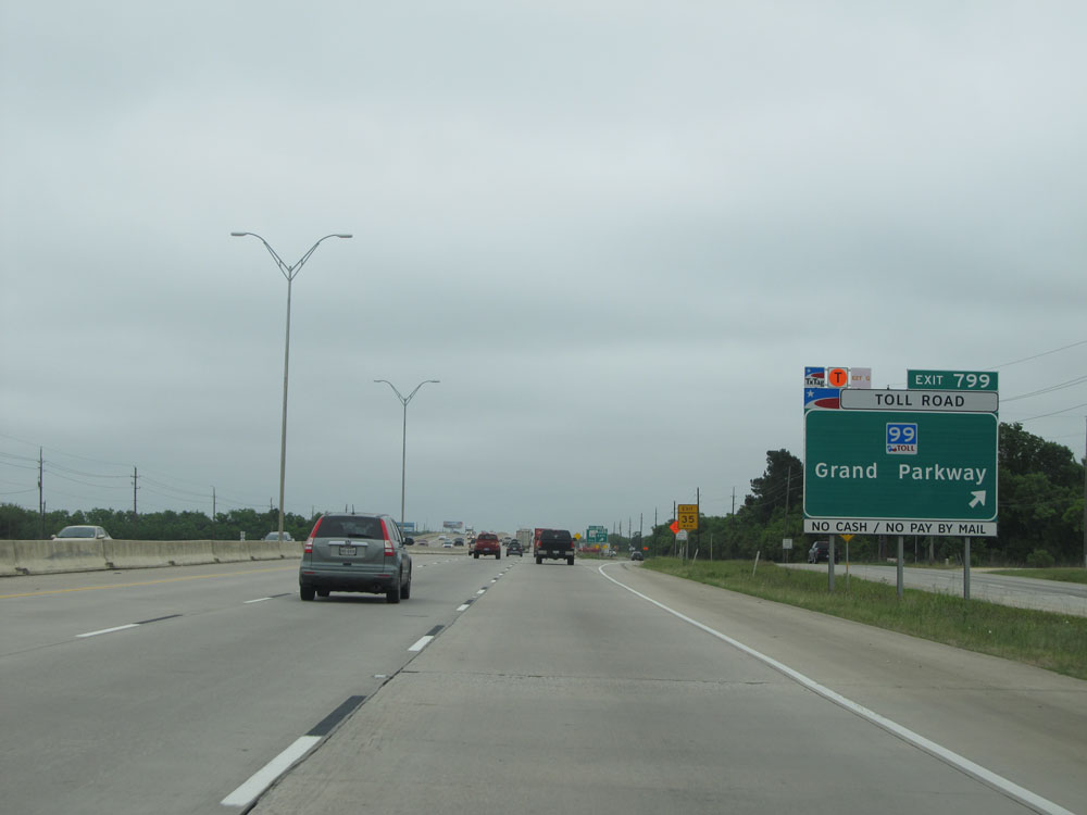 |
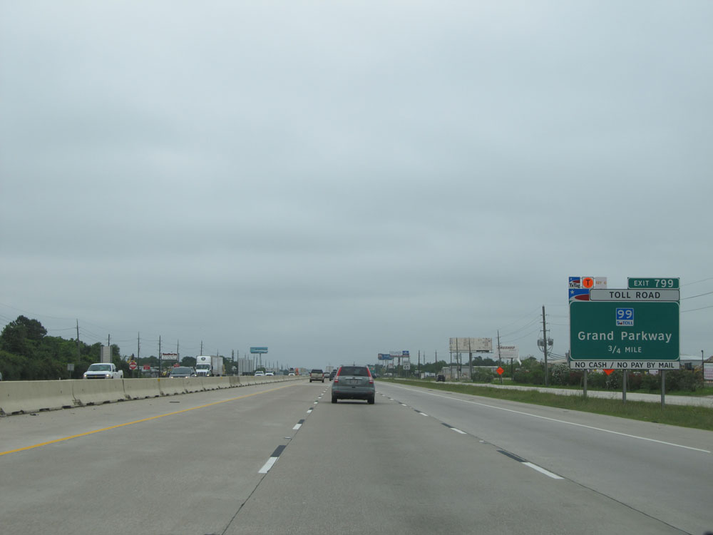
Interstate 10 East at Exit 799: TX 99 Toll - Grand Parkway (Photo taken 5/22/15). |
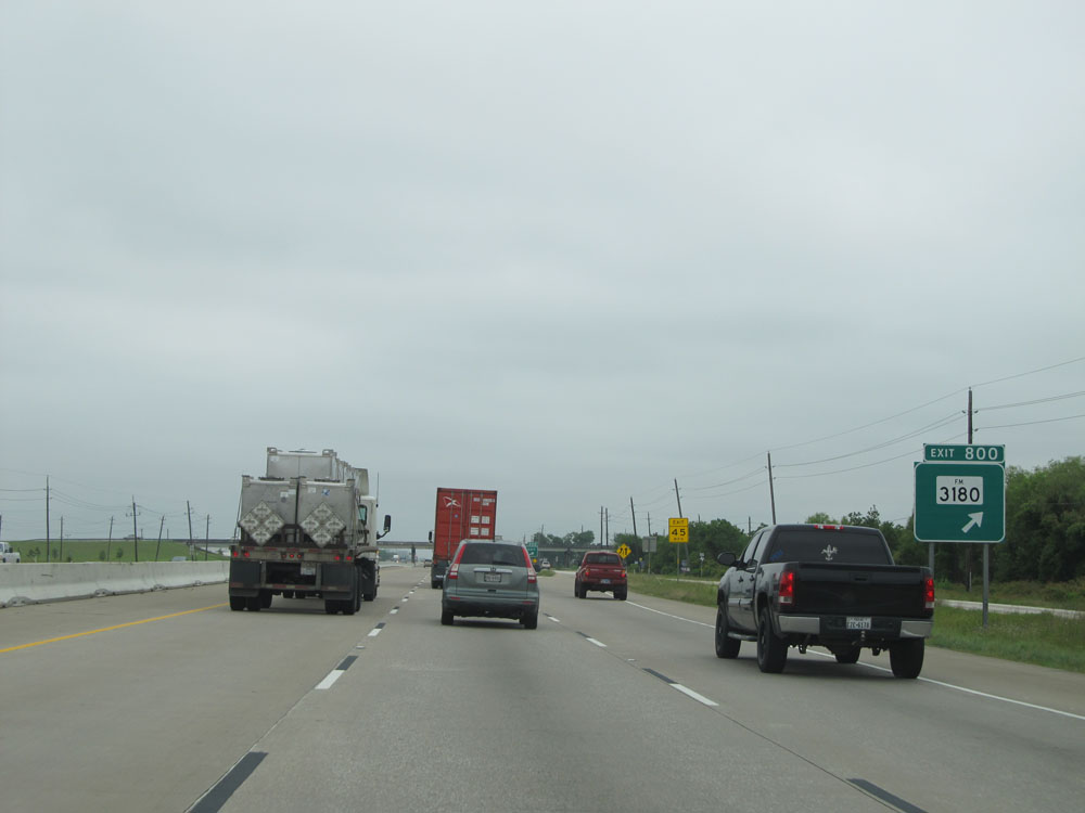 |
Interstate 10 East at Exit 800: FM 3180 (Photo taken 5/22/15). |
 |
Interstate 10 East at mile marker 802. (Photo taken 5/22/15). |
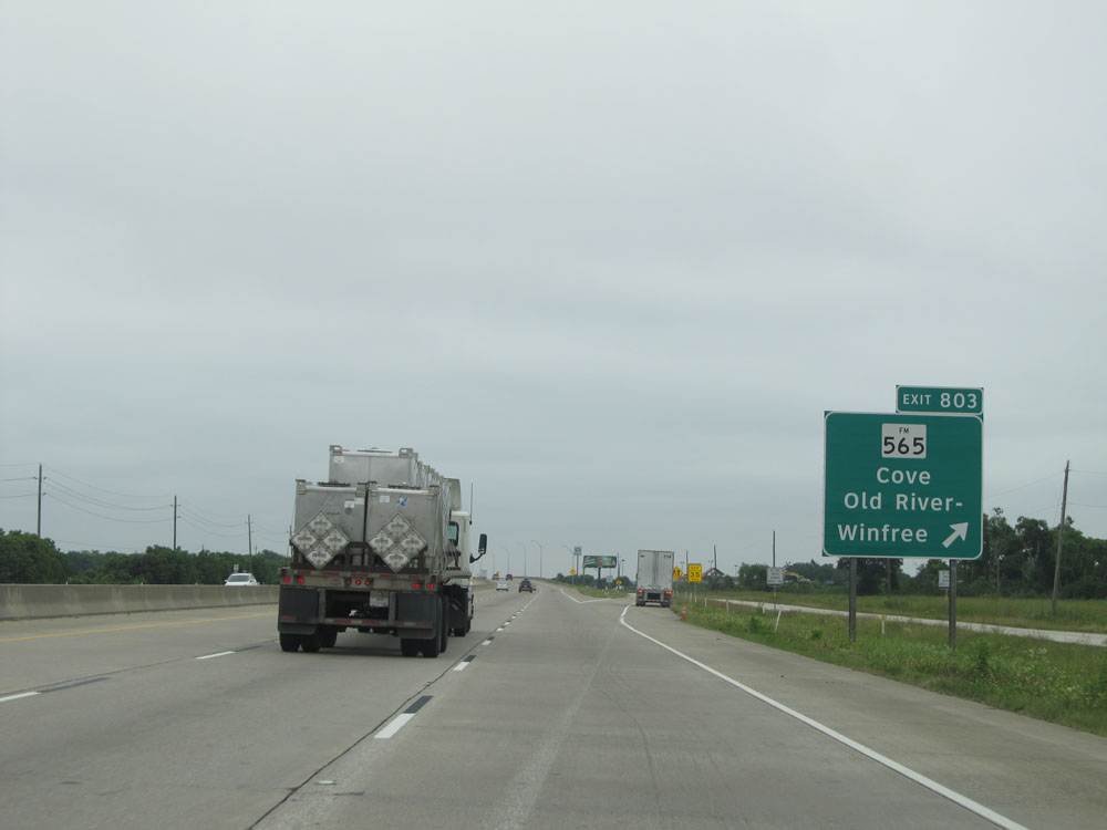 |
Interstate 10 East at Exit 803: FM 565 - Cove / Old River-Winfree (Photo taken 5/22/15). |
 |
Interstate 10 East crossing the Old and Lost River. (Photo taken 5/22/15). |
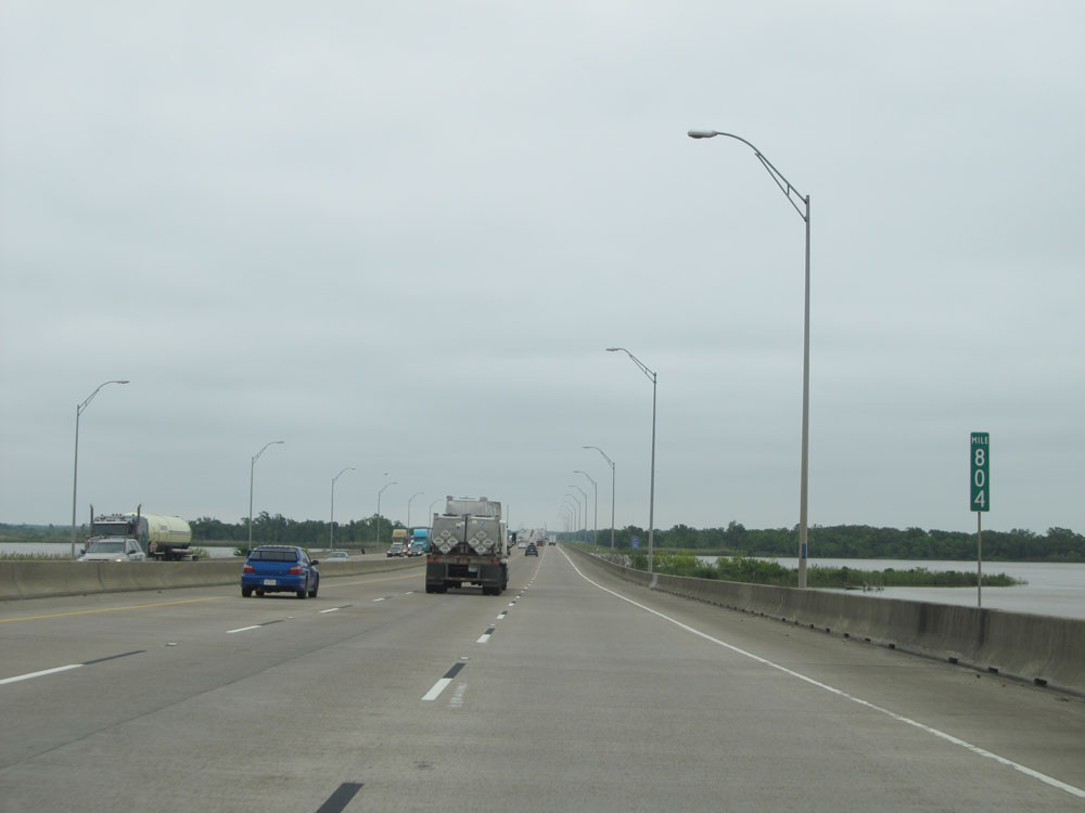 |
Interstate 10 East: Road view from mile marker 804. (Photo taken 5/22/15). |
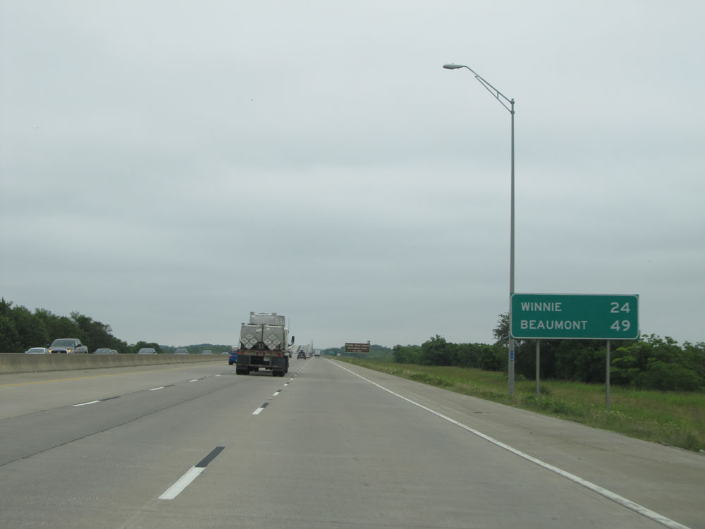 |
Mileage sign near mile marker 805. It's 24 miles to Winnie and 49 miles to Beaumont. (Photo taken 5/22/15). |
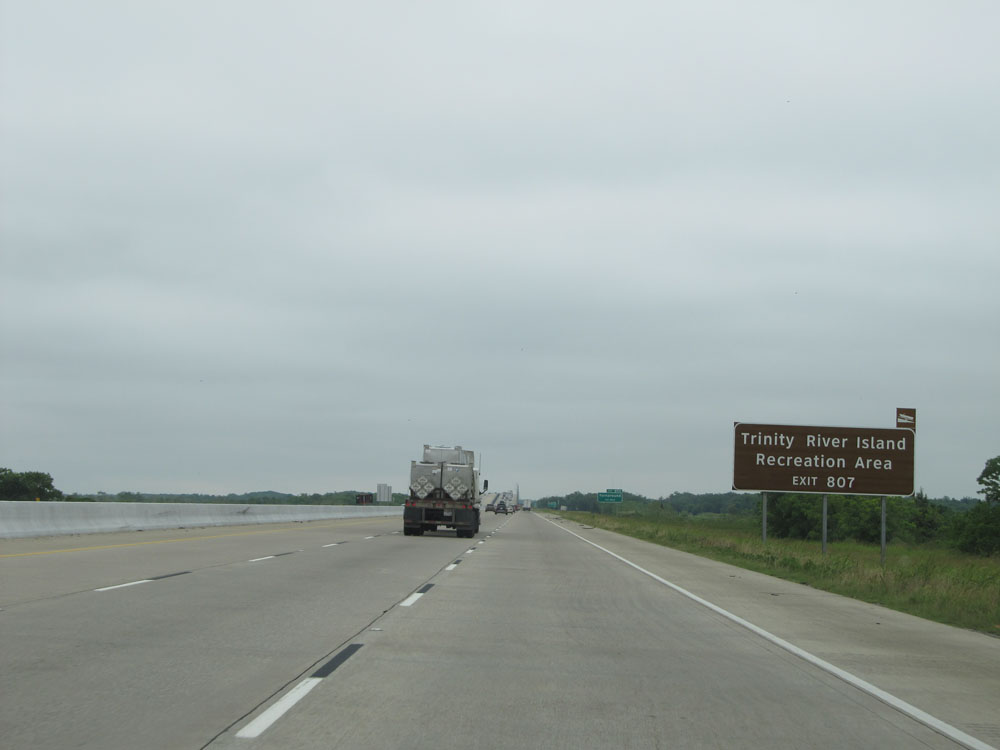 |
Take Exit 807 to Trinity River Island Recreation Area. (Photo taken 5/22/15). |
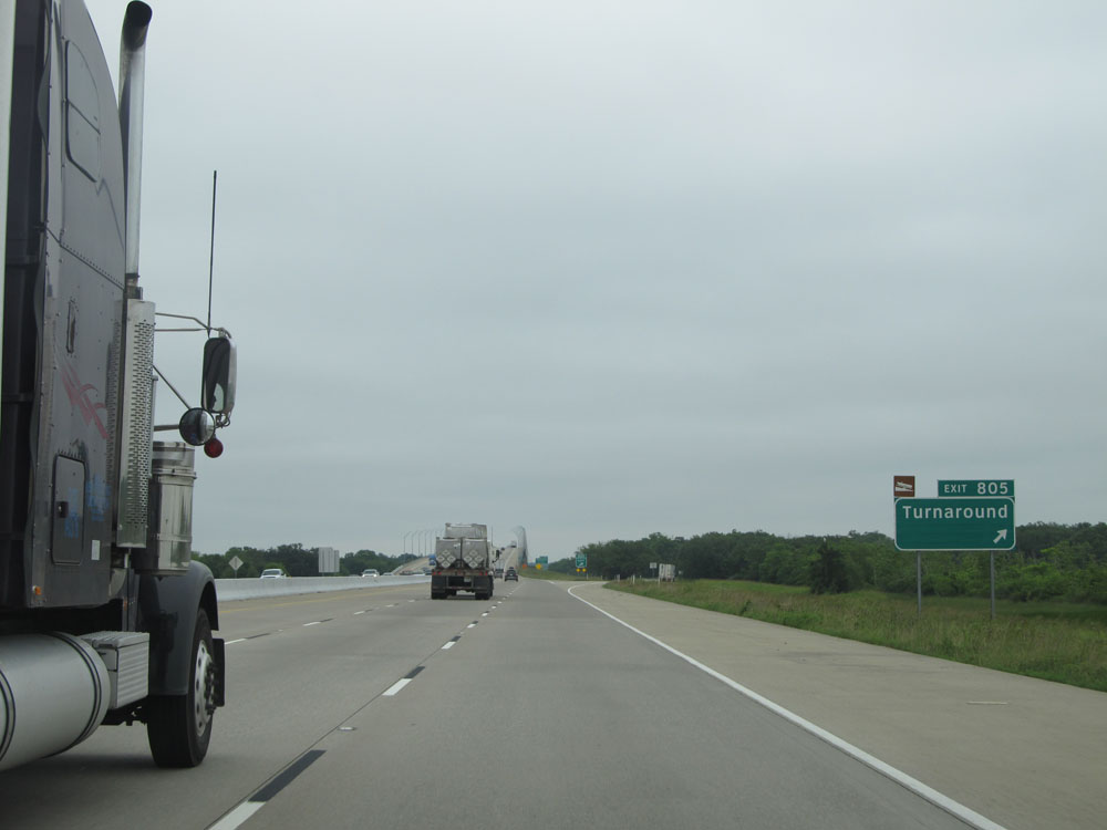 |
Interstate 10 East at Exit 805: Turnaround (Photo taken 5/22/15). |
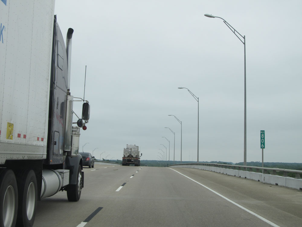 |
Interstate 10 East: Road view from mile marker 806. (Photo taken 5/22/15). |
 |
Interstate 10 East at Exit 807: Wallisville (Photo taken 5/22/15). |
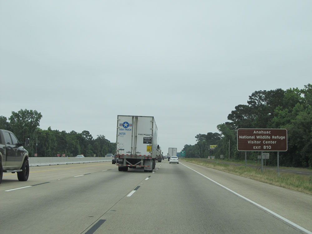 |
Take Exit 810 to Anahuac National Wildlife Refuge and Visitor Center. (Photo taken 5/22/15). |
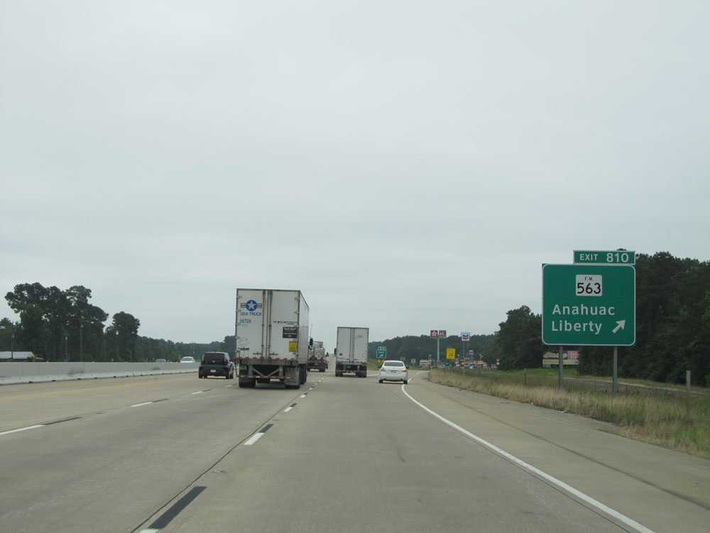 |
Interstate 10 East at Exit 810: FM 563 - Anahuac / Liberty (Photo taken 5/22/15). |
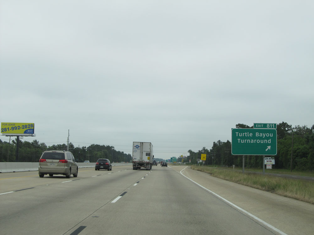 |
Interstate 10 East at Exit 811: Turtle Bayou / Turnaround (Photo taken 5/22/15). |
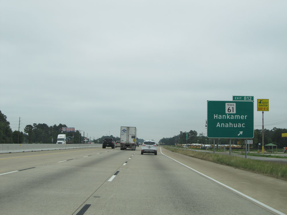 |
Interstate 10 East at Exit 812: TX 61 - Hankamer / Anahuac (Photo taken 5/22/15). |
 |
Approaching Winnie, the speed limit drops to 65 mph on Interstate 10 East. (Photo taken 5/22/15). |
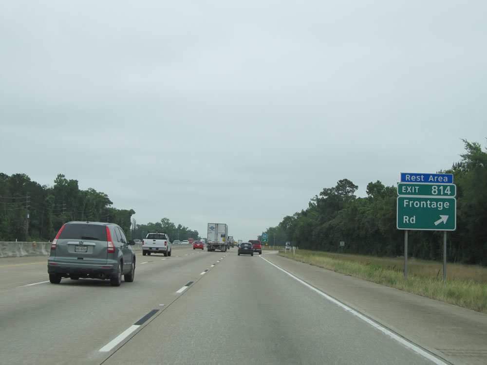 |
Interstate 10 East at Exit 814: Frontage Rd / Rest Area (Photo taken 5/22/15). |
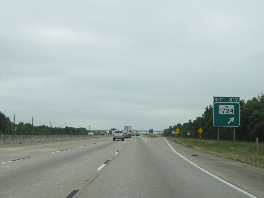 |
Interstate 10 East at Exit 817: FM 1724 (Photo taken 5/22/15). |
 |
Interstate 10 East assurance shield near mile marker 817. (Photo taken 5/22/15). |
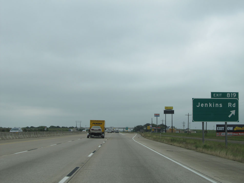 |
Interstate 10 East at Exit 819: Jenkins Rd (Photo taken 5/22/15). |
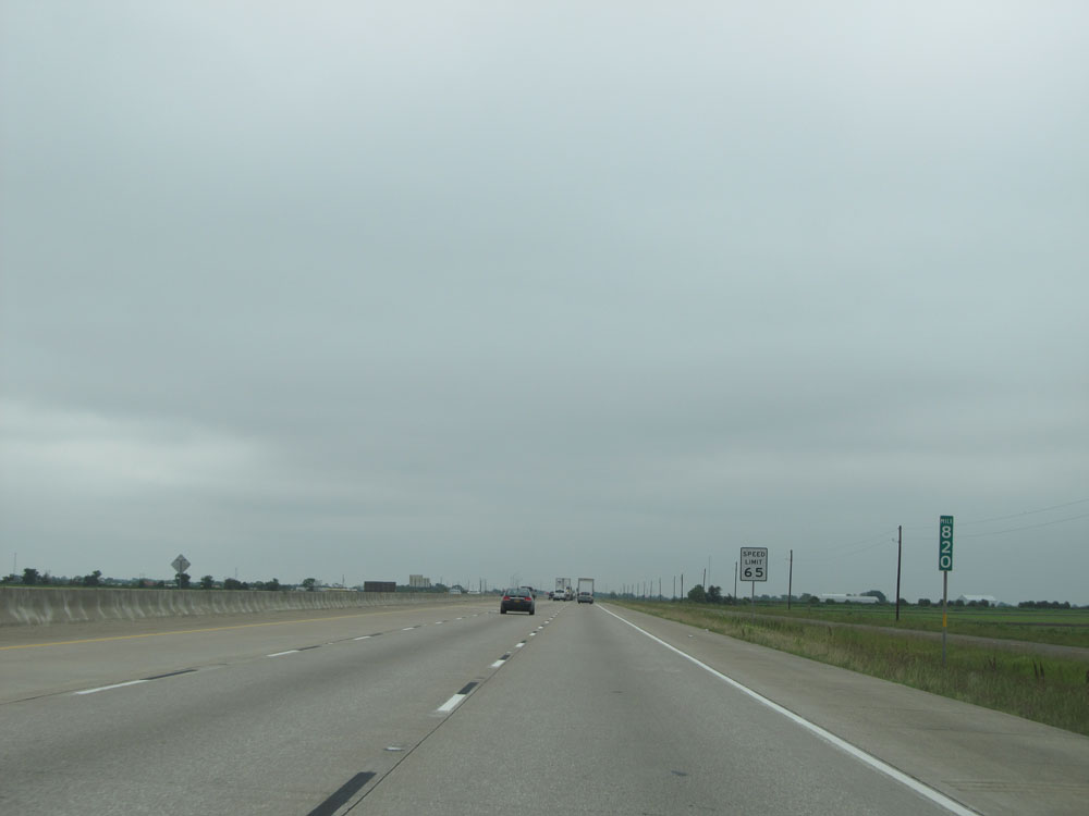 |
Interstate 10 East: Road view from mile marker 820. (Photo taken 5/22/15). |
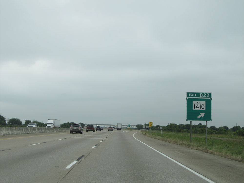 |
Interstate 10 East at Exit 822: FM 1410 (Photo taken 5/22/15). |
 |
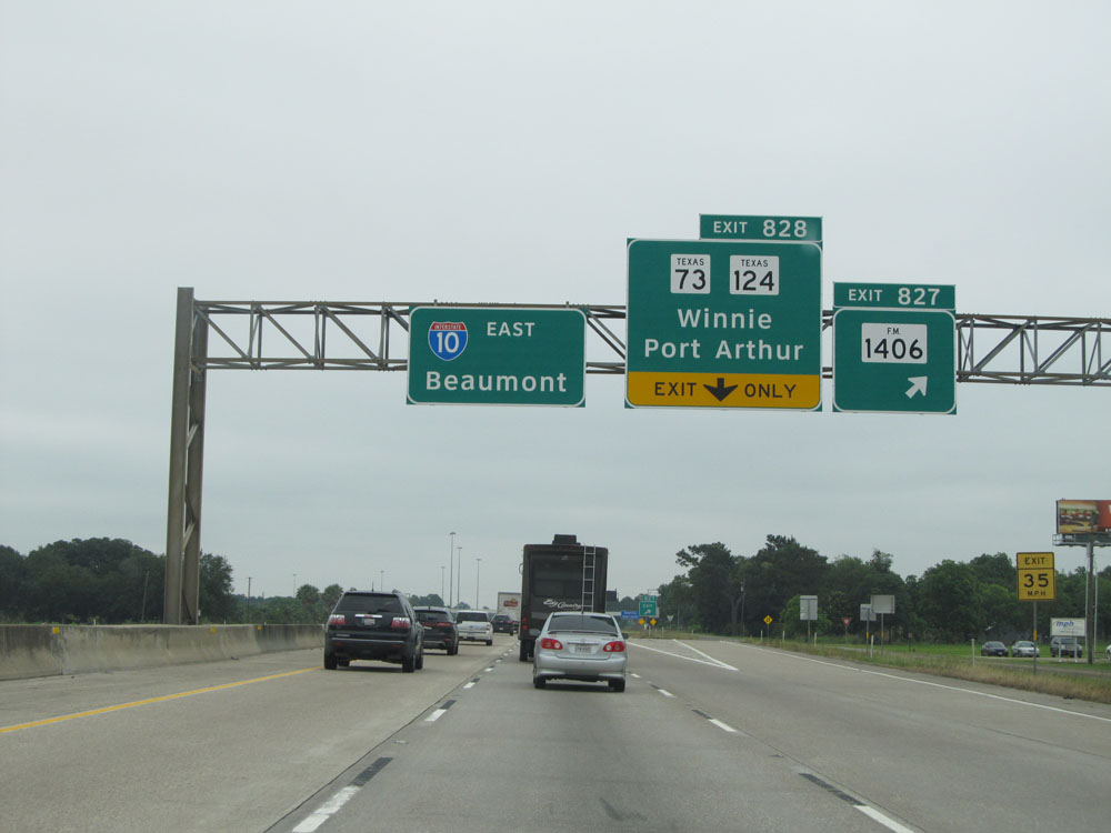
When the lights on this sign are flashing, it means Interstate 10 is closed in Beaumont and you should use TX 73 East (Exit 828) back to I-10. (Photo taken 5/22/15). |
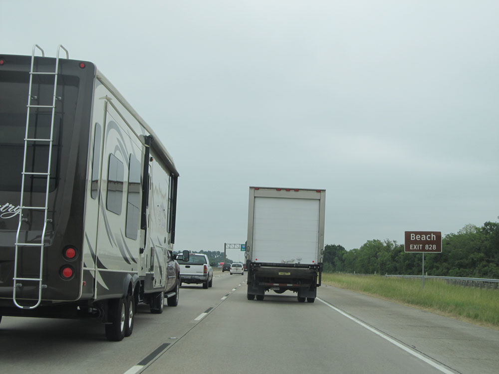 |
Take Exit 828 to the Beach. (Photo taken 5/22/15). |
 |
Interstate 10 East at Exit 827: FM 1406 (Photo taken 5/22/15). |
Section 11: Winnie (Exit 827) to Louisiana Border
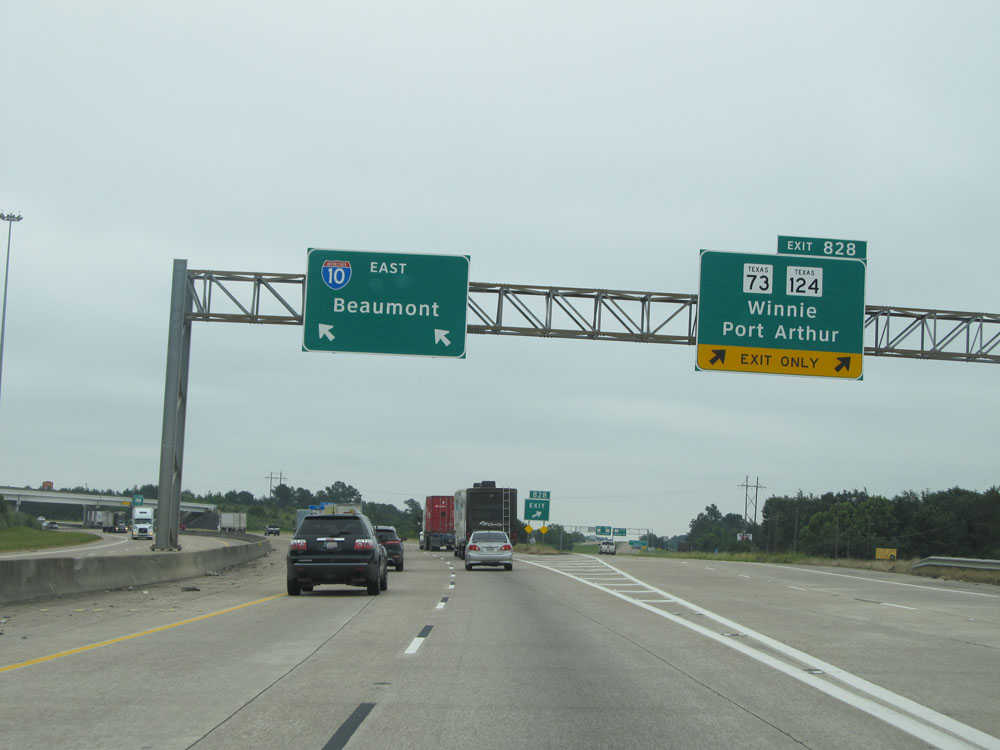 |
Interstate 10 East at Exit 828: TX 73 / TX 124 - Winnie / Port Arthur (Photo taken 5/22/15). |
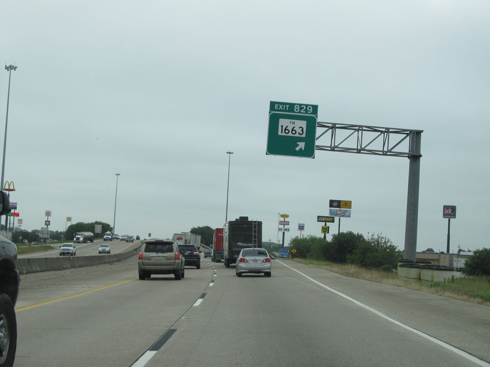 |
Interstate 10 East at Exit 829: FM 1663 (Photo taken 5/22/15). |
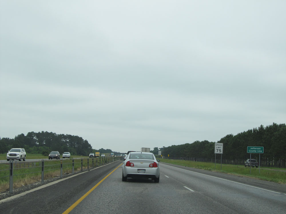 |
Interstate 10 East entering Jefferson County. Upon crossing the county line, the speed limit increases to 75 mph once again. (Photo taken 5/22/15). |
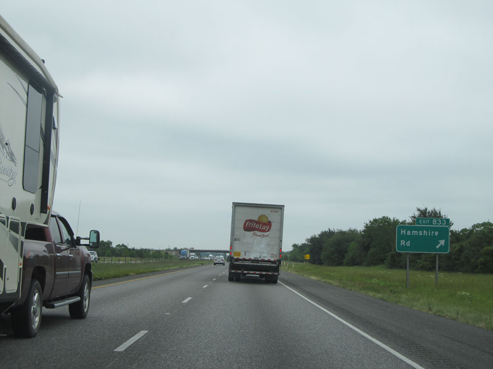 |
Interstate 10 East at Exit 833: Hamshire Rd (Photo taken 5/22/15). |
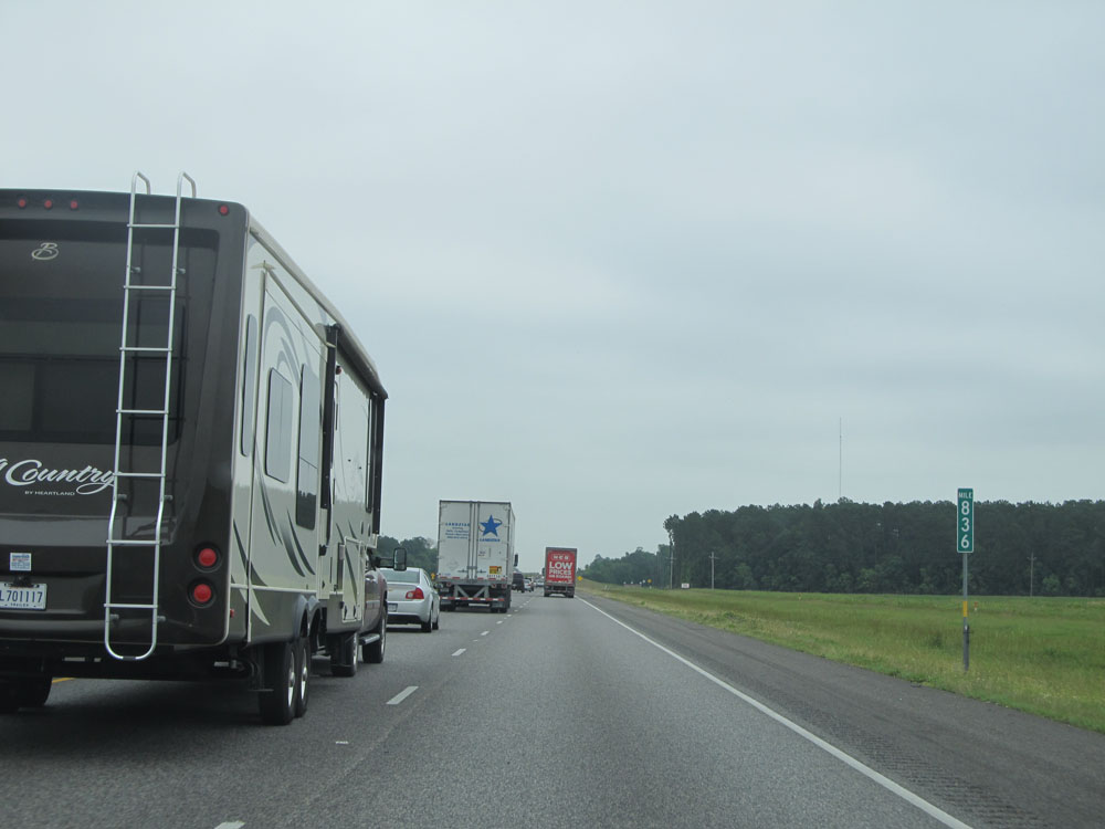 |
Interstate 10 East at mile marker 836. (Photo taken 5/22/15). |
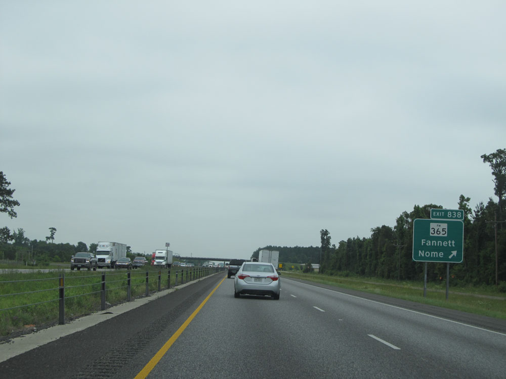 |
Interstate 10 East at Exit 838: FM 365 - Fannett / Nome (Photo taken 5/22/15). |
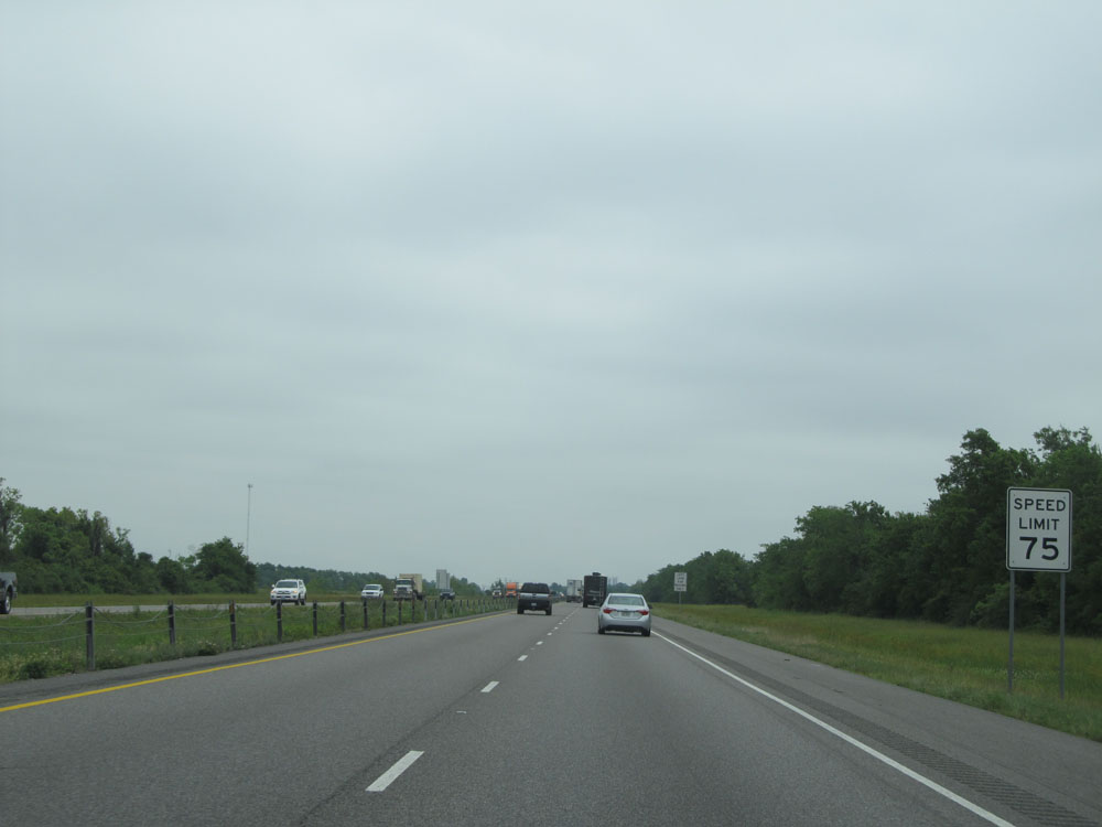 |
Speed limit sign near mile marker 838. Once again, the speed limit is 75 mph once Interstate 10 East enters Jefferson County, until we get near downtown Beaumont. (Photo taken 5/22/15). |
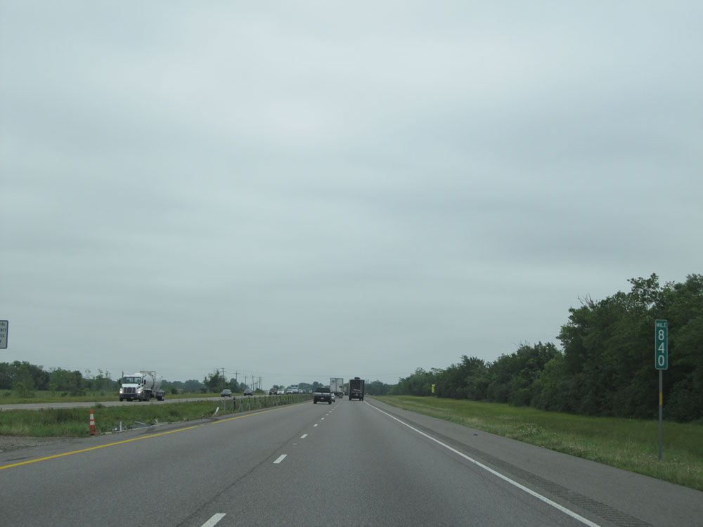 |
Interstate 10 East: Road view from mile marker 840. (Photo taken 5/22/15). |
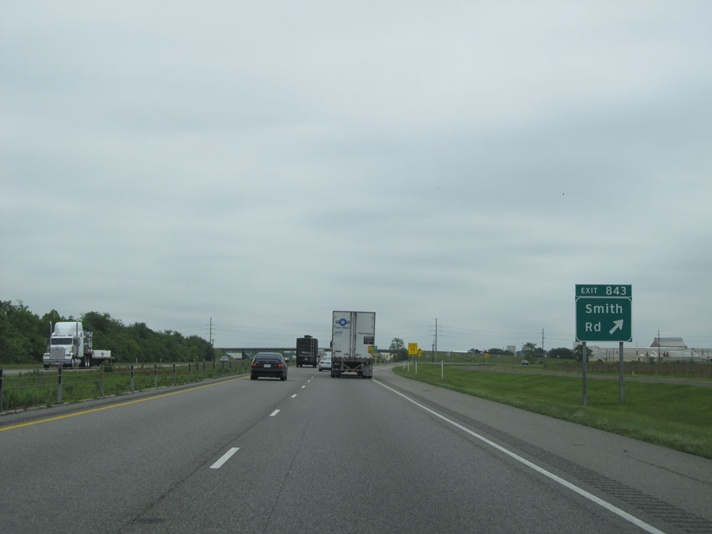 |
Interstate 10 East at Exit 843: Smith Rd (Photo taken 5/22/15). |
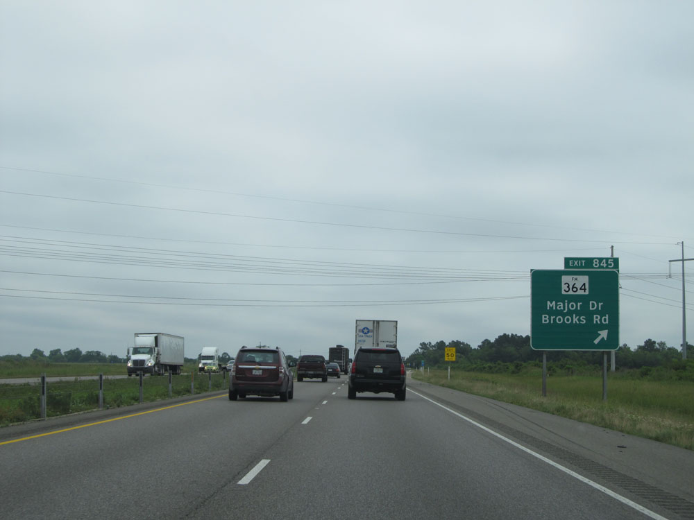 |
Interstate 10 East at Exit 845: FM 364 - Major Dr / Brooks Rd (Photo taken 5/22/15). |
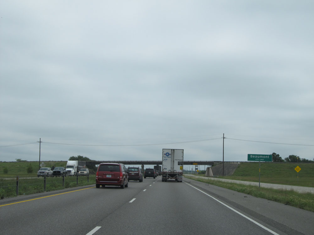 |
Interstate 10 East as it enters the Beaumont city limits. (Photo taken 5/22/15). |
 |
Interstate 10 East at Exit 848: Walden Rd (Photo taken 5/22/15). |
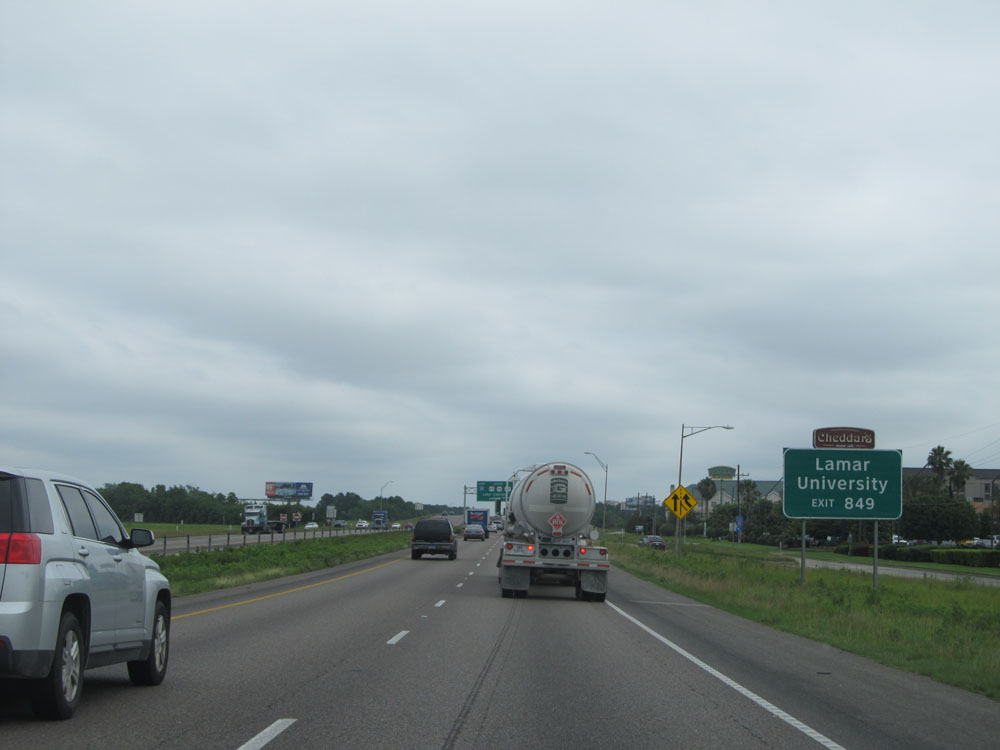 |
Take Exit 849 to Lamar University. (Photo taken 5/22/15). |
 |
Approaching Exit 849, the speed limit decreases to 65 mph. (Photo taken 5/22/15). |
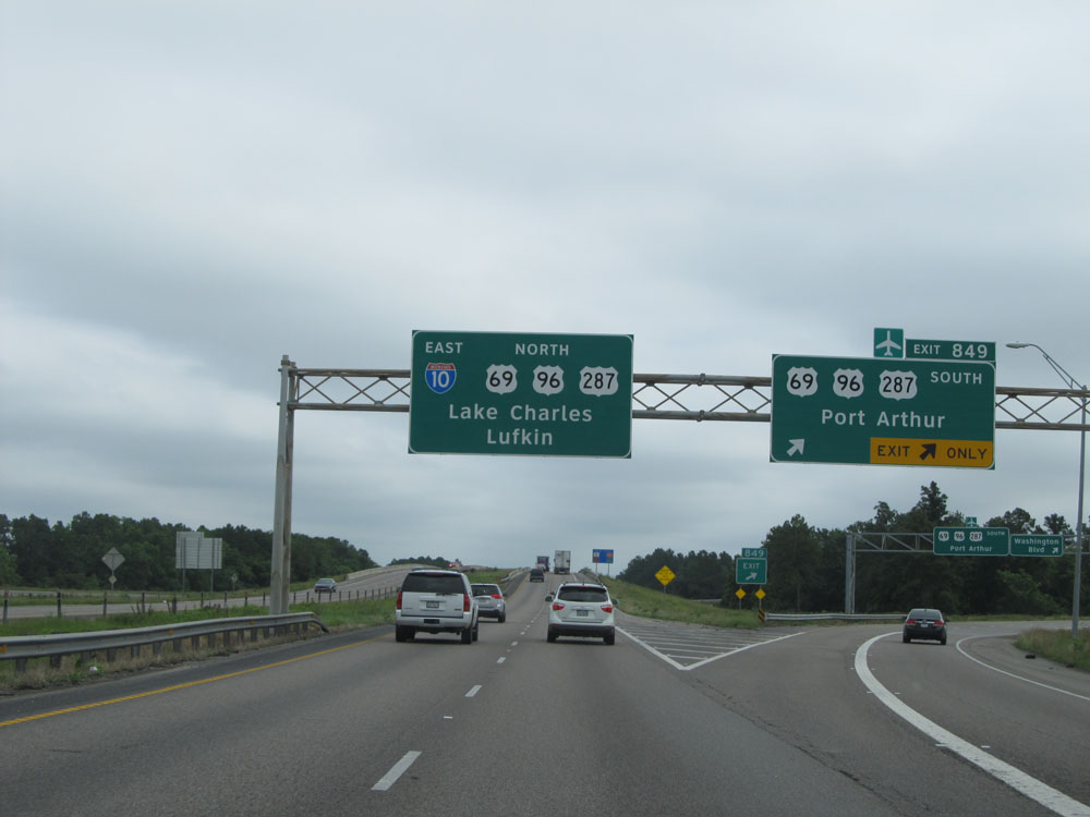 |
Interstate 10 East at Exit 849: US 69 / US 96 / US 287 South - Port Arthur (Photo taken 5/22/15). |
 |
Interstate 10 East at Exit 851: US 90 - Liberty (Photo taken 5/22/15). |
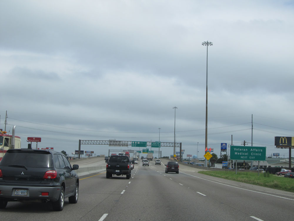 |
Take Exit 852B to the Veteran Affairs Medical Clinic. (Photo taken 5/22/15). |
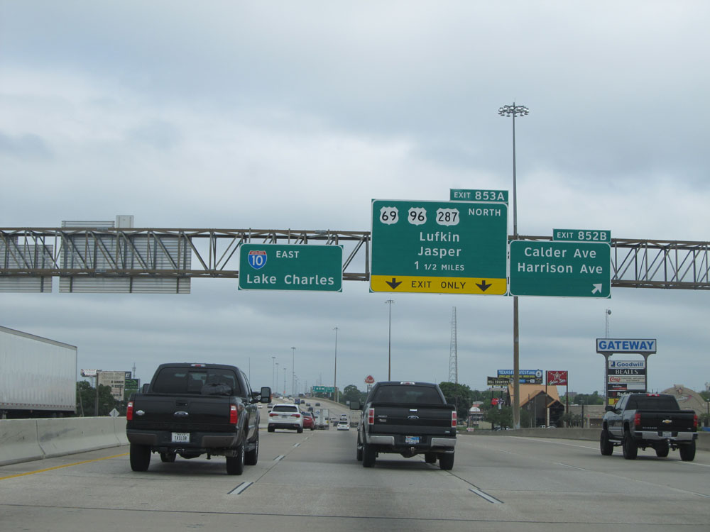 |
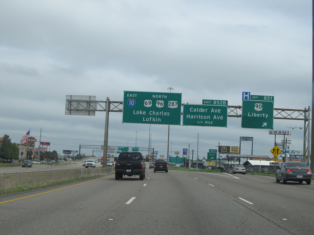
Interstate 10 East at Exit 852B: Calder Ave / Harrison Ave (Photo taken 5/22/15). |
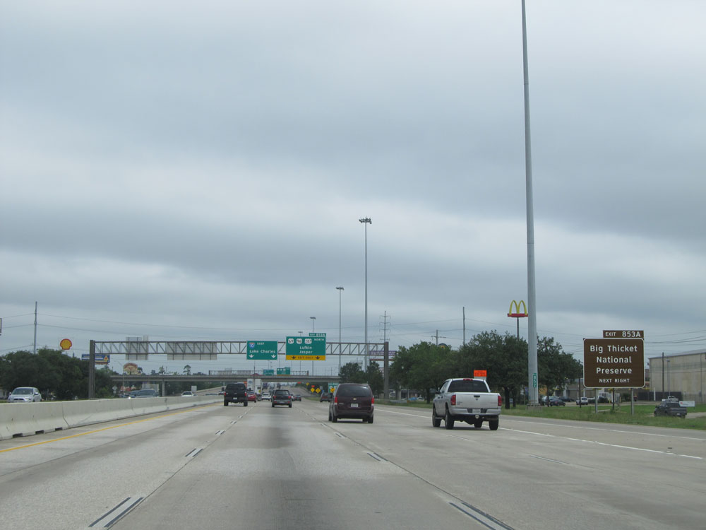 |
Take Exit 853A to Big Thicket National Preserve. (Photo taken 5/22/15). |
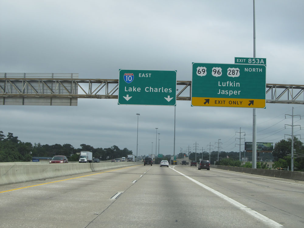 |
Interstate 10 East at Exit 853A: US 69 / US 96 / US 287 North - Lufkin / Jasper (Photo taken 5/22/15). |
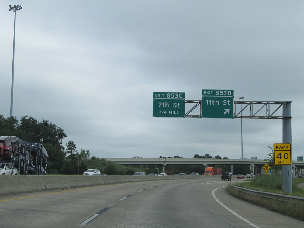 |
Interstate 10 East at Exit 853B: 11th St (Photo taken 5/22/15). |
 |
One half mile from Exit 853C, the speed limit decreases to 55 mph briefly. (Photo taken 5/22/15). |
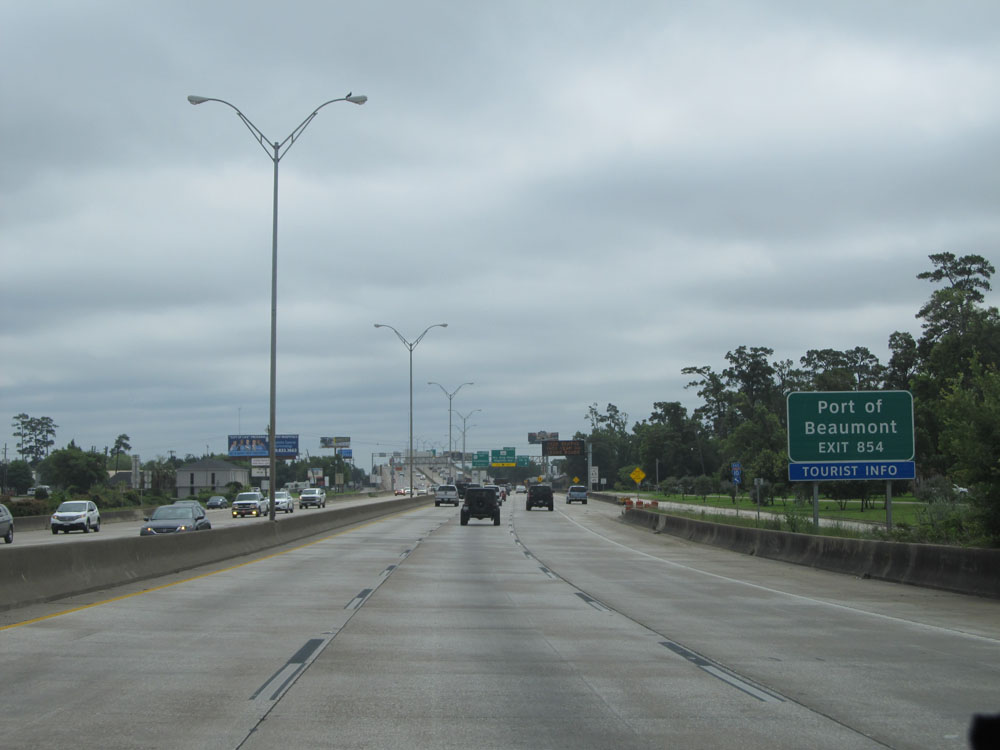 |
Take Exit 854 to Port of Beaumont. (Photo taken 5/22/15). |
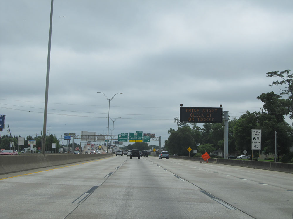 |
One half mile from when the speed limit dropped to 55 mph, it increases back up to 65 mph with a minimum speed limit of 45 mph in effect. (Photo taken 5/22/15). |
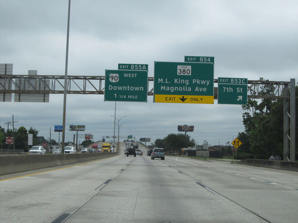 |
Interstate 10 East at Exit 853C: 7th St (Photo taken 5/22/15). |
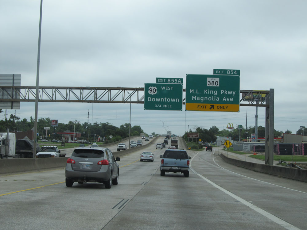 |
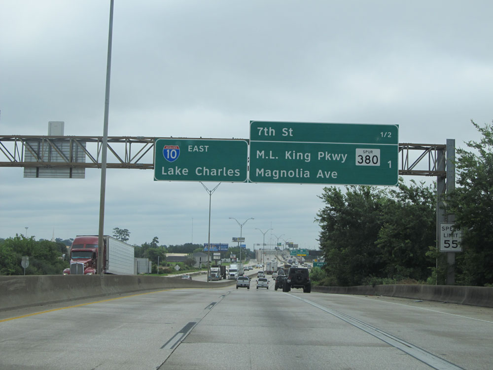
Interstate 10 East at Exit 854: TX Spur 380 - M.L. King Pkwy / Magnolia Ave (Photo taken 5/22/15). |
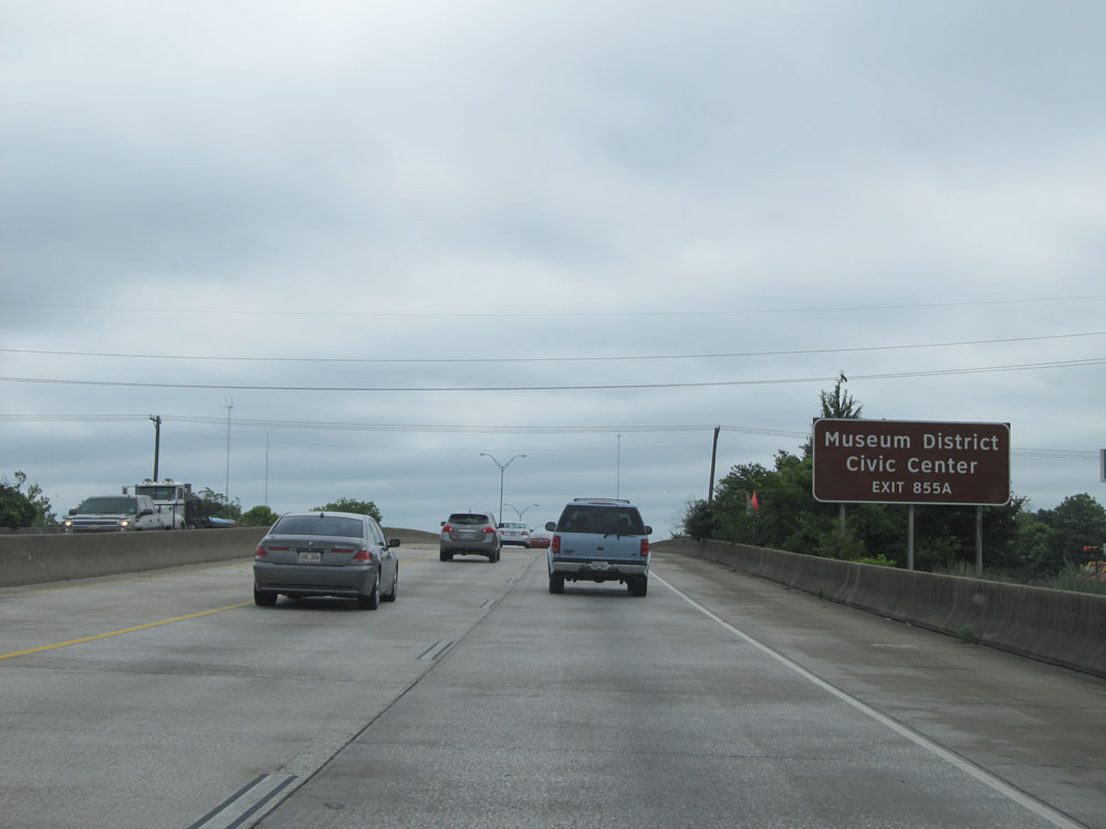 |
Take Exit 855A to the Museum District and Civic Center. (Photo taken 5/22/15). |
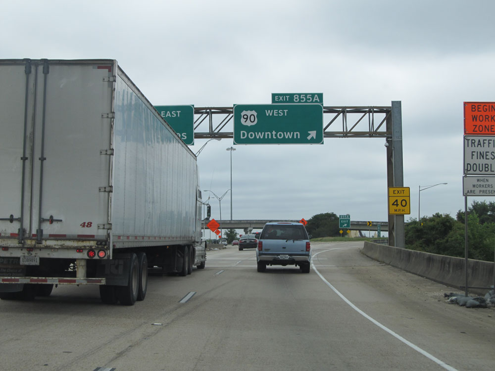 |
Interstate 10 East at Exit 855A: US 90 West - Downtown (Photo taken 5/22/15). |
 |
Interstate 10 East at Exit 856: Old Hwy 90 / Rose City (Photo taken 5/22/15). |
 |
Leaving the downtown Beaumont area, the speed limit increases to 75 mph just past Exit 856. (Photo taken 5/22/15). |
 |
Interstate 10 East: Road view from mile marker 857. (Photo taken 5/22/15). |
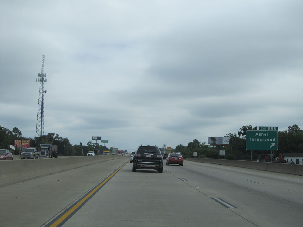 |
Interstate 10 East at Exit 858: Asher Turnaround (Photo taken 5/22/15). |
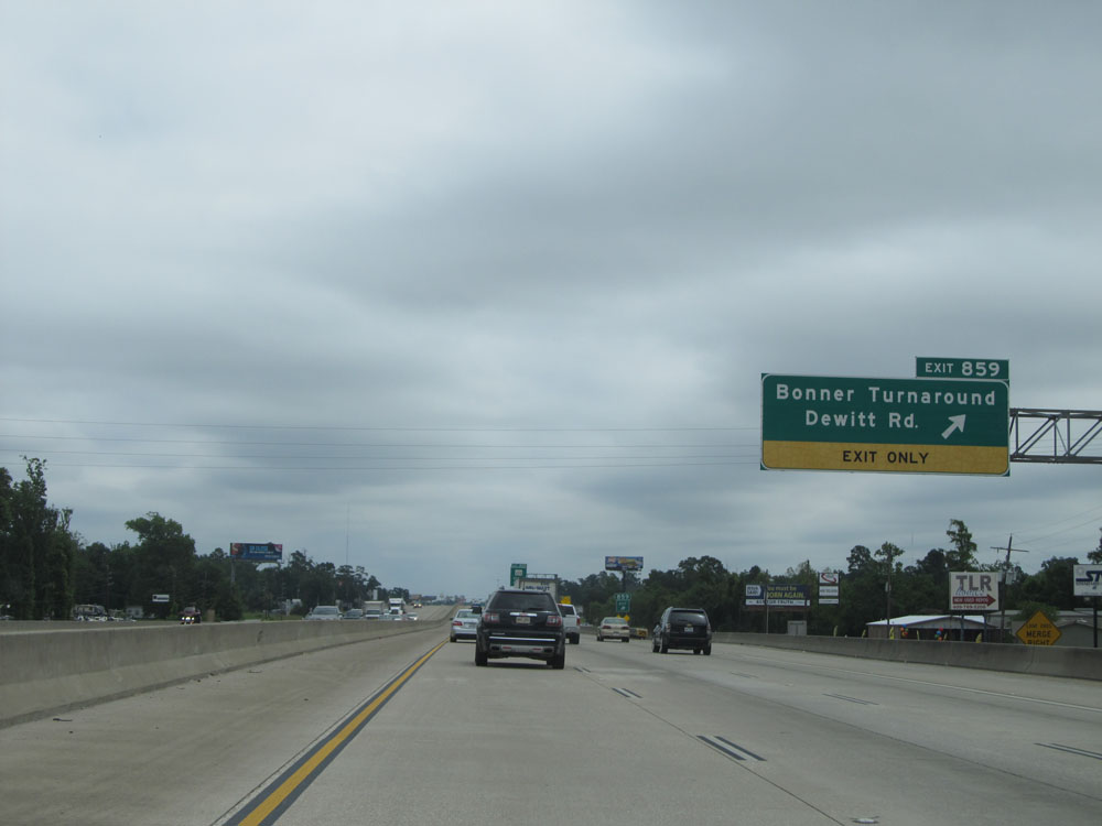 |
Interstate 10 East at Exit 859: Bonner Turnaround / Dewitt Rd (Photo taken 5/22/15). |
 |
Interstate 10 East at Exit 860: FM 105 - Vidor (Photo taken 5/22/15). |
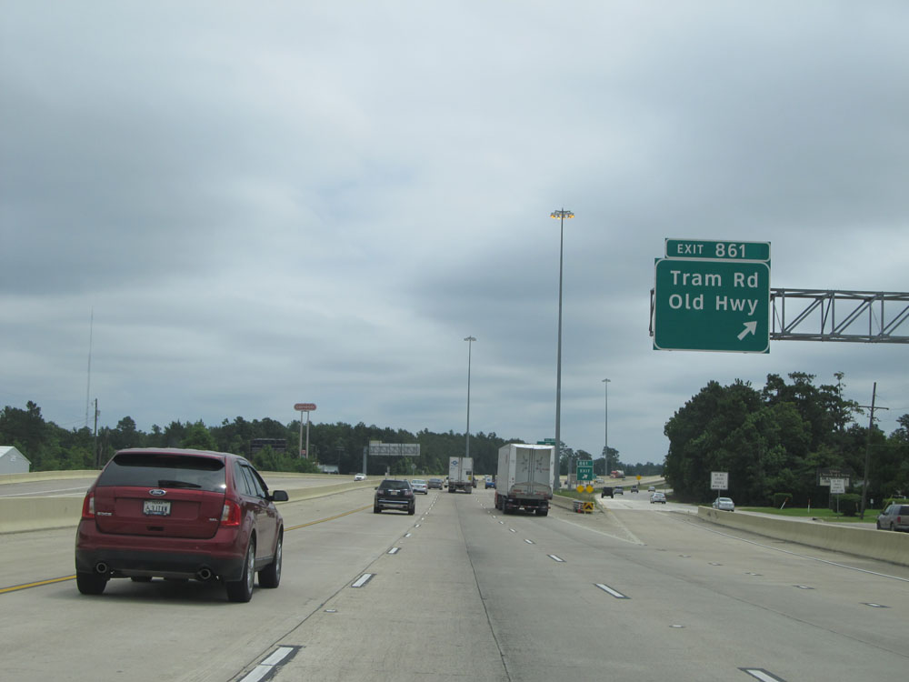 |
Interstate 10 East at Exit 861: Tram Rd / Old Hwy (Photo taken 5/22/15). |
 |
Interstate 10 East at Exit 861A: TX 12 - Mauriceville / Deweyville (Photo taken 5/22/15). |
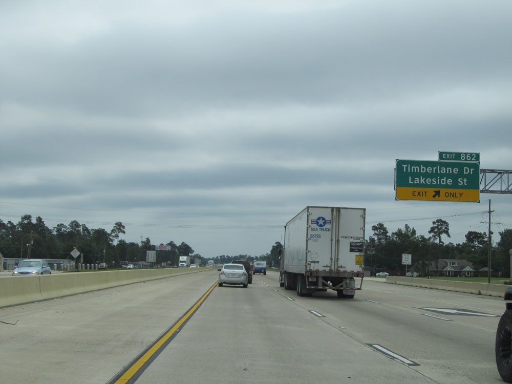 |
Interstate 10 East at Exit 862: Timberlane Dr / Lakeside St (Photo taken 5/22/15). |
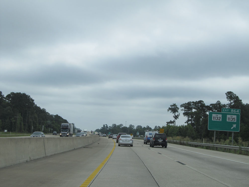 |
Interstate 10 East at Exit 864: FM 1132 / FM 1135 (Photo taken 5/22/15). |
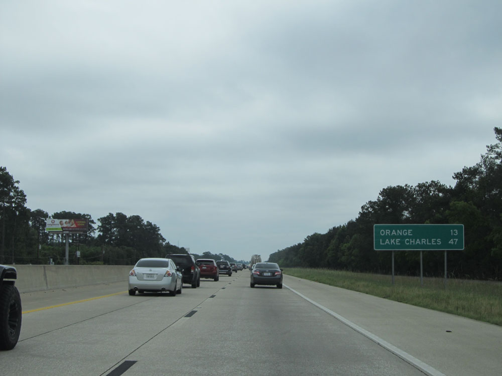 |
Mileage sign near mile marker 865. It's 13 miles to Orange and 47 miles to Lake Charles. (Photo taken 5/22/15). |
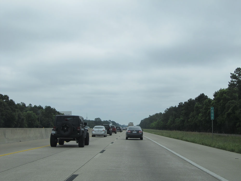 |
Interstate 10 East: Road view from mile marker 866. (Photo taken 5/22/15). |
 |
Interstate 10 East crossing Cow Bayou into the Vidor city limits. (Photo taken 5/22/15). |
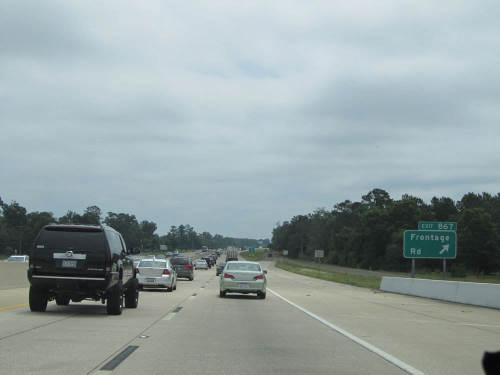 |
Interstate 10 East at Exit 867: Frontage Rd (Photo taken 5/22/15). |
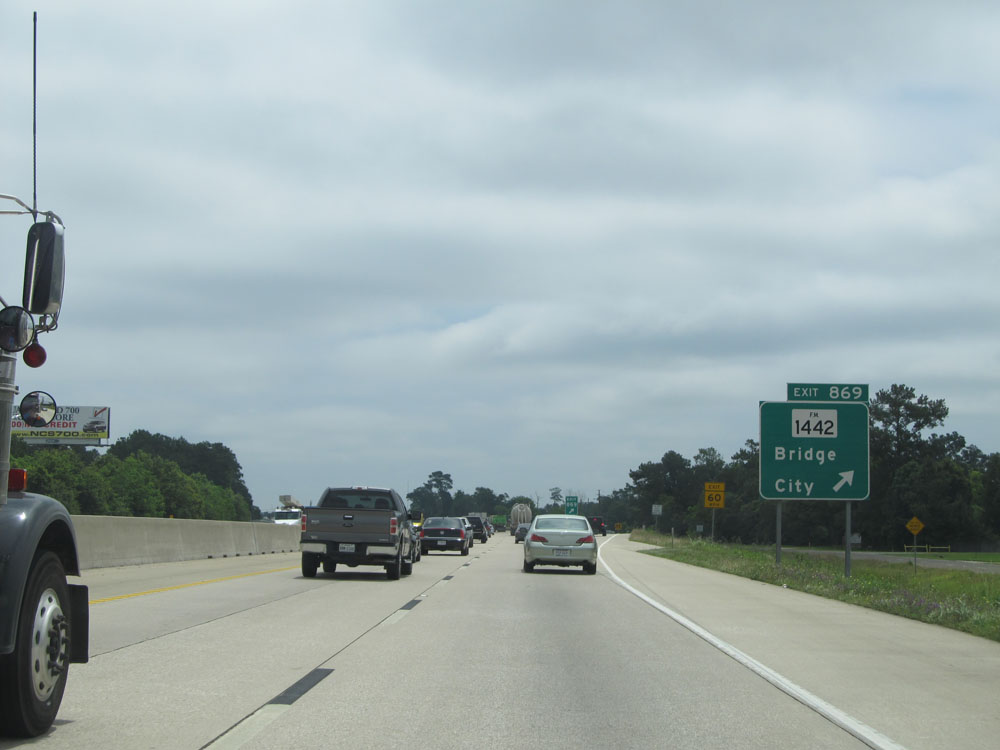 |
Interstate 10 East at Exit 869: FM 1442 - Bridge City (Photo taken 5/22/15). |
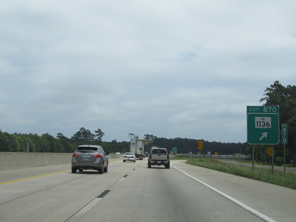 |
Interstate 10 East at Exit 870: FM 1136 (Photo taken 5/22/15). |
 |
Interstate 10 East at Exit 873: TX 62 / TX 73 - Bridge City / Port Arthur (Photo taken 5/22/15). |
 |
Interstate 10 East at Exit 874A: US 90 BR - Pinehurst (Photo taken 5/22/15). |
 |
Interstate 10 East at Exit 874: FM 3247 - M.L. King Jr. Drive (Photo taken 5/22/15). |
 |
Interstate 10 East at Exit 875: Woodlark Street (Photo taken 5/22/15). |
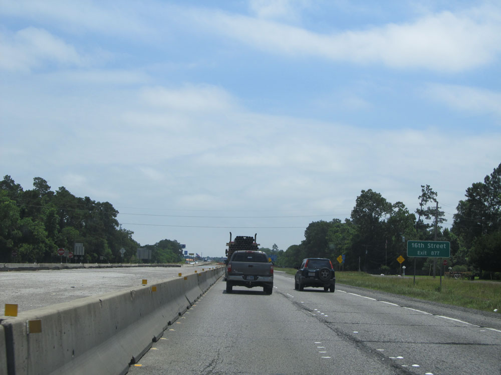 |
Take Exit 877 to 16th Street. (Photo taken 5/22/15). |
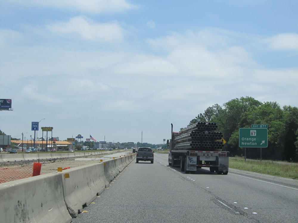 |
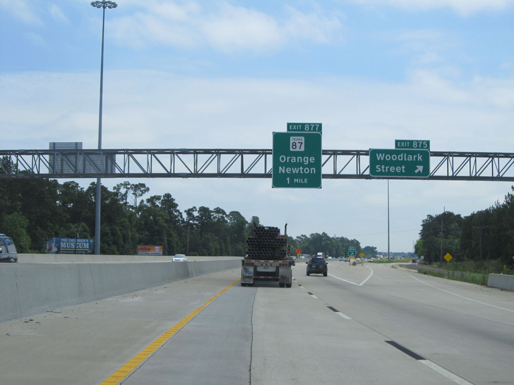
Interstate 10 East at Exit 877: TX 87 - Orange / Newton (Photo taken 5/22/15). |
 |
Interstate 10 East at Exit 878: US 90 BR - Simmons Dr (Photo taken 5/22/15). |
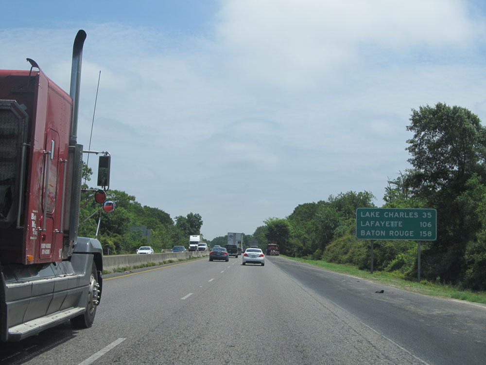 |
Mileage sign located near mile marker 879. It's 35 miles to Lake Charles, 106 miles to Lafayette, and 158 miles to Baton Rouge. (Photo taken 5/22/15). |
 |
Interstate 10 East at Exit 880: Sabine River Turnaround. Ahead, Interstate 10 East crosses the Sabine River into Louisiana. (Photo taken 5/22/15). |