Road Information |
||
 |
||
| Total Mileage in State: | 161 miles | |
| Northern End: | At Kentucky state line | |
| Southern End: | At Georgia state line | |
| Mileage covered in Photos: | 159 miles | |
| Counties covered in Photos: | Hamilton, Bradley, McMinn, Monroe, Loudon, Knox, Anderson, Campbell | |
| Major Junctions in Photos: | I-40, in Lenoir City I-140, near Knoxville I-640, in Knoxville I-275, in Knoxville |
|
| Control Cities in Photos: | Chattanooga, Ooltewah, Cleveland, Lenoir City, Knoxville, Lake City, Jellico | |
Northbound
- Section 1: Interstate 24 to Knoxville (Exit 376)
- Section 2: Knoxville (Exit 376) to Kentucky Border
Section 1: Interstate 24 to Knoxville (Exit 376)
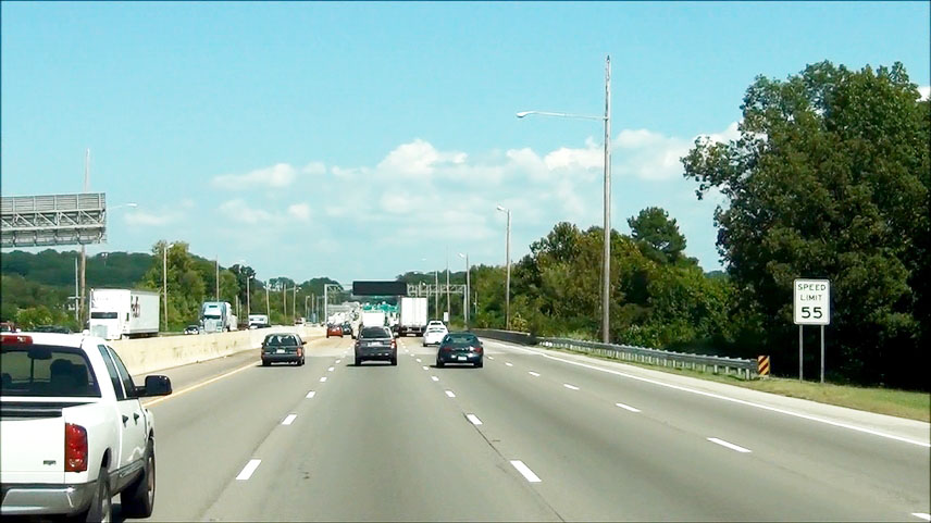 |
Speed limit sign near mile marker 2. The speed limit is 55 mph as you go through the Chattanooga area. (Photo taken 9/7/12). |
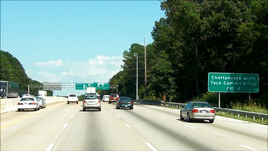 |
Take Exit 4 to Chattanooga State Tech Community College. (Photo taken 9/7/12). |
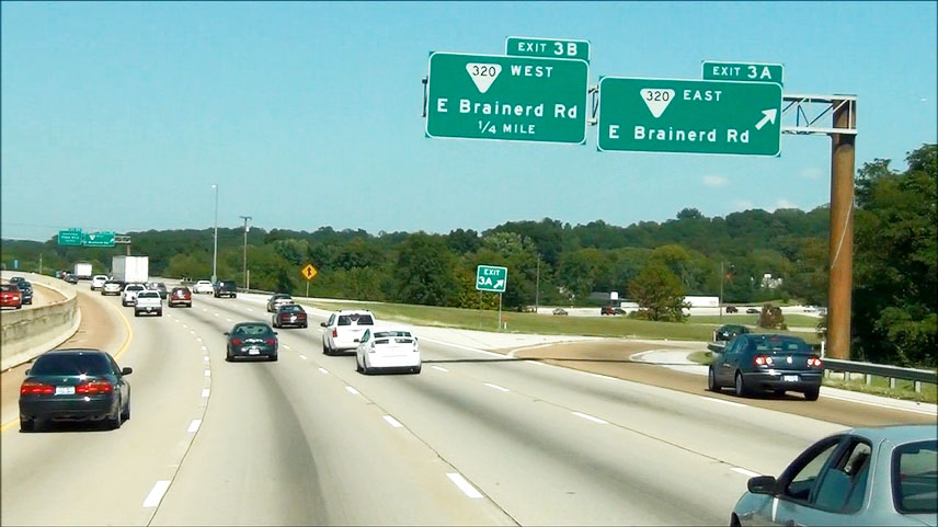 |
Interstate 75 North at Exit 3A: SR 320 East - E Brainerd Ave (Photo taken 9/7/12). |
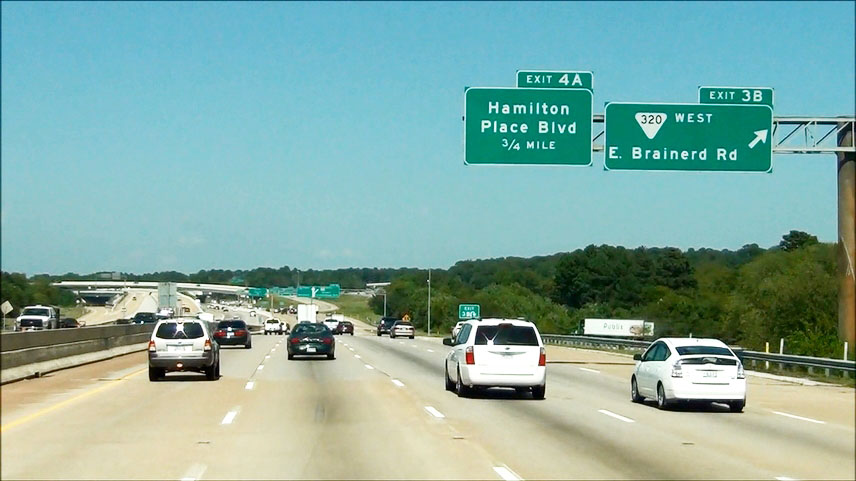 |
Interstate 75 North at Exit 3B: SR 320 West - E Brainerd Ave (Photo taken 9/7/12). |
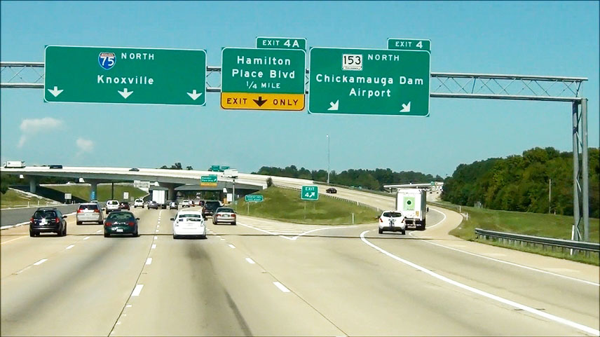 |
Interstate 75 North at Exit 4: TN 153 North - Chickamauga Dam / Airport (Photo taken 9/7/12). |
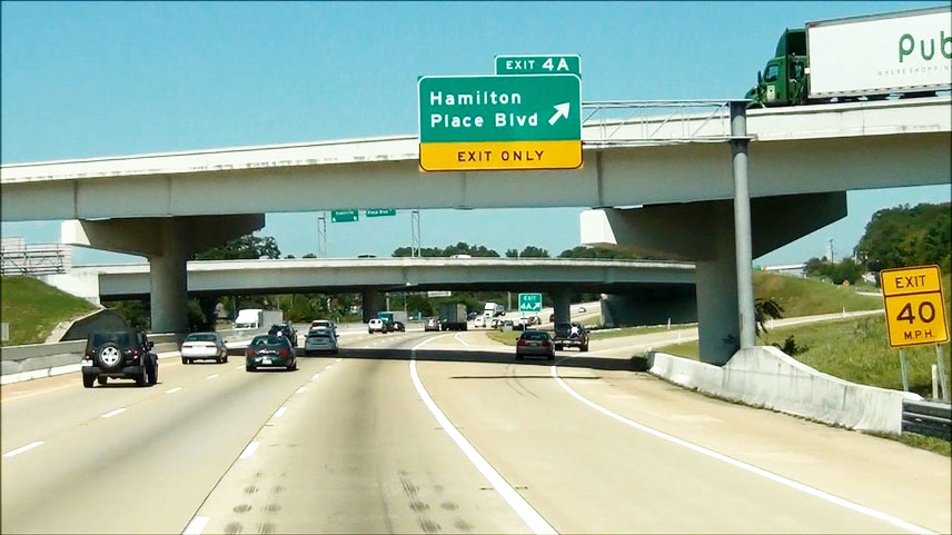 |
Interstate 75 North at Exit 4A: Hamilton Place Blvd (Photo taken 9/7/12). |
 |
Interstate 75 North shield located near mile marker 4.5. (Photo taken 9/7/12). |
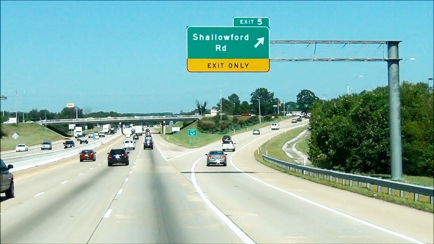 |
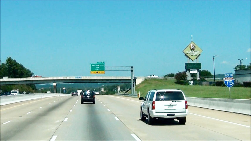
Interstate 75 North at Exit 5: Shallowford Rd (Photo taken 9/7/12). |
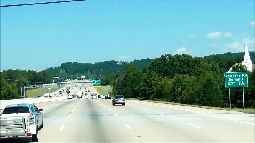 |
Take Exit 7A to Jenkins Rd / Summit. (Photo taken 9/7/12). |
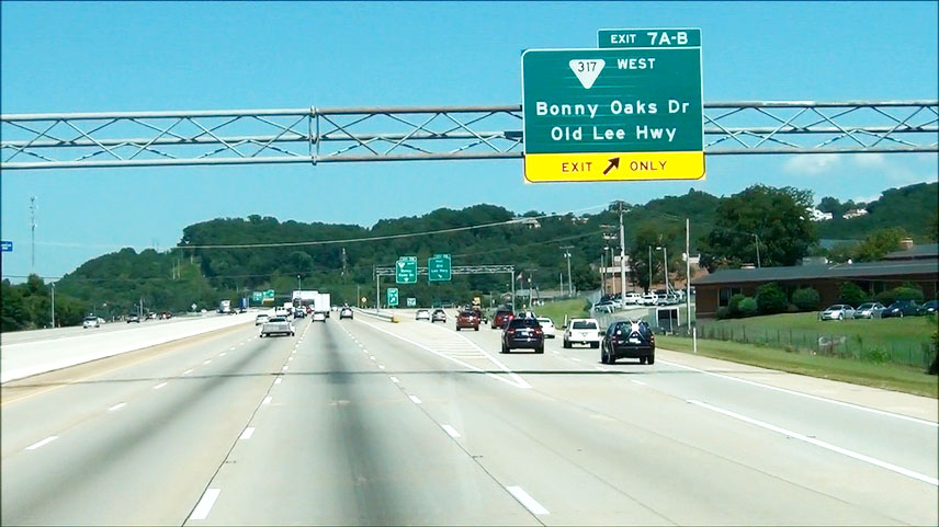 |
Interstate 75 North at Exits 7A-B: SR 317 West - Bonny Oaks Dr / Old Lee Hwy (Photo taken 9/7/12). |
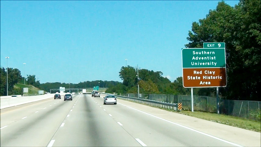 |
Take Exit 9 to Southern Adventist University and Red Clay Historic Area. (Photo taken 9/7/12). |
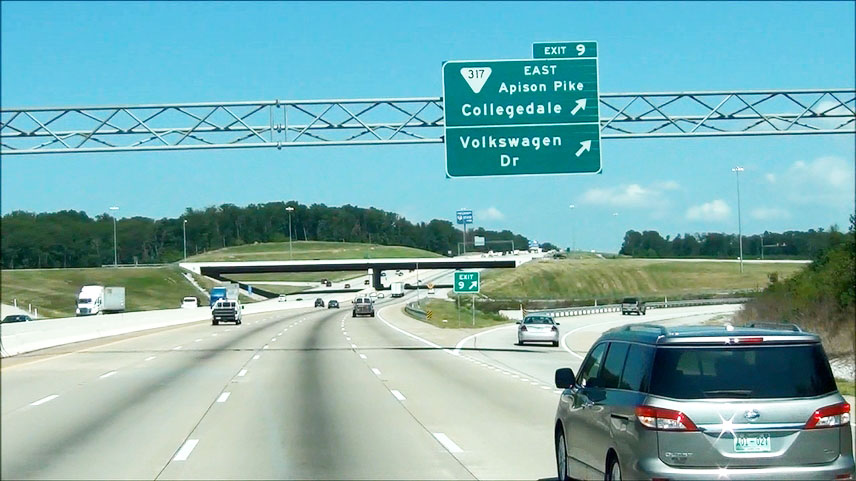 |
Interstate 75 North at Exit 9: SR 317 East (East Apison Pike) - Collegedale / Volkswagen Dr (Photo taken 9/7/12). |
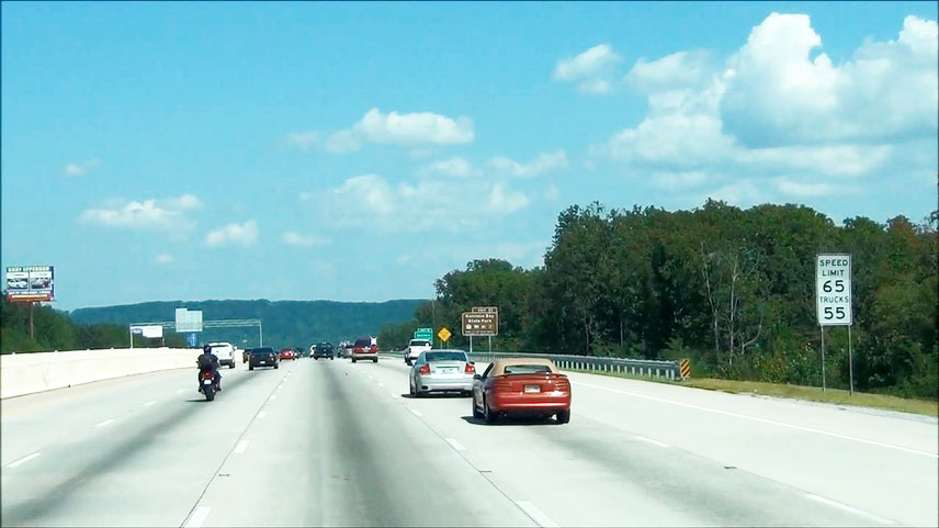 |
Near mile marker 9.5, the speed limit increases to 65 mph for cars but remains 55 mph for trucks. (Photo taken 9/7/12). |
 |
Take Exit 11 to Harrison Bay State Park. (Photo taken 9/7/12). |
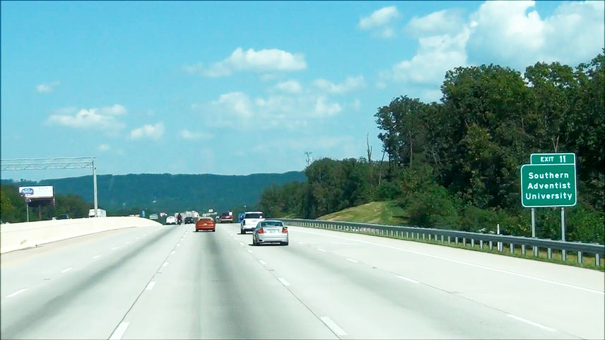 |
Also take Exit 11 to Southern Adventist University. (Photo taken 9/7/12). |
 |
Interstate 75 North at Exit 11: US 11 North / US 64 East - Ooltewah (Photo taken 9/7/12). |
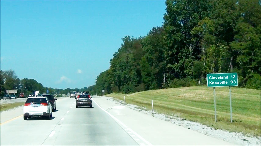 |
Mileage sign located near mile marker 13. It's 12 miles to Cleveland and 93 miles to Knoxville. (Photo taken 9/7/12). |
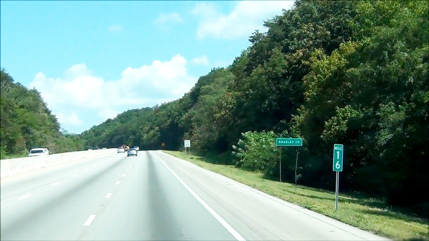 |
Interstate 75 North: Road view from mile marker 16. (Photo taken 9/7/12). |
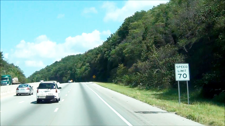 |
Near mile marker 16, the speed limit increases to 70 mph for all vehicles. (Photo taken 9/7/12). |
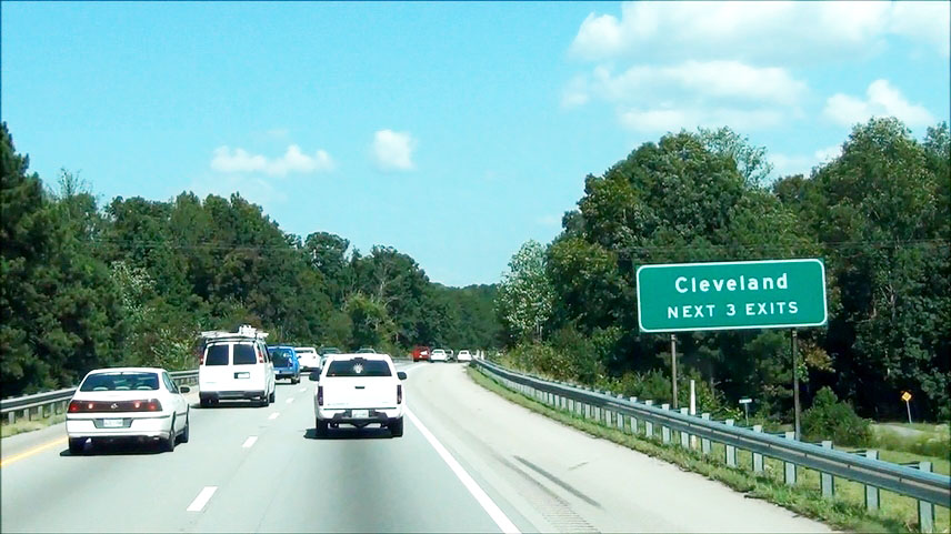 |
Take any of the next 3 exits to Cleveland. (Photo taken 9/7/12). |
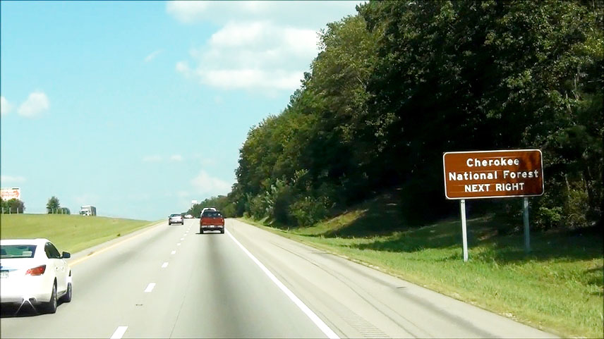 |
Take the next exit (Exit 20) to Cherokee National Forest. (Photo taken 9/7/12). |
 |
Interstate 75 North at Exit 20: US 64 Bypass East - Cleveland (Photo taken 9/7/12). |
 |
Interstate 75 North at the Weigh and Inspection station located near mile marker 23.5. (Photo taken 9/7/12). |
 |
Take the next exit (Exit 25) to Cleveland State Community College and Lee University. (Photo taken 9/7/12). |
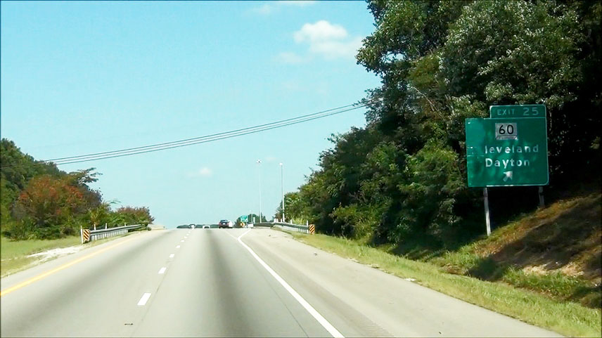 |
Interstate 75 North at Exit 25: TN 60 - Cleveland / Dayton (Photo taken 9/7/12). |
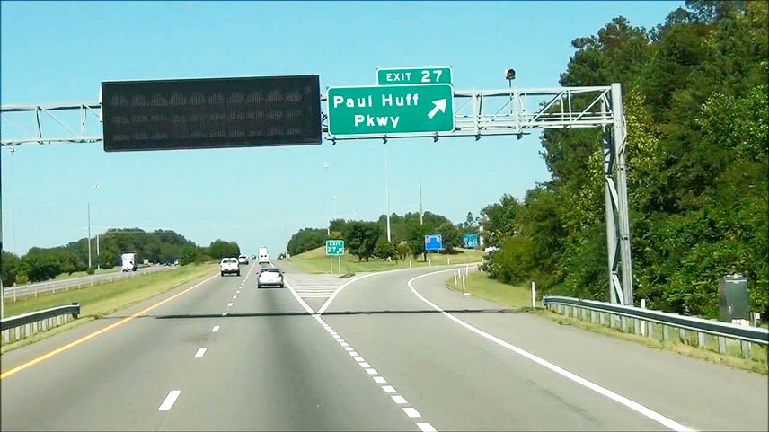 |
Interstate 75 North at Exit 27: Paul Huff Pkwy (Photo taken 9/7/12). |
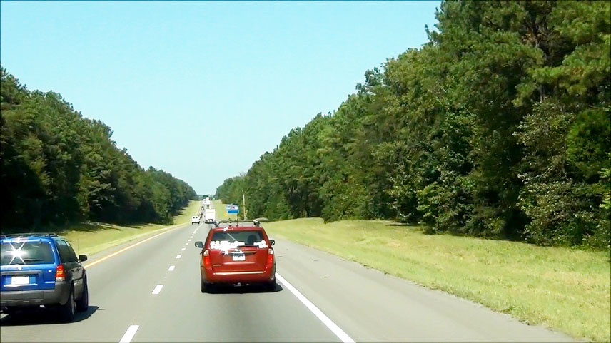 |
Interstate 75 North: Road view from near mile marker 30. (Photo taken 9/7/12). |
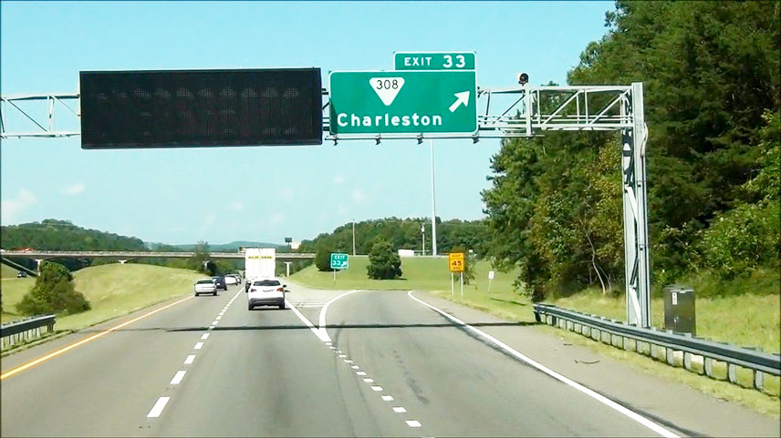 |
Interstate 75 North at Exit 33: SR 308 - Charleston (Photo taken 9/7/12). |
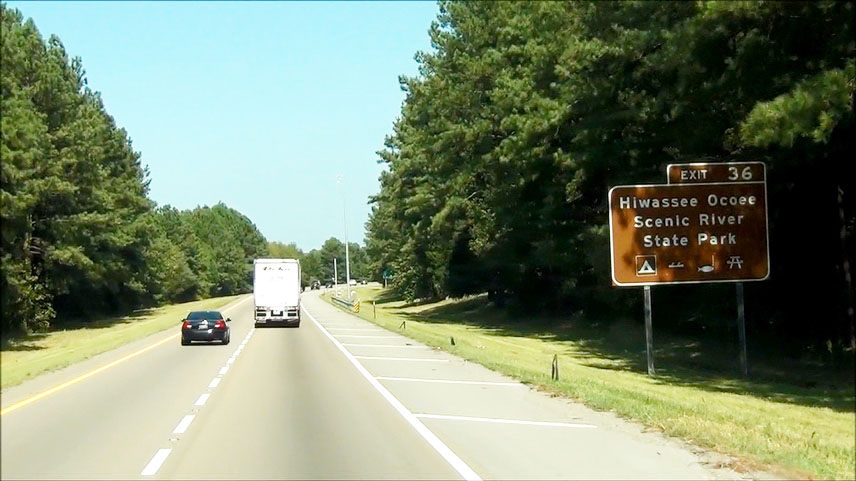 |
Take Exit 36 to Hiwassee Ocoee Scenic River State Park. (Photo taken 9/7/12). |
 |
Interstate 75 North at Exit 36: SR 163 - Calhoun (Photo taken 9/7/12). |
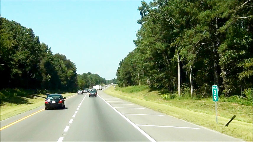 |
Interstate 75 North: Road view from mile marker 39. (Photo taken 9/7/12). |
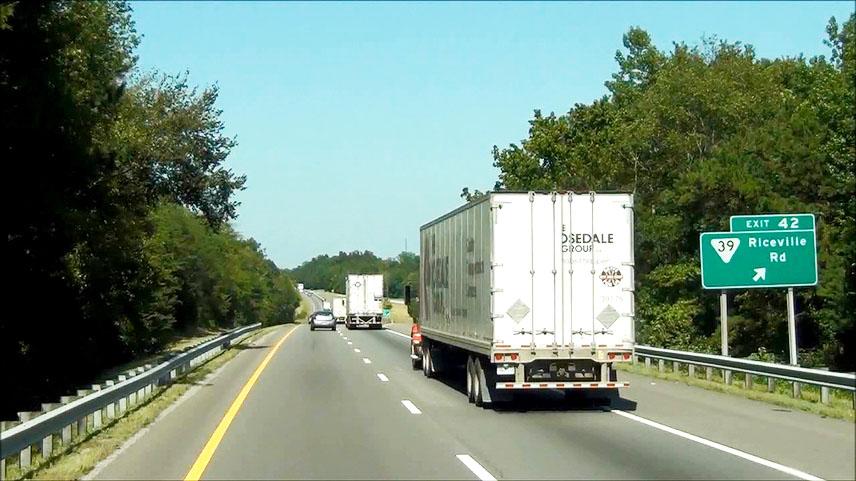 |
Interstate 75 North at Exit 42: SR 39 - Riceville Rd (Photo taken 9/7/12). |
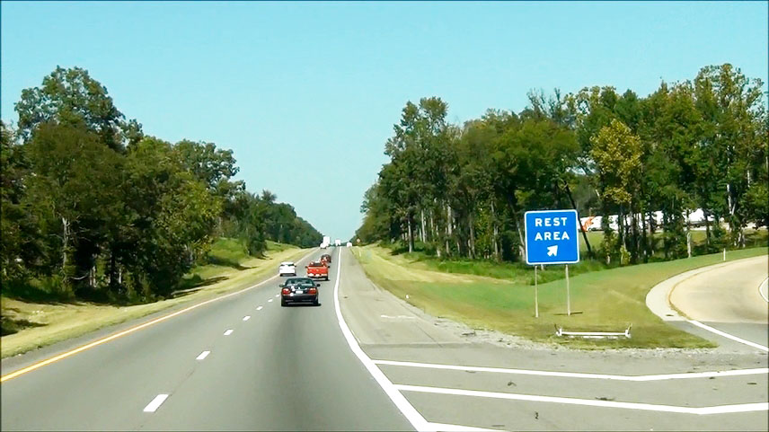 |
Interstate 75 North at the Rest Area located near mile marker 45. (Photo taken 9/7/12). |
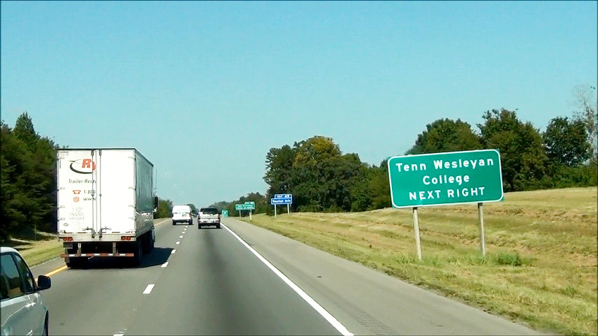 |
Take the next exit (Exit 49) to Tennessee Wesleyan College. (Photo taken 9/7/12). |
 |
Also take Exit 49 to Tennessee Technology Center at Athens. (Photo taken 9/7/12). |
 |
Interstate 75 North at Exit 49: TN 30 - Athens / Decatur (Photo taken 9/7/12). |
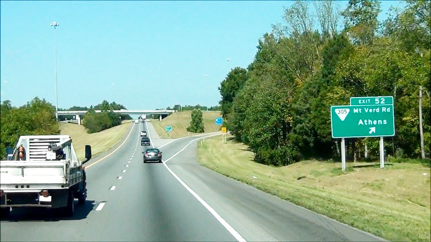 |
Interstate 75 North at Exit 52: SR 305 (Mt Verd Rd) - Athens (Photo taken 9/7/12). |
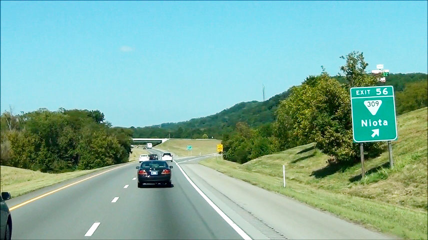 |
Interstate 75 North at Exit 56: SR 309 - Niota (Photo taken 9/7/12). |
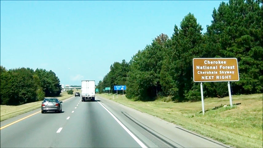 |
Take the next exit (Exit 60) to Cherokee National Forest / Cherohala Skyway. (Photo taken 9/7/12). |
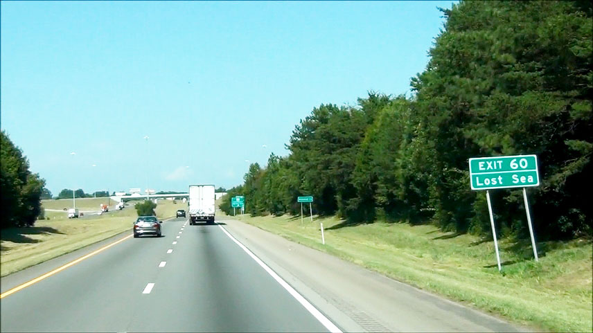 |
Also take Exit 60 to Lost Sea. (Photo taken 9/7/12). |
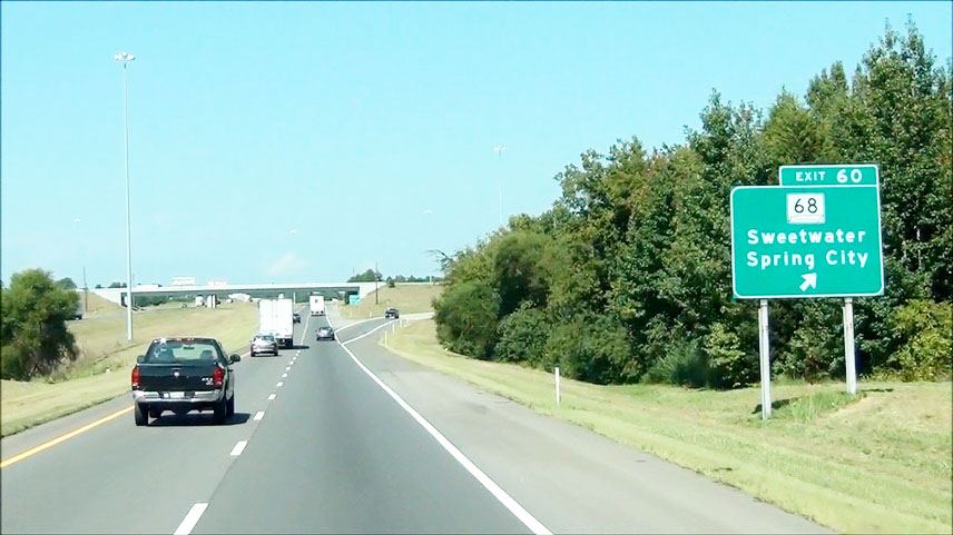 |
Interstate 75 North at Exit 60: TN 68 - Sweetwater / Spring City (Photo taken 9/7/12). |
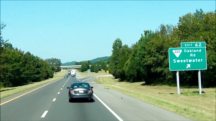 |
Interstate 75 North at Exit 62: SR 322 (Oakland Rd) - Sweetwater (Photo taken 9/7/12). |
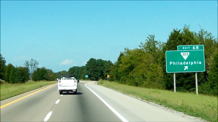 |
Interstate 75 North at Exit 68: SR 323 - Philadelphia (Photo taken 9/7/12). |
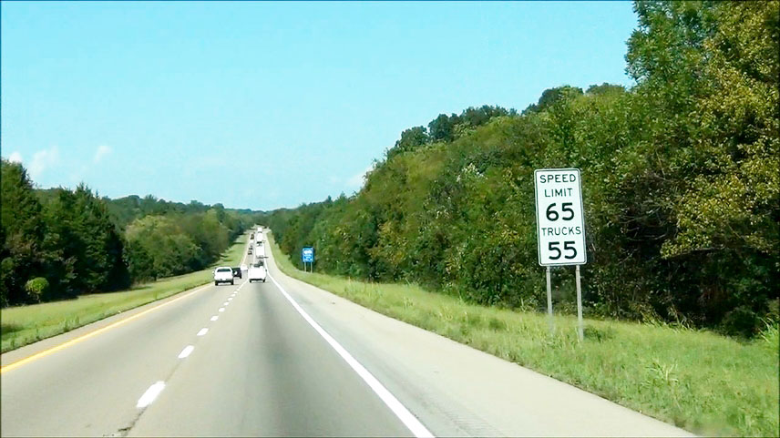 |
Near mile marker 69, the speed limit decreases to 65 mph for cars and 55 mph for trucks as you enter Loudon County. (Photo taken 9/7/12). |
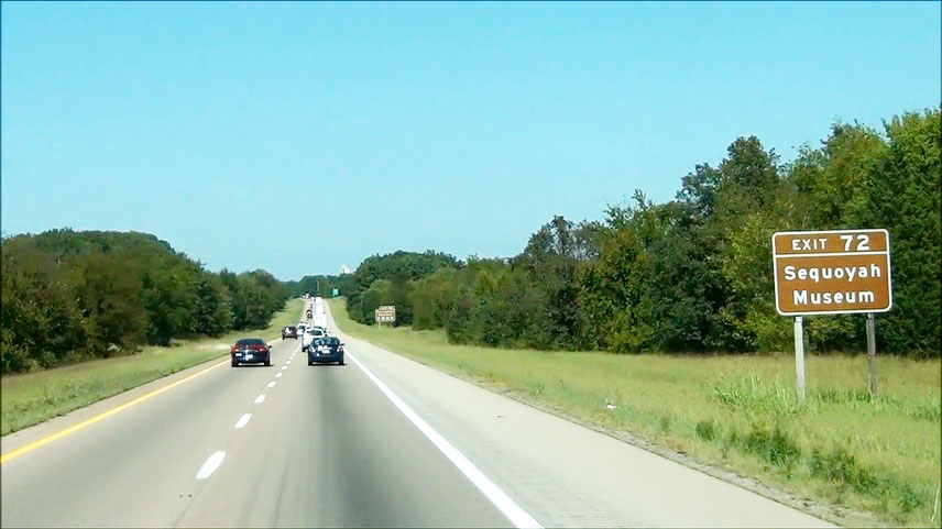 |
Take Exit 72 to Sequoyah Museum. (Photo taken 9/7/12). |
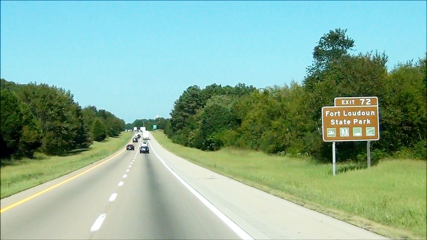 |
Also take Exit 72 to Fort Loudoun State Park. (Photo taken 9/7/12). |
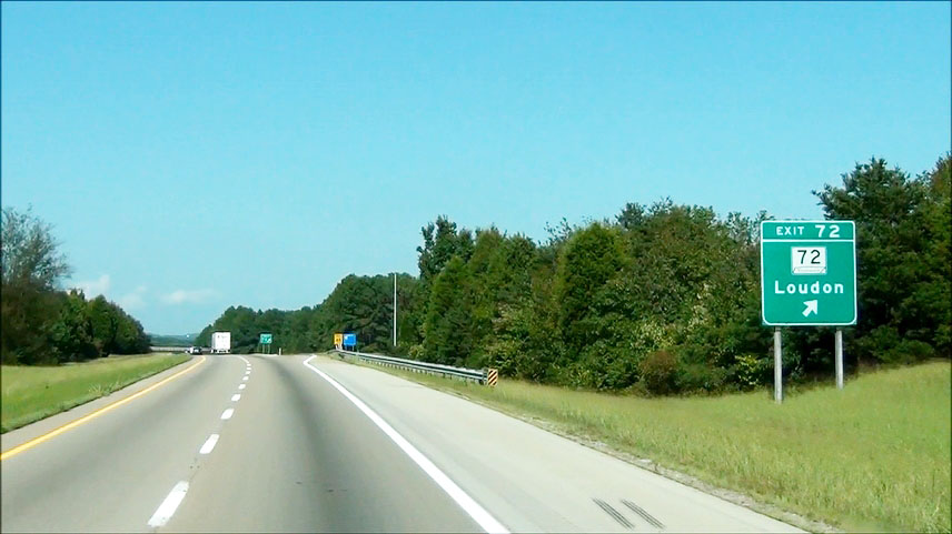 |
Interstate 75 North at Exit 72: TN 72 - Loudon (Photo taken 9/7/12). |
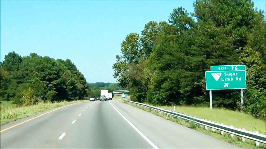 |
Interstate 75 North at Exit 76: SR 324 - Sugar Limb Rd (Photo taken 9/7/12). |
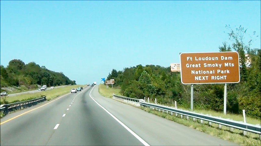 |
Take the next exit (Exit 81) to Fort Loudoun Dam and Great Smoky Mountains National Park. (Photo taken 9/7/12). |
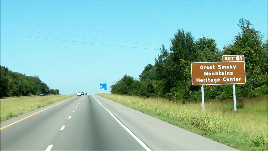 |
Also take Exit 81 to Great Smoky Mountains Heritage Center. (Photo taken 9/7/12). |
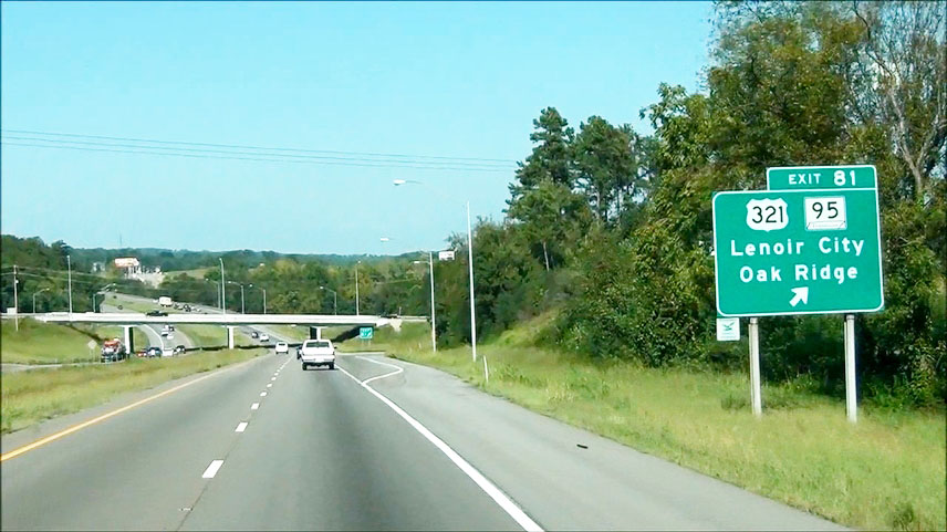 |
Interstate 75 North at Exit 81: US 321 / TN 95 - Lenoir City / Oak Ridge (Photo taken 9/7/12). |
 |
Interstate 75 North approaching Exits 84A-B - 1 mile. (Photo taken 9/7/12). |
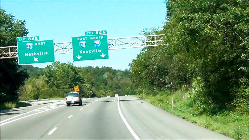 |
Interstate 75 North at Exit 84B: Interstate 40 West - Nashville. Stay straight to continue on I-75 North and I-40 East to Knoxville. During the I-75/I-40 duplex, I-40's mileage takes precedence. (Photo taken 9/7/12). |
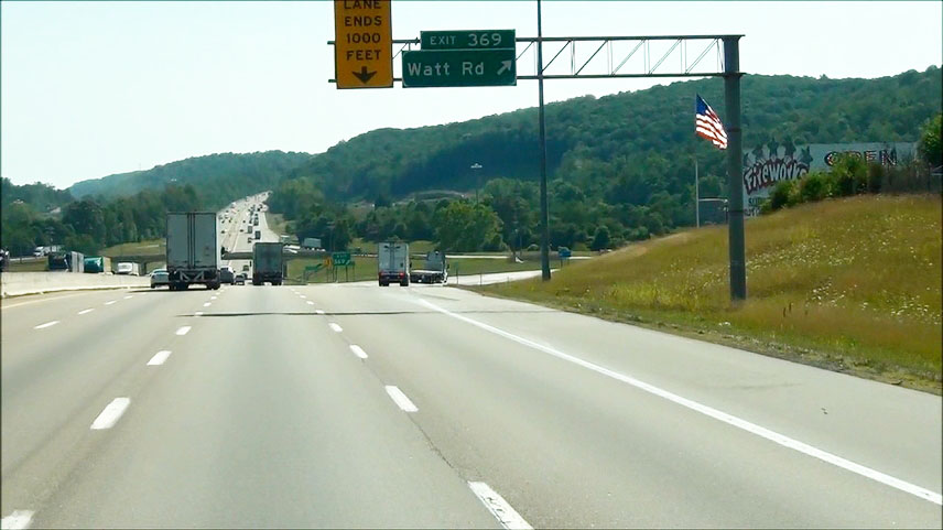 |
Interstate 75 North / Interstate 40 East at Exit 369: Watt Rd (Photo taken 9/7/12). |
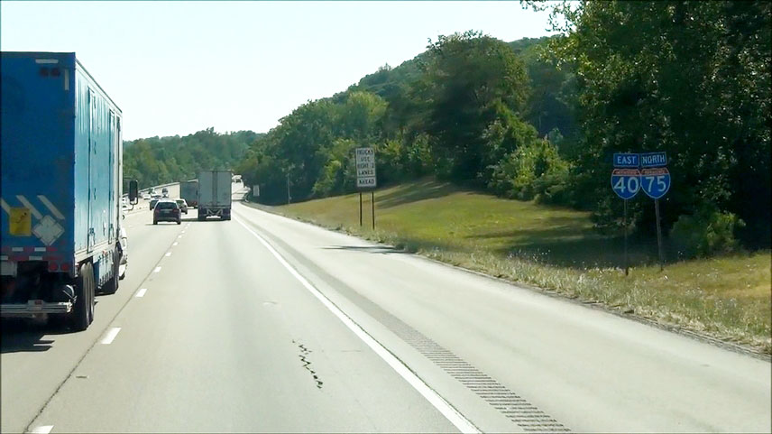 |
Interstate 75 North / Interstate 40 East shields located near mile marker 370. (Photo taken 9/7/12). |
 |
Interstate 75 North / Interstate 40 East at the Weigh Station located near mile marker 371. (Photo taken 9/7/12). |
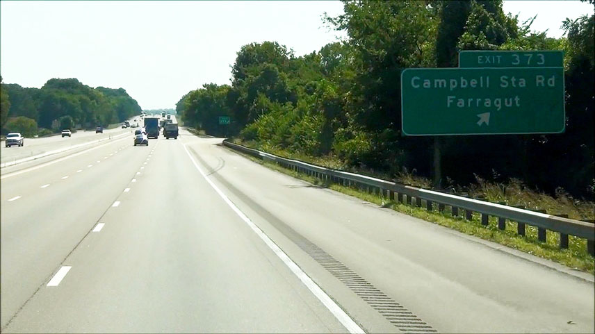 |
Interstate 75 North / Interstate 40 East at Exit 373: Campbell Station Rd / Farragut (Photo taken 9/7/12). |
 |
The speed limit decreases to 55 mph for all vehicles as you pass through the Knoxville area. (Photo taken 9/7/12). |
 |
Interstate 75 North / Interstate 40 East at Exit 374: SR 131 - Lovell Rd (Photo taken 9/7/12). |
 |
Take Exit 376A to American Museum of Science and Energy, Pellissippi State Community College, and Tusculum College. (Photo taken 9/7/12). |
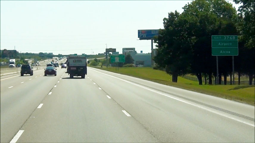 |
Take Exit 376B to the Airport and Alcoa. (Photo taken 9/7/12). |
 |
Also take Exit 376A to US Dept of Energy, Oak Ridge National Lab, and Y-12 National Security Complex. (Photo taken 9/7/12). |
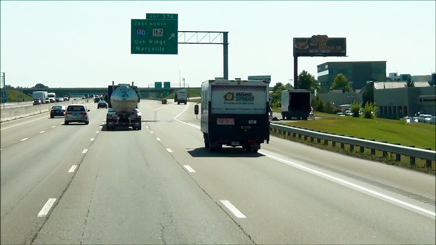 |
Interstate 75 North / Interstate 40 East at Exit 376: Interstate 140 East / TN 162 North - Oak Ridge / Maryville (Photo taken 9/7/12). |
Section 2: Knoxville (Exit 376) to Kentucky Border
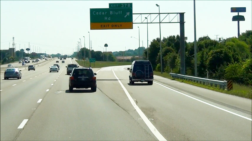 |
Interstate 75 North / Interstate 40 East at Exit 378: Cedar Bluff Rd (Photo taken 9/7/12). |
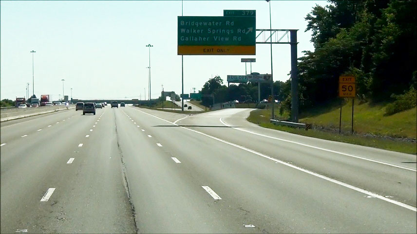 |
Interstate 75 North / Interstate 40 East at Exit 379: Bridgewater Rd / Walker Springs Rd / Gallaher View Rd (Photo taken 9/7/12). |
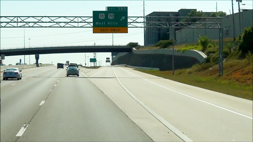 |
Interstate 75 North / Interstate 40 East at Exit 380: US 11 / US 70 - West Hills (Photo taken 9/7/12). |
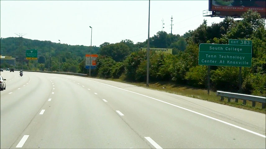 |
Take Exit 383 to South College and Tennessee Technology Center at Knoxville. (Photo taken 9/7/12). |
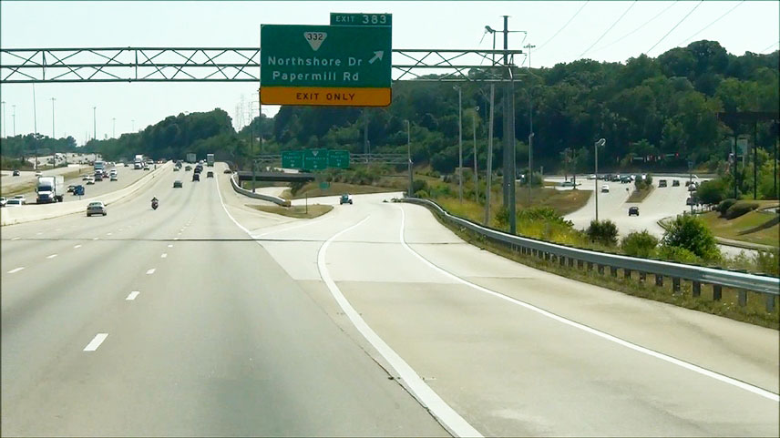 |
Interstate 75 North / Interstate 40 East at Exit 383: SR 332 - Northshore Dr / Papermill Rd (Photo taken 9/7/12). |
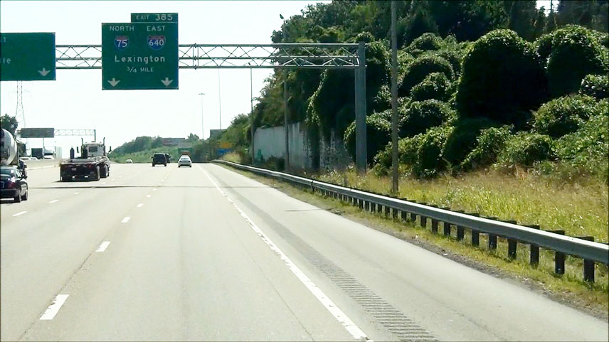 |
Interstate 75 North / Interstate 40 East approaching Exit 385 - 3/4 mile. (Photo taken 9/7/12). |
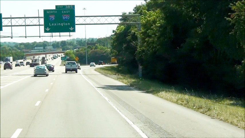 |
Interstate 75 North / Interstate 40 East at Exit 385: Interstate 75 North / Interstate 640 East - Lexington. Now I-75 and I-640 will run together for a few miles, and during this stretch I-640's mileage takes precedence. (Photo taken 9/7/12). |
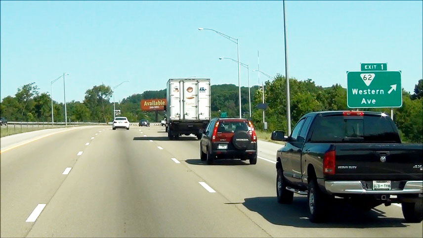 |
Interstate 75 North / Interstate 640 East at Exit 1: SR 62 - Western Ave (Photo taken 9/7/12). |
 |
Interstate 75 North / Interstate 640 East at Exit 3B: US 25W North (Gap Rd) - Clinton (Photo taken 9/7/12). |
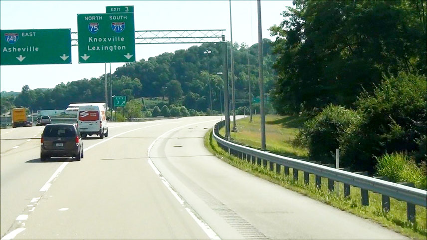 |
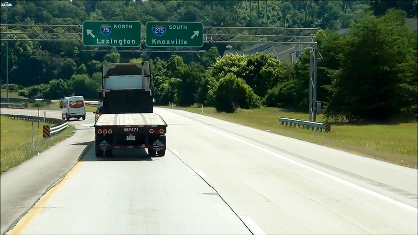
Interstate 75 North / Interstate 640 East at Exit 3: Interstate 75 North / Interstate 275 South - Knoxville / Lexington (Photo taken 9/7/12). |
 |
View off the off ramp from the previous exit. You must be in the left lane to continue on Interstate 75 North. (Photo taken 9/7/12). |
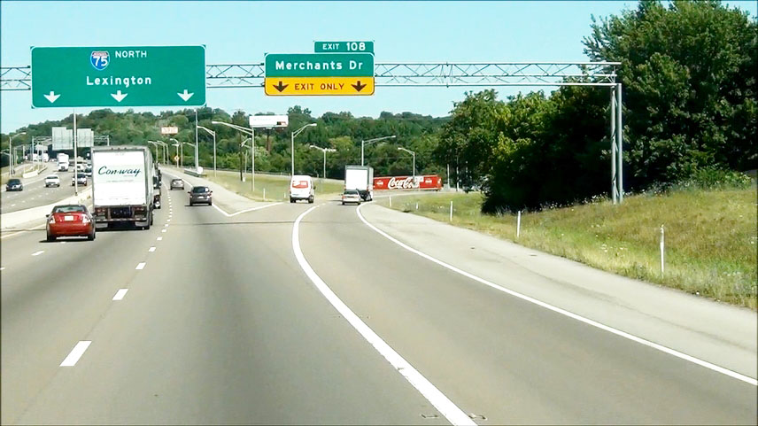 |
Interstate 75 North at Exit 108: Merchants Dr (Photo taken 9/7/12). |
 |
Interstate 75 North shield located near mile marker 109. (Photo taken 9/7/12). |
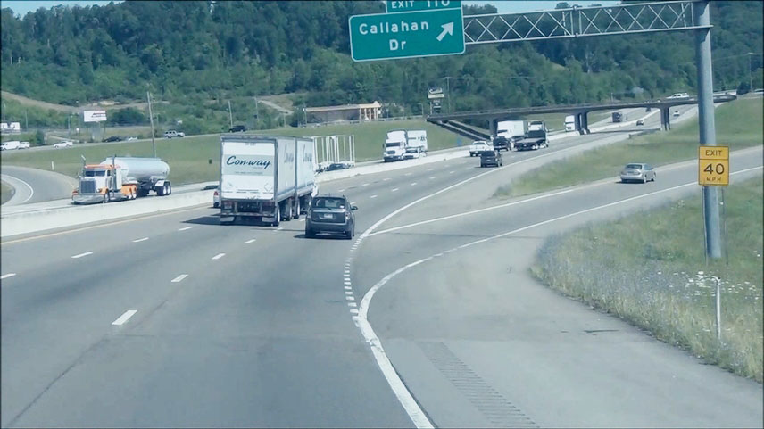 |
Interstate 75 North at Exit 110: Callahan Dr. Sorry about the quality of this one. (Photo taken 9/7/12). |
 |
Take Exit 112 to Crown College. (Photo taken 9/7/12). |
 |
Interstate 75 North at Exit 112: SR 131 (Emory Rd) - Powell (Photo taken 9/7/12). |
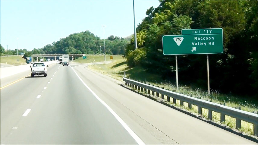 |
Interstate 75 North at Exit 117: SR 170 - Raccoon Valley Rd (Photo taken 9/7/12). |
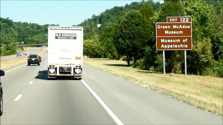 |
Take Exit 122 to Green McAdoo Museum and Museum of Appalachia. (Photo taken 9/7/12). |
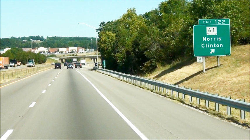 |
Interstate 75 North at Exit 122: TN 61 - Norris / Clinton (Photo taken 9/7/12). |
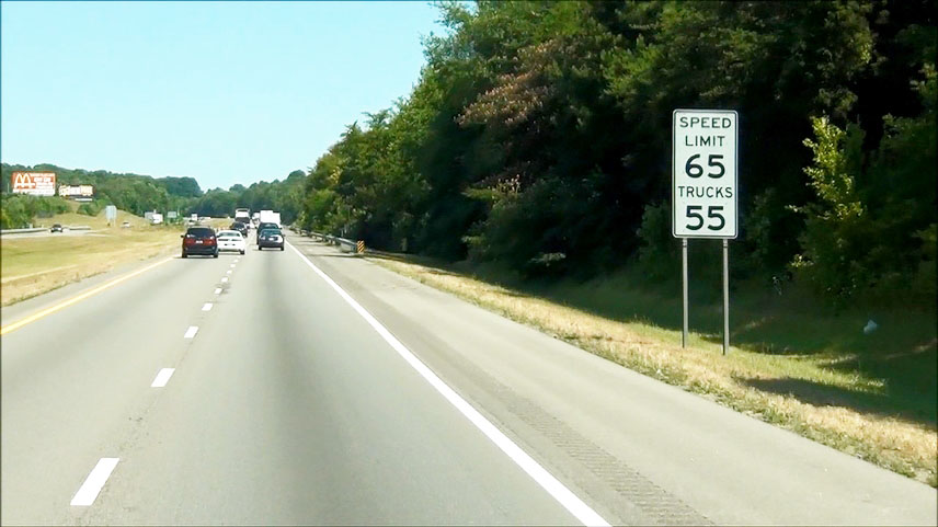 |
Near mile marker 123, the speed limit increases to 65 mph for cars but remains 55 mph for trucks. (Photo taken 9/7/12). |
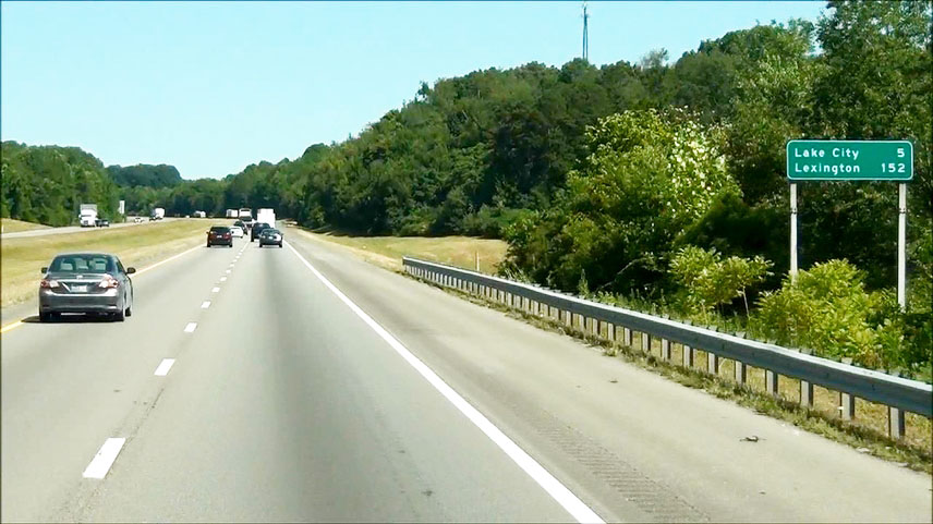 |
Mileage sign located near mile marker 123.5. It's 5 miles to Lake City and 152 miles to Lexington. (Photo taken 9/7/12). |
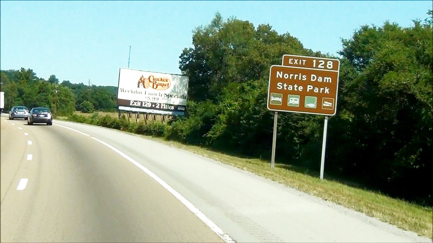 |
Take Exit 128 to Norris Dam State Park. (Photo taken 9/7/12). |
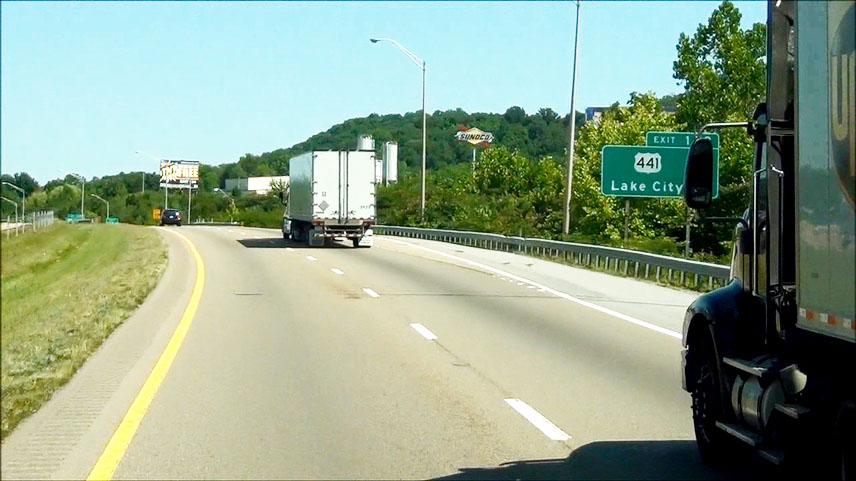 |
Interstate 75 North at Exit 128: US 441 - Lake City (Photo taken 9/7/12). |
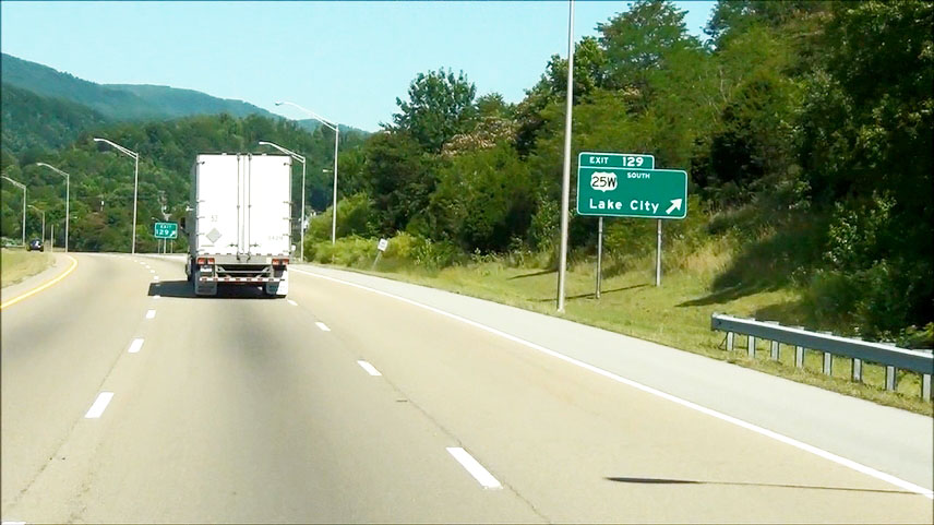 |
Interstate 75 North at Exit 129: US 25W South - Lake City (Photo taken 9/7/12). |
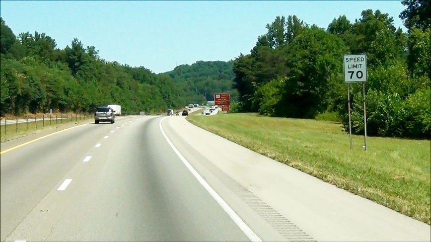 |
The speed limit increases to 70 mph near mile marker 131. (Photo taken 9/7/12). |
 |
Warning sign for Exit 134. Class 1 Explosives are prohibited on US 25W North through the tunnel at the Tennessee/Kentucky border. (Photo taken 9/7/12). |
 |
Vehicles hauling hazardous materials of class 2 thru class 9 and vehicles over 8'6" wide are only permitted through the tunnel under escort. (Photo taken 9/7/12). |
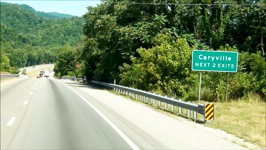 |
Take either of the next 2 exits to Caryville. (Photo taken 9/7/12). |
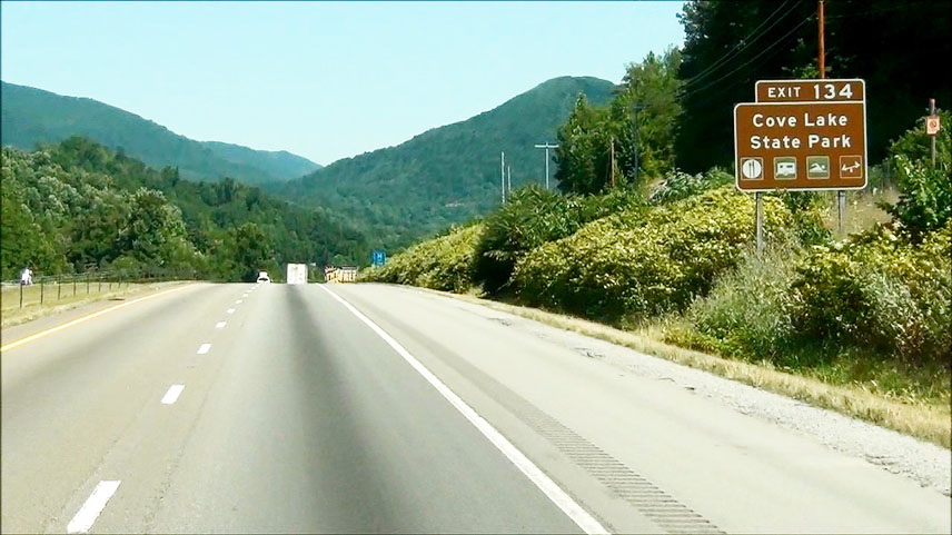 |
Take Exit 134 to Cove Lake State Park. (Photo taken 9/7/12). |
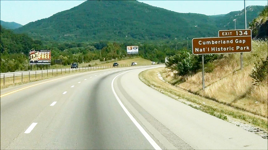 |
Also take Exit 134 to Cumberland Gap National Historic Park. (Photo taken 9/7/12). |
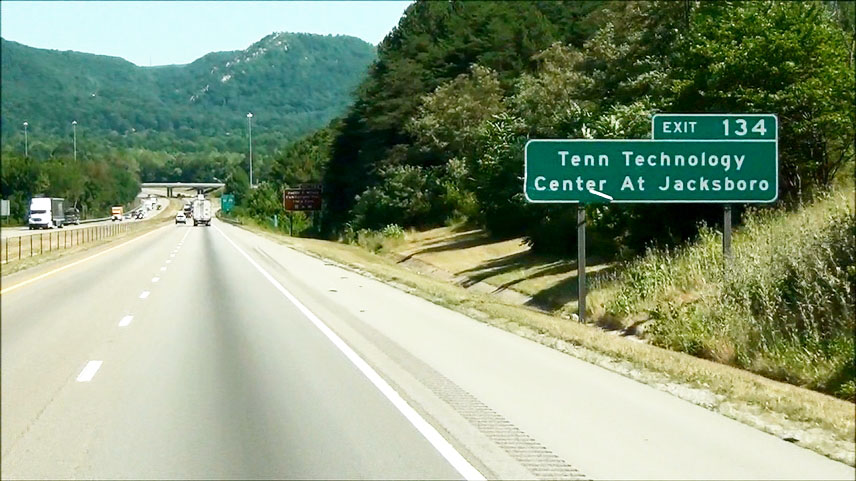 |
Take Exit 134 to Tennessee Technology Center at Jacksboro as well. (Photo taken 9/7/12). |
 |
Lastly, take Exit 134 to Justin P. Wilson Cumberland Trail State Park. (Photo taken 9/7/12). |
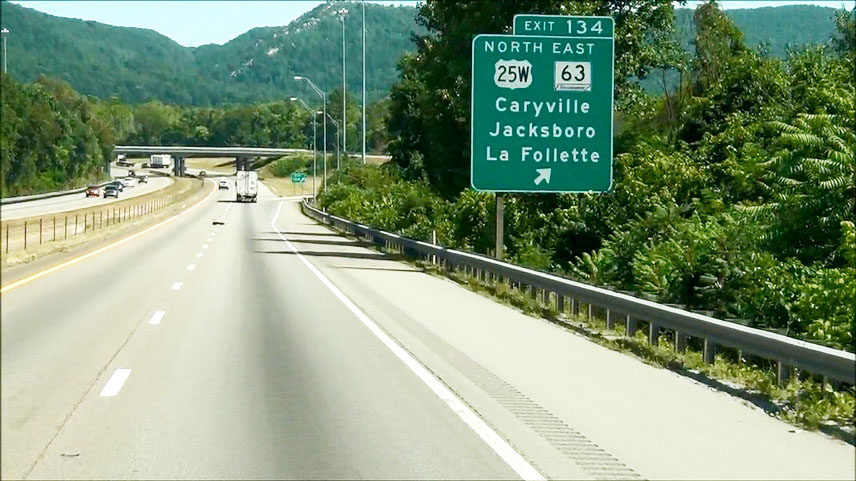 |
Interstate 75 North at Exit 134: US 25W North / TN 63 East - Caryville / Jacksboro / La Follette (Photo taken 9/7/12). |
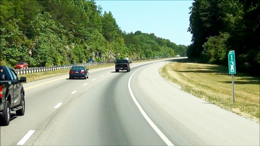 |
Interstate 75 North: Road view from mile marker 138. (Photo taken 9/7/12). |
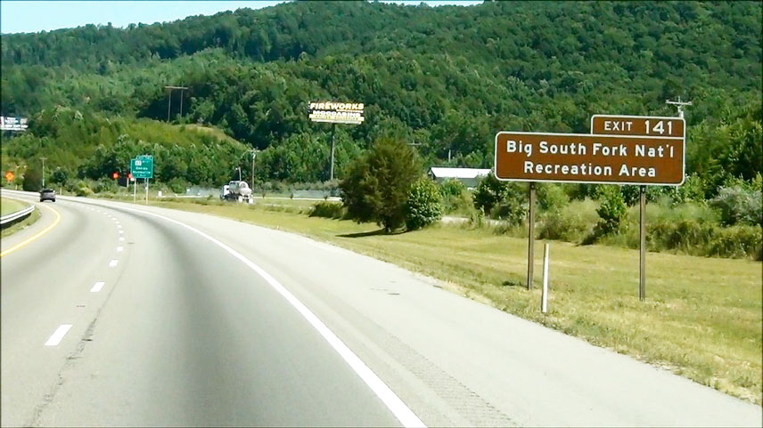 |
Take Exit 141 to Big South Fork National Recreation Area. (Photo taken 9/7/12). |
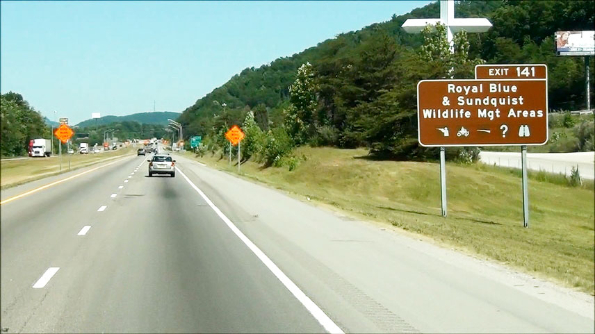 |
Also take Exit 141 to Royal Blue & Sundquist Wildlife Management Areas. (Photo taken 9/7/12). |
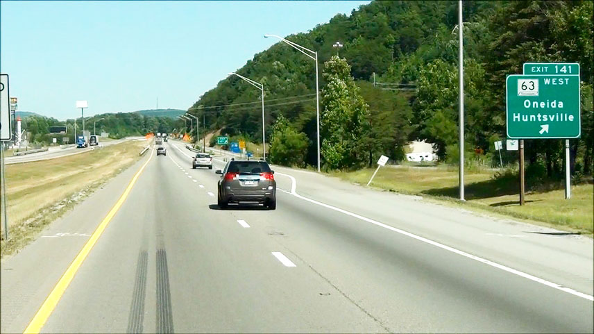 |
Interstate 75 North at Exit 141: TN 63 West - Oneida / Huntsville (Photo taken 9/7/12). |
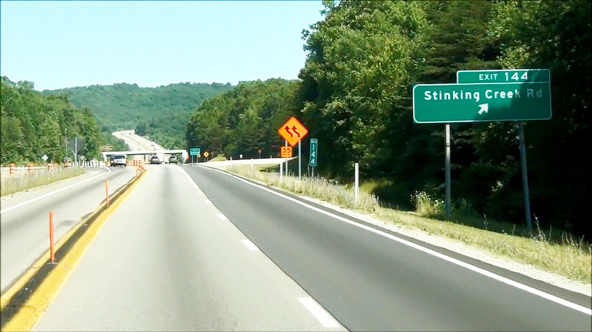 |
Interstate 75 North at Exit 144: Stinking Creek Rd (Photo taken 9/7/12). |
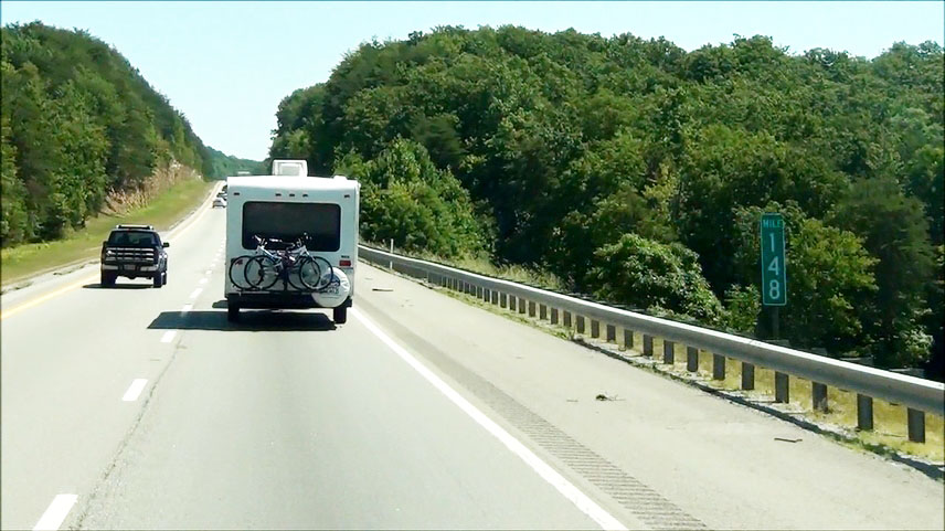 |
Interstate 75 North: Road view from mile marker 148. (Photo taken 9/7/12). |
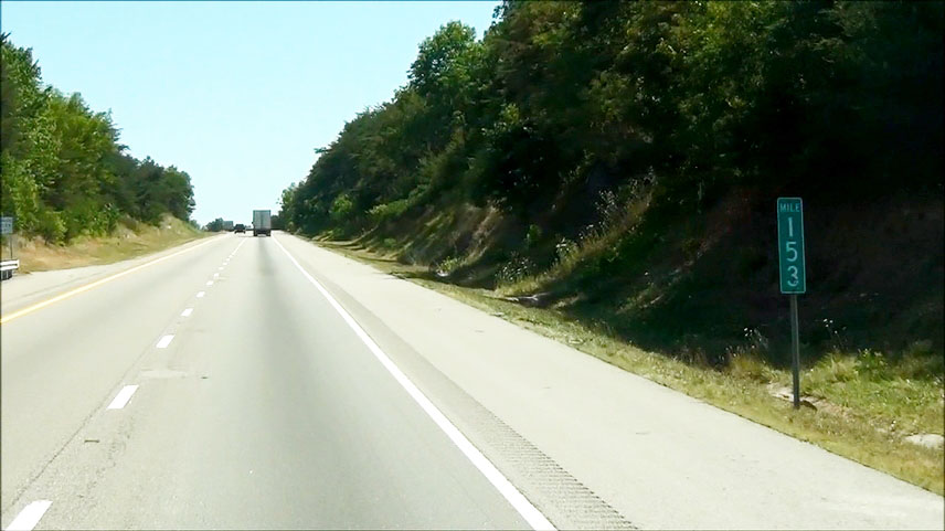 |
Interstate 75 North: Road view from mile marker 153. (Photo taken 9/7/12). |
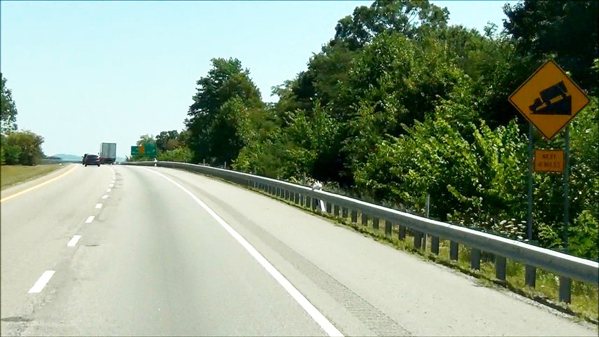 |
Warning sign near mile marker 156, alerting of a steep downgrade ahead which lasts 4 miles. The percent grade is not posted, however. (Photo taken 9/7/12). |
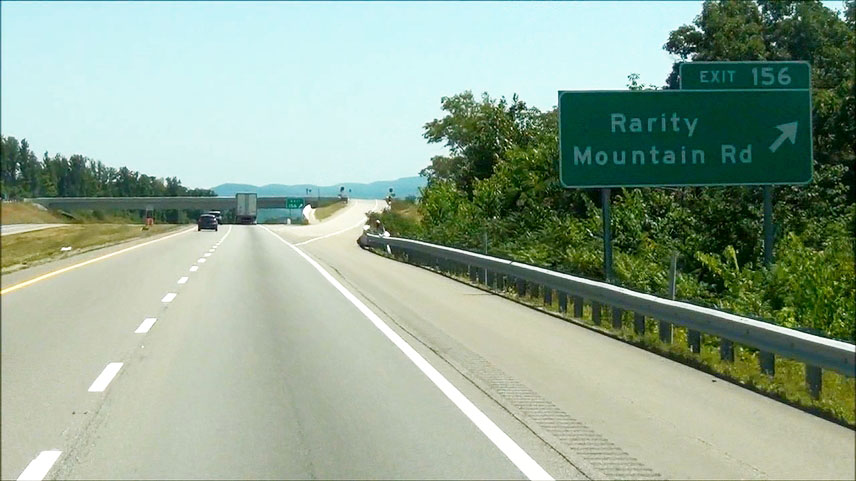 |
Interstate 75 North at Exit 156: Rarity Mountain Rd (Photo taken 9/7/12). |
 |
Interstate 75 North: Road view from near mile marker 158, as you head down the grade. (Photo taken 9/7/12). |
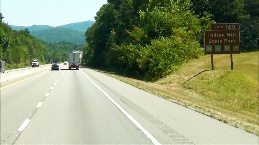 |
Take Exit 160 to Indian Mountain State Park. (Photo taken 9/7/12). |
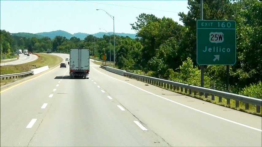 |
Interstate 75 North at Exit 160: US 25W - Jellico (Photo taken 9/7/12). |
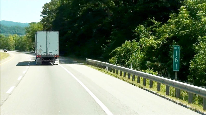 |
Interstate 75 North: Road view from mile marker 161 as you prepare to enter Kentucky. (Photo taken 9/7/12). |