Road Information |
||
 |
||
| Total Mileage in State: | 455 miles | |
| Eastern End: | At North Carolina state line | |
| Western End: | At Arkansas state line | |
| Mileage covered in Photos: | 455 miles | |
| Counties covered in Photos: | Cocke, Jefferson, Sevier, Knox, Loudon, Roane, Cumberland, Putnam, Smith, Wilson, Davidson, Cheatham, Williamson, Dickson, Hickman, Humphreys, Benton, Decatur, Carroll, Henderson, Madison, Haywood, Fayette, Shelby | |
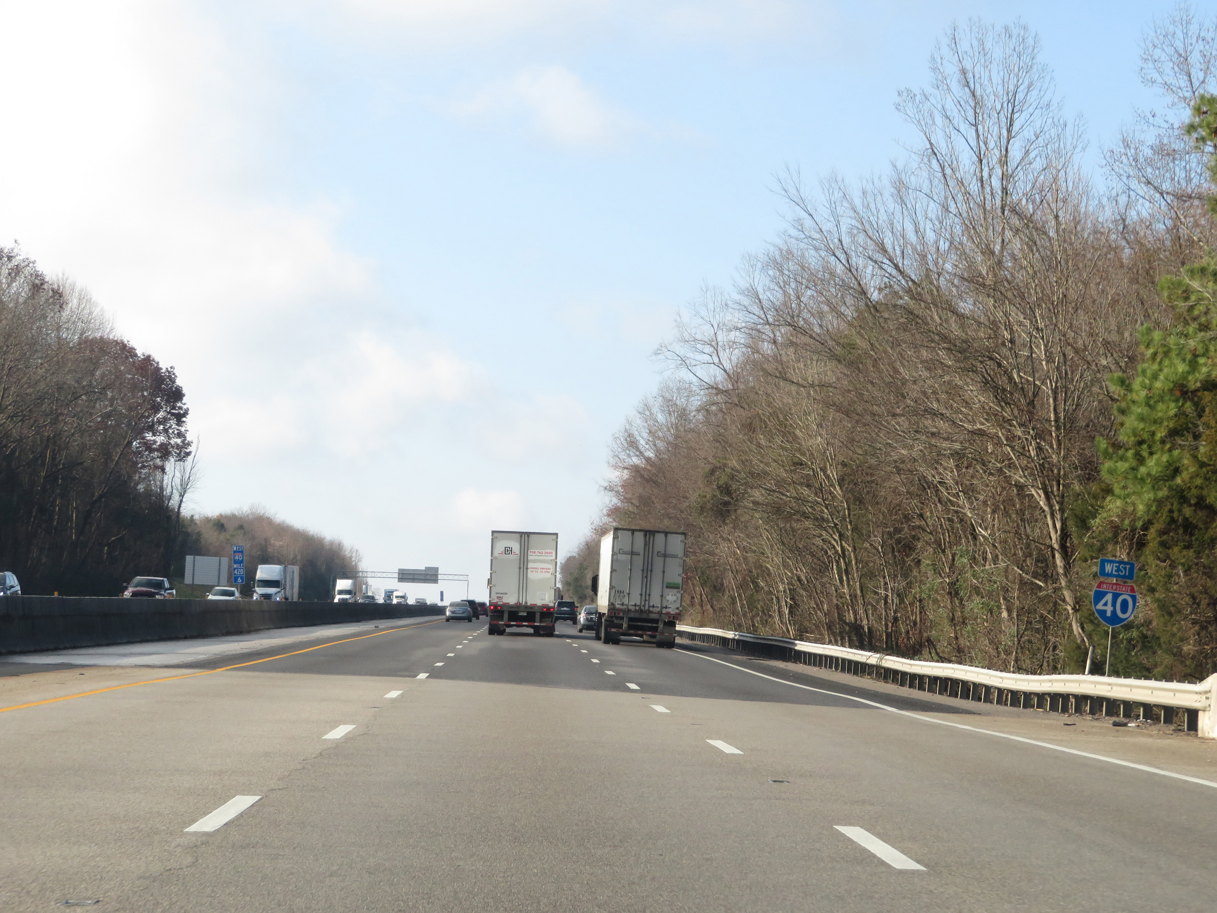
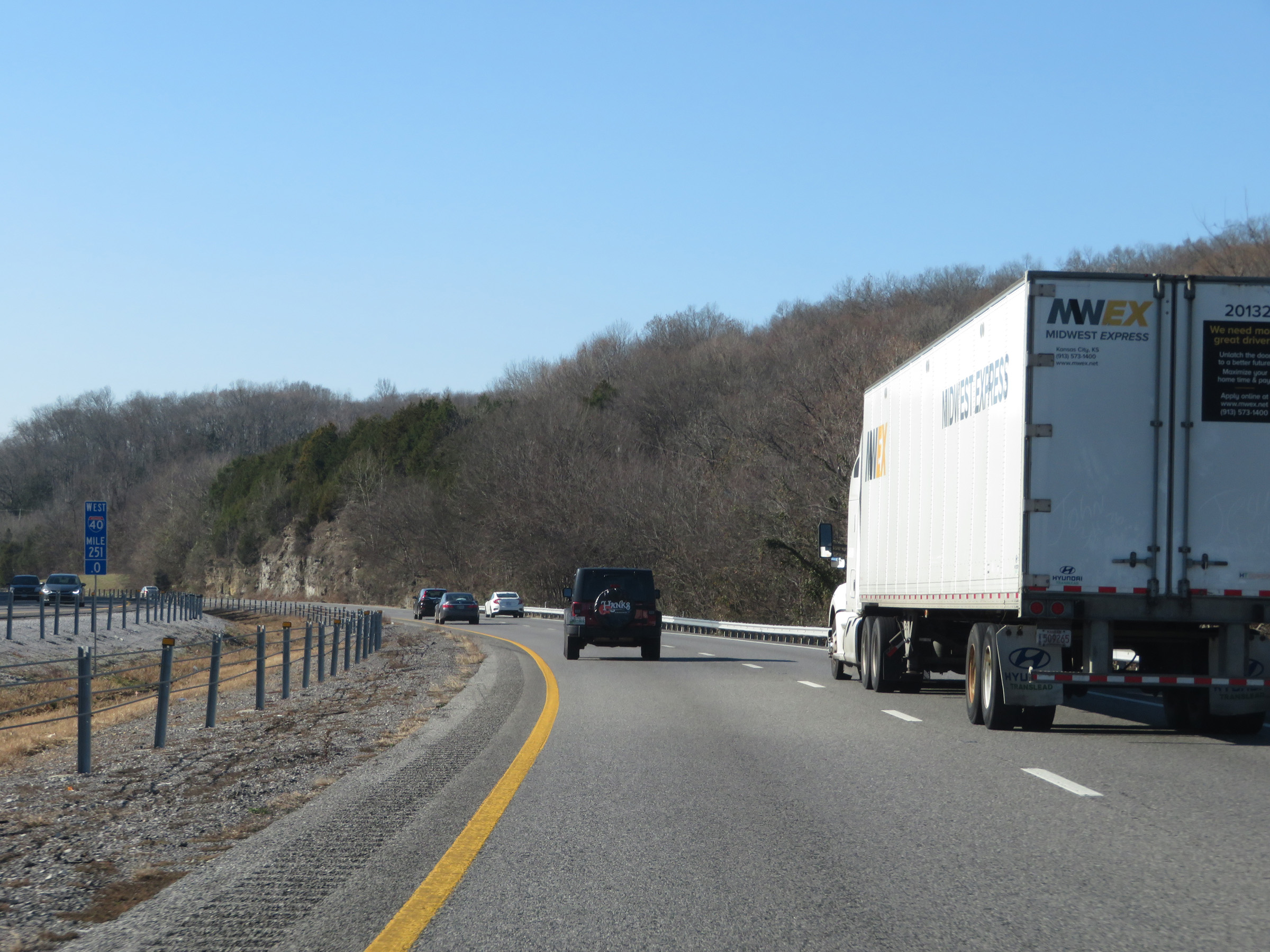
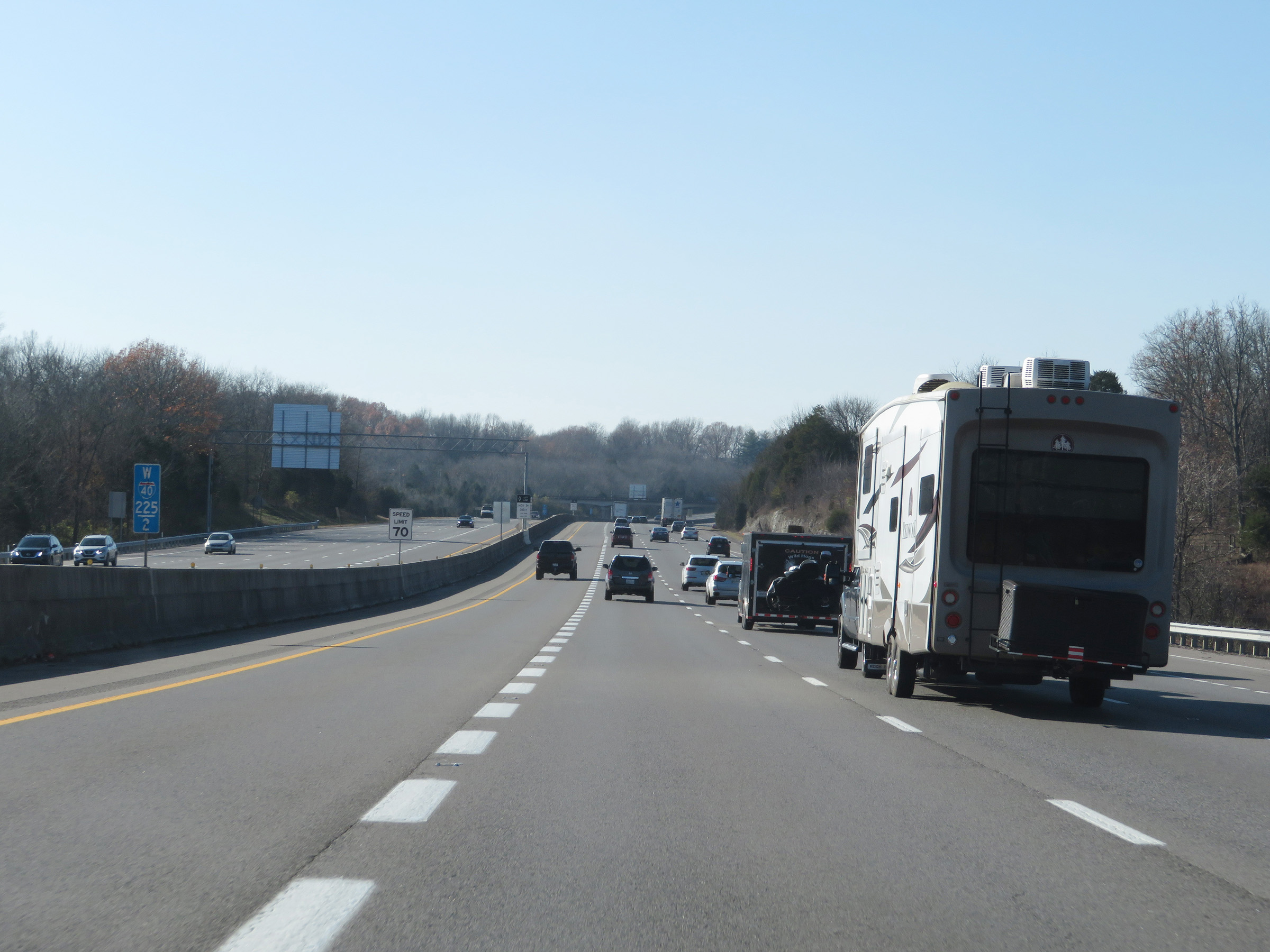
| Major Junctions in Photos: | I-81, near Dandridge I-640, in Knoxville I-275, in Knoxville I-75, in Knoxville I-140, in Knoxville I-840, in Lebanon I-24, in Nashville I-65, in Nashville I-440, in Nashville I-840, near Dickson I-269, in Arlington I-240, in Memphis |
|
| Control Cities in Photos: | Dandridge, Knoxville, Crossville, Cookeville, Lebanon, Nashville, Jackson, Memphis | |
Westbound
- Section 1: North Carolina Border to Sevierville (Exit 407)
- Section 2: Sevierville (Exit 407) to Knoxville (Exit 383)
- Section 3: Knoxville (Exit 383) to Crossville (Exit 322)
- Section 4: Crossville (Exit 322) to Cookeville (Exit 287)
- Section 5: Cookeville (Exit 287) to Mount Juliet (Exit 226)
- Section 6: Mount Juliet (Exit 226) to Nashville (Exit 207)
- Section 7: Nashville (Exit 207) to Dickson (Exit 163)
- Section 8: Dickson (Exit 163) to Jackson (Exit 85)
- Section 9: Jackson (Exit 85) to Arlington (Exit 24A)
- Section 10: Arlington (Exit 24A) to Arkansas Border
Section 1: North Carolina Border to Sevierville (Exit 407)
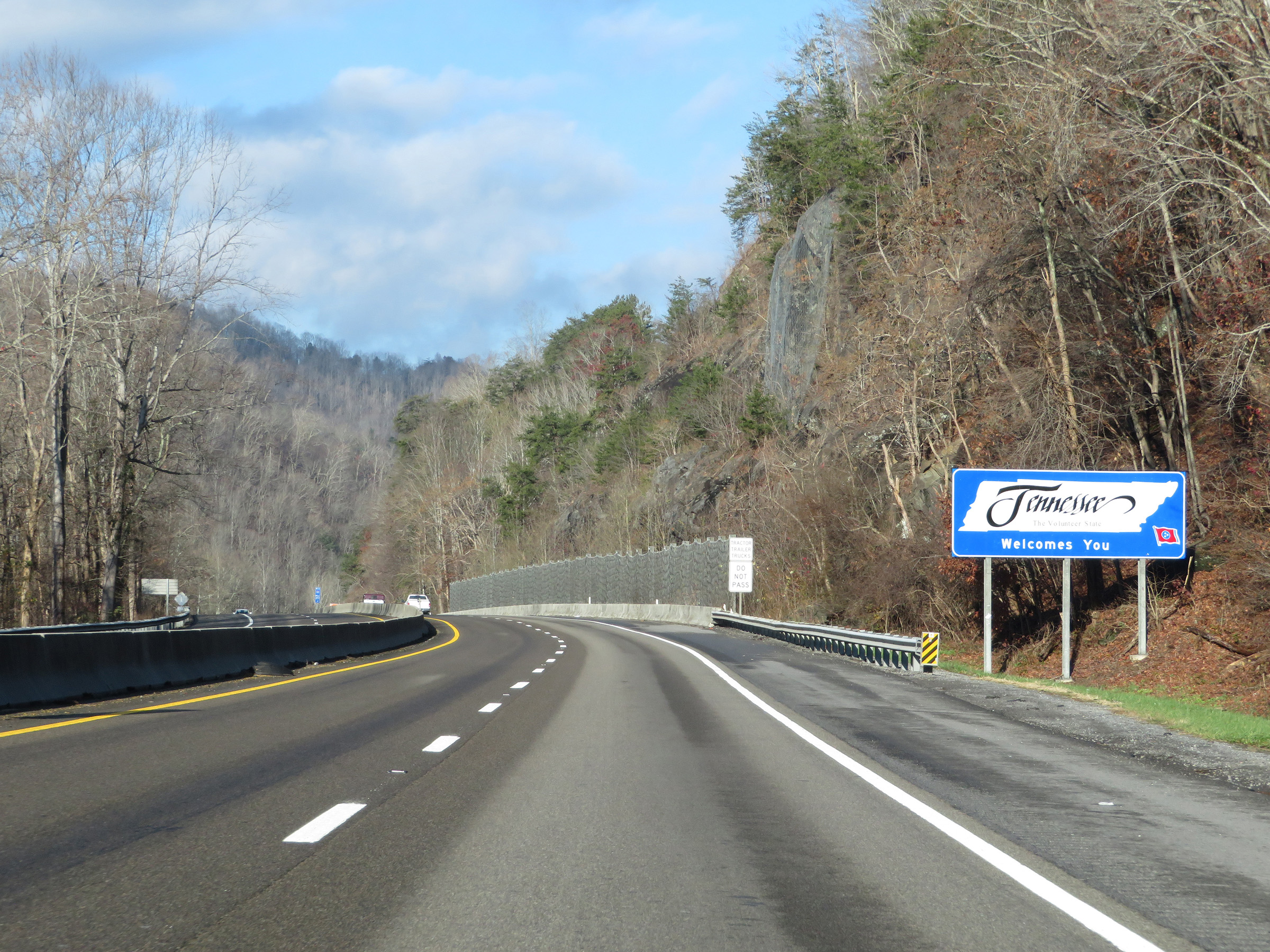 |
Tennessee welcome sign as Interstate 40 West enters the Volunteer State from North Carolina in the Blue Ridge Mountains. (Photo taken 12/5/20). |
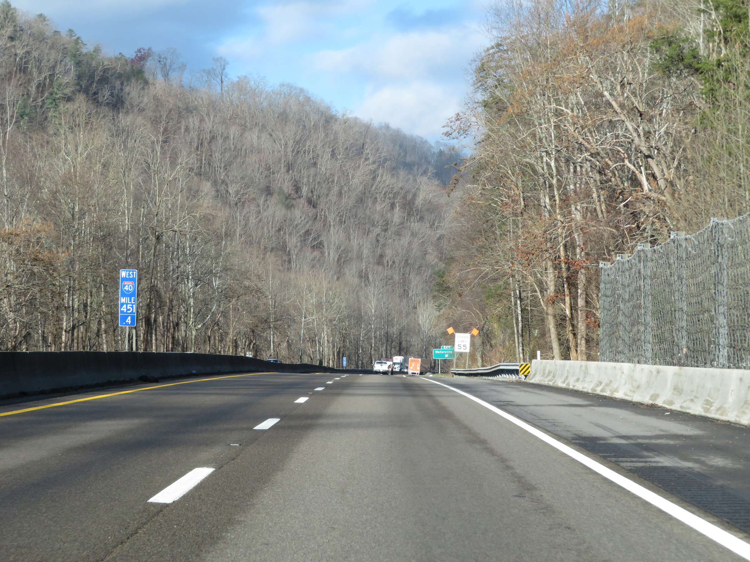 |
The speed limit on Interstate 40 West in Tennessee starts out at 55 mph due to the mountainous terrain and a couple of sharp curves ahead. (Photo taken 12/5/20). |
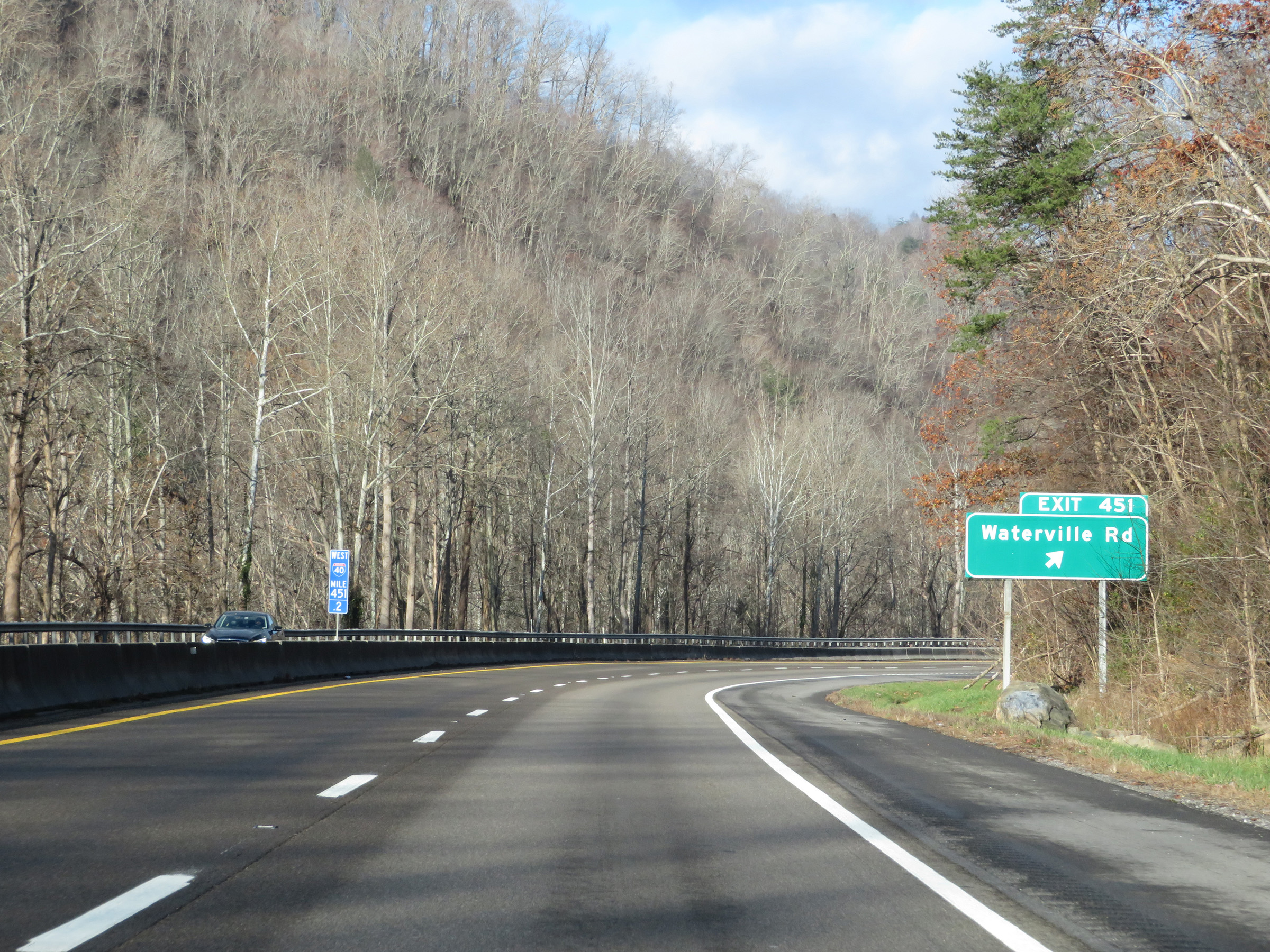 |
Interstate 40 West at Exit 451: Waterville Rd (Photo taken 12/5/20). |
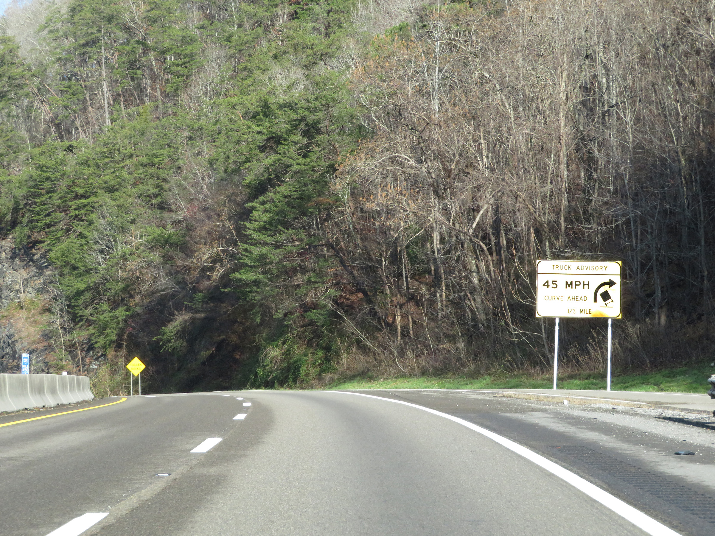 |
This sign just west of Exit 451 warns trucks that Interstate 40 West will traverse a sharp curve 1/3 mile ahead. 45 mph is the advised speed through the curve for trucks. (Photo taken 12/5/20). |
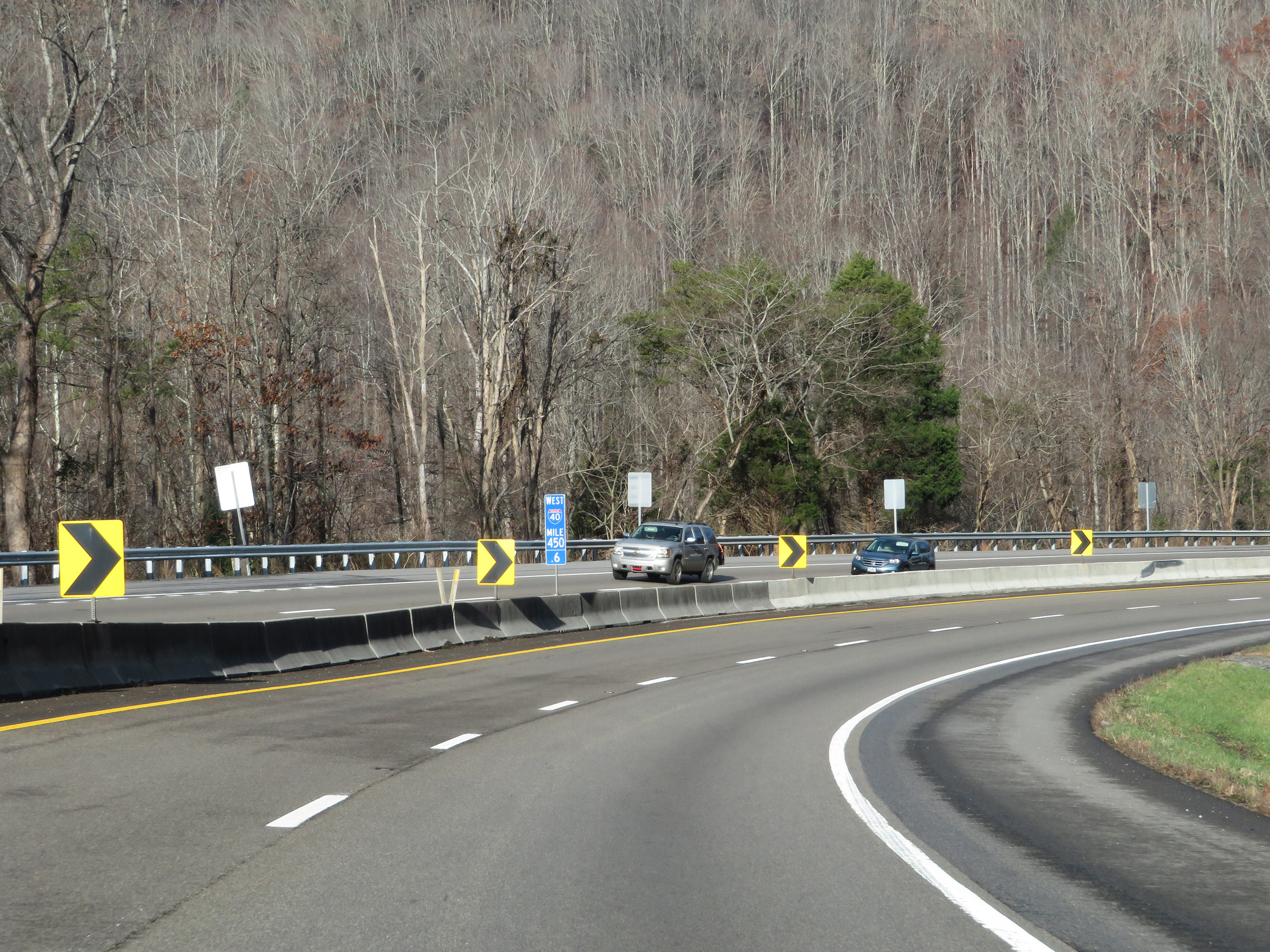 |
View on Interstate 40 West at mile marker 450.6, as it enters the aforementioned sharp curve. (Photo taken 12/5/20). |
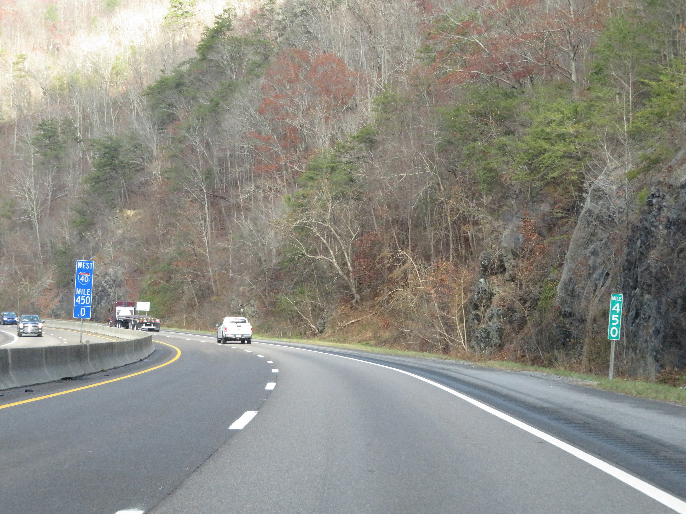 |
Interstate 40 West at mile marker 450 in the Blue Ridge Mountains. (Photo taken 12/5/20). |
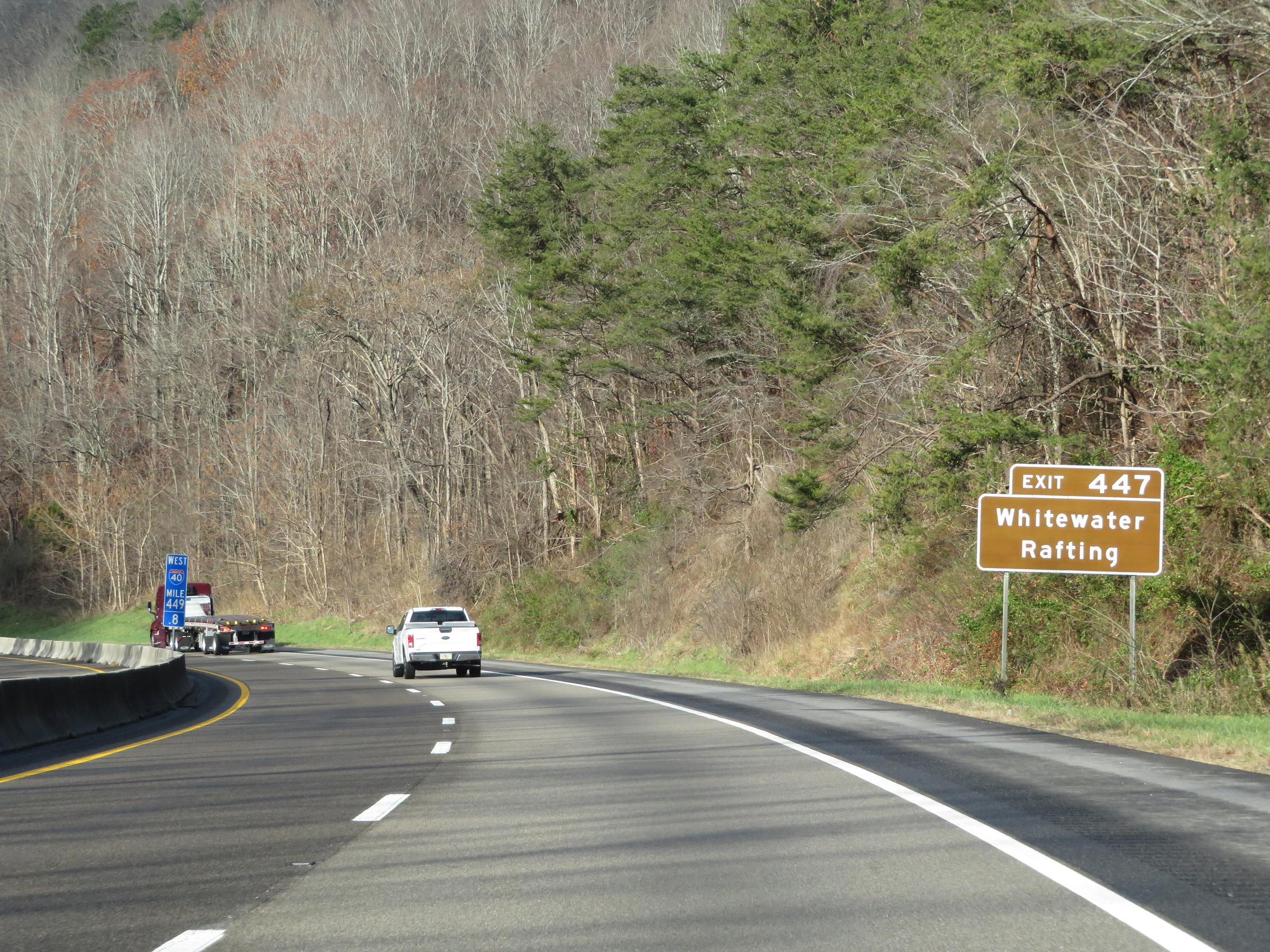 |
Access to Whitewater Rafting is available off Exit 447 ahead. (Photo taken 12/5/20). |
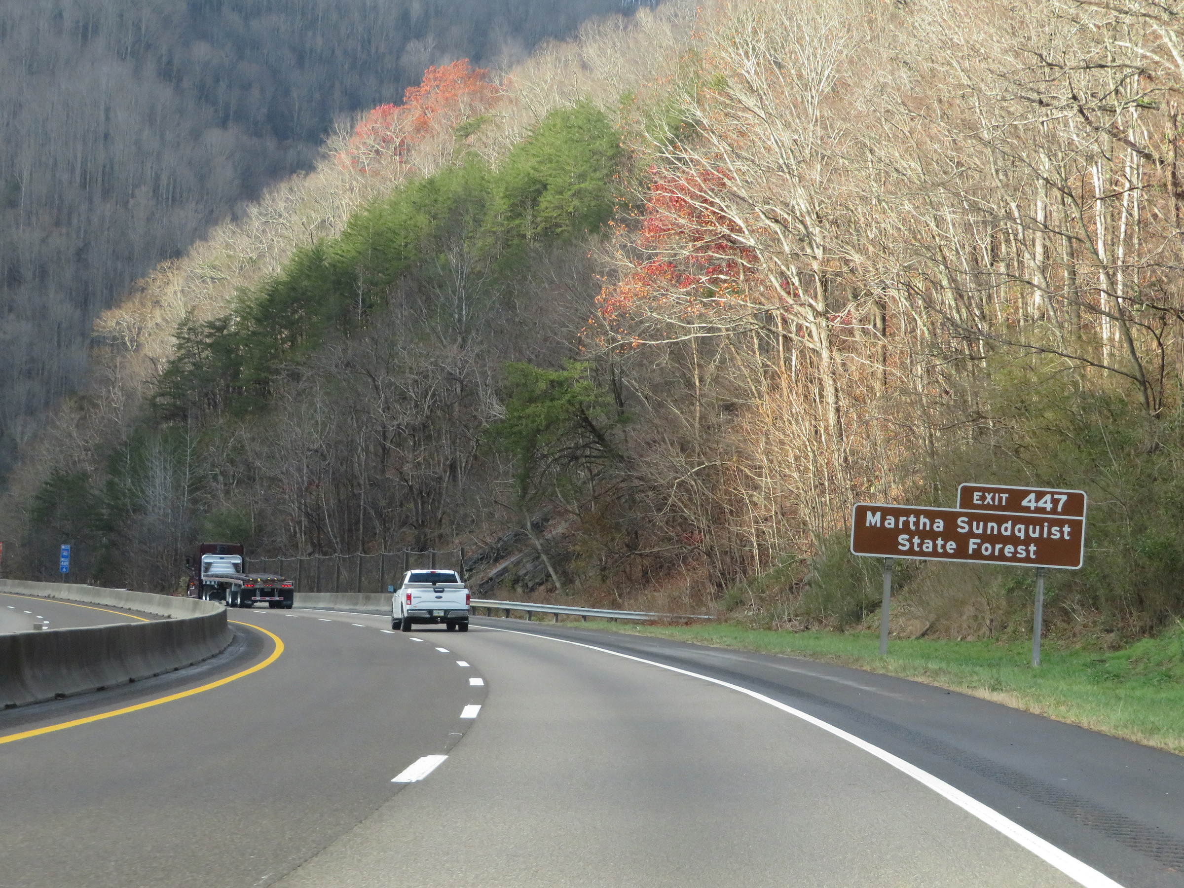 |
Also take Exit 447 to Martha Sundquist State Forest. (Photo taken 12/5/20). |
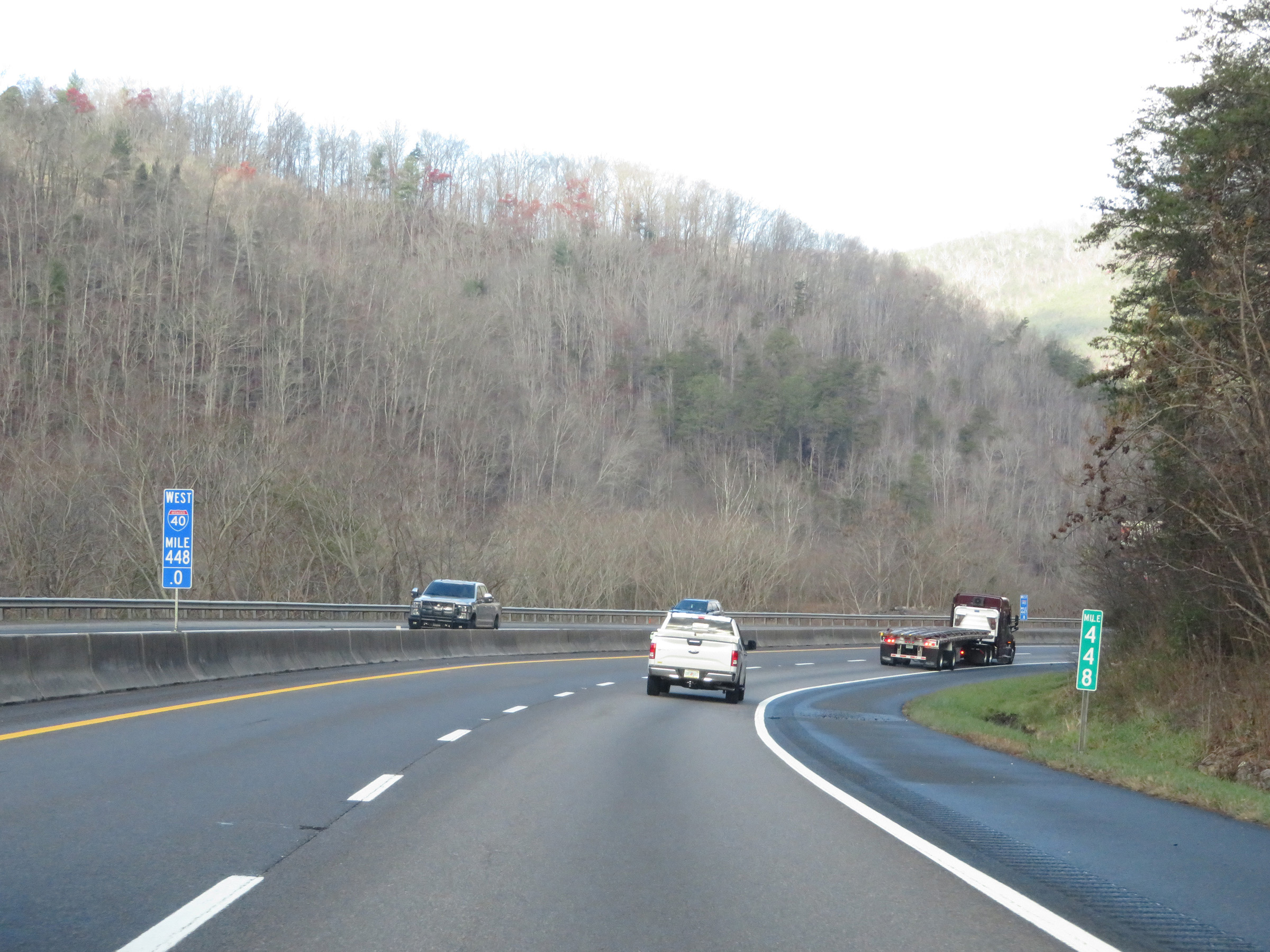 |
View on Interstate 40 West at mile marker 448, as it continues to wind its way through the Blue Ridge Mountains. (Photo taken 12/5/20). |
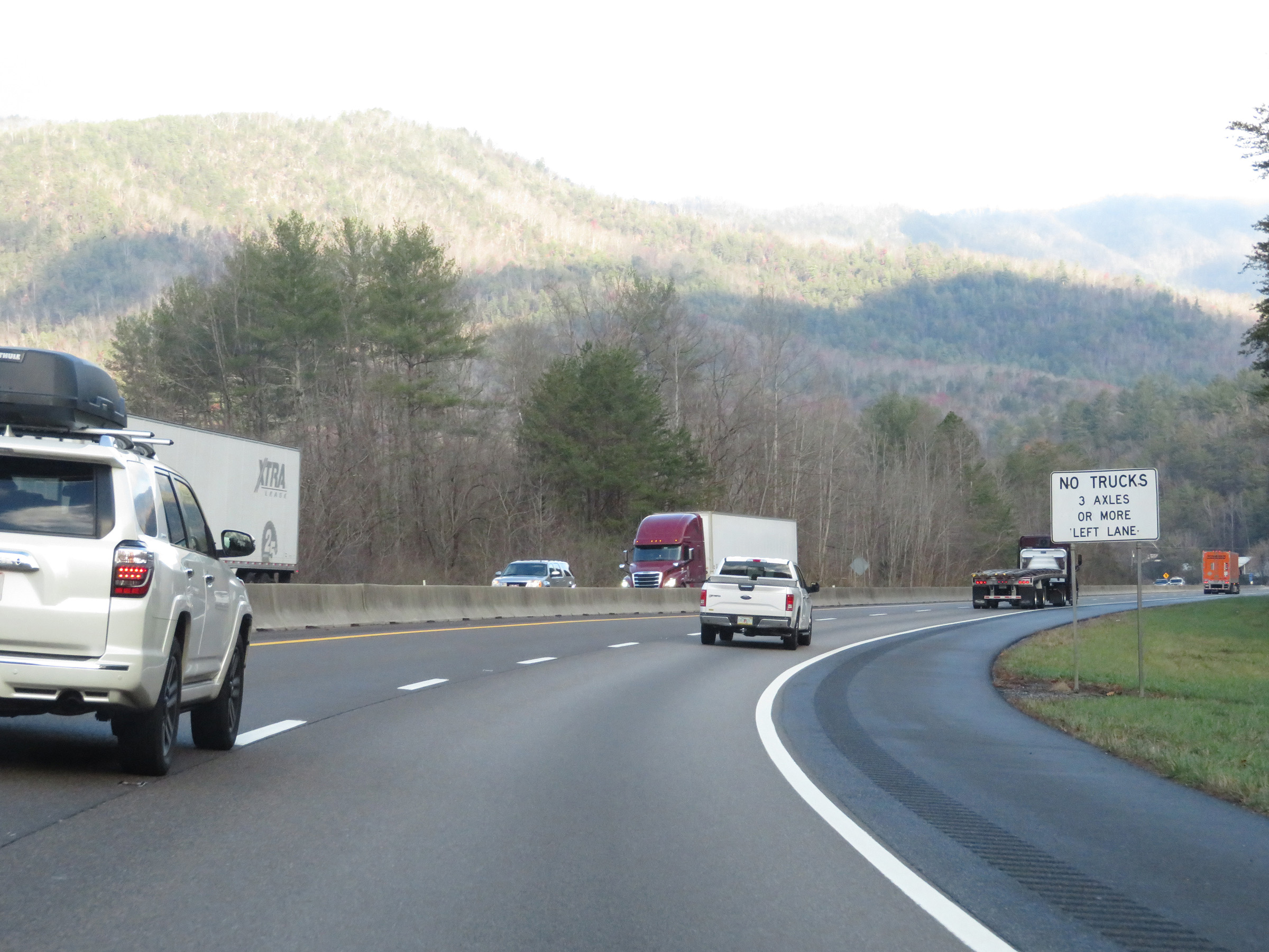 |
During this winding stretch of Interstate 40 West in eastern Tennessee, trucks of 3 or more axles are prohibited in the left lane. (Photo taken 12/5/20). |
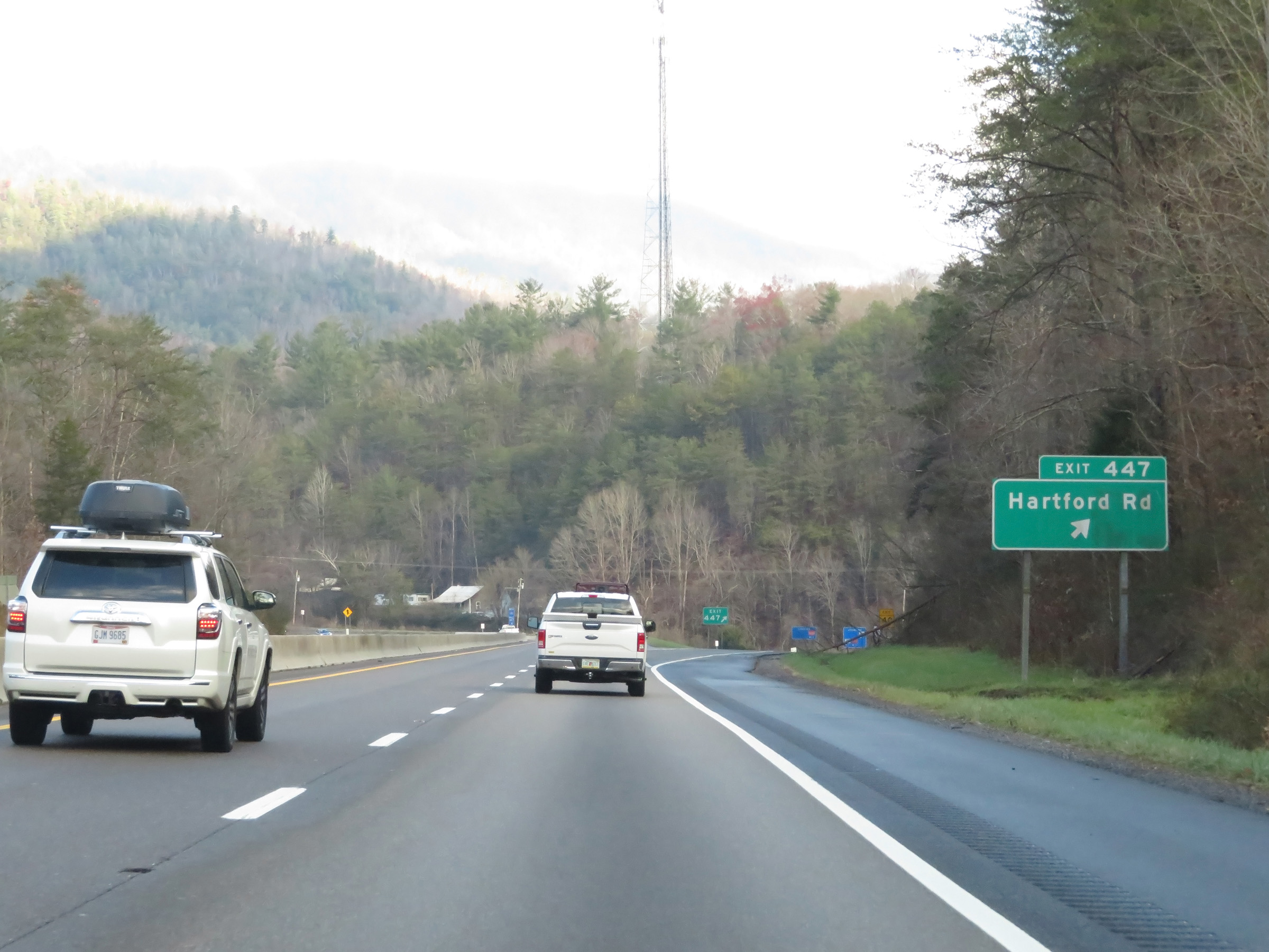 |
Interstate 40 West at Exit 447: Hartford Rd (Photo taken 12/5/20). |
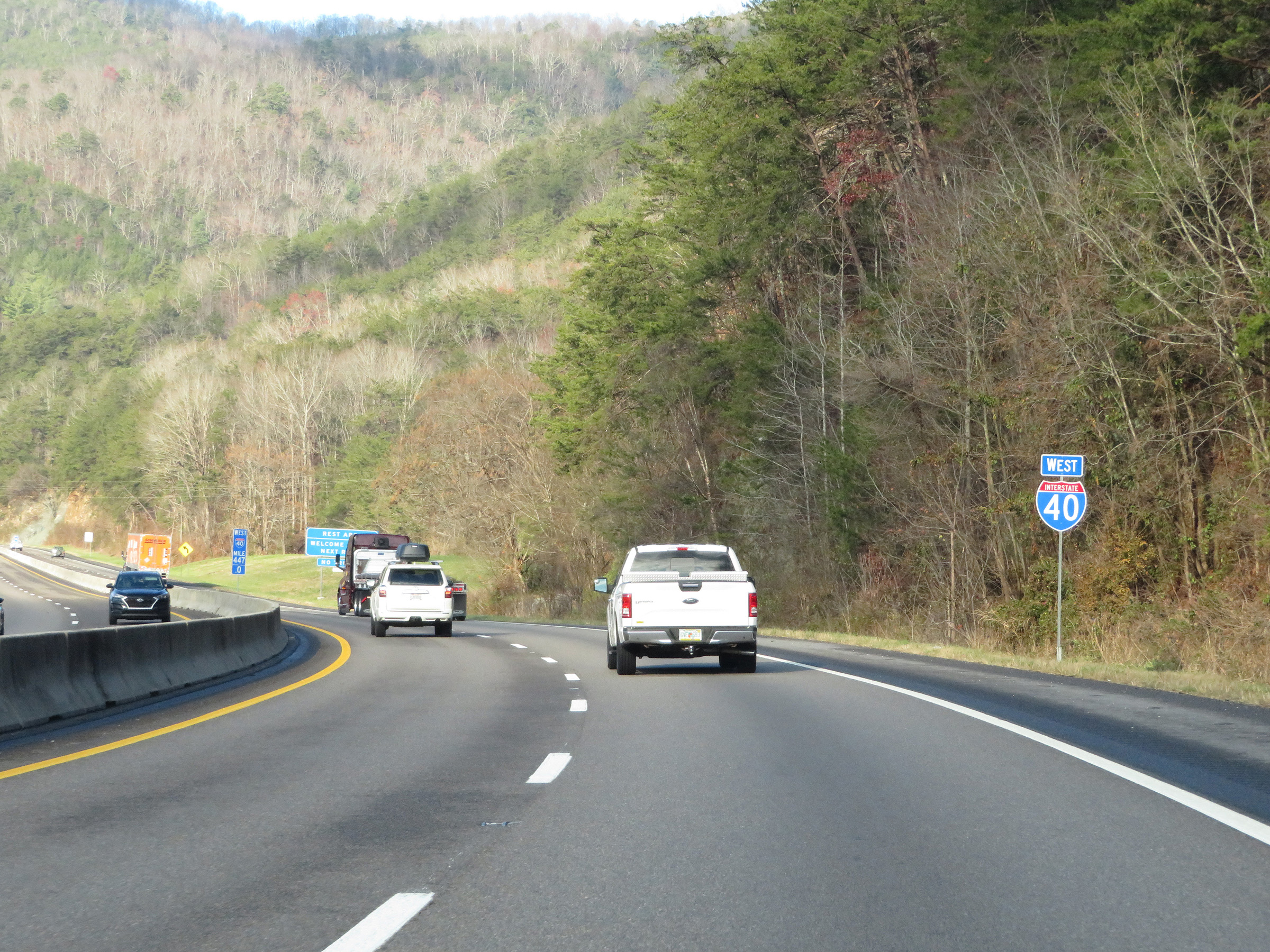 |
Interstate 40 West reassurance shield at mile marker 447. (Photo taken 12/5/20). |
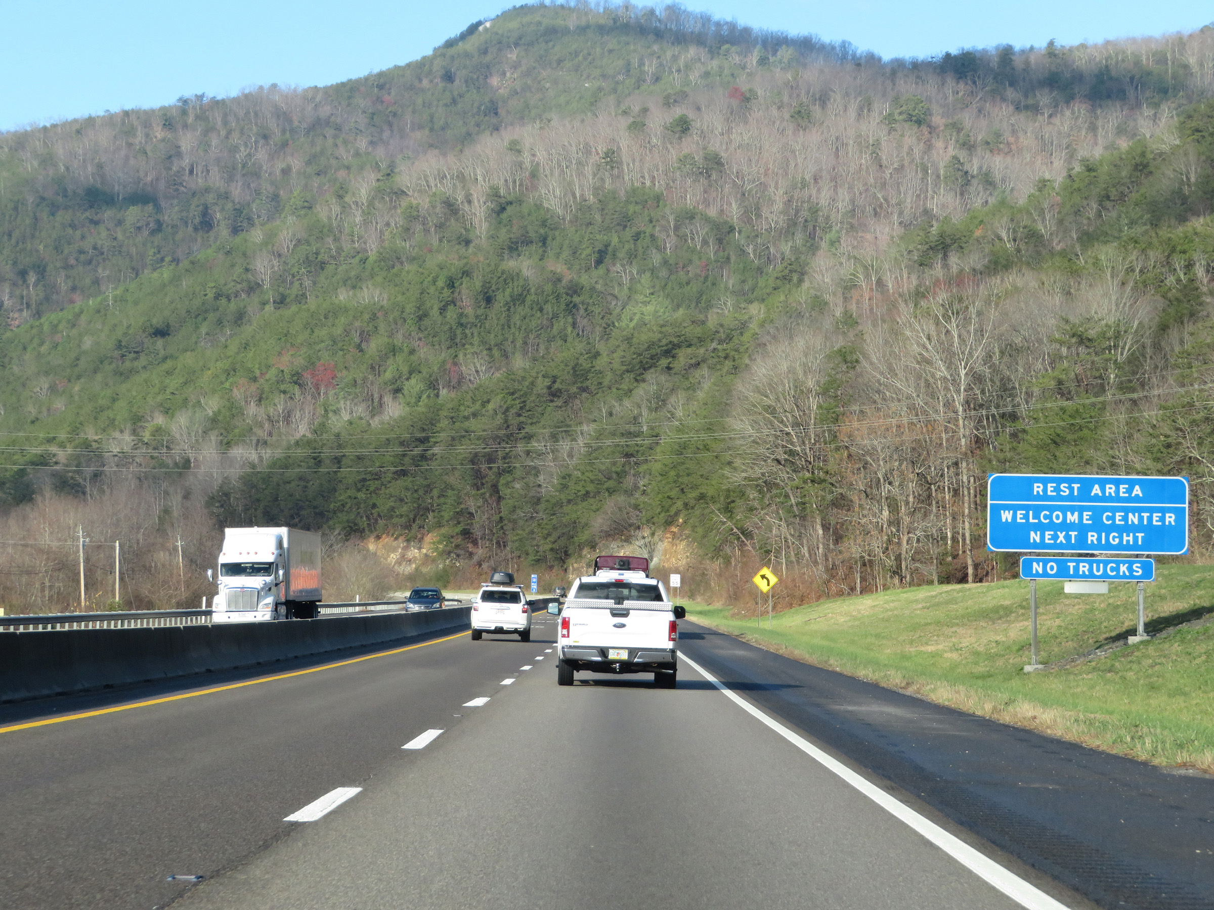 |
Trucks are not permitted in the Rest Area / Welcome Center ahead. (Photo taken 12/5/20). |
 |
Rest Area / Welcome Center on Interstate 40 West in Cocke County. (Photo taken 12/5/20). |
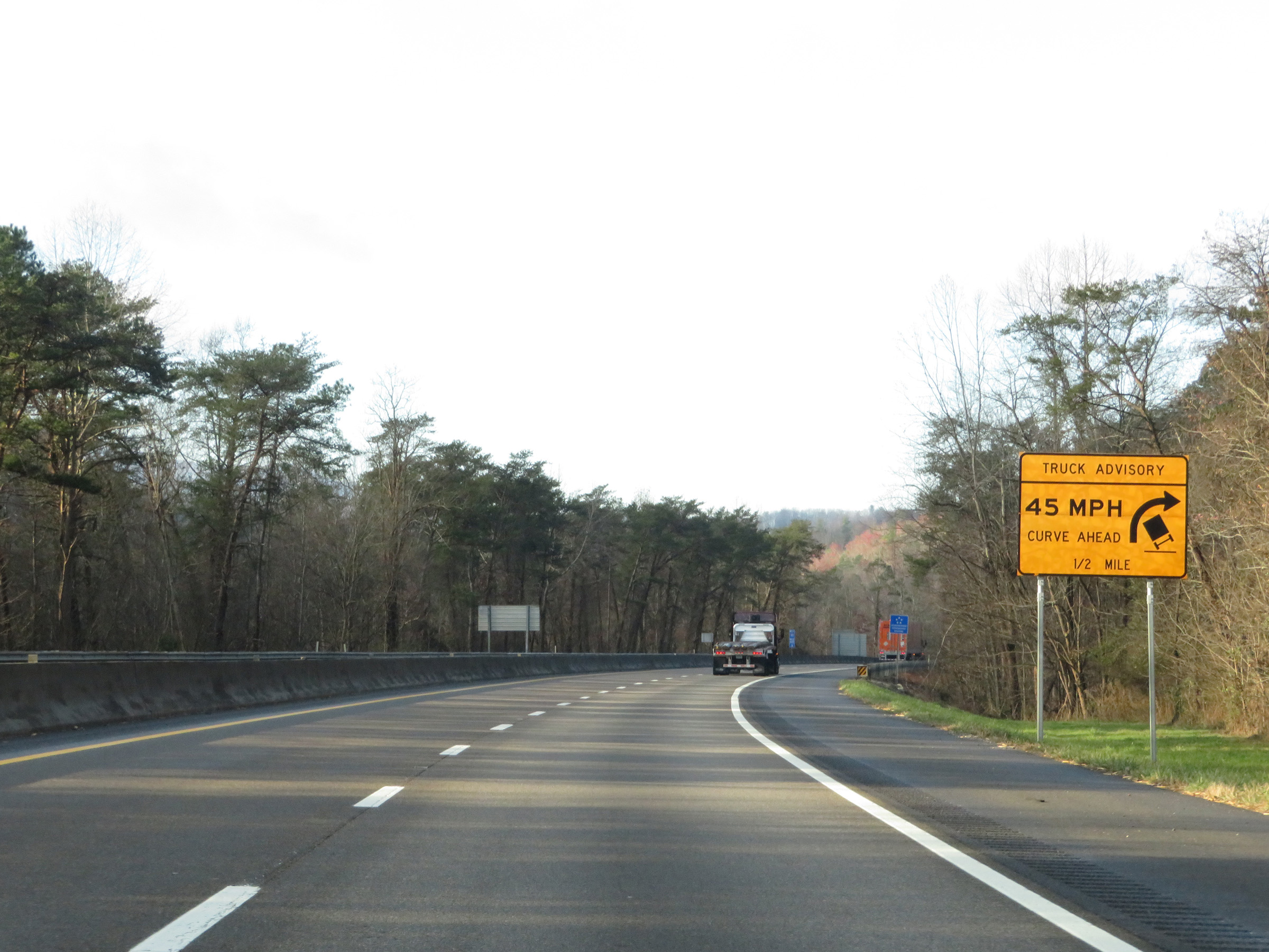 |
This sign warns trucks of a second especially sharp curve 1/2 mile ahead on Interstate 40 West. Once again, 45 mph is the advised speed. (Photo taken 12/5/20). |
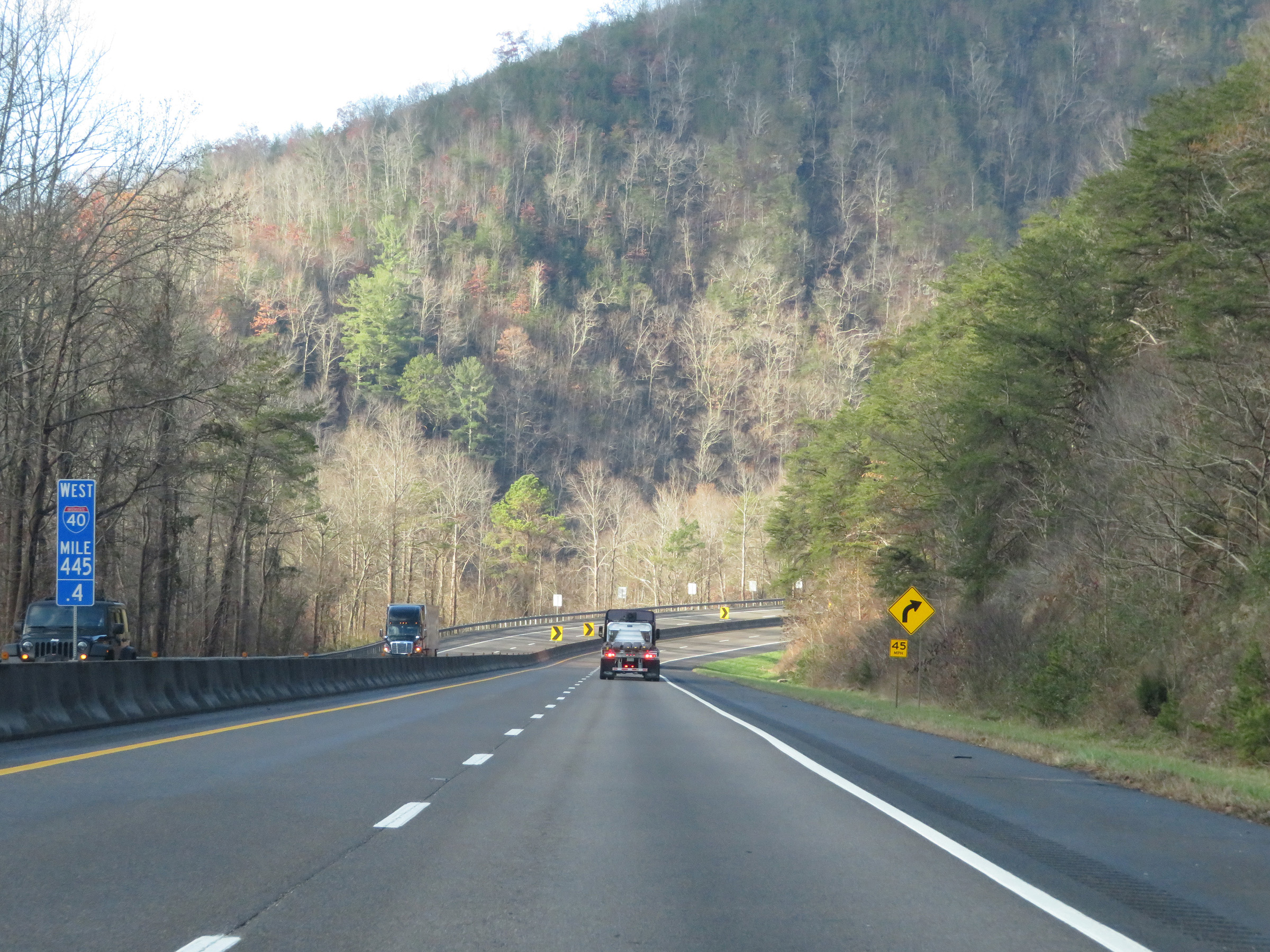 |
View on Interstate 40 West at mile marker 445.4. (Photo taken 12/5/20). |
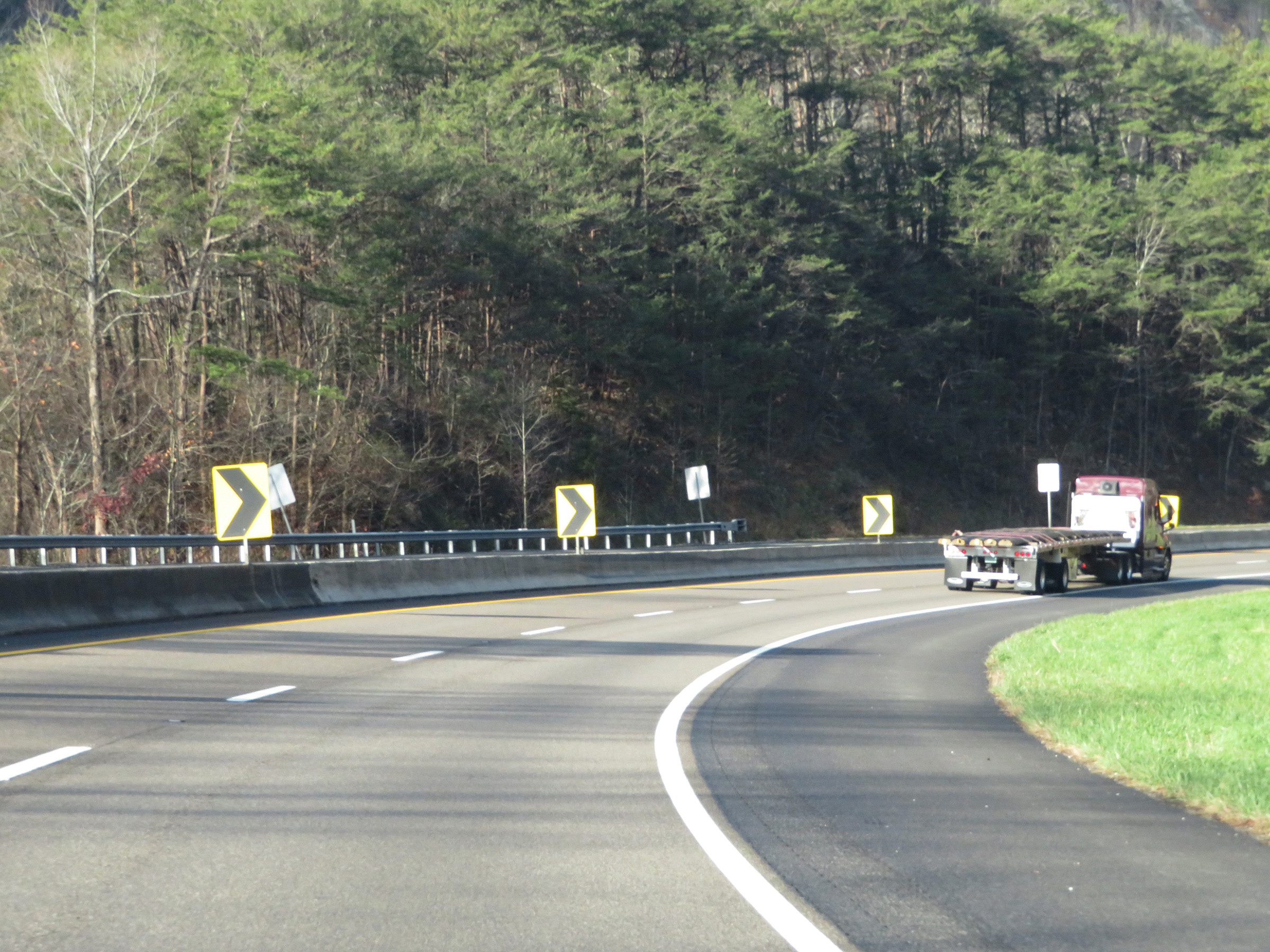 |
Interstate 40 West as it enters the second especially sharp curve in Cocke County. (Photo taken 12/5/20). |
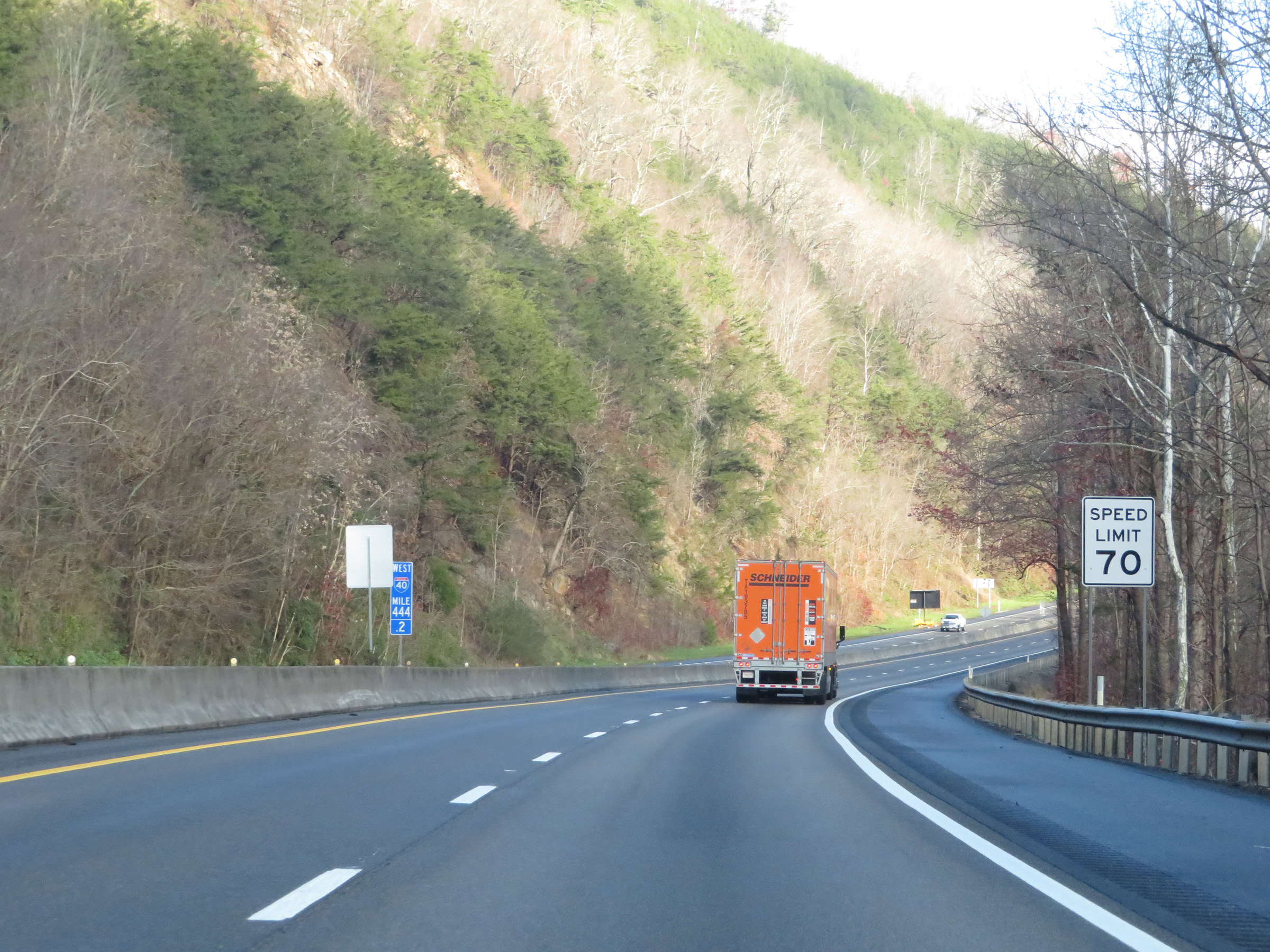 |
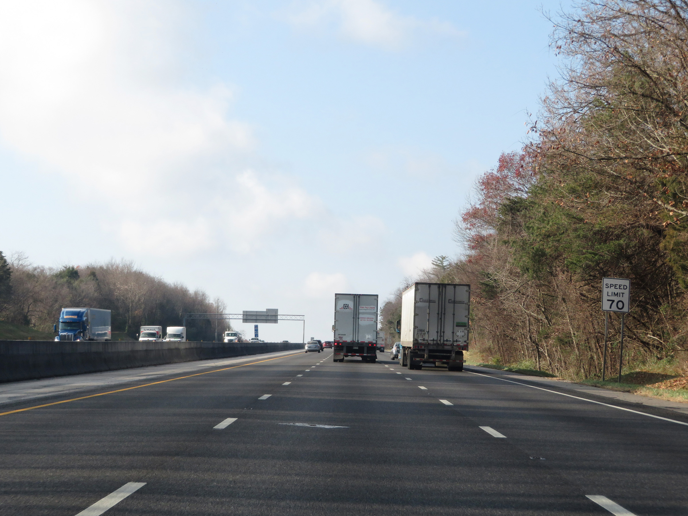
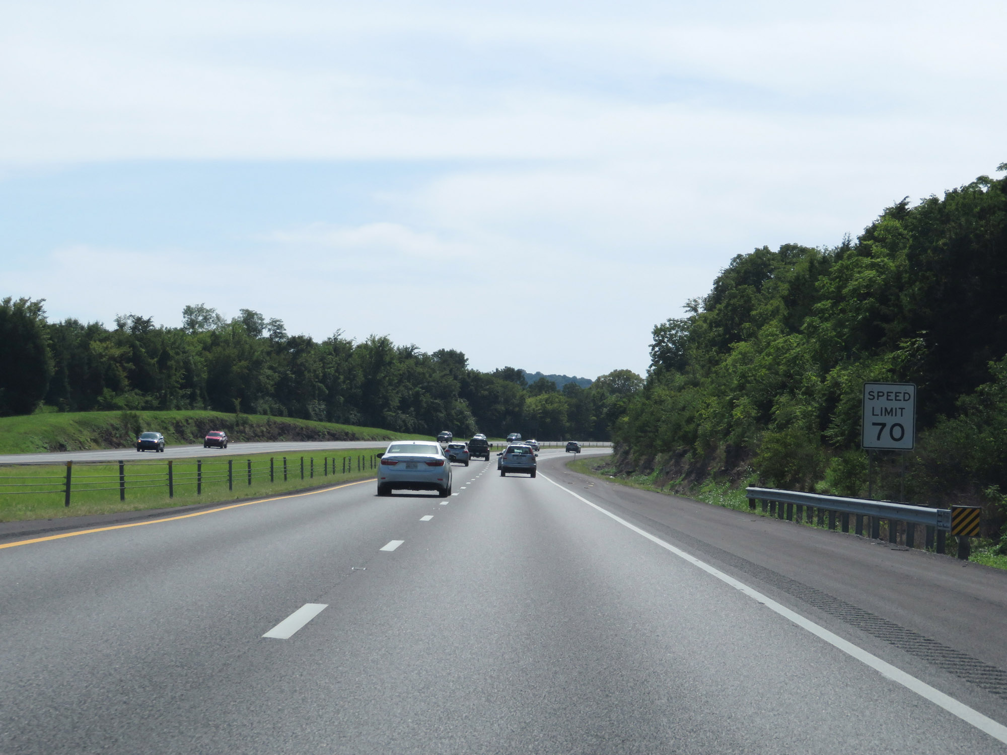
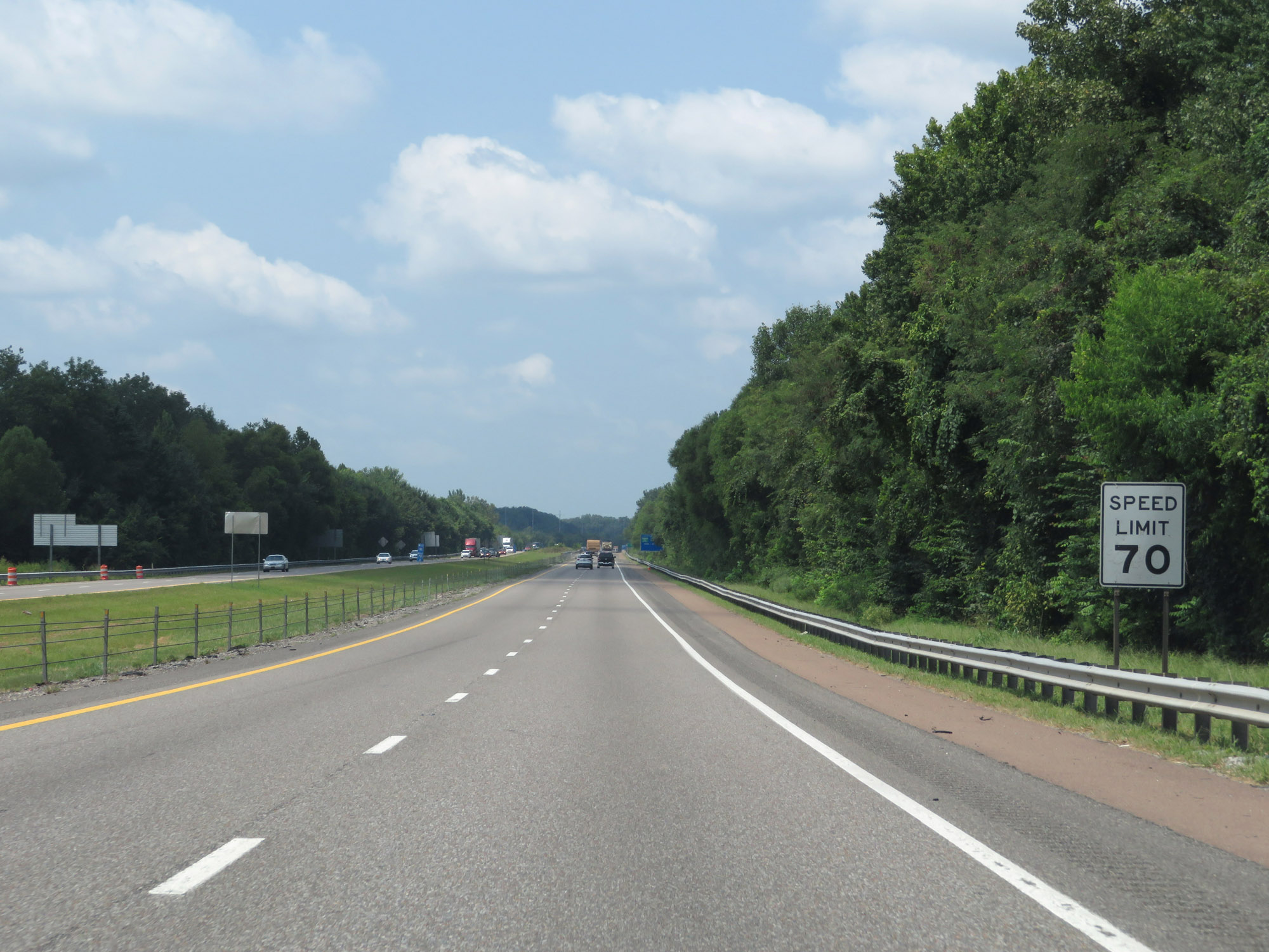
At mile marker 444.2, the speed limit increases to 70 mph for all traffic as Interstate 40 West begins to straighten out significanty compared to the previous 10 miles. This is the standard speed limit on most rural Interstate highways in Tennessee. (Photo taken 12/5/20). |
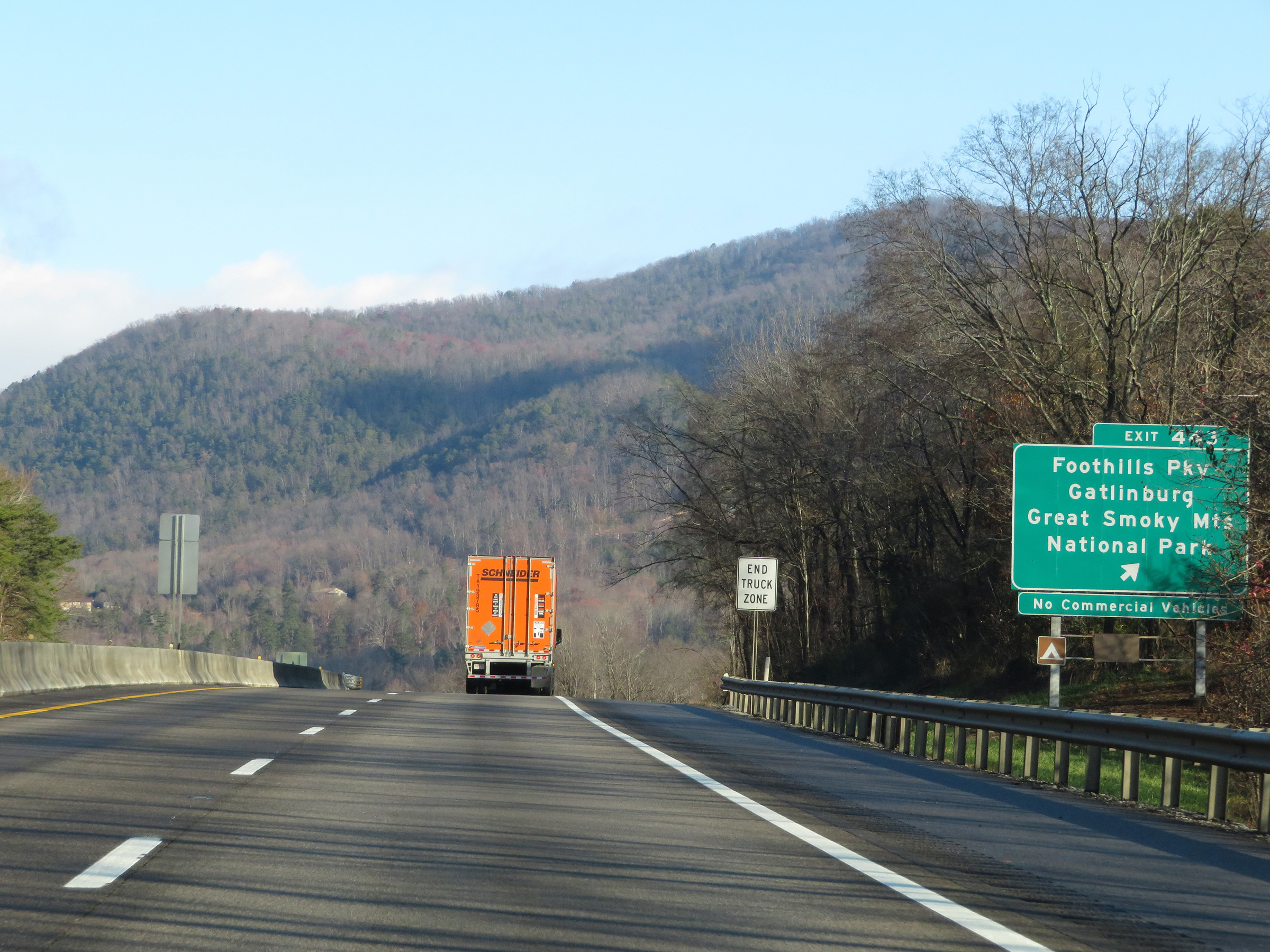 |
Interstate 40 West at Exit 443: Foothills Pky / Gatlinburg / Great Smoky Mountains National Park (Photo taken 12/5/20). |
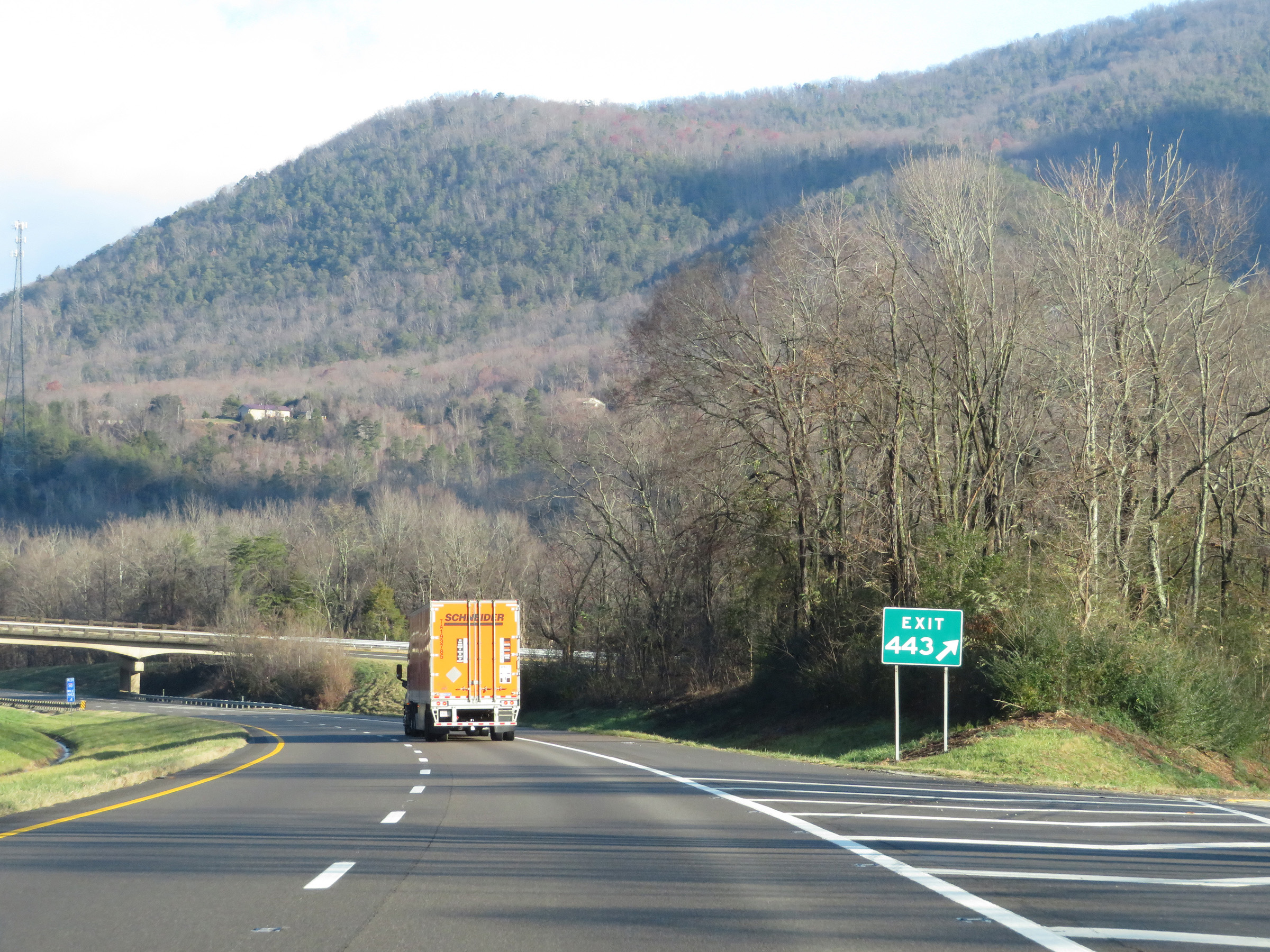 |
Gore point signage for Exit 443. (Photo taken 12/5/20). |
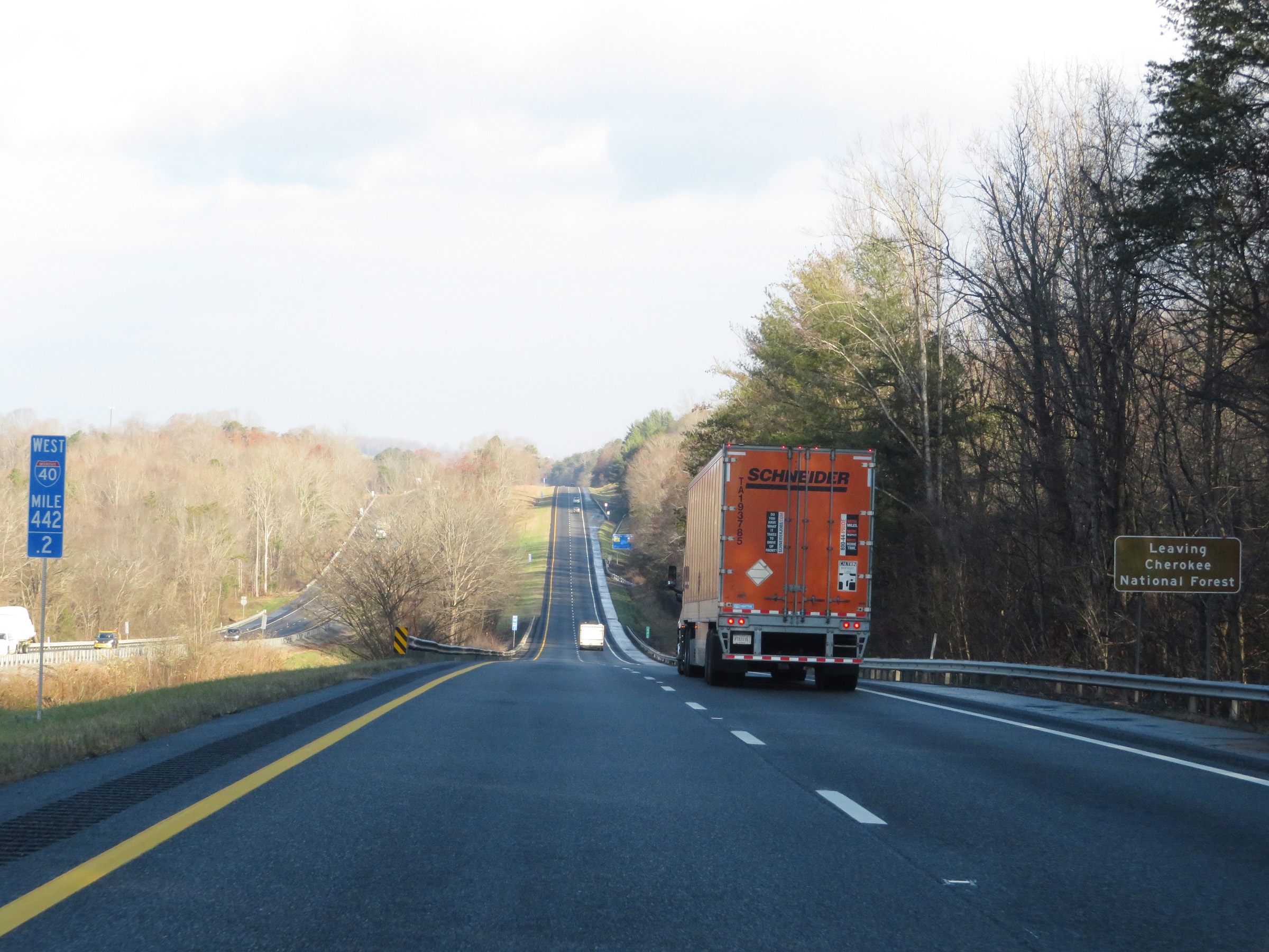 |
View on Interstate 40 West at mile marker 442.2, as it leaves Cherokee National Forest. (Photo taken 12/5/20). |
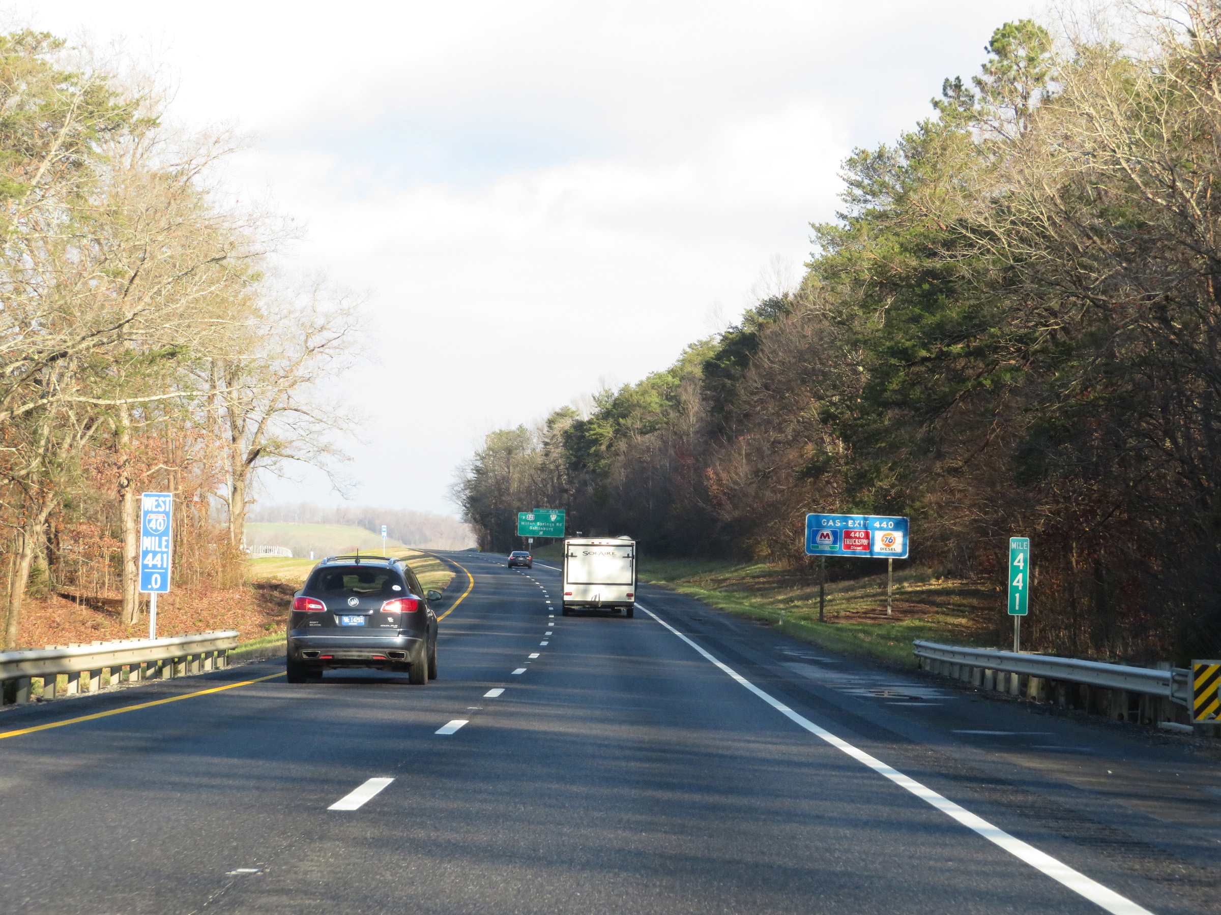 |
Interstate 40 West at mile marker 441. (Photo taken 12/5/20). |
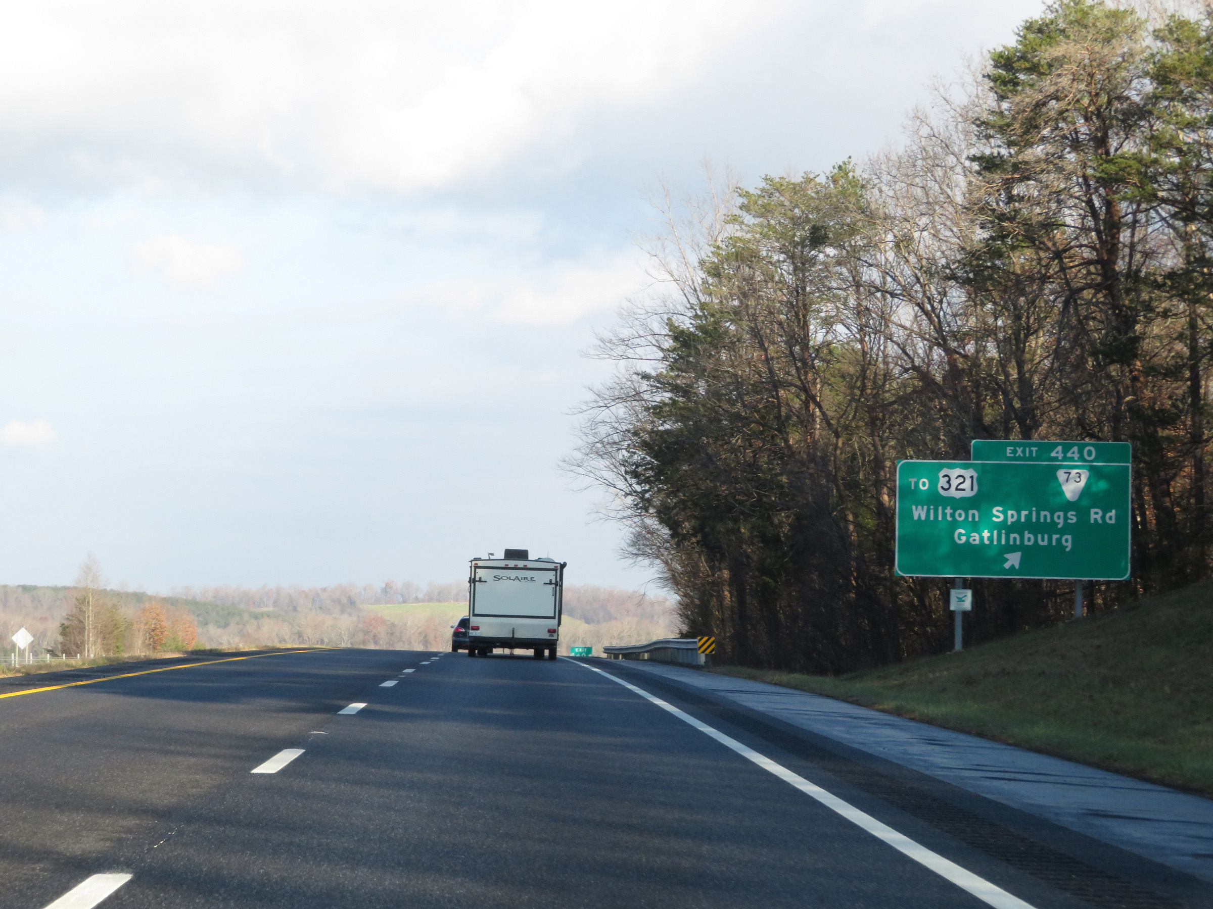 |
Interstate 40 West at Exit 440: SR 73 / To US 321 - Wilton Springs Rd / Gatlinburg (Photo taken 12/5/20). |
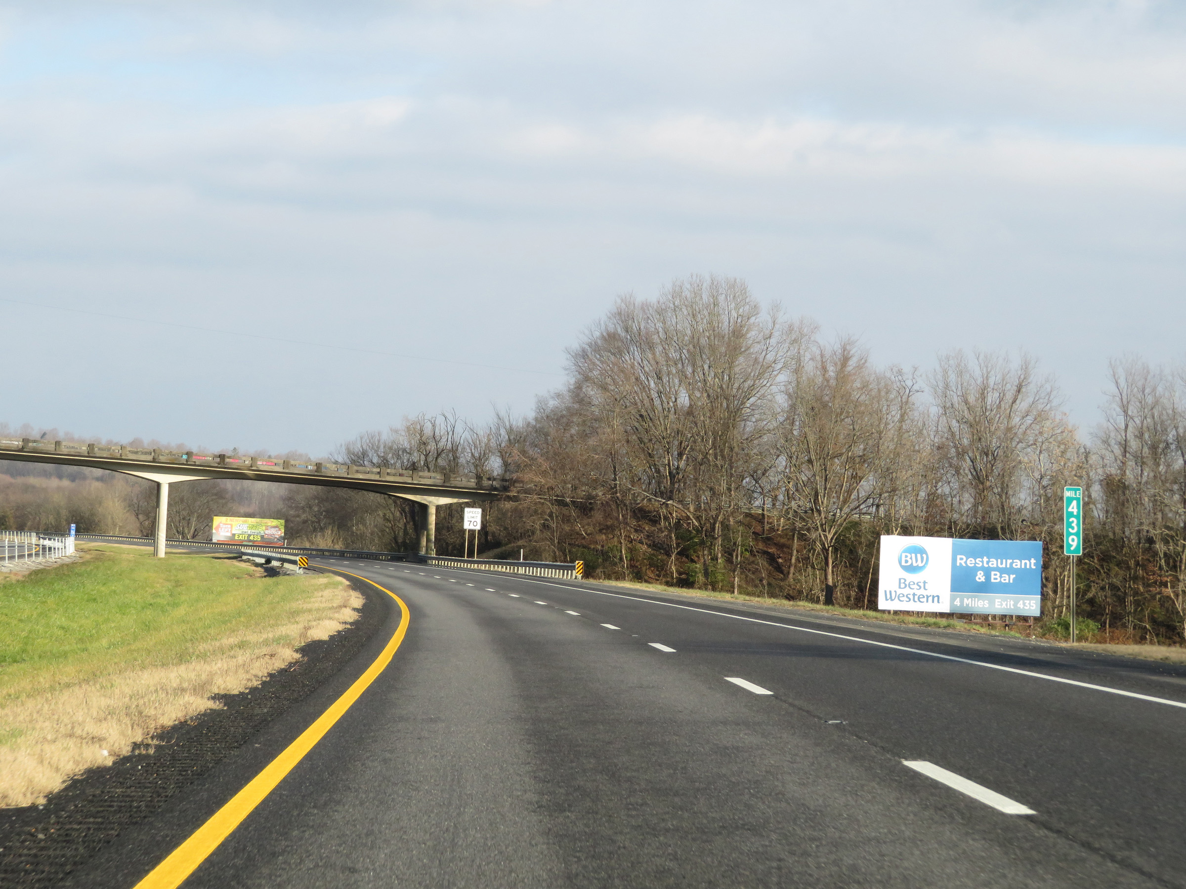 |
View on Interstate 40 West at mile marker 439. (Photo taken 12/5/20). |
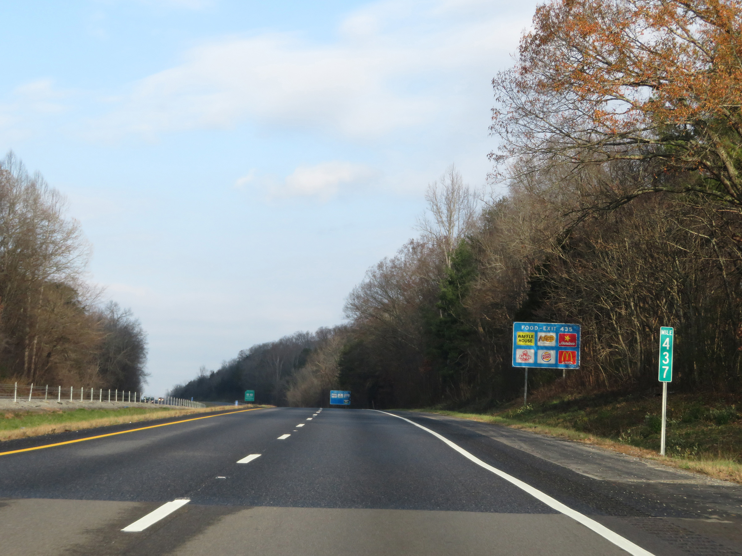 |
Interstate 40 West at mile marker 437. (Photo taken 12/5/20). |
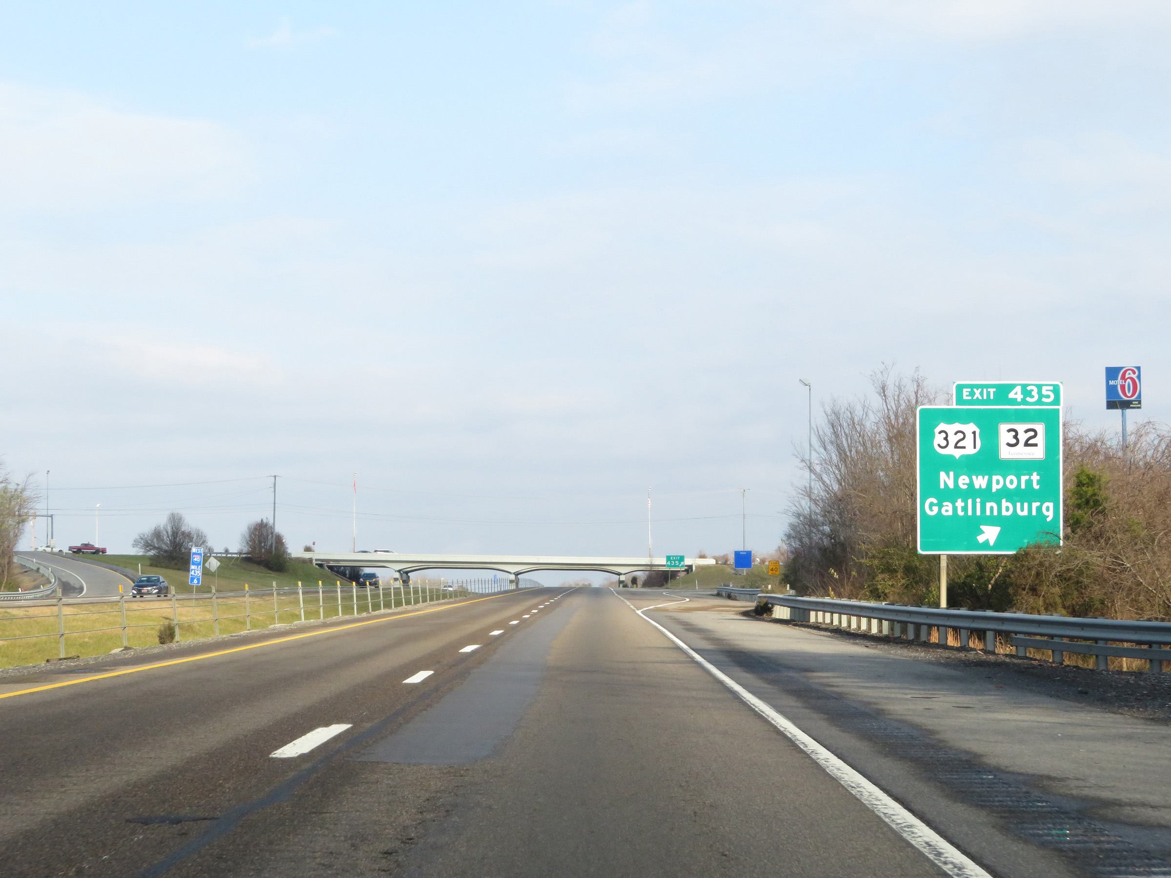 |
Interstate 40 West at Exit 435: US 321 / TN 32 - Newport / Gatlinburg (Photo taken 12/5/20). |
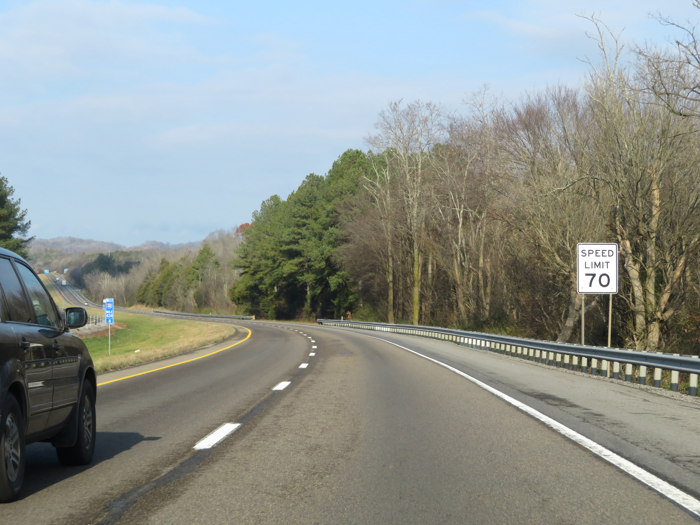 |
The speed limit remains 70 mph for all traffic. (Photo taken 12/5/20). |
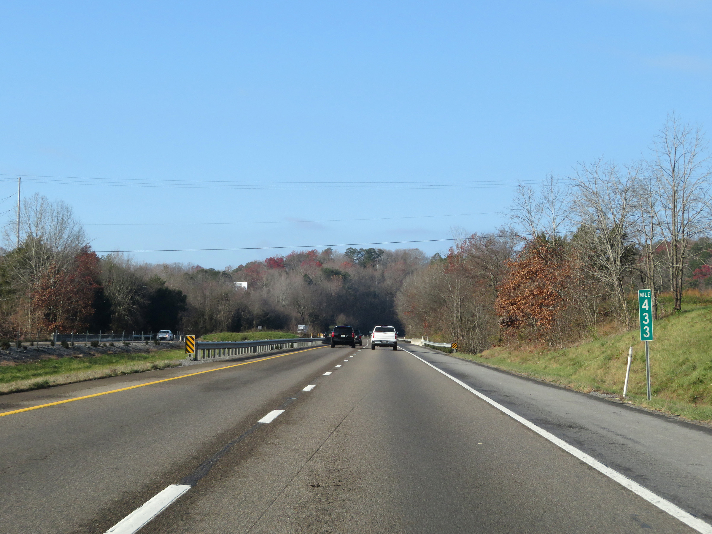 |
View on Interstate 40 West at mile marker 433. (Photo taken 12/5/20). |
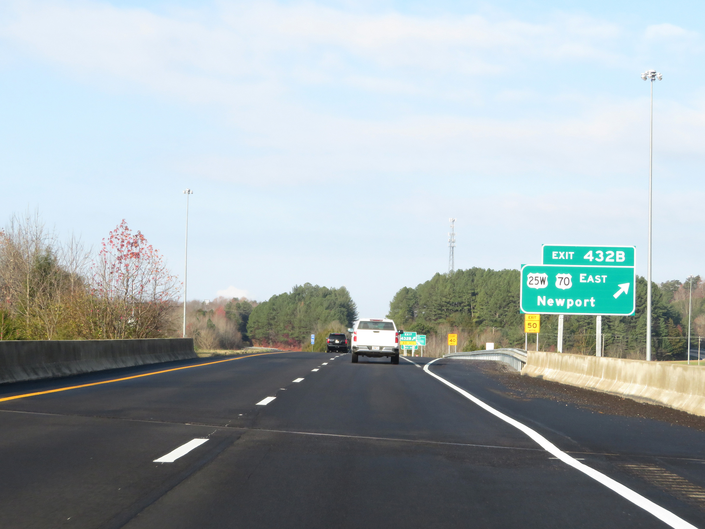 |
Interstate 40 West at Exit 432B: US 25W / US 70 East - Newport (Photo taken 12/5/20). |
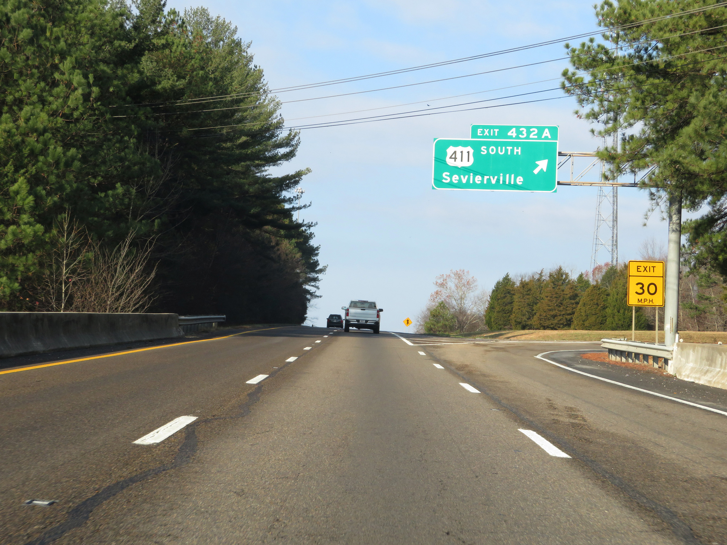 |
Interstate 40 West at Exit 432A: US 411 South - Sevierville (Photo taken 12/5/20). |
 |
Another Interstate 40 West reassurance shield. (Photo taken 12/5/20). |
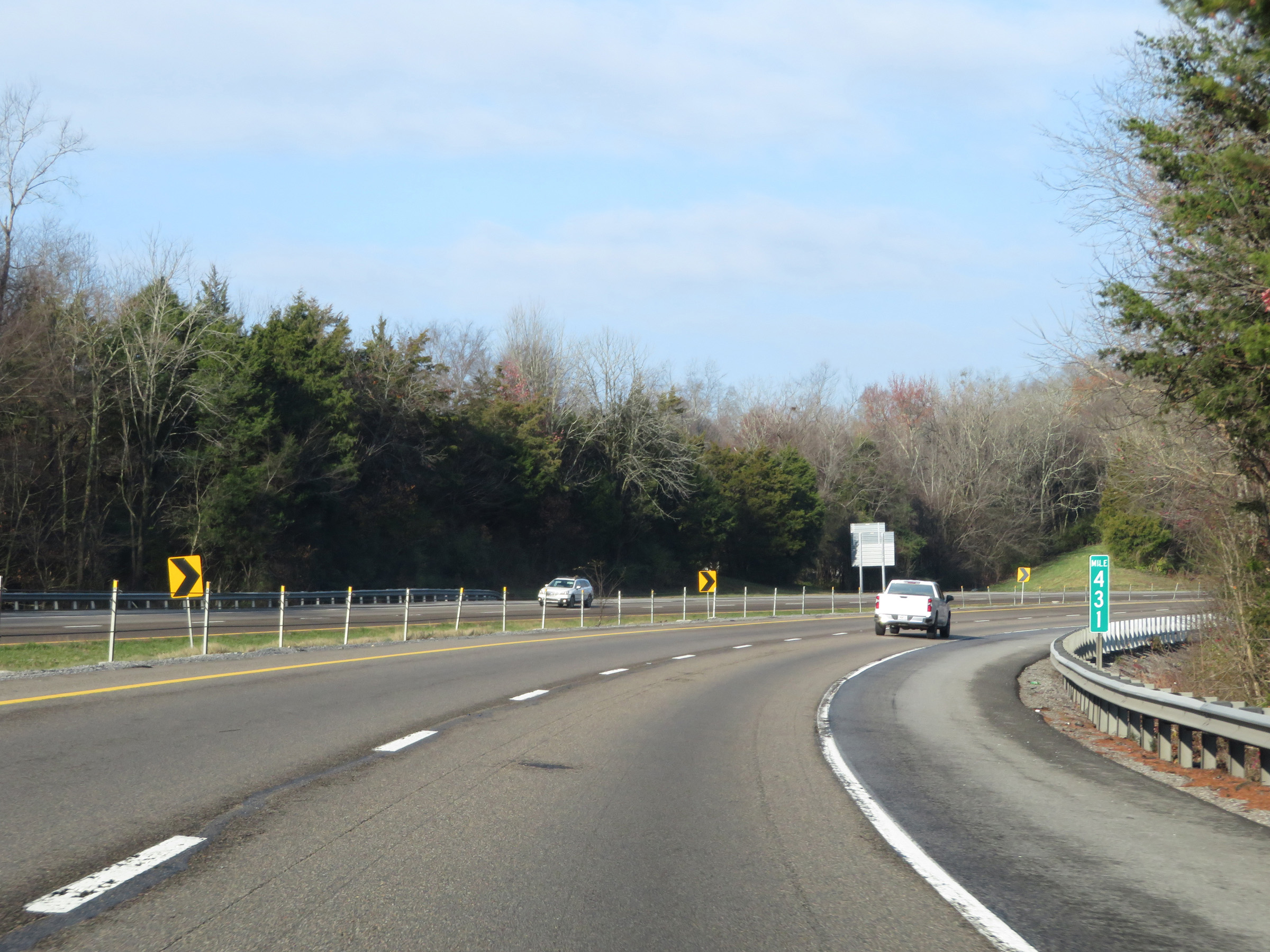 |
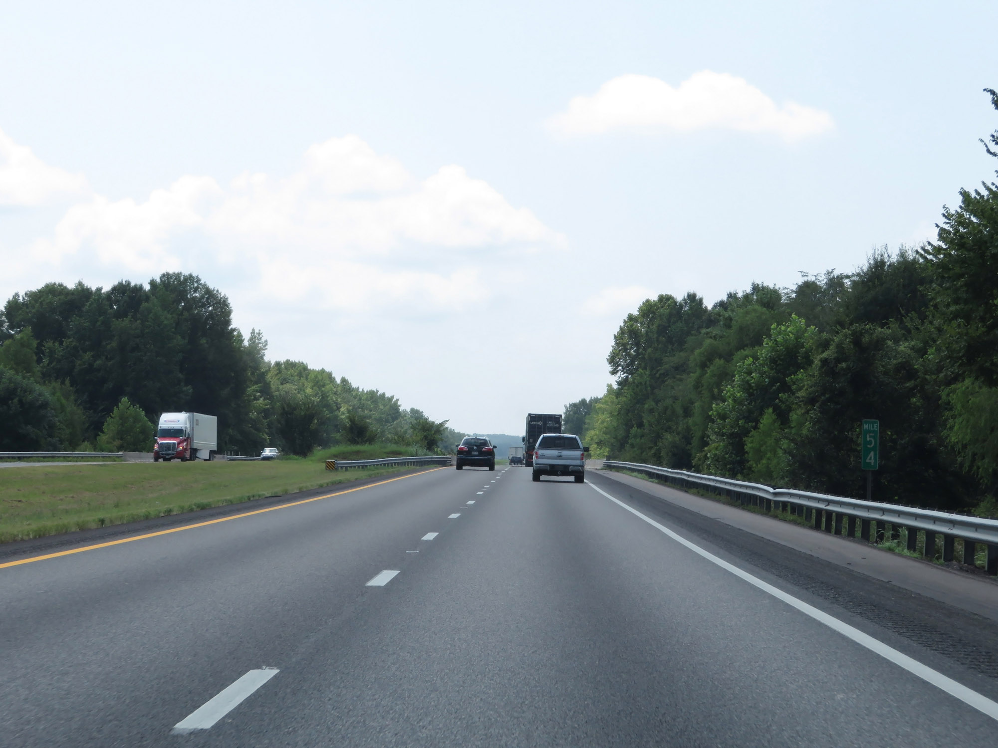
Mile marker 431 on Interstate 40 West in Cocke County. (Photo taken 12/5/20). |
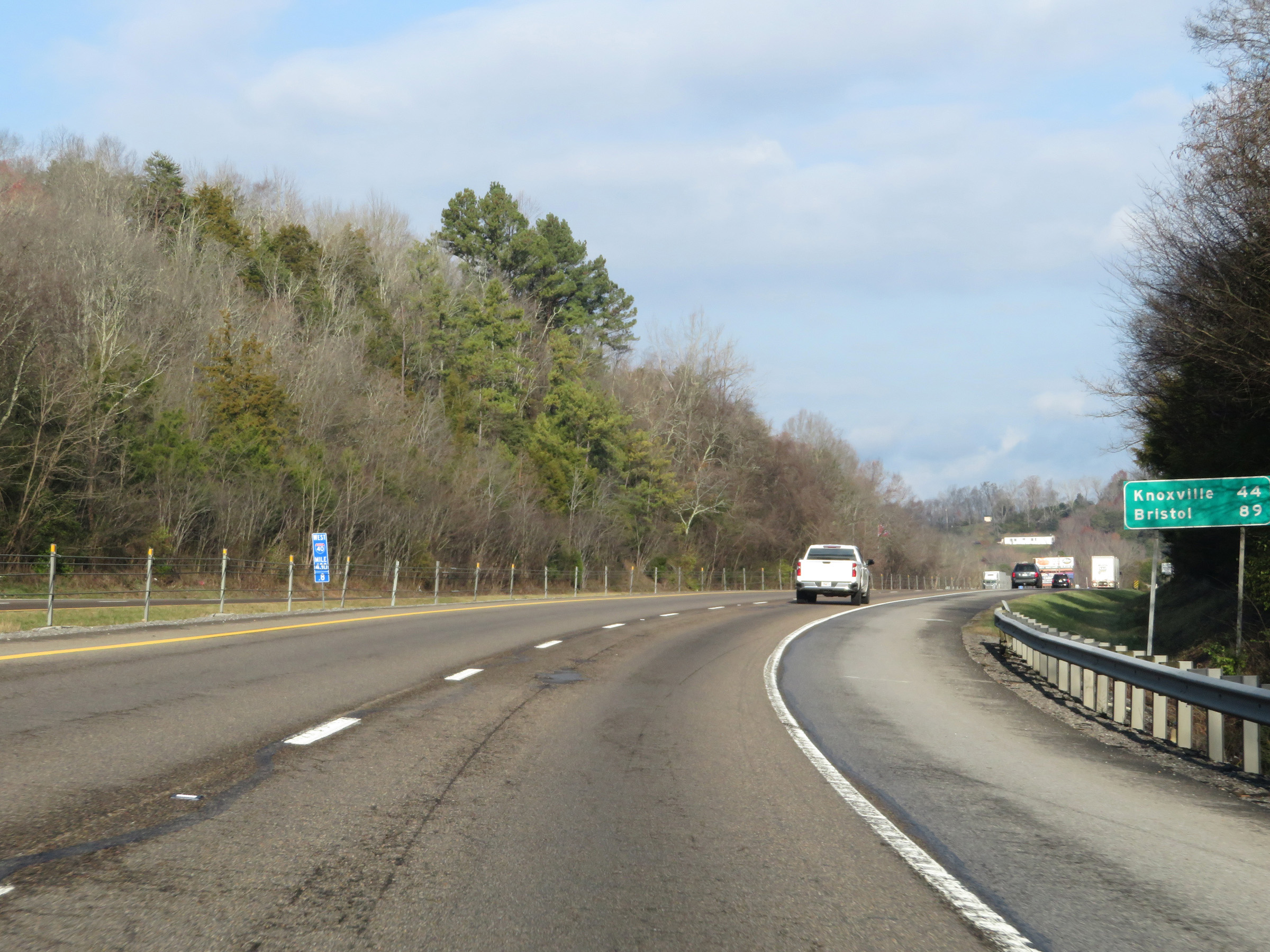 |
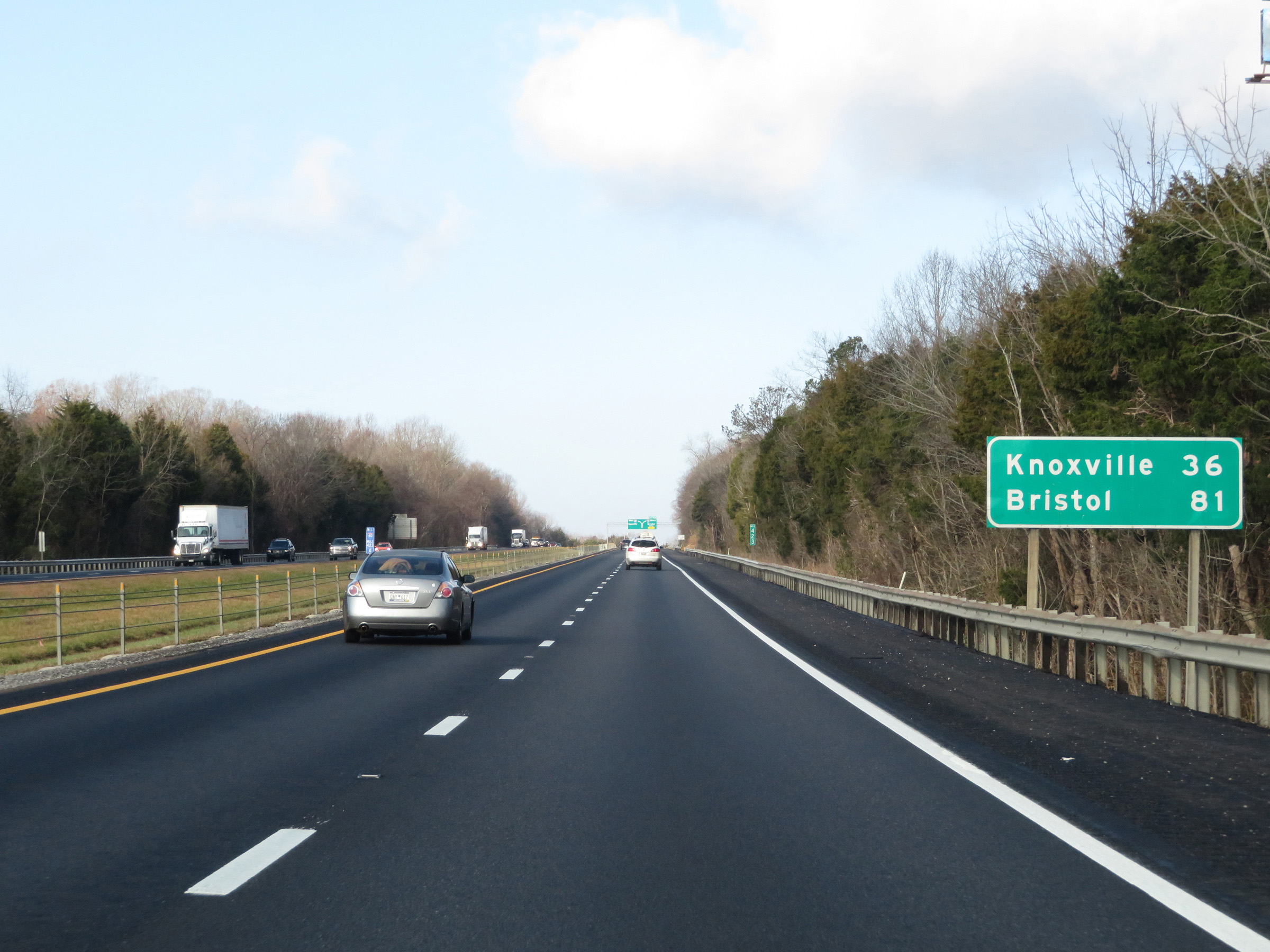
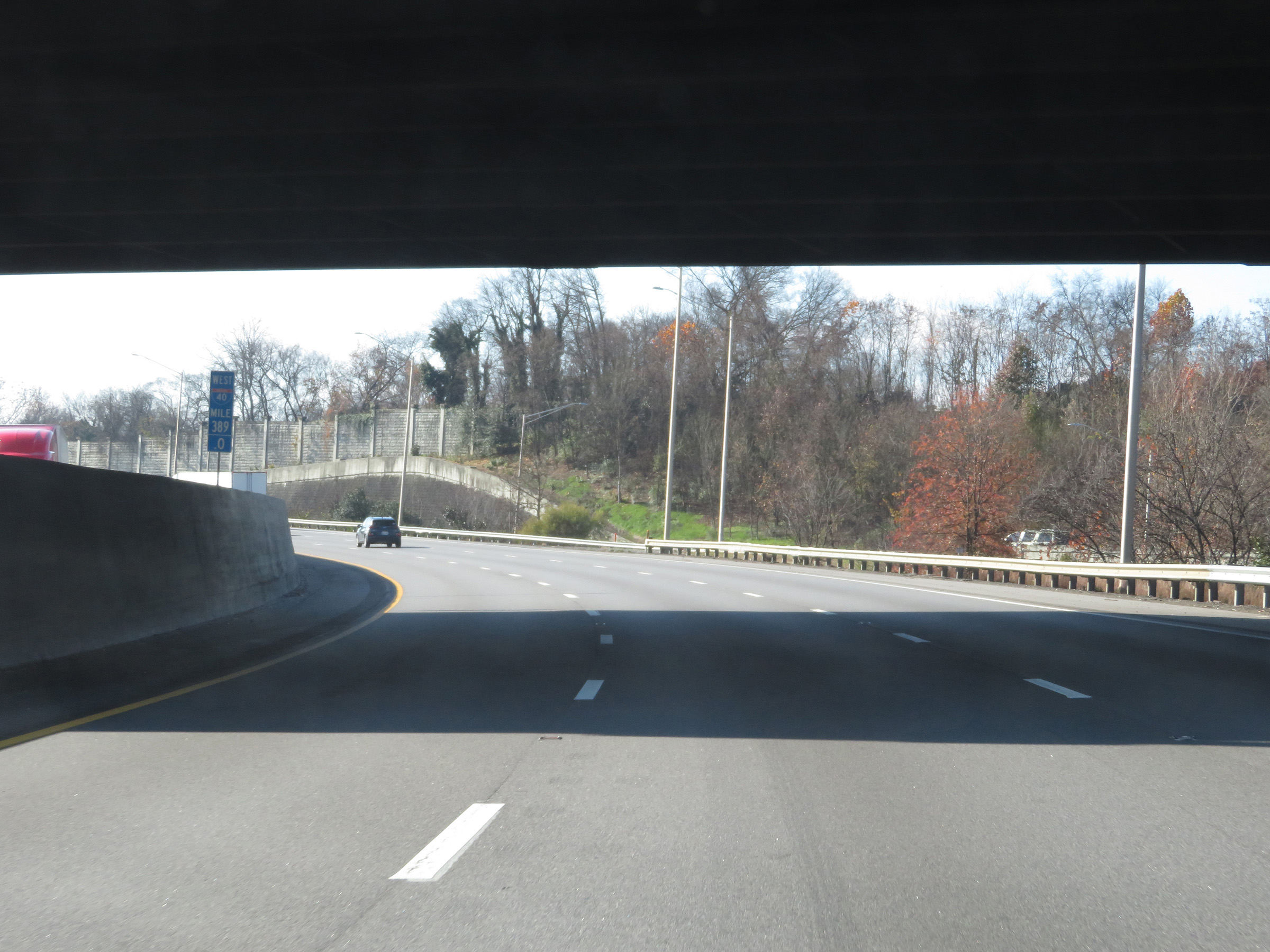
Mileage sign on Interstate 40 West. It's 44 miles to Knoxville and 89 miles to Bristol. (Photo taken 12/5/20). |
 |
Interstate 40 West as it enters Jefferson County. (Photo taken 12/5/20). |
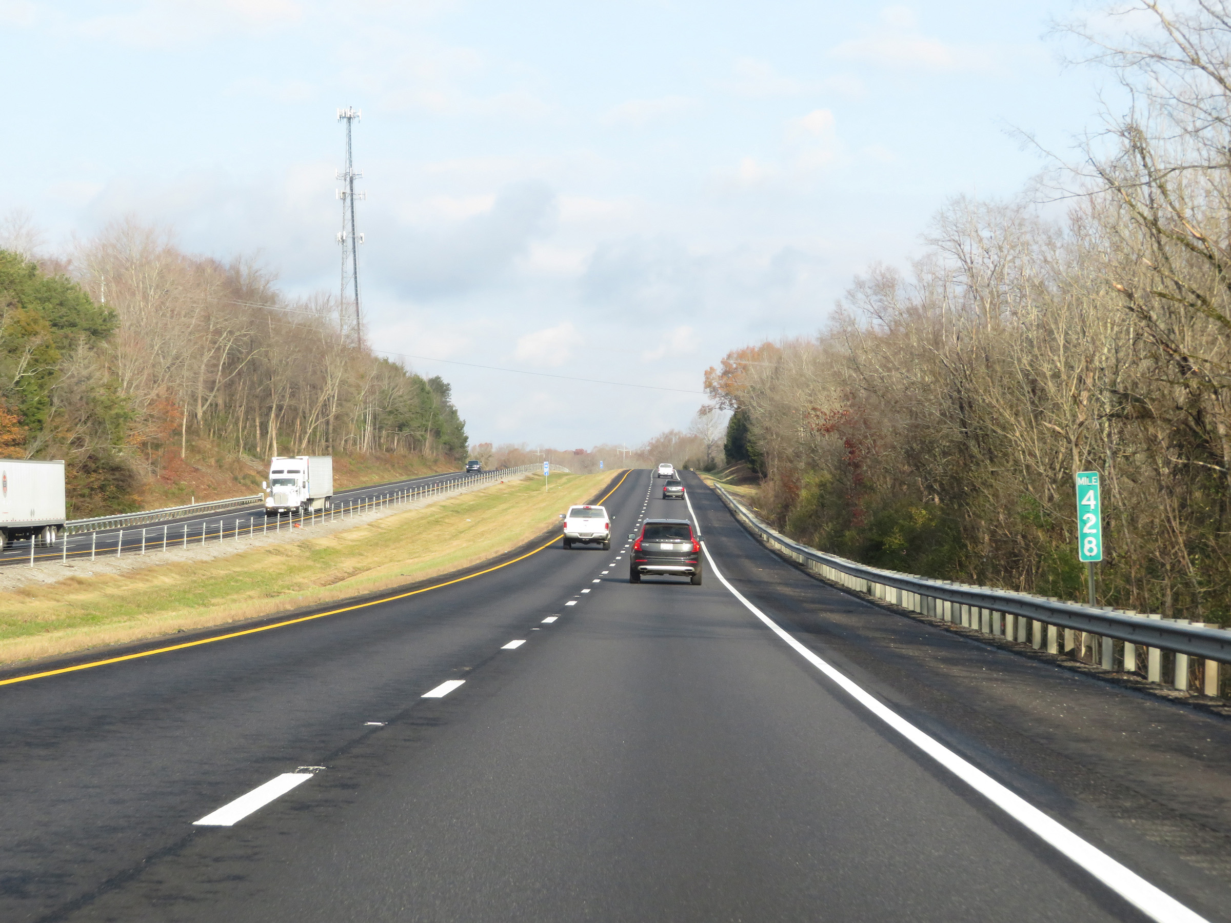 |
View on Interstate 40 West at mile marker 428. (Photo taken 12/5/20). |
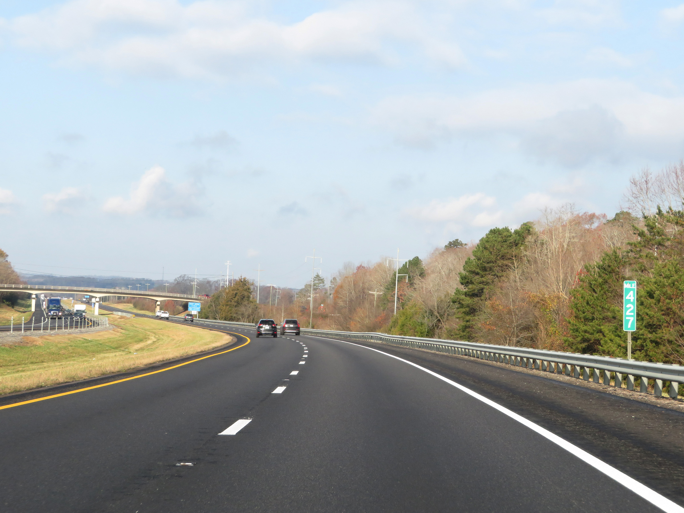 |
Interstate 40 West at mile marker 427. (Photo taken 12/5/20). |
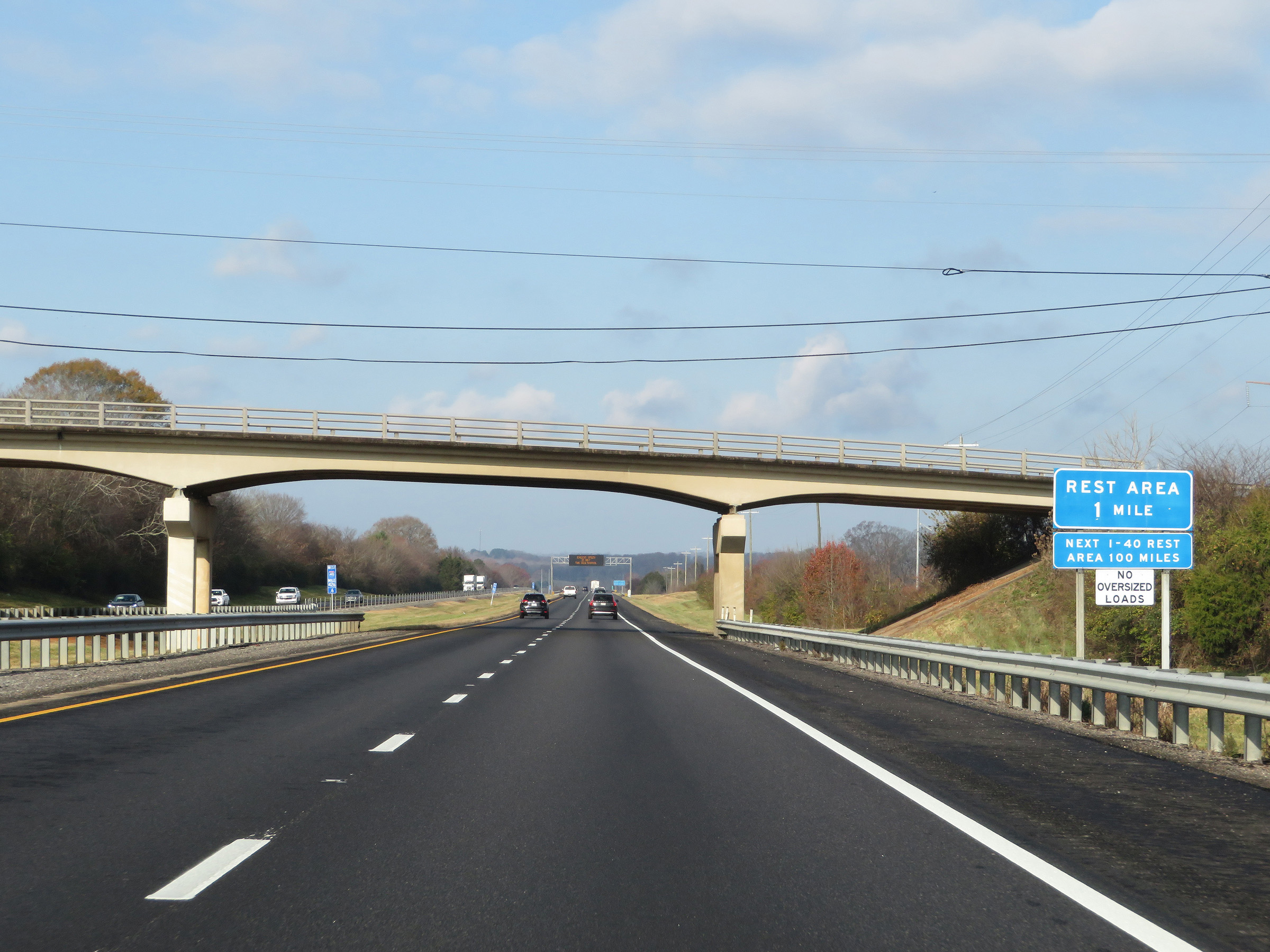 |
The next Rest Area on Interstate 40 West beyond the one coming up in 1 mile is 100 miles ahead. (Photo taken 12/5/20). |
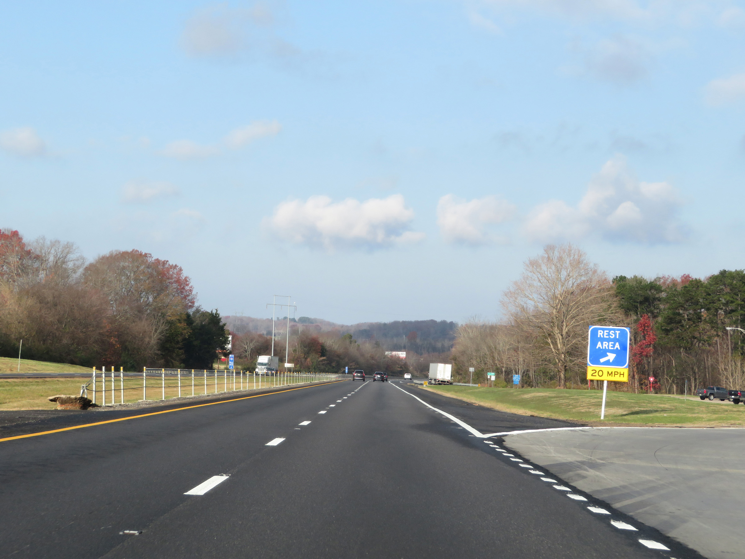 |
Rest Area on Interstate 40 West in Jefferson County. (Photo taken 12/5/20). |
 |
View on Interstate 40 West at mile marker 425. (Photo taken 12/5/20). |
 |
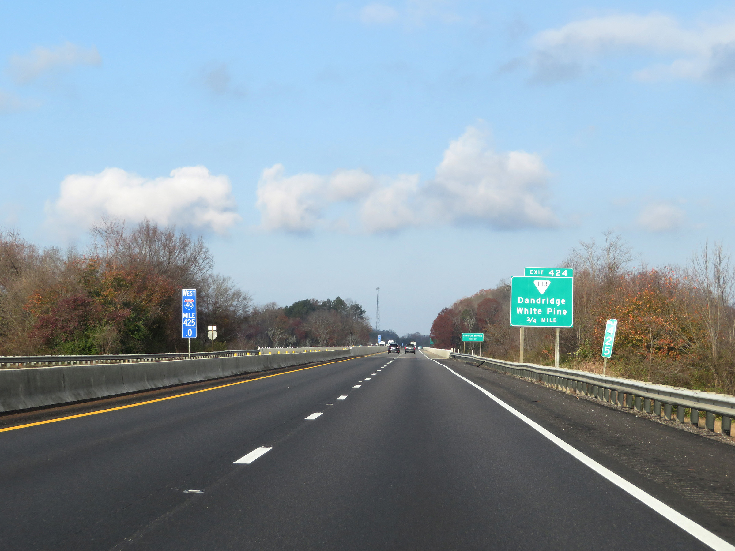
Interstate 40 West at Exit 424: SR 113 - Dandridge / White Pine (Photo taken 12/5/20). |
 |
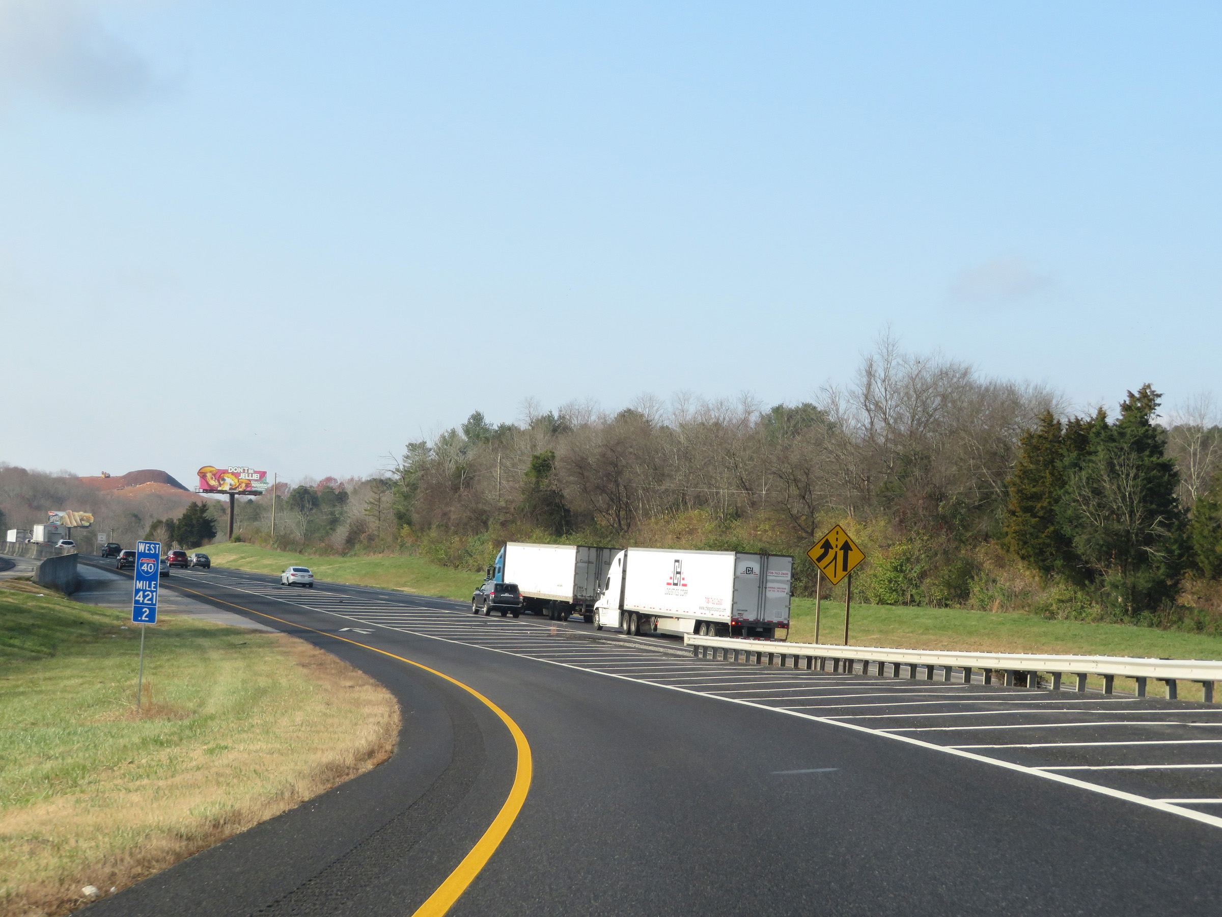
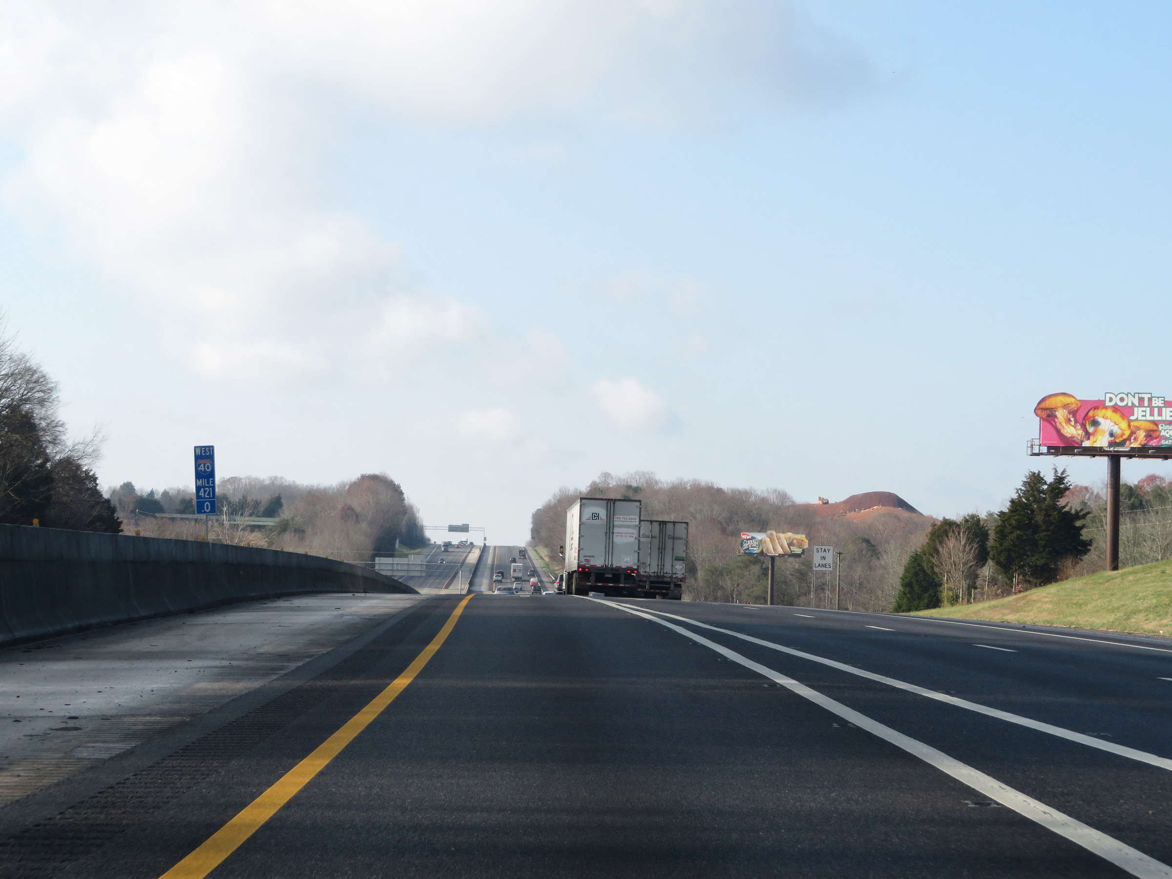
Another mileage sign on Interstate 40 West. It's 36 miles to Knoxville and 81 miles to Bristol (via Interstate 81 North). (Photo taken 12/5/20). |
 |
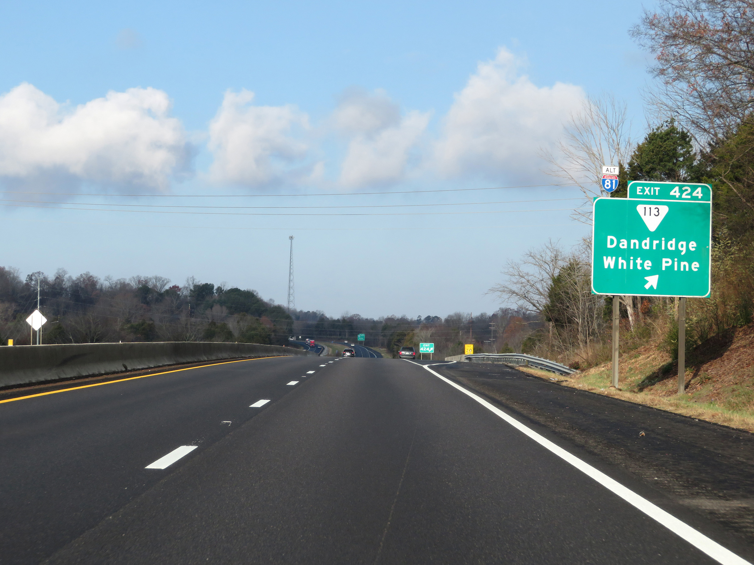
Interstate 40 West approaching the junction of Interstate 81 North via Exit 421 - 1 mile. (Photo taken 12/5/20). |
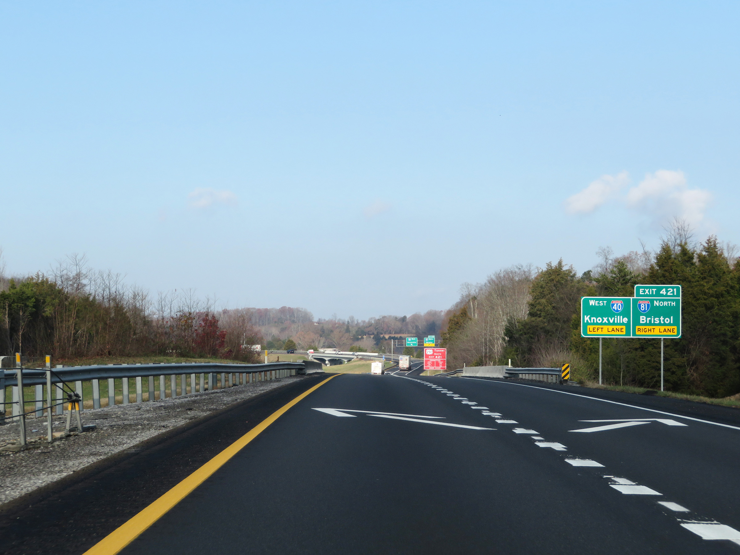 |
Interstate 40 West thru traffic must use the left lane ahead. The right lane becomes an Exit Only lane for Exit 421. (Photo taken 12/5/20). |
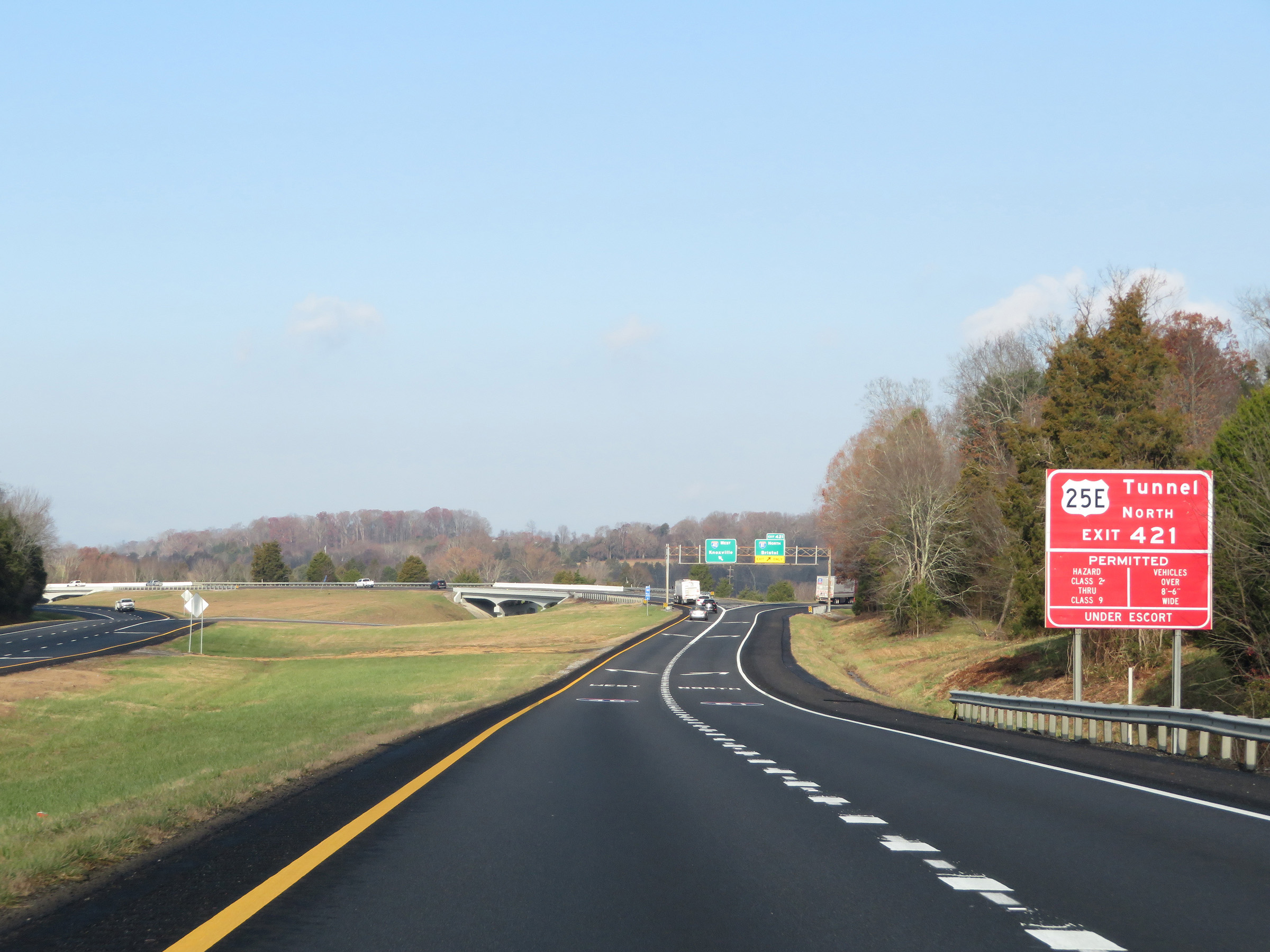 |
This sign warns trucks looking to take US 25E North via Interstate 81 North that hazardous materials of class 2 though 9 and vehicles over 8'6" wide are only permitted through the tunnel on the Tennessee / Kentucky border with an escort. (Photo taken 12/5/20). |
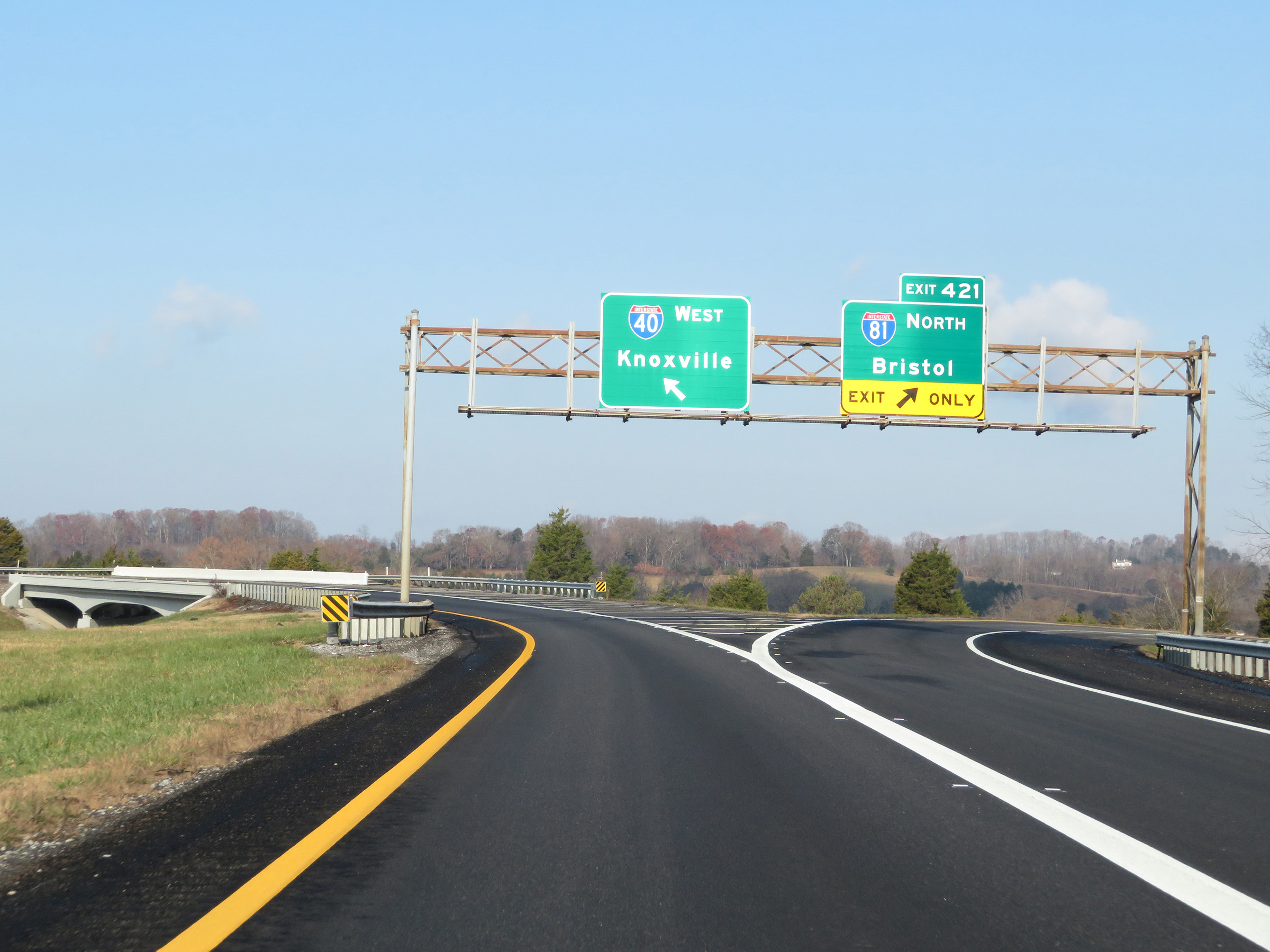 |
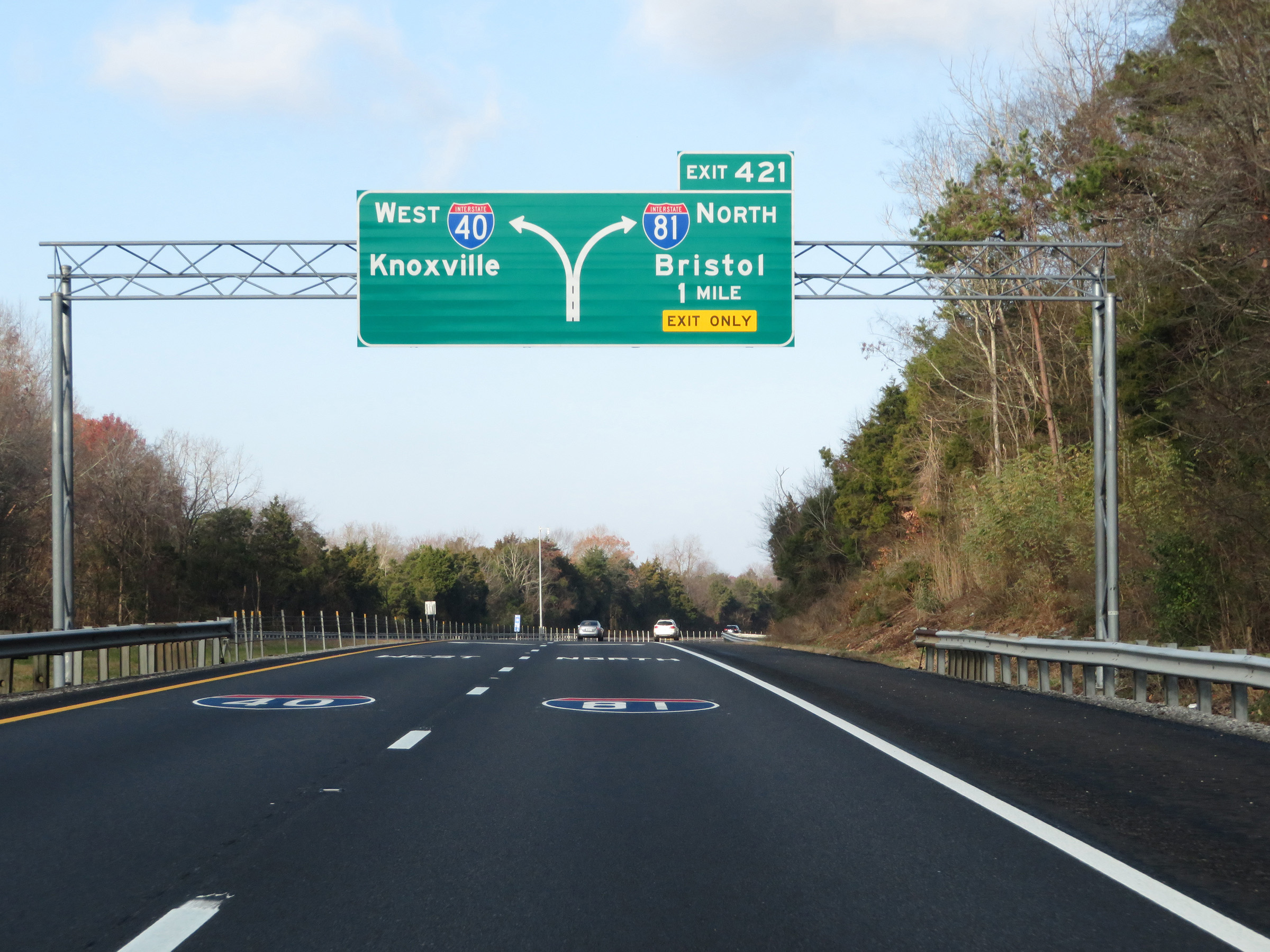
Interstate 40 West at Exit 421: Interstate 81 North - Bristol (Photo taken 12/5/20). |
 |
Interstate 40 West is briefly reduced to a single lane just beyond Exit 421 as it prepares to pass over the ramp from I-40 East to Interstate 81 North. (Photo taken 12/5/20). |
 |
The single lane of Interstate 40 West appears more like a ramp than the mainline, as it prepares to merge into the southbound lanes of Interstate 81 ahead at I-81's southern terminus. (Photo taken 12/5/20). |
 |
At mile marker 421.2, we see traffic from Interstate 81 South carrying two lanes and the single lane of Interstate 40 West will join up with them ahead. (Photo taken 12/5/20). |
 |
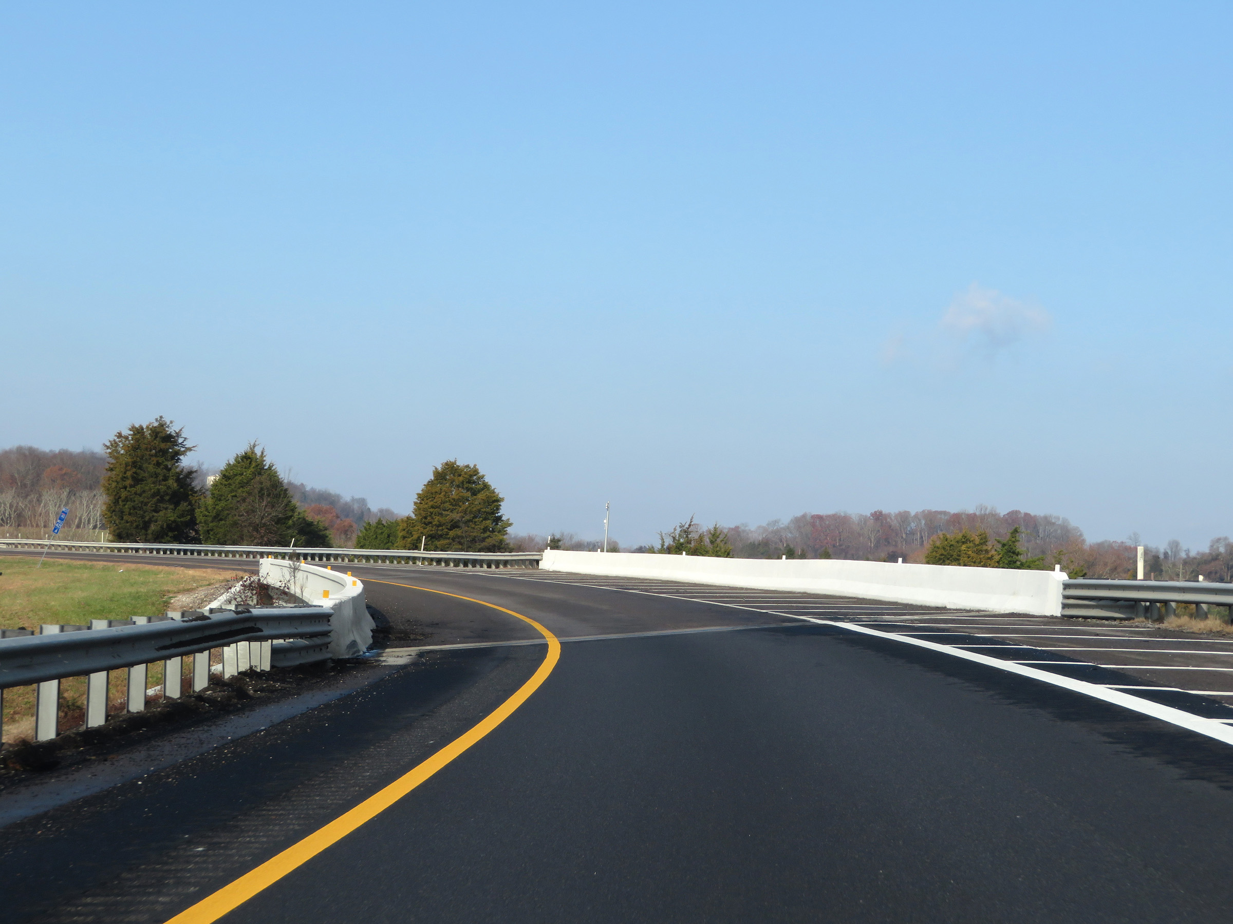
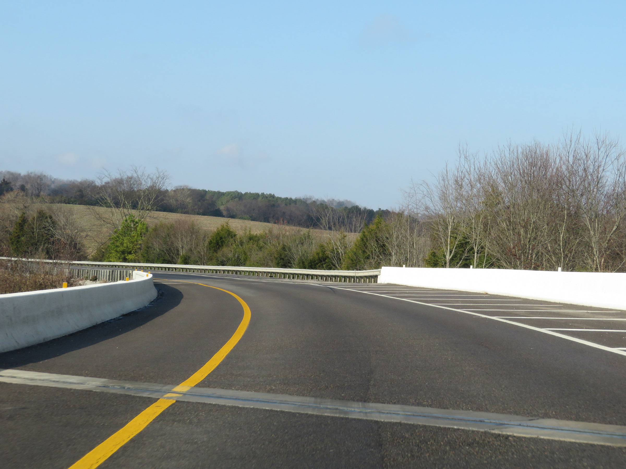
View on Interstate 40 West at mile marker 421, as the single lane of I-40 West combines with the two southbound lanes of Interstate 81 at the southern terminus of I-81, forming three westbound lanes for I-40. (Photo taken 12/5/20). |
 |
Interstate 40 West reassurance shield at mile marker 420.6. (Photo taken 12/5/20). |
 |
The speed limit remains 70 mph for all traffic on Interstate 40 West. (Photo taken 12/5/20). |
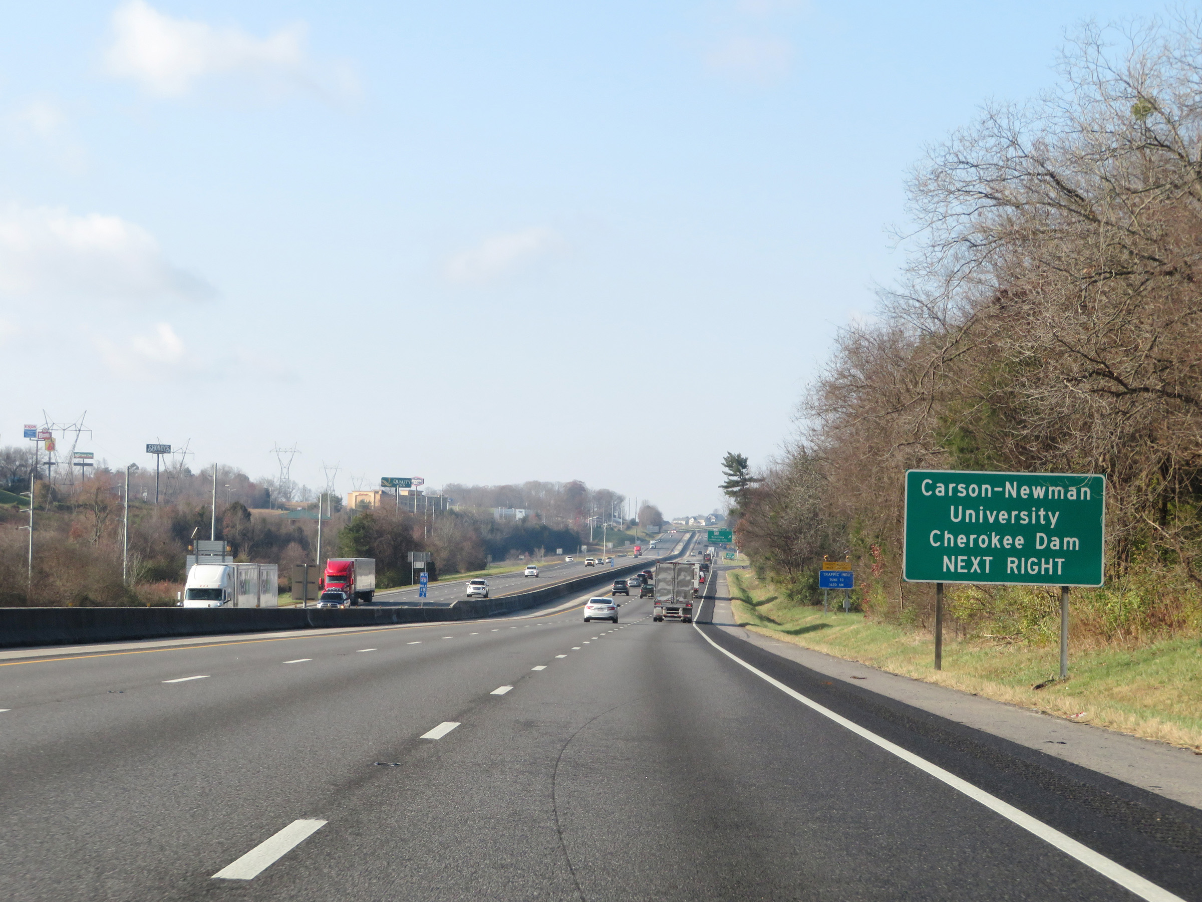 |
Take Exit 417 to Carson-Newman University and Cherokee Dam. (Photo taken 12/5/20). |
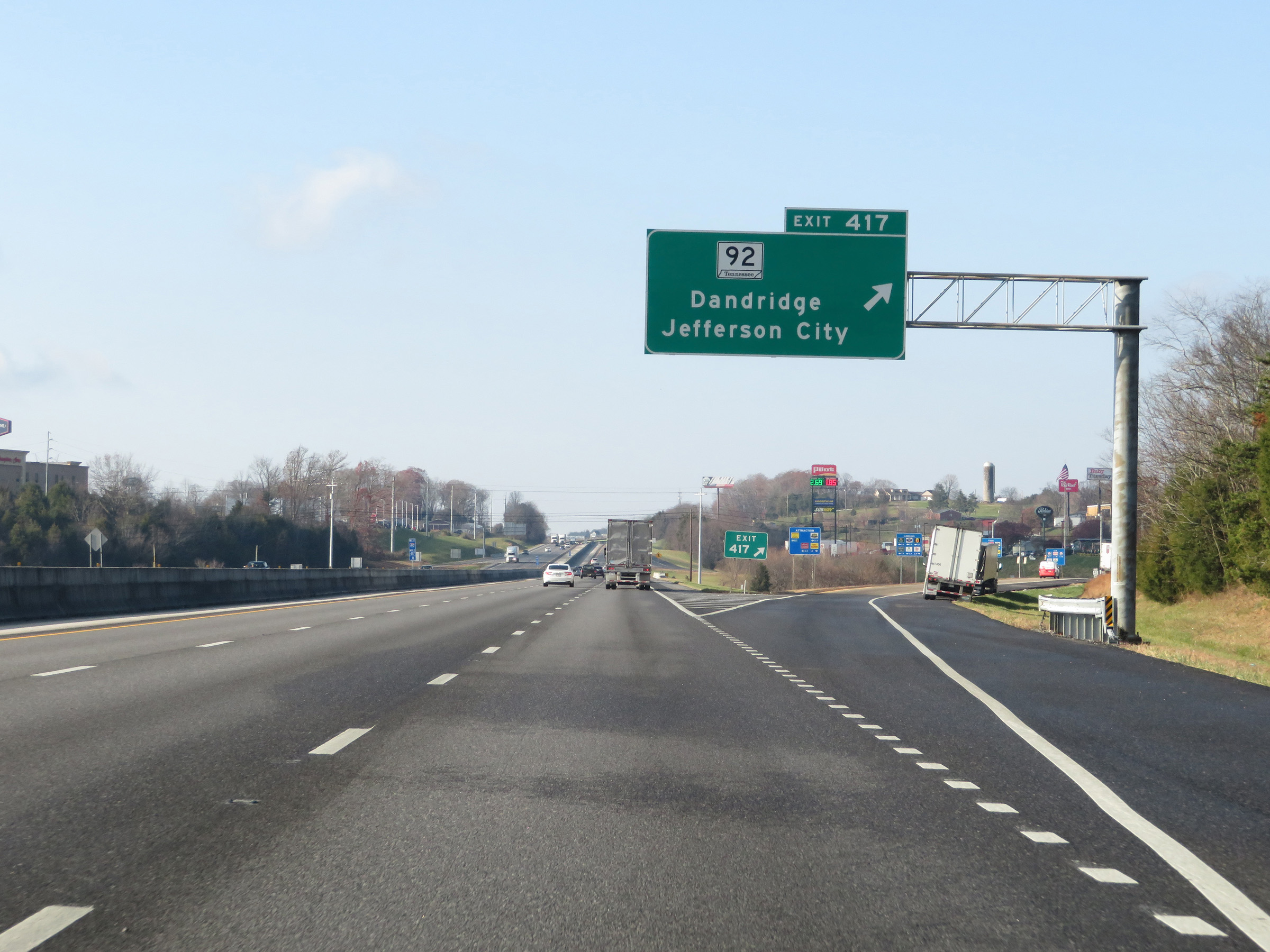 |
Interstate 40 West at Exit 417: TN 92 - Dandridge / Jefferson City (Photo taken 12/5/20). |
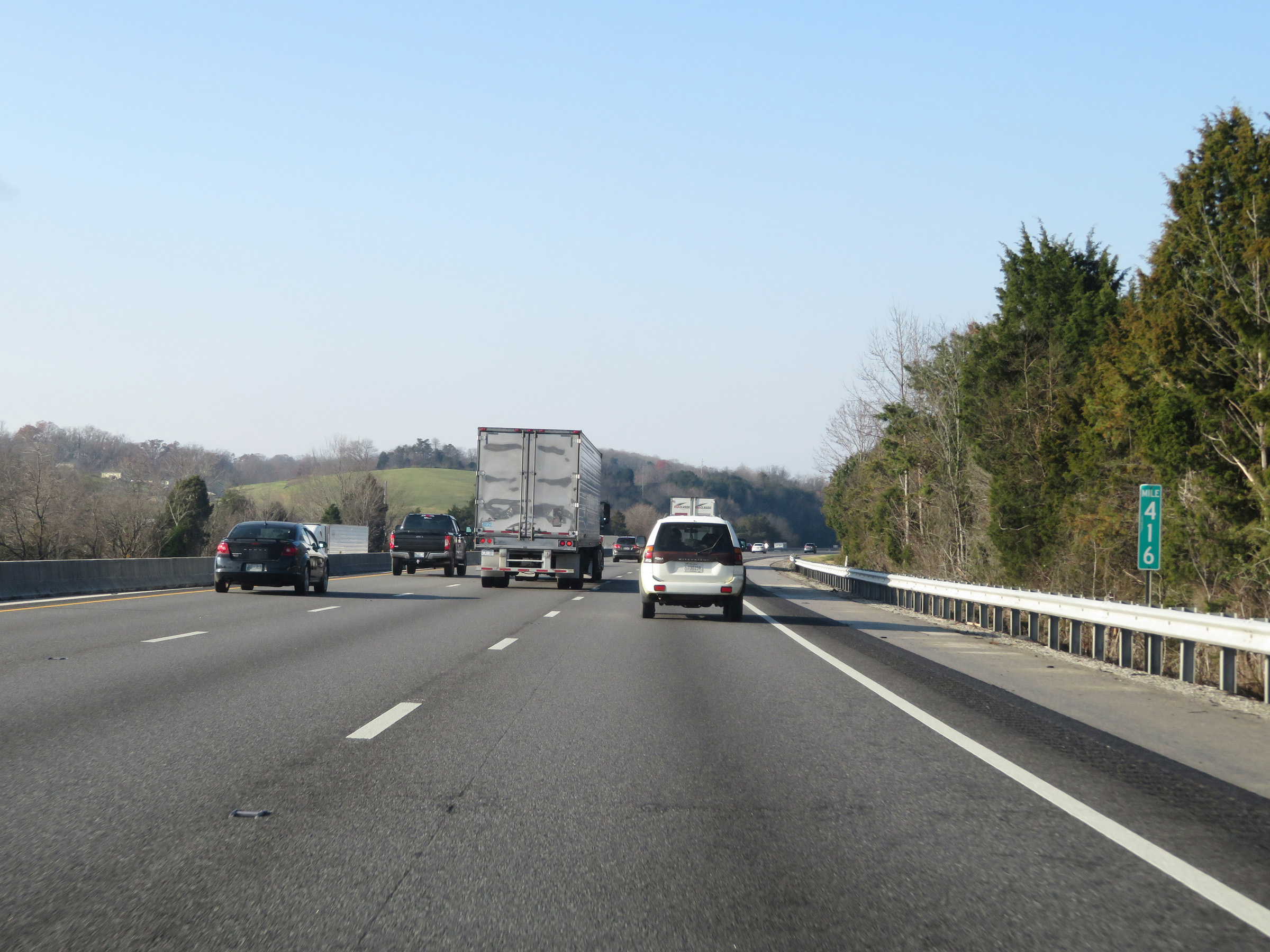 |
View on Interstate 40 West at mile marker 416. (Photo taken 12/5/20). |
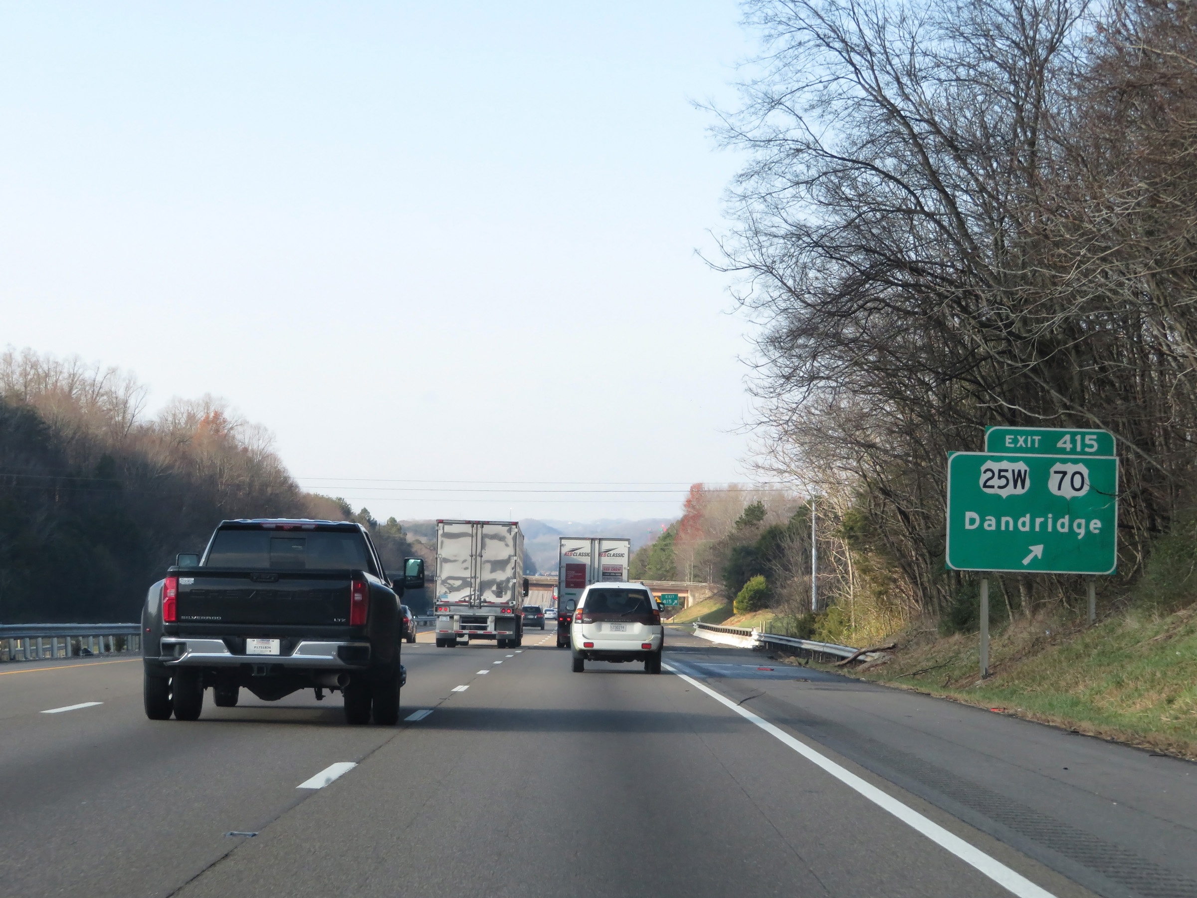 |
Interstate 40 West at Exit 415: US 25W / US 70 - Dandridge (Photo taken 12/5/20). |
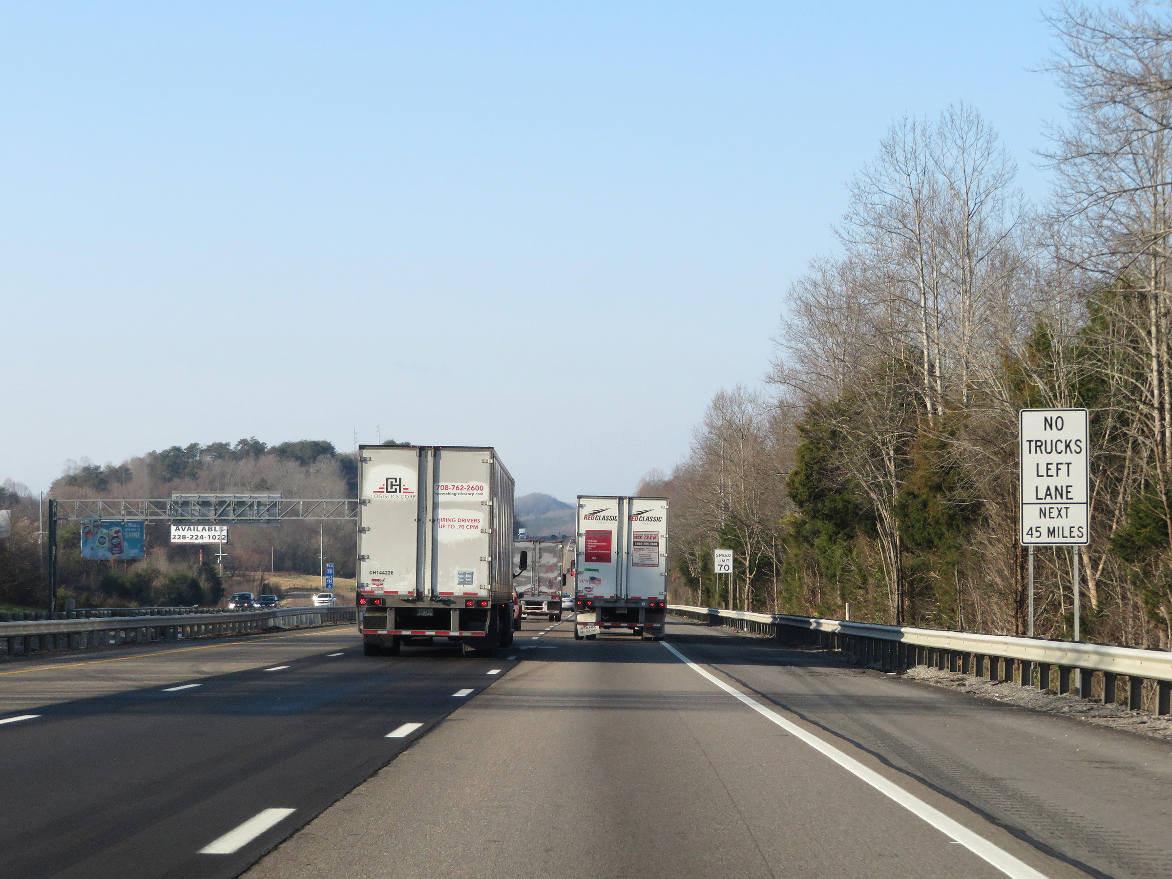 |
As this sign reads, trucks are prohibited in the left lane for the next 45 miles on Interstate 40 West. (Photo taken 12/5/20). |
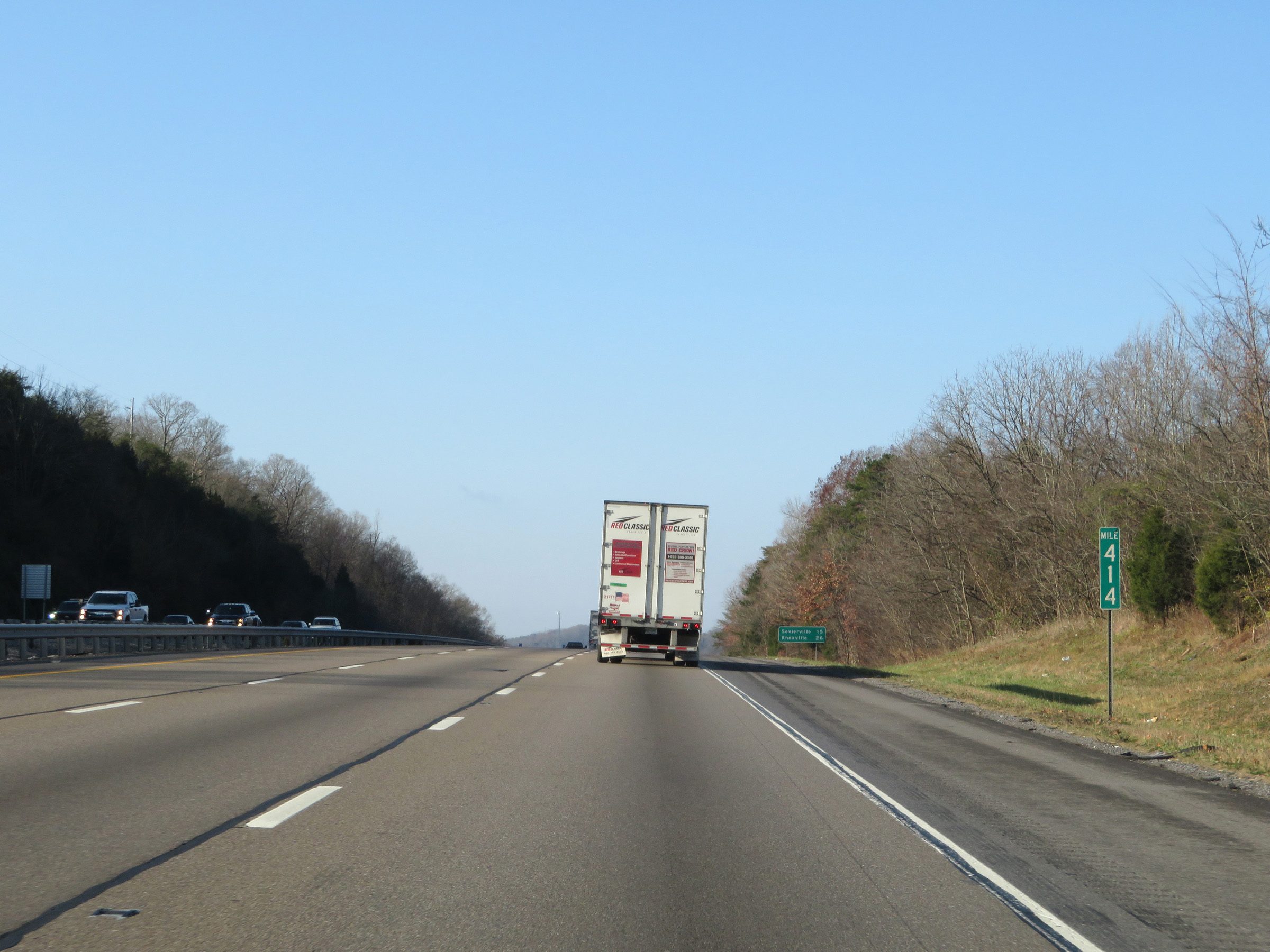 |
Interstate 40 West at mile marker 414. (Photo taken 12/5/20). |
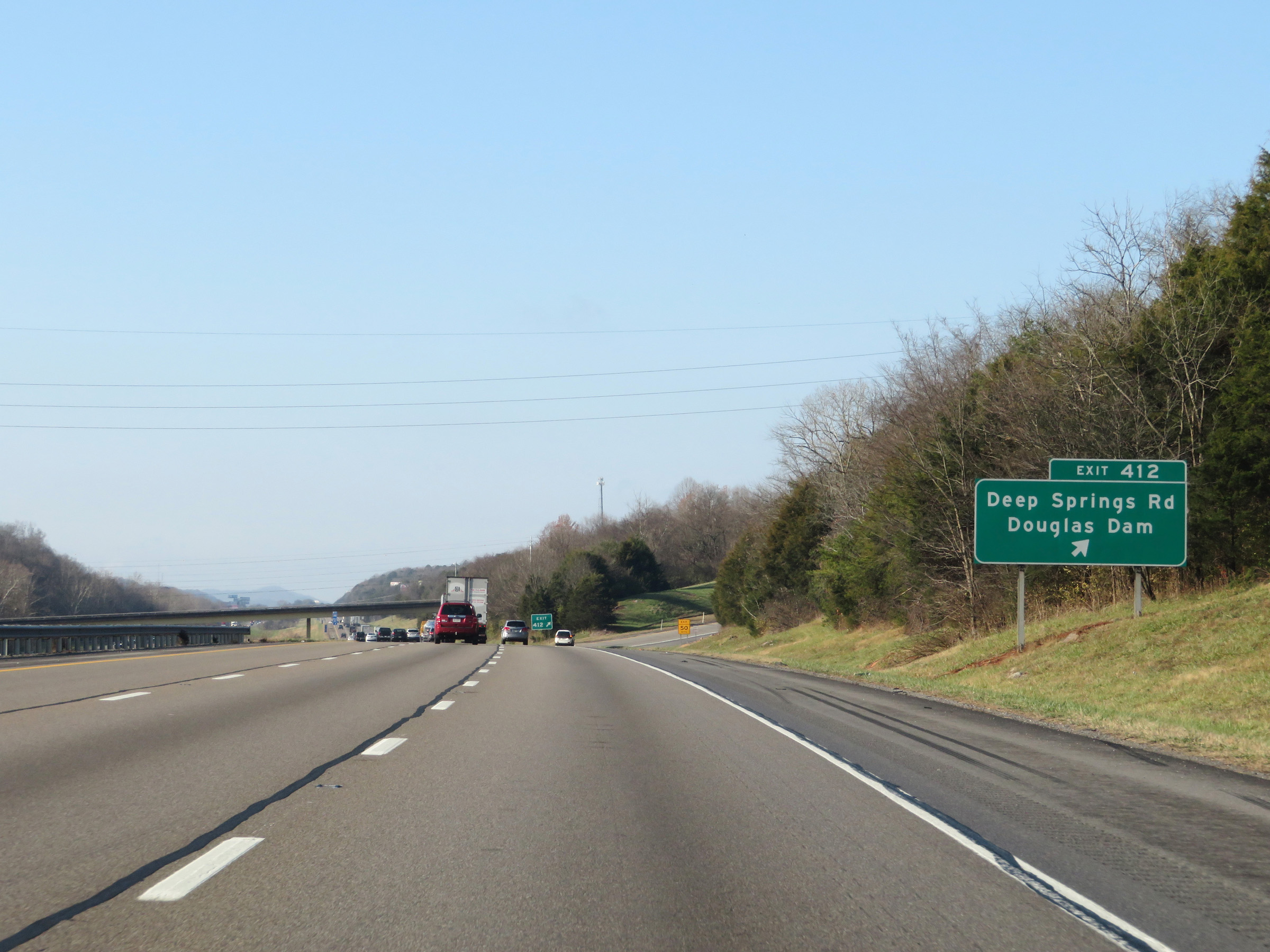 |
Interstate 40 West at Exit 412: Deep Springs Rd / Douglas Dam (Photo taken 12/5/20). |
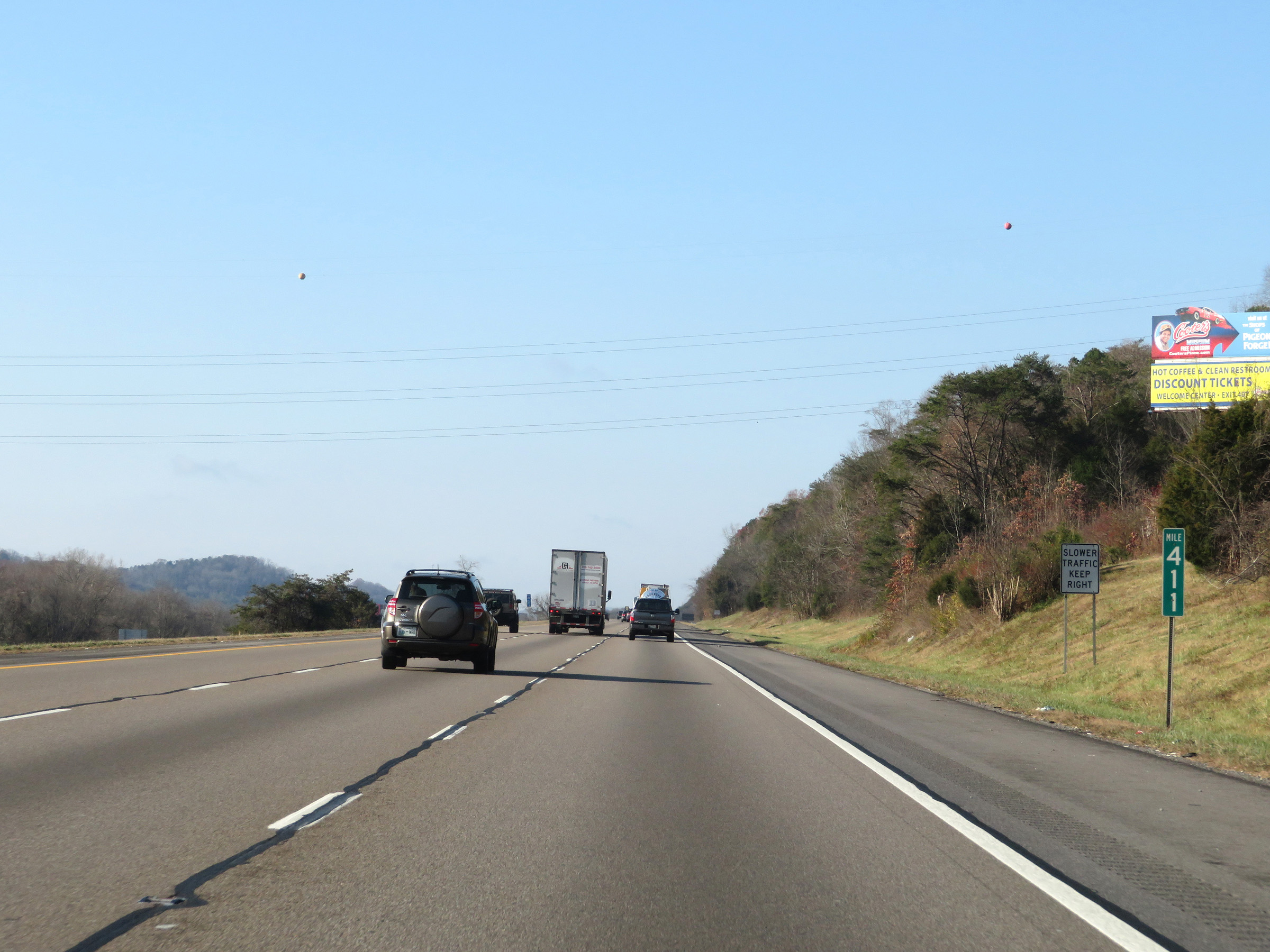 |
View on Interstate 40 West at mile marker 411. (Photo taken 12/5/20). |
 |
Take Exit 407 to Dollywood, Ober Gatlinburg, Aquarium of the Smokies, and the Stadium. (Photo taken 12/5/20). |
 |
Interstate 40 West as it enters Sevier County. (Photo taken 12/5/20). |
 |
Also take Exit 407 to Great Smoky Mountains National Park. (Photo taken 12/5/20). |
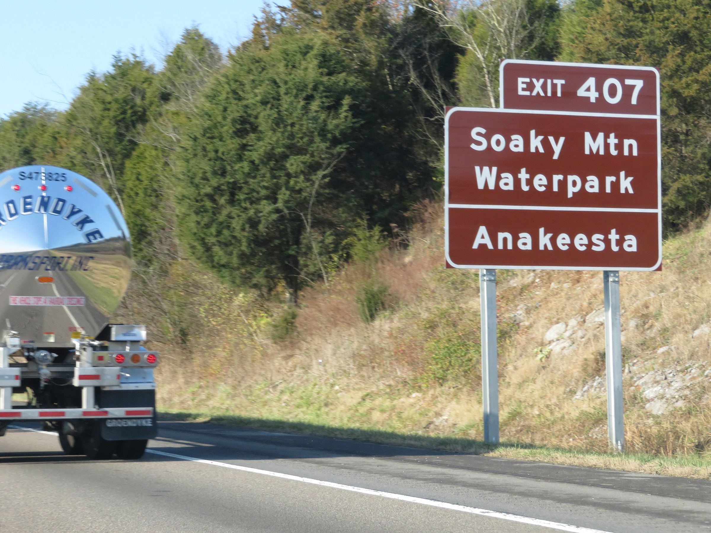 |
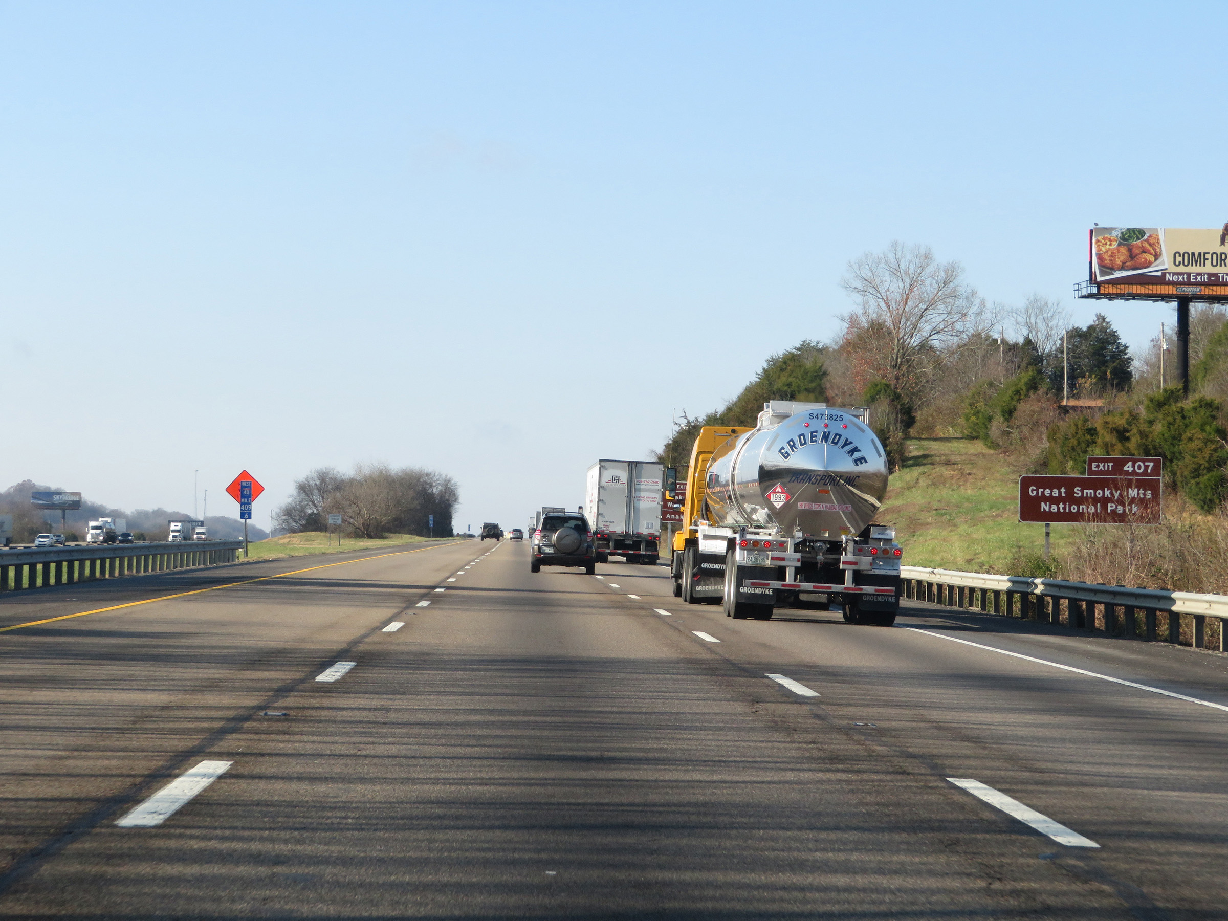
Take Exit 407 to Soaky Mountain Waterpark and Anakeesta as well. (Photo taken 12/5/20). |
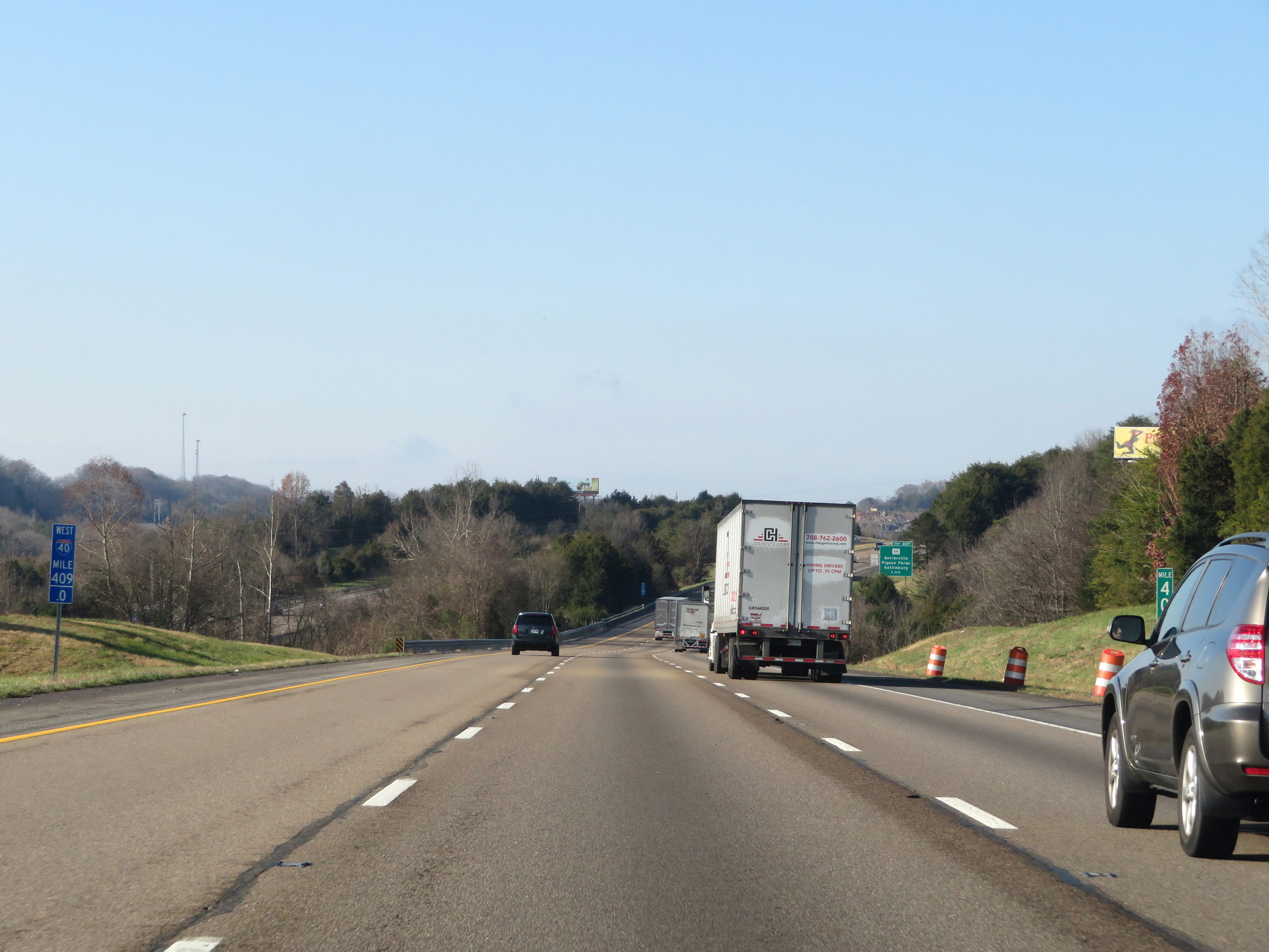 |
View on Interstate 40 West at mile marker 409. (Photo taken 12/5/20). |
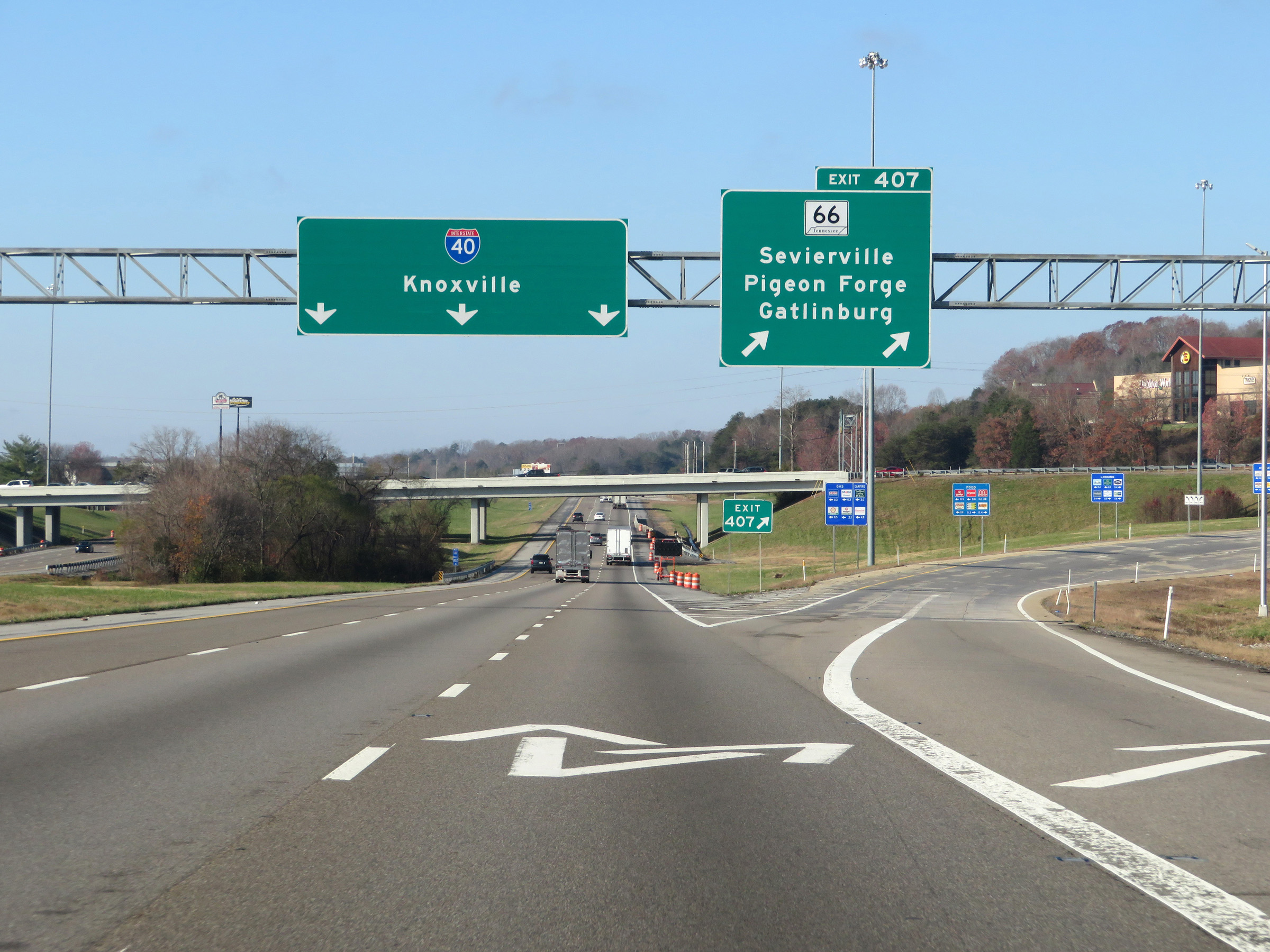 |
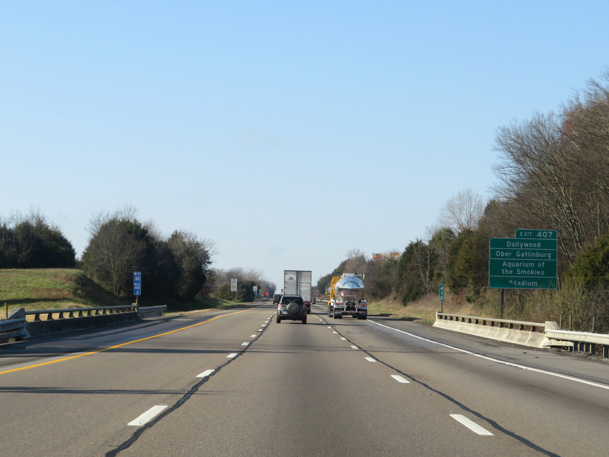
Interstate 40 West at Exit 407: TN 66 - Sevierville / Pigeon Forge / Gatlinburg (Photo taken 12/5/20). |
Section 2: Sevierville (Exit 407) to Knoxville (Exit 383)
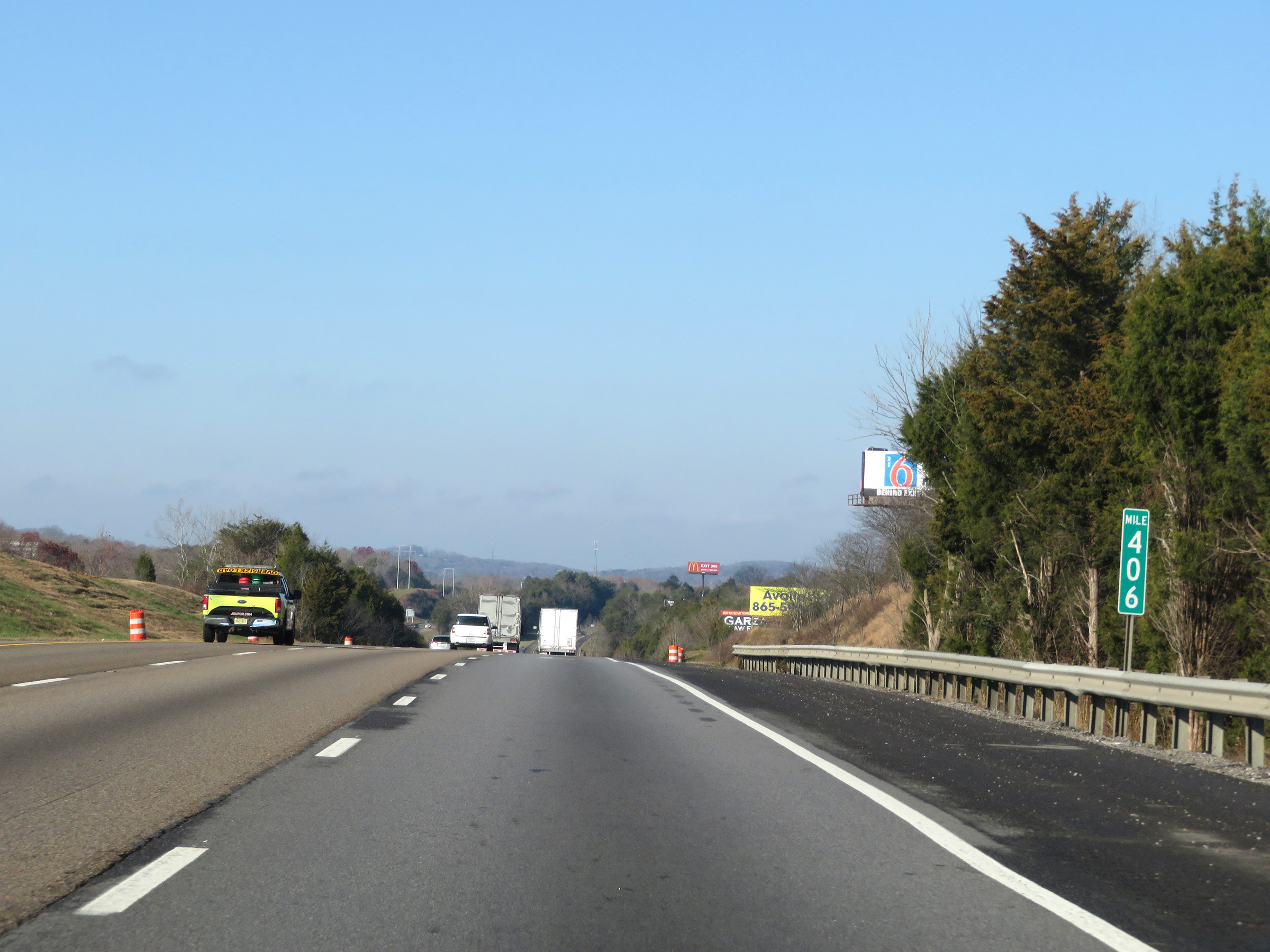 |
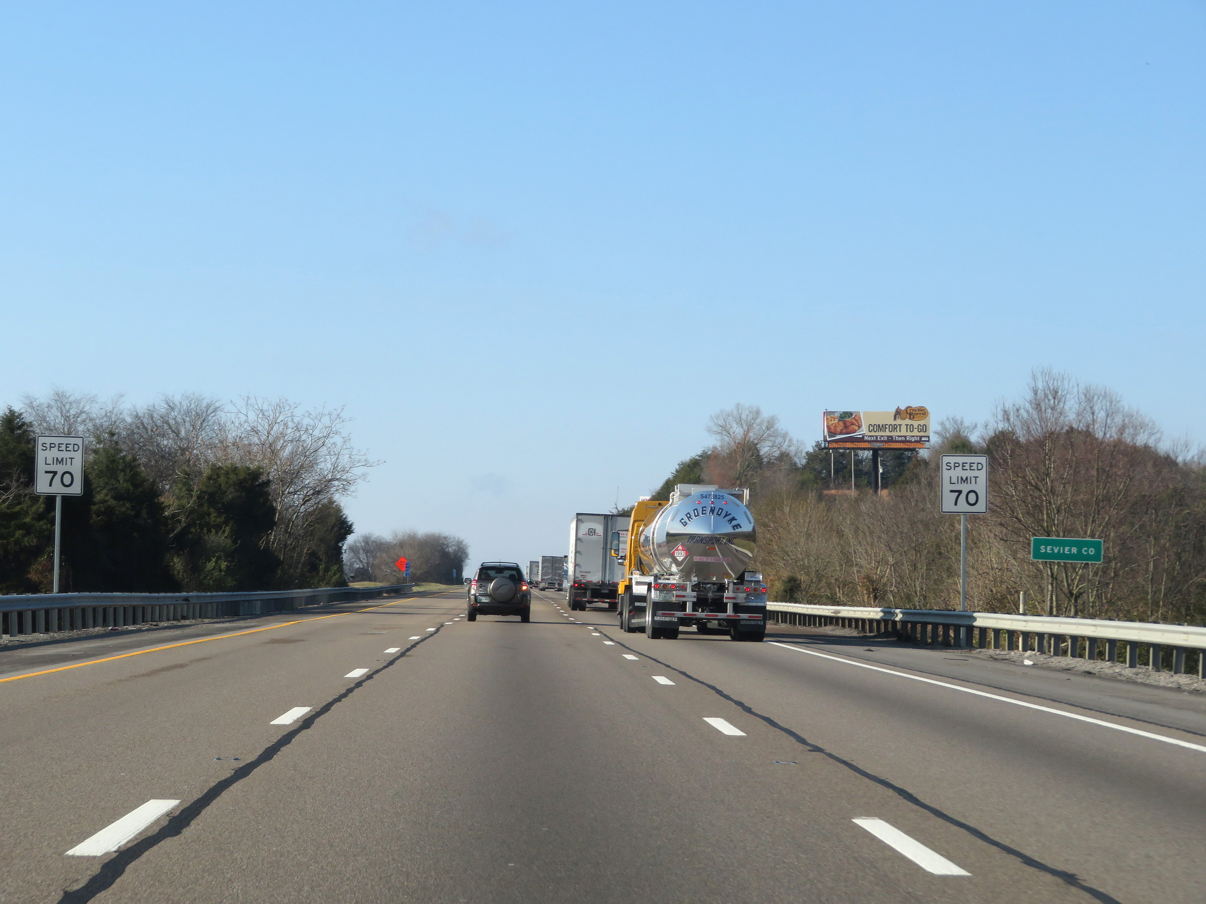
Interstate 40 West at mile marker 406. (Photo taken 12/5/20). |
 |
At mile marker 405, Interstate 40 West enters Knox County. (Photo taken 12/5/20). |
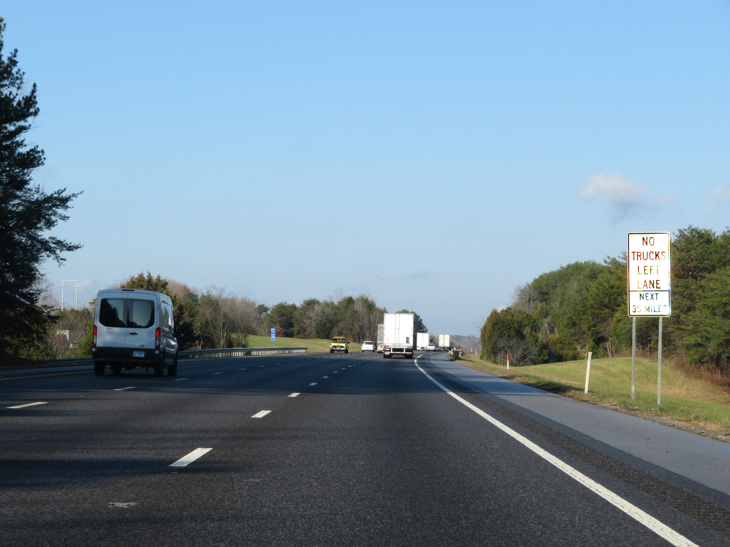 |
The truck restriction prohibiting trucks in the left lane remains in effect for 35 more miles on Interstate 40 West. (Photo taken 12/5/20). |
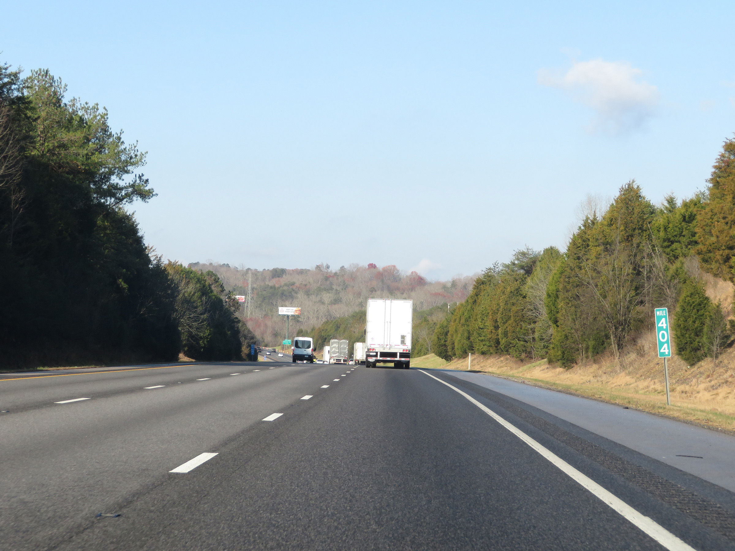 |
View on Interstate 40 West at mile marker 404. (Photo taken 12/5/20). |
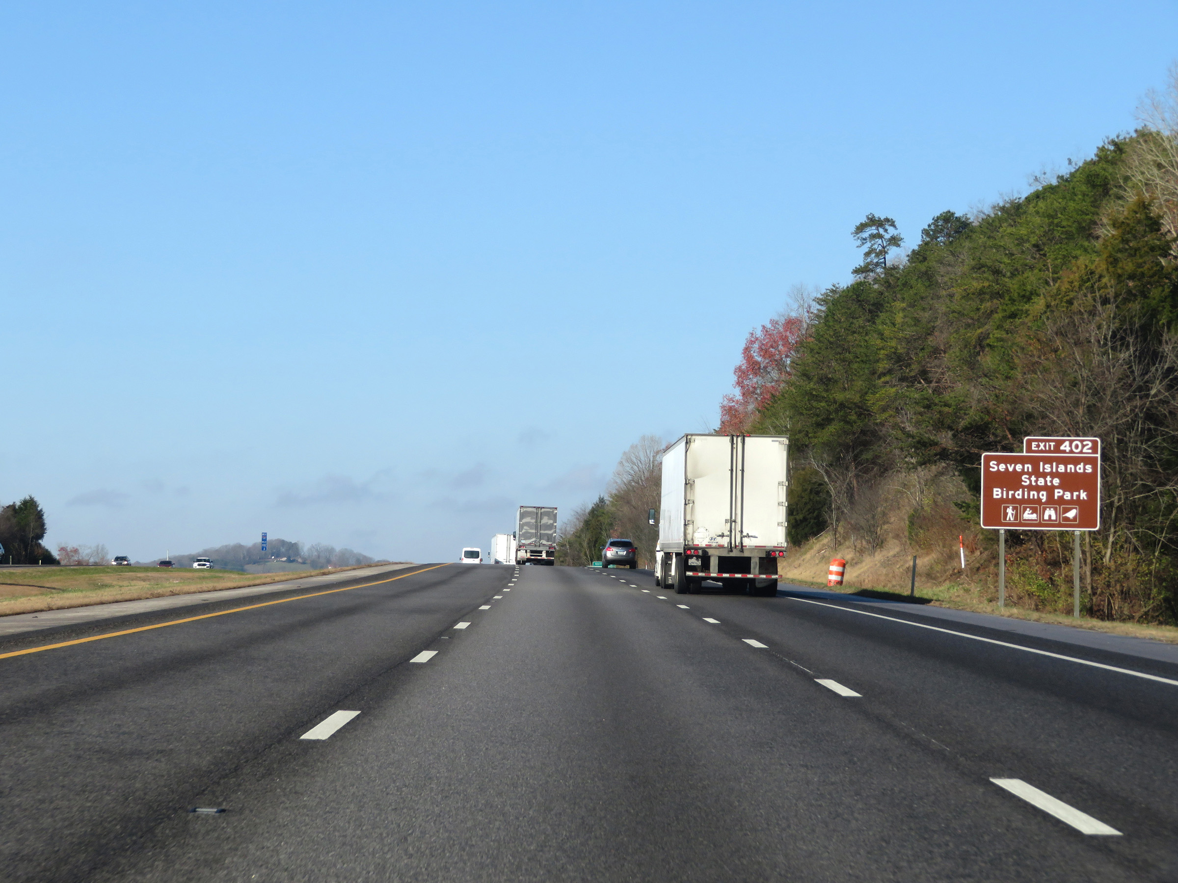 |
Take Exit 402 to Seven Islands State Birding Park. (Photo taken 12/5/20). |
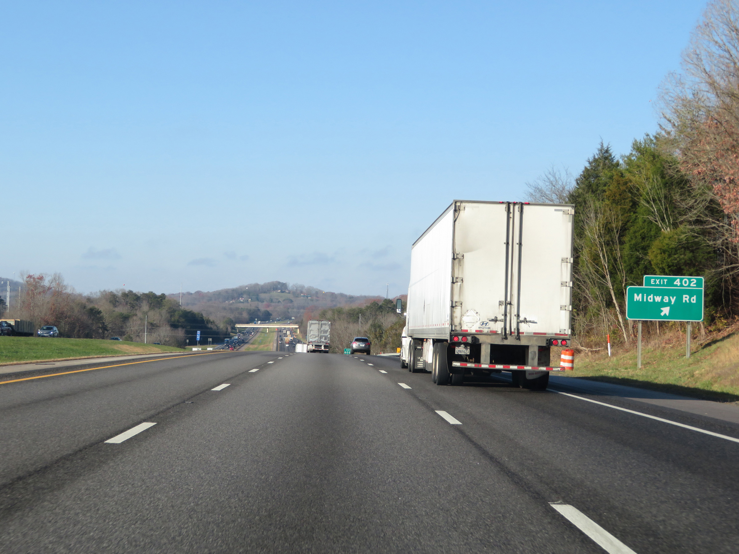 |
Interstate 40 West at Exit 402: Midway Rd (Photo taken 12/5/20). |
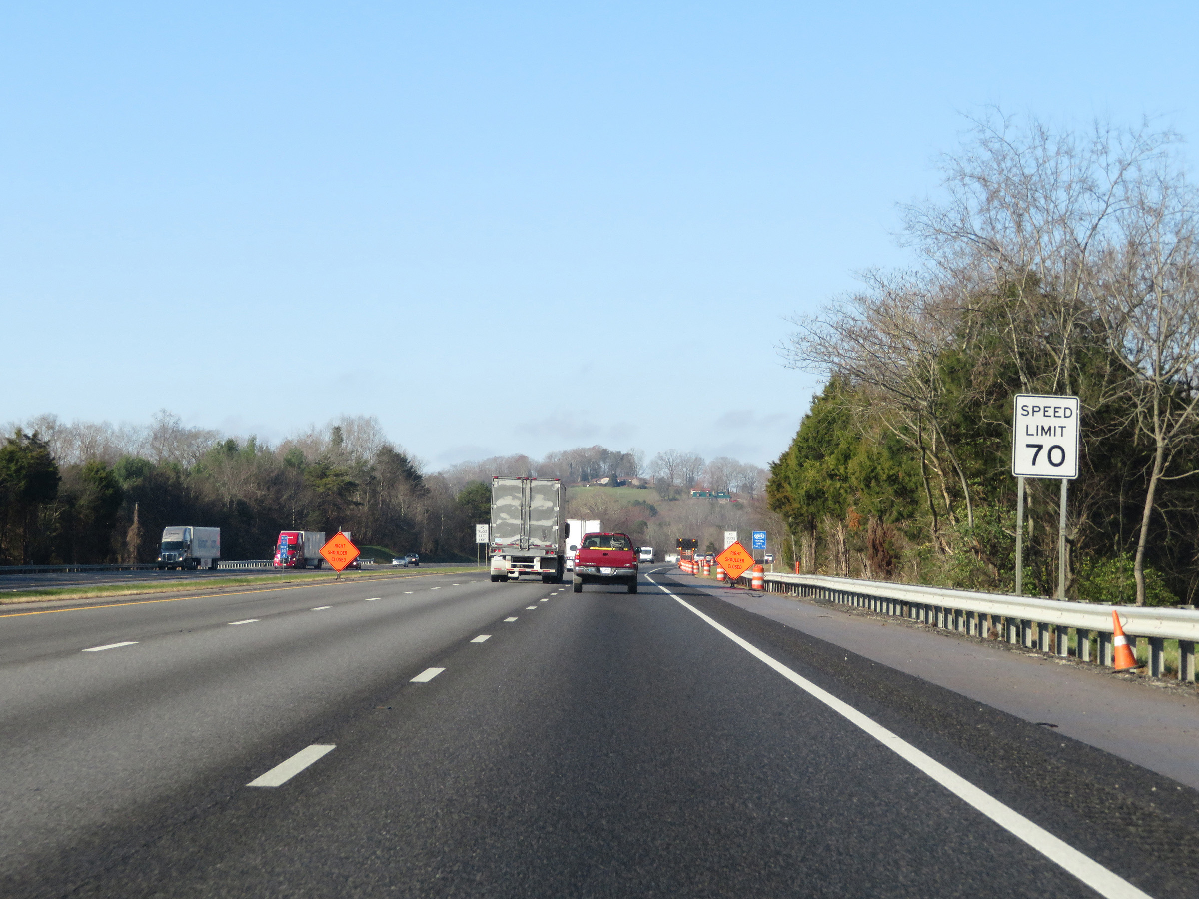 |
The speed limit remains 70 mph for all traffic on Interstate 40 West. (Photo taken 12/5/20). |
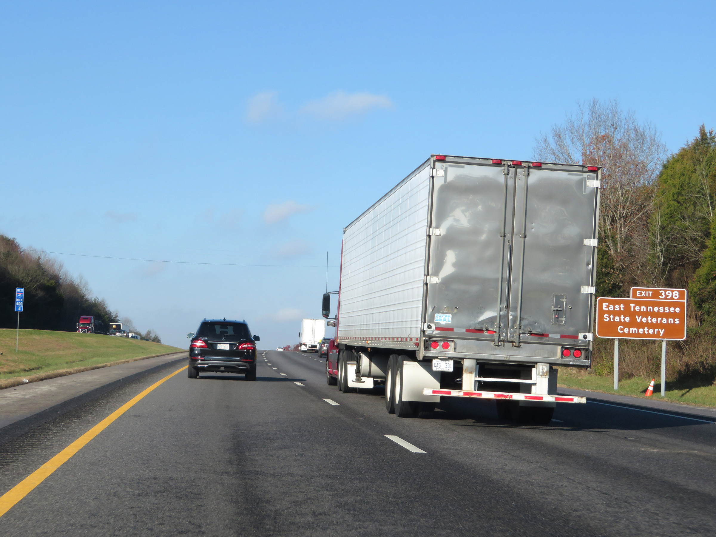 |
Take Exit 398 to East Tennessee State Veterans Cemetery. (Photo taken 12/5/20). |
 |
View on Interstate 40 West at mile marker 400. (Photo taken 12/5/20). |
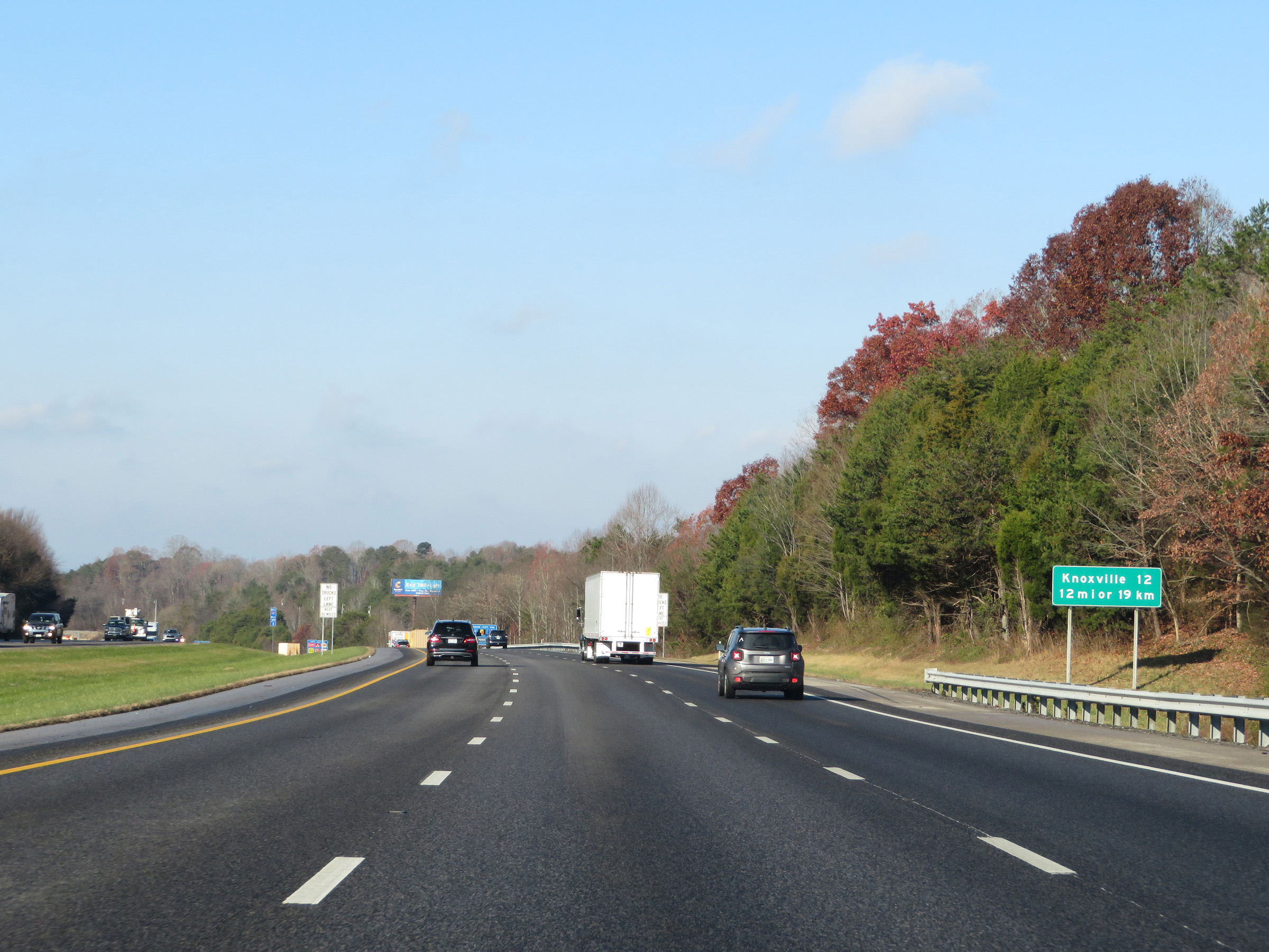 |
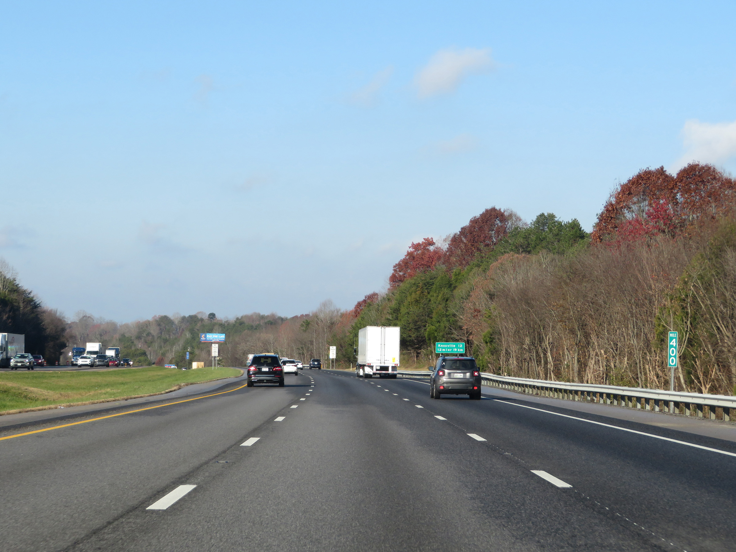
This mileage sign states that Knoxville is now just 12 miles ahead. It also translates the mileage into kilometers, which comes out to 19 km. (Photo taken 12/5/20). |
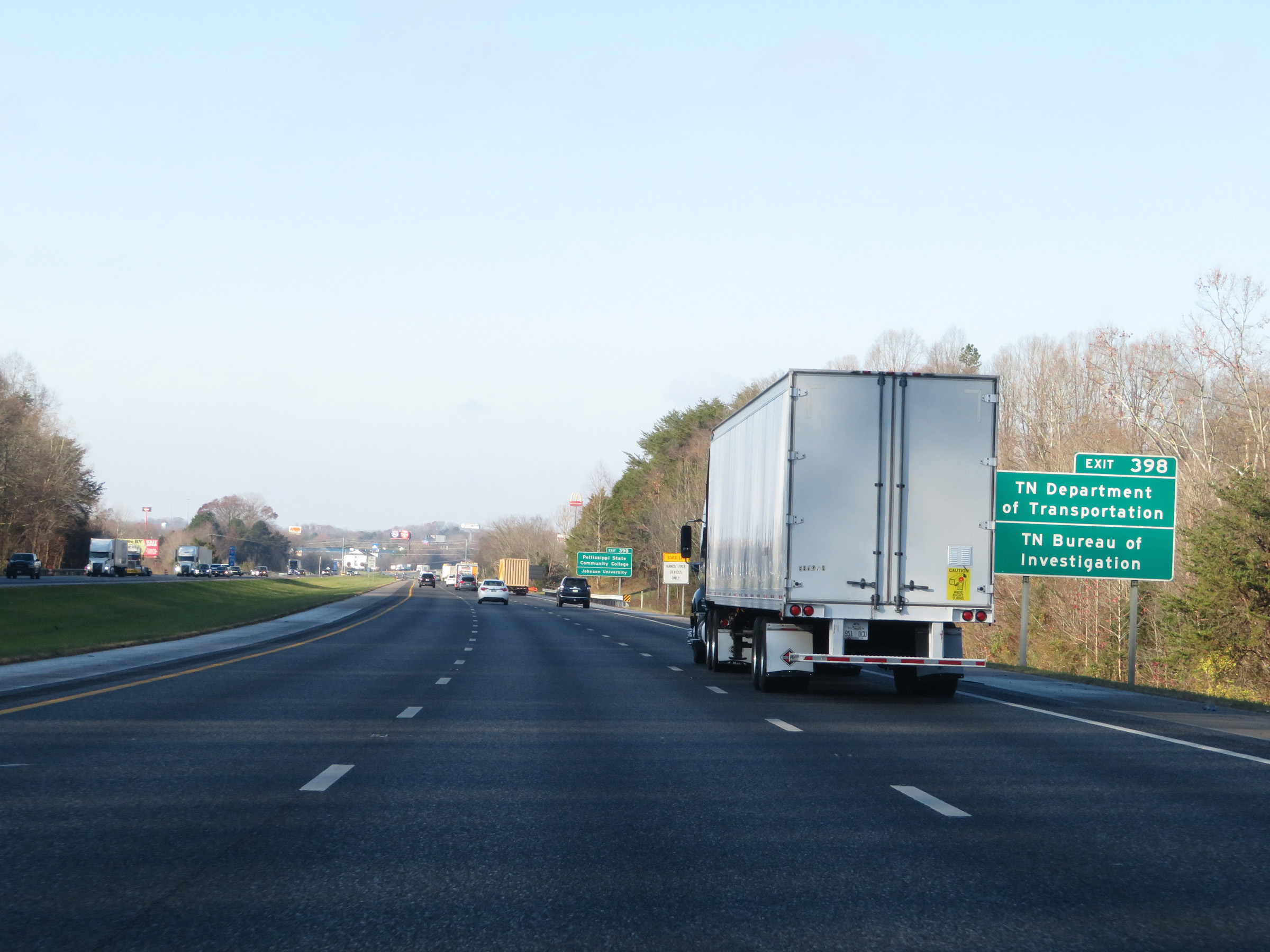 |
Also take Exit 398 to the Tennessee Department of Transportation and Tennessee Bureau of Investigation offices. (Photo taken 12/5/20). |
 |
Take Exit 398 to Pellissippi State Community College and Johnson University as well. (Photo taken 12/5/20). |
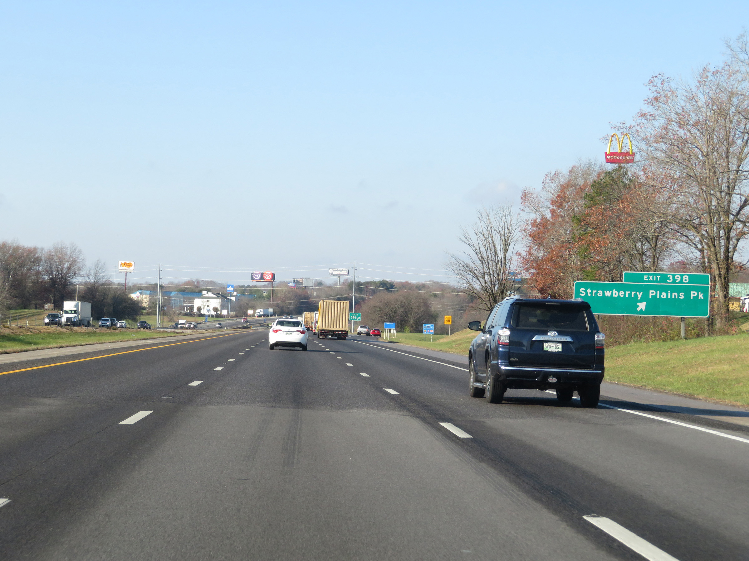 |
Interstate 40 West at Exit 398: Strawberry Plains Pike (Photo taken 12/5/20). |
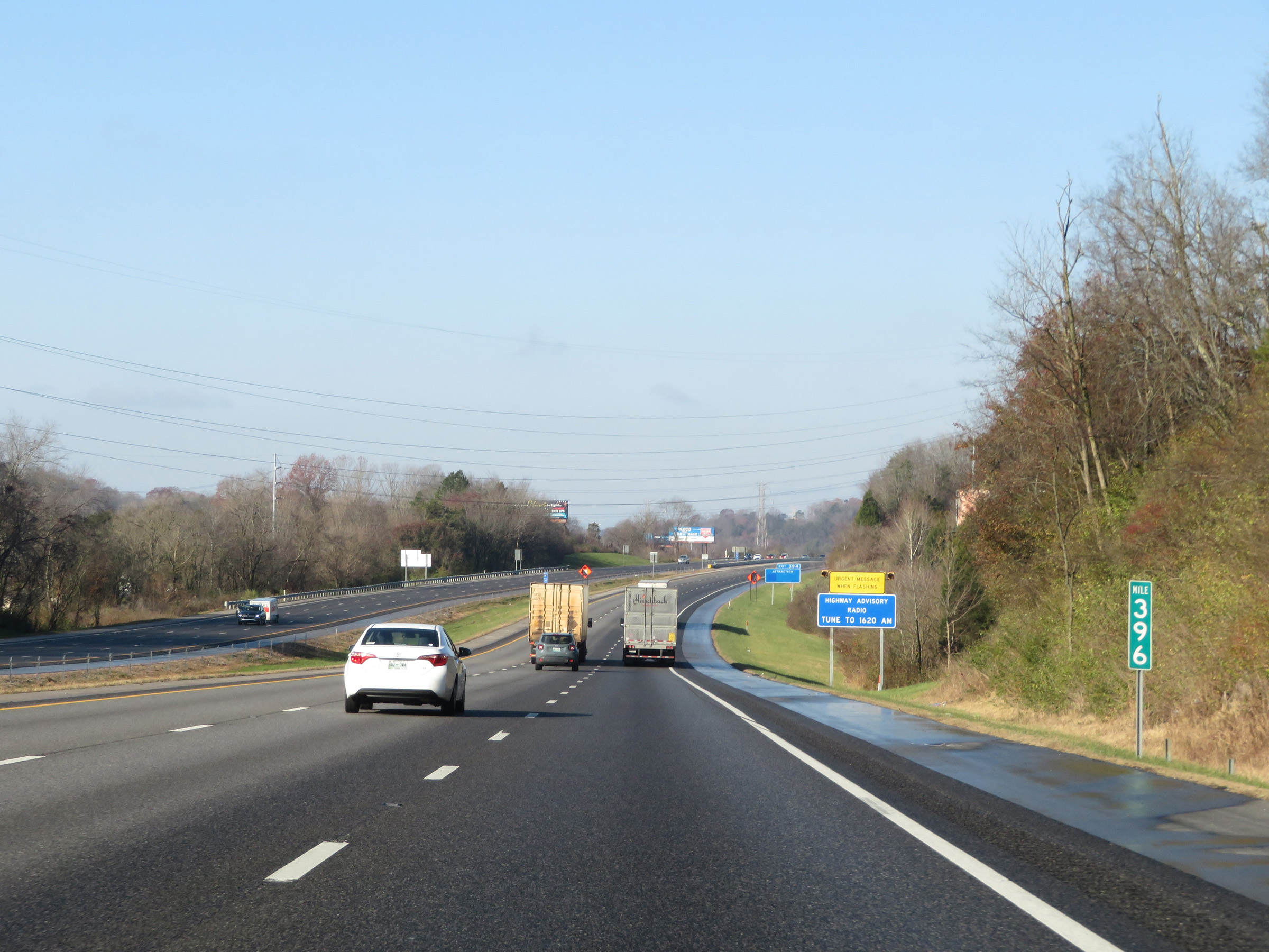 |
Interstate 40 West at mile marker 396. (Photo taken 12/5/20). |
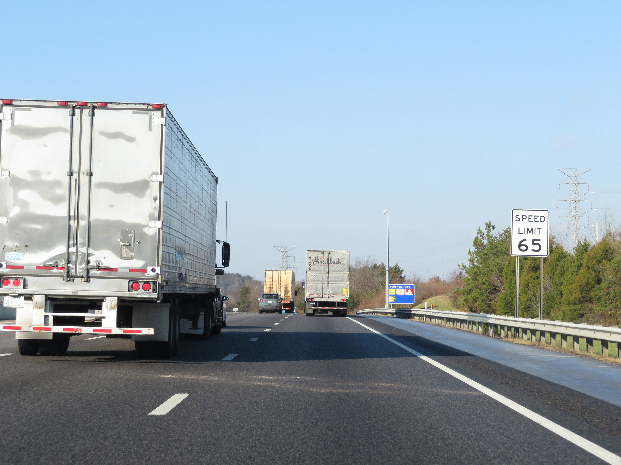 |
As Interstate 40 West nears the Knoxville area, the speed limit decreases to 65 mph. (Photo taken 12/5/20). |
 |
Interstate 40 West at Exit 394: US 11E / US 25W / US 70 - Asheville Hwy (Photo taken 12/5/20). |
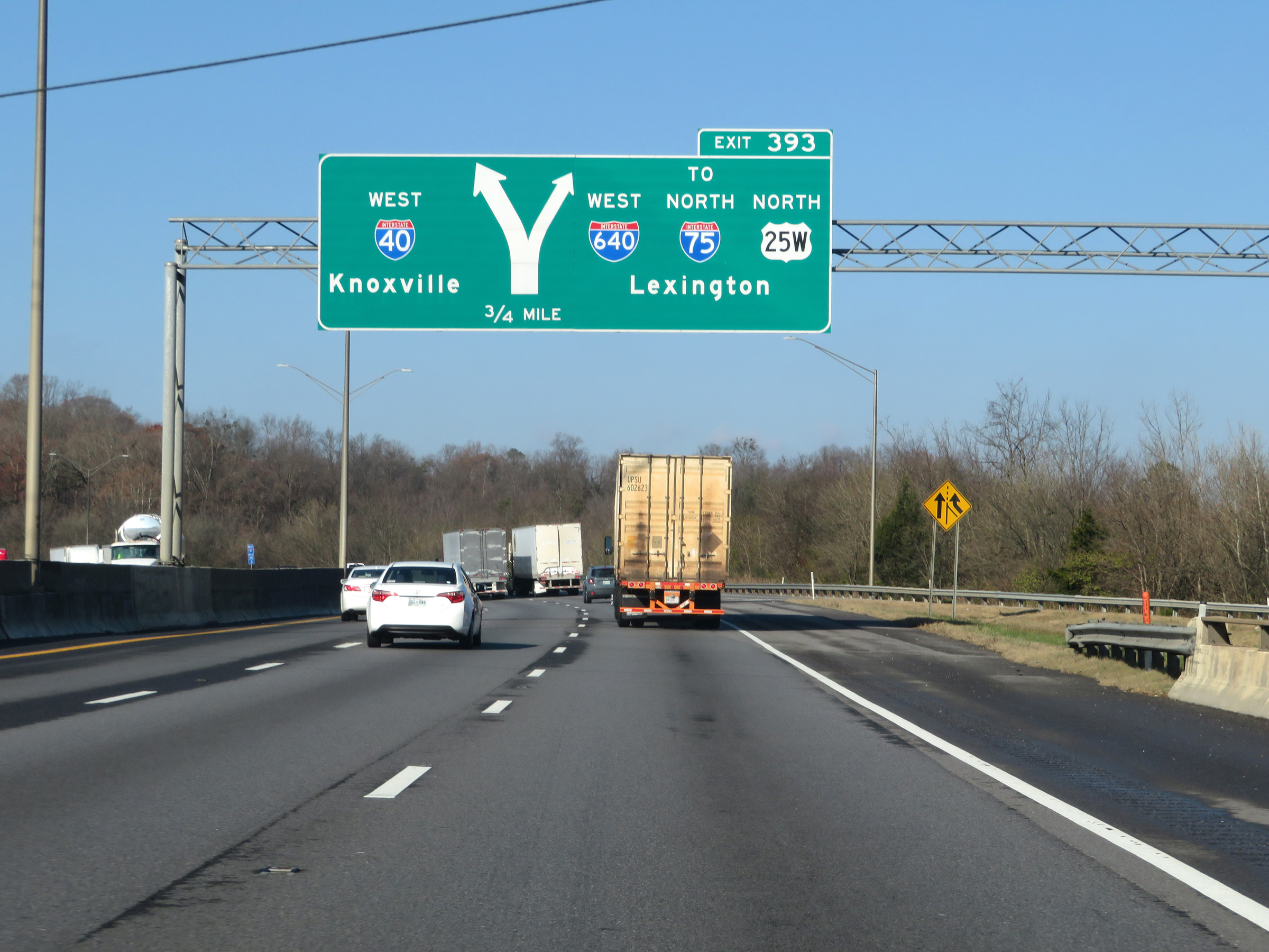 |
Interstate 40 West approaching Exit 393 - 3/4 mile. (Photo taken 12/5/20). |
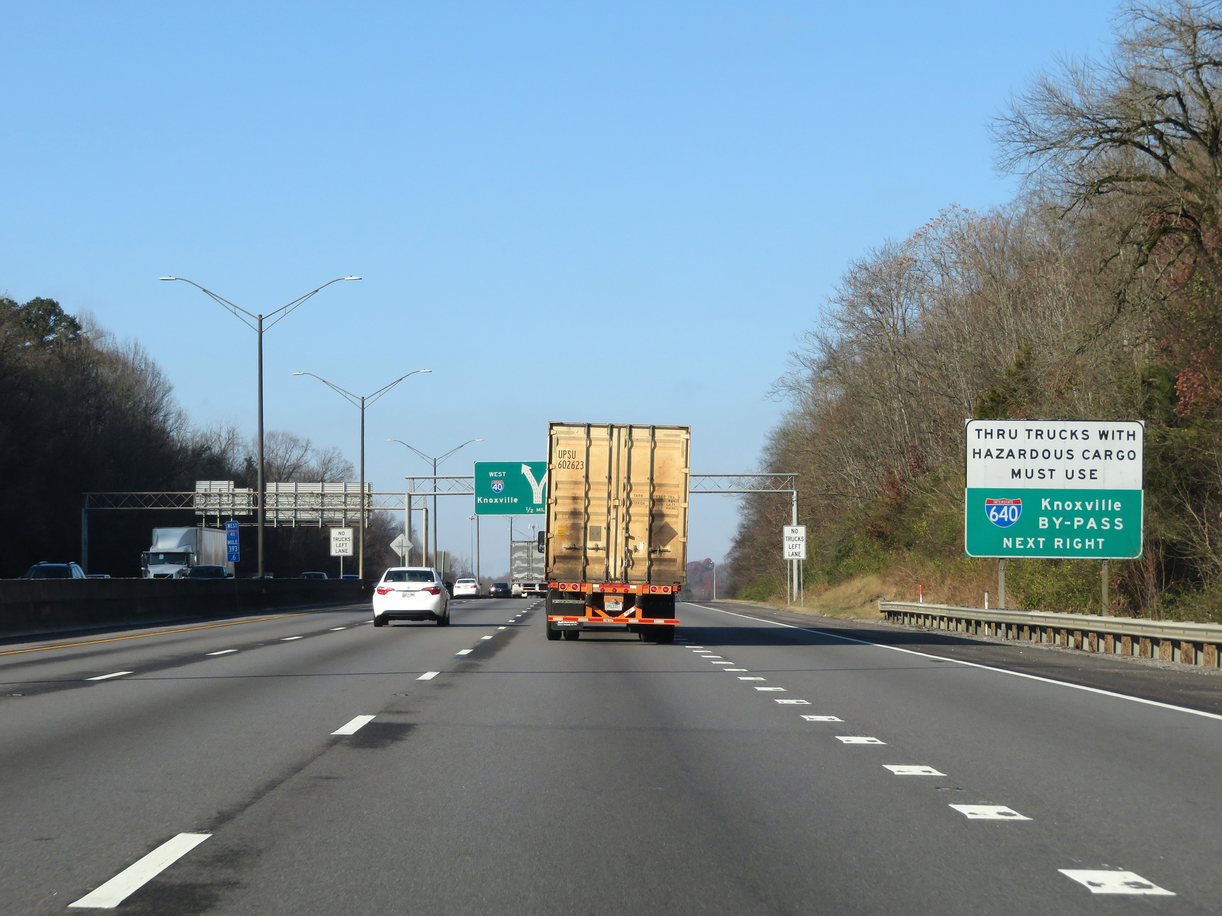 |
Thru trucks with hazardous materials in a class or weight requiring placards are required to use Interstate 640 to bypass downtown Knoxville. (Photo taken 12/5/20). |
 |
Approaching Exit 393, this sign makes it clear that Exit 393 traffic can use either of the two right lanes. (Photo taken 12/5/20). |
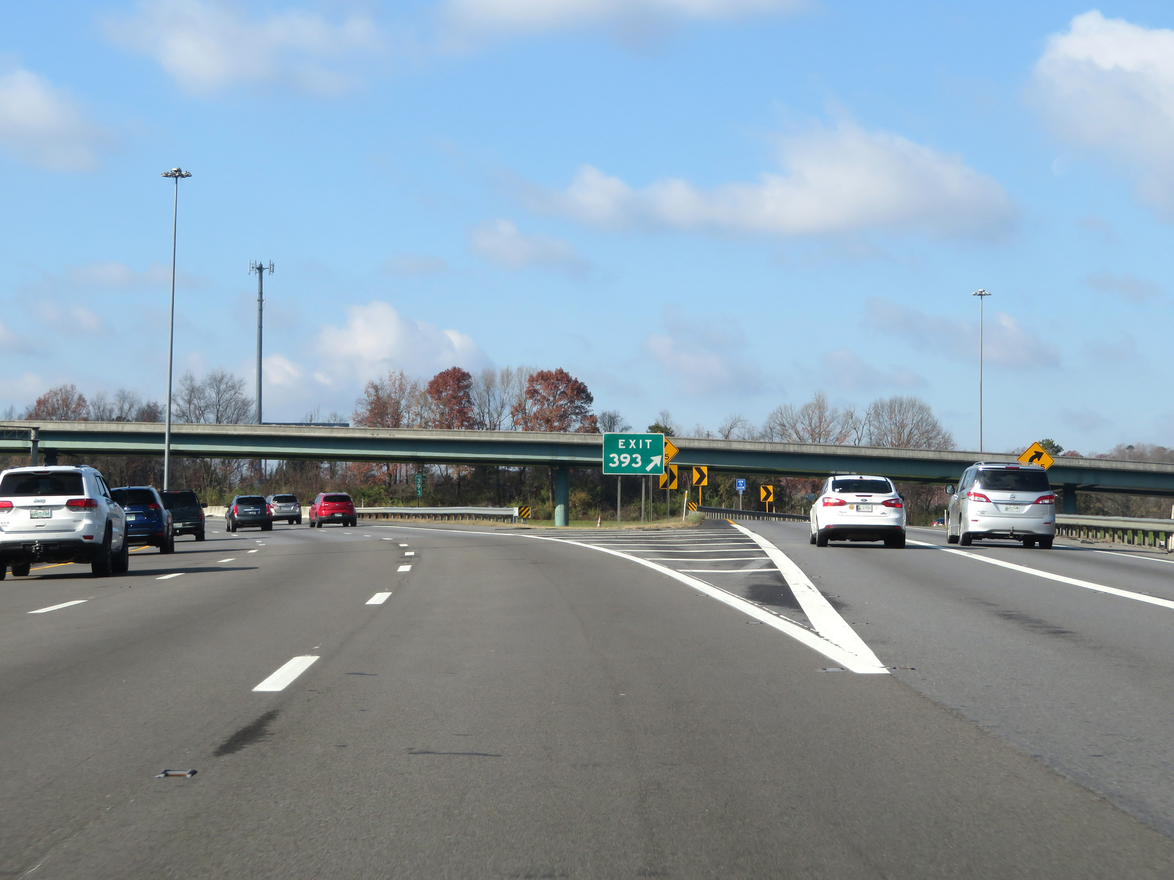 |
Interstate 40 West at Exit 393: Interstate 640 West / To Interstate 75 North / US 25W North - Lexington (Photo taken 12/5/20). |
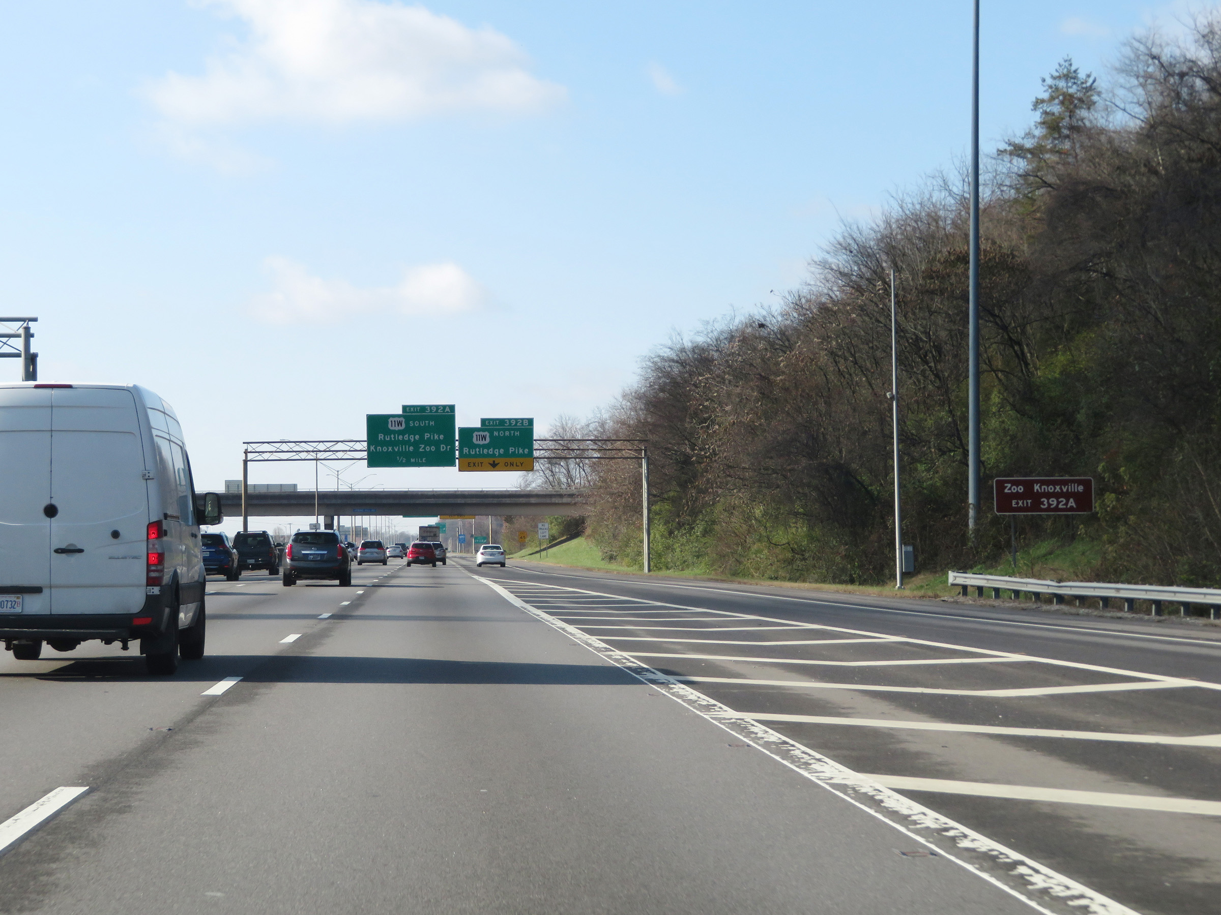 |
Take Exit 392A to Zoo Knoxville. (Photo taken 12/5/20). |
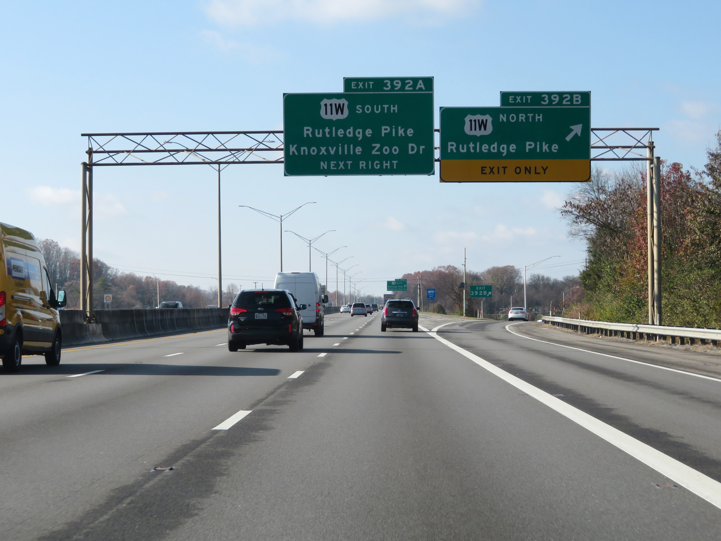 |
Interstate 40 West at Exit 392B: US 11W North - Rutledge Pike (Photo taken 12/5/20). |
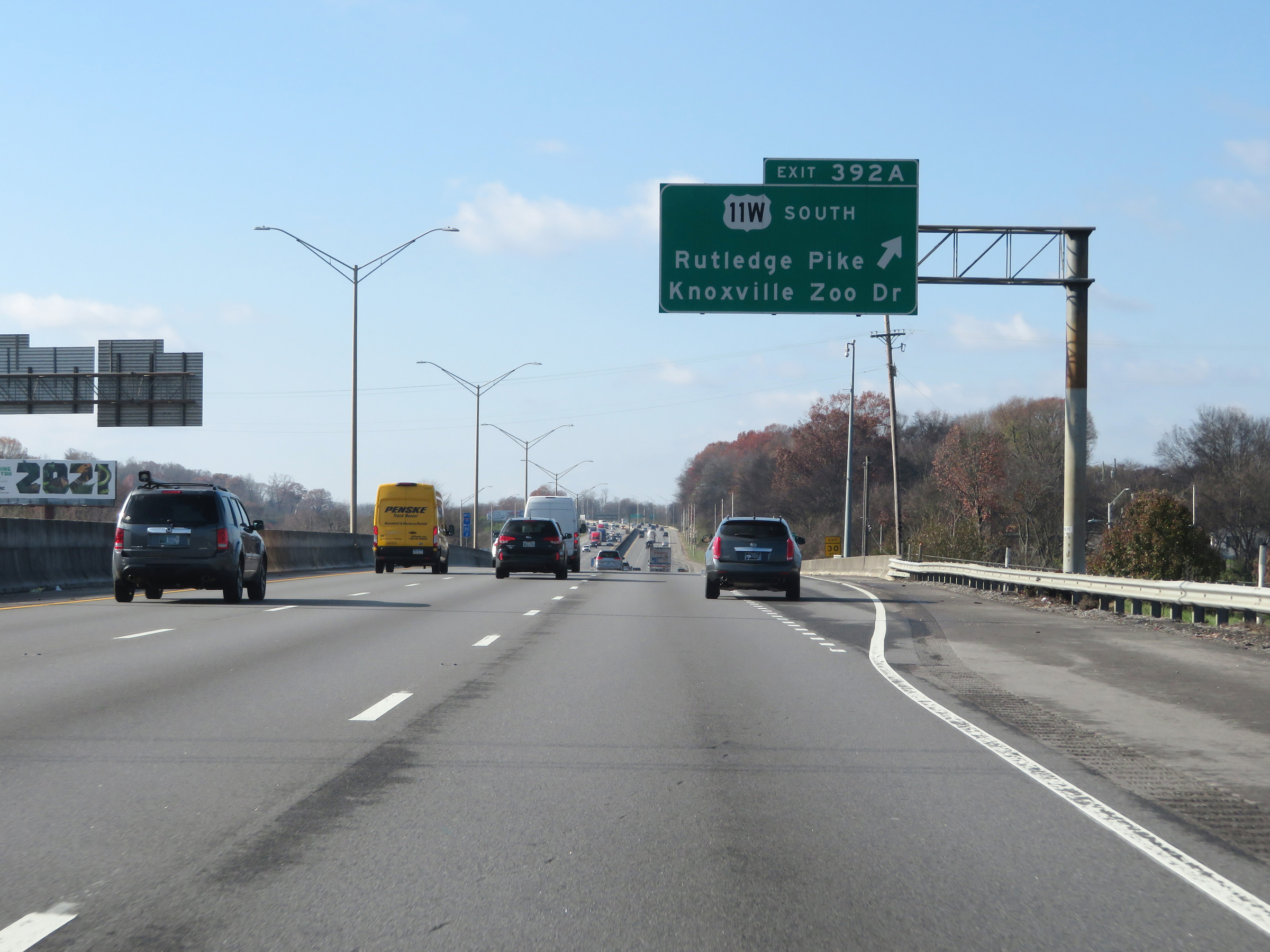 |
Interstate 40 West at Exit 392A: US 11W South - Rutledge Pike / Knoxville Zoo Dr (Photo taken 12/5/20). |
 |
The speed limit remains 65 mph for all traffic. (Photo taken 12/5/20). |
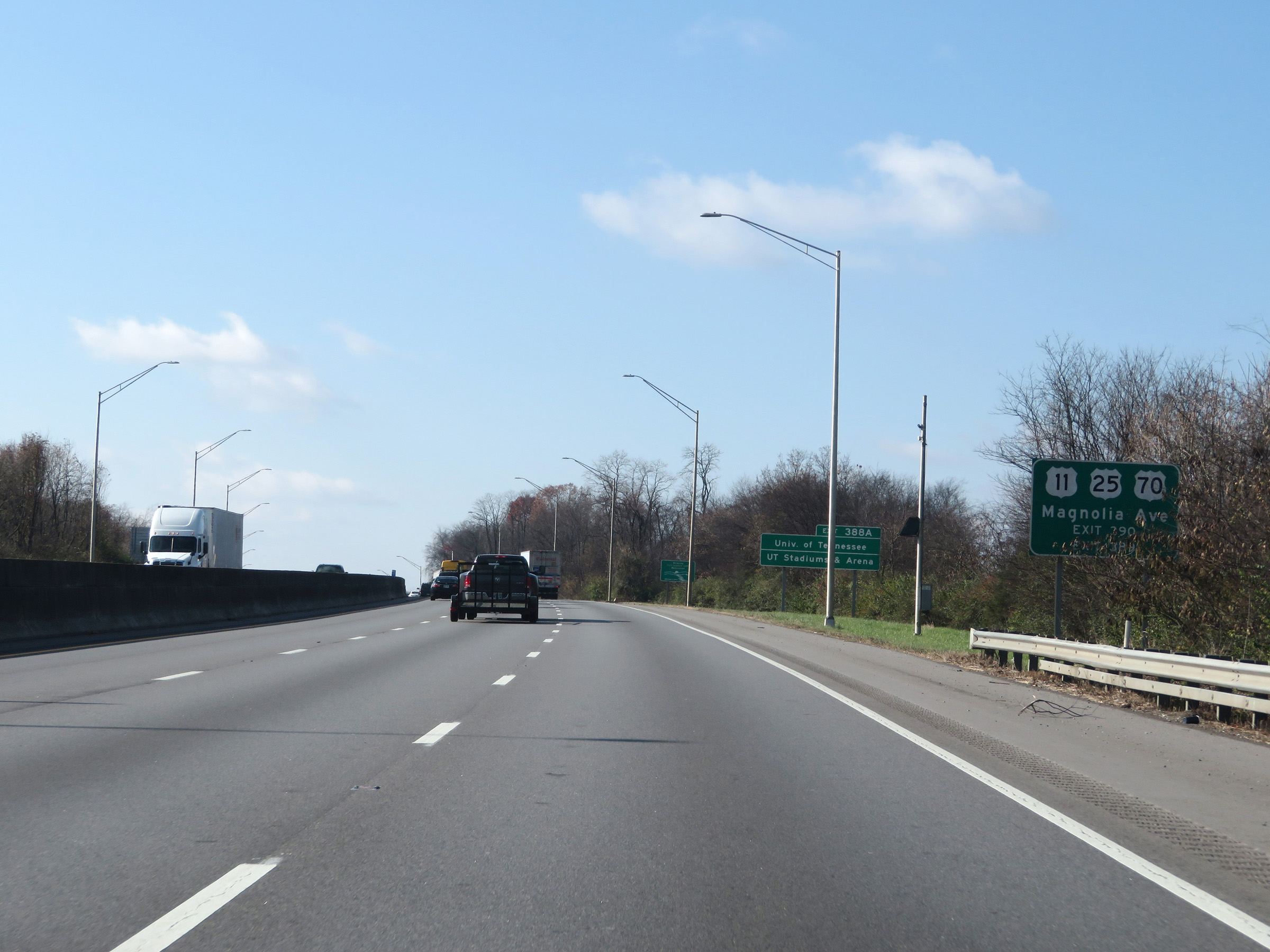 |
Take Exit 390 to US 11 / US 25 / US 70 (Magnolia Ave). (Photo taken 12/5/20). |
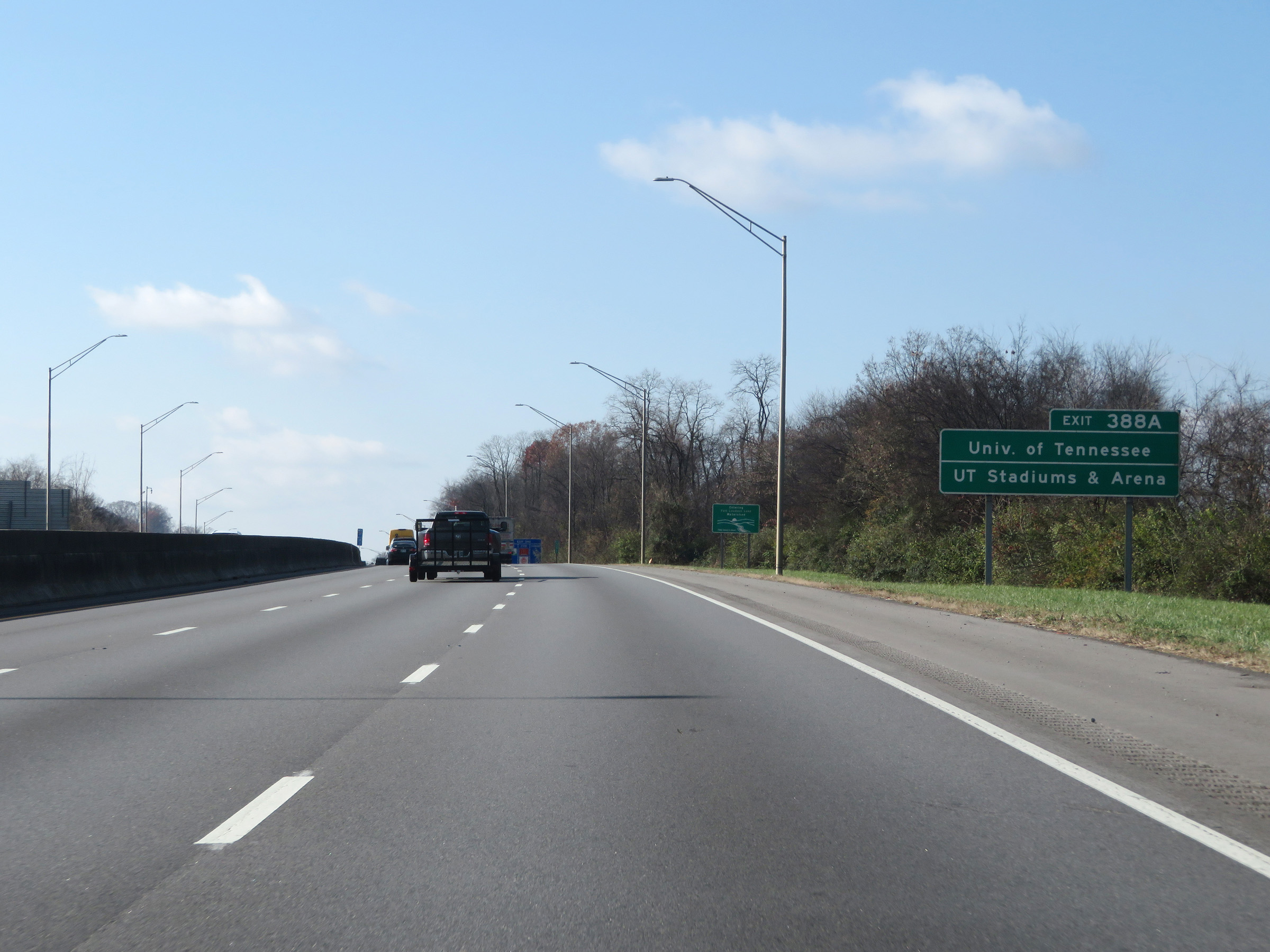 |
Take Exit 388A to the University of Tennessee and the UT Stadiums & Arena. (Photo taken 12/5/20). |
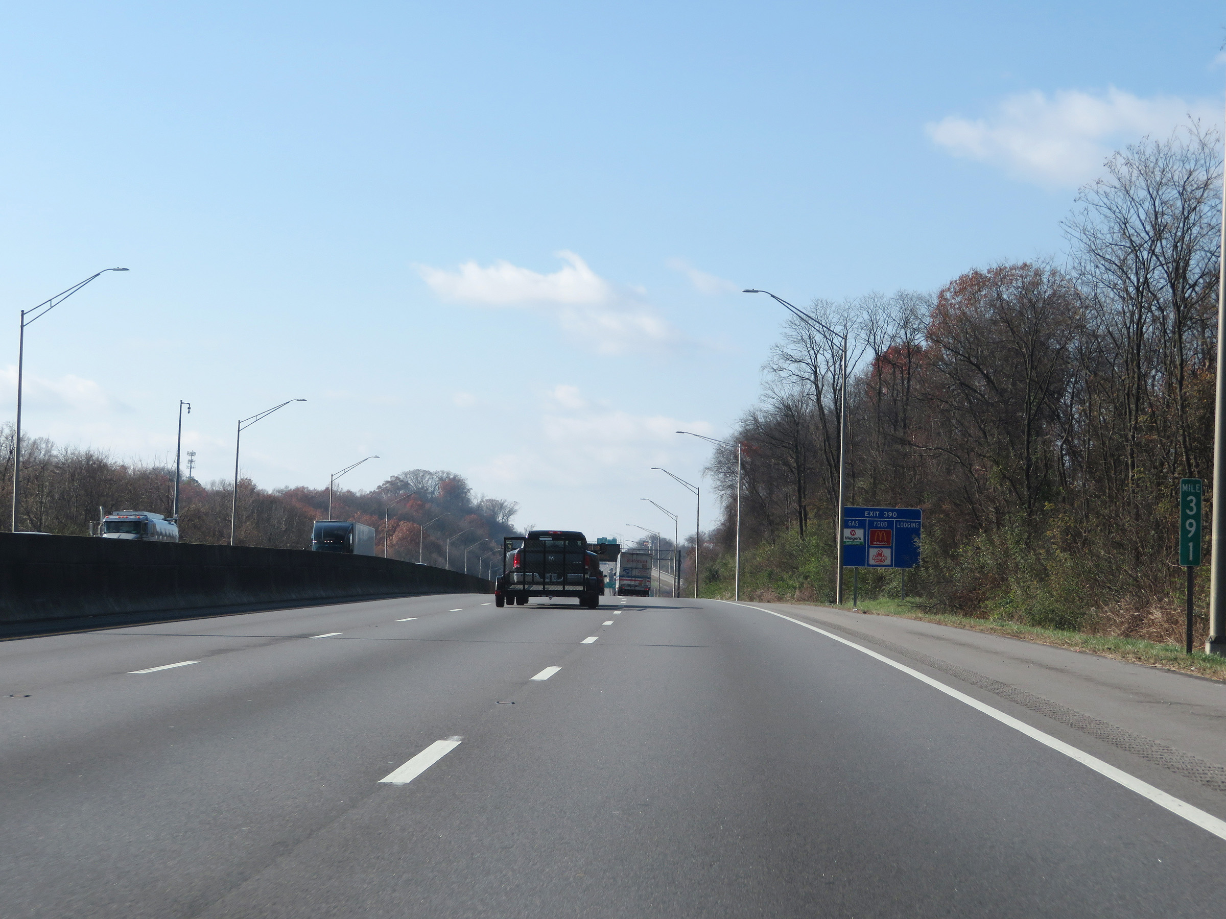 |
Interstate 40 West at mile marker 391. (Photo taken 12/5/20). |
 |
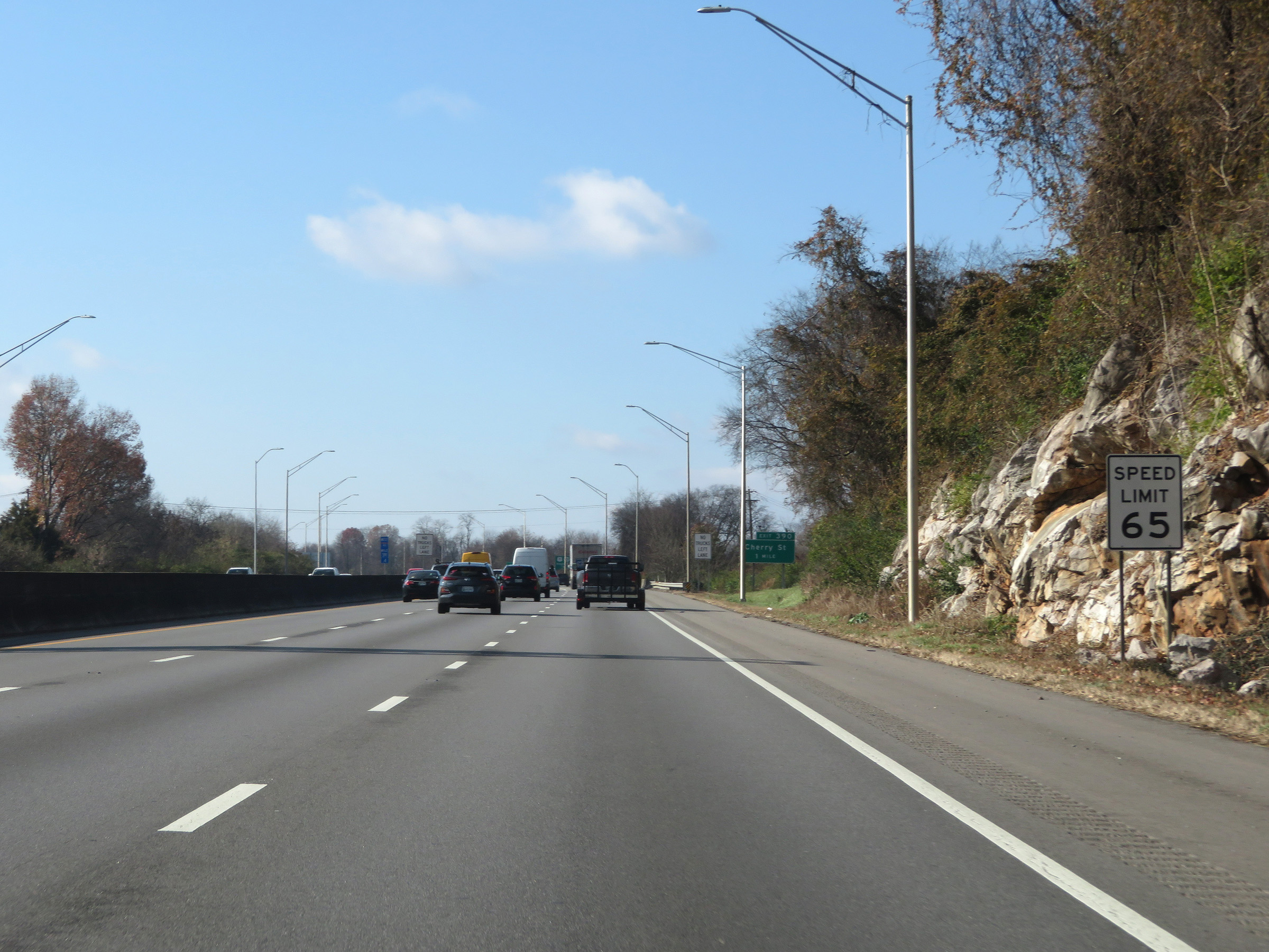
Interstate 40 West at Exit 390: Cherry St (Photo taken 12/5/20). |
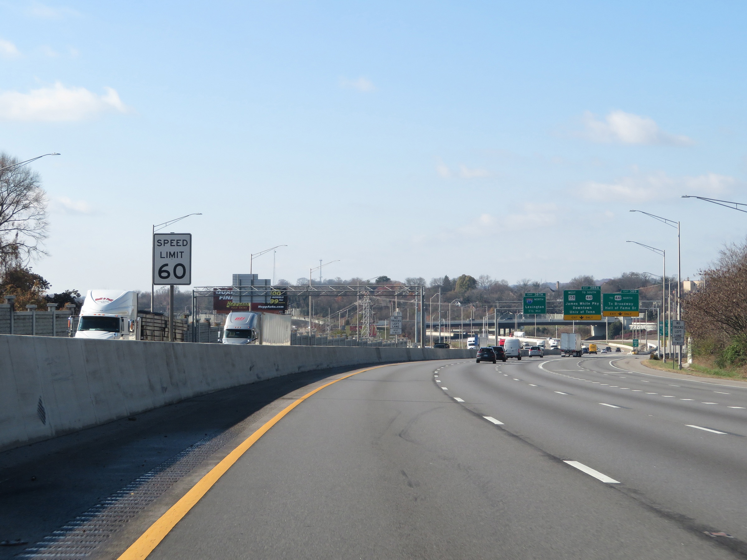 |
Approaching Exit 389 and downtown Knoxville, the speed limit decreases to 60 mph. (Photo taken 12/5/20). |
 |
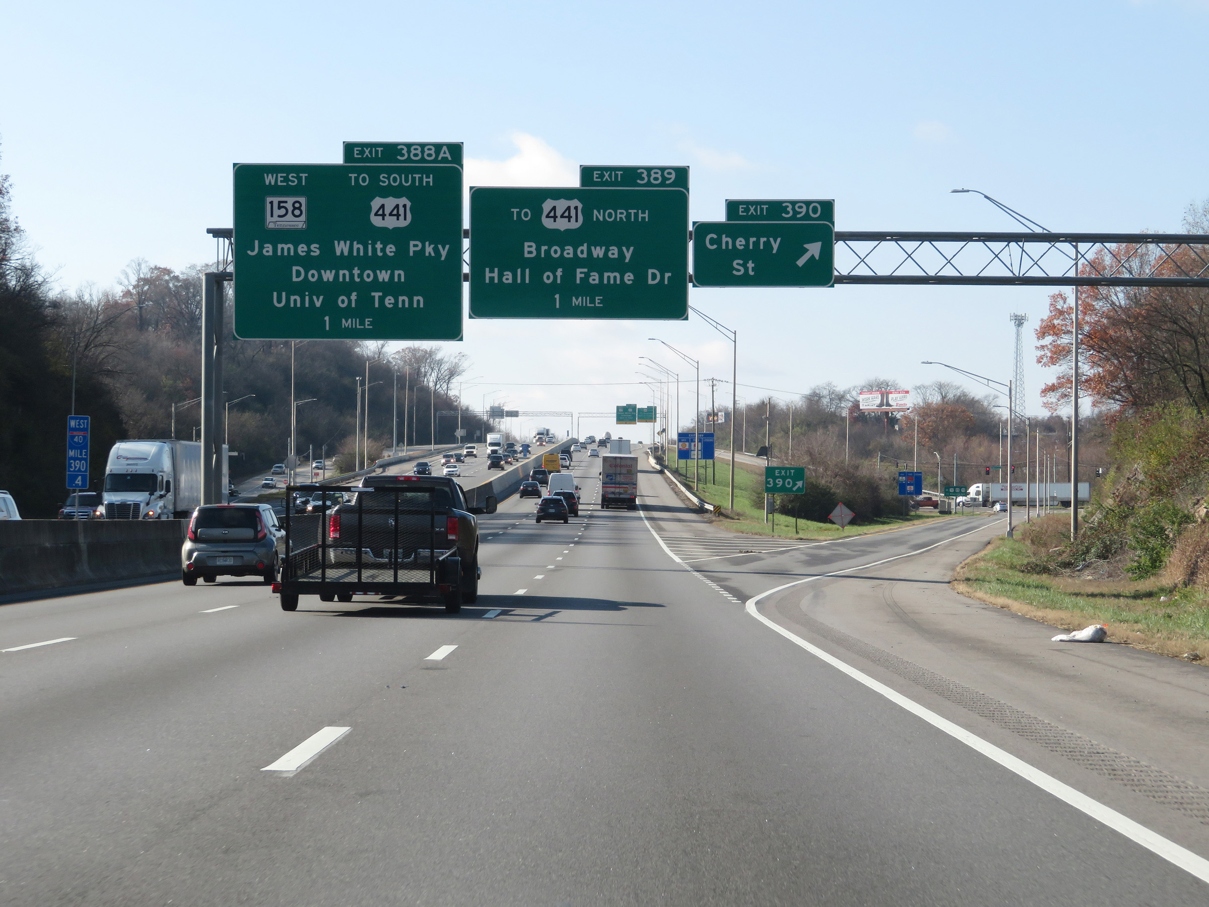
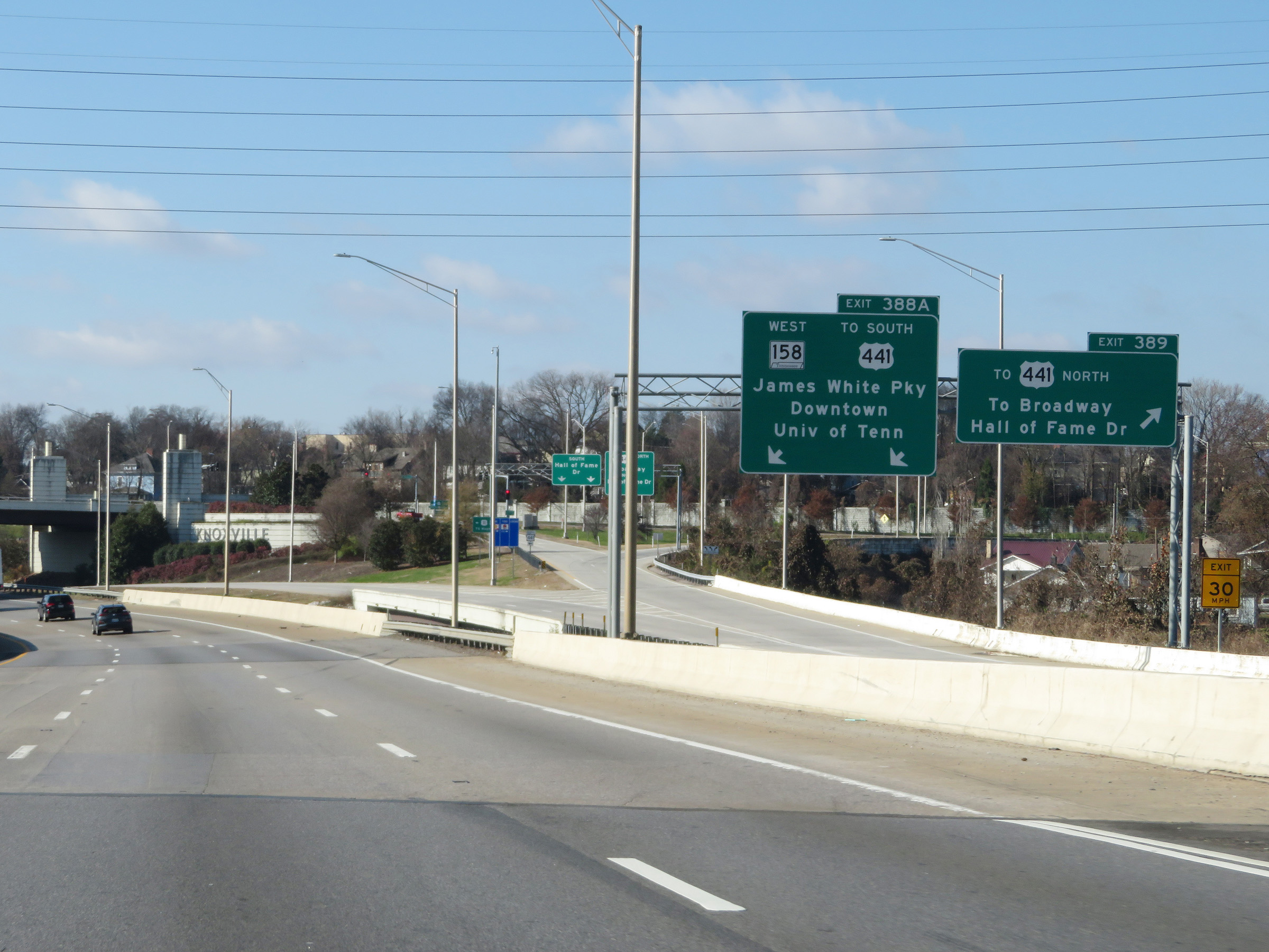
Interstate 40 West at Exit 389: To US 441 North - To Broadway / Hall of Fame Dr; Exit 388A: TN 158 West / To US 441 South - James White Pky / Downtown / University of Tennessee (Photo taken 12/5/20). |
 |
Interstate 40 West as the ramp to Exits 389 and 388A splits into separate ramps. (Photo taken 12/5/20). |
 |
Interstate 40 West at mile marker 389, nearing downtown Knoxville. (Photo taken 12/5/20). |
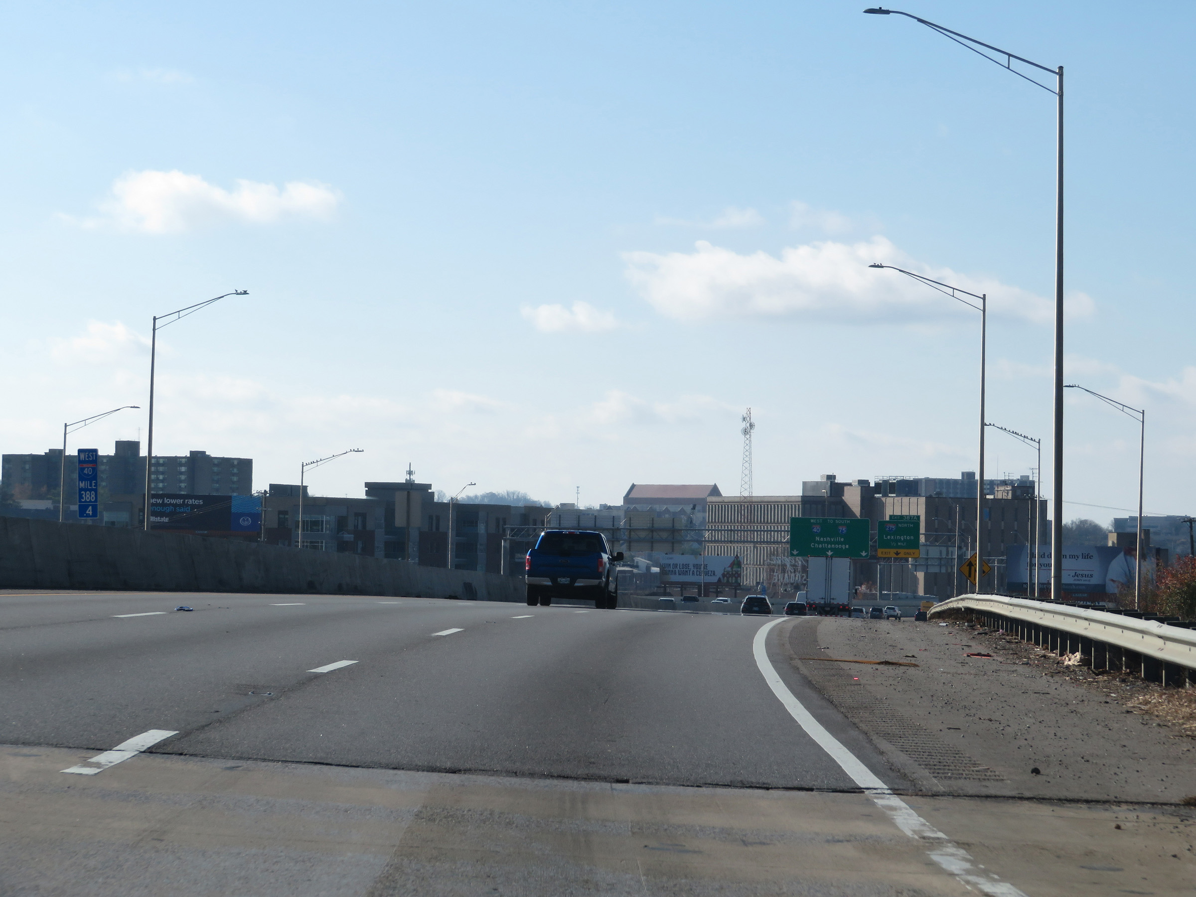 |
View on Interstate 40 West at mile marker 388.4, as downtown Knoxville comes into view. (Photo taken 12/5/20). |
 |
Interstate 40 West approaching Exit 387A - 1/2 mile. (Photo taken 12/5/20). |
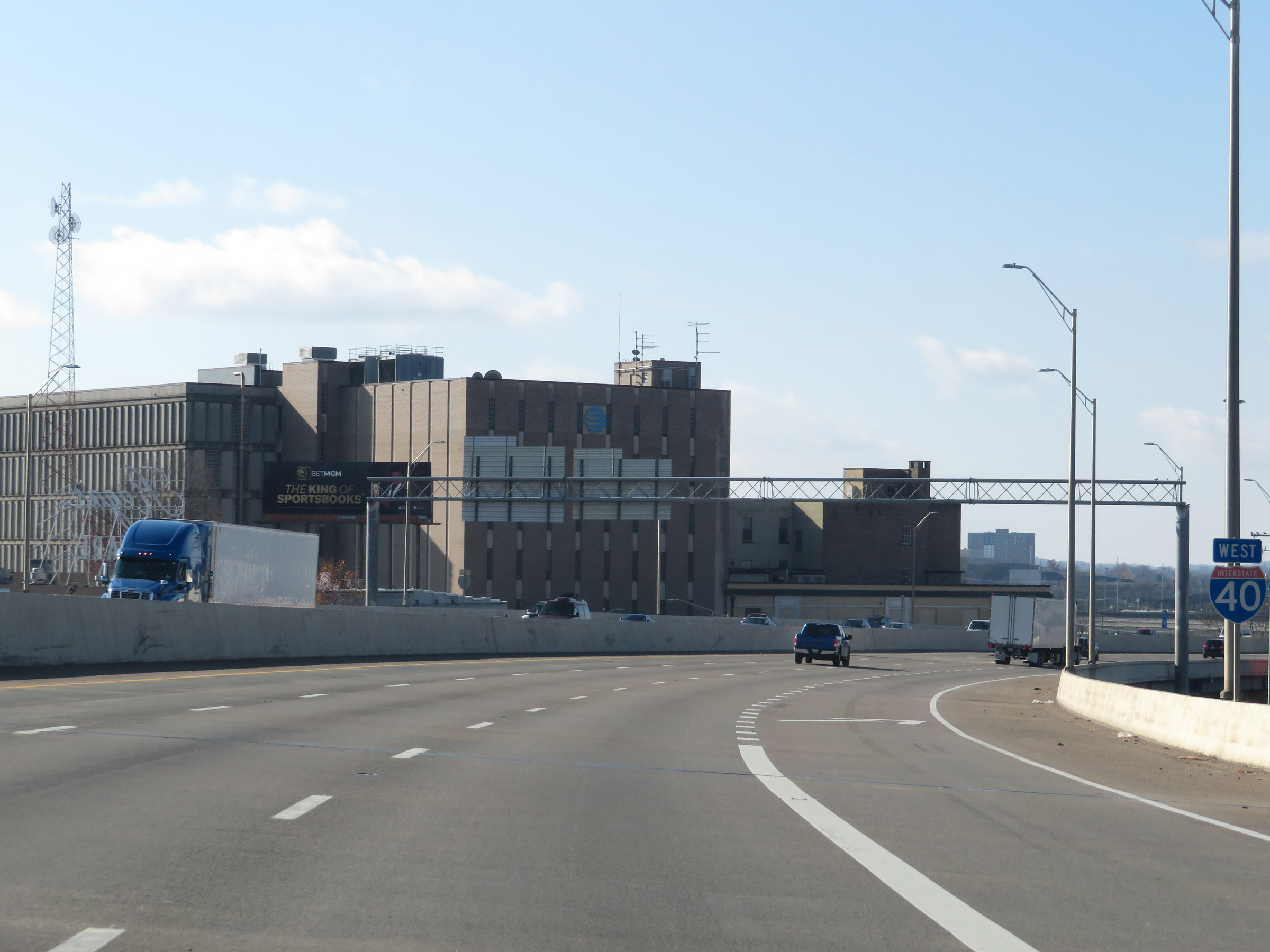 |
Interstate 40 West reassurance shield in downtown Knoxville. (Photo taken 12/5/20). |
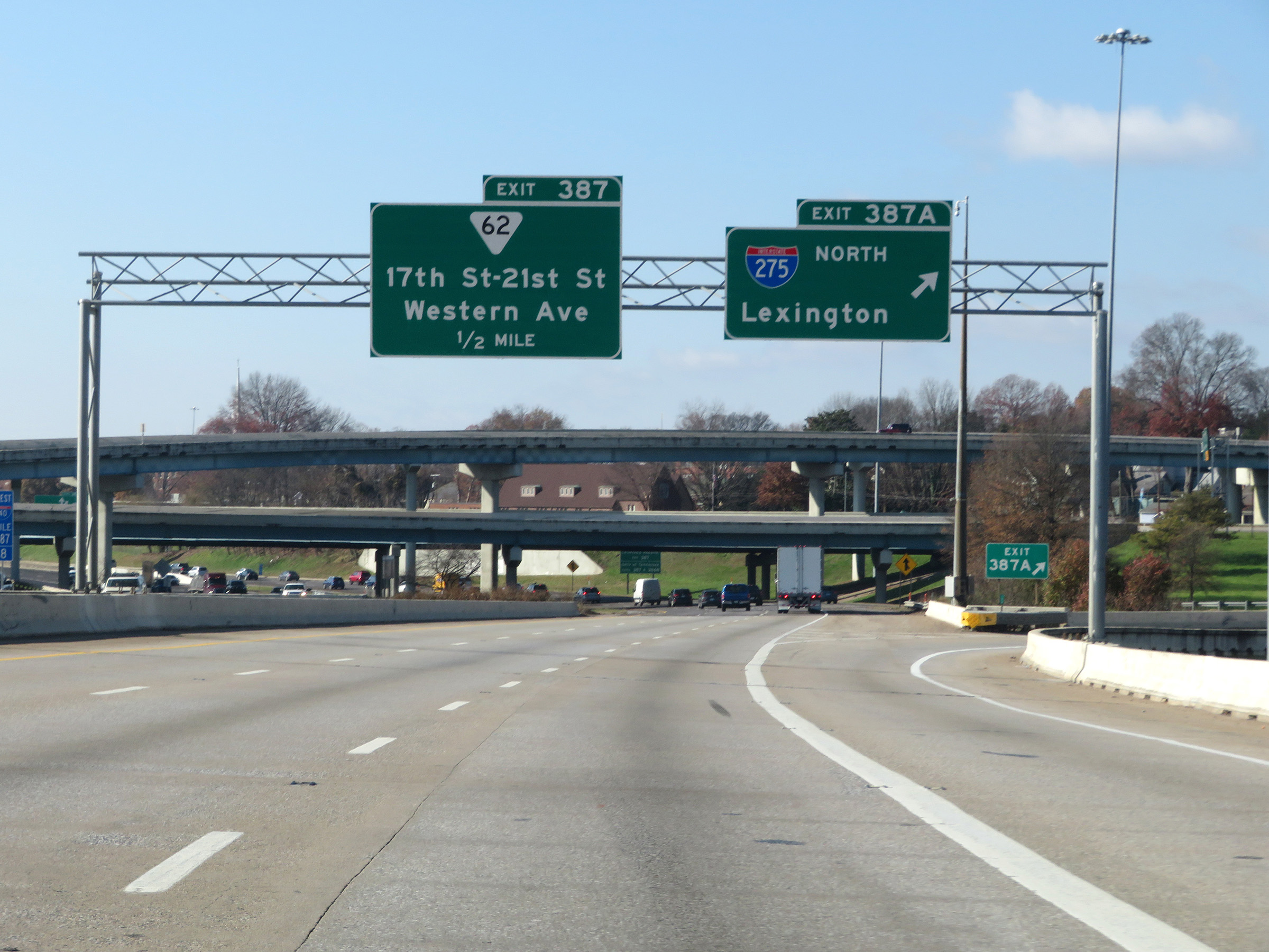 |
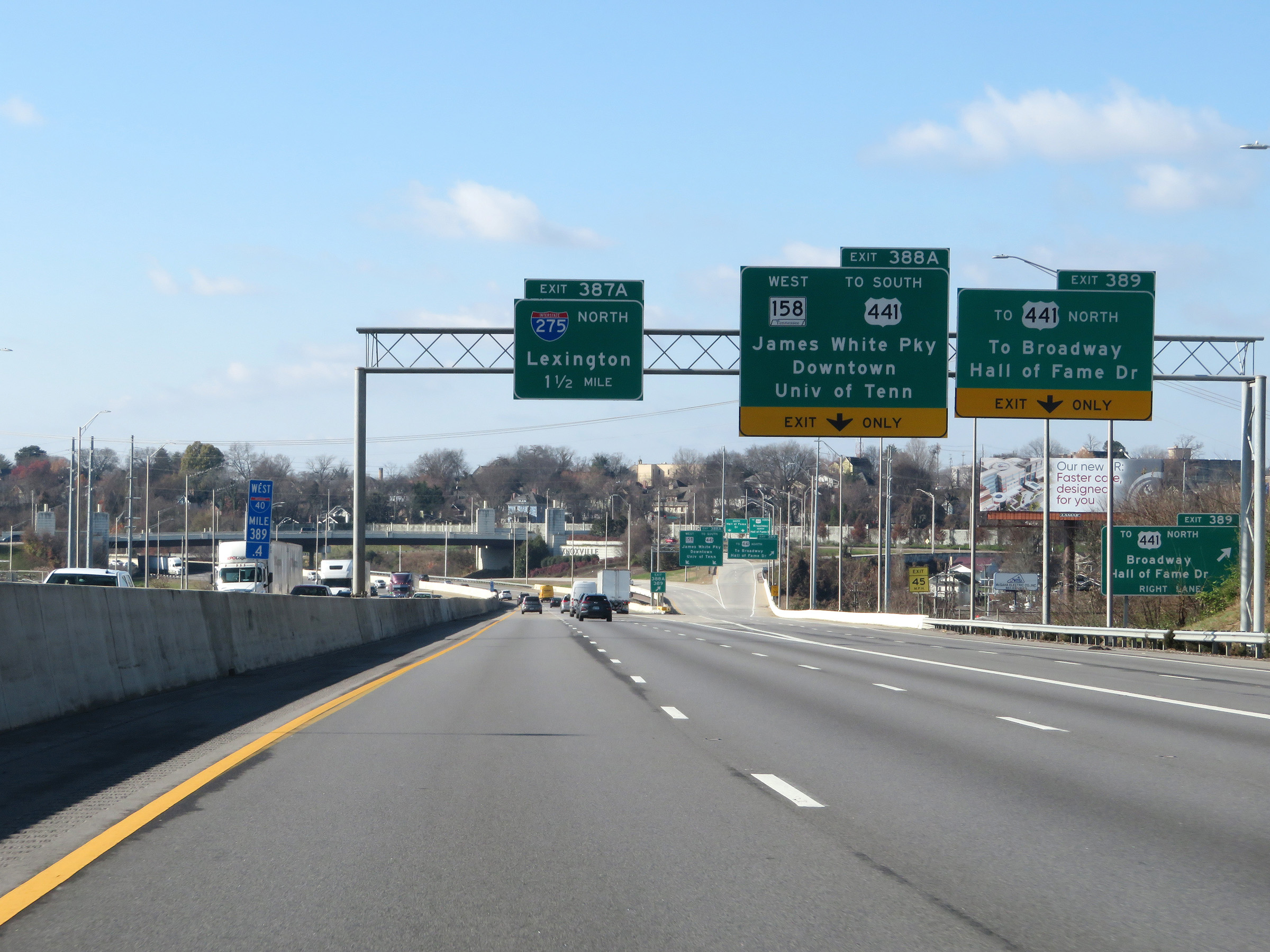
Interstate 40 West at Exit 387A: Interstate 275 North - Lexington (Photo taken 12/5/20). |
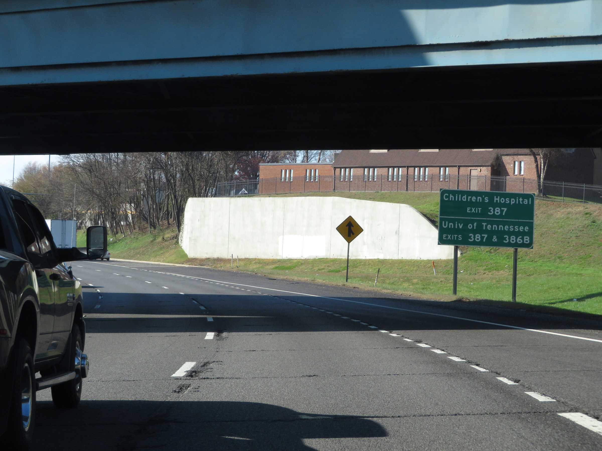 |
Take Exit 387 to Children's Hospital. Take either Exit 387 or 386B to the University of Tennessee. (Photo taken 12/5/20). |
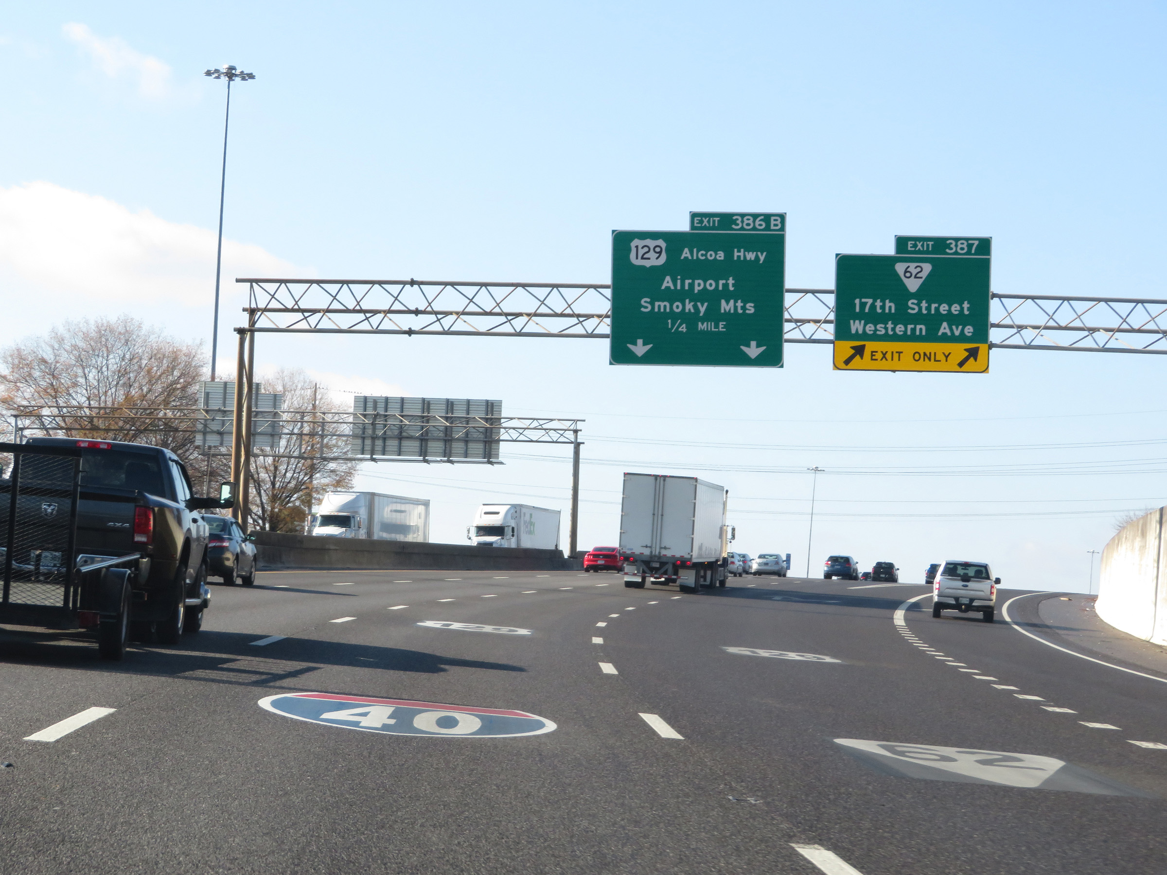 |
Interstate 40 West at Exit 387: SR 62 - 17th Street / Western Ave (Photo taken 12/5/20). |
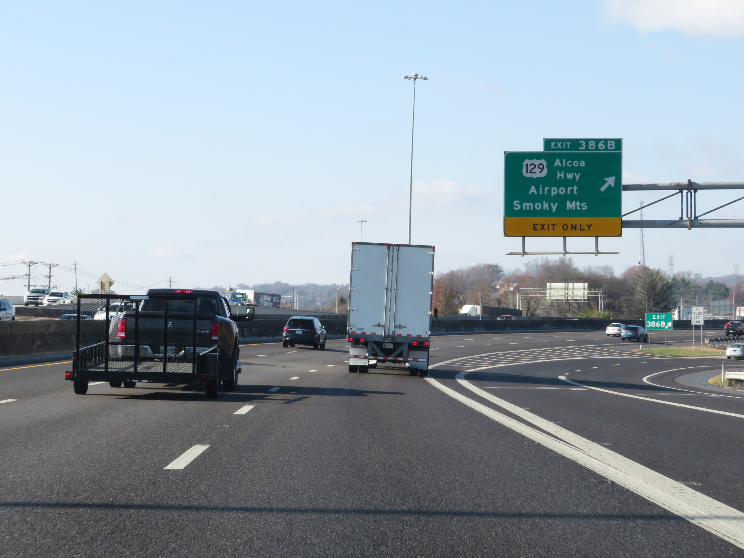 |
Interstate 40 West at Exit 386B: US 129 - Alcoa Hwy / Airport / Smoky Mountains (Photo taken 12/5/20). |
 |
Interstate 40 West approaching Exit 385 - 1 mile. (Photo taken 12/5/20). |
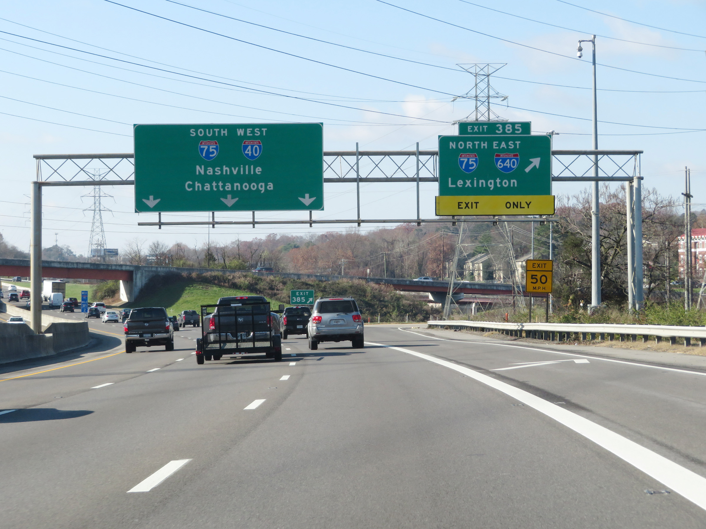 |
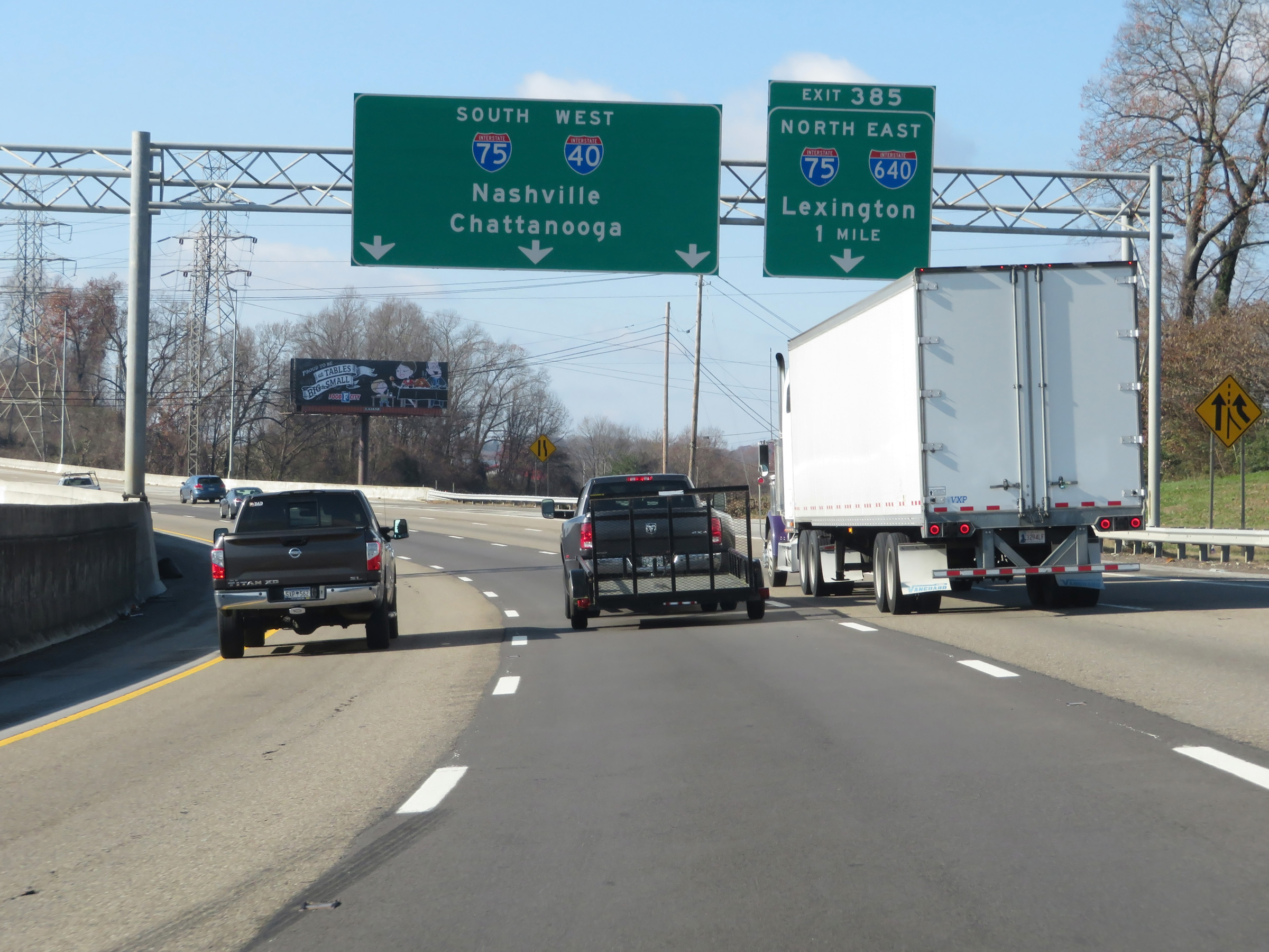
Interstate 40 West at Exit 385: Interstate 75 North / Interstate 640 East - Lexington (Photo taken 12/5/20). |
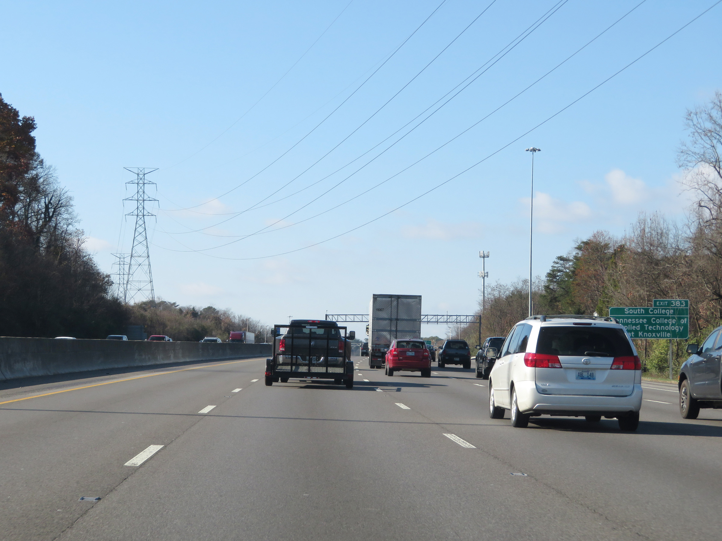 |
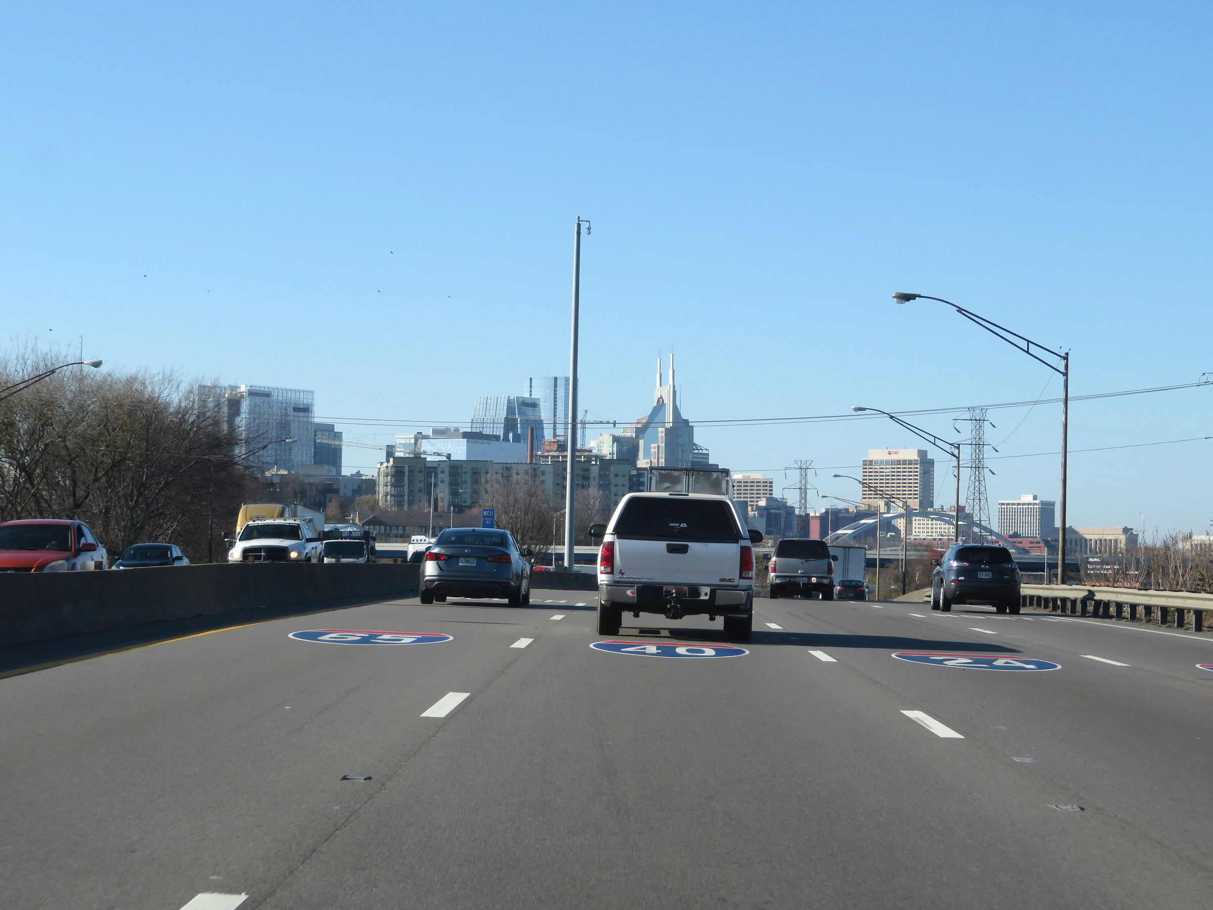
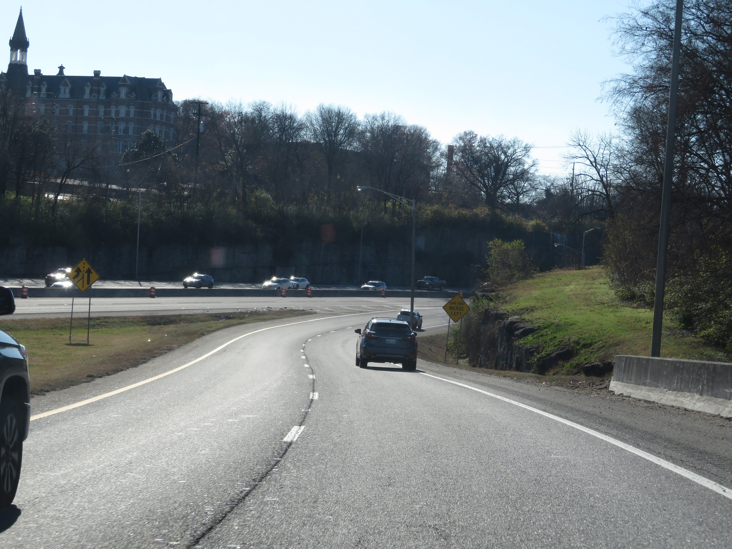
Interstate 40 West as Interstate 75 South traffic merges into it. I-40 and I-75 will run concurrently for the next 17 miles. Take Exit 383 to South College and Tennessee College of Applied Technology at Knoxville. (Photo taken 12/5/20). |
 |
Interstate 40 West / Interstate 75 South at Exit 383: Papermill Dr / Weisgarber Rd (Photo taken 12/5/20). |
Section 3: Knoxville (Exit 383) to Crossville (Exit 322)
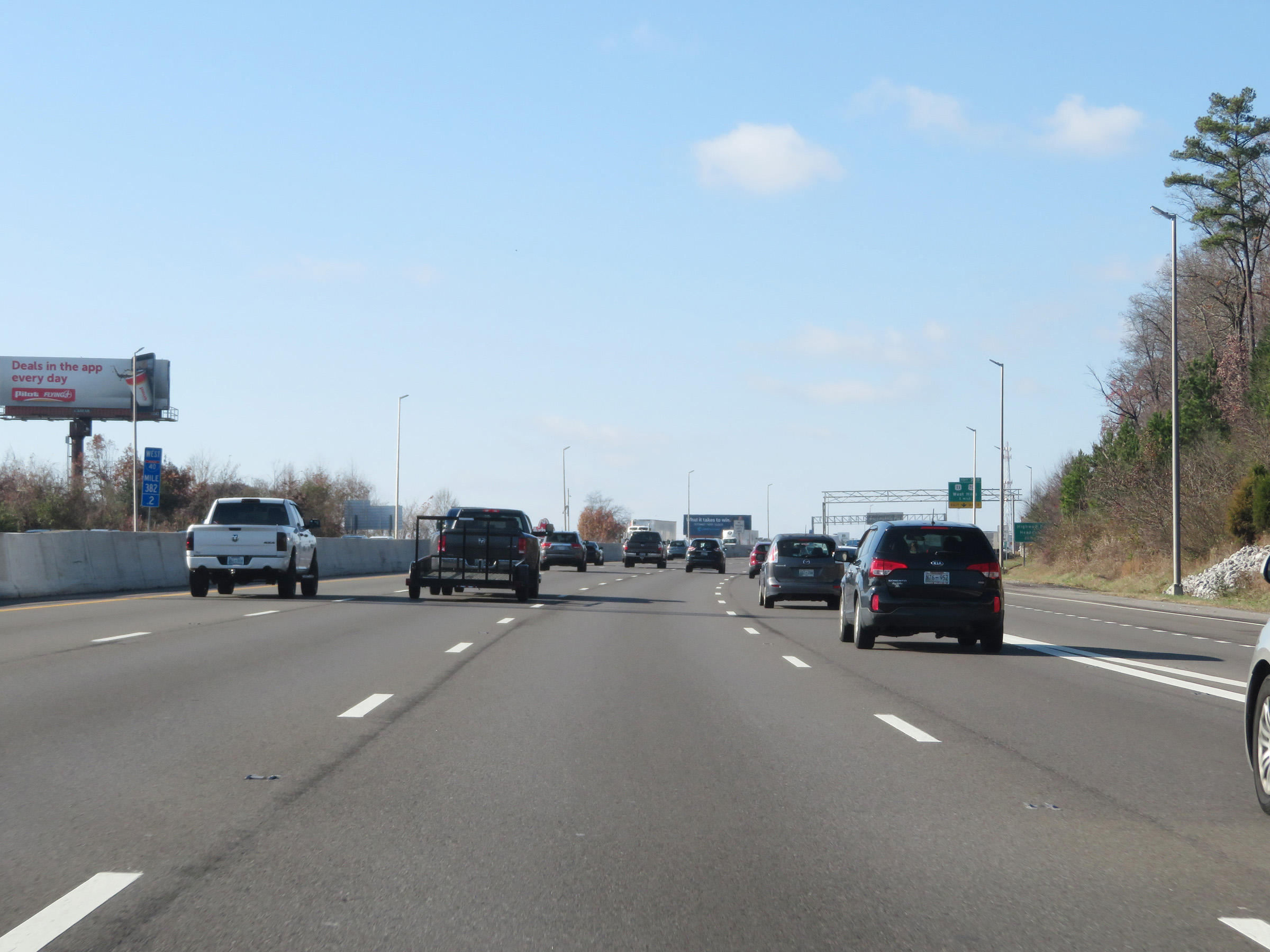 |
View on Interstate 40 West / Interstate 75 South at mile marker 382.2. As you can see, the mileposts and exit numbers during the I-40/I-75 concurrency are based on the mileage of I-40. (Photo taken 12/5/20). |
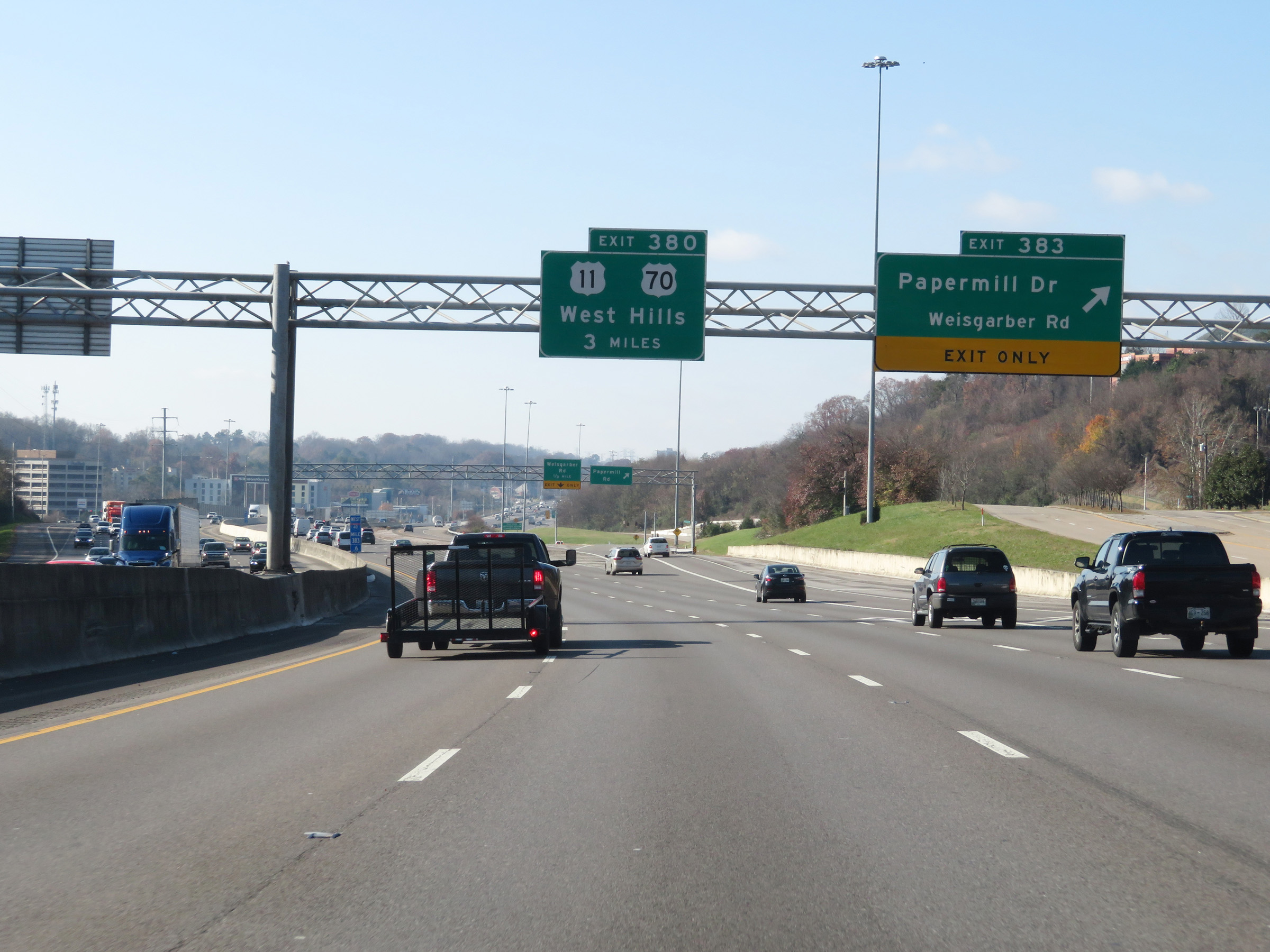
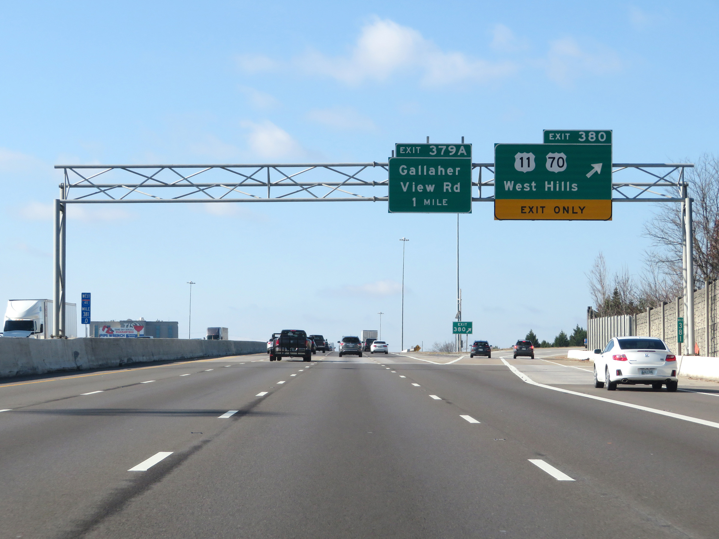 |
Interstate 40 West / Interstate 75 South at Exit 380: US 11 / US 70 - West Hills (Photo taken 12/5/20). |
 |
Interstate 40 West / Interstate 75 South reassurance shields. (Photo taken 12/5/20). |
 |
The speed limit on Interstate 40 West / Interstate 75 South remains 65 mph. In fact, the speed limit increased to 65 mph once again as soon as the I-40/I-75 concurrency began. (Photo taken 12/5/20). |
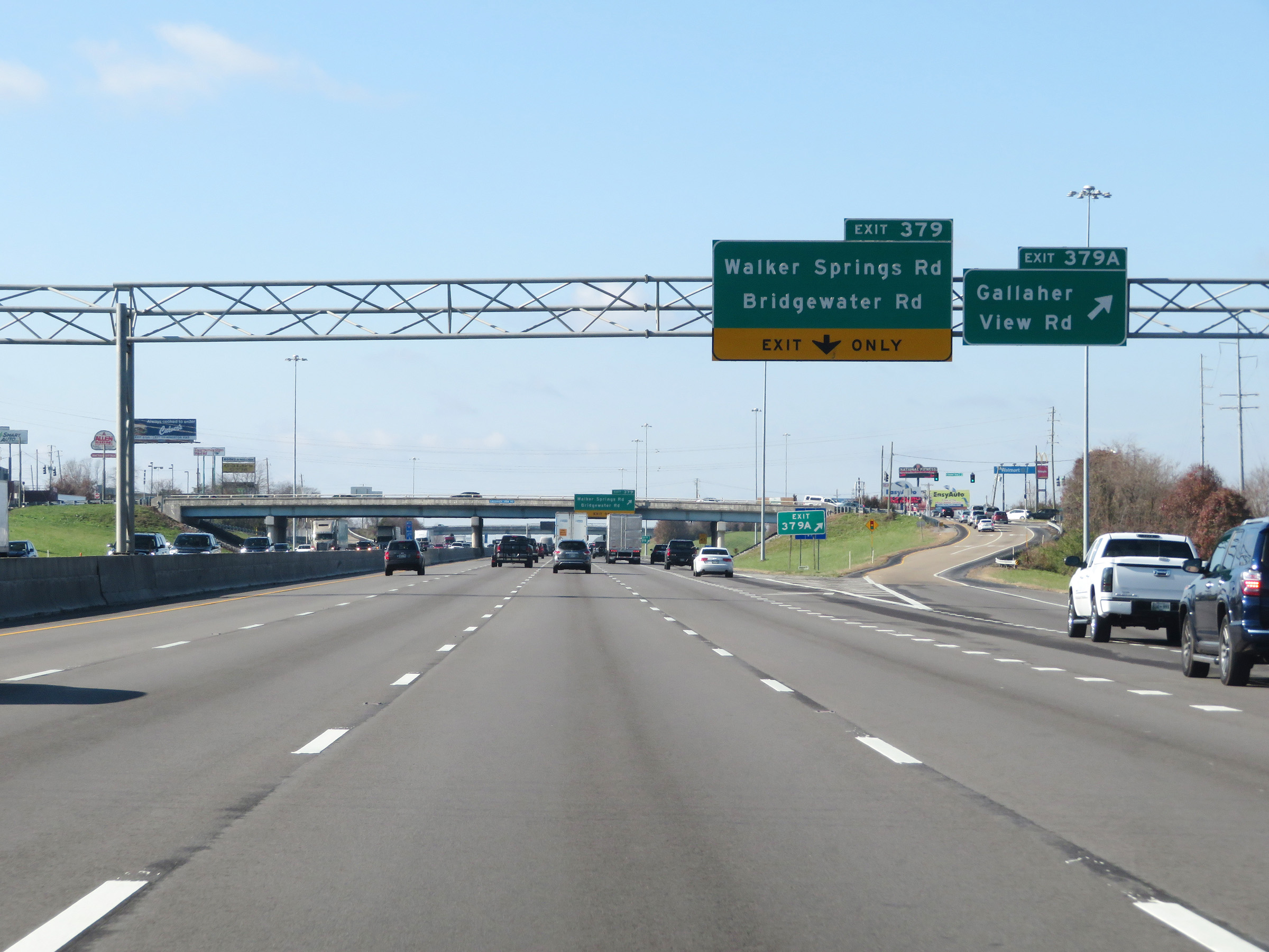 |
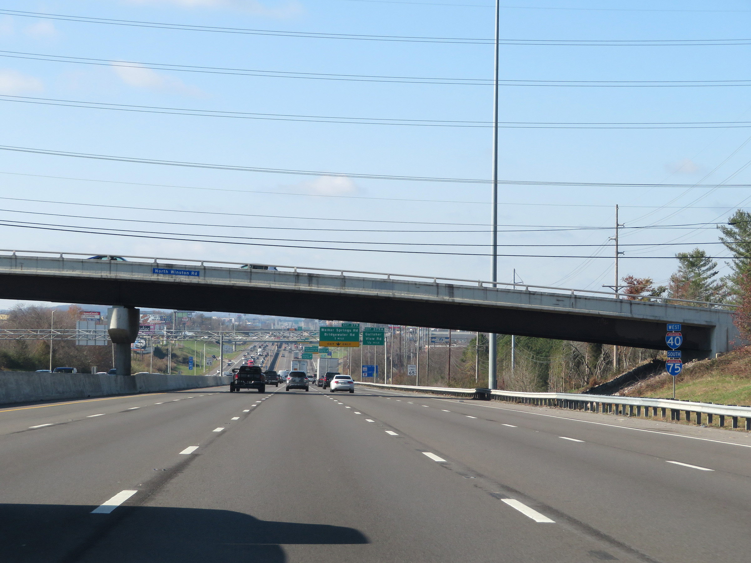
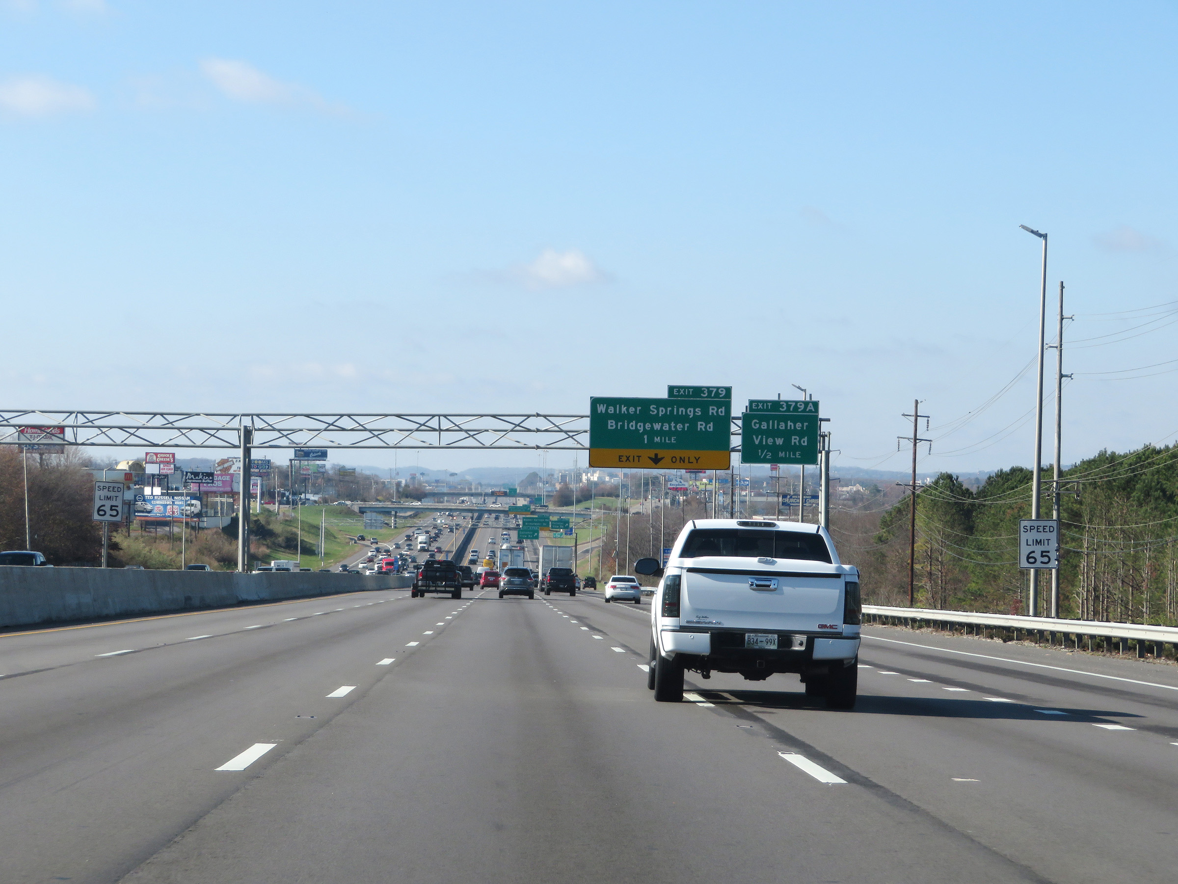
Interstate 40 West / Interstate 75 South at Exit 379A: Gallaher View Rd (Photo taken 12/5/20). |
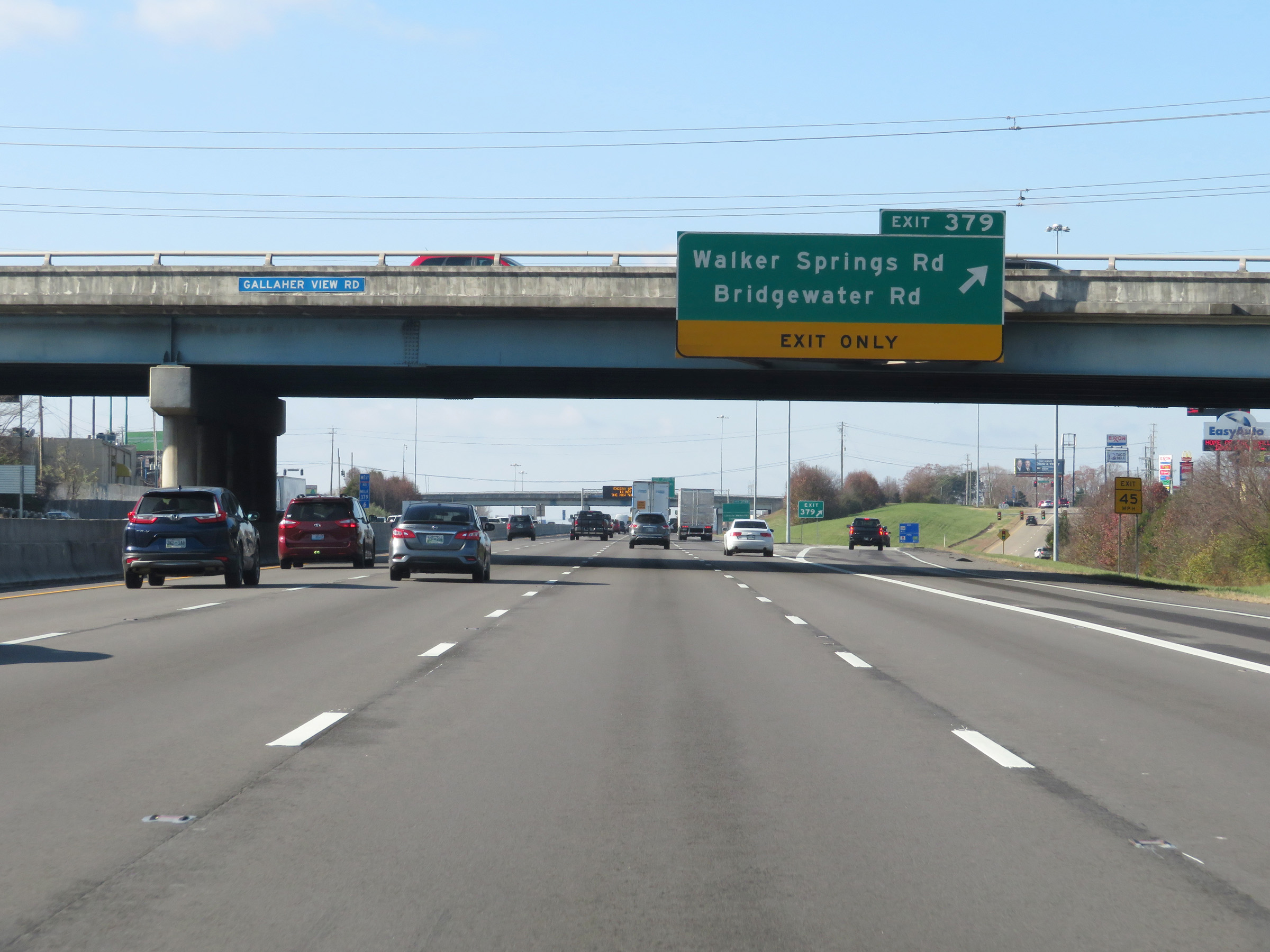 |
Interstate 40 West / Interstate 75 South at Exit 379: Walker Springs Rd / Bridgewater Rd (Photo taken 12/5/20). |
 |
Take Exit 378B to Lincoln Memorial University. (Photo taken 12/5/20). |
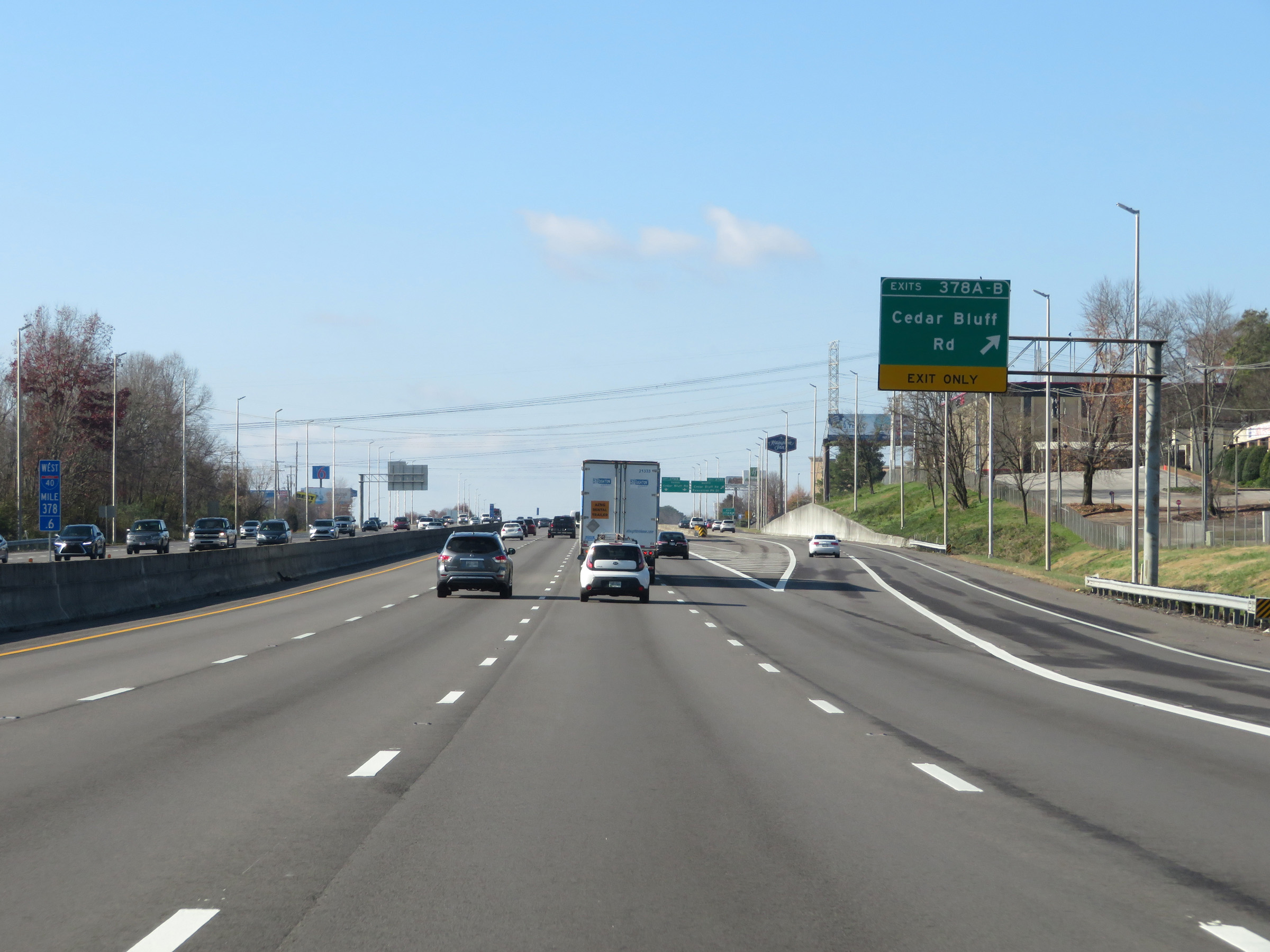 |
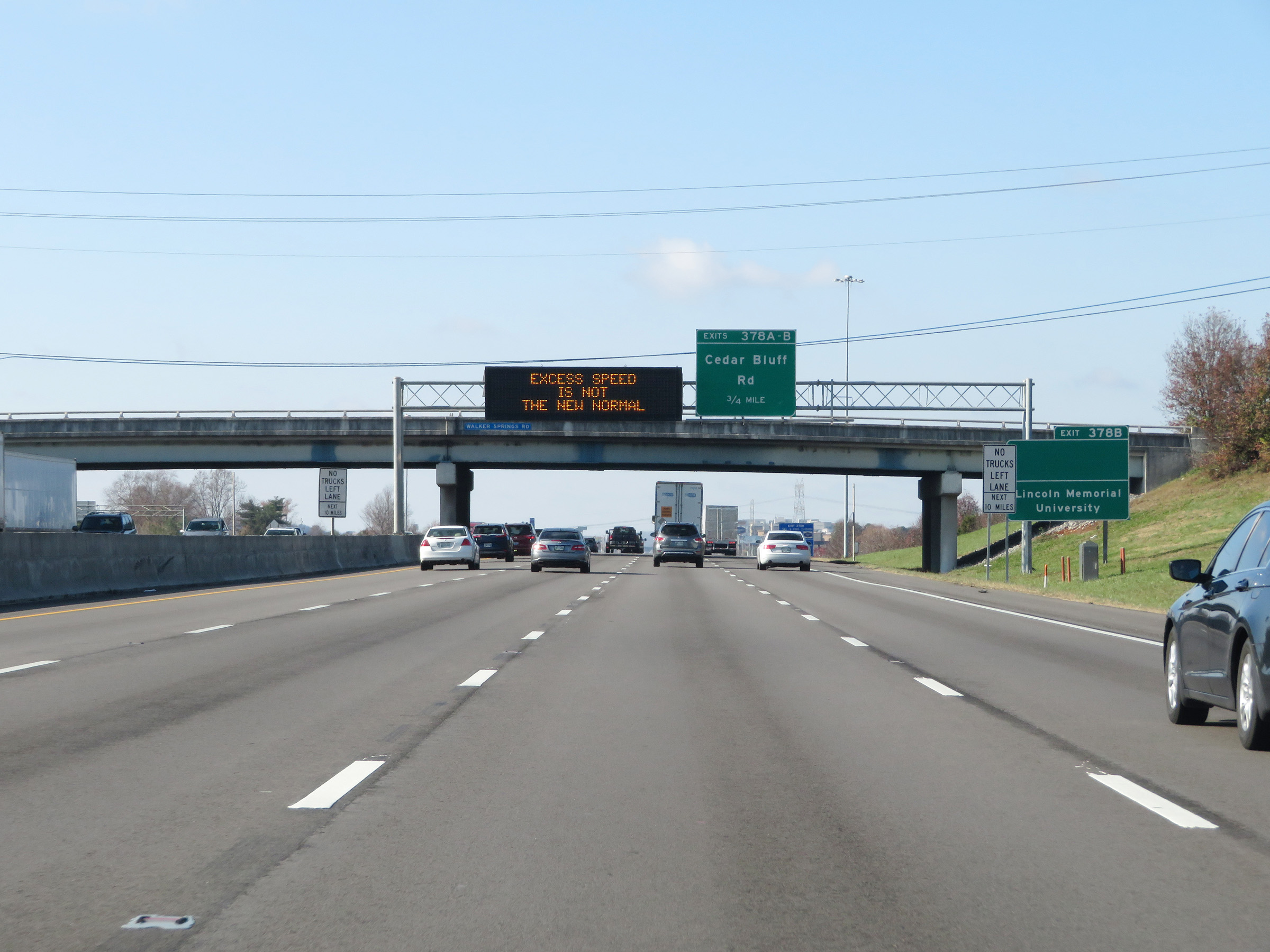
Interstate 40 West / Interstate 75 South at Exits 378A-B: Cedar Bluff Rd (Photo taken 12/5/20). |
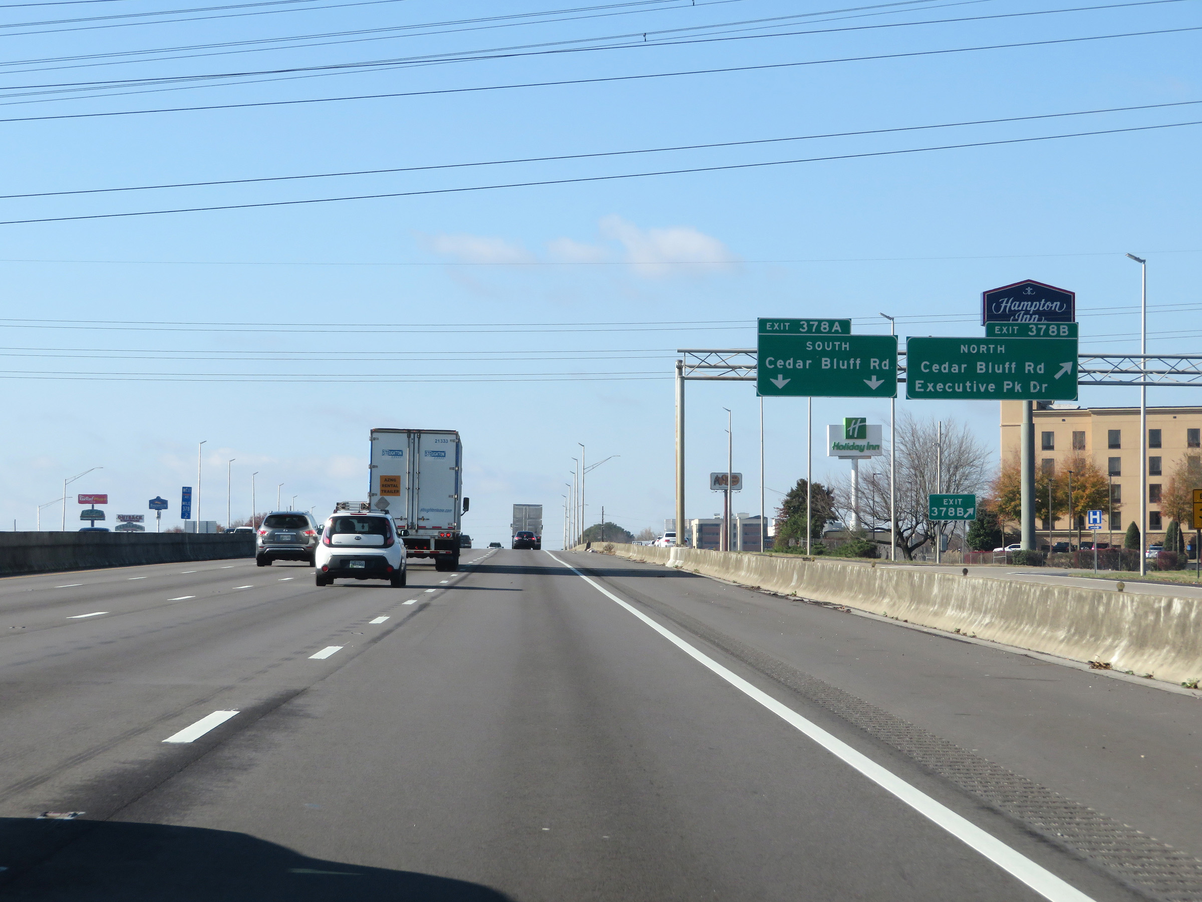 |
View as the ramp for Exits 378A-B splits into two separate ramps. (Photo taken 12/5/20). |
 |
View on Interstate 40 West / Interstate 75 South at mile marker 378. (Photo taken 12/5/20). |
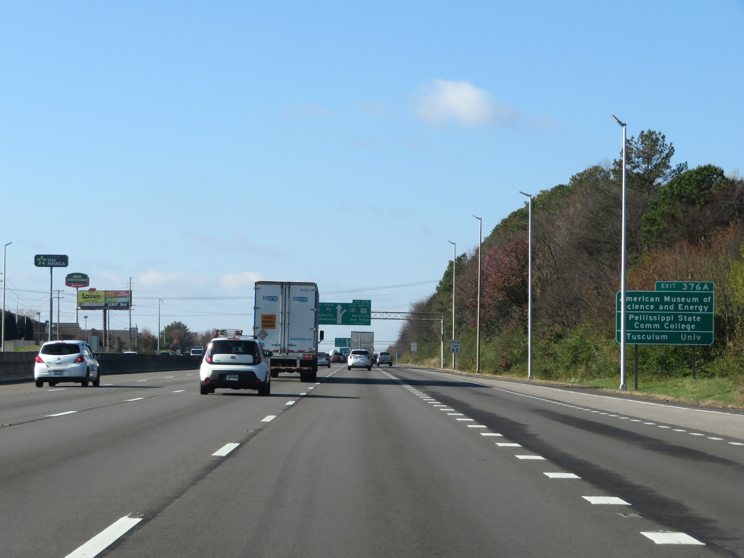 |
Take Exit 376A to the American Museum of Science and Energy, Pellissippi State Community College, and Tusculum University. (Photo taken 12/5/20). |
 |
Interstate 40 West / Interstate 75 South approaching Exit 376 - 3/4 mile. (Photo taken 12/5/20). |
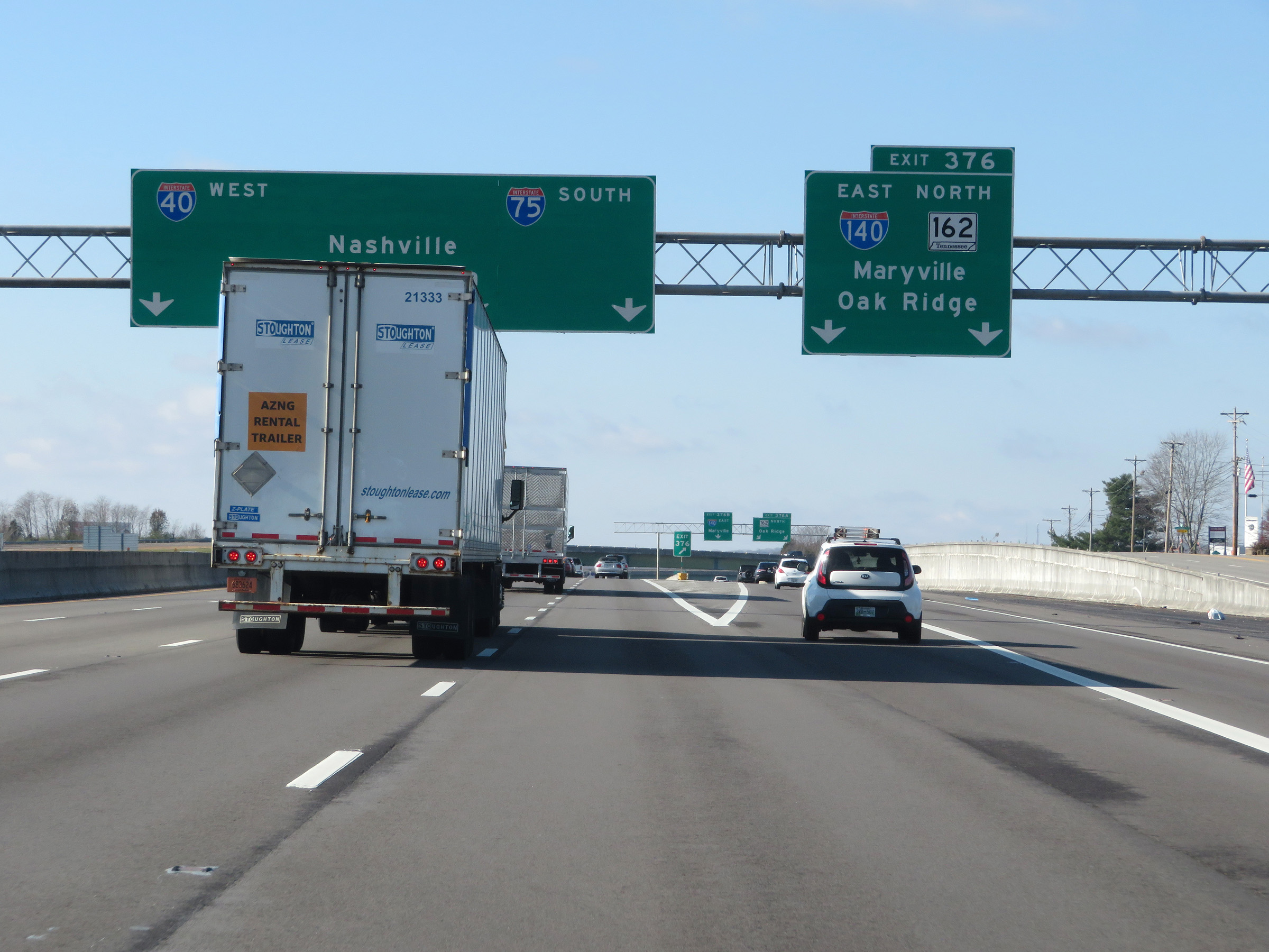 |
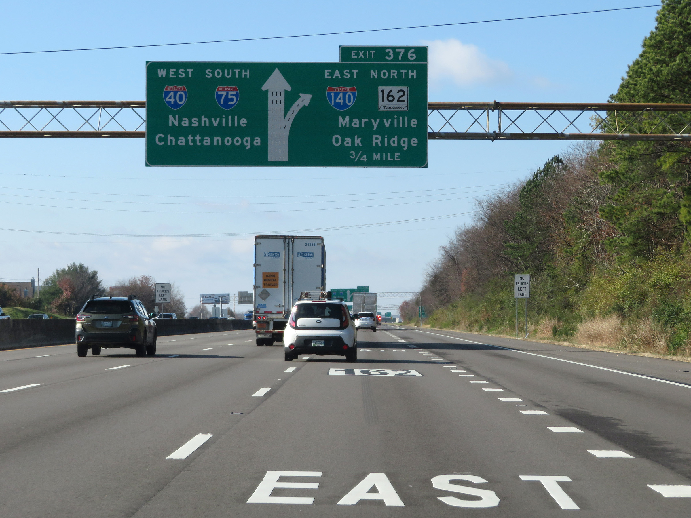
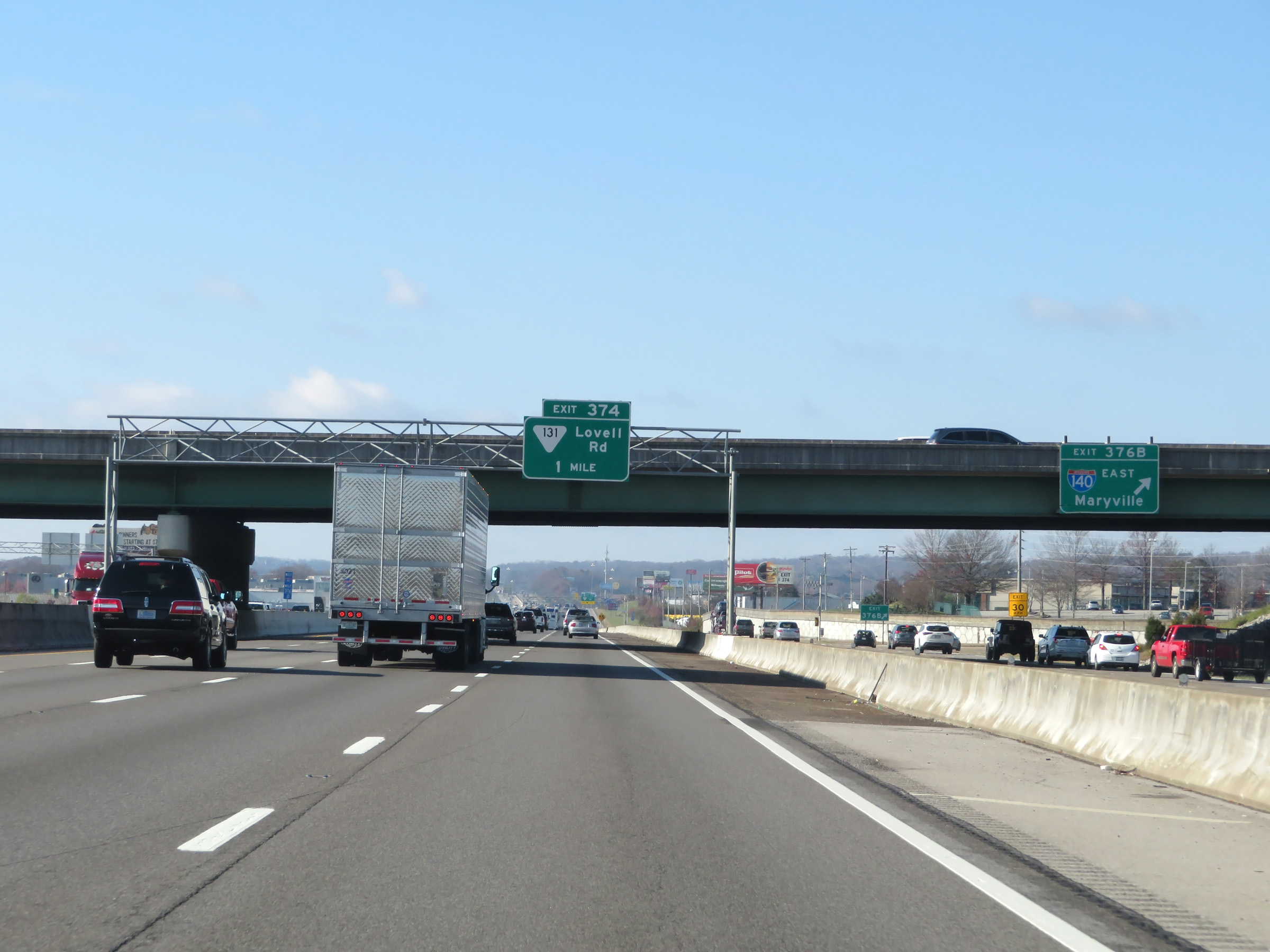
Interstate 40 West / Interstate 75 South at Exit 376B-A: Interstate 140 East / TN 162 North - Maryville / Oak Ridge (Photo taken 12/5/20). |
 |
Interstate 40 West / Interstate 75 South as the ramp to Exits 376B-A splits into two separate exit ramps. (Photo taken 12/5/20). |
 |
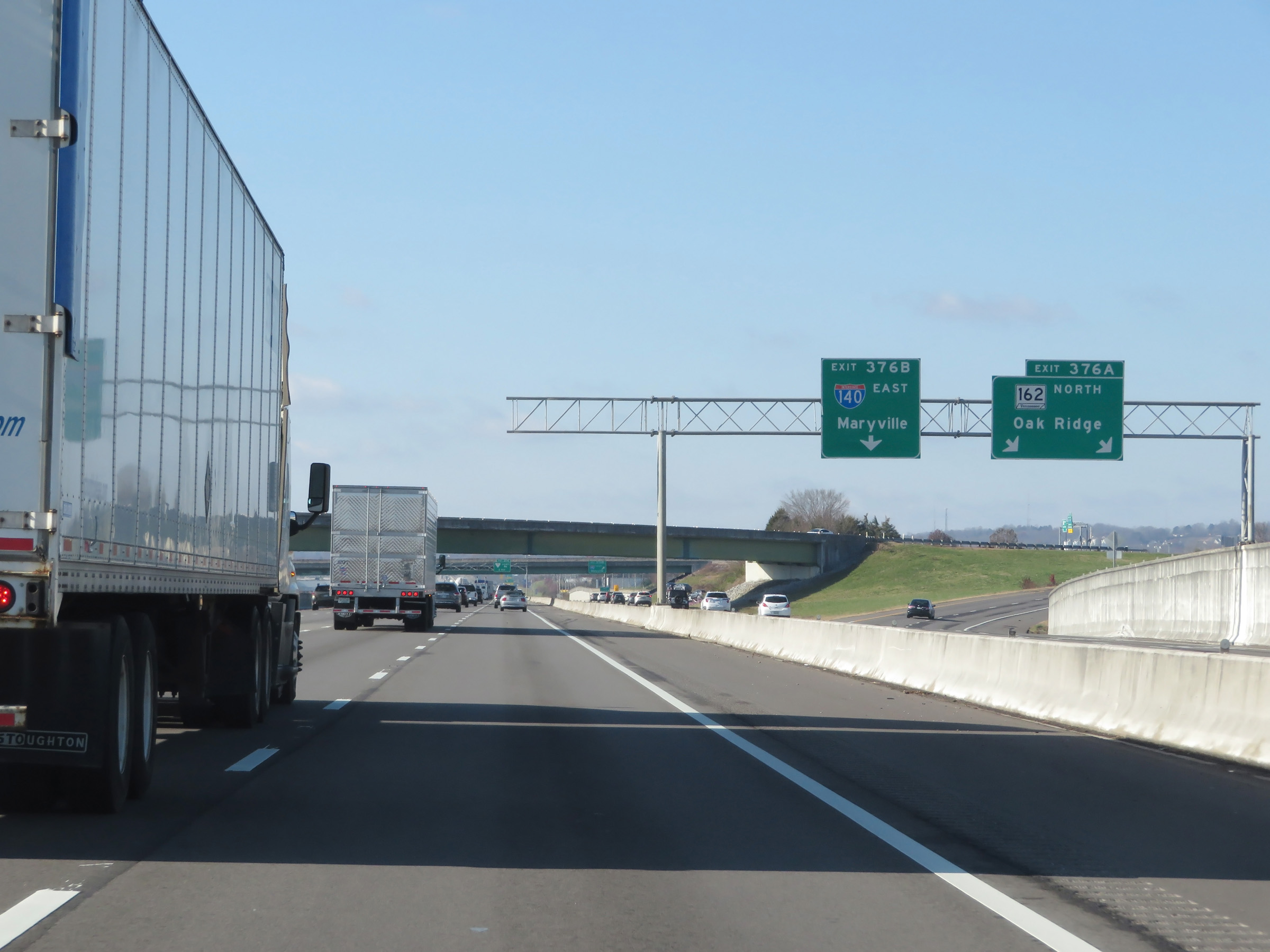
A view of the ramp for Exit 376B. (Photo taken 12/5/20). |
 |
Another set of Interstate 40 West / Interstate 75 South reassurance shields. (Photo taken 12/5/20). |
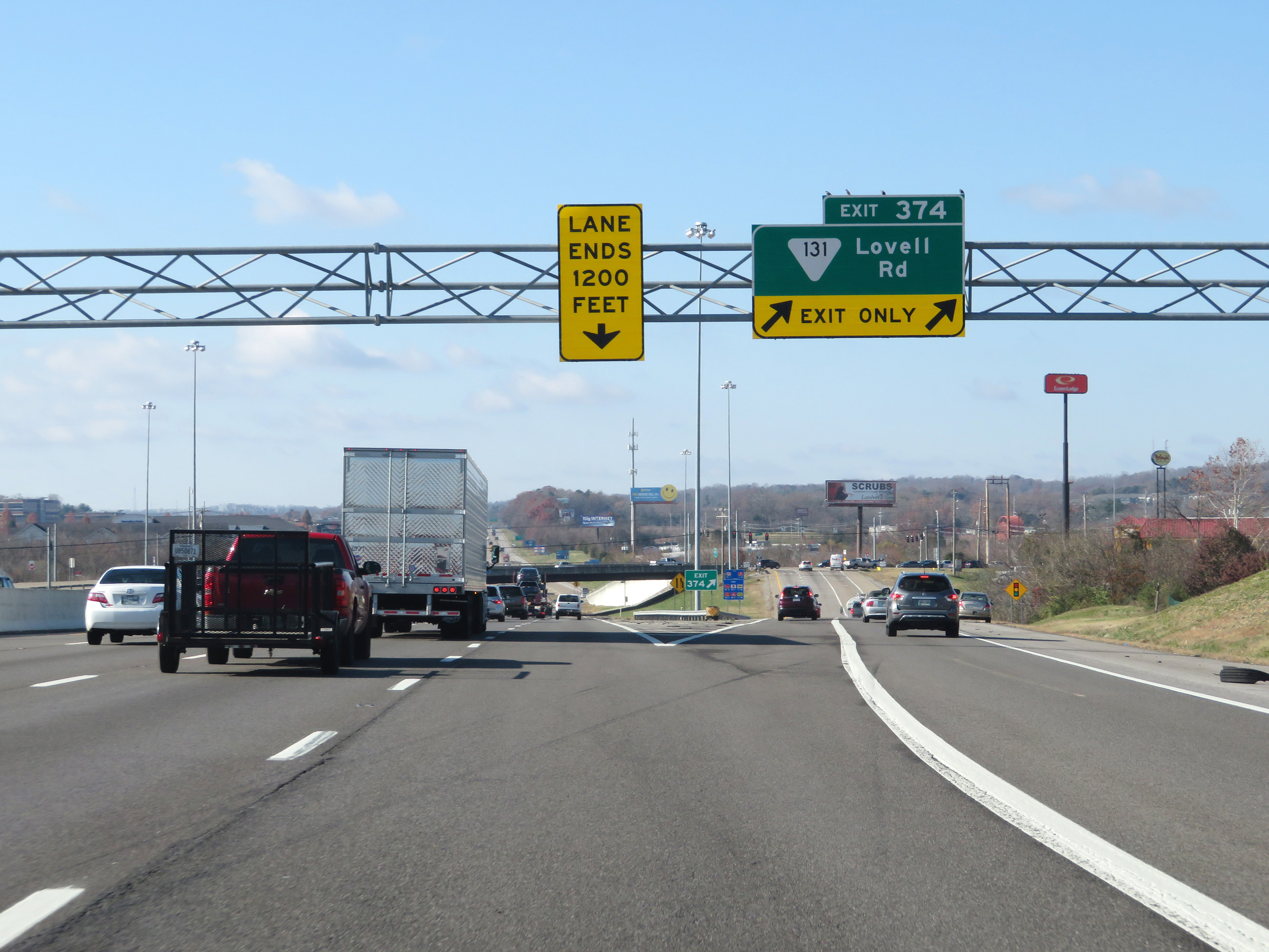 |
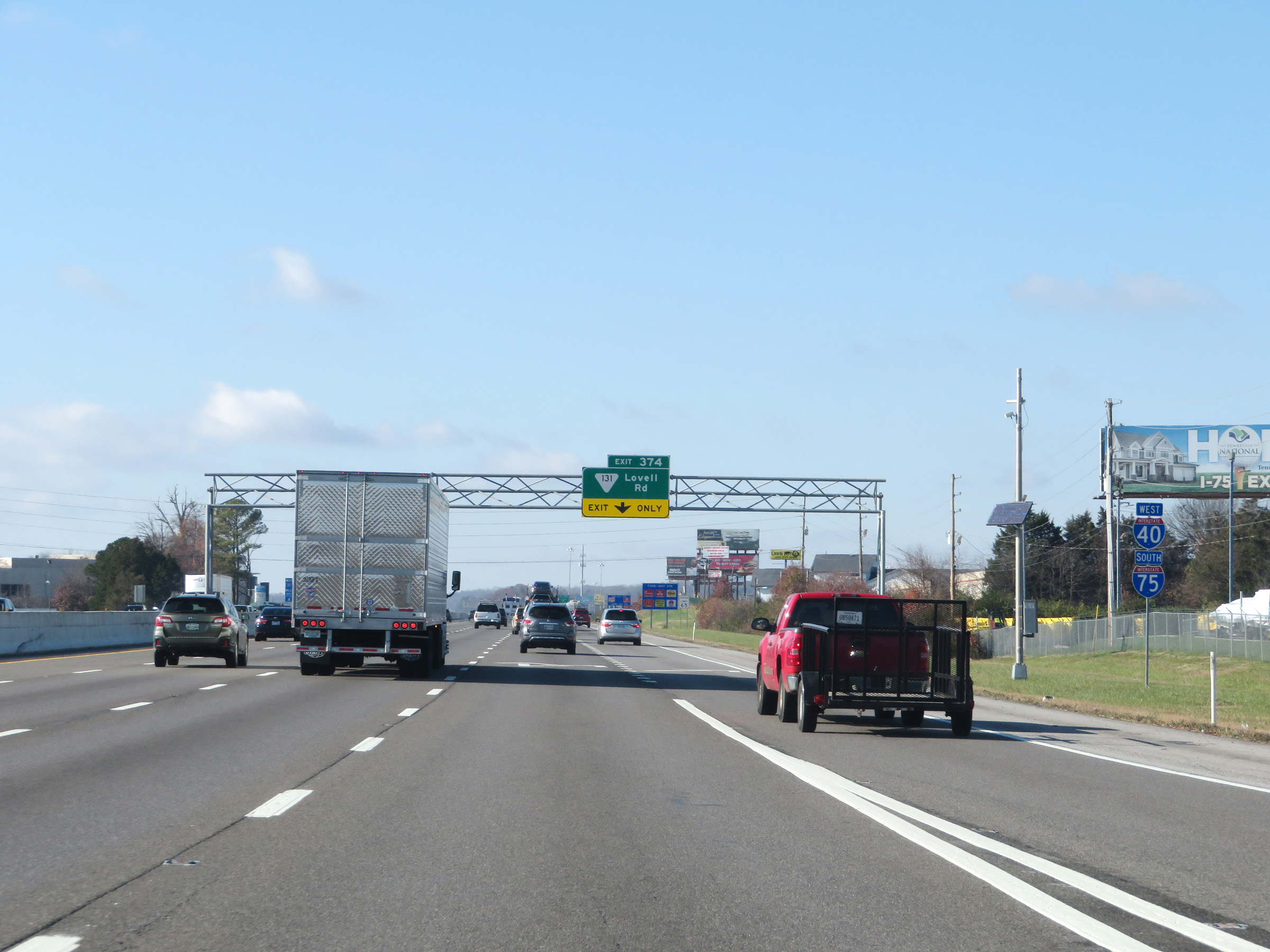
Interstate 40 West / Interstate 75 South at Exit 374: SR 131 - Lovell Rd (Photo taken 12/5/20). |
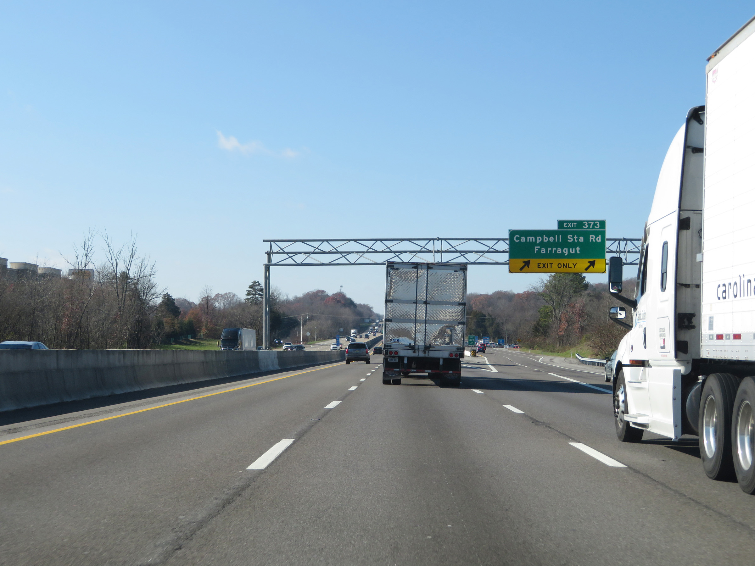 |
Interstate 40 West / Interstate 75 South at Exit 373: Campbell Station Rd / Farragut (Photo taken 12/5/20). |
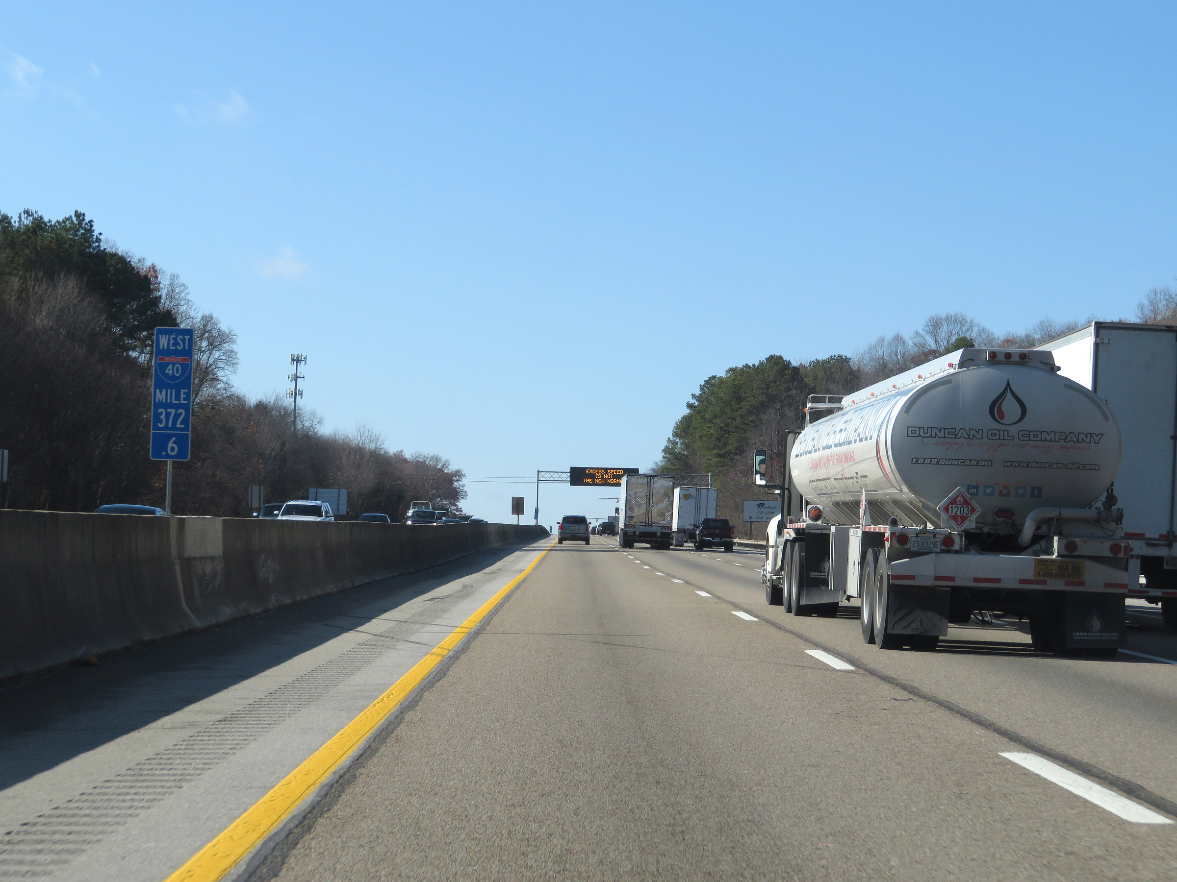 |
View on Interstate 40 West / Interstate 75 South at mile marker 372.6. (Photo taken 12/5/20). |
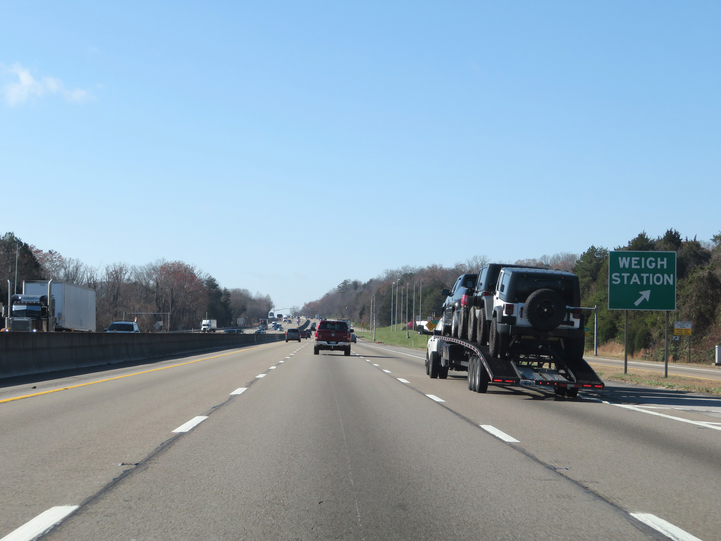 |
Weigh Station on Interstate 40 West / Interstate 75 South in Knox County. (Photo taken 12/5/20). |
 |
The speed limit remains 65 mph for all traffic on Interstate 40 West / Interstate 75 South. (Photo taken 12/5/20). |
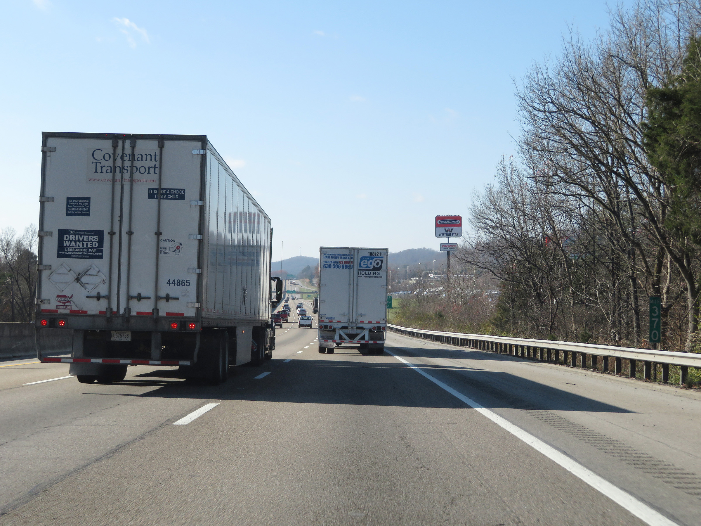 |
Interstate 40 West / Interstate 75 South at mile marker 370. (Photo taken 12/5/20). |
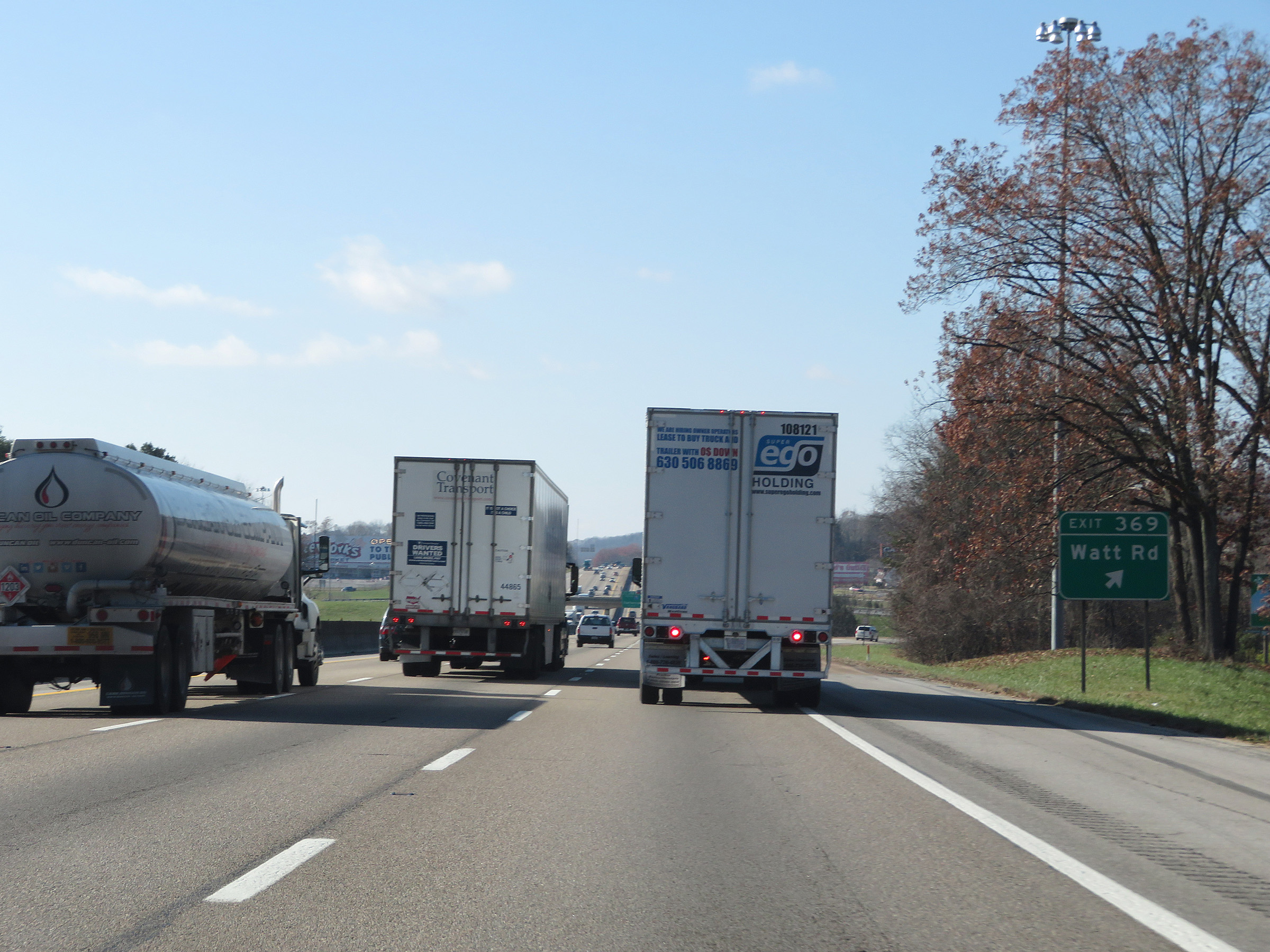 |
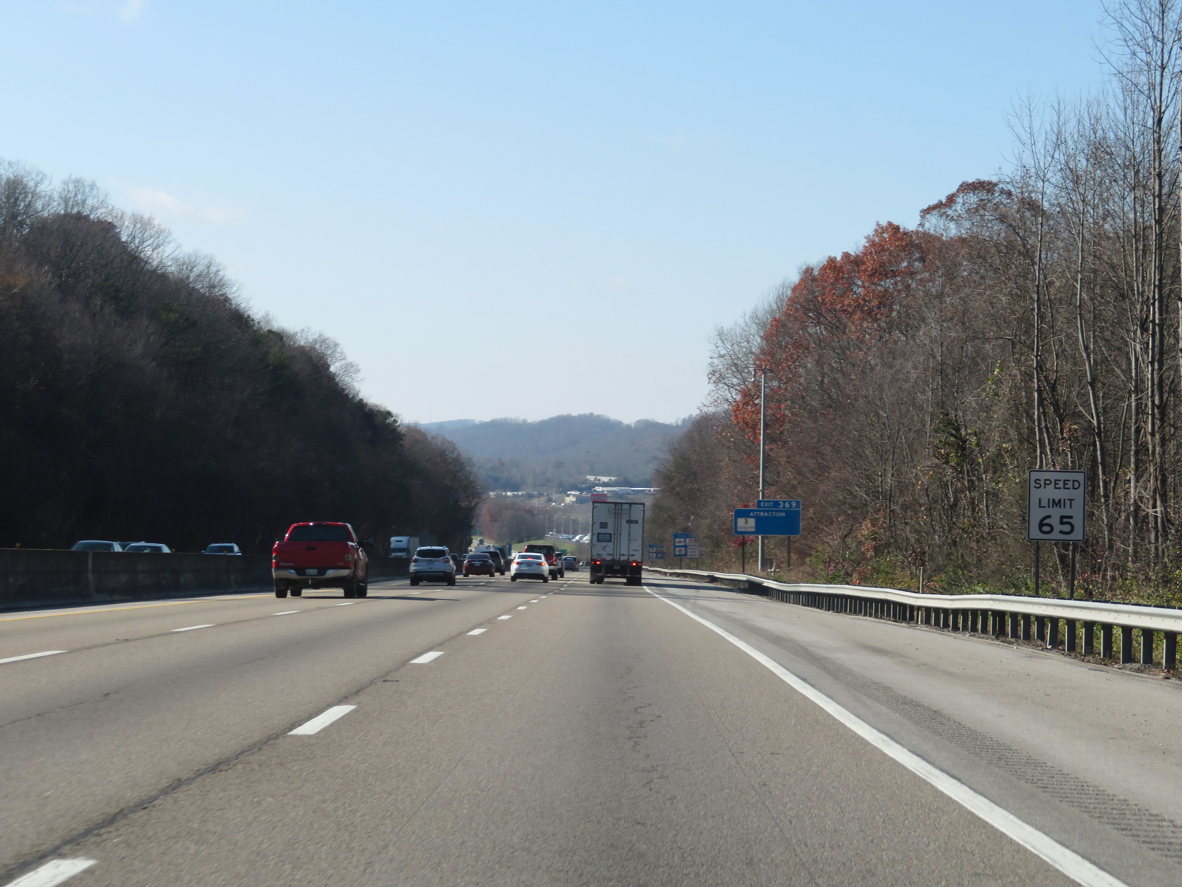
Interstate 40 West at Exit 369: Watt Rd (Photo taken 12/5/20). |
 |
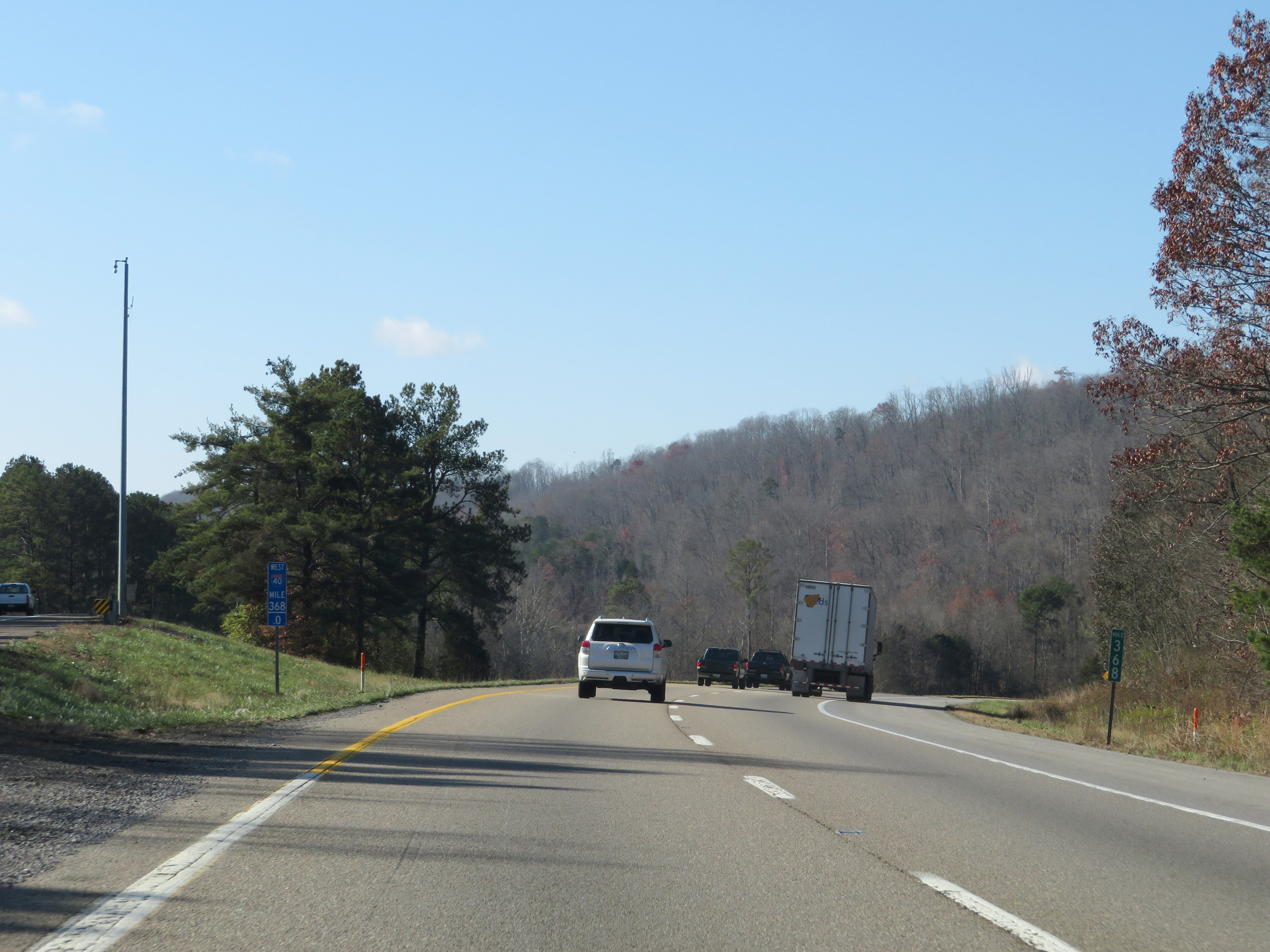
Interstate 40 West / Interstate 75 South approaching Exit 368 - 1 mile on the left. It is also at this point that the duplex enters Loudon County. (Photo taken 12/5/20). |
 |
Approaching Exit 368, which will mark the western end of the Interstate 40 / Interstate 75 concurrency, the truck lane restrictions come to an end. (Photo taken 12/5/20). |
 |
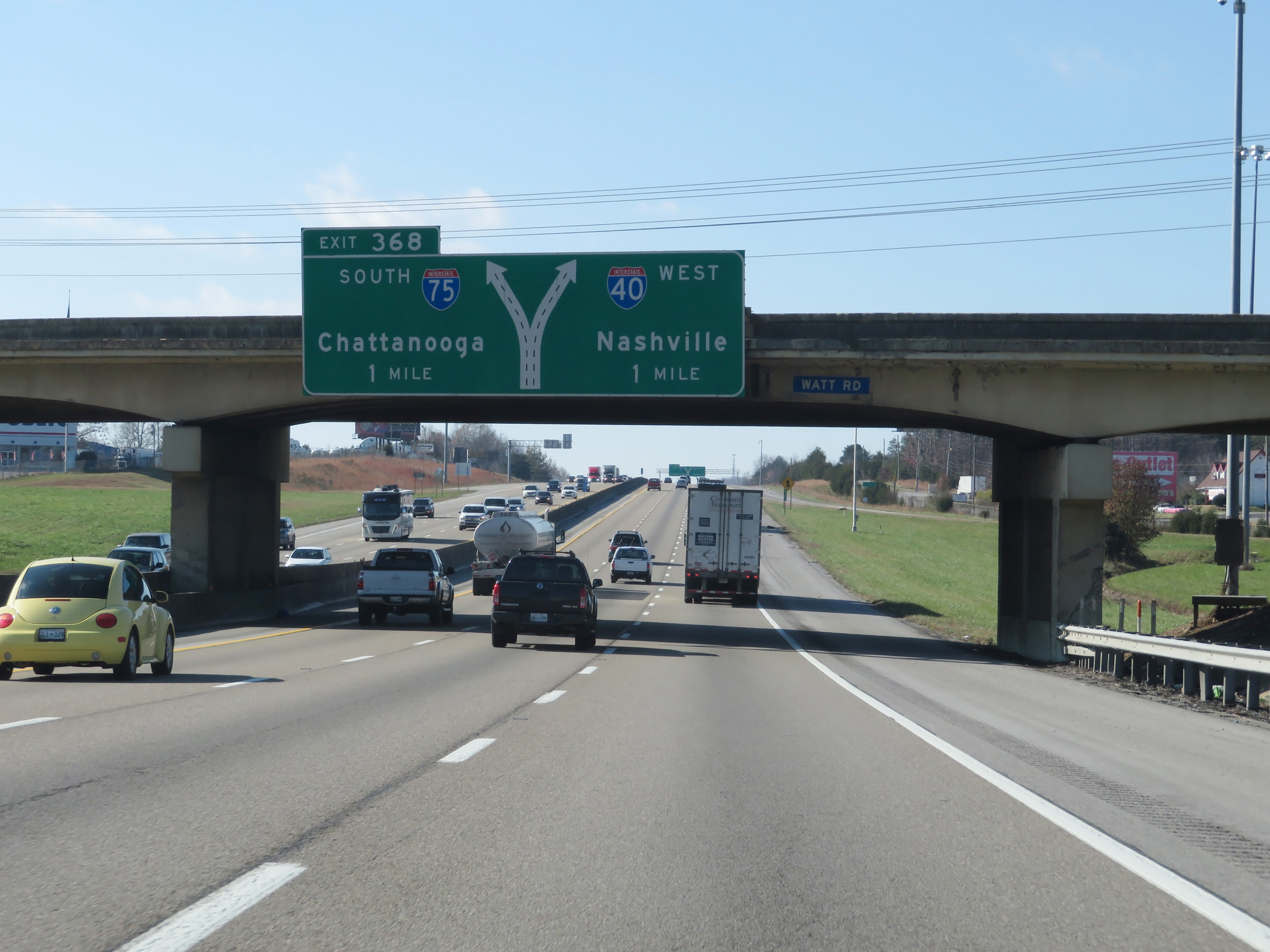
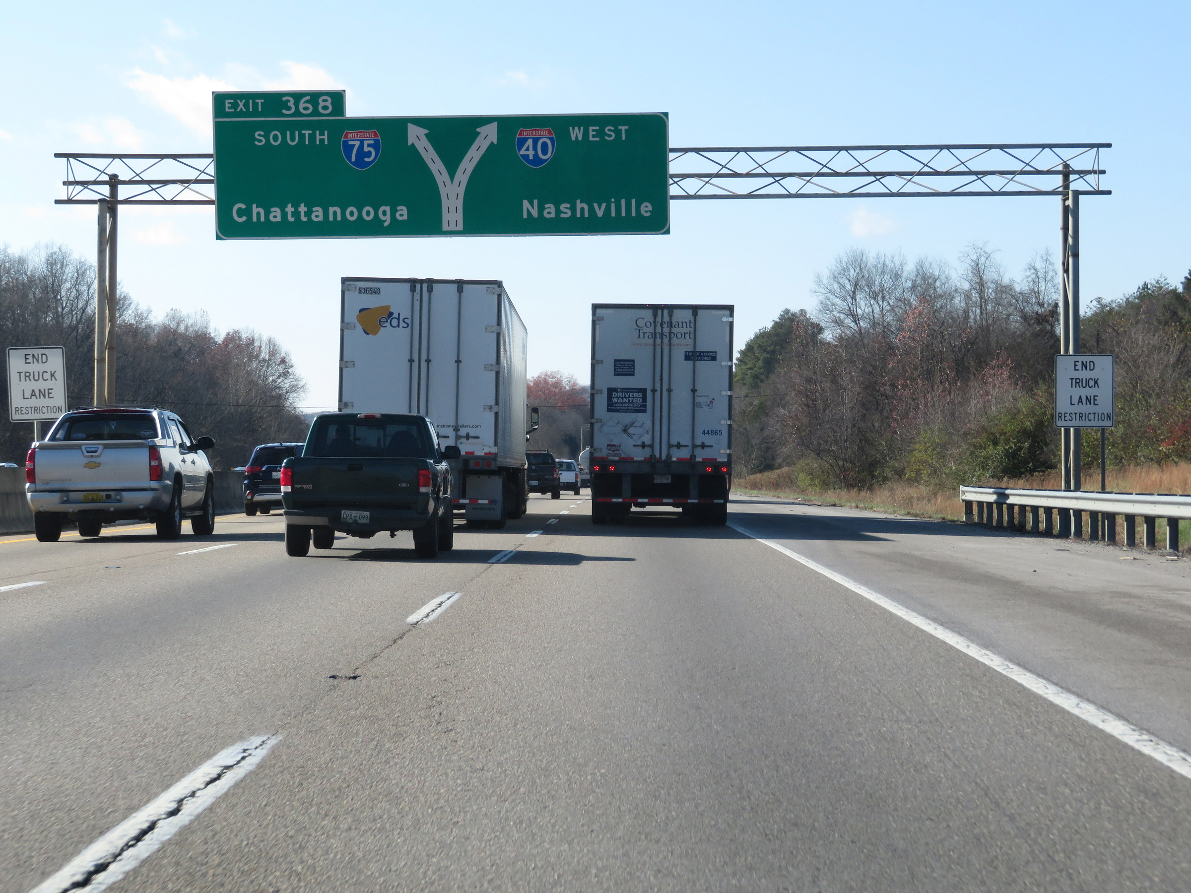
Interstate 40 West / Interstate 75 South at Exit 368: Interstate 75 South - Chattanooga (Photo taken 12/5/20). |
 |
A closer view of the split as Interstate 75 South departs to the left to head toward Chattanooga. (Photo taken 12/5/20). |
 |
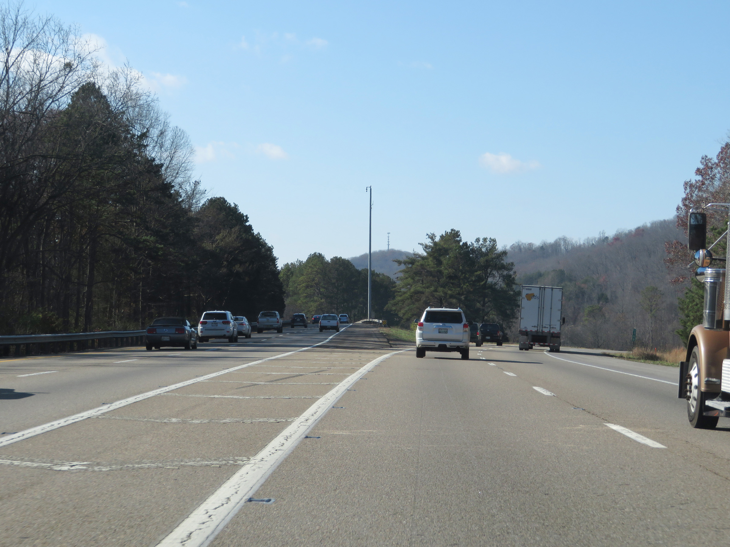
View on Interstate 40 West at mile marker 368, just after the departure of Interstate 75. (Photo taken 12/5/20). |
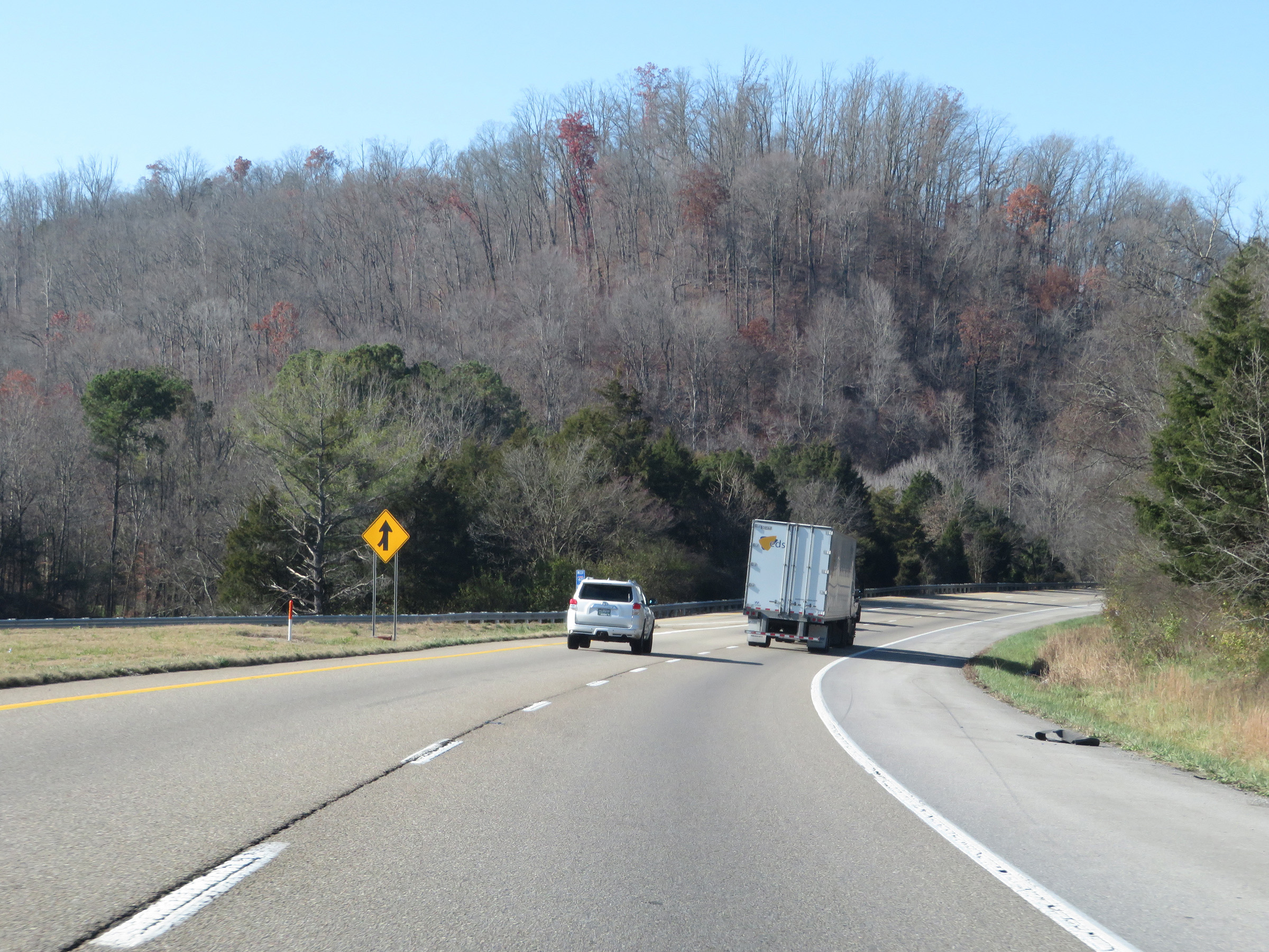 |
Interstate 40 West as traffic from Interstate 75 North prepares to merge in on the left ahead. (Photo taken 12/5/20). |
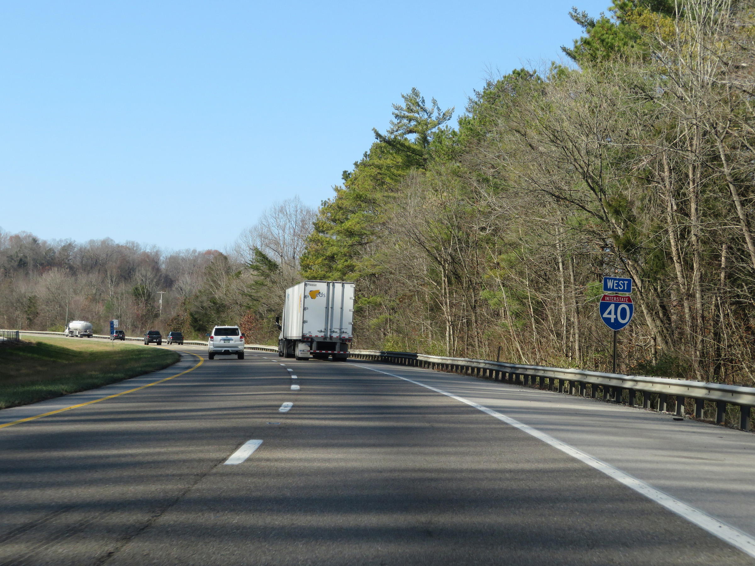 |
Interstate 40 West reassurance shield. (Photo taken 12/5/20). |
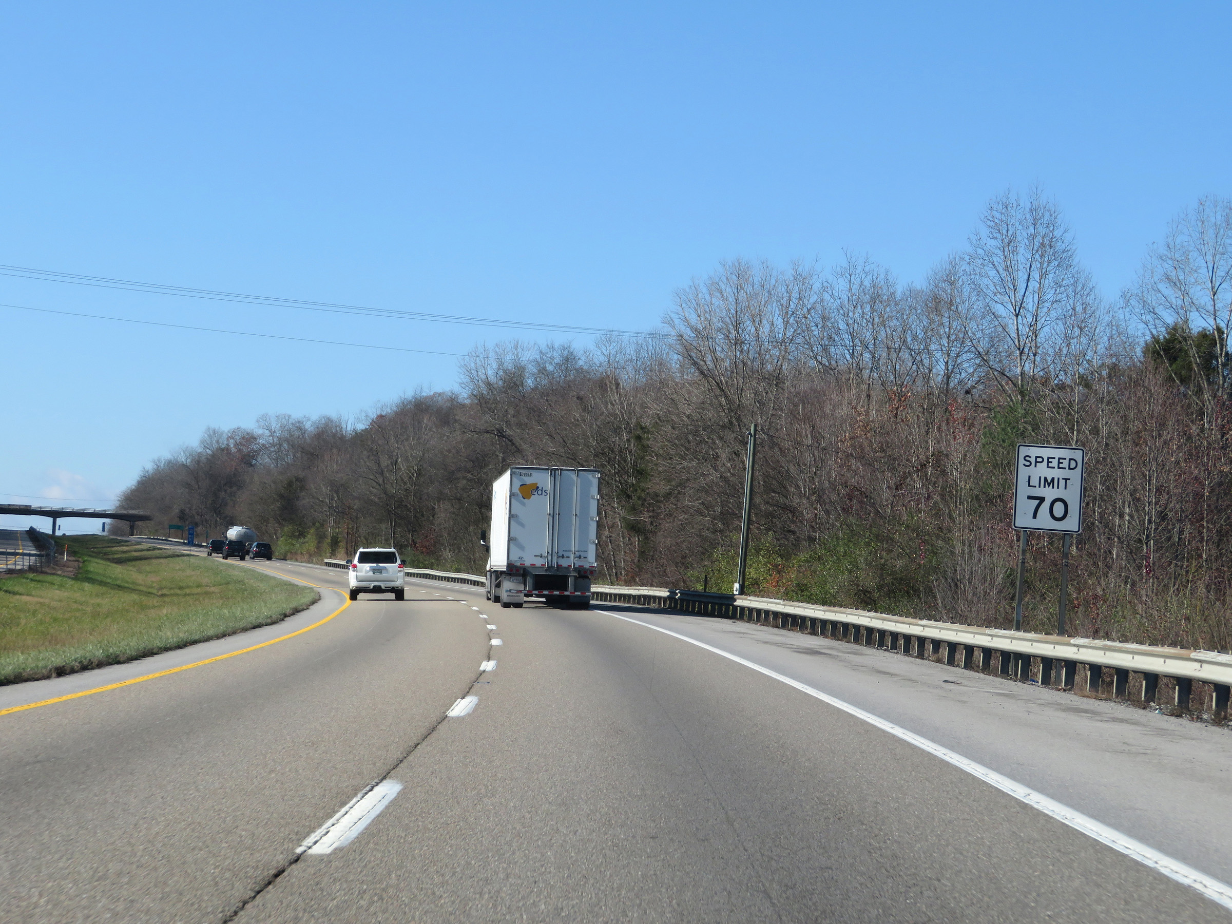 |
Now that Interstate 75 South has departed, the speed limit increases to 70 mph on Interstate 40 West once again. (Photo taken 12/5/20). |
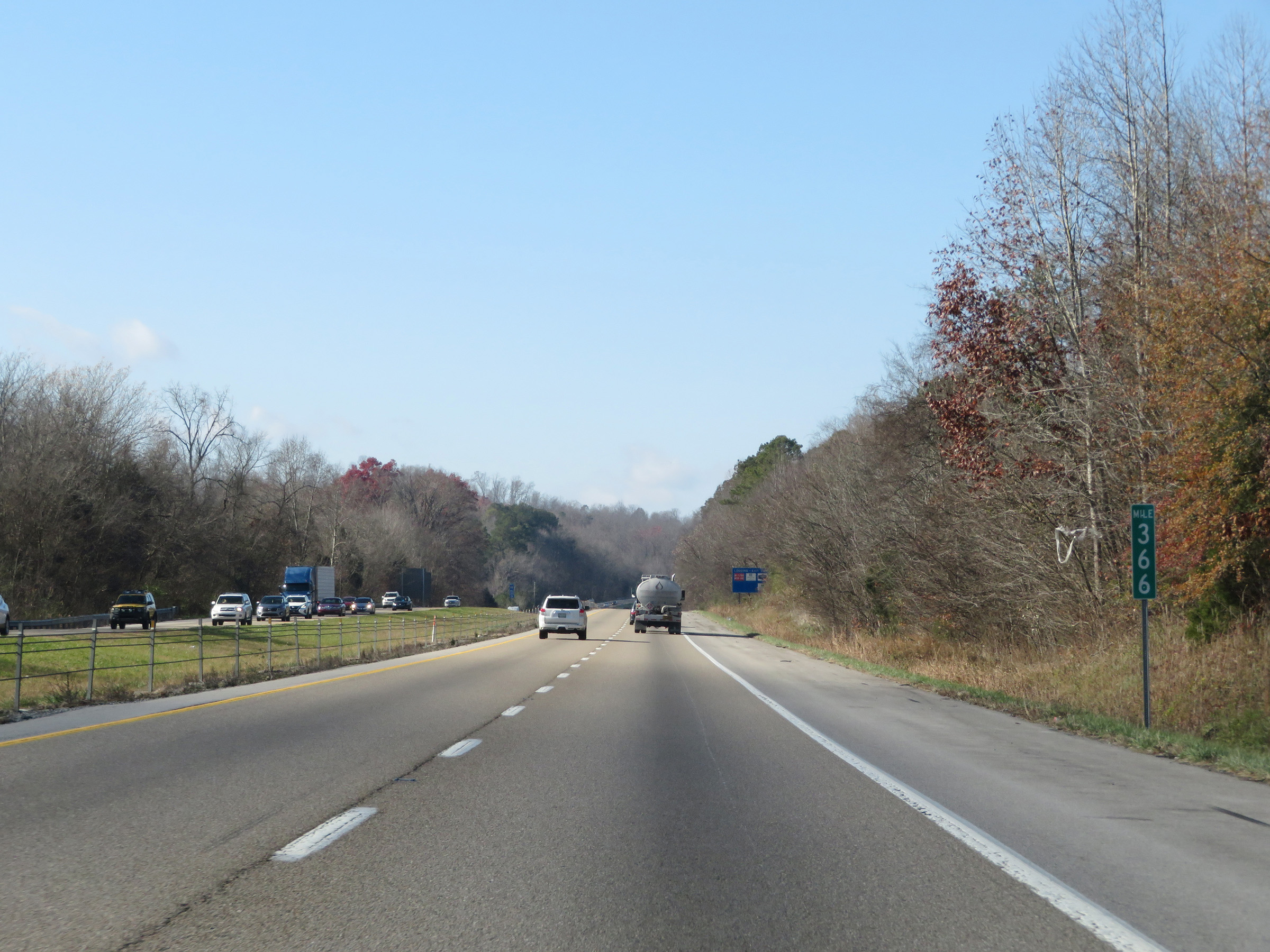 |
View on Interstate 40 West at mile marker 366. (Photo taken 12/5/20). |
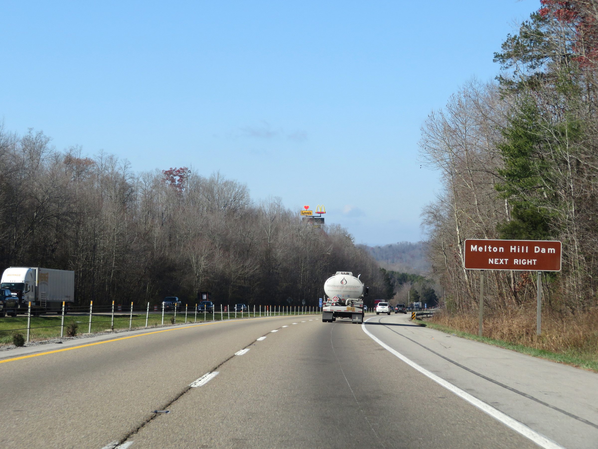 |
Take Exit 364 to Melton Hill Dam. (Photo taken 12/5/20). |
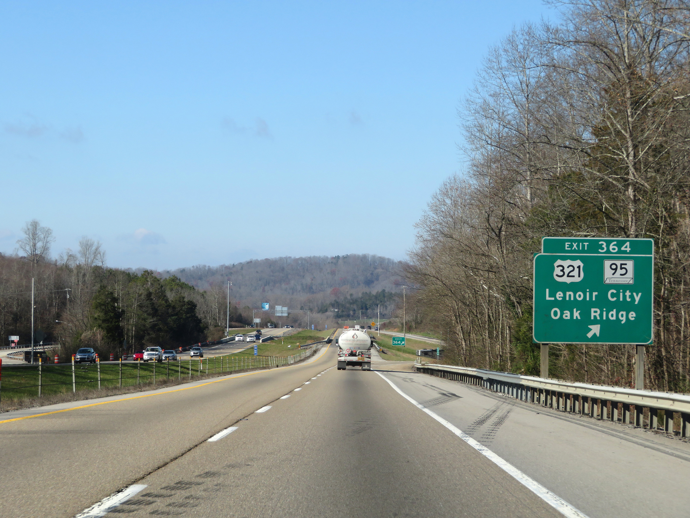 |
Interstate 40 West at Exit 364: US 321 / TN 95 - Lenoir City / Oak Ridge (Photo taken 12/5/20). |
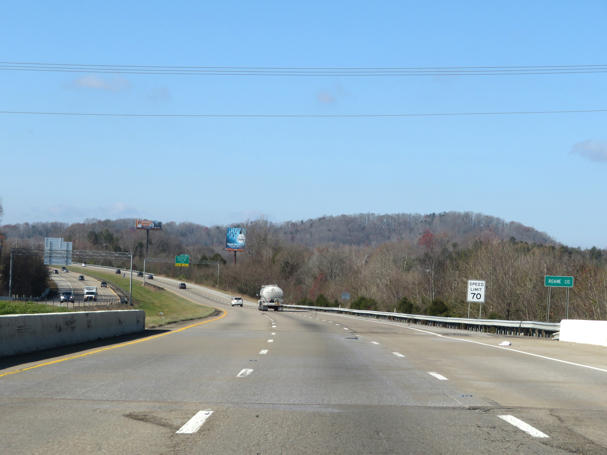 |
Interstate 40 West as it enters Roane County. (Photo taken 12/5/20). |
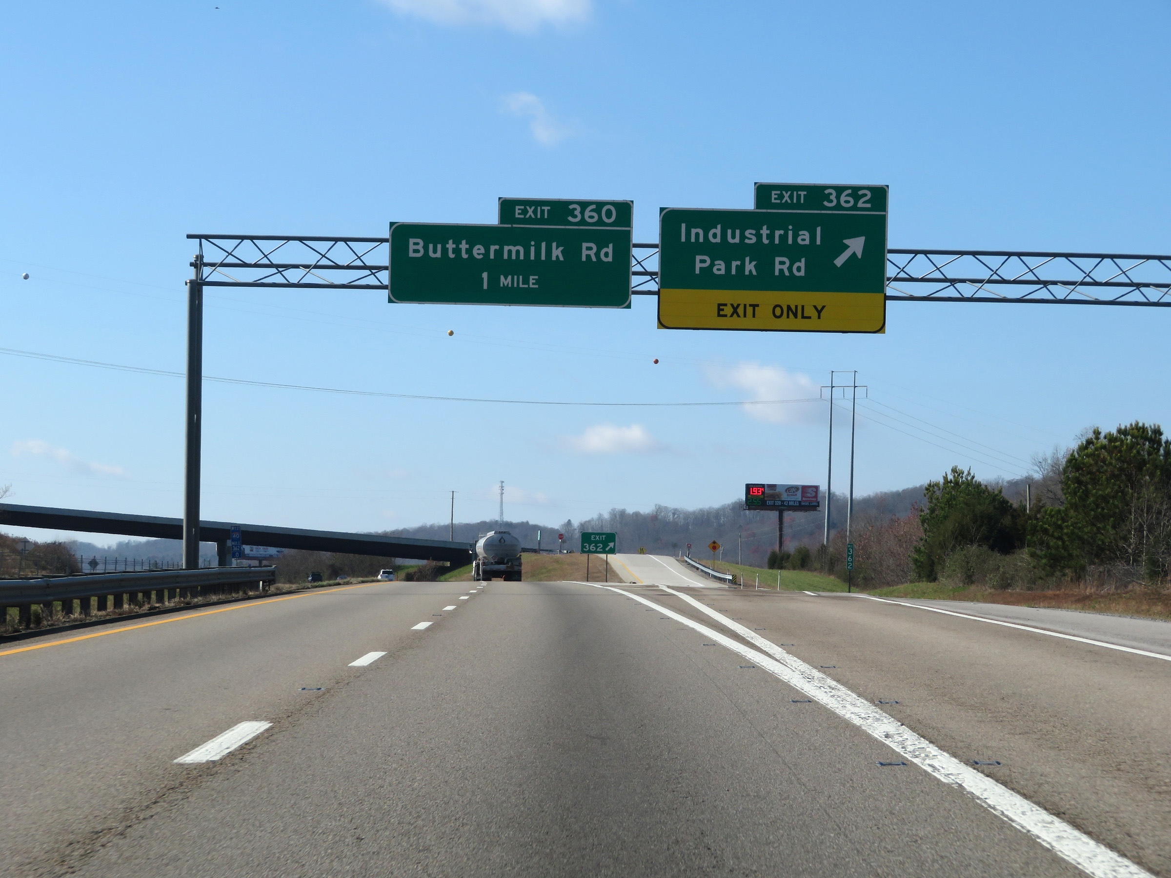 |
Interstate 40 West at Exit 362: Industrial Park Rd (Photo taken 12/5/20). |
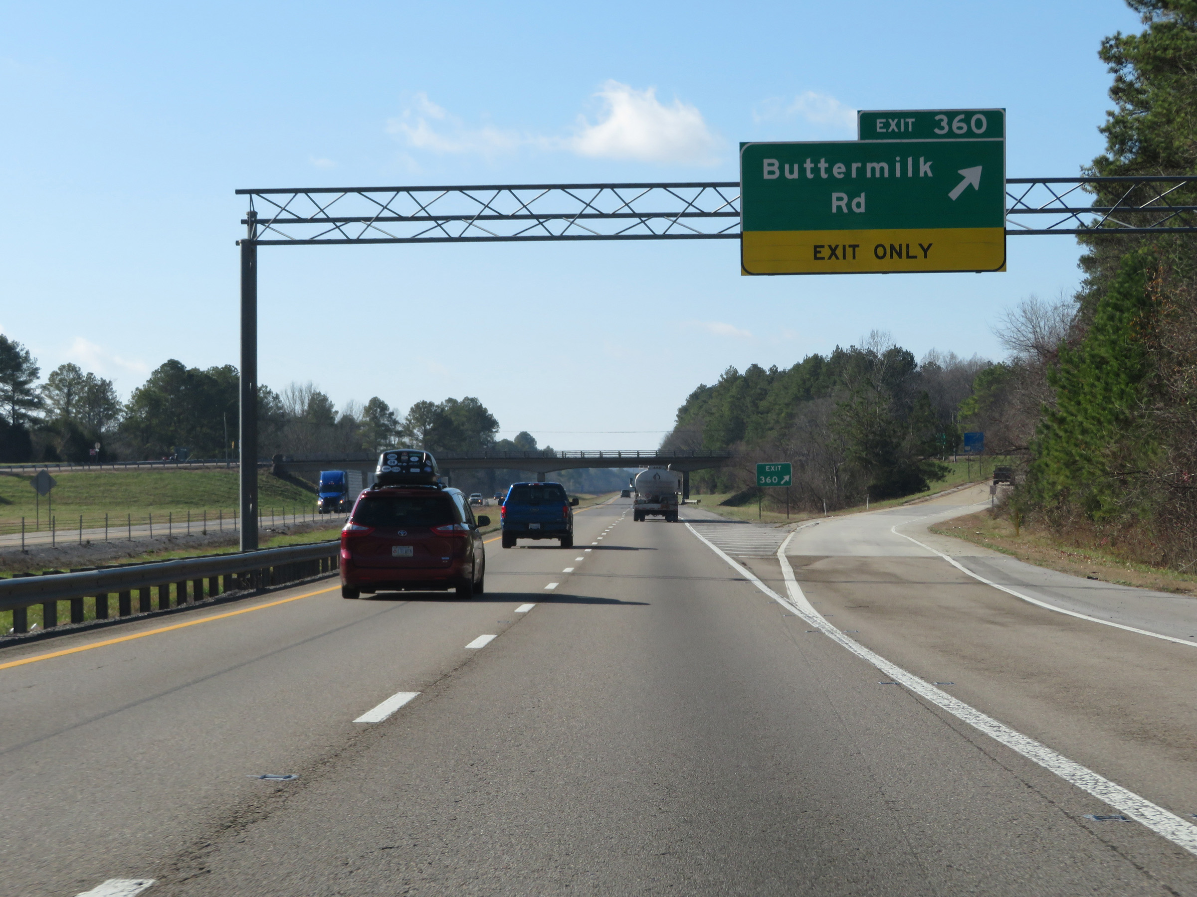 |
Interstate 40 West at Exit 360: Buttermilk Rd (Photo taken 12/5/20). |
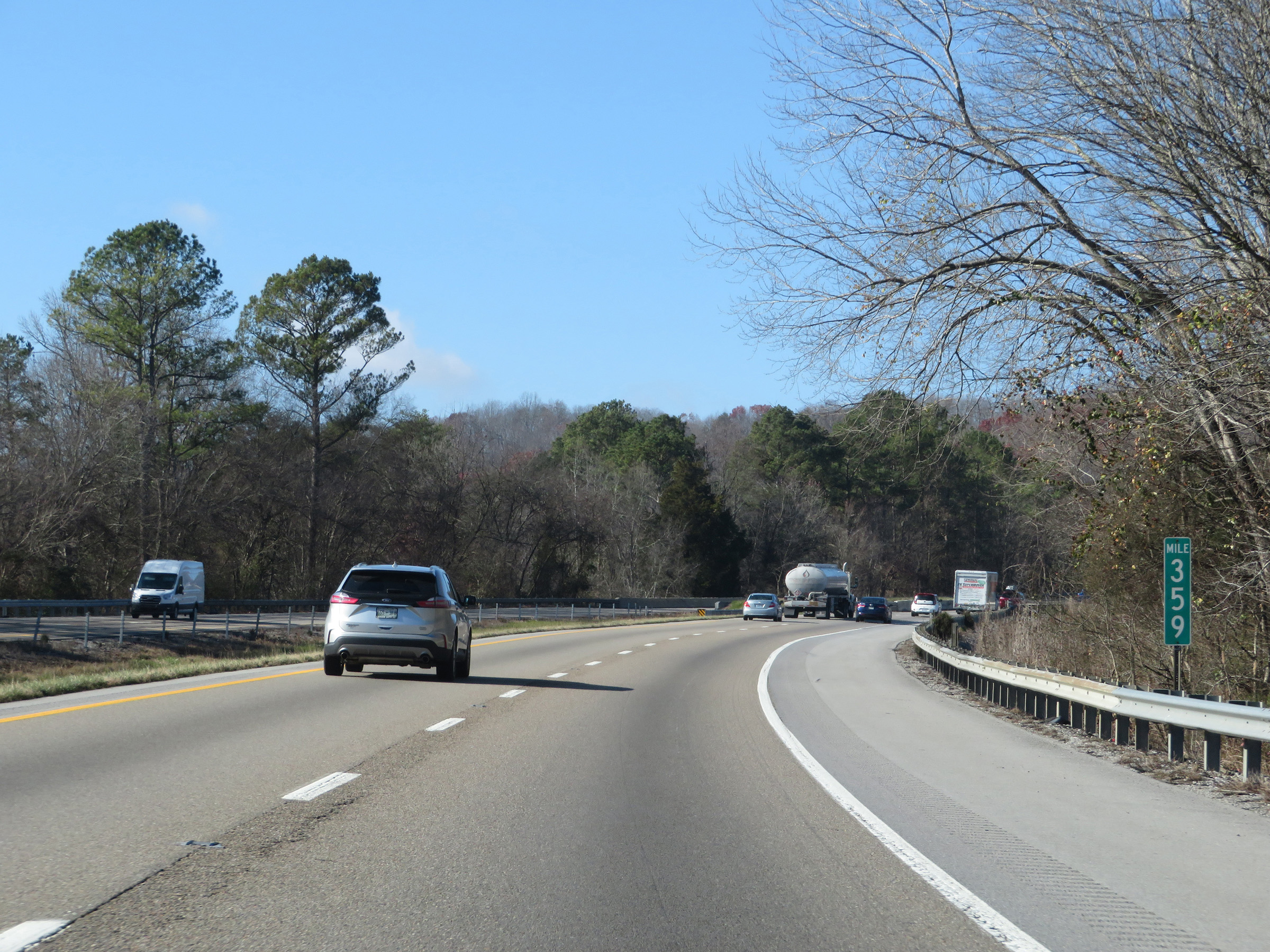 |
View on Interstate 40 West at mile marker 359. (Photo taken 12/5/20). |
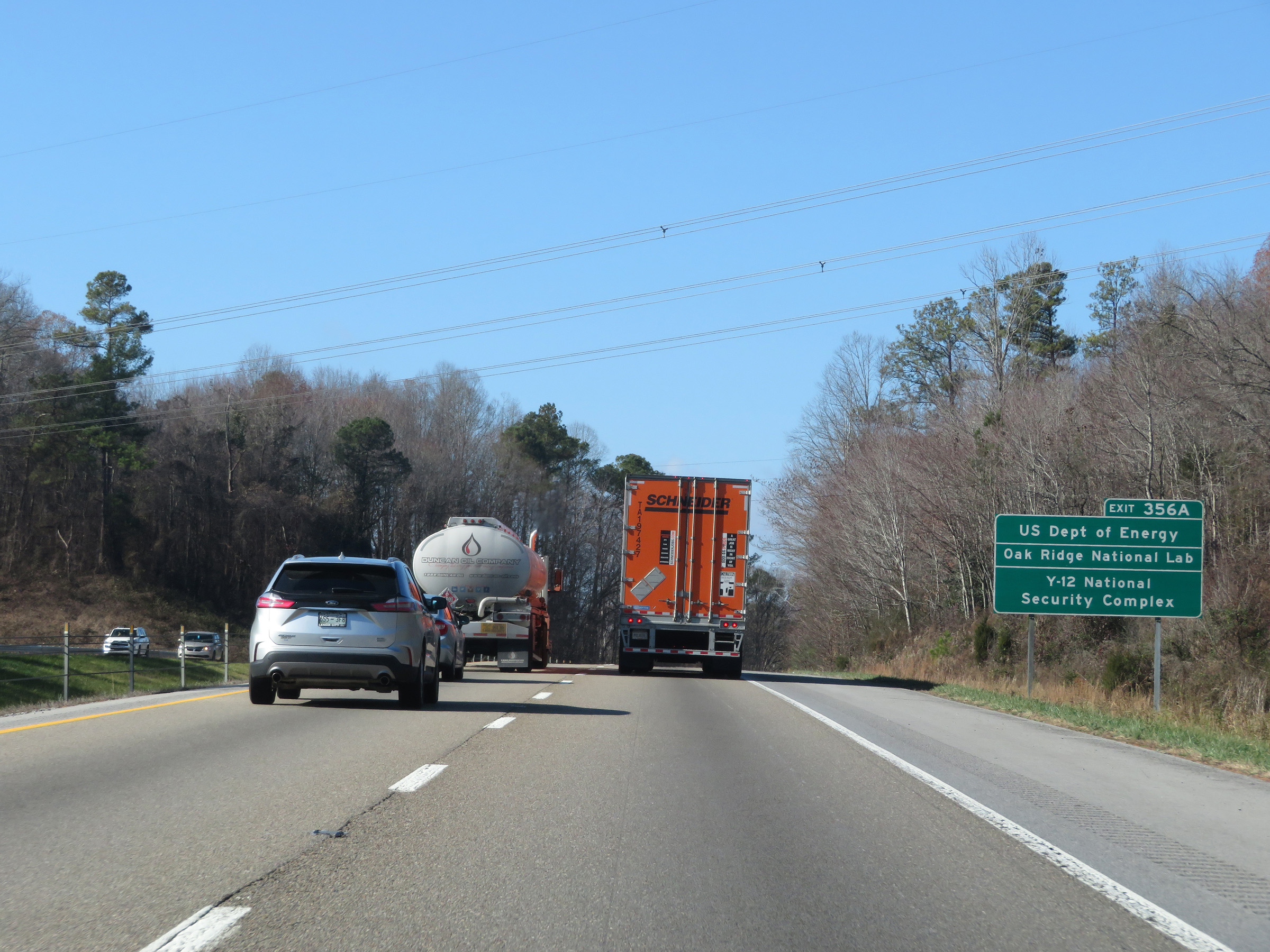 |
Take Exit 356A to the US Department of Energy, Oak Ridge National Lab, and the Y-12 National Security Complex. (Photo taken 12/5/20). |
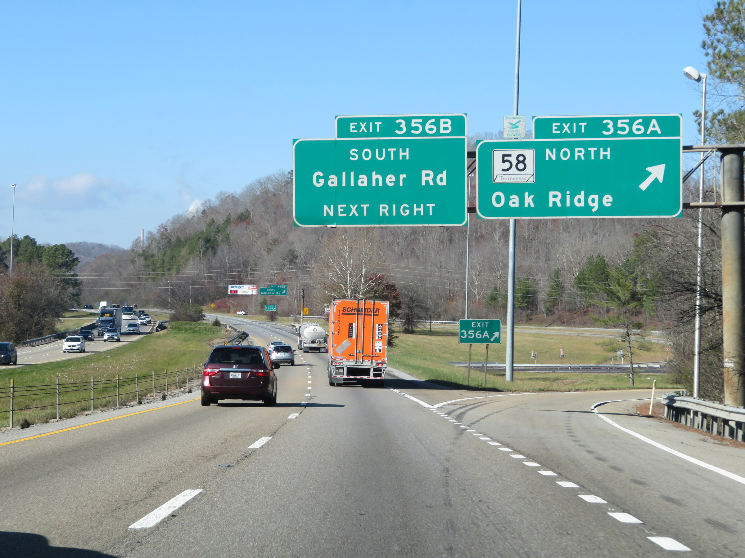 |
Interstate 40 West at Exit 356A: TN 58 North - Oak Ridge (Photo taken 12/5/20). |
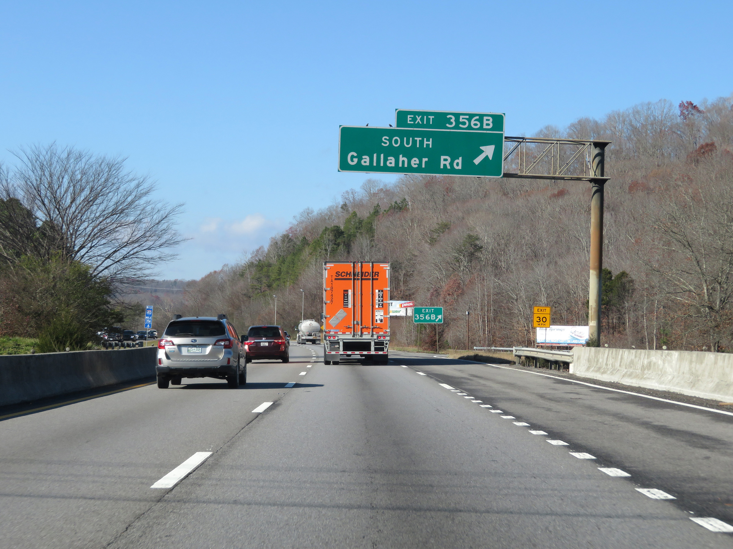 |
Interstate 40 West at Exit 356B: Gallaher Rd South (Photo taken 12/5/20). |
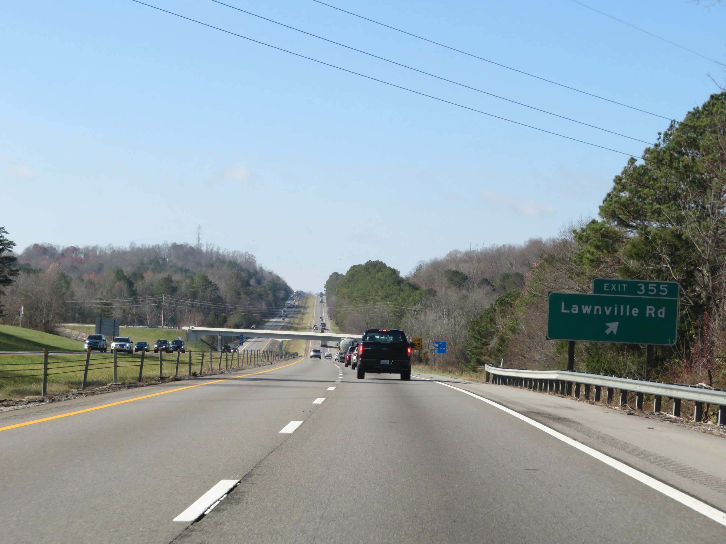 |
Interstate 40 West at Exit 355: Lawnville Rd (Photo taken 12/5/20). |
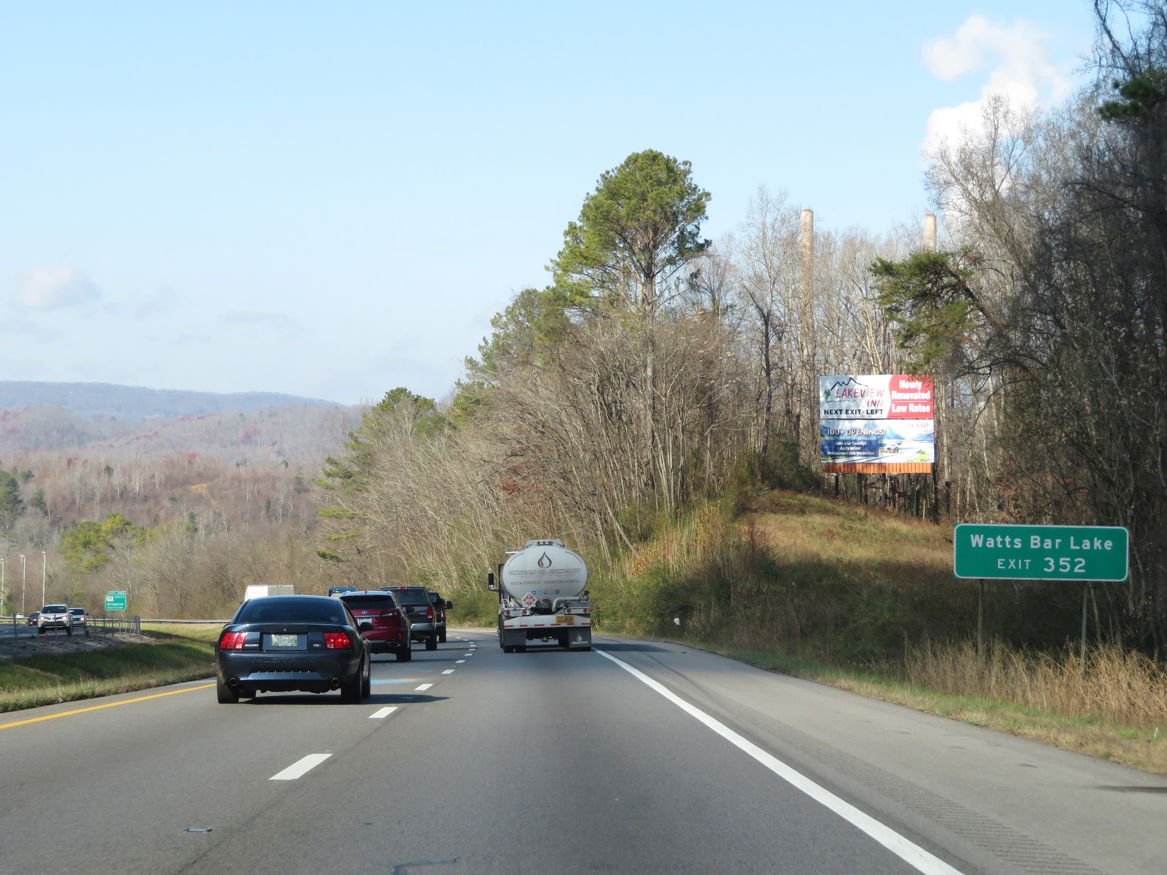 |
Take Exit 352 to Watts Bar Lake. (Photo taken 12/5/20). |
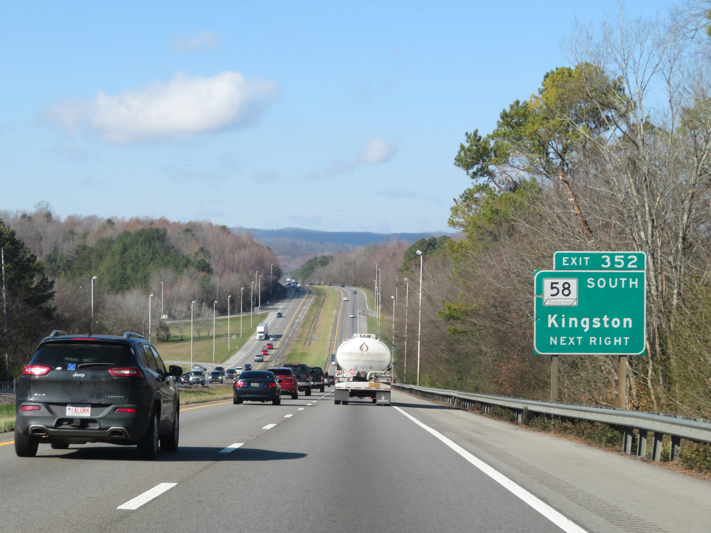 |
Interstate 40 West at Exit 352: TN 58 South - Kingston (Photo taken 12/5/20). |
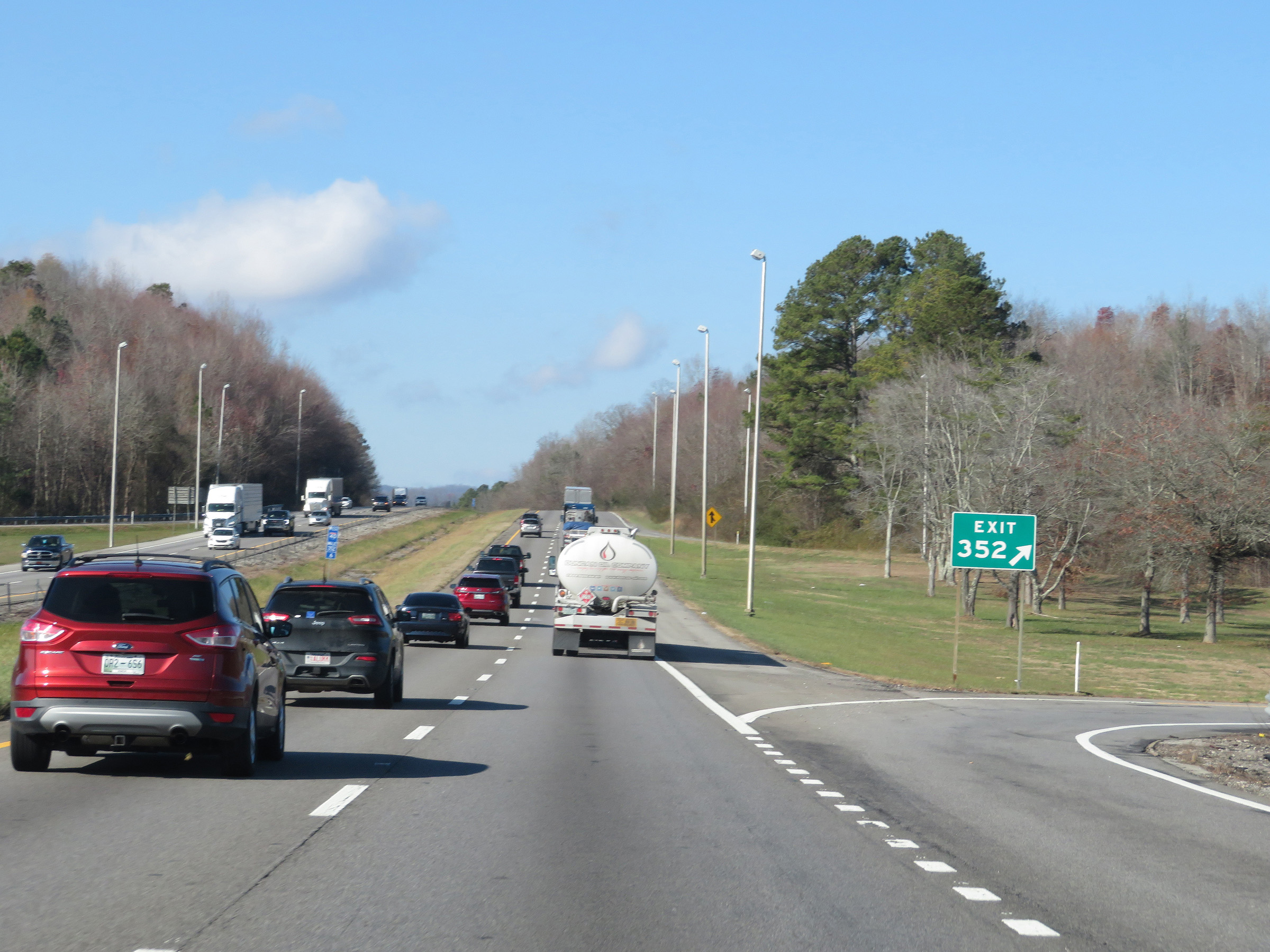 |
View of the ramp for Exit 352. (Photo taken 12/5/20). |
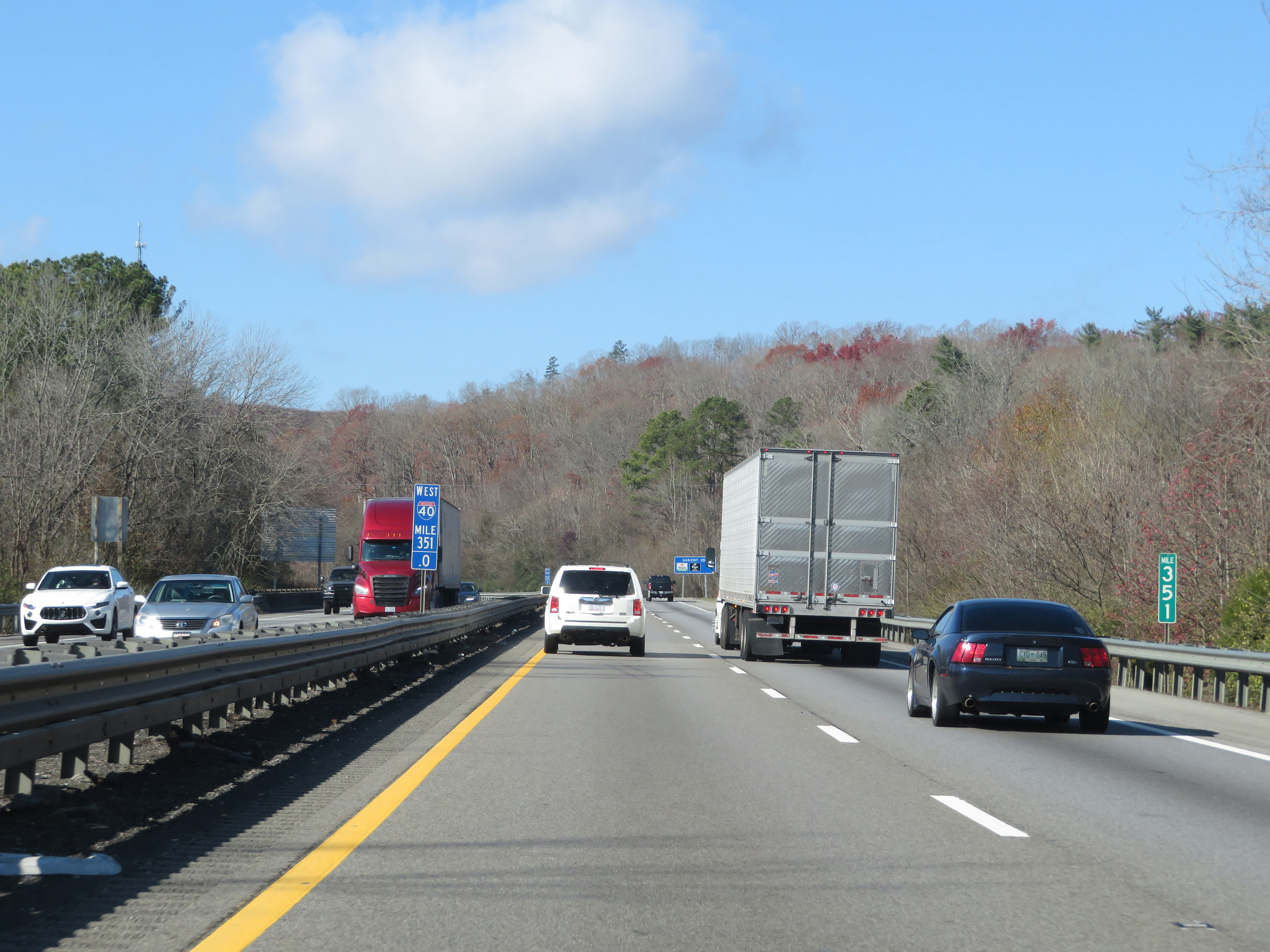 |
Mile marker 351 on Interstate 40 West in Roane County. (Photo taken 12/5/20). |
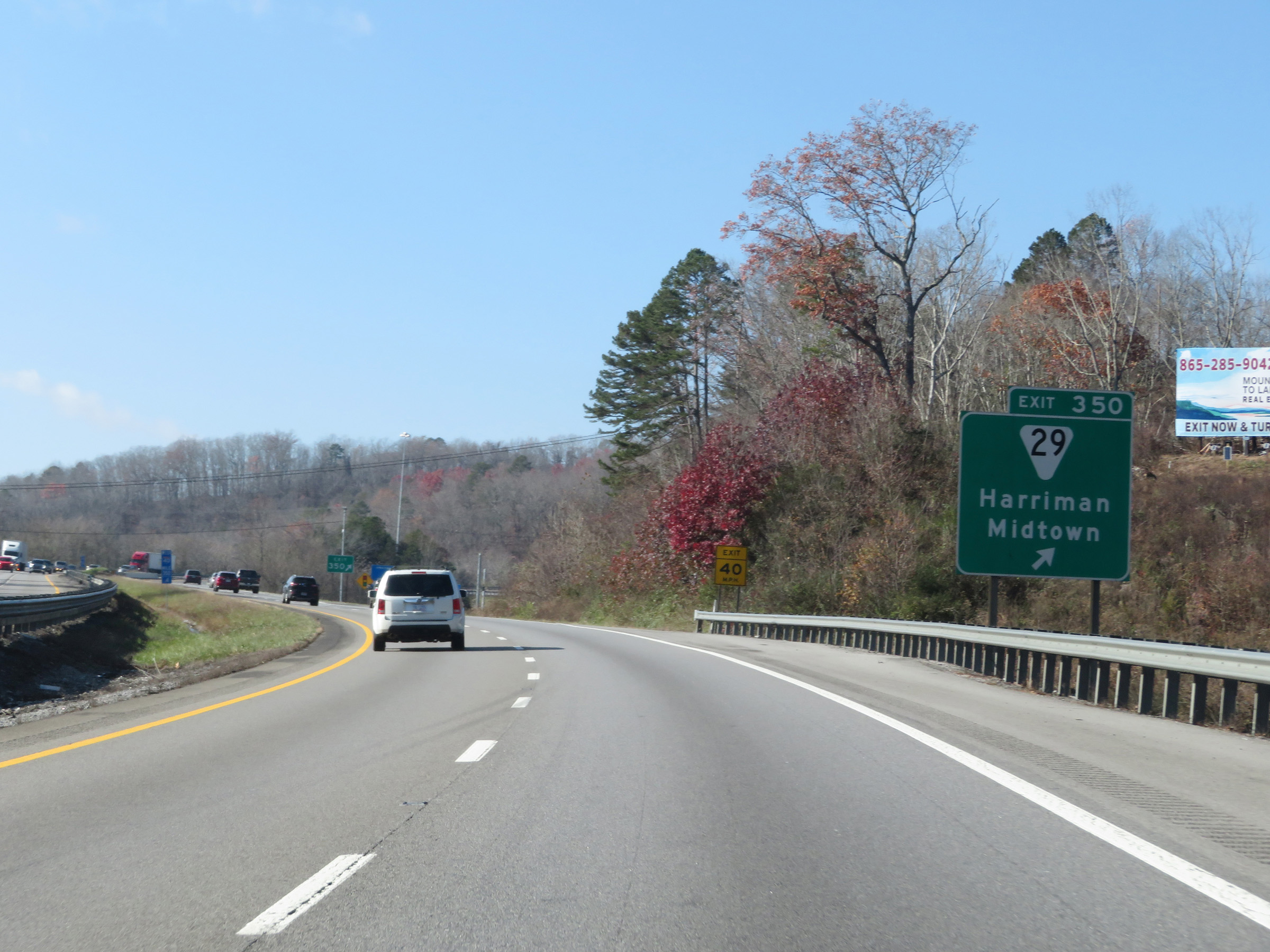 |
Interstate 40 West at Exit 350: SR 29 - Harriman / Midtown (Photo taken 12/5/20). |
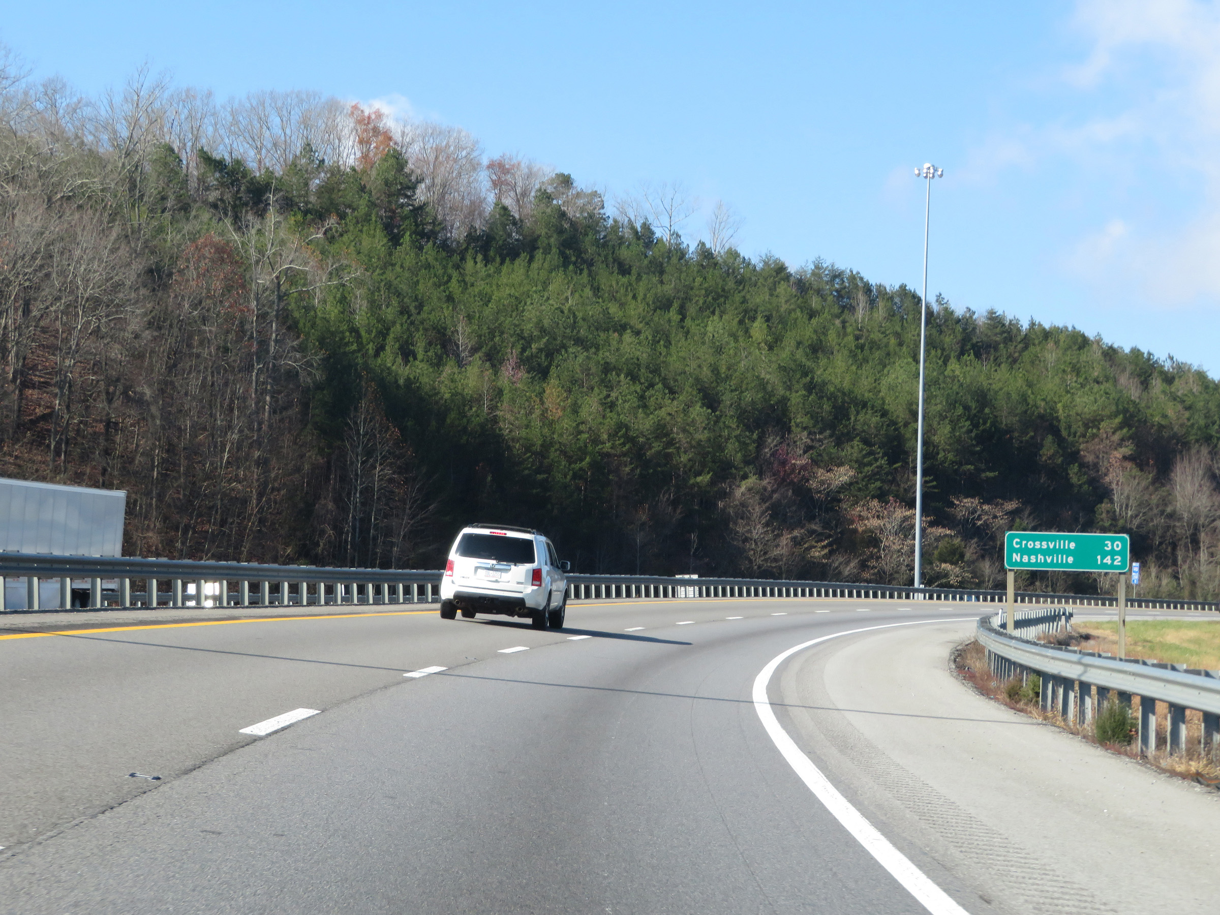 |
Mileage sign on Interstate 40 West. It's 30 miles to Crossville and 142 miles to Nashville. (Photo taken 12/5/20). |
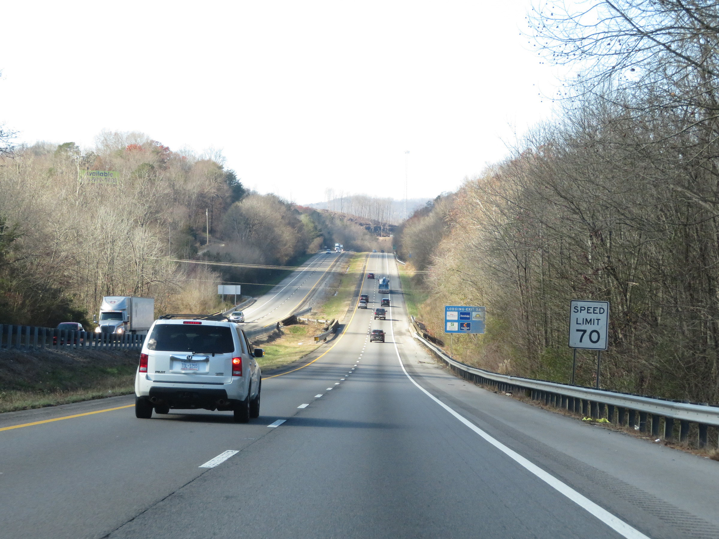 |
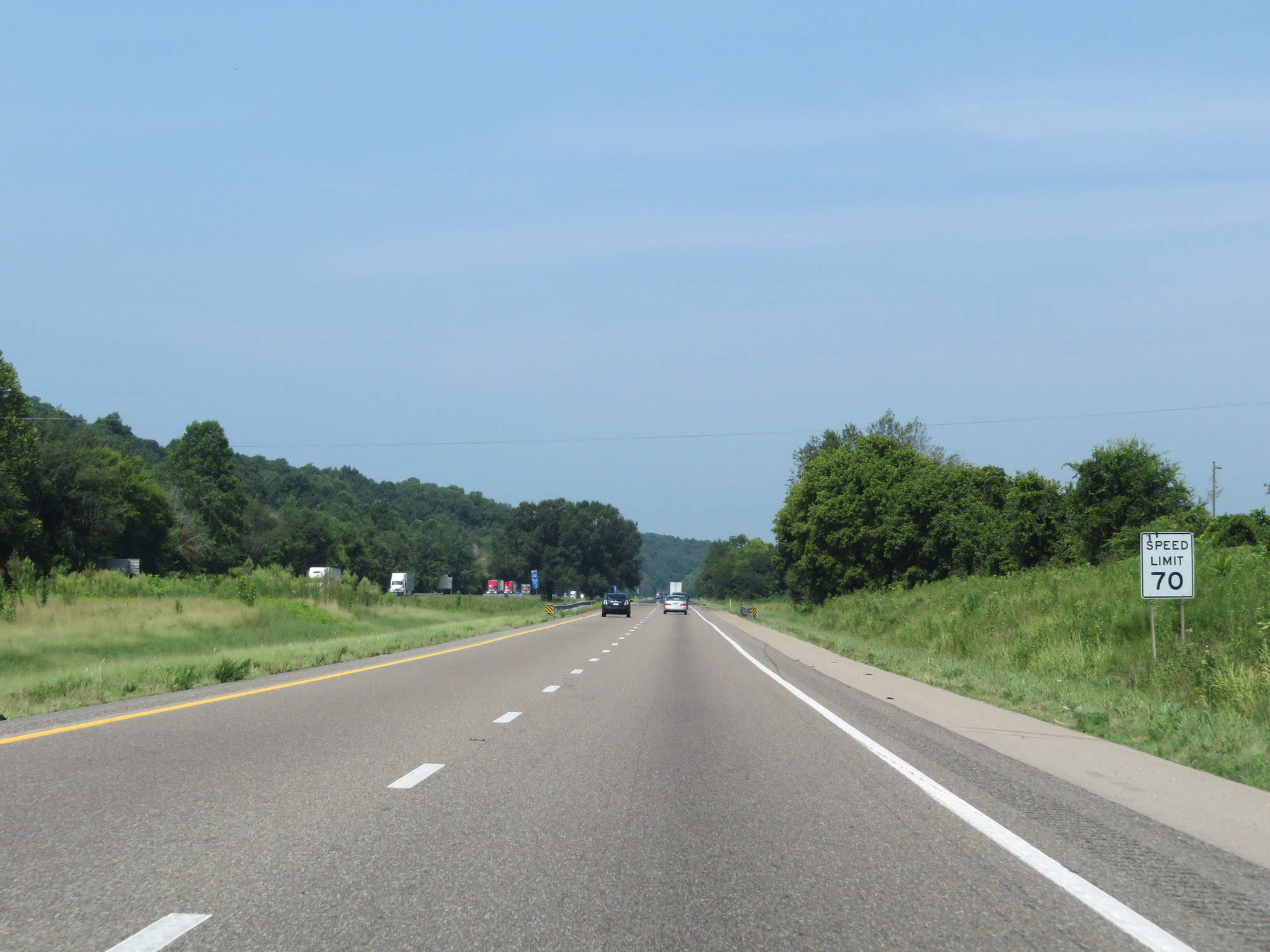
The speed limit remains 70 mph for all traffic on Interstate 40 West. (Photo taken 12/5/20). |
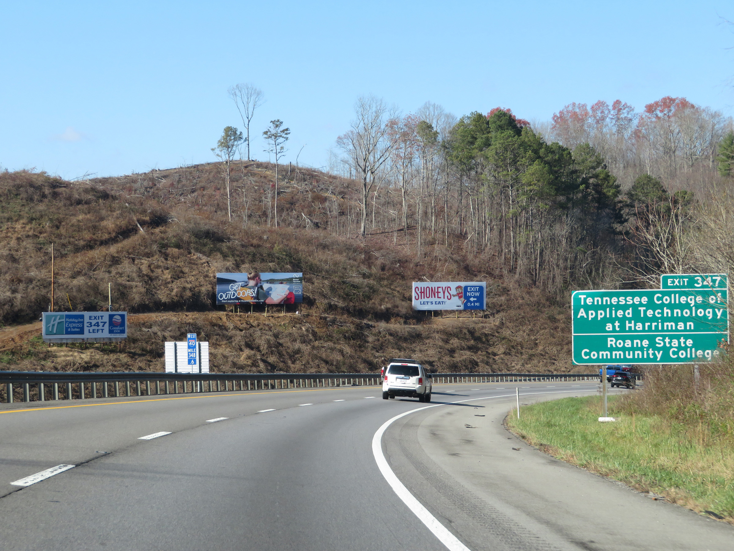 |
Take Exit 347 to Tennessee College of Applied Technology at Harriman and Roane State Community College. (Photo taken 12/5/20). |
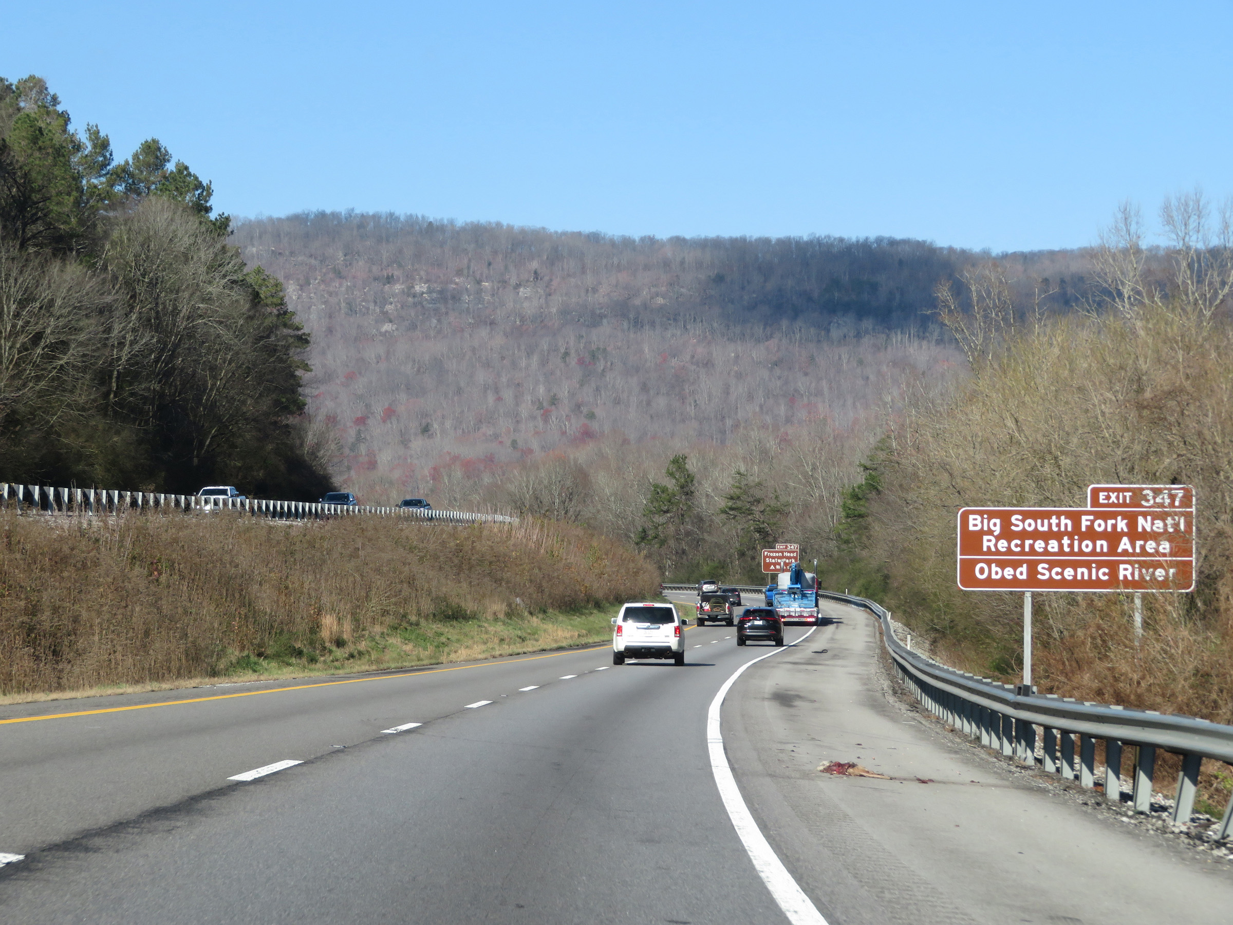 |
Also take Exit 347 to Big South Fork National Recreation Area and Obed Scenic River. (Photo taken 12/5/20). |
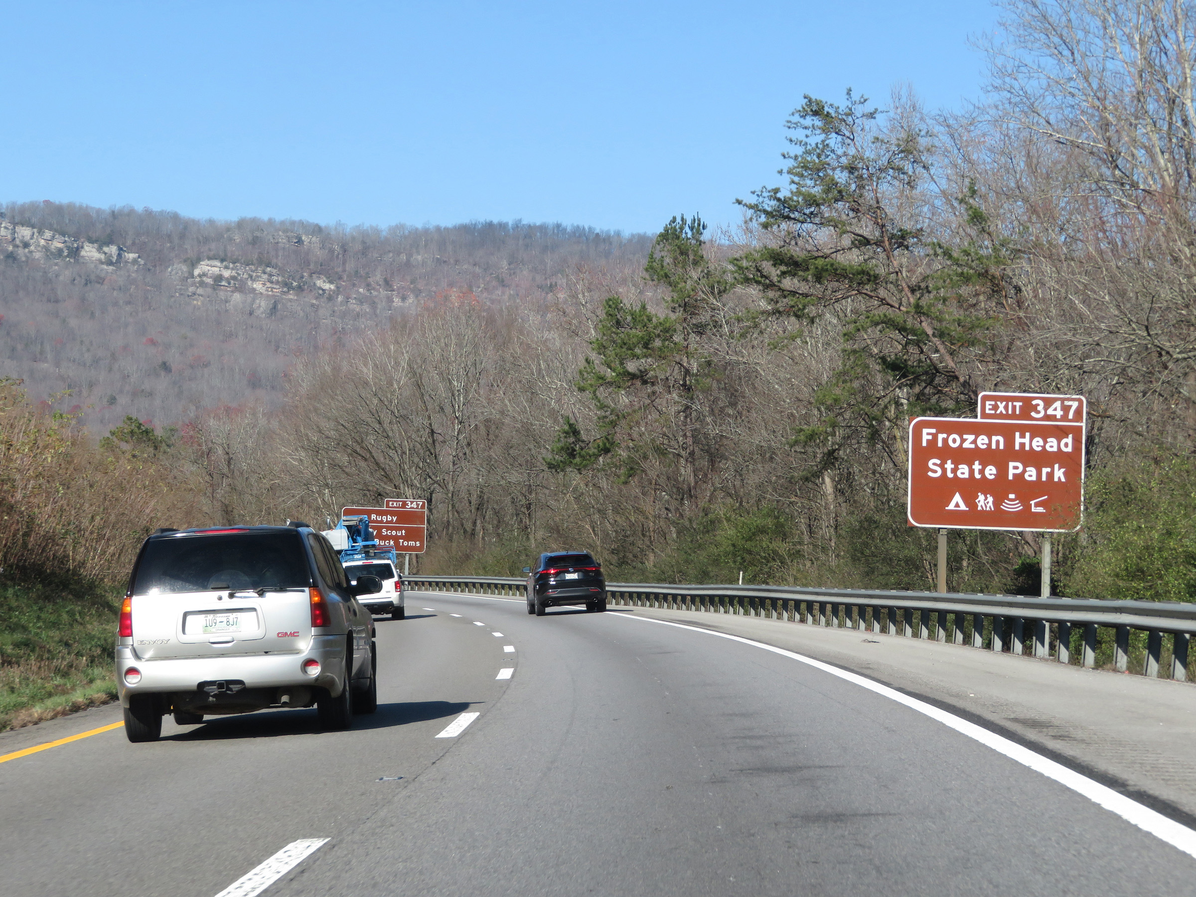 |
Take Exit 347 to Frozen Head State Park as well. (Photo taken 12/5/20). |
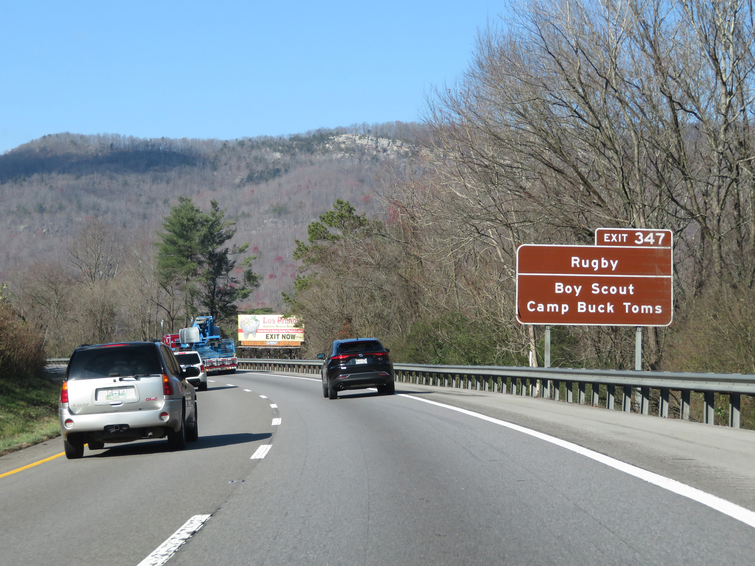 |
Access Rugby and Boy Scout Camp Buck Toms via Exit 347. (Photo taken 12/5/20). |
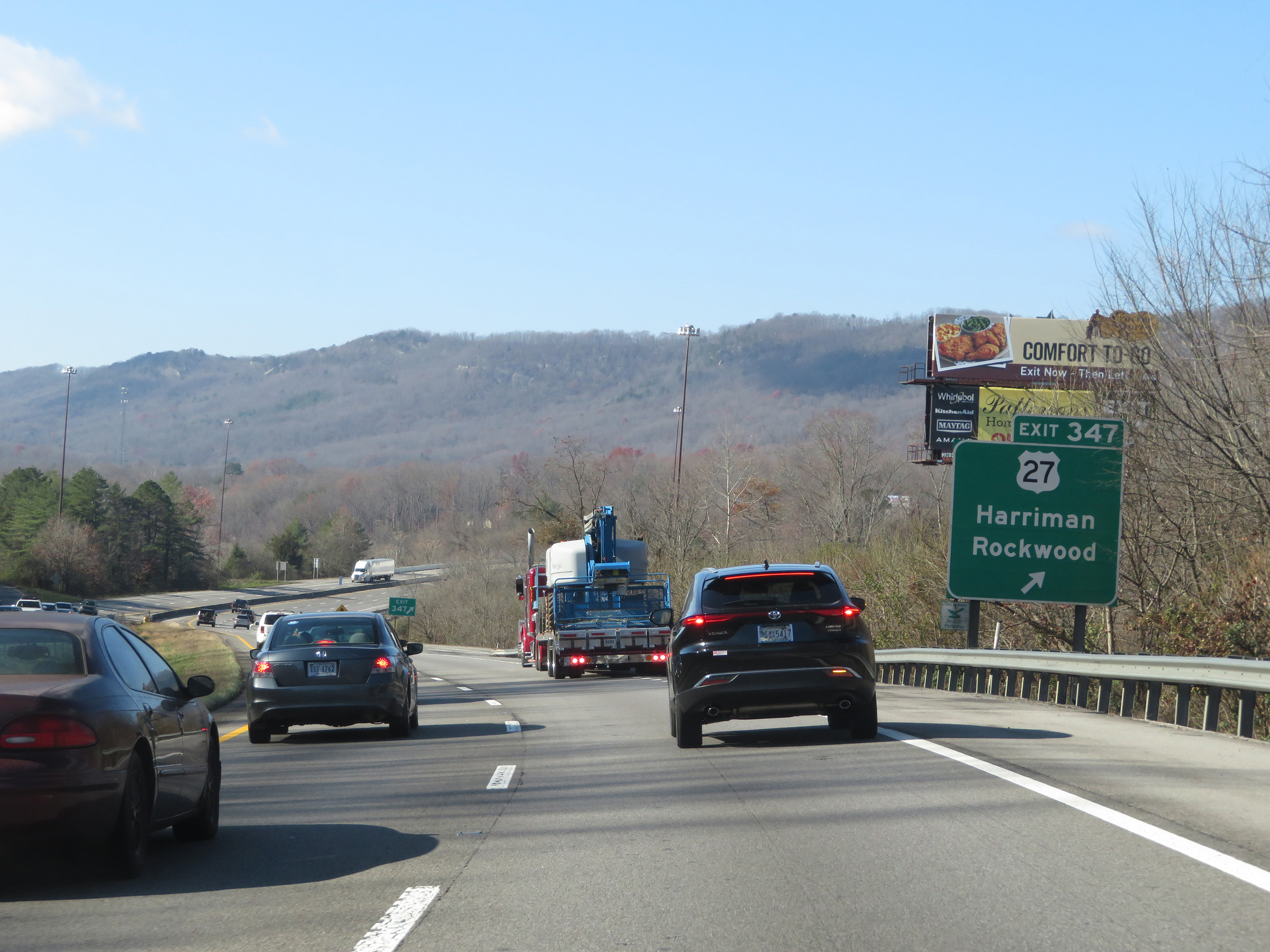 |
Interstate 40 West at Exit 347: US 27 - Harriman / Rockwood (Photo taken 12/5/20). |
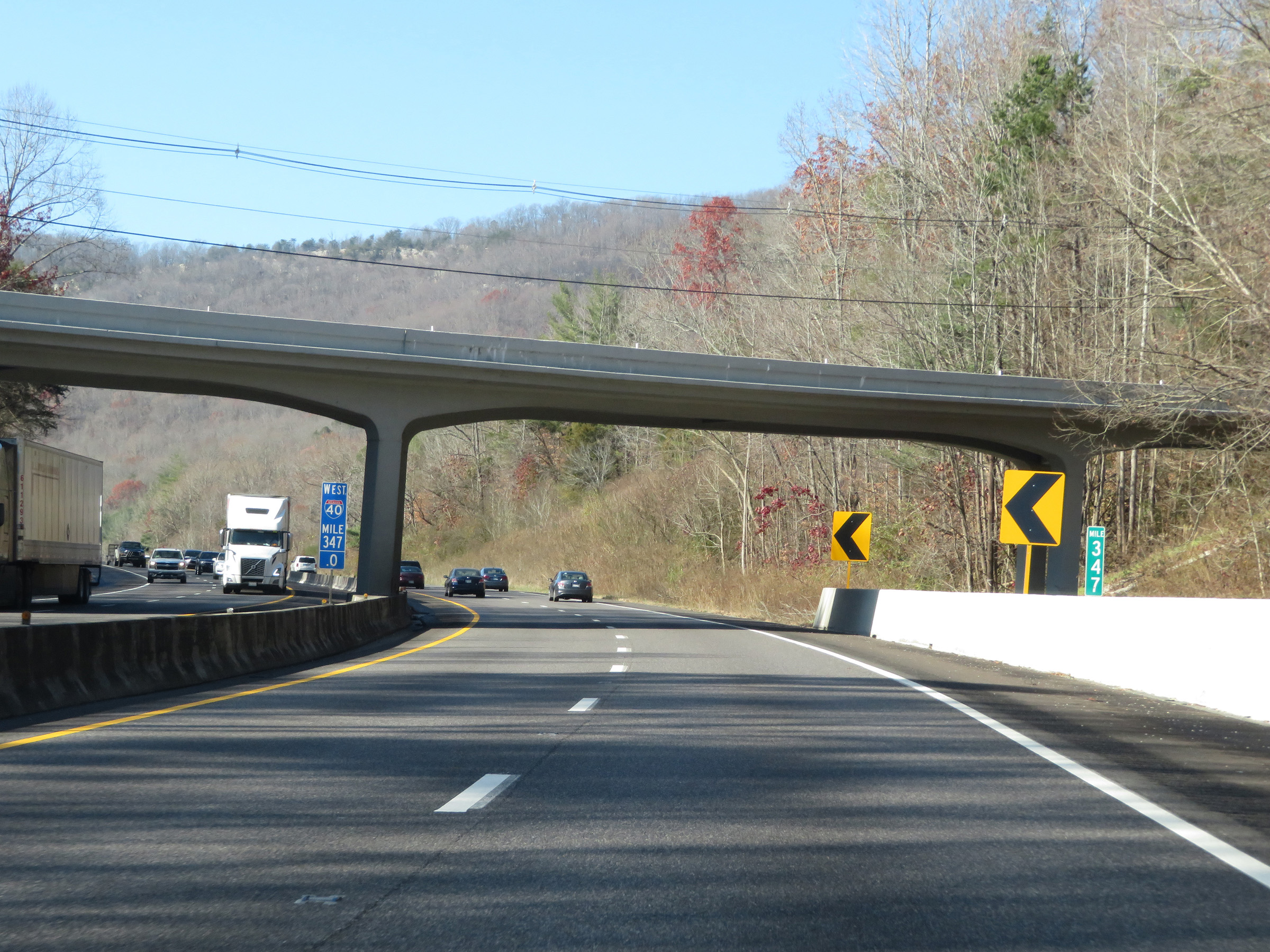 |
Interstate 40 West at mile marker 347. At this point, I-40 West will start to make a gradual climb up the Cumberland Plateau out of the Tennessee Valley. (Photo taken 12/5/20). |
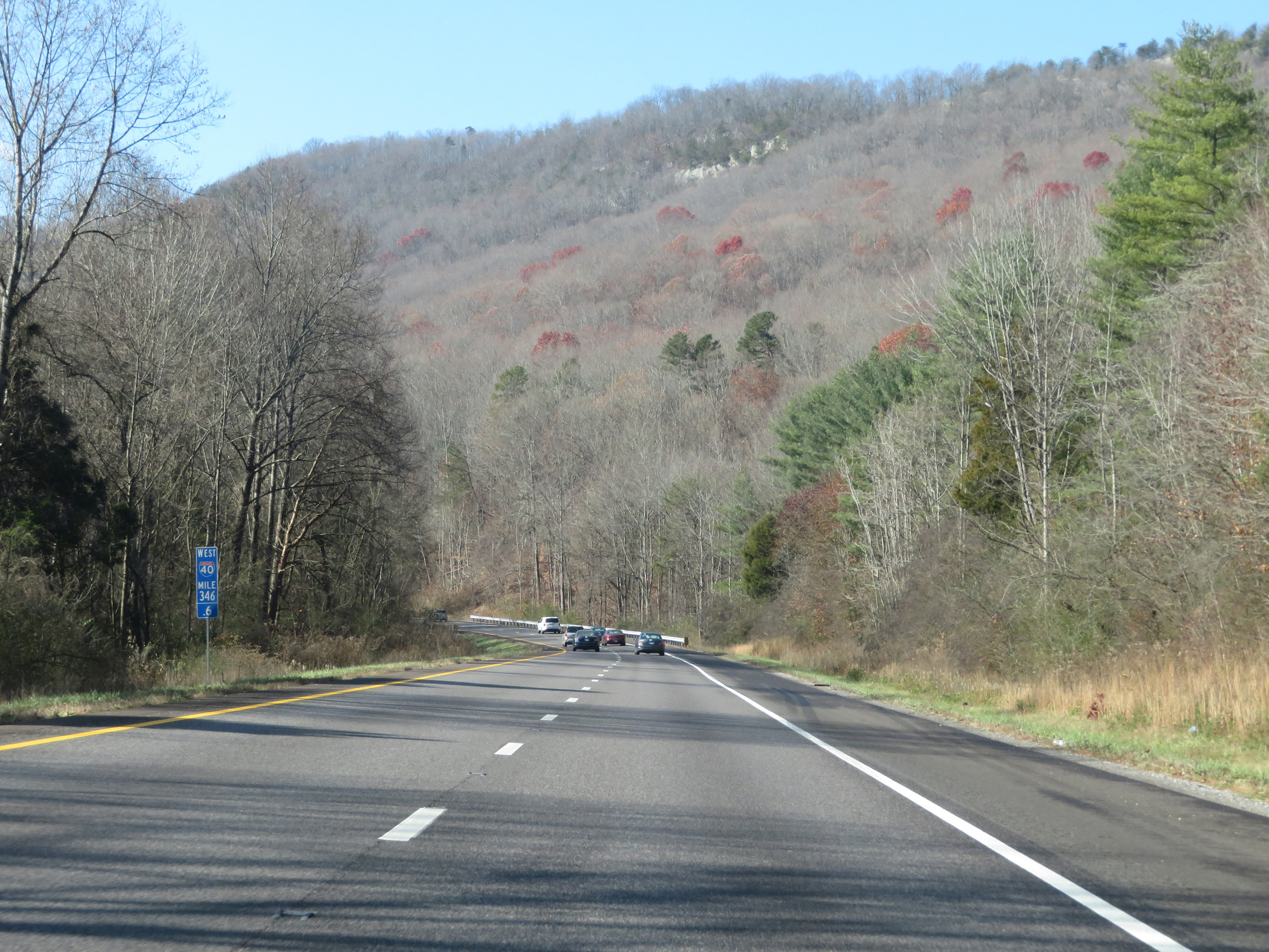 |
View on Interstate 40 West at mile marker 346.6, as it begins its climb. (Photo taken 12/5/20). |
 |
Interstate 40 West at mile marker 346. (Photo taken 12/5/20). |
 |
View on Interstate 40 West at mile marker 345. (Photo taken 12/5/20). |
 |
Mile marker 344 on Interstate 40 West in Roane County, as it continues to climb up the Cumberland Plateau. (Photo taken 12/5/20). |
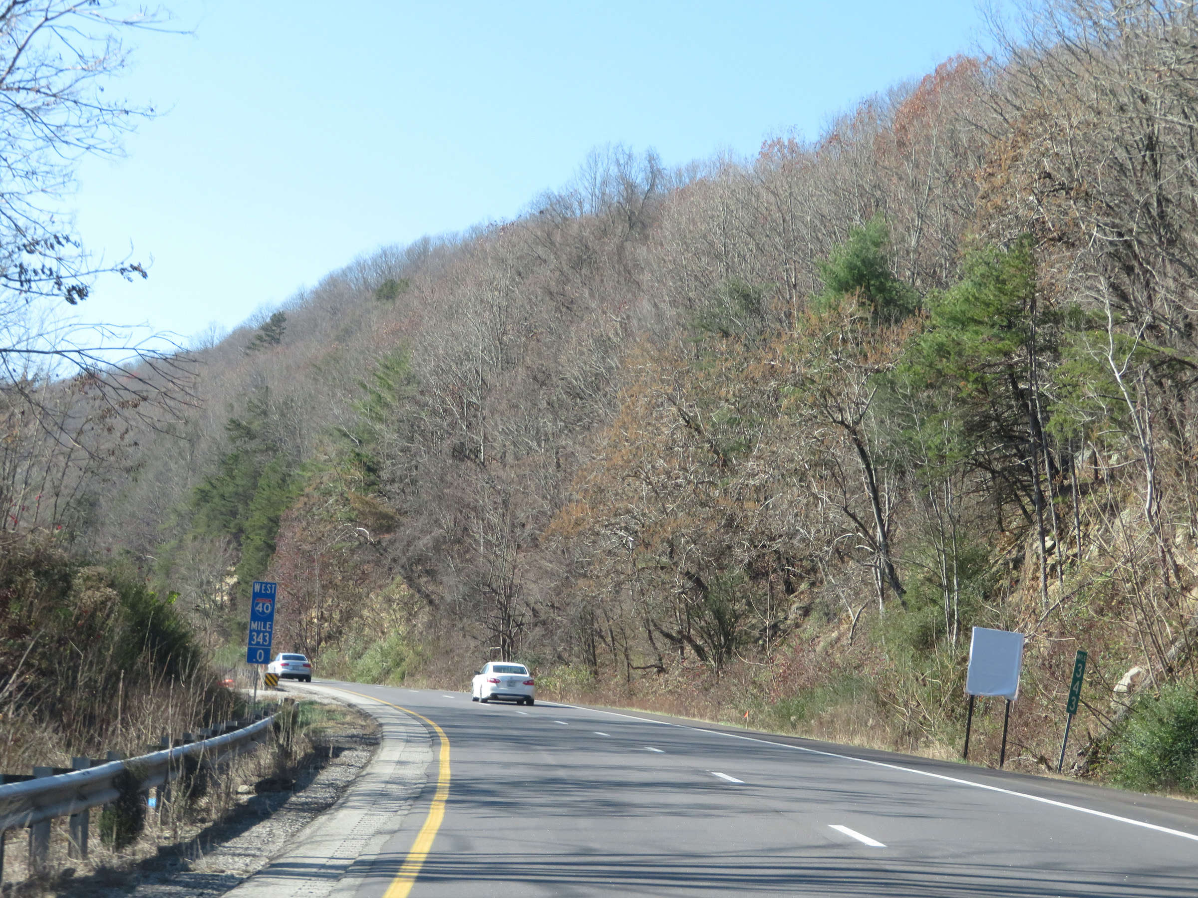 |
Interstate 40 West at mile marker 343. (Photo taken 12/5/20). |
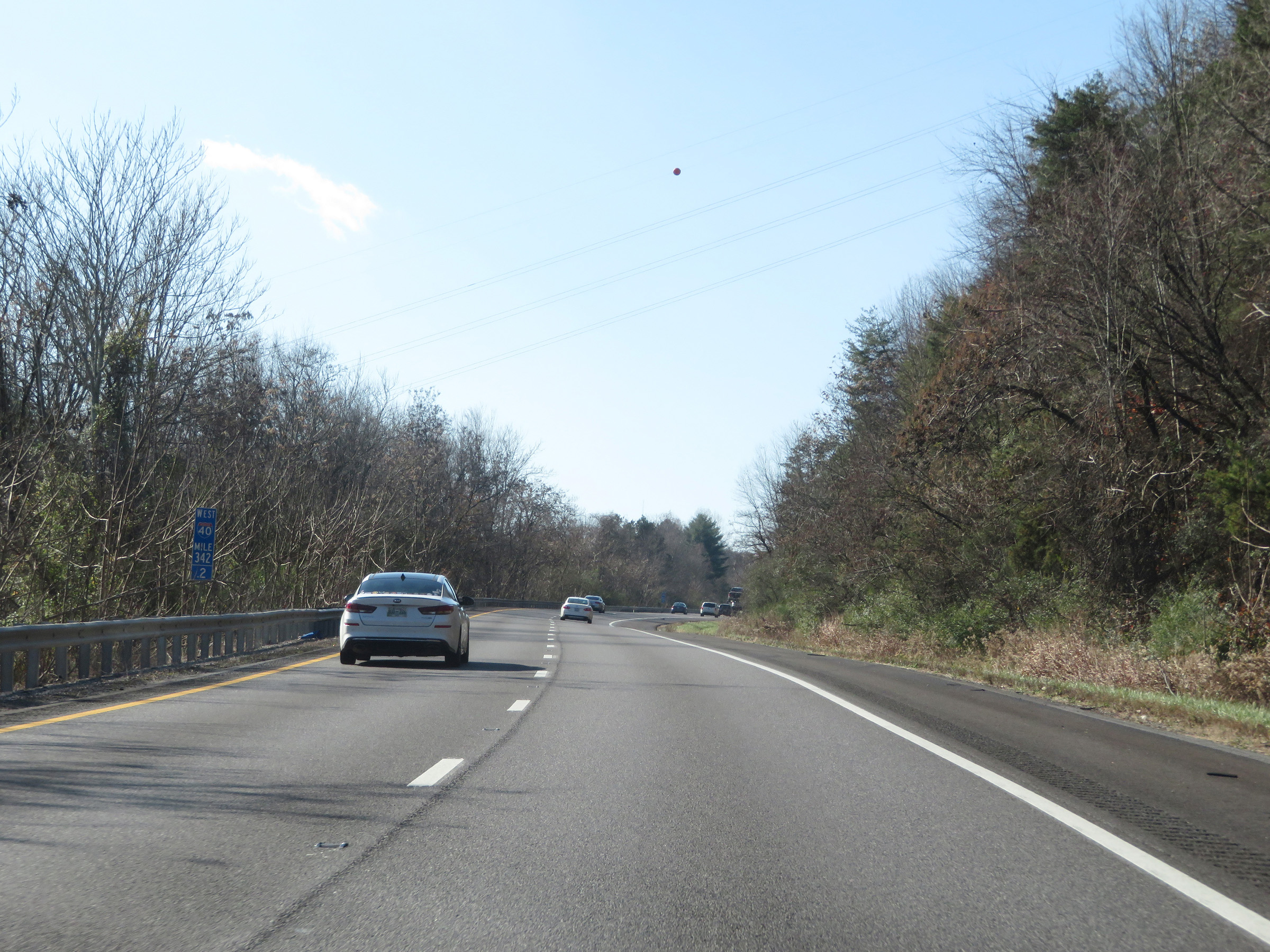 |
View on Interstate 40 West at mile marker 342.2. (Photo taken 12/5/20). |
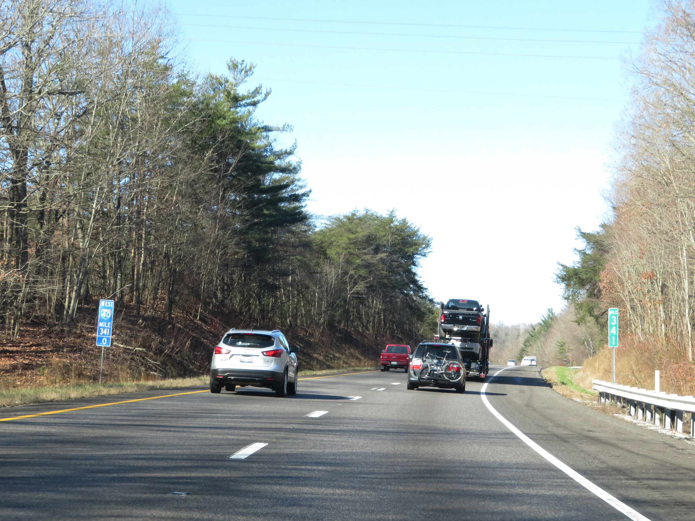 |
Interstate 40 West at mile marker 341. (Photo taken 12/5/20). |
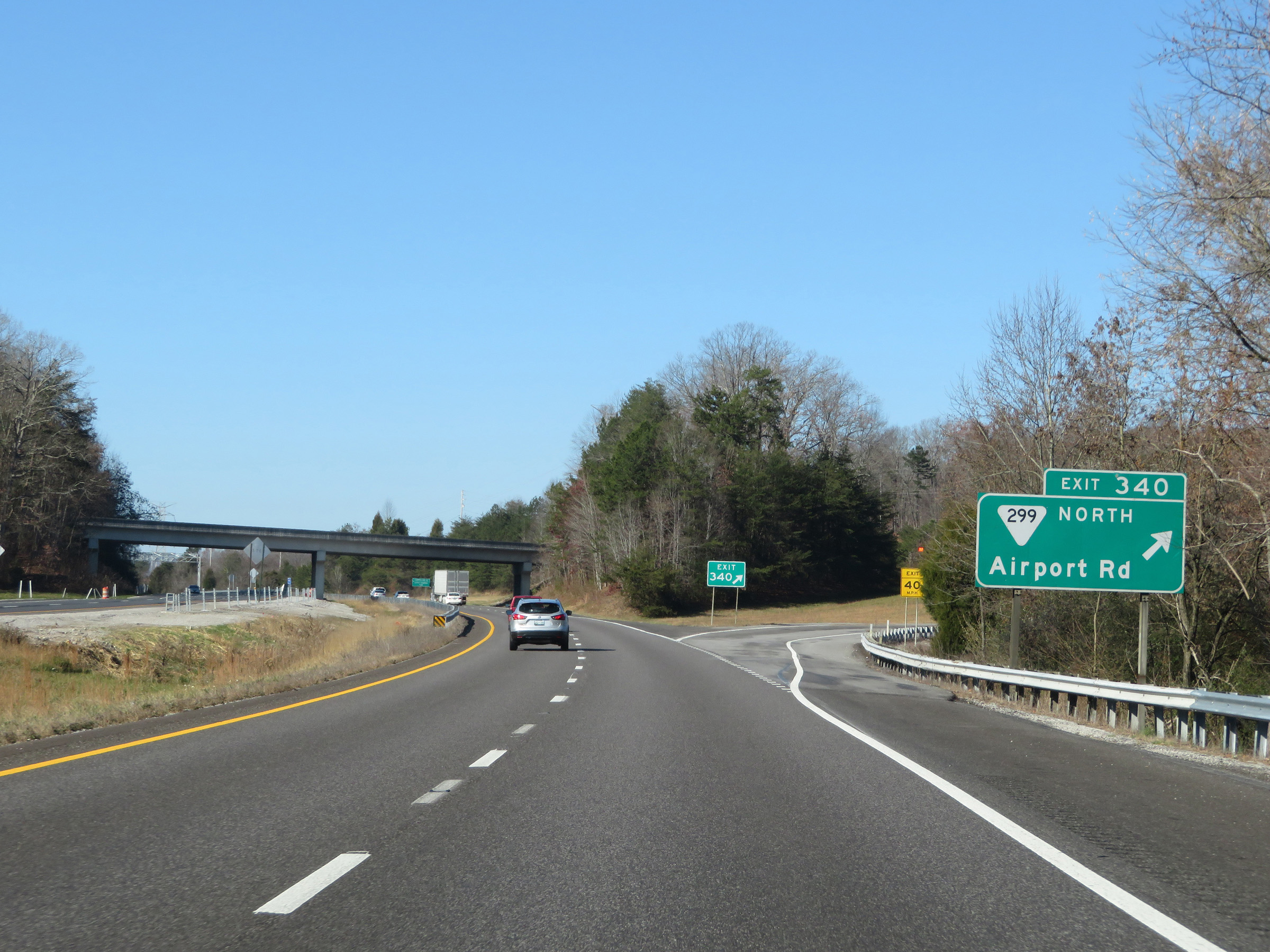 |
Interstate 40 West at Exit 340: SR 299 North - Airport Rd (Photo taken 12/5/20). |
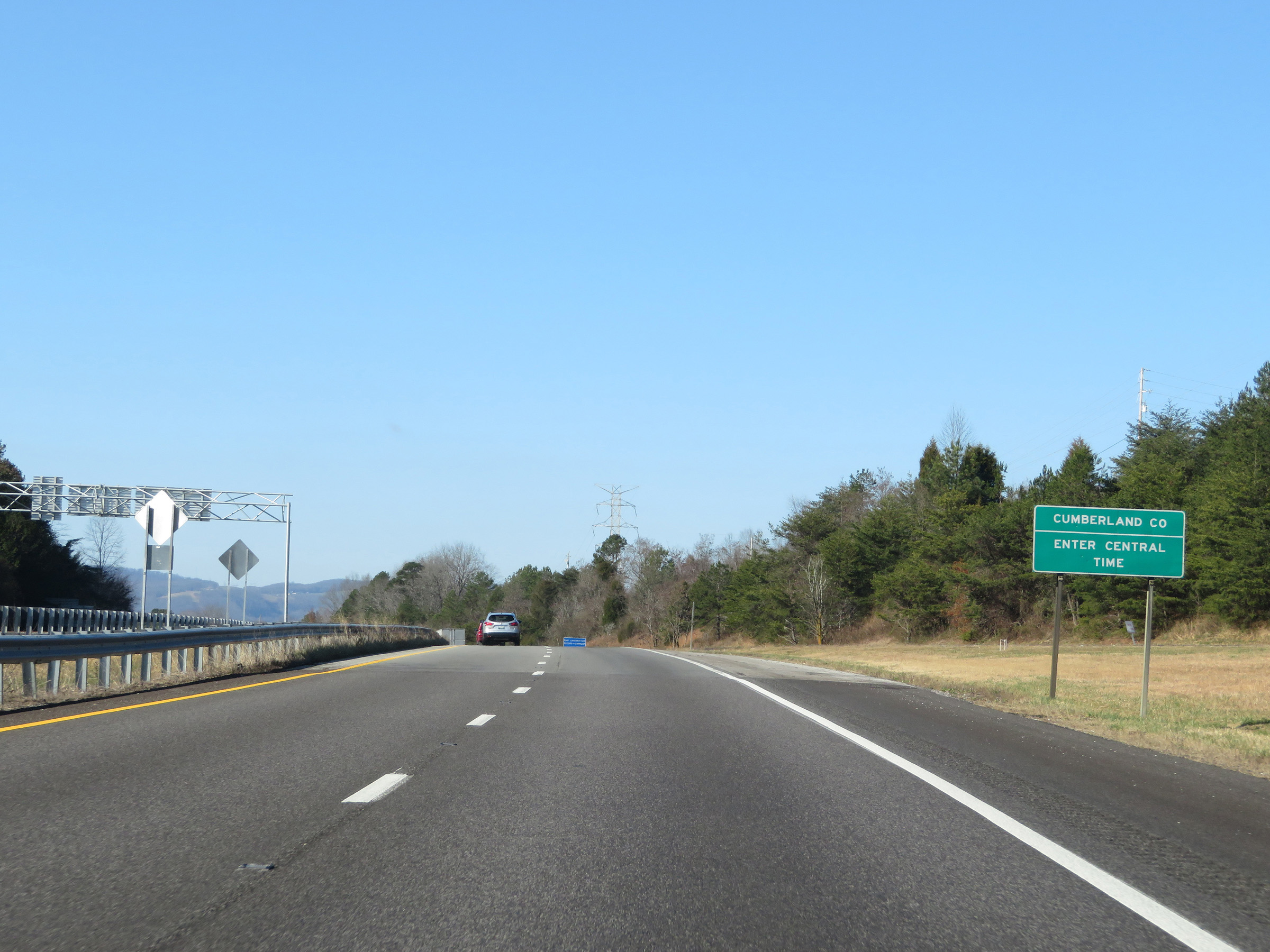 |
Interstate 40 West as it enters Cumberland County and the Central Time Zone. (Photo taken 12/5/20). |
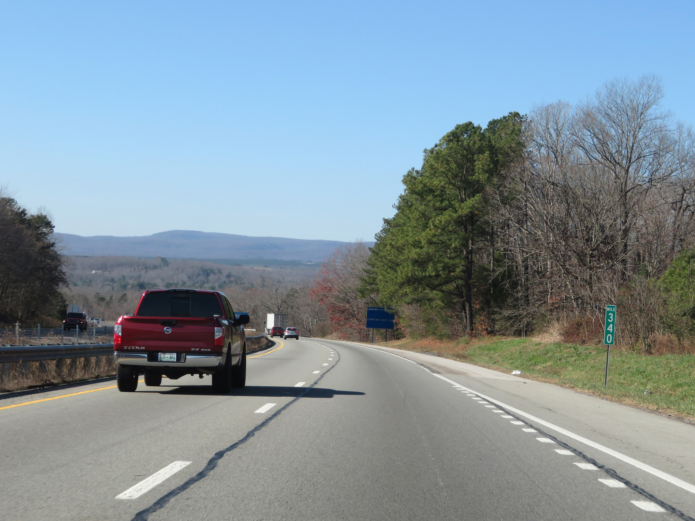 |
View on Interstate 40 West at mile marker 340. At this point, I-40 will travel across the Cumberland Plateau for several miles. (Photo taken 12/5/20). |
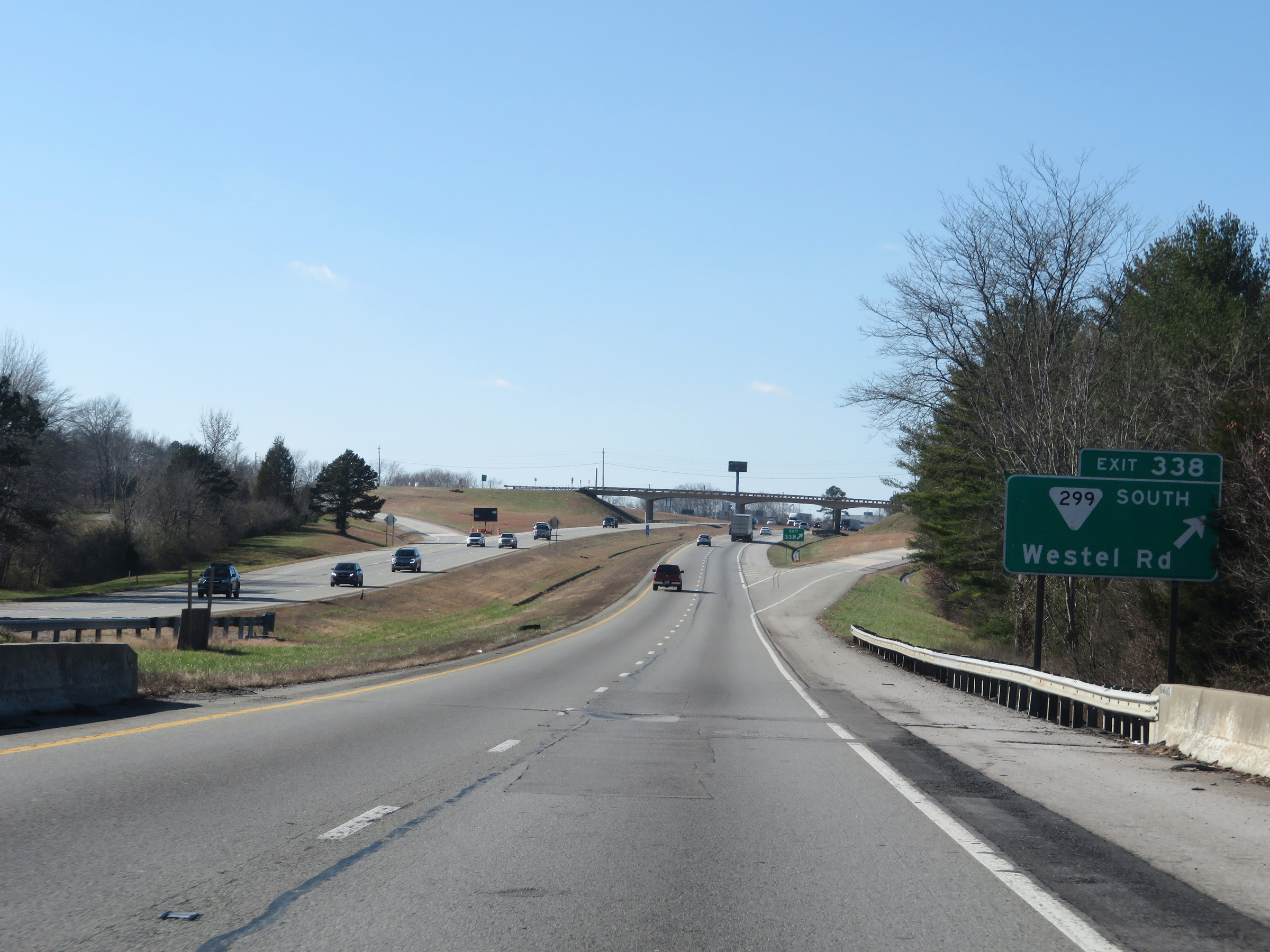 |
Interstate 40 West at Exit 338: SR 299 South - Westel Rd (Photo taken 12/5/20). |
 |
Interstate 40 West reassurance shield. (Photo taken 12/5/20). |
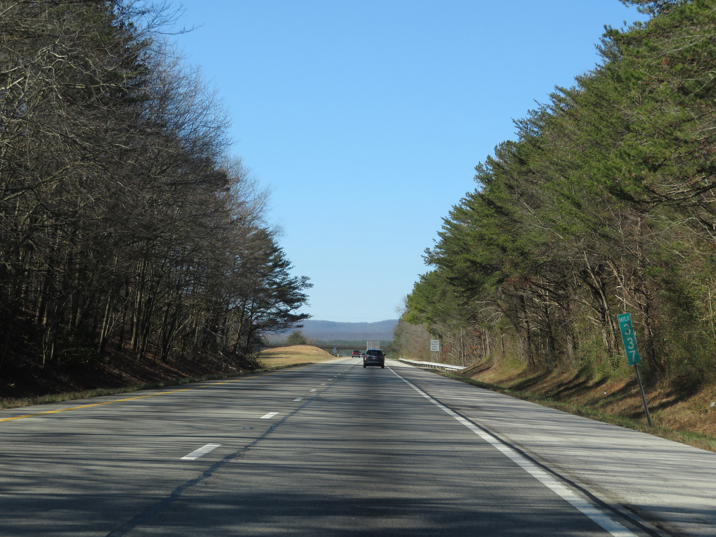 |
View on Interstate 40 West at mile marker 337. (Photo taken 12/5/20). |
 |
Interstate 40 West at mile marker 335. (Photo taken 12/5/20). |
 |
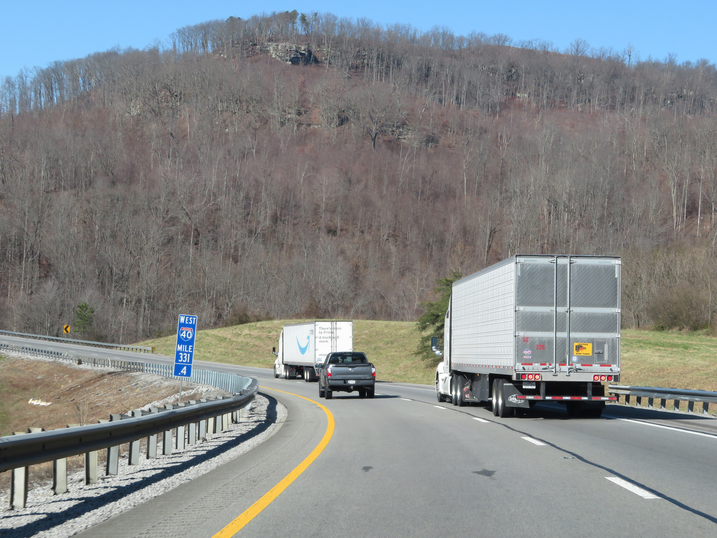
Mile marker 332.8 on Interstate 40 West in Cumberland County. (Photo taken 12/5/20). |
 |
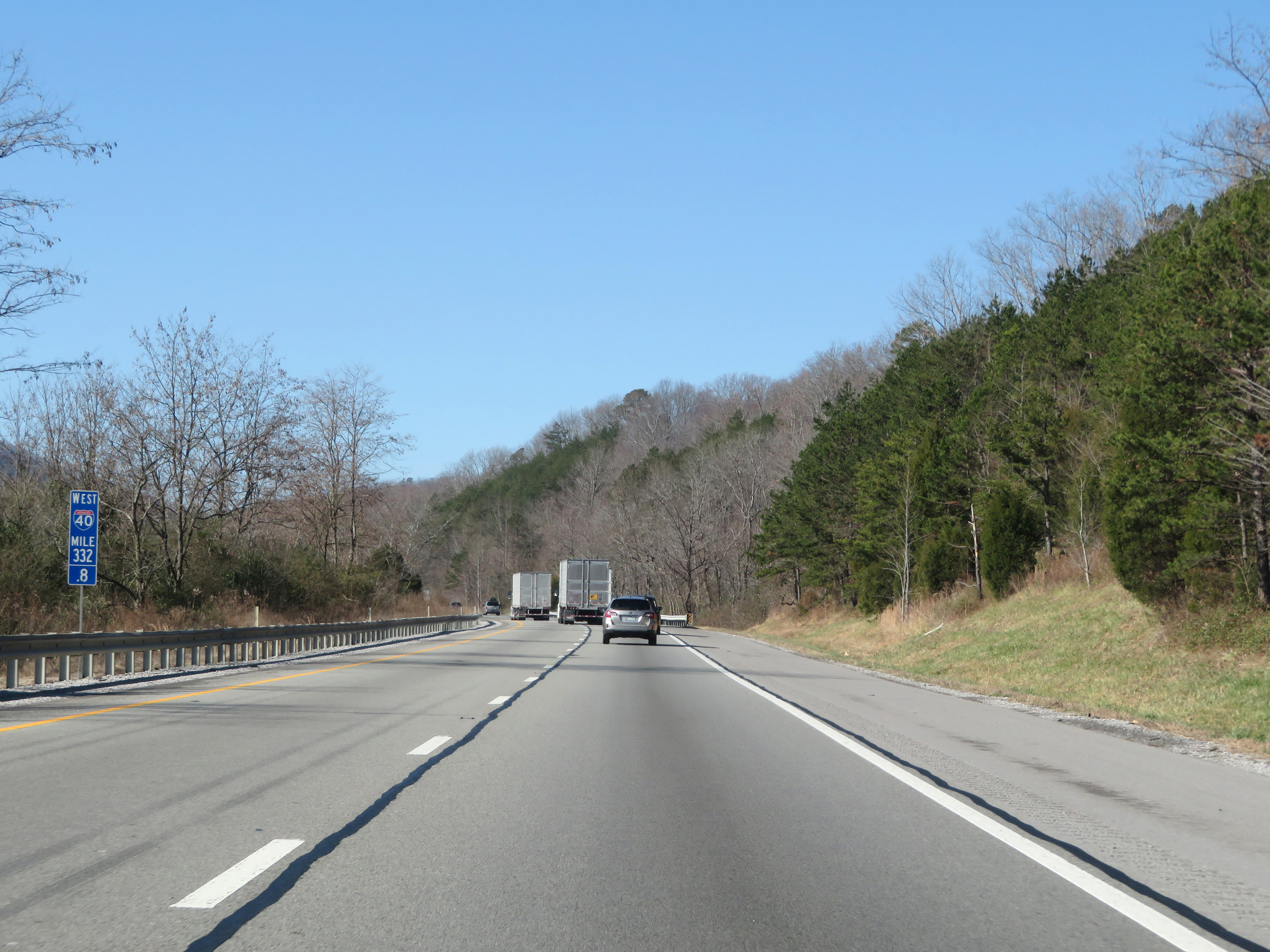
View on Interstate 40 West at mile marker 331.4, as it passes by the Crab Orchard Mountains on the Cumberland Plateau. (Photo taken 12/5/20). |
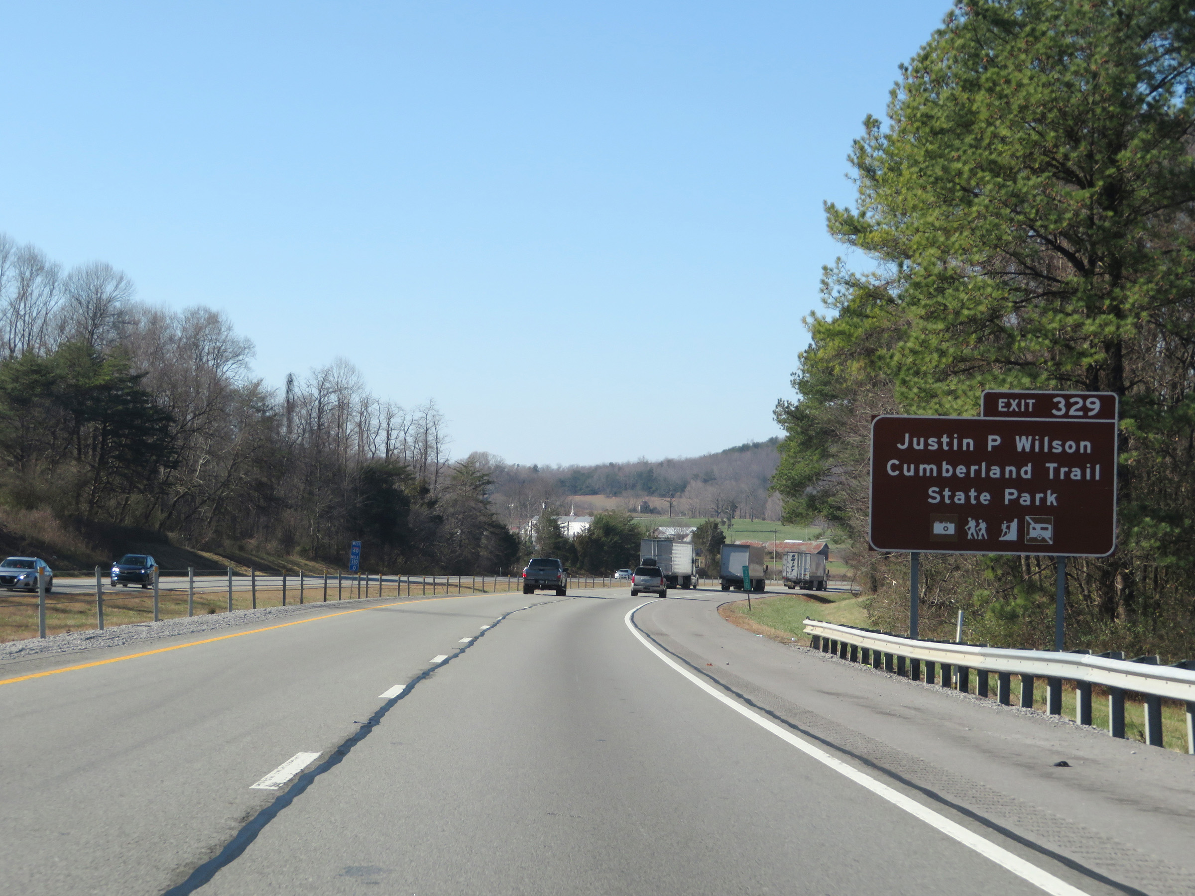 |
Take Exit 329 to Justin P. Wilson Cumberland Trail State Park. (Photo taken 12/5/20). |
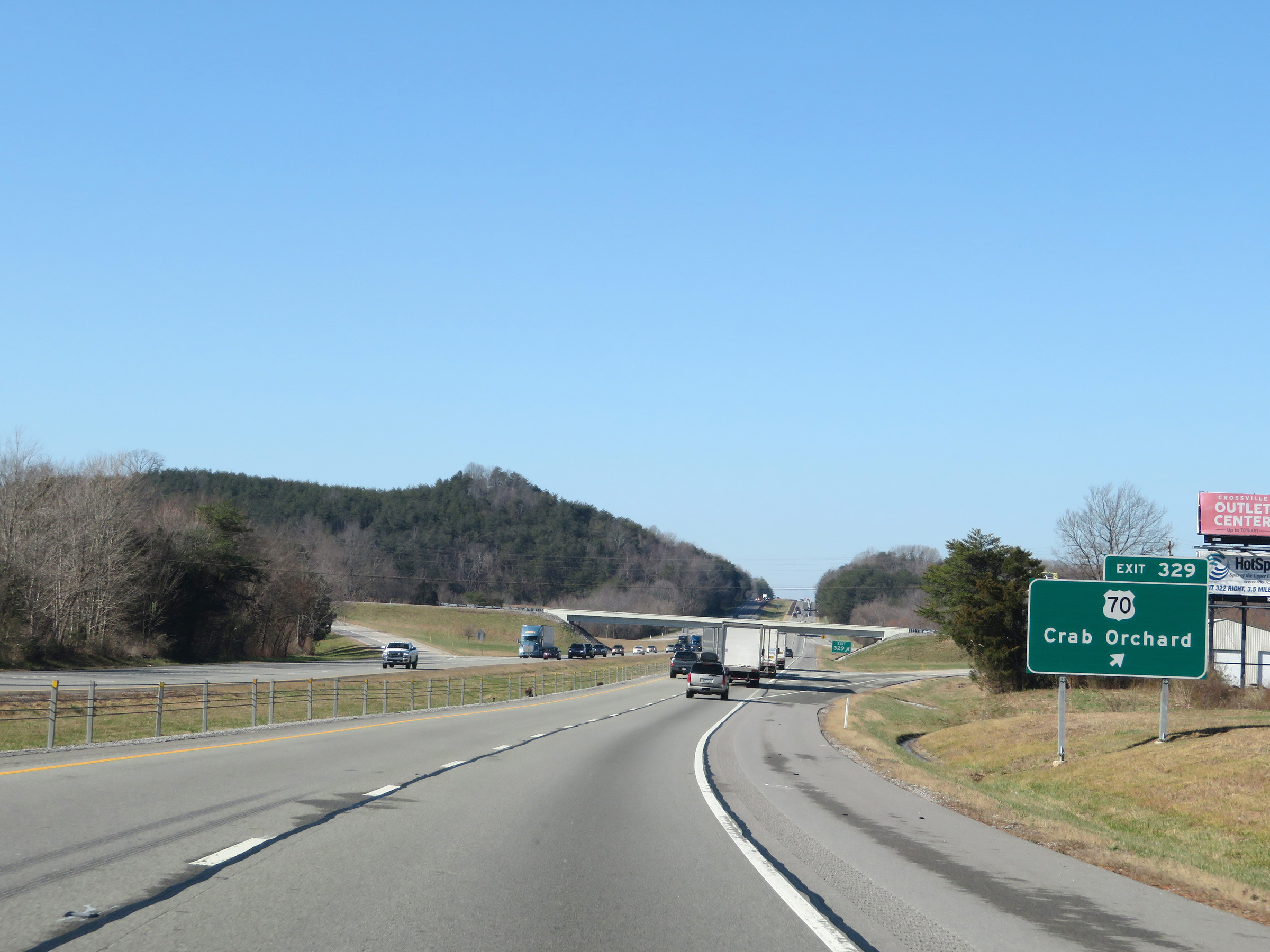 |
Interstate 40 West at Exit 329: US 70 - Crab Orchard (Photo taken 12/5/20). |
 |
View on Interstate 40 West at mile marker 327. (Photo taken 12/5/20). |
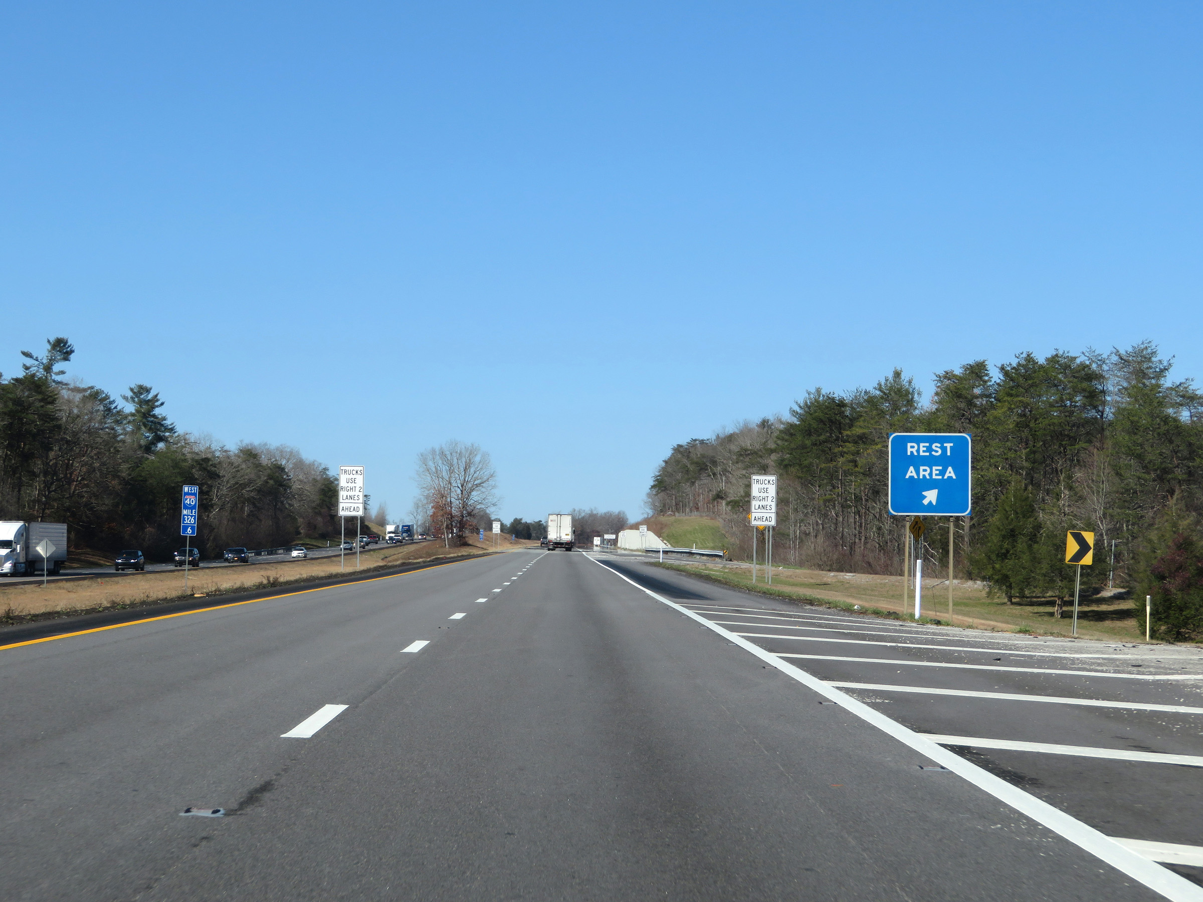 |
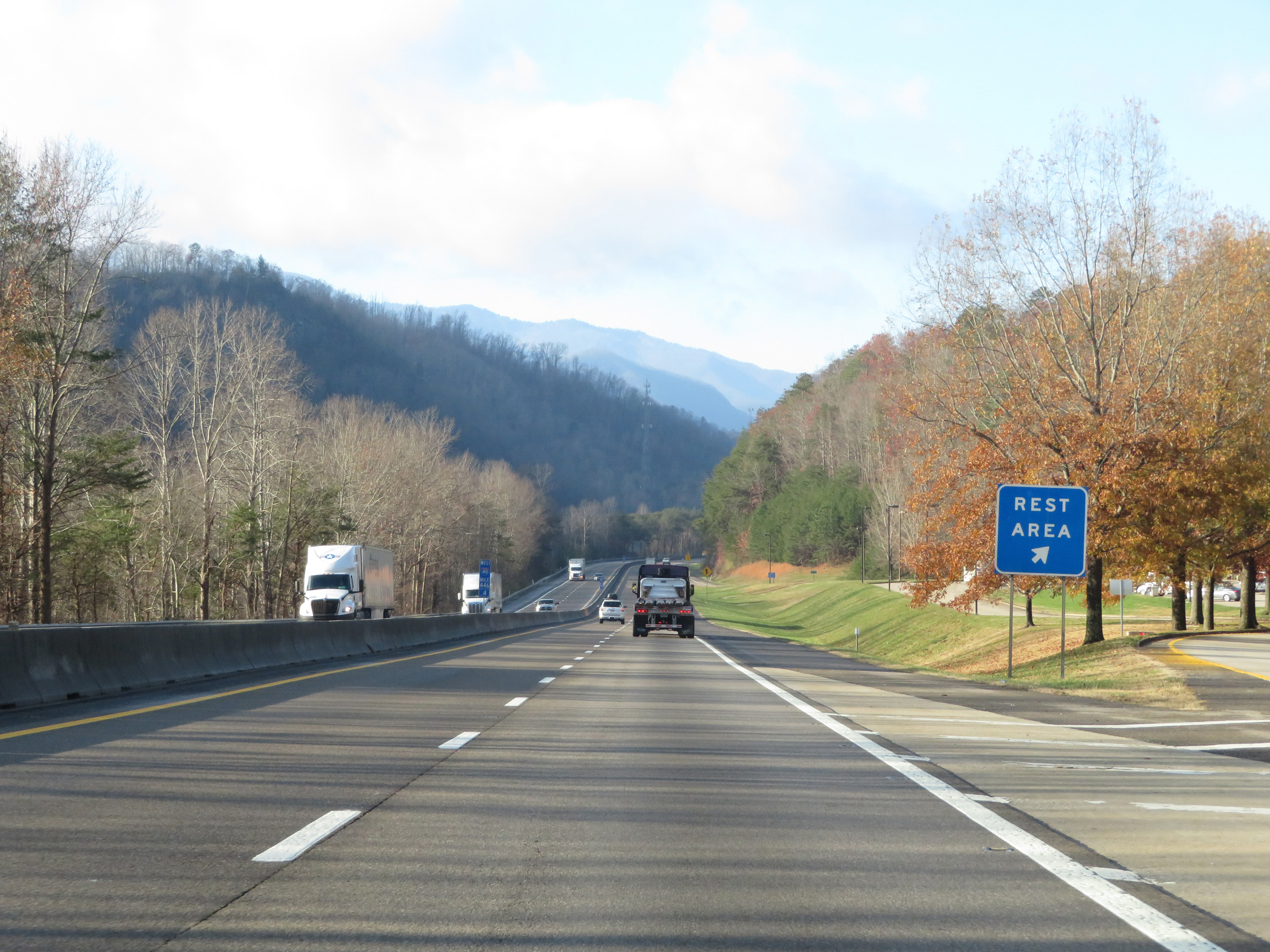
Rest Area on Interstate 40 West in Cumberland County. (Photo taken 12/5/20). |
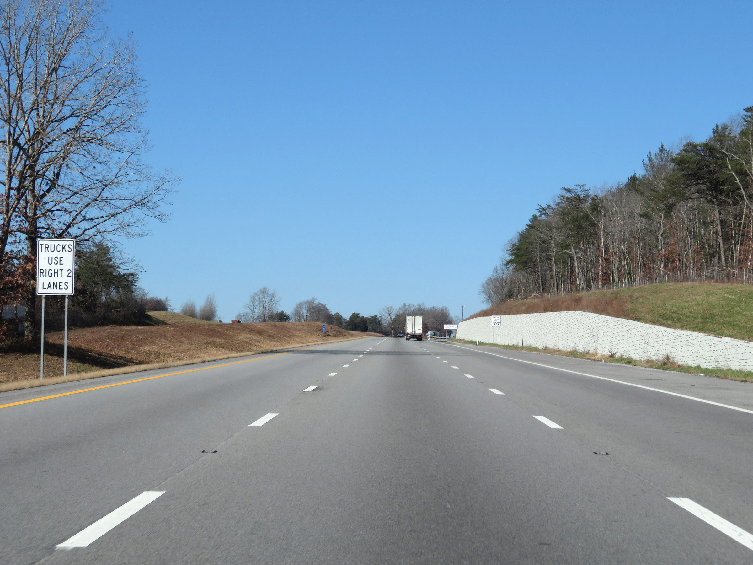 |
The on ramp from the Rest Area becomes a truck climbing lane. As such, trucks are restricted to the two right lanes. (Photo taken 12/5/20). |
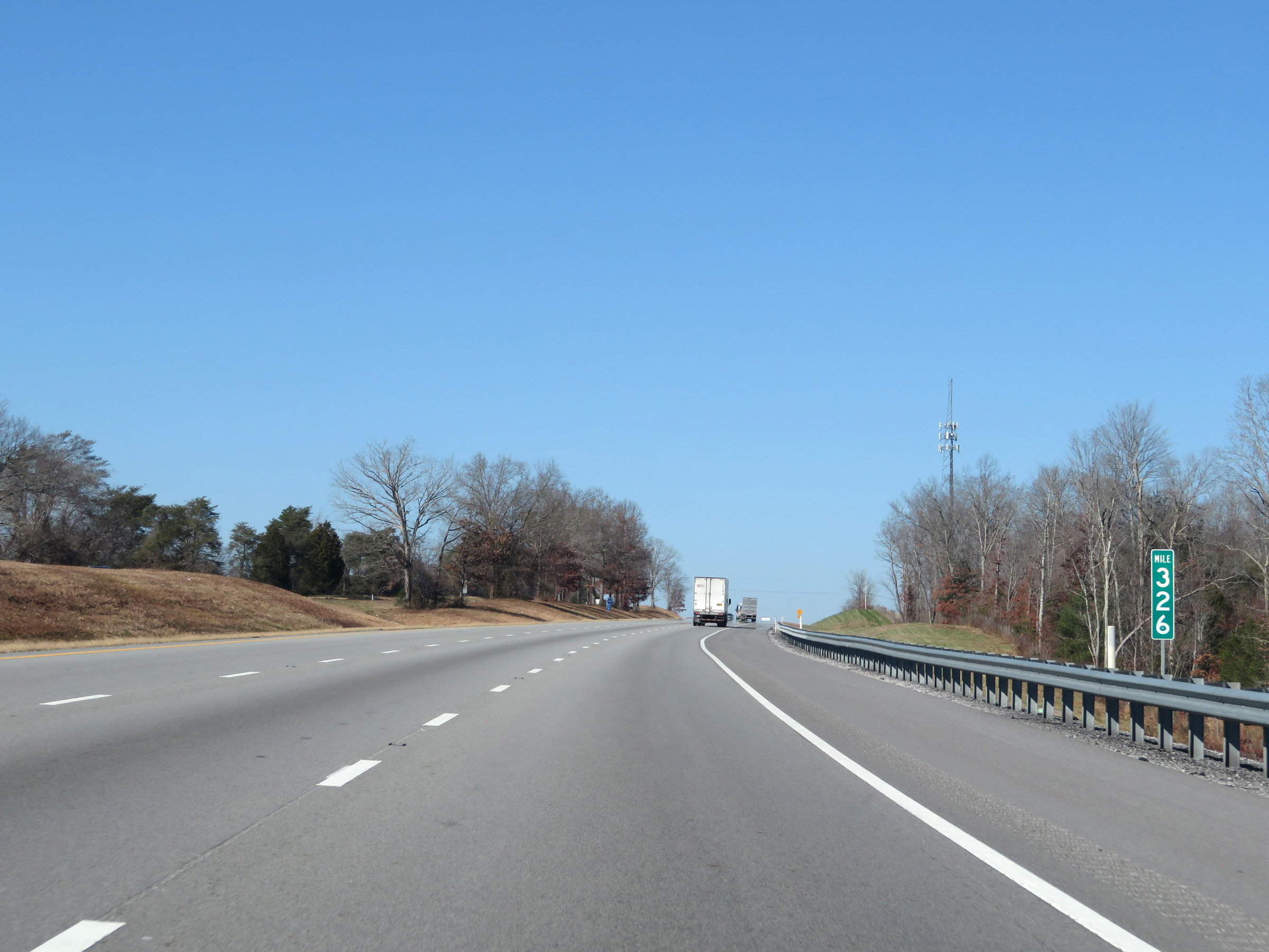 |
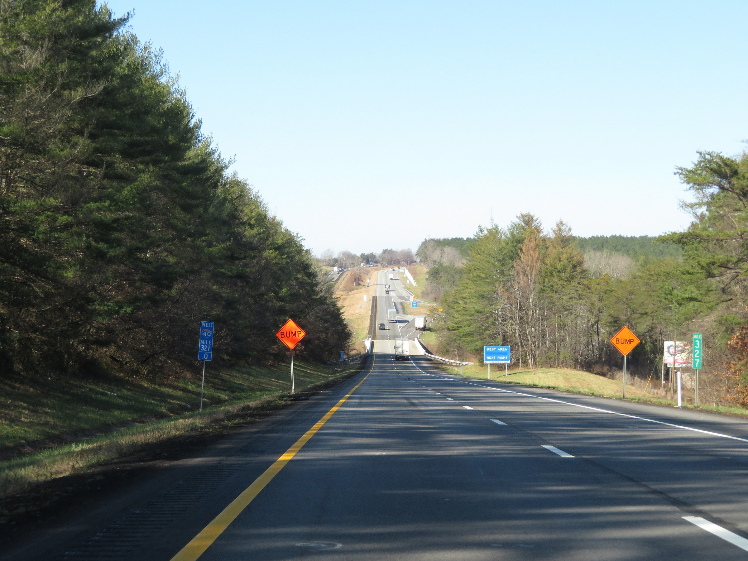
View on Interstate 40 West at mile marker 326. (Photo taken 12/5/20). |
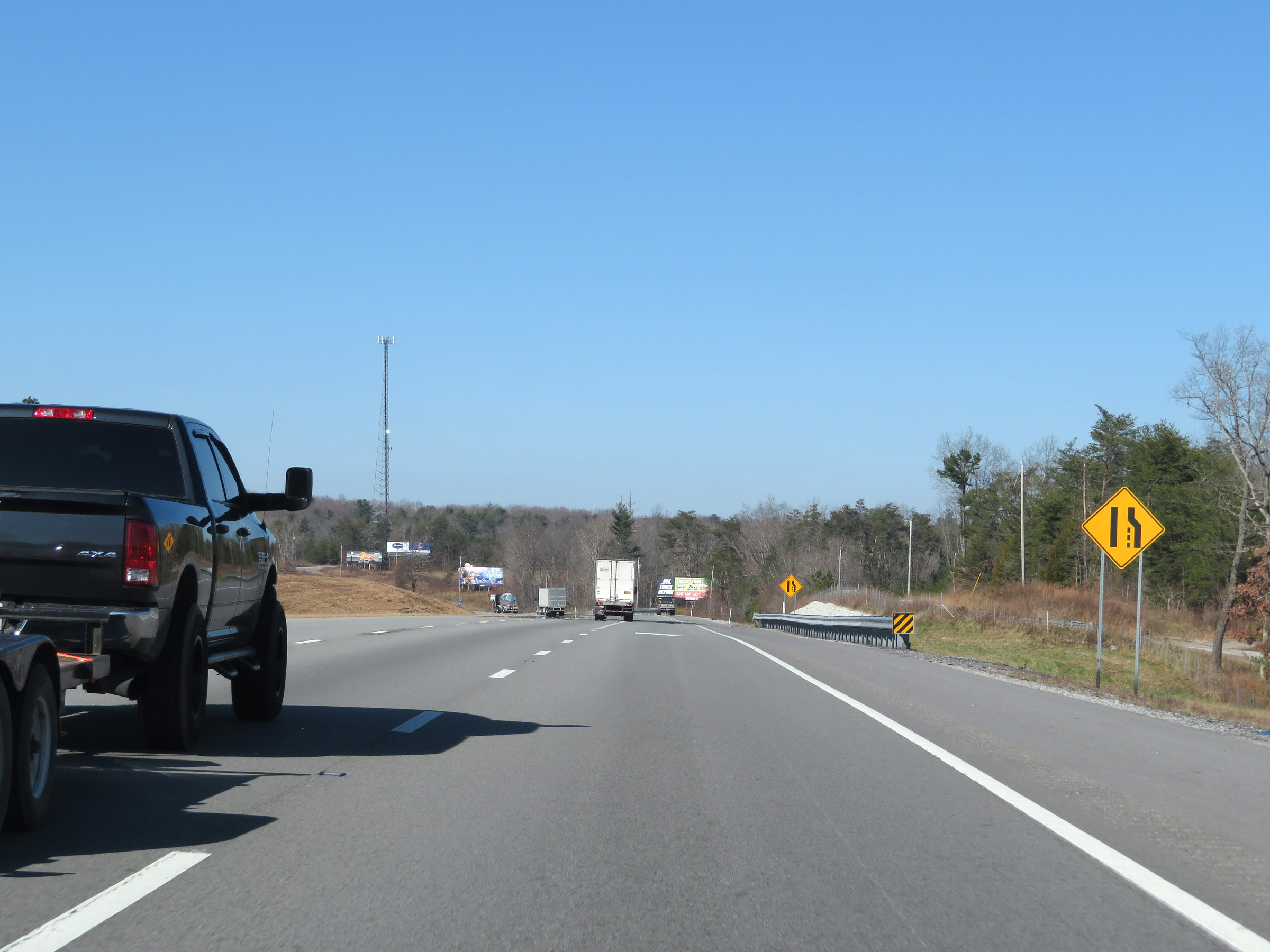 |
Interstate 40 West as the truck climbing lane prepares to come to an end ahead. (Photo taken 12/5/20). |
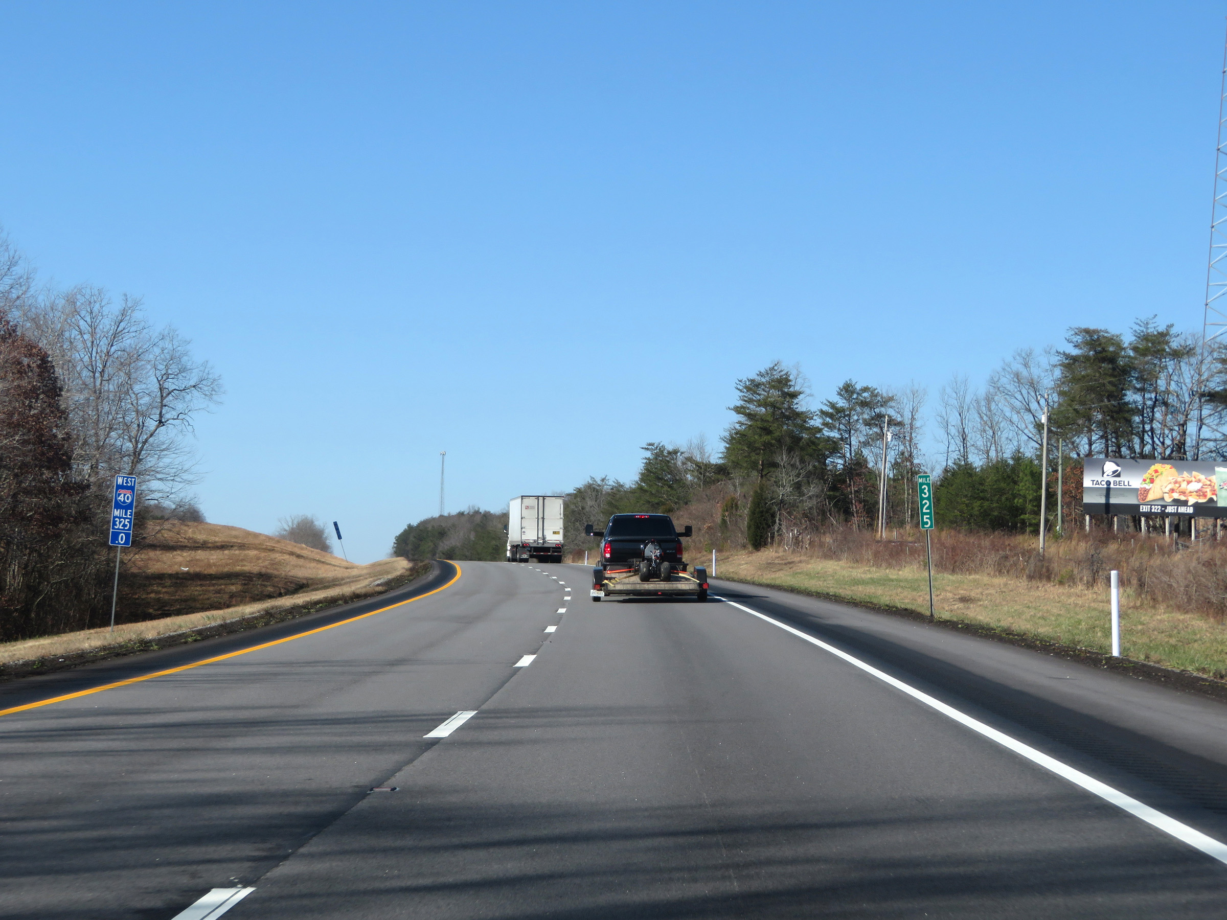 |
Interstate 40 West at mile marker 325. (Photo taken 12/5/20). |
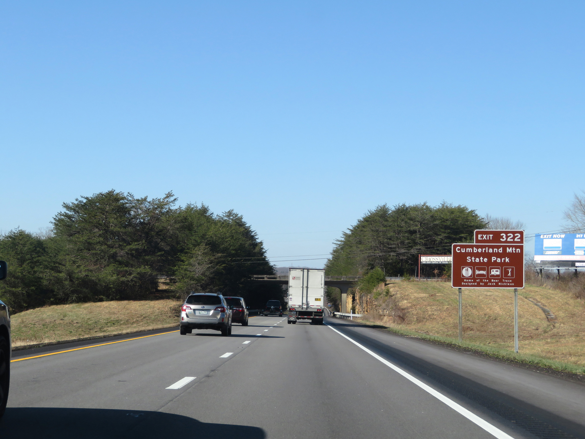 |
Take Exit 322 to Cumberland Mountain State Park. (Photo taken 12/5/20). |
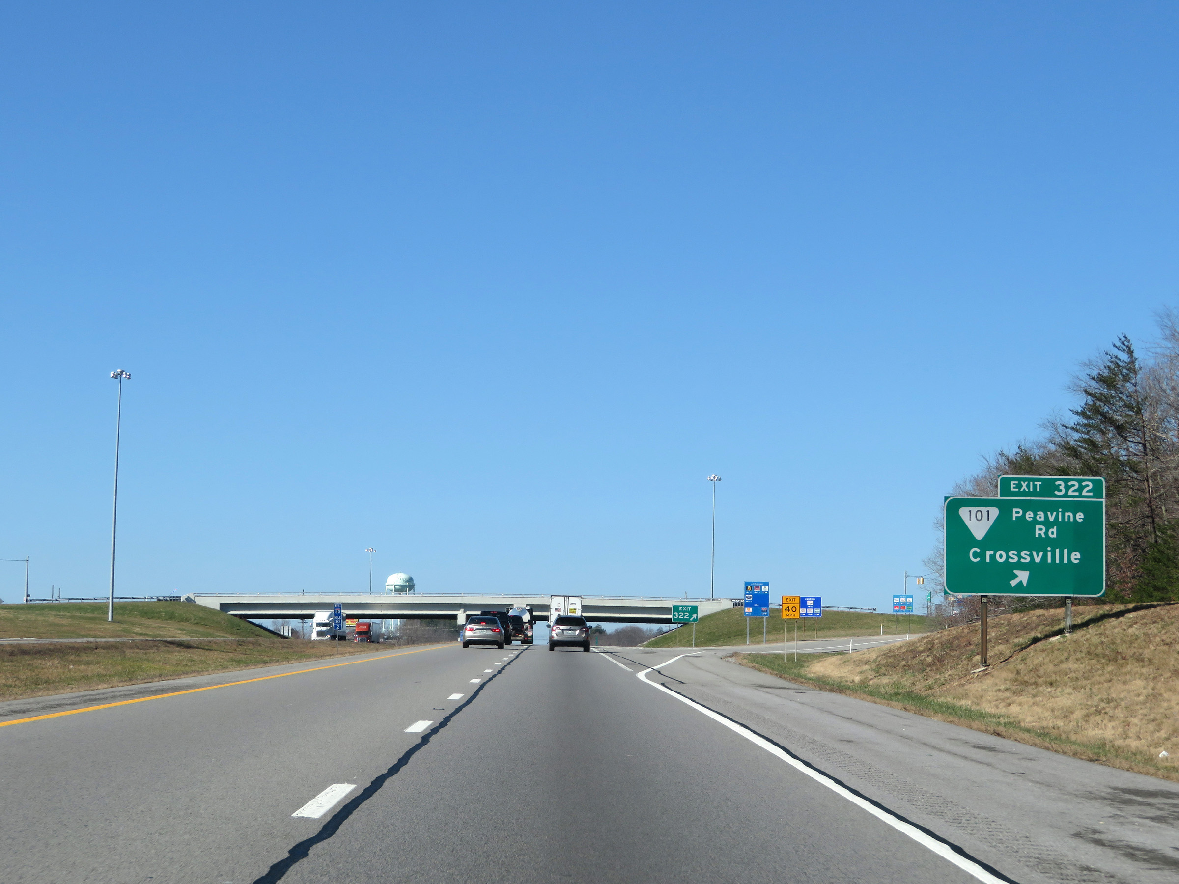 |
Interstate 40 West at Exit 322: SR 10 - Peavine Rd / Crossville (Photo taken 12/5/20). |
Section 4: Crossville (Exit 322) to Cookeville (Exit 287)
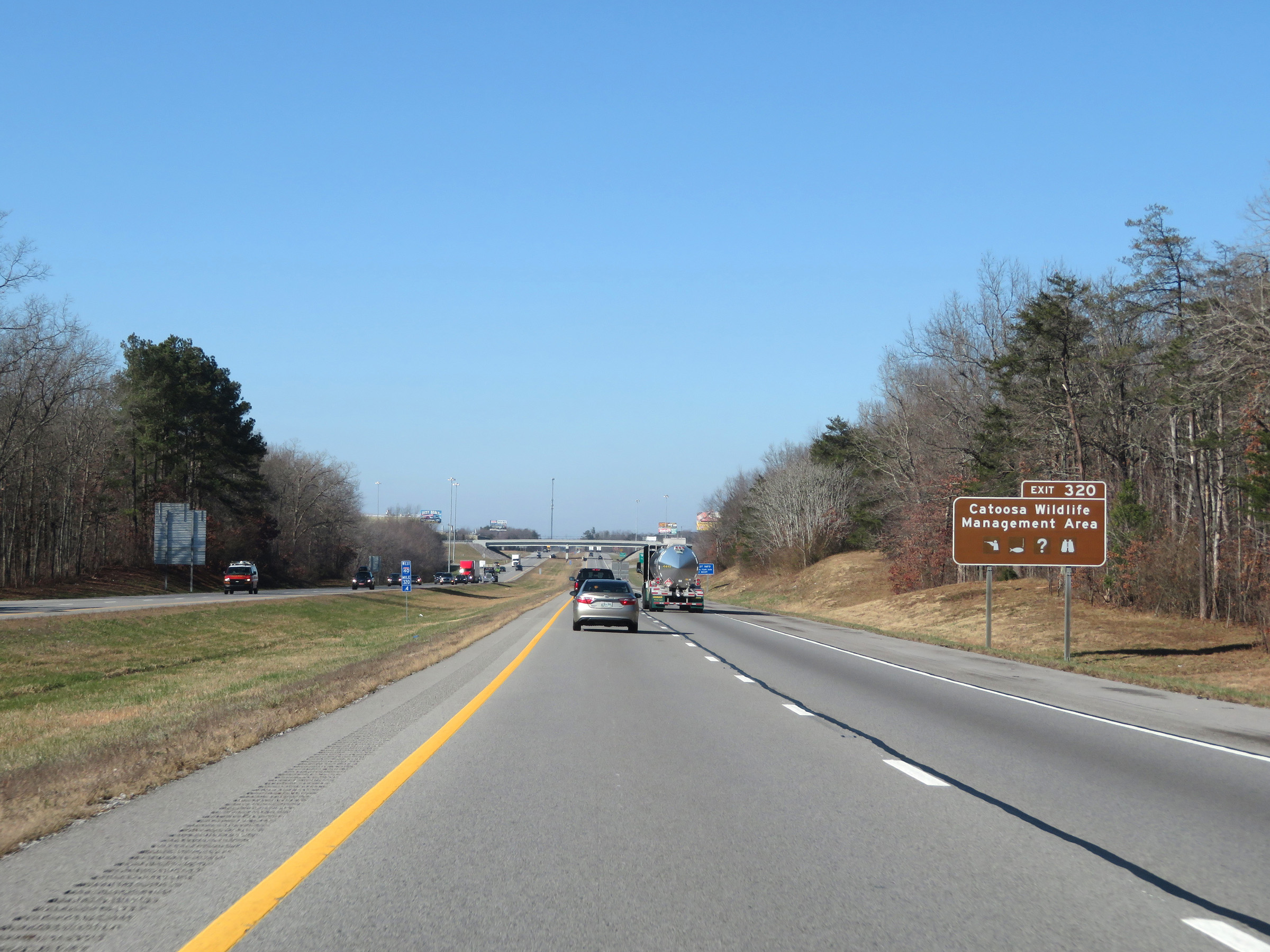 |
Take Exit 320 to Catoosa Wildlife Management Area. (Photo taken 12/5/20). |
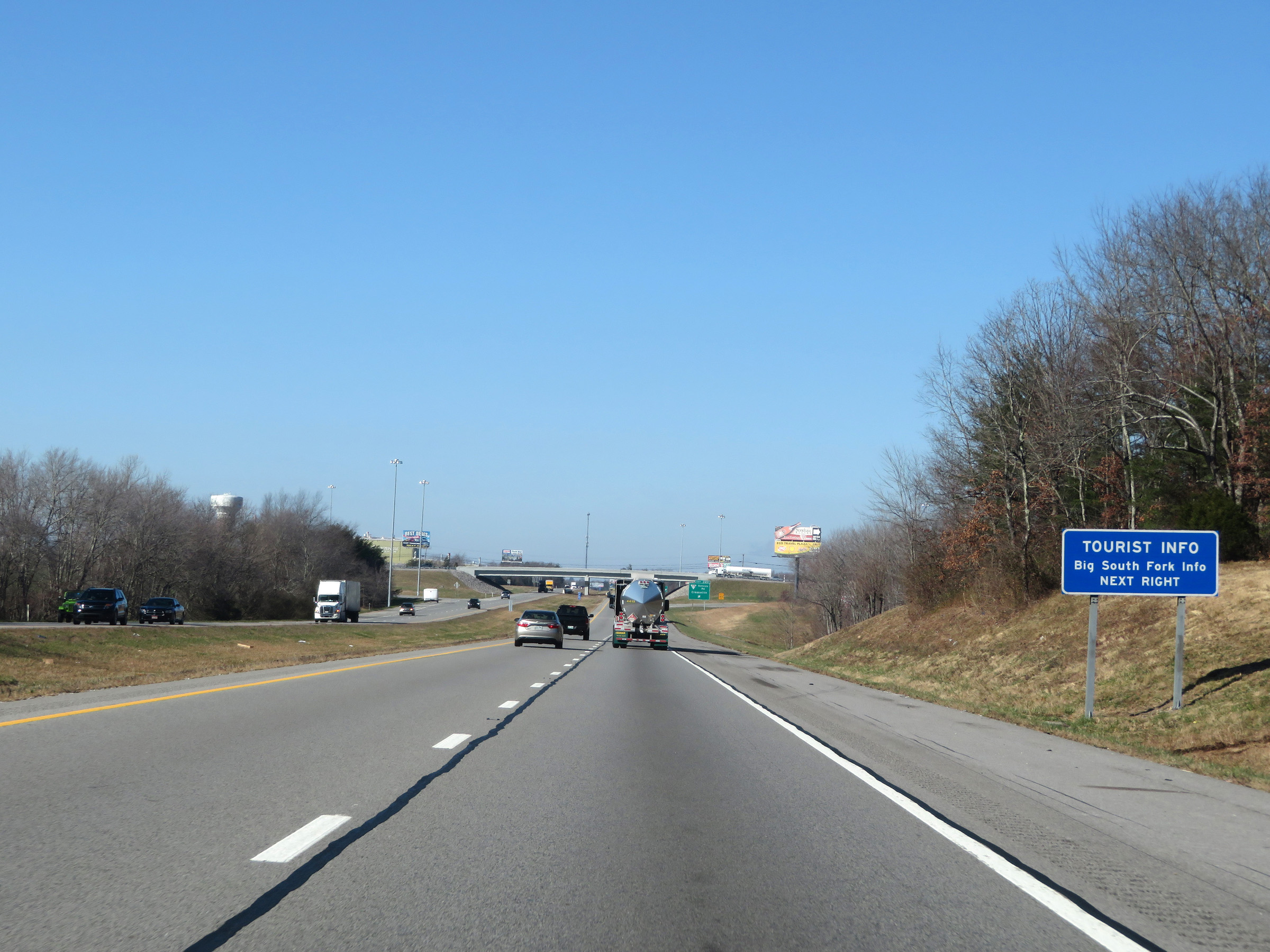 |
Tourist Information for Big South Fork Recreation Area is also available off Exit 320. (Photo taken 12/5/20). |
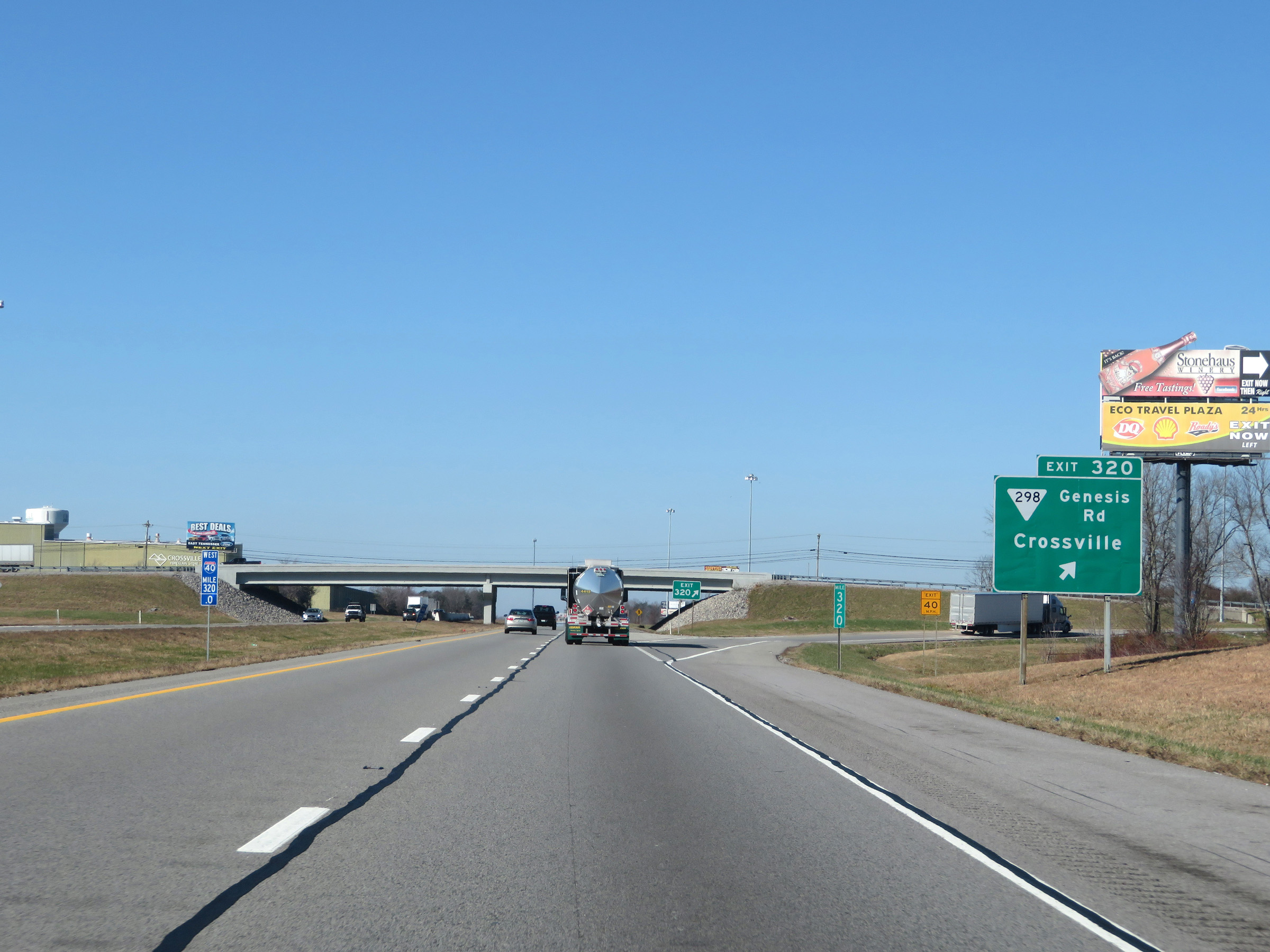 |
Interstate 40 West at Exit 320: SR 298 - Genesis Rd / Crossville (Photo taken 12/5/20). |
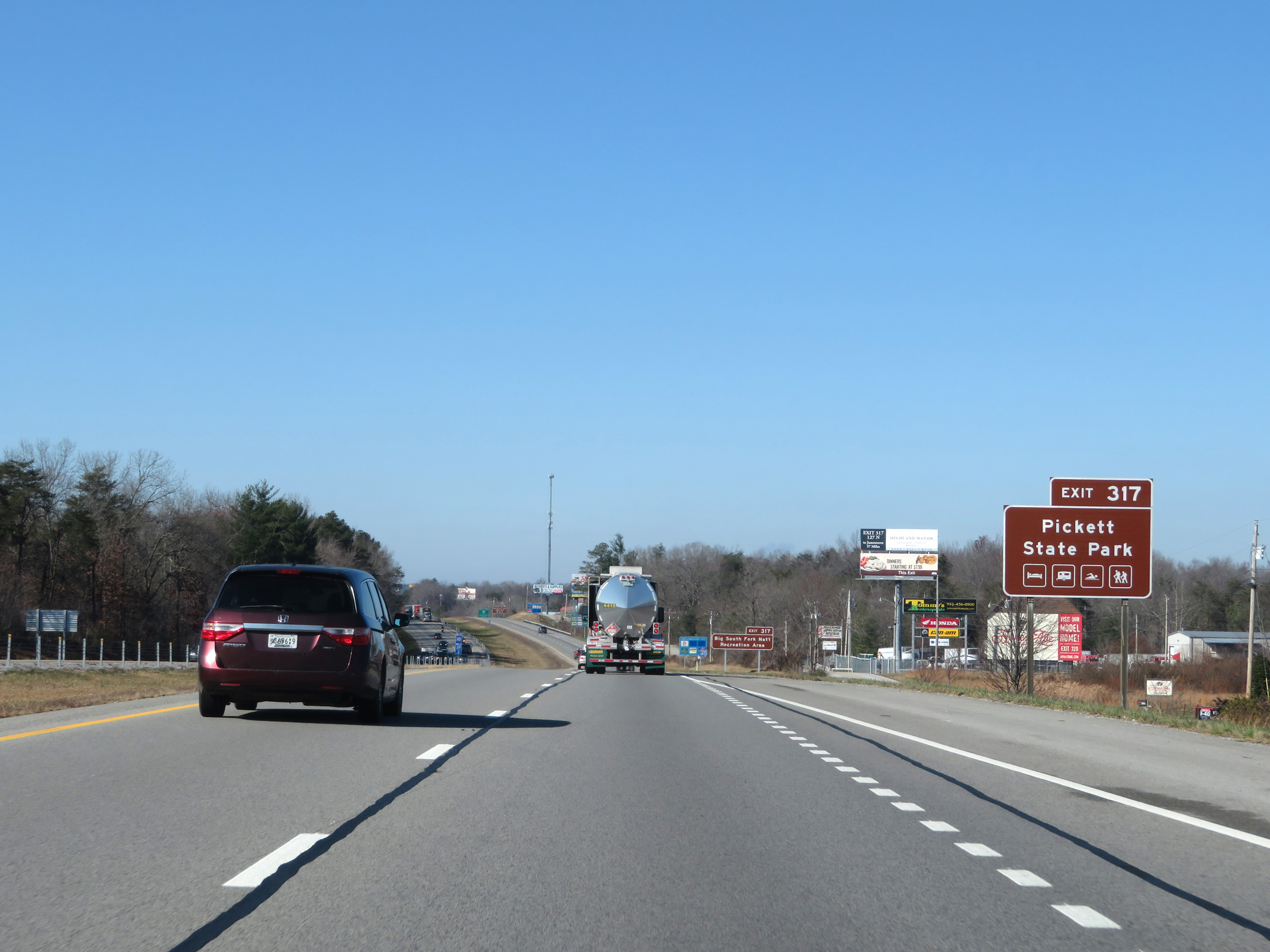 |
Take Exit 317 to Pickett State Park. (Photo taken 12/5/20). |
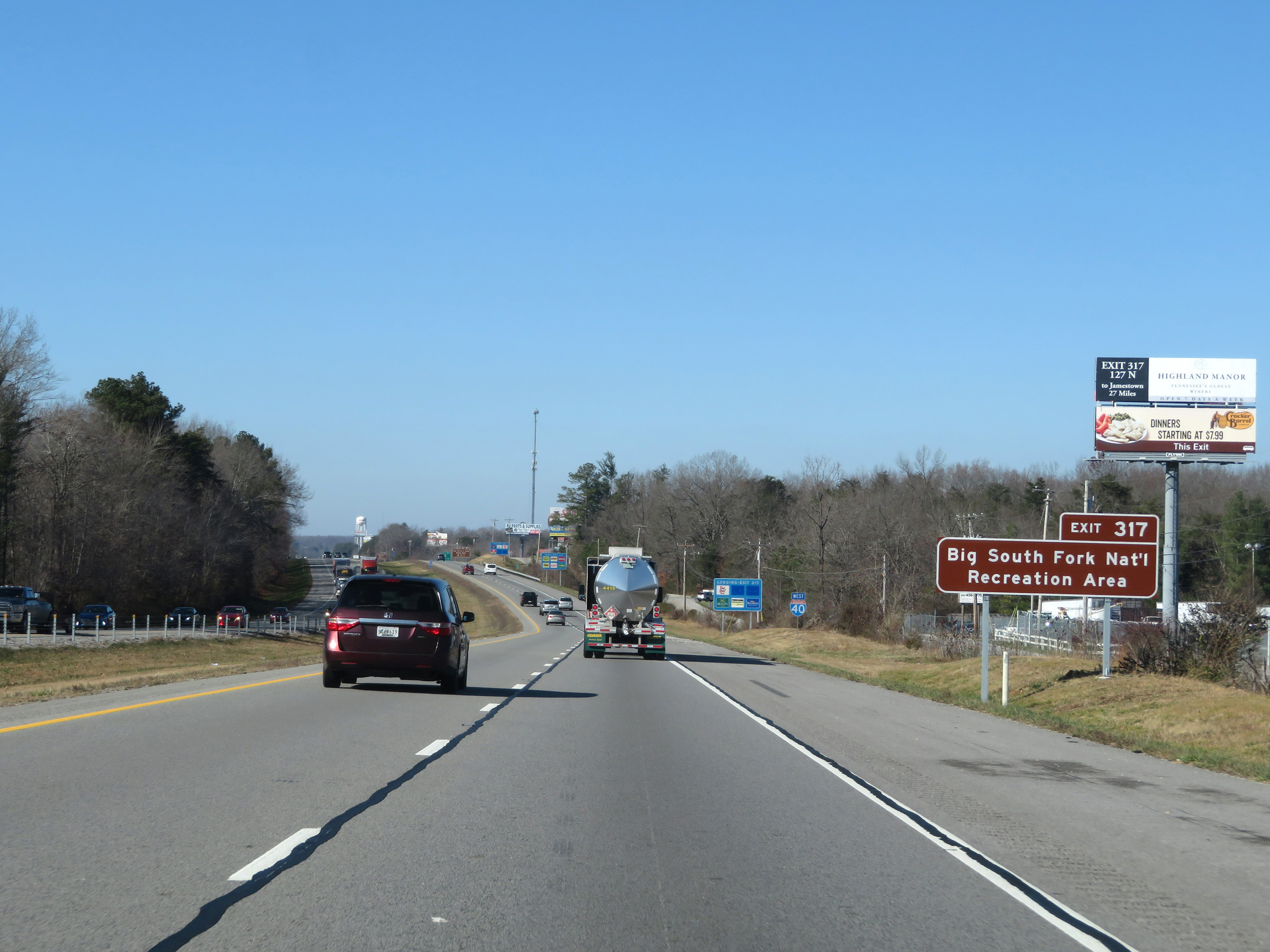 |
Also take Exit 317 to Big South Fork National Recreation Area. (Photo taken 12/5/20). |
 |
Interstate 40 West reassurance shield in Crossville. (Photo taken 12/5/20). |
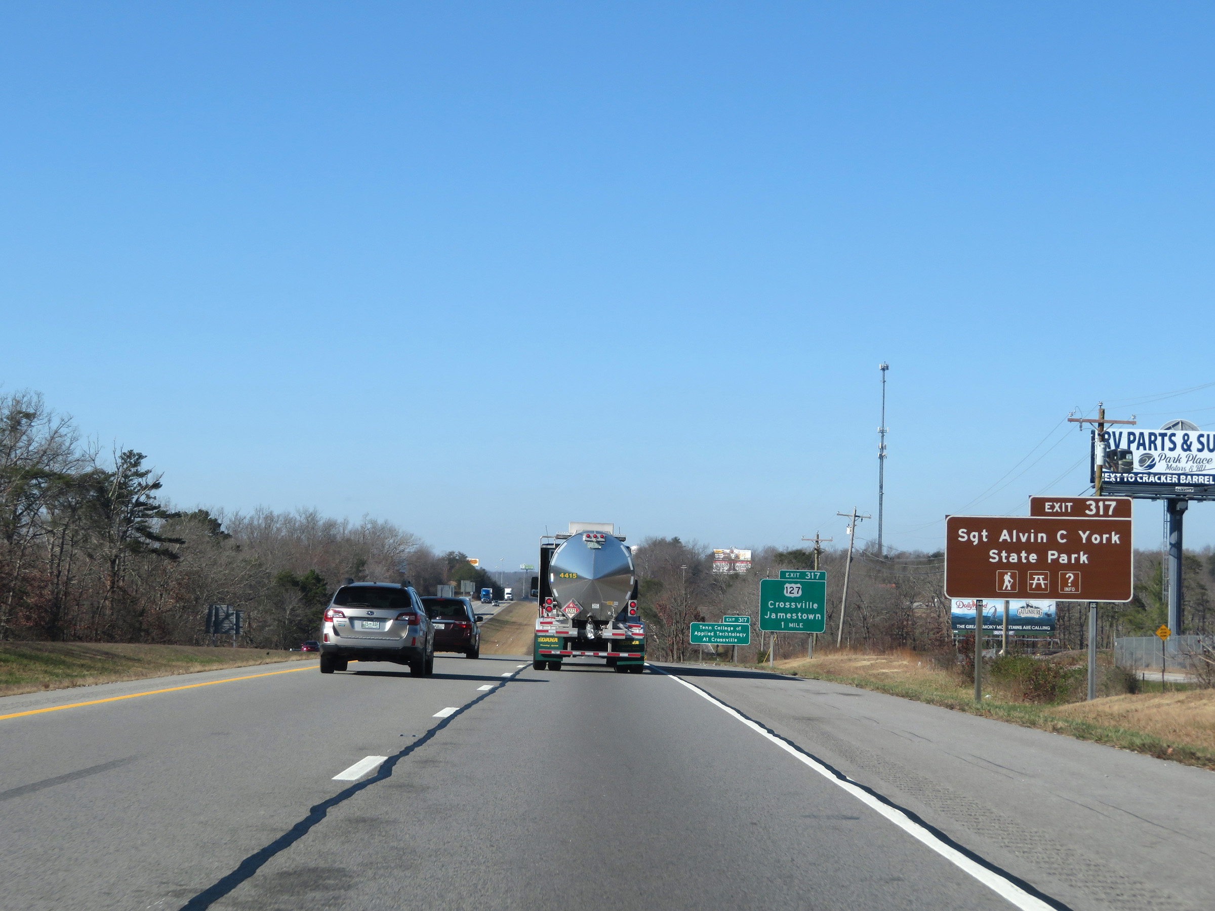 |
Take Exit 317 to Sergeant Alvin C. York State Park as well. (Photo taken 12/5/20). |
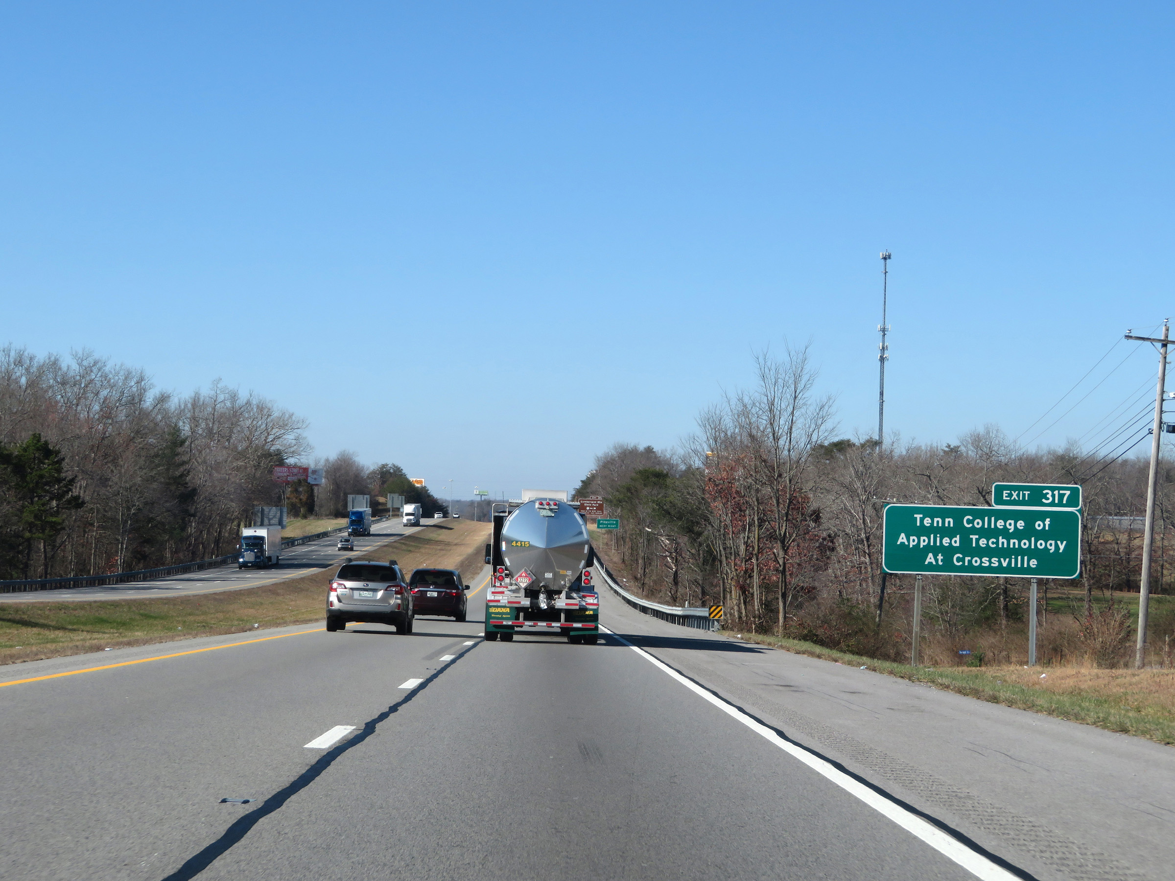 |
Tennessee College of Applied Technology at Crossville can also be accessed via Exit 317. (Photo taken 12/5/20). |
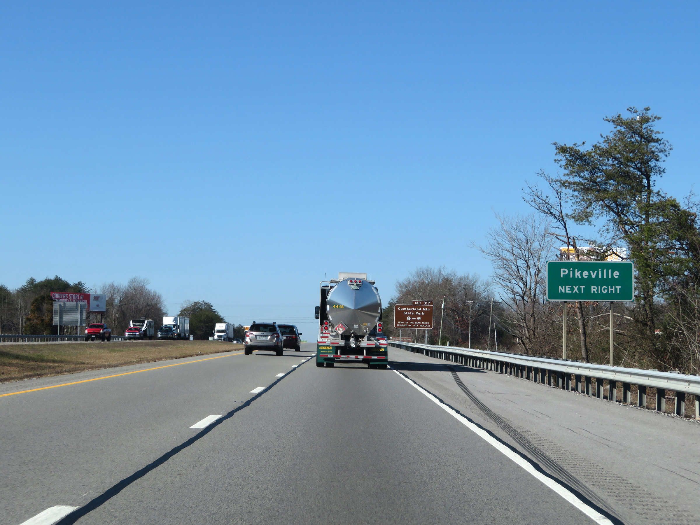 |
Take Exit 317 to Pikeville. (Photo taken 12/5/20). |
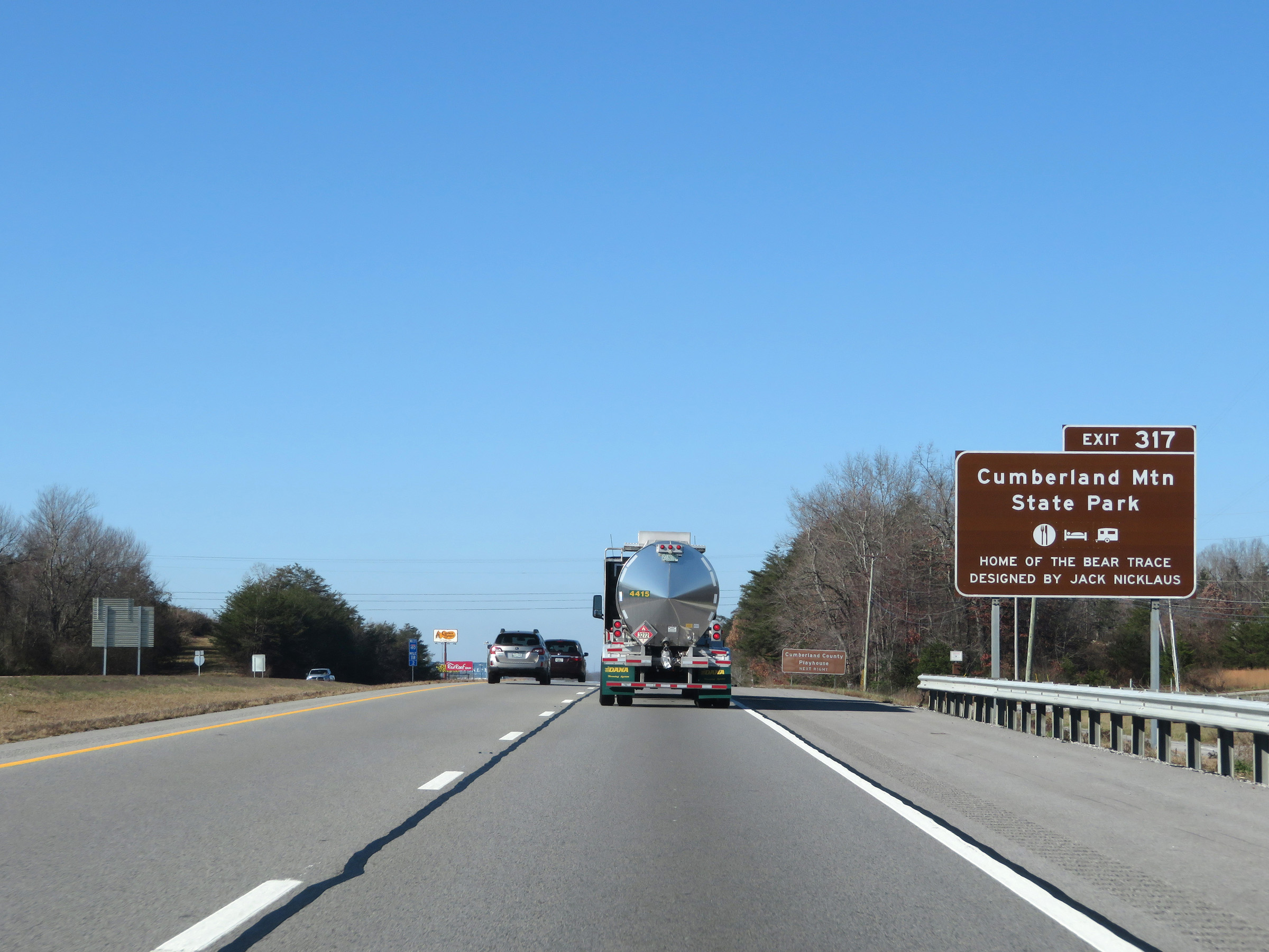 |
Also take Exit 317 to Cumberland Mountain State Park. There's a lot of local attractions accessible via Exit 317, if you haven't figured that out yet. (Photo taken 12/5/20). |
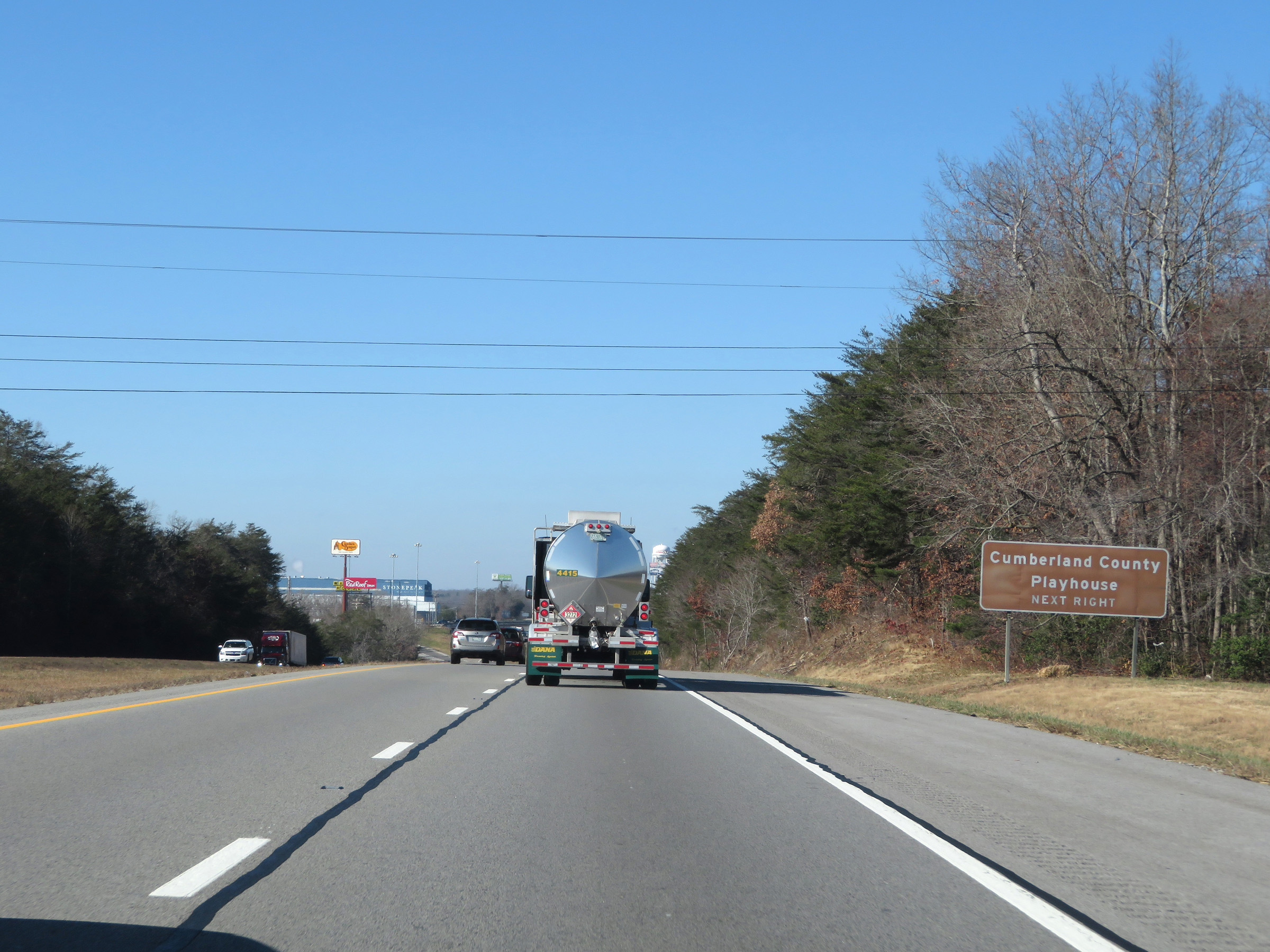 |
Take Exit 317 to Cumberland County Playhouse as well. (Photo taken 12/5/20). |
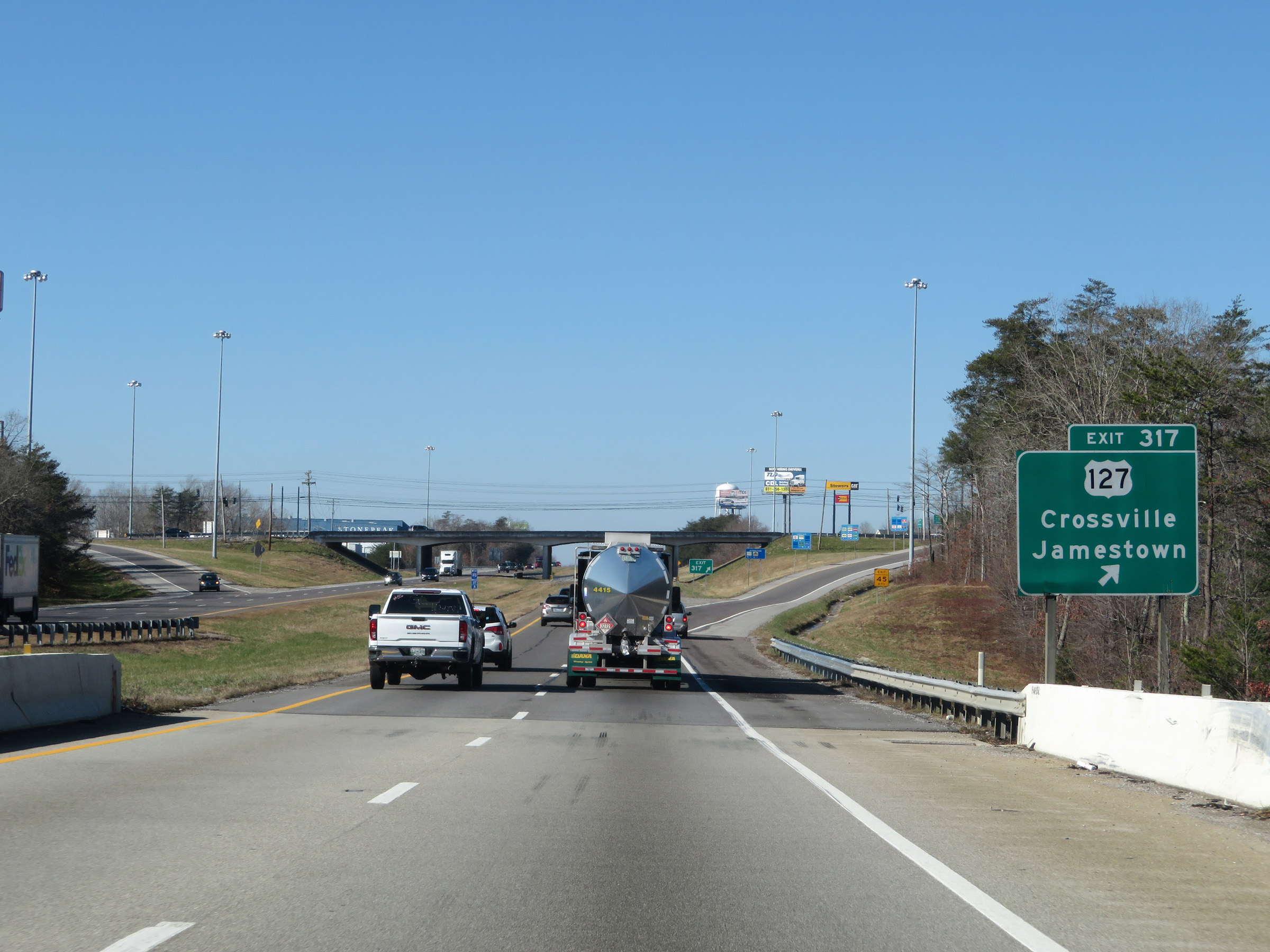 |
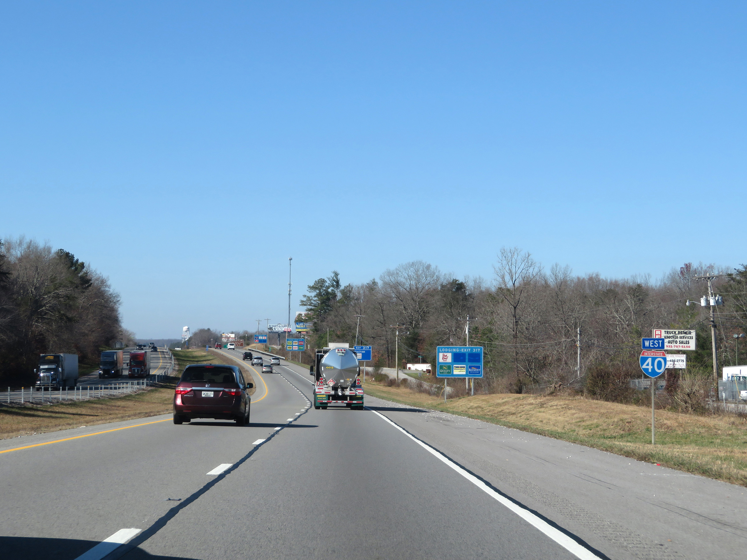
Interstate 40 West at Exit 317: US 127 - Crossville / Jamestown (Photo taken 12/5/20). |
 |
Mileage sign on Interstate 40 West. It's 30 miles to Cookeville and 110 miles to Nashville. (Photo taken 12/5/20). |
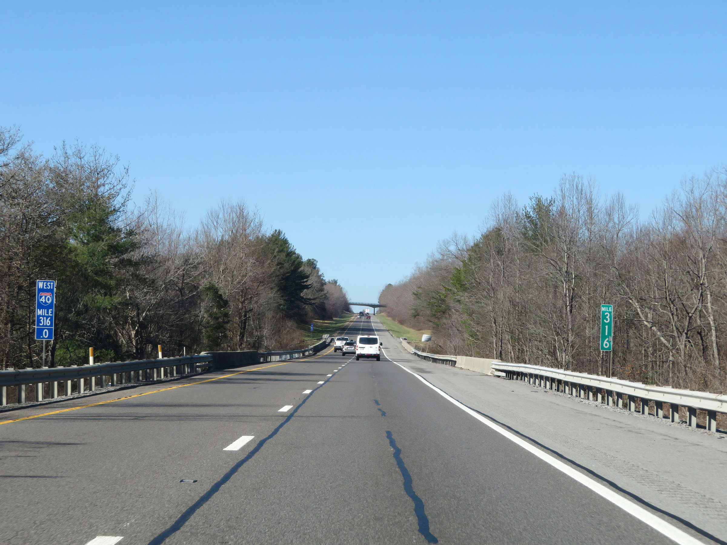 |
View on Interstate 40 West at mile marker 316, as it continues to ride across the Cumberland Plateau. (Photo taken 12/5/20). |
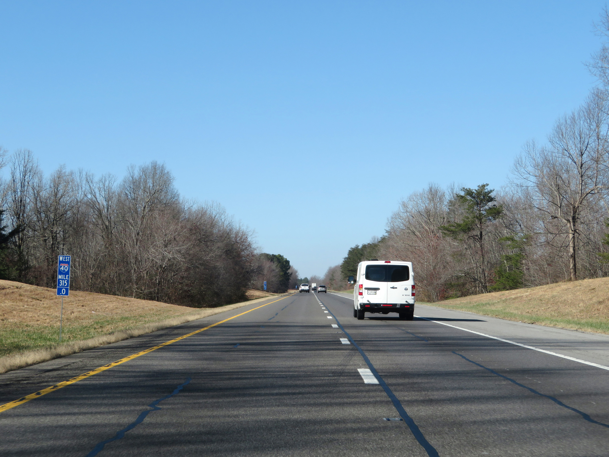 |
Interstate 40 West at mile marker 315. (Photo taken 12/5/20). |
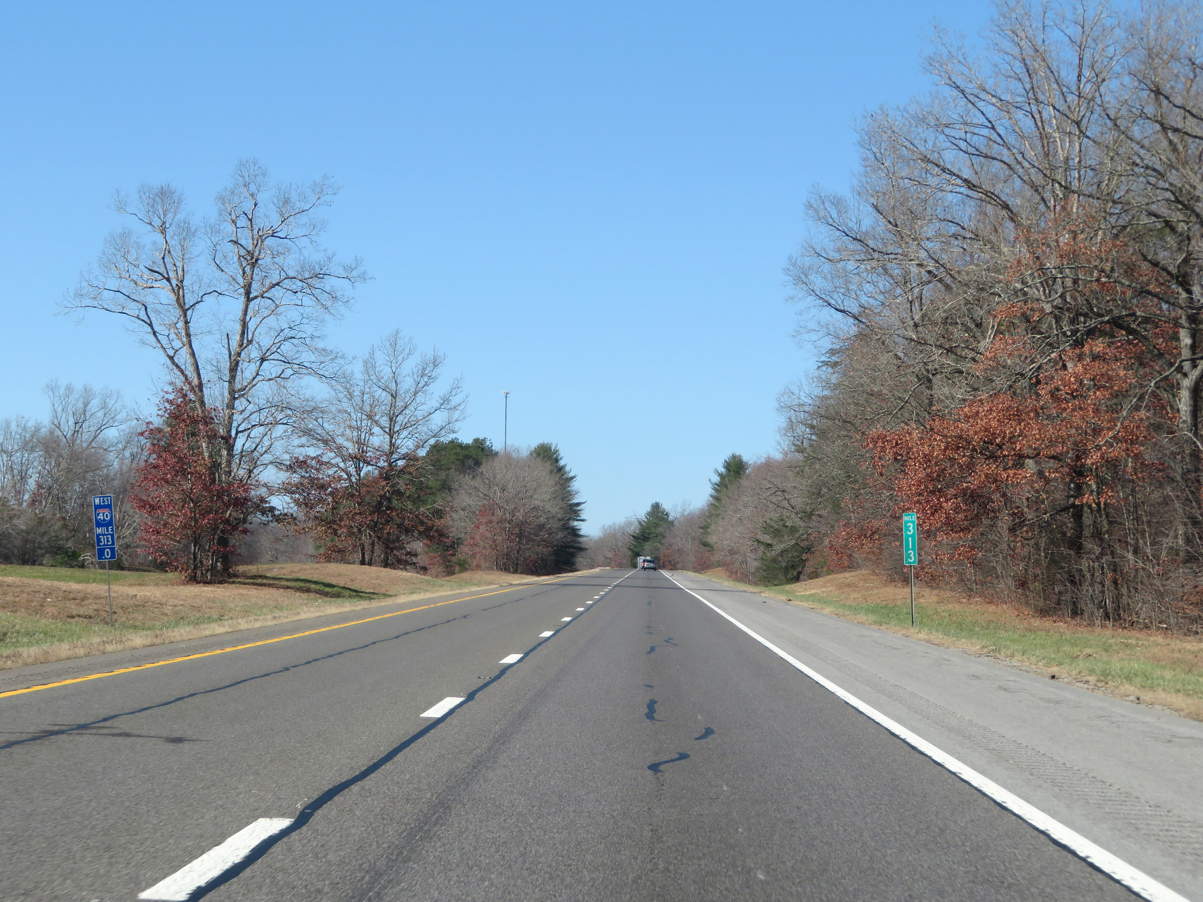 |
Mile marker 313 on Interstate 40 West in Cumberland County. (Photo taken 12/5/20). |
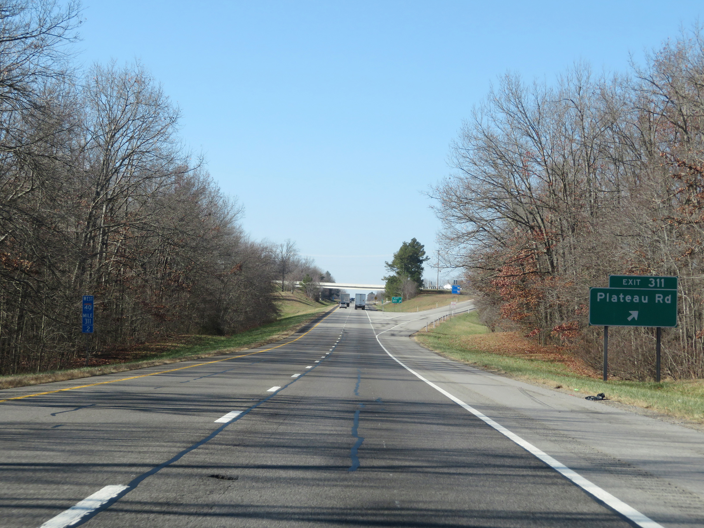 |
Interstate 40 West at Exit 311: Plateau Rd (Photo taken 12/5/20). |
 |
The speed limit remains 70 mph on Interstate 40 West. (Photo taken 12/5/20). |
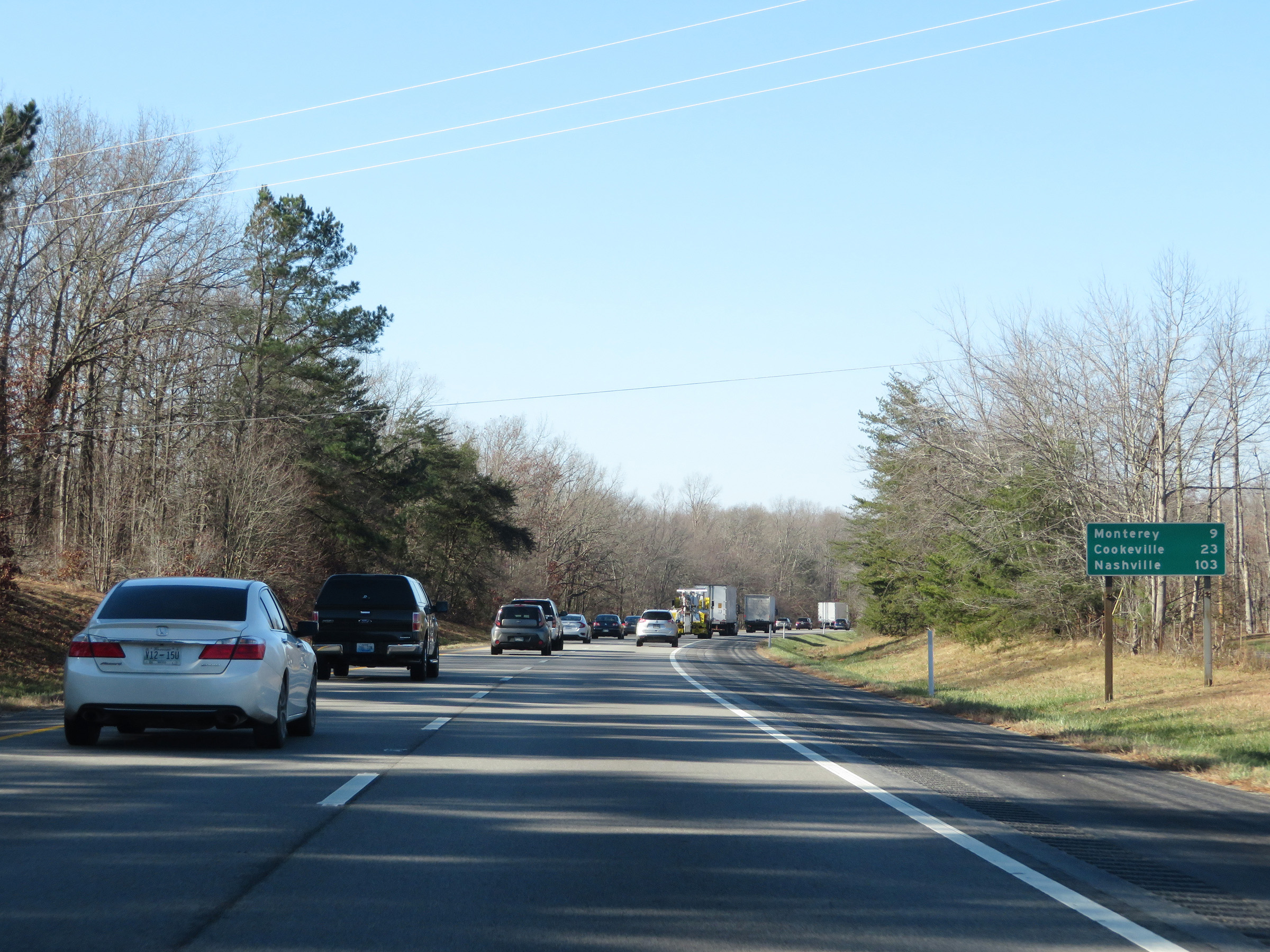 |
Another mileage sign on Interstate 40 West. It's 9 miles to Monterey, 23 miles to Cookeville, and 103 miles to Nashville. (Photo taken 12/5/20). |
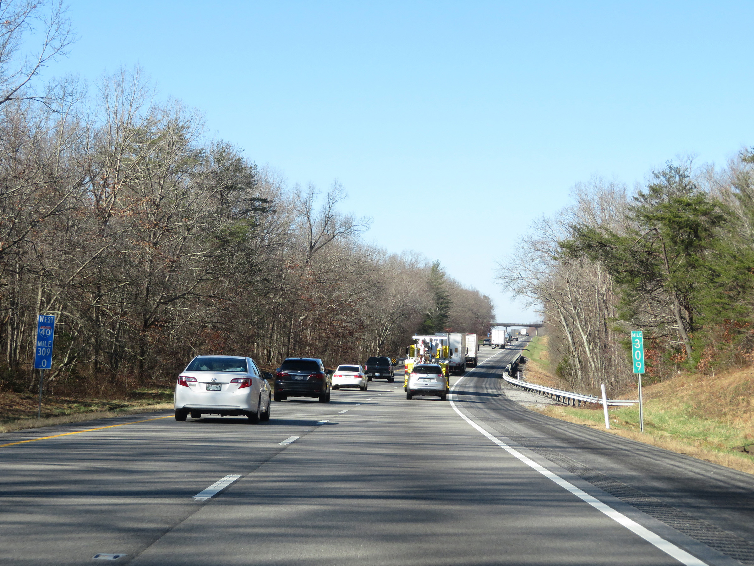 |
View on Interstate 40 West at mile marker 309. (Photo taken 12/5/20). |
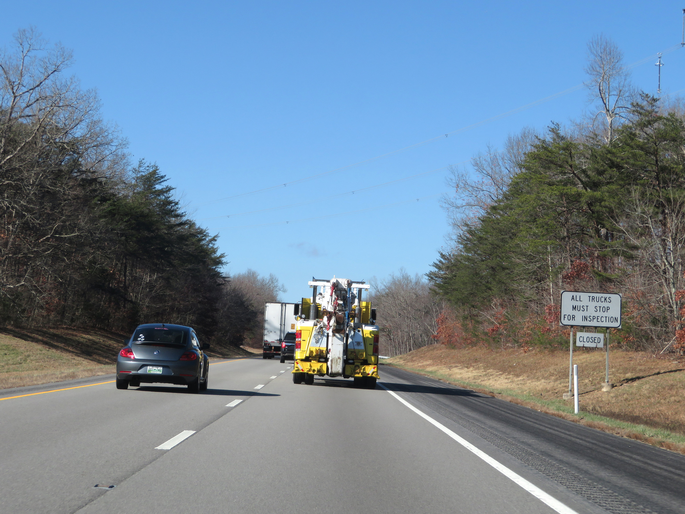 |
All trucks must stop at the Truck Station ahead for inspection when it is open. (Photo taken 12/5/20). |
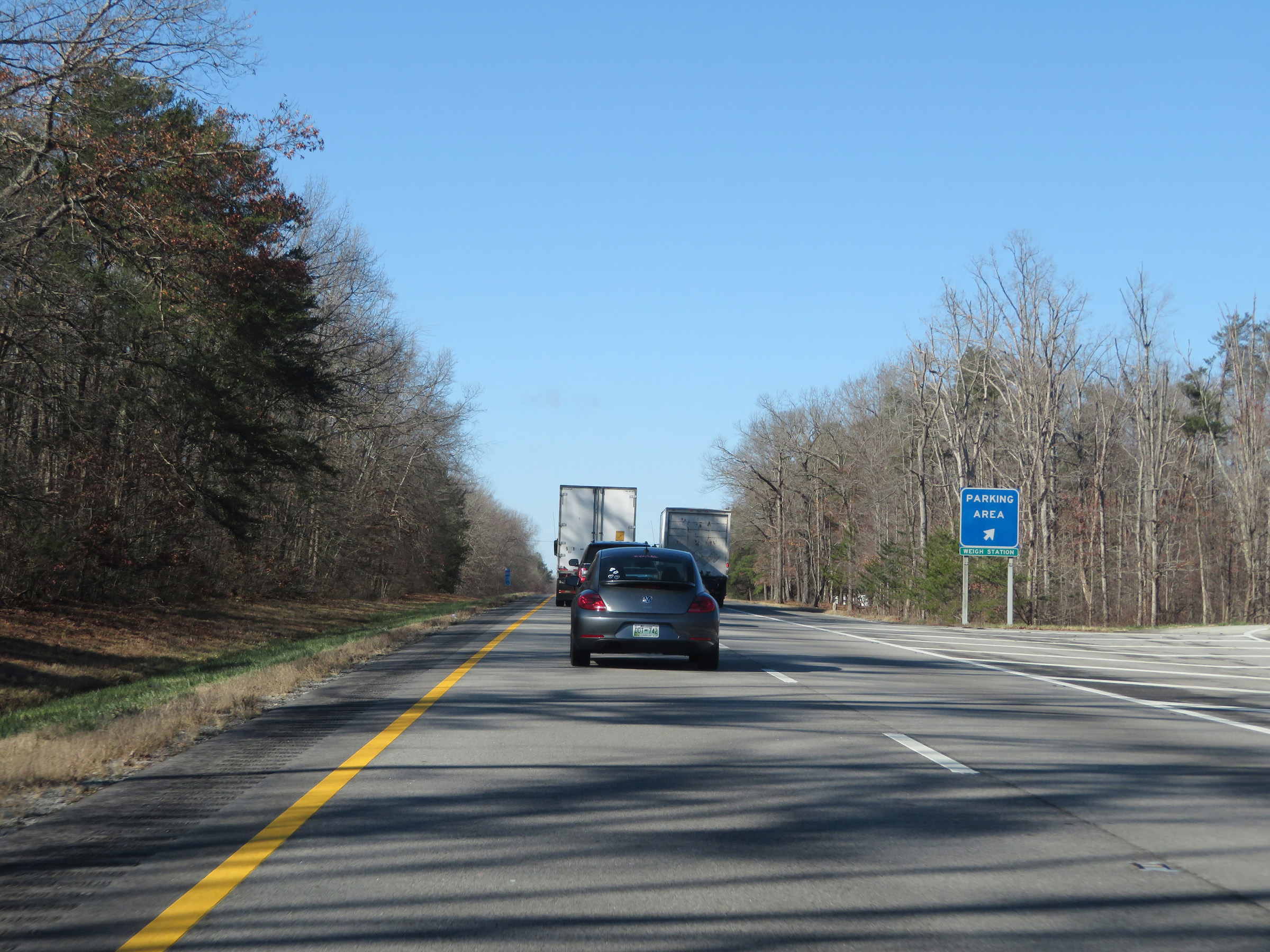 |
Weigh Station / Truck Parking Area on Interstate 40 West in Cumberland County. (Photo taken 12/5/20). |
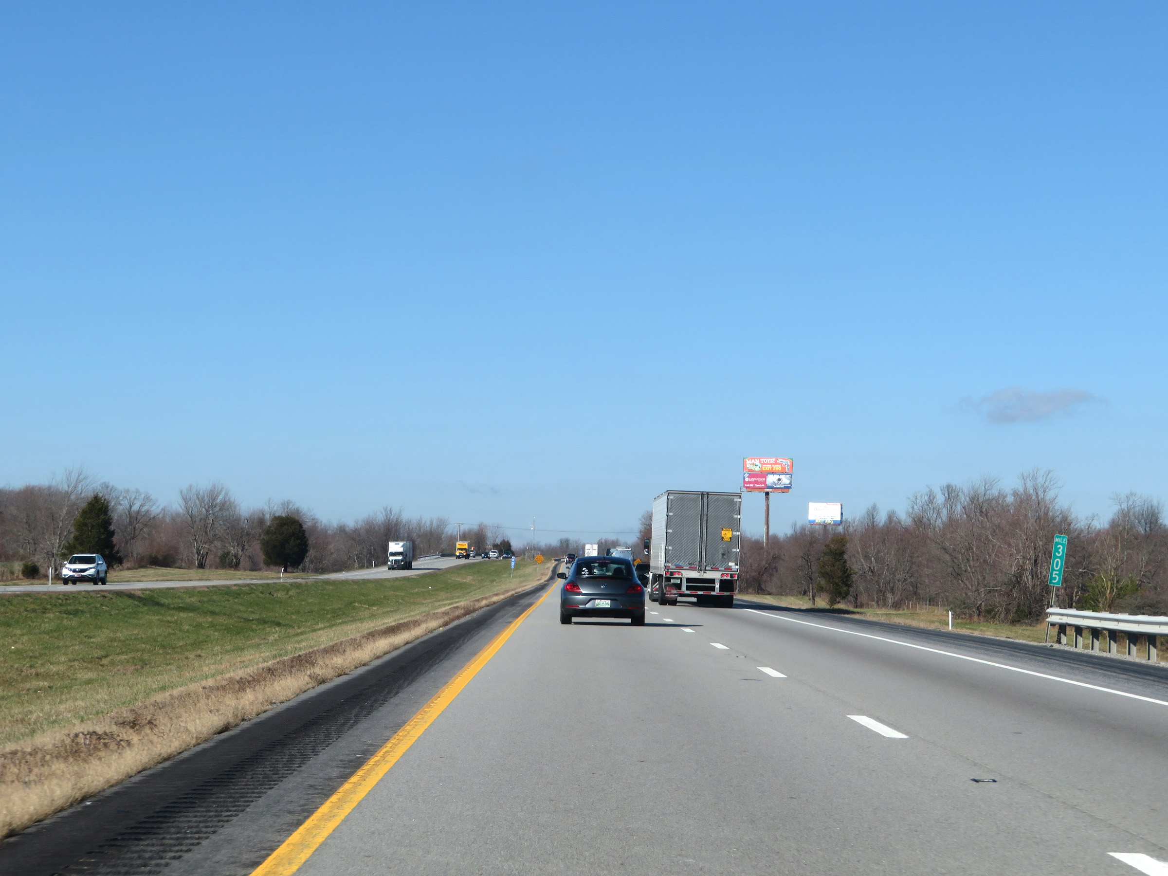 |
Interstate 40 West at mile marker 305. (Photo taken 12/5/20). |
 |
Interstate 40 West as it enters Putnam County. (Photo taken 12/5/20). |
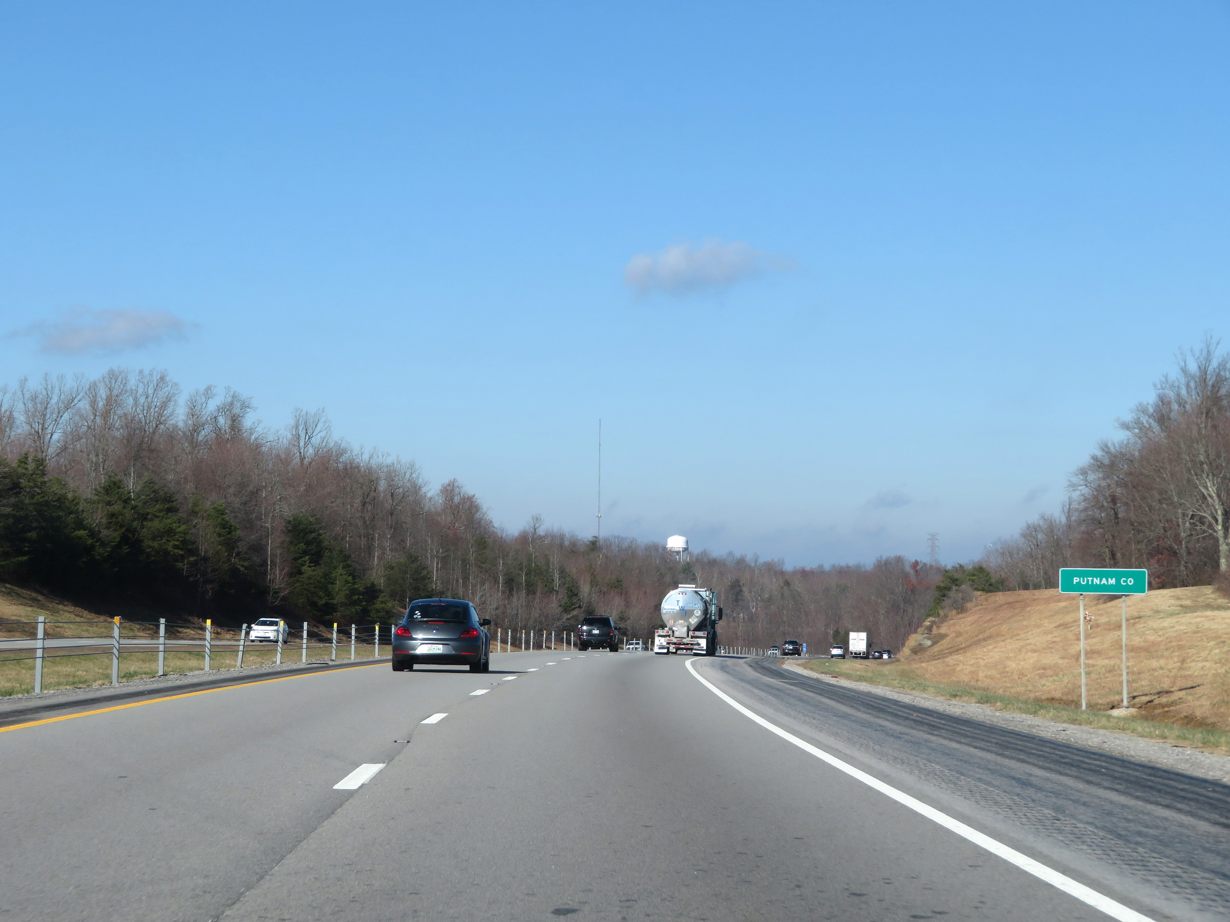
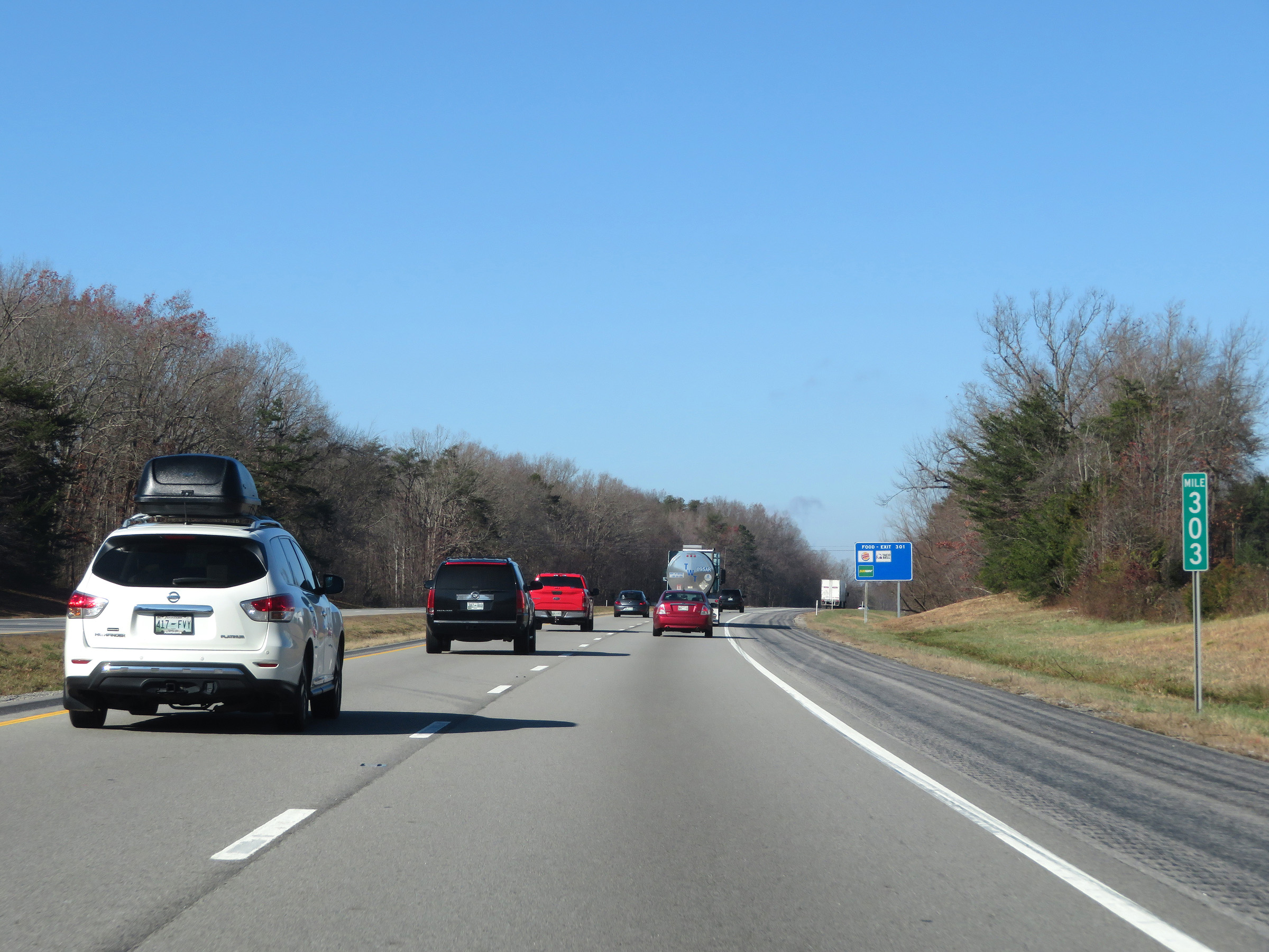 |
View on Interstate 40 West at mile marker 303. (Photo taken 12/5/20). |
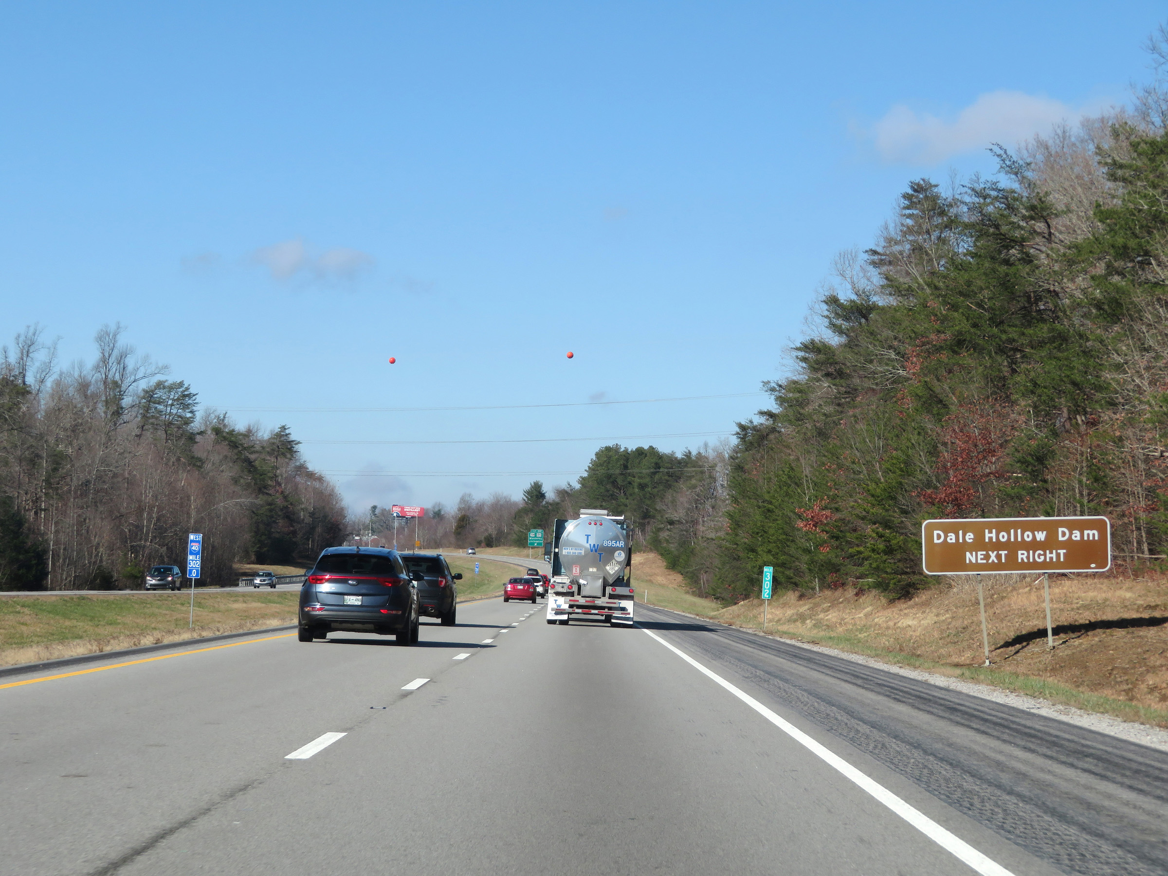 |
Take Exit 301 to Dale Hollow Dam. (Photo taken 12/5/20). |
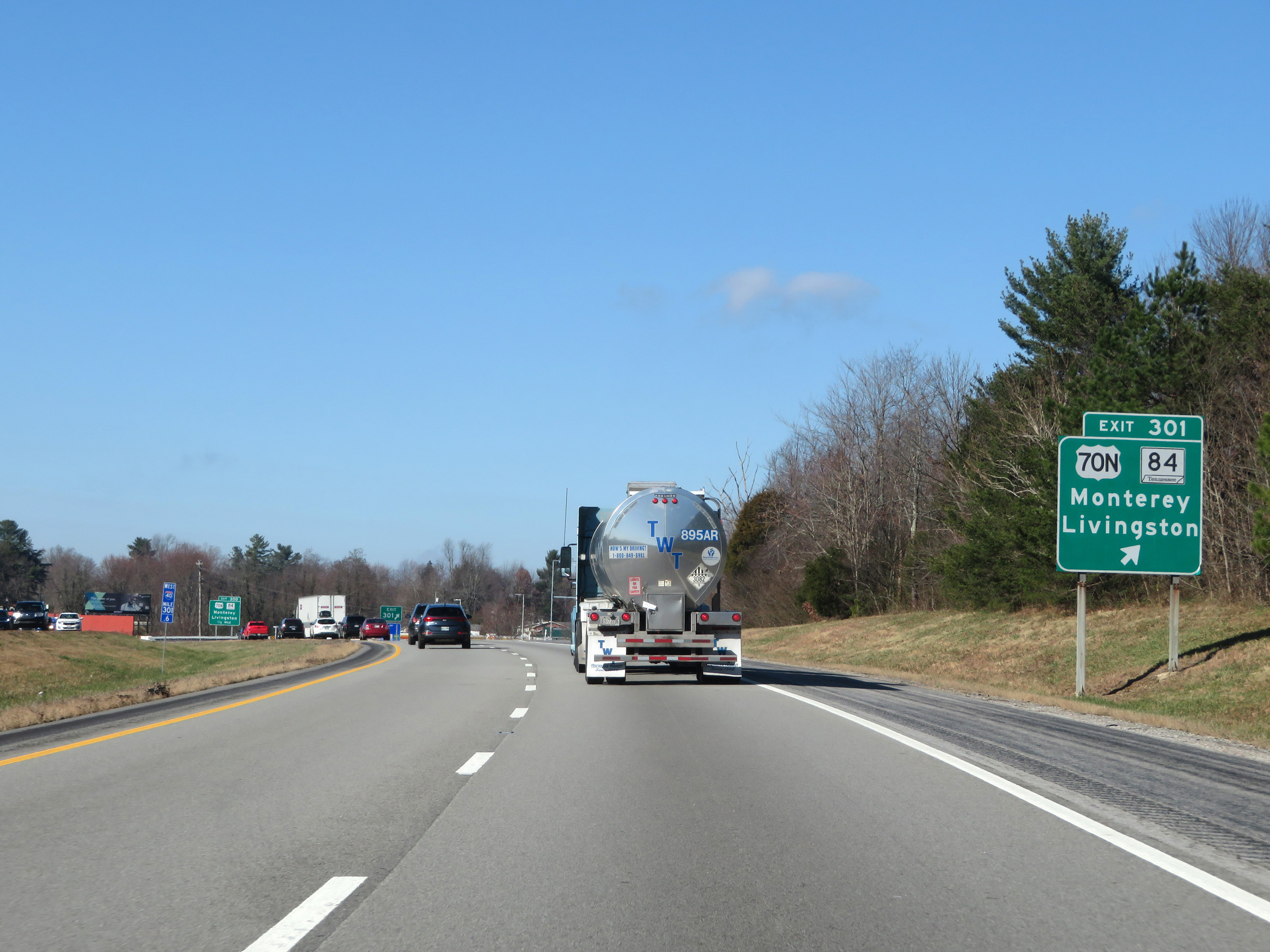 |
Interstate 40 West at Exit 301: US 70N / TN 84 - Monterey / Livingston (Photo taken 12/5/20). |
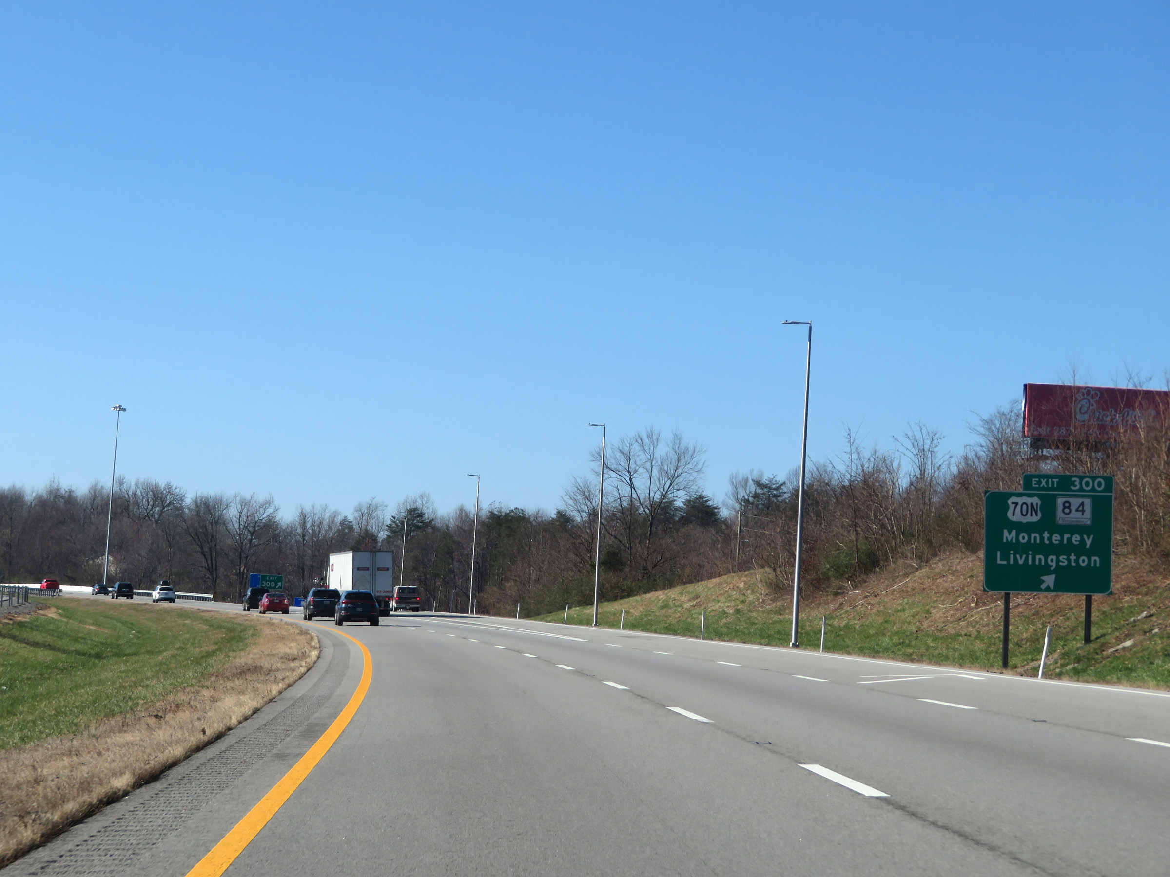 |
Interstate 40 West at Exit 300: US 70N / TN 84 - Monterey / Livingston (Photo taken 12/5/20). |
 |
View on Interstate 40 West at mile marker 299. (Photo taken 12/5/20). |
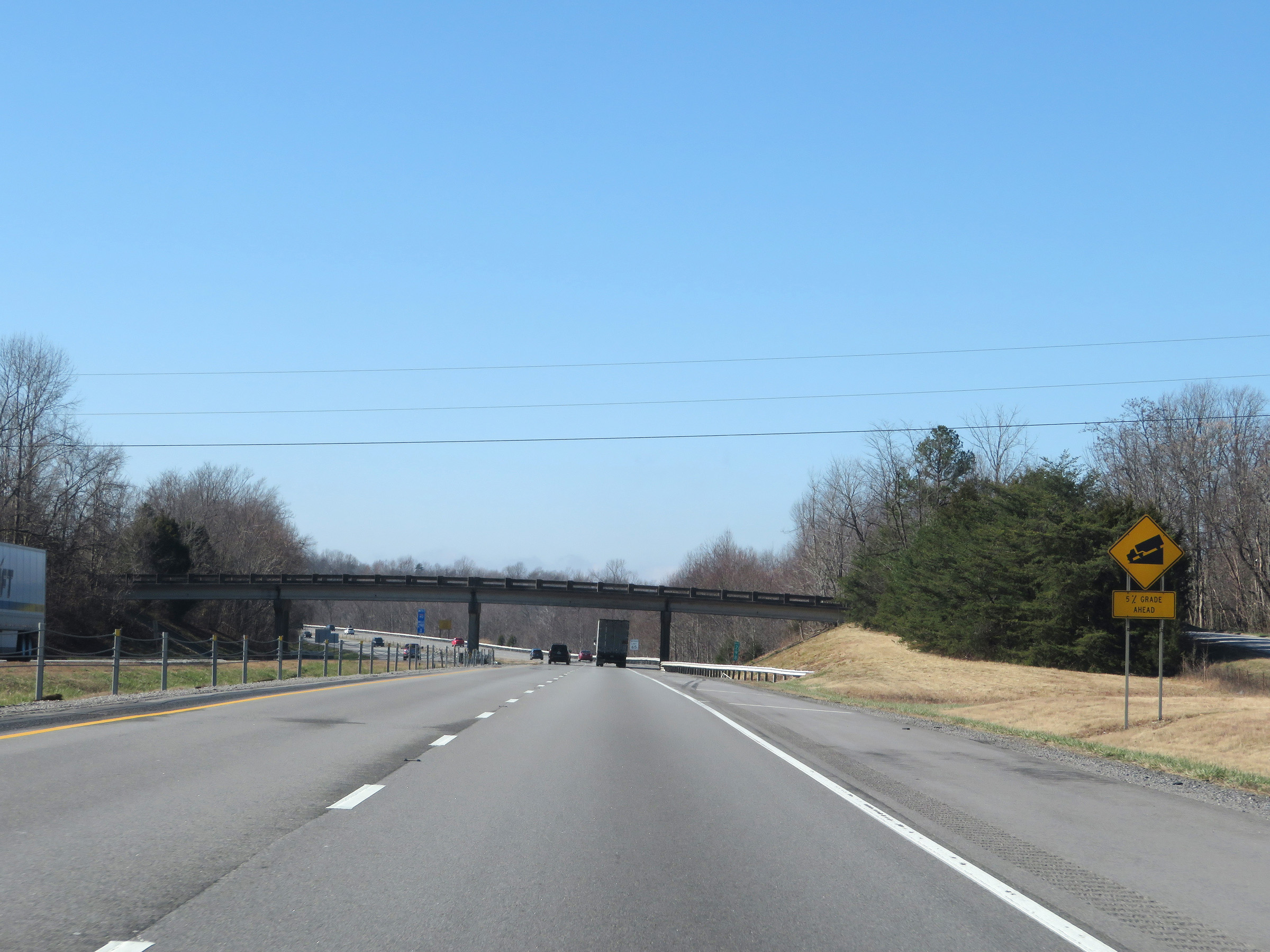 |
Ahead, Interstate 40 West will descend the Cumberland Plateau. It will traverse a 5% grade which will last for 4 miles. (Photo taken 12/5/20). |
 |
Approaching the descent of the Cumberland Plateau, the speed limit decreases to 65 mph. (Photo taken 12/5/20). |
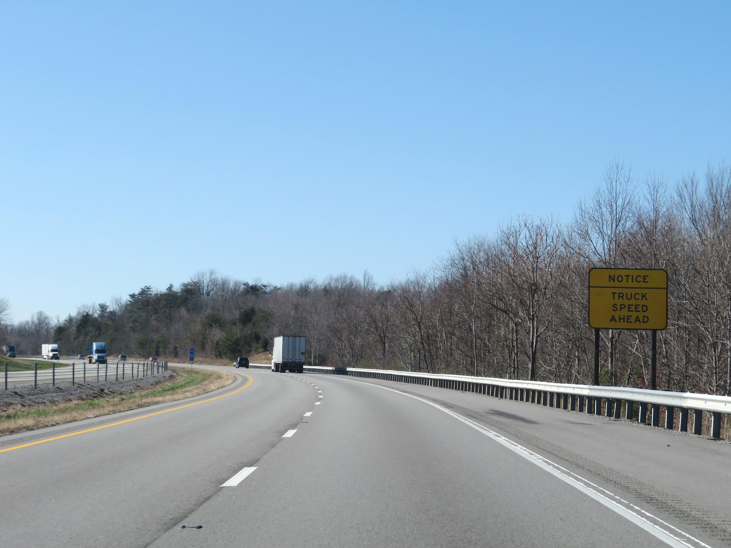 |
This sign warns trucks that their speed limit will decrease even more just ahead. (Photo taken 12/5/20). |
 |
Nearing the start of the long, steep downgrade, the truck speed limit decreases to 55 mph. (Photo taken 12/5/20). |
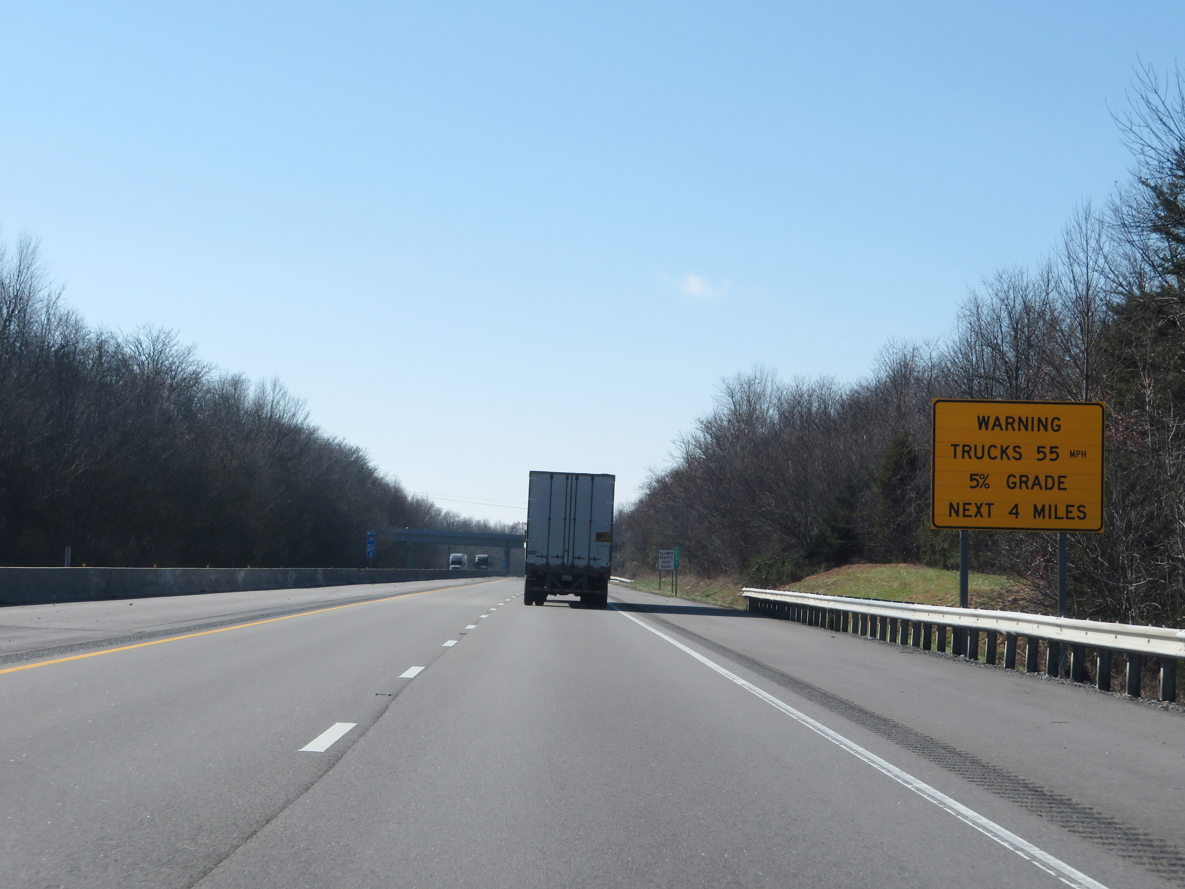 |
This warning sign at mile marker 297 gives a summary of the steepness and length of the downgrade ahead as Interstate 40 West descends the Cumberland Plateau. The grade will be 5% and last for the next 4 miles. (Photo taken 12/5/20). |
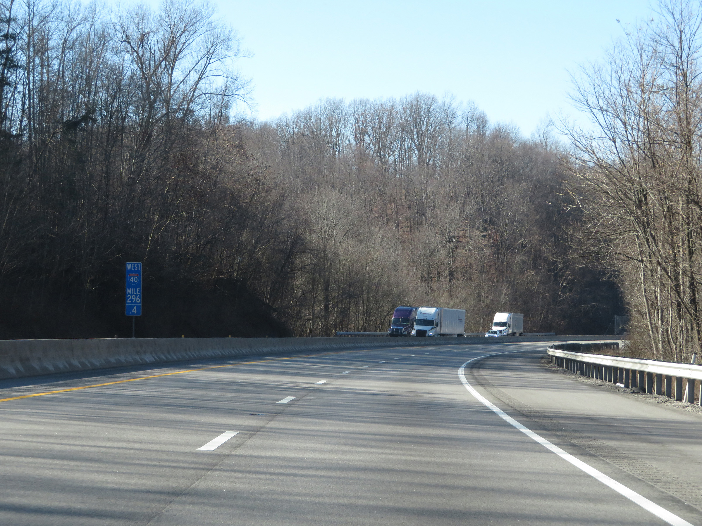 |
View on Interstate 40 West at mile marker 296.4, as it begins to descend the Cumberland Plateau. (Photo taken 12/5/20). |
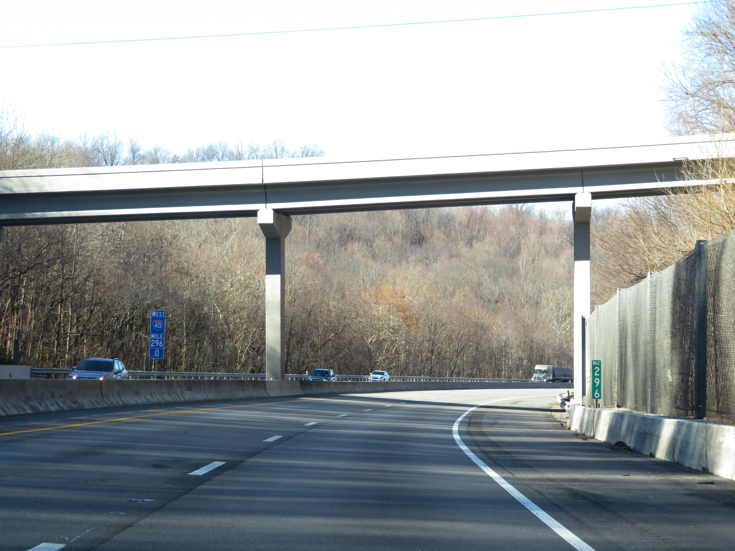 |
Interstate 40 West at mile marker 296. (Photo taken 12/5/20). |
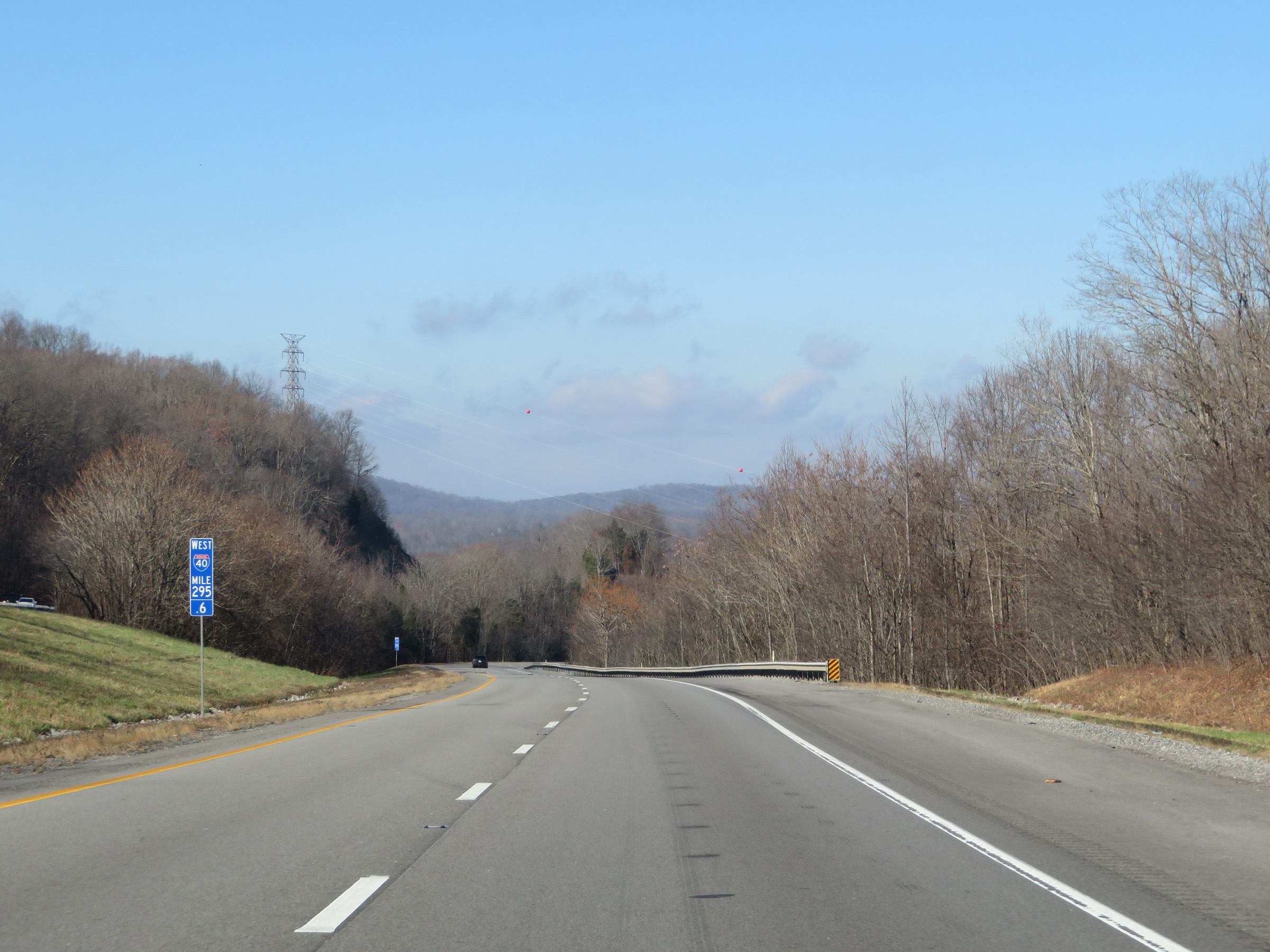 |
Mile marker 295.6 on Interstate 40 West in Putnam County, as it continues down the 5% grade. (Photo taken 12/5/20). |
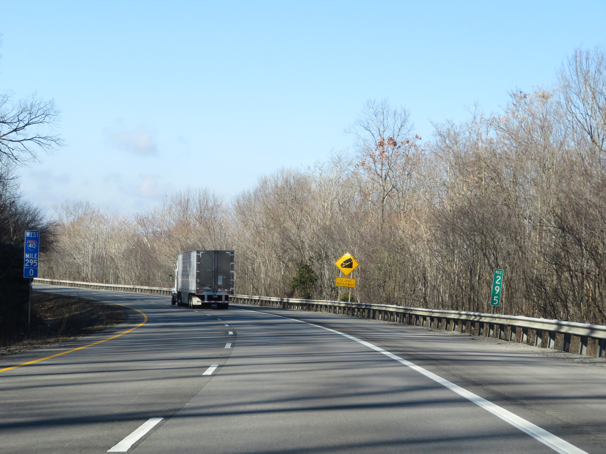 |
View on Interstate 40 West at mile marker 295. (Photo taken 12/5/20). |
 |
As this warning sign just past mile marker 295 reads, the 5% grade continues for 2.5 more miles. In other words, we're almost halfway down the Cumberland Plateau. (Photo taken 12/5/20). |
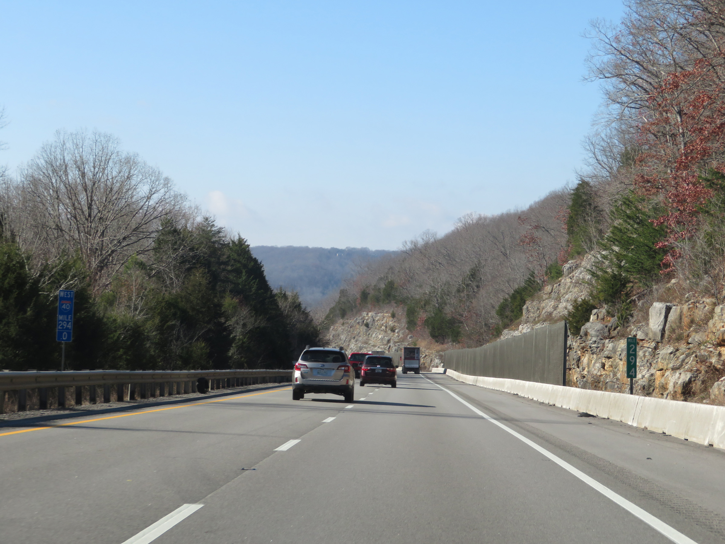 |
Interstate 40 West at mile marker 294. (Photo taken 12/5/20). |
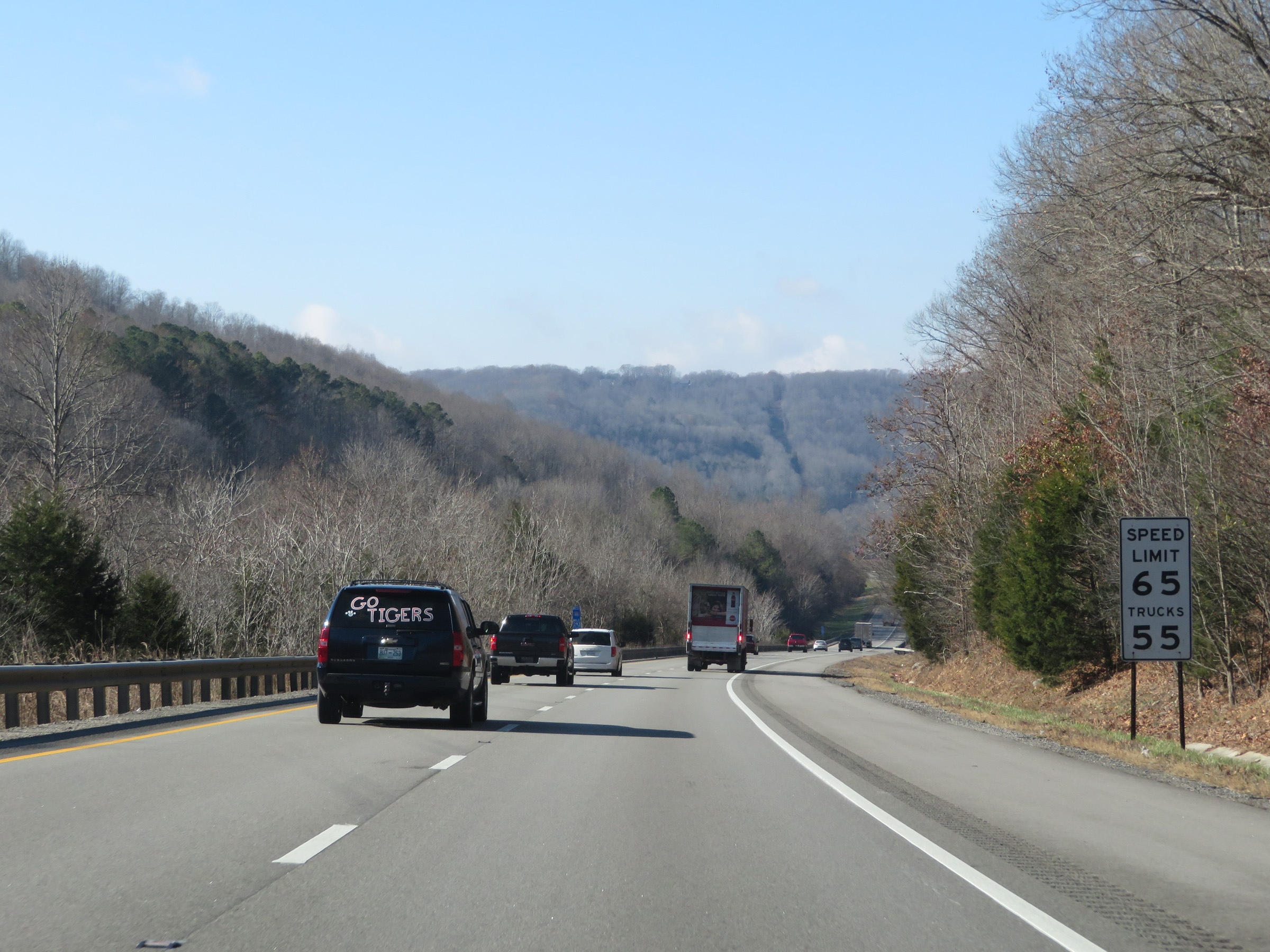 |
The speed limits going down the 5% grade off the Cumberland Plateau remain 65 mph for automobiles and 55 mph for trucks. (Photo taken 12/5/20). |
 |
View on Interstate 40 West at mile marker 292.6, as it nears the bottom of the long grade. (Photo taken 12/5/20). |
 |
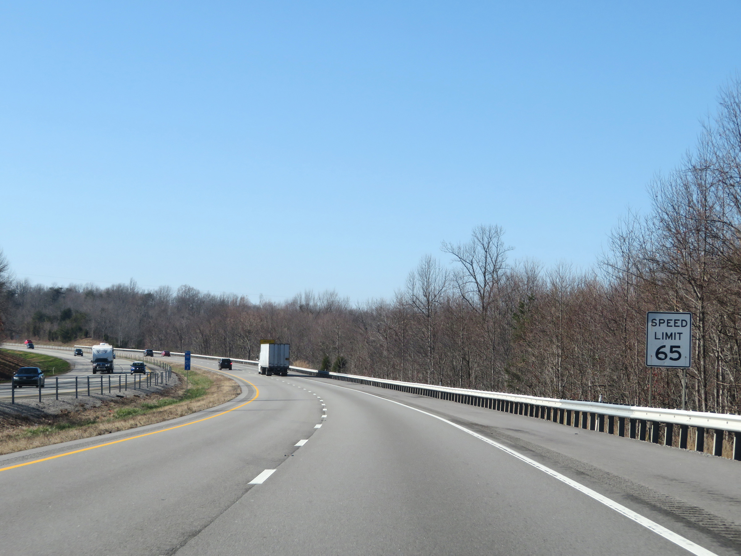
As Interstate 40 West reaches the bottom of the grade coming off the Cumberland Plateau, the speed limit increases to 70 mph for all traffic once again. (Photo taken 12/5/20). |
 |
Interstate 40 West at mile marker 292. (Photo taken 12/5/20). |
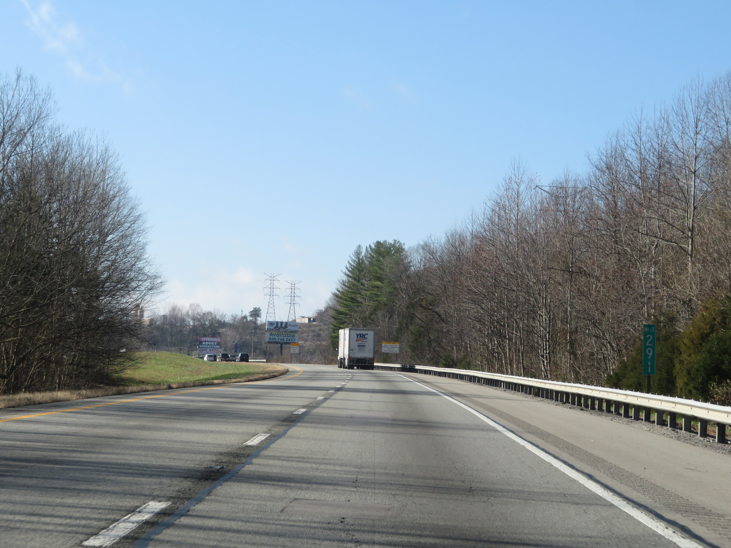 |
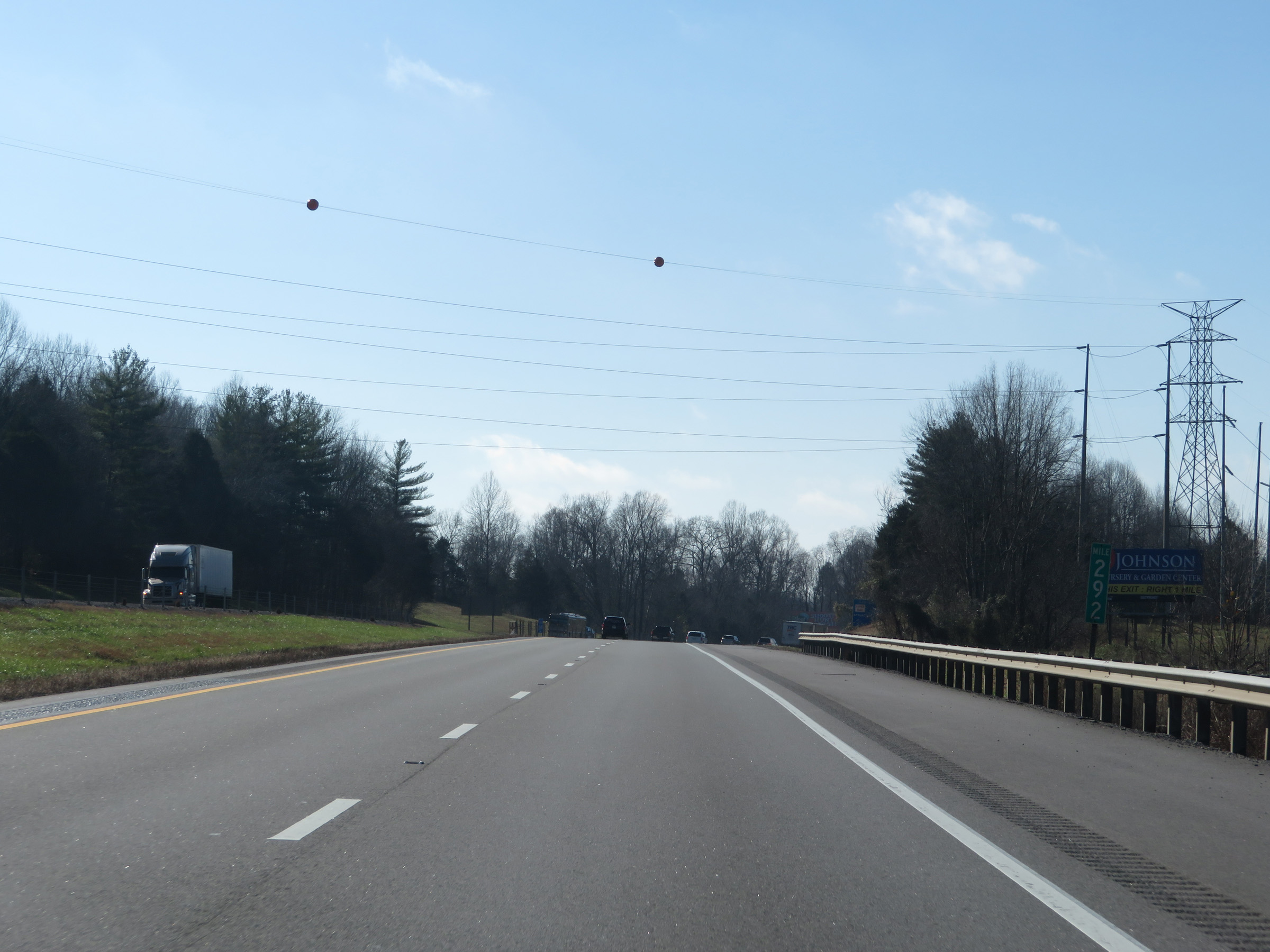
Mile marker 291 on Interstate 40 West in Putnam County. (Photo taken 12/5/20). |
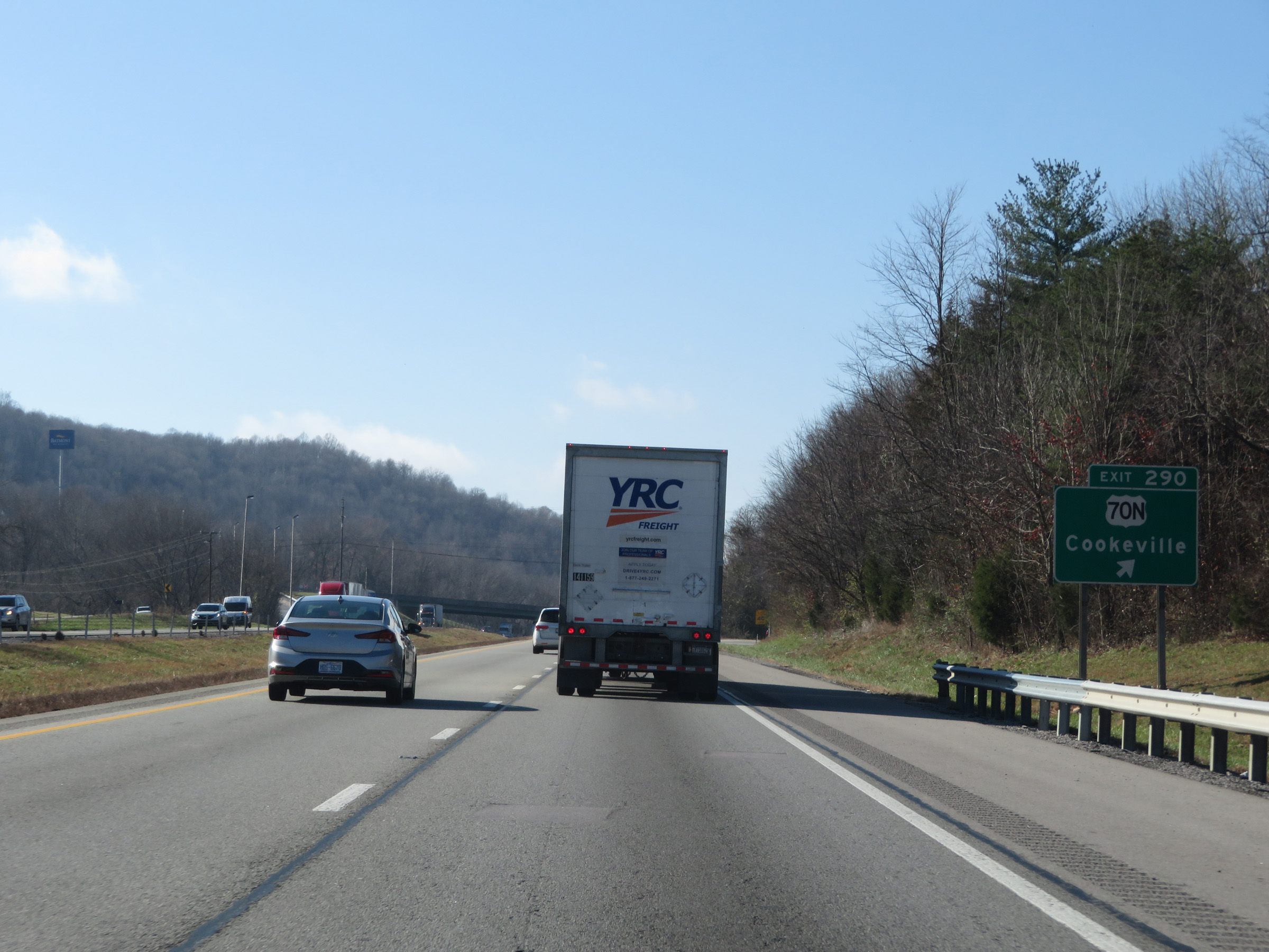 |
Interstate 40 West at Exit 290: US 70N - Cookeville (Photo taken 12/5/20). |
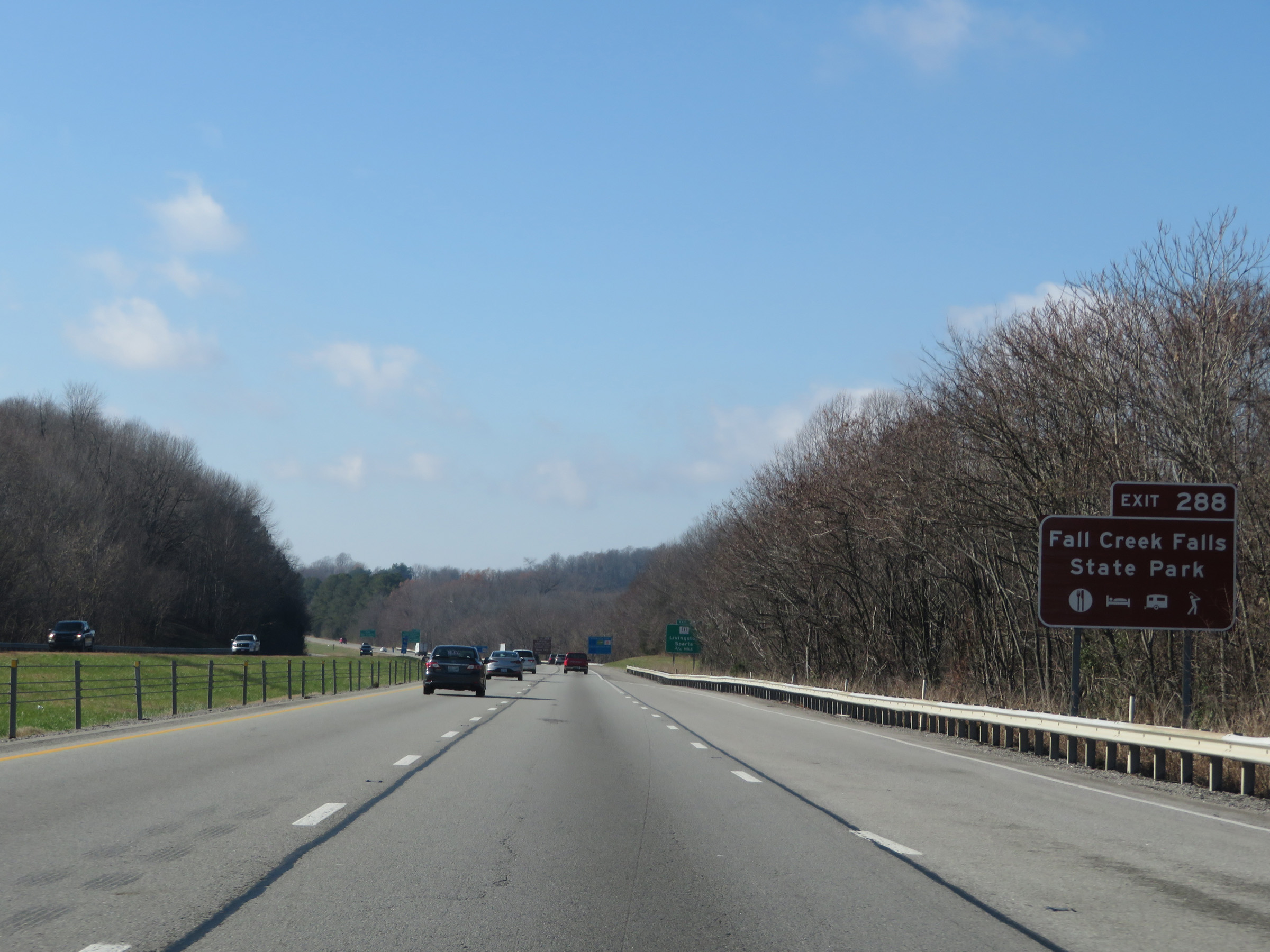 |
Take Exit 288 to Fall Creek Falls State Park. (Photo taken 12/5/20). |
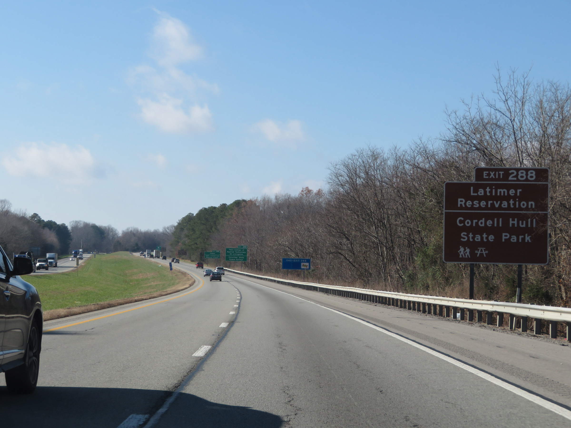 |
Also take Exit 288 to the Latimer Reservation and Cordell Hull State Park. (Photo taken 12/5/20). |
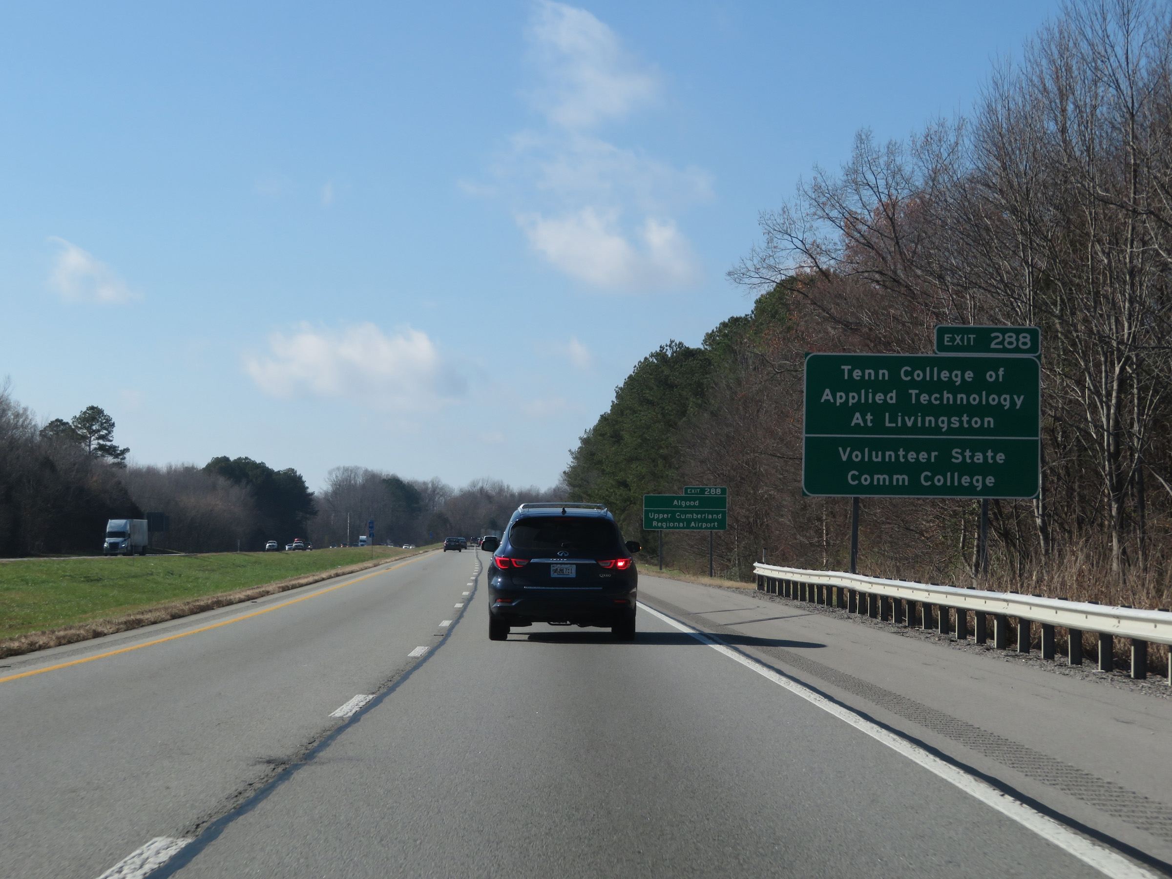 |
Take Exit 288 to Tennessee College of Applied Technology at Livingston and Volunteer State Community College as well. (Photo taken 12/5/20). |
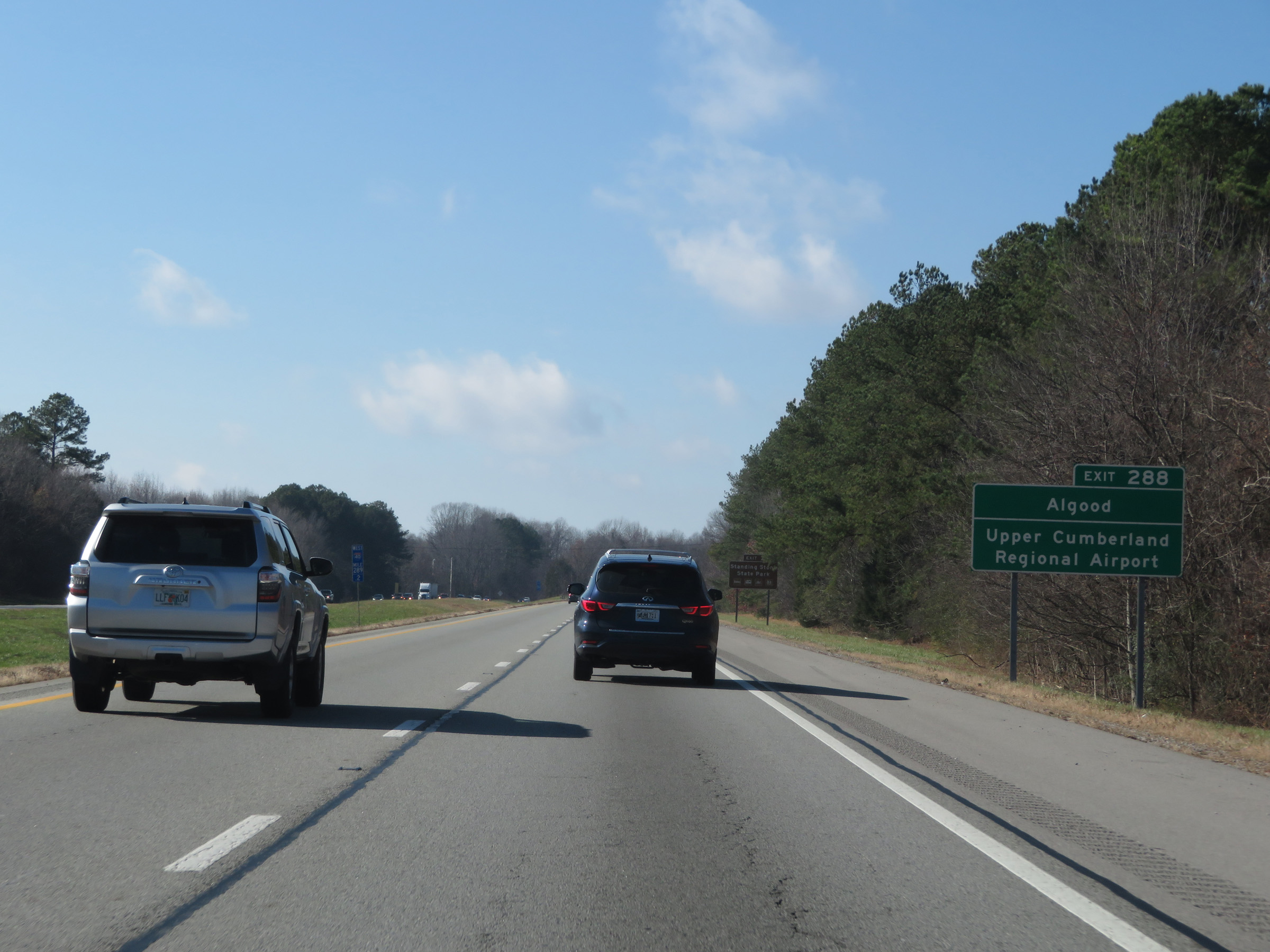 |
Take Exit 288 to Algood and Upper Cumberland Regional Airport. (Photo taken 12/5/20). |
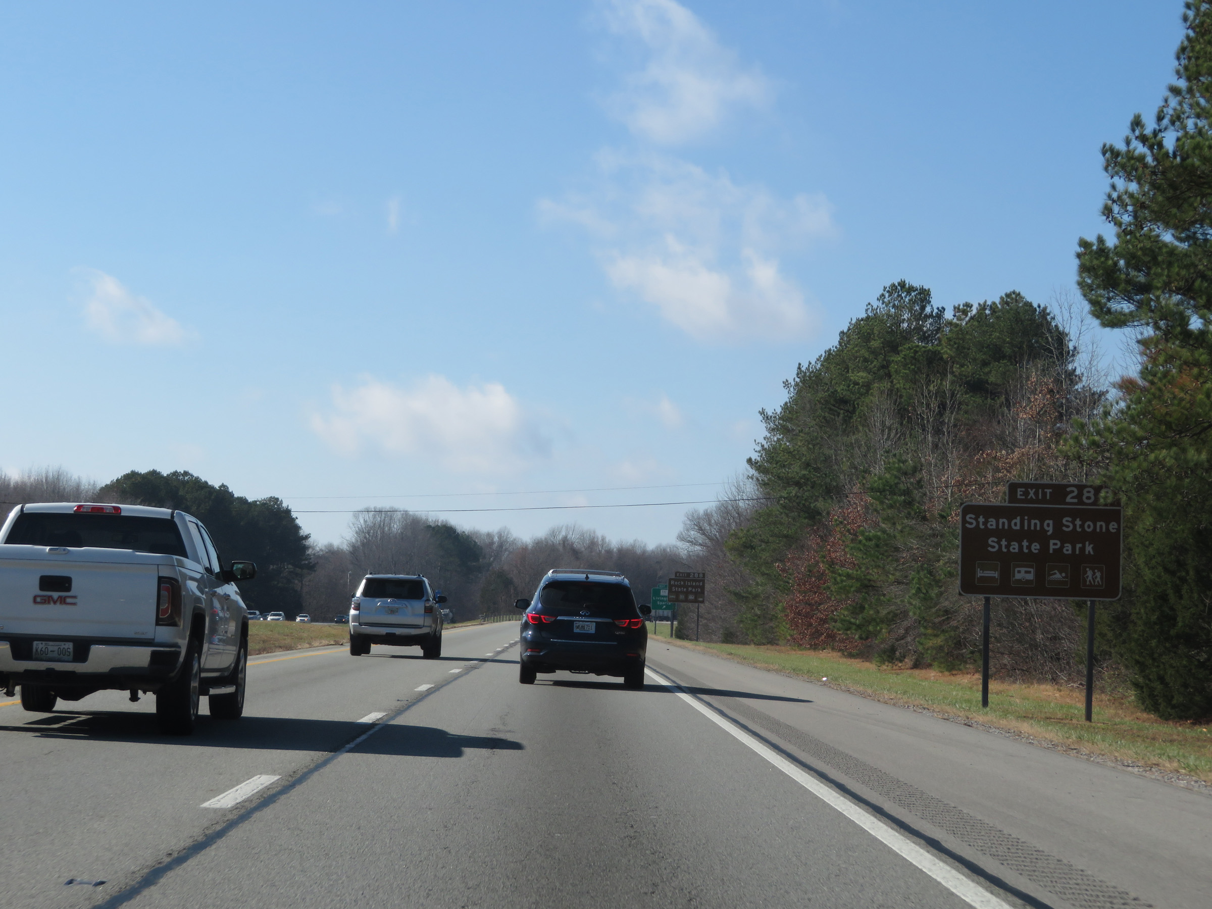 |
Access Standing Stone State Park via Exit 288. (Photo taken 12/5/20). |
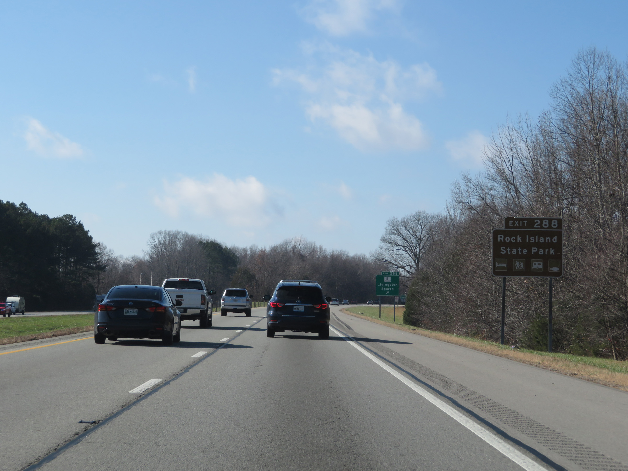 |
Also take Exit 288 to Rock Island State Park. (Photo taken 12/5/20). |
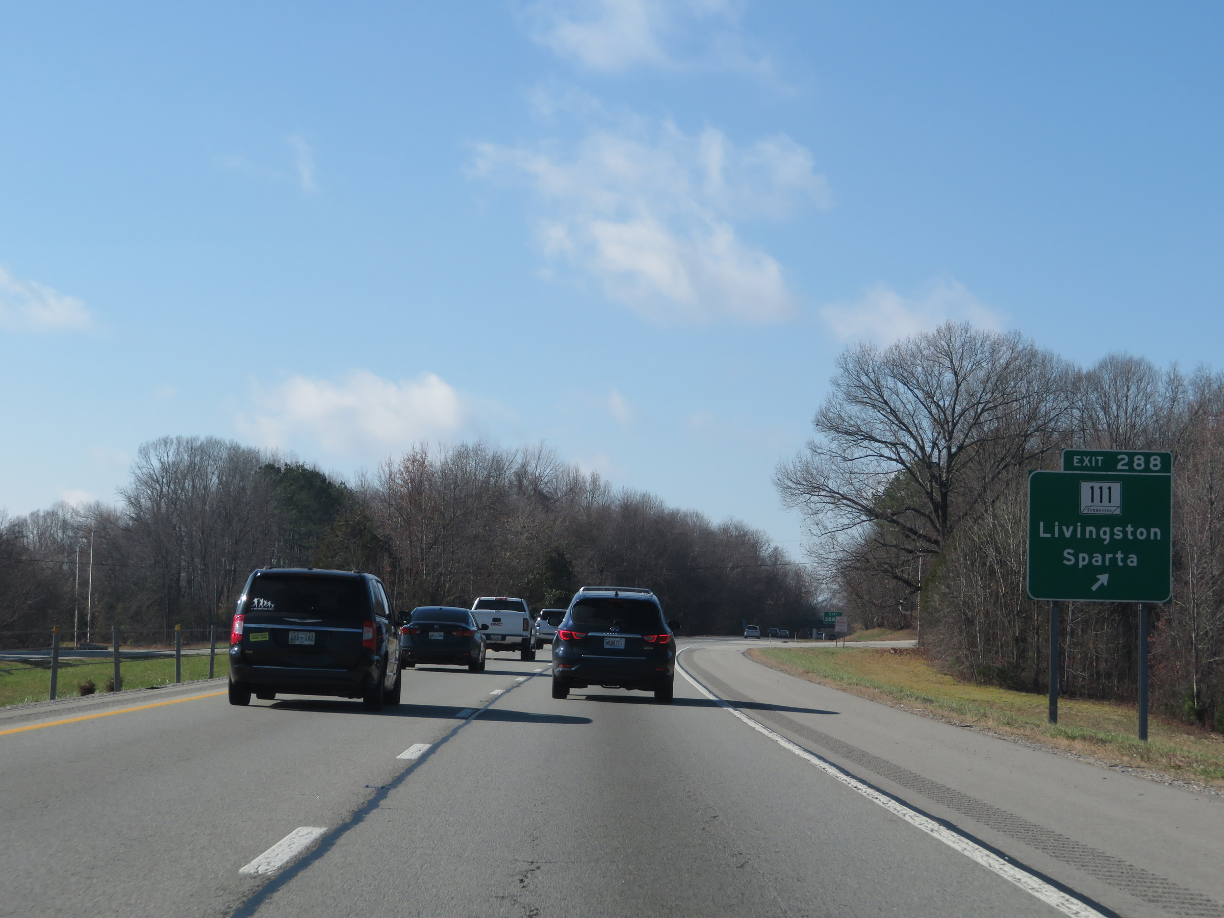 |
Interstate 40 West at Exit 288: TN 111 - Livingston / Sparta (Photo taken 12/5/20). |
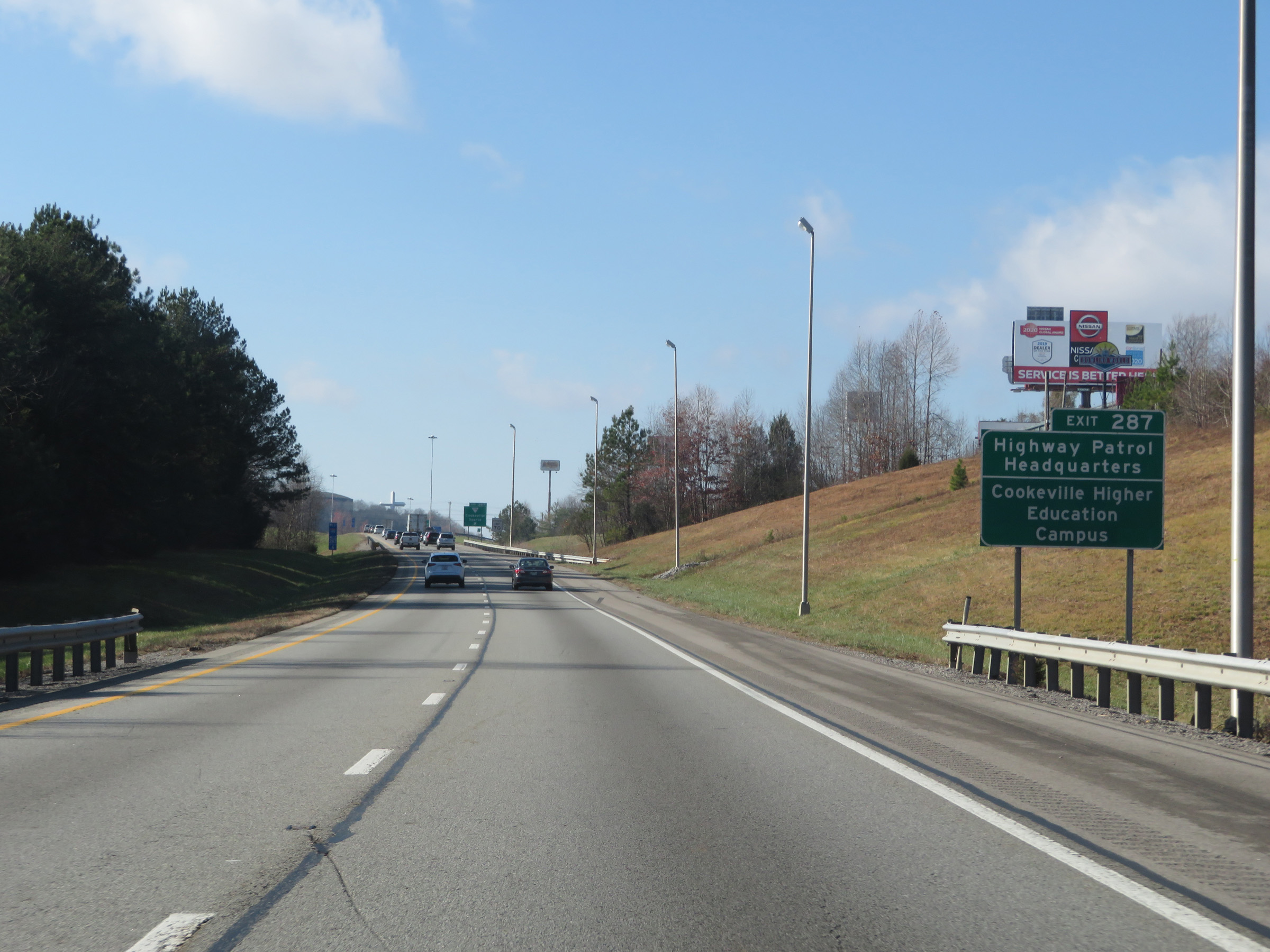 |
Take Exit 287 to the local Highway Patrol Headquarters and Cookeville Higher Education Campus. (Photo taken 12/5/20). |
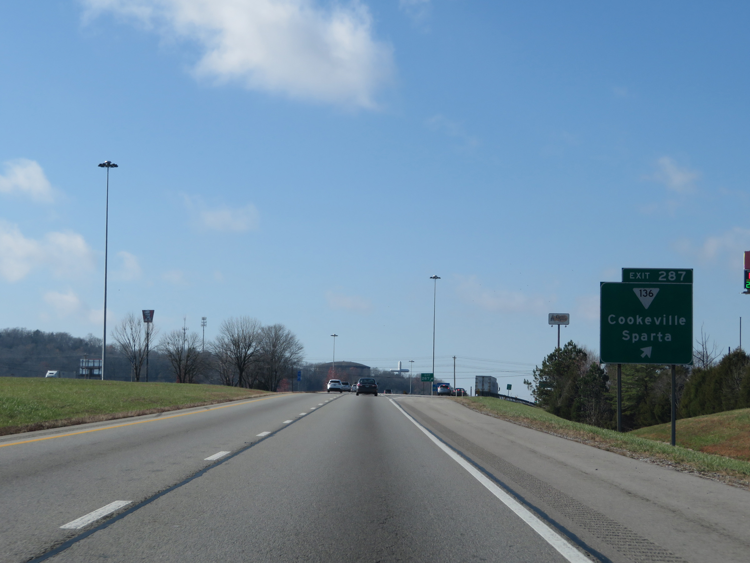 |
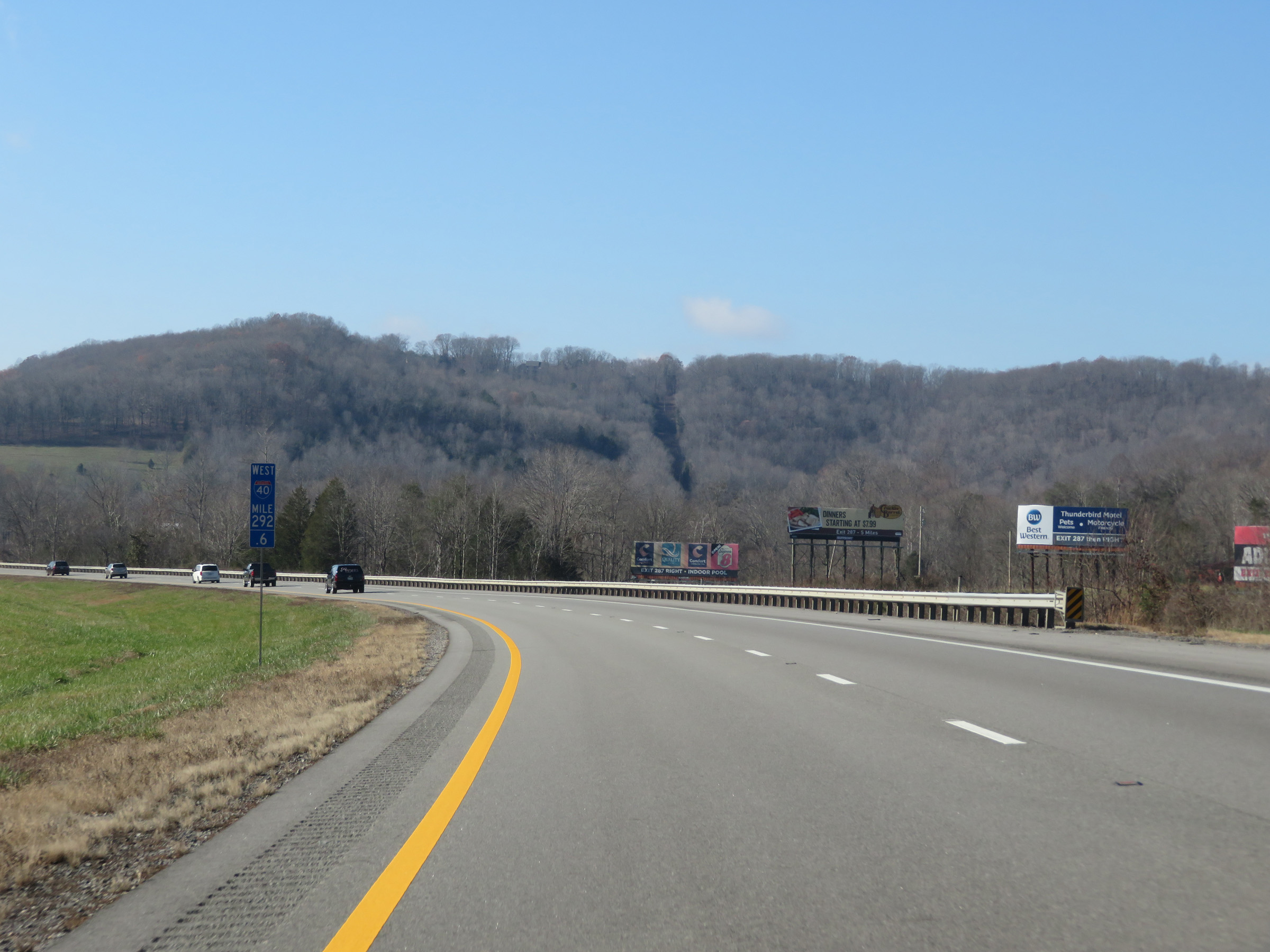
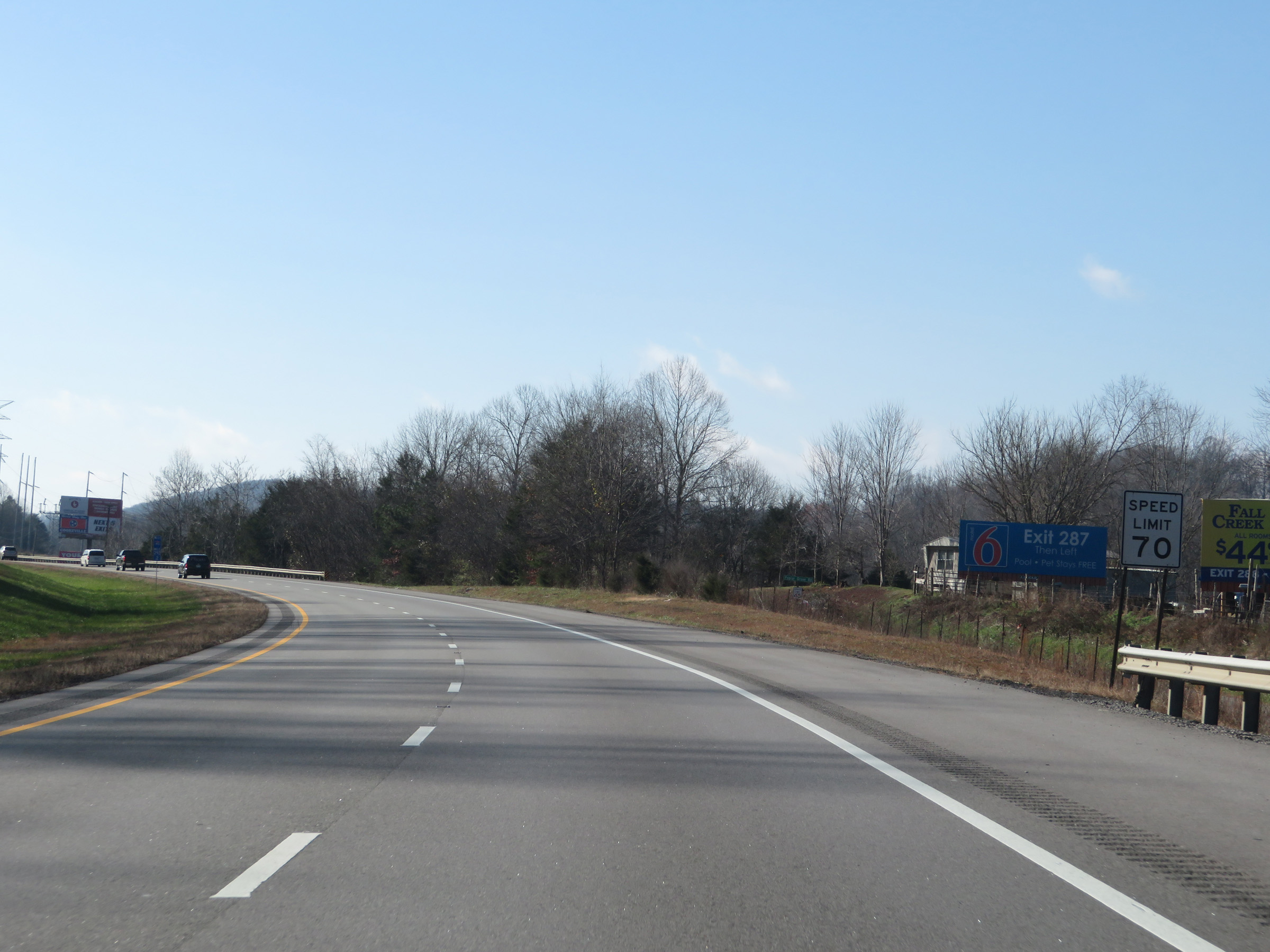
Interstate 40 West at Exit 287: SR 136 - Cookeville / Sparta (Photo taken 12/5/20). |
Section 5: Cookeville (Exit 287) to Mount Juliet (Exit 226)
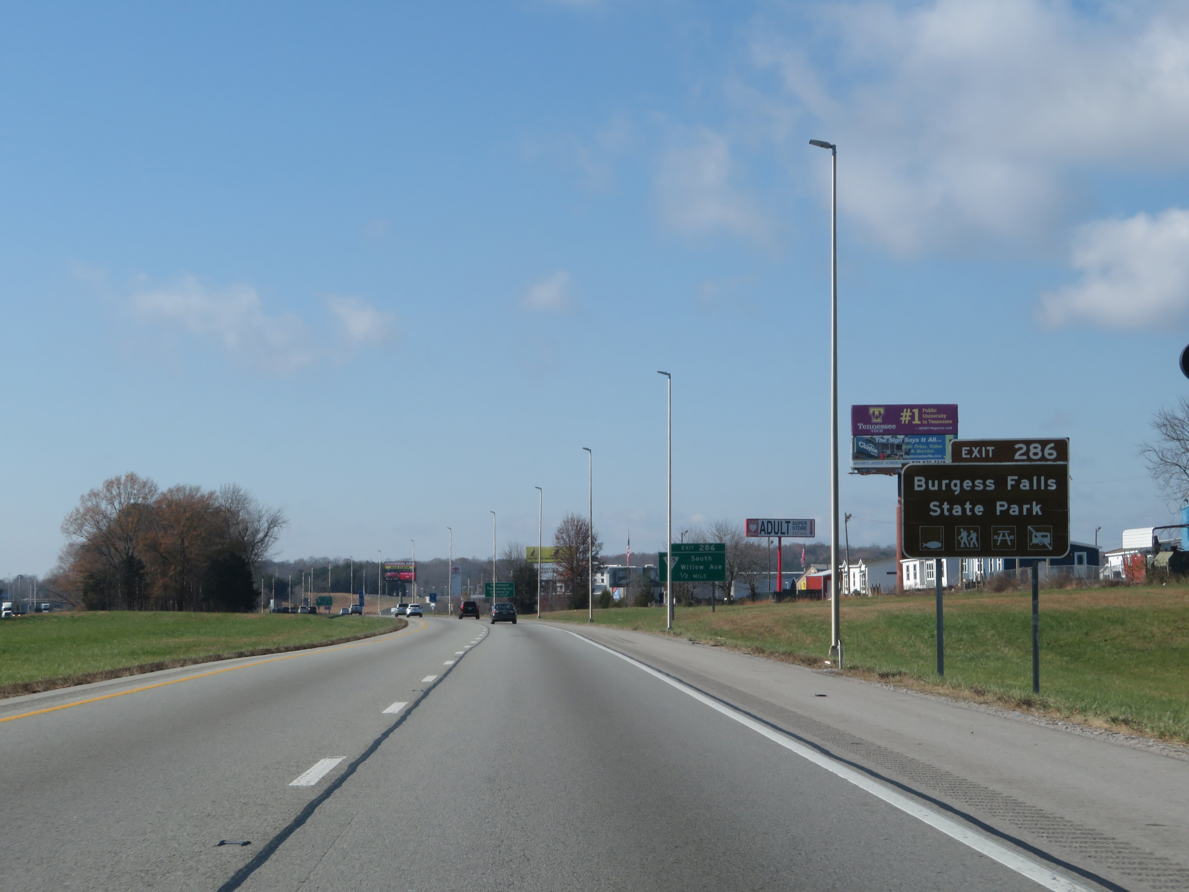 |
Take Exit 286 to Burgess Falls State Park. (Photo taken 12/5/20). |
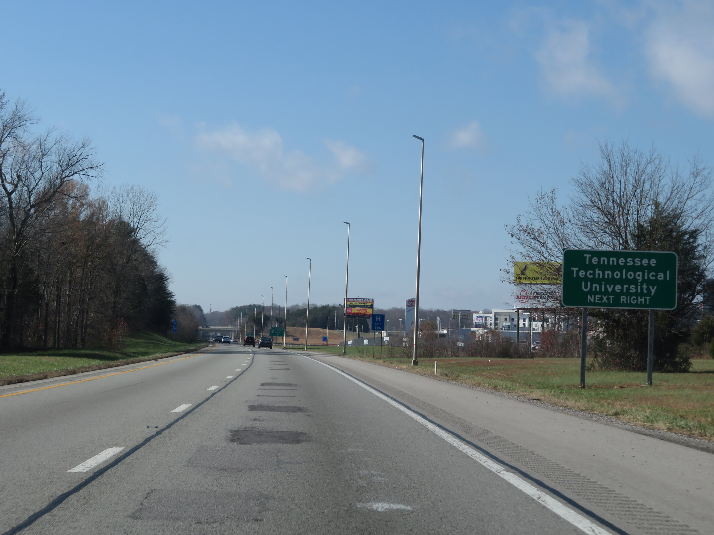 |
Also take Exit 286 to Tennessee Technological University. (Photo taken 12/5/20). |
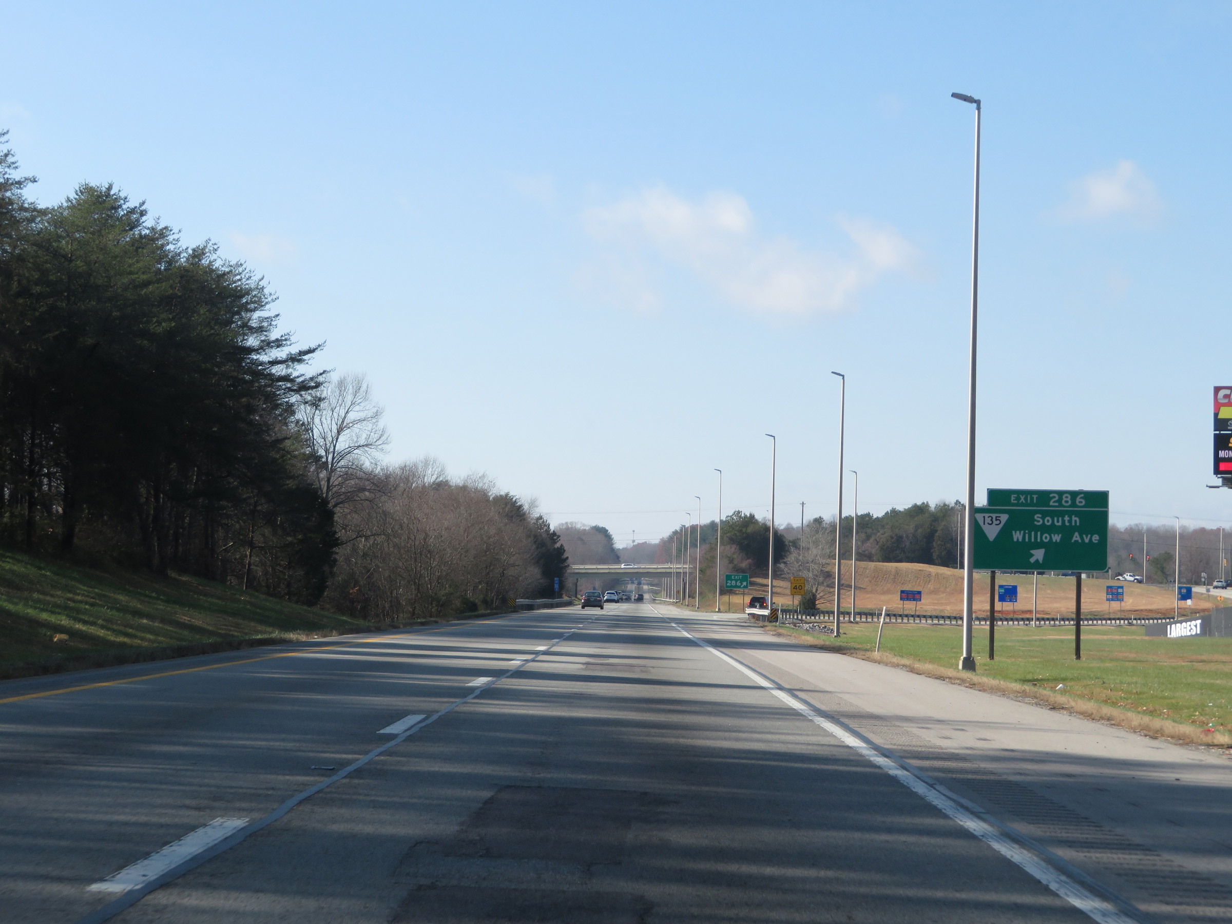 |
Interstate 40 West at Exit 286: SR 135 - South Willow Ave (Photo taken 12/5/20). |
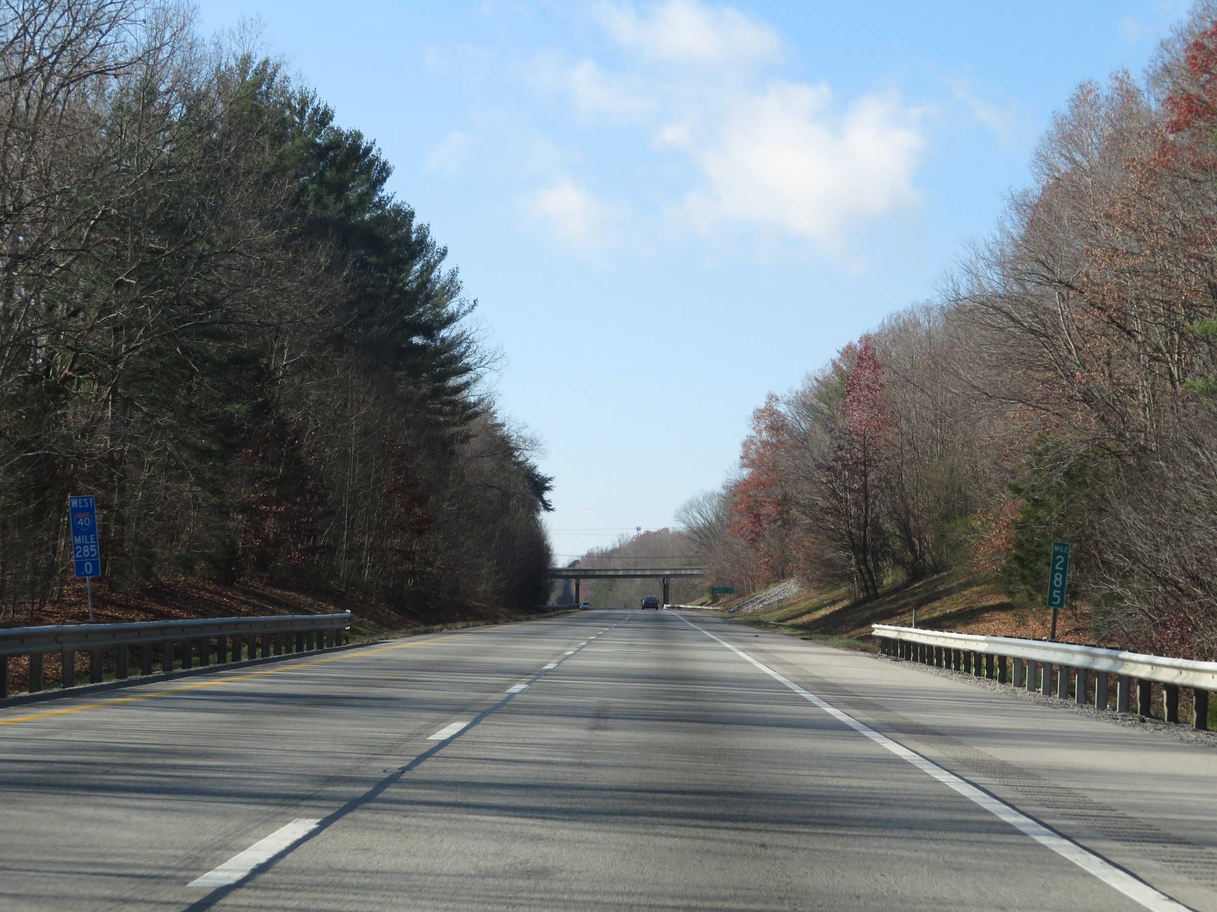 |
View on Interstate 40 West at mile marker 285. (Photo taken 12/5/20). |
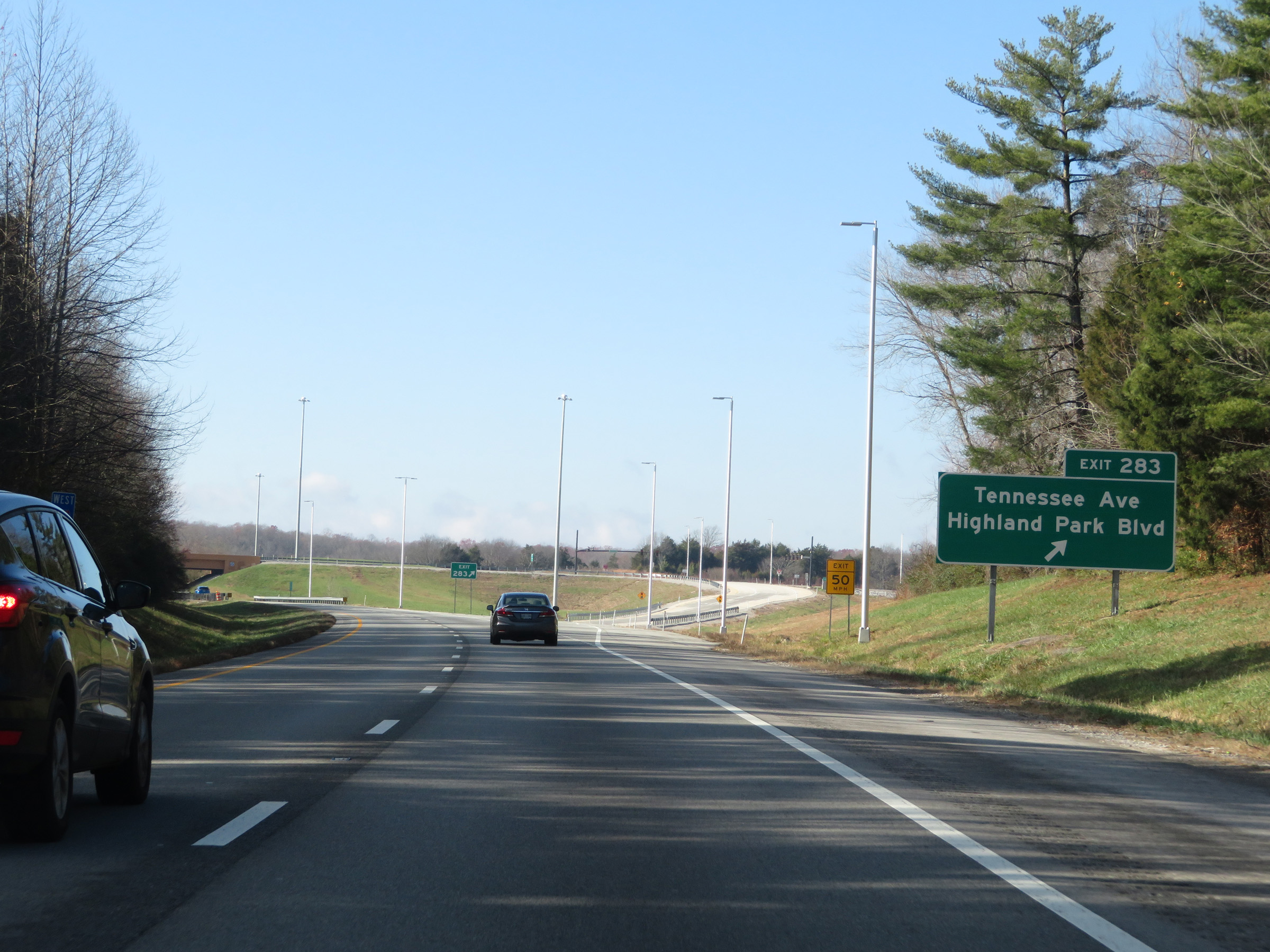 |
Interstate 40 West at Exit 283: Tennessee Ave / Highland Park Blvd (Photo taken 12/5/20). |
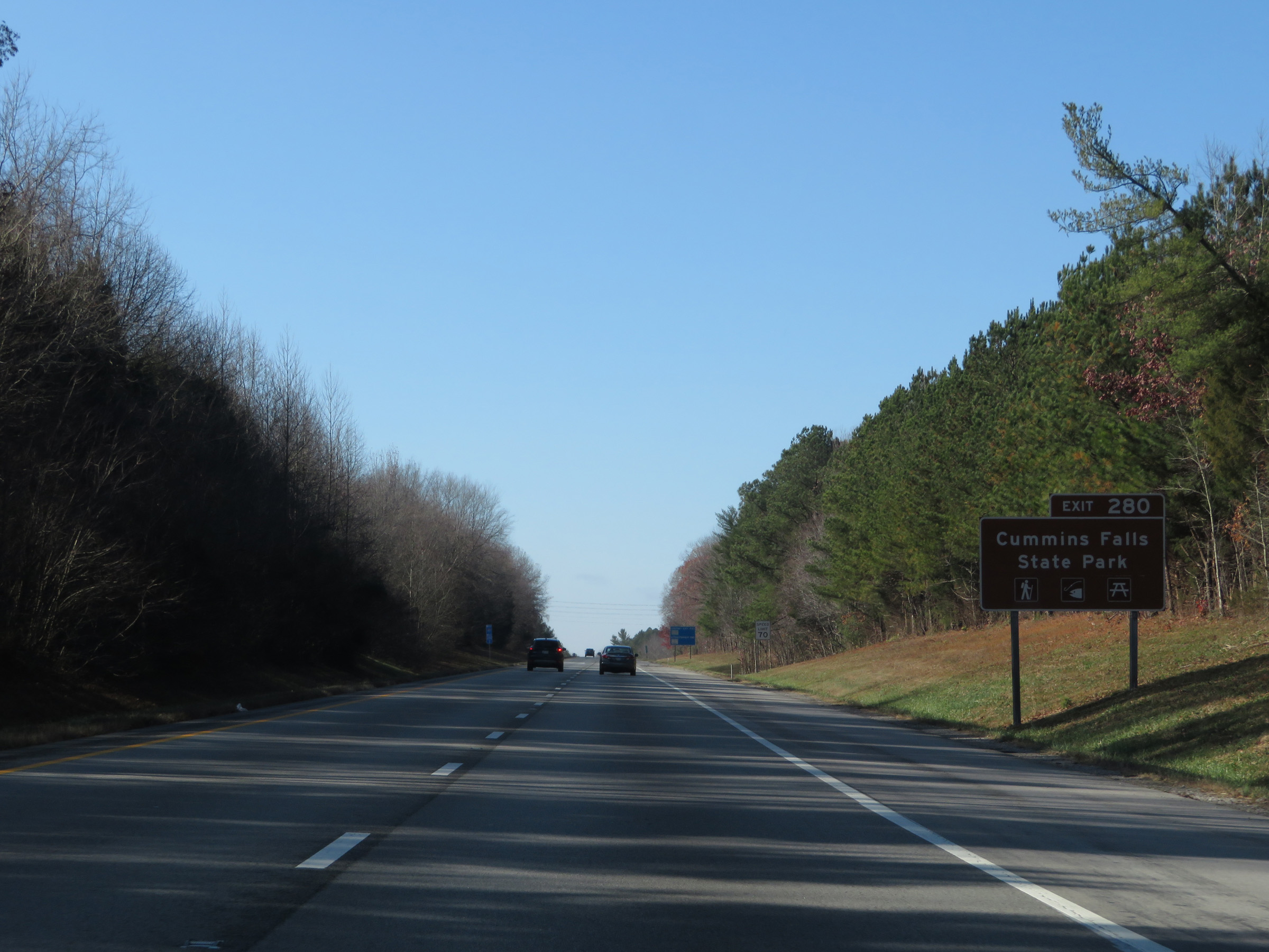 |
Take Exit 280 to Cummins Falls State Park. (Photo taken 12/5/20). |
 |
Interstate 40 West at mile marker 281. (Photo taken 12/5/20). |
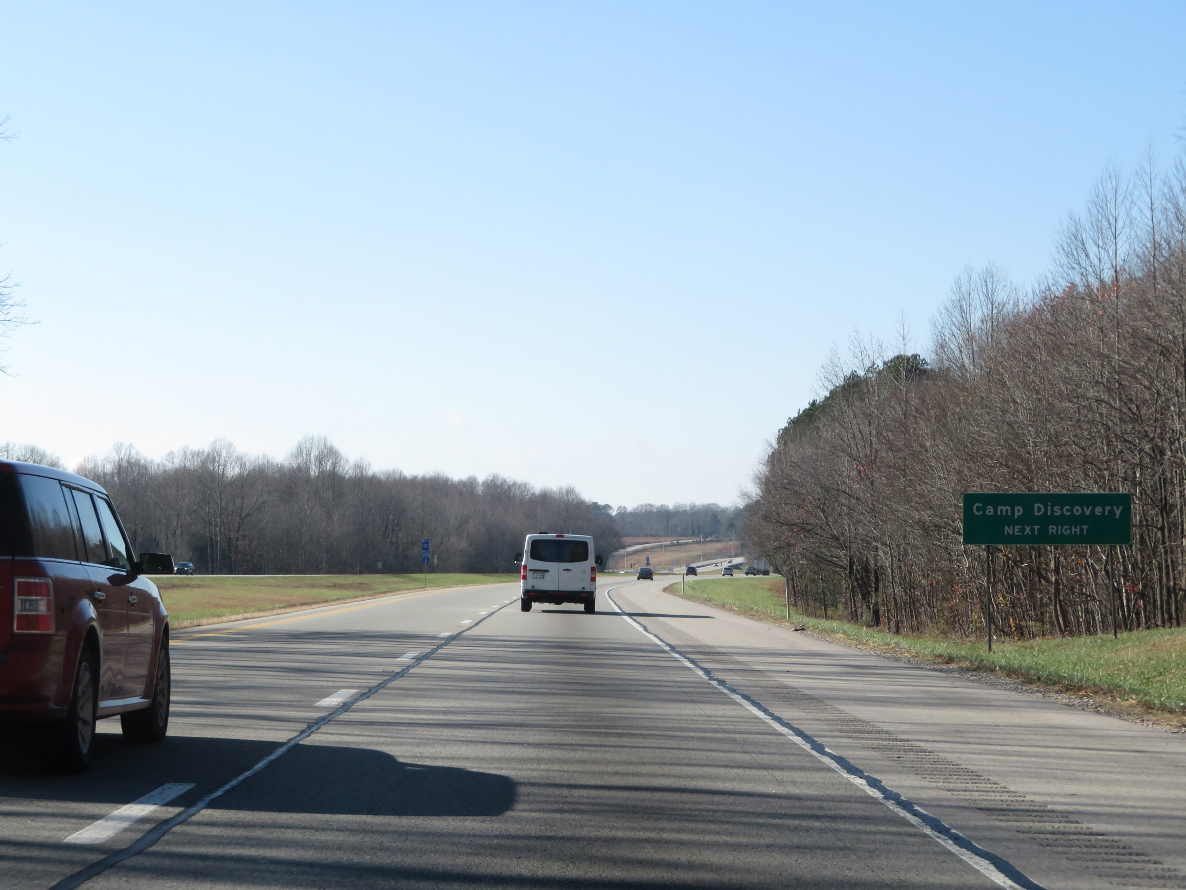 |
Also take Exit 280 to Camp Discovery. (Photo taken 12/5/20). |
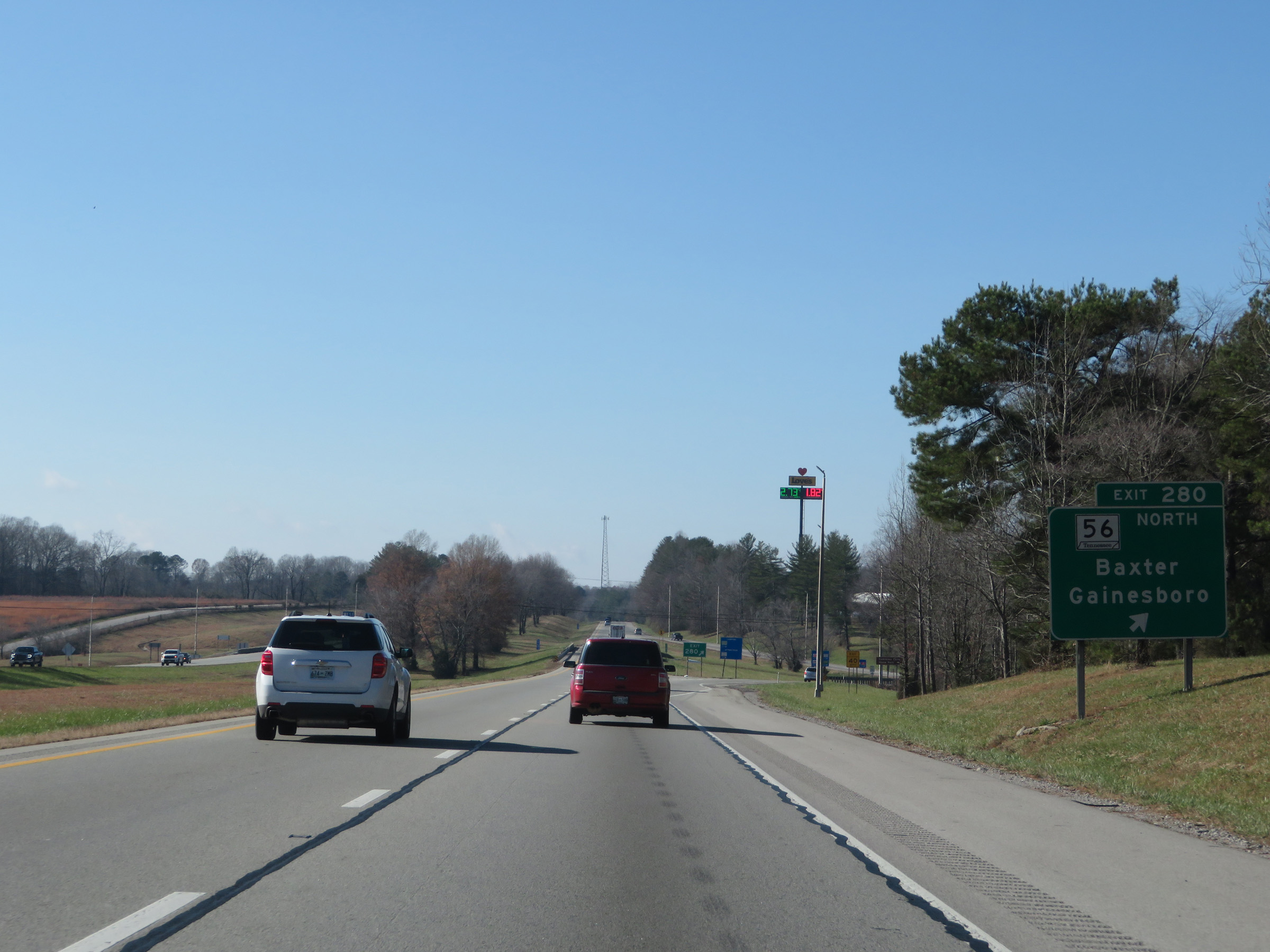 |
Interstate 40 West at Exit 280: TN 56 North - Baxter / Gainesboro (Photo taken 12/5/20). |
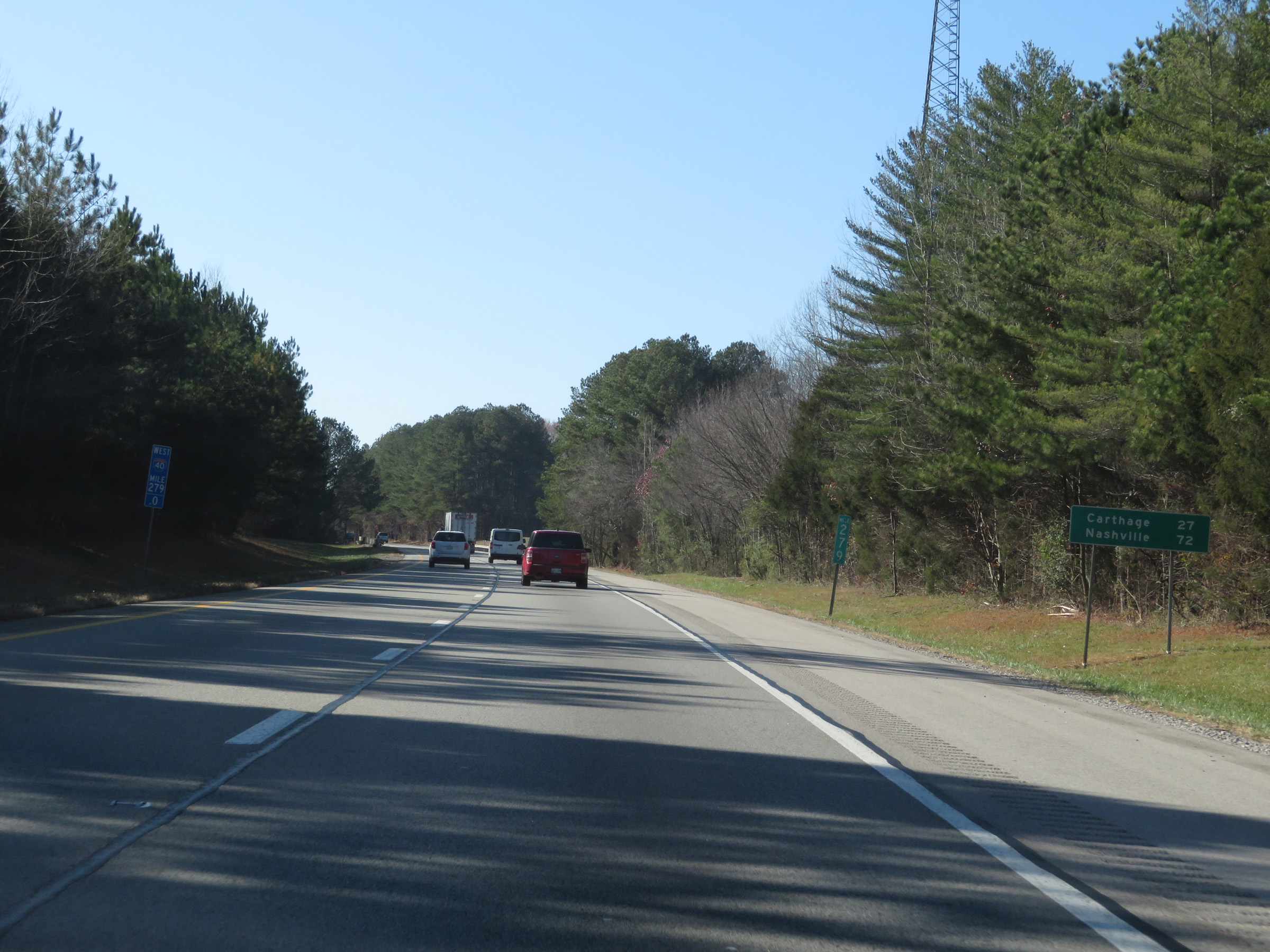 |
Mileage sign at mile marker 279. It's 27 miles to Carthage and 72 miles to Nashville. (Photo taken 12/5/20). |
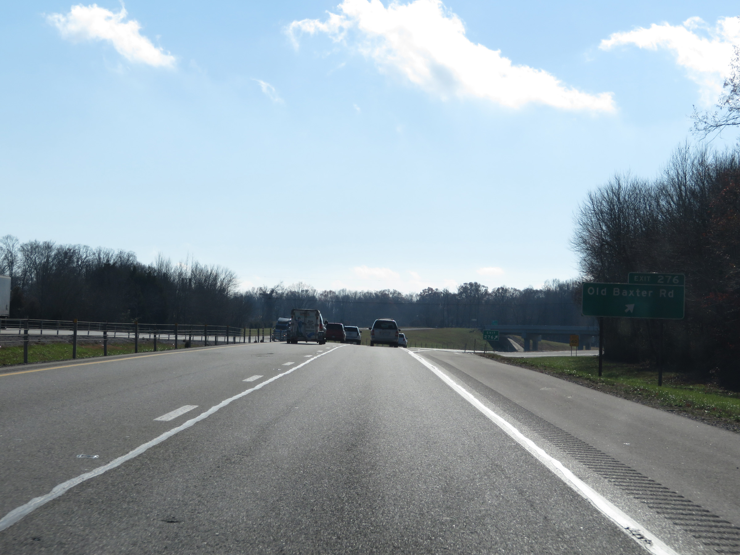 |
Interstate 40 West at Exit 276: Old Baxter Rd (Photo taken 12/5/20). |
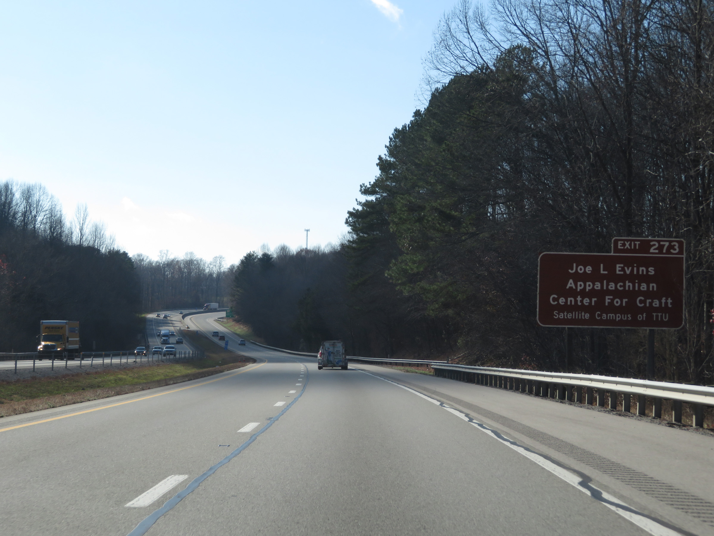 |
Take Exit 273 to Joe L. Lewis Appalachian Center For Craft. (Photo taken 12/5/20). |
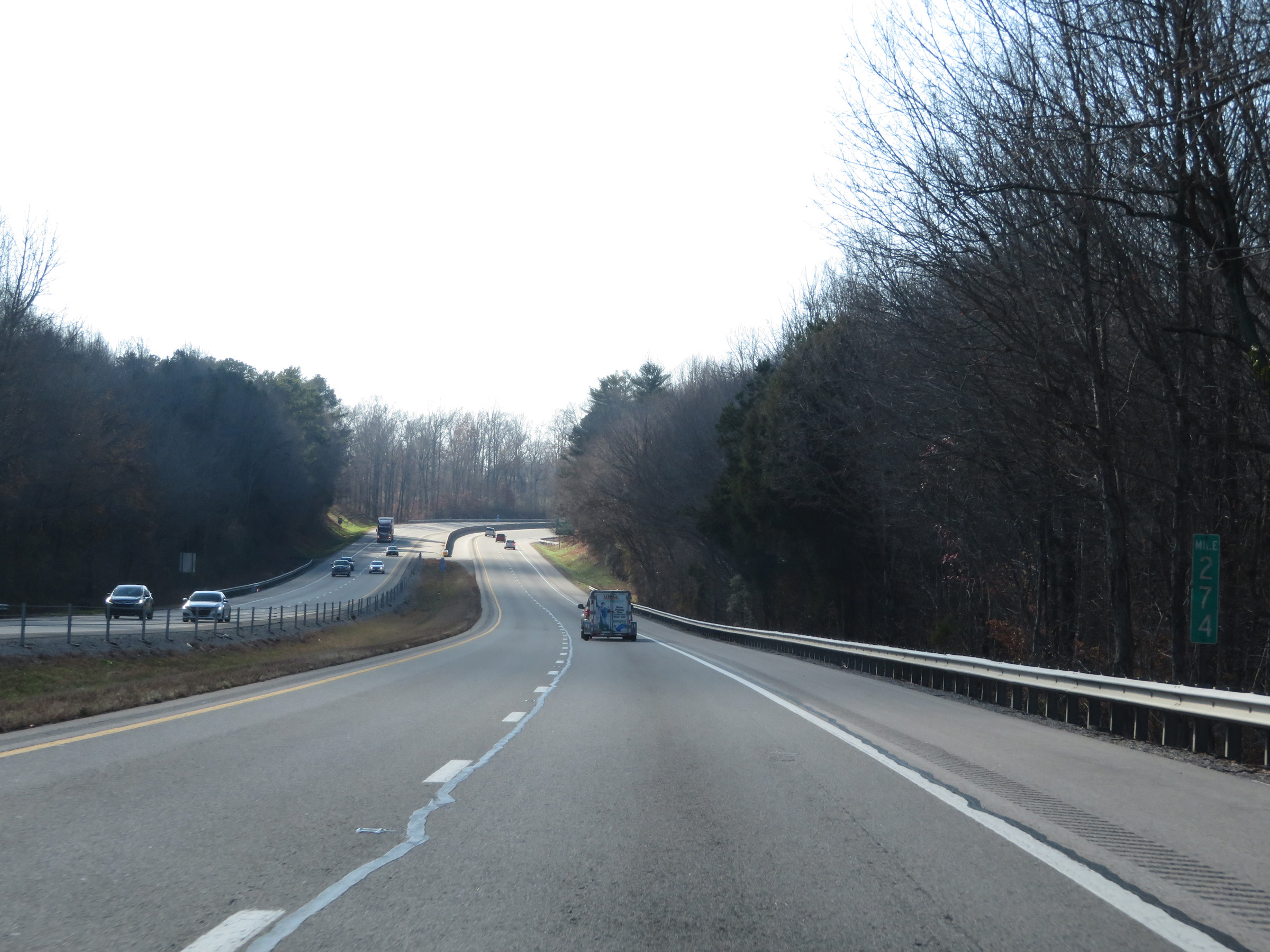 |
View on Interstate 40 West at mile marker 274. (Photo taken 12/5/20). |
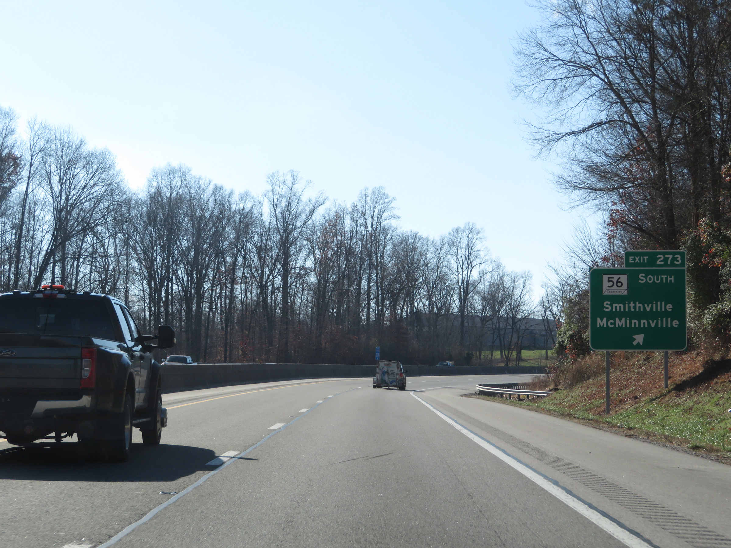 |
Interstate 40 West at Exit 273: TN 56 South - Smithville / McMinnville (Photo taken 12/5/20). |
 |
Interstate 40 West reassurance shield. (Photo taken 12/5/20). |
 |
The speed limit remains 70 mph for all traffic. (Photo taken 12/5/20). |
 |
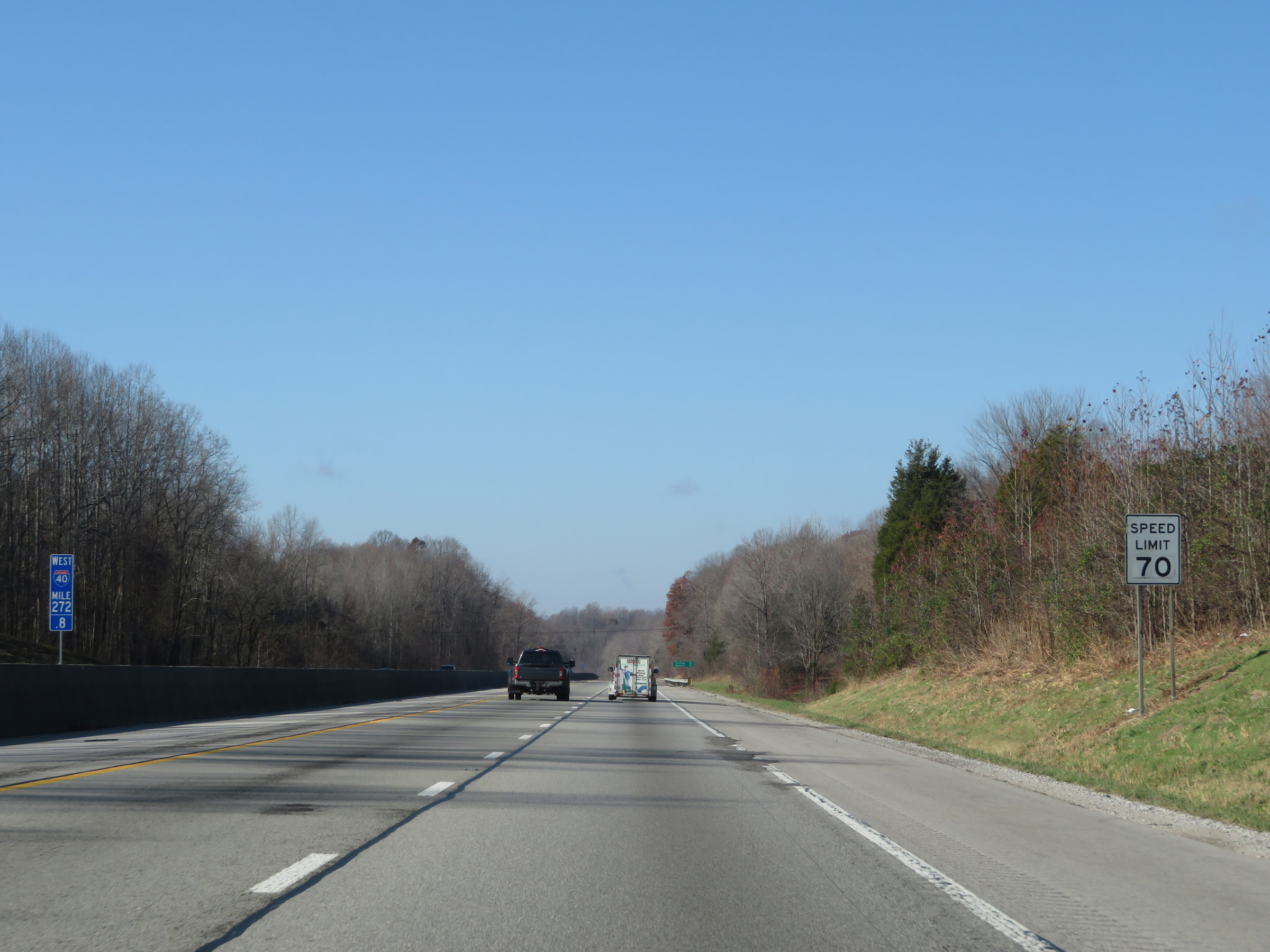
View on Interstate 40 West at mile marker 272. (Photo taken 12/5/20). |
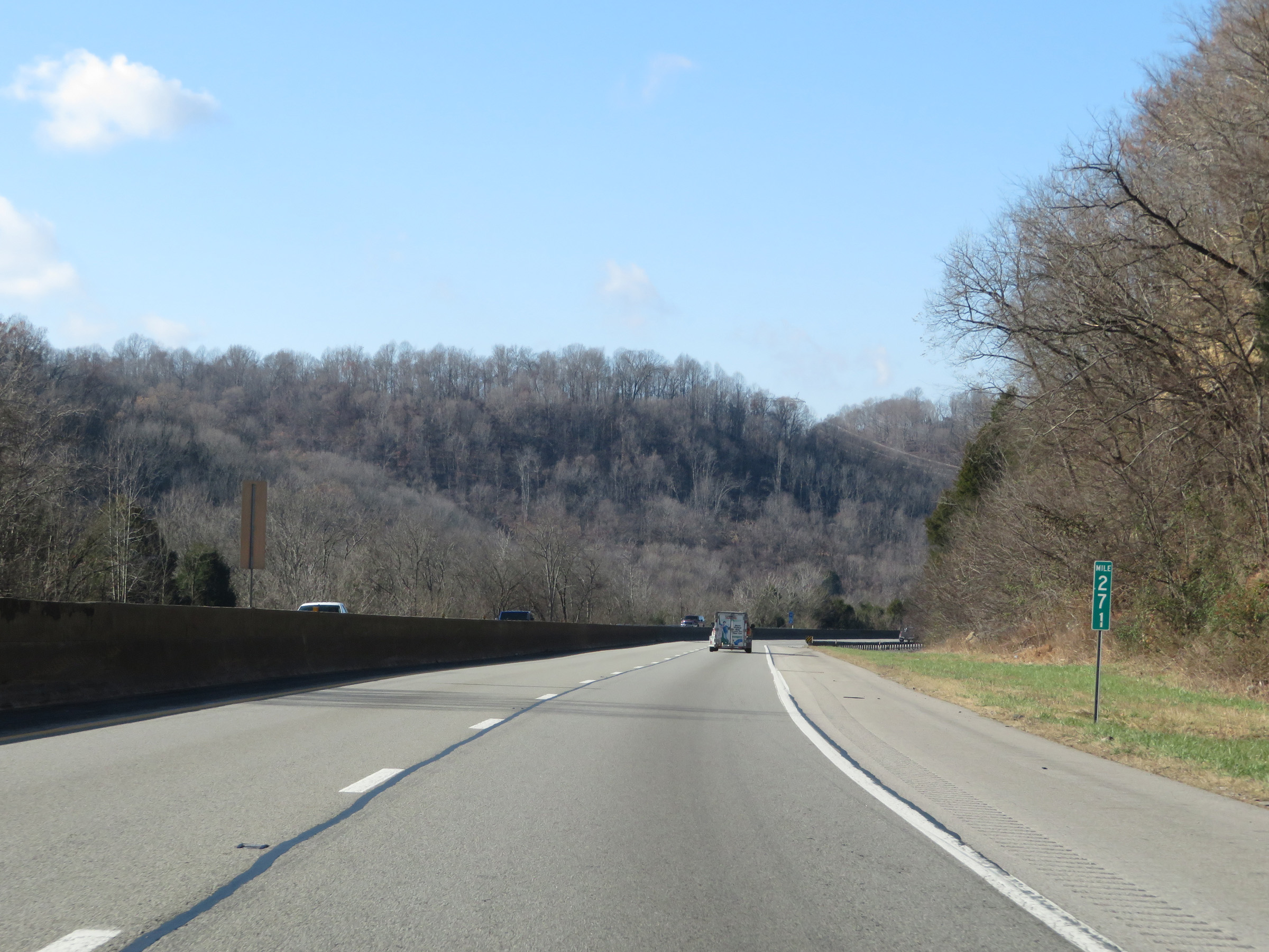 |
Interstate 40 West at mile marker 271. (Photo taken 12/5/20). |
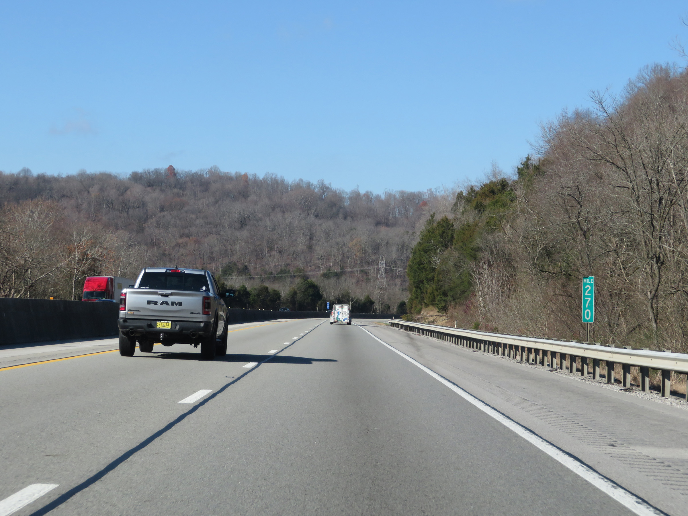 |
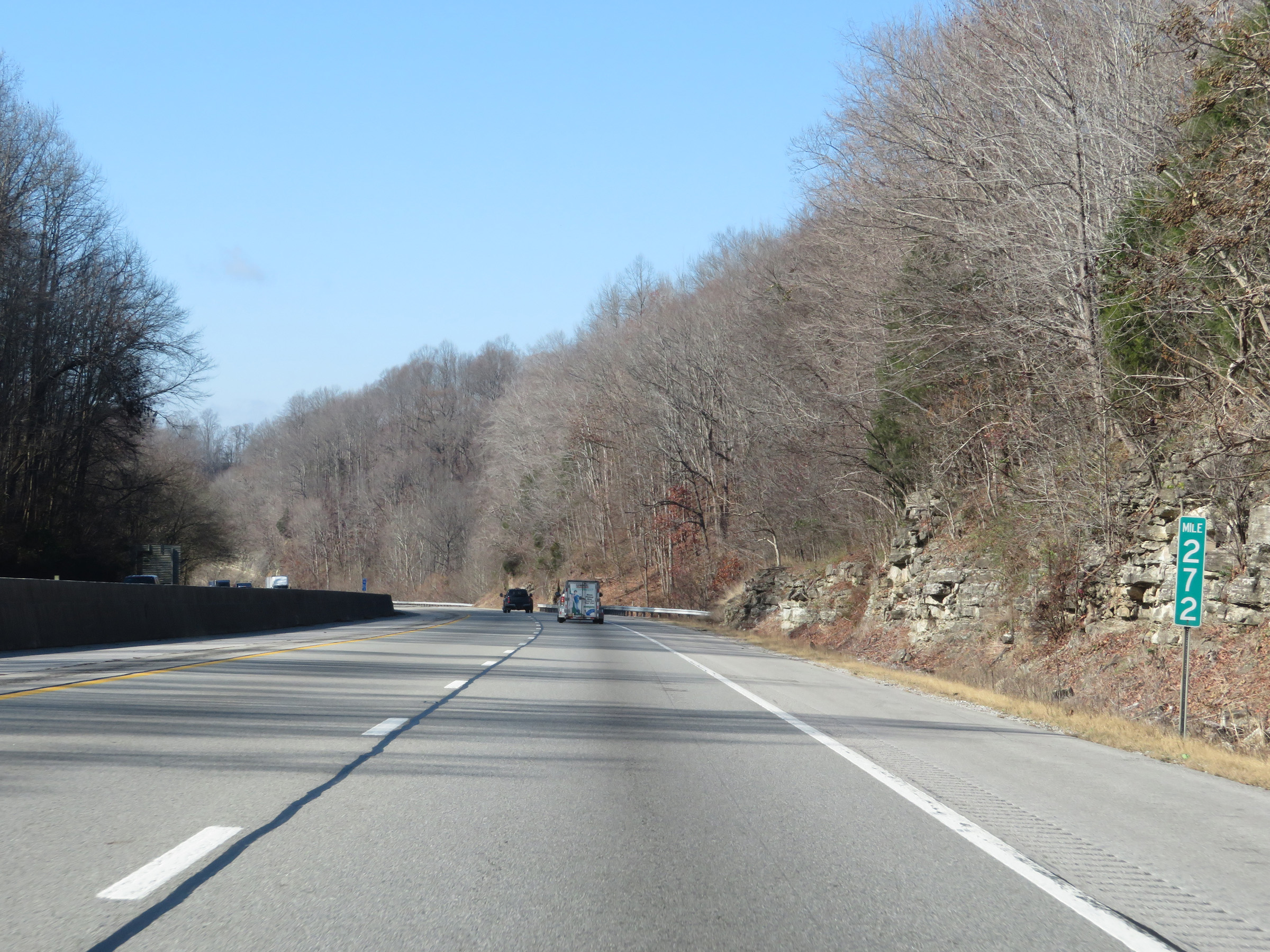
Mile marker 270 on Interstate 40 West in Putnam County. (Photo taken 12/5/20). |
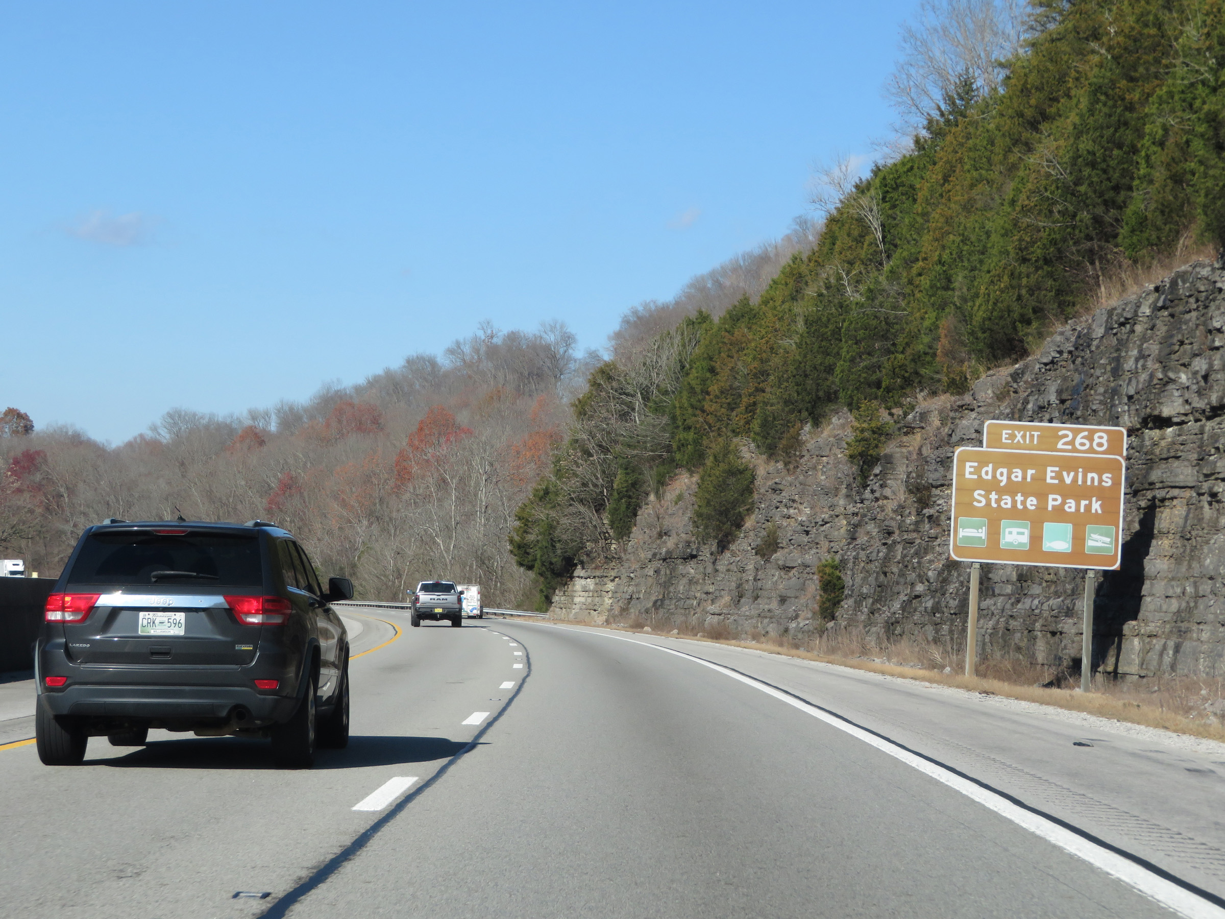 |
Take Exit 268 to Edgar Evins State Park. (Photo taken 12/5/20). |
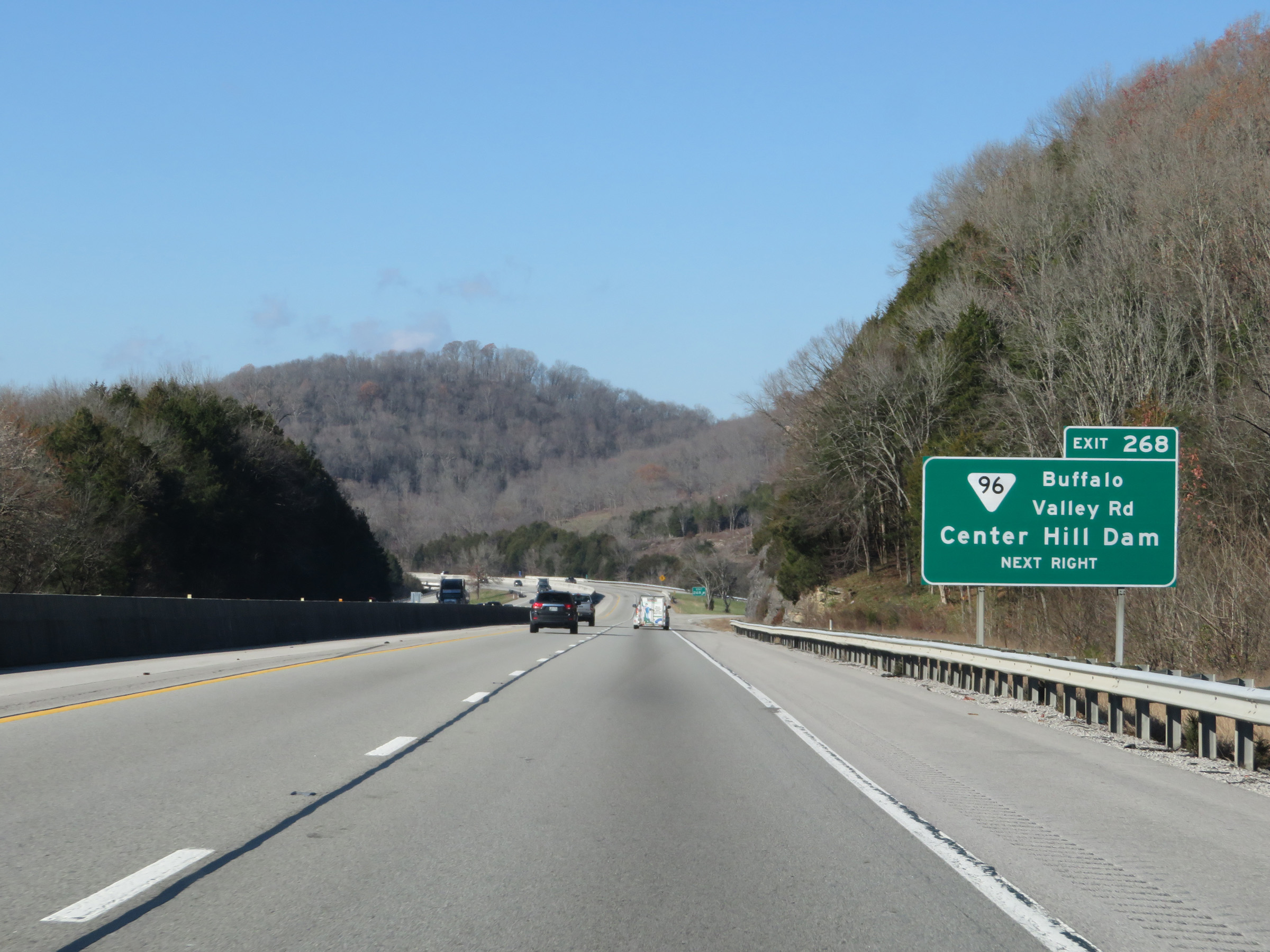 |
Interstate 40 West at Exit 268: SR 96 - Buffalo Valley Rd / Center Hill Dam (Photo taken 12/5/20). |
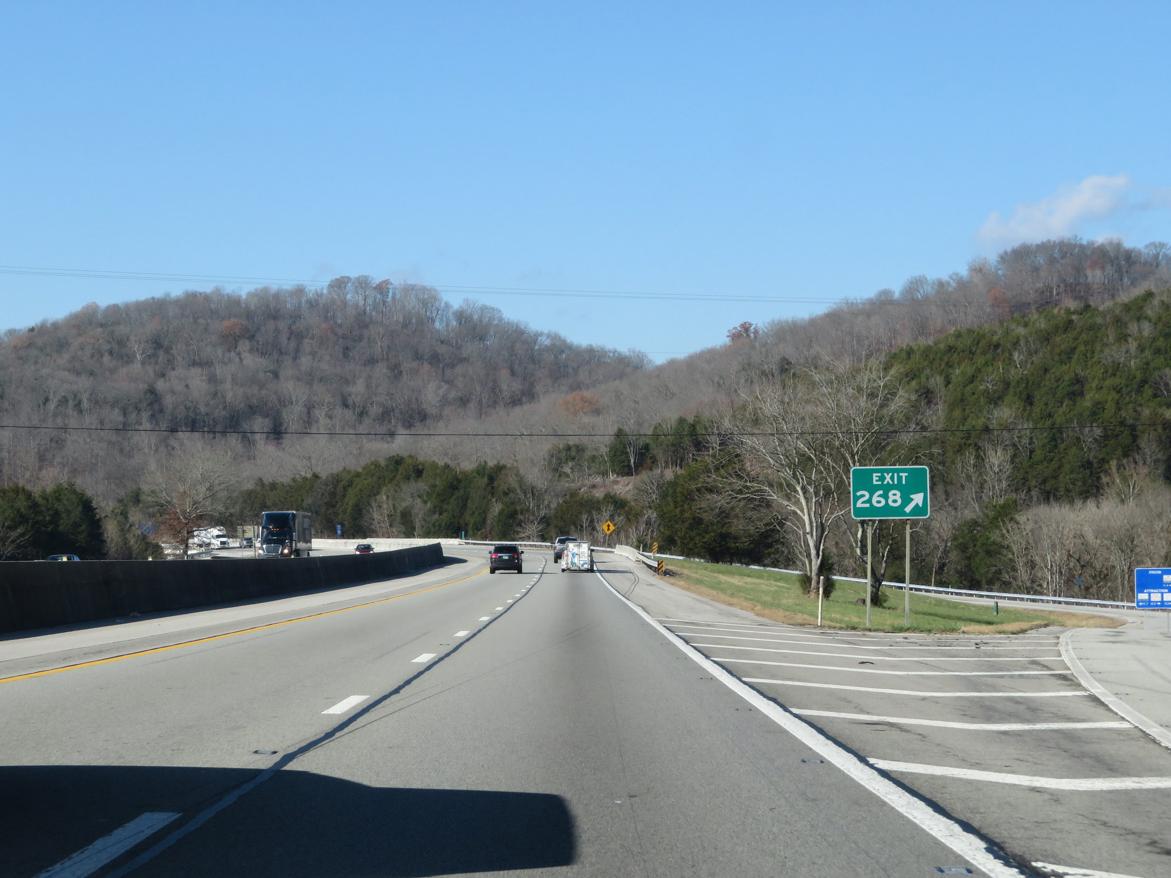 |
Gore point signage for Exit 268. (Photo taken 12/5/20). |
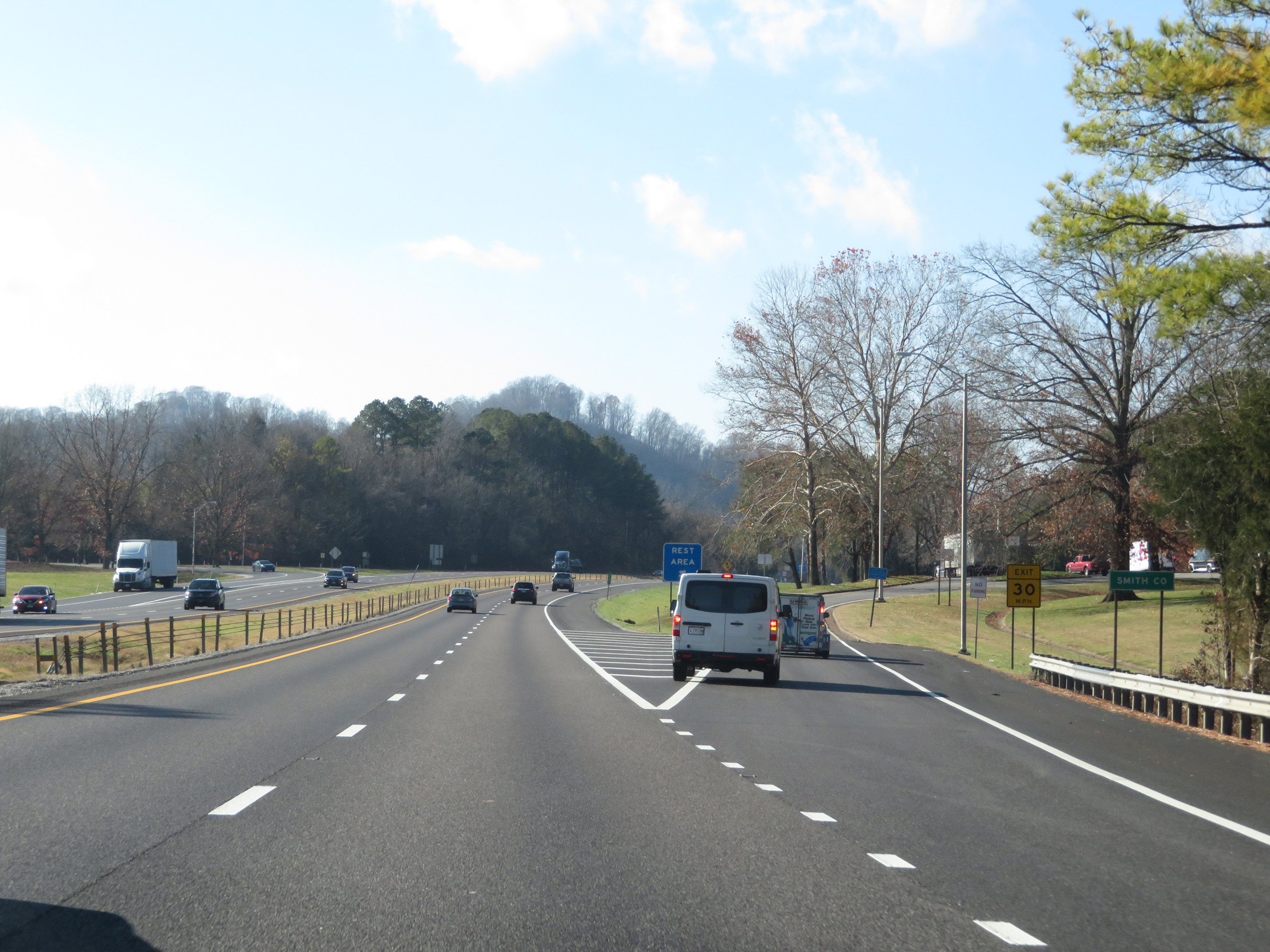 |
Interstate 40 West as it enters Smith County. (Photo taken 12/5/20). |
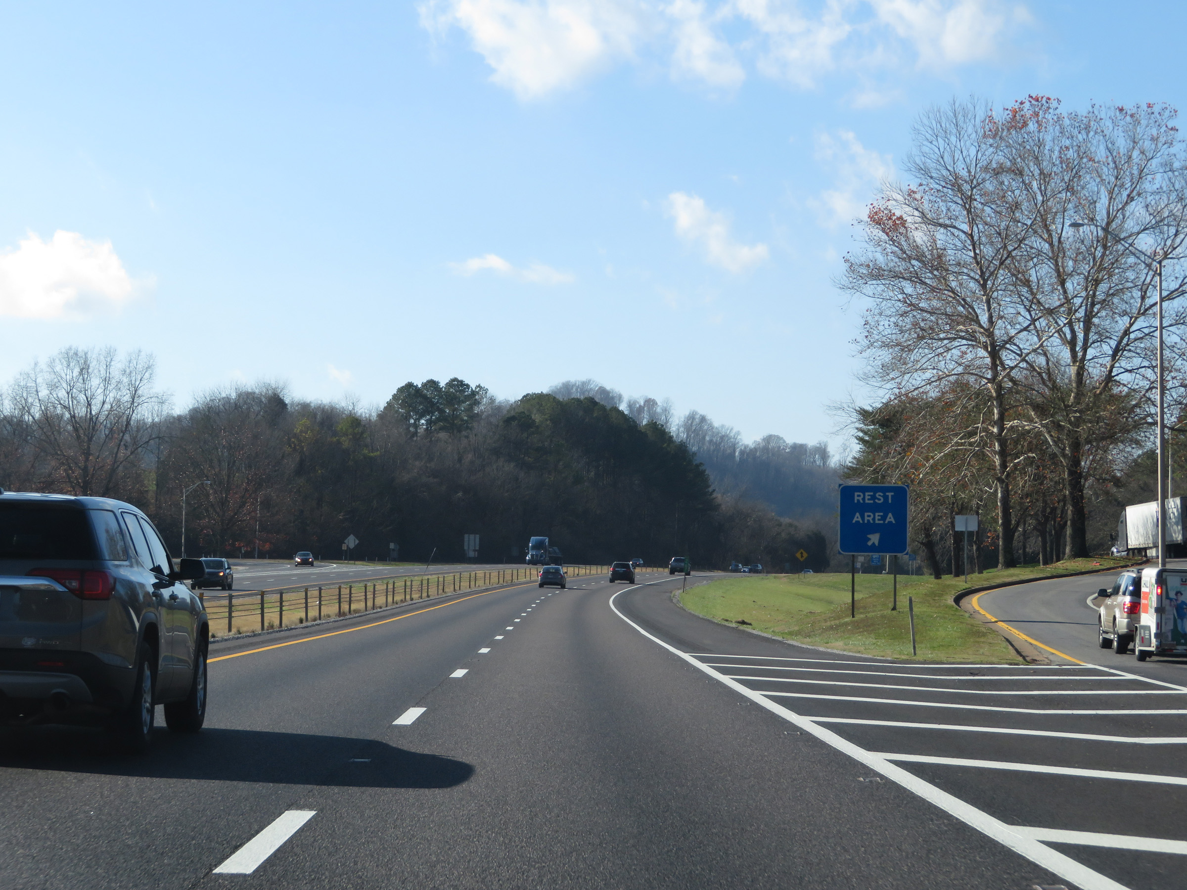 |
Rest Area on Interstate 40 West immediately after entering Smith County. (Photo taken 12/5/20). |
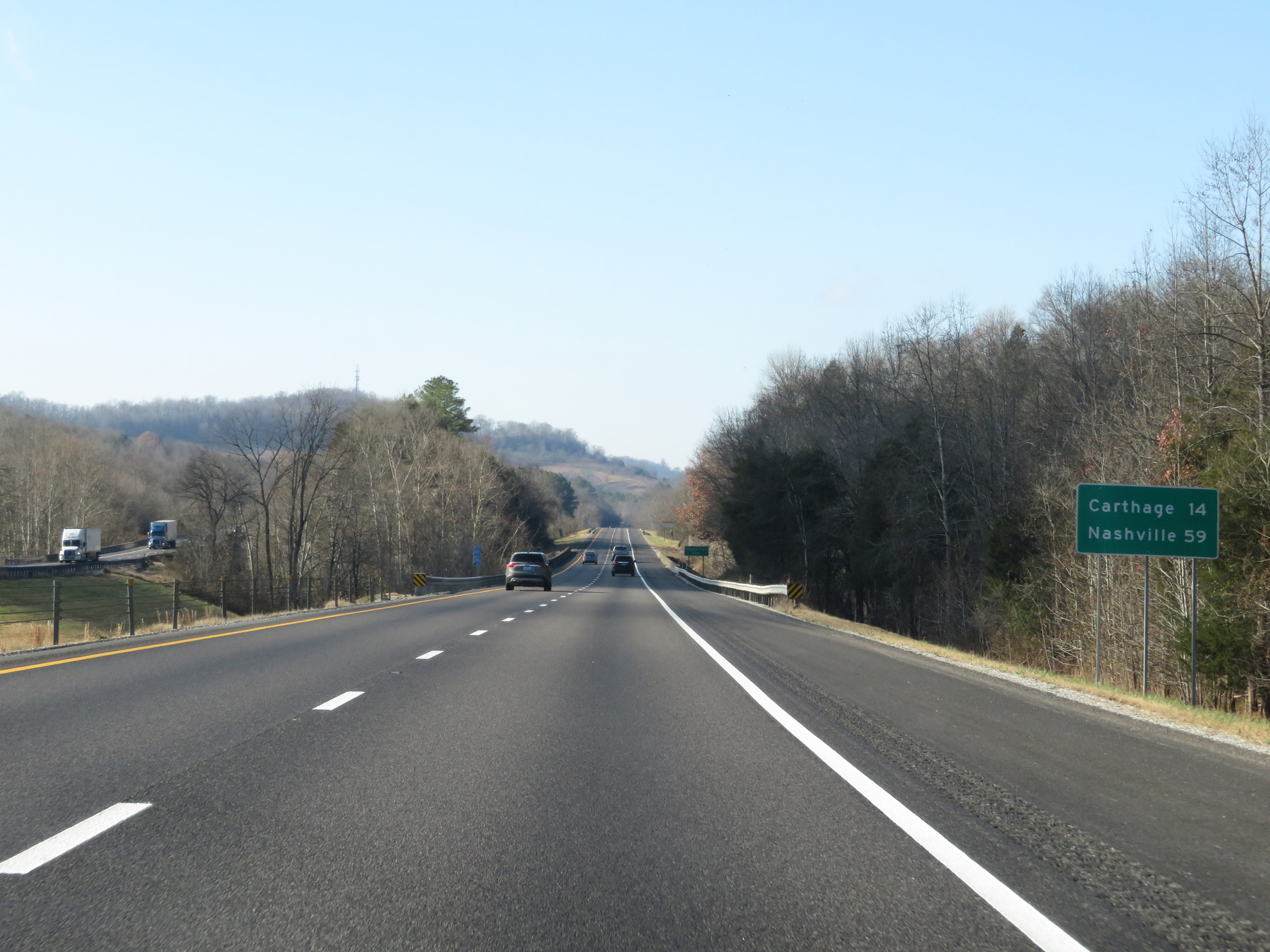 |
Another mileage sign on Interstate 40 West. It's 14 miles to Carthage and 59 miles to Nashville. (Photo taken 12/5/20). |
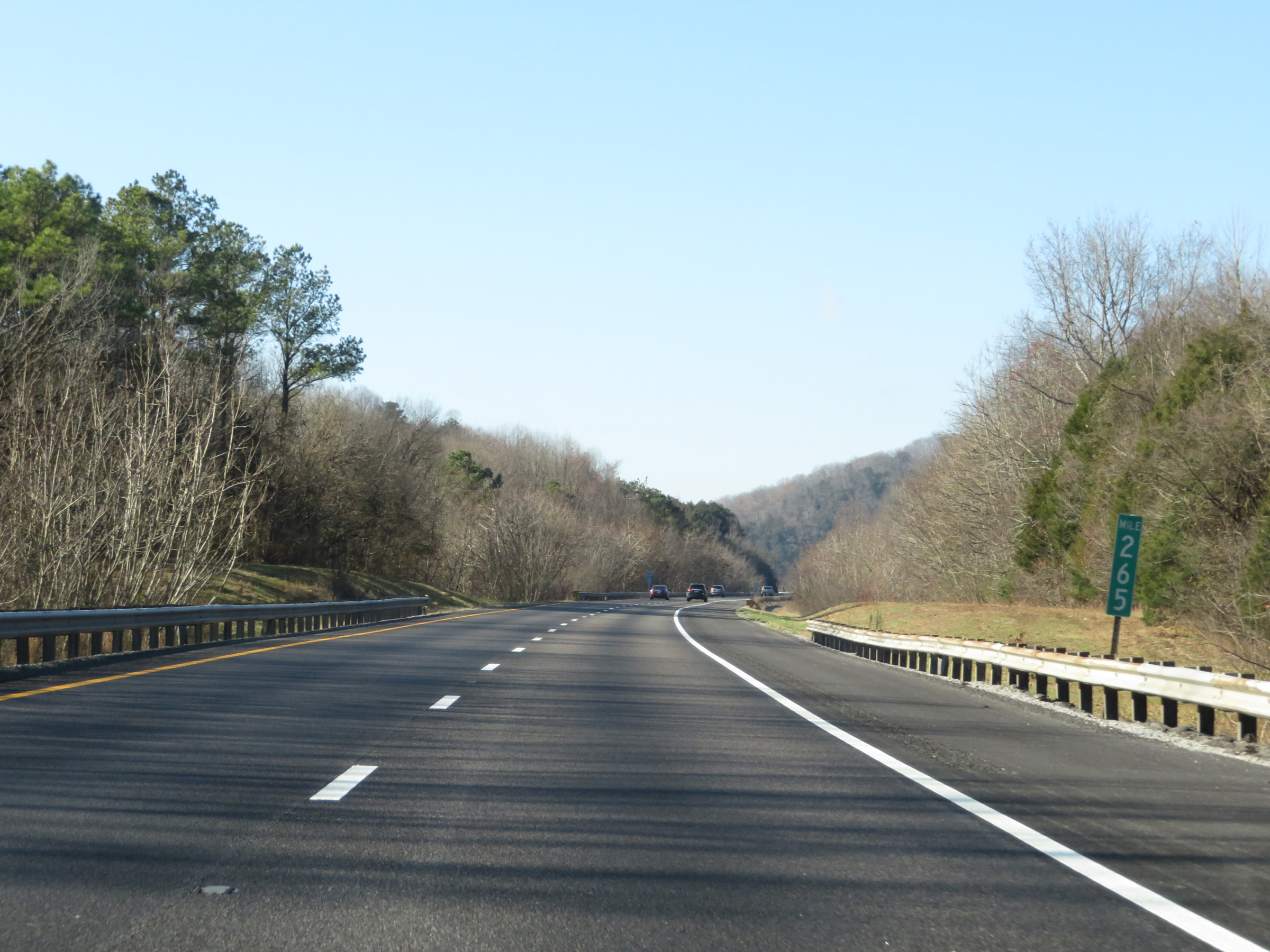 |
View on Interstate 40 West at mile marker 265. (Photo taken 12/5/20). |
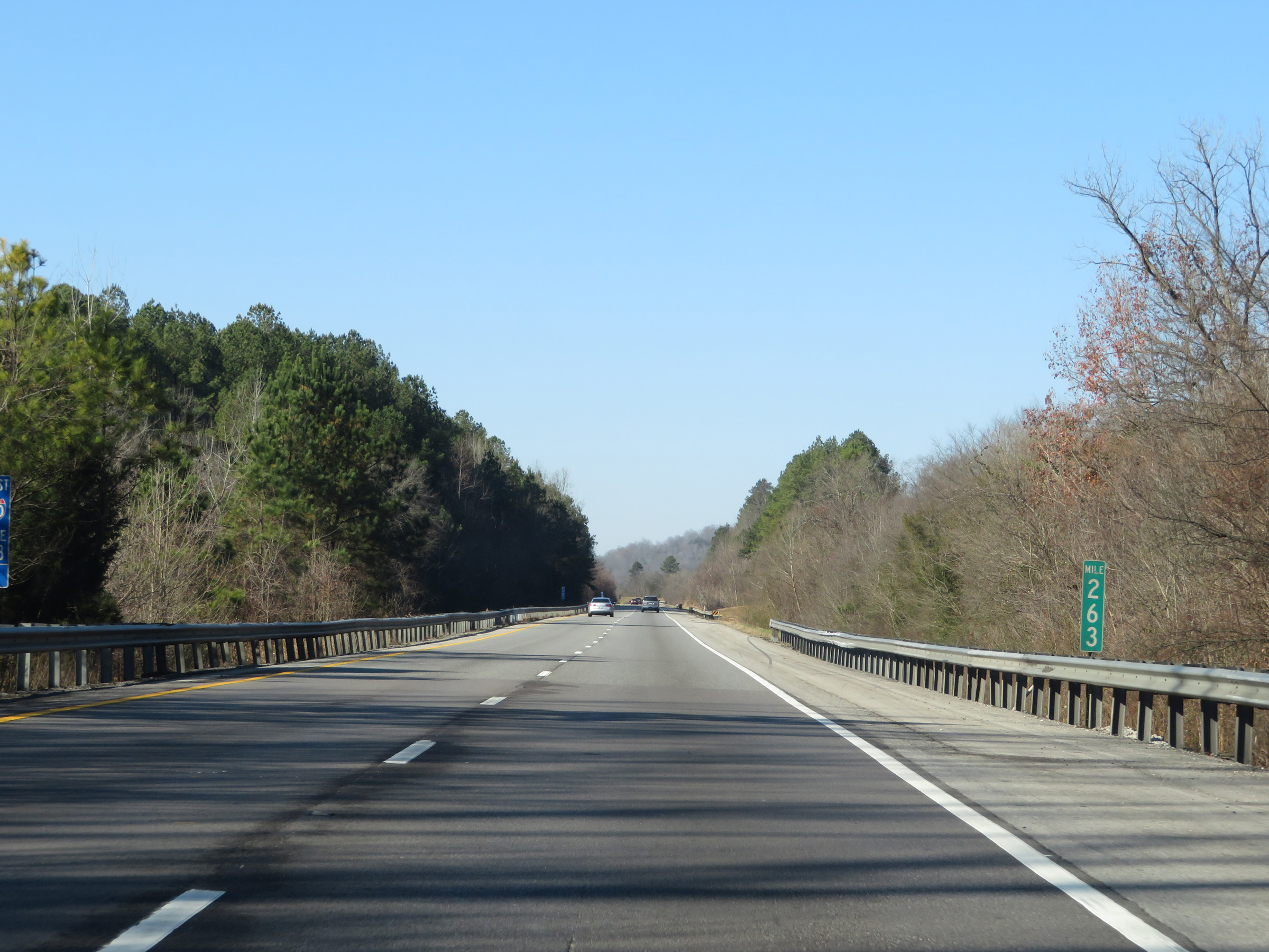 |
Interstate 40 West at mile marker 263. (Photo taken 12/5/20). |
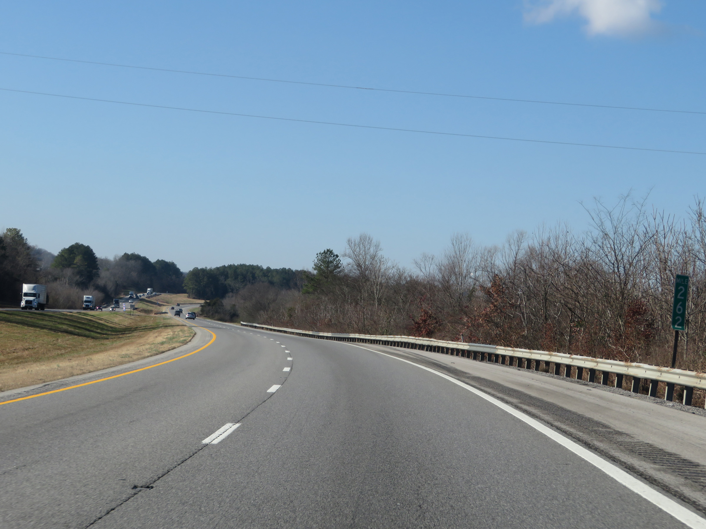 |
Mile marker 262 on Interstate 40 West in Smith County. (Photo taken 12/5/20). |
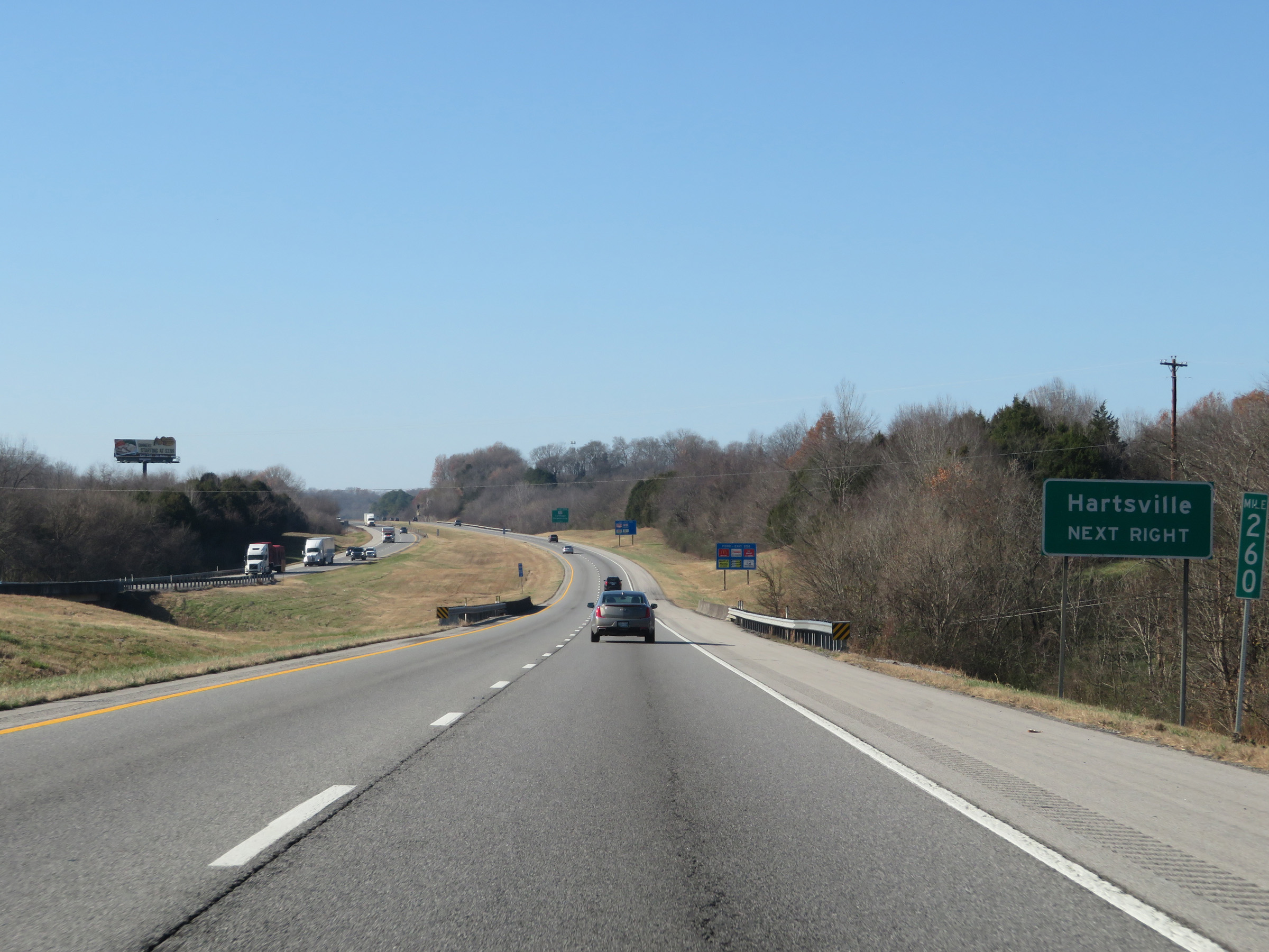 |
Take Exit 258 to Hartsville. (Photo taken 12/5/20). |
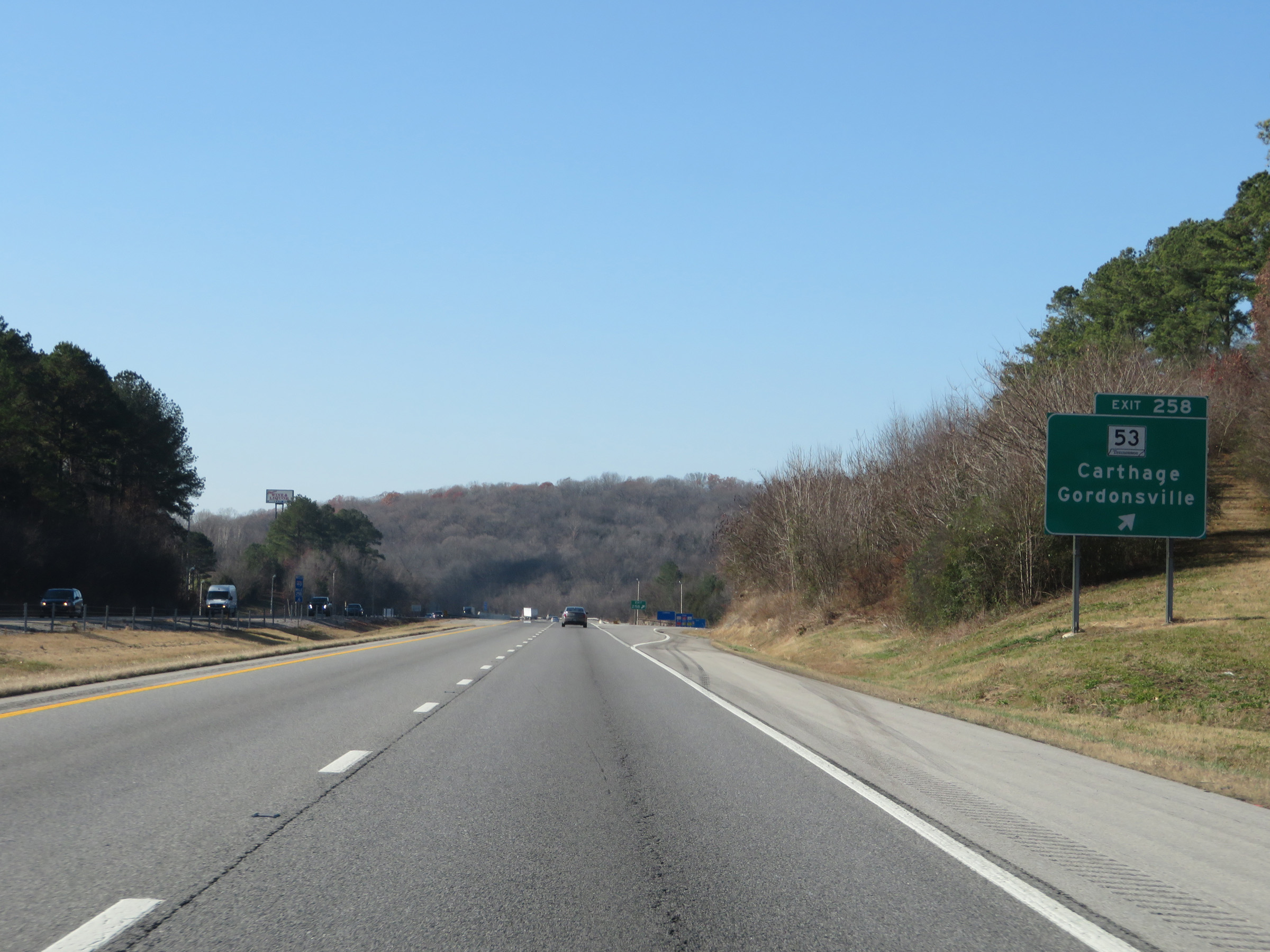 |
Interstate 40 West at Exit 258: TN 53 - Carthage / Gordonsville (Photo taken 12/5/20). |
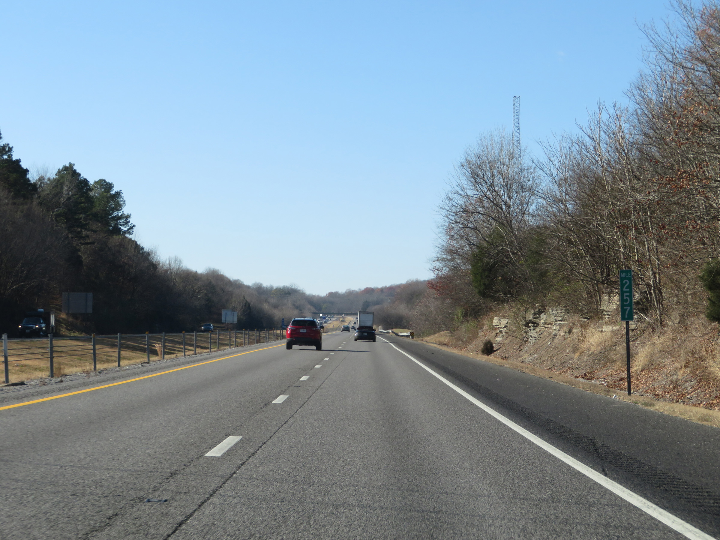 |
View on Interstate 40 West at mile marker 257. (Photo taken 12/5/20). |
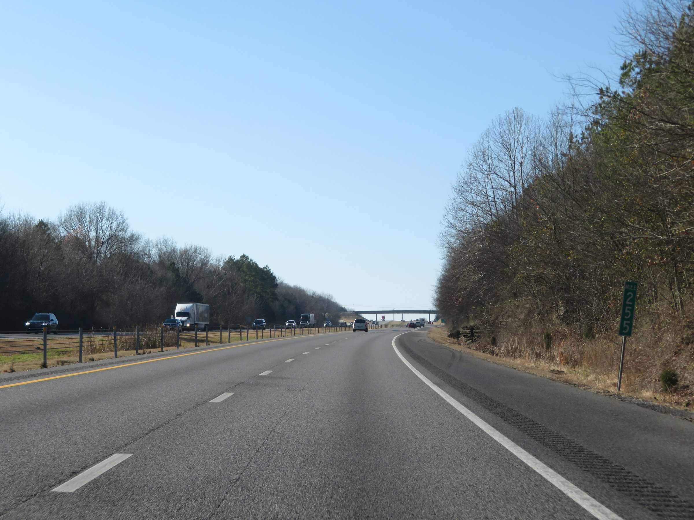 |
Interstate 40 West at mile marker 255. (Photo taken 12/5/20). |
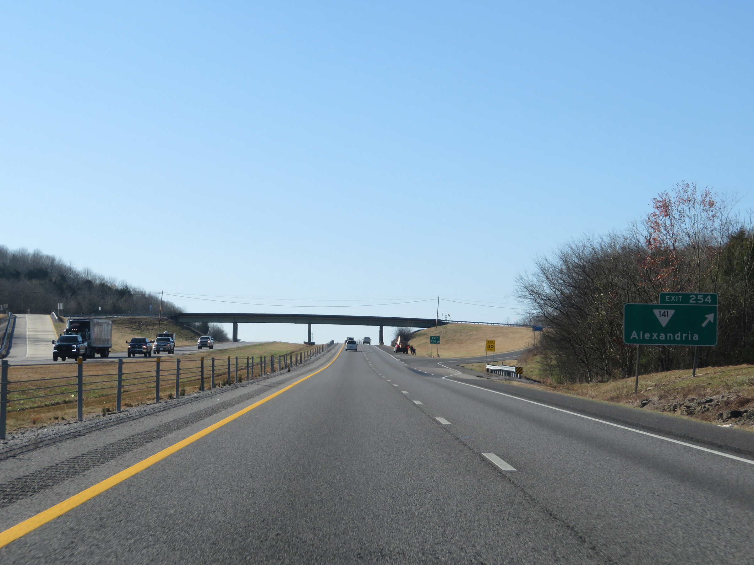 |
Interstate 40 West at Exit 254: SR 141 - Alexandria (Photo taken 12/5/20). |
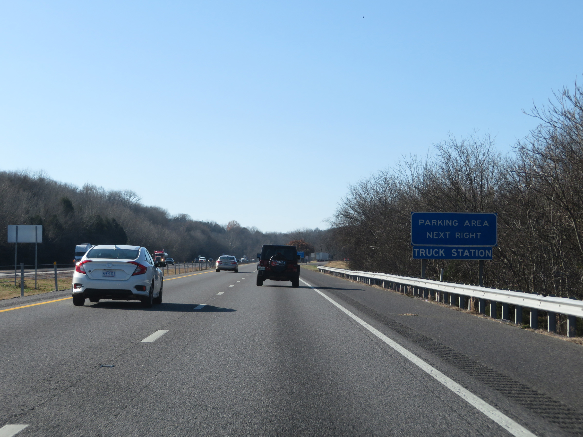 |
The Truck Parking Area ahead is also used as a Truck Inspection Station at times. (Photo taken 12/5/20). |
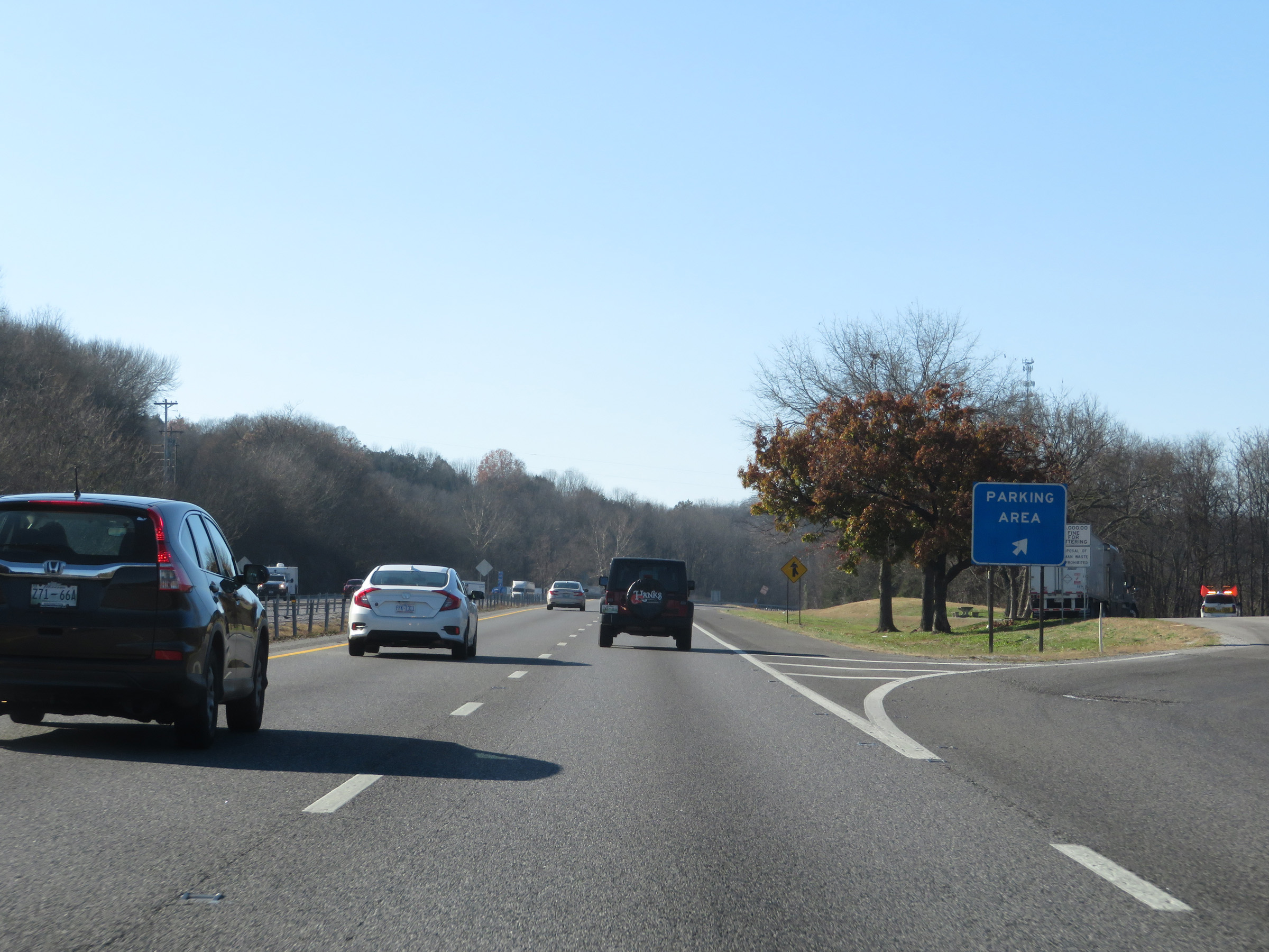 |
Truck Parking Area / Truck Station on Interstate 40 West in Smith County. (Photo taken 12/5/20). |
 |
Interstate 40 West at mile marker 251. (Photo taken 12/5/20). |
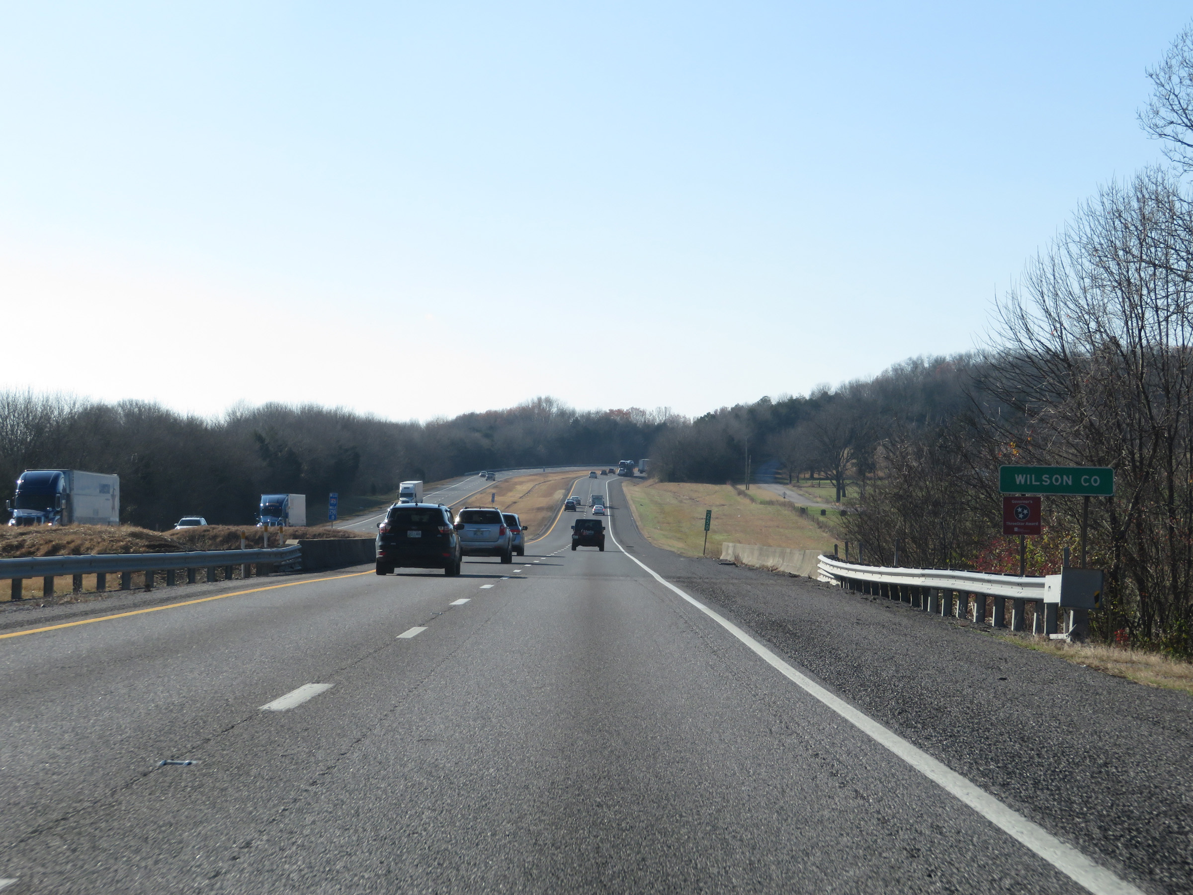 |
Interstate 40 West as it enters Wilson County. (Photo taken 12/5/20). |
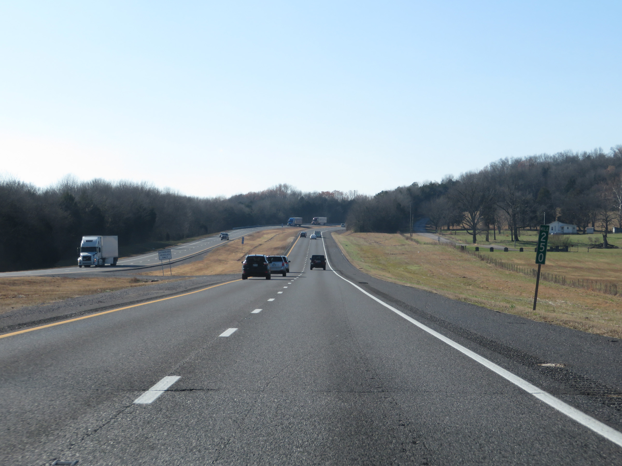 |
View on Interstate 40 West at mile marker 250. (Photo taken 12/5/20). |
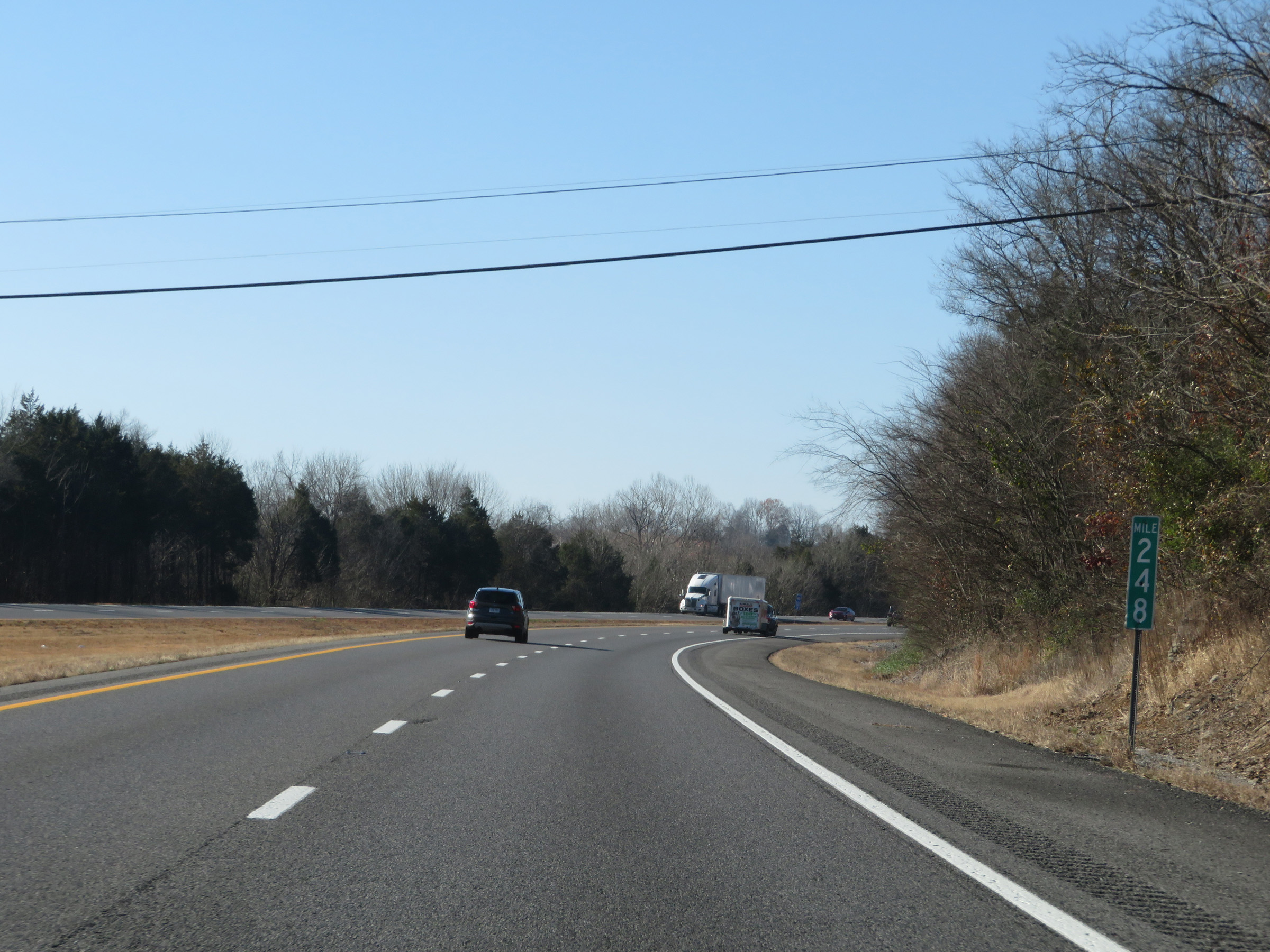 |
Interstate 40 West at mile marker 248. (Photo taken 12/5/20). |
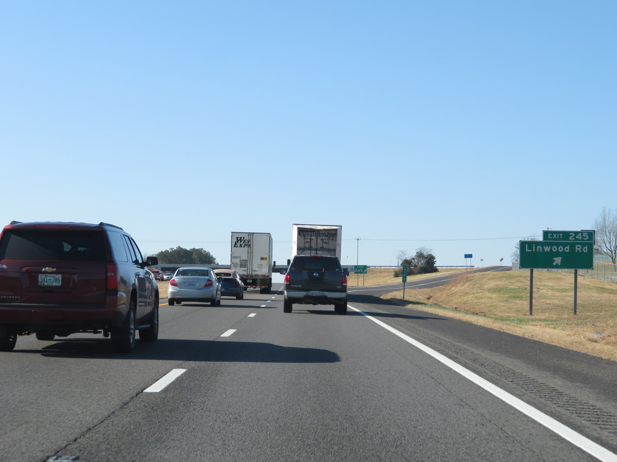 |
Interstate 40 West at Exit 245: Linwood Rd (Photo taken 12/5/20). |
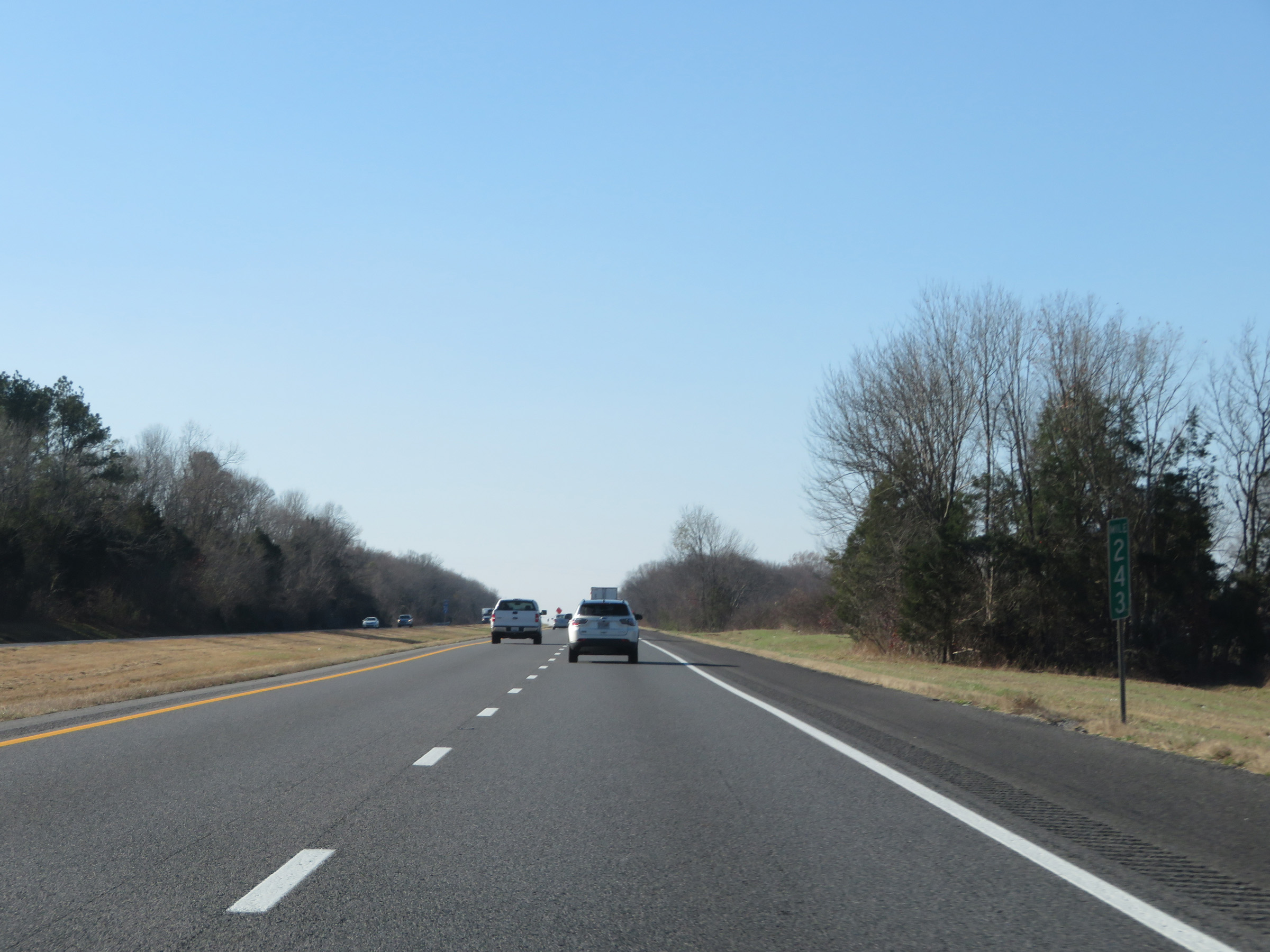 |
Mile marker 243 on Interstate 40 West in Wilson County. (Photo taken 12/5/20). |
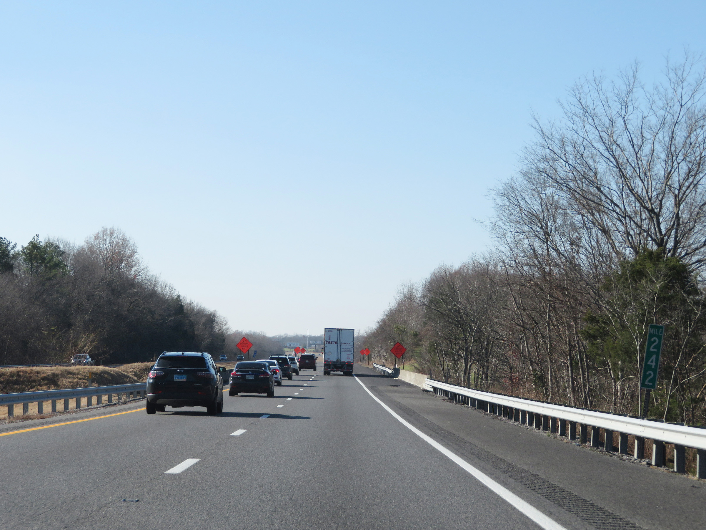 |
View on Interstate 40 West at mile marker 242. (Photo taken 12/5/20). |
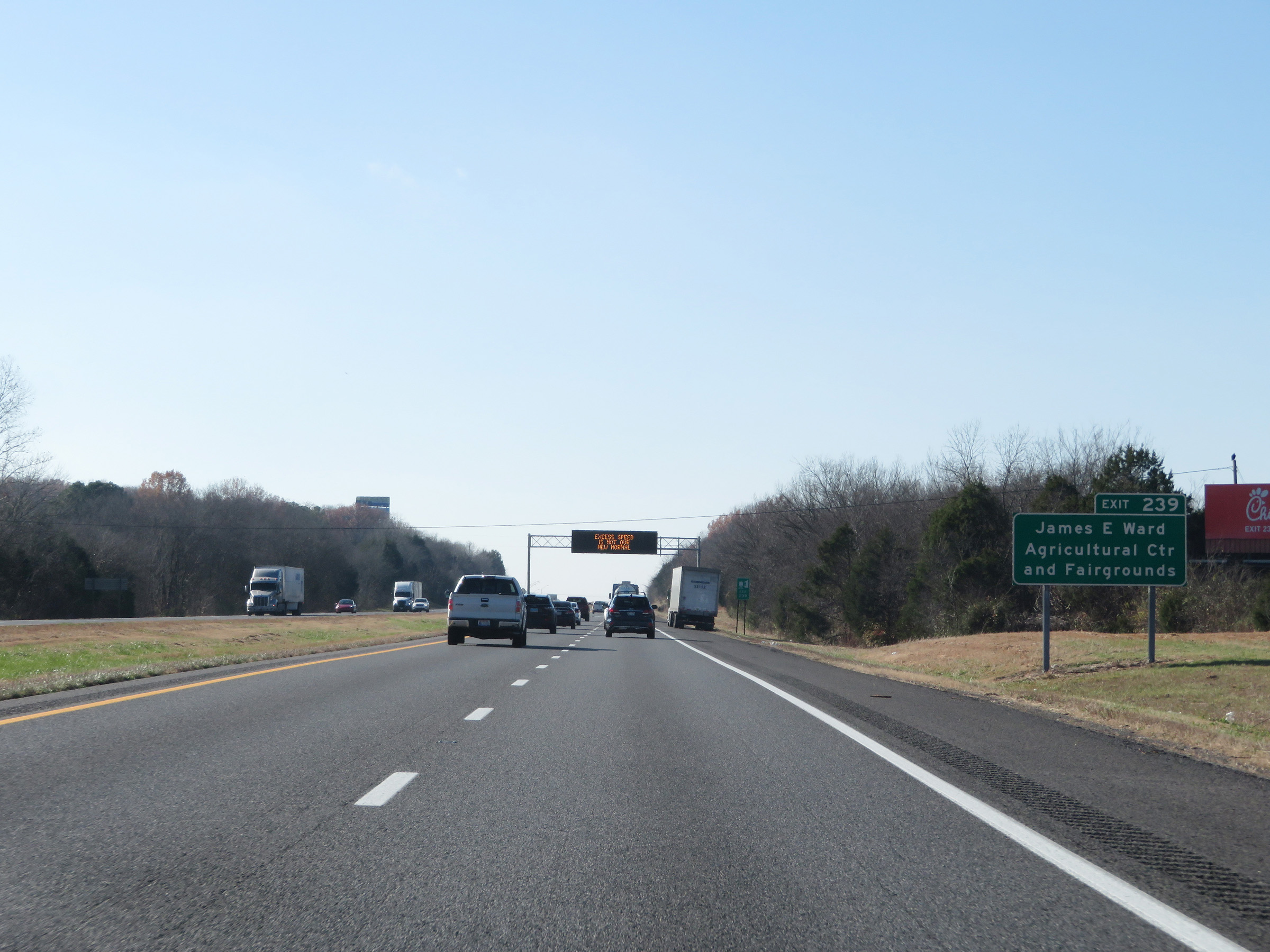 |
Take Exit 239 to James E. Ward Agricultural Center and Fairgrounds. (Photo taken 12/5/20). |
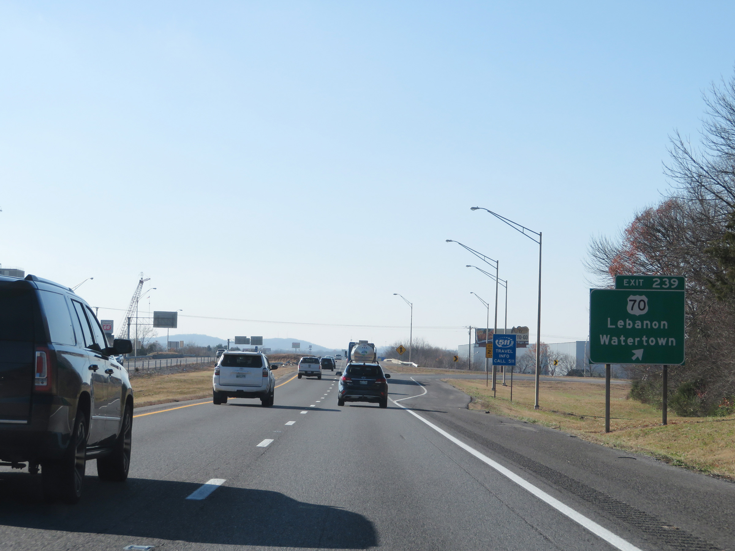 |
Interstate 40 West at Exit 239: US 70 - Lebanon / Watertown (Photo taken 12/5/20). |
 |
Take Exit 238 to Alvin C. York VA Medical Center. (Photo taken 12/5/20). |
 |
Also take Exit 238 to Cumberland University. (Photo taken 12/5/20). |
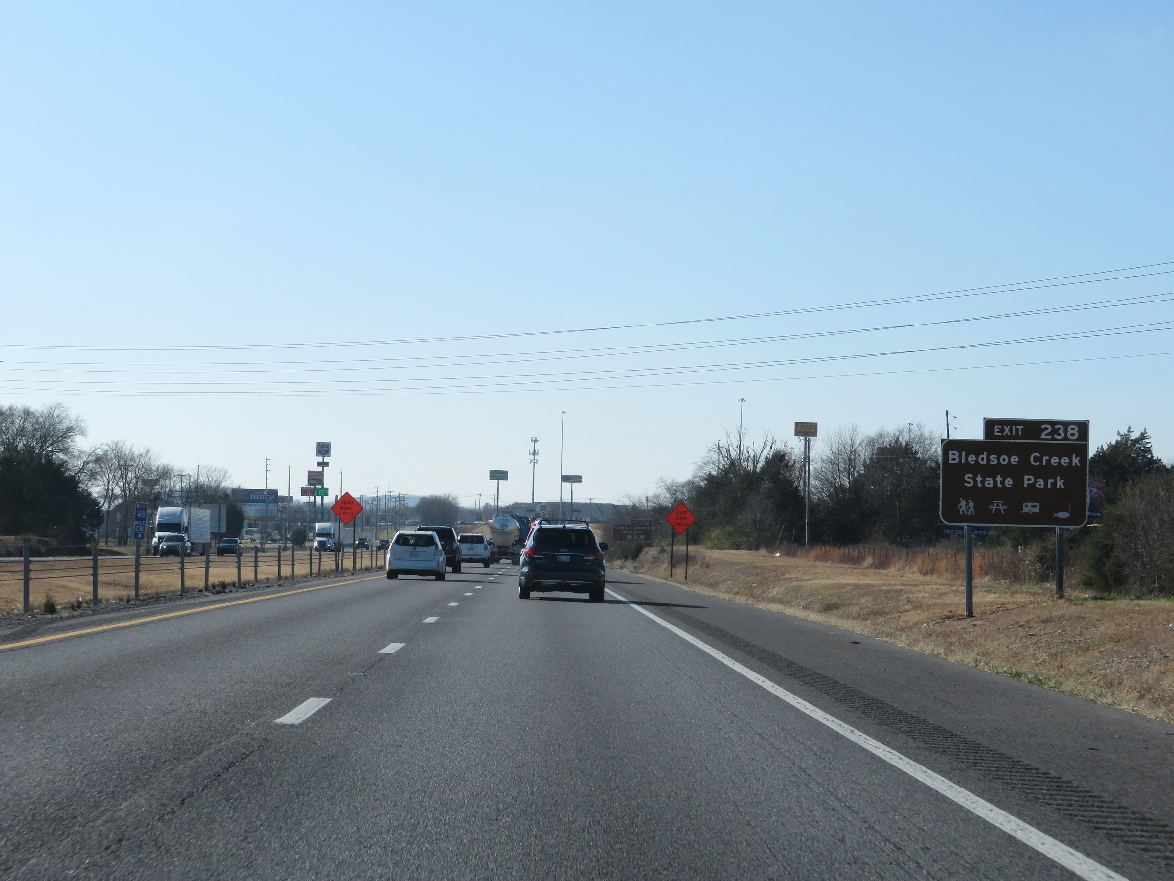 |
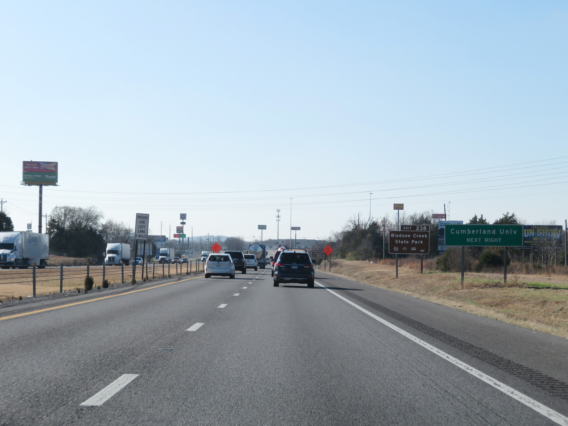
Access Bledsoe Creek State Park via Exit 238. (Photo taken 12/5/20). |
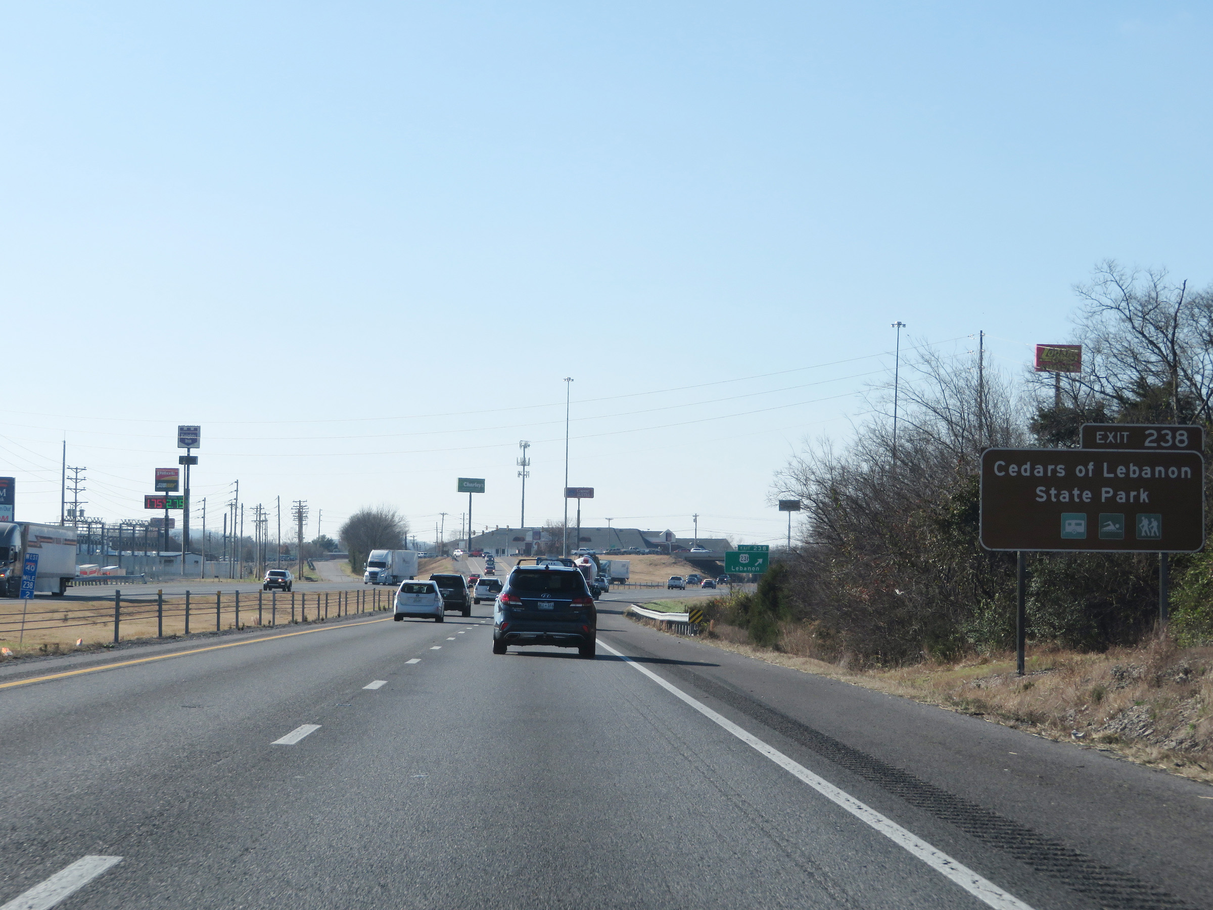 |
Take Exit 238 to Cedars of Lebanon State Park also. (Photo taken 12/5/20). |
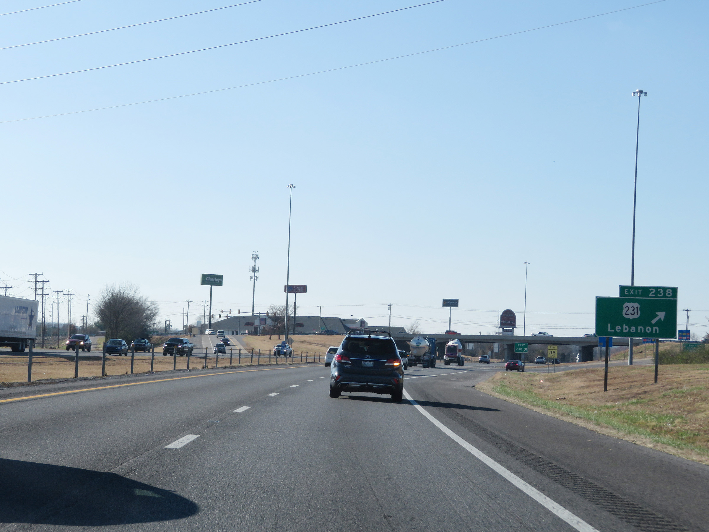 |
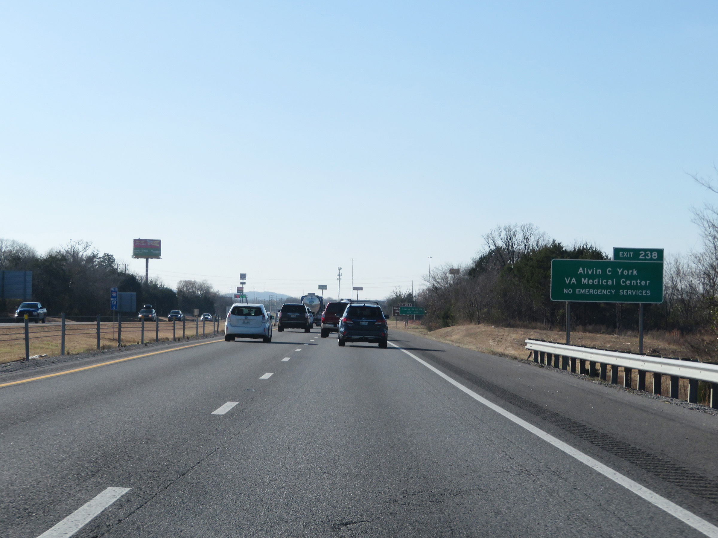
Interstate 40 West at Exit 238: US 231 - Lebanon (Photo taken 12/5/20). |
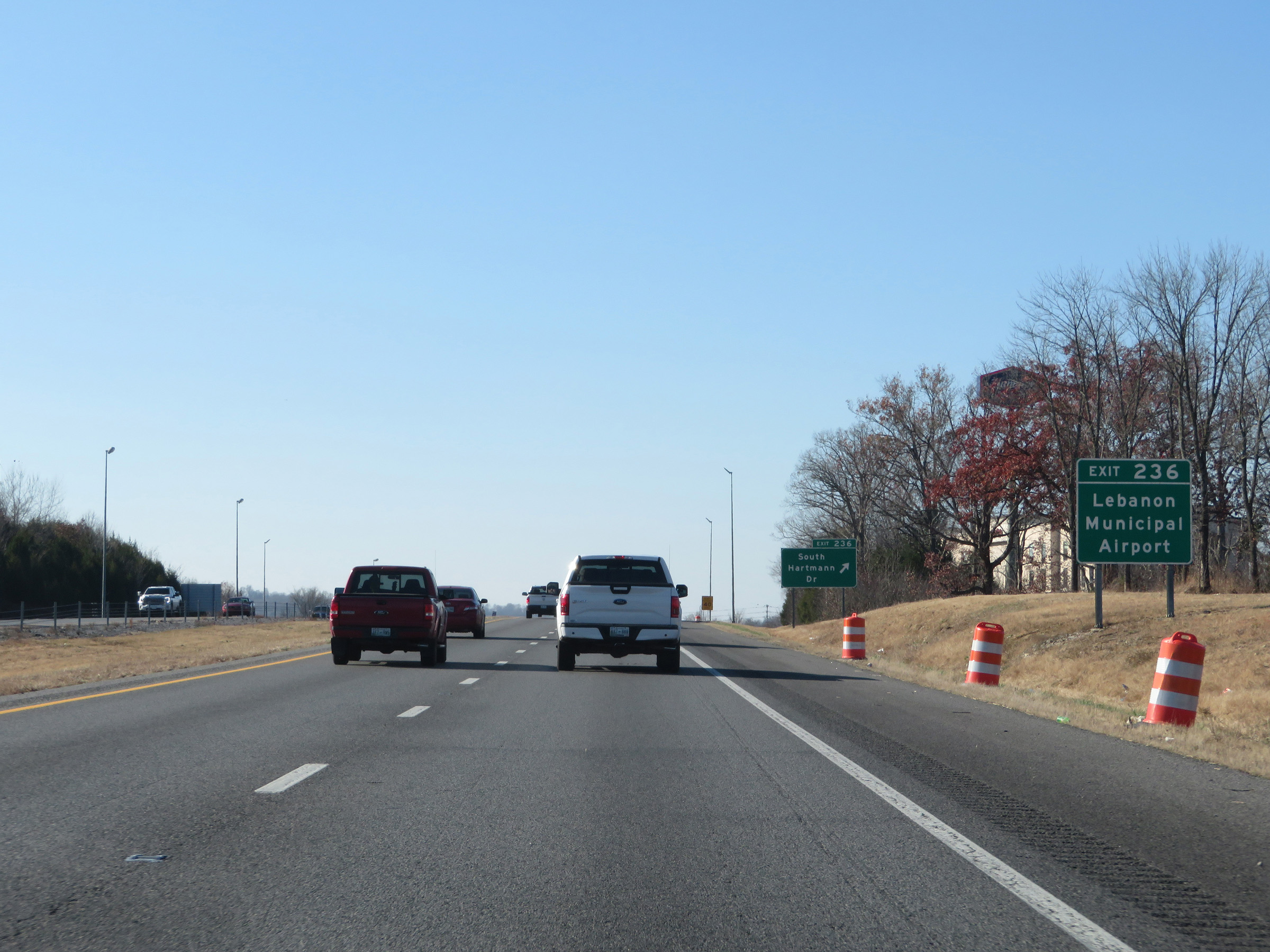 |
Take Exit 236 to Lebanon Municipal Airport. (Photo taken 12/5/20). |
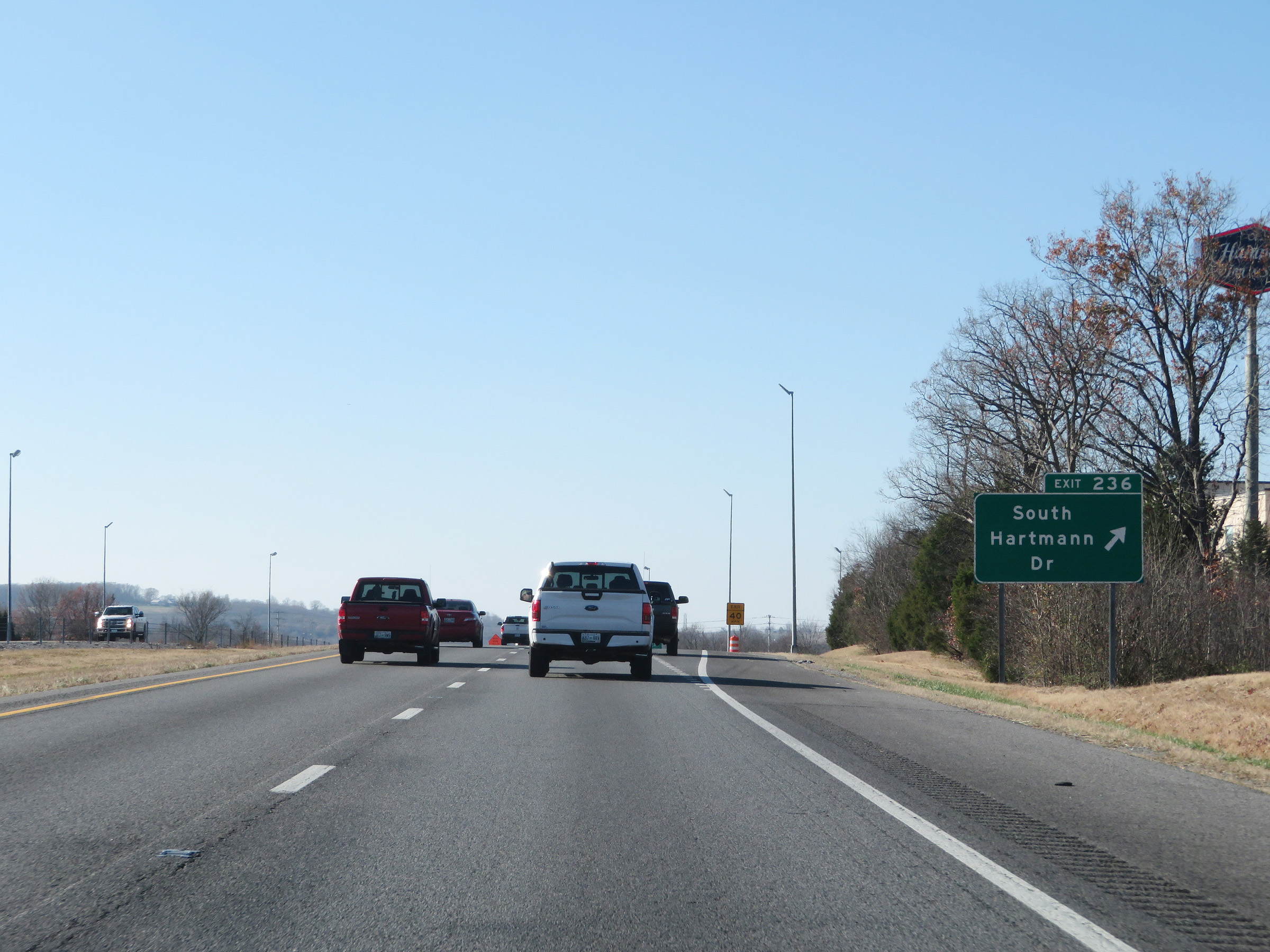 |
Interstate 40 West at Exit 236: South Hartmann Dr (Photo taken 12/5/20). |
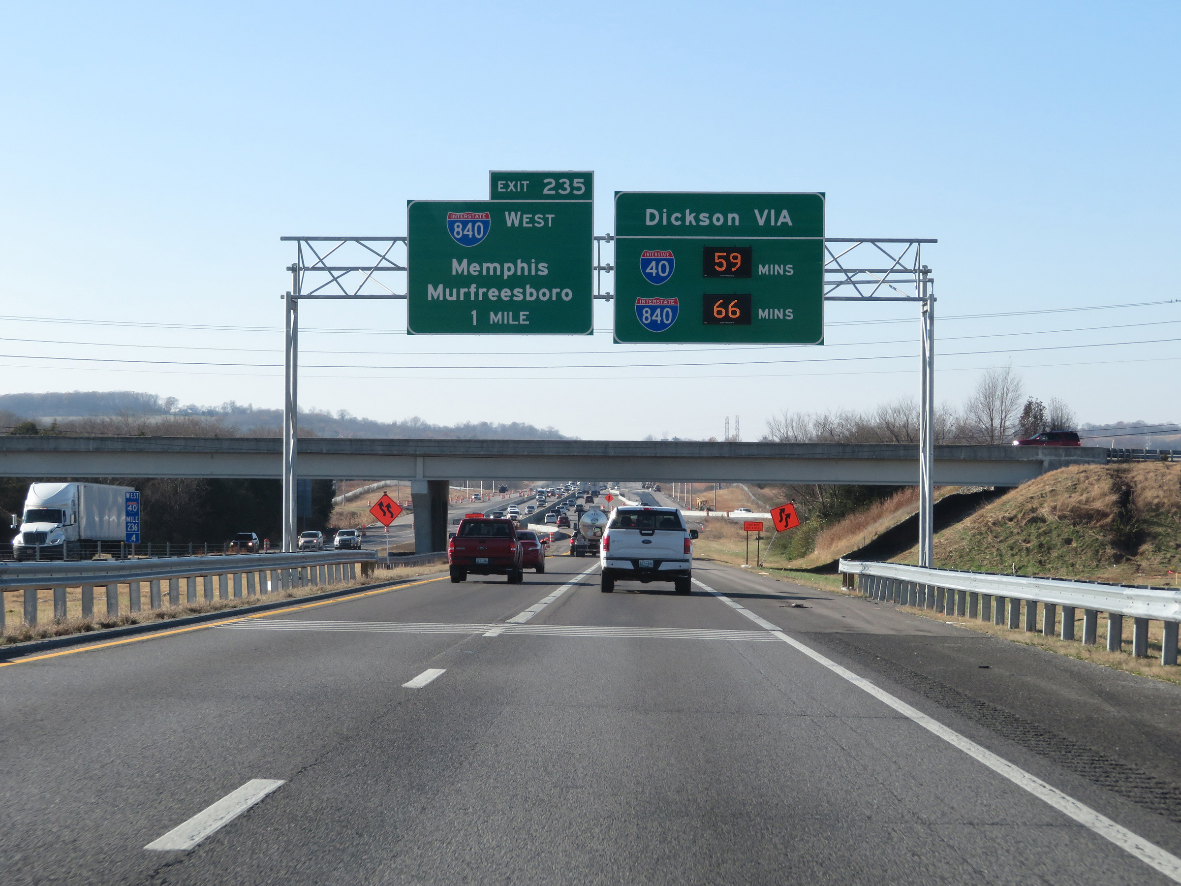 |
Interstate 40 West approaching Exit 235 - 1 mile. (Photo taken 12/5/20). |
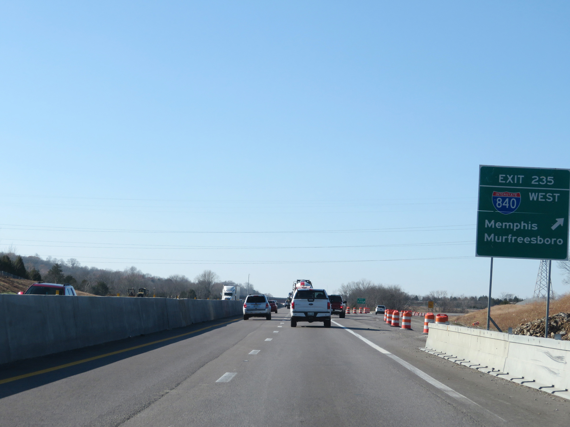 |
Interstate 40 West at Exit 235: Interstate 840 West - Memphis / Murfreesboro (Photo taken 12/5/20). |
 |
View on Interstate 40 West in Wilson County. (Photo taken 12/5/20). |
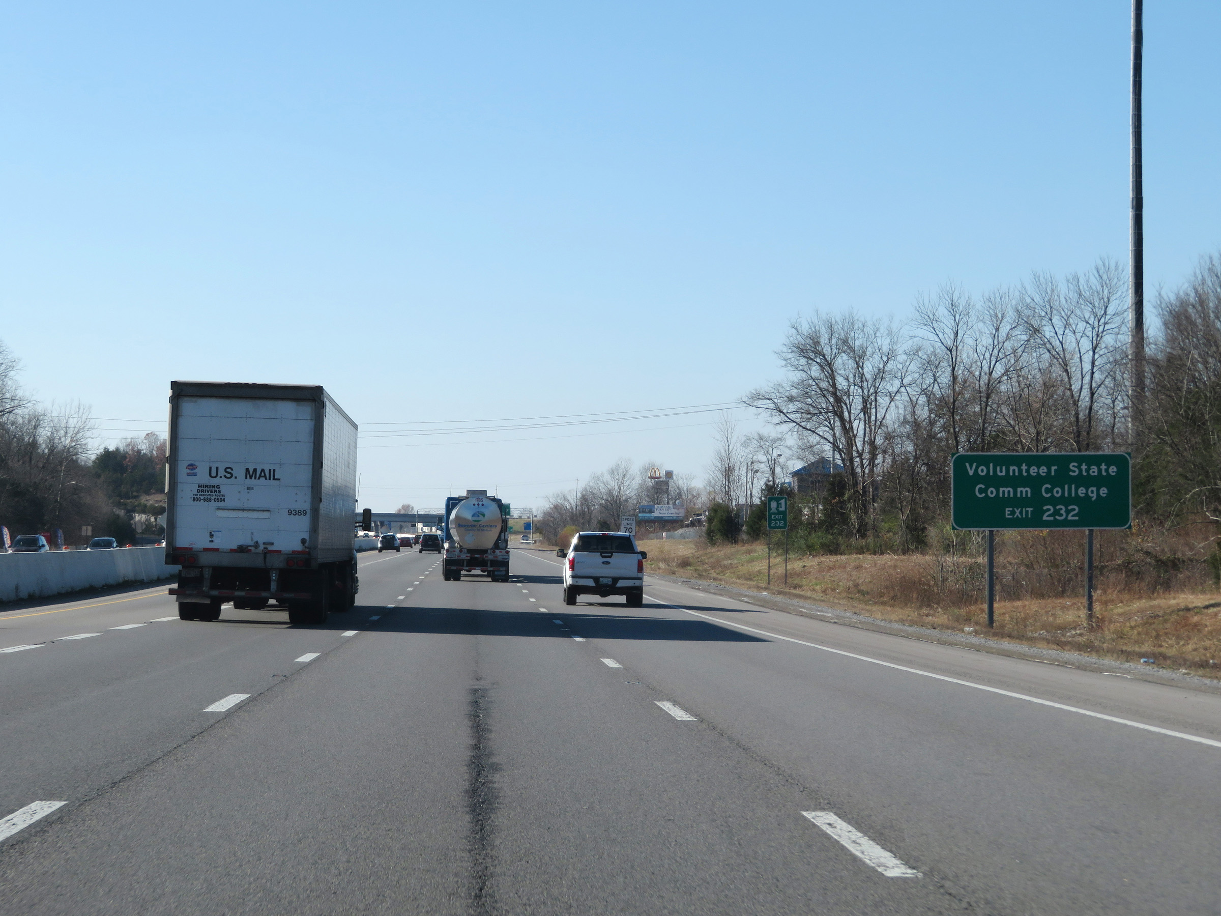 |
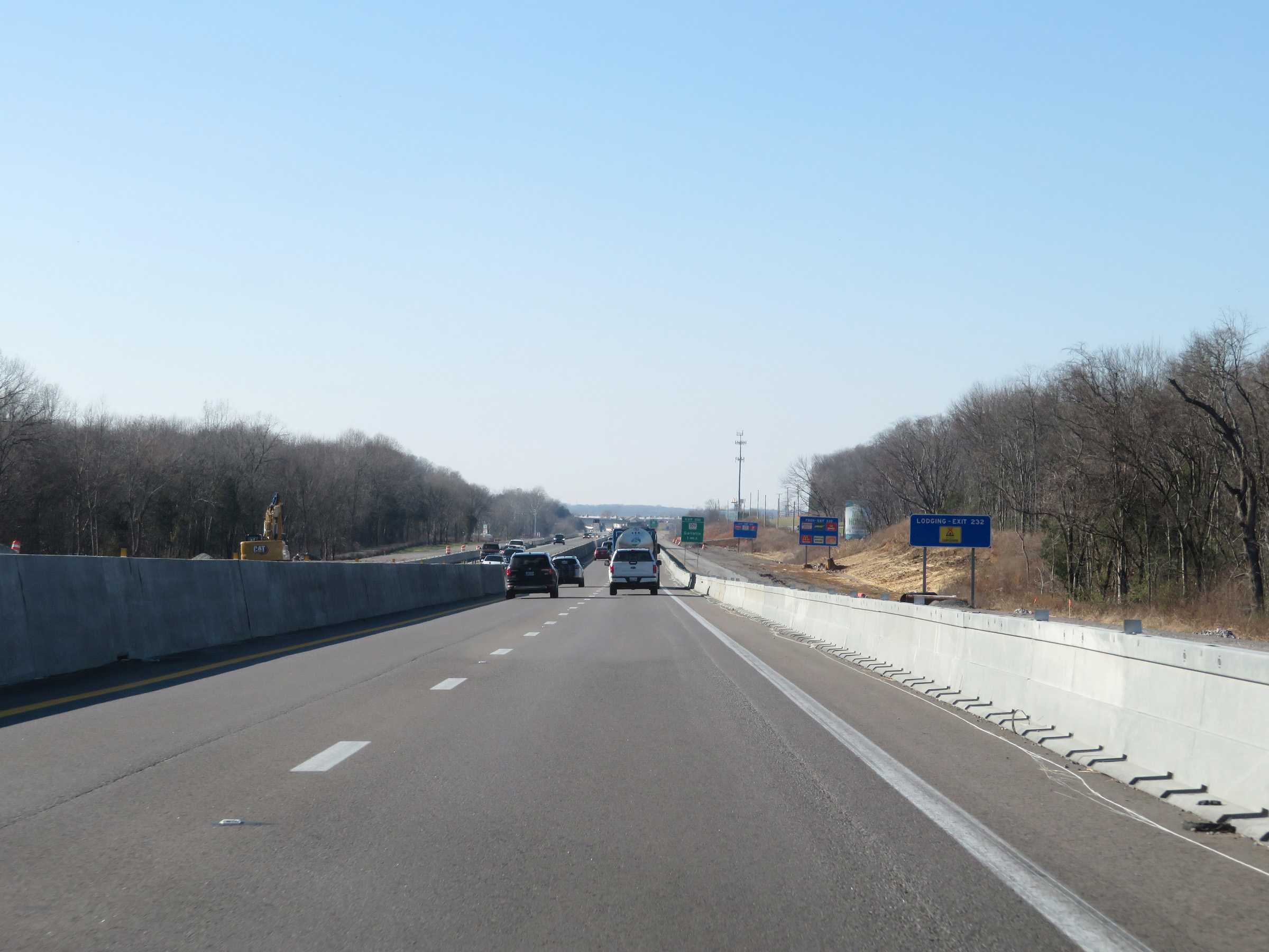
Take Exit 232 to Volunteer State Community College. (Photo taken 12/5/20). |
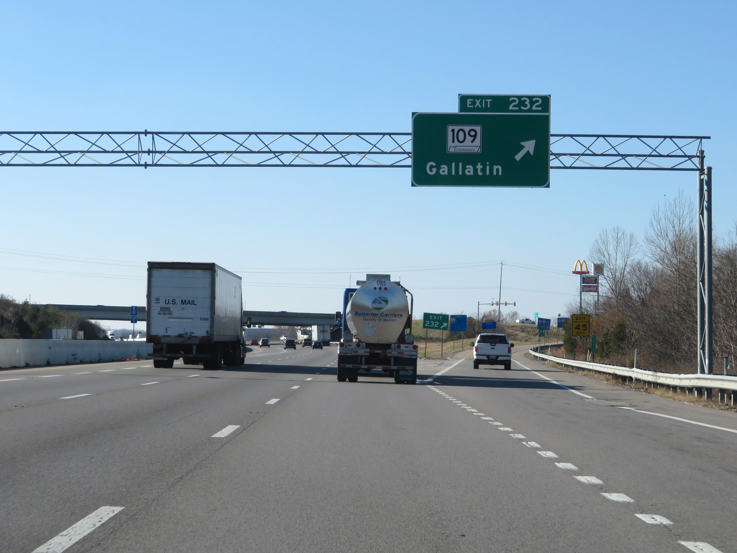 |
Interstate 40 West at Exit 232: TN 109 - Gallatin (Photo taken 12/5/20). |
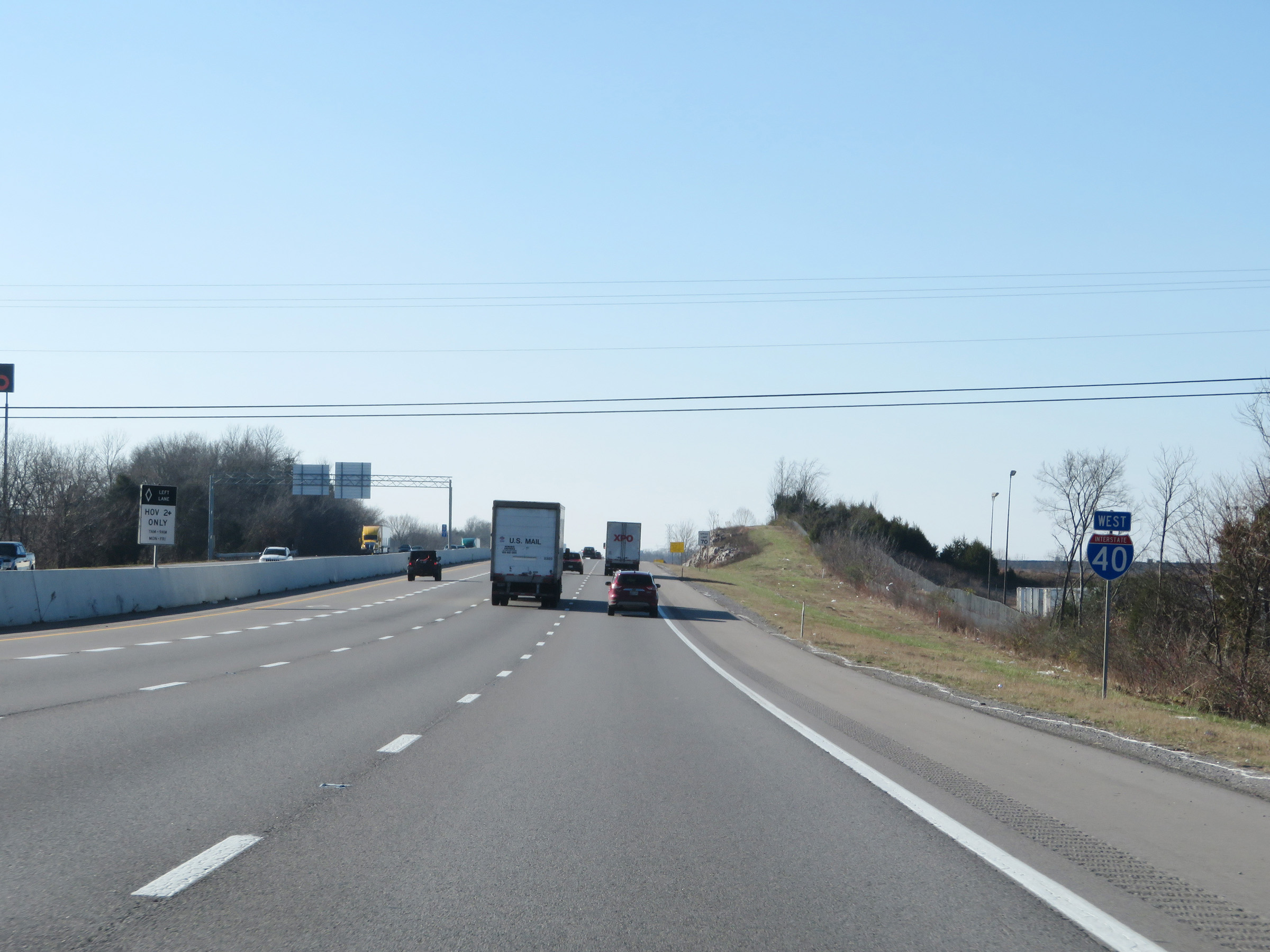 |
Interstate 40 West reassurance shield. The leftmost lane from this point to the east of Nashville is restricted to being a HOV lane Mondays thru Fridays during peak hours. (Photo taken 12/5/20). |
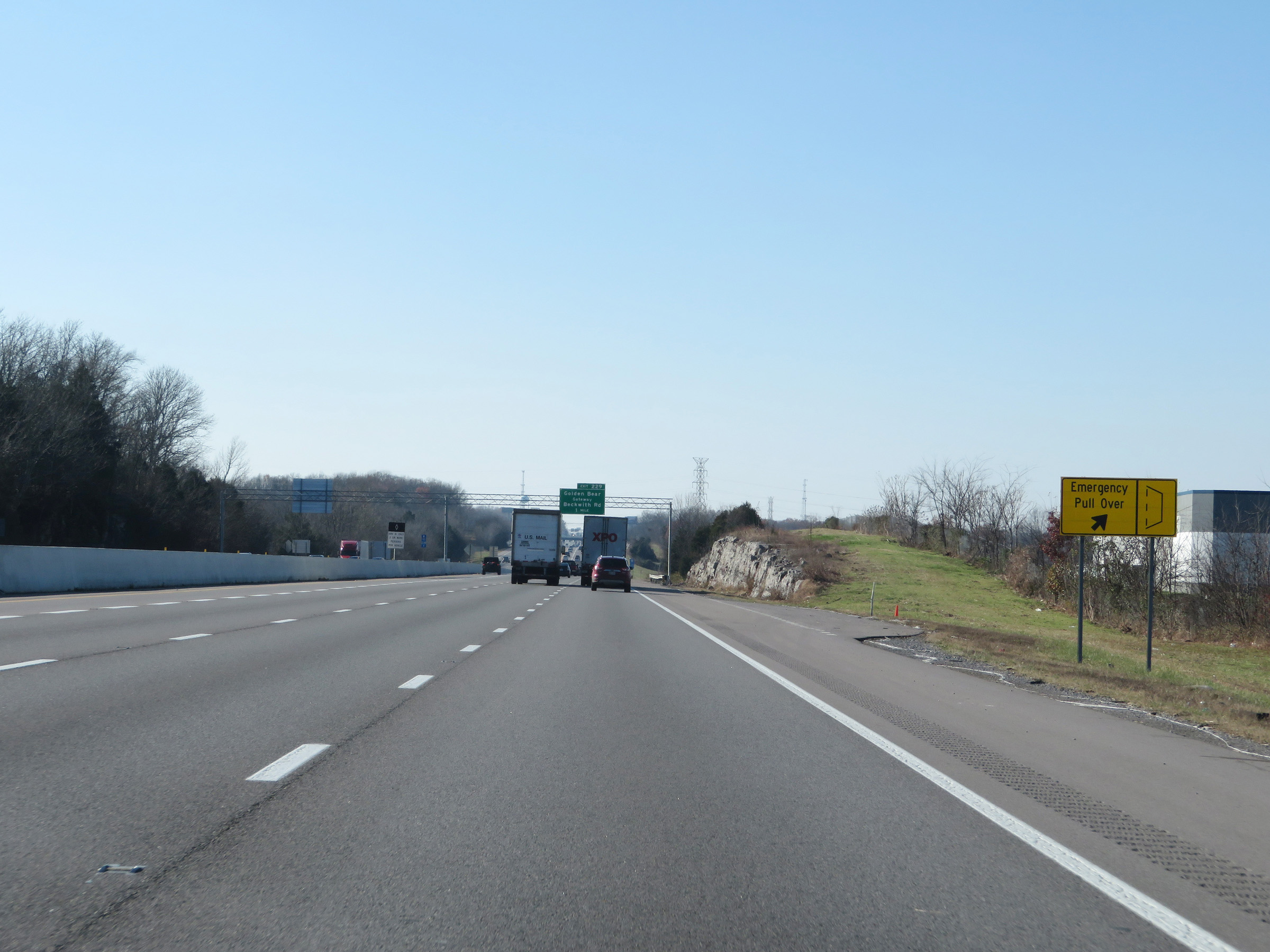 |
Emergency Pull Over on Interstate 40 West. There are several of these turnouts on I-40 approaching the Nashville area. (Photo taken 12/5/20). |
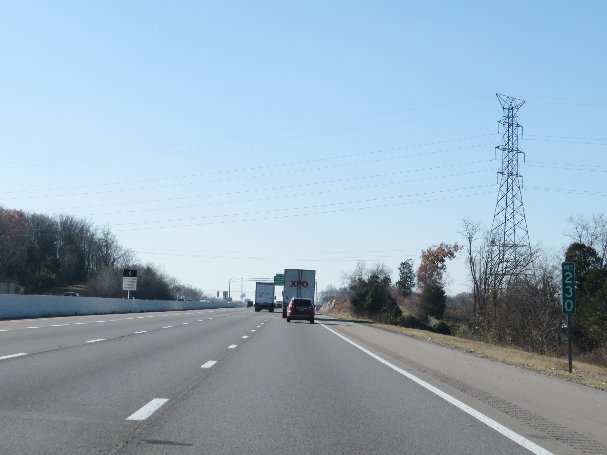 |
View on Interstate 40 West at mile marker 230. (Photo taken 12/5/20). |
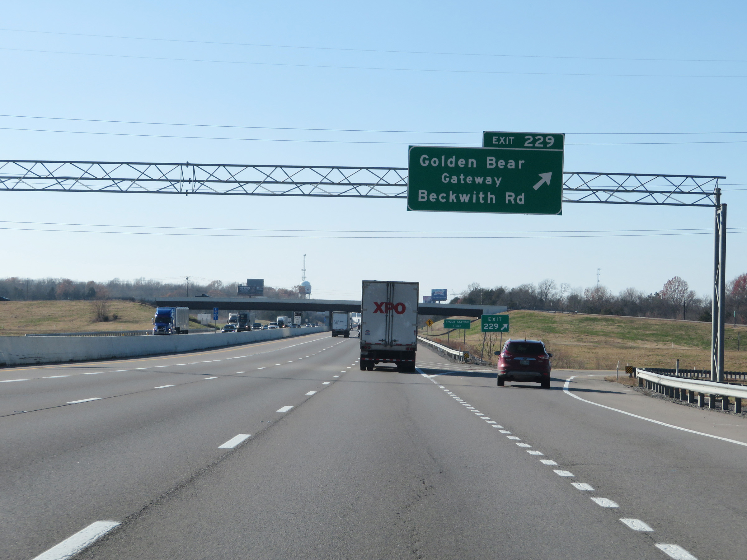 |
Interstate 40 West at Exit 229: Golden Bear Gateway / Beckwith Rd (Photo taken 12/5/20). |
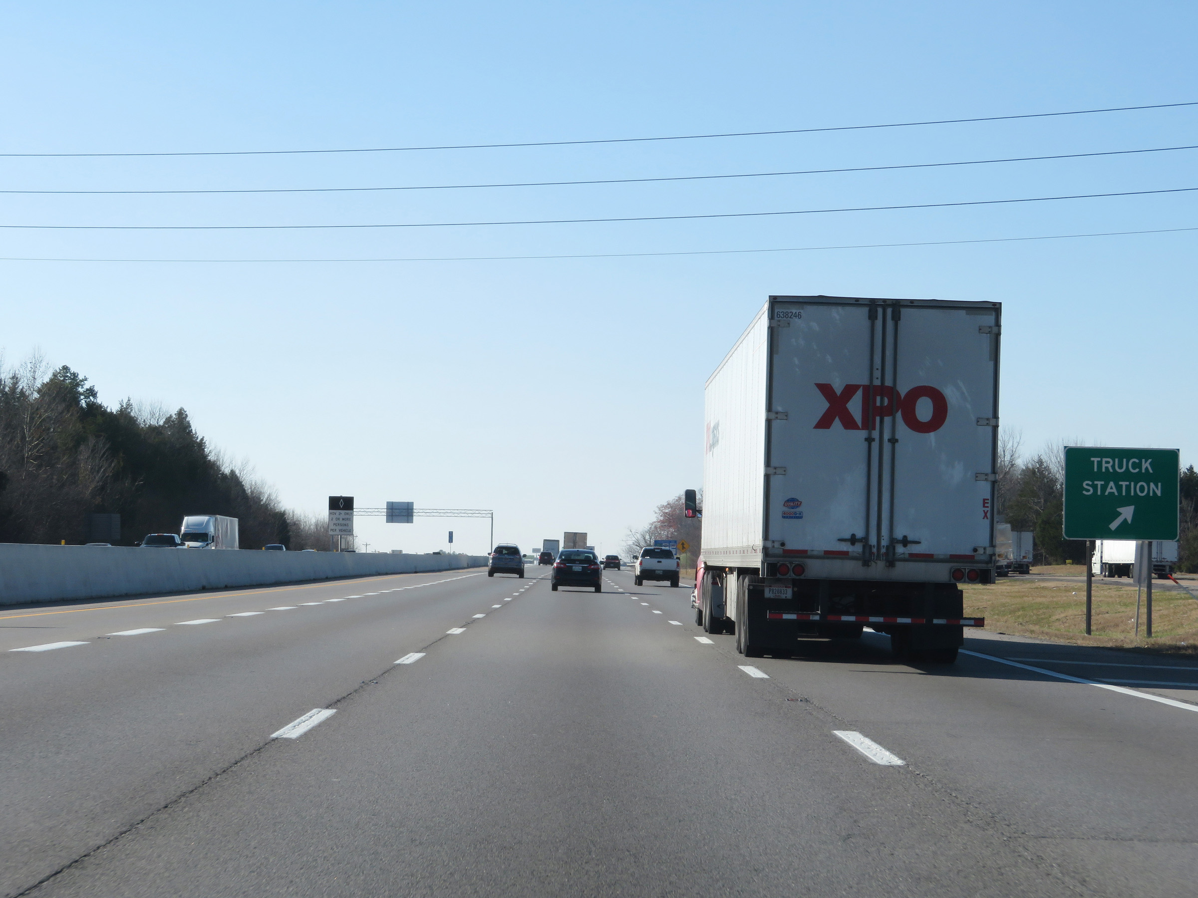 |
Truck Station on Interstate 40 West in Wilson County. (Photo taken 12/5/20). |
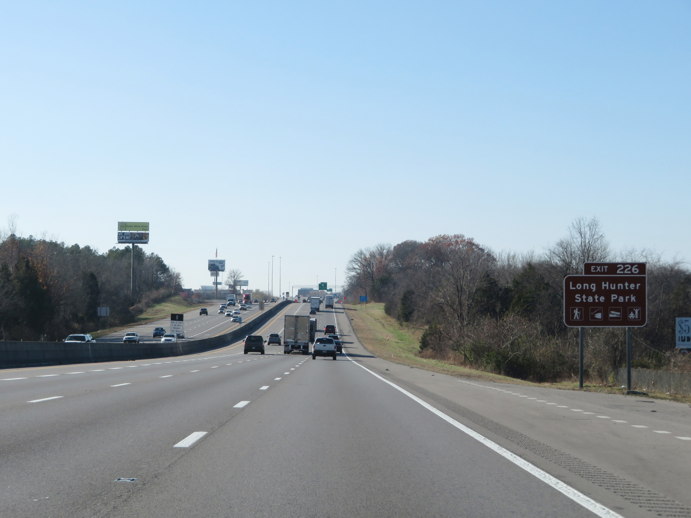 |
Take Exit 226 to Long Hunter State Park. (Photo taken 12/5/20). |
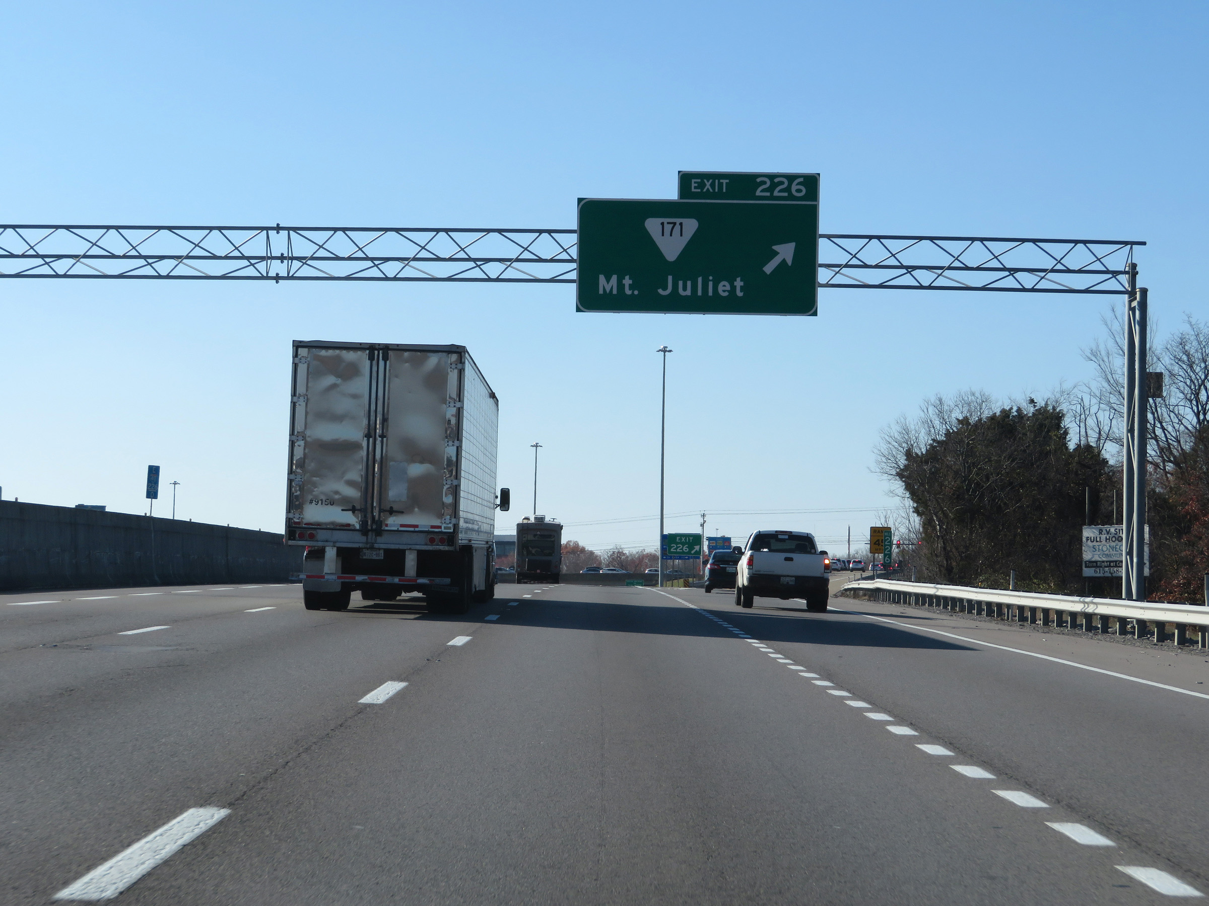 |
Interstate 40 West at Exit 226: SR 171 - Mt. Juliet (Photo taken 12/5/20). |
Section 6: Mount Juliet (Exit 226) to Nashville (Exit 207)
 |
View on Interstate 40 West at mile marker 225.2. (Photo taken 12/5/20). |
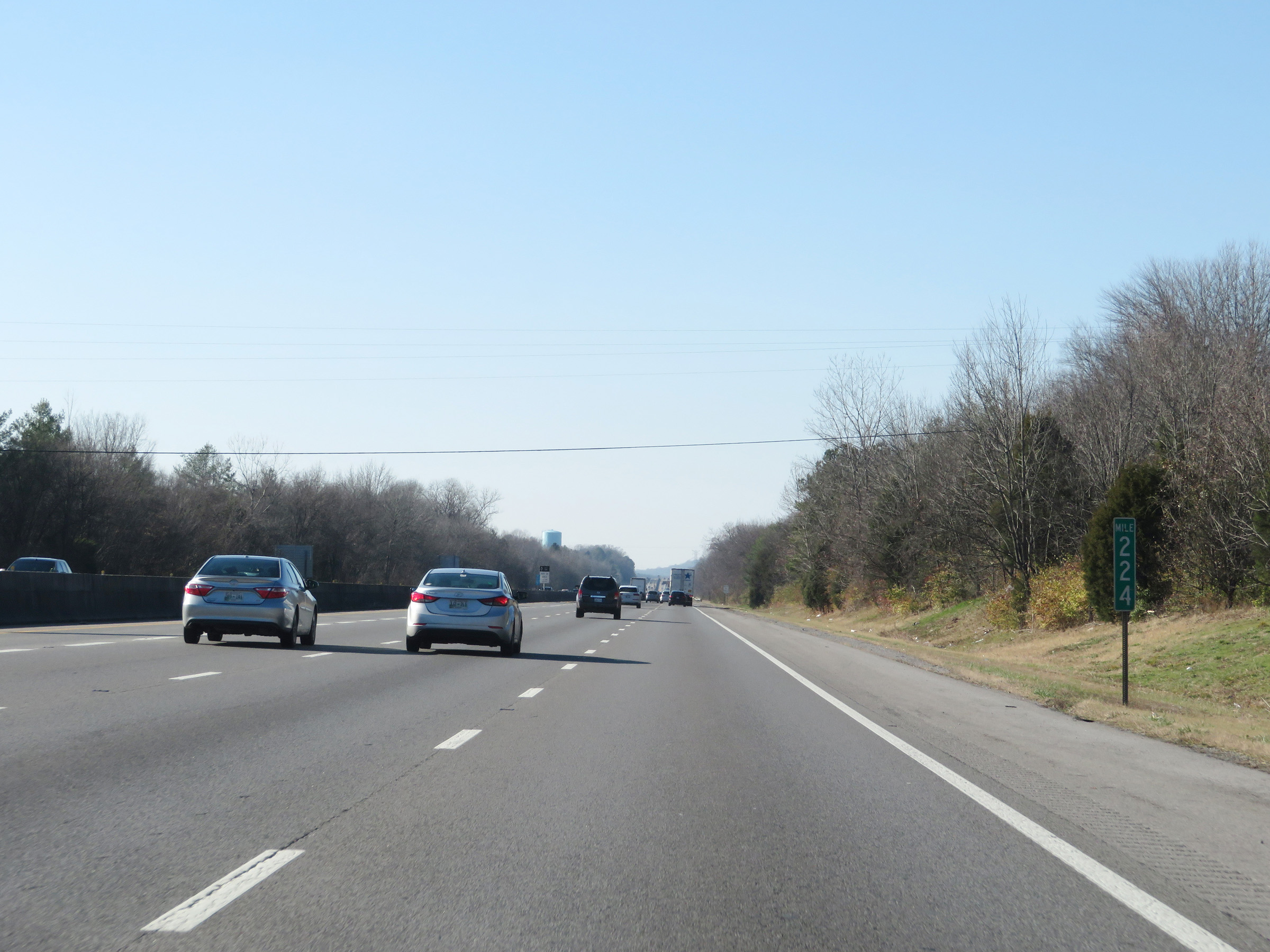 |
Interstate 40 West at mile marker 224. (Photo taken 12/5/20). |
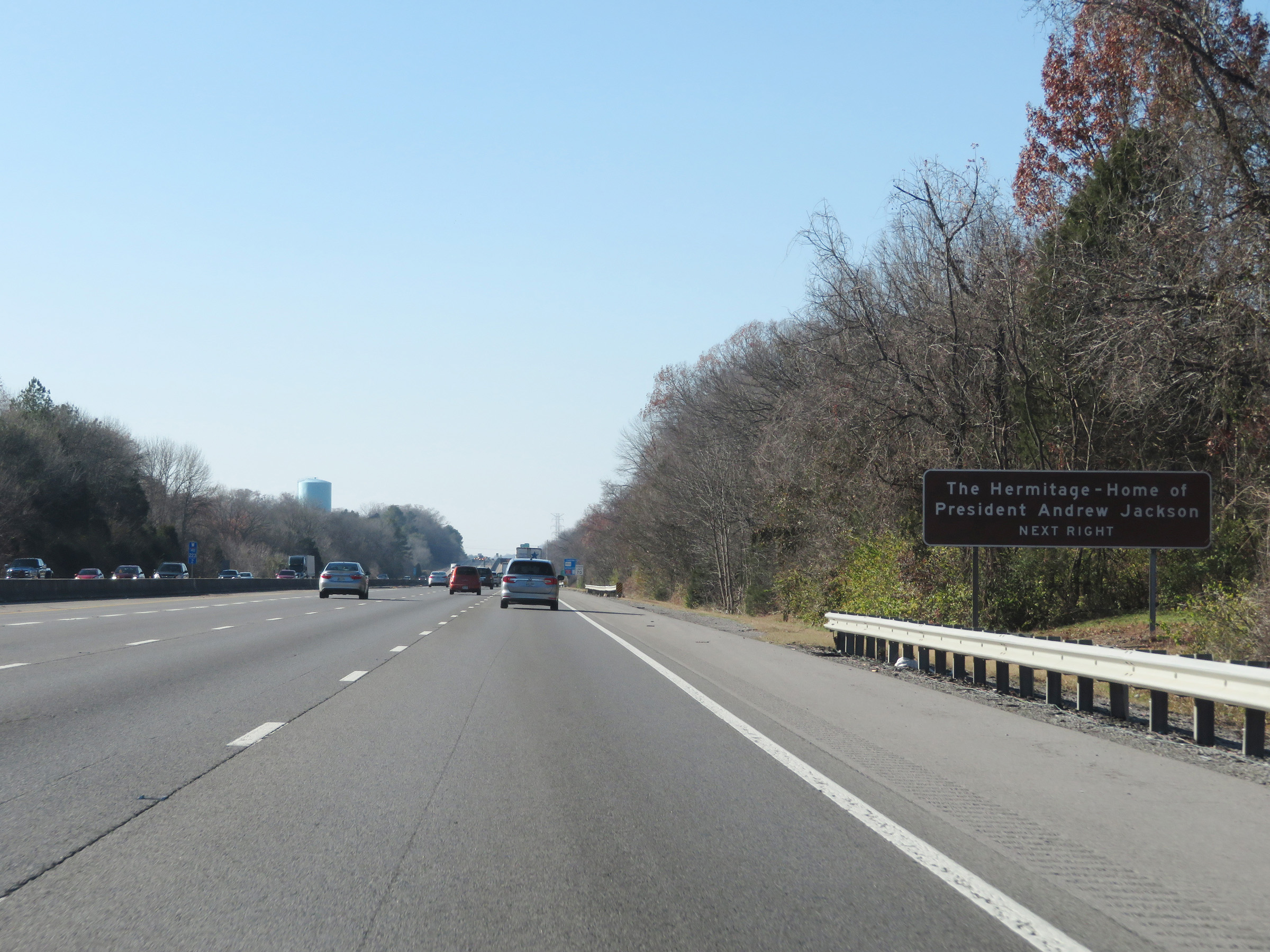 |
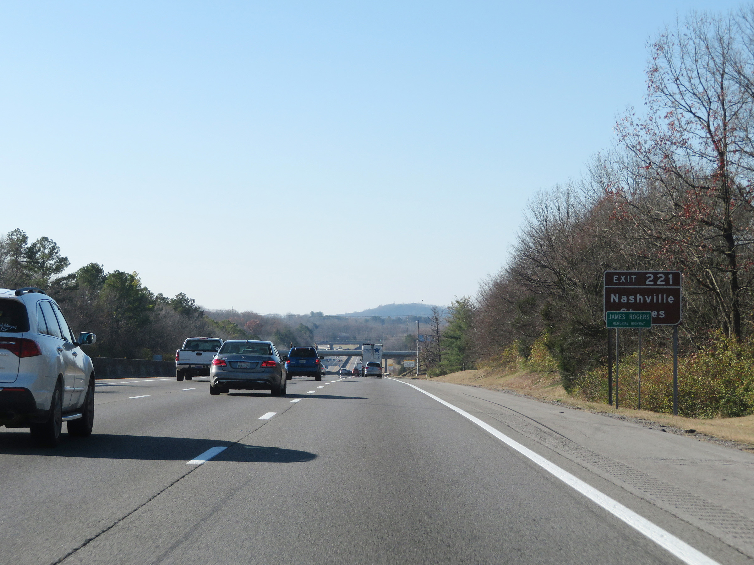
Take Exit 221 to The Hermitage - Home of President Andrew Jackson. (Photo taken 12/5/20). |
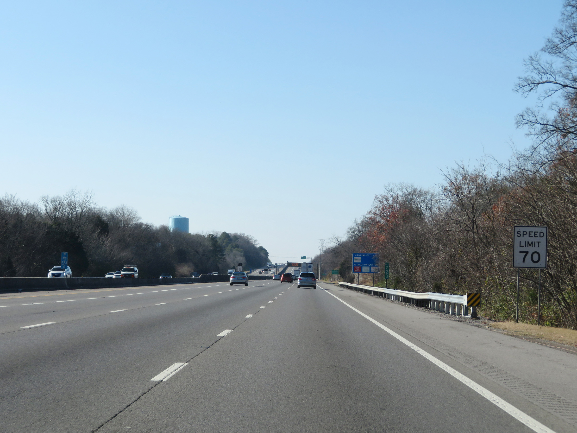 |
The speed limit remains 70 mph for all traffic. (Photo taken 12/5/20). |
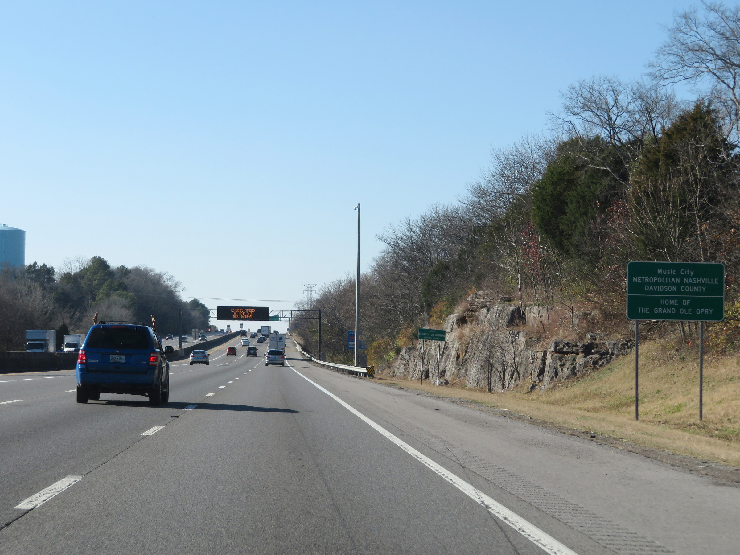 |
Interstate 40 West as it enters Davidson County and the Nashville metro area. (Photo taken 12/5/20). |
 |
Also take Exit 221 to Nashville Shores. (Photo taken 12/5/20). |
 |
Interstate 40 West at Exit 221: SR 45 - Old Hickory Blvd / The Hermitage (Photo taken 12/5/20). |
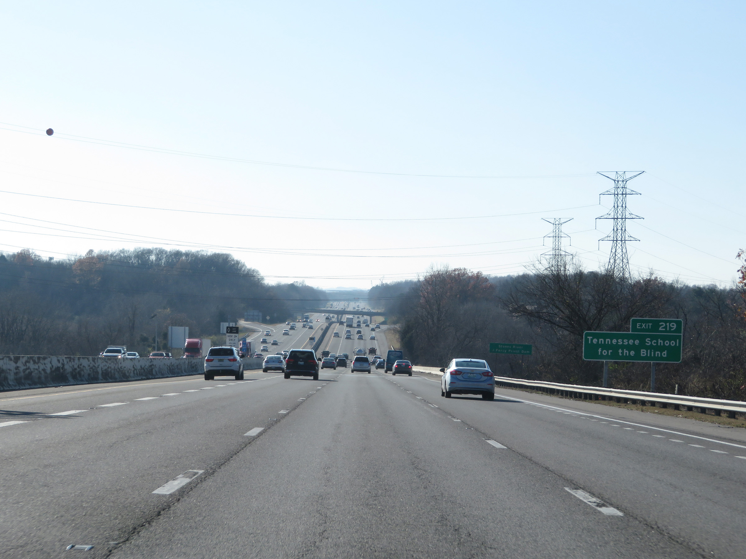 |
Take Exit 219 to Tennessee School for the Blind. (Photo taken 12/5/20). |
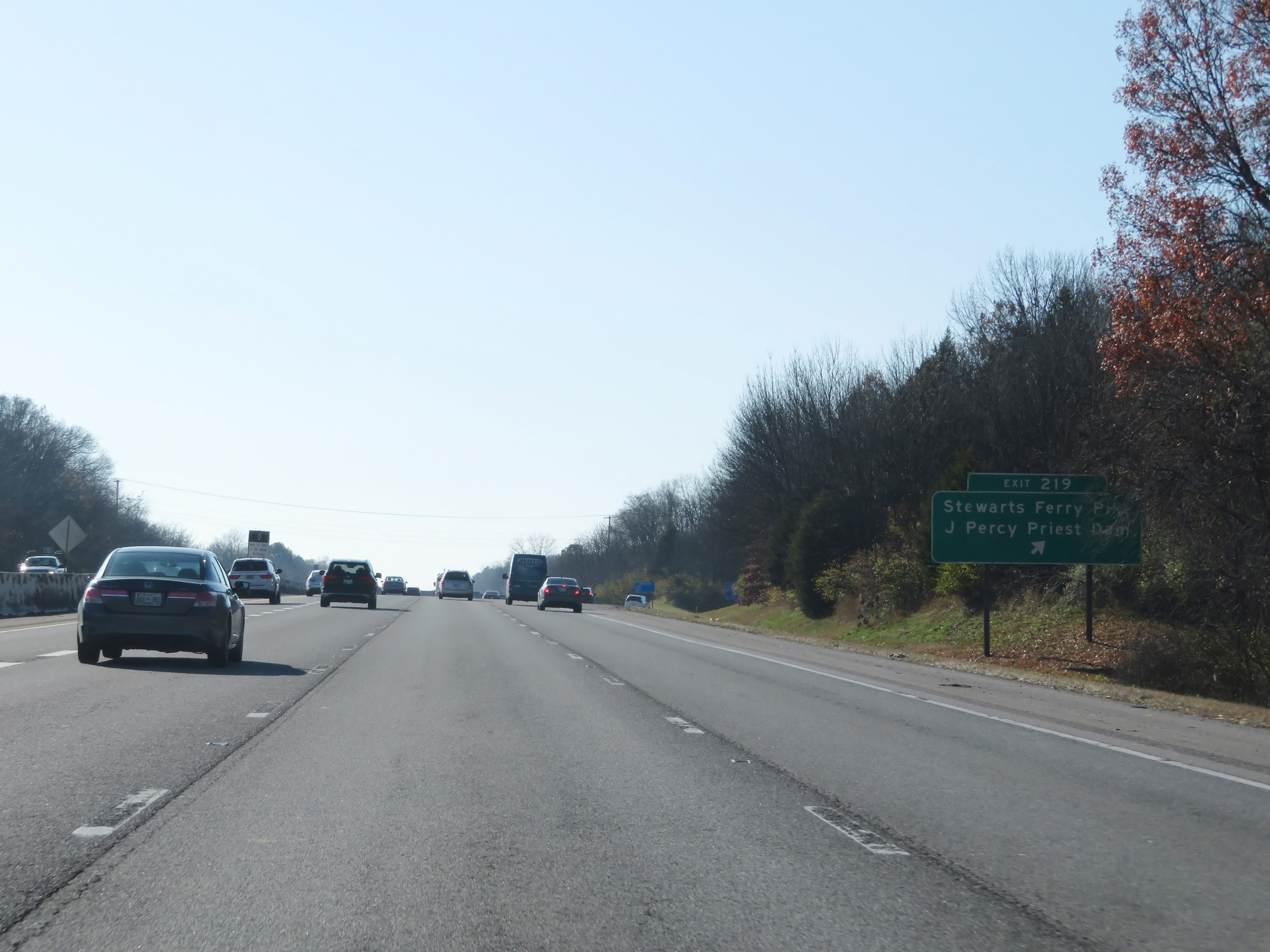 |
Interstate 40 West at Exit 219: Stewarts Ferry Pike / J. Percy Priest Dam (Photo taken 12/5/20). |
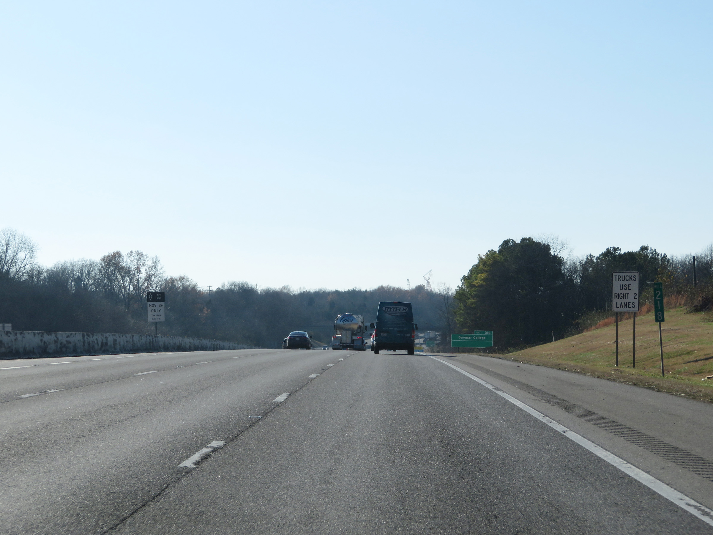 |
View on Interstate 40 West at mile marker 218. While there are four lanes approaching Nashville, trucks are restricted to the two right lanes. (Photo taken 12/5/20). |
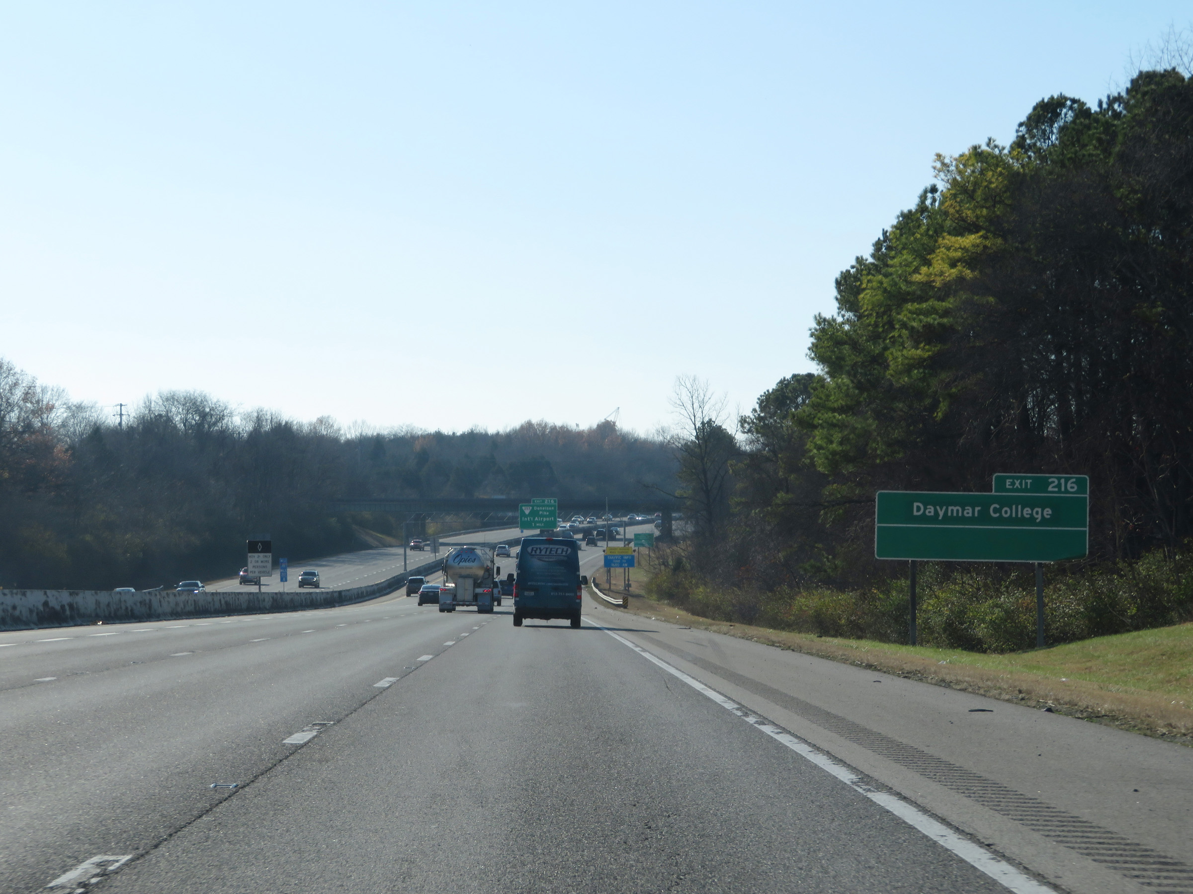 |
Take Exit 216 to Daymar College. (Photo taken 12/5/20). |
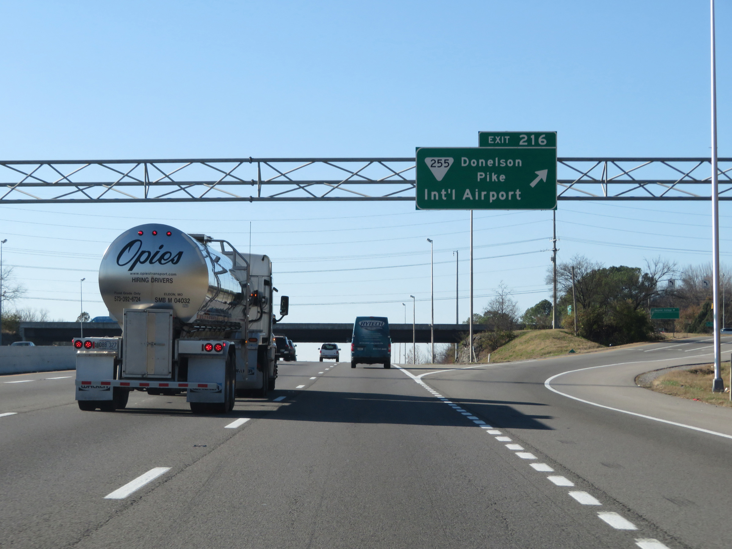 |
Interstate 40 West at Exit 216: SR 255 - Donelson Pike / International Airport (Photo taken 12/5/20). |
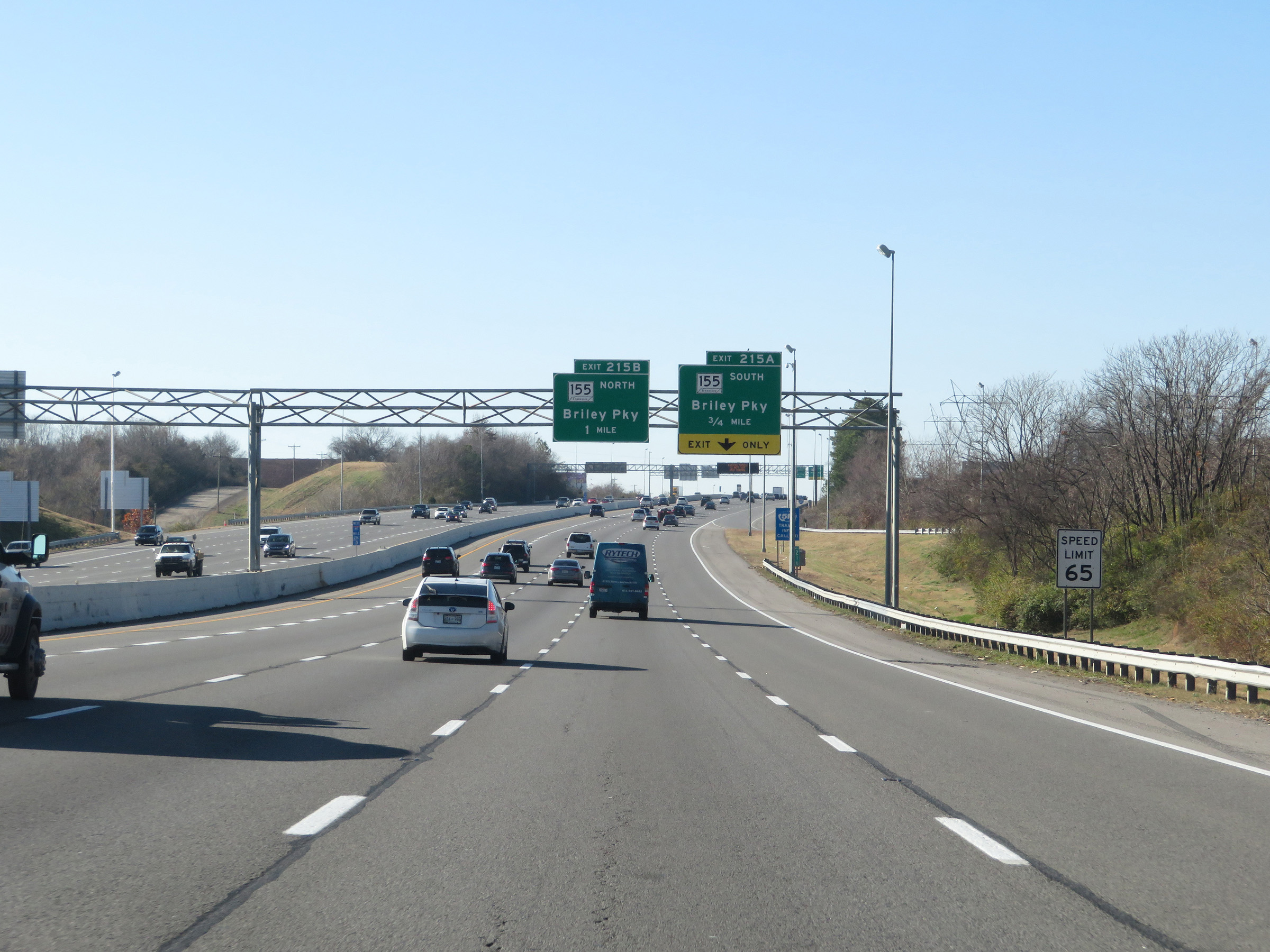 |
Approaching Exit 215A, the speed limit decreases to 65 mph for all traffic. (Photo taken 12/5/20). |
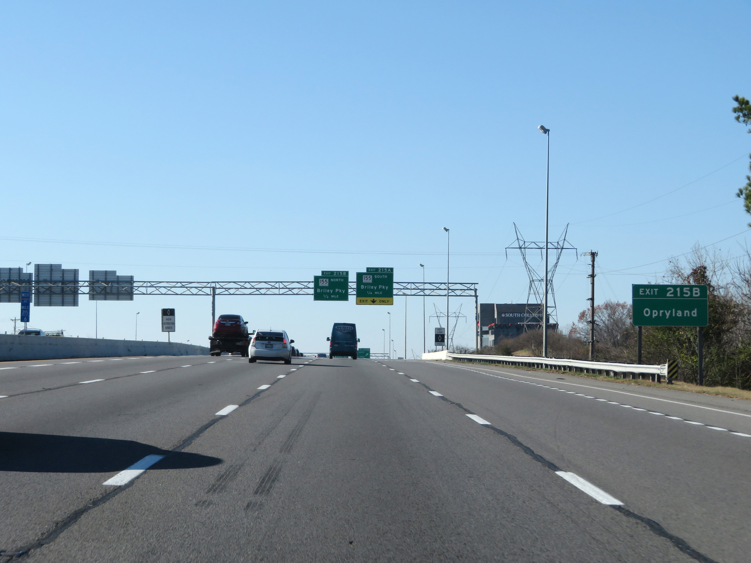 |
Take Exit 215B to Opryland. (Photo taken 12/5/20). |
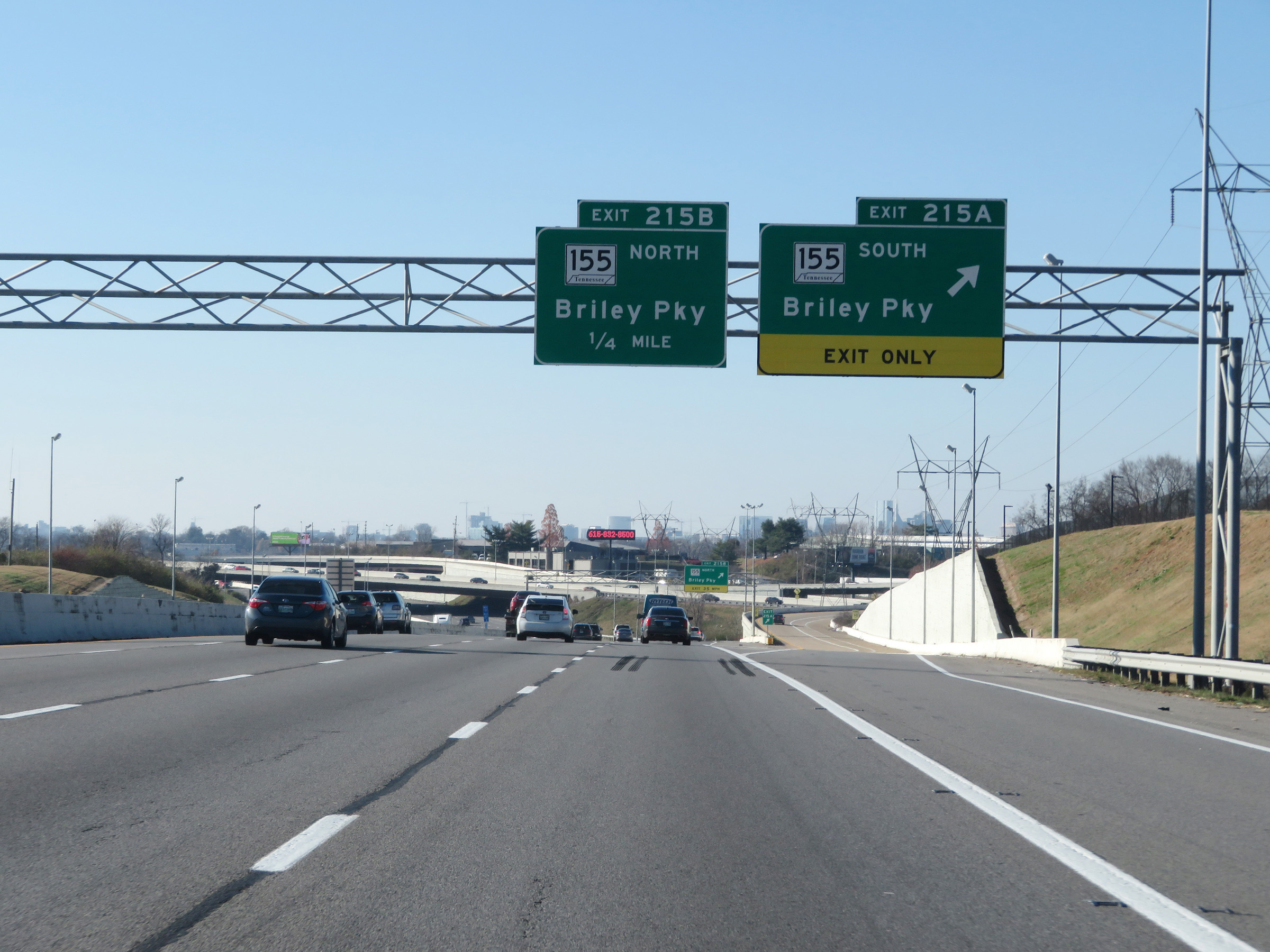 |
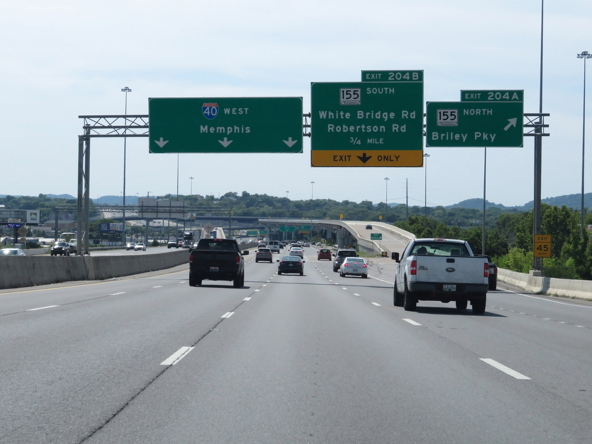
Interstate 40 West at Exit 215A: TN 155 South - Briley Pky (Photo taken 12/5/20). |
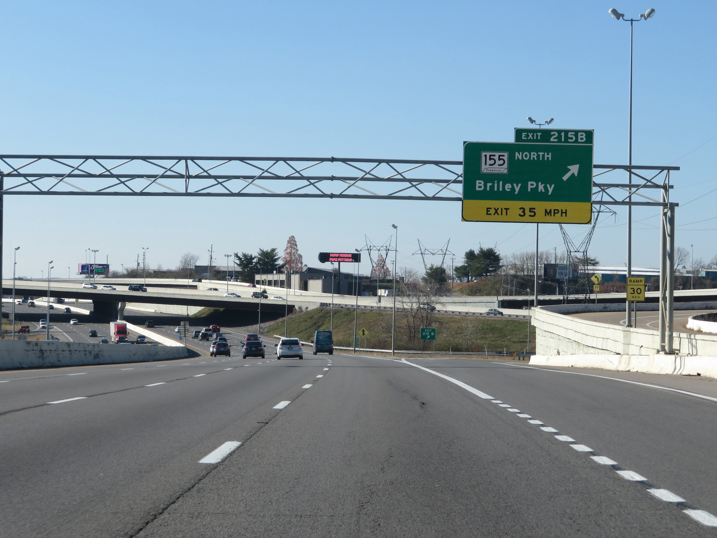 |
Interstate 40 West at Exit 215B: TN 155 North - Briley Pky (Photo taken 12/5/20). |
 |
Interstate 40 West approaching Exits 213B-A - 1 mile. I-40 West thru traffic should keep right. (Photo taken 12/5/20). |
 |
Interstate 40 West reassurance shield. (Photo taken 12/5/20). |
 |
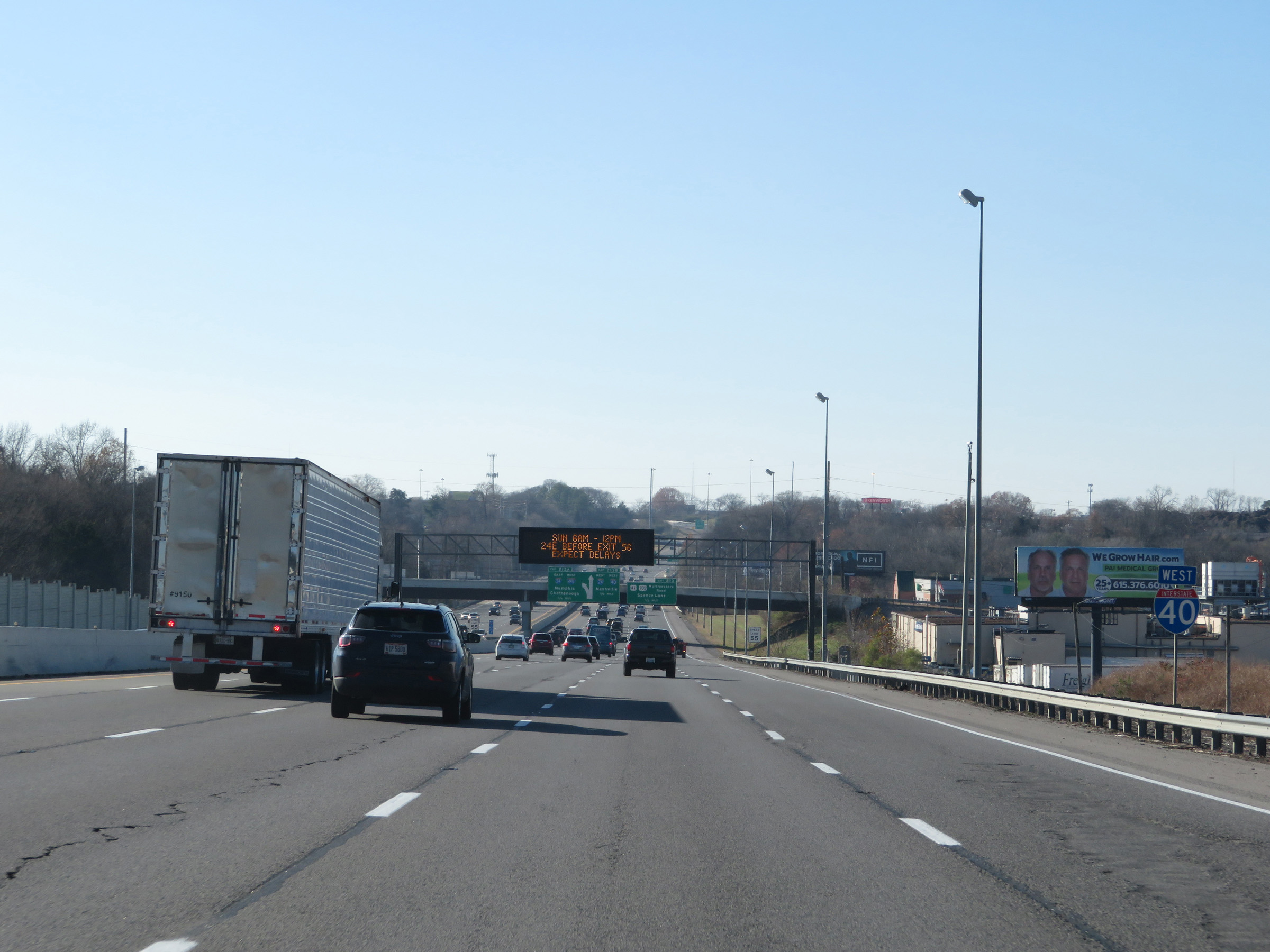
At mile marker 214.2, the speed limit decreases to 55 mph as Interstate 40 West nears downtown Nashville and several busy interchanges. (Photo taken 12/5/20). |
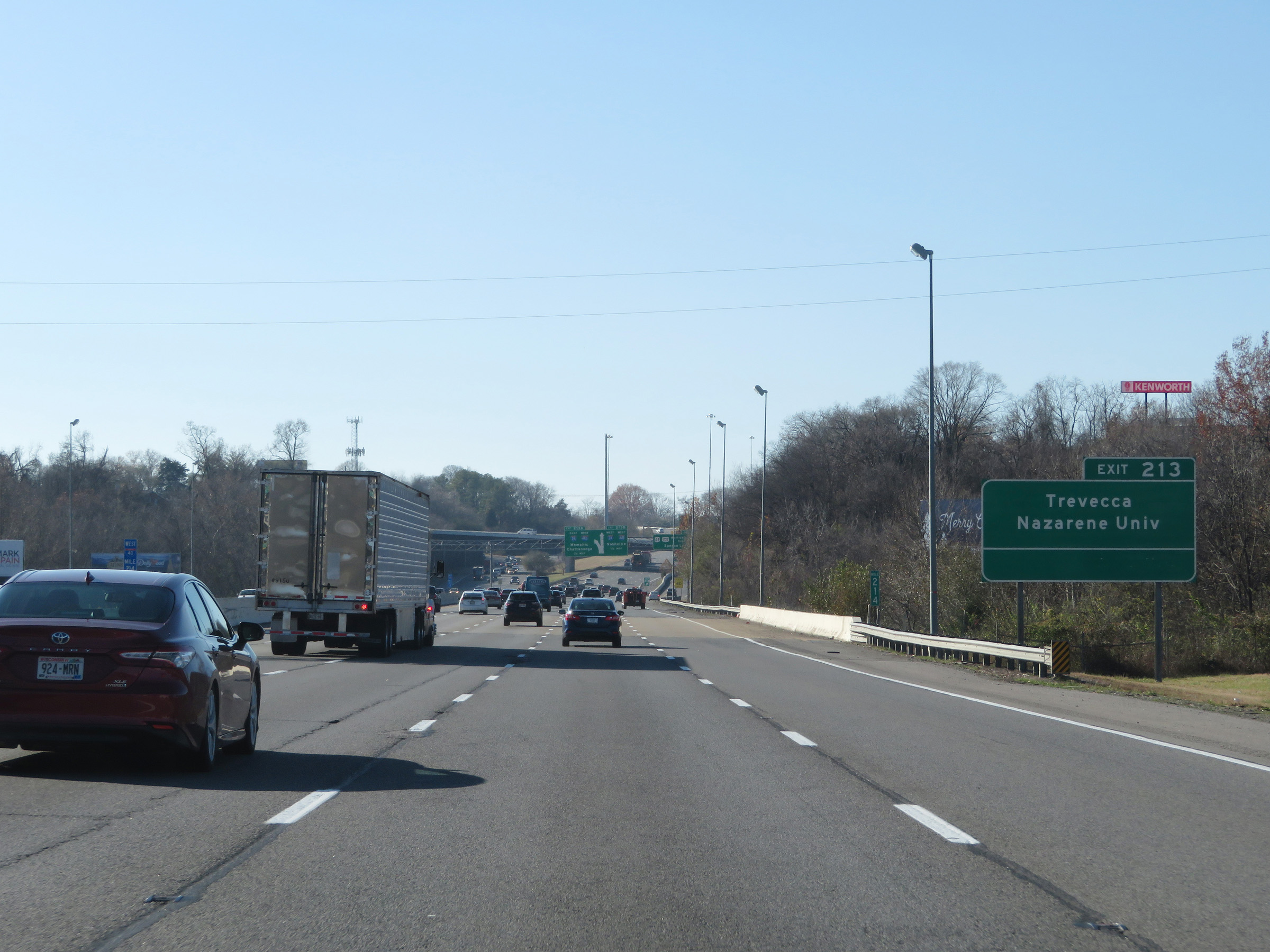 |
Take Exit 213 to Trevecca Nazarene University. (Photo taken 12/5/20). |
 |
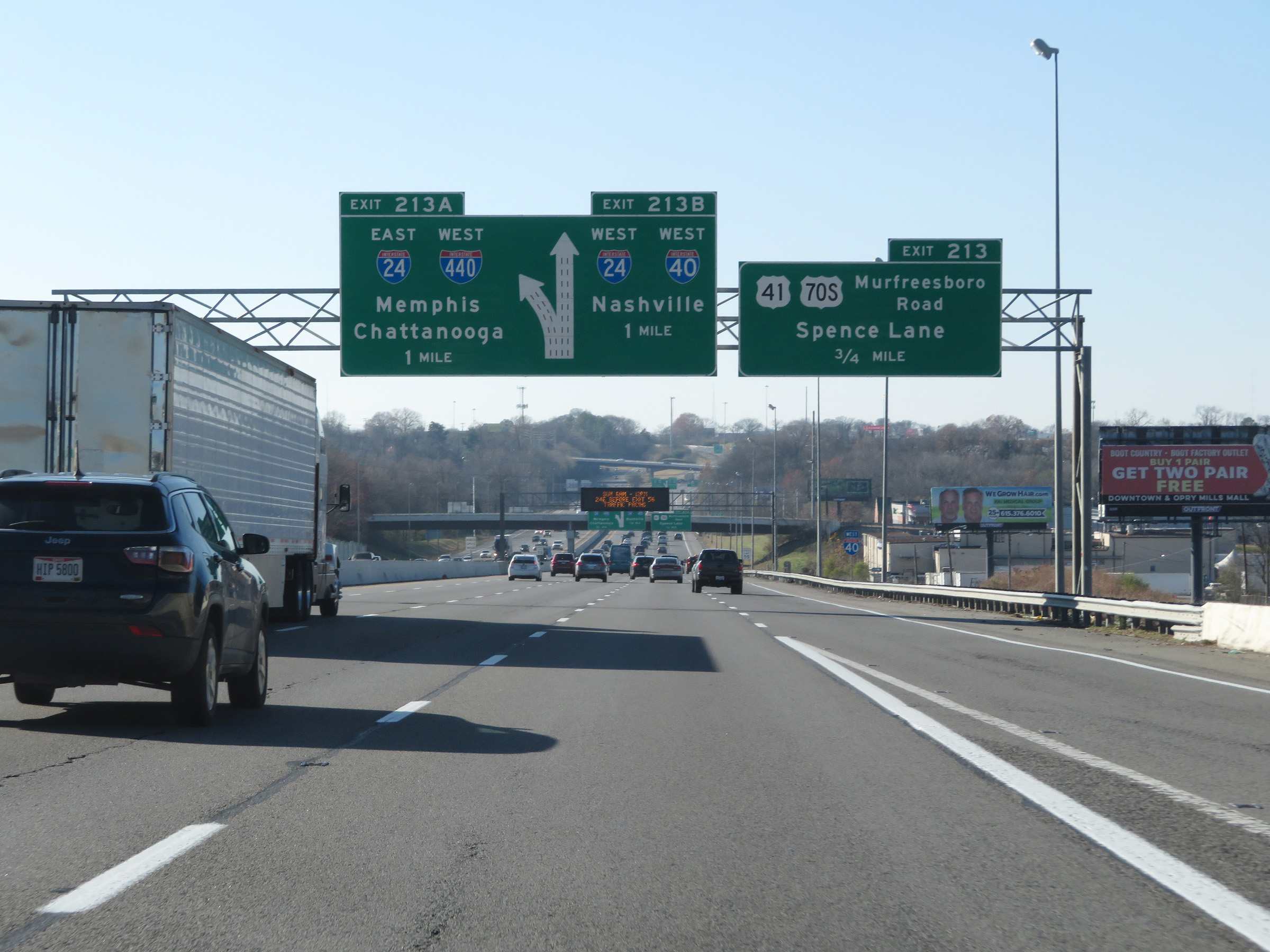
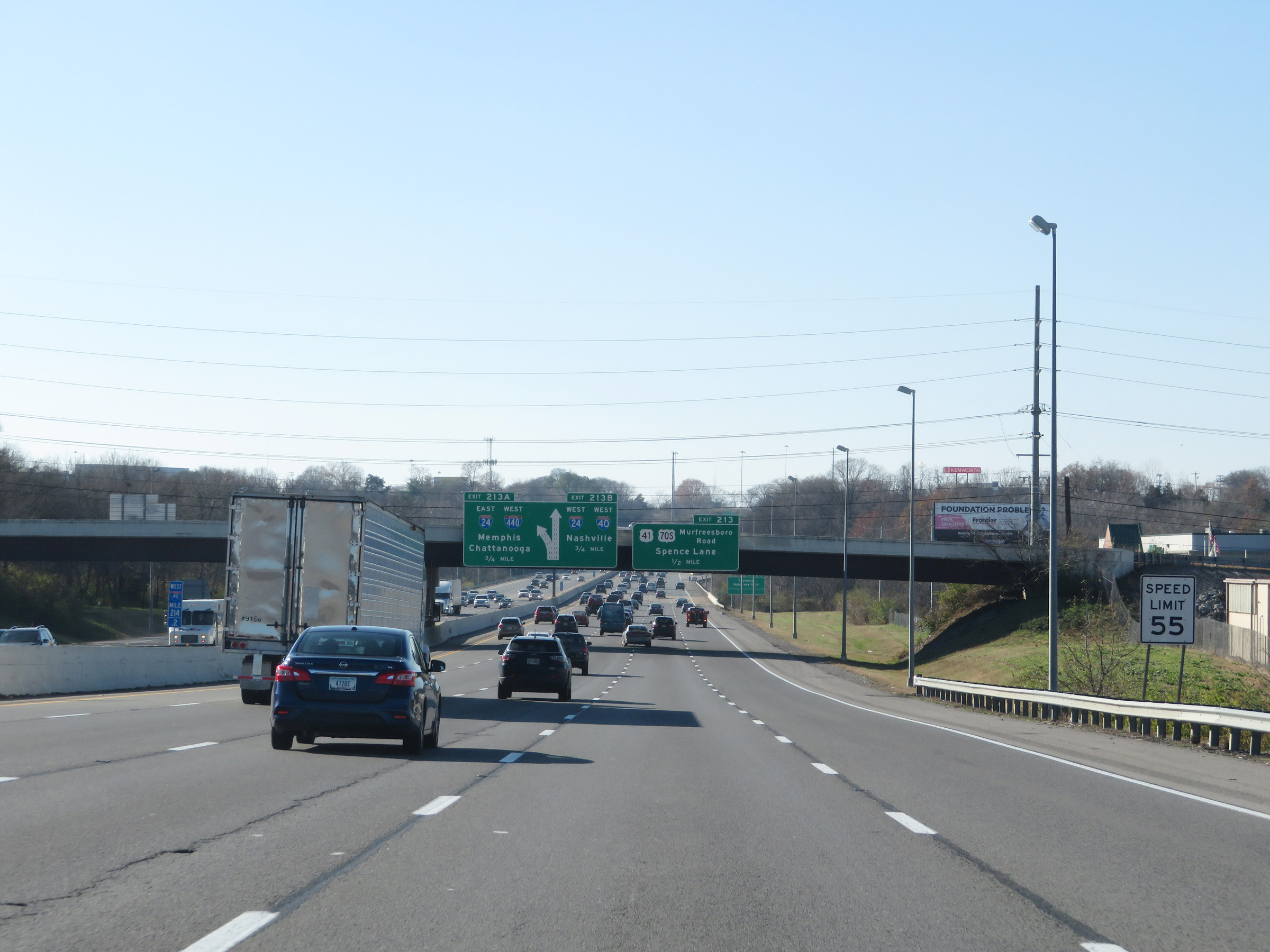
Interstate 40 West at Exit 213: US 40 / US 70S - Murfreesboro Road / Spence Lane (Photo taken 12/5/20). |
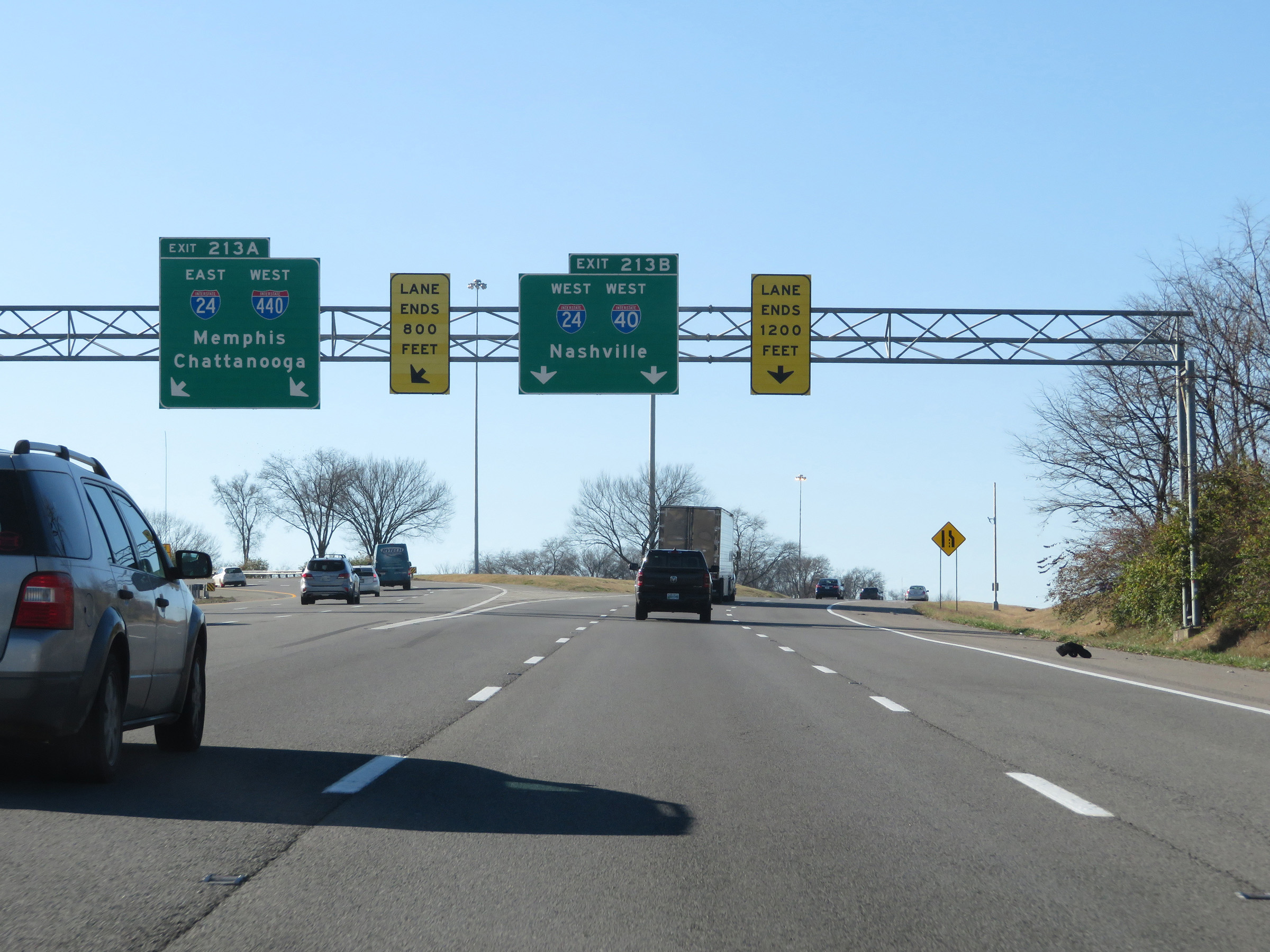 |
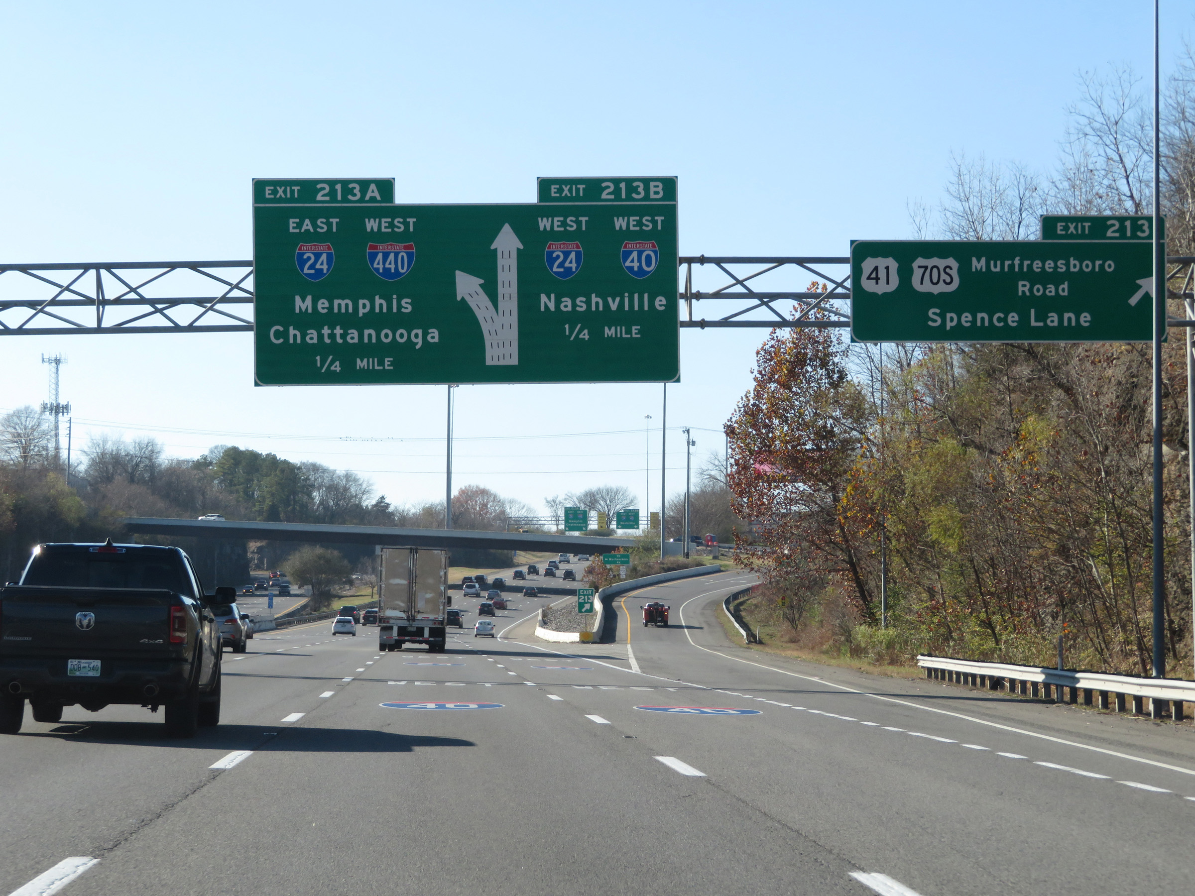
Interstate 40 West at Exit 213A: Interstate 24 East / Interstate 440 West - Memphis / Chattanooga; Exit 213B: Interstate 40 West / Interstate 24 West - Nashville (Photo taken 12/5/20). |
 |
View on Interstate 40 West as traffic from Interstate 24 West appears on the left and prepares to merge into I-40 West for a brief concurrency in Nashville. (Photo taken 12/5/20). |
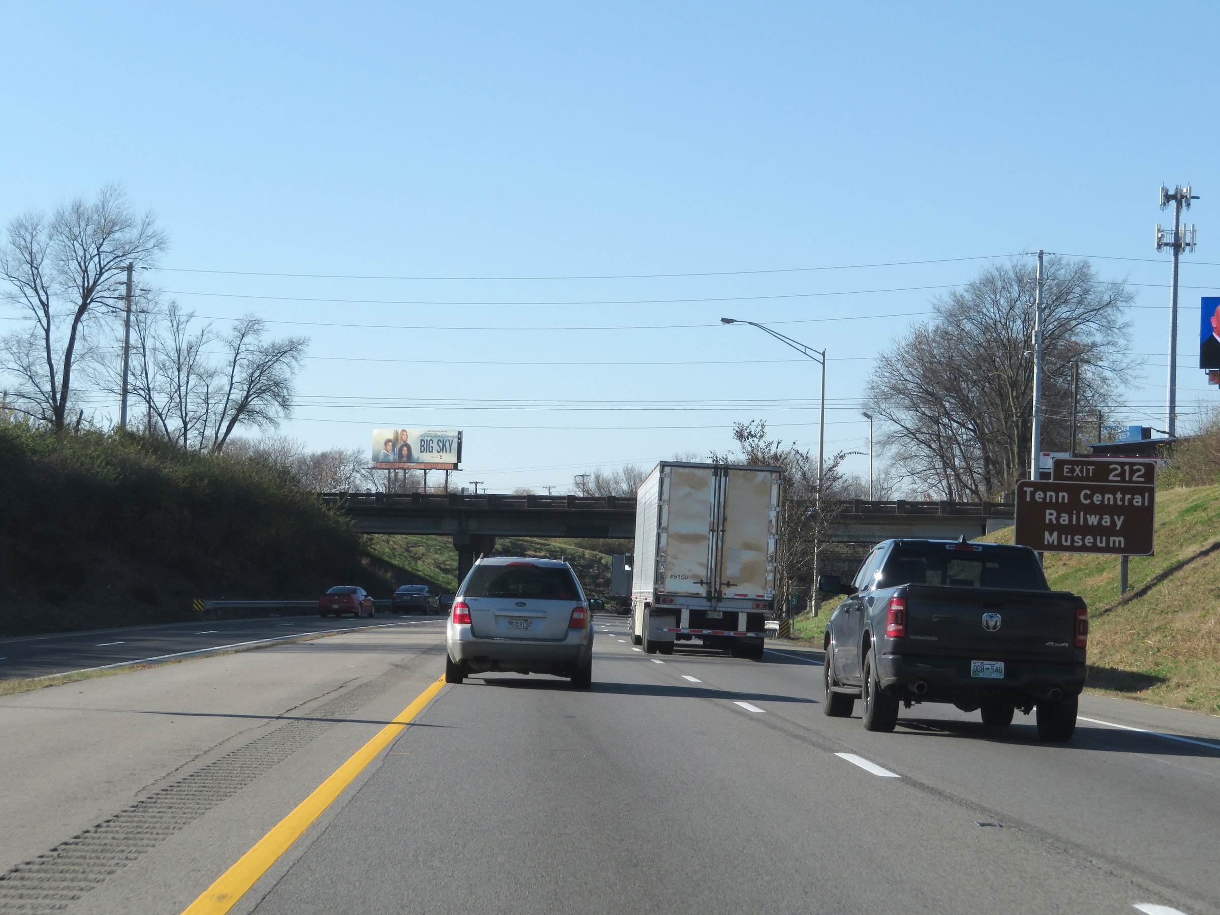 |
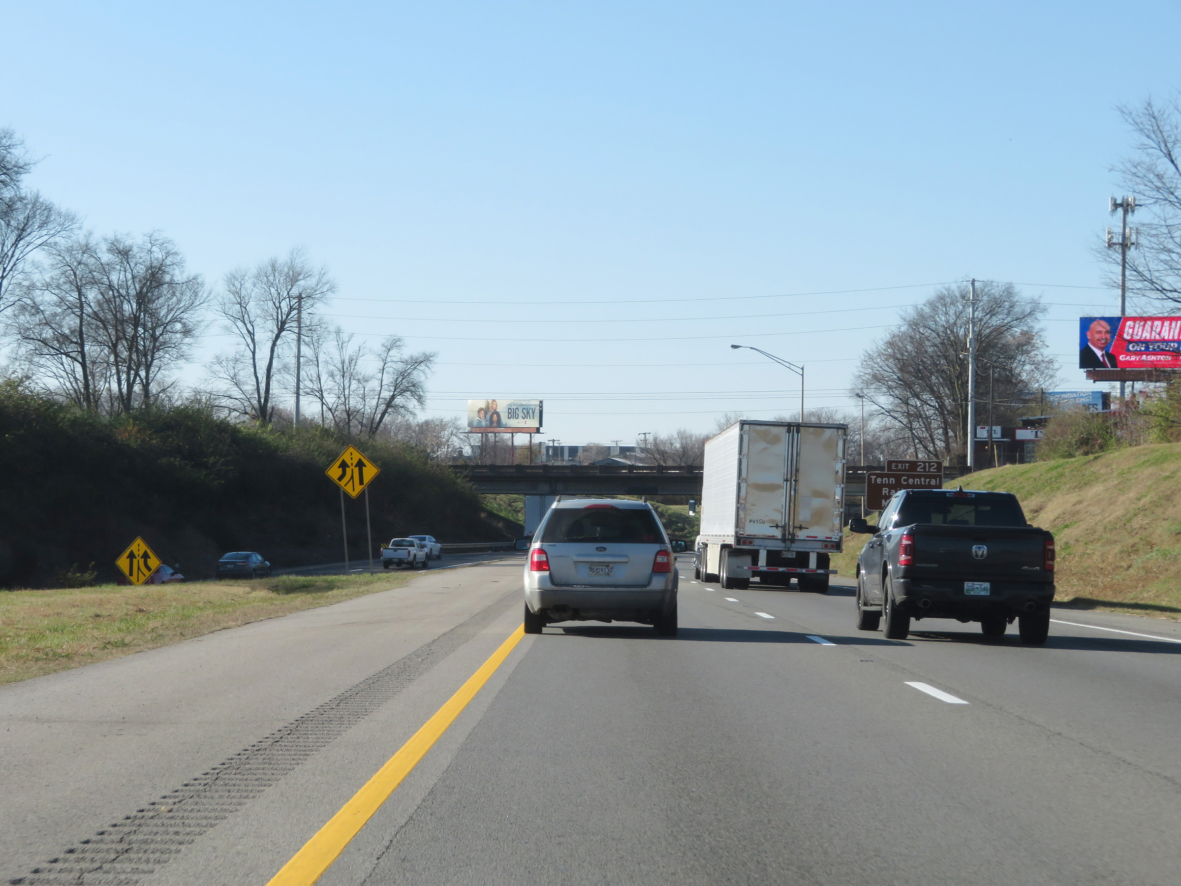
Take Exit 212 to the Tennessee Central Railway Museum. During the Interstate 40 / Interstate 24 concurrency, the mileage and exit numbers are based on the mileage of I-40. (Photo taken 12/5/20). |
 |
View on Interstate 40 West / Interstate 24 West as their concurrency begins. (Photo taken 12/5/20). |
 |
Interstate 40 West / Interstate 24 West at mile marker 212.4, as downtown Nashville begins to come into view. (Photo taken 12/5/20). |
 |
Interstate 40 West / Interstate 24 West approaching Exit 211 - 1 mile. I-24 West through traffic, after having merged into I-40 on the left, will need to be the two right lanes. (Photo taken 12/5/20). |
 |
Interstate 40 West / Interstate 24 West reassurance shields. Well, at least the I-24 shield was supposed to be here. (Photo taken 12/5/20). |
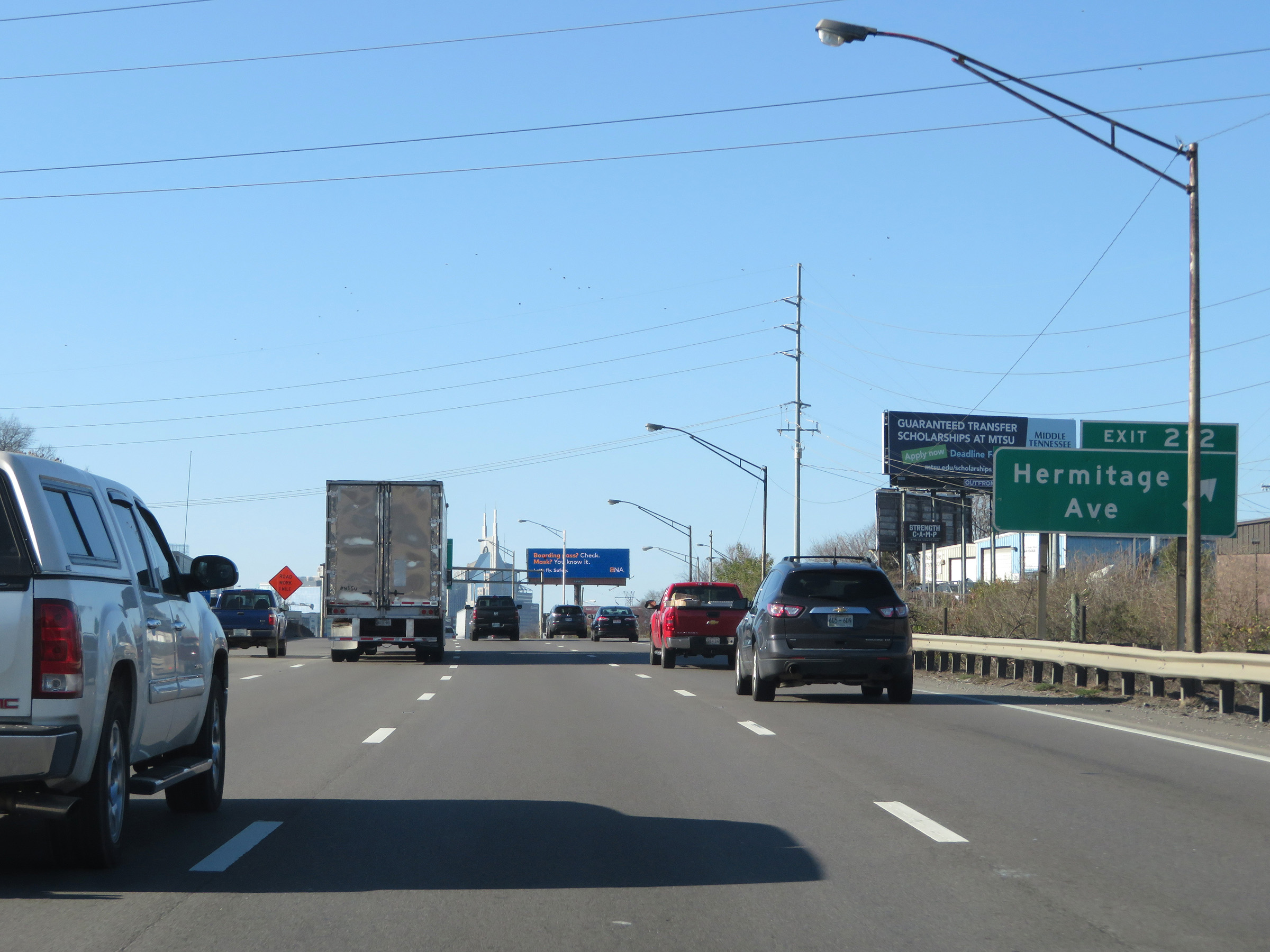 |
Interstate 40 West / Interstate 24 West at Exit 212: Hermitage Ave (Photo taken 12/5/20). |
 |
Interstate 40 West / Interstate 24 West approaching Exit 211 - 1/4 mile. Again, I-24 West thru traffic should keep right and I-40 West thru traffic must be in the two left lanes. (Photo taken 12/5/20). |
 |
Shield pavement markings on Interstate 40 West / Interstate 24 West approaching the departure of I-24 West via Exit 211 ahead in downtown Nashville. (Photo taken 12/5/20). |
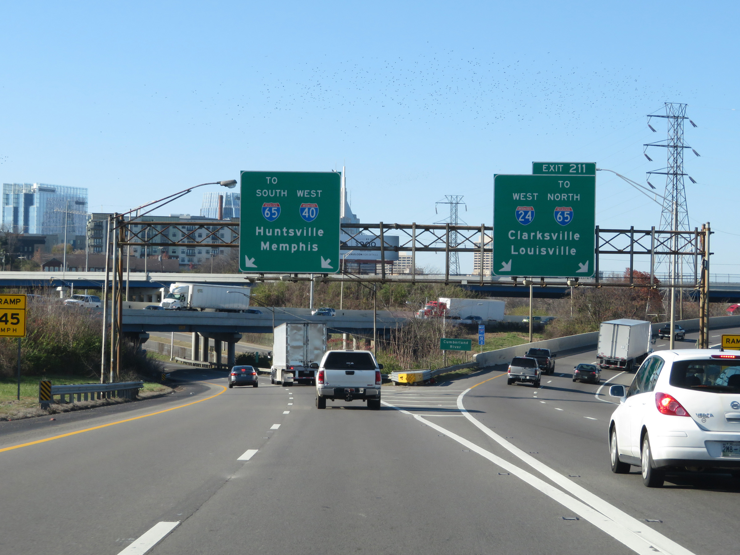 |
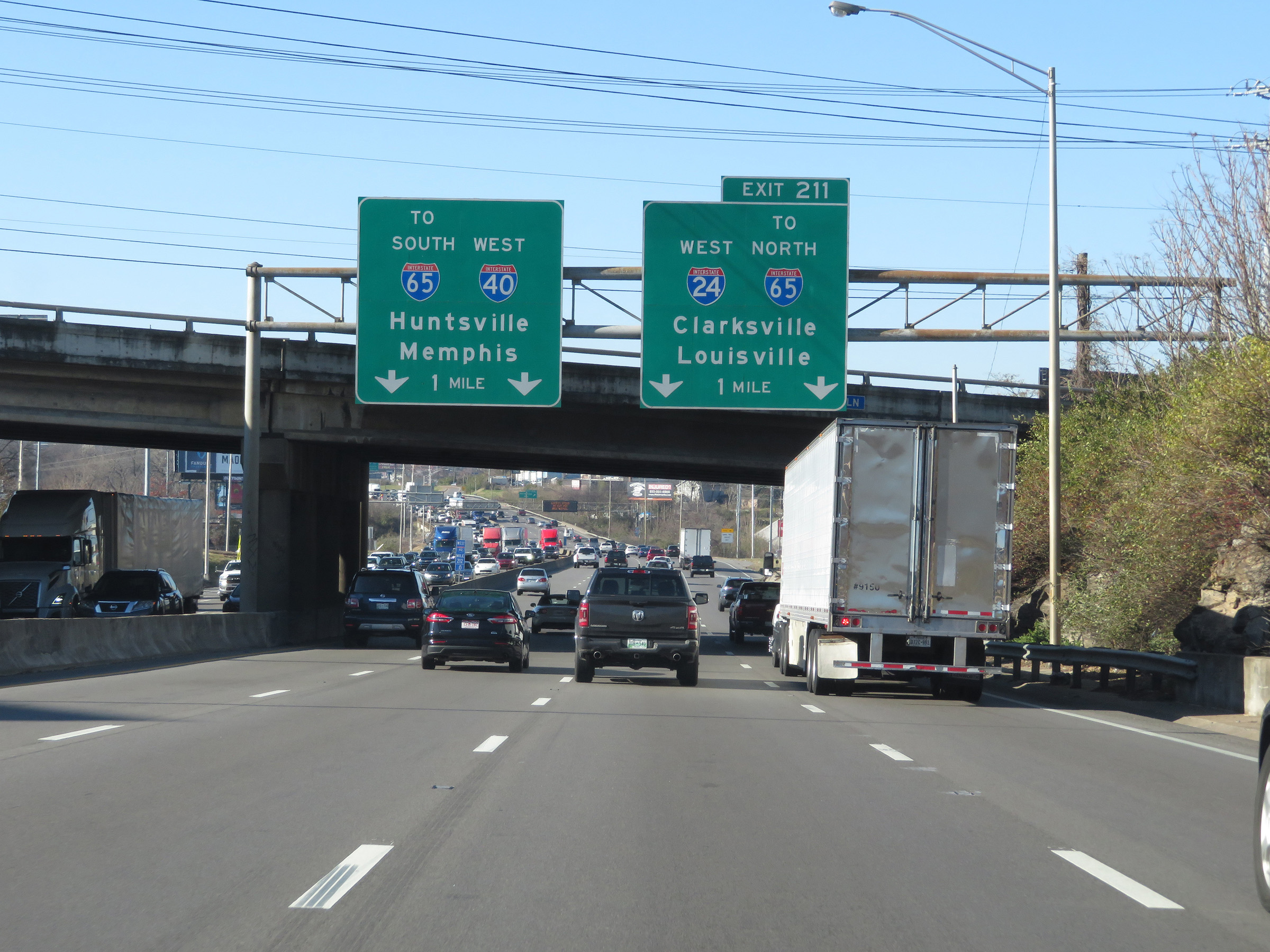
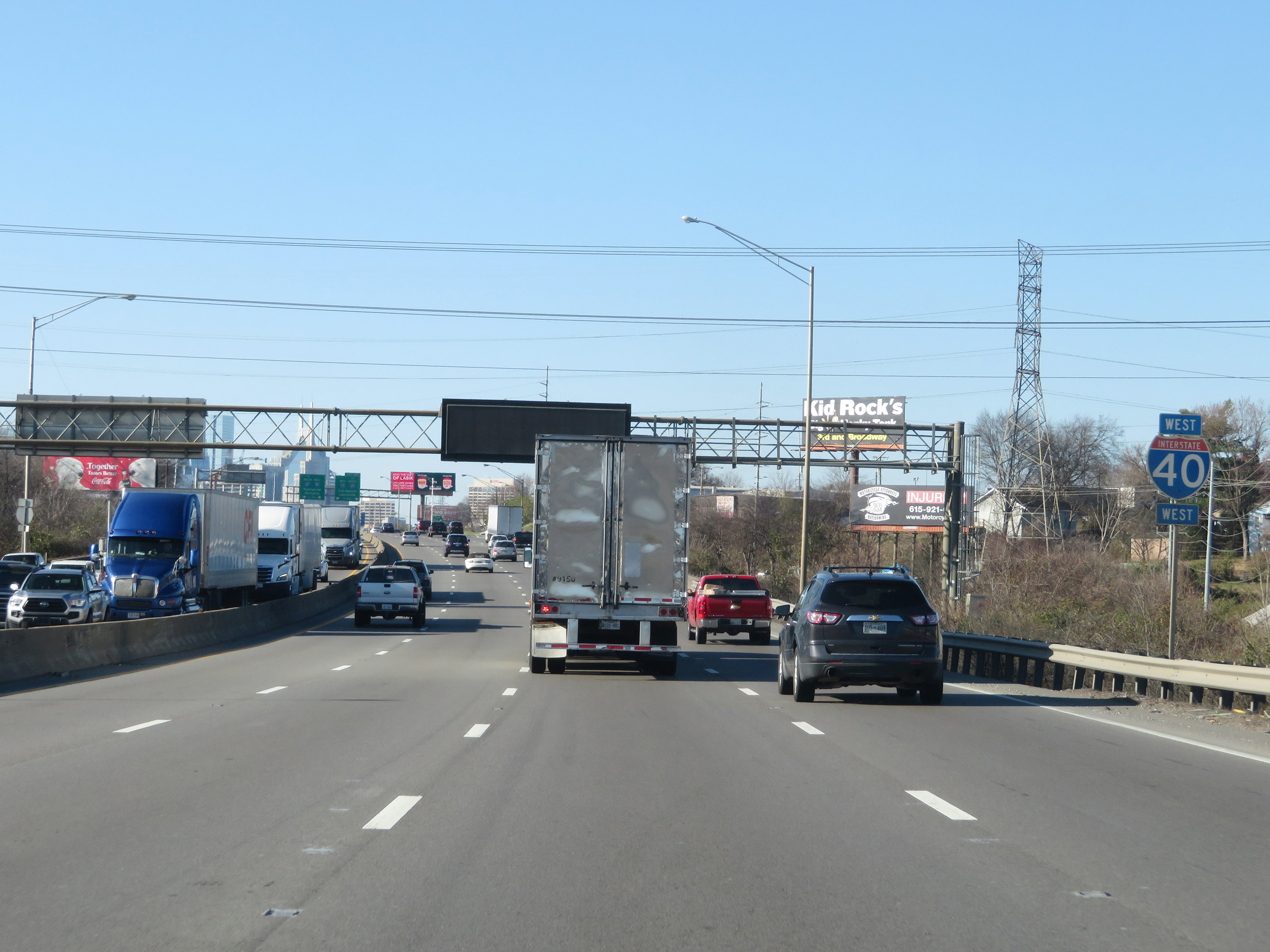
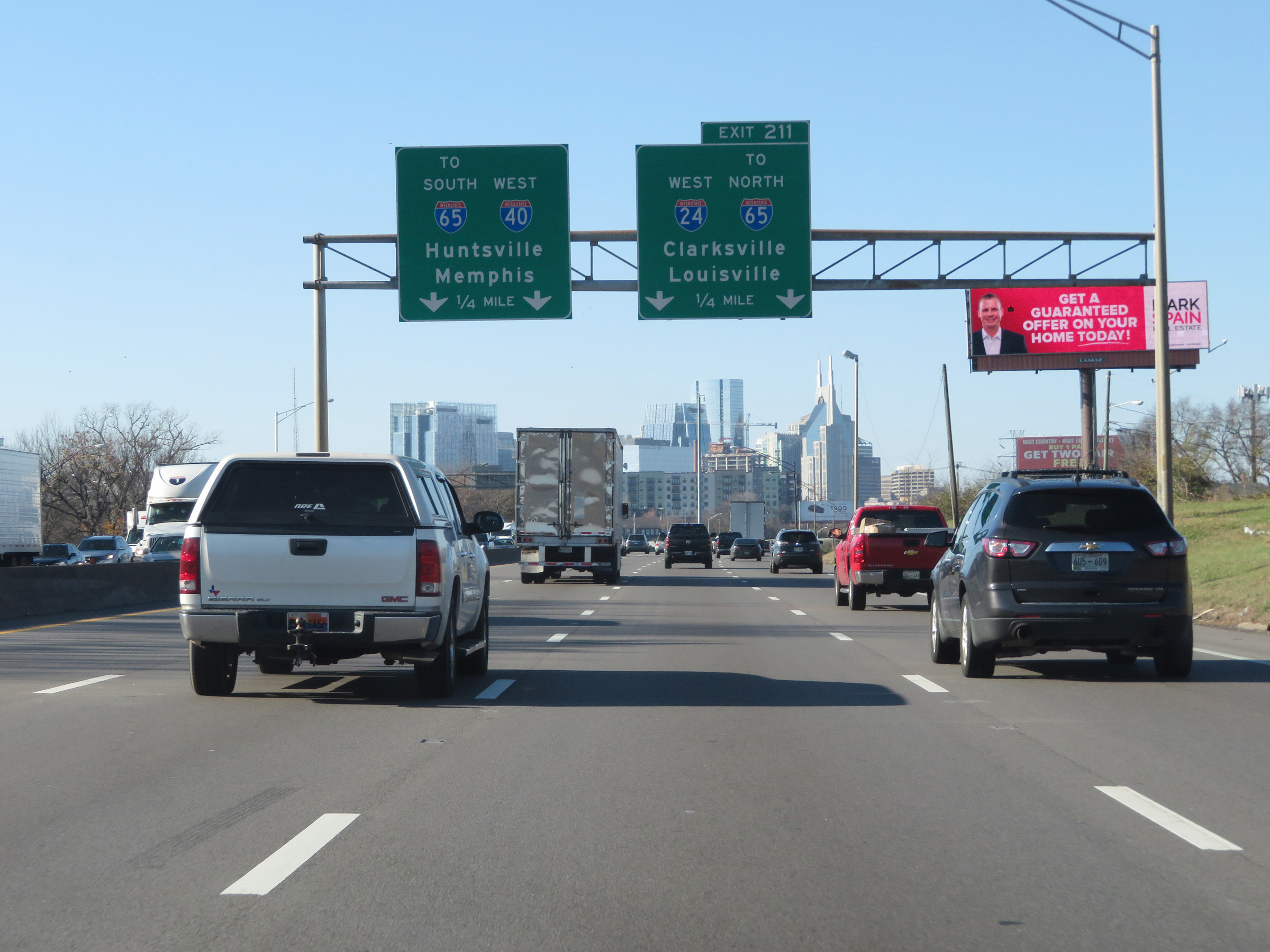
Interstate 40 West / Interstate 24 West at Exit 211: Interstate 24 West / To Interstate 65 North - Clarksville / Louisville (Photo taken 12/5/20). |
 |
View on Interstate 40 West in Nashville, just after the departure of Interstate 24 West. (Photo taken 12/5/20). |
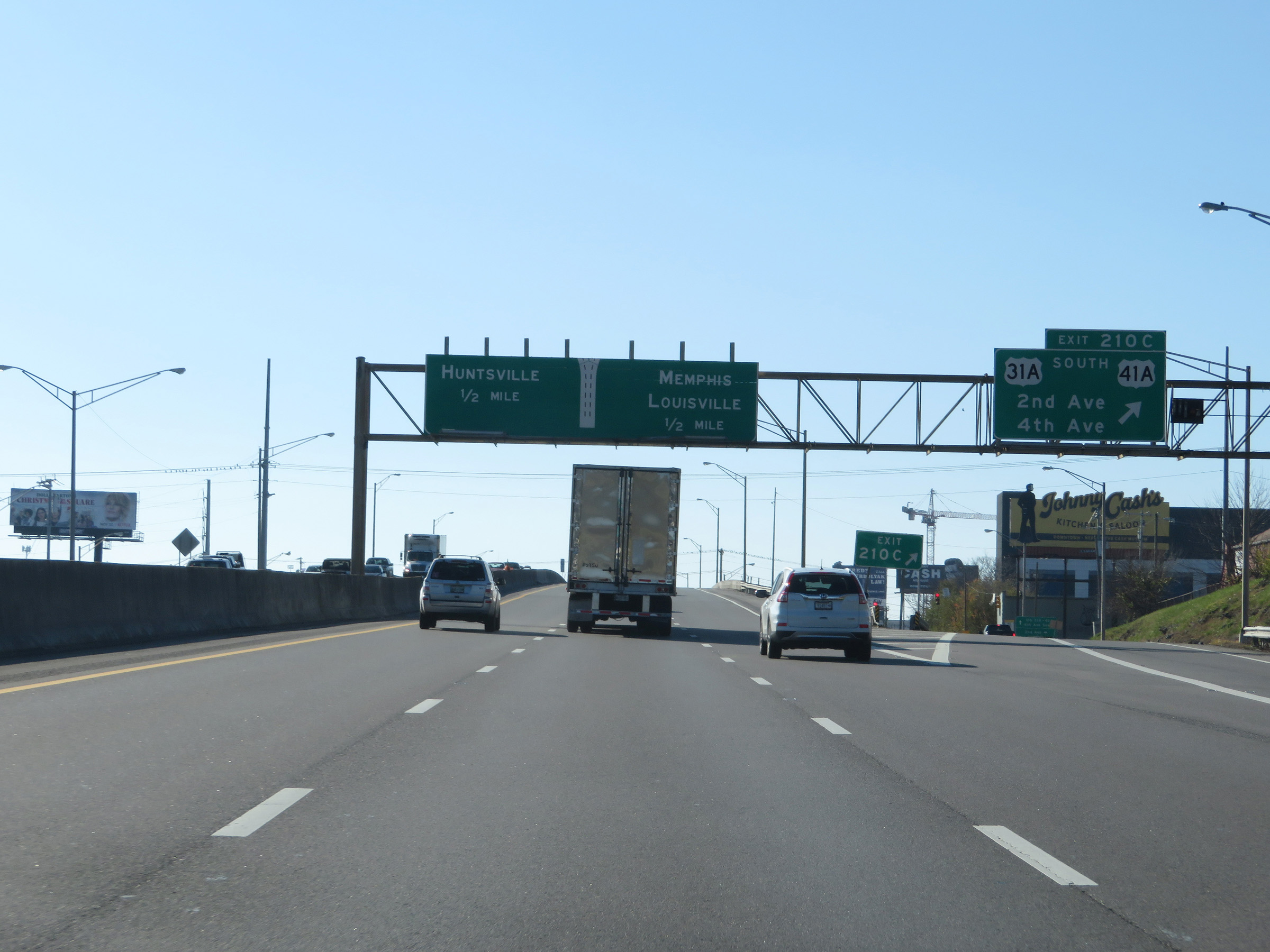 |
Interstate 40 West at Exit 210C: US 31A South / US 41A - 2nd Ave / 4th Ave (Photo taken 12/5/20). |
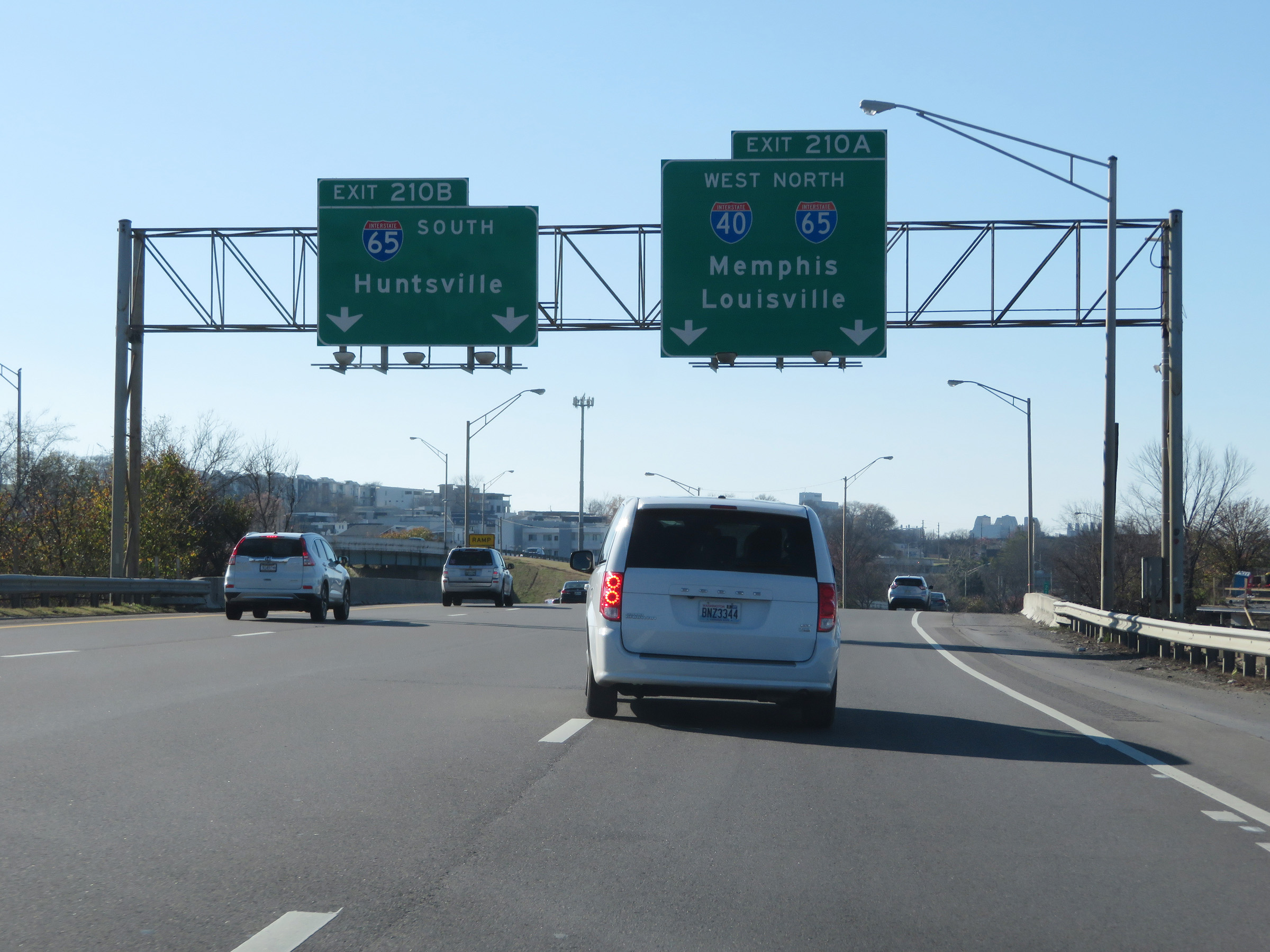 |
Interstate 40 West at Exit 210B: Interstate 65 South - Huntsville; Exit 210A: Interstate 40 West / Interstate 65 North - Memphis / Louisville (Photo taken 12/5/20). |
 |
A closer view of the ramp for Exit 210B to Interstate 65 South. (Photo taken 12/5/20). |
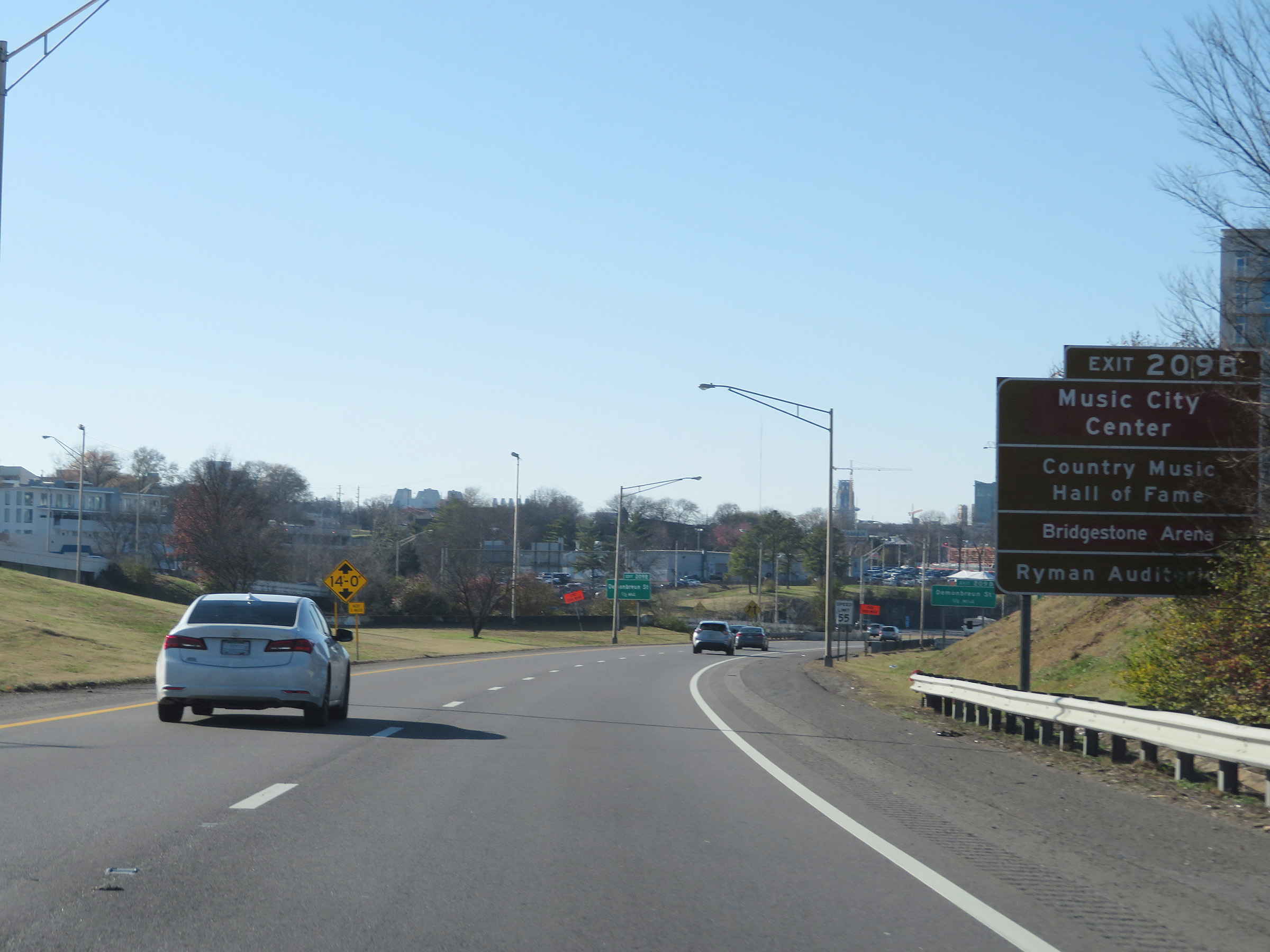 |
Take Exit 209B to Music City Center, the Country Music Hall of Fame, Bridgestone Arena, and Ryman Auditorium. (Photo taken 12/5/20). |
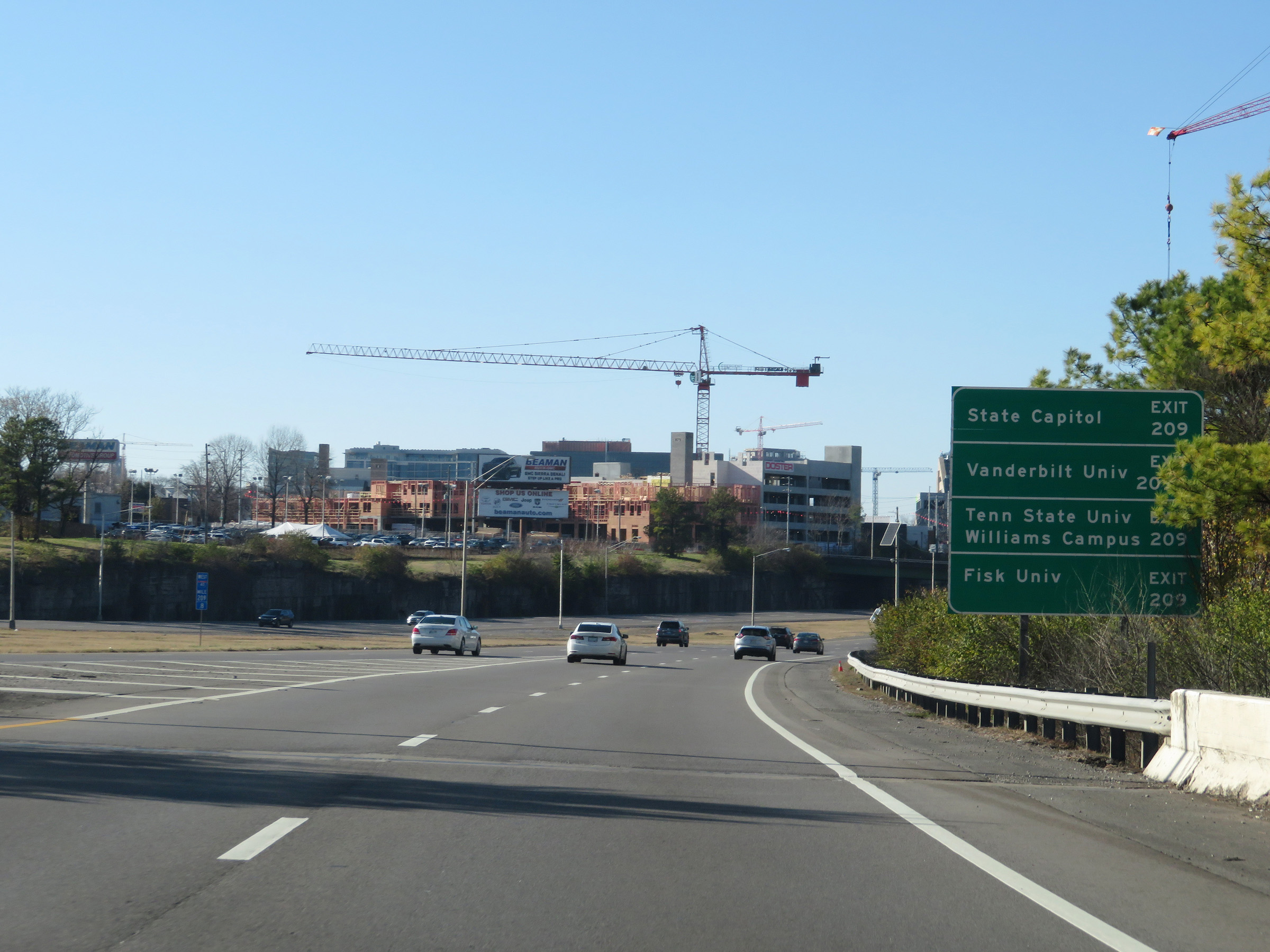 |
Take Exit 209 to the State Capitol, Tennessee State University Williams Campus, and Fisk University. Take Exit 209B to Vanderbilt University. (Photo taken 12/5/20). |
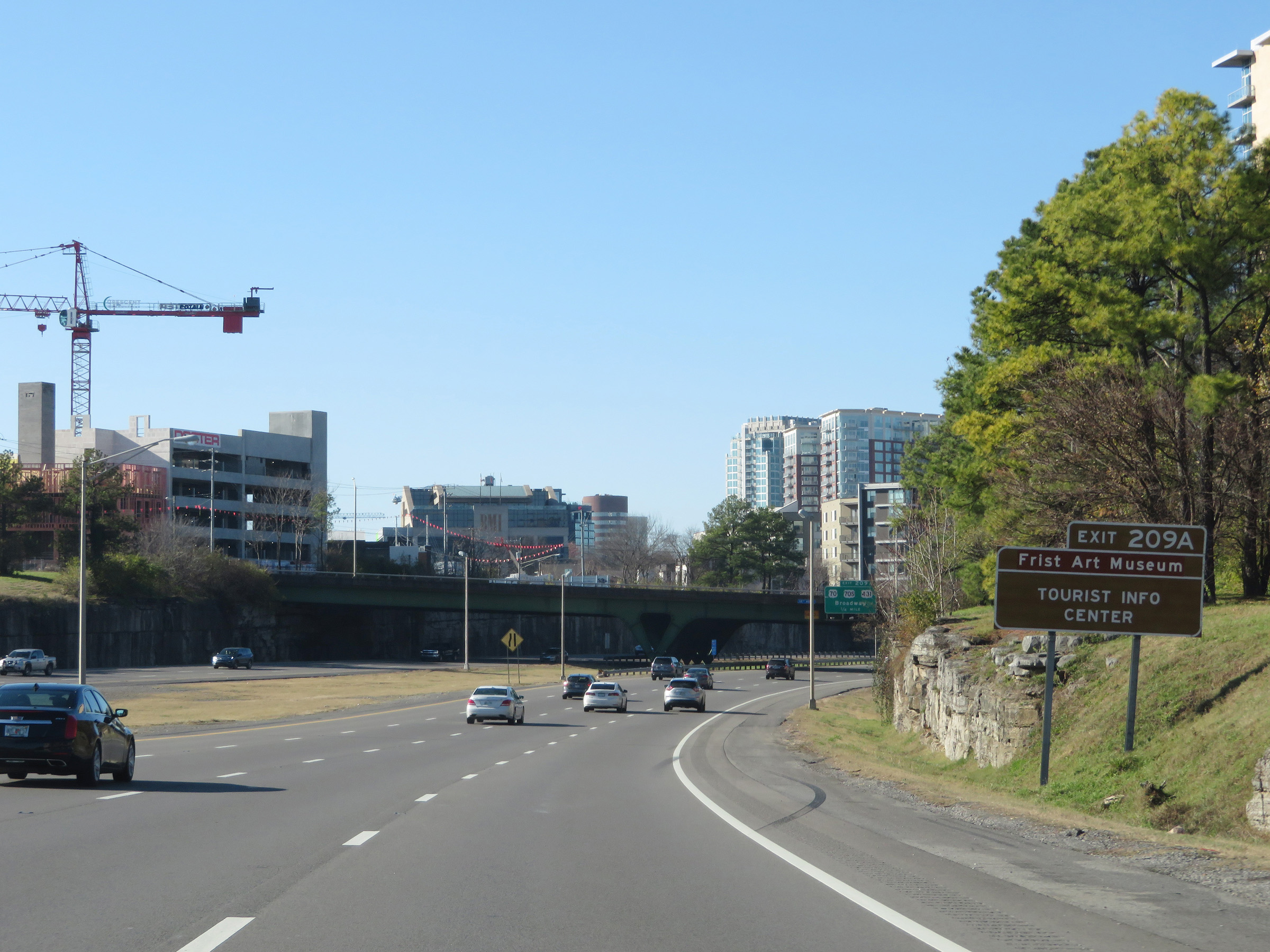 |
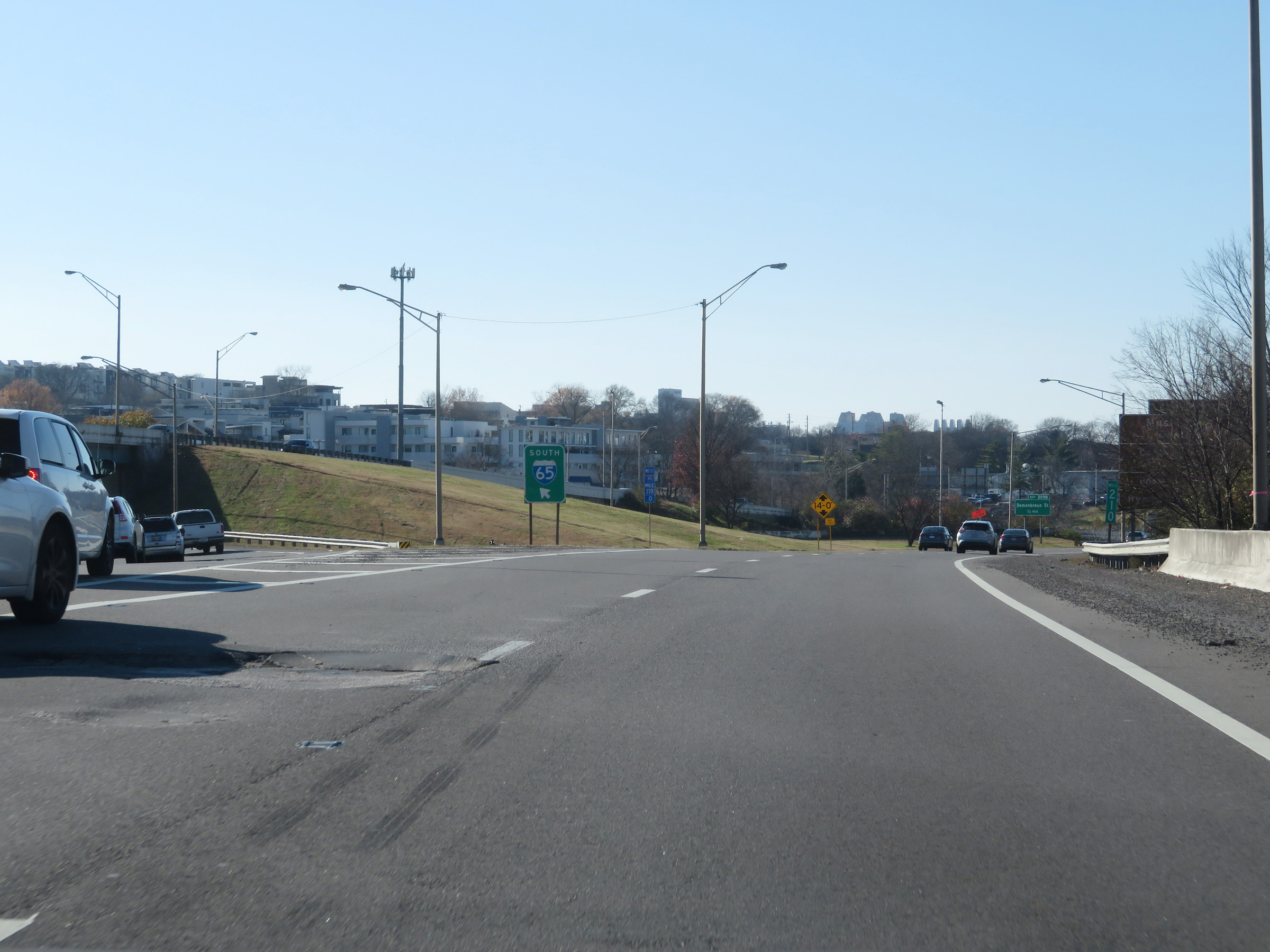
Interstate 40 West as Interstate 65 North traffic merges into it on the left. Take Exit 209A to Frist Art Museum and a Tourist Info Center. During the I-40/I-65 concurrency, the mileage and exit numbers remain based on the mileage of I-40. (Photo taken 12/5/20). |
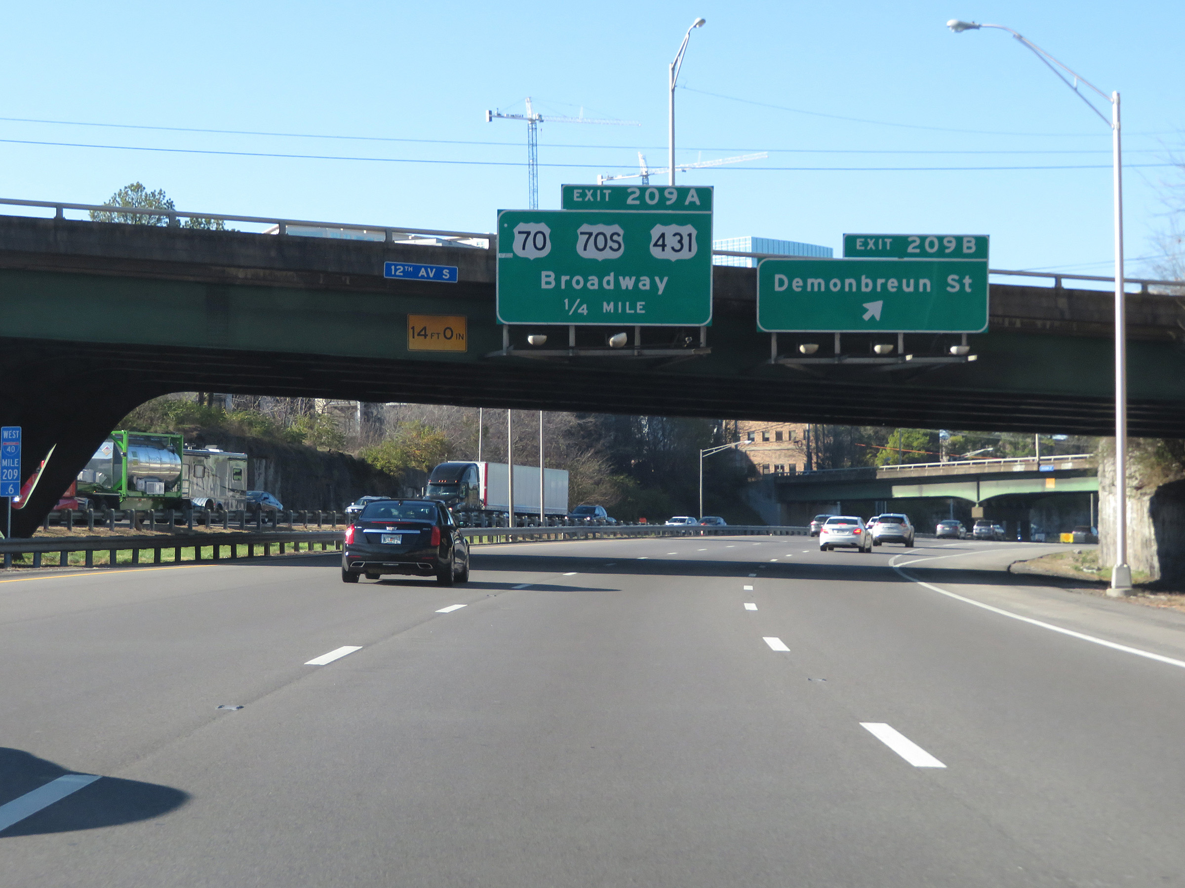 |
Interstate 40 West / Interstate 65 North at Exit 209B: Demonbreun St (Photo taken 12/5/20). |
 |
Interstate 40 West / Interstate 65 North at Exit 209A: US 70 / US 70S / US 431 - Broadway (Photo taken 12/5/20). |
 |
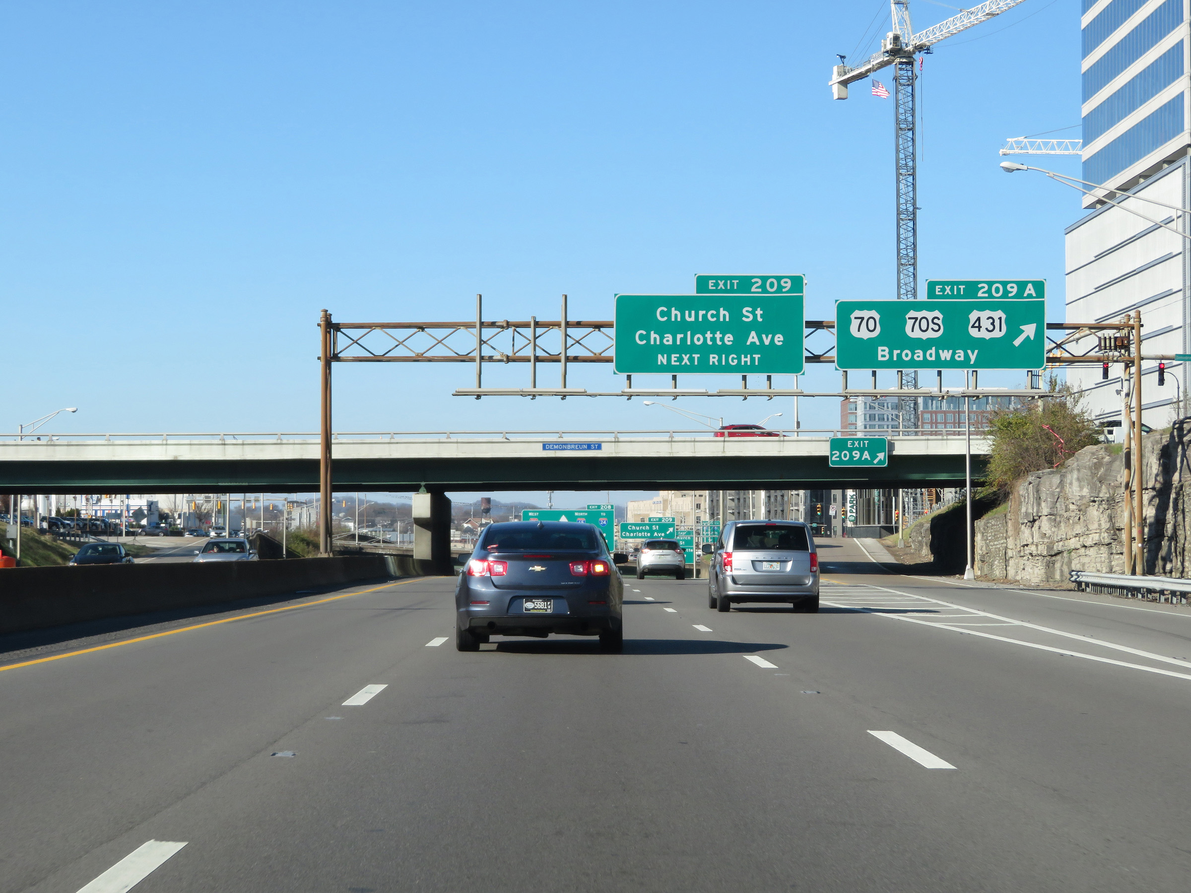
Interstate 40 West / Interstate 65 North at Exit 209: Church St / Charlotte Ave (Photo taken 12/5/20). |
 |
View on Interstate 40 West / Interstate 65 North at mile marker 208.8. (Photo taken 12/5/20). |
 |
Interstate 40 West / Interstate 65 North reassurance shields in downtown Nashville. (Photo taken 12/5/20). |
 |
The maximum speed limit remains 55 mph. However, a minimum speed limit of 45 mph also applies on Interstate 40 West / Interstate 65 North through downtown Nashville. (Photo taken 12/5/20). |
 |
Interstate 40 West / Interstate 65 North approaching Exit 208 - 1/2 mile. Interstate 65 North thru traffic should use the right or center lanes. I-40 West thru traffic should use either the left or center lanes. (Photo taken 12/5/20). |
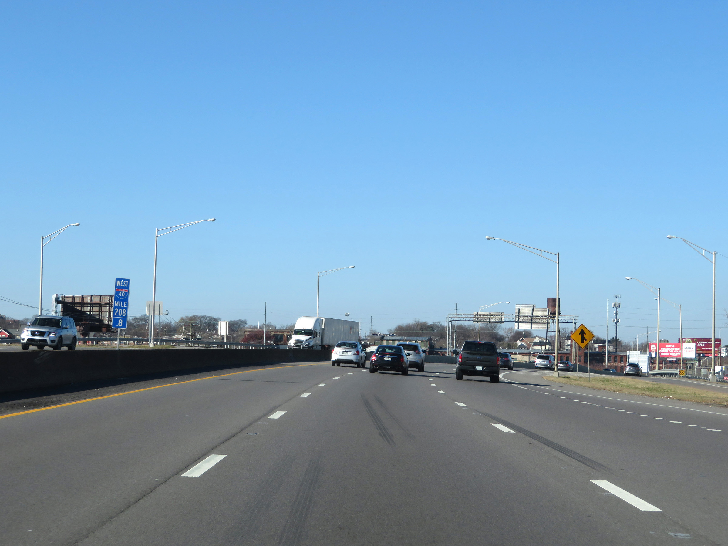
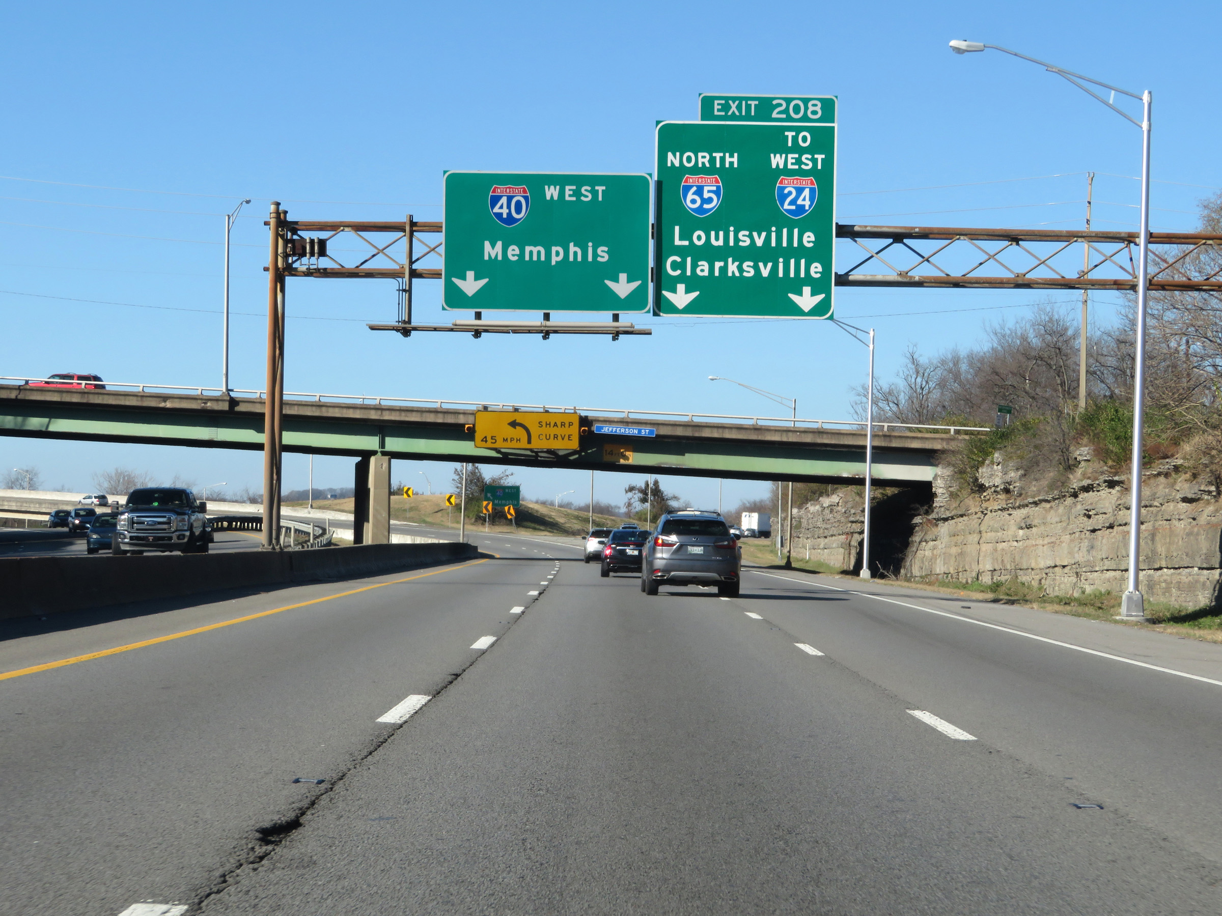 |
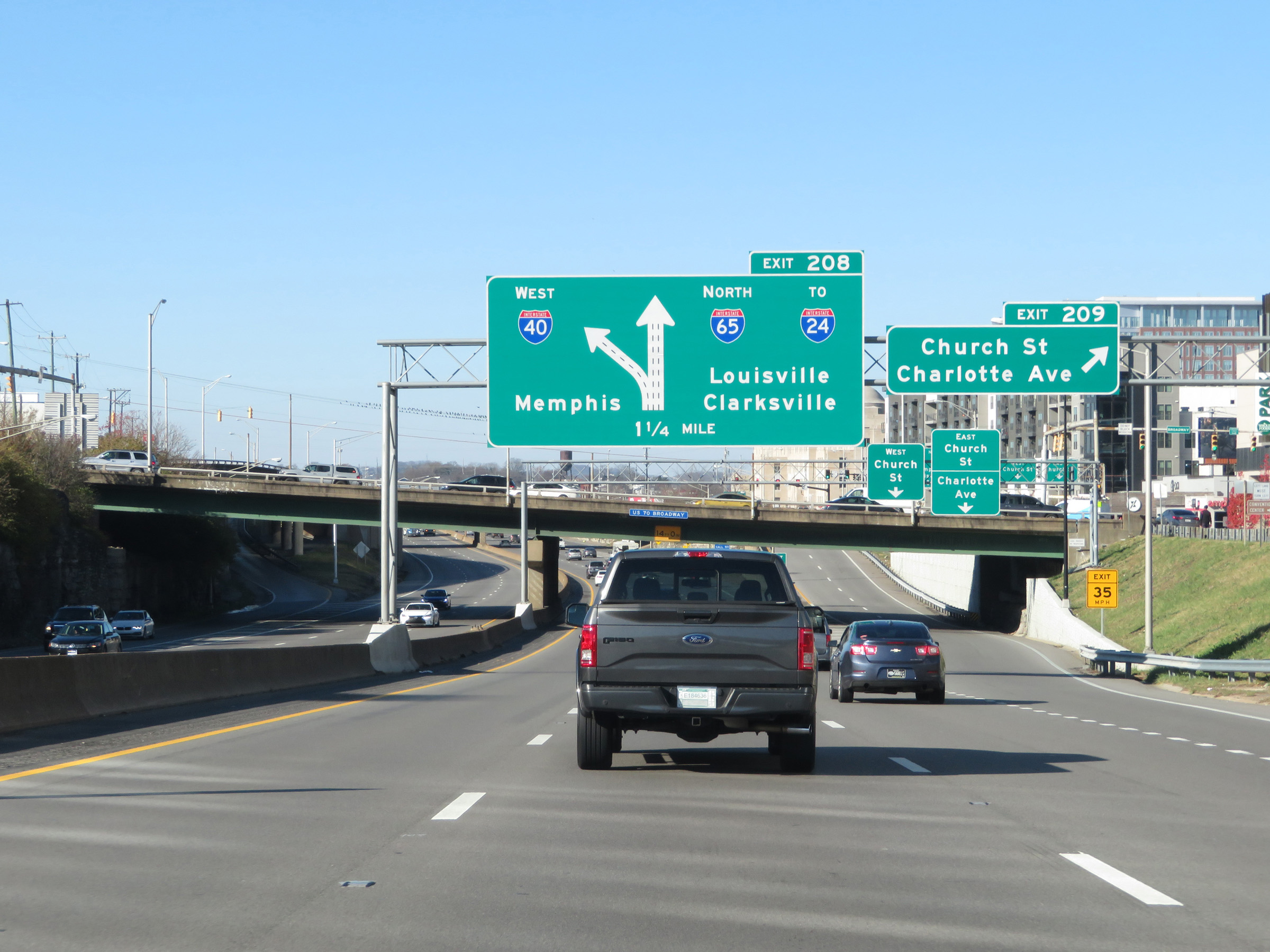
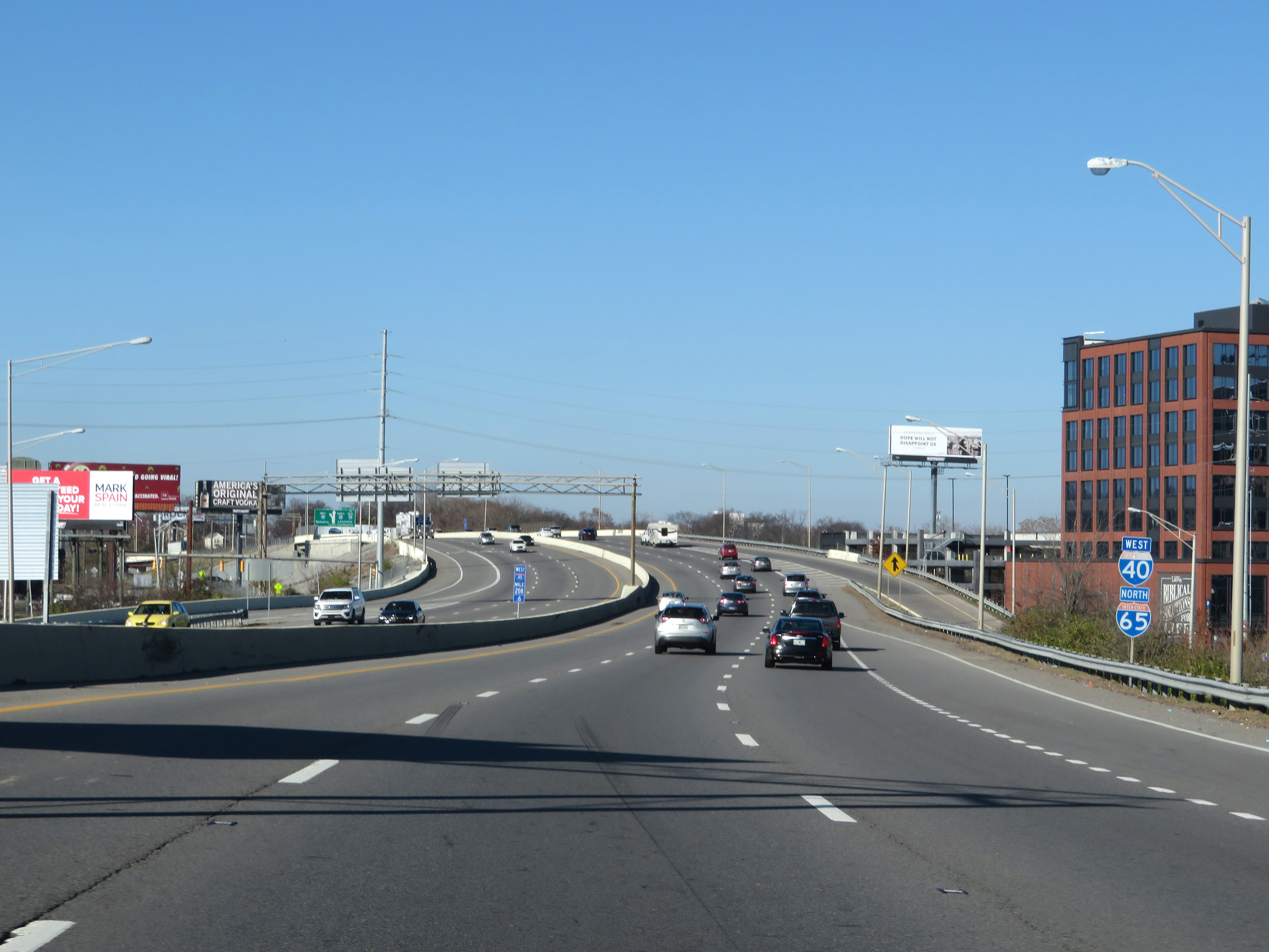
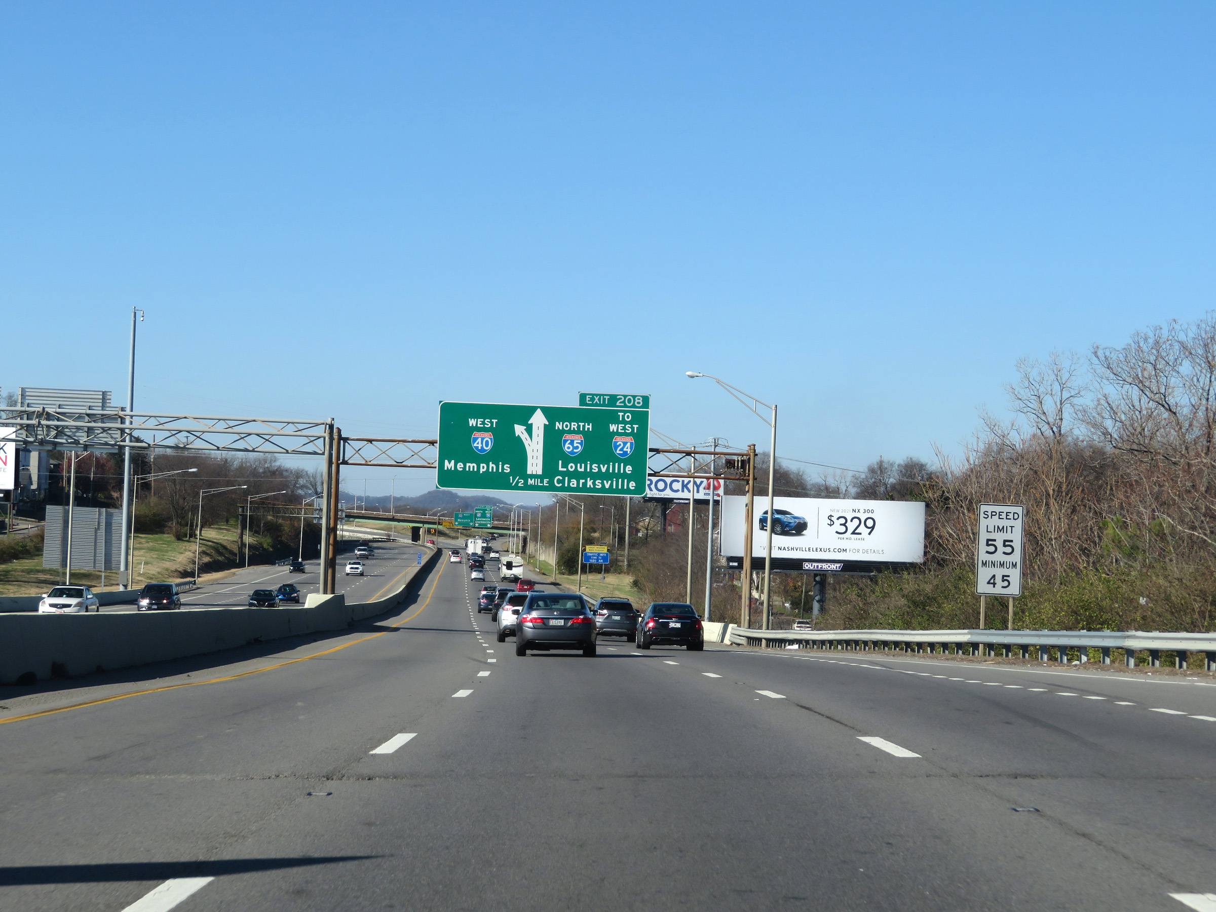
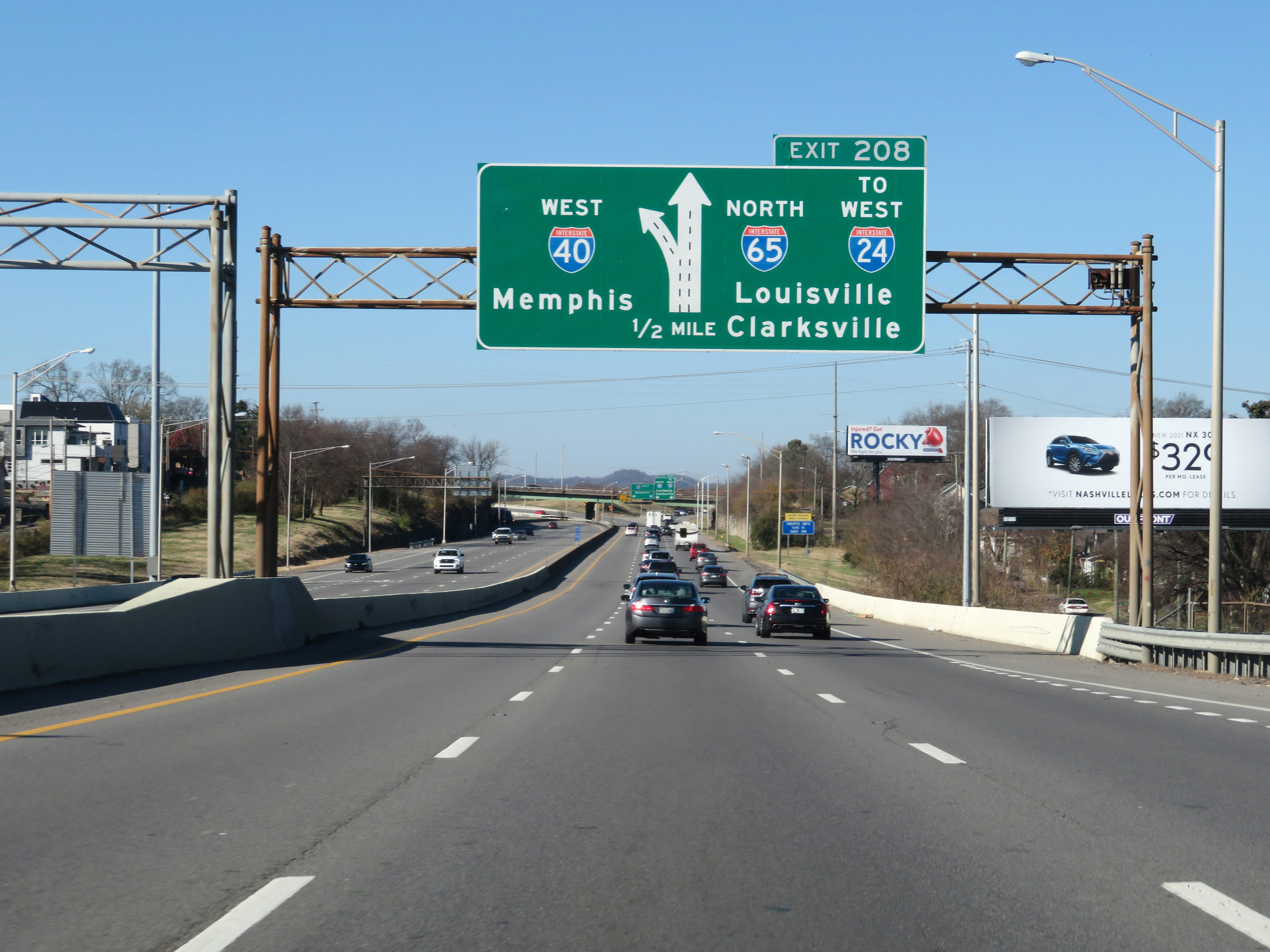
Interstate 40 West / Interstate 65 North at Exit 208: Interstate 65 North / To Interstate 24 West - Louisville / Clarksville (Photo taken 12/5/20). |
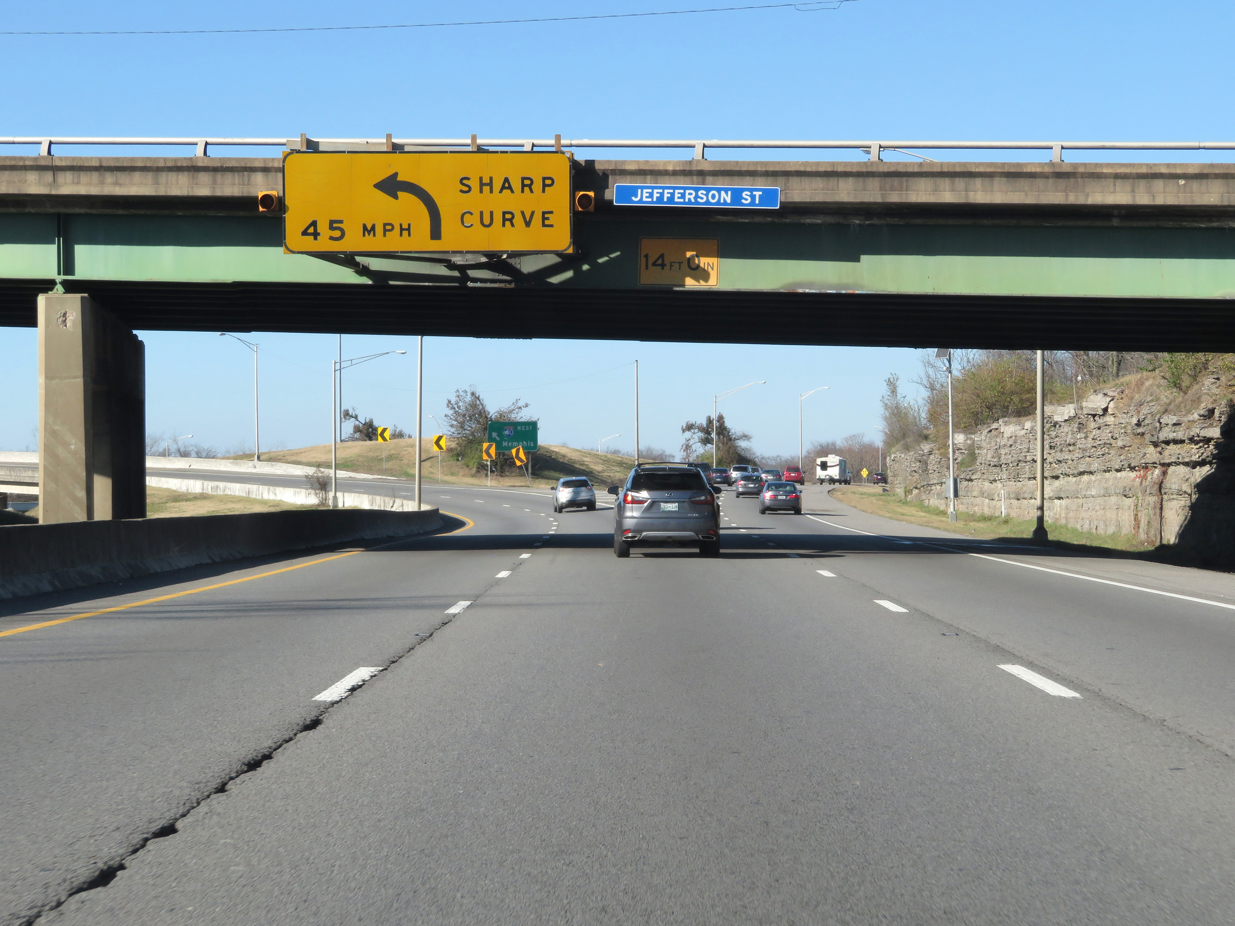 |
Nearing the split off of Interstate 65 North from Interstate 40 West, this overhead sign warns I-40 West thru traffic of a sharp curve to the left ahead. 45 mph is the recommended speed. (Photo taken 12/5/20). |
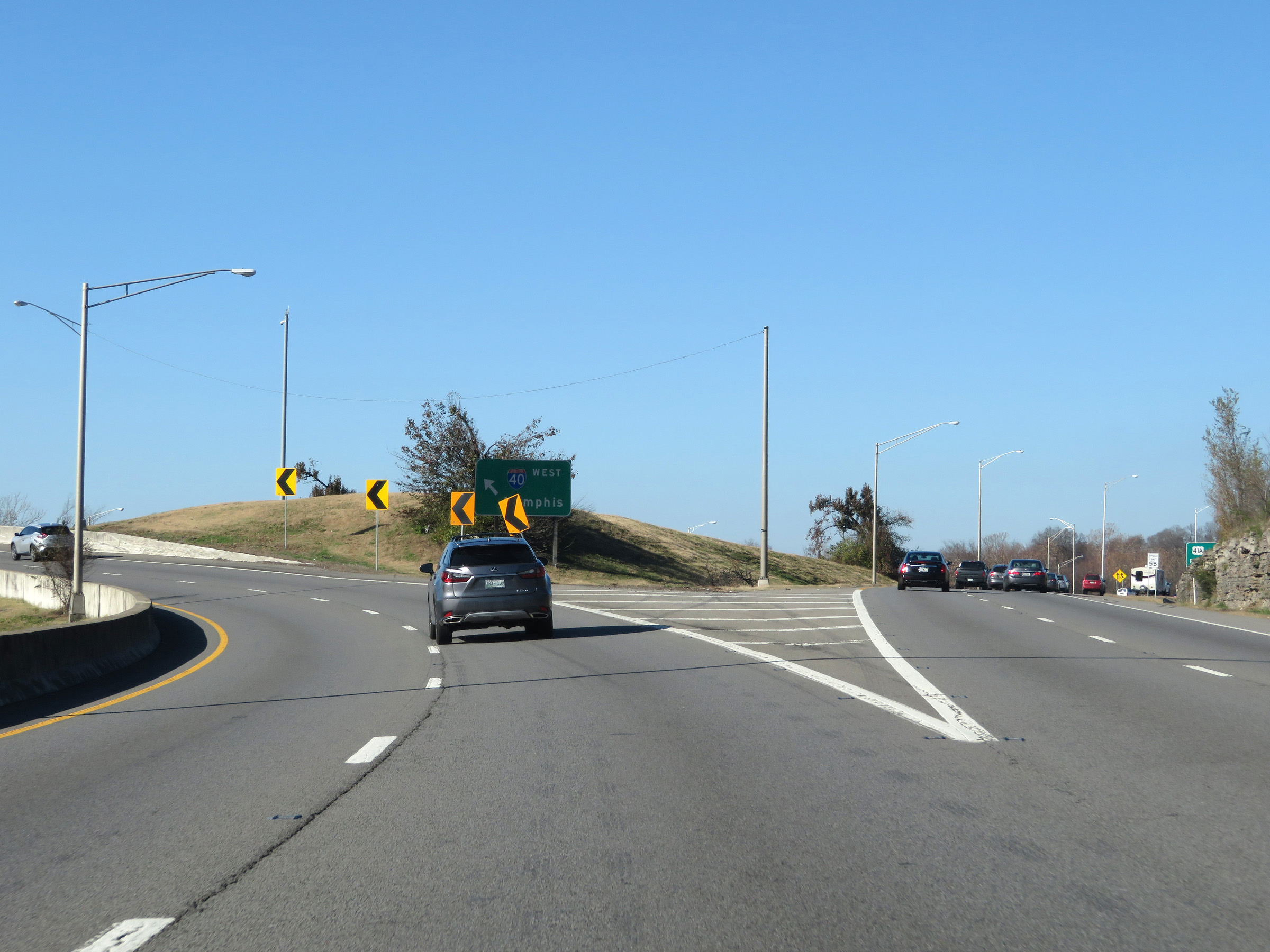 |
A closer view of the split as Interstate 65 North traffic departs on the right and Interstate 40 West thru traffic prepares to traverse the sharp left curve mentioned in the previous photo. (Photo taken 12/5/20). |
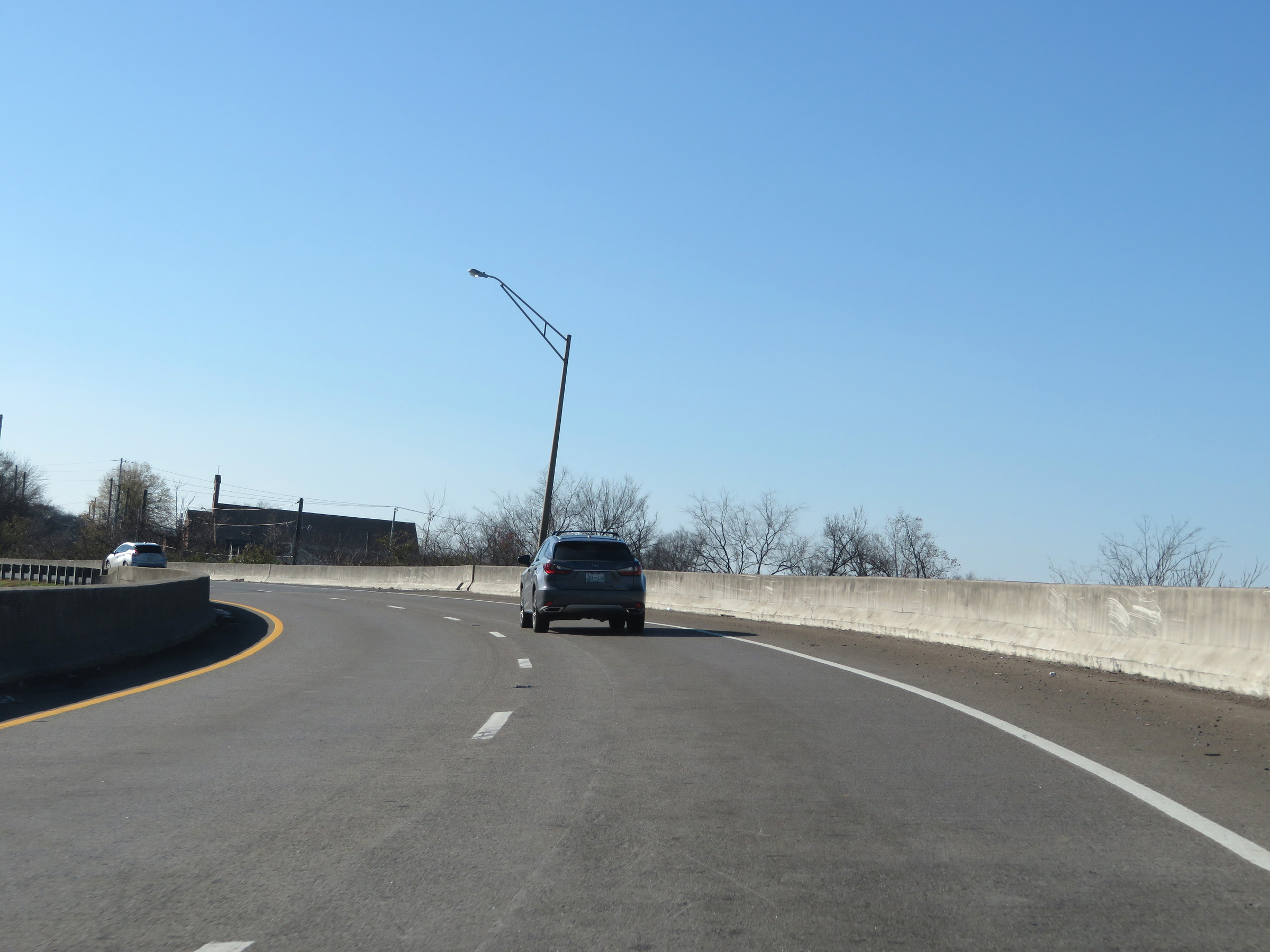 |
View on Interstate 40 West as it passes over the ramps from I-40 East to I-65 North and I-65 South to I-40 West. (Photo taken 12/5/20). |
 |
View on Interstate 40 West as traffic from Interstate 65 South prepares to merge into it ahead on the left. (Photo taken 12/5/20). |
 |
View on Interstate 40 West as the two-lane ramp from Interstate 65 South merges into it on the left, giving I-40 West 4 thru lanes. (Photo taken 12/5/20). |
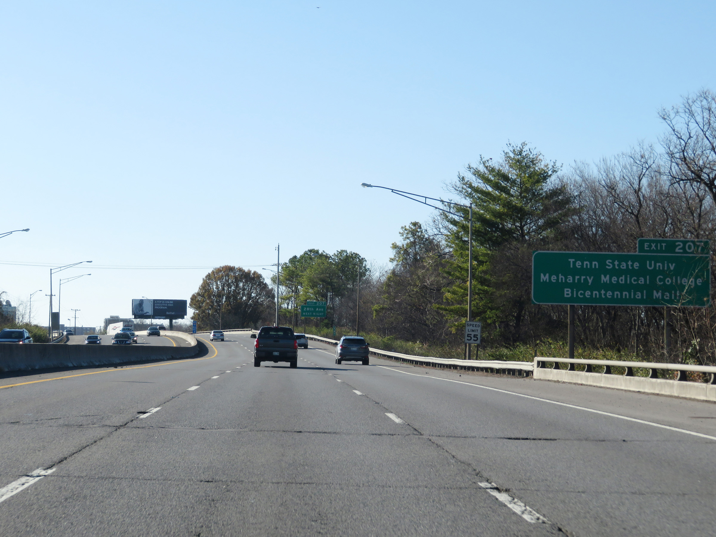 |
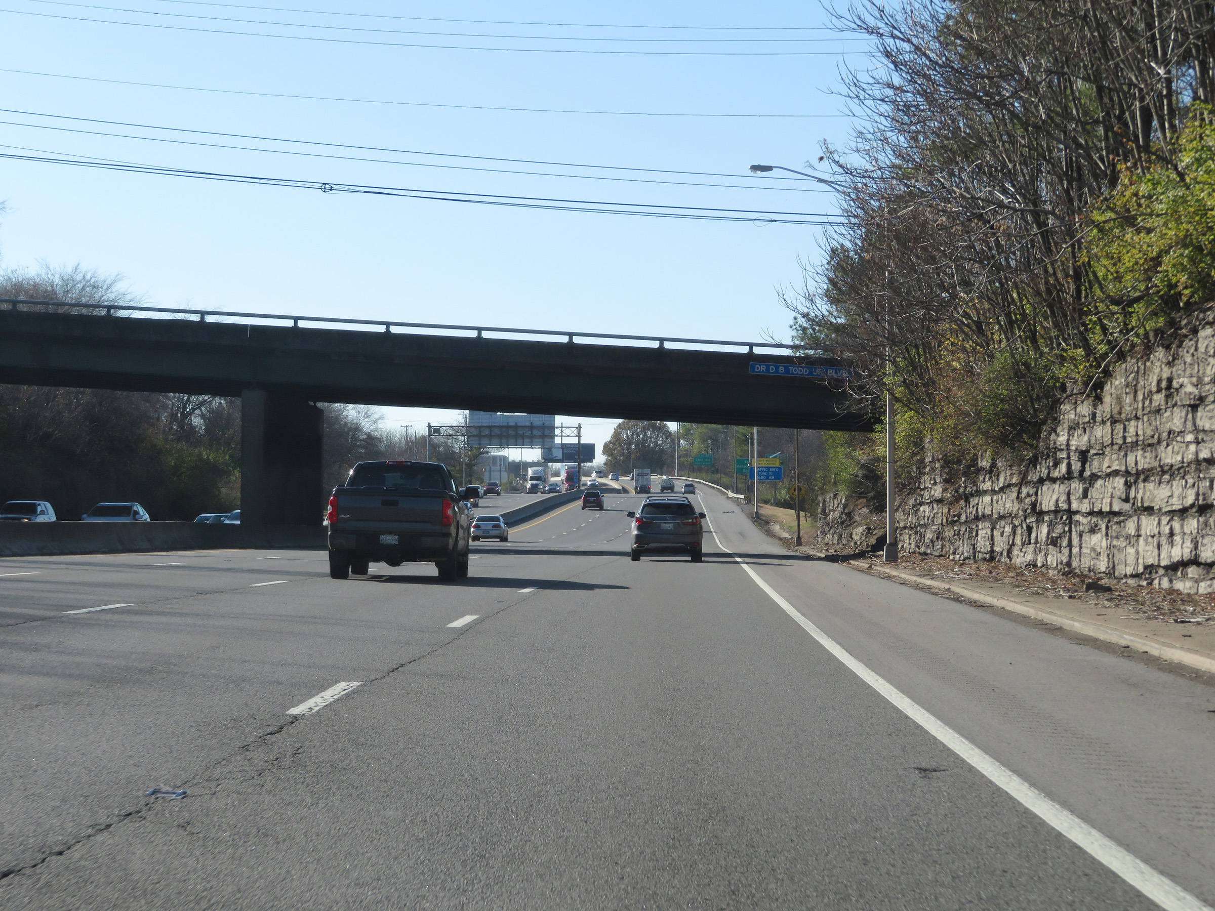
Take Exit 207 to Tennessee State University, Meharry Medical College, and Bicentennial Mall. (Photo taken 12/5/20). |
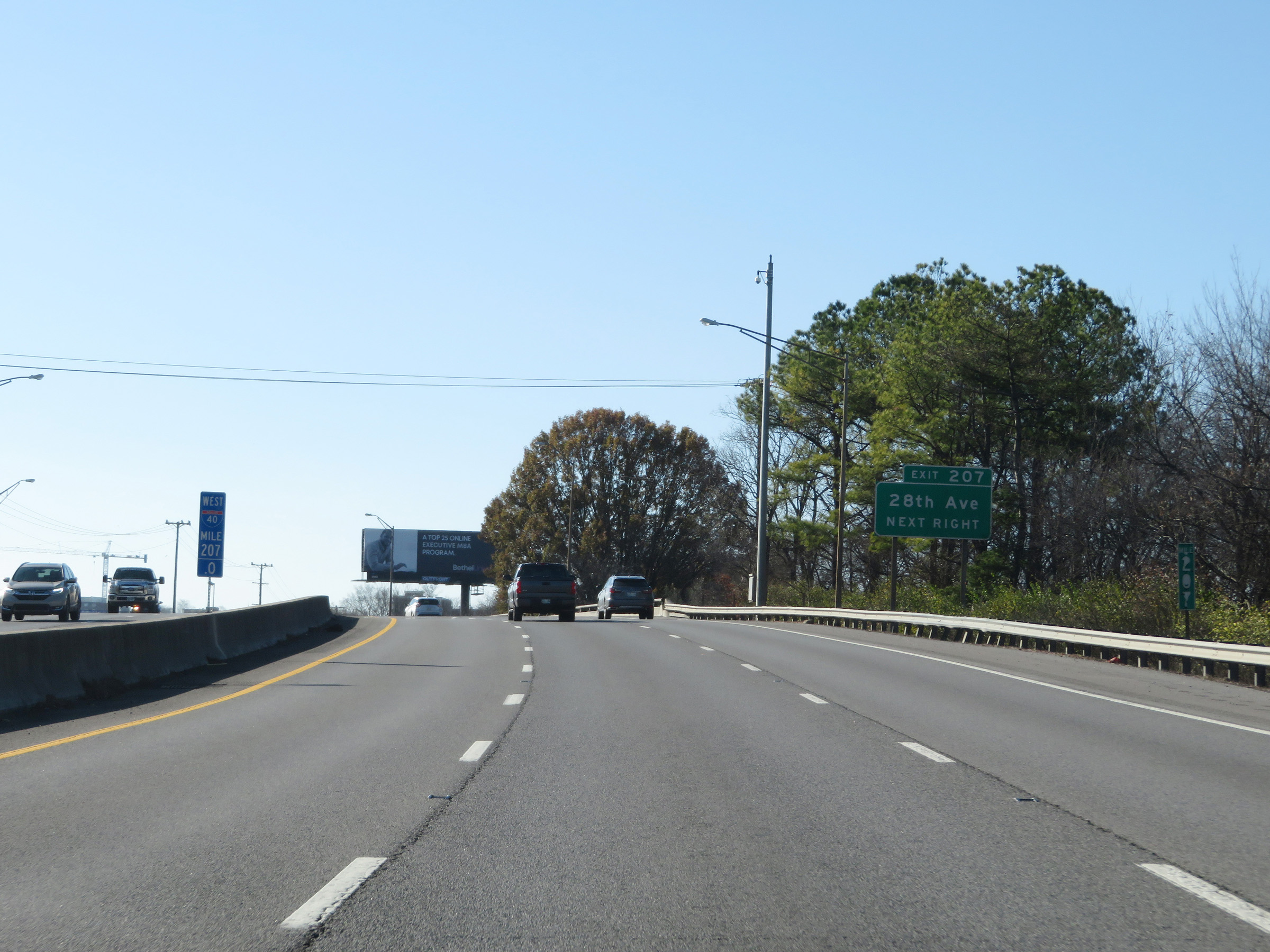 |
View on Interstate 40 West at mile marker 207. (Photo taken 12/5/20). |
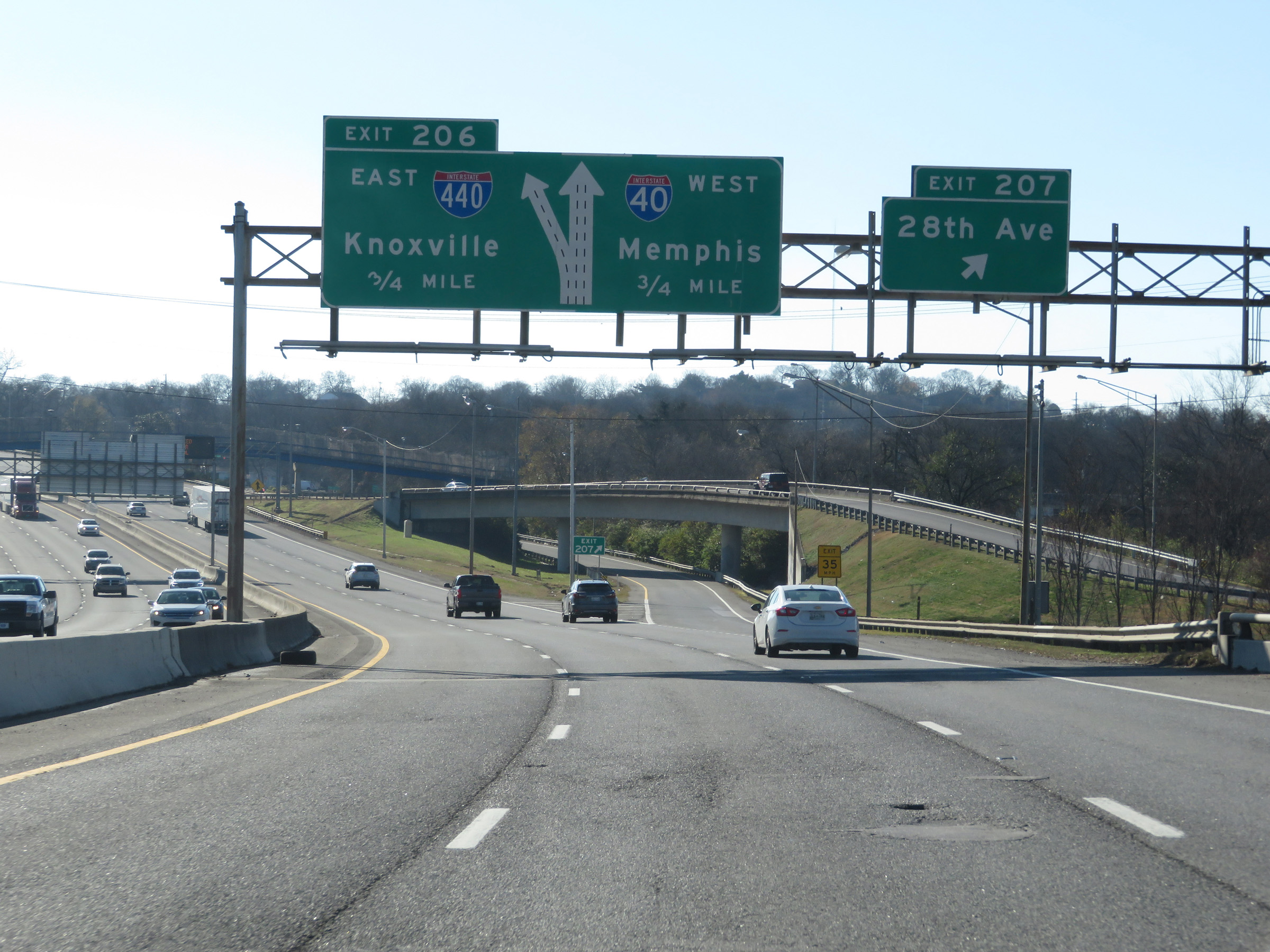 |
Interstate 40 West at Exit 207: 28th Ave (Photo taken 12/5/20). |
Section 7: Nashville (Exit 207) to Dickson (Exit 163)
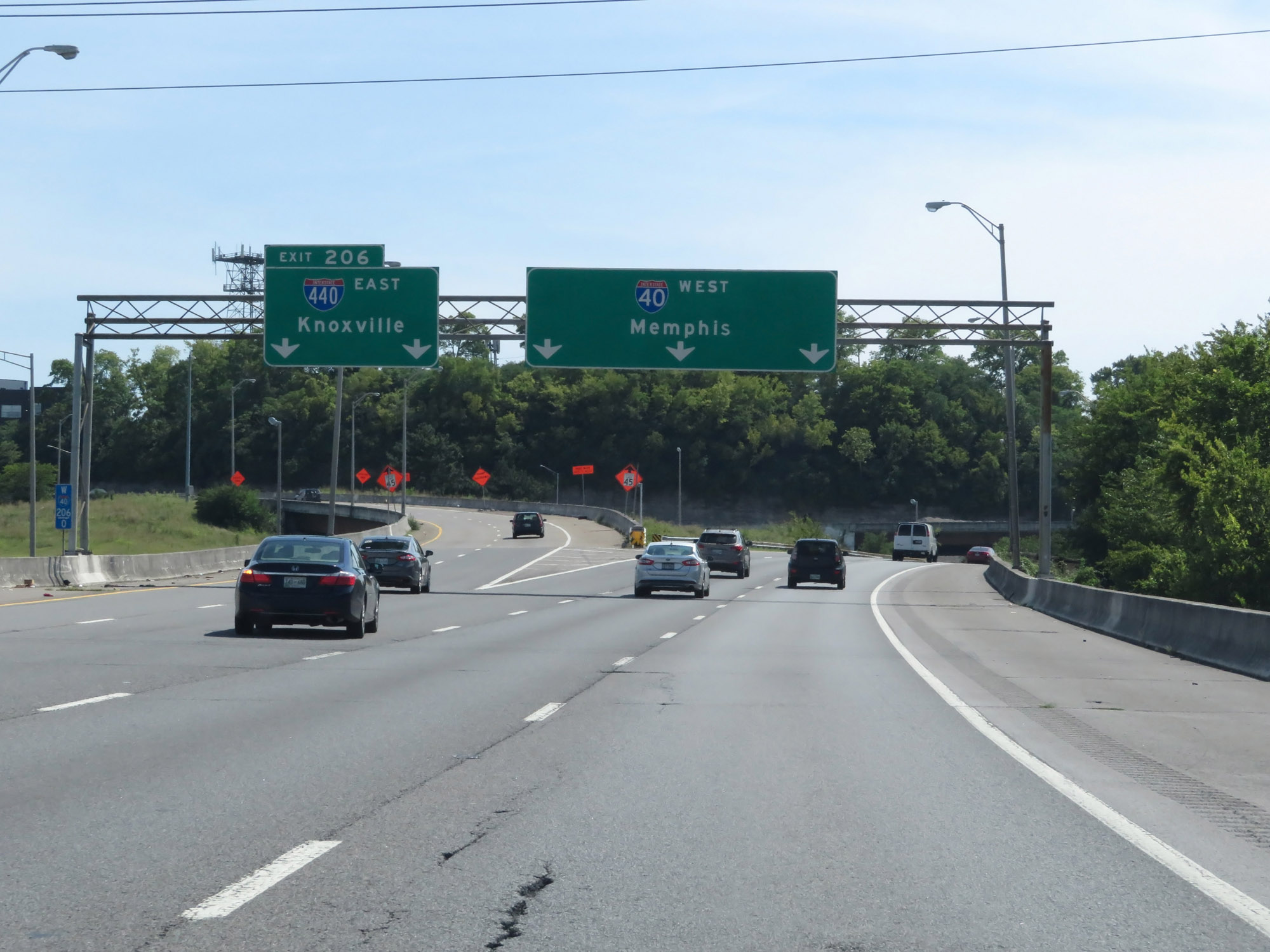 |
Interstate 40 West at Exit 206: Interstate 440 East - Knoxville (Photo taken 8/11/19). |
 |
The speed limit remains 55 mph on Interstate 40 West through the Nashville area. (Photo taken 8/11/19). |
 |
Interstate 40 West at Exit 205: 46th Ave / West Nashville (Photo taken 8/11/19). |
 |
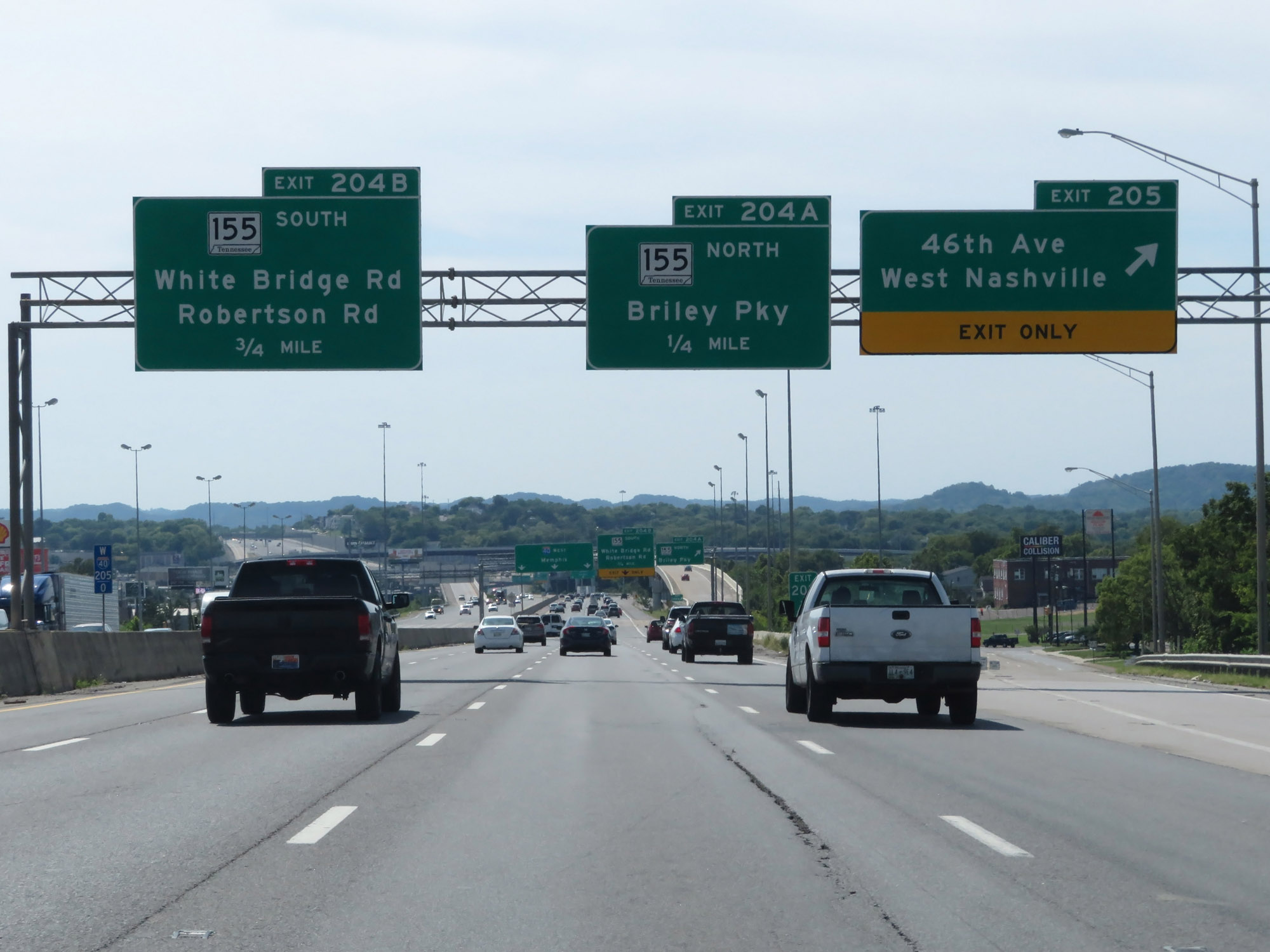
Interstate 40 West at Exit 204A: TN 155 North - Briley Pkwy (Photo taken 8/11/19). |
 |
Interstate 40 West reassurance shield approaching Exit 204B. (Photo taken 8/11/19). |
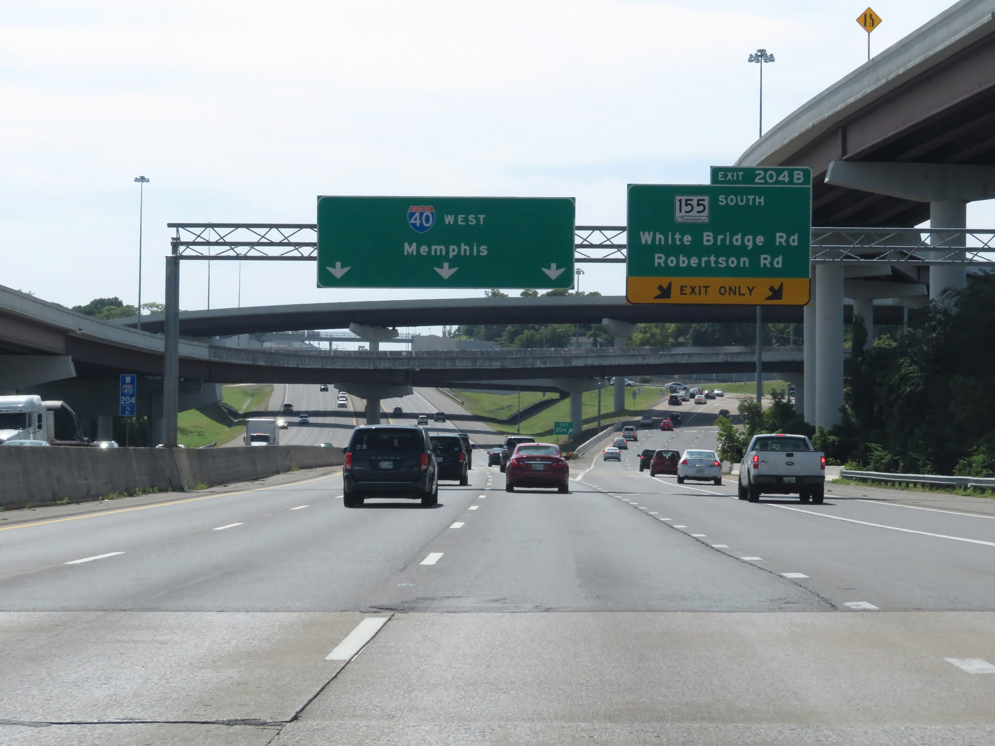 |
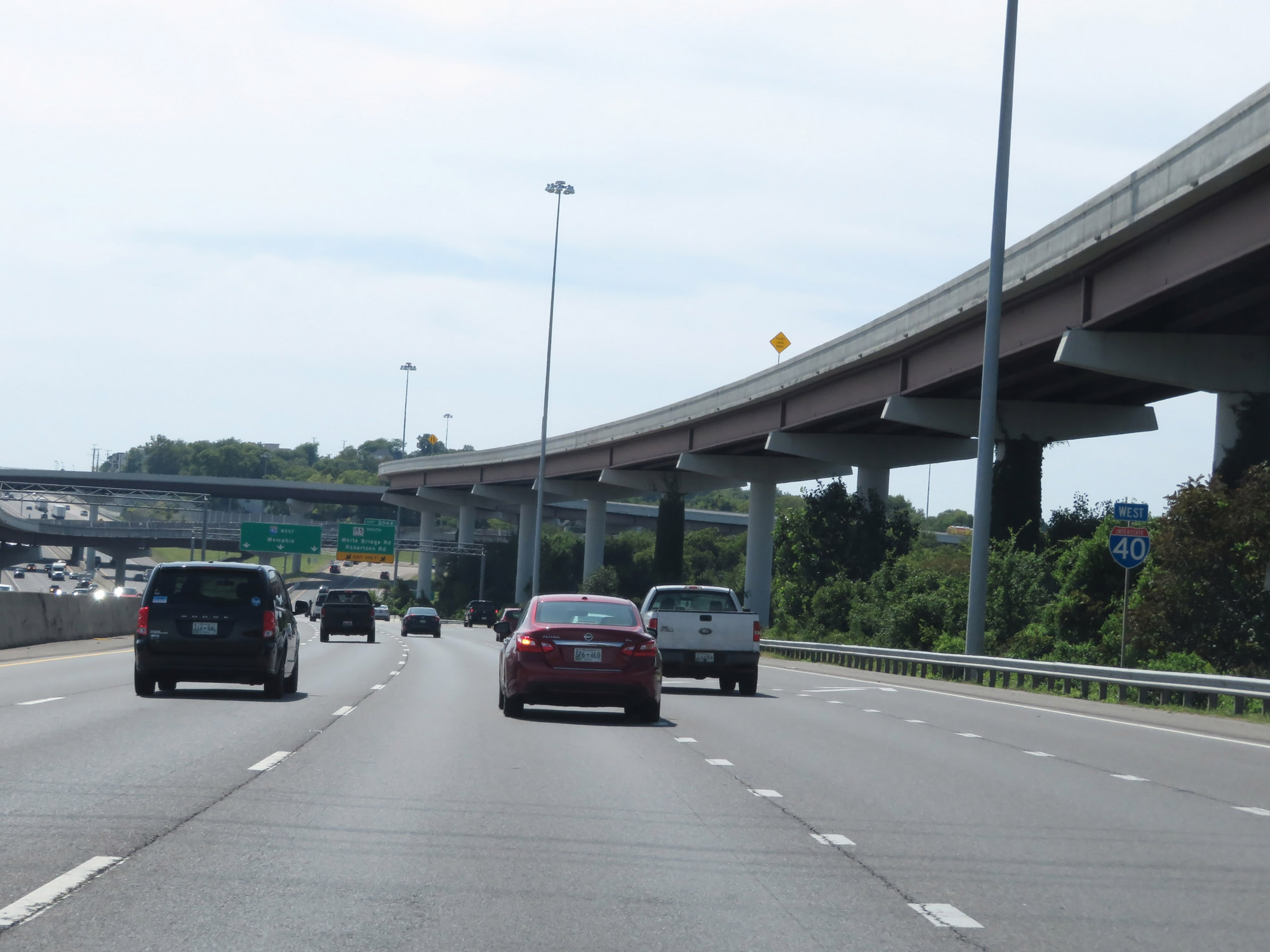
Interstate 40 West at Exit 204B: TN 155 South - White Bridge Rd / Robertson Rd (Photo taken 8/11/19). |
 |
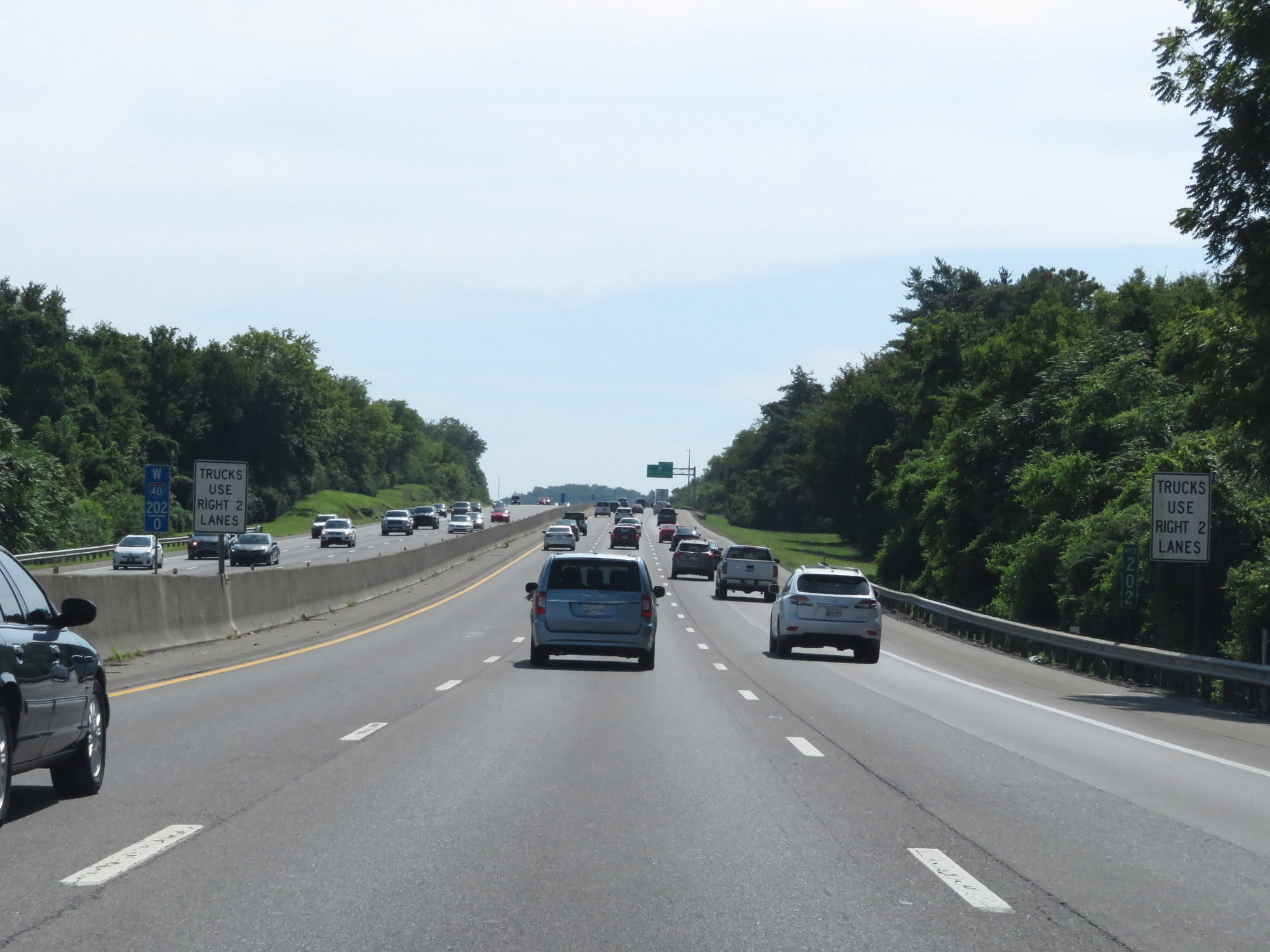
West of Exit 204B, the speed limit increases to 65 mph. (Photo taken 8/11/19). |
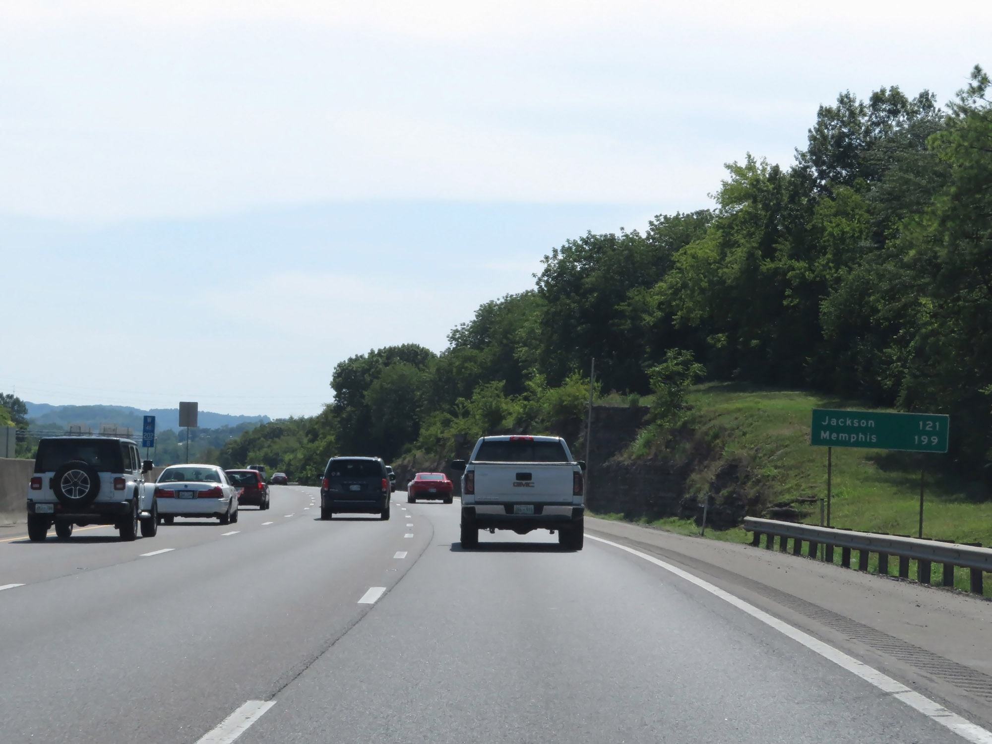 |
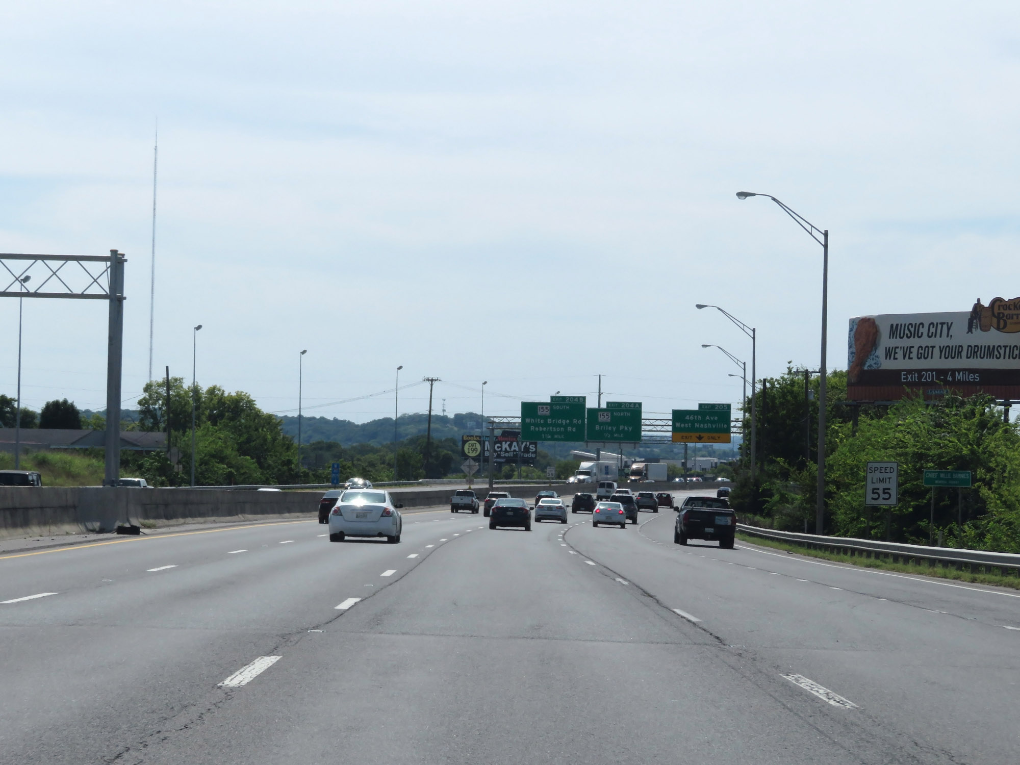
Mileage sign on Interstate 40 West. It's 121 miles to Jackson and 199 miles to Memphis. (Photo taken 8/11/19). |
 |
Interstate 40 West at mile marker 202. (Photo taken 8/11/19). |
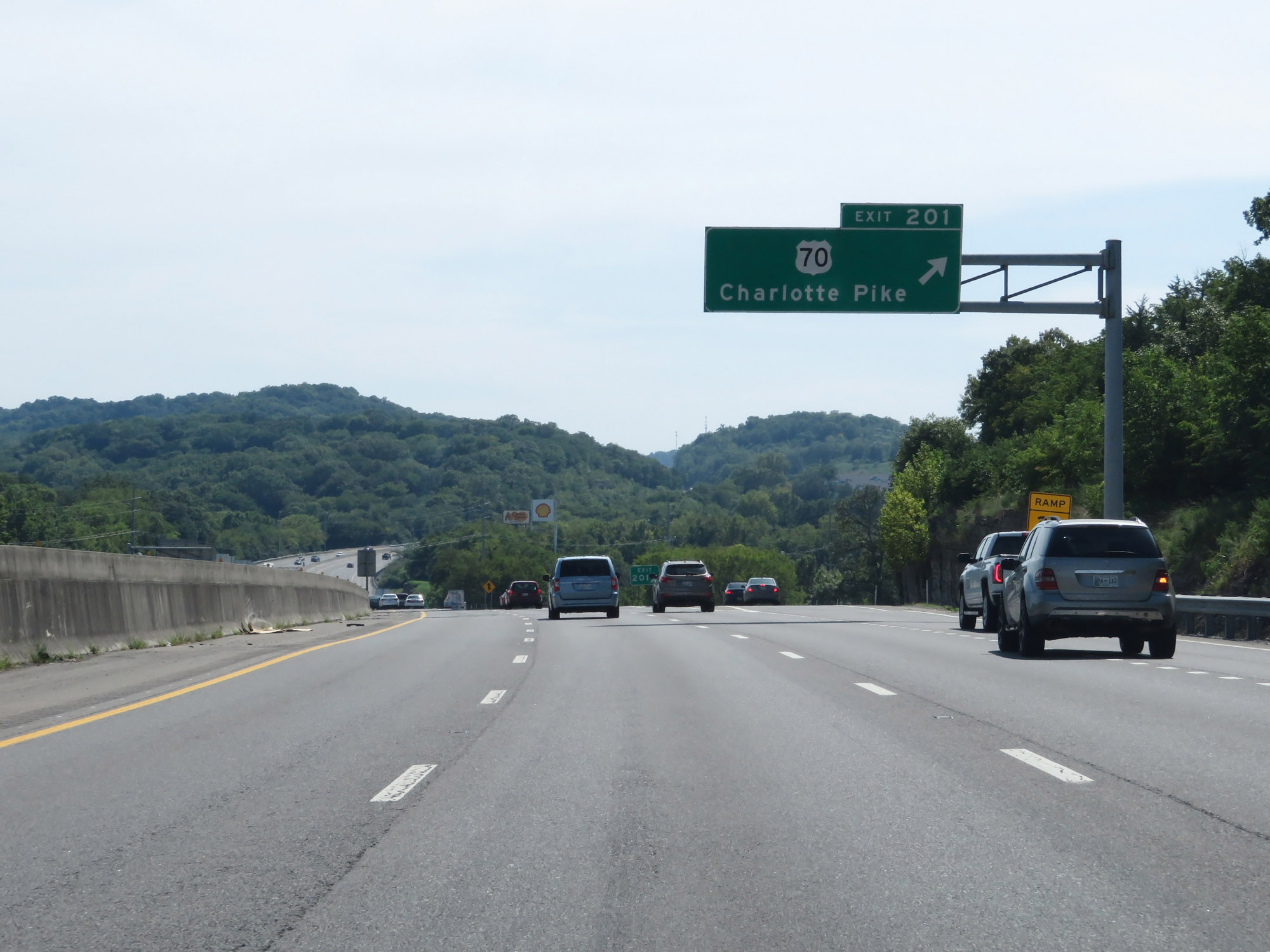 |
Interstate 40 West at Exit 201: US 70 - Charlotte Pike (Photo taken 8/11/19). |
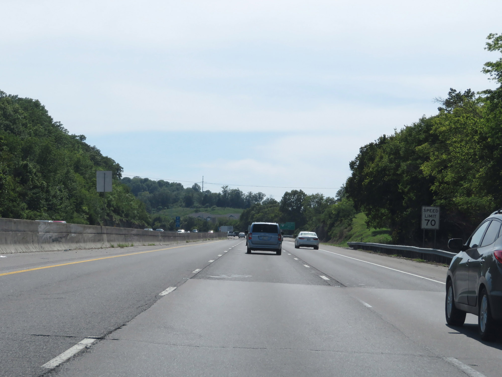 |
Beyond Exit 201, the speed limit increases to 70 mph. (Photo taken 8/11/19). |
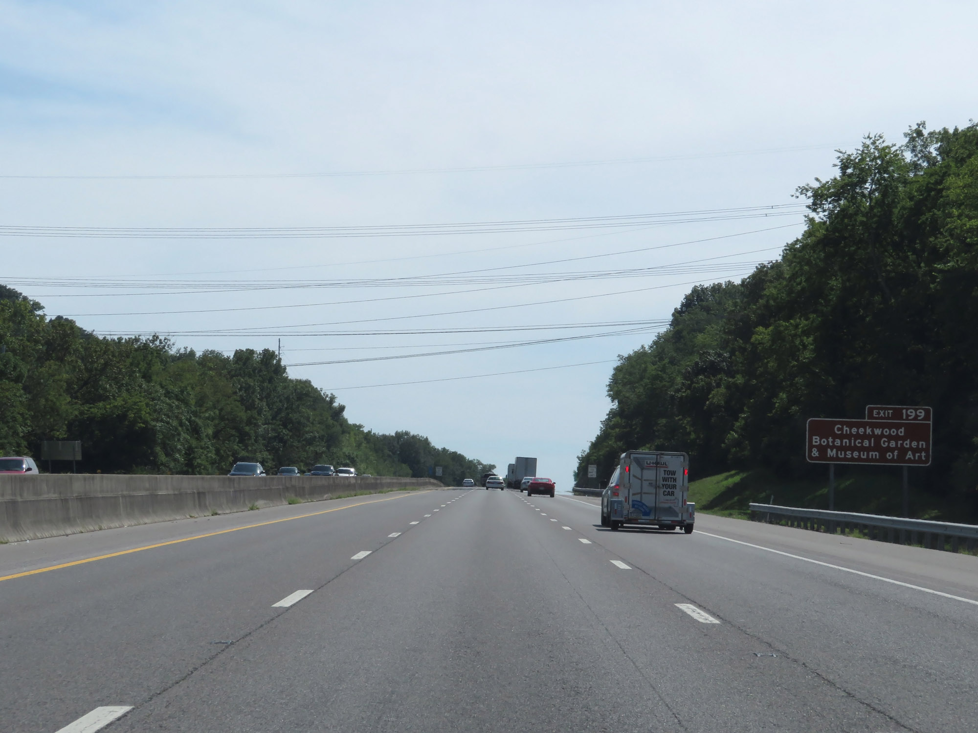 |
Take Exit 199 to Cheekwood Botanical Garden & Museum of Art. (Photo taken 8/11/19). |
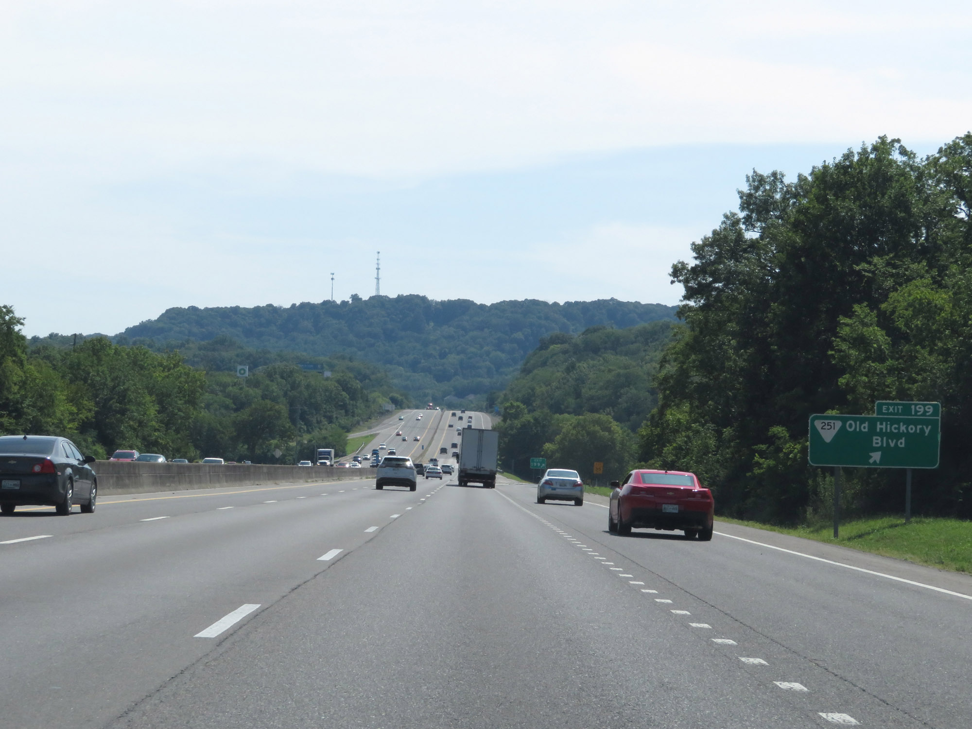 |
Interstate 40 West at Exit 199: SR 251 - Old Hickory Blvd (Photo taken 8/11/19). |
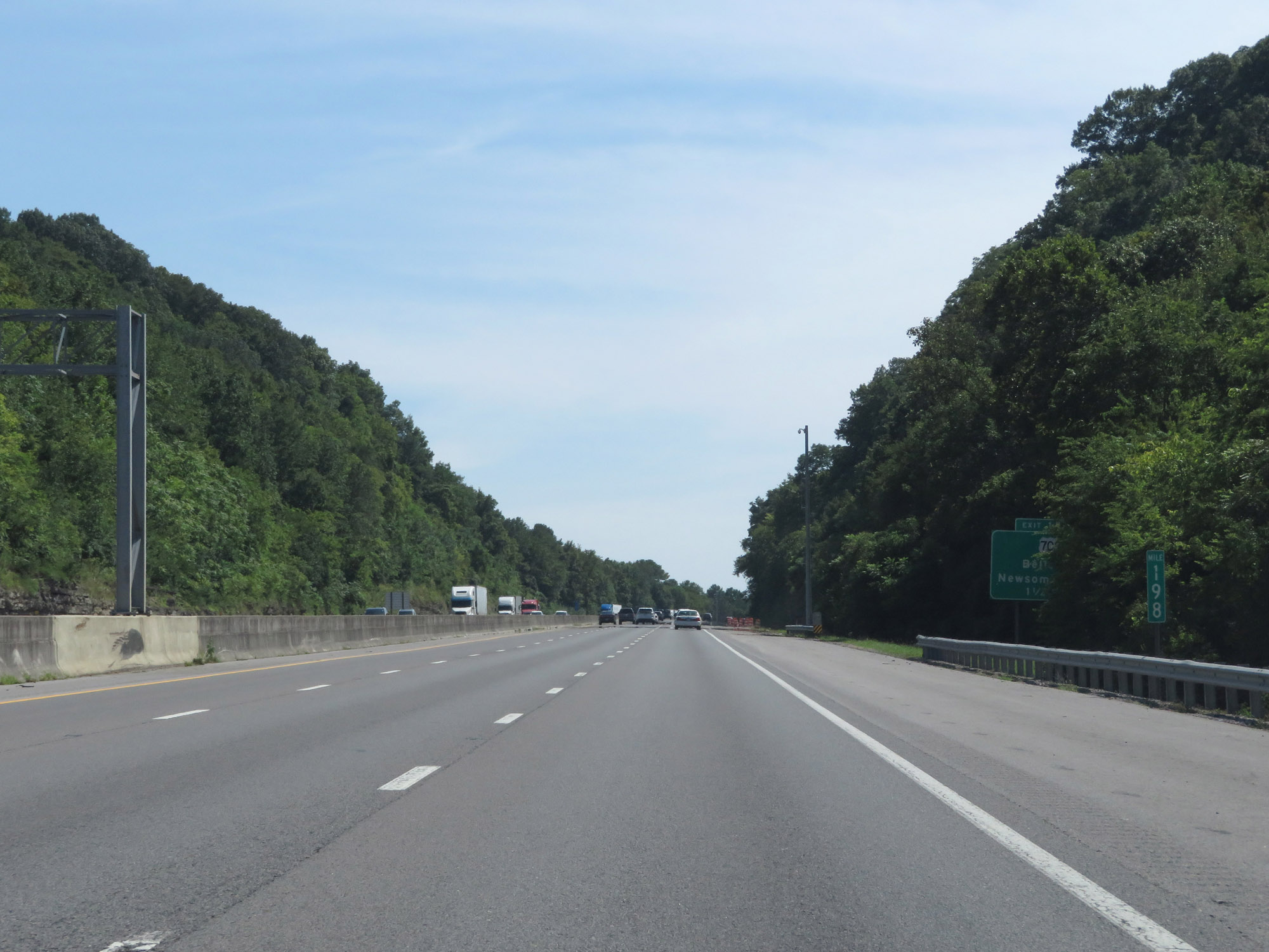 |
View on Interstate 40 West at mile marker 198. (Photo taken 8/11/19). |
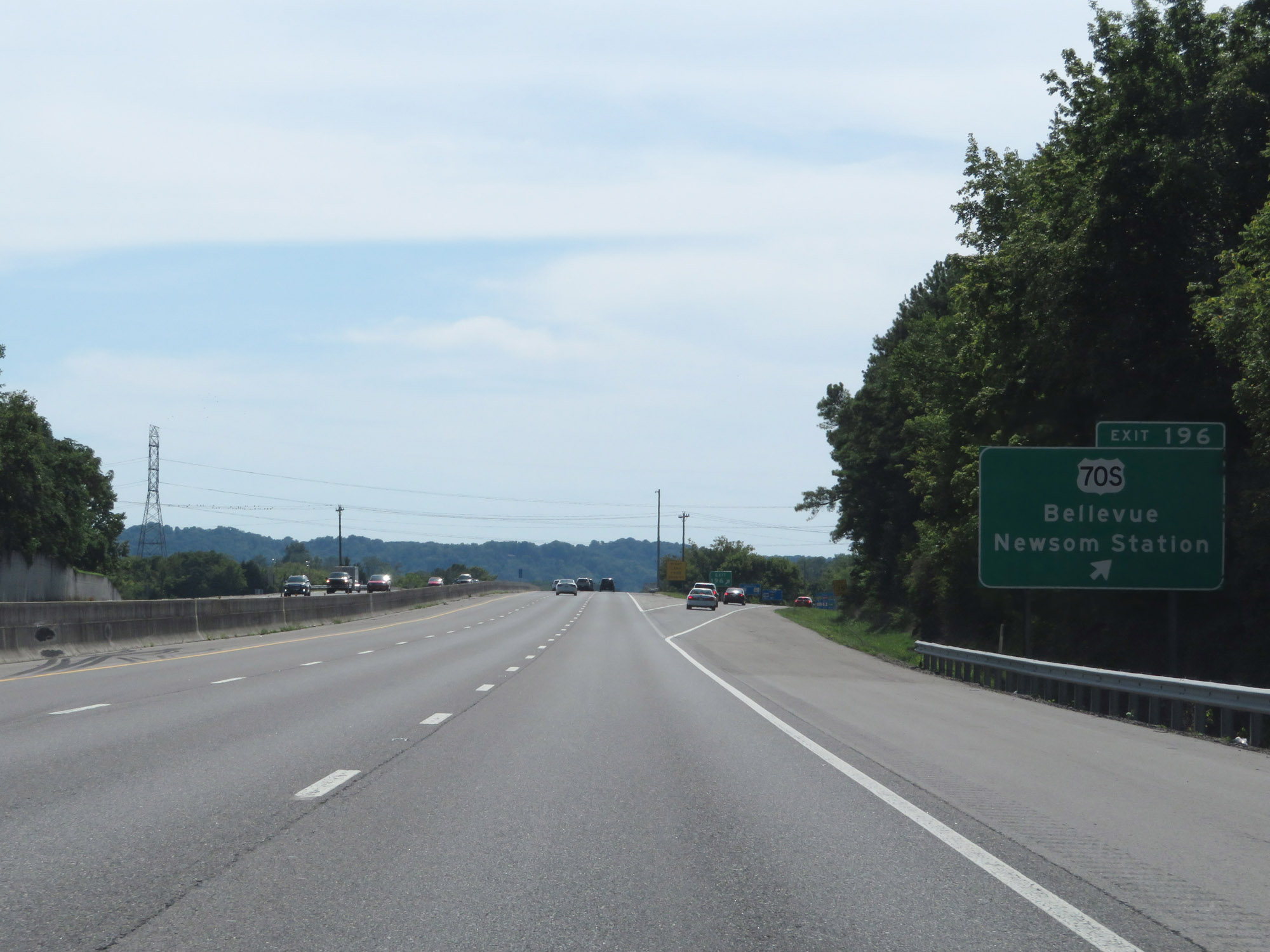 |
Interstate 40 West at Exit 196: US 70S - Bellevue / Newsom Station (Photo taken 8/11/19). |
 |
The speed limit remains 70 mph. (Photo taken 8/11/19). |
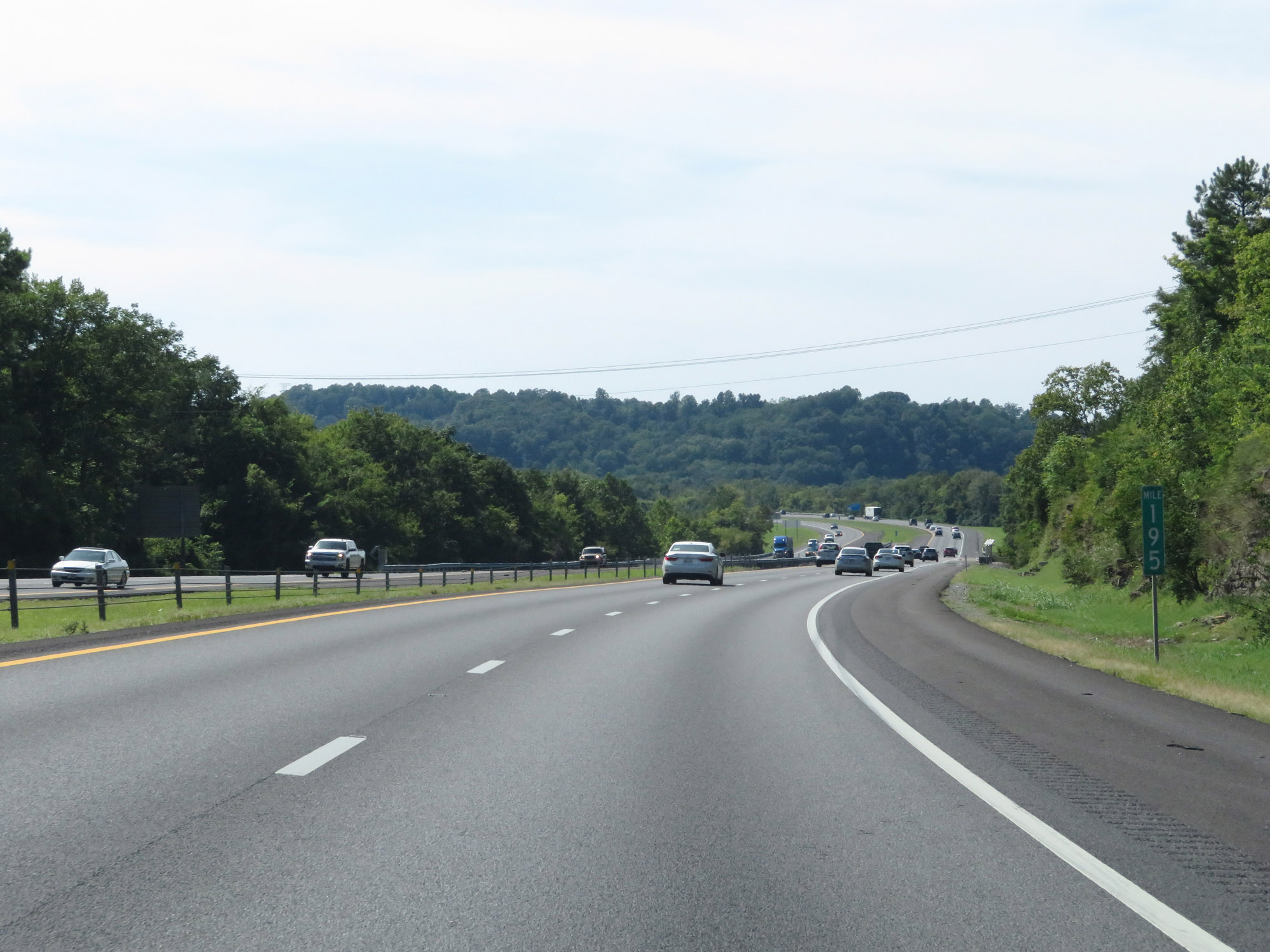 |
Interstate 40 West at mile marker 195. (Photo taken 8/11/19). |
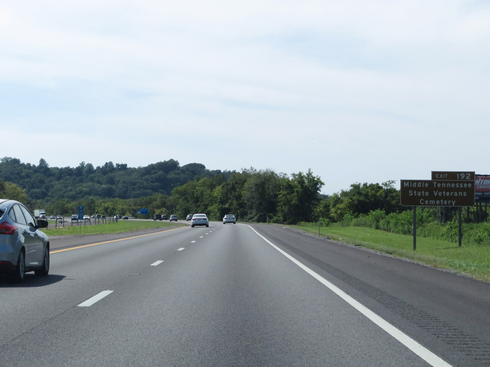 |
Take Exit 192 to Middle Tennessee State Veterans Cemetery. (Photo taken 8/11/19). |
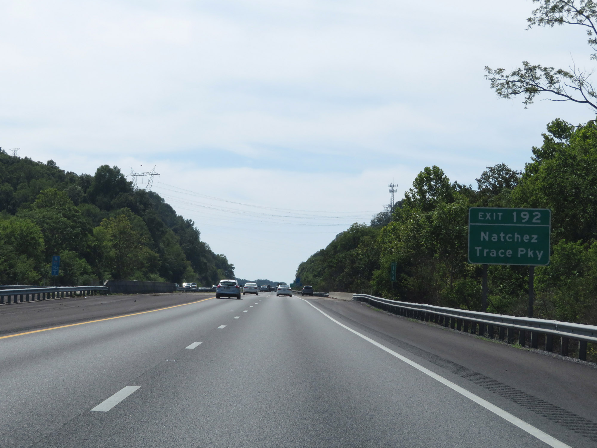 |
Also take Exit 192 to Natchez Trace Pkwy. (Photo taken 8/11/19). |
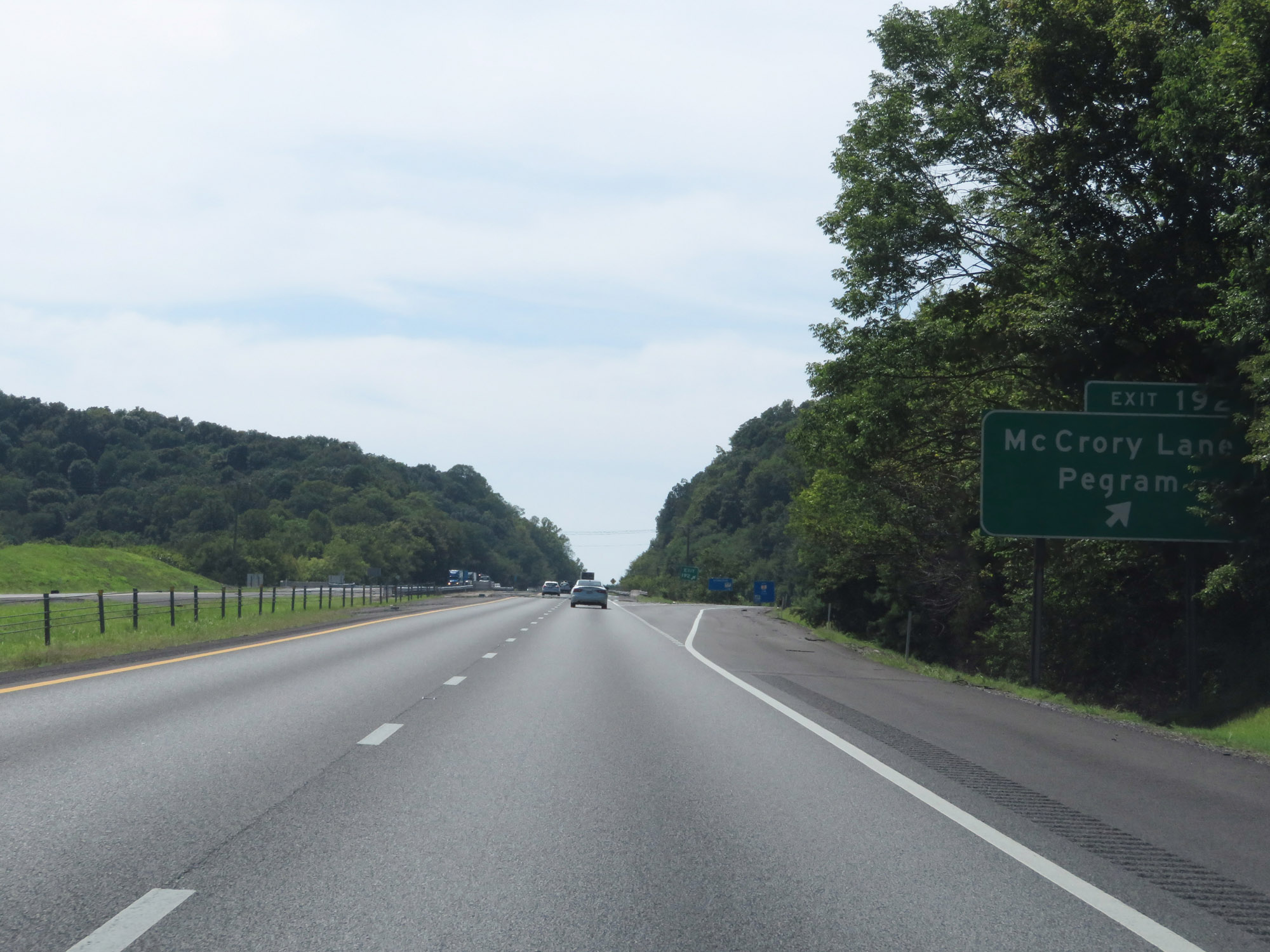 |
Interstate 40 West at Exit 192: McCrory Lane / Pegram (Photo taken 8/11/19). |
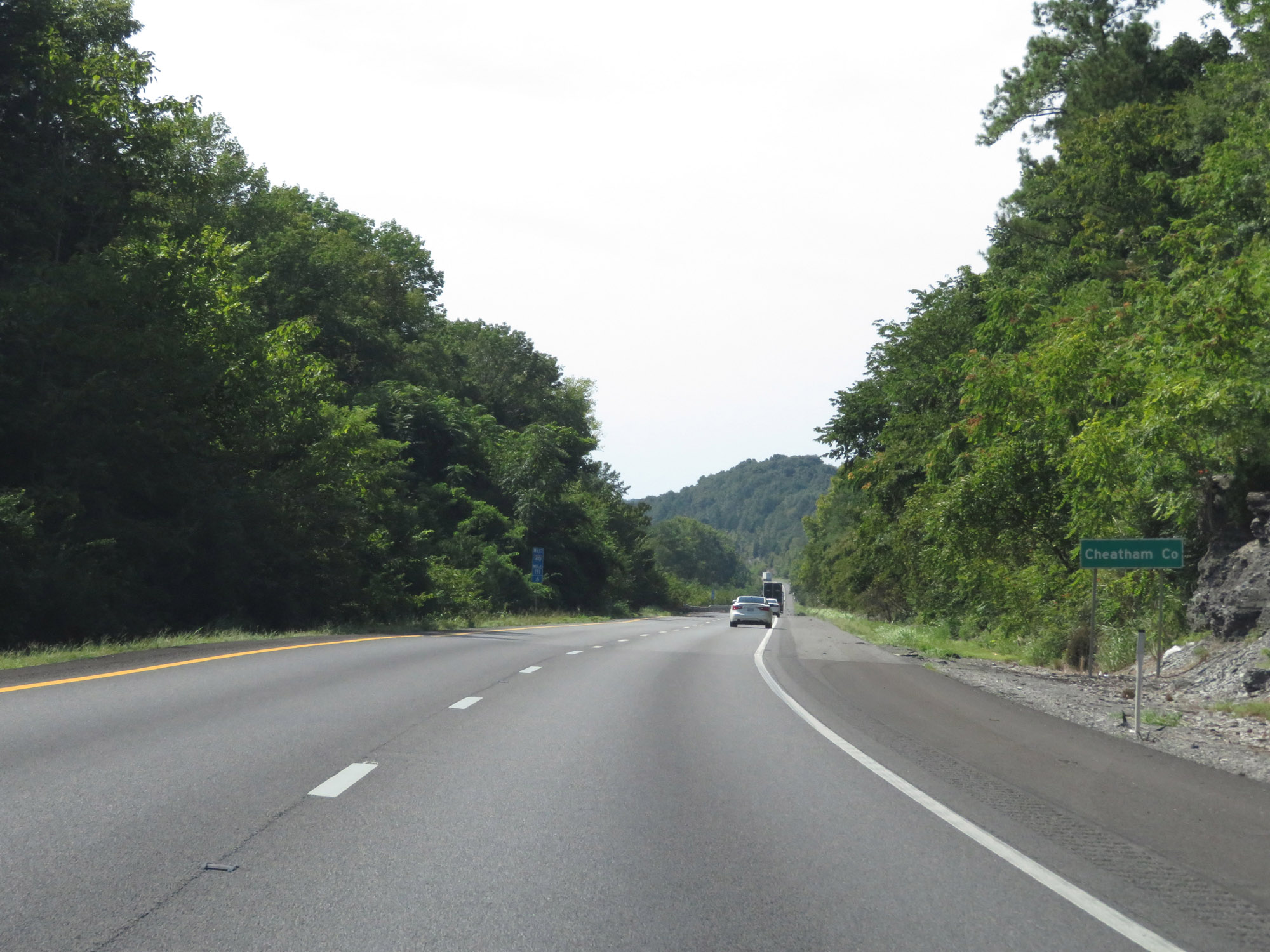 |
Interstate 40 West as it enters Cheatham County at mile marker 191.6. (Photo taken 8/11/19). |
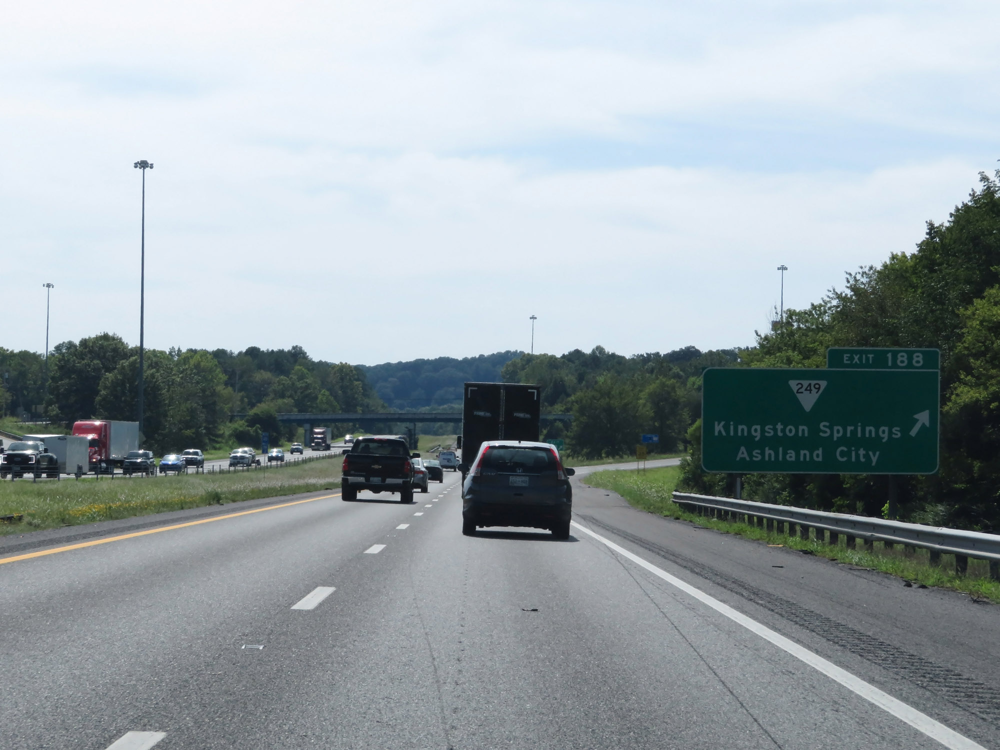 |
Interstate 40 West at Exit 188: SR 249 - Kingston Springs / Ashland City (Photo taken 8/11/19). |
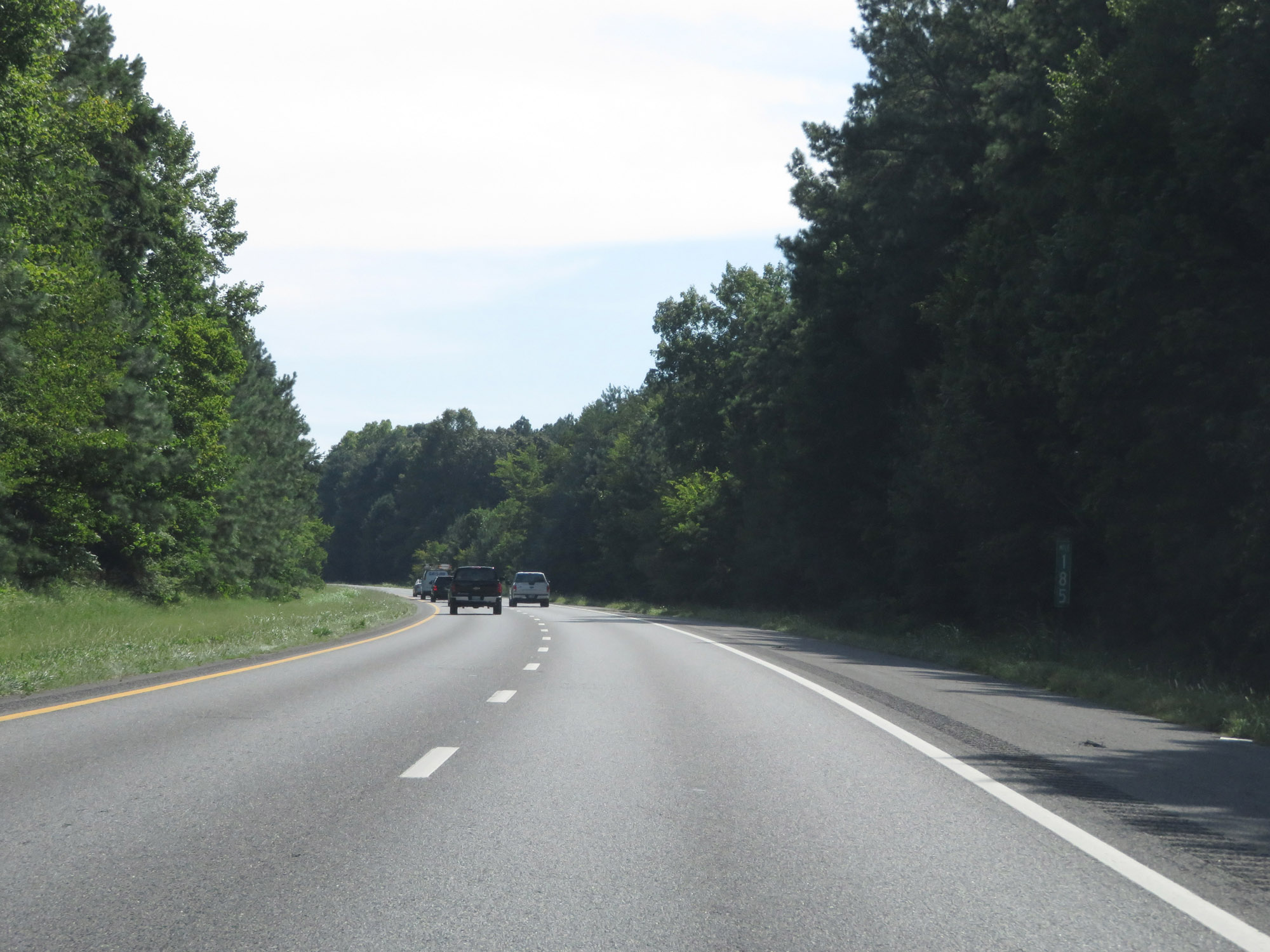 |
View on Interstate 40 West at mile marker 185. (Photo taken 8/11/19). |
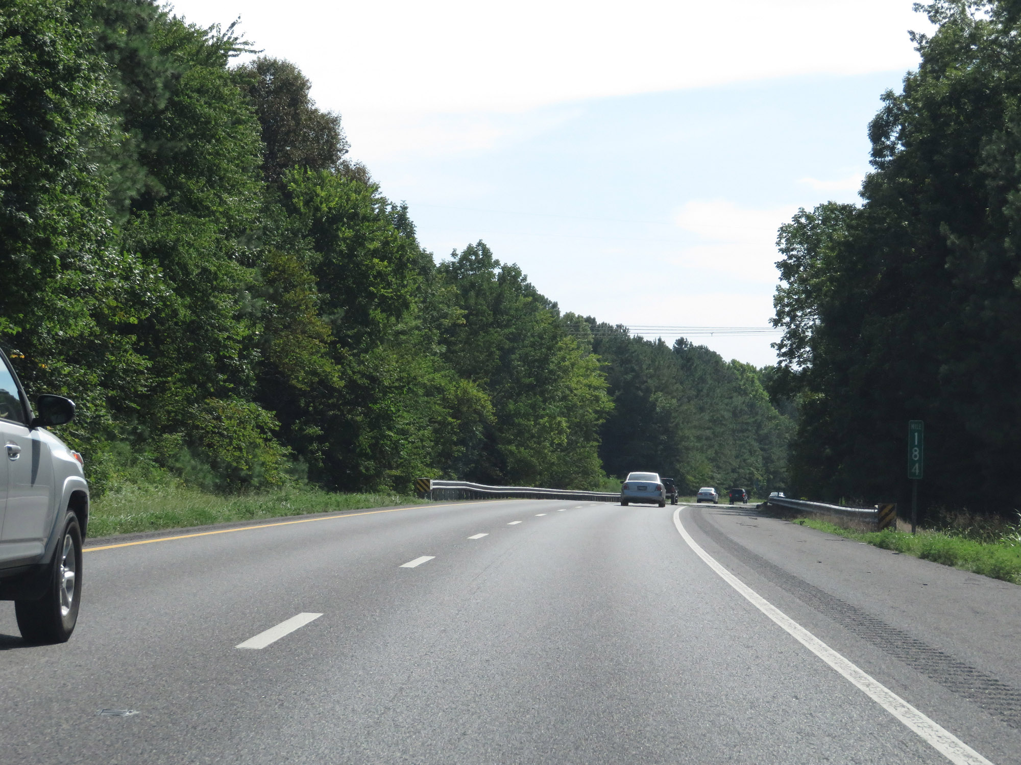 |
Interstate 40 West at mile marker 184. (Photo taken 8/11/19). |
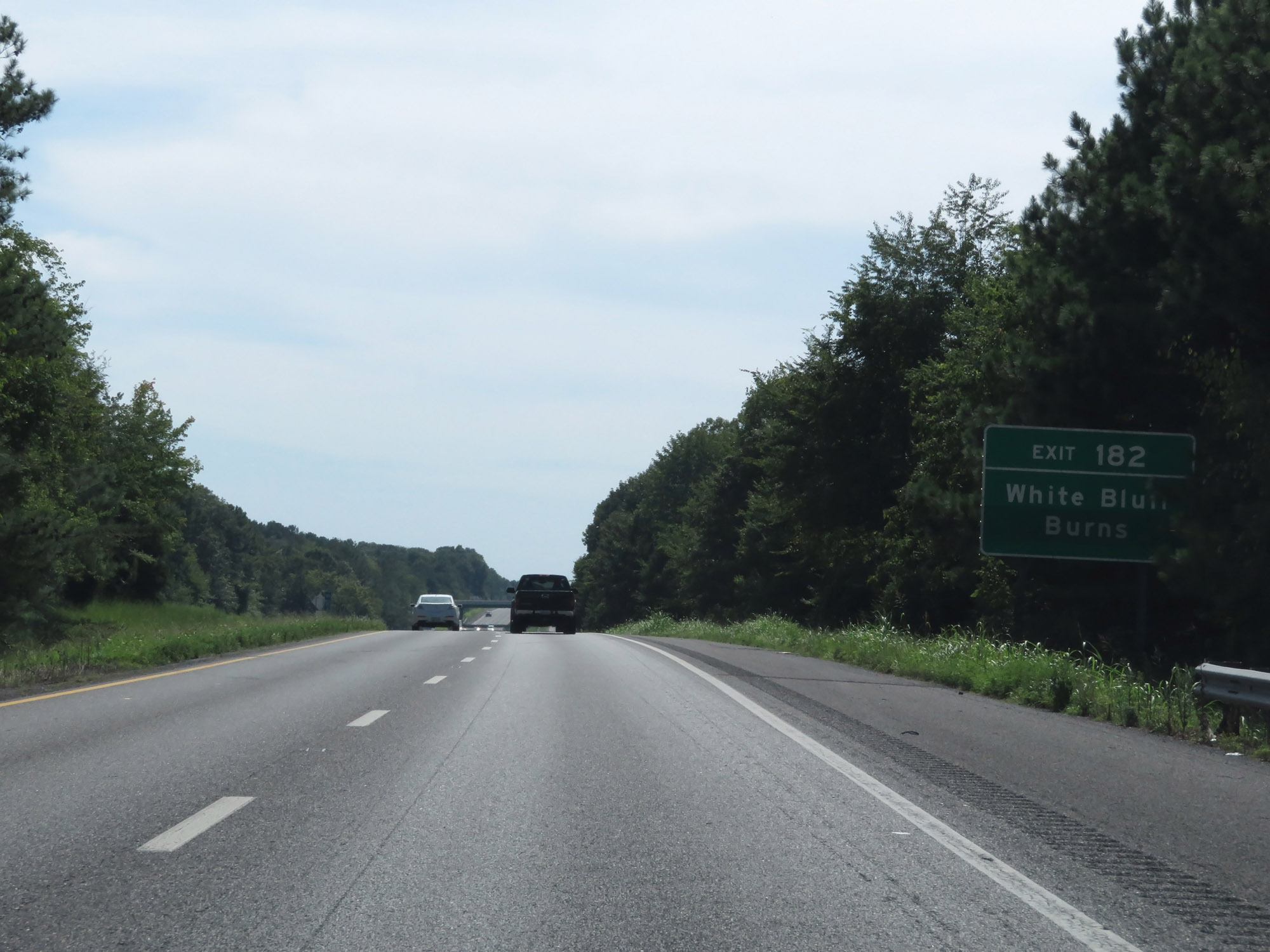 |
Take Exit 182 to White Bluff and Burns. (Photo taken 8/11/19). |
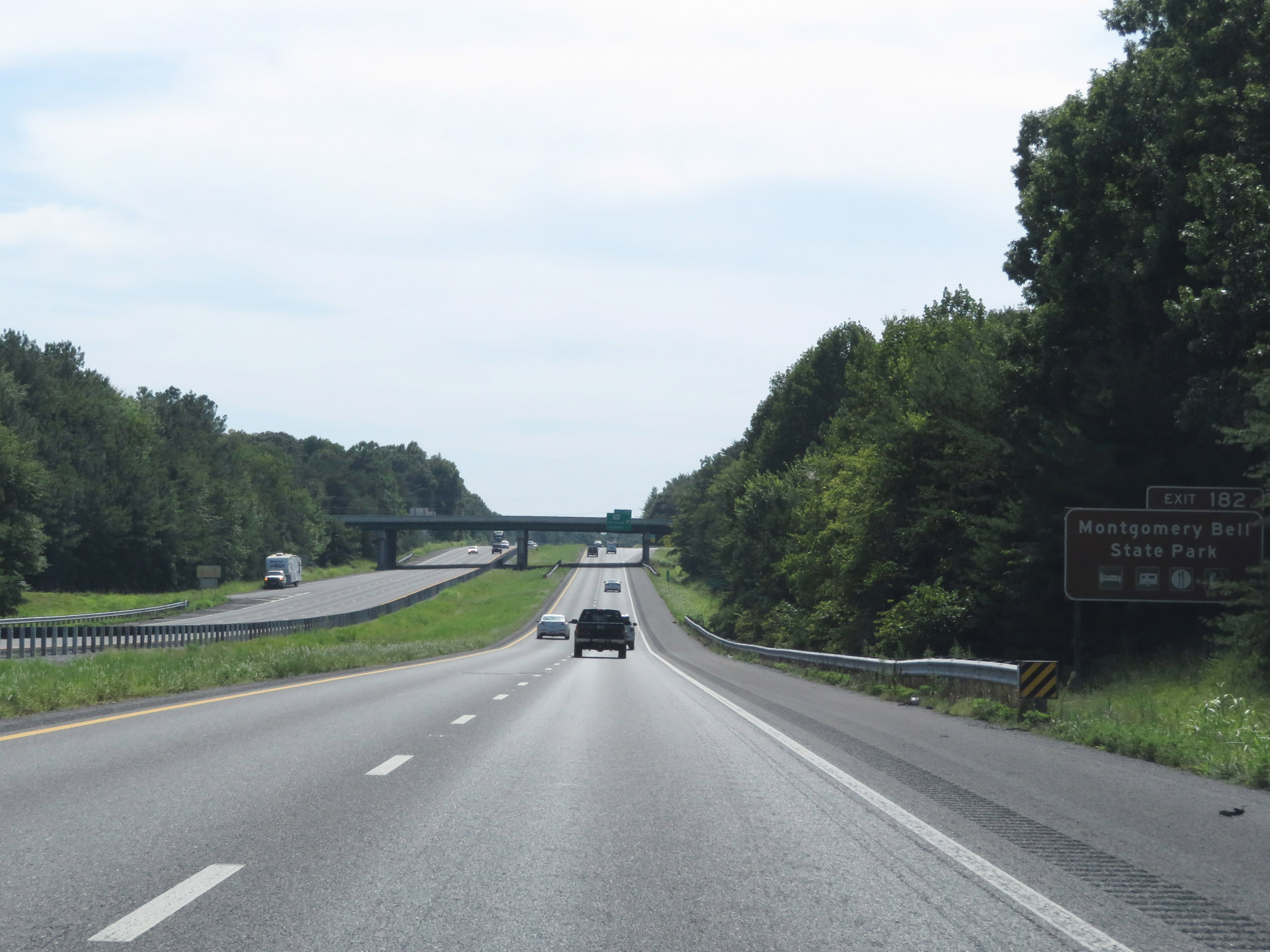 |
Also take Exit 182 to Montgomery Bell State Park. (Photo taken 8/11/19). |
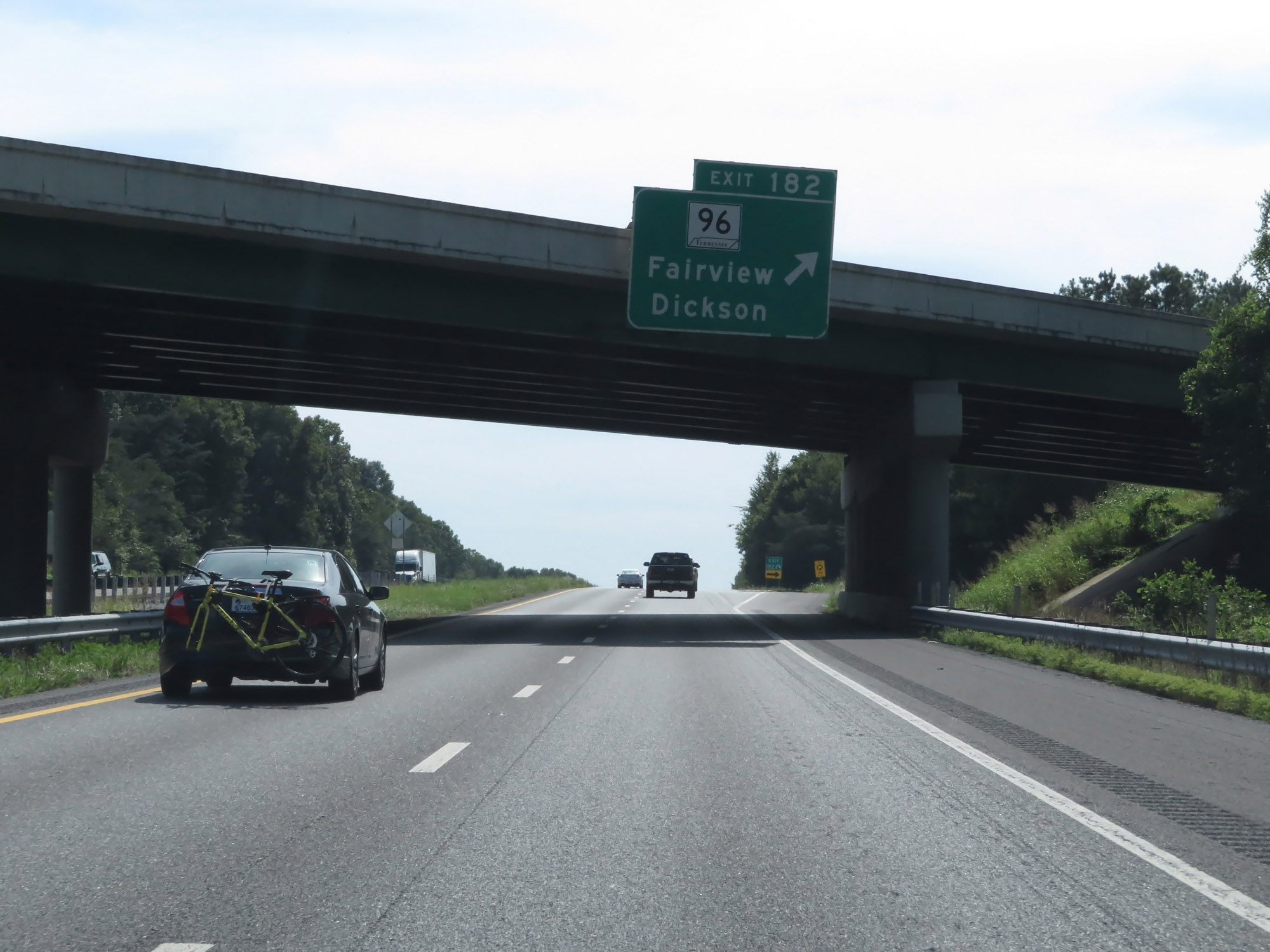 |
Interstate 40 West at Exit 182: TN 96 - Fairview / Dickson (Photo taken 8/11/19). |
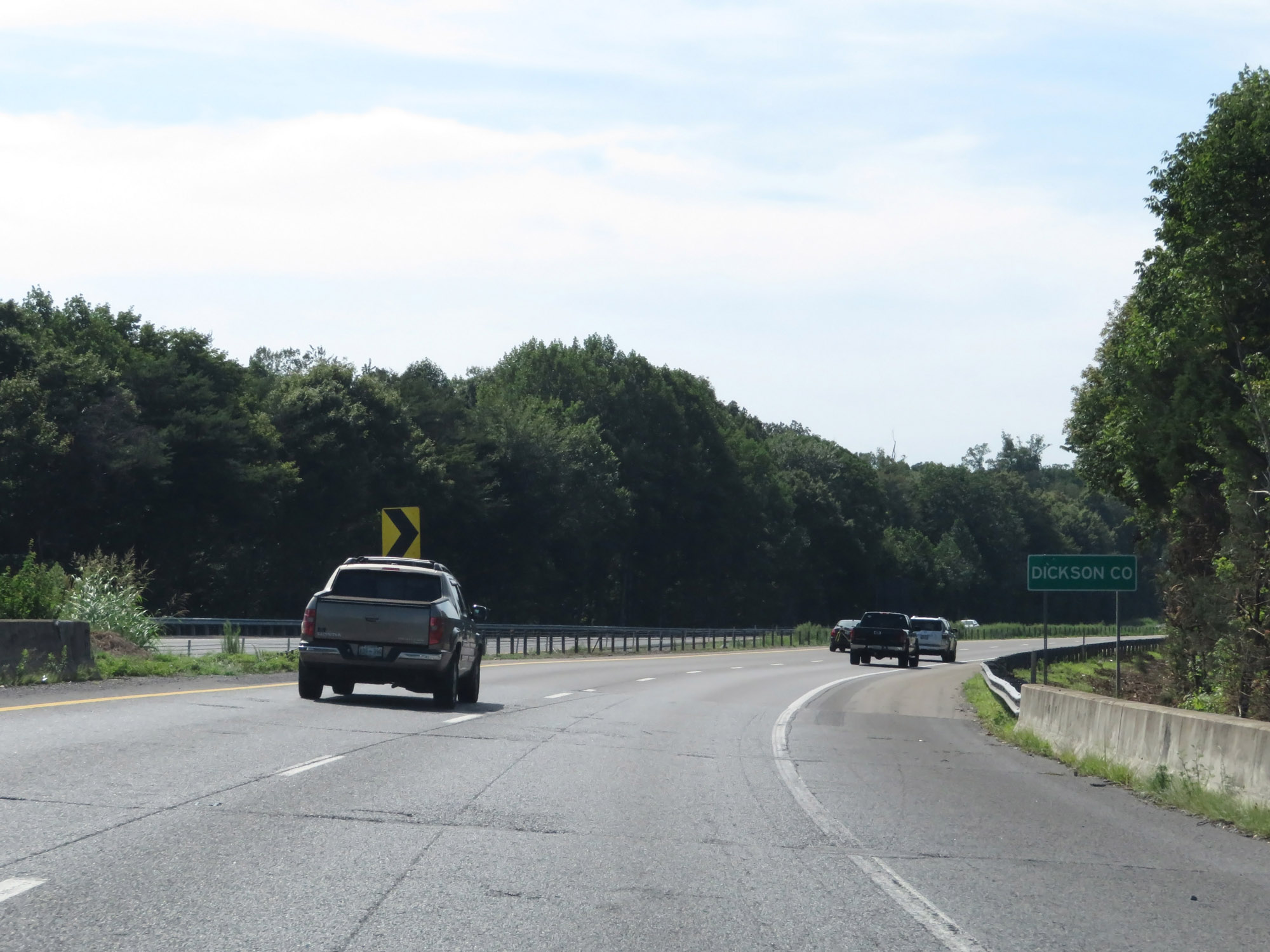 |
Entering Dickson County on Interstate 40 West. (Photo taken 8/11/19). |
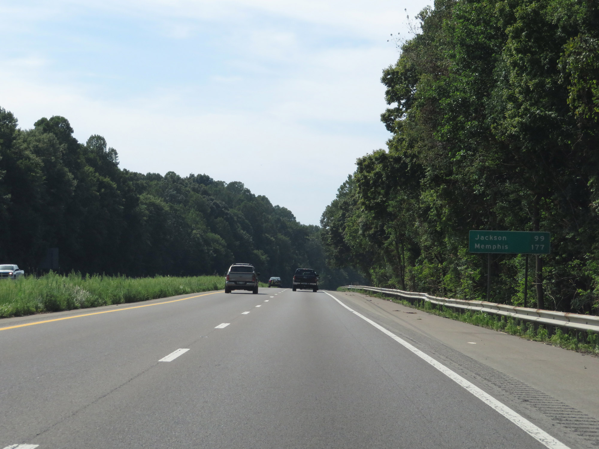 |
Mileage sign on Interstate 40 West. It's 99 miles to Jackson and 177 miles to Memphis. (Photo taken 8/11/19). |
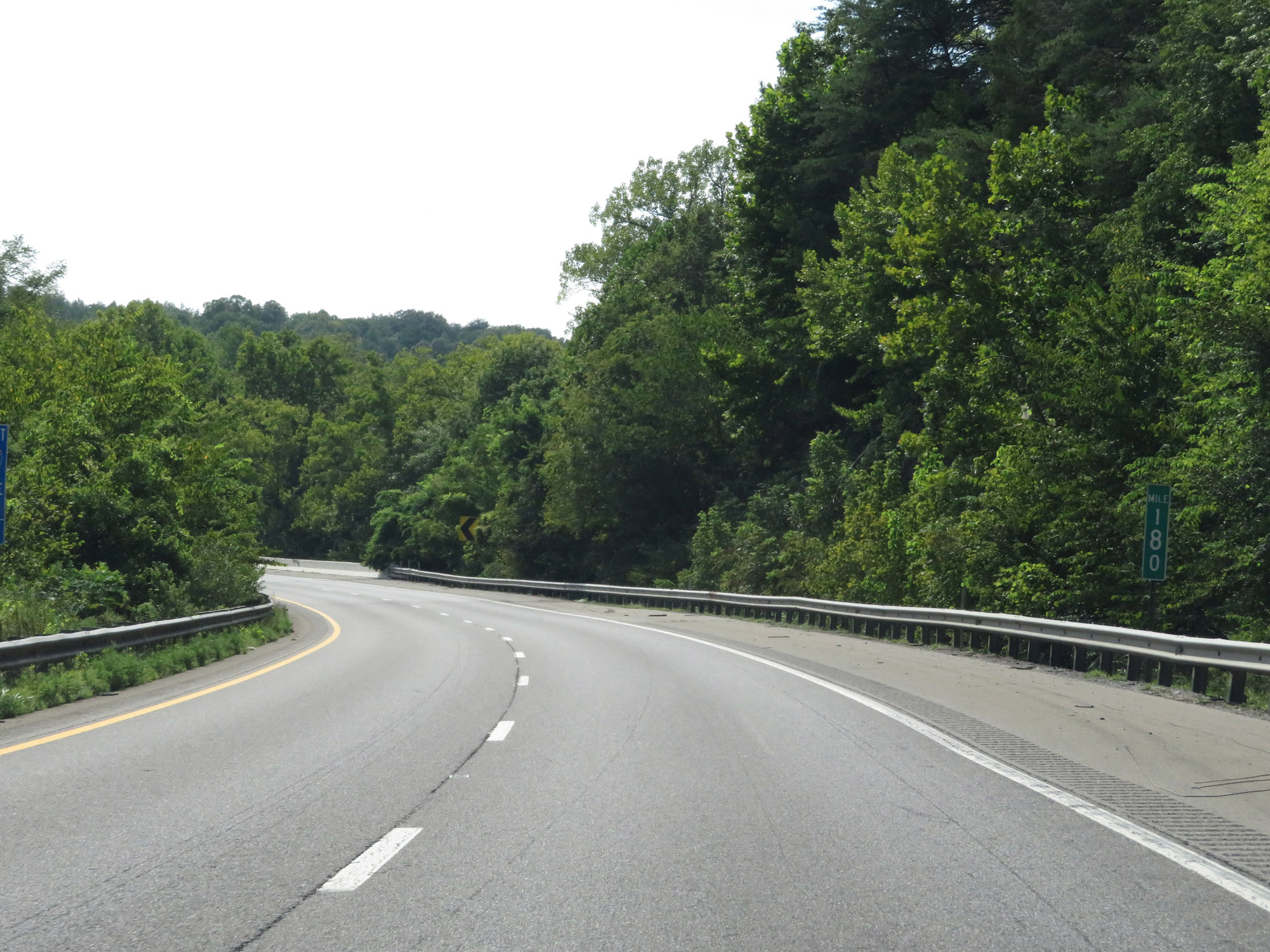 |
Interstate 40 West at mile marker 180. (Photo taken 8/11/19). |
 |
View on Interstate 40 West at mile marker 177.4. (Photo taken 8/11/19). |
 |
Interstate 40 West approaching Exit 176 - 1 mile. (Photo taken 8/11/19). |
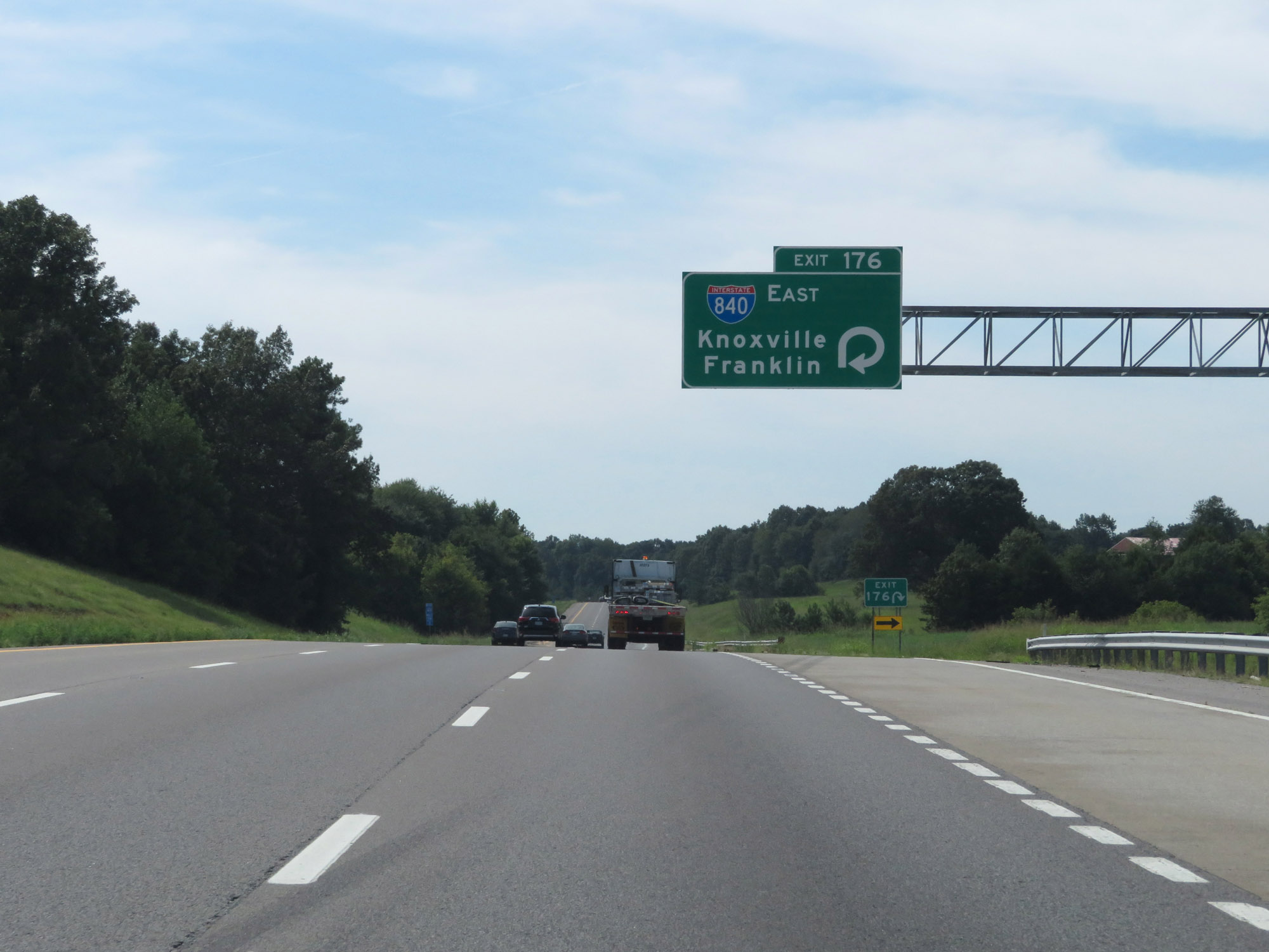 |
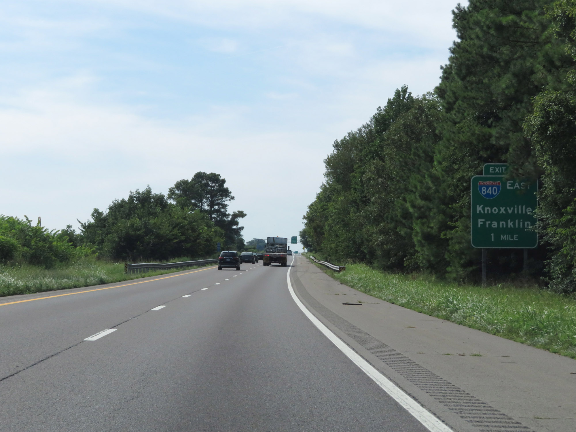
Interstate 40 West at Exit 176: Interstate 840 East - Knoxville / Franklin (Photo taken 8/11/19). |
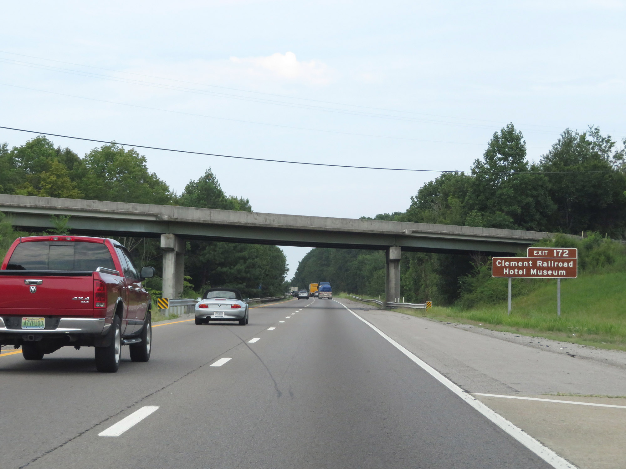 |
Take Exit 172 to the Clement Railroad Hotel Museum. (Photo taken 8/12/19). |
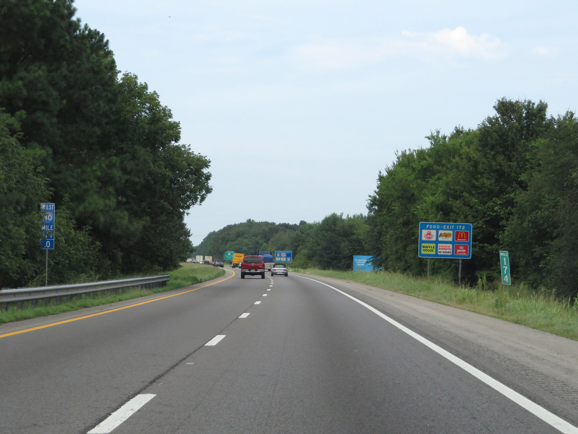 |
Interstate 40 West at mile marker 174. (Photo taken 8/12/19). |
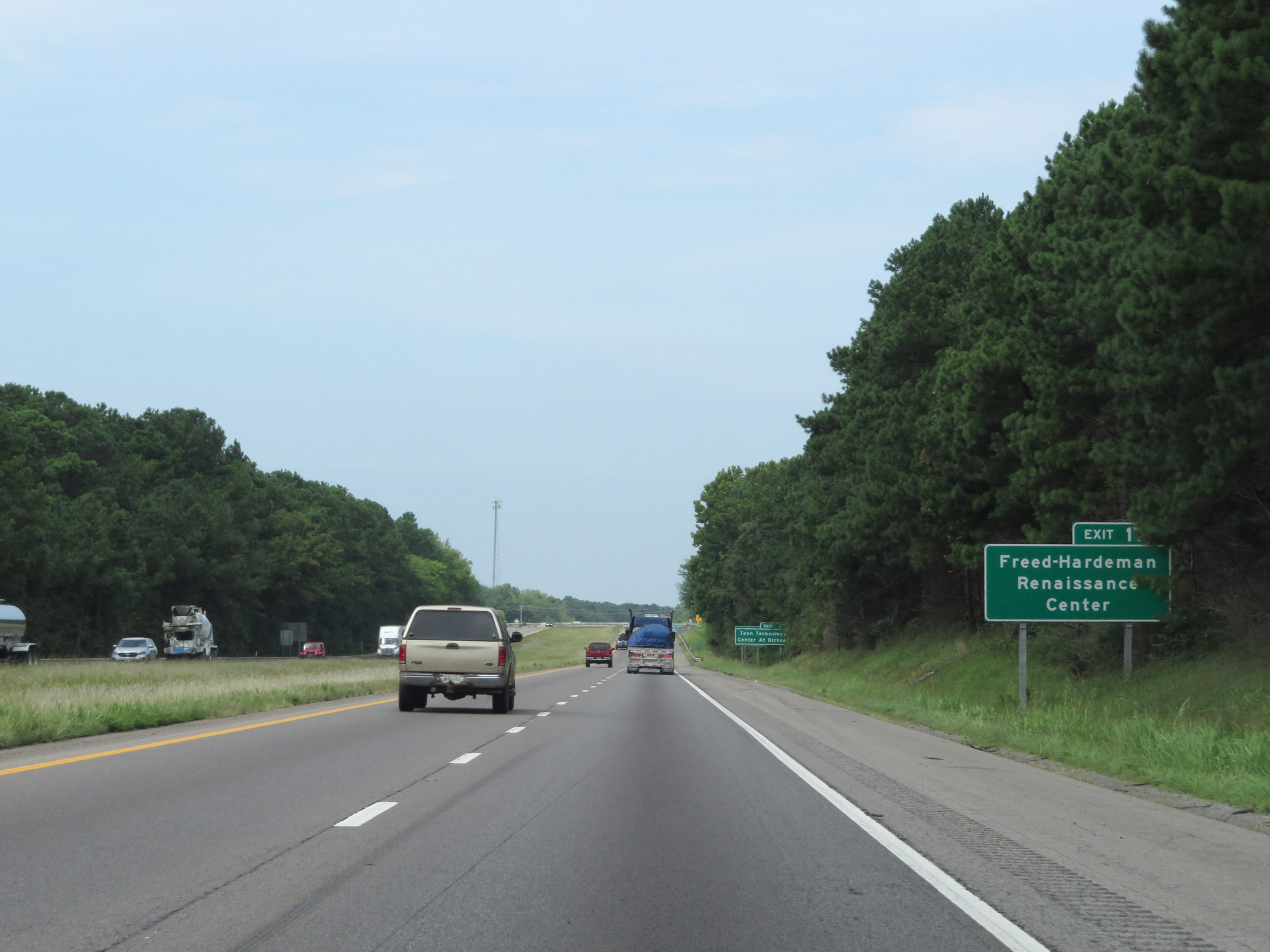 |
Also take Exit 172 to Freed-Hardeman Renaissance Center. (Photo taken 8/12/19). |
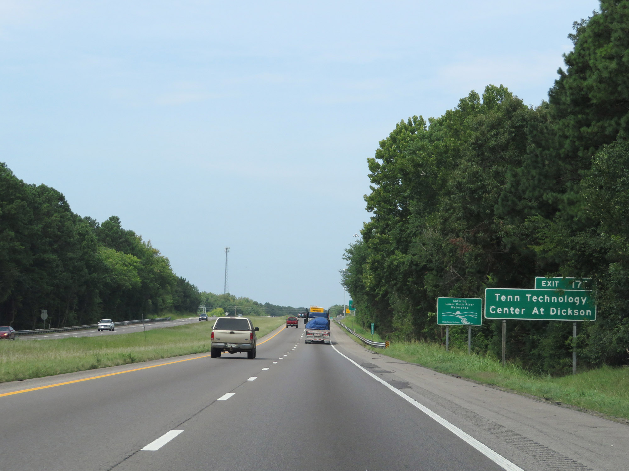 |
Take Exit 172 to Tennessee Technology Center At Dickson as well. (Photo taken 8/12/19). |
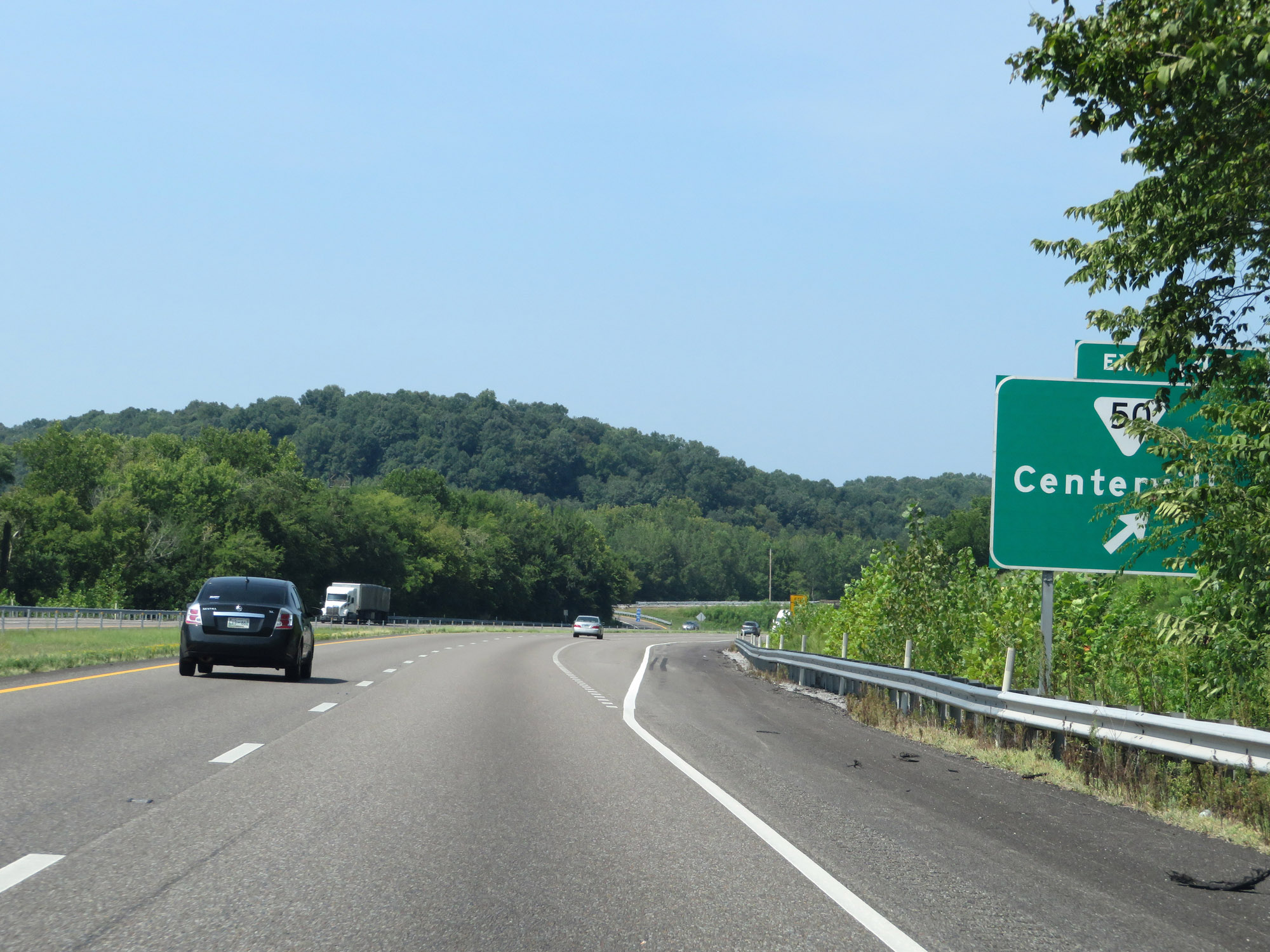
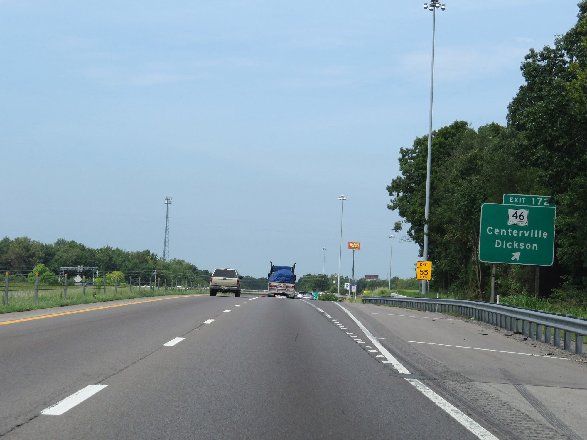 |
Interstate 40 West at Exit 172: TN 46 - Centerville / Dickson (Photo taken 8/12/19). |
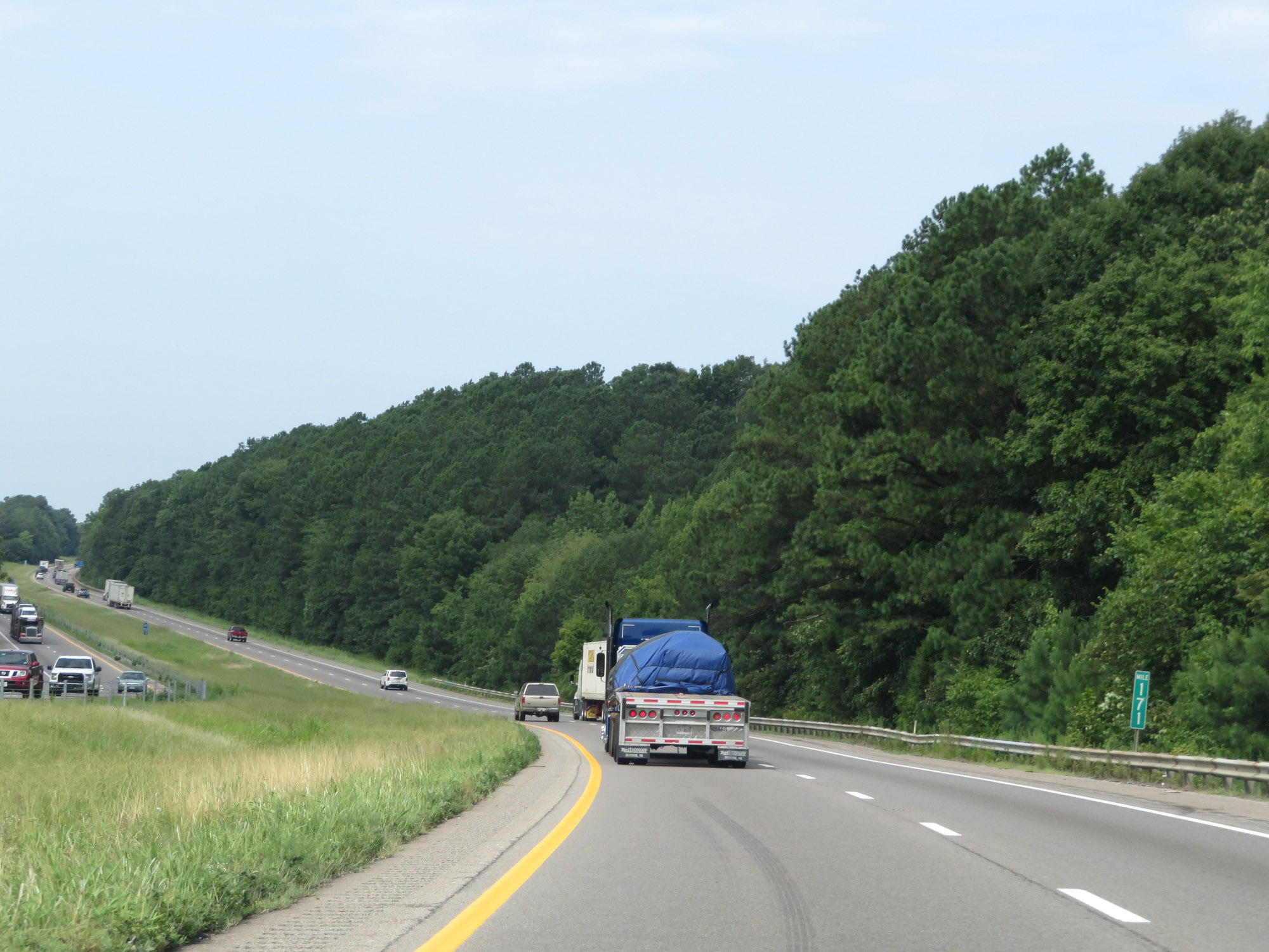 |
View on Interstate 40 West at mile marker 171. (Photo taken 8/12/19). |
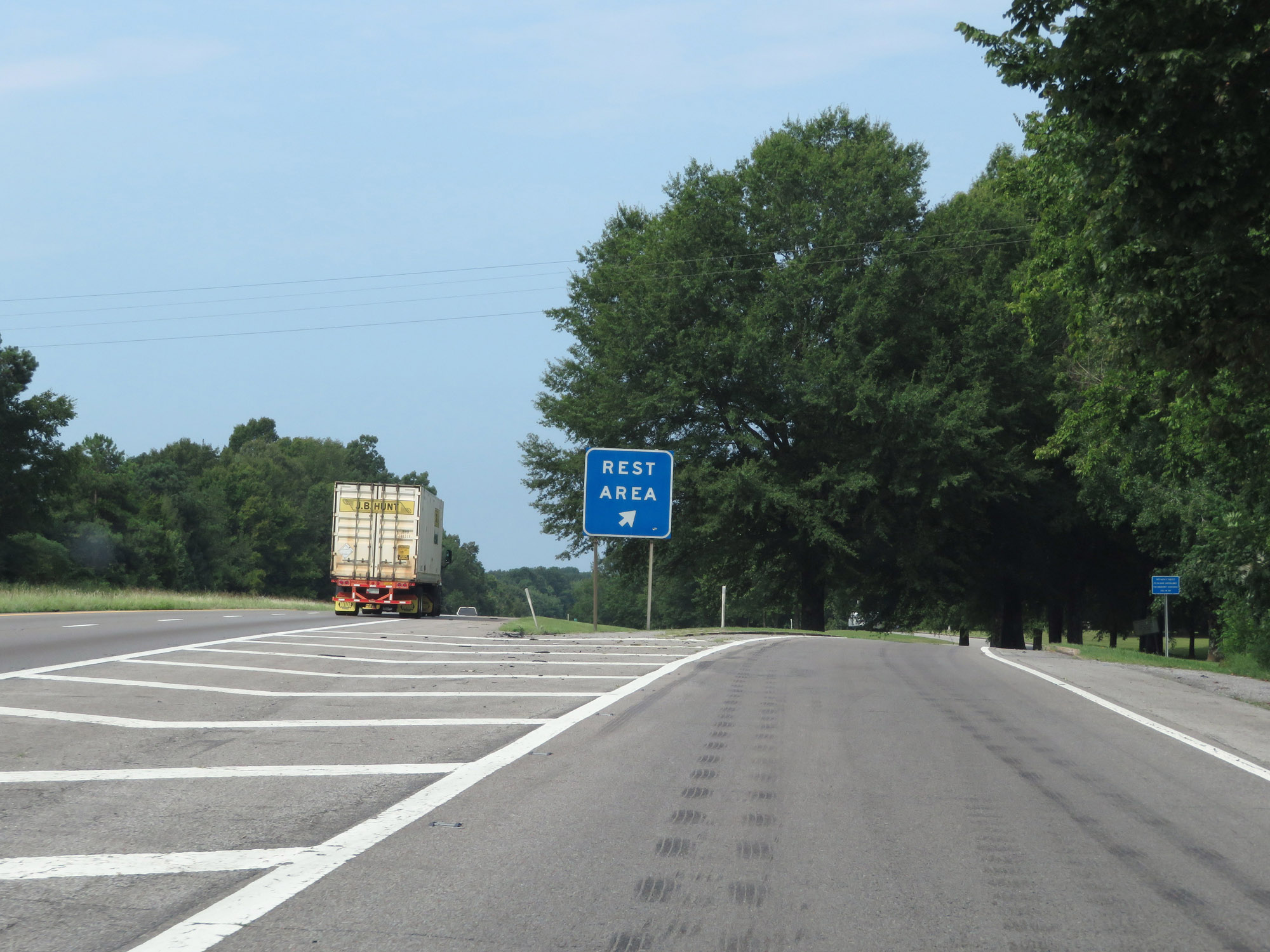 |
Rest Area on Interstate 40 West in Dickson County. (Photo taken 8/12/19). |
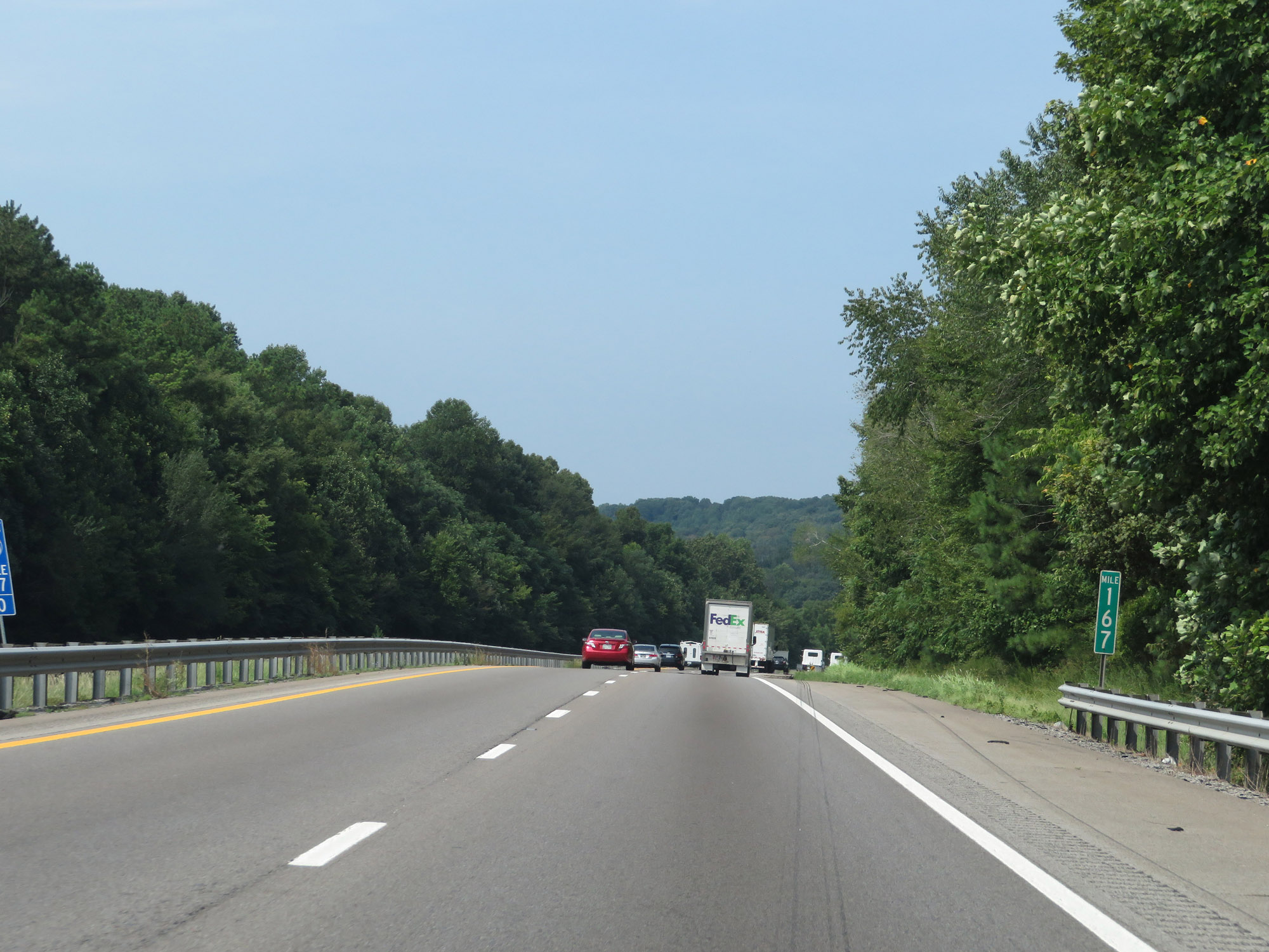 |
Interstate 40 West at mile marker 167. (Photo taken 8/12/19). |
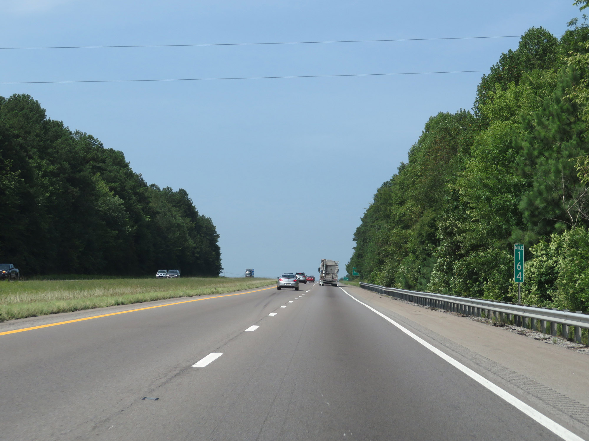 |
Interstate 40 West at mile marker 164. (Photo taken 8/12/19). |
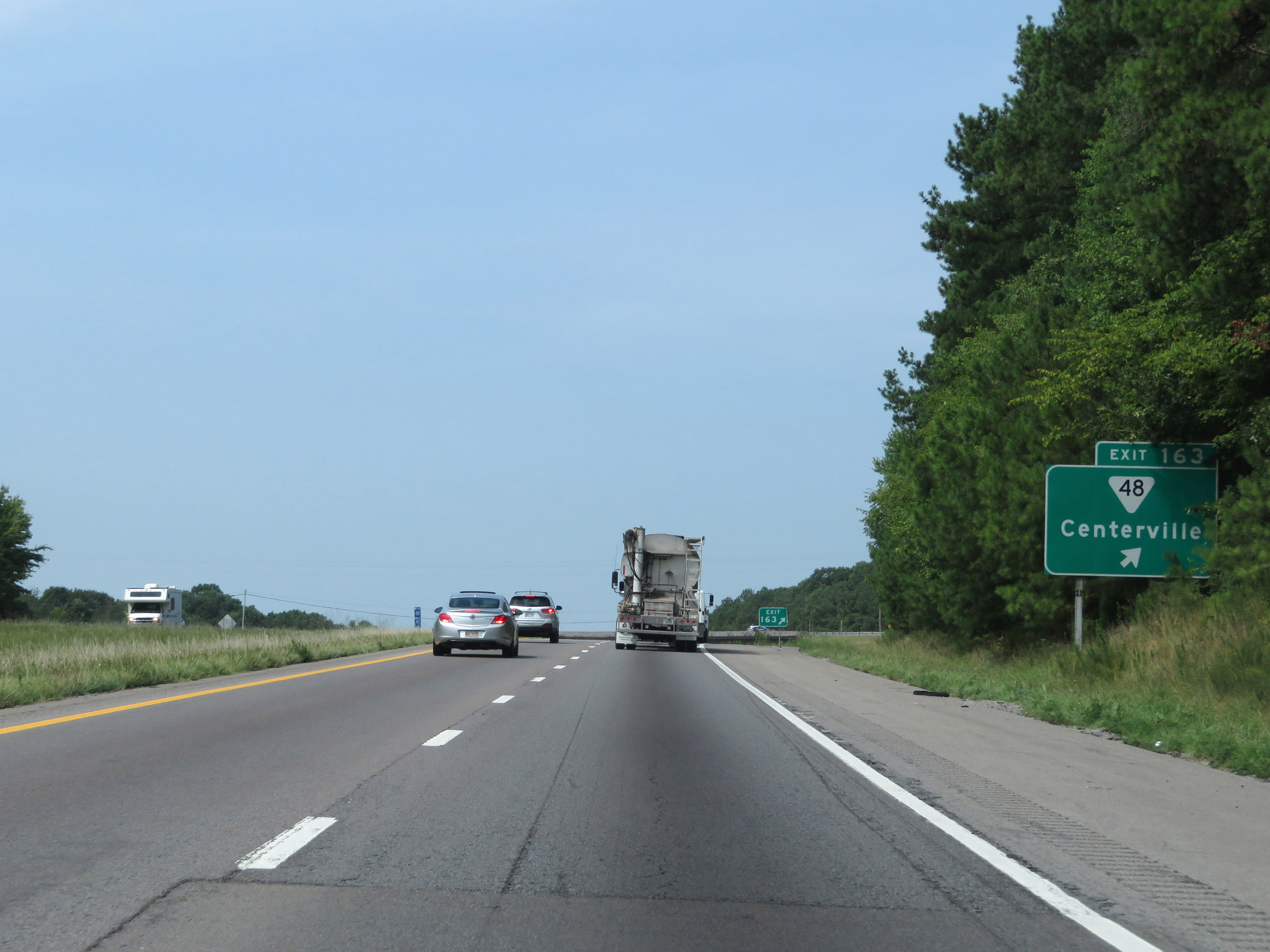 |
Interstate 40 West at Exit 163: SR 48 - Centerville (Photo taken 8/12/19). |
Section 8: Dickson (Exit 163) to Jackson (Exit 85)
 |
Interstate 40 West as it enters Hickman County beyond Exit 163. (Photo taken 8/12/19). |
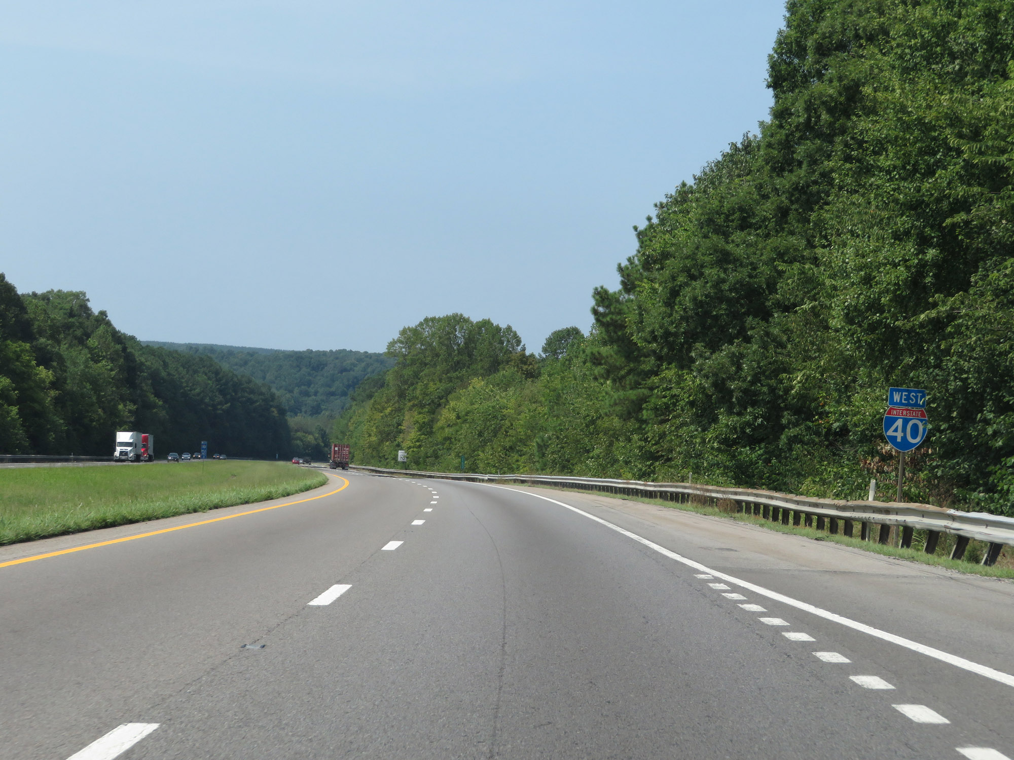 |
Interstate 40 West reassurance shield. (Photo taken 8/12/19). |
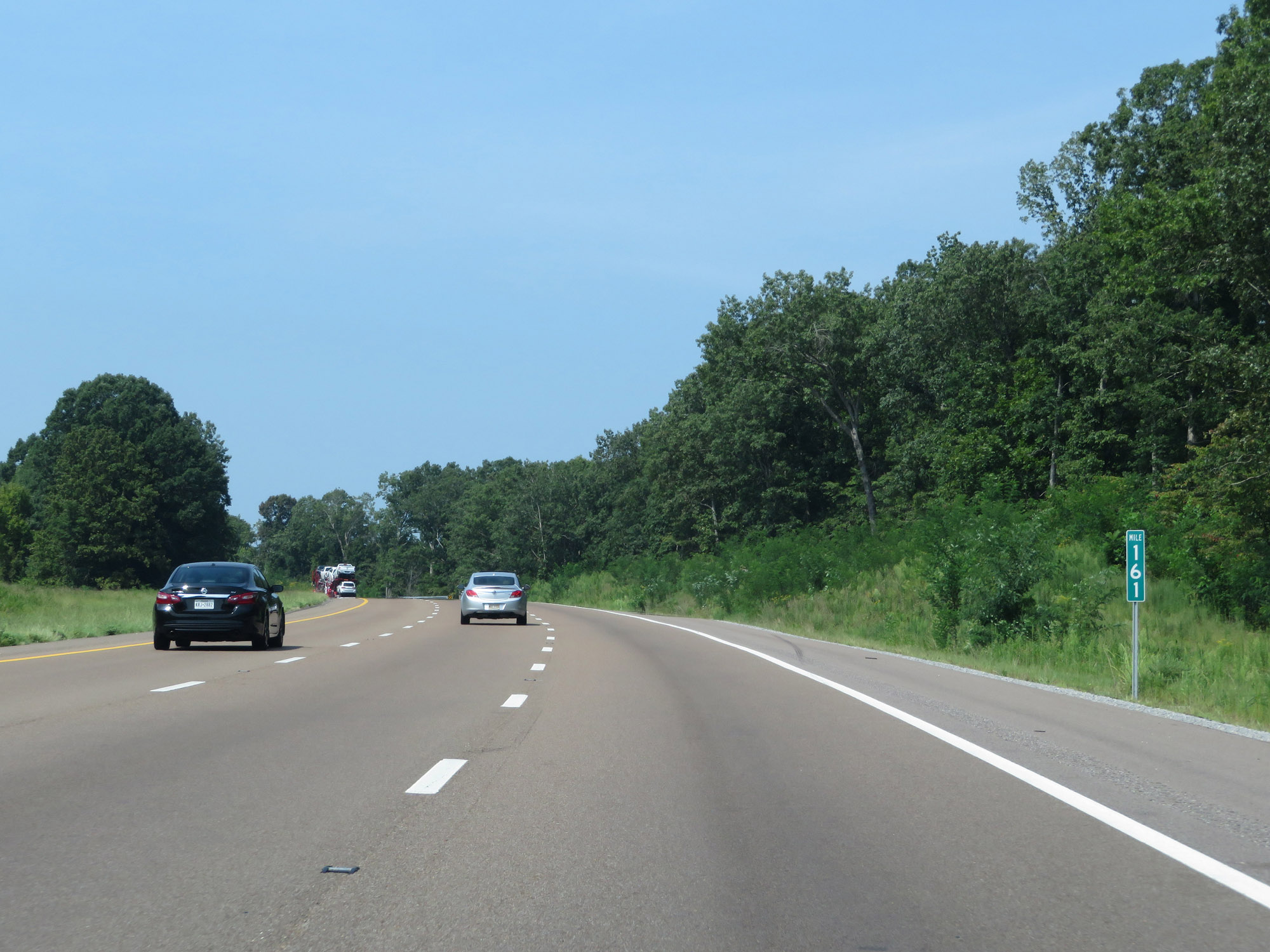 |
View on Interstate 40 West at mile marker 161. (Photo taken 8/12/19). |
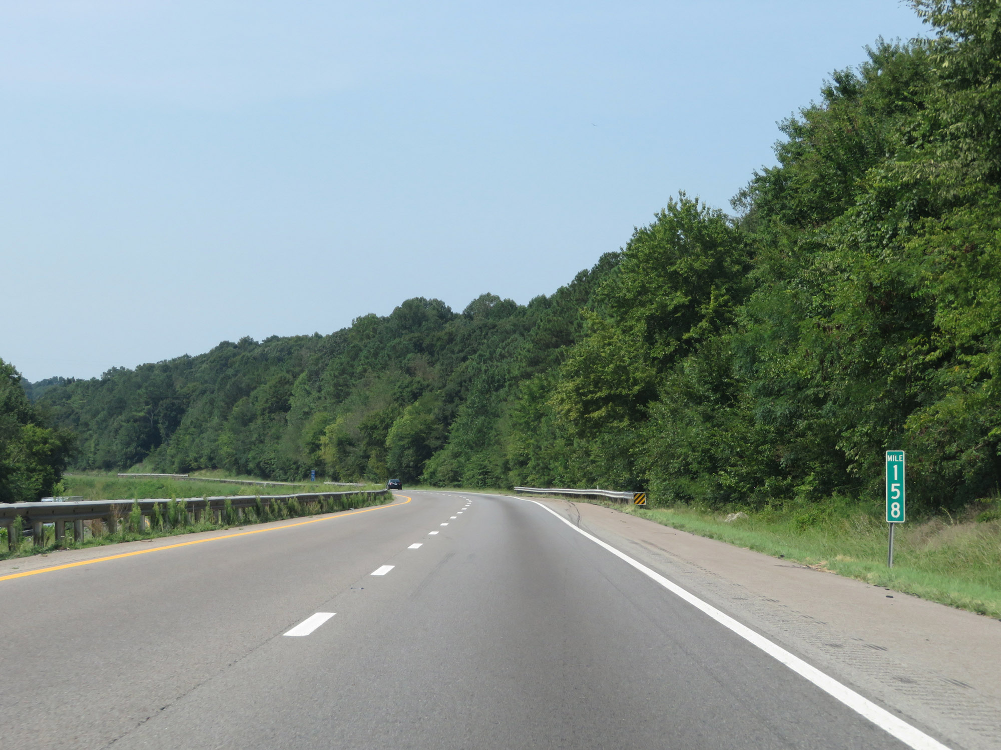 |
Interstate 40 West at mile marker 158. (Photo taken 8/12/19). |
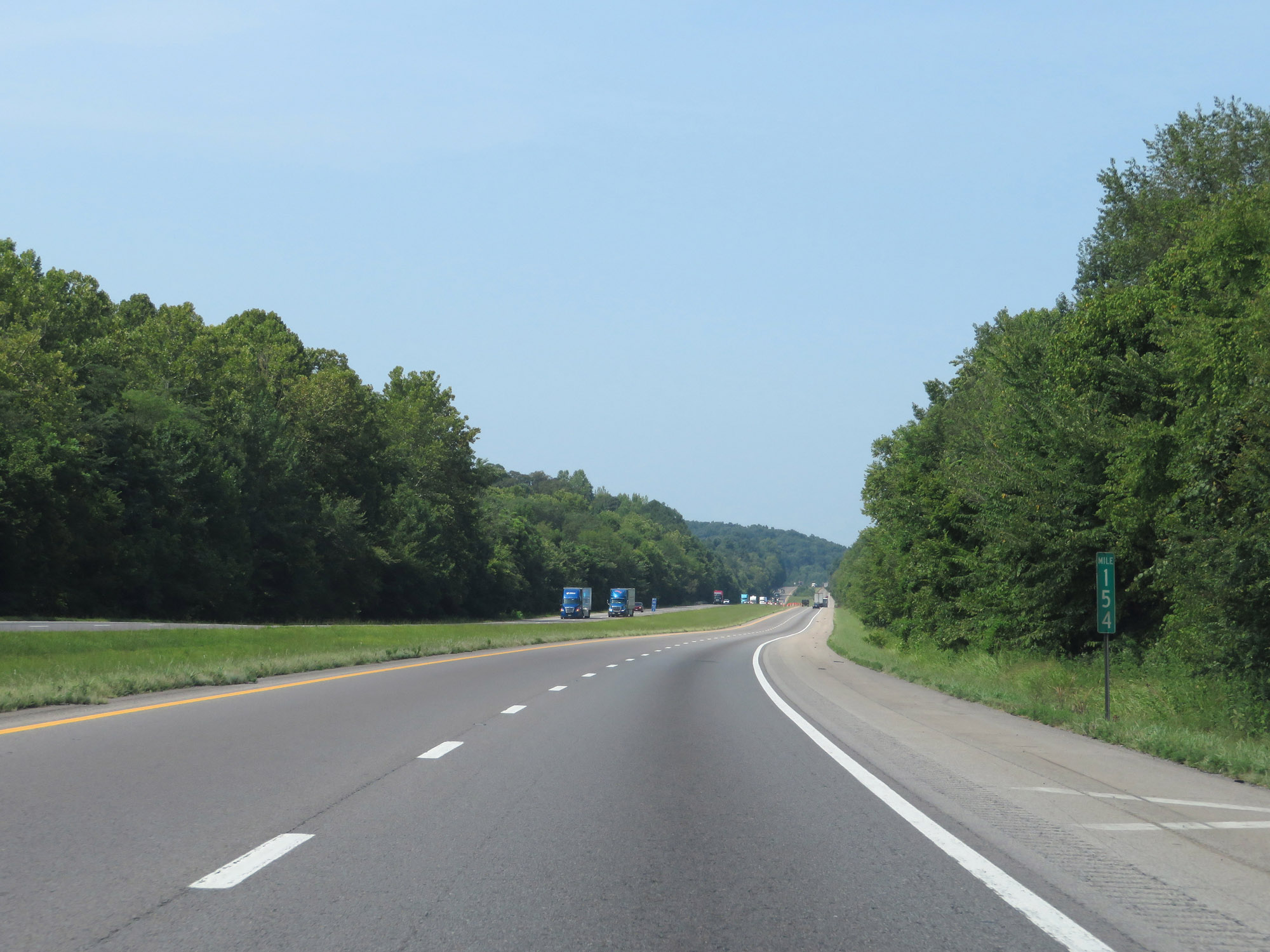 |
View on Interstate 40 West at mile marker 154. (Photo taken 8/12/19). |
 |
Interstate 40 West at Exit 152: SR 230 - Bucksnort (Photo taken 8/12/19). |
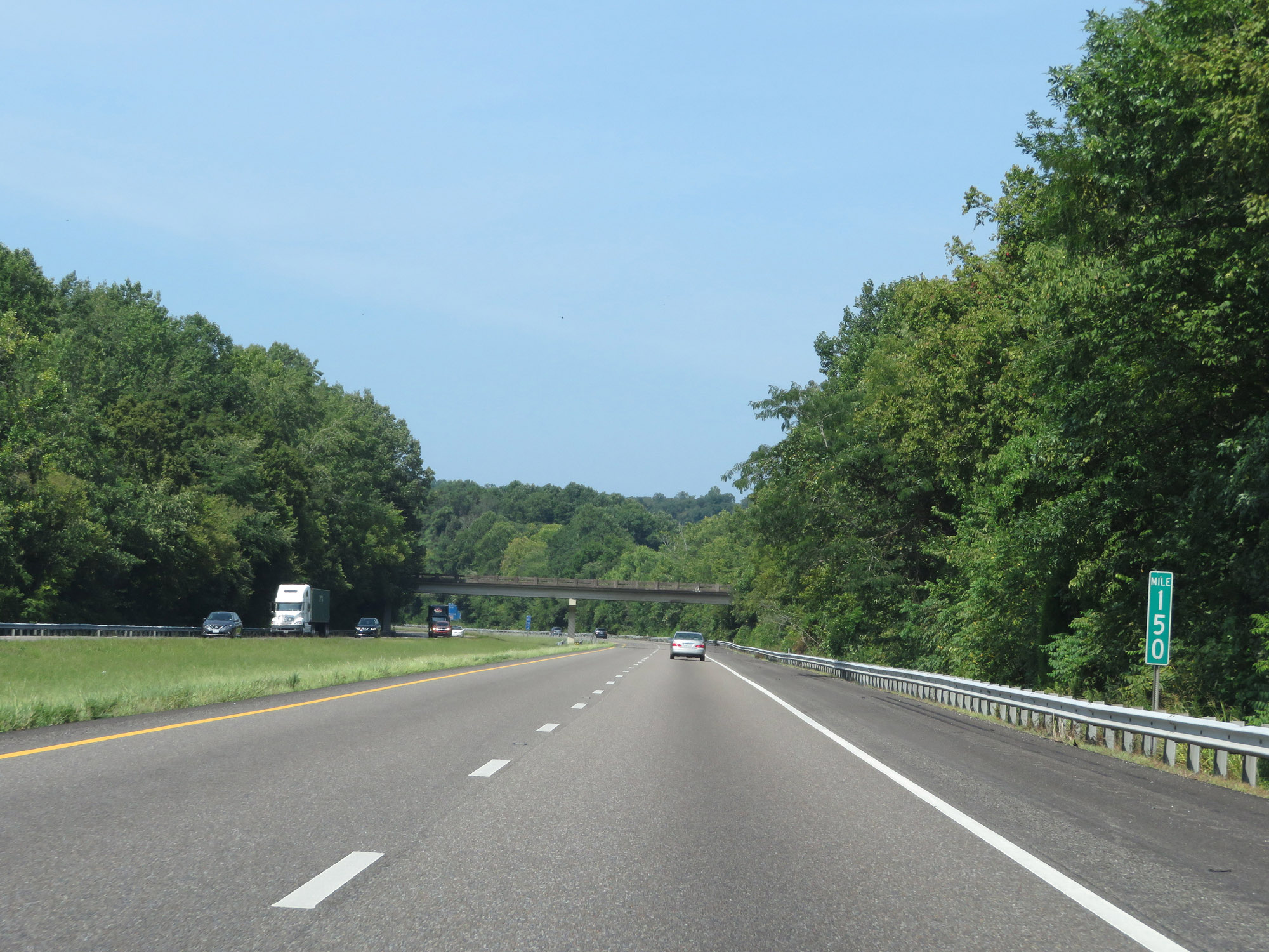 |
Interstate 40 West at mile marker 150. (Photo taken 8/12/19). |
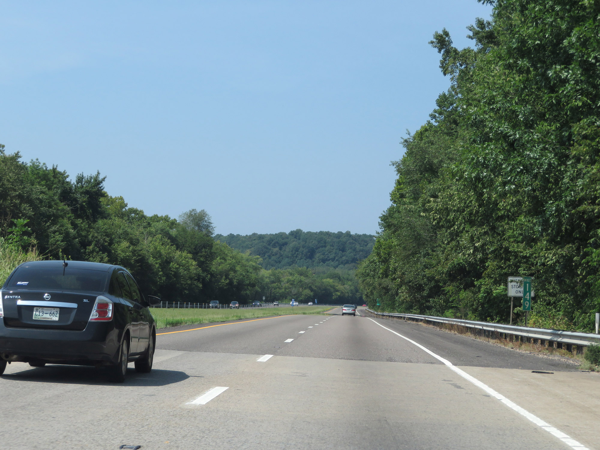 |
View on Interstate 40 West at mile marker 149. (Photo taken 8/12/19). |
 |
Interstate 40 West at Exit 148: SR 50 - Centerville (Photo taken 8/12/19). |
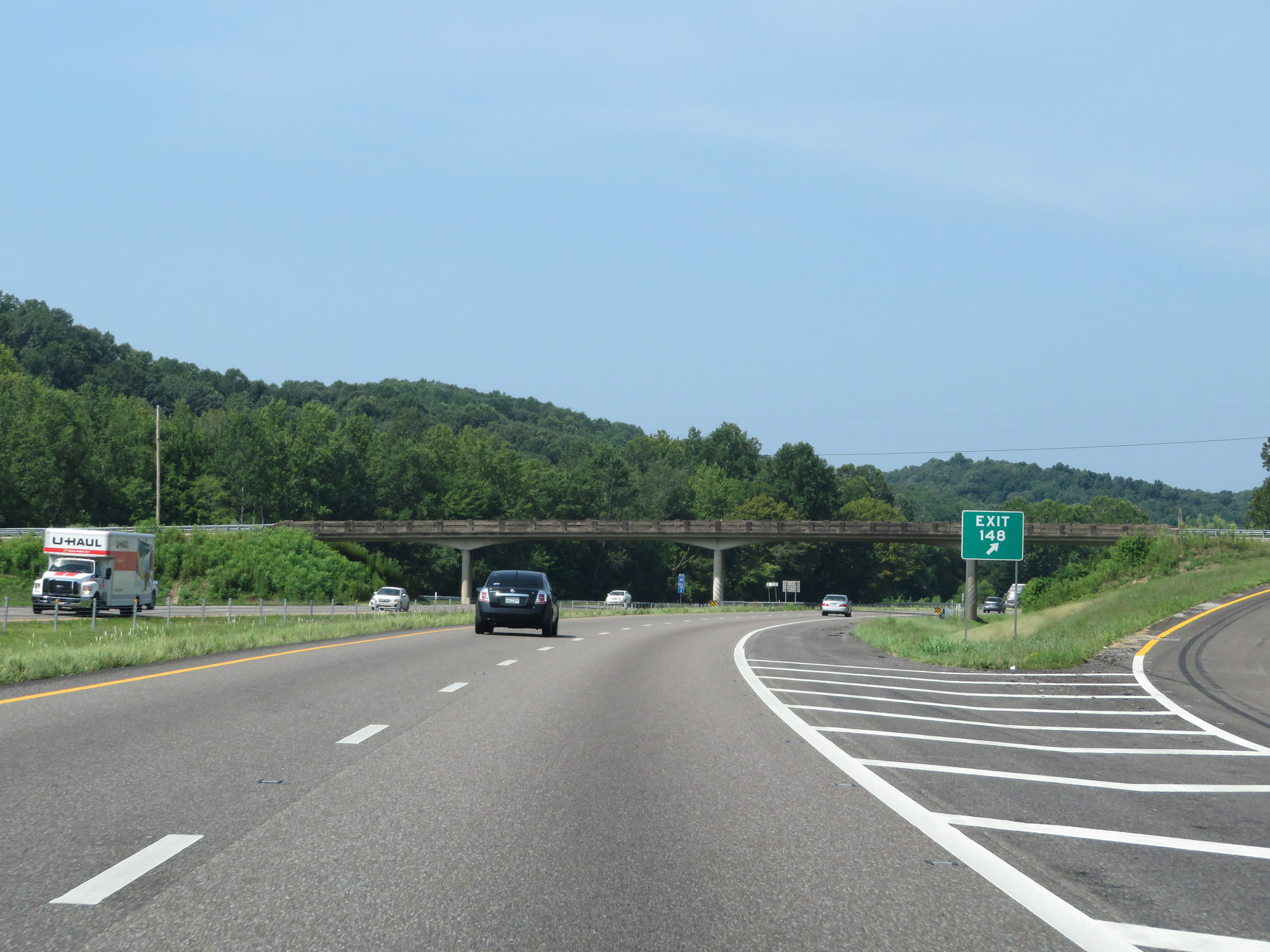 |
Gore point signage for Exit 148. (Photo taken 8/12/19). |
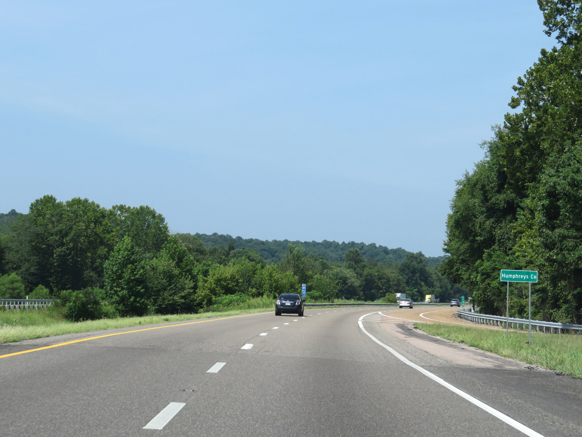 |
Entering Humphreys County on Interstate 40 West at mile marker 148. (Photo taken 8/12/19). |
 |
Another Interstate 40 West reassurance shield. (Photo taken 8/12/19). |
 |
The speed limit remains 70 mph. (Photo taken 8/12/19). |
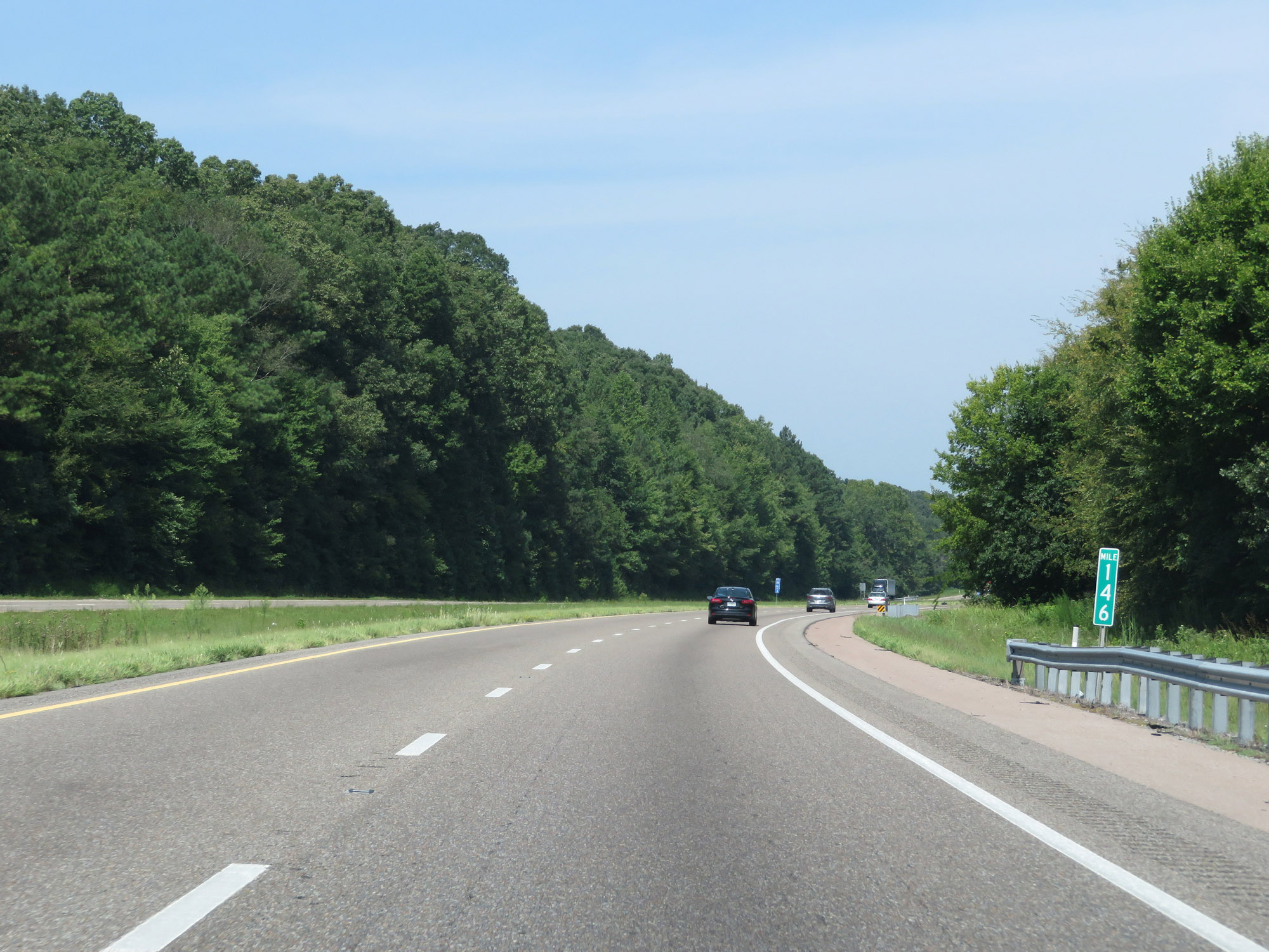 |
Interstate 40 West at mile marker 146. (Photo taken 8/12/19). |
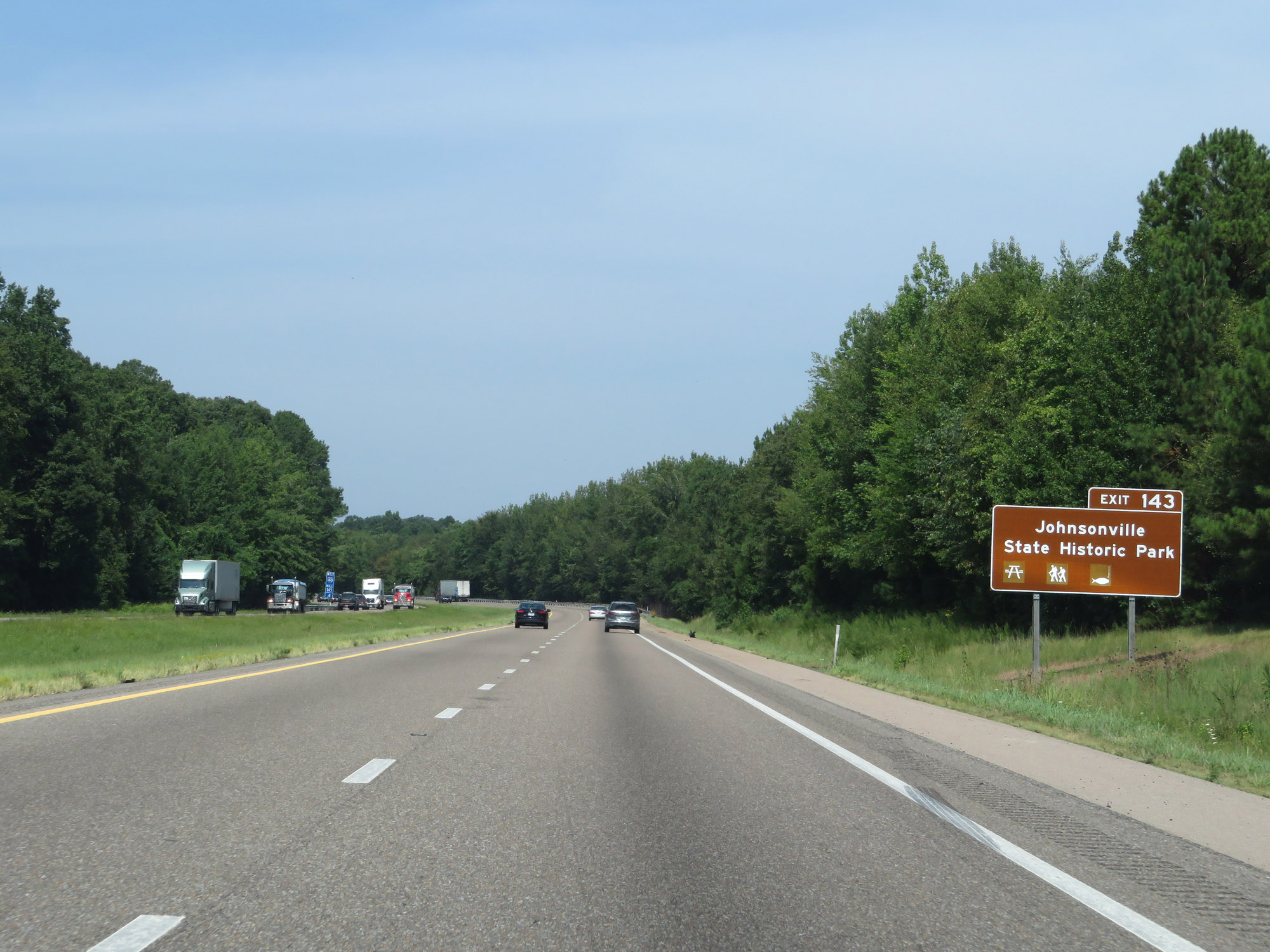 |
Access Johnsonville State Historic Park via Exit 143. (Photo taken 8/12/19). |
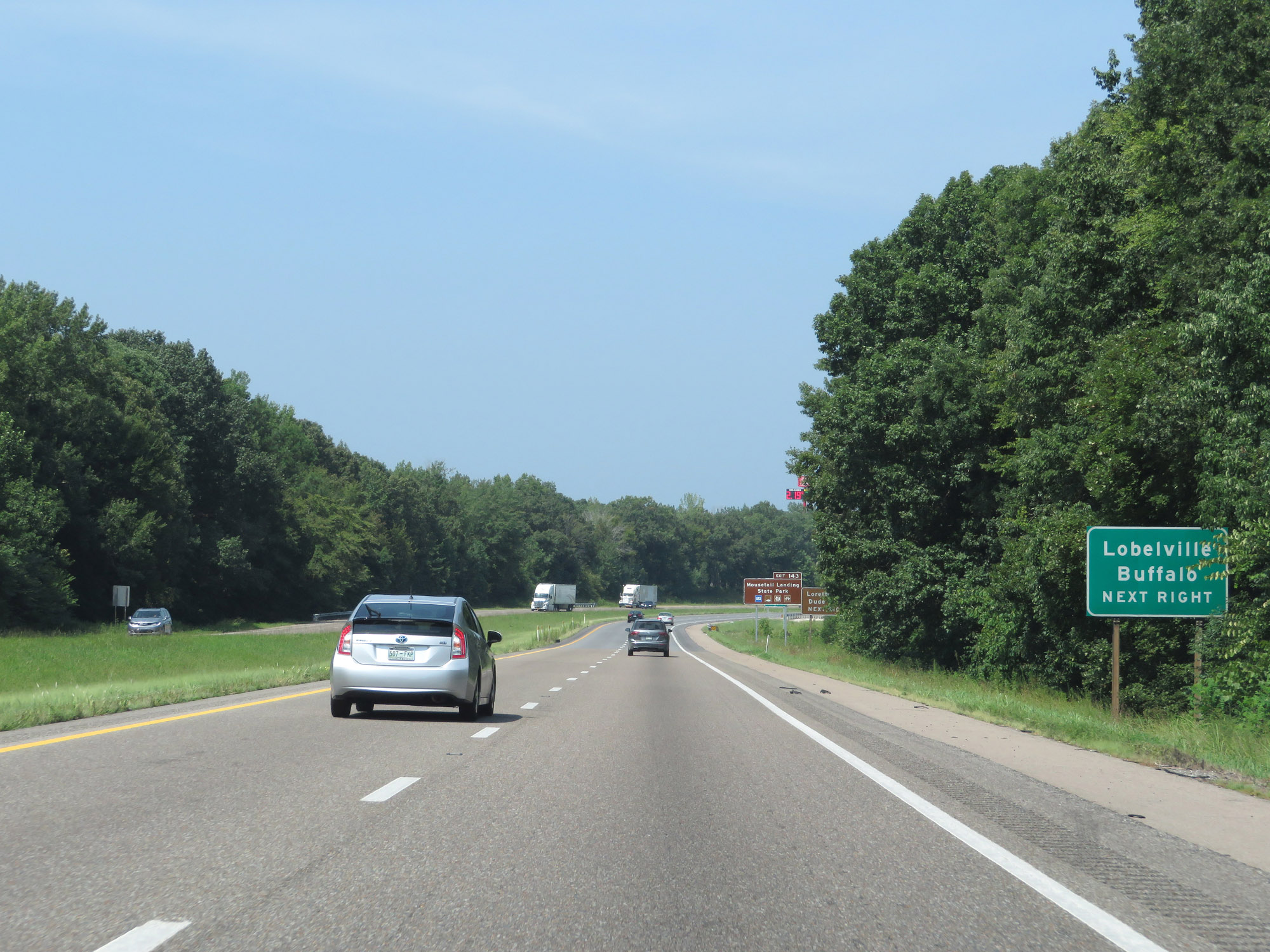 |
Take Exit 143 to Lobelville and Buffalo. (Photo taken 8/12/19). |
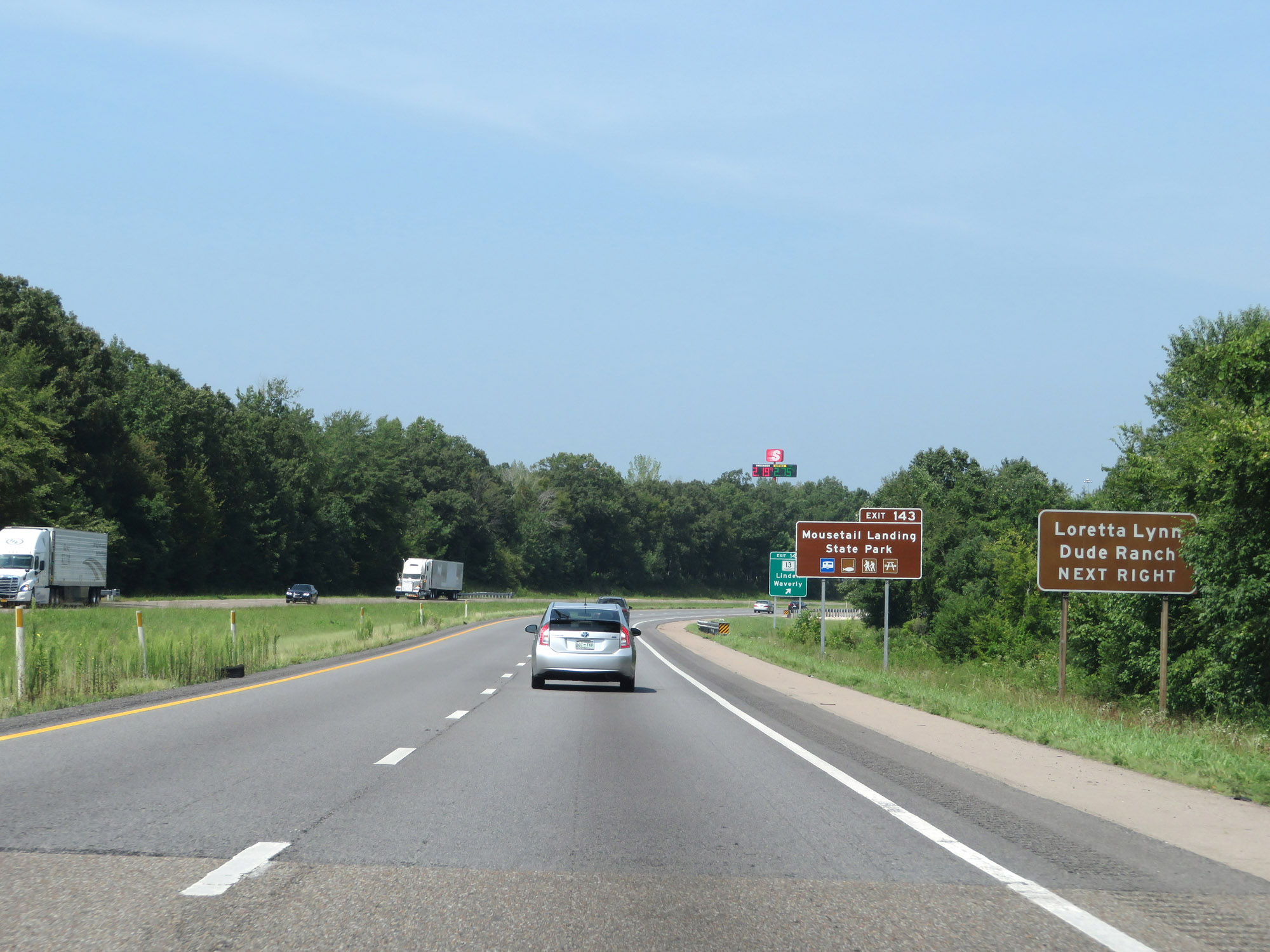 |
Also take Exit 143 to Loretta Lynn Dude Ranch and Mousetail Landing State Park. (Photo taken 8/12/19). |
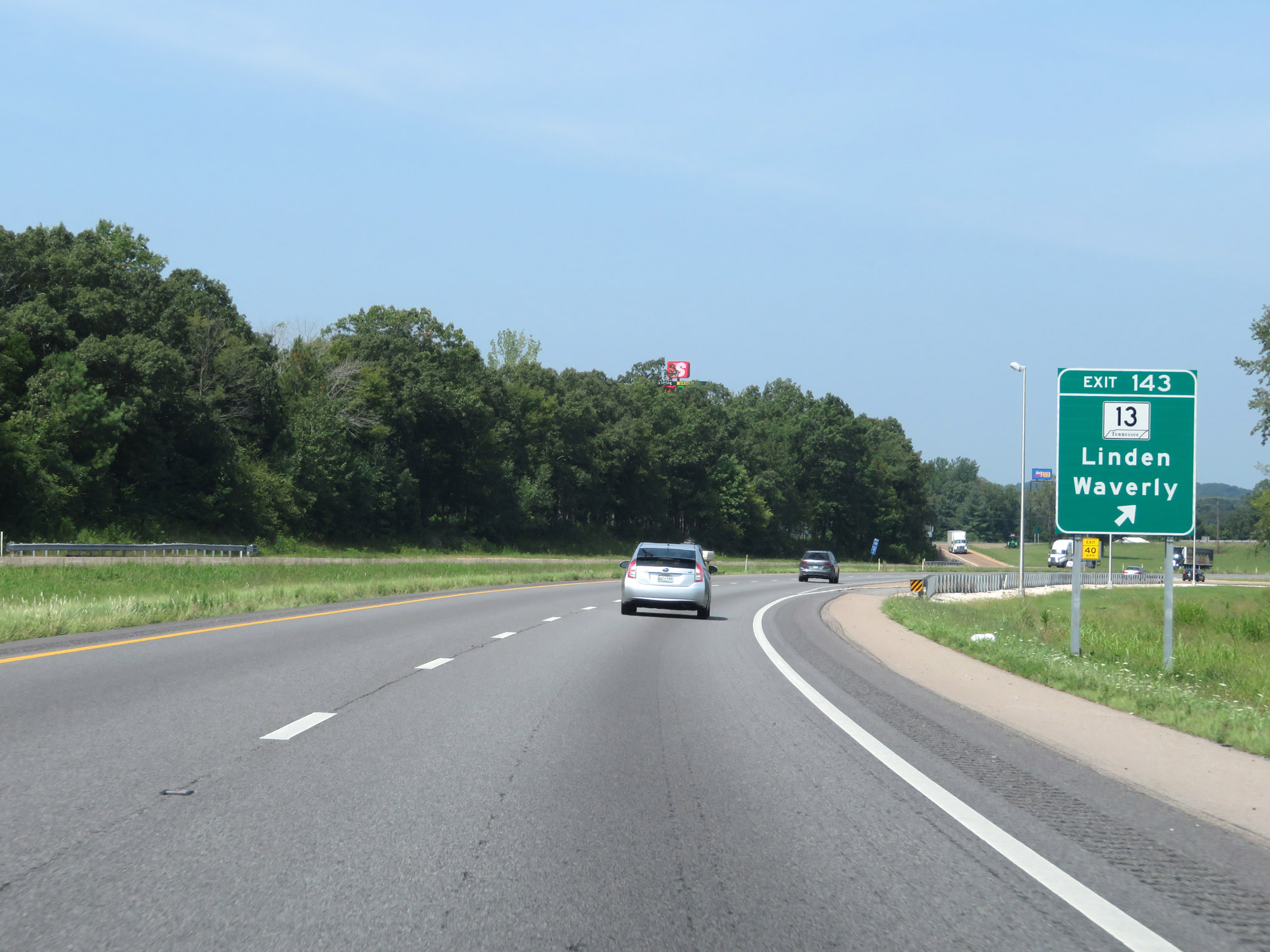 |
Interstate 40 West at Exit 143: TN 13 - Linden / Waverly (Photo taken 8/12/19). |
 |
Mileage sign on Interstate 40 West. It's 61 miles to Jackson and 139 miles to Memphis. (Photo taken 8/12/19). |
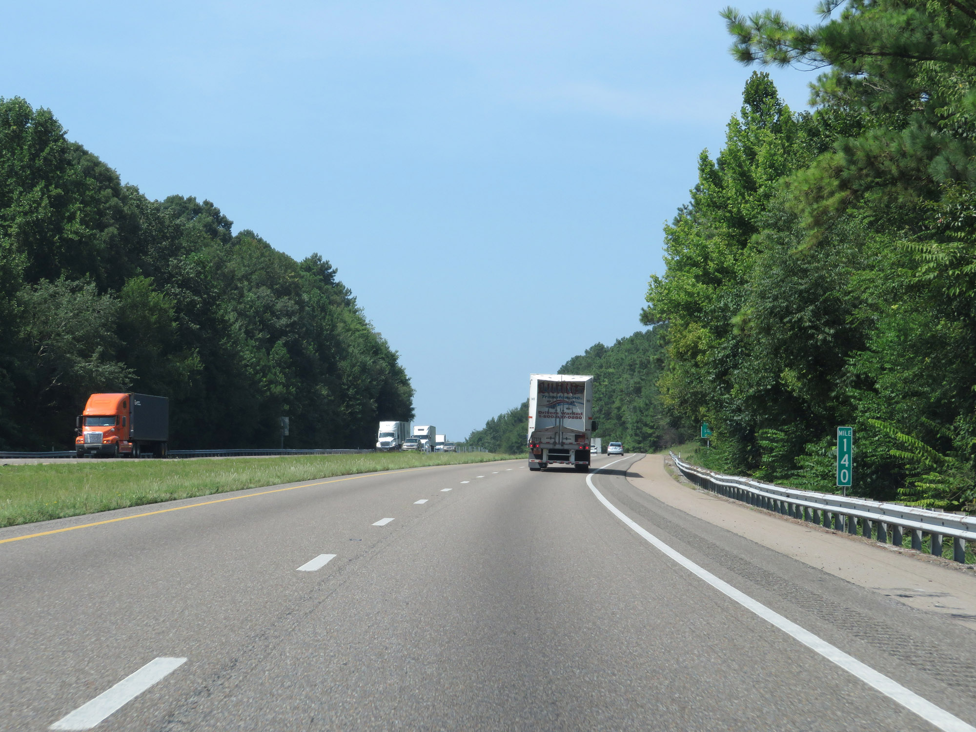 |
Interstate 40 West at mile marker 140. (Photo taken 8/12/19). |
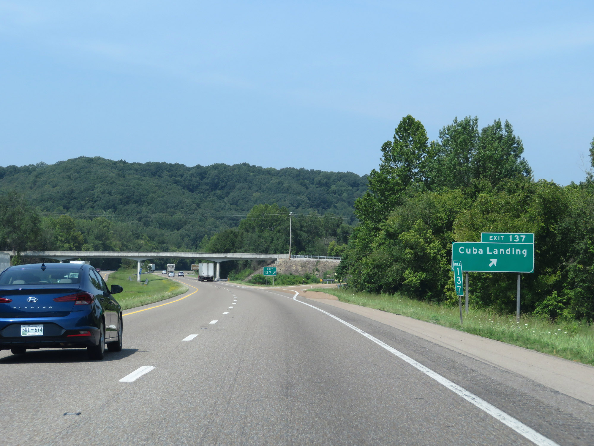 |
Interstate 40 West at Exit 137: Cuba Landing (Photo taken 8/12/19). |
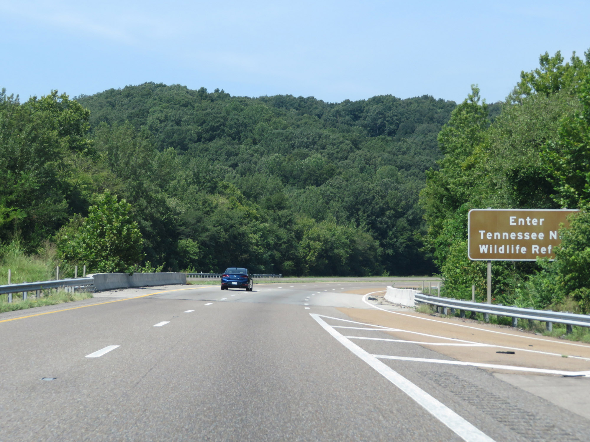 |
Interstate 40 West as it enters the Tennessee National Wildlife Refuge. (Photo taken 8/12/19). |
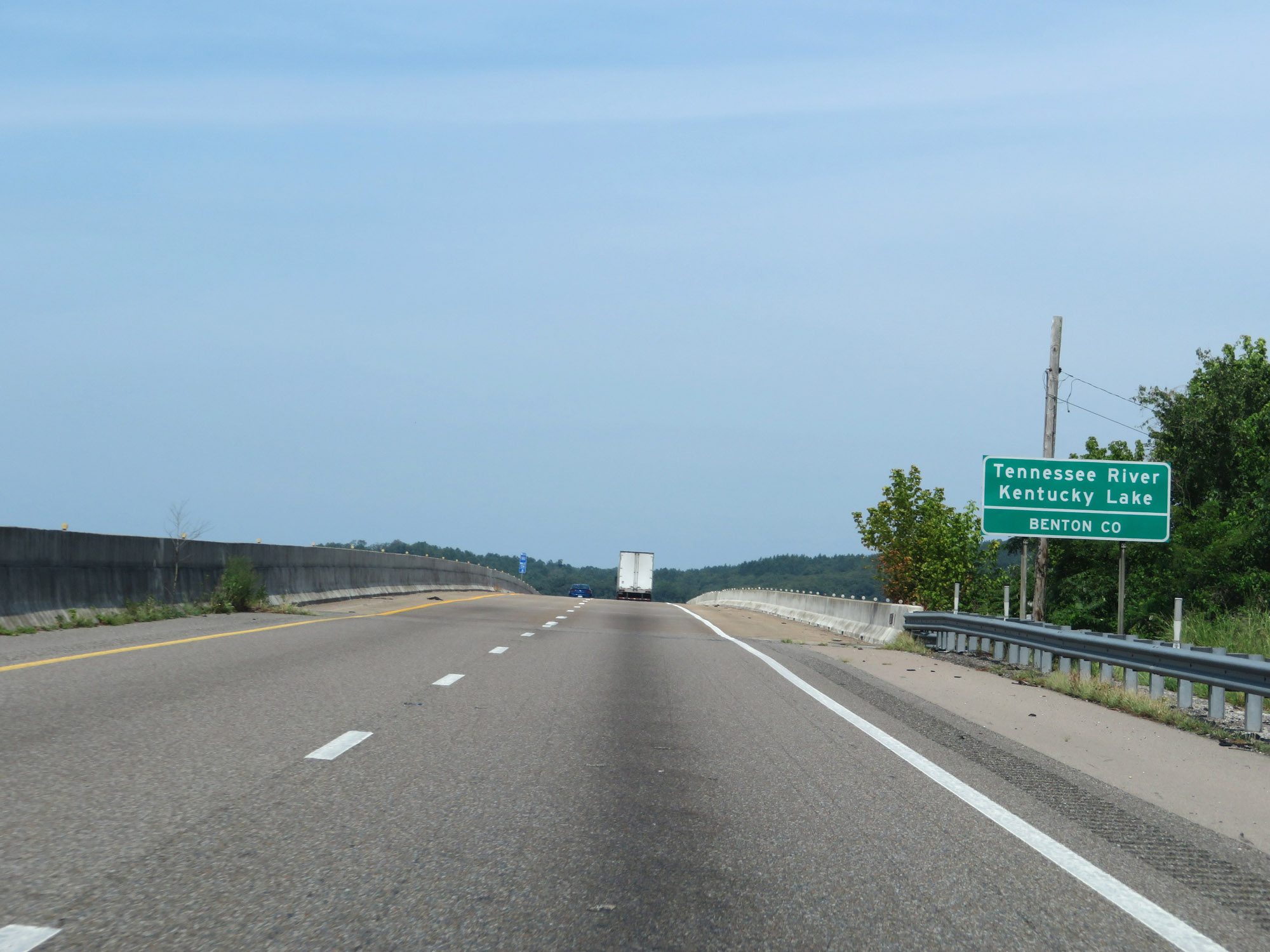 |
Entering Benton County on Interstate 40 West, as it prepares to cross the Tennessee River. (Photo taken 8/12/19). |
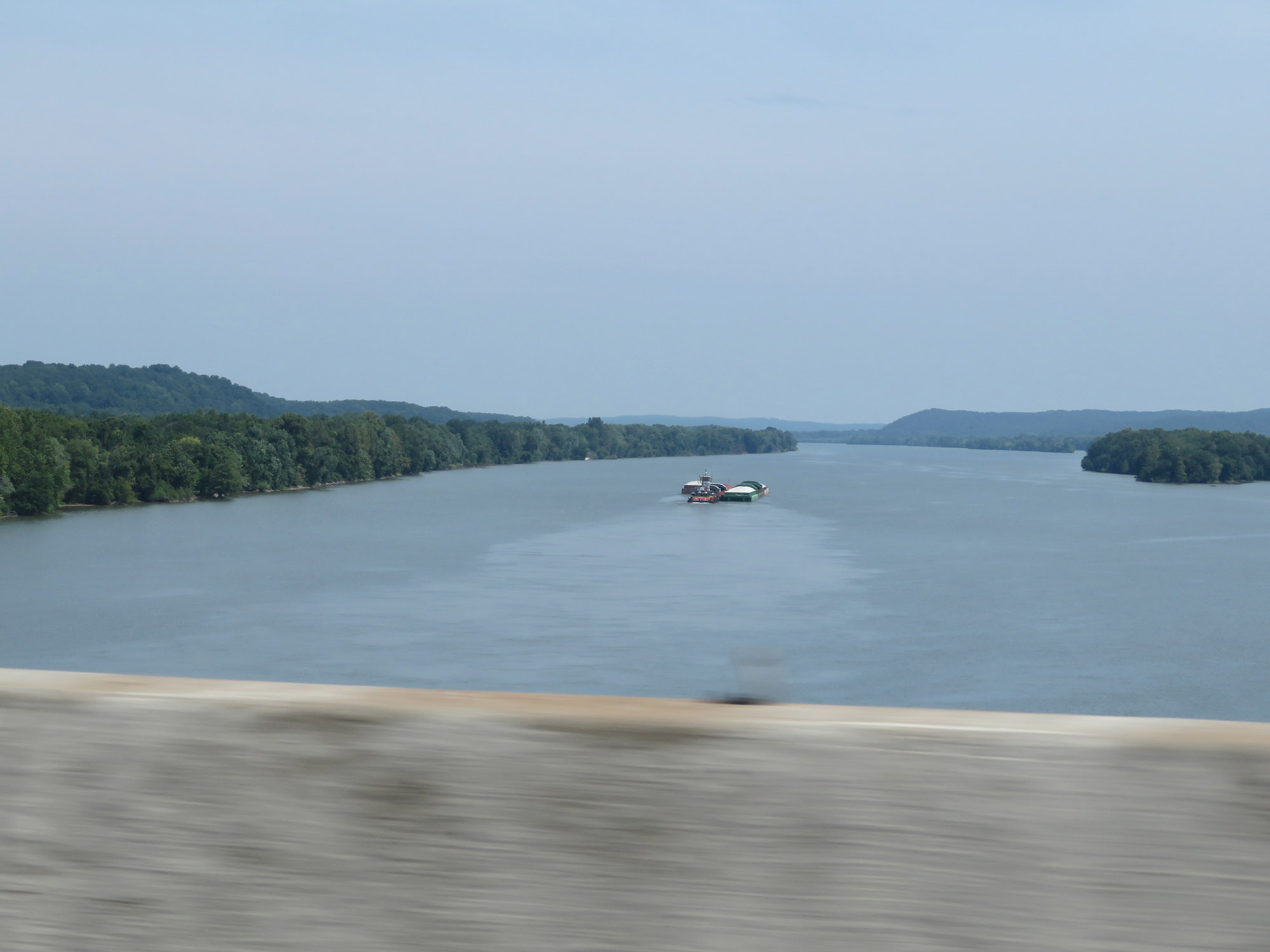 |
View of the Tennessee River from Interstate 40 West, looking to the north. (Photo taken 8/12/19). |
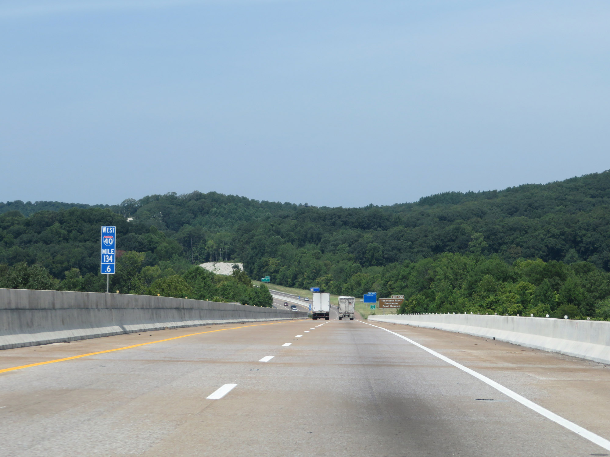 |
Interstate 40 West at mile marker 134.6, still crossing the Tennessee River. (Photo taken 8/12/19). |
 |
Take Exit 133 to Tennessee River Freshwater Pearl Museum. (Photo taken 8/12/19). |
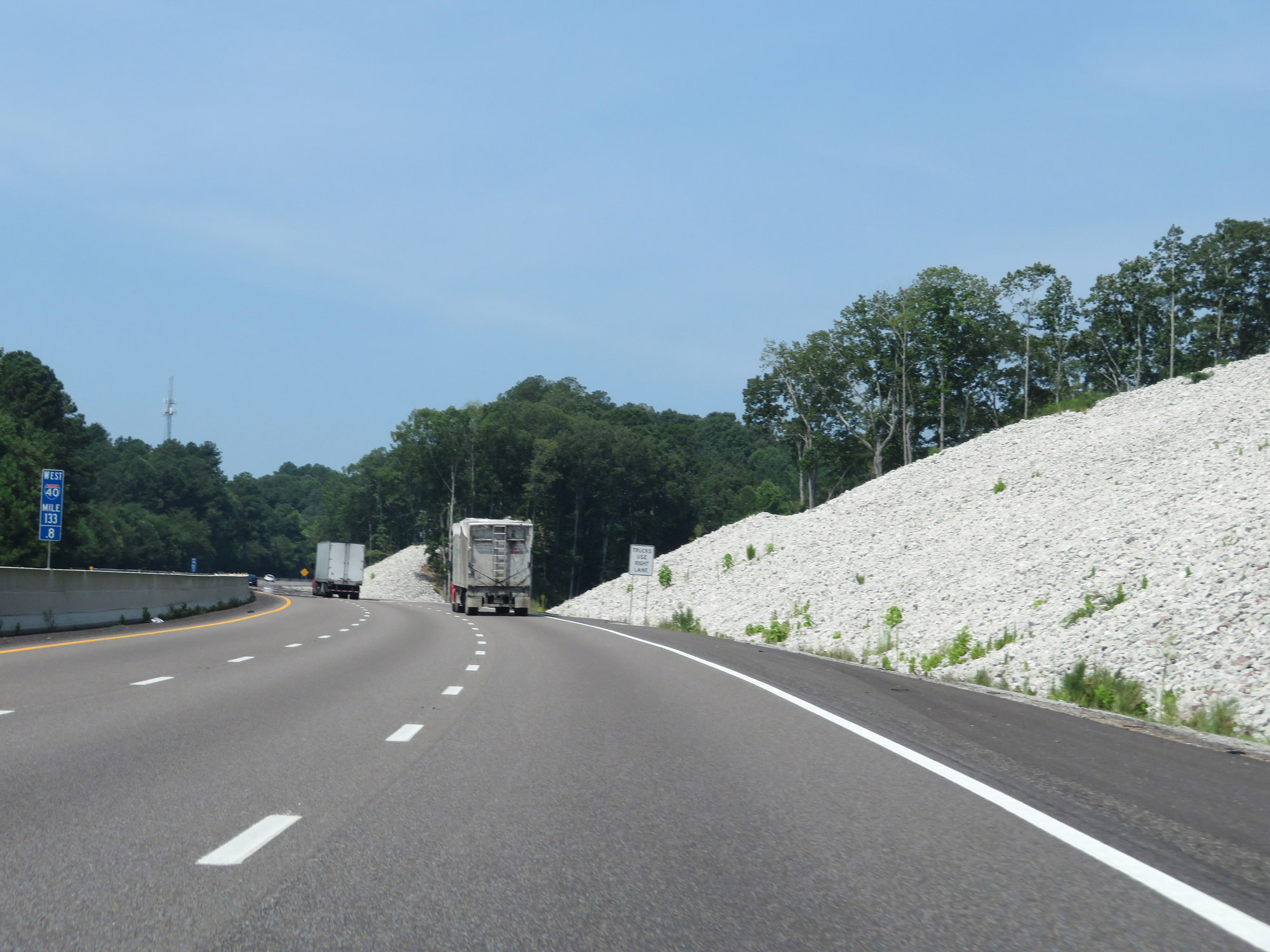 |
View on Interstate 40 West at mile marker 133.8, as a truck climbing lane appears. (Photo taken 8/12/19). |
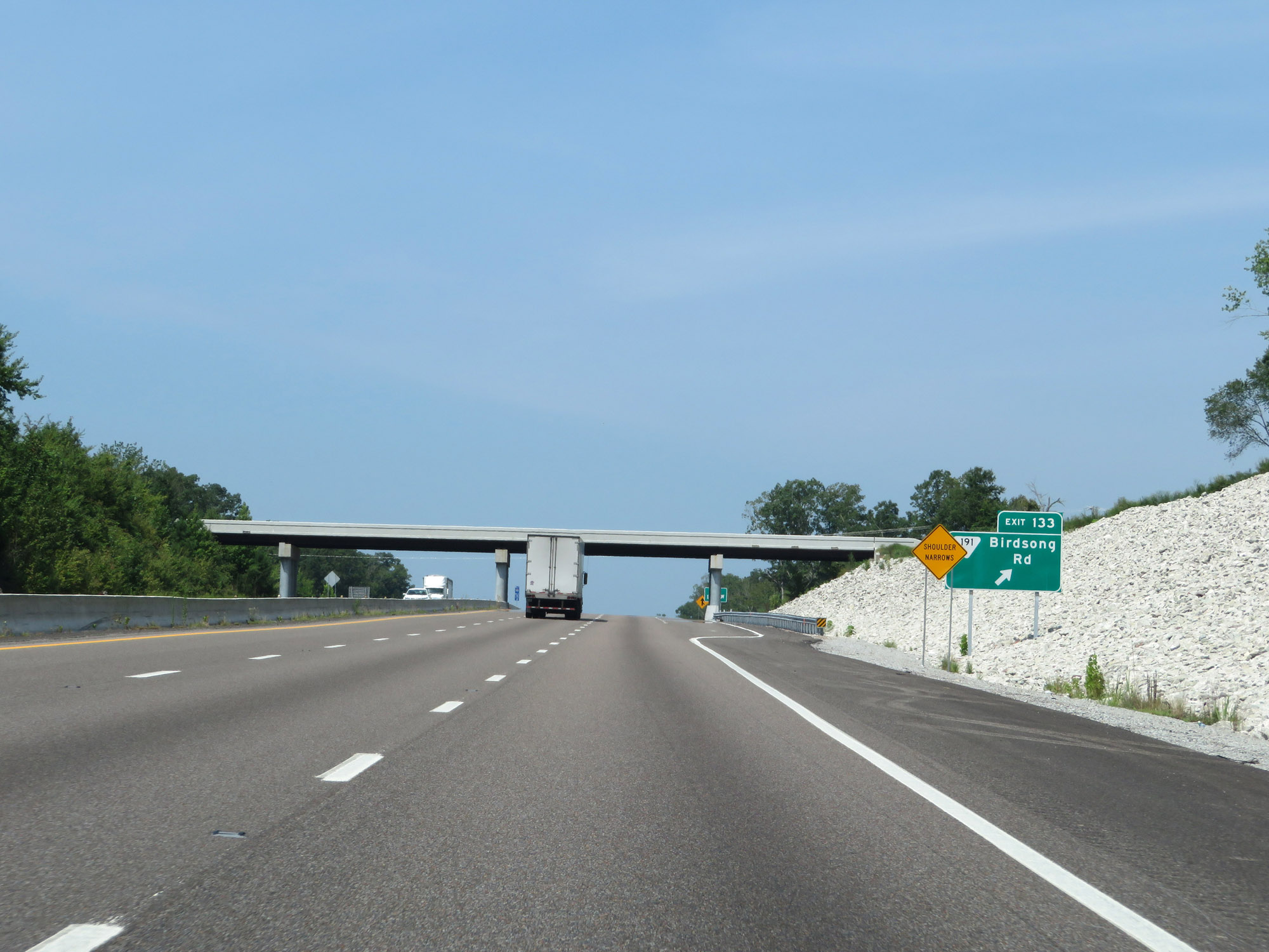 |
Interstate 40 West at Exit 133: SR 191 - Birdsong Rd (Photo taken 8/12/19). |
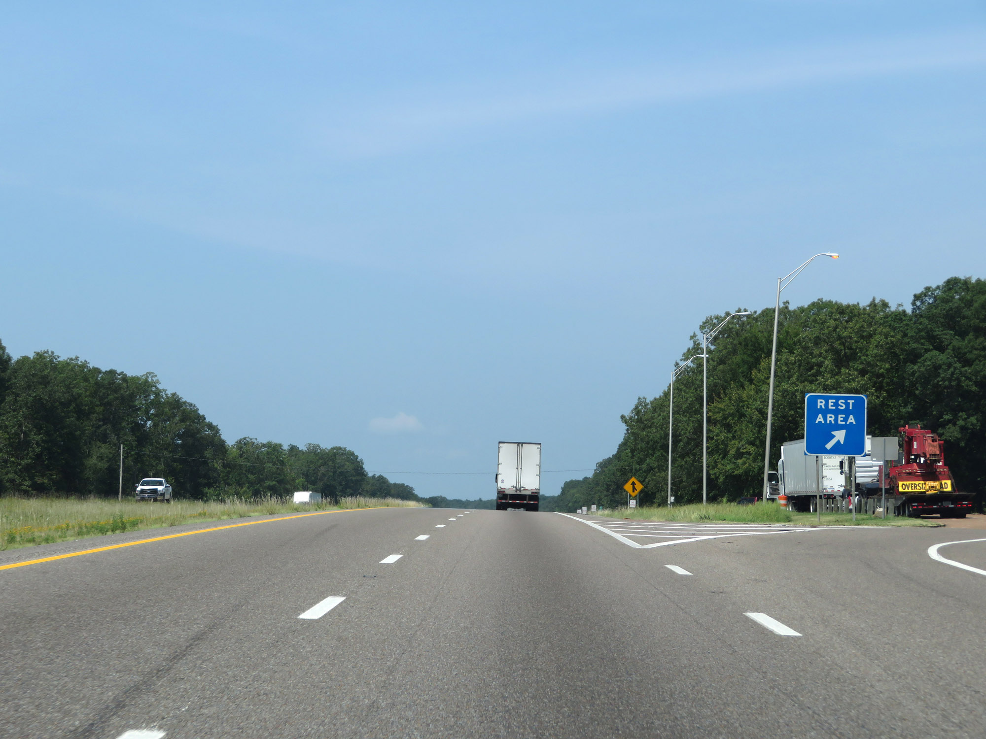 |
Rest Area on Interstate 40 West in Benton County. (Photo taken 8/12/19). |
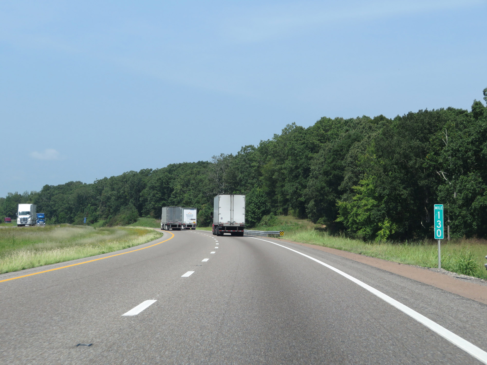 |
Interstate 40 West at mile marker 130. (Photo taken 8/12/19). |
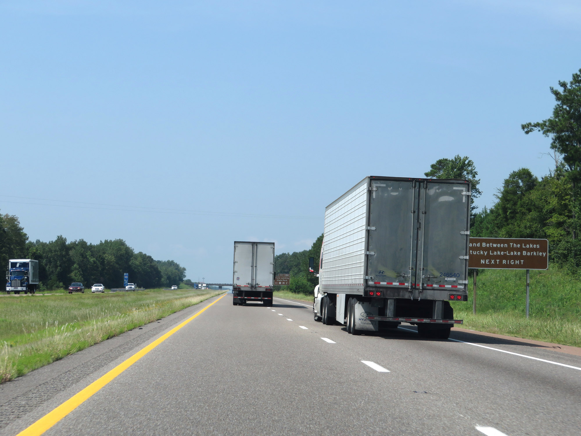 |
Take Exit 126 to Land Between The Lakes / Kentucky Lake-Lake Barkley. (Photo taken 8/12/19). |
 |
Also take Exit 126 to Nathan Bedford Forrest State Park. (Photo taken 8/12/19). |
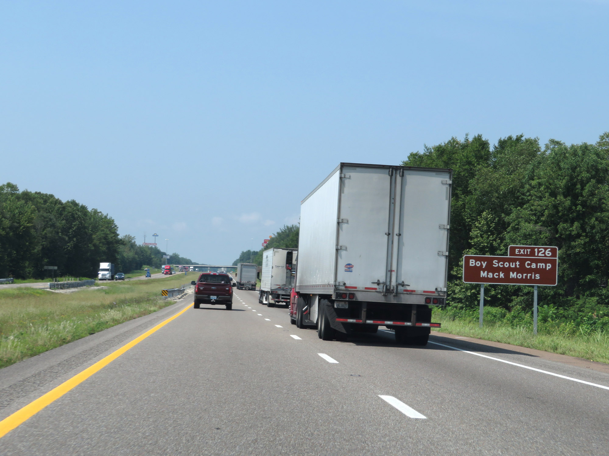 |
Access Boy Scout Camp Mack Morris via Exit 126. (Photo taken 8/12/19). |
 |
Take Exit 126 to Pickwick Landing State Park as well. (Photo taken 8/12/19). |
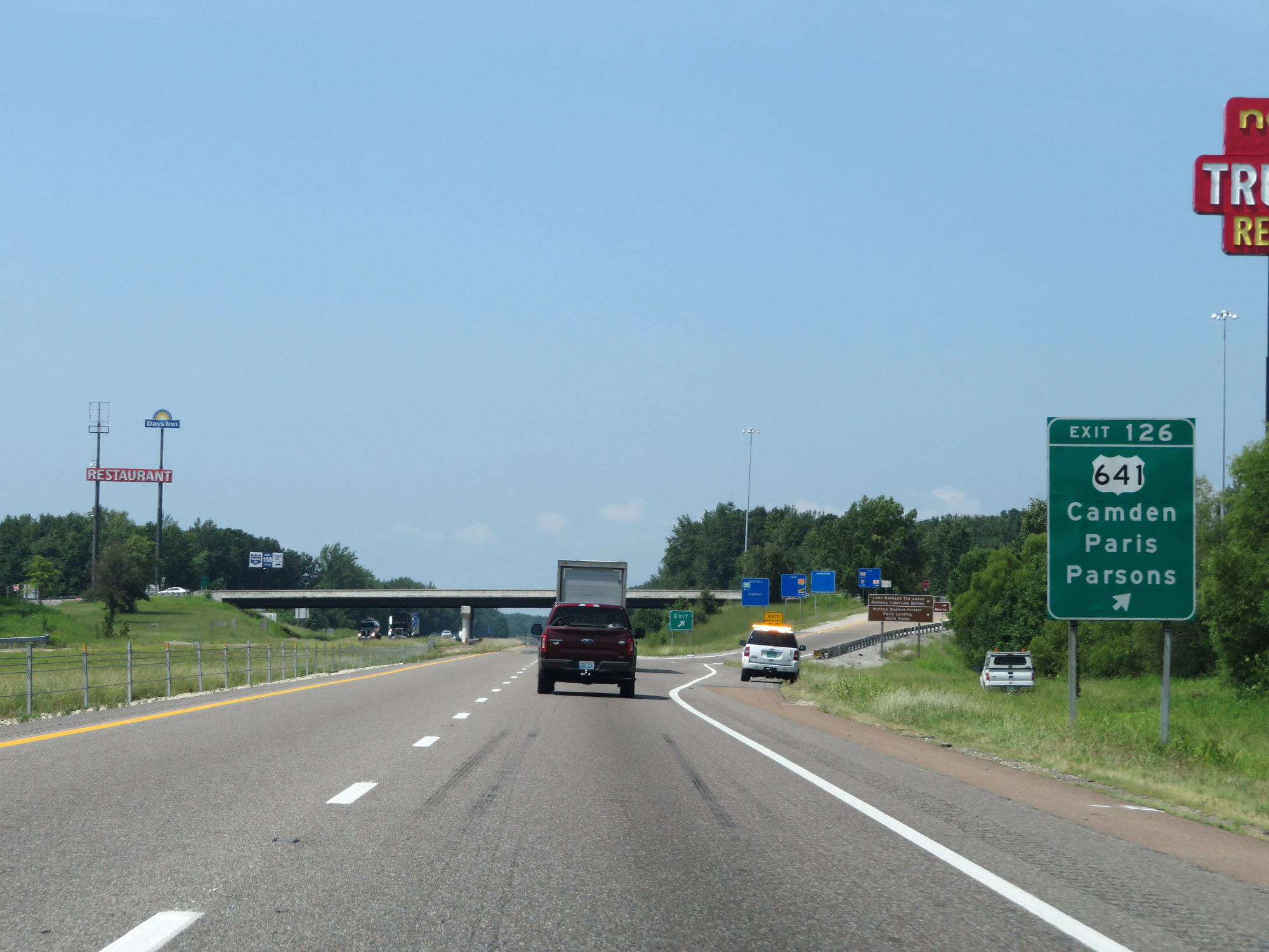 |
Interstate 40 West at Exit 126: US 641 - Camden / Paris / Parsons (Photo taken 8/12/19). |
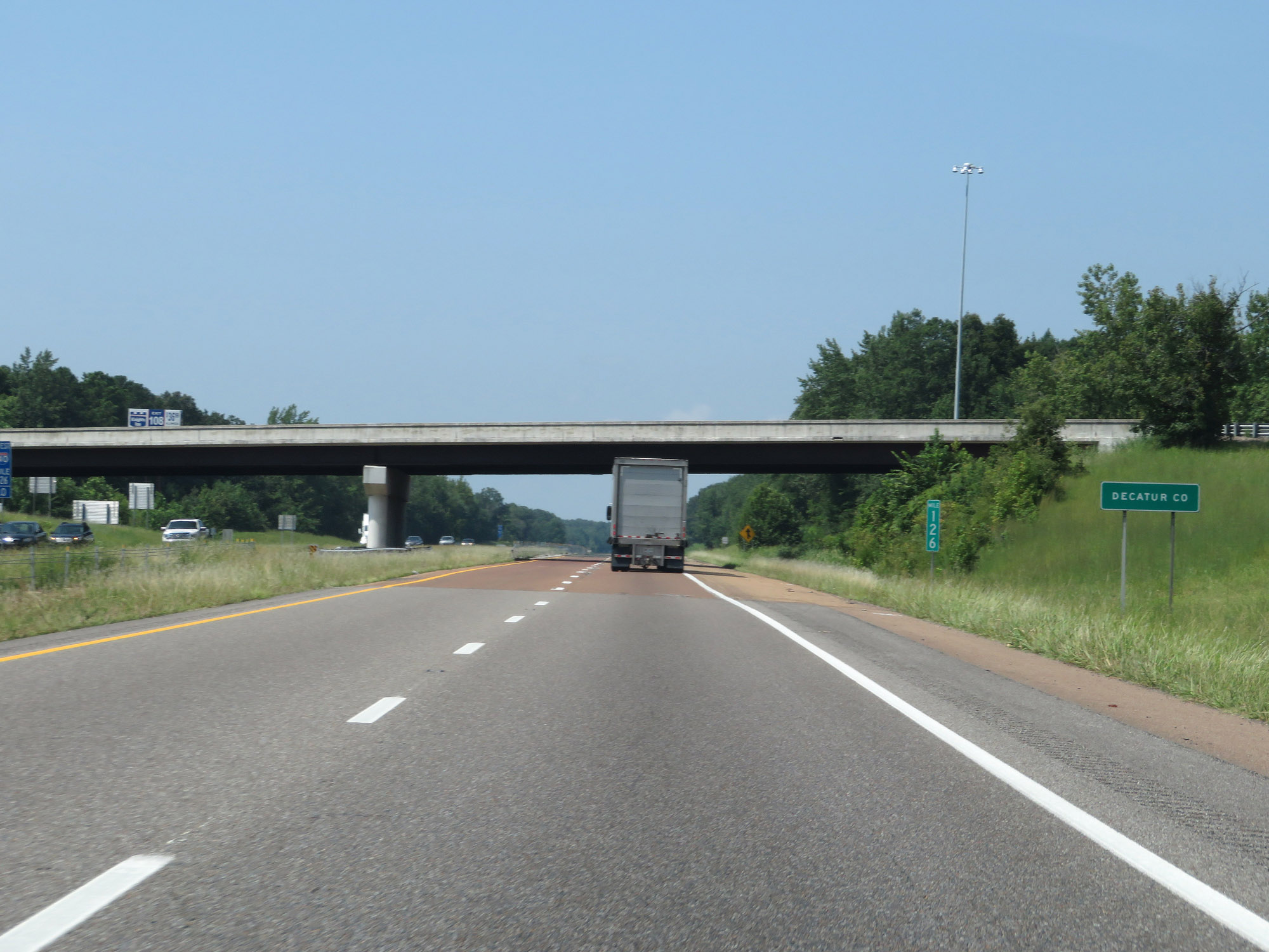 |
Interstate 40 West as it enters Decatur County at mile marker 126. (Photo taken 8/12/19). |
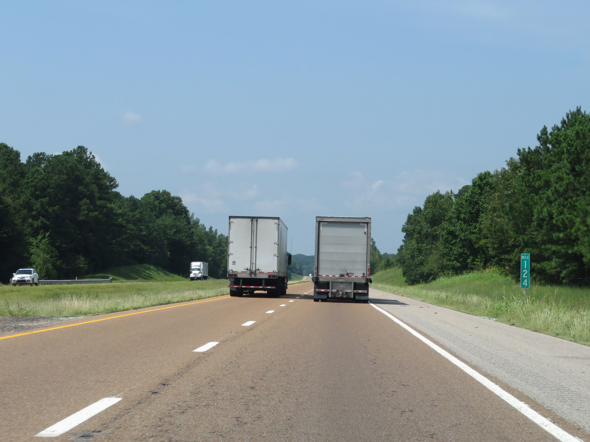 |
Interstate 40 West at mile marker 124. (Photo taken 8/12/19). |
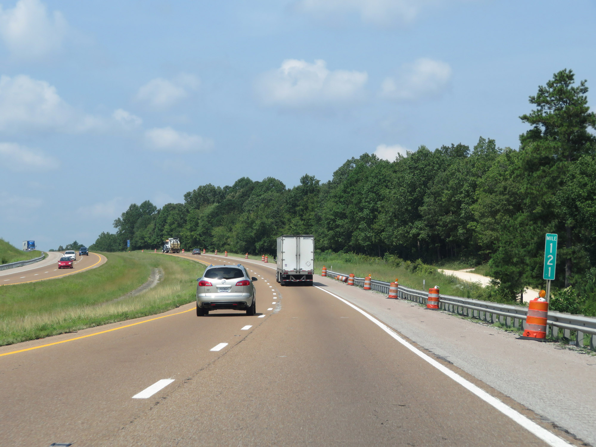 |
View on Interstate 40 West at mile marker 121. (Photo taken 8/12/19). |
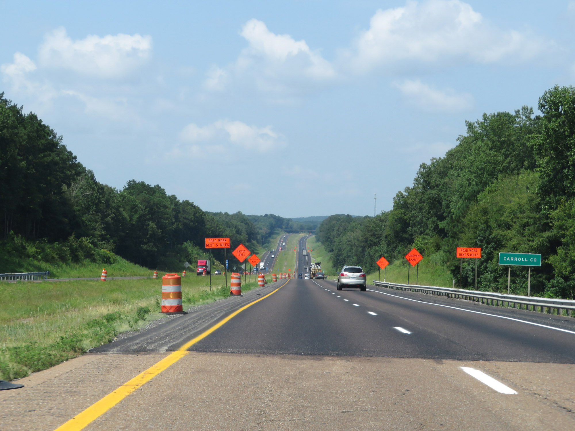 |
Interstate 40 West as it enters Carroll County for the first time. (Photo taken 8/12/19). |
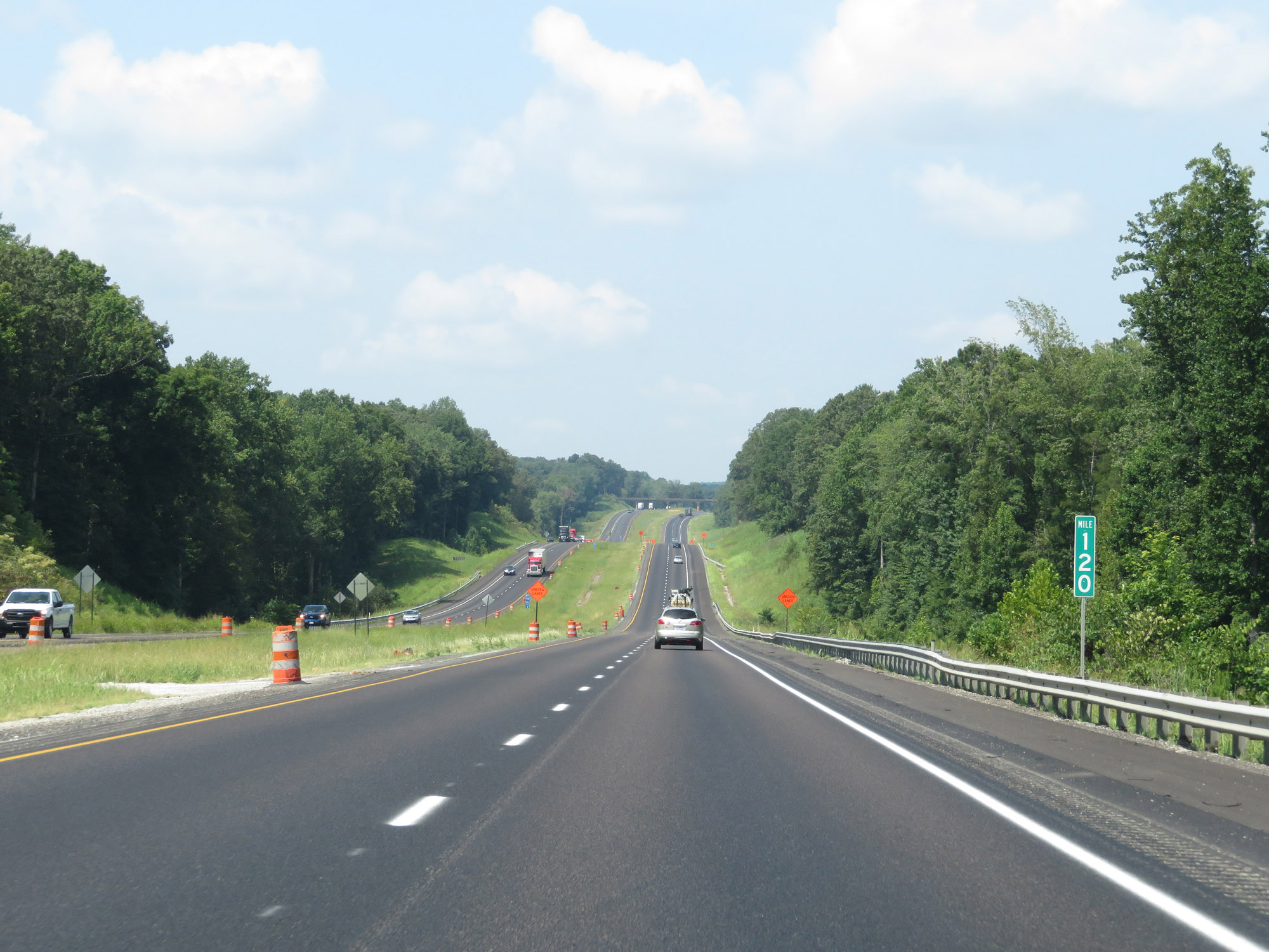 |
Interstate 40 West at mile marker 120. (Photo taken 8/12/19). |
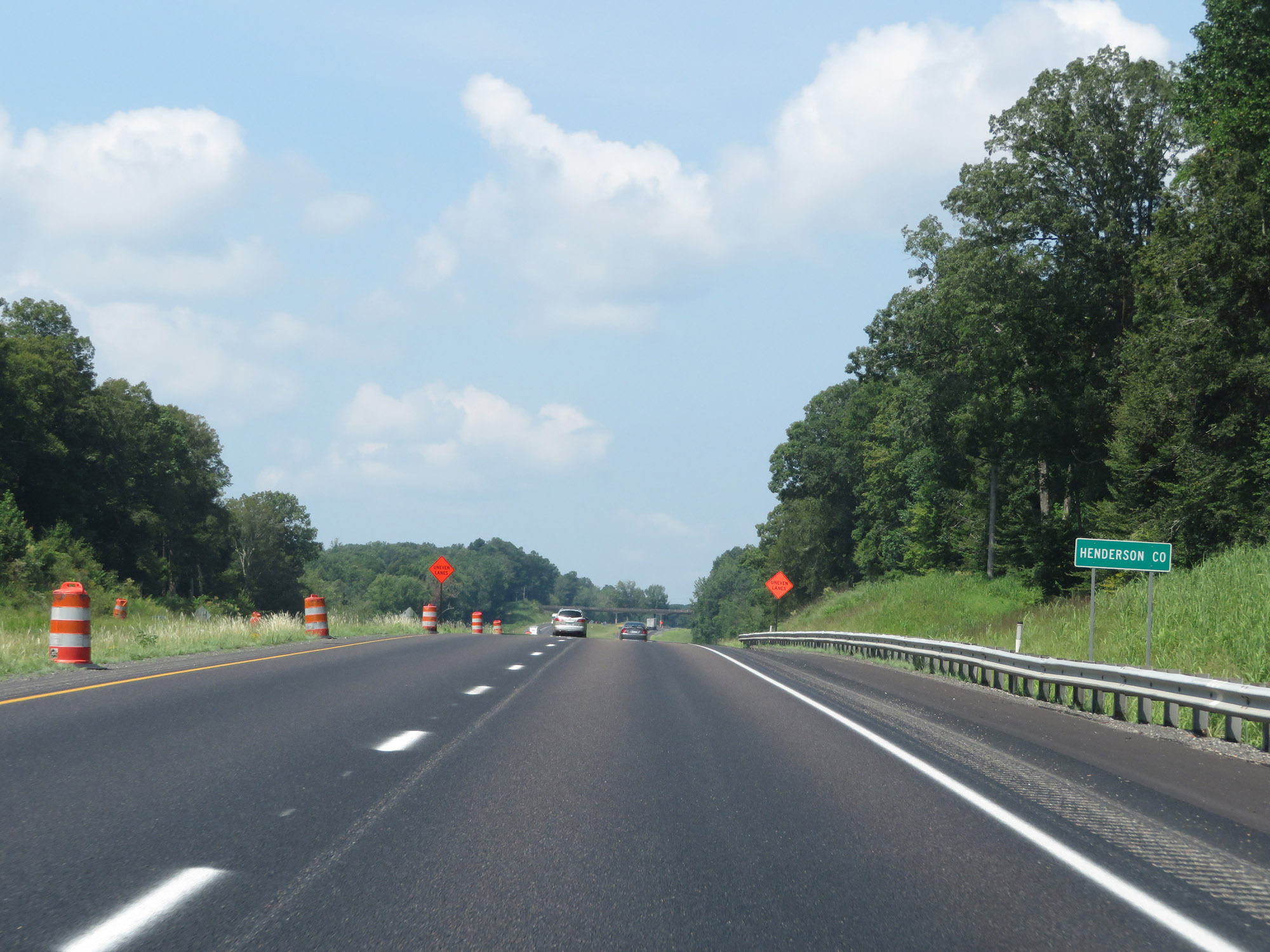 |
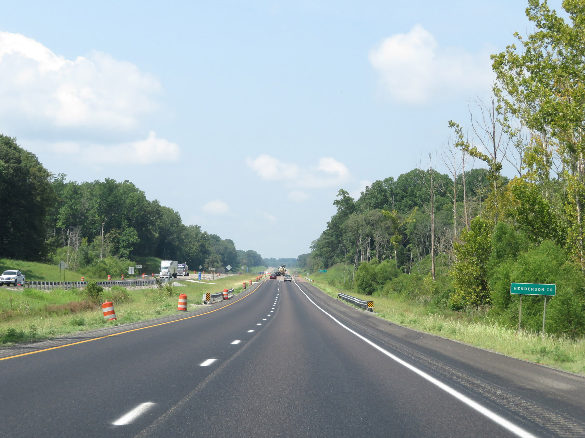
Interstate 40 West leaves Carroll County to enter Henderson County for the first time. (Photo taken 8/12/19). |
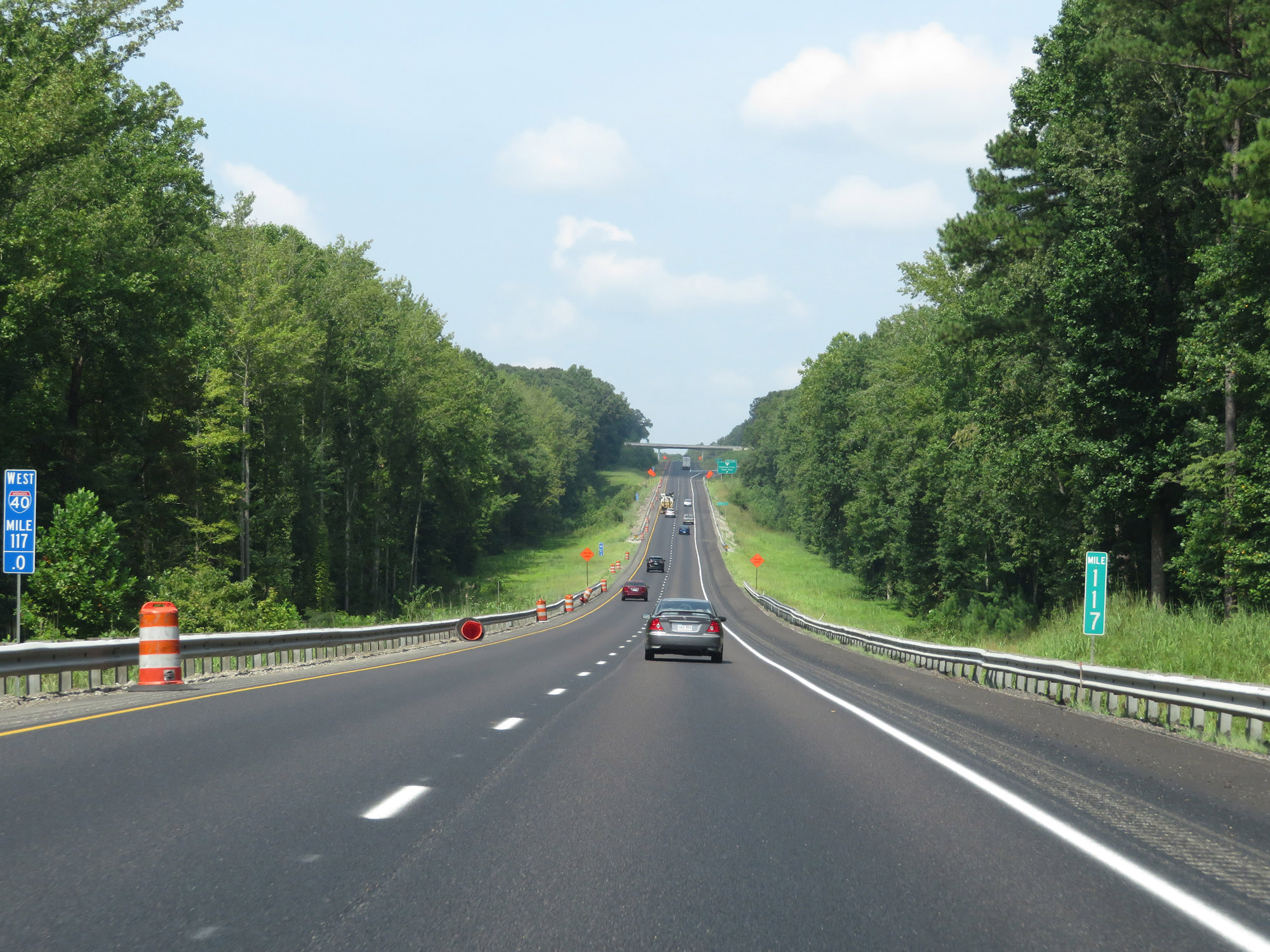 |
View on Interstate 40 West at mile marker 117. (Photo taken 8/12/19). |
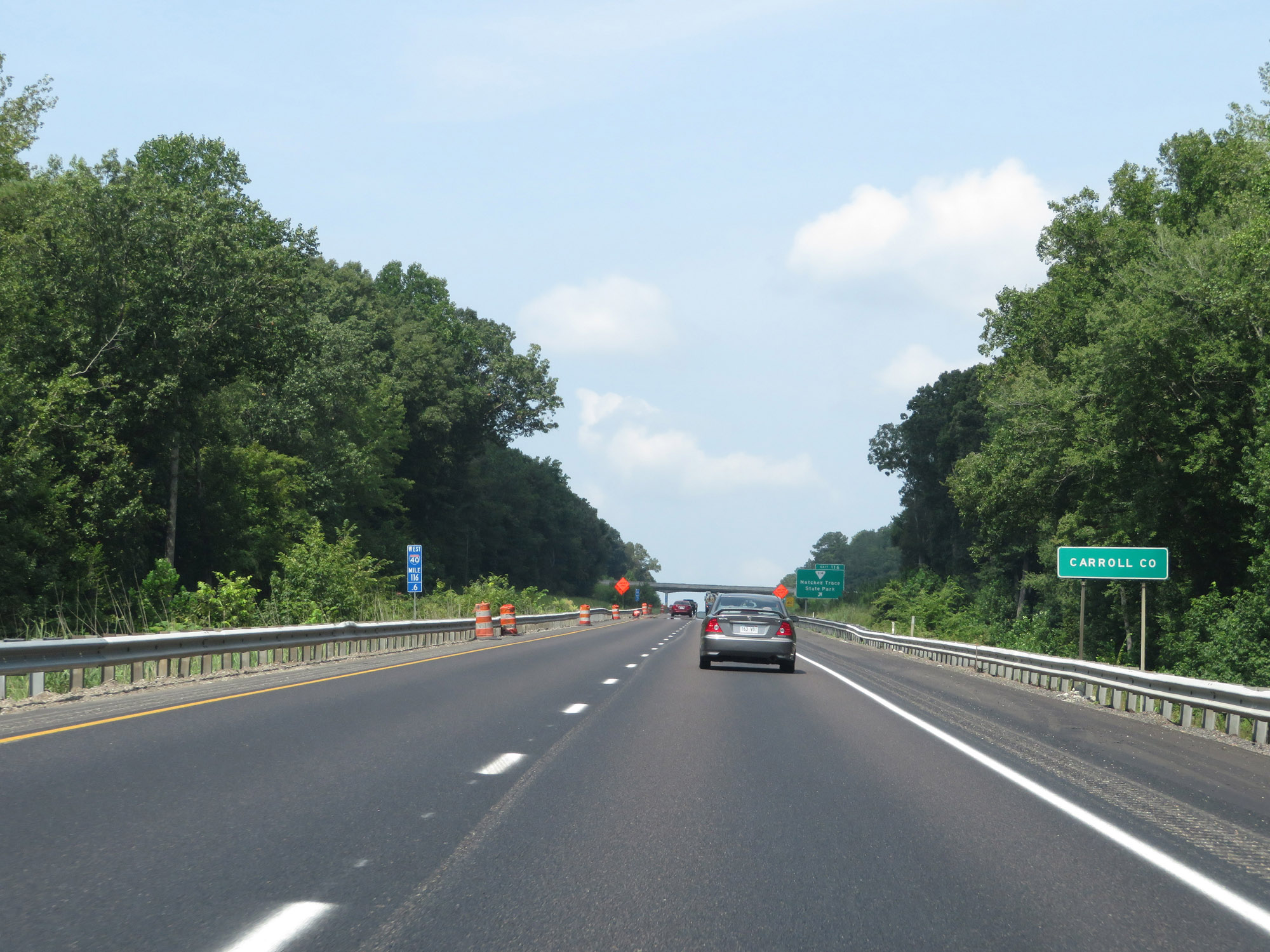 |
Interstate 40 West re-enters Carroll County just before Exit 116. (Photo taken 8/12/19). |
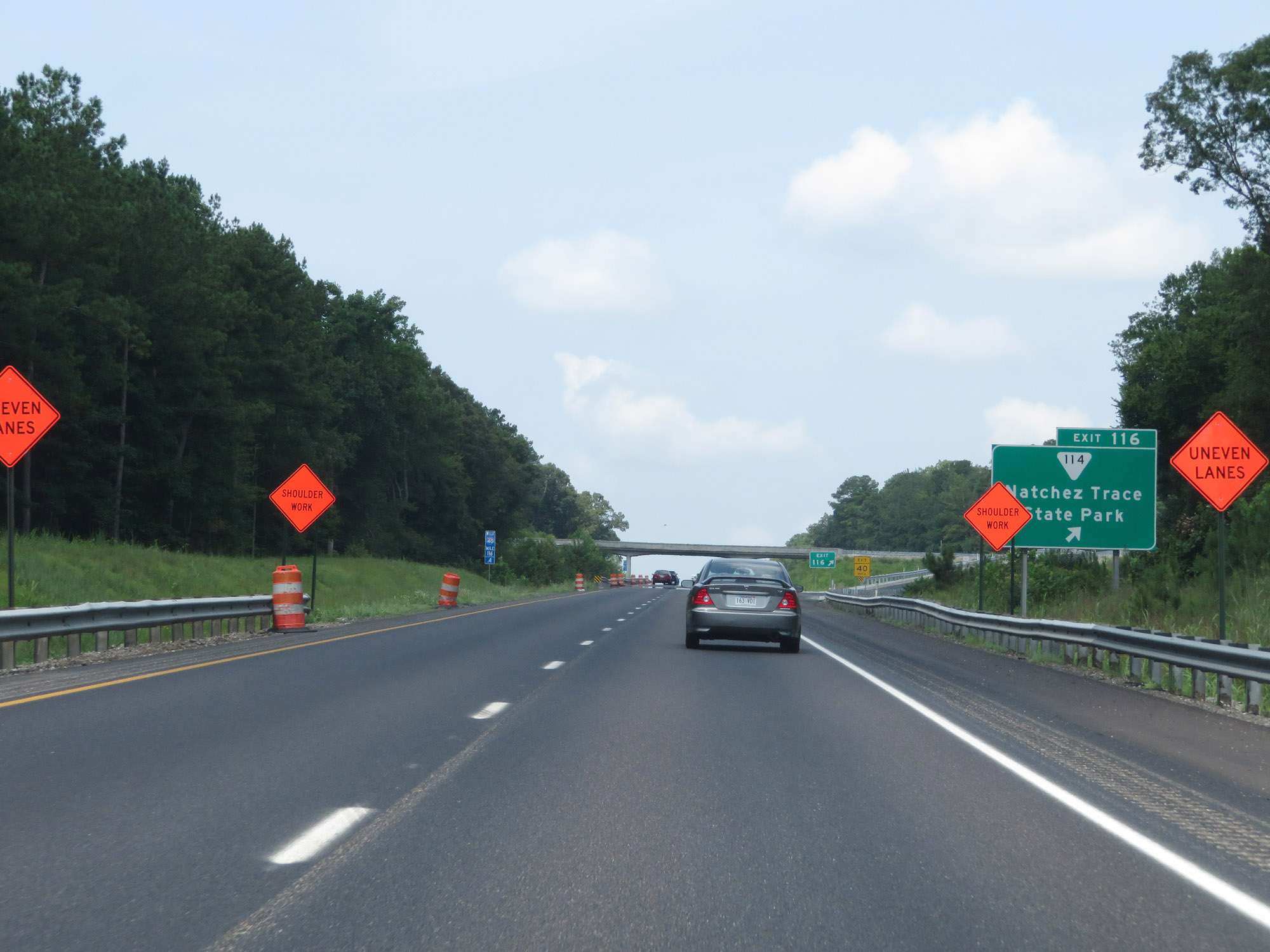 |
Interstate 40 West at Exit 116: SR 114 - Natchez Trace State Park (Photo taken 8/12/19). |
 |
Interstate 40 West reassurance shield. (Photo taken 8/12/19). |
 |
Re-entering Henderson County on Interstate 40 West. (Photo taken 8/12/19). |
 |
Mileage sign on Interstate 40 West at mile marker 115.2. It's 34 miles to Jackson and 112 miles to Memphis. (Photo taken 8/12/19). |
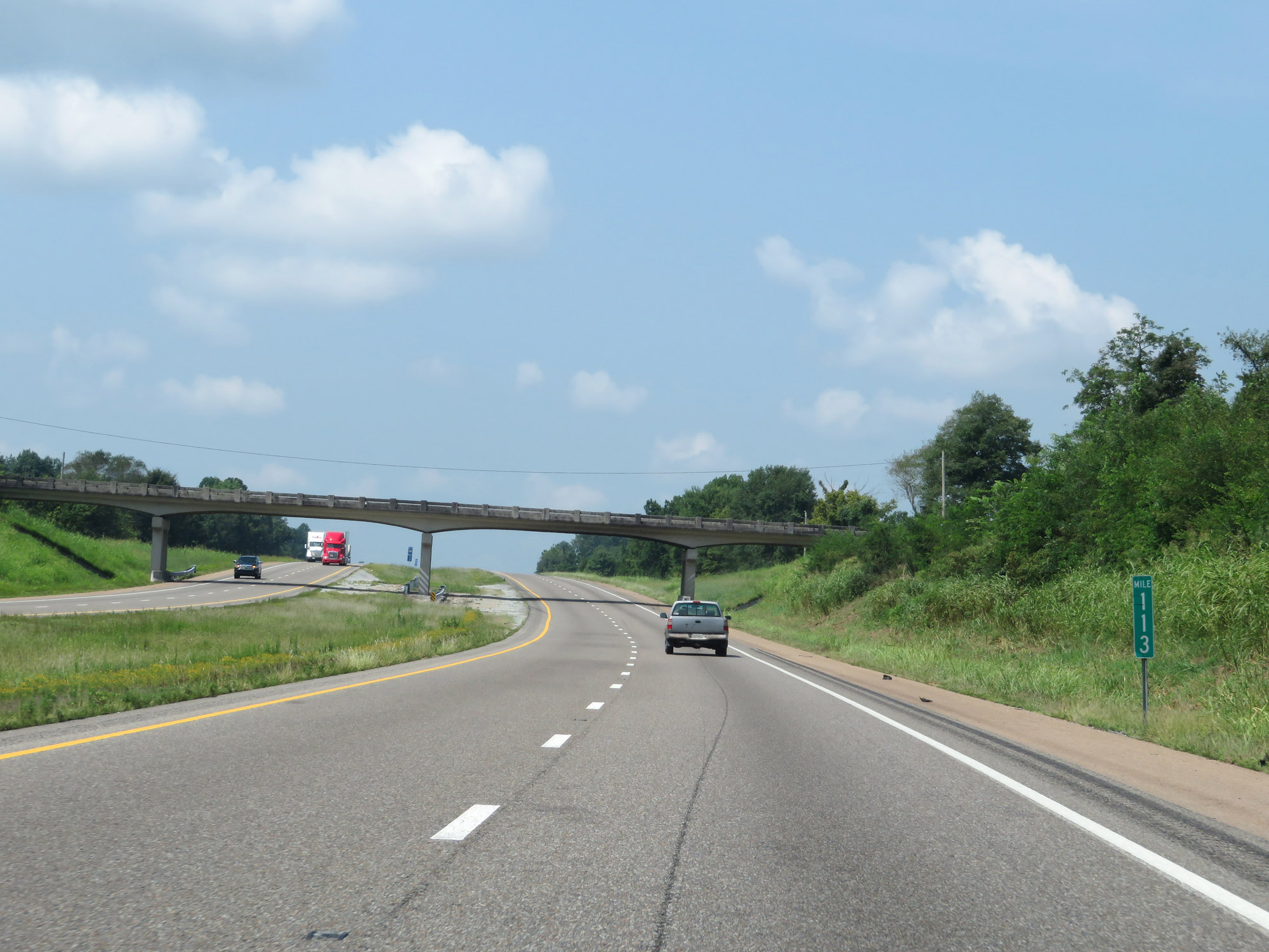 |
Interstate 40 West at mile marker 113. (Photo taken 8/12/19). |
 |
View on Interstate 40 West at mile marker 111. (Photo taken 8/12/19). |
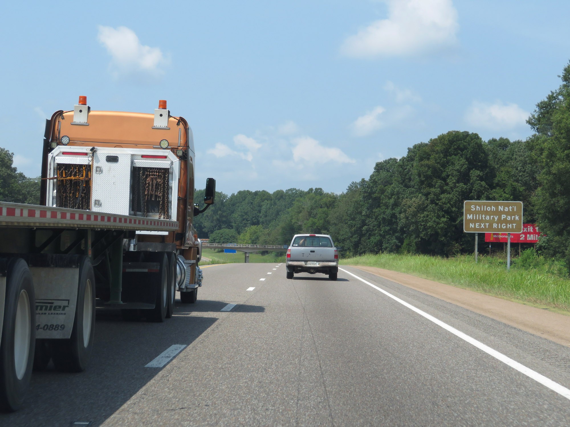 |
Take Exit 108 to Shiloh National Military Park. (Photo taken 8/12/19). |
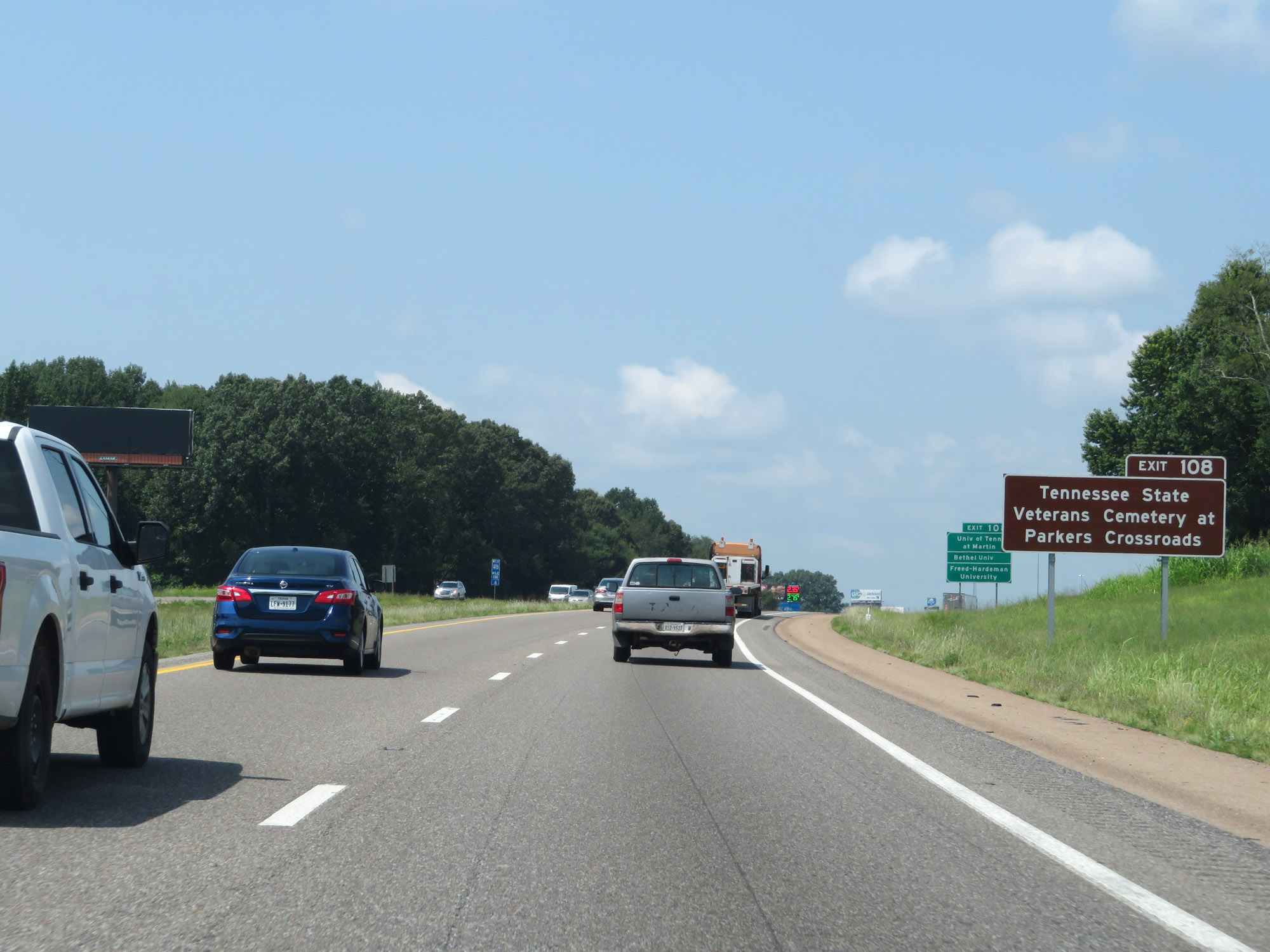 |
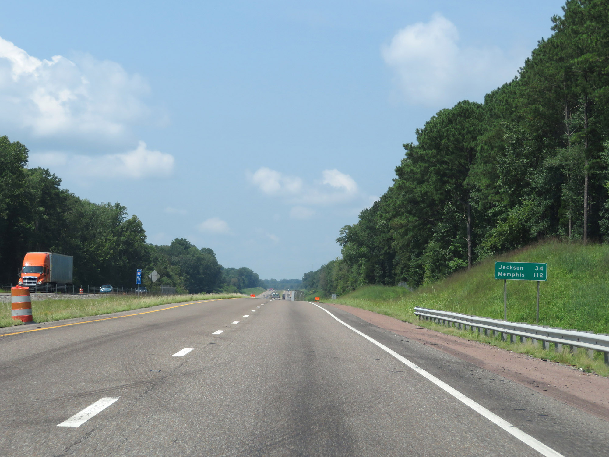
Also take Exit 108 to Tennessee State Veterans Cemetery at Parkers Crossroads. (Photo taken 8/12/19). |
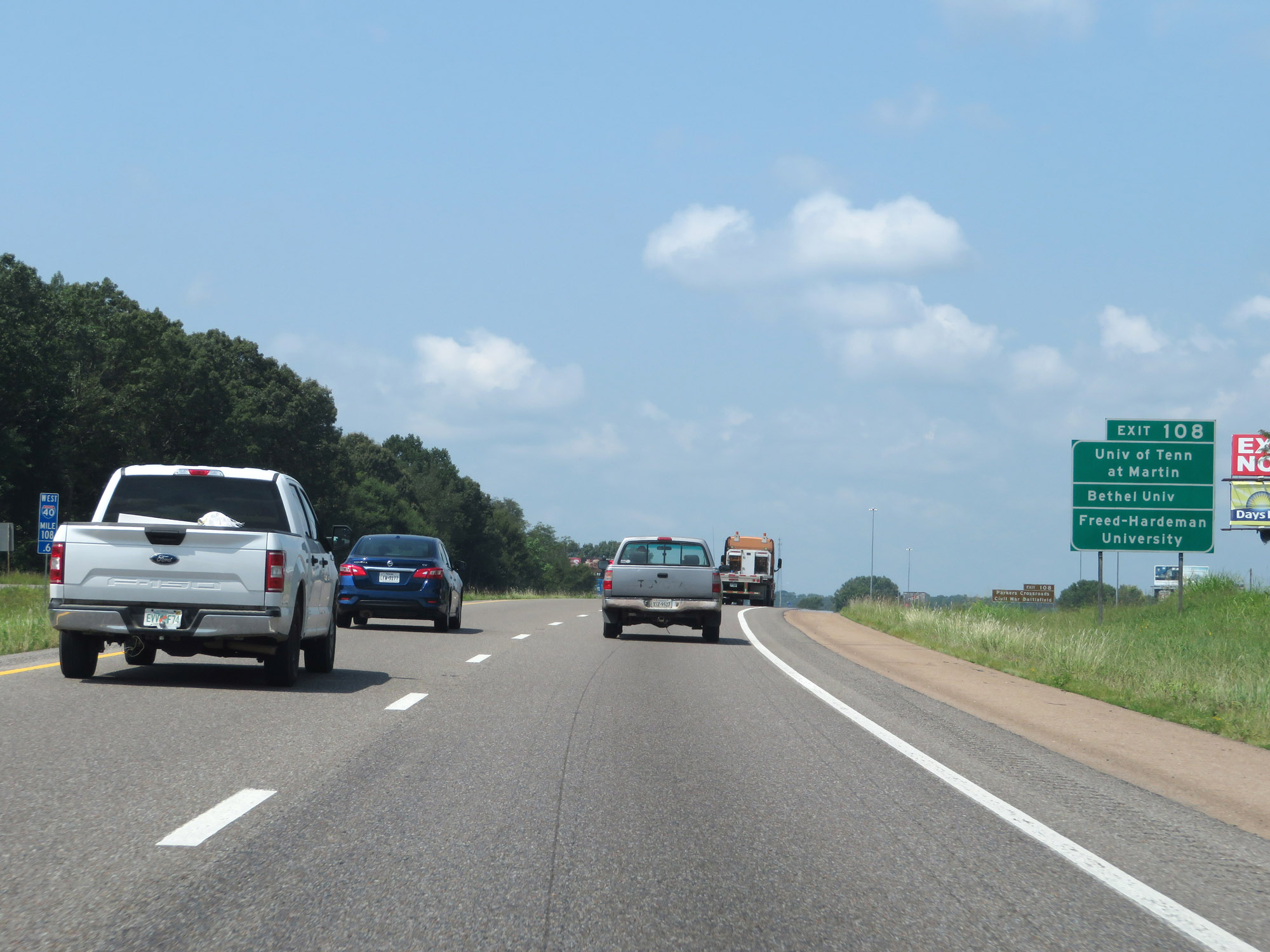 |
Access the University of Tennessee at Martin, Bethel University, and Freed-Hardeman University via Exit 108. (Photo taken 8/12/19). |
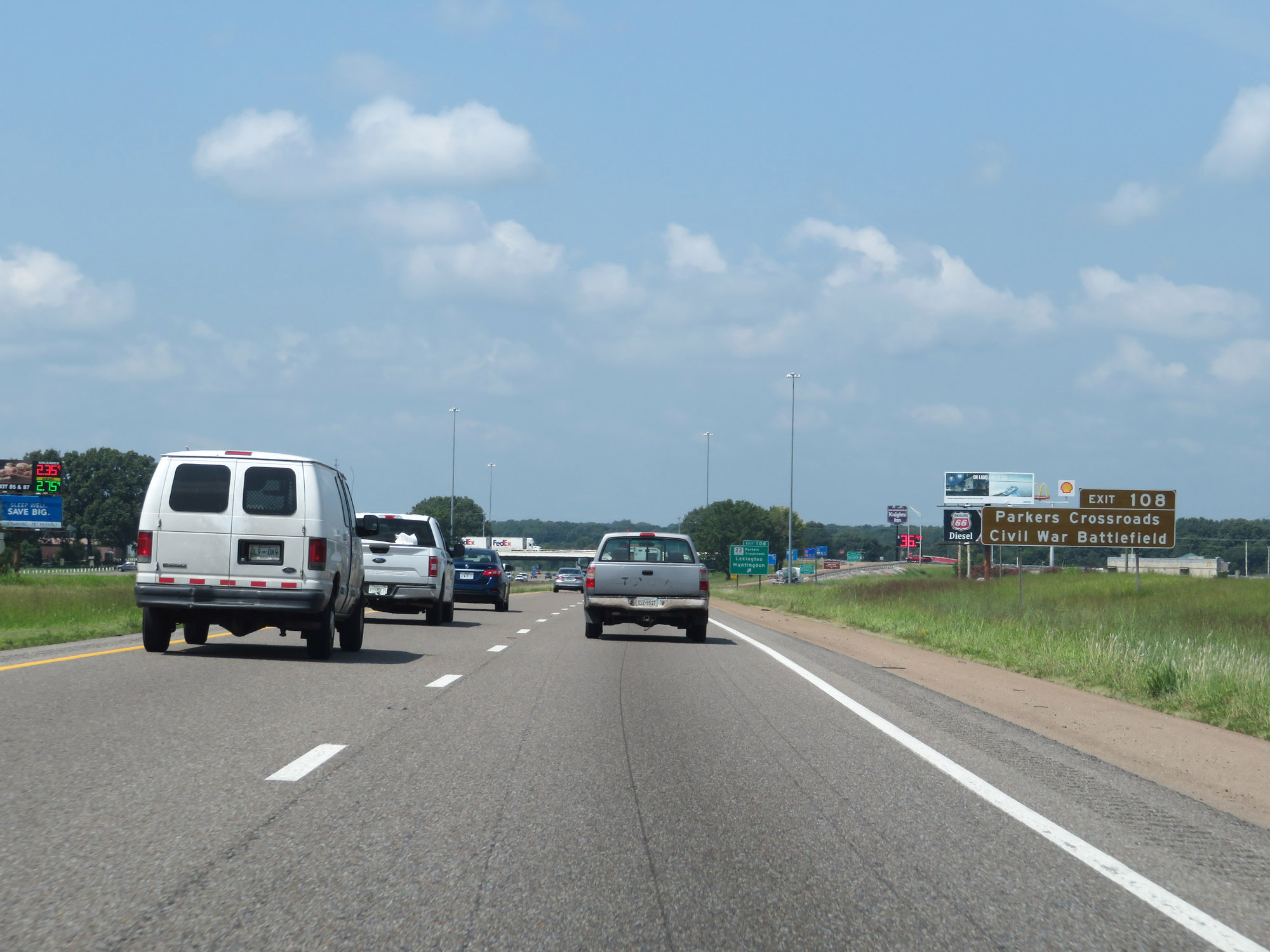 |
Take Exit 108 to Parkers Crossroads Civil War Battlefield as well. (Photo taken 8/12/19). |
 |
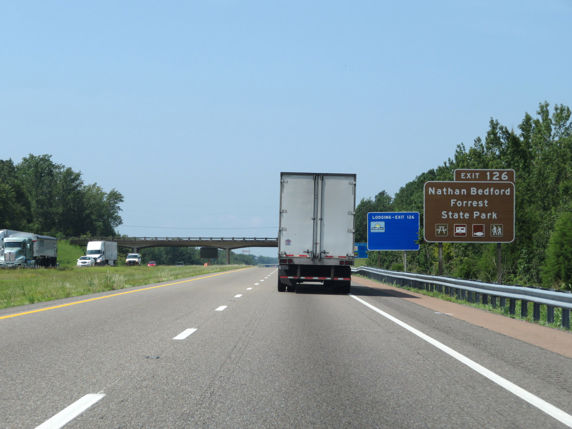
Interstate 40 West at Exit 108: TN 22 - Parkers Crossroads / Lexington / Huntingdon (Photo taken 8/12/19). |
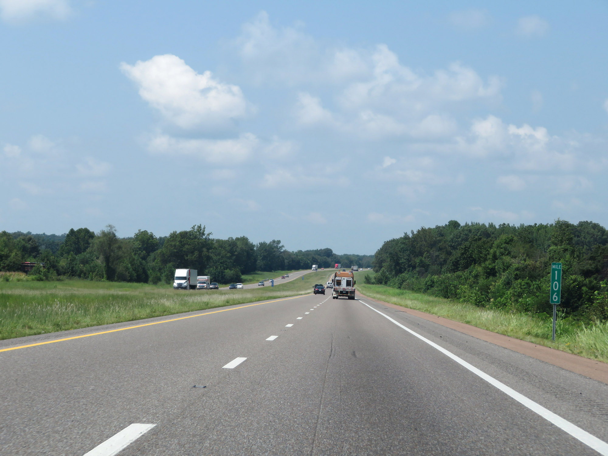 |
Interstate 40 West at mile marker 106. (Photo taken 8/12/19). |
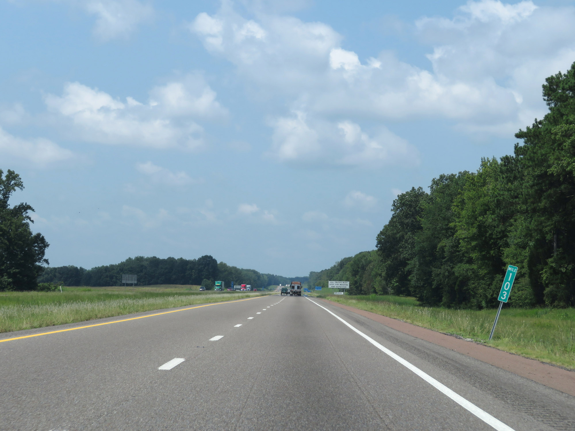 |
View on Interstate 40 West at mile marker 103. (Photo taken 8/12/19). |
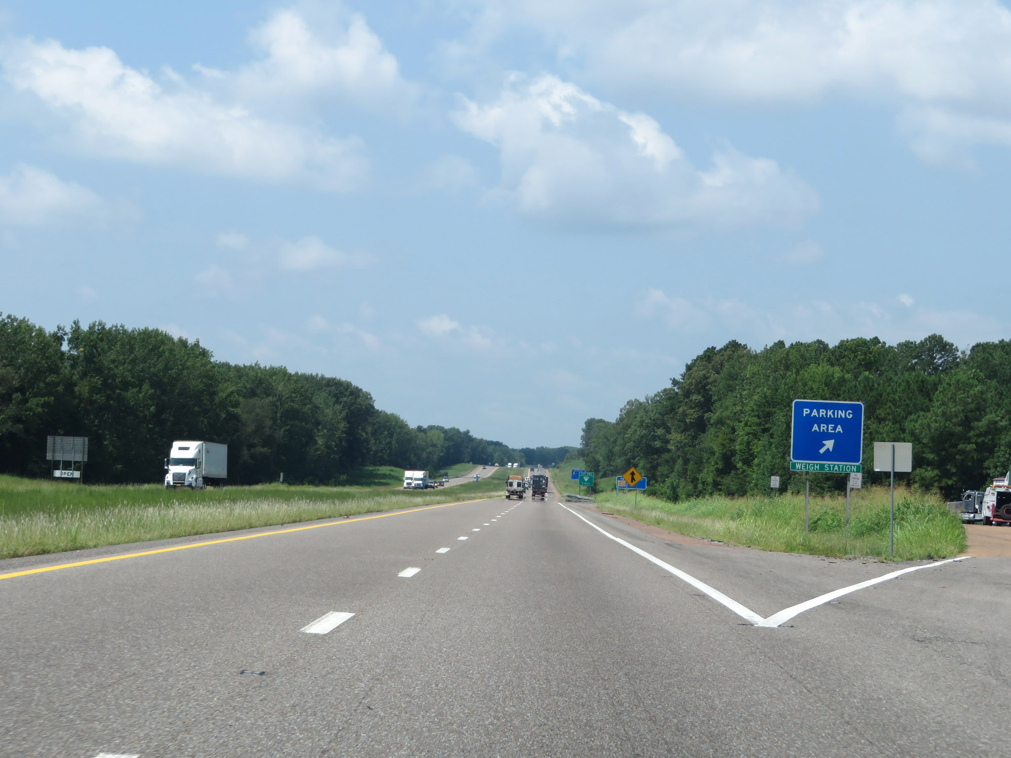 |
Parking Area / Weigh Station on Interstate 40 West in Henderson County. (Photo taken 8/12/19). |
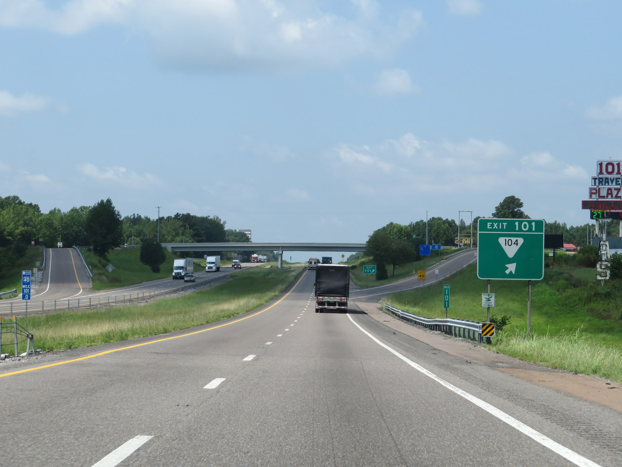 |
Interstate 40 West at Exit 101: SR 104 (Photo taken 8/12/19). |
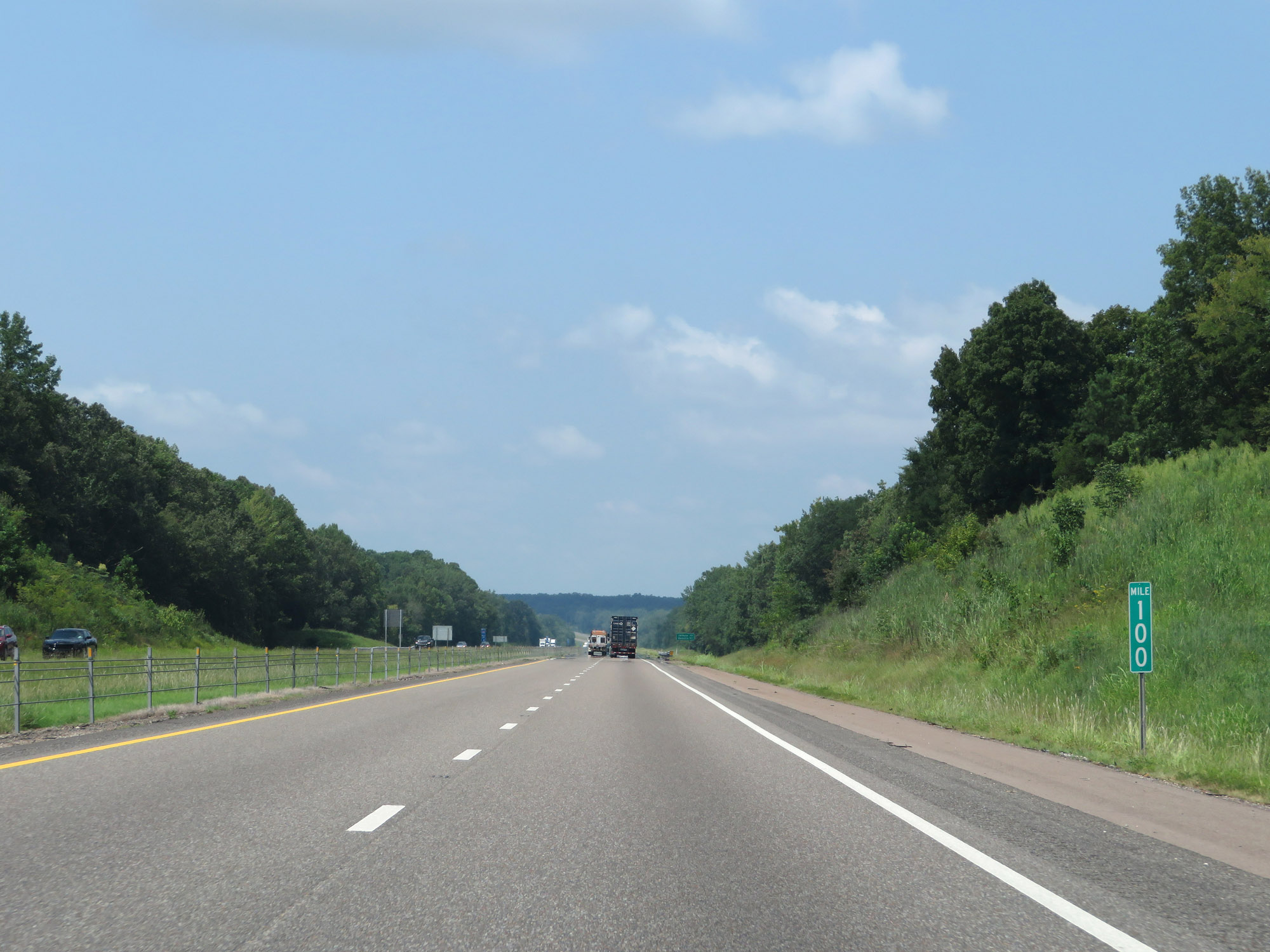 |
Interstate 40 West at mile marker 100. (Photo taken 8/12/19). |
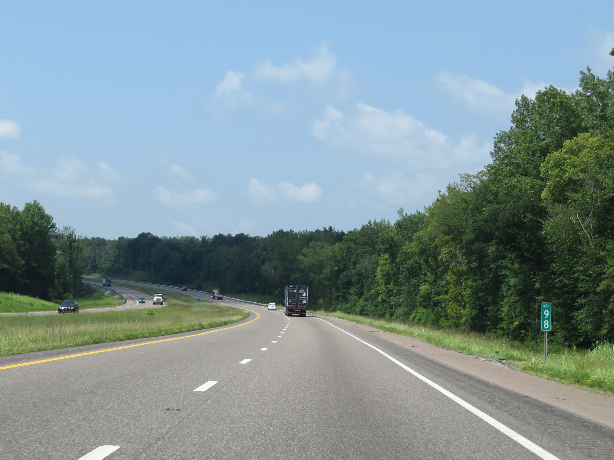 |
View on Interstate 40 West at mile marker 98. (Photo taken 8/12/19). |
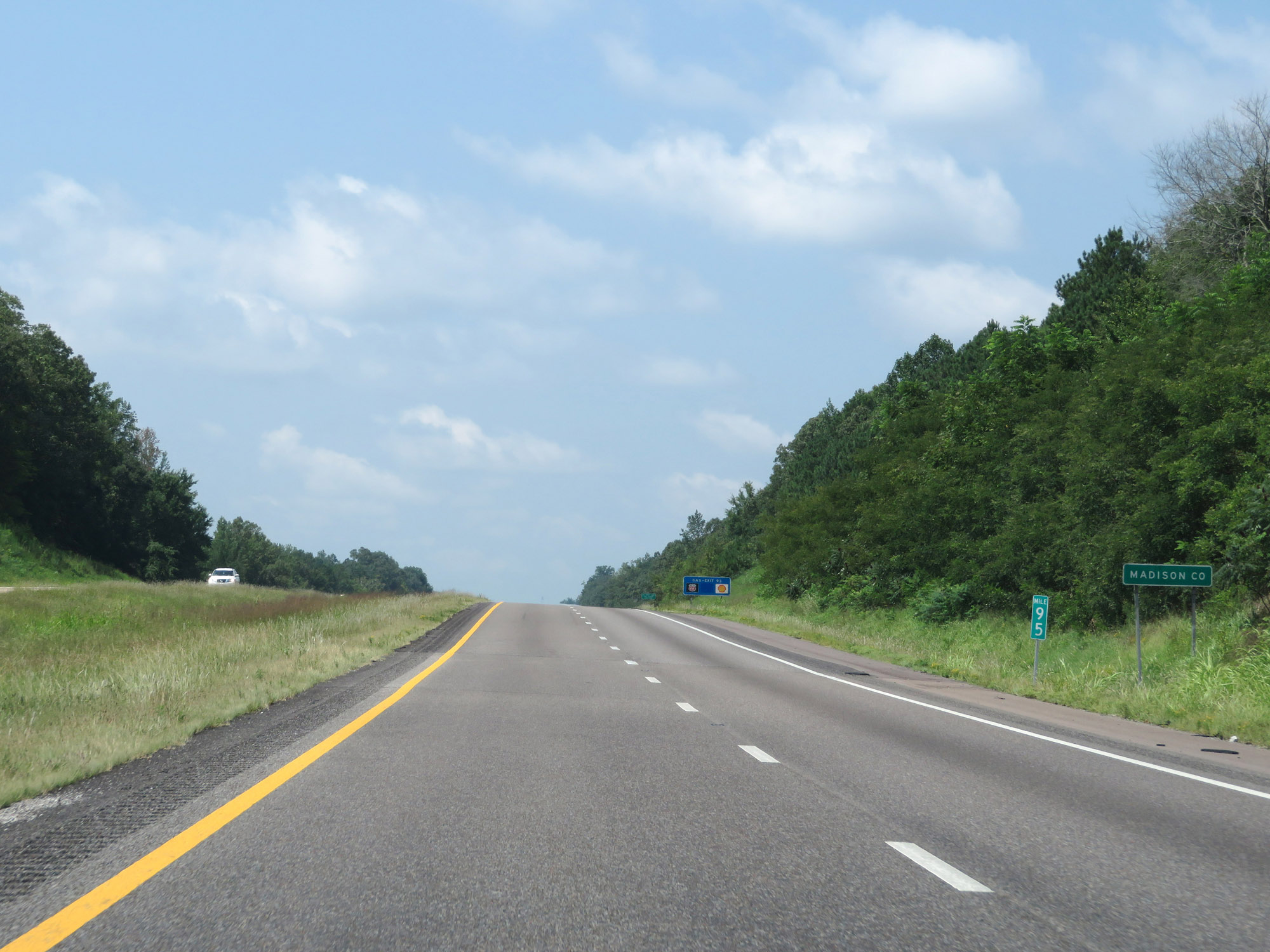 |
Interstate 40 West as it enters Madison County at mile marker 95. (Photo taken 8/12/19). |
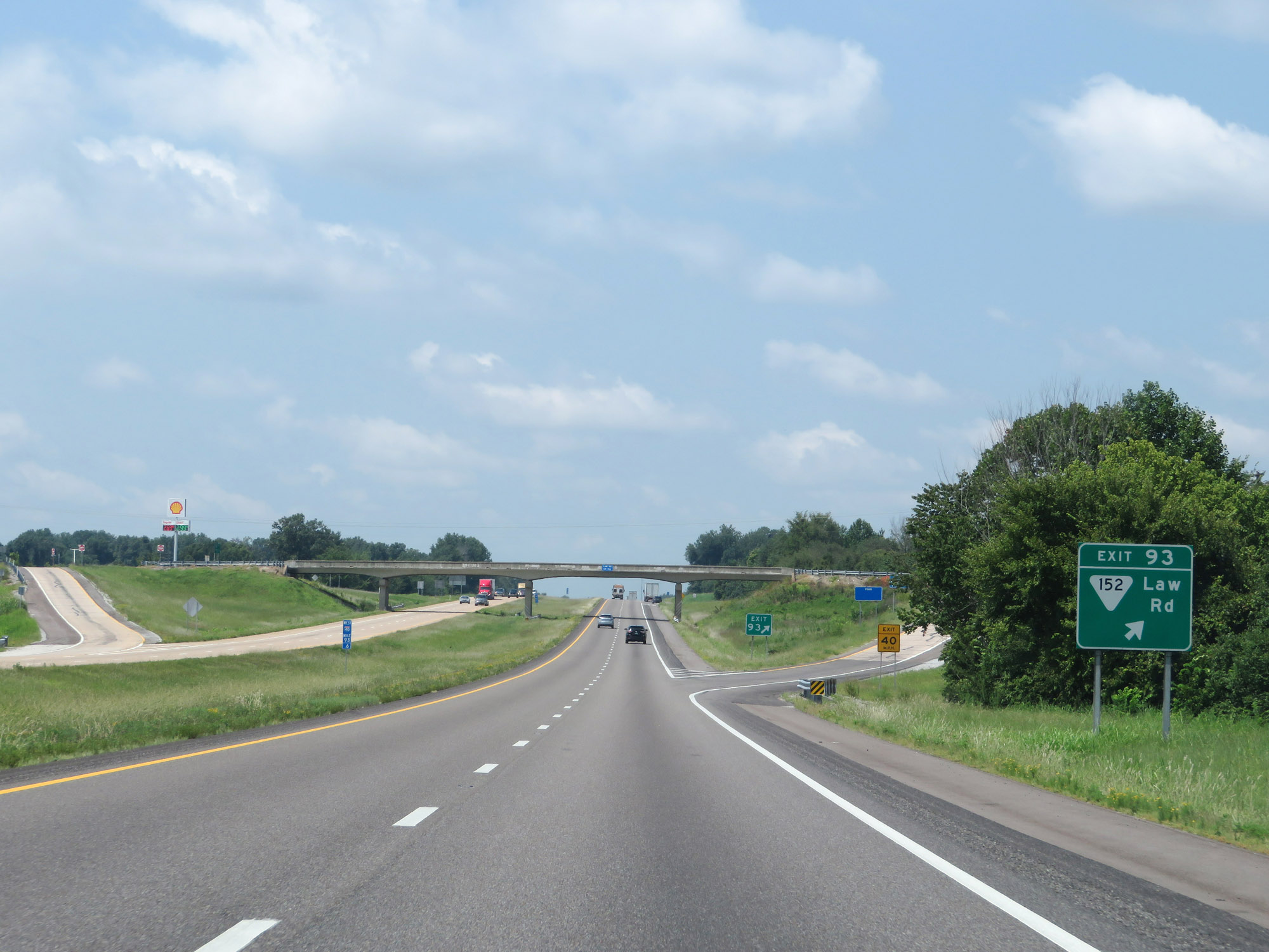 |
Interstate 40 West at Exit 93: SR 152 - Law Rd (Photo taken 8/12/19). |
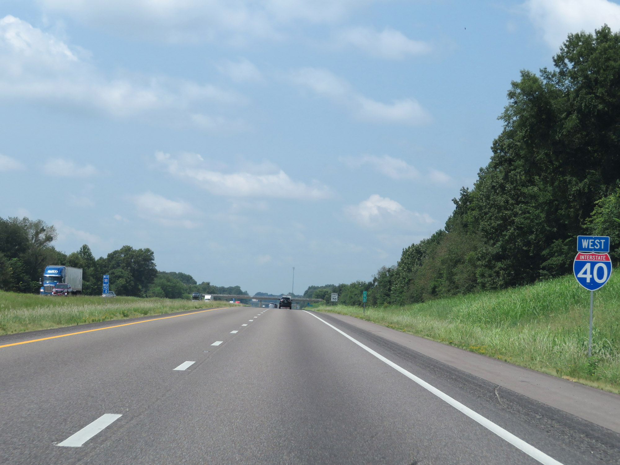 |
Another Interstate 40 West reassurance shield. (Photo taken 8/12/19). |
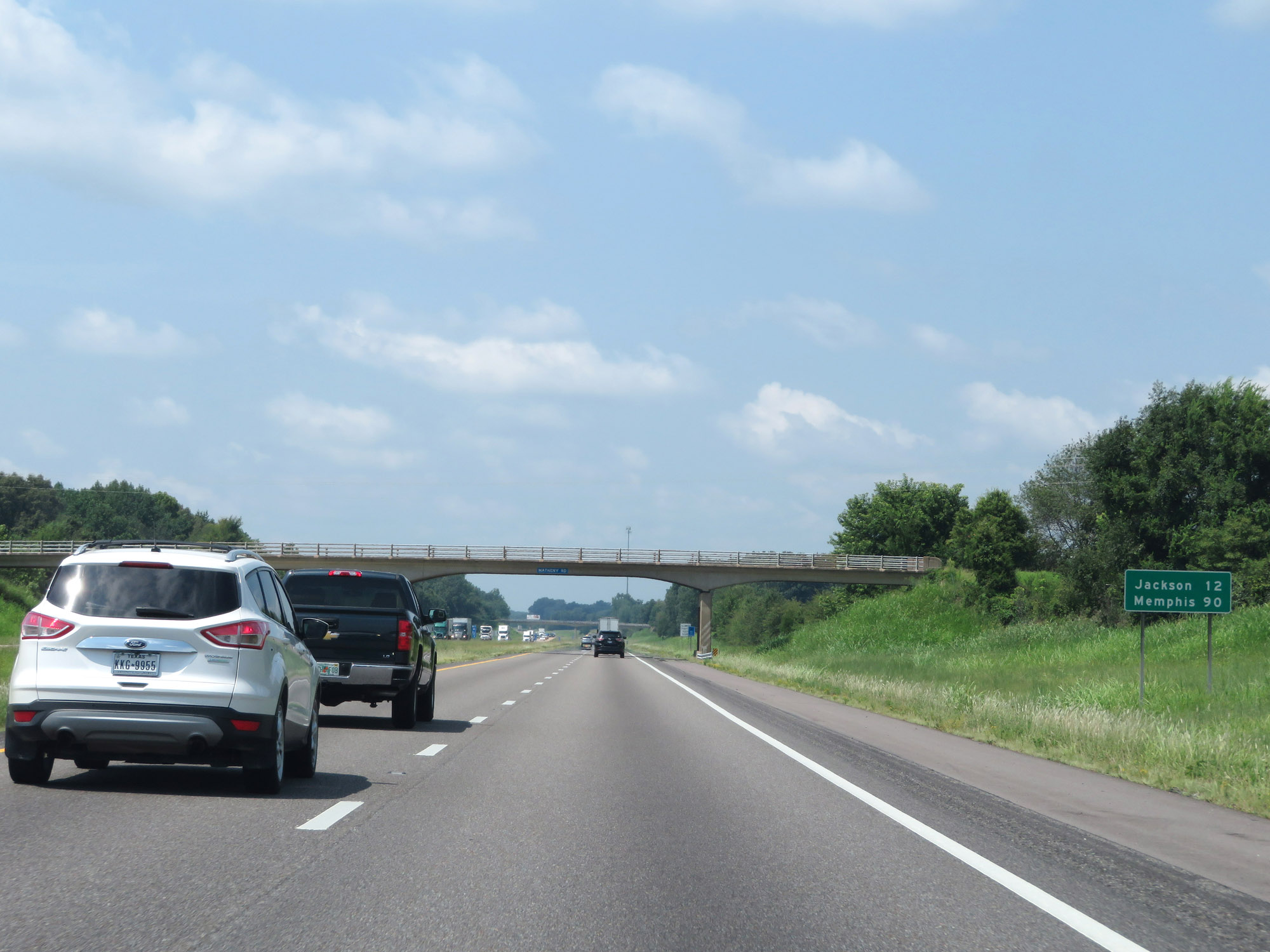 |
Mileage sign on Interstate 40 West. It's 12 miles to Jackson and 90 miles to Memphis. (Photo taken 8/12/19). |
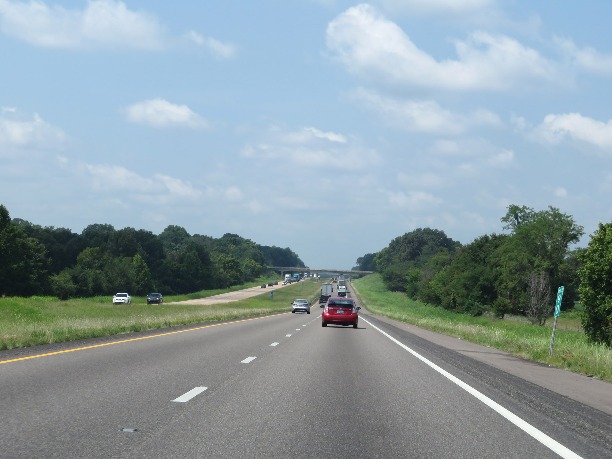 |
Interstate 40 West at mile marker 90. (Photo taken 8/12/19). |
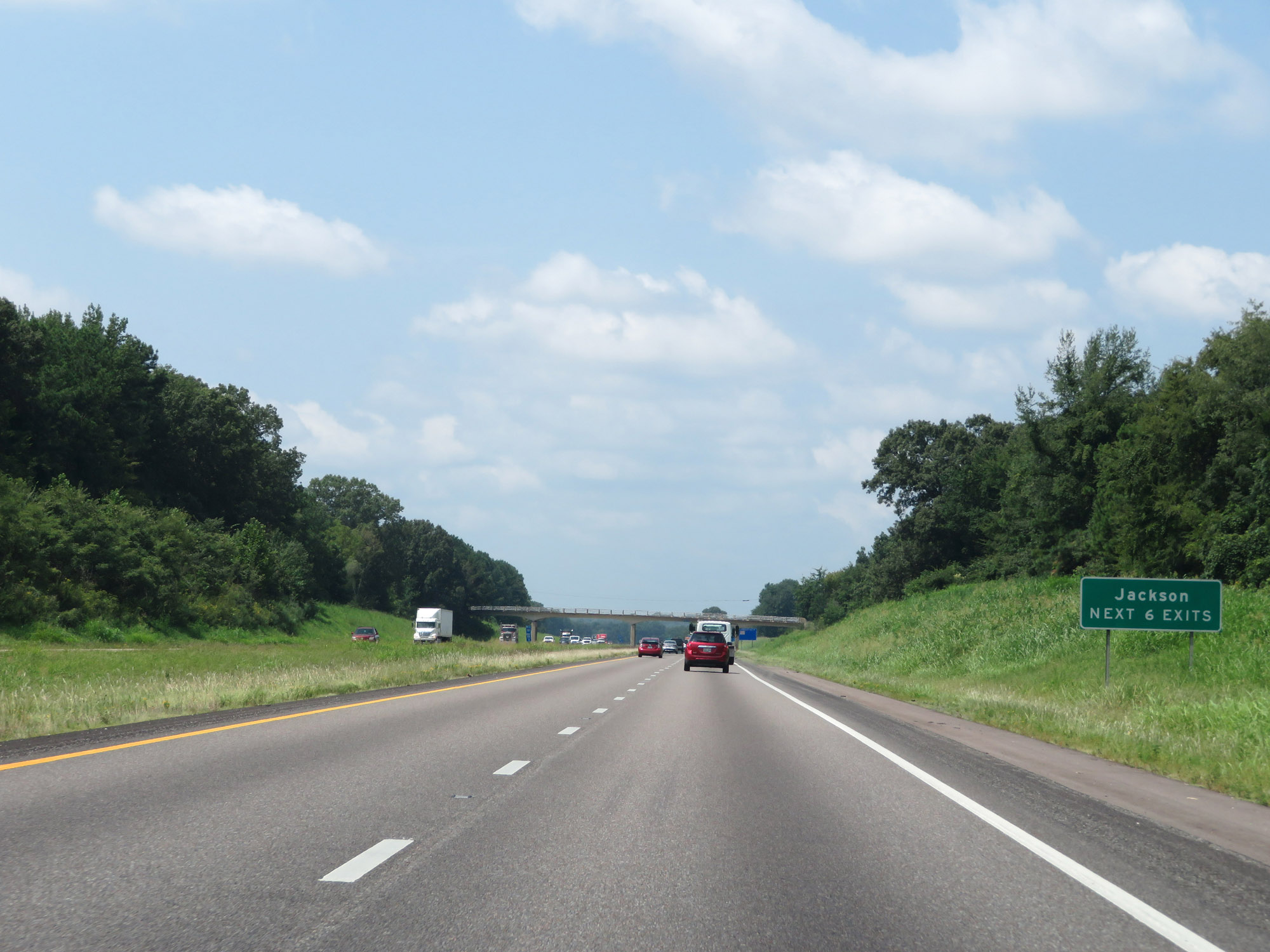 |
Take any of the next 6 exits to Jackson. (Photo taken 8/12/19). |
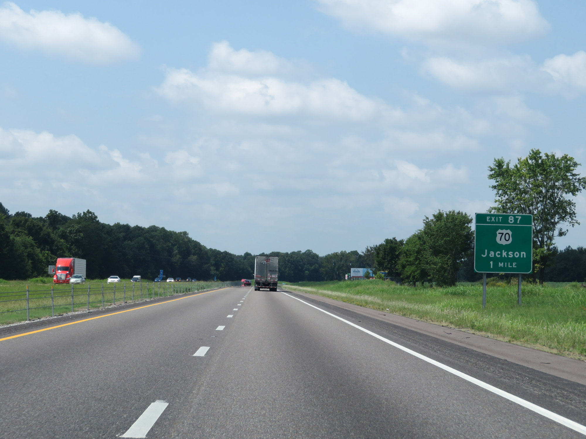 |
Interstate 40 West approaching Exit 87 - 1 mile. (Photo taken 8/12/19). |
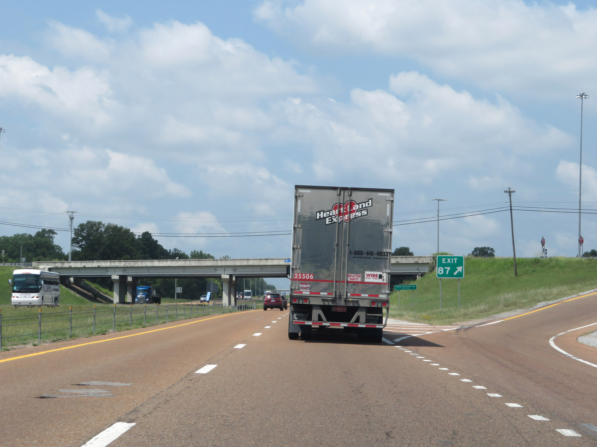 |
Interstate 40 West at Exit 87: US 70 - Jackson (Photo taken 8/12/19). |
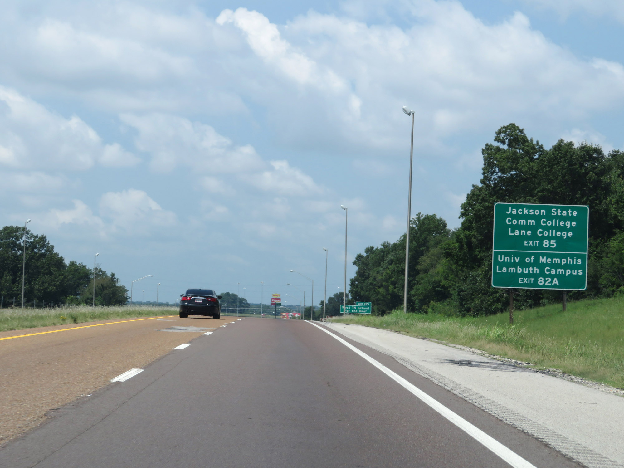 |
Take Exit 85 to Jackson State Community College and Lane College. Take Exit 82A to University of Memphis Lambuth Campus. (Photo taken 8/12/19). |
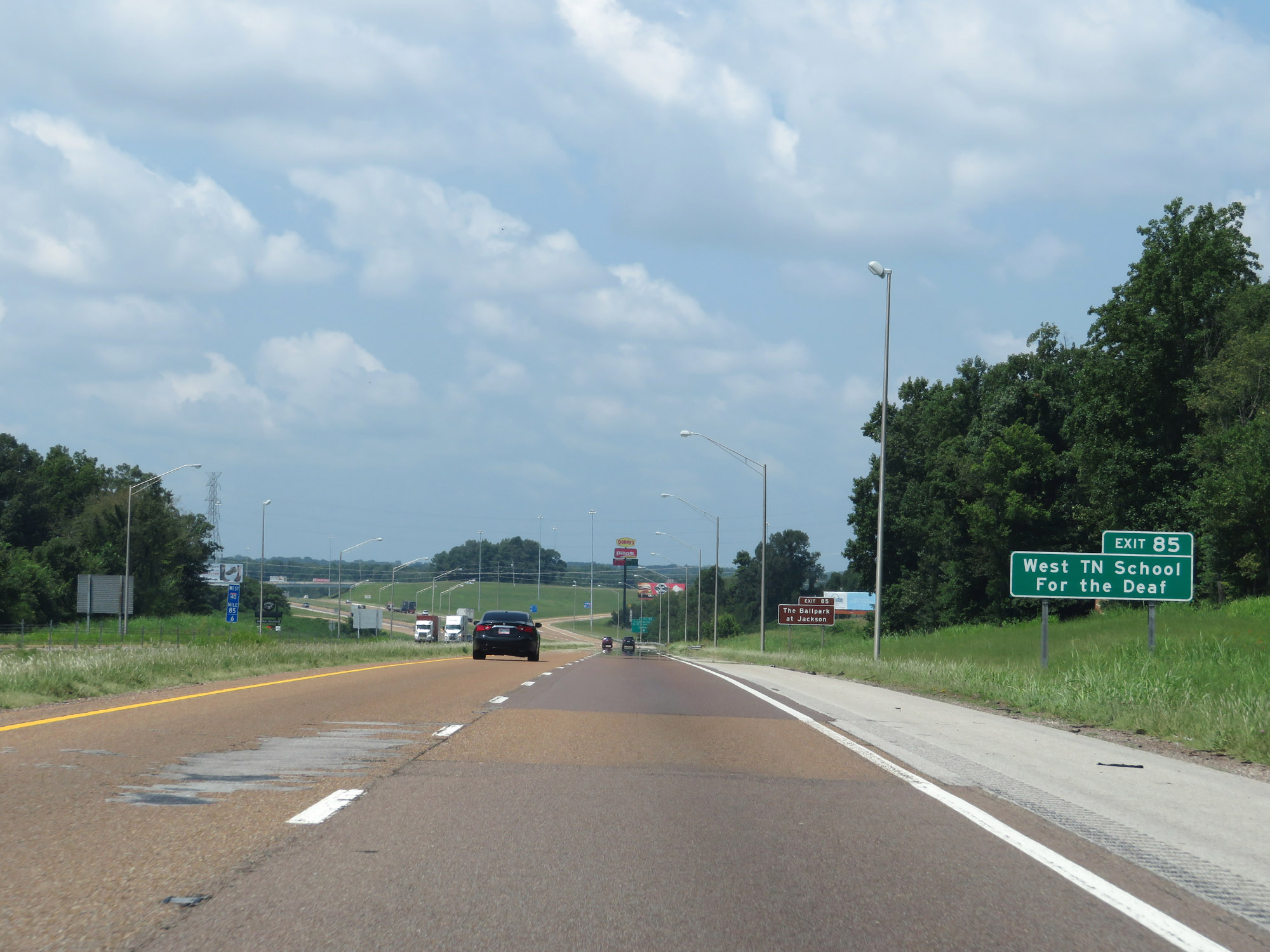 |
Also take Exit 85 to West Tennessee Schoot For the Deaf. (Photo taken 8/12/19). |
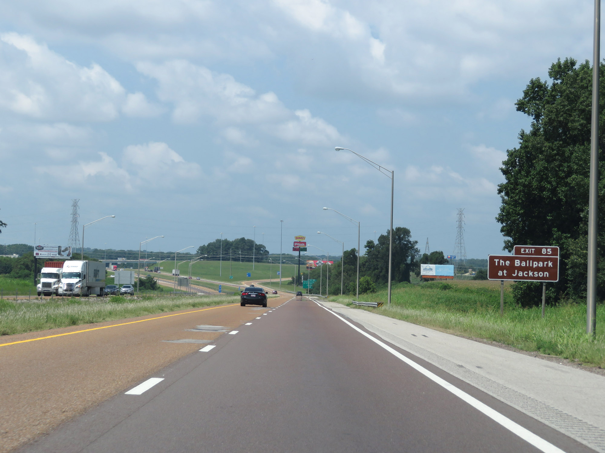 |
Access The Ballpark at Jackson via Exit 85. (Photo taken 8/12/19). |
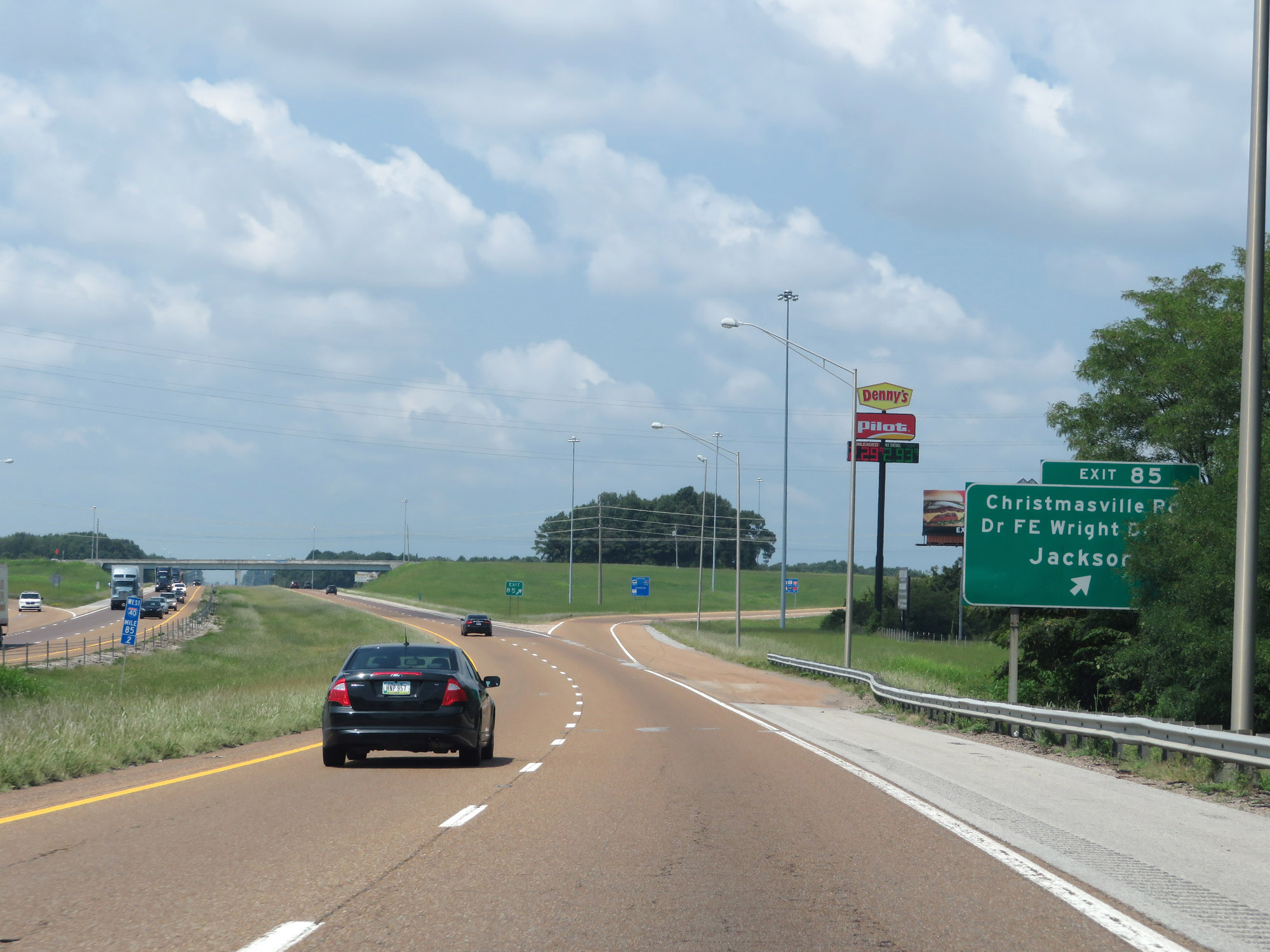 |
Interstate 40 West at Exit 85: Christmasville Rd / Dr F.E. Wright Drive / Jackson (Photo taken 8/12/19). |
Section 9: Jackson (Exit 85) to Arlington (Exit 24A)
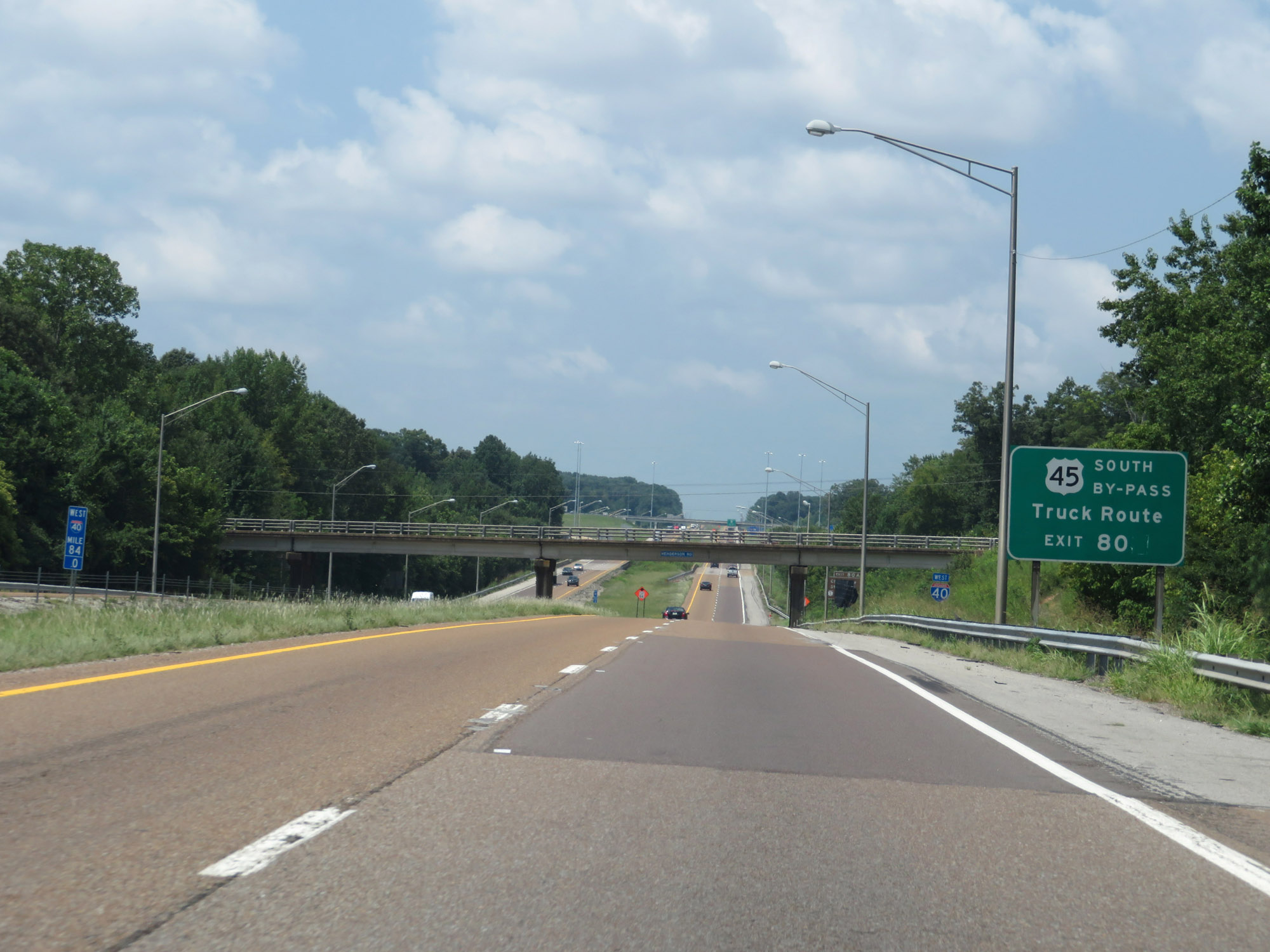 |
Take Exit 80 to US 45 Bypass, which is a designated truck route. (Photo taken 8/12/19). |
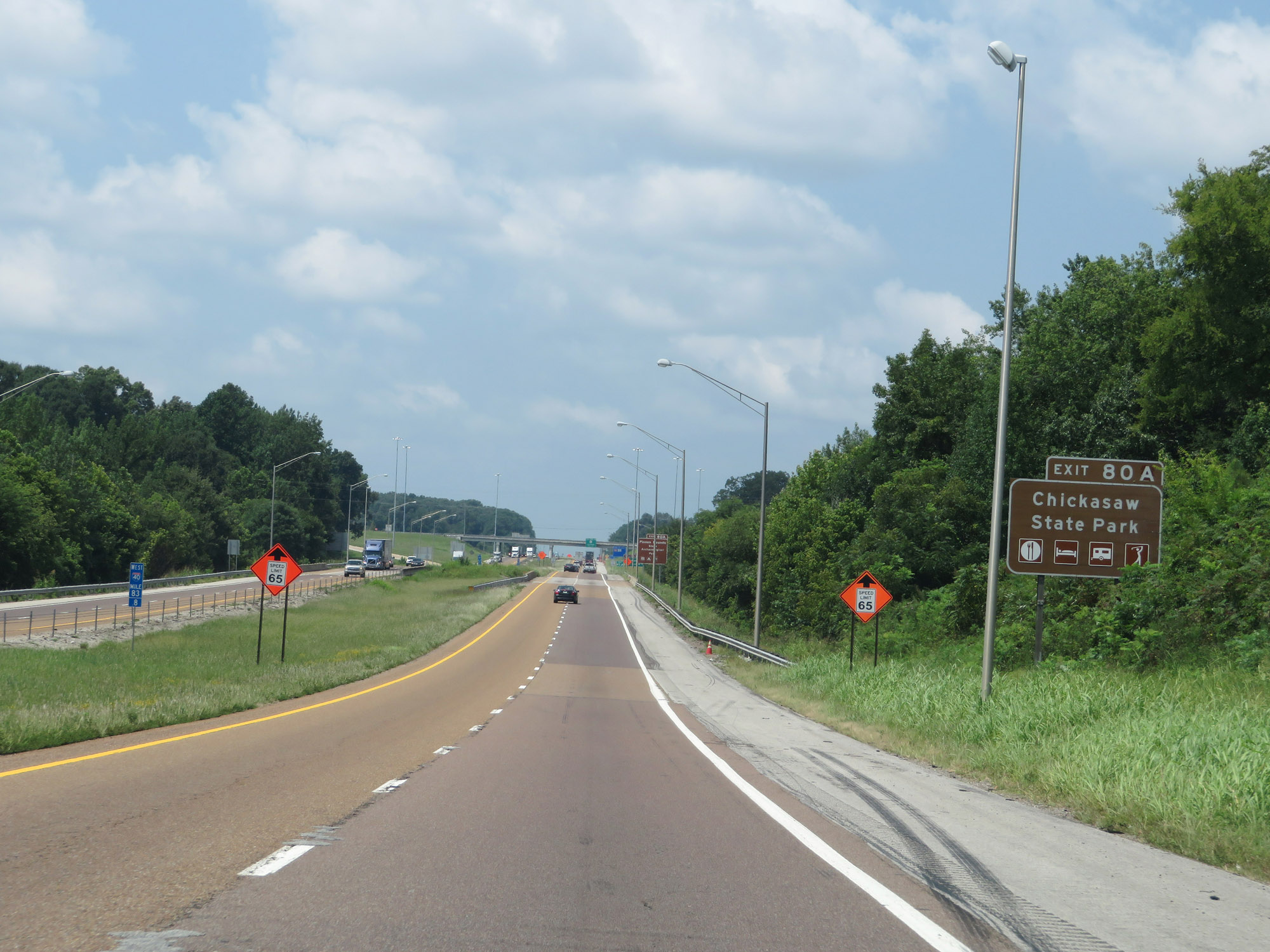 |
Take Exit 80A to Chickasaw State Park. (Photo taken 8/12/19). |
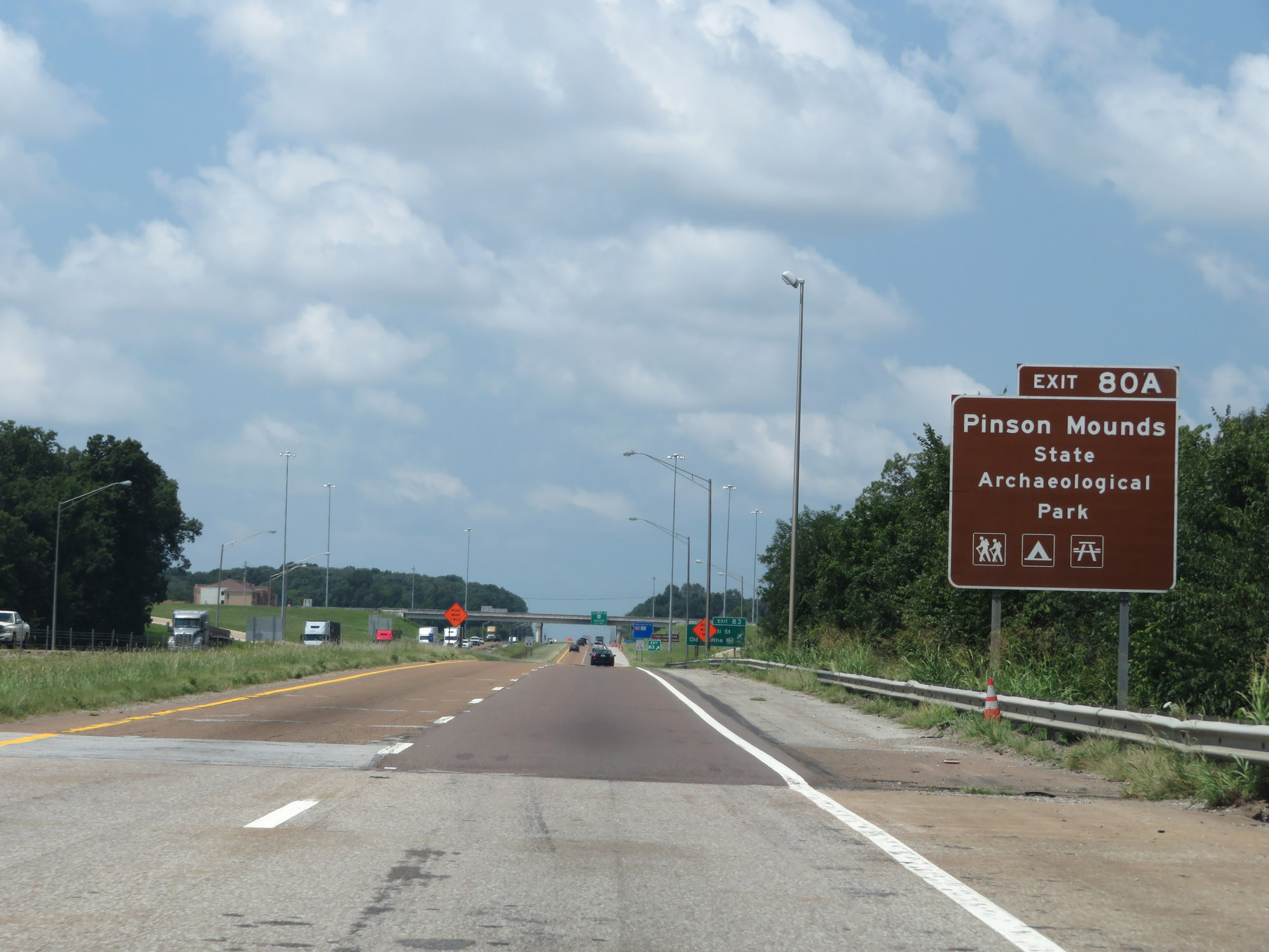 |
Access Pinson Mounds State Archeolgical Park via Exit 80A. (Photo taken 8/12/19). |
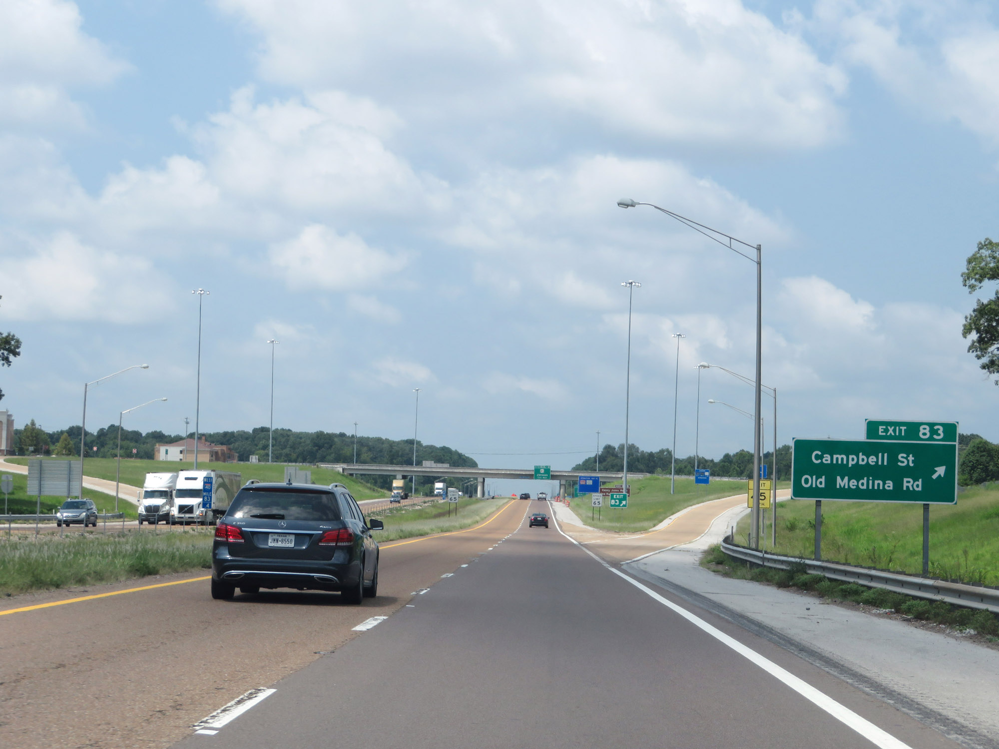 |
Interstate 40 West at Exit 83: Campbell St / Old Medina Rd (Photo taken 8/12/19). |
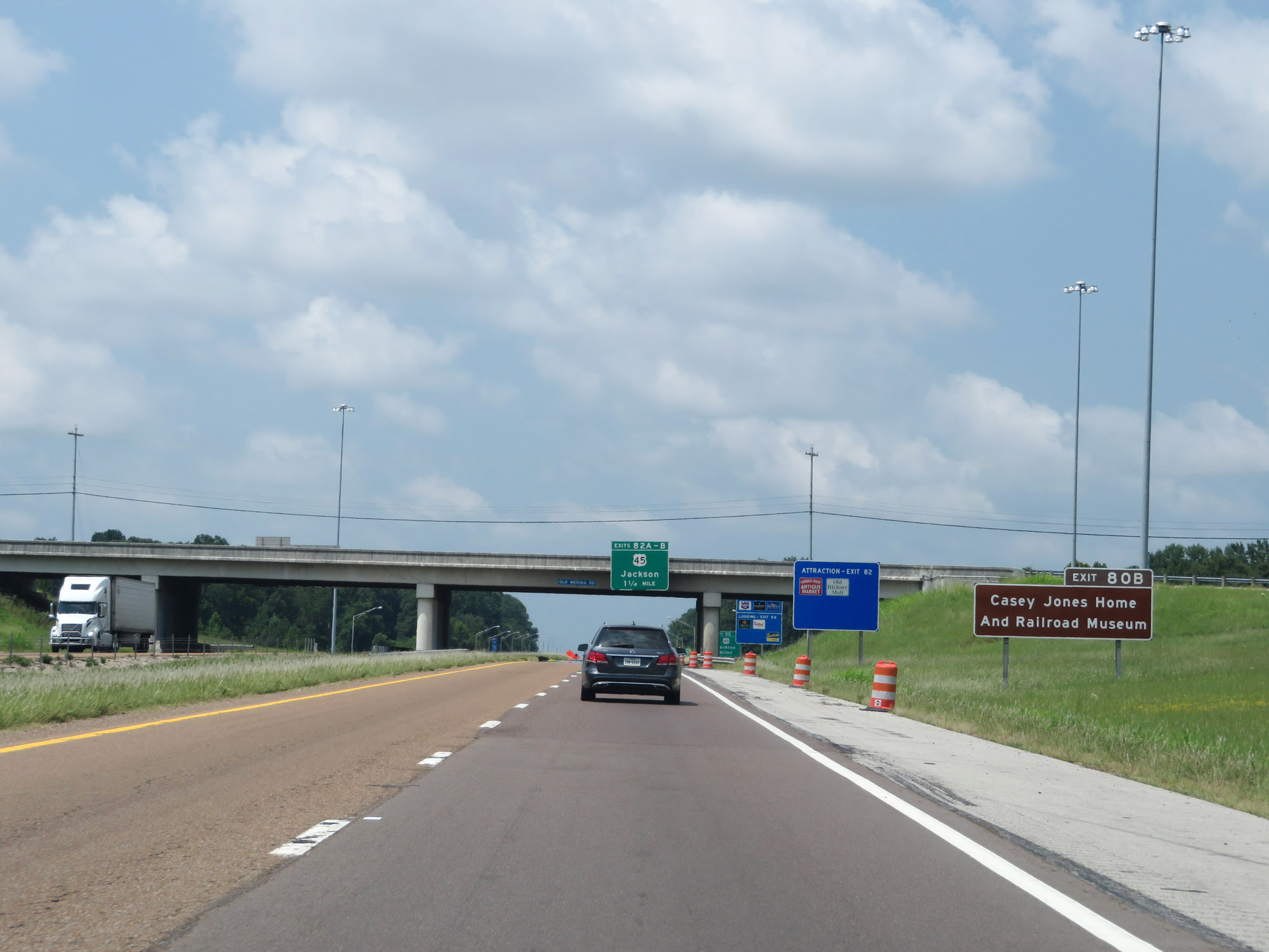 |
Take Exit 80B to the Casey Jones Home and Railroad Museum. (Photo taken 8/12/19). |
 |
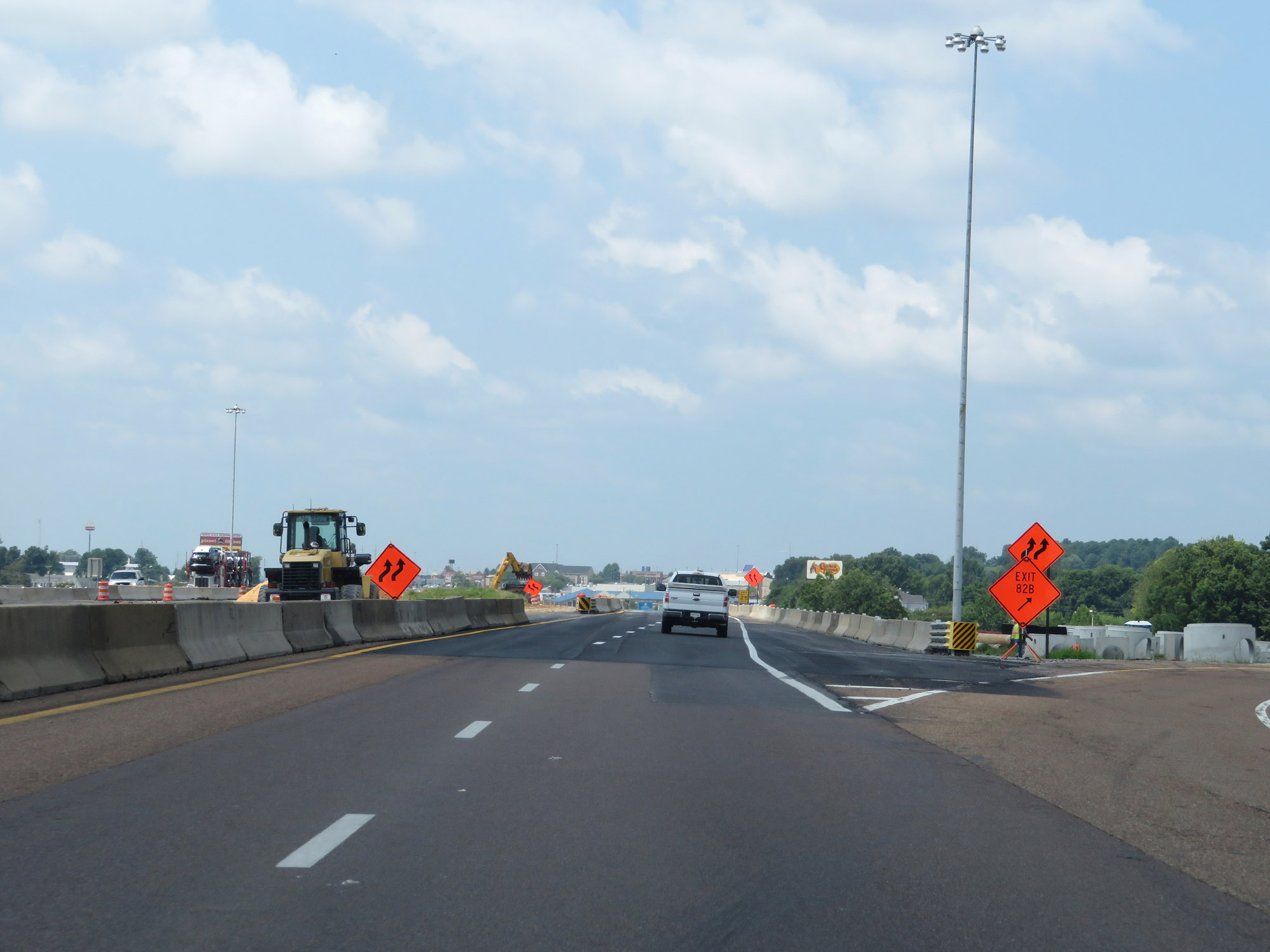
Interstate 40 West approaching Exit 82B. (Photo taken 8/12/19). |
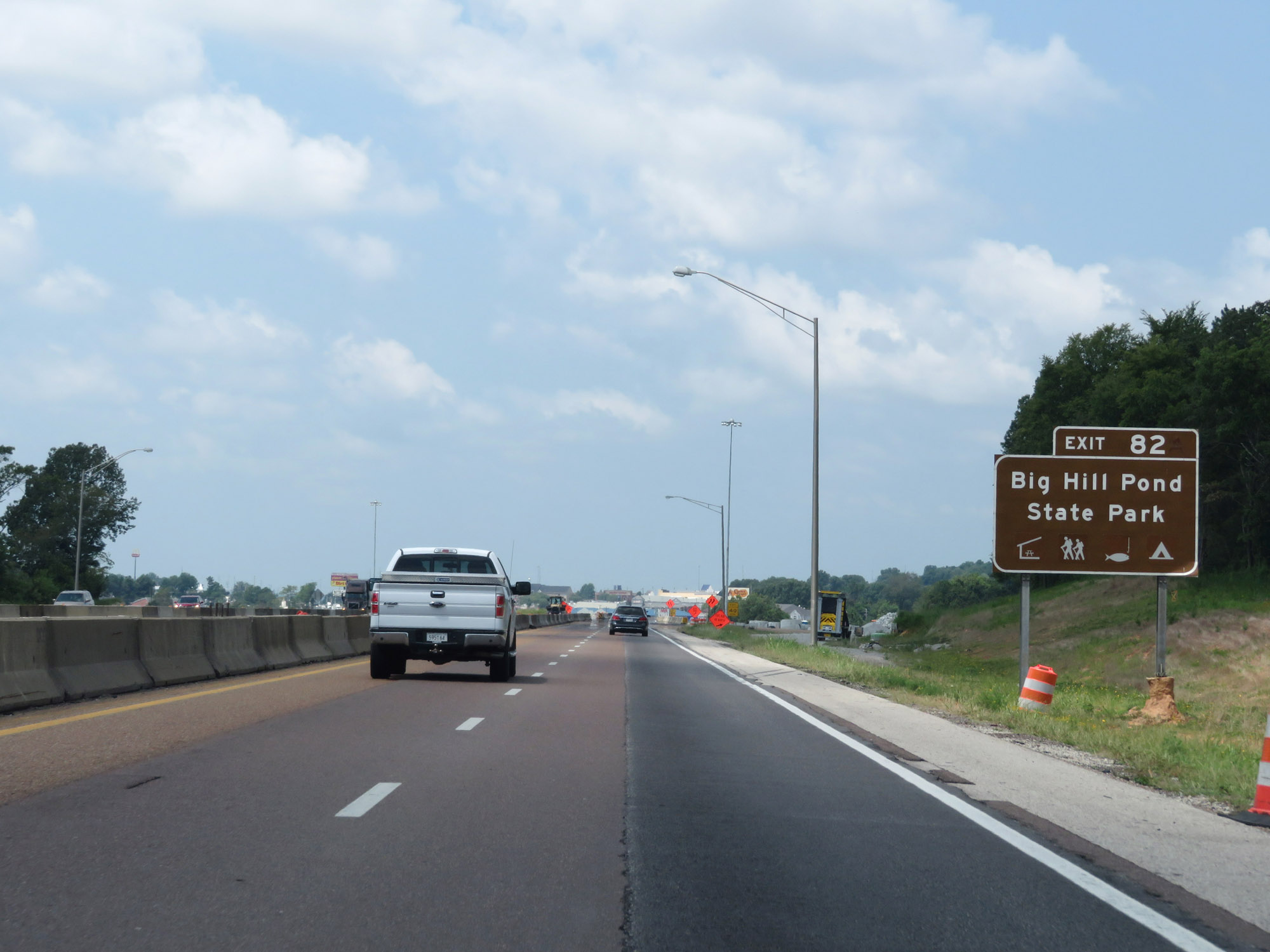 |
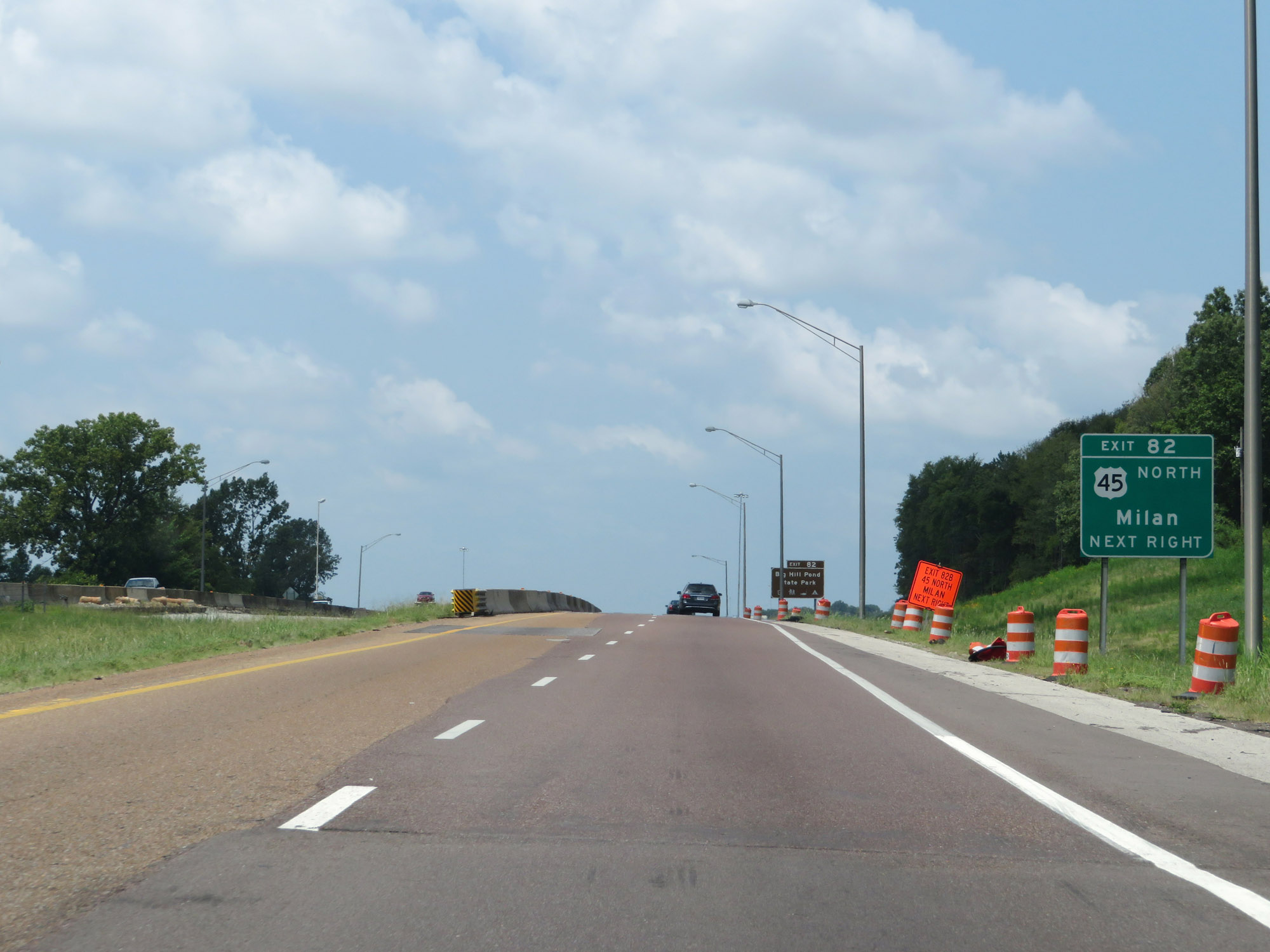
Take Exit 82 to Big Hill Pond State Park. Due to the construction in Jackson at the time and the closure of certain exits, the signage for the US 45 interchange was rather unclear. (Photo taken 8/12/19). |
 |
Interstate 40 West at Exit 82B: US 45 North - Milan (Photo taken 8/12/19). |
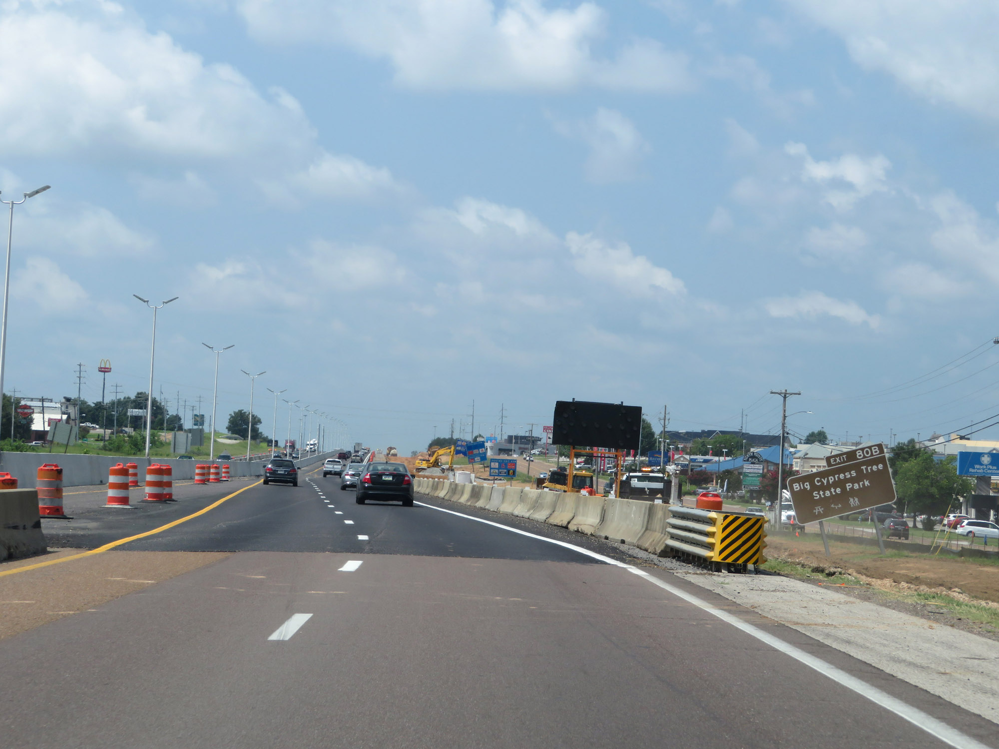 |
Take Exit 80B to Big Cypress Tree State Park. (Photo taken 8/12/19). |
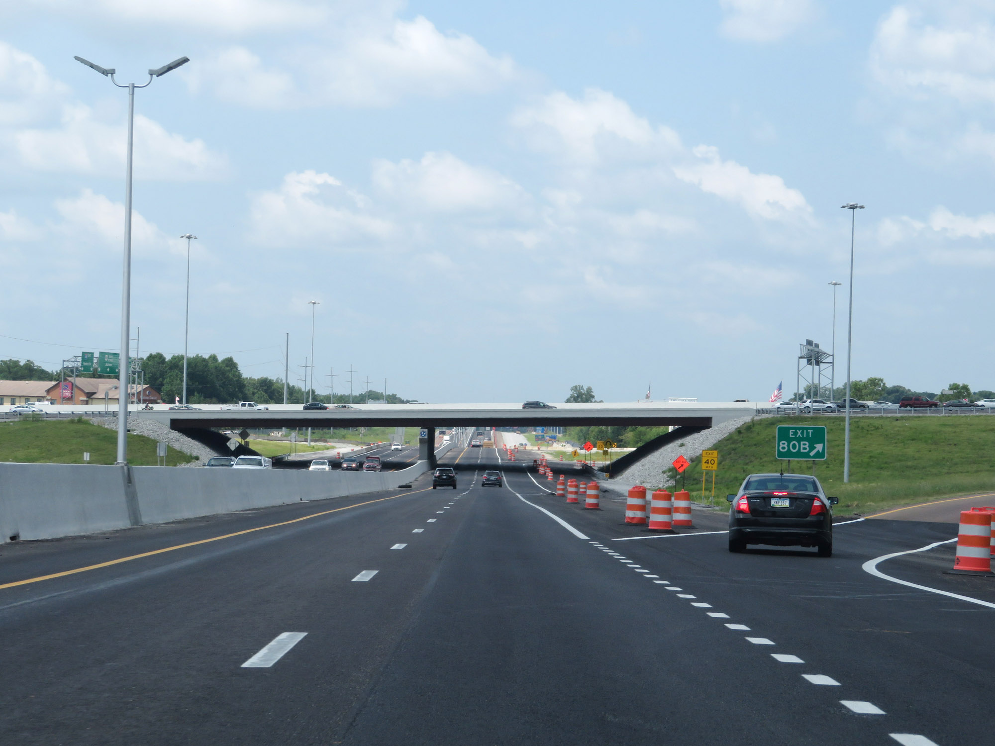 |
Interstate 40 West at Exit 80B: US 45 Bypass North - Humboldt (Photo taken 8/12/19). |
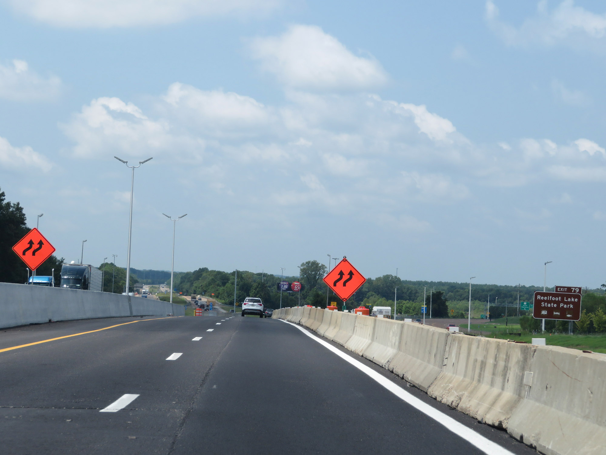 |
Take Exit 79 to Reelfoot Lake State Park. (Photo taken 8/12/19). |
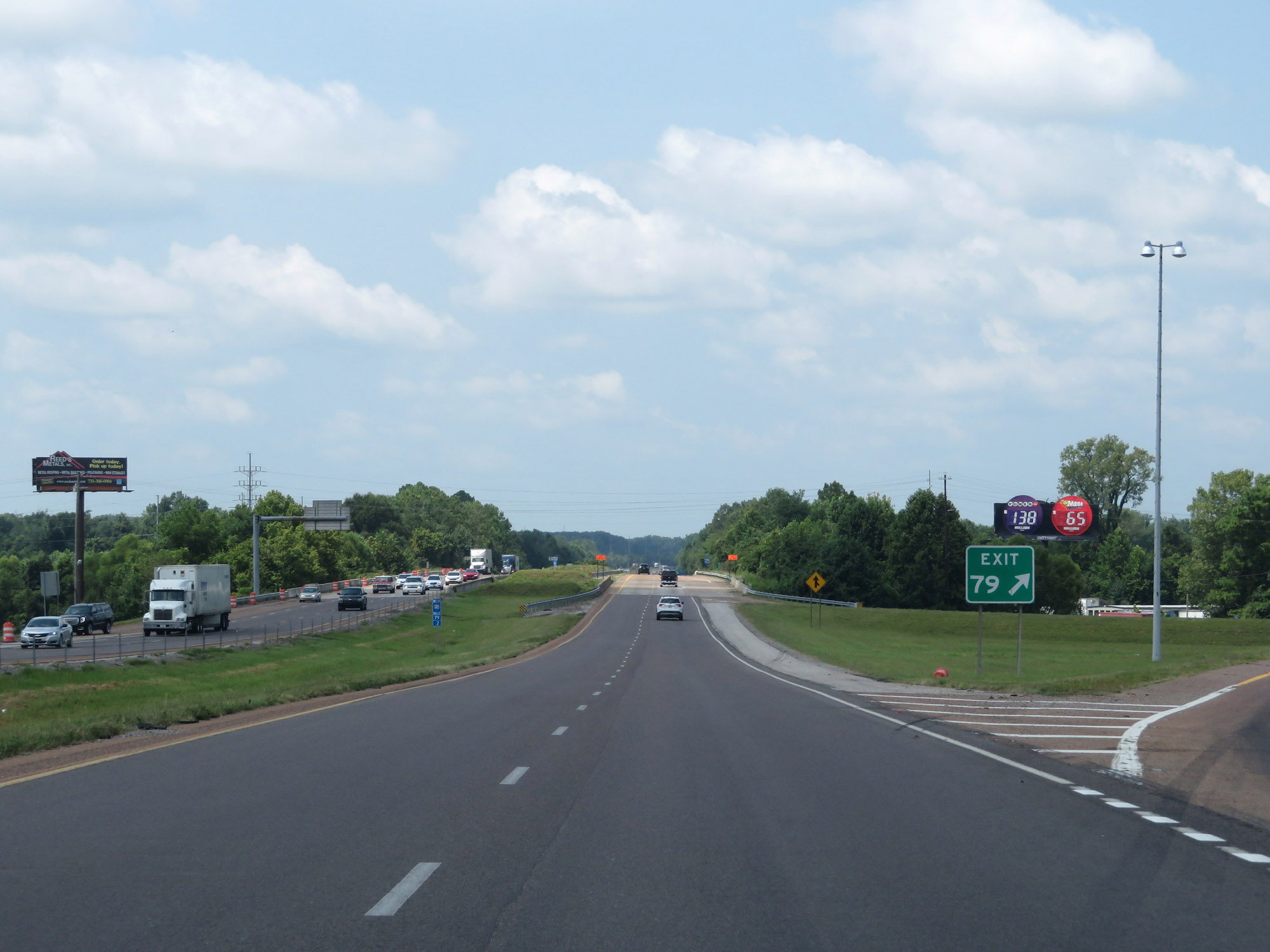 |
Interstate 40 West at Exit 79: US 412 / SR 20 - Jackson / Alamo / Dyersburg (Photo taken 8/12/19). |
 |
The speed limit remains 70 mph to the west of Jackson. (Photo taken 8/12/19). |
 |
Interstate 40 West at mile marker 78. (Photo taken 8/12/19). |
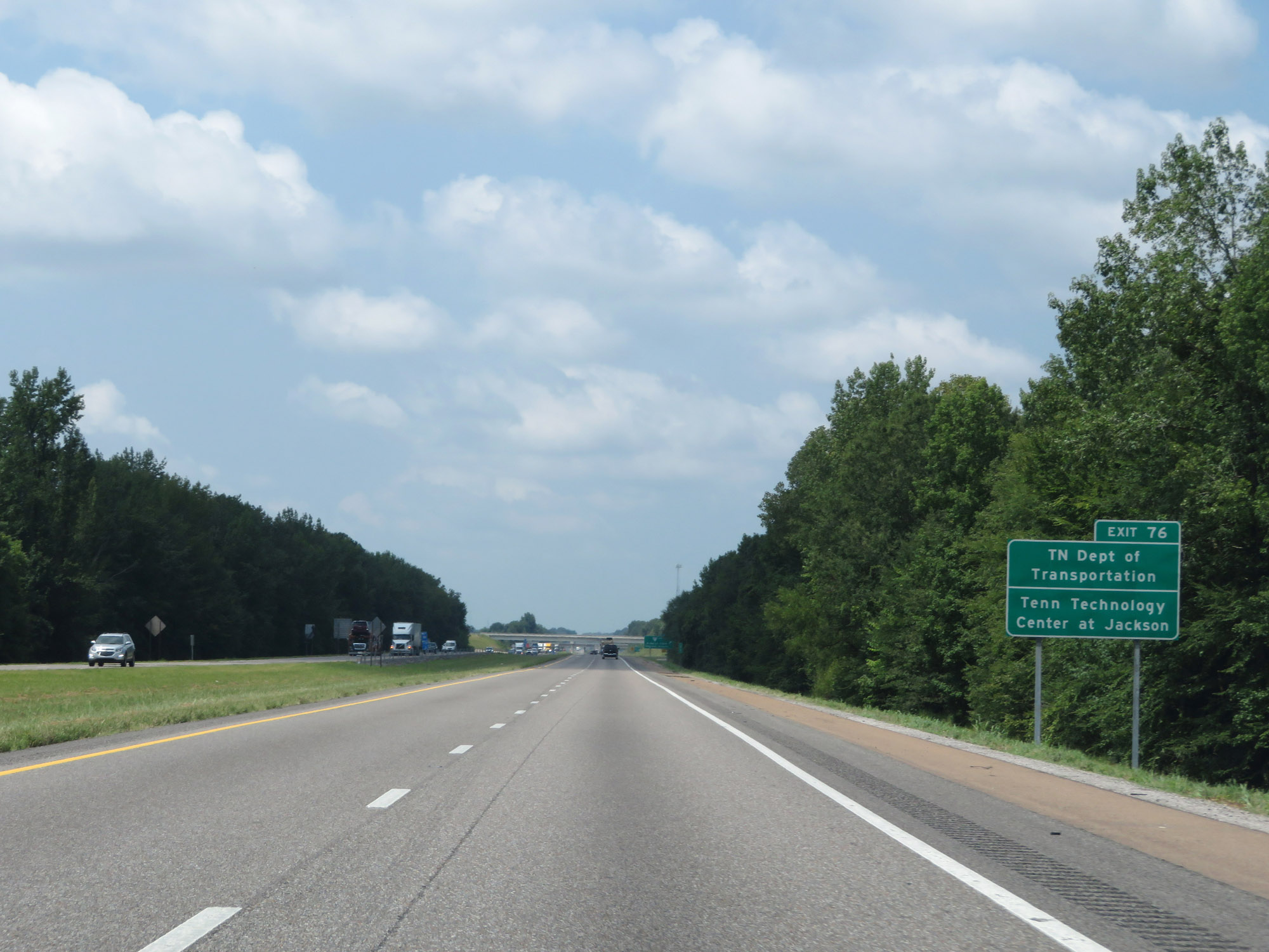 |
Take Exit 76 to the TDOT Jackson branch as well as Tennessee Technology Center at Jackson. (Photo taken 8/12/19). |
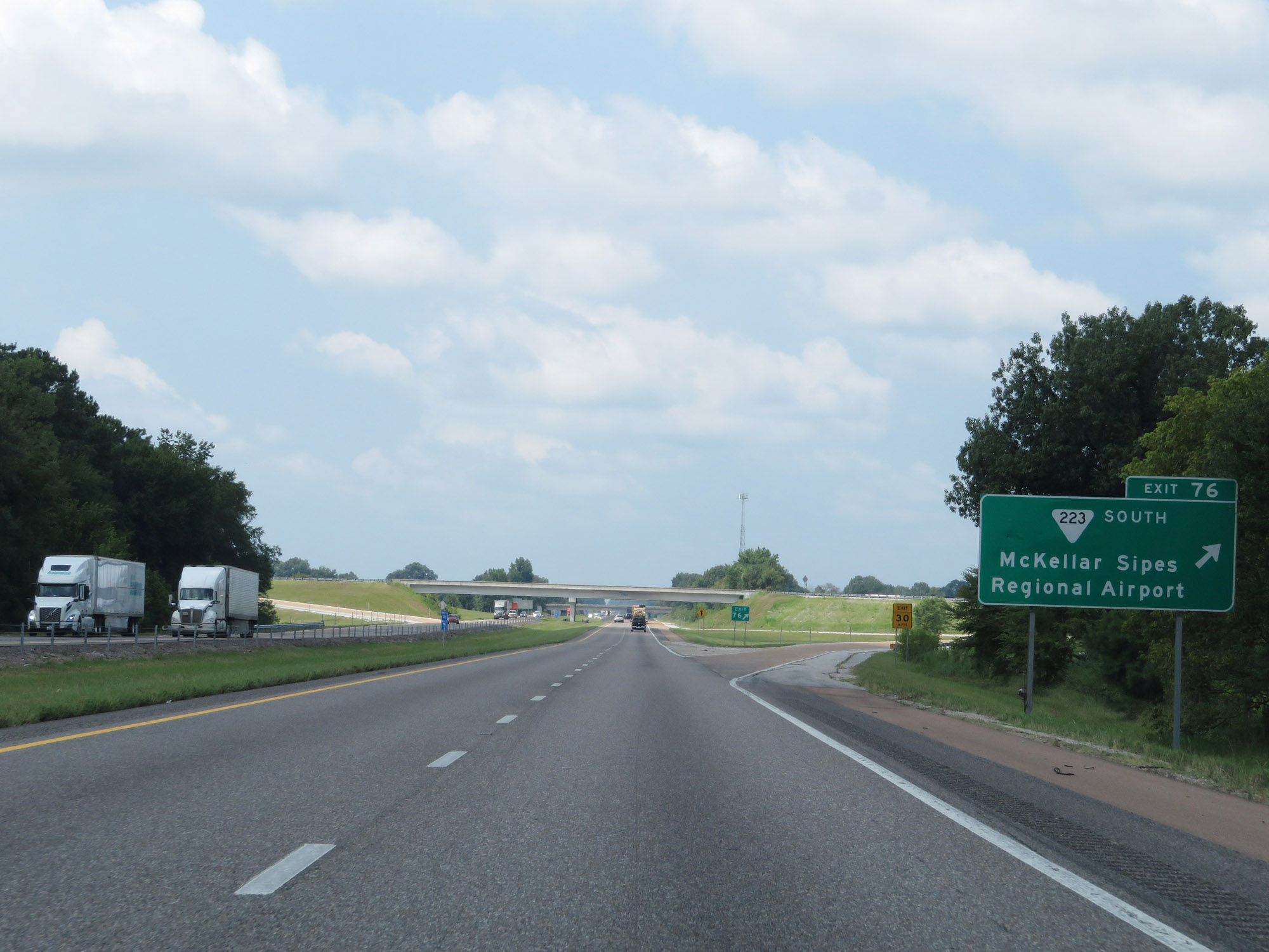 |
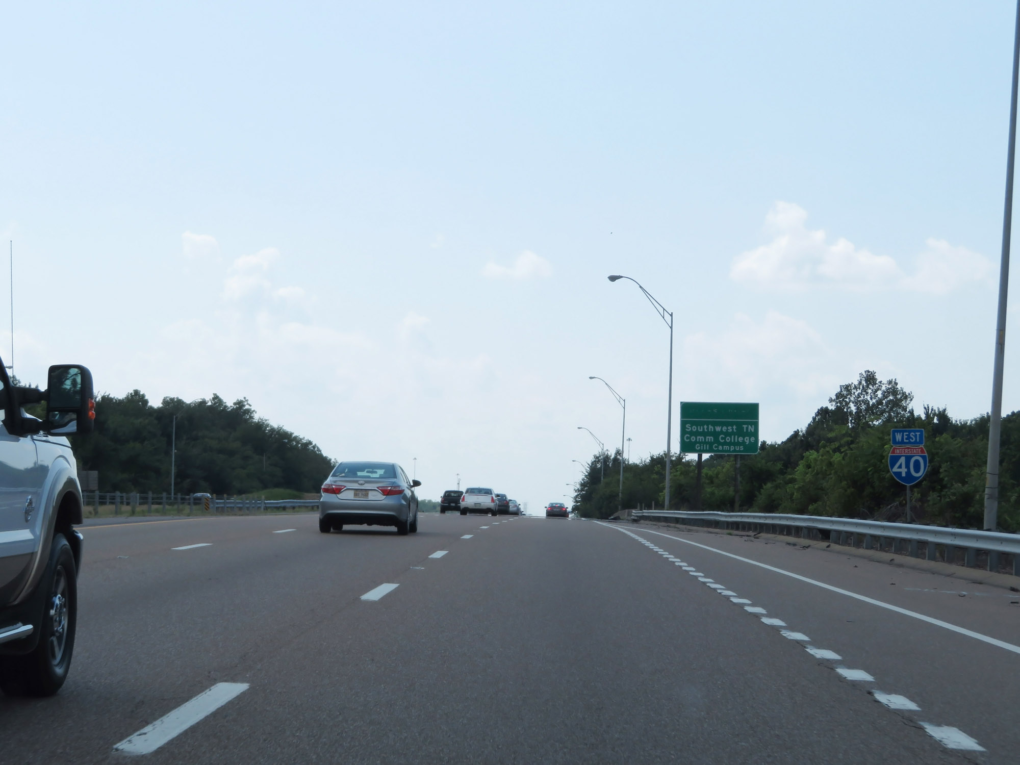
Interstate 40 West at Exit 76: SR 223 South - McKellar Sipes Regional Airport (Photo taken 8/12/19). |
 |
Interstate 40 West approaching Exit 74 - 1 mile. (Photo taken 8/12/19). |
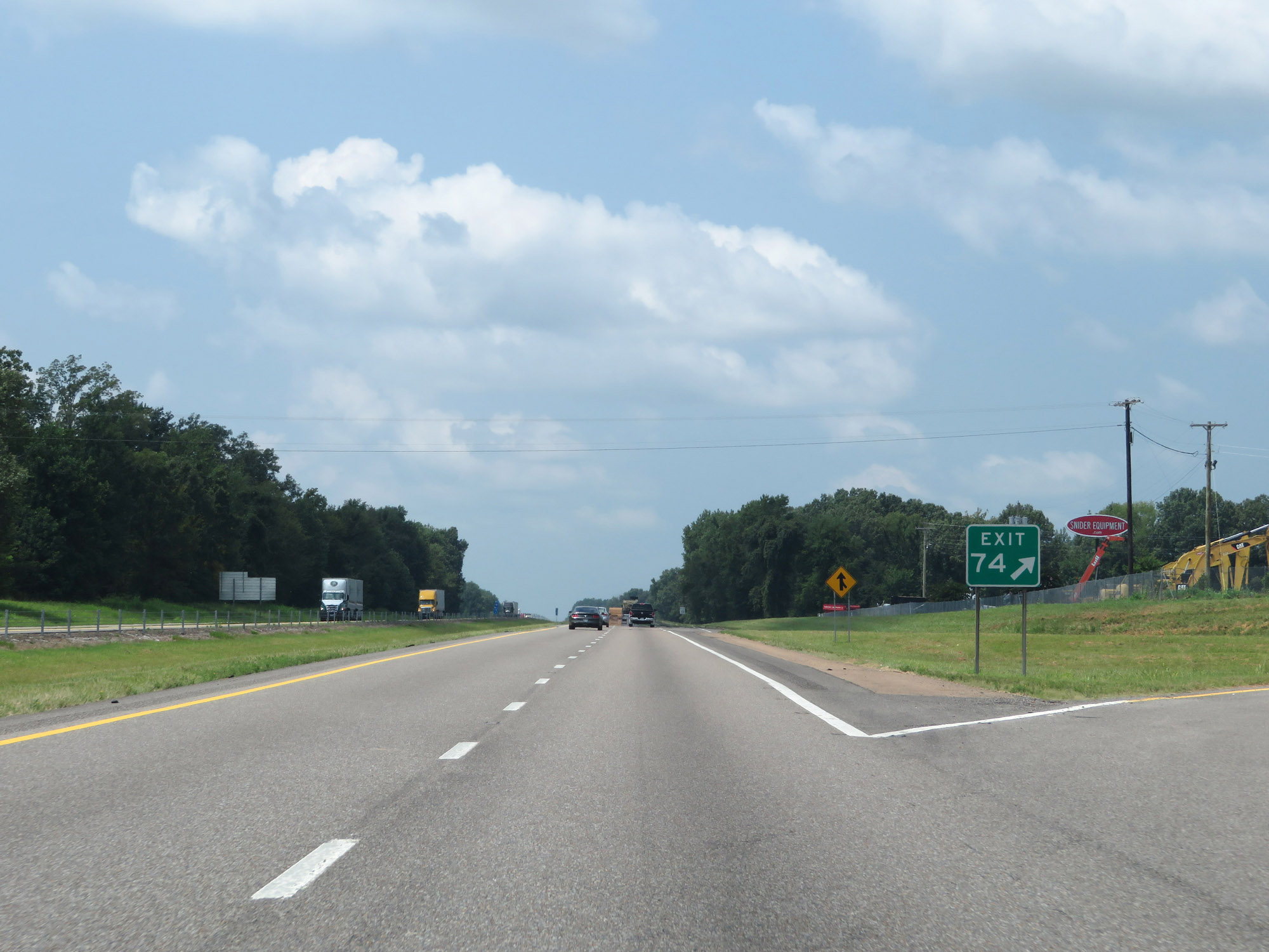 |
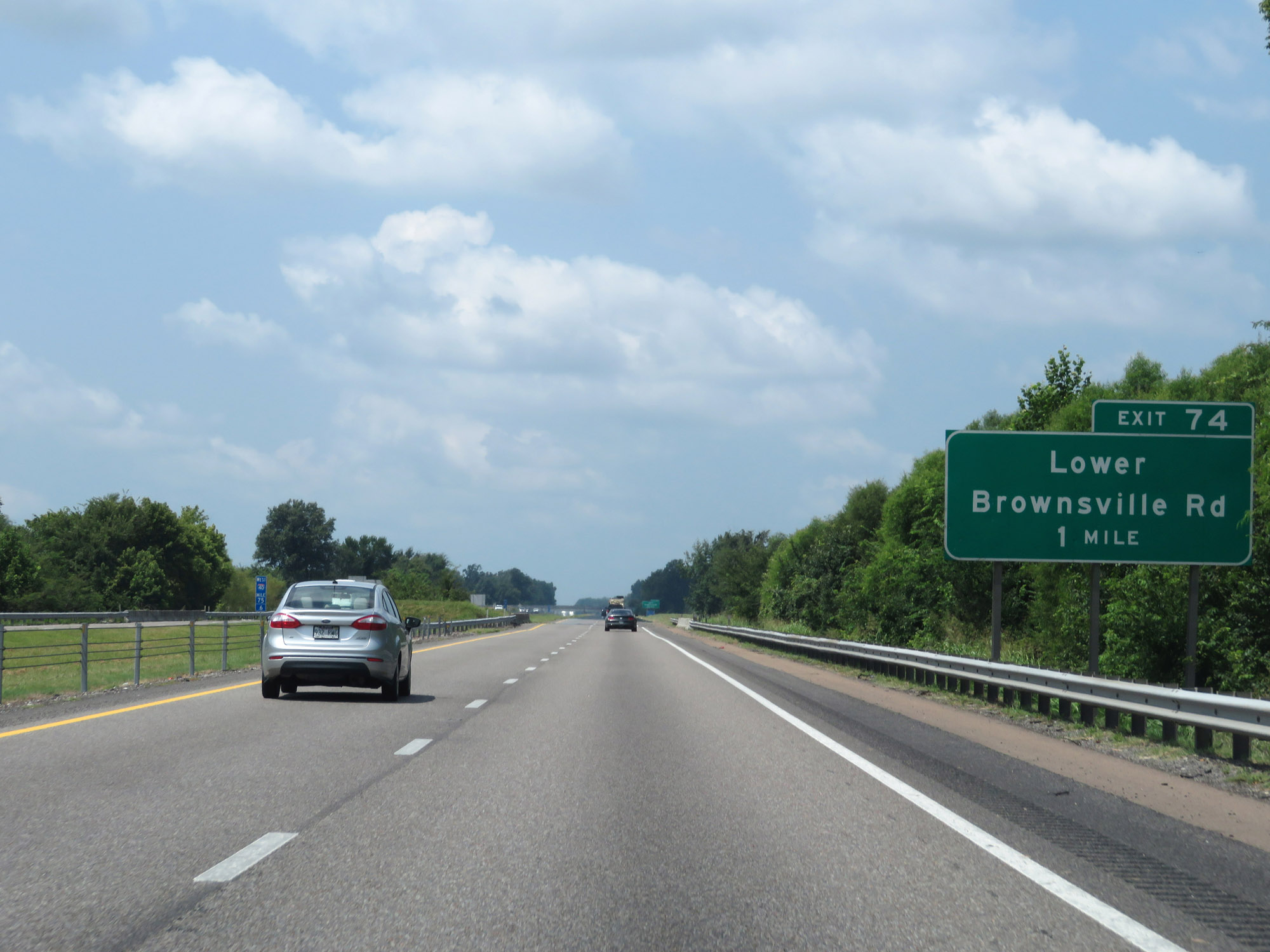
Interstate 40 West at Exit 74: Lower Brownsville Rd (Photo taken 8/12/19). |
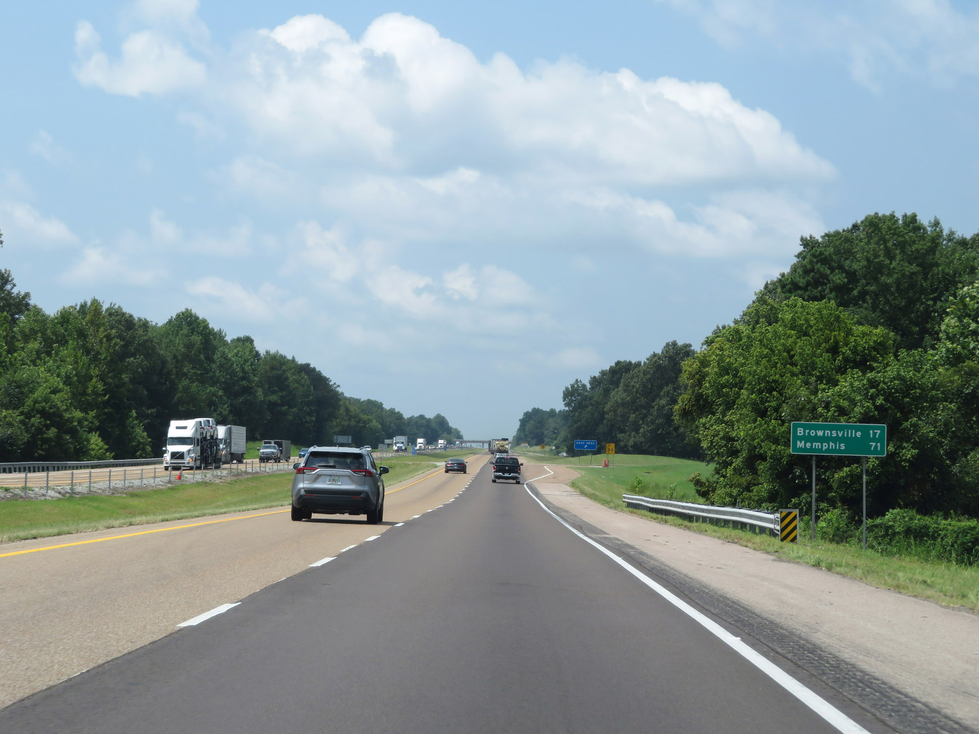 |
Mileage sign on Interstate 40 West. It's 17 miles to Brownsville and 71 miles to Memphis. (Photo taken 8/12/19). |
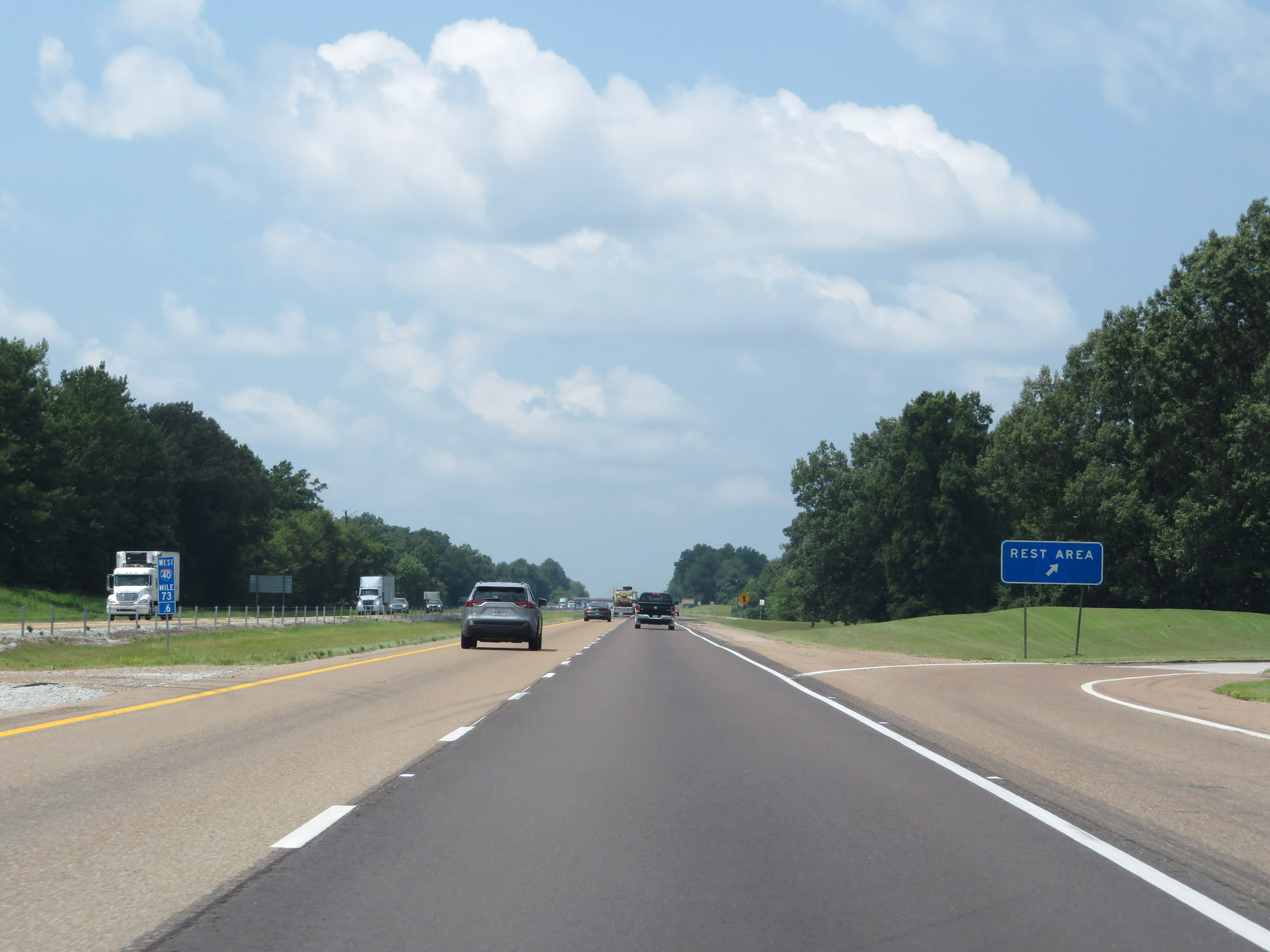 |
Rest Area on Interstate 40 West in Madison County. (Photo taken 8/12/19). |
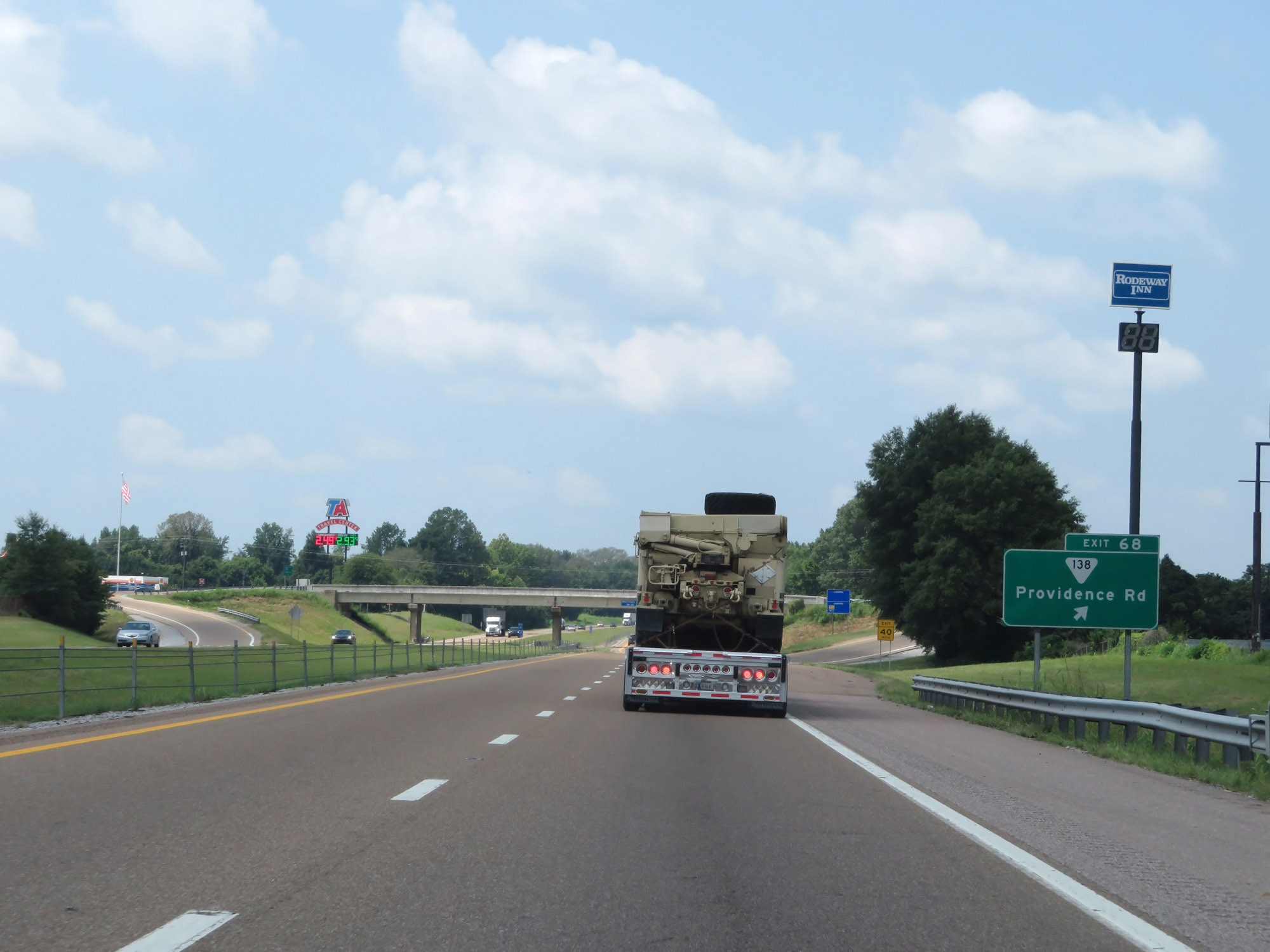 |
Interstate 40 West at Exit 68: SR 138 - Providence Rd (Photo taken 8/12/19). |
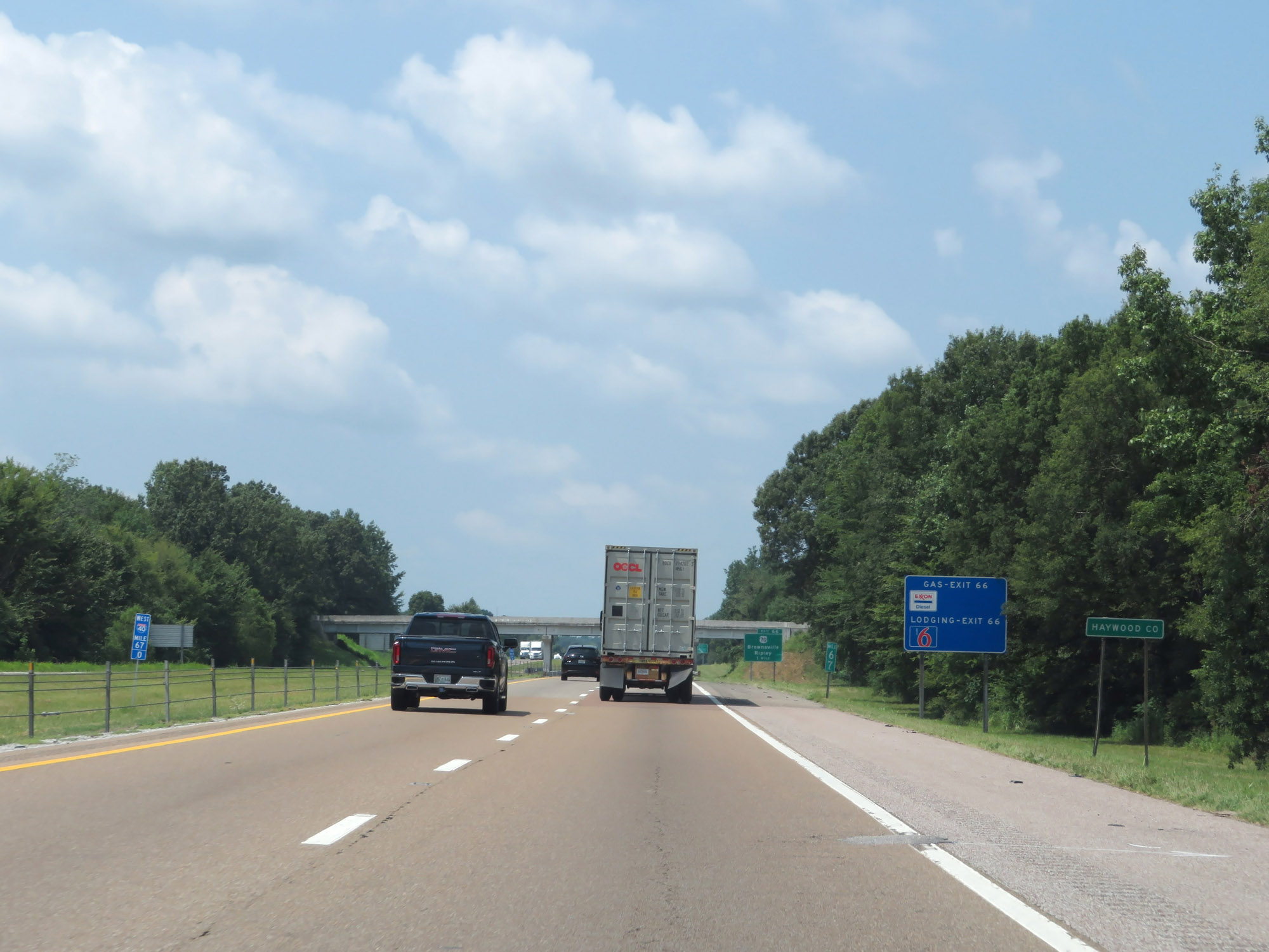 |
Entering Haywood County on Interstate 40 West. (Photo taken 8/12/19). |
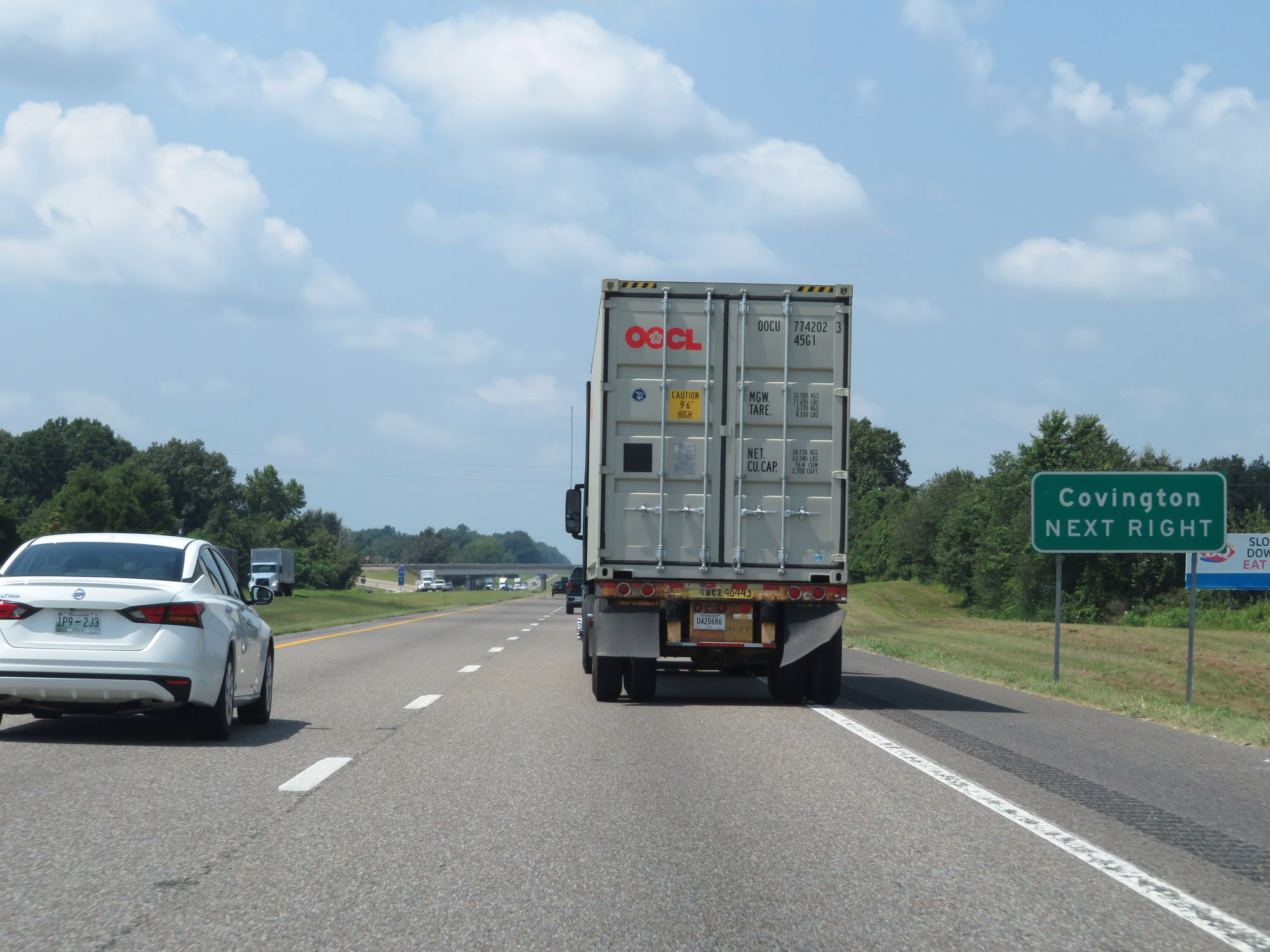 |
Take Exit 66 to Covington. (Photo taken 8/12/19). |
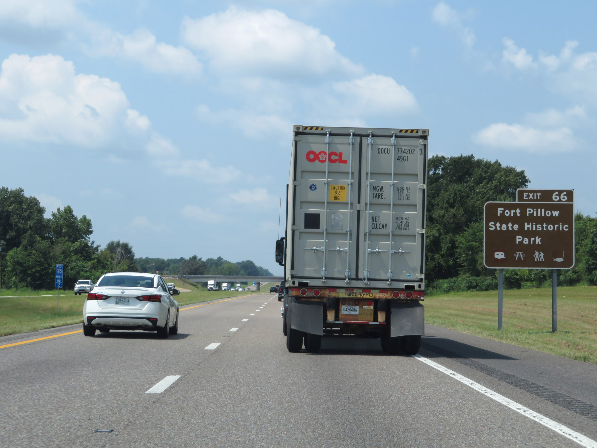 |
Also take Exit 66 to Fort Pillow State Historic Park. (Photo taken 8/12/19). |
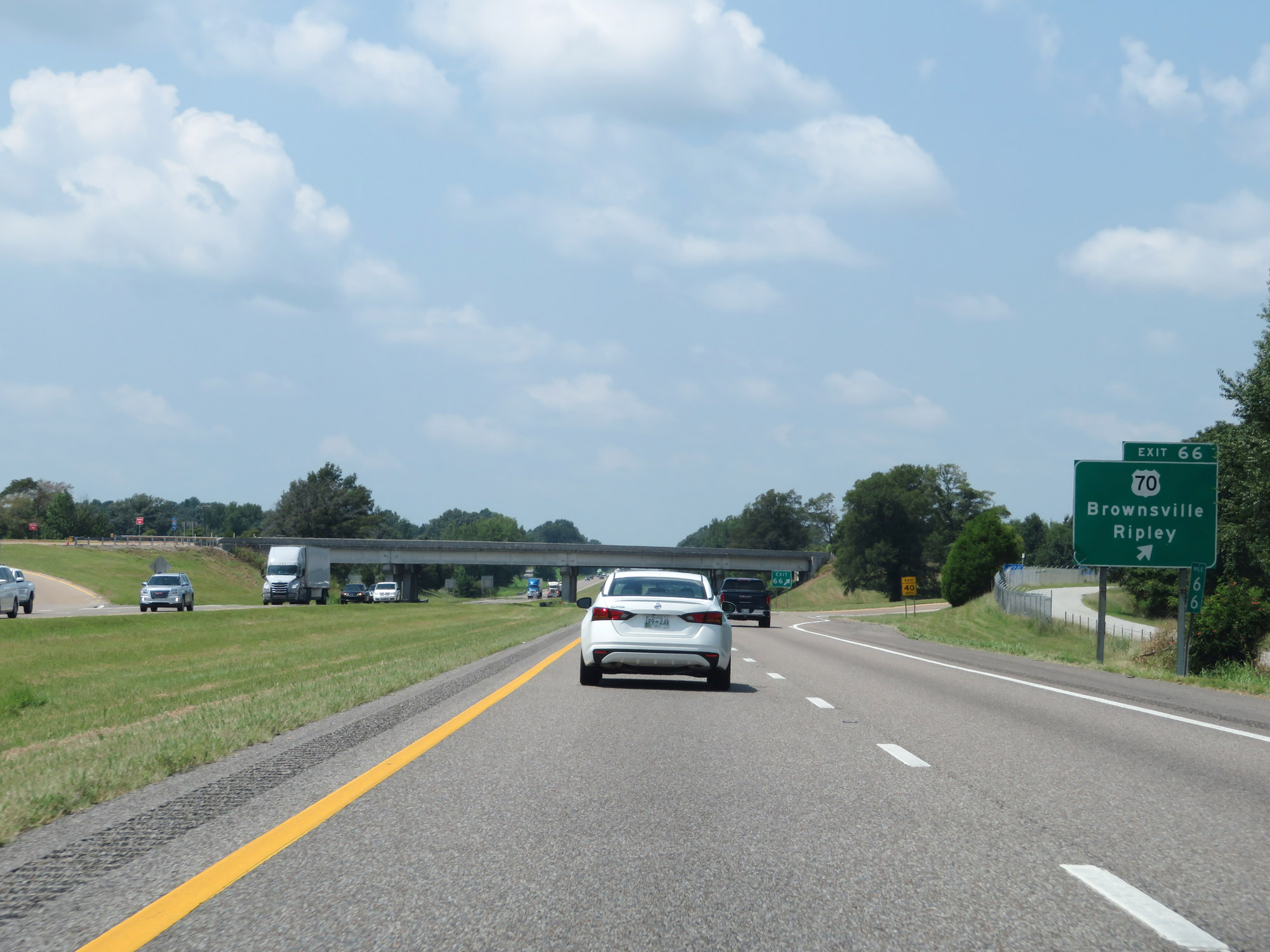 |
Interstate 40 West at Exit 66: US 70 - Brownsville / Ripley (Photo taken 8/12/19). |
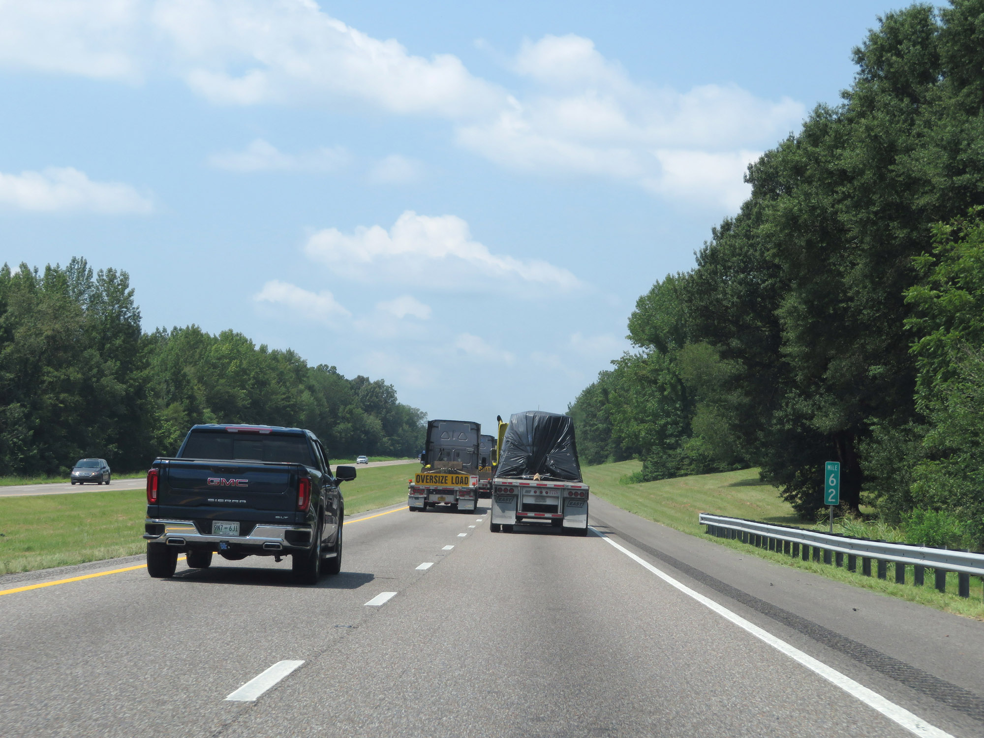 |
Interstate 40 West at mile marker 62. (Photo taken 8/12/19). |
 |
Interstate 40 West at Exit 60: SR 19 - Mercer Rd (Photo taken 8/12/19). |
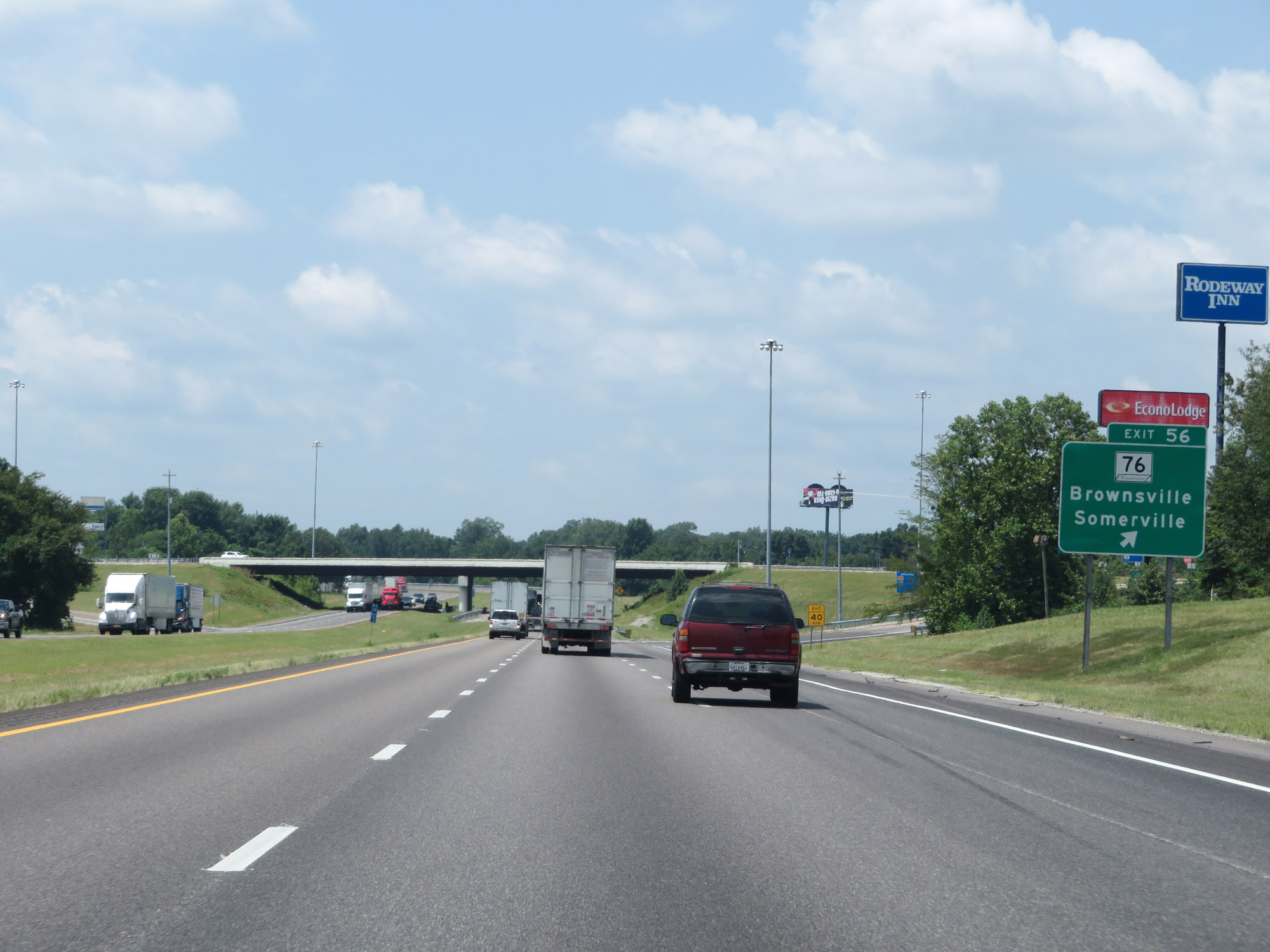 |
Interstate 40 West at Exit 56: TN 76 - Brownsville / Somerville (Photo taken 8/12/19). |
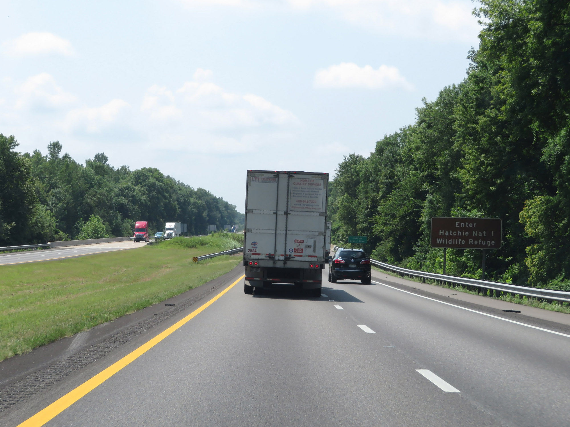 |
Entering the Hatchie National Wildlife Refuge on Interstate 40 West in Haywood County. (Photo taken 8/12/19). |
 |
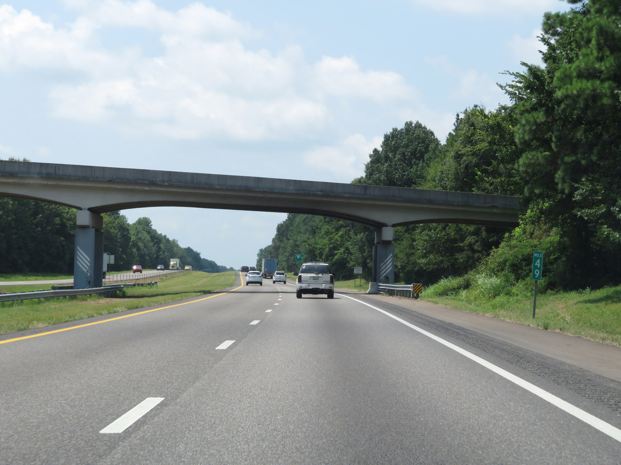
View on Interstate 40 West at mile marker 54. (Photo taken 8/12/19). |
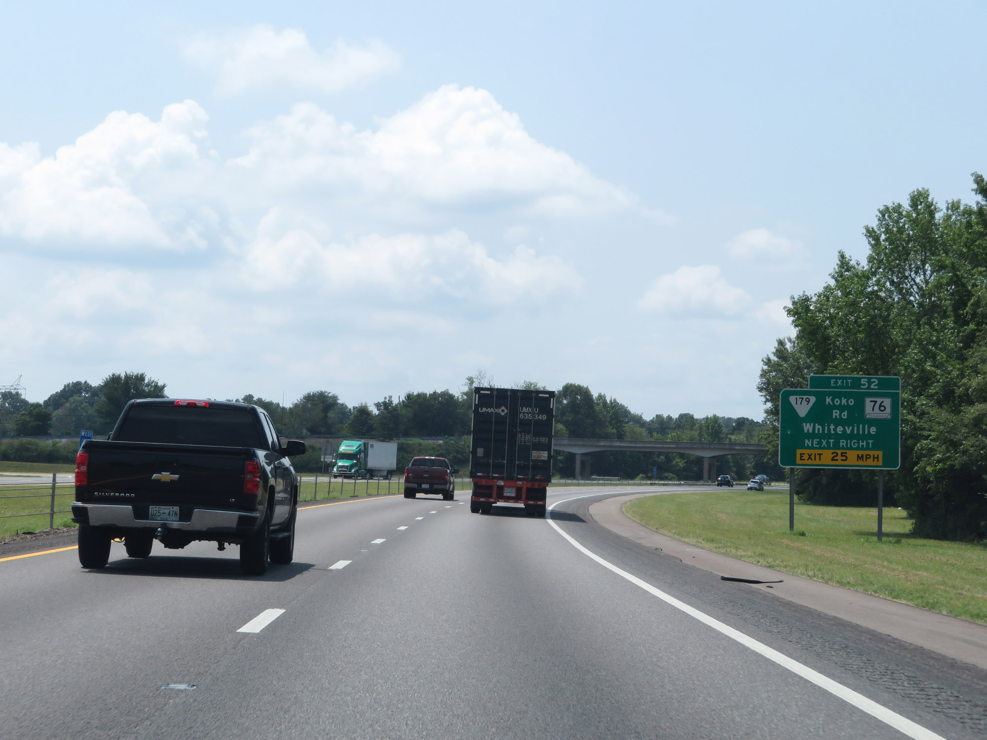 |
Interstate 40 West at Exit 52: SR 179 (Koko Rd) / TN 76 - Whiteville (Photo taken 8/12/19). |
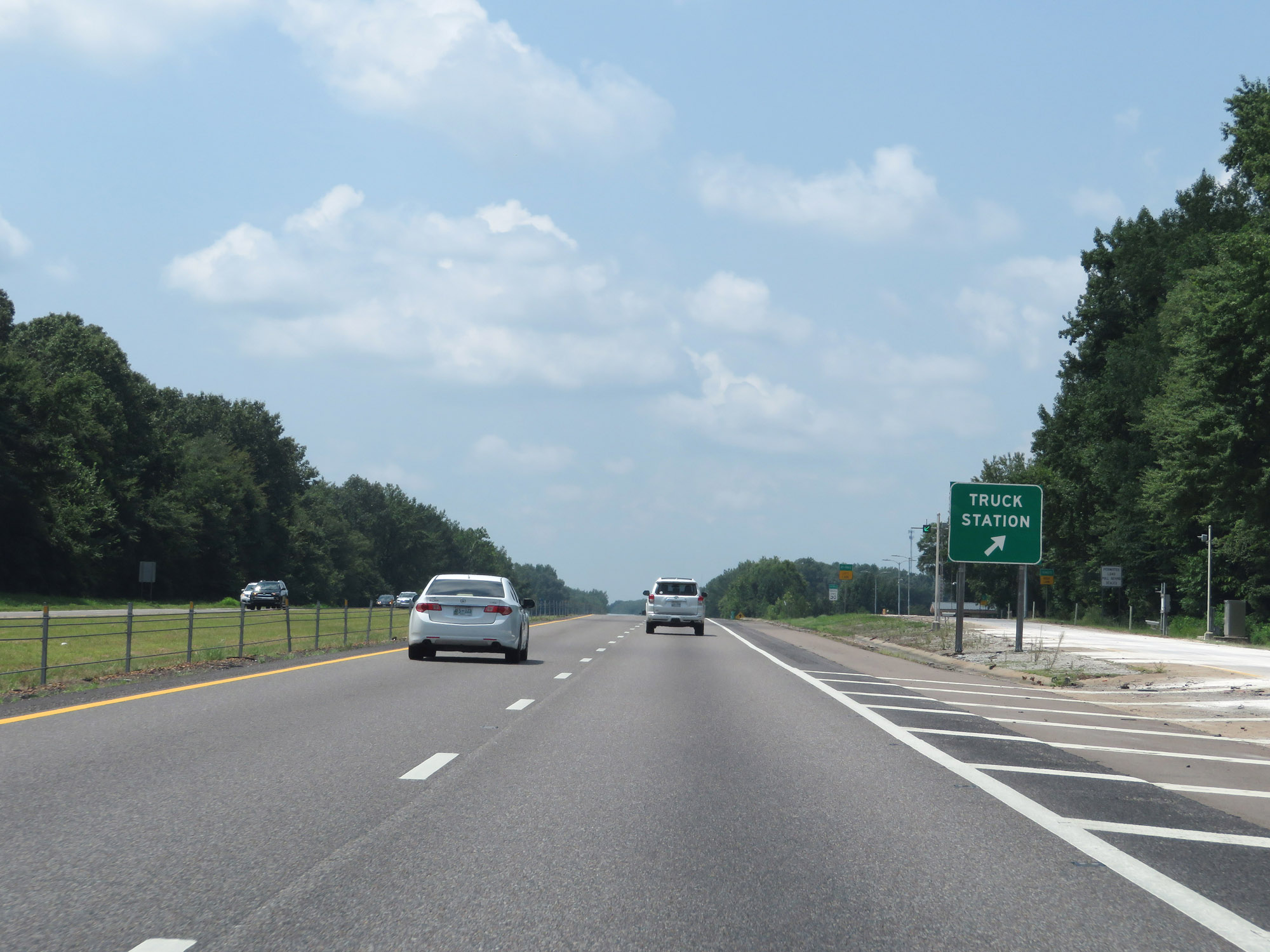 |
Truck Weigh & Inspection Station on Interstate 40 West in Haywood County. (Photo taken 8/12/19). |
 |
Interstate 40 West at mile marker 49. (Photo taken 8/12/19). |
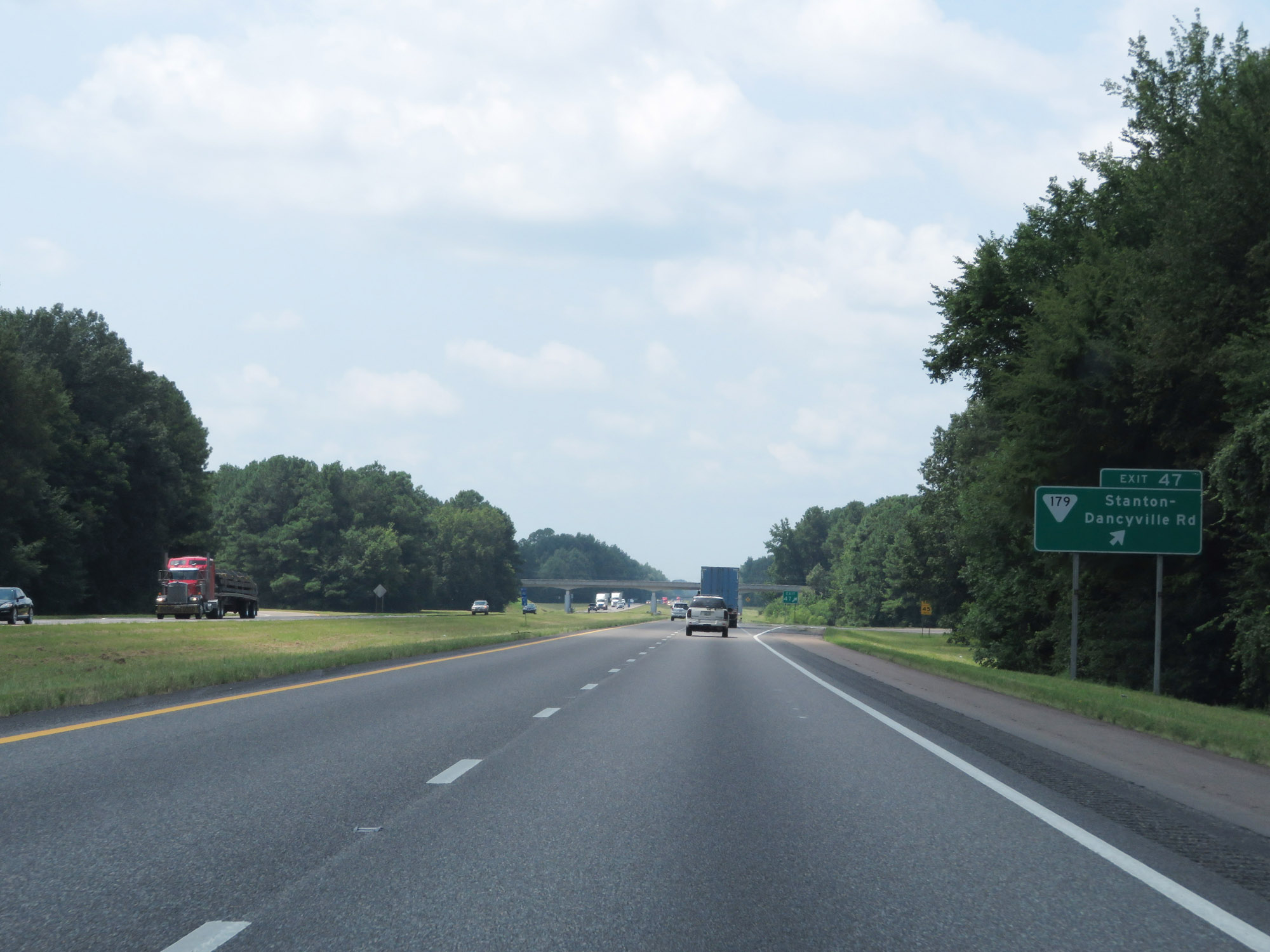 |
Interstate 40 West at Exit 47: SR 179 - Stanton-Dancyville Rd (Photo taken 8/12/19). |
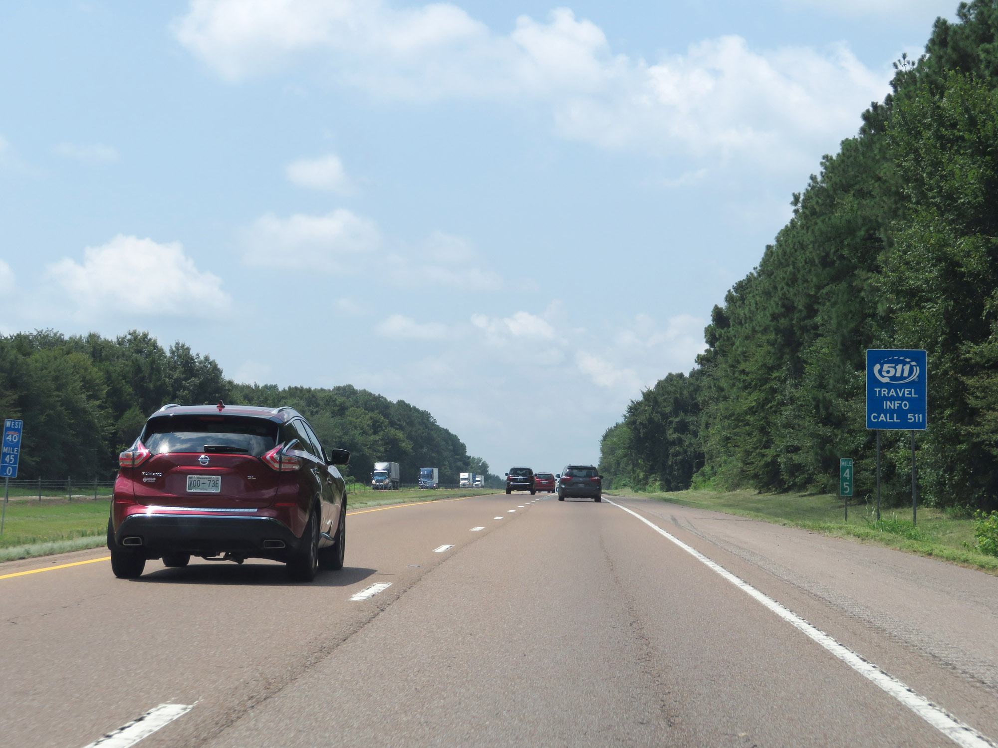 |
View on Interstate 40 West at mile marker 45. (Photo taken 8/12/19). |
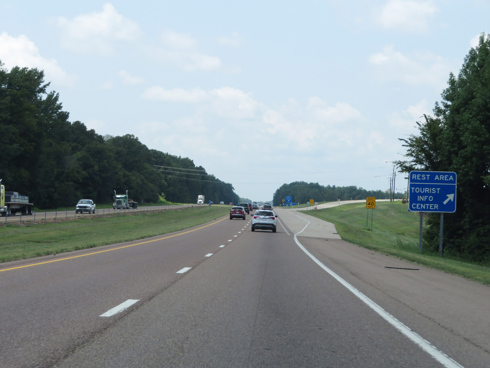 |
Rest Area / Tourist Info Center on Interstate 40 West in Haywood County. (Photo taken 8/12/19). |
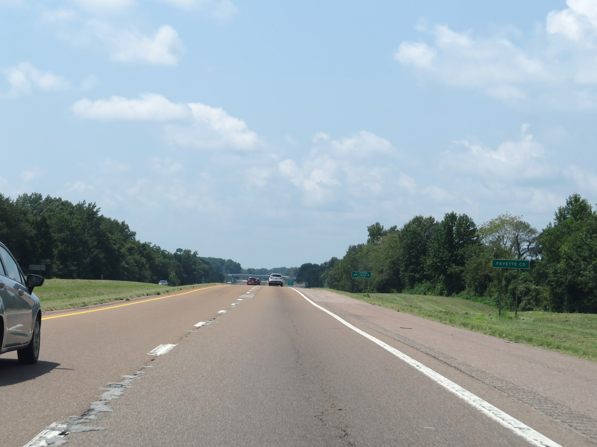 |
Entering Fayette County on Interstate 40 West. (Photo taken 8/12/19). |
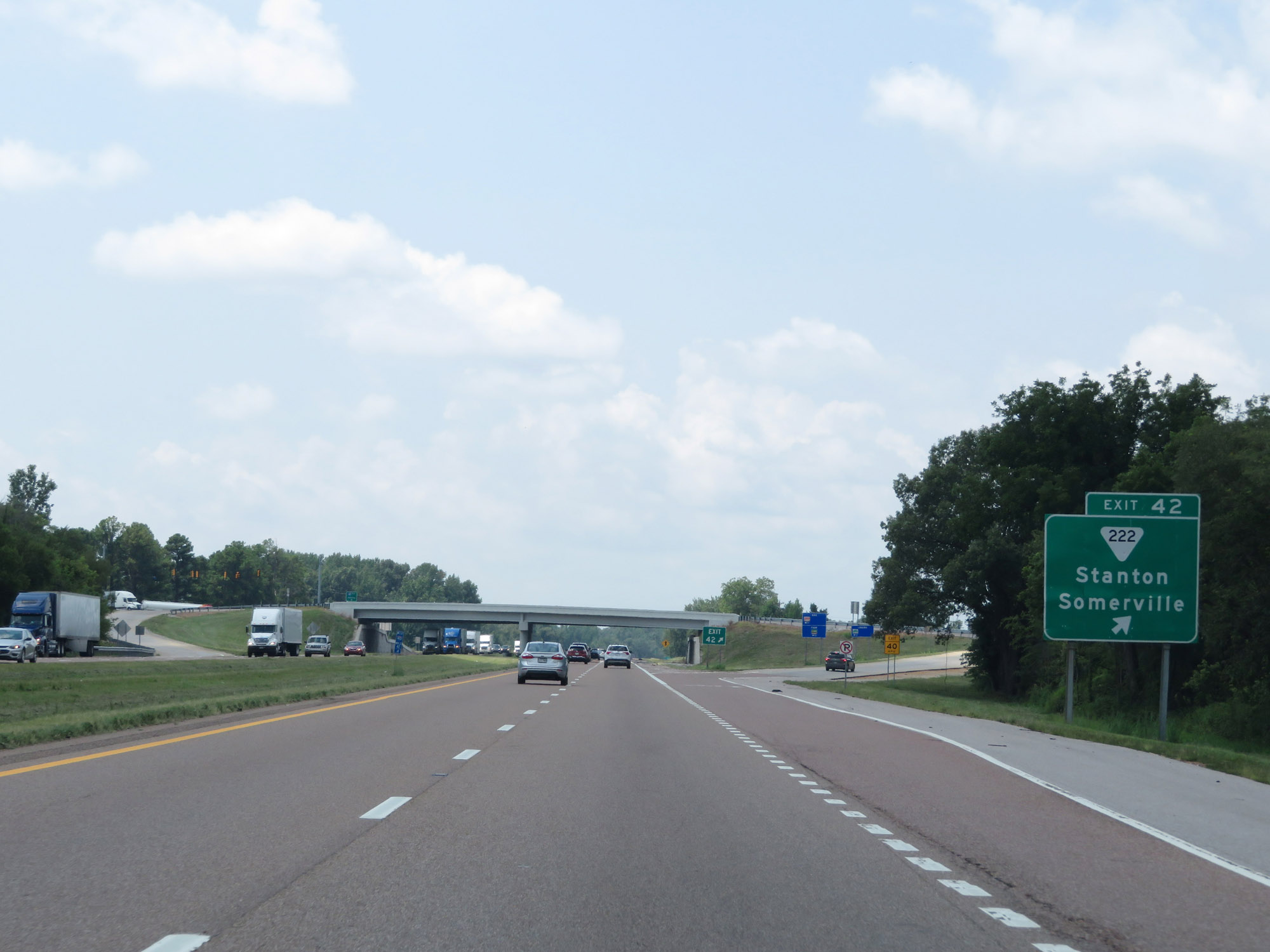 |
Interstate 40 West at Exit 42: SR 222 - Stanton / Somerville (Photo taken 8/12/19). |
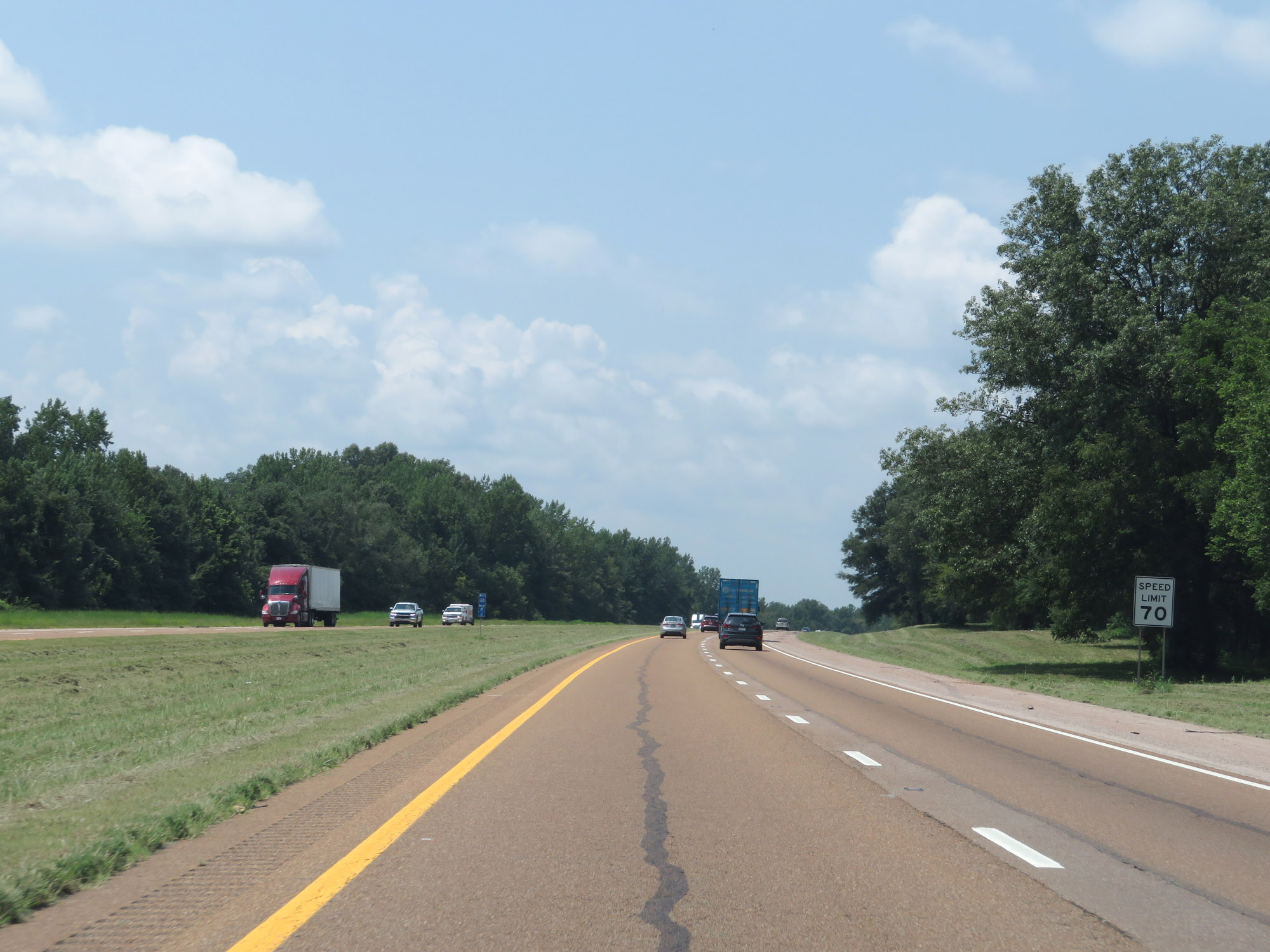 |
The speed limit remains 70 mph. (Photo taken 8/12/19). |
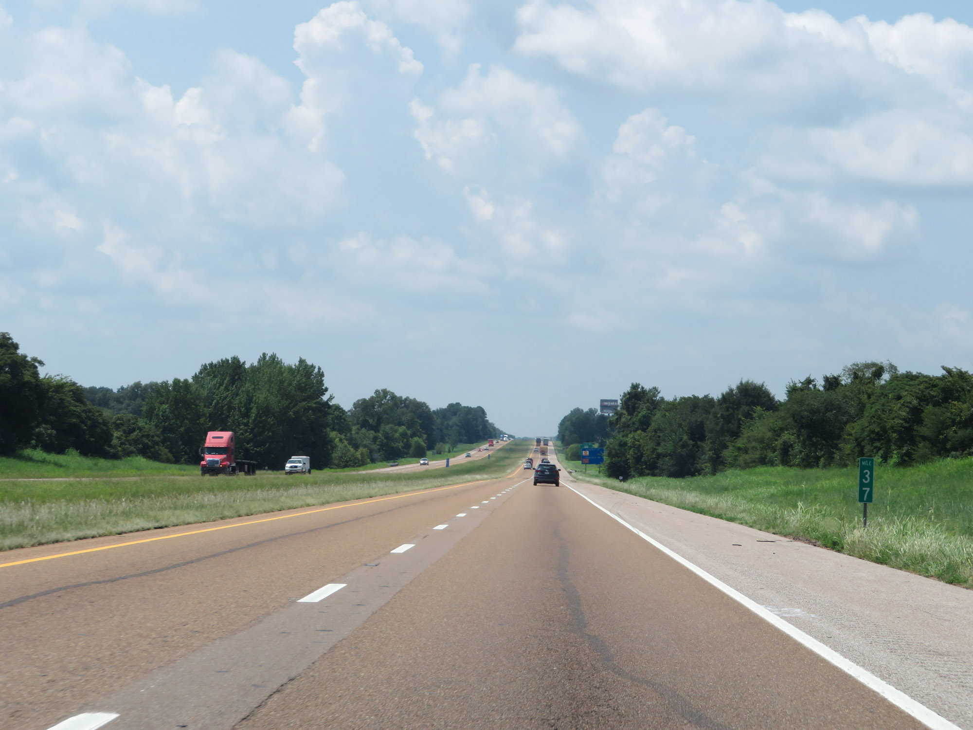 |
Interstate 40 West at mile marker 37. (Photo taken 8/12/19). |
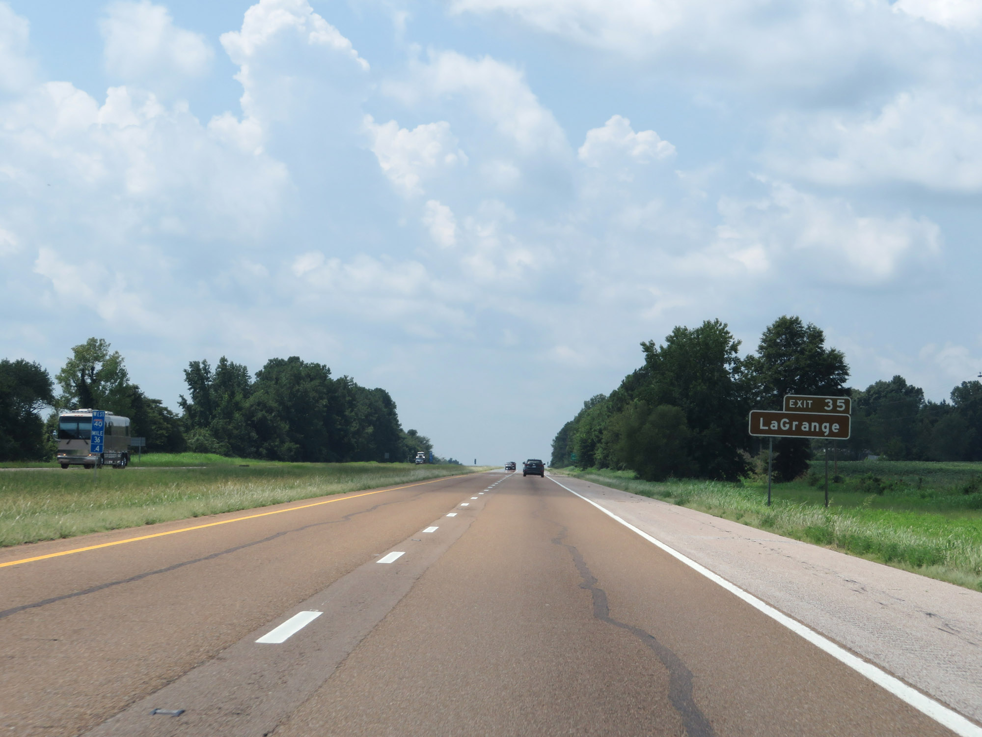 |
Take Exit 35 to LaGrange. (Photo taken 8/12/19). |
 |
Also take Exit 35 to Oakland. (Photo taken 8/12/19). |
 |
Interstate 40 West at Exit 35: TN 59 - Covington / Somerville (Photo taken 8/12/19). |
 |
Interstate 40 West at mile marker 33. (Photo taken 8/12/19). |
 |
View on Interstate 40 West at mile marker 31. (Photo taken 8/12/19). |
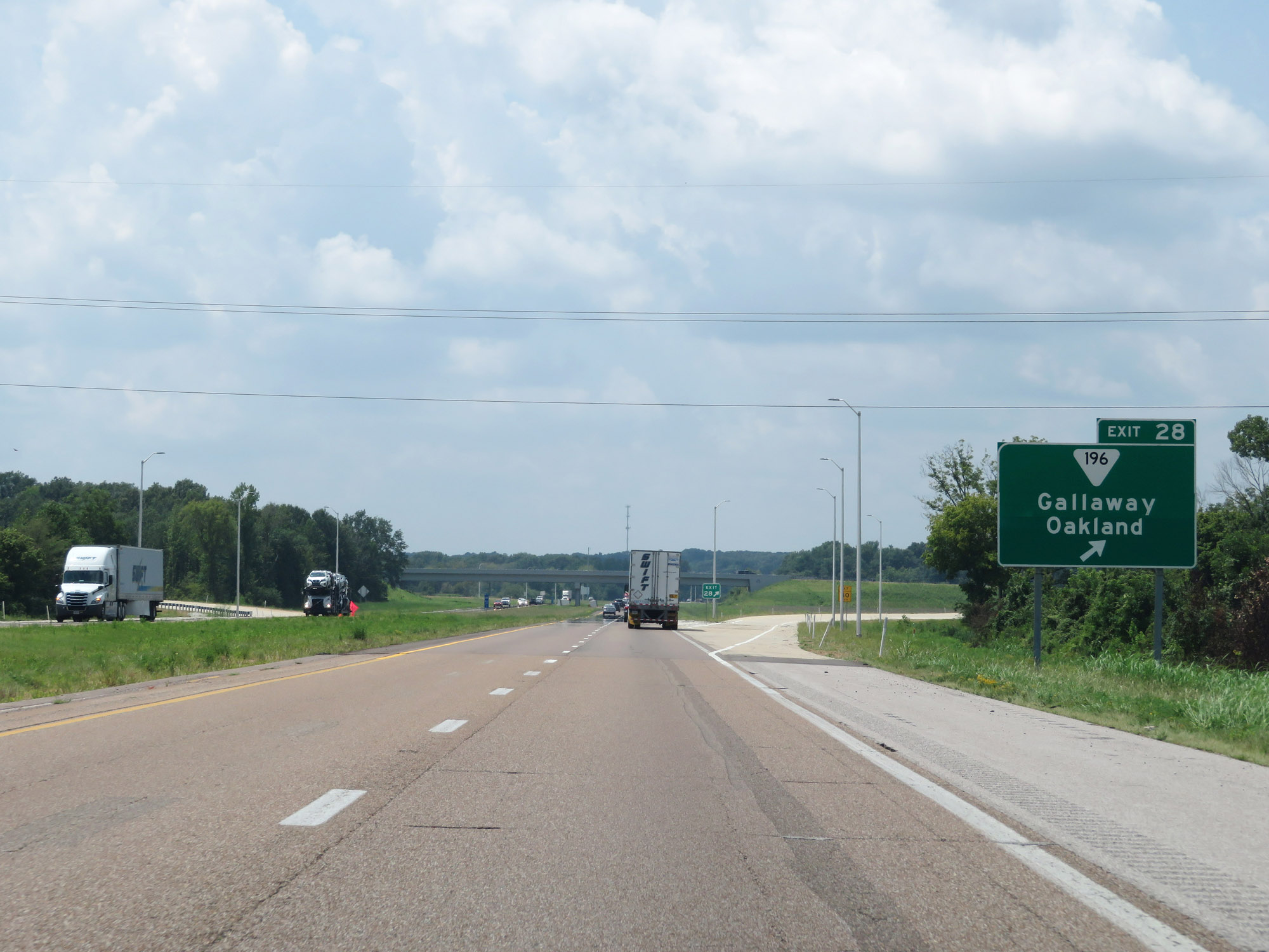 |
Interstate 40 West at Exit 28: SR 196 - Gallaway / Oakland (Photo taken 8/12/19). |
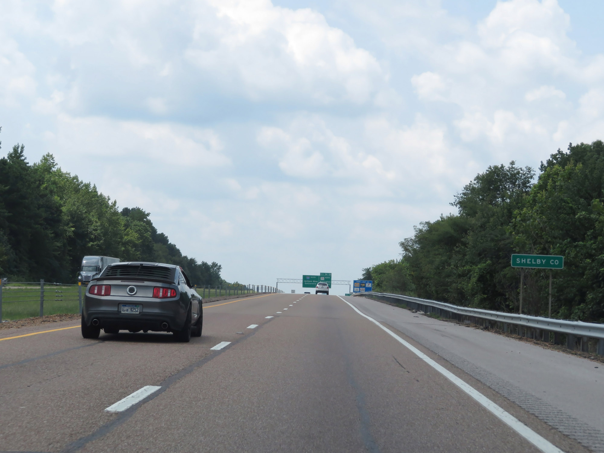 |
Interstate 40 West as it enters Shelby County. (Photo taken 8/12/19). |
 |
This section of Interstate 40 in Shelby County is also known as Isaac Hayes Memorial Highway. (Photo taken 8/12/19). |
 |
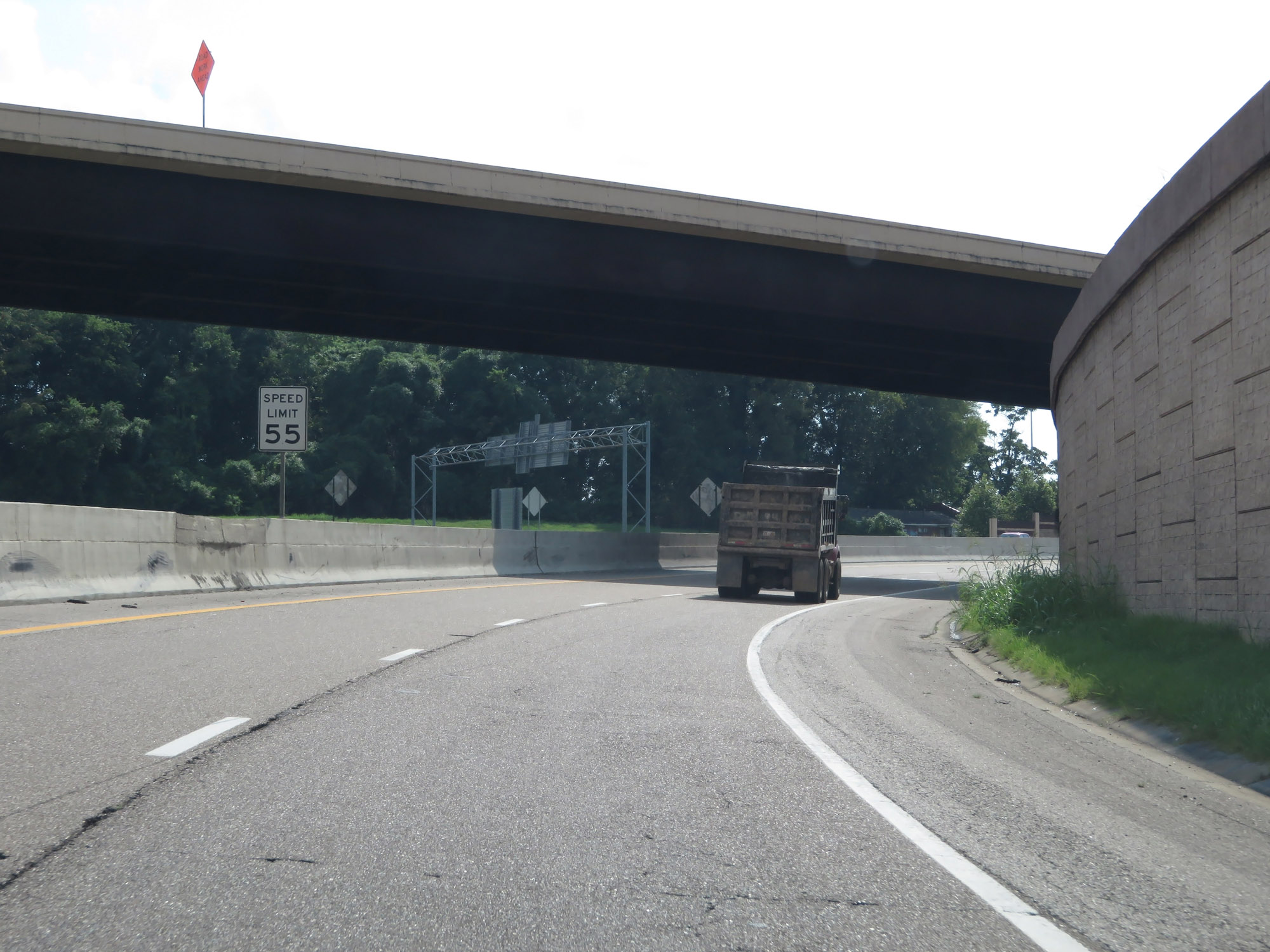
Entering Shelby County, the speed limits decrease to 65 mph for cars and 55 mph for trucks. Shelby County is one of the counties which has these "environmental speed limits", similar to several counties in east Tennessee. (Photo taken 8/12/19). |
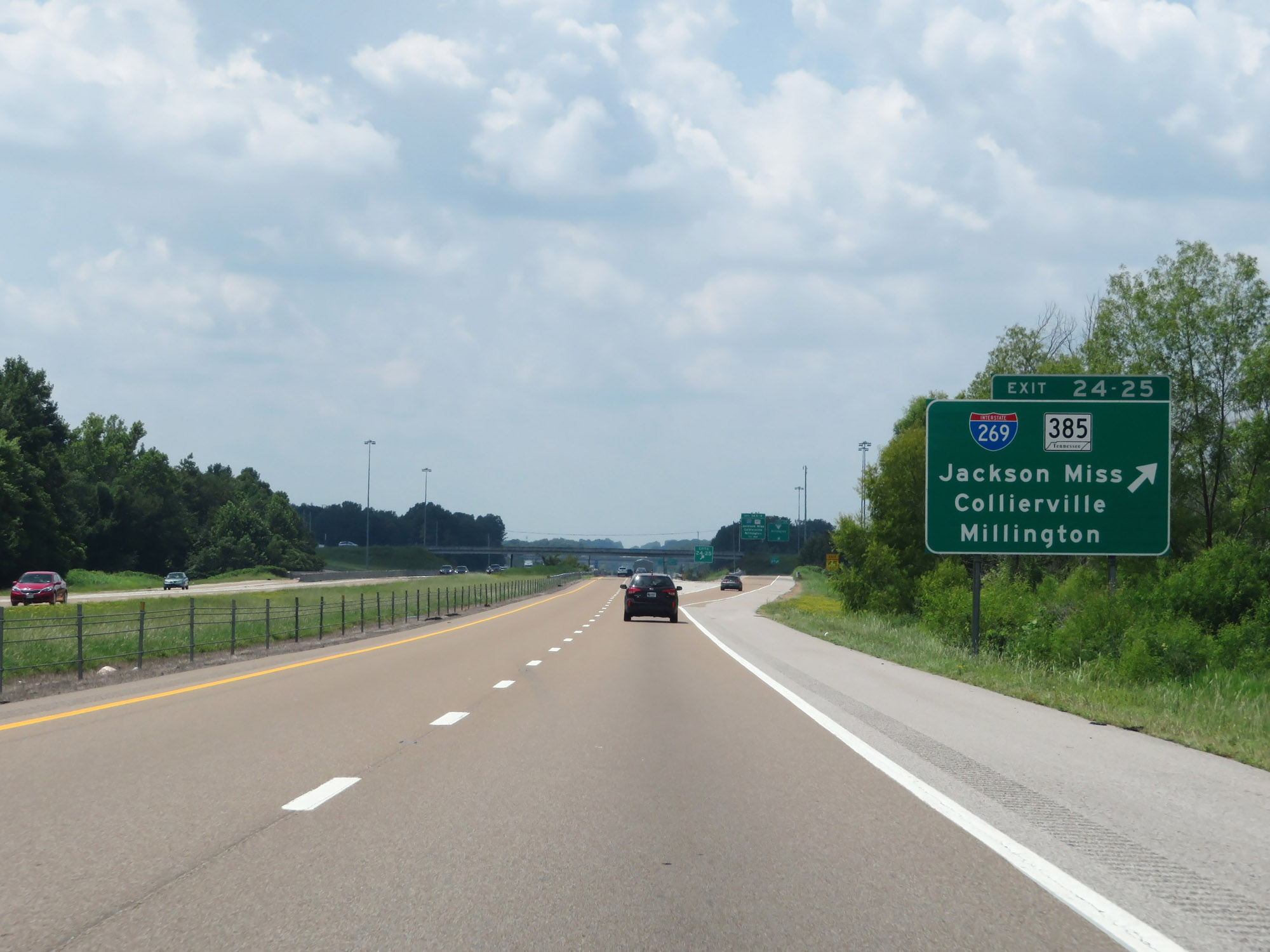 |
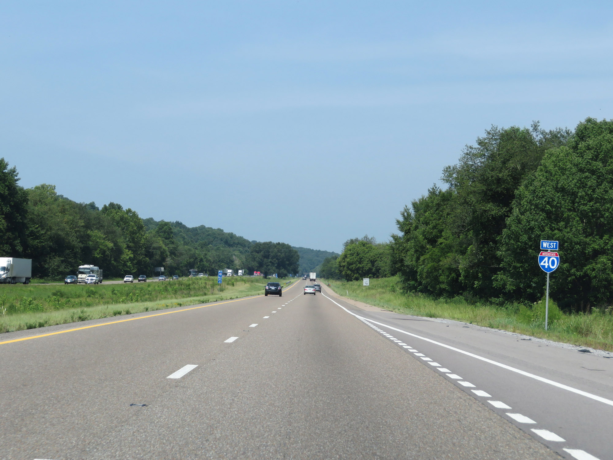
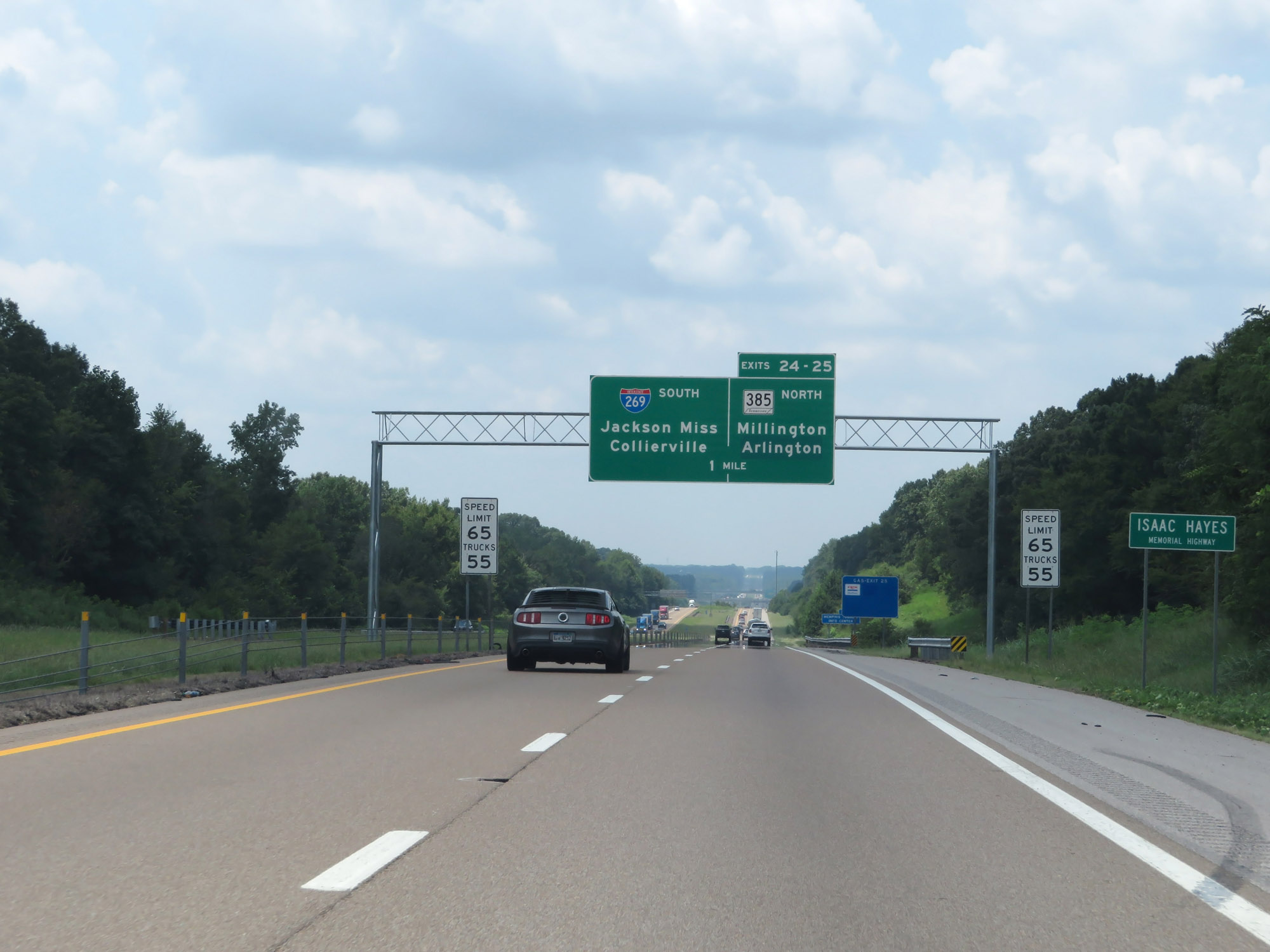
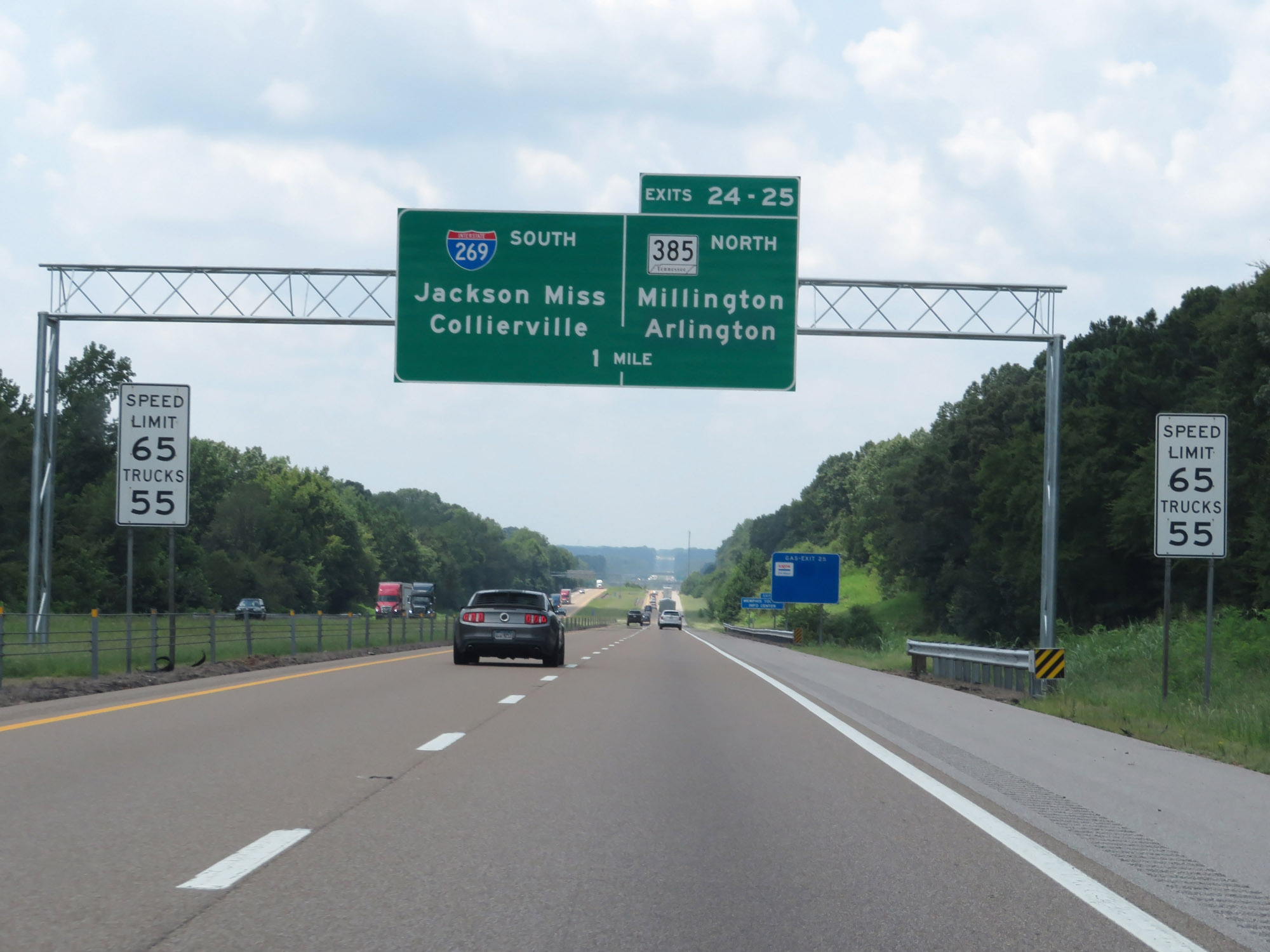
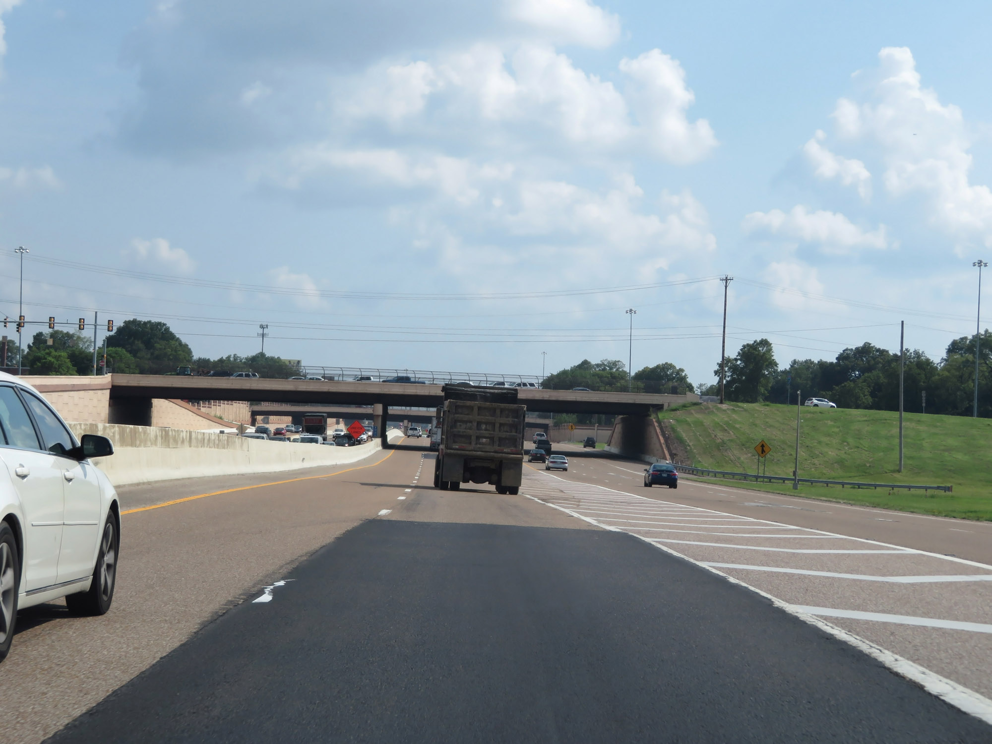
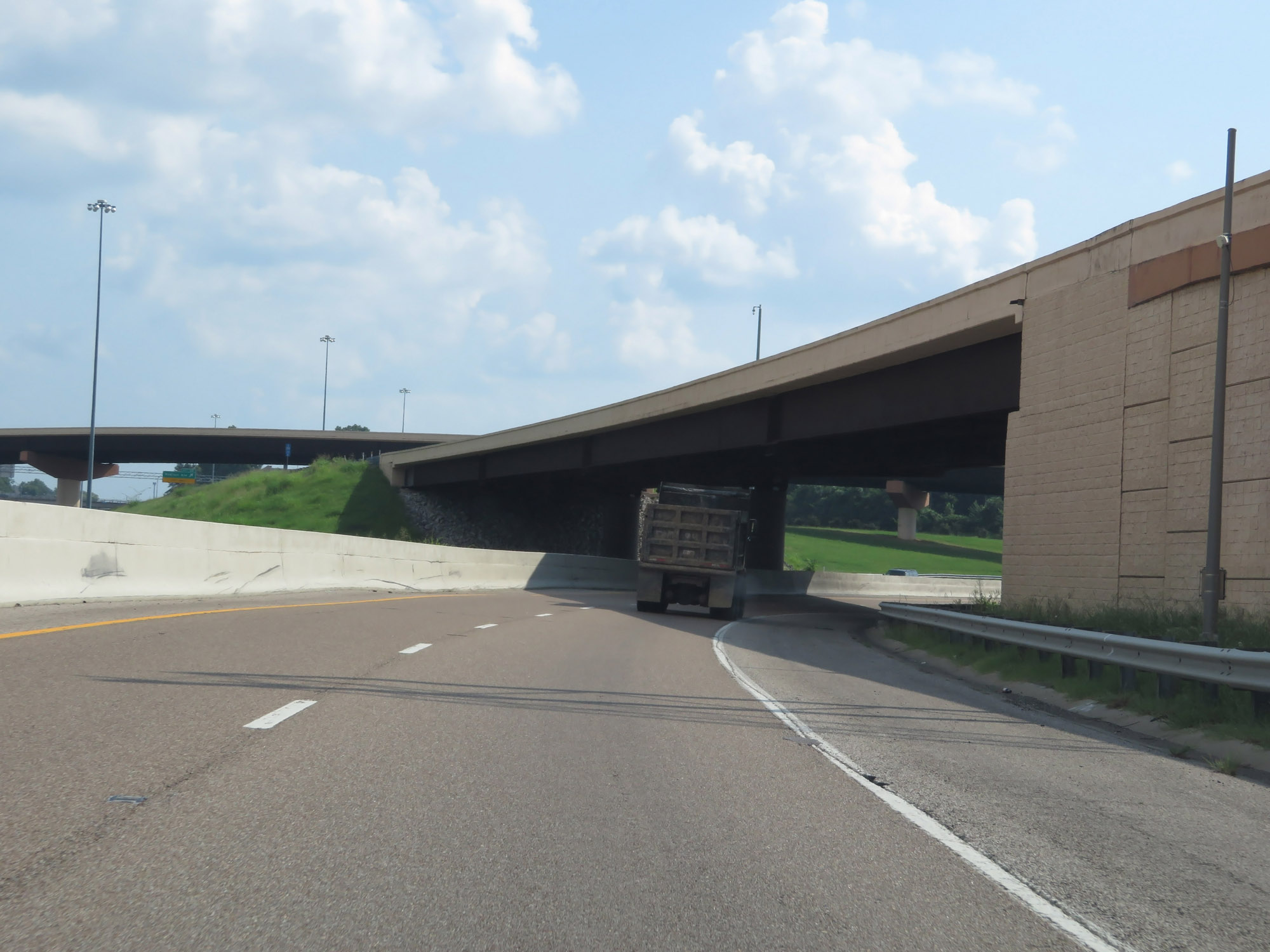
Interstate 40 West at the ramp to Exits 25-24: Interstate 269 / TN 385 - Jackson, MS / Collierville / Millington (Photo taken 8/12/19). |
 |
Interstate 40 West at Exit 25: SR 205 - Arlington (Photo taken 8/12/19). |
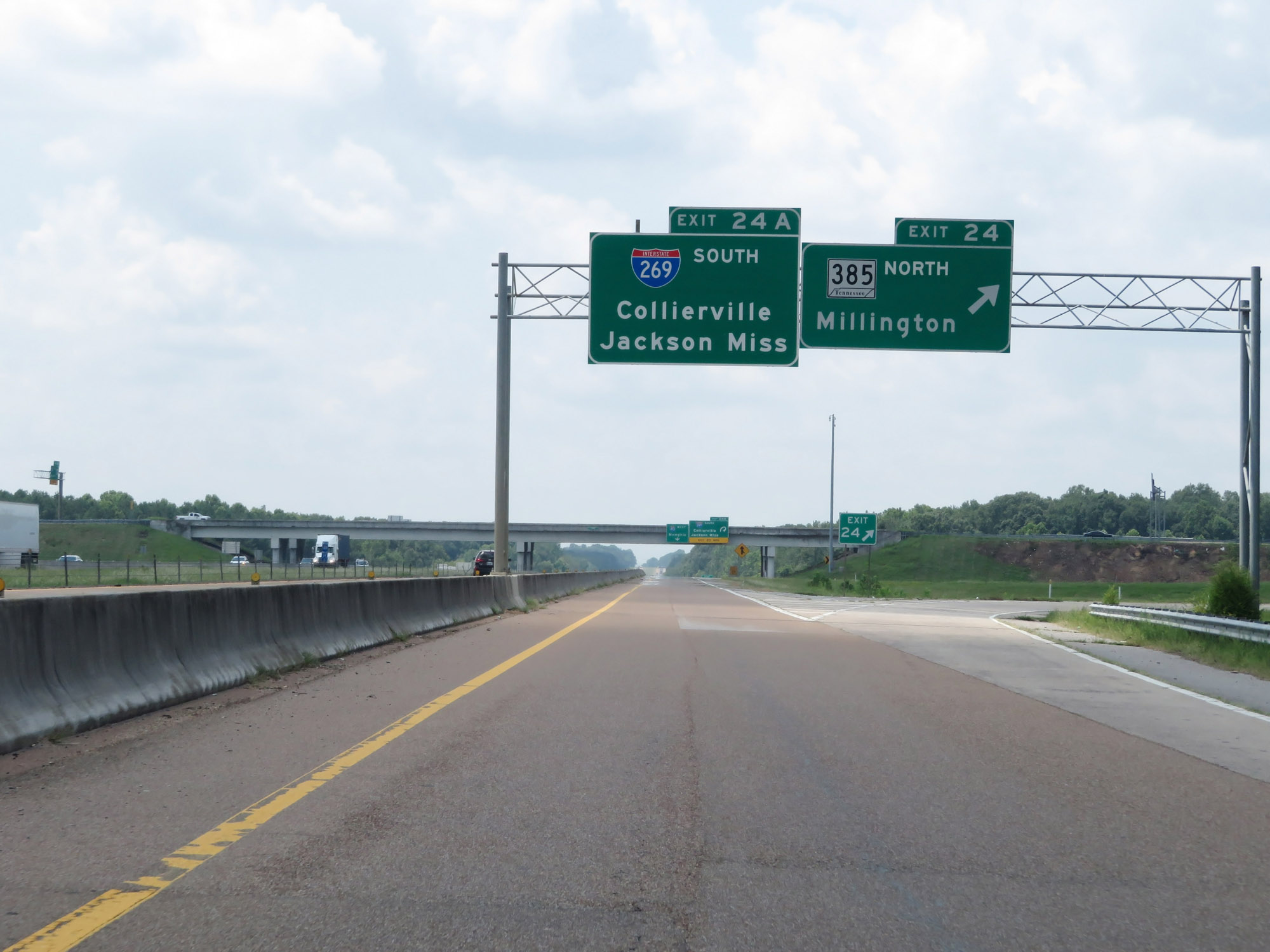 |
Interstate 40 West at Exit 24: TN 385 North - Millington (Photo taken 8/12/19). |
 |
Interstate 40 West at Exit 24A: Interstate 269 South - Collierville / Jackson, MS (Photo taken 8/12/19). |
Section 10: Arlington (Exit 24A) to Arkansas Border
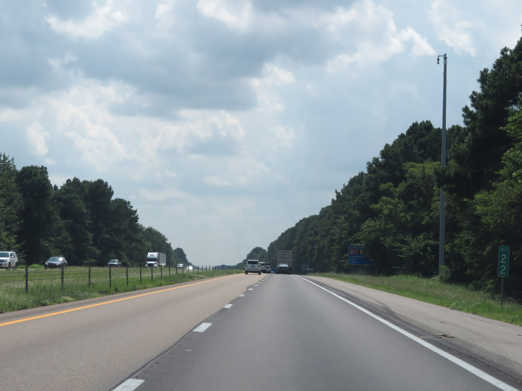 |
Interstate 40 West at mile marker 22. (Photo taken 8/12/19). |
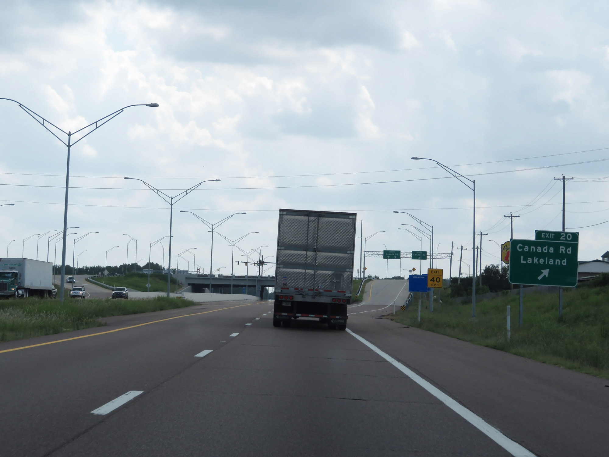 |
Interstate 40 West at Exit 20: Canada Rd / Lakeland (Photo taken 8/12/19). |
 |
The speed limits remain 65 mph for cars and 55 mph for trucks. (Photo taken 8/12/19). |
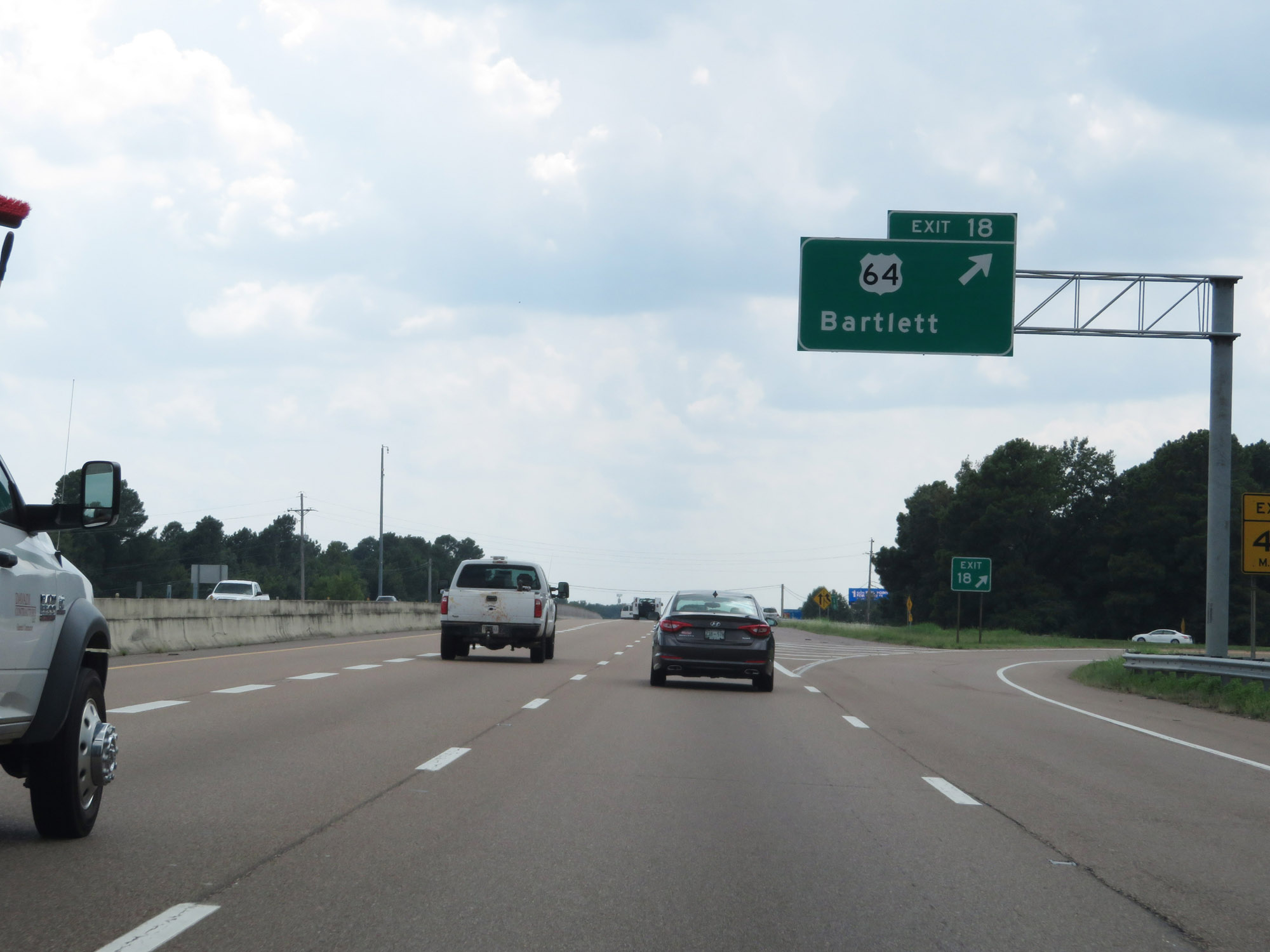 |
Interstate 40 West at Exit 18: US 64 - Bartlett (Photo taken 8/12/19). |
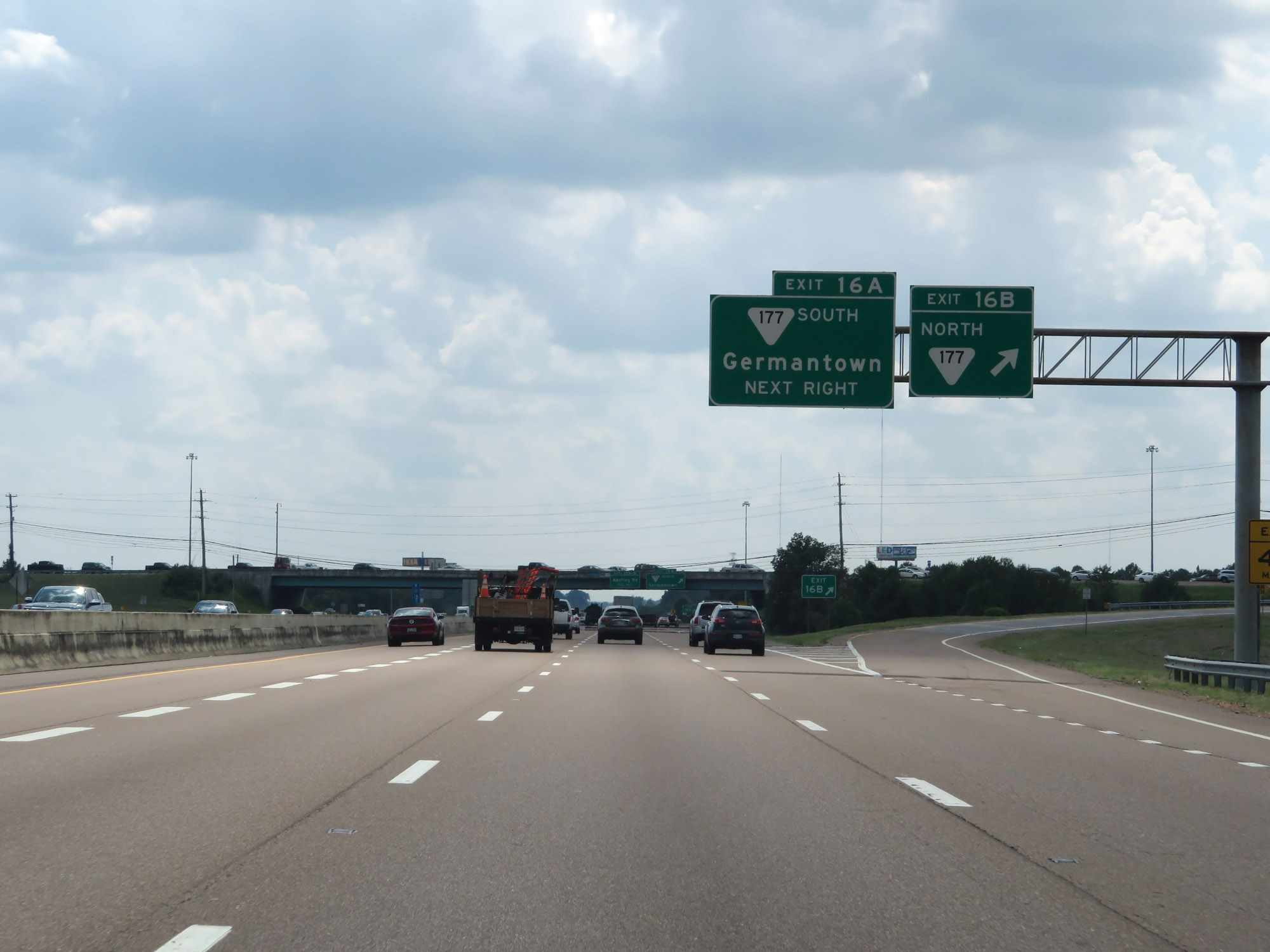 |
Interstate 40 West at Exit 16B: SR 177 North (Photo taken 8/12/19). |
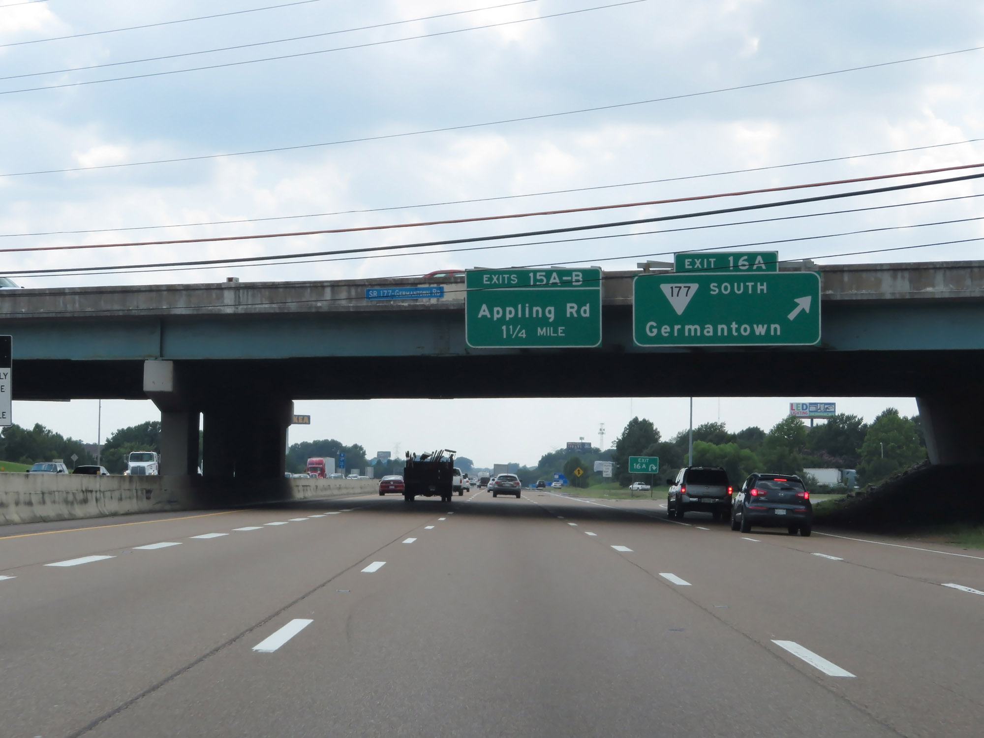 |
Interstate 40 West at Exit 16A: SR 177 South - Germantown (Photo taken 8/12/19). |
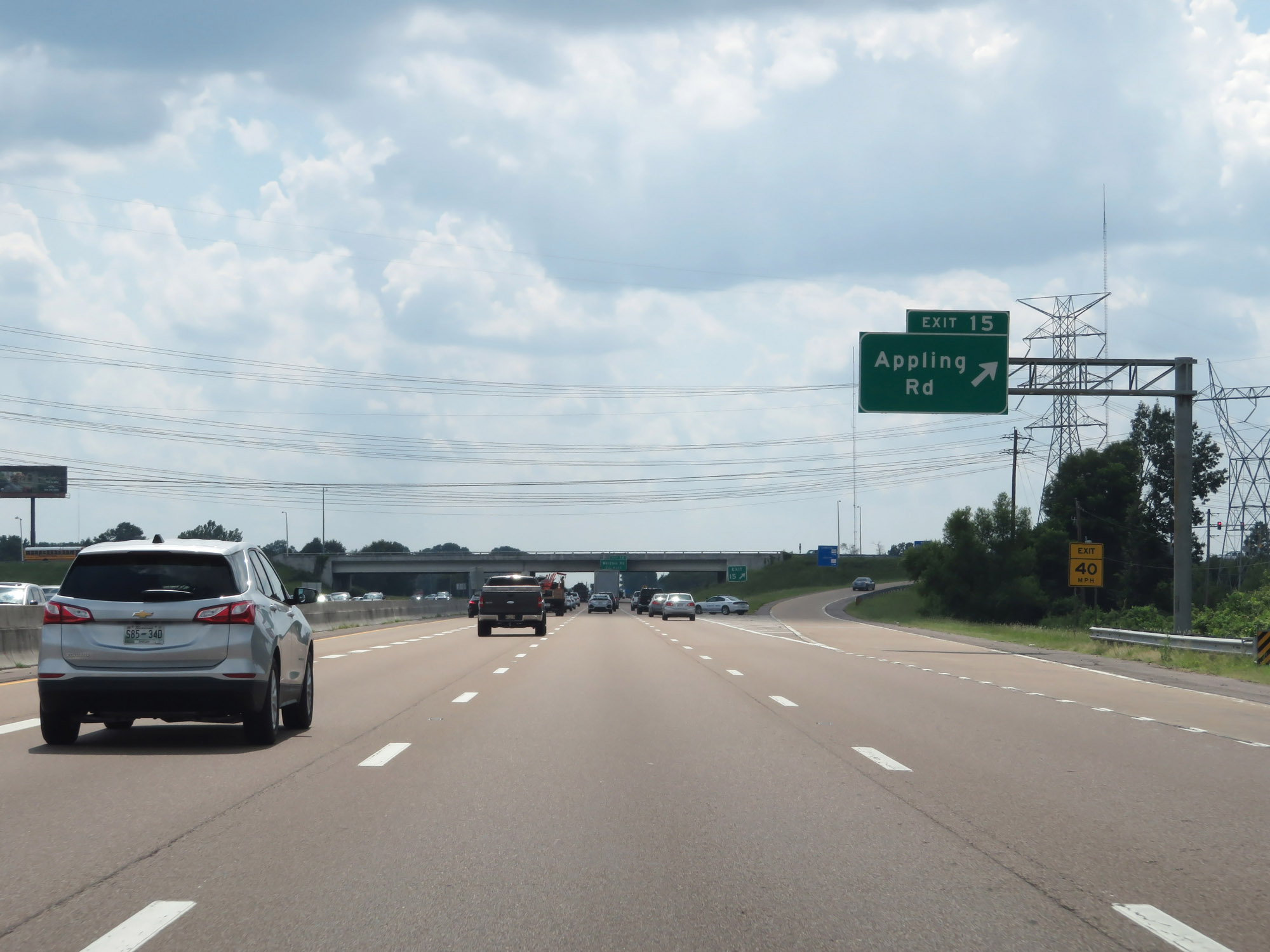 |
Interstate 40 West at Exit 15: Appling Rd (Photo taken 8/12/19). |
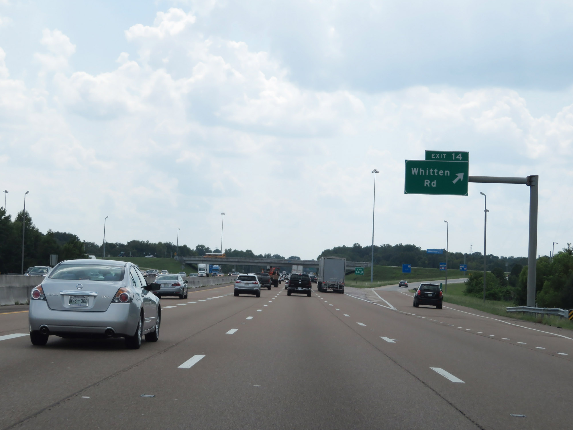 |
Interstate 40 West at Exit 14: Whitten Rd (Photo taken 8/12/19). |
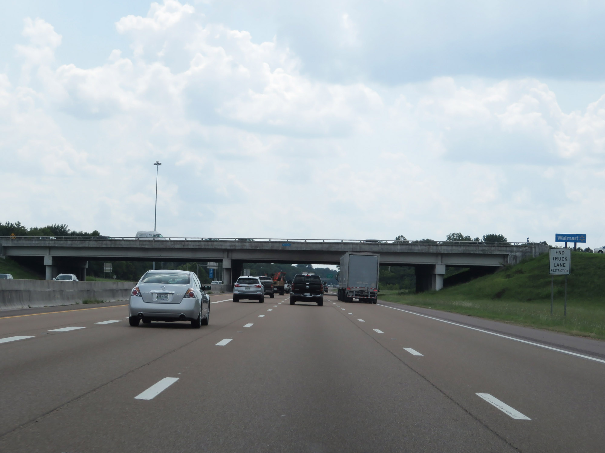 |
West of Exit 14, the truck lane restrictions come to an end. (Photo taken 8/12/19). |
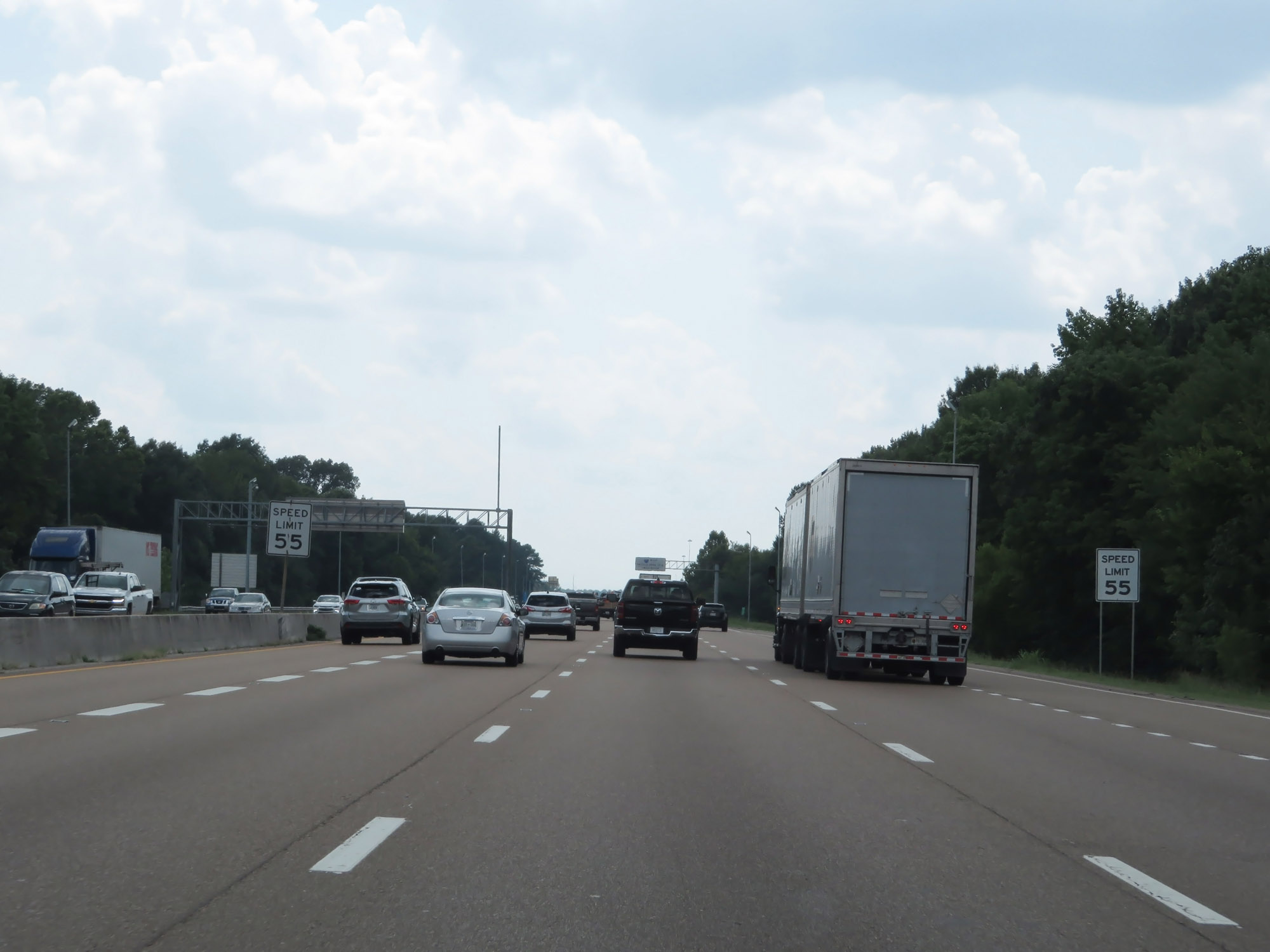 |
The speed limit decreases to 55 mph for all traffic as Interstate 40 West approaches Exit 12. (Photo taken 8/12/19). |
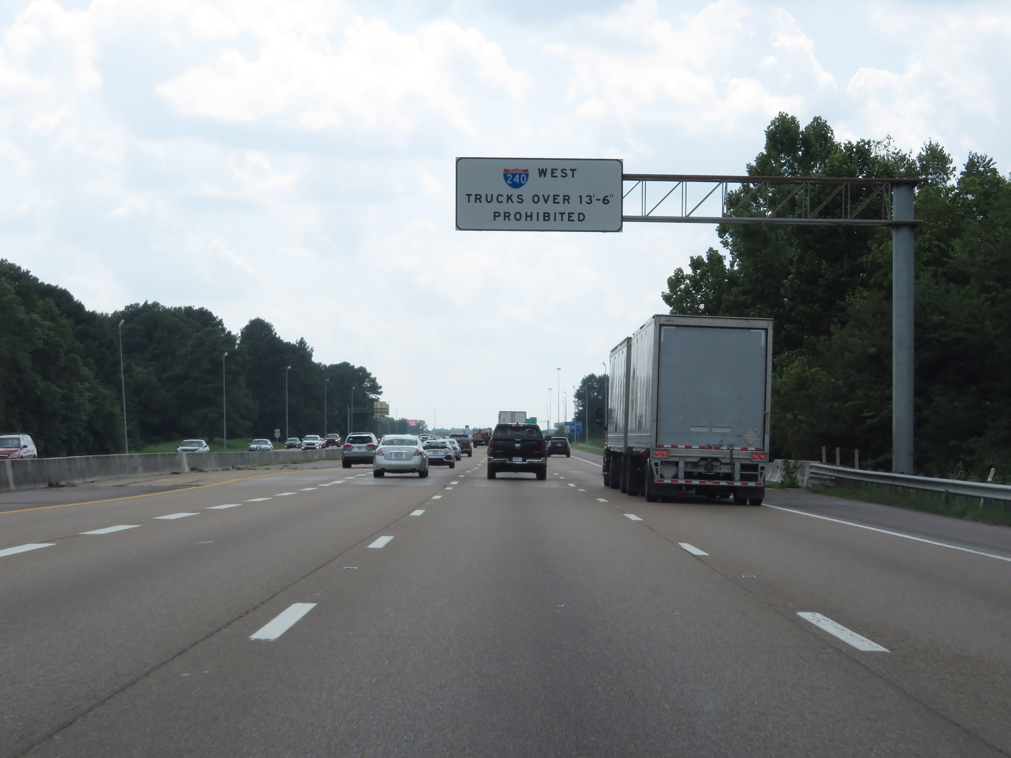 |
As this overhead sign reads, trucks over 13'6" in height are prohibited on Interstate 240 West via Exit 10A. (Photo taken 8/12/19). |
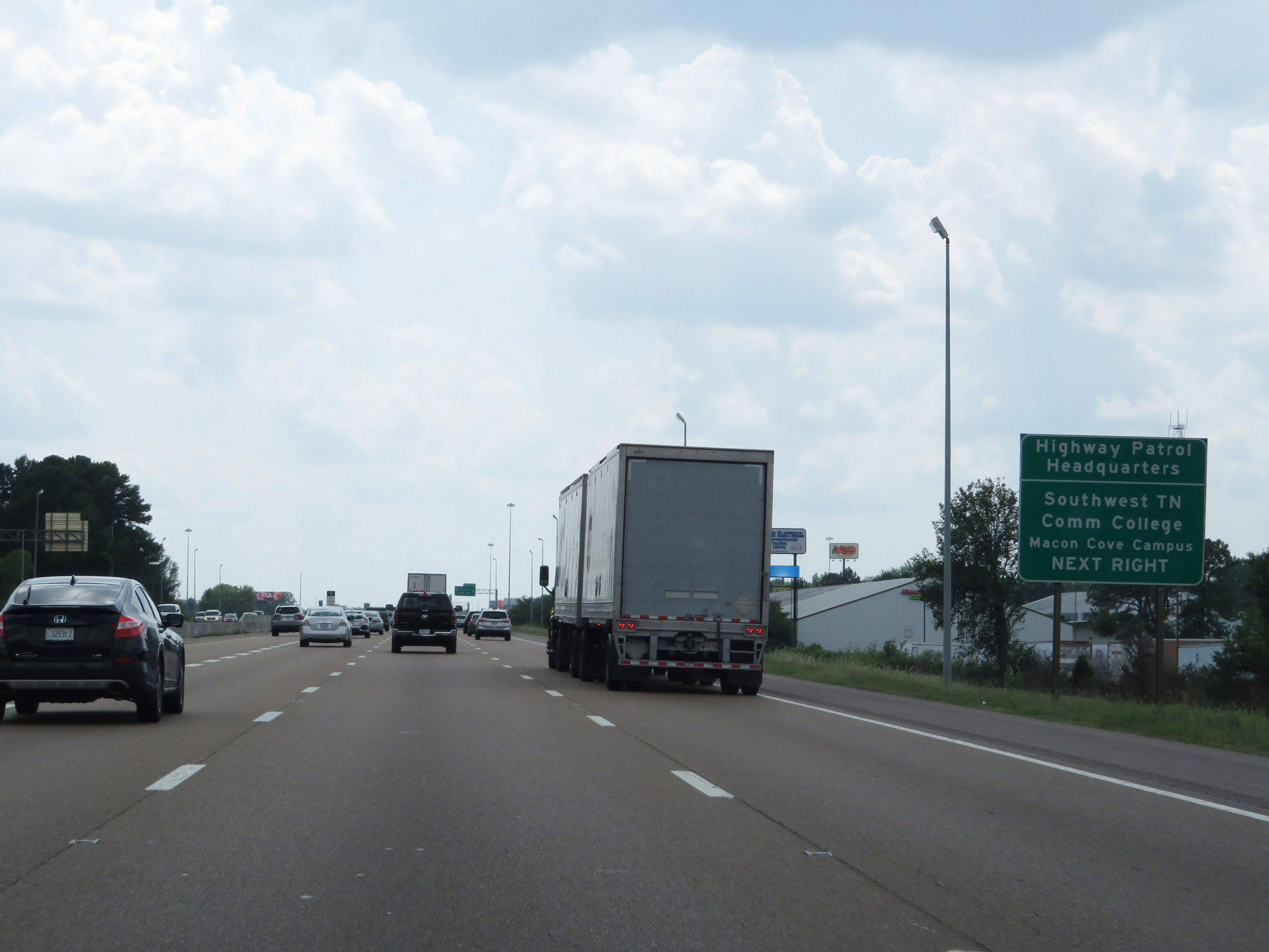 |
Take Exit 12 to the Highway Patrol Headquarters and Southwest TN Community College Macon Cove Campus. (Photo taken 8/12/19). |
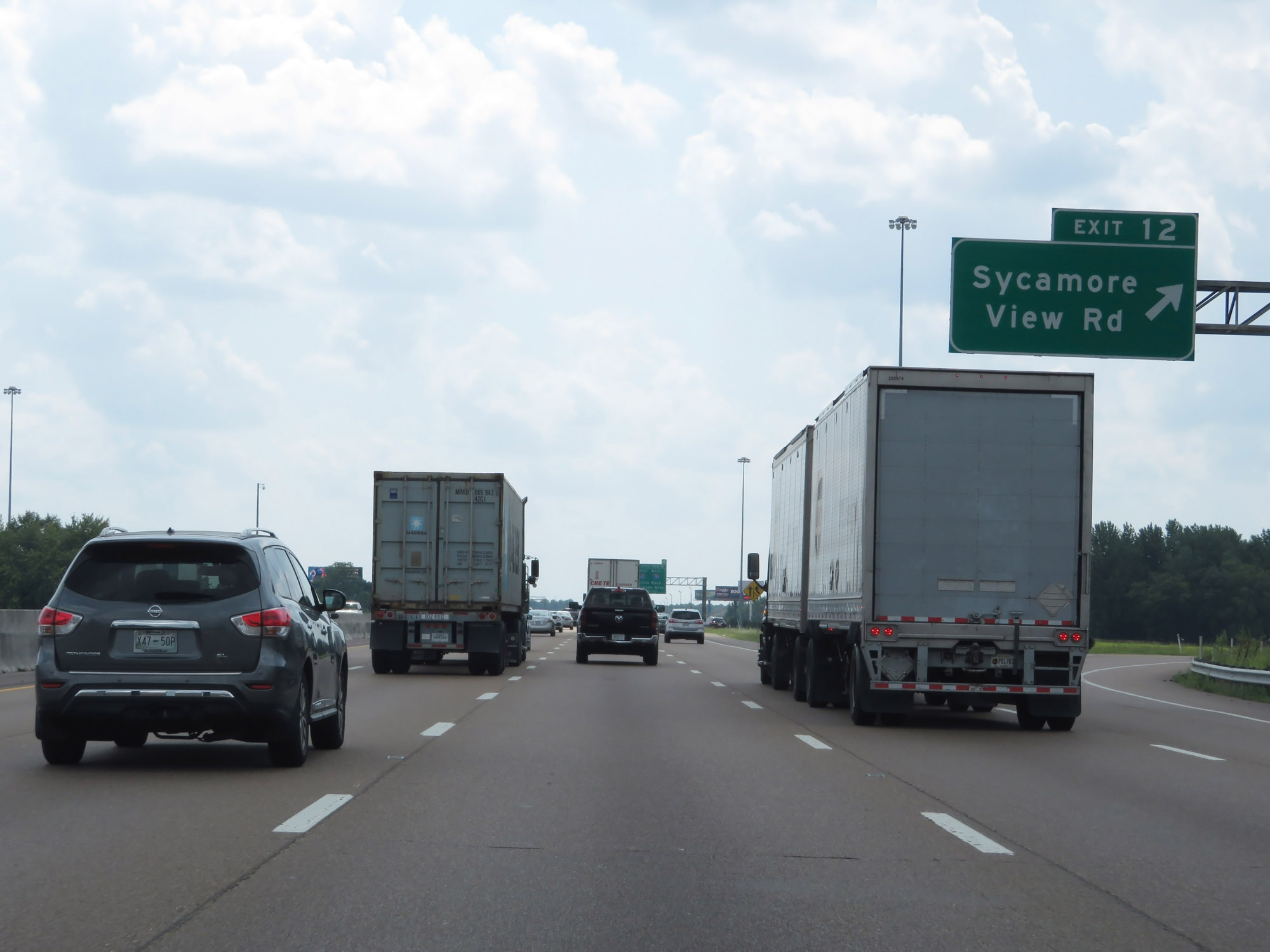 |
Interstate 40 West at Exit 12: Sycamore View Rd (Photo taken 8/12/19). |
 |
Interstate 40 West approaching Exits 10B-A - 3/4 mile. Traffic to Sam Cooper Blvd will need to move into the leftmost lane. (Photo taken 8/12/19). |
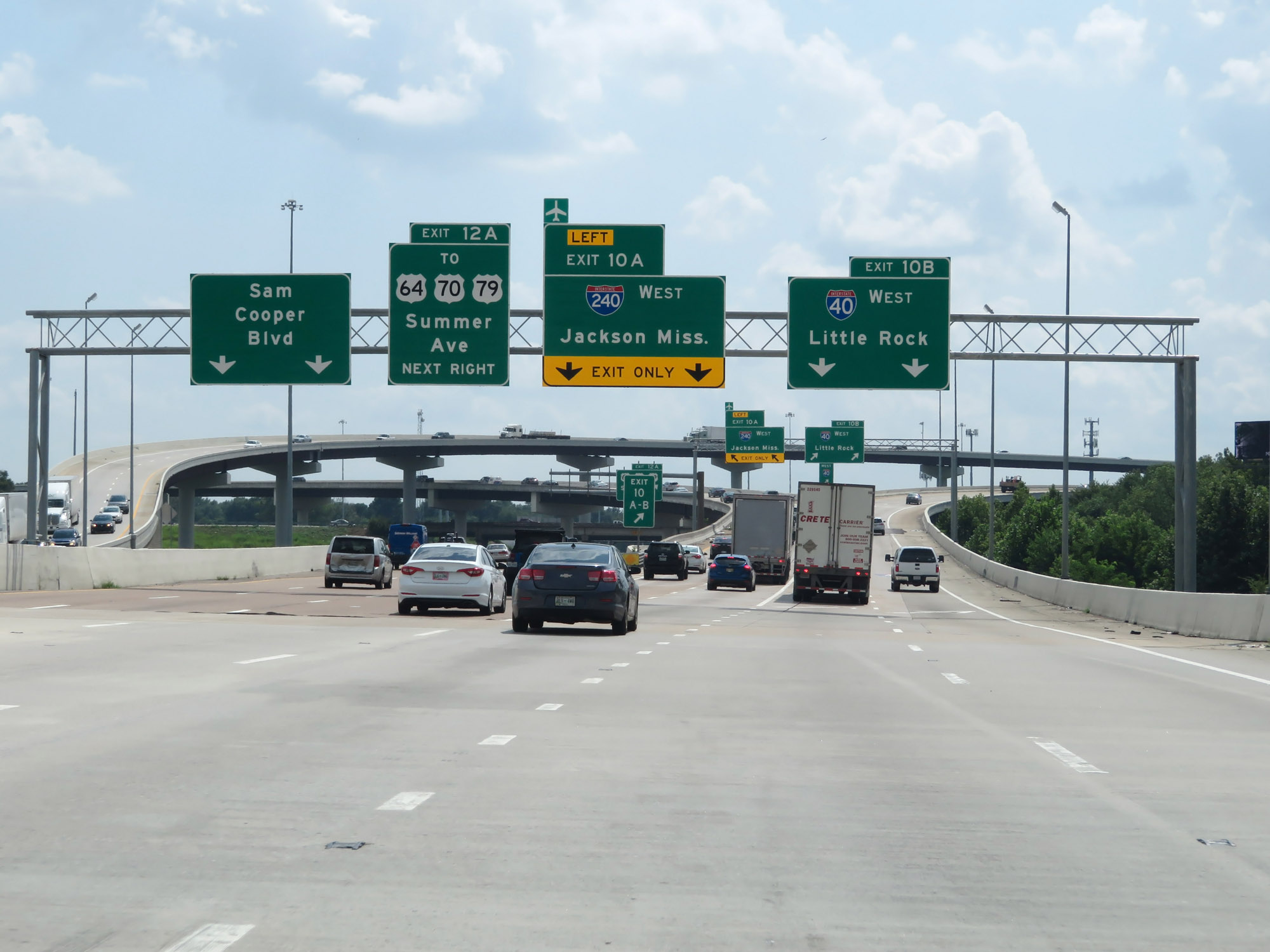 |
Interstate 40 West at Exit 12B: Sam Cooper Blvd (Photo taken 8/12/19). |
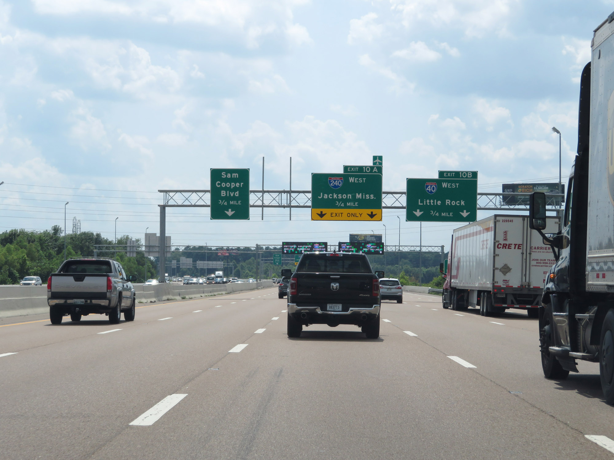
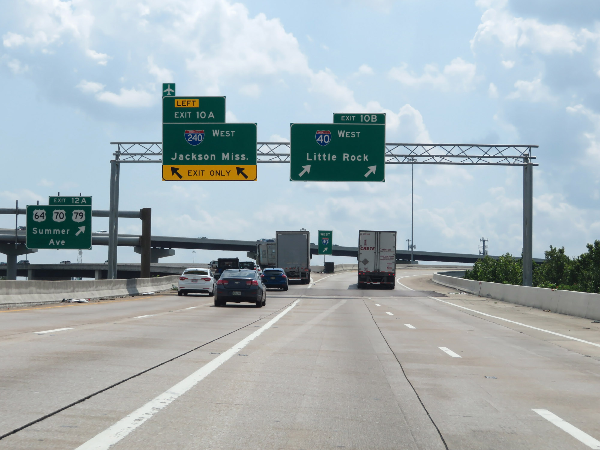 |
Interstate 40 West at Exit 10B: Interstate 40 West - Little Rock; Exit 10A: Interstate 240 West - Jackson, MS (Photo taken 8/12/19). |
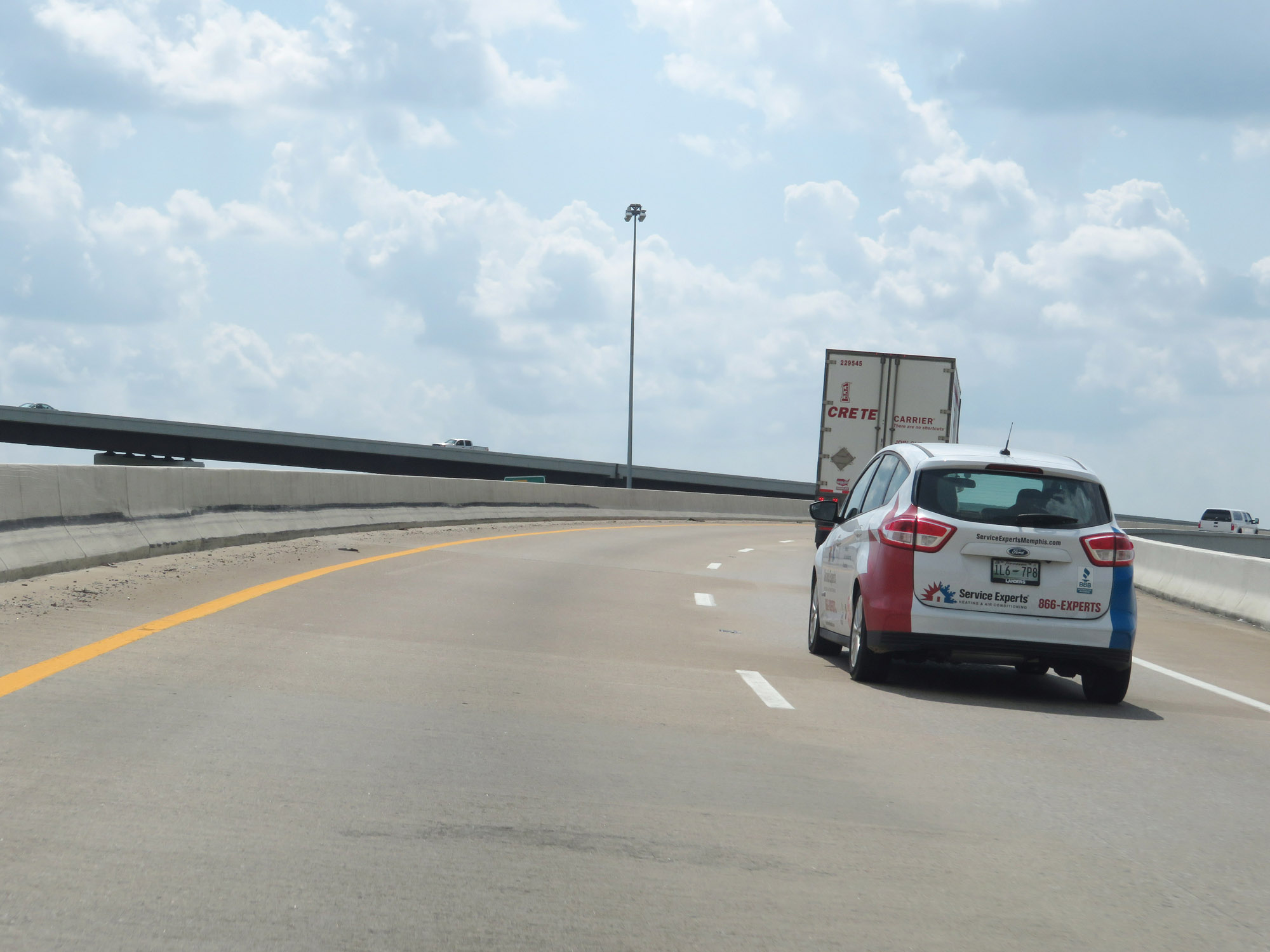 |
View on Interstate 40 West via Exit 10B, as it curves to the north to serve the northeastern suburbs of Memphis. I-40 West will bypass part of downtown Memphis, before touching back into downtown just before it crosses the Mississippi River. (Photo taken 8/12/19). |
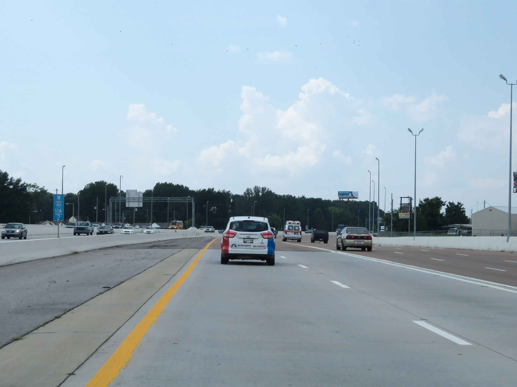 |
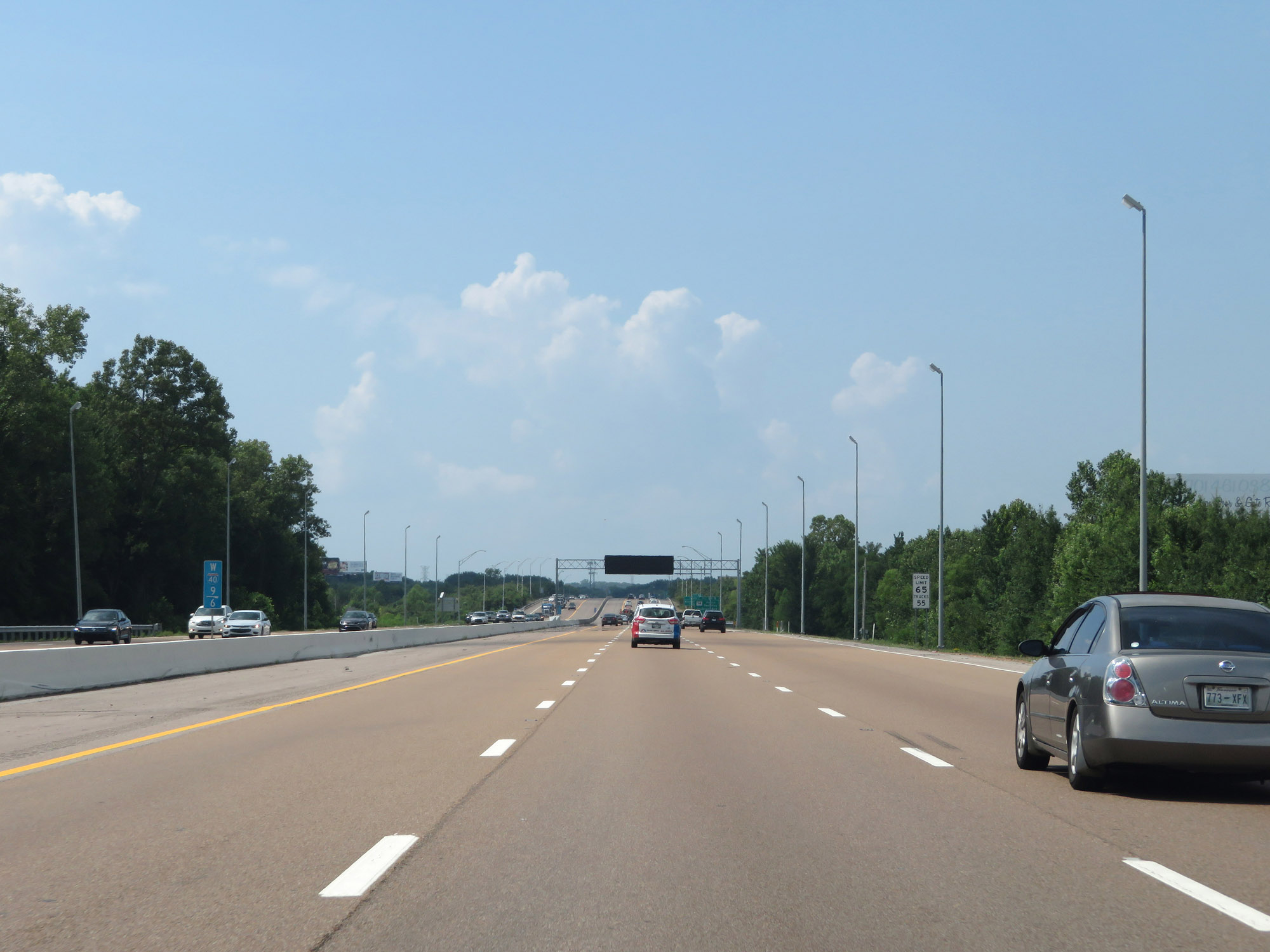
Interstate 40 West at mile marker 11.2. (Photo taken 8/12/19). |
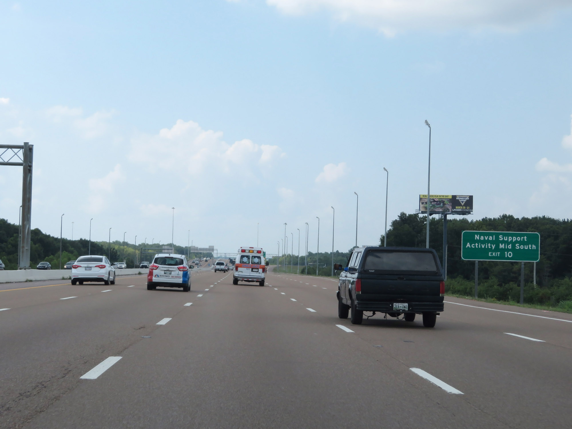 |
Take Exit 10 to Naval Support Activity Mid South. (Photo taken 8/12/19). |
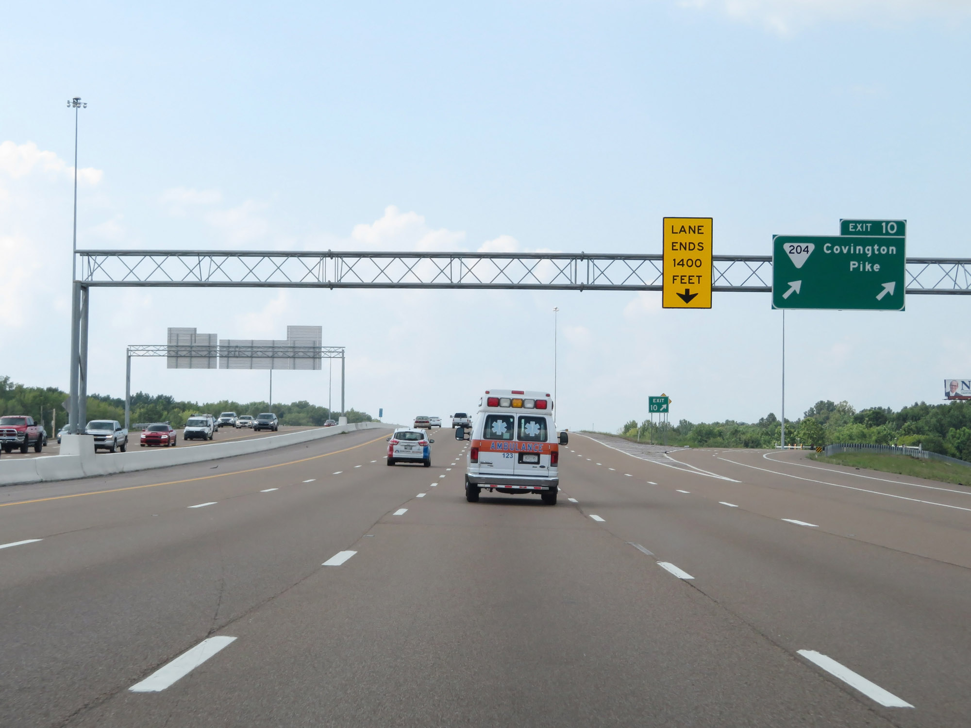 |
Interstate 40 West at Exit 10: SR 204 - Covington Pike (Photo taken 8/12/19). |
 |
View on Interstate 40 West at mile marker 9.6. (Photo taken 8/12/19). |
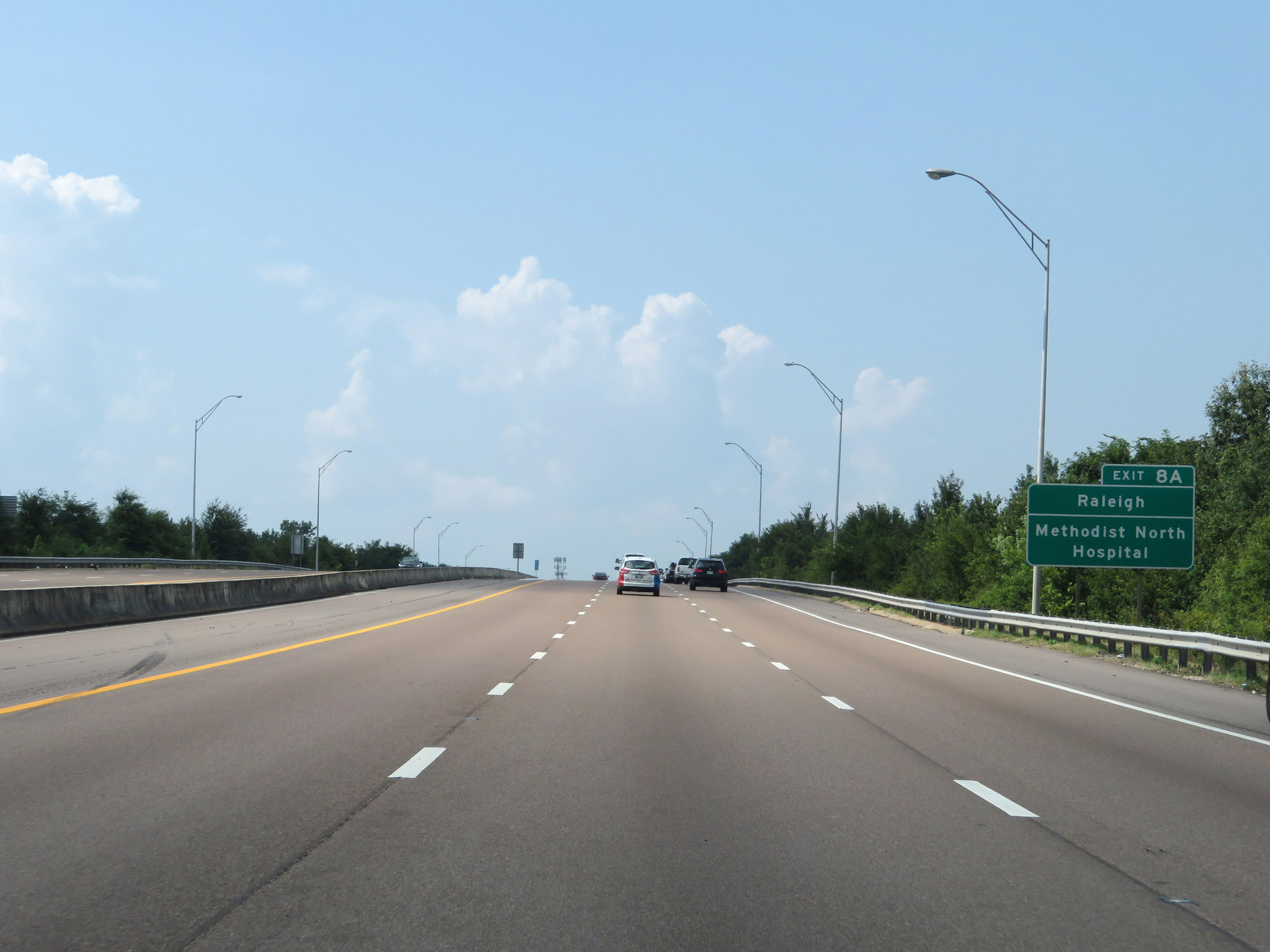 |
Take Exit 8A to Raleigh and Methodist North Hospital. (Photo taken 8/12/19). |
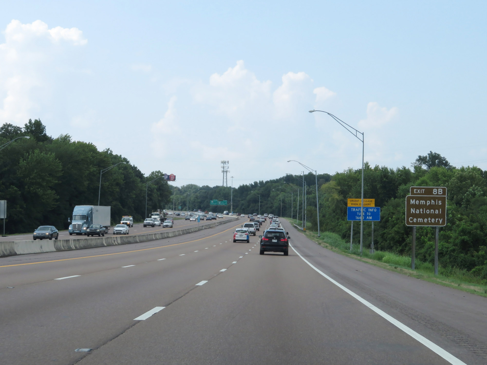 |
Take Exit 8B to Memphis National Cemetery. (Photo taken 8/12/19). |
 |
Interstate 40 West at Exit 8A: TN 14 North (Austin Peay Hwy) - Jackson Ave (Photo taken 8/12/19). |
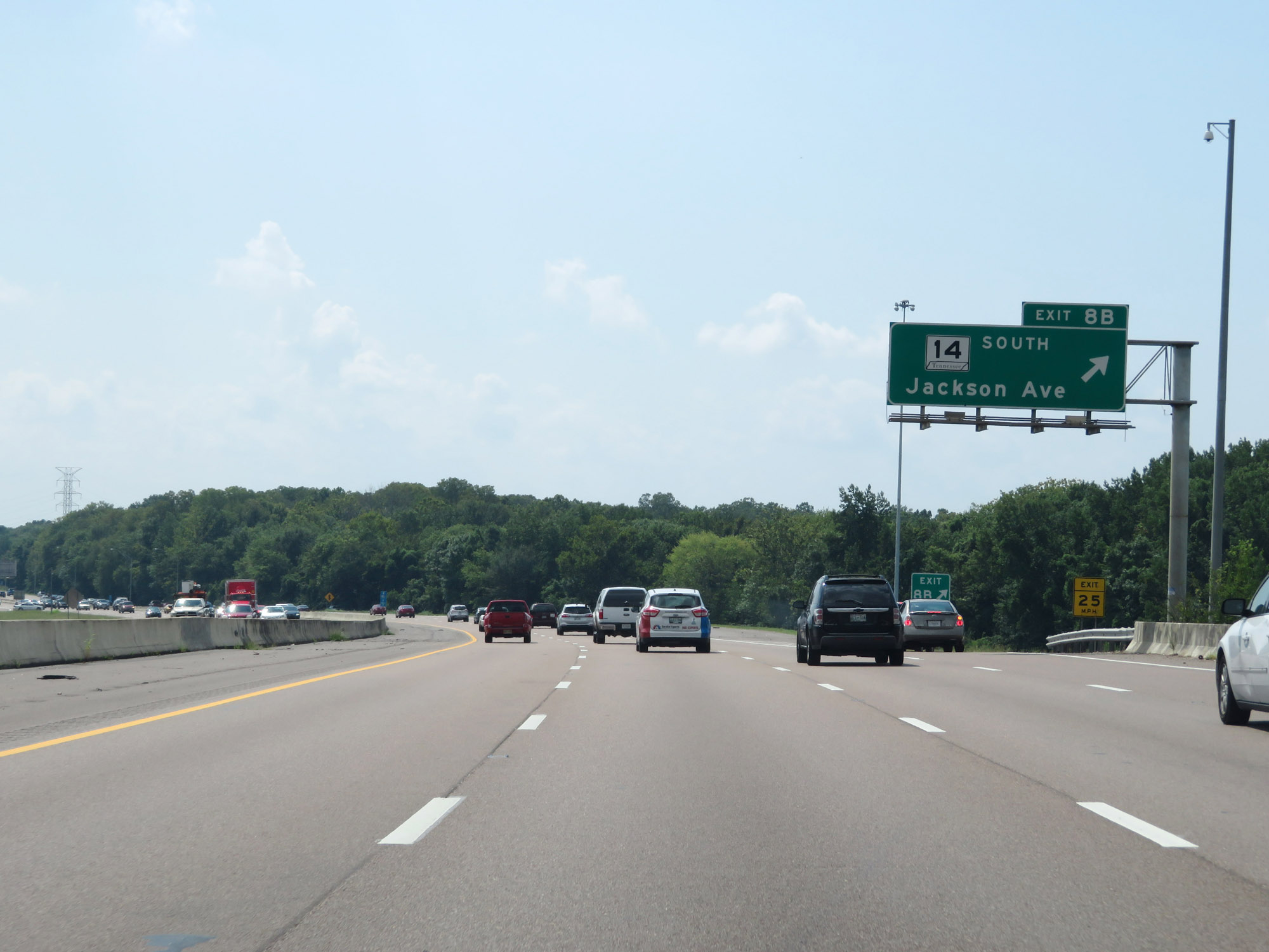 |
Interstate 40 West at Exit 8B: TN 14 South - Jackson Ave (Photo taken 8/12/19). |
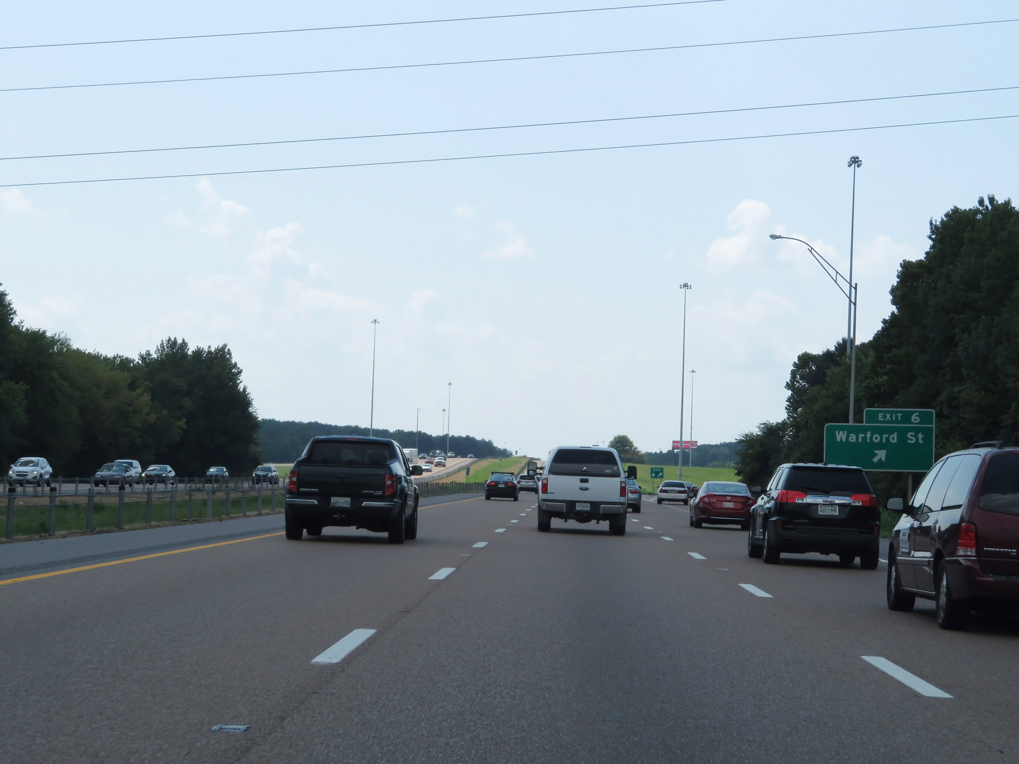 |
Interstate 40 West at Exit 6: Warford St (Photo taken 8/12/19). |
 |
Interstate 40 West reassurance shield. (Photo taken 8/12/19). |
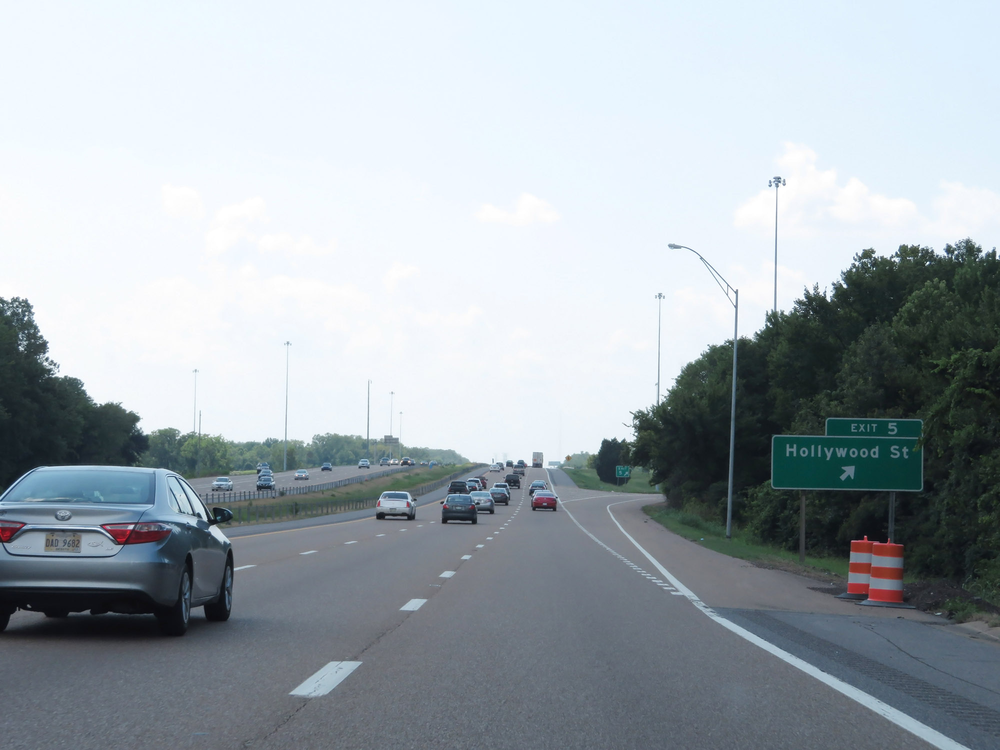 |
Interstate 40 West at Exit 5: Hollywood St (Photo taken 8/12/19). |
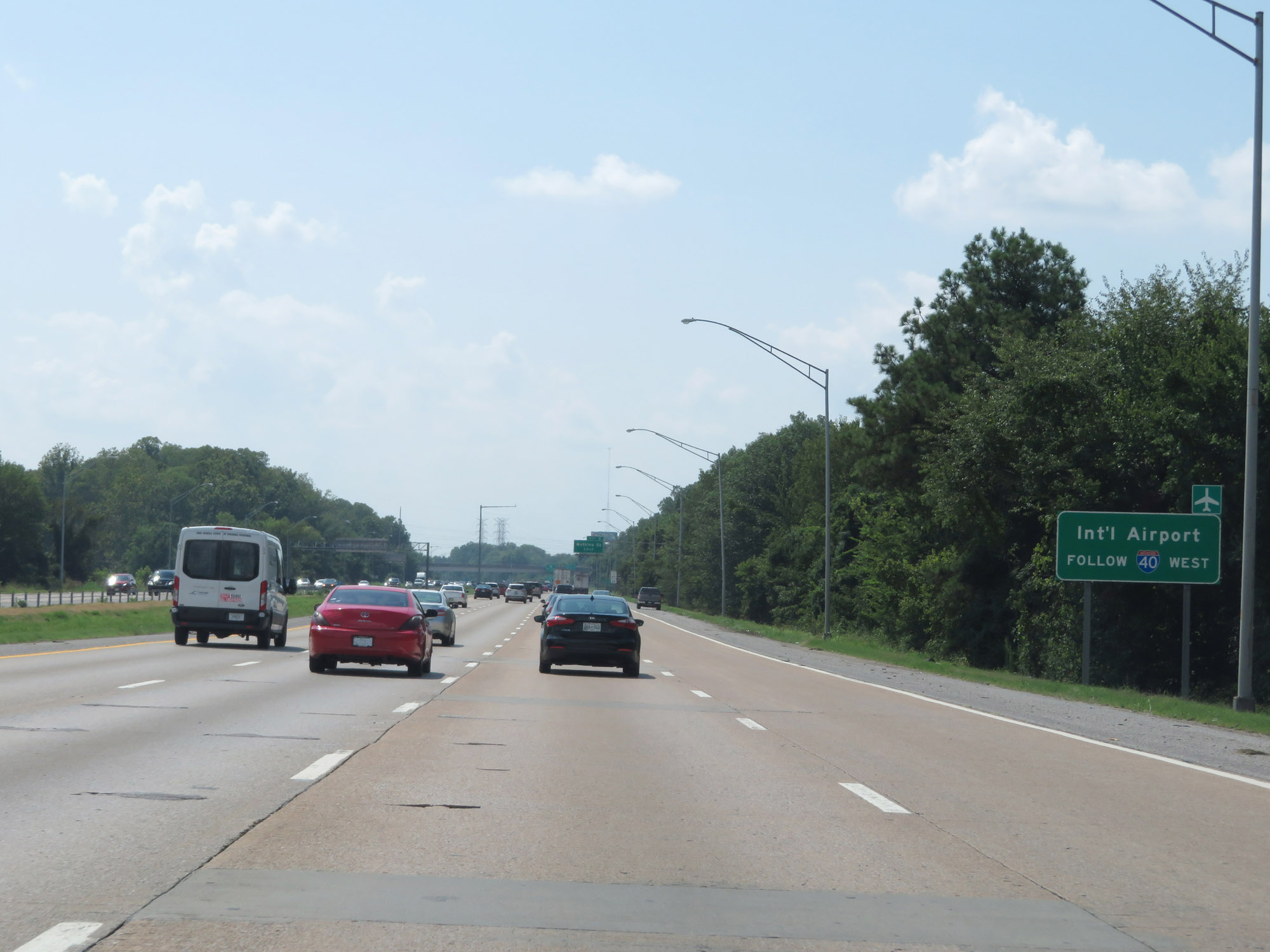 |
Follow Interstate 40 West to Memphis International Airport. (Photo taken 8/12/19). |
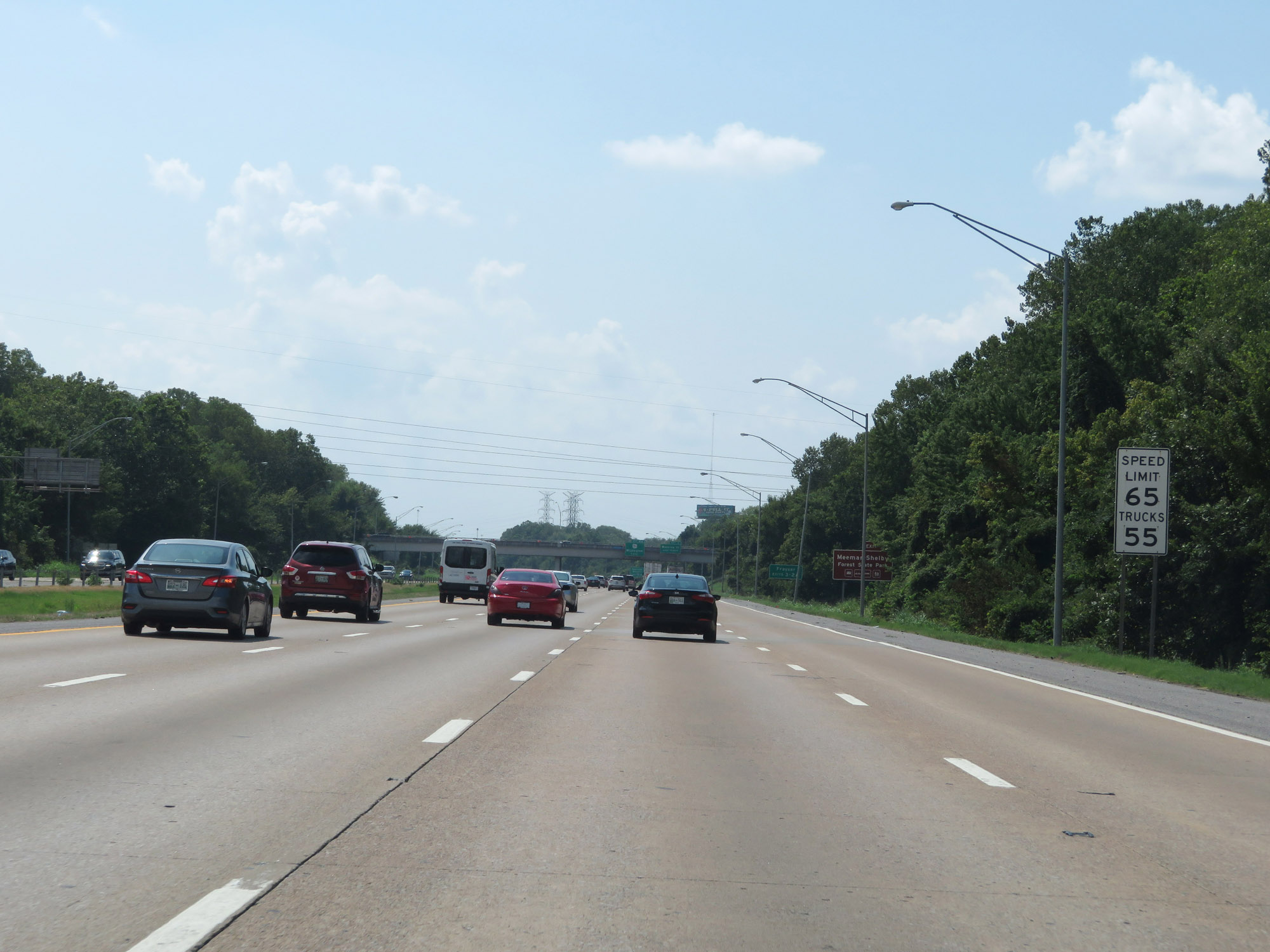 |
The speed limits remain 65 mph for cars and 55 mph for trucks. (Photo taken 8/12/19). |
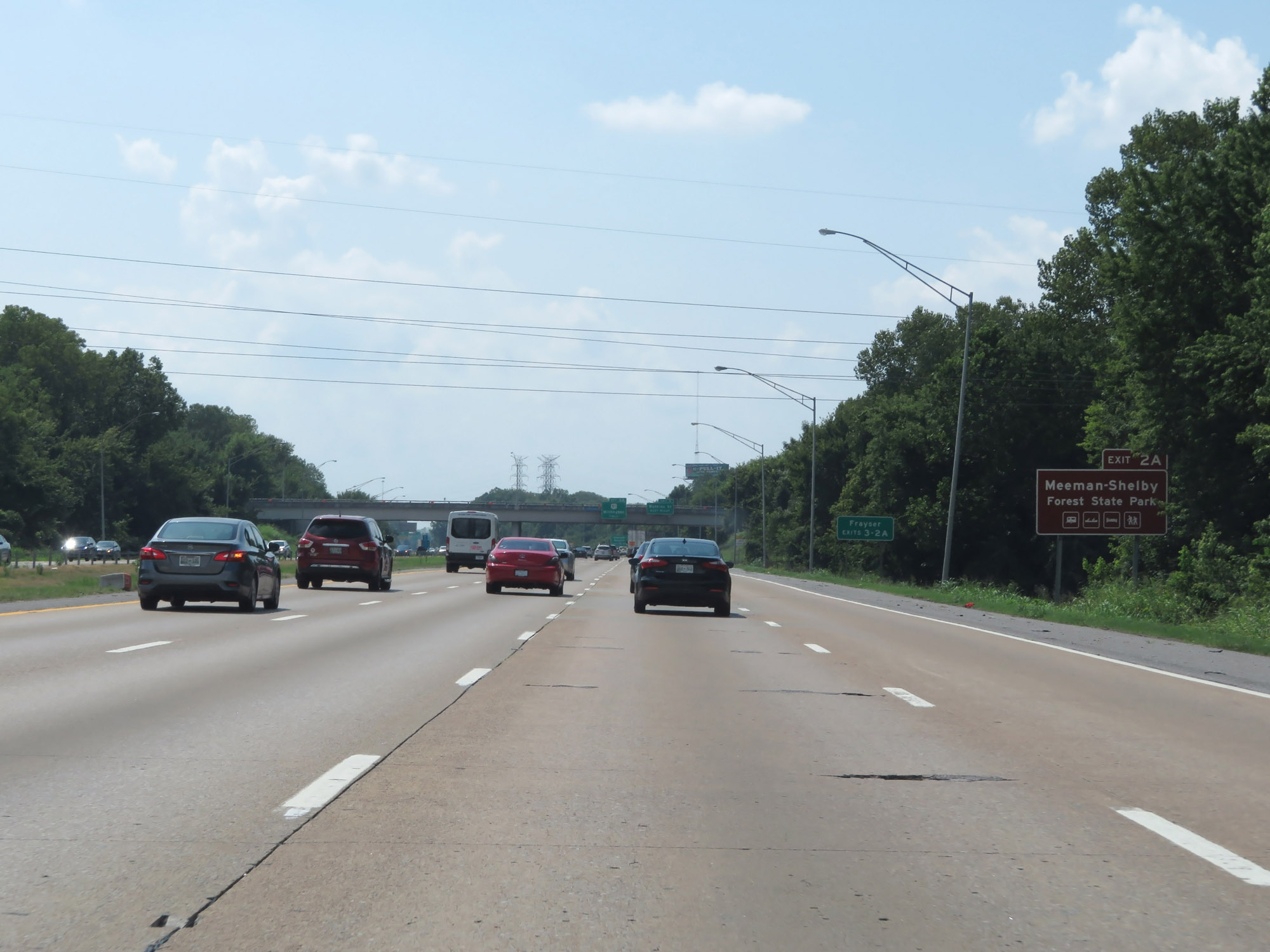 |
Take Exit 2A to Meeman-Shelby Forest State Park. (Photo taken 8/12/19). |
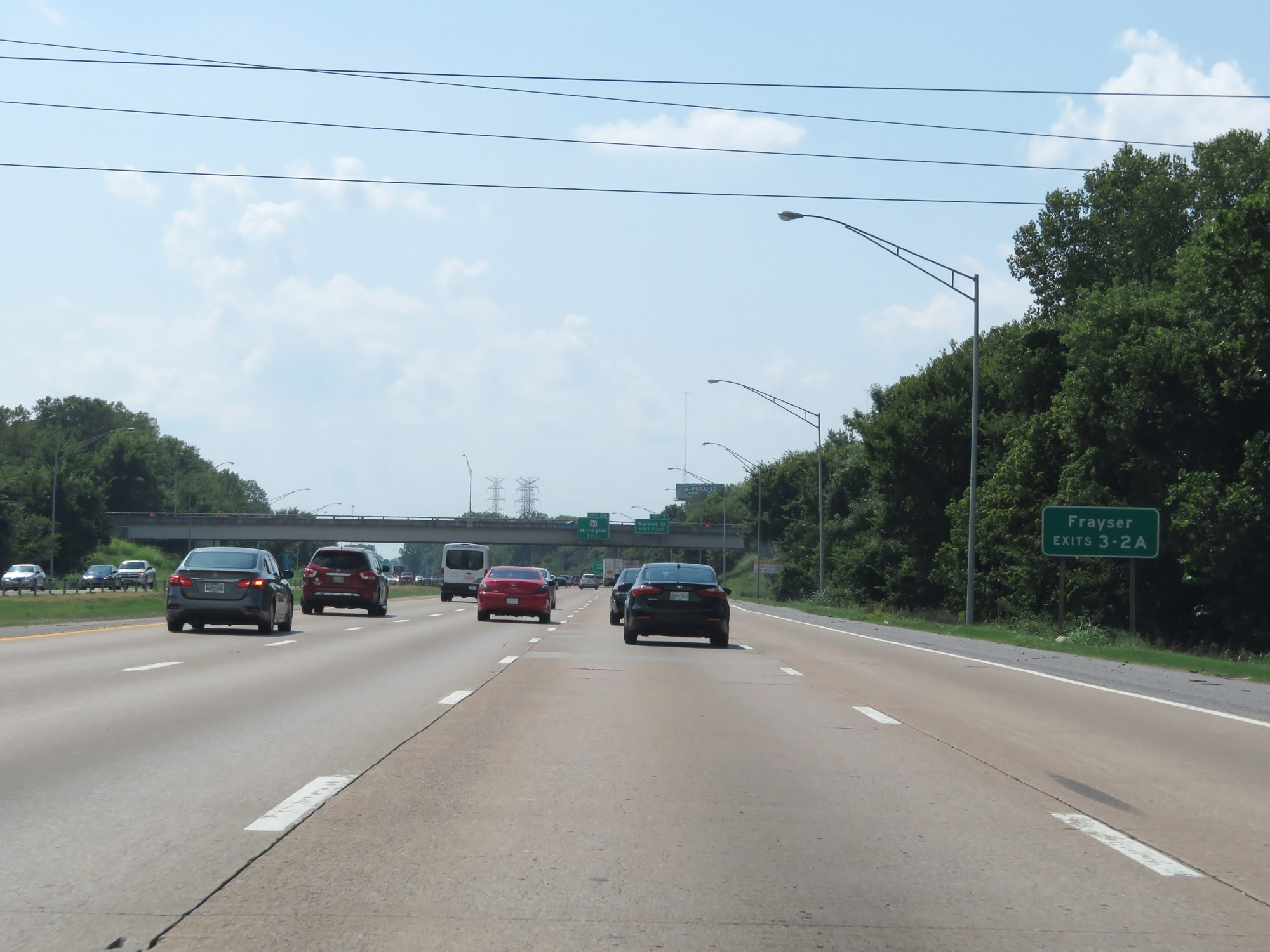 |
Take Exit 3 or Exit 2A to Frayser. (Photo taken 8/12/19). |
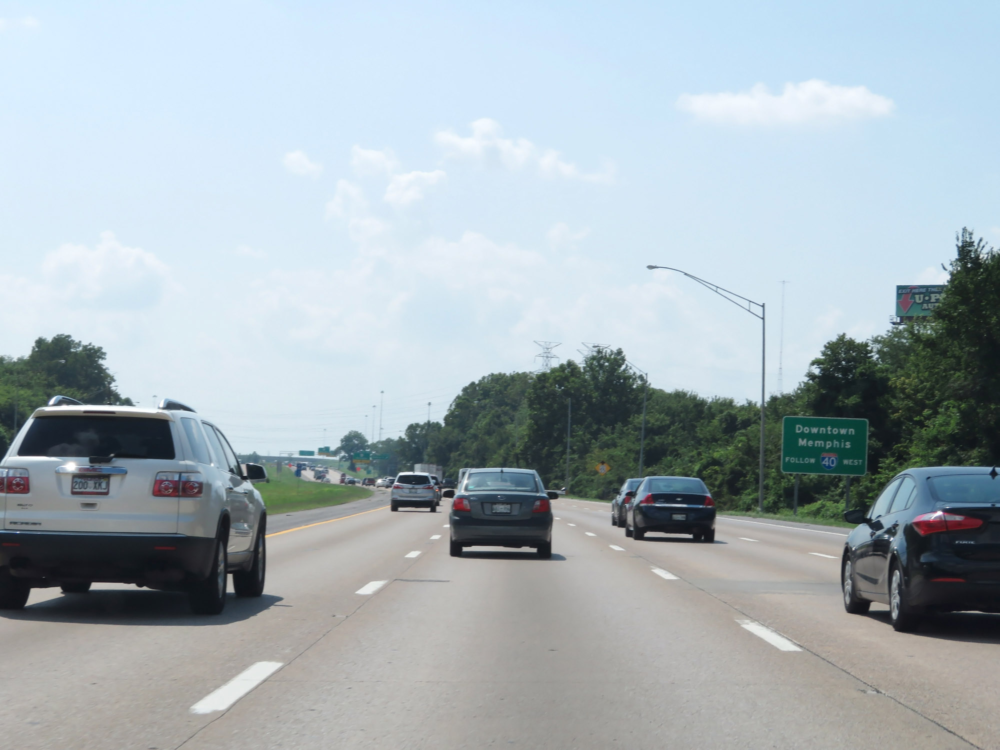 |
Stay on Interstate 40 West to downtown Memphis. (Photo taken 8/12/19). |
 |
The speed limit decreases to 55 mph for all traffic approaching Exit 3. (Photo taken 8/12/19). |
 |
Interstate 40 West at Exit 3: Watkins St (Photo taken 8/12/19). |
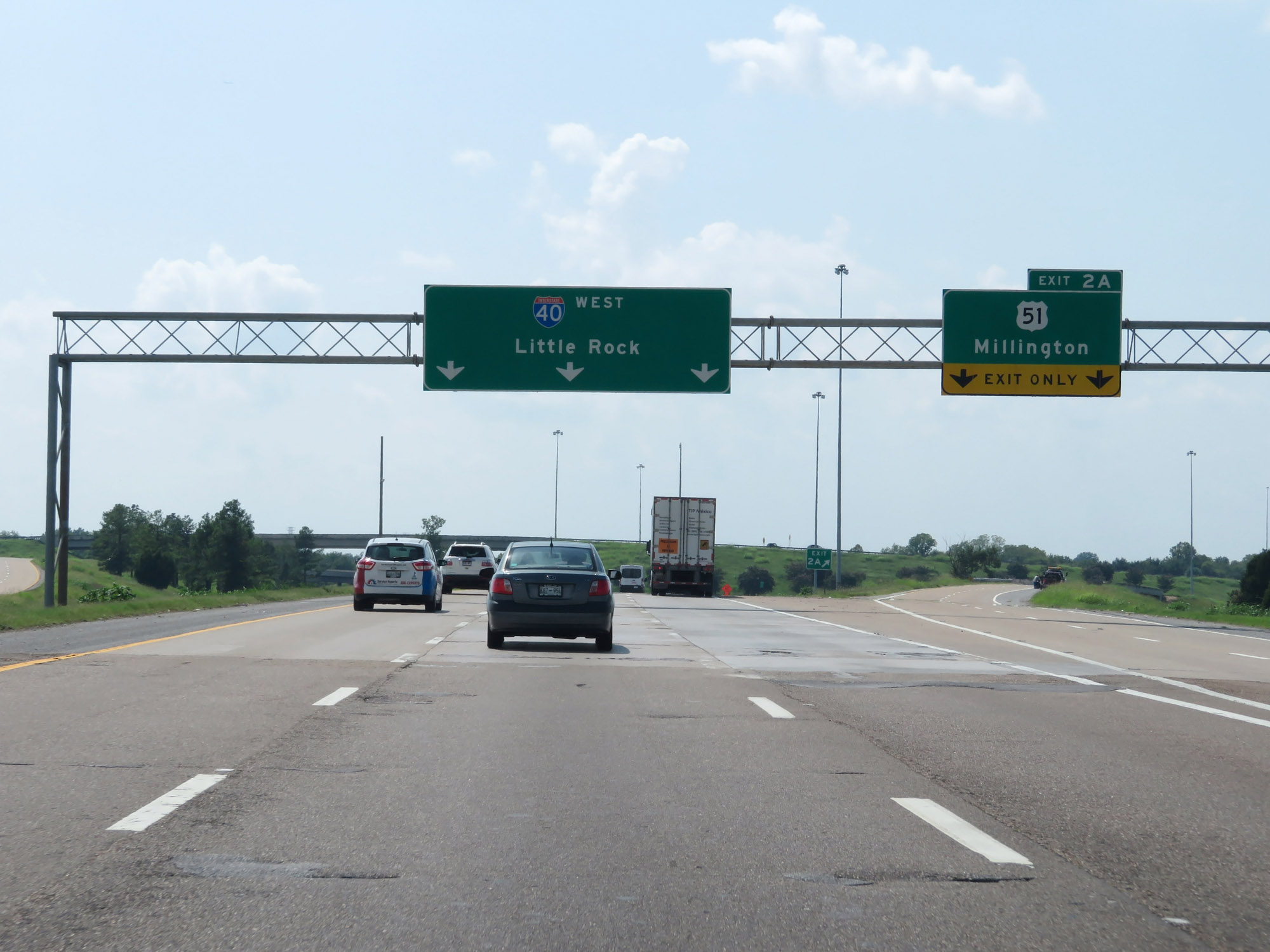 |
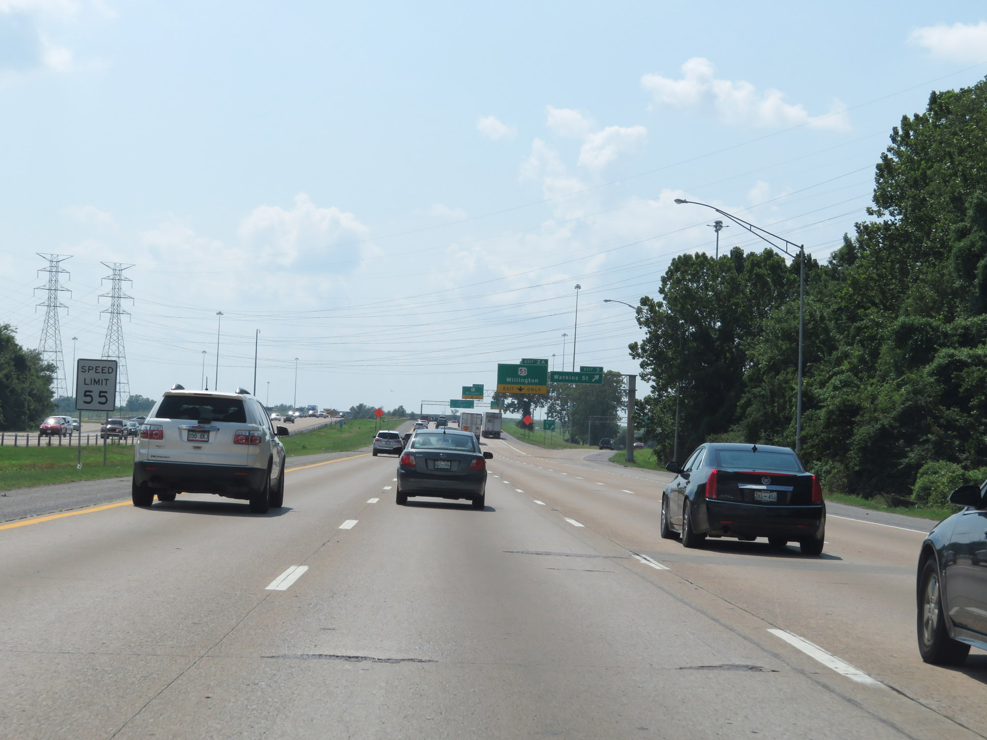
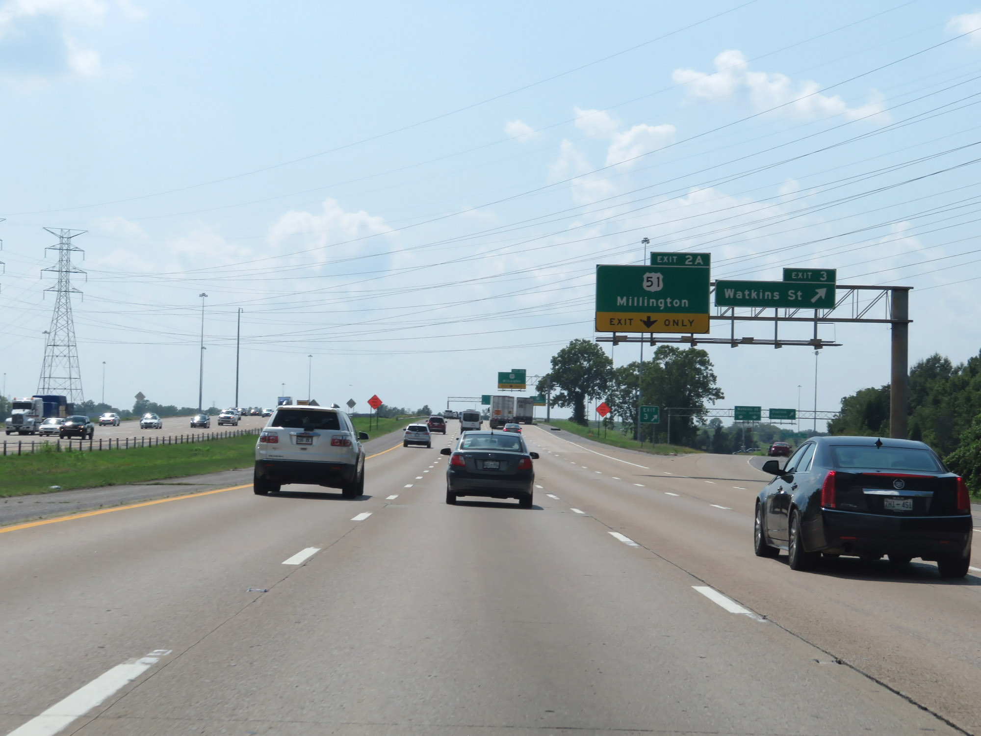
Interstate 40 West at Exit 2A: US 51 - Millington (Photo taken 8/12/19). |
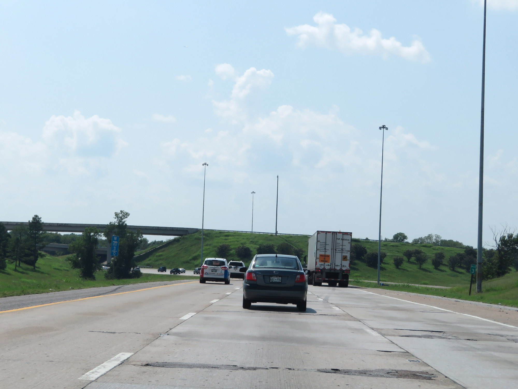 |
Interstate 40 West at mile marker 3, as it prepares to curve to the south to head for Interstate 240 and downtown Memphis. (Photo taken 8/12/19). |
 |
Interstate 40 West approaching Exit 2 - 1/2 mile. (Photo taken 8/12/19). |
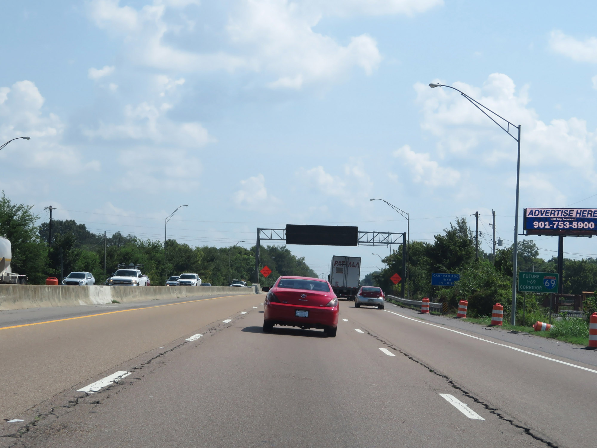 |
As this sign reads, this part of Interstate 40 will be concurrent with Interstate 69 in the future, as I-69 will follow US 51 to the north of Memphis. (Photo taken 8/12/19). |
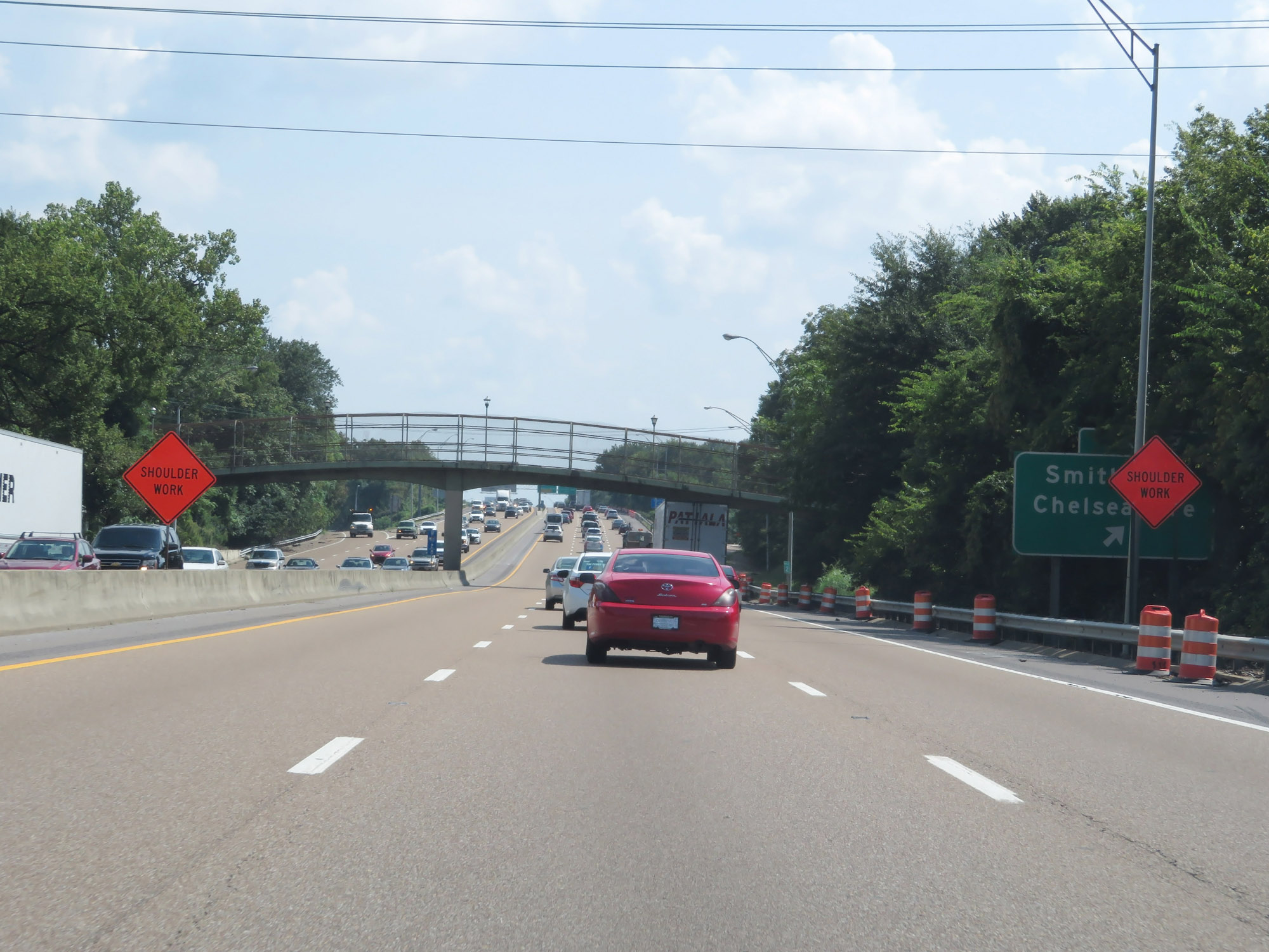 |
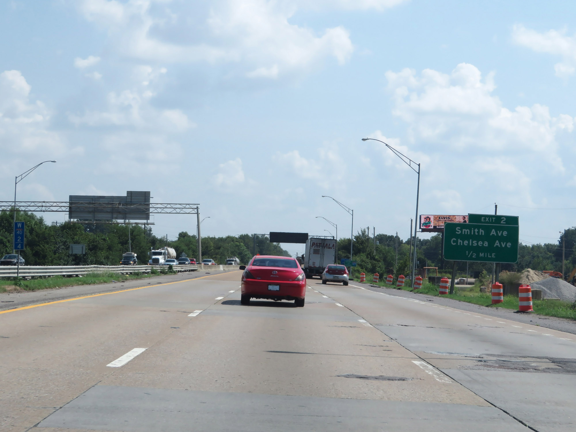
Interstate 40 West at Exit 2: Smith Ave / Chelsea Ave (Photo taken 8/12/19). |
 |
Interstate 40 West approaching Exits 1F-1E - 1/2 mile. Interstate 40 West thru traffic will need to be in the two leftmost lanes ahead. (Photo taken 8/12/19). |
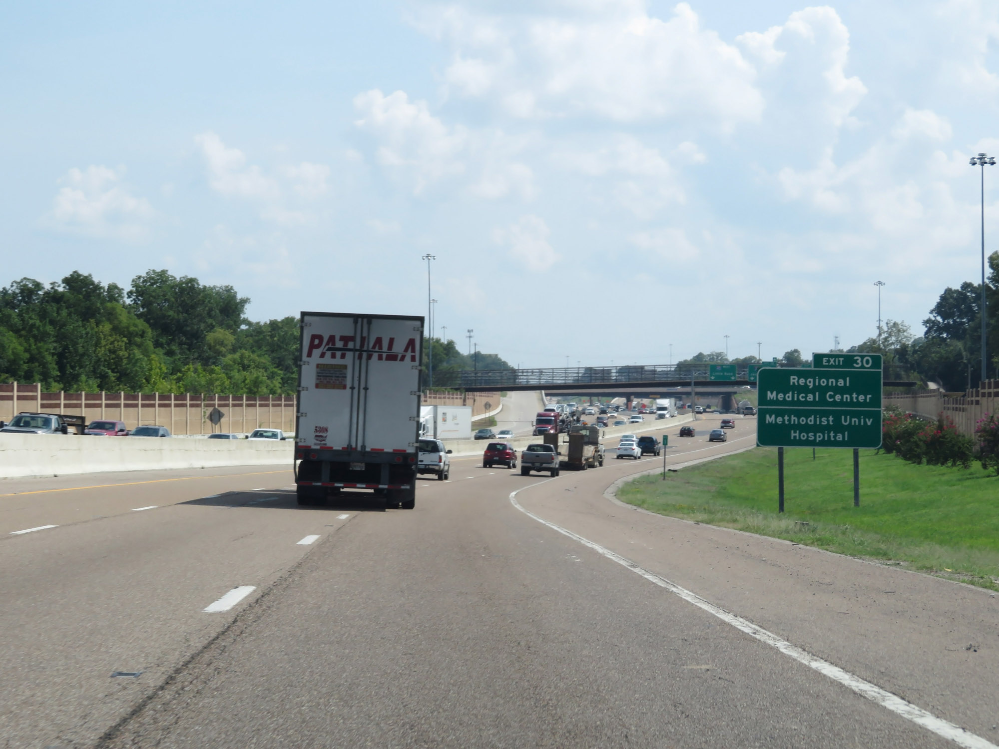 |
Take Exit 30 (on Interstate 240 South) to the Regional Medical Center and Methodist University Hospital. (Photo taken 8/12/19). |
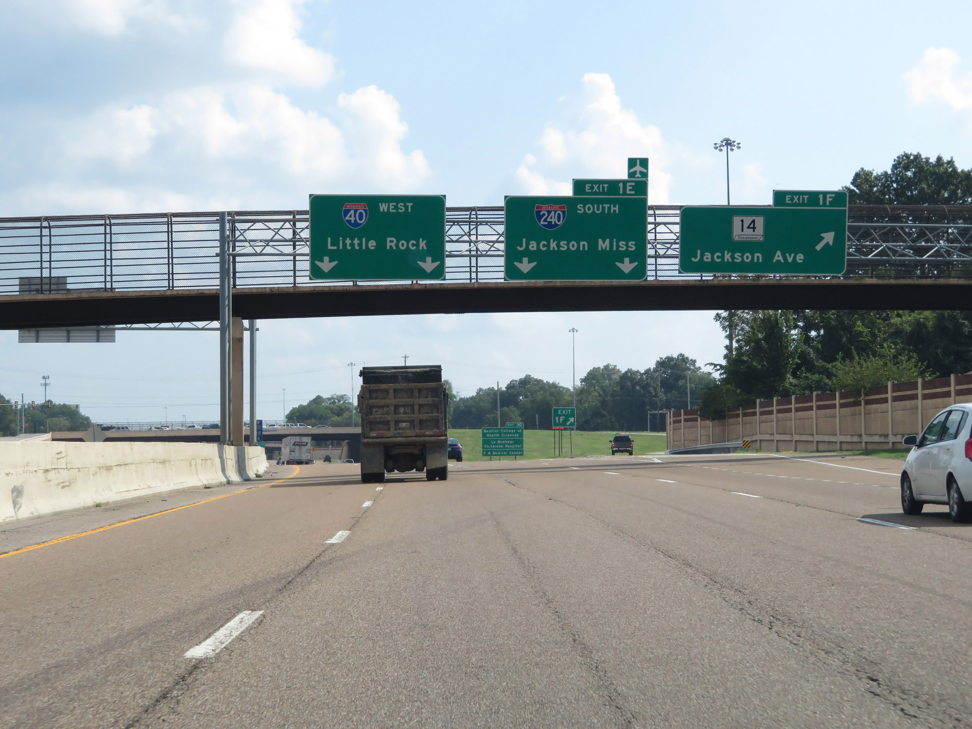 |
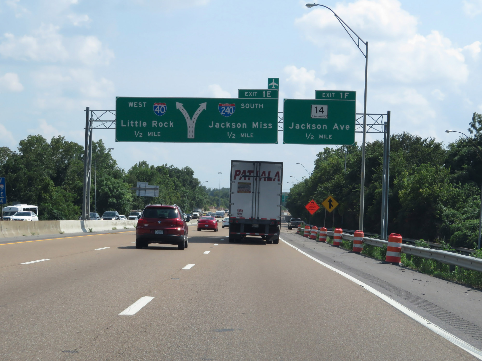
Interstate 40 West at Exit 1F: TN 14 - Jackson Ave; Exit 1E: Interstate 240 South - Jackson, MS (Photo taken 8/12/19). |
 |
View on Interstate 40 West as Interstate 240 South begins, just to the right. (Photo taken 8/12/19). |
 |
After heading due south for a couple of miles to meet Interstate 240, Interstate 40 West once again curves to the west to head for the Mississippi River in downtown Memphis. (Photo taken 8/12/19). |
 |
The speed limit remains 55 mph on Interstate 40 West in downtown Memphis. (Photo taken 8/12/19). |
 |
Interstate 40 West approaching Exit 1D - 1/2 mile. (Photo taken 8/12/19). |
 |
Take Exit 1C to Amtrak Central Station and Tennessee Technology Center At Memphis. (Photo taken 8/12/19). |
 |
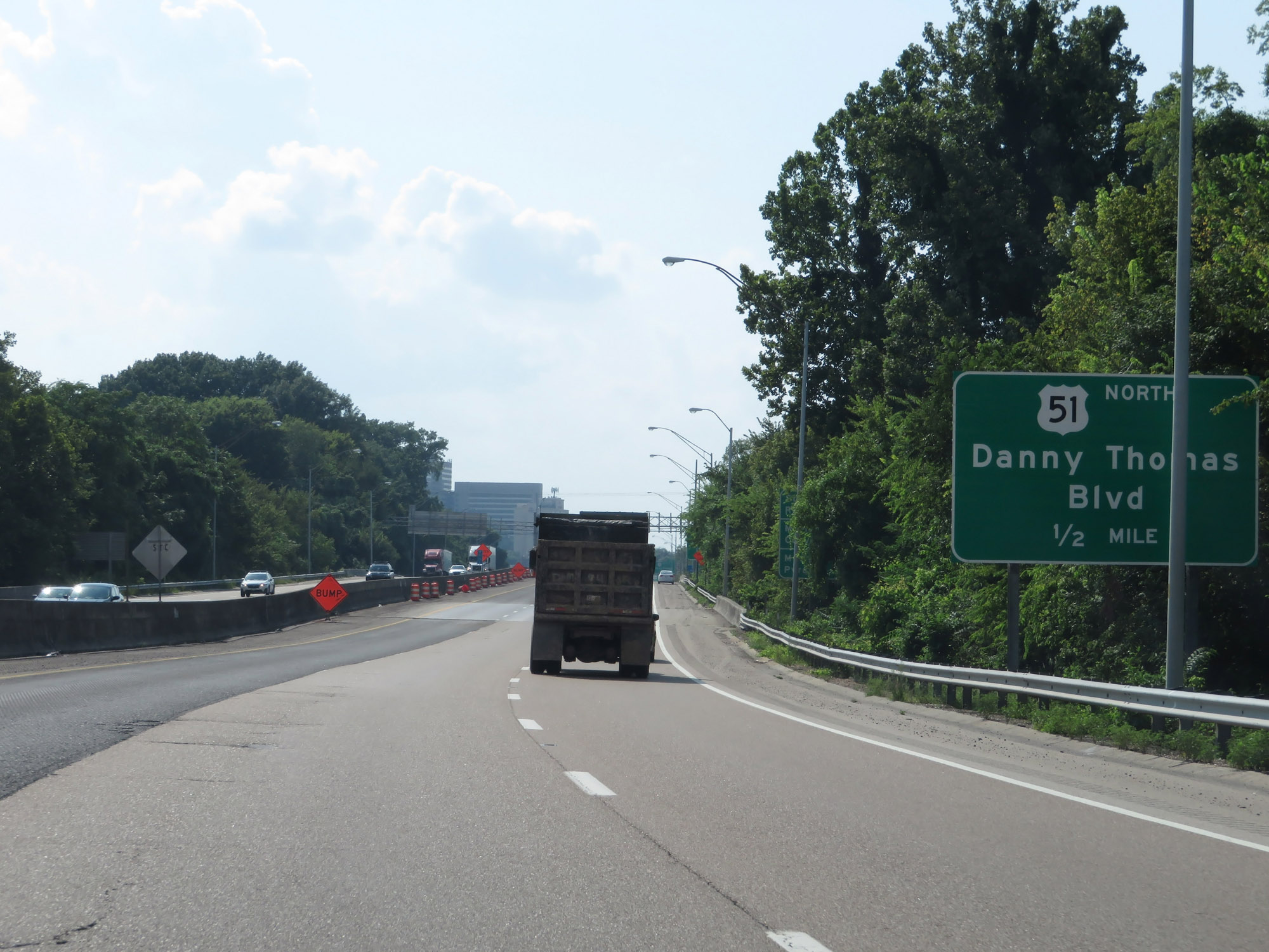
Interstate 40 West at Exit 1D: US 51 North - Danny Thomas Blvd (Photo taken 8/12/19). |
 |
Interstate 40 West at Exit 1C: US 51 South - Danny Thomas Blvd (Photo taken 8/12/19). |
 |
Take either of the next 2 exits to downtown Memphis. (Photo taken 8/12/19). |
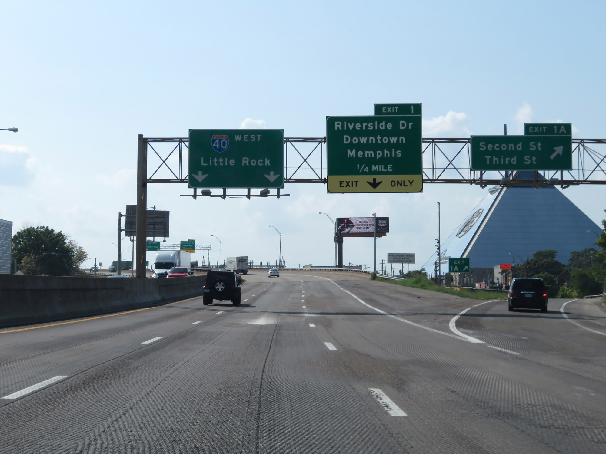 |
Interstate 40 West at Exit 1A: Second St / Third St (Photo taken 8/12/19). |
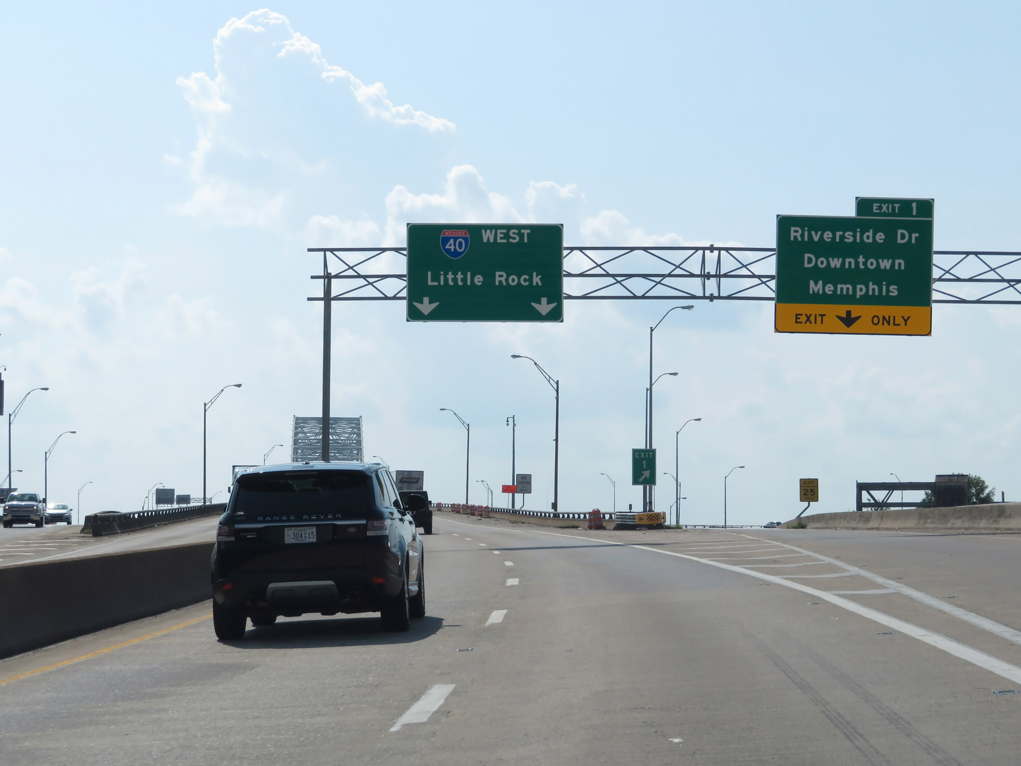 |
Interstate 40 West at Exit 1: Riverside Dr / Downtown Memphis (Photo taken 8/12/19). |
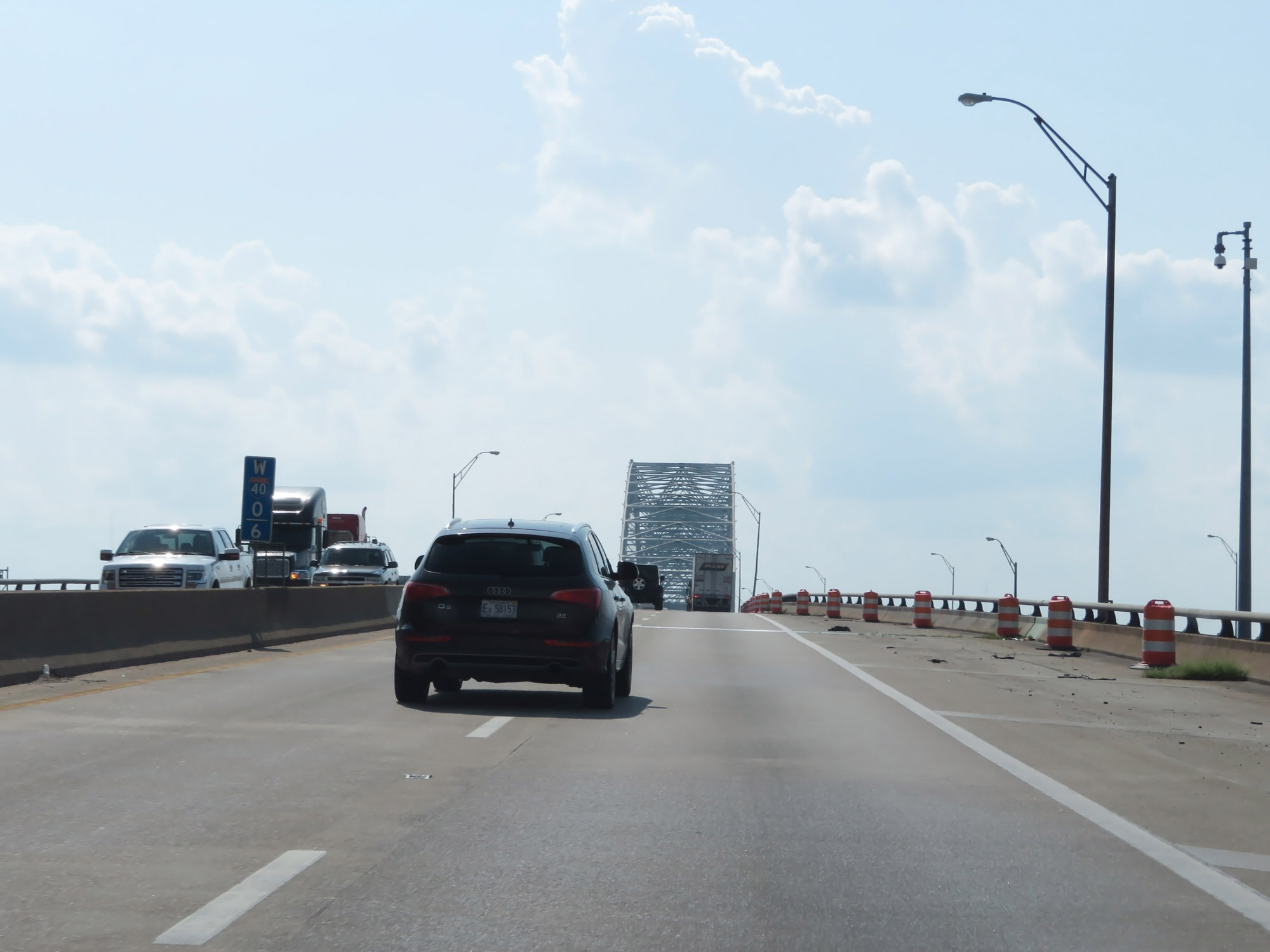 |
Interstate 40 West at mile marker 0.6, as the Hernando de Soto Bridge comes into view. (Photo taken 8/12/19). |
 |
Interstate 40 West as it starts across the Hernando de Soto Bridge over the Mississippi River. (Photo taken 8/12/19). |
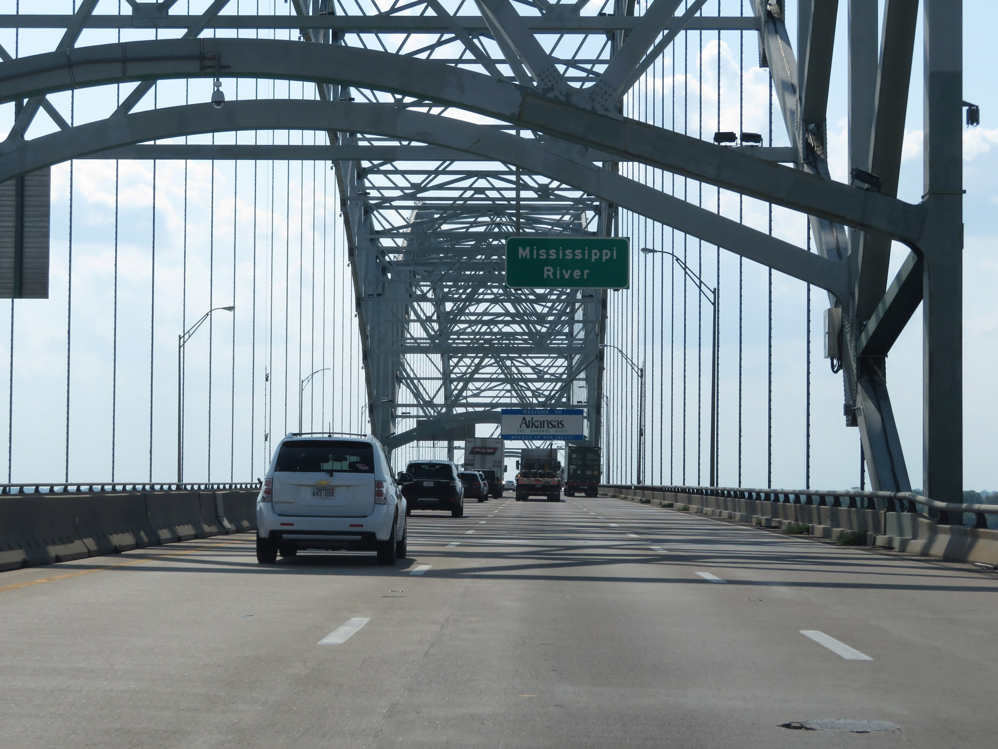 |
Crossing the Mississippi River on the Hernando de Soto Bridge, as Interstate 40 West prepares to enter Arkansas. (Photo taken 8/12/19). |