Road Information |
||
 |
||
| Total Mileage in State: | 54 miles | |
| Eastern End: | At North Carolina state line | |
| Western End: | At US 23/TN 137, in Kingsport | |
| Mileage covered in Photos: | 54 miles | |
| Counties covered in Photos: | Unicoi, Carter, Washington, Sullivan | |
| Major Junctions in Photos: | I-81, in Kingsport | |
| Control Cities in Photos: | Erwin, Johnson City, Kingsport | |
Westbound
- Section 1: North Carolina Border to Johnson City (Exit 24)
- Section 2: Johnson City (Exit 24) to Western Terminus
Section 1: North Carolina Border to Johnson City (Exit 24)
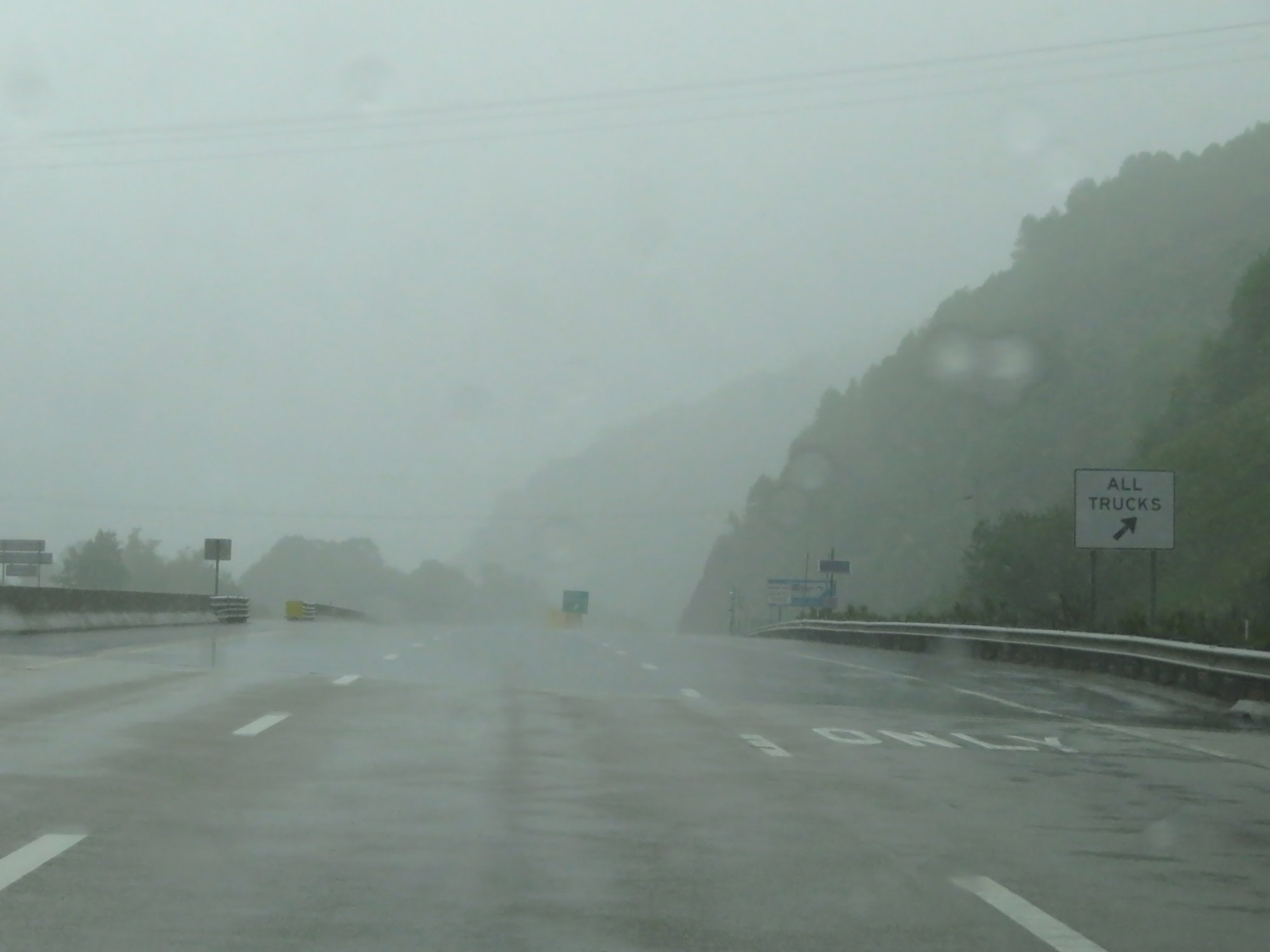 |
Interstate 26 West enters Tennessee high in the Bald Mountains. Trucks are required to stop at the Inspection Station ahead so that they will be in low gear heading down the steep grade that awaits. (Photo taken 5/26/18). |
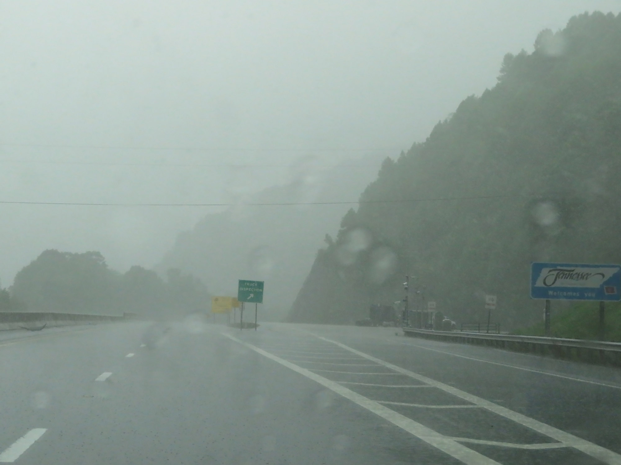 |
Tennessee welcome sign at the Inspection Station, as the rain continued to fall hard. (Photo taken 5/26/18). |
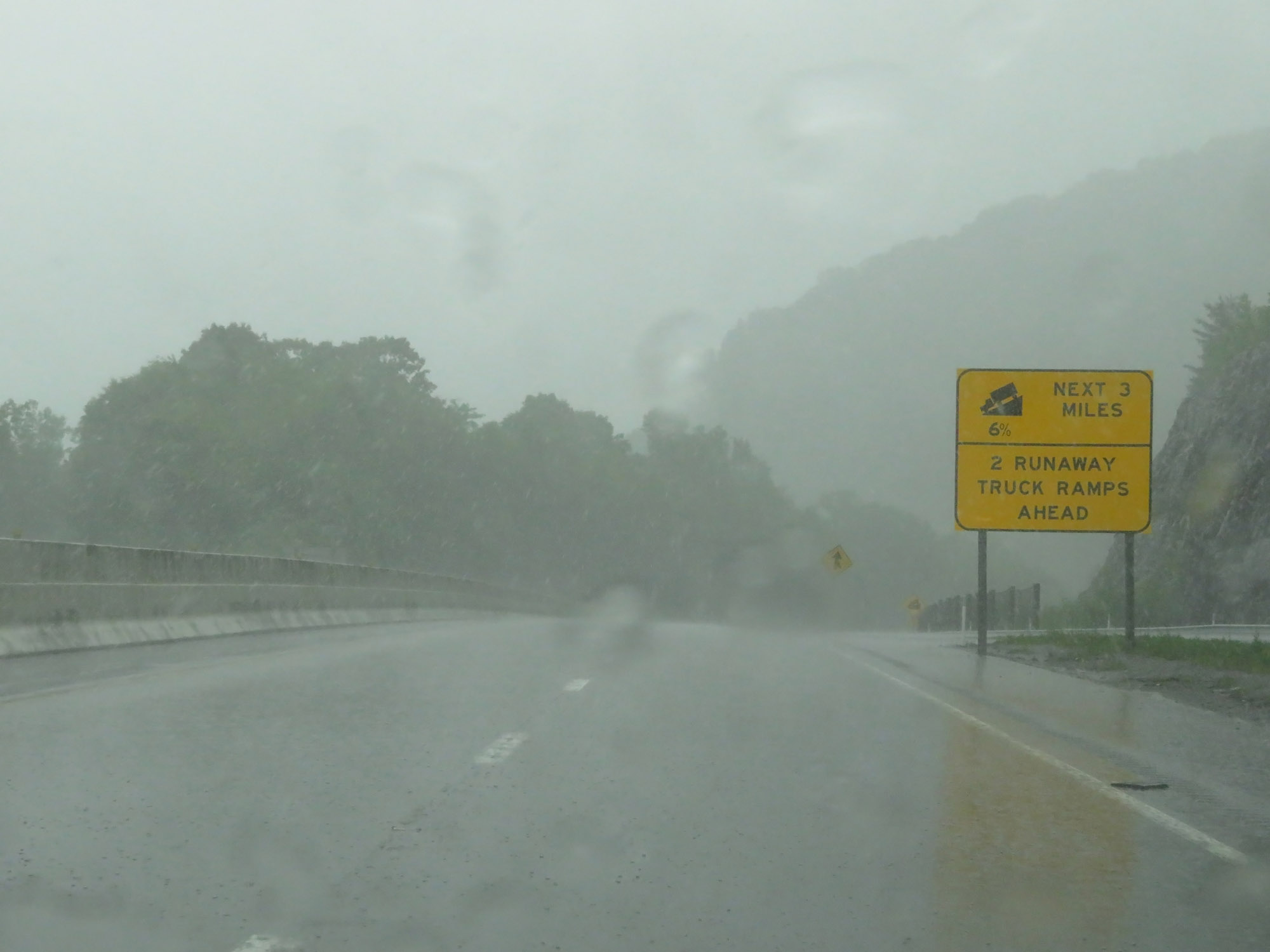 |
Interstate 26 West will traverse a 6% downgrade for the next 3 miles. During this 3-mile downgrade, there will be two runaway truck ramps. Trucks leaving the mandatory stop at the Inspection Station should remain in low gear. (Photo taken 5/26/18). |
 |
Starting down the grade, this sign warns of winding curves ahead. (Photo taken 5/26/18). |
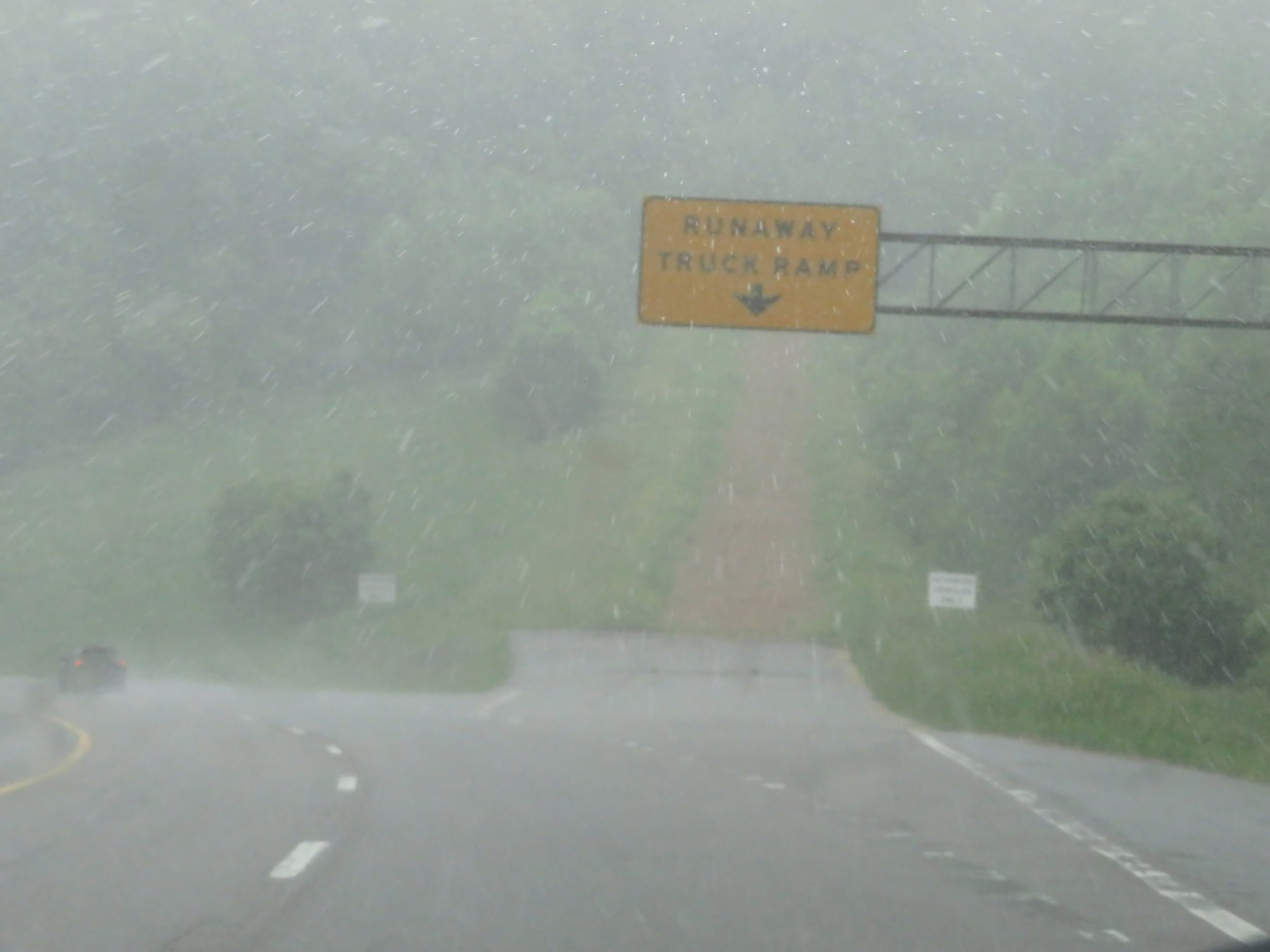 |
Interstate 26 West at the first runaway truck ramp going down the steep grade. (Photo taken 5/26/18). |
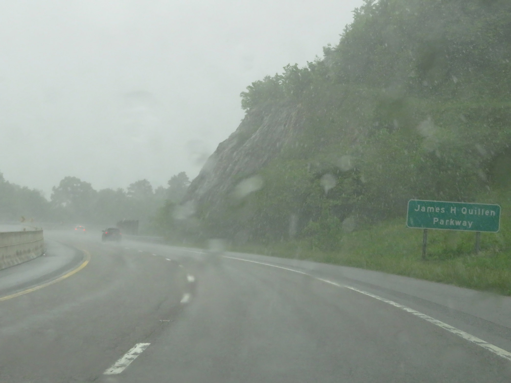 |
Interstate 26 in Tennessee is also called the James H. Quillen Parkway. (Photo taken 5/26/18). |
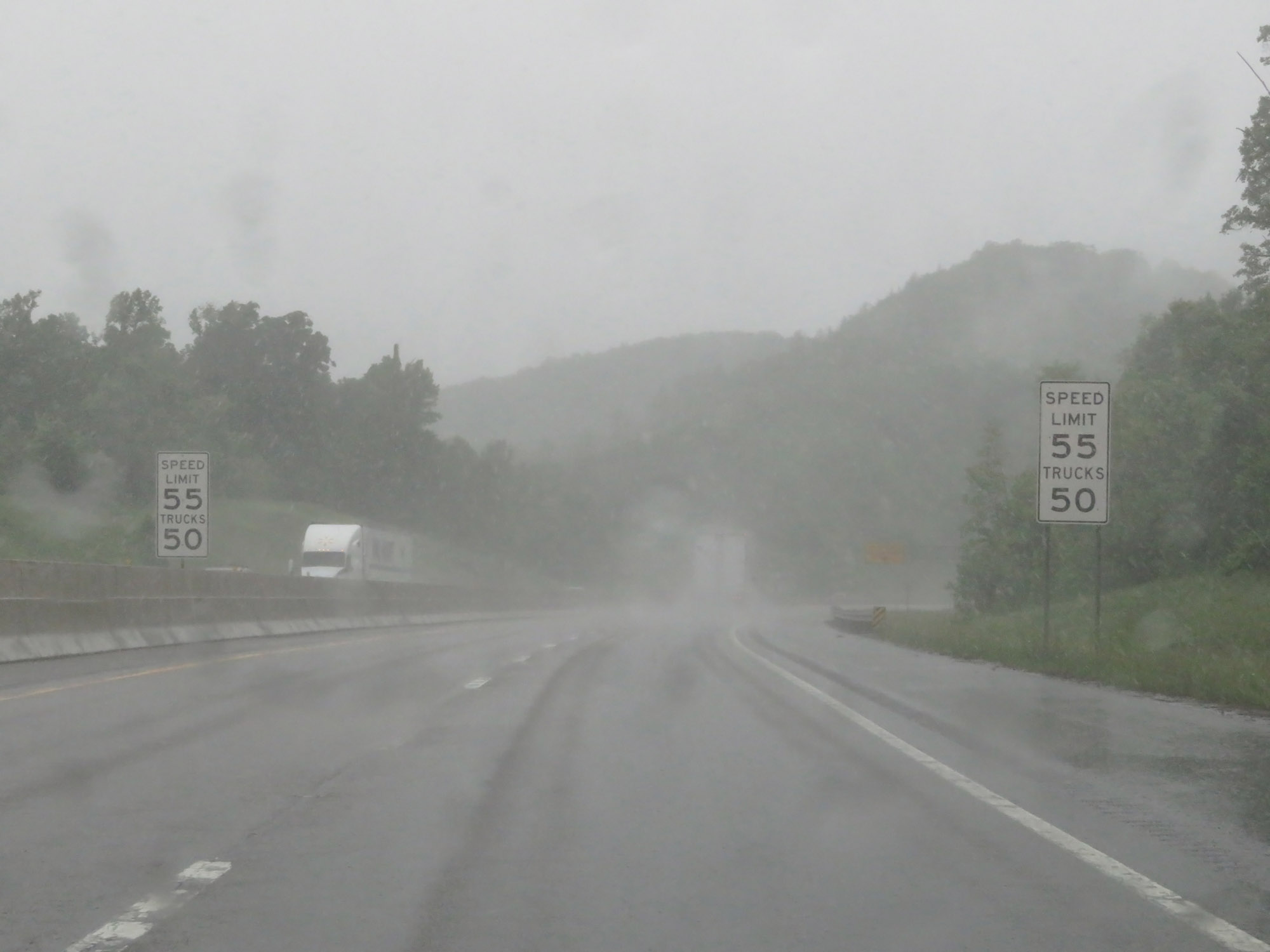 |
The speed limits on Interstate 26 West start out at 55 mph for autos and 50 mph for trucks, due to the steep downgrade. (Photo taken 5/26/18). |
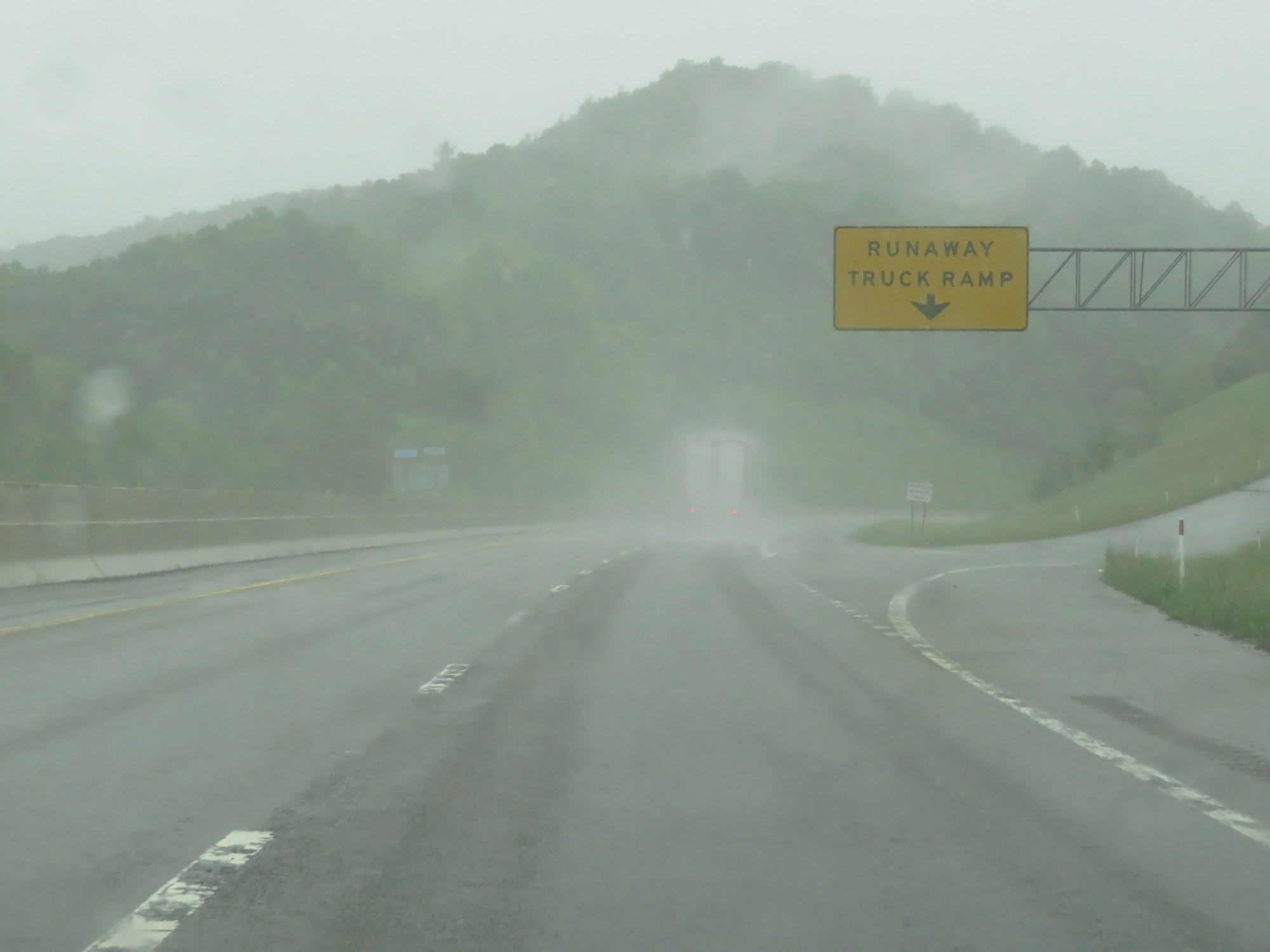 |
Interstate 26 West at the second and final runaway truck ramp. (Photo taken 5/26/18). |
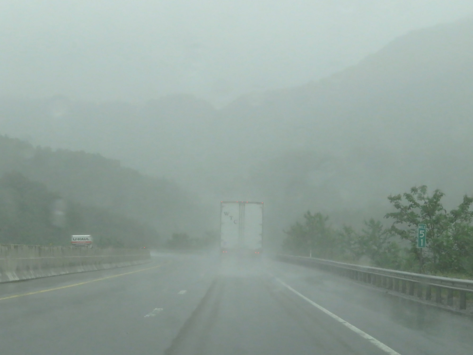 |
Interstate 26 West at mile marker 51. (Photo taken 5/26/18). |
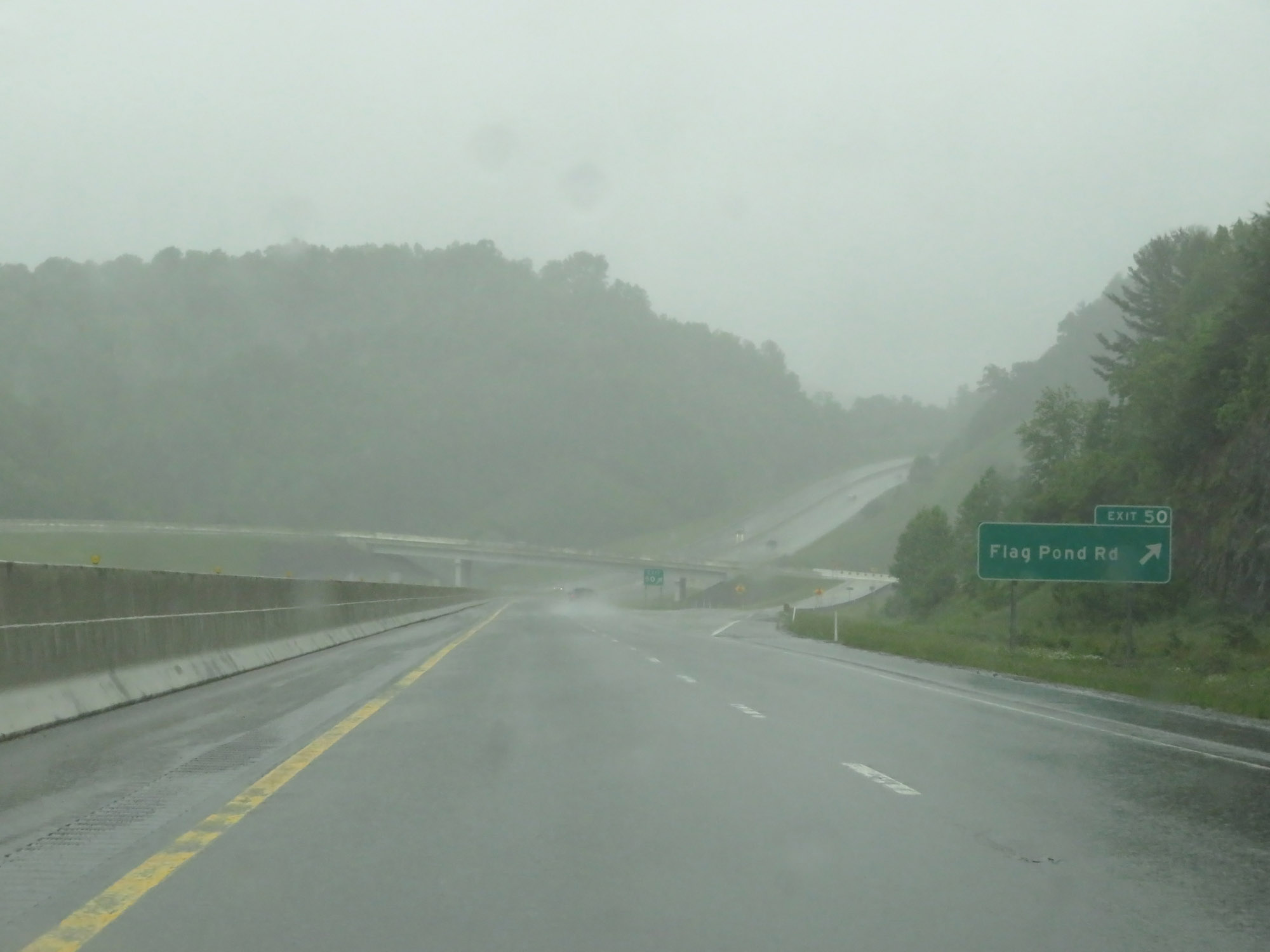 |
Interstate 26 West at Exit 50: Flag Pond Rd (Photo taken 5/26/18). |
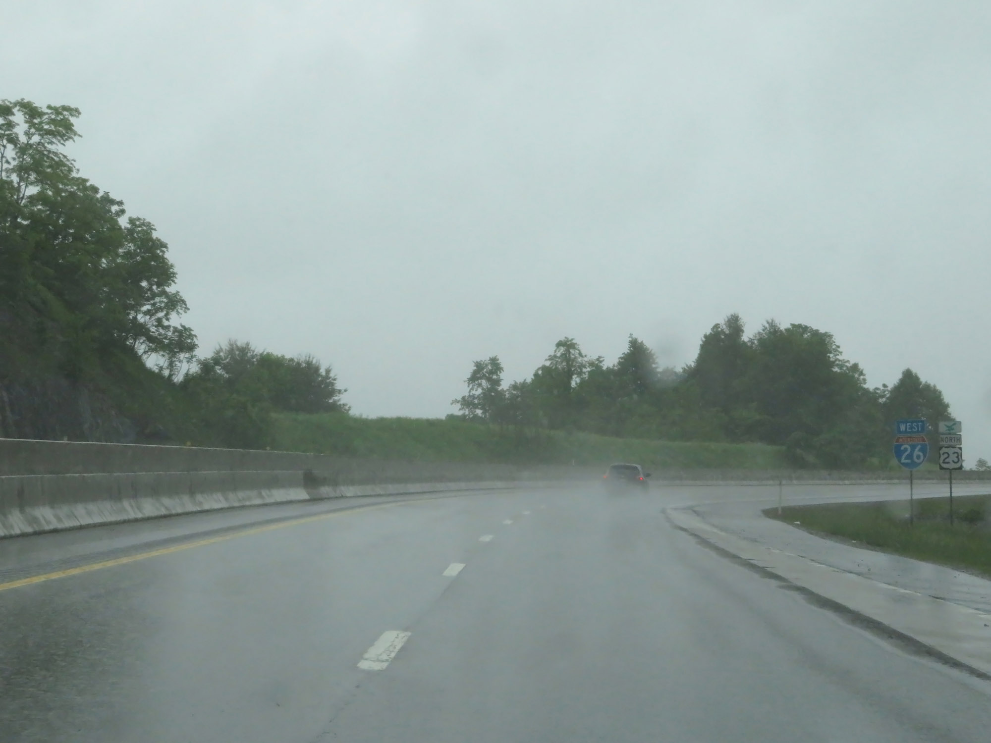 |
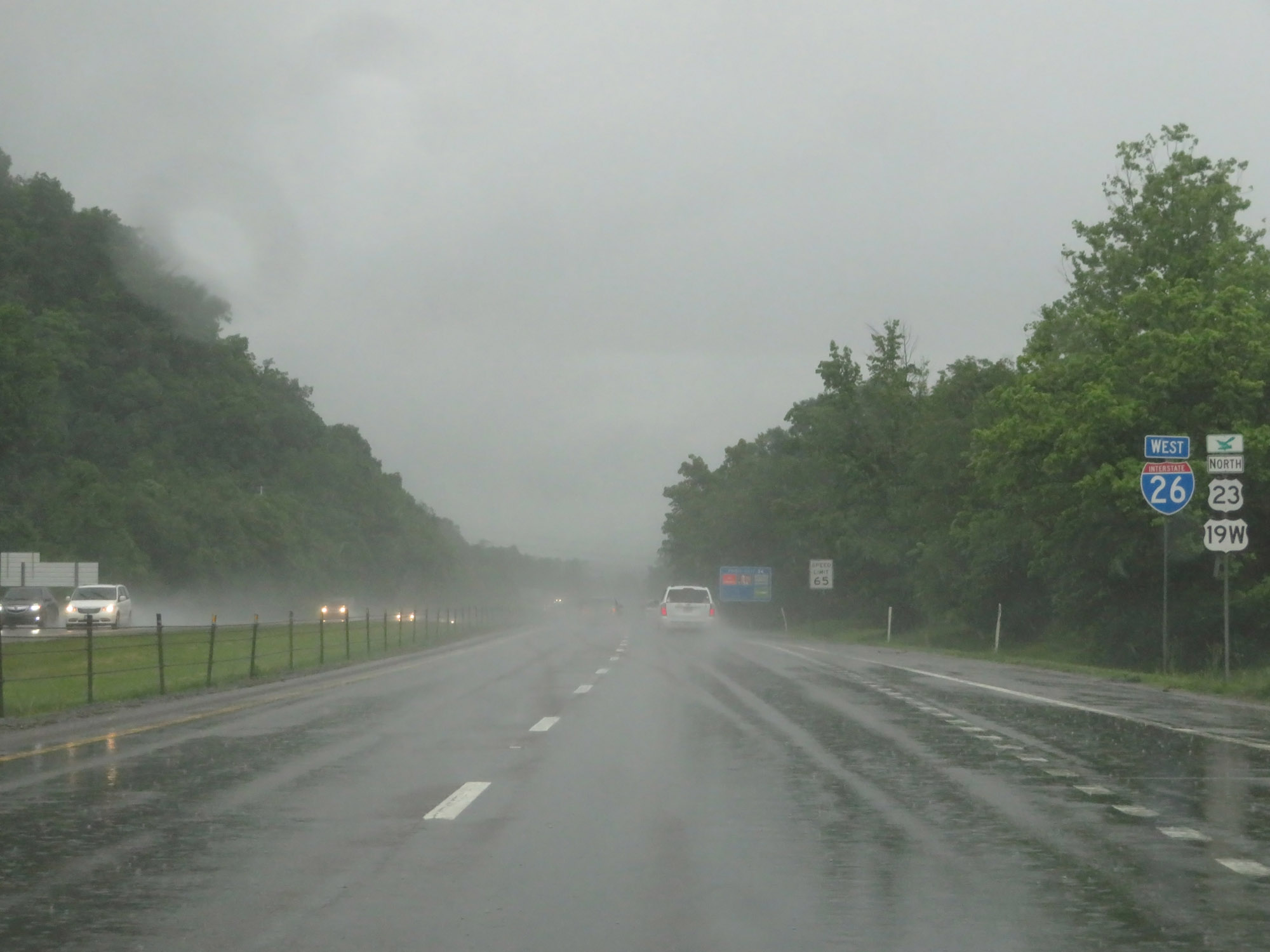
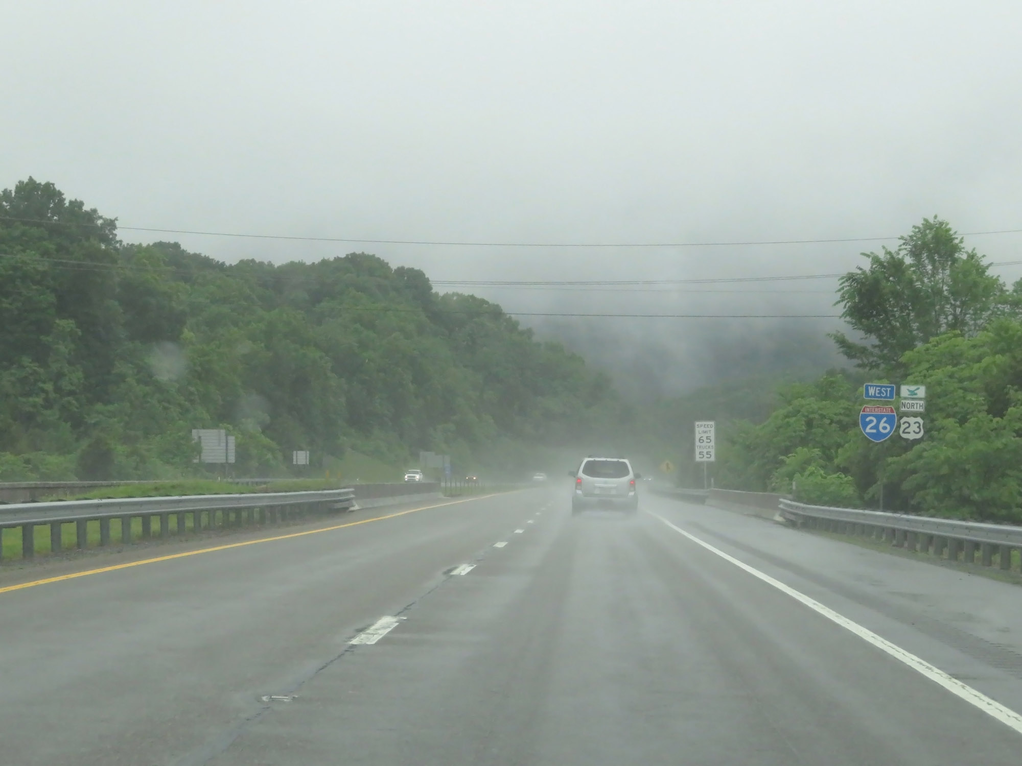
Interstate 26 West reassurance shield alongside a US 23 North marker. In Tennessee, I-26 and US 23 run concurrently for the entire duration of I-26. (Photo taken 5/26/18). |
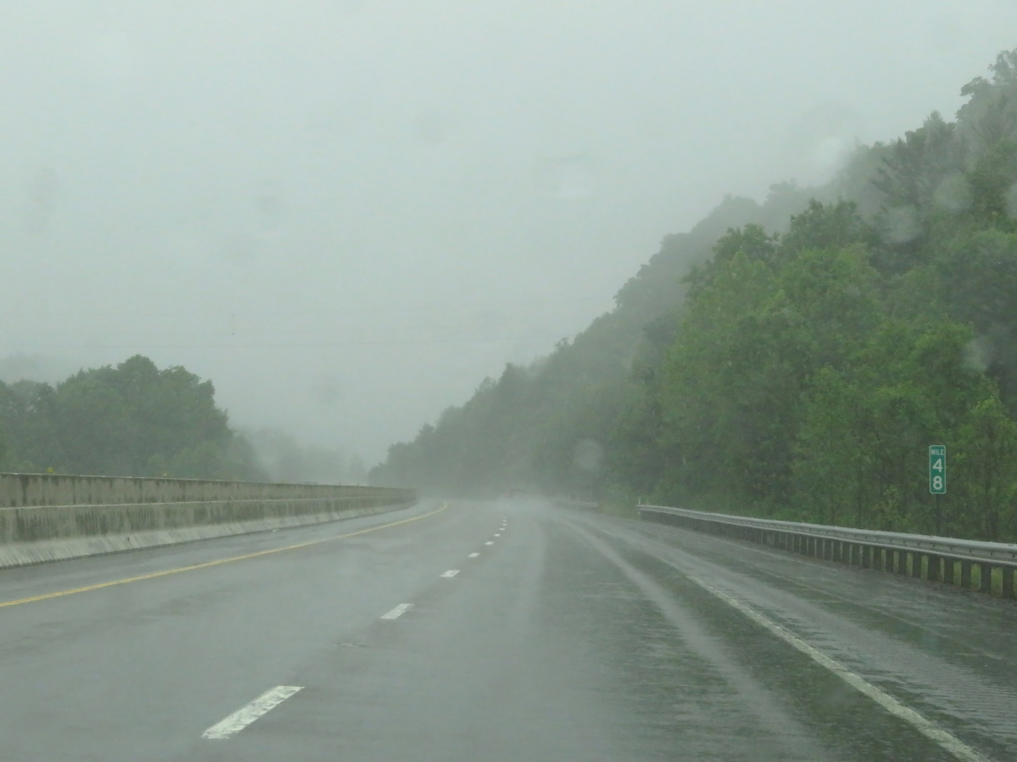 |
Interstate 26 West at mile marker 48. (Photo taken 5/26/18). |
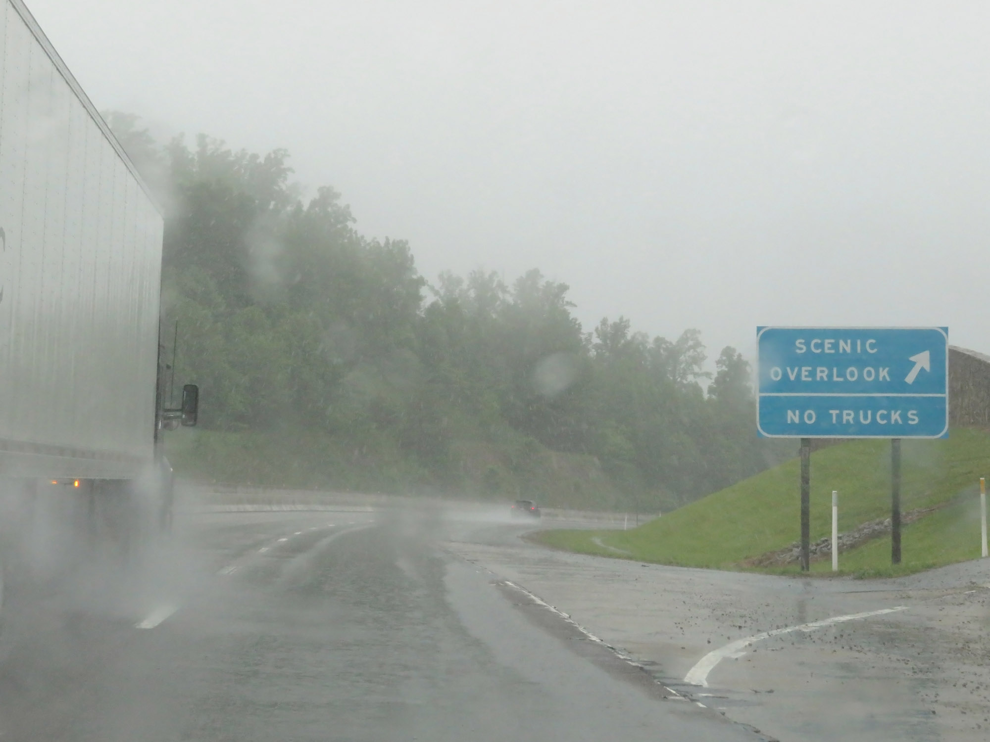 |
Scenic Overlook Area on Interstate 26 West in Unicoi County. (Photo taken 5/26/18). |
 |
Interstate 26 West at Exit 46: Clear Branch Road / Tennessee Welcome Center (Photo taken 5/26/18). |
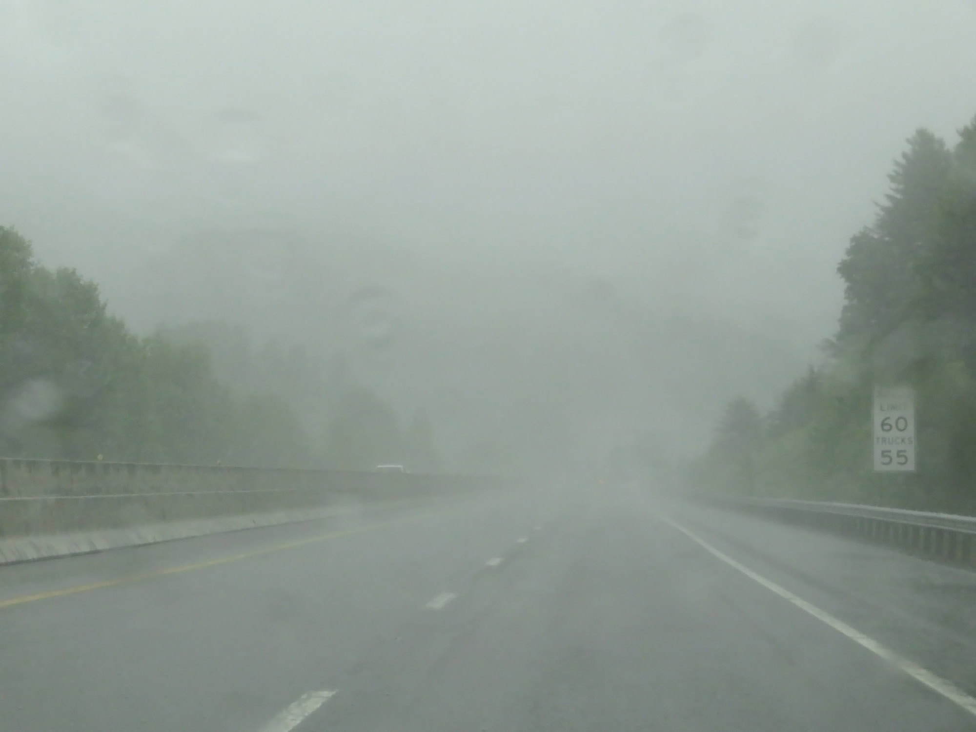 |
Beyond Exit 46, the speed limits get a slight bump to 60 mph for cars and 55 mph for trucks. (Photo taken 5/26/18). |
 |
View on Interstate 26 West at mile marker 45. (Photo taken 5/26/18). |
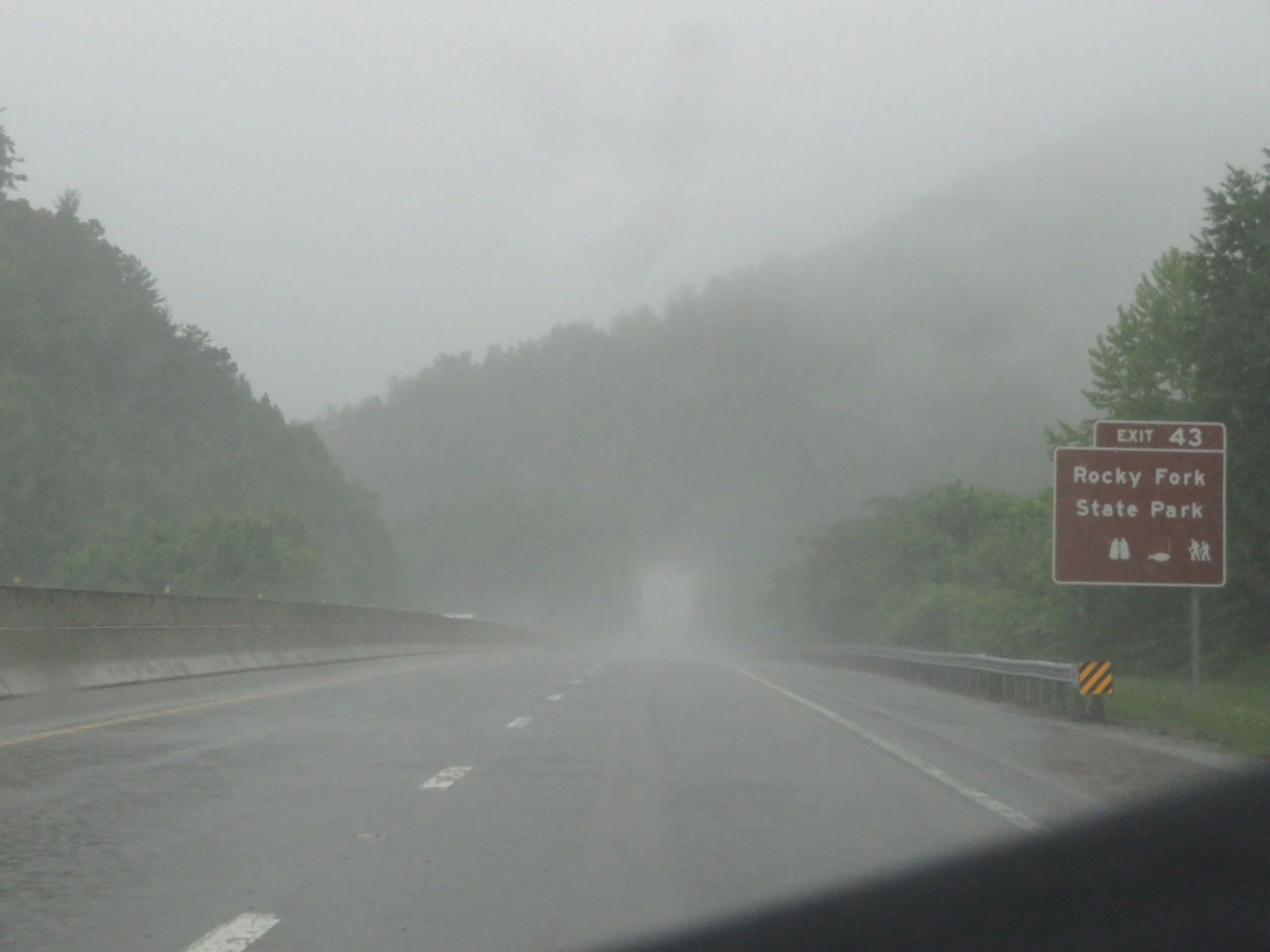 |
Take Exit 43 to Rocky Fork State Park. (Photo taken 5/26/18). |
 |
Interstate 26 West at Exit 43: US 19W / SR 352 - Temple Hill Rd (Photo taken 5/26/18). |
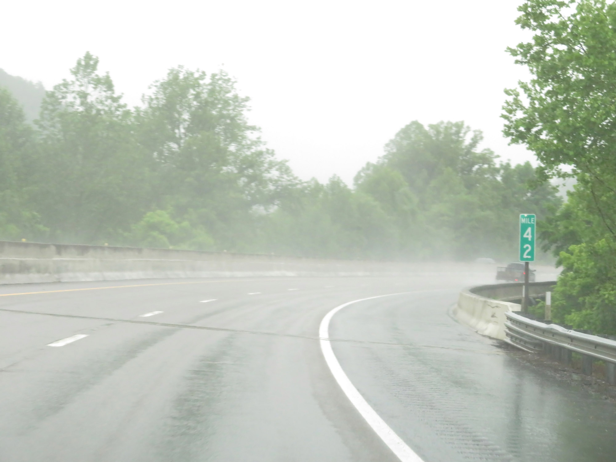 |
View on Interstate 26 West at mile marker 42. (Photo taken 5/26/18). |
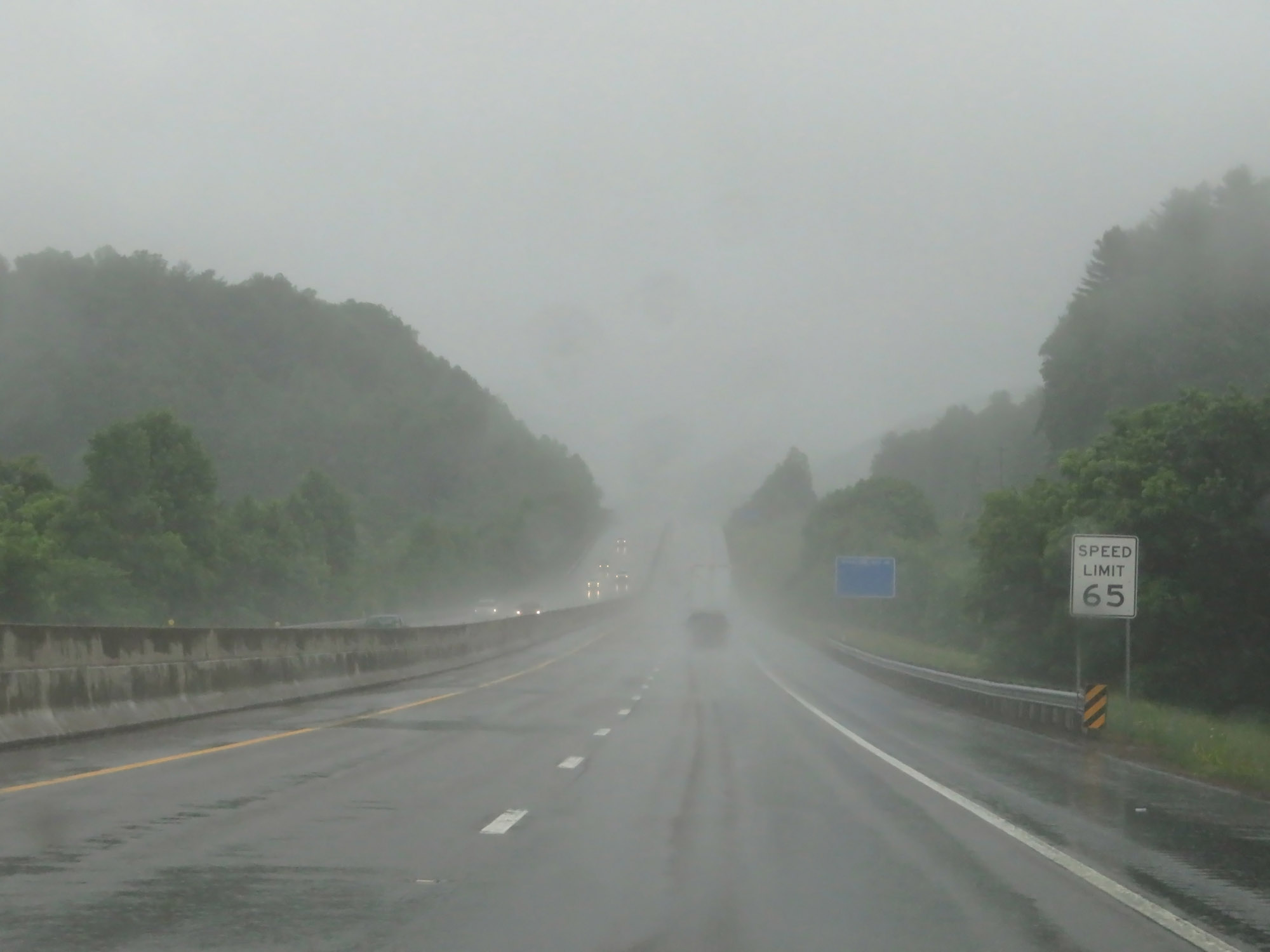 |
Near mile marker 41, the speed limit increases to 65 mph for all vehicles. (Photo taken 5/26/18). |
 |
Interstate 26 West at Exit 40: Jackson-Love Highway / Erwin (Photo taken 5/26/18). |
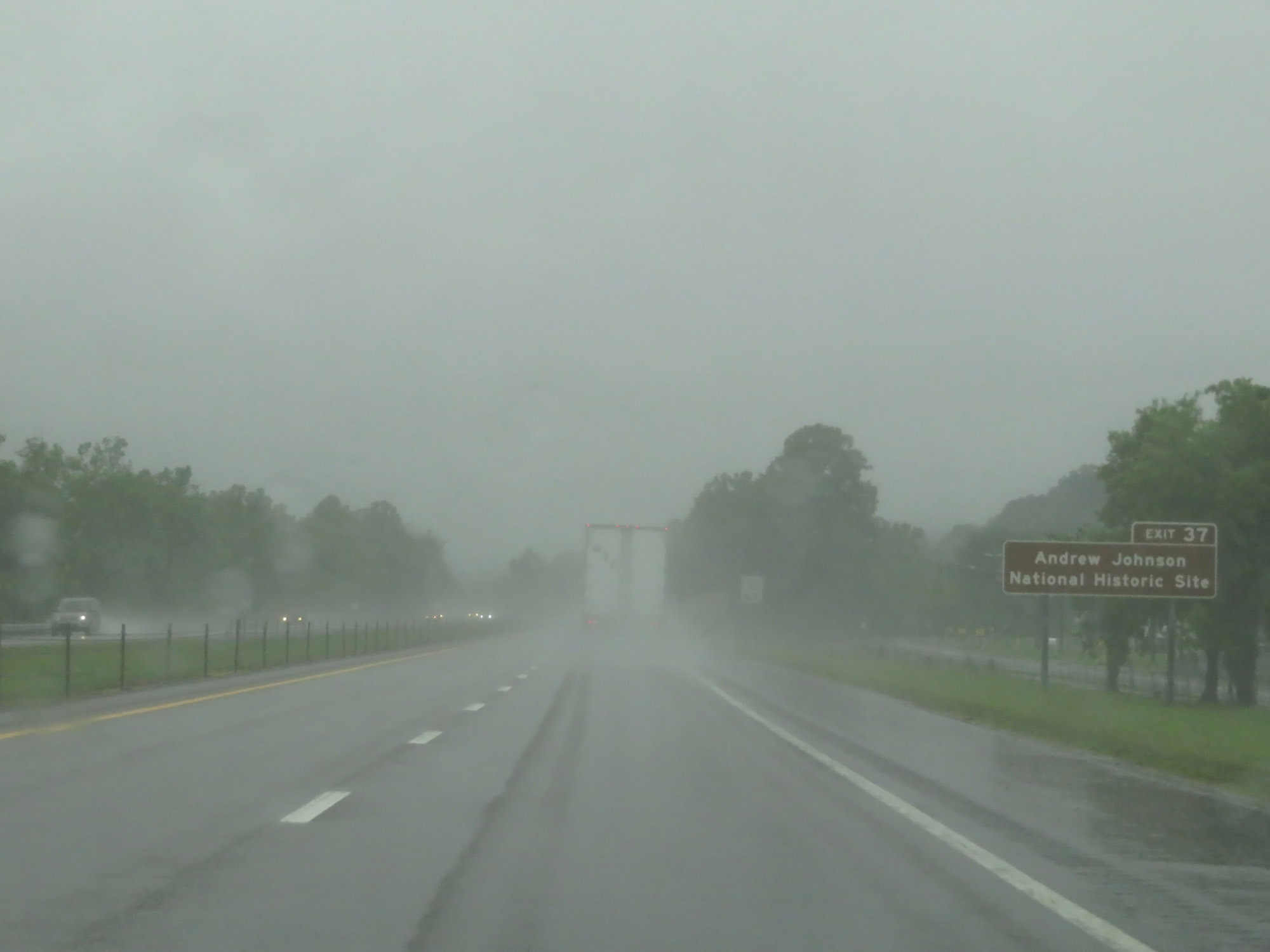 |
Take Exit 37 to the Andrew Johnson National Historic Site. (Photo taken 5/26/18). |
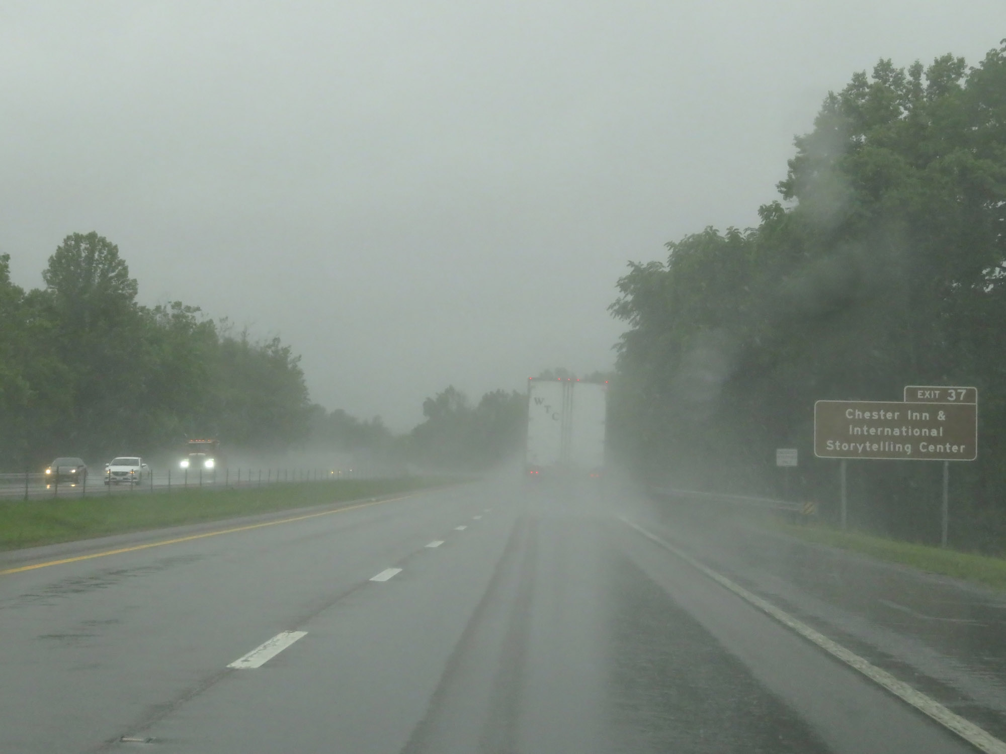 |
Take Exit 37 to Chester Inn & International Storytelling Center as well. (Photo taken 5/26/18). |
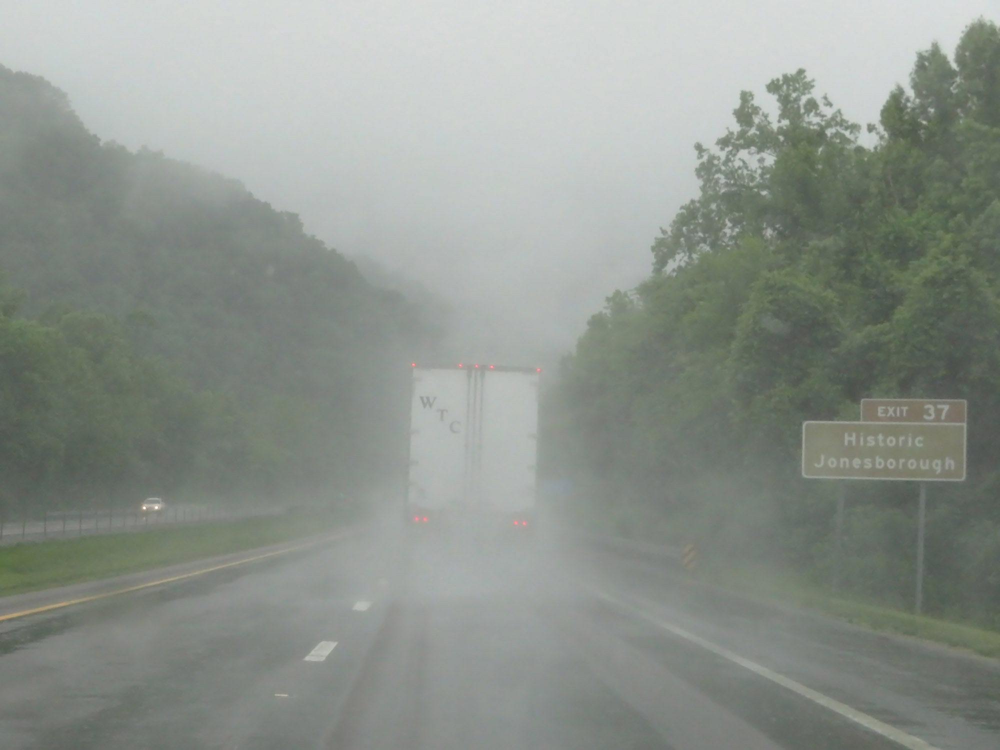 |
Also take Exit 37 to Historic Jonesborough. (Photo taken 5/26/18). |
 |
Take Exit 37 to Greeneville. (Photo taken 5/26/18). |
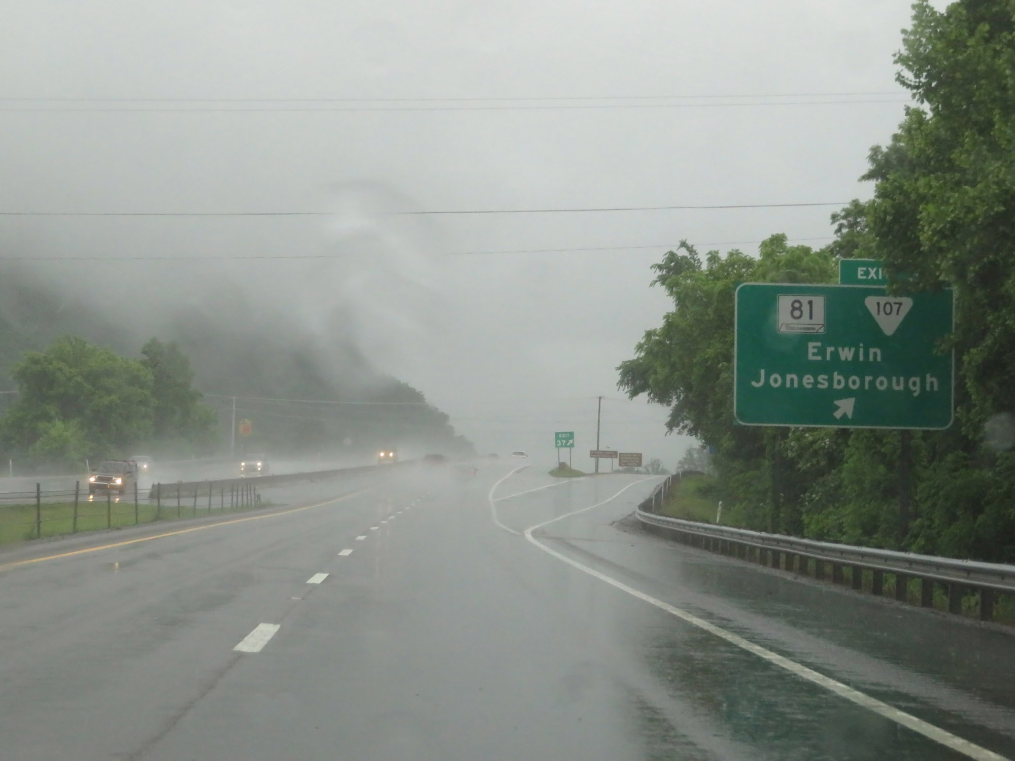 |
Interstate 26 West at Exit 37: TN 81 / SR 107 - Erwin / Jonesborough (Photo taken 5/26/18). |
 |
Another Interstate 26 West reassurance shield. (Photo taken 5/26/18). |
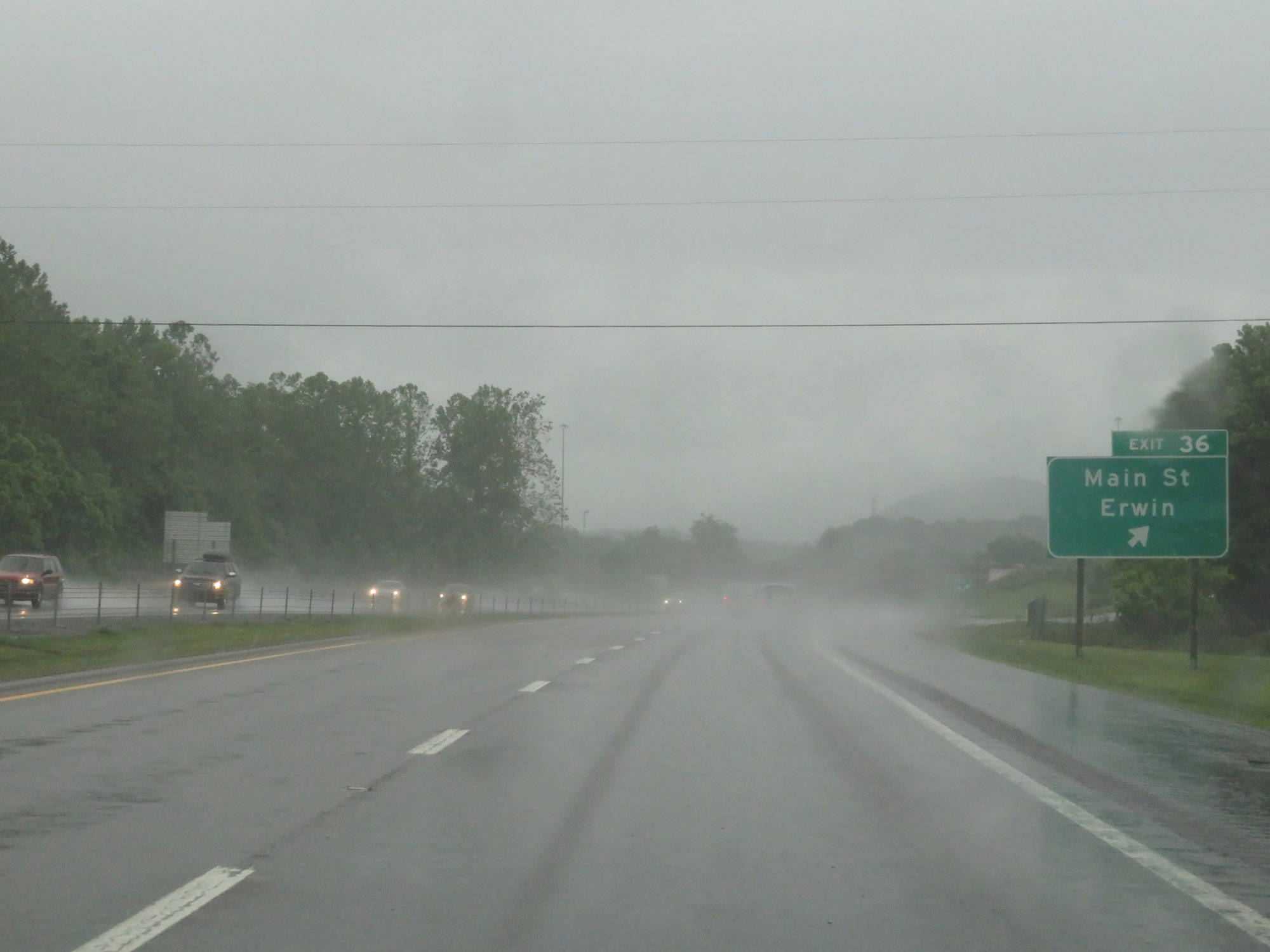 |
Interstate 26 West at Exit 36: Main St / Erwin (Photo taken 5/26/18). |
 |
Interstate 26 West at Exit 34: Tinker Rd (Photo taken 5/26/18). |
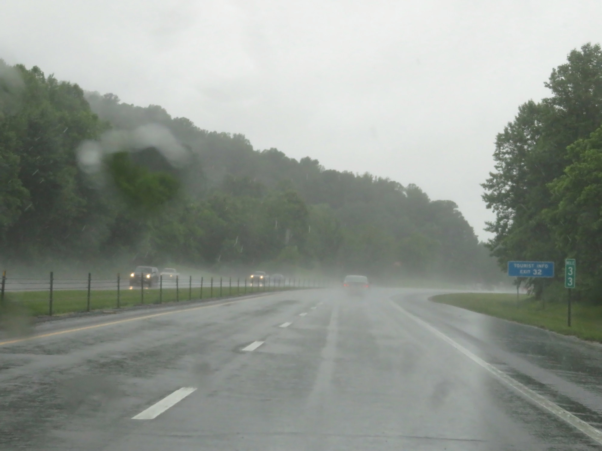 |
View on Interstate 26 West at mile marker 33. (Photo taken 5/26/18). |
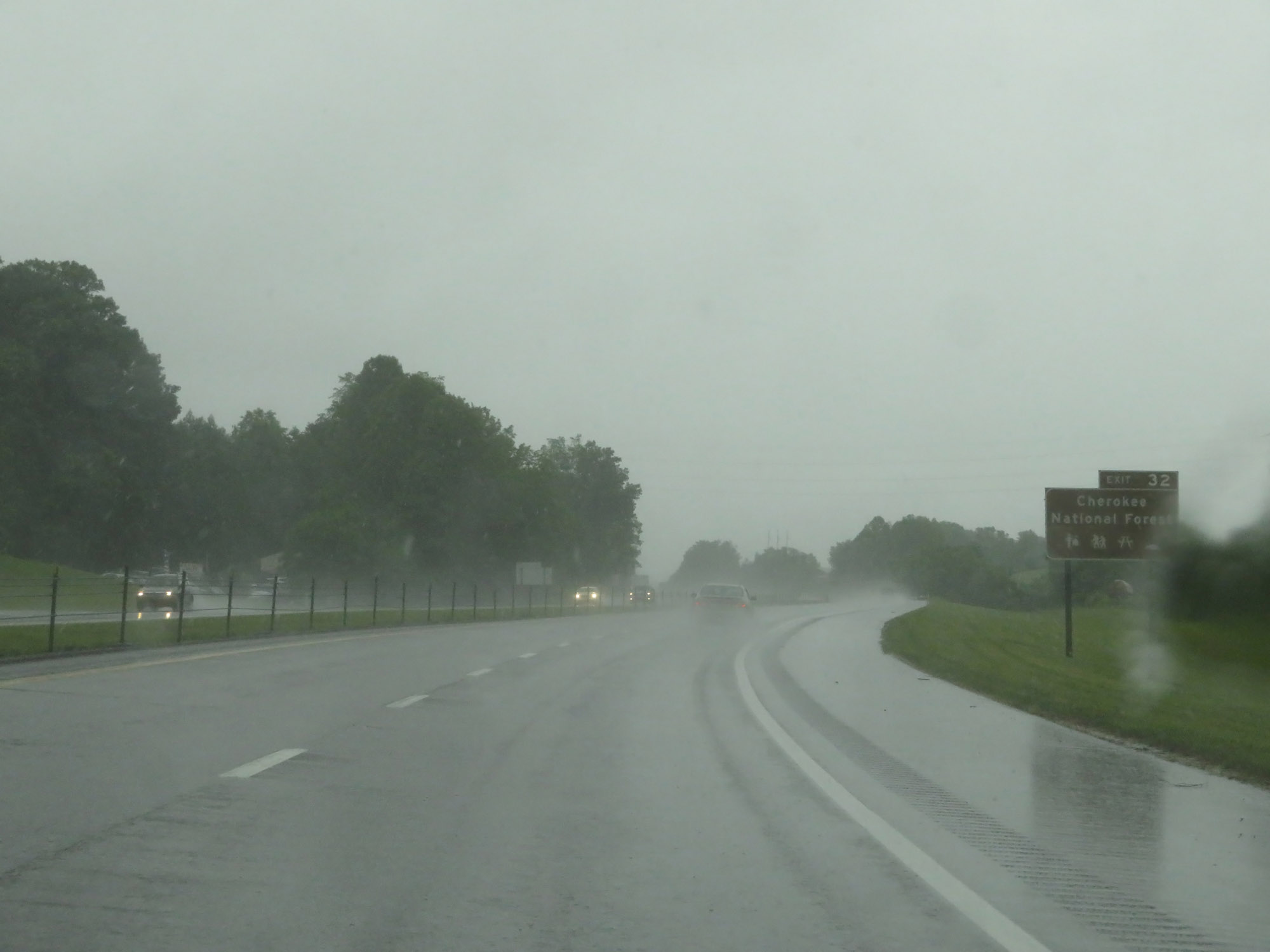 |
Take Exit 32 to Cherokee National Forest. (Photo taken 5/26/18). |
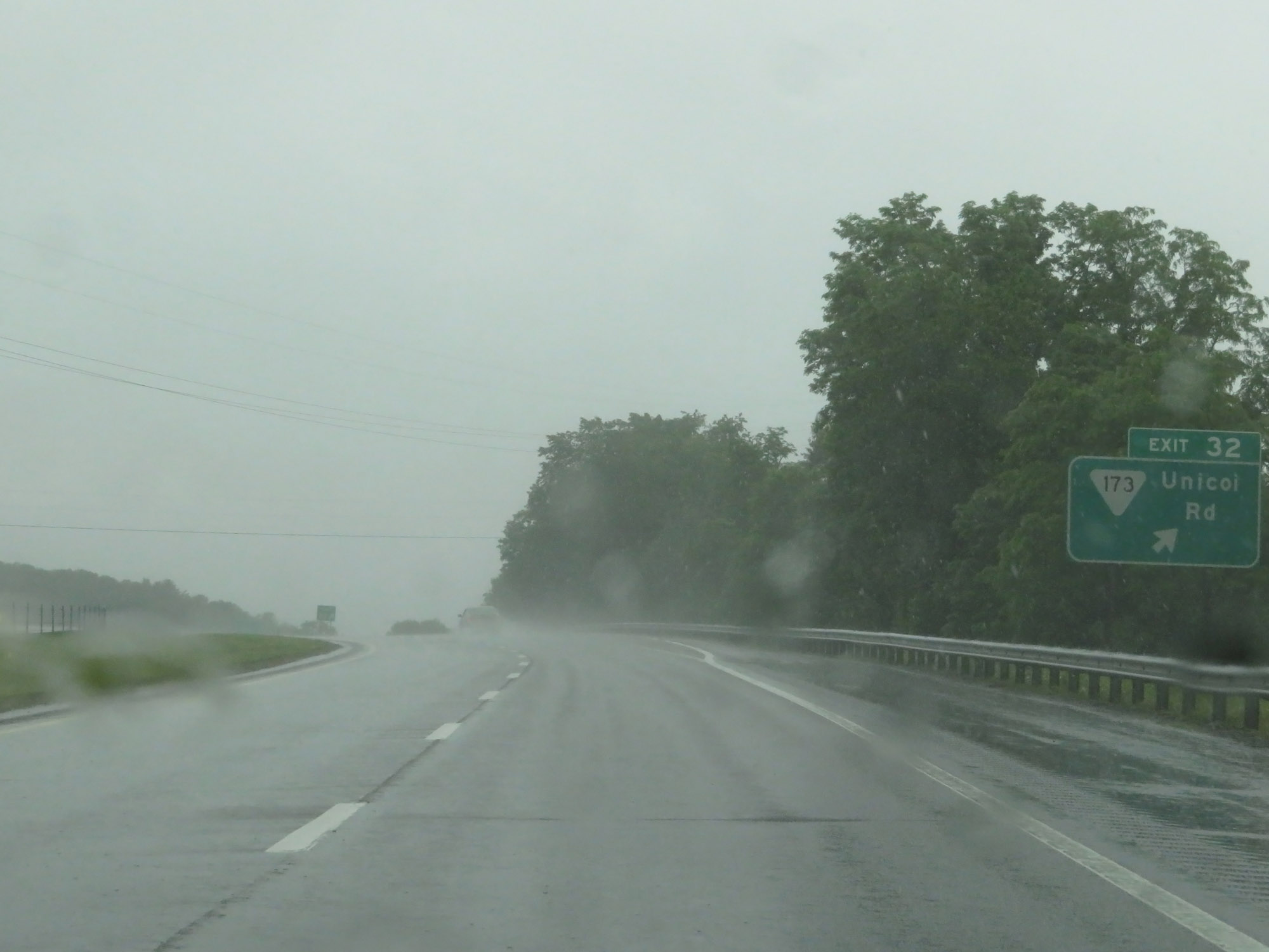 |
Interstate 26 West at Exit 32: SR 173 - Unicoi Rd (Photo taken 5/26/18). |
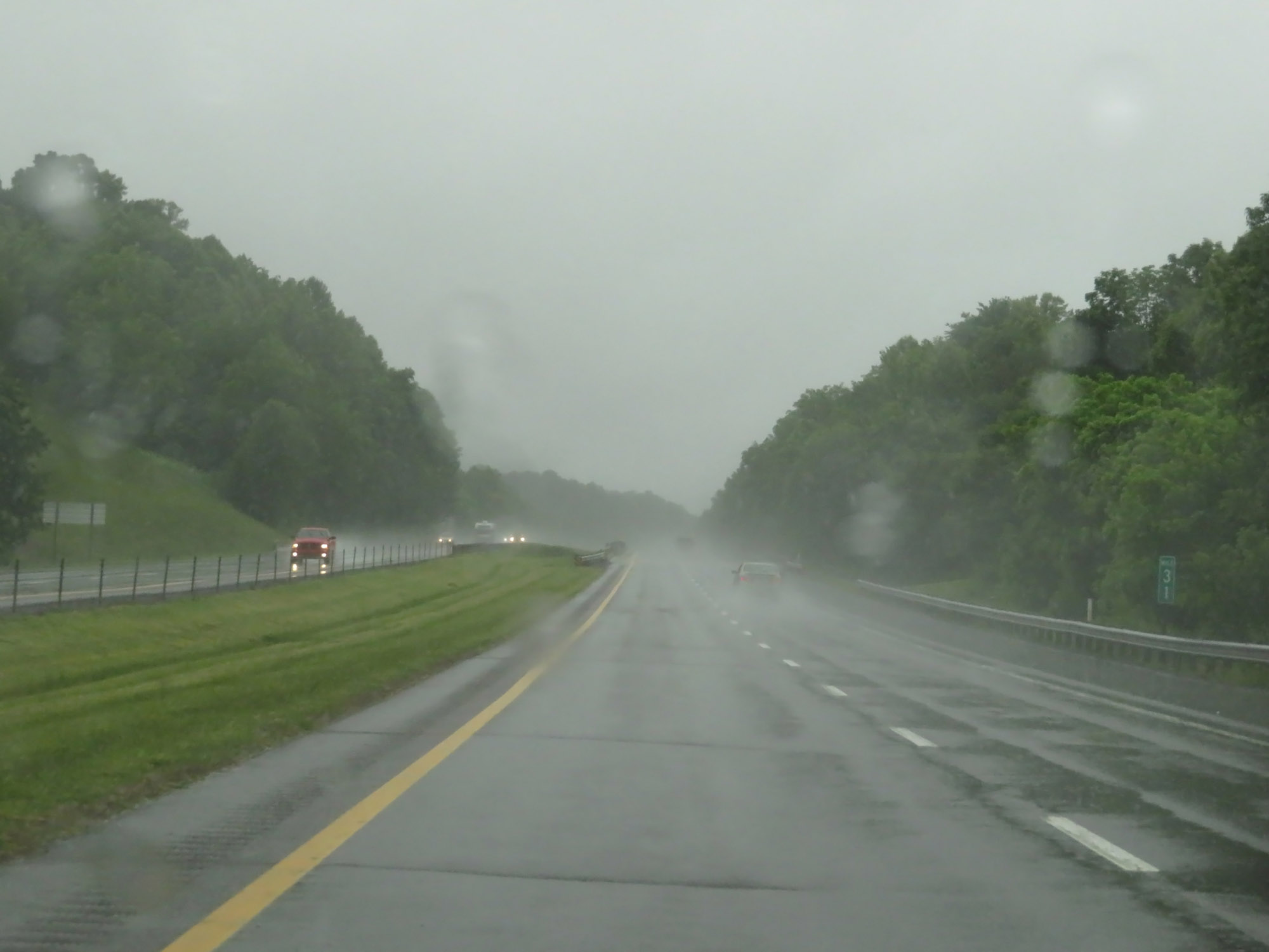 |
Interstate 26 West at mile marker 31. (Photo taken 5/26/18). |
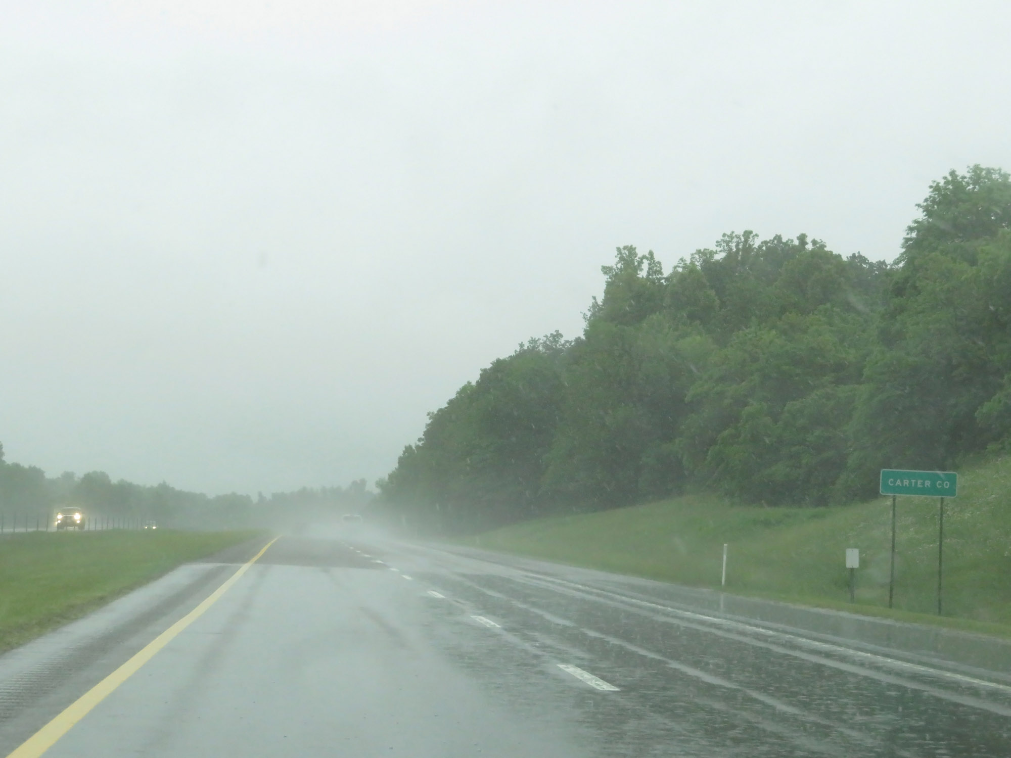 |
Entering Carter County on Interstate 26 West. (Photo taken 5/26/18). |
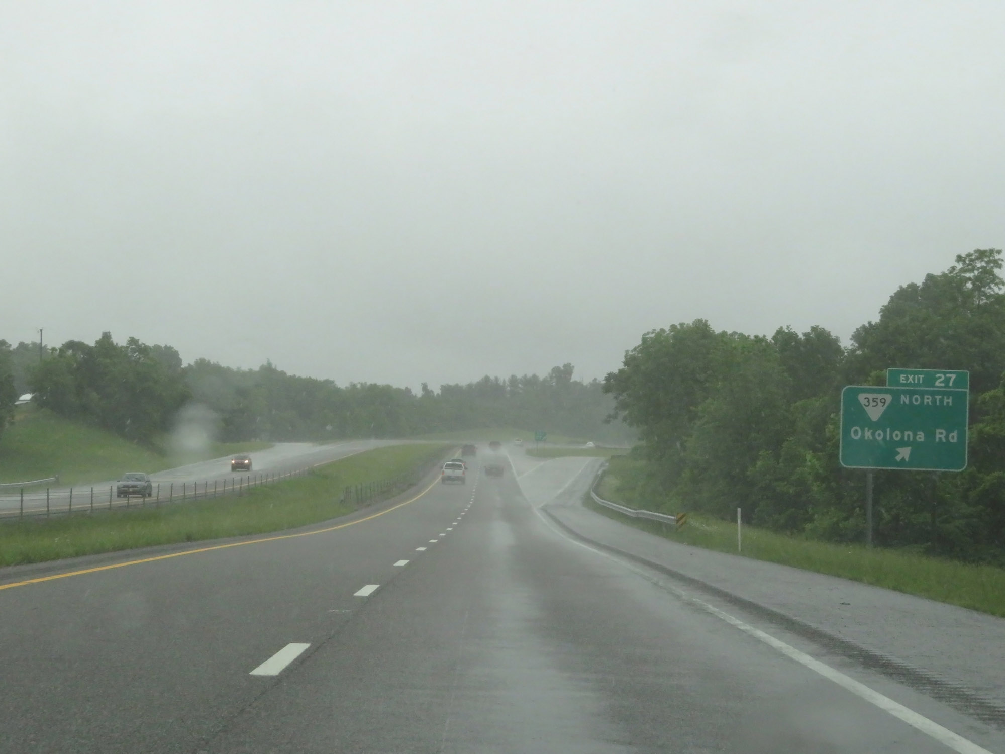 |
Interstate 26 West at Exit 27: SR 359 North - Okolona Rd (Photo taken 5/26/18). |
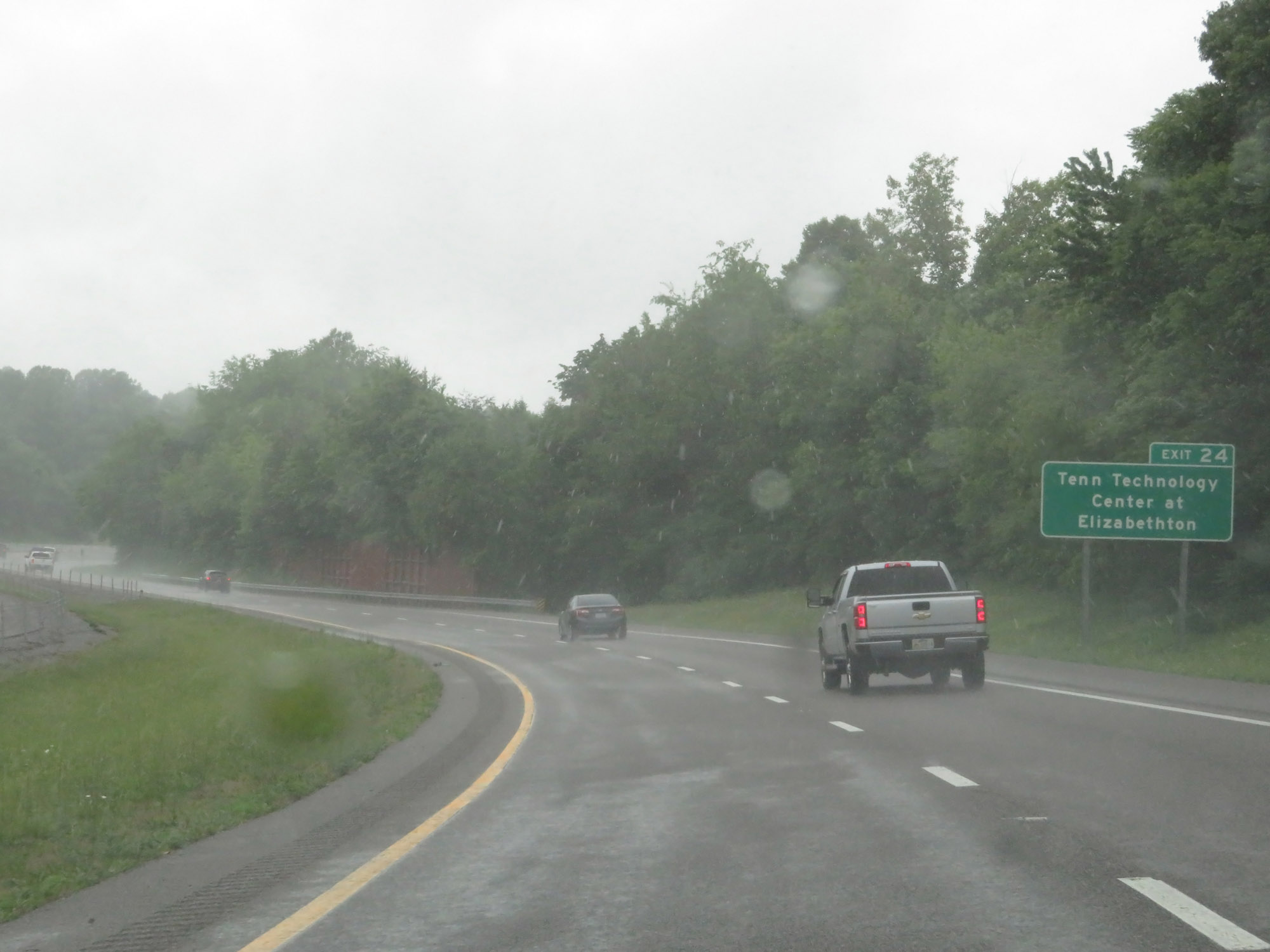 |
Take Exit 24 to Tennessee Technology Center at Elizabethton. (Photo taken 5/26/18). |
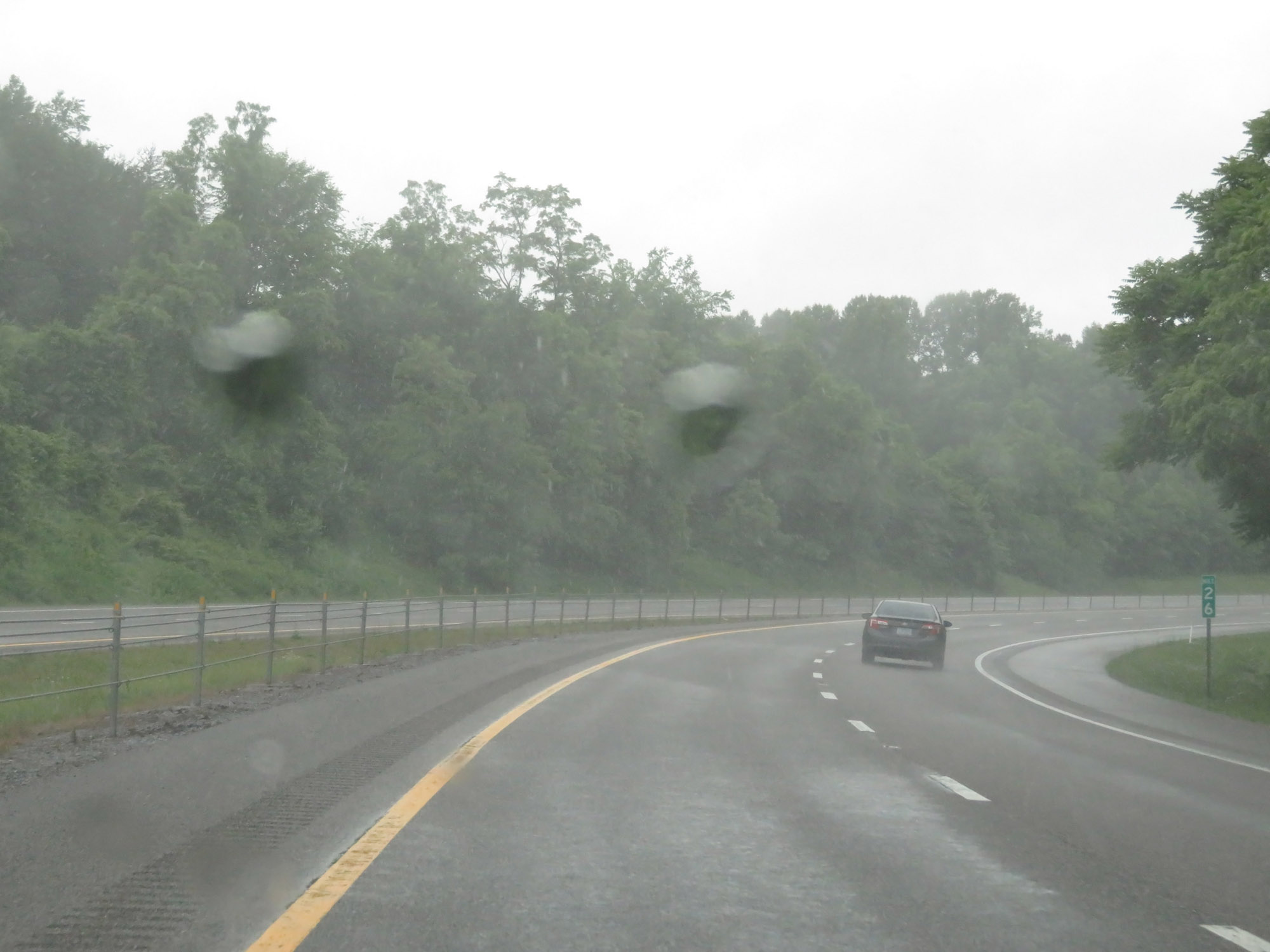 |
Interstate 26 West at mile marker 26. (Photo taken 5/26/18). |
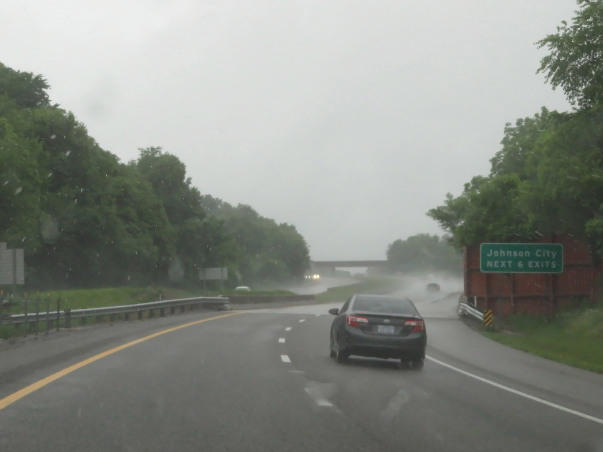 |
Take any of the next 6 exits to Johnson City. (Photo taken 5/26/18). |
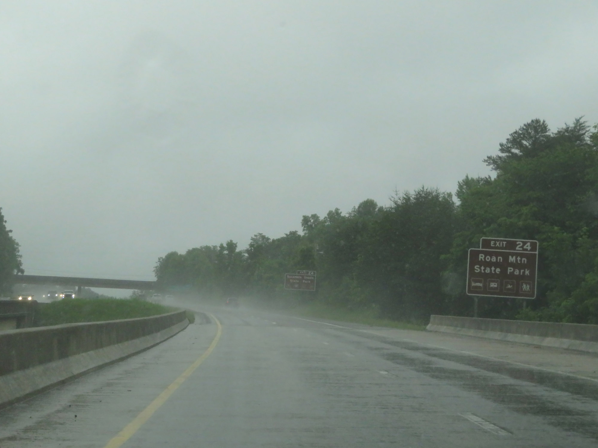 |
Use Exit 24 to access Roan Mountain State Park. (Photo taken 5/26/18). |
 |
Take Exit 24 to Sycamore Shoals State Park as well. (Photo taken 5/26/18). |
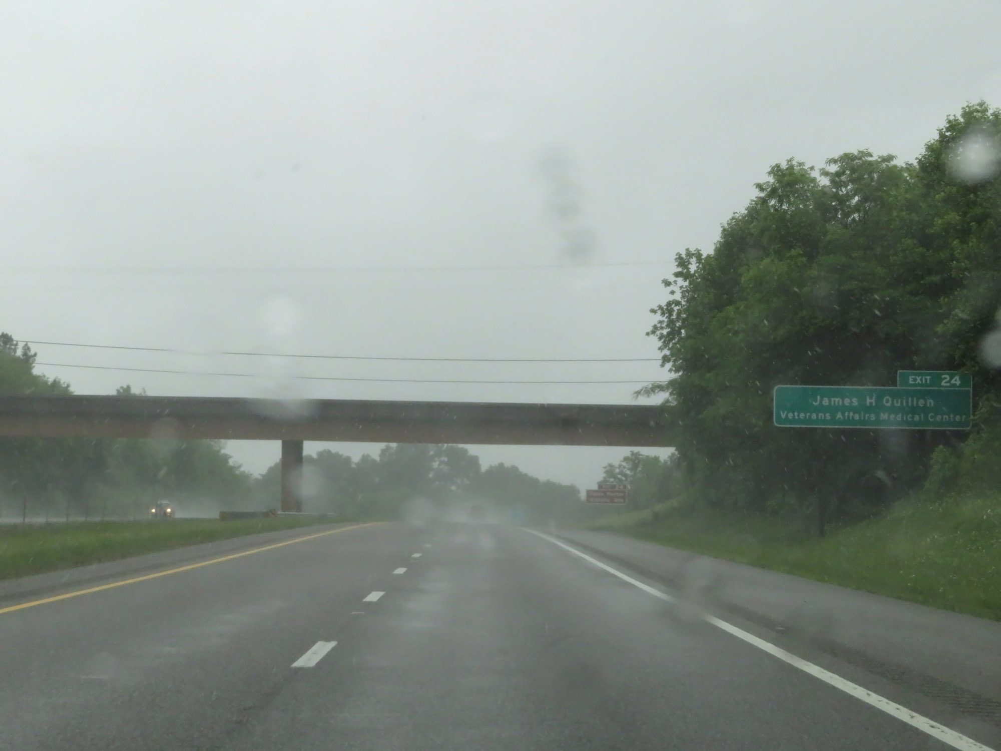 |
Take Exit 24 to the James H. Quillen VA Medical Center as well. (Photo taken 5/26/18). |
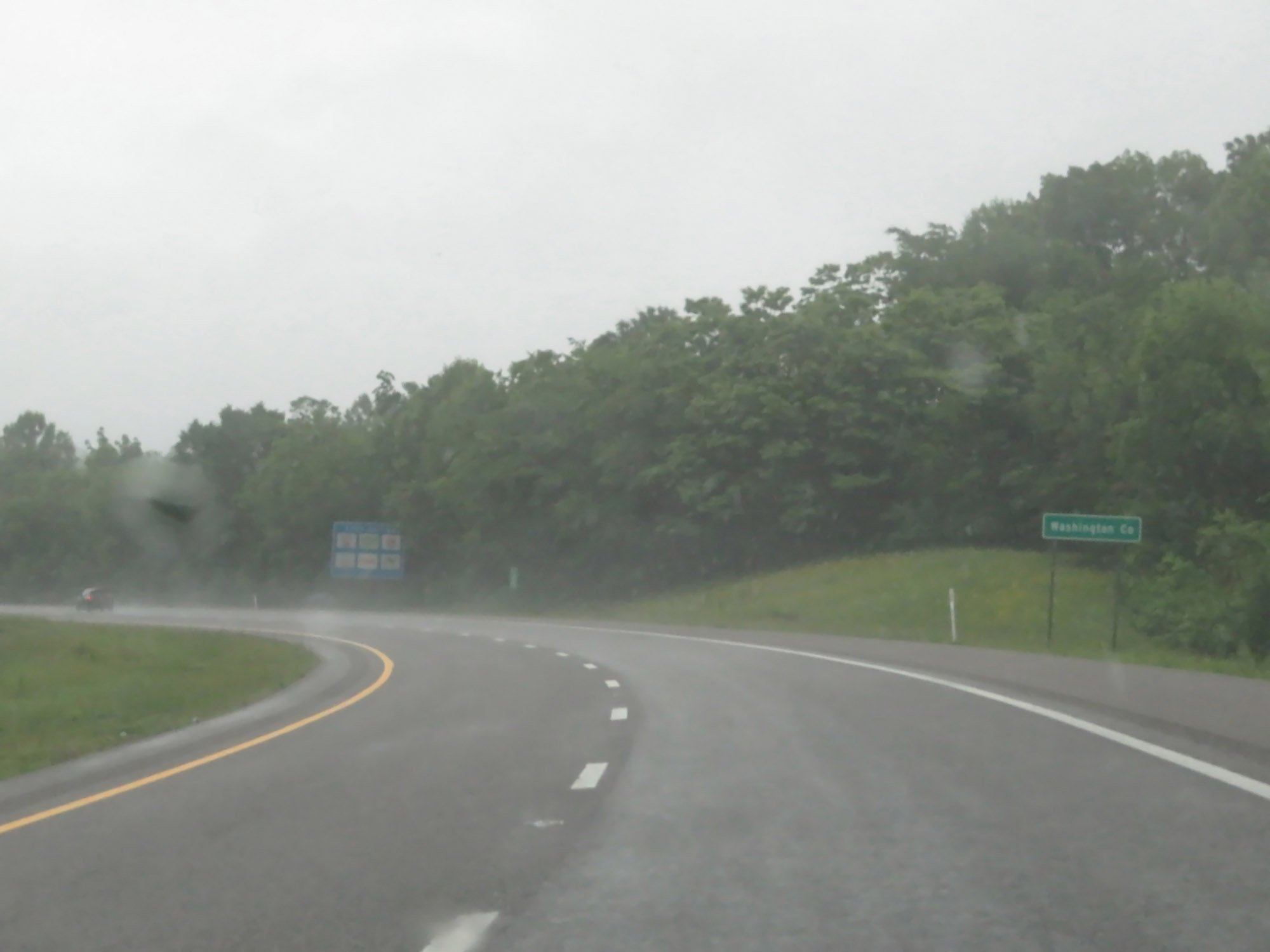 |
Interstate 26 West as it enters Washington County. (Photo taken 5/26/18). |
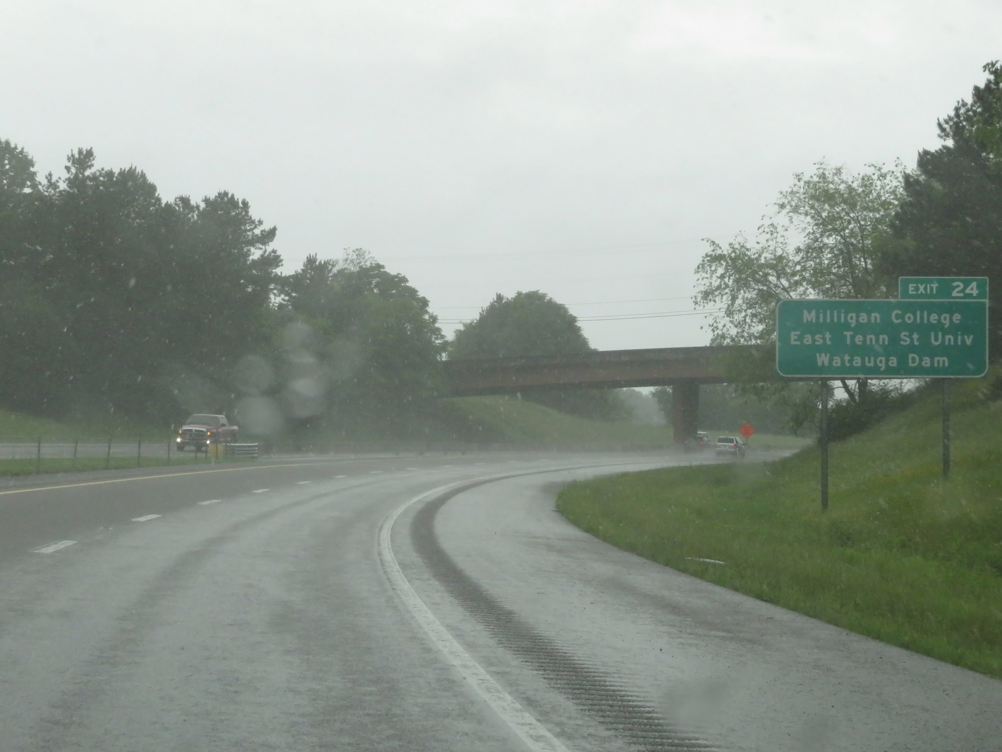 |
Also take Exit 24 to Milligan College, East Tennessee State University, and Watauga Dam. (Photo taken 5/26/18). |
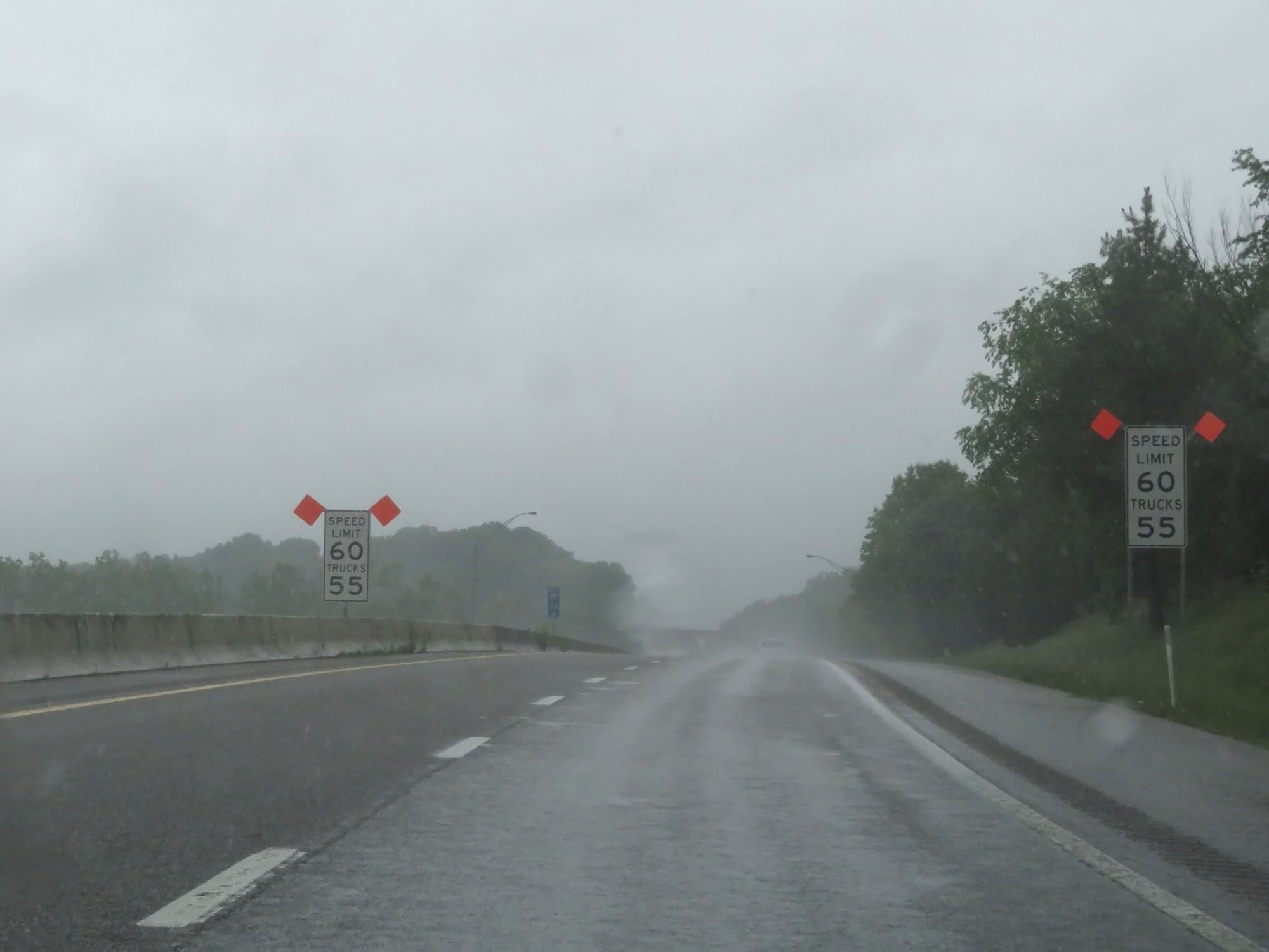 |
Entering the Johnson City area, the speed limits once again decrease to 60 mph for cars and 55 mph for trucks. (Photo taken 5/26/18). |
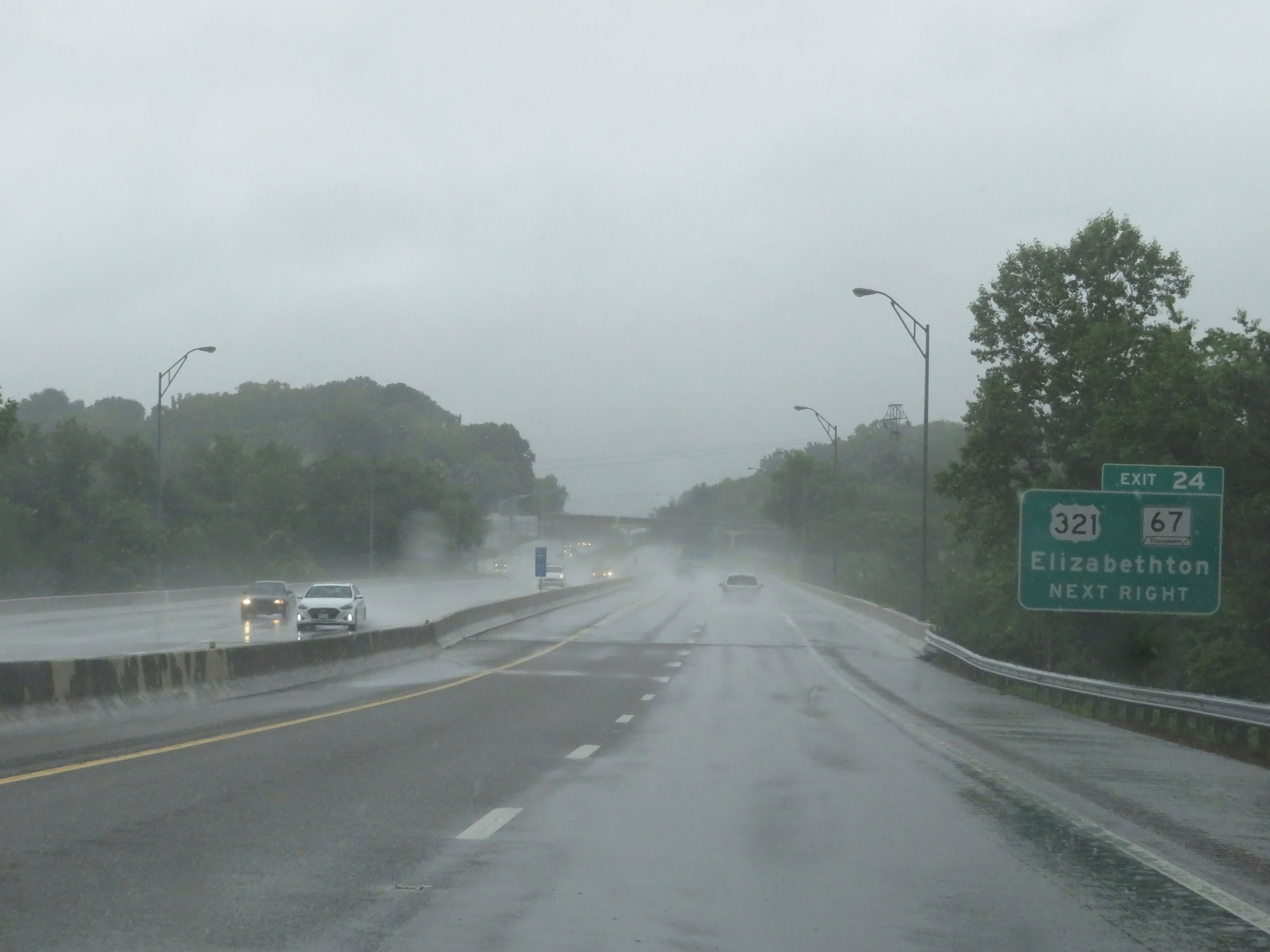 |
Interstate 26 West at Exit 24: US 321 / TN 67 - Elizabethton (Photo taken 5/26/18). |
Section 2: Johnson City (Exit 24) to Western Terminus
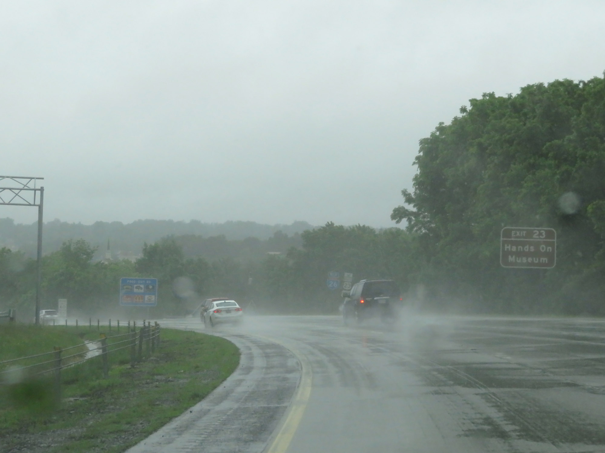 |
Take Exit 23 to the Hands On Museum. (Photo taken 5/26/18). |
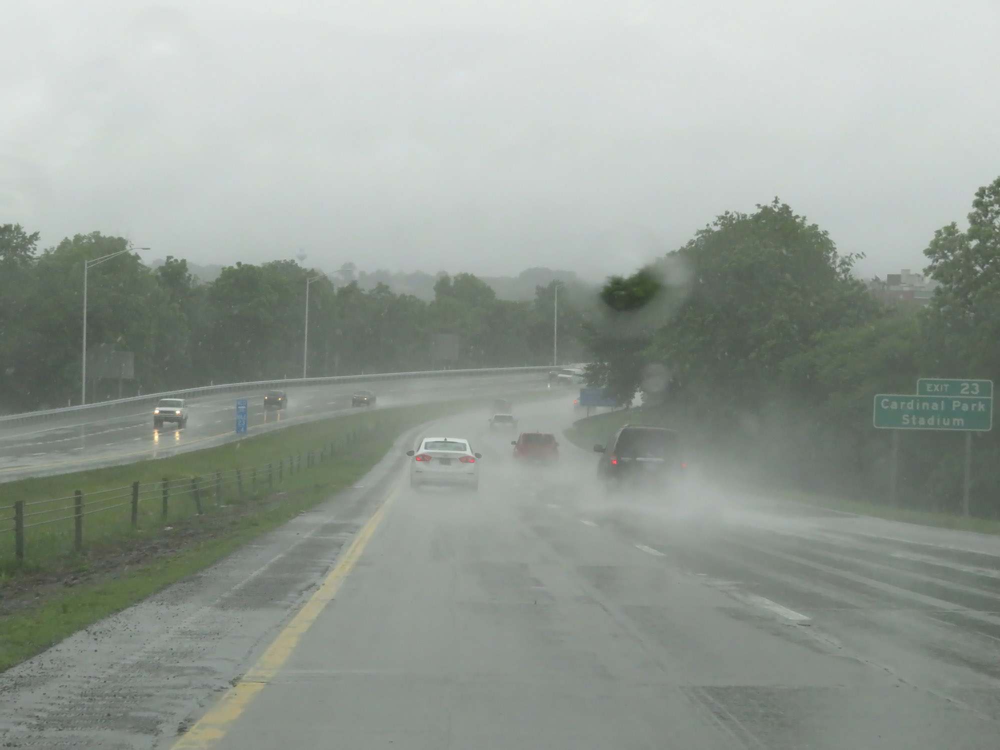 |
Also take Exit 23 to Cardinal Park Stadium. (Photo taken 5/26/18). |
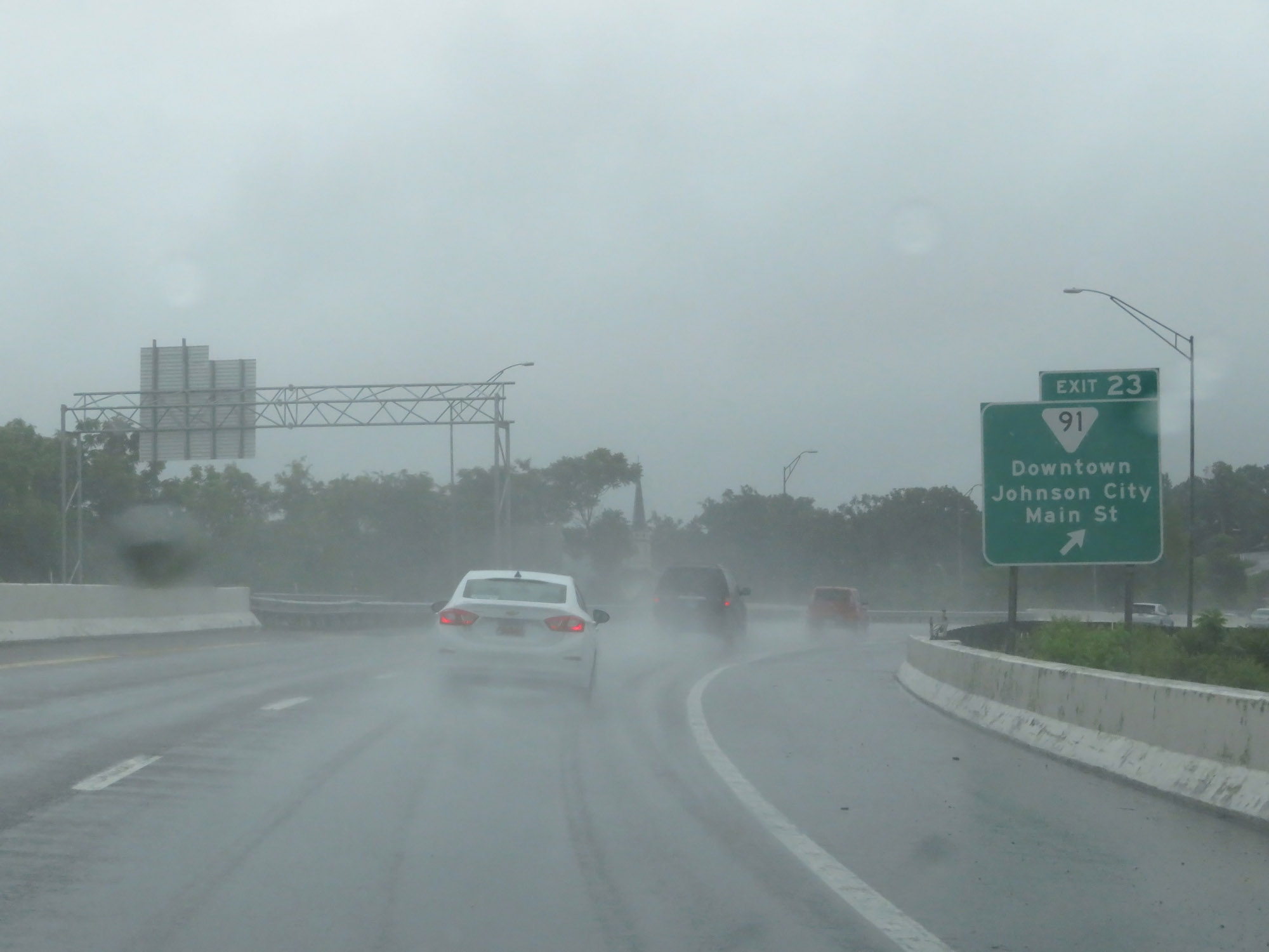 |
Interstate 26 West at Exit 23: SR 91 - Downtown Johnson City / Main St (Photo taken 5/26/18). |
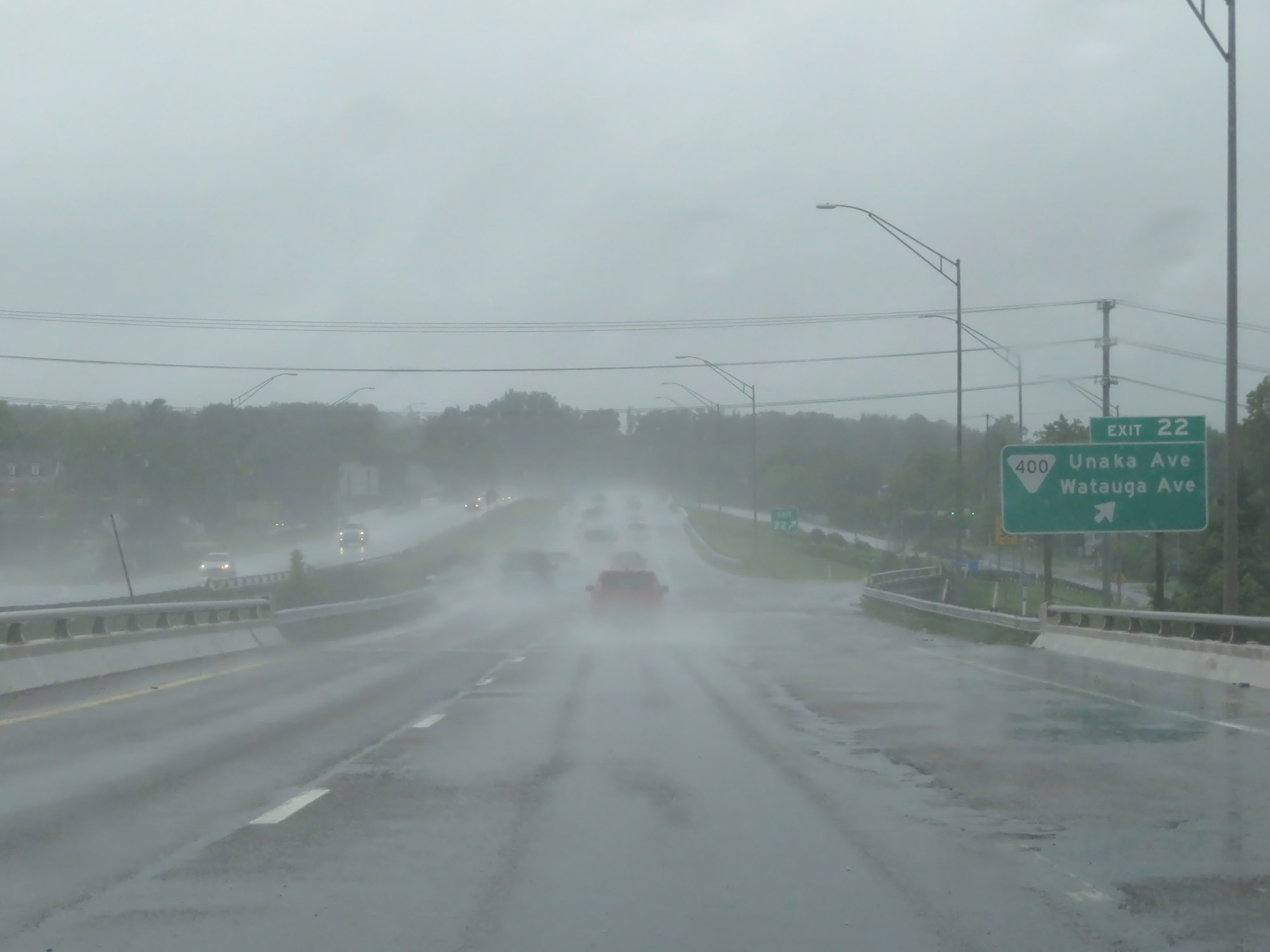 |
Interstate 26 West at Exit 22: SR 400 - Unaka Ave / Watauga Ave (Photo taken 5/26/18). |
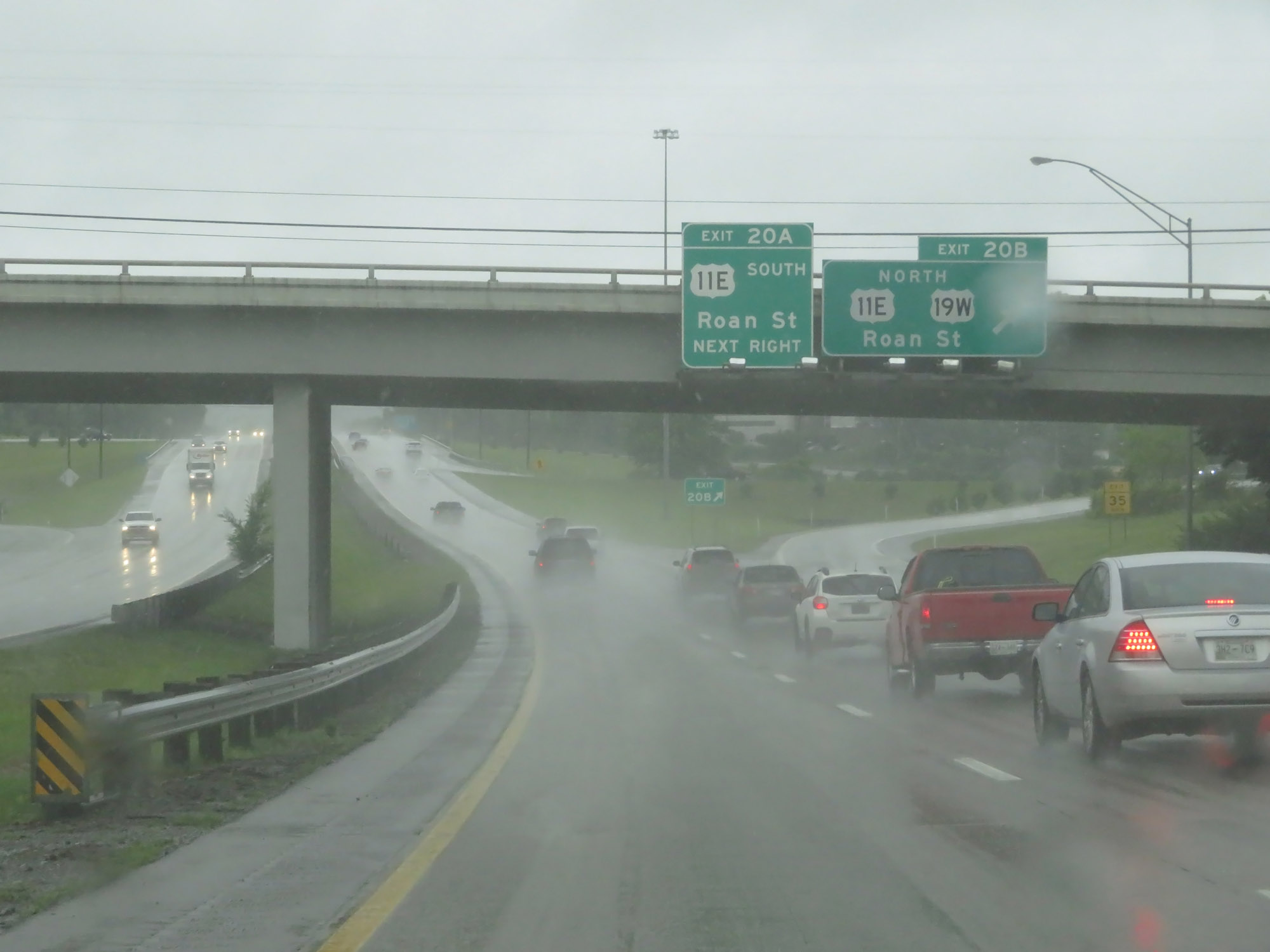 |
Interstate 26 West at Exit 20B: US 11E North / US 19W North - Roan St (Photo taken 5/26/18). |
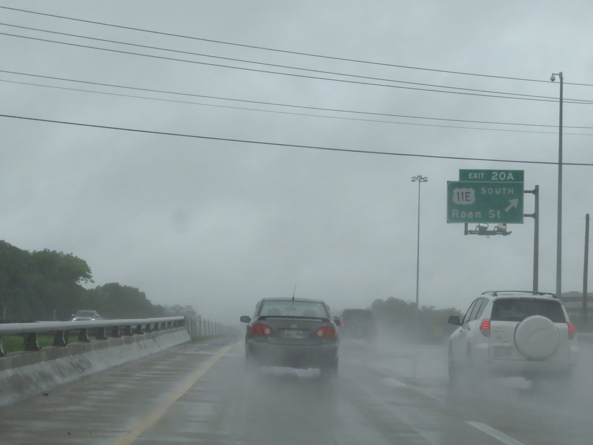 |
Interstate 26 West at Exit 20A: US 11E South - Roan St (Photo taken 5/26/18). |
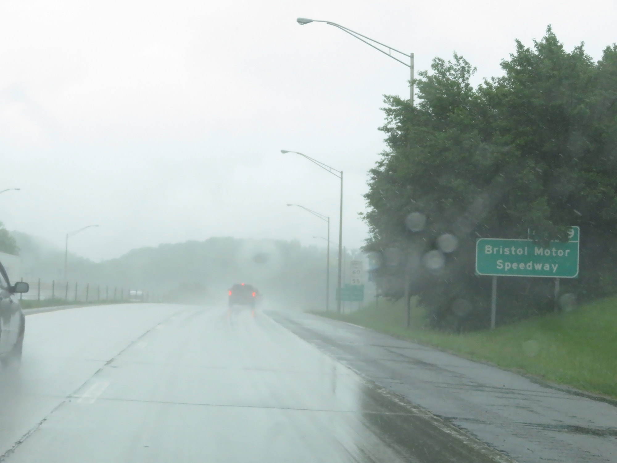 |
Take Exit 19 to Bristol Motor Speedway. (Photo taken 5/26/18). |
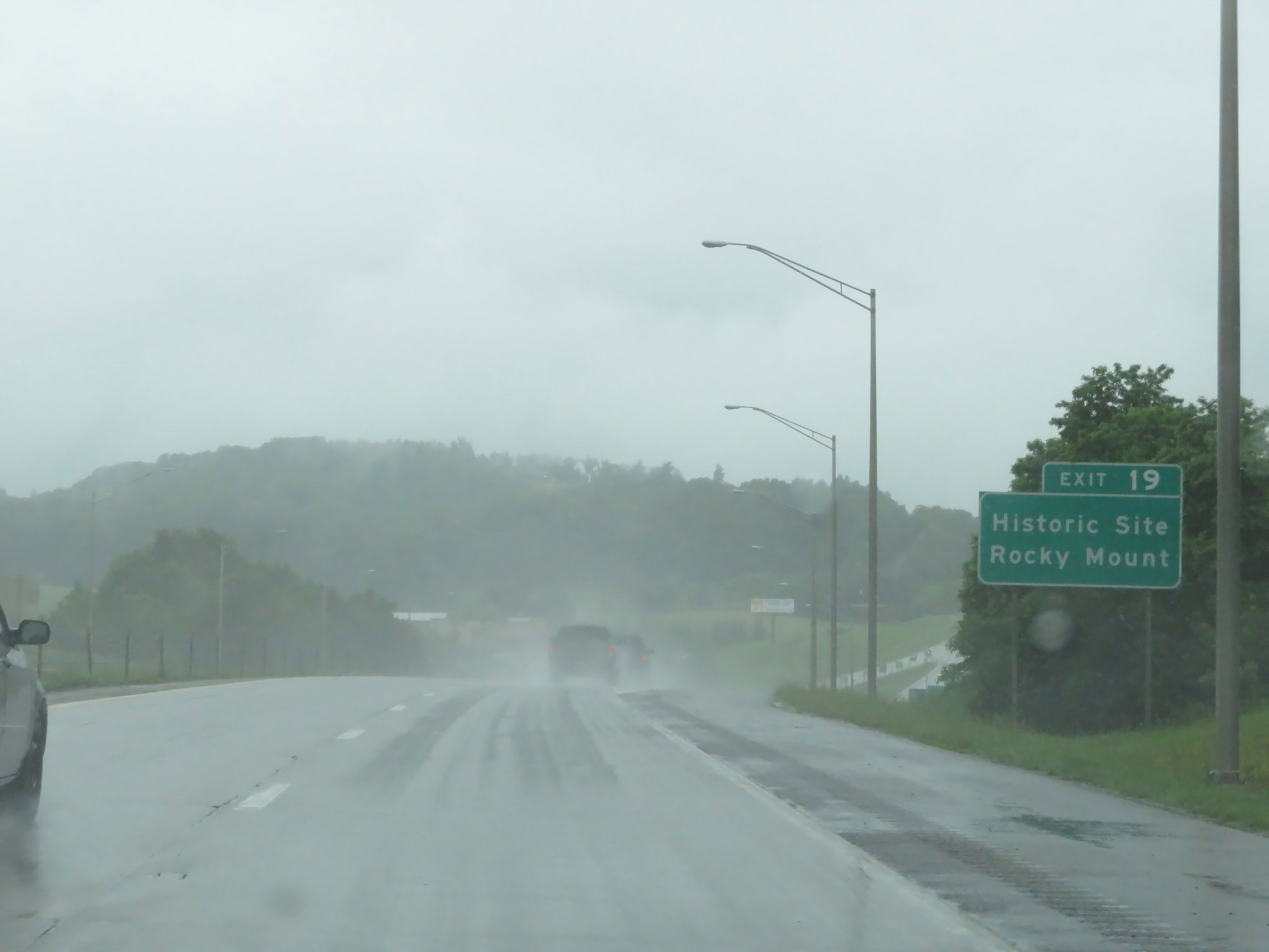 |
Also take Exit 19 to Rocky Mount Historic Site. (Photo taken 5/26/18). |
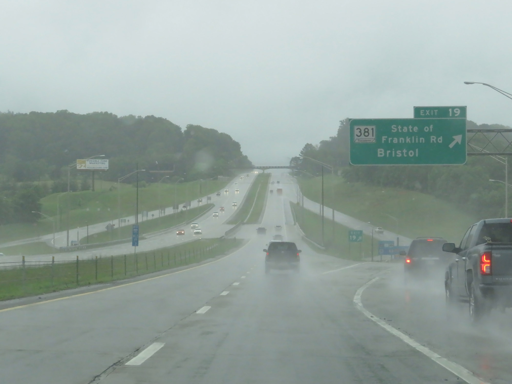 |
Interstate 26 West at Exit 19: TN 381 - State of Franklin Rd / Bristol (Photo taken 5/26/18). |
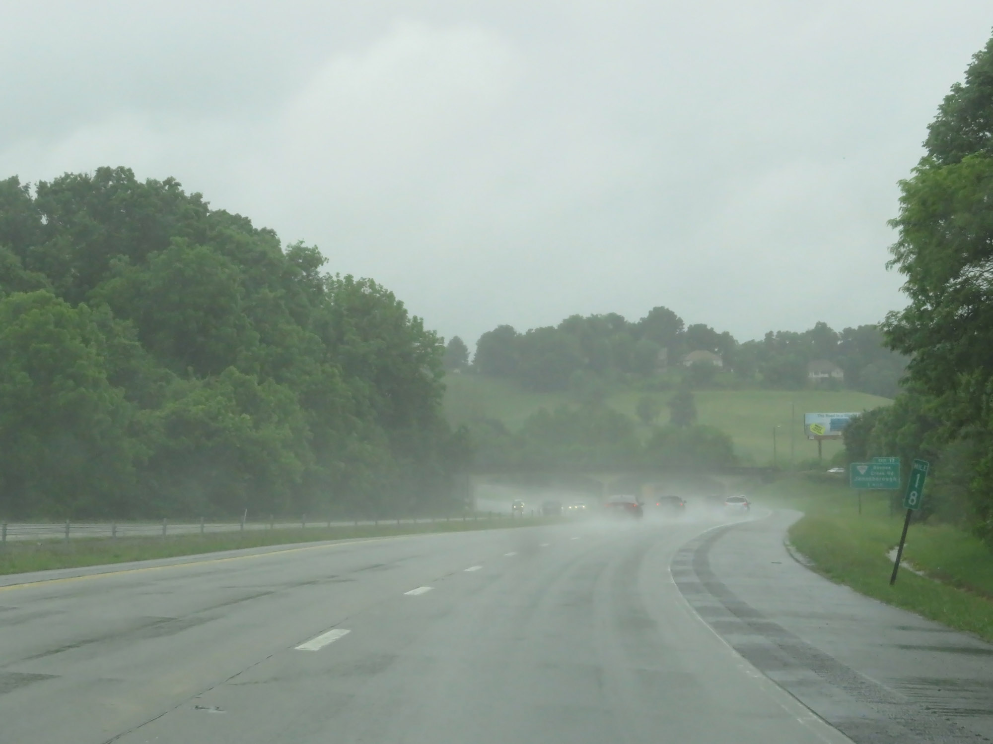 |
View on Interstate 26 West at mile marker 18. (Photo taken 5/26/18). |
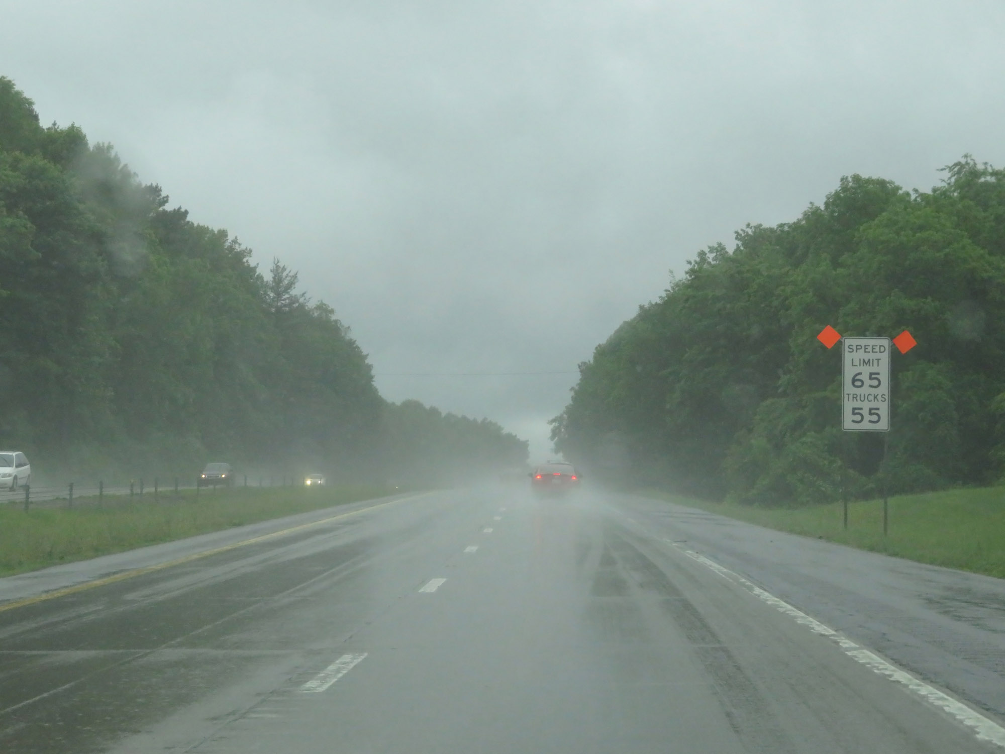 |
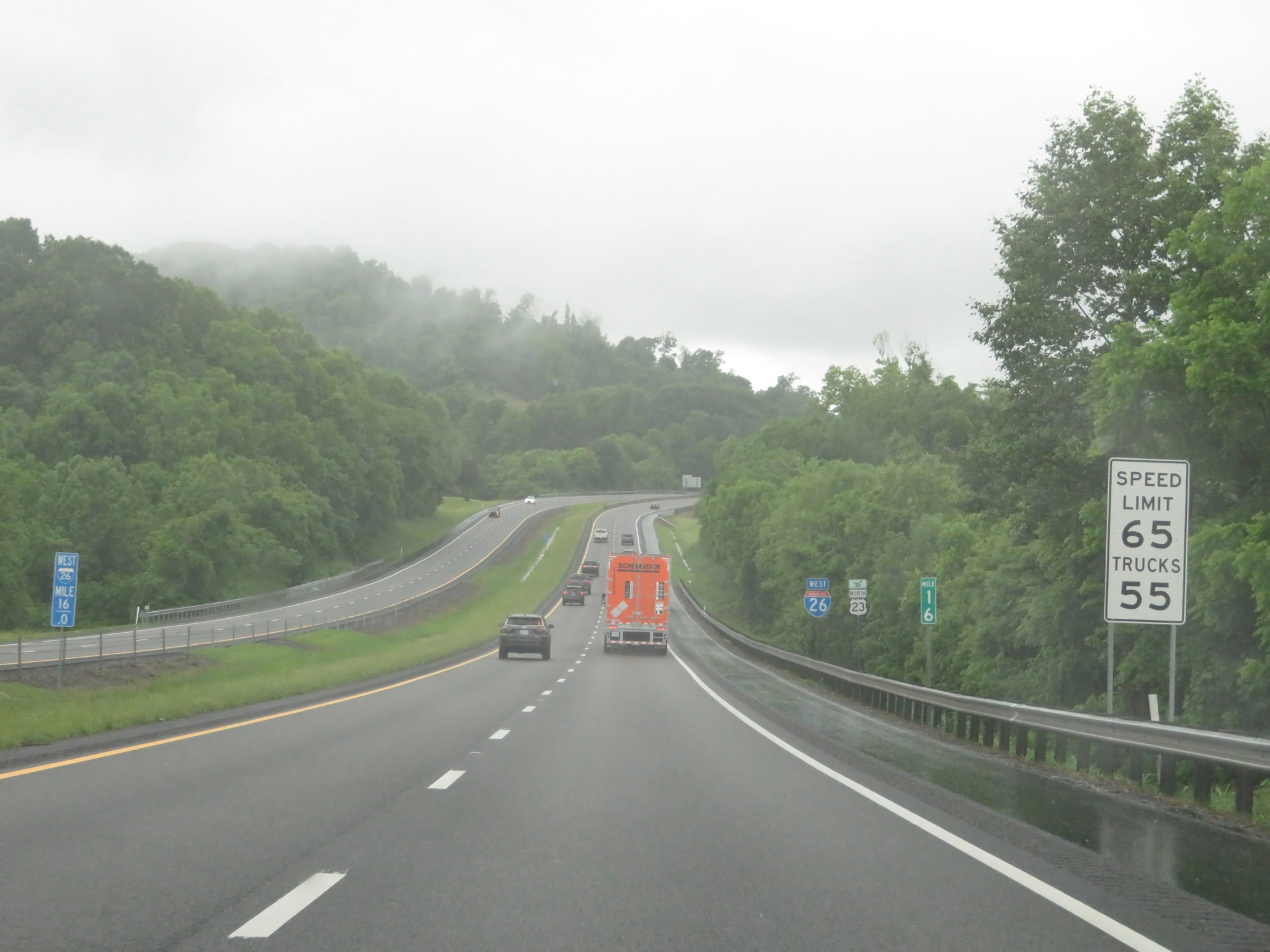
Approaching Exit 17, the speed limit for cars increases once again to 65 mph. However, it remains 55 mph for trucks. Some counties in Tennessee have what are known as "environmental speed limits" for trucks, which limit them to 55 mph. Washington County is one of those counties. (Photo taken 5/26/18). |
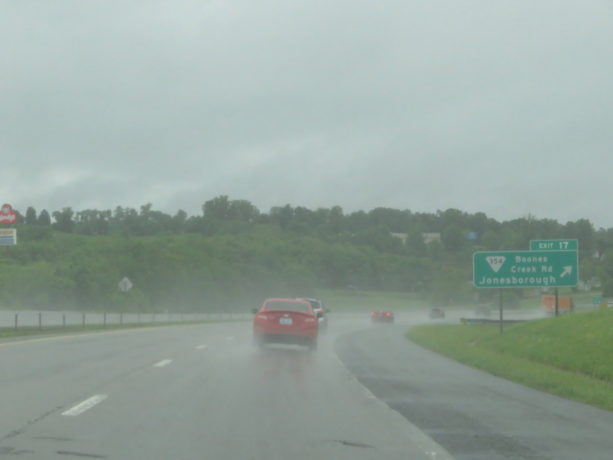 |
Interstate 26 West at Exit 17: SR 354 - Boones Creek Rd / Jonesborough (Photo taken 5/26/18). |
 |
Interstate 26 West reassurance shield. (Photo taken 5/26/18). |
 |
Interstate 26 West at mile marker 16. (Photo taken 5/26/18). |
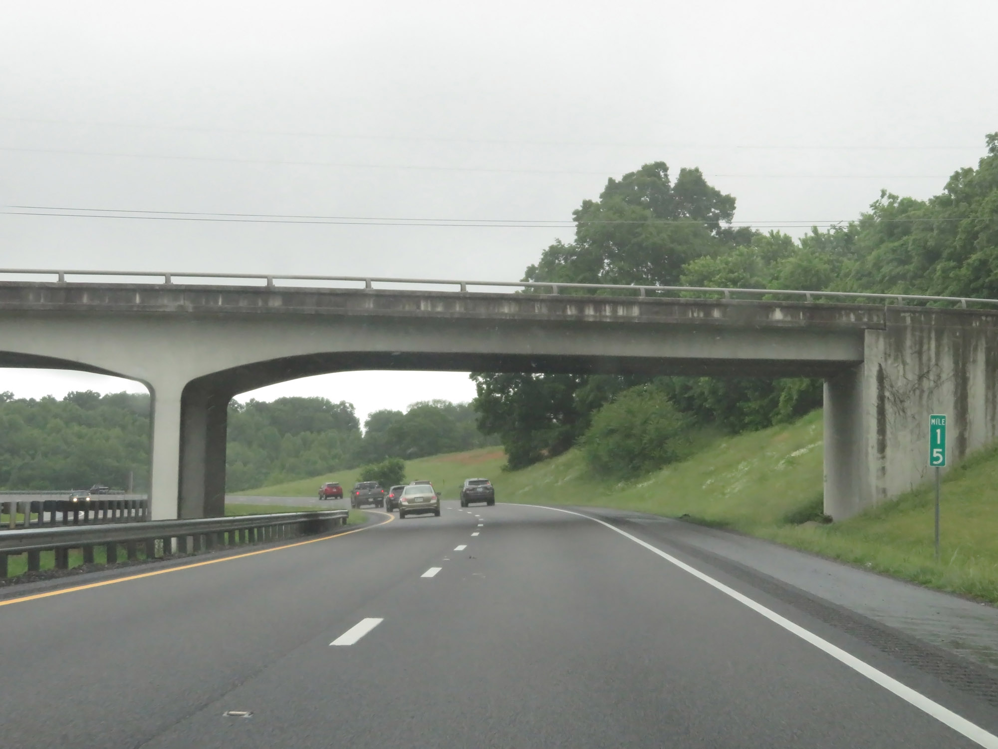 |
View on Interstate 26 West at mile marker 15. (Photo taken 5/26/18). |
 |
Interstate 26 West approaching Exit 13 - 1 mile. (Photo taken 5/26/18). |
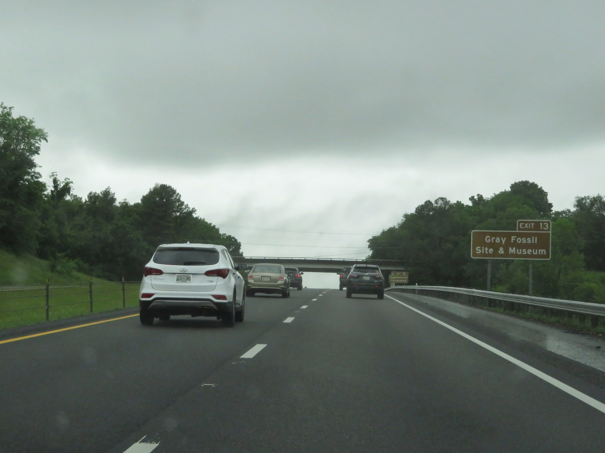 |
Take Exit 13 to Gray Fossil Site & Museum. (Photo taken 5/26/18). |
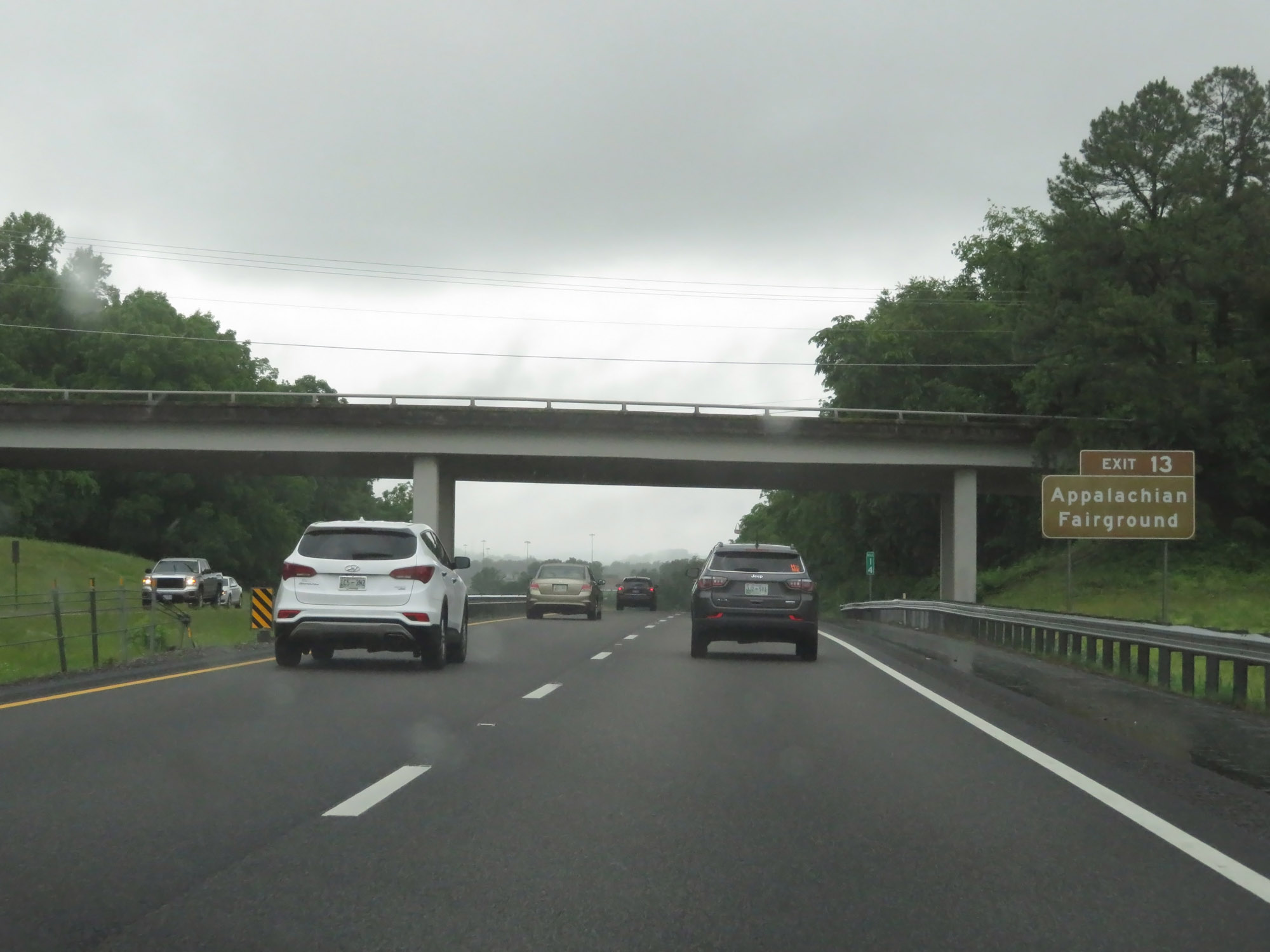 |
Also take Exit 13 to Appalachian Fairground. (Photo taken 5/26/18). |
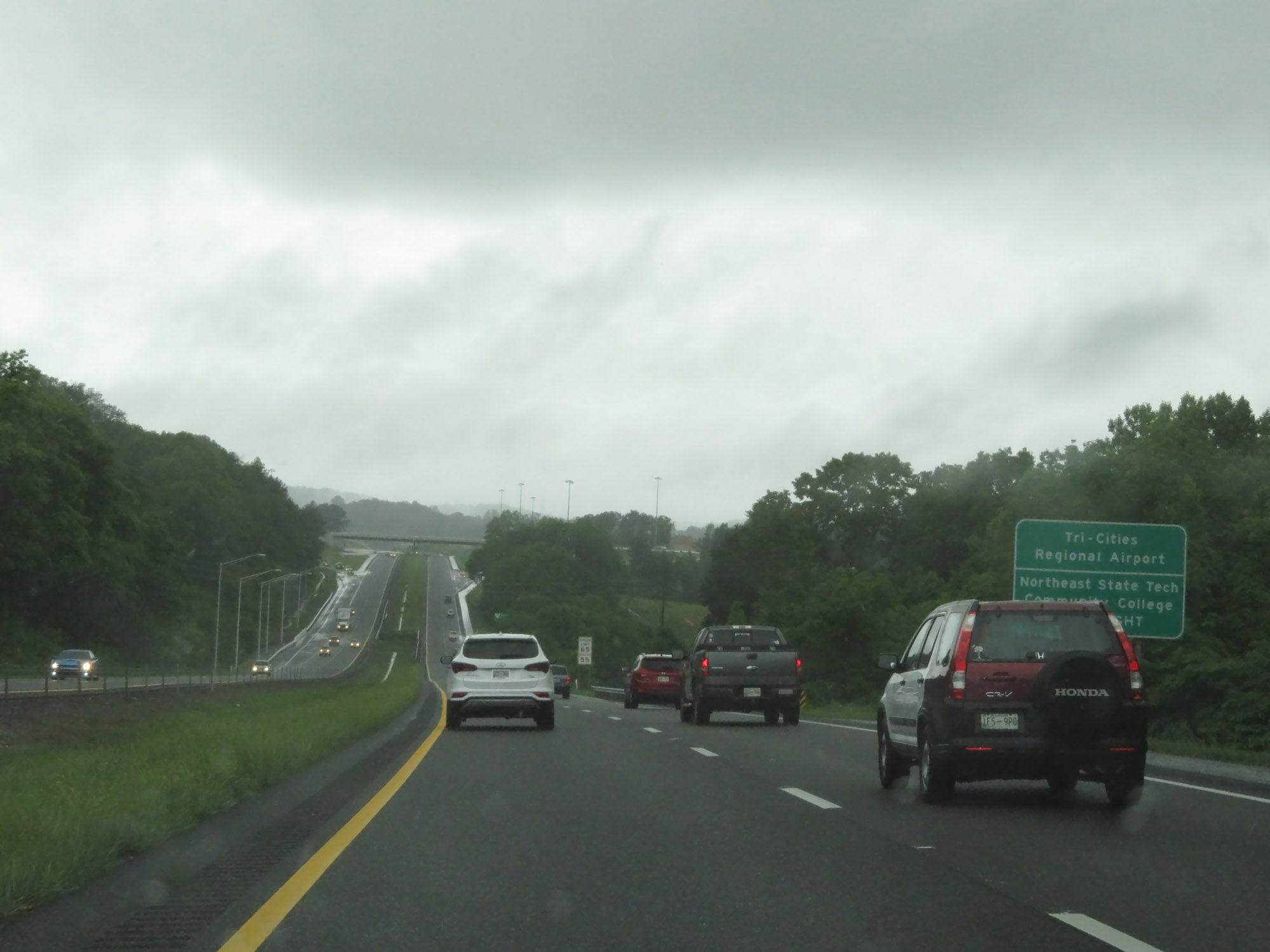 |
Take Exit 13 to Tri-Cities Regional Airport and Northeast State Tech Community College as well. (Photo taken 5/26/18). |
 |
Interstate 26 West at Exit 13: SR 75 - Bobby Hicks Hwy / Suncrest Dr / Gray (Photo taken 5/26/18). |
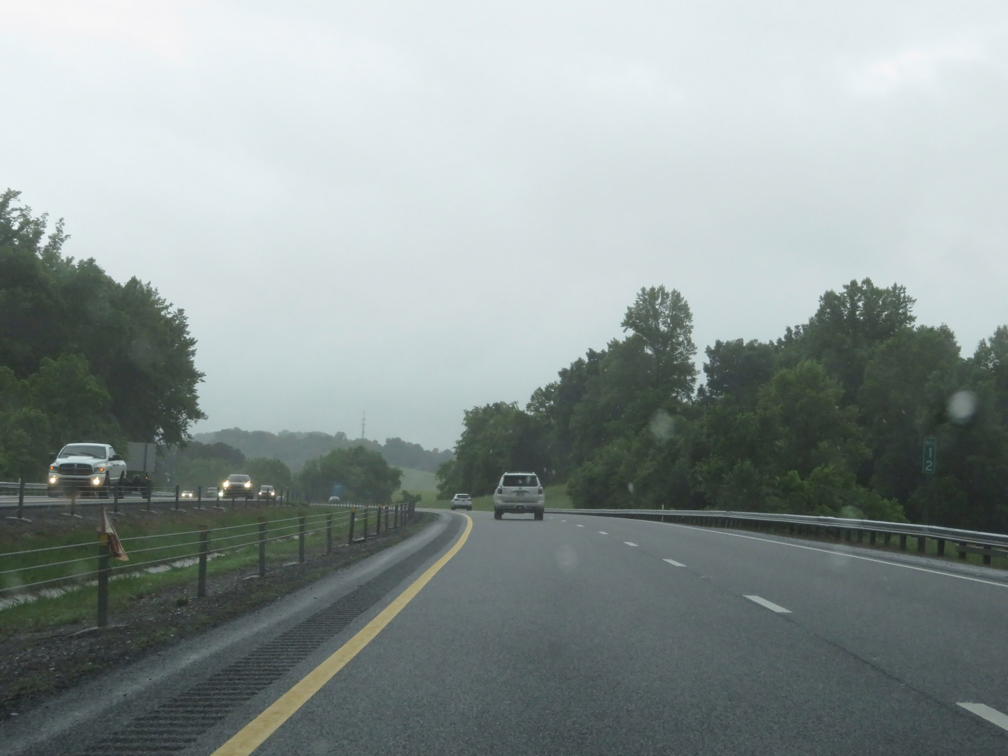 |
Interstate 26 West at mile marker 12. (Photo taken 5/26/18). |
 |
Interstate 26 West at Exit 10: Eastern Star Rd (Photo taken 5/26/18). |
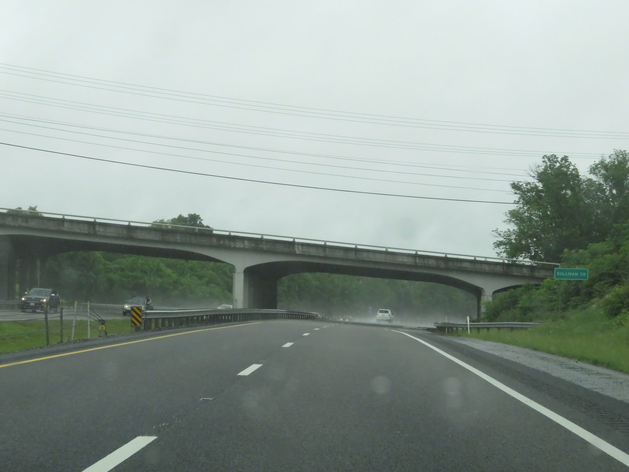 |
Entering Sullivan County on Interstate 26 West. (Photo taken 5/26/18). |
 |
Interstate 26 West approaching Exits 8B-A - 3/4 mile. (Photo taken 5/26/18). |
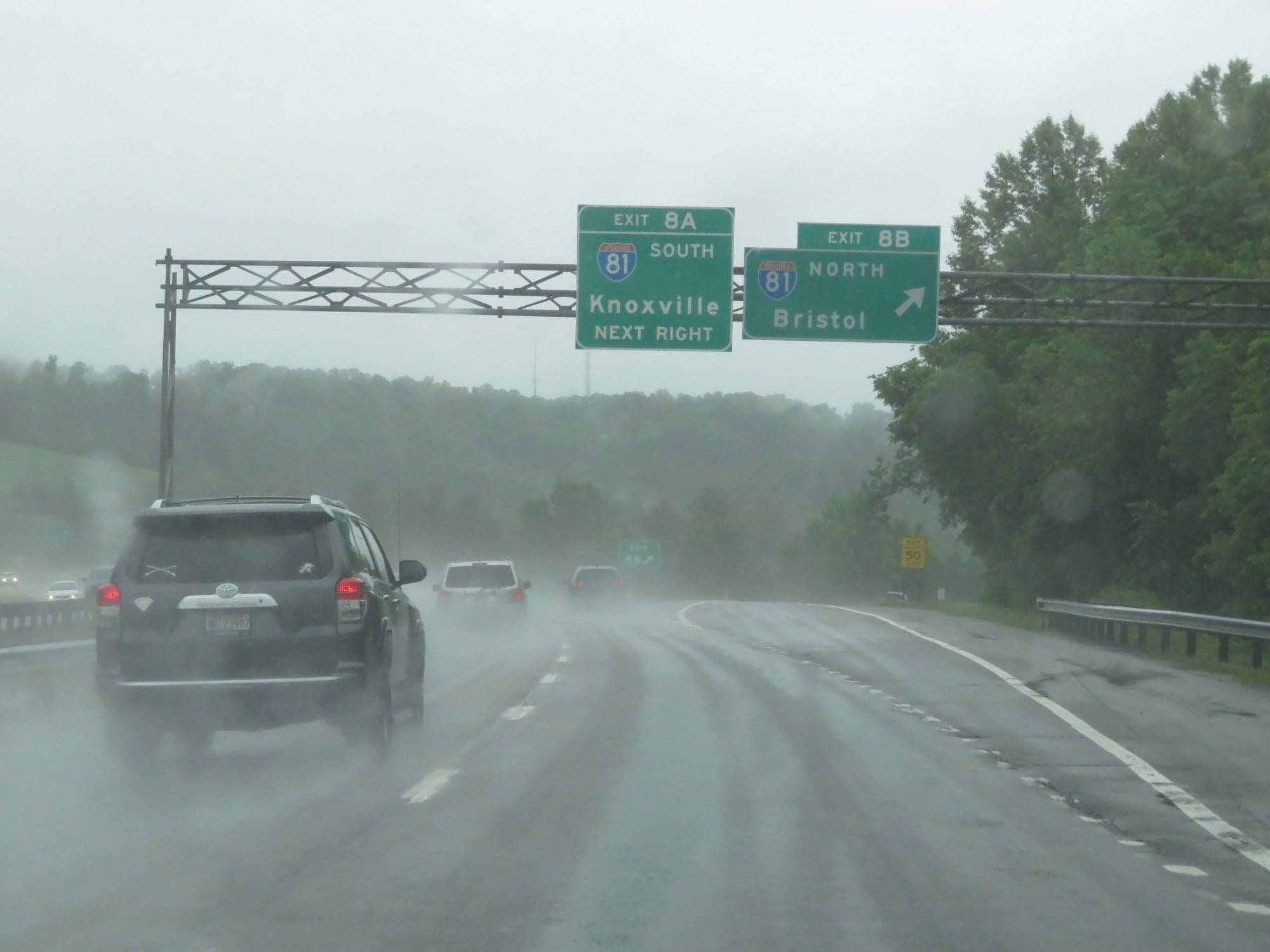 |
Interstate 26 West at Exit 8B: Interstate 81 North - Bristol (Photo taken 5/26/18). |
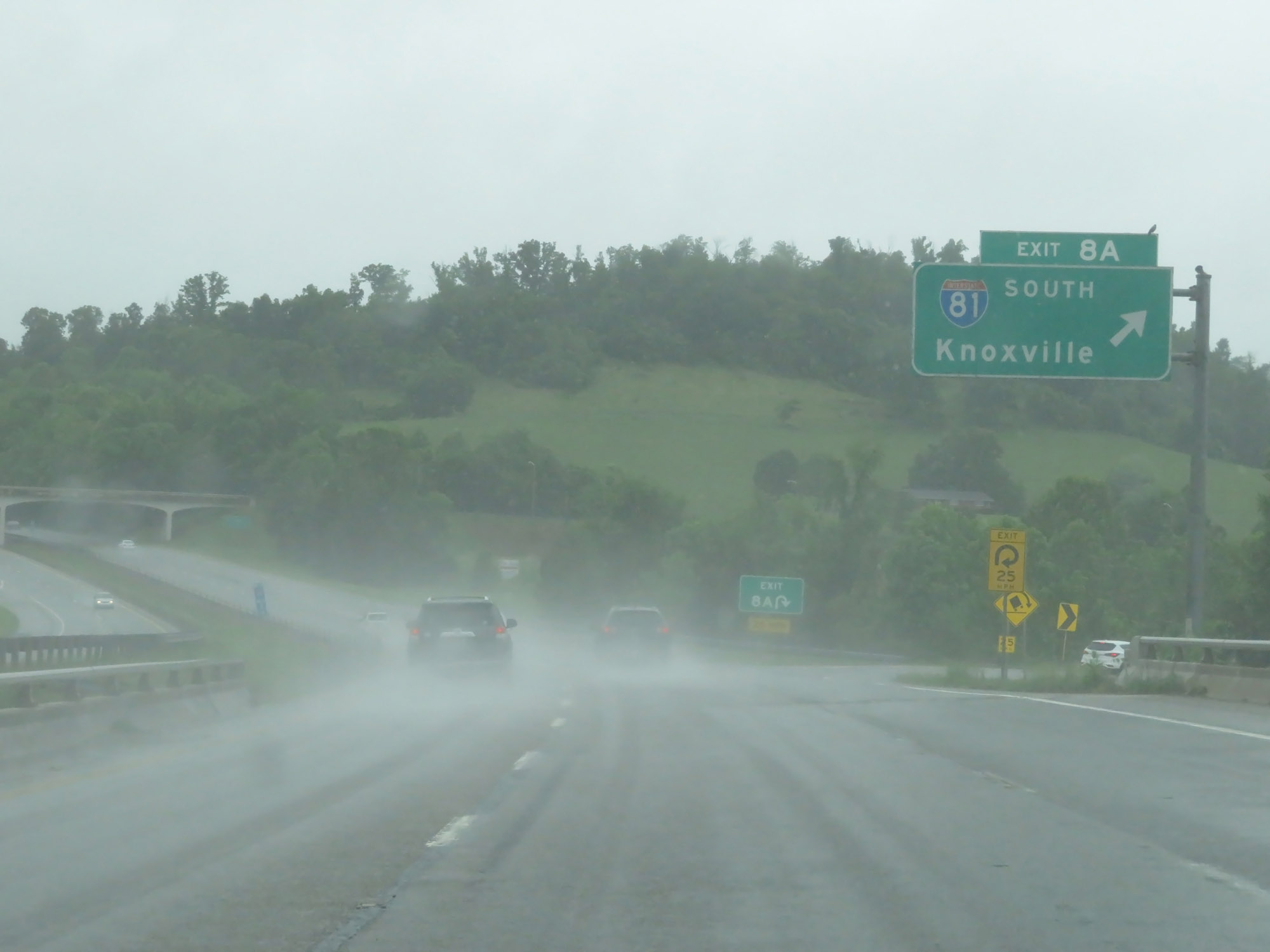 |
Interstate 26 West at Exit 8A: Interstate 81 South - Knoxville (Photo taken 5/26/18). |
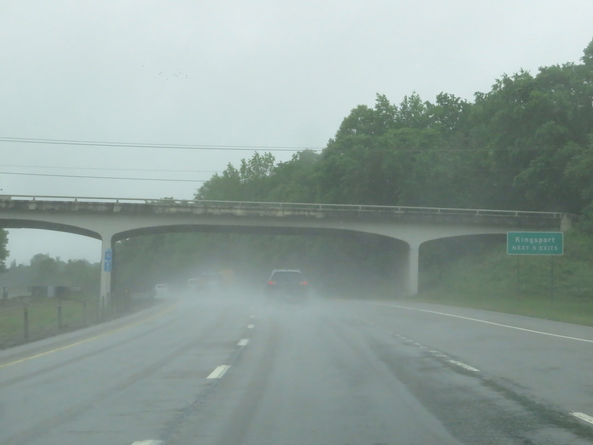 |
Take any of the next 5 exits to Kingsport. (Photo taken 5/26/18). |
 |
View on Interstate 26 West at mile marker 6.8. (Photo taken 5/26/18). |
 |
Interstate 26 West at Exit 6: SR 347 - Rock Springs Rd (Photo taken 5/26/18). |
 |
Rest Area / Welcome Center on Interstate 26 West in Sullivan County. (Photo taken 5/26/18). |
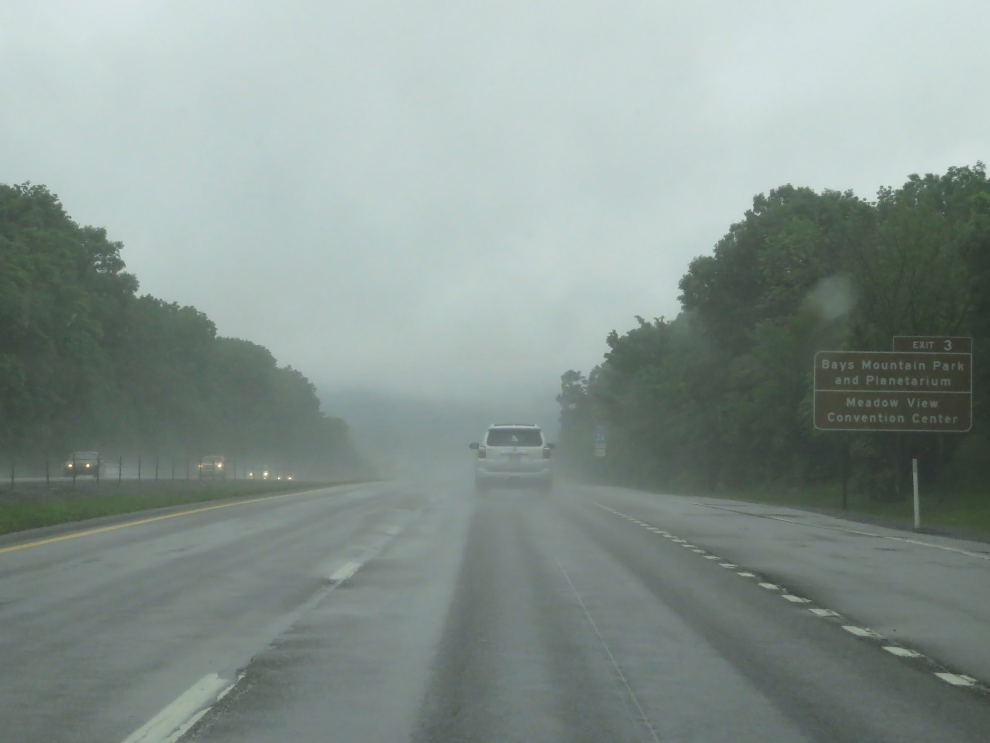 |
Take Exit 3 to Bays Mountain Park and Planetarium as well as Meadow View Convention Center. (Photo taken 5/26/18). |
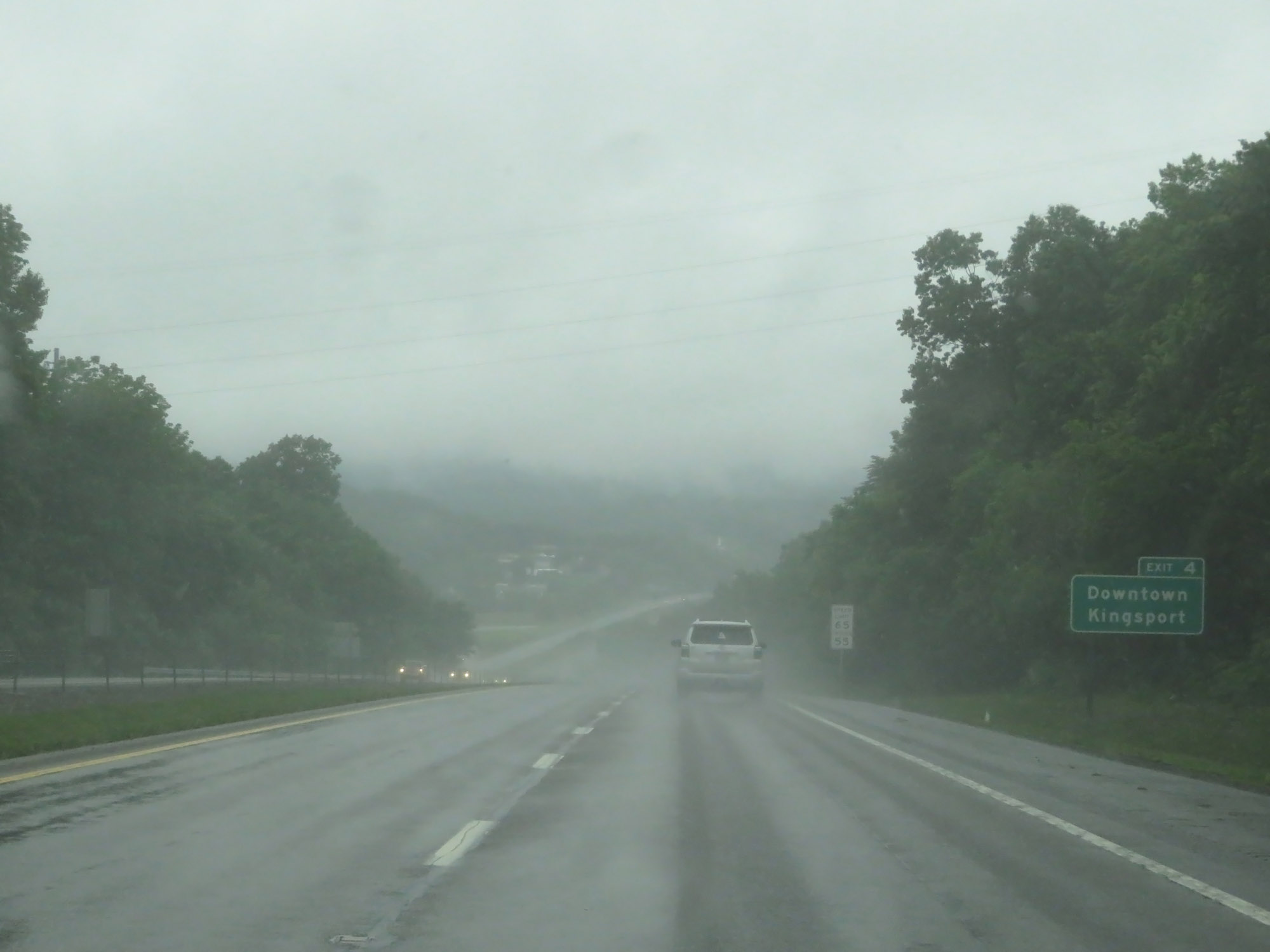 |
Take Exit 4 to Downtown Kingsport. (Photo taken 5/26/18). |
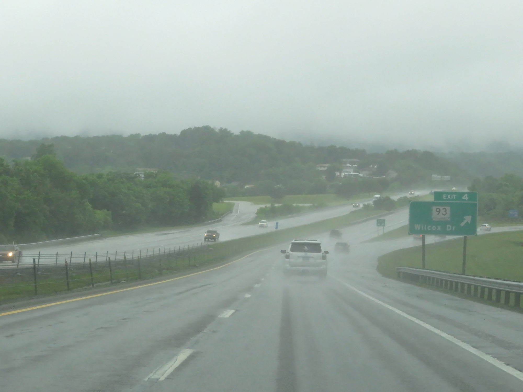 |
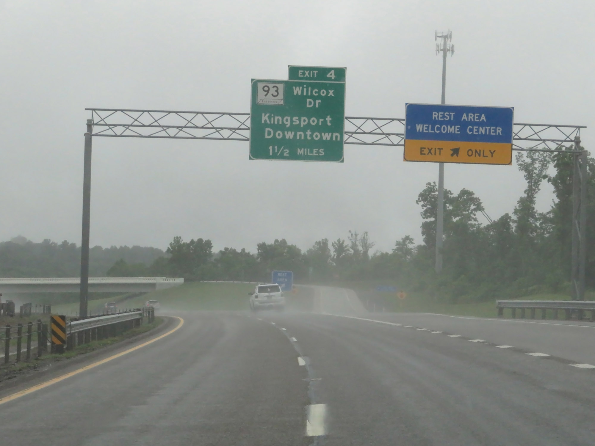
Interstate 26 West at Exit 4: TN 93 - Wilcox Dr (Photo taken 5/26/18). |
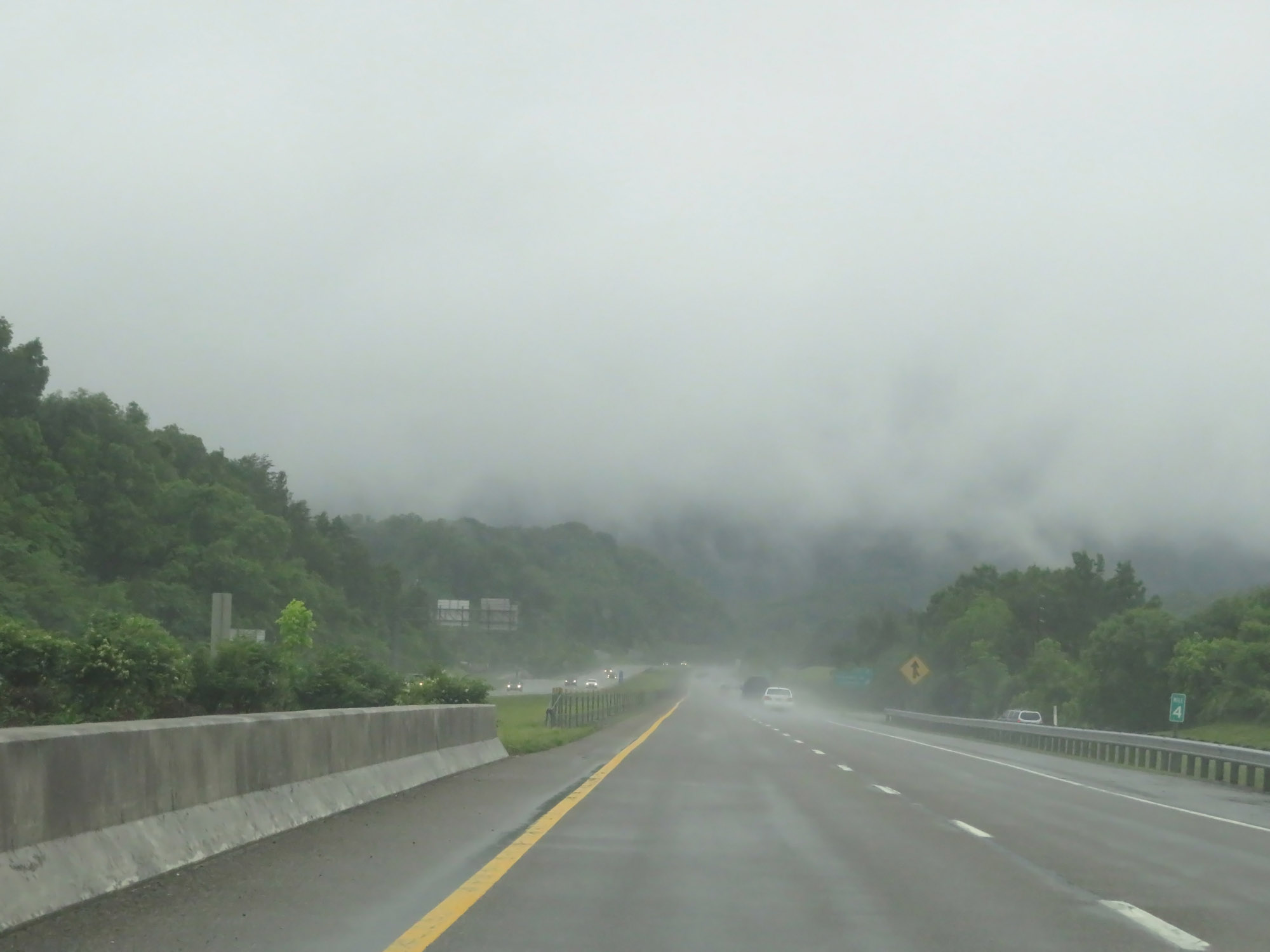 |
Interstate 26 West at mile marker 4. (Photo taken 5/26/18). |
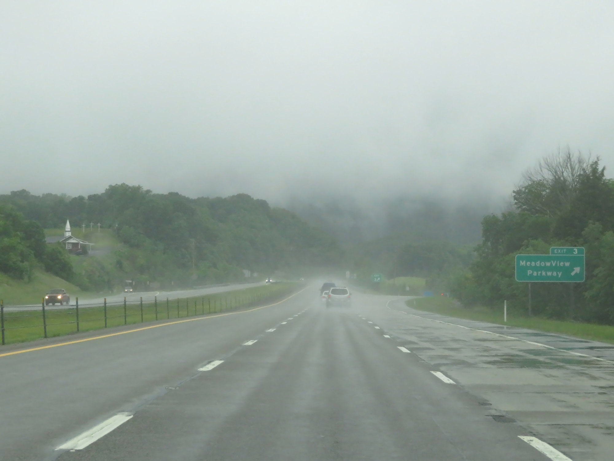 |
Interstate 26 West at Exit 3: Meadowview Parkway (Photo taken 5/26/18). |
 |
Interstate 26 West reassurance shield in Kingsport. (Photo taken 5/26/18). |
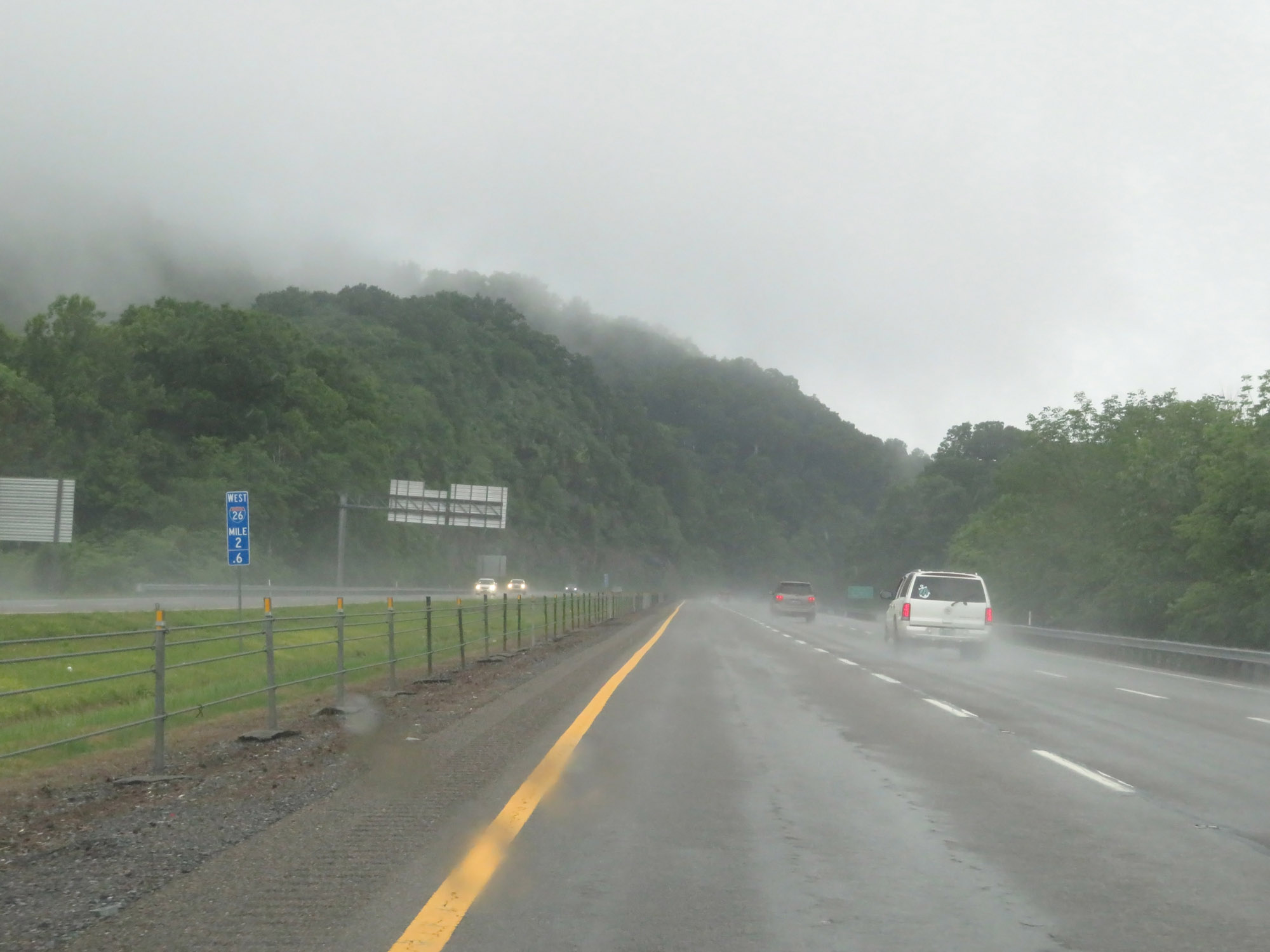 |
View on Interstate 26 West at mile marker 2.6. (Photo taken 5/26/18). |
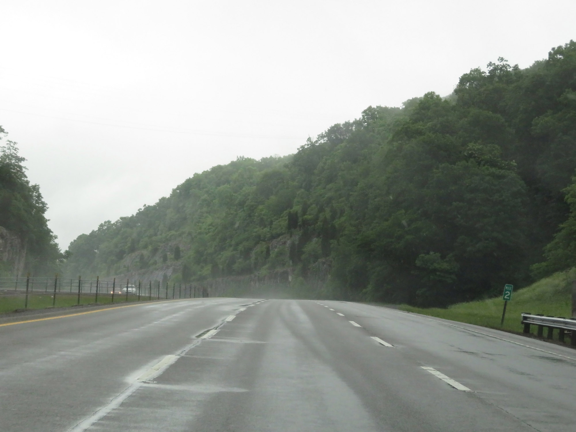 |
Interstate 26 West at mile marker 2. (Photo taken 5/26/18). |
 |
View on Interstate 26 West at mile marker 1. (Photo taken 5/26/18). |
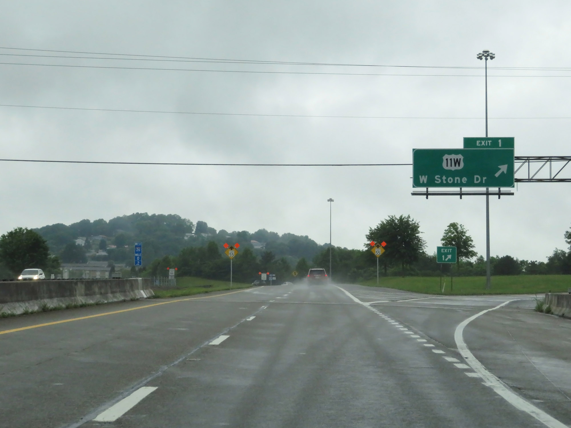 |
Interstate 26 West at Exit 1: US 11W - W Stone Dr (Photo taken 5/26/18). |
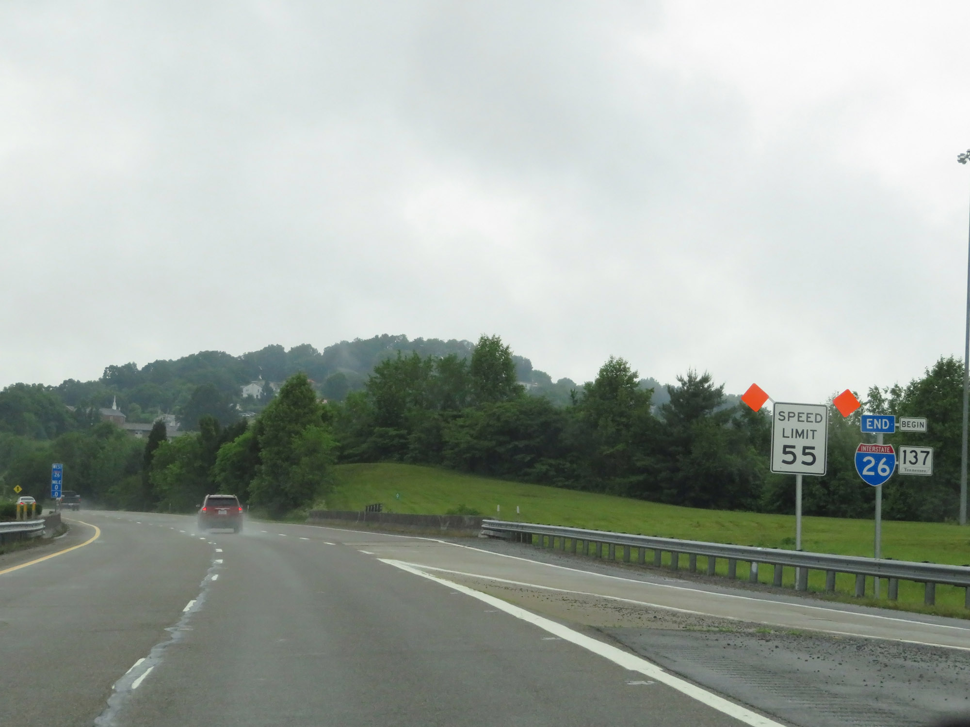 |
Interstate 26 END shield just beyond Exit 1. As I-26 West comes to an end, the speed limit decreases to 55 mph. (Photo taken 5/26/18). |
 |
Interstate 26 West at mile marker 0, officially marking its western terminus. US 23 North will continue toward the Virginia border. (Photo taken 5/26/18). |
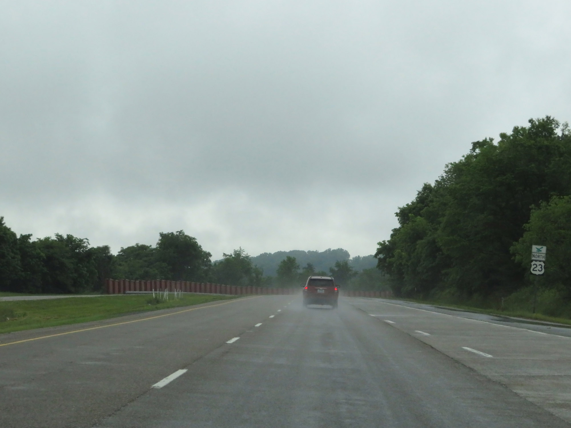 |
US 23 North reassurance marker just after Interstate 26 reaches its western terminus. (Photo taken 5/26/18). |