Road Information |
||
 |
||
| Total Mileage in State: | 311 miles | |
| Eastern End: | At New Jersey state line | |
| Western End: | At Ohio state line | |
| Mileage covered in Photos: | 311 miles | |
| Counties covered in Photos: | Monroe, Carbon, Luzerne, Columbia, Montour, Northumberland, Union, Clinton, Centre, Clearfield, Jefferson, Clarion, Butler, Venango, Mercer | |
| Major Junctions in Photos: | I-380, near Long Pond I-81, near Hazelton I-180, in Milton I-99/US 220, near Bellefonte I-79, near Mercer I-376, near Mercer |
|
| Control Cities in Photos: | Stroudsburg, Hazelton, Bloomsburg, Milton, Bellefonte, Clearfield, DuBois, Brookville, Clarion, Mercer, Sharon | |
Westbound
- Section 1: New Jersey Border to Hazleton (Exit 260A)
- Section 2: Hazleton (Exit 260A) to Bellefonte (Exit 161)
- Section 3: Bellefonte (Exit 161) to Brookville (Exit 78)
- Section 4: Brookville (Exit 78) to Ohio Border
Section 1: New Jersey Border to Hazleton (Exit 260A)
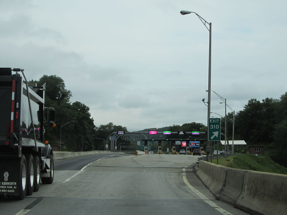 |
Interstate 80 West as it crosses the Delaware Water Gap Toll Bridge over the Delaware River into Pennsylvania from New Jersey. Keep to the right at the toll plaza ahead if you're planning on taking Exit 310. (Photo taken 8/10/15). |
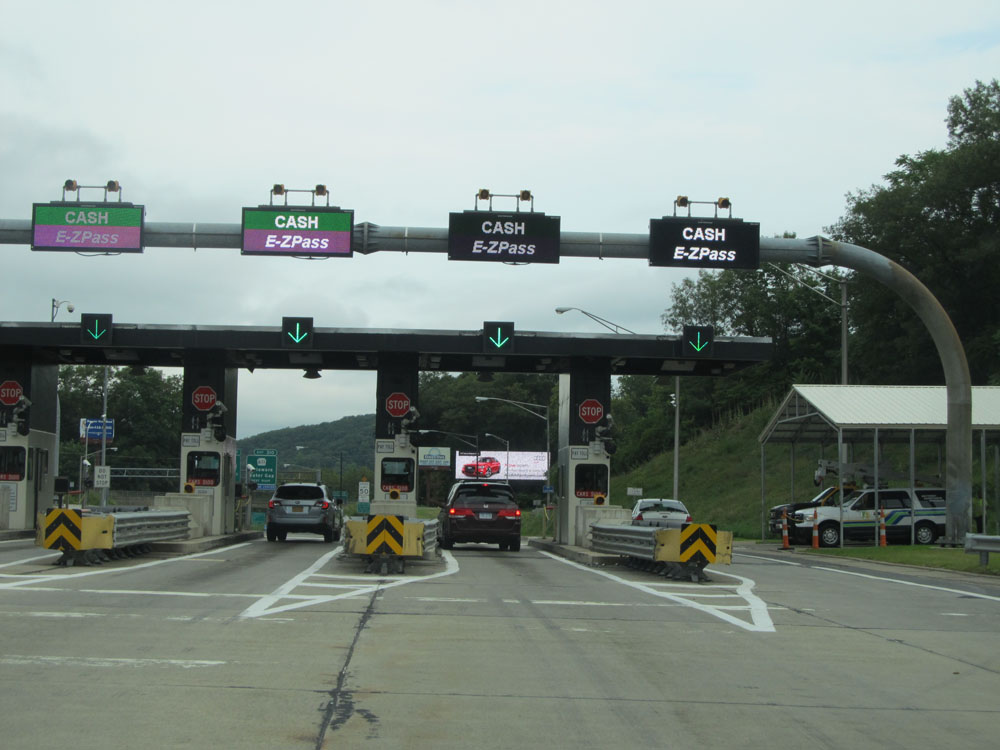 |
Interstate 80 West approaching the bridge's toll plaza. (Photo taken 8/10/15). |
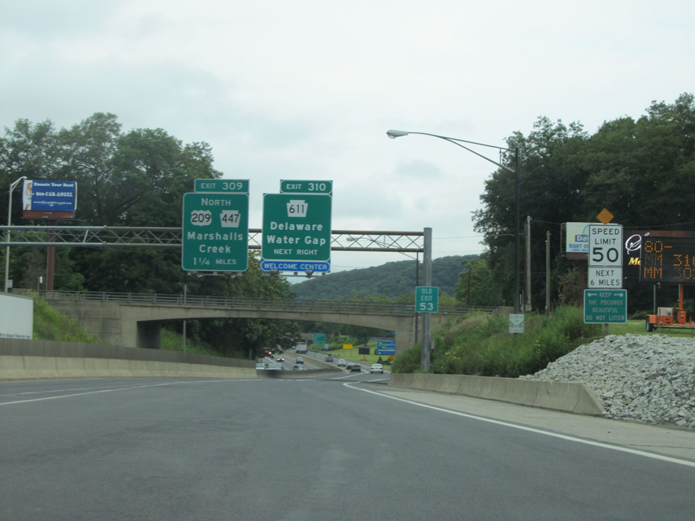 |
Leaving the toll plaza, this speed limit sign states that the speed limit on Interstate 80 West is 50 mph for the next 6 miles. The reason for this seems to be that the area can become extremely congested during peak travel times. (Photo taken 8/10/15). |
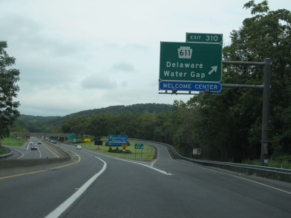 |
Interstate 80 West at Exit 310: PA 611 - Delaware Water Gap (Photo taken 8/10/15). |
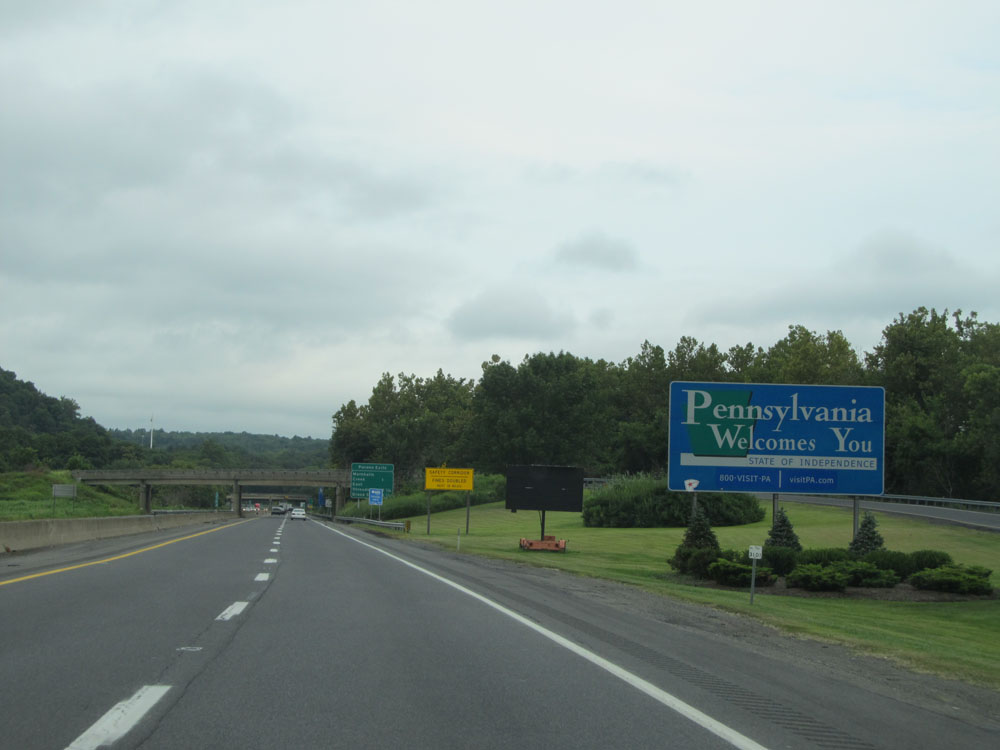 |
Pennsylvania welcome sign just past Exit 310. (Photo taken 8/10/15). |
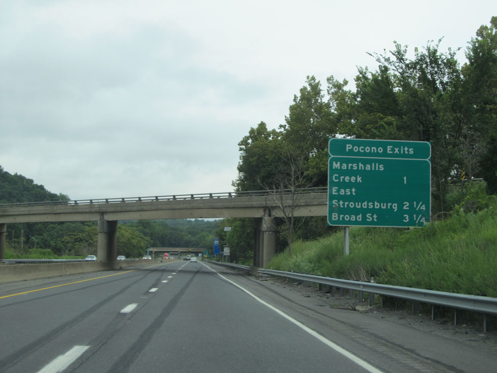 |
This sign lists the distances to the upcoming exits on Interstate 80 West which can be taken to the Pocono region. (Photo taken 8/10/15). |
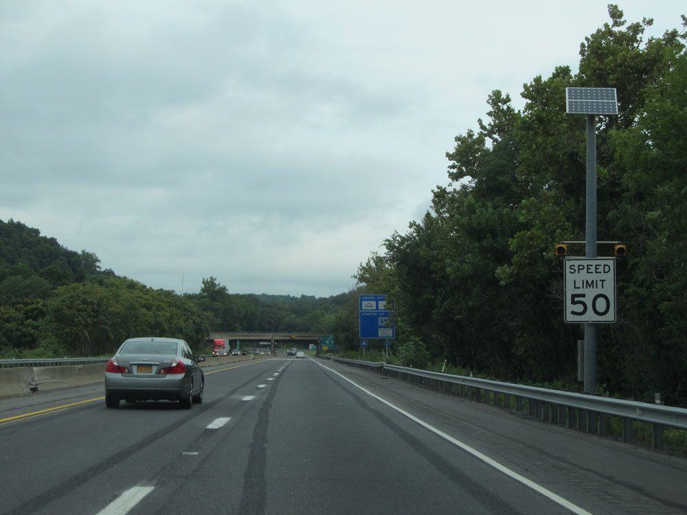 |
Speed limit sign near mile marker 310. As previously mentioned, the speed limit is 50 mph for the first 6 miles on Interstate 80 West in Pennsylvania. (Photo taken 8/10/15). |
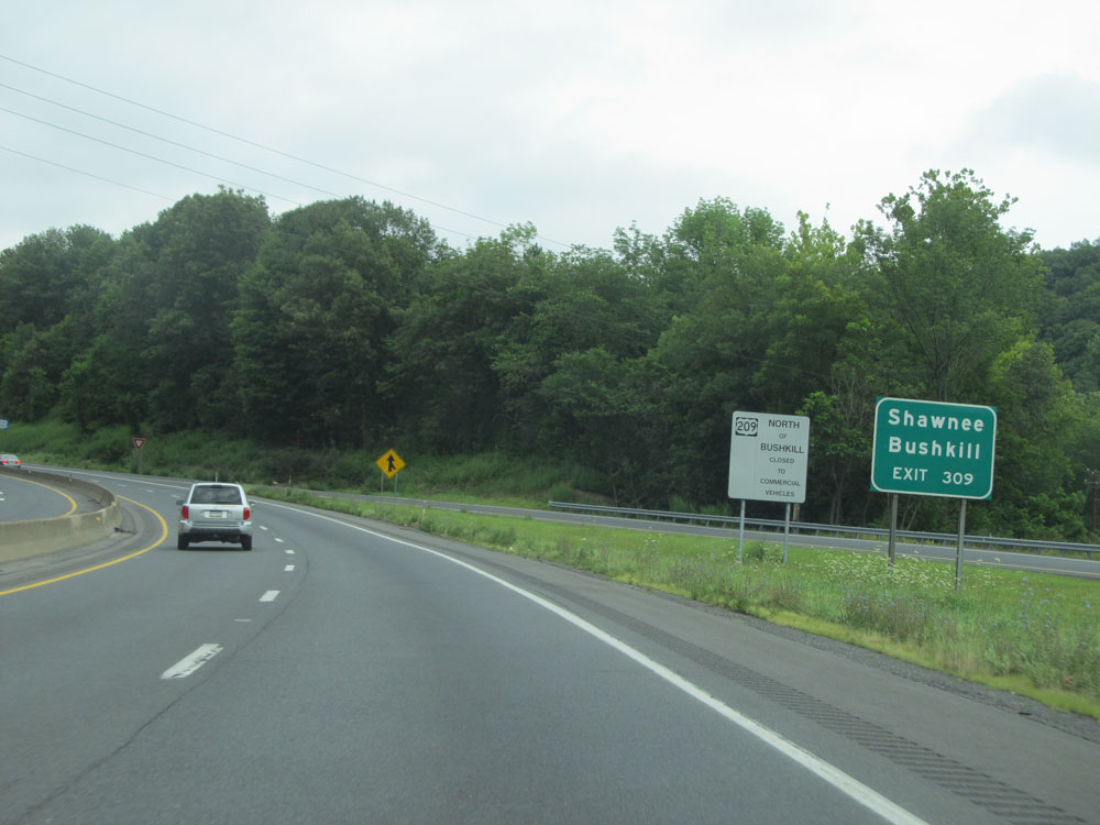 |
Take Exit 309 to Shawnee and Bushkill. (Photo taken 8/10/15). |
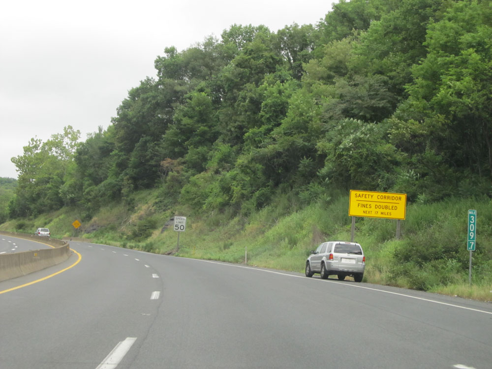 |
At mile marker 309.7, a Safety Corridor begins and lasts for the next 17 miles on Interstate 80 West. In these "safety" corridors, all traffic fines are doubled. (Photo taken 8/10/15). |
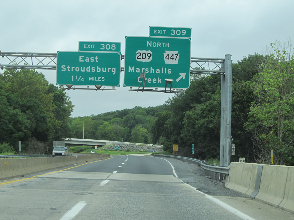 |
Interstate 80 West at Exit 309: US 202 North / PA 447 North - Marshalls Creek (Photo taken 8/10/15). |
 |
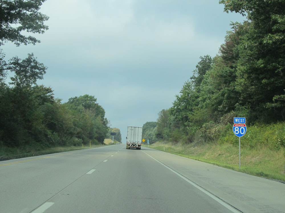
Interstate 80 West assurance shield near mile marker 309. (Photo taken 8/10/15). |
 |
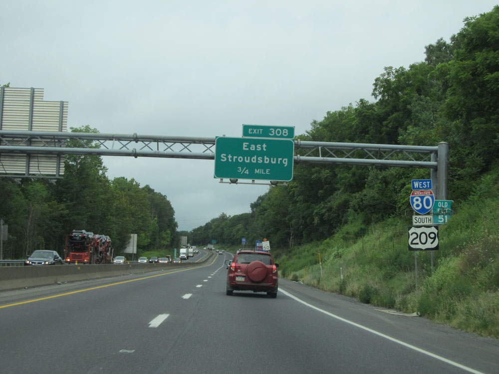
Take Exit 308 to East Stroudsburg University. (Photo taken 8/10/15). |
 |
Another sign listing the distances to the upcoming exits on Interstate 80 West to the Pocono region. (Photo taken 8/10/15). |
 |
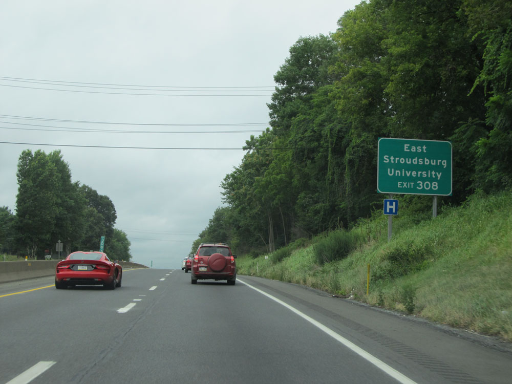
Interstate 80 West at Exit 308: East Stroudsburg (Photo taken 8/10/15). |
 |
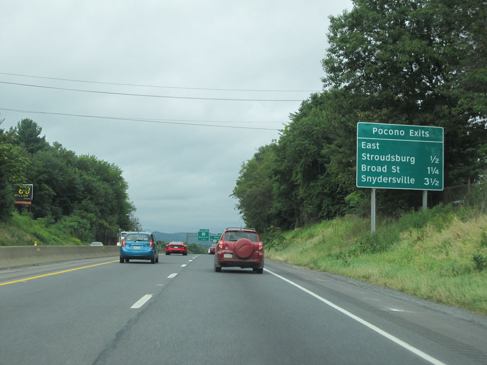
Sign listing the distances to the three upcoming exits to Stroudsburg. (Photo taken 8/10/15). |
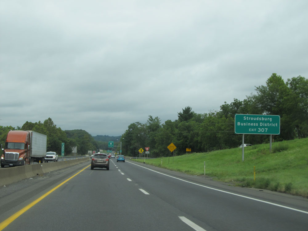 |
Take Exit 307 to Stroudsburg Business District. (Photo taken 8/10/15). |
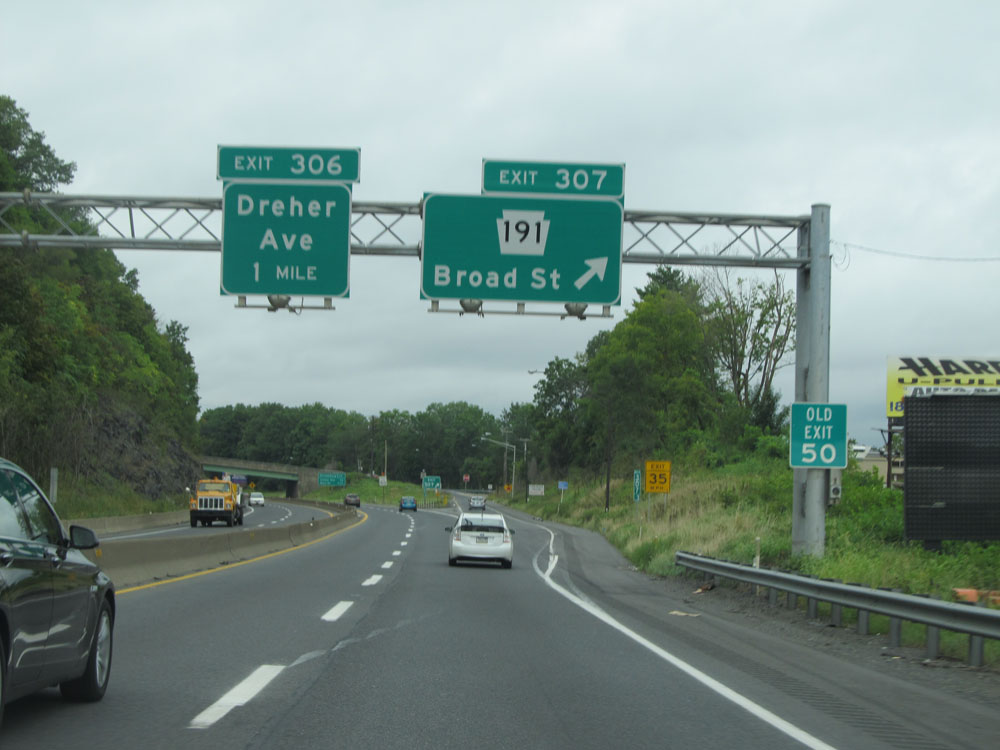 |
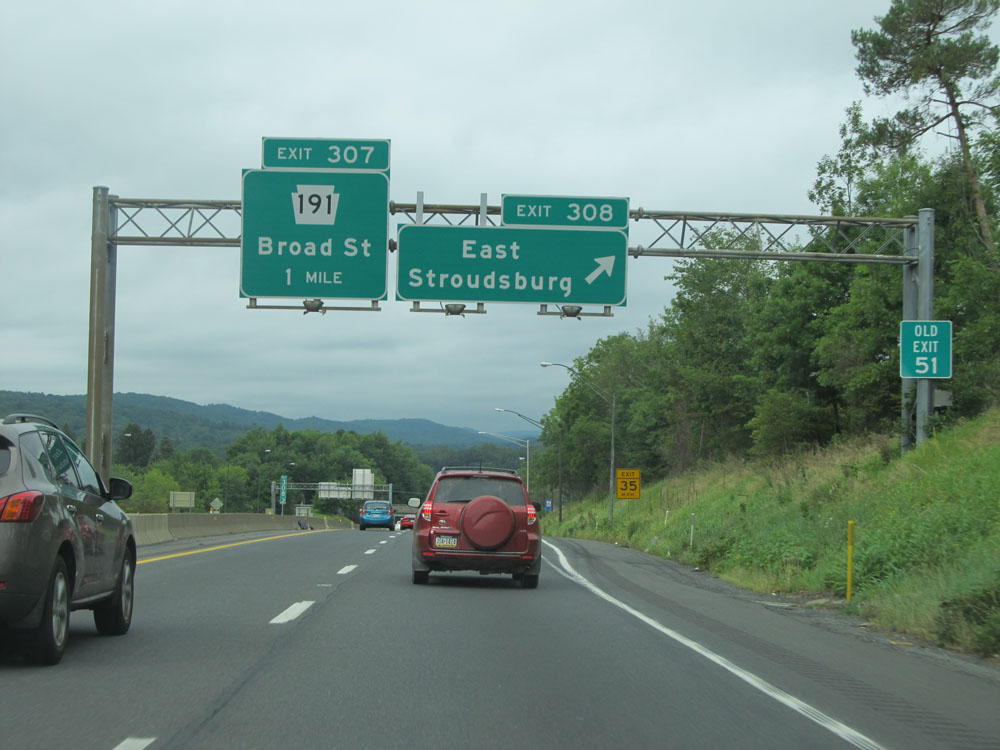
Interstate 80 West at Exit 307: PA 191 - Broad St (Photo taken 8/10/15). |
 |
Interstate 80 West at Exit 306: Dreher Ave (Photo taken 8/10/15). |
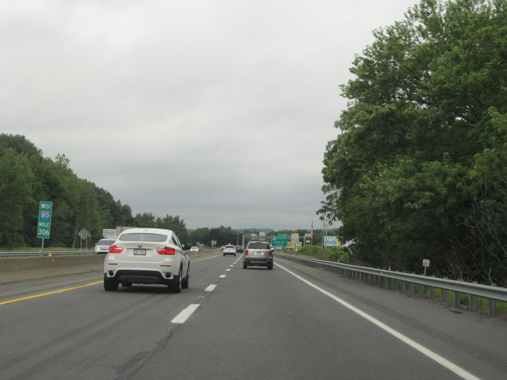 |
Interstate 80 West: Road view from mile marker 306. (Photo taken 8/10/15). |
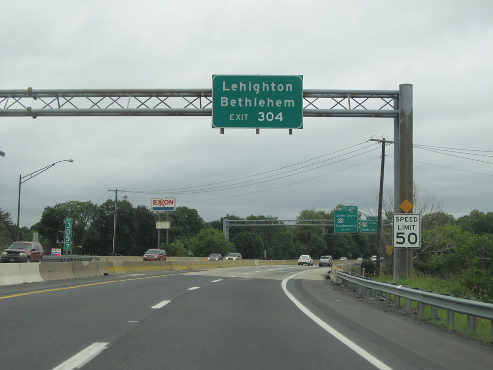 |
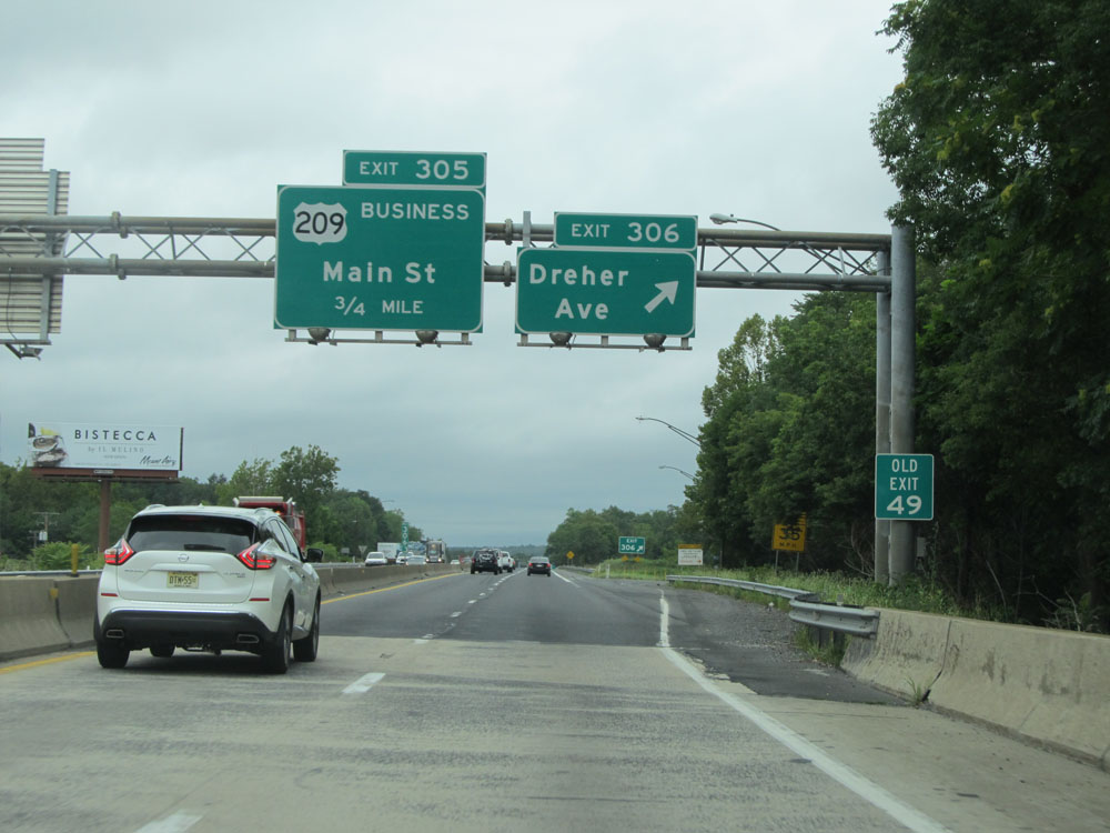
Take Exit 304 to Lehighton and Bethlehem. (Photo taken 8/10/15). |
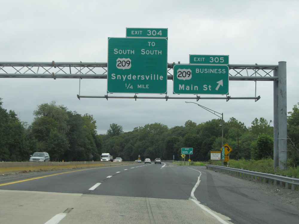 |
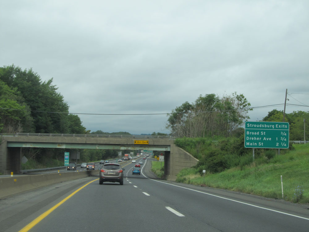
Interstate 80 West at Exit 305: US 209 BR - Main St (Photo taken 8/10/15). |
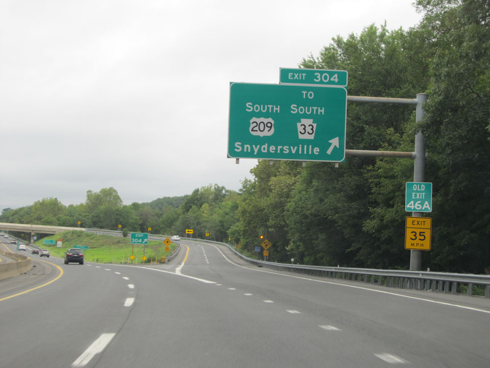 |
Interstate 80 West at Exit 304: US 209 South / To PA 33 South - Snydersville (Photo taken 8/10/15). |
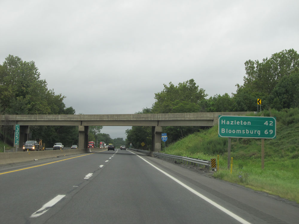 |
Mileage sign just past Exit 304. It's 42 miles to Hazleton and 69 miles to Bloomsburg. (Photo taken 8/10/15). |
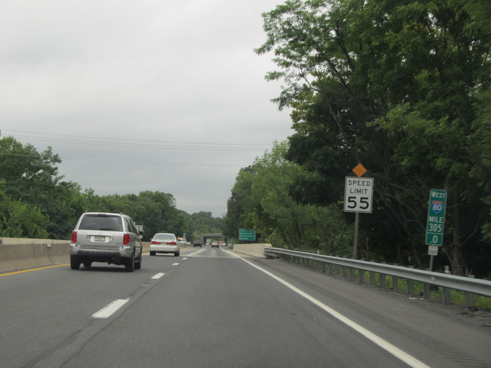 |
At mile marker 305, the speed limit gets a small increase to 55 mph. (Photo taken 8/10/15). |
 |
Interstate 80 West: Road view from mile marker 304. (Photo taken 8/10/15). |
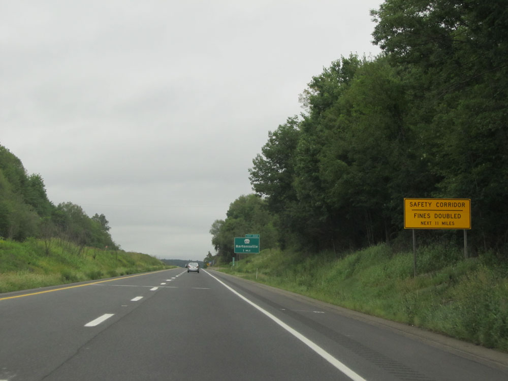 |
The Safety Corridor continues for 11 more miles. (Photo taken 8/10/15). |
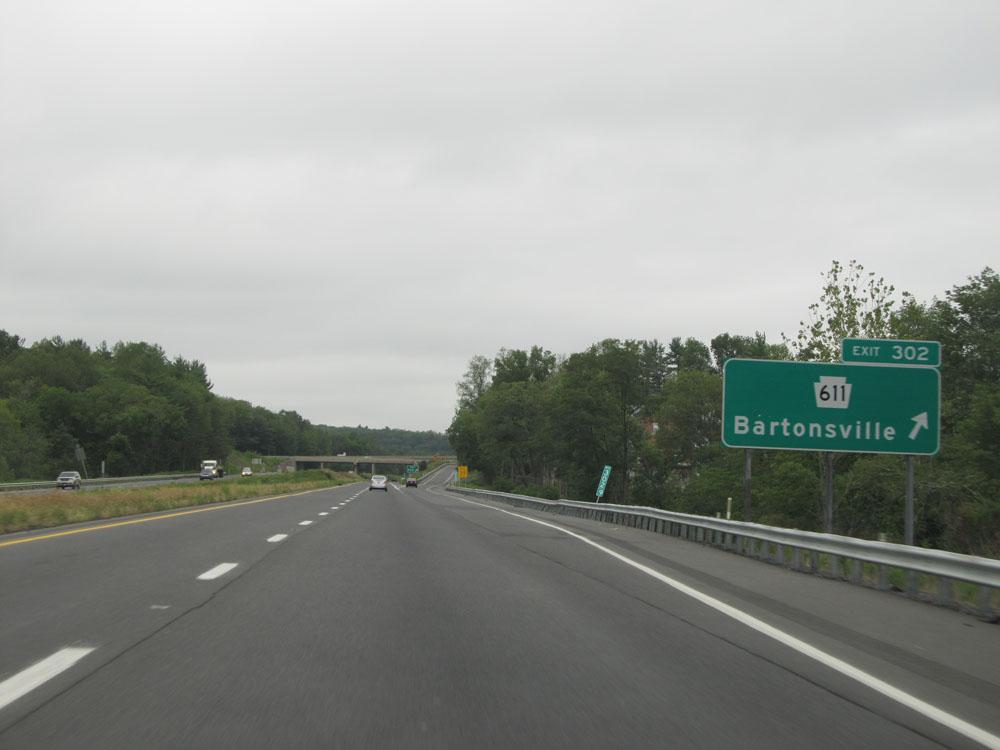 |
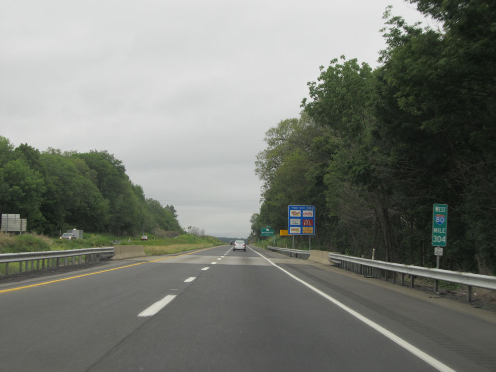
Interstate 80 West at Exit 302: PA 611 - Bartonsville (Photo taken 8/10/15). |
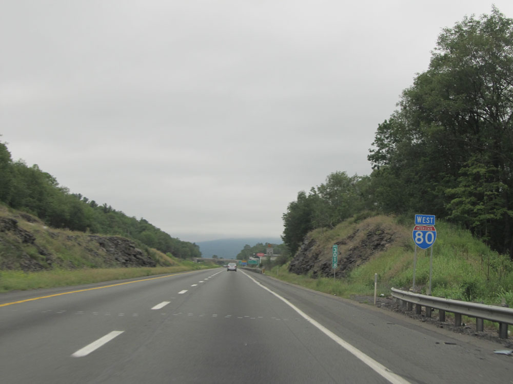 |
Interstate 80 West assurance shield at mile marker 301.8. (Photo taken 8/10/15). |
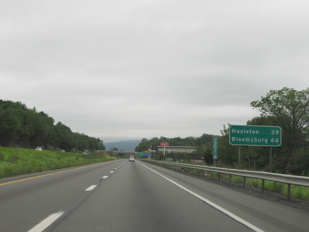 |
Mileage sign at mile marker 301.6. It's 39 miles to Hazleton and 66 miles to Bloomsburg. (Photo taken 8/10/15). |
 |
Another sign listing the distances to the upcoming exits on Interstate 80 West to the Pocono region. (Photo taken 8/10/15). |
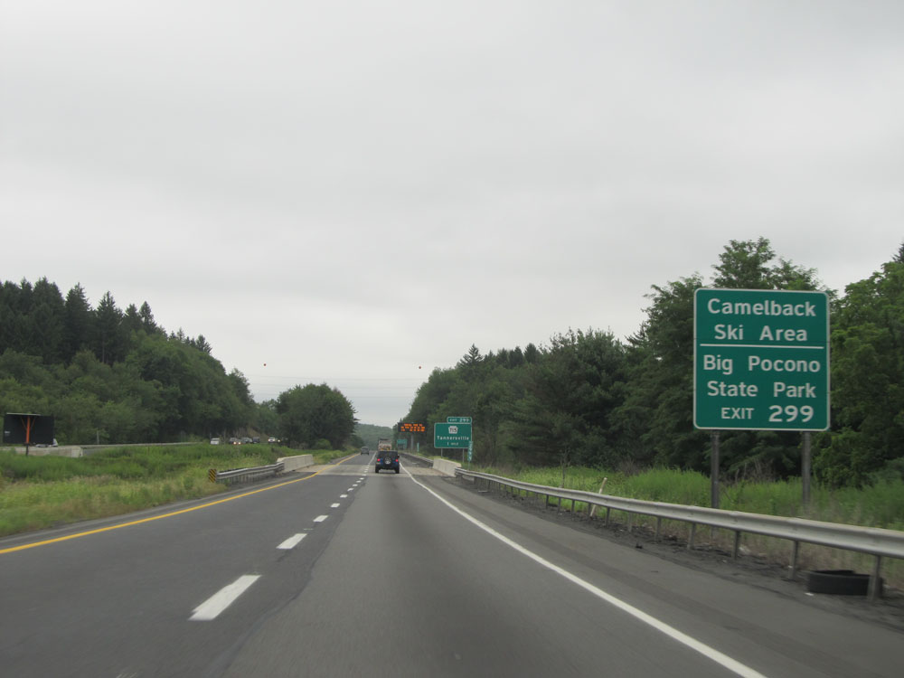 |
Take Exit 299 to Camelback Ski Area and Big Pocono State Park. (Photo taken 8/10/15). |
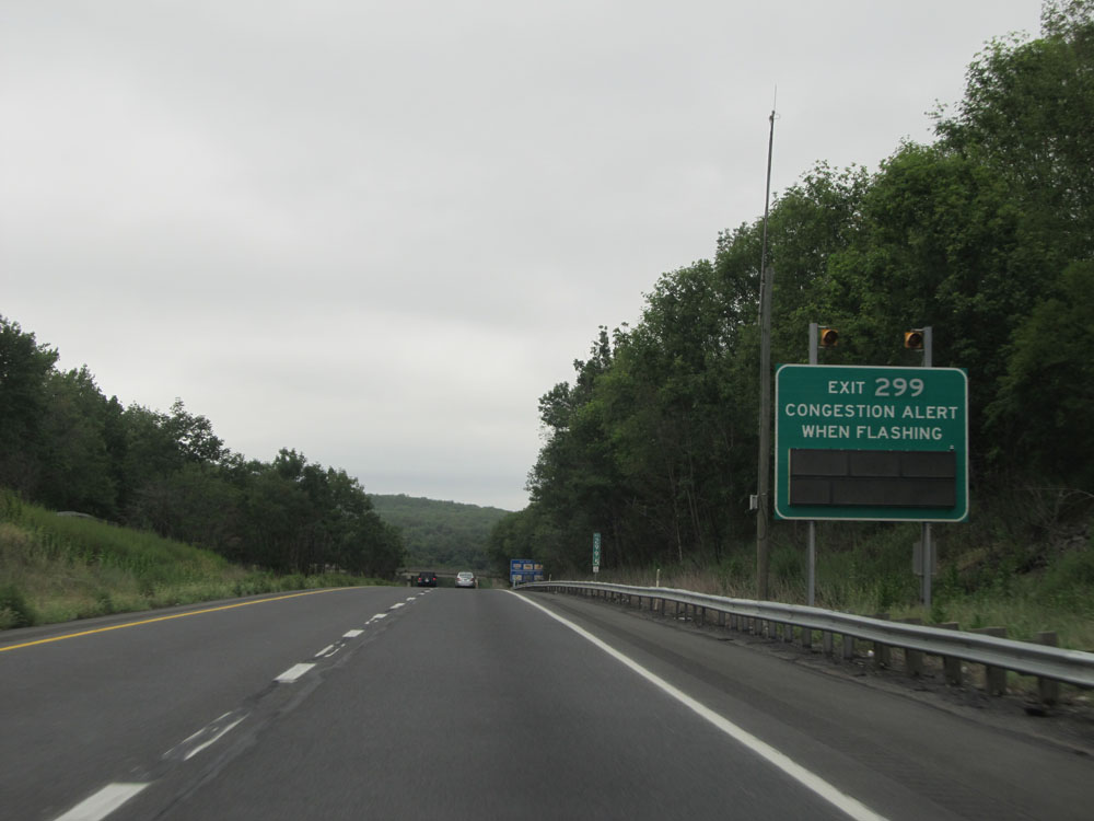 |
When the lights on this sign are flashing, there is congestion on the off ramp for Exit 299. (Photo taken 8/10/15). |
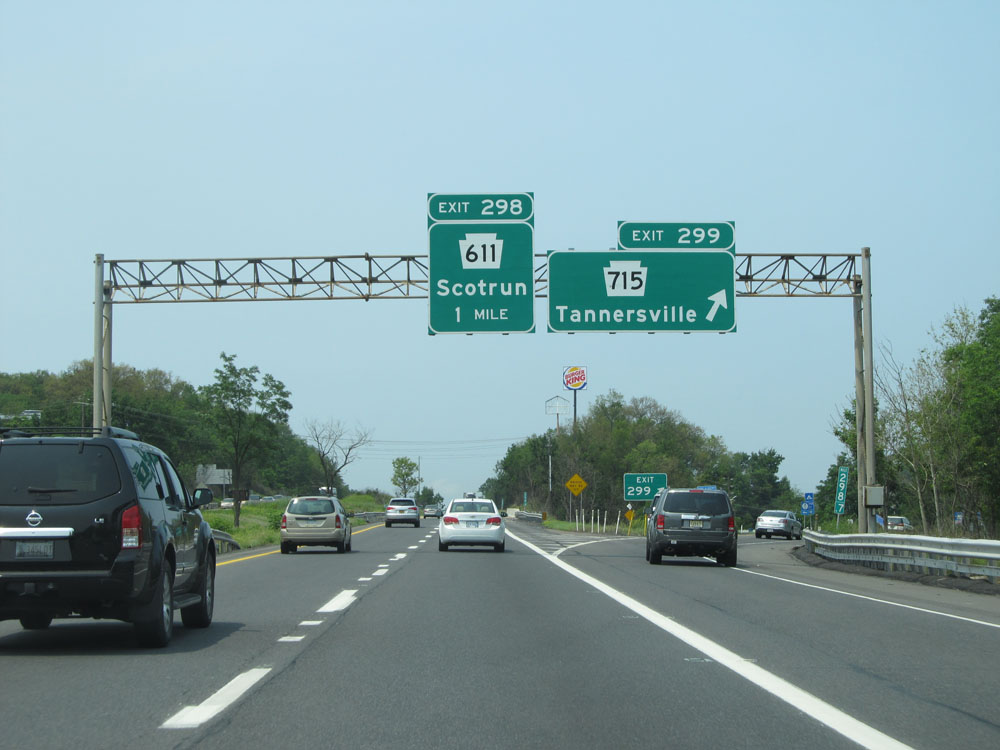 |
Interstate 80 West at Exit 299: PA 715 - Tannersville (Photo taken 7/5/15). |
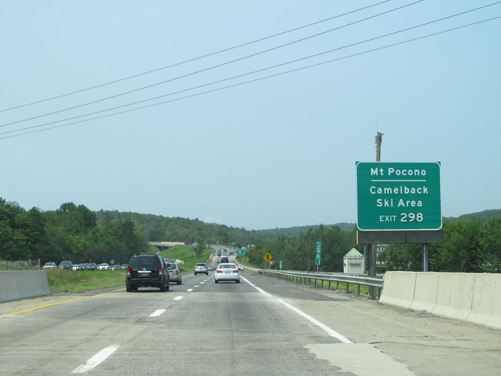 |
Take Exit 298 to Mt Pocono and Camelback Ski Area. (Photo taken 7/5/15). |
 |
Interstate 80 West at Exit 298: PA 611 - Scotrun (Photo taken 7/5/15). |
 |
Interstate 80 West assurance shield at mile marker 297.6. (Photo taken 7/5/15). |
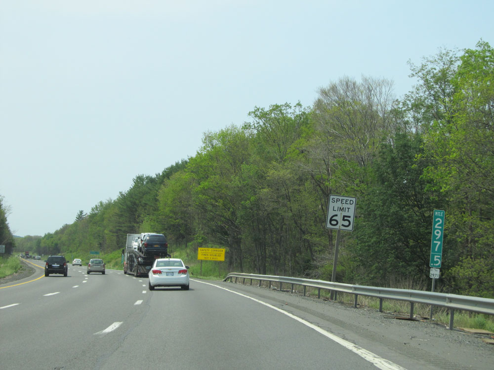 |
At mile marker 297.5, the speed limit increases to 65 mph, which is standard on most rural Interstates in Pennsylvania. (Photo taken 7/5/15). |
 |
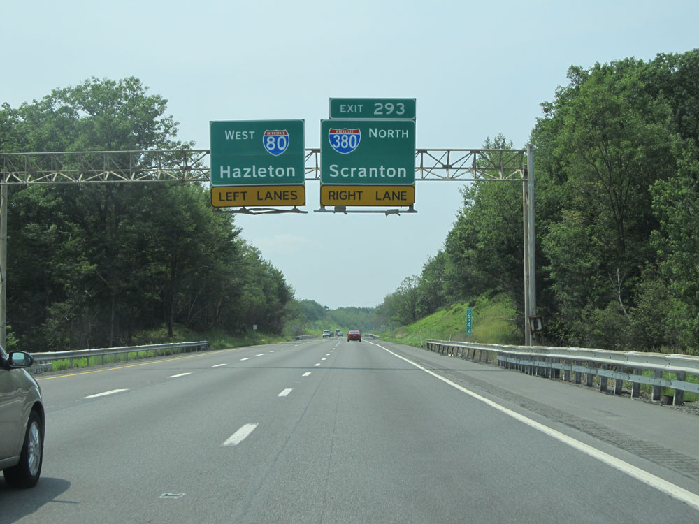
Interstate 80 West approaching Exit 293 - 2 miles. (Photo taken 7/5/15). |
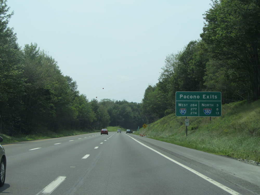 |
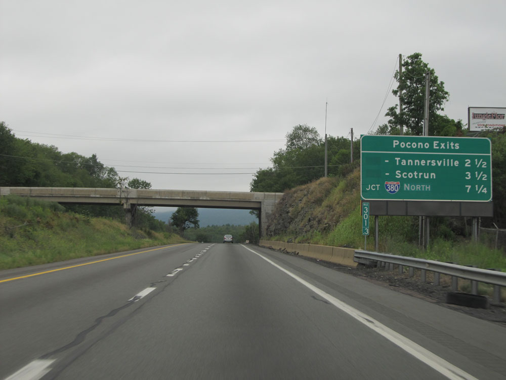
This sign lists the exit numbers to the Pocono region off both Interstate 80 and Interstate 380. (Photo taken 7/5/15). |
 |
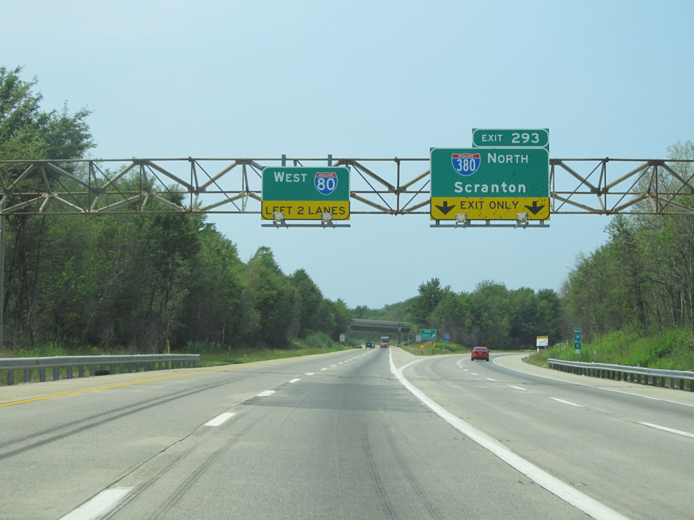
Interstate 80 West approaching Exit 293 - 1 mile. Stay in the right lane to take Exit 293. (Photo taken 7/5/15). |
 |
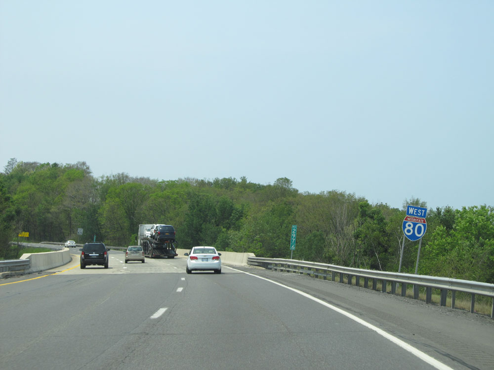
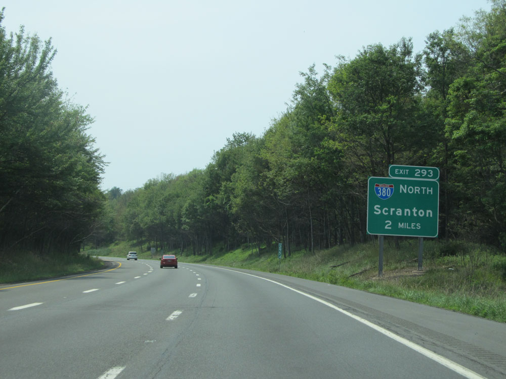
Interstate 80 West at Exit 293: Interstate 380 North - Scranton (Photo taken 7/5/15). |
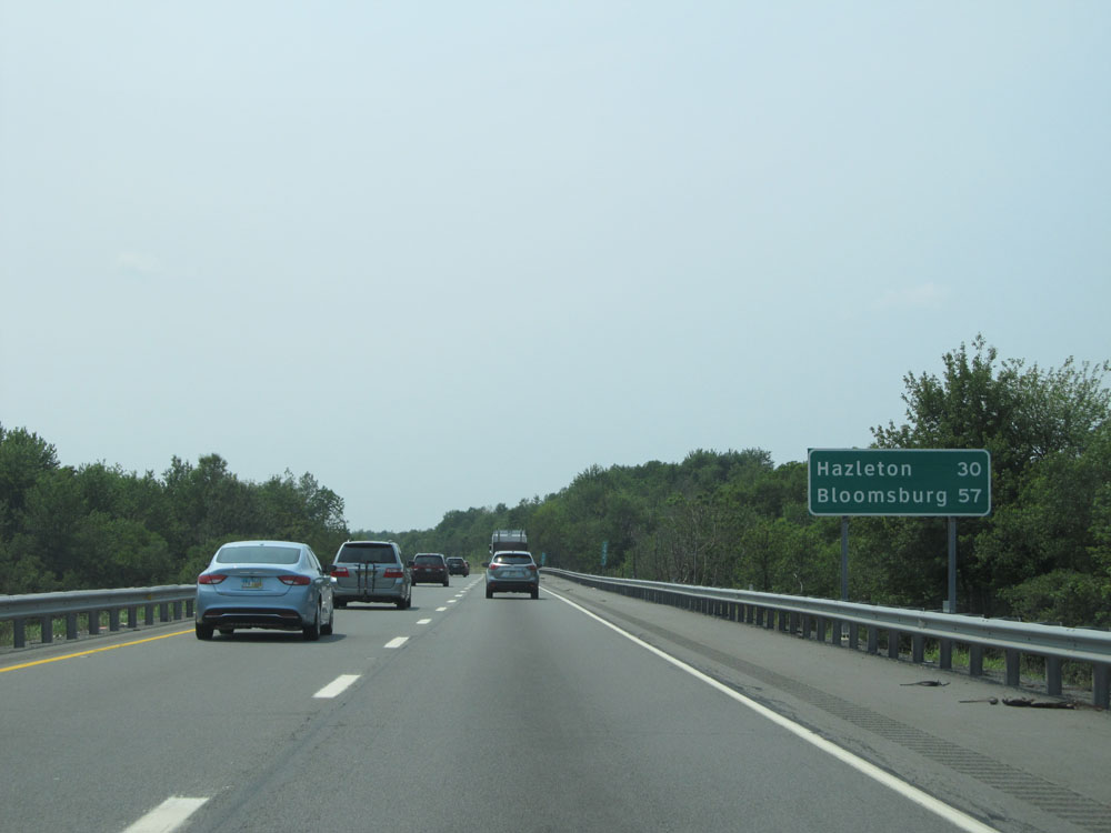 |
Mileage sign just past Exit 293. It's 30 miles to Hazleton and 57 miles to Bloomsburg. (Photo taken 7/5/15). |
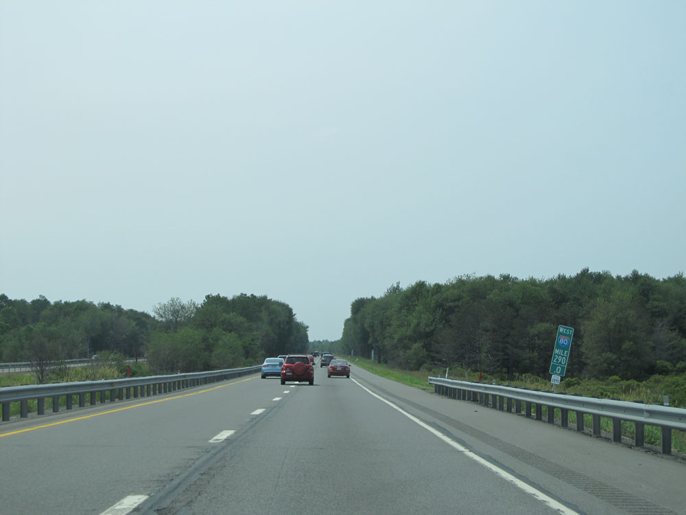 |
Interstate 80 West at mile marker 290. (Photo taken 7/5/15). |
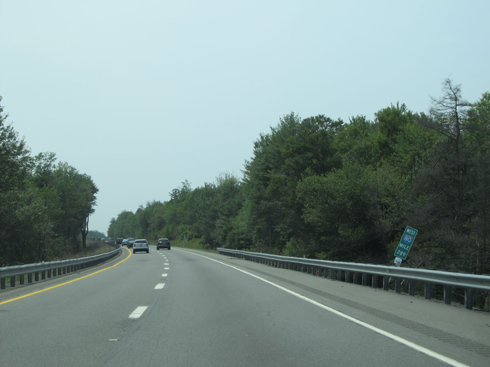 |
Interstate 80 West: Road view from mile marker 289. (Photo taken 7/5/15). |
 |
Yet another sign listing the distances to the three upcoming exits on Interstate 80 West to the Pocono region. (Photo taken 7/5/15). |
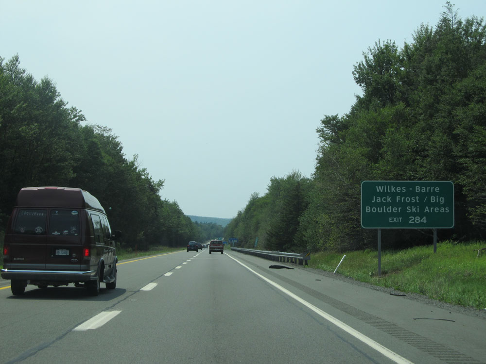 |
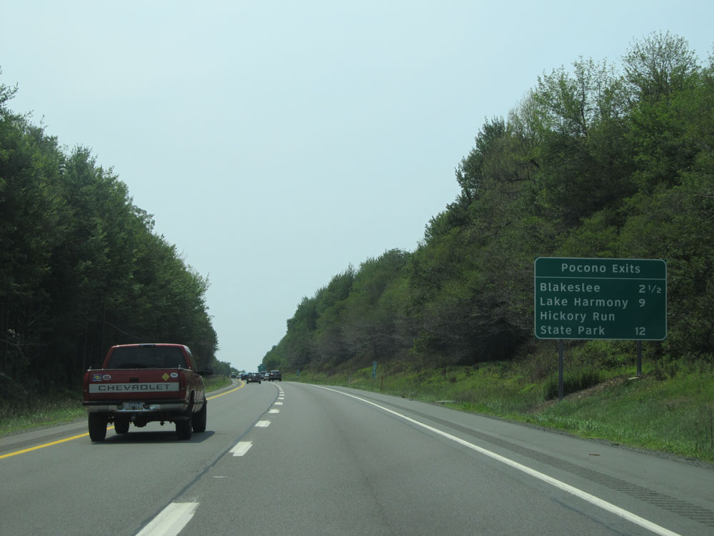
Take Exit 284 to Wilkes-Barre and Jack Frost / Big Boulder Ski Areas. (Photo taken 7/5/15). |
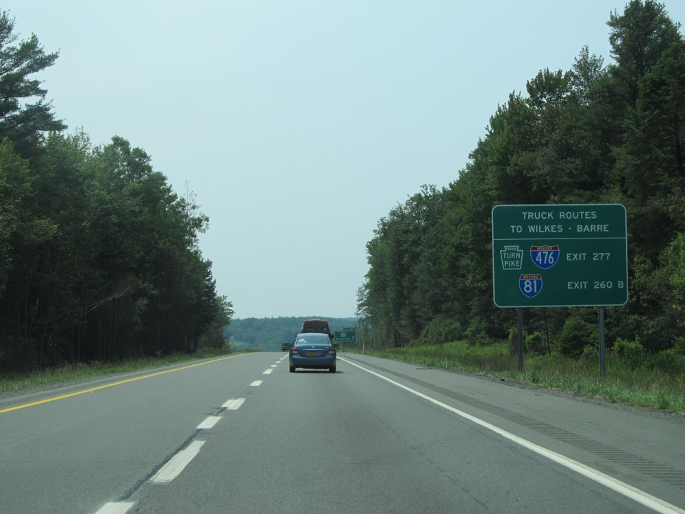 |
Trucks headed to Wilkes-Barre should use Exit 277 (Interstate 476 North) or Exit 260B (Interstate 81 North) instead of Exit 284. (Photo taken 7/5/15). |
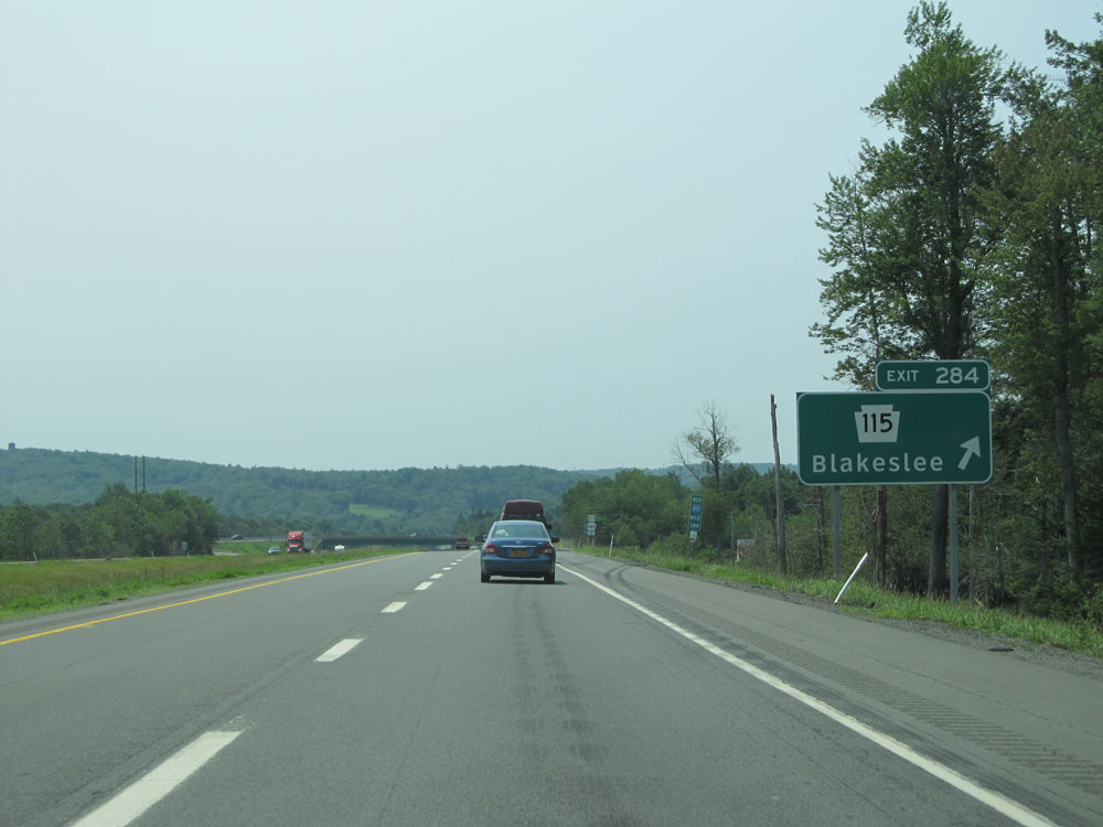 |
Interstate 80 West at Exit 284: PA 115 - Blakeslee (Photo taken 7/5/15). |
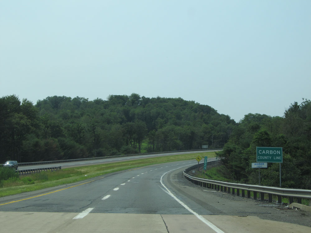 |
Interstate 80 West entering Carbon County. (Photo taken 7/5/15). |
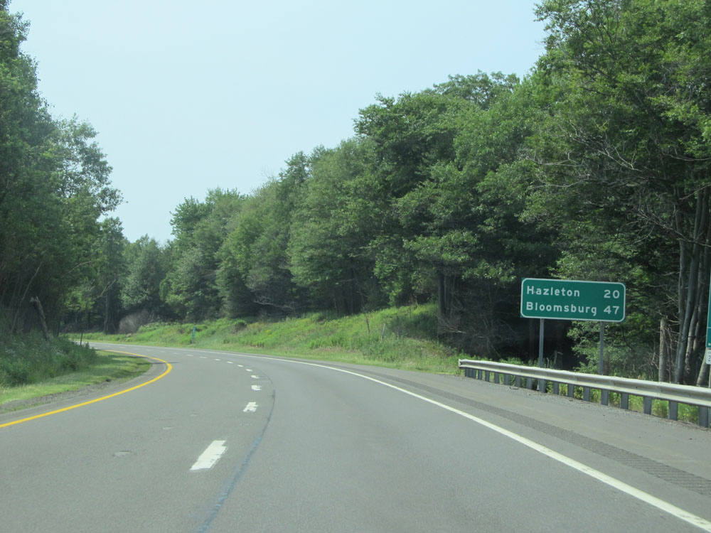 |
Mileage sign on Interstate 80 West. It's 20 miles to Hazleton and 47 miles to Bloomsburg. (Photo taken 7/5/15). |
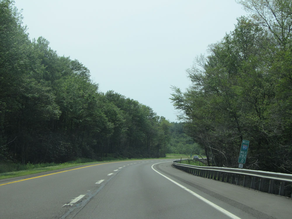 |
Interstate 80 West at mile marker 282. (Photo taken 7/5/15). |
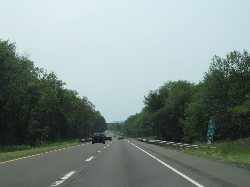 |
Interstate 80 West: Road view from mile marker 280. (Photo taken 7/5/15). |
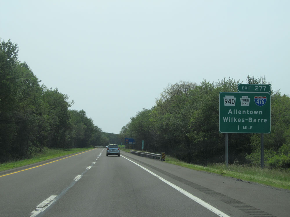 |
Interstate 80 West approaching Exit 277 - 1 mile. (Photo taken 7/5/15). |
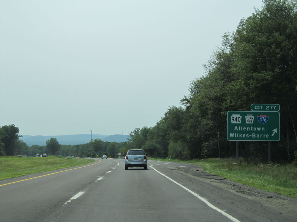 |
Interstate 80 West at Exit 277: PA 940 / Interstate 476 (PA Turnpike Northeastern Extension) - Allentown / Wilkes-Barre (Photo taken 7/5/15). |
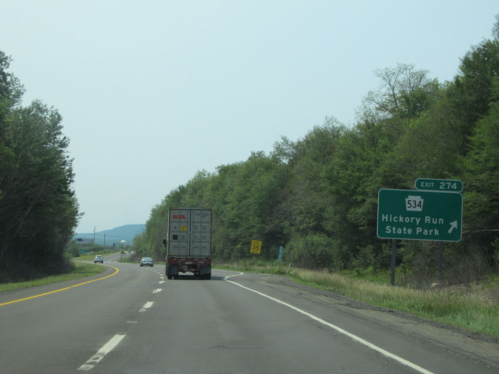 |
Interstate 80 West at Exit 274: PA 534 - Hickory Run State Park (Photo taken 7/5/15). |
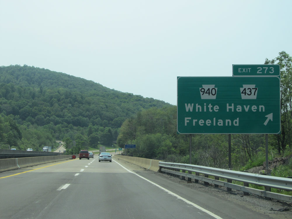 |
Interstate 80 West at Exit 273: PA 940 / PA 437 - White Haven / Freeland (Photo taken 7/5/15). |
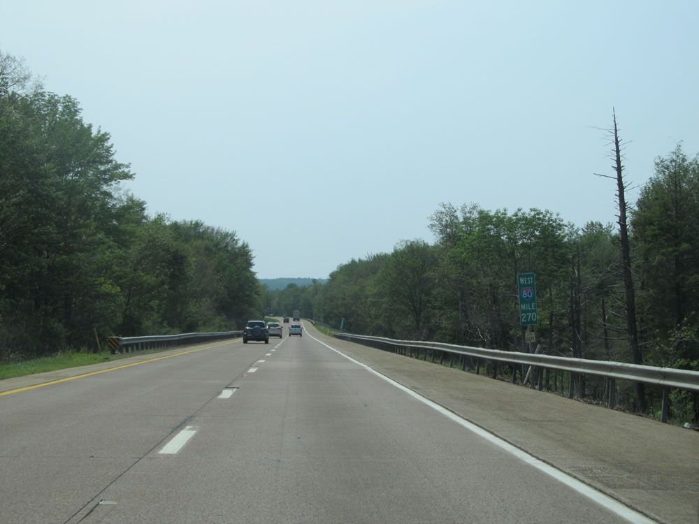 |
Interstate 80 West at mile marker 270. (Photo taken 7/5/15). |
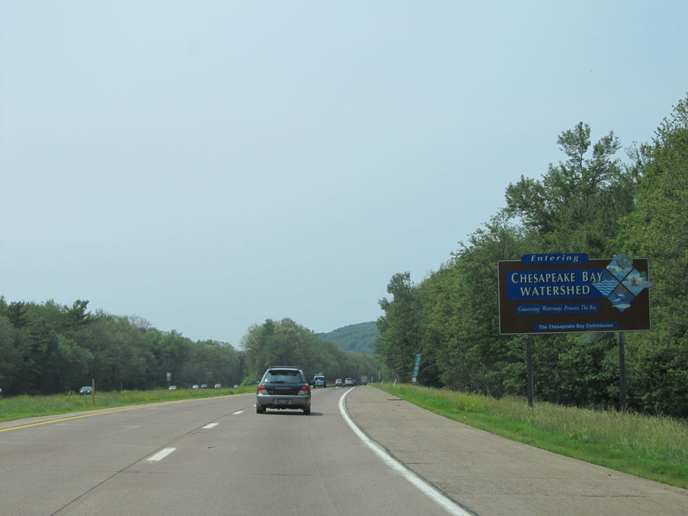 |
Interstate 80 West as it enters the Chesapeake Bay Watershed, at mile marker 268.5. (Photo taken 7/5/15). |
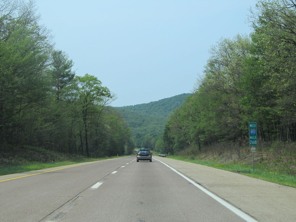 |
Interstate 80 West: Road view from mile marker 268. (Photo taken 7/5/15). |
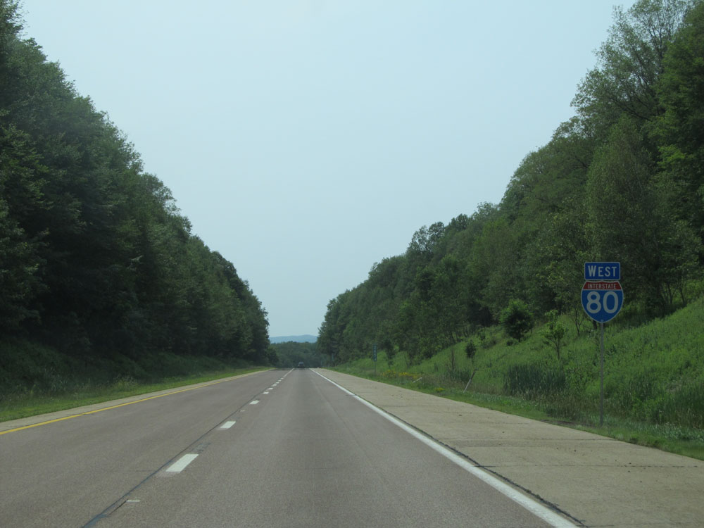 |
Interstate 80 West assurance shield near mile marker 265. (Photo taken 7/5/15). |
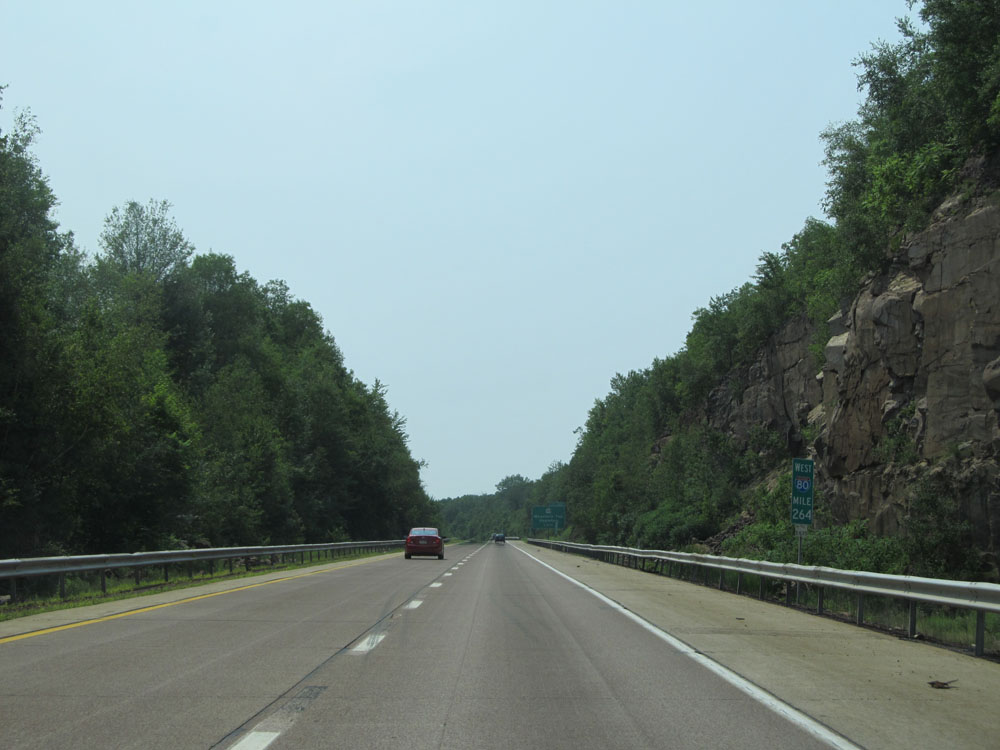 |
Interstate 80 West at mile marker 264. (Photo taken 7/5/15). |
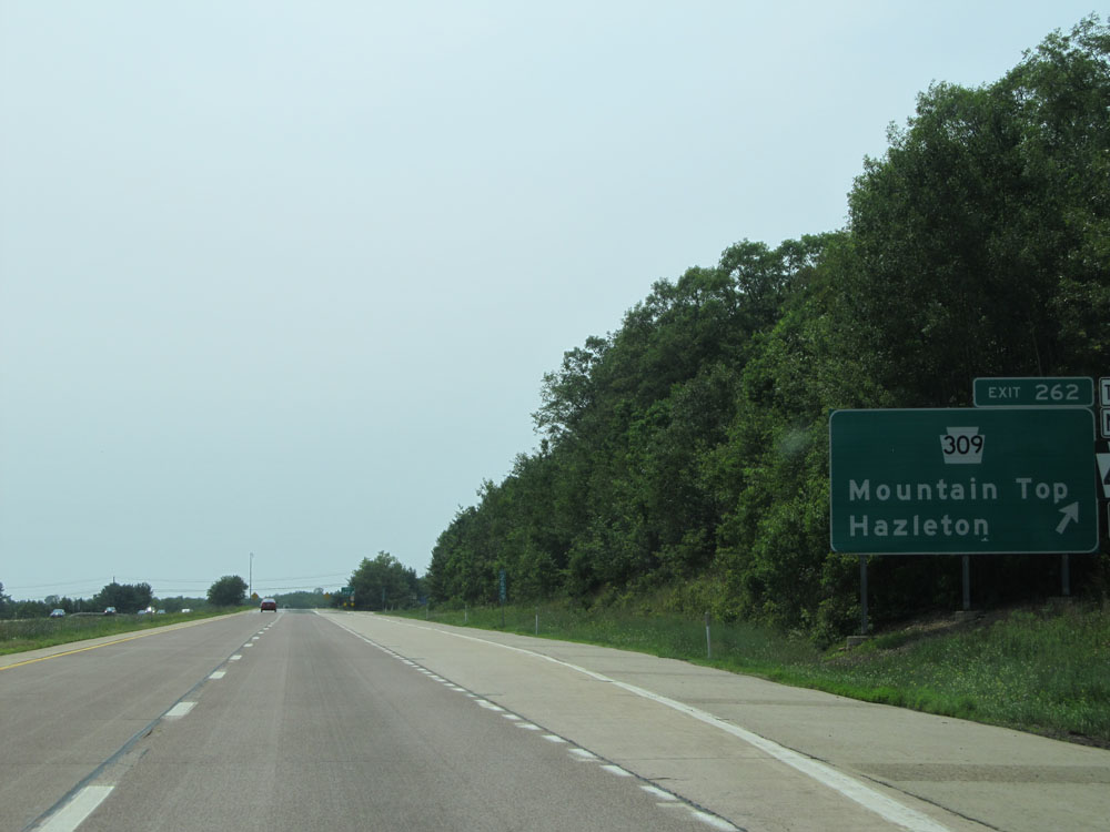 |
Interstate 80 West at Exit 262: PA 309 - Mountain Top / Hazleton (Photo taken 7/5/15). |
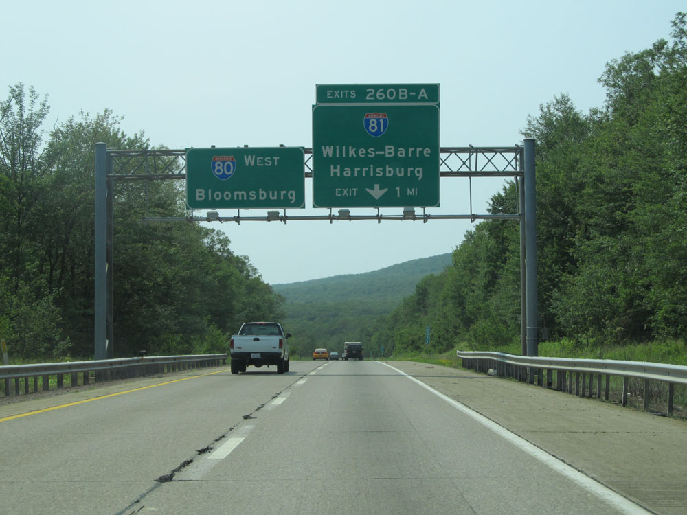 |
Interstate 80 West approaching Exits 260B-A - 1 mile. (Photo taken 7/5/15). |
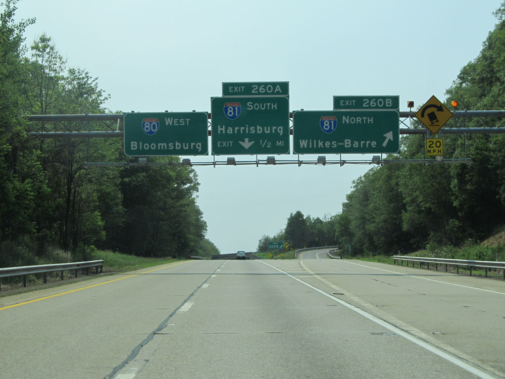 |
Interstate 80 West at Exit 260B: Interstate 81 North - Wilkes-Barre (Photo taken 7/5/15). |
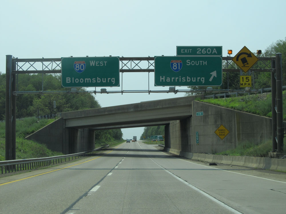 |
Interstate 80 West at Exit 260A: Interstate 81 South - Harrisburg (Photo taken 7/5/15). |
Section 2: Hazleton (Exit 260A) to Bellefonte (Exit 161)
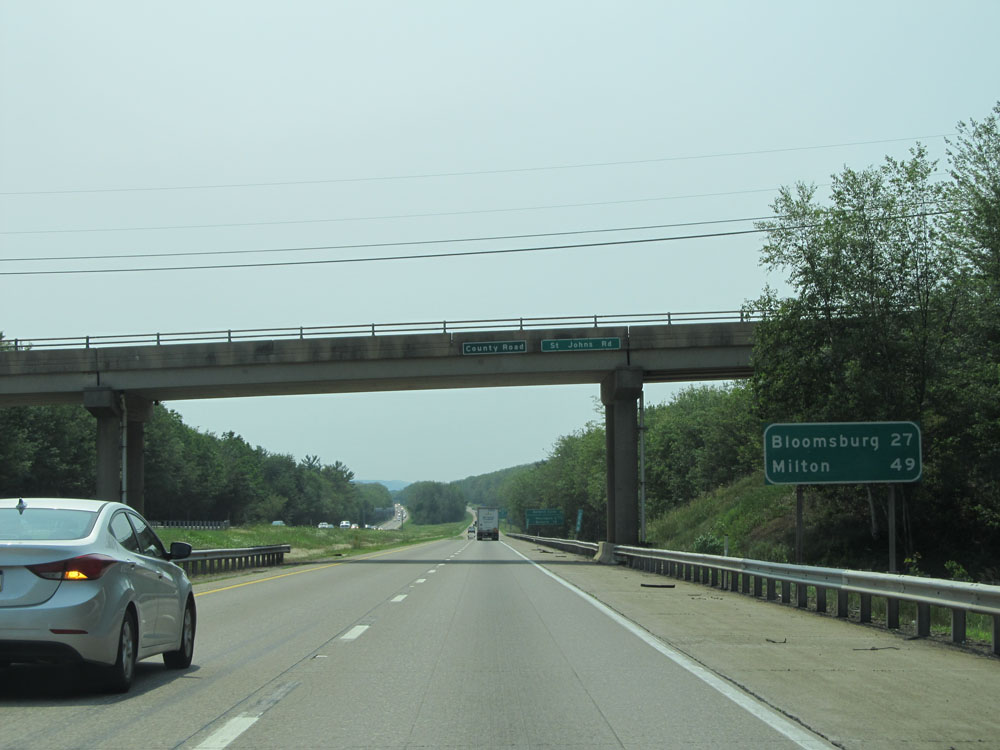 |
Mileage sign near mile marker 260. It's 27 miles to Bloomsburg and 49 miles to Milton. (Photo taken 7/5/15). |
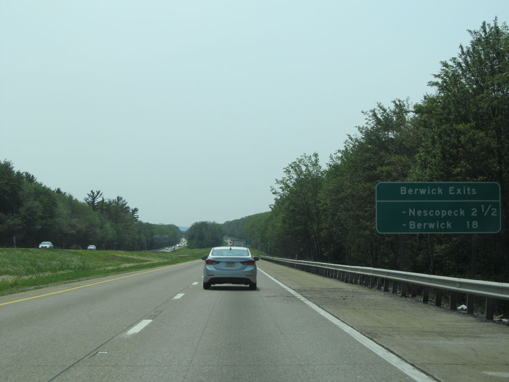 |
Sign listing the distances to the two upcoming exits to Berwick. (Photo taken 7/5/15). |
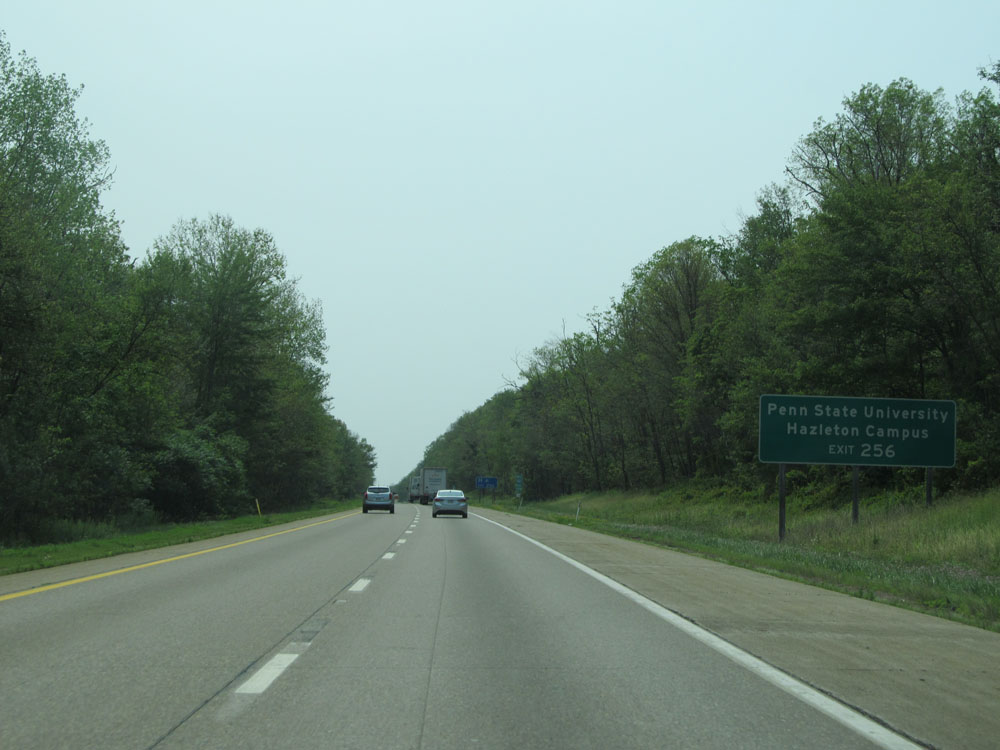 |
Take Exit 256 to Penn State University Hazleton Campus. (Photo taken 7/5/15). |
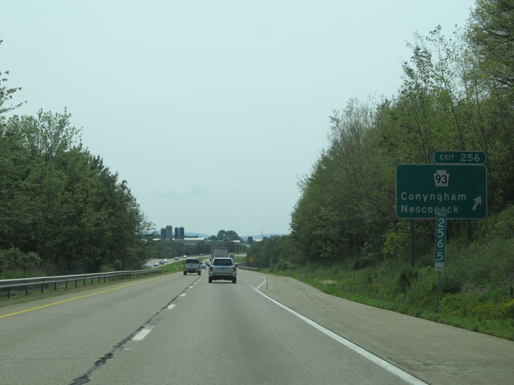 |
Interstate 80 West at Exit 256: PA 93 - Conyngham / Nescopeck (Photo taken 7/5/15). |
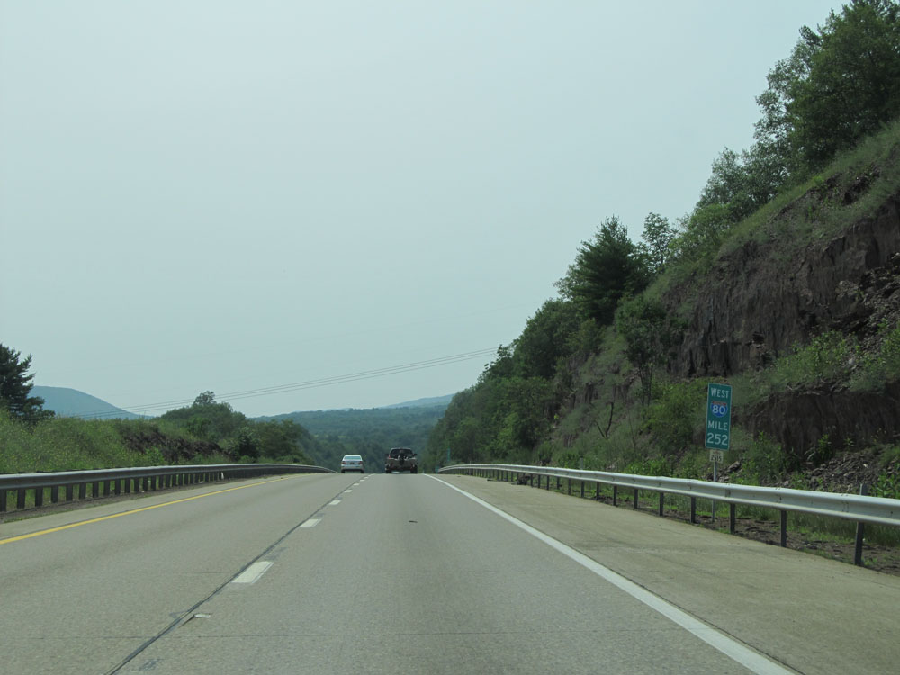 |
Interstate 80 West: Road view from mile marker 252. (Photo taken 7/5/15). |
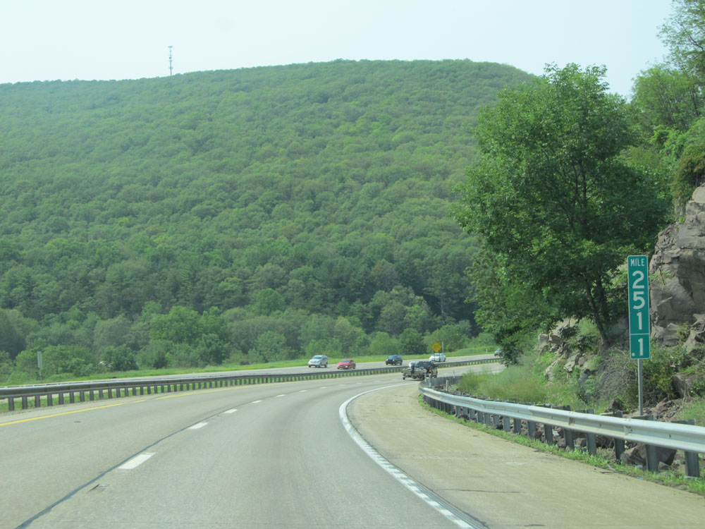 |
At mile marker 251.1, Interstate 80 West briefly curves to the north. (Photo taken 7/5/15). |
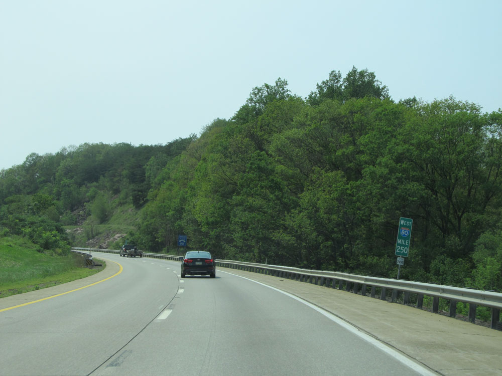 |
Interstate 80 West at mile marker 250, as I-80 curves back to the west. (Photo taken 7/5/15). |
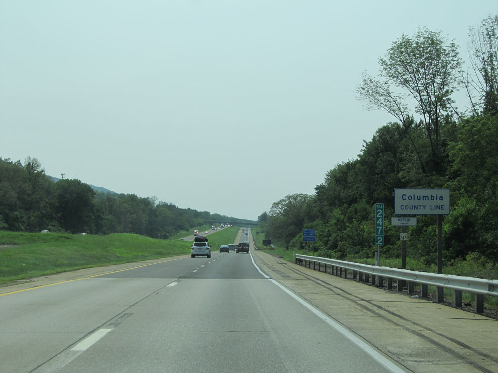 |
Interstate 80 West entering Columbia County at mile marker 247.2. (Photo taken 7/5/15). |
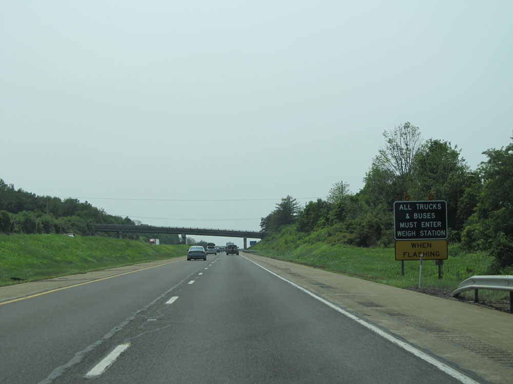 |
When the lights on this sign are flashing, all trucks must enter the Weigh Station located at the Rest Area ahead. (Photo taken 7/5/15). |
 |
Interstate 80 West at the Rest Area / Weigh Station located near mile marker 246. (Photo taken 7/5/15). |
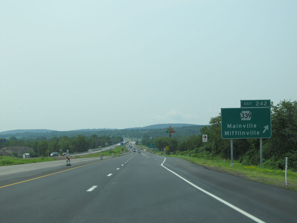 |
Interstate 80 West at Exit 242: PA 339 - Mainville / Mifflinville (Photo taken 7/5/15). |
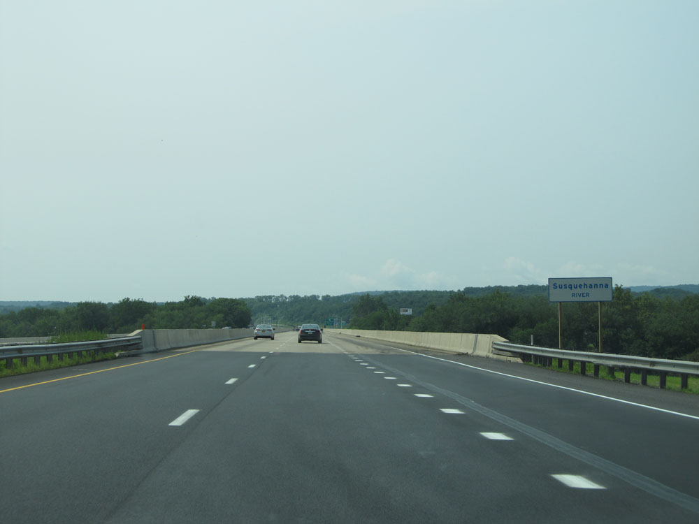 |
Interstate 80 West as it prepares to cross the Susquehanna River just past Exit 242. (Photo taken 7/5/15). |
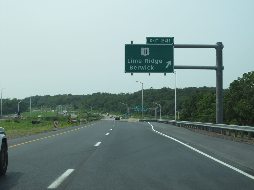 |
Interstate 80 West at Exit 241: US 11 - Lime Ridge / Berwick (Photo taken 7/5/15). |
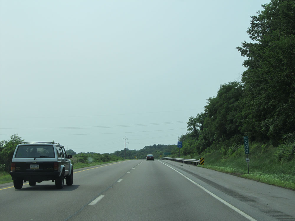 |
Interstate 80 West at mile marker 240. (Photo taken 7/5/15). |
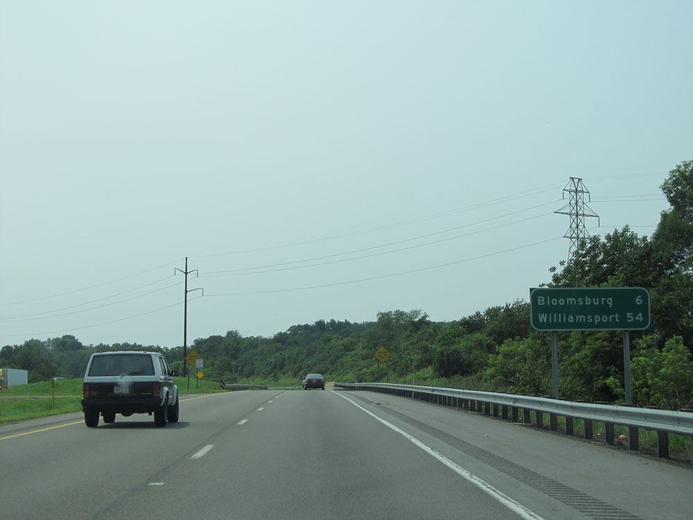 |
Mileage sign near mile marker 239. It's 6 miles to Bloomsburg and 54 miles to Williamsport. (Photo taken 7/5/15). |
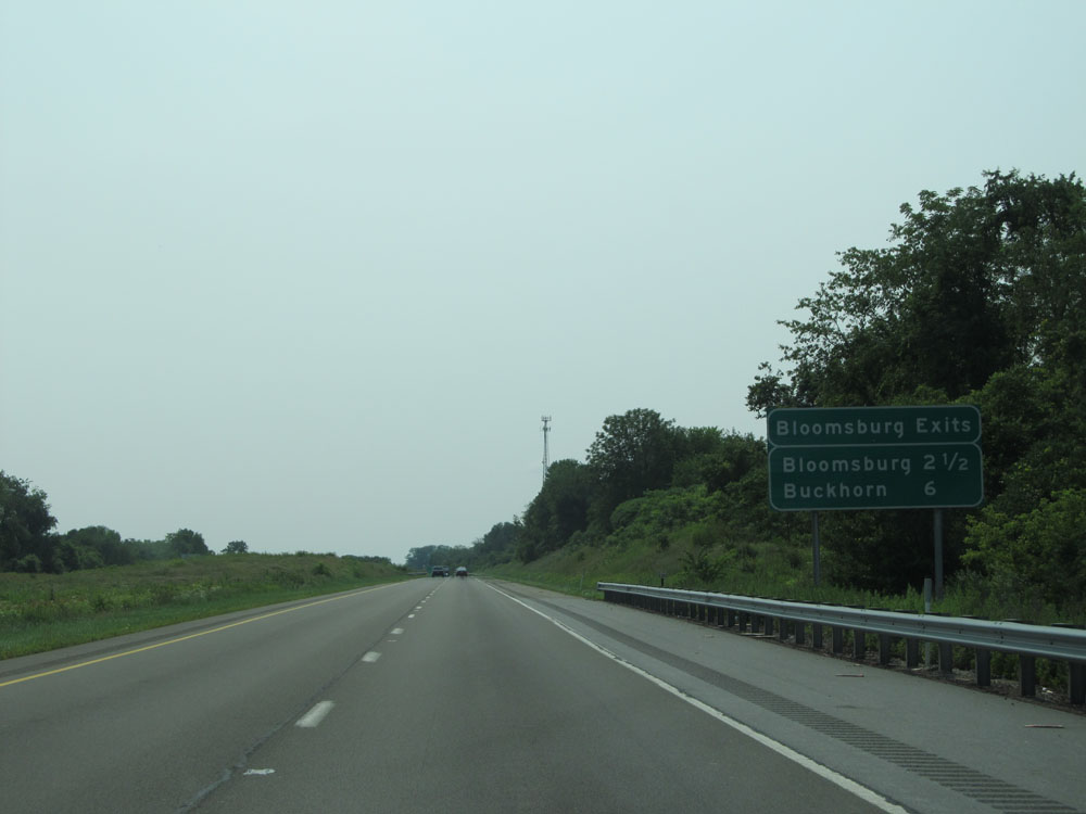 |
Sign listing the distances to the two upcoming Bloomsburg exits. (Photo taken 7/5/15). |
 |
Take Exit 236A to Bloomsburg University. (Photo taken 7/5/15). |
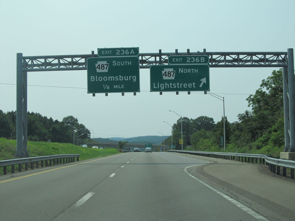 |
Interstate 80 West at Exit 236B: PA 487 North - Lightstreet (Photo taken 7/5/15). |
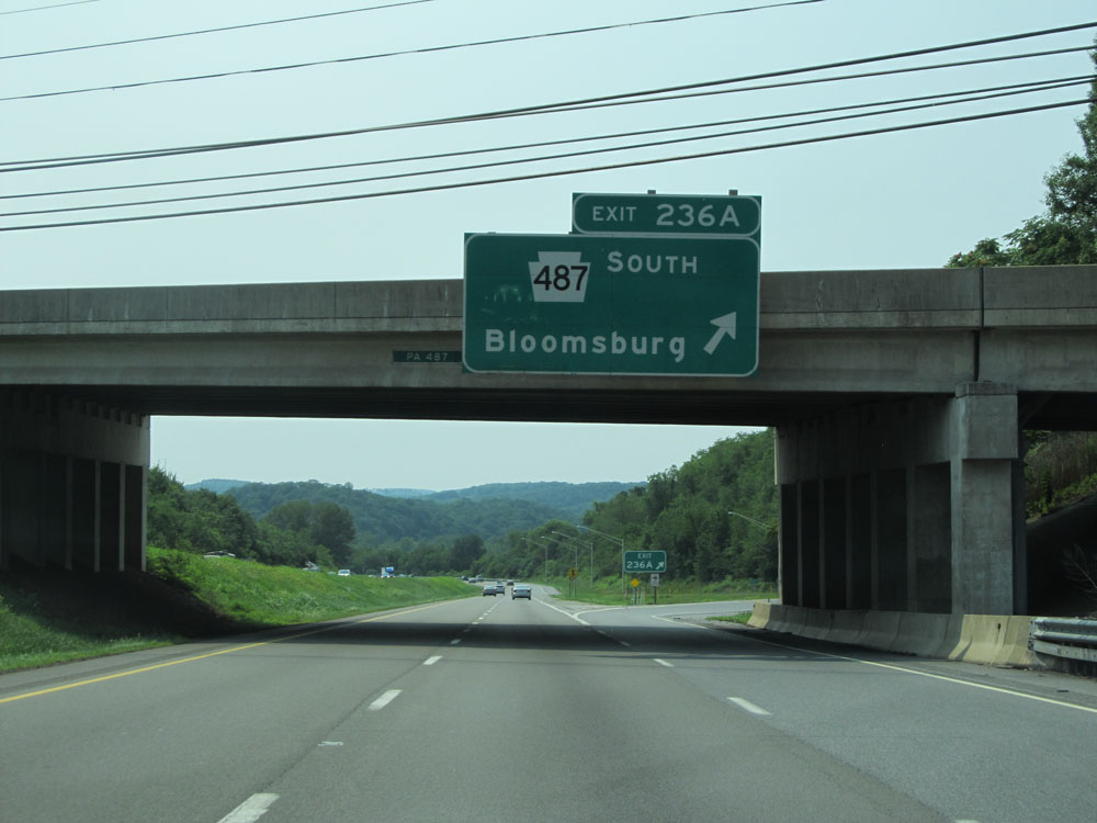 |
Interstate 80 West at Exit 236A: PA 487 South - Bloomsburg (Photo taken 7/5/15). |
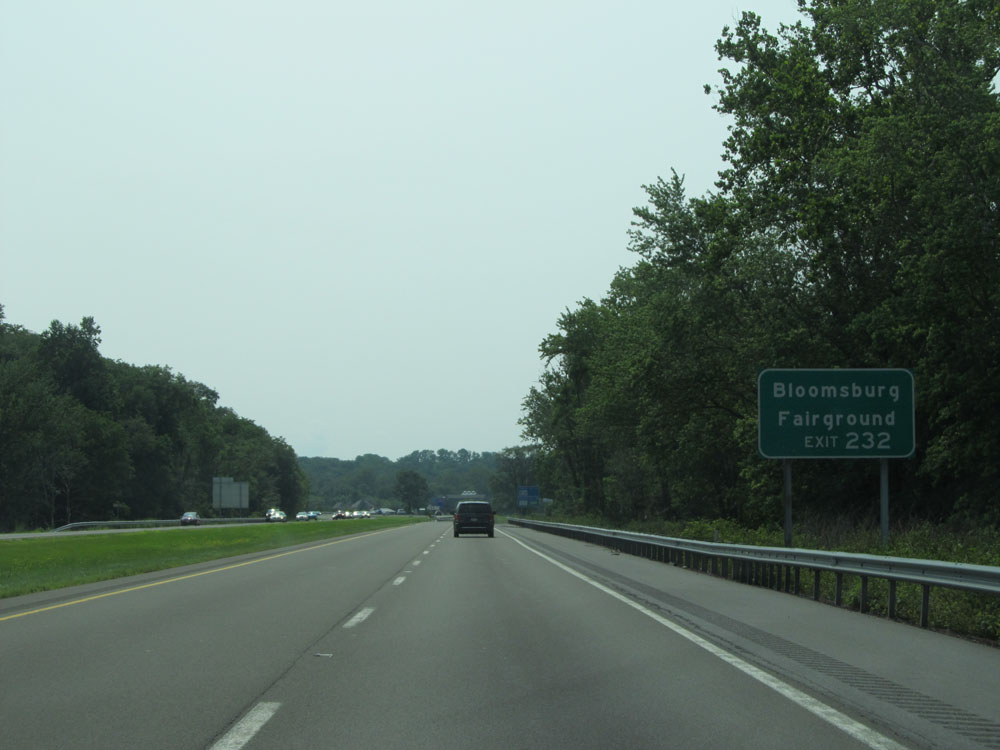 |
Take Exit 232 to Bloomsburg Fairground. (Photo taken 7/5/15). |
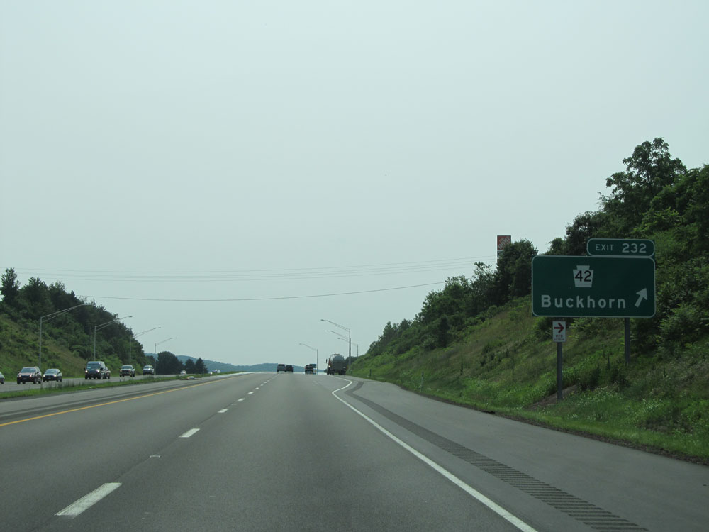 |
Interstate 80 West at Exit 232: PA 42 - Buckhorn (Photo taken 7/5/15). |
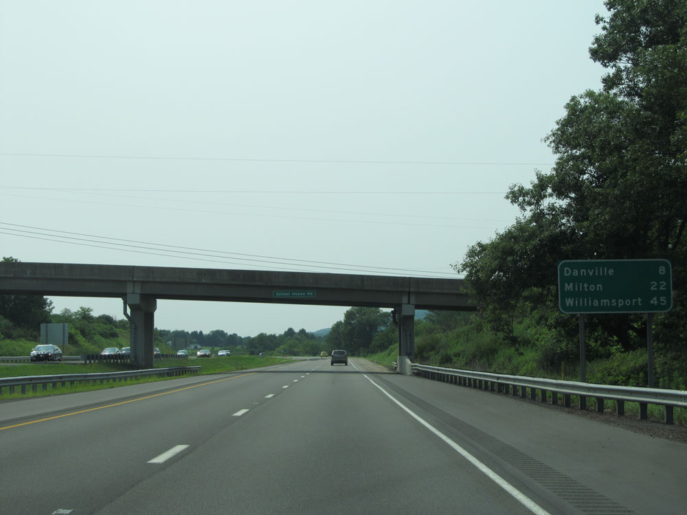 |
Mileage sign past Exit 232. It's 8 miles to Danville, 22 miles to Milton, and 45 miles to Williamsport. (Photo taken 7/5/15). |
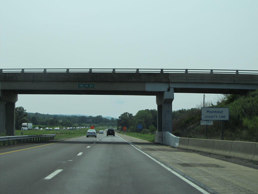 |
Interstate 80 West as it enters Montour County, at mile marker 228. (Photo taken 7/5/15). |
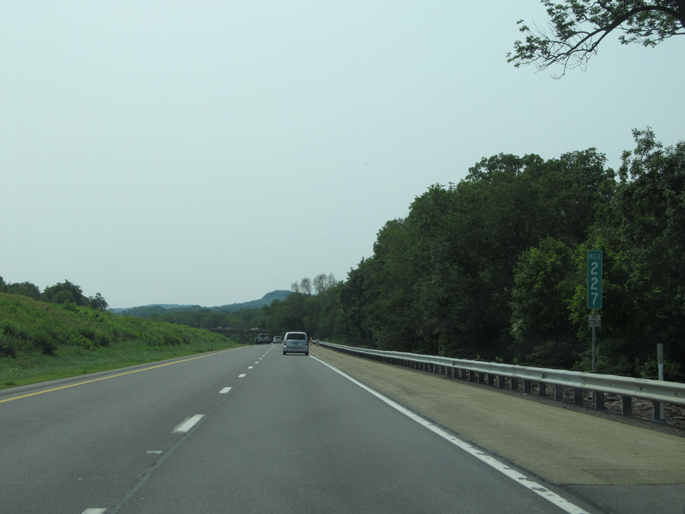 |
Interstate 80 West at mile marker 227. (Photo taken 7/5/15). |
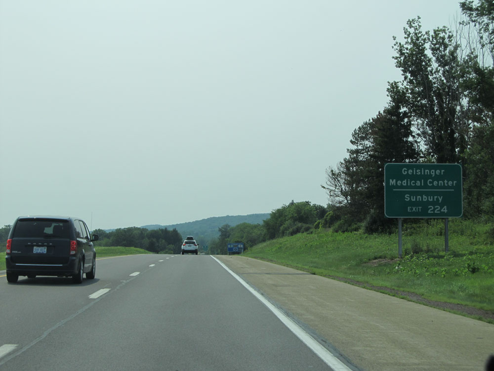 |
Take Exit 224 to Geisinger Medical Center and Sunbury. (Photo taken 7/5/15). |
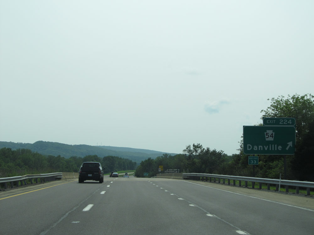 |
Interstate 80 West at Exit 224: PA 54 - Danville (Photo taken 7/5/15). |
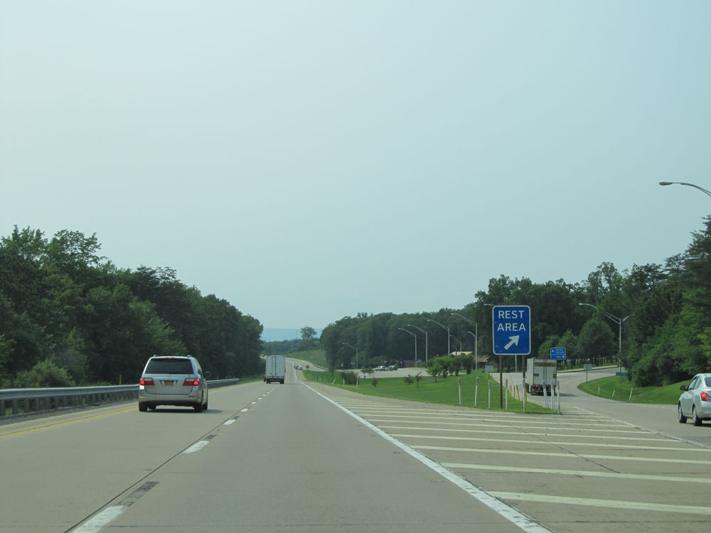 |
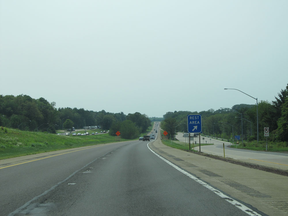
Interstate 80 West at the Rest Area located near mile marker 219. (Photo taken 7/5/15). |
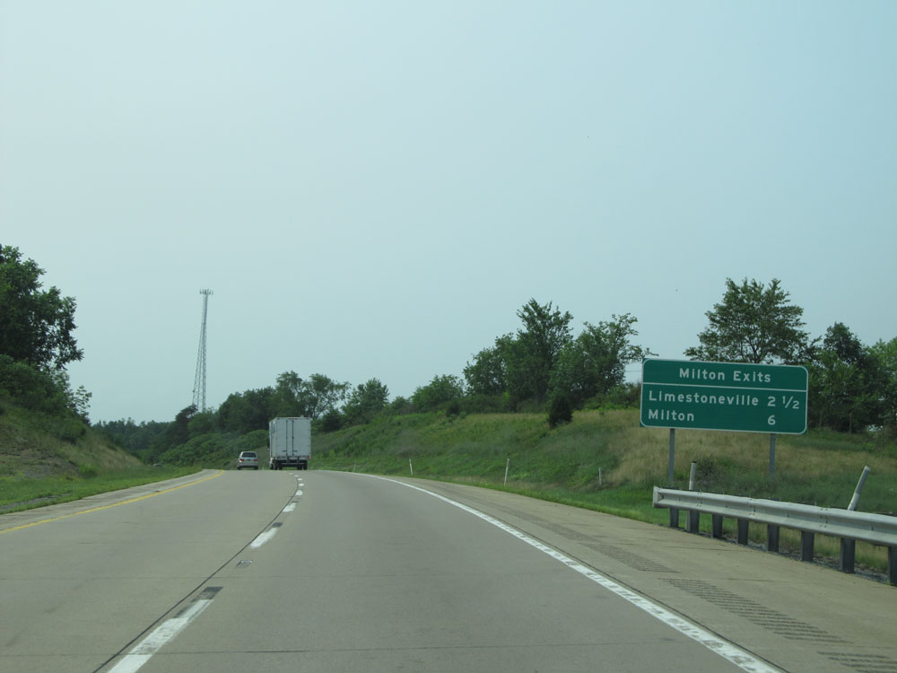 |
Sign listing the distances to the two upcoming exits to Milton. (Photo taken 7/5/15). |
 |
Interstate 80 West: Road view from mile marker 217. (Photo taken 7/5/15). |
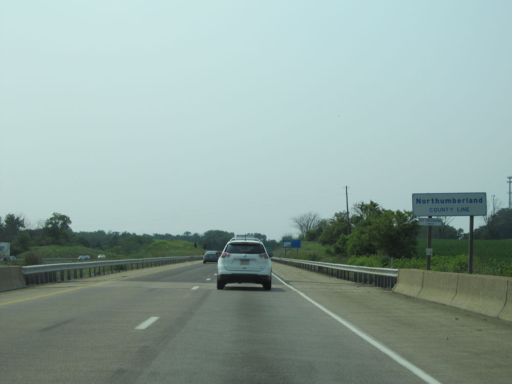 |
Interstate 80 West entering Northumberland County. (Photo taken 7/5/15). |
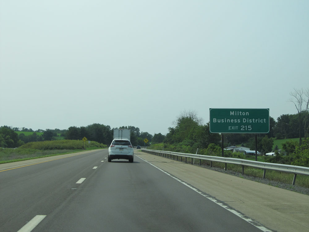 |
Take Exit 215 to Milton Business District. (Photo taken 7/5/15). |
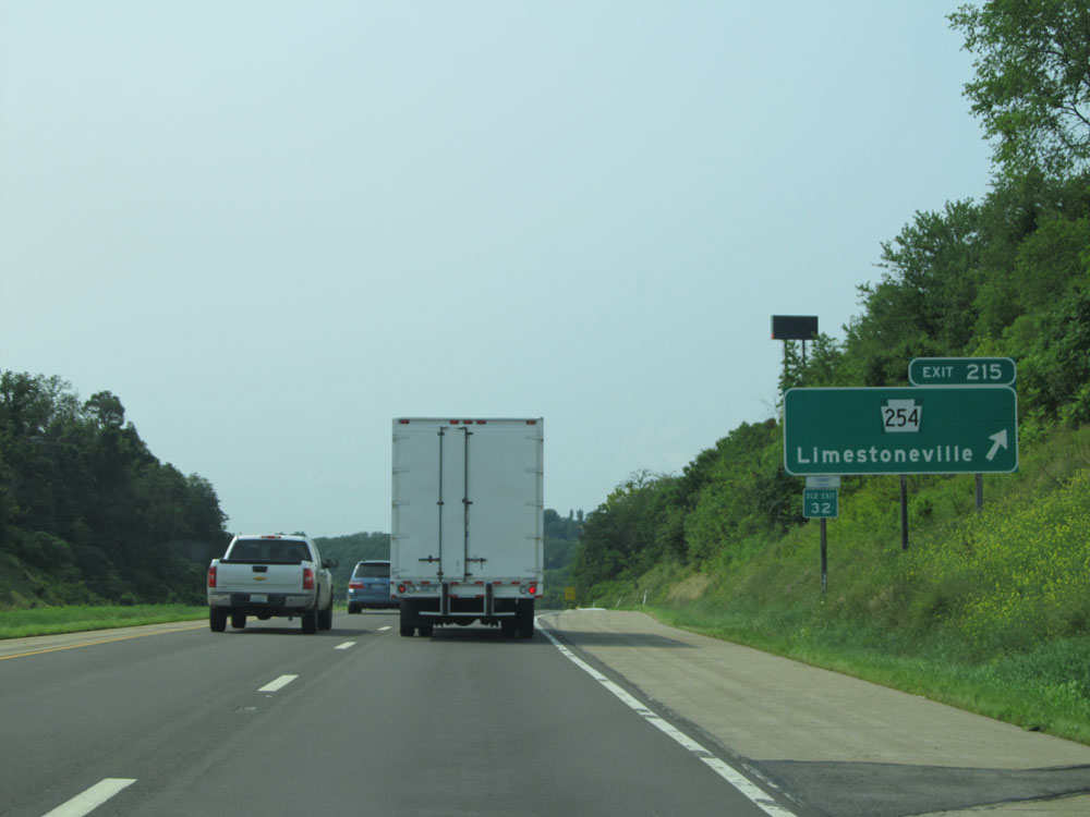 |
Interstate 80 West at Exit 215: PA 254 - Limestoneville (Photo taken 7/5/15). |
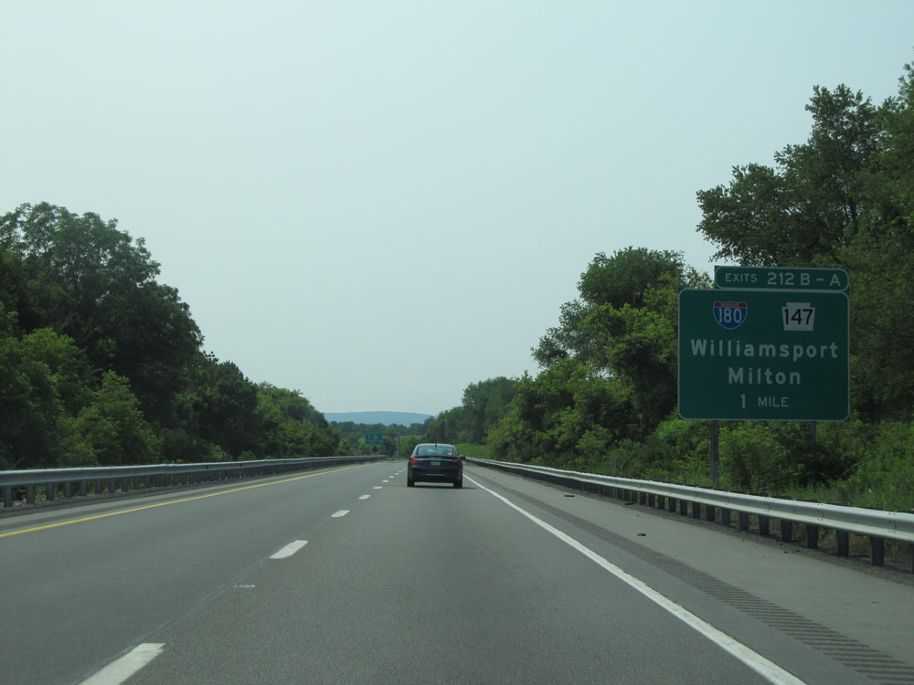 |
Interstate 80 West approaching Exits 212B-A - 1 mile. (Photo taken 7/5/15). |
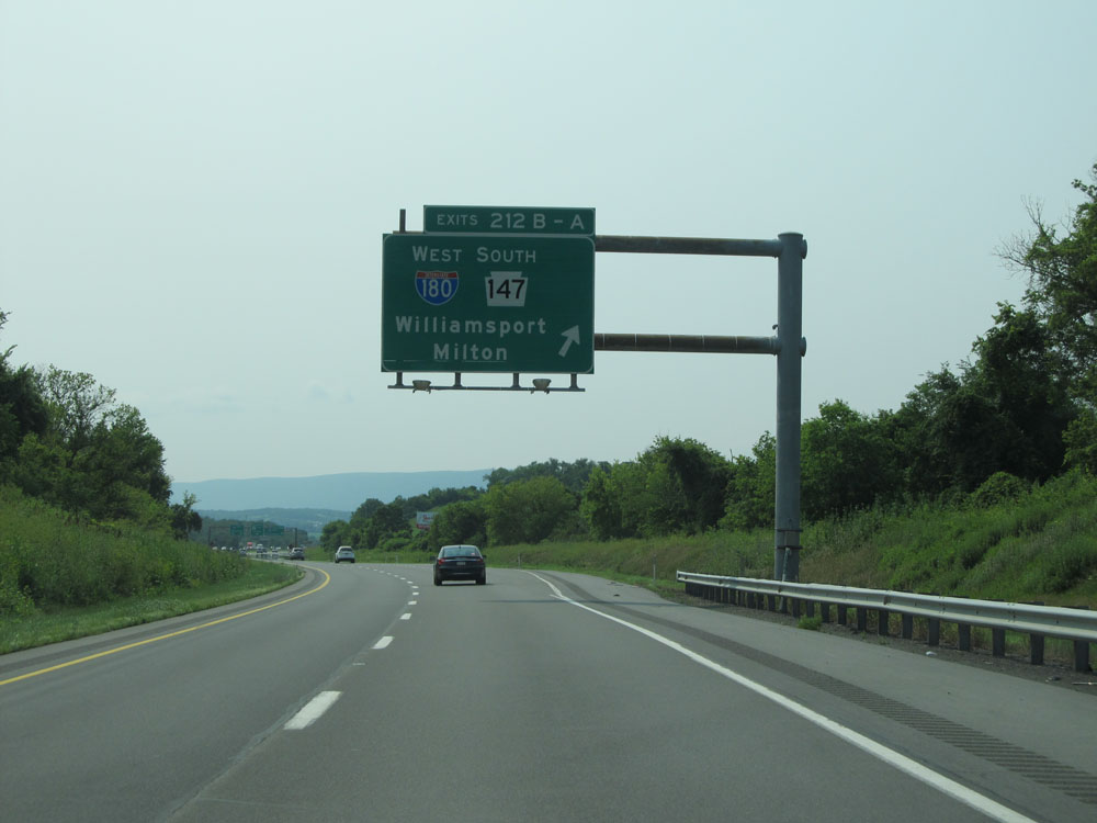 |
Interstate 80 West at the ramp for Exits 212B-A: Interstate 180 West / PA 147 South - Williamsport / Milton (Photo taken 7/5/15). |
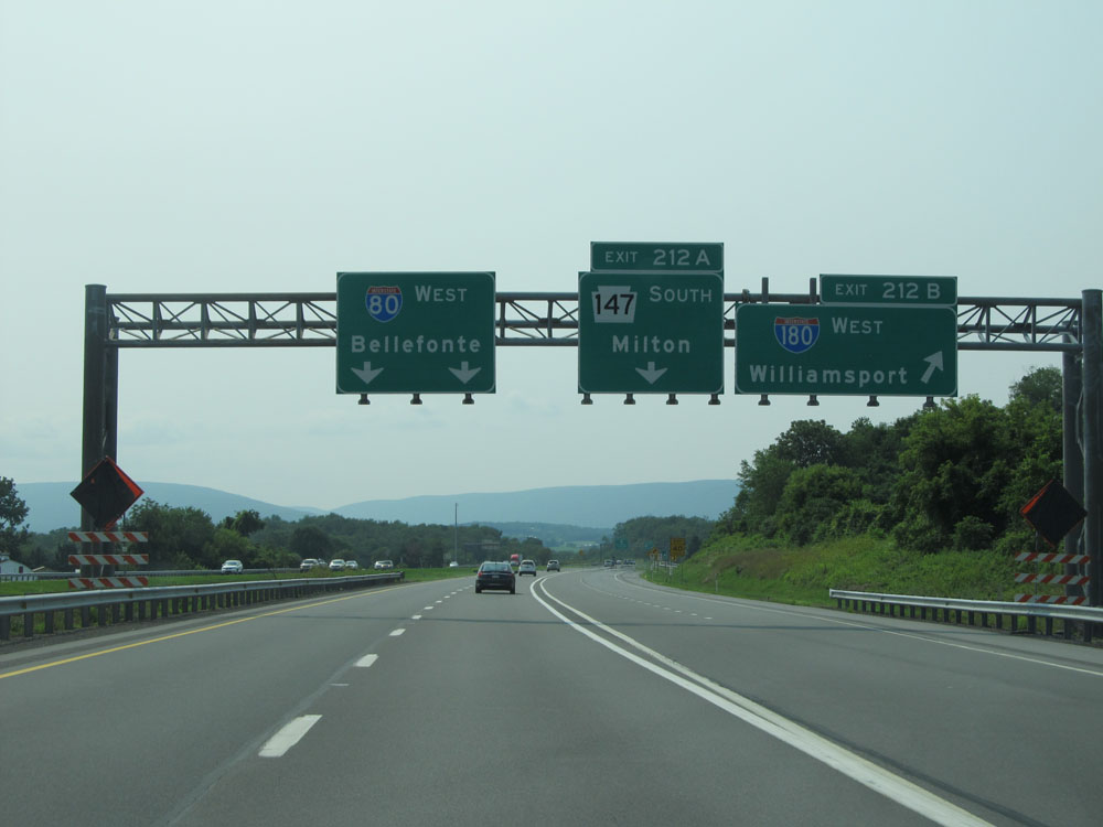 |
Interstate 80 West at Exit 212B: Interstate 180 West - Williamsport (Photo taken 7/5/15). |
 |
Interstate 80 West at Exit 212A: PA 147 South - Milton (Photo taken 7/5/15). |
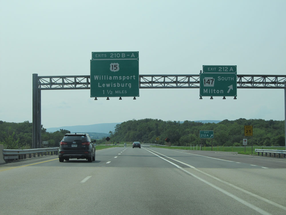
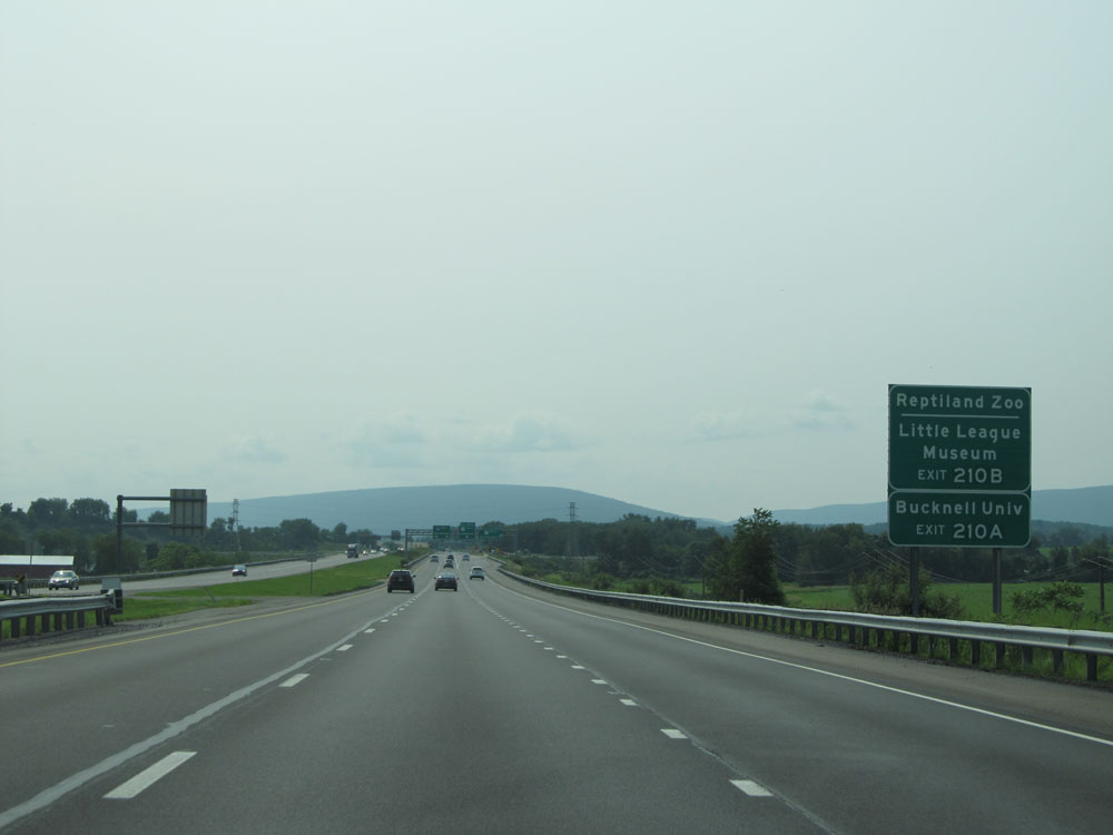 |
Take Exit 210B to Reptiland Zoo and the Little League Museum. Take Exit 210A to Bucknell University. (Photo taken 7/5/15). |
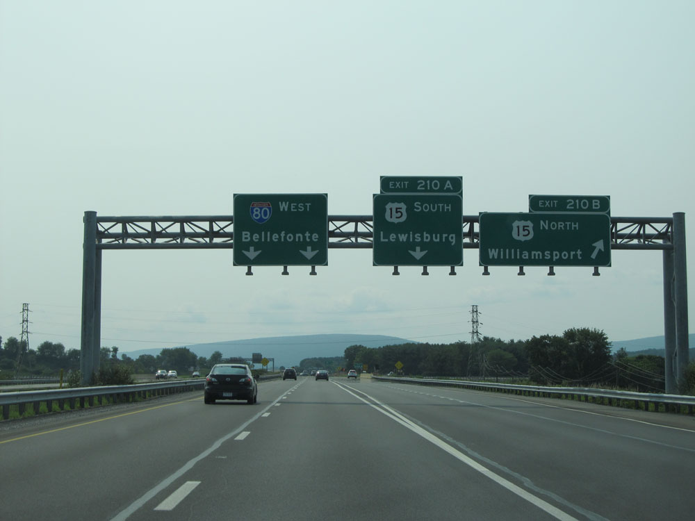 |
Interstate 80 West at Exit 210B: US 15 North - Williamsport (Photo taken 7/5/15). |
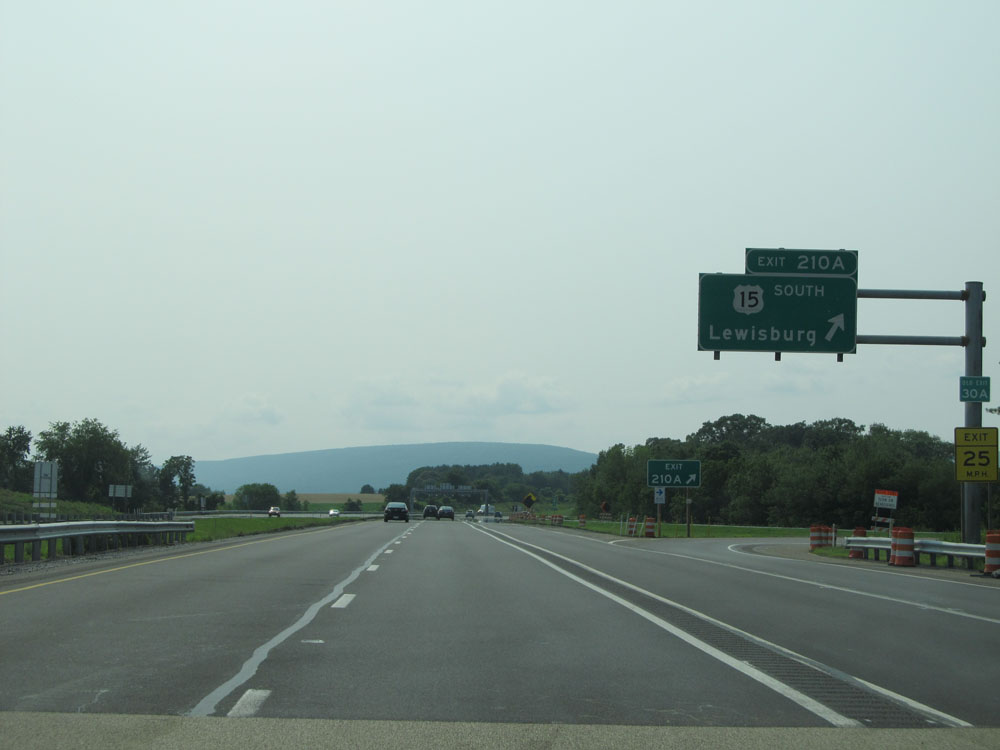 |
Interstate 80 West at Exit 210A: US 15 South - Lewisburg (Photo taken 7/5/15). |
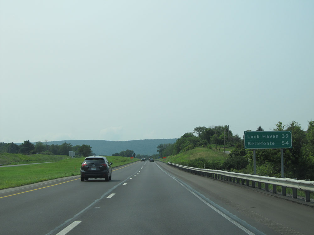 |
Mileage sign near mile marker 210. It's 39 miles to Lock Haven and 54 miles to Bellefonte. (Photo taken 7/5/15). |
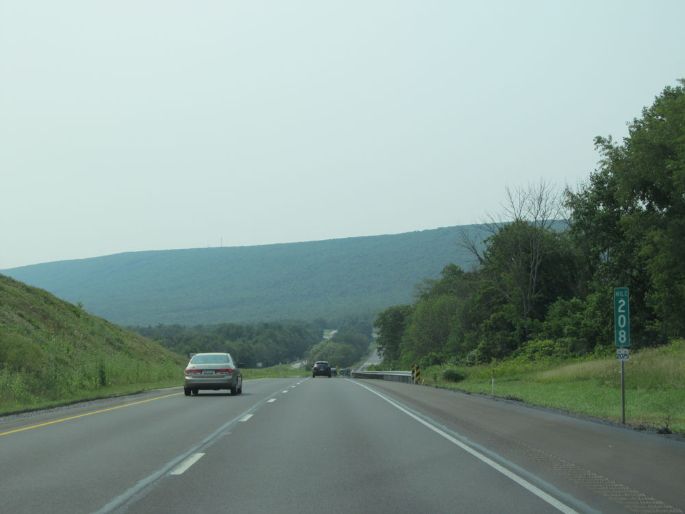 |
Interstate 80 West: Road view from mile marker 208. (Photo taken 7/5/15). |
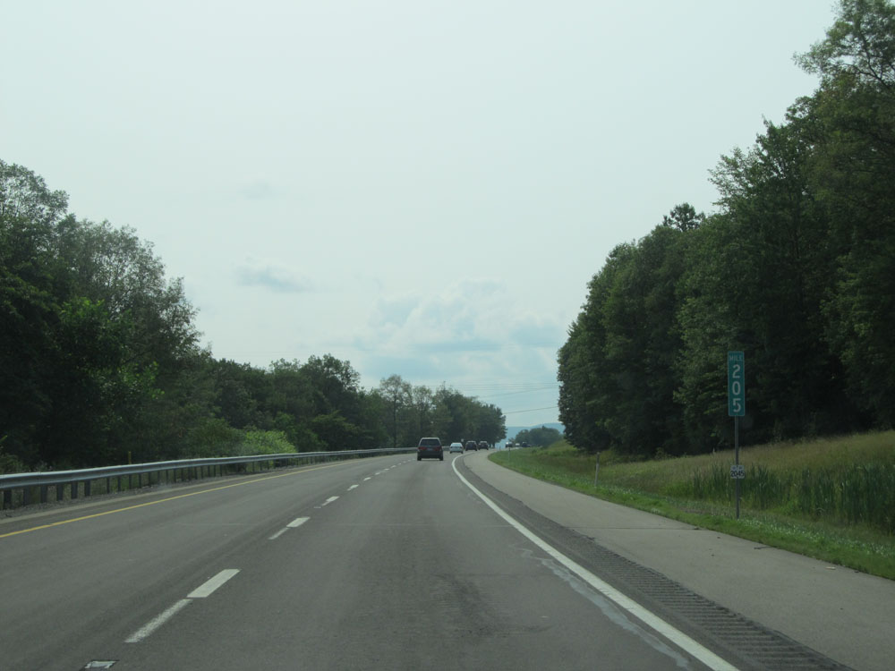 |
Interstate 80 West at mile marker 205. (Photo taken 7/5/15). |
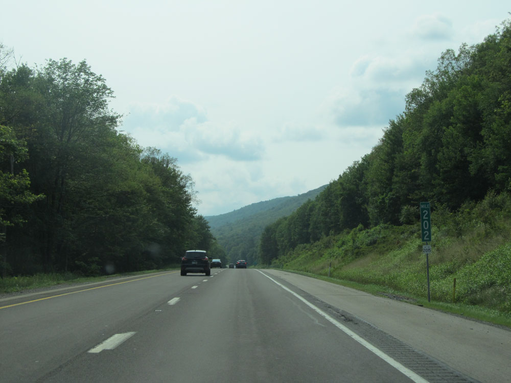 |
Interstate 80 West: Road view from mile marker 202. (Photo taken 7/5/15). |
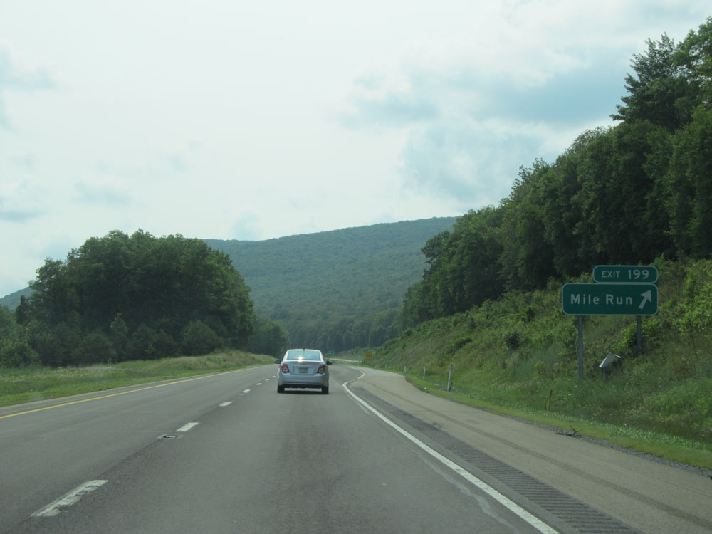 |
Interstate 80 West at Exit 199: Mile Run (Photo taken 7/5/15). |
 |
Interstate 80 West: Road view from mile marker 197. (Photo taken 7/5/15). |
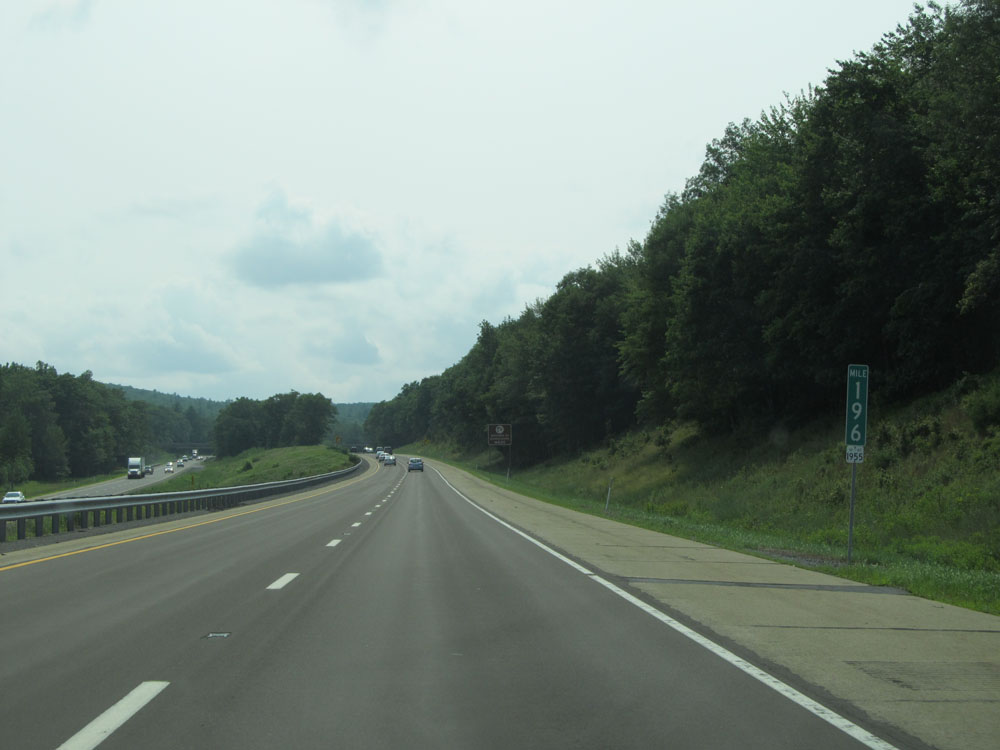 |
Interstate 80 West at mile marker 196. (Photo taken 7/5/15). |
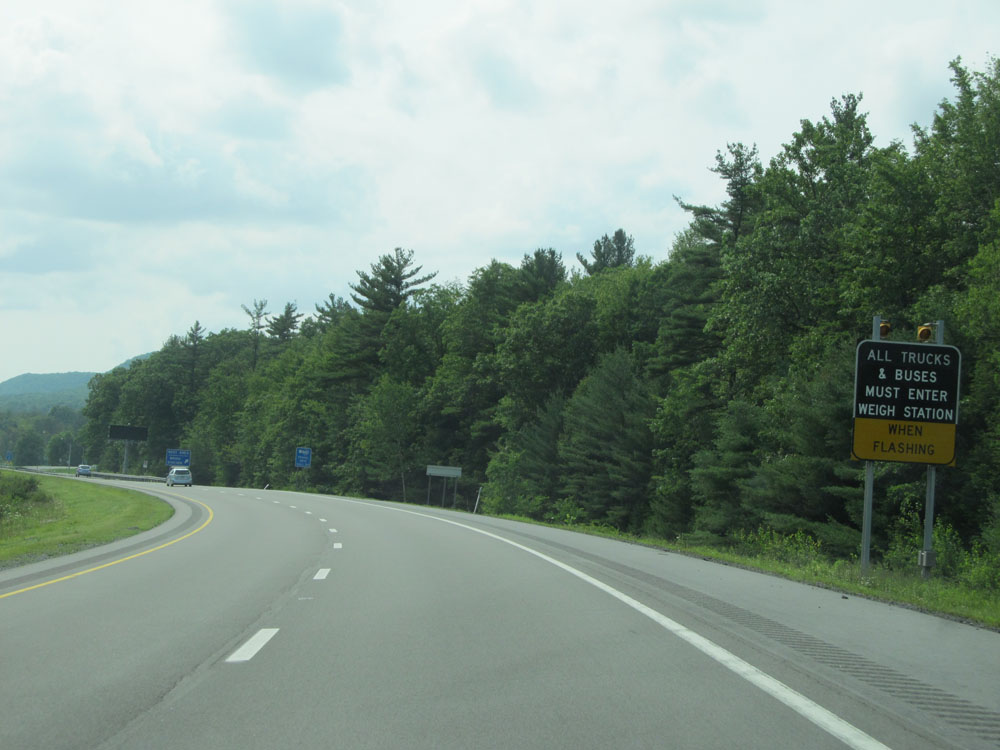 |
Approaching the Weigh Station at the Rest Area ahead, all trucks must enter when the lights on this sign are flashing. (Photo taken 7/5/15). |
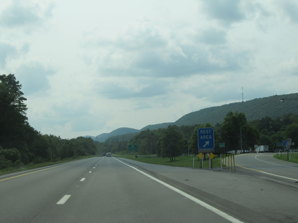 |
Interstate 80 West at the Rest Area / Weigh Station located at mile marker 194. (Photo taken 7/5/15). |
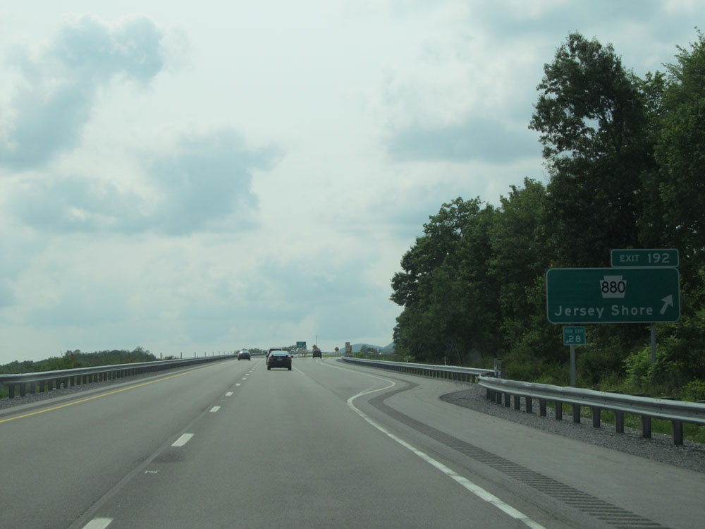 |
Interstate 80 West at Exit 192: PA 880 - Jersey Shore (Photo taken 7/5/15). |
 |
Interstate 80 West at mile marker 191. (Photo taken 7/5/15). |
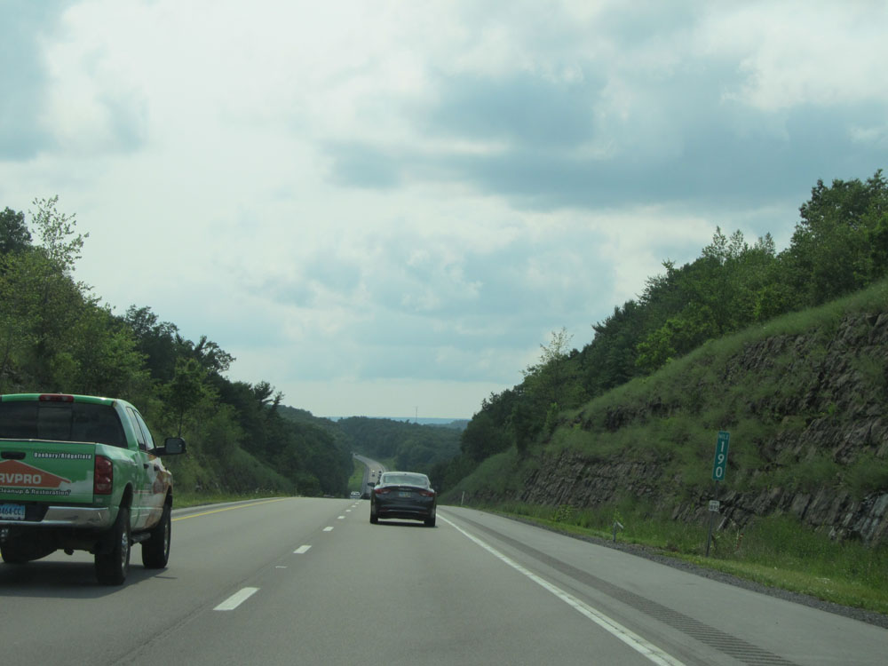 |
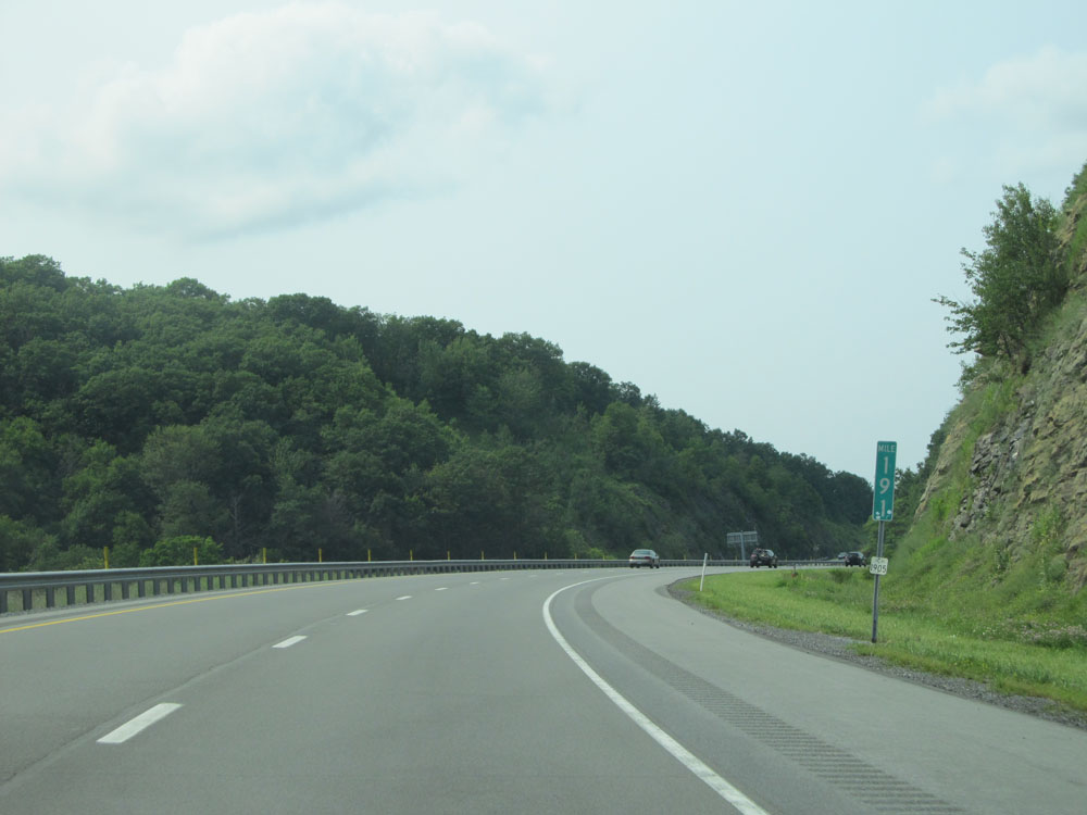
Interstate 80 West: Road view from mile marker 190. (Photo taken 7/5/15). |
 |
At mile marker 189, as Interstate 80 West enters Clinton County, the speed limit increases to 70 mph. . (Photo taken 7/5/15). |
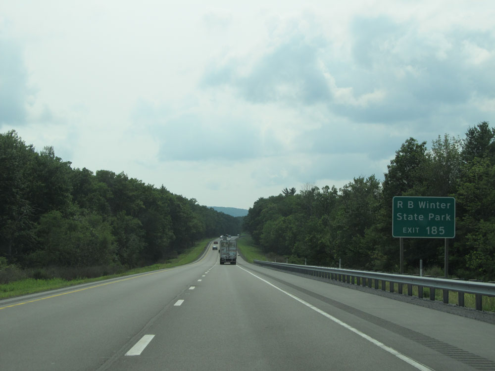 |
Take Exit 185 to RB Winter State Park. (Photo taken 7/5/15). |
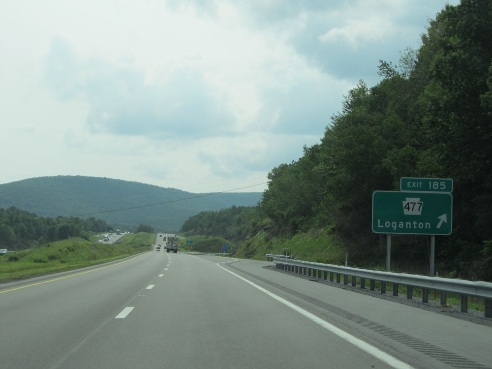 |
Interstate 80 West at Exit 185: PA 477 - Loganton (Photo taken 7/5/15). |
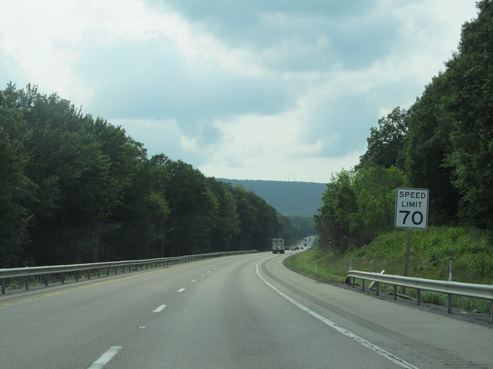 |
Another speed limit sign just past Exit 185. Speed Limit - 70 mph. I like the look of those 70 mph speed limit signs on the rural Interstate in Pennsylvania. (Photo taken 7/5/15). |
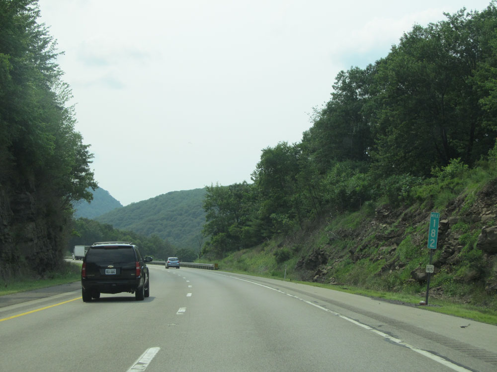 |
Interstate 80 West at mile marker 182. (Photo taken 7/5/15). |
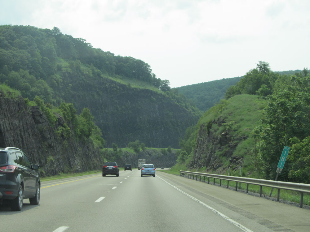 |
Interstate 80 West: Road view from mile marker 181. (Photo taken 7/5/15). |
 |
Interstate 80 West: A nice view from mile marker 180. (Photo taken 7/5/15). |
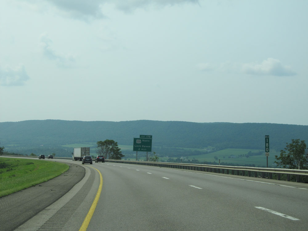
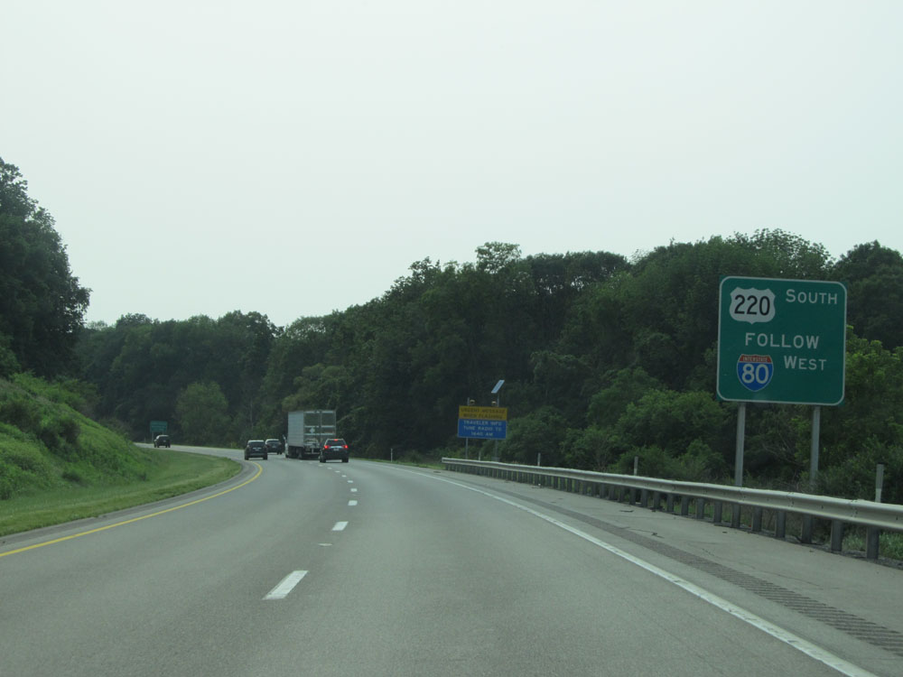 |
The next exit is for US 220 North. Traffic looking to take US 220 South should remain on Interstate 80 West to Exit 161. (Photo taken 7/5/15). |
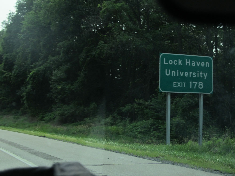 |
Take Exit 178 to Lock Haven University. (Photo taken 7/5/15). |
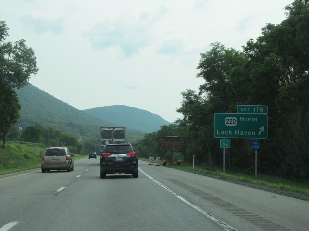 |
Interstate 80 West at Exit 178: US 220 North - Lock Haven (Photo taken 7/5/15). |
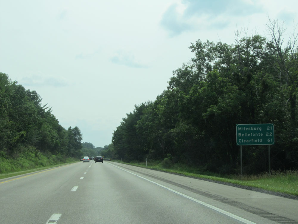 |
Mileage sign near mile marker 178. It's 21 miles to Milesburg, 22 miles to Bellefonte, and 61 miles to Clearfield. (Photo taken 7/5/15). |
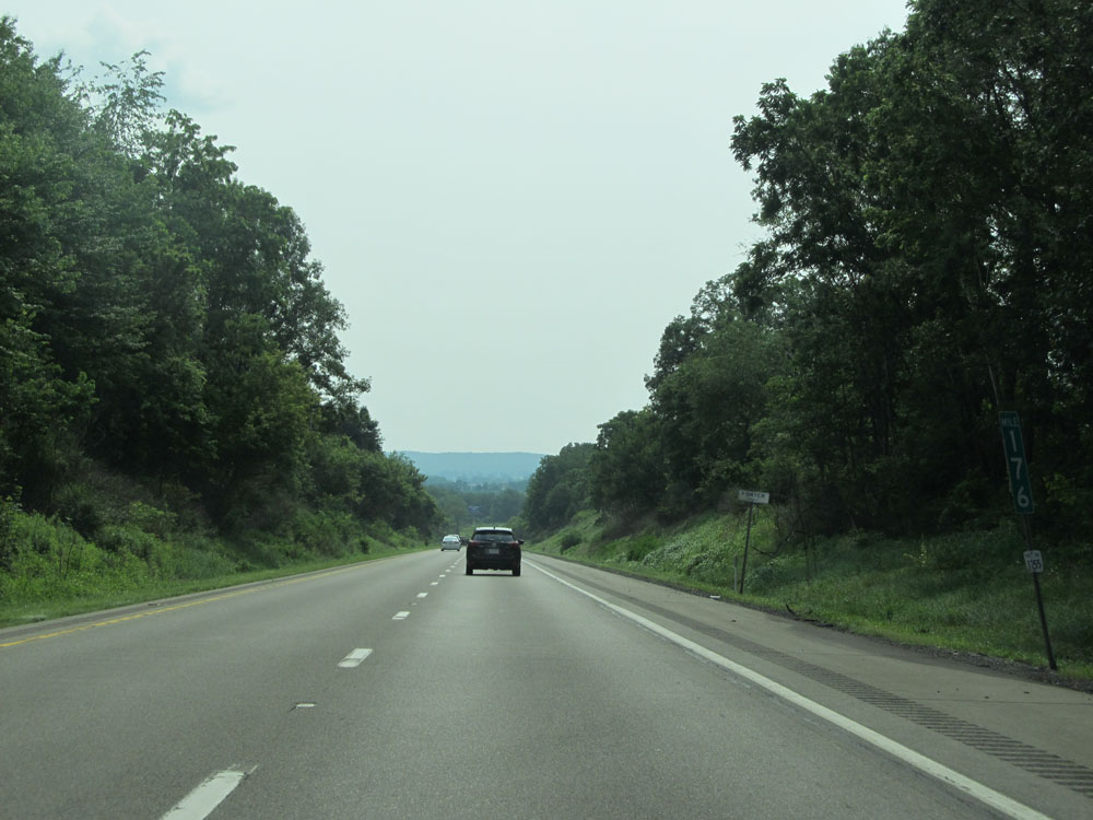 |
Interstate 80 West at mile marker 176. (Photo taken 7/5/15). |
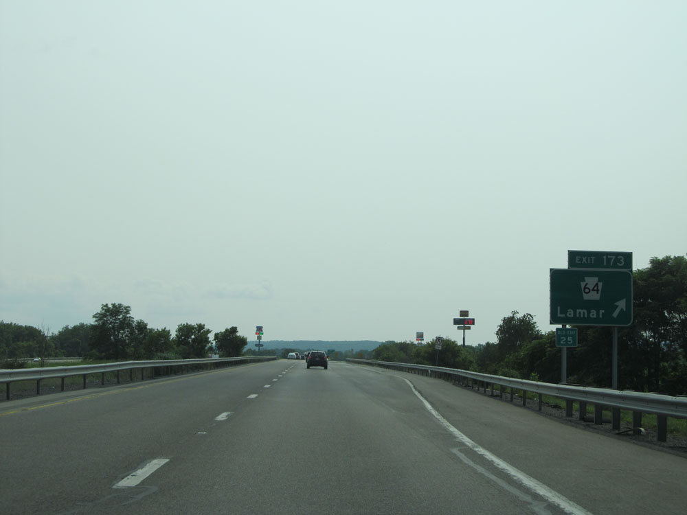 |
Interstate 80 West at Exit 173: PA 64 - Lamar (Photo taken 7/5/15). |
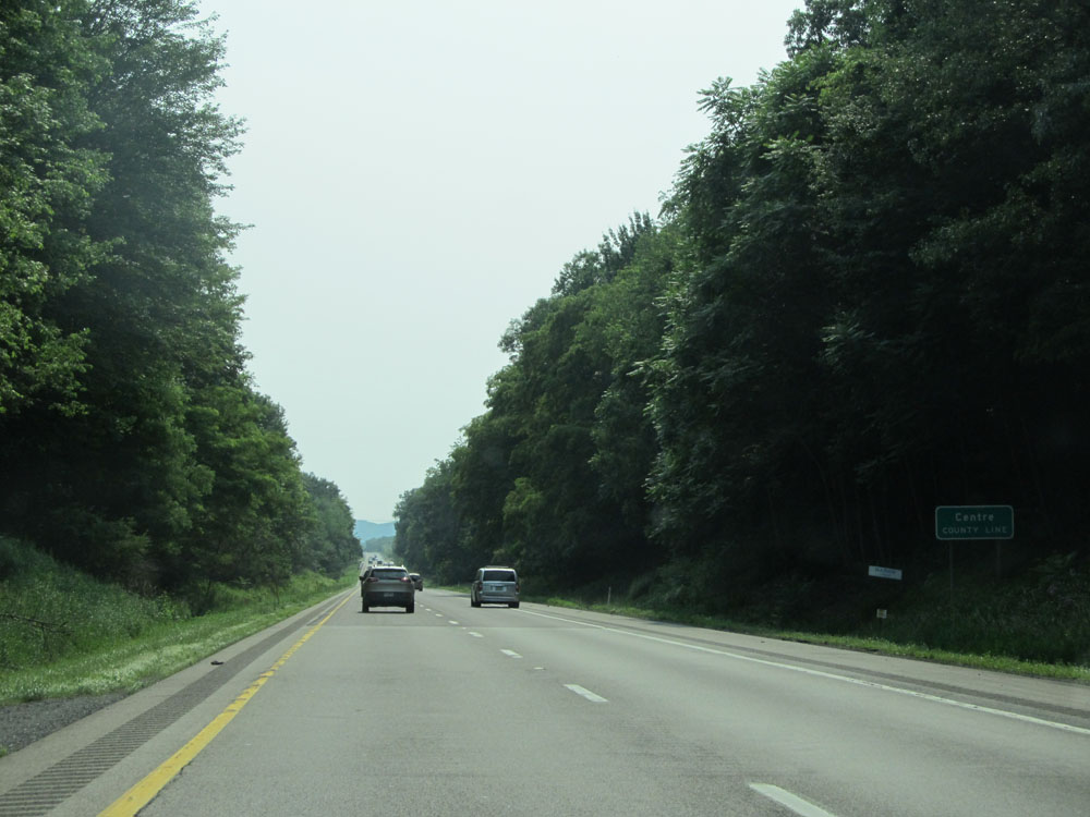 |
Interstate 80 West as it enters Centre County. (Photo taken 7/5/15). |
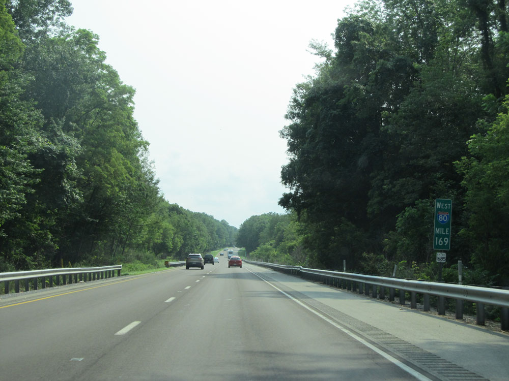 |
Interstate 80 West: Road view from mile marker 169. (Photo taken 7/5/15). |
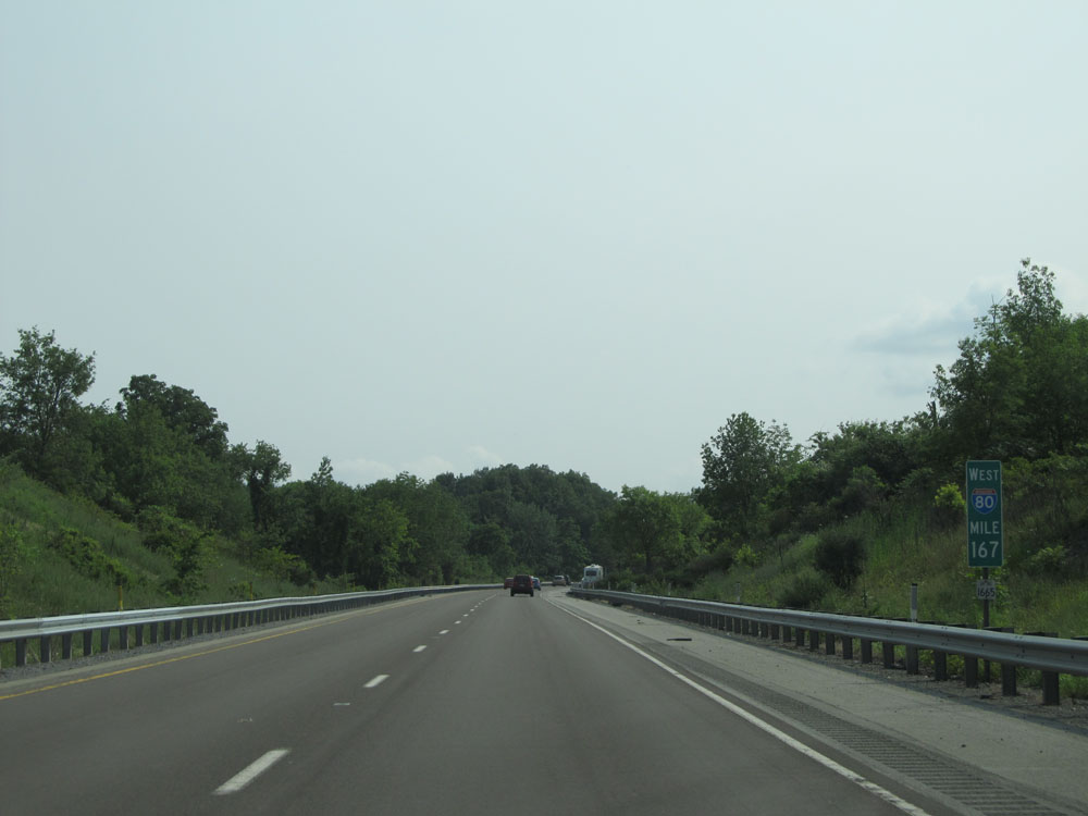 |
Interstate 80 West at mile marker 167. (Photo taken 7/5/15). |
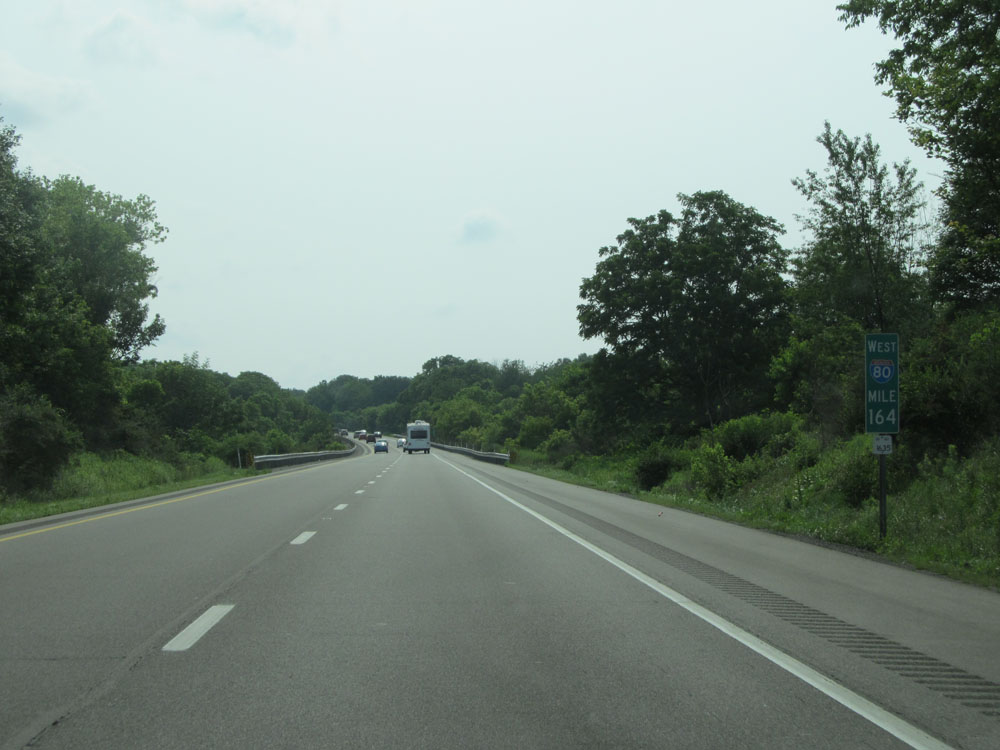 |
Interstate 80 West at mile marker 164. (Photo taken 7/5/15). |
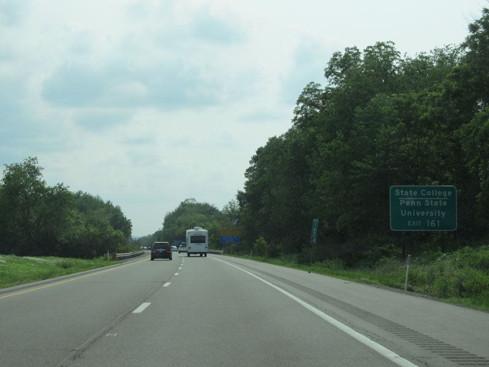 |
Take Exit 161 to State College and Penn State University. (Photo taken 7/5/15). |
 |
Interstate 80 West approaching Exit 161 - 1 mile. (Photo taken 7/5/15). |
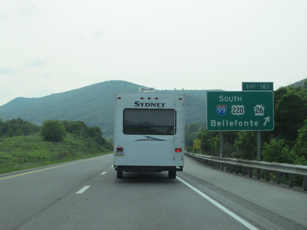 |
Interstate 80 West at Exit 161: Interstate 99 South / US 220 South / PA 26 - Bellefonte (Photo taken 7/5/15). |
Section 3: Bellefonte (Exit 161) to Brookville (Exit 78)
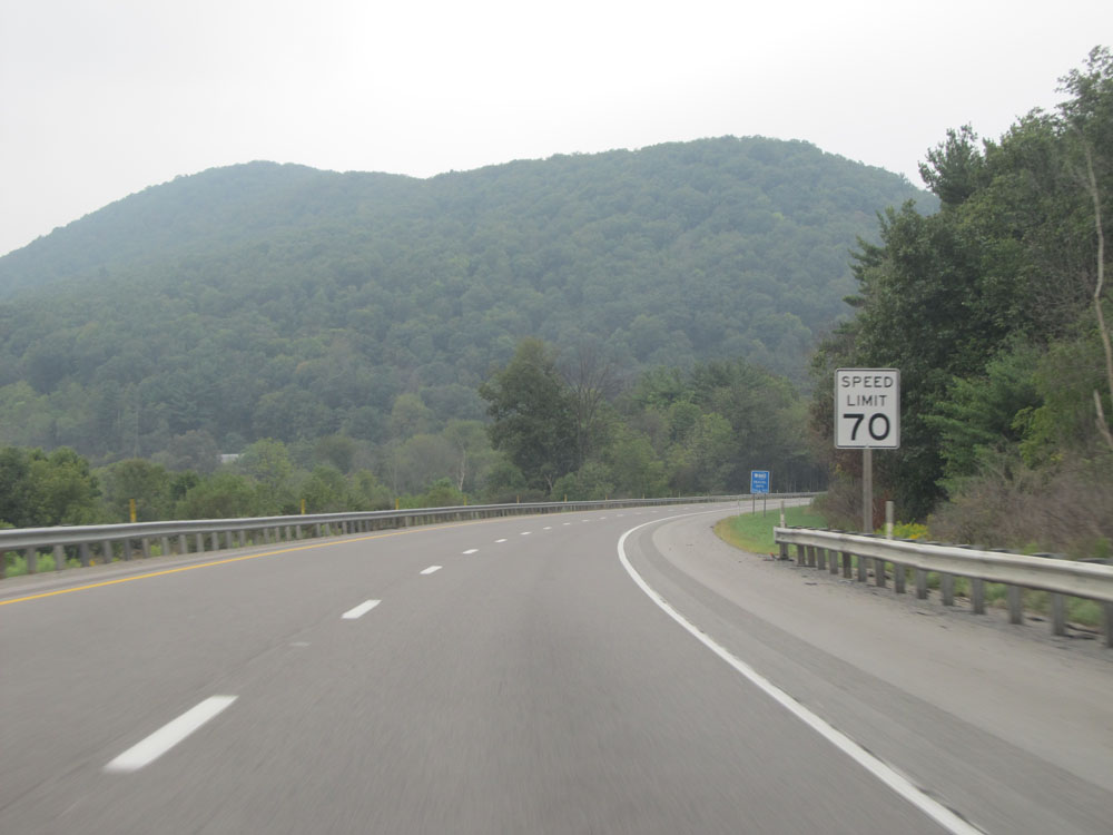 |
Speed limit sign past Exit 161. The speed limit remains 70 mph for about 61 more miles. (Photo taken 9/5/15). |
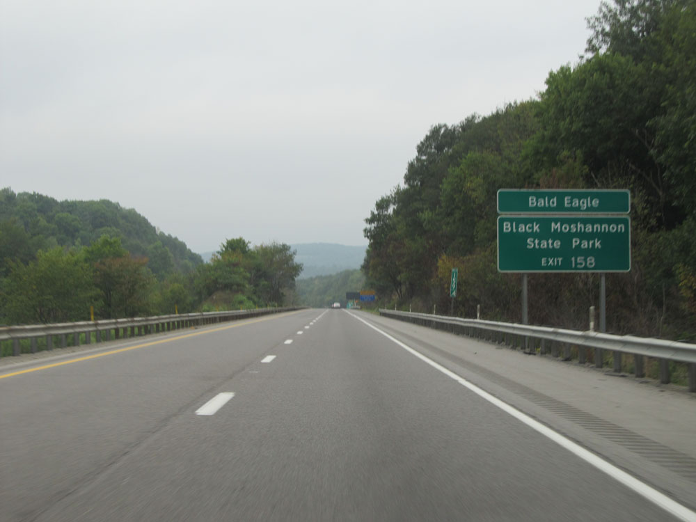 |
Take Exit 158 to Bald Eagle and Black Moshannon State Park. (Photo taken 9/5/15). |
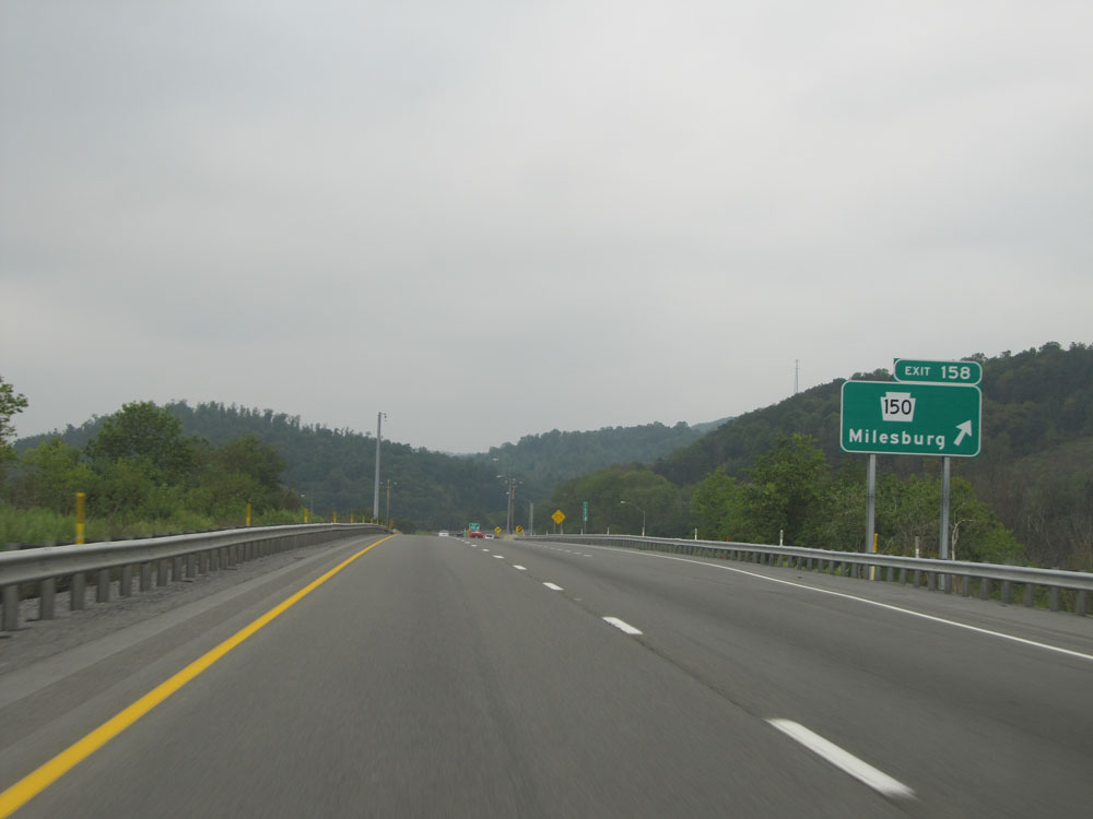 |
Interstate 80 West at Exit 158: PA 150 - Milesburg (Photo taken 9/5/15). |
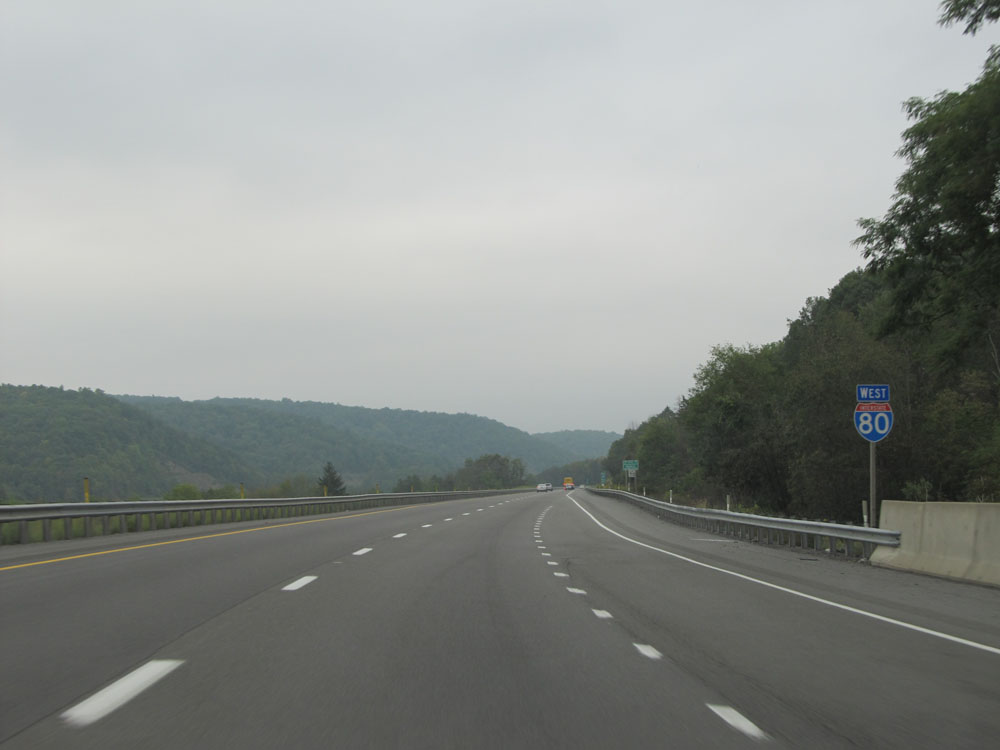 |
Interstate 80 West assurance shield near mile marker 158. (Photo taken 9/5/15). |
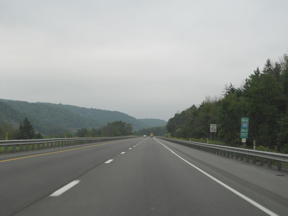 |
Interstate 80 West at mile marker 157, as we begin up a grade which lasts for the next several miles. (Photo taken 9/5/15). |
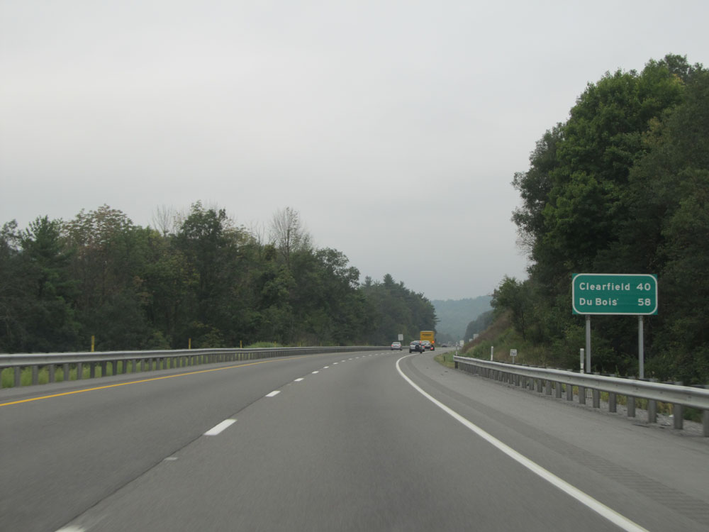 |
Mileage sign on Interstate 80 West as we begin to climb the grade. It's 40 miles to Clearfield and 58 miles to DuBois. (Photo taken 9/5/15). |
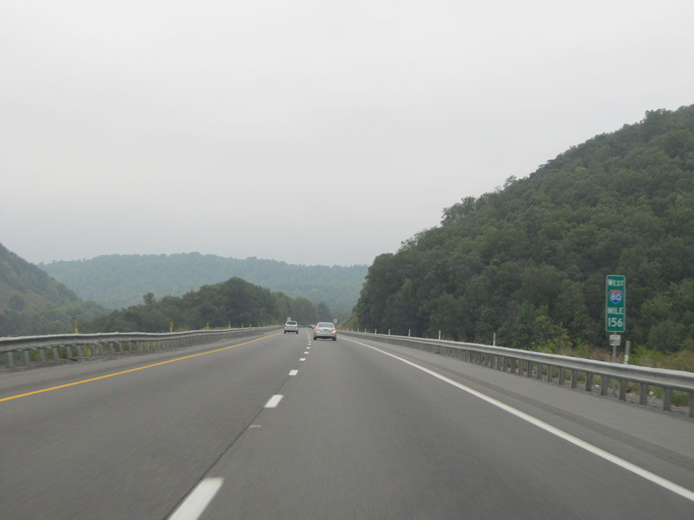 |
Interstate 80 West: Road view from mile marker 156. (Photo taken 9/5/15). |
 |
Interstate 80 West at mile marker 152. (Photo taken 9/5/15). |
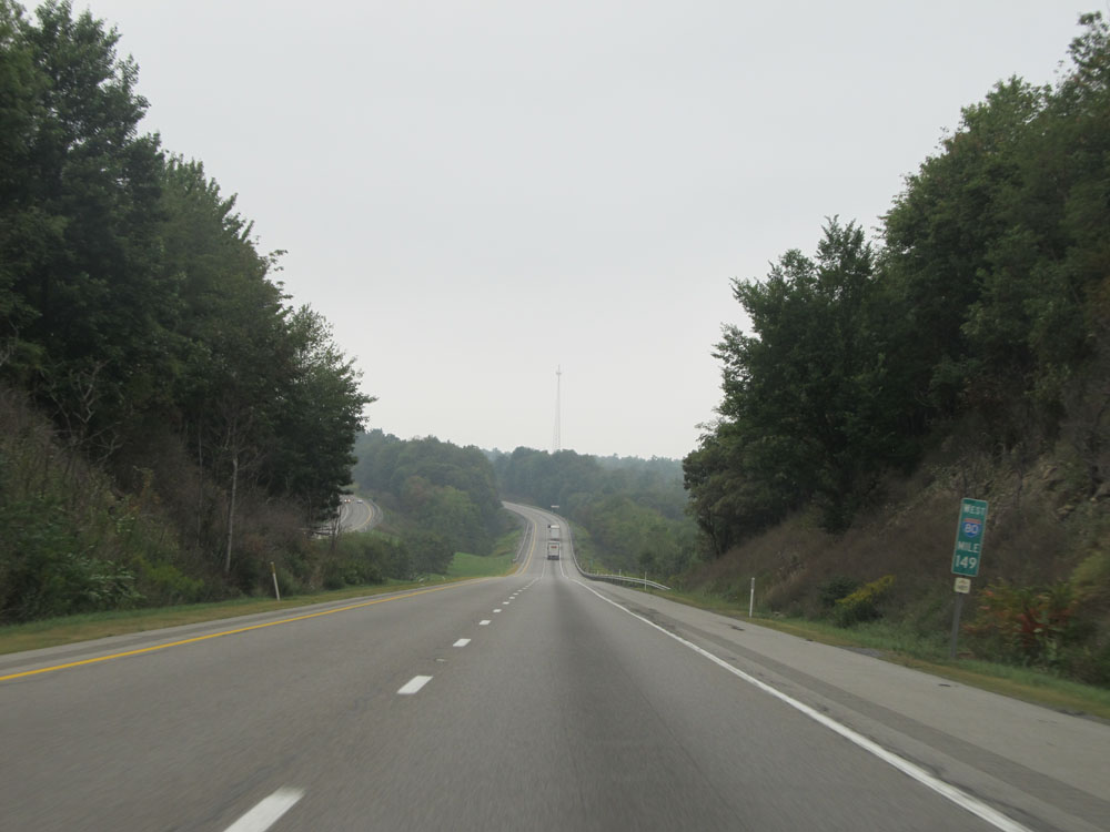 |
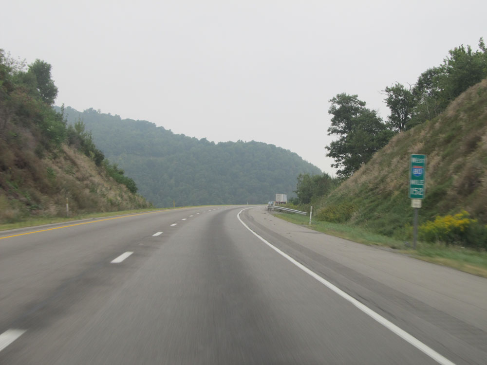
Interstate 80 West: Road view from mile marker 149. (Photo taken 9/5/15). |
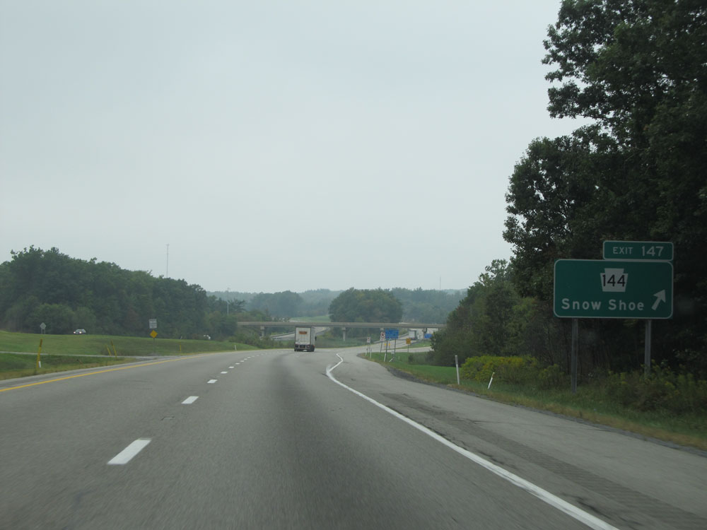 |
Interstate 80 West at Exit 147: PA 144 - Snow Shoe (Photo taken 9/5/15). |
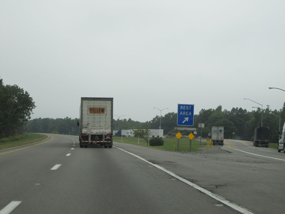 |
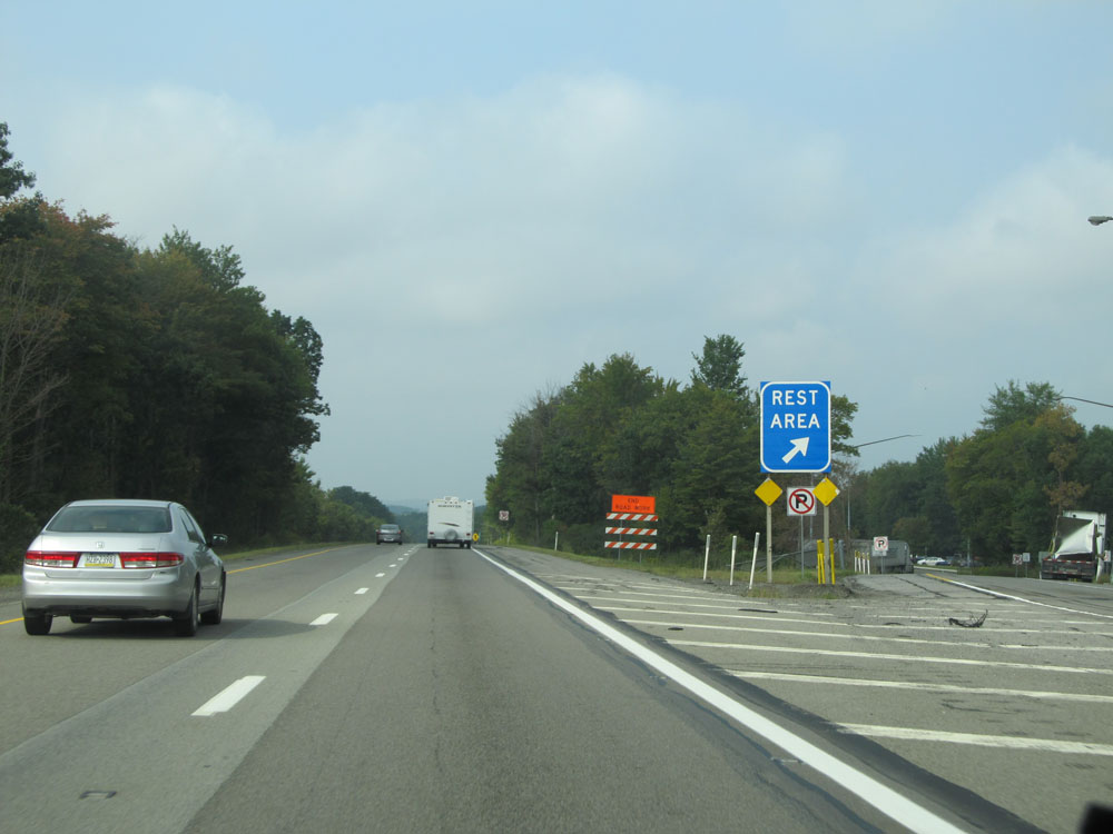
Interstate 80 West at the Rest Area located near mile marker 146. (Photo taken 9/5/15). |
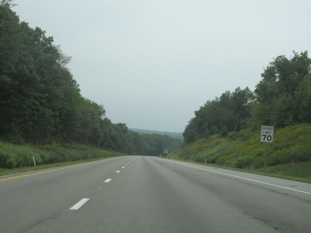 |
The speed limit remains 70 mph for about 46 more miles. (Photo taken 9/5/15). |
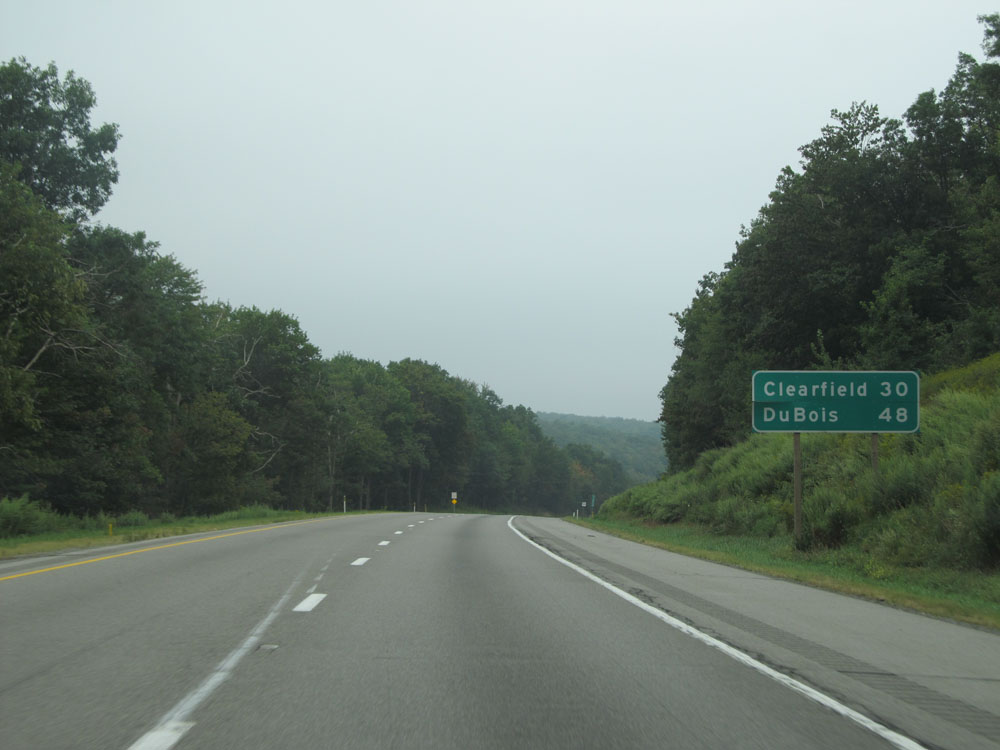 |
Mileage sign on Interstate 80 West. It's 30 miles to Clearfield and 48 miles to DuBois. (Photo taken 9/5/15). |
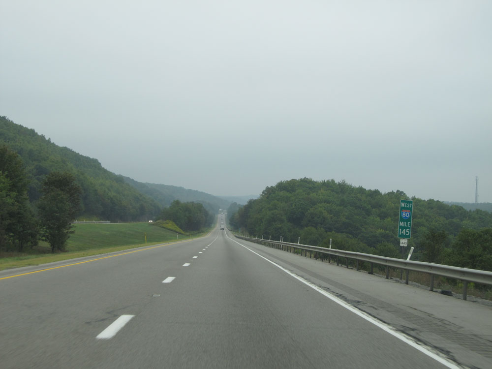 |
Interstate 80 West at mile marker 145. (Photo taken 9/5/15). |
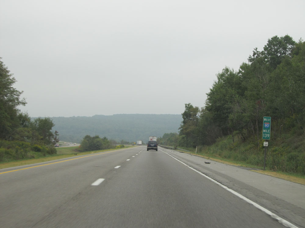 |
Interstate 80 West: Road view from mile marker 139. (Photo taken 9/5/15). |
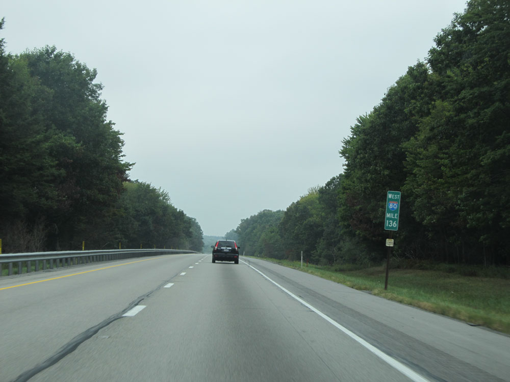 |
Interstate 80 West at mile marker 136. (Photo taken 9/5/15). |
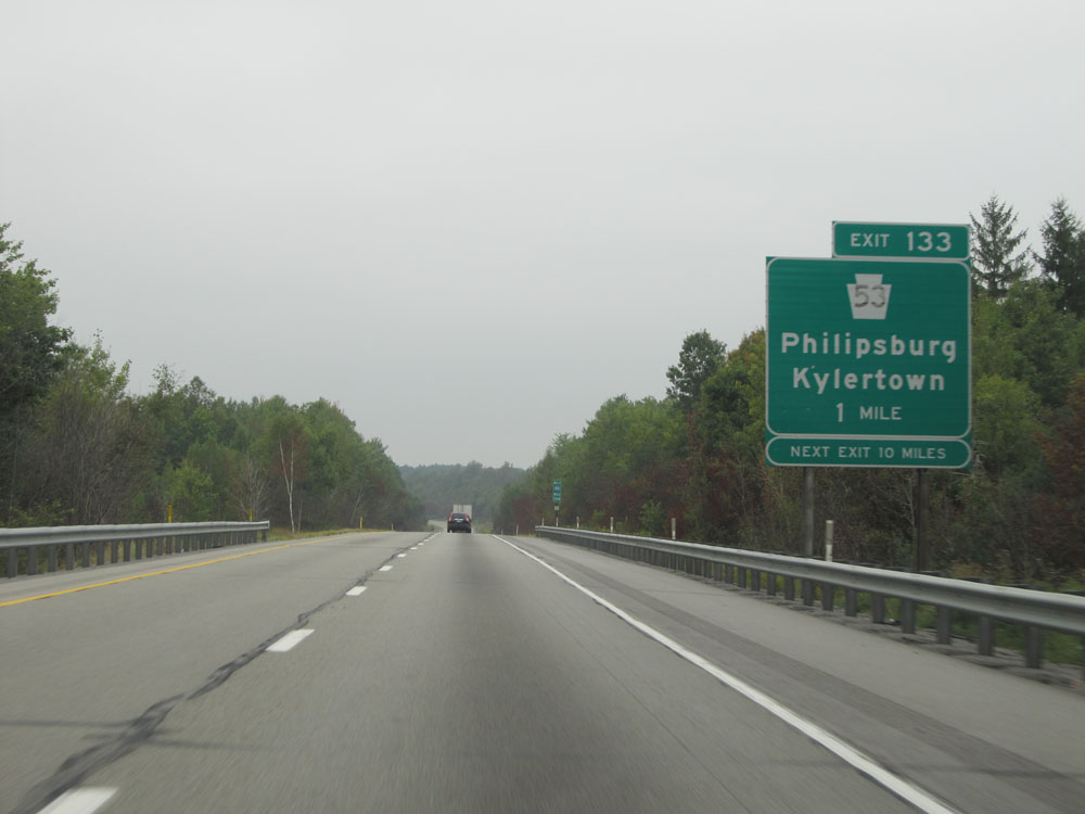 |
Interstate 80 West approaching Exit 133 - 1 mile. As you probably have noticed, there is quite a bit of distance in between exits on I-80 in central Pennsylvania. After Exit 133, the next exit is 10 miles ahead. (Photo taken 9/5/15). |
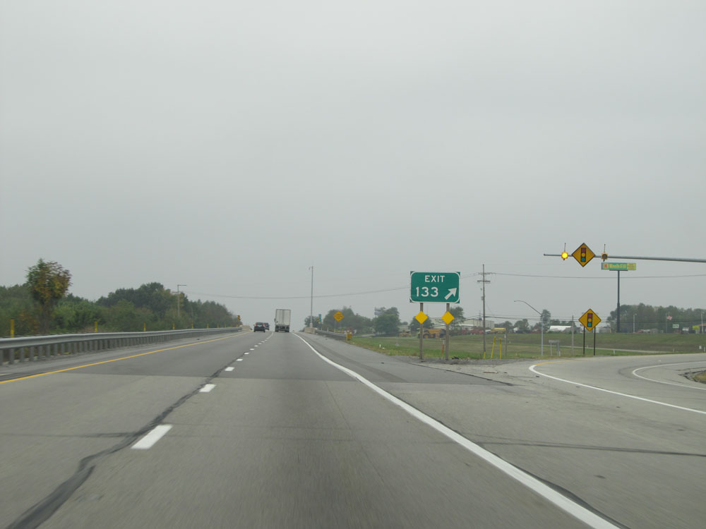 |
Interstate 80 West at Exit 133: PA 53 - Philipsburg / Kylertown (Photo taken 9/5/15). |
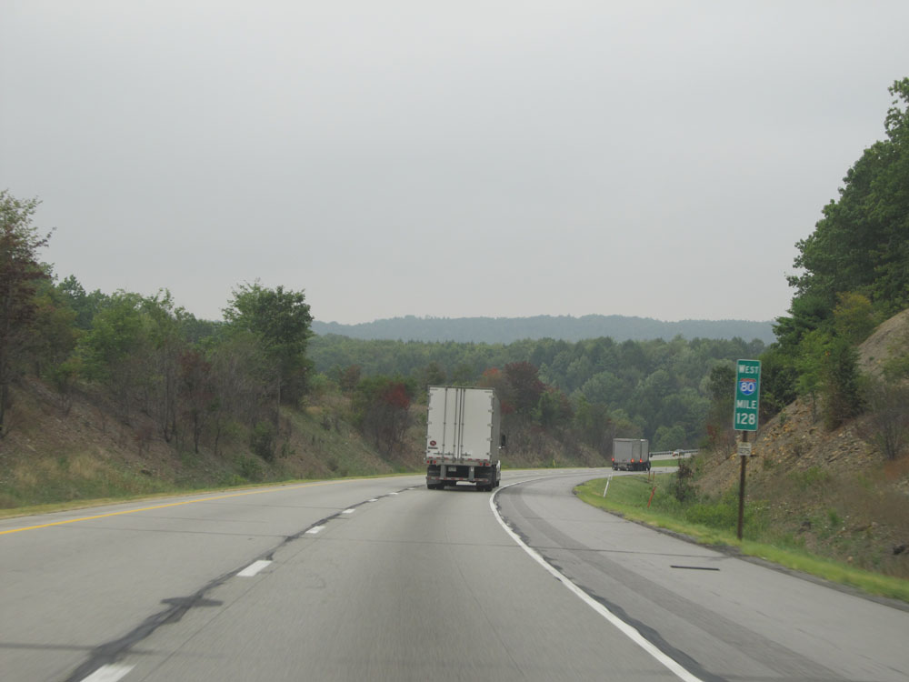 |
Interstate 80 West: Road view from mile marker 128. (Photo taken 9/5/15). |
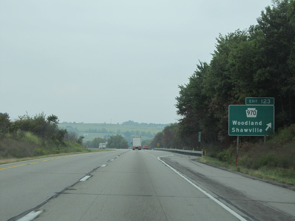 |
Interstate 80 West at Exit 123: PA 970 - Woodland / Shawville (Photo taken 9/5/15). |
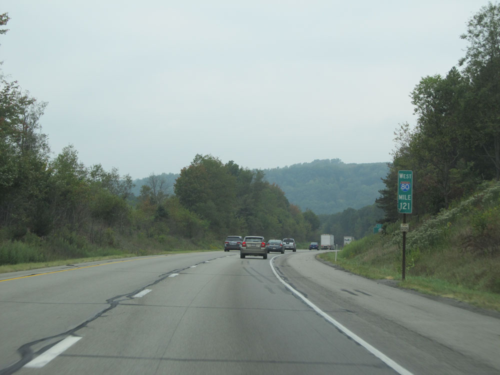 |
Interstate 80 West at mile marker 121. (Photo taken 9/5/15). |
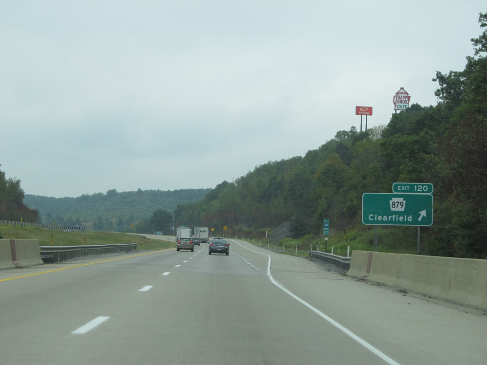 |
Interstate 80 West at Exit 120: PA 879 - Clearfield (Photo taken 9/5/15). |
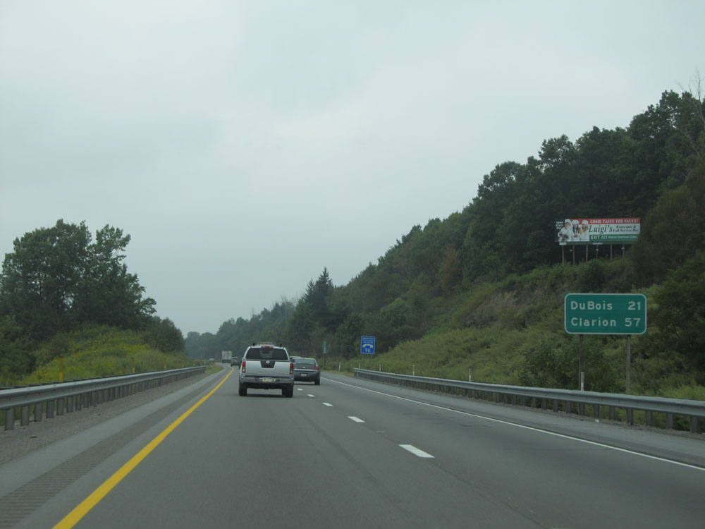 |
Mileage sign near mile marker 120. It's 21 miles to DuBois and 57 miles to Clarion. (Photo taken 9/5/15). |
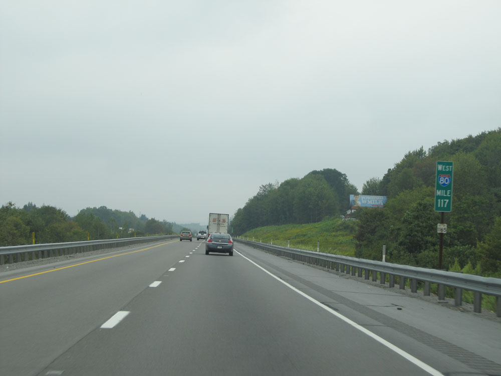 |
Interstate 80 West at mile marker 117. (Photo taken 9/5/15). |
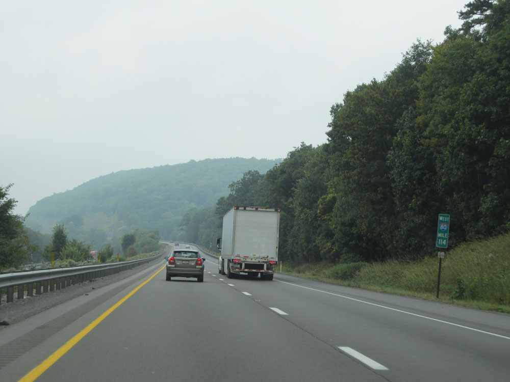 |
Interstate 80 West: Road view from mile marker 114. (Photo taken 9/5/15). |
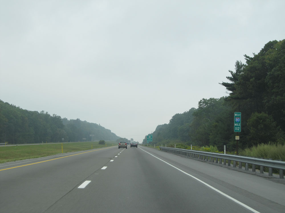 |
Interstate 80 West: Road view from mile marker 112. (Photo taken 9/5/15). |
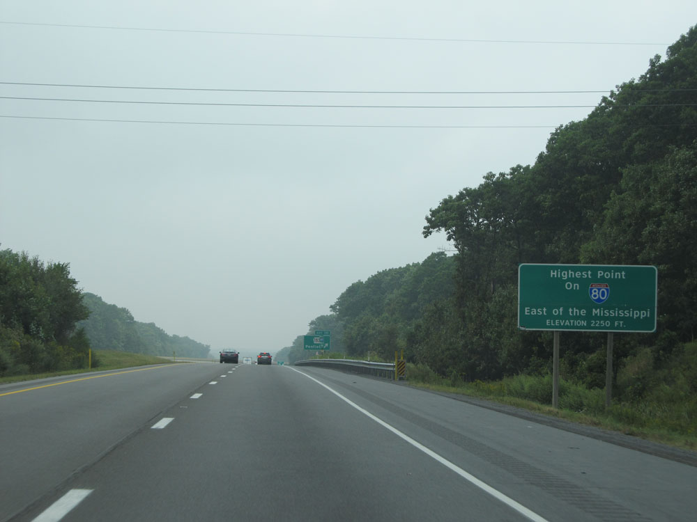 |
Just before mile marker 111, Interstate 80 West reaches its highest point east of the Mississippi River at an elevation of 2,250 feet as this sign reads. (Photo taken 9/5/15). |
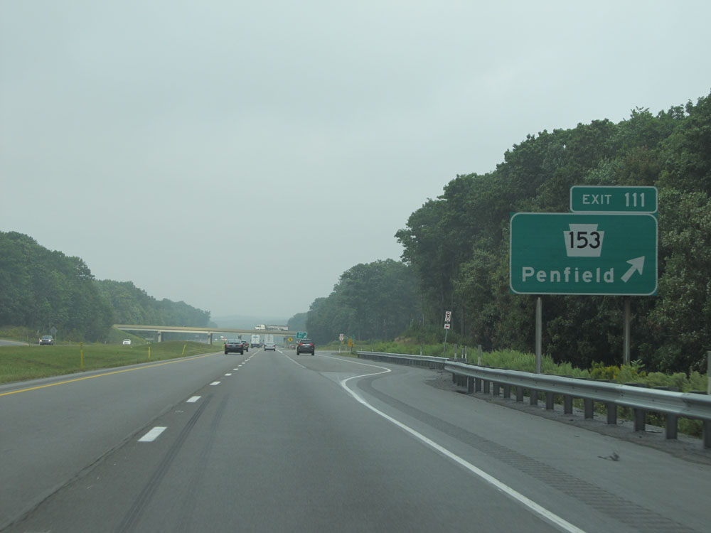 |
Interstate 80 West at Exit 111: PA 153 - Penfield (Photo taken 9/5/15). |
 |
Interstate 80 West at mile marker 110. (Photo taken 9/5/15). |
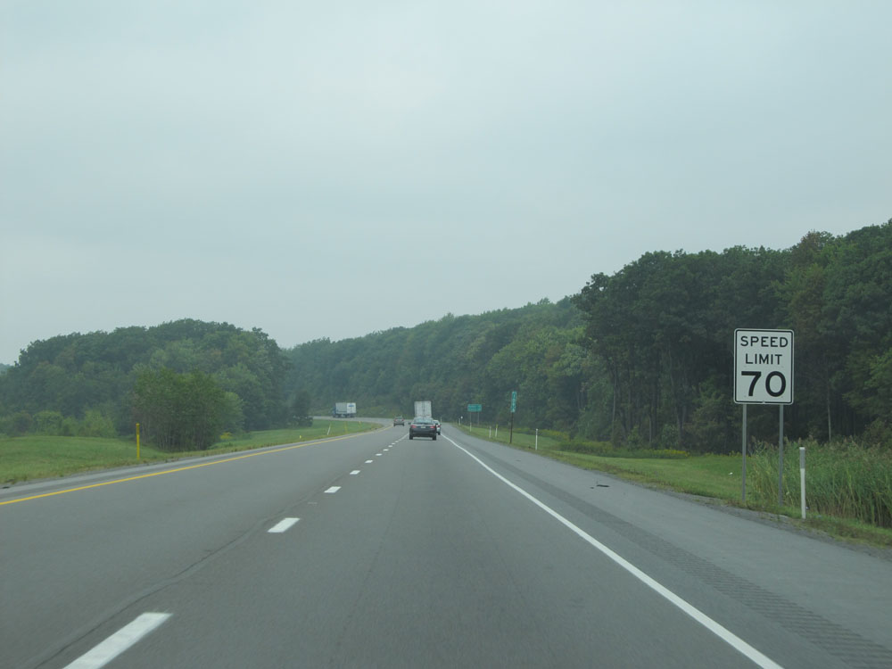 |
We have about 9 miles of legal 70 mph driving remaining on Interstate 80 West in Pennsylvania at this point. (Photo taken 9/5/15). |
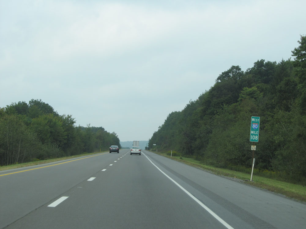 |
Interstate 80 West: Road view from mile marker 108. (Photo taken 9/5/15). |
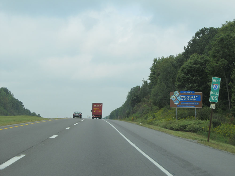 |
Interstate 80 West as it leaves the Chesapeake Bay Watershed at mile marker 105. (Photo taken 9/5/15). |
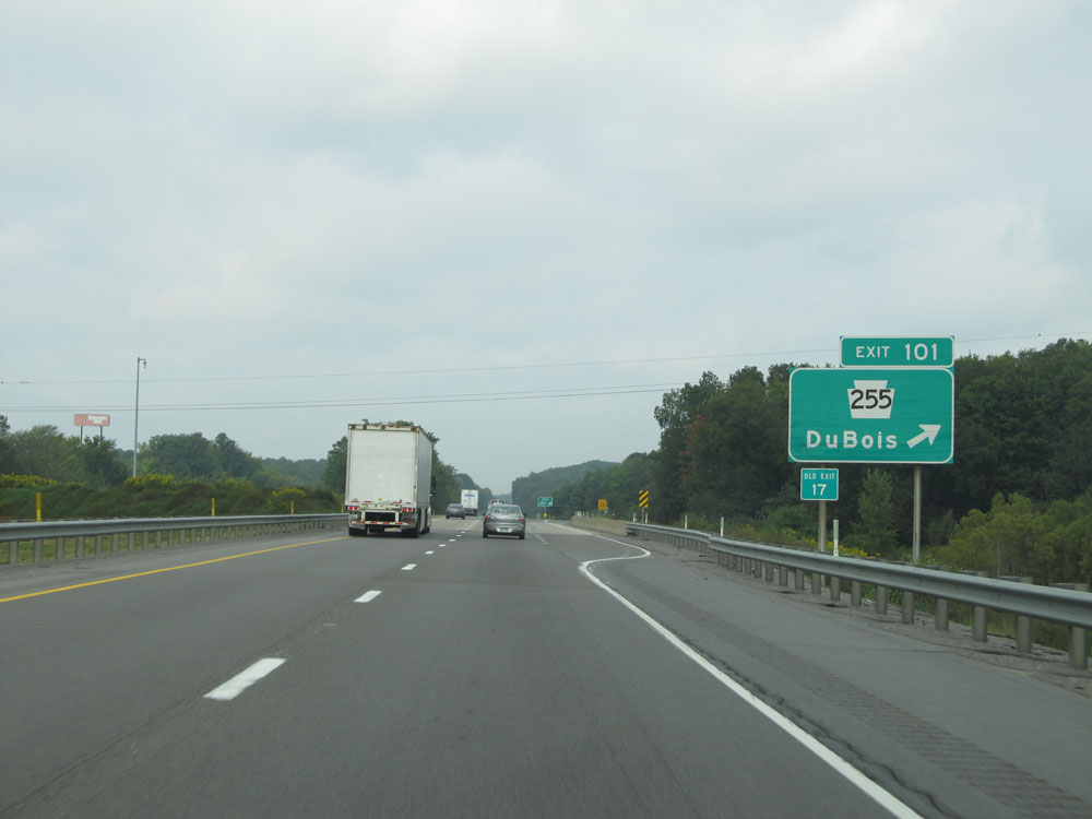 |
Interstate 80 West at Exit 101: PA 255 - DuBois (Photo taken 9/5/15). |
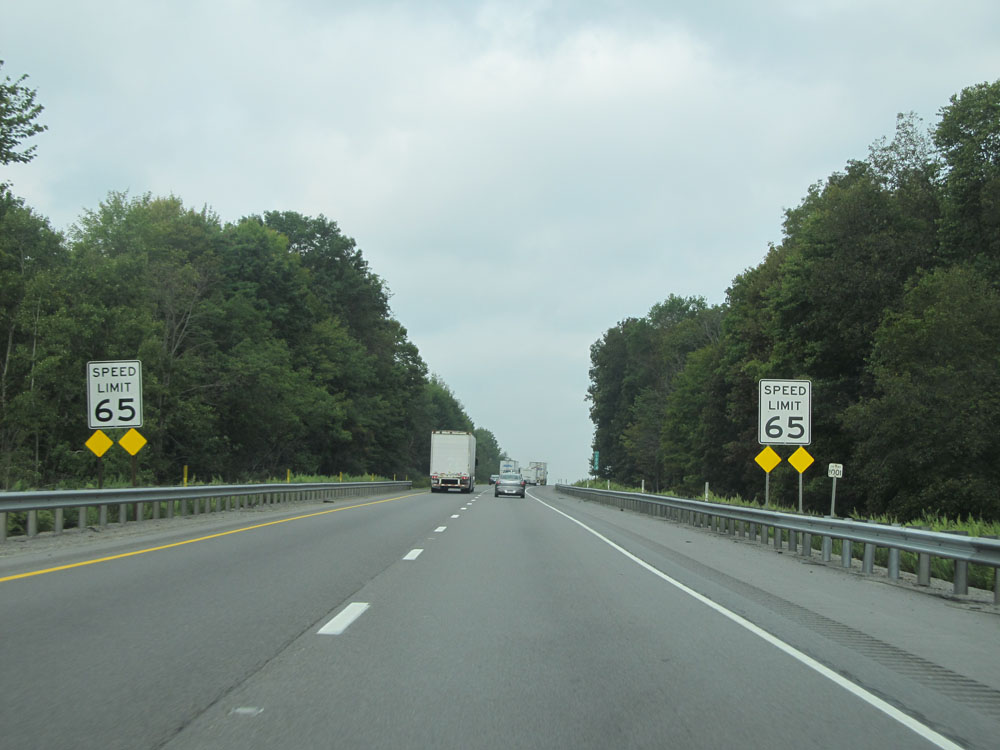 |
At last, the speed limit decreases to 65 mph at mile marker 100.4 and remains that way the rest of the way through Pennsylvania on Interstate 80 West. Oh well, it was nice while it lasted. (Photo taken 9/5/15). |
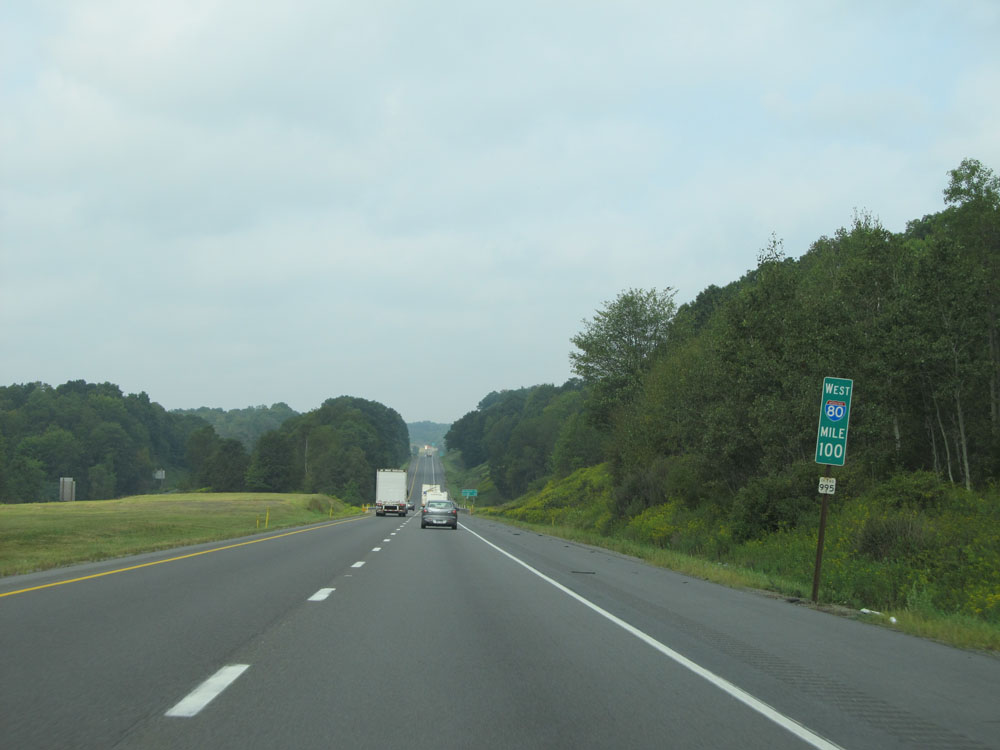 |
Interstate 80 West at mile marker 100. (Photo taken 9/5/15). |
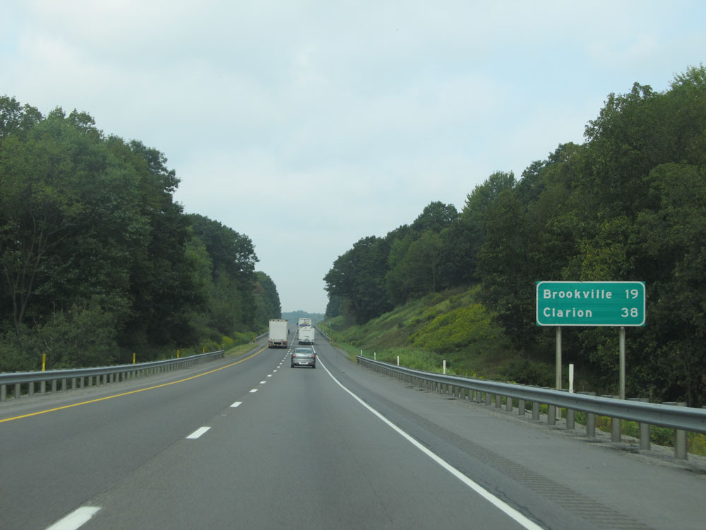 |
Mileage sign near mile marker 99. It's 19 miles to Brookville and 38 miles to Clarion. (Photo taken 9/5/15). |
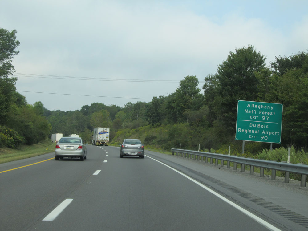 |
Take Exit 97 to Allegheny National Forest. Use Exit 90 to DuBois Regional Airport. (Photo taken 9/5/15). |
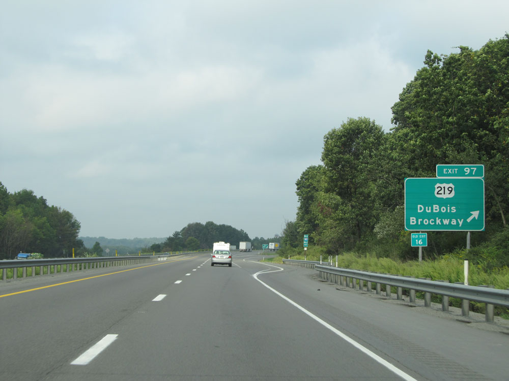 |
Interstate 80 West at Exit 97: US 219 - DuBois / Brockway (Photo taken 9/5/15). |
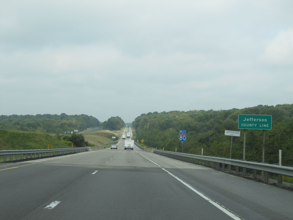 |
Interstate 80 West entering Jefferson County. (Photo taken 9/5/15). |
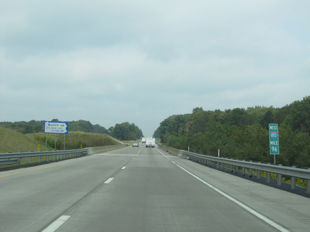 |
Interstate 80 West: Road view from mile marker 96. (Photo taken 9/5/15). |
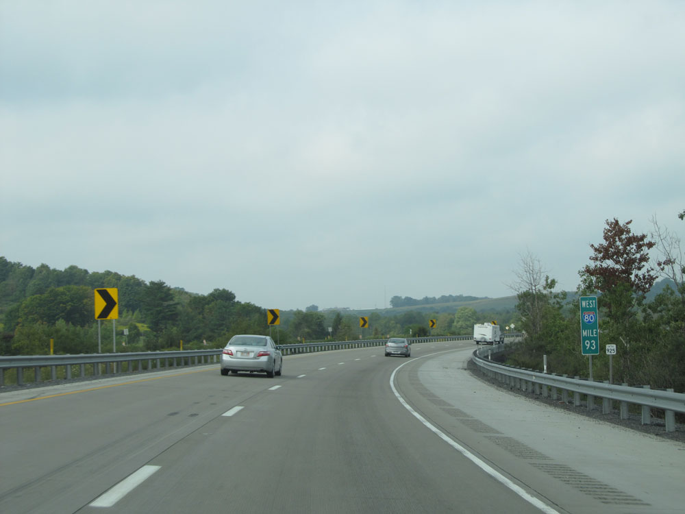 |
Interstate 80 West at mile marker 93. (Photo taken 9/5/15). |
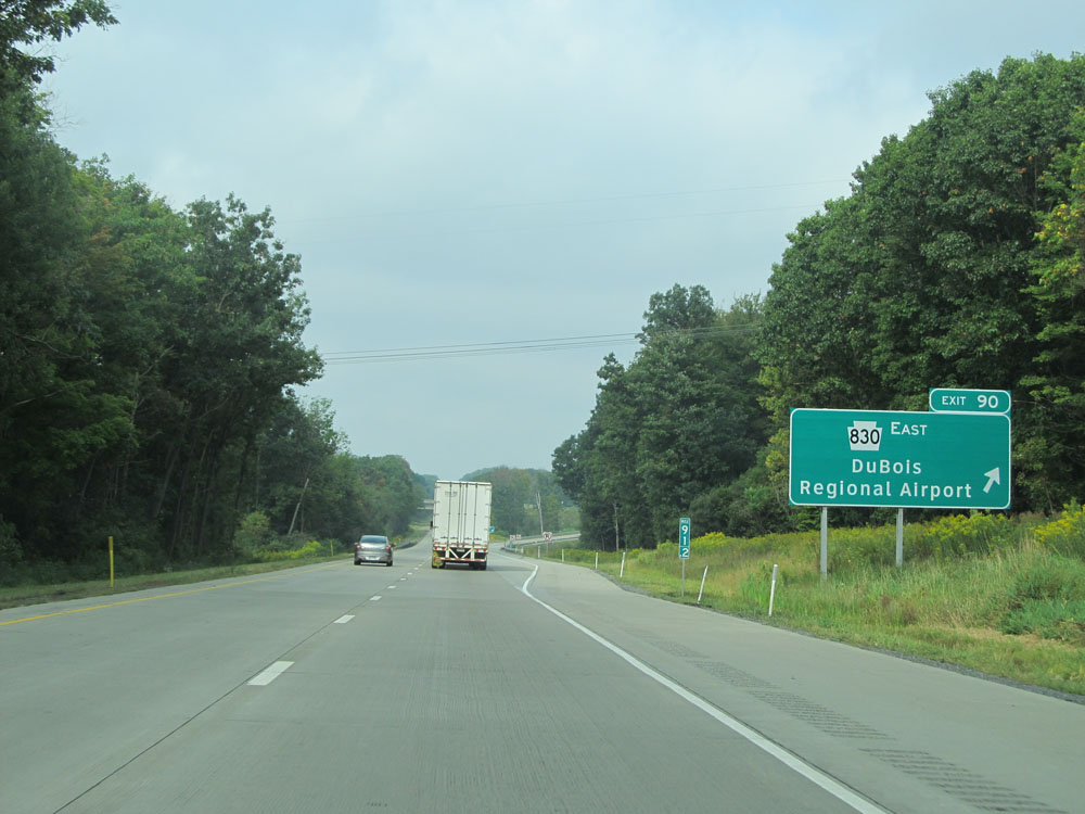 |
Interstate 80 West at Exit 90: PA 830 East - DuBois Regional Airport (Photo taken 9/5/15). |
 |
Interstate 80 West assurance shield near mile marker 90. (Photo taken 9/5/15). |
 |
Interstate 80 West at the Rest Area located near mile marker 88.5. (Photo taken 9/5/15). |
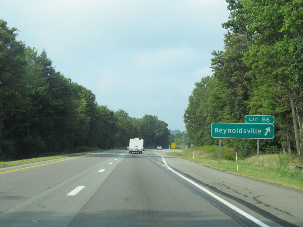 |
Interstate 80 West at Exit 86: Reynoldsville (Photo taken 9/5/15). |
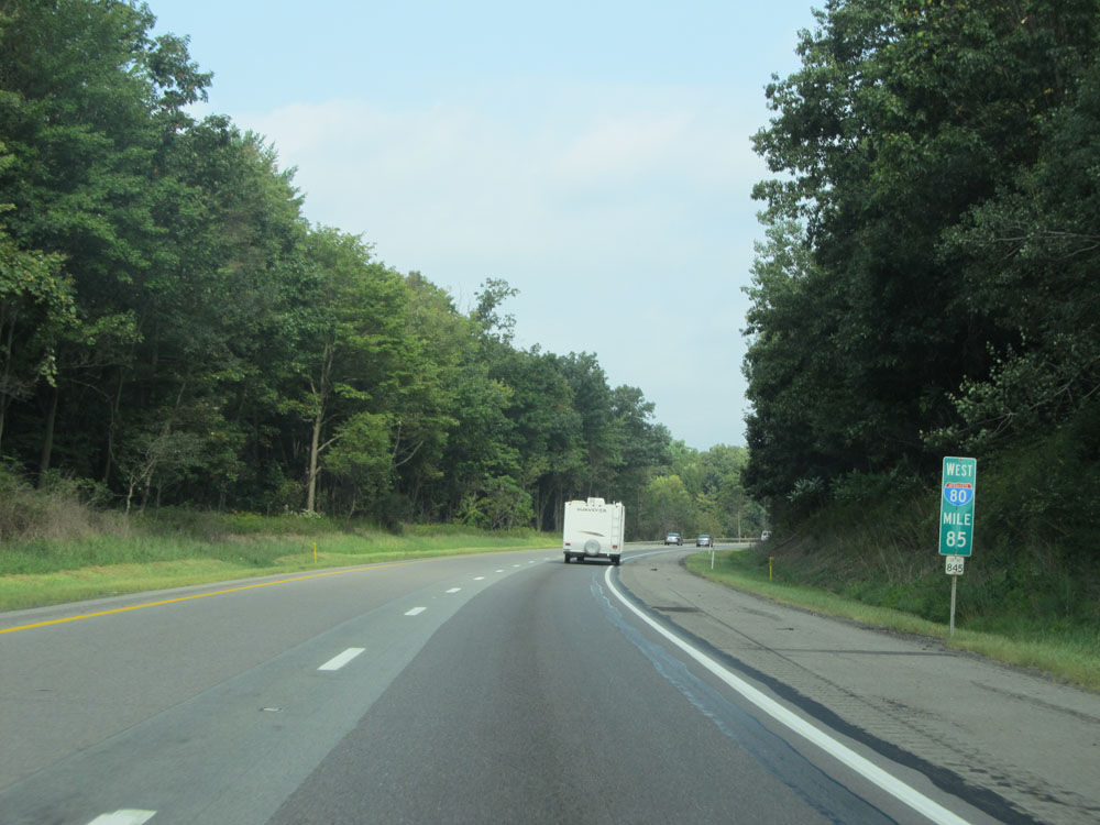 |
Interstate 80 West: Road view from mile marker 85. (Photo taken 9/5/15). |
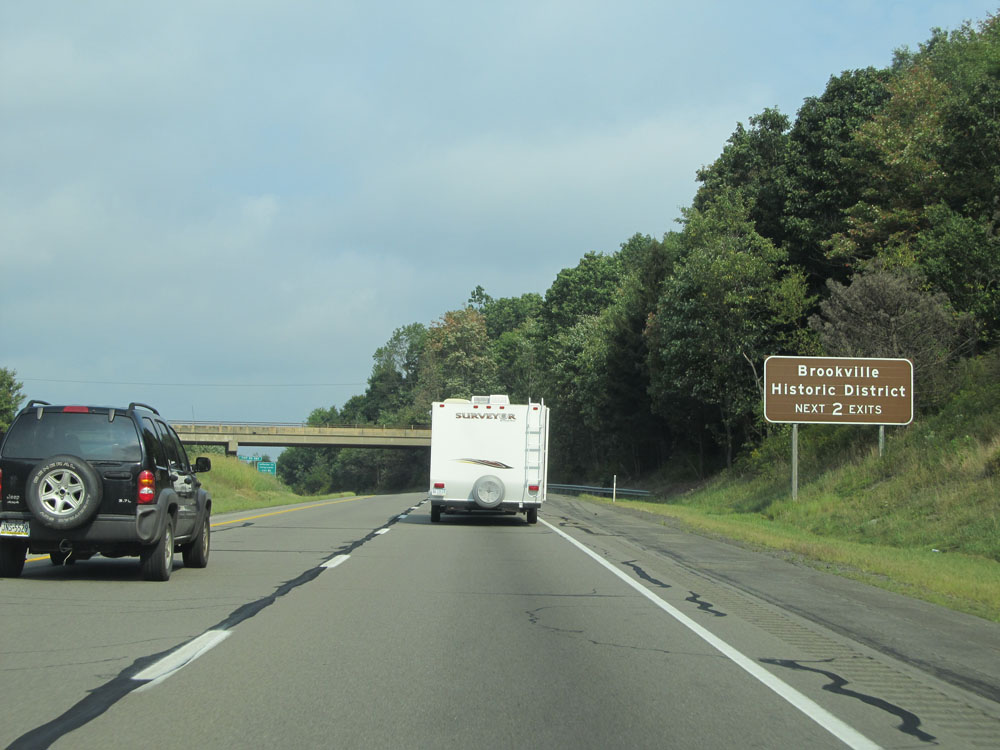 |
Take either of the next 2 exits to Brookville Historic District. (Photo taken 9/5/15). |
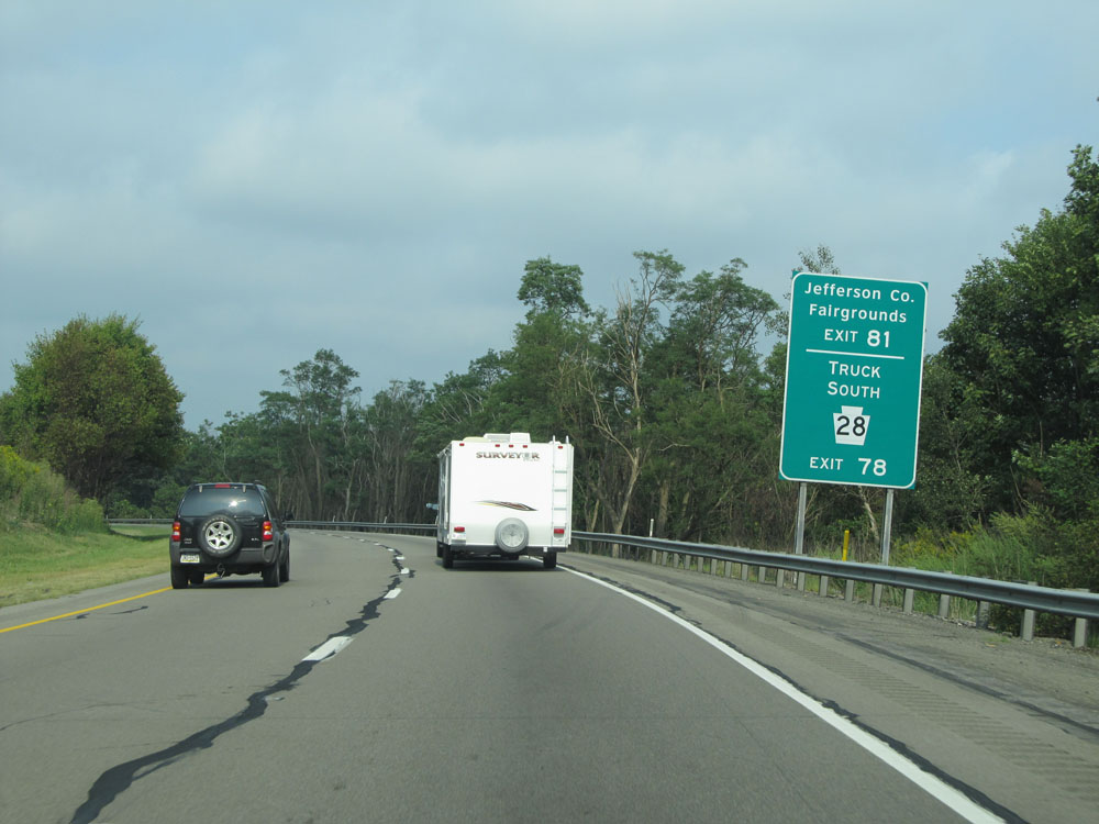 |
Take Exit 81 to the Jefferson County Fairgrounds. Use Exit 78 for PA 28 South Truck Route. (Photo taken 9/5/15). |
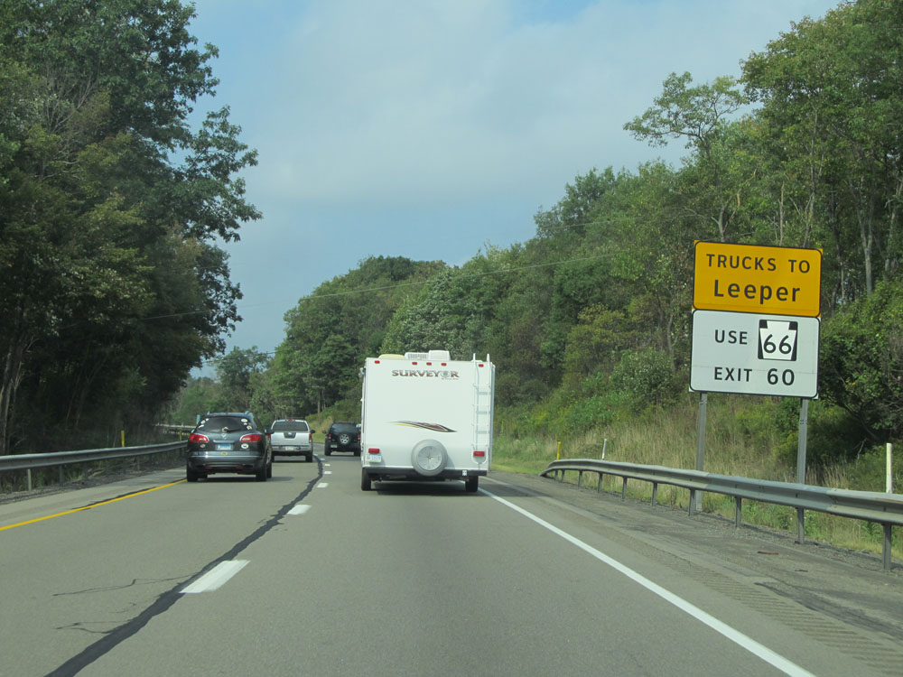 |
Trucks headed to Leeper should use PA 66 via Exit 60. (Photo taken 9/5/15). |
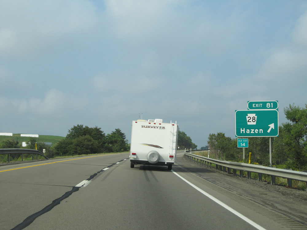 |
Interstate 80 West at Exit 81: PA 28 - Hazen (Photo taken 9/5/15). |
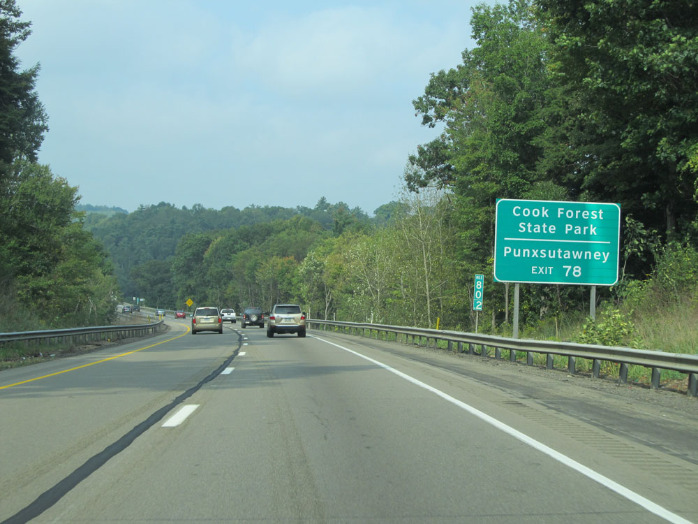 |
Take Exit 78 to Cook Forest State Park and Punxsutawney. (Photo taken 9/5/15). |
 |
Interstate 80 West at mile marker 80. (Photo taken 9/5/15). |
 |
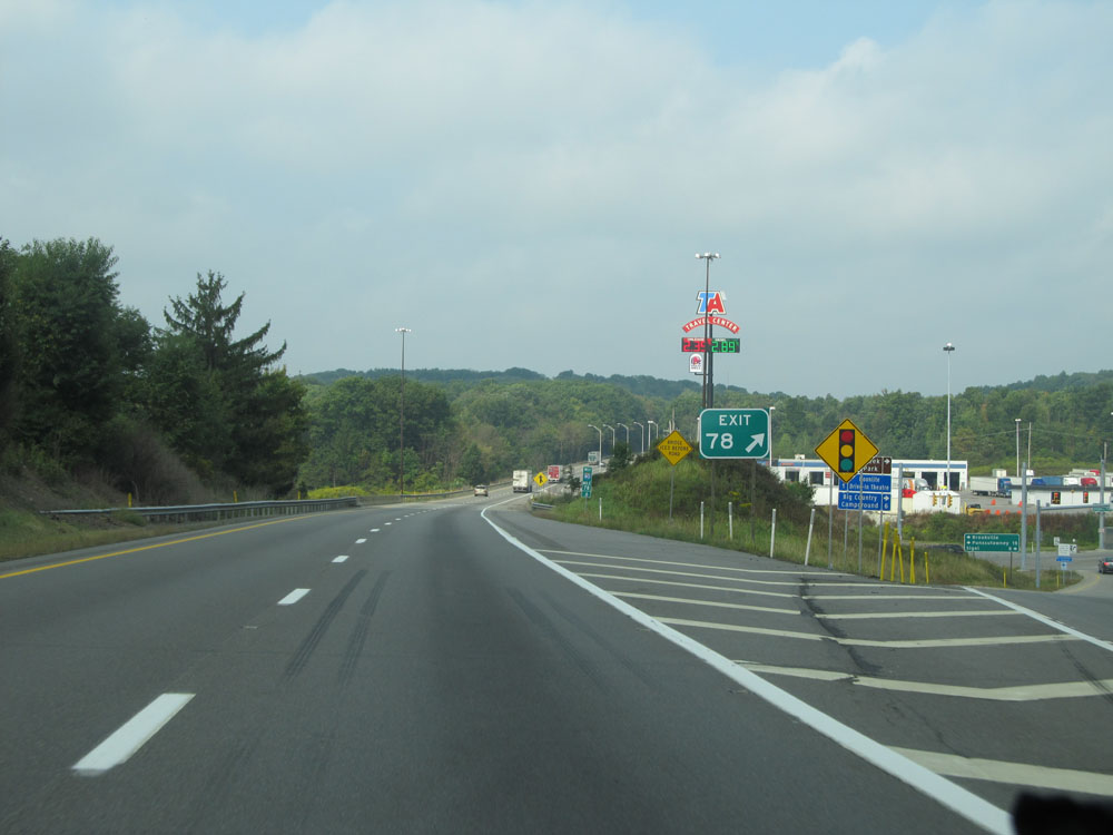
Interstate 80 West approaching Exit 78 - 1 mile. (Photo taken 9/5/15). |
 |
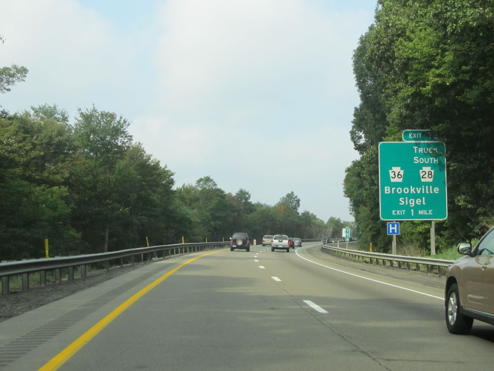
Interstate 80 West at Exit 78: PA 36 / PA 28 South Truck Route - Brookville / Sigel (Photo taken 9/5/15). |
Section 4: Brookville (Exit 78) to Ohio Border
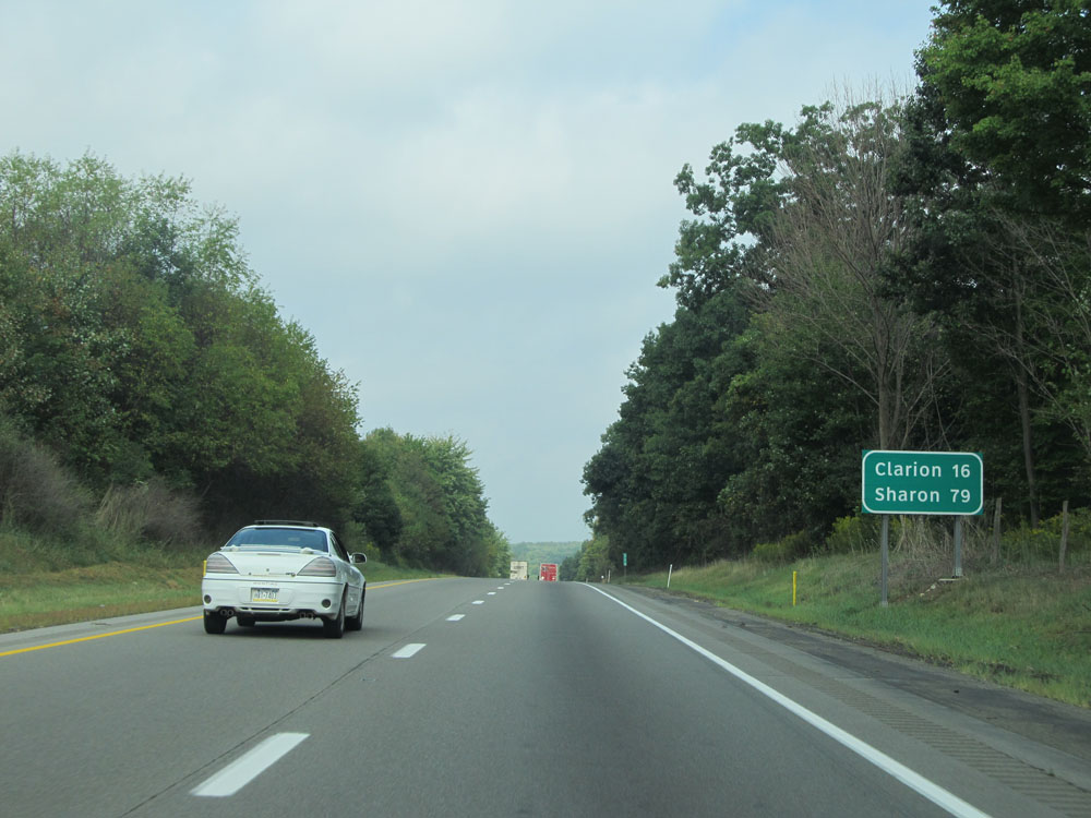 |
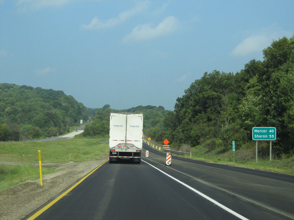
Mileage sign near mile marker 78. It's 16 miles to Clarion and 79 miles to Sharon. (Photo taken 9/5/15). |
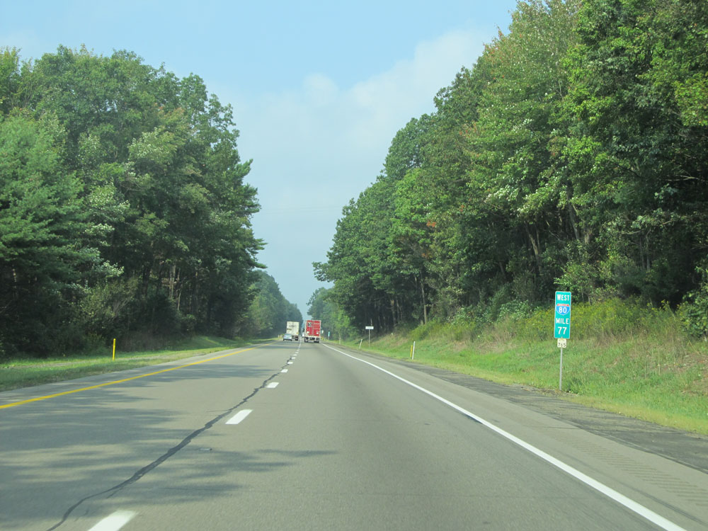 |
Interstate 80 West: Road view from mile marker 77. (Photo taken 9/5/15). |
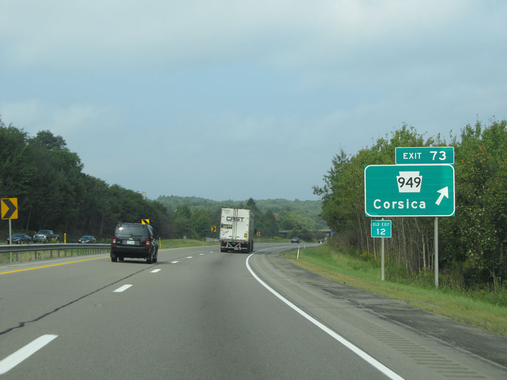 |
Interstate 80 West at Exit 73: PA 949 - Corsica (Photo taken 9/5/15). |
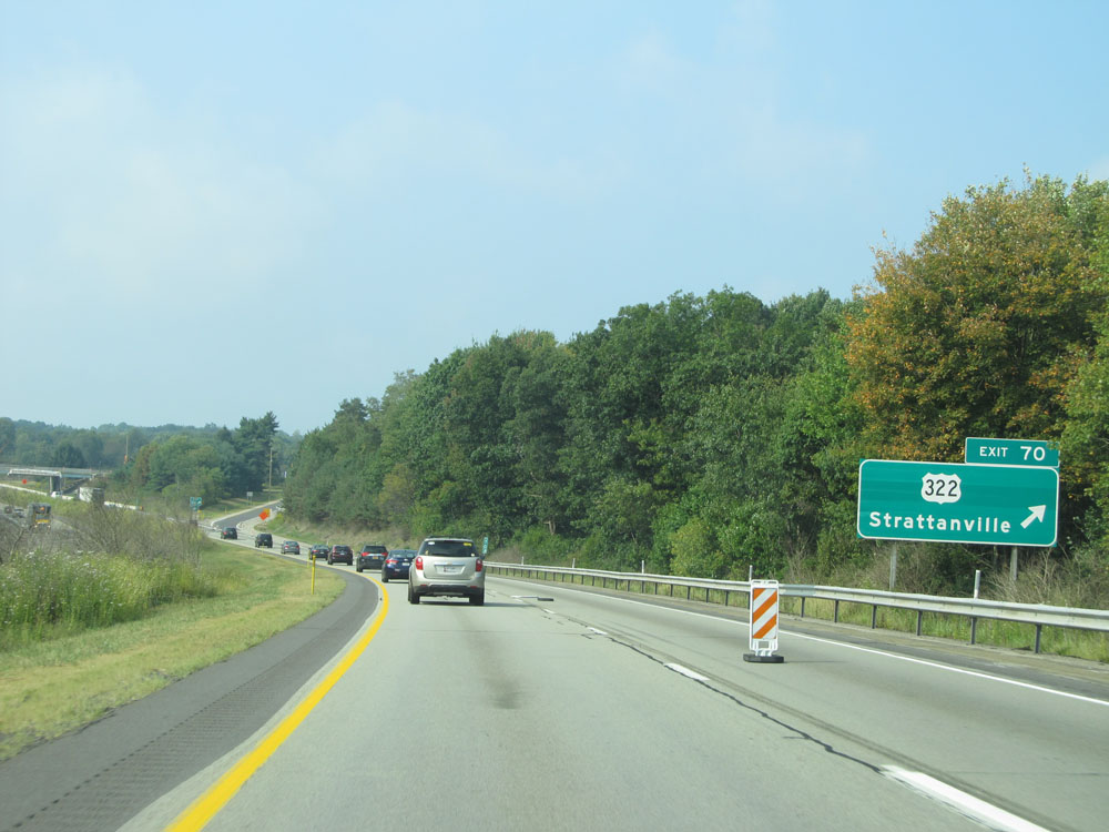 |
Interstate 80 West at Exit 70: US 322 - Strattanville (Photo taken 9/5/15). |
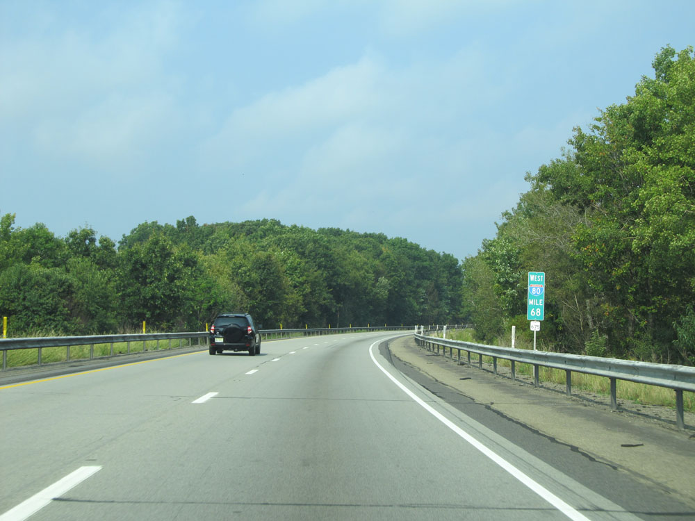 |
Interstate 80 West at mile marker 68. (Photo taken 9/5/15). |
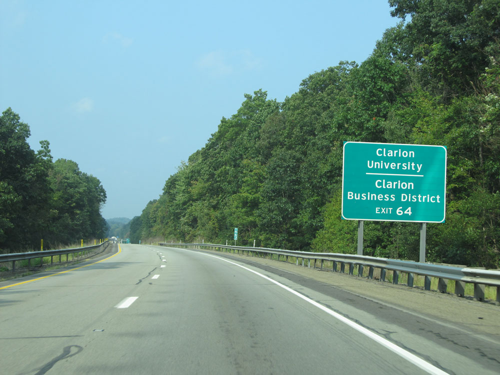 |
Take Exit 64 to Clarion University and Clarion Business District. (Photo taken 9/5/15). |
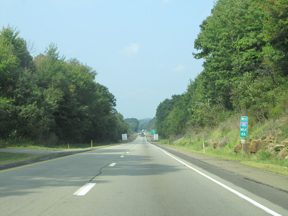 |
Interstate 80 West: Road view from mile marker 66. (Photo taken 9/5/15). |
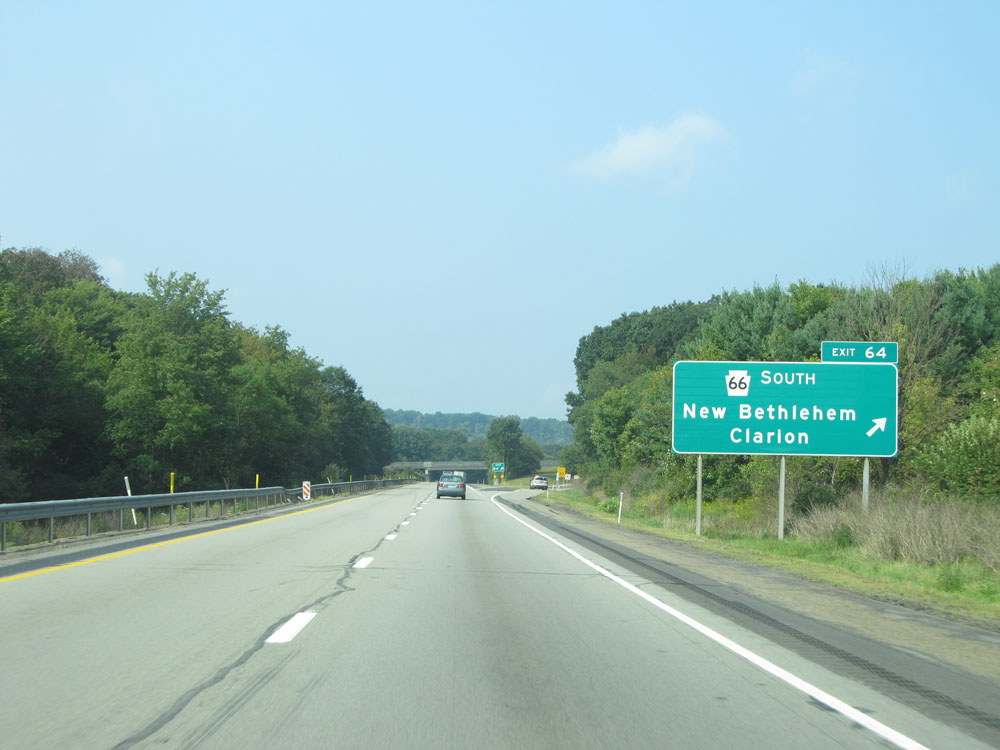 |
Interstate 80 West at Exit 64: PA 66 South - New Bethlehem / Clarion (Photo taken 9/5/15). |
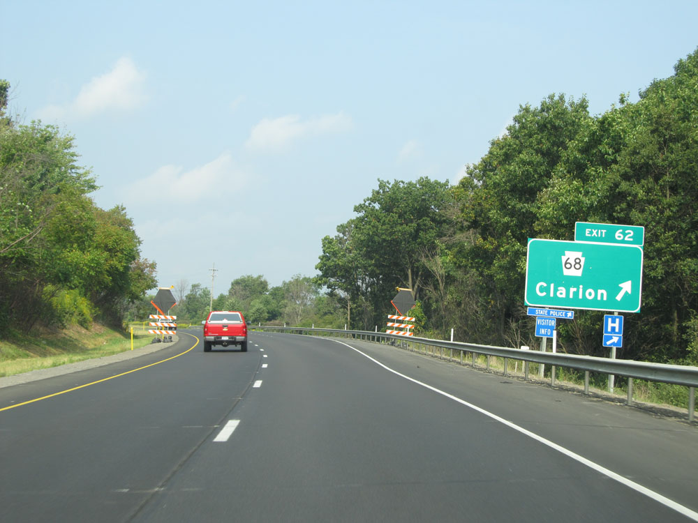 |
Interstate 80 West at Exit 62: PA 68 - Clarion (Photo taken 9/5/15). |
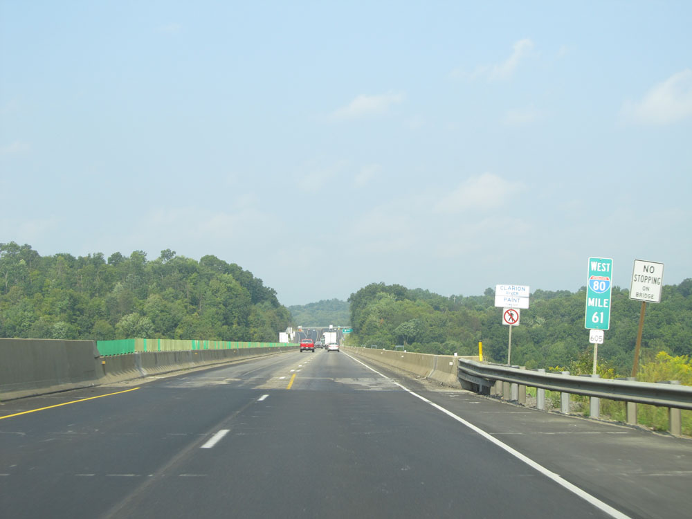 |
Interstate 80 West as it prepares to cross the Clarion River at mile marker 61. (Photo taken 9/5/15). |
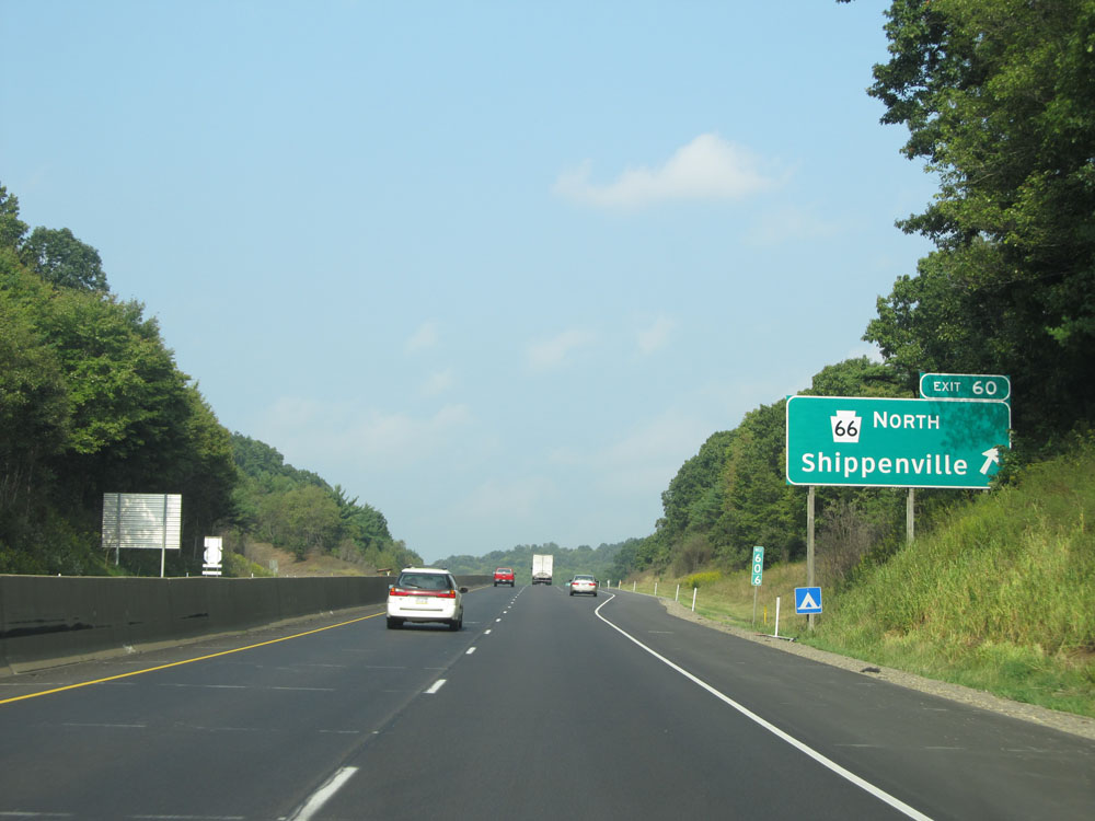 |
Interstate 80 West at Exit 60: PA 66 North - Shippenville (Photo taken 9/5/15). |
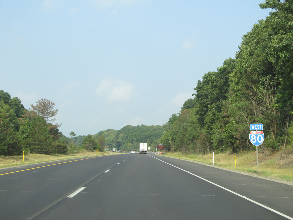 |
Interstate 80 West assurance shield near mile marker 60. (Photo taken 9/5/15). |
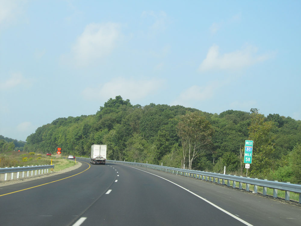 |
Interstate 80 West at mile marker 58. (Photo taken 9/5/15). |
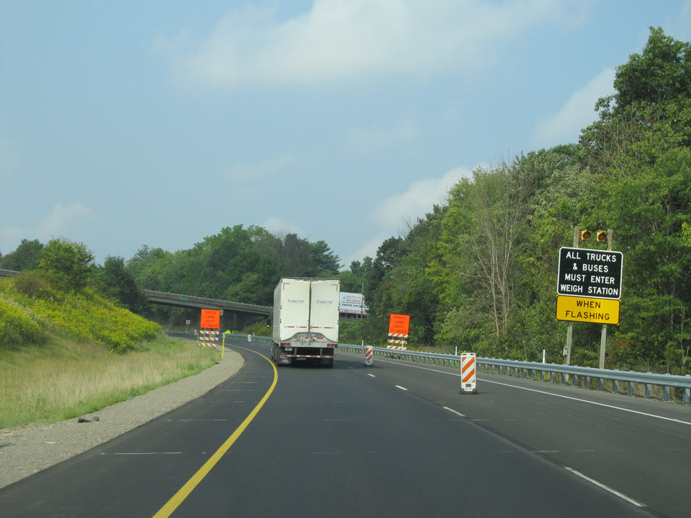 |
Approaching the Weigh Station at mile marker 56.2, all trucks must enter when the lights on this sign are flashing. (Photo taken 9/5/15). |
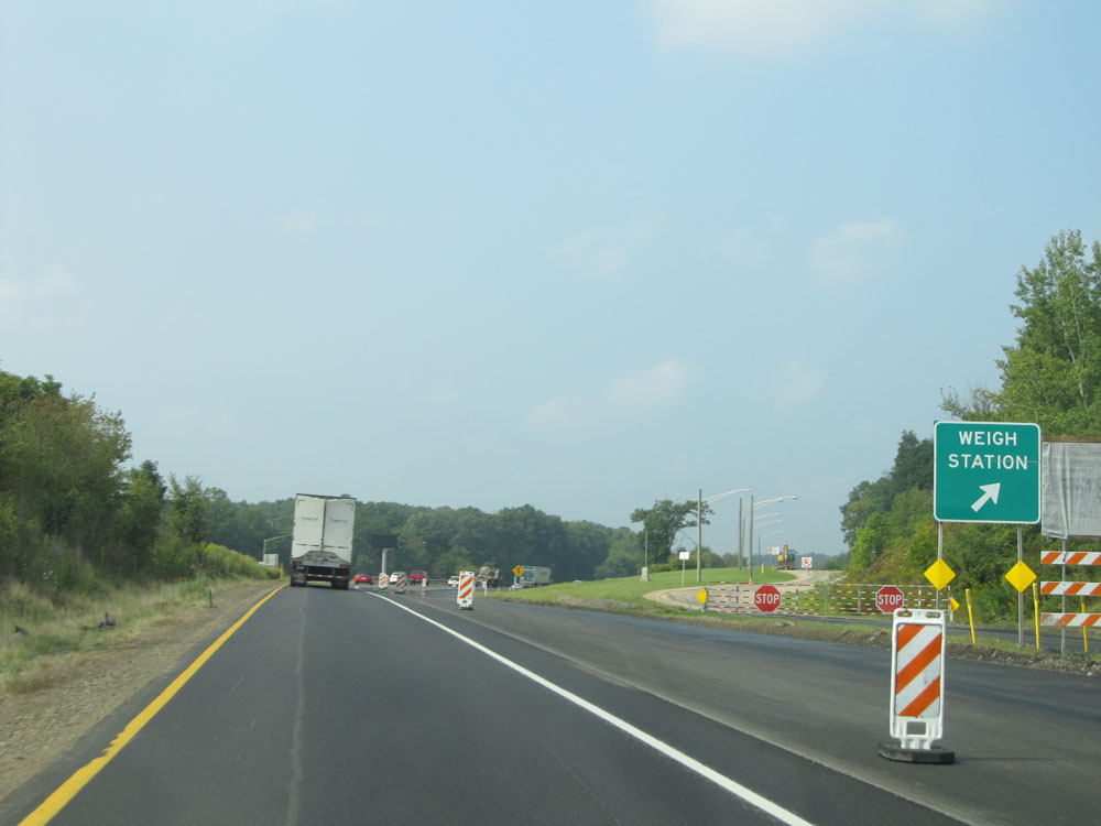 |
Interstate 80 West at the Weigh Station located at mile marker 56.2. (Photo taken 9/5/15). |
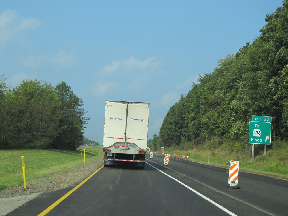 |
Interstate 80 West at Exit 53: To PA 338 - Knox (Photo taken 9/5/15). |
 |
Interstate 80 West at mile marker 53. (Photo taken 9/5/15). |
 |
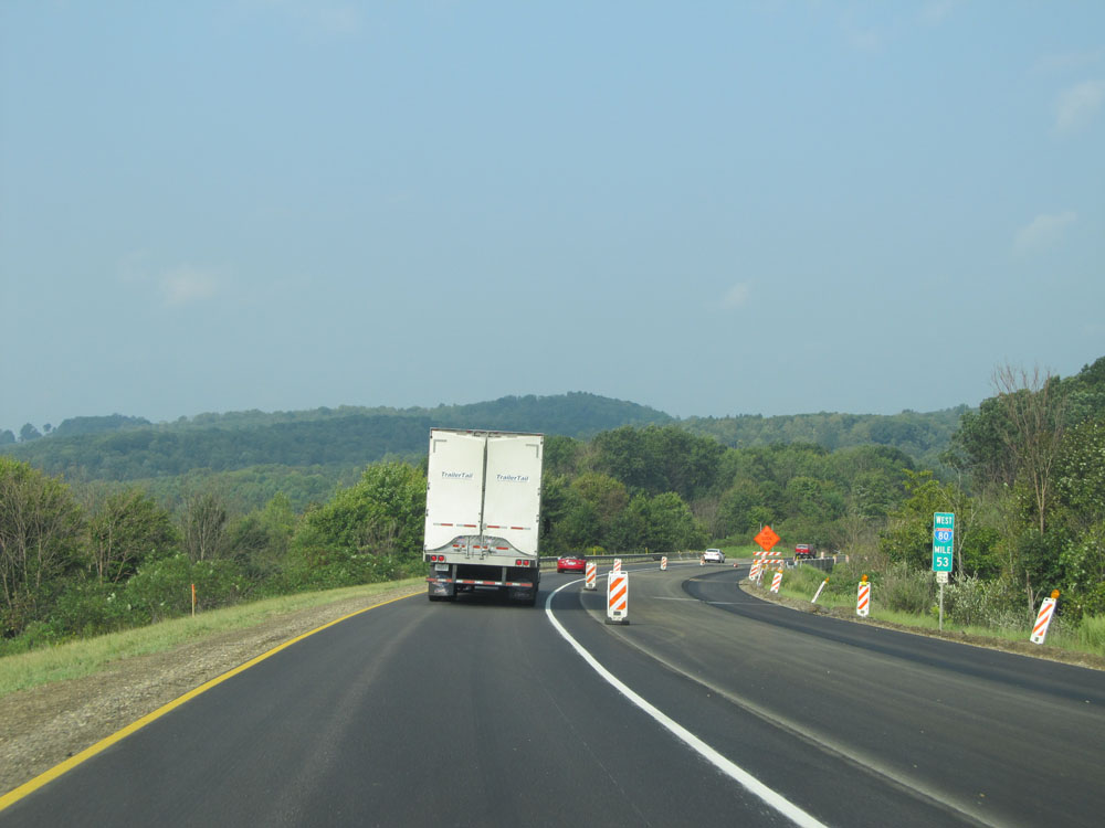
Mileage sign at mile marker 52.6. It's 40 miles to Mercer and 55 miles to Sharon. (Photo taken 9/5/15). |
 |
Interstate 80 West: Road view from mile marker 51. (Photo taken 9/5/15). |
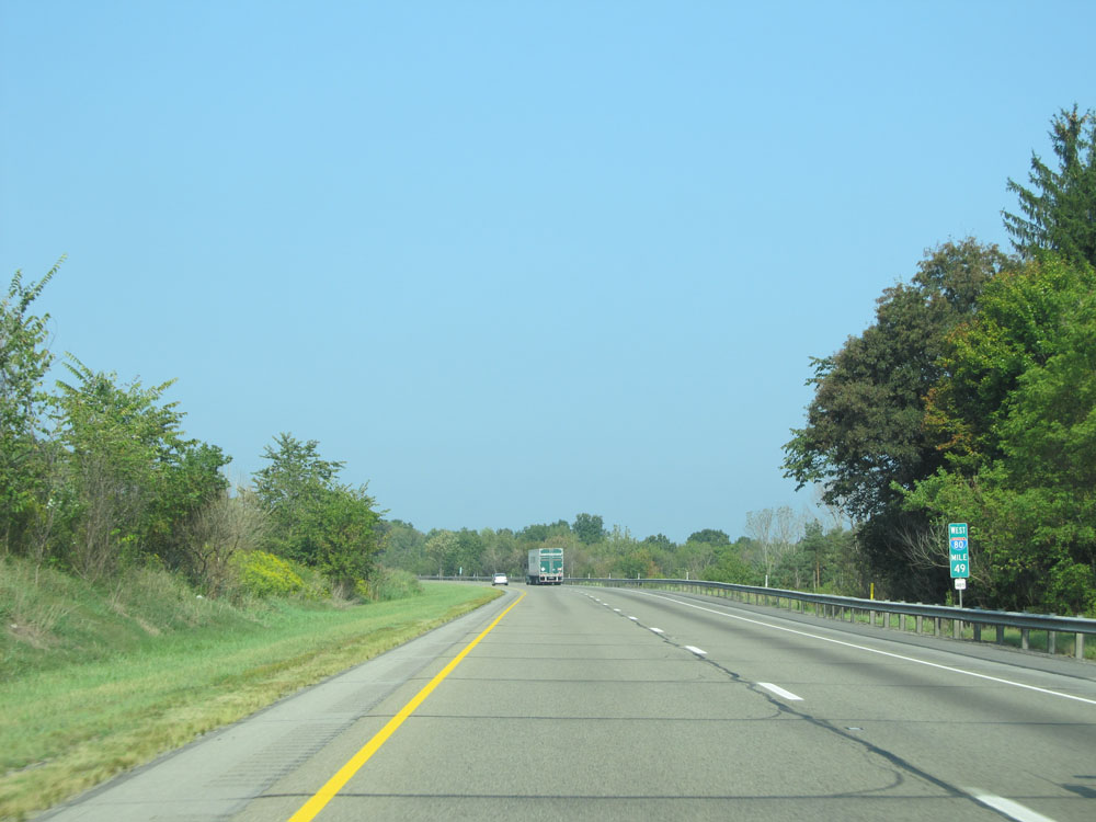 |
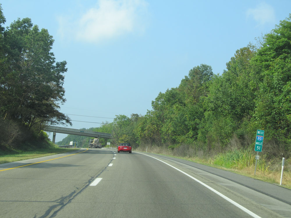
Interstate 80 West: Road view from mile marker 49. (Photo taken 9/5/15). |
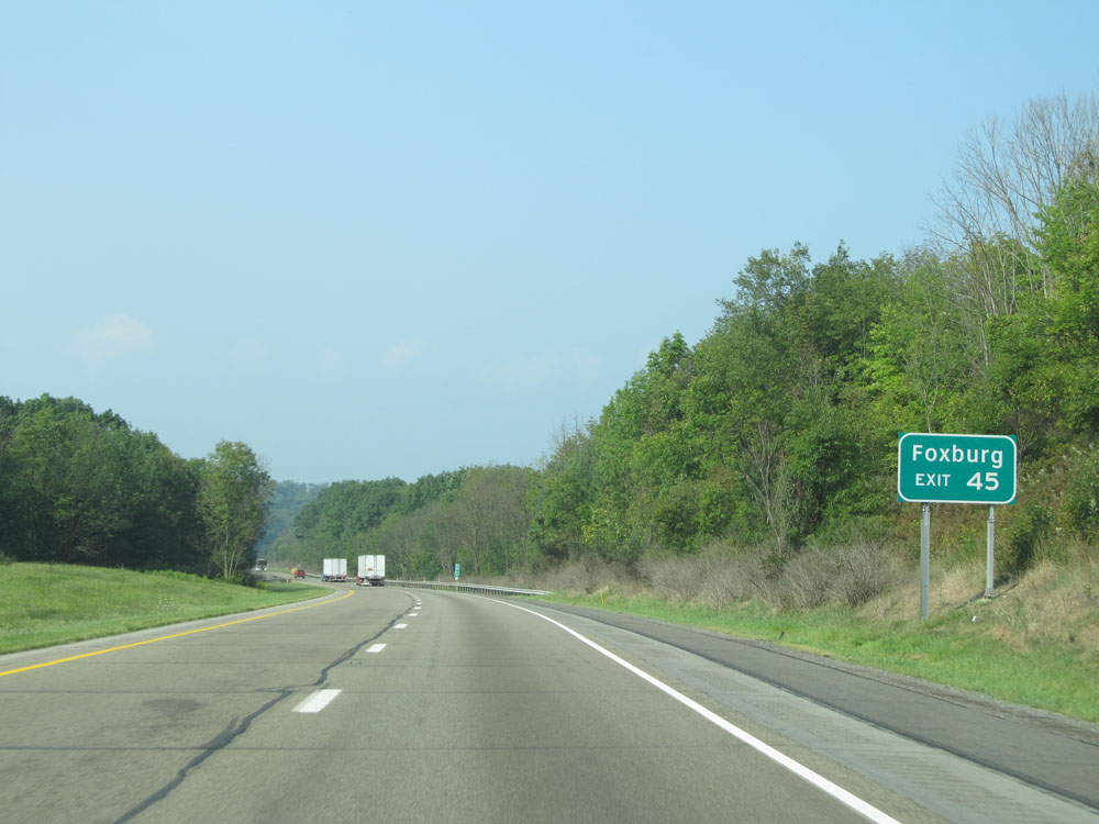 |
Take Exit 45 to Foxburg. (Photo taken 9/5/15). |
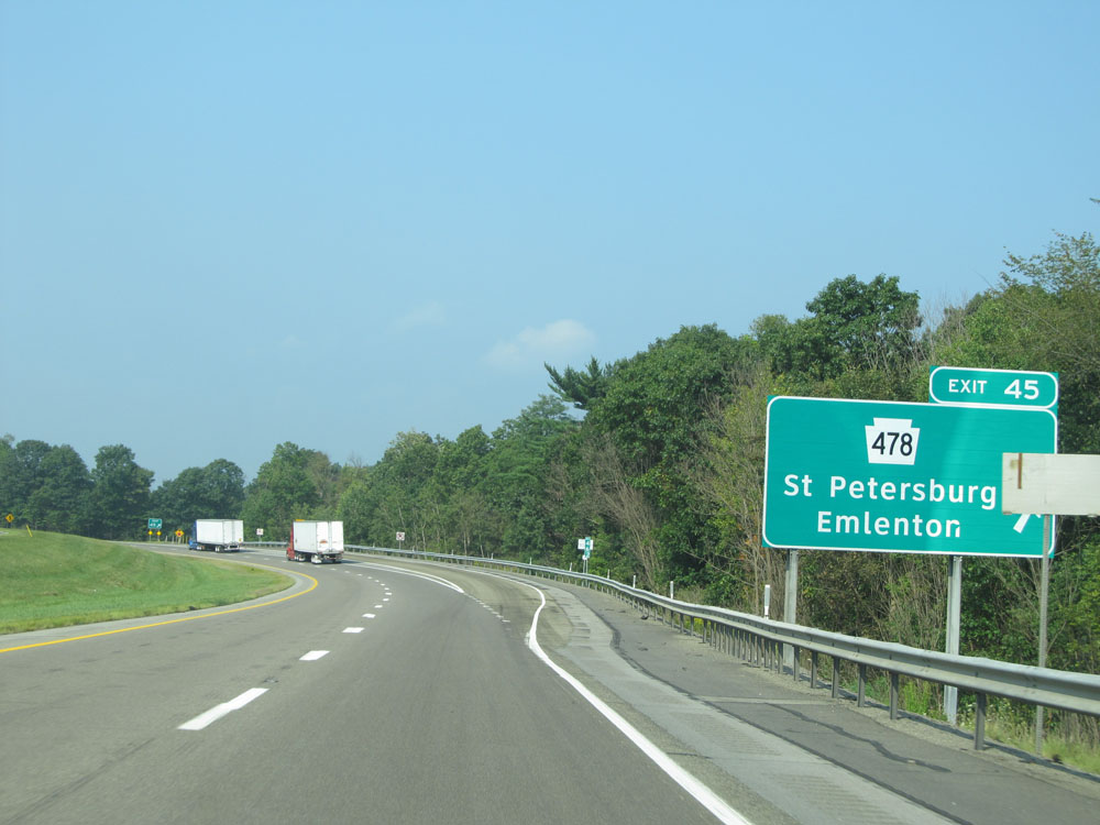 |
Interstate 80 West at Exit 45: PA 478 - St Petersburg / Emlenton (Photo taken 9/5/15). |
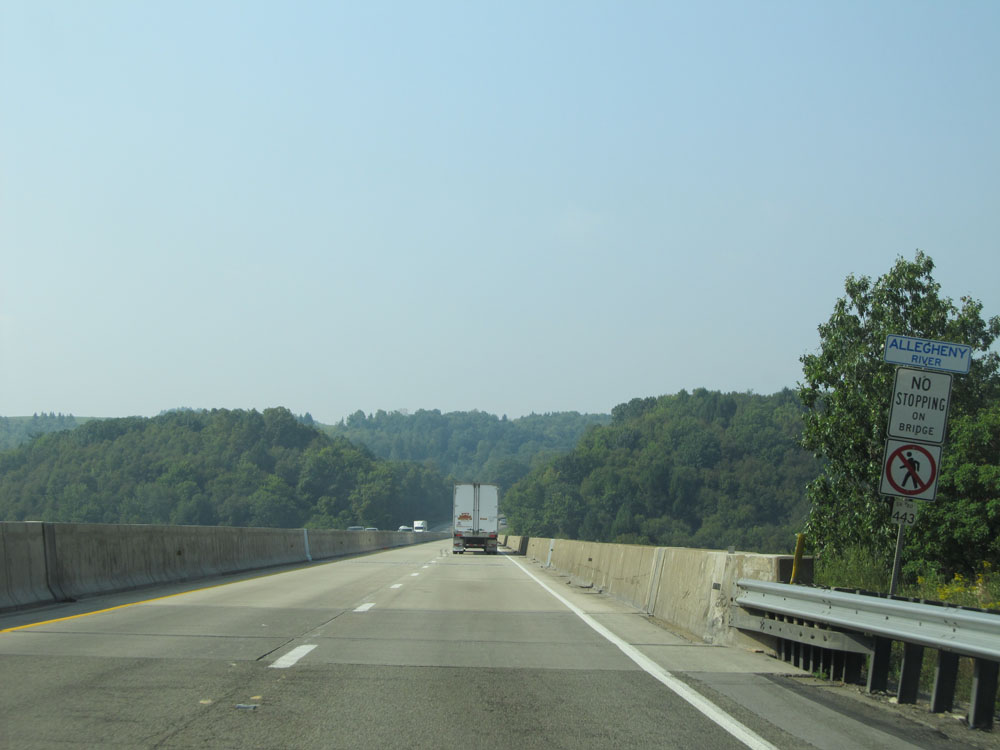 |
Interstate 80 West as it prepares to cross the Allegheny River near mile marker 44. (Photo taken 9/5/15). |
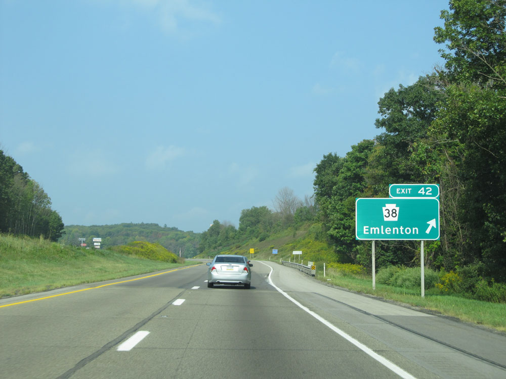 |
Interstate 80 West at Exit 42: PA 38 - Emlenton (Photo taken 9/5/15). |
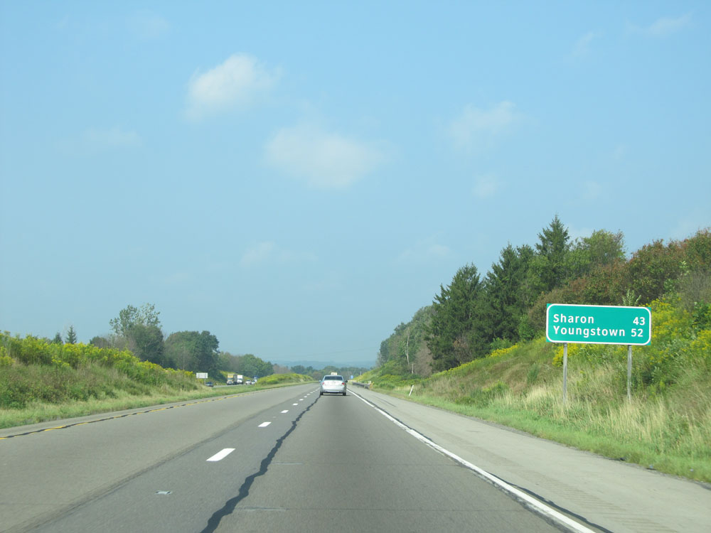 |
Mileage sign near mile marker 42. Sharon - 43 miles, Youngstown - 52 miles. (Photo taken 9/5/15). |
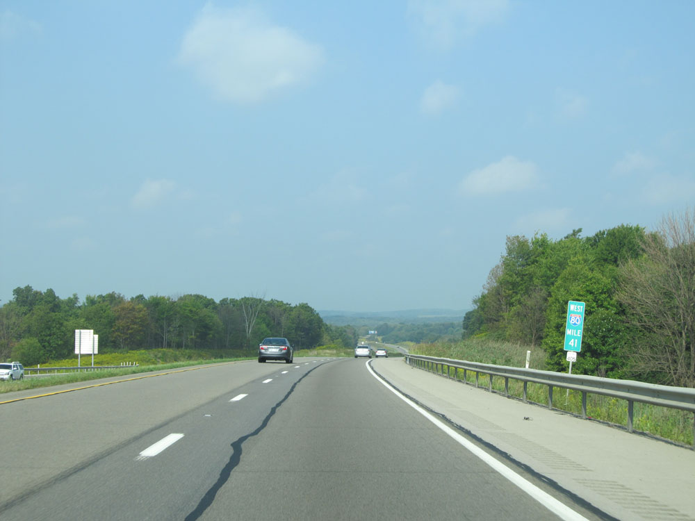 |
Interstate 80 West: Road view from mile marker 41. (Photo taken 9/5/15). |
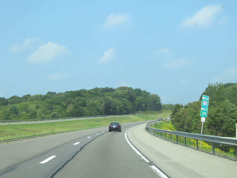 |
Interstate 80 West at mile marker 39. (Photo taken 9/5/15). |
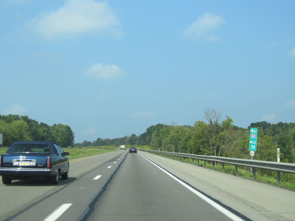 |
Interstate 80 West at mile marker 38. (Photo taken 9/5/15). |
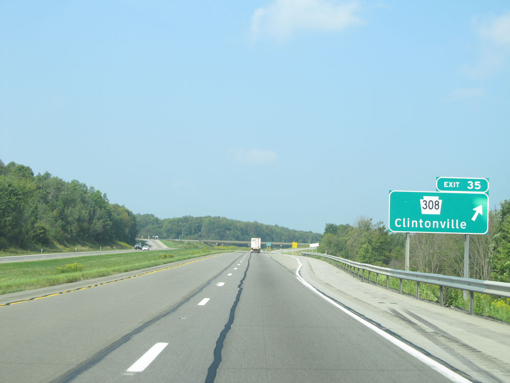 |
Interstate 80 West at Exit 35: PA 308 - Clintonville (Photo taken 9/5/15). |
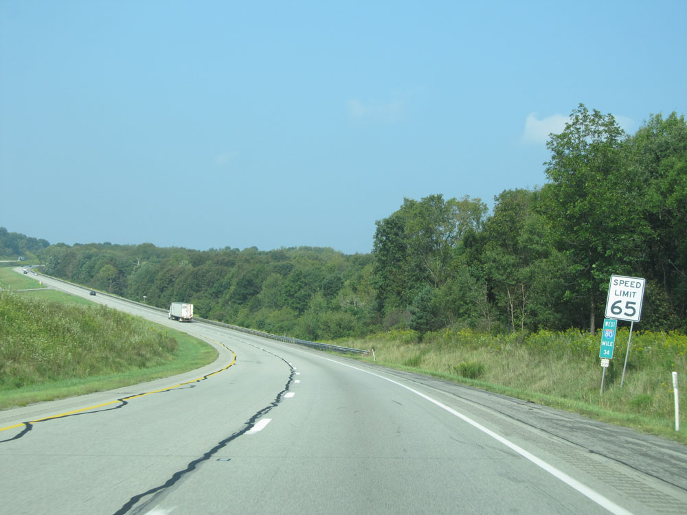 |
Speed limit sign at mile marker 34. Speed Limit - 65 mph. (Photo taken 9/5/15). |
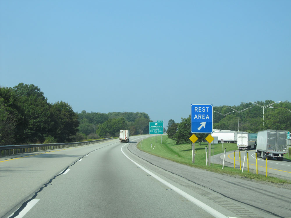 |
Interstate 80 West at the Rest Area located near mile marker 30. (Photo taken 9/5/15). |
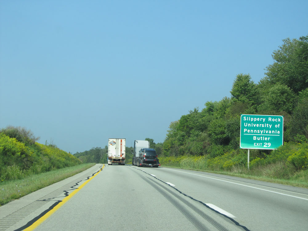 |
Take Exit 29 to Slippery Rock University of Pennsylvania and Butler. (Photo taken 9/5/15). |
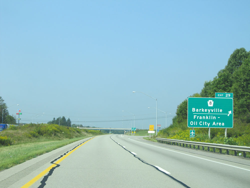 |
Interstate 80 West at Exit 29: PA 8 - Barkeyville / Franklin-Oil City Area (Photo taken 9/5/15). |
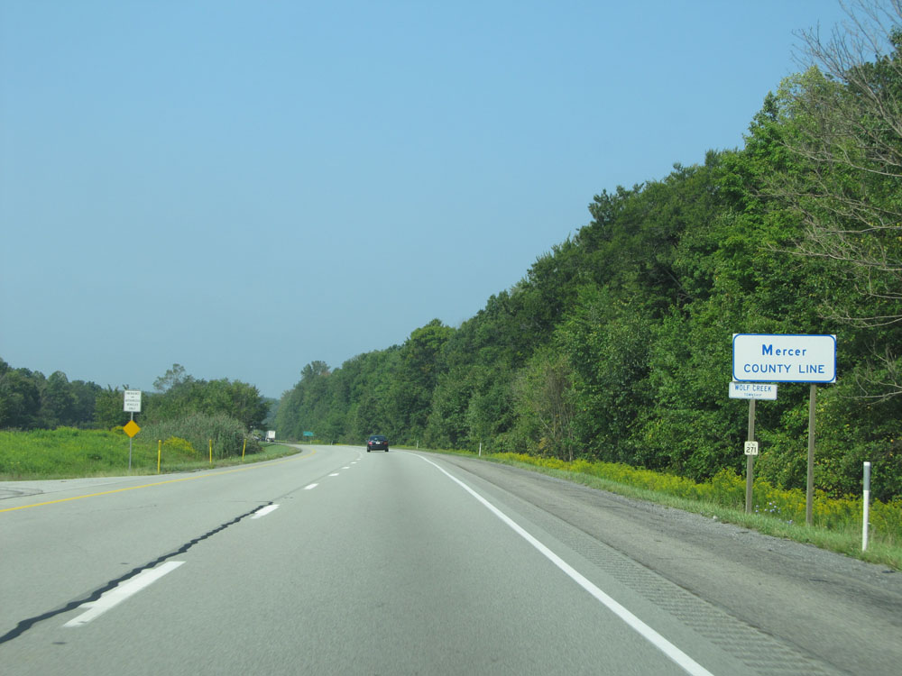 |
Interstate 80 West as it enters Mercer County. (Photo taken 9/5/15). |
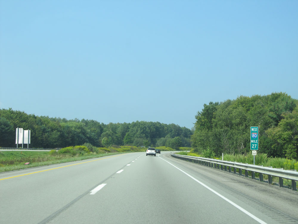 |
Interstate 80 West: Road view from mile marker 27. (Photo taken 9/5/15). |
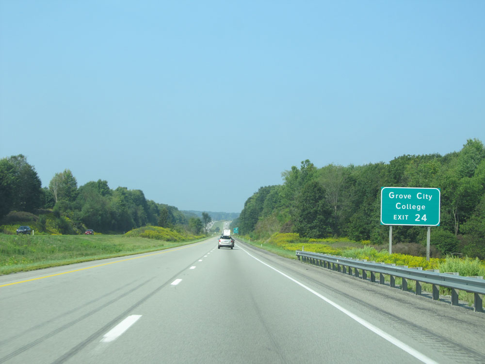 |
Take Exit 24 to Grove City College. (Photo taken 9/5/15). |
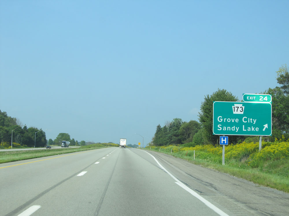 |
Interstate 80 West at Exit 24: PA 173 - Grove City / Sandy Lake (Photo taken 9/5/15). |
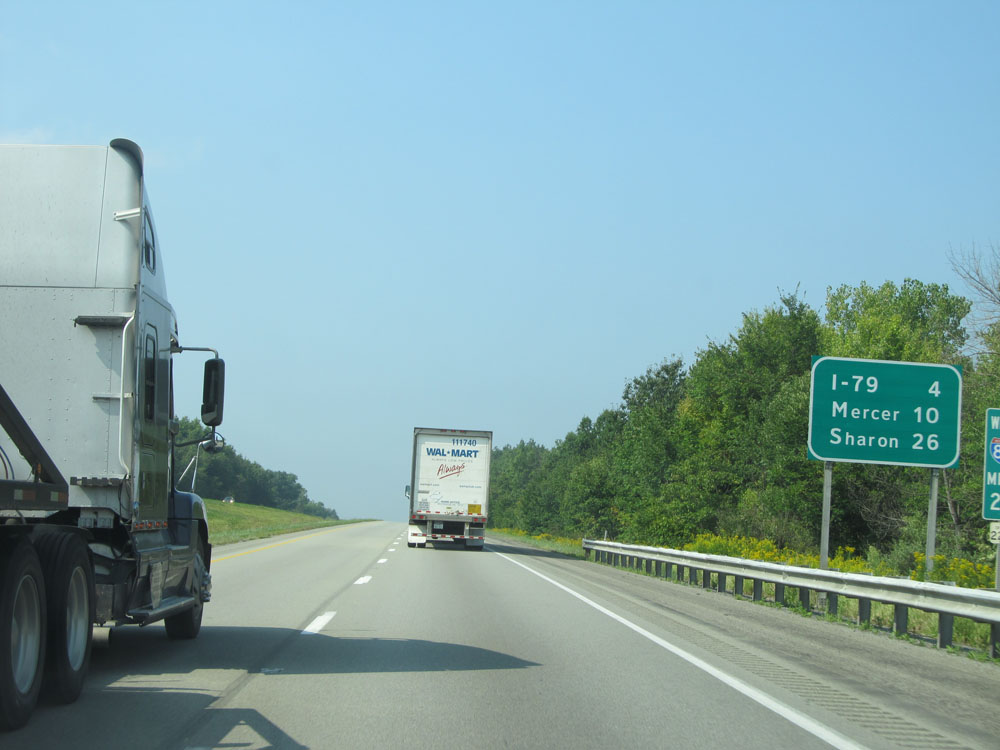 |
Mileage sign at mile marker 23. It's 4 miles to the junction of Interstate 79, 10 miles to Mercer, and 26 miles to Sharon. (Photo taken 9/5/15). |
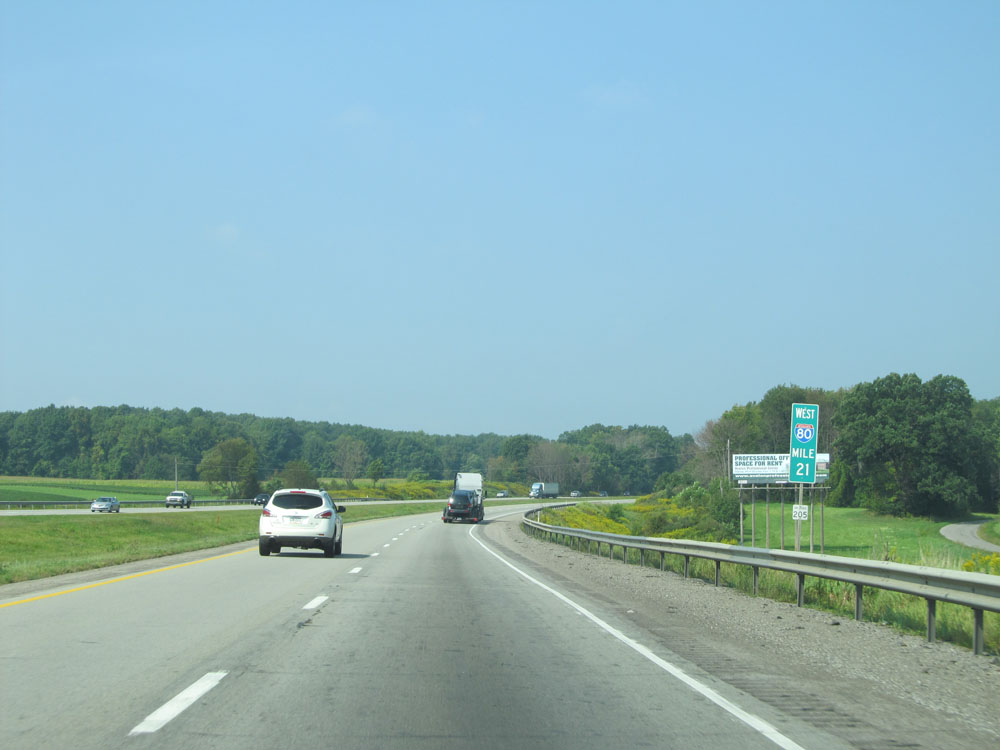 |
Interstate 80 West at mile marker 21. (Photo taken 9/5/15). |
 |
Interstate 80 West approaching Exits 19B-A - 1 mile. (Photo taken 9/5/15). |
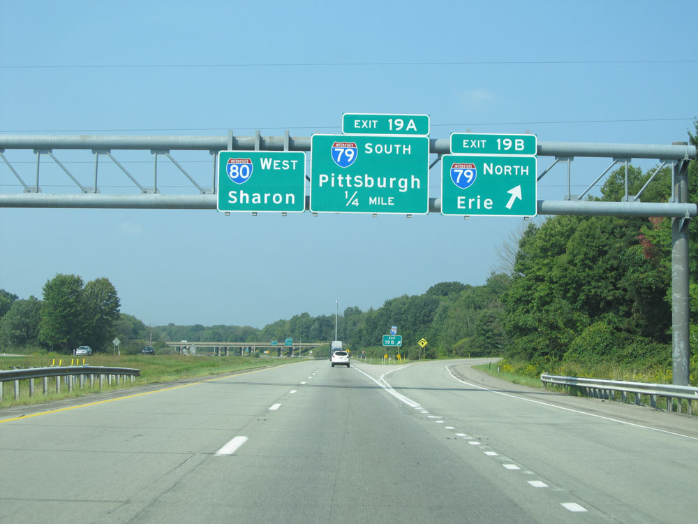 |
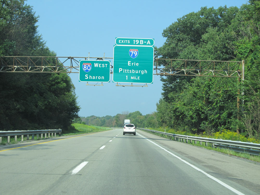
Interstate 80 West at Exit 19B: Interstate 79 North - Erie (Photo taken 9/5/15). |
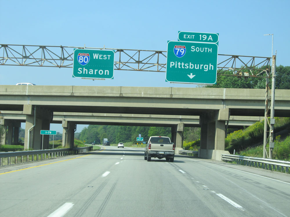 |
Interstate 80 West at Exit 19A: Interstate 79 South - Pittsburgh (Photo taken 9/5/15). |
 |
Interstate 80 West assurance shield near mile marker 19. (Photo taken 9/5/15). |
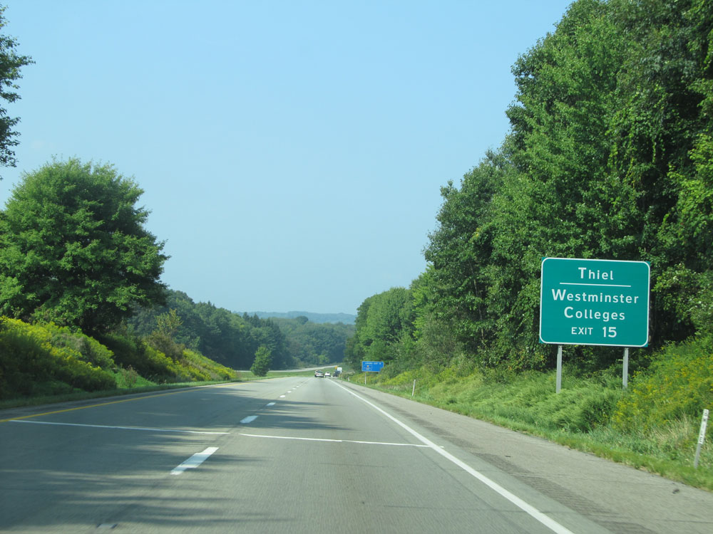 |
Take Exit 15 to Thiel and Westminster Colleges. (Photo taken 9/5/15). |
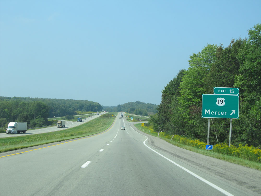 |
Interstate 80 West at Exit 15: US 19 - Mercer (Photo taken 9/5/15). |
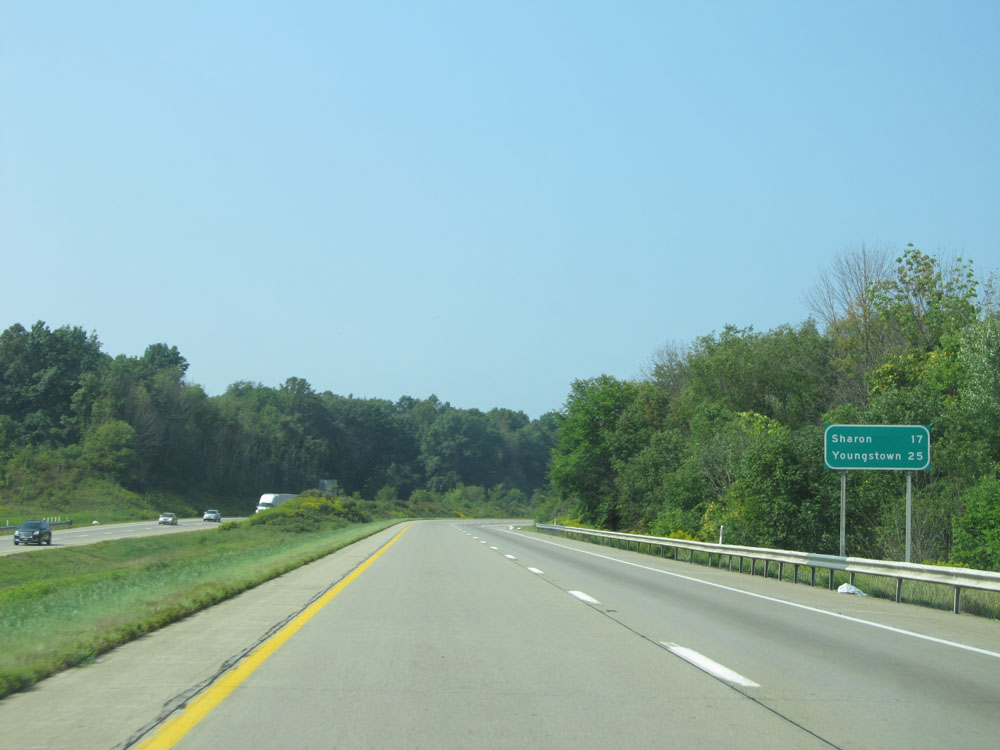 |
Mileage sign just past mile marker 14. Sharon - 17 miles, Youngstown - 25 miles. (Photo taken 9/5/15). |
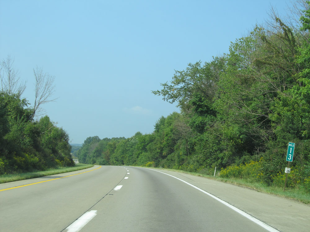 |
Interstate 80 West at mile marker 13. (Photo taken 9/5/15). |
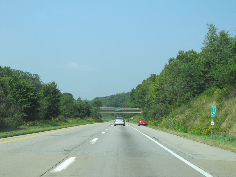 |
Interstate 80 West: Road view from mile marker 12. (Photo taken 9/5/15). |
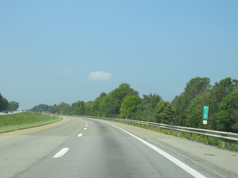 |
Interstate 80 West at mile marker 10. (Photo taken 9/5/15). |
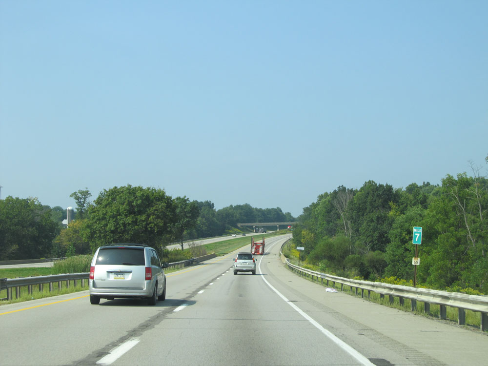 |
Interstate 80 West: Road view from mile marker 7. (Photo taken 9/5/15). |
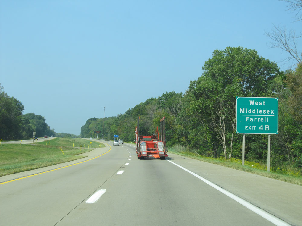 |
Take Exit 4B to West Middlesex and Farrell. (Photo taken 9/5/15). |
 |
Interstate 80 West approaching Exits 4B-A - 1 mile. (Photo taken 9/5/15). |
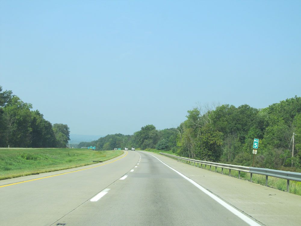 |
Interstate 80 West at mile marker 5. (Photo taken 9/5/15). |
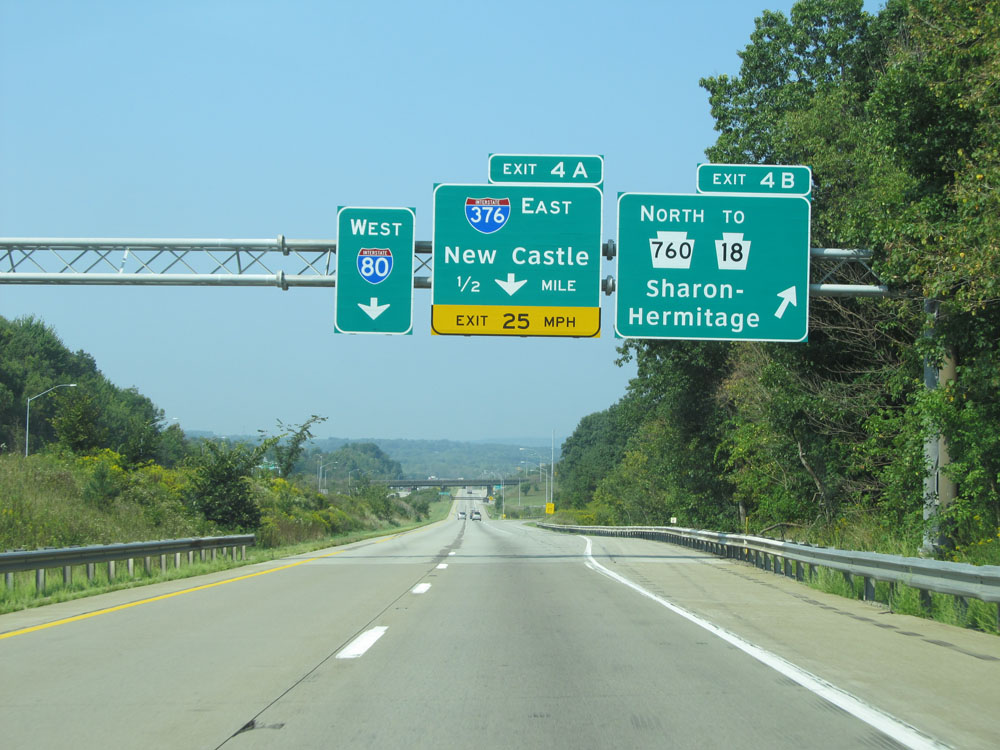 |
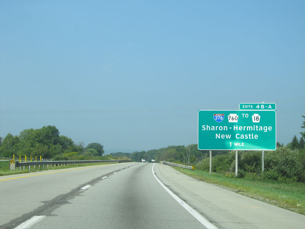
Interstate 80 West at Exit 4B: PA 760 North / To PA 18 - Sharon / Hermitage (Photo taken 9/5/15). |
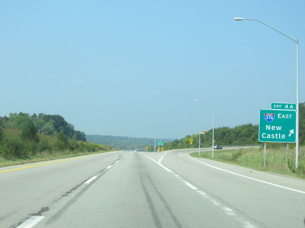 |
Interstate 80 West at Exit 4A: Interstate 376 East - New Castle (Photo taken 9/5/15). |
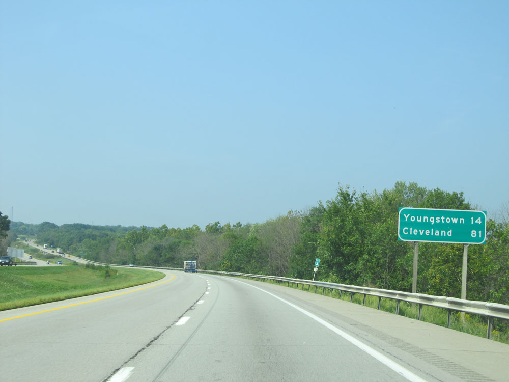 |
Mileage sign at mile marker 3. It's 14 miles to Youngstown and 81 miles to Cleveland. (Photo taken 9/5/15). |
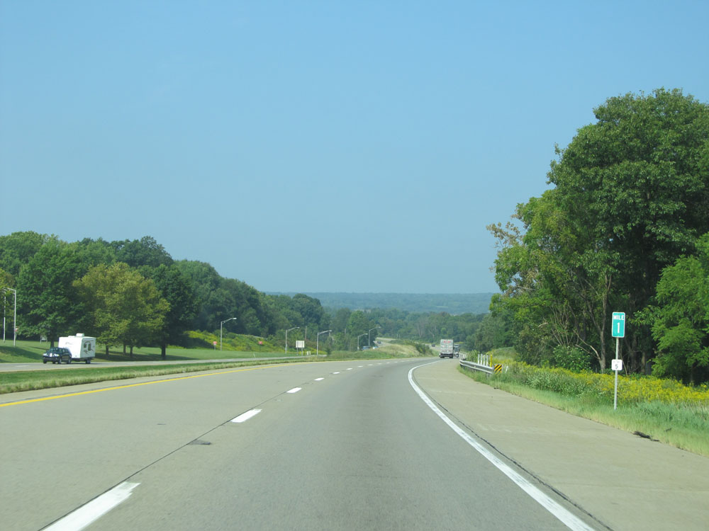 |
Interstate 80 West: Road view from mile marker 1, as I-80 West prepares to cross into Ohio. (Photo taken 9/5/15). |