Road Information |
||
 |
||
| Total Mileage in State: | 170 miles | |
| Eastern End: | At Maryland state line | |
| Western End: | At West Virginia state line | |
| Mileage covered in Photos: | 170 miles | |
| Counties covered in Photos: | Washington, Westmoreland, Somerset, Bedford, Fulton | |
| Major Junctions in Photos: | I-79 in Washington I-76 (PA Turnpike) in New Stanton I-99/US 220, in Bedford I-76 (PA Turnpike)/US 30, in Breezewood |
|
| Control Cities in Photos: | Washington, New Stanton, Somerset, Bedford, Breezewood | |
Eastbound
- Section 1: West Virginia Border to Bentleyville (Exit 32B)
- Section 2: Bentleyville (Exit 32B) to New Stanton (Exit 58)
- Section 3: New Stanton (Exit 58) to Somerset (Exit 110)
- Section 4: Somerset (Exit 110) to Breezewood (Exit 161)
- Section 5: Breezewood (Exit 161) to Maryland Border
Section 1: West Virginia Border to Bentleyville (Exit 32B)
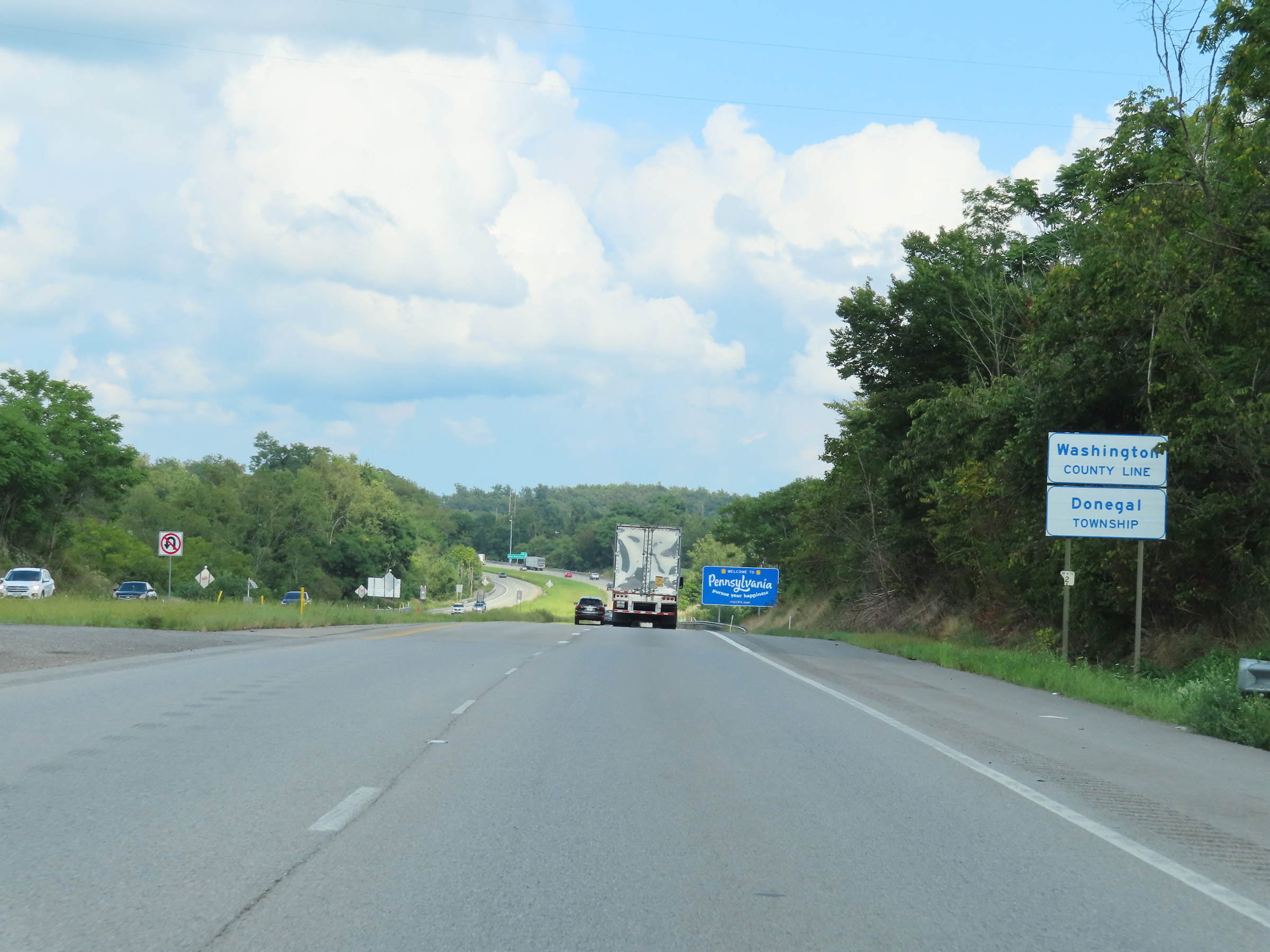 |
Interstate 70 East as it enters Pennsylvania from West Virginia. I-70 East in Pennsylvania starts out in Washington County. (Photo taken 8/21/22). |
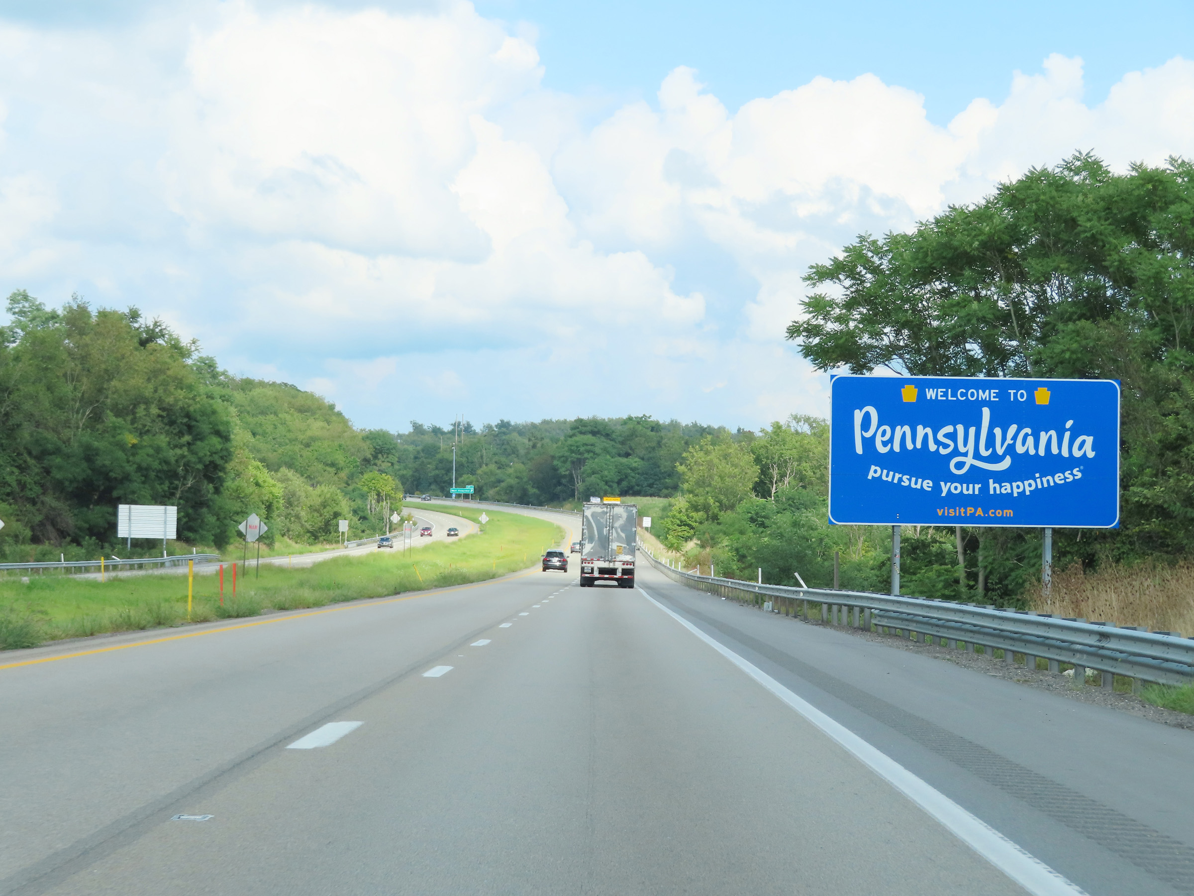 |
Pennsylvania welcome sign on Interstate 70 East just after crossing the state line from West Virginia. (Photo taken 8/21/22). |
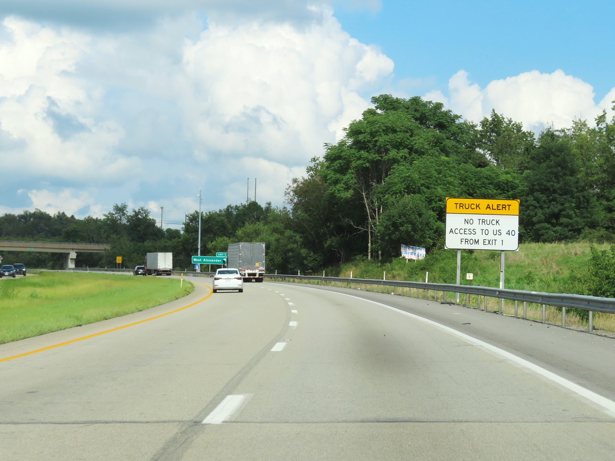 |
As this sign reads, trucks cannot use Exit 1 to get to US 40. (Photo taken 8/21/22). |
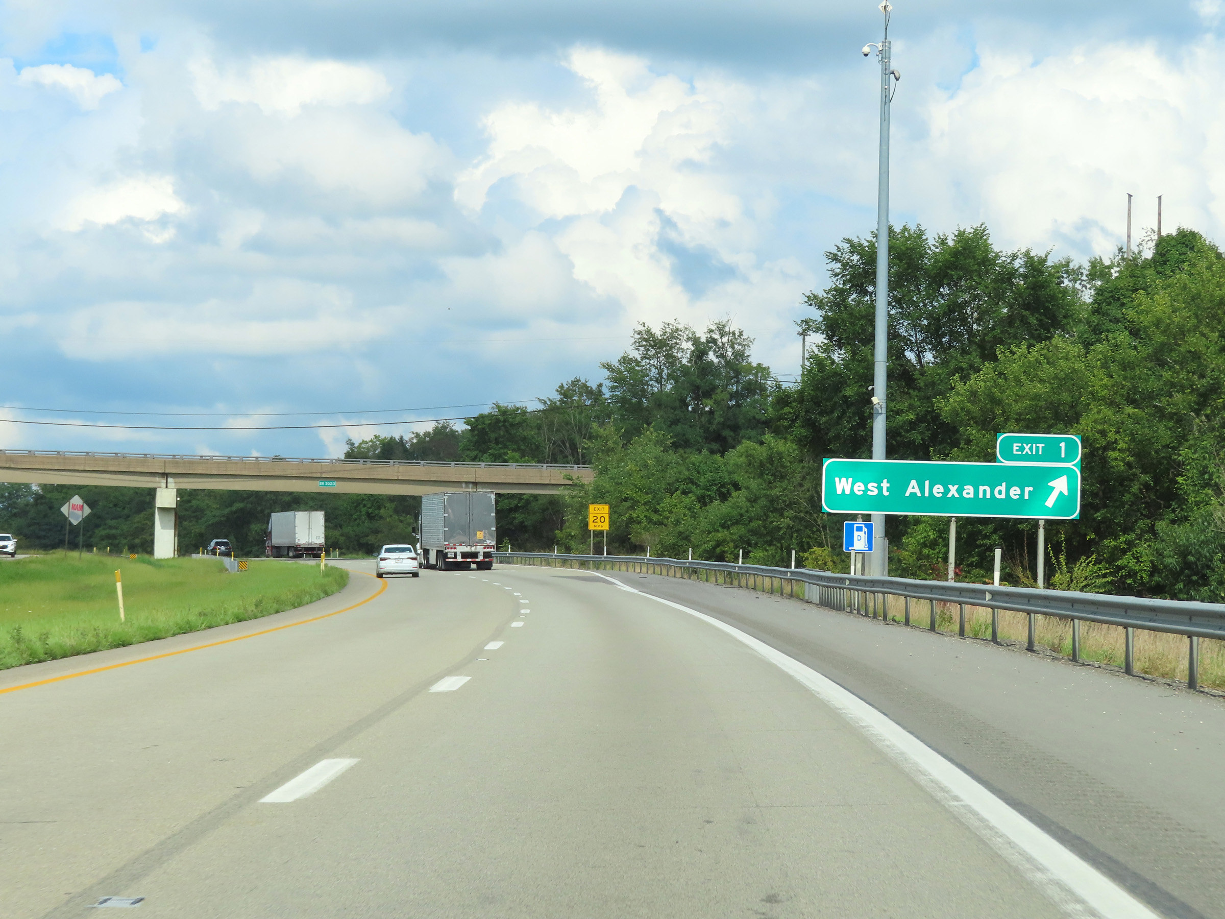 |
Interstate 70 East at Exit 1: West Alexander (Photo taken 8/21/22). |
 |
The speed limit on Interstate 70 East in Pennsylvania starts out at 65 mph. (Photo taken 8/21/22). |
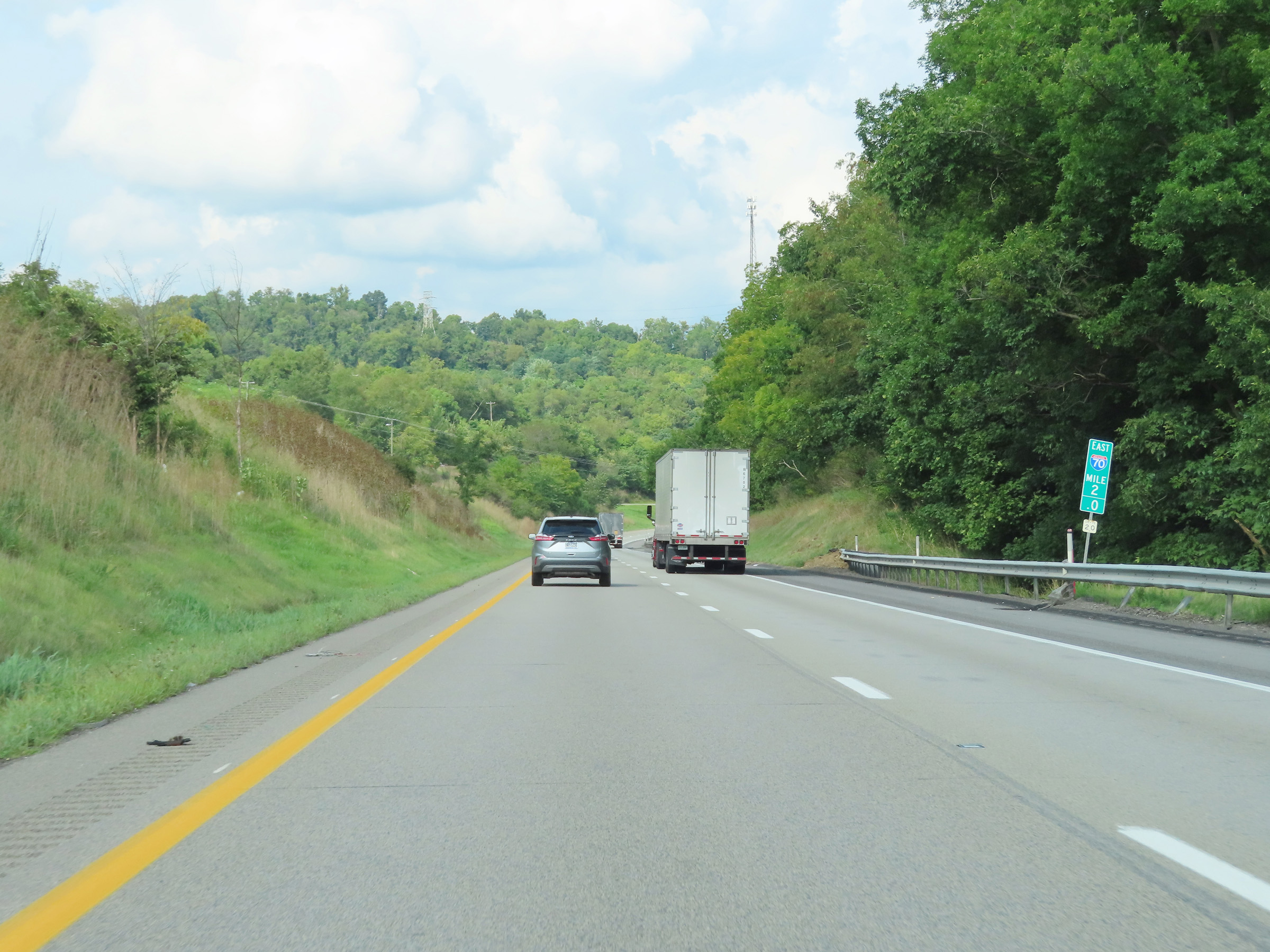 |
View on Interstate 70 East at mile marker 2. (Photo taken 8/21/22). |
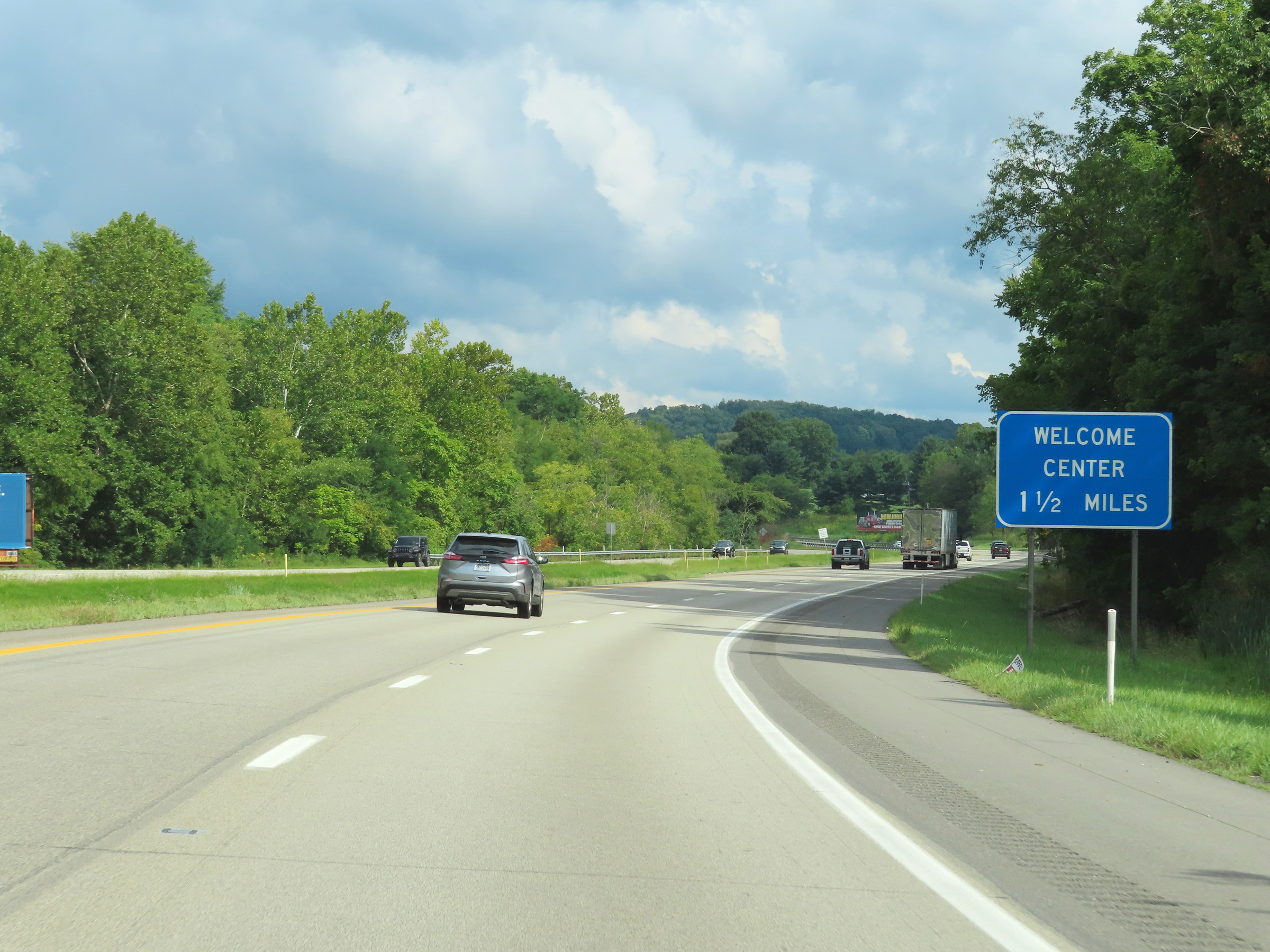 |
A Welcome Center exists at the Rest Area / Weigh Station located 1 1/2 miles ahead. (Photo taken 8/21/22). |
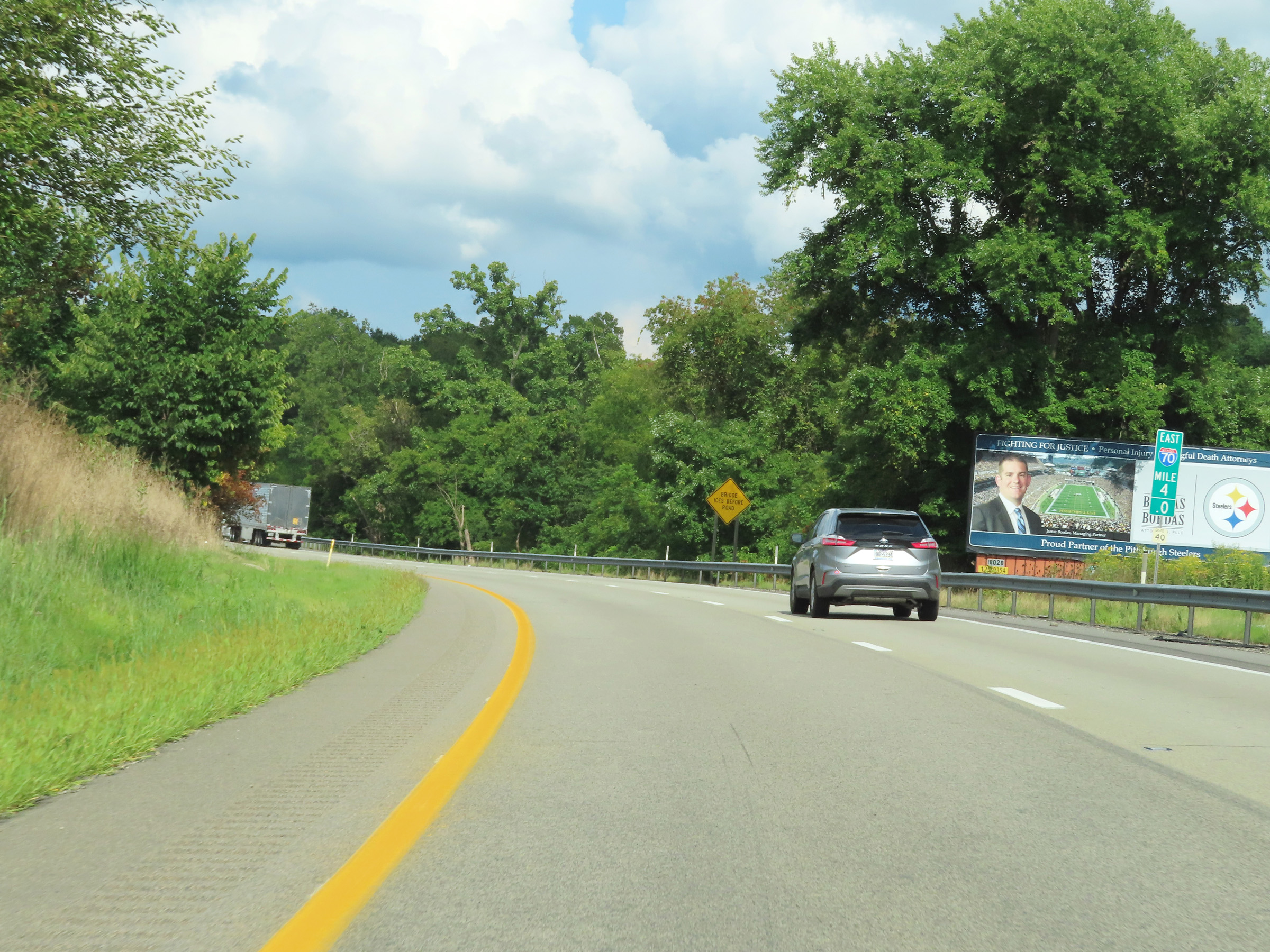 |
Mile marker 4 on Interstate 70 East in Washington County. (Photo taken 8/21/22). |
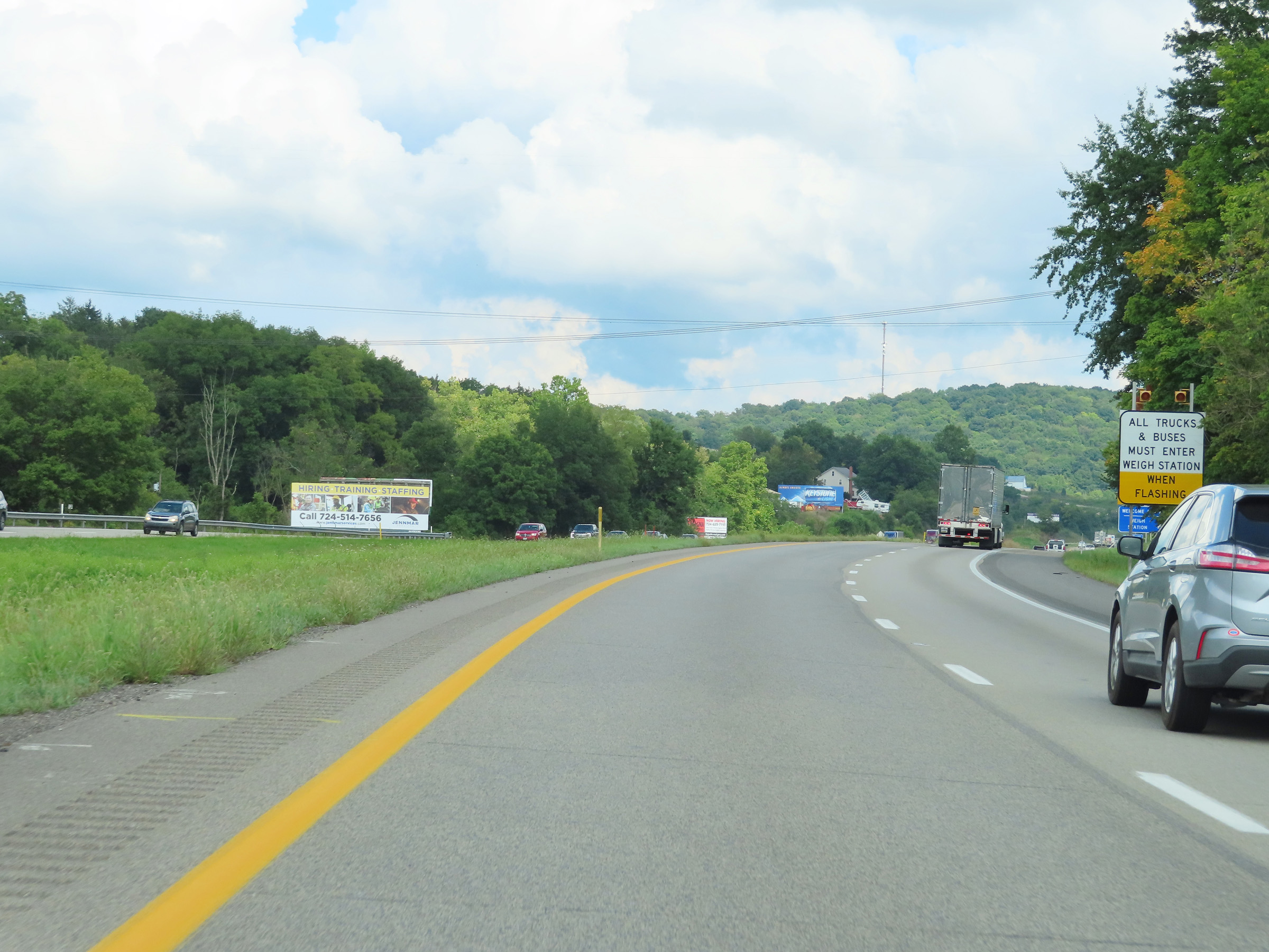 |
When the lights on this sign are flashing, all trucks and buses must enter the Weigh Station located at the Rest Area / Welcome Center ahead. (Photo taken 8/21/22). |
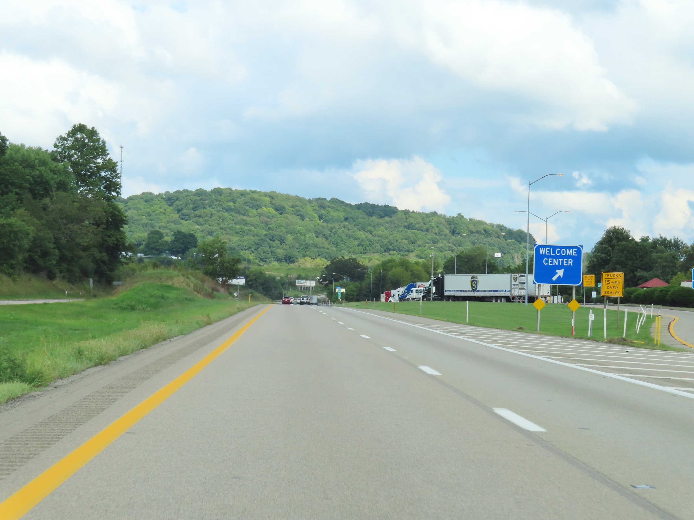 |
Rest Area / Welcome Center / Weigh Station on Interstate 70 East in Washington County at mile marker 5. (Photo taken 8/21/22). |
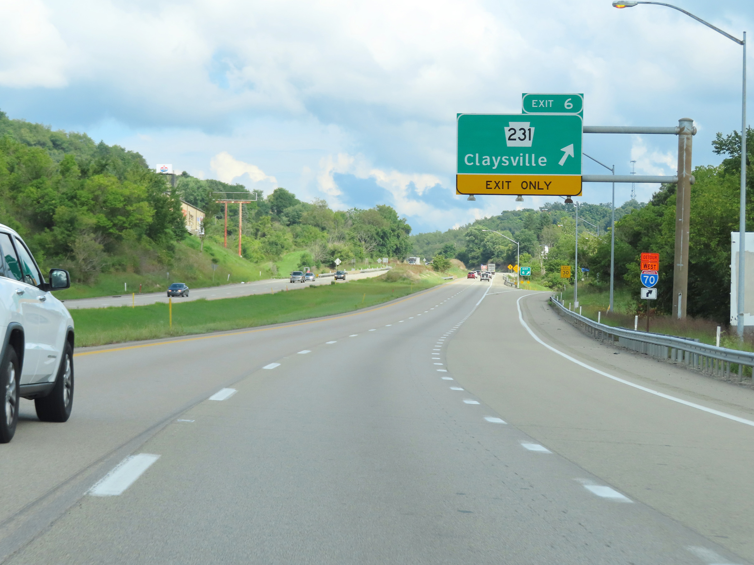 |
Interstate 70 East at Exit 6: PA 231 - Claysville (Photo taken 8/21/22). |
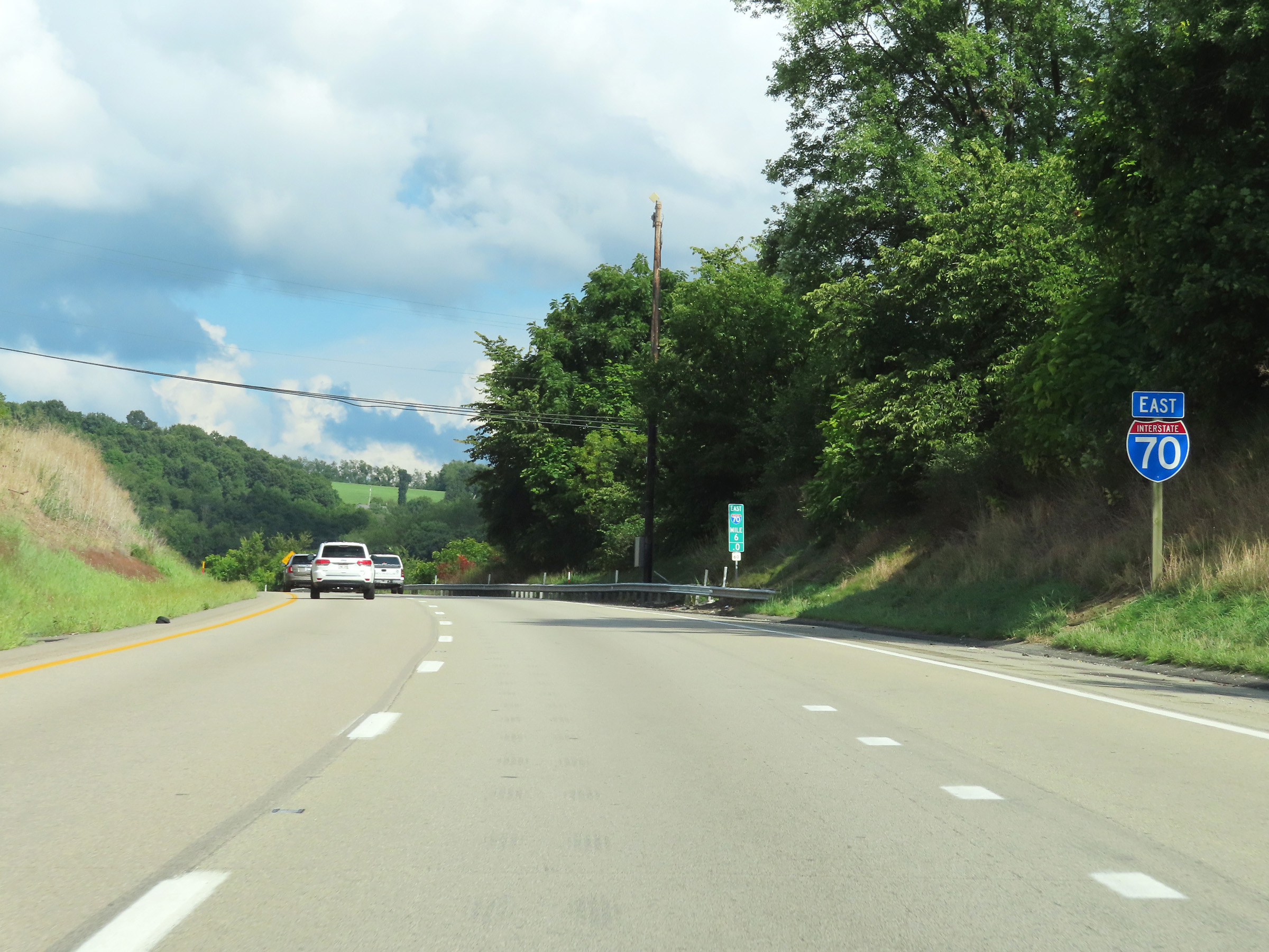 |
Interstate 70 East reassurance shield at mile marker 6. (Photo taken 8/21/22). |
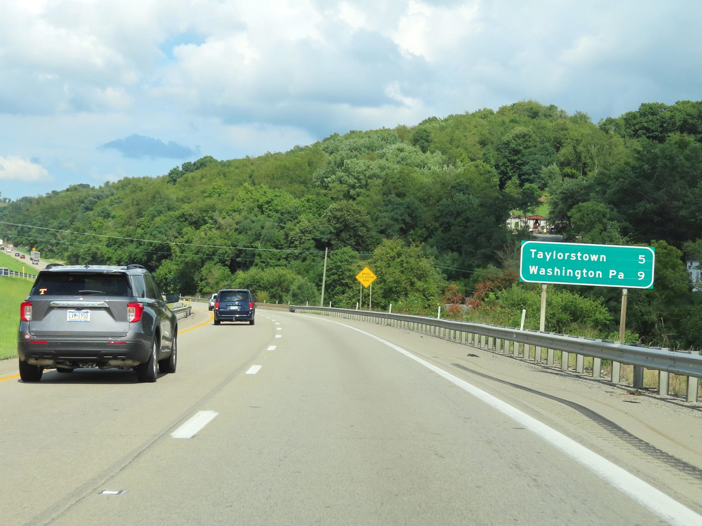 |
Mileage sign on Interstate 70 East. It's 5 miles to Taylorstown and 9 miles to Washington. (Photo taken 8/21/22). |
 |
View on Interstate 70 East at mile marker 7. (Photo taken 8/21/22). |
 |
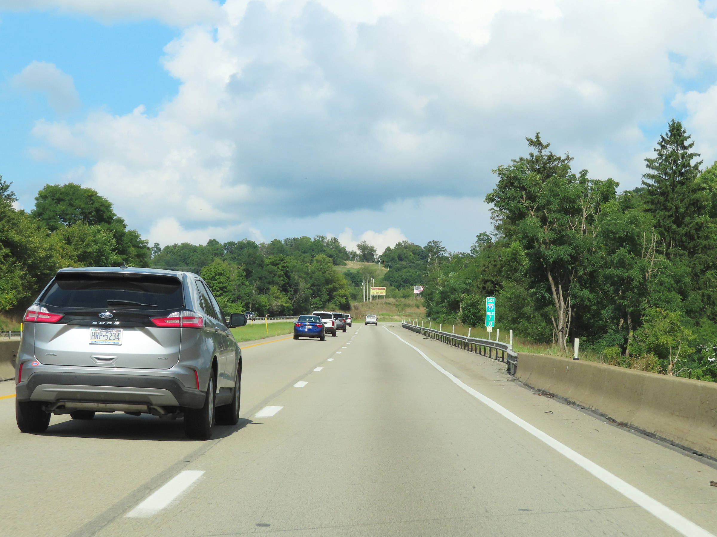
Mile marker 9 on Interstate 70 East in Washington County. (Photo taken 8/21/22). |
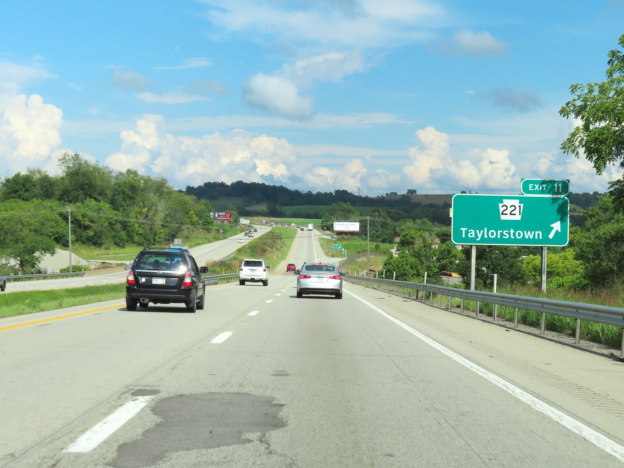 |
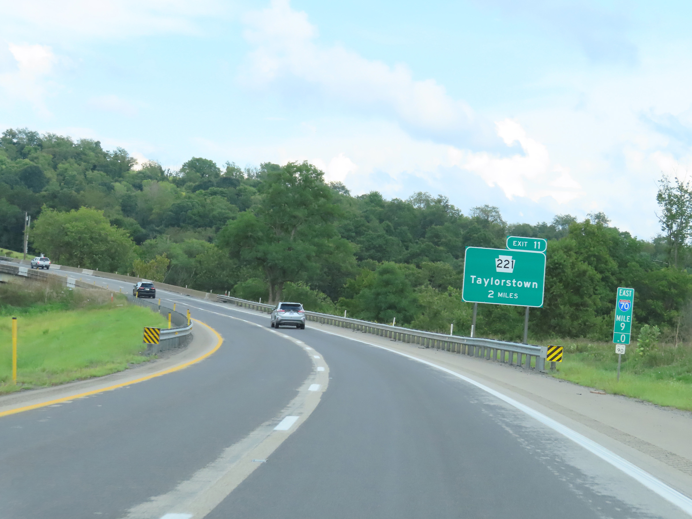
Interstate 70 East at Exit 11: PA 221 - Taylorstown (Photo taken 8/21/22). |
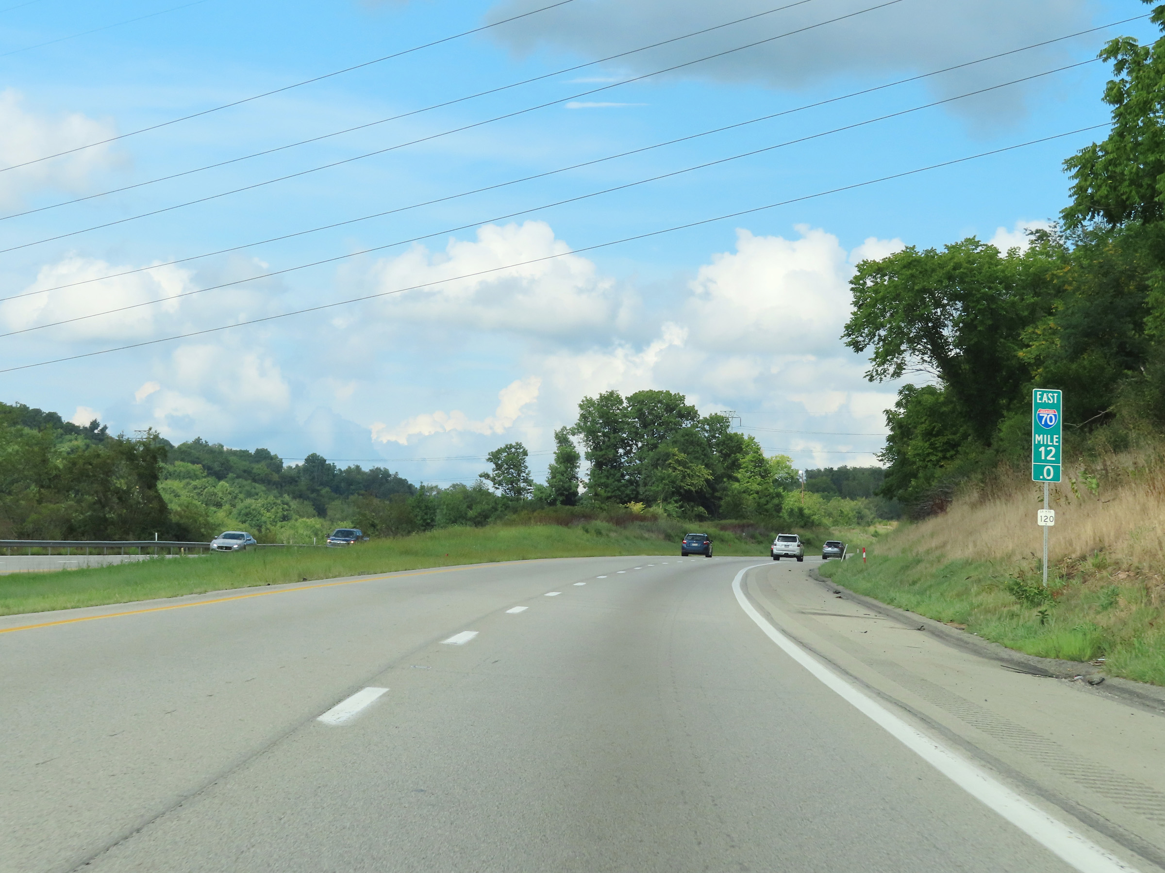 |
View on Interstate 70 East at mile marker 12. (Photo taken 8/21/22). |
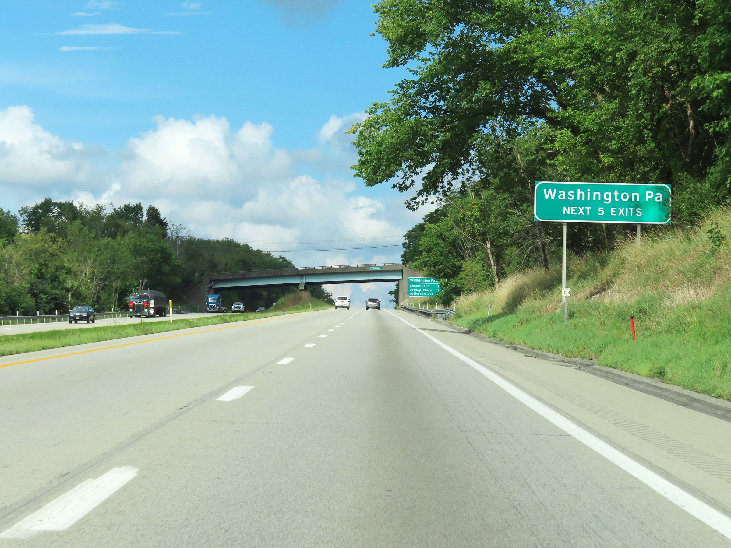 |
Take any of the next 5 exits to Washington. (Photo taken 8/21/22). |
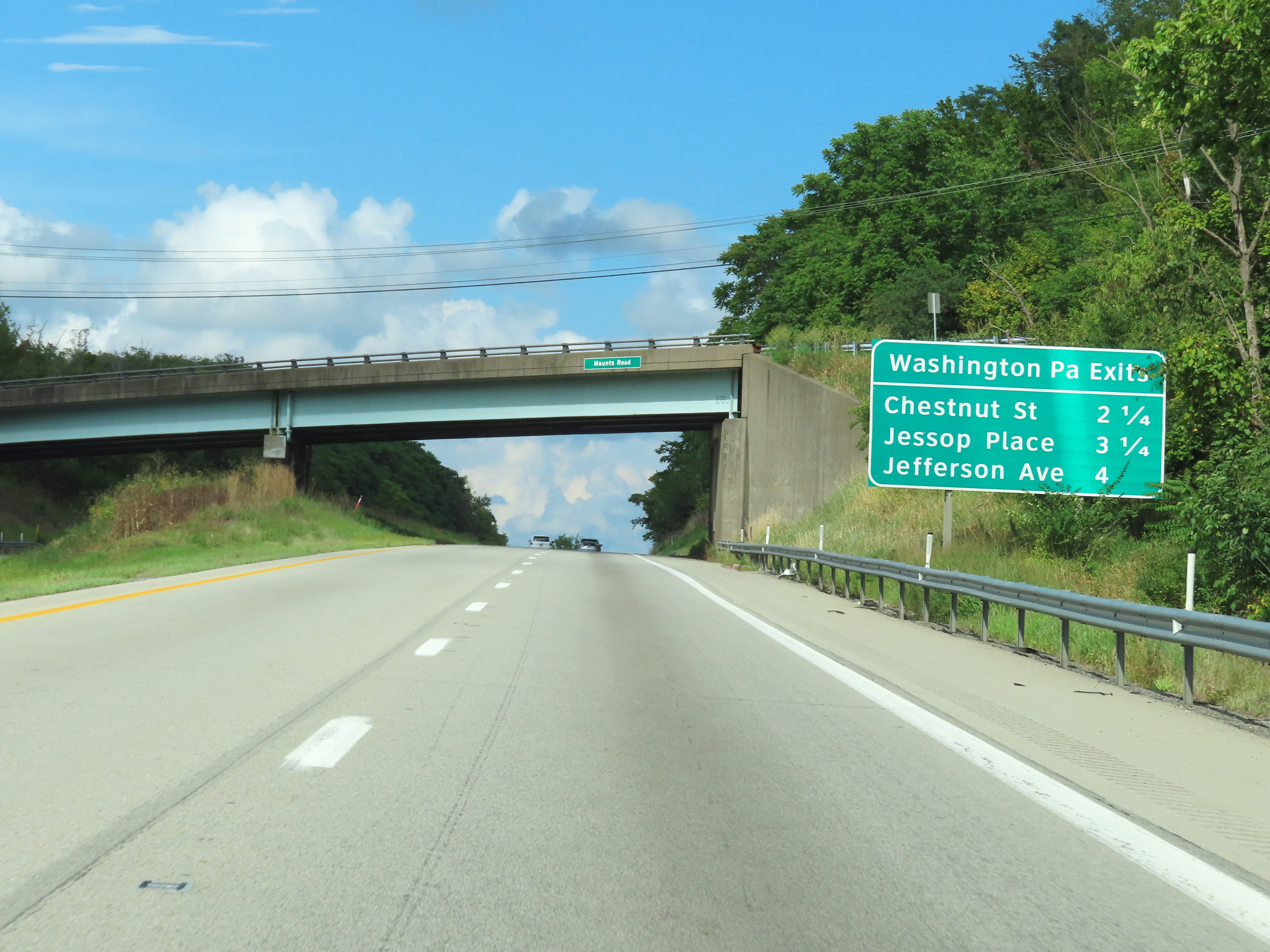 |
Mileage sign listing the distances to the three upcoming exits to Washington on Interstate 70 East. (Photo taken 8/21/22). |
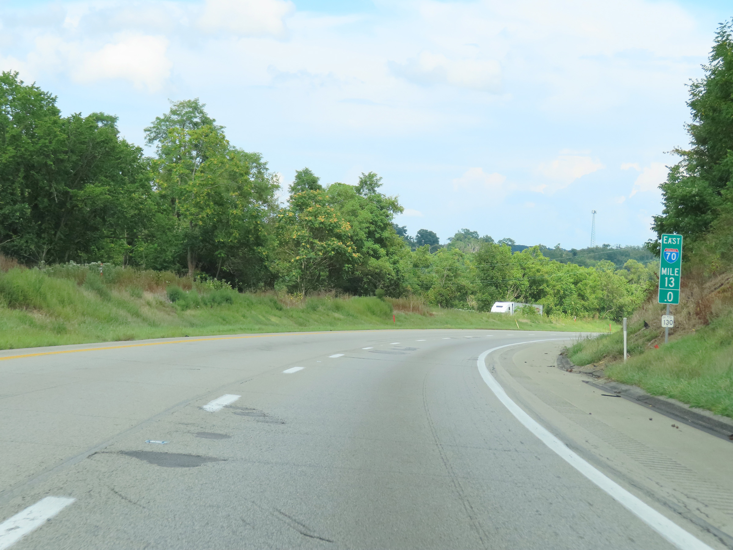 |
Interstate 70 East at mile marker 13. (Photo taken 8/21/22). |
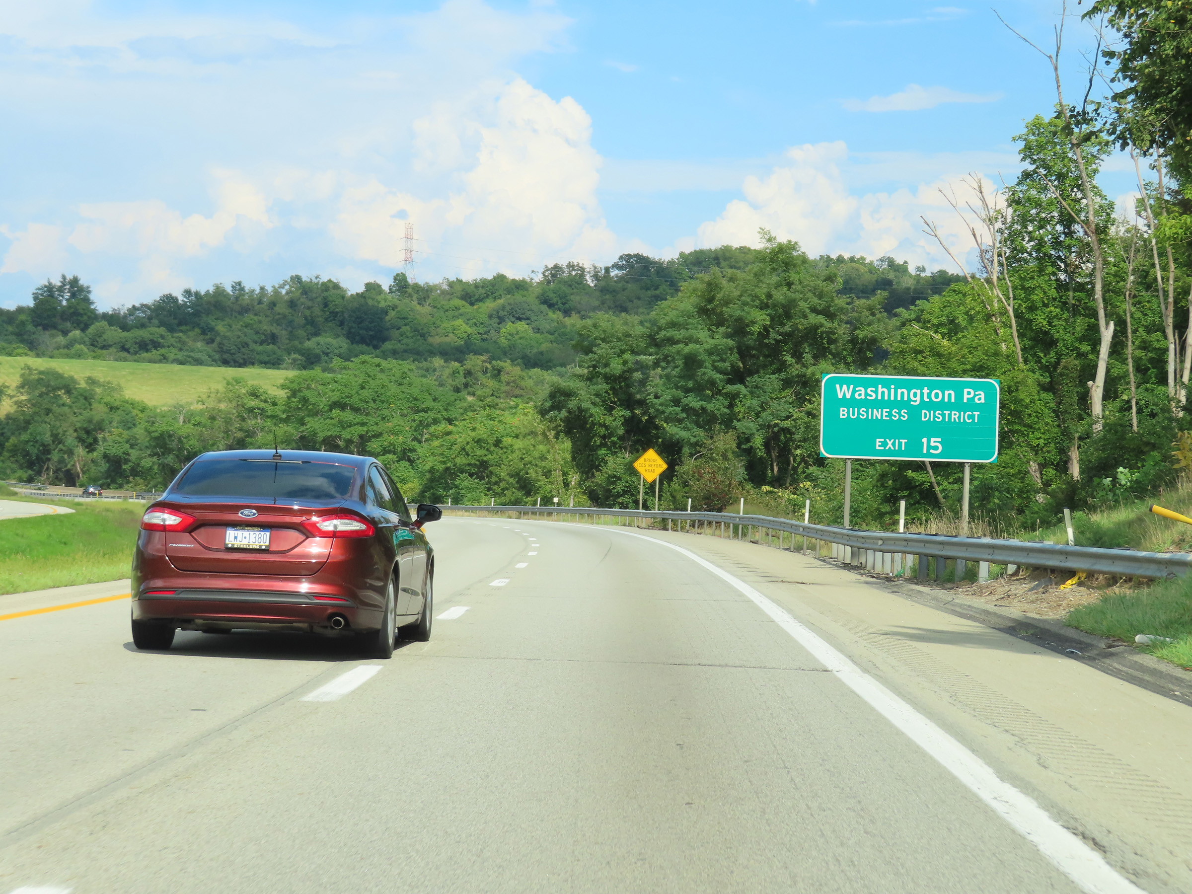 |
Take Exit 15 to the Washington Business District. (Photo taken 8/21/22). |
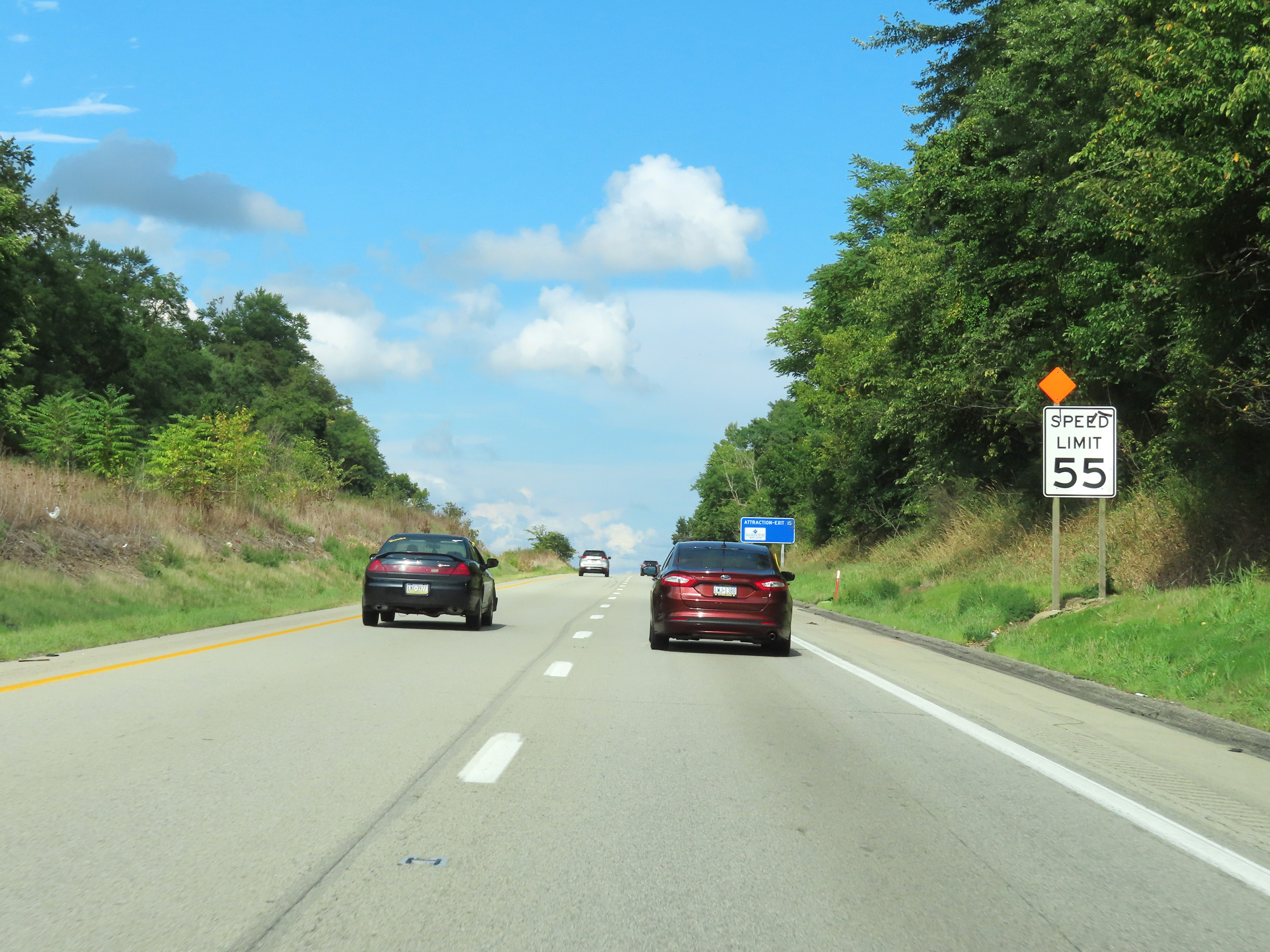 |
Approaching the Washington area, the speed limit on Interstate 70 East decreases to 55 mph. (Photo taken 8/21/22). |
 |
View on Interstate 70 East at mile marker 14. (Photo taken 8/21/22). |
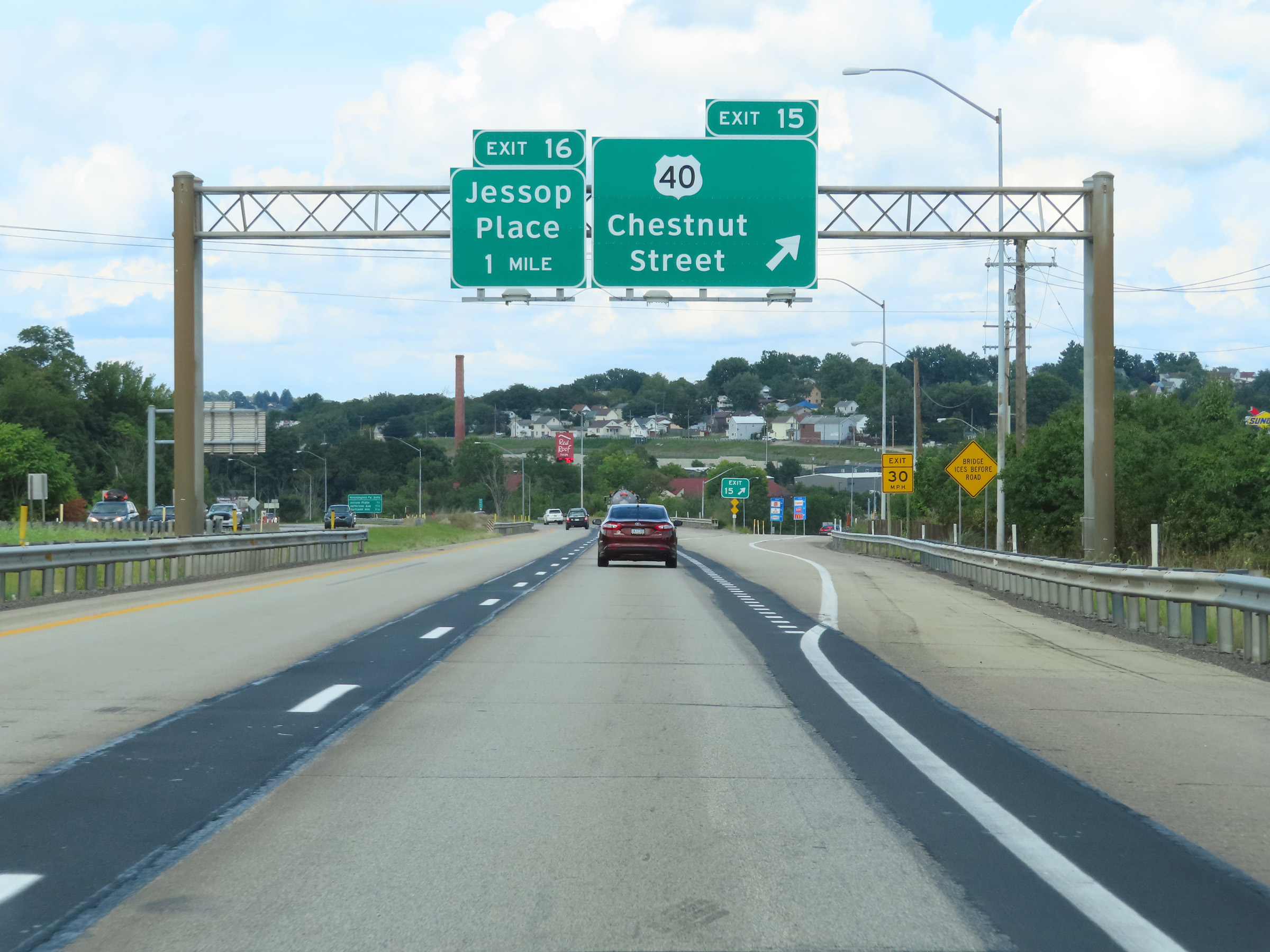 |
Interstate 70 East at Exit 15: US 40 - Chestnut Street (Photo taken 8/21/22). |
 |
Interstate 70 East at Exit 16: Jessop Place (Photo taken 8/21/22). |
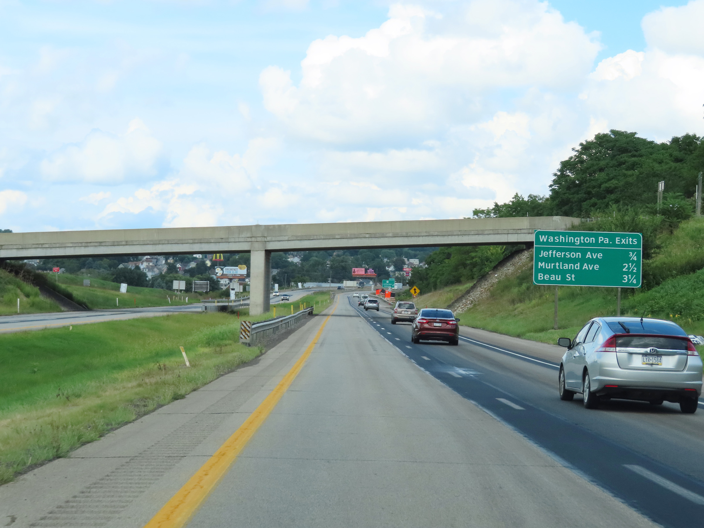 |
Another mileage sign listing the distances to the next three Washington exits on Interstate 70 East. (Photo taken 8/21/22). |
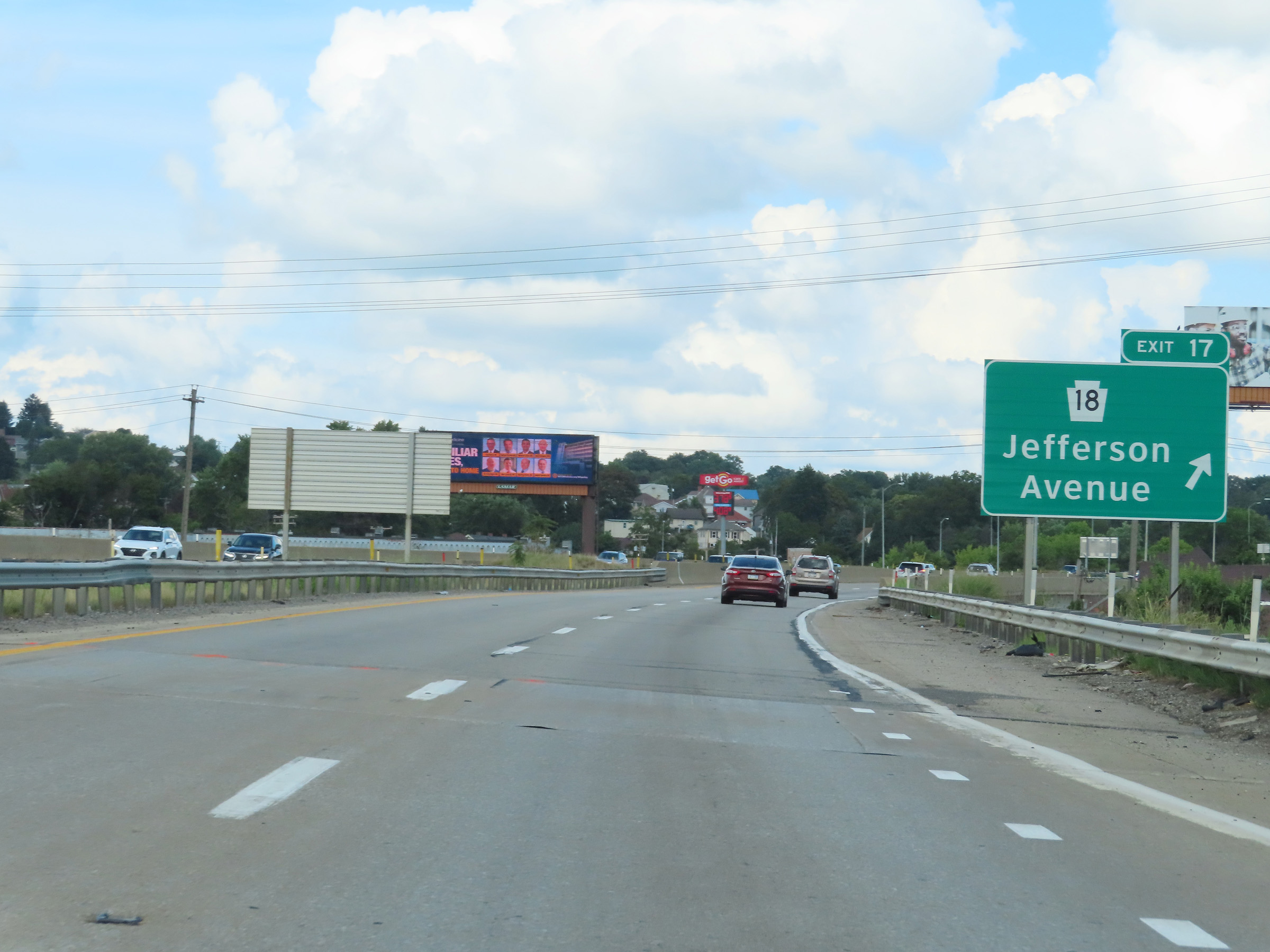 |
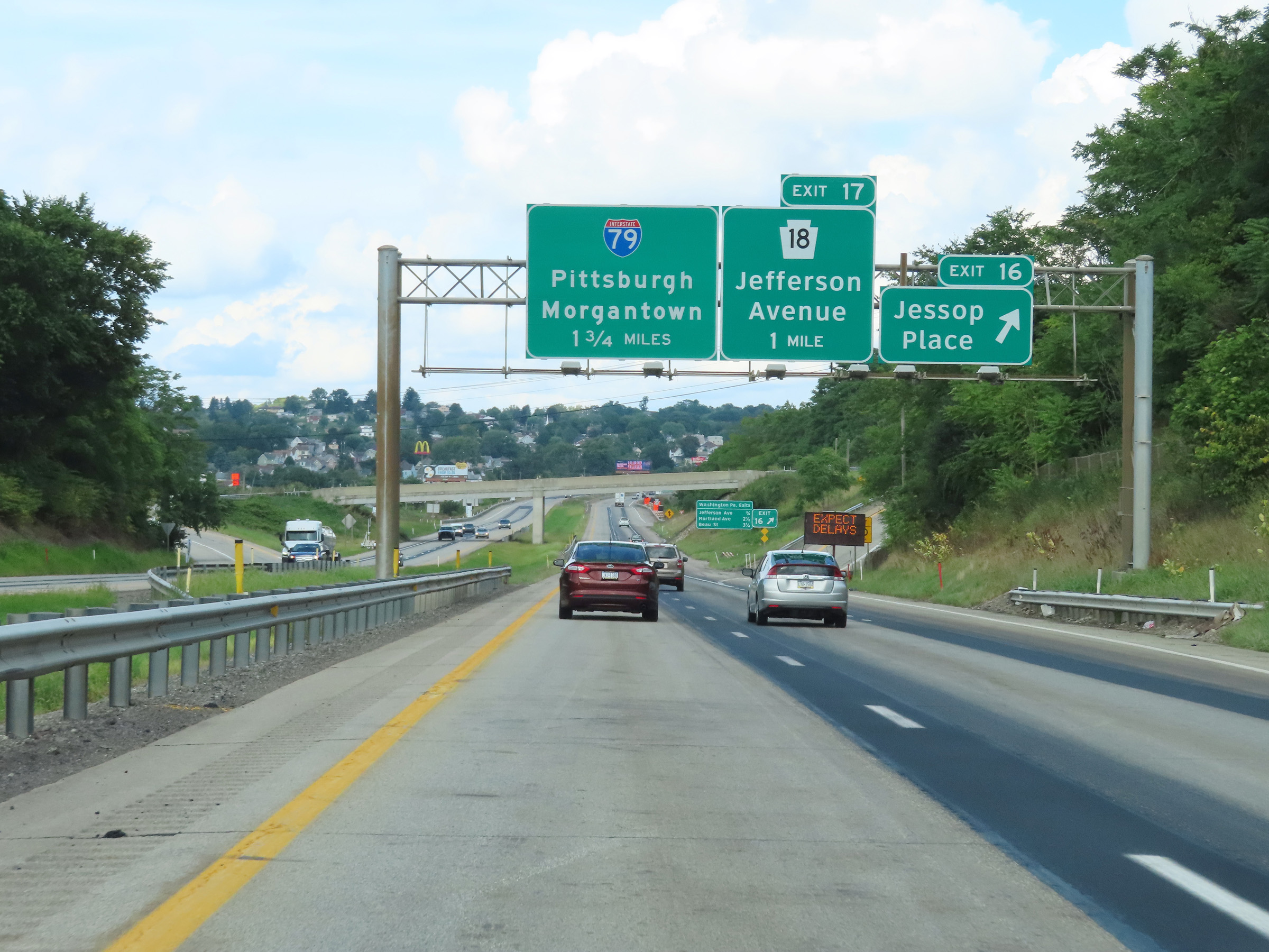
Interstate 70 East at Exit 17: PA 18 - Jefferson Avenue (Photo taken 8/21/22). |
 |
Interstate 70 East approaching Exit 18 - 1/2 mile. (Photo taken 8/21/22). |
 |
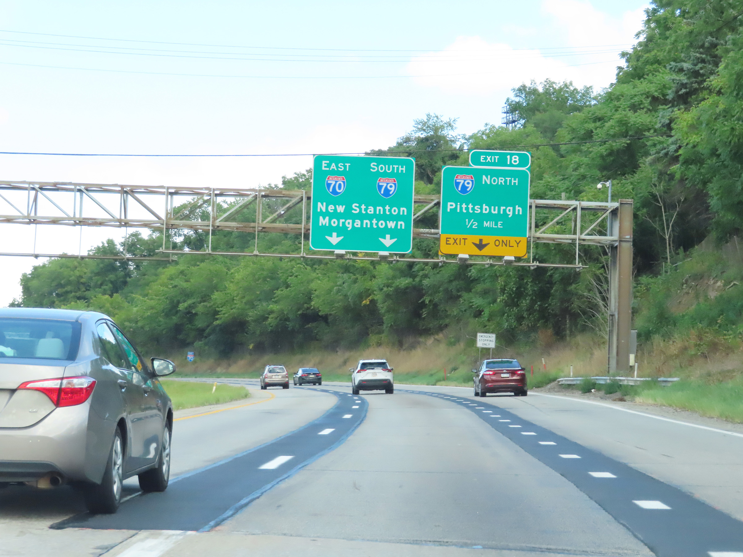
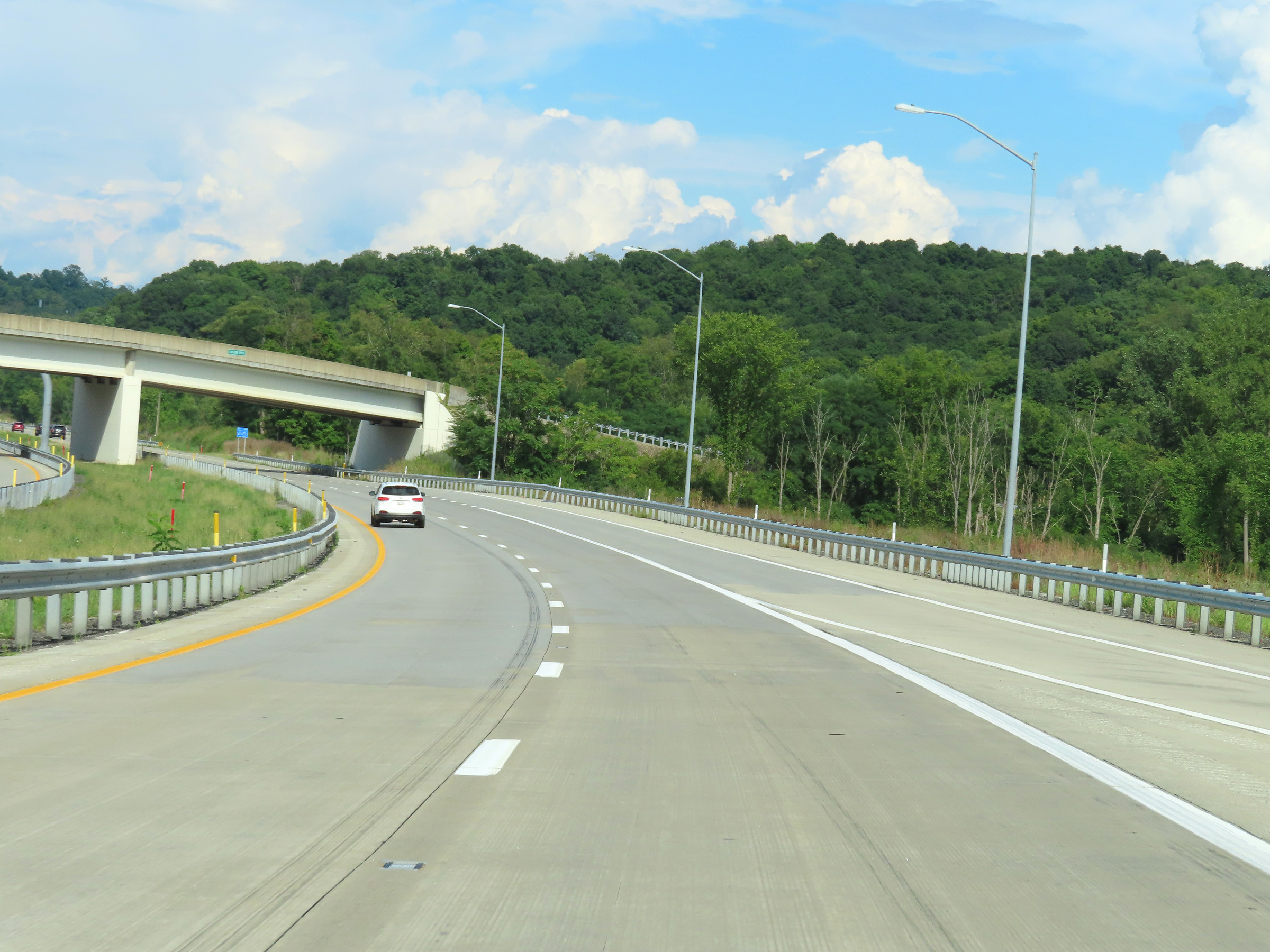
Interstate 70 East at Exit 18: Interstate 79 North - Pittsburgh (Photo taken 8/21/22). |
 |
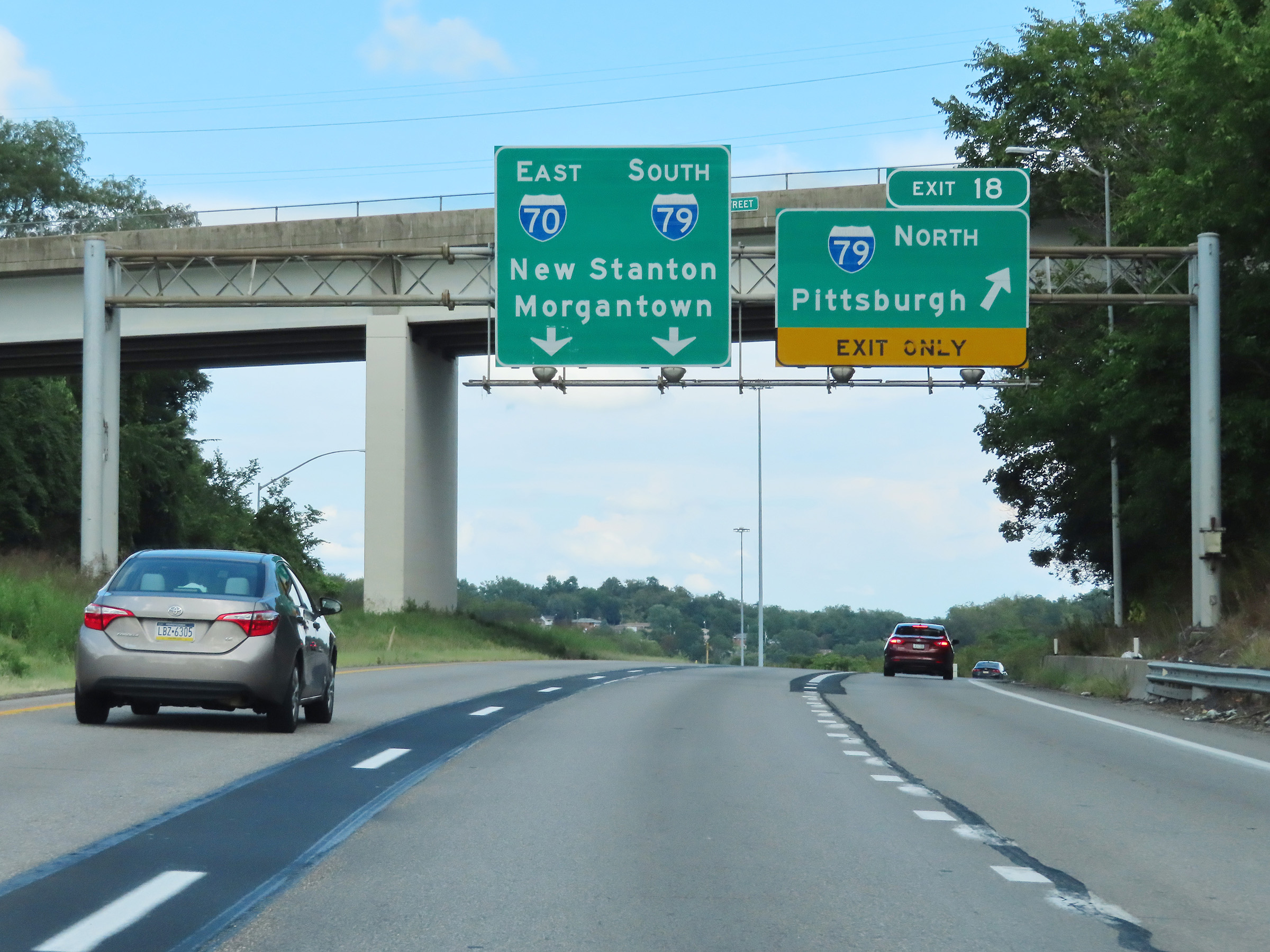
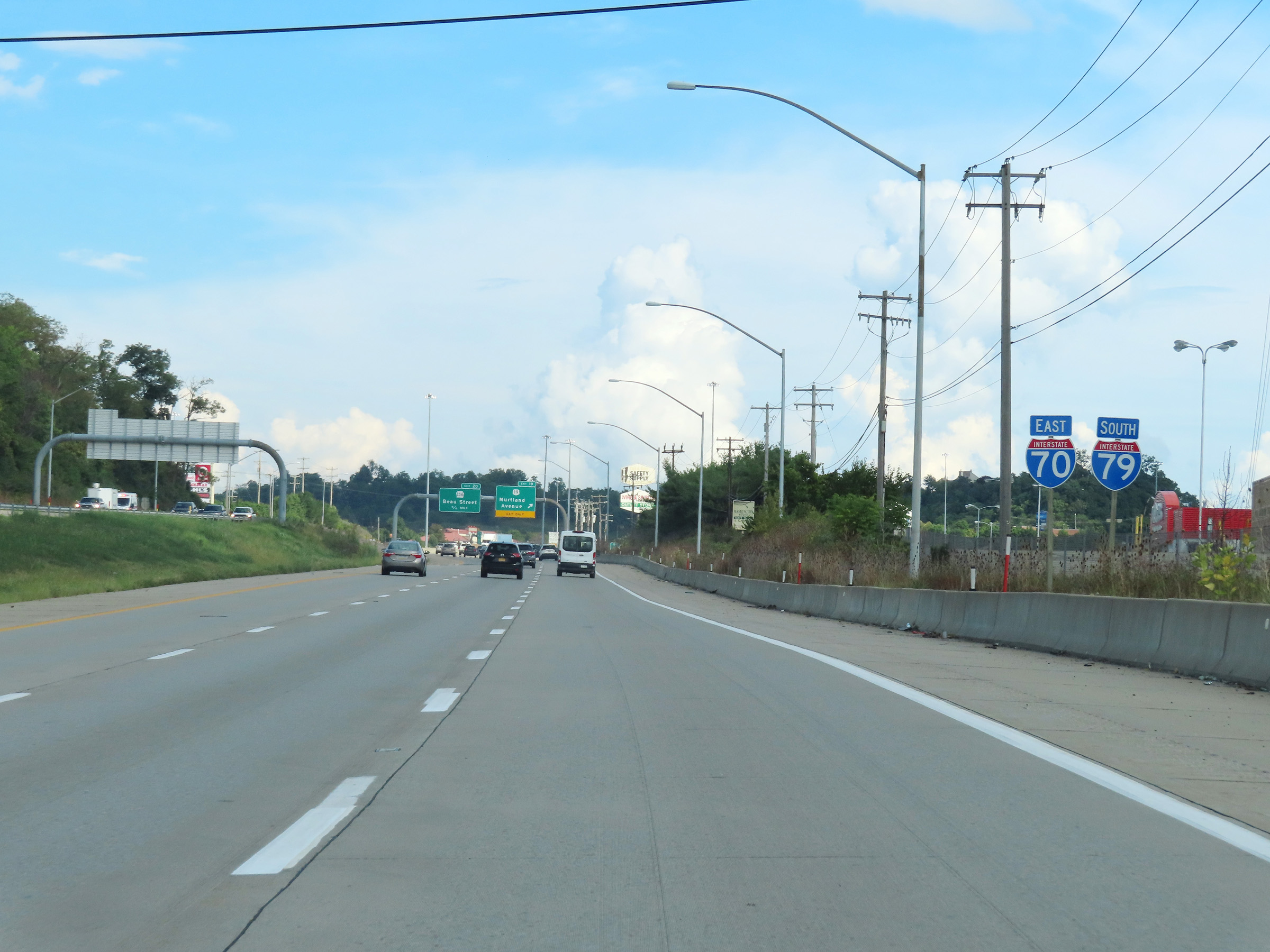
View on Interstate 70 East as it prepares to pass under the ramp from I-70 East to Interstate 79 North. I-70 East and I-79 South will run concurrently, starting about 1/4 mile ahead, for roughly 3 miles in Washington. This I-79 South reassurance shield is posted a bit prematurely. (Photo taken 8/21/22). |
 |
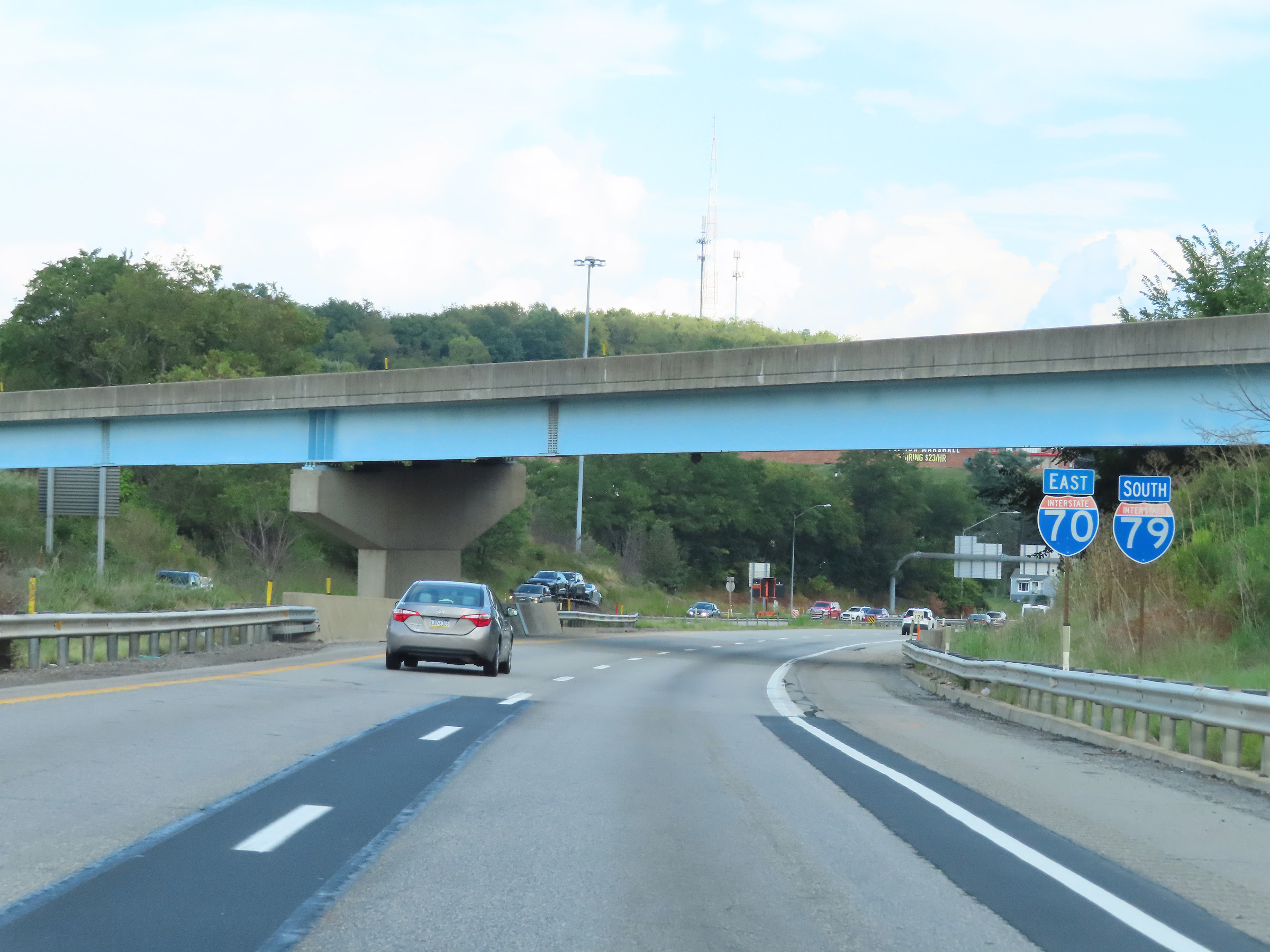
Here, we see the ramp from Interstate 79 South on the right as it merges into the eastbound lanes of Interstate 70 ahead. (Photo taken 8/21/22). |
 |
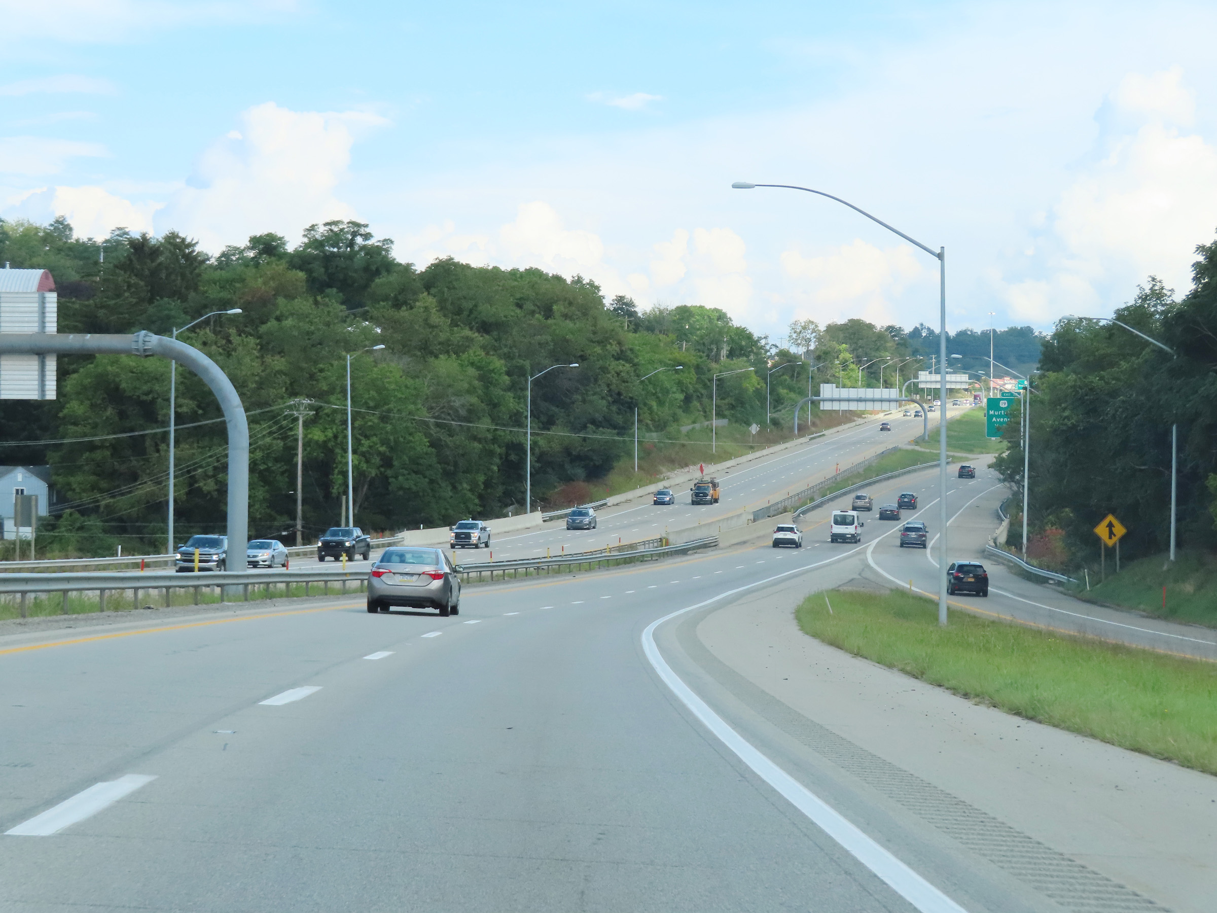
Advance signage for Exit 19 on Interstate 70 East / Interstate 79 South, as the duplex carries three thru lanes during its 3-mile stretch in Washington. During the I-70 / I-79 concurrency, the mileage and exit numbers are based on the total mileage of I-70 in Pennsylvania. (Photo taken 8/21/22). |
 |
Interstate 70 East / Interstate 79 South reassurance shields approaching Exit 19. (Photo taken 8/21/22). |
 |
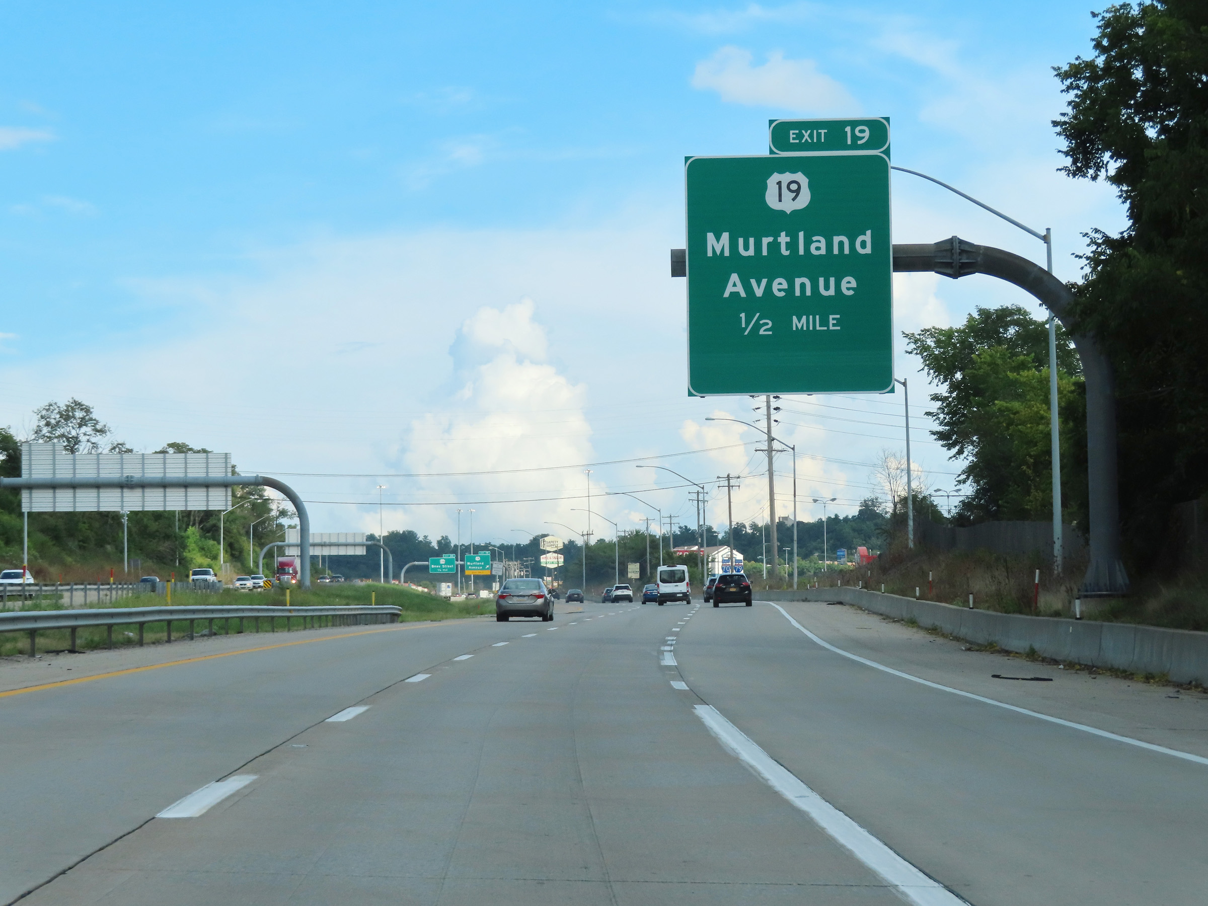
Interstate 70 East / Interstate 79 South at Exit 19: US 19 - Murtland Avenue (Photo taken 8/21/22). |
 |
Take Exit 20 to Washington and Jefferson College. (Photo taken 8/21/22). |
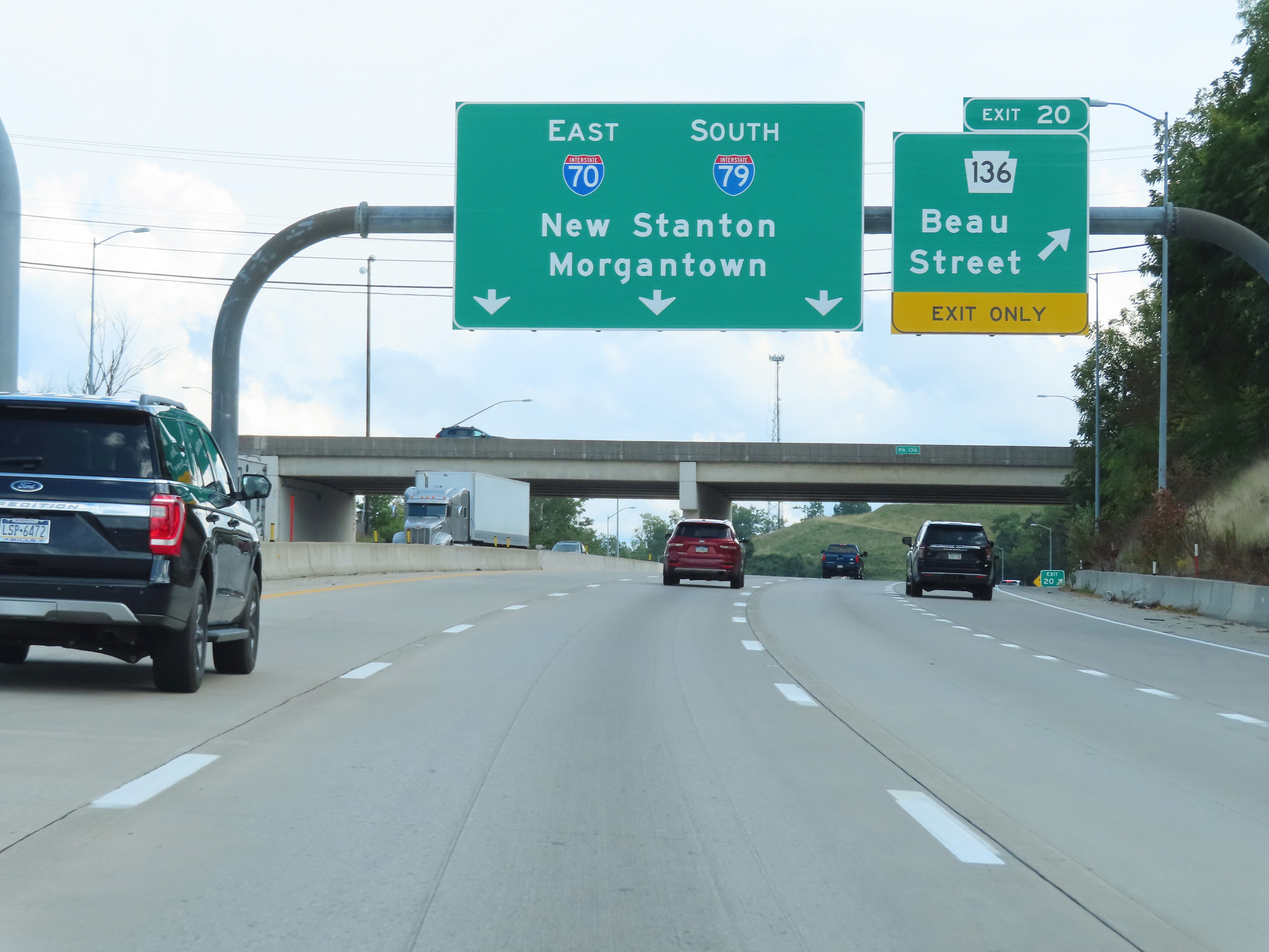 |
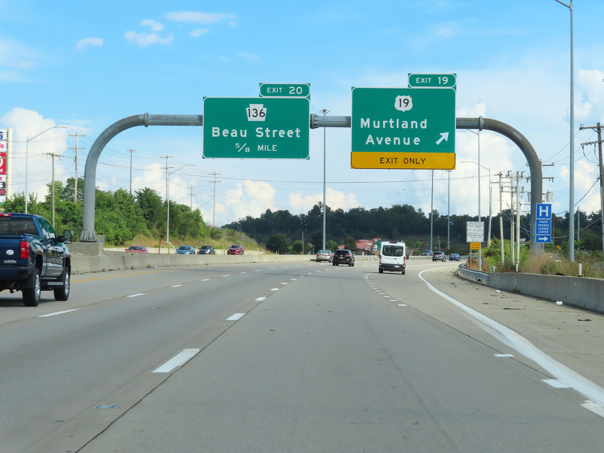
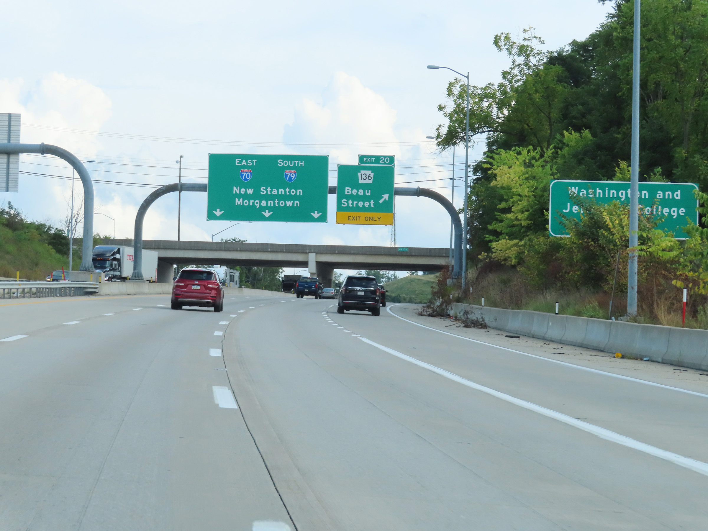
Interstate 70 East at Exit 20: PA 136 - Beau Street (Photo taken 8/21/22). |
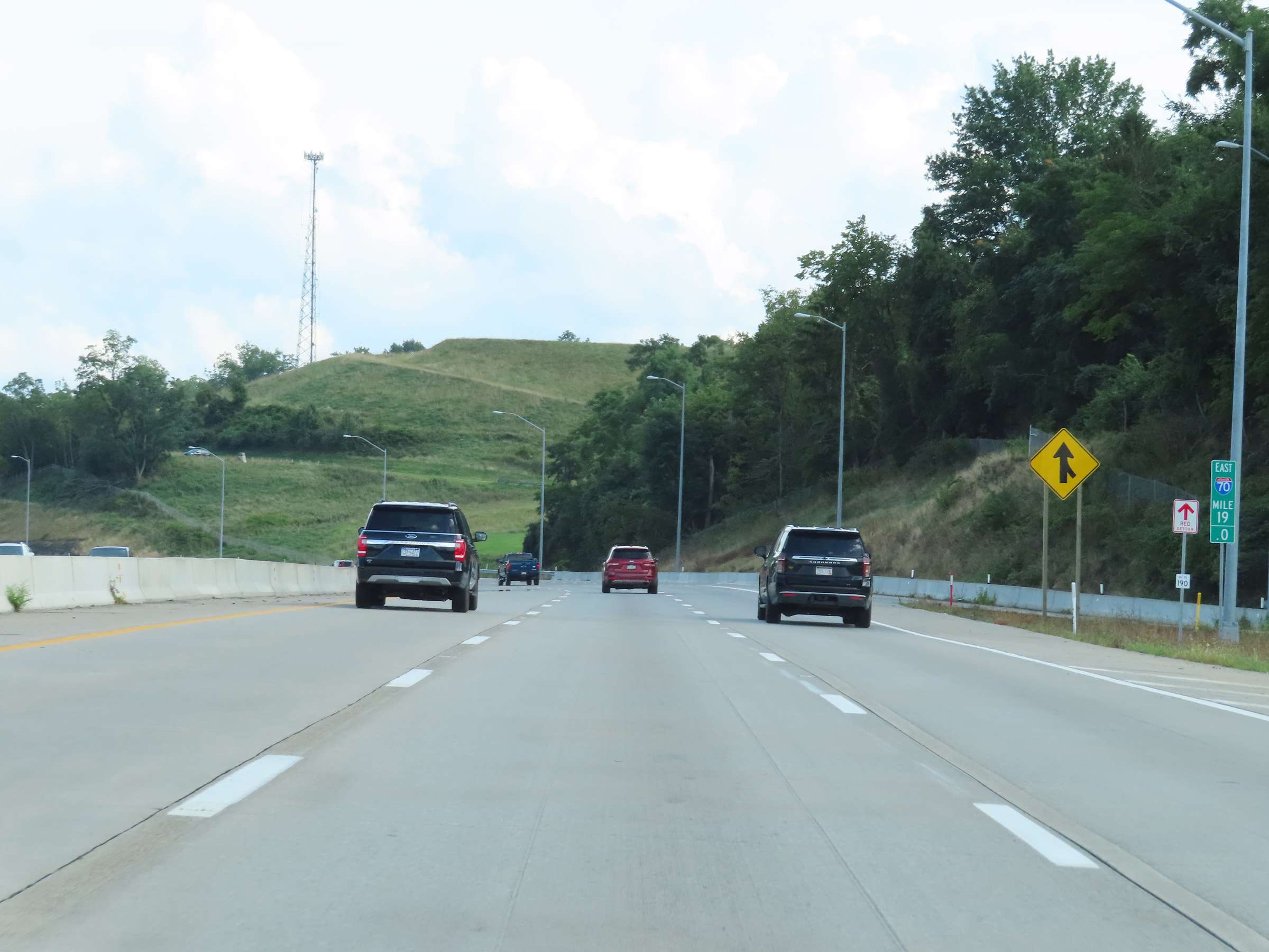 |
View on Interstate 70 East / Interstate 79 South at mile marker 19. (Photo taken 8/21/22). |
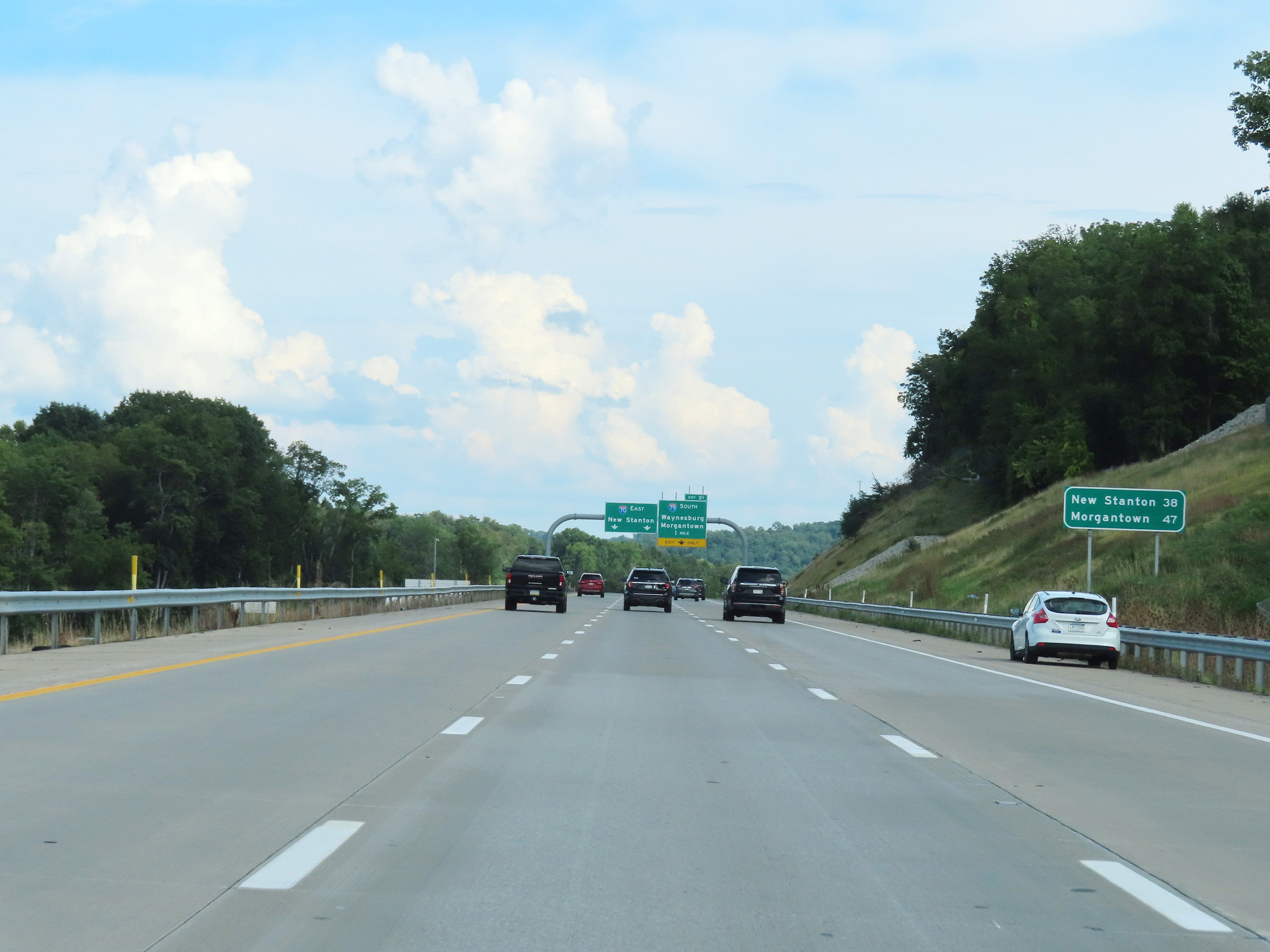 |
Mileage sign on Interstate 70 East / Interstate 79 South. It's 38 miles to New Stanton (via I-70 East) and 47 miles to Morgantown (via I-79 South). (Photo taken 8/21/22). |
 |
Interstate 70 East / Interstate 79 South approaching Exit 21 - 1 mile. The right lane will be an Exit Only lane for traffic looking to stay on I-79 South. (Photo taken 8/21/22). |
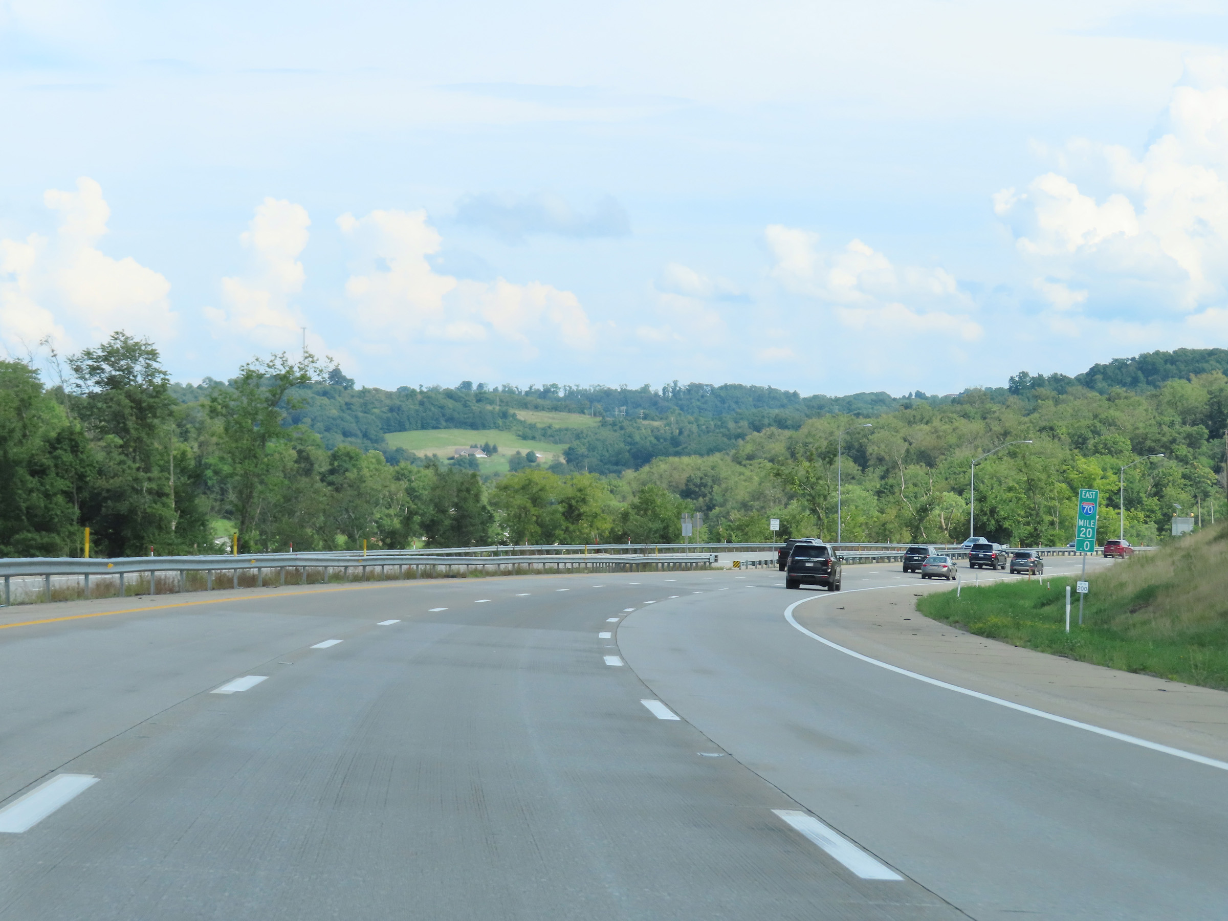 |
View on Interstate 70 East / Interstate 79 South at mile marker 20. (Photo taken 8/21/22). |
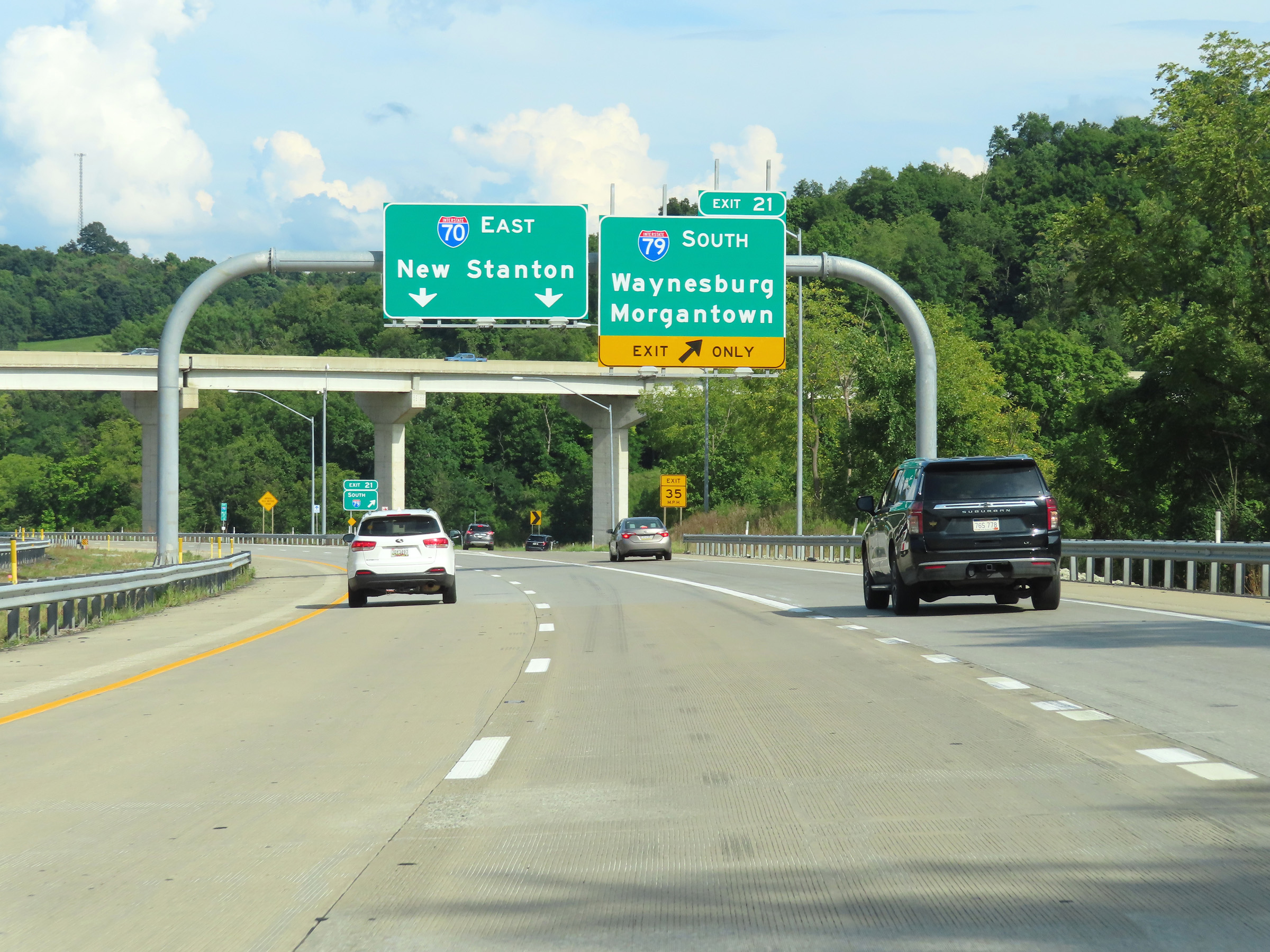 |
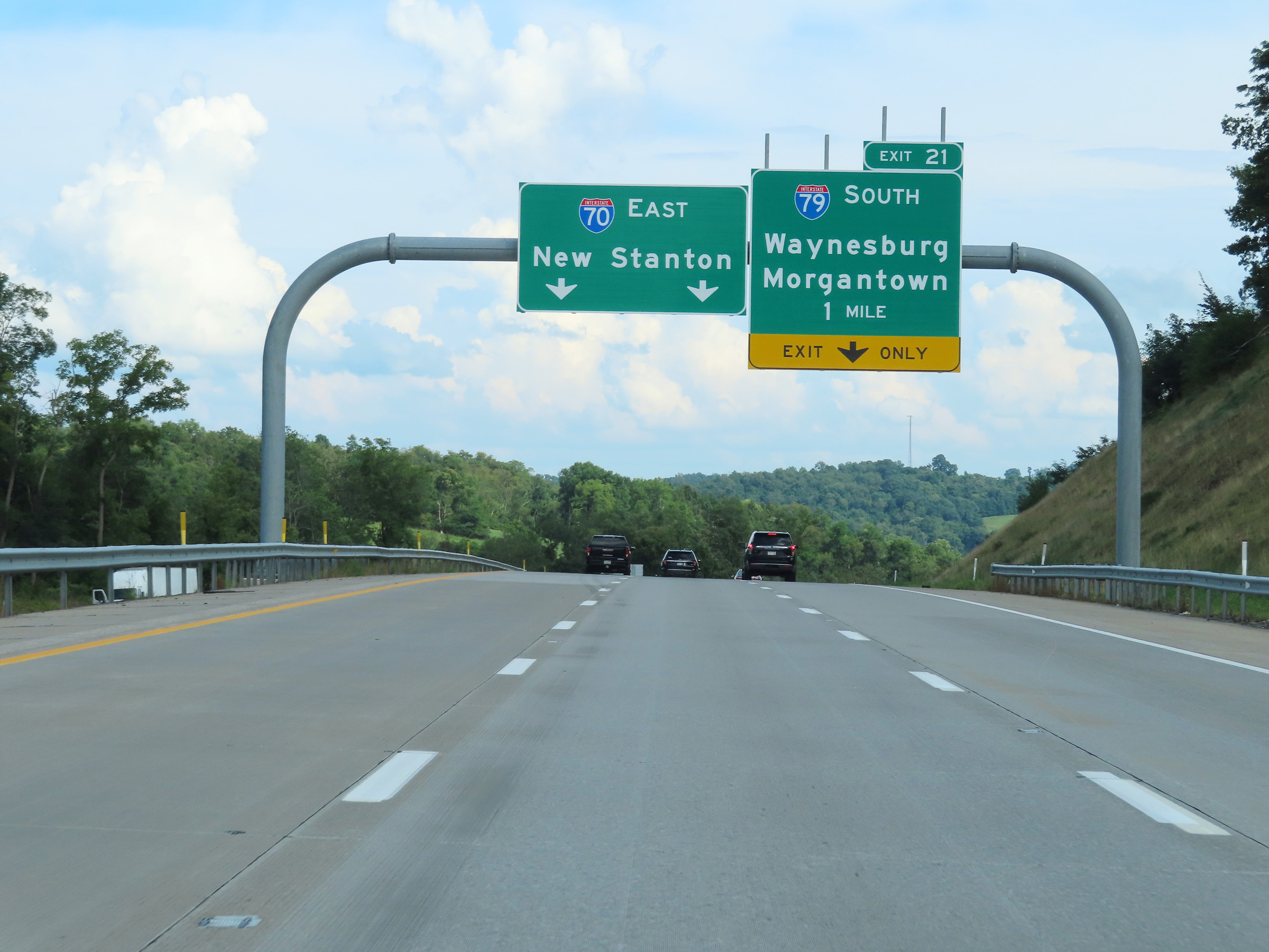
Interstate 70 East / Interstate 79 South at Exit 21: Interstate 79 South - Waynesburg / Morgantown (Photo taken 8/21/22). |
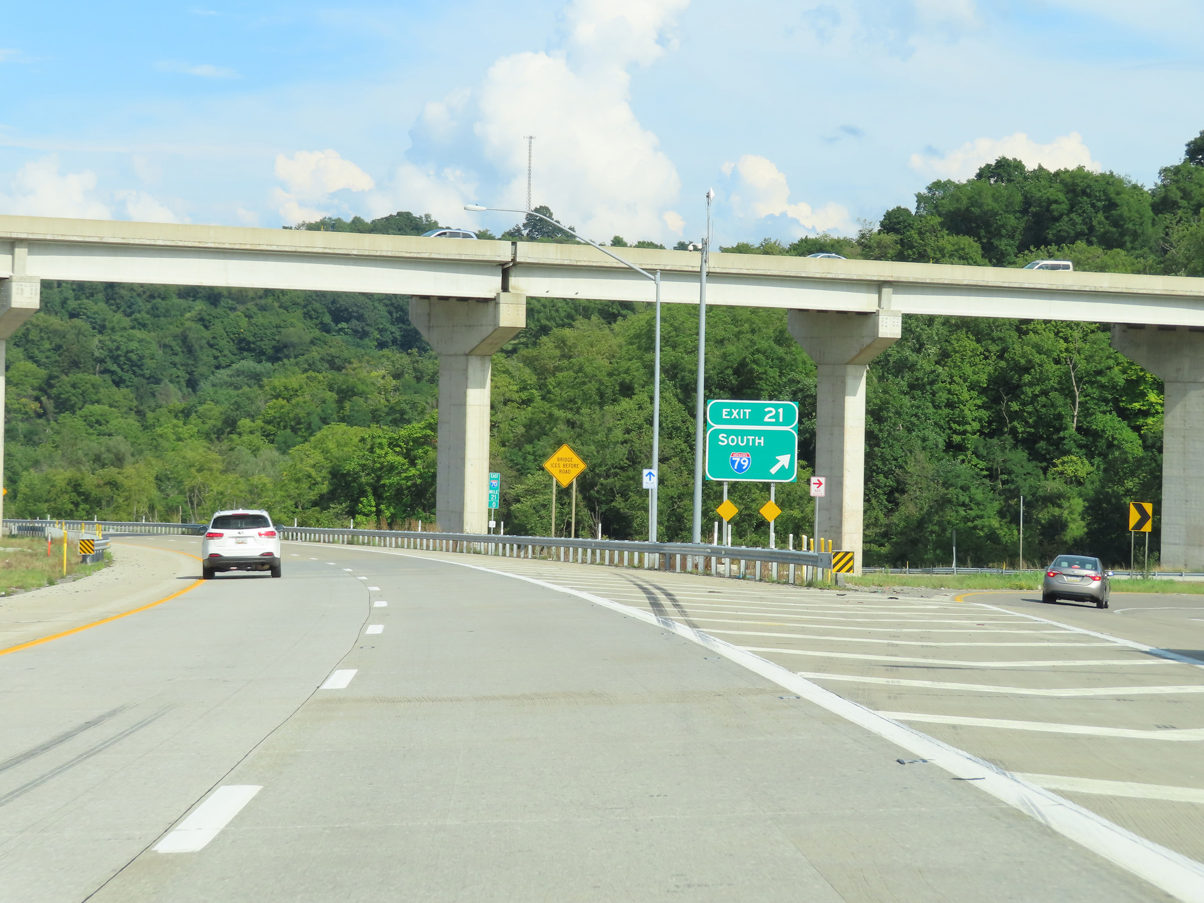 |
A closer view of the ramp for Exit 21 as Interstate 79 South departs Interstate 70 East. (Photo taken 8/21/22). |
 |
Here, we see the ramp from Interstate 79 North merging into the two remaining thru lanes of Interstate 70 East from the right. (Photo taken 8/21/22). |
 |
Standalone Interstate 70 East reassurance shield just after the departure of Interstate 79 South. (Photo taken 8/21/22). |
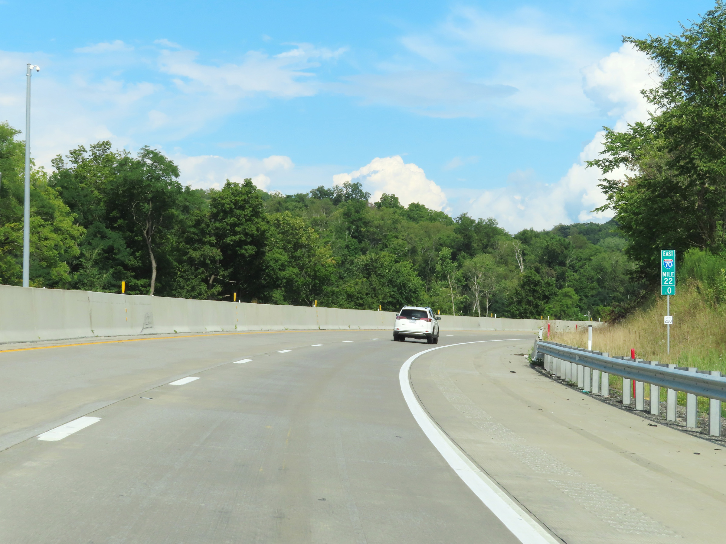 |
Mile marker 22 on Interstate 70 East in Washington County. (Photo taken 8/21/22). |
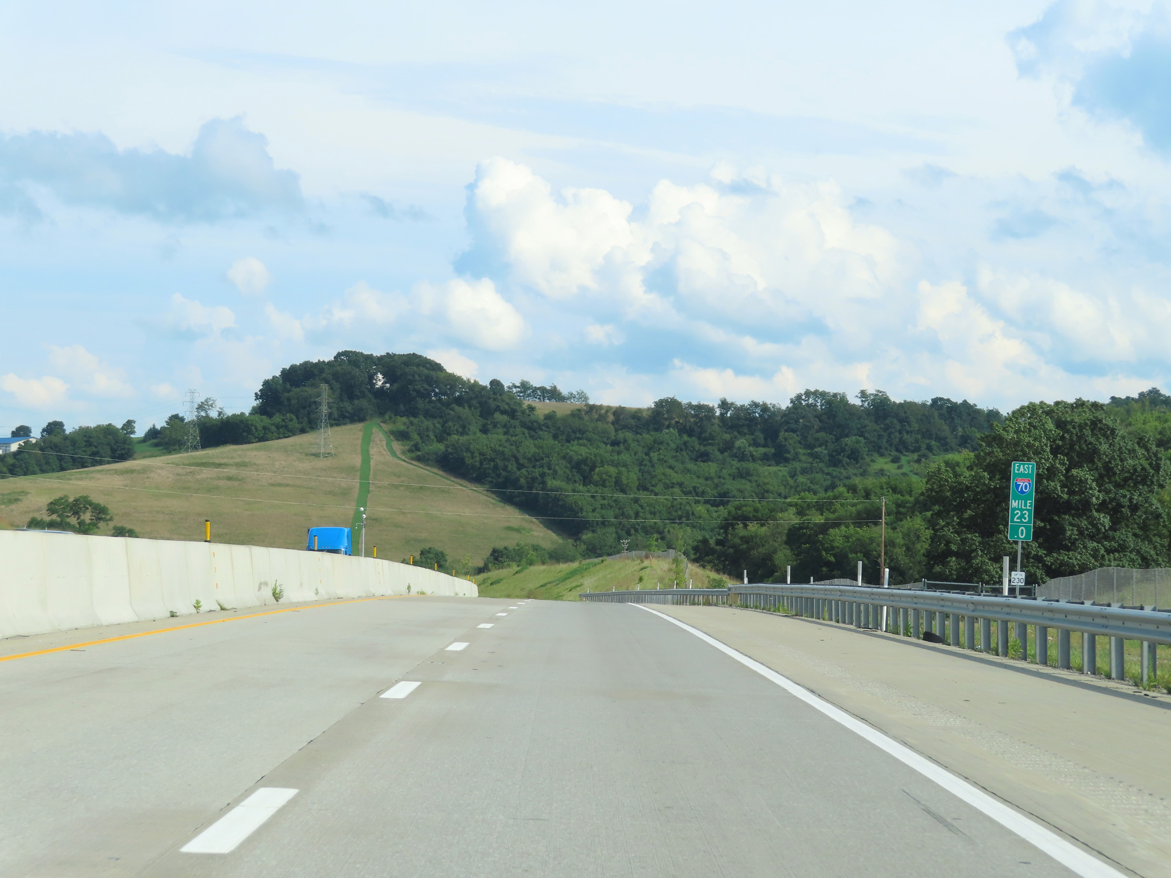 |
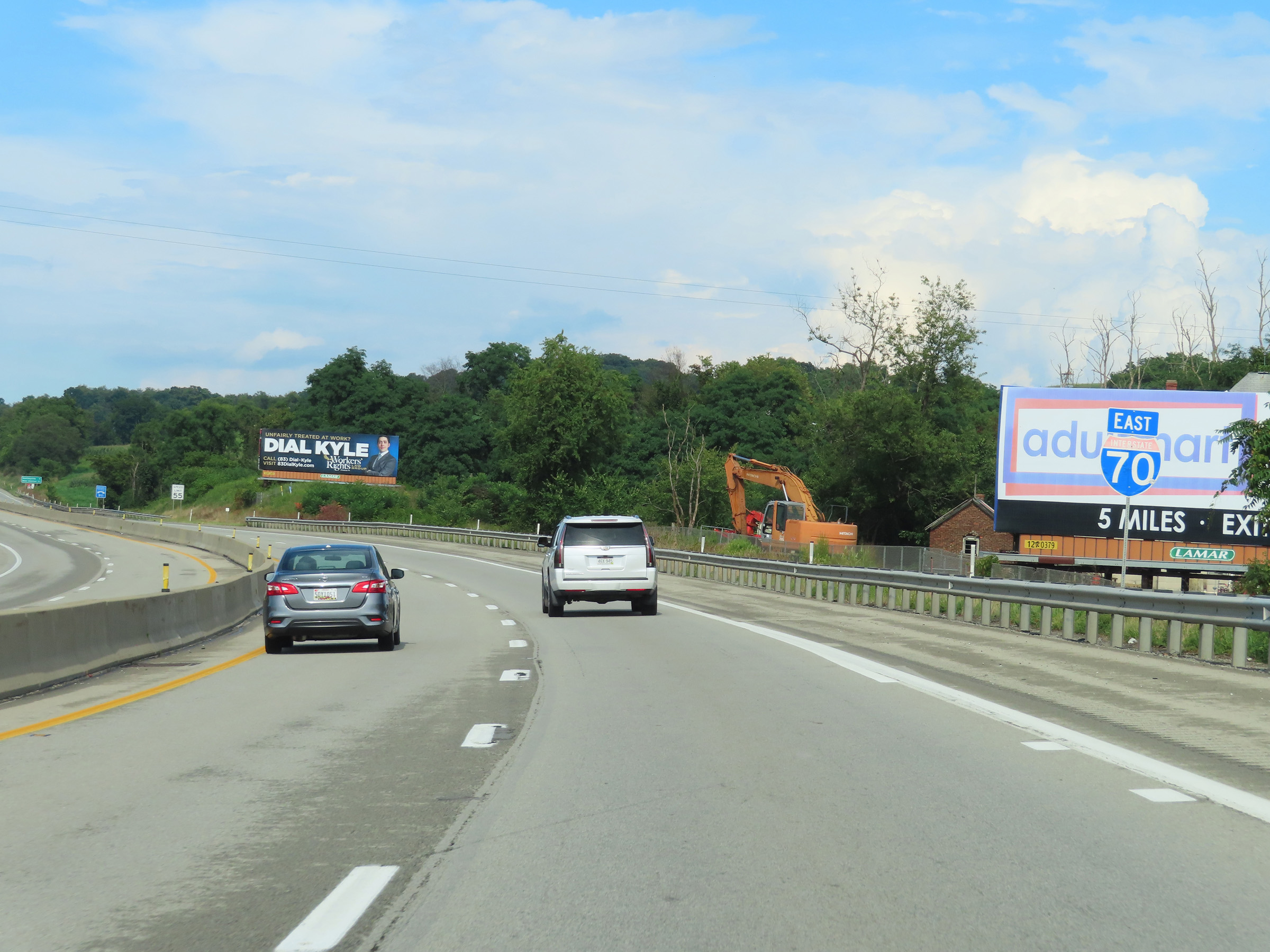
View on Interstate 70 East at mile marker 23. (Photo taken 8/21/22). |
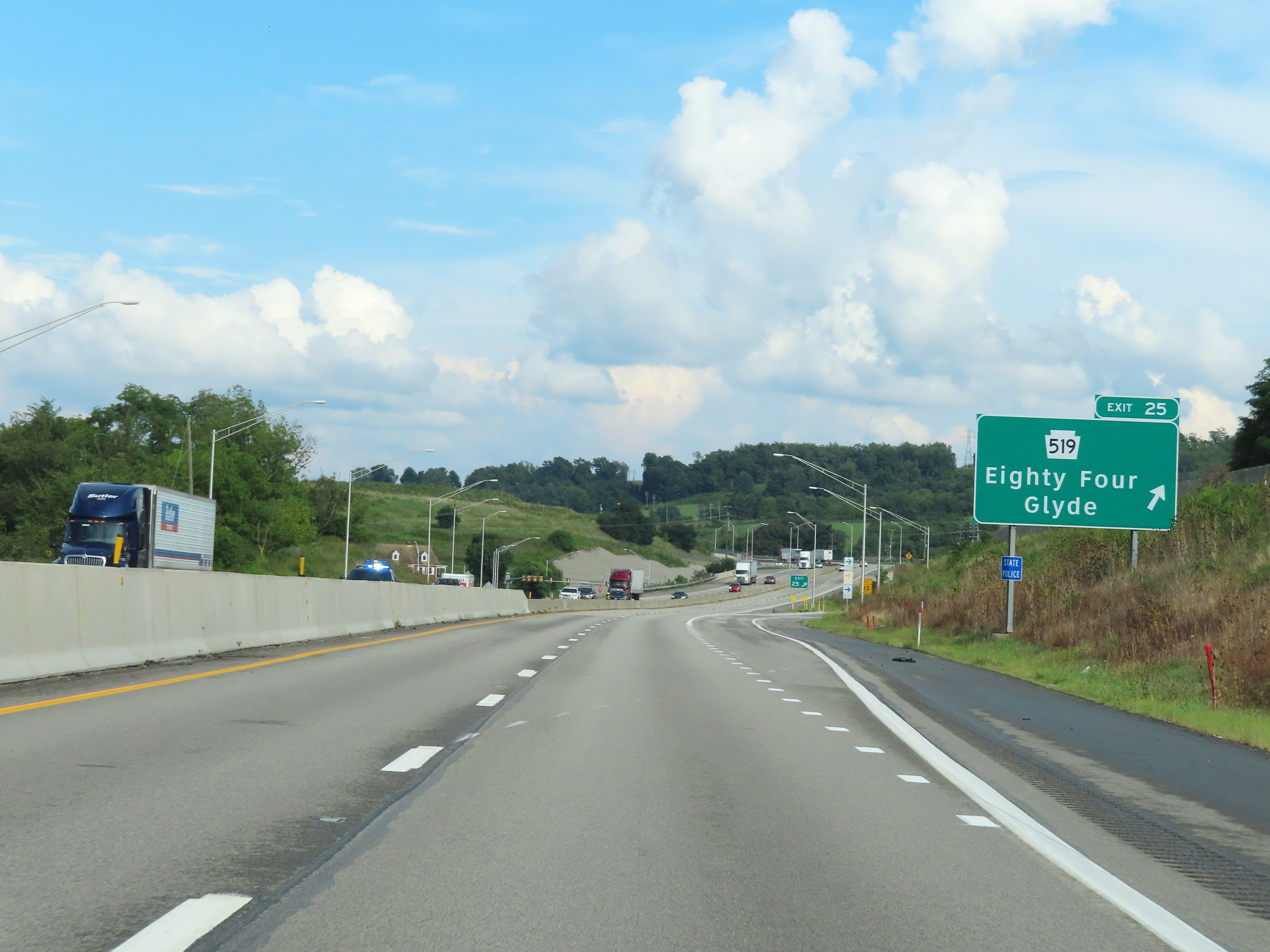 |
Interstate 70 East at Exit 25: PA 519 - Eighty Four / Glyde (Photo taken 8/21/22). |
 |
Another Interstate 70 East reassurance shield. (Photo taken 8/21/22). |
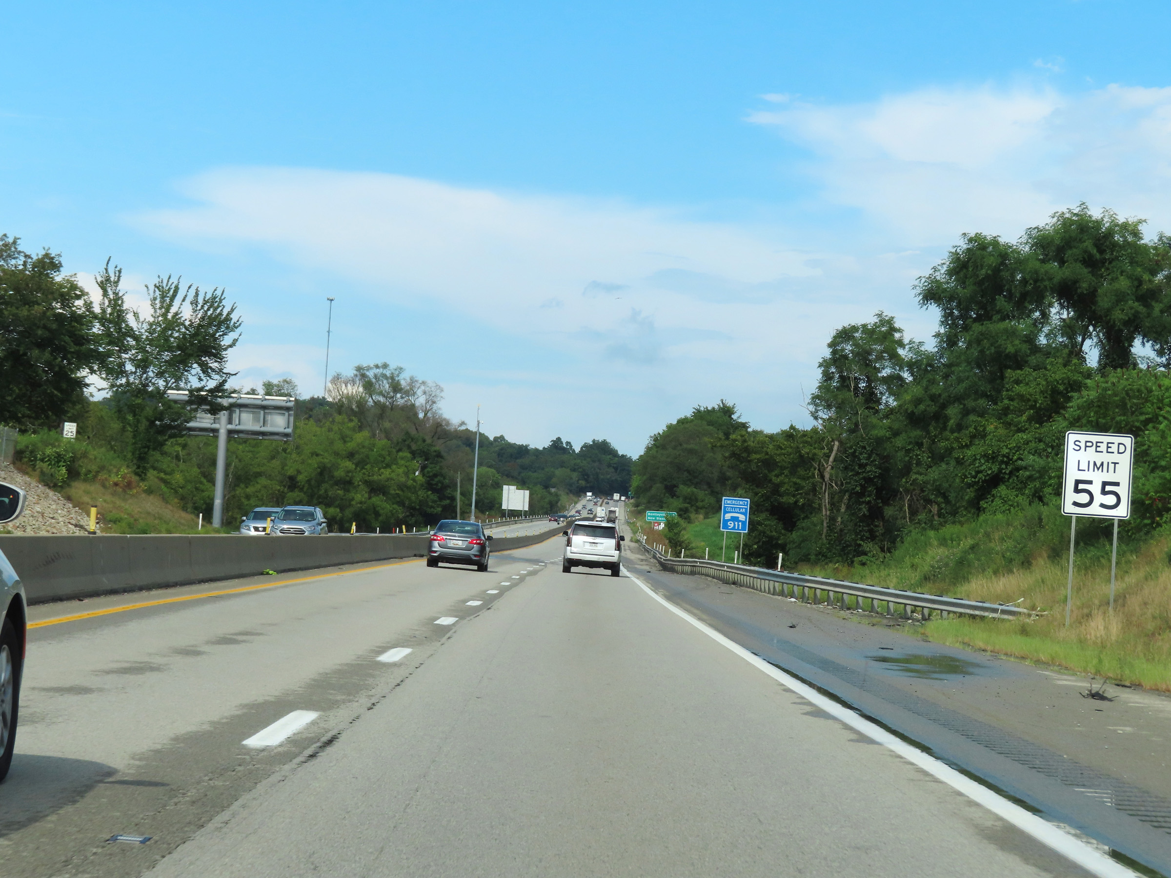 |
The speed limit remains 55 mph on Interstate 70 East. (Photo taken 8/21/22). |
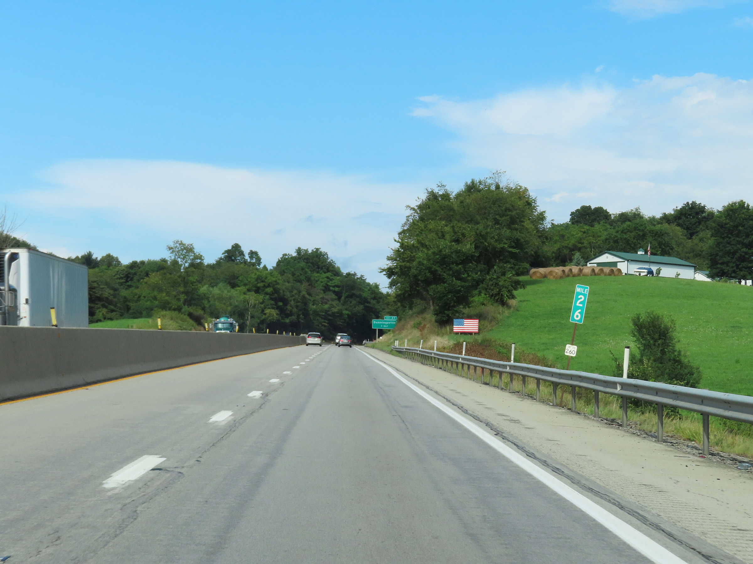 |
View on Interstate 70 East at mile marker 26. (Photo taken 8/21/22). |
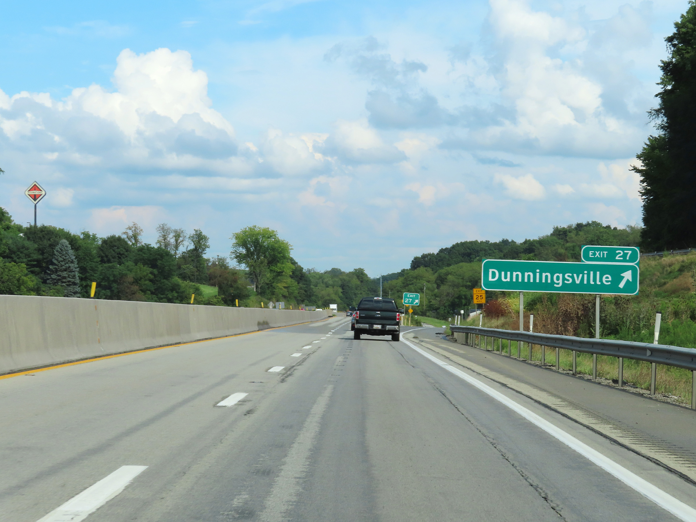 |
Interstate 70 East at Exit 27: Dunningsville (Photo taken 8/21/22). |
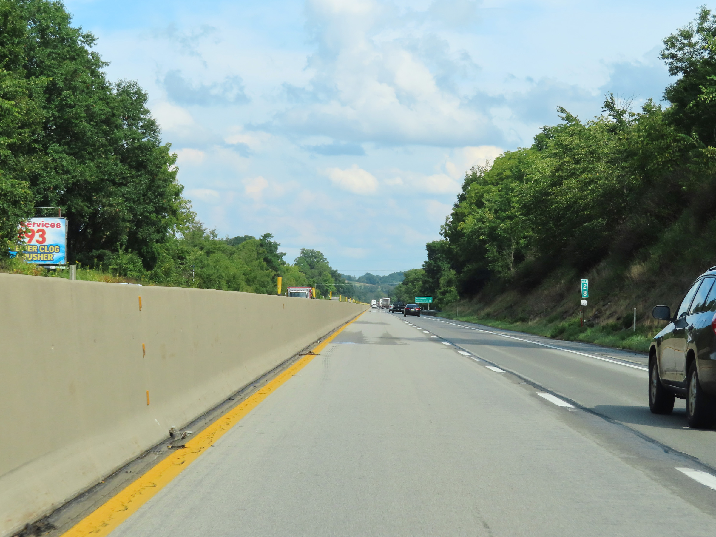 |
Mile marker 28 on Interstate 70 East in Washington County. (Photo taken 8/21/22). |
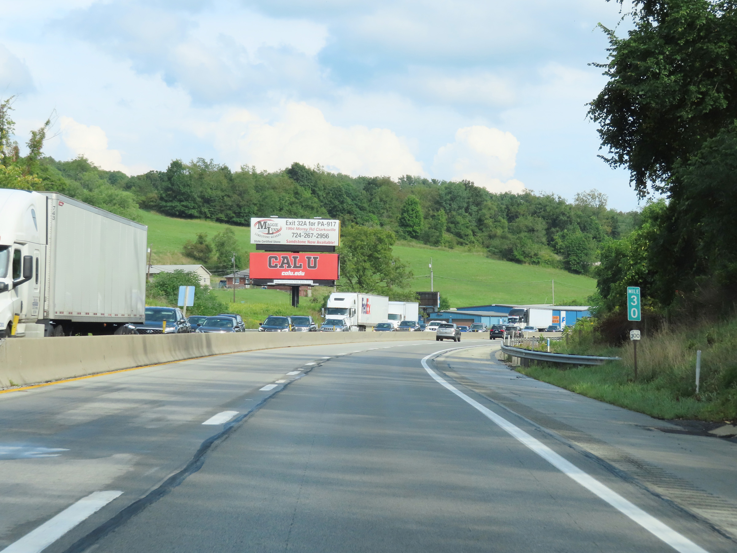 |
View on Interstate 70 East at mile marker 30. (Photo taken 8/21/22). |
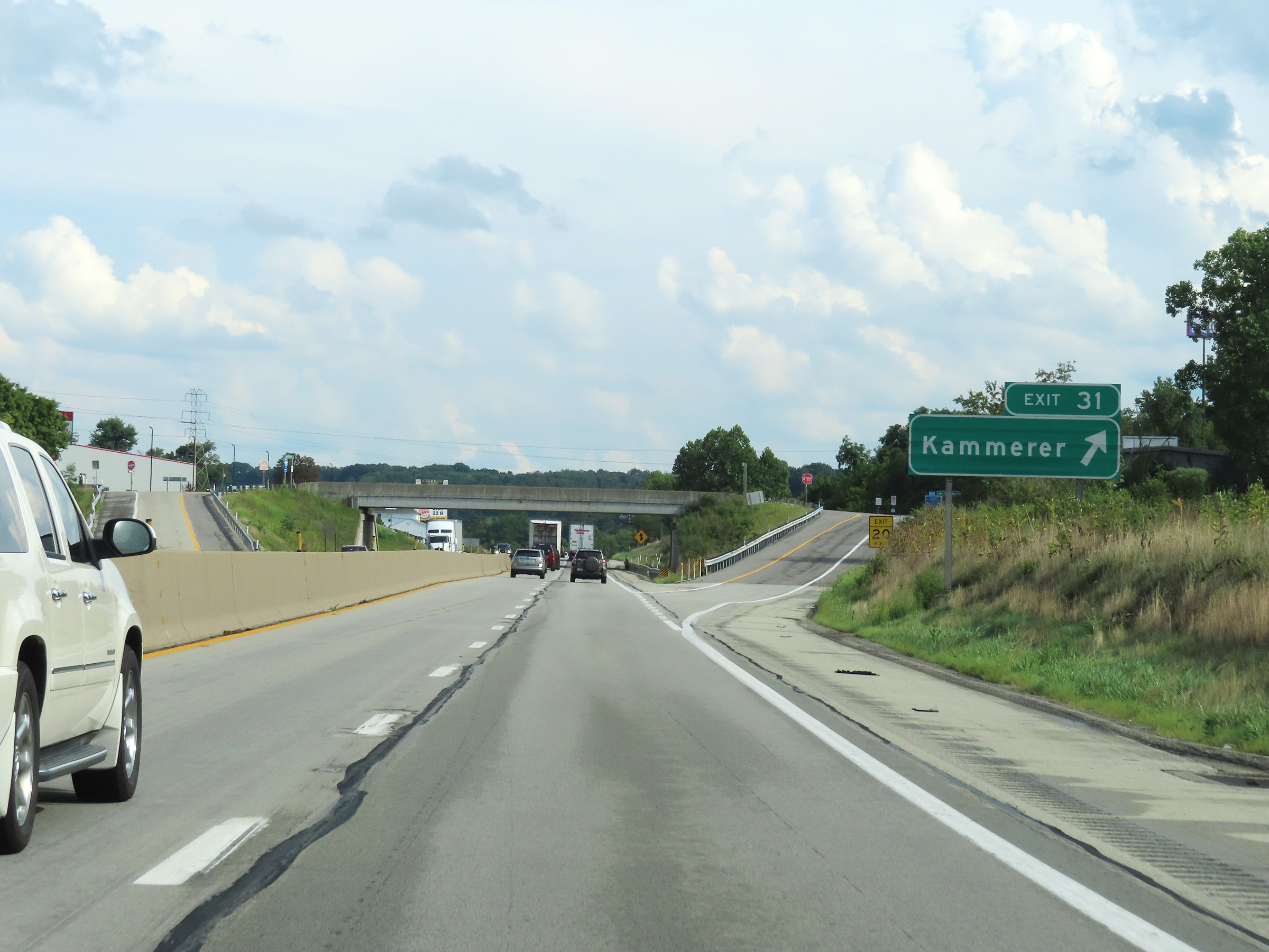 |
Interstate 70 East at Exit 31: Kammerer (Photo taken 8/21/22). |
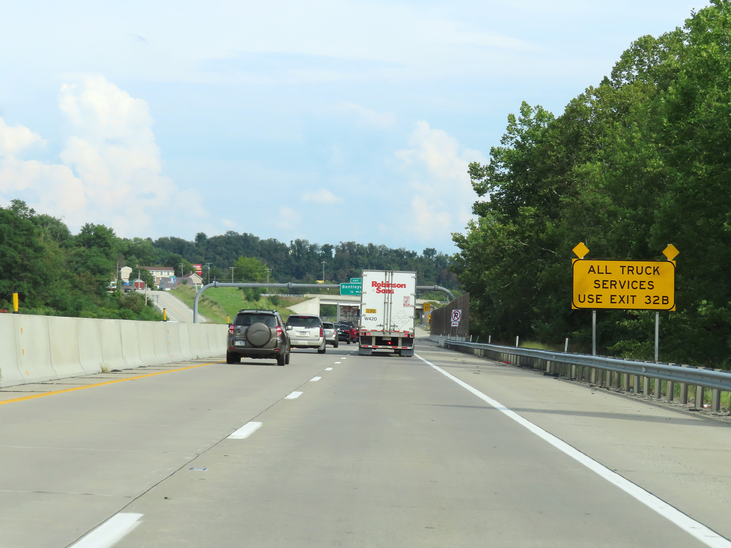 |
All truck services in Bentleyville ahead are accessible only via Exit 32B. (Photo taken 8/21/22). |
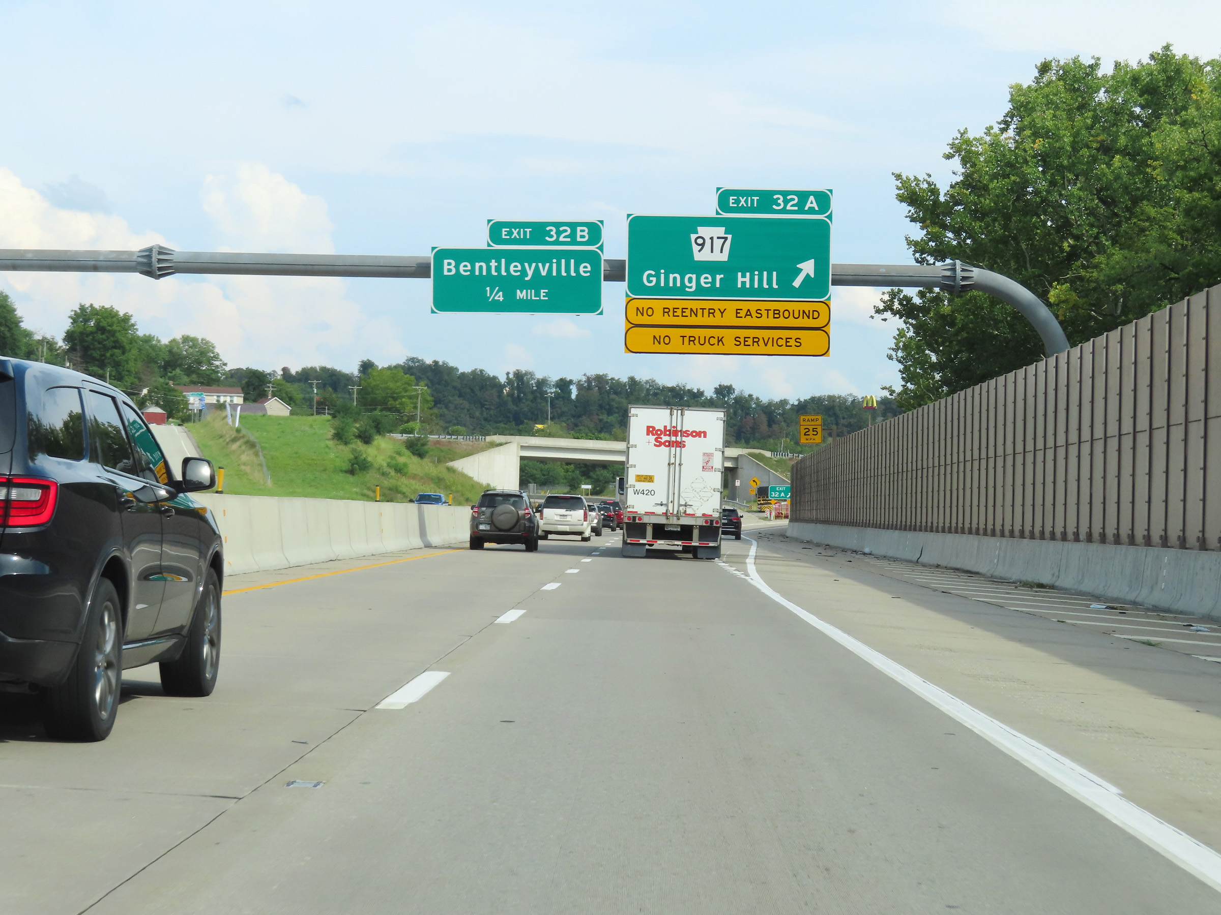 |
Interstate 70 East at Exit 32A: PA 917 - Ginger Hill (Photo taken 8/21/22). |
 |
Interstate 70 East at Exit 32B: To PA 917 - Bentleyville (Photo taken 8/21/22). |
Section 2: Bentleyville (Exit 32B) to New Stanton (Exit 58)
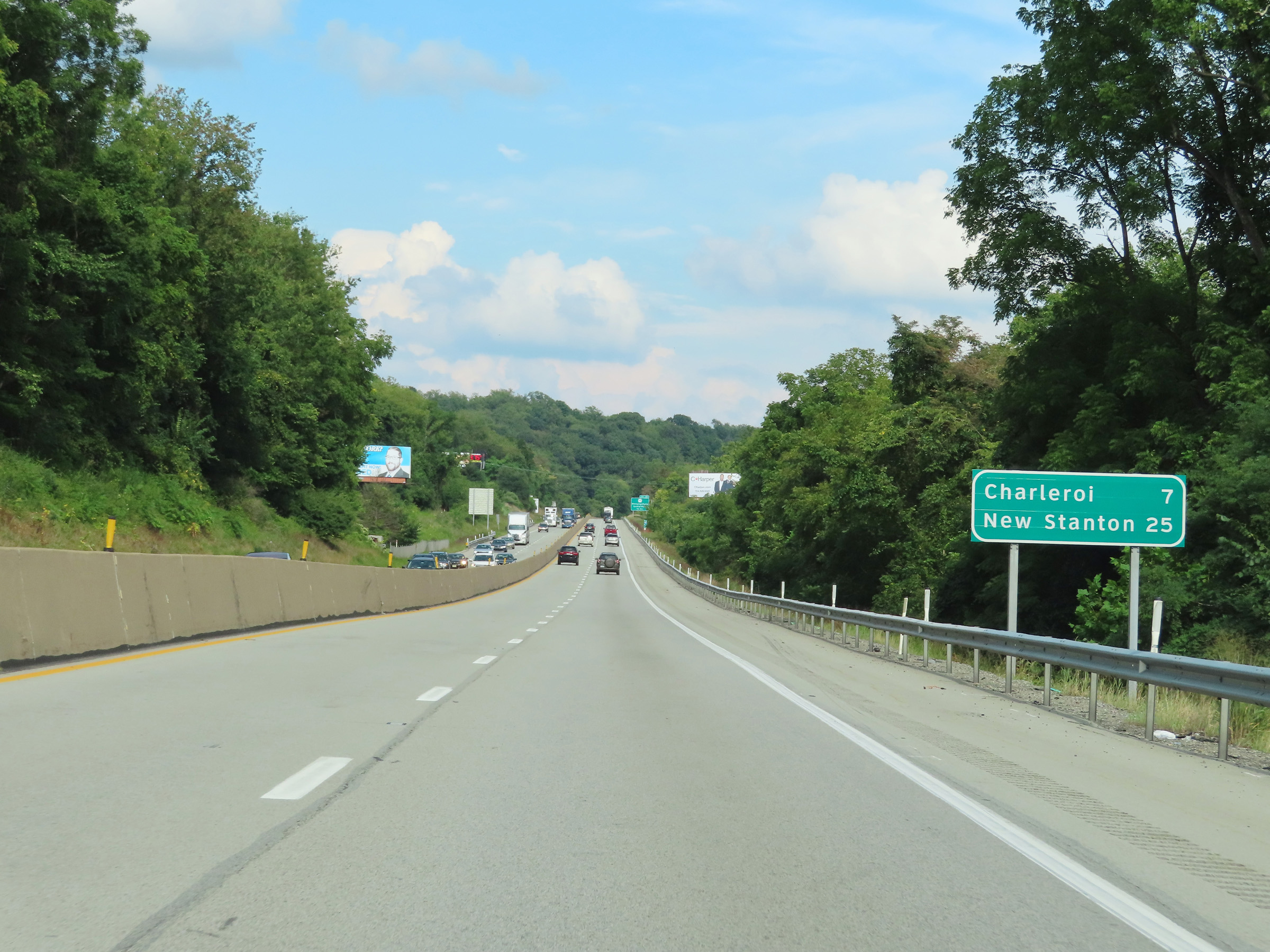 |
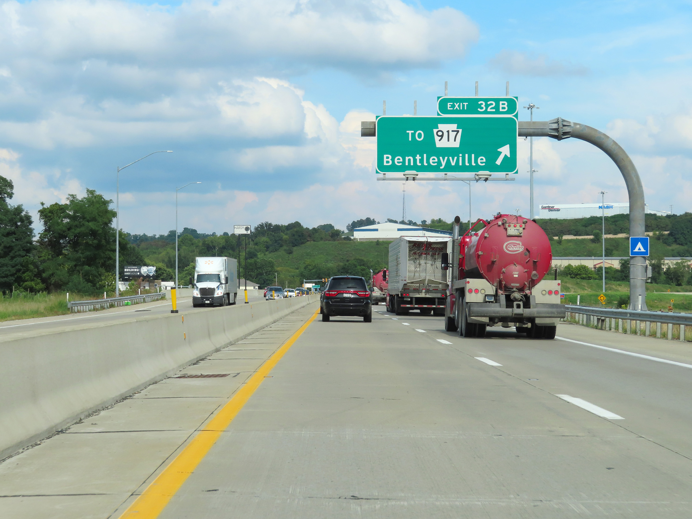
Another mileage sign on Interstate 70 East. It's 7 miles to Charleroi and 25 miles to New Stanton. (Photo taken 8/21/22). |
 |
View on Interstate 70 East at mile marker 34. (Photo taken 8/21/22). |
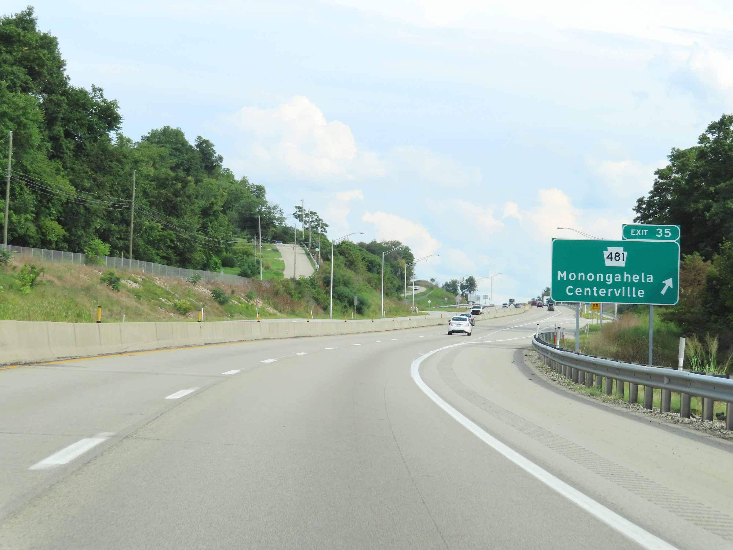 |
Interstate 70 East at Exit 35: PA 481 - Monongahela / Centerville (Photo taken 8/21/22). |
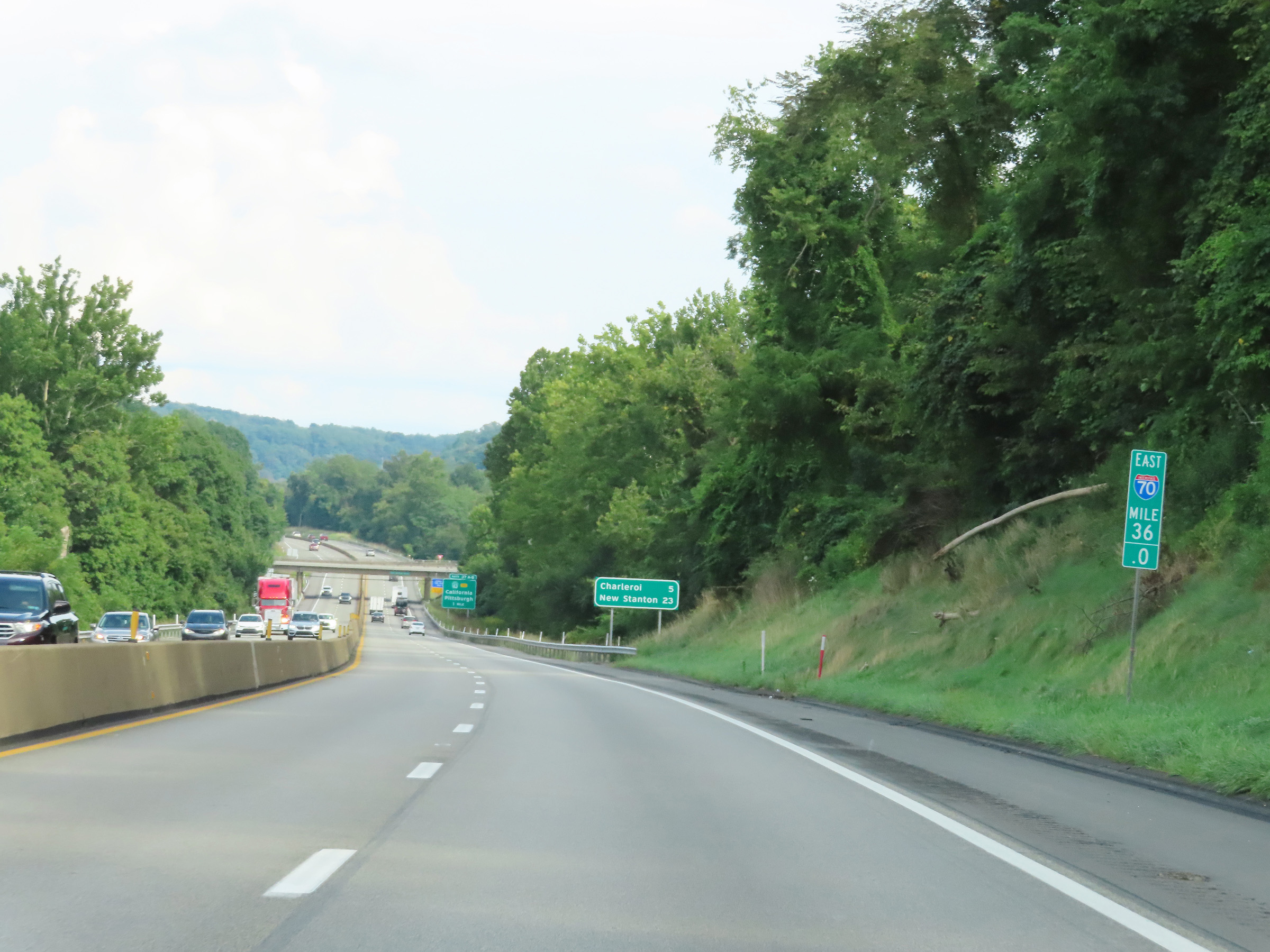 |
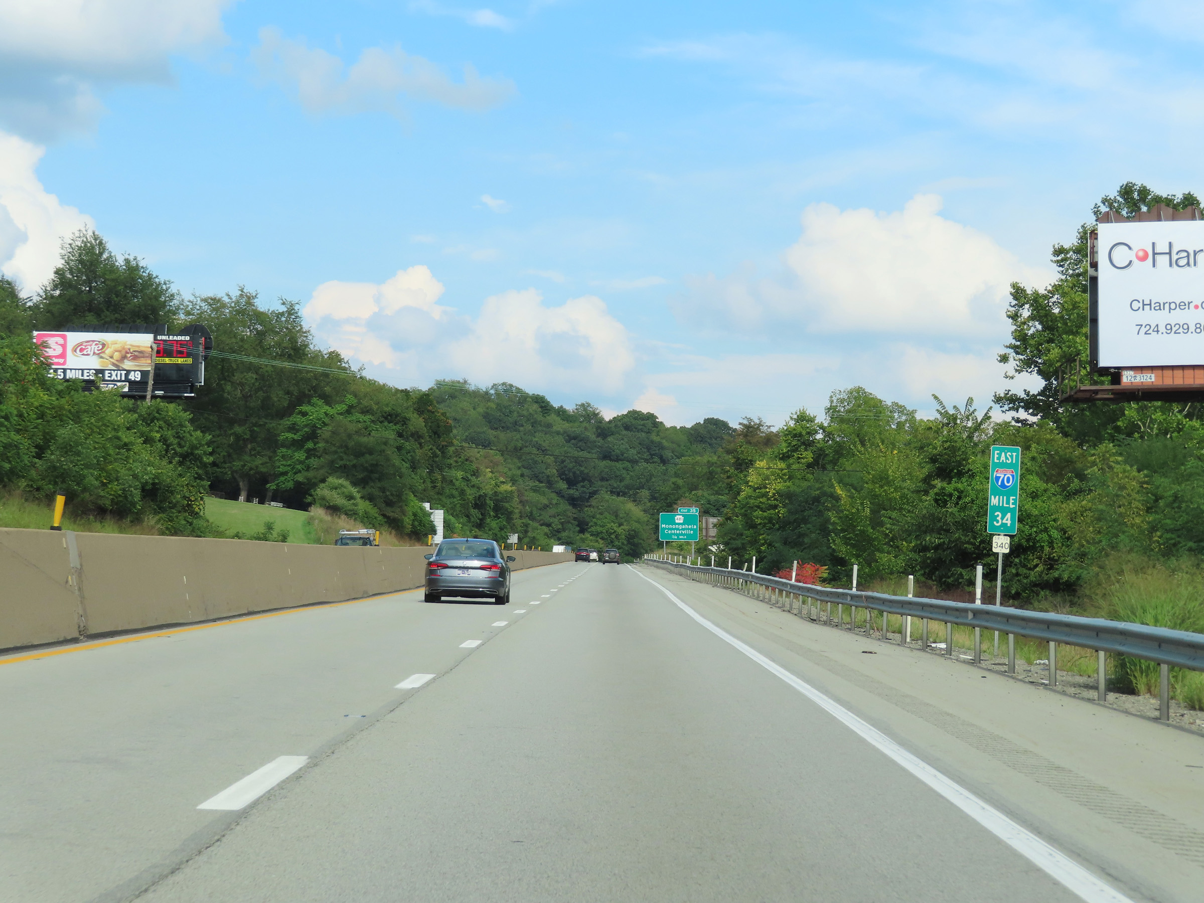
Interstate 70 East at mile marker 36. (Photo taken 8/21/22). |
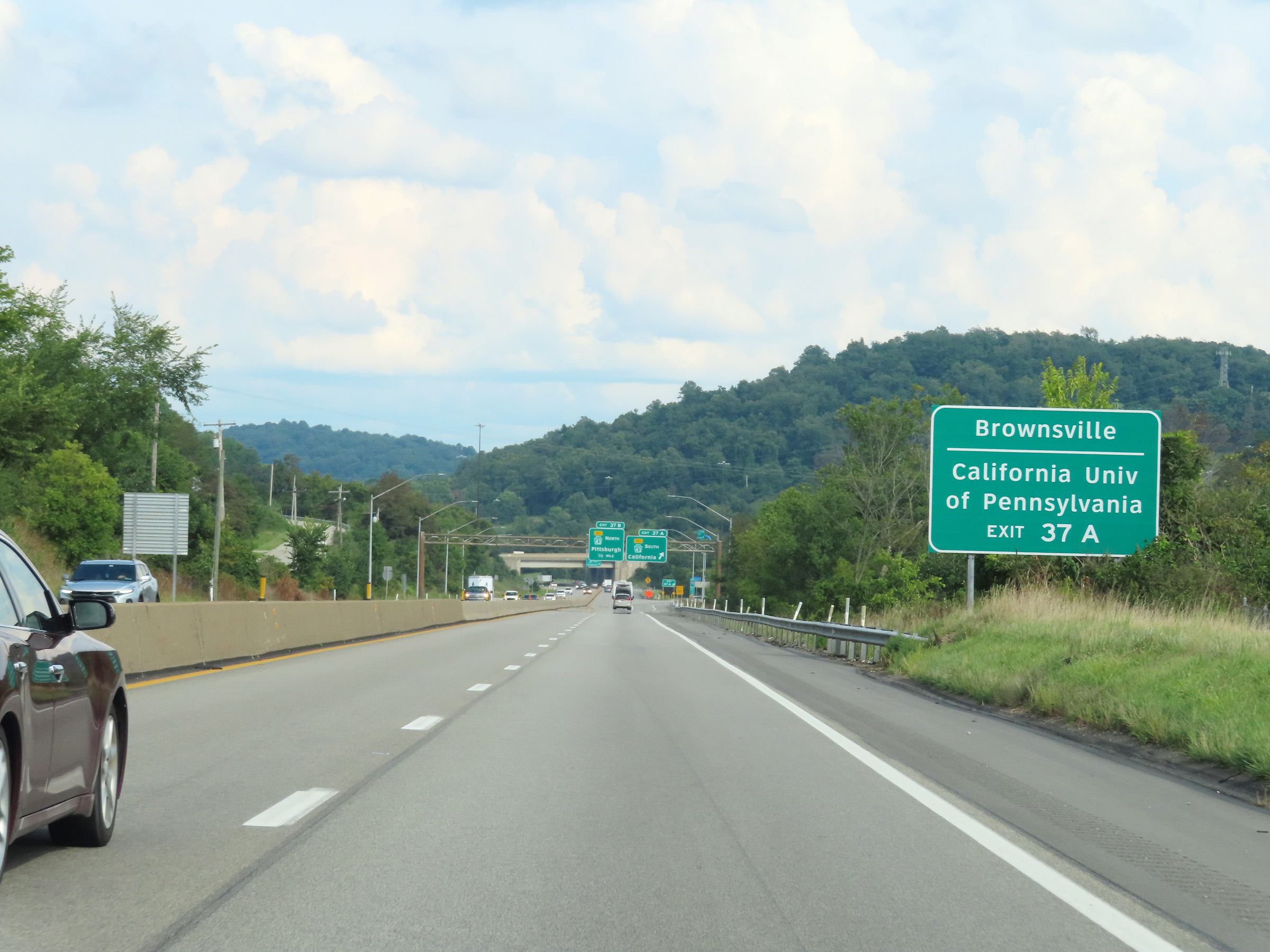 |
Take Exit 37A to Brownsville and California University of Pennsylvania. (Photo taken 8/21/22). |
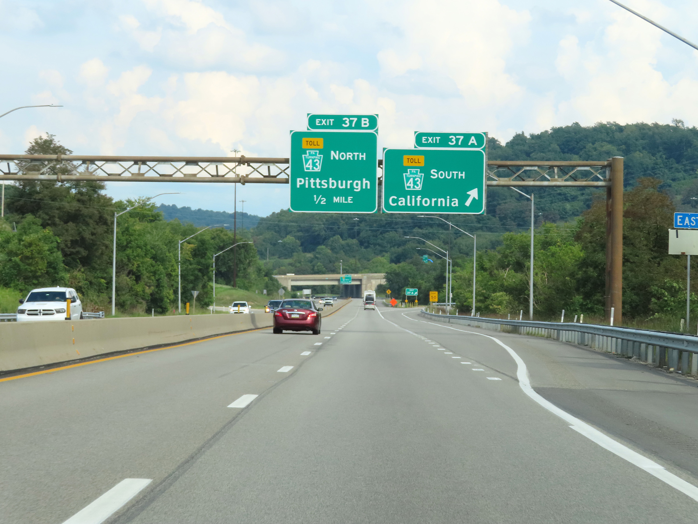 |
Interstate 70 East at Exit 37A: PA 43 Toll South - California (Photo taken 8/21/22). |
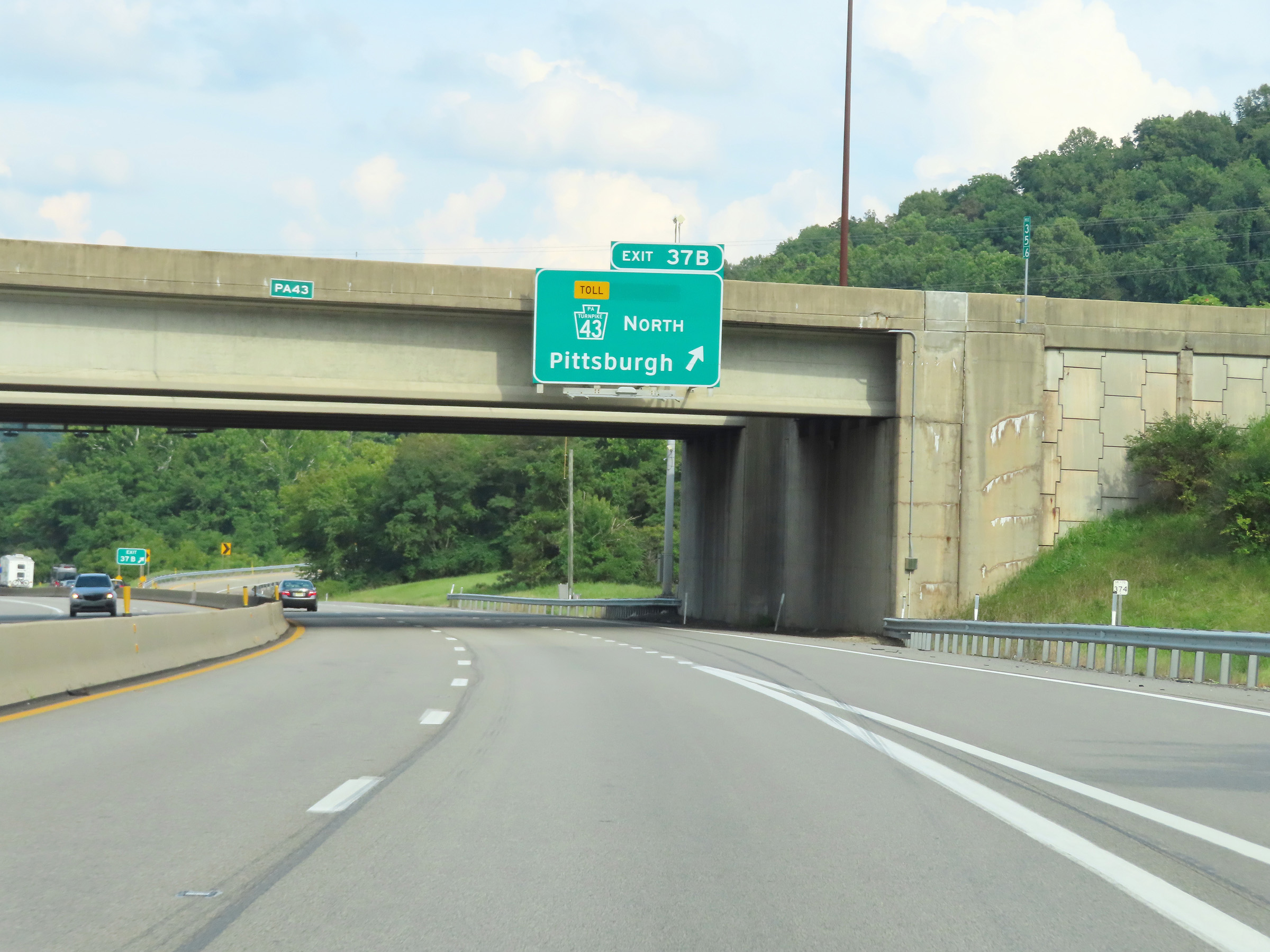 |
Interstate 70 East at Exit 37B: PA 43 Toll North - Pittsburgh (Photo taken 8/21/22). |
 |
Interstate 70 East reassurance shield. (Photo taken 8/21/22). |
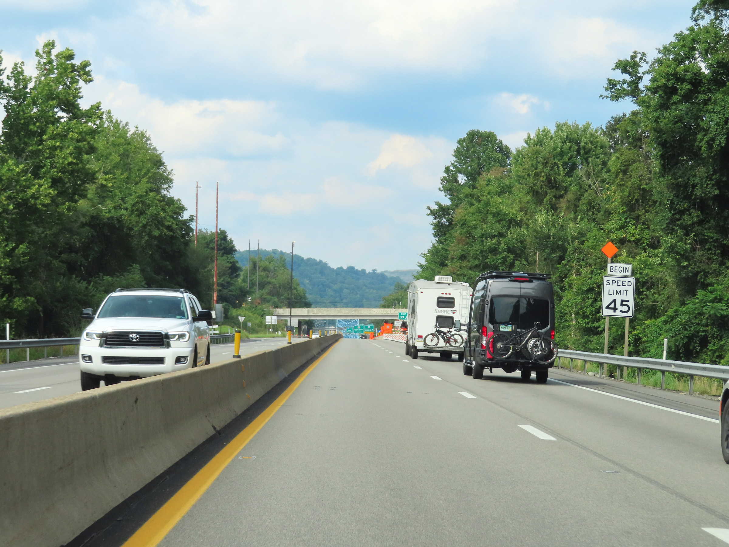 |
Approaching Exit 39, the speed limit on Interstate 70 East decreases to 45 mph as it enters a congested area. (Photo taken 8/21/22). |
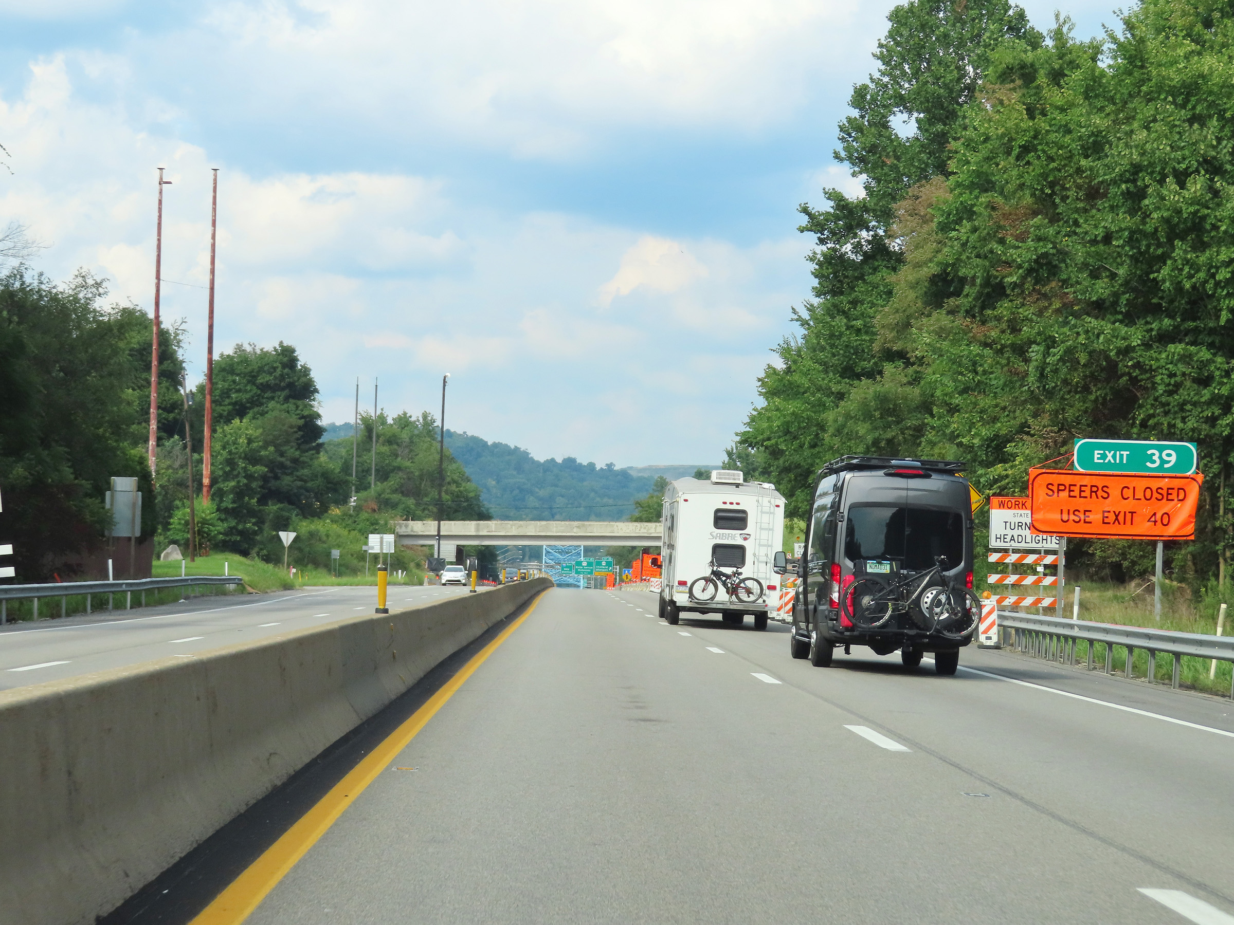 |
Interstate 70 East at Exit 39: Speers (Photo taken 8/21/22). |
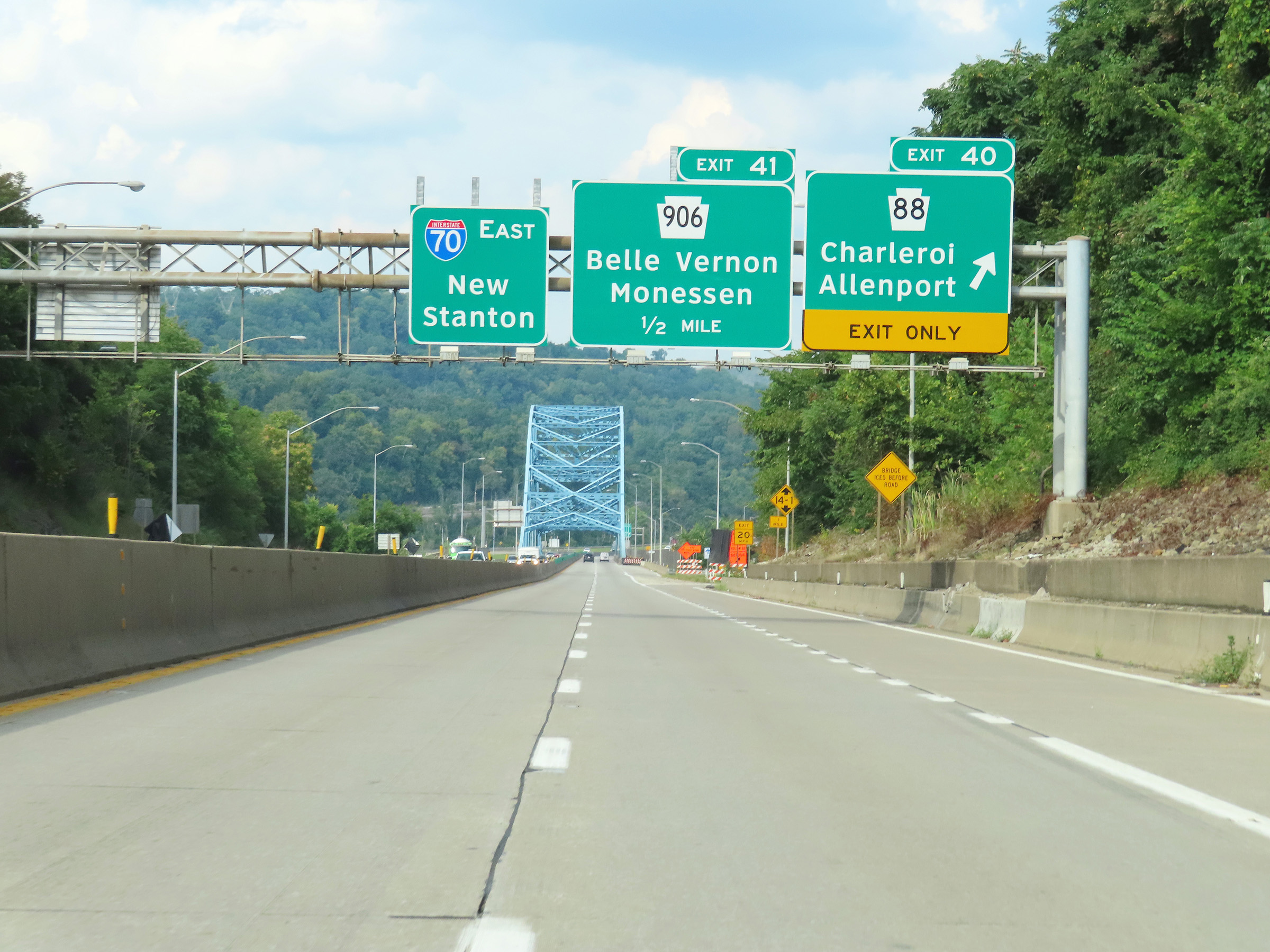 |
Interstate 70 East at Exit 40: PA 88 - Charleroi / Allenport (Photo taken 8/21/22). |
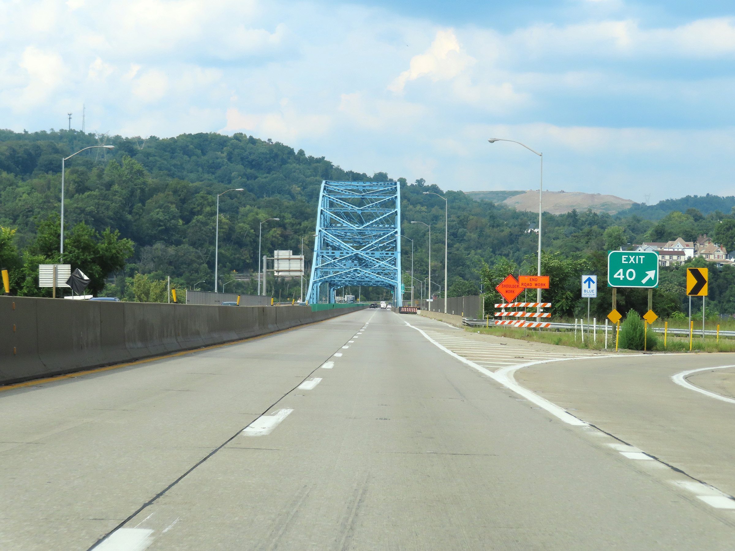 |
Gore point signage for Exit 40 as Interstate 70 East will begin to cross the Belle Vernon Bridge over the Monongahela River. (Photo taken 8/21/22). |
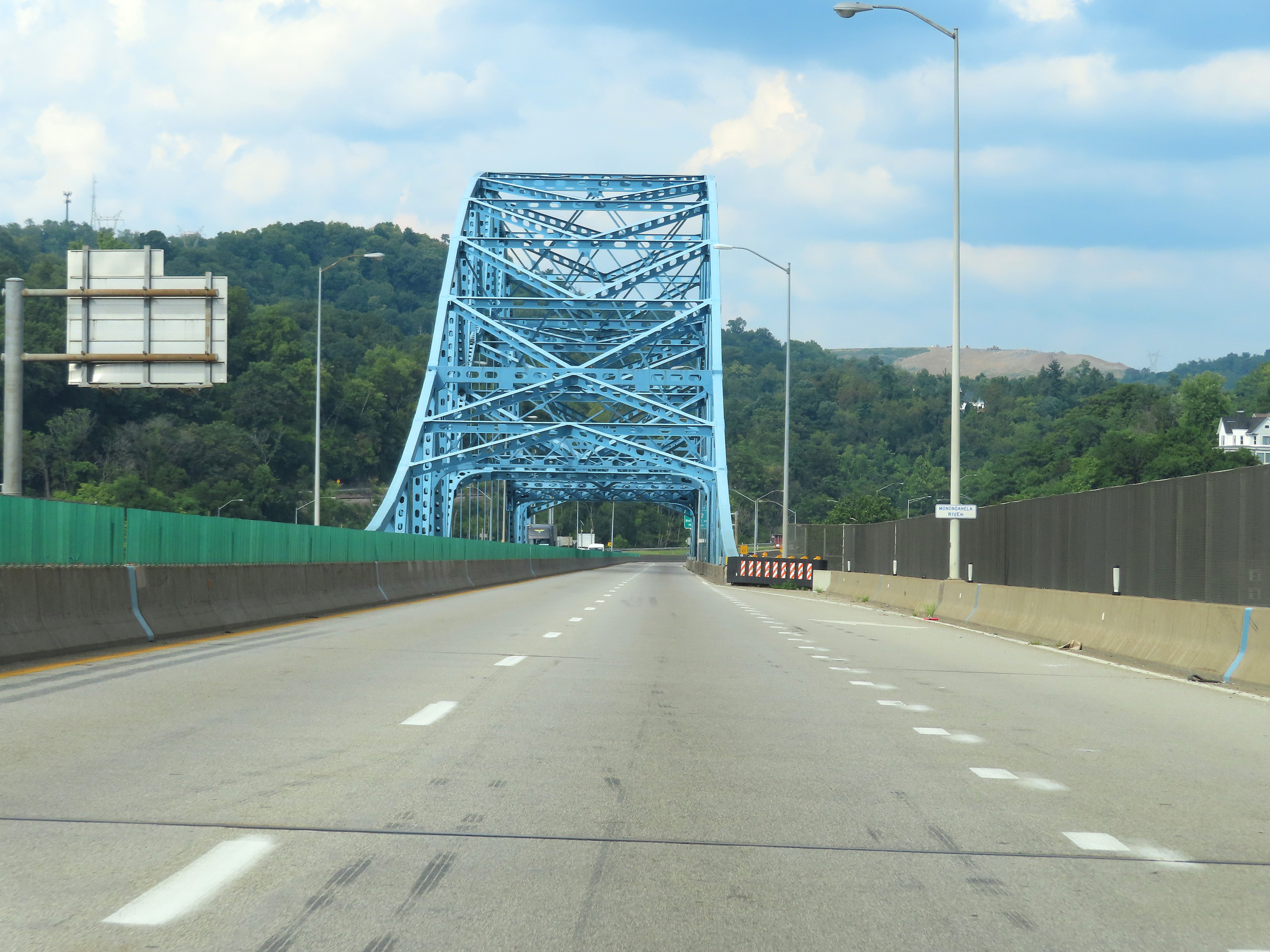 |
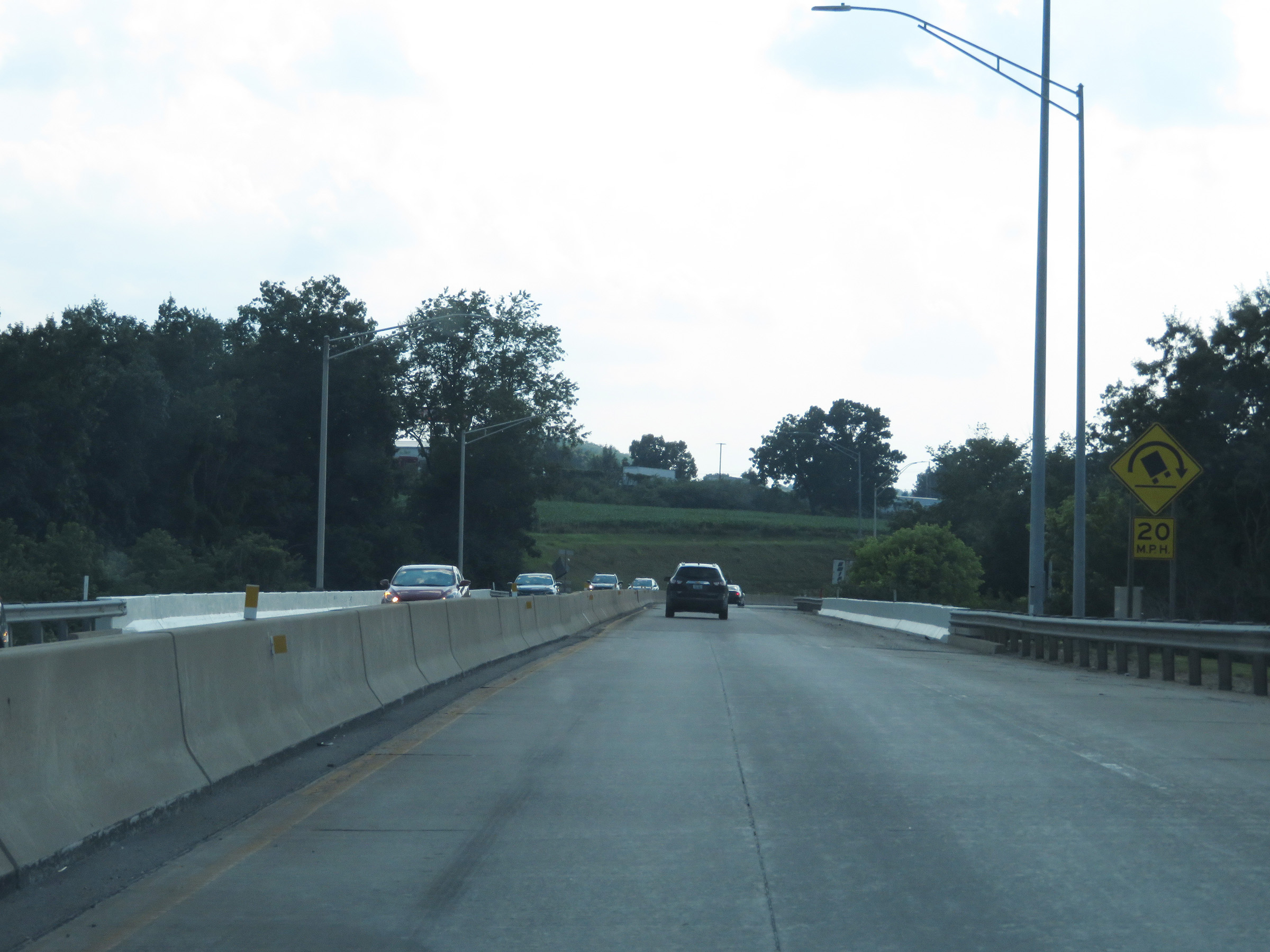
View on Interstate 70 East as it starts across the Belle Vernon Bridge over the Monongahela River. (Photo taken 8/21/22). |
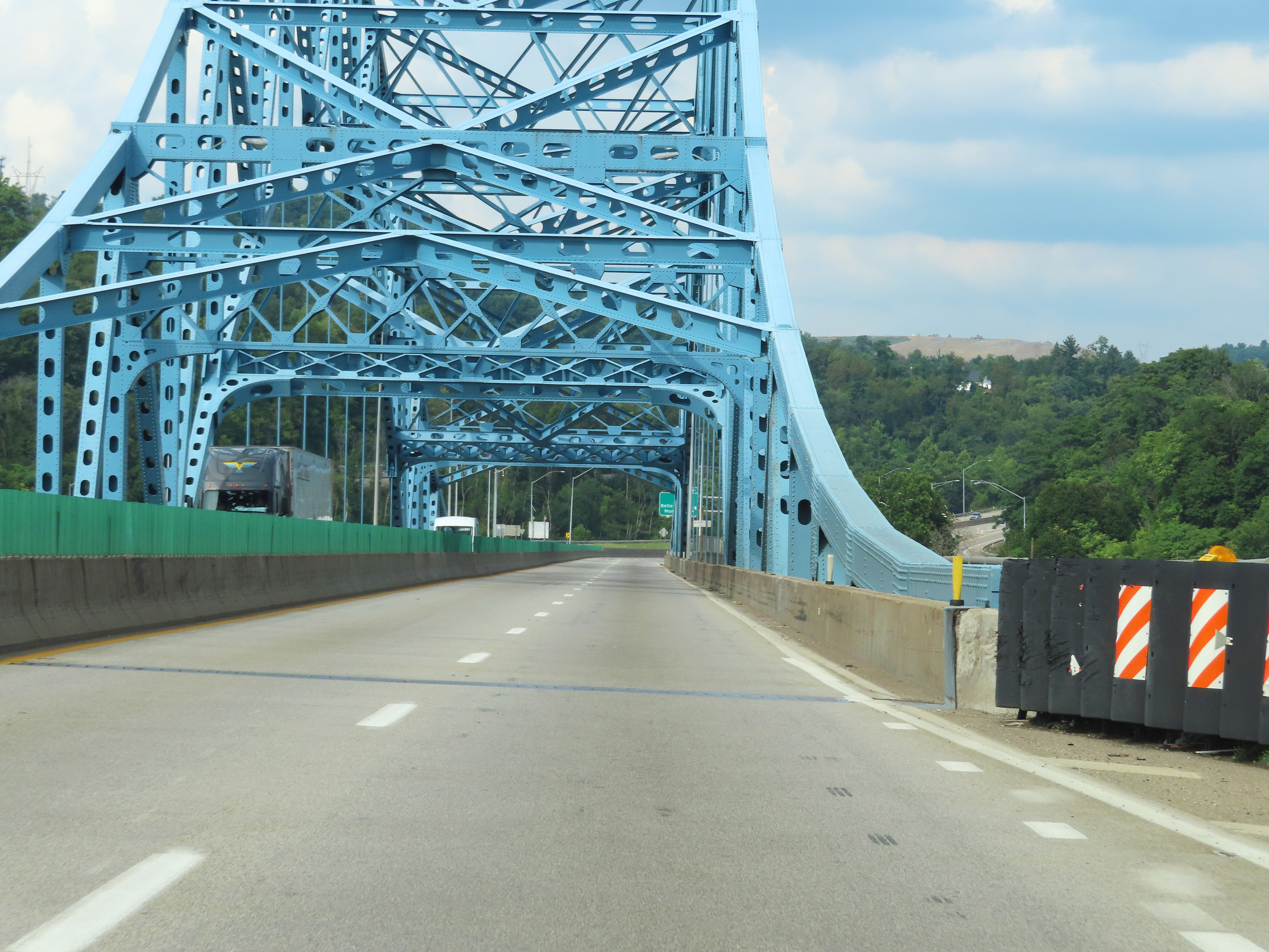 |
Interstate 70 East crossing the Monongahela River on the Belle Vernon Bridge. (Photo taken 8/21/22). |
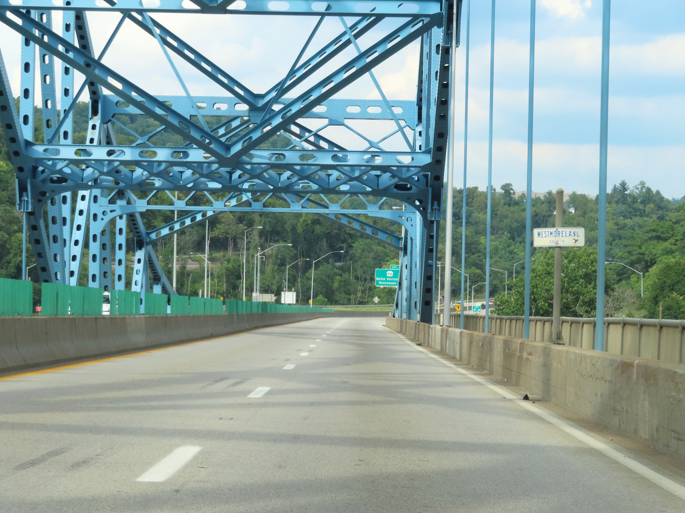 |
Halfway across the Monongahela River, Interstate 70 East enters Westmoreland County. (Photo taken 8/21/22). |
 |
View on Interstate 70 East as it descends the east side of the Belle Vernon Bridge over the Monongahela River. (Photo taken 8/21/22). |
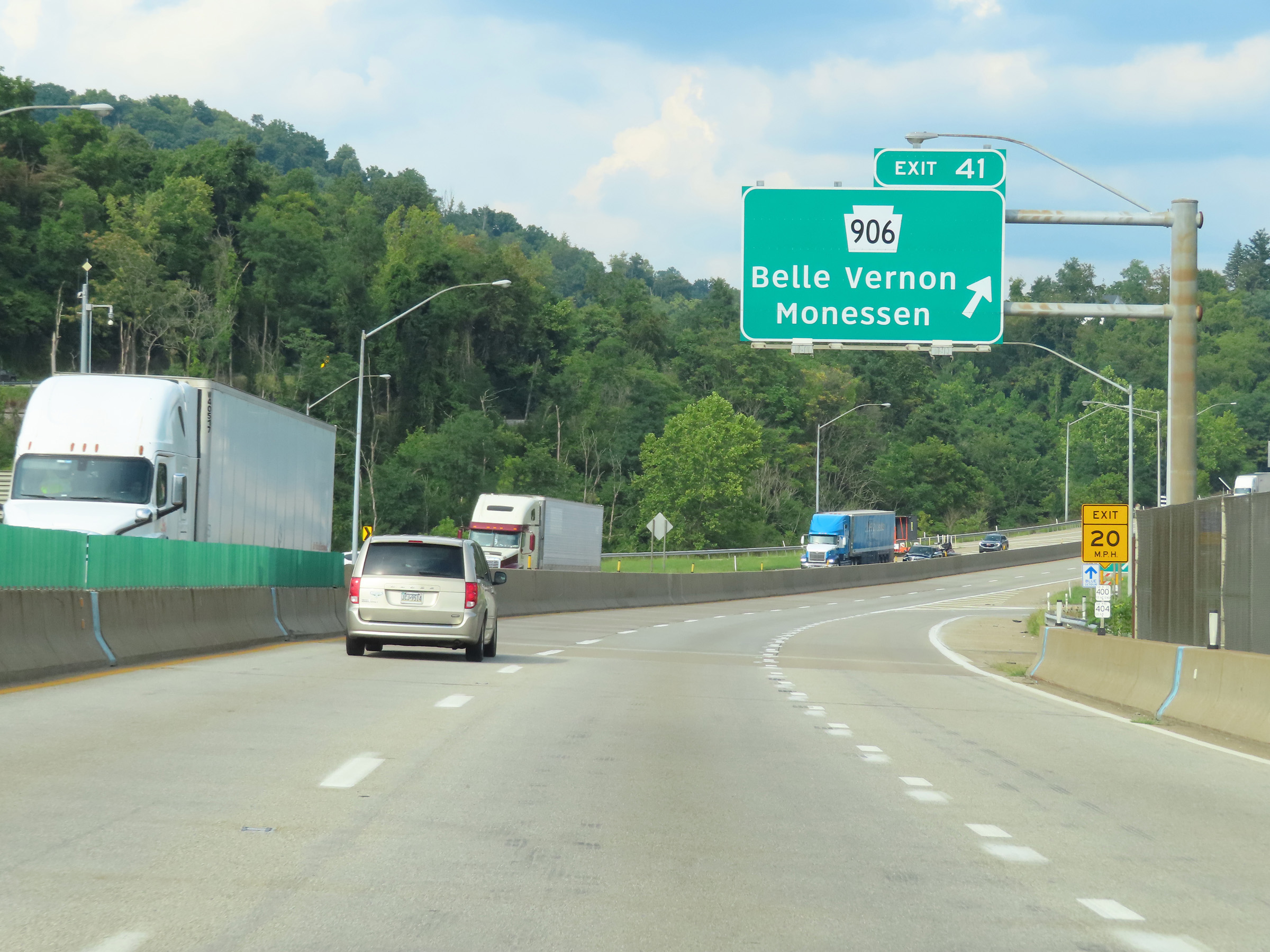 |
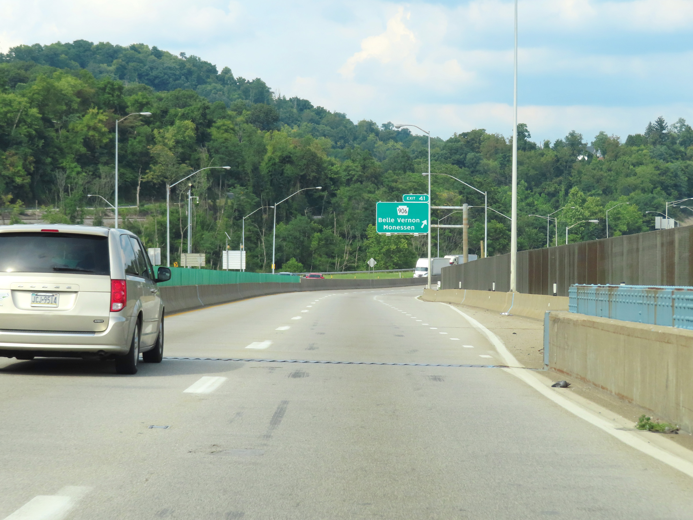
Interstate 70 East at Exit 40: PA 906 - Belle Vernon / Monessen (Photo taken 8/21/22). |
 |
Another Interstate 70 East reassurance shield. (Photo taken 8/21/22). |
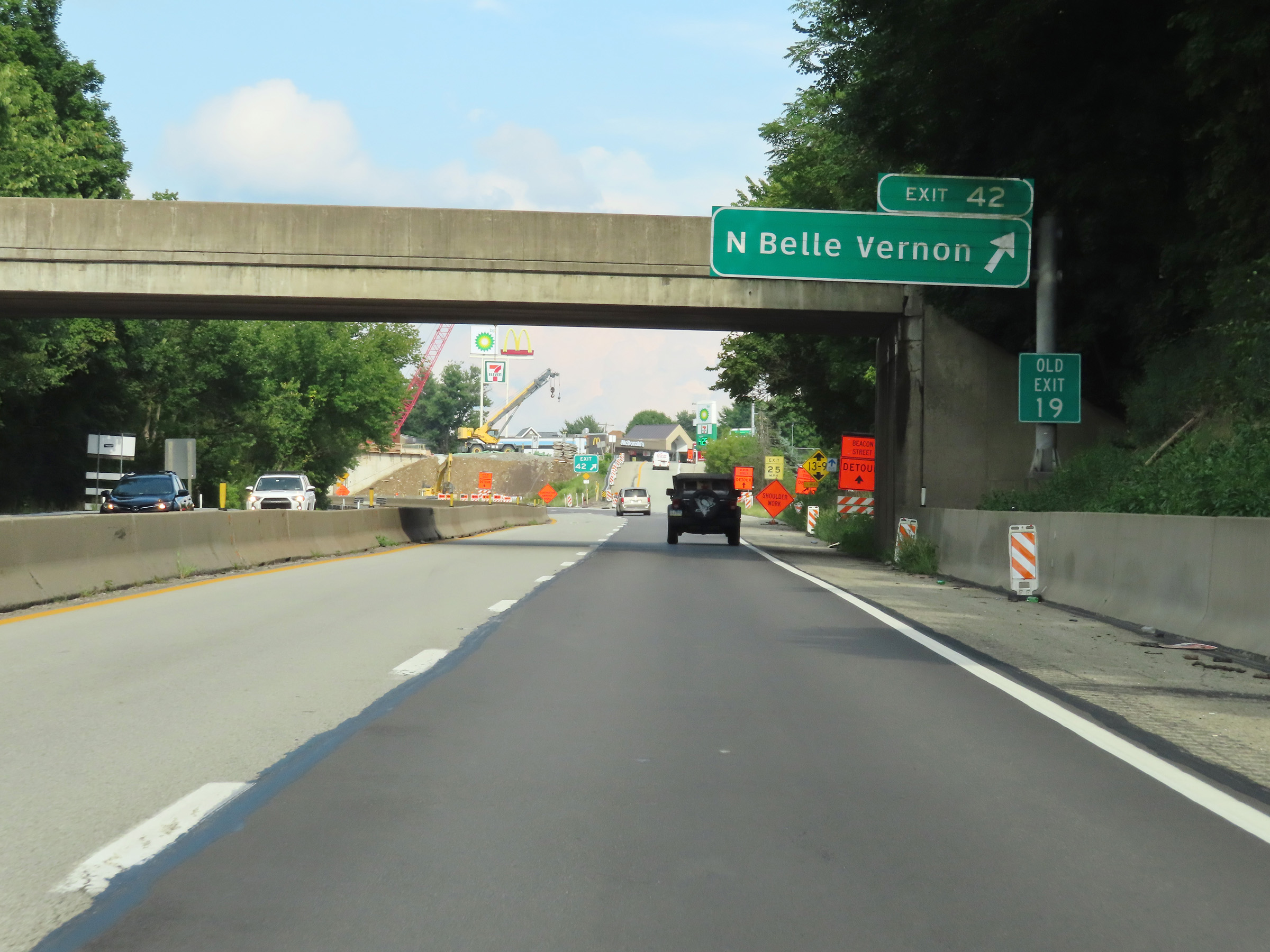 |
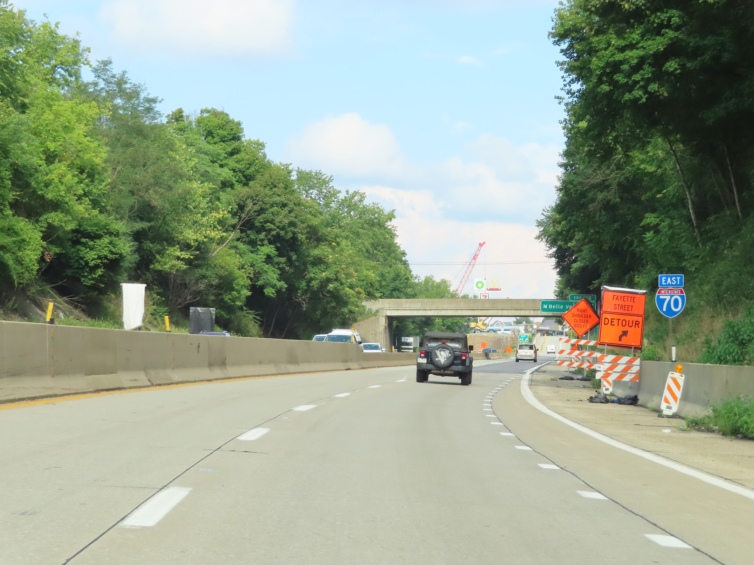
Interstate 70 East at Exit 42: North Belle Vernon (Photo taken 8/21/22). |
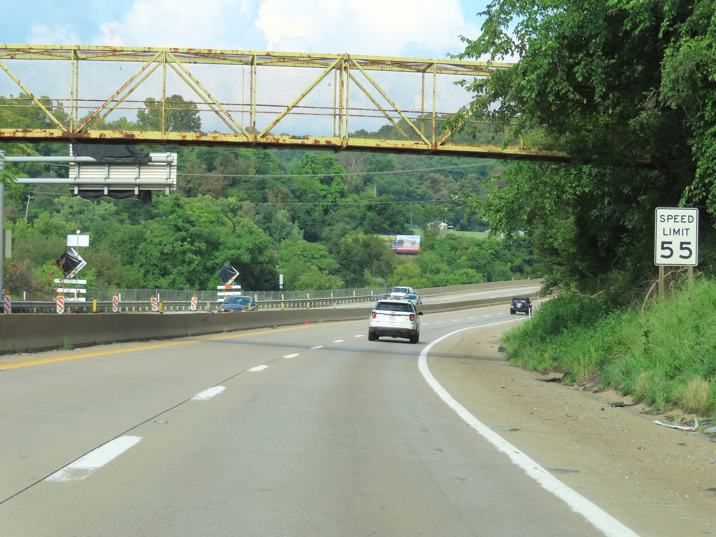 |
Beyond Exit 42, the speed limit on Interstate 70 East increases to 55 mph once again. (Photo taken 8/21/22). |
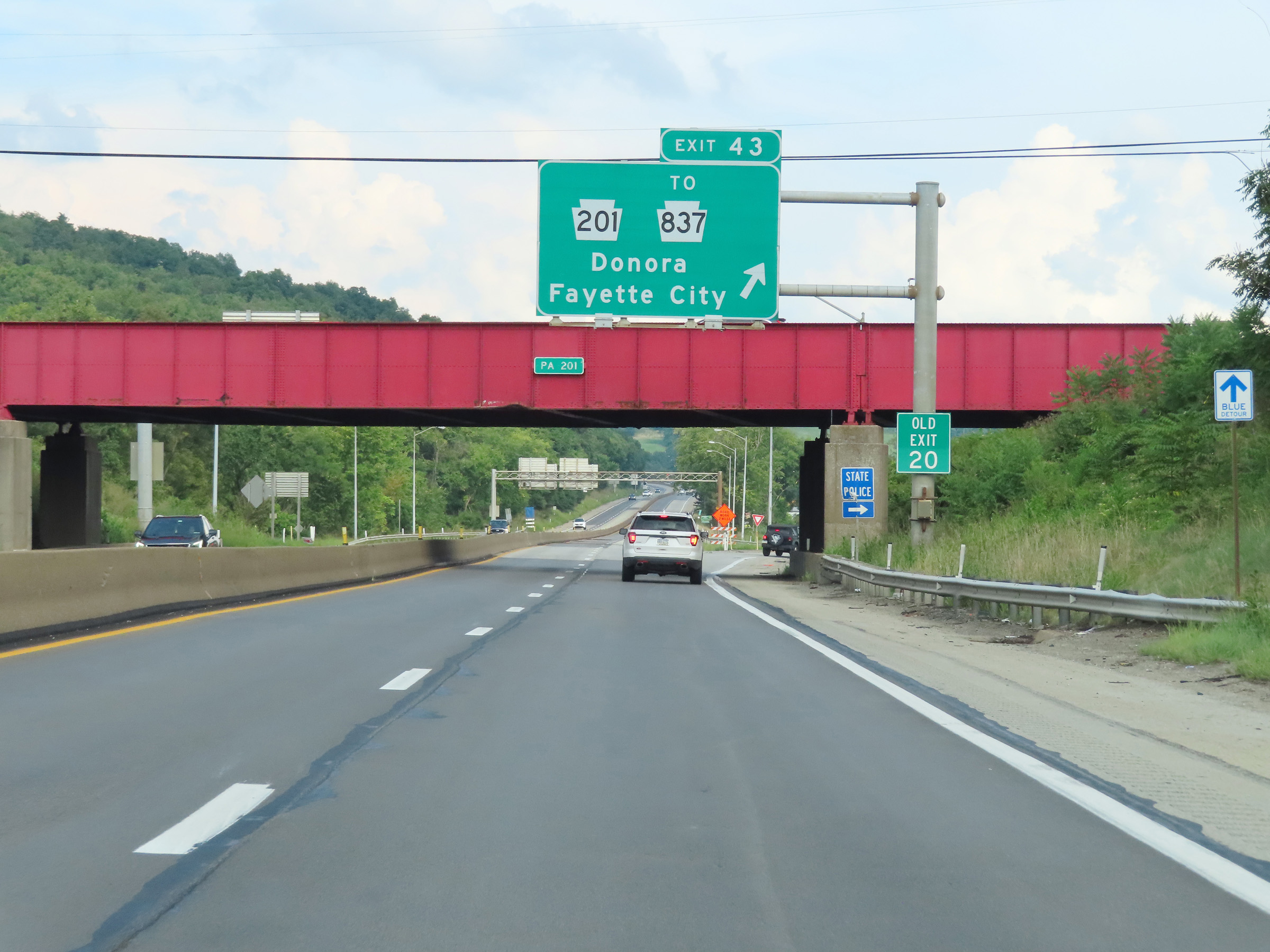 |
Interstate 70 East at Exit 43: PA 201 / To PA 837 - Donora / Fayette City (Photo taken 8/21/22). |
 |
View on Interstate 70 East at mile marker 43. (Photo taken 8/21/22). |
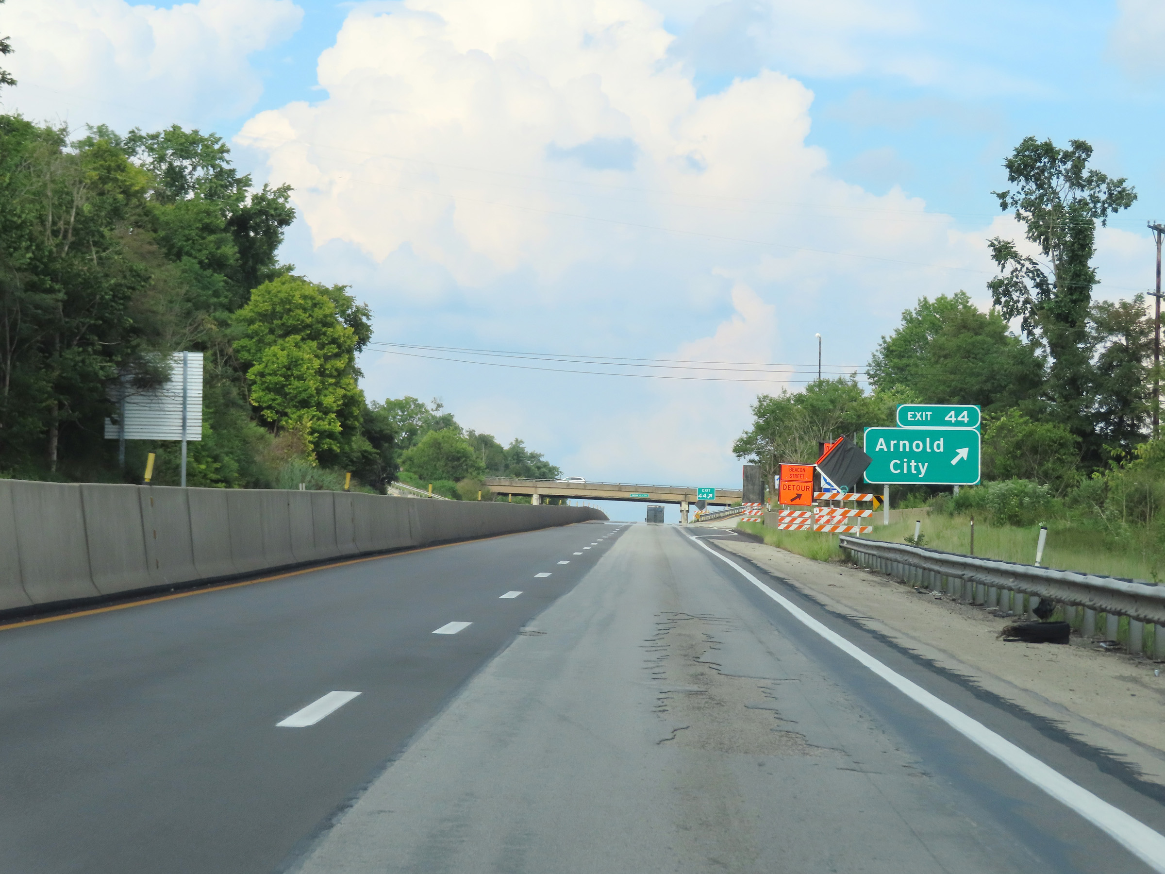 |
Interstate 70 East at Exit 44: Arnold City (Photo taken 8/21/22). |
 |
A rare state-named Interstate 70 East reassurance shield just east of Exit 44. (Photo taken 8/21/22). |
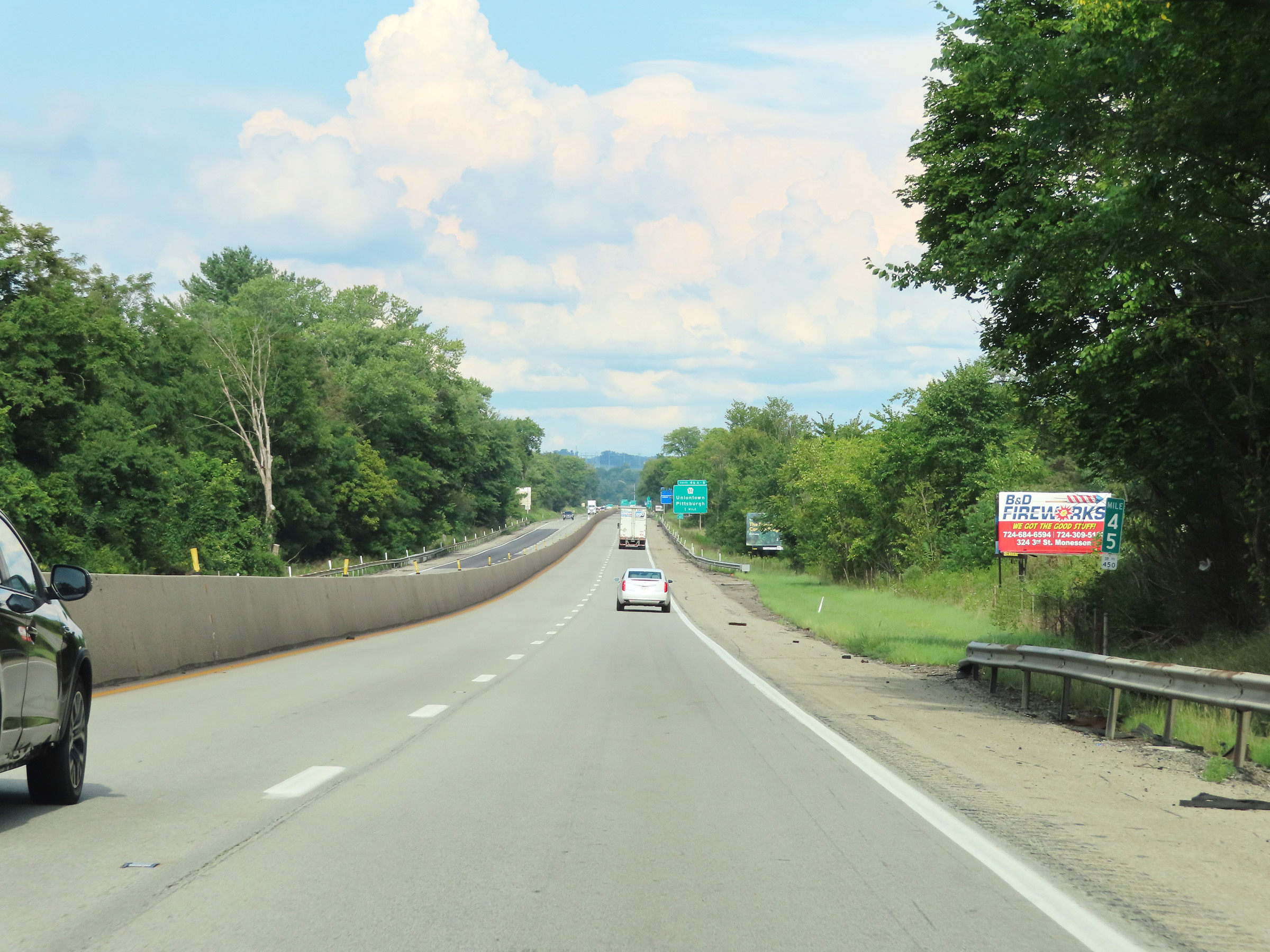 |
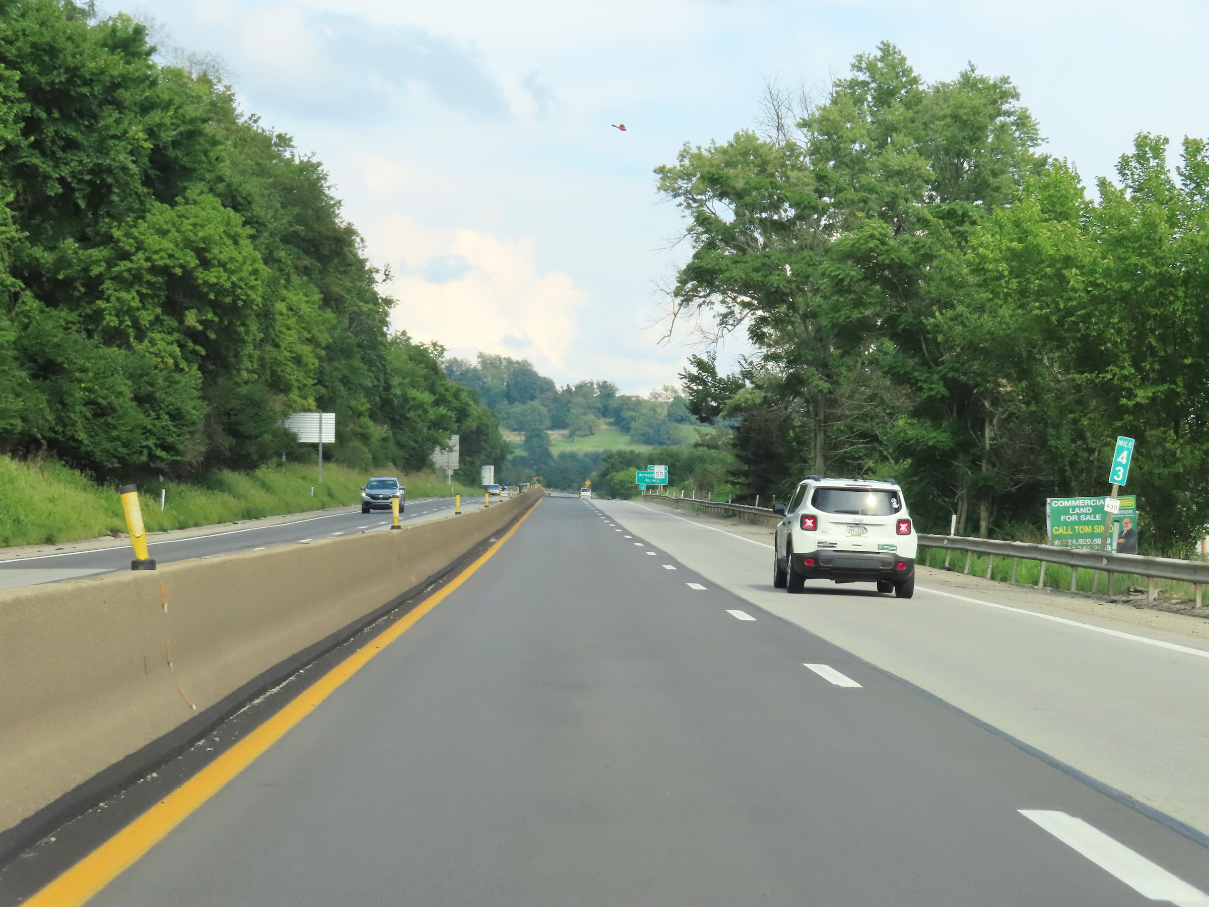
Mile marker 45 on Interstate 70 East in Westmoreland County. (Photo taken 8/21/22). |
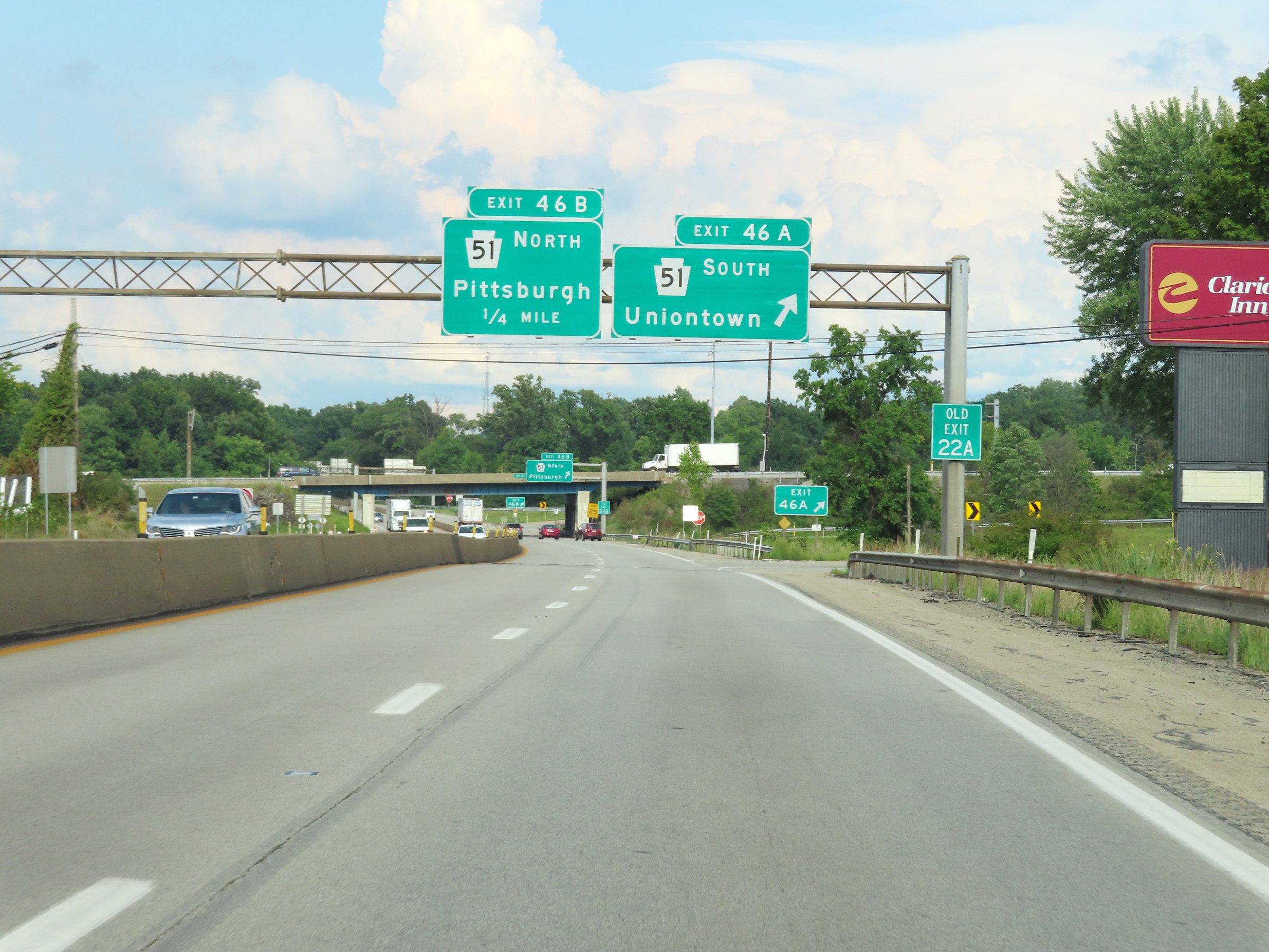 |
Interstate 70 East at Exit 46A: PA 51 South - Uniontown (Photo taken 8/21/22). |
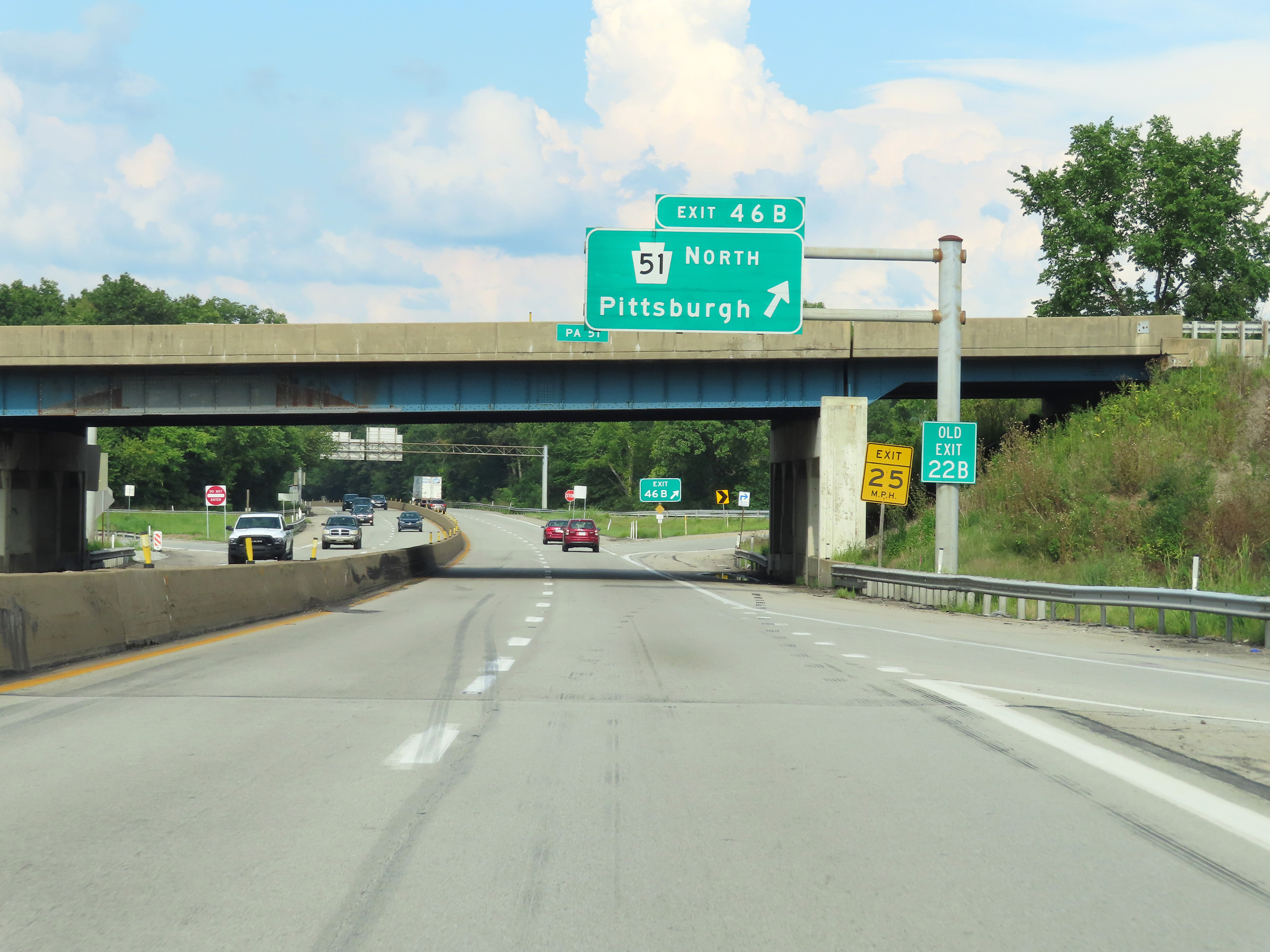 |
Interstate 70 East at Exit 46B: PA 51 North - Pittsburgh (Photo taken 8/21/22). |
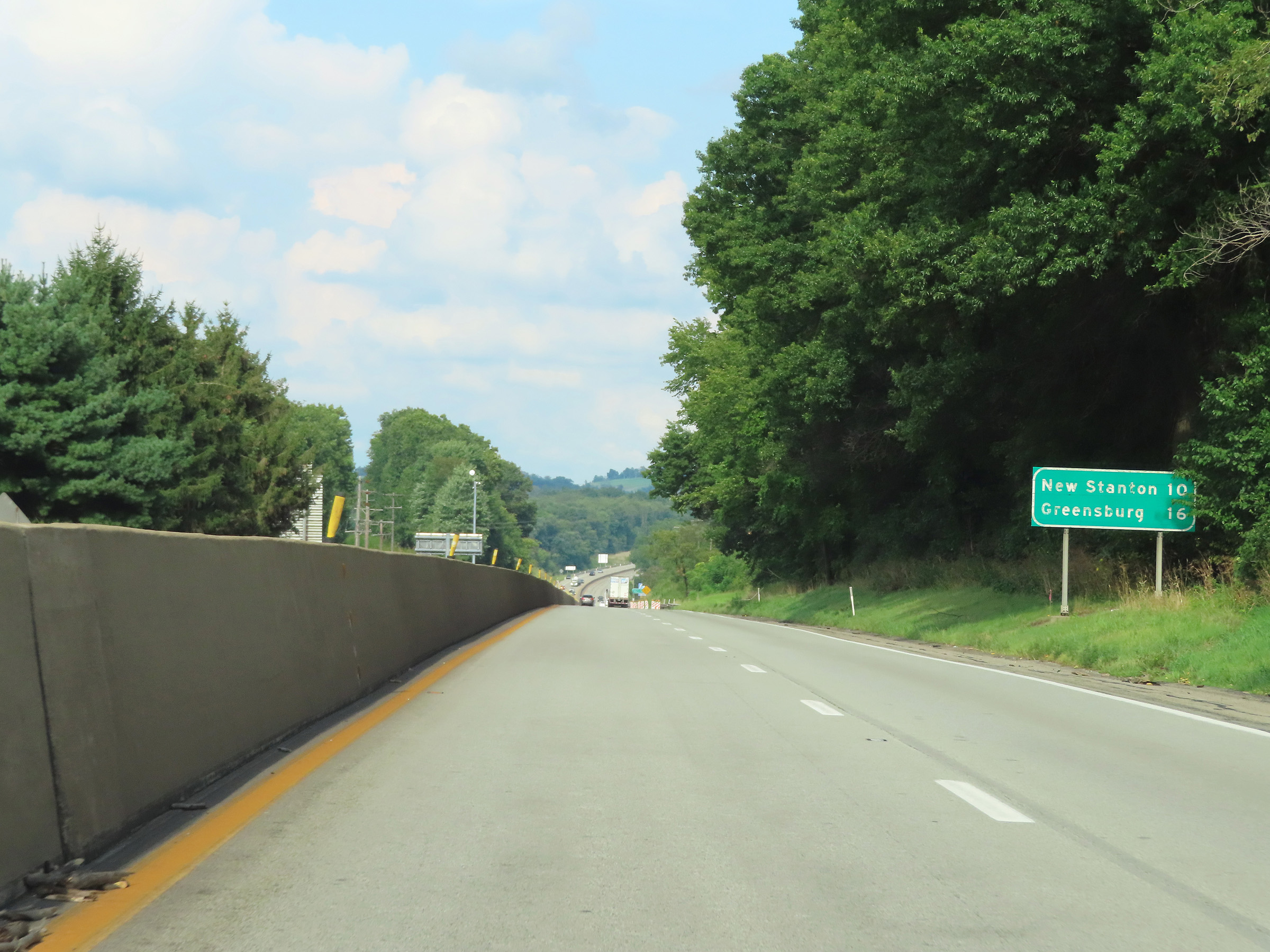 |
Mileage sign on Interstate 70 East. It's 10 miles to New Stanton and 16 miles to Greensburg. (Photo taken 8/21/22). |
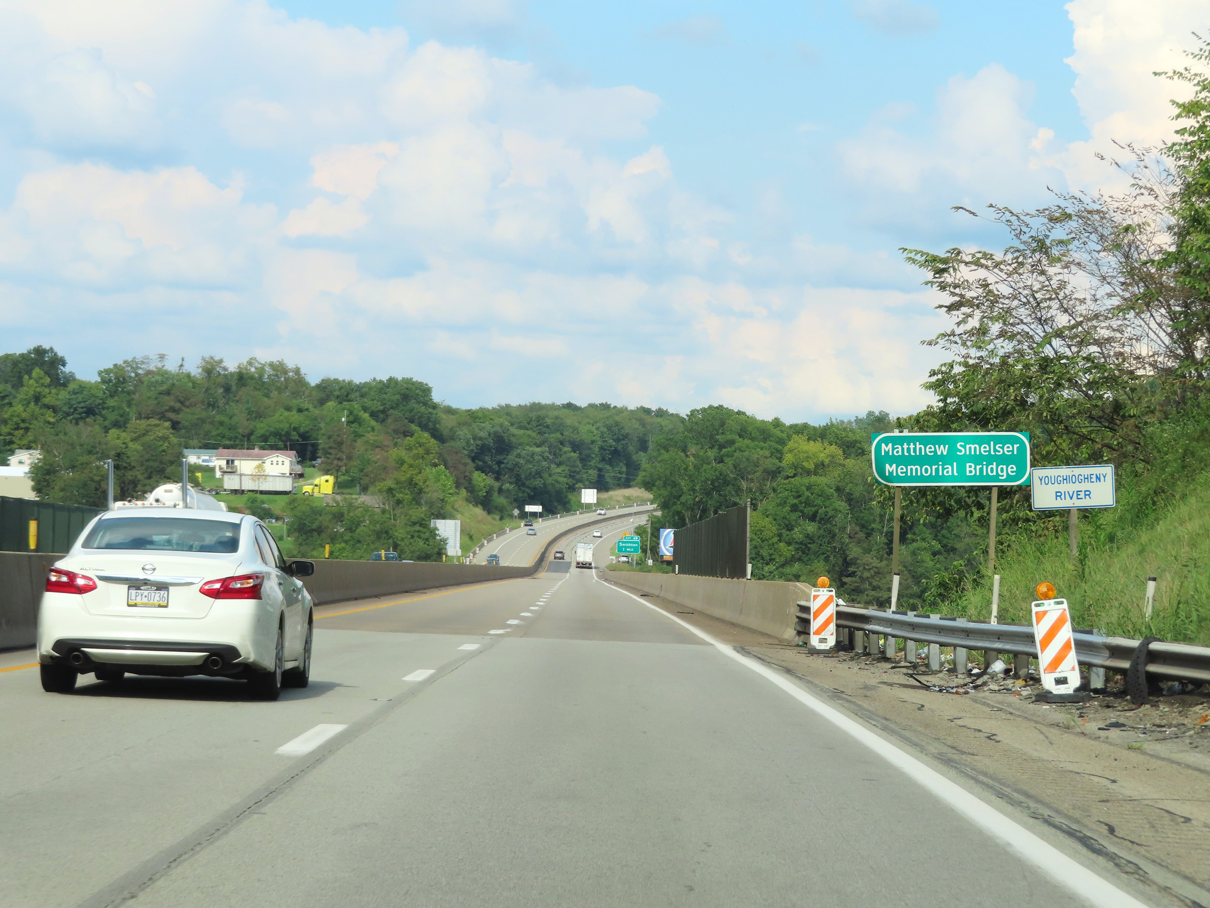 |
View on Interstate 70 East as it prepares to cross the Youghiogheny River on the Matthew Smelser Memorial Bridge. (Photo taken 8/21/22). |
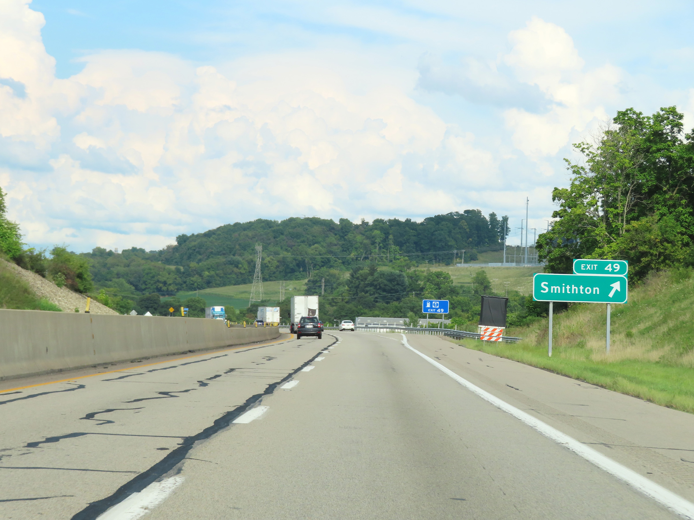 |
Interstate 70 East at Exit 49: Smithton (Photo taken 8/21/22). |
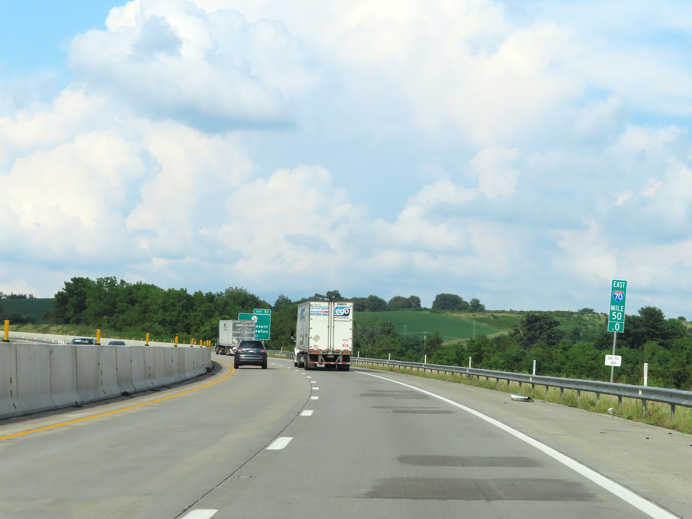 |
View on Interstate 70 East at mile marker 50. (Photo taken 8/21/22). |
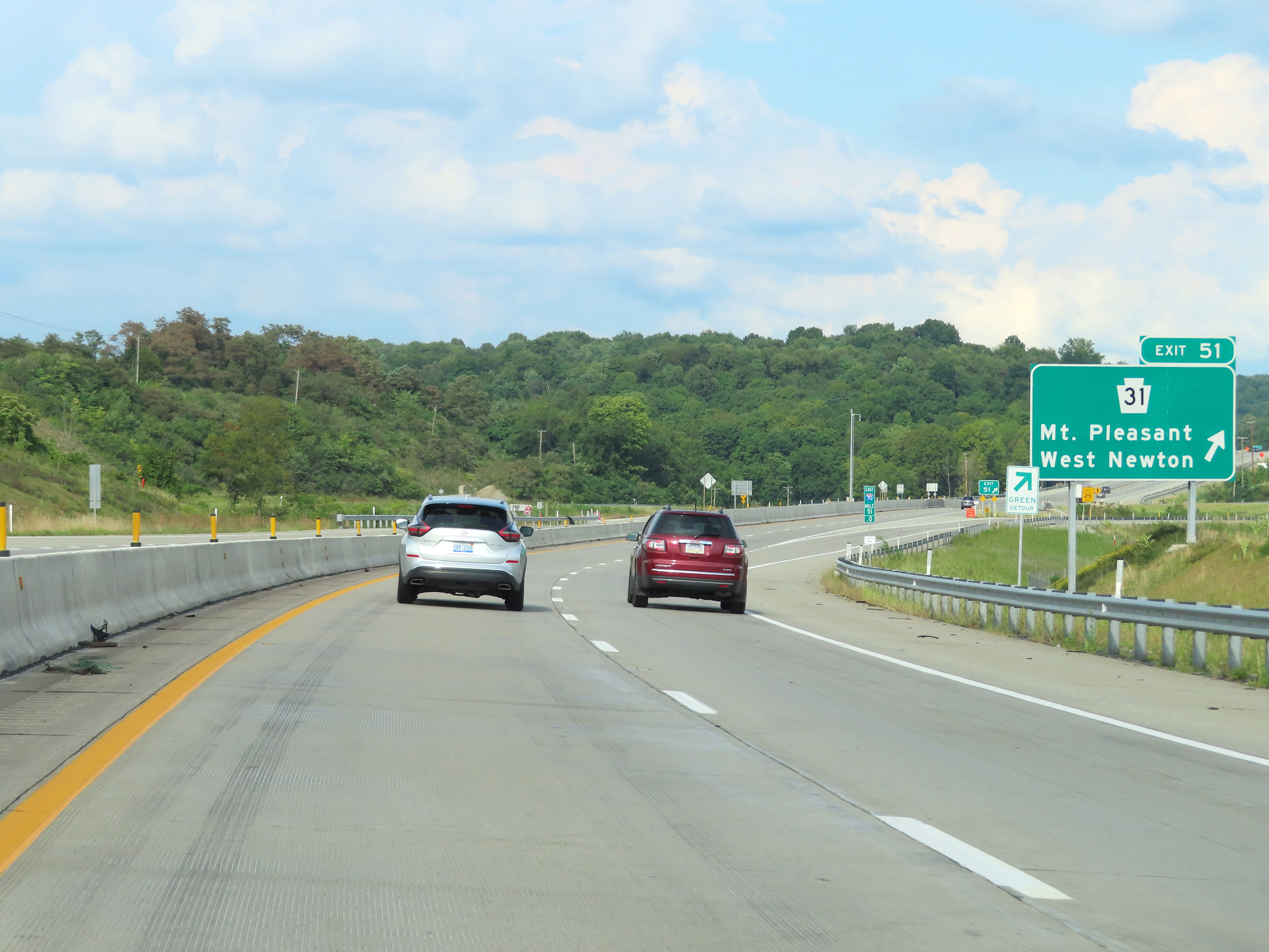 |
Interstate 70 East at Exit 51: PA 31 - Mt. Pleasant / West Newton (Photo taken 8/21/22). |
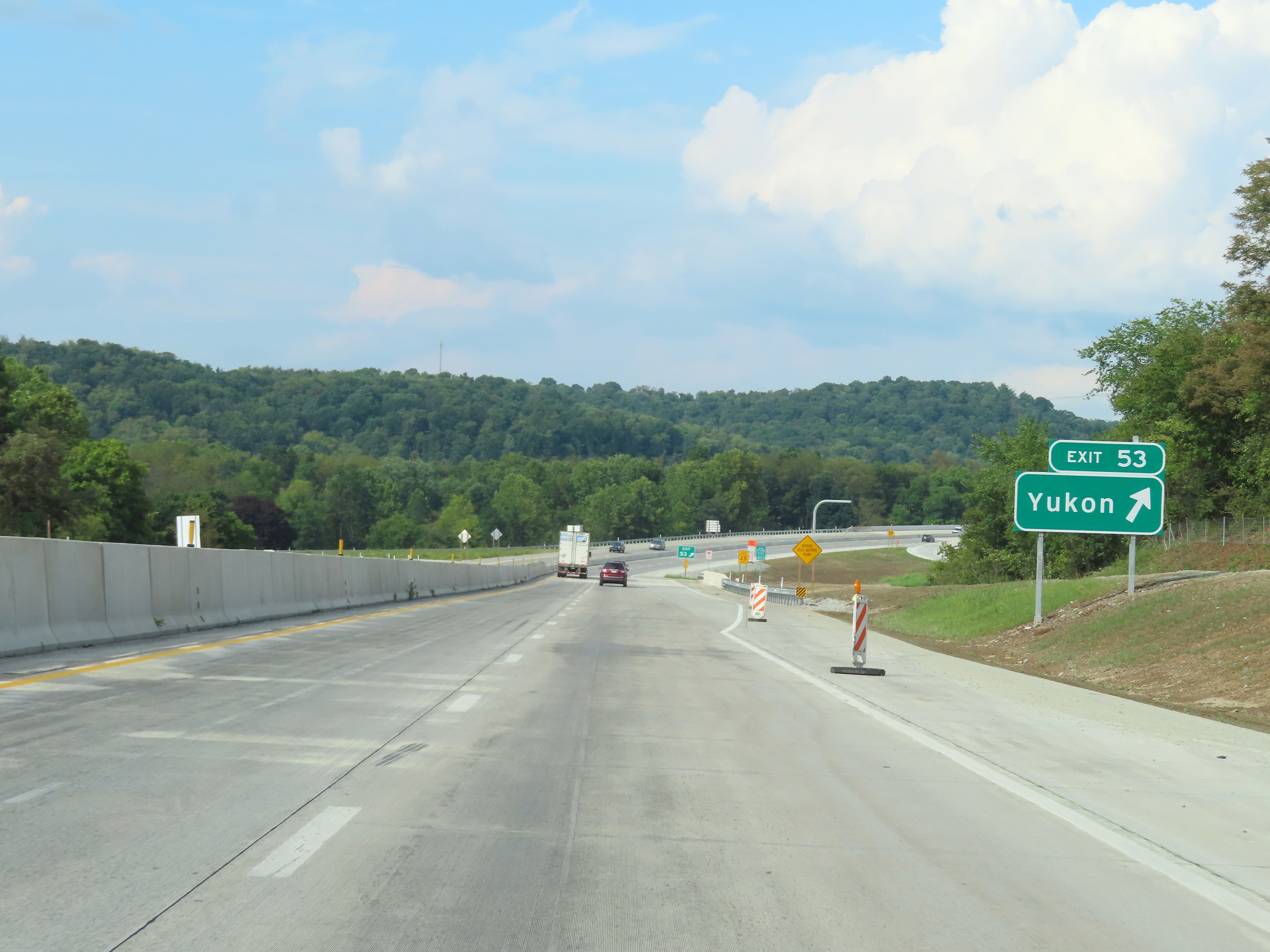 |
Interstate 70 East at Exit 53: Yukon (Photo taken 8/21/22). |
 |
Interstate 70 East at Exit 54: Madison (Photo taken 8/21/22). |
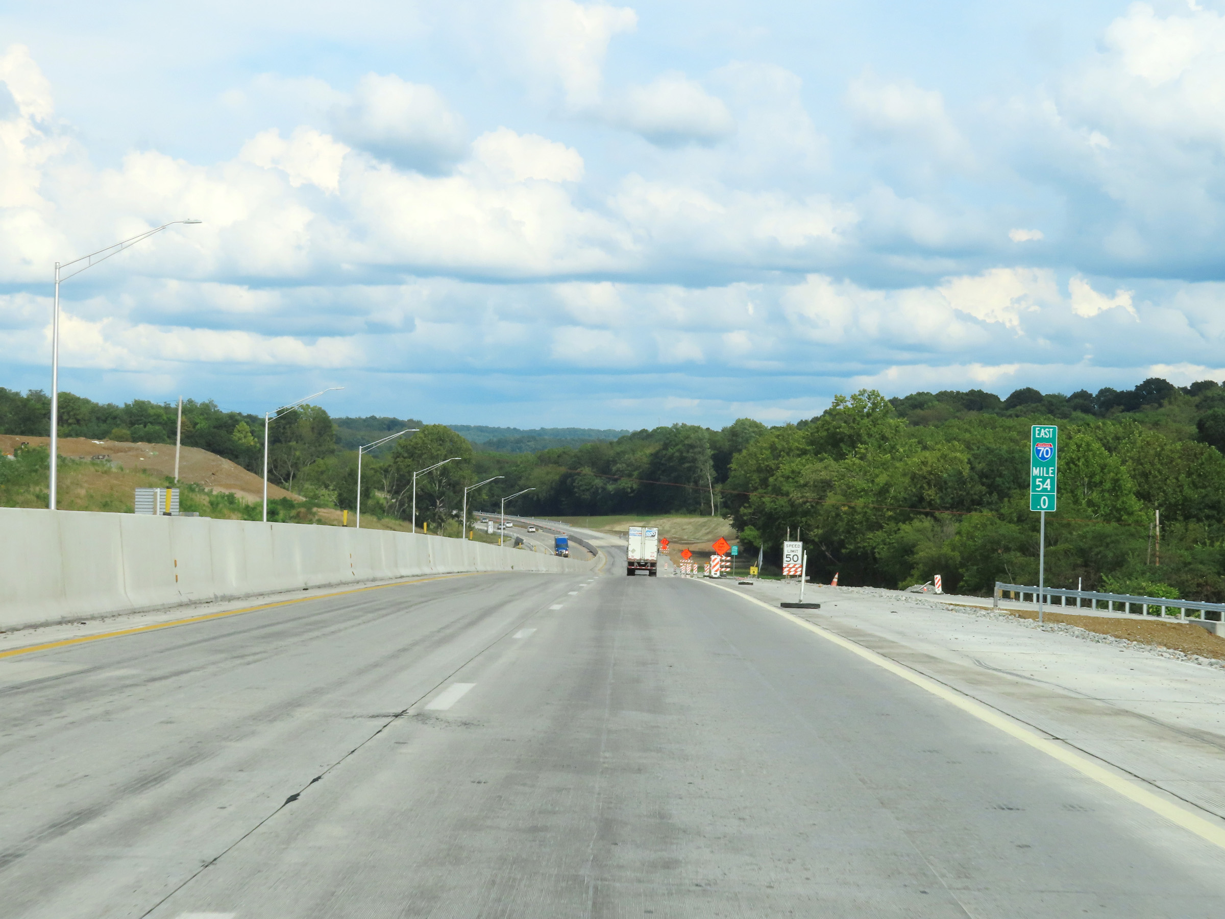 |
View on Interstate 70 East at mile marker 54. (Photo taken 8/21/22). |
 |
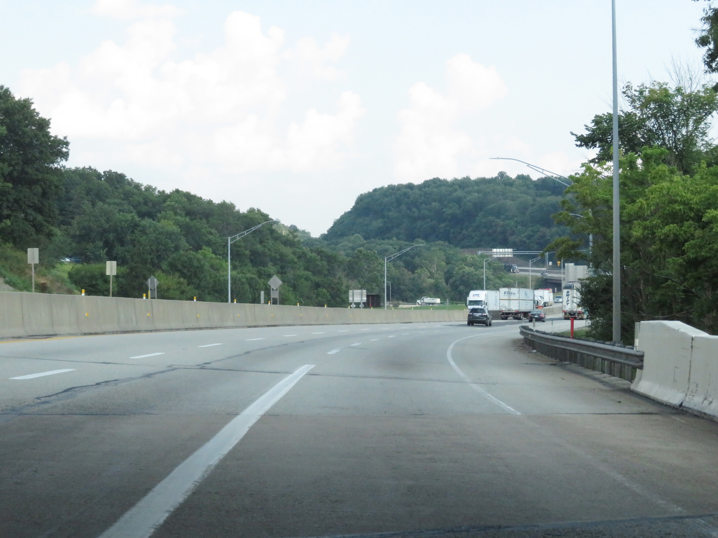
Interstate 70 East as it approaches New Stanton, near mile marker 55. (Photo taken 8/21/22). |
 |
Interstate 70 East near mile marker 56 in Westmoreland County. (Photo taken 8/21/22). |
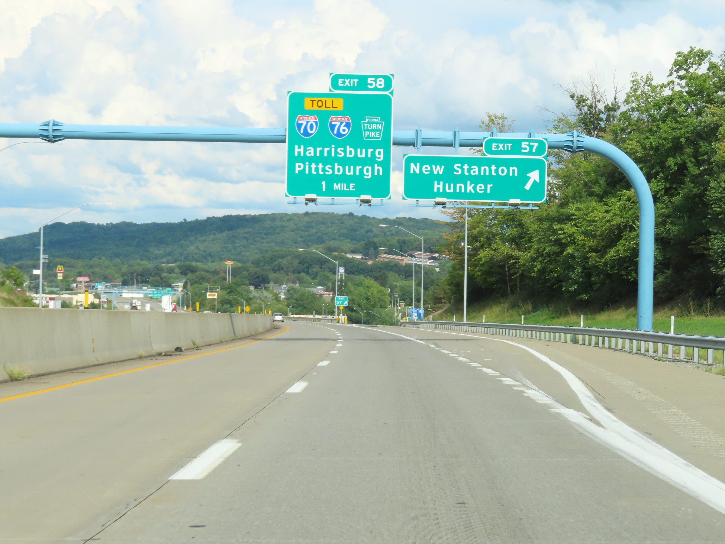 |
Interstate 70 East at Exit 57: New Stanton / Hunker (Photo taken 8/21/22). |
 |
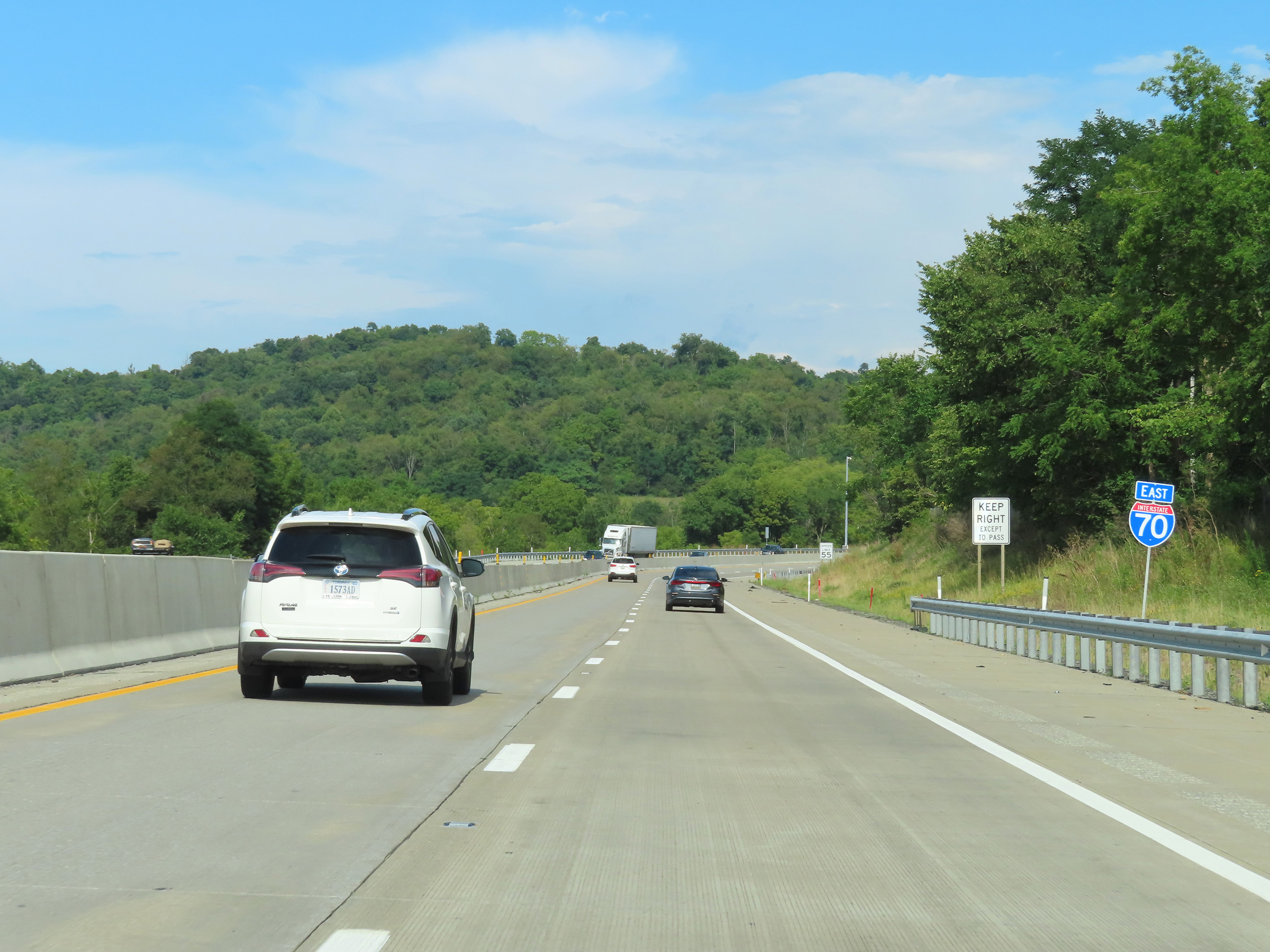
Ahead, Interstate 70 East will enter the Pennsylvania Turnpike via Exit 58 and become a toll road. I-70 East thru traffic should prepare to merge right ahead. (Photo taken 8/21/22). |
 |
Interstate 70 East thru traffic must merge right at this point to take Exit 58. I-70 East will merge into the Pennsylvania Turnpike (and Interstate 76) at that point. (Photo taken 8/21/22). |
 |
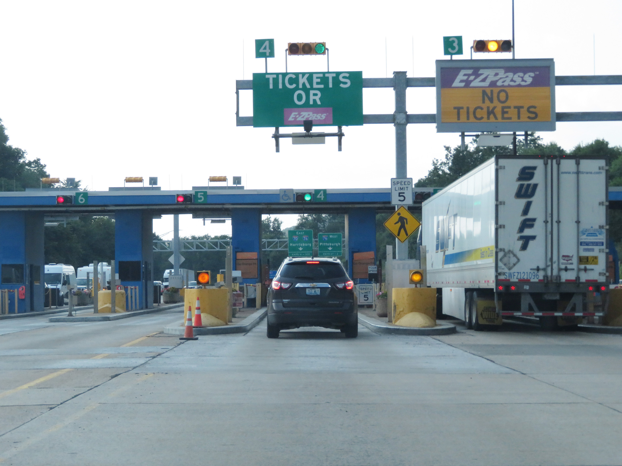
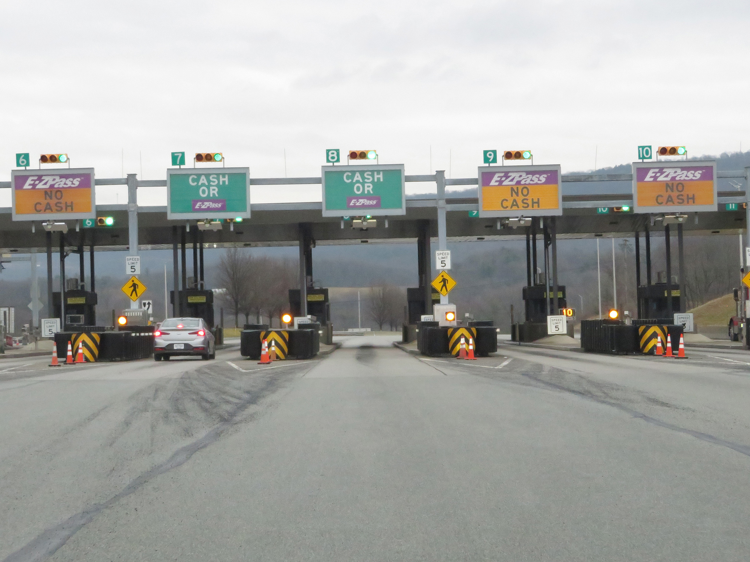
This sign at mile marker 57 shows that the only two payment options on the Pennsylvania Turnpike are E-Z Pass and Toll By Plate. Cash is no longer accepted on the PA Turnpike since the Fall of 2021. (Photo taken 8/21/22). |
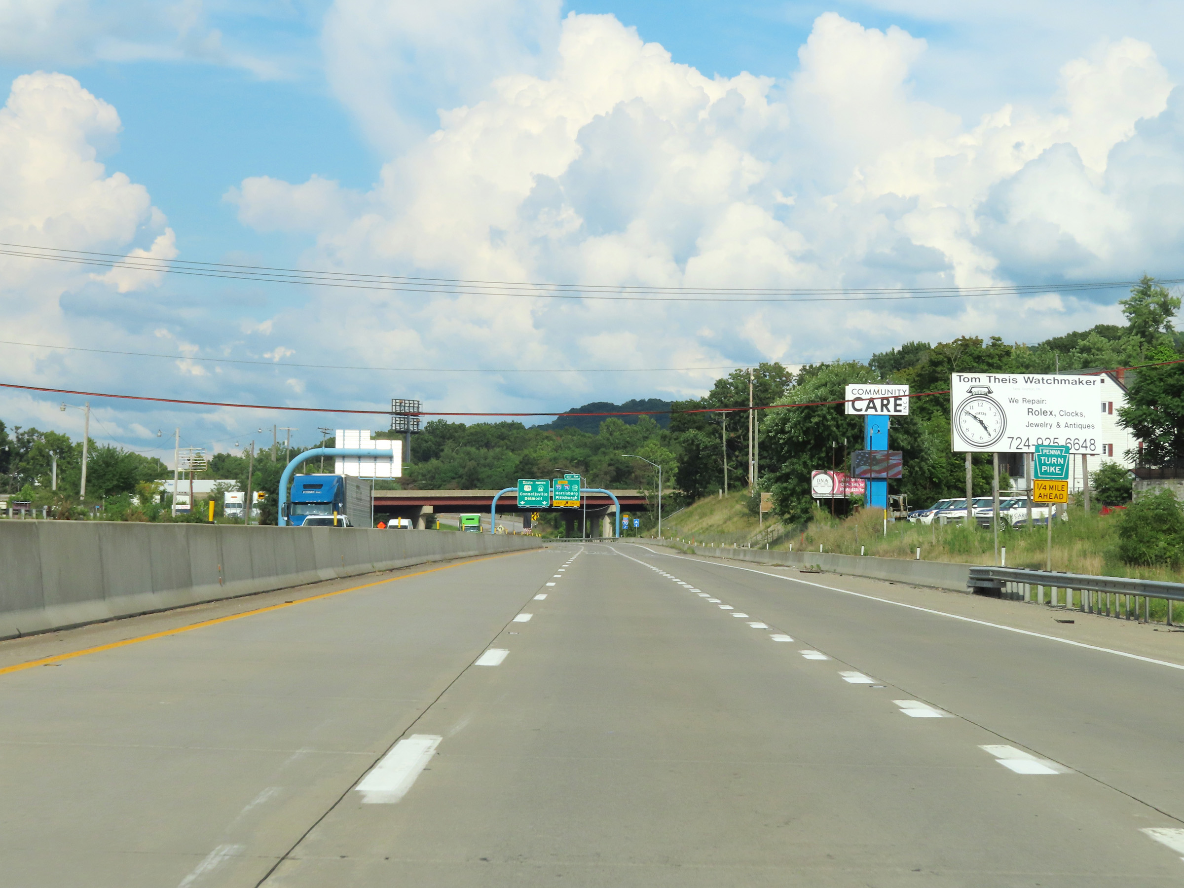 |
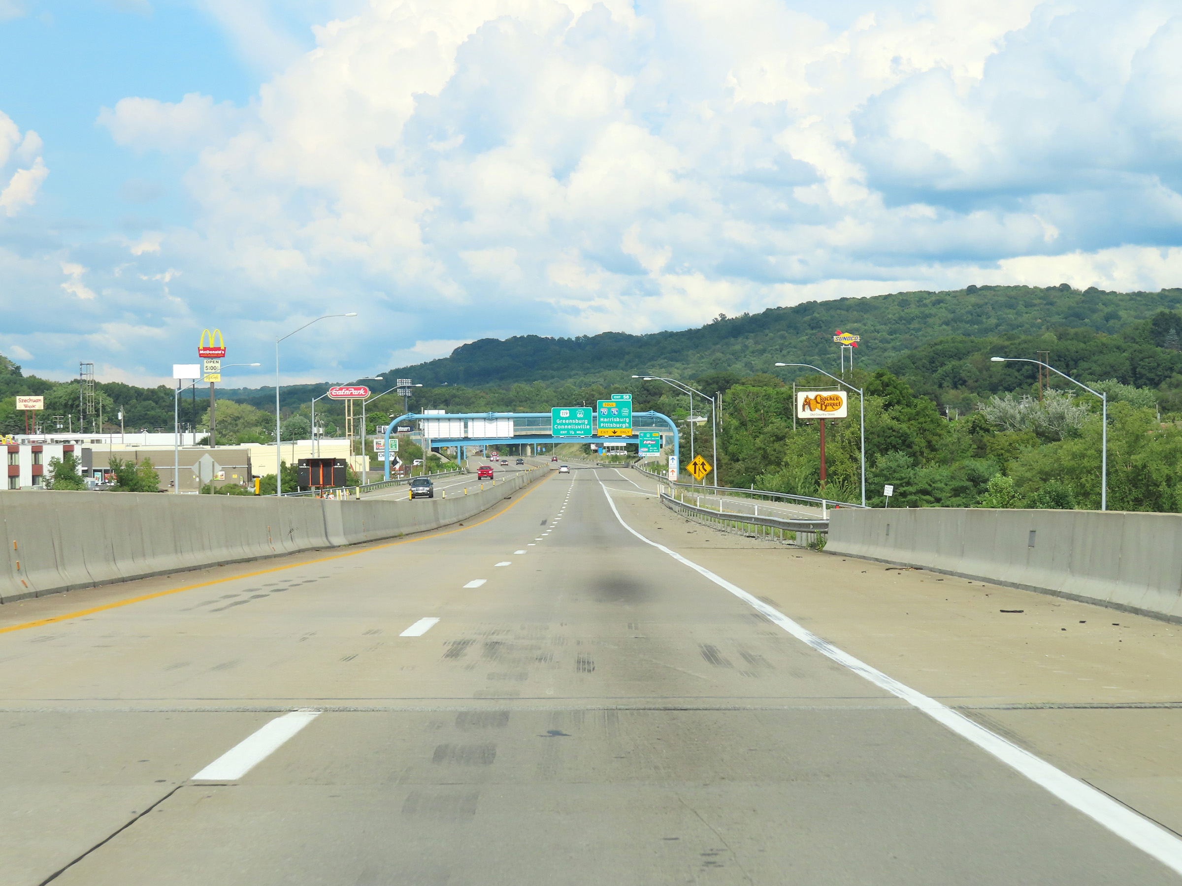
View on Interstate 70 East as it approaches Exit 58 - 1/4 mile ahead. Again, Interstate 70 East thru traffic MUST use the right lane to take Exit 58 and enter the Pennsylvania Turnpike. (Photo taken 8/21/22). |
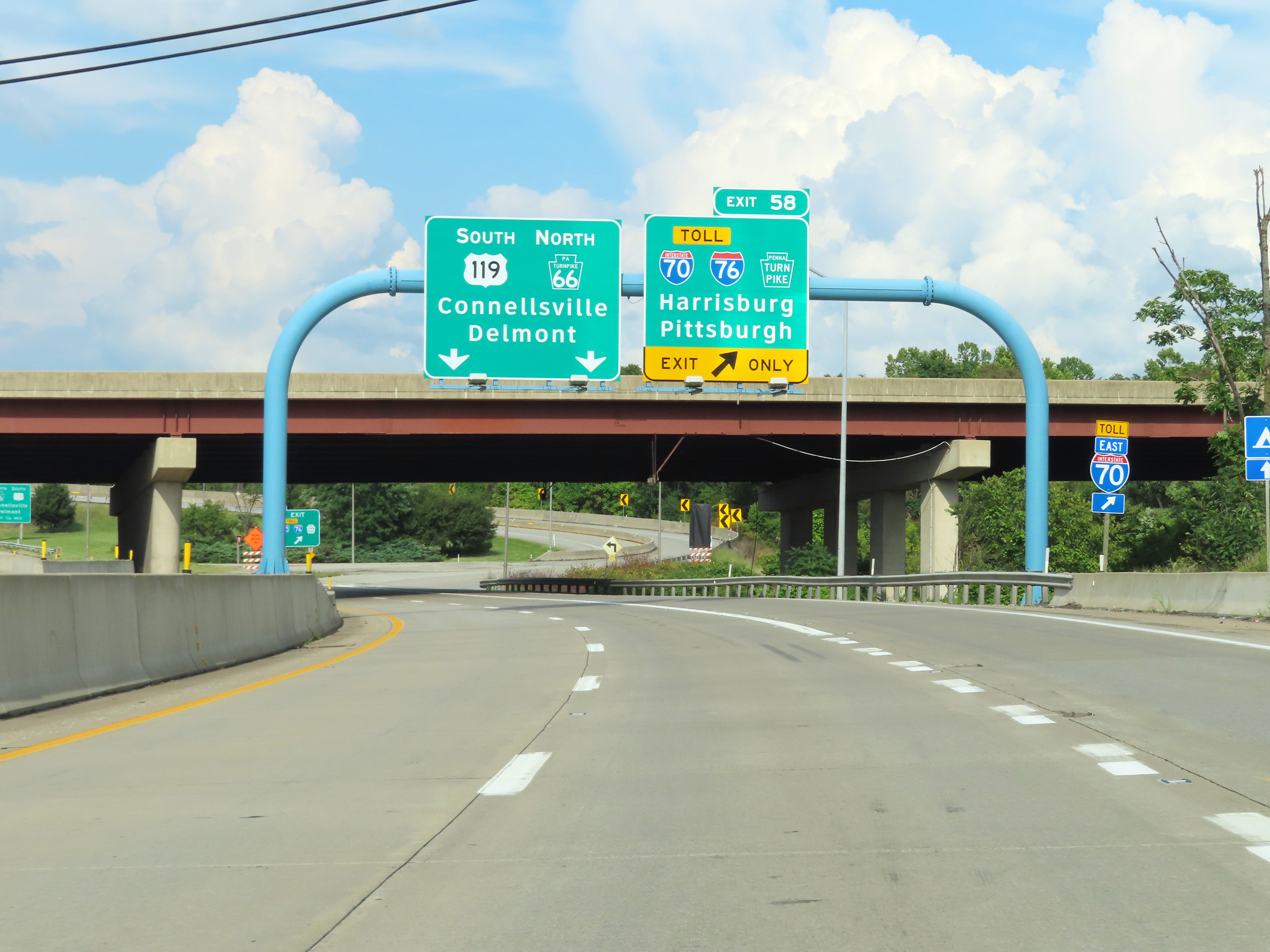 |
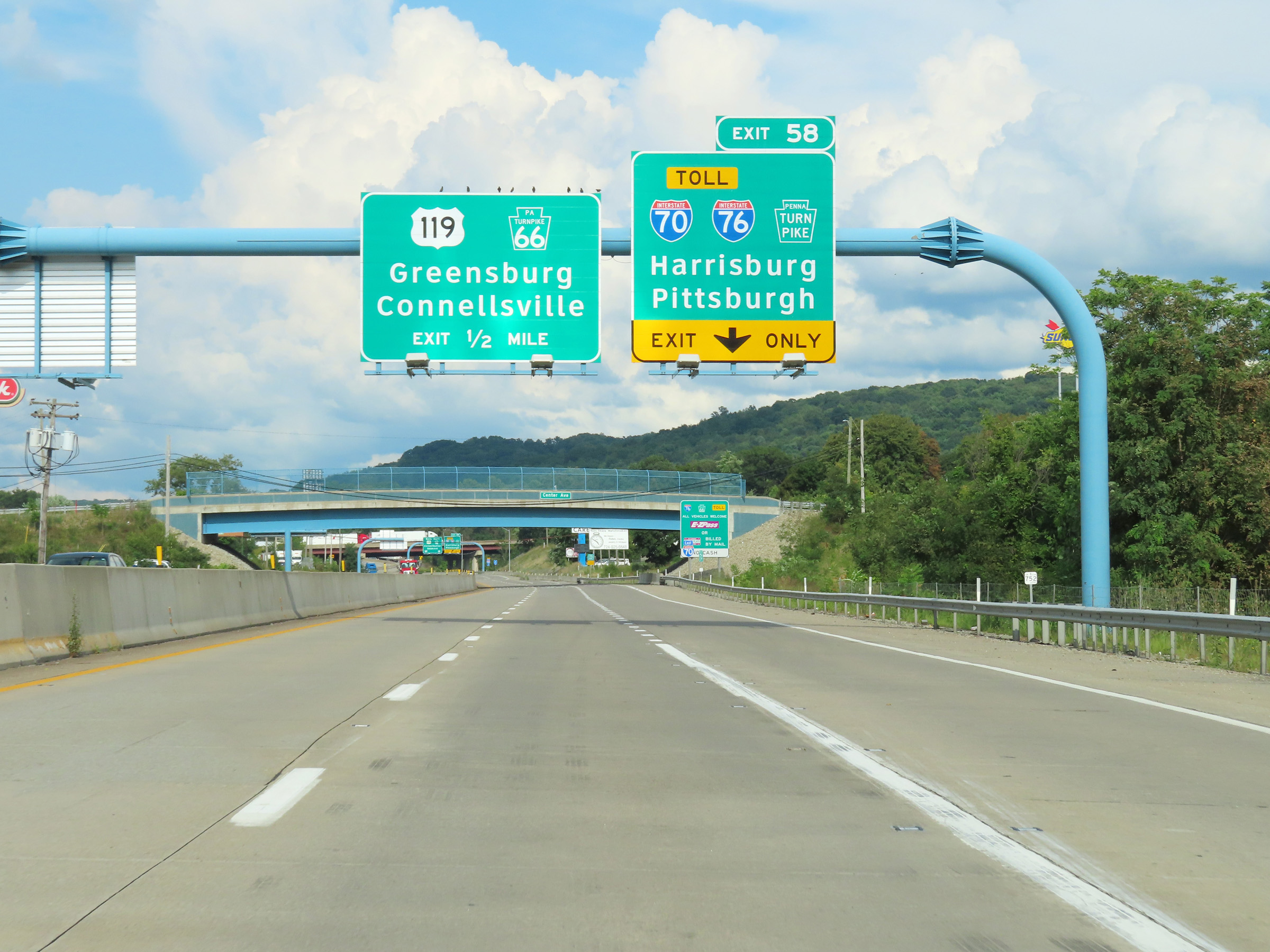
Interstate 70 East at Exit 58: Interstate 70 East / Interstate 76 (Pennsylvania Turnpike) - Harrisburg / Pittsburgh (Photo taken 8/21/22). |
Section 3: New Stanton (Exit 58) to Somerset (Exit 110)
 |
View on the ramp for Exit 58 as Interstate 70 East is reduced to a single lane, preparing to enter the Pennsylvania Turnpike and join Interstate 76. (Photo taken 7/19/17). |
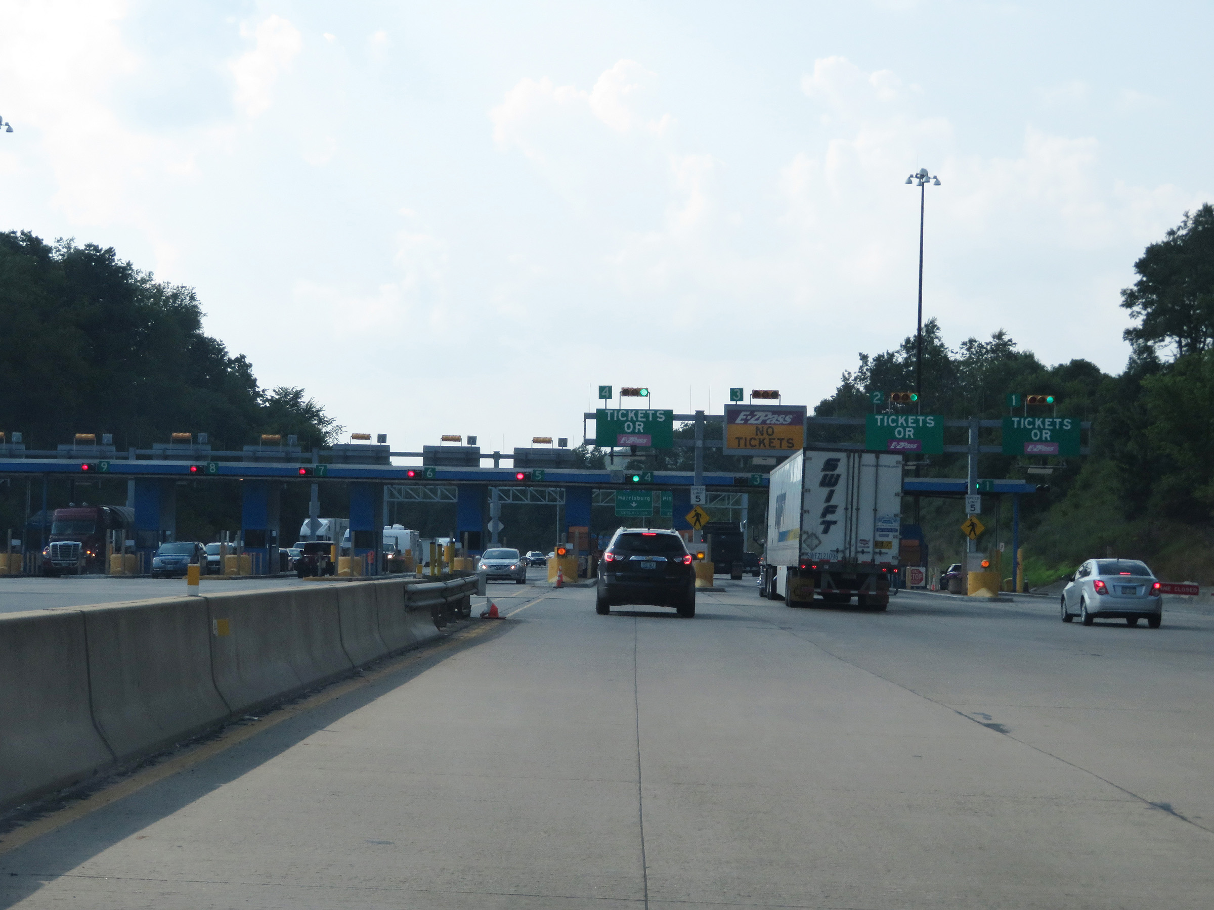 |
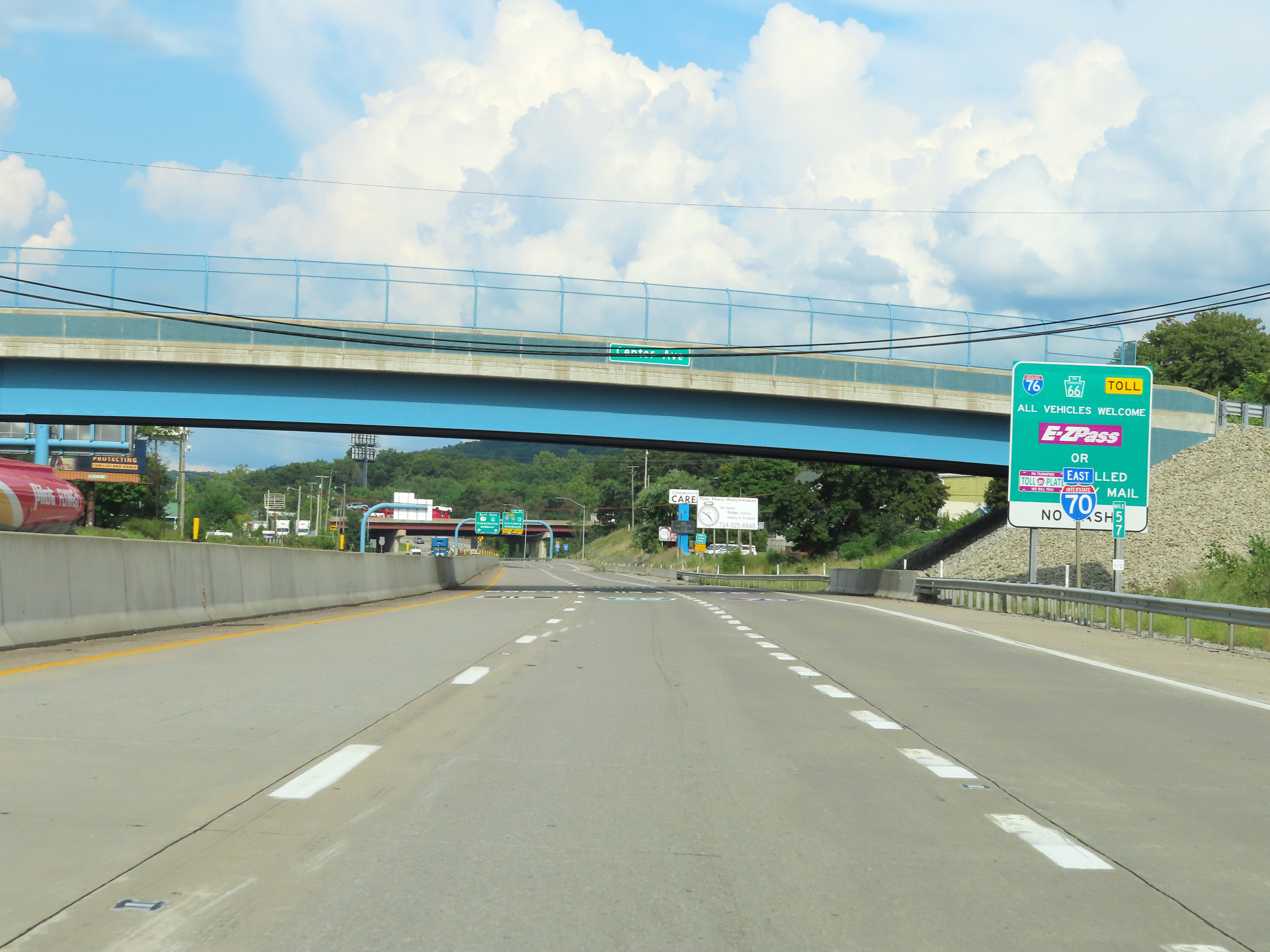
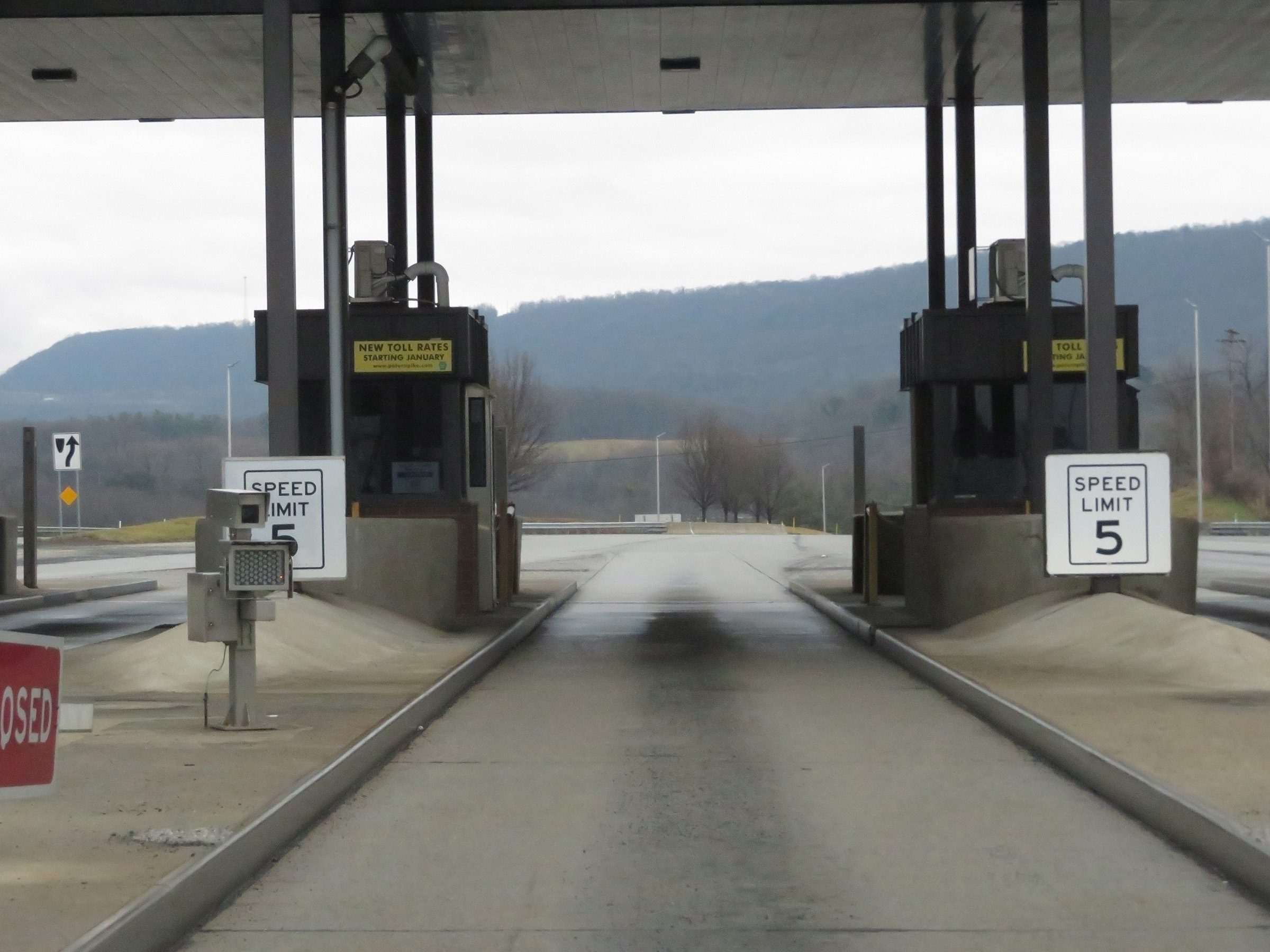
Interstate 70 East approaching the toll plaza at the New Stanton interchange for the Pennsylvania Turnpike. Note that since the time this photo was taken, the PA Turnpike has gone to all cashless tolling. This change took place in the Fall of 2021. (Photo taken 7/19/17). |
 |
View on Interstate 70 East approaching the toll plaza at the New Stanton interchange of the PA Turnpike. (Photo taken 7/19/17). |
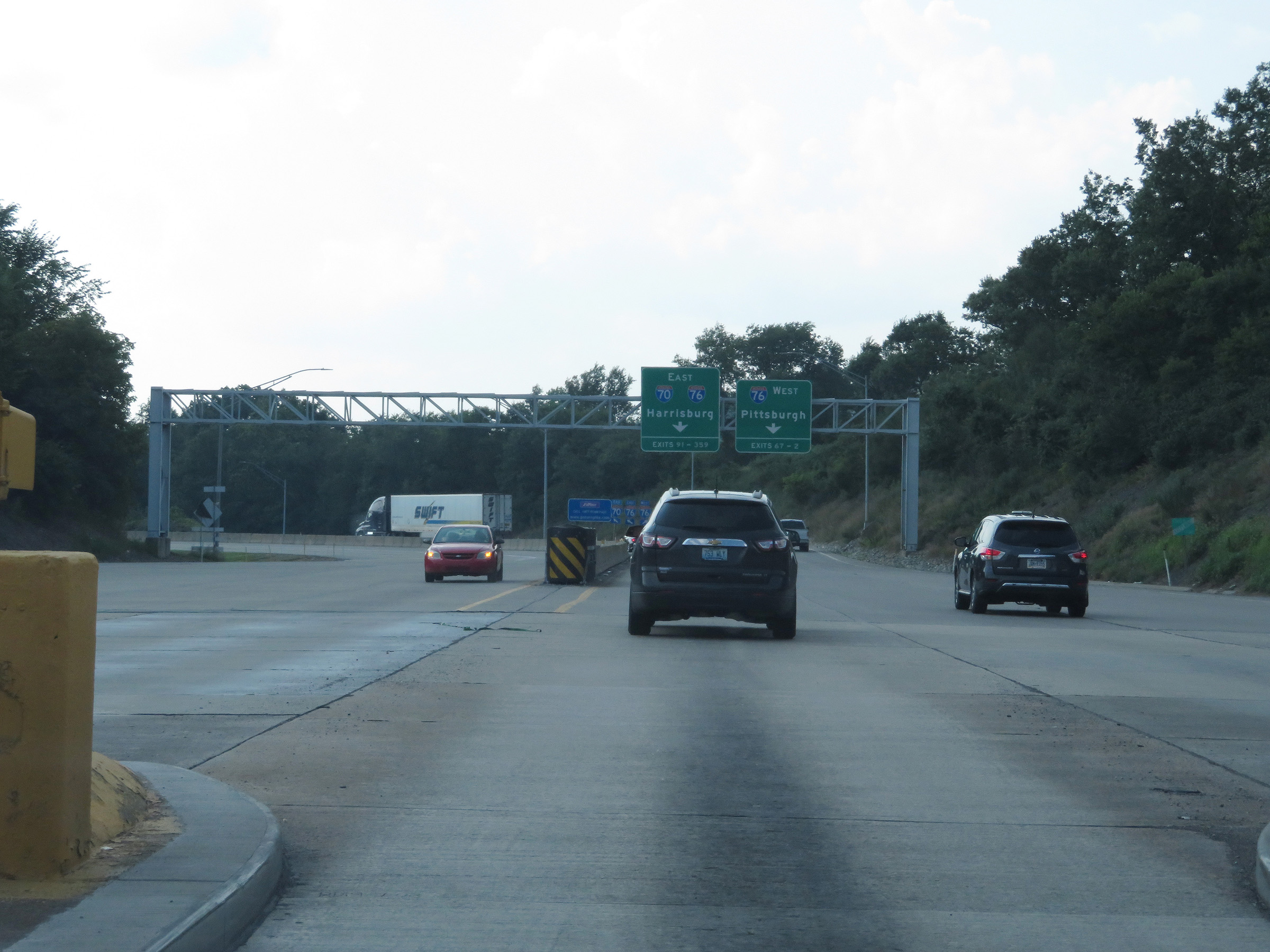 |
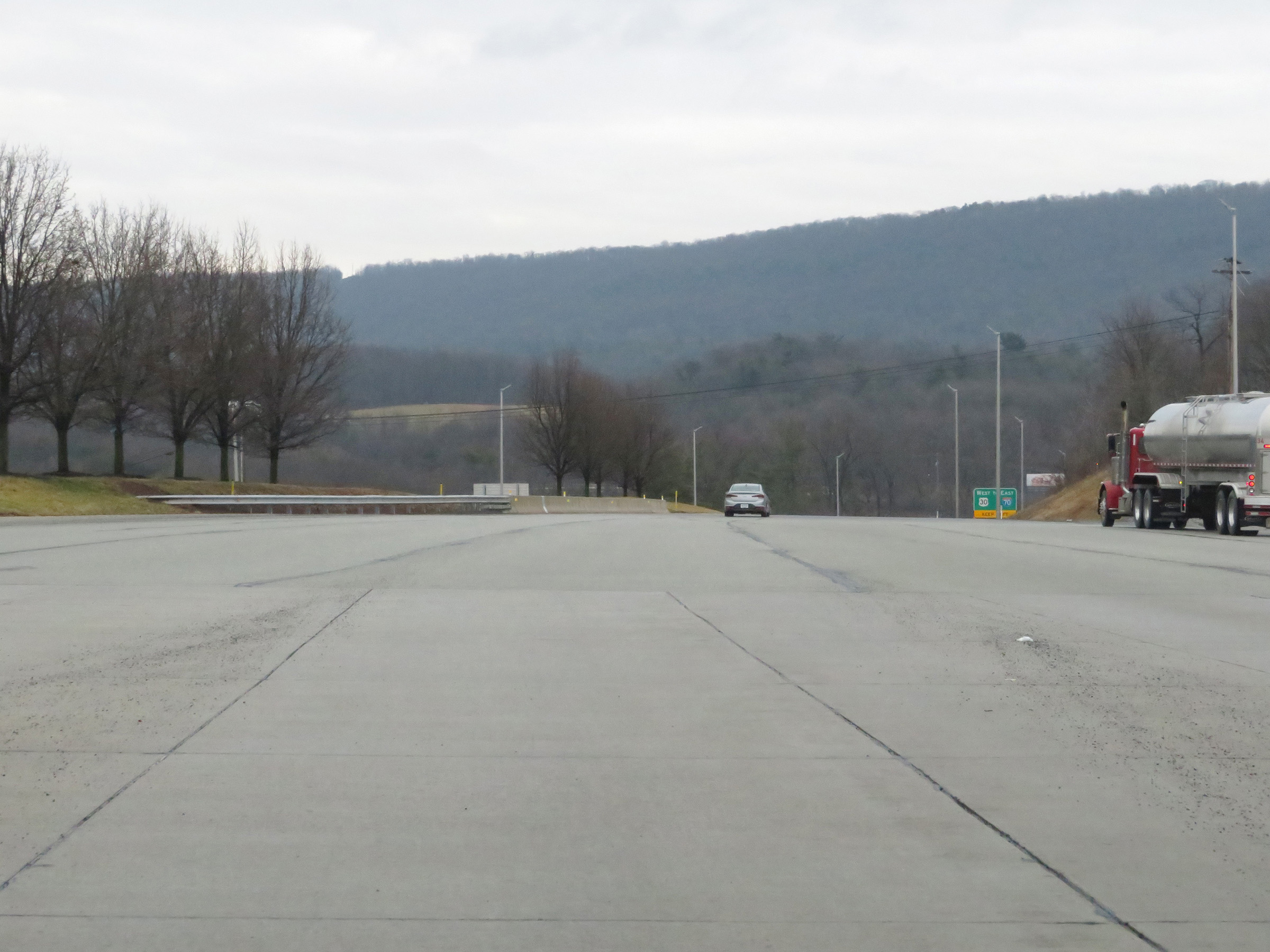
Interstate 70 East leaving the toll plaza at the New Stanton interchange. As the overhead signage ahead shows, Interstate 70 East thru traffic will need to keep left ahead. (Photo taken 7/19/17). |
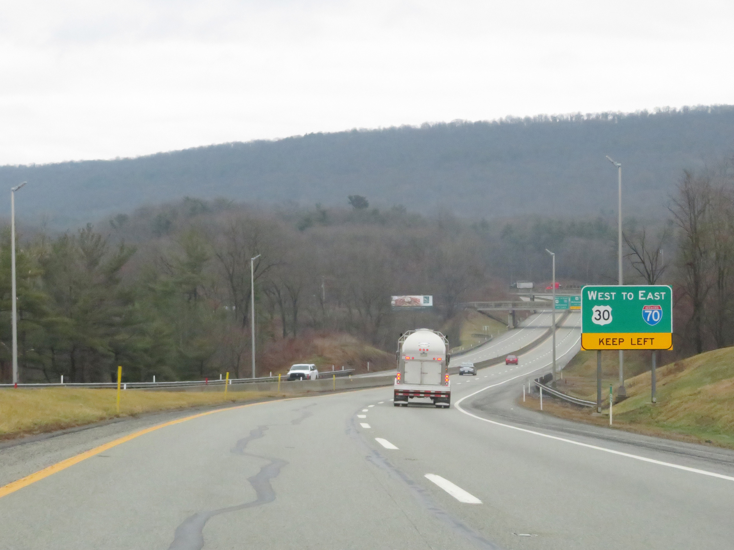
 |
Ramps to Interstate 70 East / Interstate 76 East and Interstate 76 West form here. Interstate 70 East thru traffic must keep left. (Photo taken 7/19/17). |
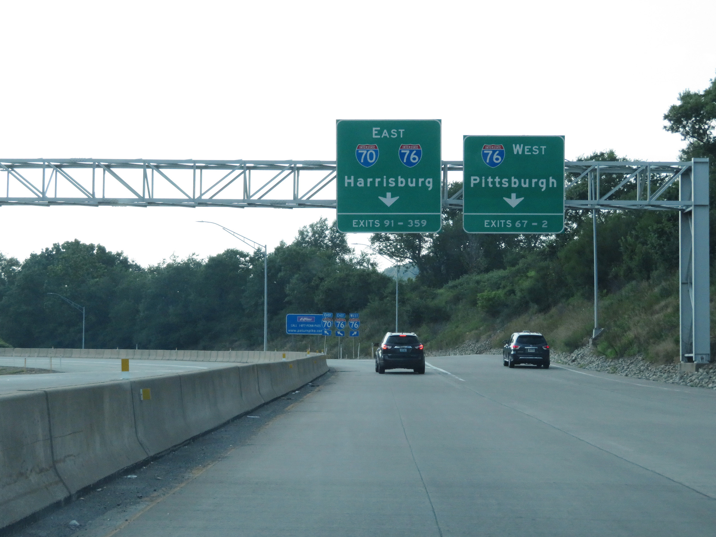
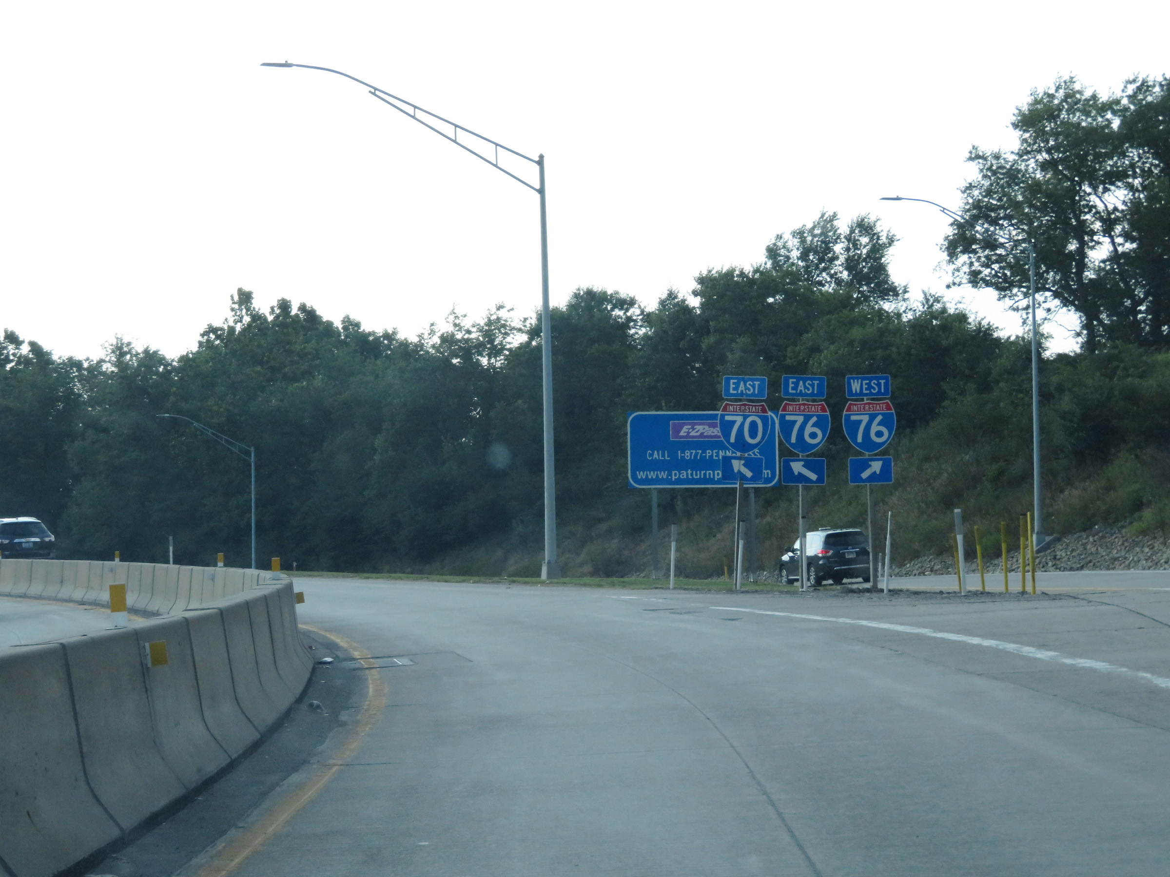 |
A closer view of the split with appropriate directional signage for the ramps to Interstate 70 East / Interstate 76 East (left) and Interstate 76 West (right). (Photo taken 7/19/17). |
 |
View on Interstate 70 East as it once again is a single lane ramp preparing to pass over Interstate 76 (PA Turnpike), which it will join shortly after traversing the loop ramp ahead. (Photo taken 7/19/17). |
 |
Interstate 70 East as it joins Interstate 76 East and the Pennsylvania Turnpike at the New Stanton interchange. I-70 East and I-76 East (PA Turnpike) will run concurrently for the next 86 miles. (Photo taken 7/19/17). |
 |
Interstate 70 East / Interstate 76 East reassurance shields. (Photo taken 12/18/20). |
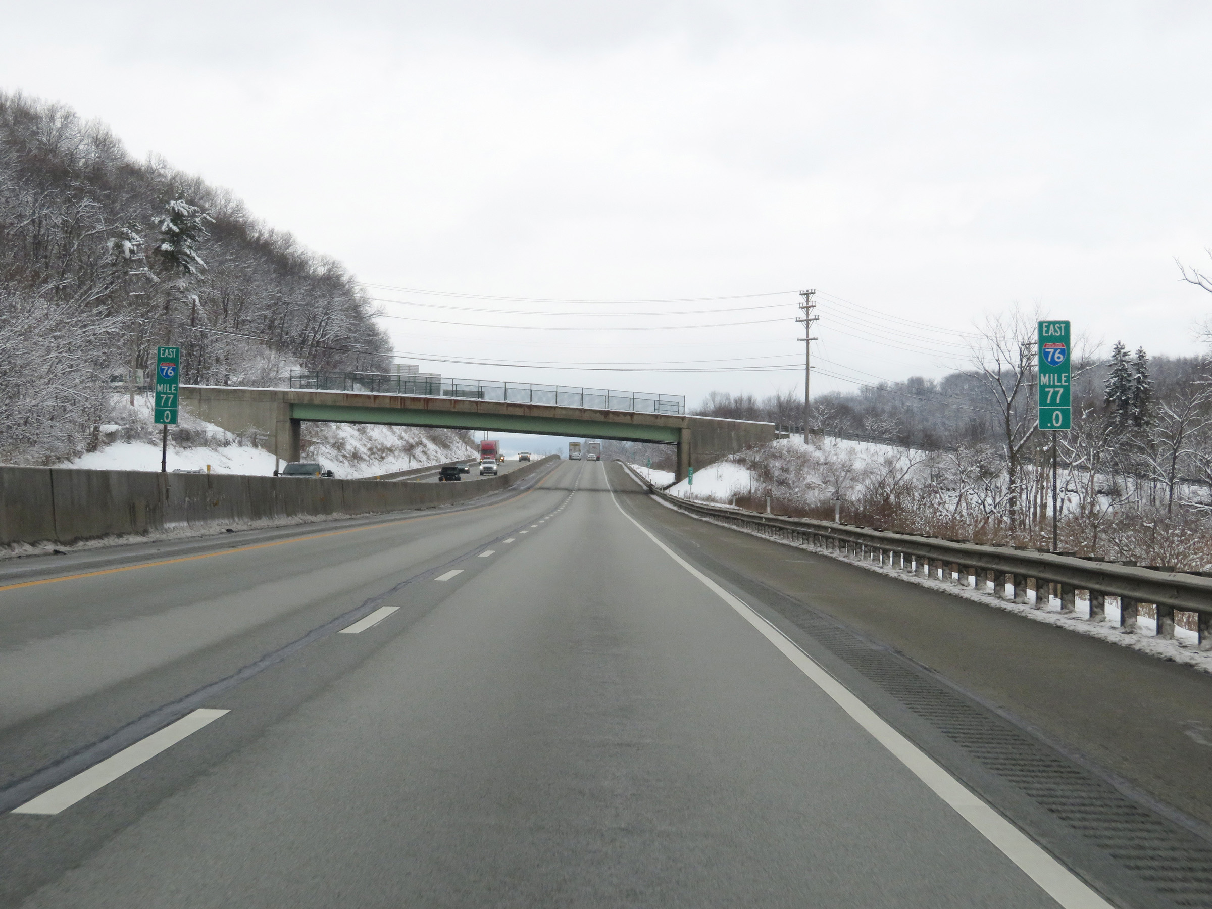 |
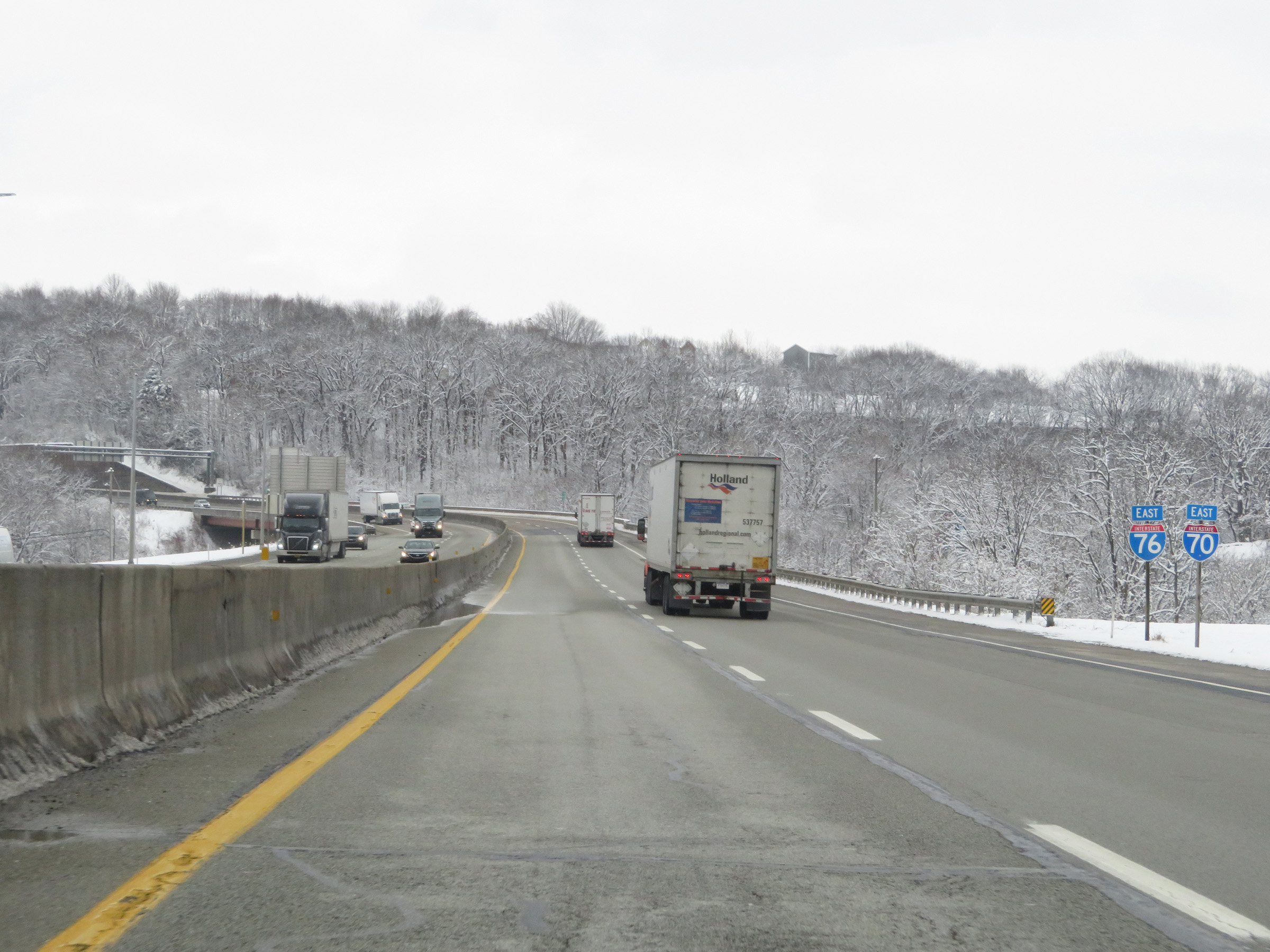
View on Interstate 70 East / Interstate 76 East (PA Turnpike) at mile marker 77. During the I-70 / I-76 concurrency on the Pennsylvania Turnpike, the mileage and exit numbers are based on the total mileage of I-76 in Pennsylvania. (Photo taken 12/18/20). |
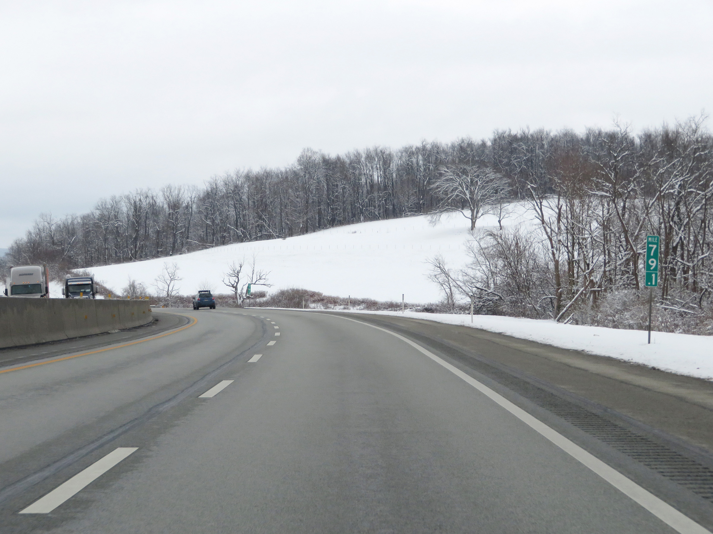 |
Interstate 70 East / Interstate 76 East (PA Turnpike) at mile marker 79.1. (Photo taken 12/18/20). |
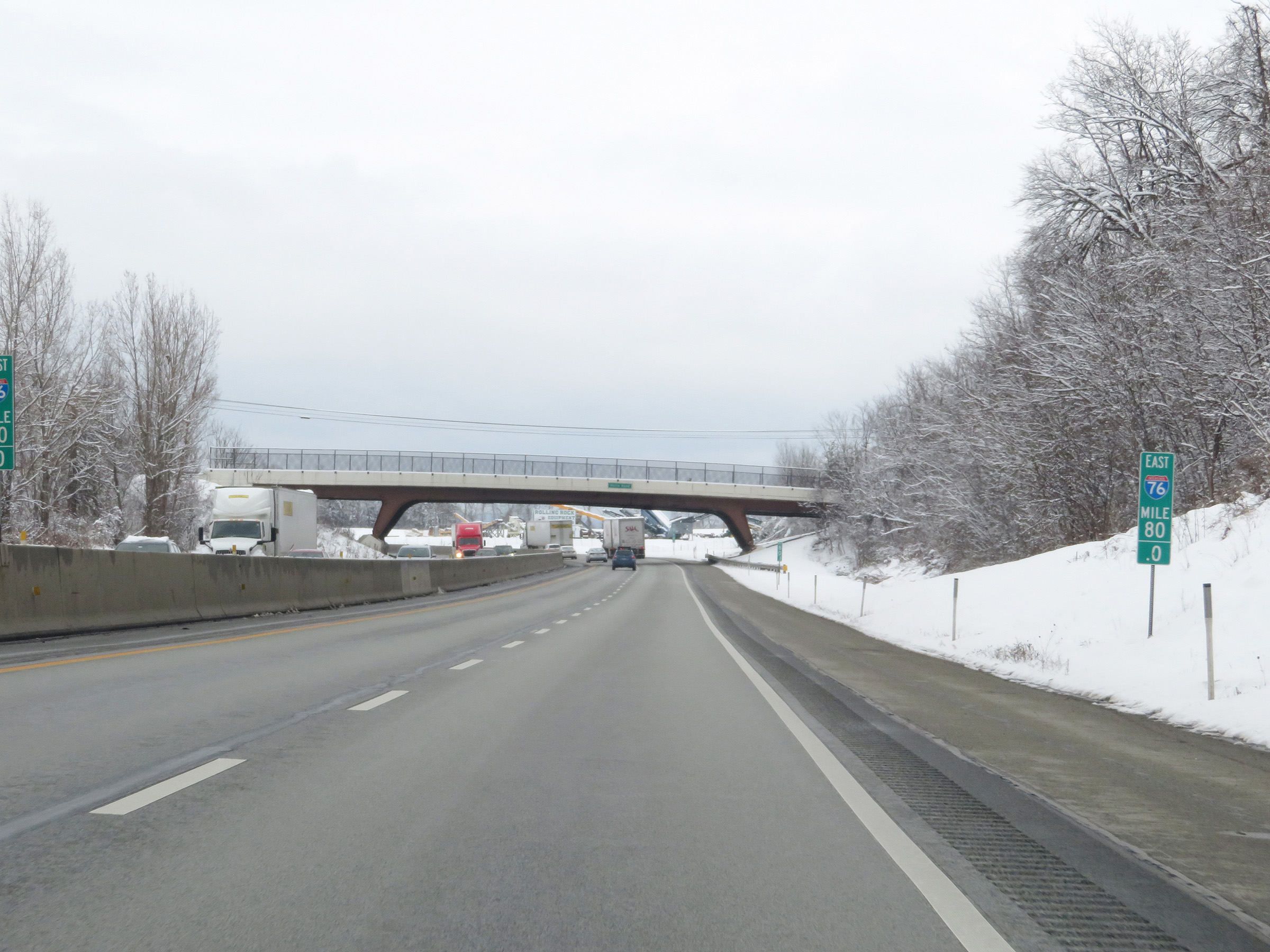 |
Mile marker 80 on Interstate 70 East / Interstate 76 East (PA Turnpike) in Westmoreland County. (Photo taken 12/18/20). |
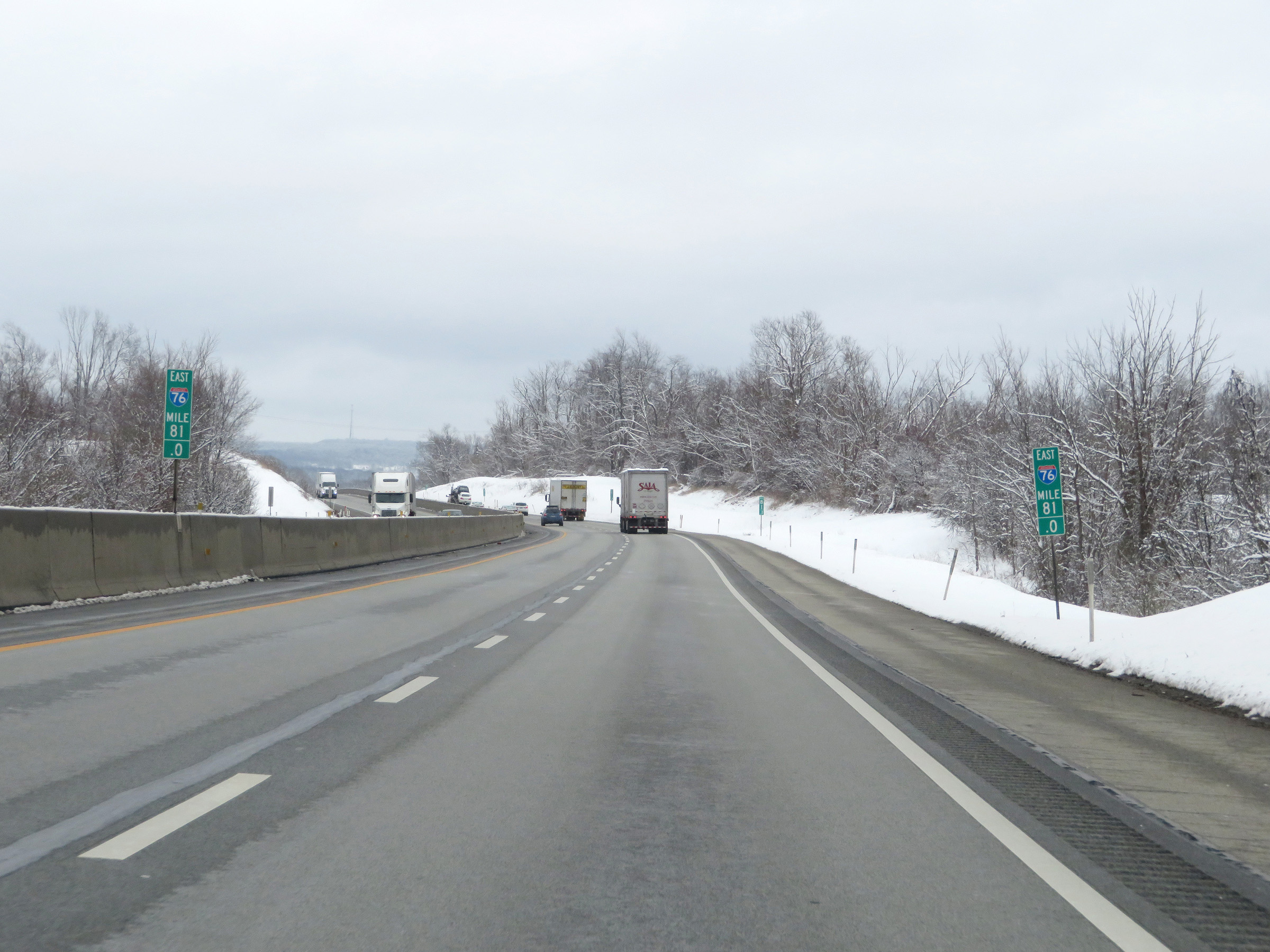 |
Interstate 70 East / Interstate 76 East (PA Turnpike) at mile marker 81. (Photo taken 12/18/20). |
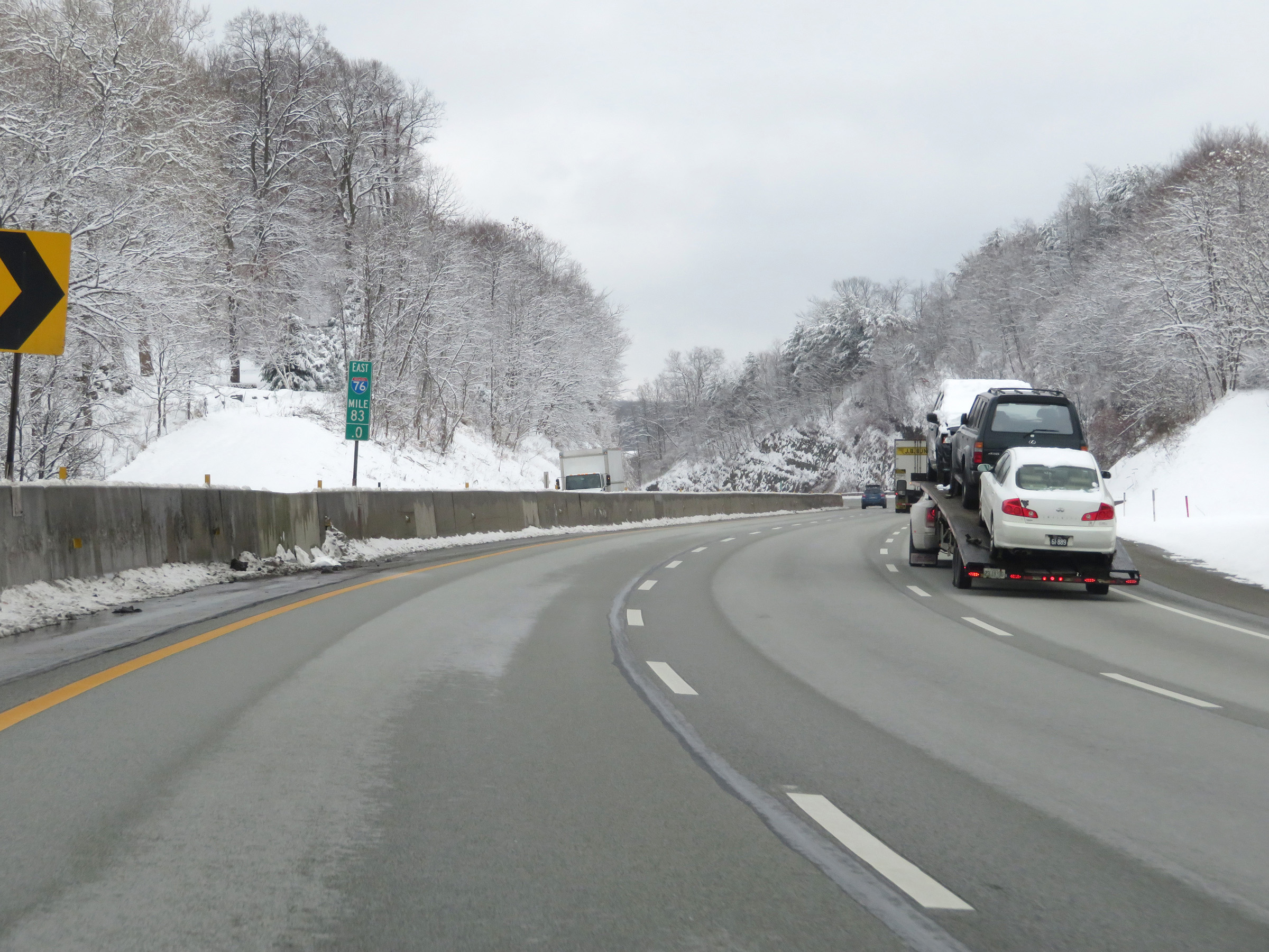 |
At mile marker 83, a third lane appears on Interstate 70 East / Interstate 76 East (PA Turnpike) as it begins to climb a grade. (Photo taken 12/18/20). |
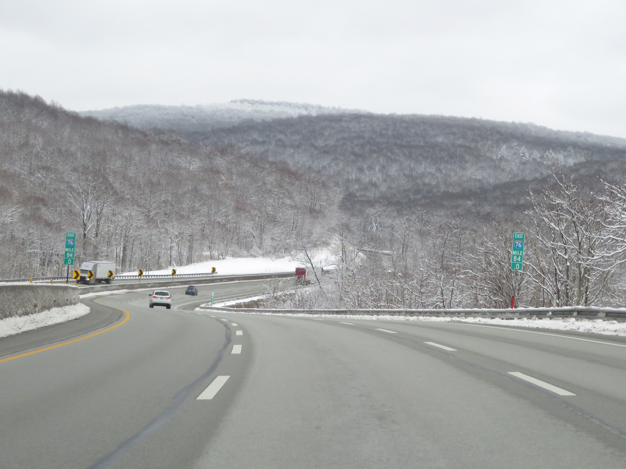 |
View on Interstate 70 East / Interstate 76 East (PA Turnpike) at mile marker 84. (Photo taken 12/18/20). |
 |
Mile marker 84 on Interstate 70 East / Interstate 76 East (PA Turnpike) in Westmoreland County. (Photo taken 12/18/20). |
 |
As Interstate 70 East / Interstate 76 East (PA Turnpike) continue to climb in elevation, this sign at mile marker 87.1 reminds trucks that they're prohibited in the left lane when there are three thru lanes. (Photo taken 12/18/20). |
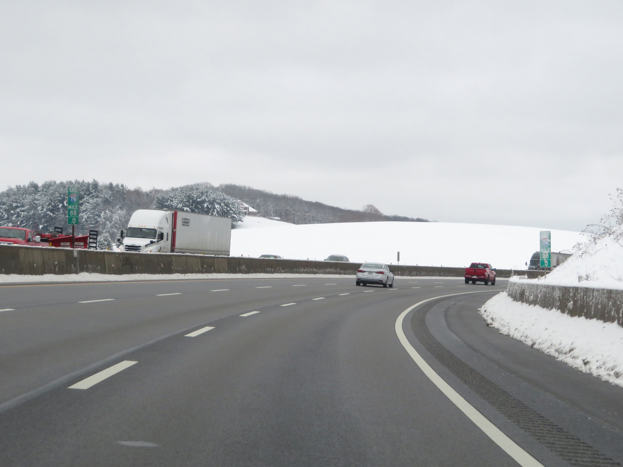 |
View on Interstate 70 East / Interstate 76 East (PA Turnpike) at mile marker 88. (Photo taken 12/18/20). |
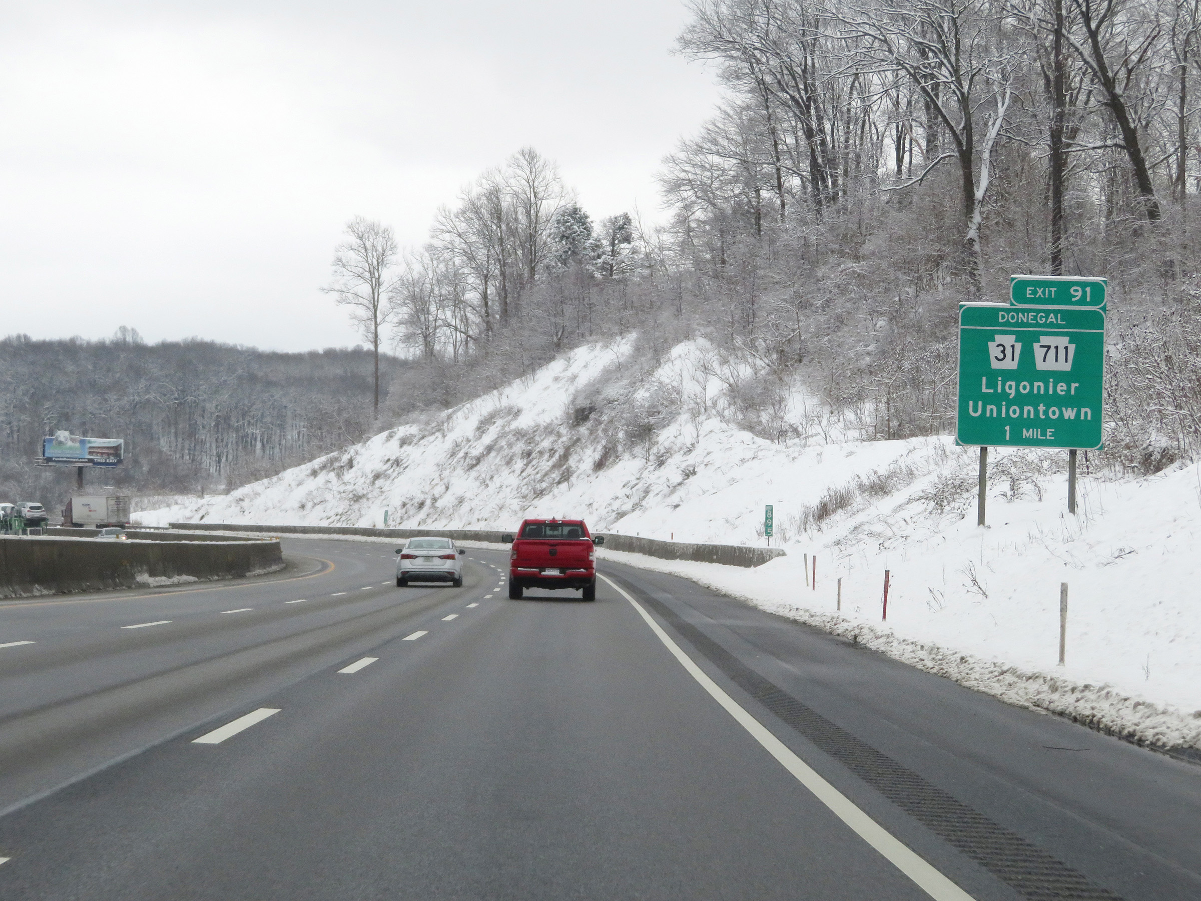 |
Interstate 70 East / Interstate 76 East (PA Turnpike) approaching Exit 91 - 1 mile. (Photo taken 12/18/20). |
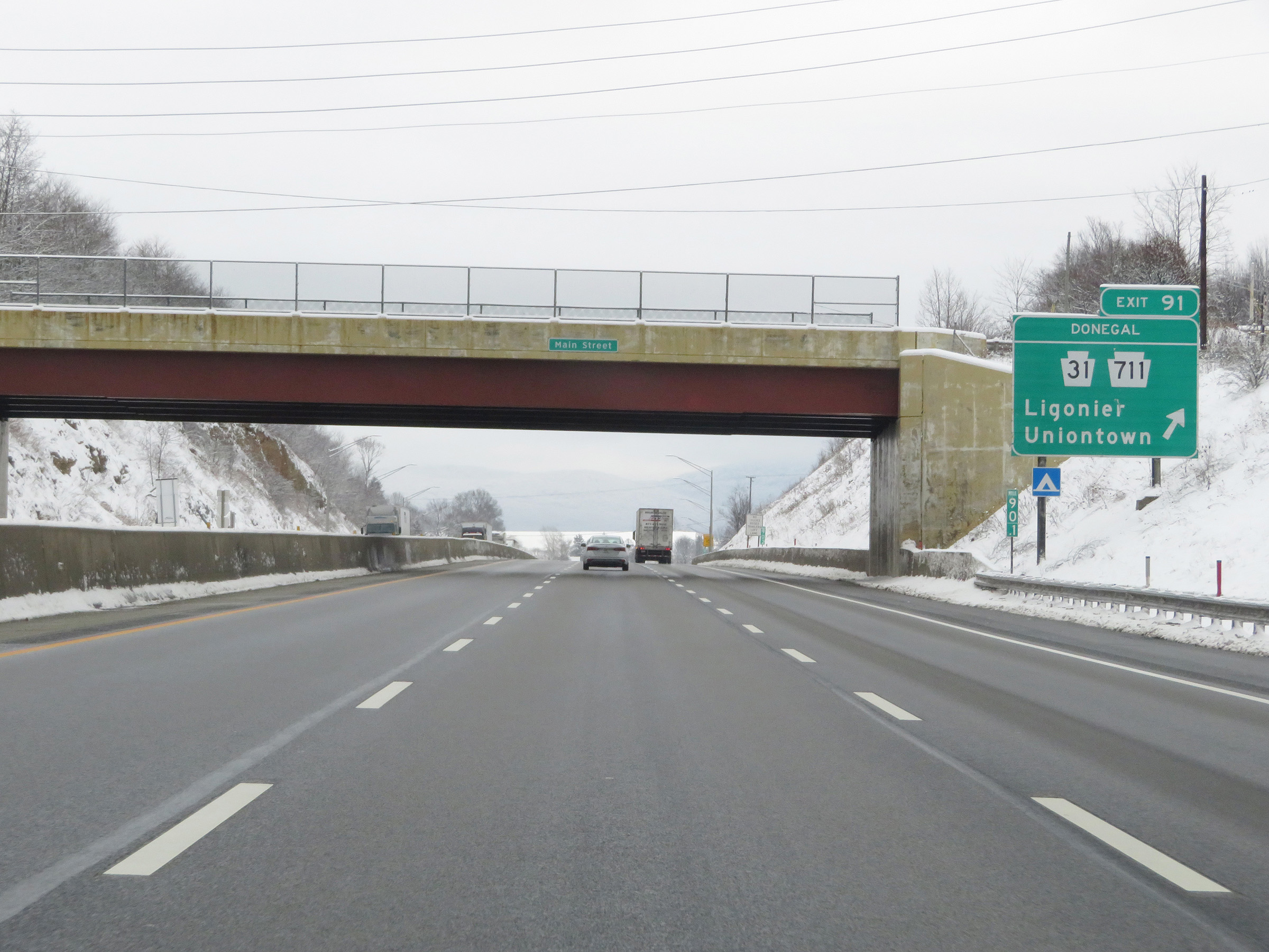 |
Interstate 70 East / Interstate 76 East (PA Turnpike) at Exit 91: PA 31 / PA 711 - Ligonier / Uniontown (Photo taken 12/18/20). |
 |
Another set of Interstate 70 East / Interstate 76 East reassurance shields, with the 'Toll' tab affixed to the top since their concurrency is part of the Pennsylvania Turnpike. We also see a mileage sign listing the distances to the next two exits on the turnpike. It's 19 miles to the Somerset interchange (Exit 110) and 55 miles to the Bedford interchange (Exit 146). (Photo taken 12/18/20). |
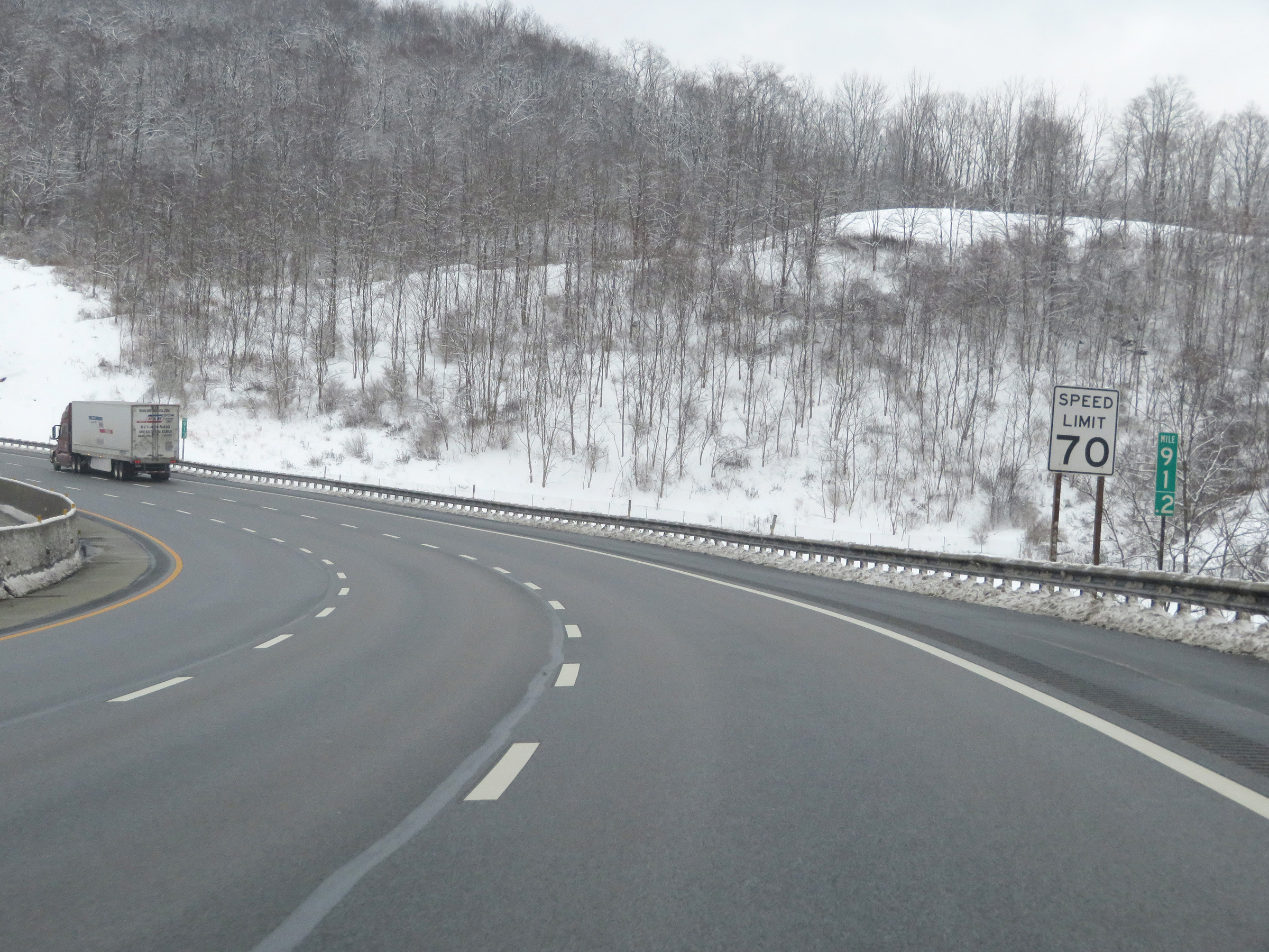 |
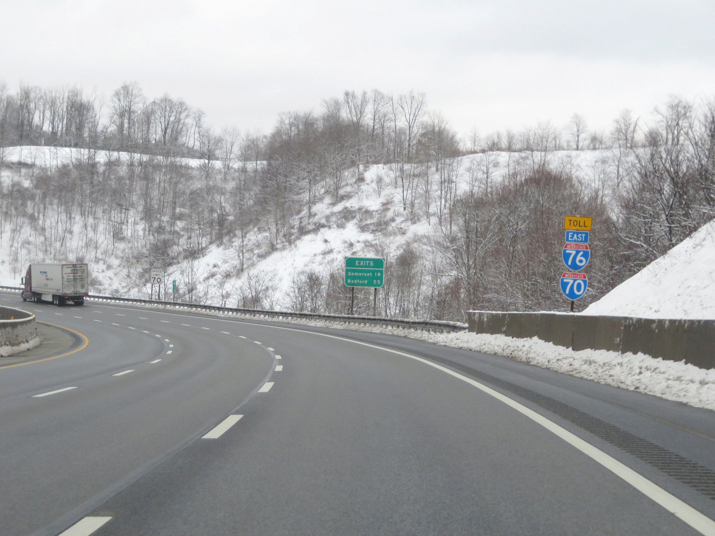
Speed limit sign on Interstate 70 East / Interstate 76 East (PA Turnpike) at mile marker 91.2. The speed limit on most rural parts of the Pennsylvania Turnpike is 70 mph for all traffic. (Photo taken 12/18/20). |
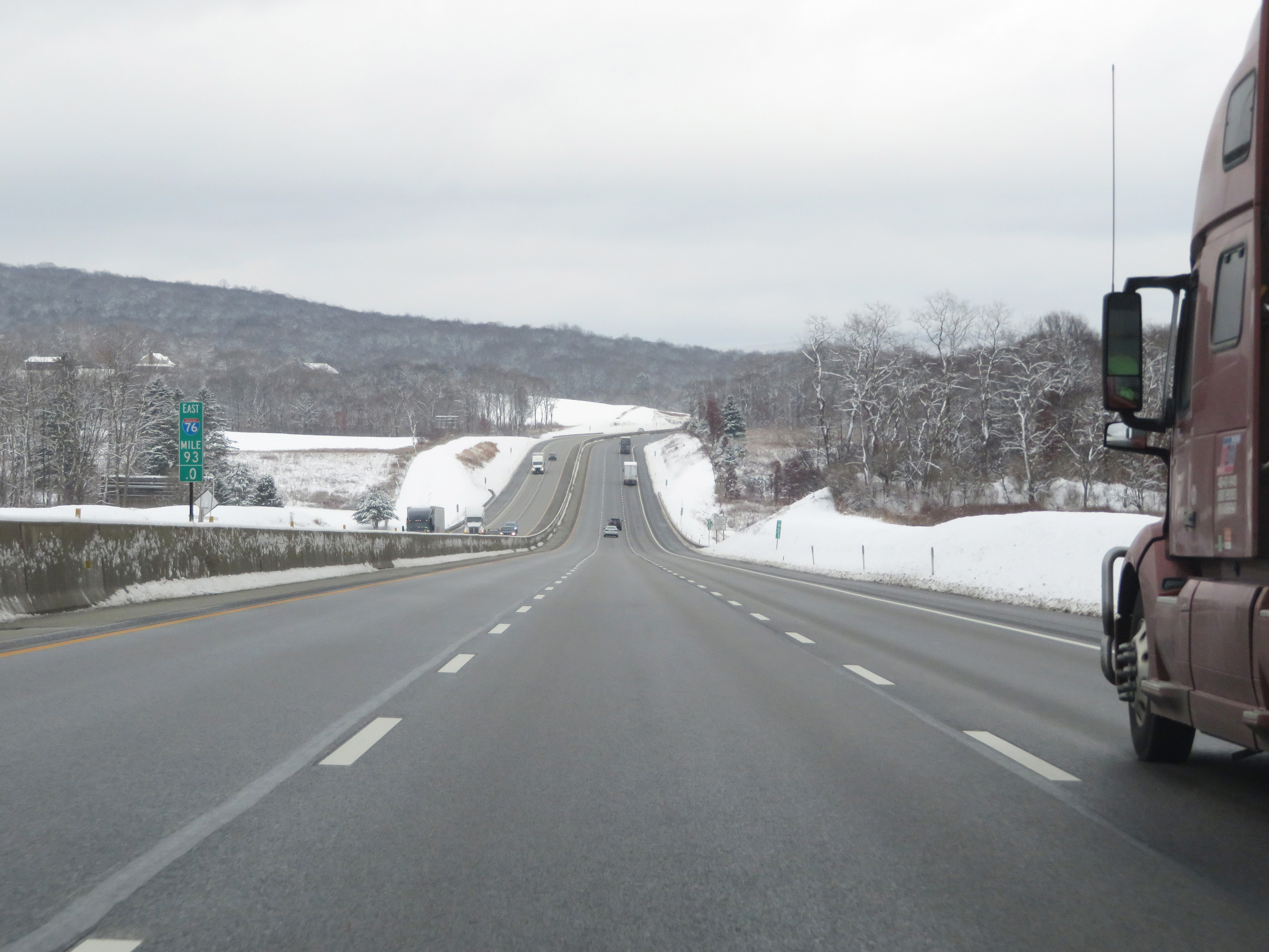 |
View on Interstate 70 East / Interstate 76 East (PA Turnpike) at mile marker 93. (Photo taken 12/18/20). |
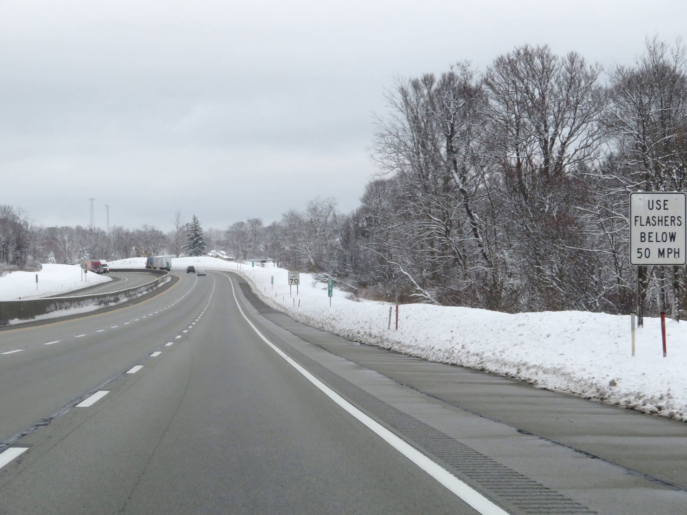 |
This sign at mile marker 94.8 reminds motorists of all kinds to use their flashers if they're traveling below 50 mph. This sign is relevant here because Interstate 70 East / Interstate 76 East (PA Turnpike) is about to begin to climb Laurel Hill for the next 5 miles. (Photo taken 12/18/20). |
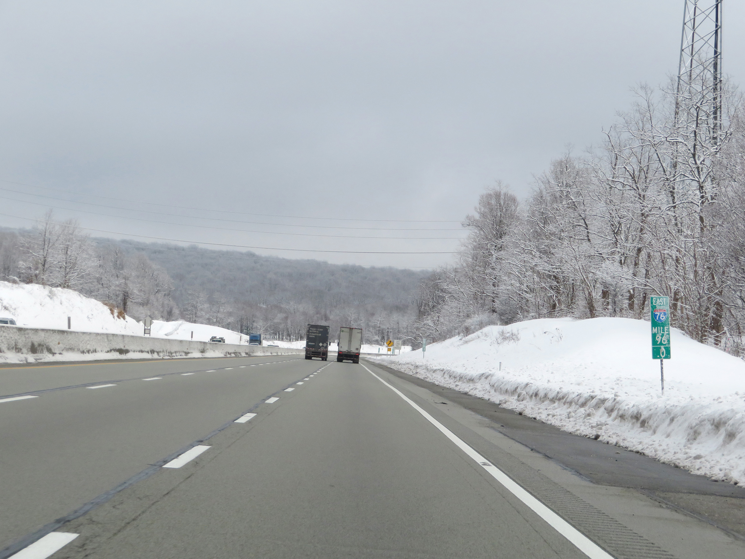 |
Mile marker 96 on Interstate 70 East / Interstate 76 East (PA Turnpike) in Westmoreland County, as they begin to climb Laurel Hill. (Photo taken 12/18/20). |
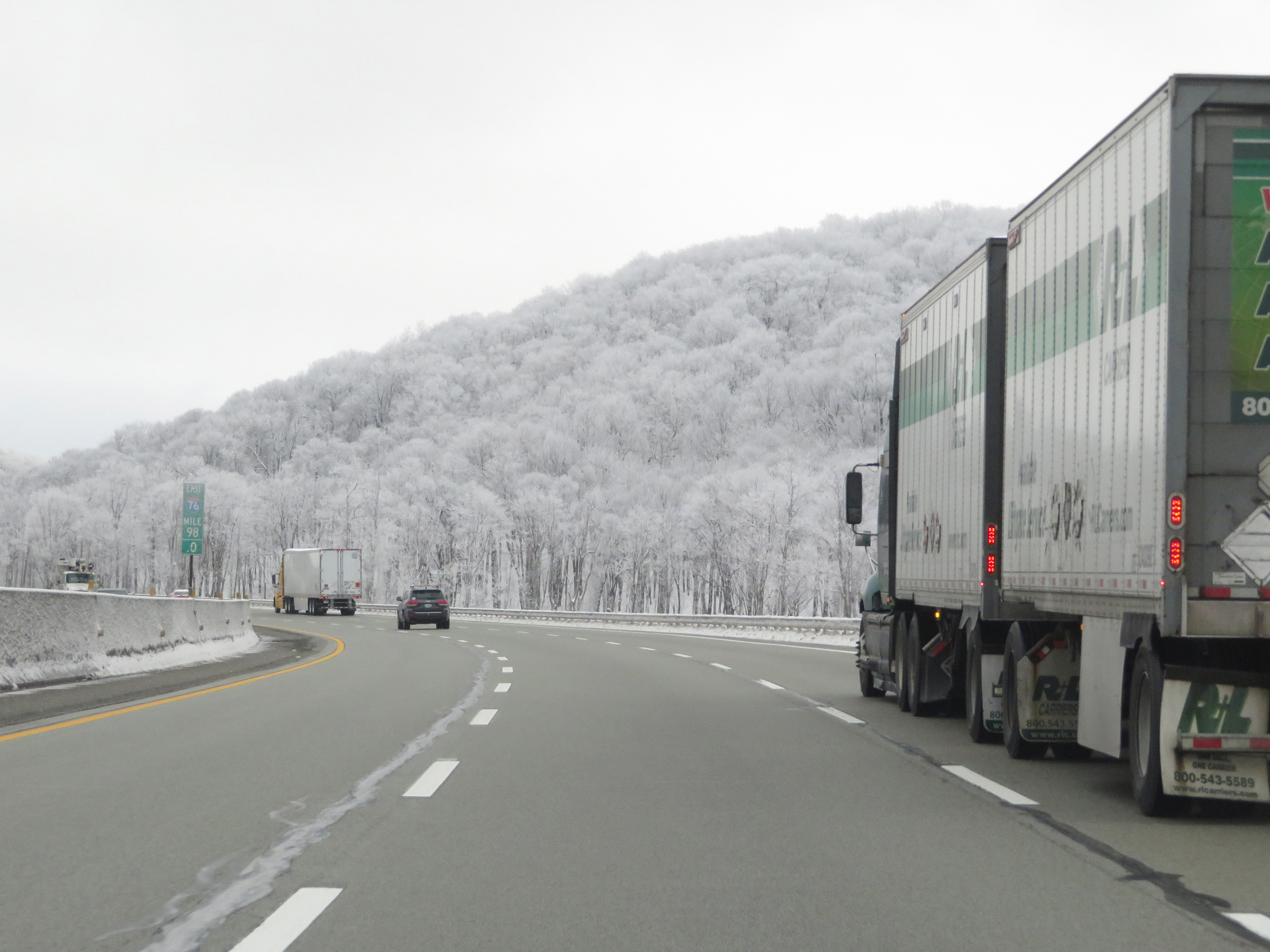 |
View on Interstate 70 East / Interstate 76 East (PA Turnpike) at mile marker 98. (Photo taken 12/18/20). |
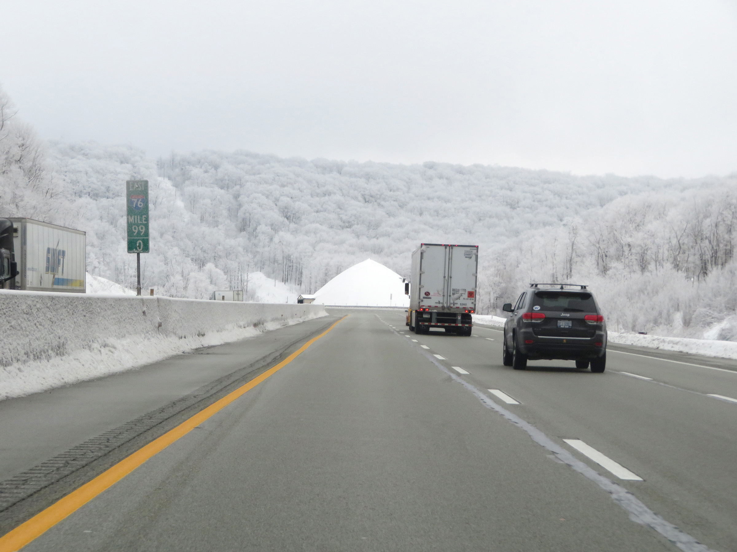 |
Interstate 70 East / Interstate 76 East (PA Turnpike) at mile marker 99, continuing to climb Laurel Hill. (Photo taken 12/18/20). |
 |
Interstate 70 East / Interstate 76 East (PA Turnpike) as it nears the top of Laurel Hill. (Photo taken 12/18/20). |
 |
Interstate 70 East / Interstate 76 East (PA Turnpike) reach the top of Laurel Hill at mile marker 100.1. It is also at this point that the duplex and the Turnpike enter Somerset County. (Photo taken 12/18/20). |
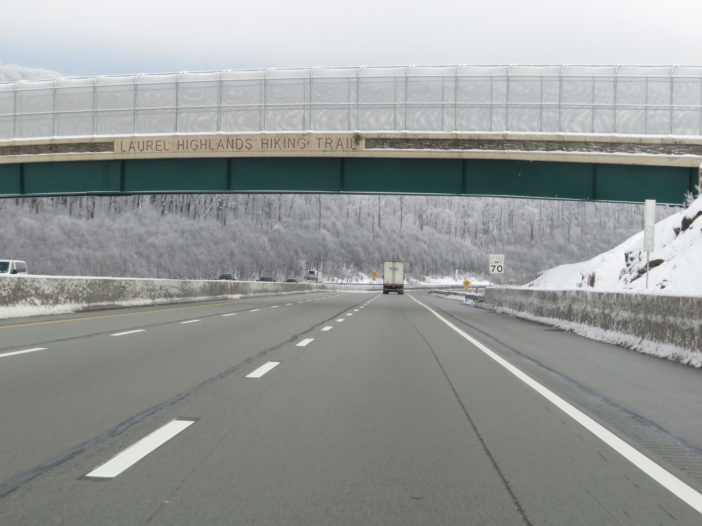 |
At mile marker 100.5, Interstate 70 East / Interstate 76 East (PA Turnpike) pass under the Laurel Highlands Hiking Trail. (Photo taken 12/18/20). |
 |
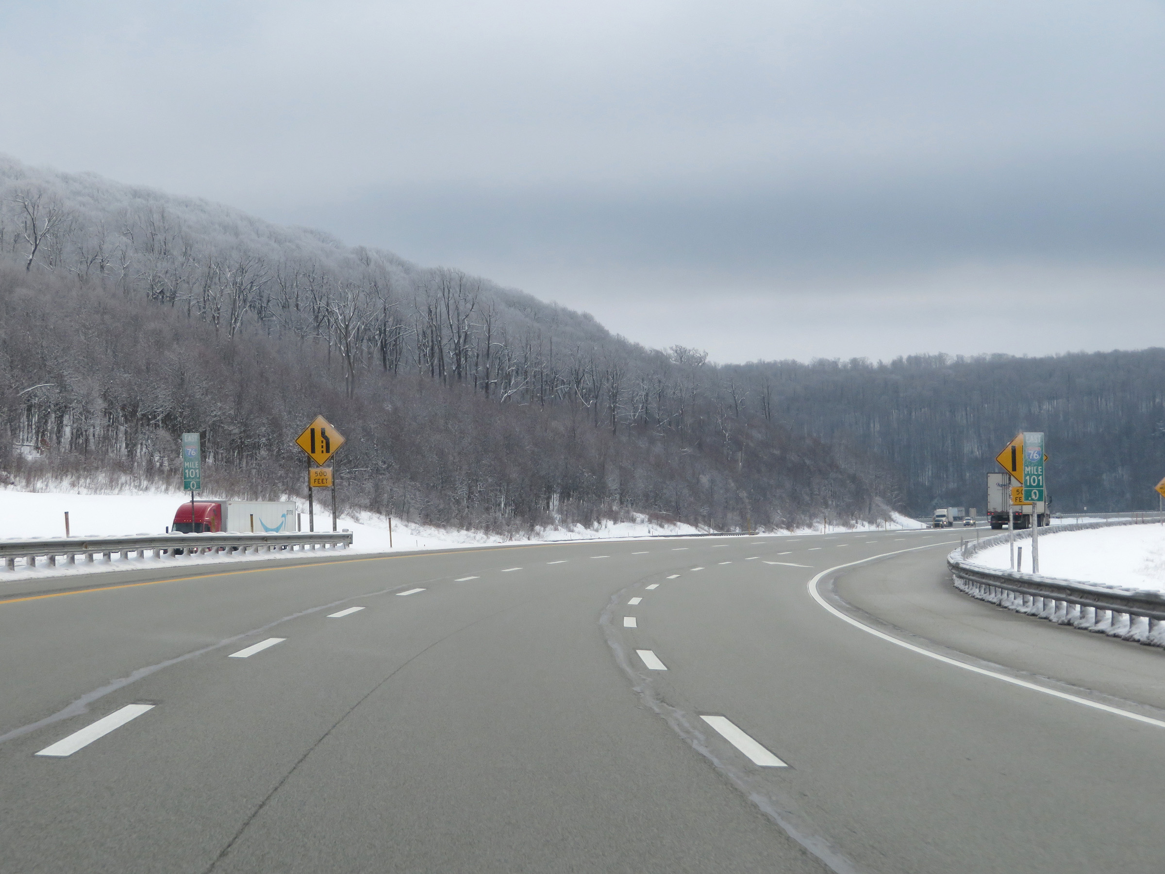
At mile marker 100.7, these signs warn that the right lane will come to an end 2,500 feet ahead on Interstate 70 East / Interstate 76 East (PA Turnpike). (Photo taken 12/18/20). |
 |
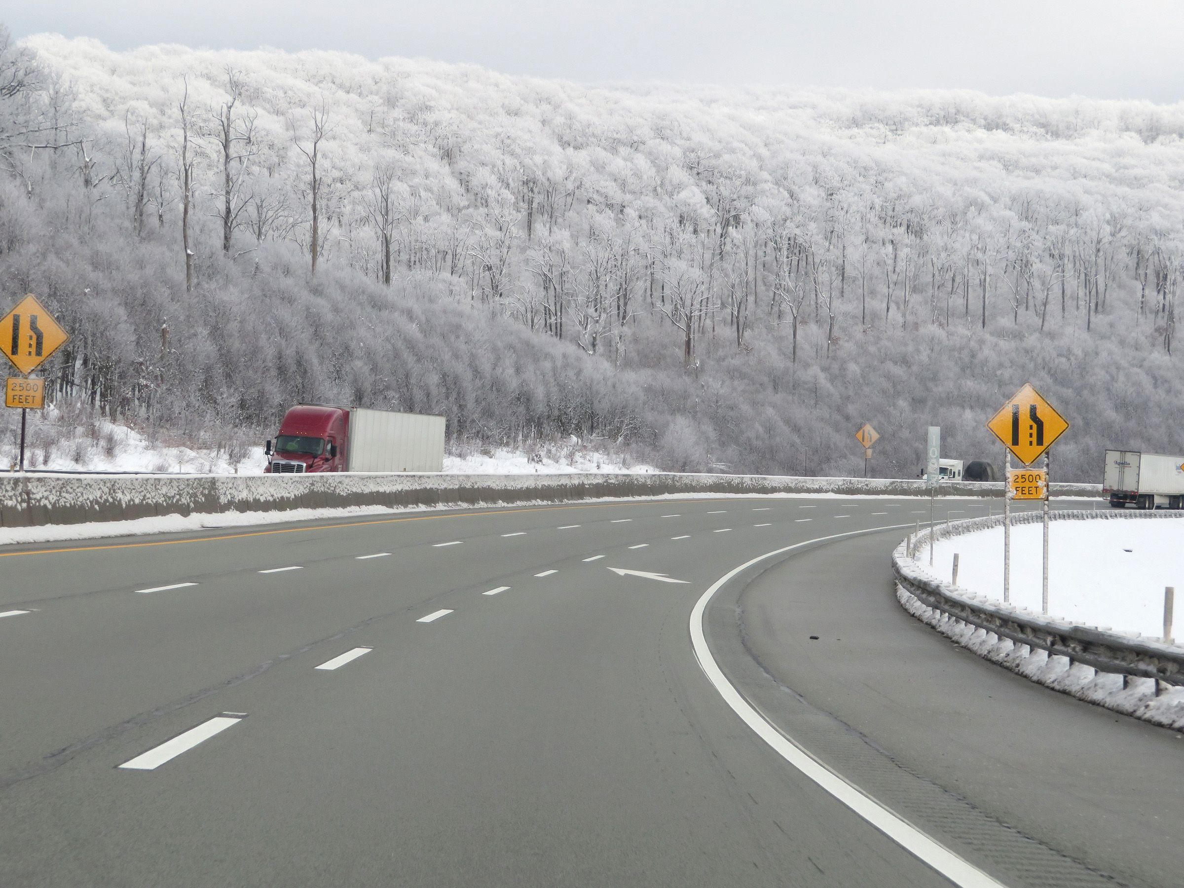
View on Interstate 70 East / Interstate 76 East (PA Turnpike) at mile marker 101, as the right lane will end 500 feet ahead. (Photo taken 12/18/20). |
 |
Interstate 70 East / Interstate 76 East (PA Turnpike) at mile marker 102. (Photo taken 12/18/20). |
 |
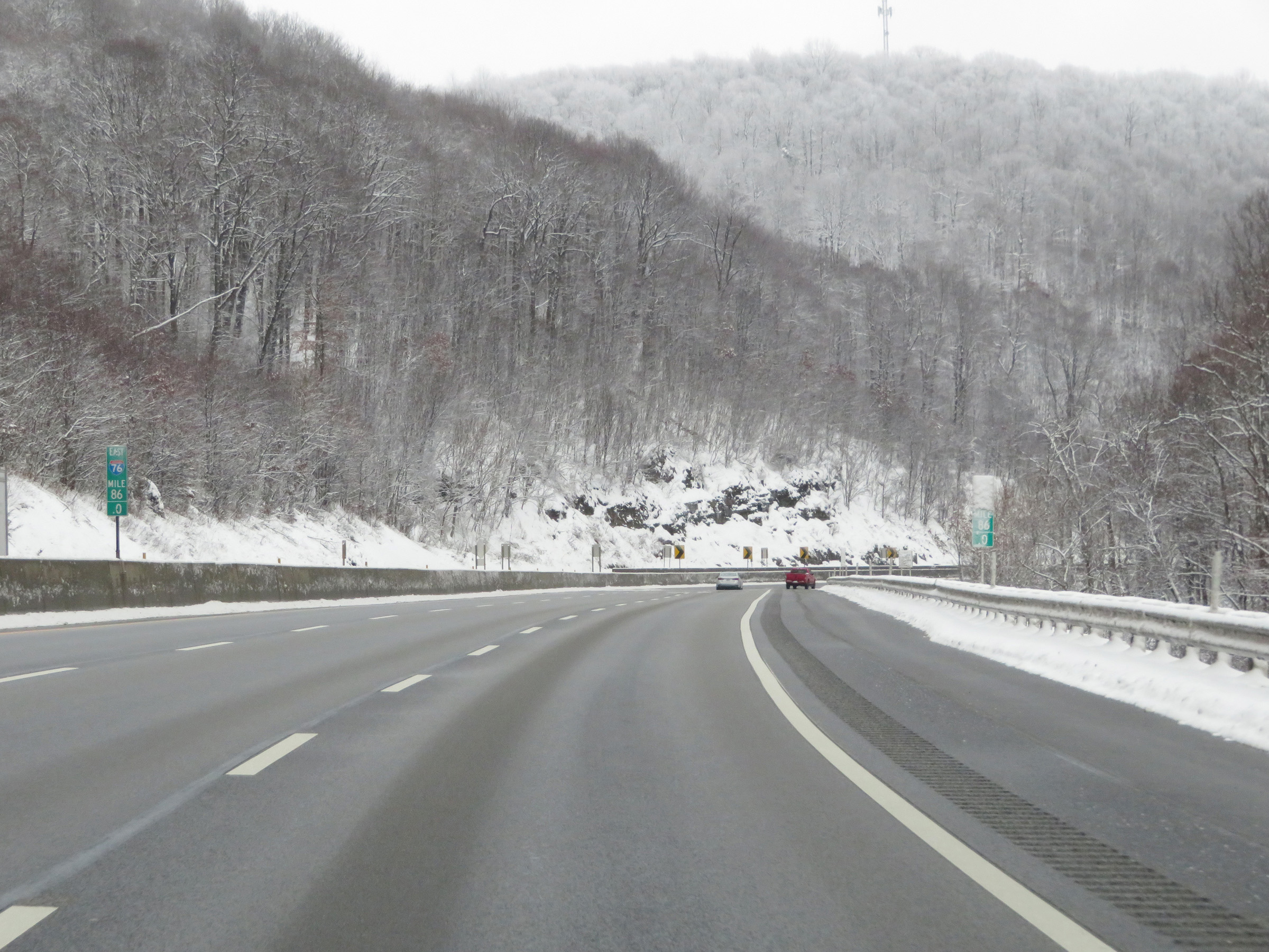
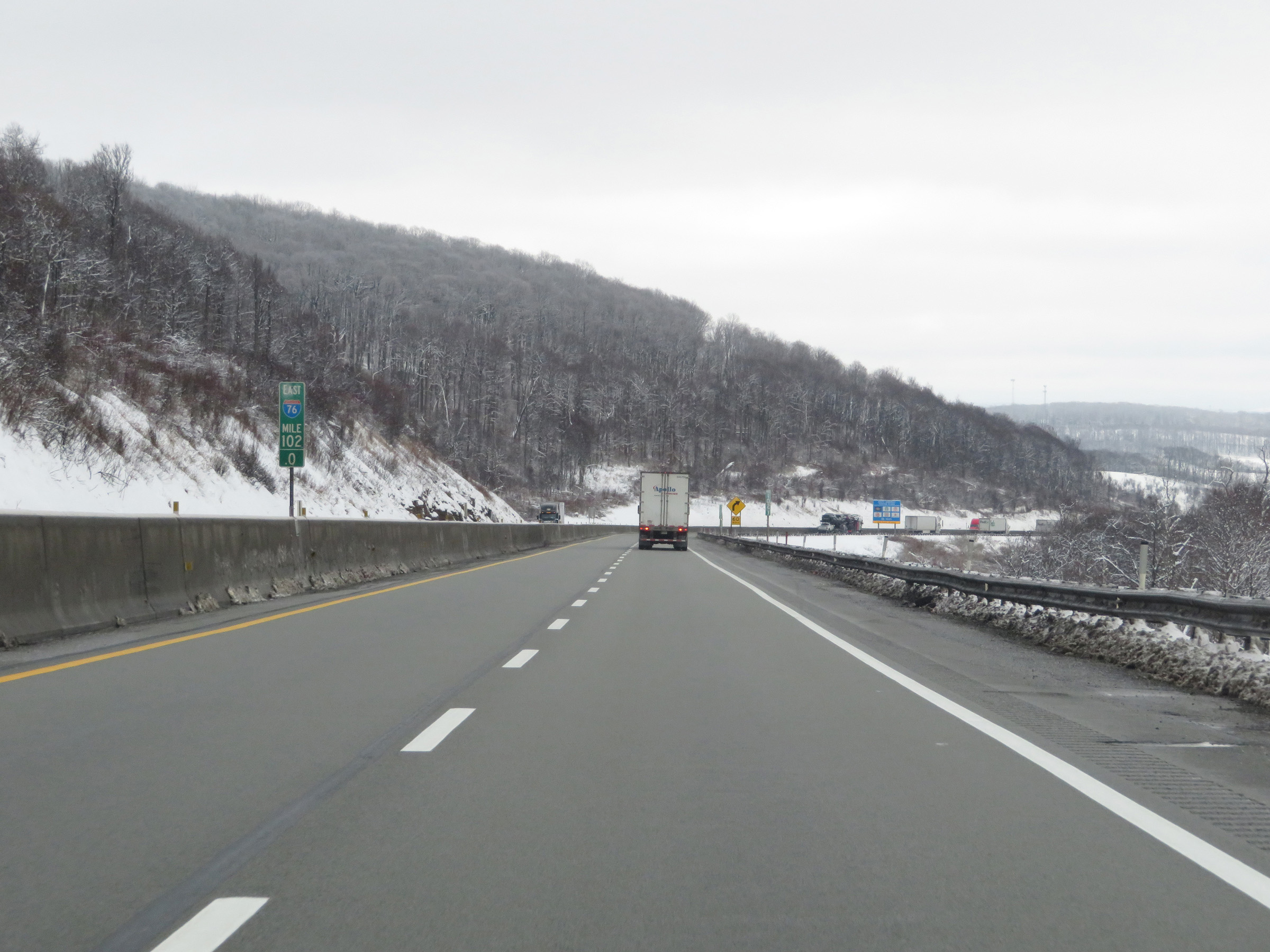
Mile marker 104 on Interstate 70 East / Interstate 76 East (PA Turnpike) in Somerset County. (Photo taken 12/18/20). |
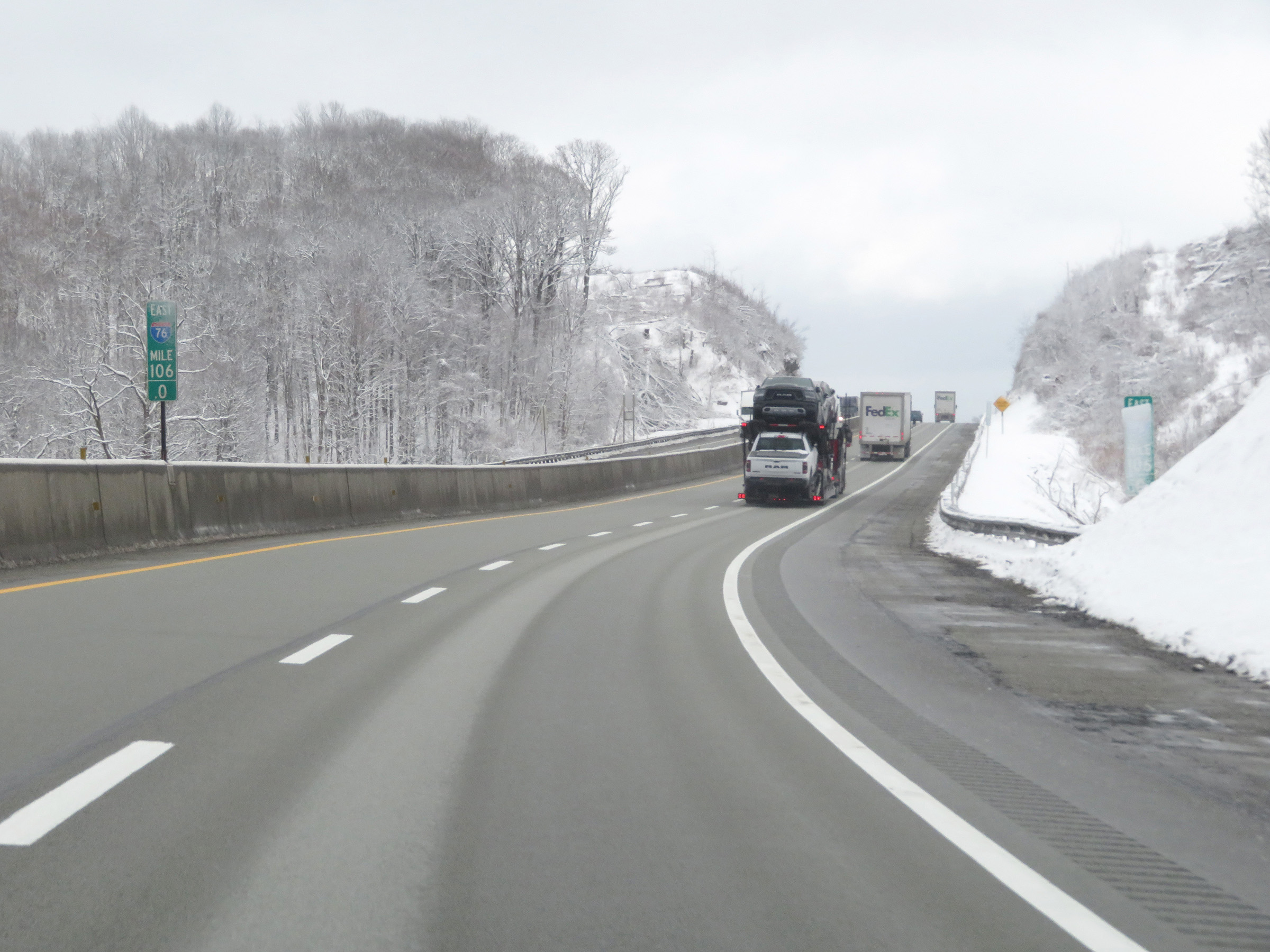 |
View on Interstate 70 East / Interstate 76 East (PA Turnpike) at mile marker 106. (Photo taken 12/18/20). |
 |
Interstate 70 East / Interstate 76 East (PA Turnpike) at mile marker 107. (Photo taken 12/18/20). |
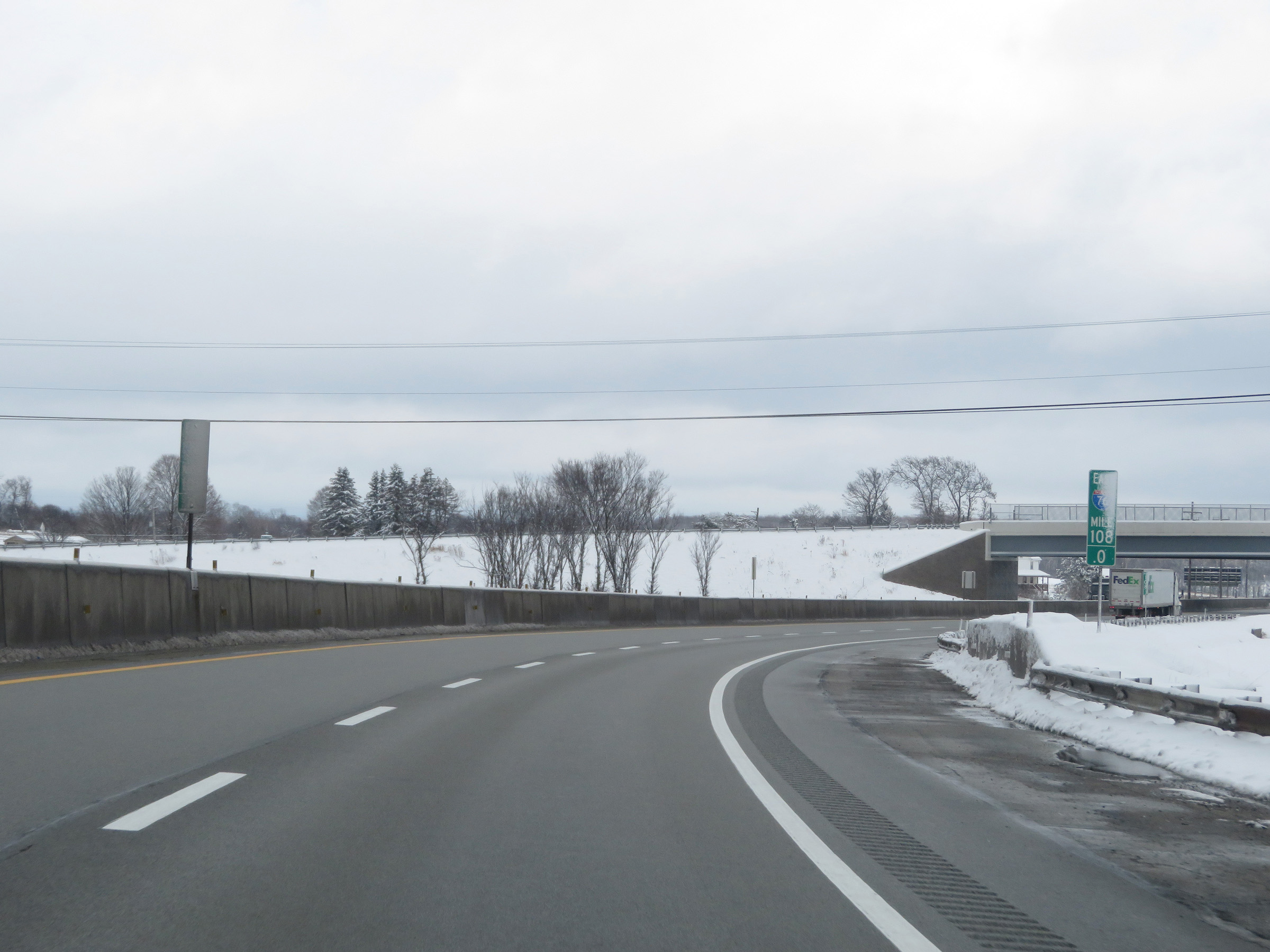 |
Mile marker 108 on Interstate 70 East / Interstate 76 East (PA Turnpike) in Somerset County. (Photo taken 12/18/20). |
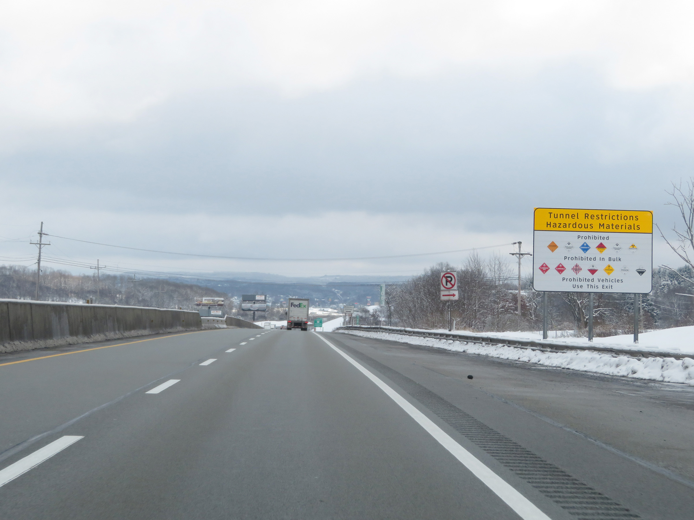 |
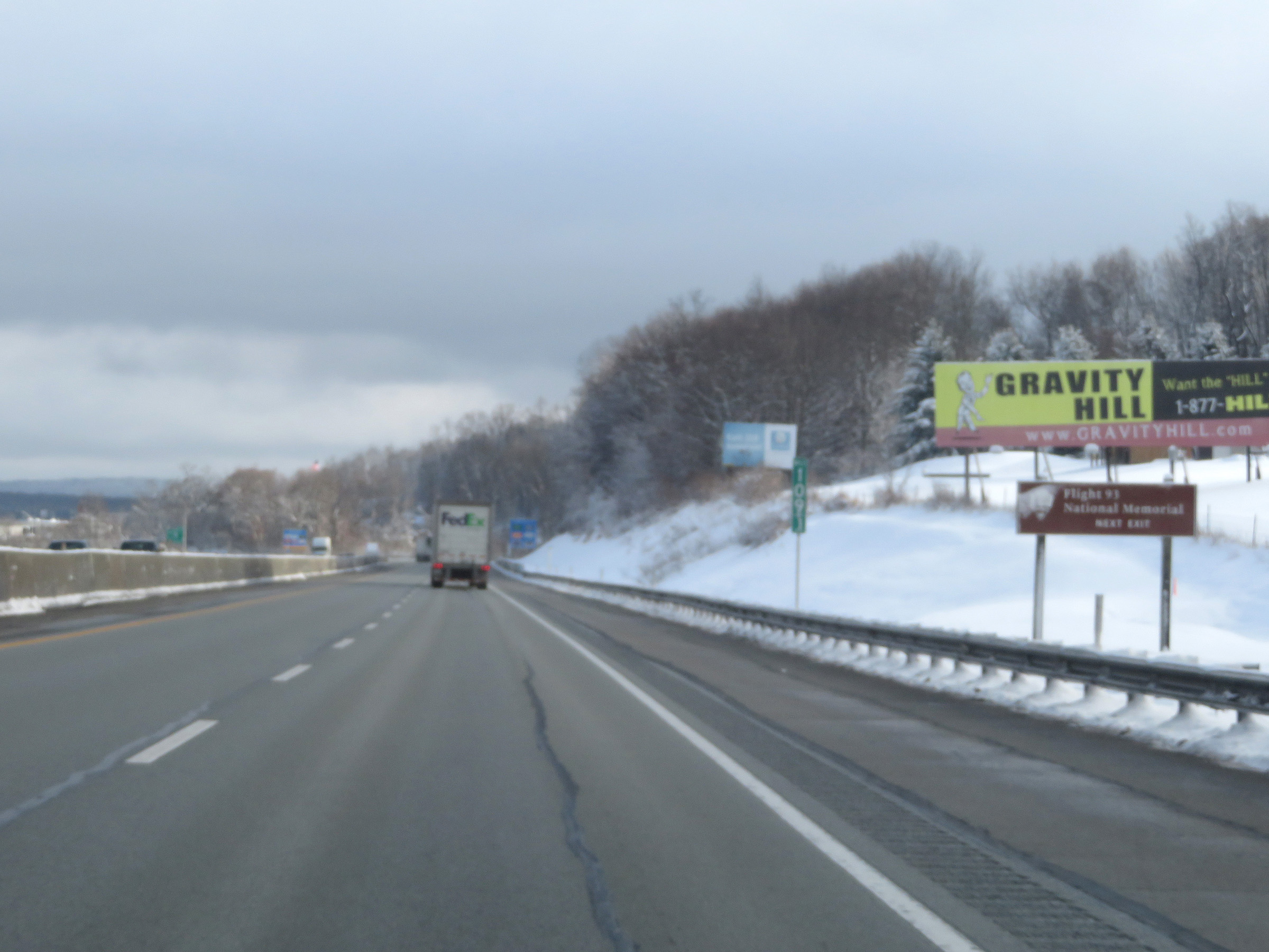
Interstate 70 East / Interstate 76 East (PA Turnpike) will pass through the Allegheny Mountain Tunnel at mile marker 122, about 13 miles ahead. As this sign shows, the hazardous materials classes displayed are prohibited in the tunnel. Some are prohibited in any amount while others are only prohibited if they're in a bulk packaging. All prohibited vehicles must take Exit 110. (Photo taken 12/18/20). |
 |
Advance signage for Exit 110 (Somerset interchange) - 1 mile ahead. (Photo taken 12/18/20). |
 |
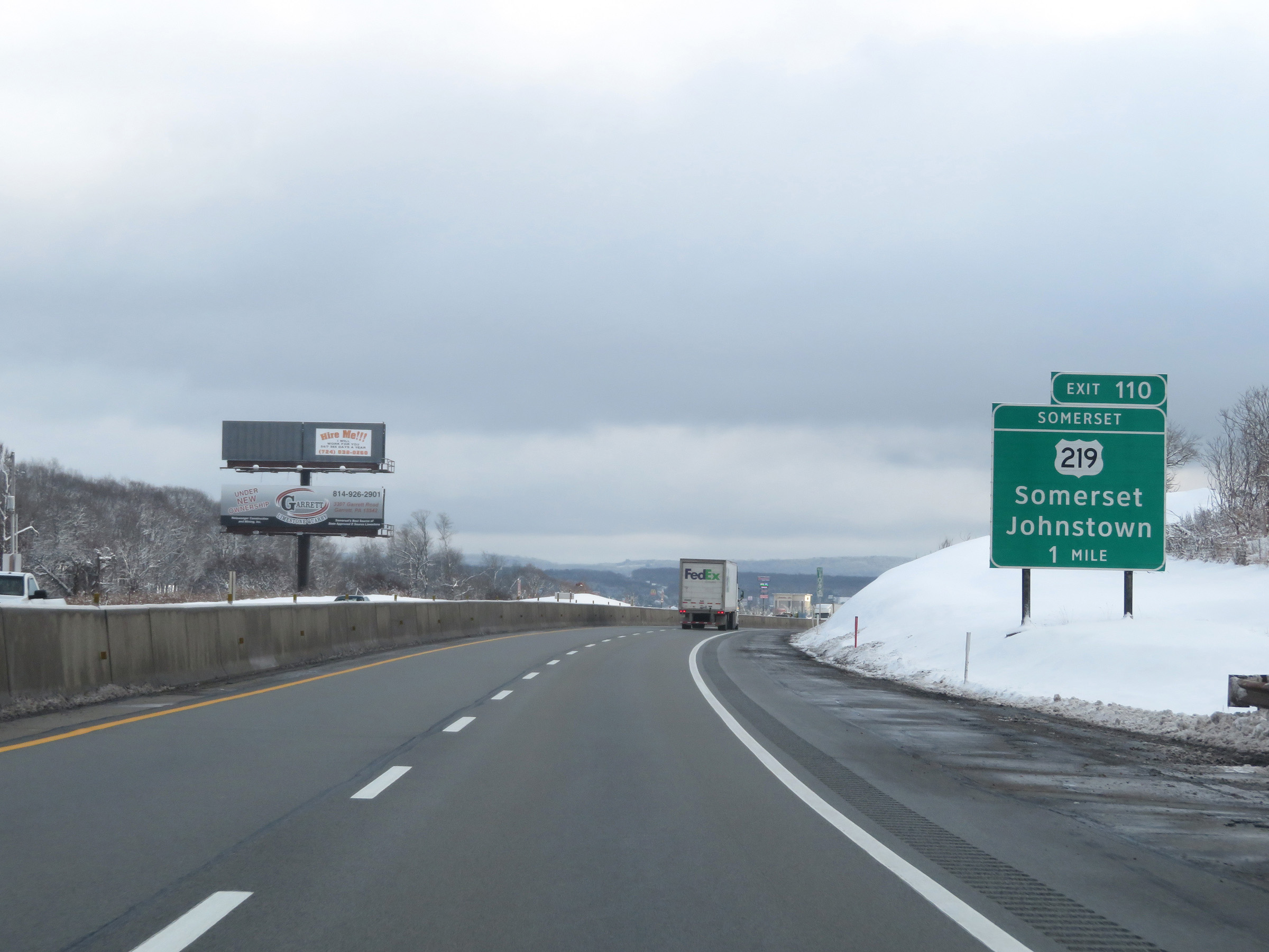
Take Exit 110 to the Flight 93 National Memorial. (Photo taken 12/18/20). |
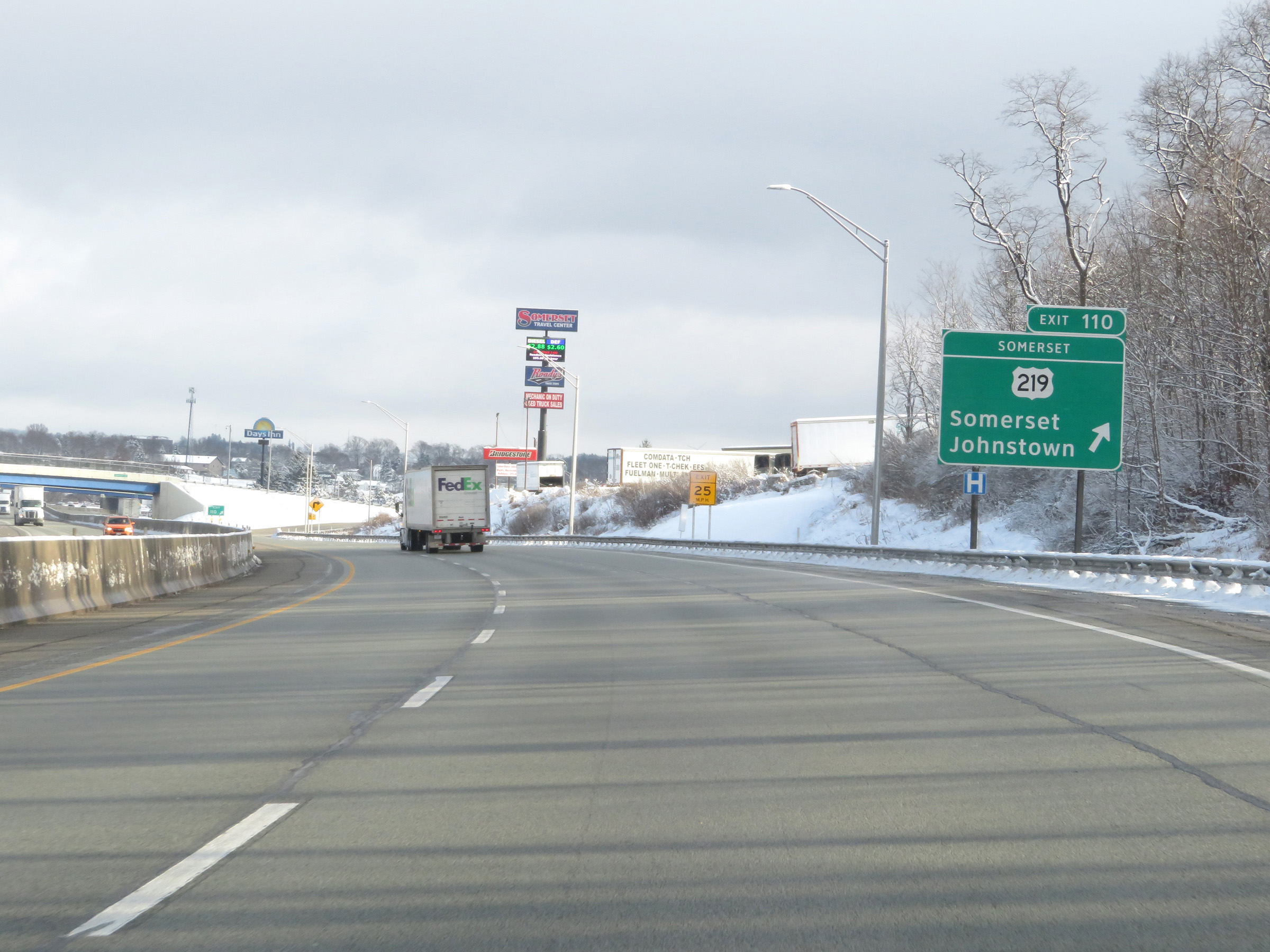 |
Interstate 70 East / Interstate 76 East (PA Turnpike) at Exit 110: US 219 - Somerset / Johnstown (Photo taken 12/18/20). |
Section 4: Somerset (Exit 110) to Breezewood (Exit 161)
 |
Another set of Interstate 70 East / Interstate 76 East reassurance shields at mile marker 110.4. (Photo taken 8/18/16). |
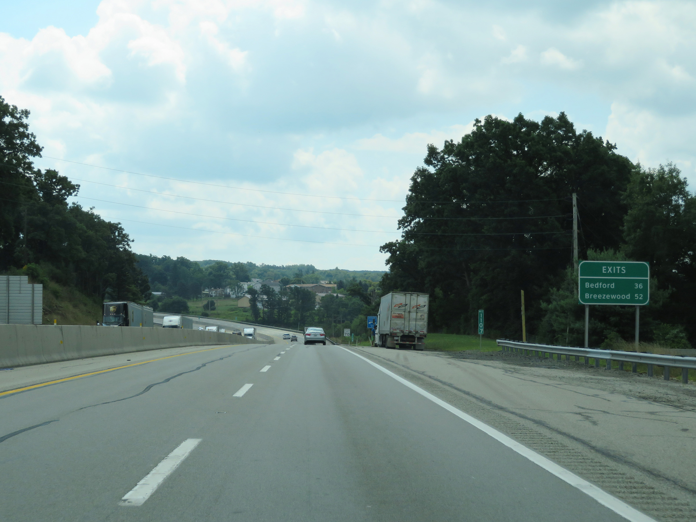 |
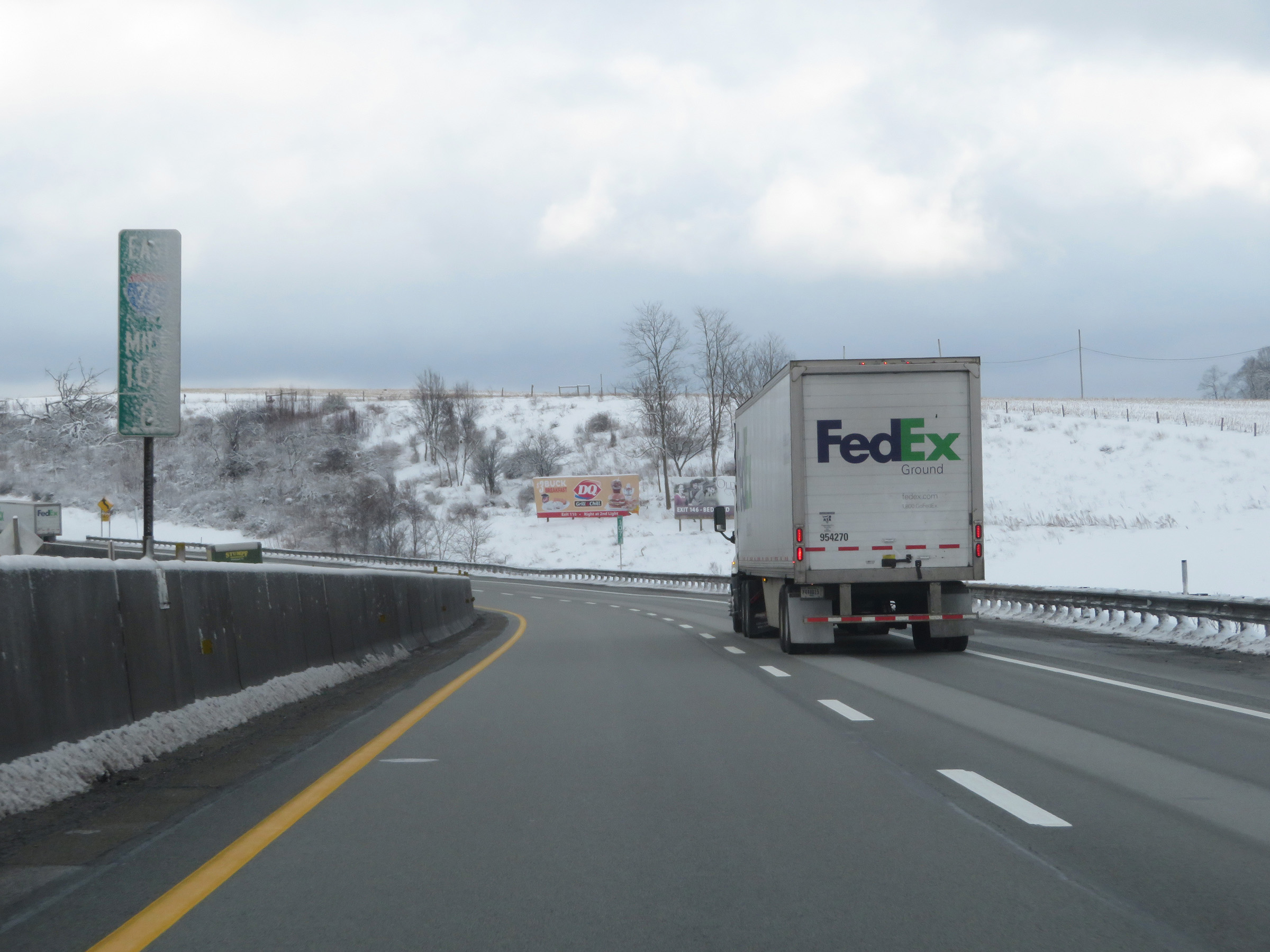
Mileage sign listing the distances to the next two interchanges on the Pennsylvania Turnpike. It's 36 miles to the Bedford interchange and 52 miles to the Breezewood interchange. (Photo taken 8/18/16). |
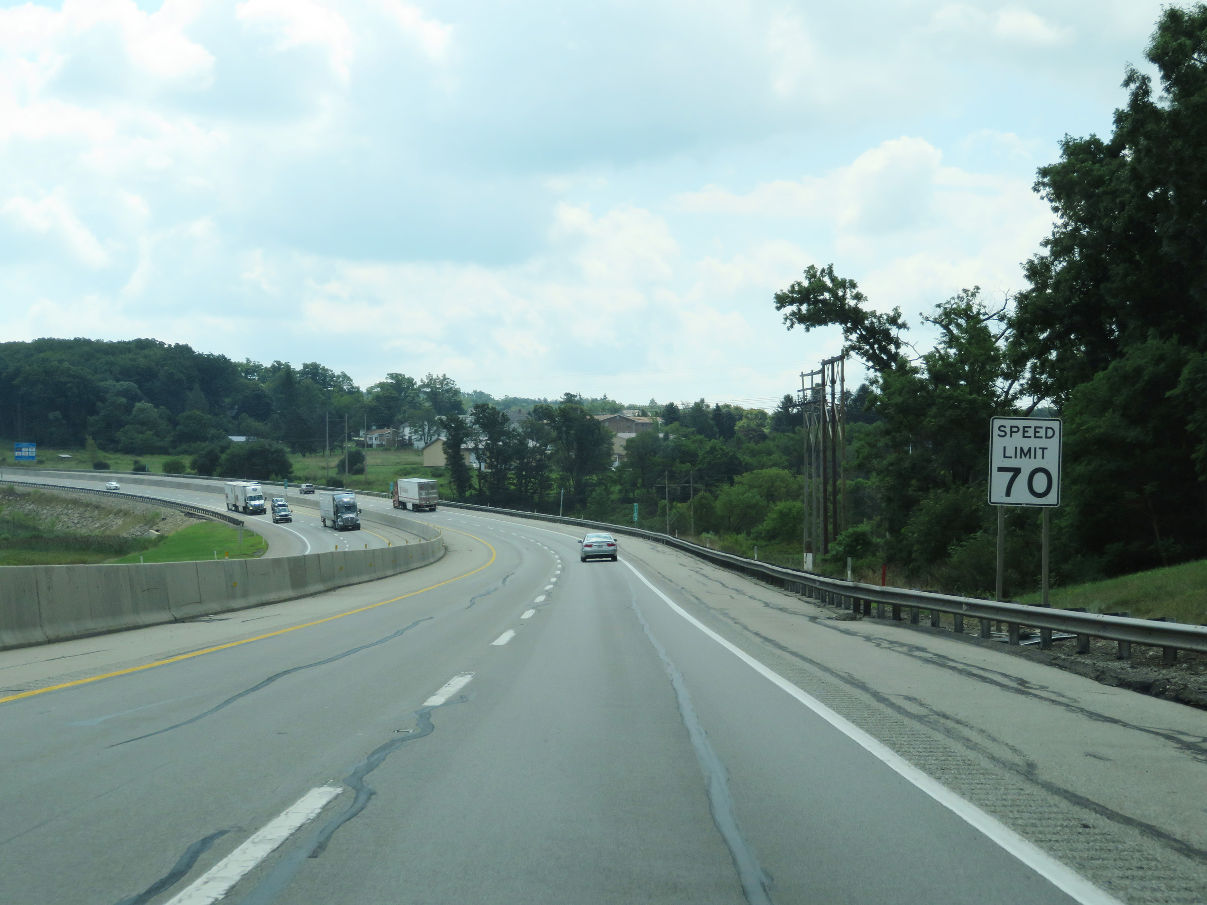 |
The speed limit remains 70 mph on Interstate 70 East / Interstate 76 East (PA Turnpike). (Photo taken 8/18/16). |
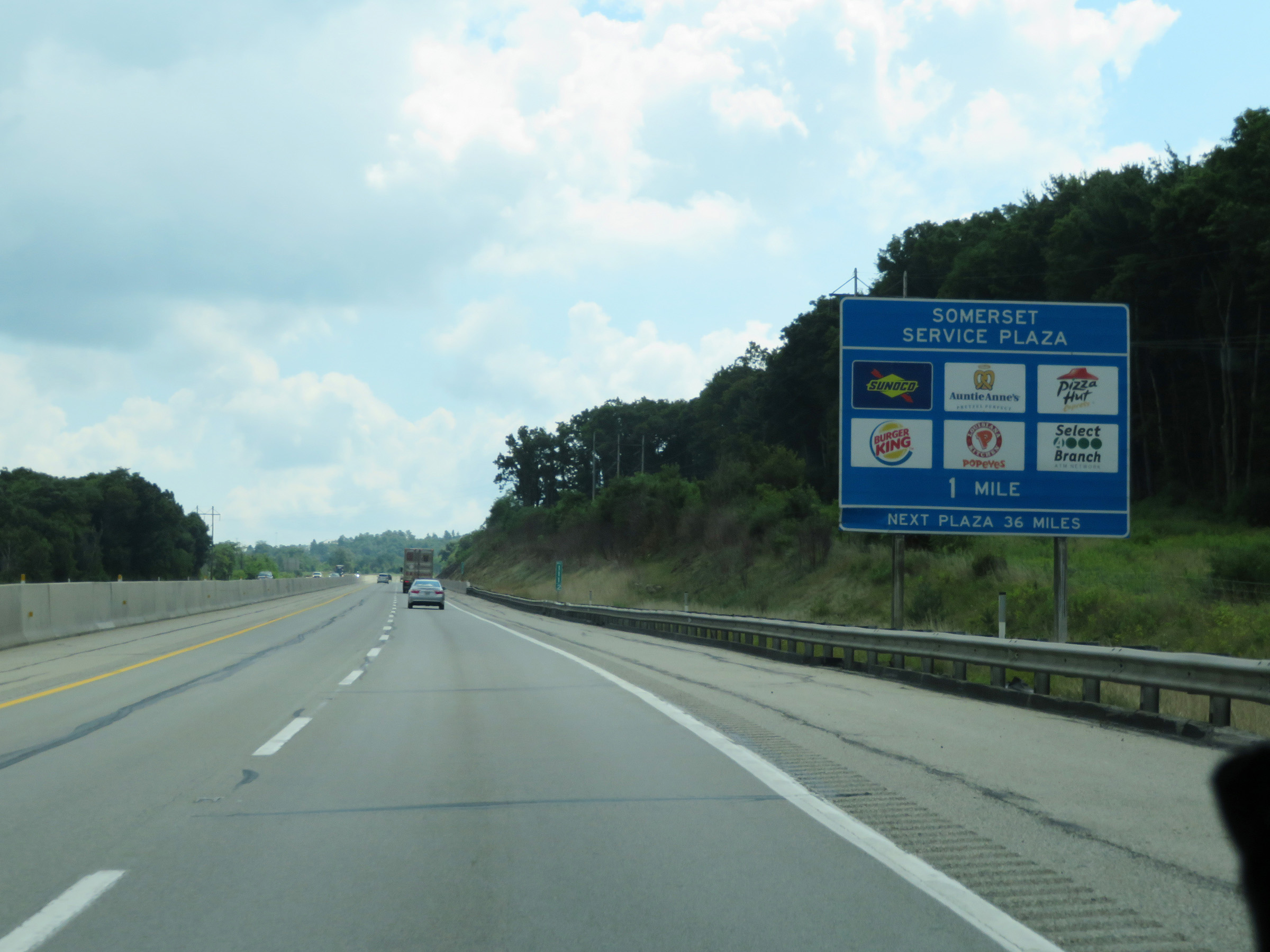 |
Interstate 70 East / Interstate 76 East (PA Turnpike) approaching the South Somerset Service Plaza - 1 mile ahead. (Photo taken 8/18/16). |
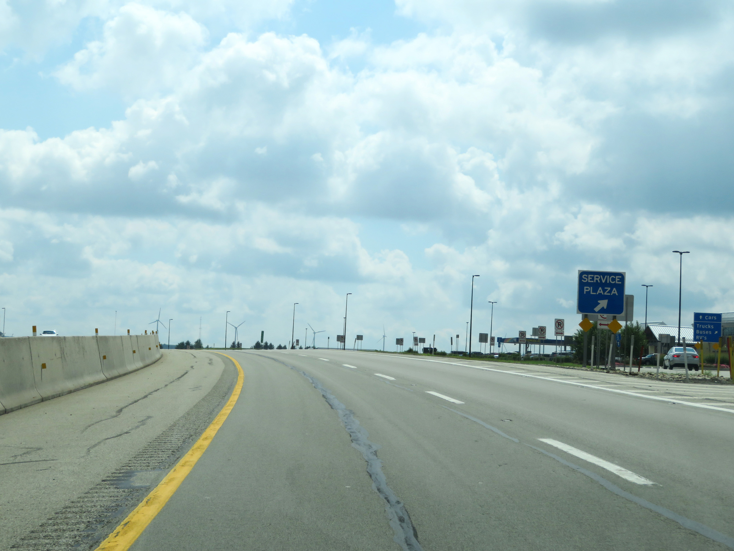 |
Interstate 70 East / Interstate 76 East (PA Turnpike) at the South Somerset Service Plaza, located at mile marker 112.3. (Photo taken 8/18/16). |
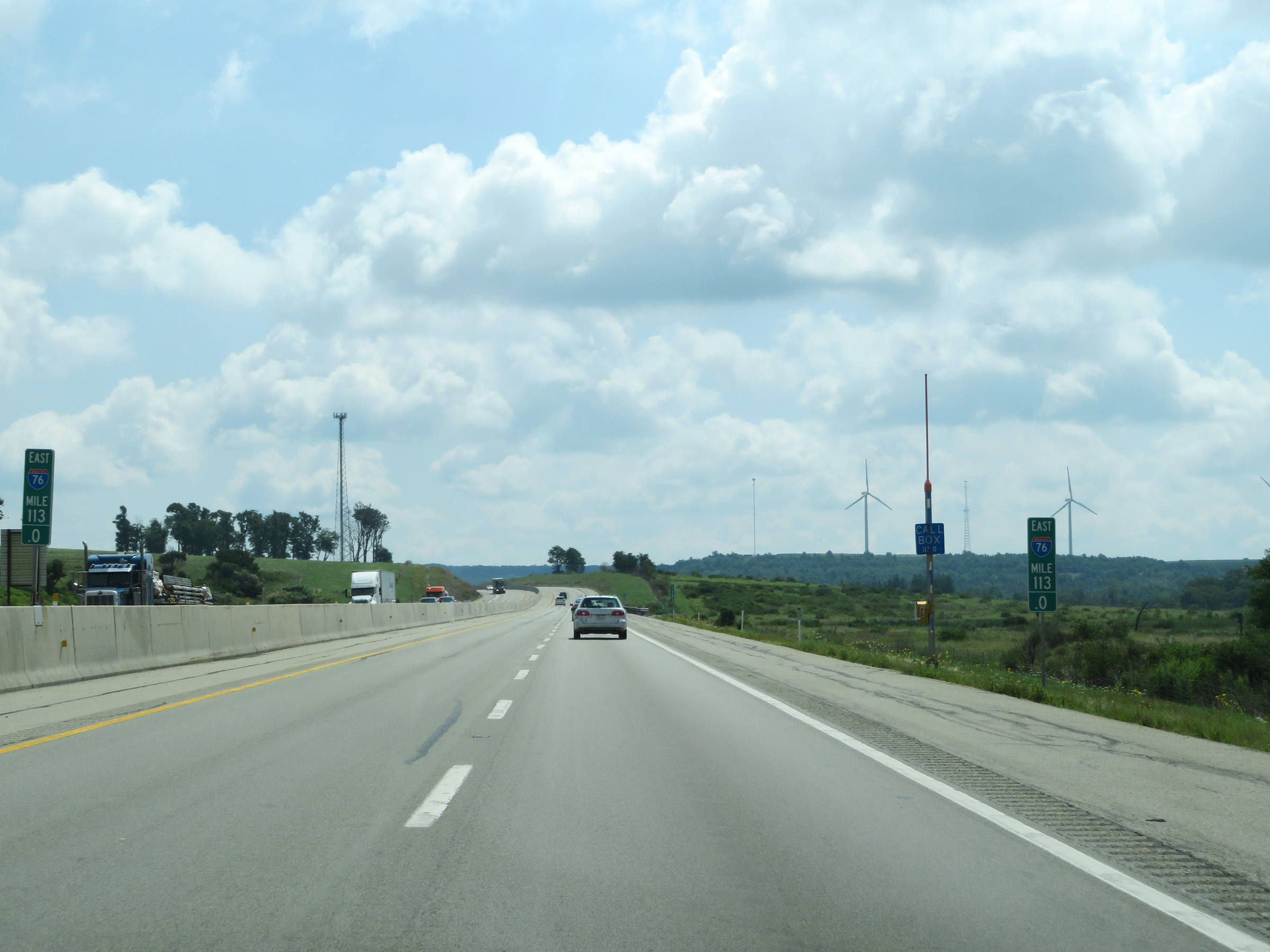 |
View on Interstate 70 East / Interstate 76 East (PA Turnpike) at mile marker 113. (Photo taken 8/18/16). |
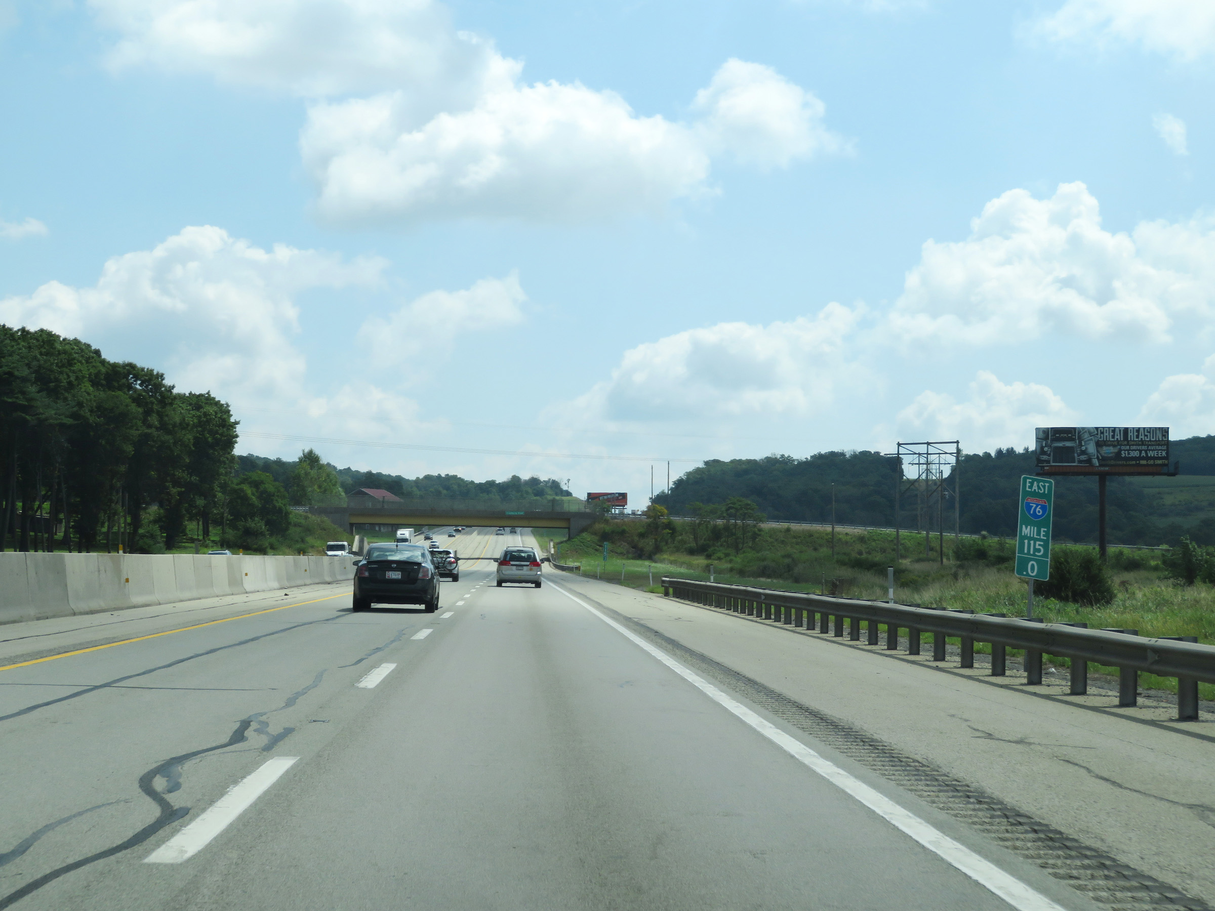 |
Mile marker 115 on Interstate 70 East / Interstate 76 East (PA Turnpike) in Somerset County. (Photo taken 8/18/16). |
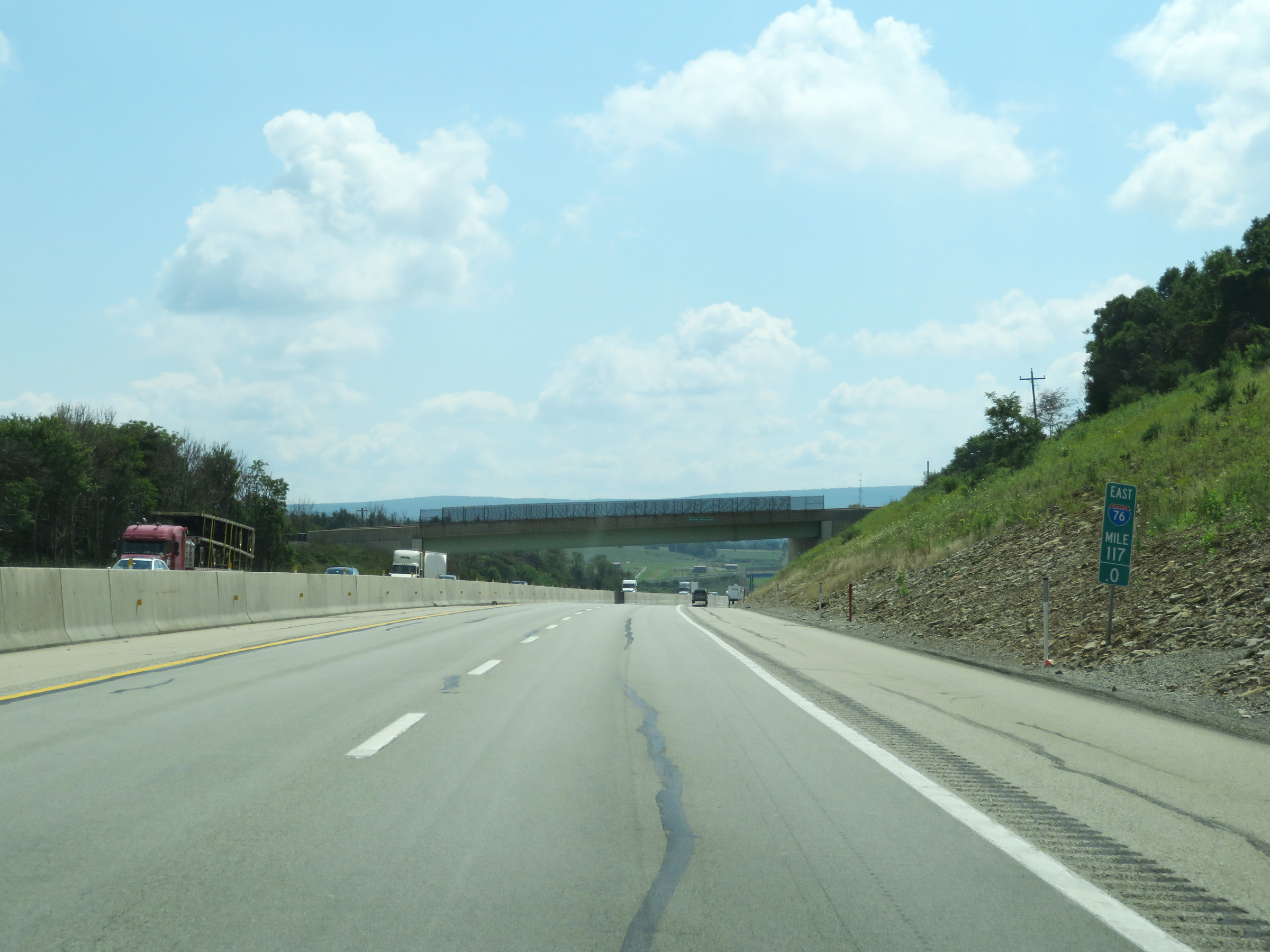 |
Interstate 70 East / Interstate 76 East (PA Turnpike) at mile marker 117. (Photo taken 8/18/16). |
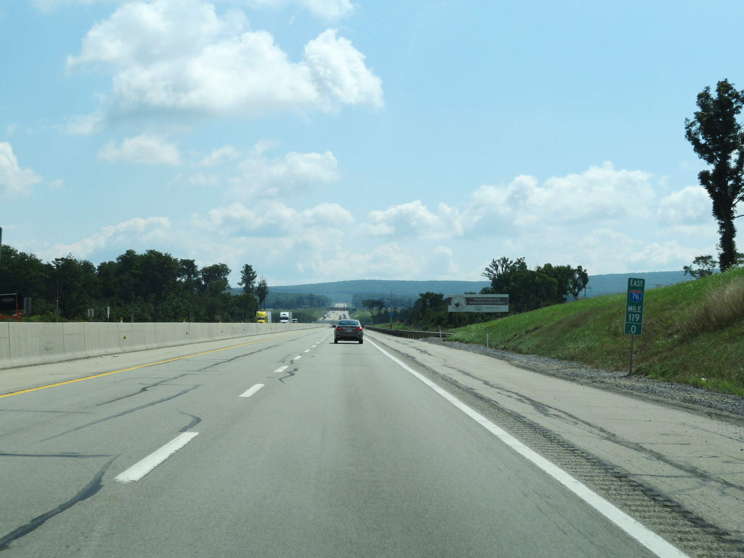 |
View on Interstate 70 East / Interstate 76 East (PA Turnpike) at mile marker 119. (Photo taken 8/18/16). |
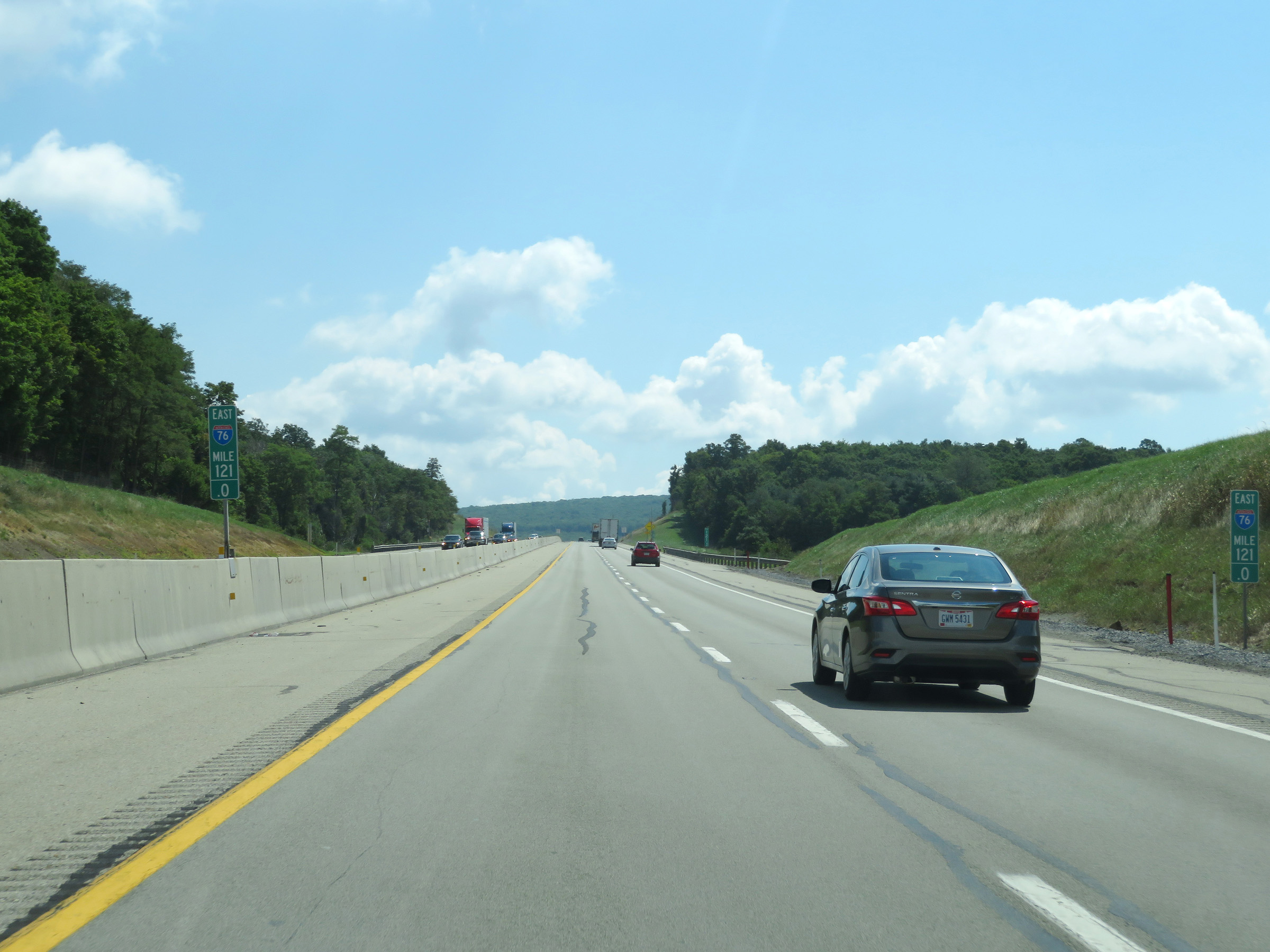 |
Mile marker 121 on Interstate 70 East / Interstate 76 East (PA Turnpike) in Somerset County. (Photo taken 8/18/16). |
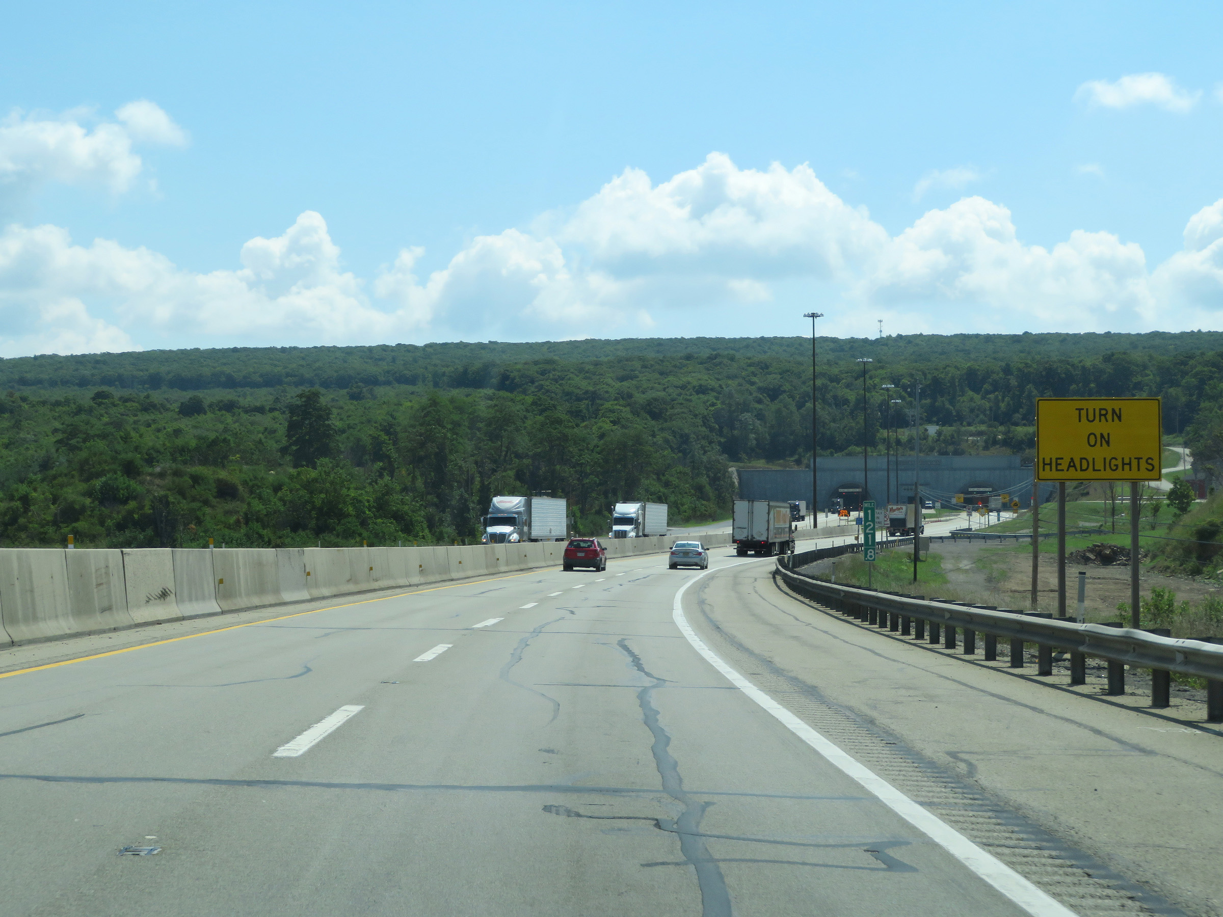 |
As Interstate 70 East / Interstate 76 East (PA Turnpike) approach the Allegheny Mountain Tunnel, this sign at mile marker 121.8 reminds motorists to turn on their headlights to go through the tunnel. (Photo taken 8/18/16). |
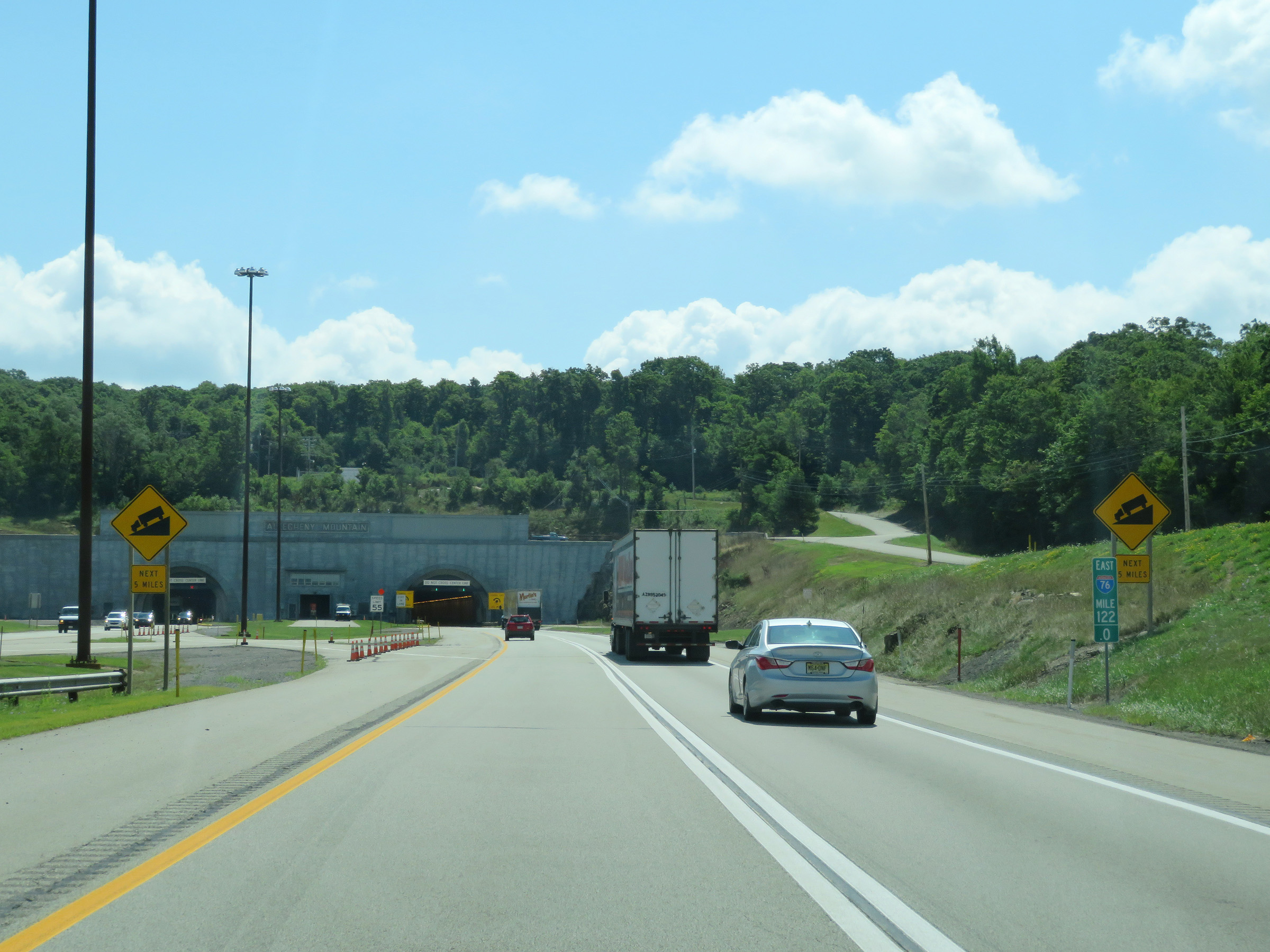 |
These warning signs at mile marker 122 show that Interstate 70 East / Interstate 76 East (PA Turnpike) will traverse a downgrade which will last for the next 5 miles upon exiting the east side of the tunnel. (Photo taken 8/18/16). |
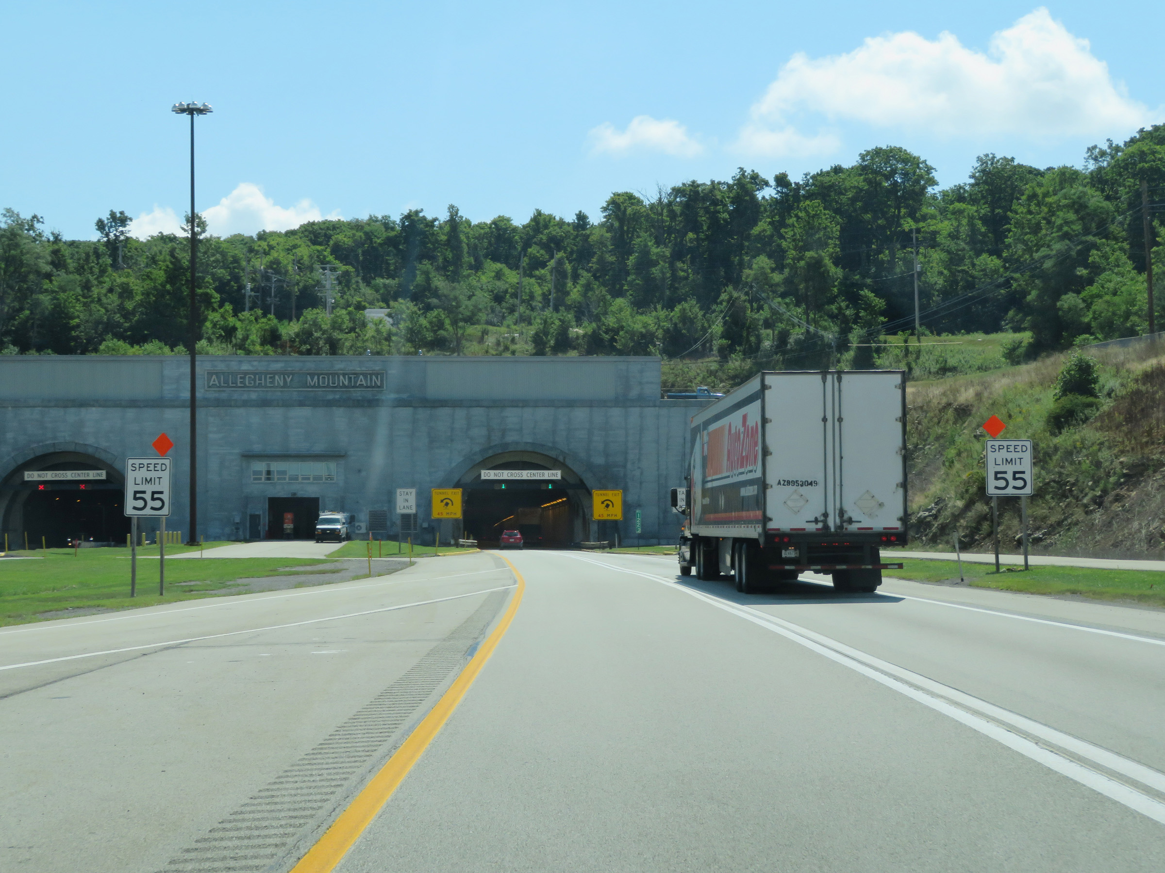 |
Preparing to enter the Allegheny Mountain Tunnel, the speed limit decreases to 55 mph on Interstate 70 East / Interstate 76 East (PA Turnpike). (Photo taken 8/18/16). |
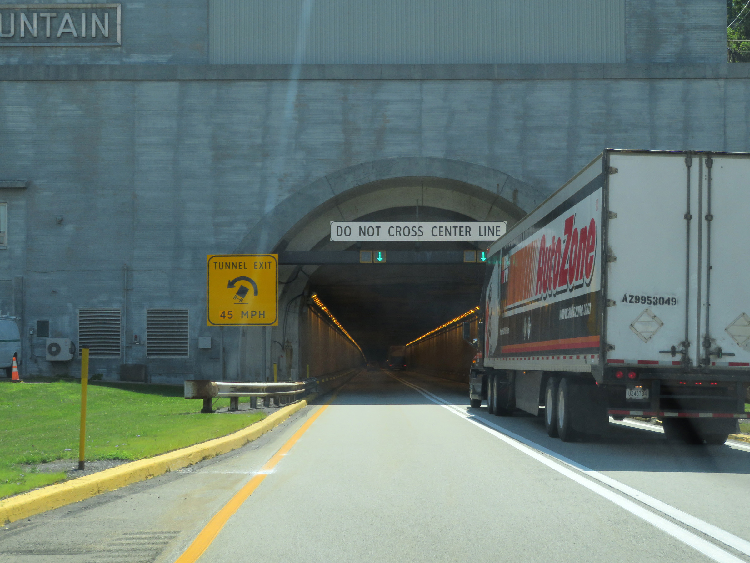 |
As Interstate 70 East / Interstate 76 East (PA Turnpike) enter the Allegheny Mountain Tunnel, these signs warn that there will be a sharp left curve upon exiting the tunnel. 45 mph is advised at the tunnel exit. (Photo taken 8/18/16). |
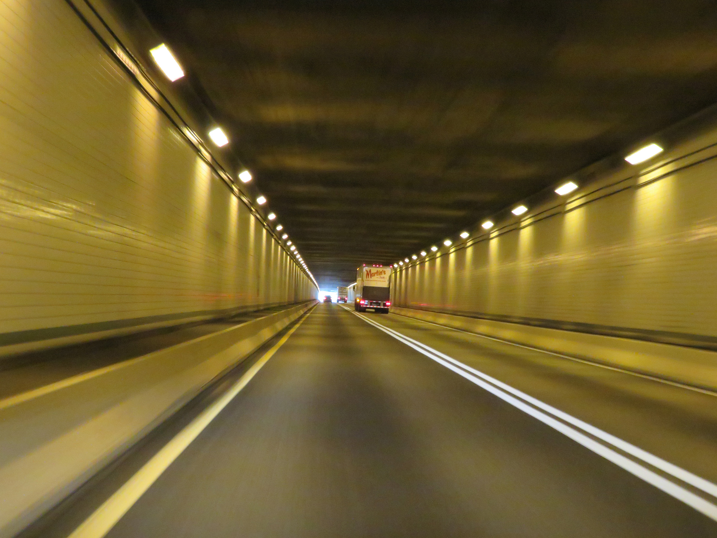 |
View on Interstate 70 East / Interstate 76 East (PA Turnpike) inside the Allegheny Mountain Tunnel. (Photo taken 8/18/16). |
 |
Interstate 70 East / Interstate 76 East (PA Turnpike) curve hard to the left upon exiting the Allegheny Mountain Tunnel. 45 mph is advised around this curve. (Photo taken 8/18/16). |
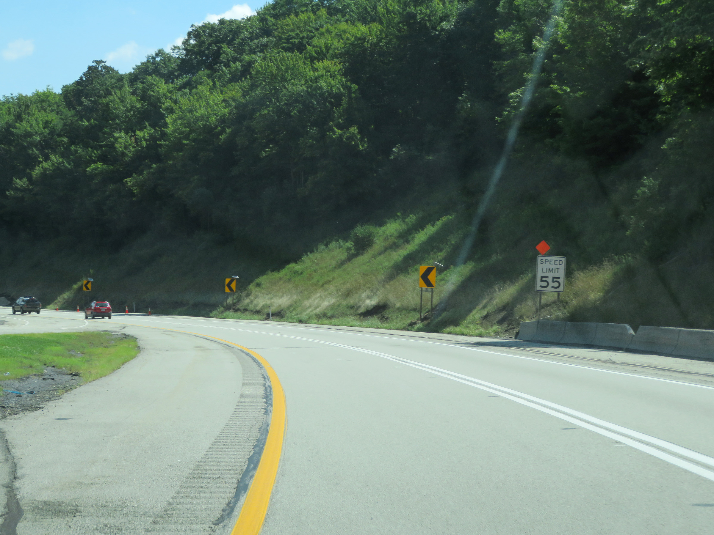 |
The speed limit remains 55 mph on Interstate 70 East / Interstate 76 East (PA Turnpike), as it starts down the aforementioned 5 mile downgrade down Allegheny Mountain. There are also multiple curves during the 5-mile downgrade. (Photo taken 8/18/16). |
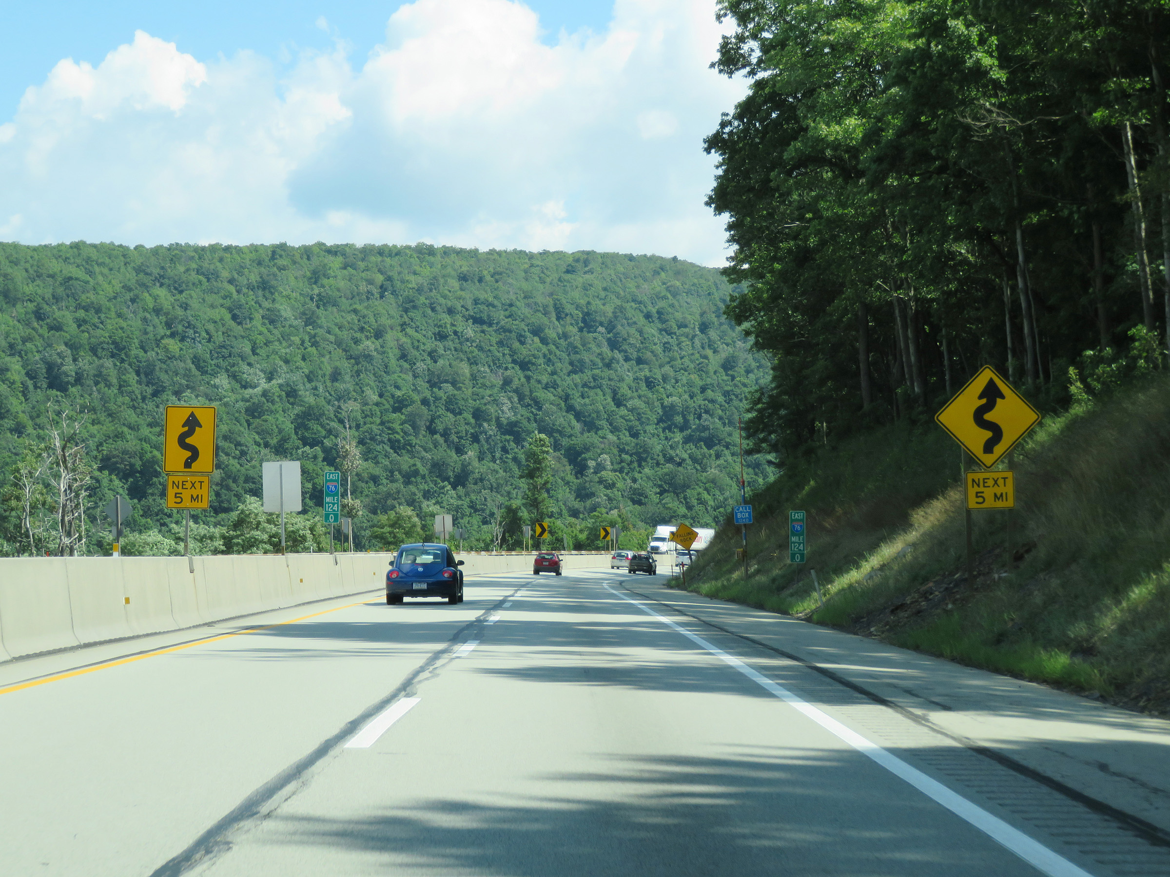 |
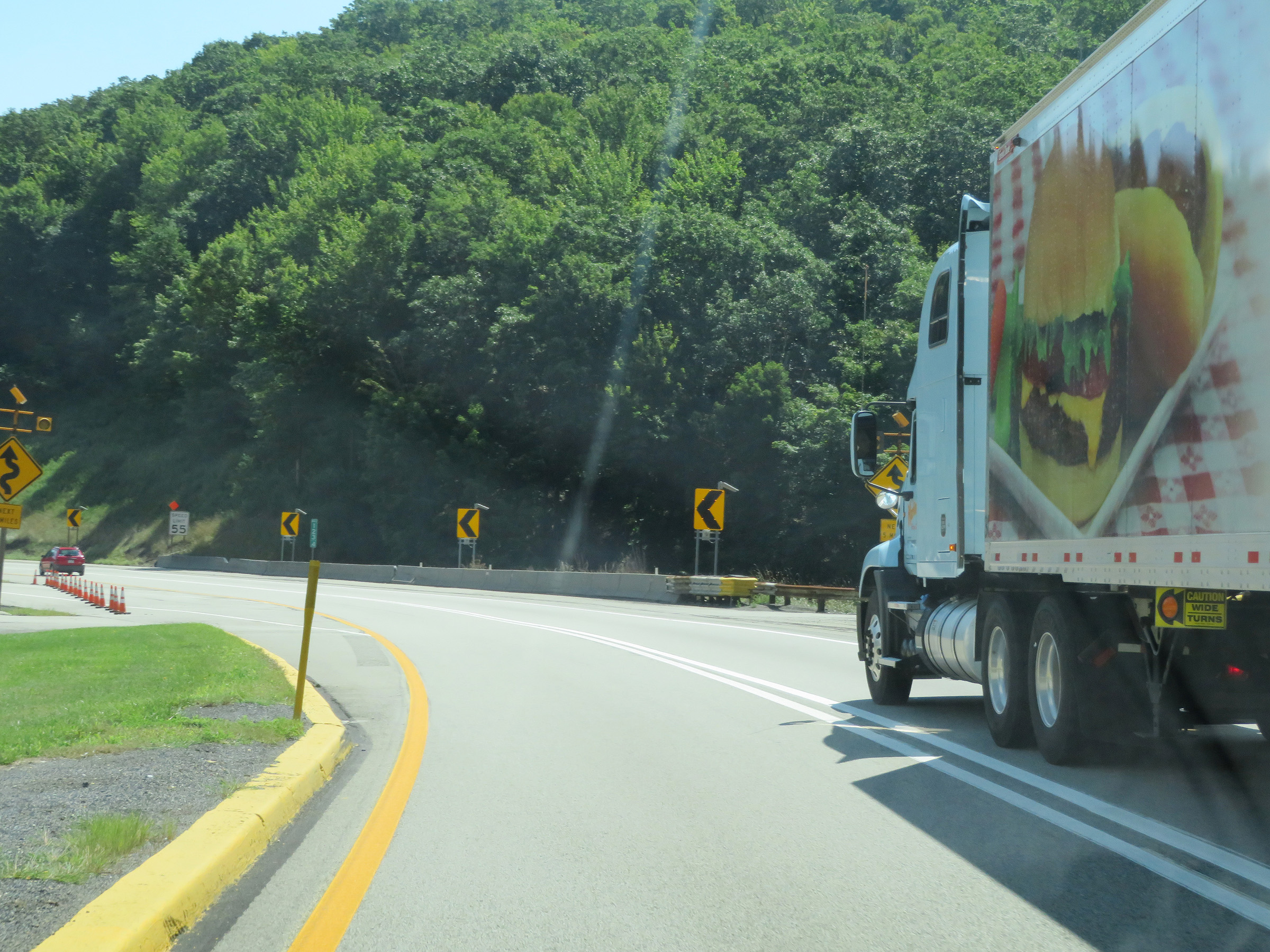
Interstate 70 East / Interstate 76 East (PA Turnpike) will traverse multiple curves as it descends Allegheny Mountain to the east for the next 5 miles. (Photo taken 8/18/16). |
 |
View on Interstate 70 East / Interstate 76 East (PA Turnpike) at mile marker 126, continuing down Allegheny Mountain. (Photo taken 8/18/16). |
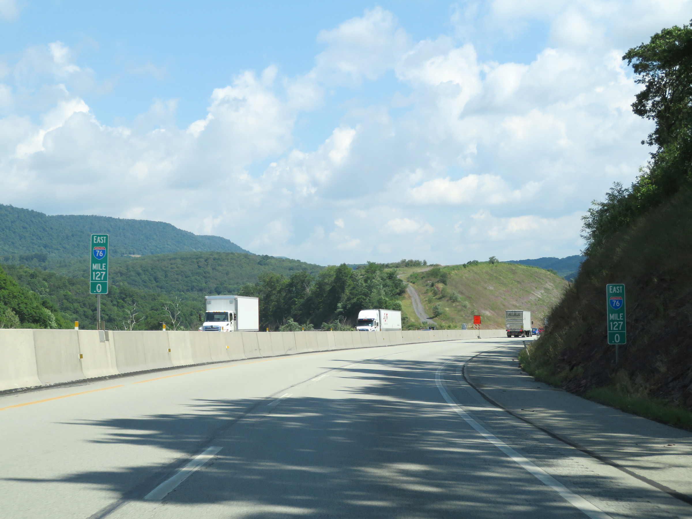 |
Mile marker 127 on Interstate 70 East / Interstate 76 East (PA Turnpike) in Somerset County. (Photo taken 8/18/16). |
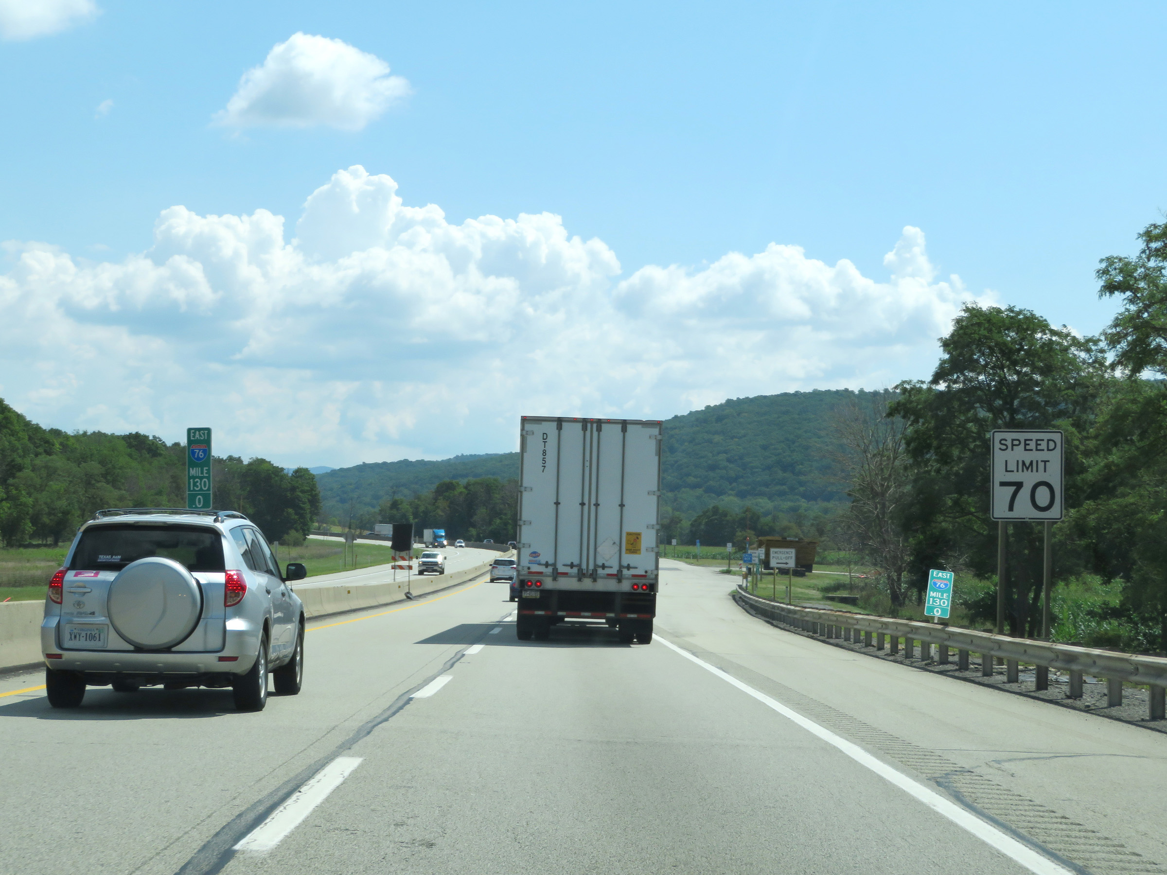 |
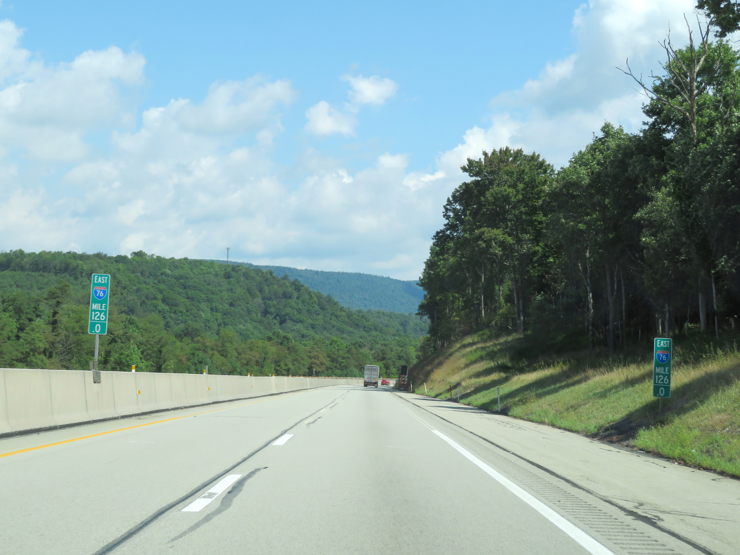
Interstate 70 East / Interstate 76 East (PA Turnpike) at mile marker 130. (Photo taken 8/18/16). |
 |
View on Interstate 70 East / Interstate 76 East (PA Turnpike) at mile marker 131.3. (Photo taken 8/18/16). |
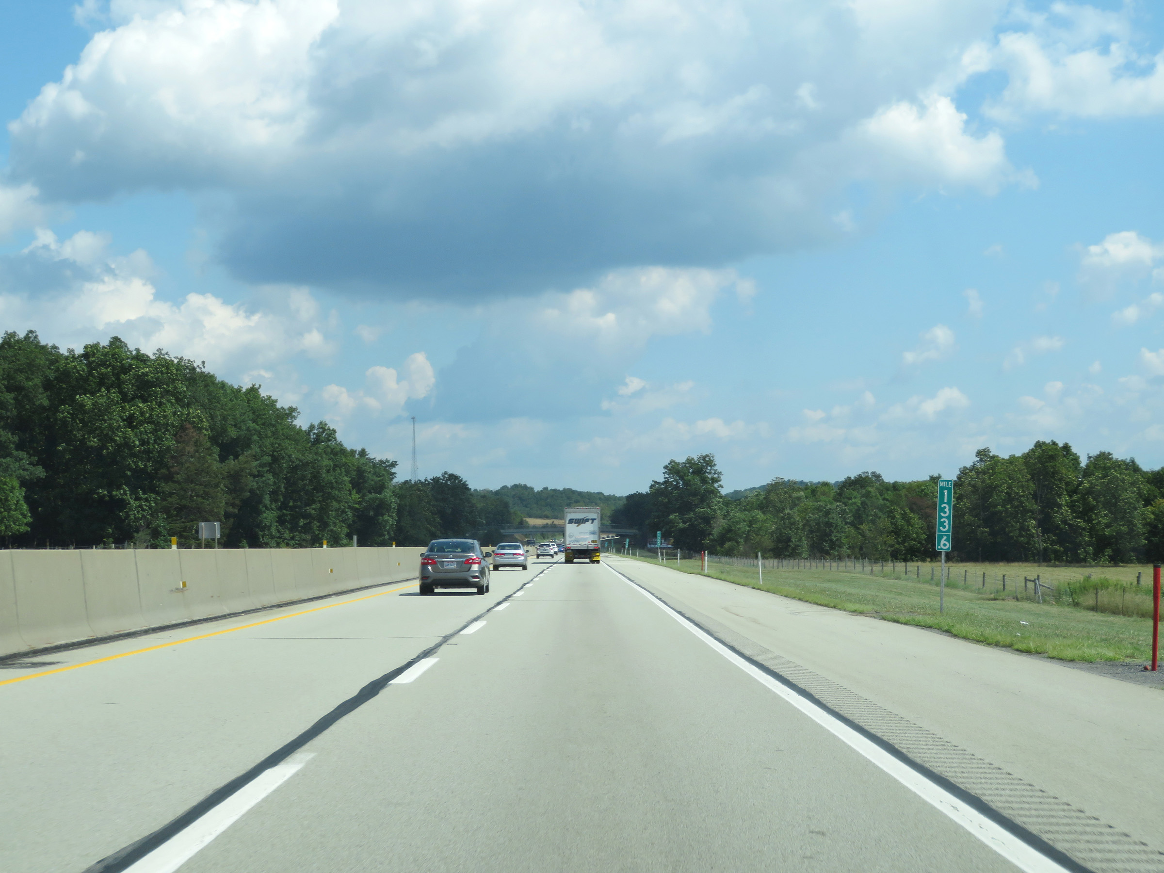 |
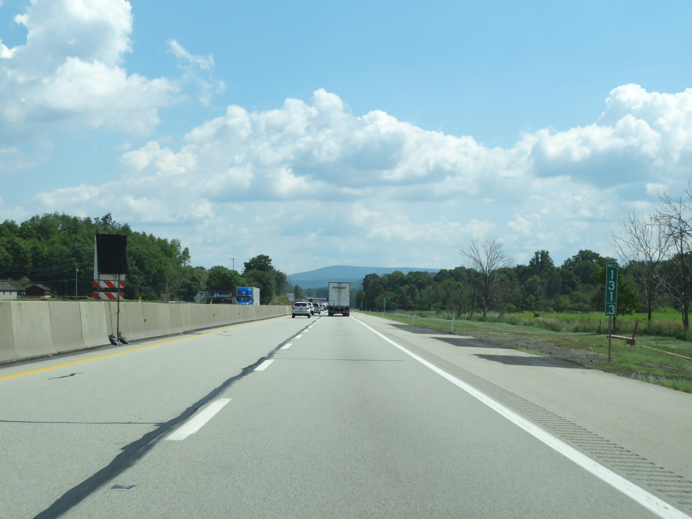
Interstate 70 East / Interstate 76 East (PA Turnpike) at mile marker 133.6. It's near this point that the turnpike enters Bedford County. (Photo taken 8/18/16). |
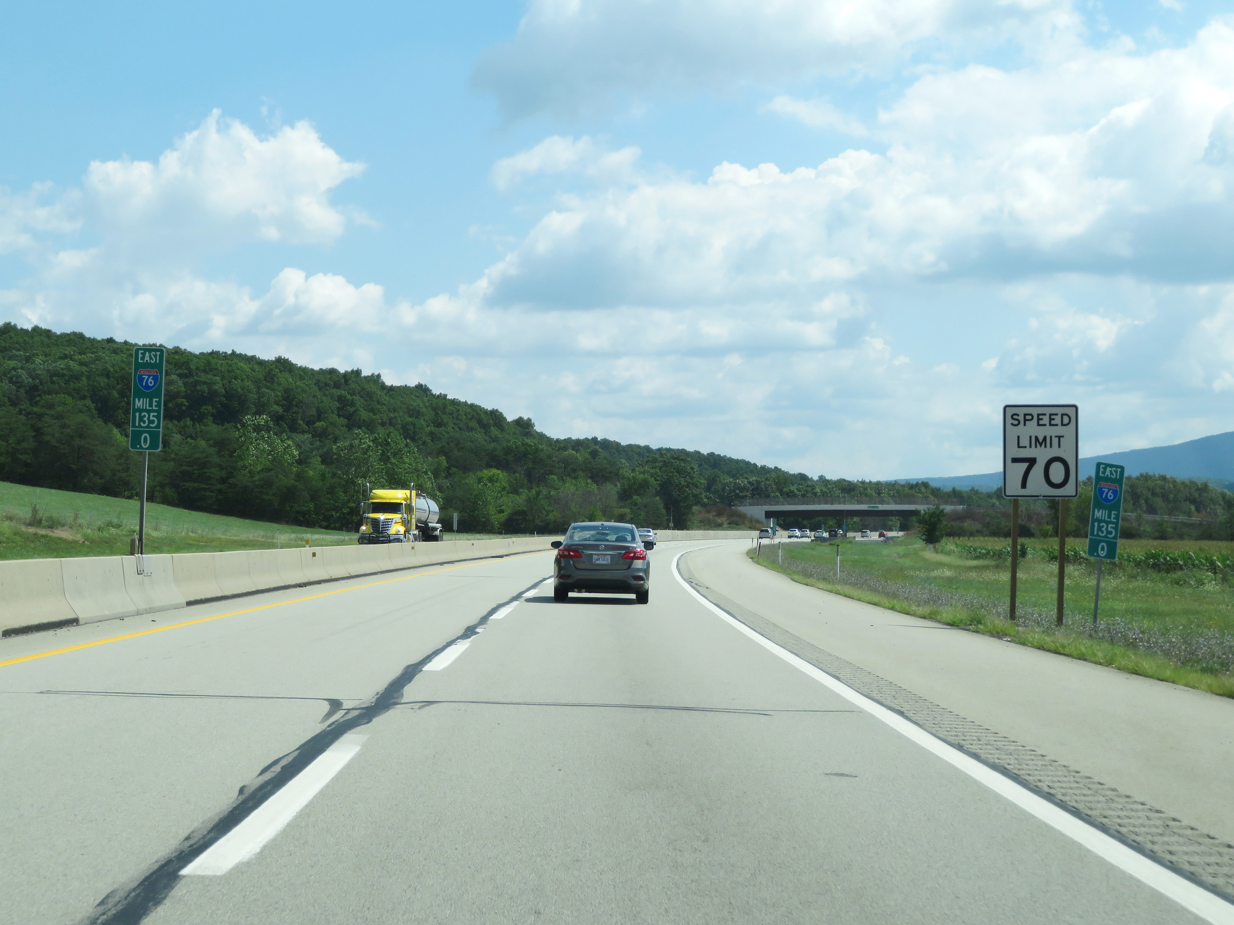 |
Speed limit sign at mile marker 135. The speed limit remains 70 mph on Interstate 70 East / Interstate 76 East (PA Turnpike). (Photo taken 8/18/16). |
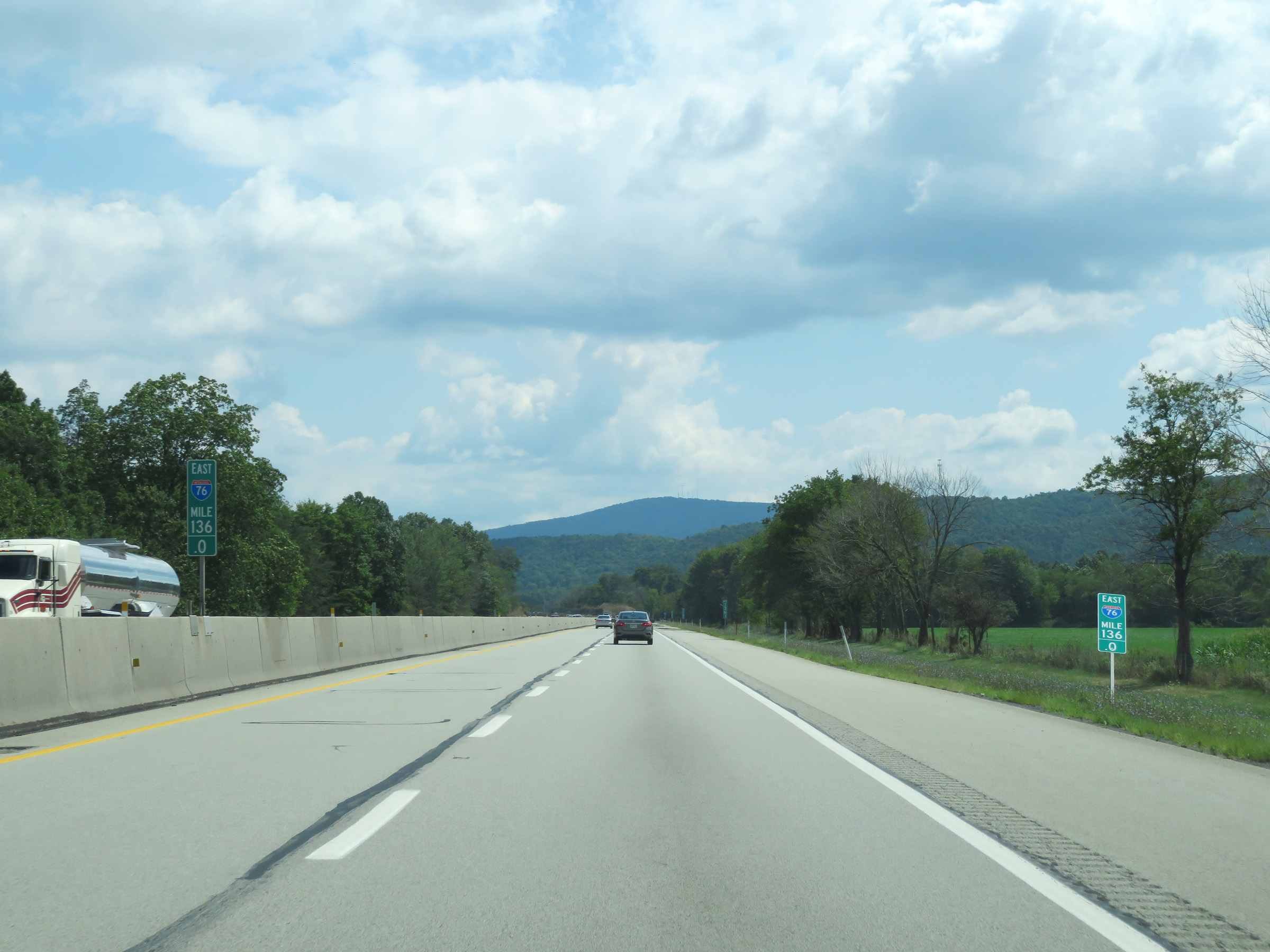 |
Mile marker 136 on Interstate 70 East / Interstate 76 East (PA Turnpike) in Bedford County. (Photo taken 8/18/16). |
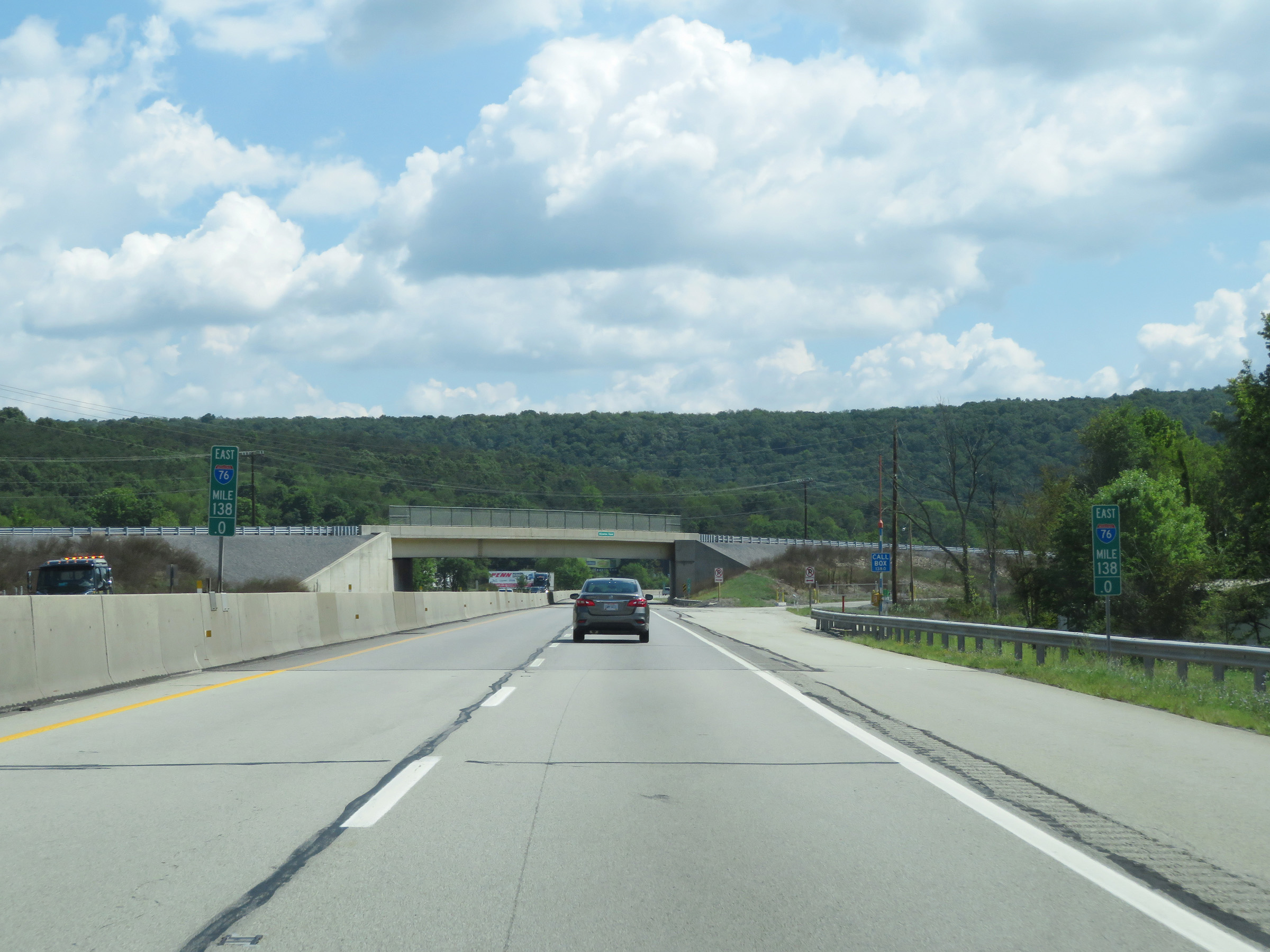 |
View on Interstate 70 East / Interstate 76 East (PA Turnpike) at mile marker 138. (Photo taken 8/18/16). |
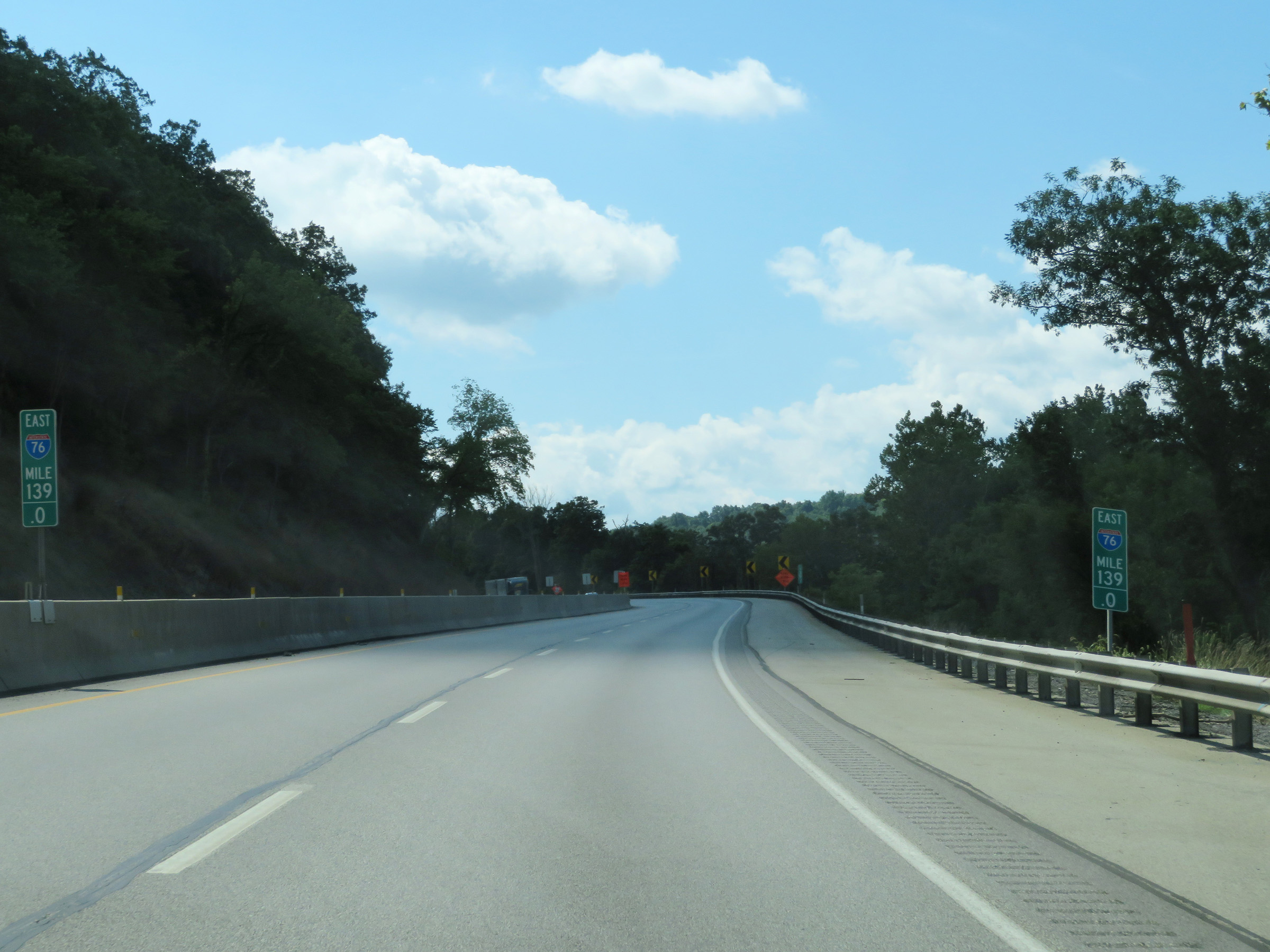 |
Interstate 70 East / Interstate 76 East (PA Turnpike) at mile marker 139. (Photo taken 8/18/16). |
 |
Mile marker 140.6 on Interstate 70 East / Interstate 76 East (PA Turnpike) in Bedford County. (Photo taken 8/18/16). |
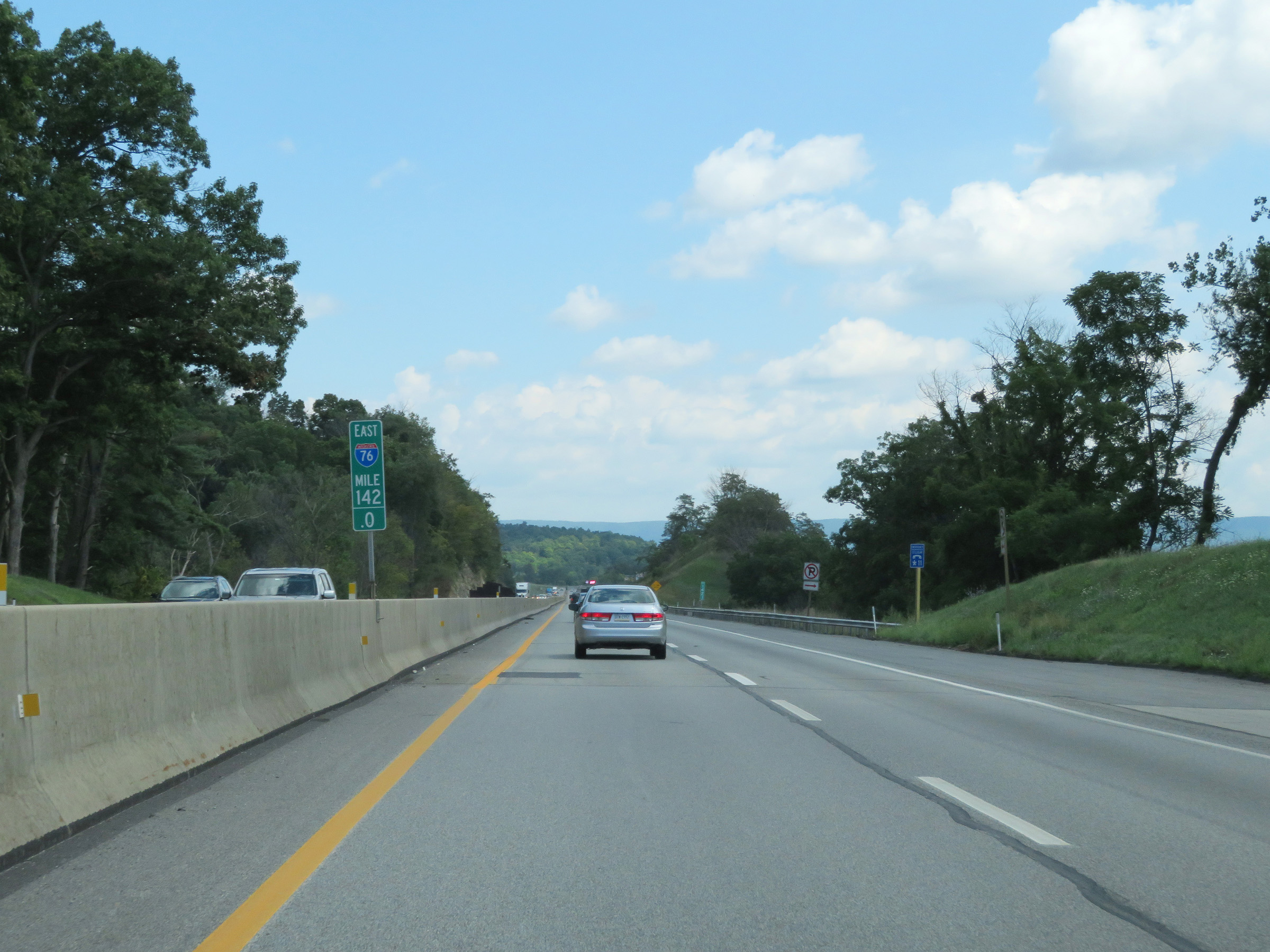 |
Interstate 70 East / Interstate 76 East (PA Turnpike) at mile marker 142. (Photo taken 8/18/16). |
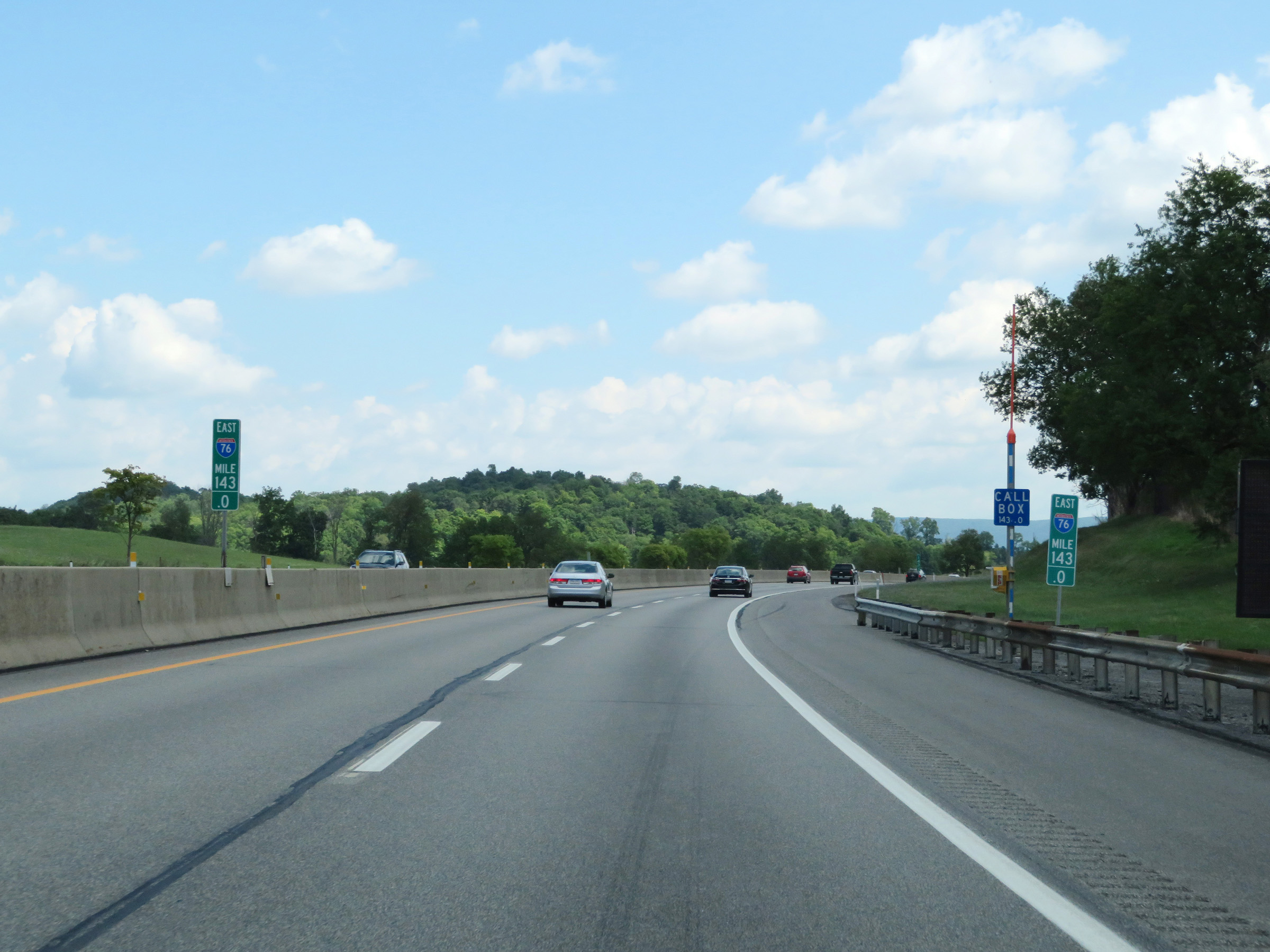 |
View on Interstate 70 East / Interstate 76 East (PA Turnpike) at mile marker 143. (Photo taken 8/18/16). |
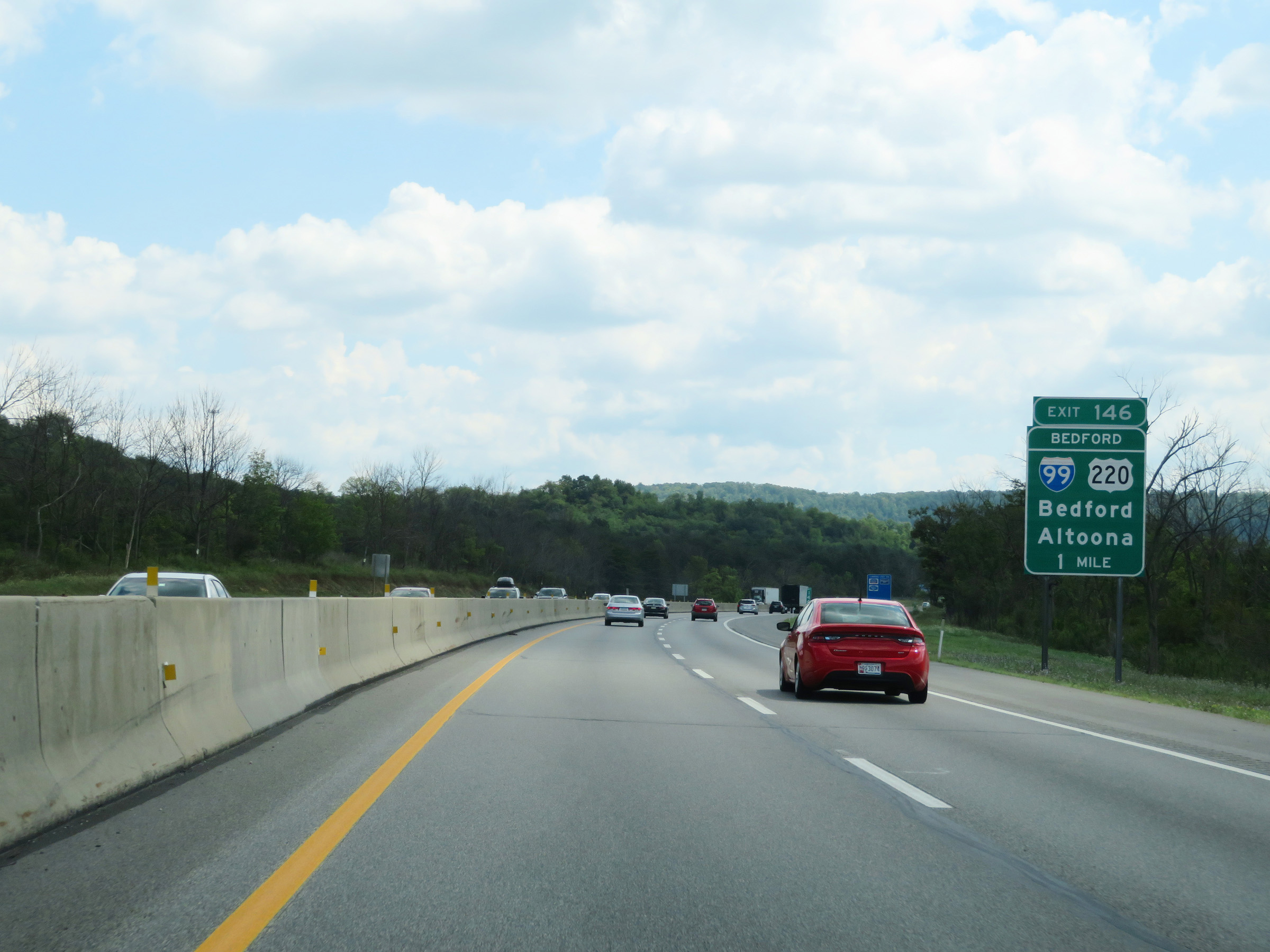 |
Advance signage for Exit 146 (Bedford interchange) - 1 mile ahead. (Photo taken 8/18/16). |
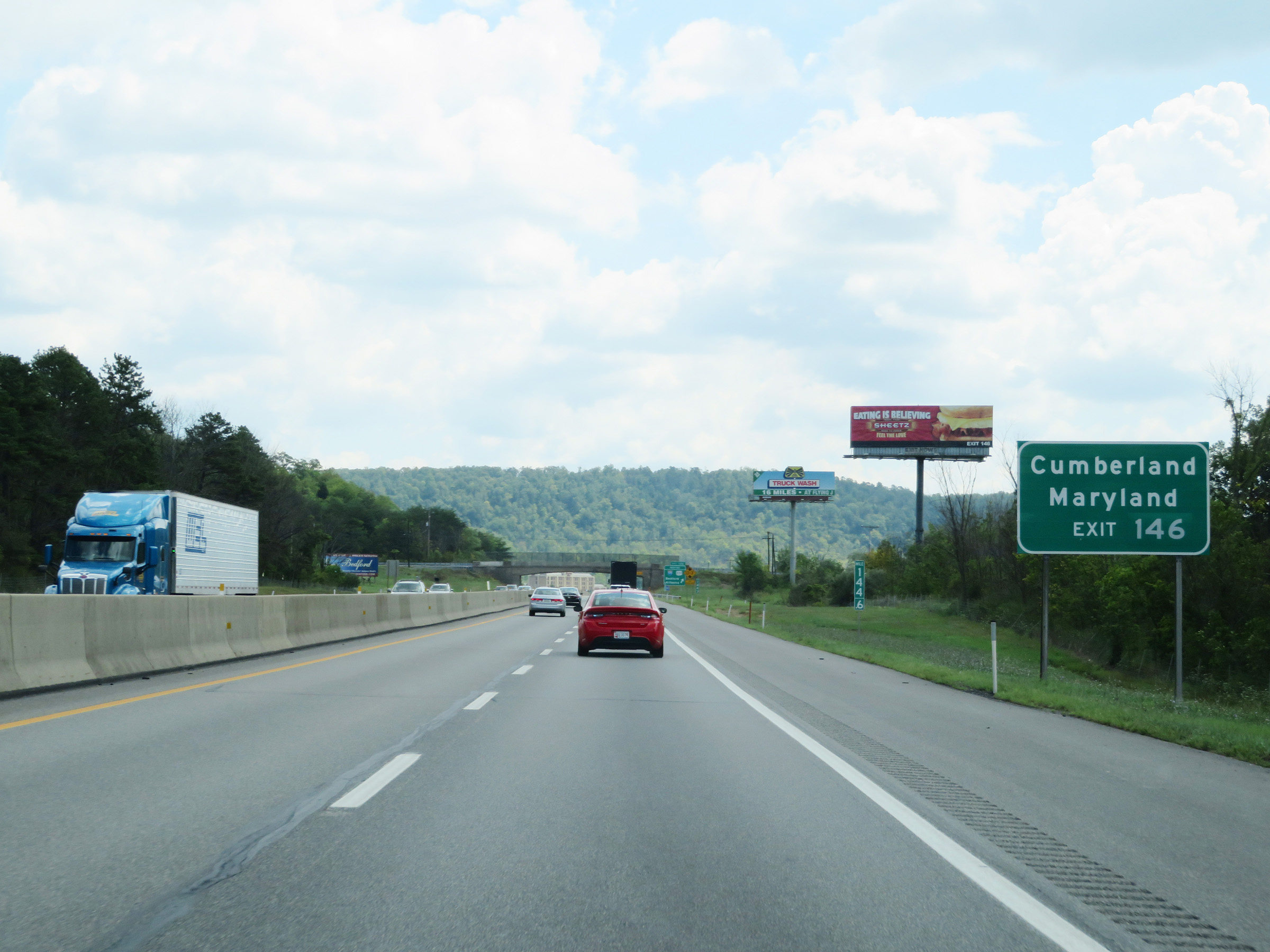 |
Take Exit 146 to Cumberland, MD. (Photo taken 8/18/16). |
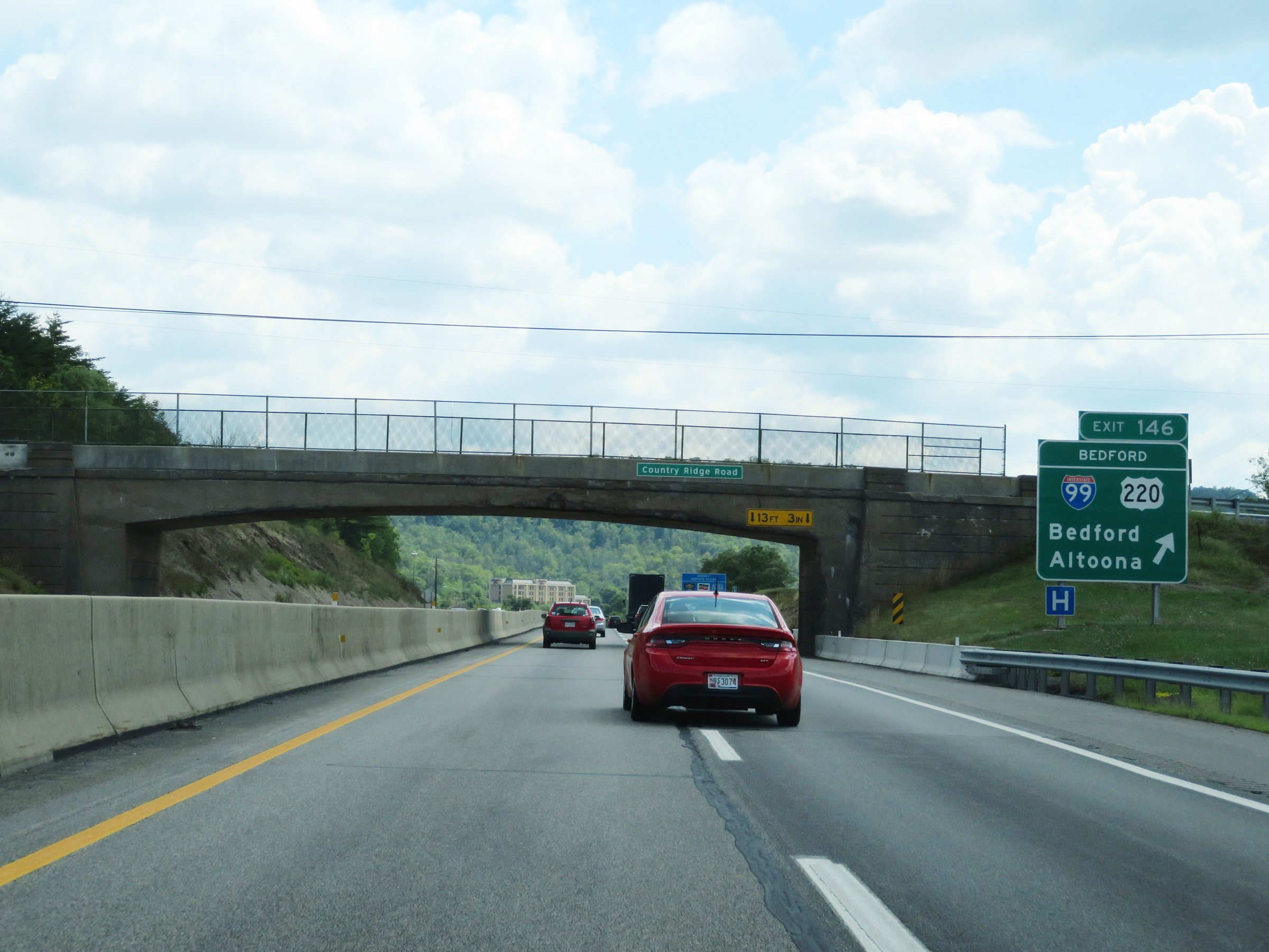 |
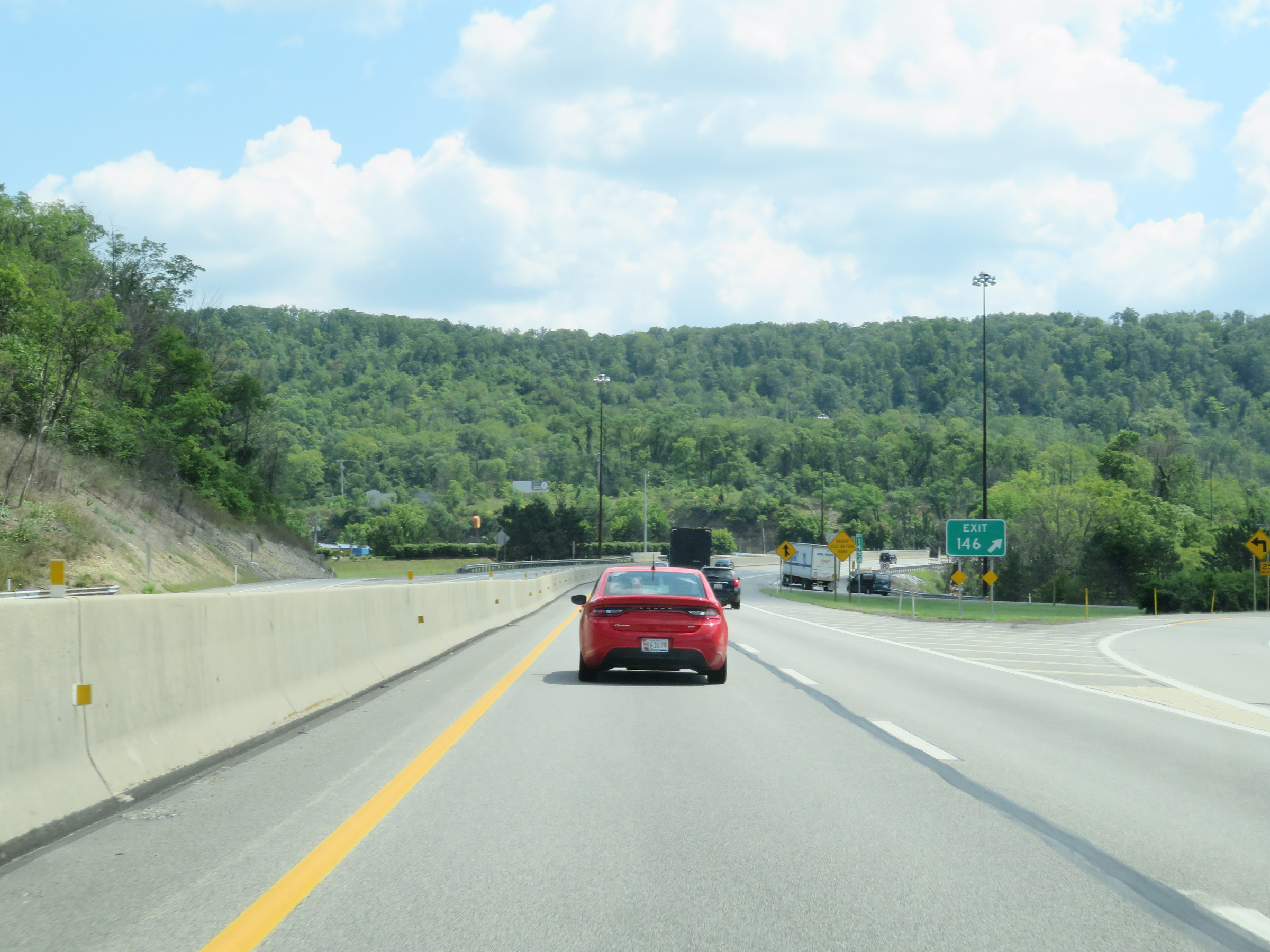
Interstate 70 East / Interstate 76 East (PA Turnpike) at Exit 146: Interstate 99 / US 220 - Bedford / Altoona (Photo taken 8/18/16). |
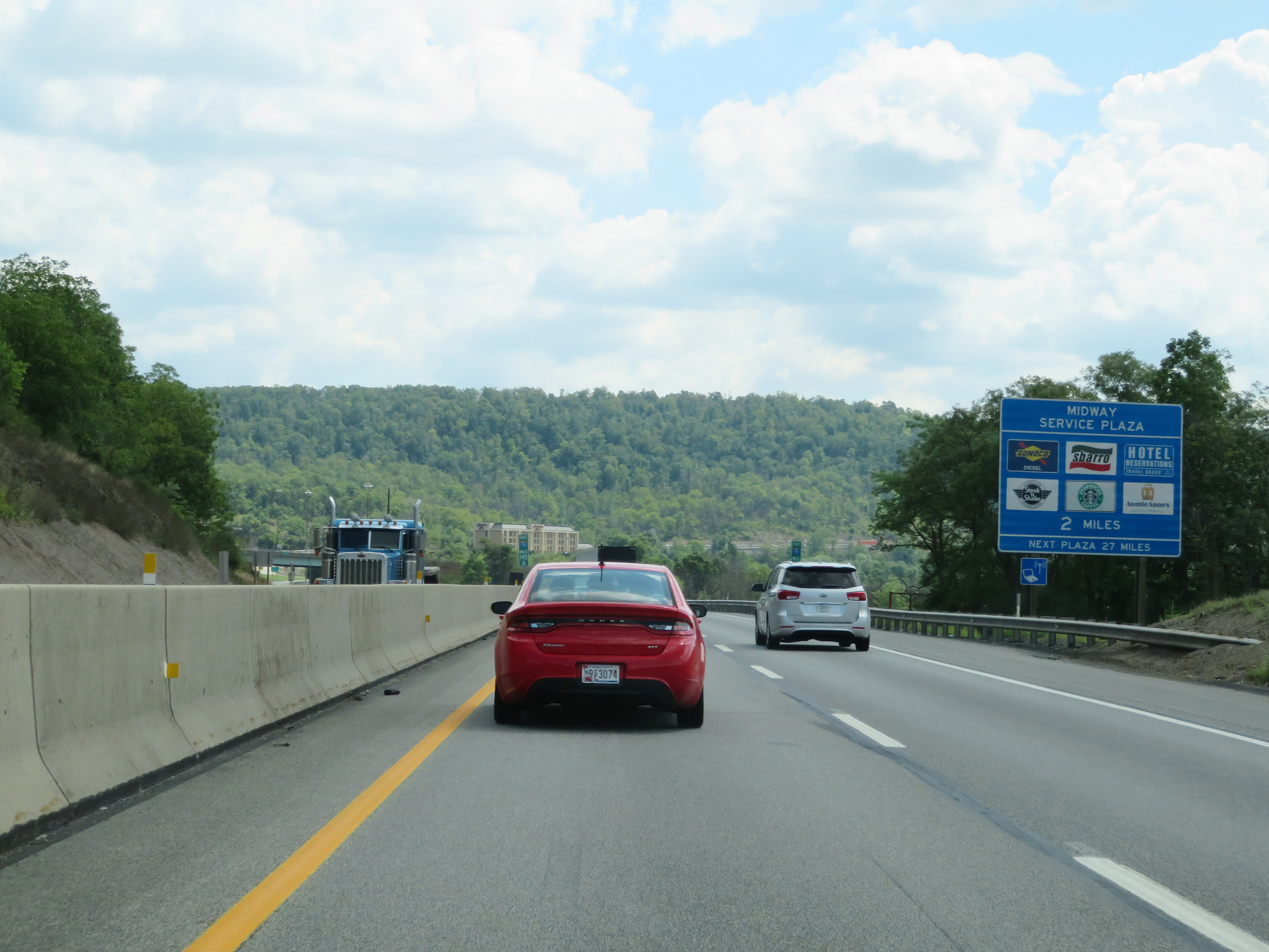 |
The South Midway Service Plaza is 2 miles ahead on Interstate 70 East / Interstate 76 East (PA Turnpike). (Photo taken 8/18/16). |
 |
Gore point signage for Exit 146 at the Bedford interchange. (Photo taken 8/18/16). |
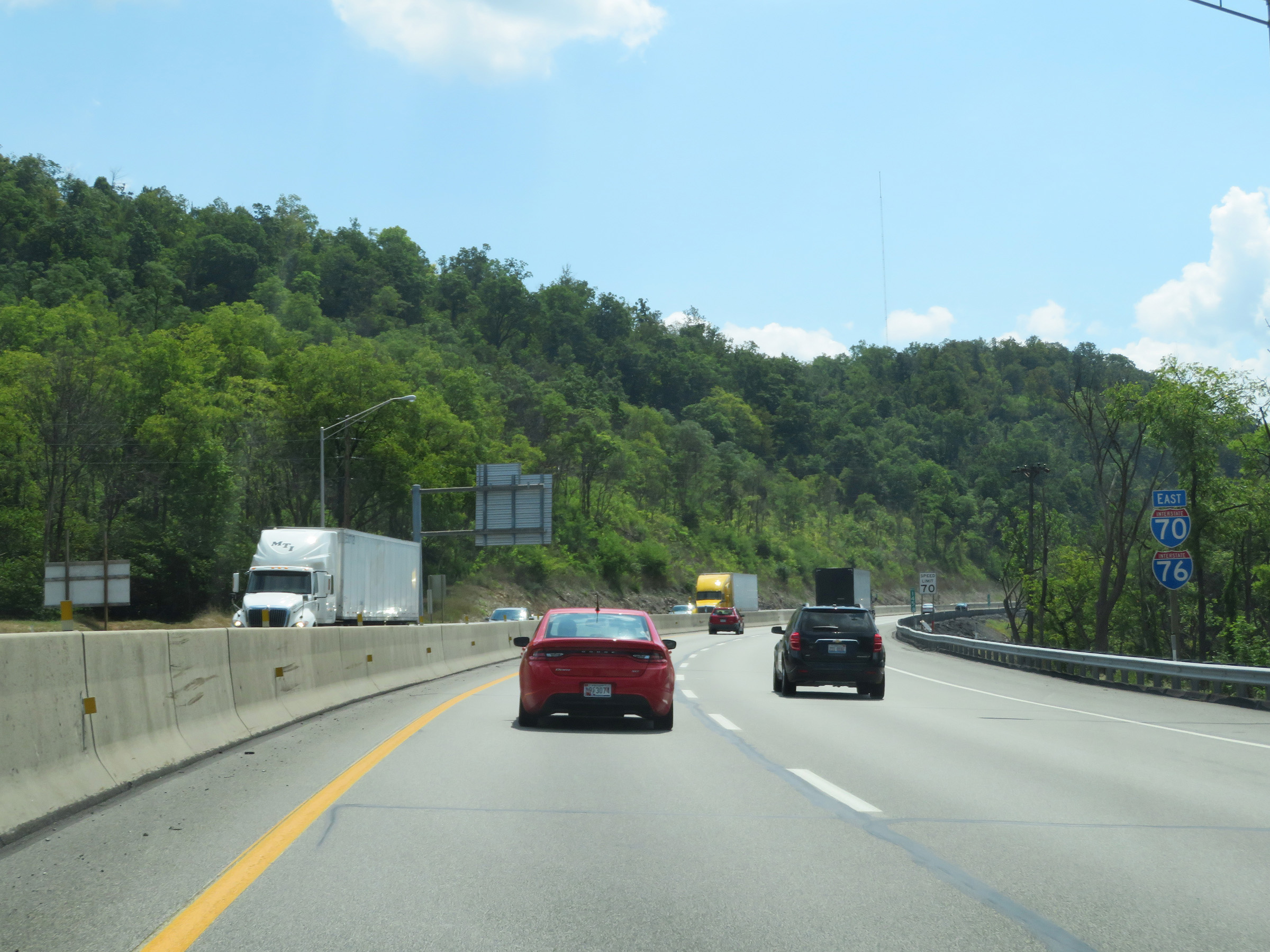 |
Another set of Interstate 70 East / Interstate 76 East reassurance shields. (Photo taken 8/18/16). |
 |
Mileage sign at mile marker 146.5, listing the distances to the next two interchanges on the Pennsylvania Turnpike. It's 16 miles to the Breezewood interchange (at which point I-70 East will depart the turnpike) and 34 miles to the Fort Littleton interchange. (Photo taken 8/18/16). |
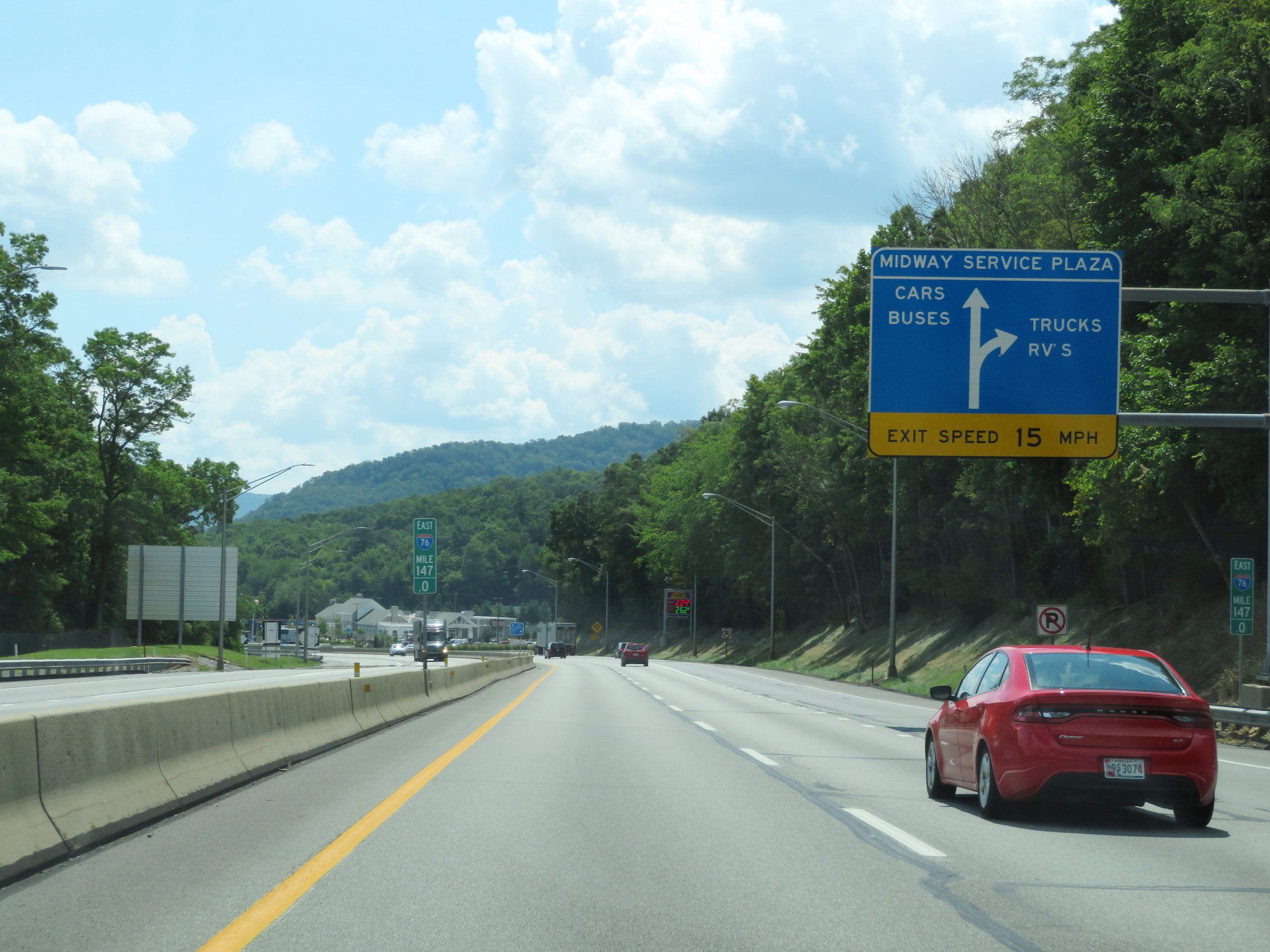 |
Overhead signage showing the parking arrangement for the South Midway Service Plaza ahead. Trucks and RVs entering the service plaza should keep right, while cars and buses can keep left after exiting ahead. (Photo taken 8/18/16). |
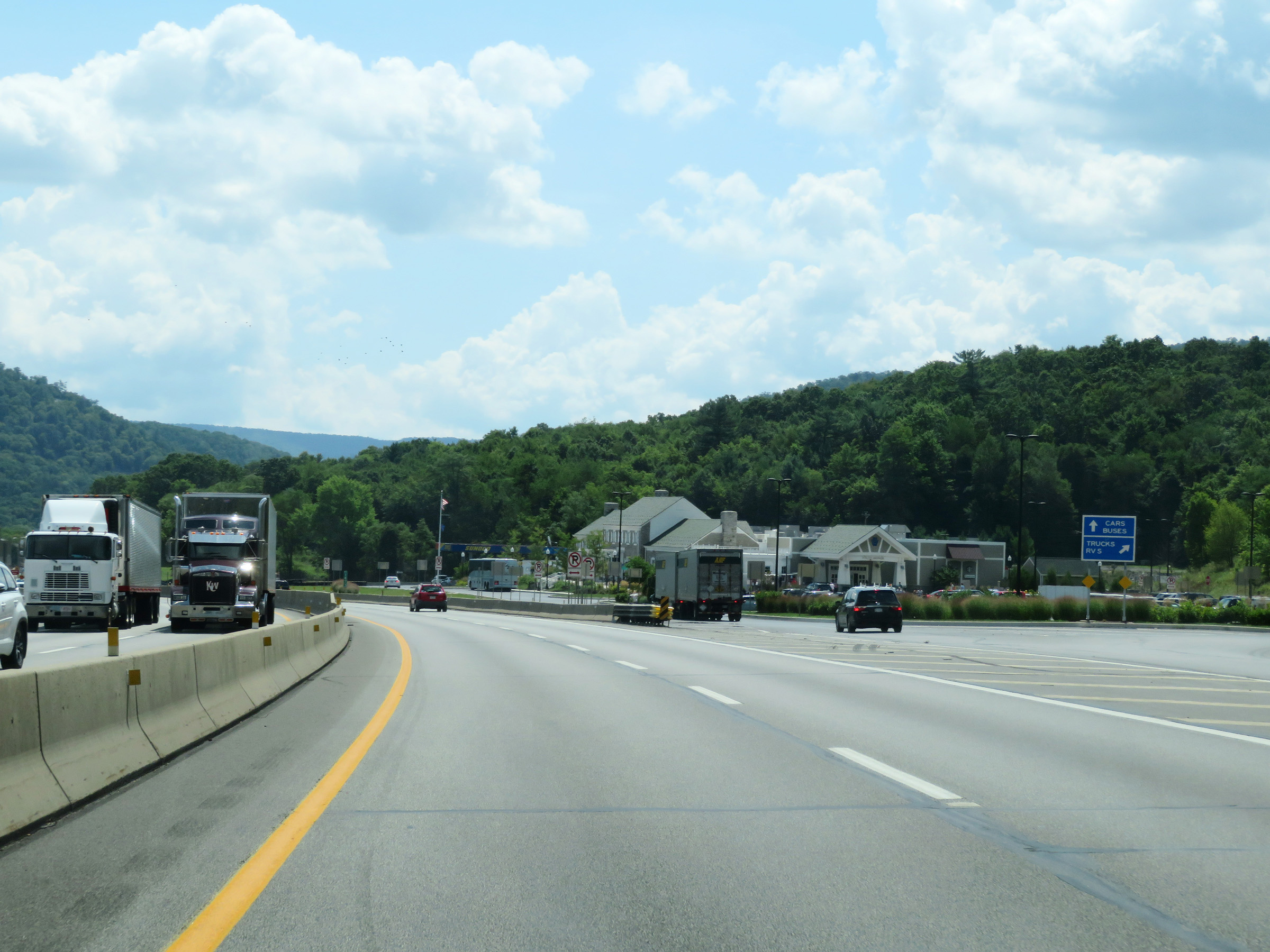 |
Interstate 70 East / Interstate 76 East (PA Turnpike) at the South Midway Service Plaza. (Photo taken 8/18/16). |
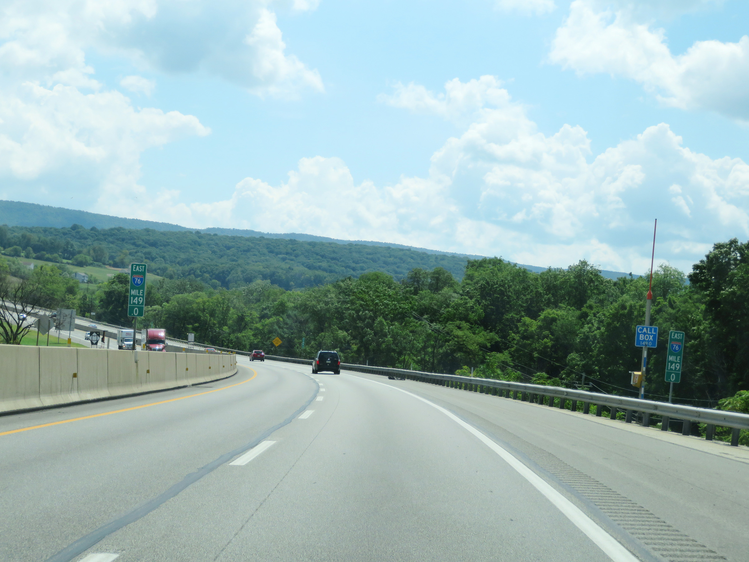 |
View on Interstate 70 East / Interstate 76 East (PA Turnpike) at mile marker 149. (Photo taken 8/18/16). |
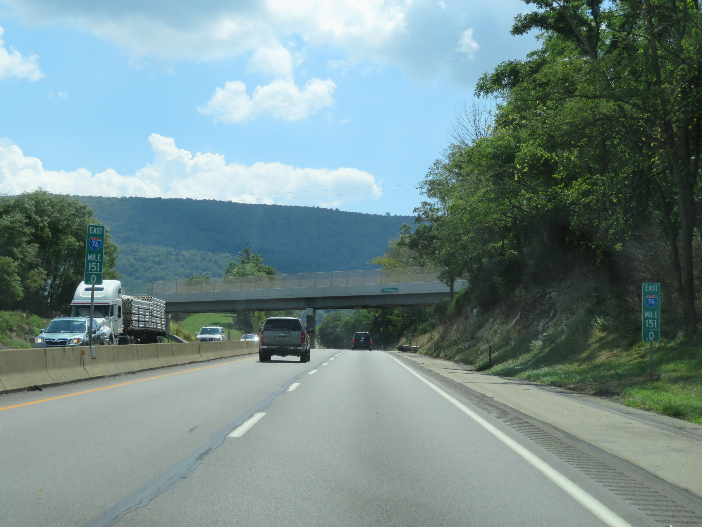 |
Mile marker 151 on Interstate 70 East / Interstate 76 East (PA Turnpike) in Bedford County. (Photo taken 8/18/16). |
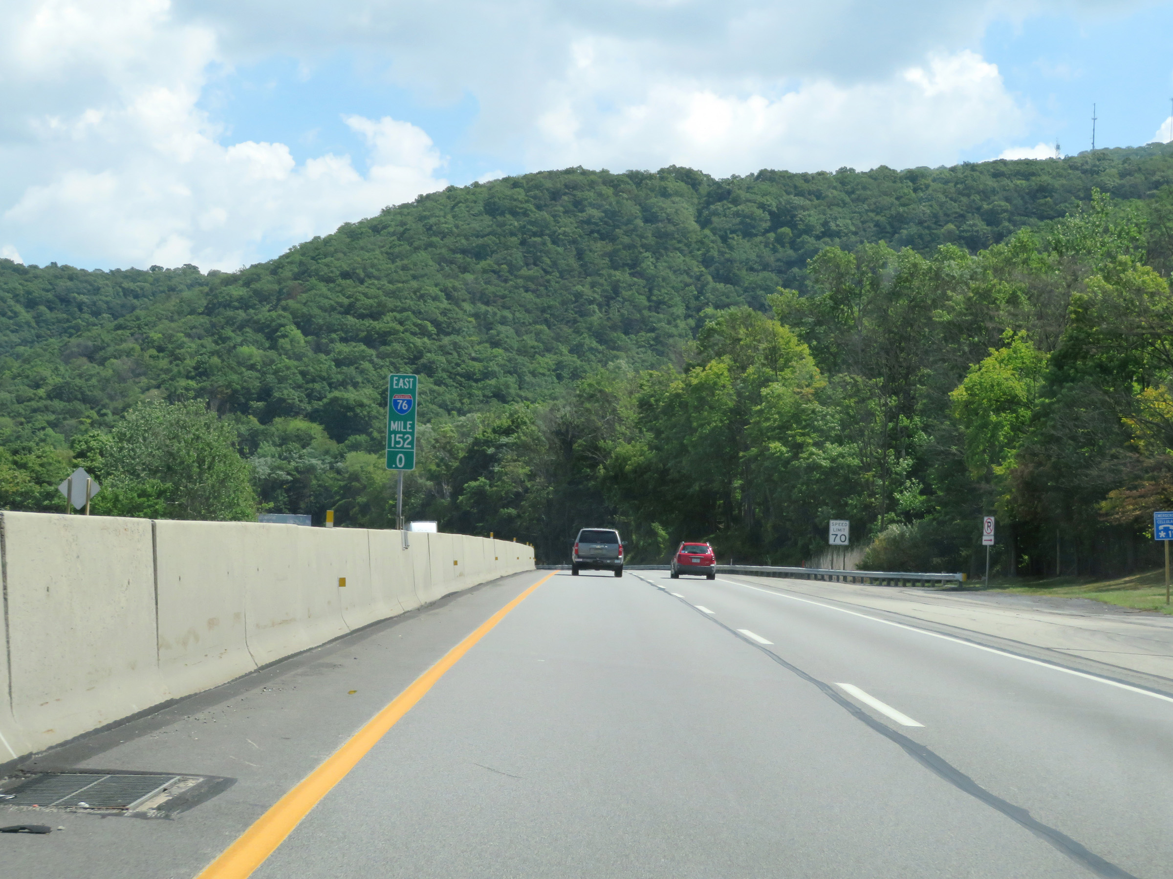 |
Interstate 70 East / Interstate 76 East (PA Turnpike) at mile marker 152. (Photo taken 8/18/16). |
 |
Interstate 70 East / Interstate 76 East (PA Turnpike) at mile marker 153. (Photo taken 8/18/16). |
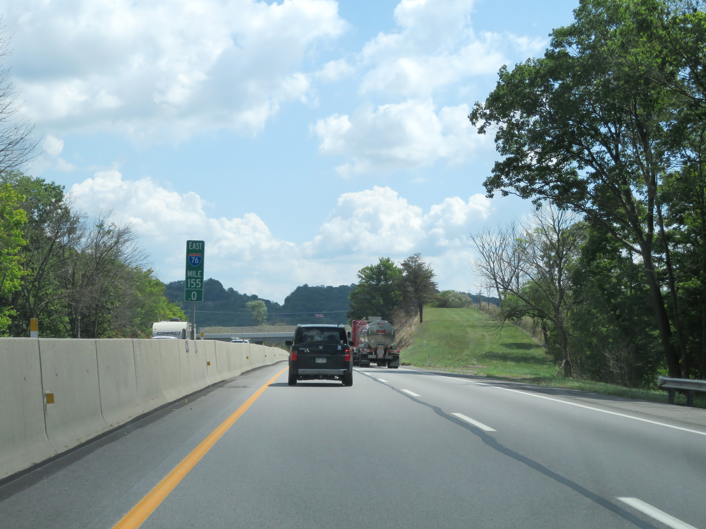 |
Mile marker 155 on Interstate 70 East / Interstate 76 East (PA Turnpike) in Bedford County. (Photo taken 8/18/16). |
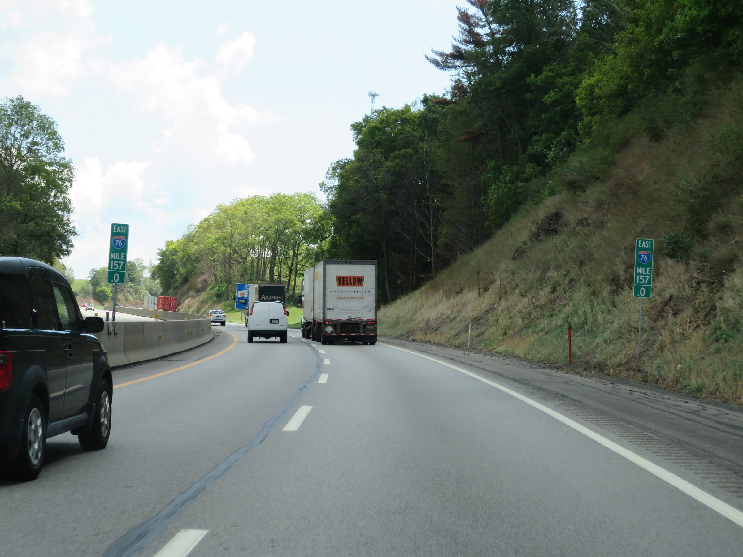 |
View on Interstate 70 East / Interstate 76 East (PA Turnpike) at mile marker 157. (Photo taken 8/18/16). |
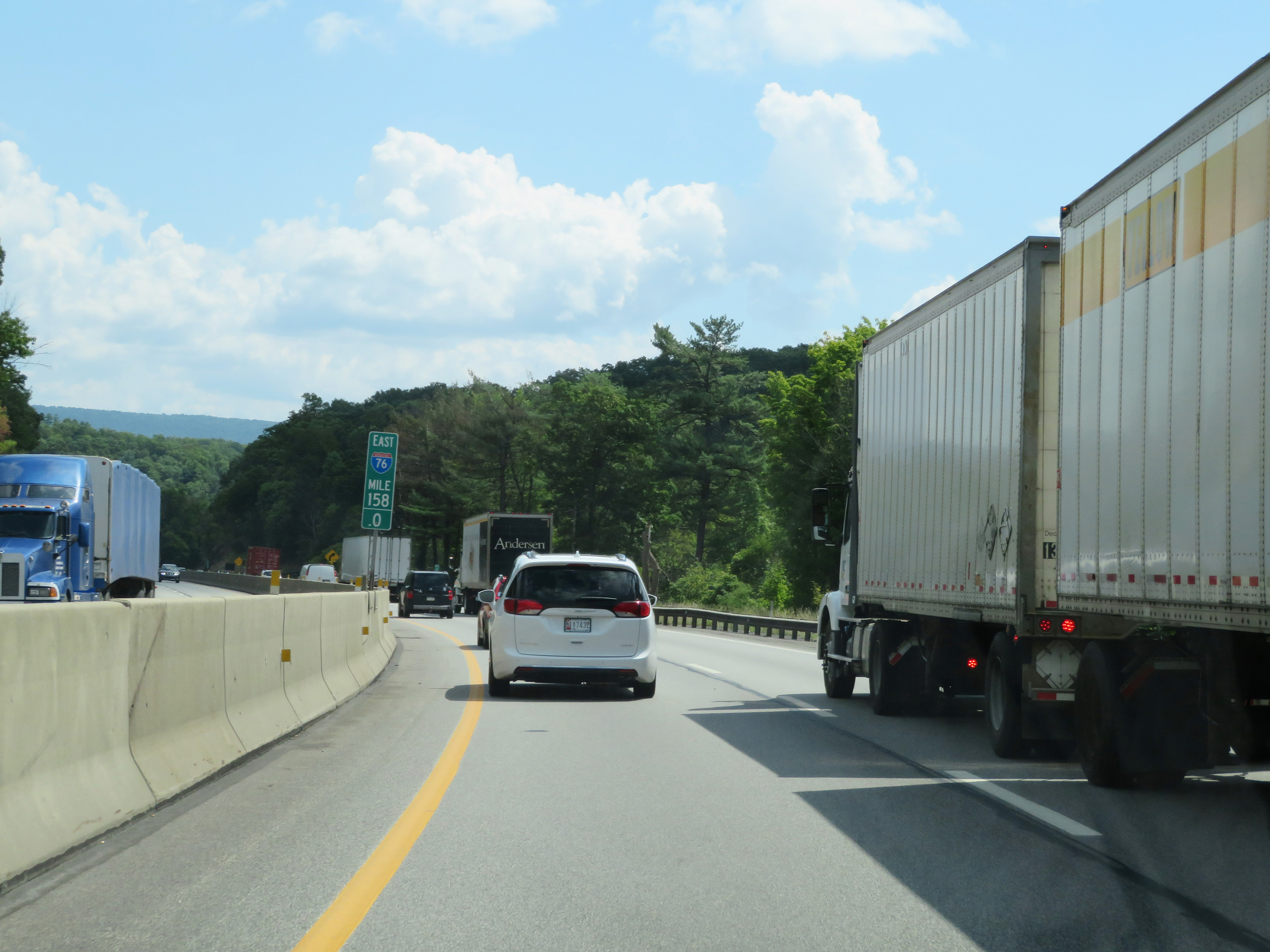 |
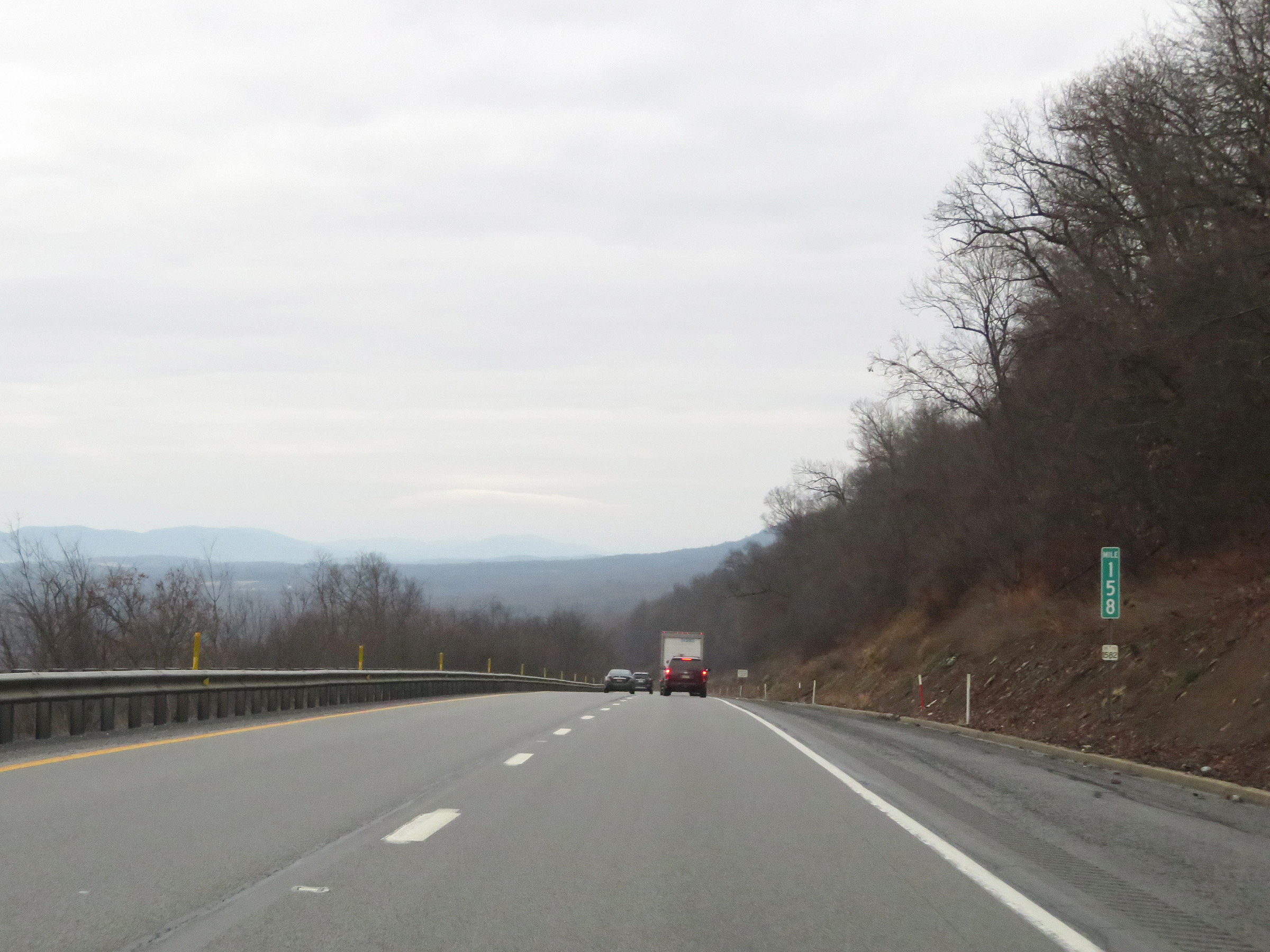
Interstate 70 East / Interstate 76 East (PA Turnpike) at mile marker 158. (Photo taken 8/18/16). |
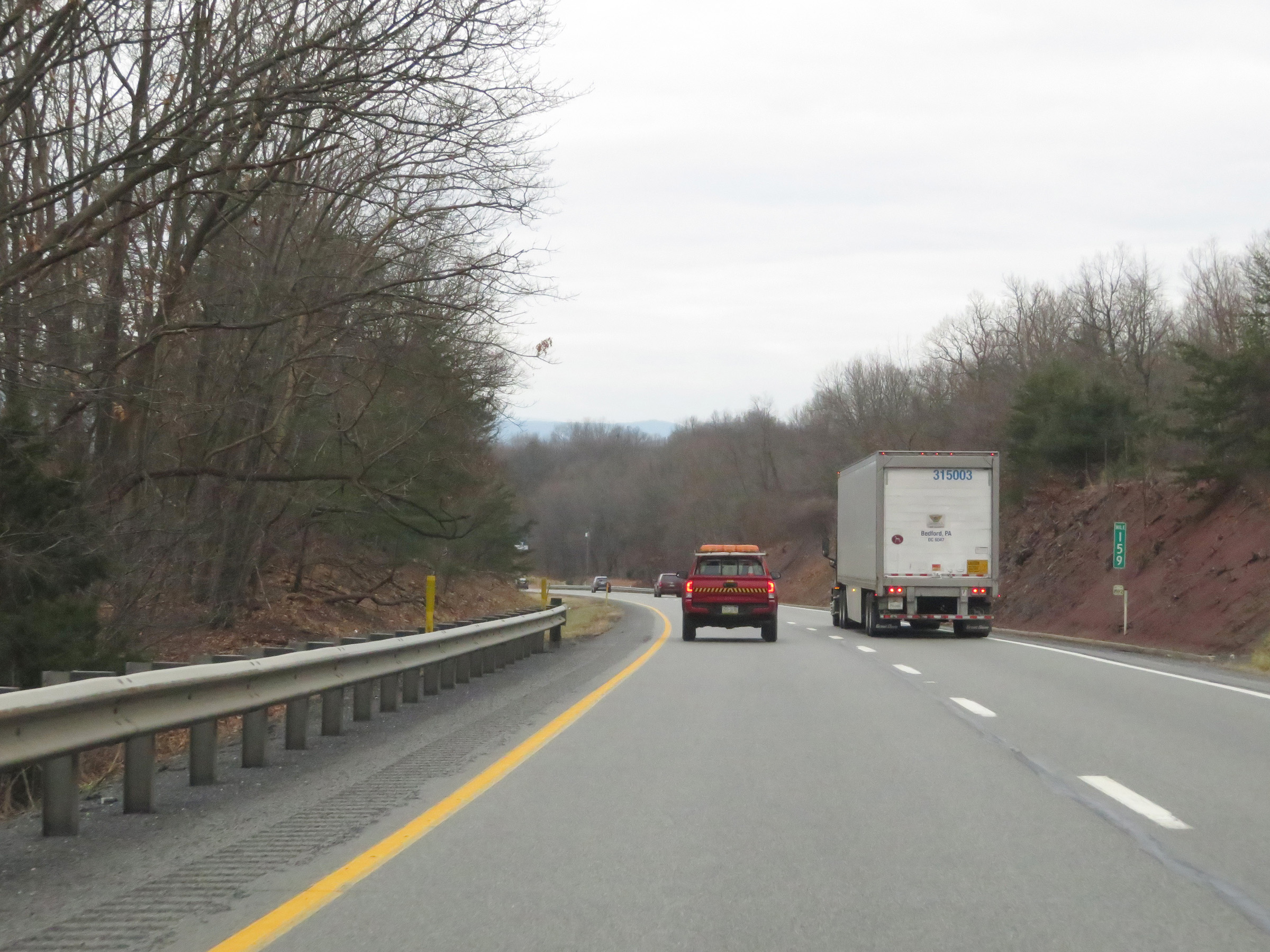
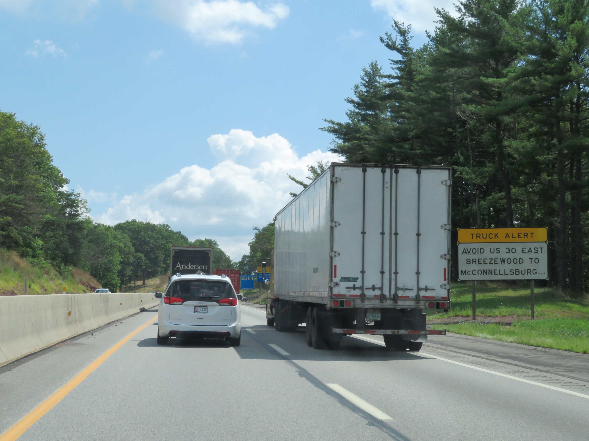 |
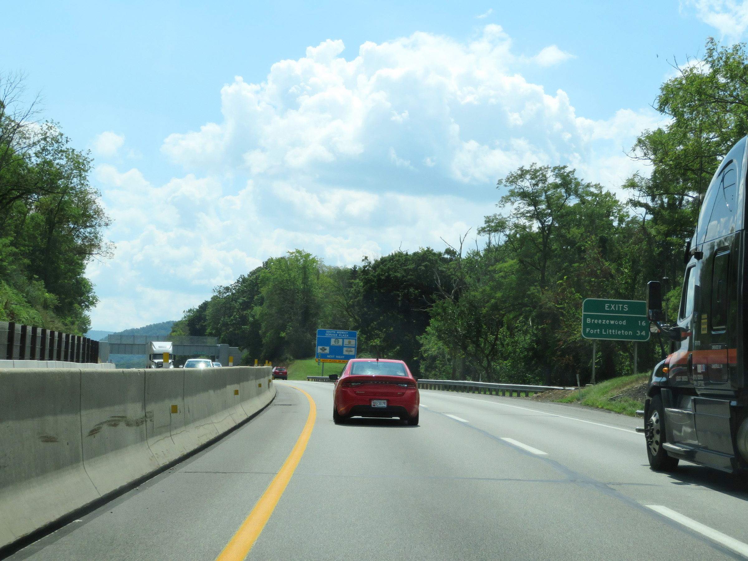
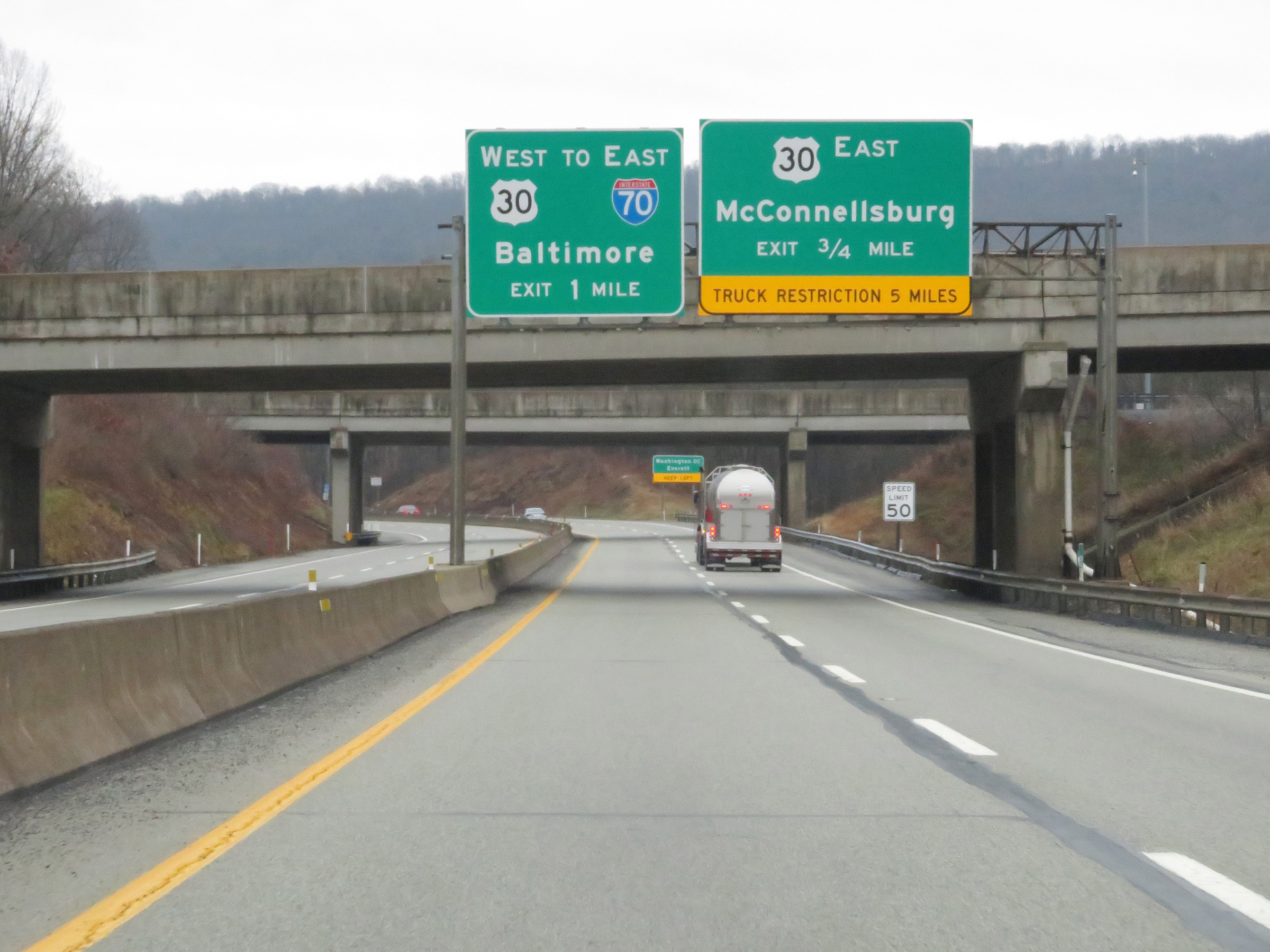
Nearing the Breezewood interchange (Exit 161), this warning sign is posted alerting trucks to avoid US 30 East from Breezewood to McConnellsburg if possible. (Photo taken 8/18/16). |
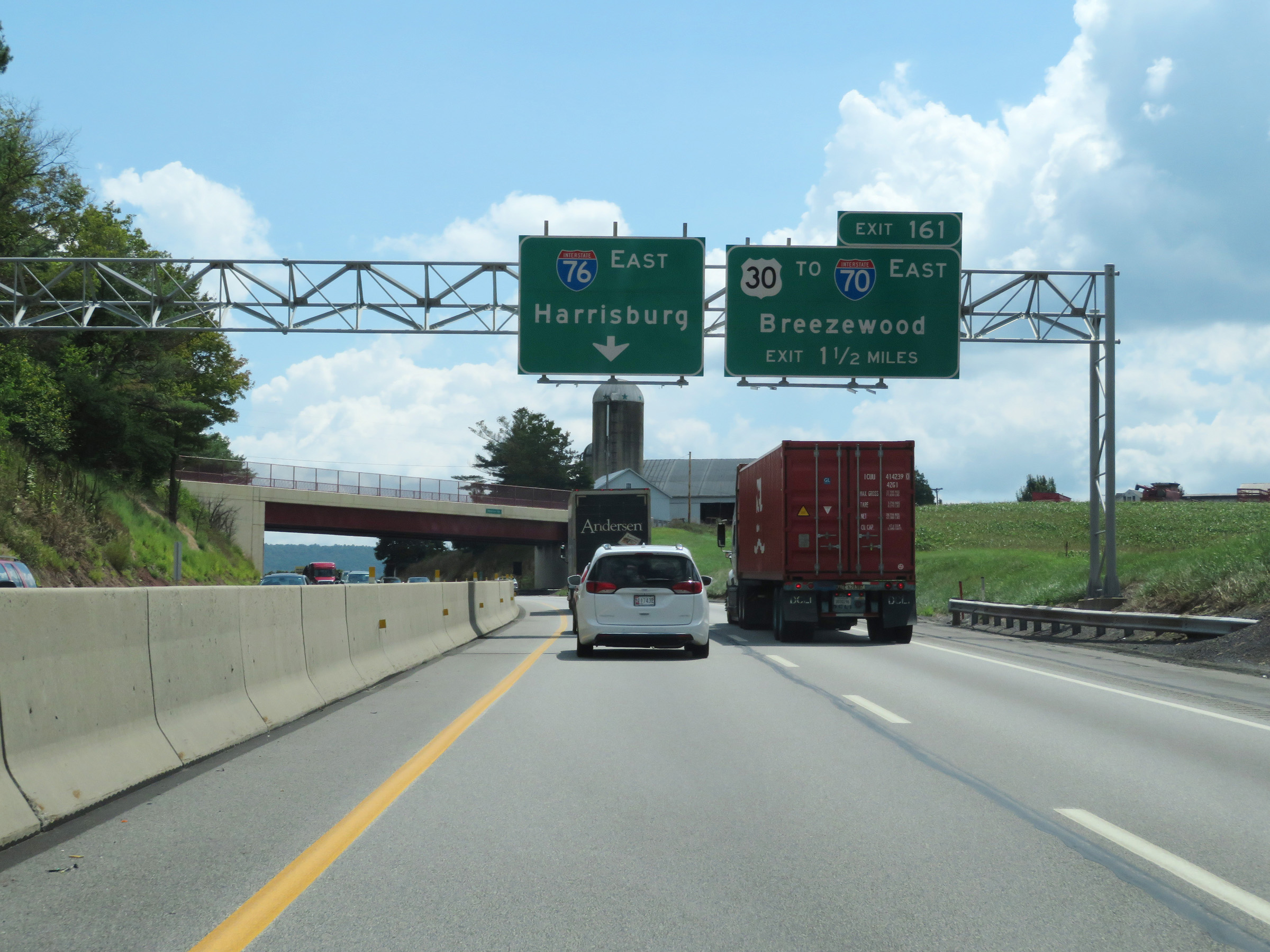 |
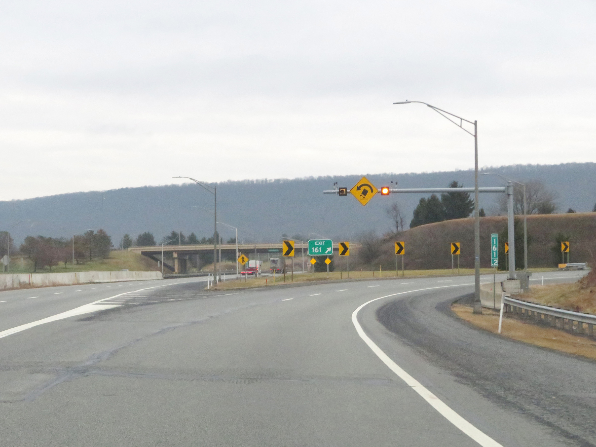
Advance signage for Exit 161 on Interstate 70 East / Interstate 76 East (PA Turnpike) - 1 1/2 miles ahead. Interstate 70 East thru traffic will need to take Exit 161 and leave the Pennsylvania Turnpike. (Photo taken 8/18/16). |
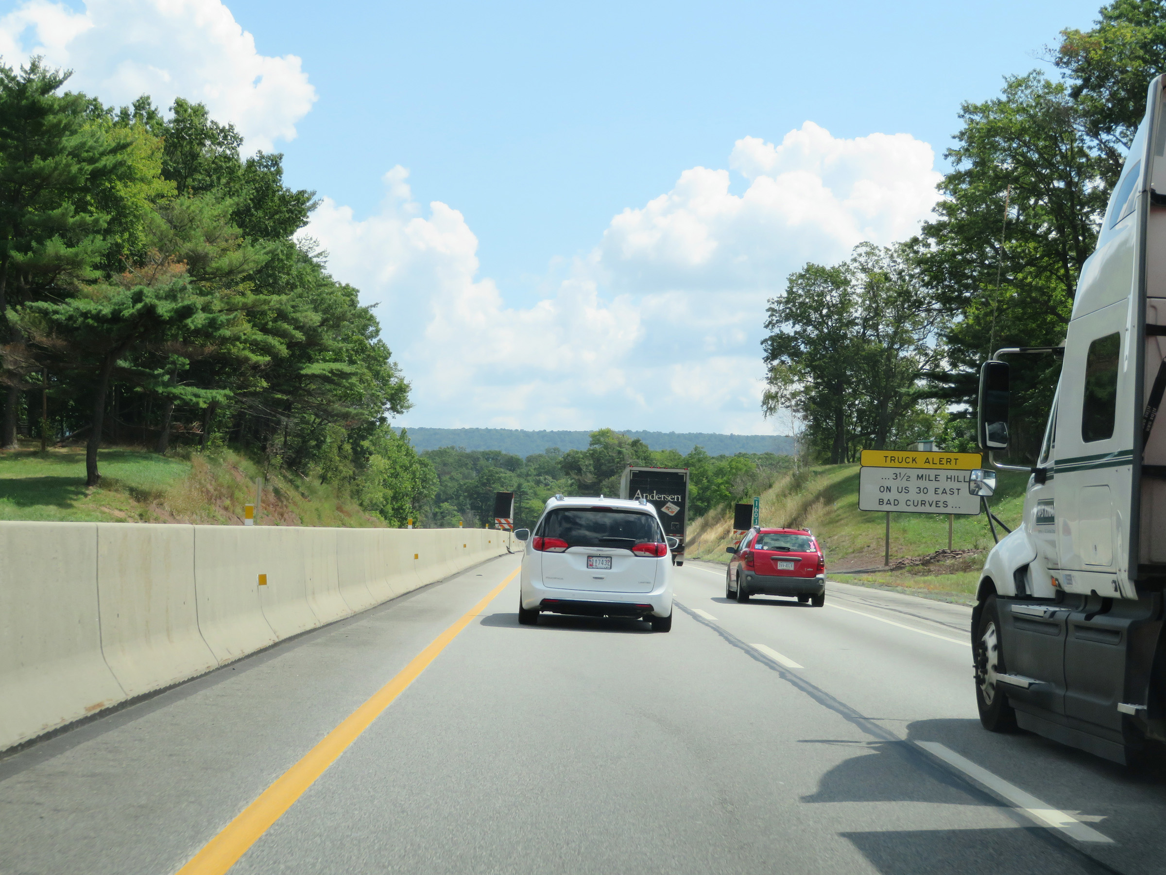 |
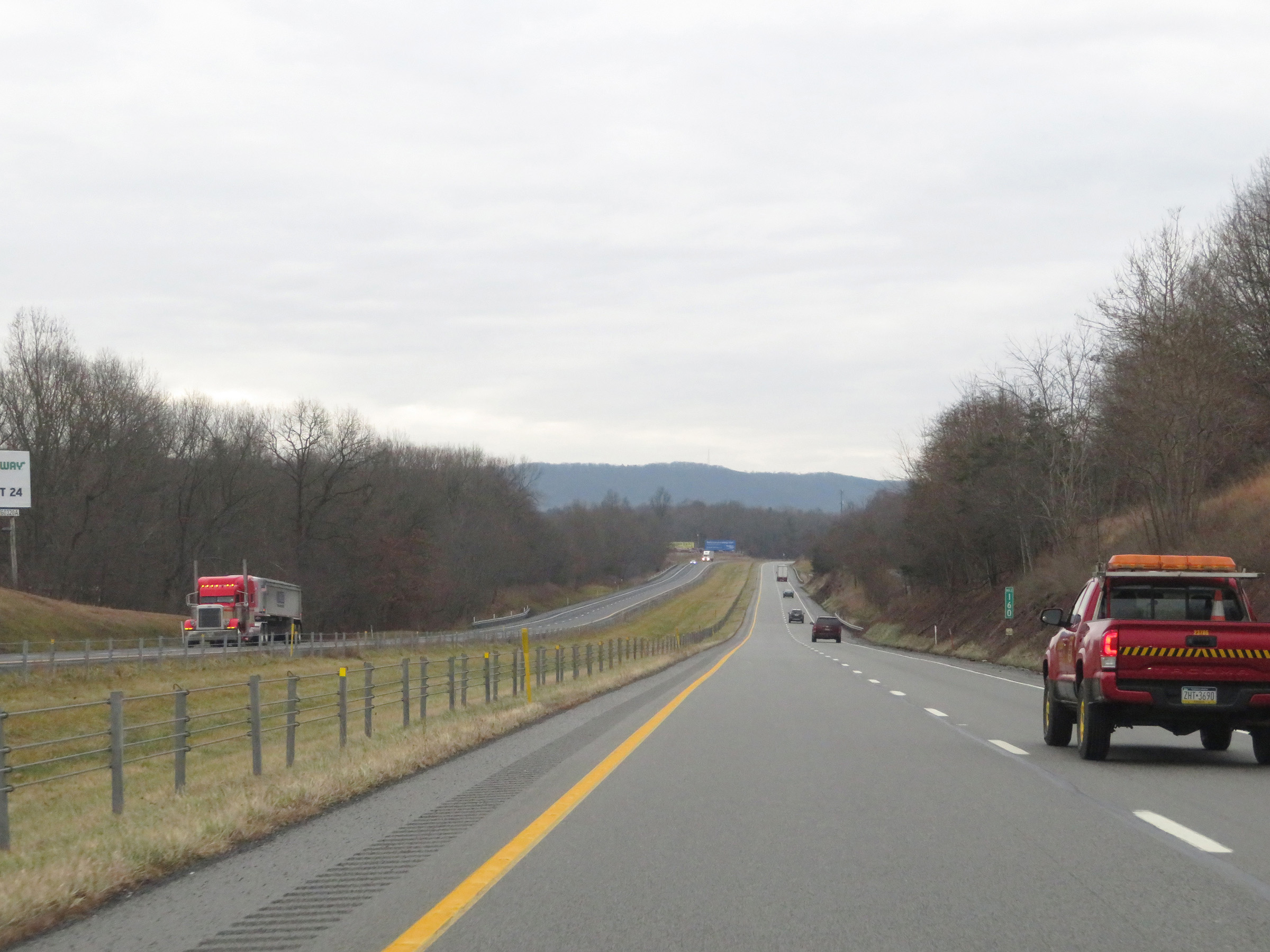
This follow-up warning sign gives the reasons why trucks should avoid US 30 from Breezewood to McConnellsburg, which are a 3 1/2 mile hill and bad curves. (Photo taken 8/18/16). |
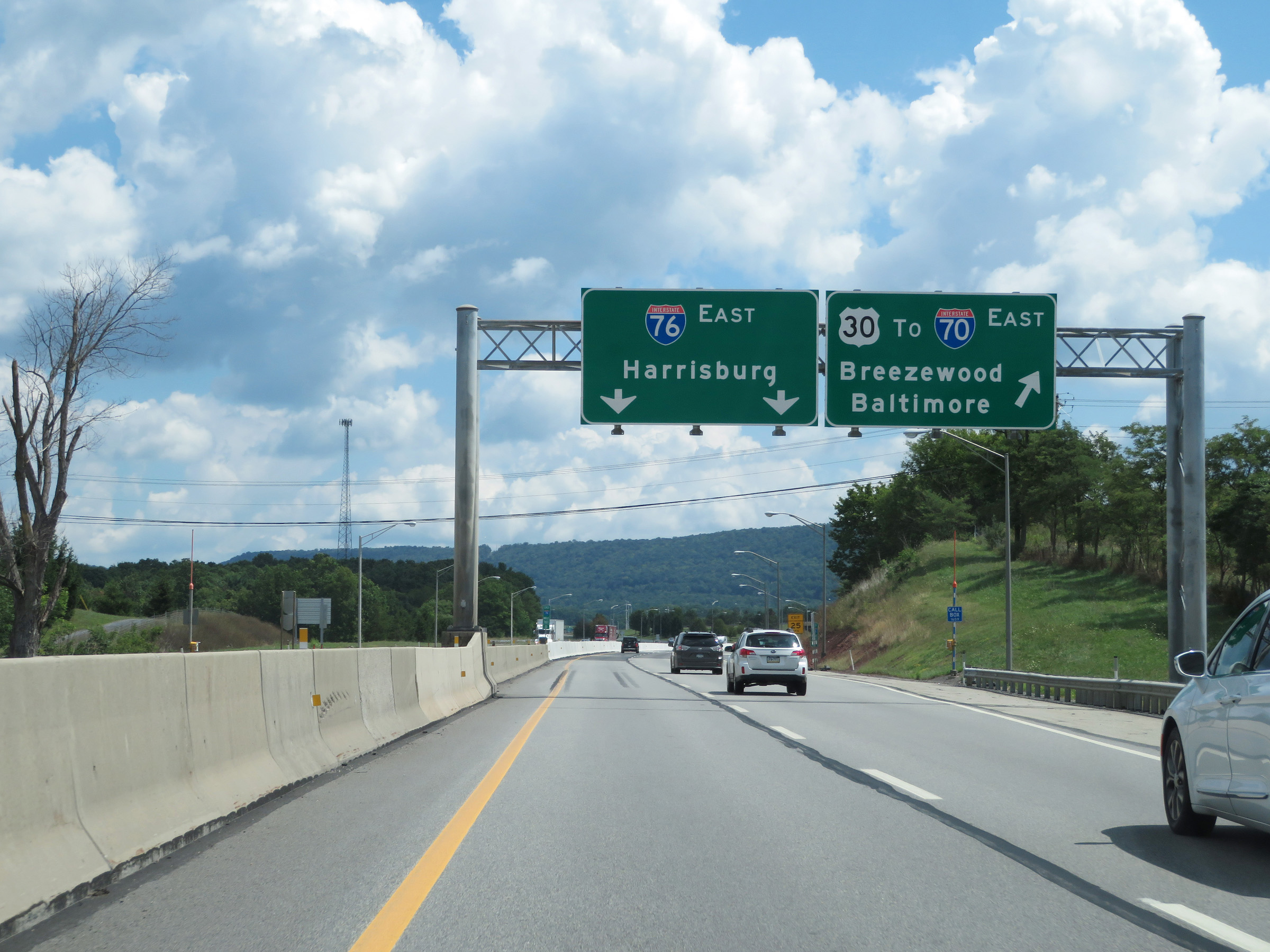 |
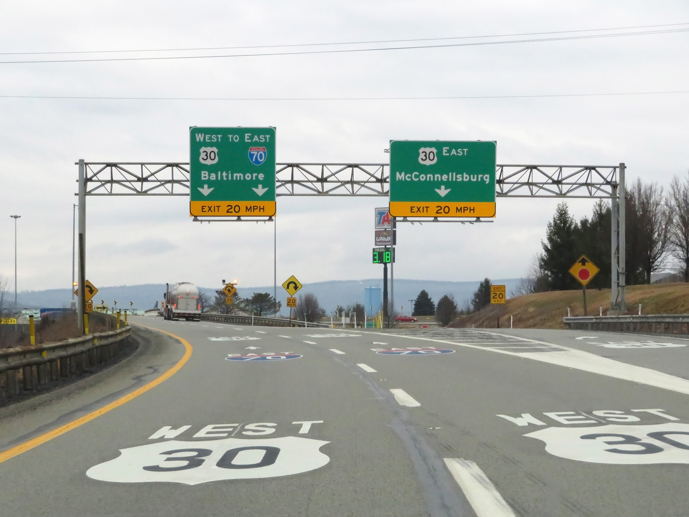
Interstate 70 East / Interstate 76 East (PA Turnpike) at Exit 161: Interstate 70 East / US 30 - Breezewood / Baltimore (Photo taken 8/18/16). |
Section 5: Breezewood (Exit 161) to Maryland Border
 |
View on the ramp for Exit 161, which Interstate 70 East thru traffic must take. The ramp almost immediately splits into two lanes. It is at this point that I-70 East in Pennsylvania departs the Pennsylvania Turnpike. (Photo taken 1/4/21). |
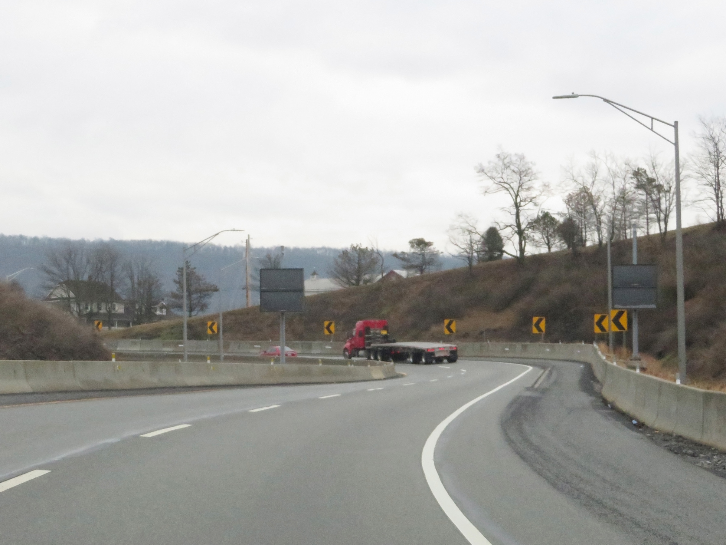 |
Interstate 70 East maintains two thru lanes to the toll plaza for the Breezewood interchange. However, as we will see, the Breezewood interchange is extremely substandard and routes all I-70 traffic onto US 30 briefly. (Photo taken 1/4/21). |
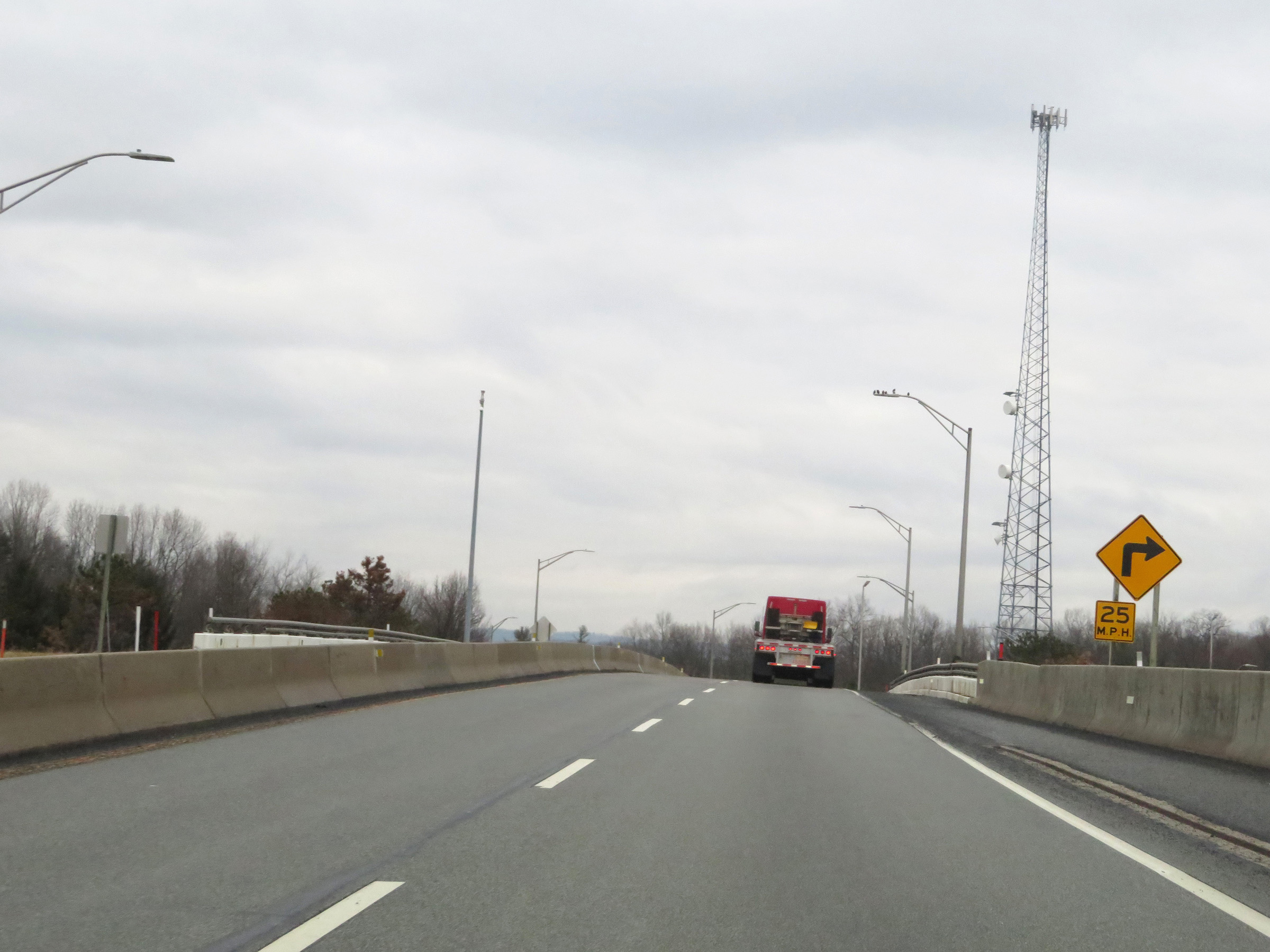 |
Interstate 70 East as its connecting road passes over Interstate 76 (PA Turnpike). (Photo taken 1/4/21). |
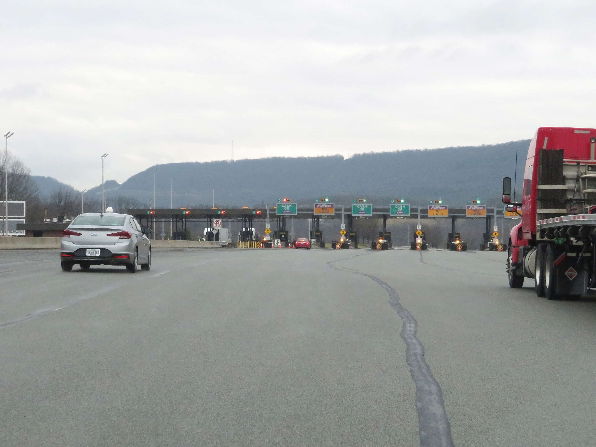 |
Interstate 70 East approaching the Breezewood toll plaza. (Photo taken 1/4/21). |
 |
View of the Breezewood toll plaza on Interstate 70 East, after departing the Pennsyvlania Turnpike. Note that since the time this photo was taken, the PA Turnpike has gone to all cashless tolling. Now, all toll payments must be done via EZ-Pass or Toll-By-Plate. This change took place in Fall 2021. (Photo taken 1/4/21). |
 |
A close-up view of the Breezewood toll plaza on Interstate 70 East. (Photo taken 1/4/21). |
 |
Interstate 70 East leaving the Breezewood toll plaza. (Photo taken 1/4/21). |
 |
As Interstate 70 East continues as two thru lanes, this arrangement won't last long. This section of I-70 East is essentially a connector road between the Pennsylvania Turnpike and US 30 in Breezewood. I-70 East traffic must depart the turnpike, get on US 30 West, then make a left turn onto Interstate 70 East all just to continue on I-70 East. Sound ridiculous? Good, because it is, as you will see. (Photo taken 1/4/21). |
 |
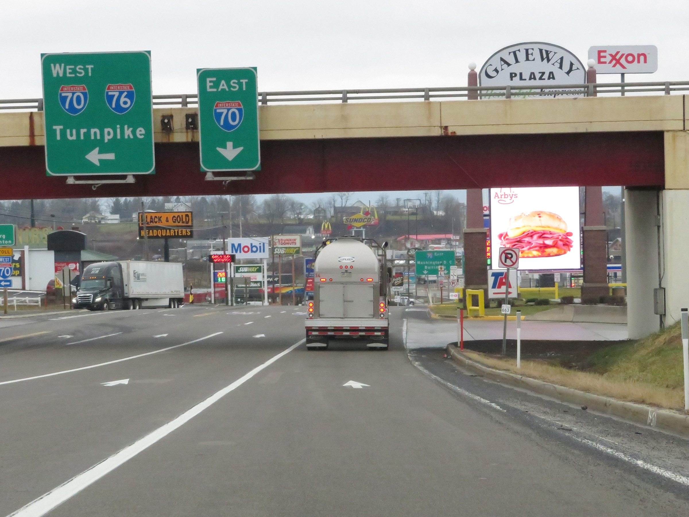
Overhead advance signage for US 30 East toward McConnellsburg, 3/4 mile ahead. Interstate 70 East thru traffic should stay straight ahead, and will be briefly routed onto US 30 East as we will (unfortunately) see. (Photo taken 1/4/21). |
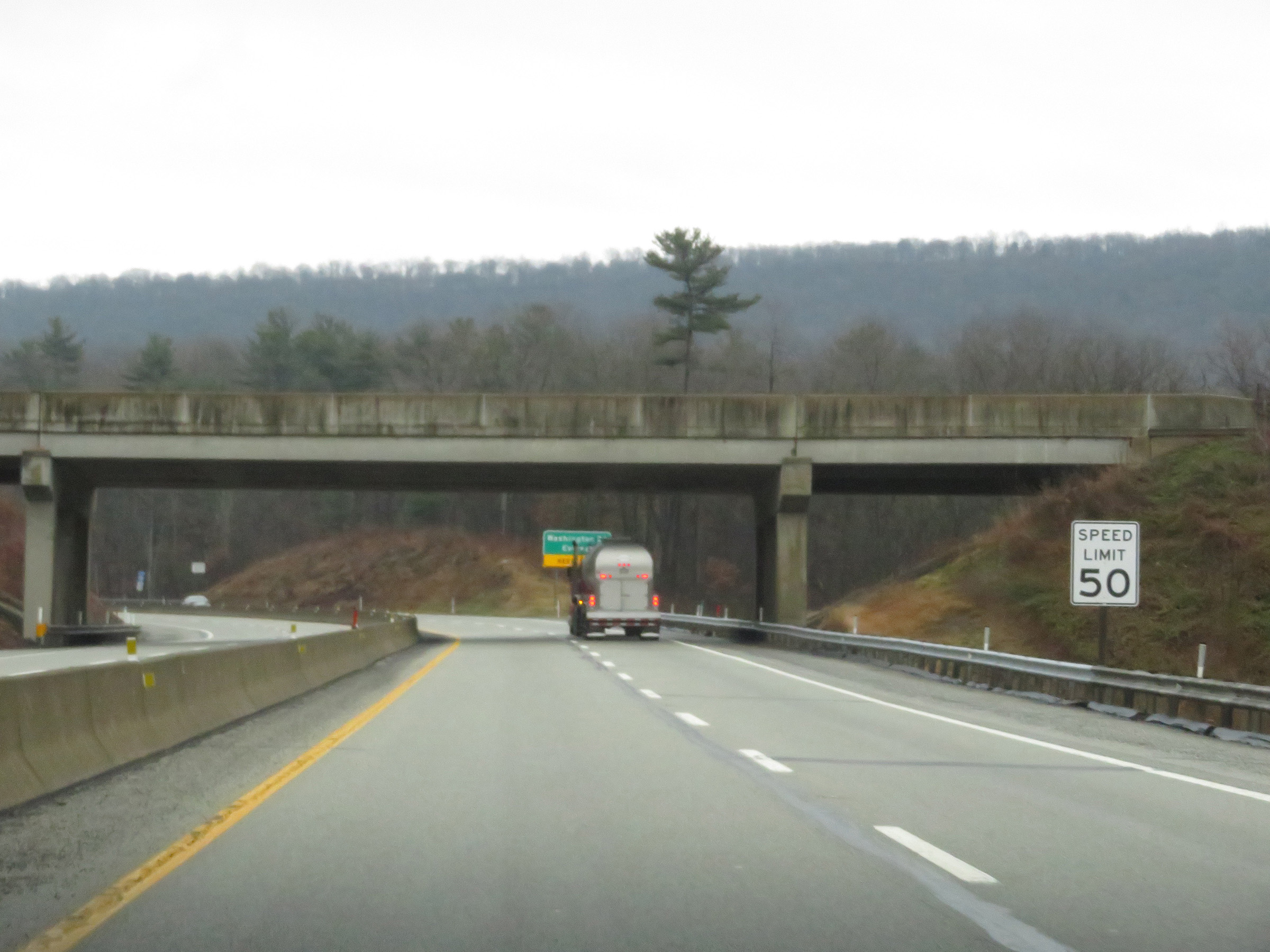 |
The speed limit on this stretch of Interstate 70 East, which acts as a connector road between the turnpike and US 30 in Breezewood, is 50 mph. (Photo taken 1/4/21). |
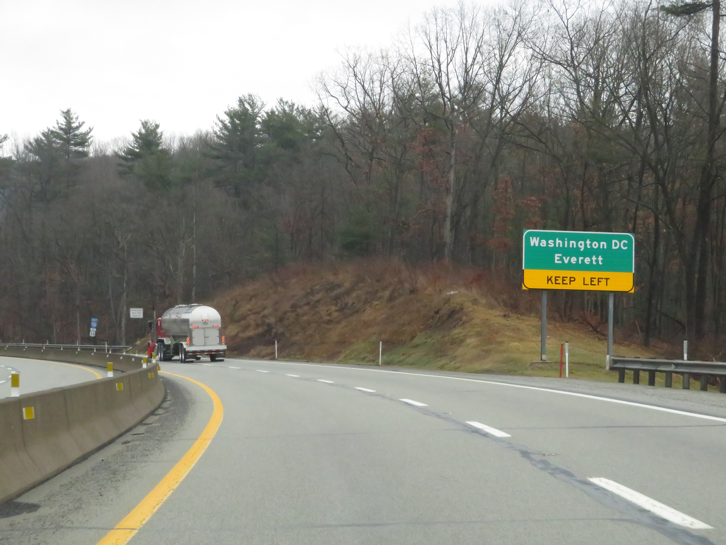 |
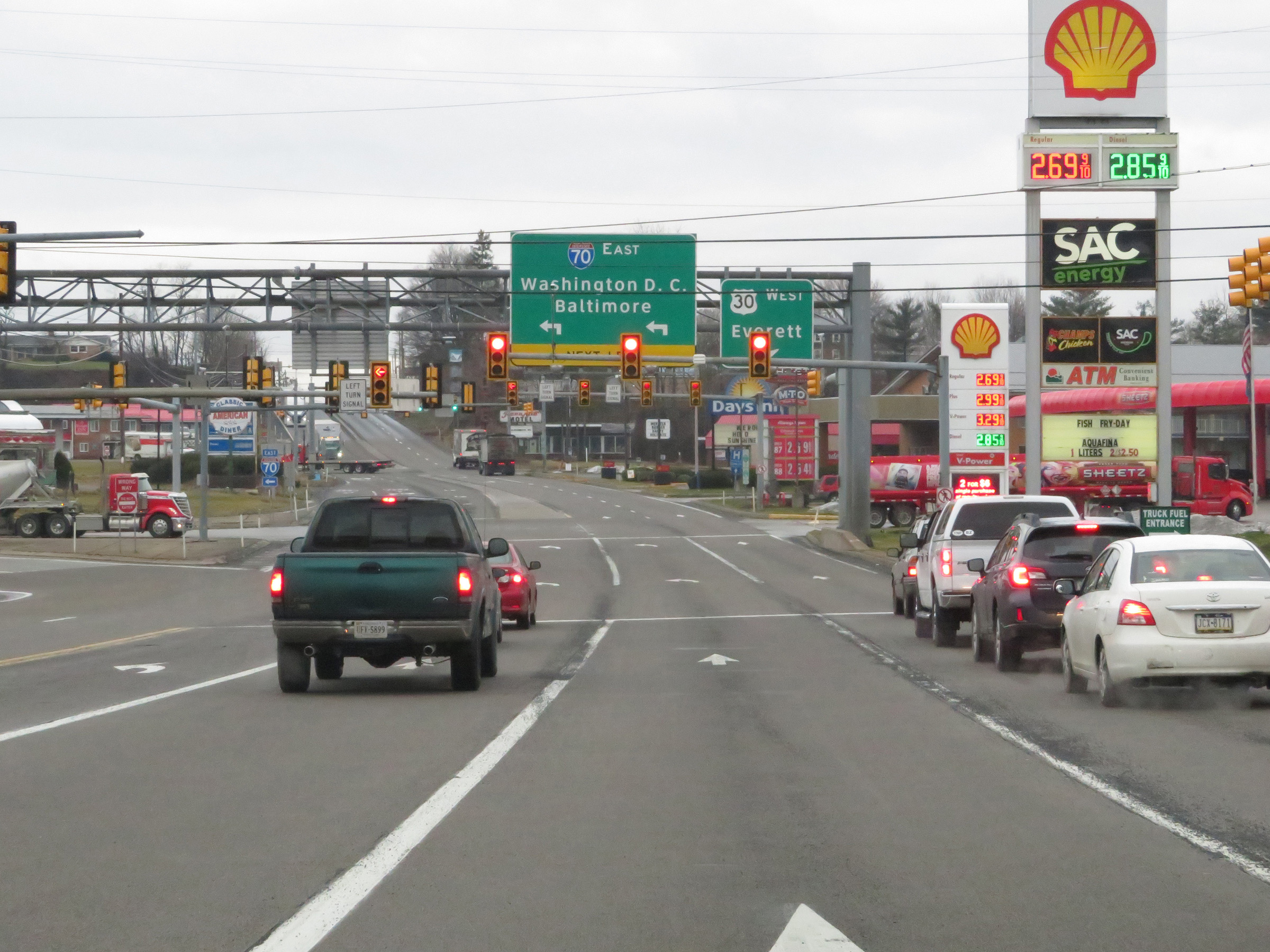
This sign warns traffic to Washington DC (via Interstate 70 East) and Everett (via US 30 West) to keep left. Who would've thought those two destinations would ever appear on the same signage? (Photo taken 1/4/21). |
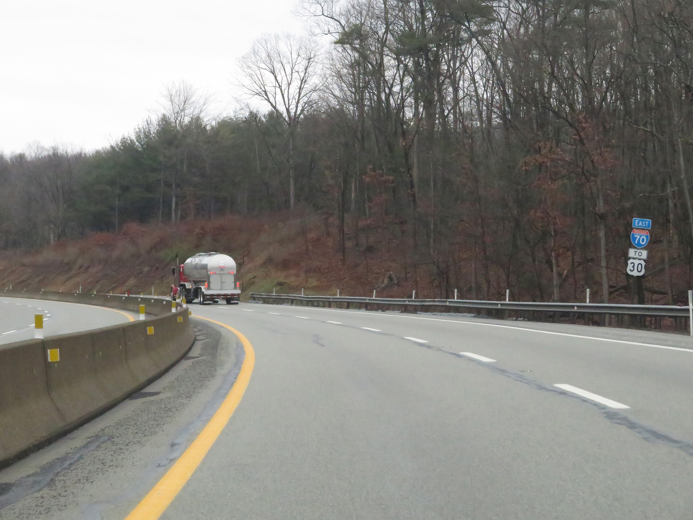 |
State-named Interstate 70 East reassurance shield. (Photo taken 1/4/21). |
 |
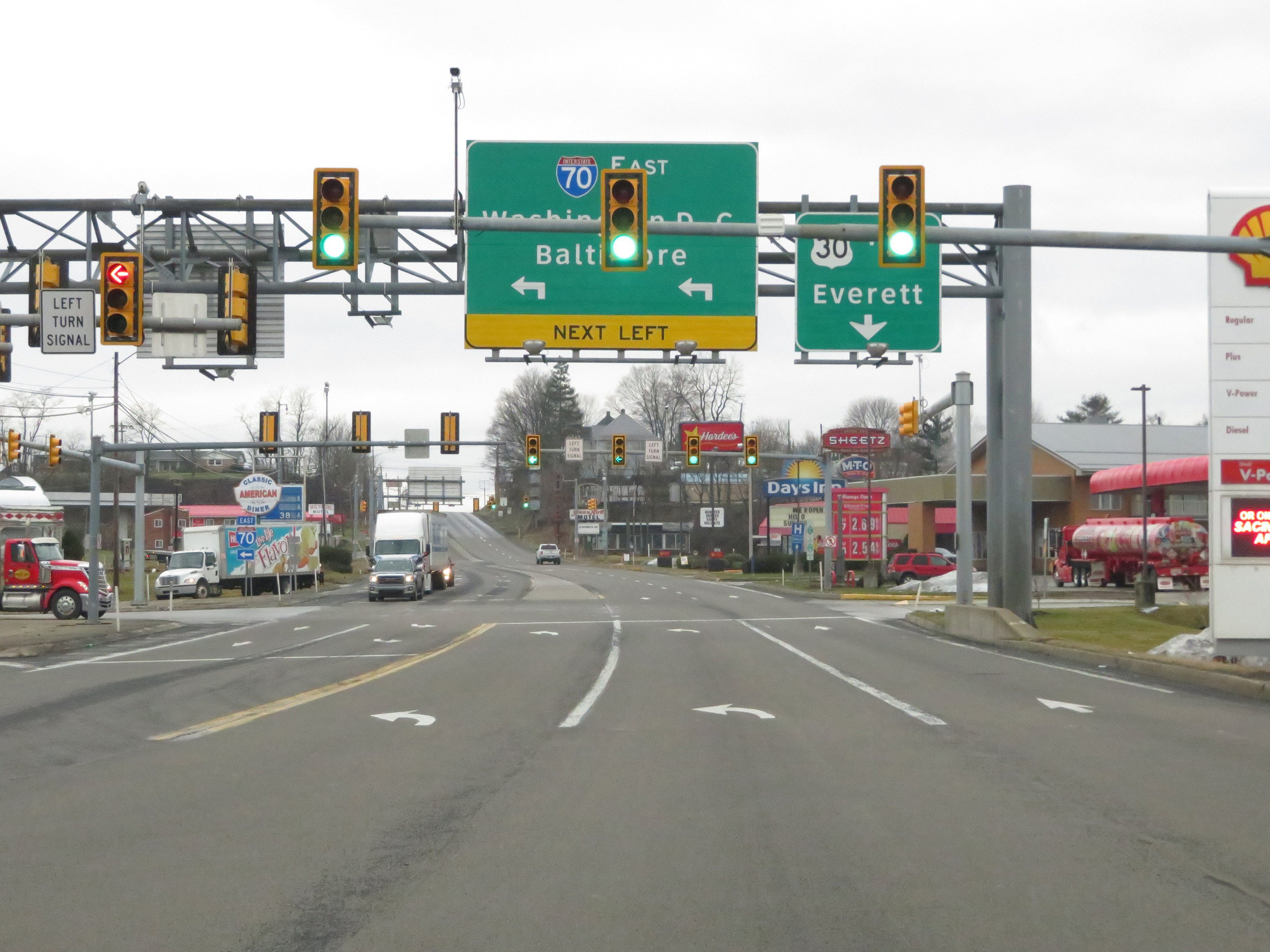
Interstate 70 East at the ramp to US 30 East toward McConnellsburg. The two thru lanes will take you onto US 30 West briefly, at which point you will be able to make a left turn to remain on Interstate 70 East. You'll see what I mean in the coming photos. (Photo taken 1/4/21). |
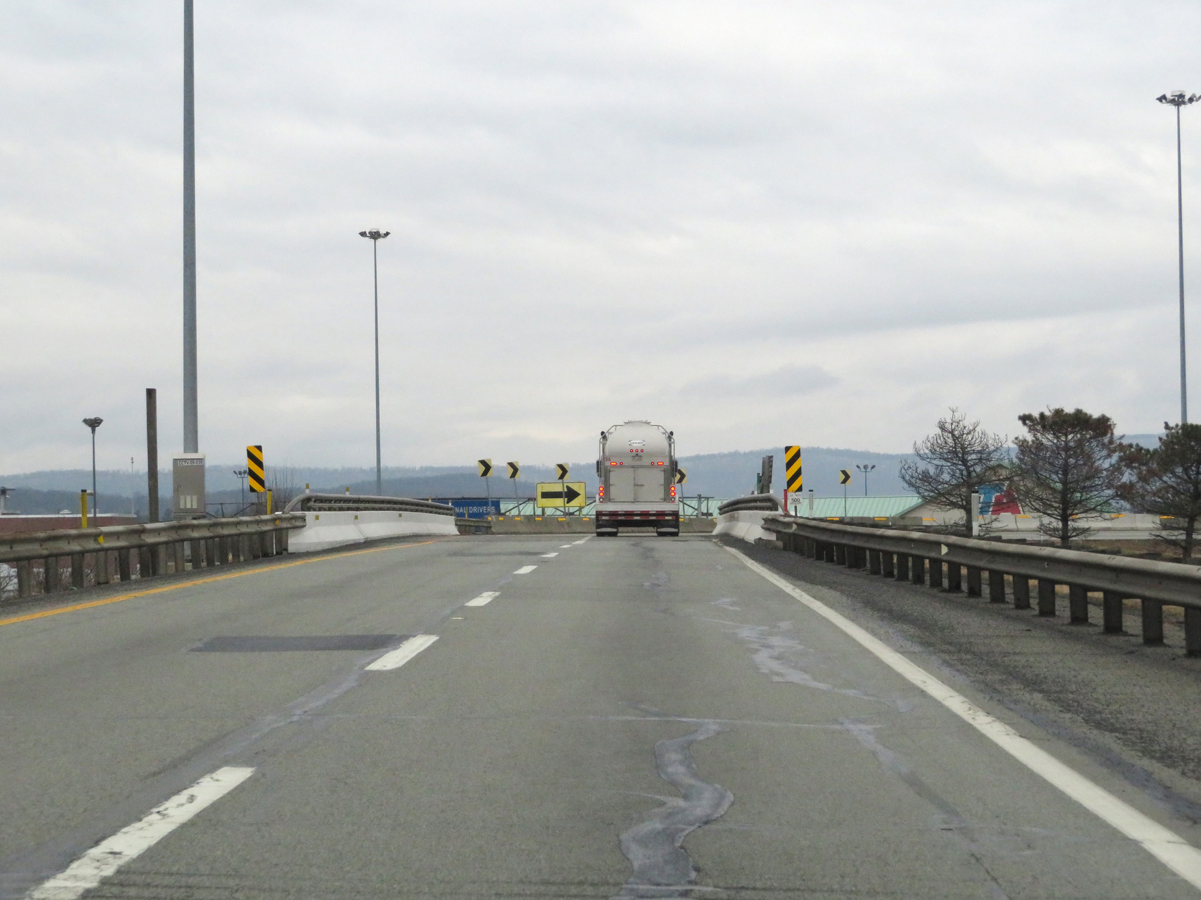 |
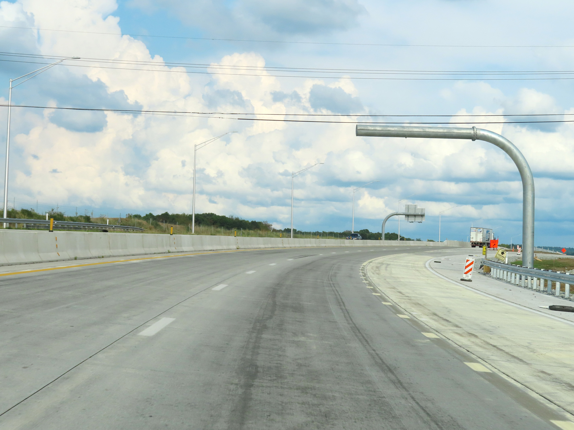
View on Interstate 70 East as its two thru lanes prepare to pass over US 30 in Breezewood, after which they will traverse a VERY sharp curve. (Photo taken 1/4/21). |
 |
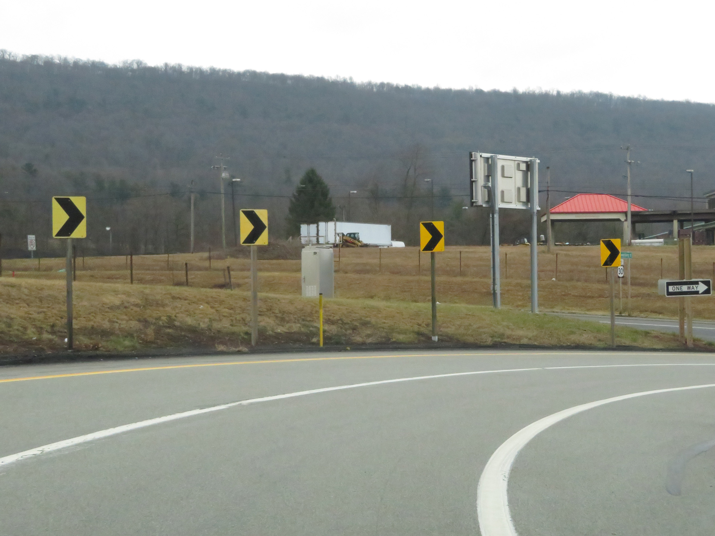
Interstate 70 East as its two thru lanes traverse the extremely sharp curve which will lead them to US 30 West, which it needs to do to remain on itself.......You'll see what I mean, trust me. (Photo taken 1/4/21). |
 |
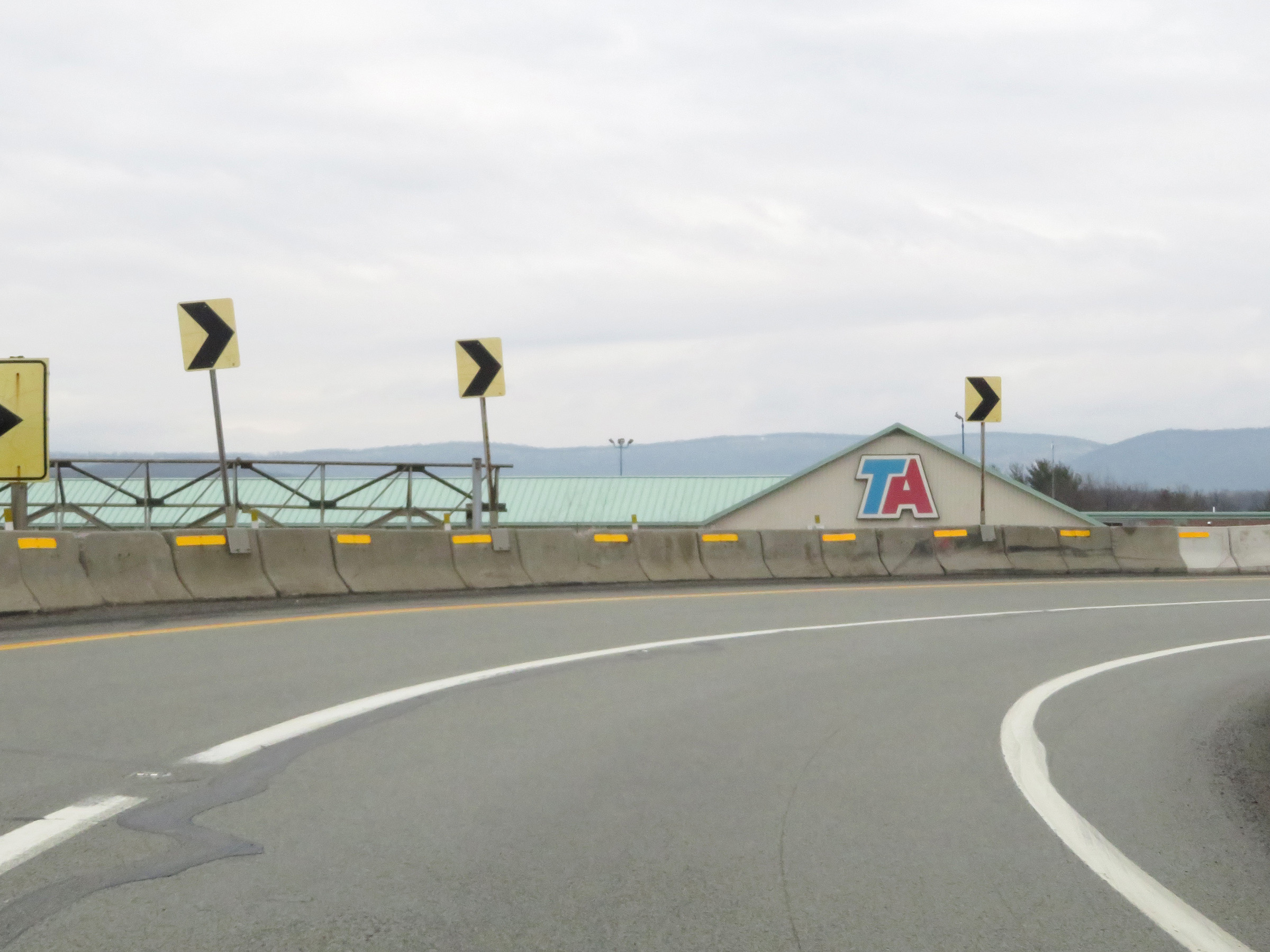
The sharp curve of the two thru lanes of Interstate 70 East continues here. (Photo taken 1/4/21). |
 |
As the sharp curve continues, we now see US 30 straight ahead. (Photo taken 1/4/21). |
 |
Now facing west, Interstate 70 East thru traffic must merge into the westbound lanes of US 30, which are seen here on the left. Then, about 1/4 mile ahead, I-70 East traffic will have to make a left turn at a traffic signal to remain on I-70 East. (Photo taken 1/4/21). |
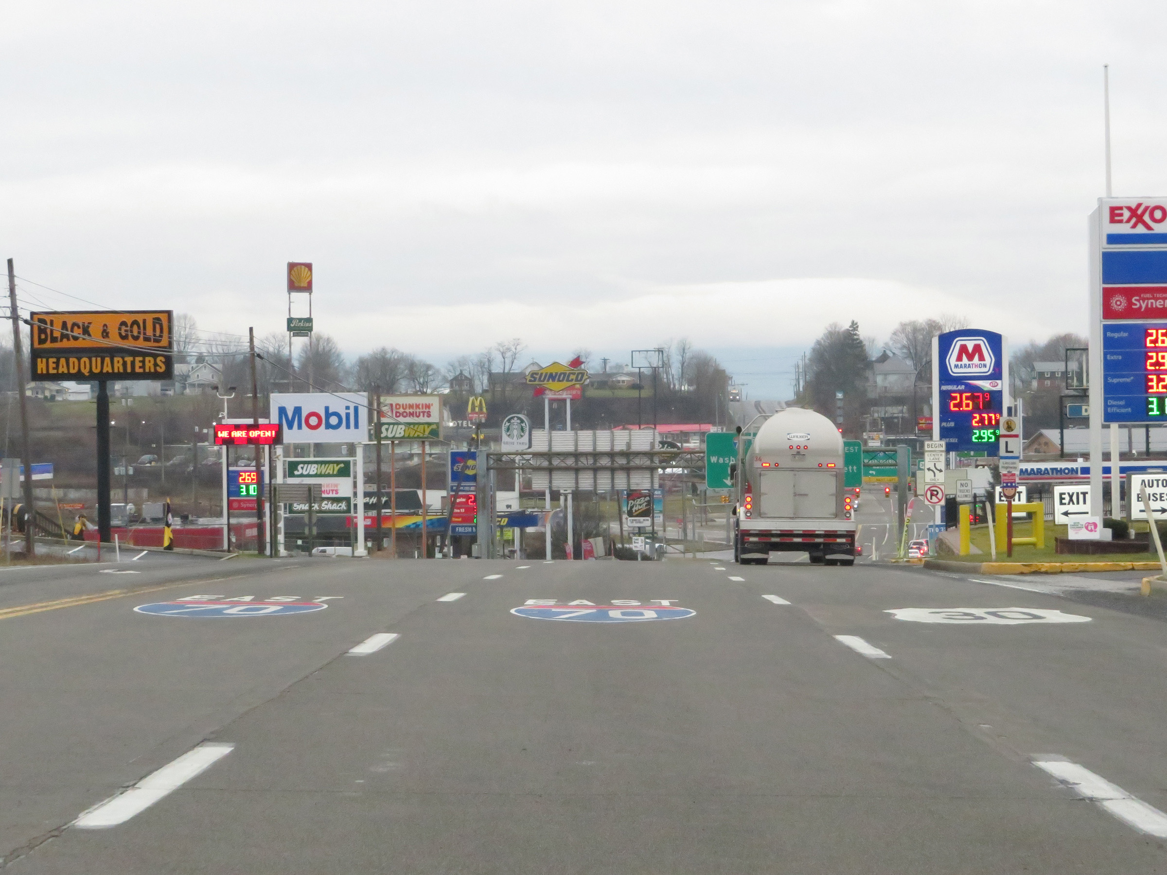 |
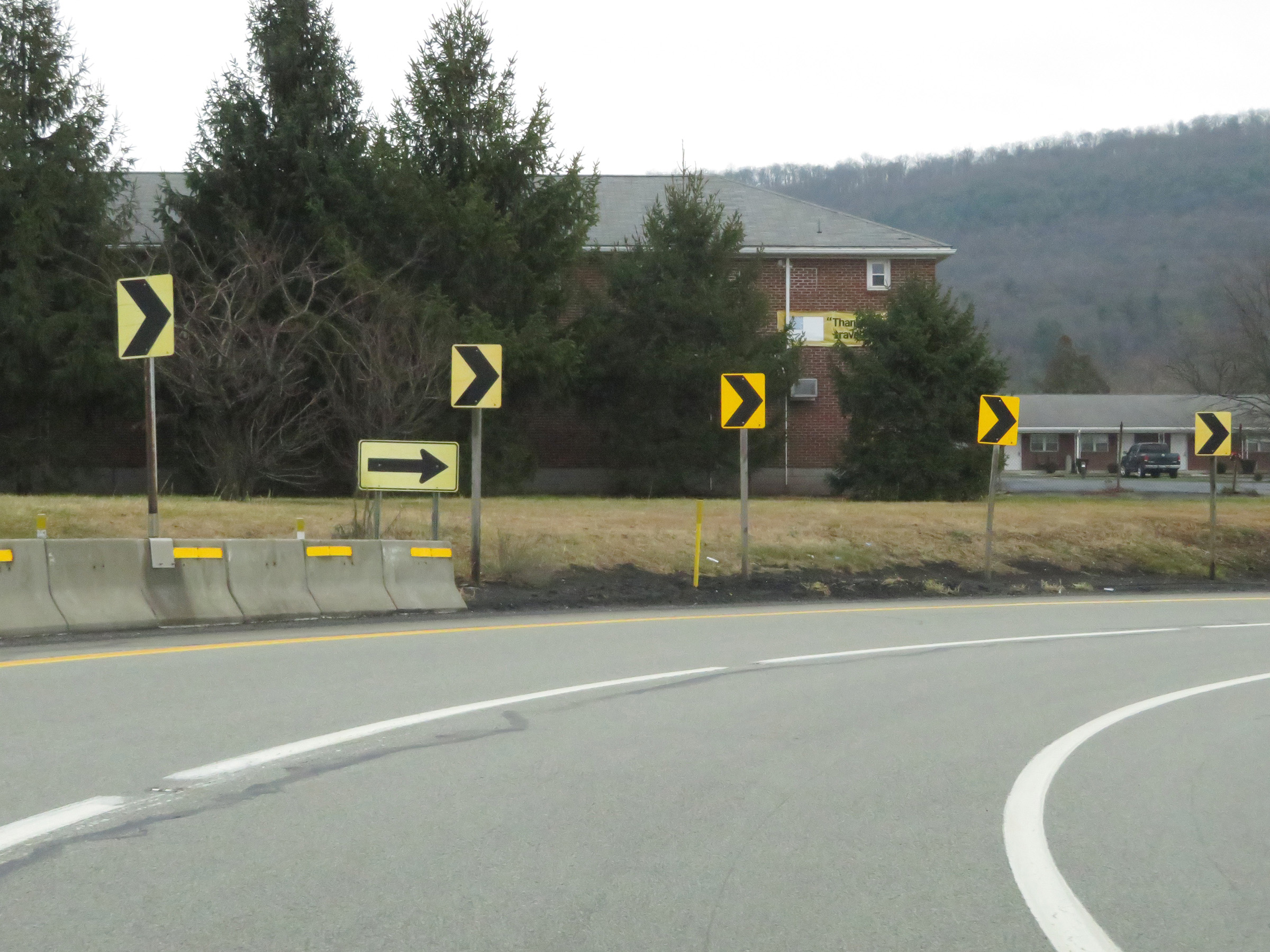
Interstate 70 East thru traffic should try to merge left as soon as possible during this jaunt onto US 30 West. The pavement markings seen in this photo are most likely helpful to motorists who are not familiar with this substandard interchange. (Photo taken 1/4/21). |
 |
The speed limit on this stretch of US 30 which acts as a connector for Interstate 70 East thru traffic is 35 mph in Breezewood. (Photo taken 1/4/21). |
 |
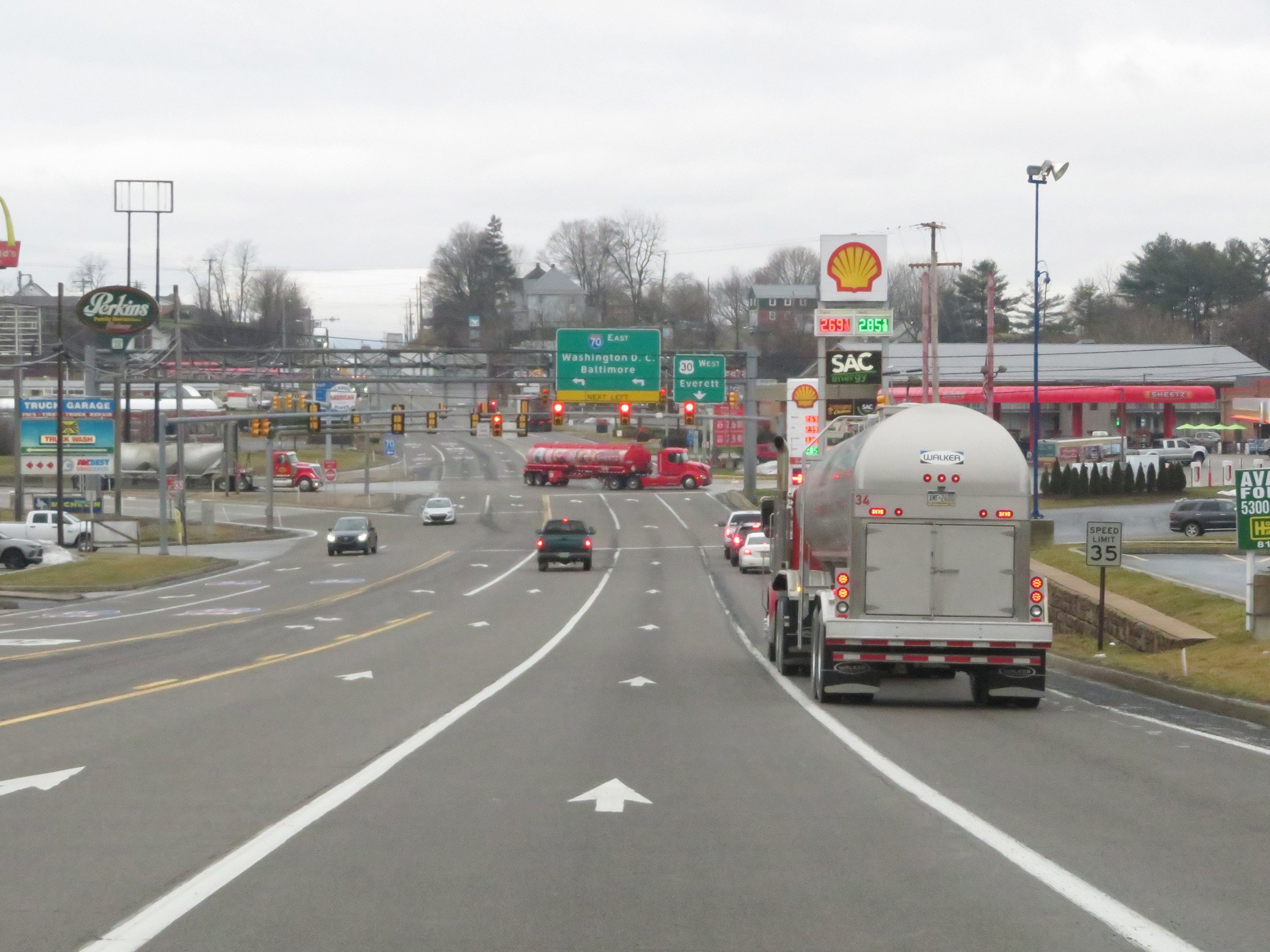
On the stretch of US 30 West which Interstate 70 East thru traffic needs to travel, there are two traffic signals in quick succession, seen here. It's the second signal at which you will have to make a left turn to remain on Interstate 70 East. The Breezewood interchange is infamous for a reason, you know. (Photo taken 1/4/21). |
 |
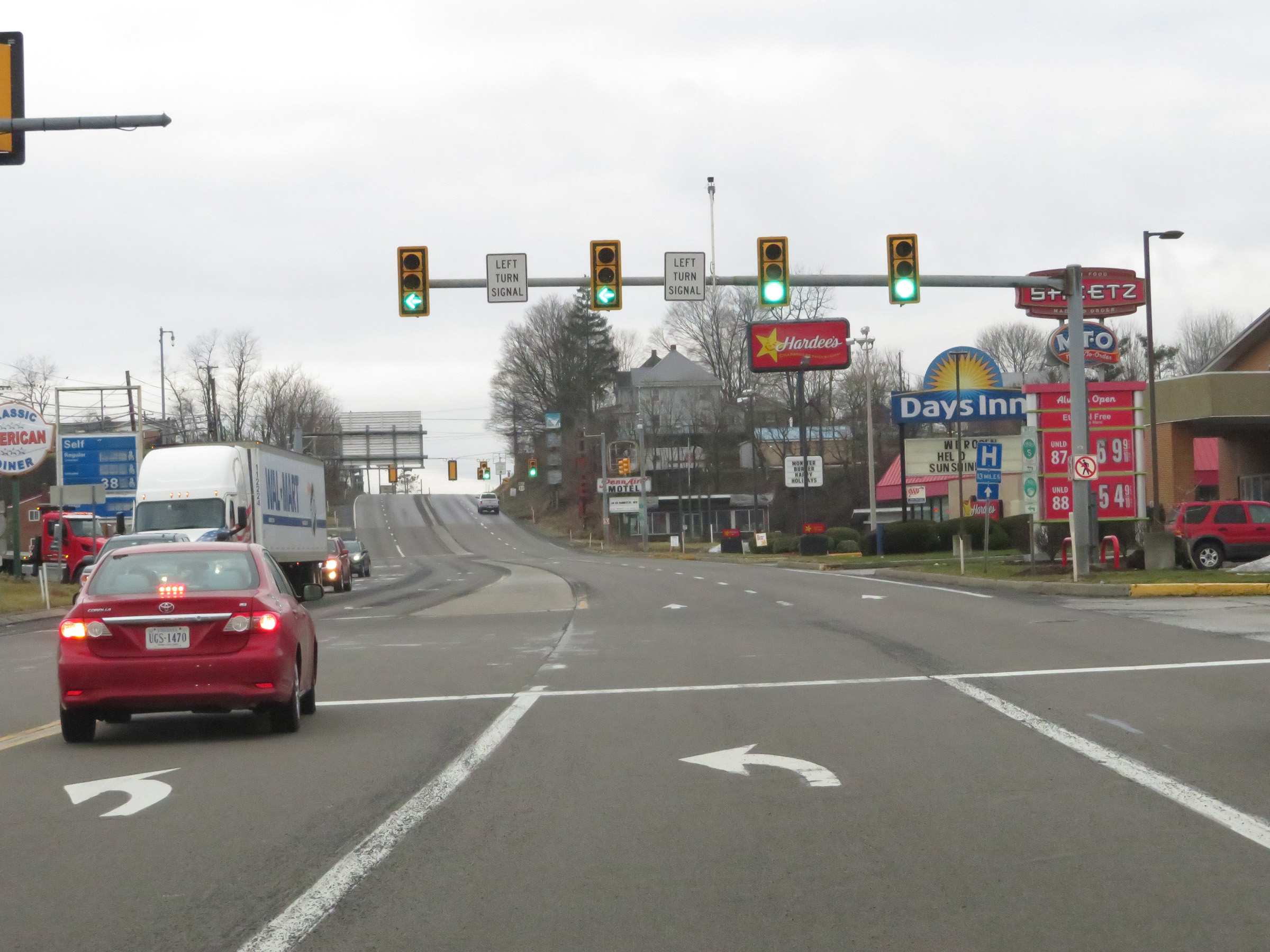
The two left lanes of US 30 West become left turn lanes to Interstate 70 East as it approaches the second traffic signal, which is the one at which I-70 East thru traffic will have to make a left turn. (Photo taken 1/4/21). |
 |
View on US 30 West at the traffic signal at which Interstate 70 East thru traffic will have to turn left. The overhead signage before the signal is helpful, but not exactly clear. Although you can't see it in this photo, there is an I-70 East shield on the left, showing where to turn to enter I-70 East. (Photo taken 1/4/21). |
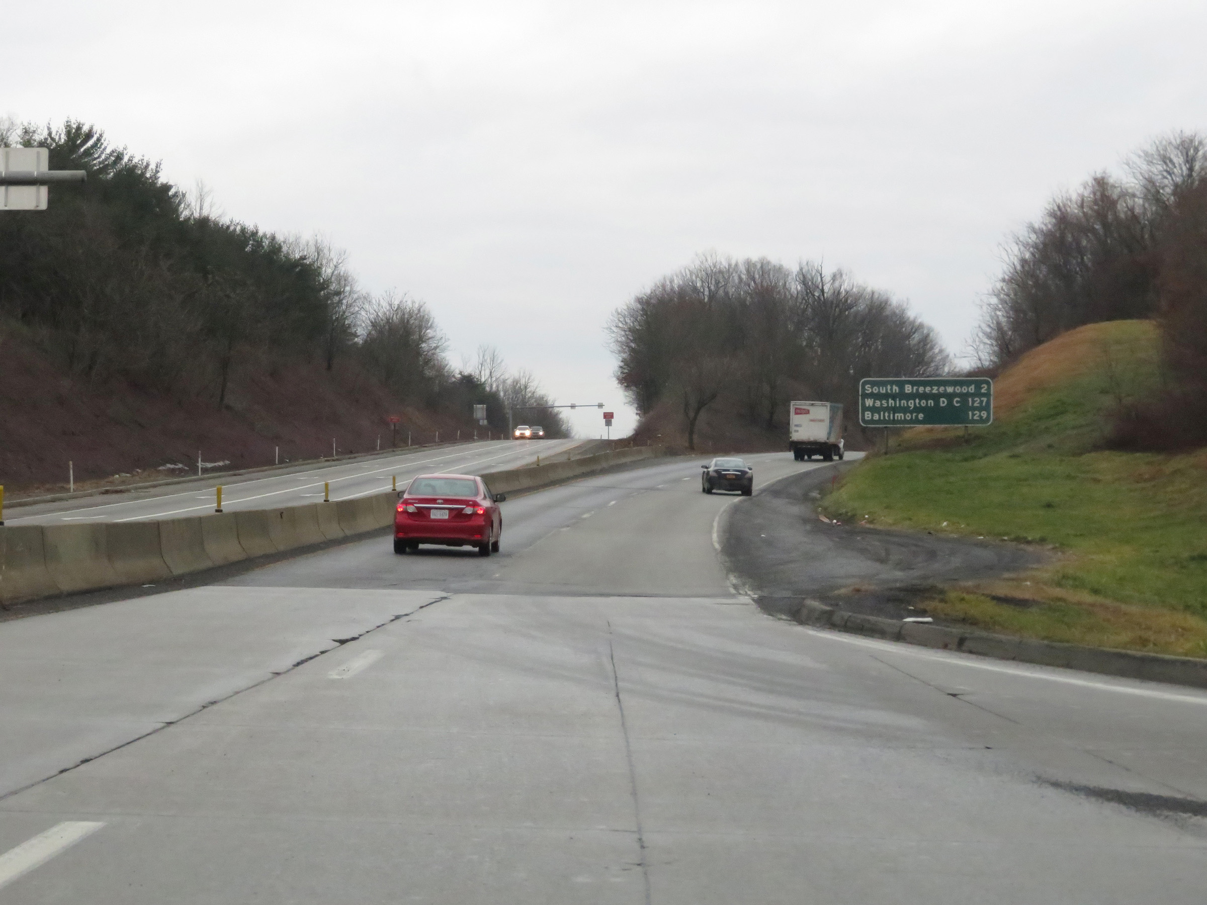 |
View on Interstate 70 East, after making the left turn from US 30 West and once again becoming an Interstate highway. It's 2 miles to South Breezewood, 127 miles to Washington, DC and 129 miles to Baltimore. (Photo taken 1/4/21). |
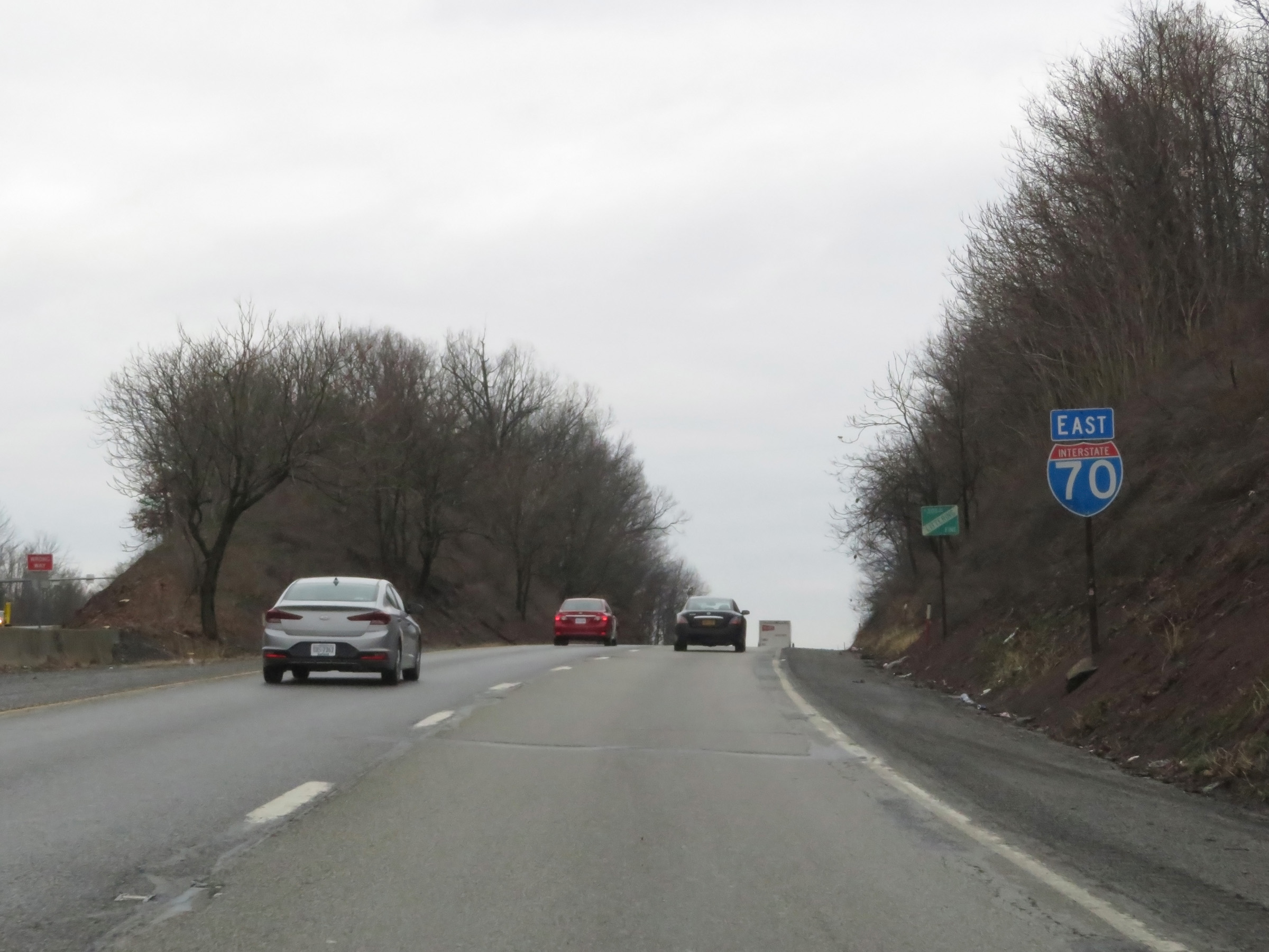 |
Interstate 70 East reassurance shield, now that all that Breezewood interchange nonsense is overwith. (Photo taken 1/4/21). |
 |
The speed limit on this stretch of Interstate 70 East is 55 mph for all traffic, and will remain posted that way for the next 23 miles to the Maryland state line. (Photo taken 1/4/21). |
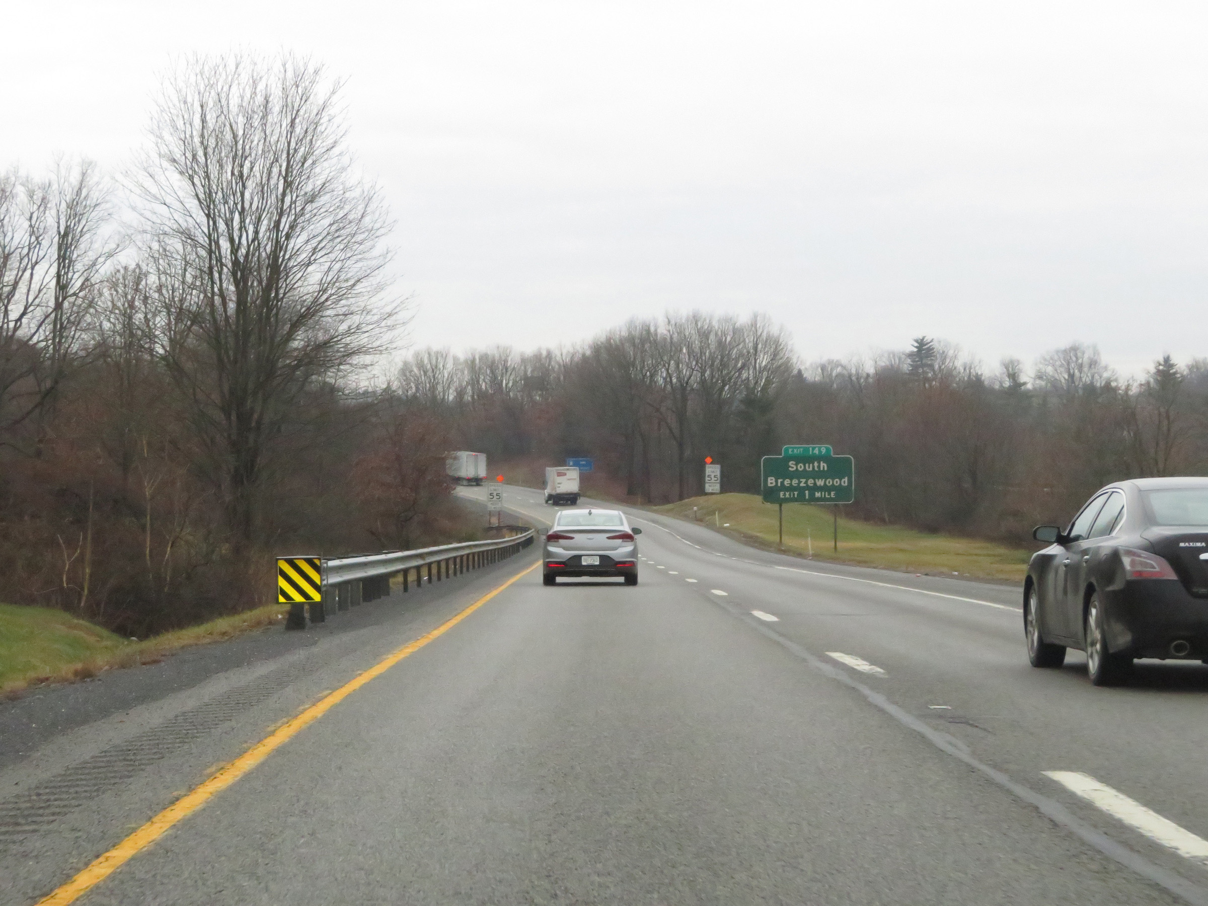
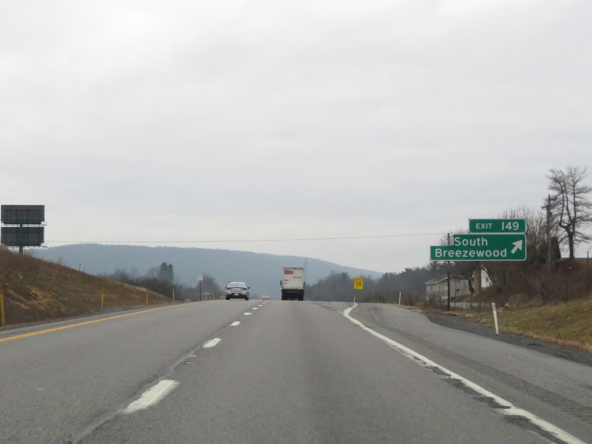 |
Interstate 70 East at Exit 149: South Breezewood (Photo taken 1/4/21). |
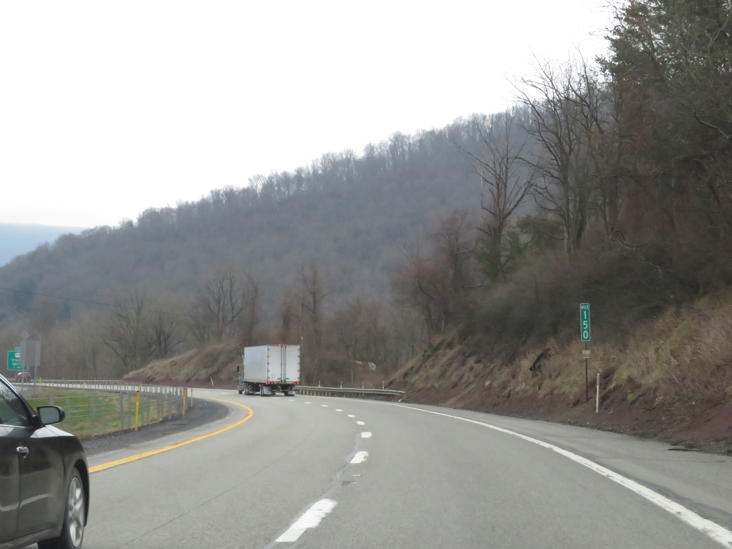 |
View on Interstate 70 East at mile marker 150. (Photo taken 1/4/21). |
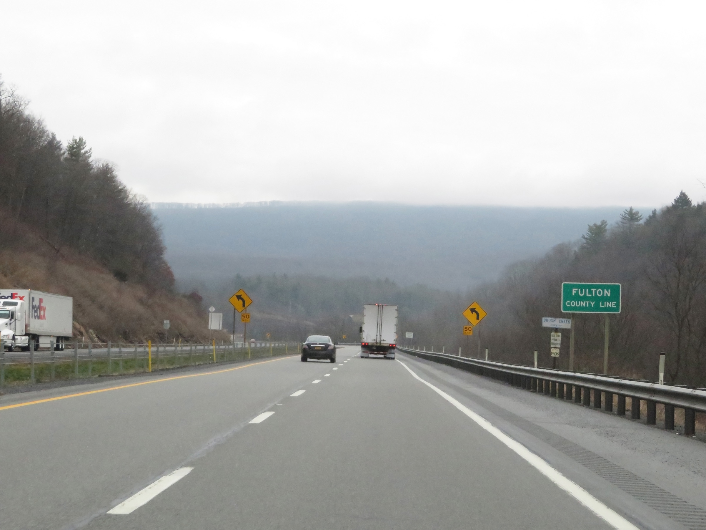 |
Interstate 70 East as it enters Fulton County. (Photo taken 1/4/21). |
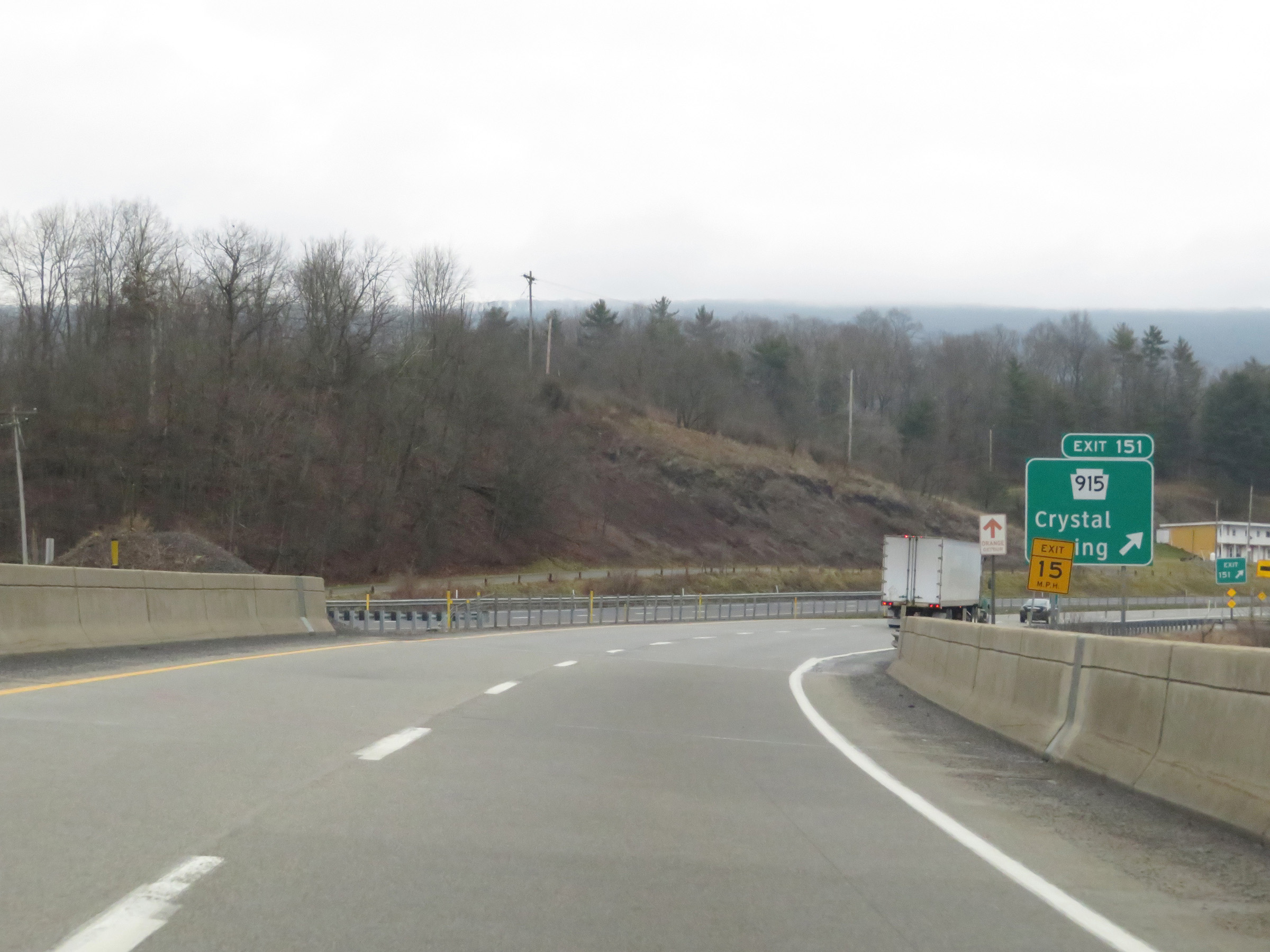 |
Interstate 70 East at Exit 151: PA 915 - Crystal Spring (Photo taken 1/4/21). |
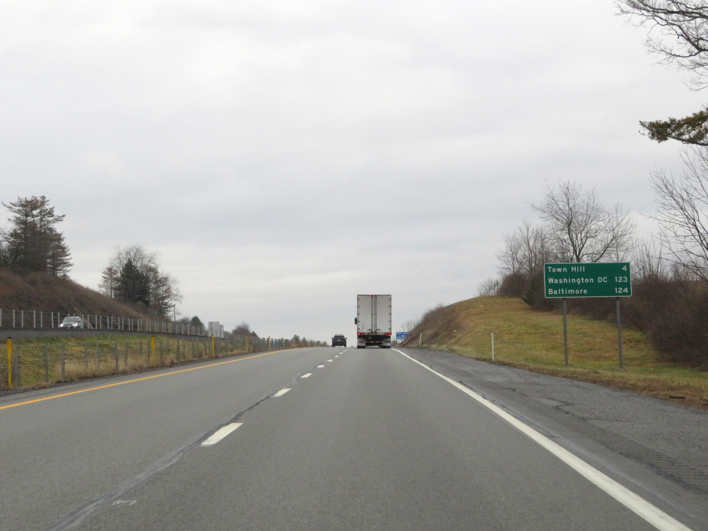 |
Another mileage sign on Interstate 70 East. It's 4 miles to Town Hill, 123 miles to Washington, DC and 124 miles to Baltimore. (Photo taken 1/4/21). |
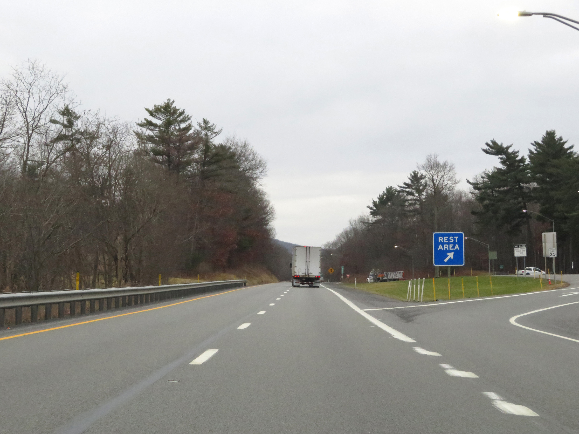 |
Rest Area on Interstate 70 East at mile amrker 153 in Fulton County. (Photo taken 1/4/21). |
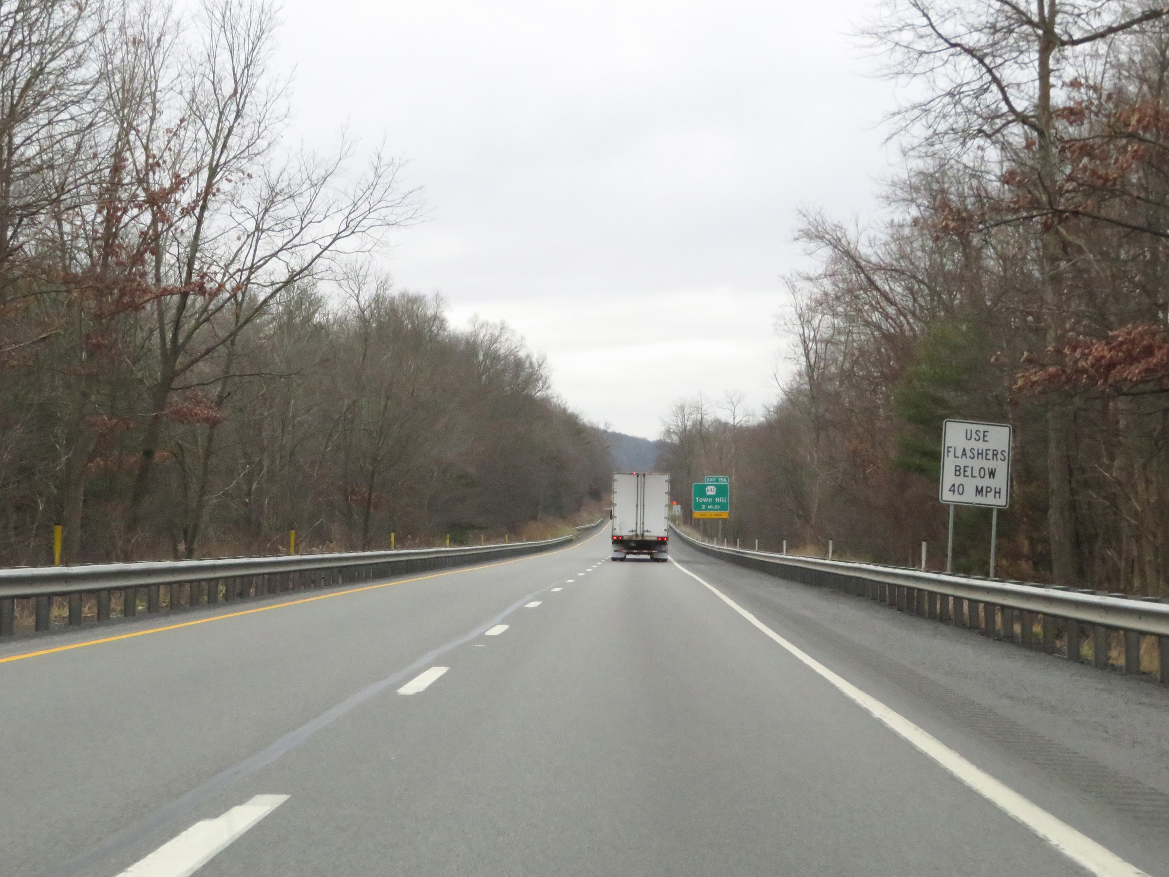 |
As Interstate 70 East prepares to climb Town Hill, this signage warns motorists to use their flashers if they're moving at a speed below 40 mph. (Photo taken 1/4/21). |
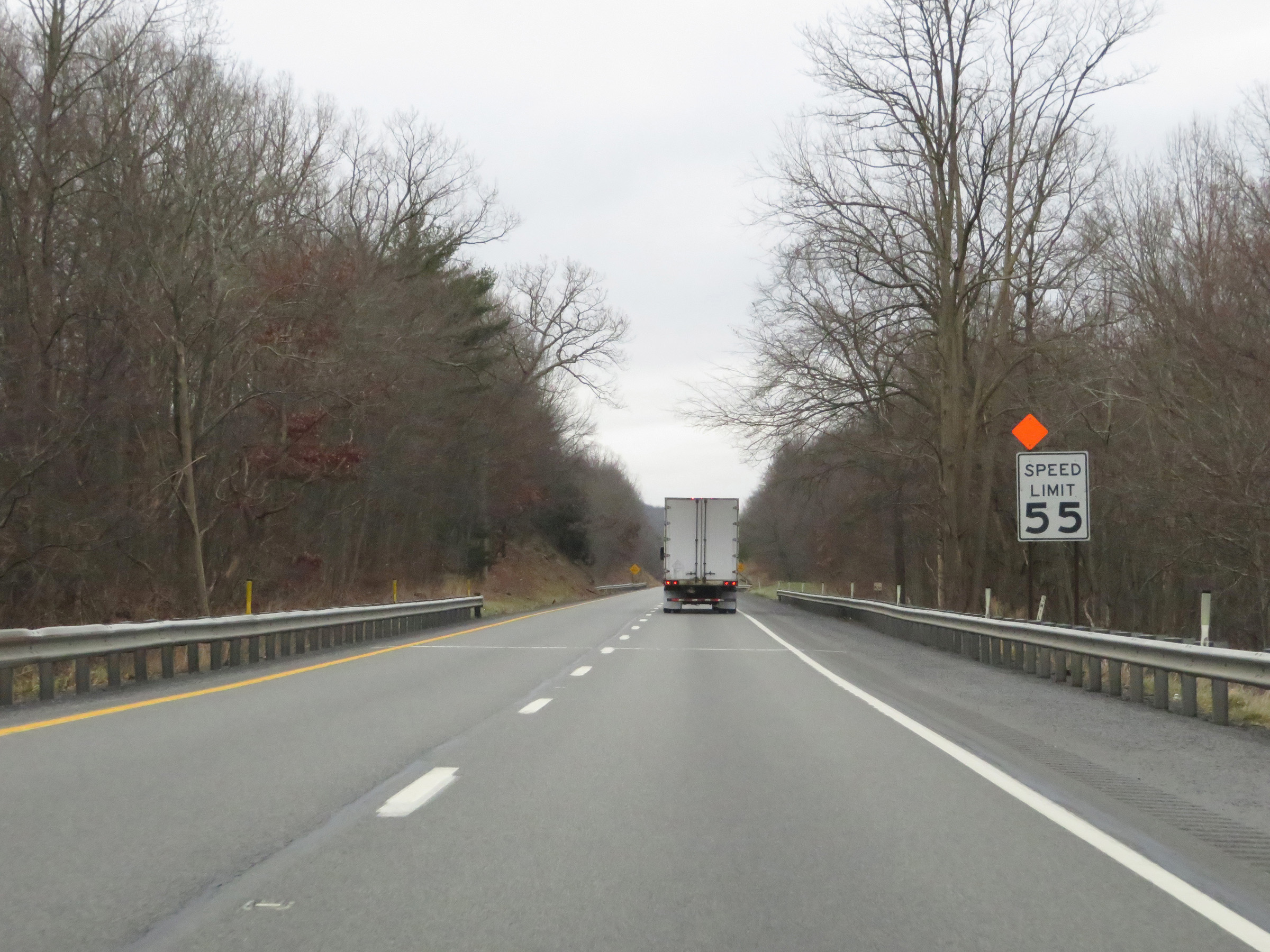 |
The speed limit on Interstate 70 East remains 55 mph. (Photo taken 1/4/21). |
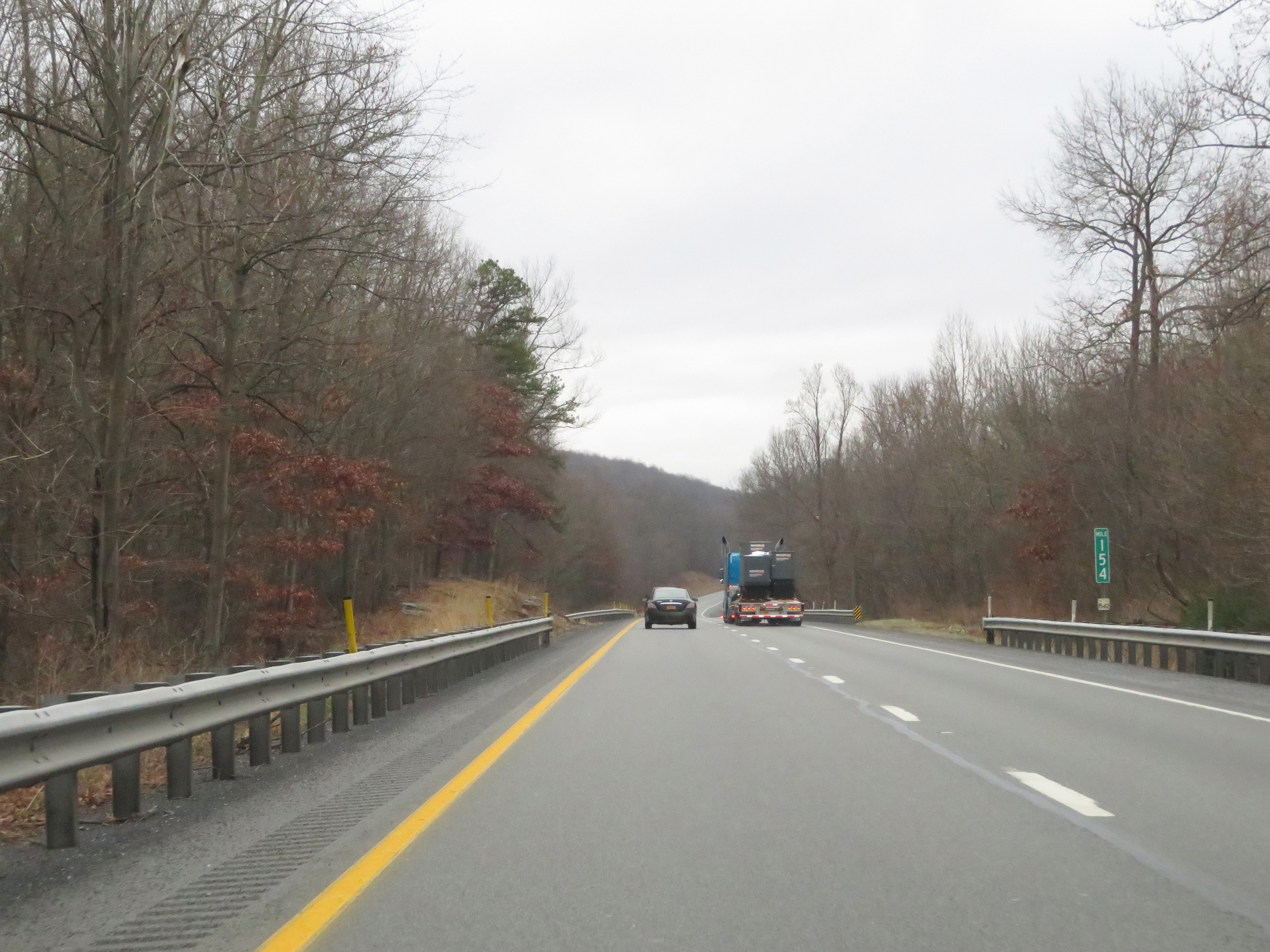 |
View on Interstate 70 East at mile marker 154. (Photo taken 1/4/21). |
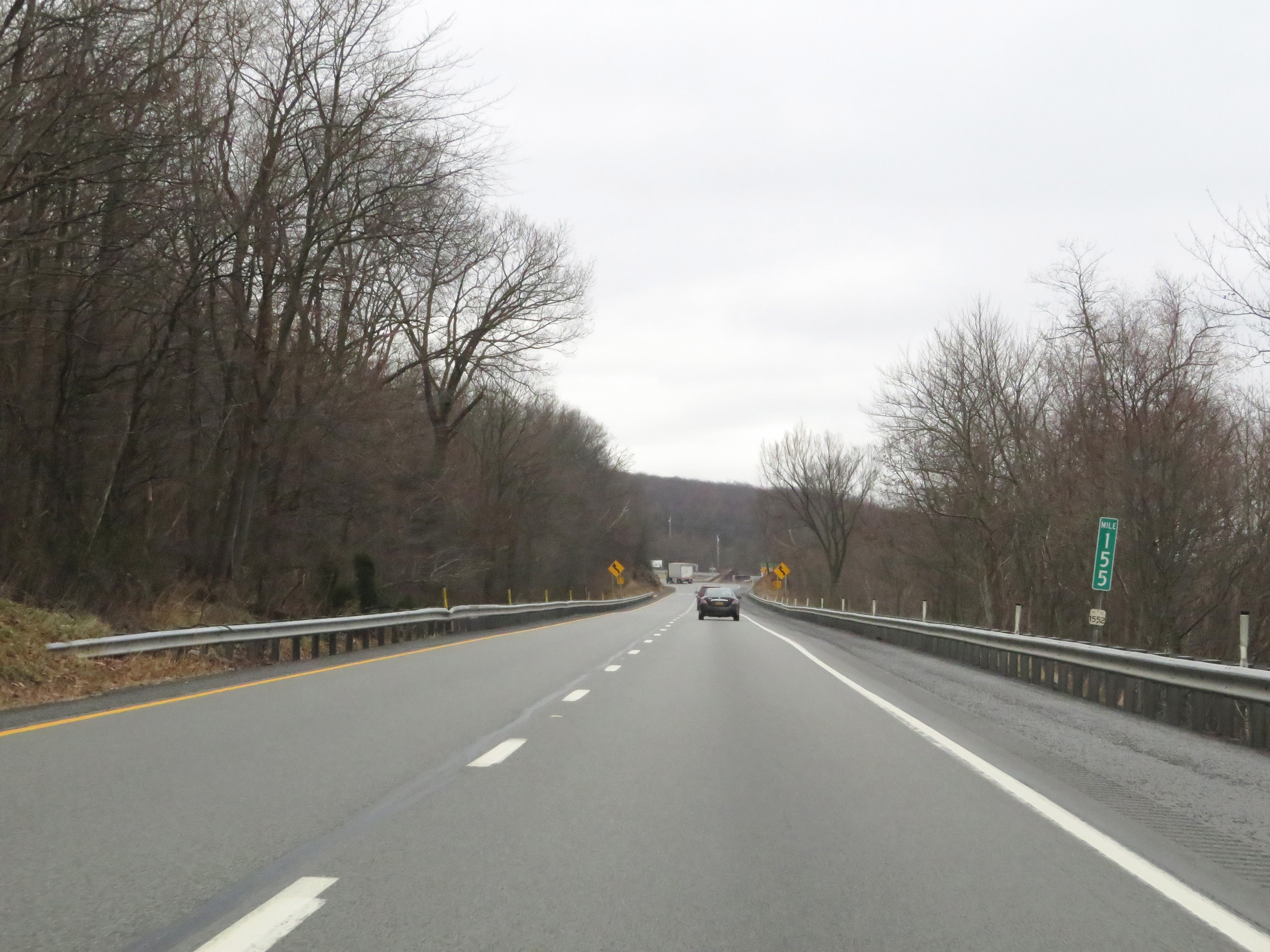 |
Mile marker 155 on Interstate 70 East in Fulton County, as it continues to climb Town Hill. (Photo taken 1/4/21). |
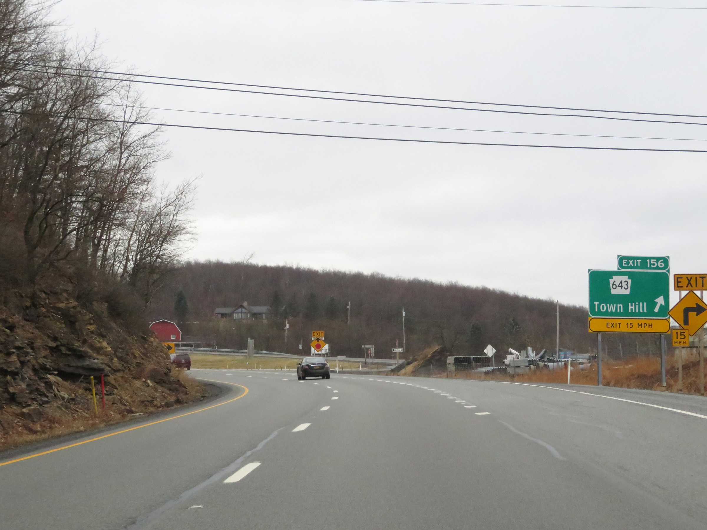 |
Interstate 70 East at Exit 156: PA 643 - Town Hill (Photo taken 1/4/21). |
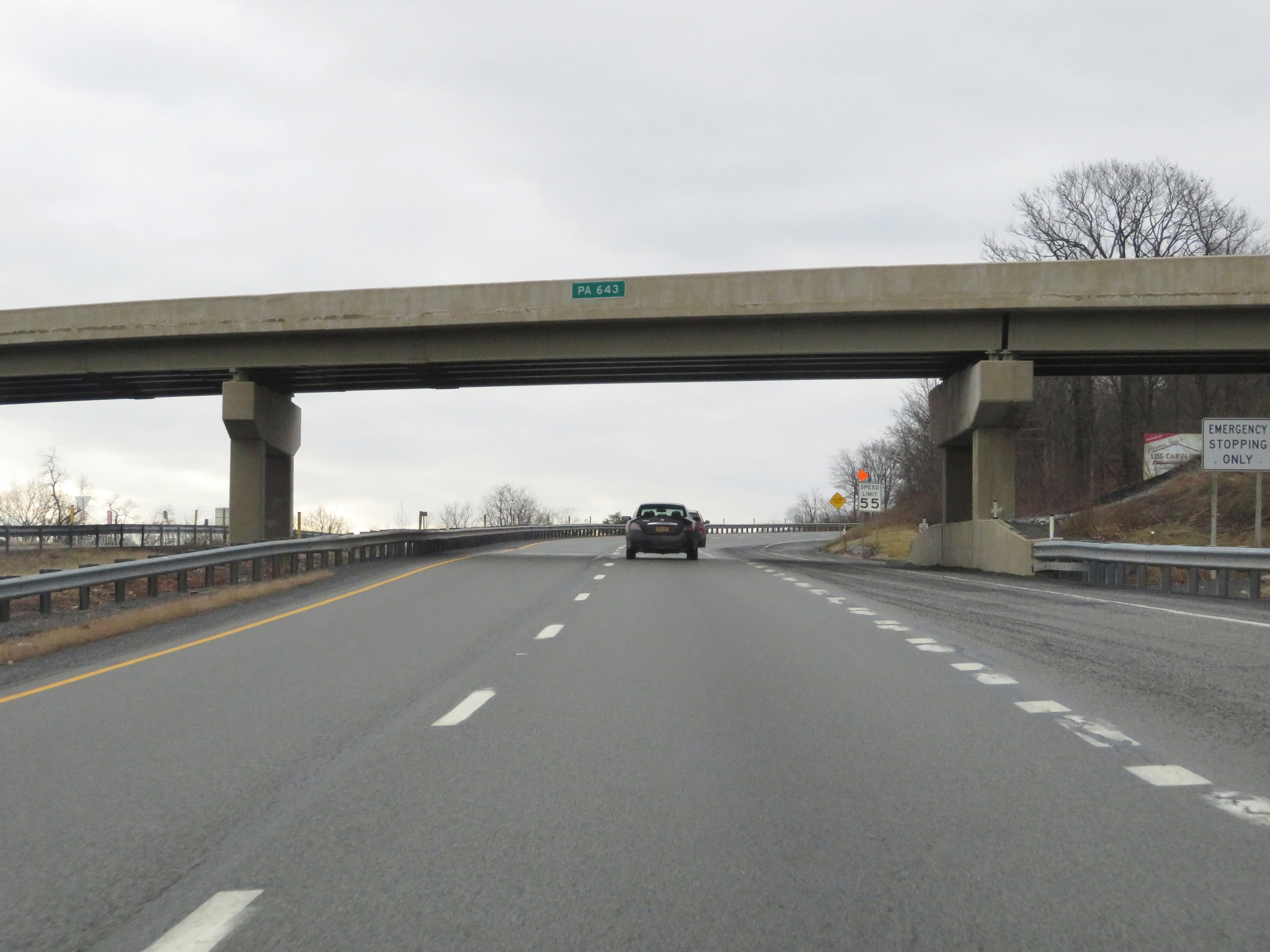 |
As Interstate 70 East passes under PA 643, it reaches the top of Town Hill. (Photo taken 1/4/21). |
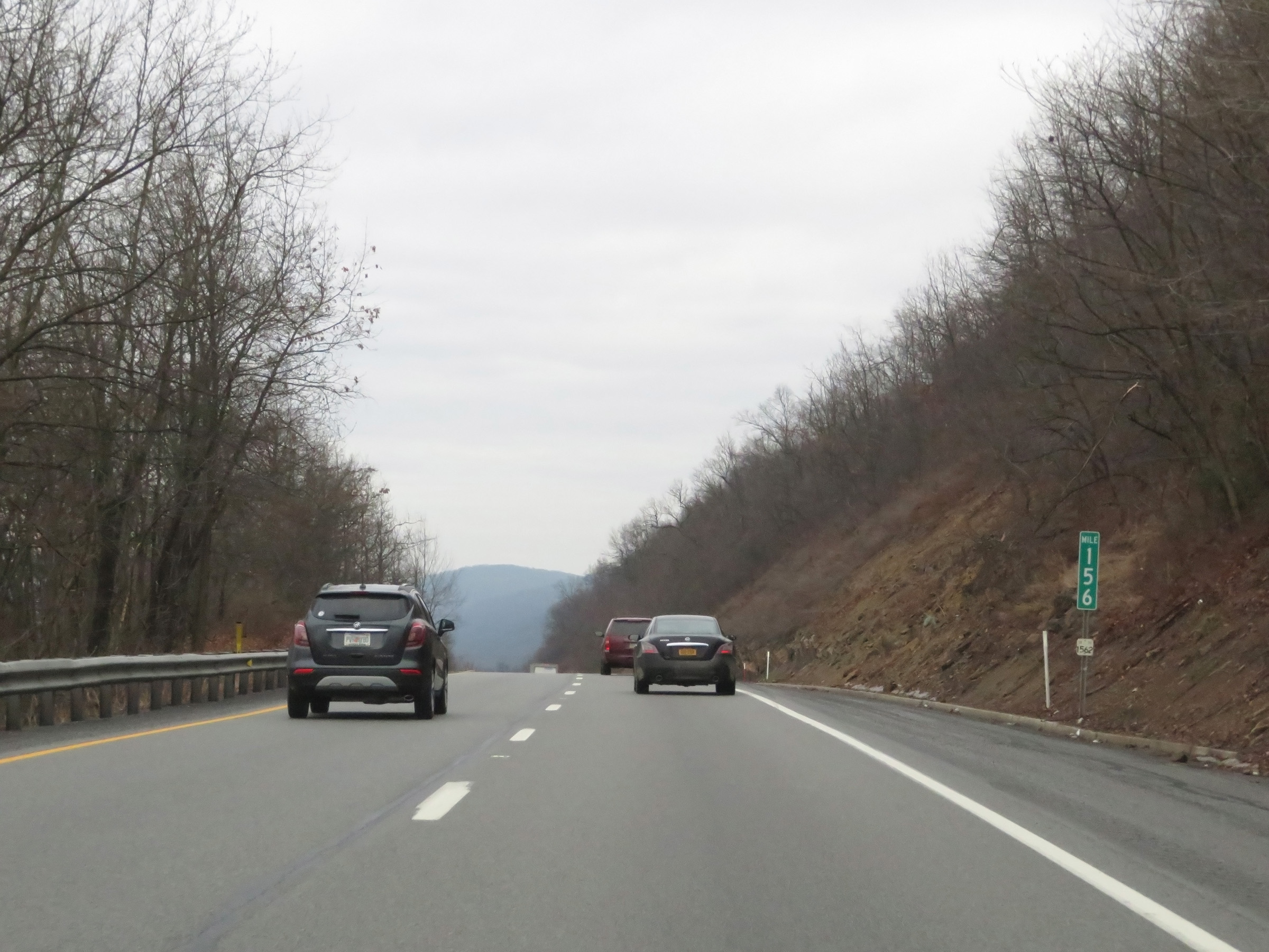 |
Interstate 70 East at mile marker 156. (Photo taken 1/4/21). |
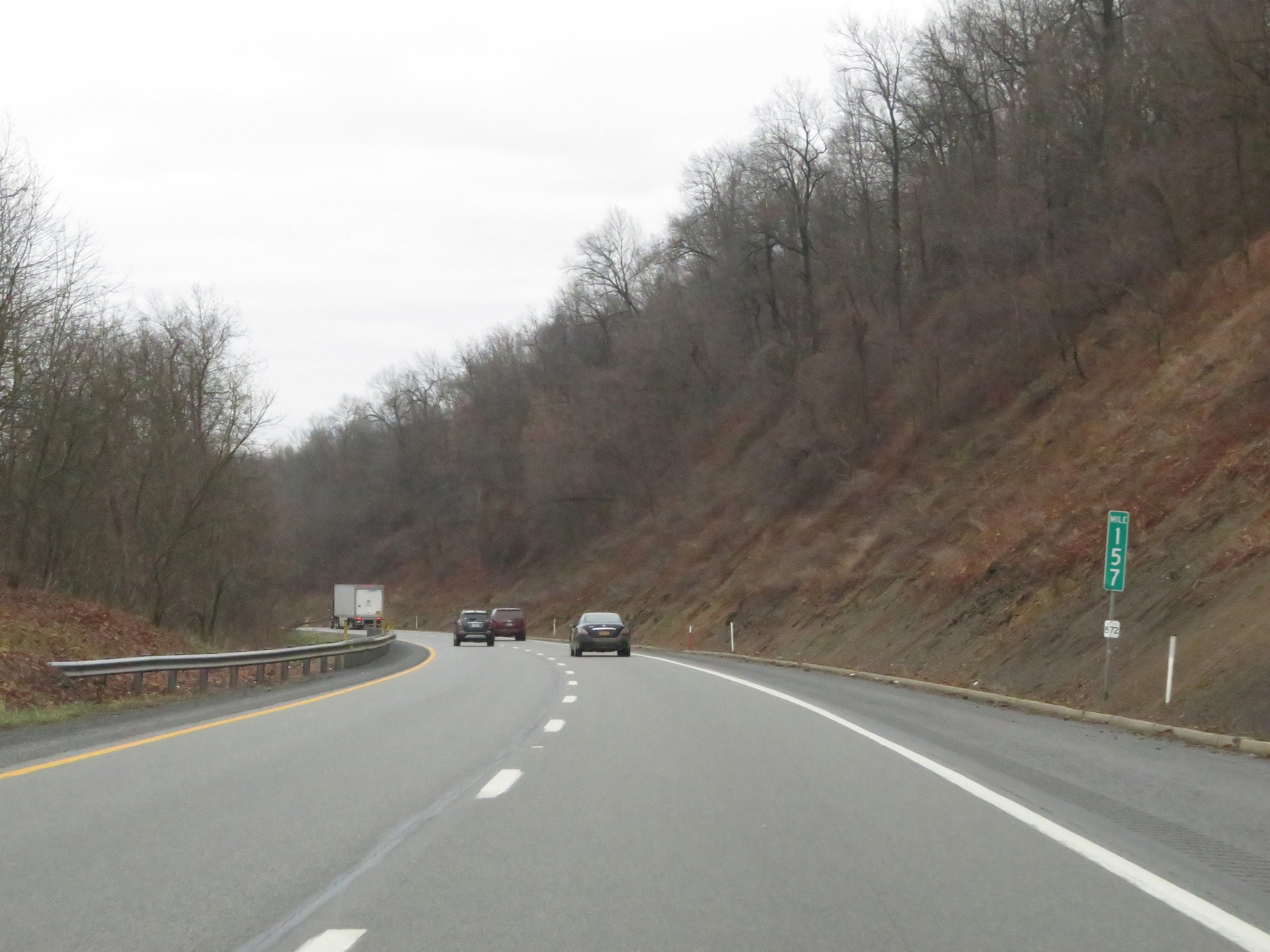 |
At mile marker 157, Interstate 70 East begins to descend the southeastern side of Town Hill. (Photo taken 1/4/21). |
 |
View on Interstate 70 East at mile marker 158, continuing to descend Town Hill. (Photo taken 1/4/21). |
 |
Interstate 70 East at mile marker 159, as it makes its way down the bottom part of Town Hill. (Photo taken 1/4/21). |
 |
Mile marker 160 on Interstate 70 East in Fulton County, as it reaches the bottom of Town Hill. (Photo taken 1/4/21). |
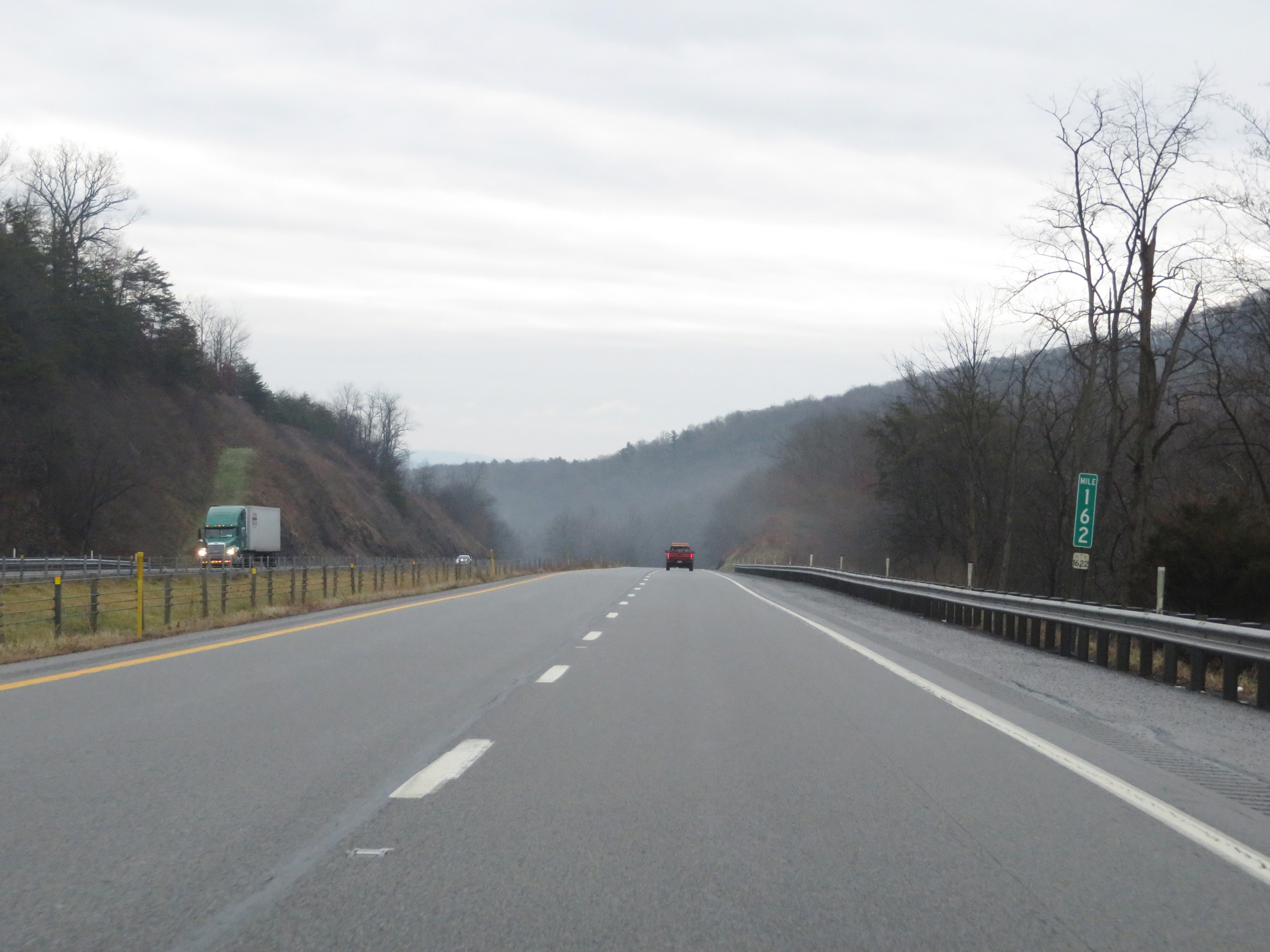 |
Interstate 70 East at mile marker 162. (Photo taken 1/4/21). |
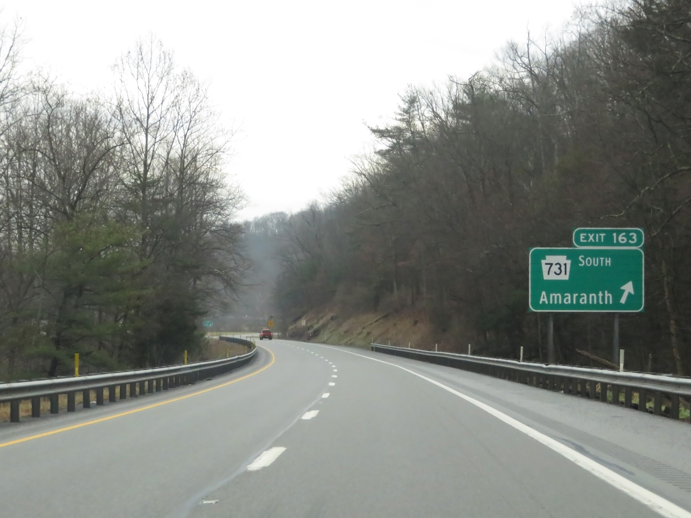 |
Interstate 70 East at Exit 163: PA 731 South - Amaranth (Photo taken 1/4/21). |
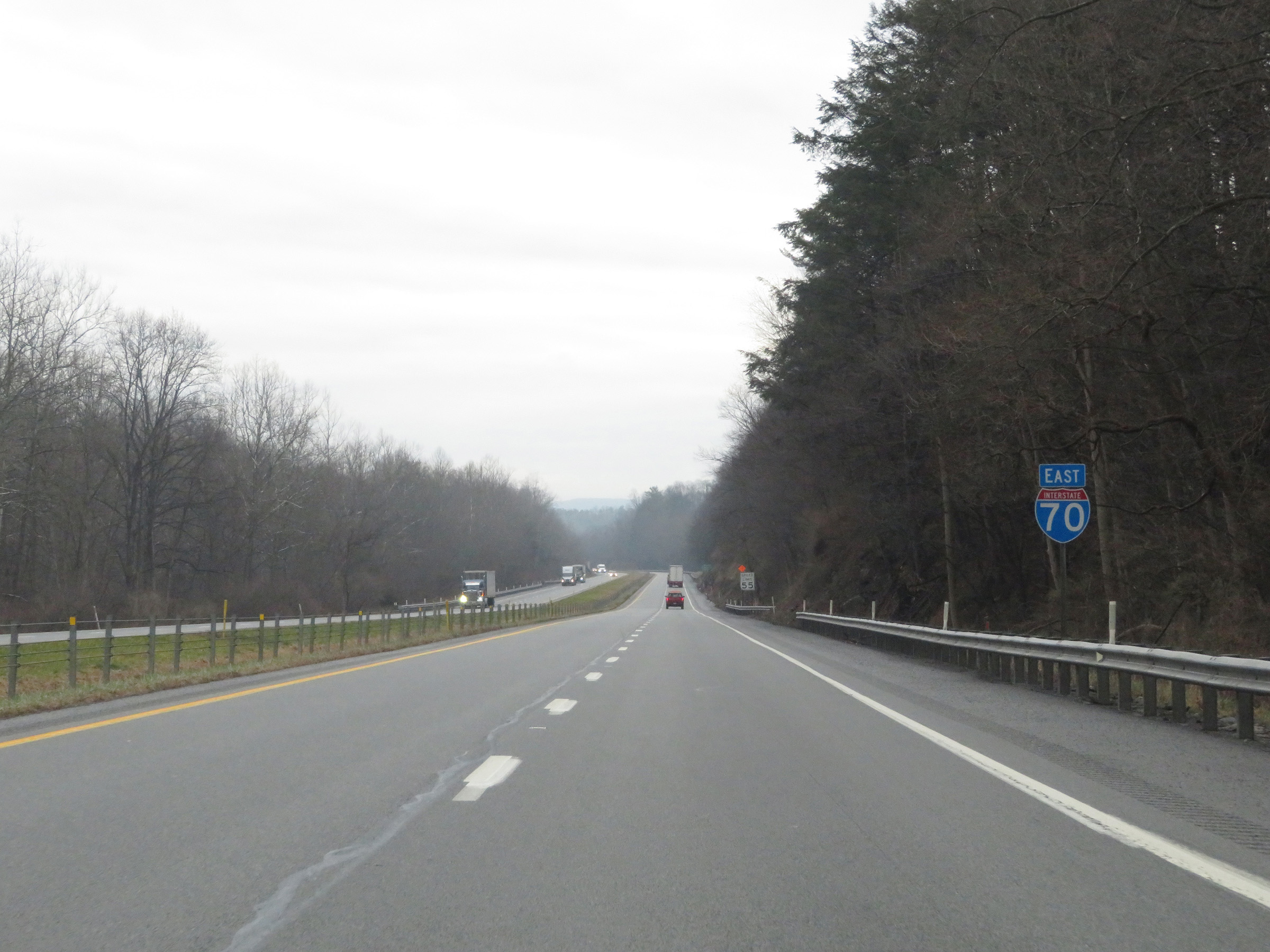 |
Another Interstate 70 East reassurance shield. (Photo taken 1/4/21). |
 |
Mile marker 165 on Interstate 70 East in Fulton County. (Photo taken 1/4/21). |
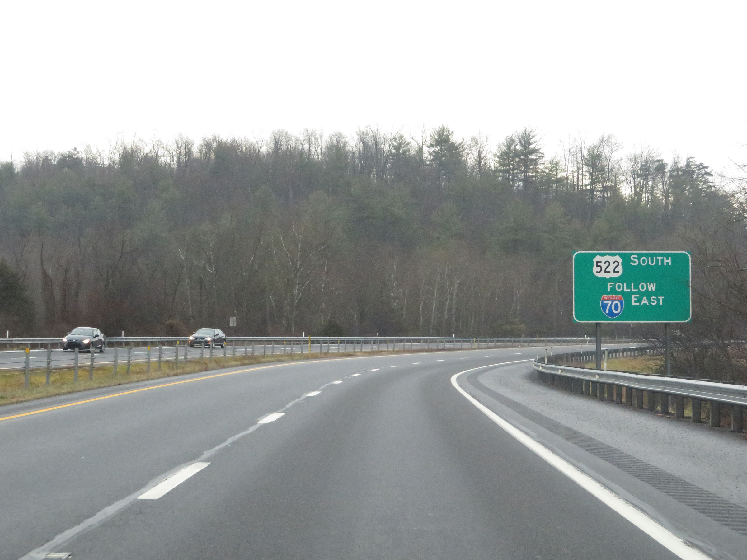 |
Traffic to US 522 South should remain on Interstate 70 East into Maryland. (Photo taken 1/4/21). |
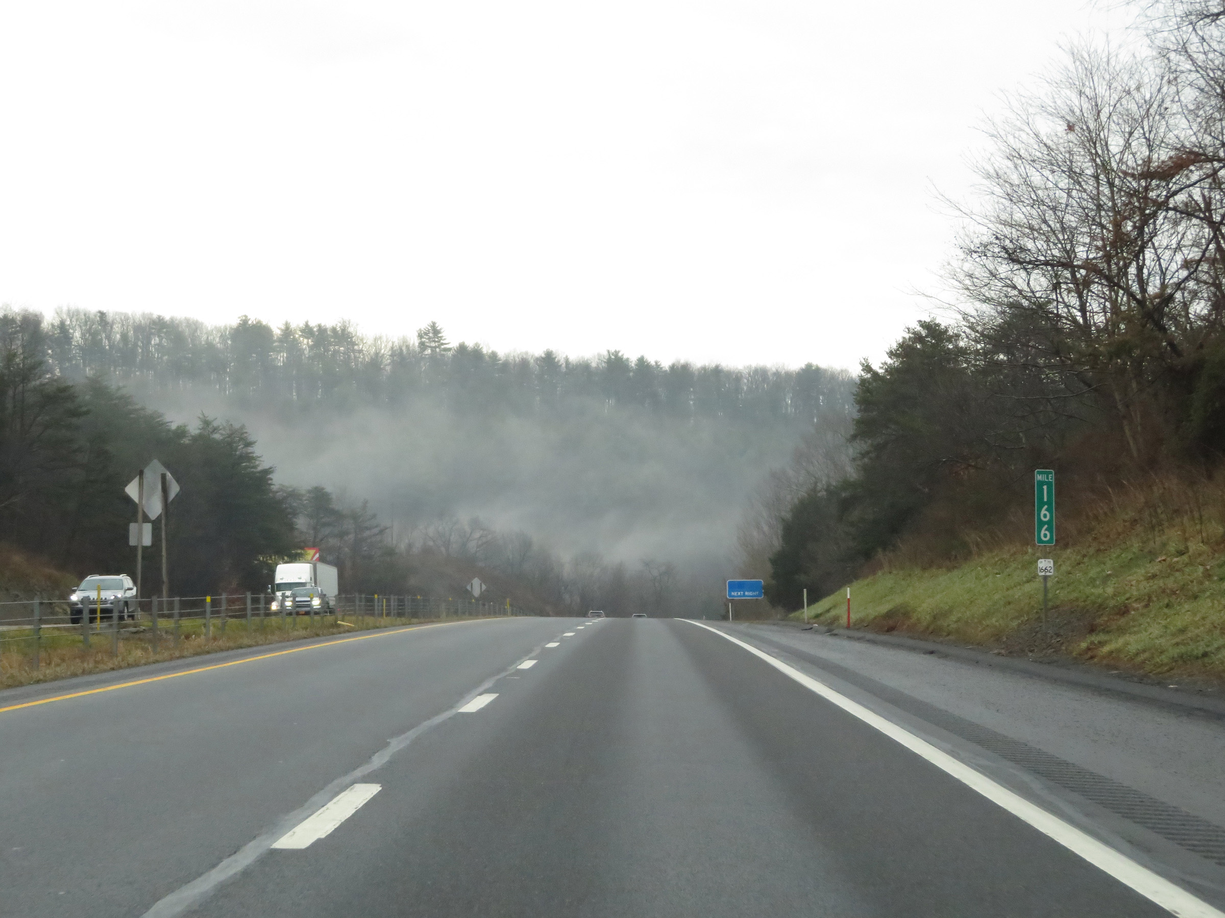 |
View on Interstate 70 East at mile marker 166. (Photo taken 1/4/21). |
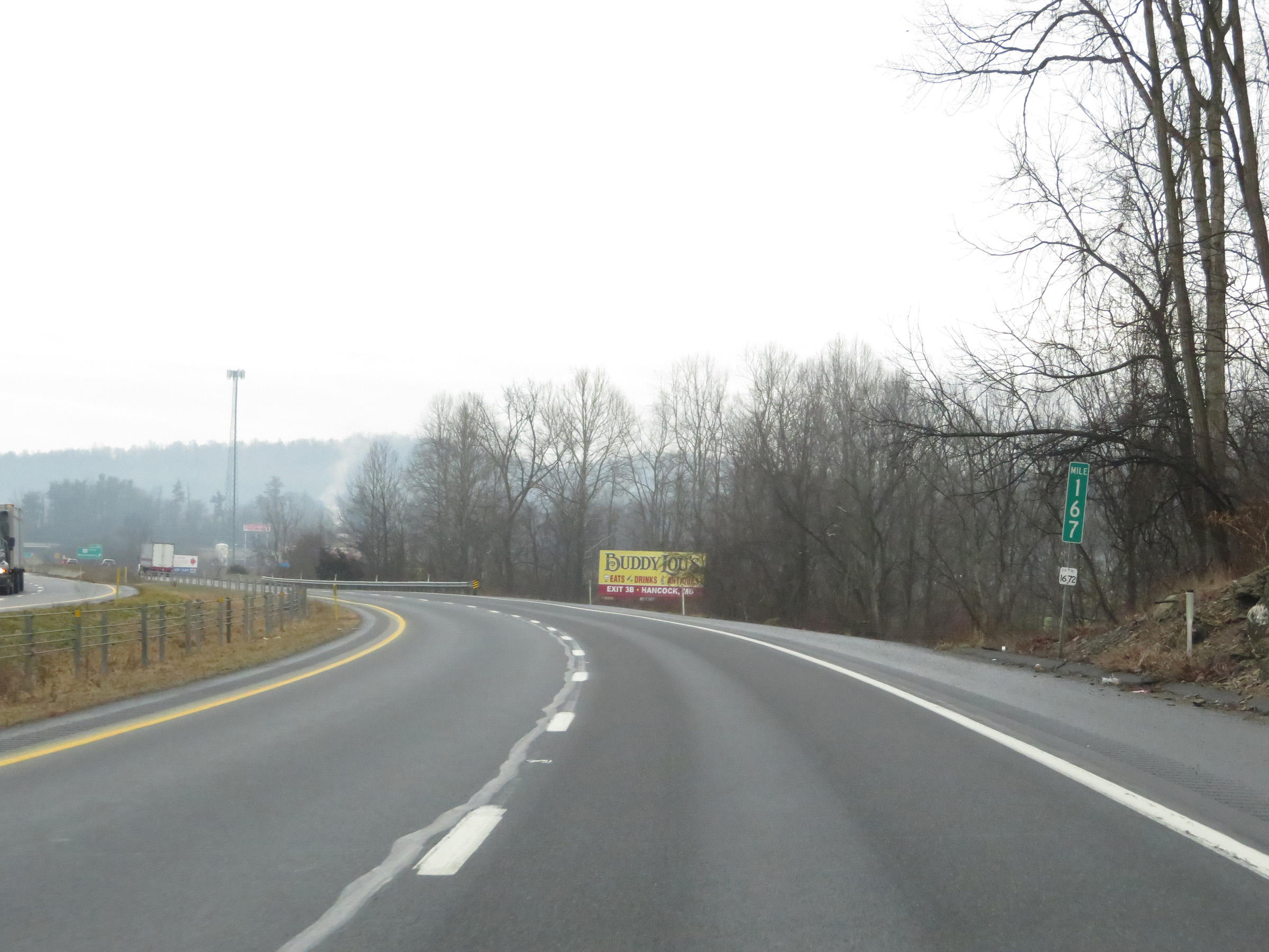 |
Interstate 70 East at mile marker 167. (Photo taken 1/4/21). |
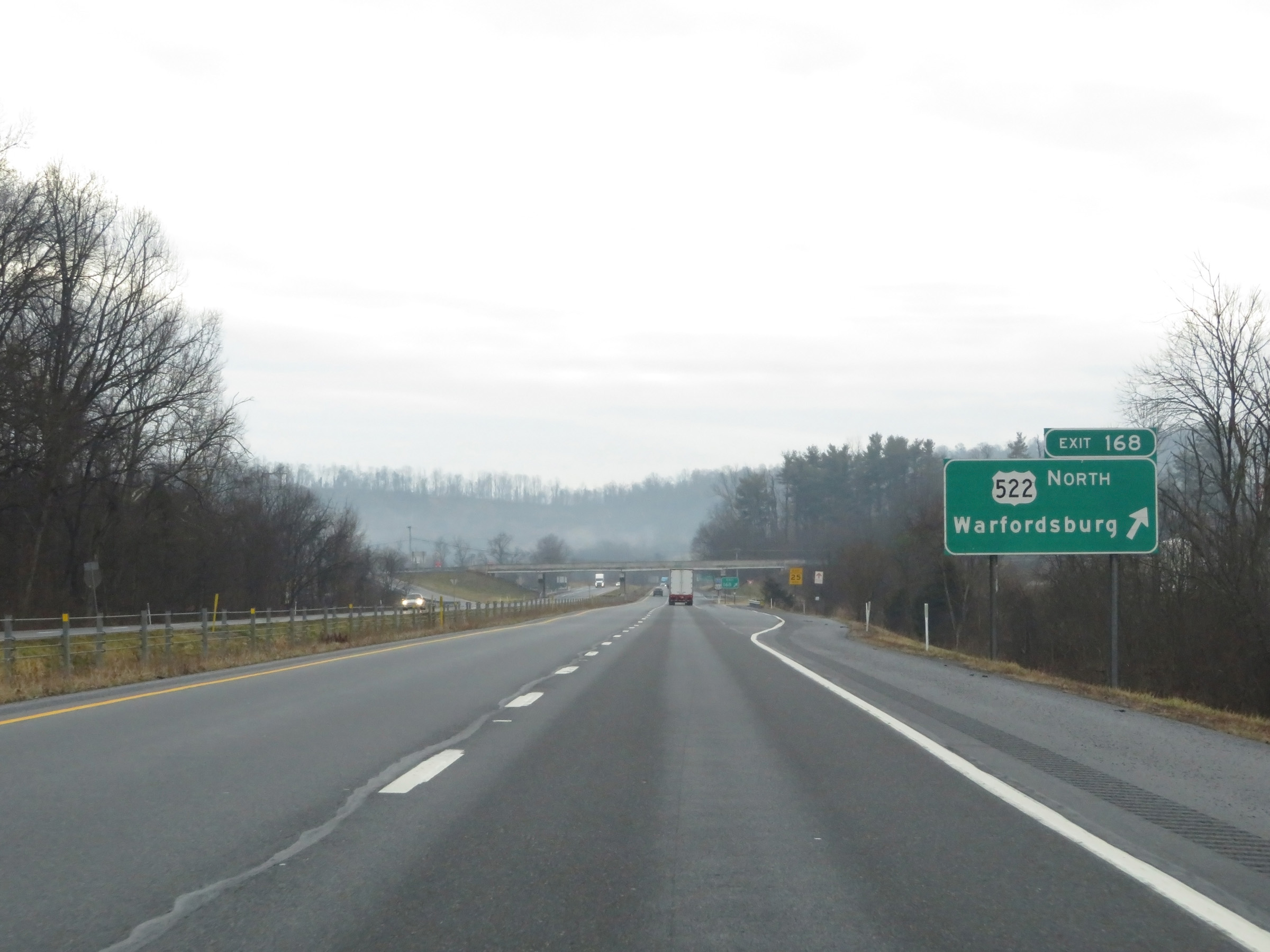 |
Interstate 70 East at Exit 168: US 522 North - Warfordsburg (Photo taken 1/4/21). |
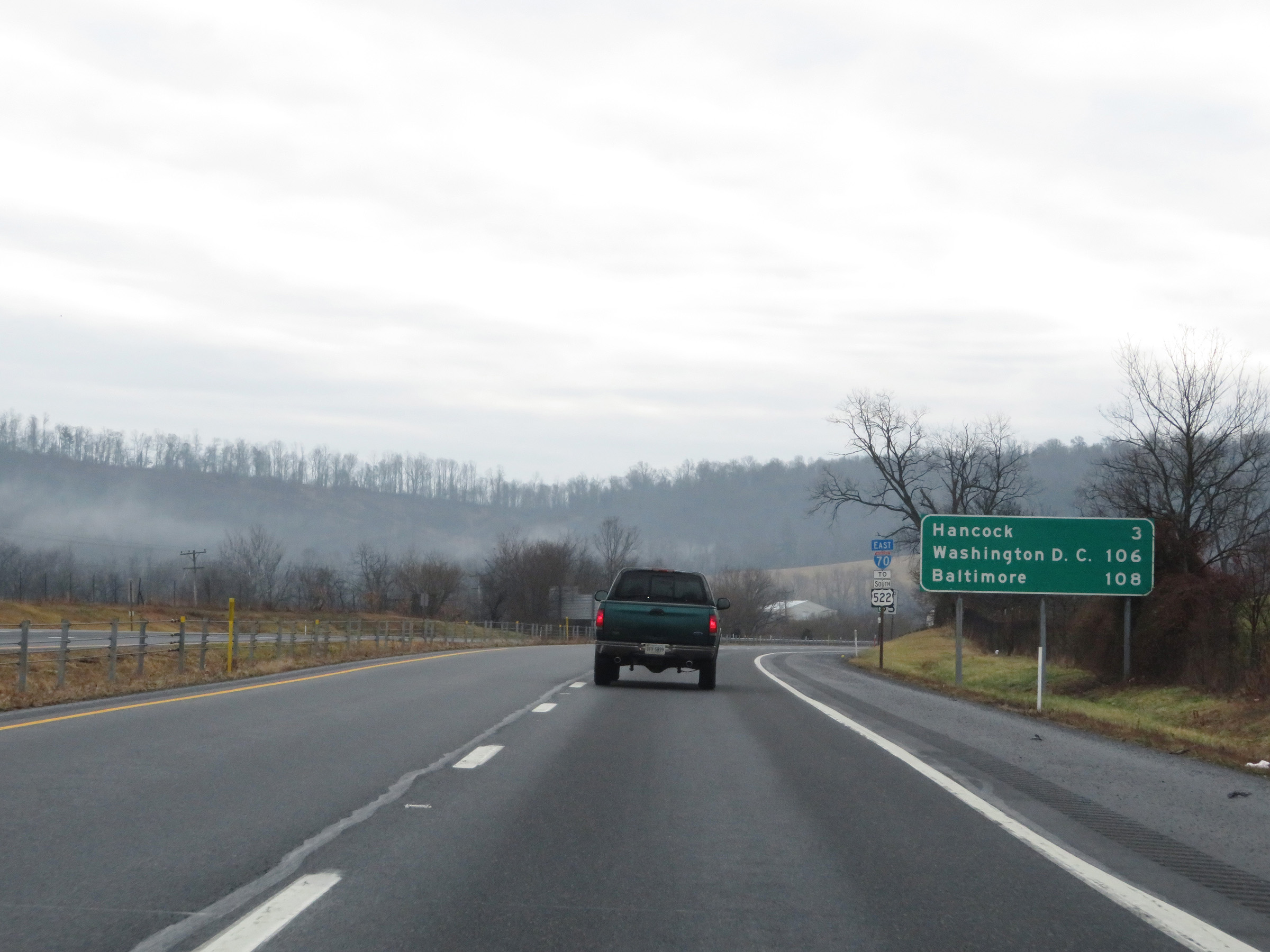 |
Mileage sign on Interstate 70 East. It's 3 miles to Hancock, 106 miles to Washington DC and 108 miles to Baltimore. (Photo taken 1/4/21). |
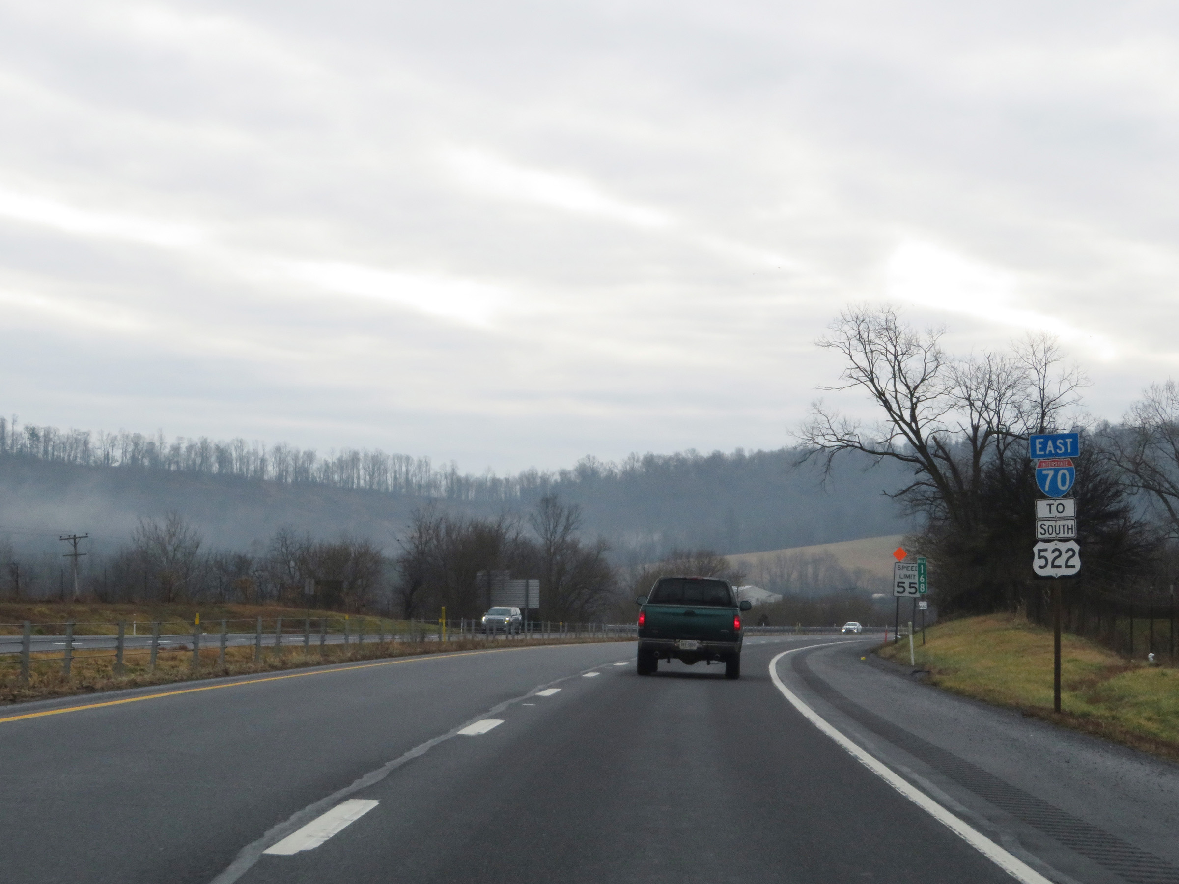 |
One final Interstate 70 East reassurance shield at mile marker 168. (Photo taken 1/4/21). |
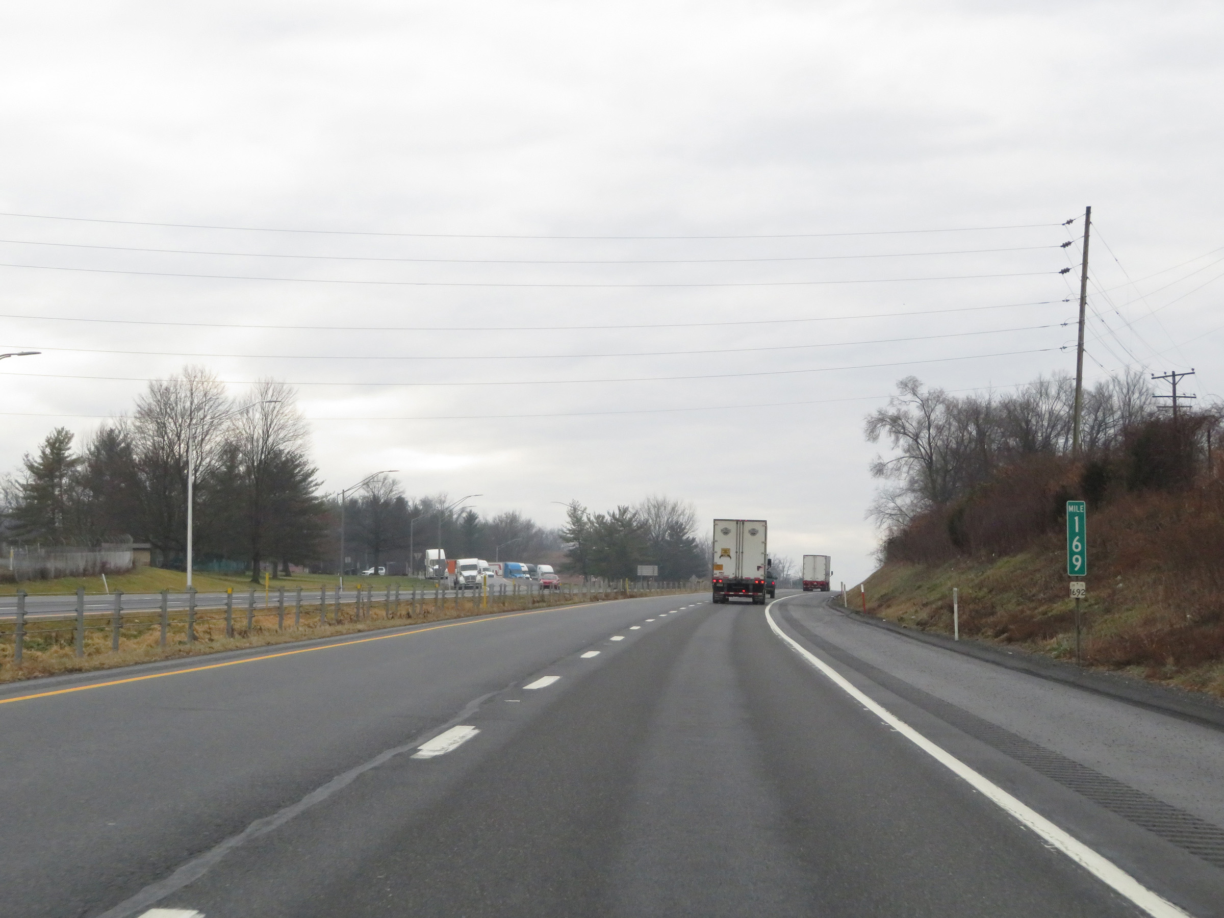 |
View on Interstate 70 East at mile marker 169. (Photo taken 1/4/21). |
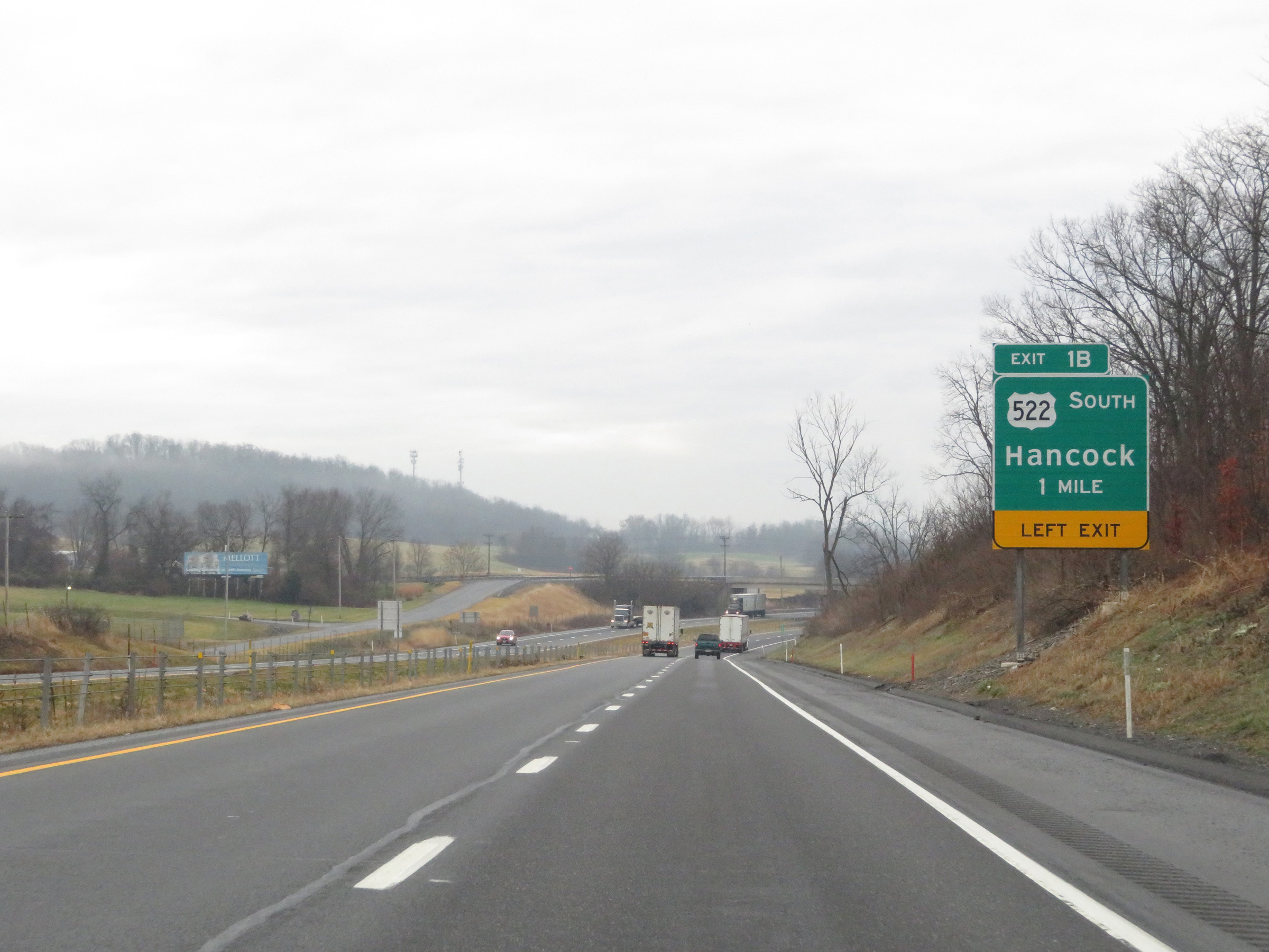 |
Advance signage for Exit 1B, which will be on the left upon entering Maryland ahead. (Photo taken 1/4/21). |
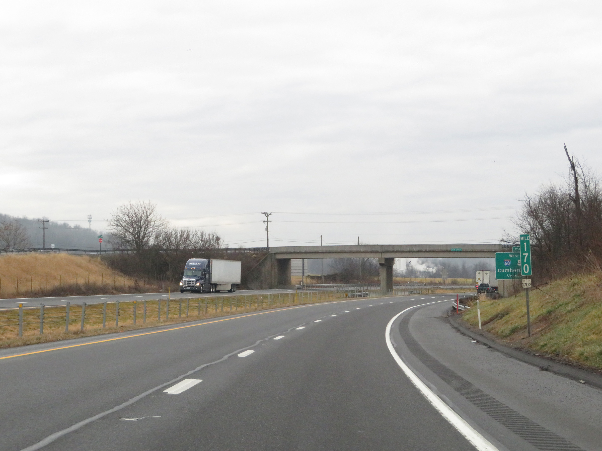 |
Interstate 70 East at mile marker 170, as it nears the Maryland border. (Photo taken 1/4/21). |
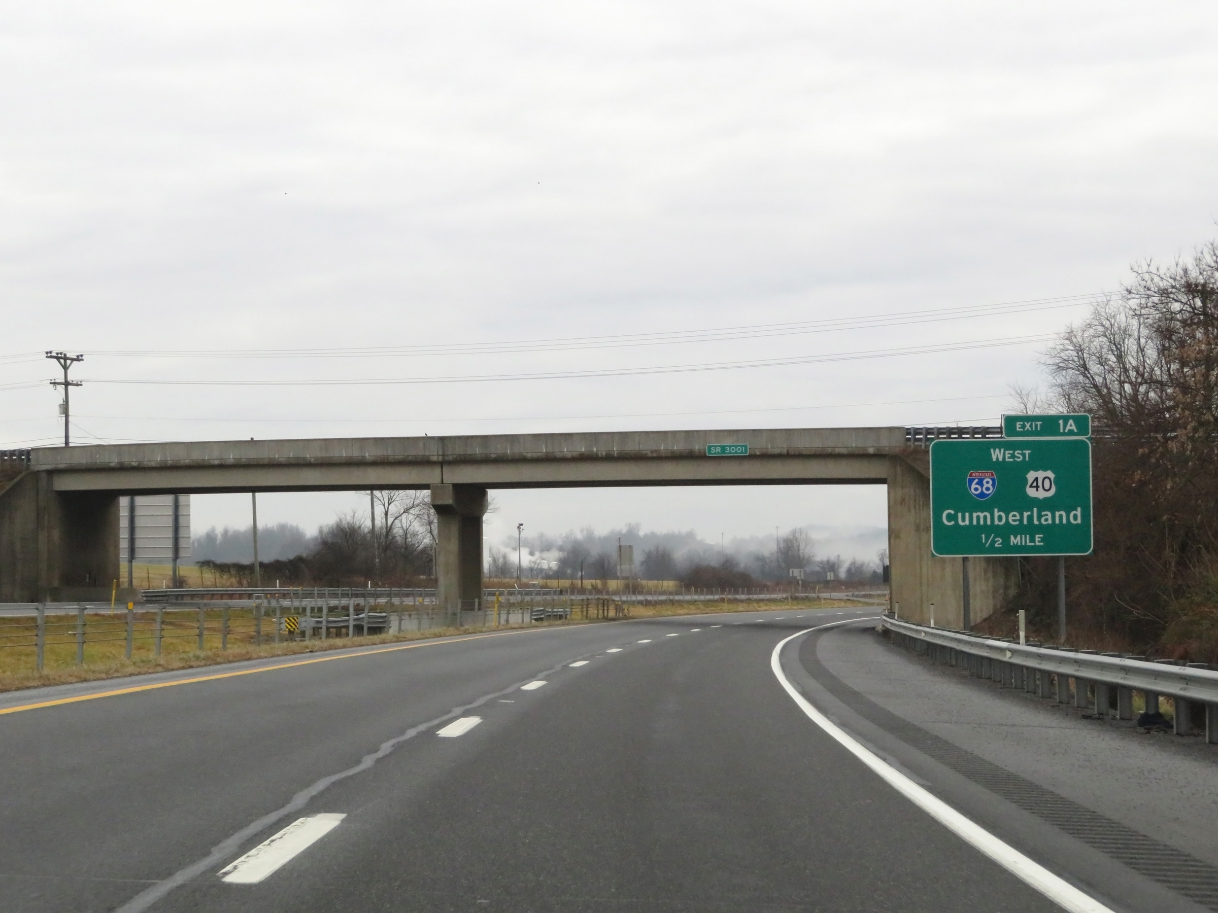 |
Advance signage for Exit 1A, which will be the first exit on Interstate 70 East after entering Maryland ahead. (Photo taken 1/4/21). |
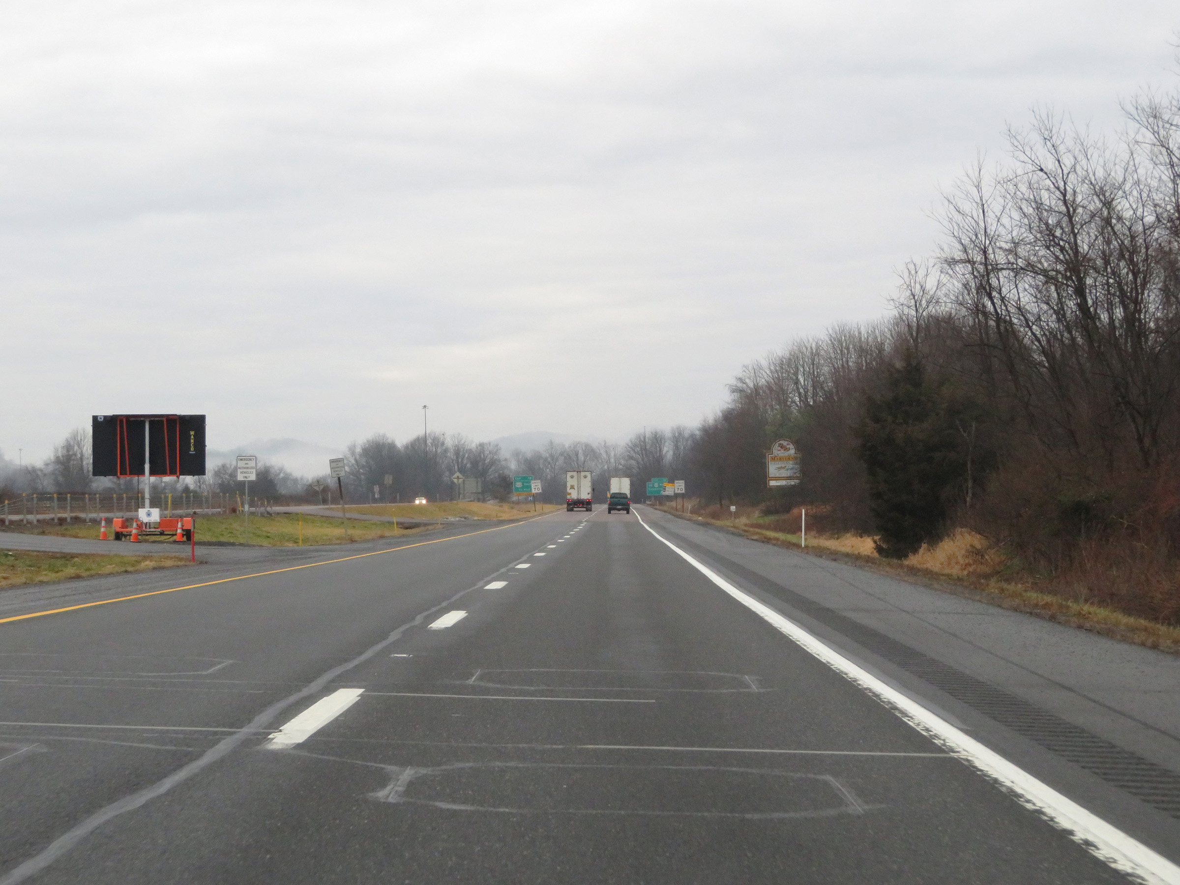 |
View on Interstate 70 East as it prepares to cross the Mason-Dixon Line into Maryland. (Photo taken 1/4/21). |