Road Information |
||
 |
||
| Total Mileage in State: | 377 miles | |
| Eastern End: | At Idaho state line | |
| Western End: | At I-5, in Portland | |
| Mileage covered in Photos: | 377 miles | |
| Counties covered in Photos: | Multnomah, Hood River, Wasco, Sherman, Gilliam, Morrow, Umatilla, Union, Baker, Malheur | |
| Major Junctions in Photos: | I-205, in Portland US 197, in The Dalles US 97, near Rufus I-82 West, near Pendleton |
|
| Control Cities in Photos: | Portland, The Dalles, Pendleton, La Grande, Baker City, Ontario | |
Eastbound
- Section 1: Interstate 5 to Troutdale (Exit 17)
- Section 2: Troutdale (Exit 17) to Hood River (Exit 63)
- Section 3: Hood River (Exit 63) to Rufus (Exit 109)
- Section 4: Rufus (Exit 109) to Hermiston (Exit 180)
- Section 5: Hermiston (Exit 180) to La Grande (Exit 265)
- Section 6: La Grande (Exit 265) to Idaho Border
Section 1: Interstate 5 to Troutdale (Exit 17)
 |
Merging onto Interstate 84 East at its national beginning via Exit 301 on Interstate 5 South in Portland. (Photo taken 9/26/19). |
 |
View on the ramp to Interstate 84 East as it prepares to pass over Interstate 5. (Photo taken 9/26/19). |
 |
Another view on the ramp to Interstate 84 East from Interstate 5 South in Portland. (Photo taken 9/26/19). |
 |
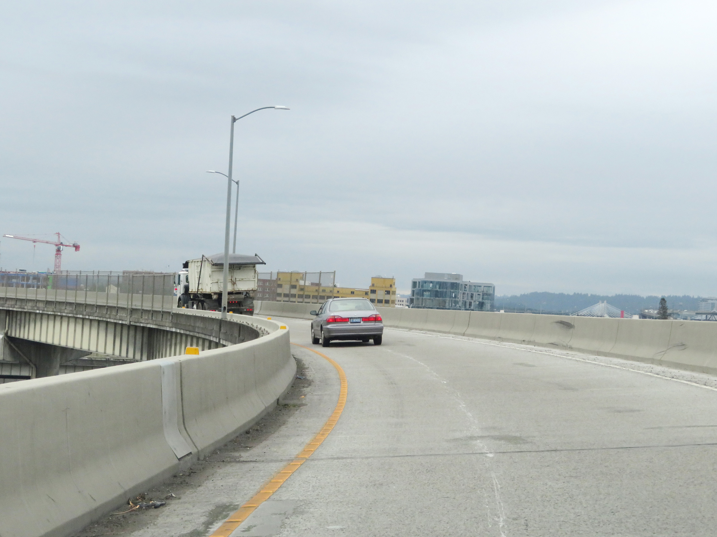
The ramp prepares to merge with traffic from Interstate 5 North, which will join ahead on the left. (Photo taken 9/26/19). |
 |
Overhead Interstate 84 East reassurance shield as it starts with three thru lanes in Portland. (Photo taken 9/26/19). |
 |
The speed limit on Interstate 84 East starts out at 55 mph in Portland. (Photo taken 9/26/19). |
 |
Overhead mileage sign listing the distances to the first three interchanges on Interstate 84 East. (Photo taken 9/26/19). |
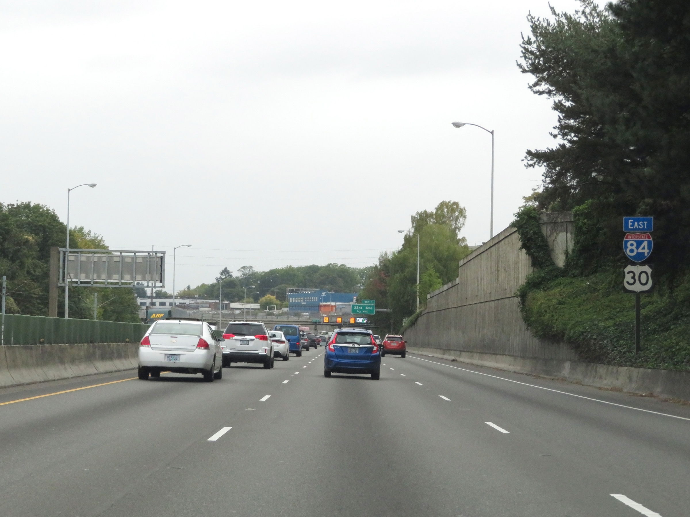 |
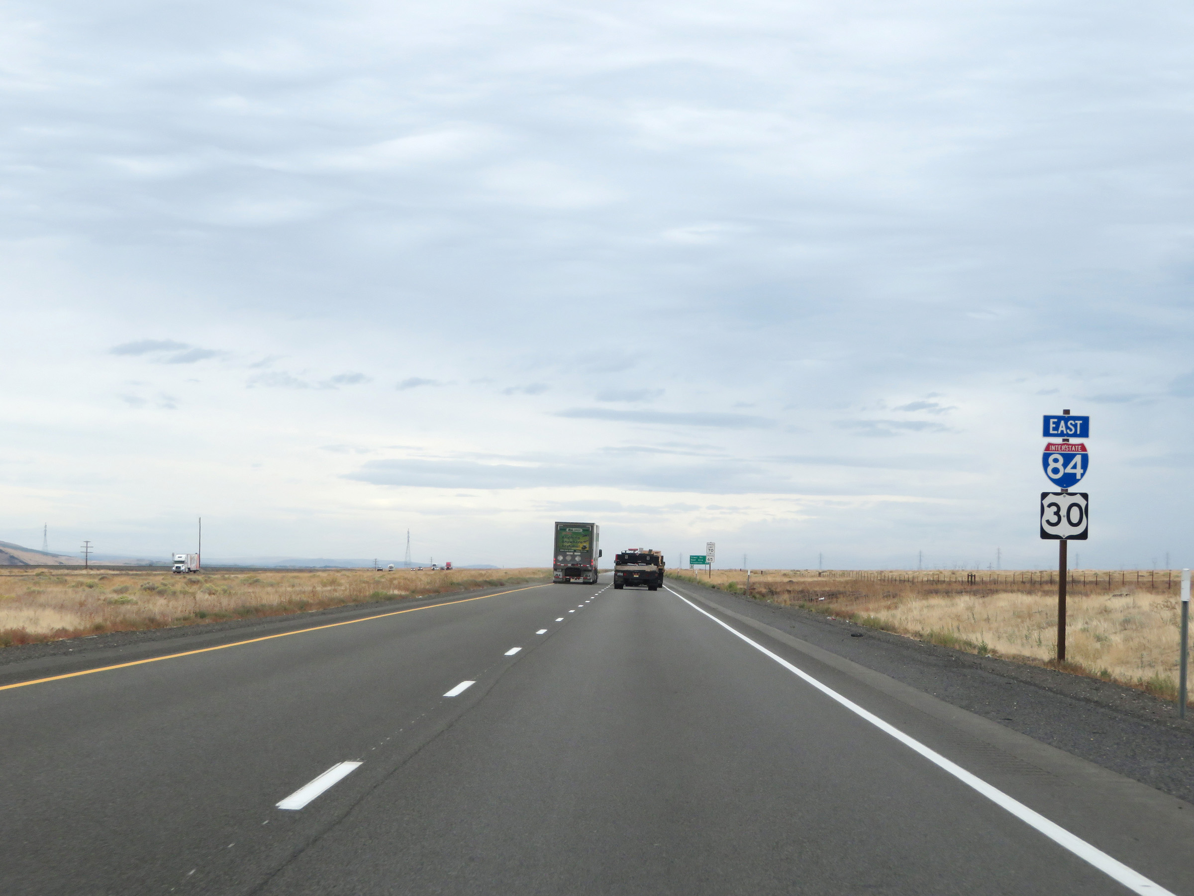
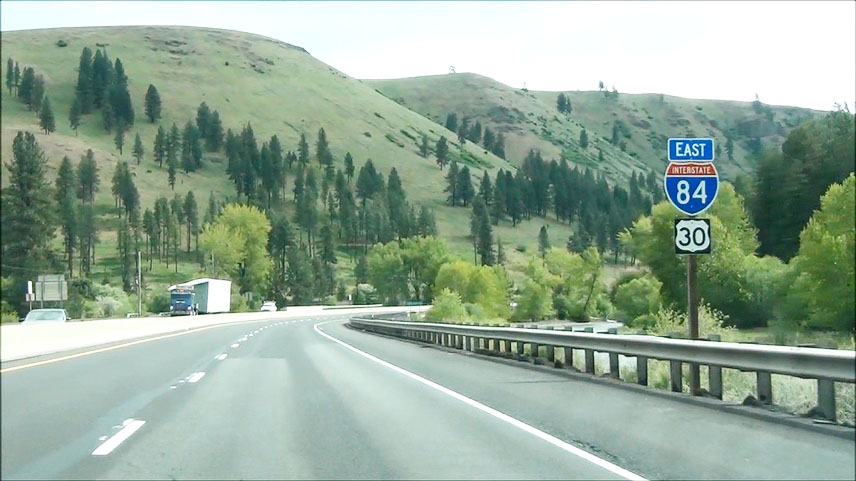
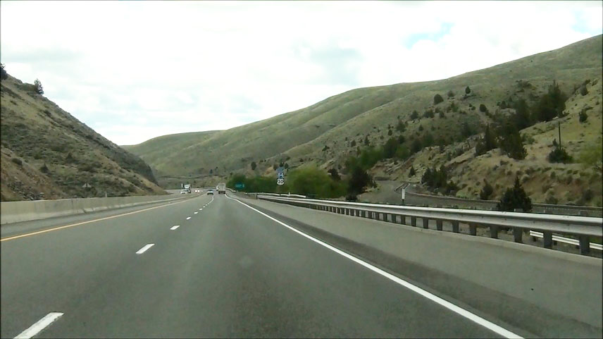
Interstate 84 East reassurance shield along with a US 30 reassurance marker. I-84 and US 30 will run concurrently off and on at different points during the 377-mile duration of I-84 in Oregon. (Photo taken 9/26/19). |
 |
Variable speed limit signs are posted overhead on Interstate 84 East in Portland. (Photo taken 9/26/19). |
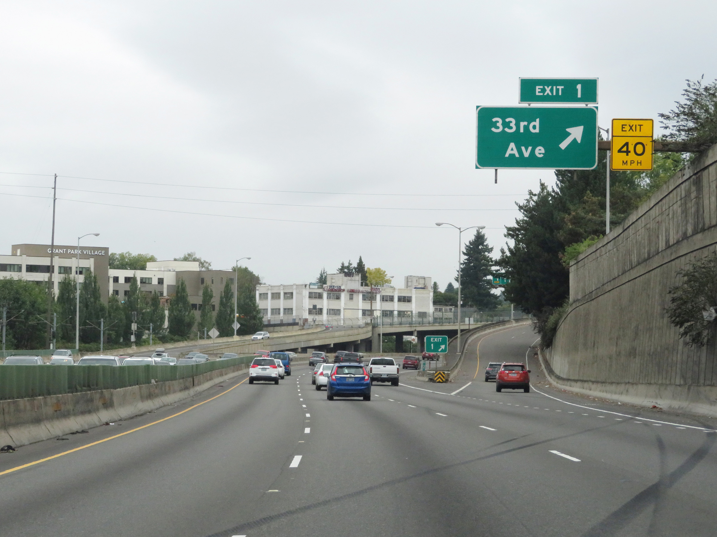 |
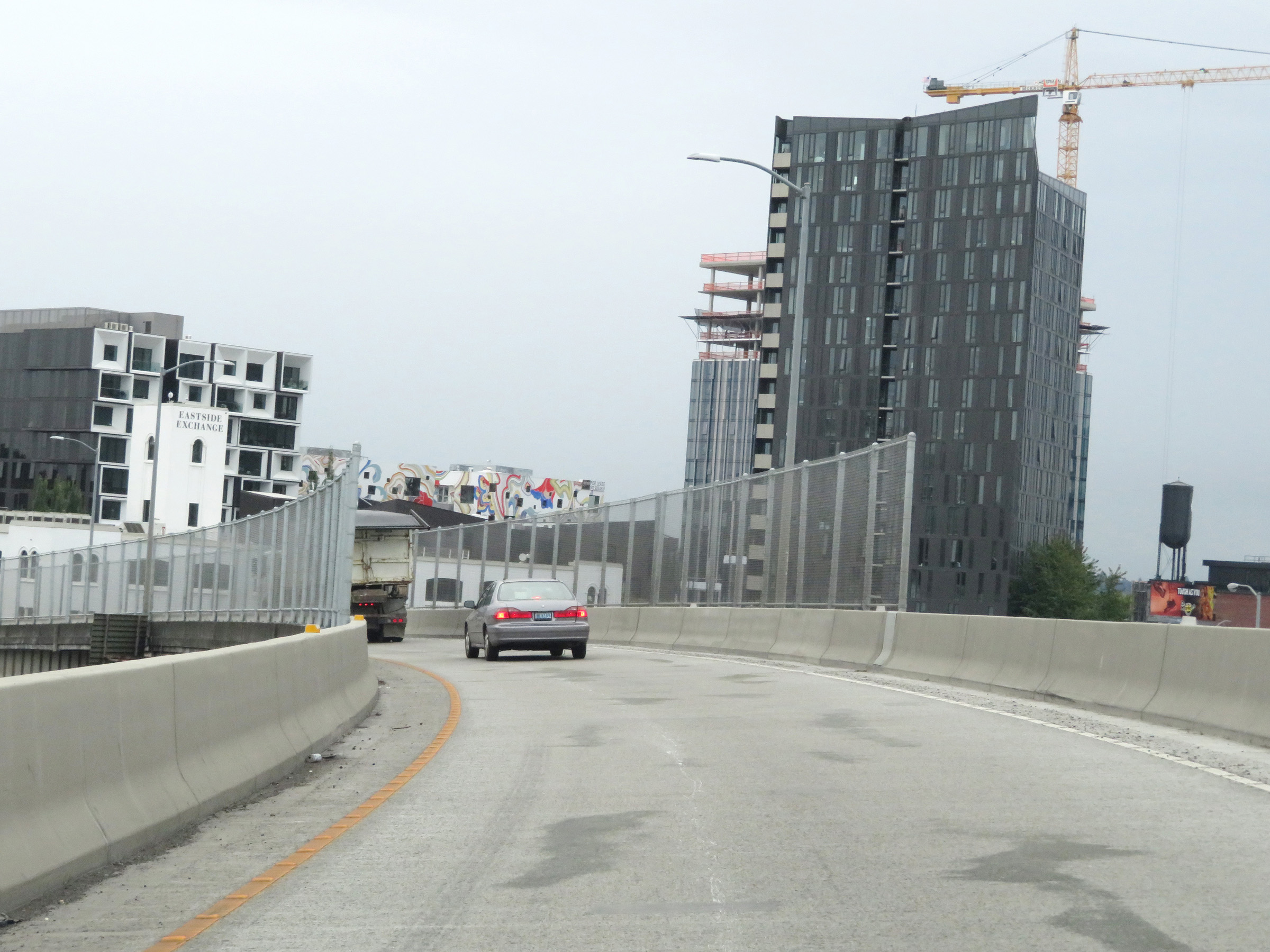
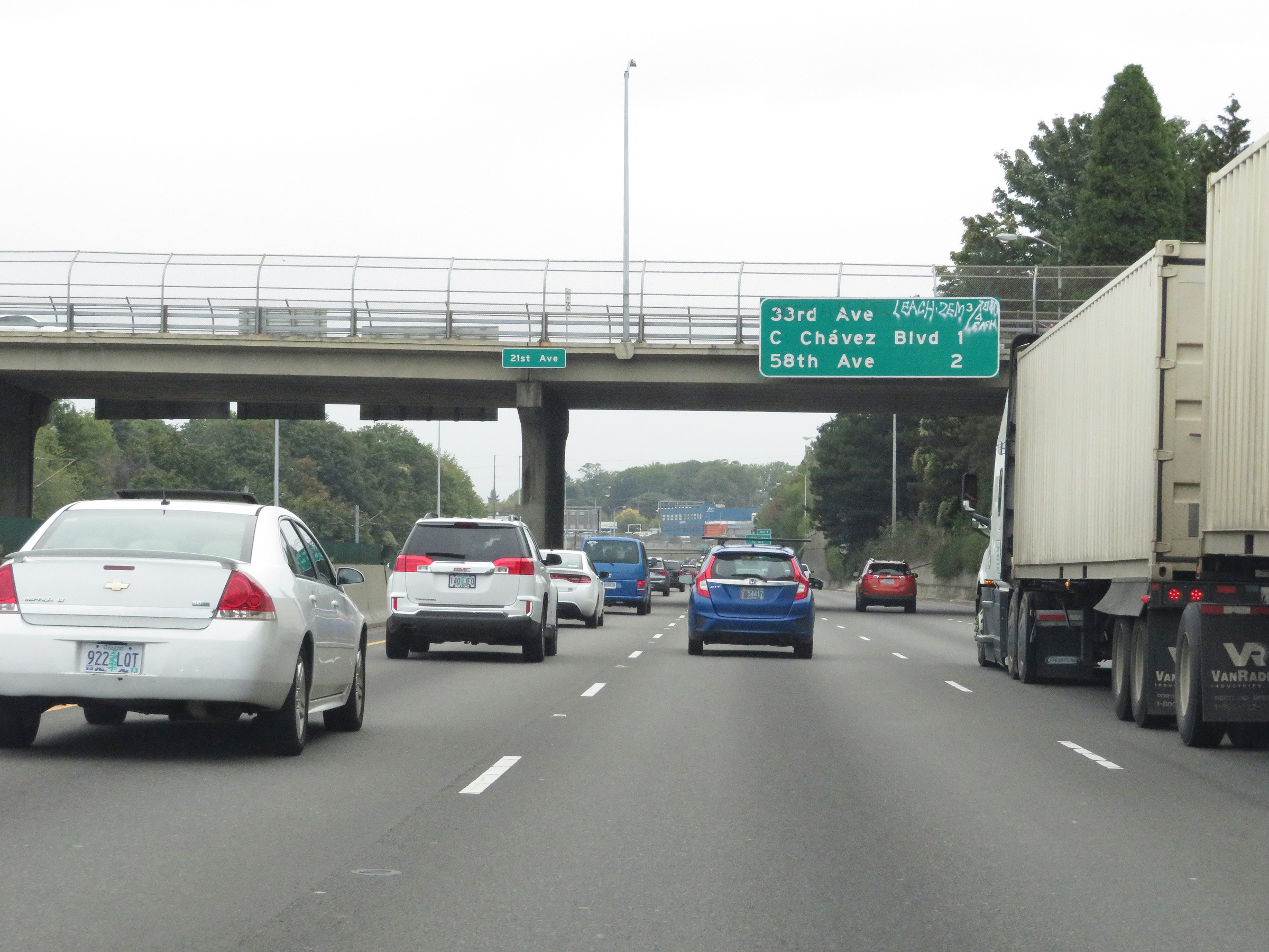
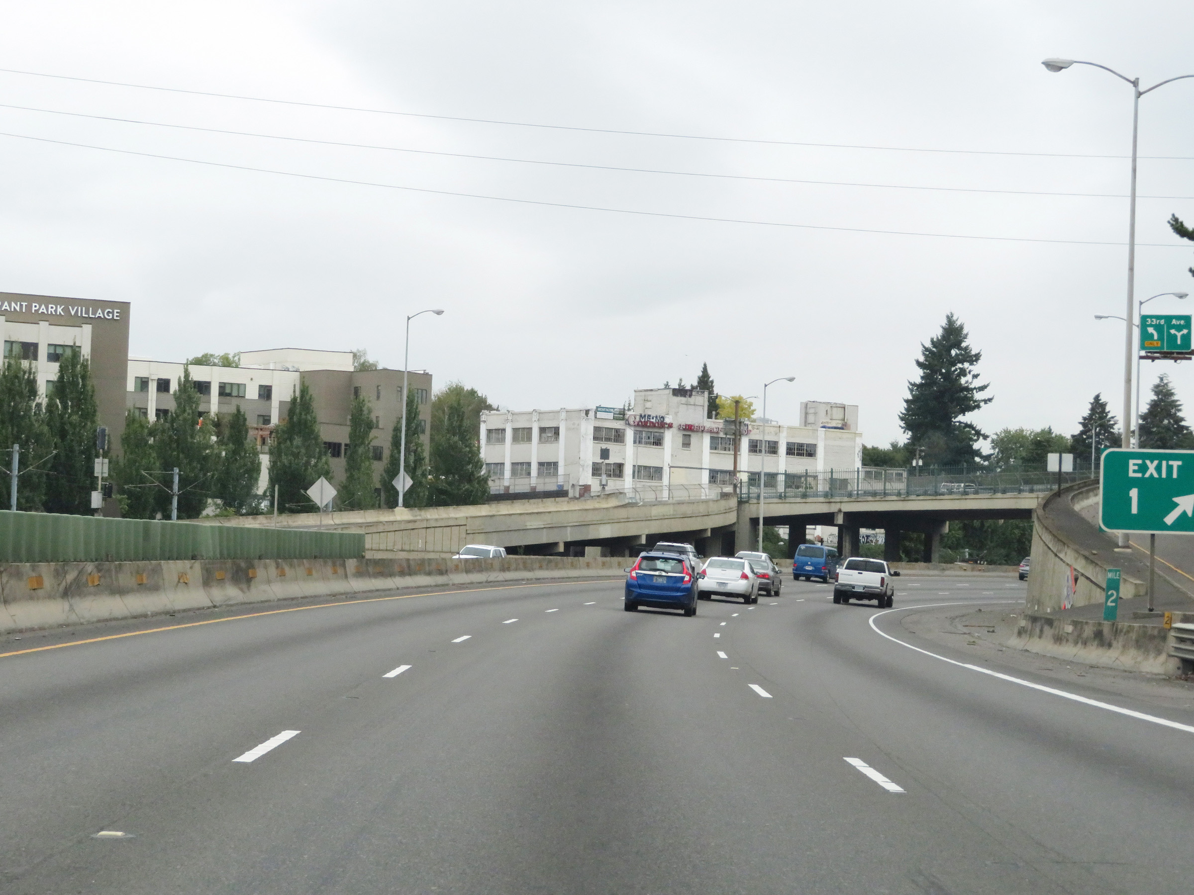
Interstate 84 East at Exit 1: 33rd Ave (Photo taken 9/26/19). |
 |
Mile marker 2 on Interstate 84 East, which is at the ramp for Exit 1. (Photo taken 9/26/19). |
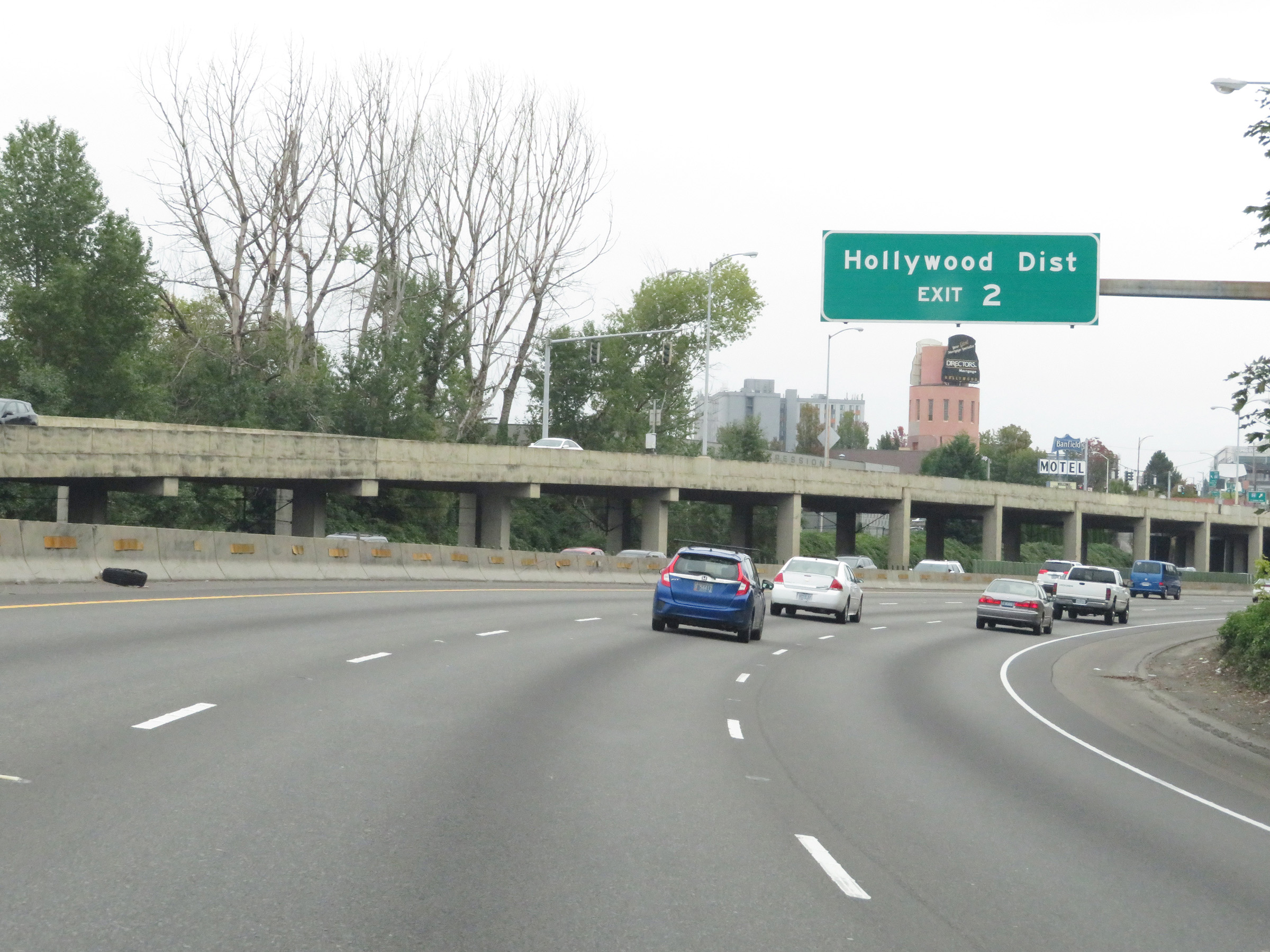 |
Take Exit 2 to the Hollywood District. (Photo taken 9/26/19). |
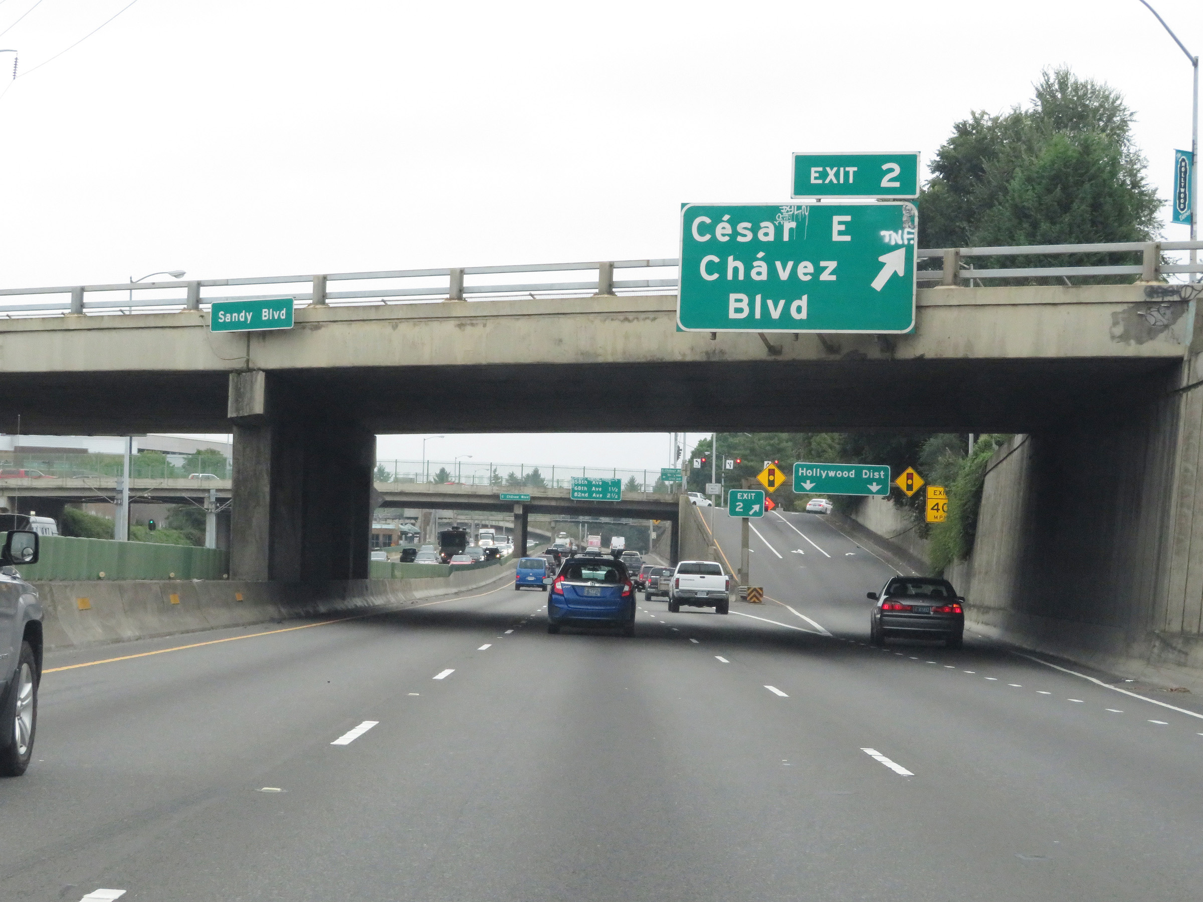 |
Interstate 84 East at Exit 2: Cesar E. Chavez Boulevard (Photo taken 9/26/19). |
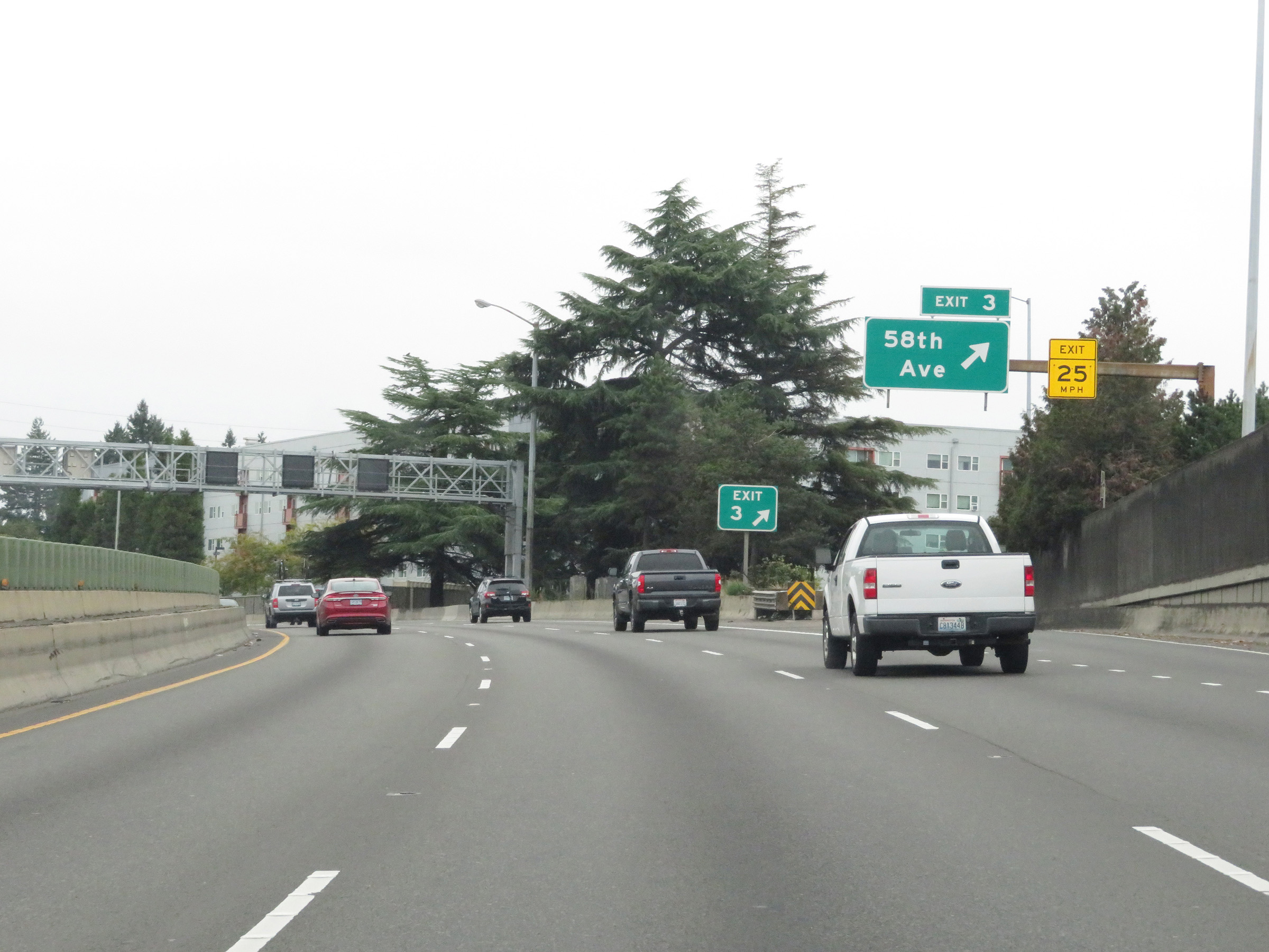 |
Interstate 84 East at Exit 3: 58th Ave (Photo taken 9/26/19). |
 |
Interstate 84 East at Exit 4: 68th Ave (Photo taken 9/26/19). |
 |
Advance signage for Exit 6 on Interstate 84 East, which is 1/2 mile ahead. (Photo taken 9/26/19). |
 |
Interstate 84 East at Exit 5: OR 213 - 82nd Ave (Photo taken 9/26/19). |
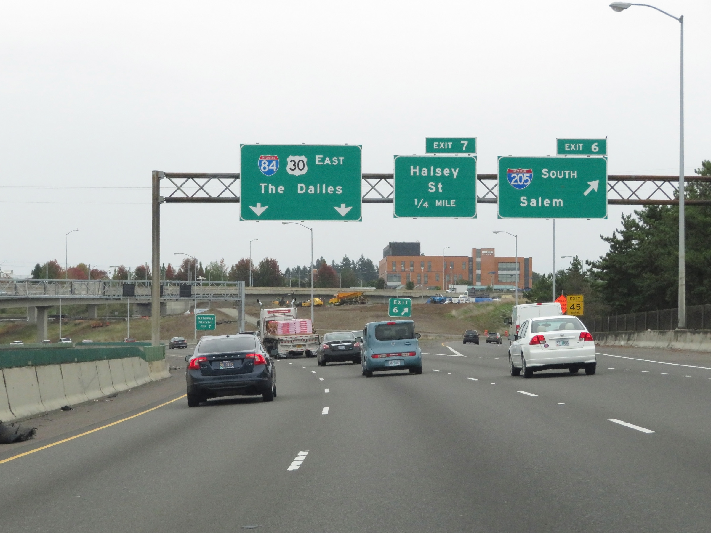 |
Interstate 84 East at Exit 6: Interstate 205 South - Salem (Photo taken 9/26/19). |
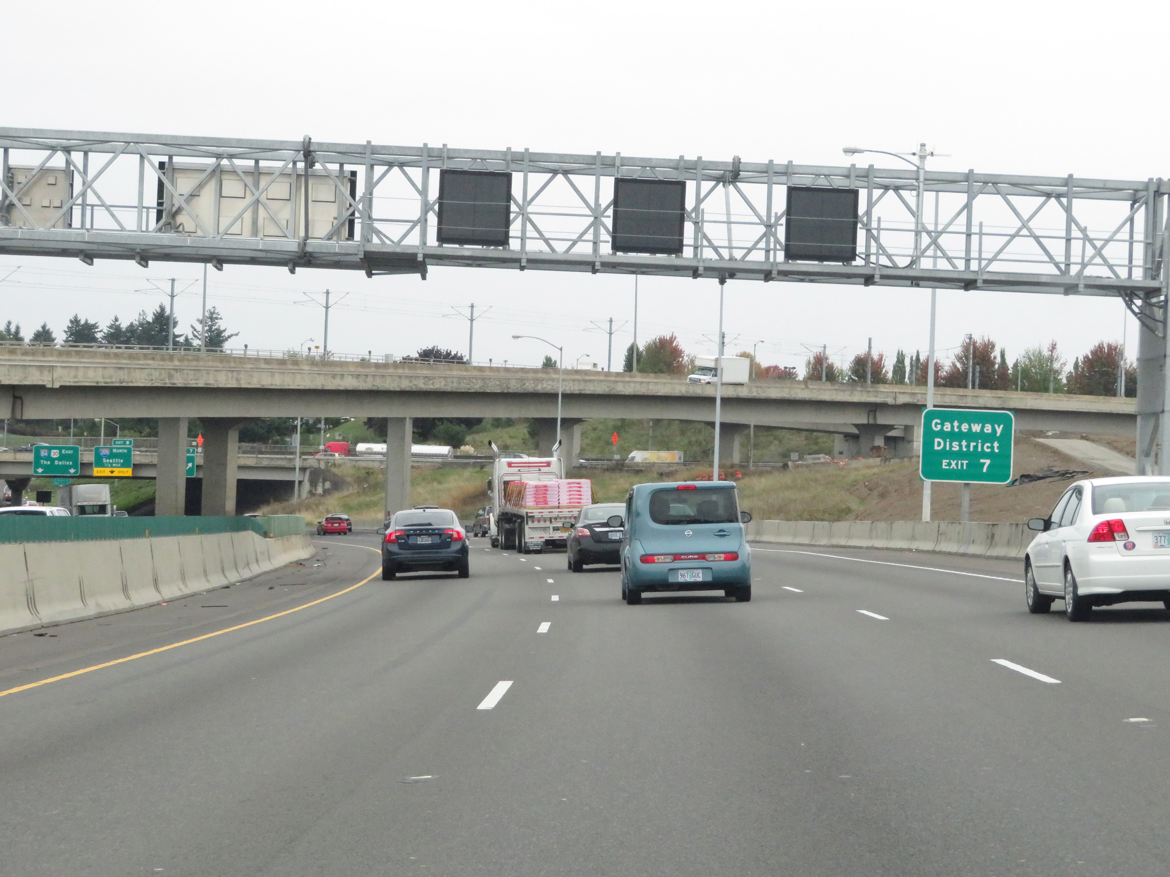 |
Take Exit 7 to the Gateway District. (Photo taken 9/26/19). |
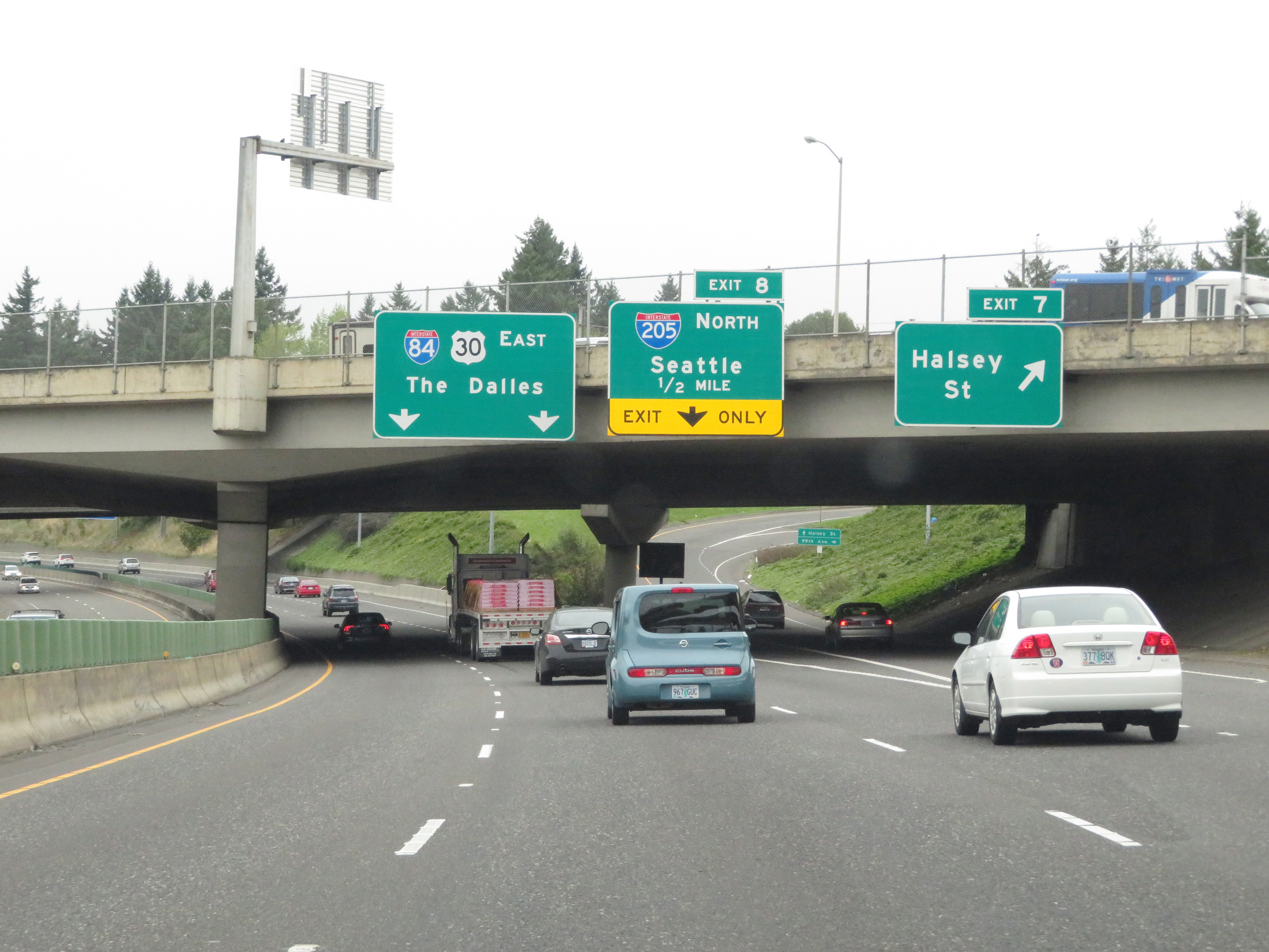 |
Interstate 84 East at Exit 7: Halsey St (Photo taken 9/26/19). |
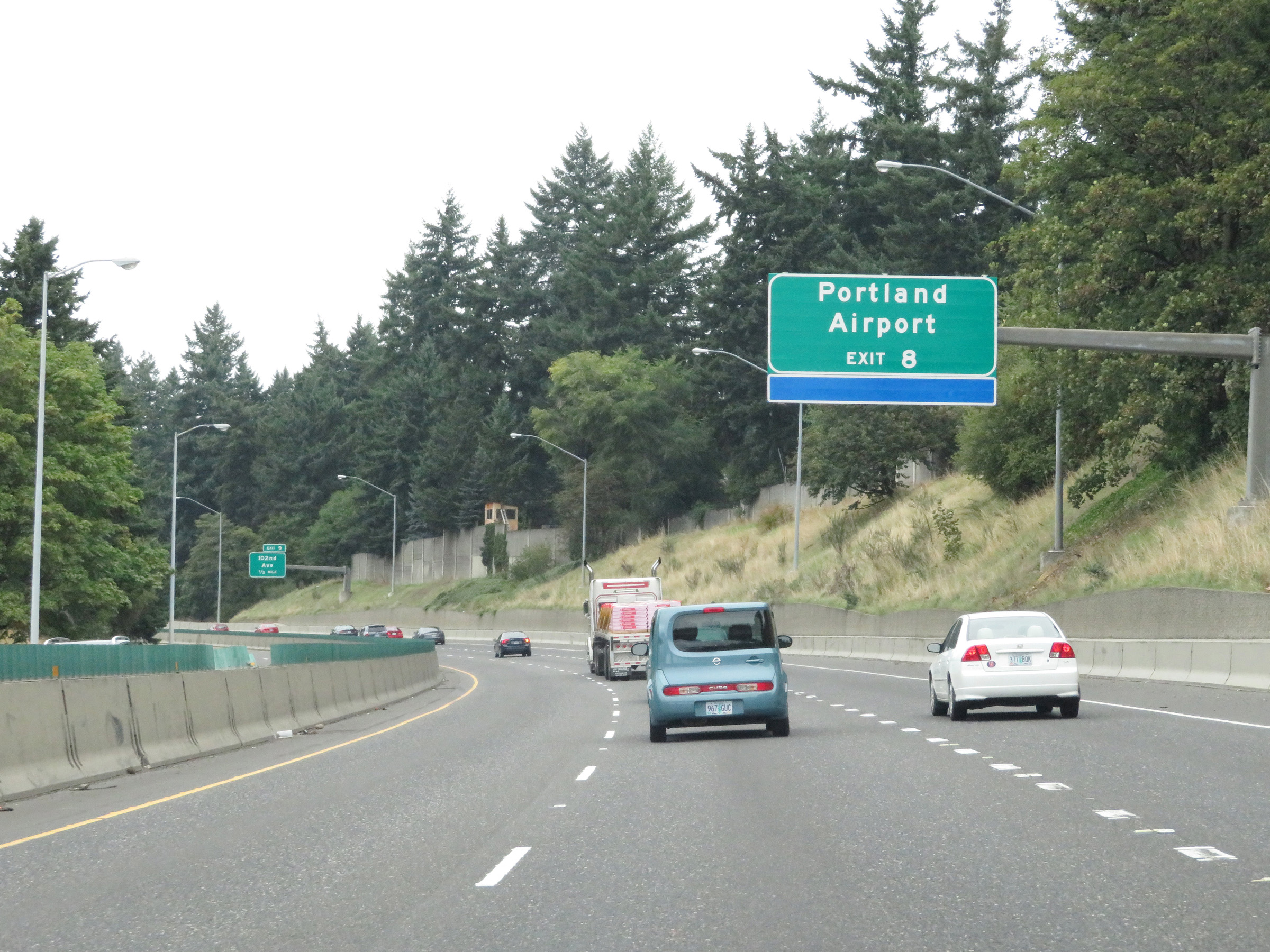 |
Take Exit 8 to Portland International Airport. (Photo taken 9/26/19). |
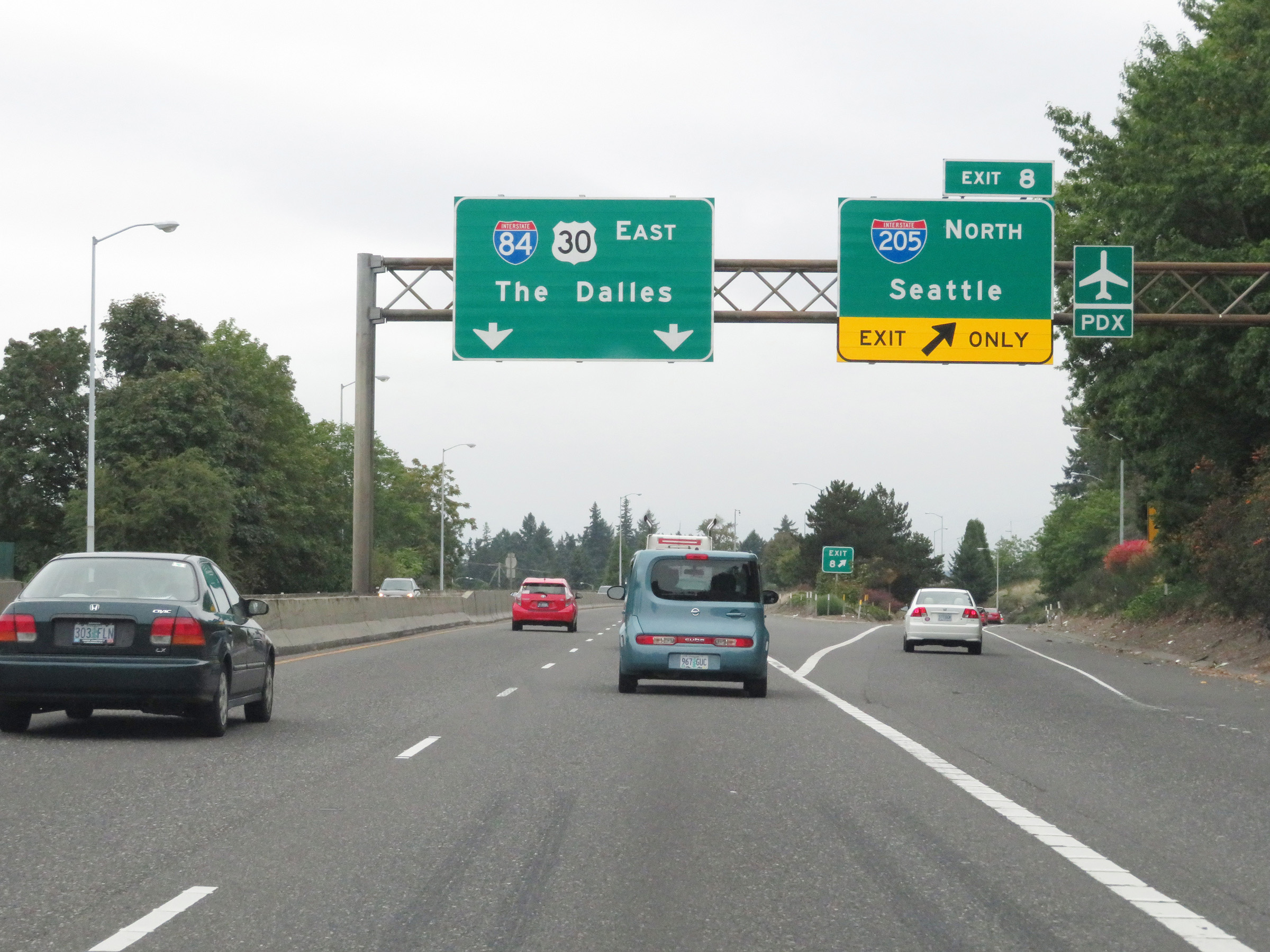 |
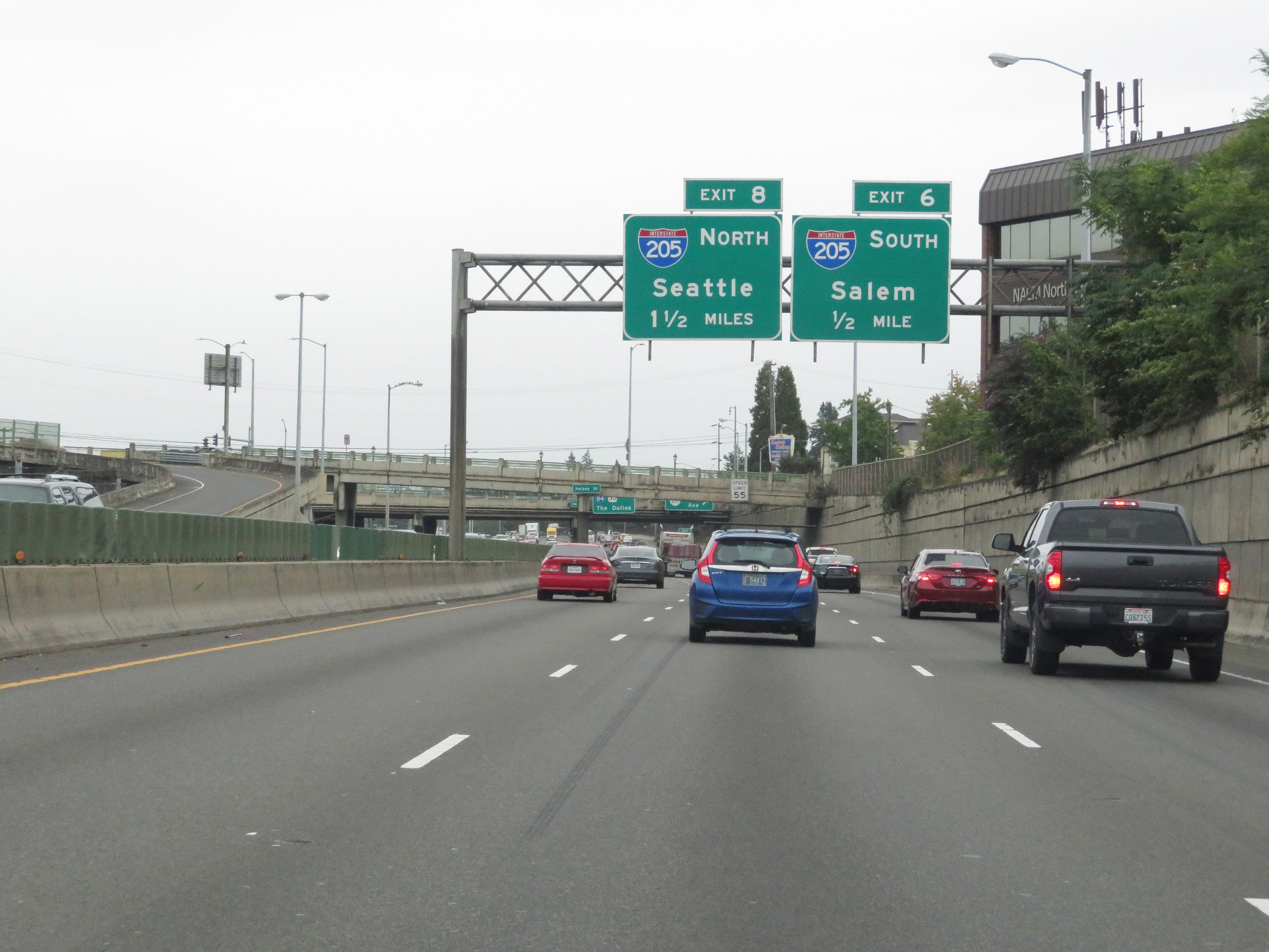
Interstate 84 East at Exit 8: Interstate 205 North - Seattle (Photo taken 9/26/19). |
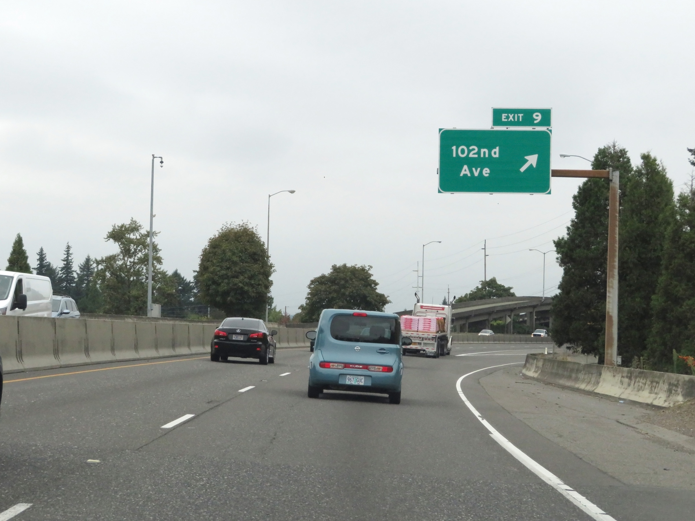 |
Interstate 84 East at Exit 9: 102nd Ave (Photo taken 9/26/19). |
 |
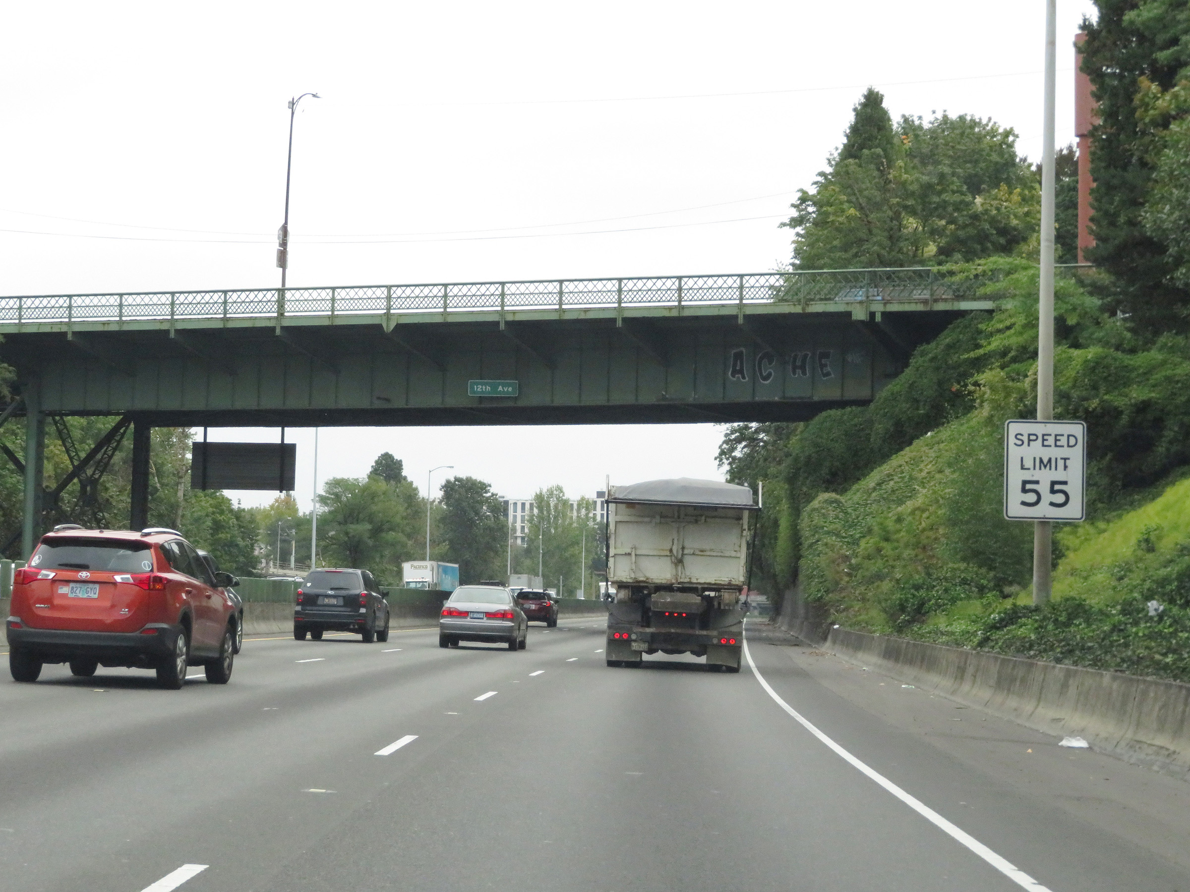
Immediately before Exit 10, the speed limit for automobiles increases to 60 mph. However, the truck speed limit remains 55 mph. (Photo taken 9/26/19). |
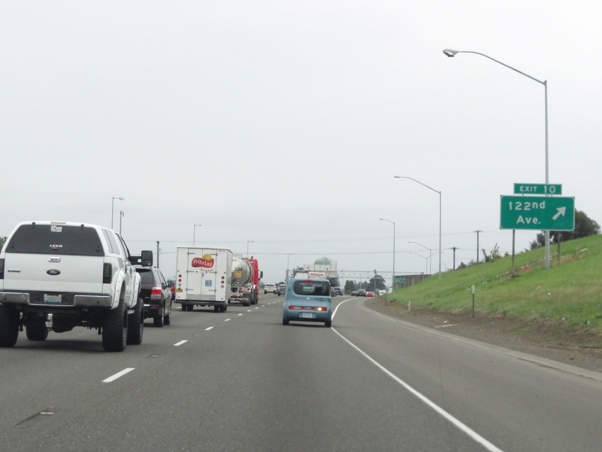 |
Interstate 84 East at Exit 10: 122nd Ave (Photo taken 9/26/19). |
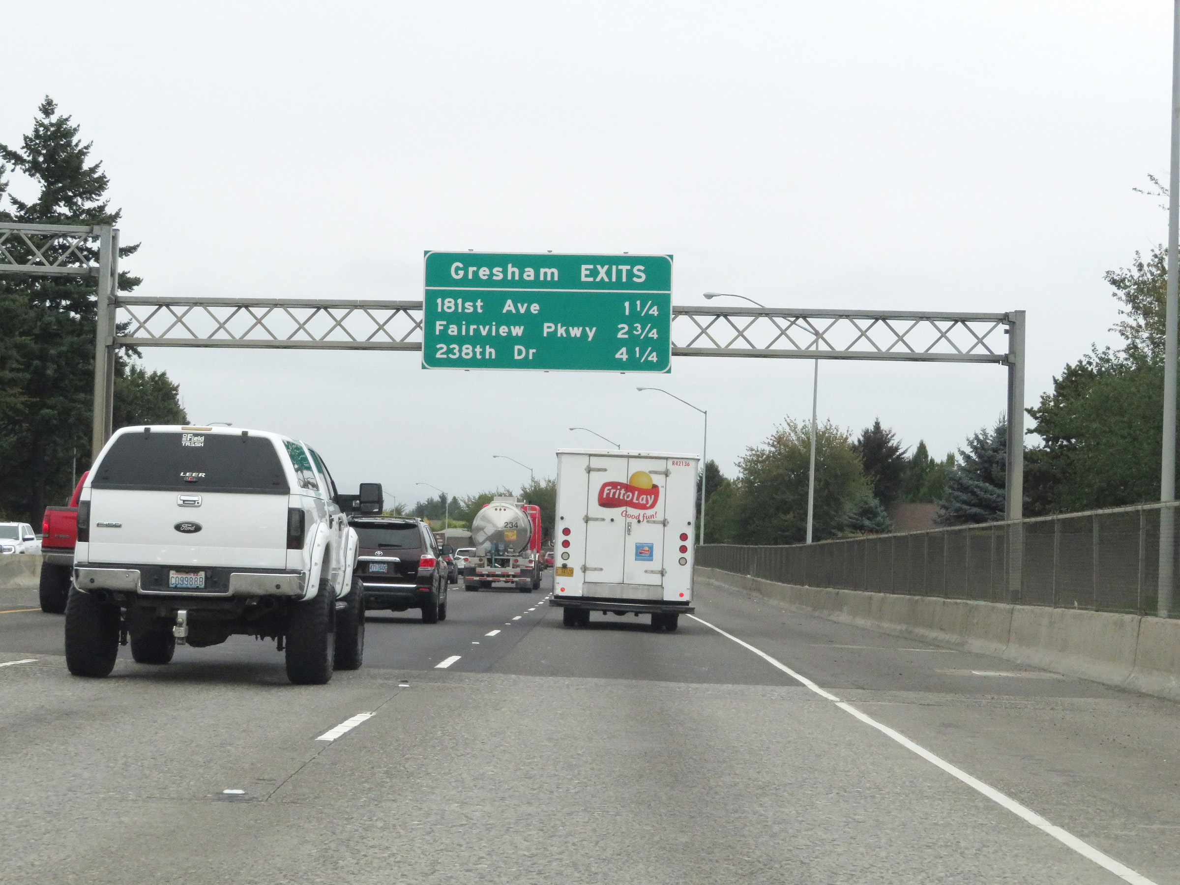 |
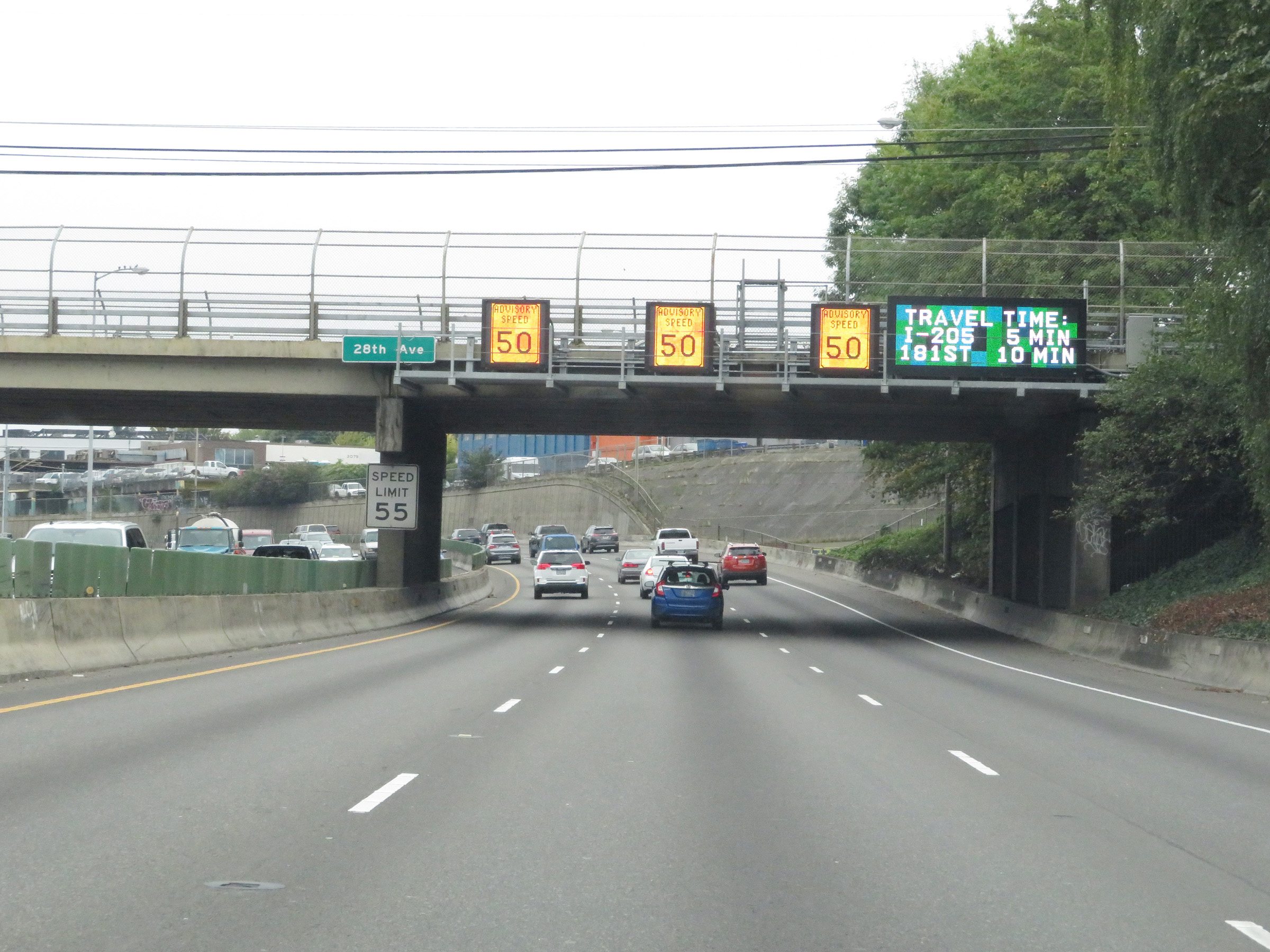
This overhead mileage sign lists the distances to the three upcoming exits to Gresham. (Photo taken 9/26/19). |
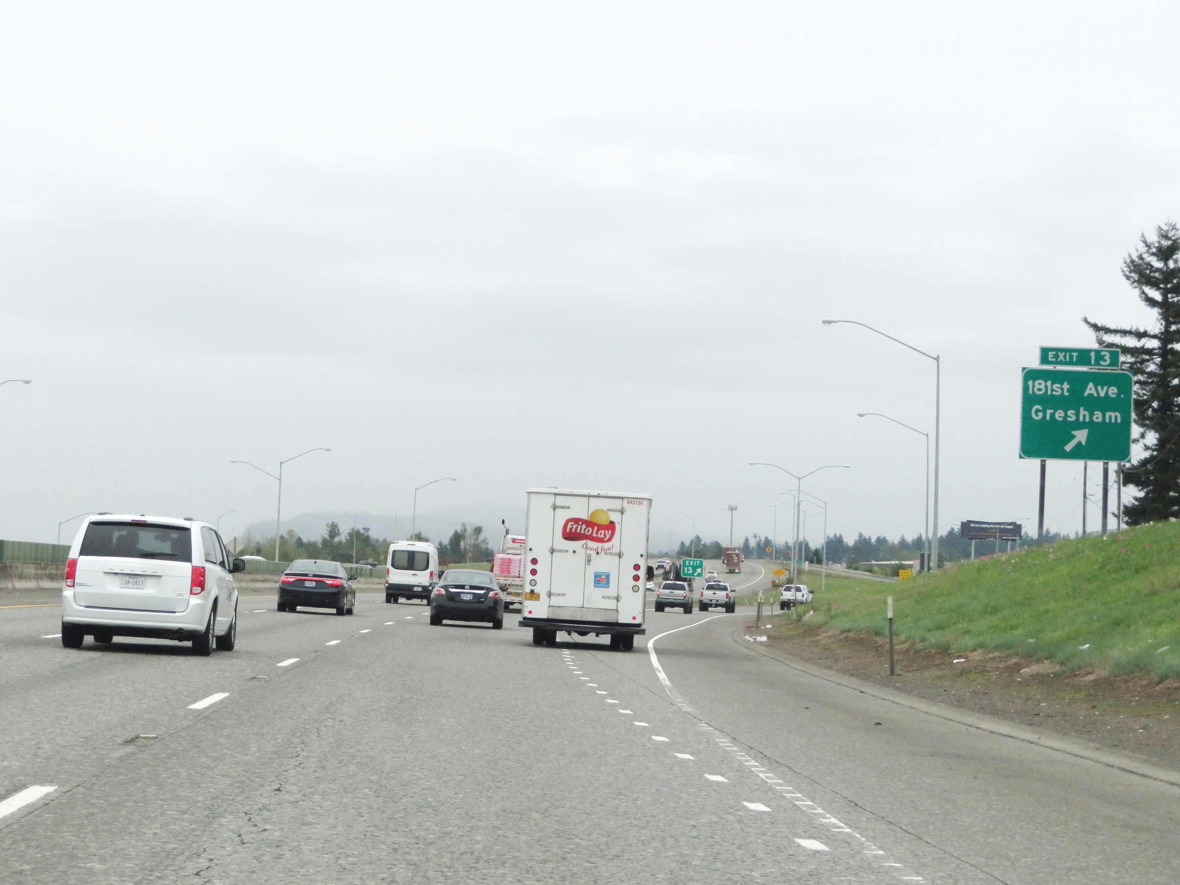 |
Interstate 84 East at Exit 13: 181st Ave / Gresham (Photo taken 9/26/19). |
 |
Take Exit 14 to Blue Lake Park and Chinook Landing. (Photo taken 9/26/19). |
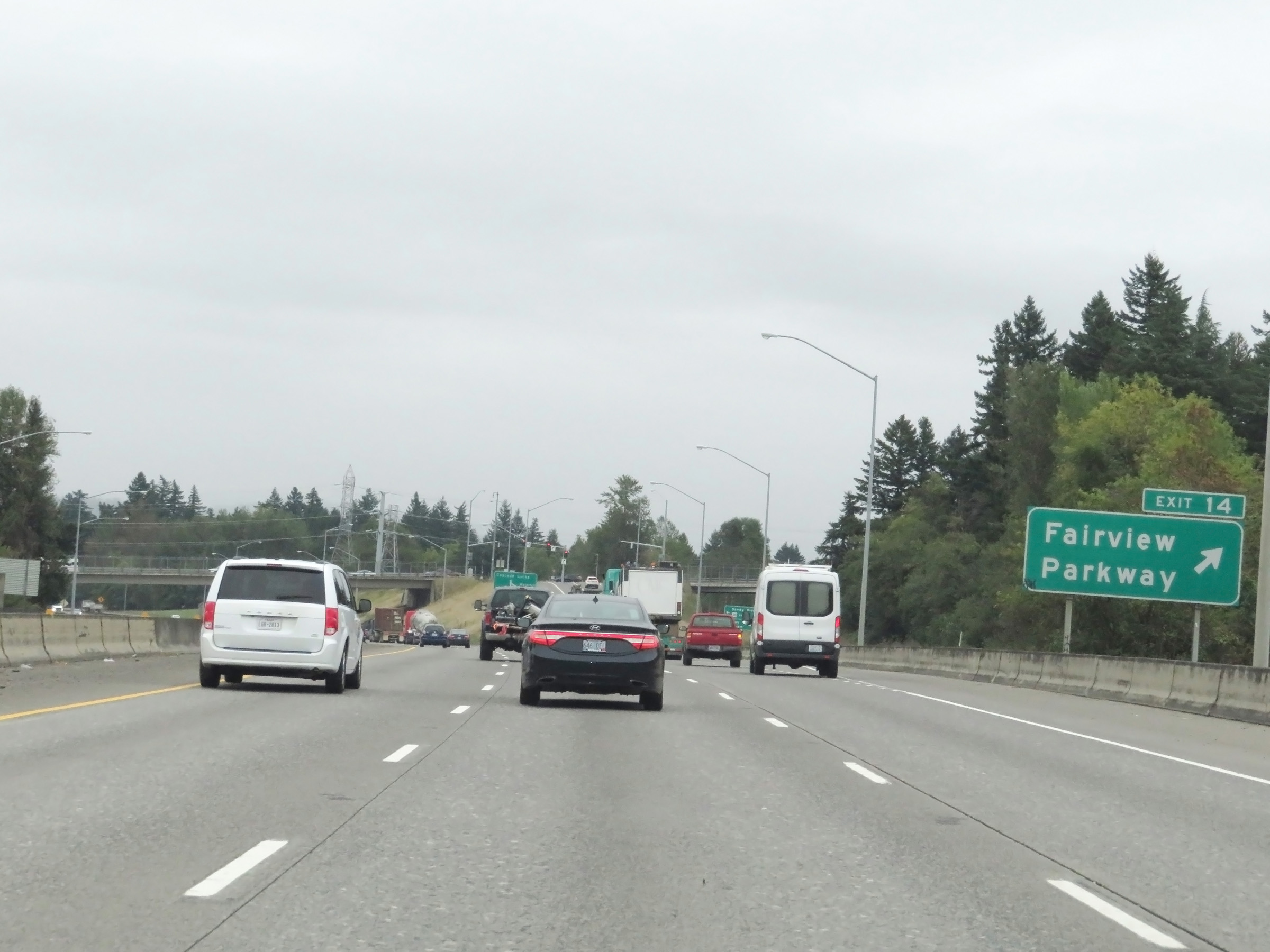 |
Interstate 84 East at Exit 14: Fairview Parkway (Photo taken 9/26/19). |
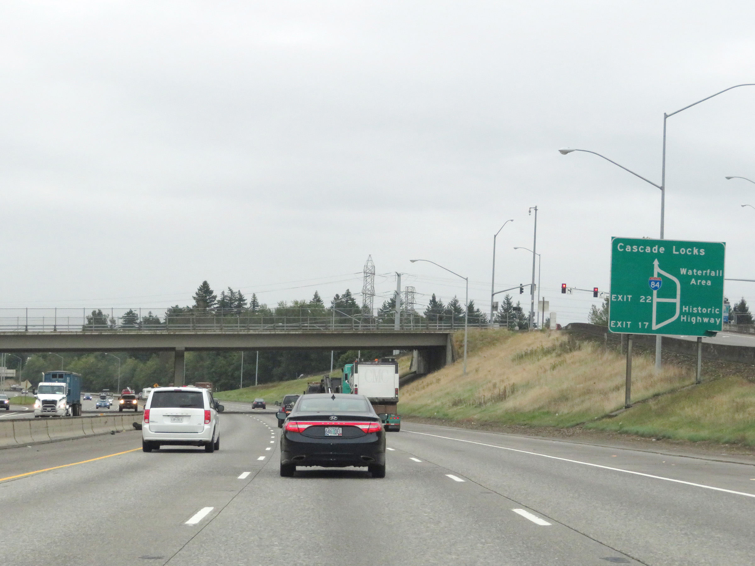 |
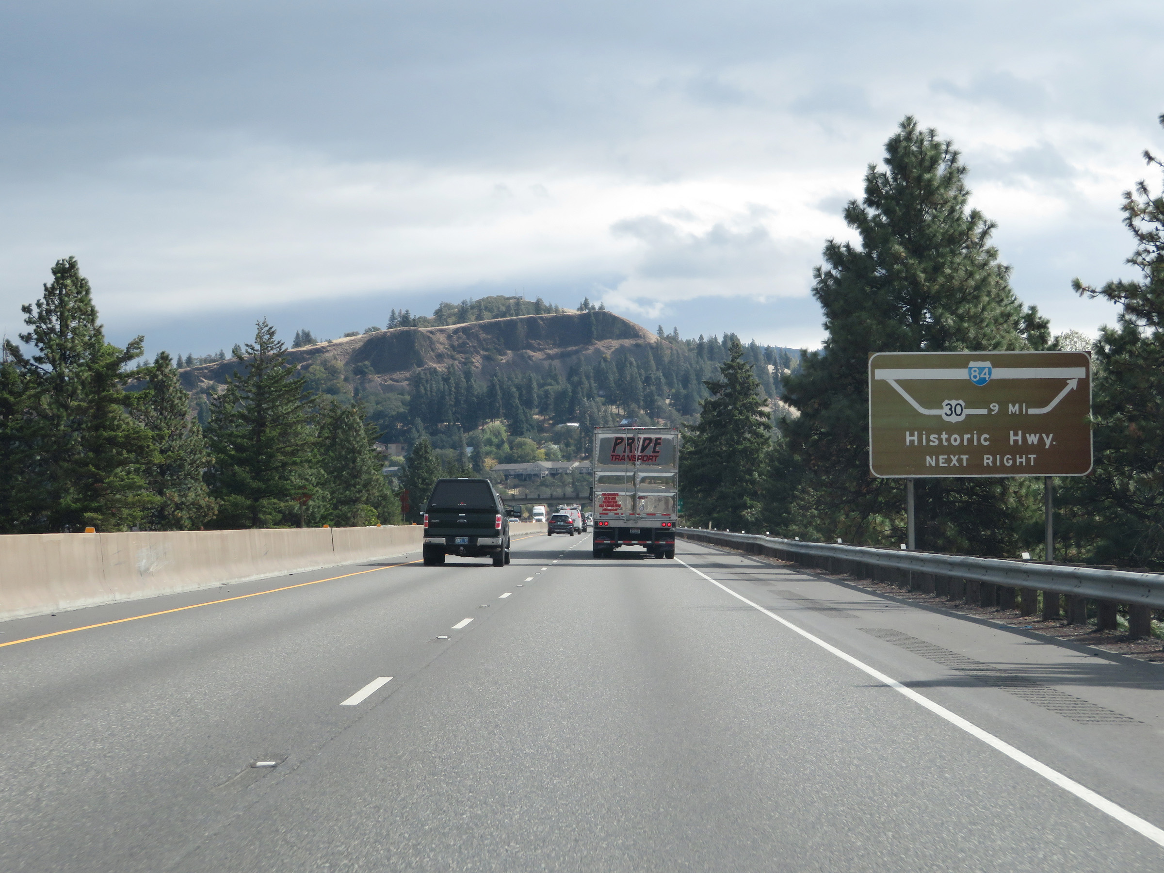
This sign gives a visual aid to motorists regarding where Exits 17 and 22 will take you in relation to Historic Highway and Waterfall Area. (Photo taken 9/26/19). |
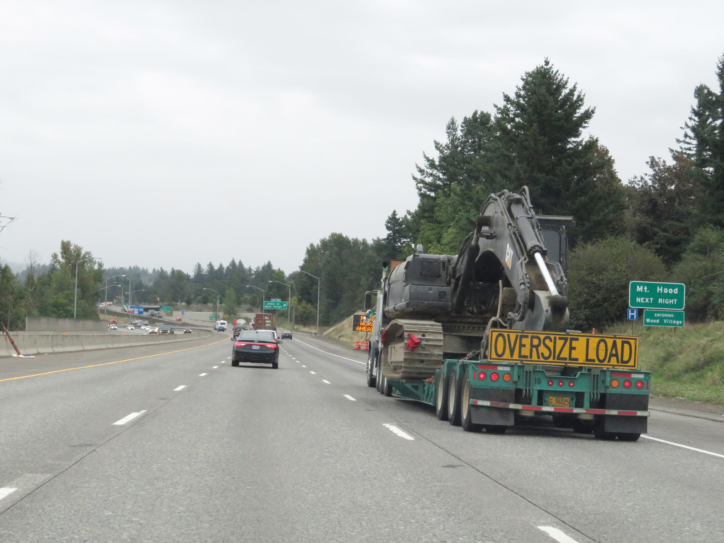 |
Take Exit 16 to Mt. Hood. (Photo taken 9/26/19). |
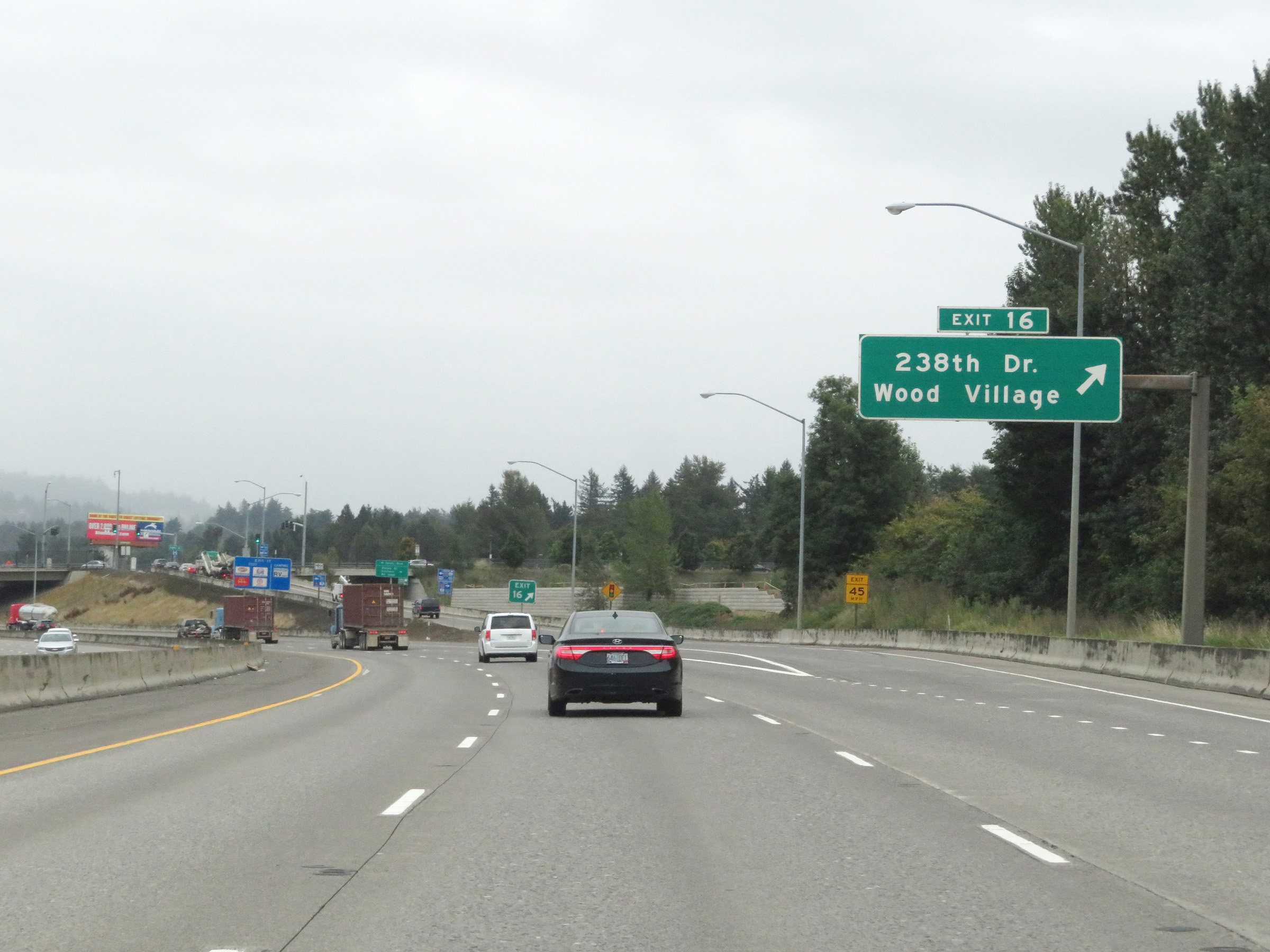 |
Interstate 84 East at Exit 16: 238th Dr / Wood Village (Photo taken 9/26/19). |
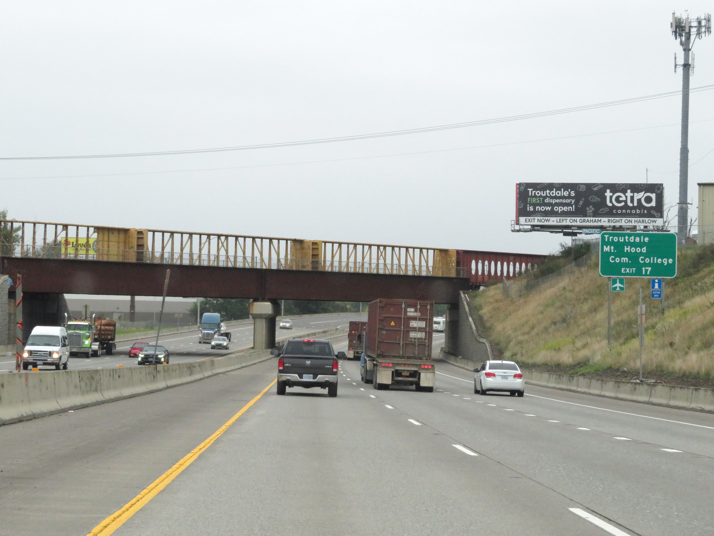 |
Take Exit 17 to Troutdale and Mt. Hood Community College. (Photo taken 9/26/19). |
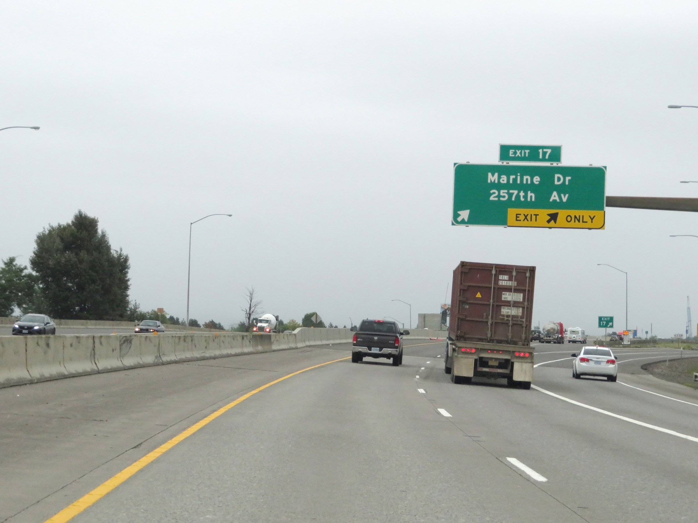 |
Interstate 84 East at Exit 17: Marine Dr / 257th Ave (Photo taken 9/26/19). |
Section 2: Troutdale (Exit 17) to Hood River (Exit 63)
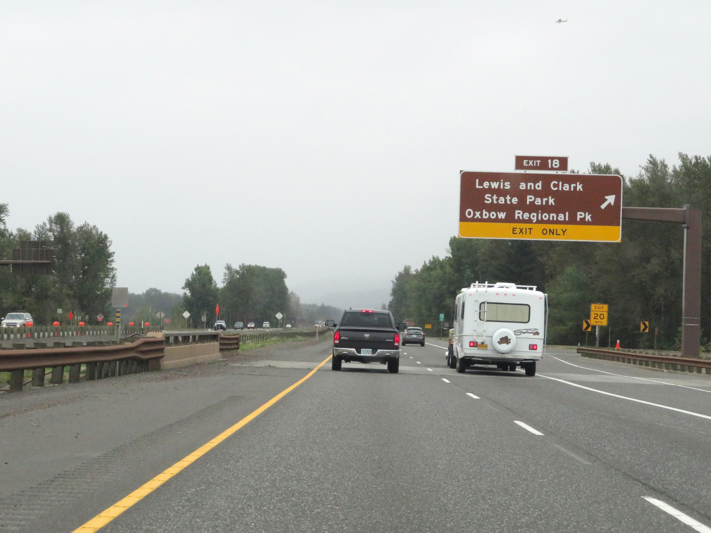 |
Interstate 84 East at Exit 18: Lewis and Clark State Park / Oxbow Regional Park (Photo taken 9/26/19). |
 |
Another Interstate 84 East reassurance shield as it enters the Columbia River Gorge National Scenic Area. (Photo taken 9/26/19). |
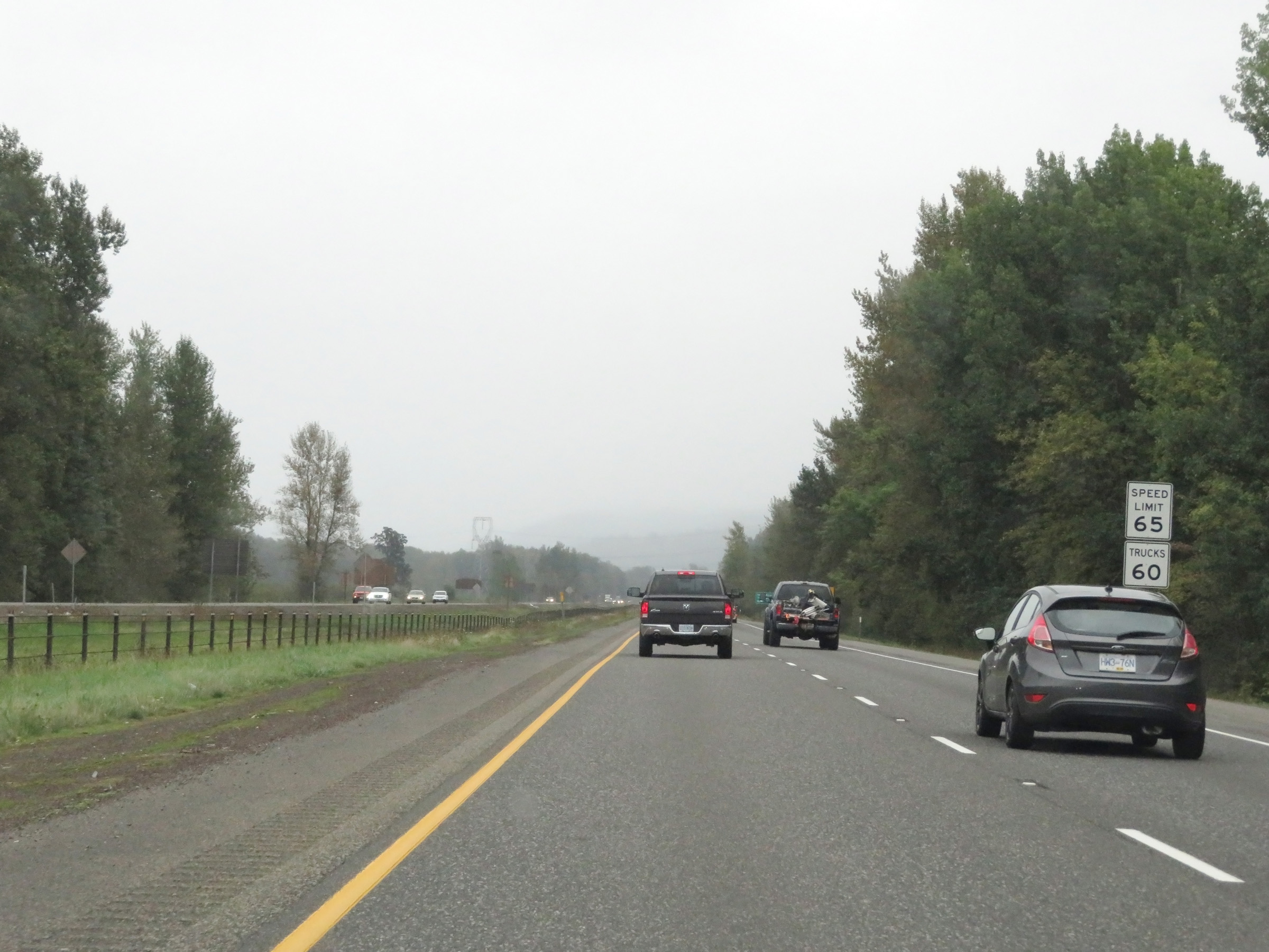 |
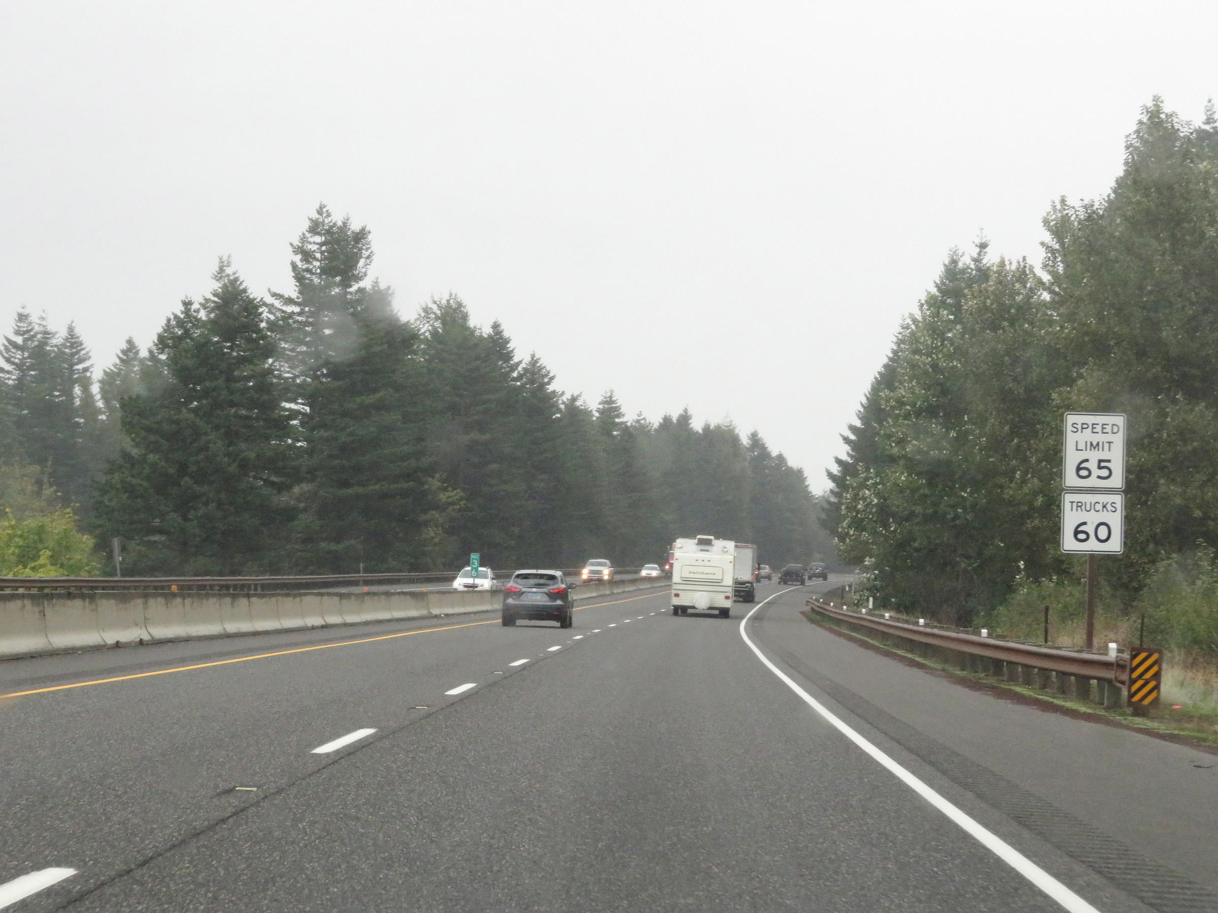
Upon entering the Columbia River Gorge National Scenic Area, the speed limits increase to 65 mph for automobiles and 60 mph for trucks. (Photo taken 9/26/19). |
 |
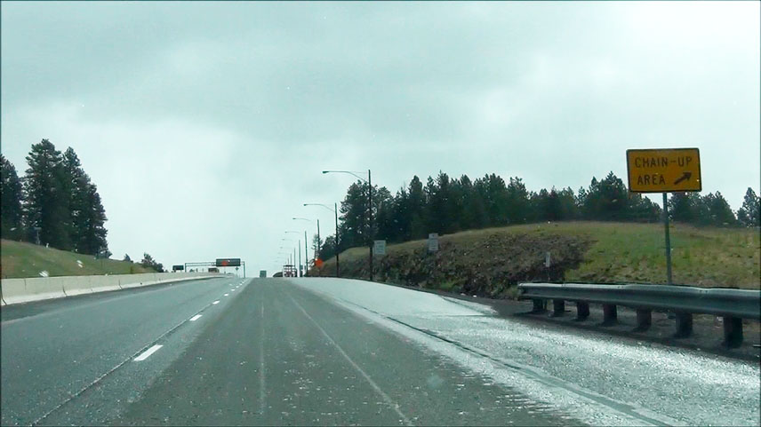
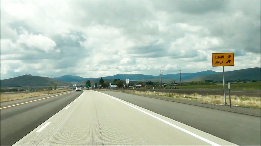
Here we see the first of several Chain-Up Areas on Interstate 84 East in Oregon. (Photo taken 9/26/19). |
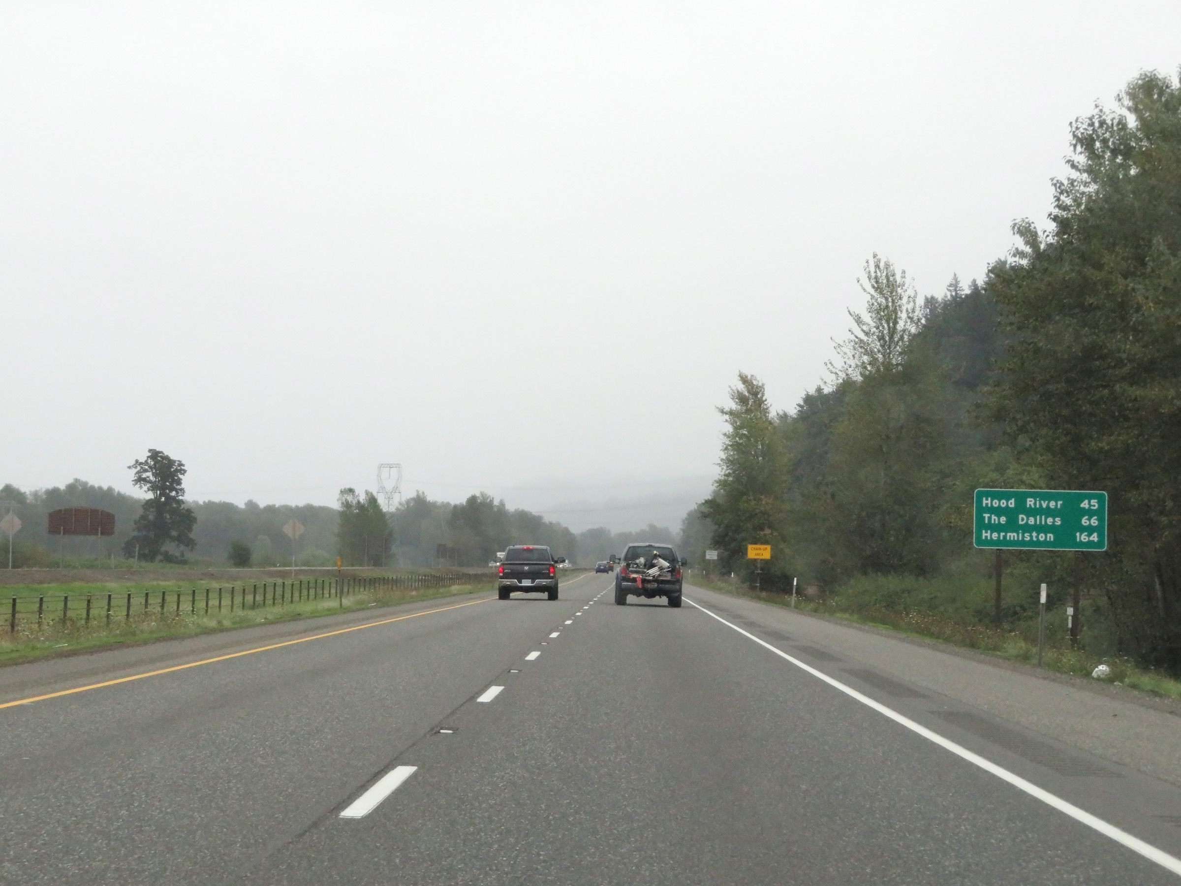 |
Mileage sign on Interstate 84 East. It's 45 miles to Hood River, 66 miles to The Dalles, and 164 miles to Hermiston. (Photo taken 9/26/19). |
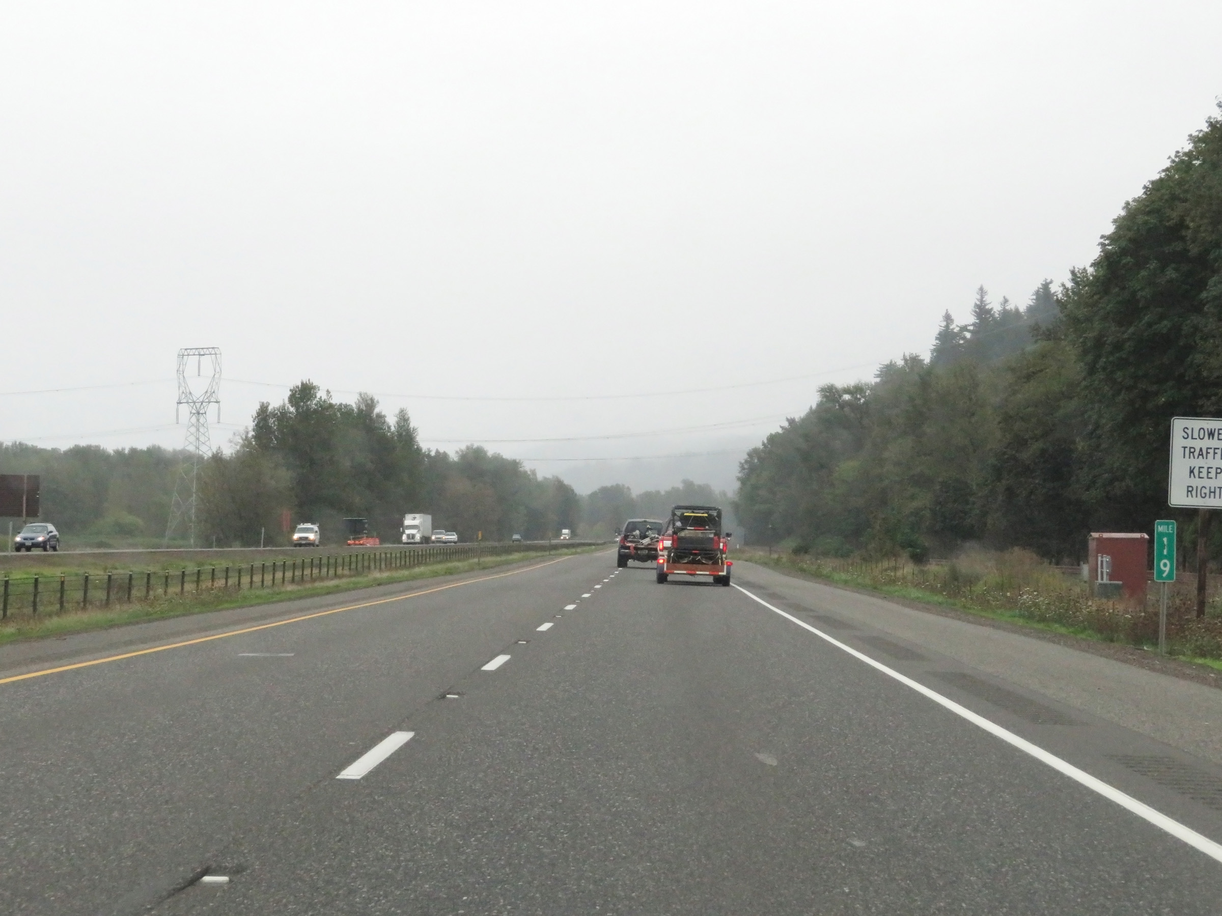 |
View on Interstate 84 East at mile marker 19. (Photo taken 9/26/19). |
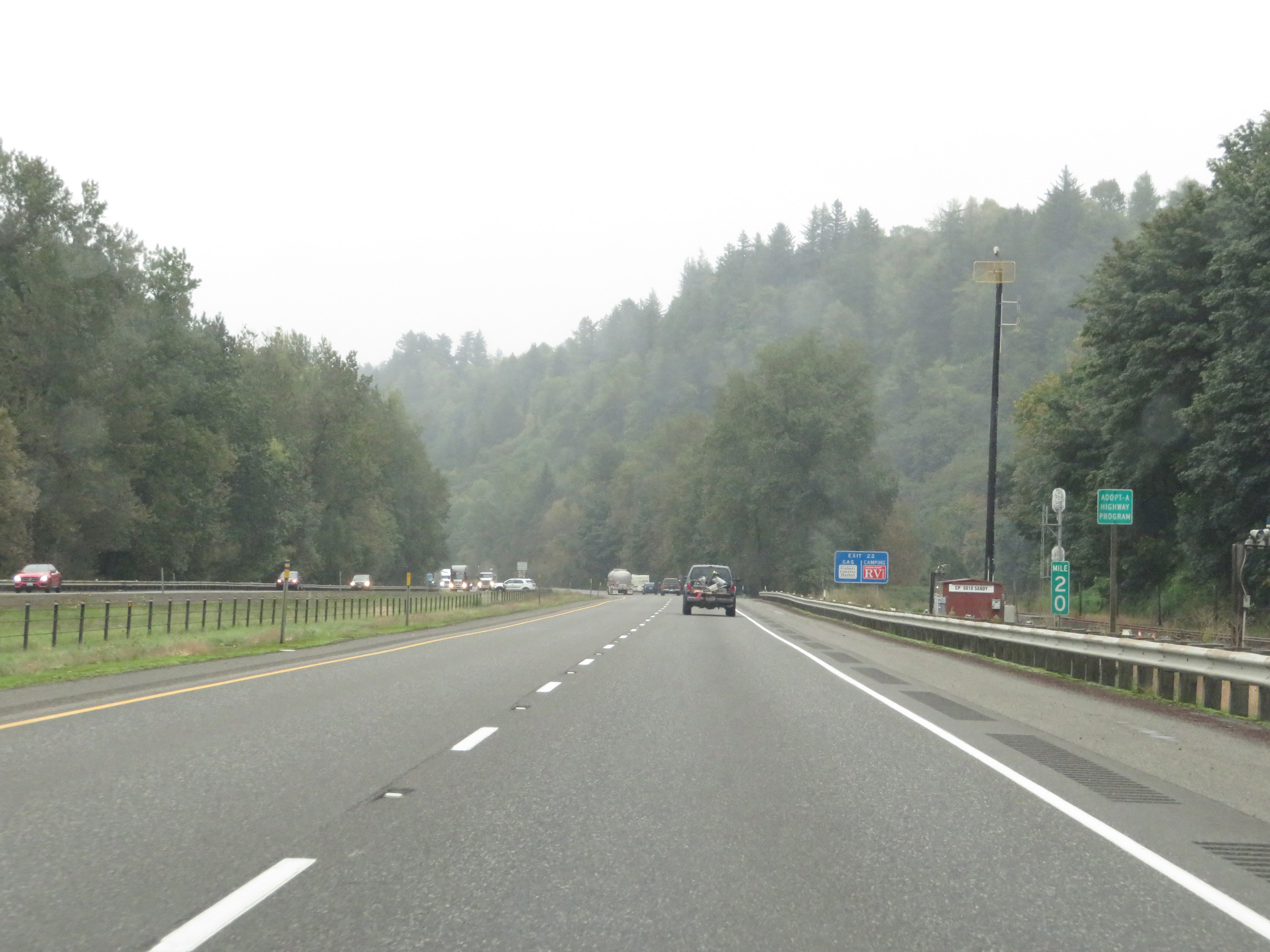 |
Mile marker 20 on Interstate 84 East in Multnomah County. (Photo taken 9/26/19). |
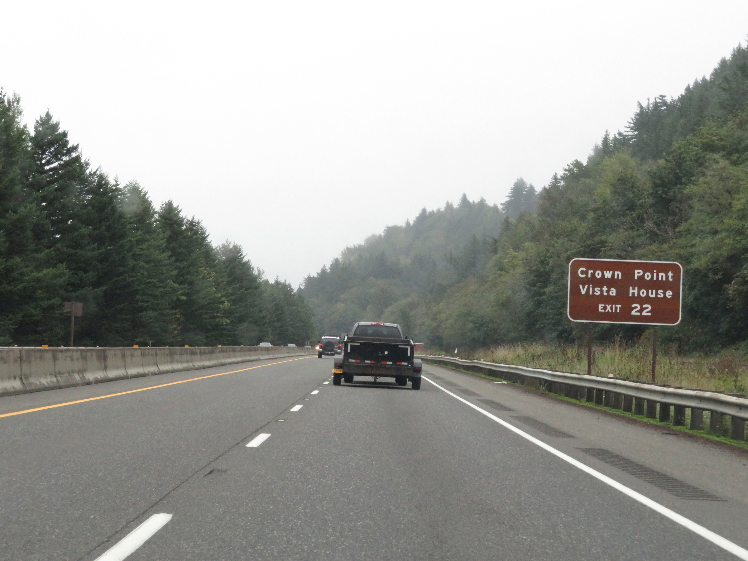 |
Take Exit 22 to Crown Point Vista House. (Photo taken 9/26/19). |
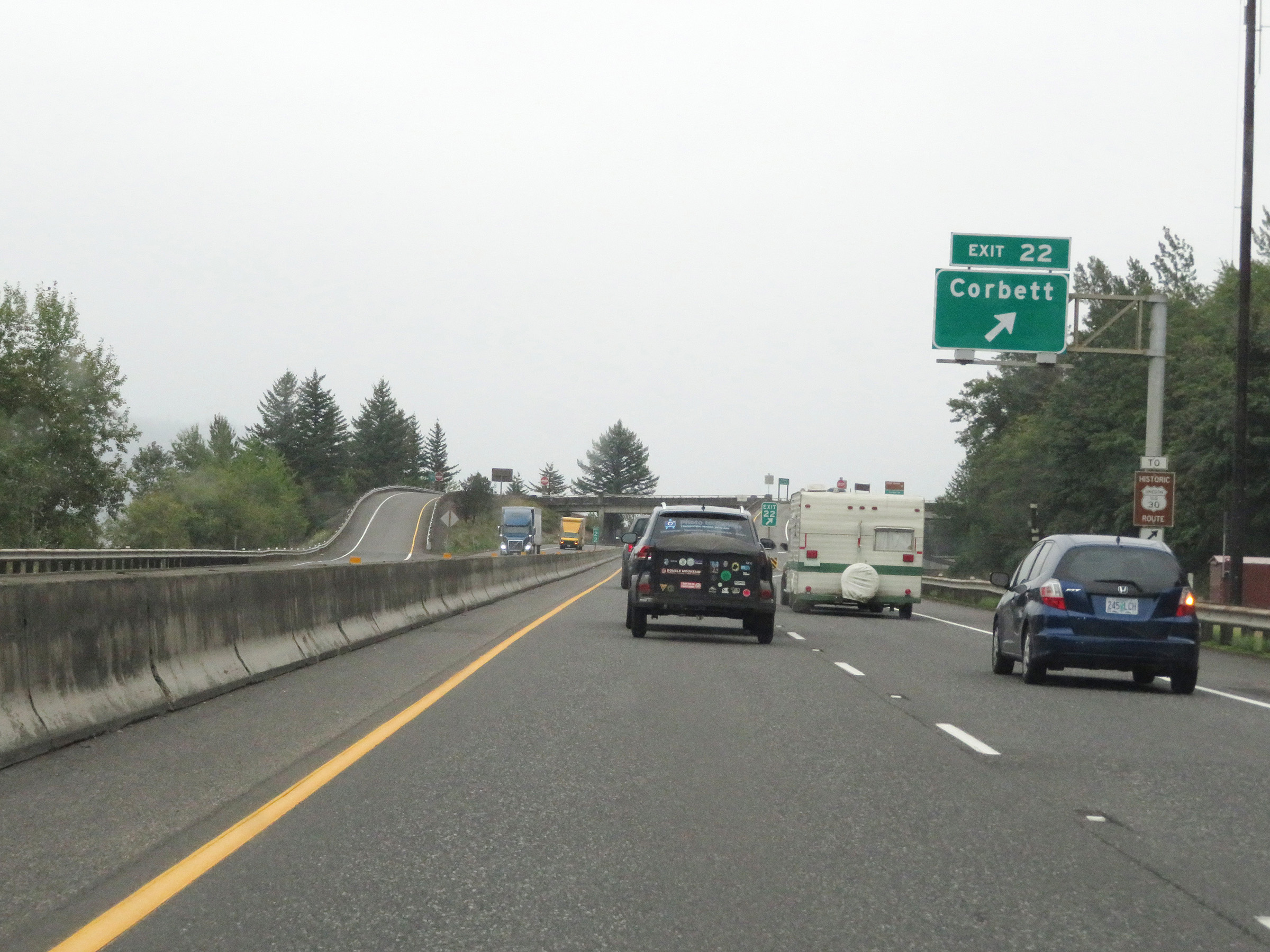 |
Interstate 84 East at Exit 22: Corbett (Photo taken 9/26/19). |
 |
Interstate 84 East at mile marker 24. (Photo taken 9/26/19). |
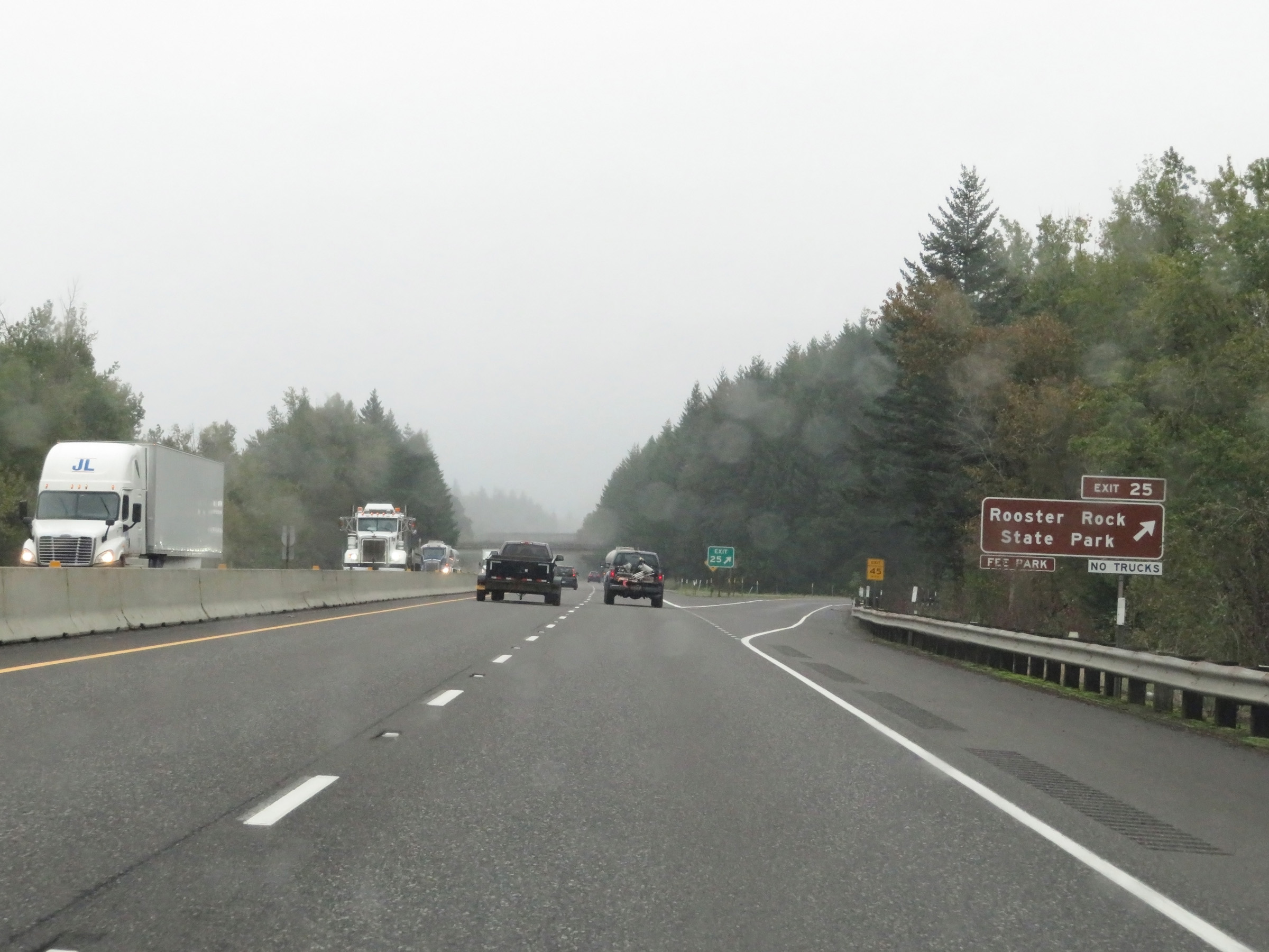 |
Interstate 84 East at Exit 25: Rooster Rock State Park (Photo taken 9/26/19). |
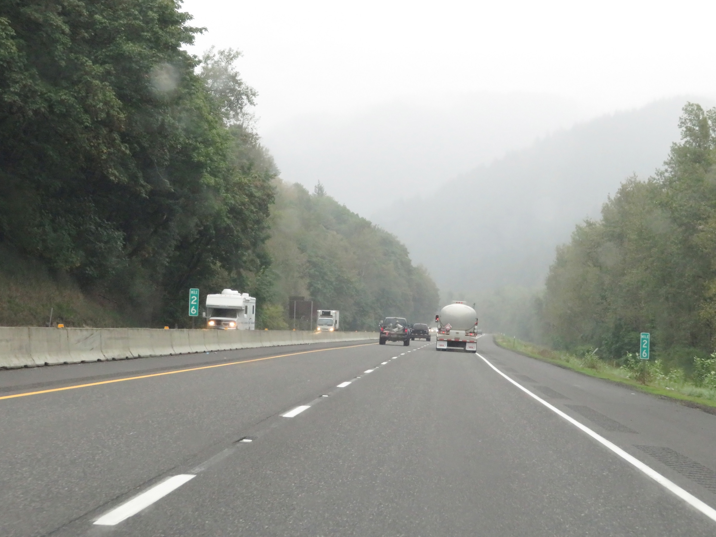 |
View on Interstate 84 East at mile marker 26. (Photo taken 9/26/19). |
 |
Mile marker 27 on Interstate 84 East in Multnomah County. (Photo taken 9/26/19). |
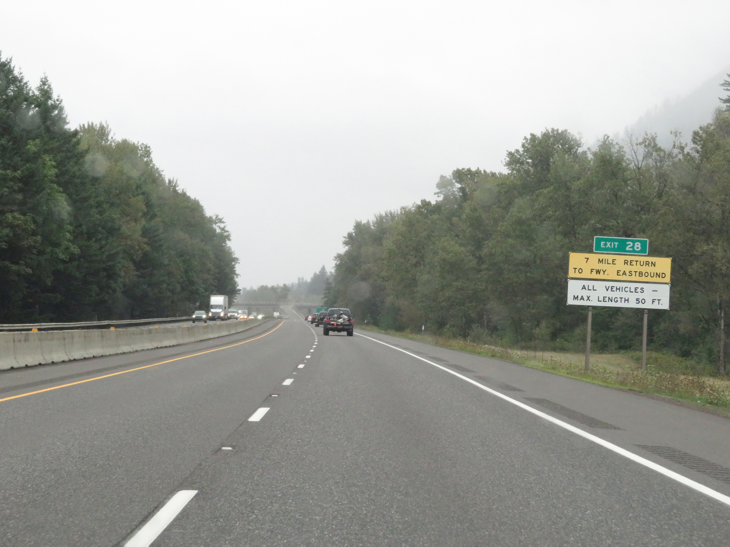 |
This sign warns that if you take Exit 28, it will be a 7-mile return to Interstate 84 Eastbound. Also, the maximum vehicle length allowed to take Exit 28 is 50 feet. (Photo taken 9/26/19). |
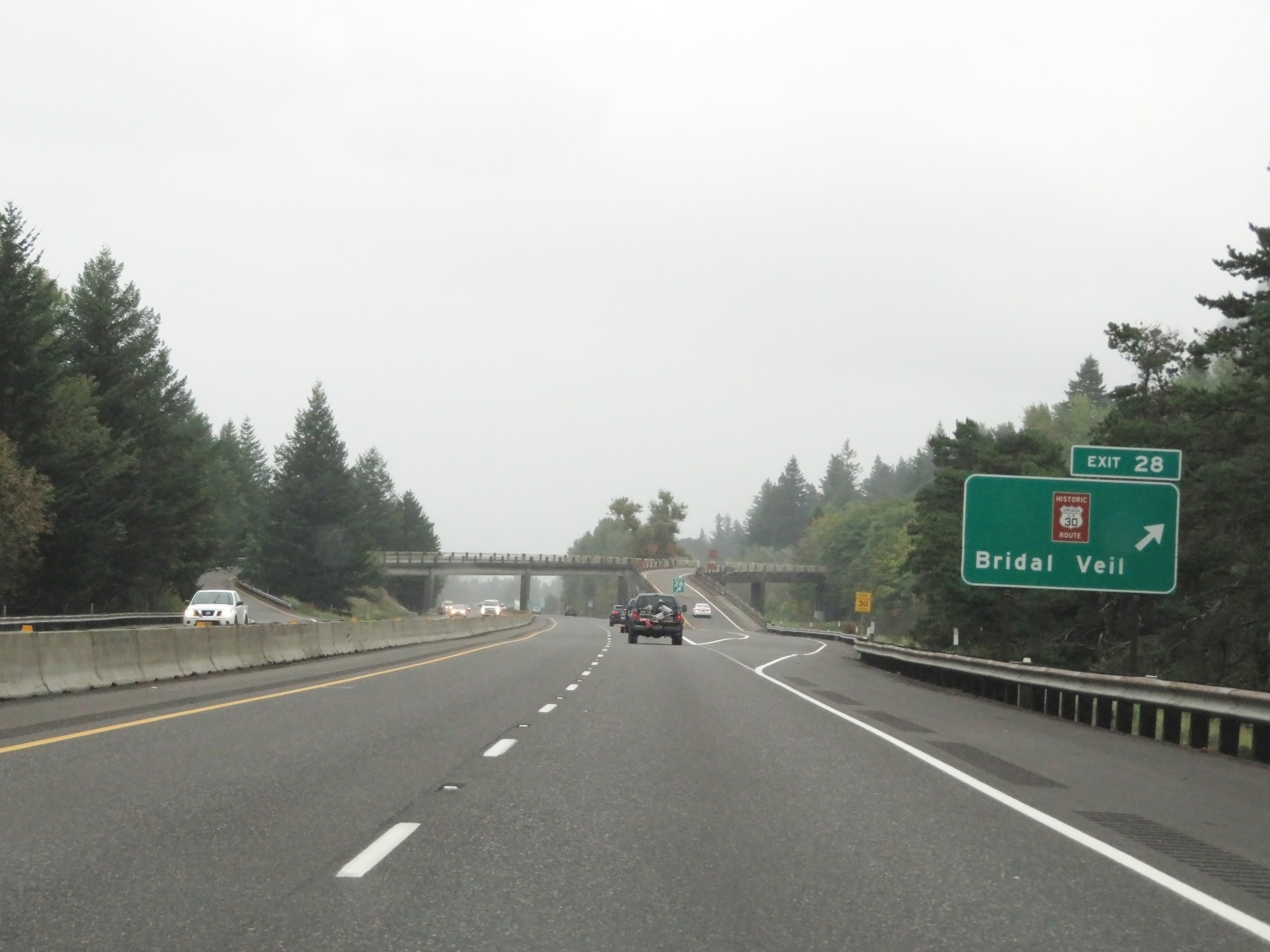 |
Interstate 84 East at Exit 28: Historic Columbia River Hwy - Bridal Veil (Photo taken 9/26/19). |
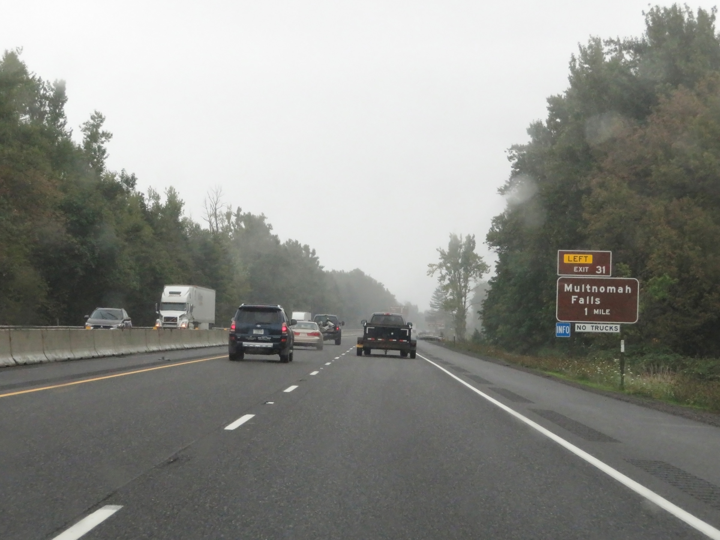 |
Advance signage for Exit 31, which is 1 mile ahead on the left. Trucks are phohibited from taking Exit 31. (Photo taken 9/26/19). |
 |
Interstate 84 East at Exit 30: Benson State Recreation Area (Photo taken 9/26/19). |
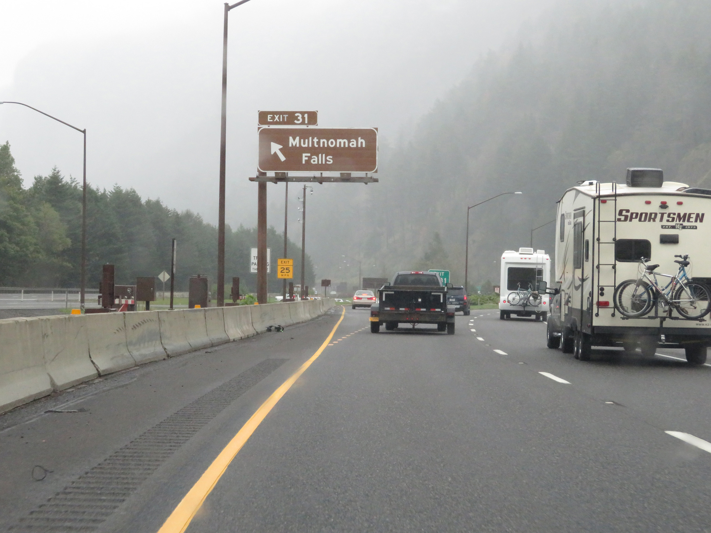 |
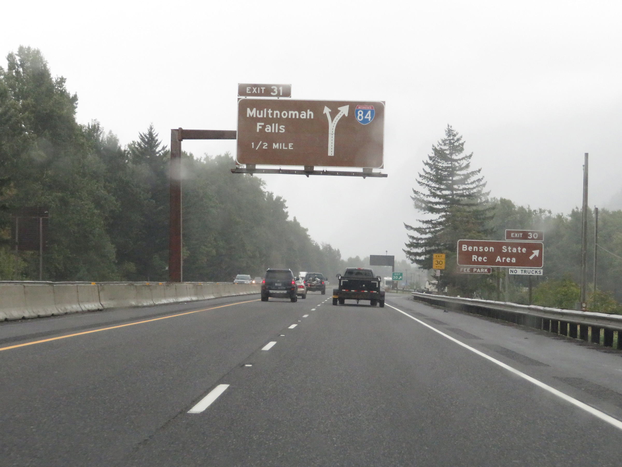
Interstate 84 East at Exit 31: Multnomah Falls (Photo taken 9/26/19). |
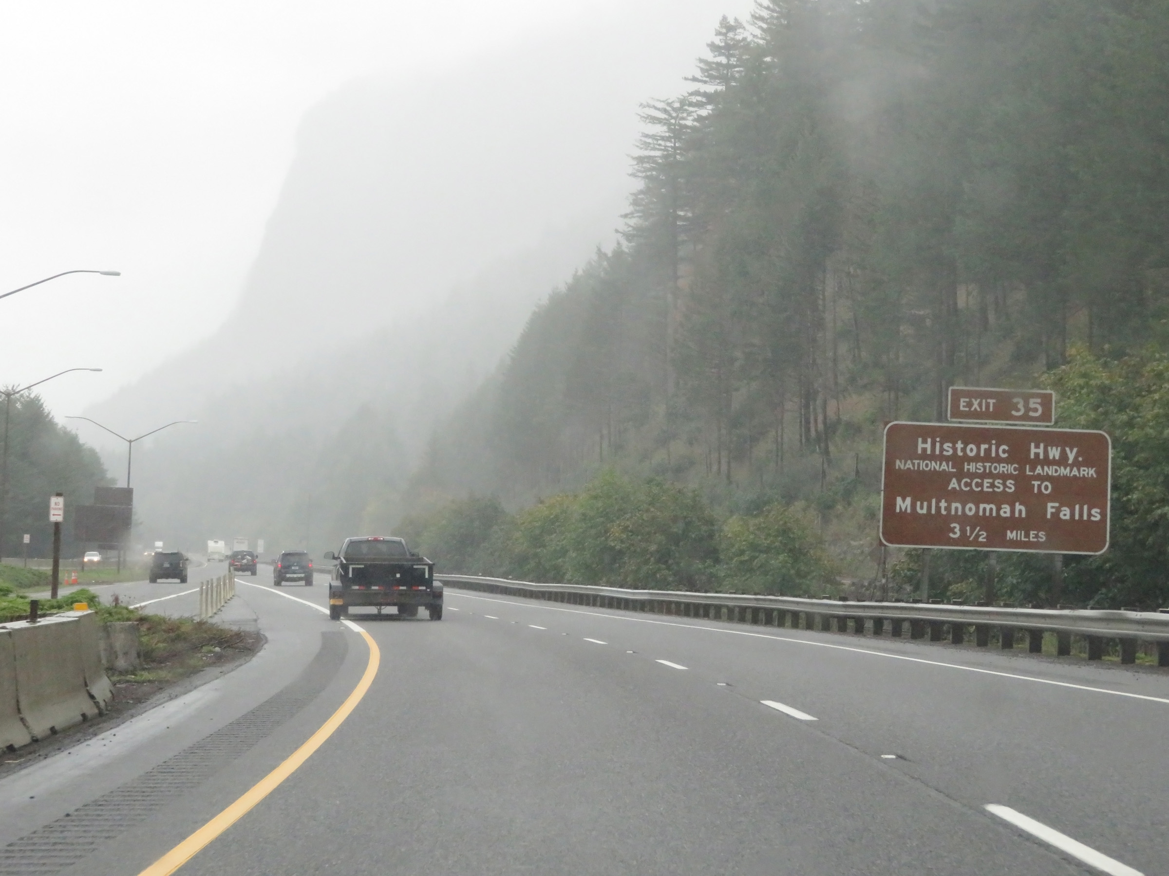 |
Access to Multnomah Falls can also be made via Exit 35, which is 3 1/2 miles ahead. (Photo taken 9/26/19). |
 |
View on Interstate 84 East at mile marker 32. (Photo taken 9/26/19). |
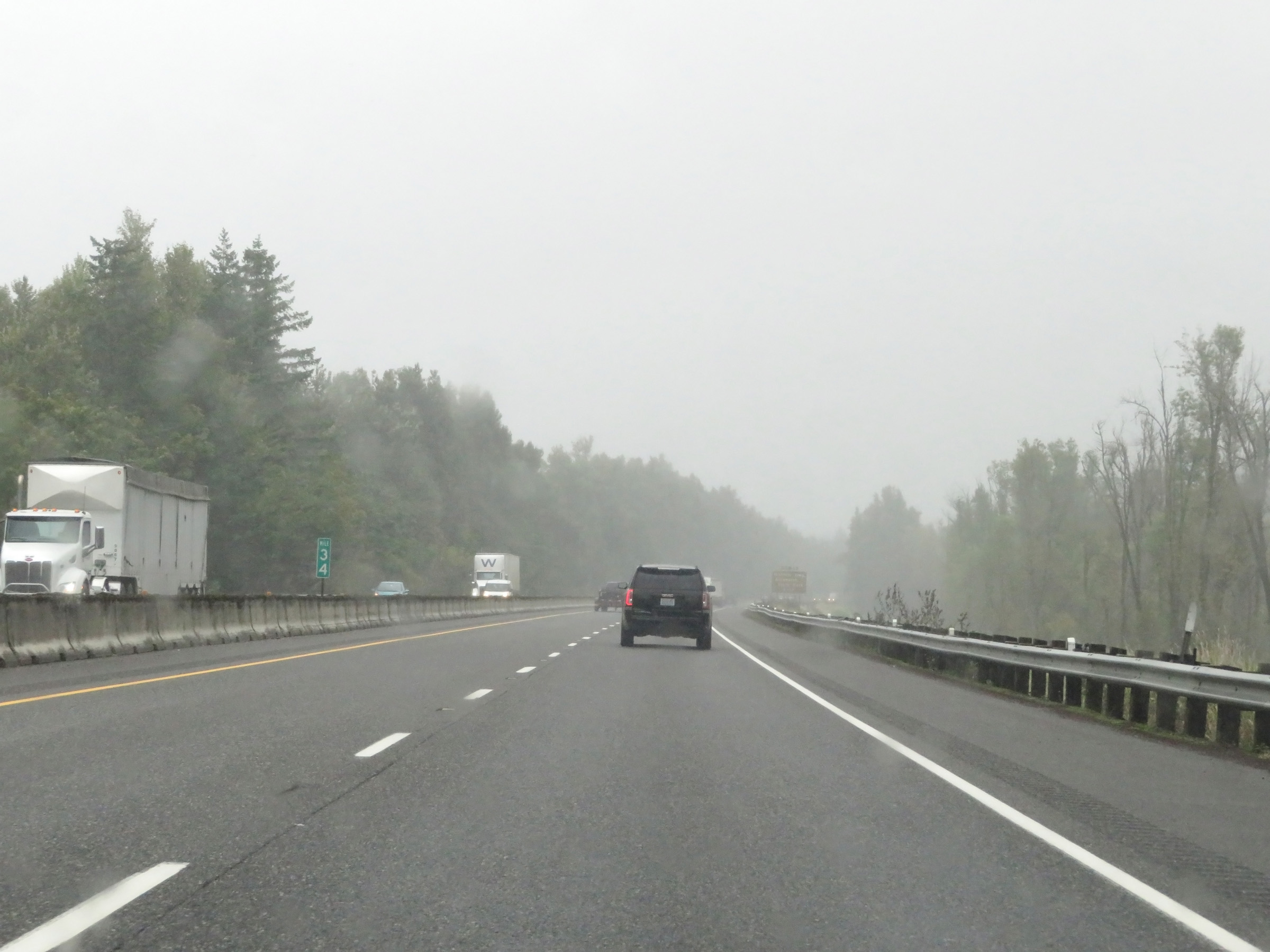 |
Mile marker 34 on Interstate 84 East in Multnomah County. (Photo taken 9/26/19). |
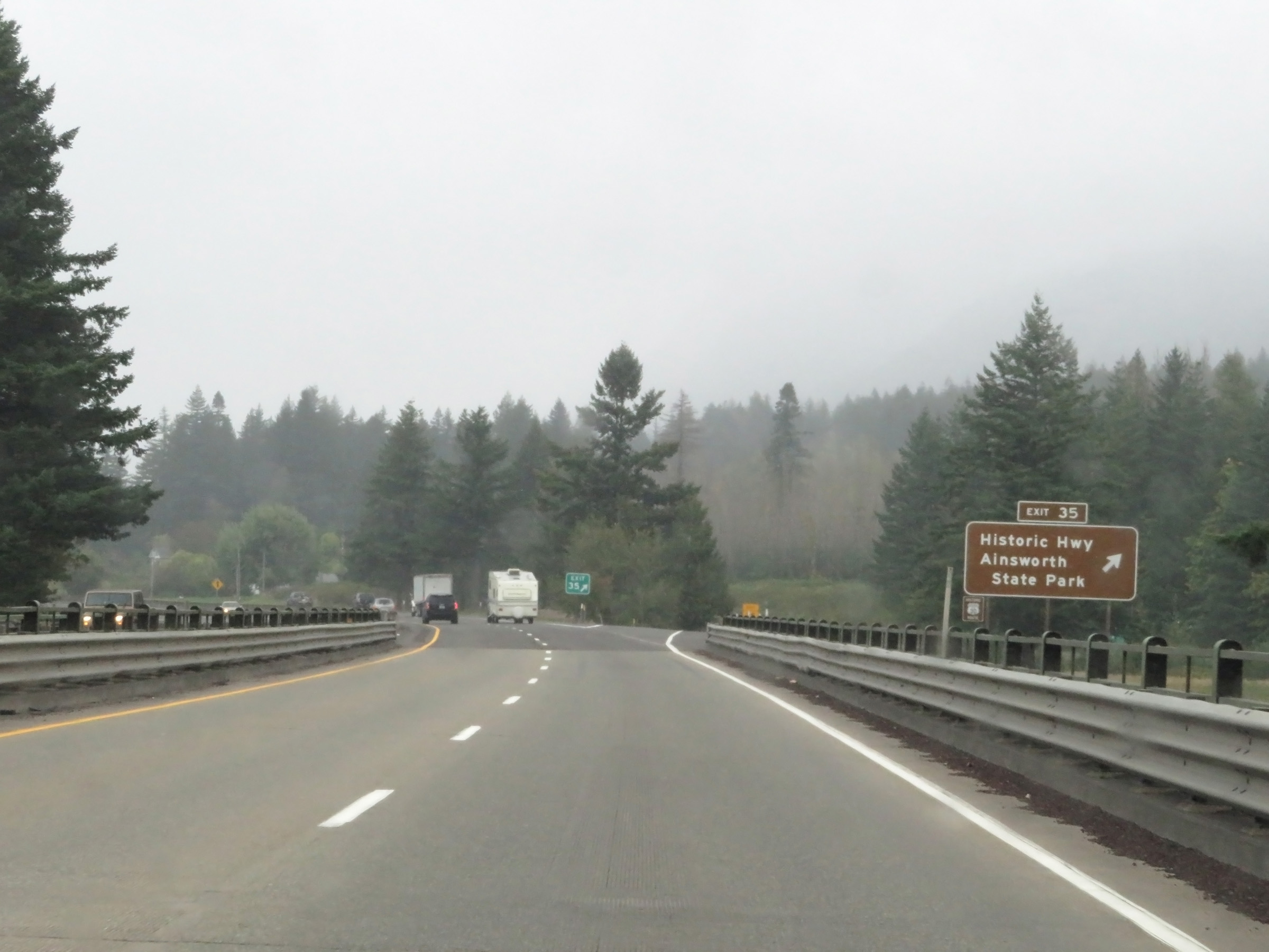 |
Interstate 84 East at Exit 35: Historic Columbia River Hwy / Ainsworth State Park (Photo taken 9/26/19). |
 |
The speed limits remain 65 mph for automobiles and 60 mph for trucks. (Photo taken 9/26/19). |
 |
Another mileage sign on Interstate 84 East. It's 8 miles to Cascade Locks, 28 miles to Hood River, and 49 miles to The Dalles. (Photo taken 9/26/19). |
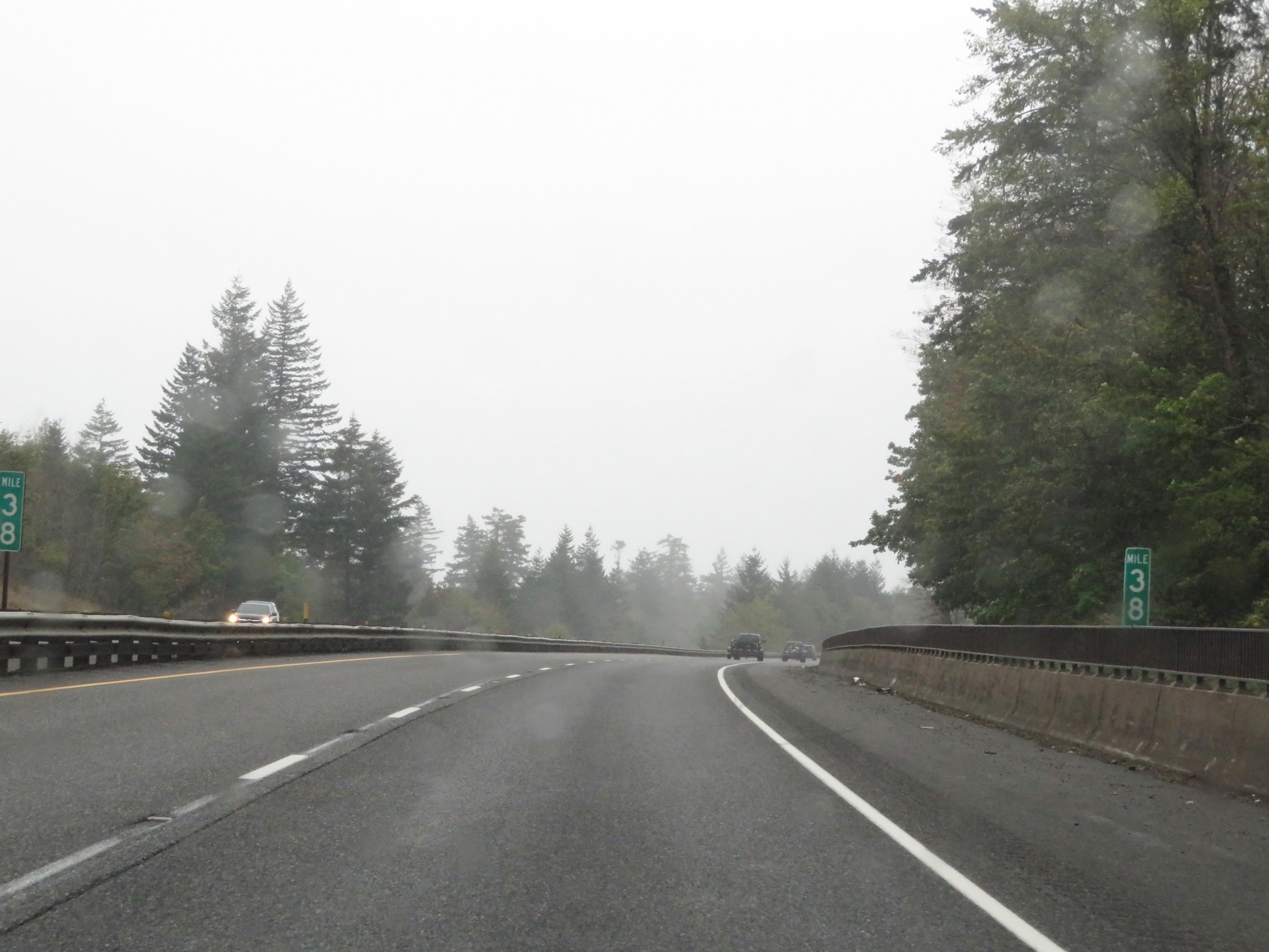 |
View on Interstate 84 East at mile marker 38. (Photo taken 9/26/19). |
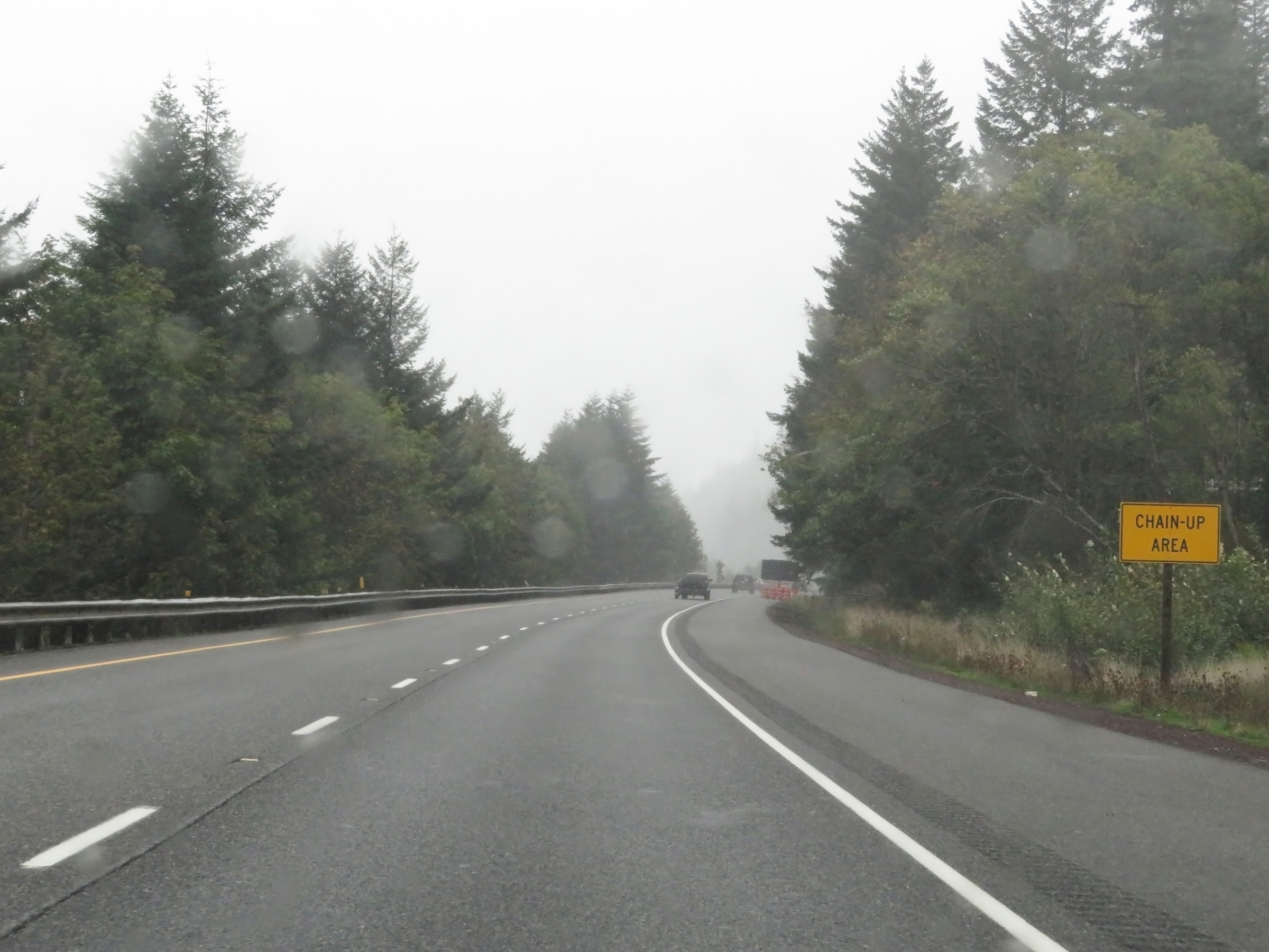 |
Another Chain-Up Area on Interstate 84 East. (Photo taken 9/26/19). |
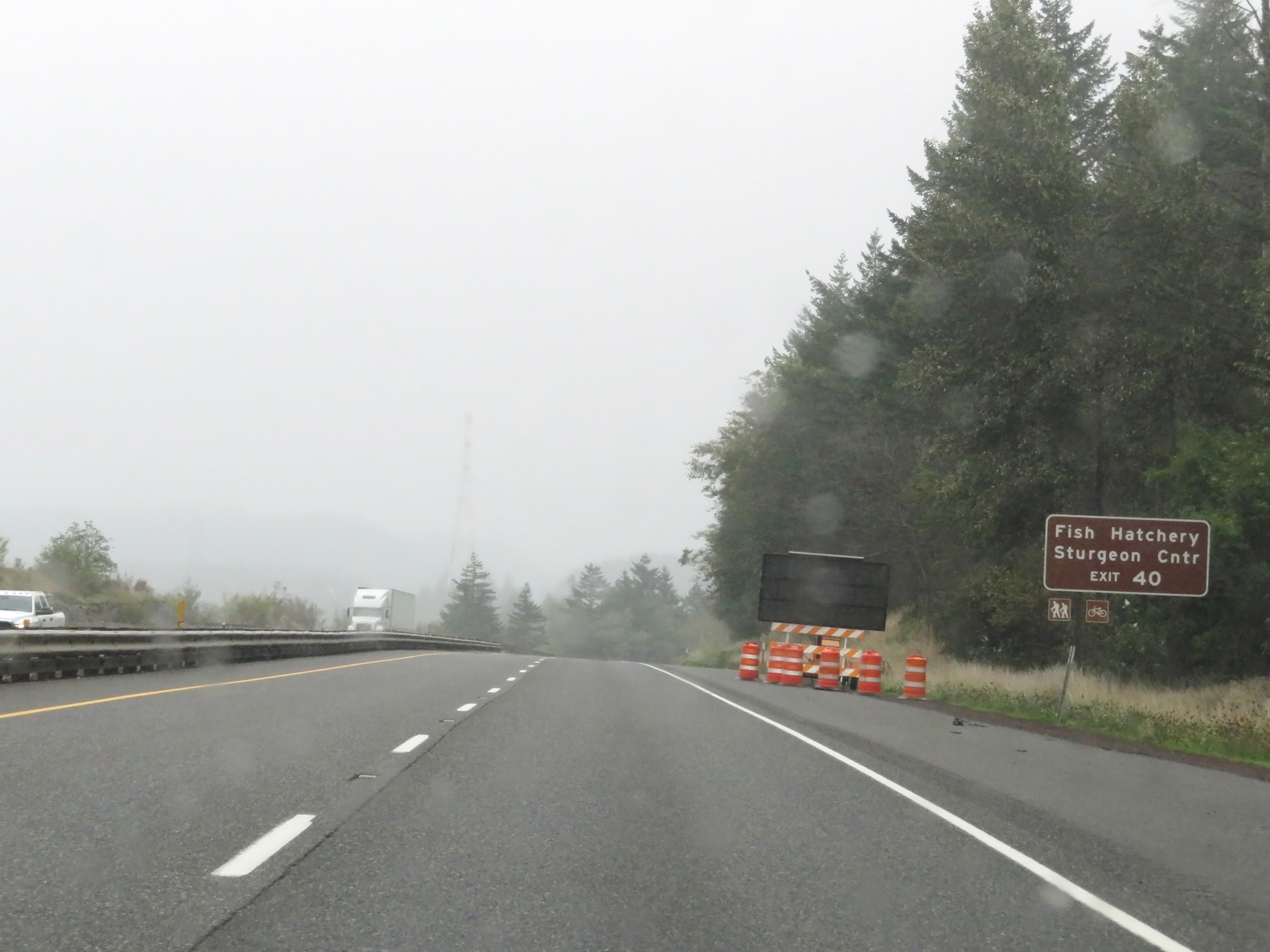 |
Take Exit 40 to the Fish Hatchery and Sturgeon Center. (Photo taken 9/26/19). |
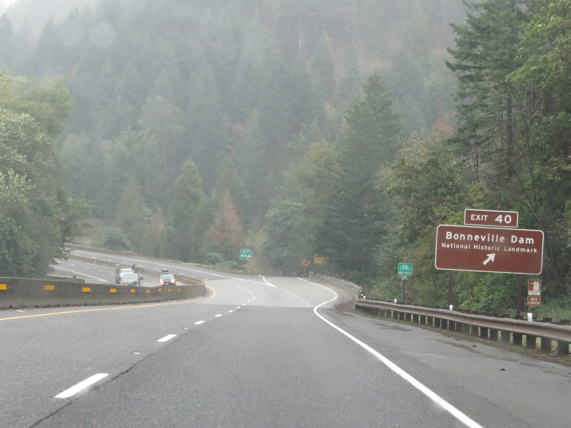 |
Interstate 84 East at Exit 40: Bonneville Dam National Historic Landmark (Photo taken 9/26/19). |
 |
Another Interstate 84 East reassurance shield. (Photo taken 9/26/19). |
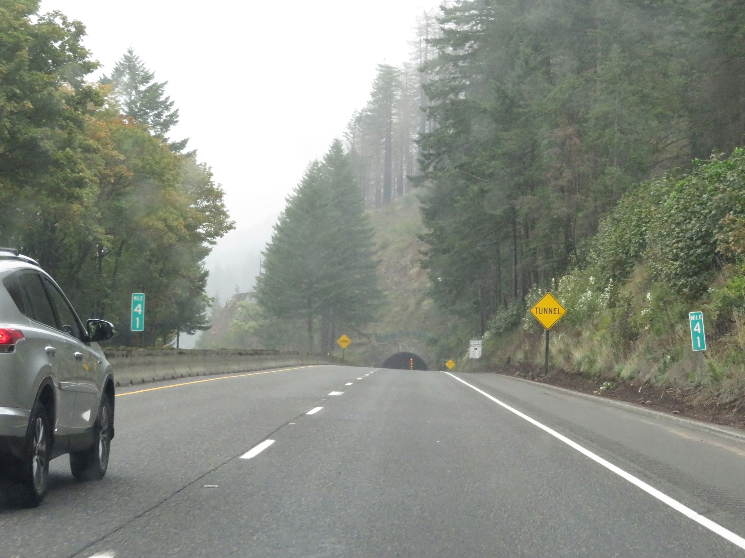 |
View on Interstate 84 East at mile marker 41. Ahead, I-84 East will pass through the brief Toothrock Tunnel. (Photo taken 9/26/19). |
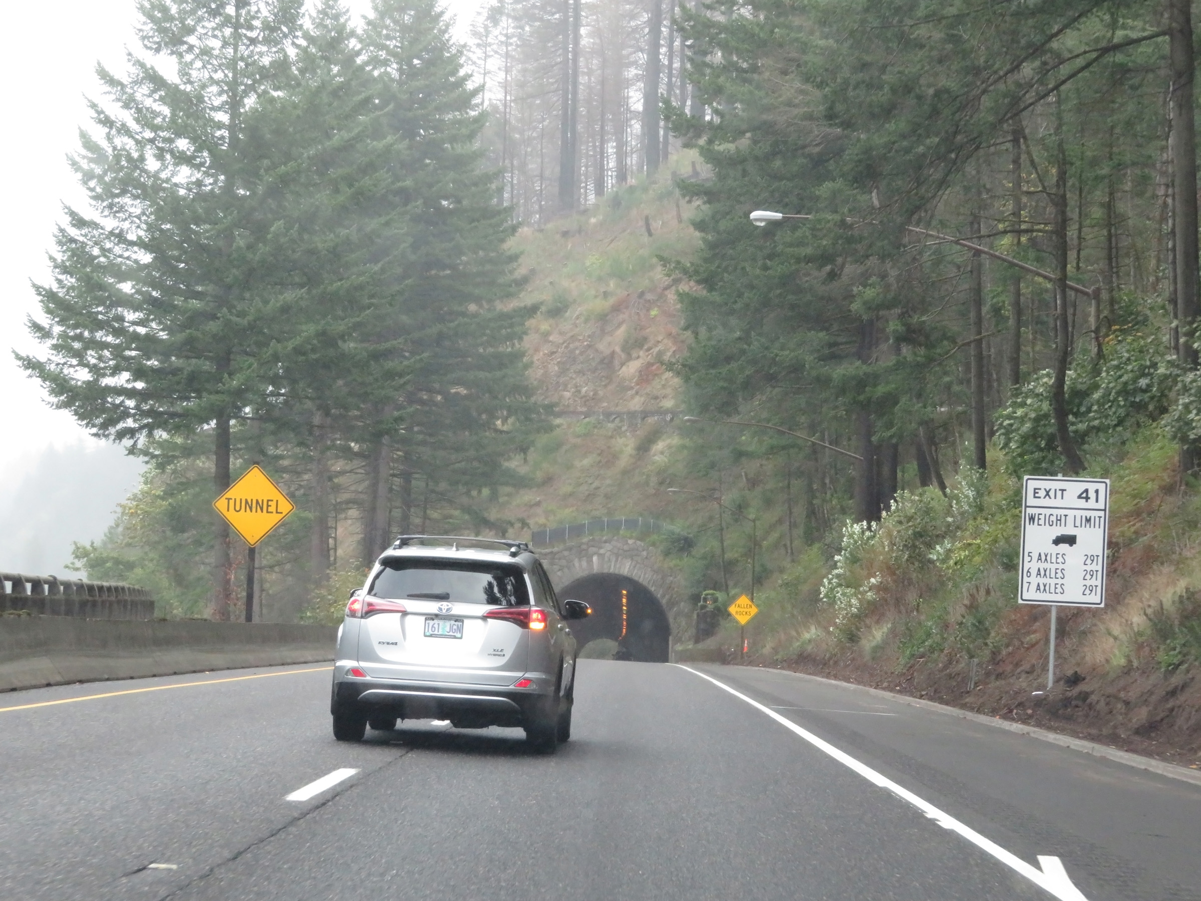 |
This sign shows the maximum legal weights for trucks of 5, 6, and 7 axles if they take Exit 41, which is immediately on the east side of the Toothrock Tunnel. (Photo taken 9/26/19). |
 |
Interstate 84 East as it prepares to enter Toothrock Tunnel. (Photo taken 9/26/19). |
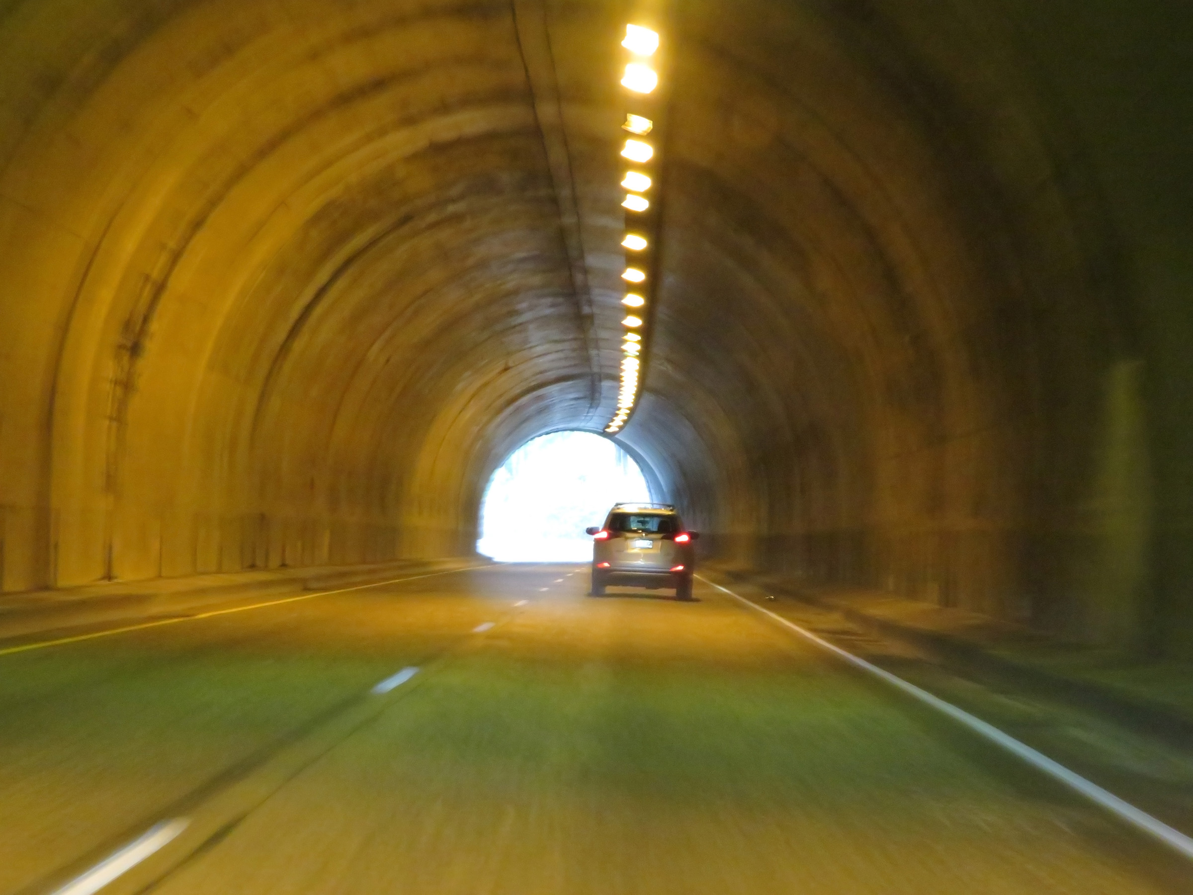 |
View inside Toothrock Tunnel on Interstate 84 East. (Photo taken 9/26/19). |
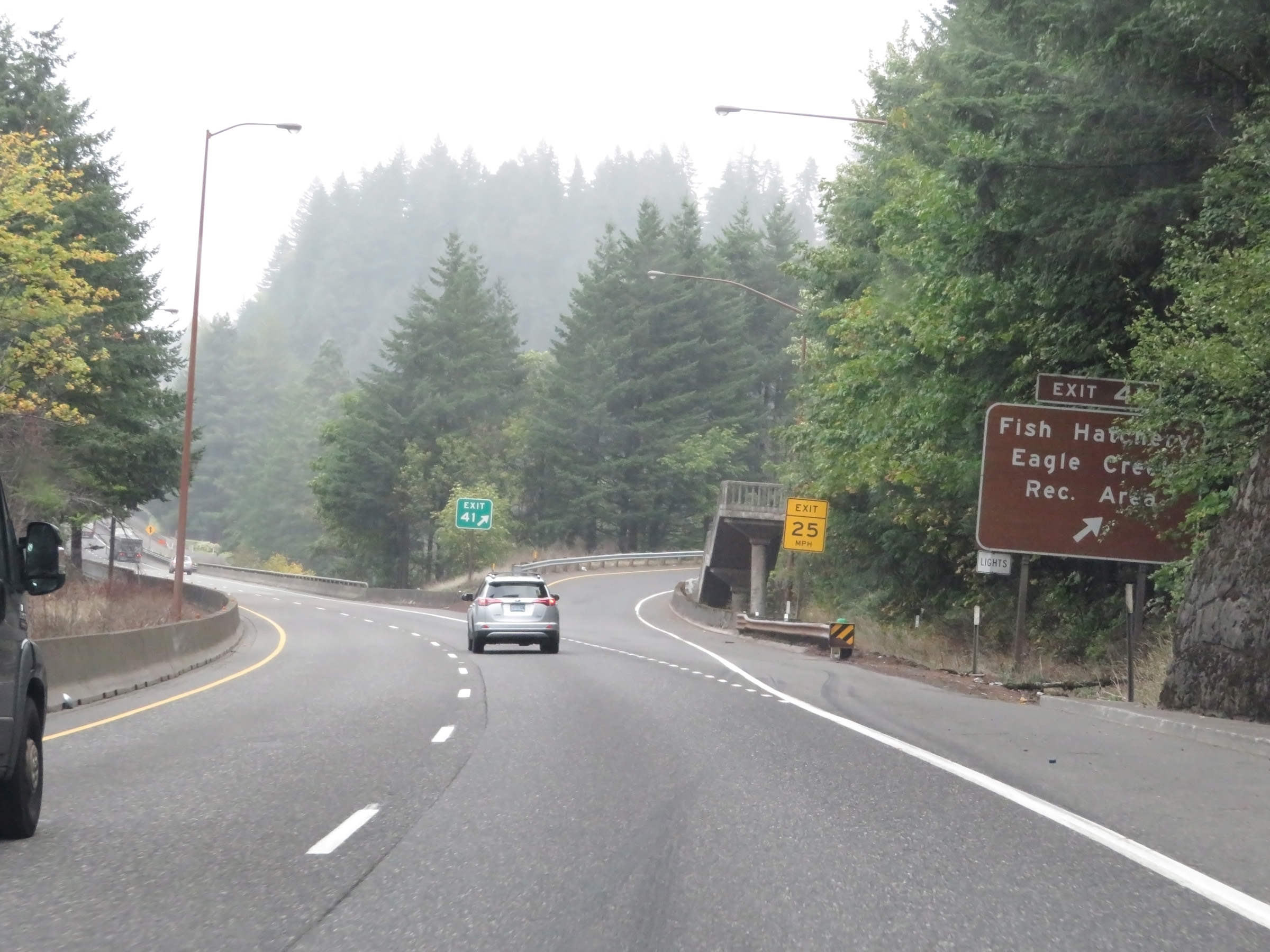 |
Interstate 84 East at Exit 41: Fish Hatchery / Eagle Creek Recreation Area (Photo taken 9/26/19). |
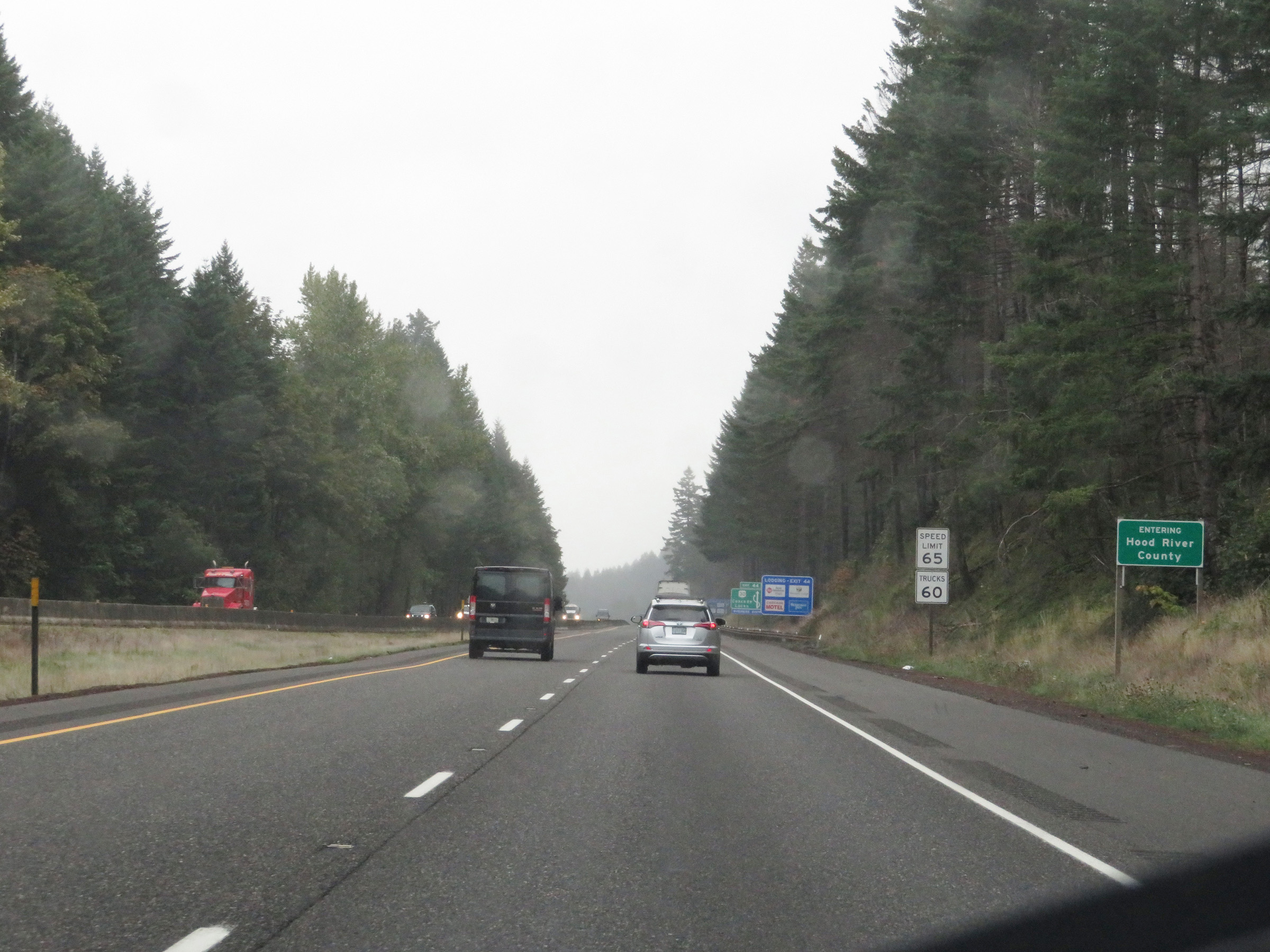 |
Just beyond Exit 41, Interstate 84 East enters Hood River County. The speed limits remain 65 mph for automobiles and 60 mph for trucks. (Photo taken 9/26/19). |
 |
This sign gives a visual aid for US 30 in relation to Interstate 84 via Exit 44. (Photo taken 9/26/19). |
 |
Take Exit 44 to Bridge of the Gods and Cascade Locks Marine Park National Historic Landmark. (Photo taken 9/26/19). |
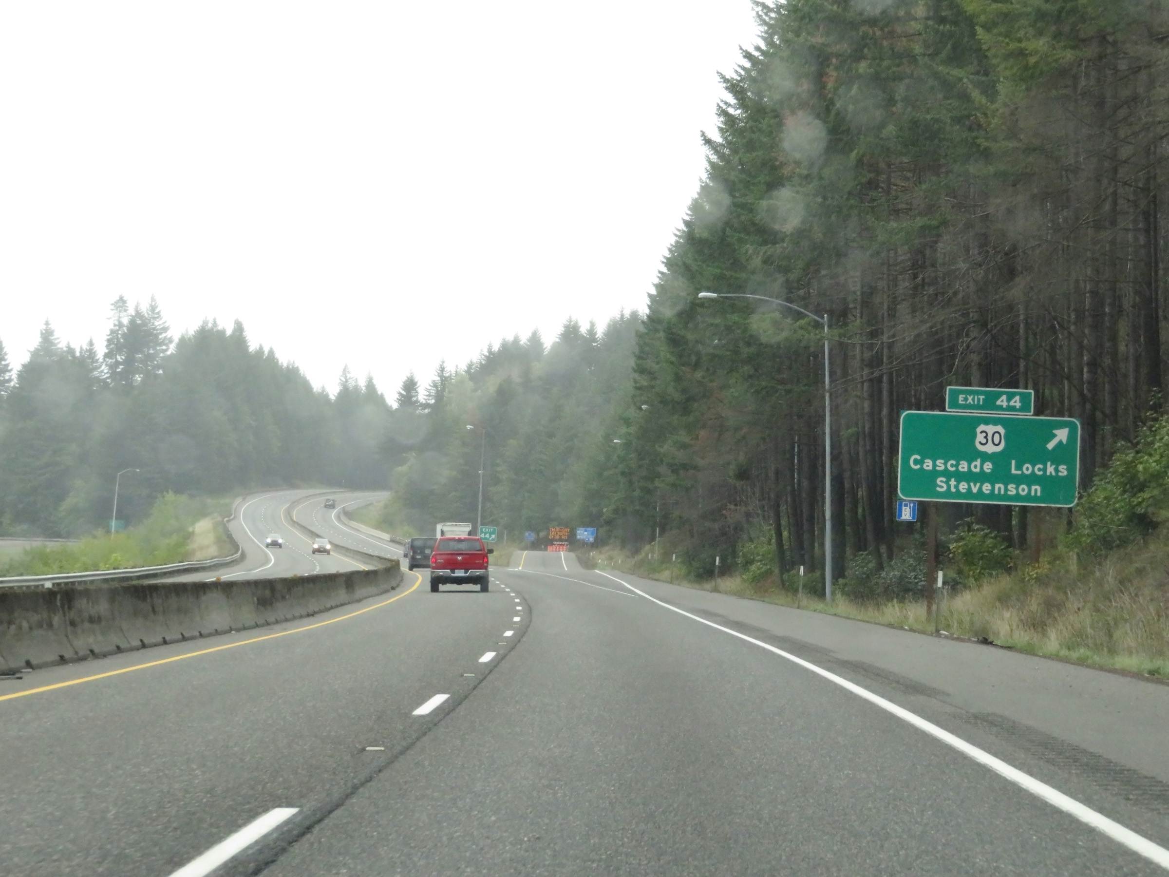 |
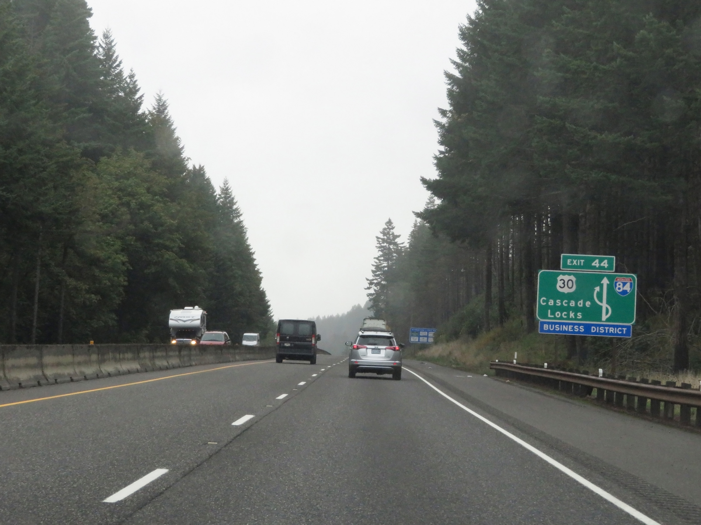
Interstate 84 East at Exit 44: US 30 - Cascade Locks / Stevenson (Photo taken 9/26/19). |
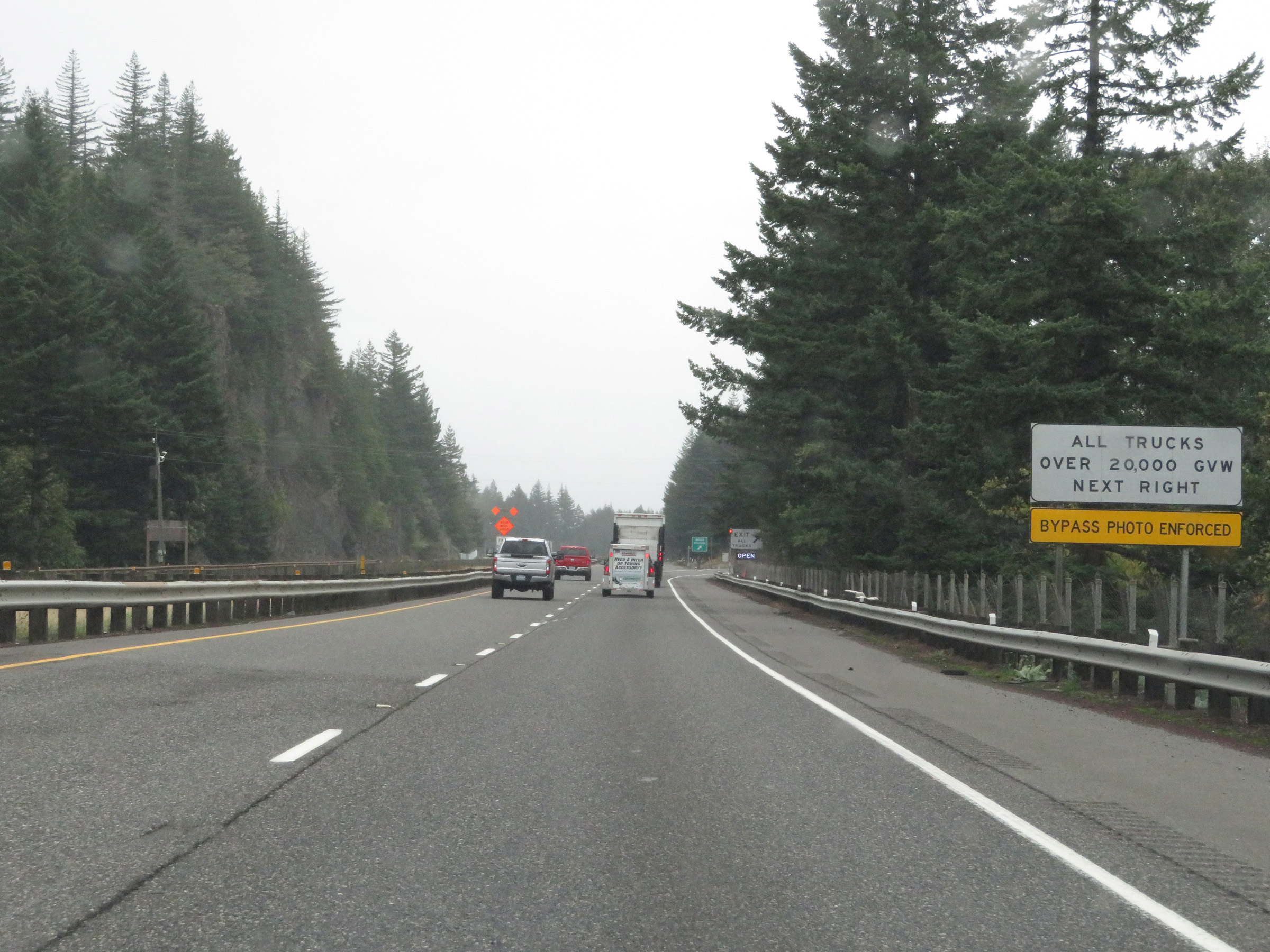 |
All trucks over 20,000 pounds Gross Vehicle Weight must enter the Weigh Station ahead when it is open. (Photo taken 9/26/19). |
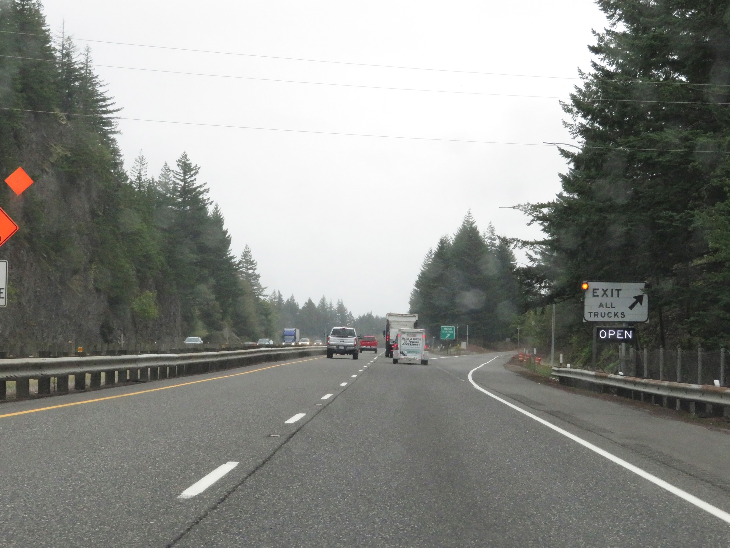 |
Weigh Station on Interstate 84 East in Hood River County. (Photo taken 9/26/19). |
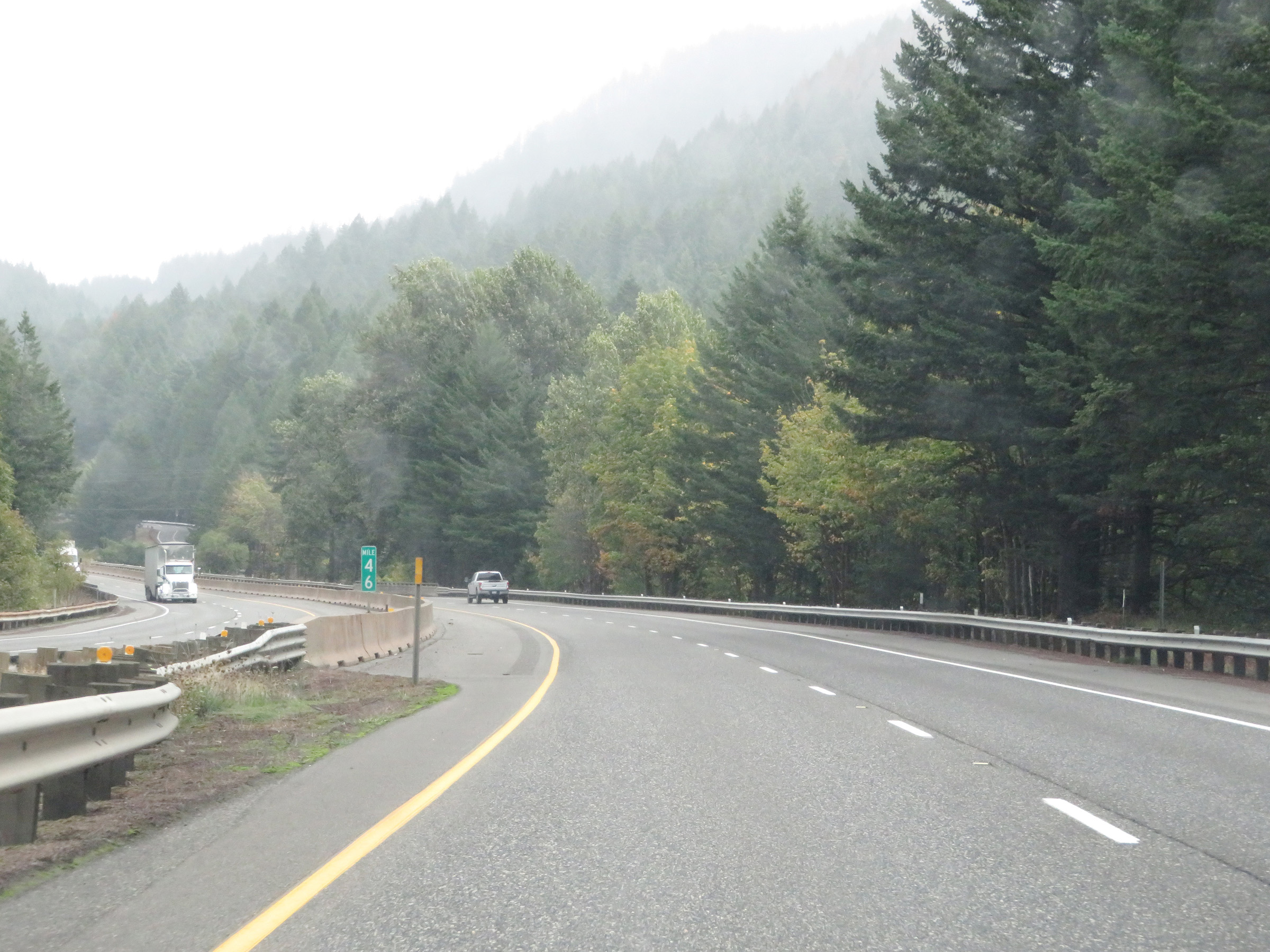 |
View on Interstate 84 East at mile marker 46. (Photo taken 9/26/19). |
 |
Interstate 84 East reassurance shield. (Photo taken 9/26/19). |
 |
Oregon-style speed limit signage showing the speed limits remain 65 mph for automobiles and 60 mph for trucks. (Photo taken 9/26/19). |
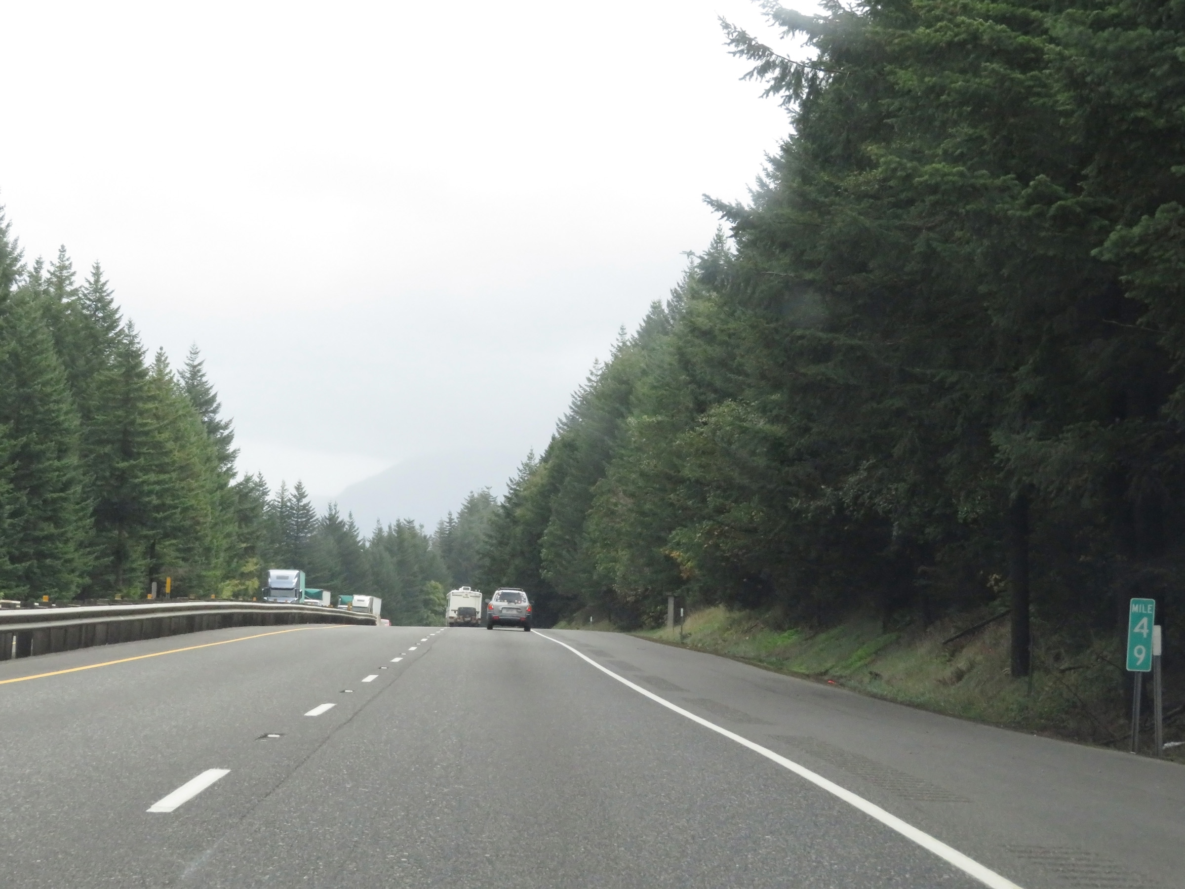 |
Mile marker 49 on Interstate 84 East in Hood River County. (Photo taken 9/26/19). |
 |
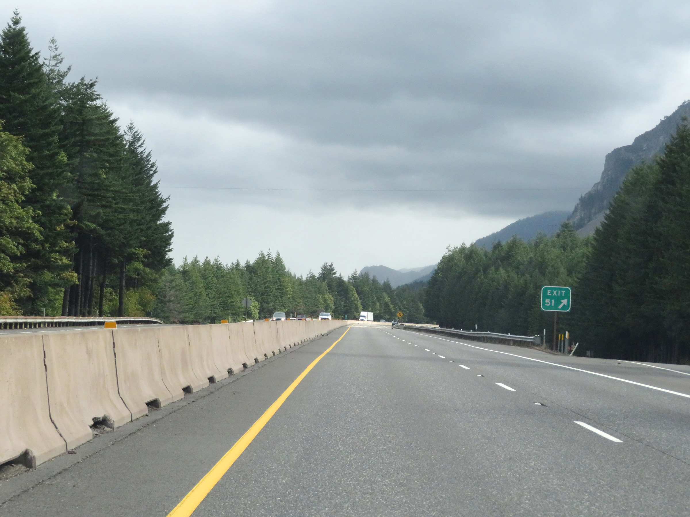
Advance signage for Exit 51, which is 1 mile ahead. (Photo taken 9/26/19). |
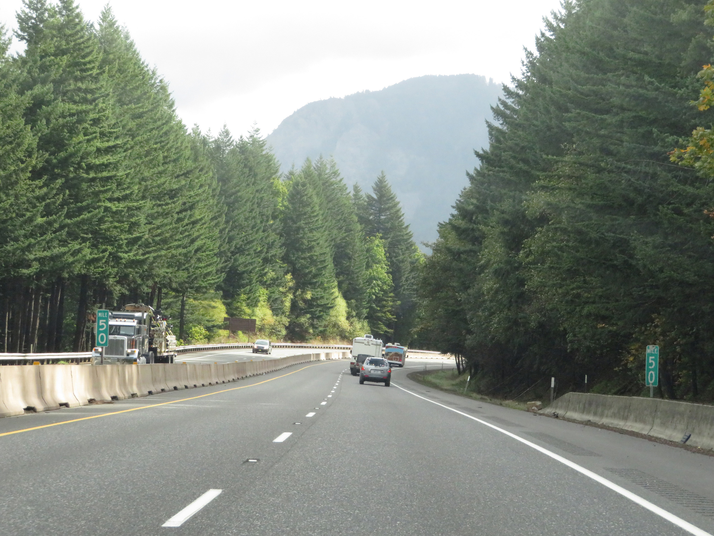 |
View on Interstate 84 East at mile marker 50. (Photo taken 9/26/19). |
 |
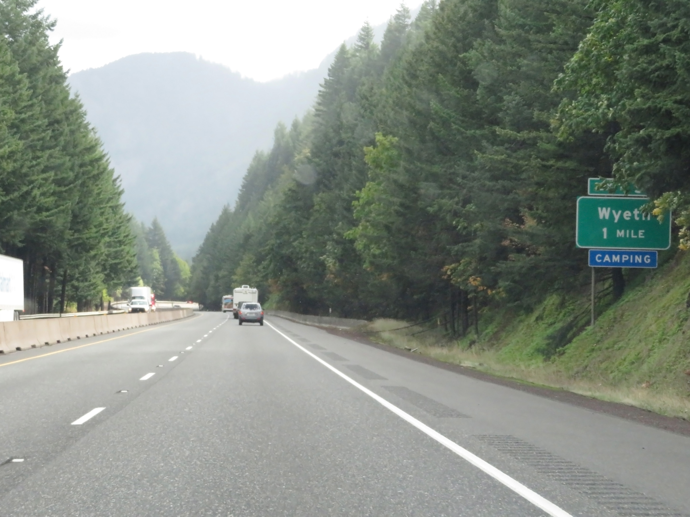
Interstate 84 East at Exit 51: Wyeth (Photo taken 9/26/19). |
 |
Interstate 84 East at mile marker 52. (Photo taken 9/26/19). |
 |
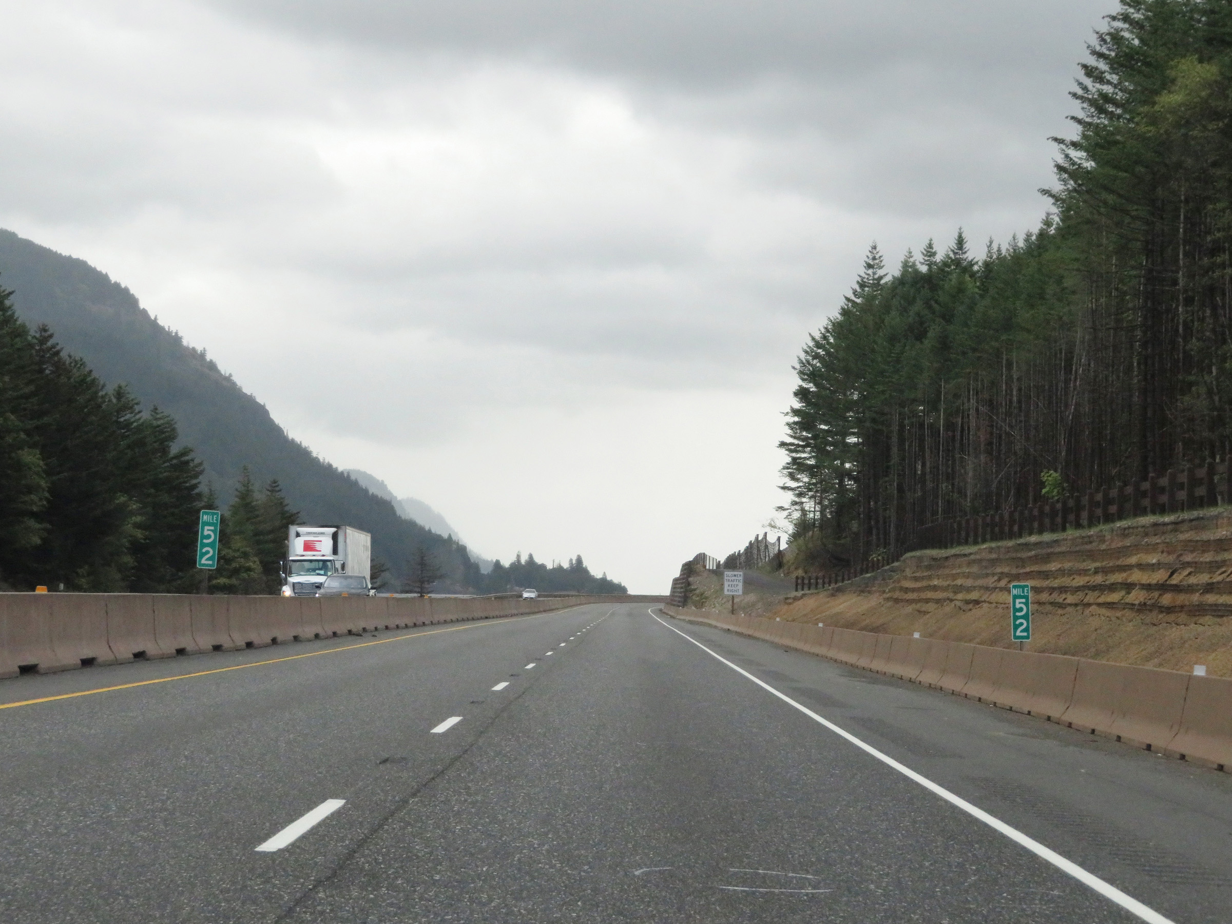
View on Interstate 84 East at mile marker 54. (Photo taken 9/26/19). |
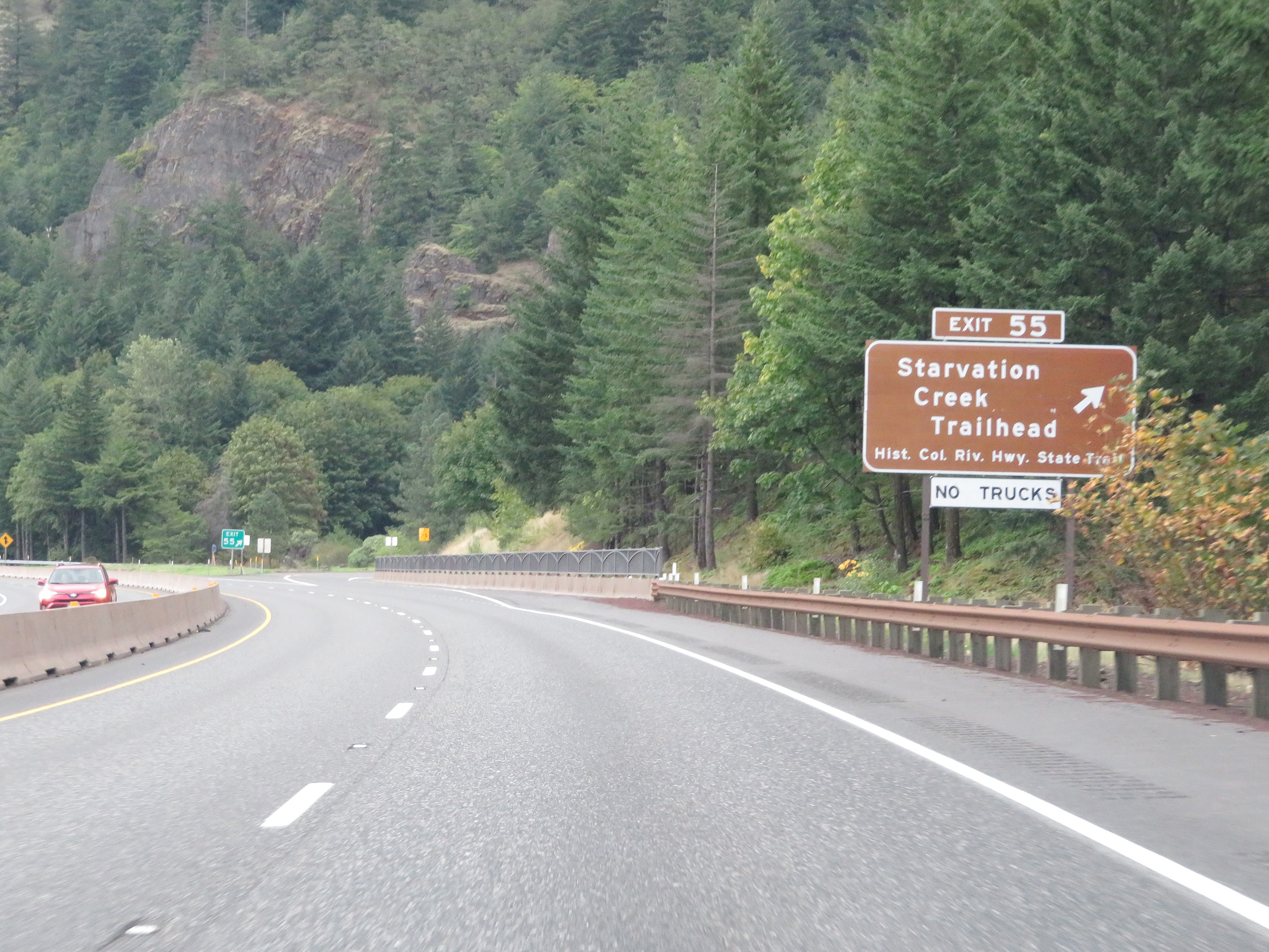 |
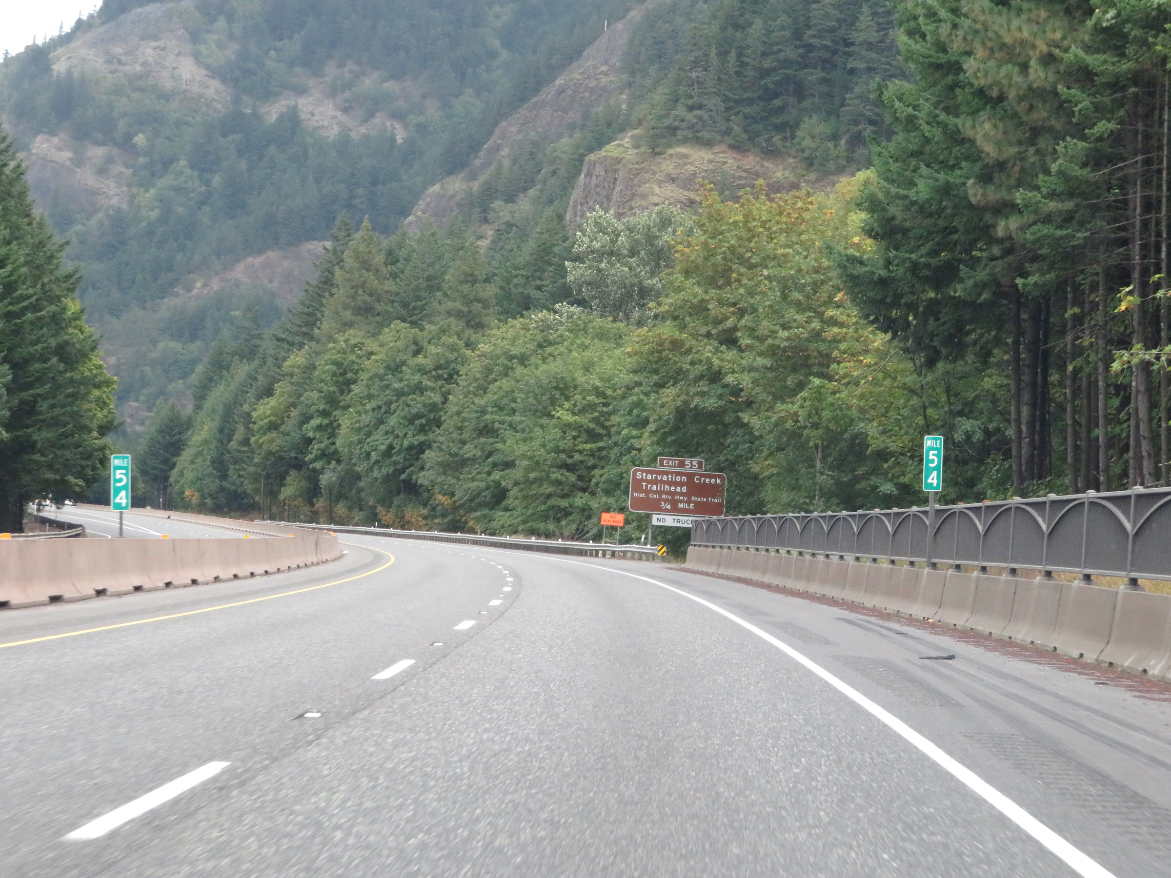
Interstate 84 East at Exit 55: Starvation Creek Trailhead / Historic Columbia River Hwy State Trail (Photo taken 9/26/19). |
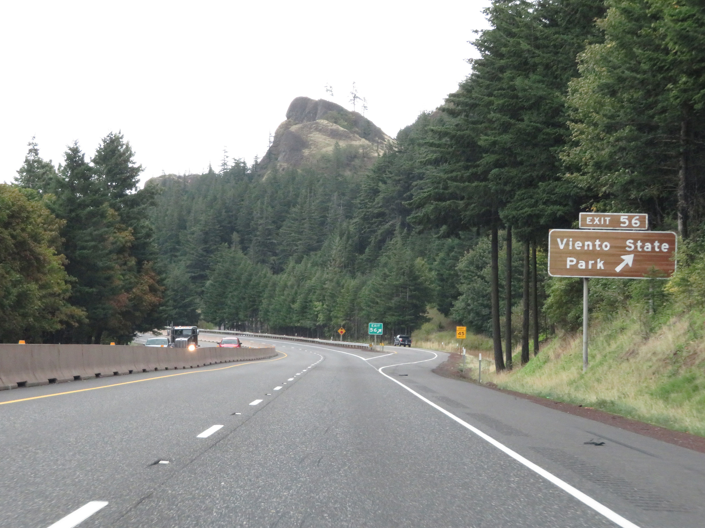 |
Interstate 84 East at Exit 56: Viento State Park (Photo taken 9/26/19). |
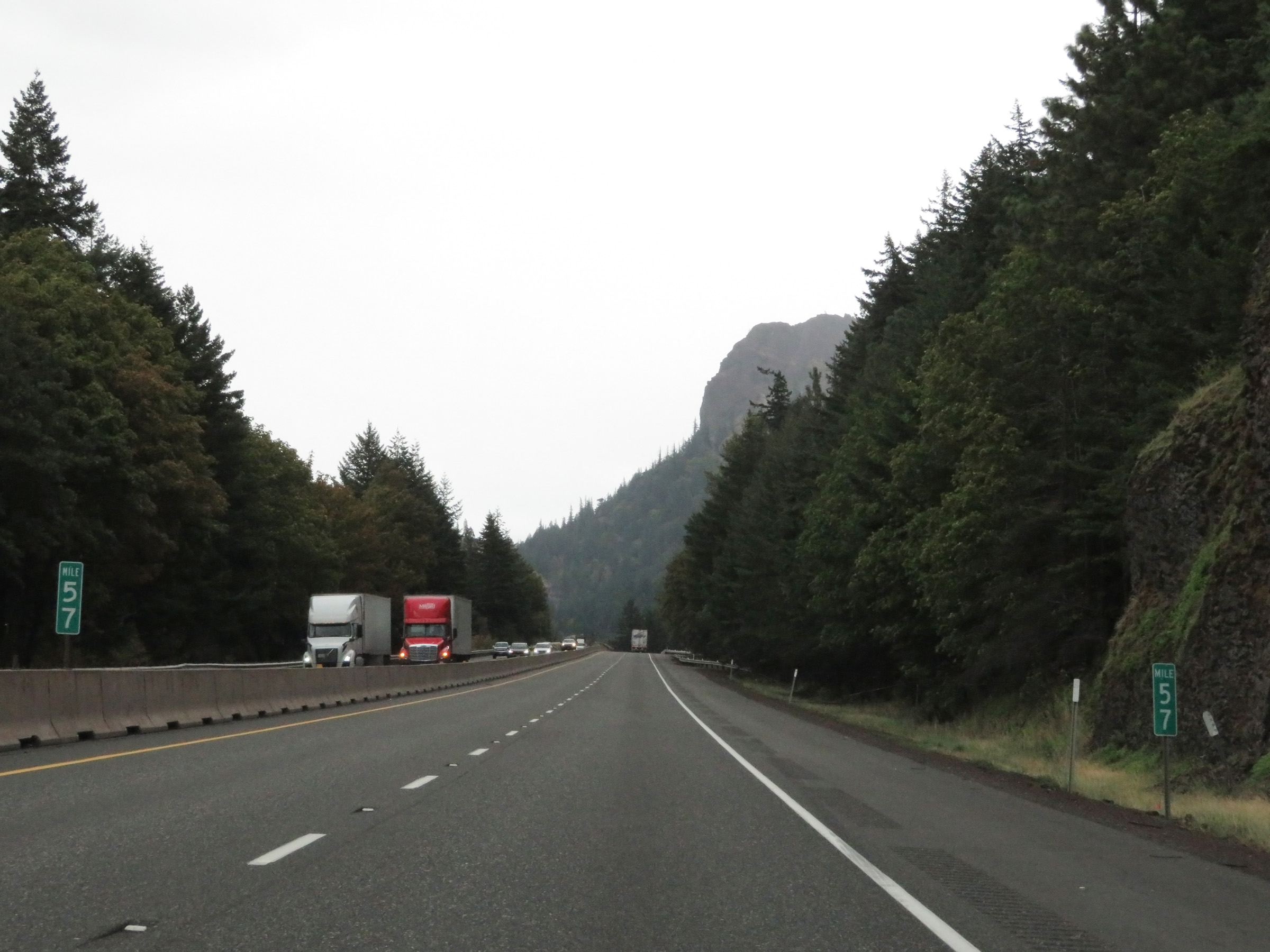 |
Mile marker 57 on Interstate 84 East in Hood River County. (Photo taken 9/26/19). |
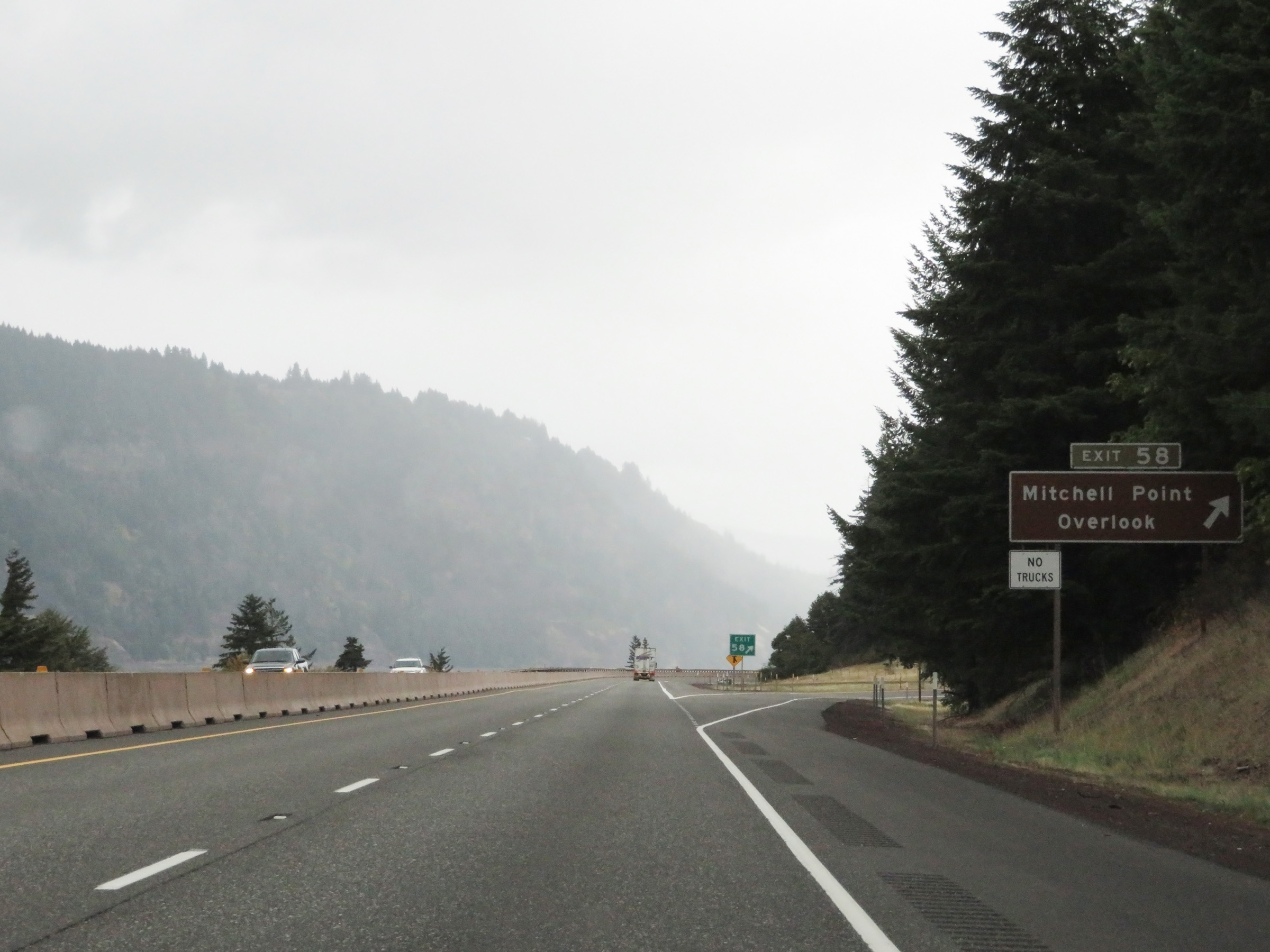 |
Interstate 84 East at Exit 58: Mitchell Point Overlook (Photo taken 9/26/19). |
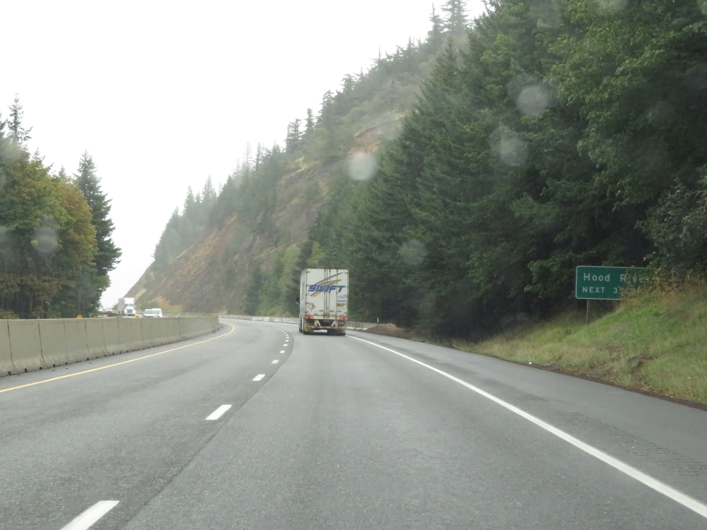 |
Take any of the next 3 exits to Hood River. (Photo taken 9/26/19). |
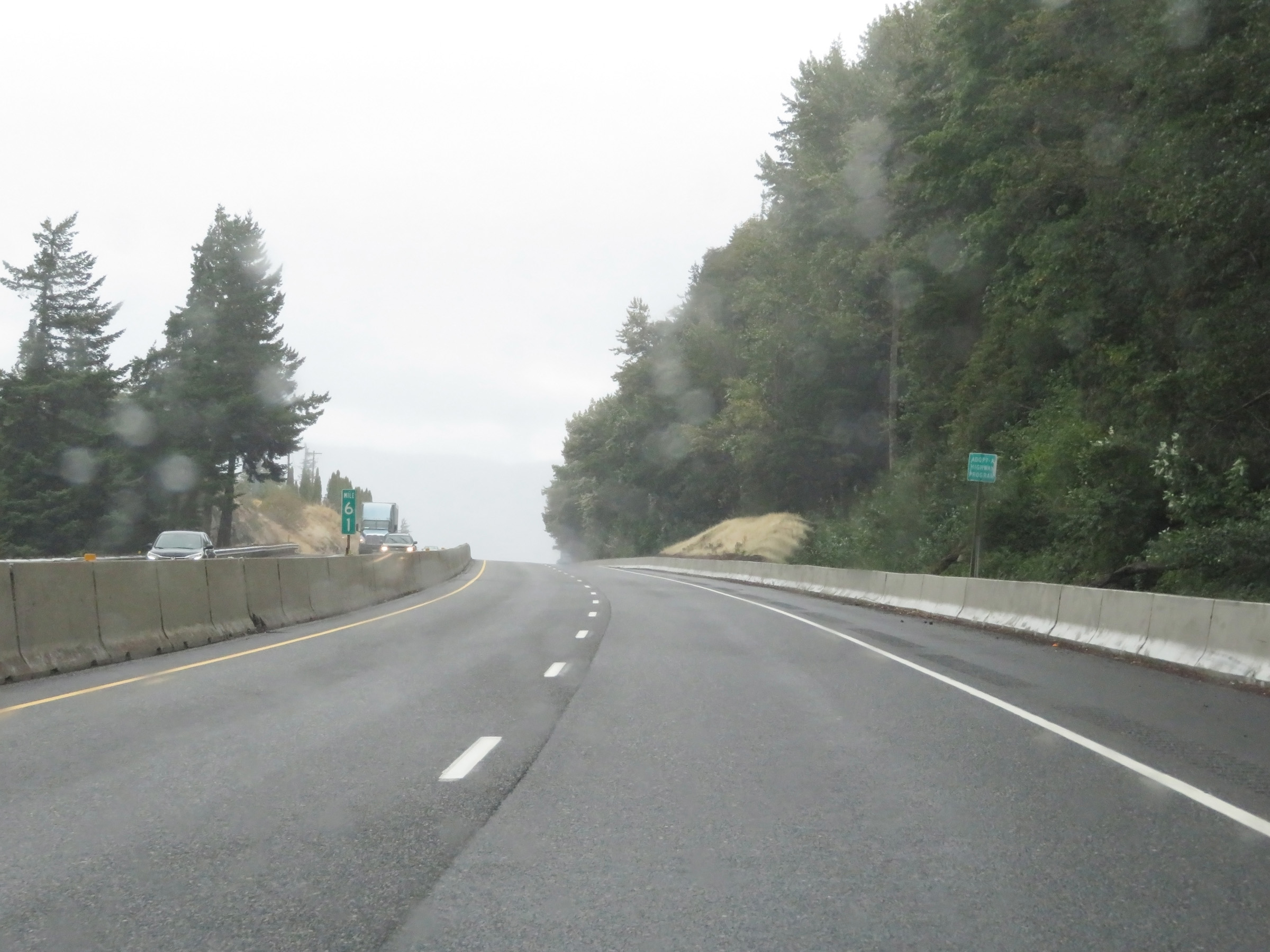 |
View on Interstate 84 East at mile marker 61. (Photo taken 9/26/19). |
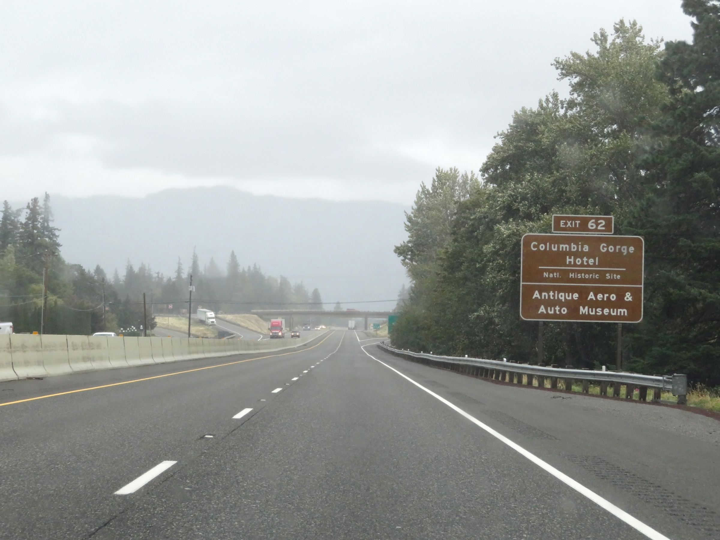 |
Take Exit 62 to the Columbia Gorge Hotel National Historic Site and the Antique Aero & Auto Museum. (Photo taken 9/26/19). |
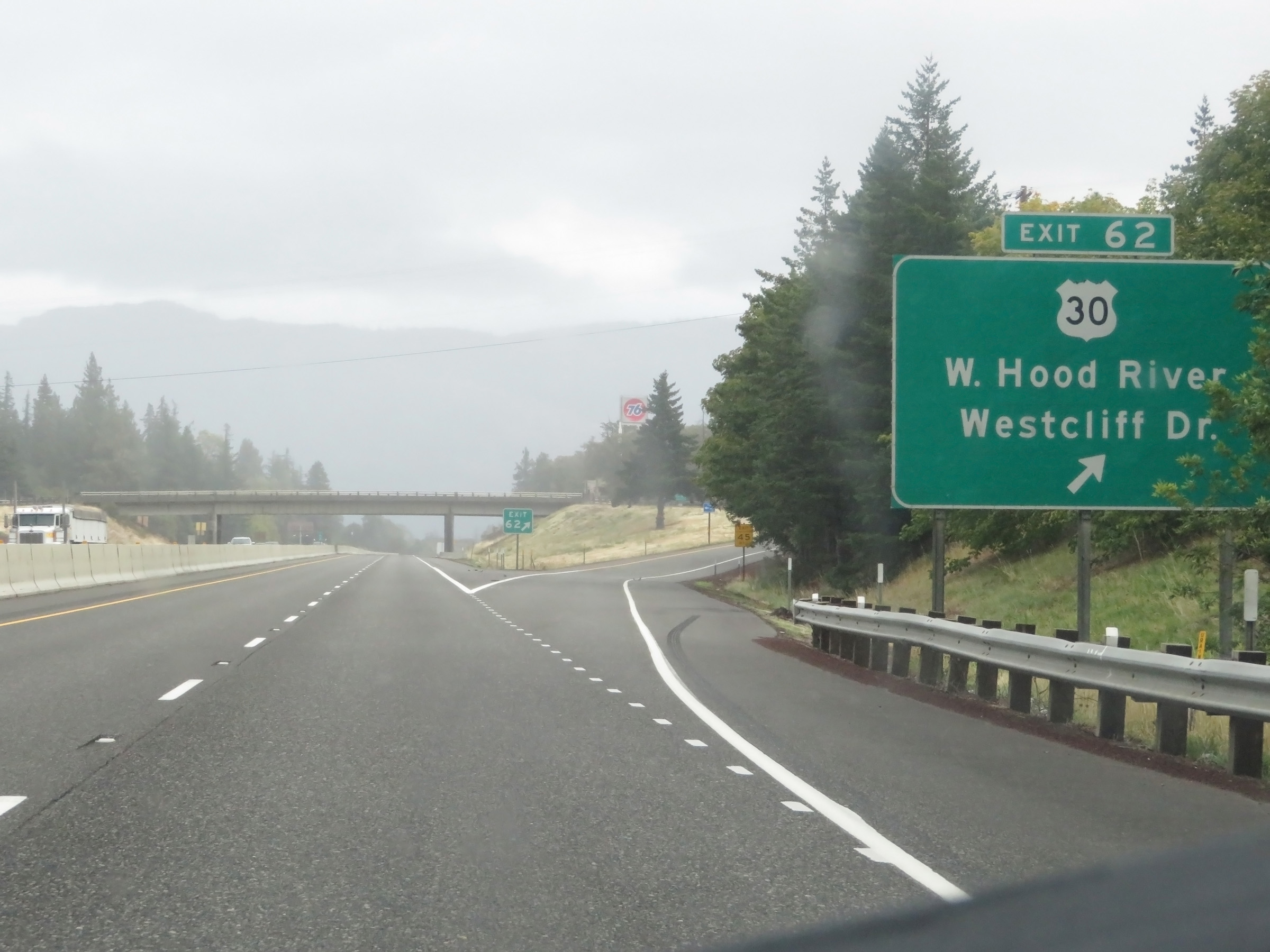 |
Interstate 84 East at Exit 62: US 30 - West Hood River / Westcliff Dr (Photo taken 9/26/19). |
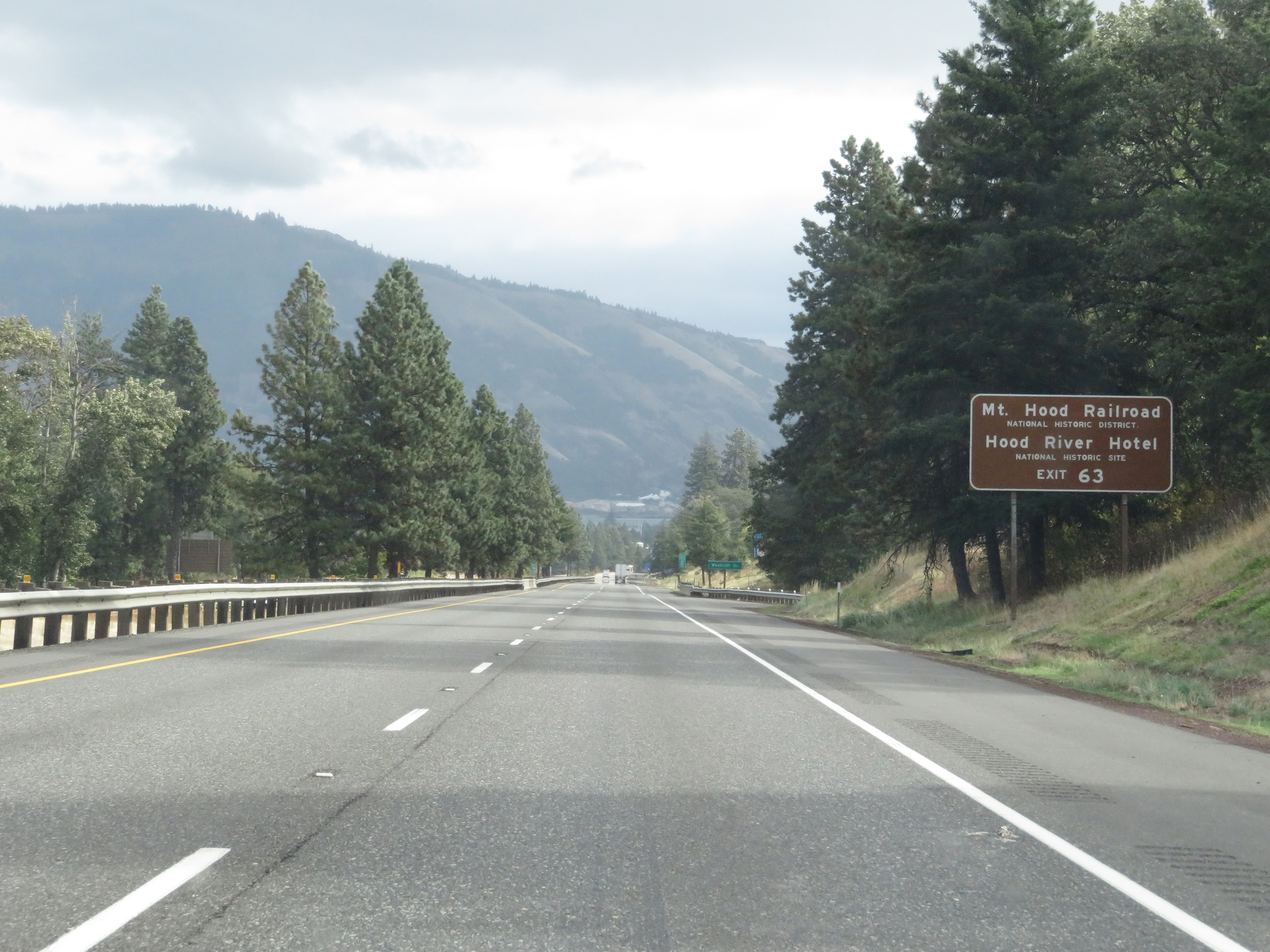 |
Take Exit 63 to Mt. Hood Railroad National Historic District and Hood River Hotel National Historic Site. (Photo taken 9/26/19). |
 |
Interstate 84 East at Exit 63: Hood River City Center (Photo taken 9/26/19). |
Section 3: Hood River (Exit 63) to Rufus (Exit 109)
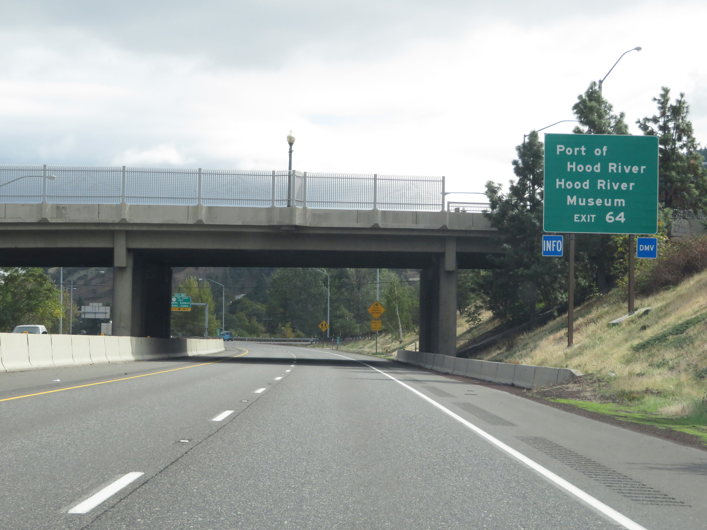 |
Take Exit 64 to Port of Hood River and the Hood River Museum. (Photo taken 9/26/19). |
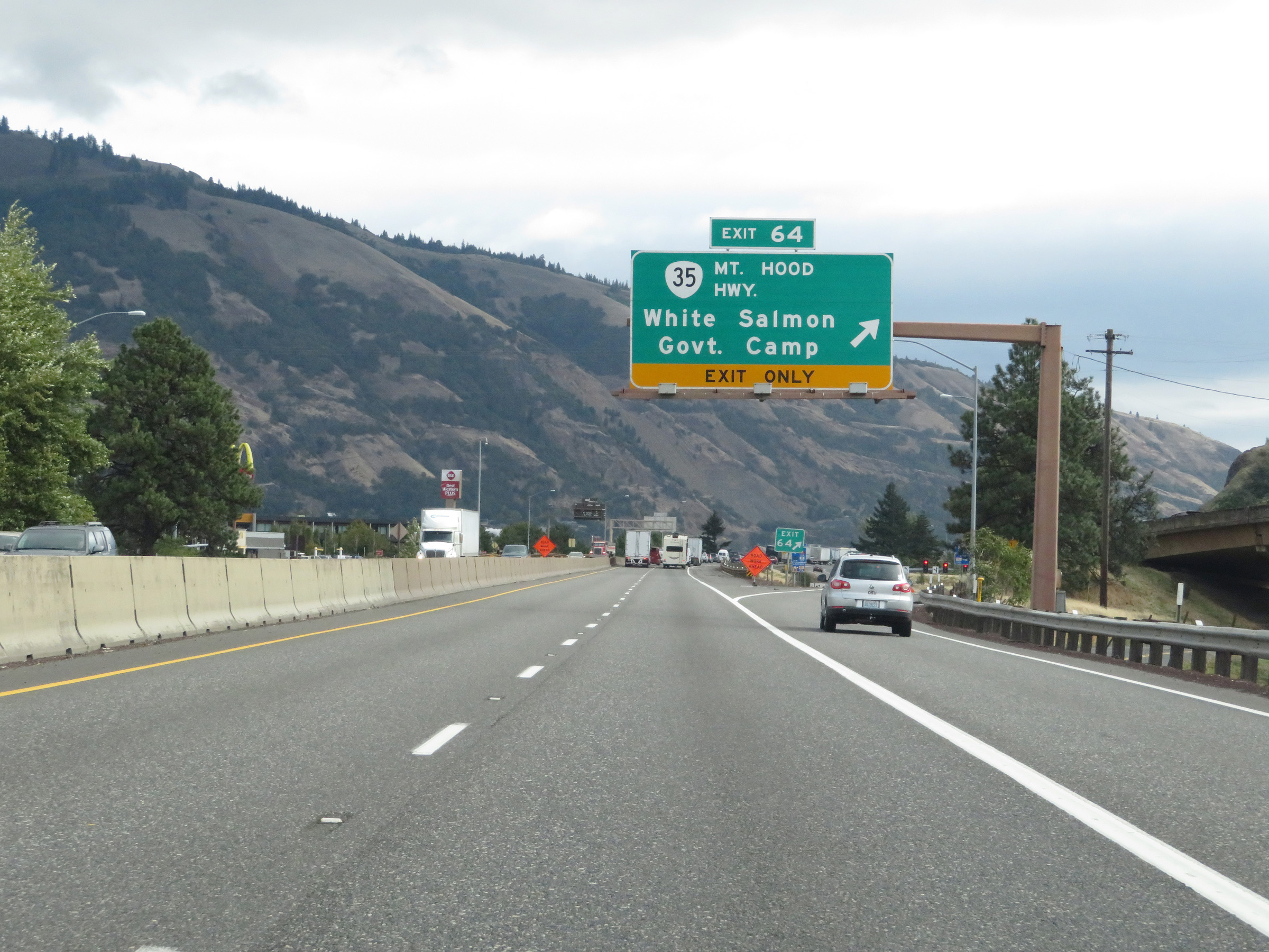 |
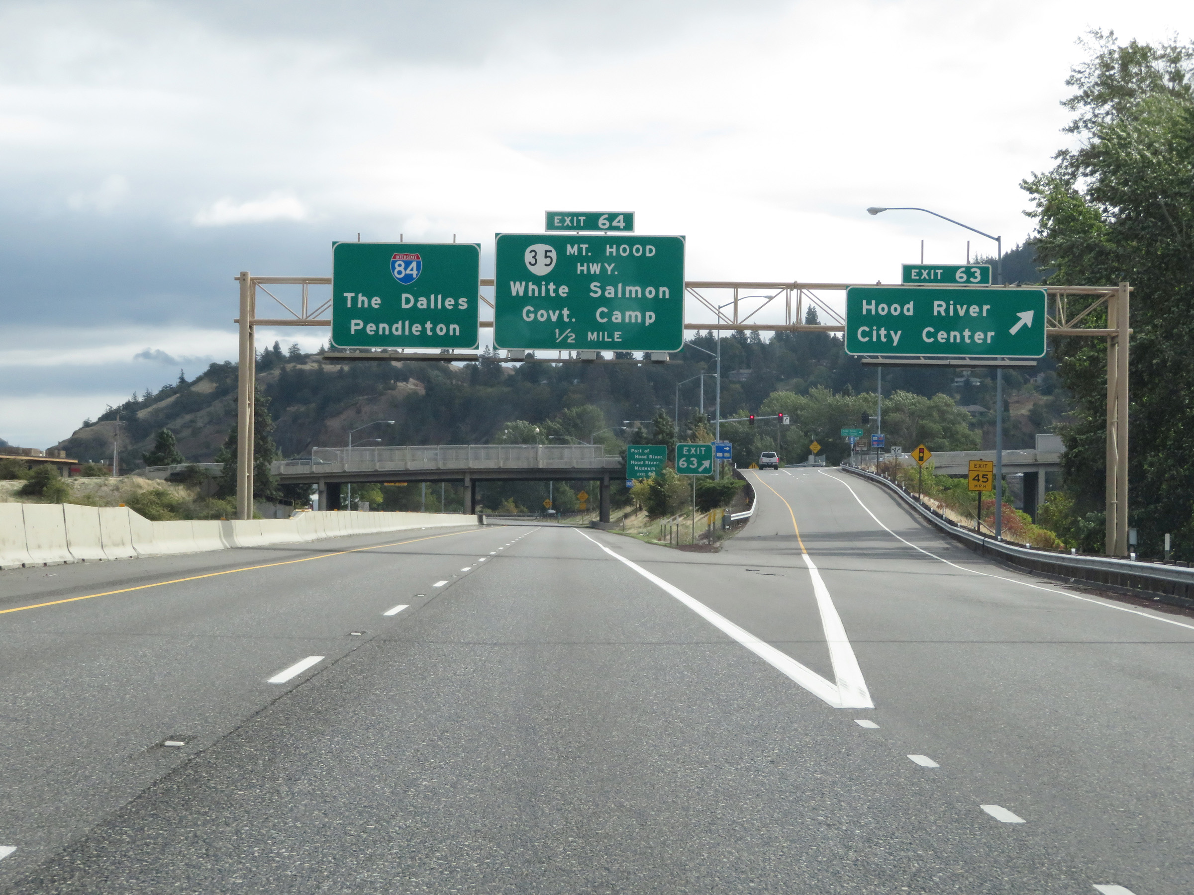
Interstate 84 East at Exit 64: OR 35 - White Salmon / Government Camp (Photo taken 9/26/19). |
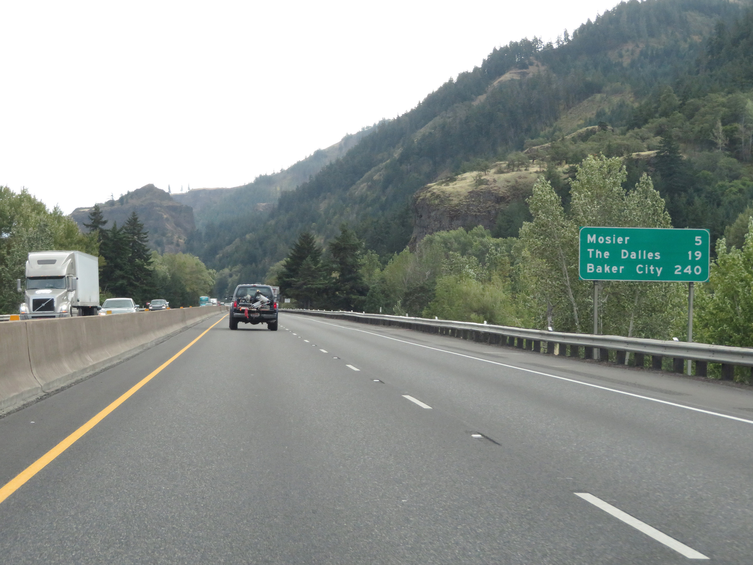 |
Mileage sign on Interstate 84 East leaving Hood River. It's 5 miles to Mosier, 19 miles to The Dalles, and 240 miles to Baker City. (Photo taken 9/26/19). |
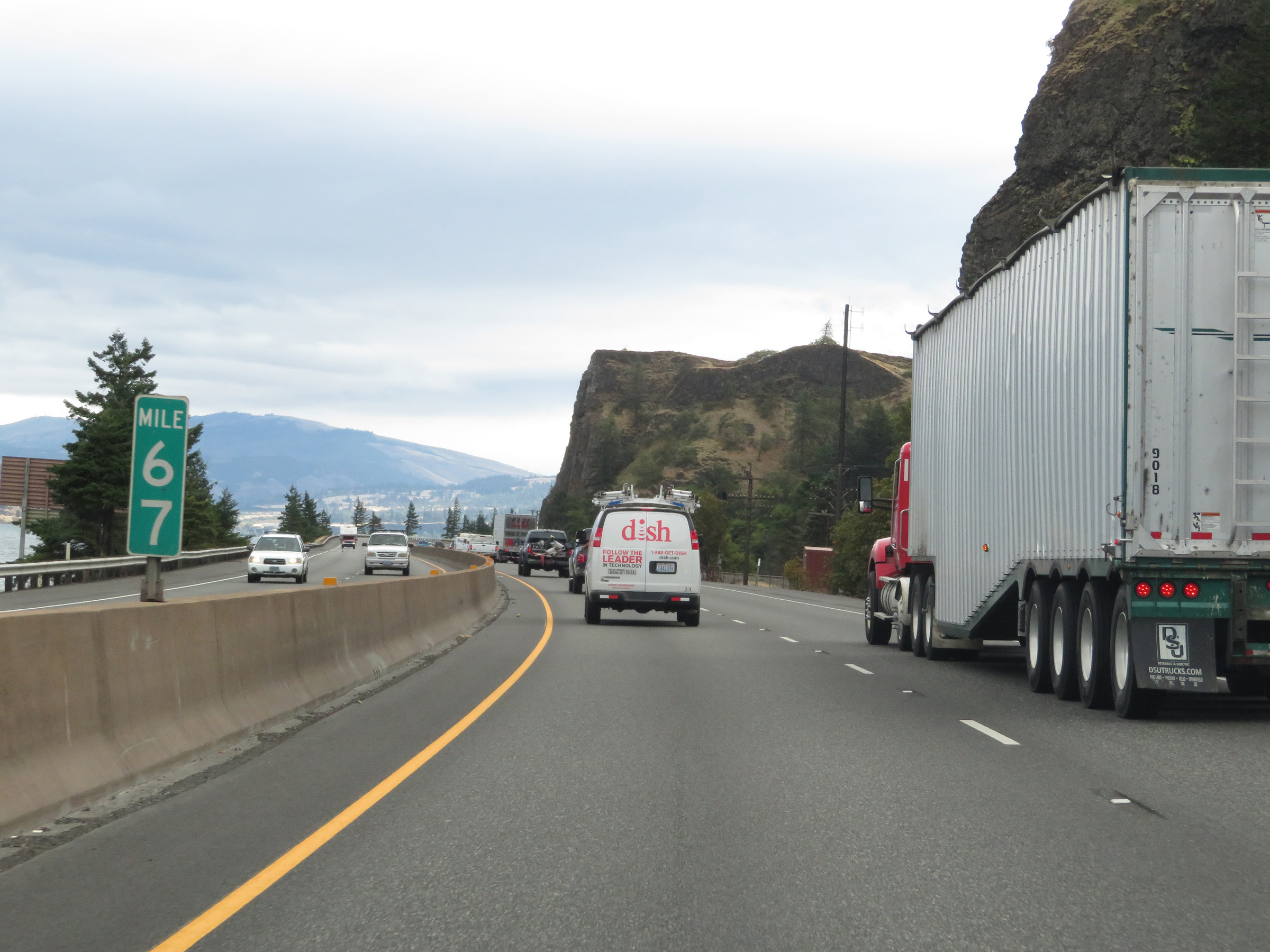 |
Interstate 84 East at mile marker 67. (Photo taken 9/26/19). |
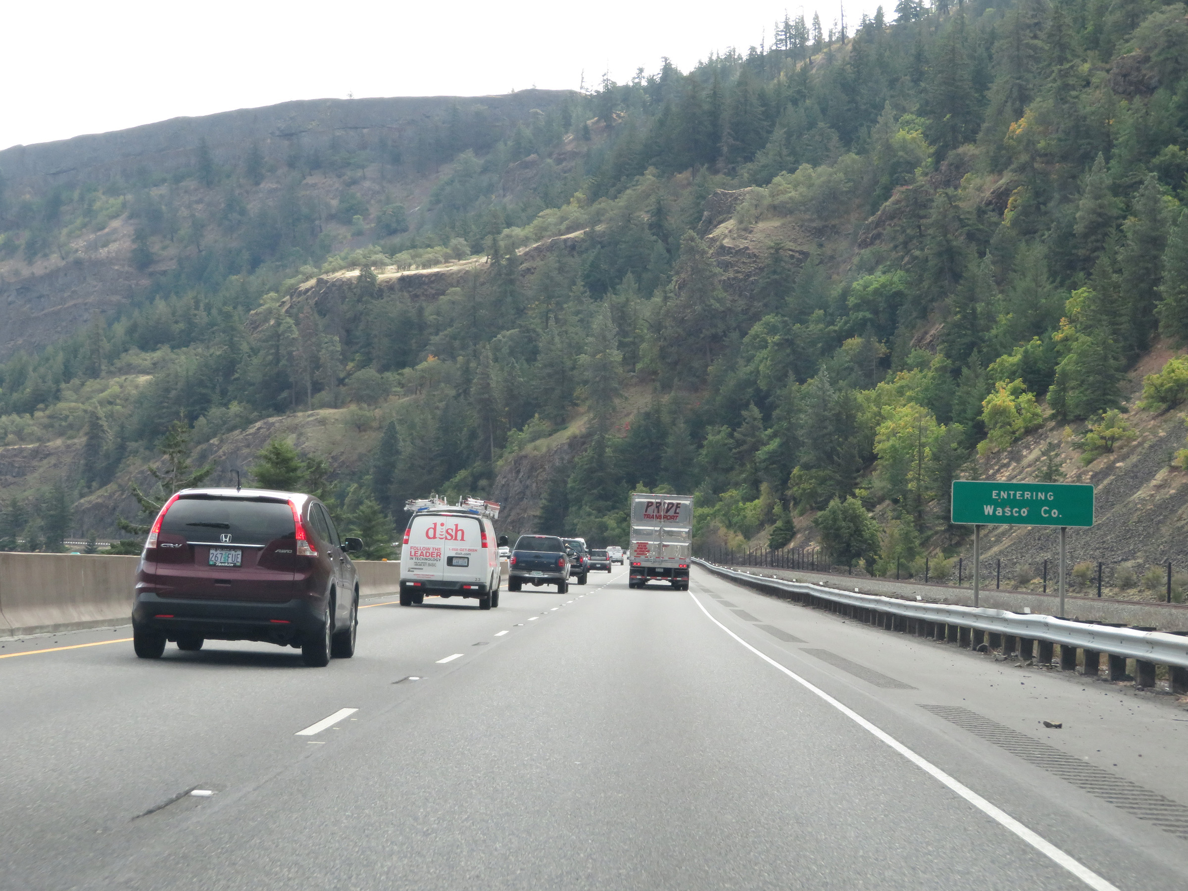 |
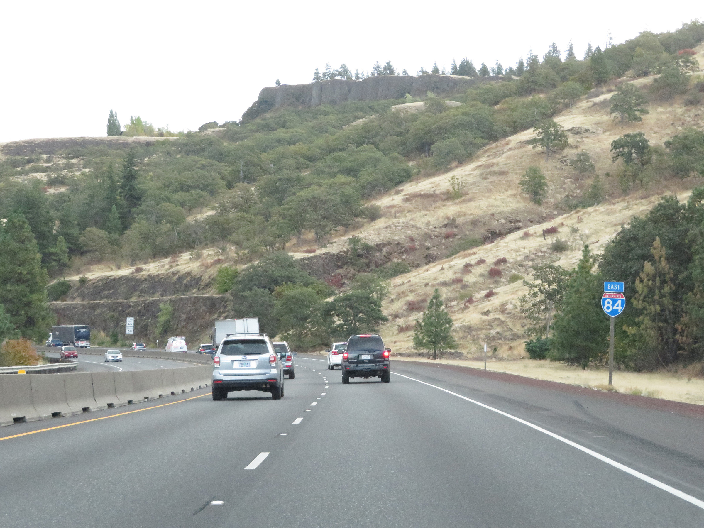
Interstate 84 East as it enters Wasco County. (Photo taken 9/26/19). |
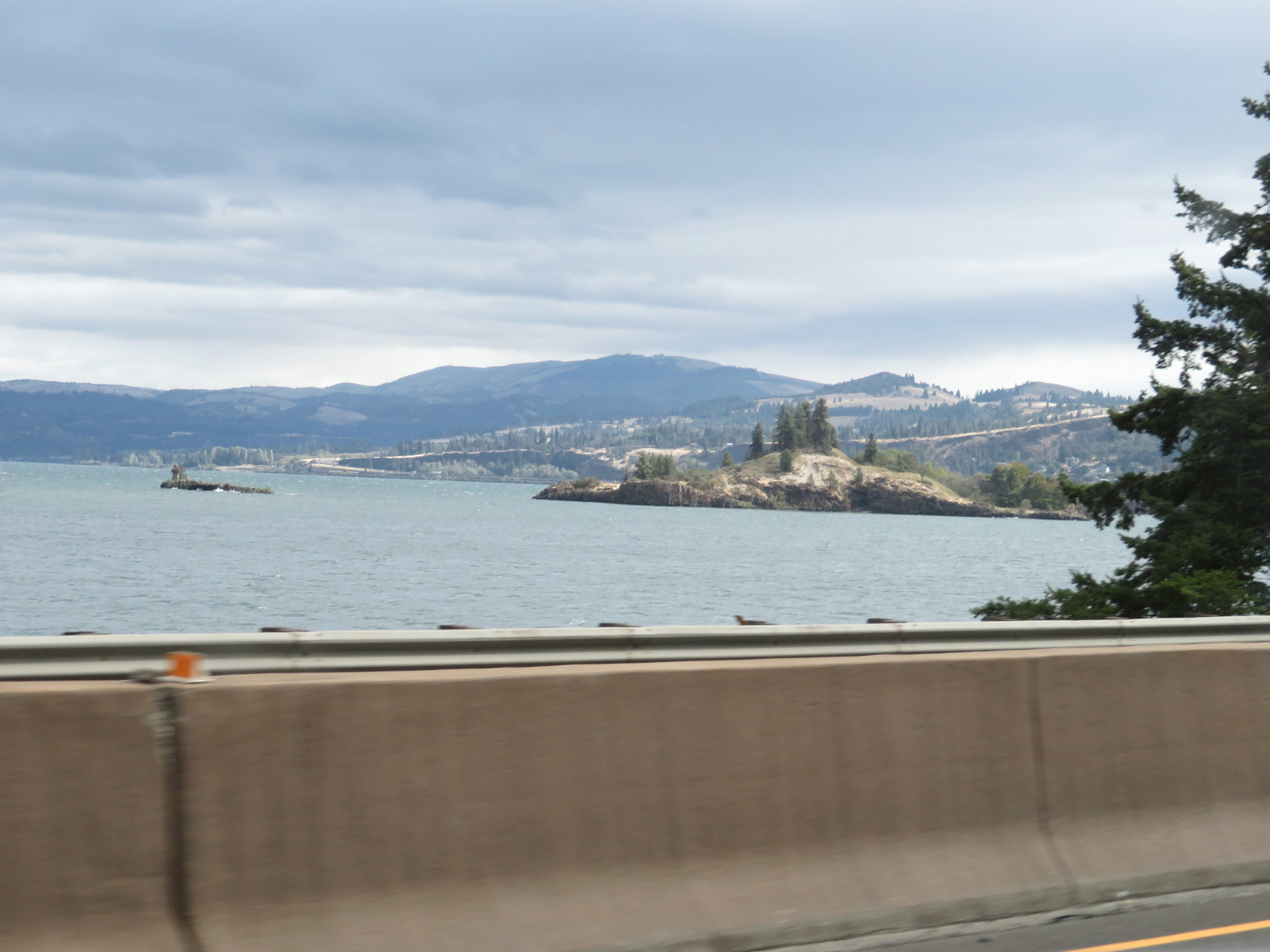 |
View of the Columbia River from Interstate 84 East, looking to the north. I-84 runs parallel to the Columbia River and very close to it from east of Portland to near Hermiston. (Photo taken 9/26/19). |
 |
As this sign shows, US 30 East will depart Interstate 84 East ahead for 9 miles before joining back up with it. (Photo taken 9/26/19). |
 |
Interstate 84 East at Exit 69: US 30 - Mosier (Photo taken 9/26/19). |
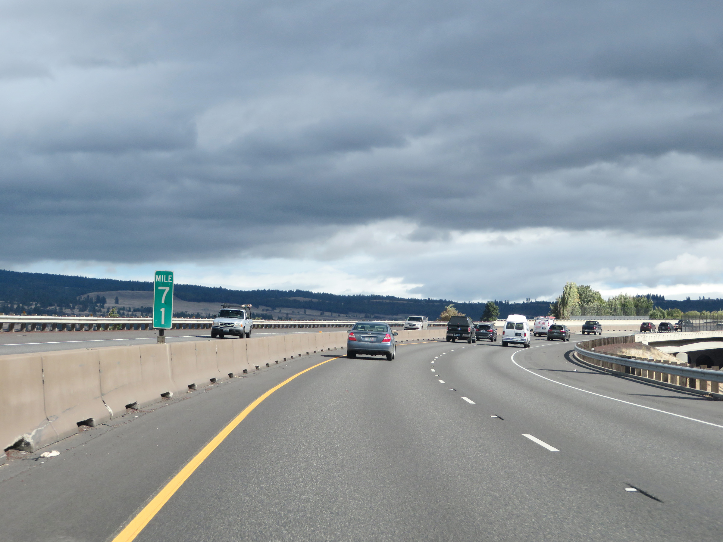 |
View on Interstate 84 East at mile marker 71. (Photo taken 9/26/19). |
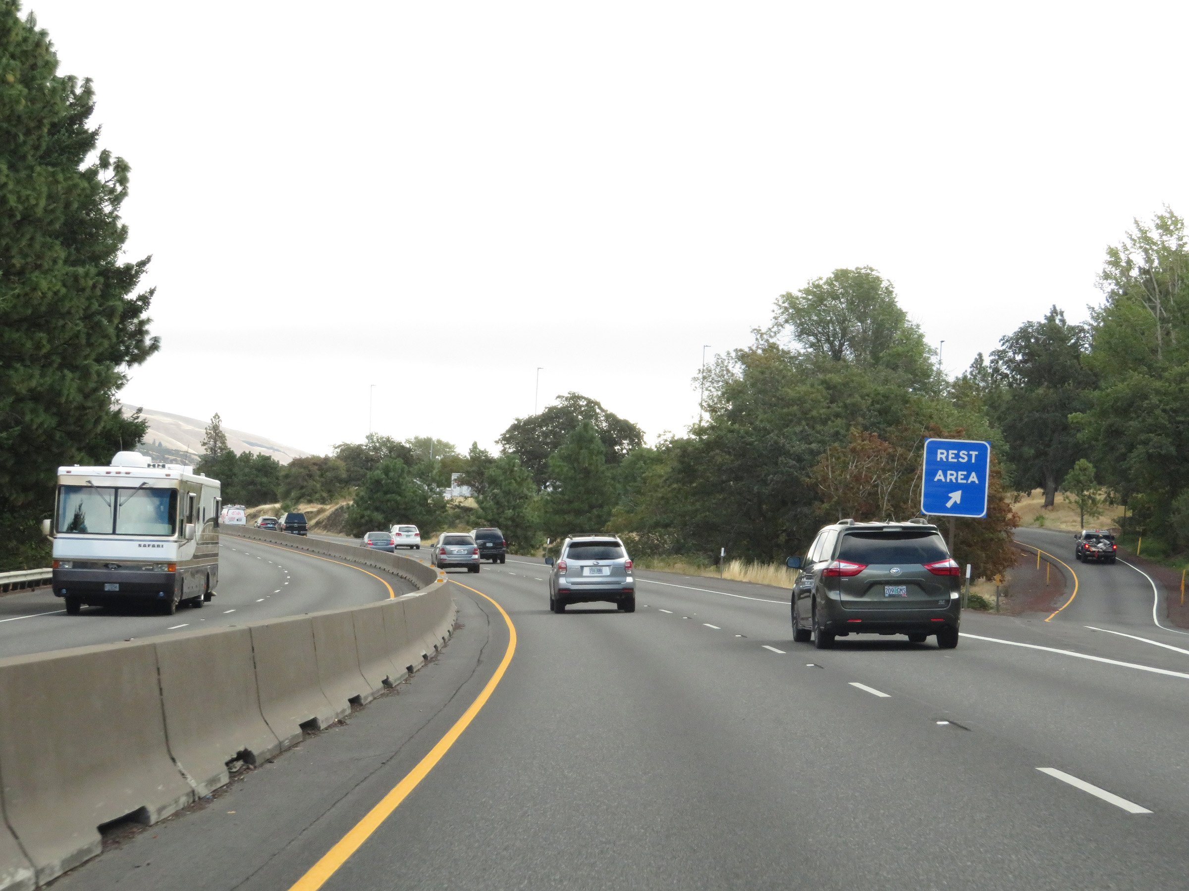 |
Rest Area on Interstate 84 East in Wasco County. (Photo taken 9/26/19). |
 |
Another Interstate 84 East reassurance shield. (Photo taken 9/26/19). |
 |
Speed limit signage on Interstate 84 East. The speed limits remain 65 mph for automobiles and 60 mph for trucks. (Photo taken 9/26/19). |
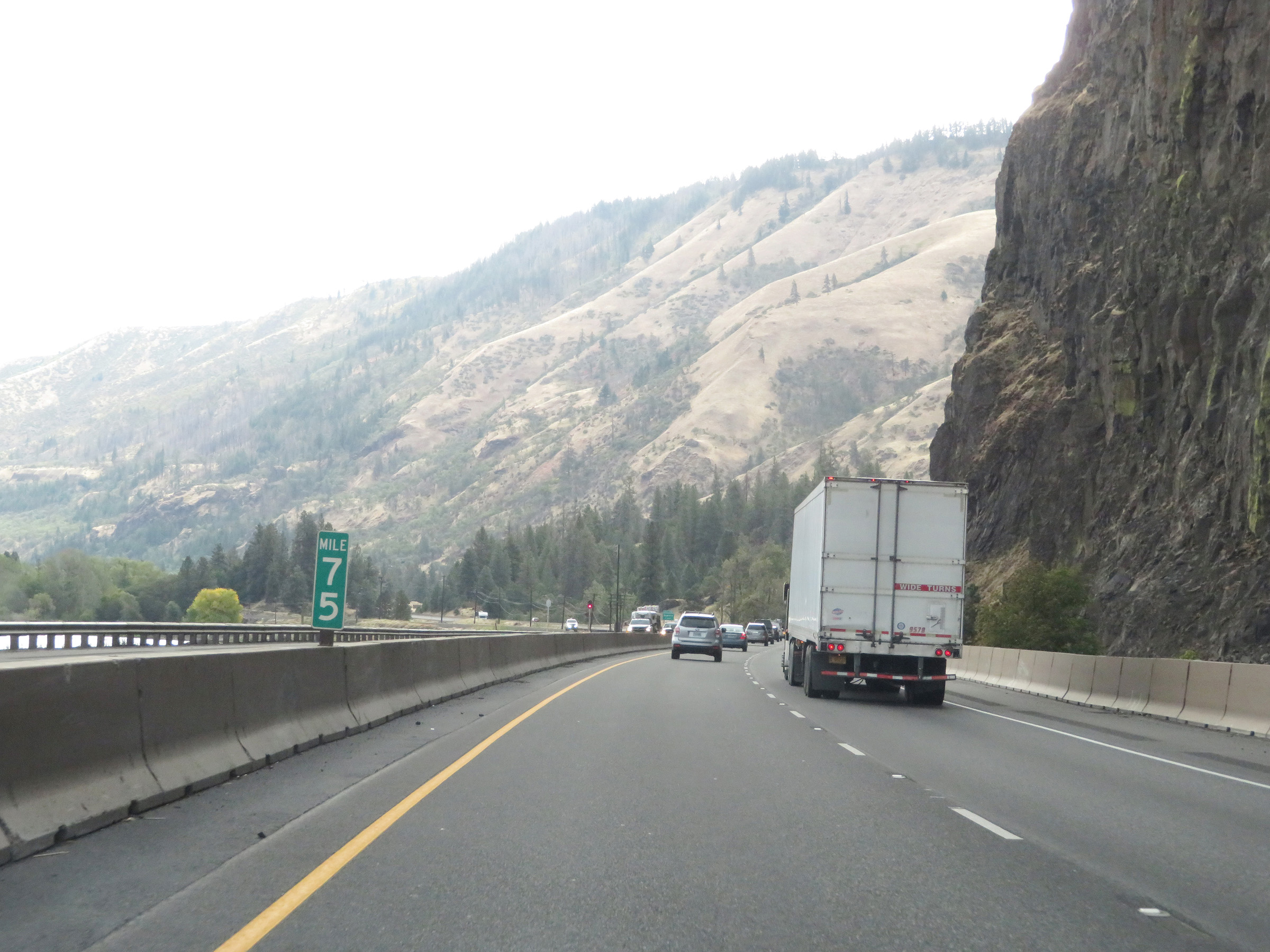 |
Interstate 84 East at mile marker 75. (Photo taken 9/26/19). |
 |
Take Exit 76 to Memaloose State Park. (Photo taken 9/26/19). |
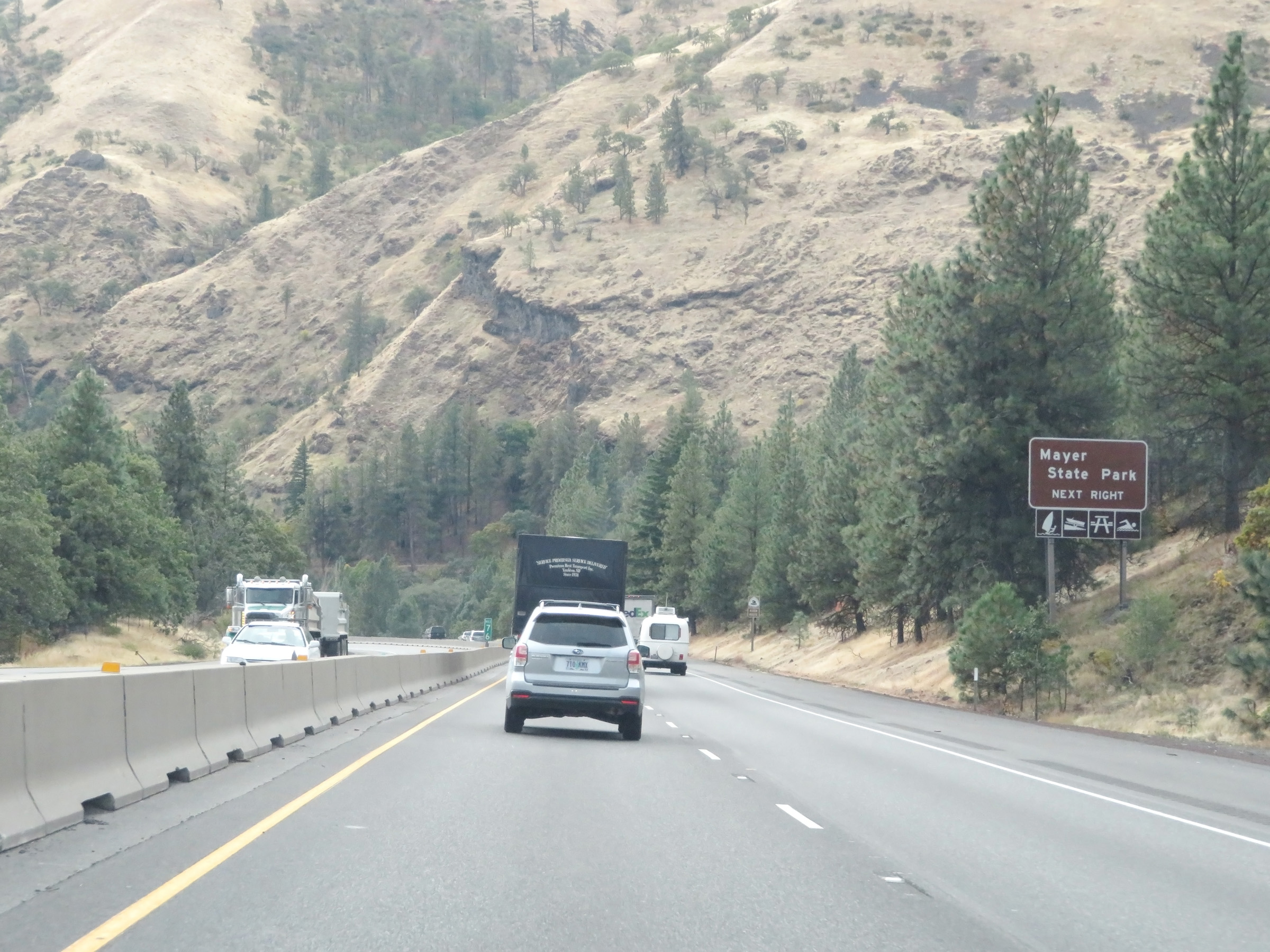 |
Also take Exit 76 to Mayer State Park. (Photo taken 9/26/19). |
 |
Interstate 84 East at Exit 76: Rowena (Photo taken 9/26/19). |
 |
View on Interstate 84 East at mile marker 77. (Photo taken 9/26/19). |
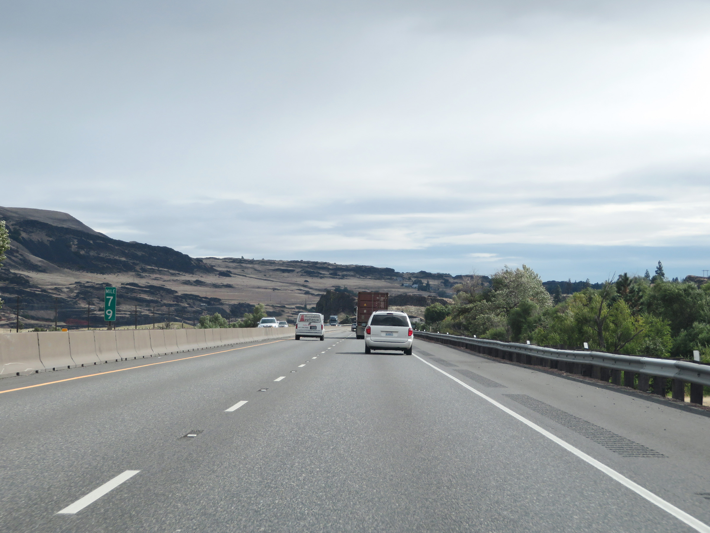 |
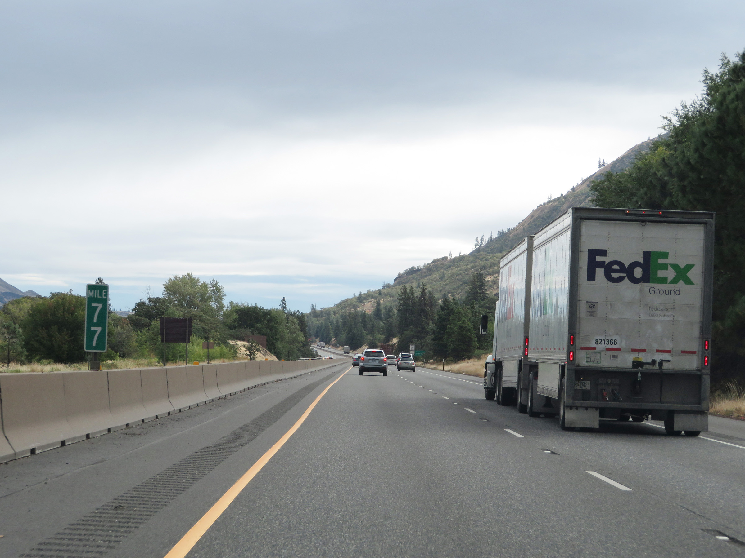
Mile marker 79 on Interstate 84 East in Wasco County. (Photo taken 9/26/19). |
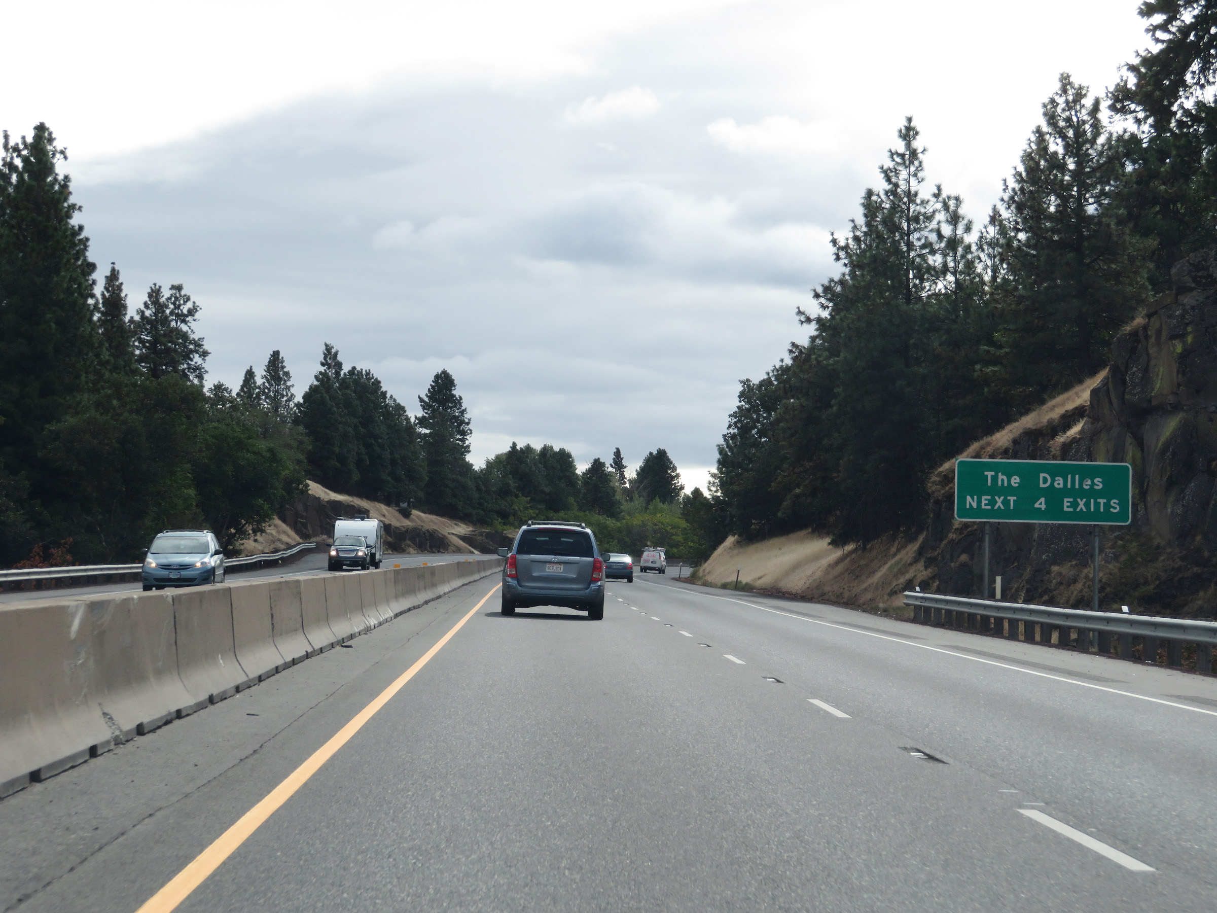 |
Take any of the next 4 exits to The Dalles. (Photo taken 9/26/19). |
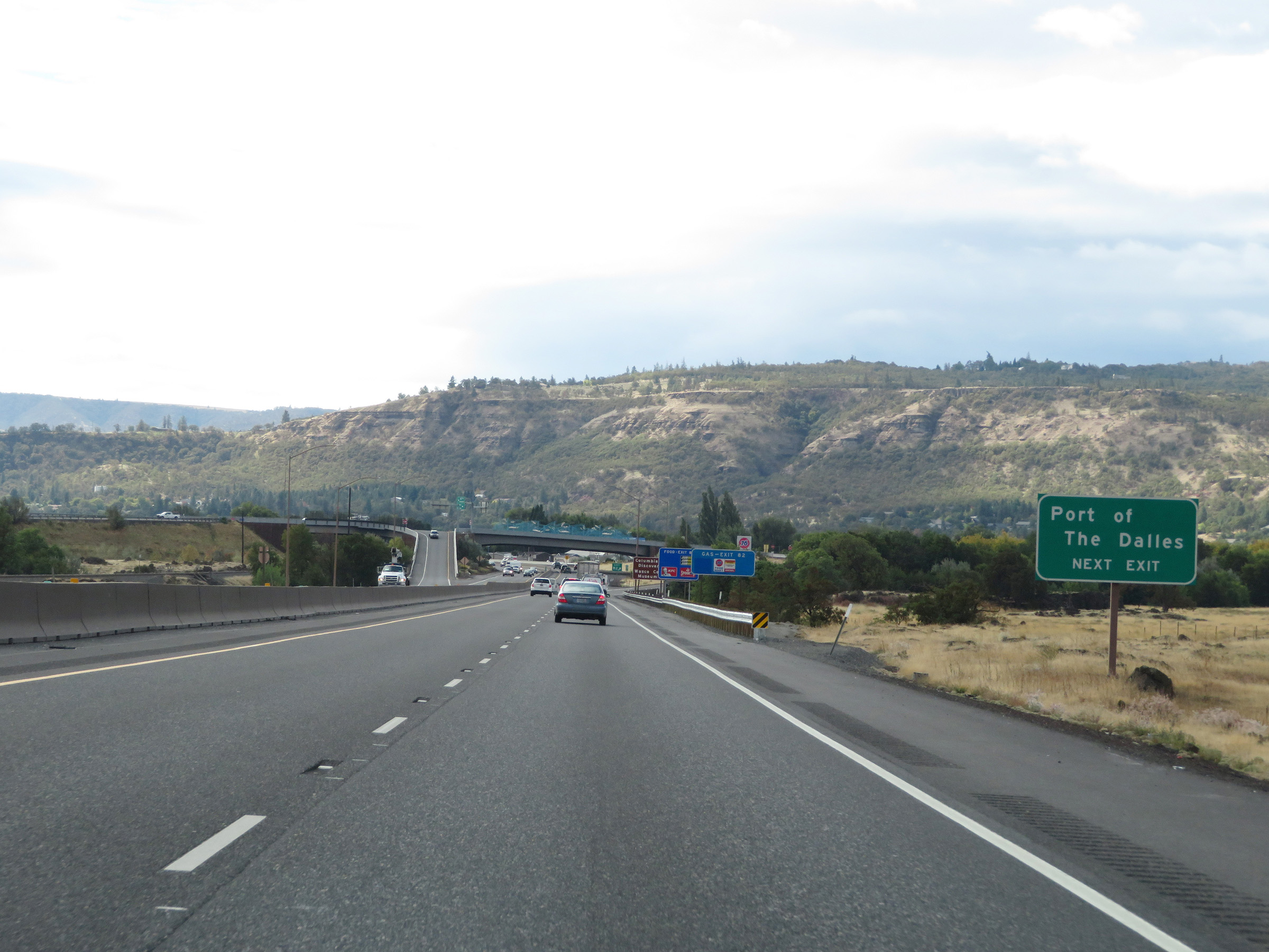 |
Take Exit 82 to the Port of The Dalles. (Photo taken 9/26/19). |
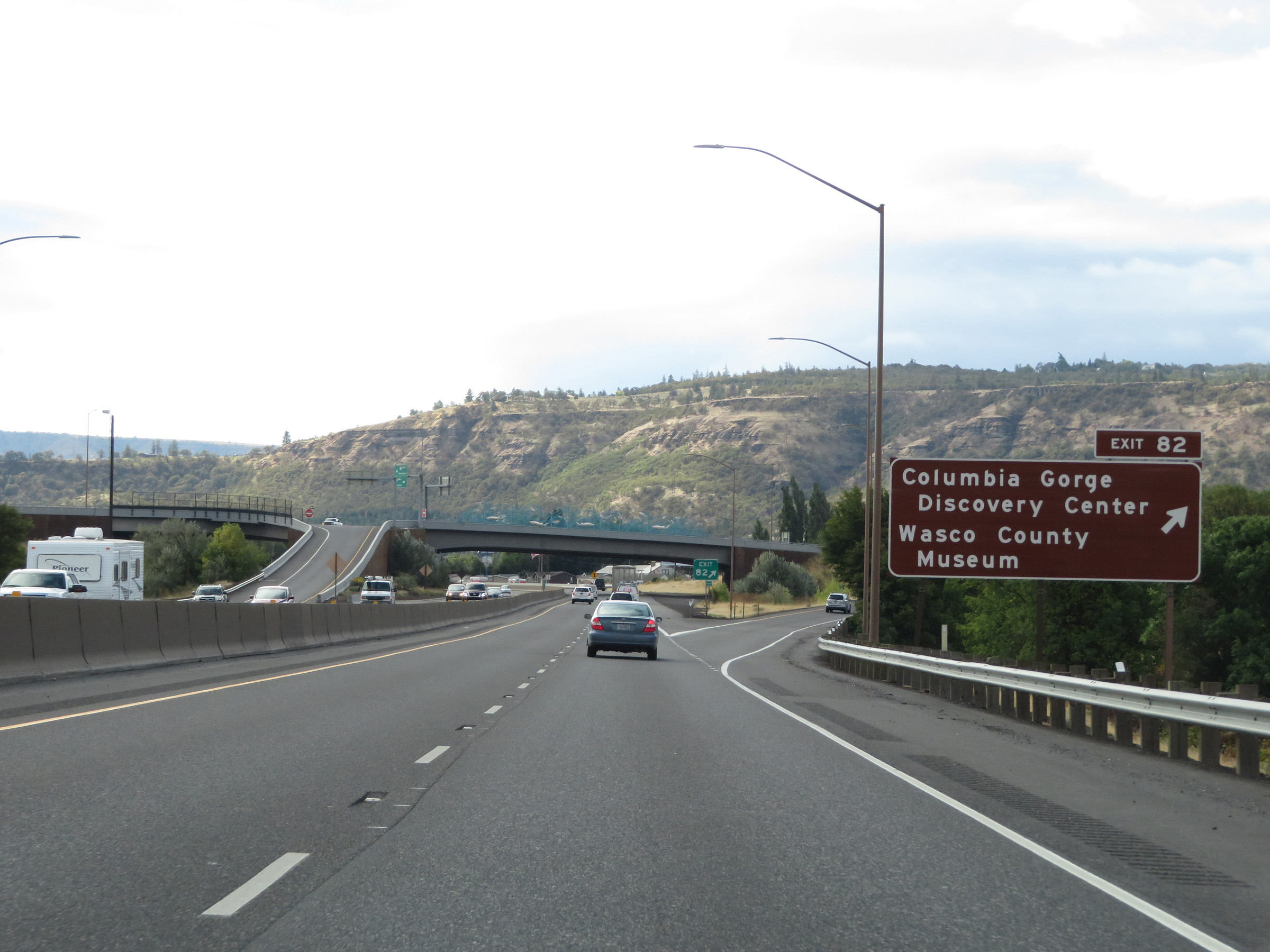 |
Interstate 84 East at Exit 82: Columbia Gorge Discovery Center / Wasco County Museum (Photo taken 9/26/19). |
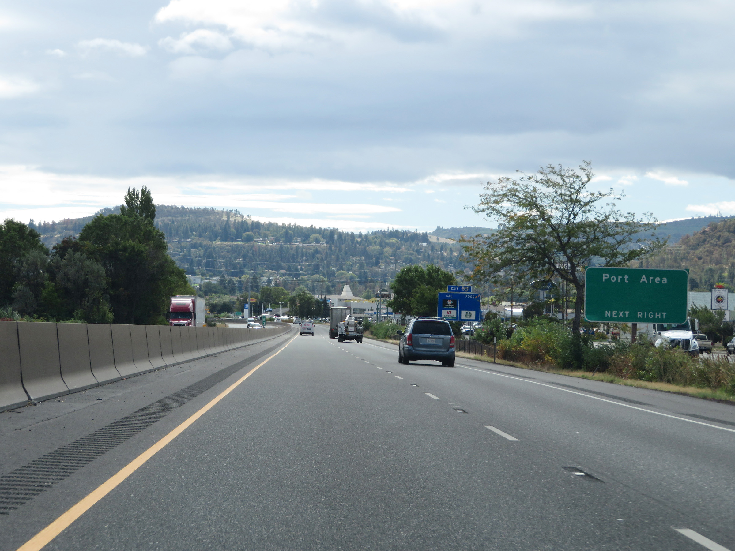 |
Take Exit 83 to the Port Area. (Photo taken 9/26/19). |
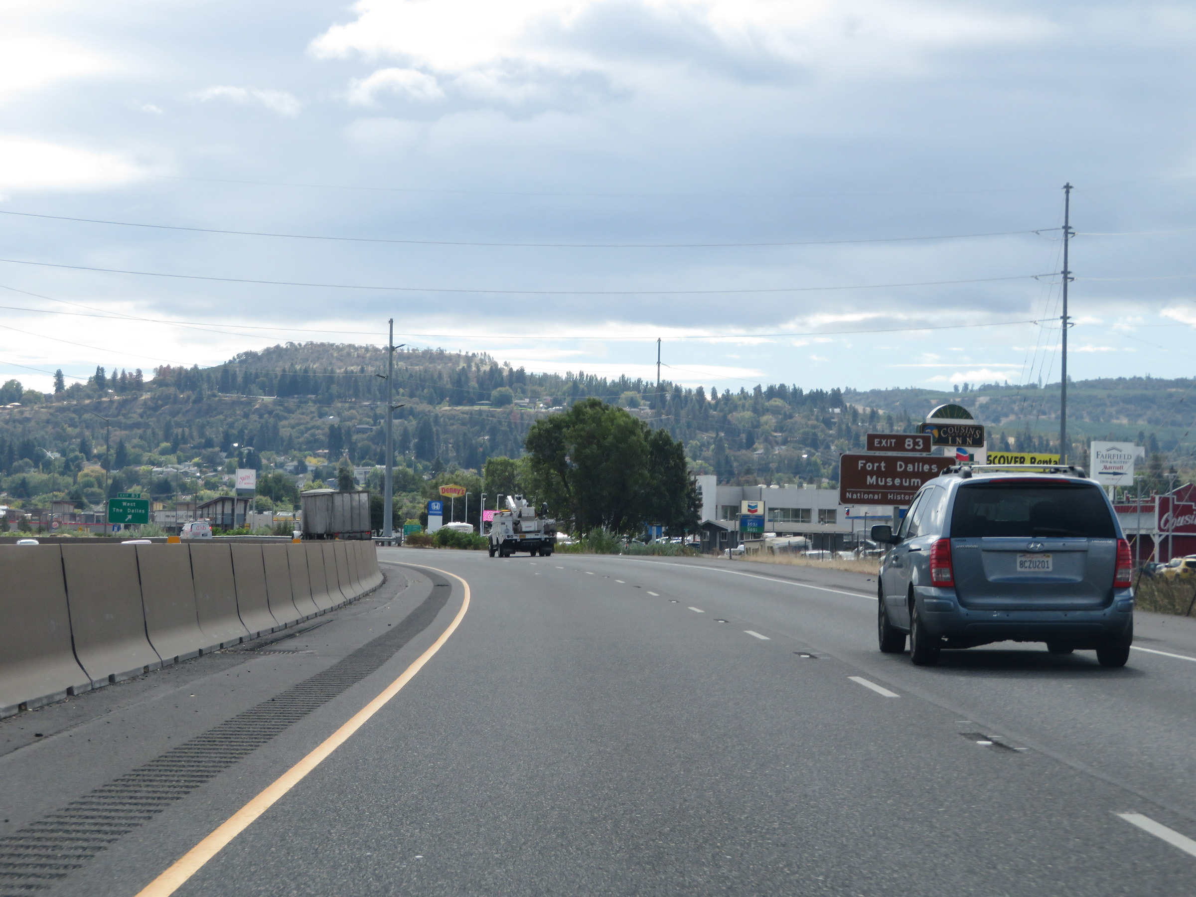 |
Also take Exit 83 to the Fort Dalles Museum. (Photo taken 9/26/19). |
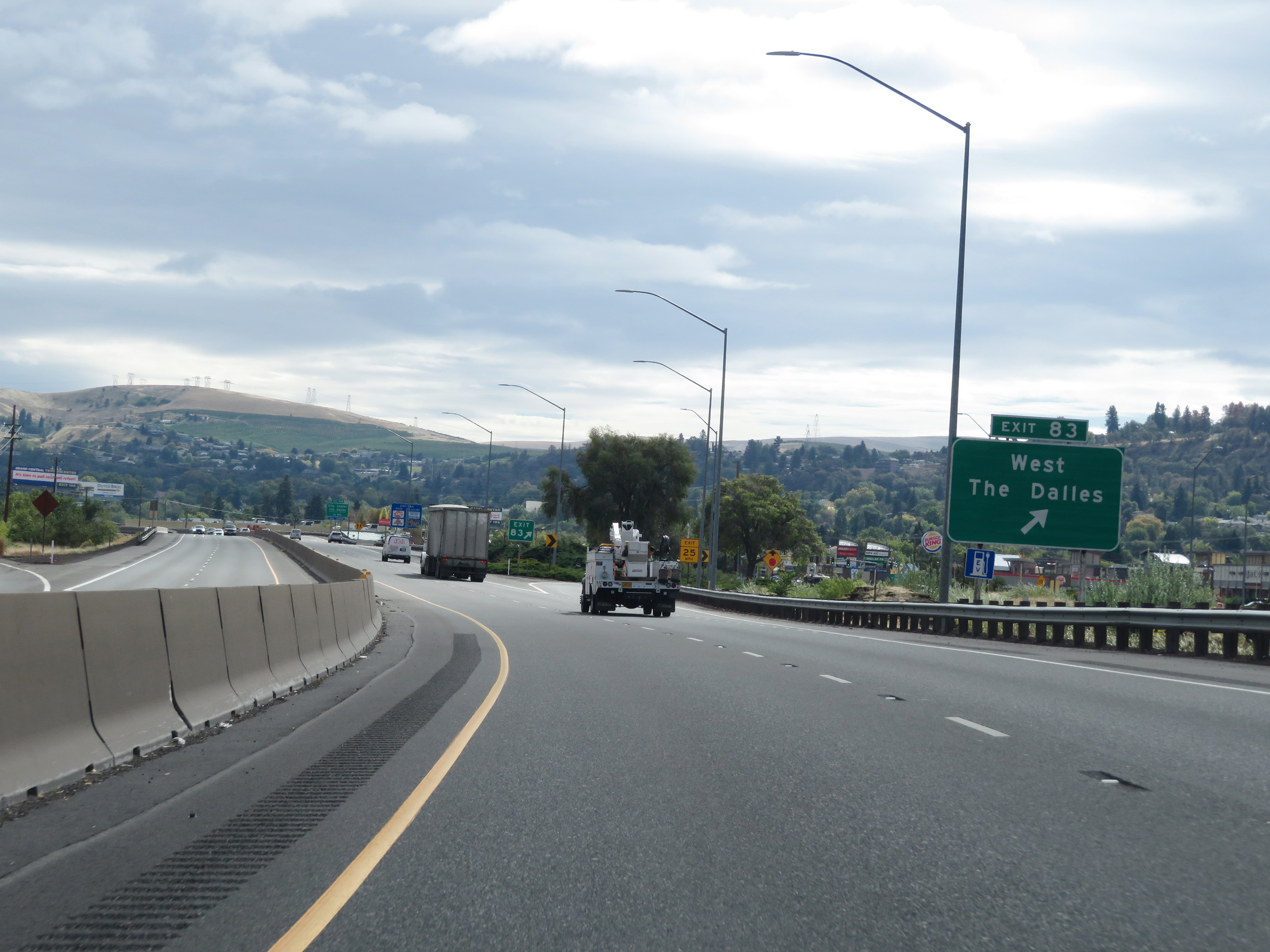 |
Interstate 84 East at Exit 83: West The Dalles (Photo taken 9/26/19). |
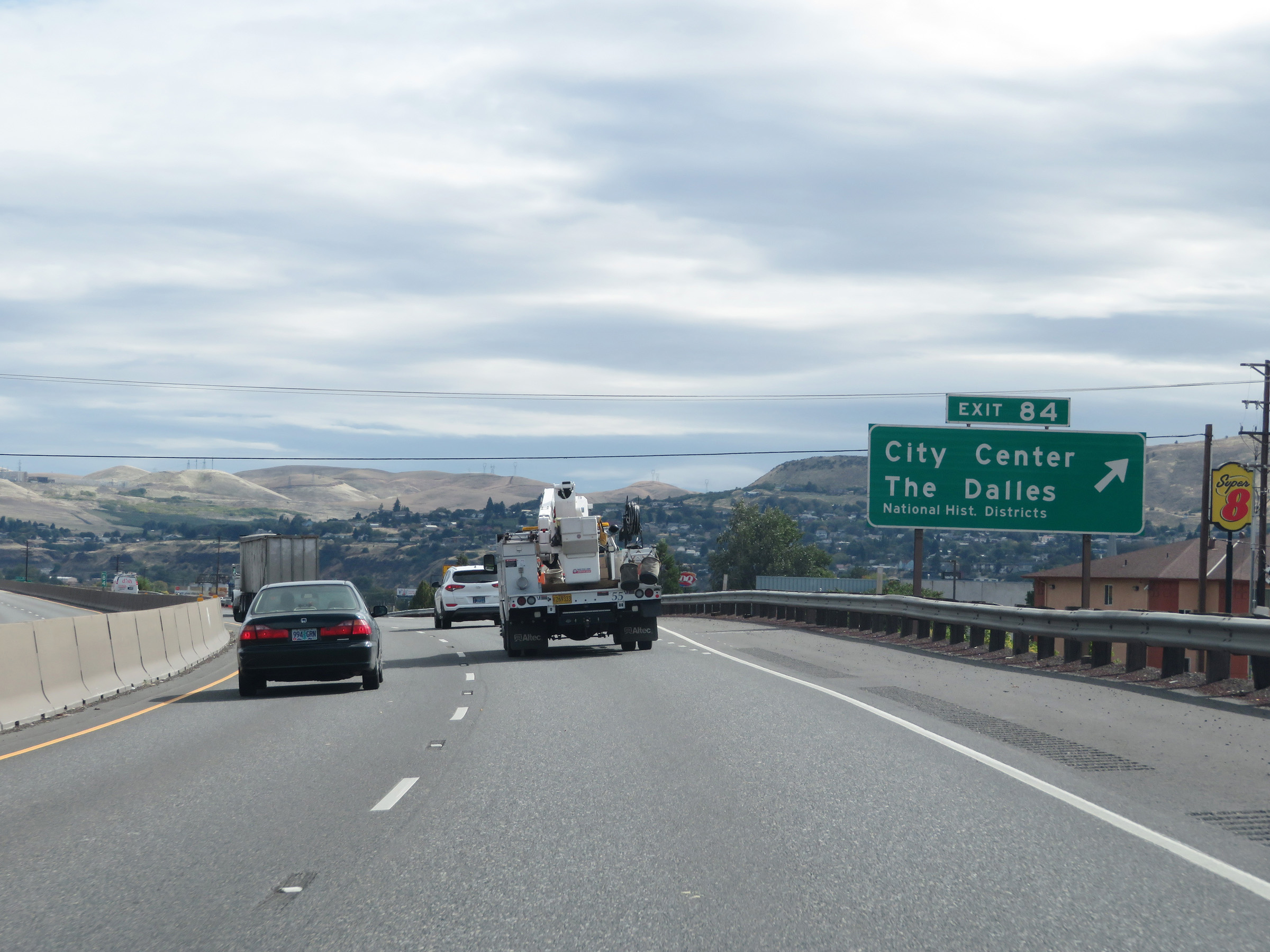 |
Interstate 84 East at Exit 84: City Center / The Dalles National Historic District (Photo taken 9/26/19). |
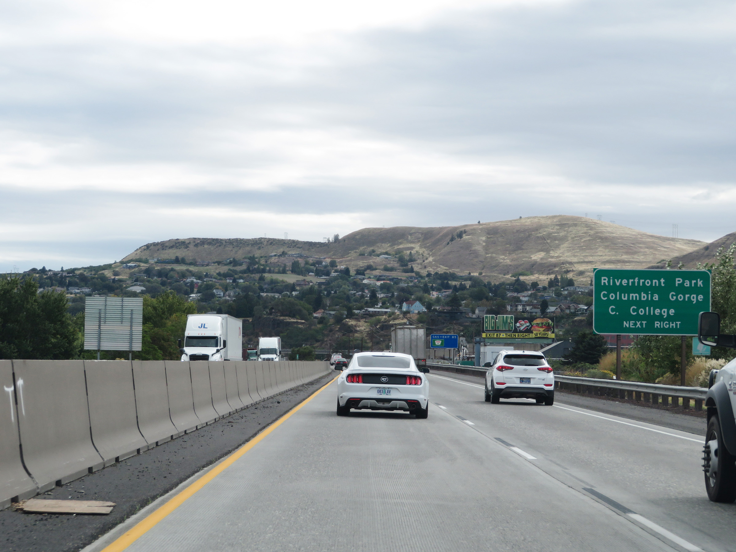 |
Take Exit 85 to Riverfront Park and Columbia Gorge Community College. (Photo taken 9/26/19). |
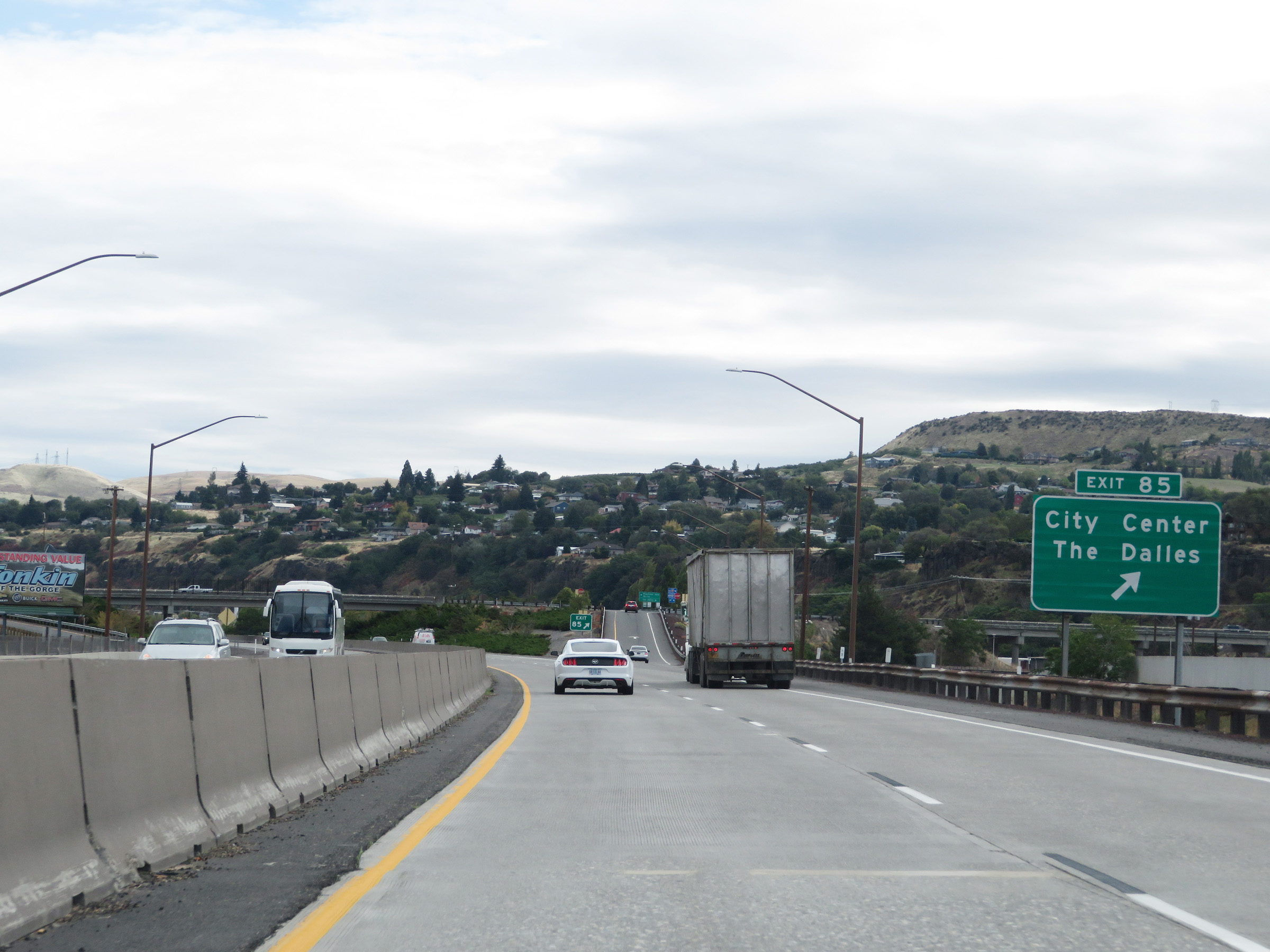 |
Interstate 84 East at Exit 85: City Center / The Dalles (Photo taken 9/26/19). |
 |
Advance signage for Exit 87 - 1 mile ahead. (Photo taken 9/26/19). |
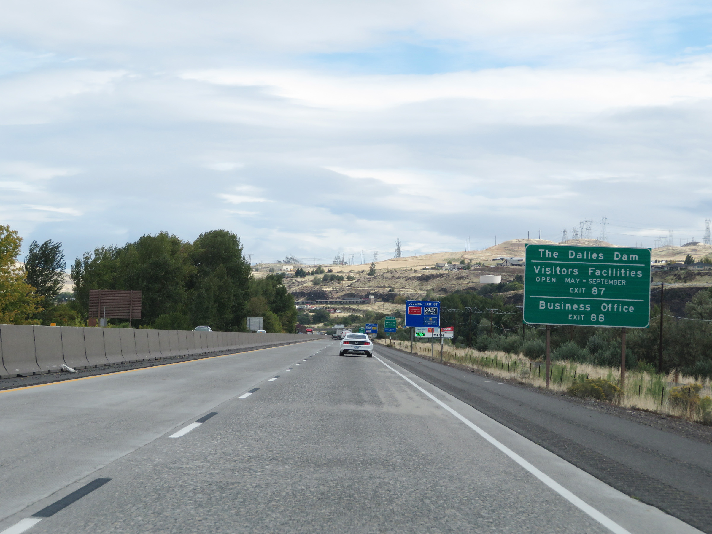 |
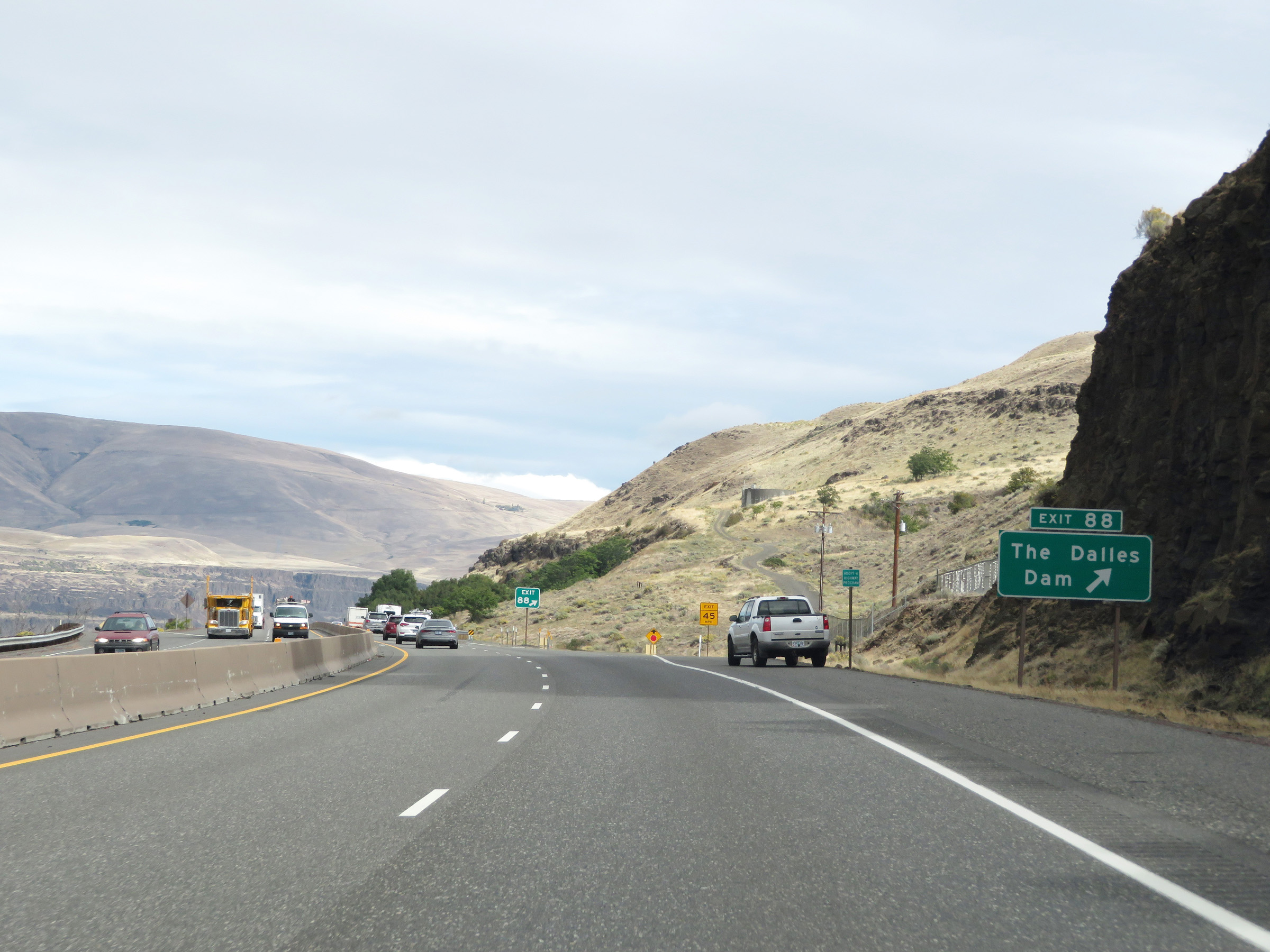
Take Exit 88 to The Dalles Dam as well as its Visitors Facilities and Business Office. (Photo taken 9/26/19). |
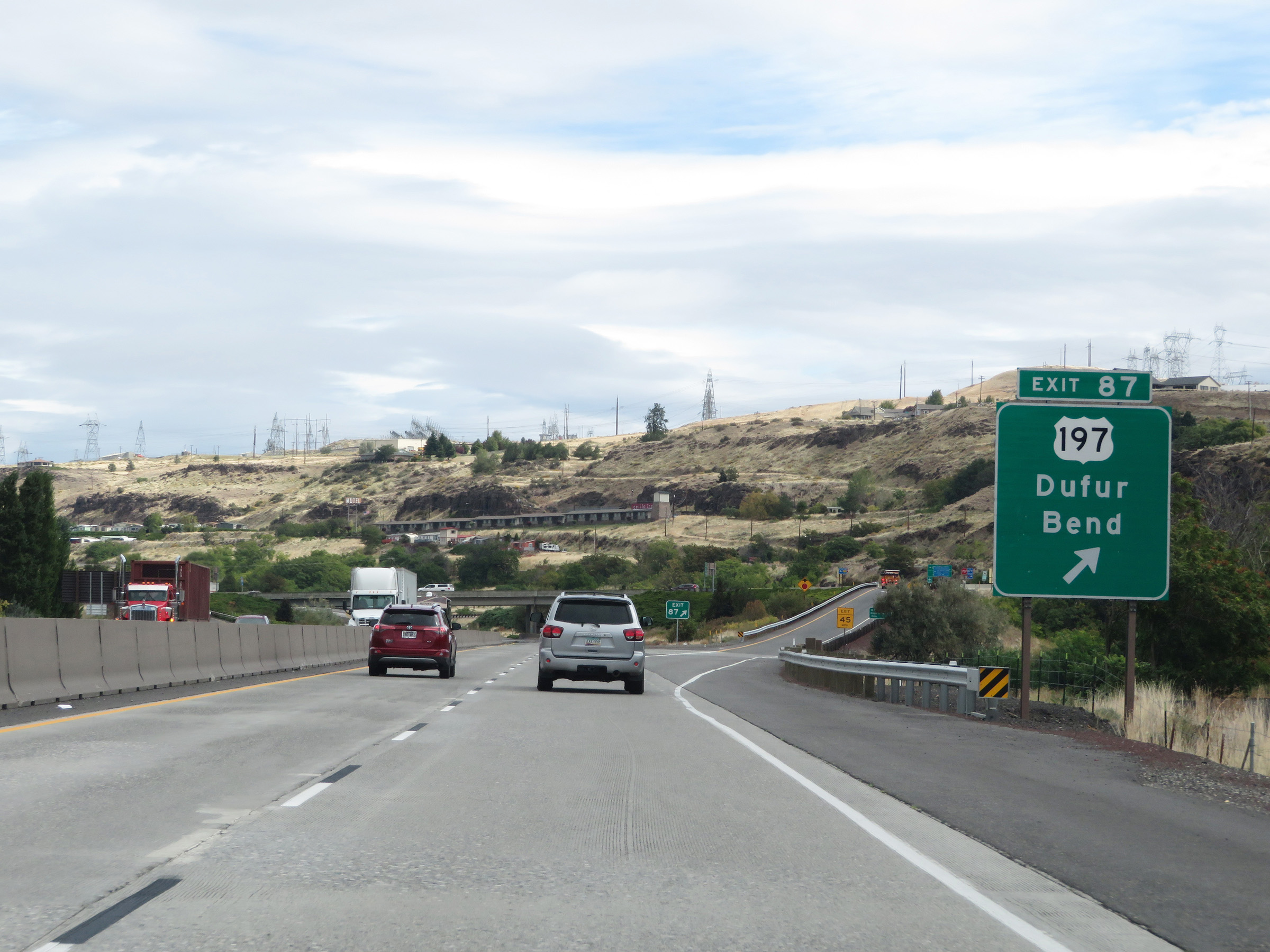 |
Interstate 84 East at Exit 87: US 197 - Dufur / Bend (Photo taken 9/26/19). |
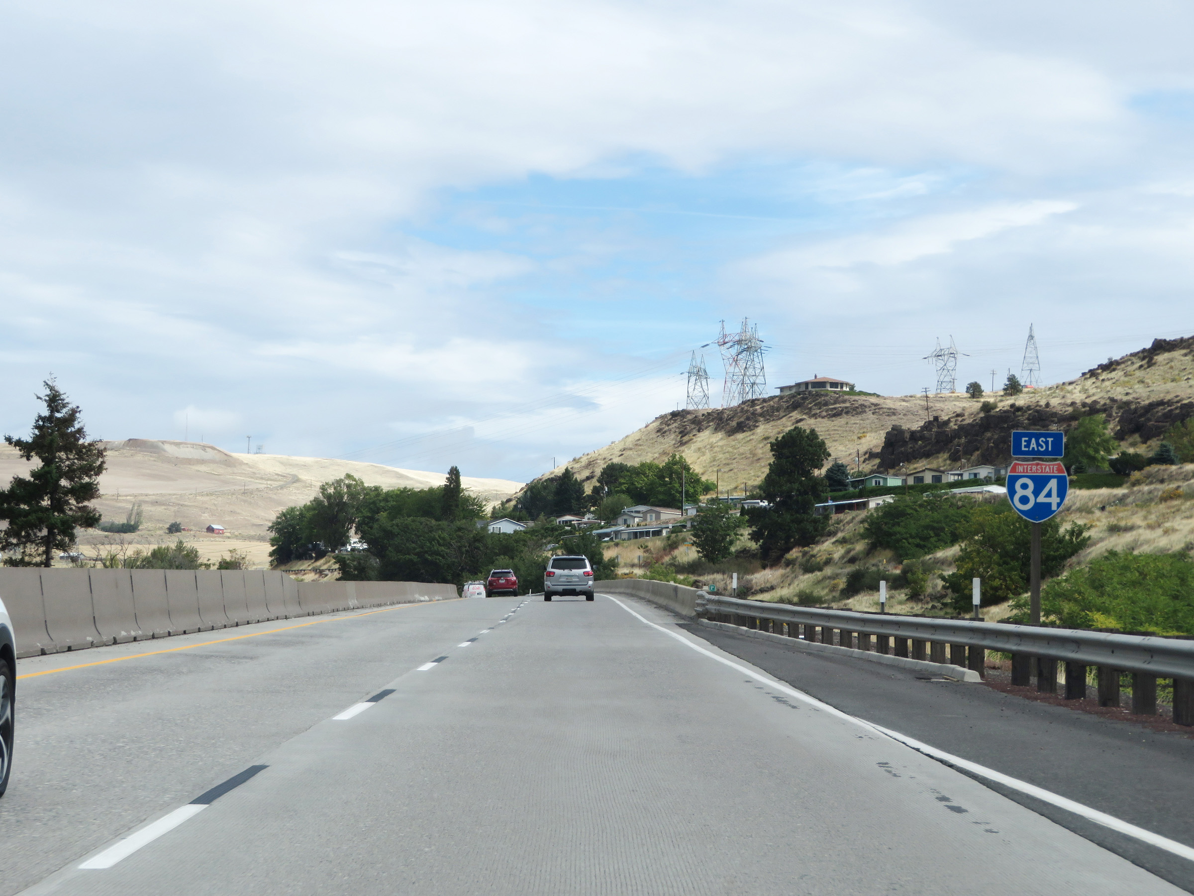 |
Another Interstate 84 East reassurance shield as it prepares to leave The Dalles to the east. (Photo taken 9/26/19). |
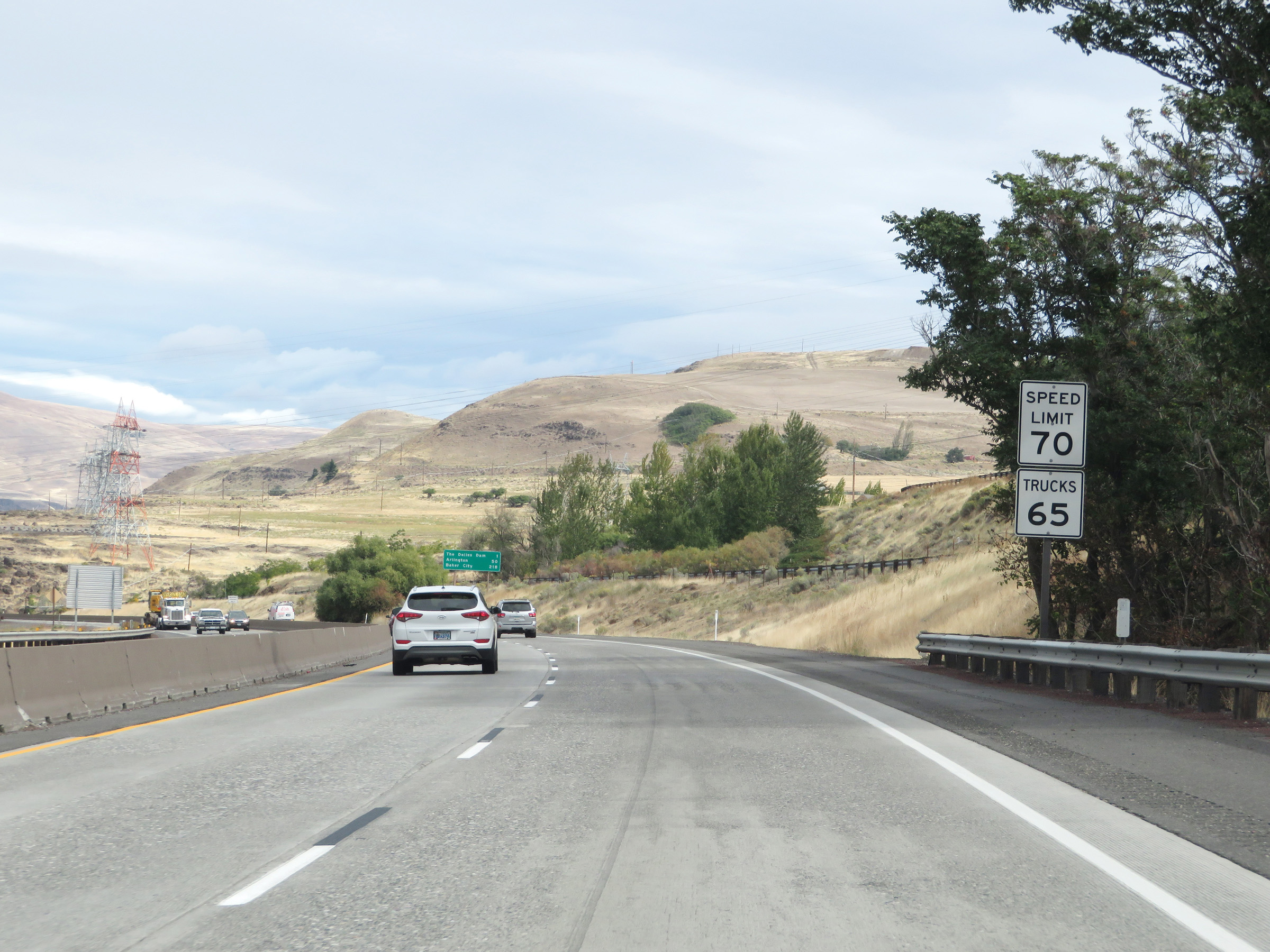 |
As Interstate 84 East leaves The Dalles, the speed limits increase to 70 mph for automobiles and 65 mph for trucks. (Photo taken 9/26/19). |
 |
Interstate 84 East at Exit 88: The Dalles Dam (Photo taken 9/26/19). |
 |
View on Interstate 84 East at mile marker 89. (Photo taken 9/26/19). |
 |
Mile marker 90 on Interstate 84 East in Wasco County. (Photo taken 9/26/19). |
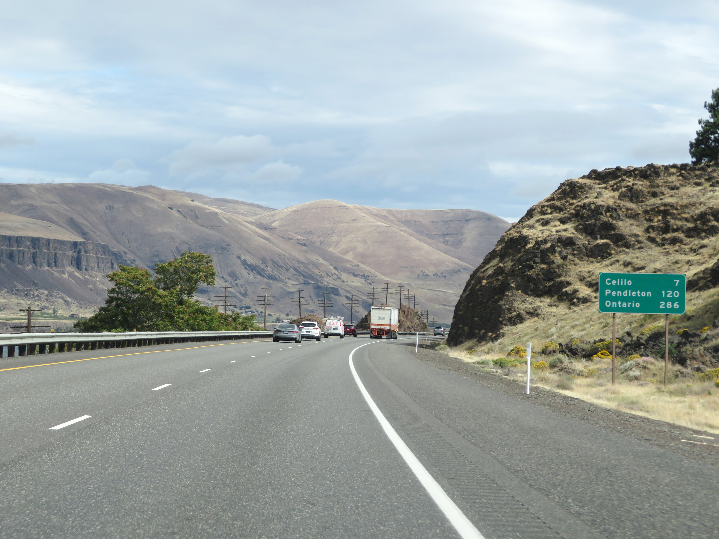 |
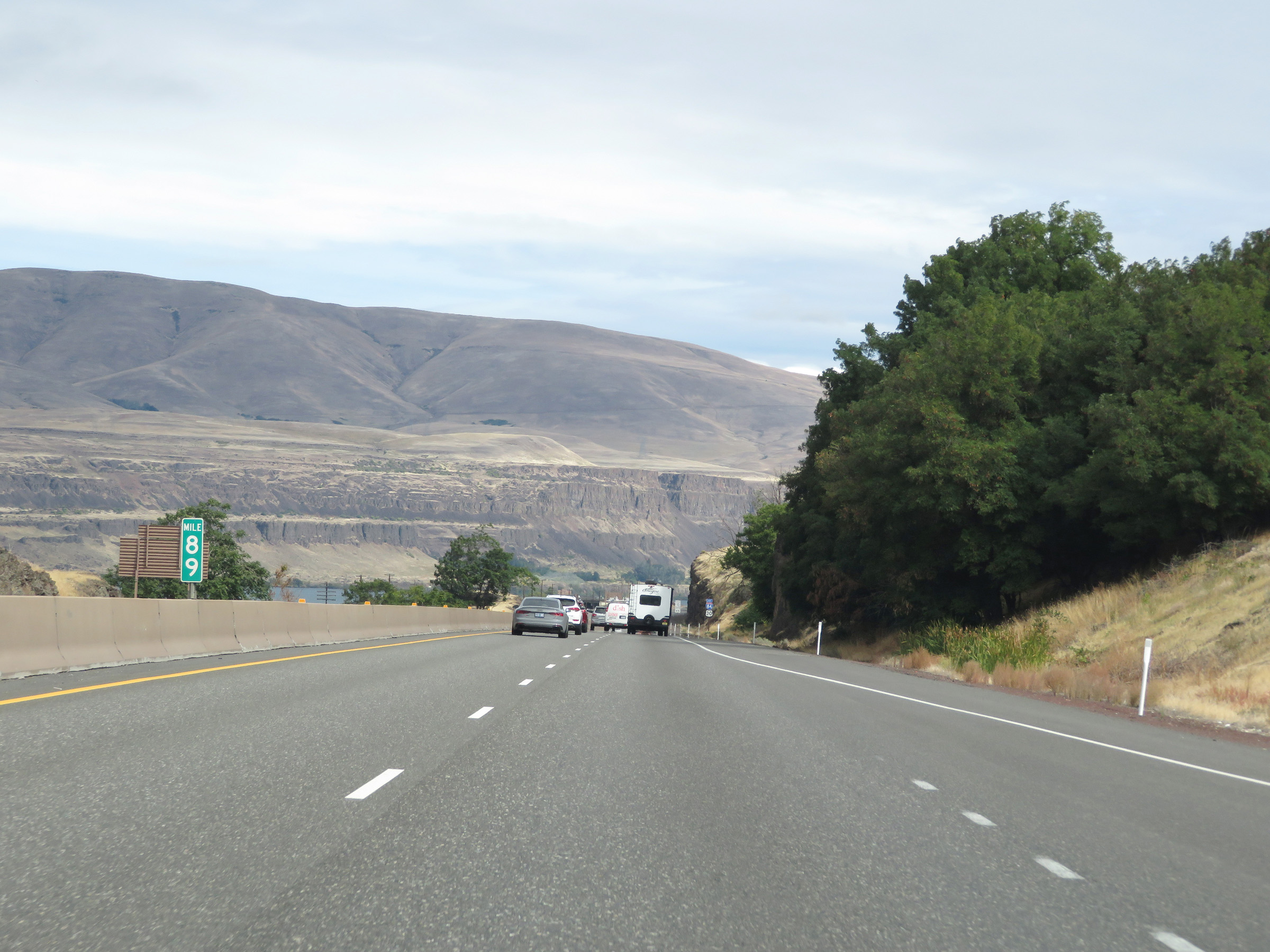
Mileage sign on Interstate 84 East. It's 7 miles to Celilo, 120 miles to Pendleton, and 286 miles to Ontario. (Photo taken 9/26/19). |
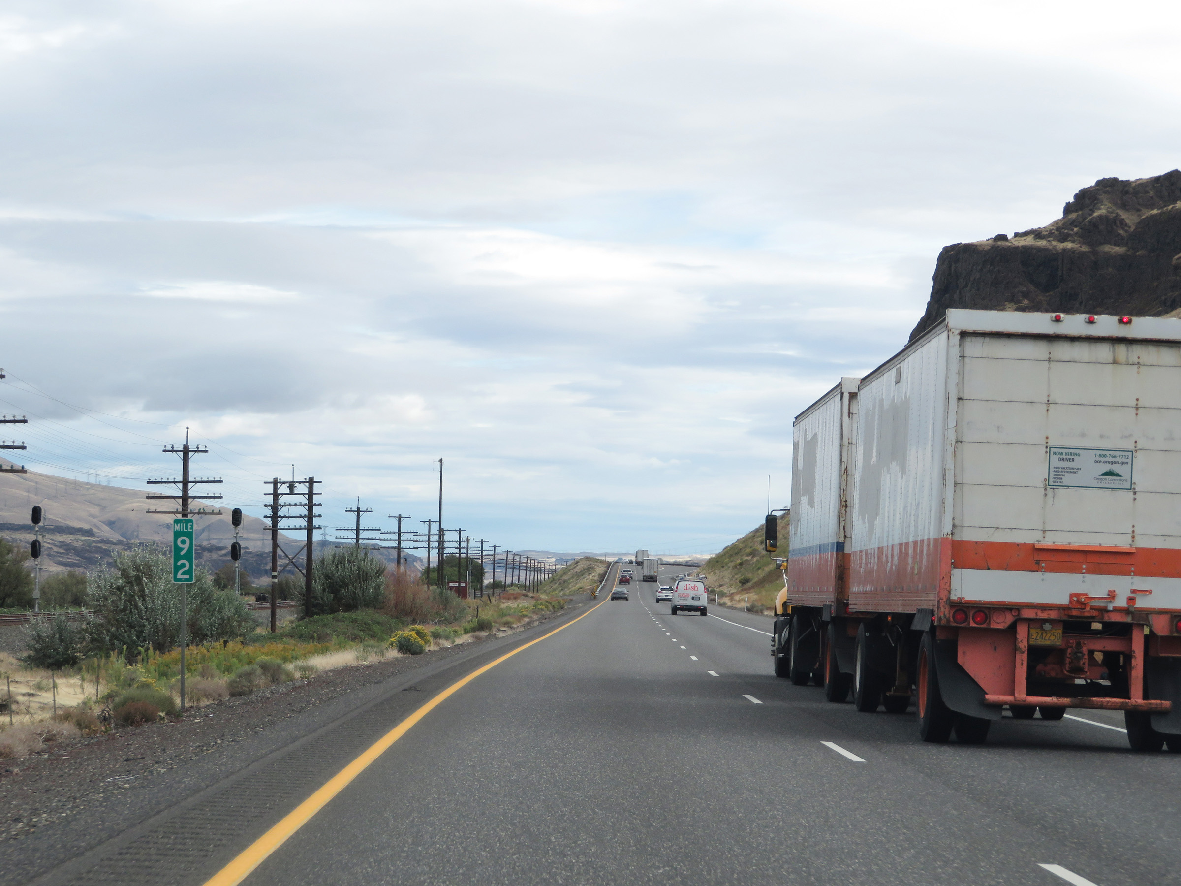 |
Interstate 84 East at mile marker 92. (Photo taken 9/26/19). |
 |
Parking Area on Interstate 84 East in Wasco County. (Photo taken 9/26/19). |
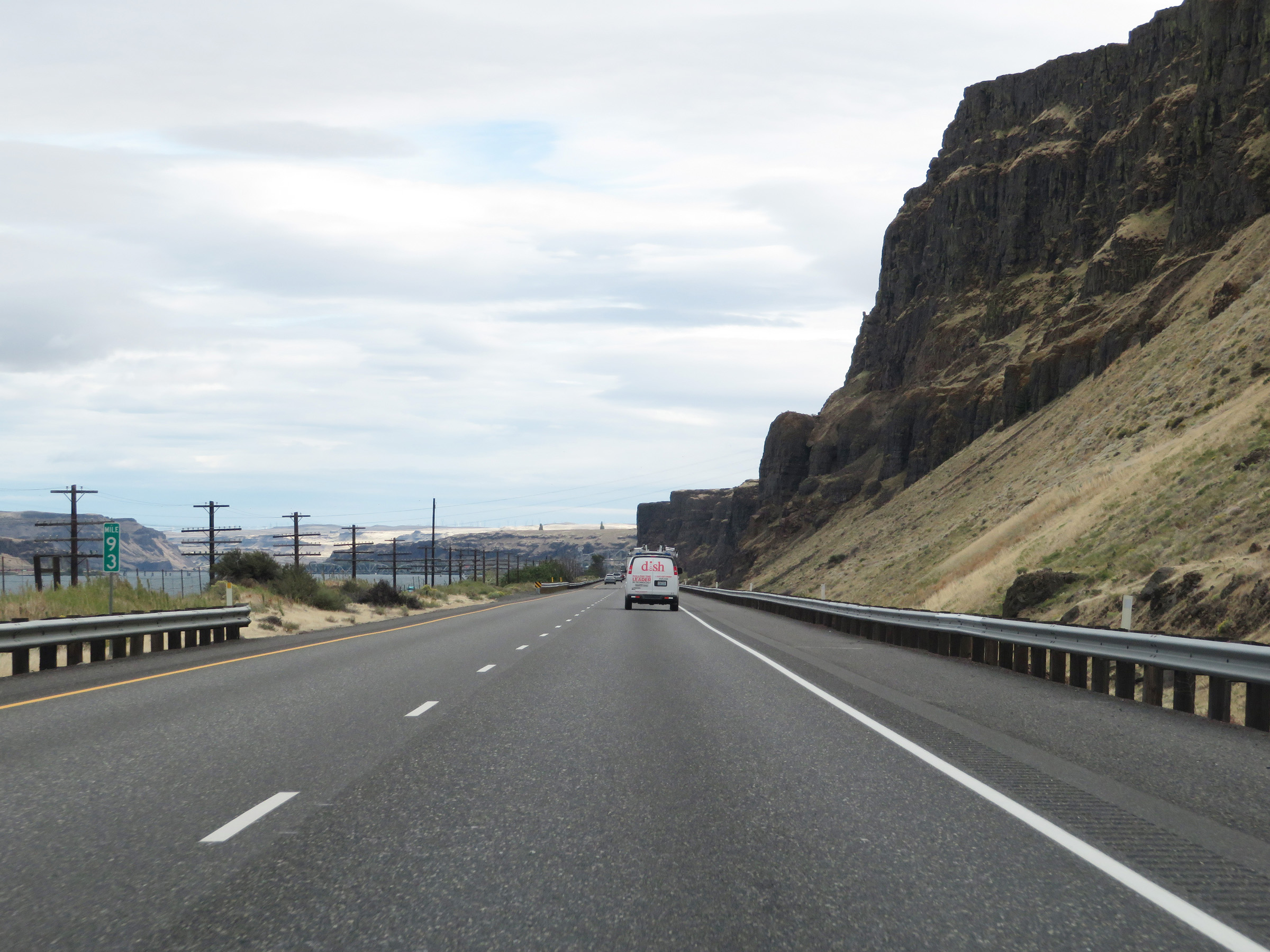 |
View on Interstate 84 East at mile marker 93. (Photo taken 9/26/19). |
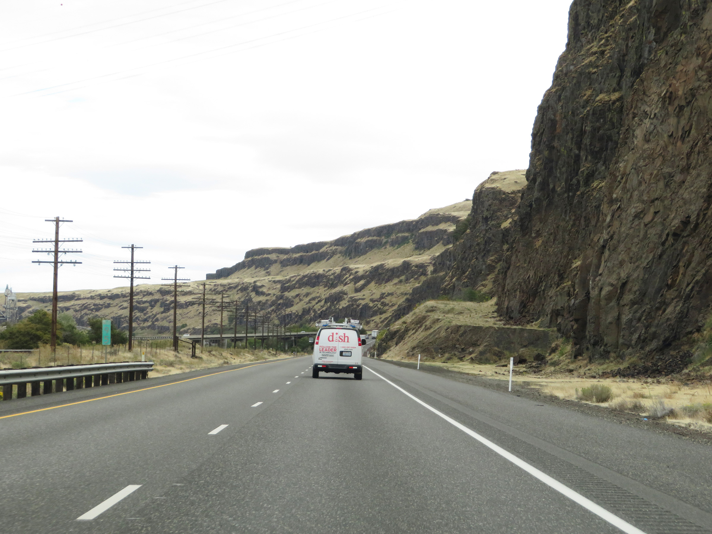 |
Interstate 84 East at mile marker 95. (Photo taken 9/26/19). |
 |
Take Exit 97 to Celilo Indian Village and Fulton Canyon. (Photo taken 9/26/19). |
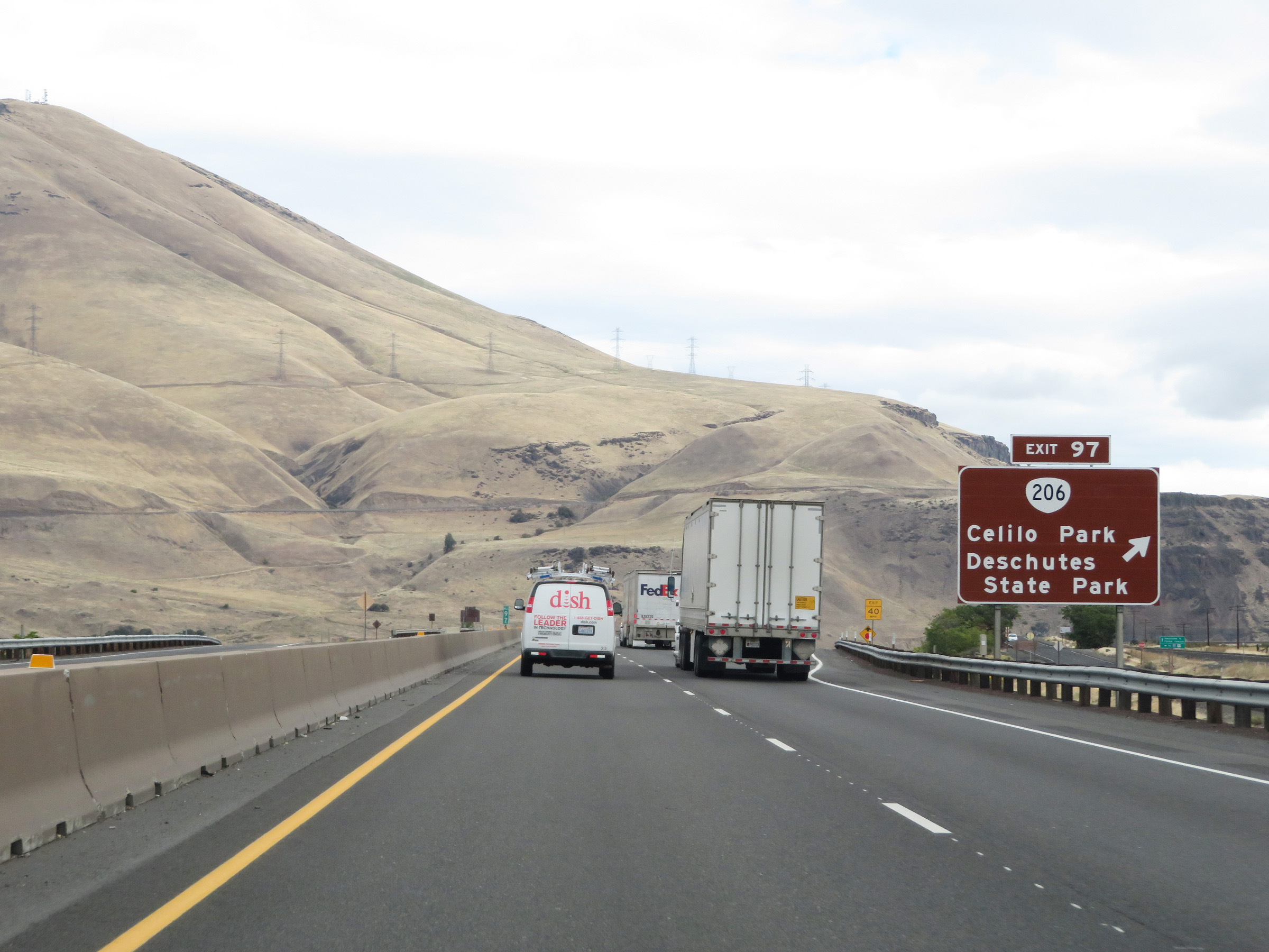 |
Interstate 84 East at Exit 97: OR 206 - Celilo Park / Deschutes State Park (Photo taken 9/26/19). |
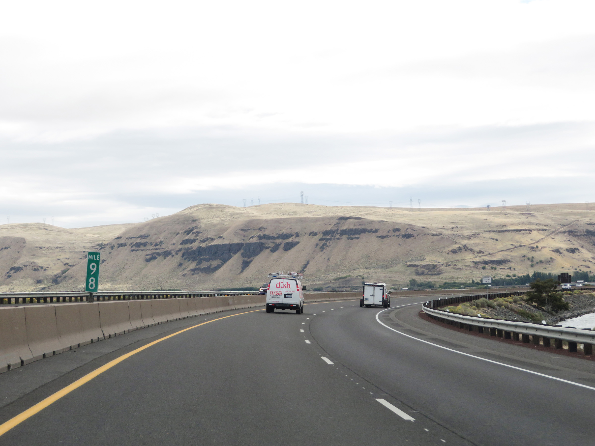 |
View on Interstate 84 East at mile marker 98. (Photo taken 9/26/19). |
 |
Mile marker 99 on Interstate 84 East in eastern Wasco County. (Photo taken 9/26/19). |
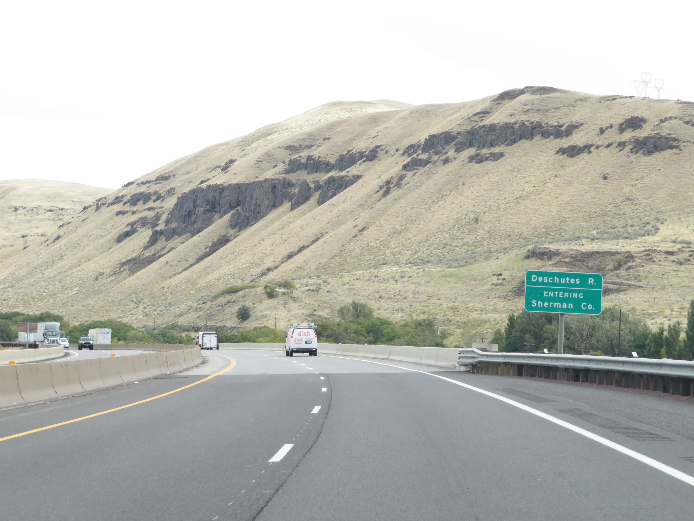 |
Interstate 84 East as it enters Sherman County by crossing the Deschutes River. (Photo taken 9/26/19). |
 |
View on Interstate 84 East at mile marker 100. (Photo taken 9/26/19). |
 |
Interstate 84 East at mile marker 101. (Photo taken 9/26/19). |
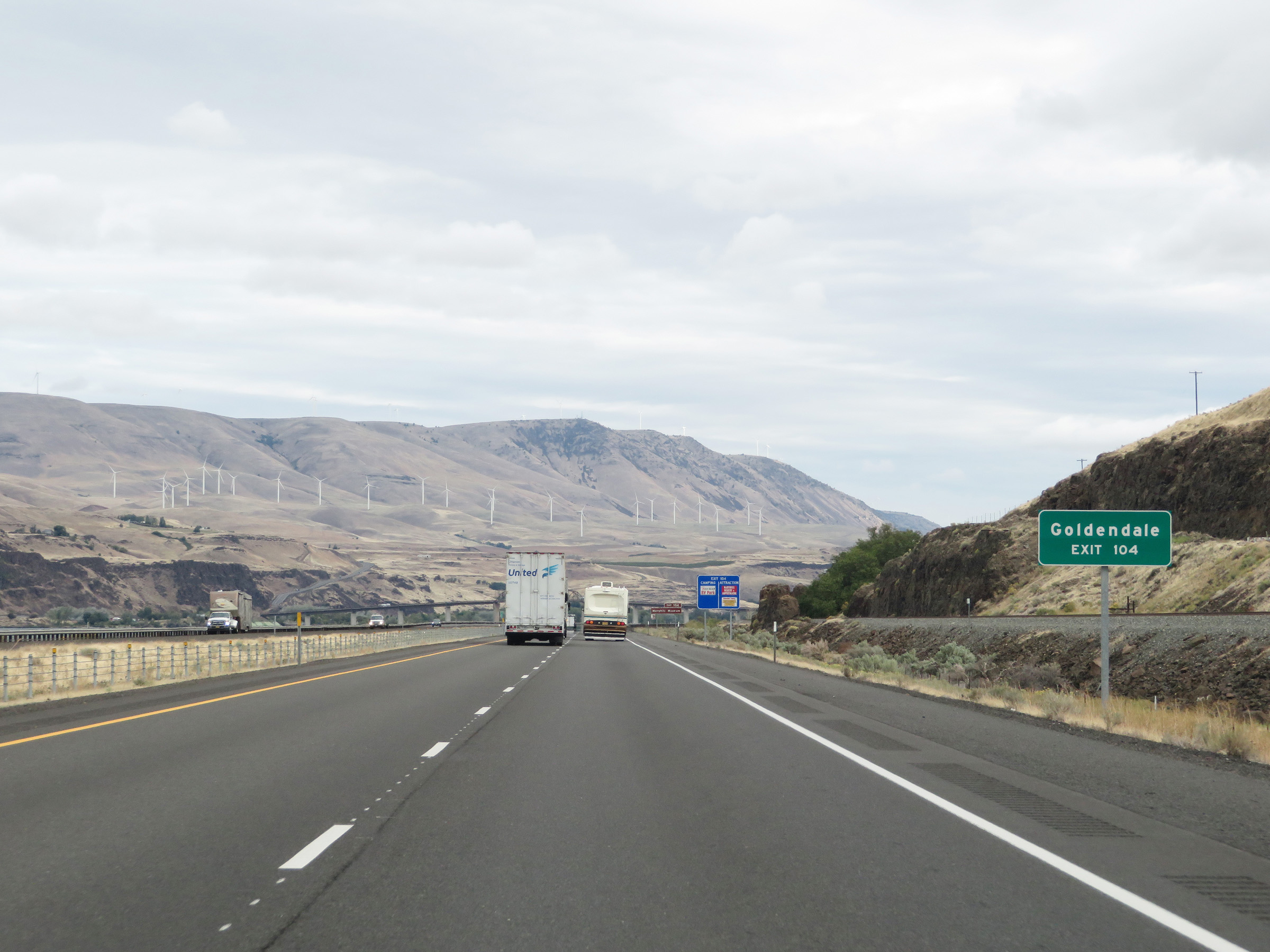 |
Take Exit 104 to Goldendale. (Photo taken 9/26/19). |
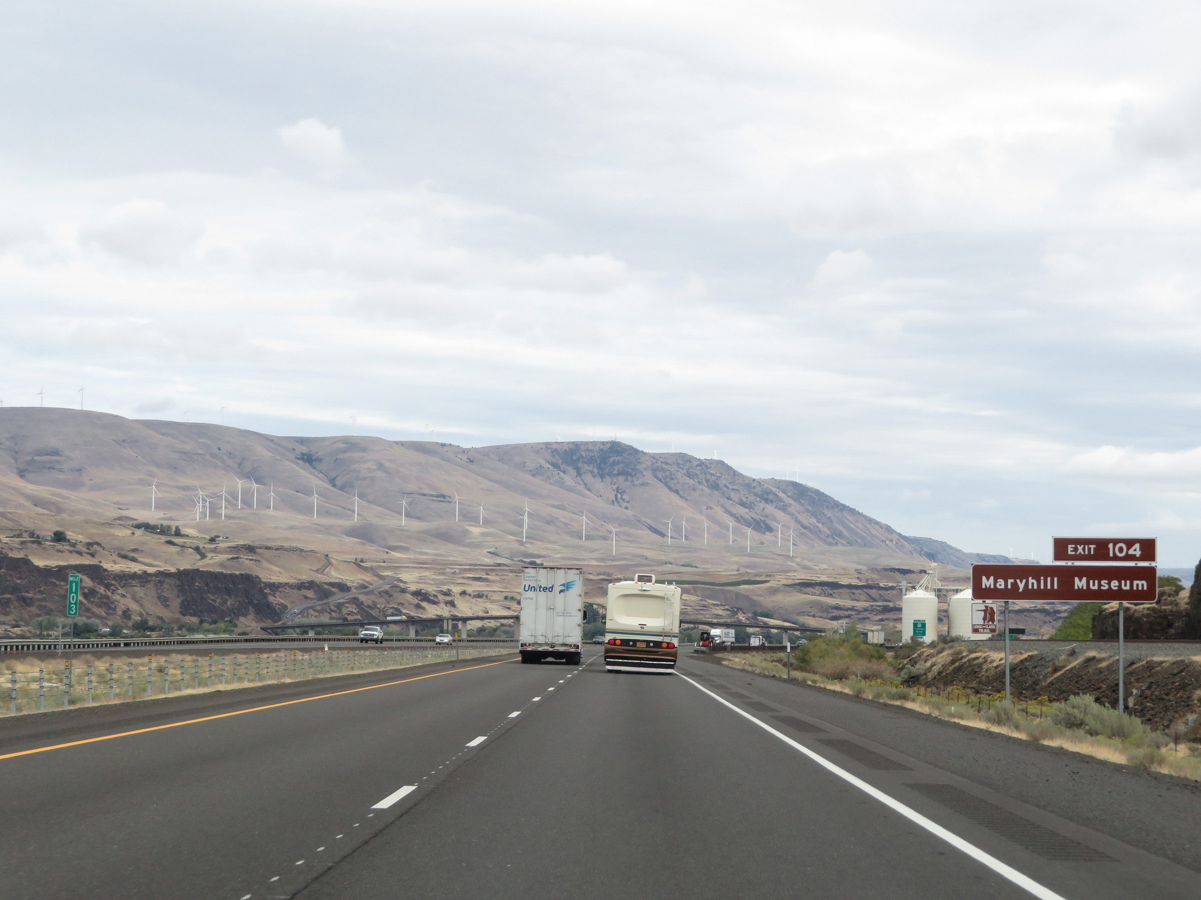 |
Also take Exit 104 to Maryhill Museum. (Photo taken 9/26/19). |
 |
Advance signage for Exit 104, which is 1 mile ahead on Interstate 84 East. (Photo taken 9/26/19). |
 |
Take Exit 104 to Biggs and Wasco as well. (Photo taken 9/26/19). |
 |
Interstate 84 East at Exit 104: US 97 - Yakima / Bend (Photo taken 9/26/19). |
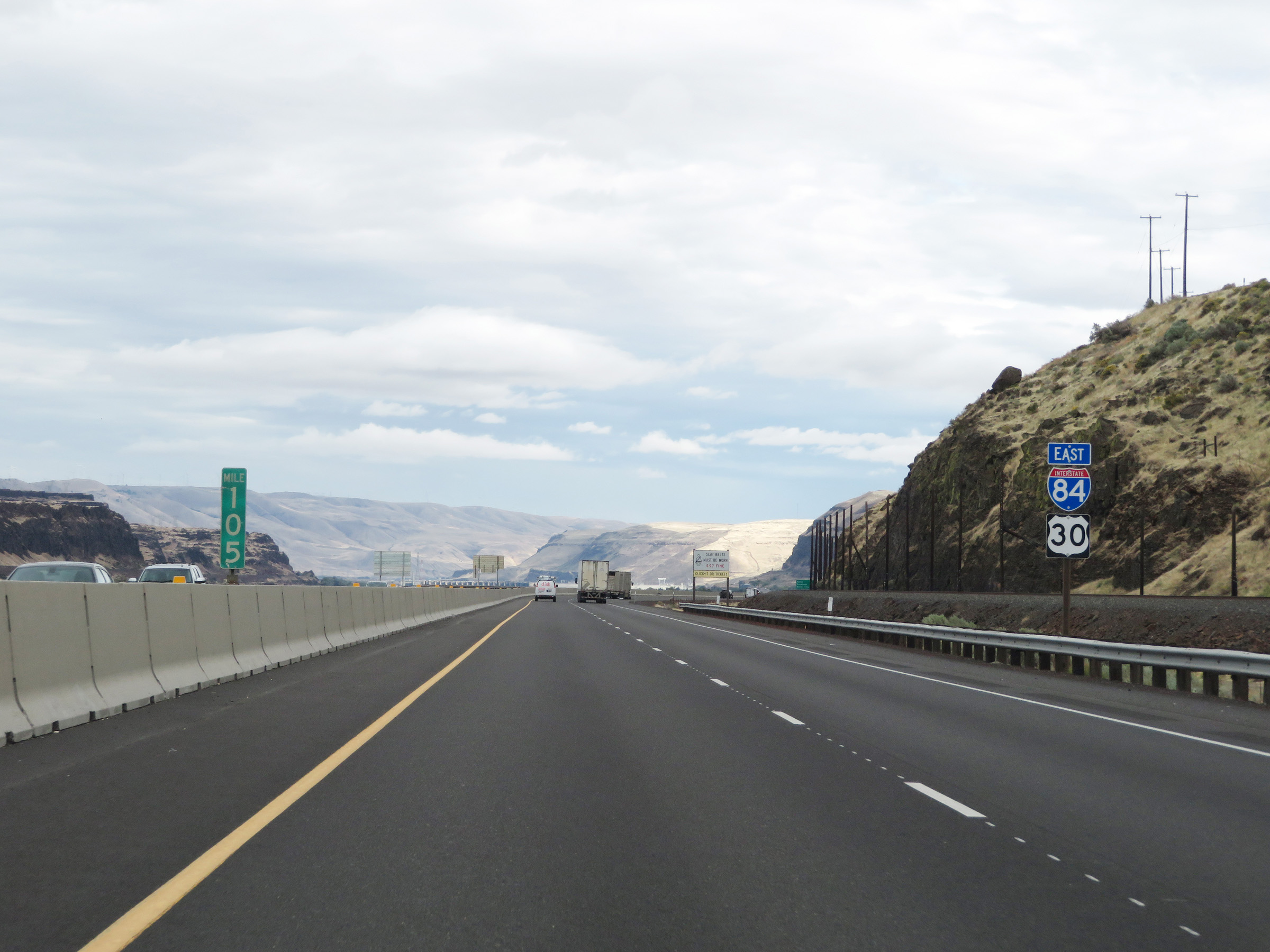 |
Interstate 84 East reassurance shield at mile marker 105. (Photo taken 9/26/19). |
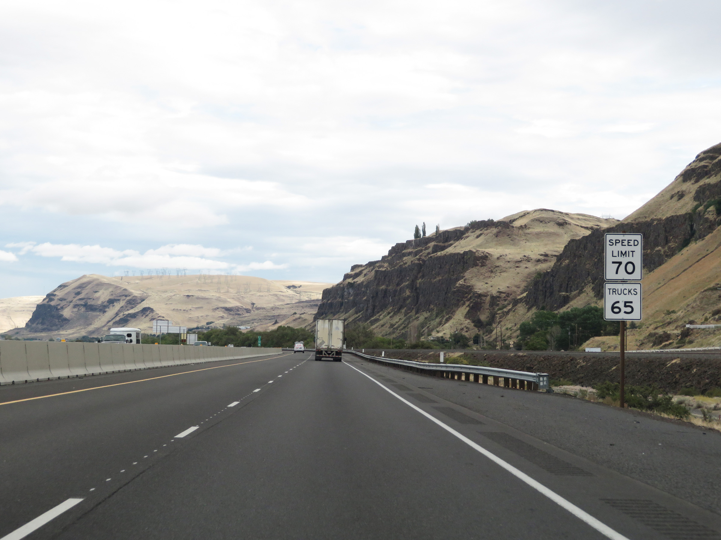 |
The speed limits remain 70 mph for automobiles and 65 mph for trucks. (Photo taken 9/26/19). |
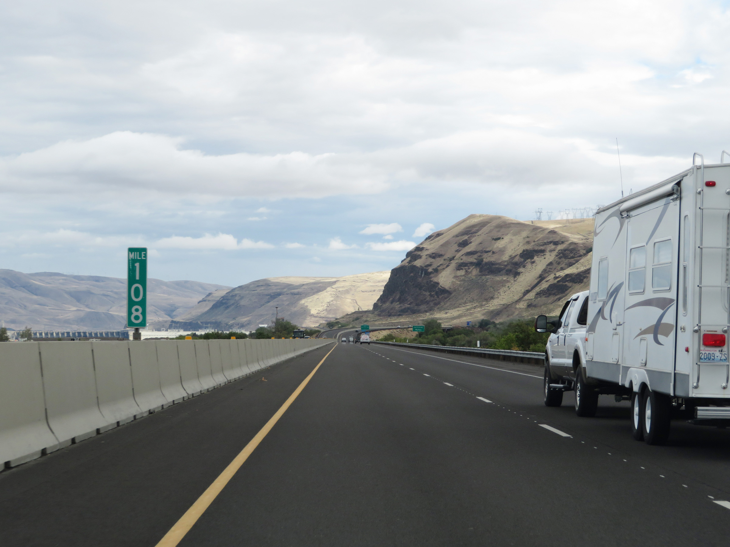 |
View on Interstate 84 East at mile marker 108. (Photo taken 9/26/19). |
 |
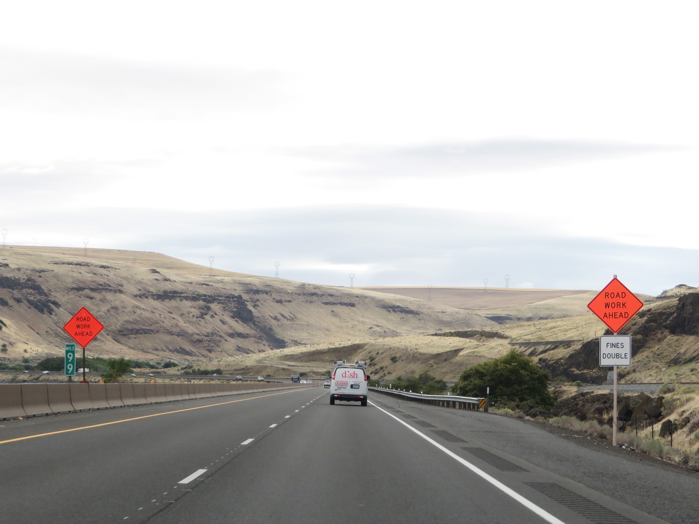
Interstate 84 East at Exit 109: Rufus / John Day Dam (Photo taken 9/26/19). |
Section 4: Rufus (Exit 109) to Hermiston (Exit 180)
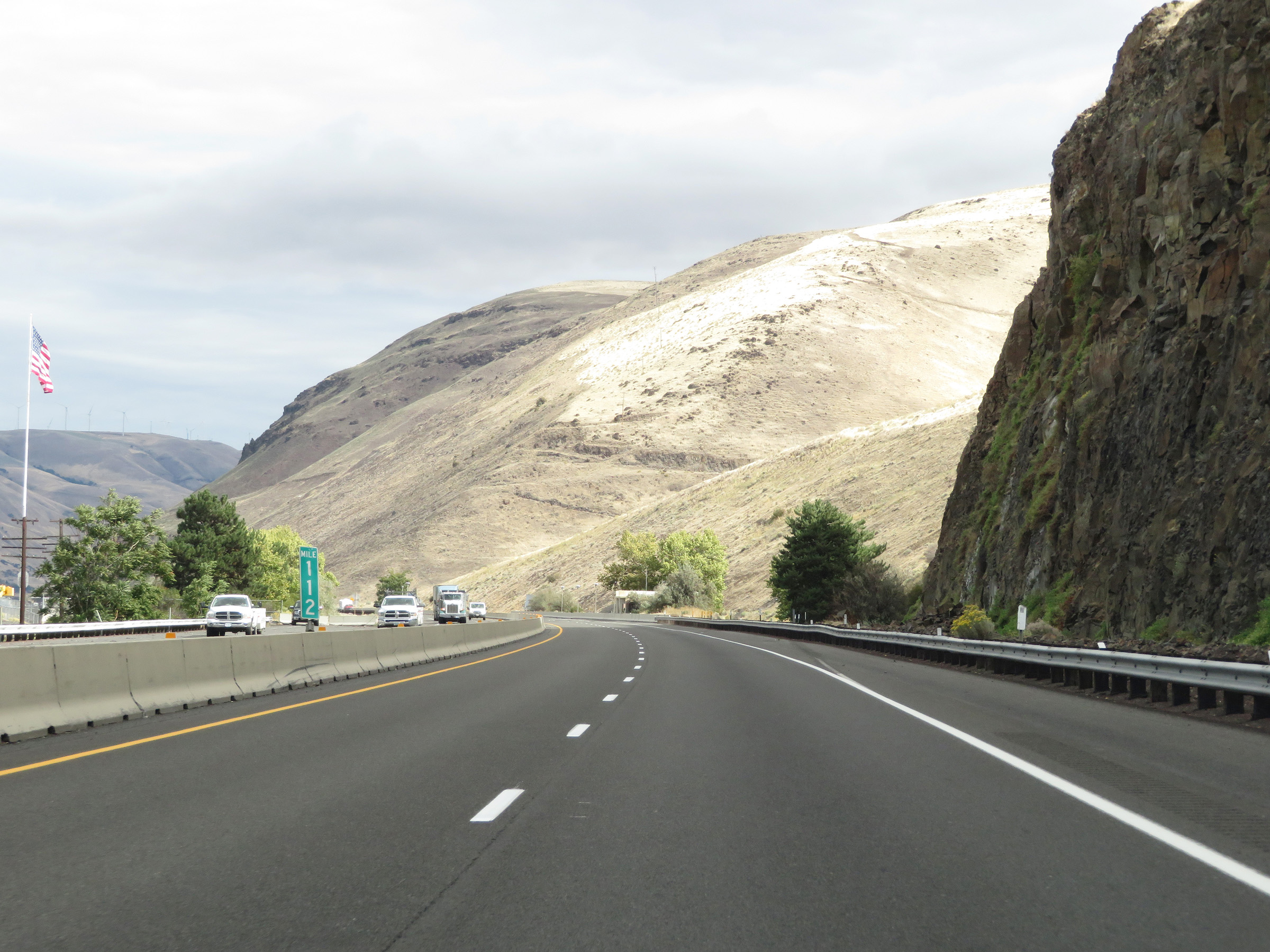 |
View on Interstate 84 East at mile marker 112. (Photo taken 9/26/19). |
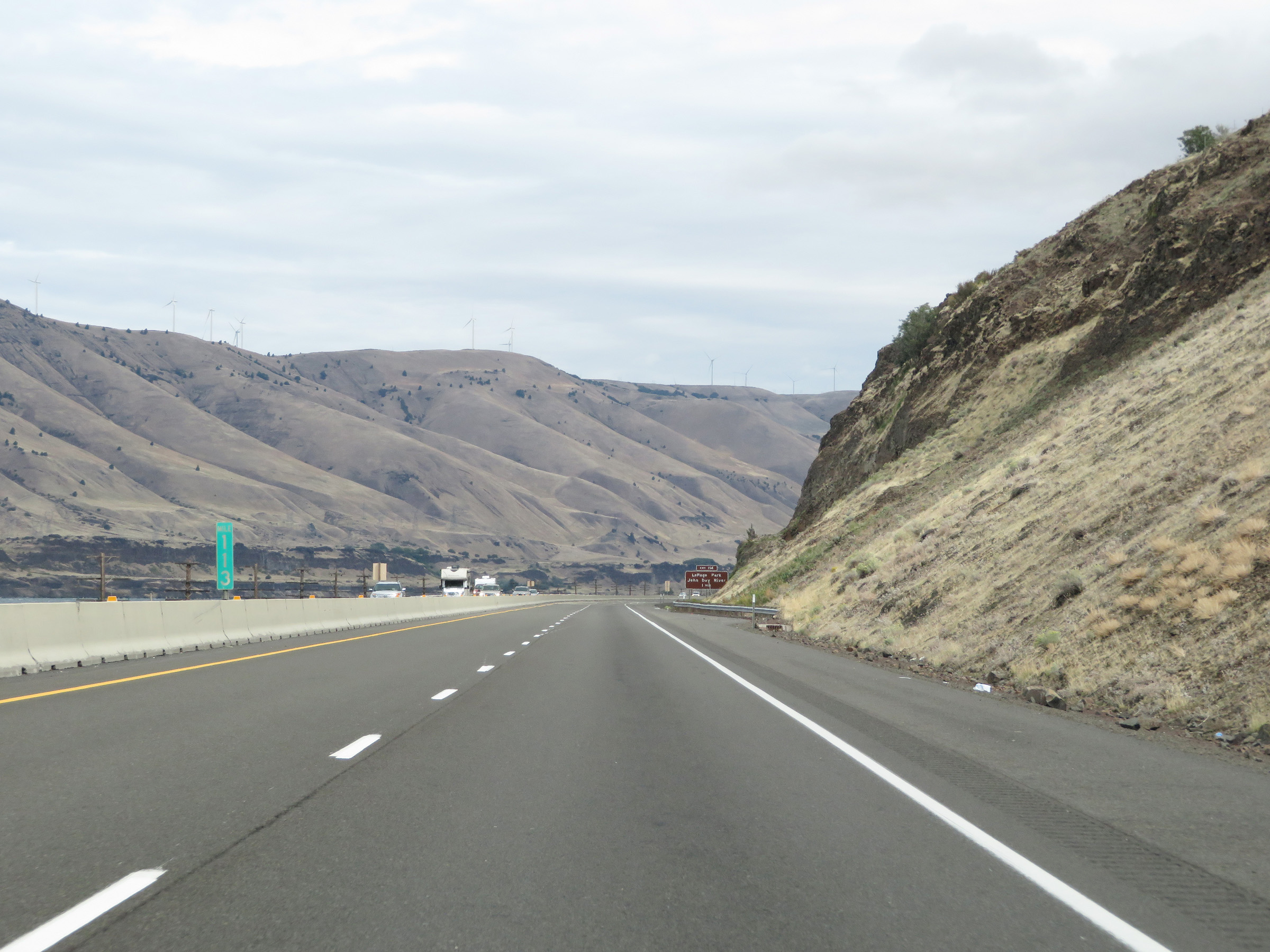 |
Mile marker 113 on Interstate 84 East in Sherman County. (Photo taken 9/26/19). |
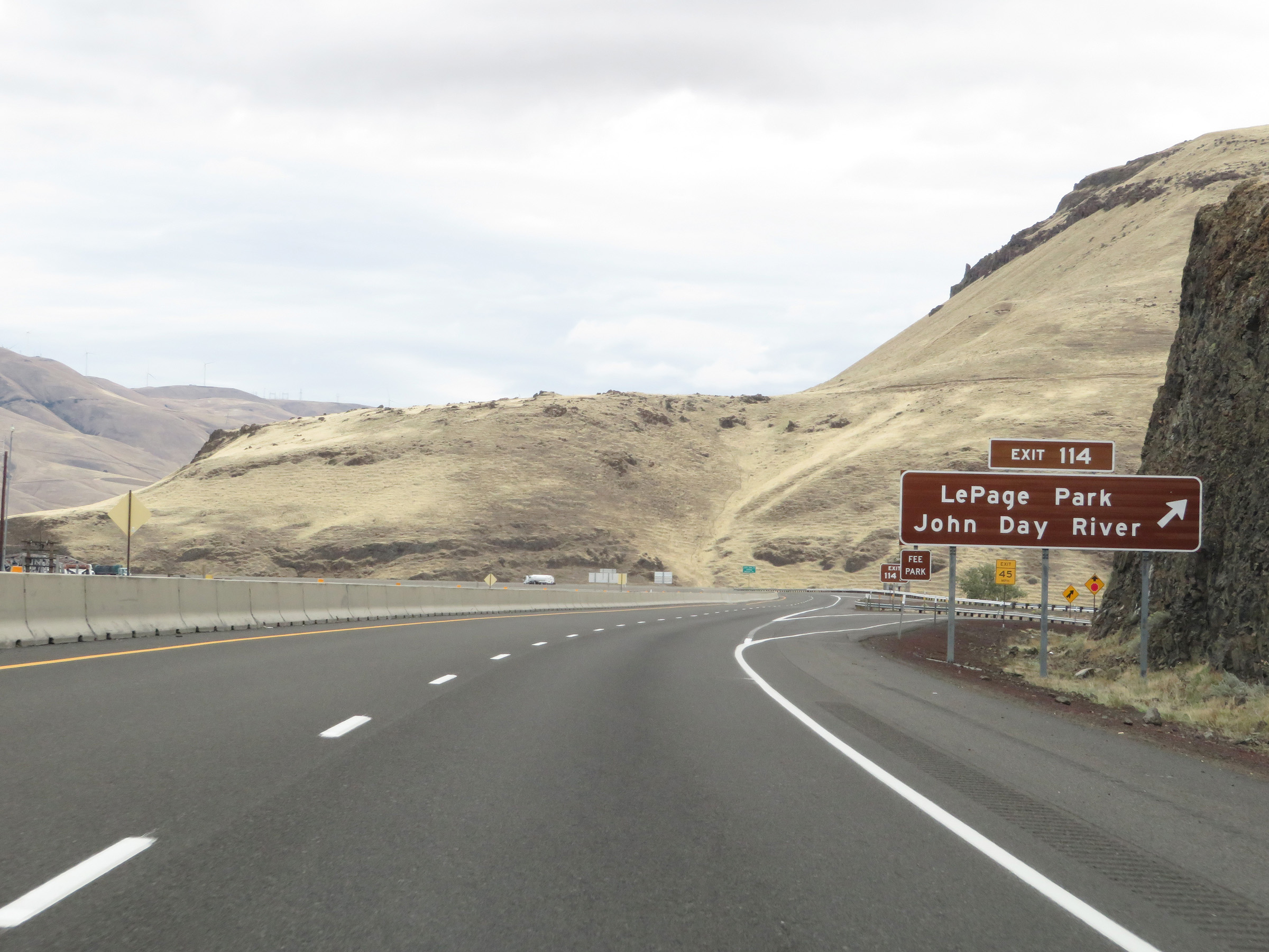 |
Interstate 84 East at Exit 114: LePage Park / John Day River (Photo taken 9/26/19). |
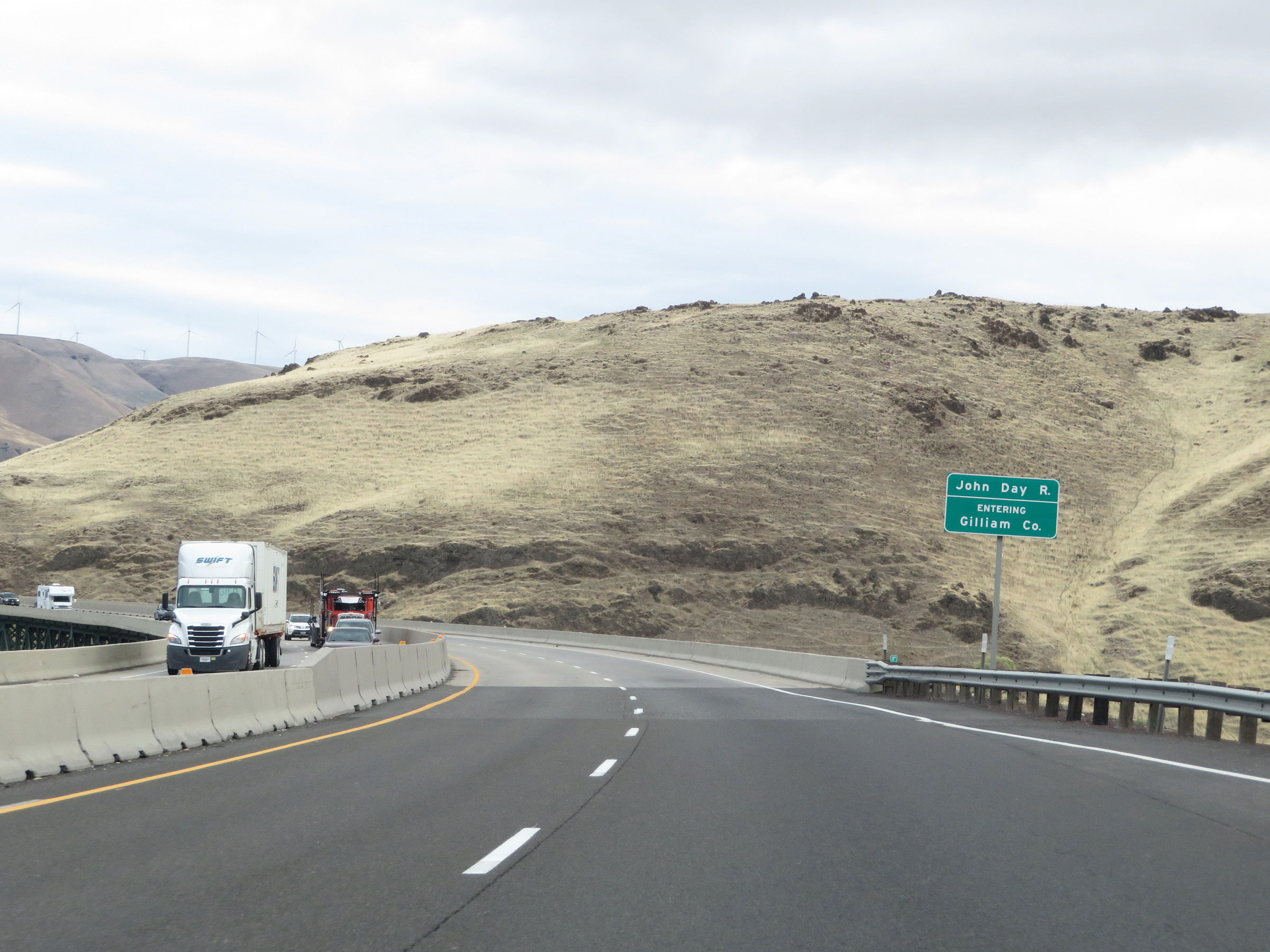 |
Interstate 84 East as it enters Gilliam County by crossing the John Day River. (Photo taken 9/26/19). |
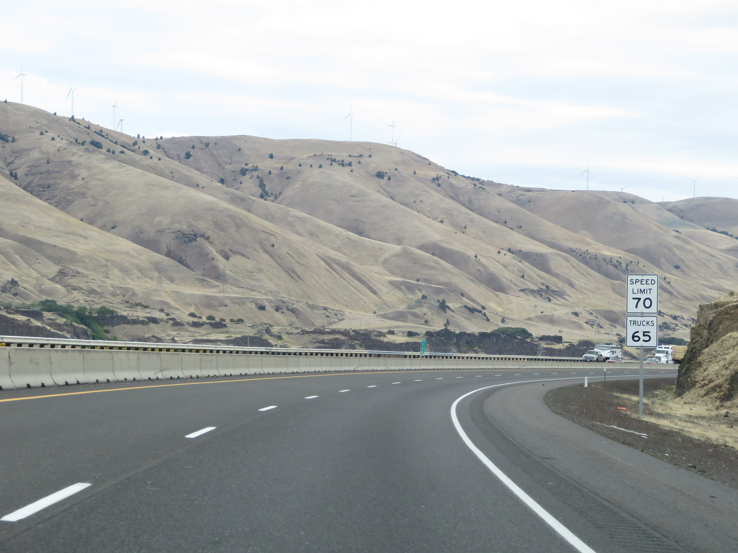 |
The speed limits remain 70 mph for automobiles and 65 mph for trucks on Interstate 84 East. (Photo taken 9/26/19). |
 |
View on Interstate 84 East at mile marker 116. (Photo taken 9/26/19). |
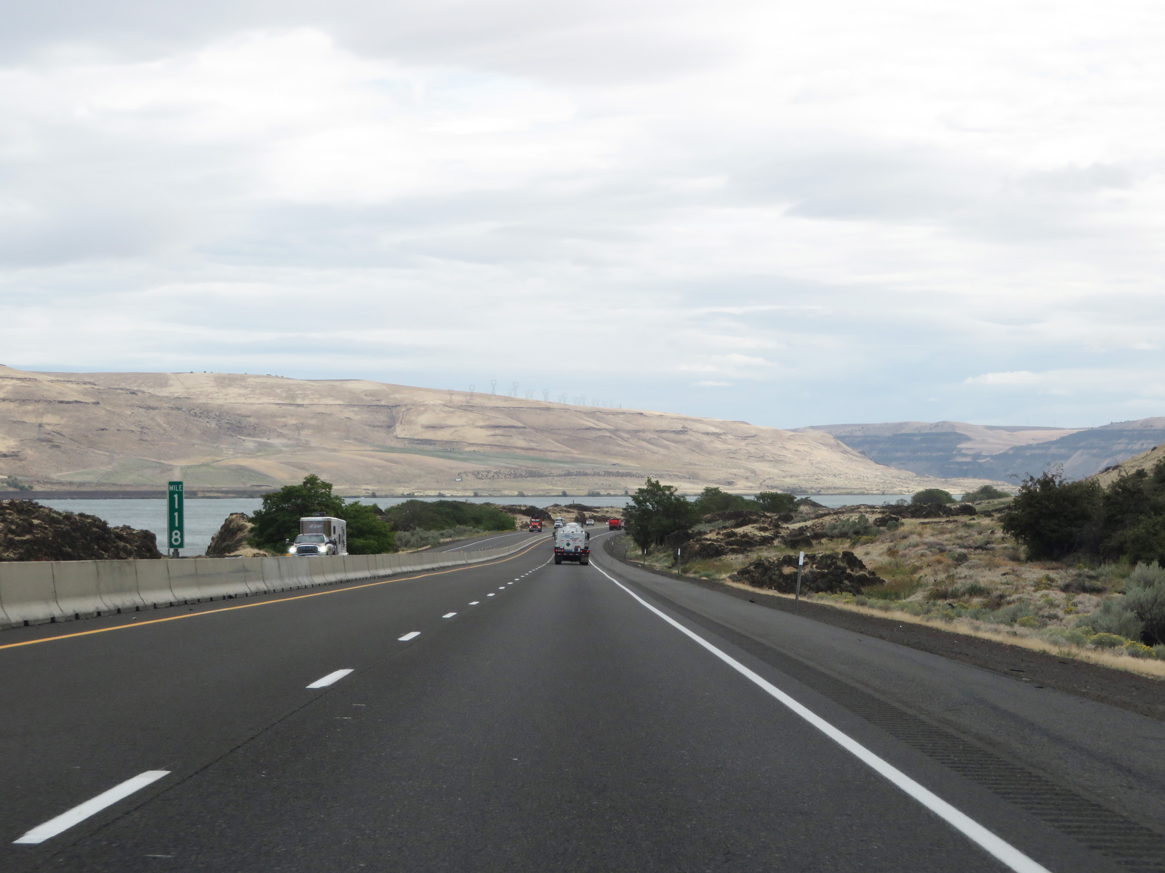 |
Interstate 84 East at mile marker 118. (Photo taken 9/26/19). |
 |
Mile marker 119 on Interstate 84 East in Gilliam County. (Photo taken 9/26/19). |
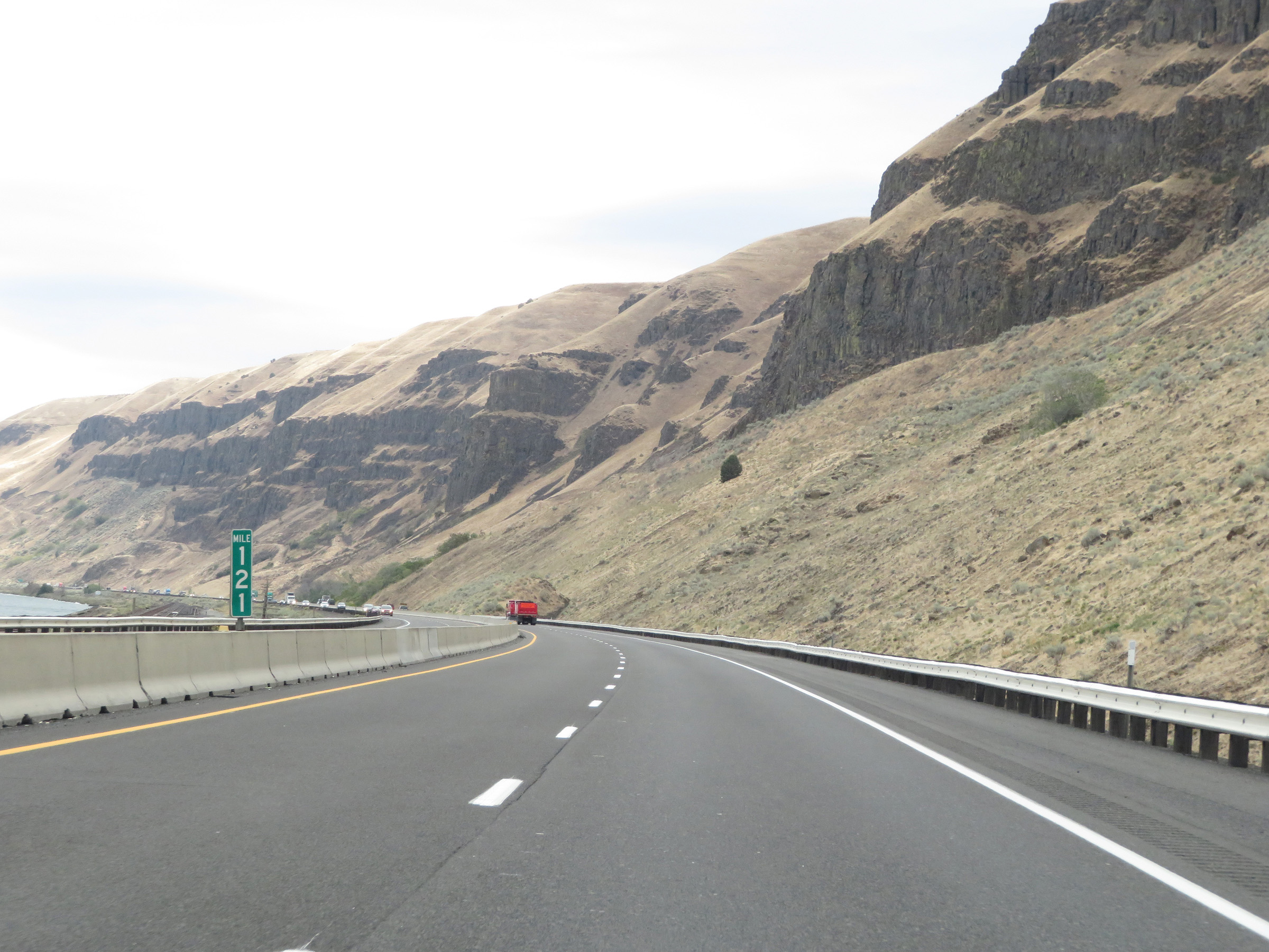 |
View on Interstate 84 East at mile amrker 121. (Photo taken 9/26/19). |
 |
Interstate 84 East at mile marker 122. (Photo taken 9/26/19). |
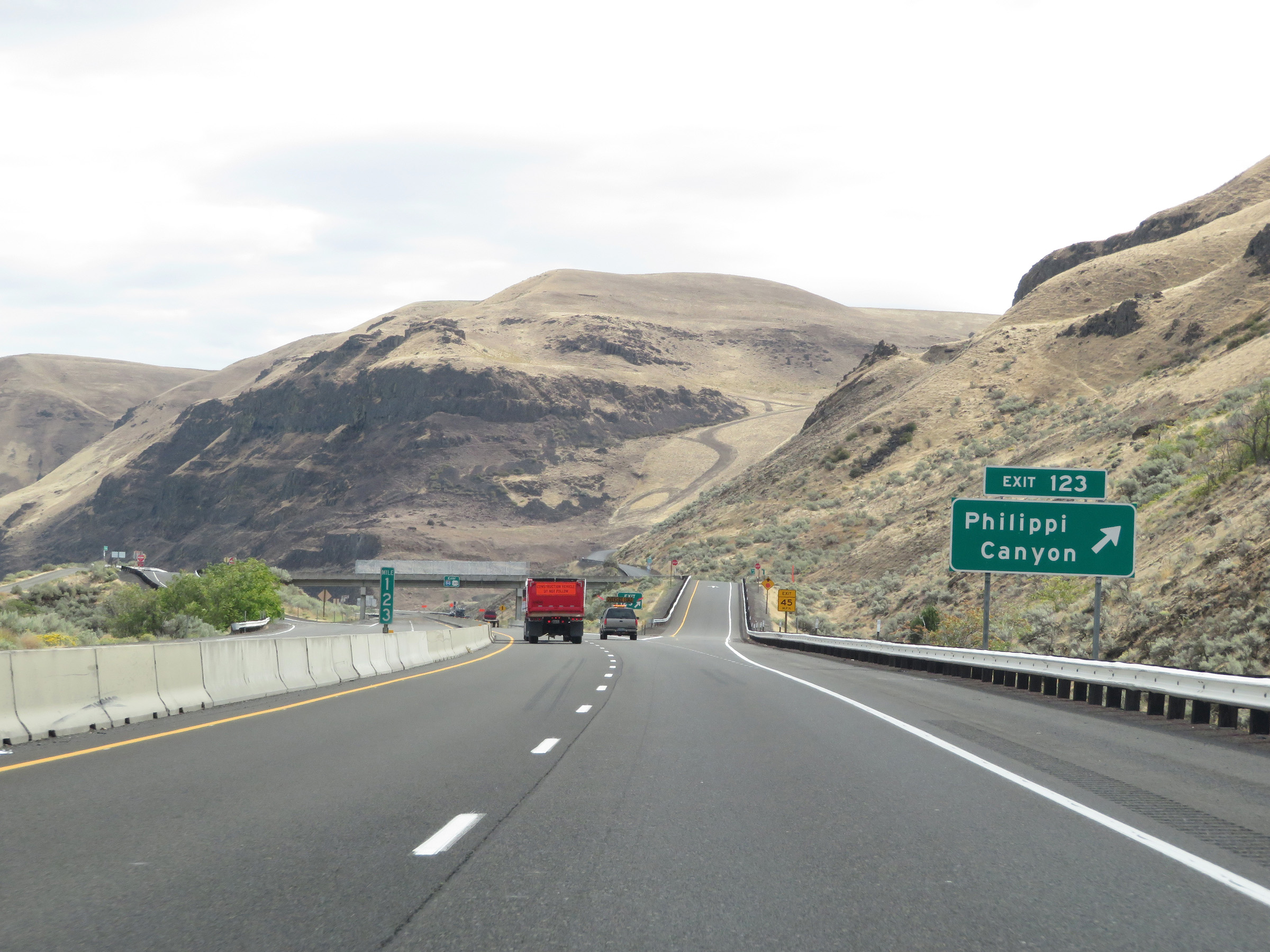 |
Interstate 84 East at Exit 123: Philippi Canyon (Photo taken 9/26/19). |
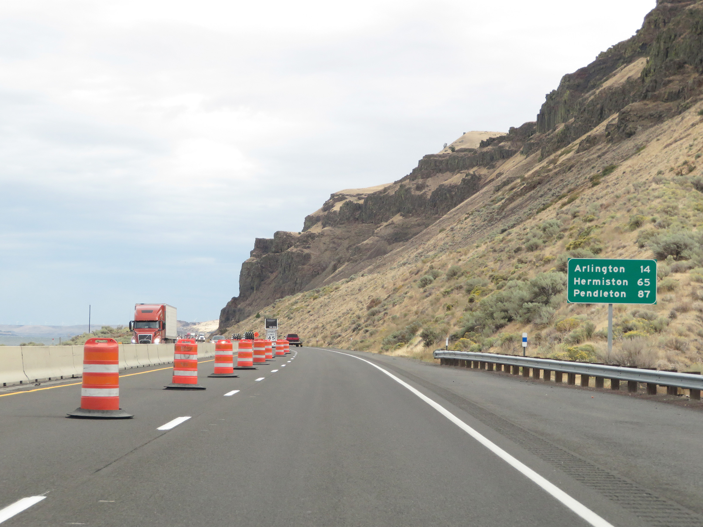 |
Another mileage sign on Interstate 84 East. It's 14 miles to Arlington, 65 miles to Hermiston, and 87 miles to Pendleton. (Photo taken 9/26/19). |
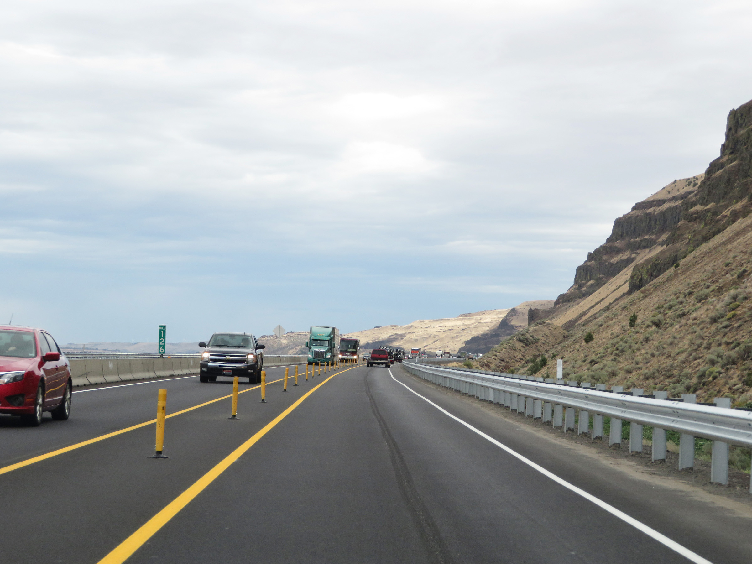 |
View on Interstate 84 East at mile marker 126. (Photo taken 9/26/19). |
 |
Interstate 84 East at Exit 129: Blalock Canyon (Photo taken 9/26/19). |
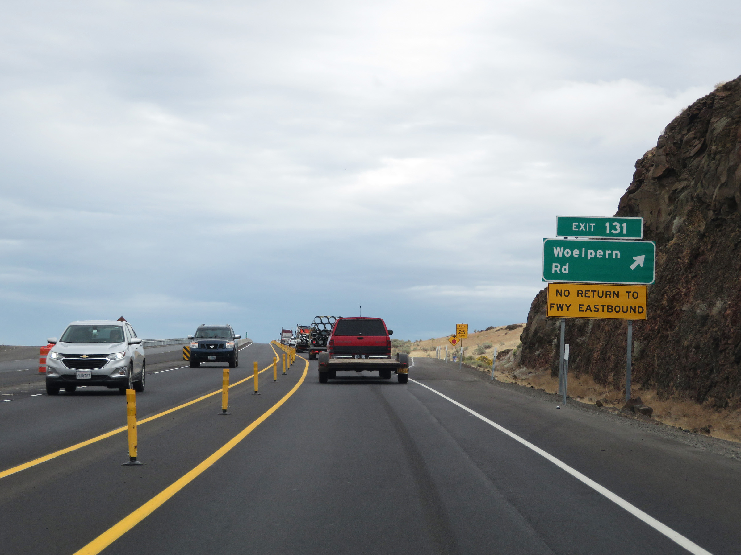 |
Interstate 84 East at Exit 131: Woelpern Rd (Photo taken 9/26/19). |
 |
Mile marker 134 on Interstate 84 East in Gilliam County. (Photo taken 9/26/19). |
 |
View on Interstate 84 East at mile marker 135. (Photo taken 9/26/19). |
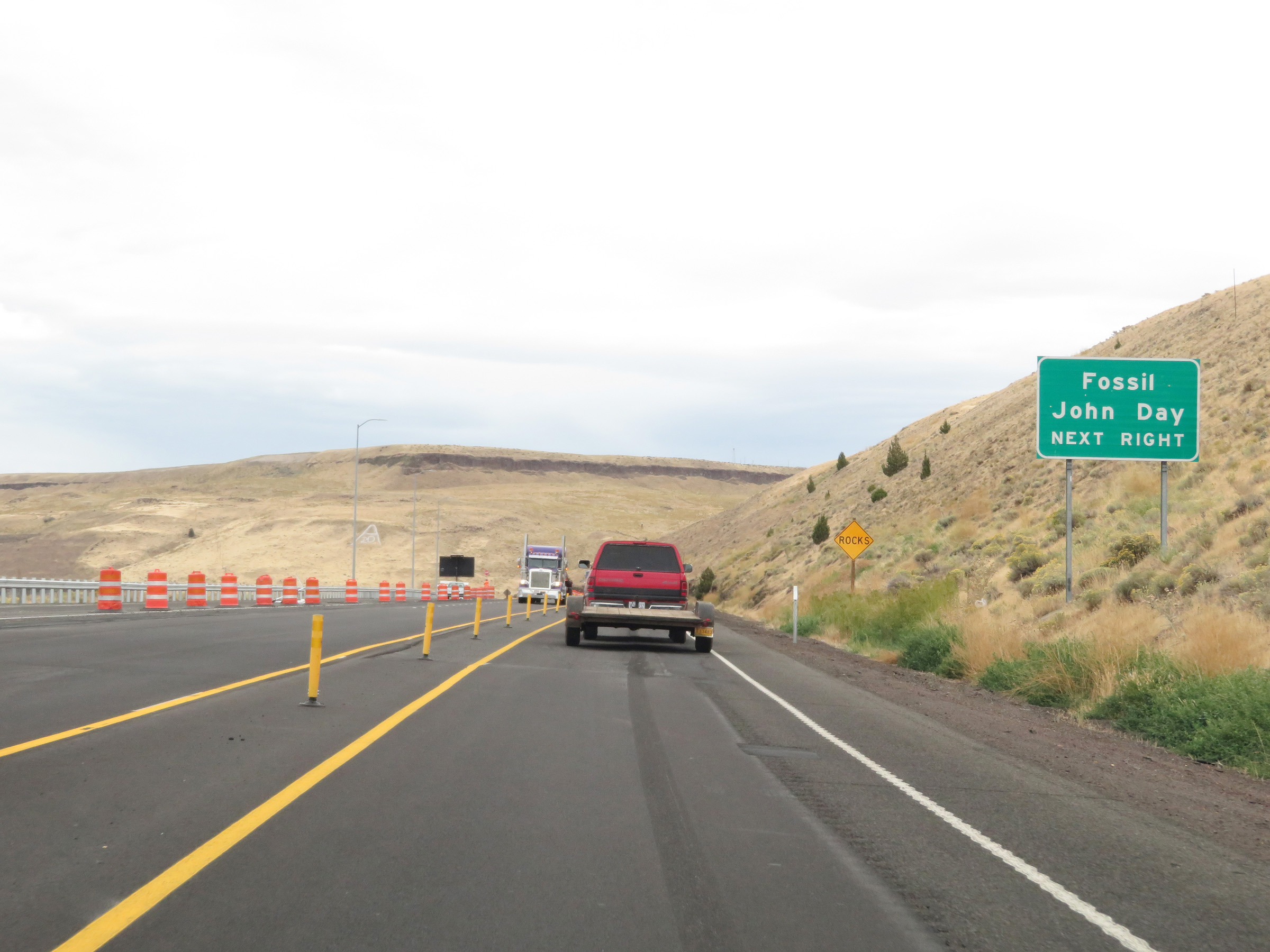 |
Take Exit 137 to Fossil and John Day. (Photo taken 9/26/19). |
 |
Interstate 84 East at Exit 137: OR 19 - Arlington / Condon (Photo taken 9/26/19). |
 |
Mileage sign on Interstate 84 East. It's 26 miles to Boardman, 50 miles to Hermiston, and 72 miles to Pendleton. (Photo taken 9/26/19). |
 |
View on Interstate 84 East at mile marker 141. (Photo taken 9/26/19). |
 |
Interstate 84 East at mile marker 142. (Photo taken 9/26/19). |
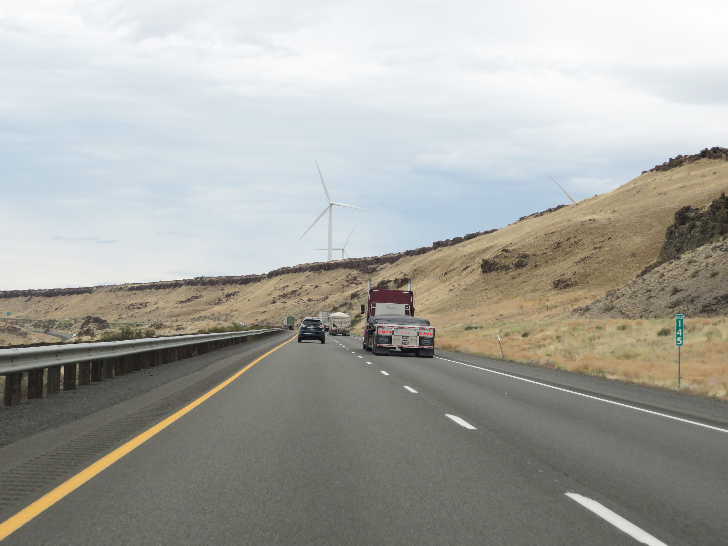 |
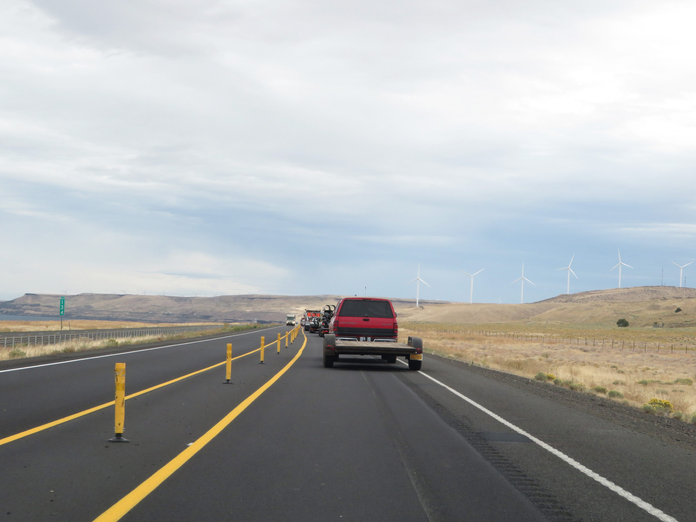
Mile marker 145 on Interstate 84 East in Gilliam County. (Photo taken 9/26/19). |
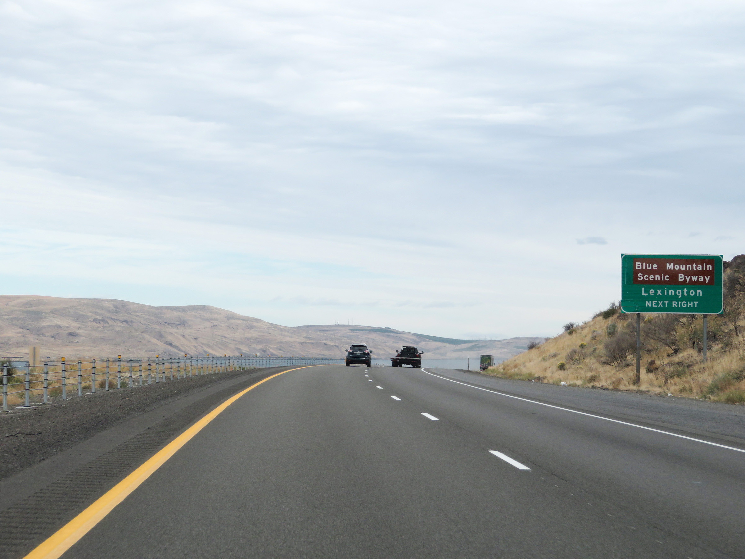 |
Take Exit 147 to Blue Mountain Scenic Byway and Lexington. (Photo taken 9/26/19). |
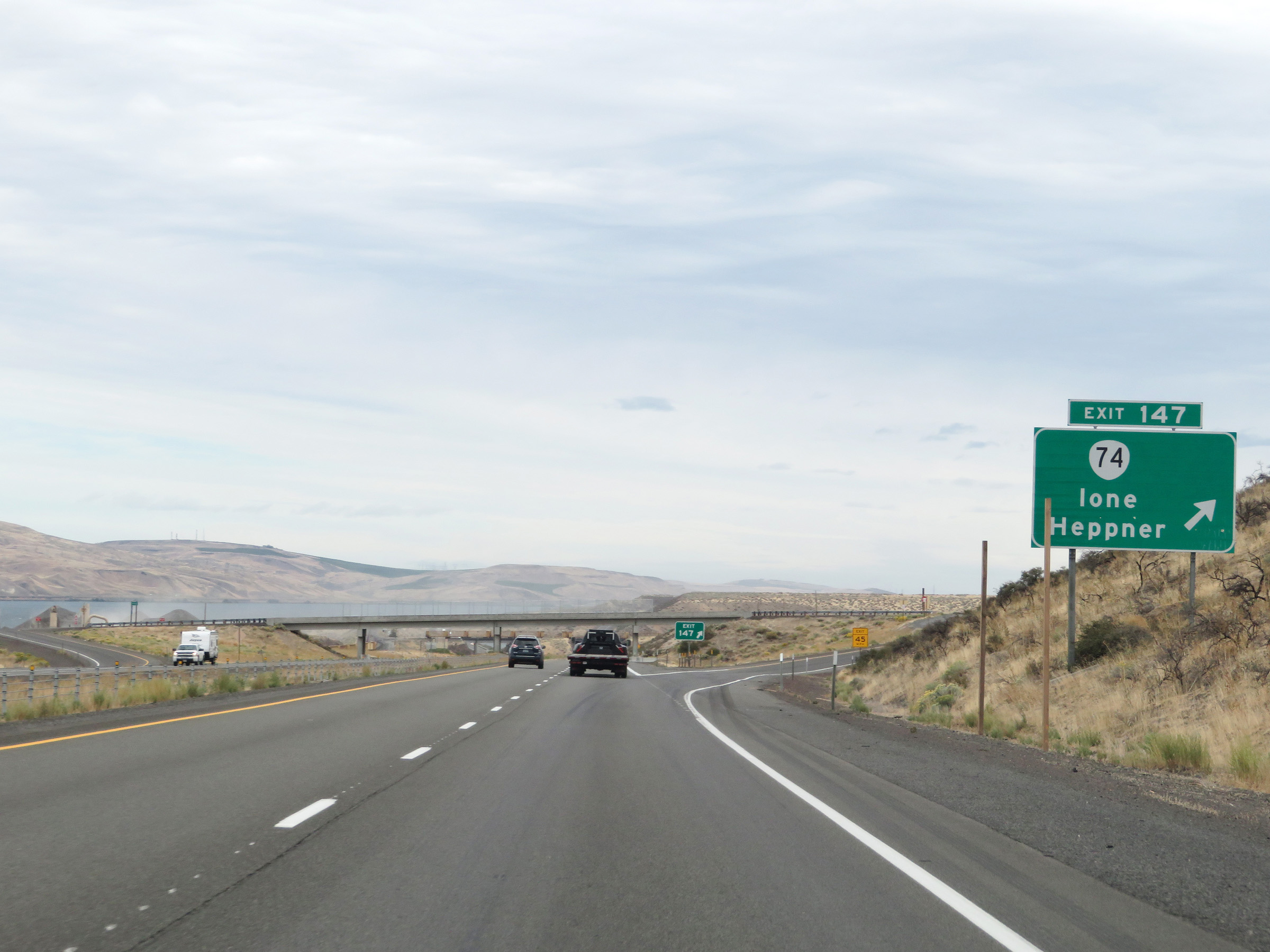 |
Interstate 84 East at Exit 147: OR 74 - Ione / Heppner (Photo taken 9/26/19). |
 |
Interstate 84 East as it enters Morrow County. (Photo taken 9/26/19). |
 |
Interstate 84 East at Exit 151: Threemile Canyon (Photo taken 9/26/19). |
 |
Another Interstate 84 East reassurance shield along with a US 30 East reassurance marker. (Photo taken 9/26/19). |
 |
The speed limits remain 70 mph for automobiles and 65 mph for trucks. (Photo taken 9/26/19). |
 |
Mile marker 153 on Interstate 84 East in Morrow County. (Photo taken 9/26/19). |
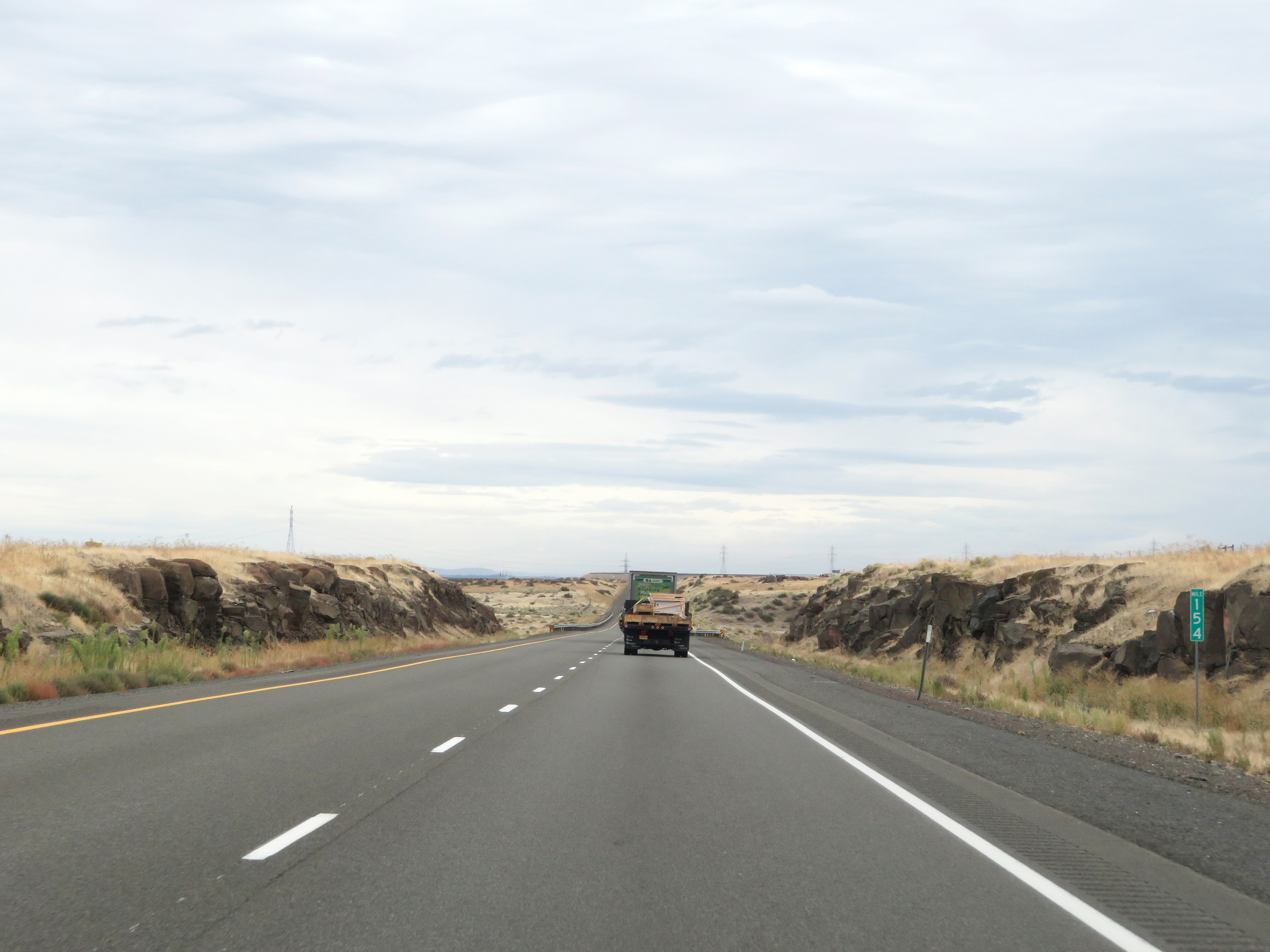 |
Interstate 84 East at mile marker 154. (Photo taken 9/26/19). |
 |
View on Interstate 84 East at mile marker 157. (Photo taken 9/26/19). |
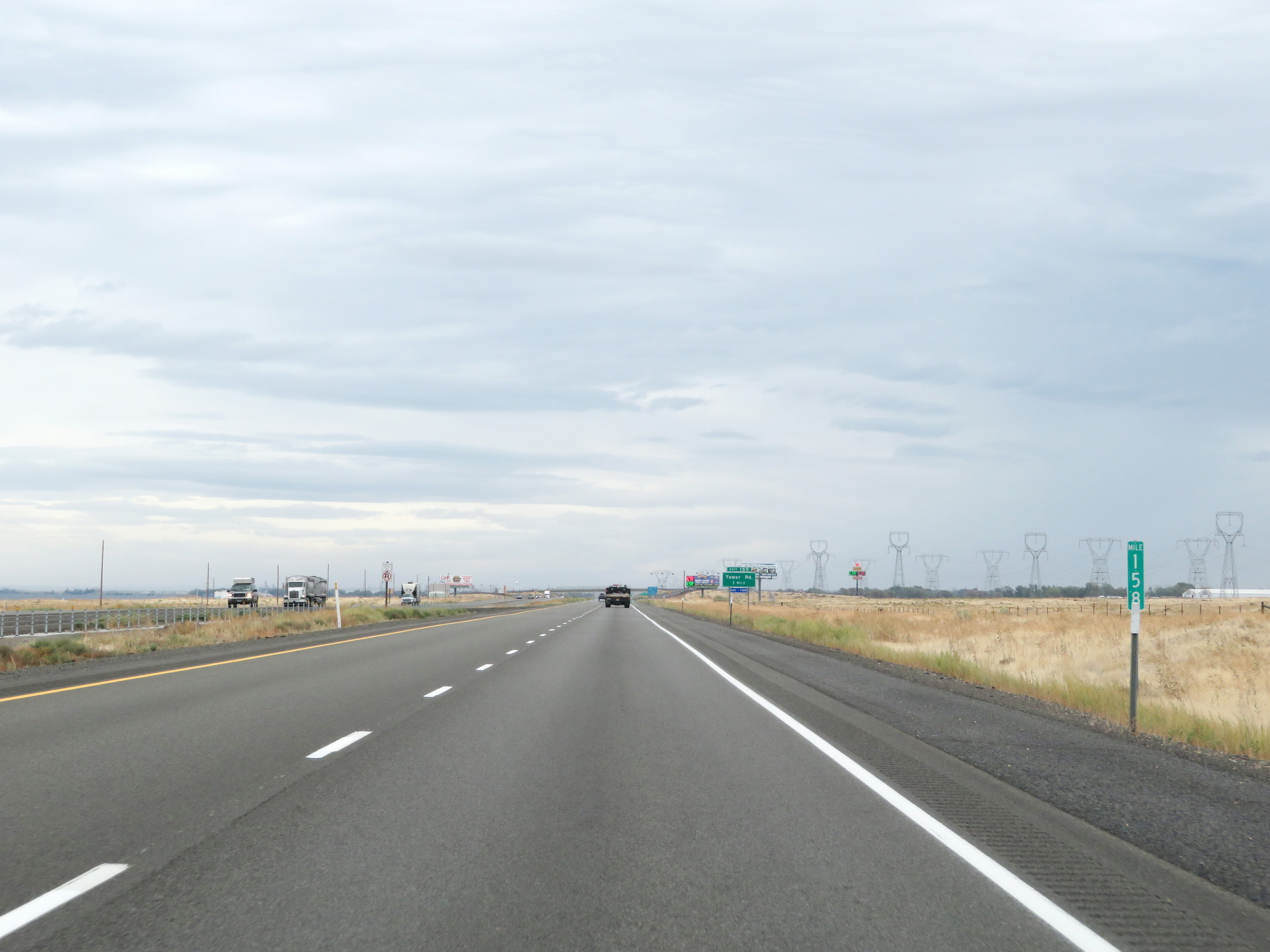 |
Mile marker 158 on Interstate 84 East in Morrow County. (Photo taken 9/26/19). |
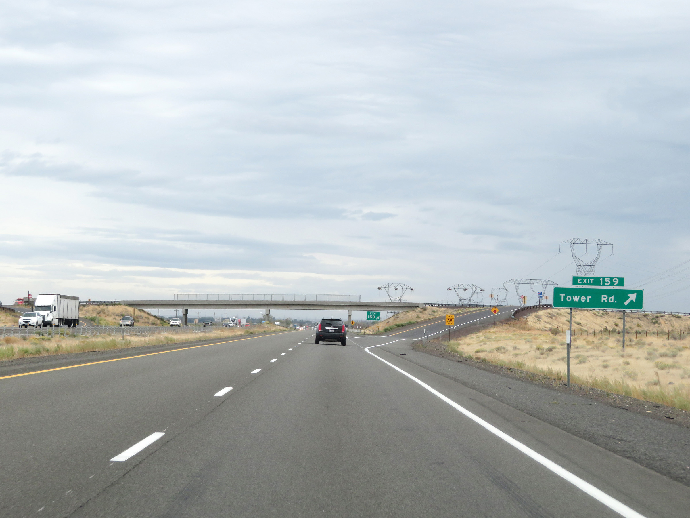 |
Interstate 84 East at Exit 159: Tower Rd (Photo taken 9/26/19). |
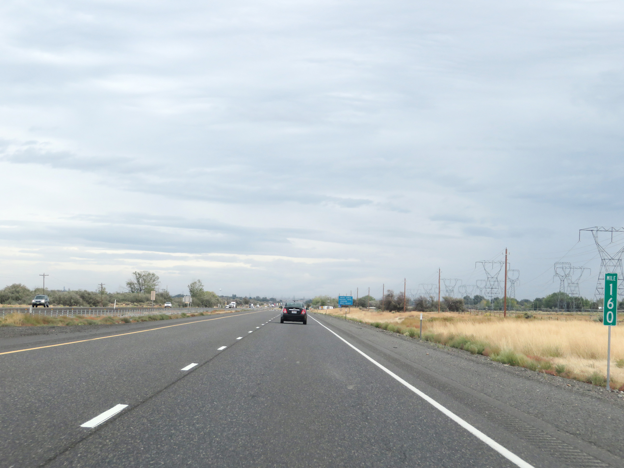 |
Interstate 84 East at mile marker 160. (Photo taken 9/26/19). |
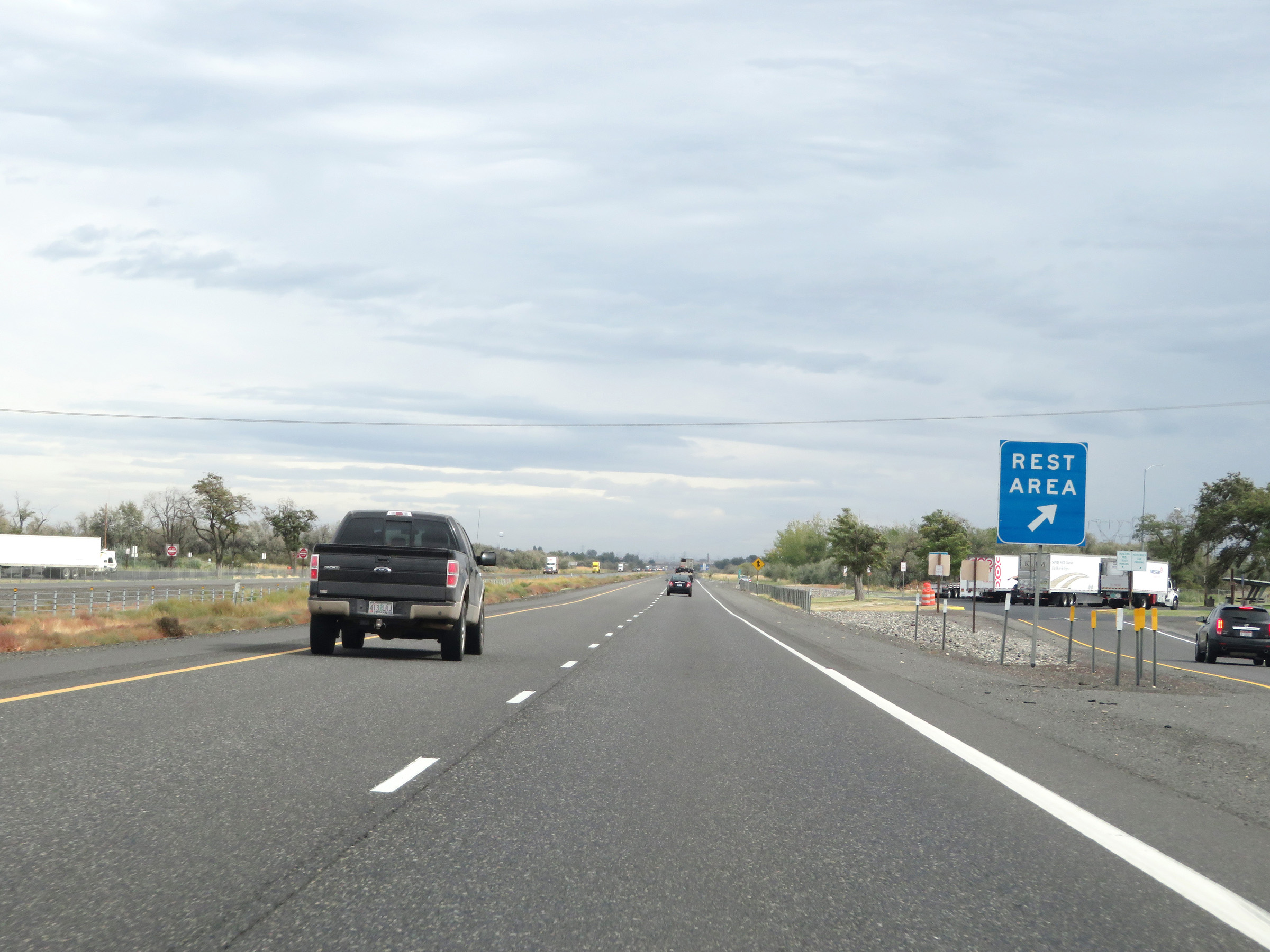 |
Rest Area on Interstate 84 East in Morrow County. (Photo taken 9/26/19). |
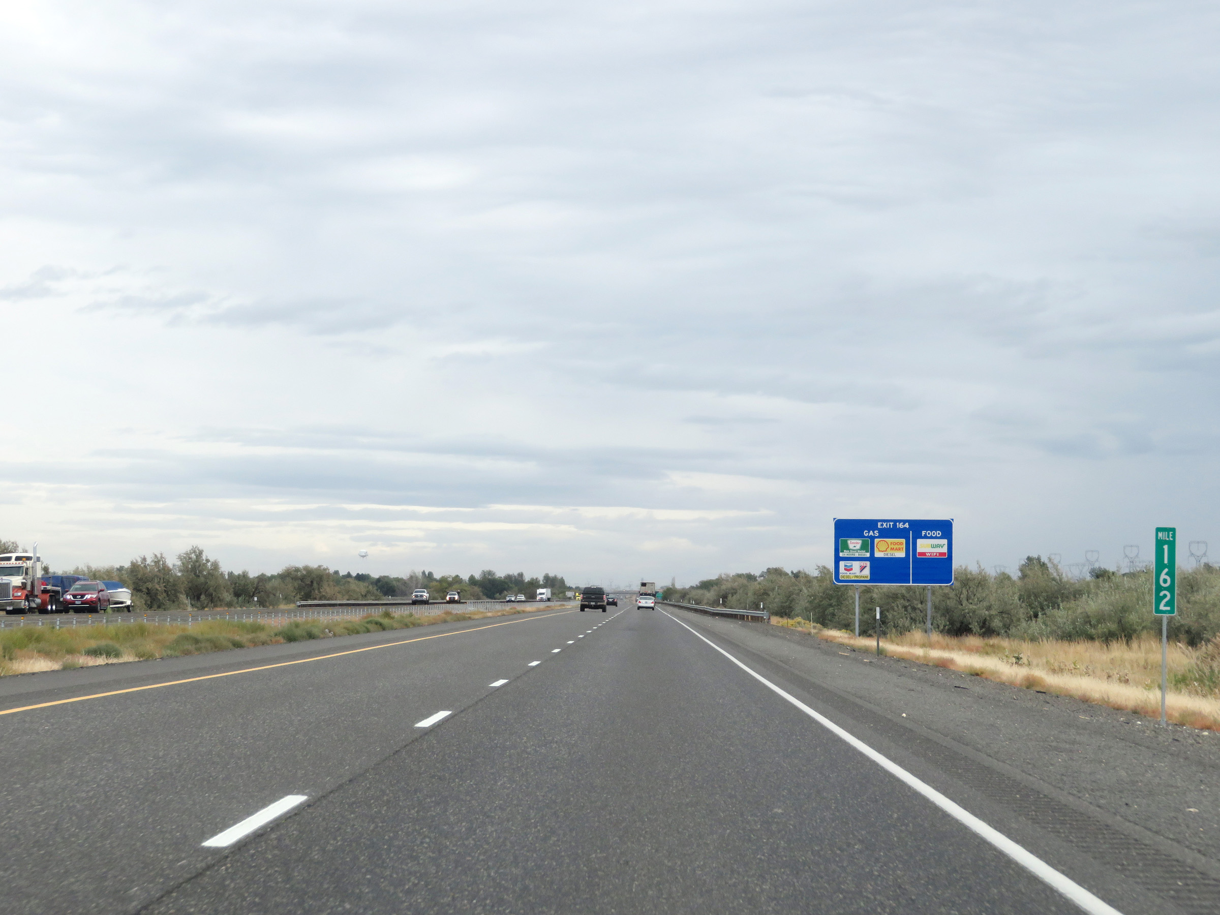 |
View on Interstate 84 East at mile marker 162. (Photo taken 9/26/19). |
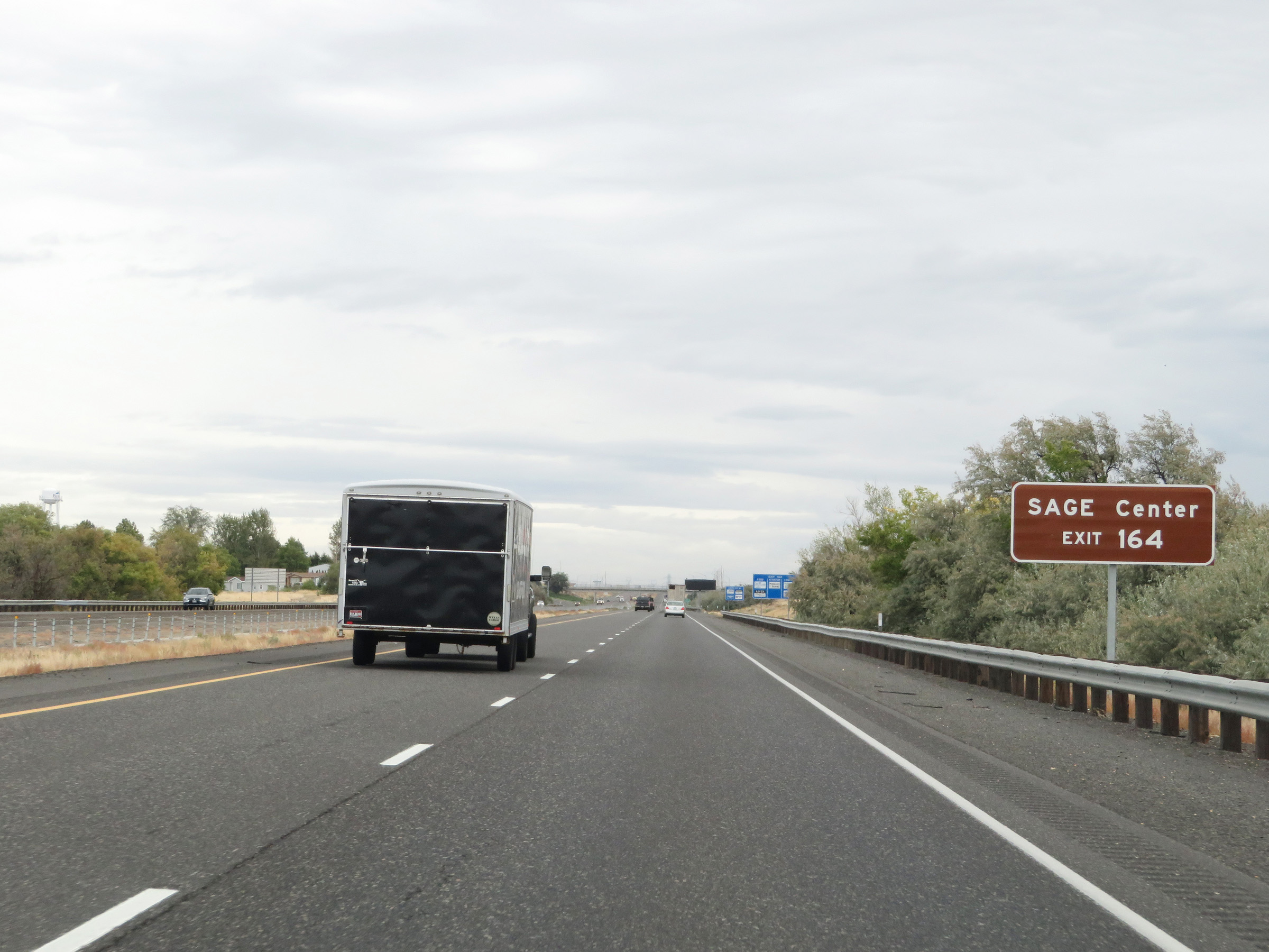 |
Take Exit 164 to SAGE Center. (Photo taken 9/26/19). |
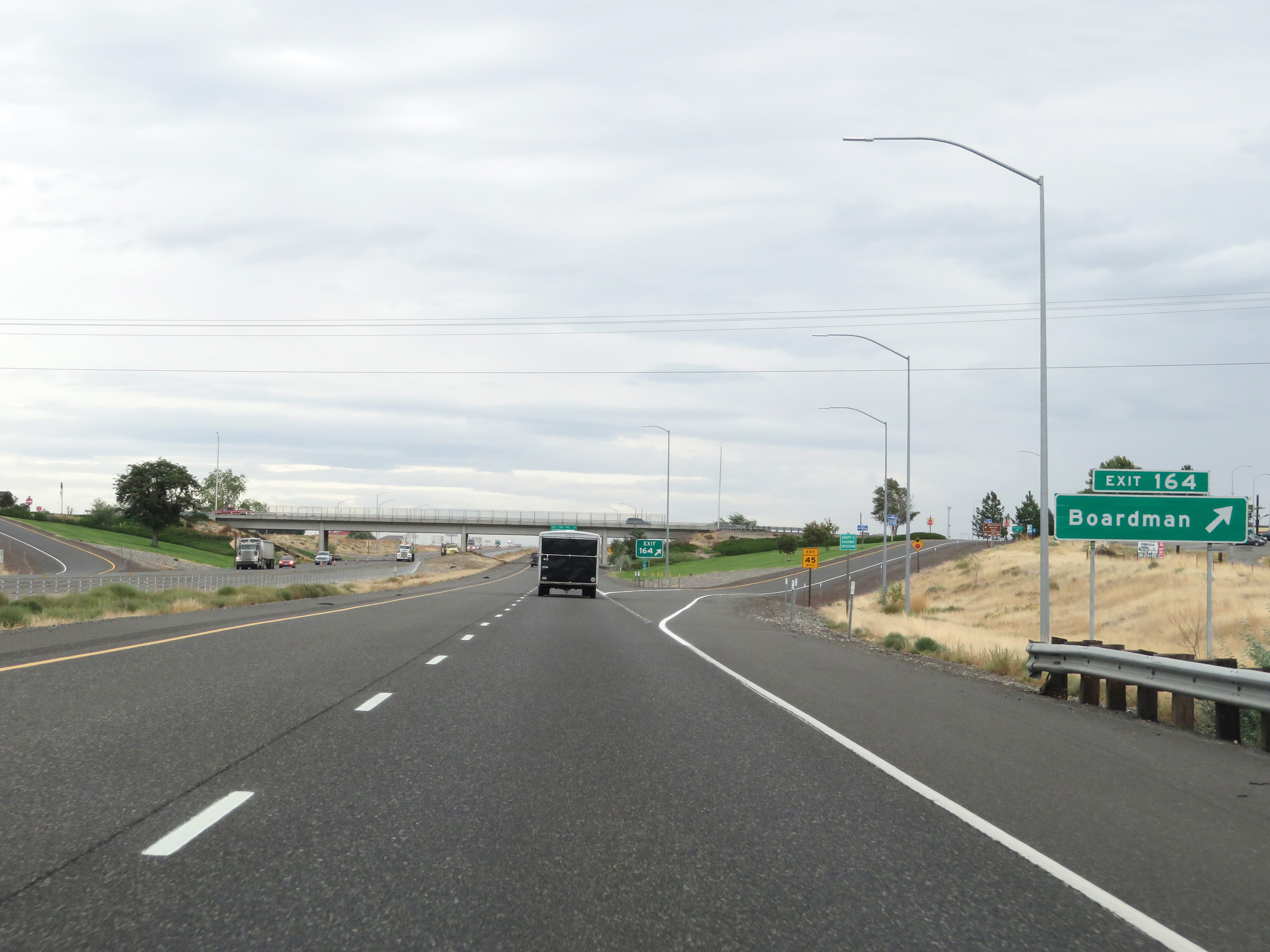 |
Interstate 84 East at Exit 164: Boardman (Photo taken 9/26/19). |
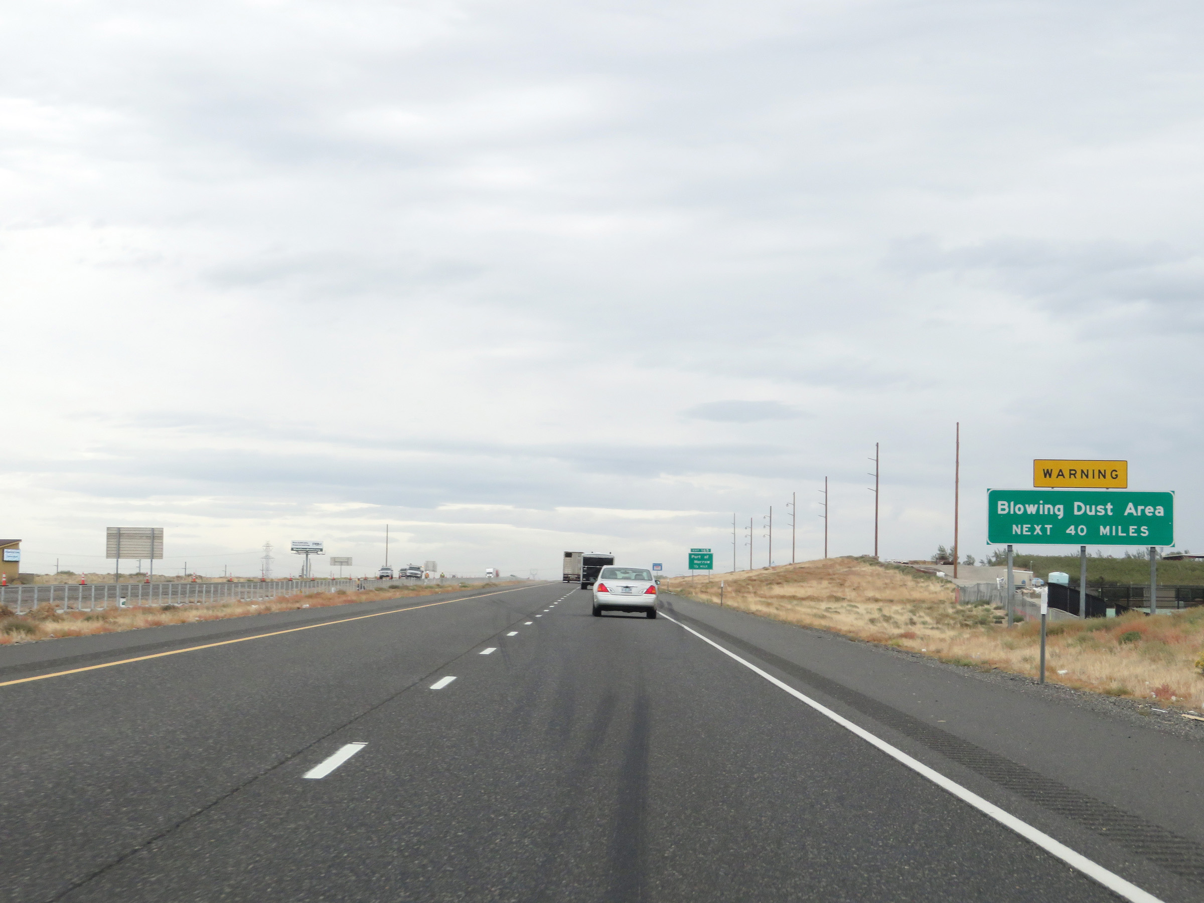 |
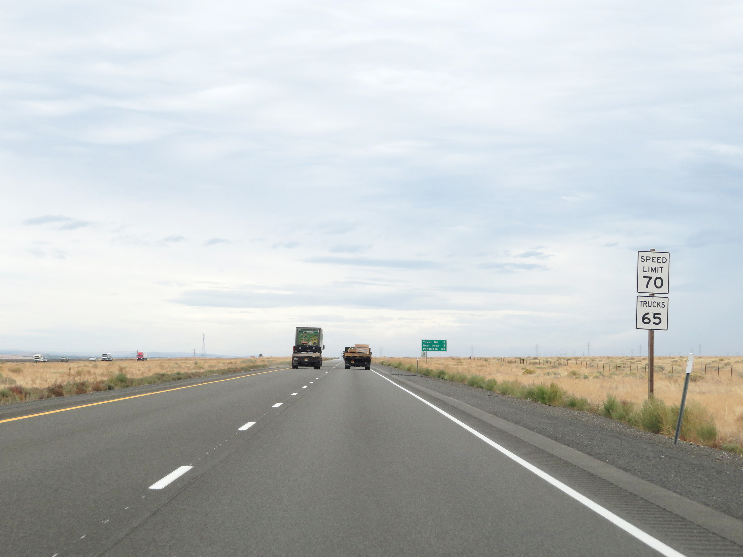
East of Exit 164, this sign is posted to warn motorists of the possibility of blowing dust for the next 40 miles. (Photo taken 9/26/19). |
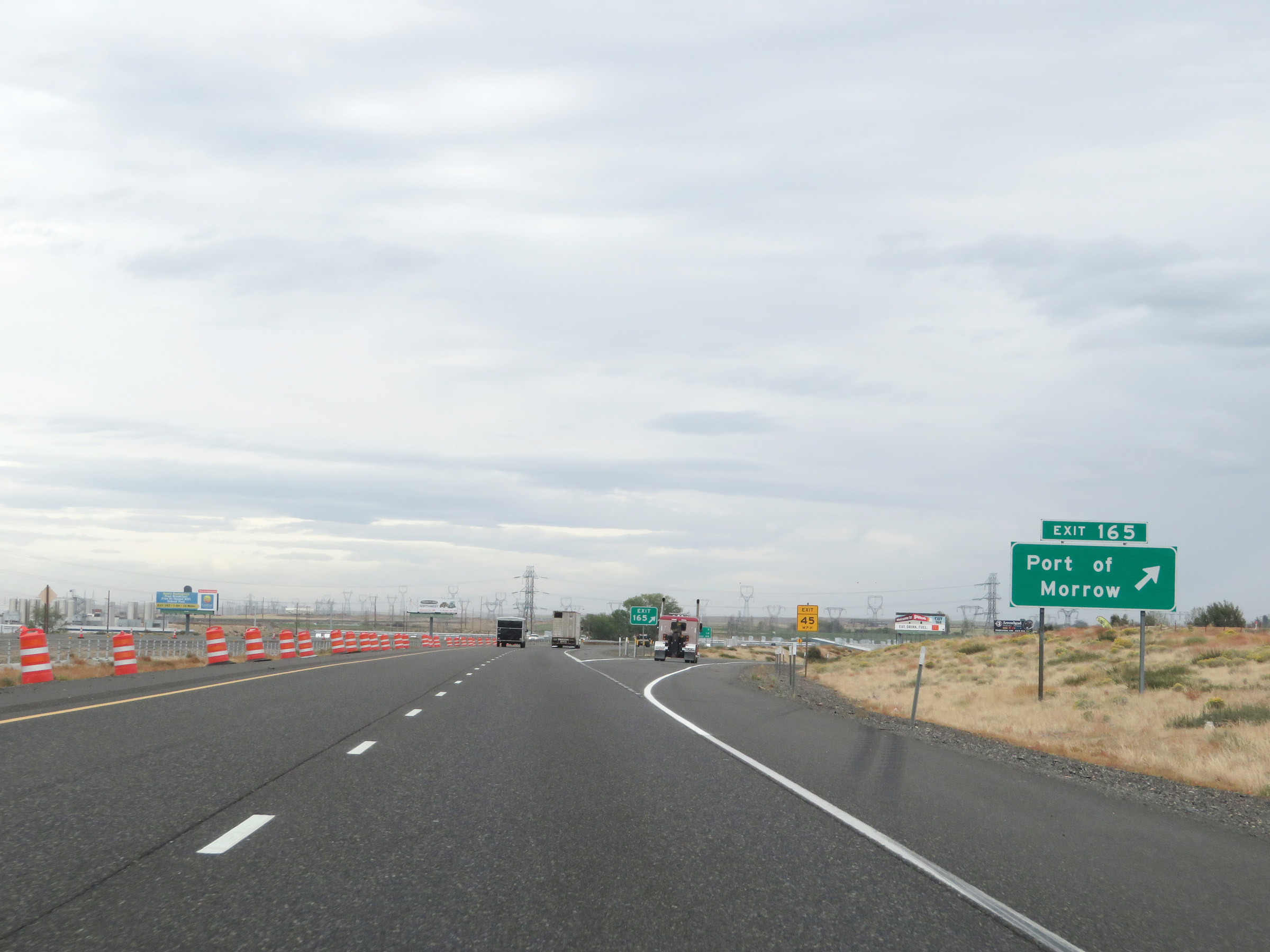 |
Interstate 84 East at Exit 165: Port of Morrow (Photo taken 9/26/19). |
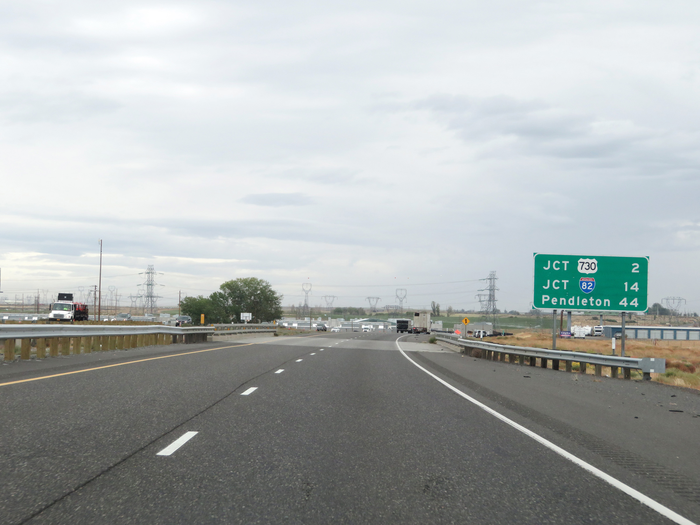 |
Mileage sign on Interstate 84 East. It's 2 miles to the junction of US 730, 14 miles to the junction of Interstate 82, and 44 miles to Pendleton. (Photo taken 9/26/19). |
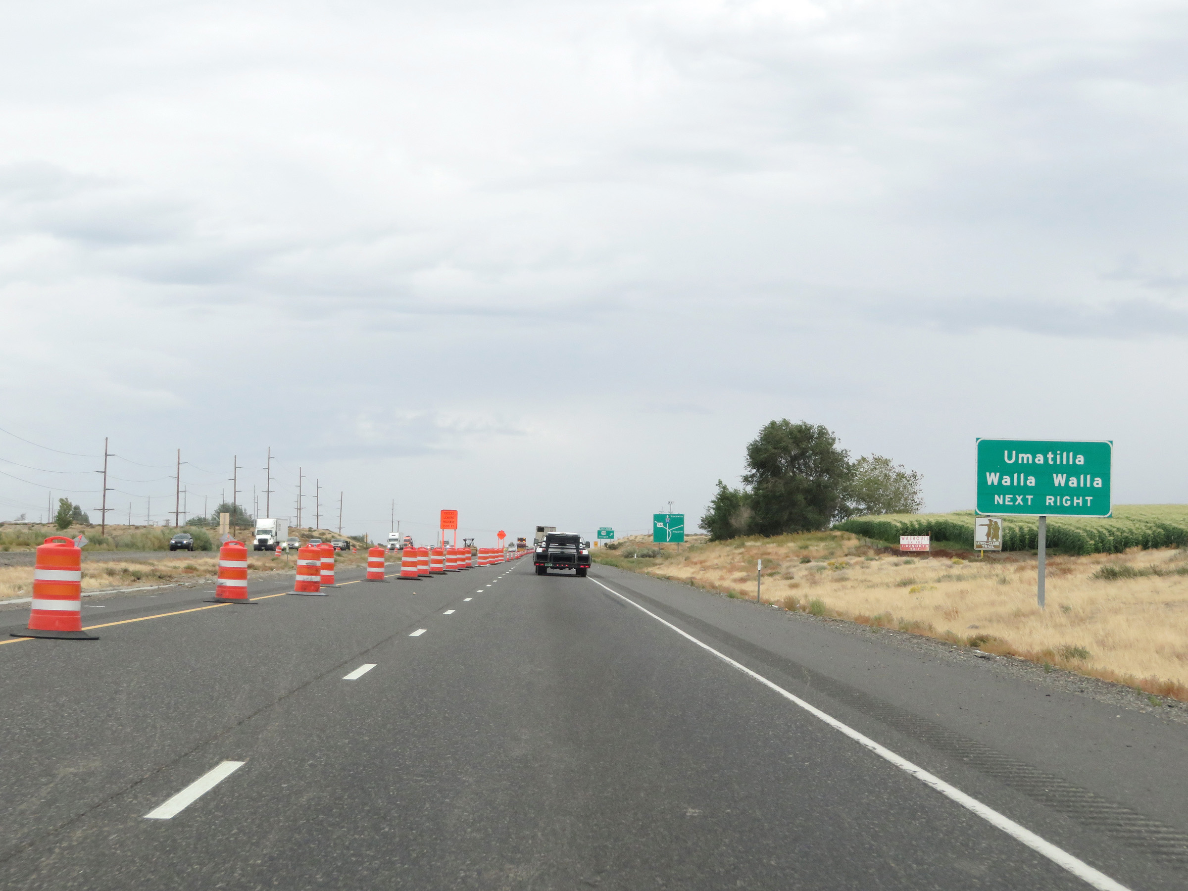 |
Take Exit 168 to Umatilla and Walla Walla. (Photo taken 9/26/19). |
 |
This sign shows the design and layout of the interchange at Exit 168 ahead, and how Heppner can be accessed from the ramp to US 730 via Bombing Range Rd. (Photo taken 9/26/19). |
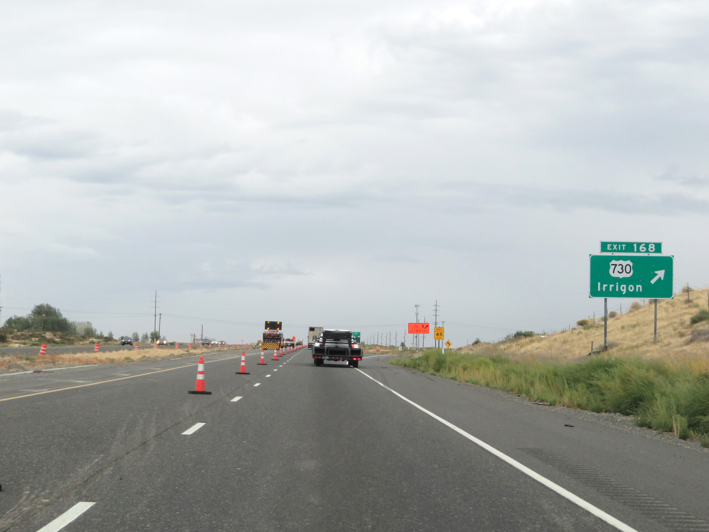 |
Interstate 84 East at Exit 168: US 730 - Irrigon (Photo taken 9/26/19). |
 |
Another set of speed limit signs on Interstate 84 East. The speed limits remain 70 mph for automobiles and 65 mph for trucks. (Photo taken 9/26/19). |
 |
Mile marker 169 on Interstate 84 East in Morrow County. (Photo taken 9/26/19). |
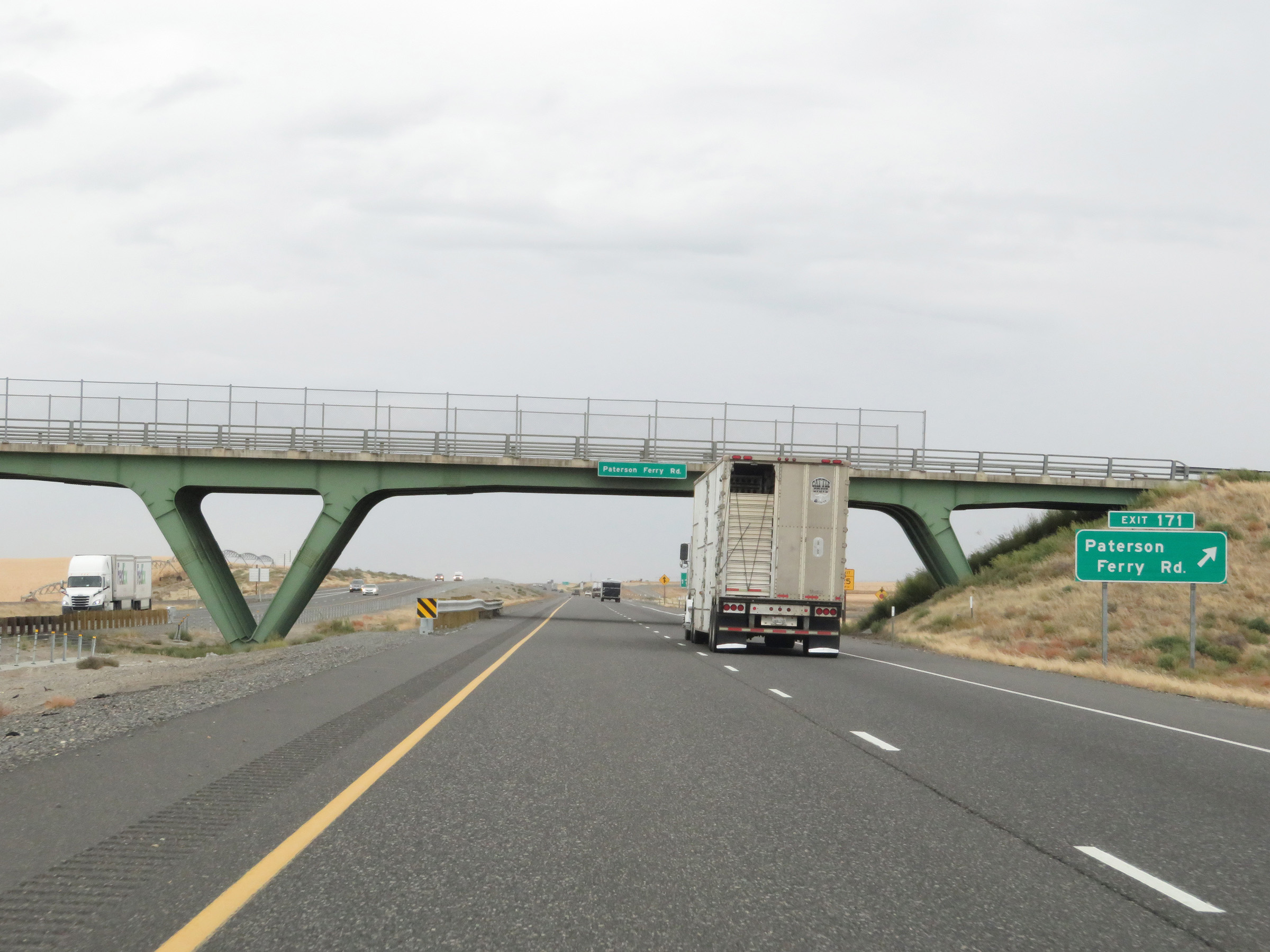 |
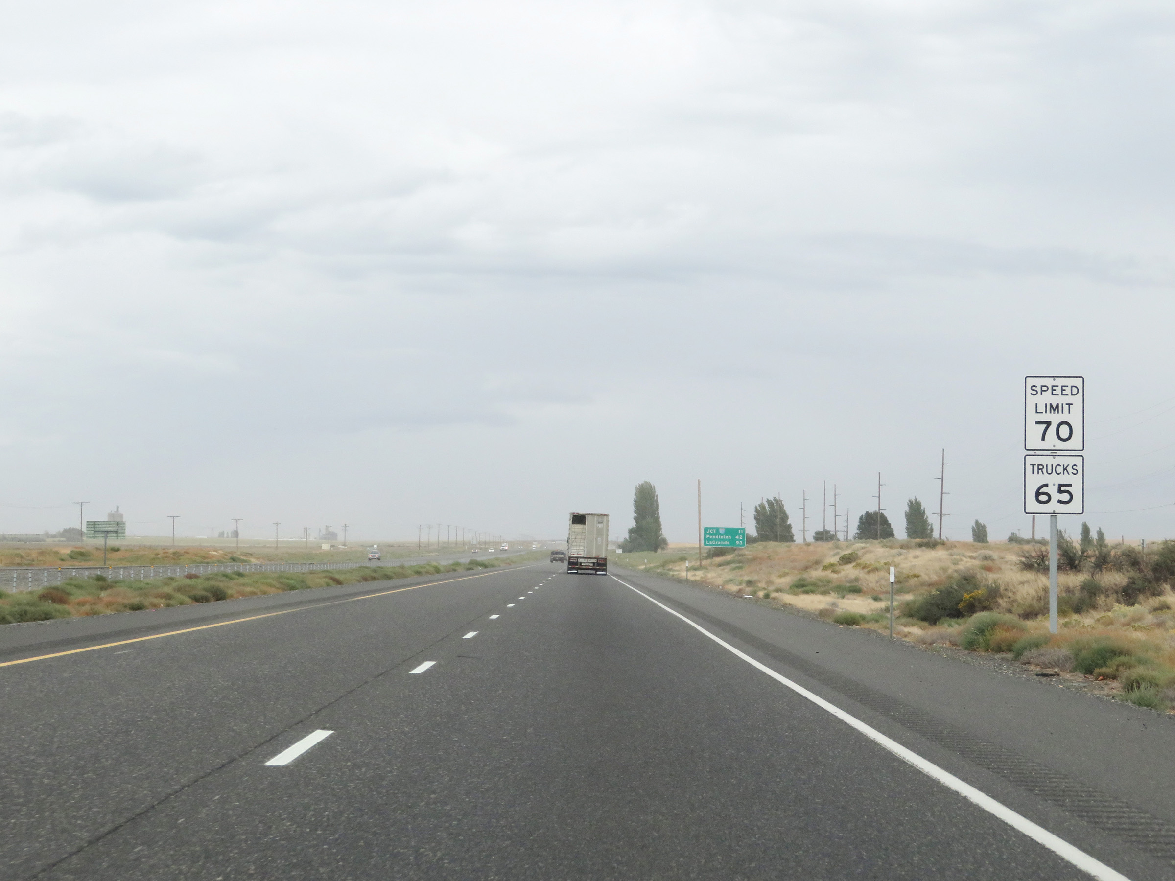
Interstate 84 East at Exit 171: Paterson Ferry Rd (Photo taken 9/26/19). |
 |
Interstate 84 East / US 30 East reassurance shields. (Photo taken 9/26/19). |
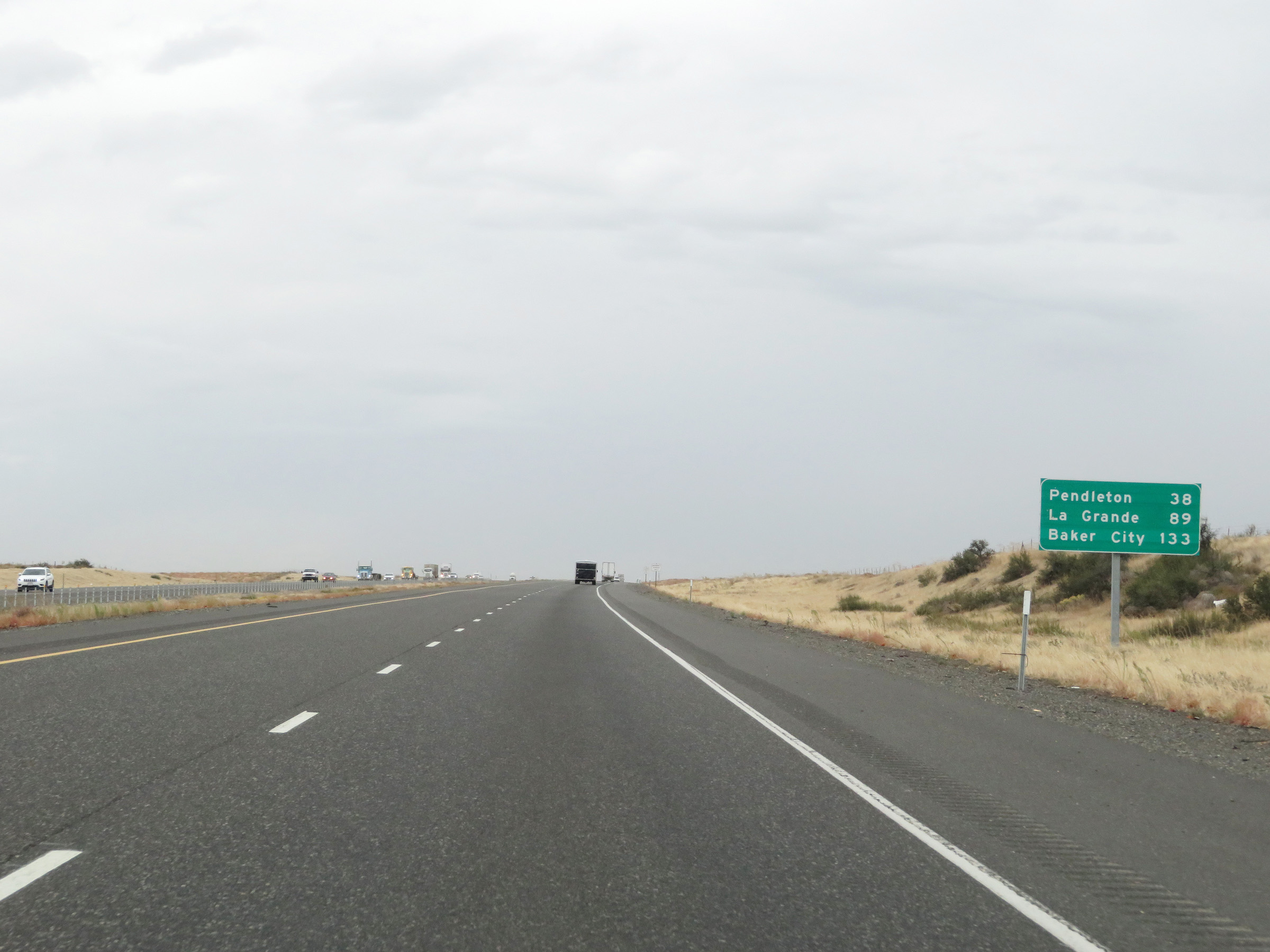 |
Another mileage sign on Interstate 84 East. It's 38 miles to Pendleton, 89 miles to La Grande, and 133 miles to Baker City. (Photo taken 9/26/19). |
 |
View on Interstate 84 East at mile marker 174. (Photo taken 9/26/19). |
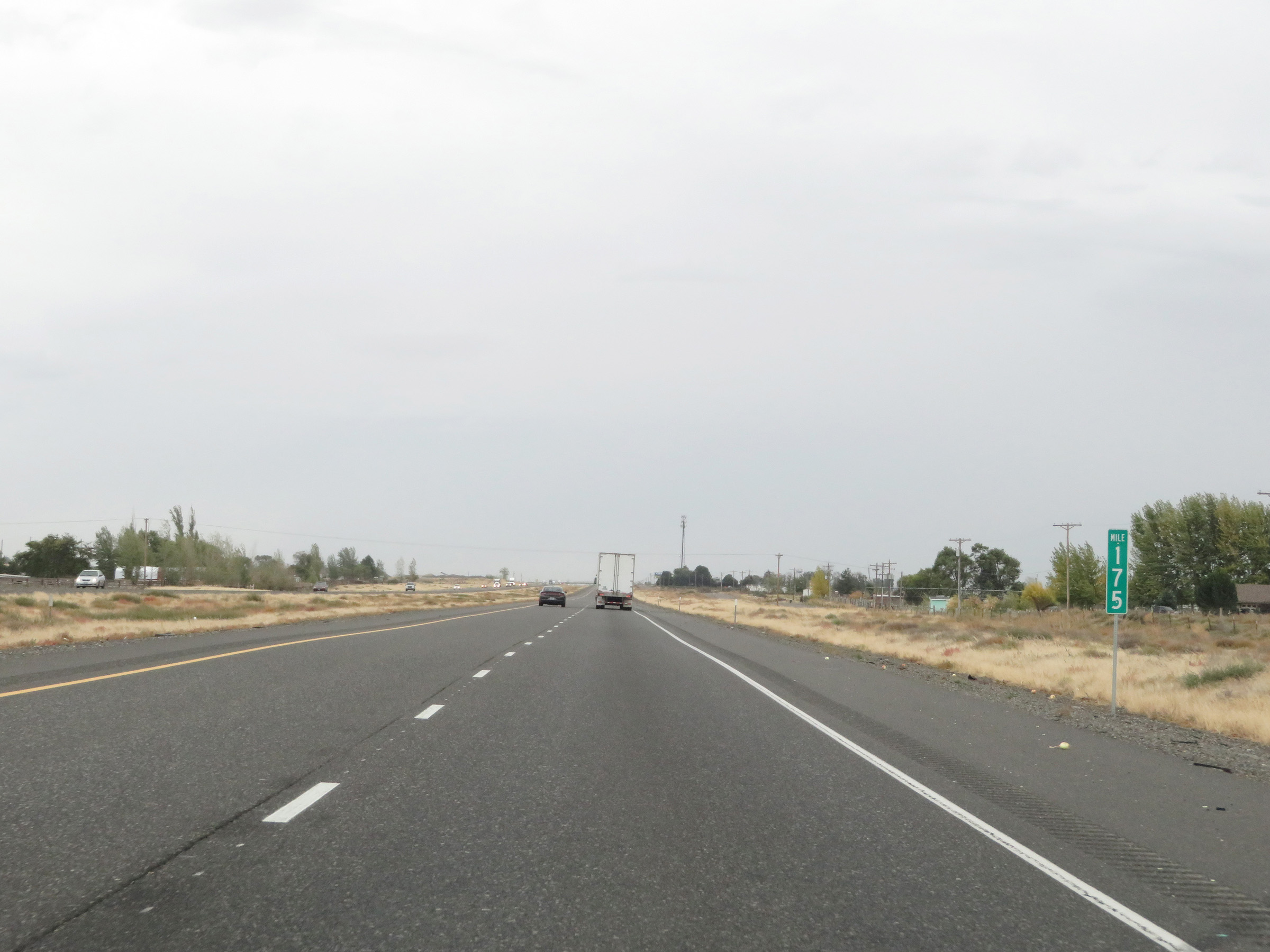 |
Interstate 84 East at mile marker 175. (Photo taken 9/26/19). |
 |
Interstate 84 East as it enters Umatilla County. (Photo taken 9/26/19). |
 |
Interstate 84 East at Exit 177: Umatilla Army Depot (Photo taken 9/26/19). |
 |
Advance signage for the junction of Interstate 82 West via Exit 179, which is 1 mile ahead. (Photo taken 9/26/19). |
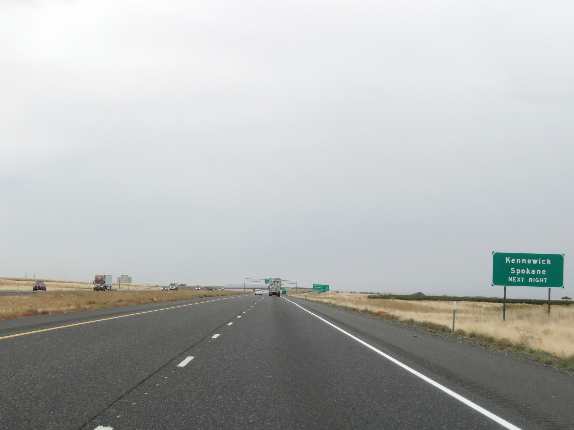 |
Take Exit 179 (Interstate 82 West) to Kennewick and Spokane. (Photo taken 9/26/19). |
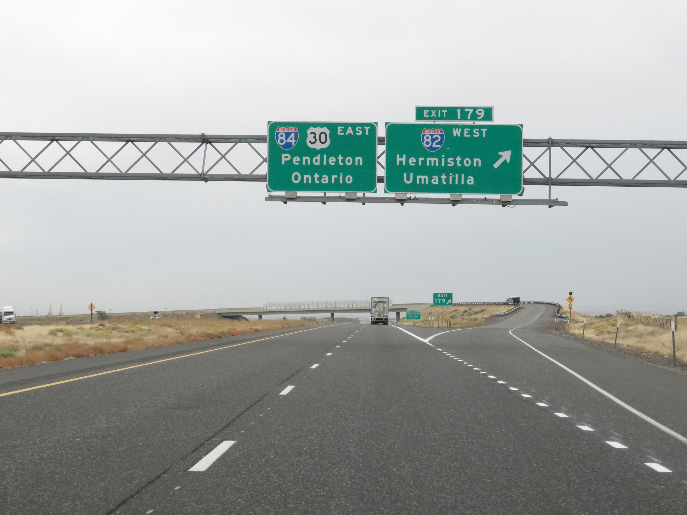 |
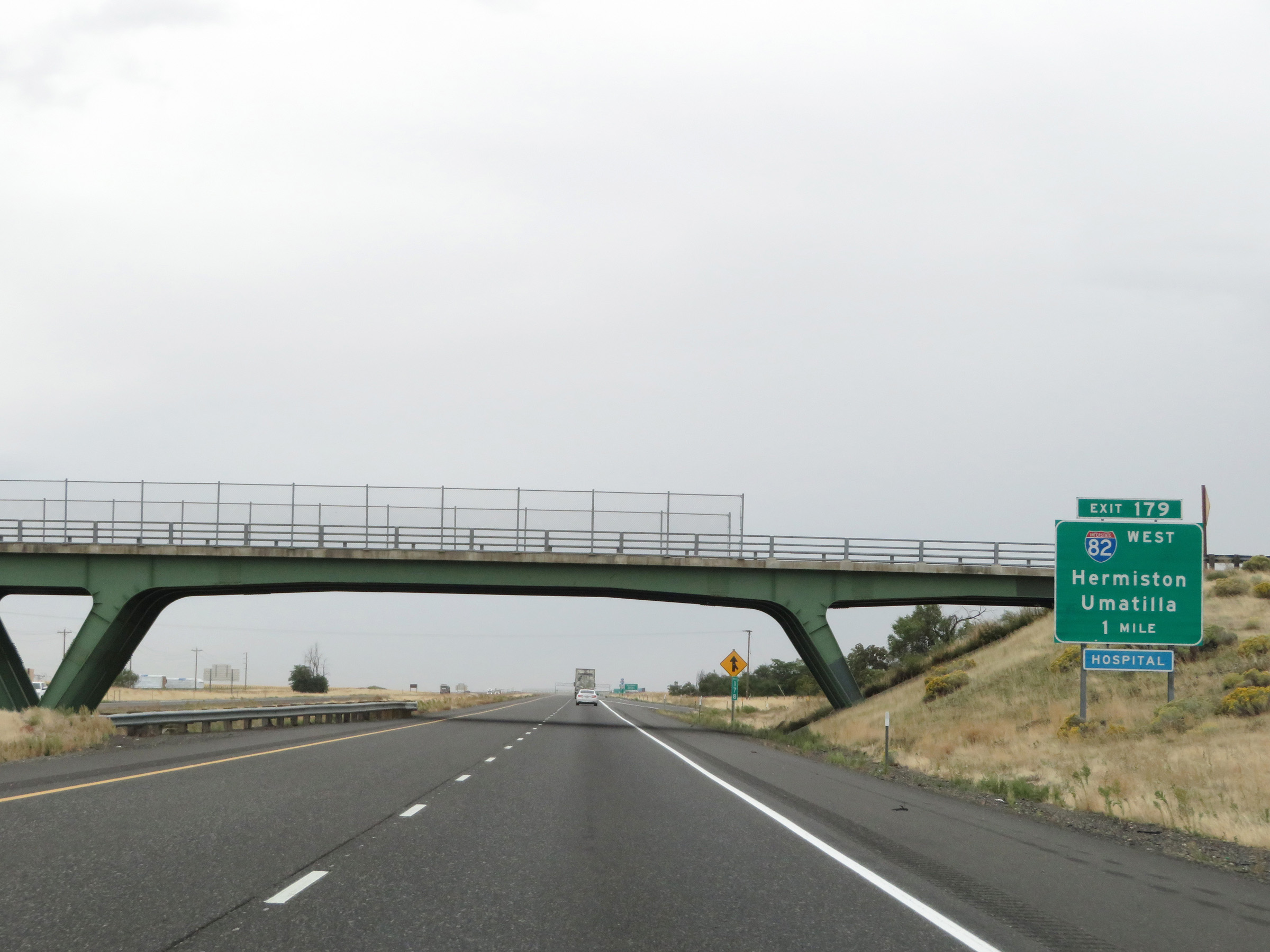
Interstate 84 East at Exit 179: Interstate 82 West - Hermiston / Umatilla (Photo taken 9/26/19). |
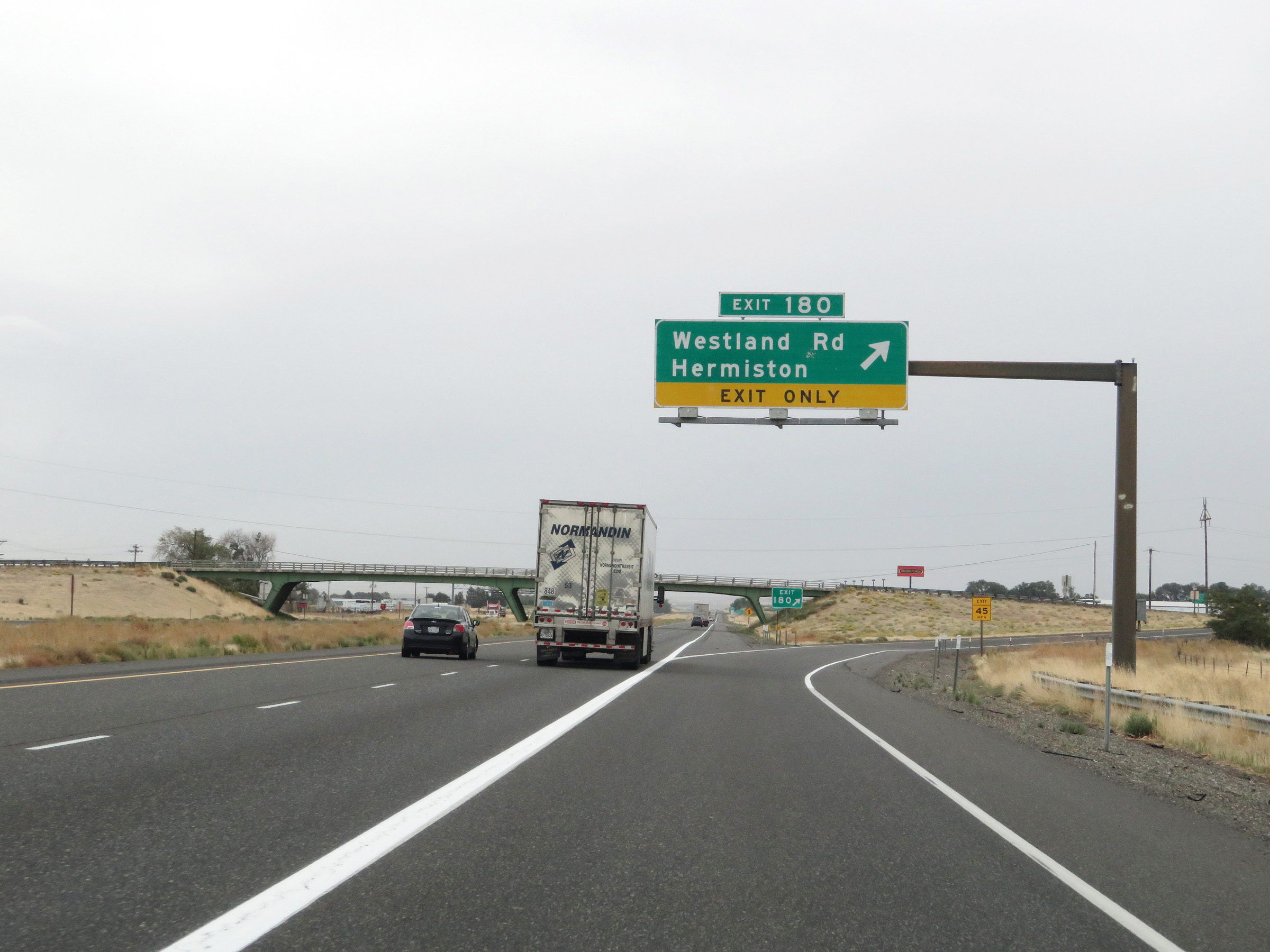 |
Interstate 84 East at Exit 180: Westland Rd / Hermiston (Photo taken 9/26/19). |
Section 5: Hermiston (Exit 179) to La Grande (Exit 265)
 |
Interstate 84 East shield located near mile marker 181. (Photo taken 5/22/13). |
 |
Speed limit signs near mile marker 181. The speed limit on most rural stretches of Interstate in Oregon is 65 mph for cars and 55 mph for trucks. The style of these speed limit signs, with the word 'limit' omitted, is unique to Oregon road signage. (Photo taken 5/22/13). |
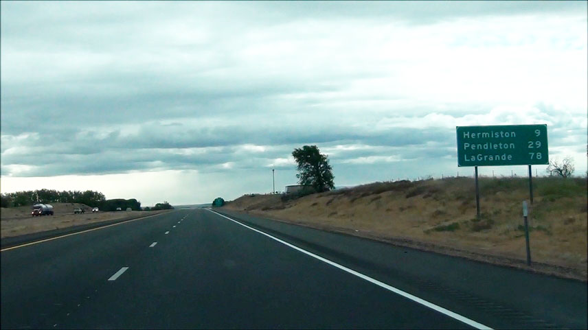 |
Mileage sign located near mile marker 181. It's 9 miles to Hermiston, 29 miles to Pendleton, and 78 miles to La Grande. (Photo taken 5/22/13). |
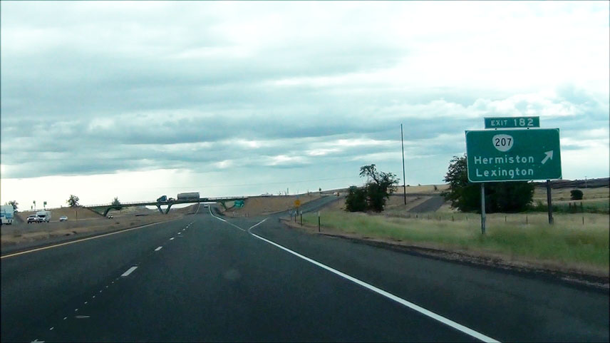 |
Interstate 84 East at Exit 182: OR 207 - Hermiston / Lexington (Photo taken 5/22/13). |
 |
Interstate 84 East at the Rest Area located near mile marker 186.5. (Photo taken 5/22/13). |
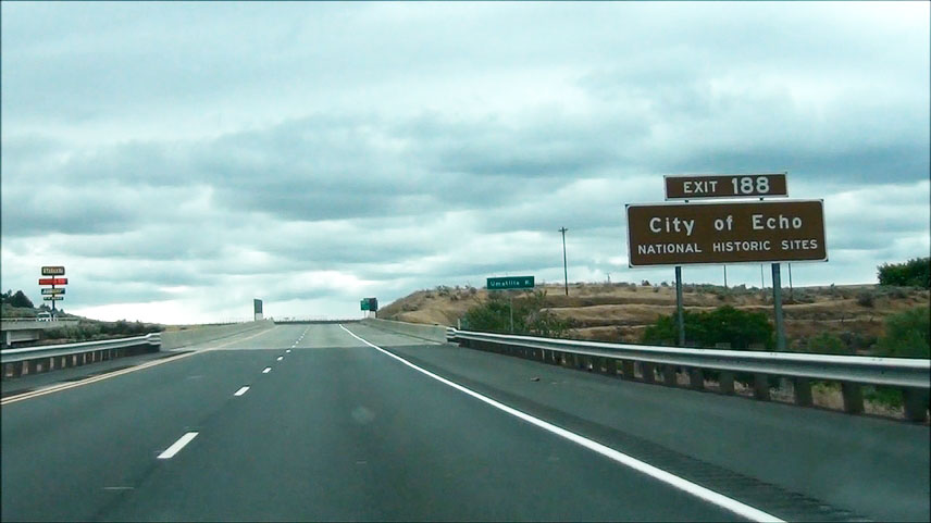 |
Take Exit 188 to City of Echo National Historic Sites. (Photo taken 5/22/13). |
 |
Interstate 84 East at Exit 188: US 395 North - Stanfield / Echo (Photo taken 5/22/13). |
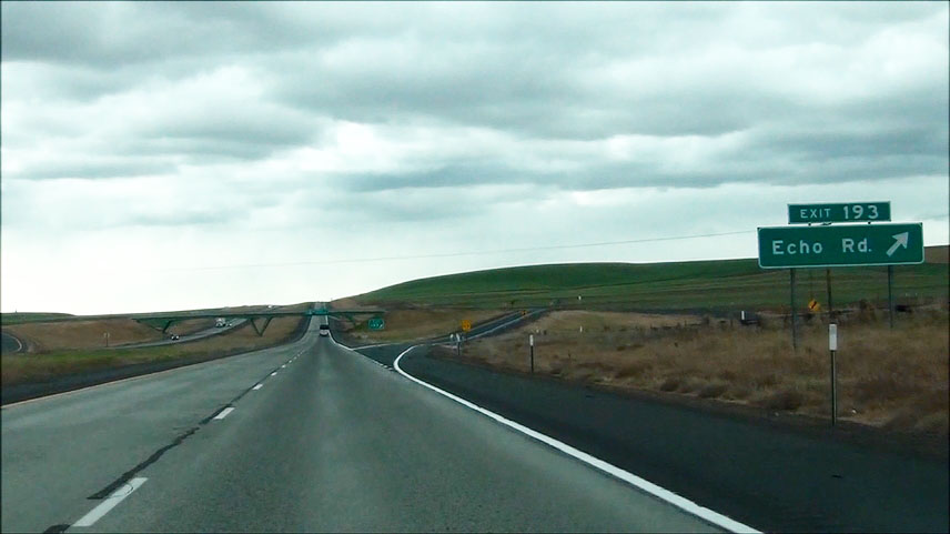 |
Interstate 84 East at Exit 193: Echo Rd (Photo taken 5/22/13). |
 |
Interstate 84 East at Exit 198: Lorenzen Rd / McClintock Rd (Photo taken 5/22/13). |
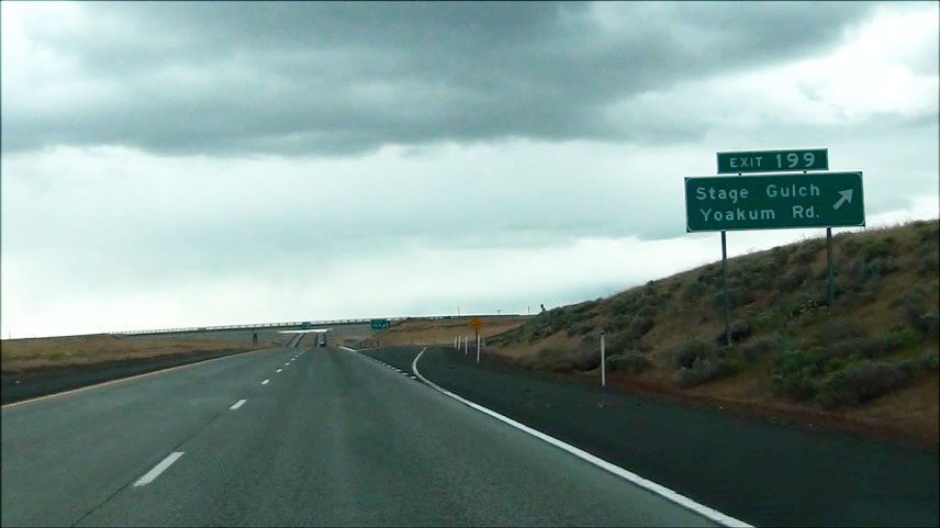 |
Interstate 84 East at Exit 199: Stage Gulch / Yoakum Rd (Photo taken 5/22/13). |
 |
Take Exit 202 to Pendleton Airport and Stage Gulch. (Photo taken 5/22/13). |
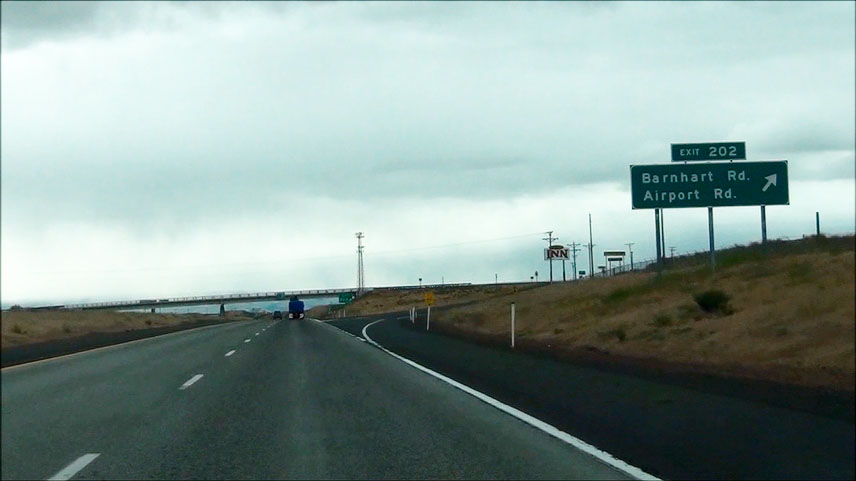 |
Interstate 84 East at Exit 202: Barnhart Rd / Airport Rd (Photo taken 5/22/13). |
 |
Take Exit 207 to Blue Mountain Community College as well as Pendleton Round-Up & Happy Canyon Hall of Fame. (Photo taken 5/22/13). |
 |
Interstate 84 East at Exit 207: US 30 - Airport / Pendleton City Center (Photo taken 5/22/13). |
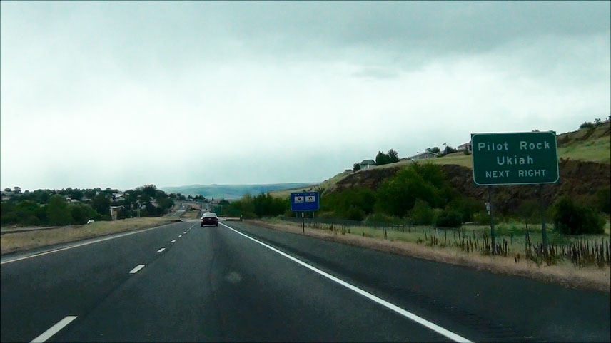 |
Take the next exit (Exit 209) to Pilot Rock and Ukiah. (Photo taken 5/22/13). |
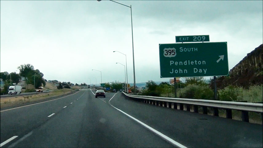 |
Interstate 84 East at Exit 209: US 395 South - Pendleton / John Day (Photo taken 5/22/13). |
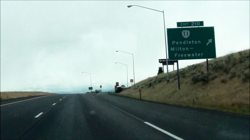 |
Interstate 84 East at Exit 210: OR 11 - Pendleton / Milton - Freewater (Photo taken 5/22/13). |
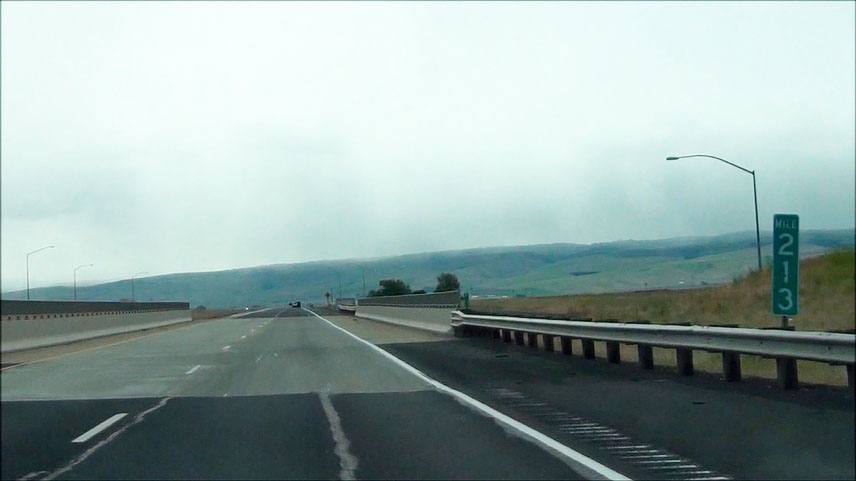 |
Interstate 84 East: Road view from mile marker 213. The mountain in the background is Cabbage Hill, which we will be climbing about 5 miles ahead. (Photo taken 5/22/13). |
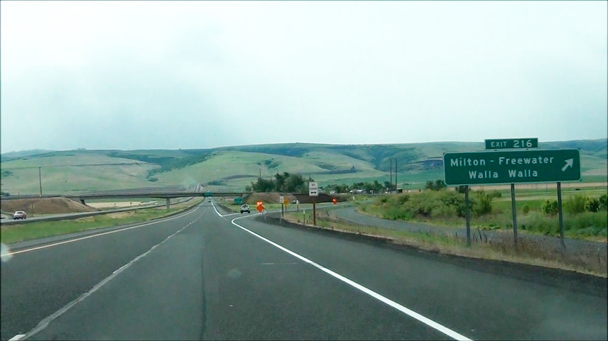 |
Interstate 84 East at Exit 216: Milton - Freewater / Walla Walla (Photo taken 5/22/13). |
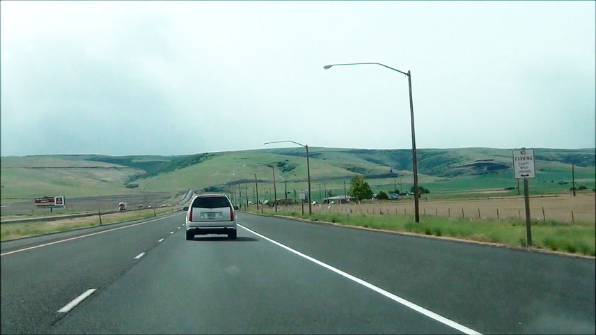 |
Interstate 84 East at the Chain-Up Area located near mile marker 216. Trucks will oftentimes need to install tire chains here in the winter to make it over Cabbage Hill. (Photo taken 5/22/13). |
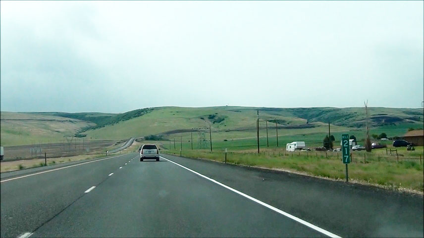 |
Interstate 84 East: Road view approaching Cabbage Hill near mile marker 217. (Photo taken 5/22/13). |
 |
Interstate 84 East: Road view from mile marker 218, as you begin the climb up Cabbage Hill. We have a long, winding climb ahead of us folks! (Photo taken 5/22/13). |
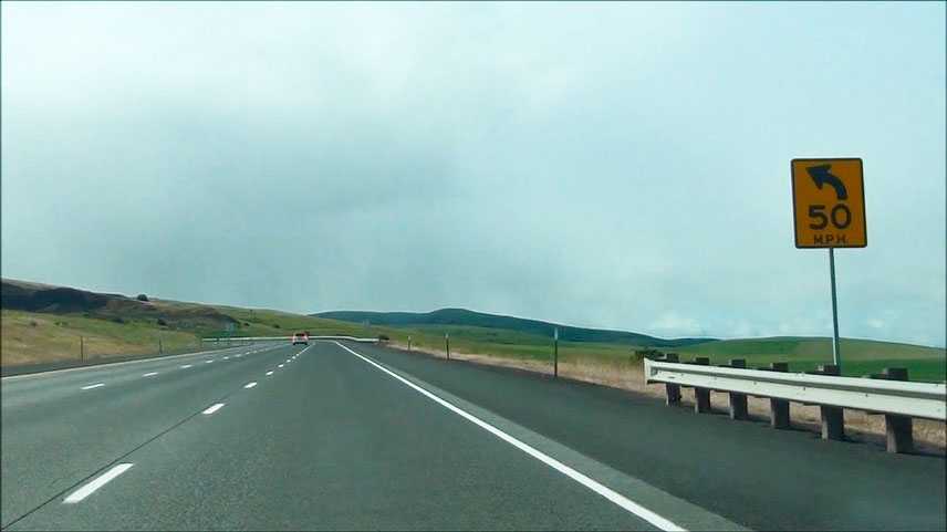 |
Warning sign near mile marker 218.5 as we begin the climb. This sign warns of the first of several sharp curves on the way up Cabbage Hill just ahead. Recommended speed is 50 mph. (Photo taken 5/22/13). |
 |
Interstate 84 East: Road view from near mile marker 219, as you prepare for more winding curves ahead. (Photo taken 5/22/13). |
 |
Interstate 84 East: Road view from near mile marker 220. The steep climb continues. (Photo taken 5/22/13). |
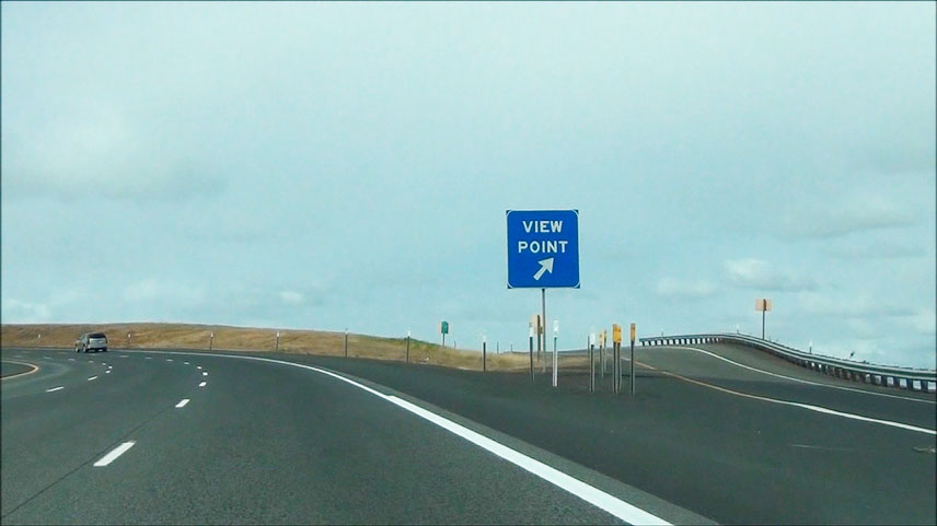 |
Interstate 84 East at the View Point / Chain-Up Area located near mile marker 221. (Photo taken 5/22/13). |
 |
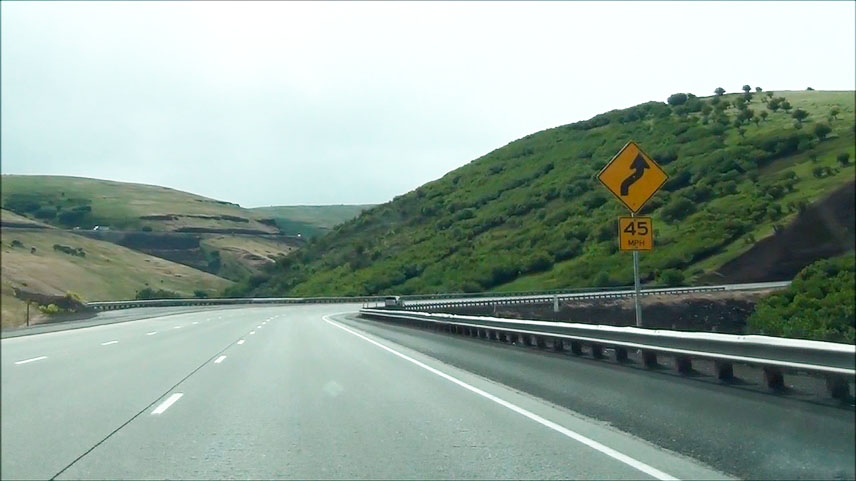
Interstate 84 East approaching more sharp 45 mph curves near mile marker 222. (Photo taken 5/22/13). |
 |
Interstate 84 East: Road view from near mile marker 223. Getting closer to the top now...... (Photo taken 5/22/13). |
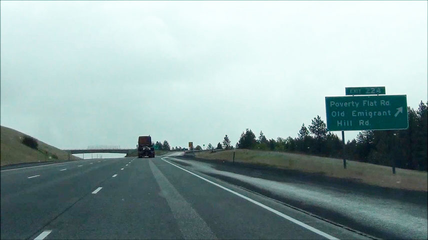 |
Interstate 84 East at Exit 224: Poverty Flat Rd / Old Emigrant Hill Rd (Photo taken 5/22/13). |
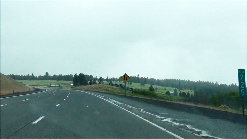 |
Interstate 84 East: Road view from mile marker 225. You can see the warning sign just ahead, showing that the right lane ends. Since the truck climbing lane is coming to an end, that means we're nearly to the top of Cabbage Hill. (Photo taken 5/22/13). |
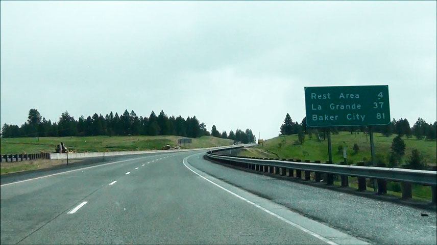 |
Mileage sign located near mile marker 225.5. It's 4 miles to the next Rest Area, 37 miles to La Grande, and 81 miles to Baker City. Notice the snowflakes starting to fall in this picture. This was taken in late May 2013. That shows you just how much a quick change in elevation out here can have an impact on temperatures! (Photo taken 5/22/13). |
 |
Interstate 84 East at another Chain-Up Area located near mile marker 226. (Photo taken 5/22/13). |
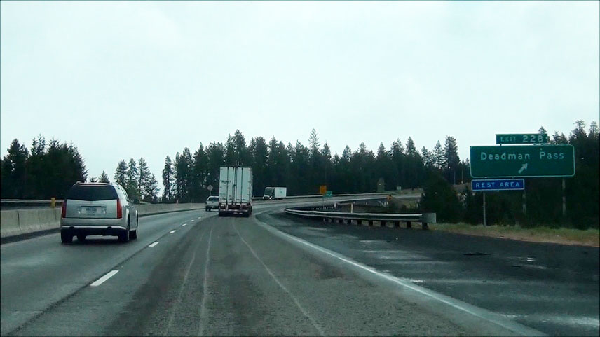 |
Interstate 84 East at Exit 228: Deadman Pass / Rest Area (Photo taken 5/22/13). |
 |
Take Exit 234 to Meacham. (Photo taken 5/22/13). |
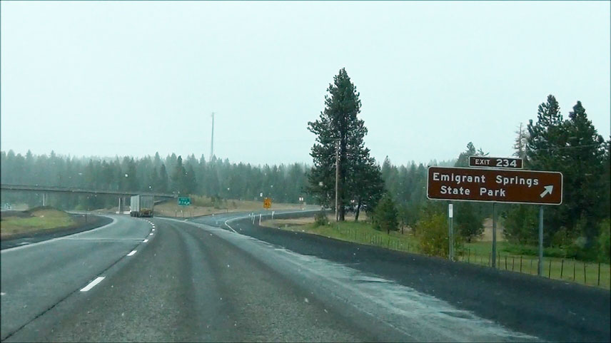 |
Interstate 84 East at Exit 234: Emigrant Springs State Park. Now you can really see that late May snow falling on top of this mountain! (Photo taken 5/22/13). |
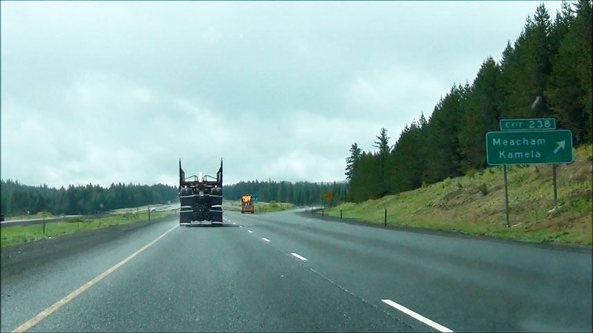 |
Interstate 84 East at Exit 238: Meachem / Kamela (Photo taken 5/22/13). |
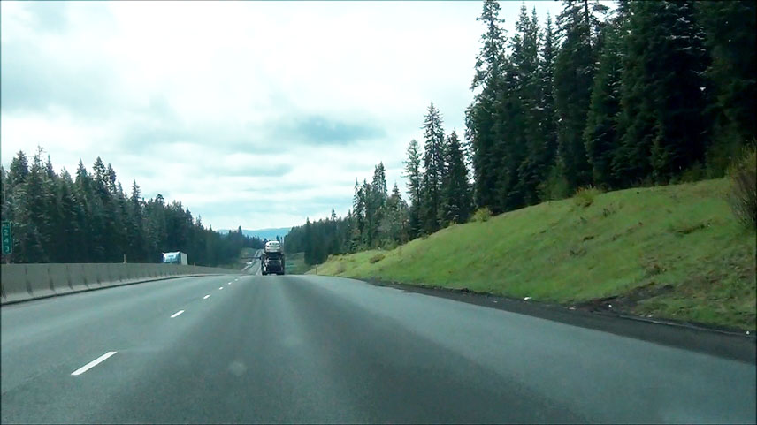 |
Interstate 84 East: Road view from mile marker 243. (Photo taken 5/22/13). |
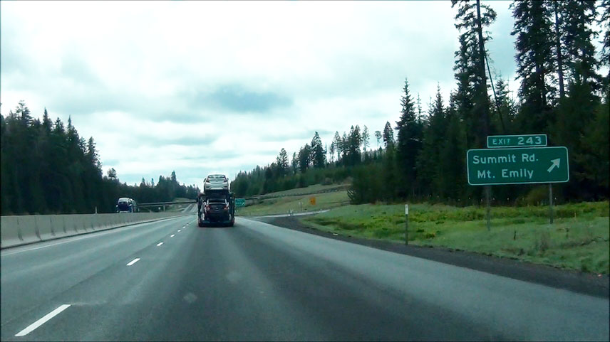 |
Interstate 84 East at Exit 243: Summit Rd / Mt. Emily (Photo taken 5/22/13). |
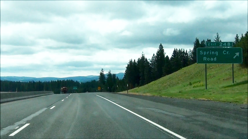 |
Interstate 84 East at Exit 248: Spring Creek Rd (Photo taken 5/22/13). |
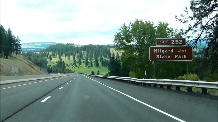 |
Take Exit 252 to Hilgard Junction State Park. (Photo taken 5/22/13). |
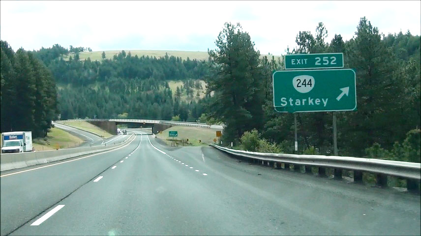 |
Interstate 84 East at Exit 252: OR 244 - Starkey (Photo taken 5/22/13). |
 |
Interstate 84 East shield located near mile marker 253. Oh, and the view is pretty nice too. (Photo taken 5/22/13). |
 |
Interstate 84 East: Road view from near mile marker 254. (Photo taken 5/22/13). |
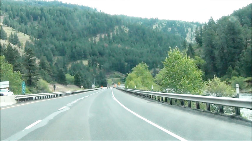 |
Interstate 84 East: Road view from mile marker 255. (Photo taken 5/22/13). |
 |
Take Exit 256 to Historic Arch Bridge Viewpoint. (Photo taken 5/22/13). |
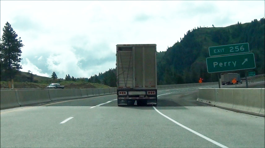 |
Interstate 84 East at Exit 256: Perry (Photo taken 5/22/13). |
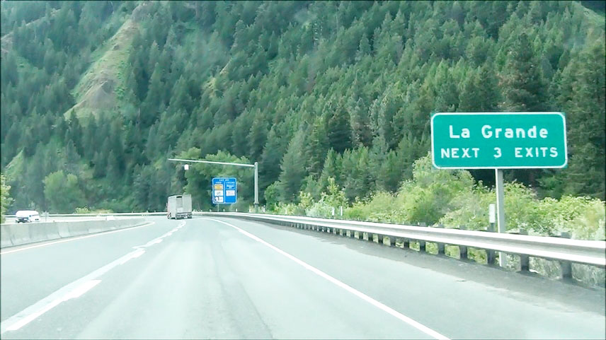 |
Take any of the next 3 exits to La Grande. (Photo taken 5/22/13). |
 |
Interstate 84 East at the Weigh Station located near mile marker 258.5. (Photo taken 5/22/13). |
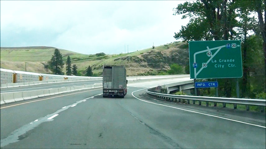 |
Sign showing the route that US 30 takes to the La Grande City Center before joining back up with Interstate 84. (Photo taken 5/22/13). |
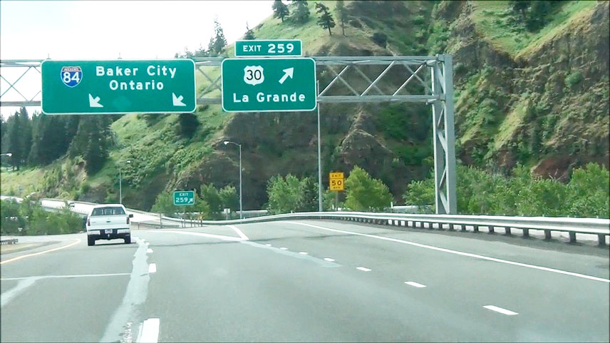 |
Interstate 84 East at Exit 259: US 30 - La Grande (Photo taken 5/22/13). |
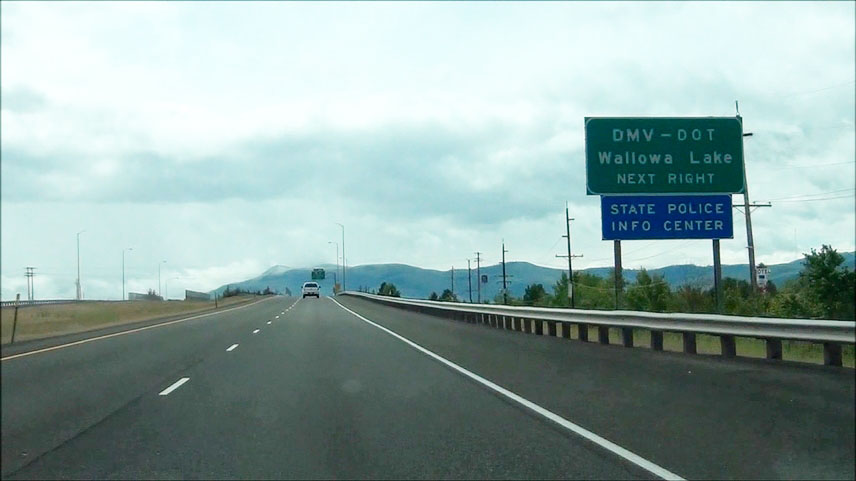 |
Take the next exit (Exit 261) to Wallowa Lake. (Photo taken 5/22/13). |
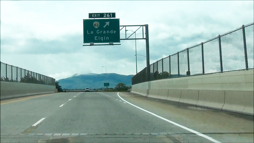 |
Interstate 84 East at Exit 261: OR 82 - La Grande / Elgin (Photo taken 5/22/13). |
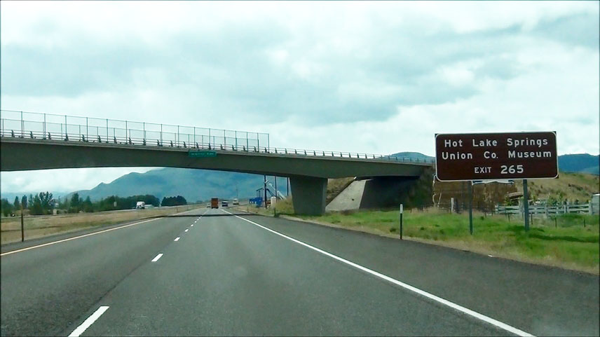 |
Take Exit 265 to Hot Lake Springs and Union County Museum. (Photo taken 5/22/13). |
 |
Interstate 84 East at Exit 265: OR 203 - La Grande / Union (Photo taken 5/22/13). |
Section 6: La Grande (Exit 265) to Idaho Border
 |
Interstate 84 East at the Chain-Up Area located near mile marker 266. (Photo taken 5/22/13). |
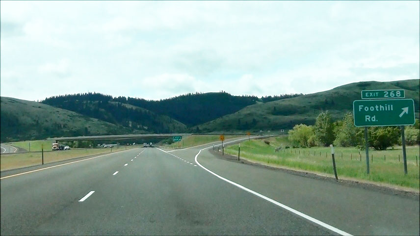 |
Interstate 84 East at Exit 268: Foothill Rd (Photo taken 5/22/13). |
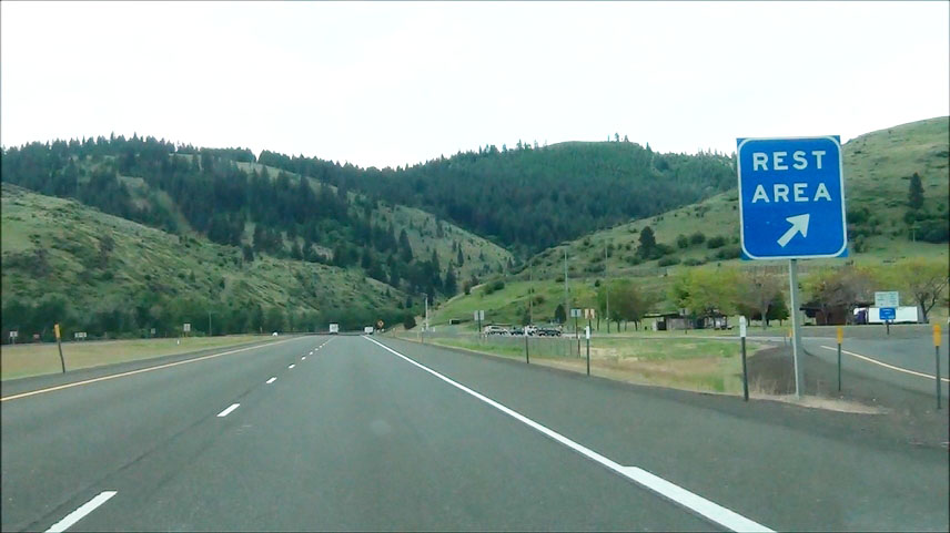 |
Interstate 84 East at the Rest Area located near mile marker 269. (Photo taken 5/22/13). |
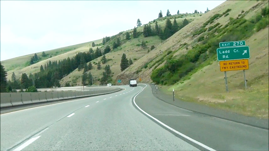 |
Interstate 84 East at Exit 270: Ladd Creek Rd (Photo taken 5/22/13). |
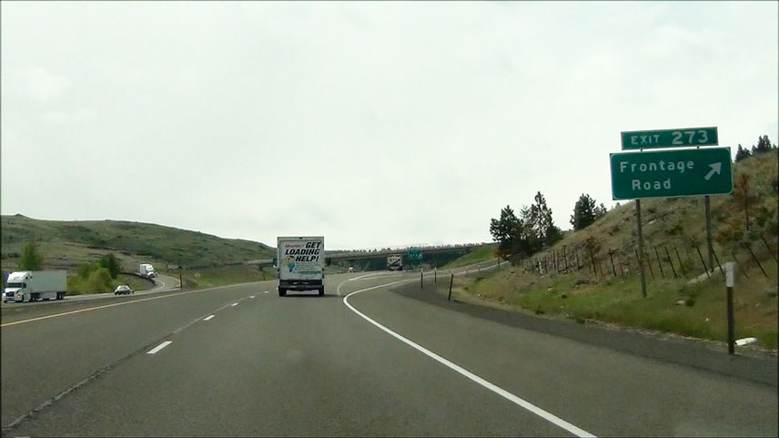 |
Interstate 84 East at Exit 273: Frontage Road (Photo taken 5/22/13). |
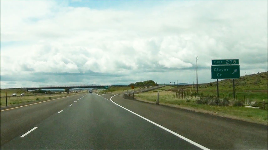 |
Interstate 84 East at Exit 278: Clover Creek (Photo taken 5/22/13). |
 |
Interstate 84 East at Exit 283: Wolf Creek Lane (Photo taken 5/22/13). |
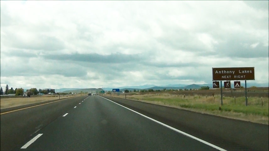 |
Take the next exit (Exit 285) to Anthony Lakes. (Photo taken 5/22/13). |
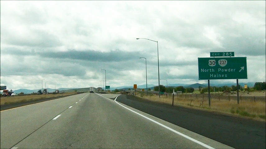 |
Interstate 84 East at Exit 285: US 30 / OR 237 - North Powder / Haines (Photo taken 5/22/13). |
 |
Interstate 84 East: Road view from mile marker 289. (Photo taken 5/22/13). |
 |
Interstate 84 East: Road view from near mile marker 292. (Photo taken 5/22/13). |
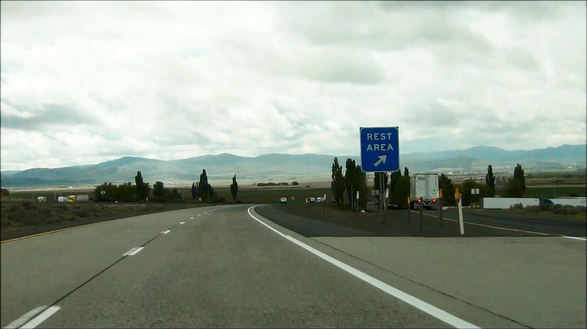 |
Interstate 84 East at the Rest Area located at mile marker 295. (Photo taken 5/22/13). |
 |
Interstate 84 East at Exit 298: OR 203 - Baker City Airport / Medical Springs (Photo taken 5/22/13). |
 |
Take any of the next 3 exits to Baker City. (Photo taken 5/22/13). |
 |
Interstate 84 East at another Chain-Up Area located near mile marker 301. (Photo taken 5/22/13). |
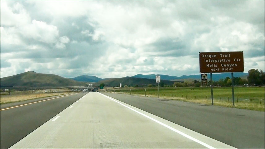 |
Take the next exit (Exit 302) to Oregon Trail Interpretive Center and Hells Canyon. (Photo taken 5/22/13). |
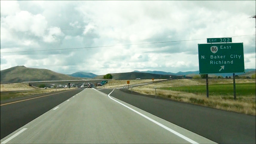 |
Interstate 84 East at Exit 302: OR 86 East - North Baker City / Richland (Photo taken 5/22/13). |
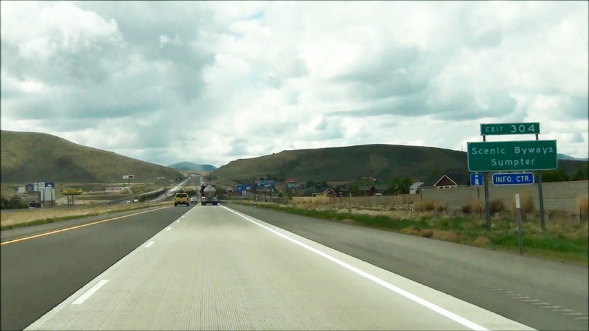 |
Take Exit 304 to Scenic Byways and Sumpter. (Photo taken 5/22/13). |
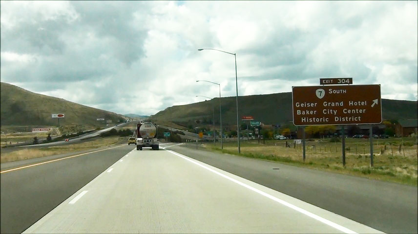 |
Interstate 84 East at Exit 304: OR 7 South - Geiser Grand Hotel / Baker City Center / Historic District (Photo taken 5/22/13). |
 |
Interstate 84 East shield located near mile marker 305. (Photo taken 5/22/13). |
 |
Interstate 84 East at Exit 306: US 30 West - Baker City (Photo taken 5/22/13). |
 |
Interstate 84 East: Road view from mile marker 309. (Photo taken 5/22/13). |
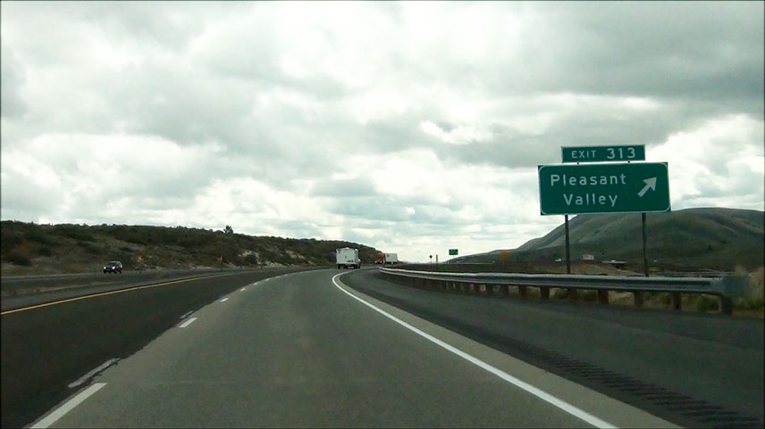 |
Interstate 84 East at Exit 313: Pleasant Valley (Photo taken 5/22/13). |
 |
Interstate 84 East: Road view from near mile marker 317. (Photo taken 5/22/13). |
 |
Interstate 84 East: Road view from near mile marker 320. (Photo taken 5/22/13). |
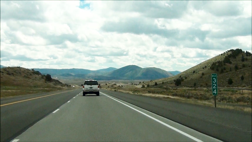 |
Interstate 84 East: Road view from mile marker 324. (Photo taken 5/22/13). |
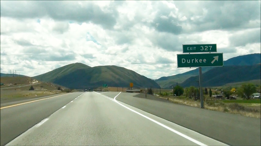 |
Interstate 84 East at Exit 327: Durkee (Photo taken 5/22/13). |
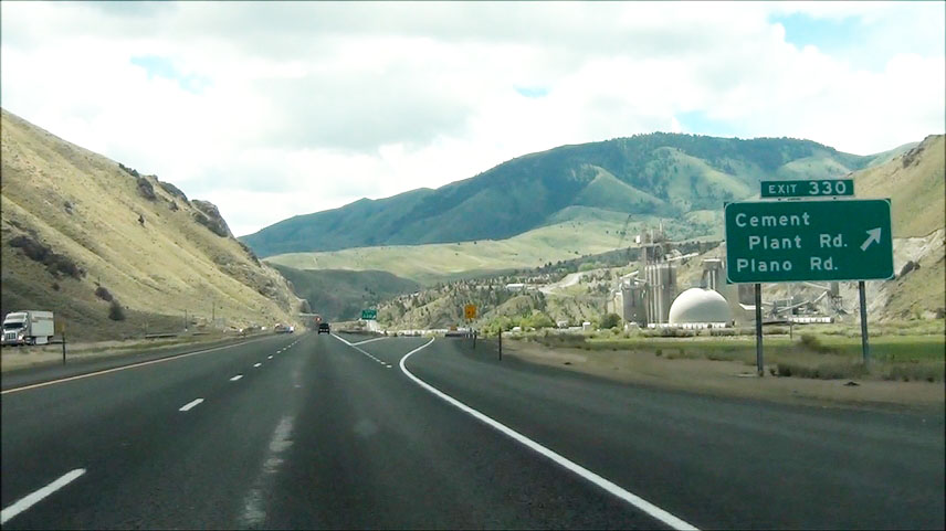 |
Interstate 84 East at Exit 330: Cement Plant Rd / Plano Rd (Photo taken 5/22/13). |
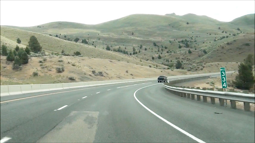 |
Interstate 84 East: Road view from mile marker 334. (Photo taken 5/22/13). |
 |
Interstate 84 East at Exit 335: Weatherby (Photo taken 5/22/13). |
 |
Interstate 84 East at Exit 338: Lookout Mountain (Photo taken 5/22/13). |
 |
Interstate 84 East at Exit 340: Rye Valley (Photo taken 5/22/13). |
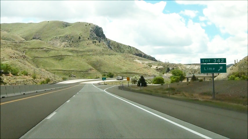 |
Interstate 84 East at Exit 342: Lime (Photo taken 5/22/13). |
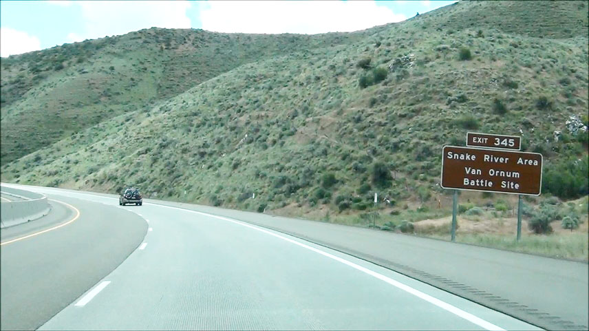 |
Take Exit 345 to Snake River Area and Van Ornum Battle Site. (Photo taken 5/22/13). |
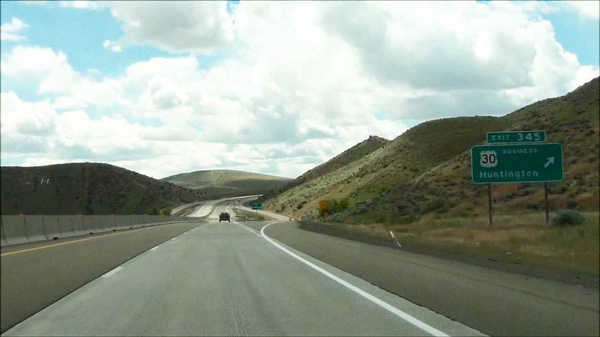 |
Interstate 84 East at Exit 345: US 30 BR - Huntington (Photo taken 5/22/13). |
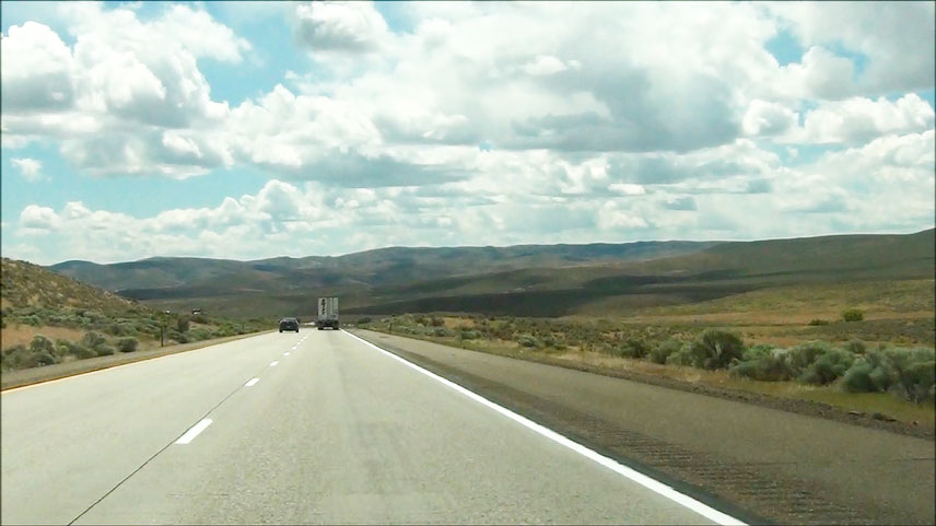 |
Interstate 84 East: Road view from near mile marker 349. (Photo taken 5/22/13). |
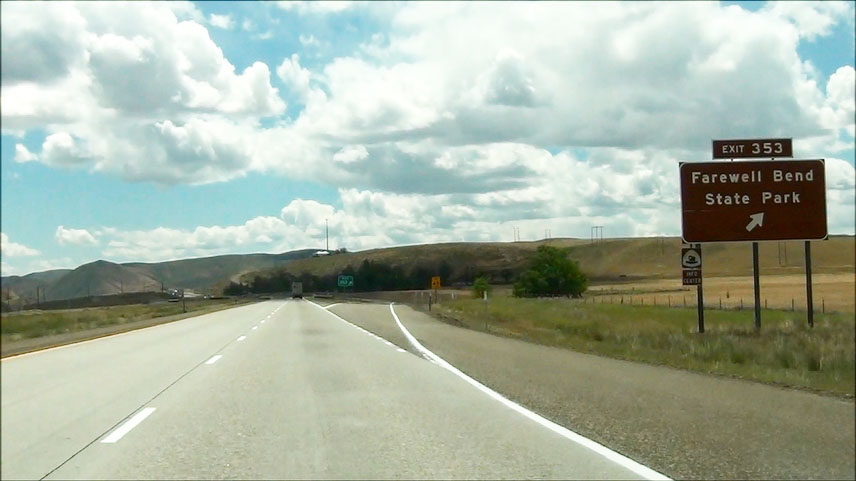 |
Interstate 84 East at Exit 353: Farewell Bend State Park (Photo taken 5/22/13). |
 |
Interstate 84 East at Exit 356: OR 201 - Weiser (Photo taken 5/22/13). |
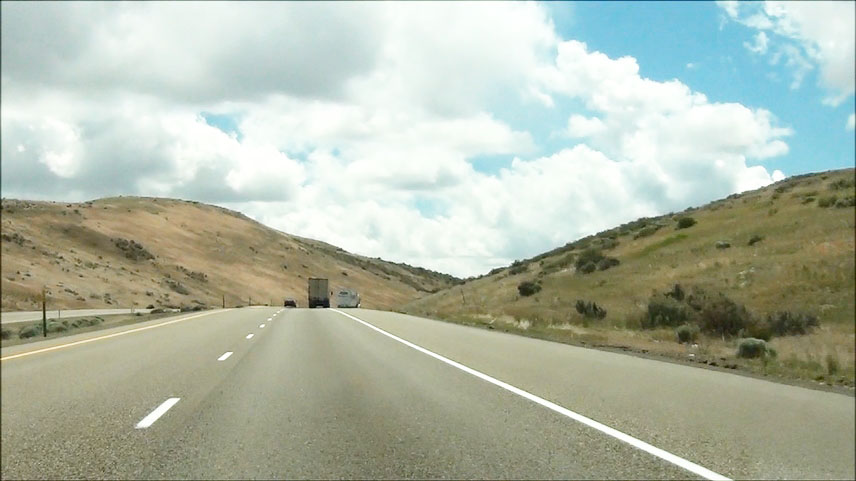 |
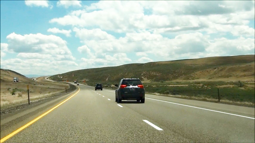
Interstate 84 East: Road view from near mile marker 360. (Photo taken 5/22/13). |
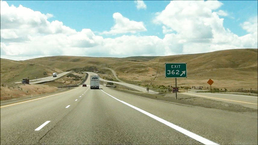 |
Interstate 84 East at Exit 362: Moores Hollow Rd (Photo taken 5/22/13). |
 |
Interstate 84 East: Road view from near mile marker 367. (Photo taken 5/22/13). |
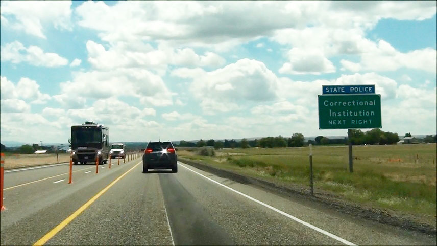 |
Take the next exit (Exit 371) to the Correctional Institution. (Photo taken 5/22/13). |
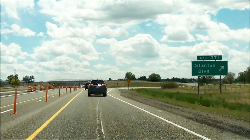 |
Interstate 84 East at Exit 371: Stanton Blvd (Photo taken 5/22/13). |
 |
Take either of the next 2 exits to US 30 BR - Ontario. (Photo taken 5/22/13). |
 |
Take the next exit (Exit 374) to Ontario State Rec. Site and Lake Owyhee State Park. (Photo taken 5/22/13). |
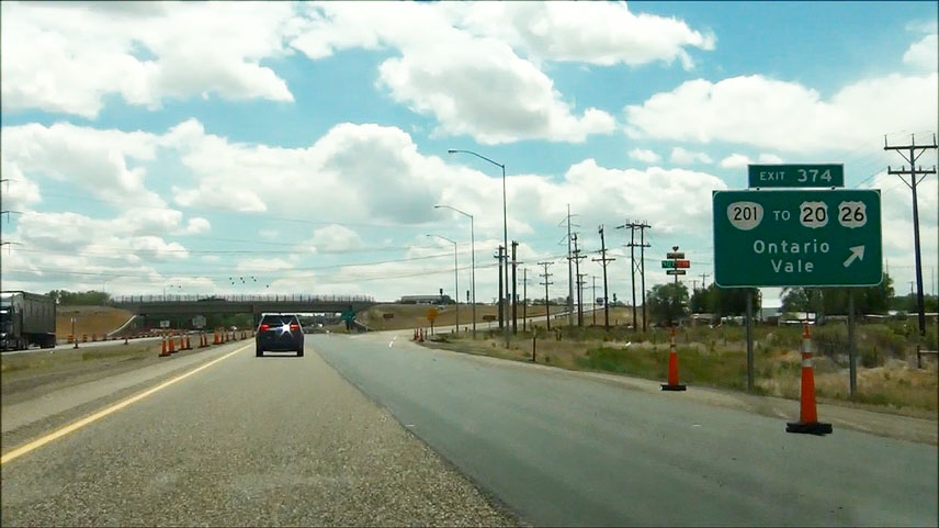 |
Interstate 84 East at Exit 374: OR 201 / To US 20 / To US 26 - Ontario / Vale (Photo taken 5/22/13). |
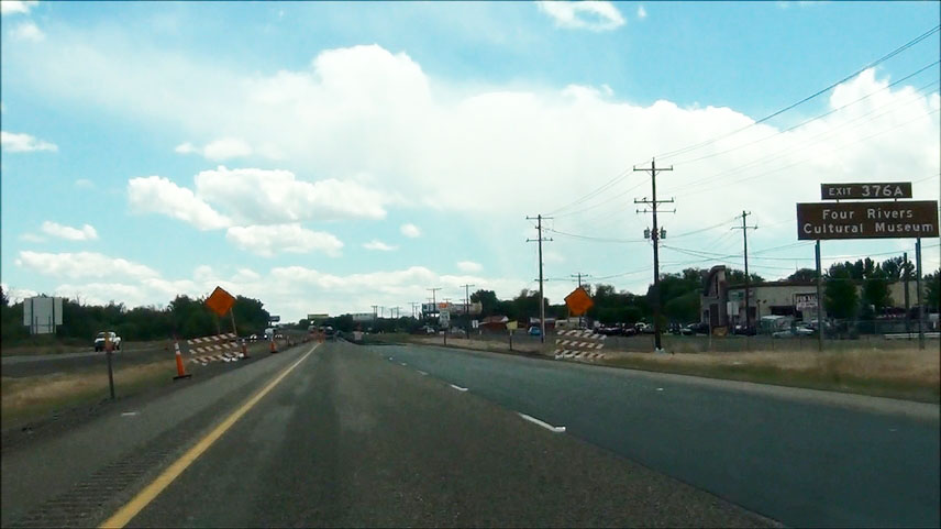 |
Take Exit 376A to Four Rivers Cultural Museum. (Photo taken 5/22/13). |
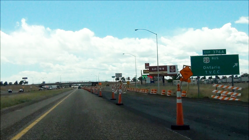 |
Interstate 84 East at Exit 376A: US 30 BR - Ontario / T.V.C.C. (Photo taken 5/22/13). |
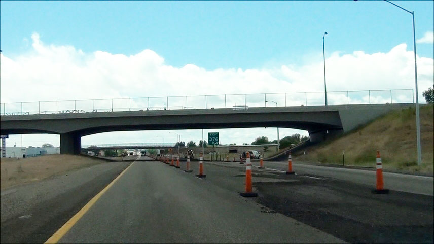 |
Interstate 84 East at Exit 376B: US 30 East - Payette (Photo taken 5/22/13). |
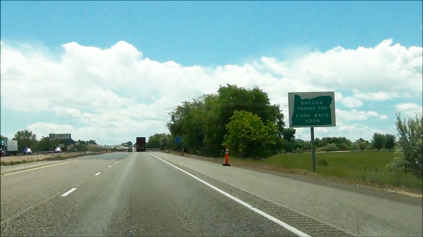 |
Sign as you prepare to leave Oregon and enter Idaho on Interstate 84 East. (Photo taken 5/22/13). |