Road Information |
||
 |
||
| Total Mileage in State: | 329 miles | |
| Eastern End: | At Missouri state line | |
| Western End: | At Texas state line | |
| Mileage covered in Photos: | 120 miles | |
| Counties covered in Photos: | Cotton, Comanche, Caddo, Grady, McClain, Cleveland, Oklahoma | |
| Major Junctions in Photos: | US 62, in Lawton I-240, in Oklahoma City I-40, in Oklahoma City |
|
| Control Cities in Photos: | Lawton, Chickasha, Oklahoma City | |
Eastbound
- Section 1: Texas Border to Lawton (Exit 41)
- Section 2: Lawton (Exit 41) to Chickasha (Exit 83)
- Section 3: Chickasha (Exit 83) to Oklahoma City (Exit 120B)
Section 1: Texas Border to Lawton (Exit 41)
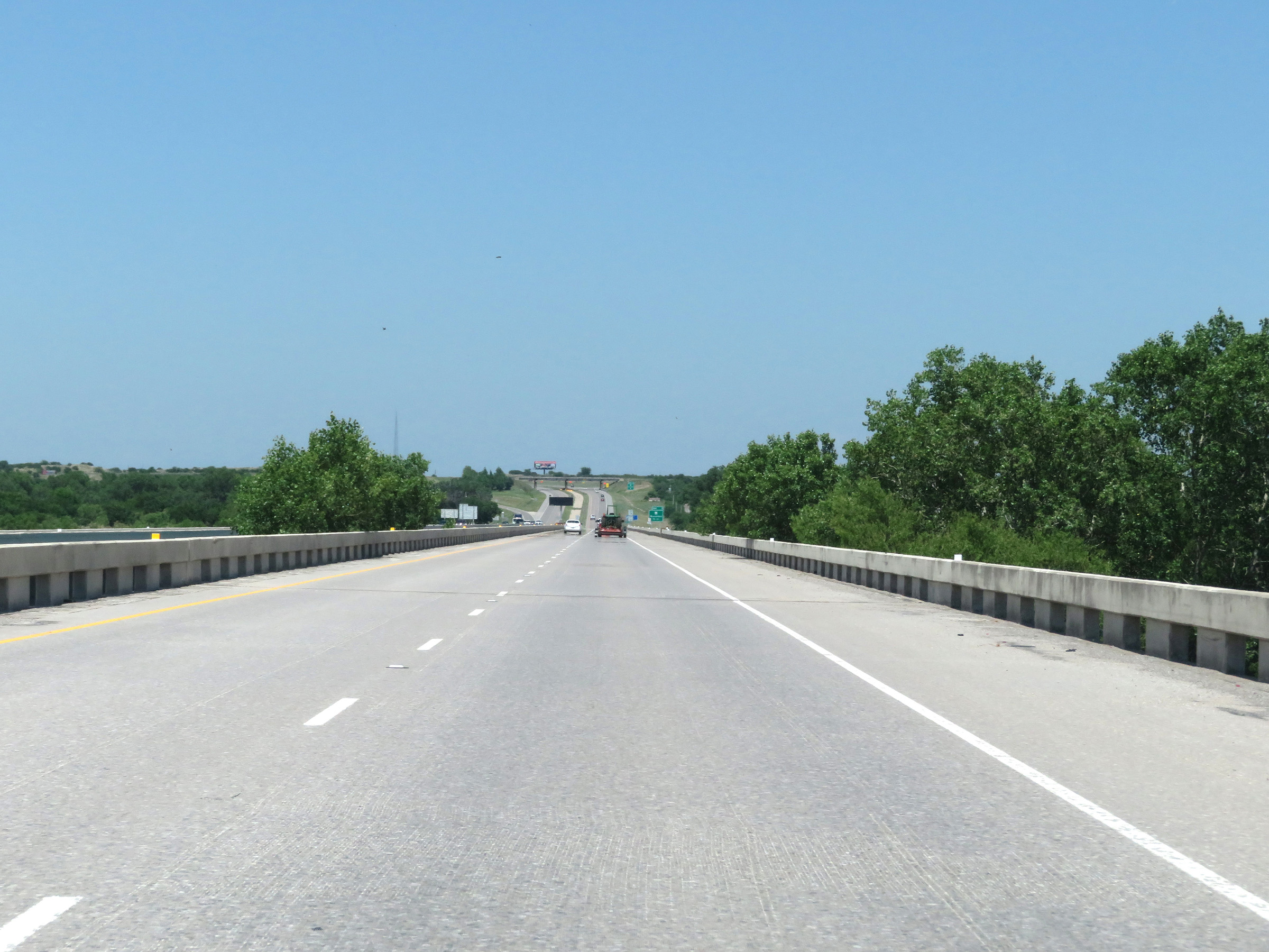 |
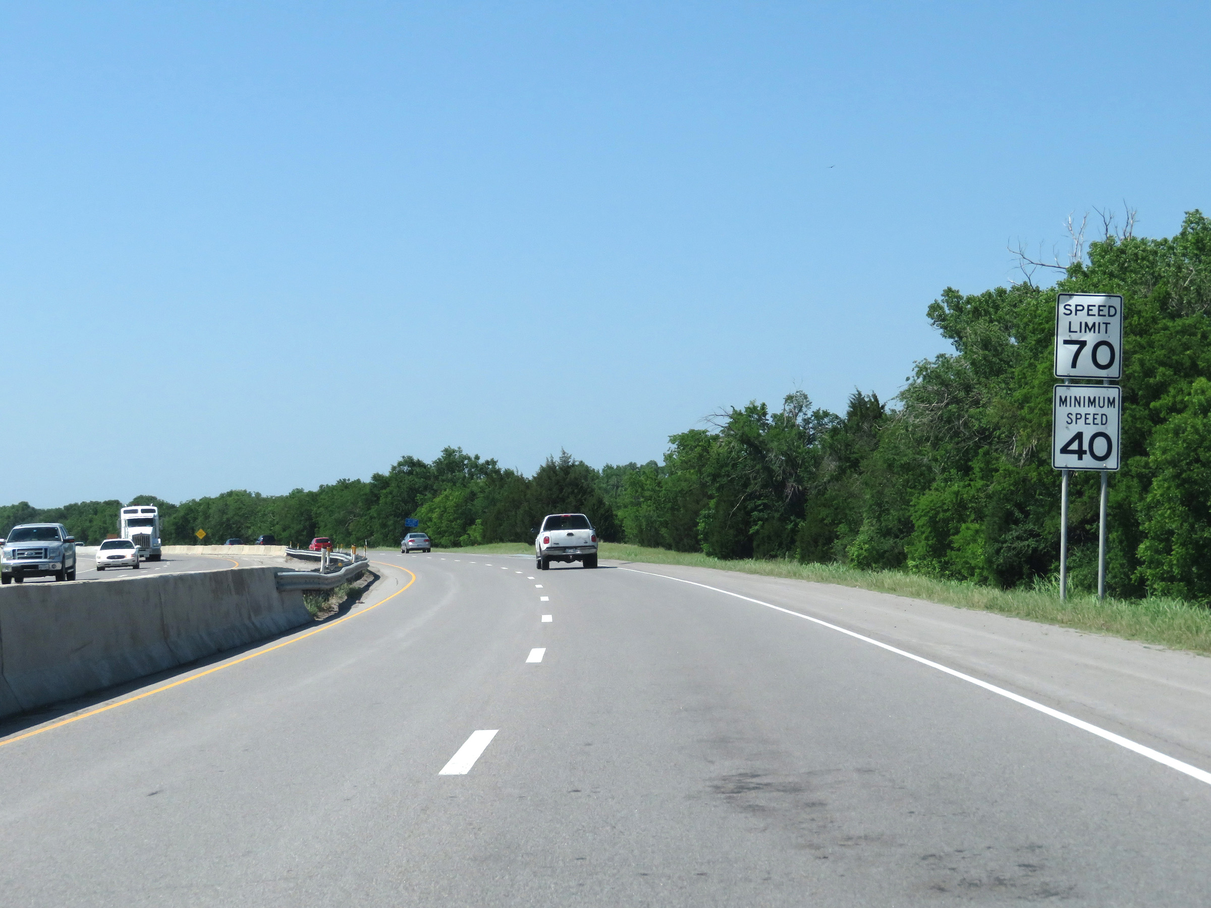
Interstate 44 East as it enters Oklahoma from Texas by crossing the Red River. (Photo taken 5/18/18). |
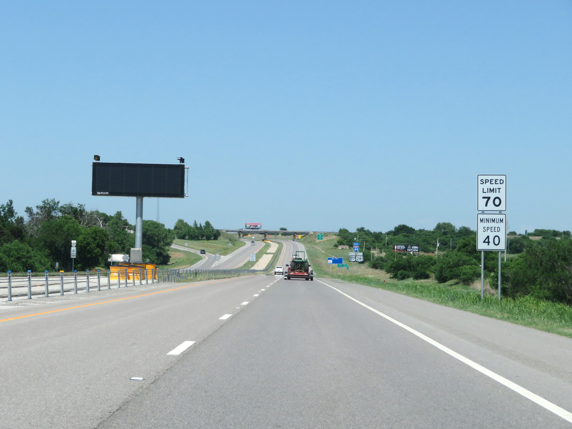 |
The speed limits on Interstate 44 East start out at 70 mph maximum and 40 mph minimum. (Photo taken 5/18/18). |
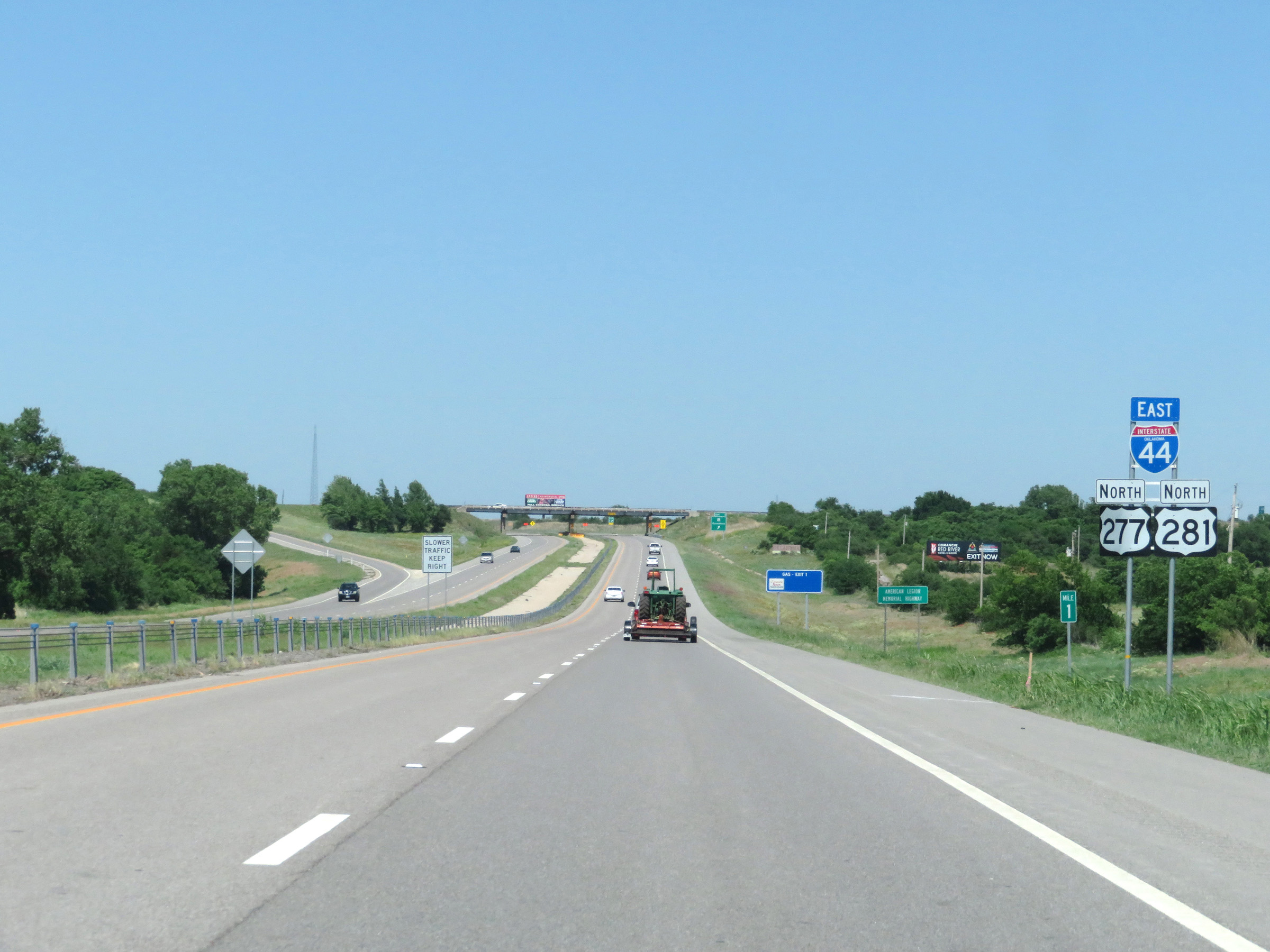 |
State-named Interstate 44 East reassurance shield at mile marker 1. (Photo taken 5/18/18). |
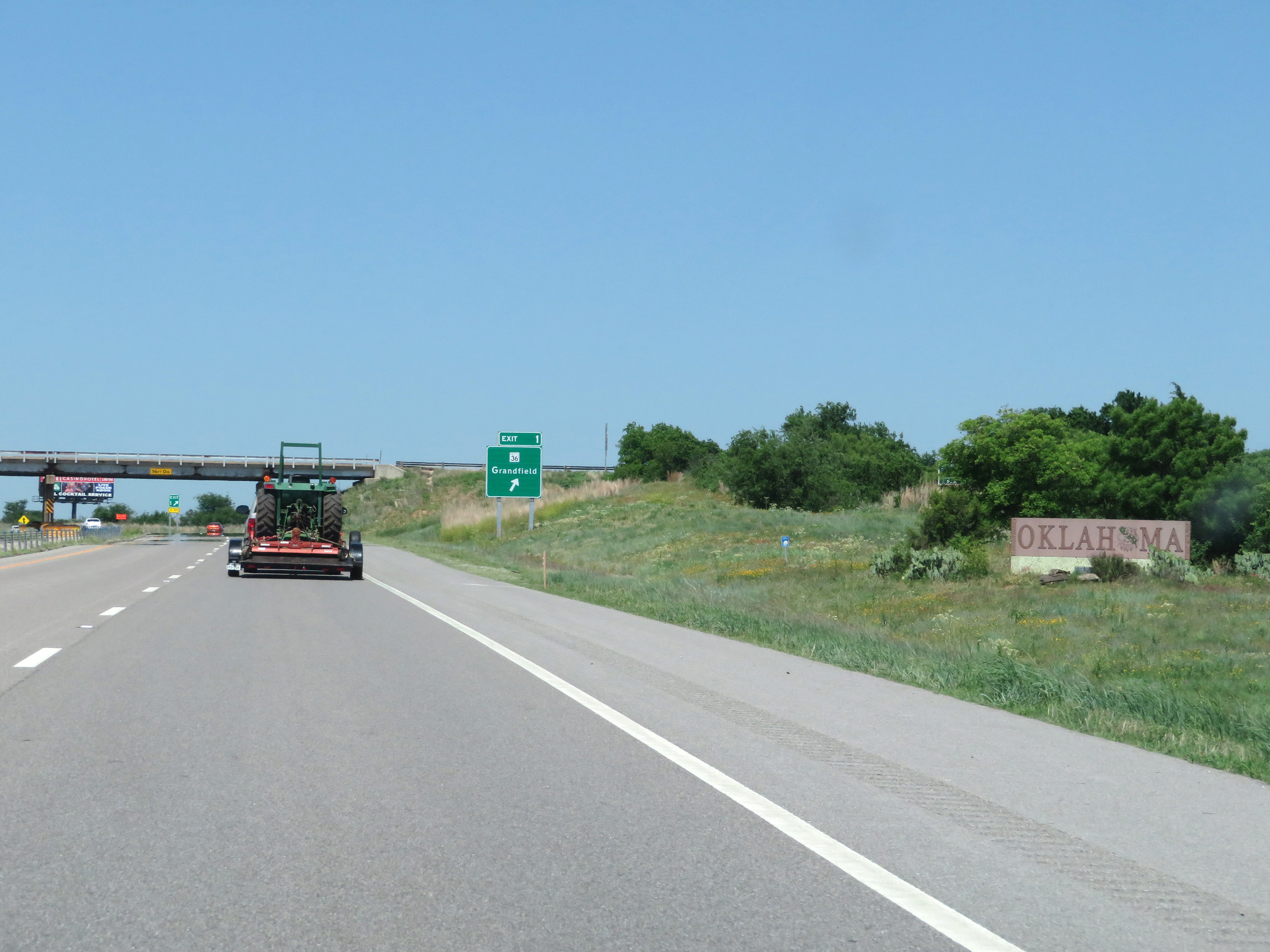 |
Oklahoma welcome sign just before Exit 1. (Photo taken 5/18/18). |
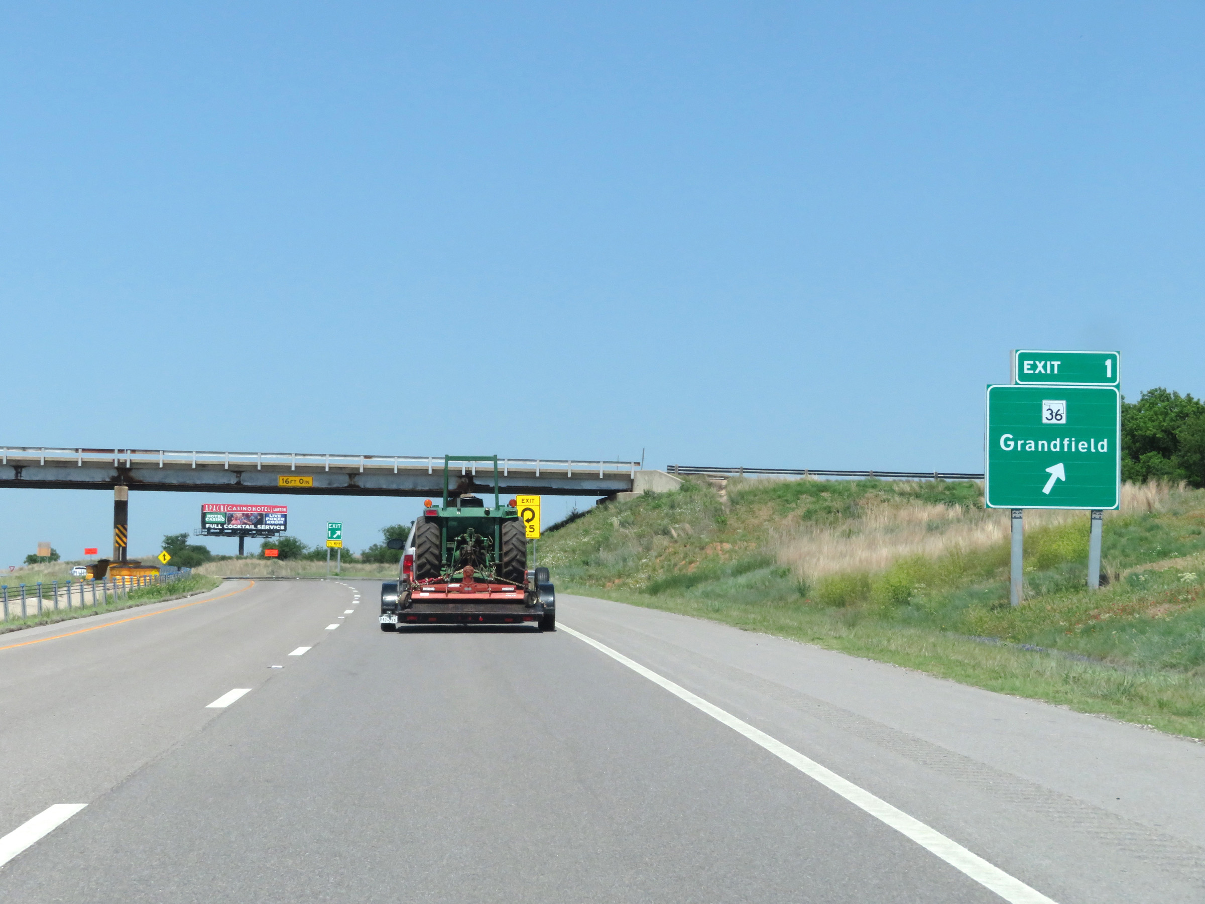 |
Interstate 44 East at Exit 1: OK 36 - Grandfield (Photo taken 5/18/18). |
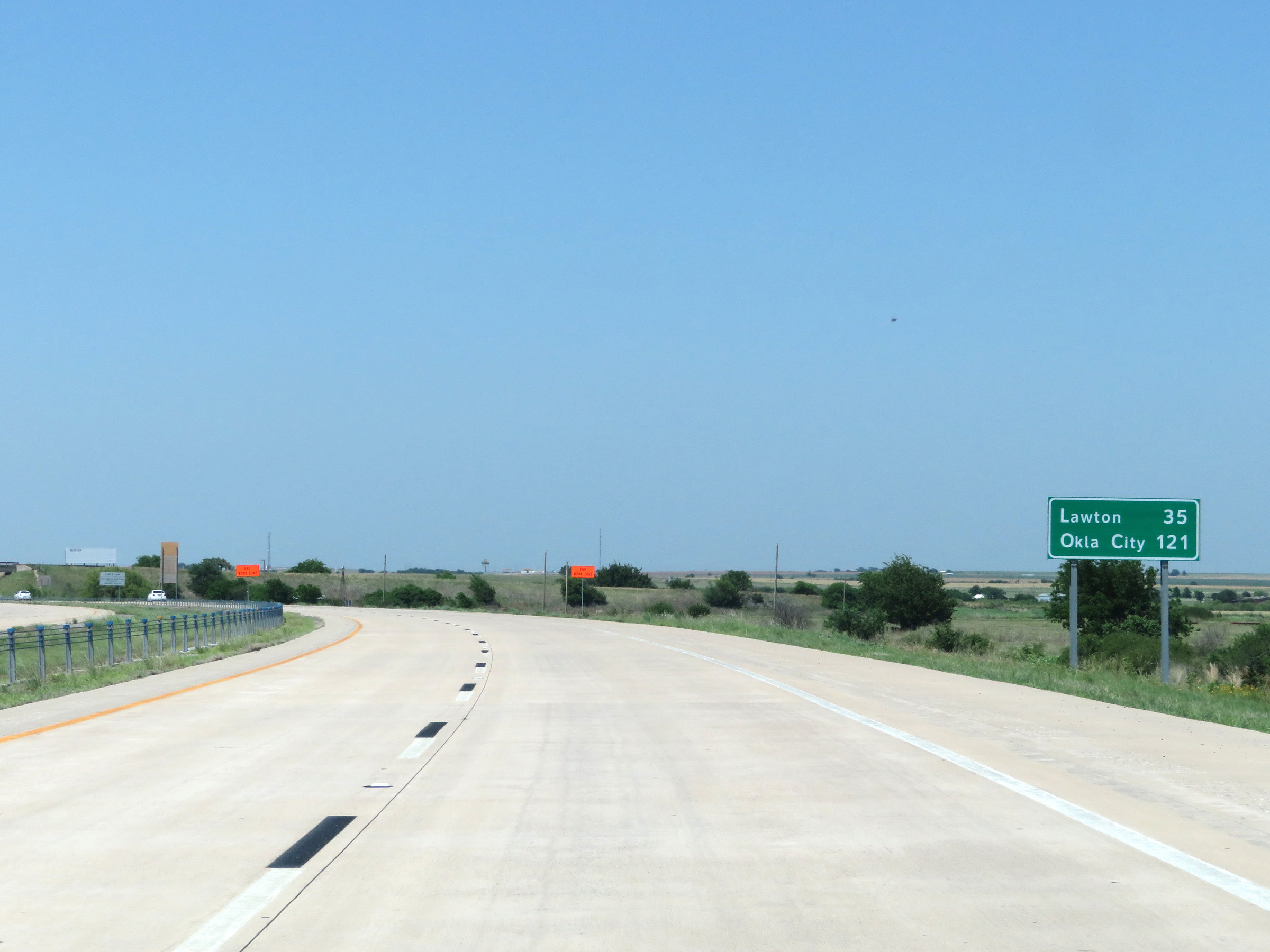 |
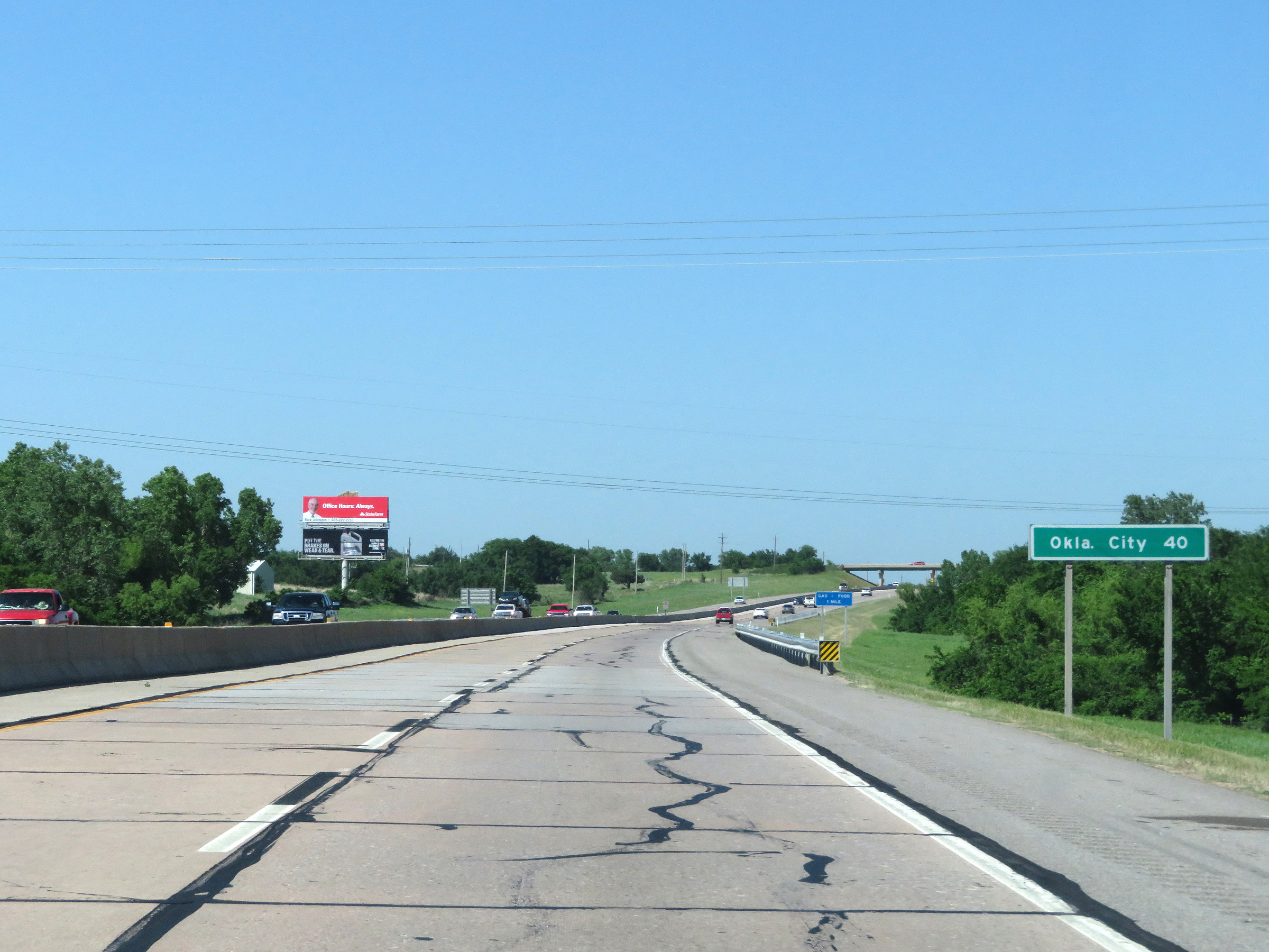
Mileage sign on Interstate 44 East. It's 35 miles to Lawton and 121 miles to Oklahoma City. (Photo taken 5/18/18). |
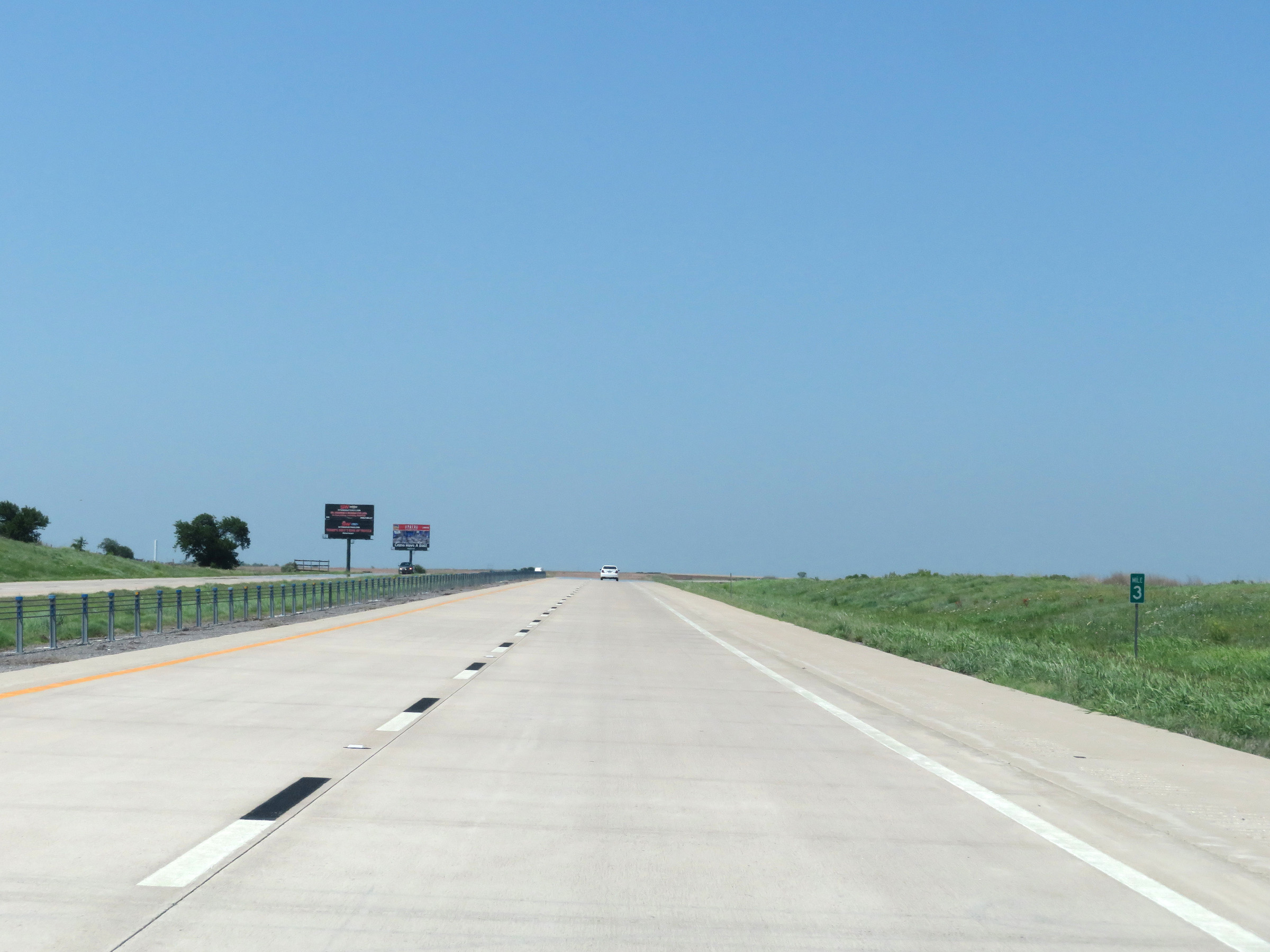 |
View on Interstate 44 East at mile marker 3. (Photo taken 5/18/18). |
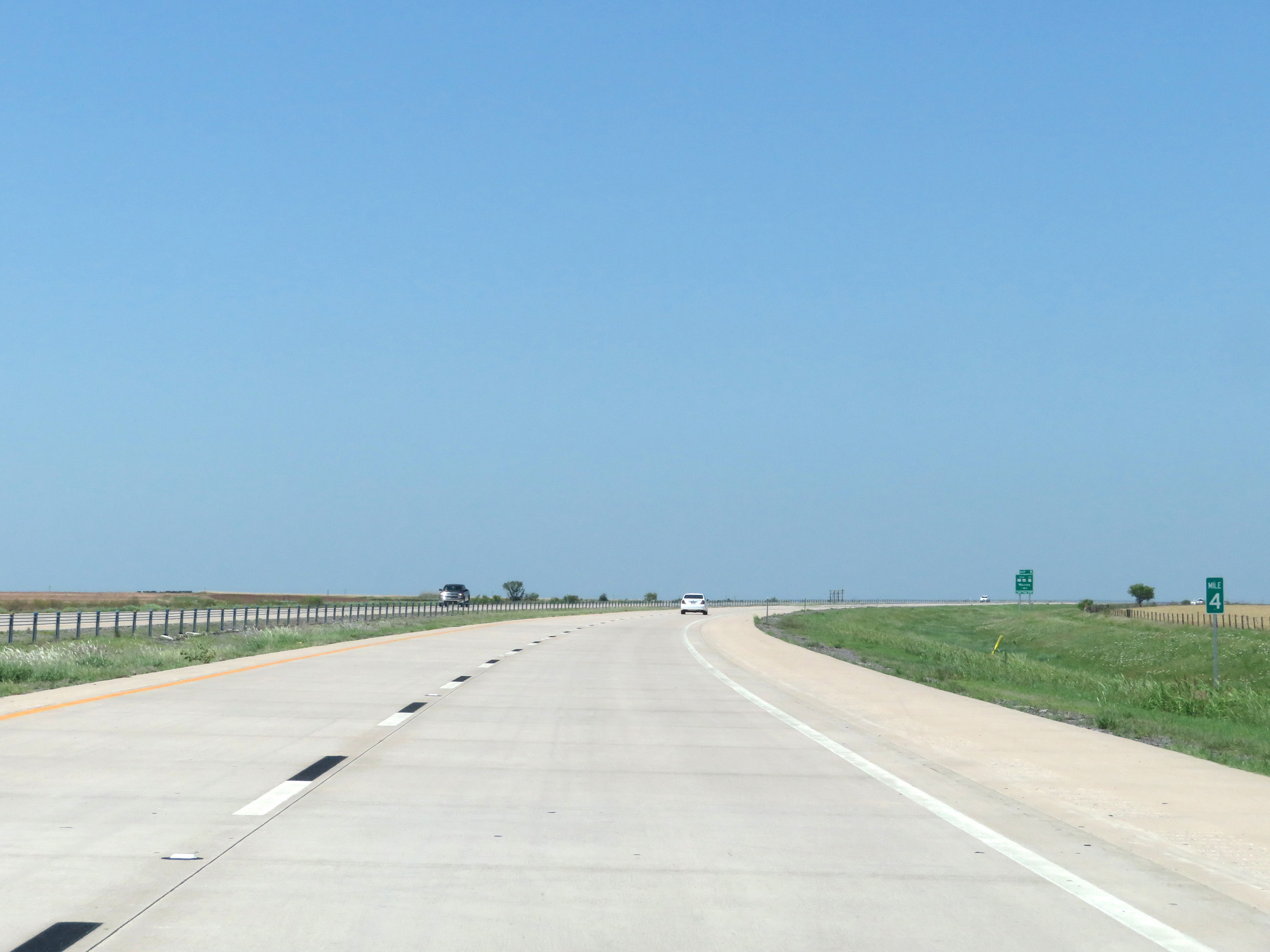 |
Interstate 44 East at mile marker 4. (Photo taken 5/18/18). |
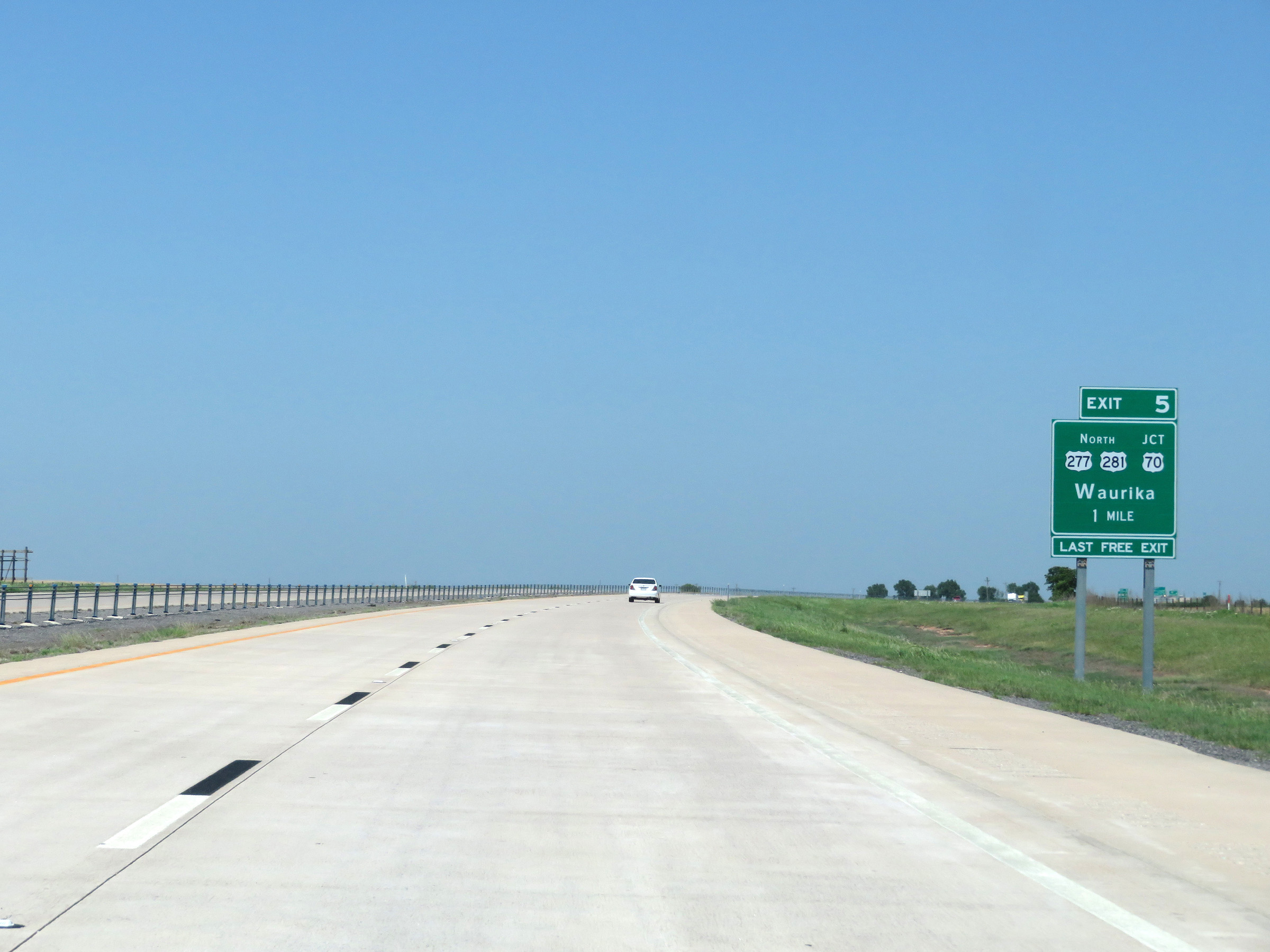 |
Interstate 44 East approaching Exit 5 - 1 mile. As the bottom tab reads, this is the final free exit on I-44 East before the beginning of the western segment of the H.E. Bailey Turnpike. (Photo taken 5/18/18). |
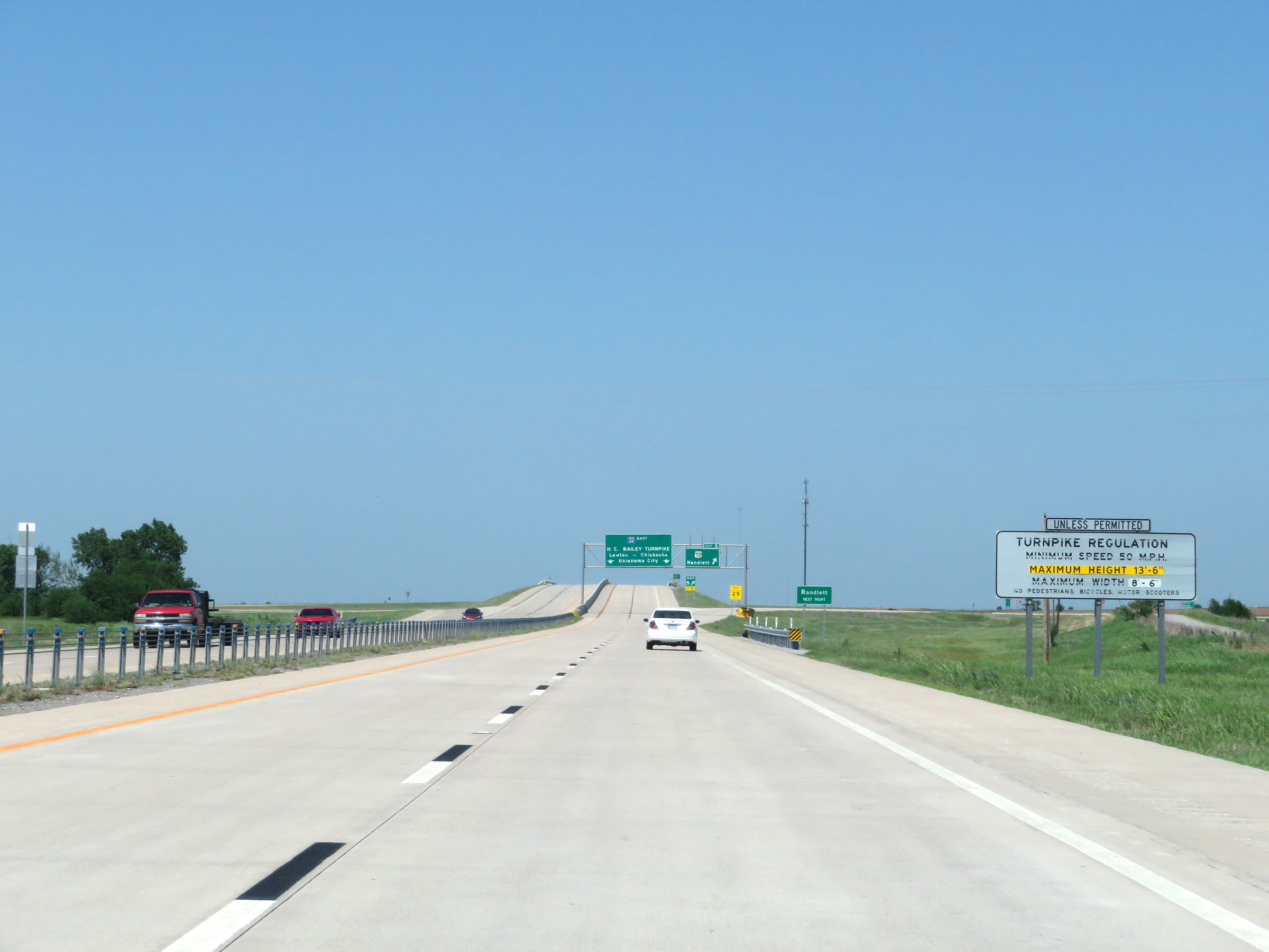 |
Nearing the beginning of the western segment of the H.E. Bailey Turnpike on Interstate 44 East, this sign lists the regulations governing turnpike use. (Photo taken 5/18/18). |
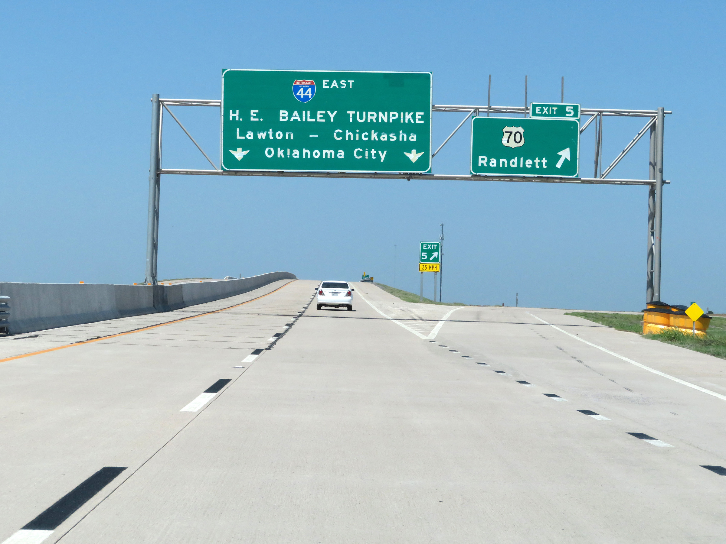 |
Interstate 44 East at Exit 5: US 70 - Randlett (Photo taken 5/18/18). |
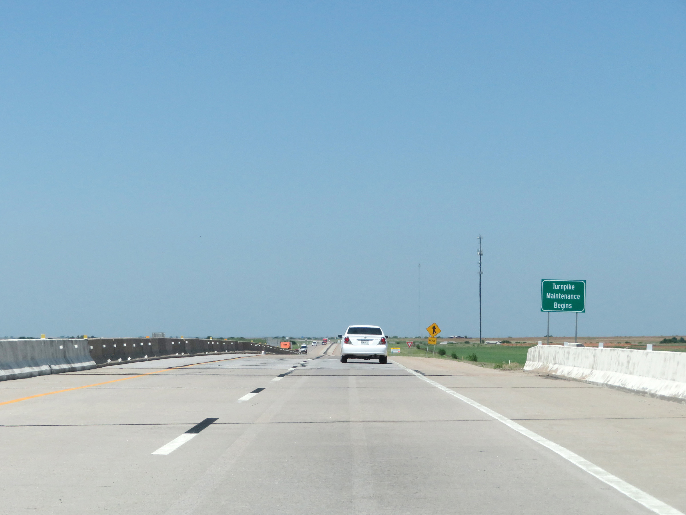 |
This sign at Exit 5 marks the beginning of the turnpike maintenance for the western segment of the H.E. Bailey Turnpike on Interstate 44 East. (Photo taken 5/18/18). |
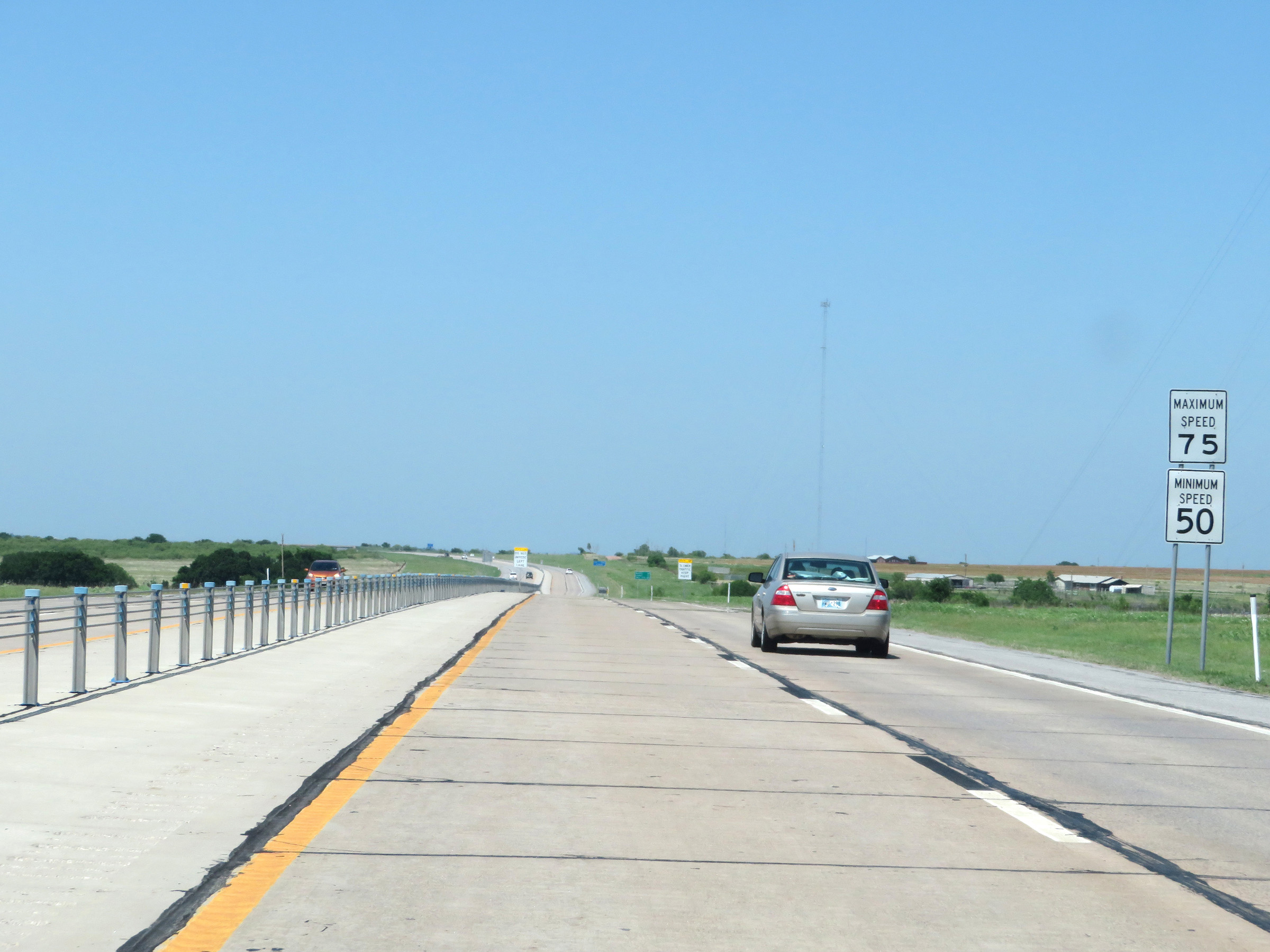 |
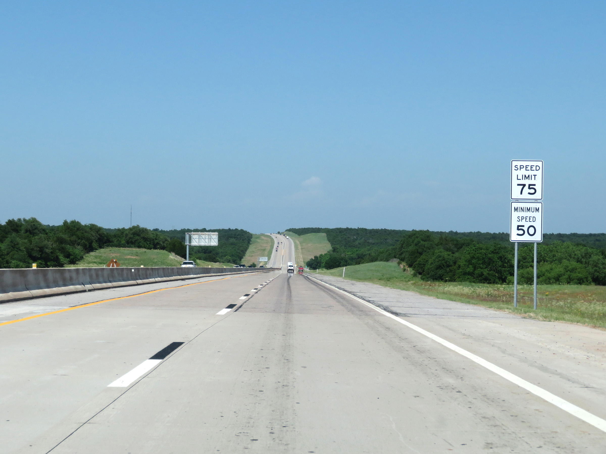
Speed limit signs on Interstate 44 East (H.E. Bailey Turnpike) as the western segment of the turnpike begins. The maximum speed limit is 75 mph and the minimum speed limit is 50 mph. (Photo taken 5/18/18). |
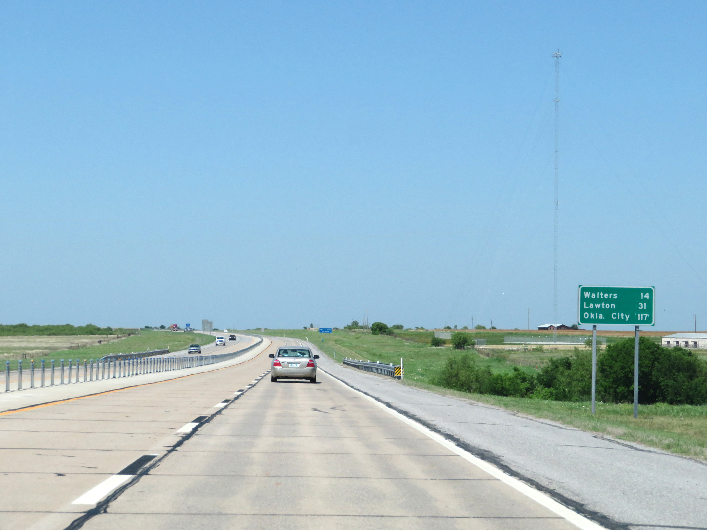 |
Mileage sign on Interstate 44 East (H.E. Bailey Turnpike). It's 14 miles to Walters, 31 miles to Lawton, and 117 miles to Oklahoma City. (Photo taken 5/18/18). |
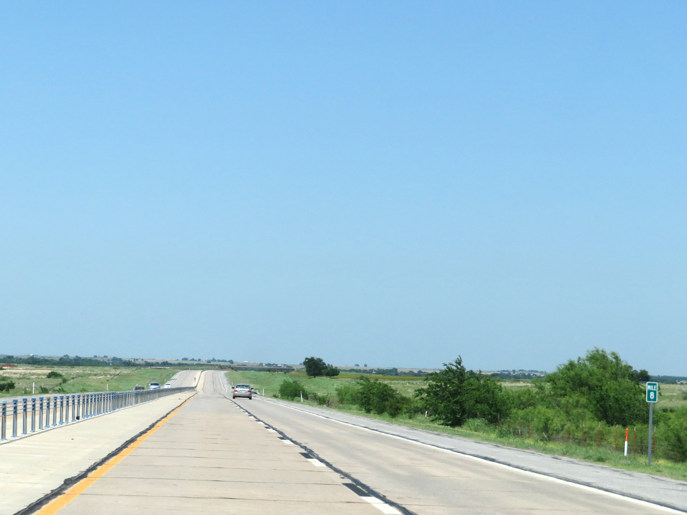 |
Mile marker 8 on Interstate 44 East (H.E. Bailey Turnpike) in Cotton County. (Photo taken 5/18/18). |
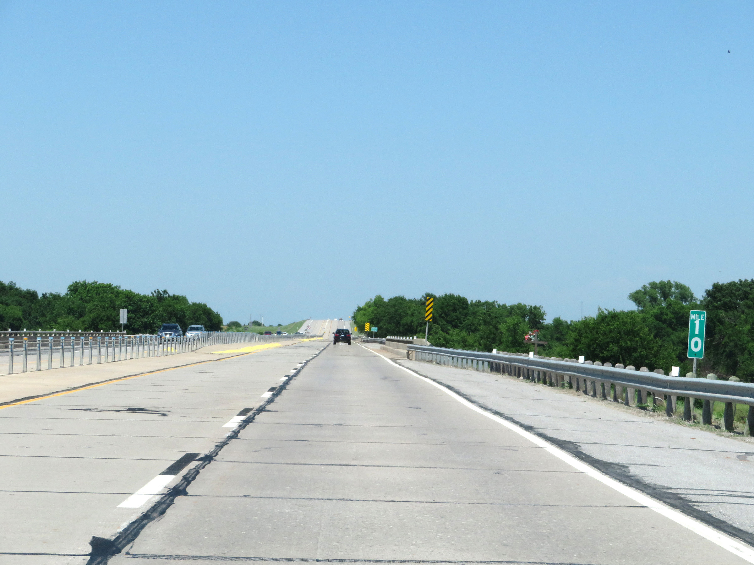 |
Interstate 44 East (H.E. Bailey Turnpike) at mile marker 10. (Photo taken 5/18/18). |
 |
View on Interstate 44 East (H.E. Bailey Turnpike) at mile marker 12. (Photo taken 5/18/18). |
 |
Mile marker 13 on Interstate 44 East (H.E. Bailey Turnpike) in Cotton County. (Photo taken 5/18/18). |
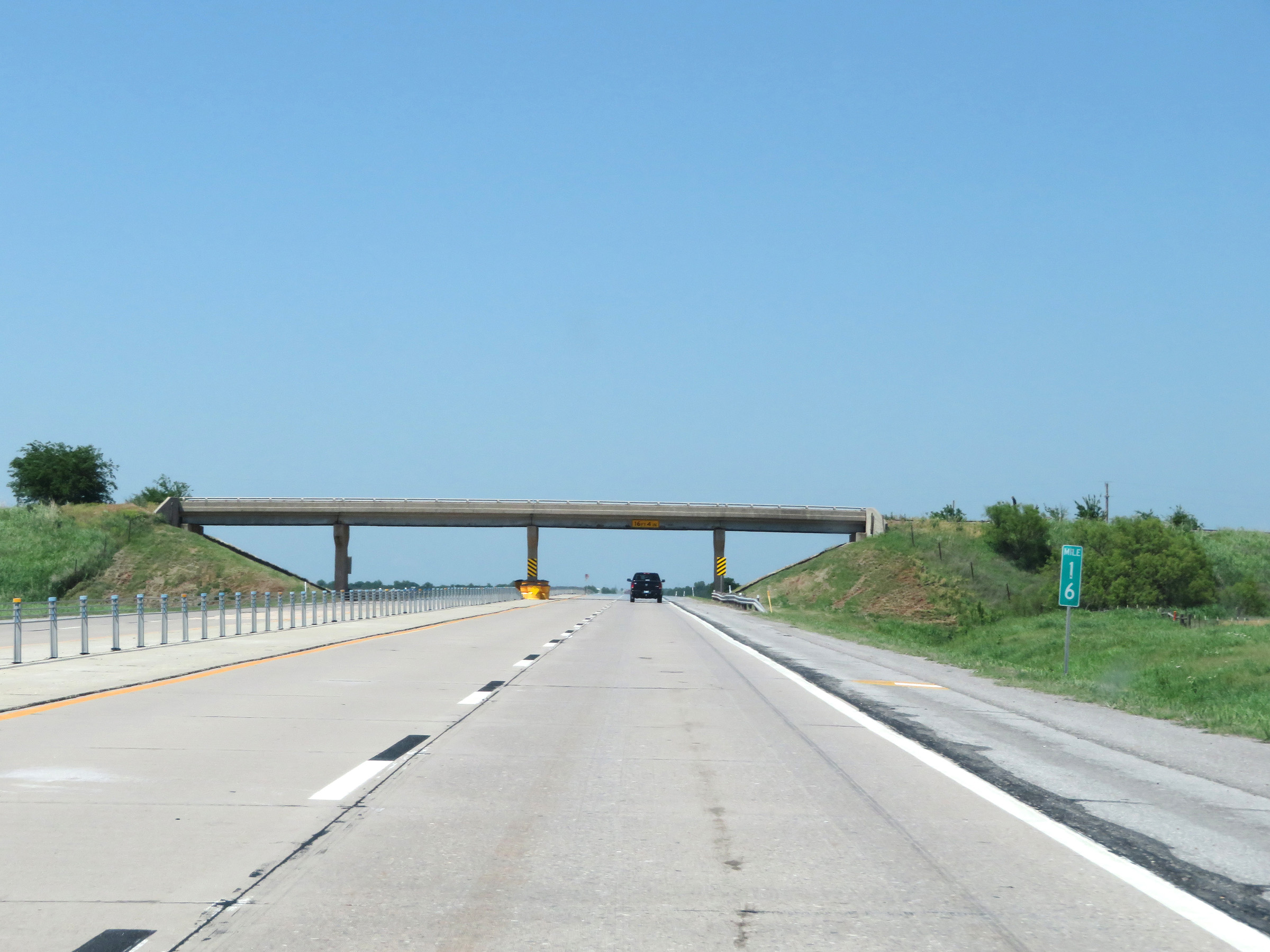 |
Interstate 44 East (H.E. Bailey Turnpike) at mile marker 16. (Photo taken 5/18/18). |
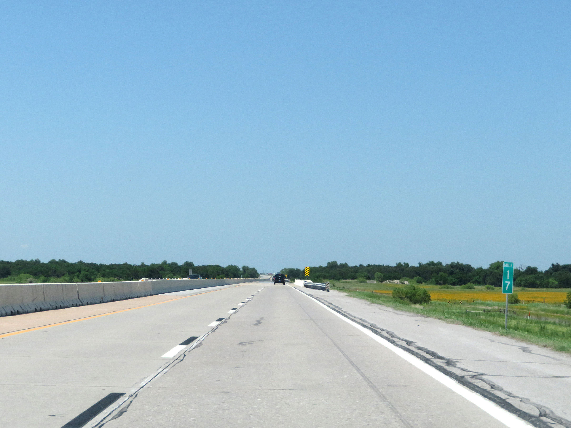 |
View on Interstate 44 East (H.E. Bailey Turnpike) at mile marker 17. (Photo taken 5/18/18). |
 |
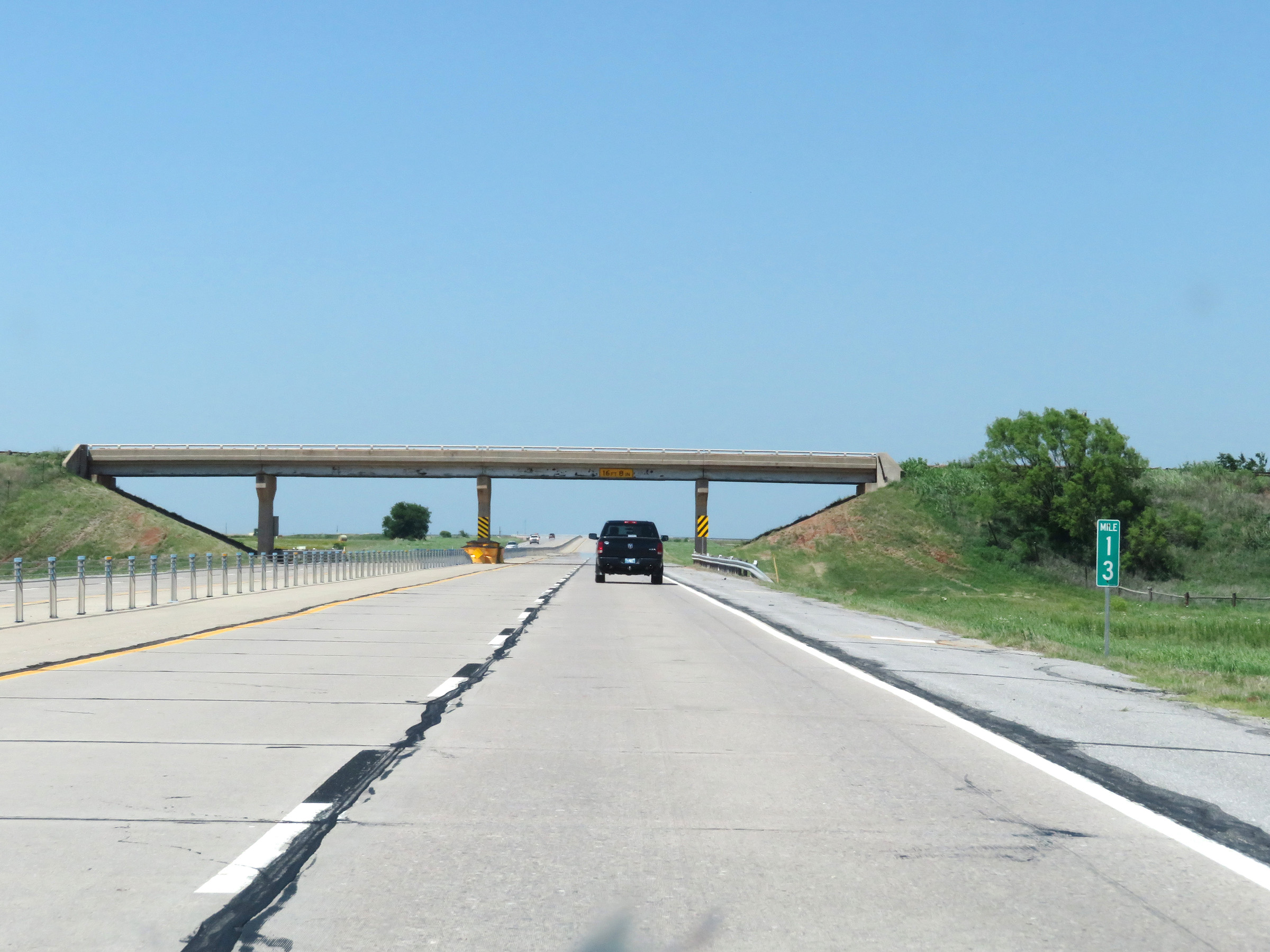
Interstate 44 East (H.E. Bailey Turnpike) at mile marker 19. (Photo taken 5/18/18). |
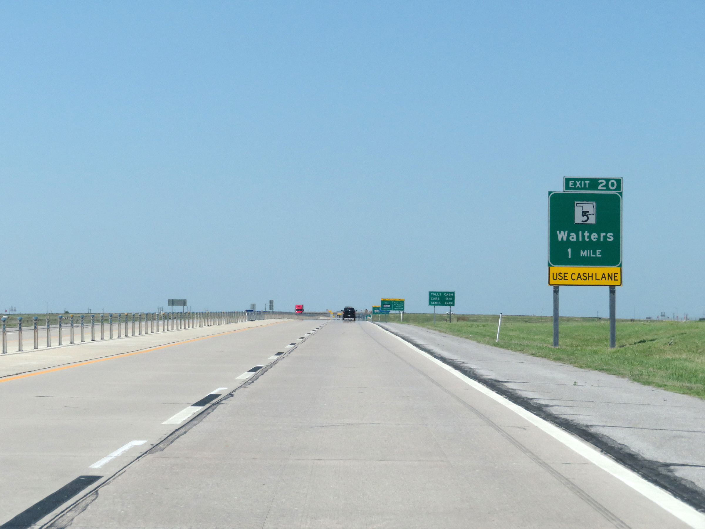 |
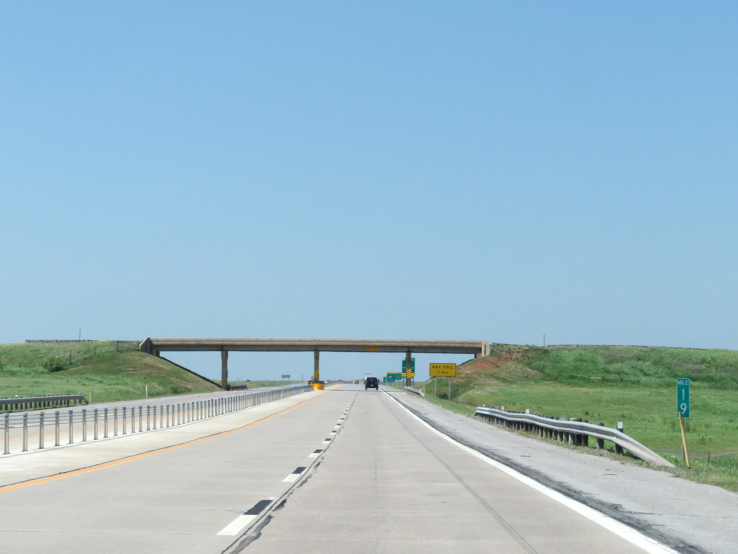
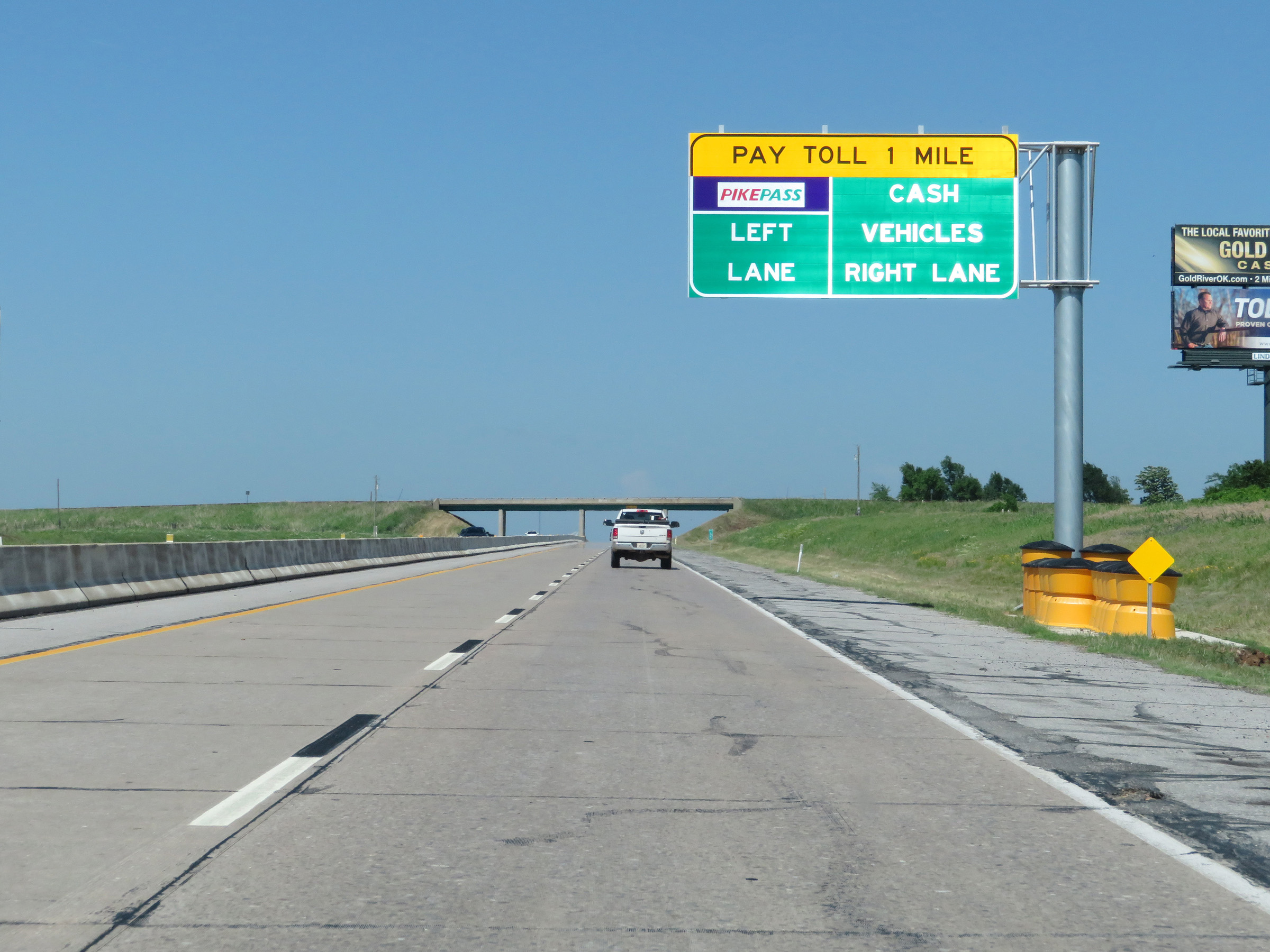
Interstate 44 East (H.E. Bailey Turnpike) approaching Exit 20 - 1 mile. Traffic taking Exit 20 should keep right and use the cash lane at the upcoming toll plaza. (Photo taken 5/18/18). |
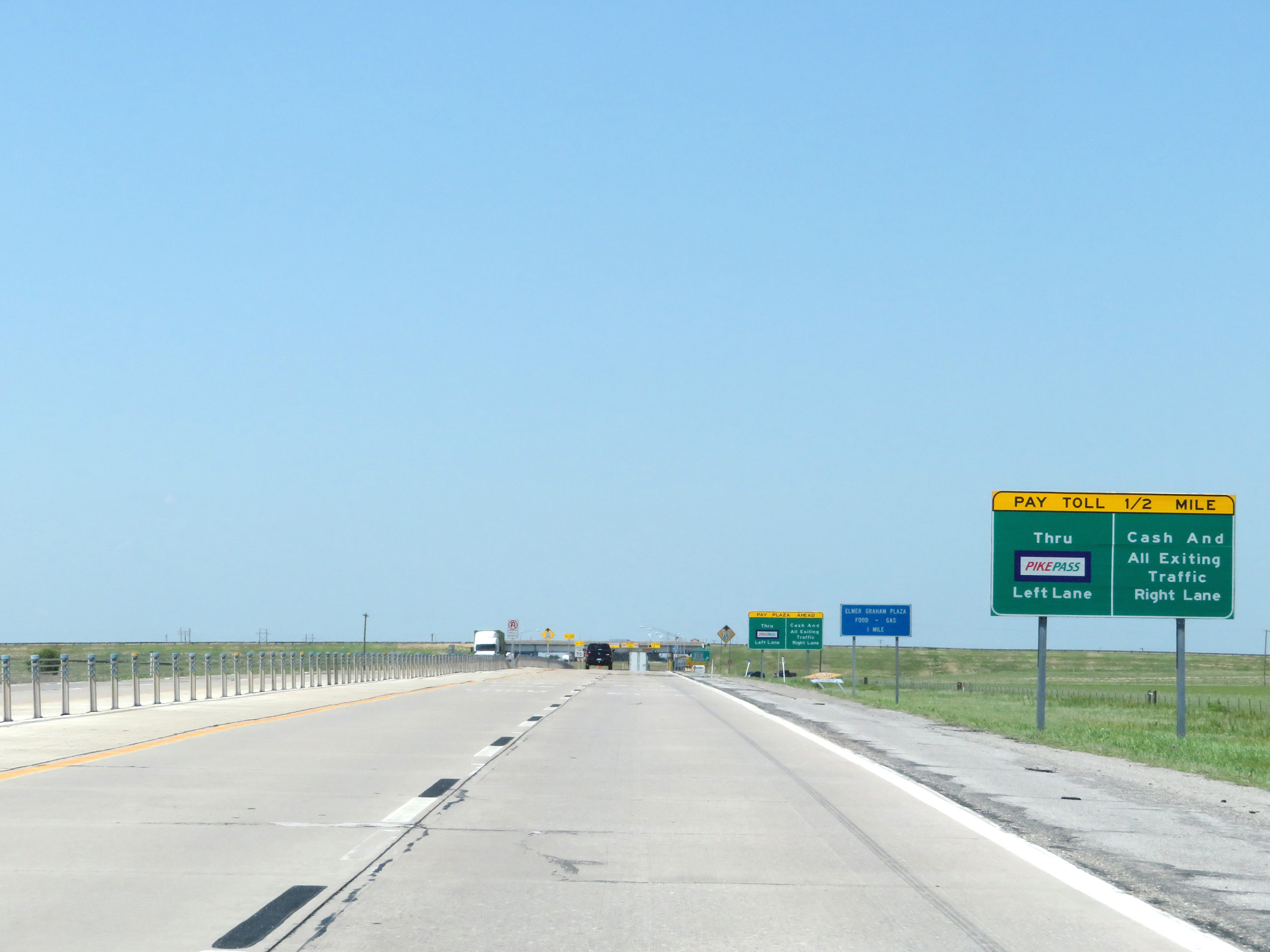 |
Now 1/2 mile from the toll plaza, this sign explains that PikePass users should keep left while cash customers and all traffic taking Exit 20 should keep to the right. (Photo taken 5/18/18). |
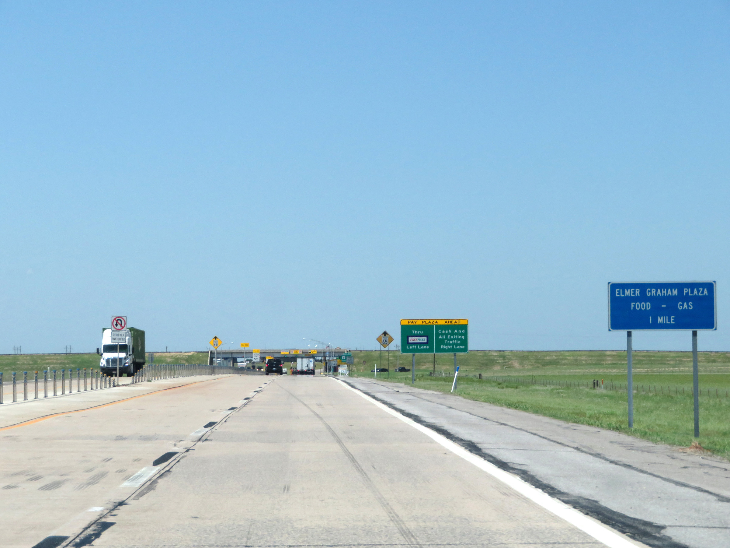 |
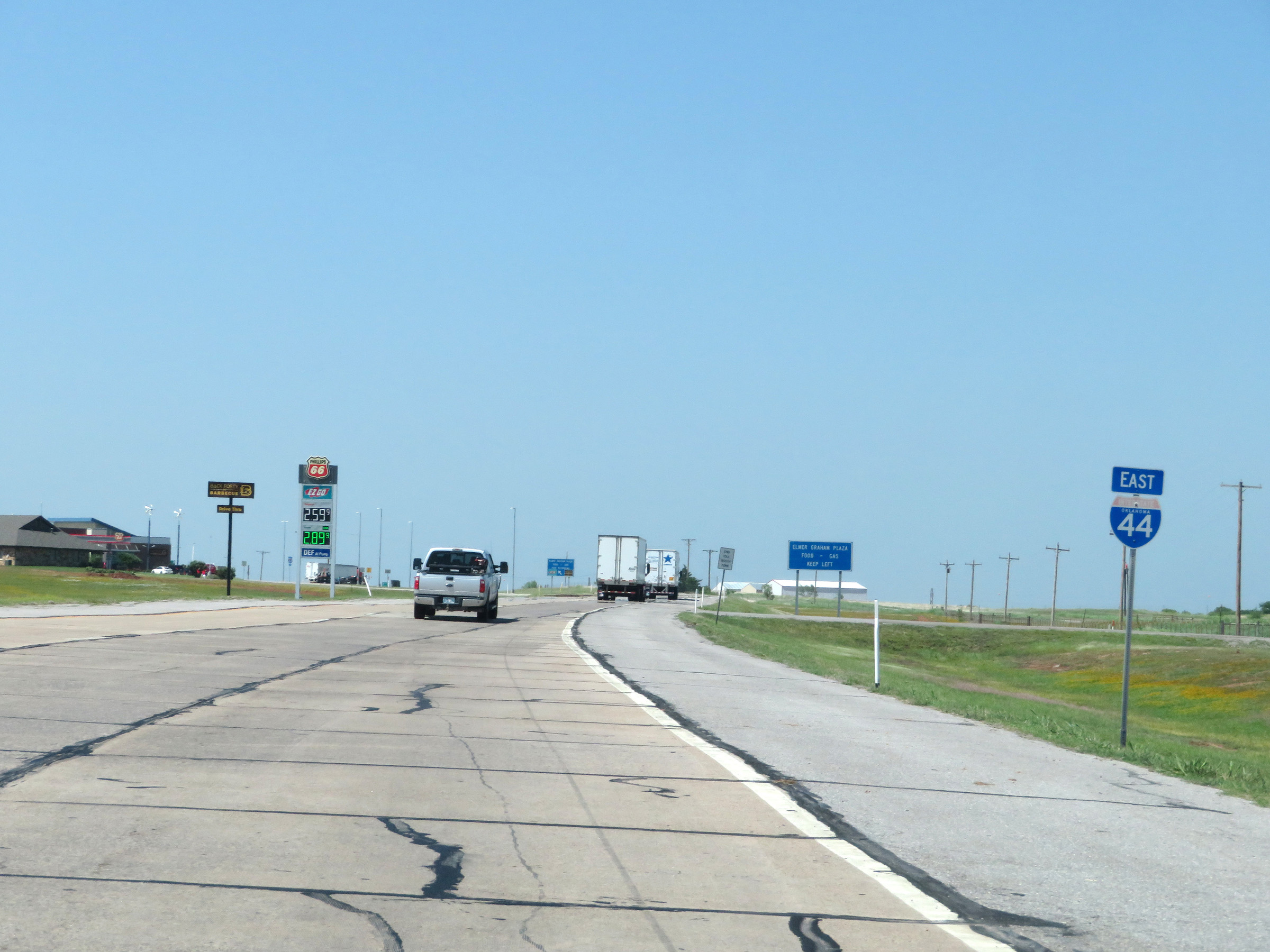
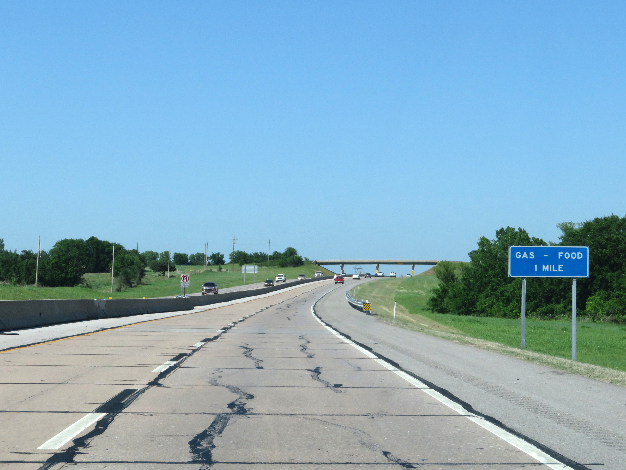
Interstate 44 East (H.E. Bailey Turnpike) approaching the Elmer Graham Service Plaza - 1 mile. The service plaza will be just on the other side of the toll plaza ahead. (Photo taken 5/18/18). |
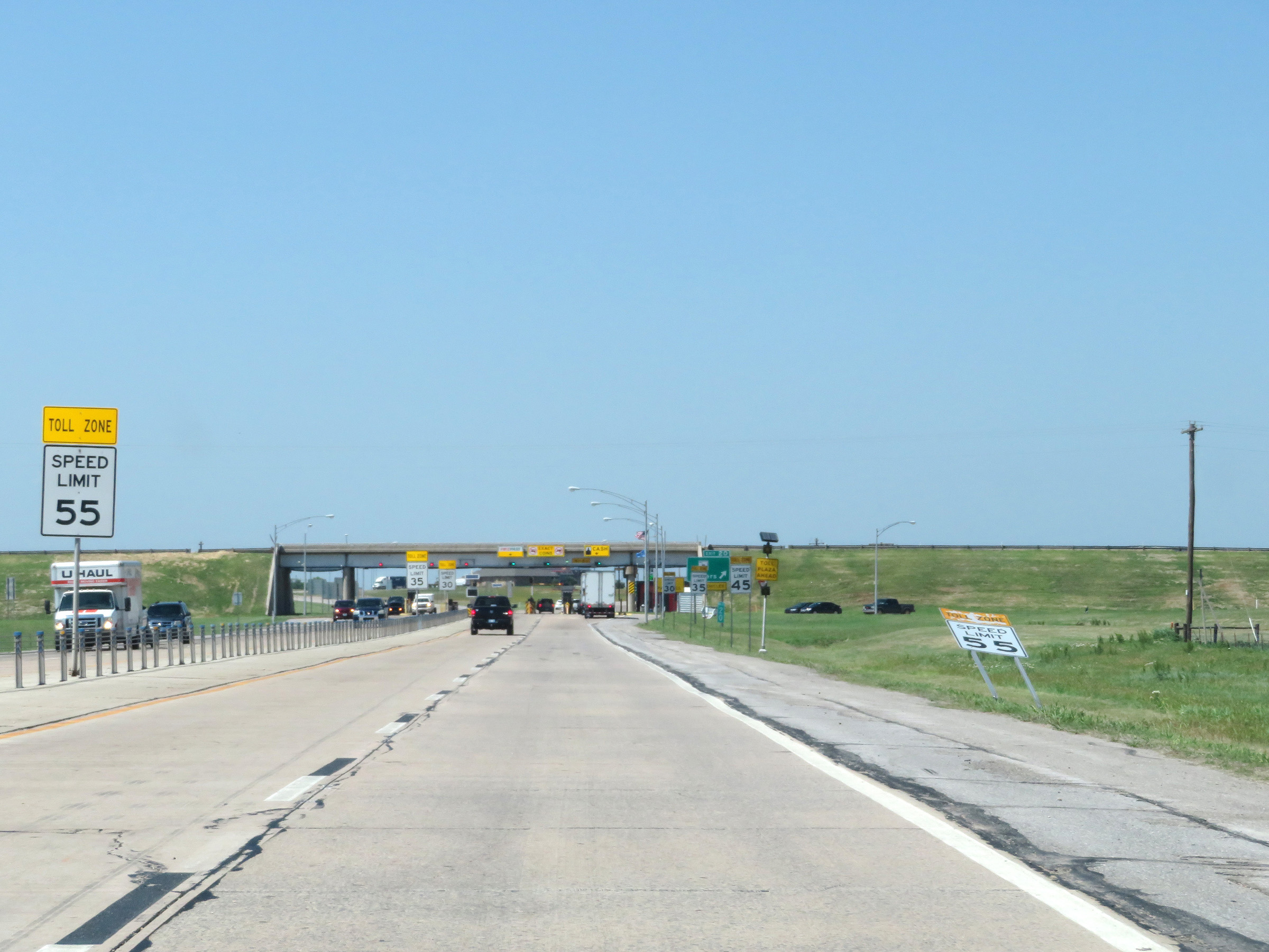 |
As the Walters toll plaza comes into clear view, the maximum speed limit decreases to 55 mph then to 45 mph and 35 mph in very rapid succession. (Photo taken 5/18/18). |
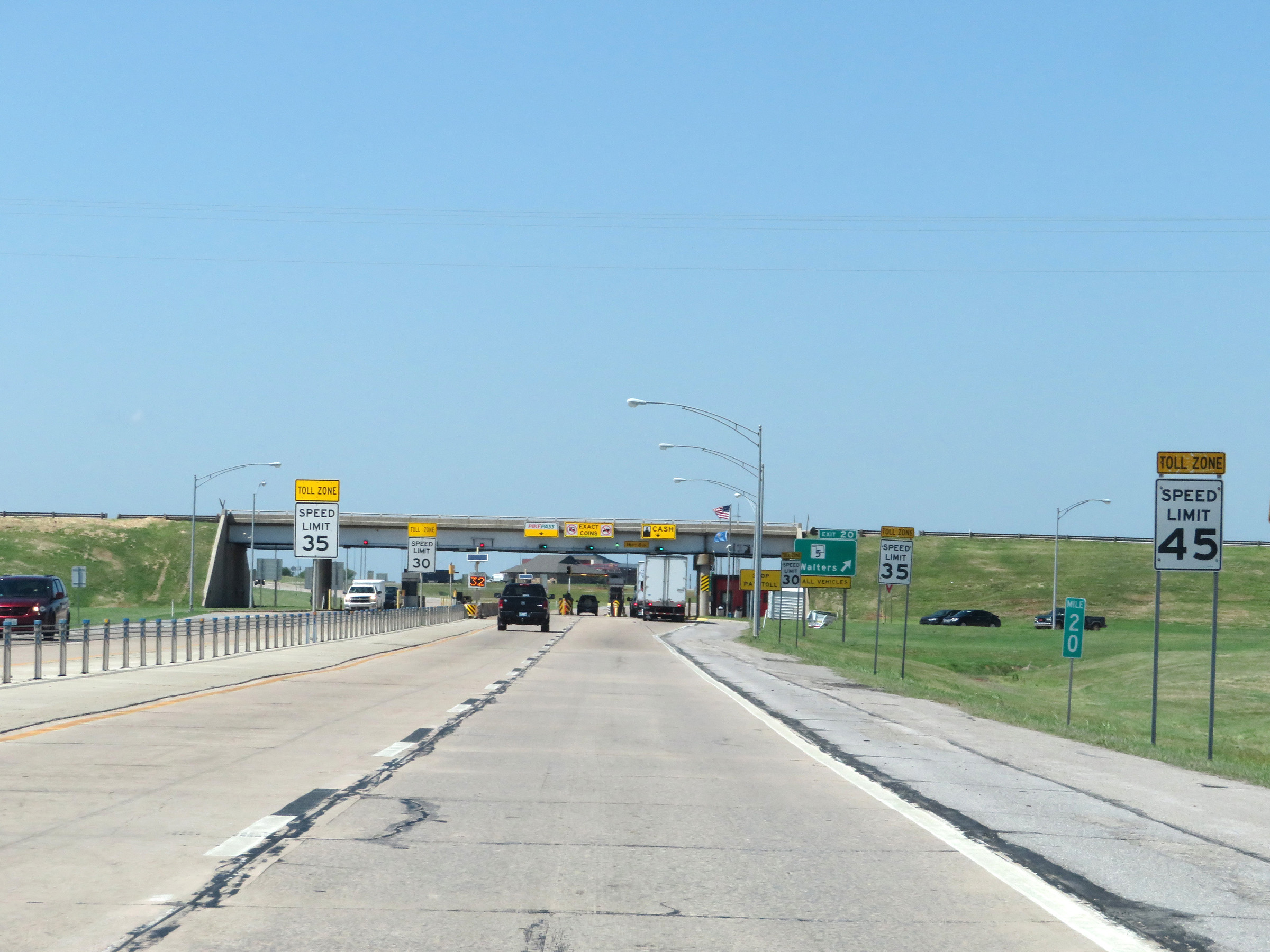 |
View on Interstate 44 East (H.E. Bailey Turnpike) at mile marker 20, as the speed limit decreases to 45 mph, then 35 mph and 30 mph in quick succession approaching the Walters toll plaza and Exit 20. (Photo taken 5/18/18). |
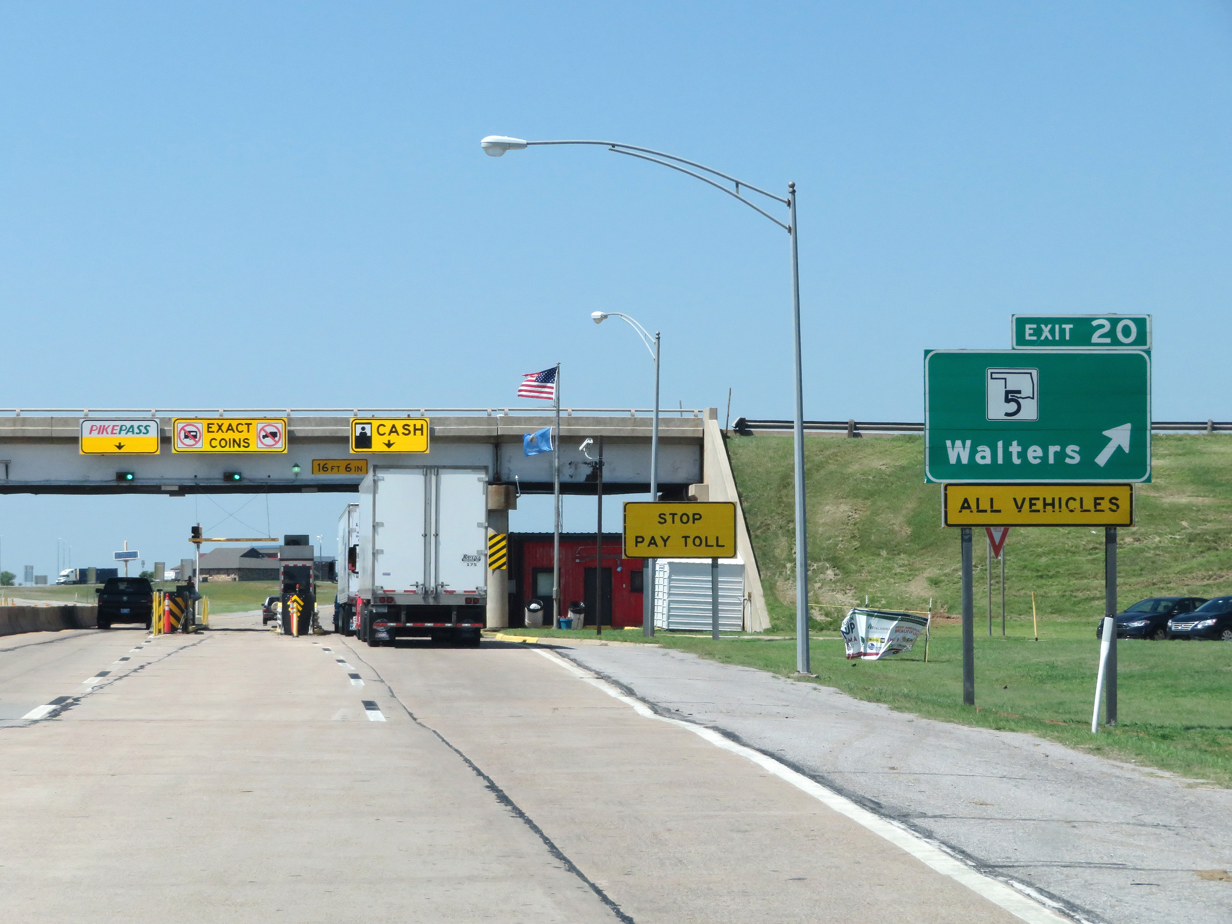 |
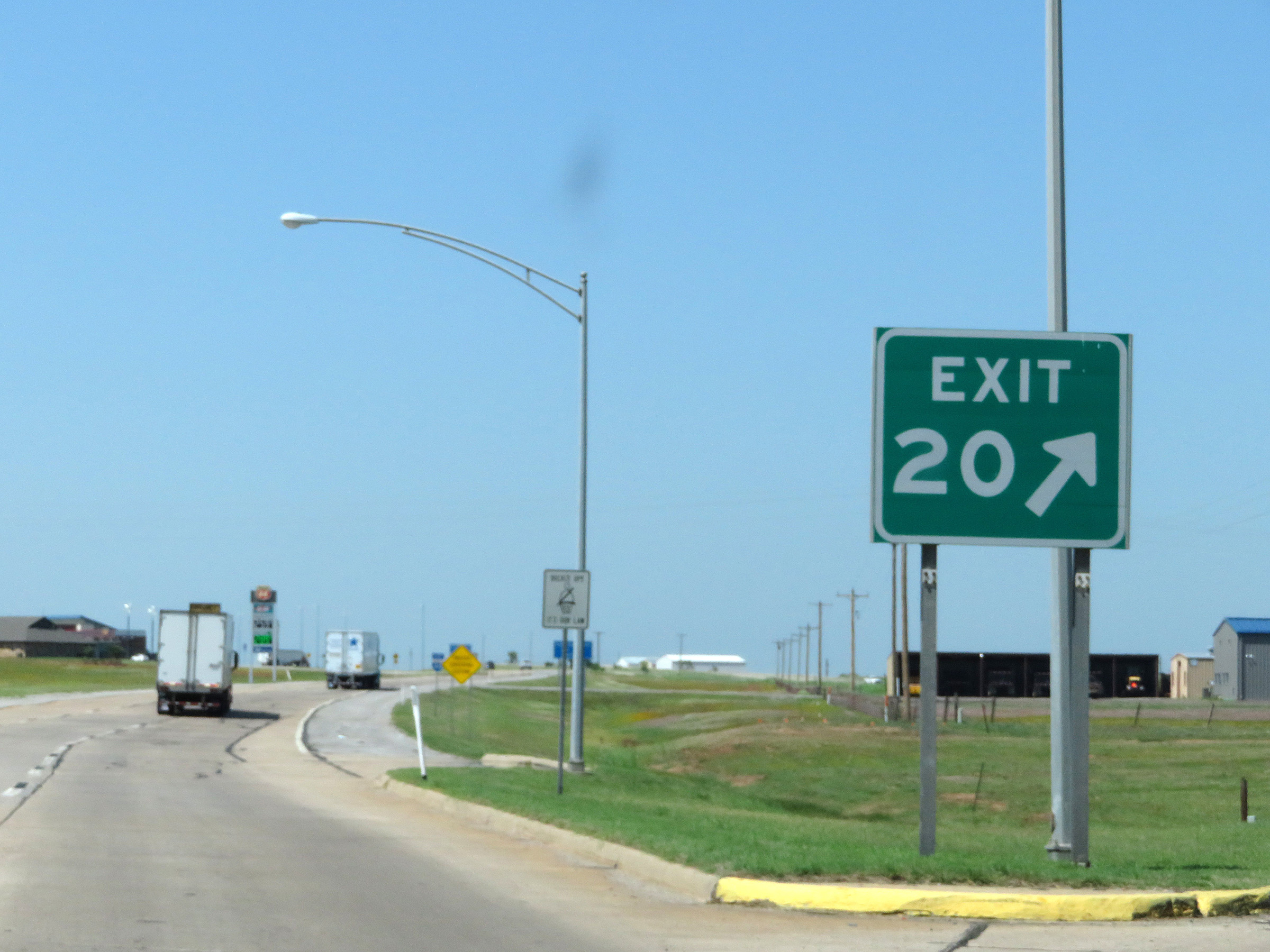
Signage for Exit 20 approaching the Walters toll plaza. The exit ramp is immediately after the toll plaza, on the right. (Photo taken 5/18/18). |
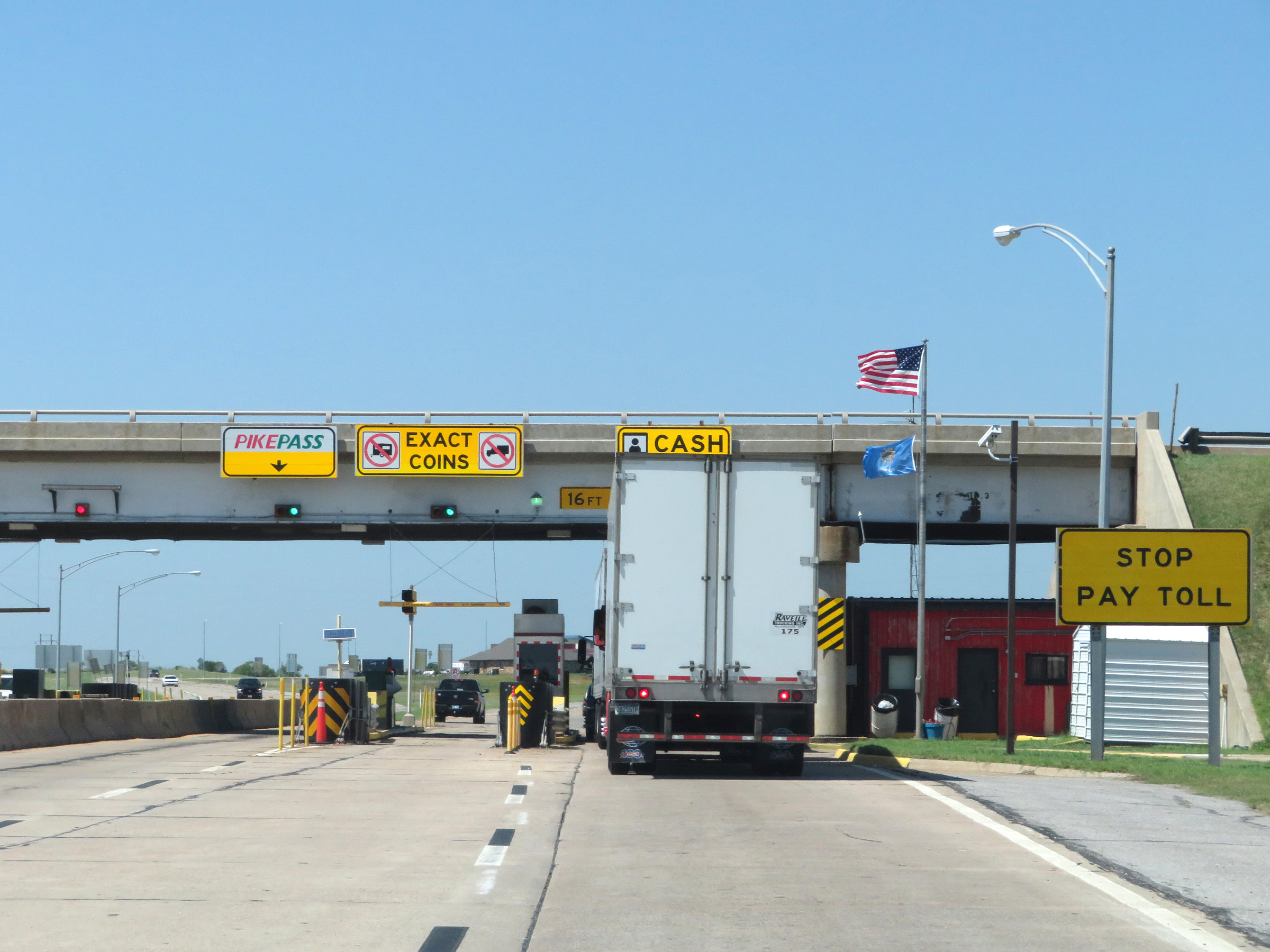 |
Interstate 44 East (H.E. Bailey Turnpike) at the Walters toll plaza. (Photo taken 5/18/18). |
 |
Interstate 44 East (H.E. Bailey Turnpike) at Exit 20: OK 5 - Walters (Photo taken 5/18/18). |
 |
Another state-named Interstate 44 East reassurance shield leaving the Walters toll plaza. (Photo taken 5/18/18). |
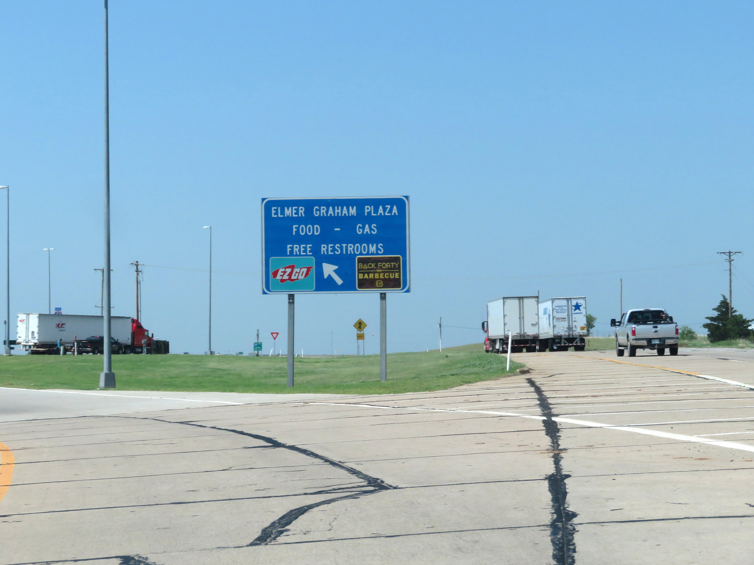 |
Interstate 44 East (H.E. Bailey Turnpike) at the Elmer Graham Service Plaza, which is located in the median. (Photo taken 5/18/18). |
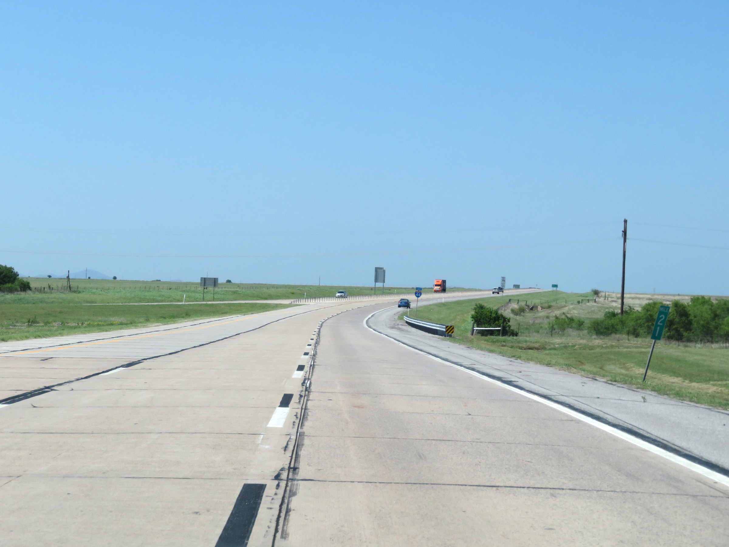 |
View on Interstate 44 East (H.E. Bailey Turnpike) at mile marker 21. (Photo taken 5/18/18). |
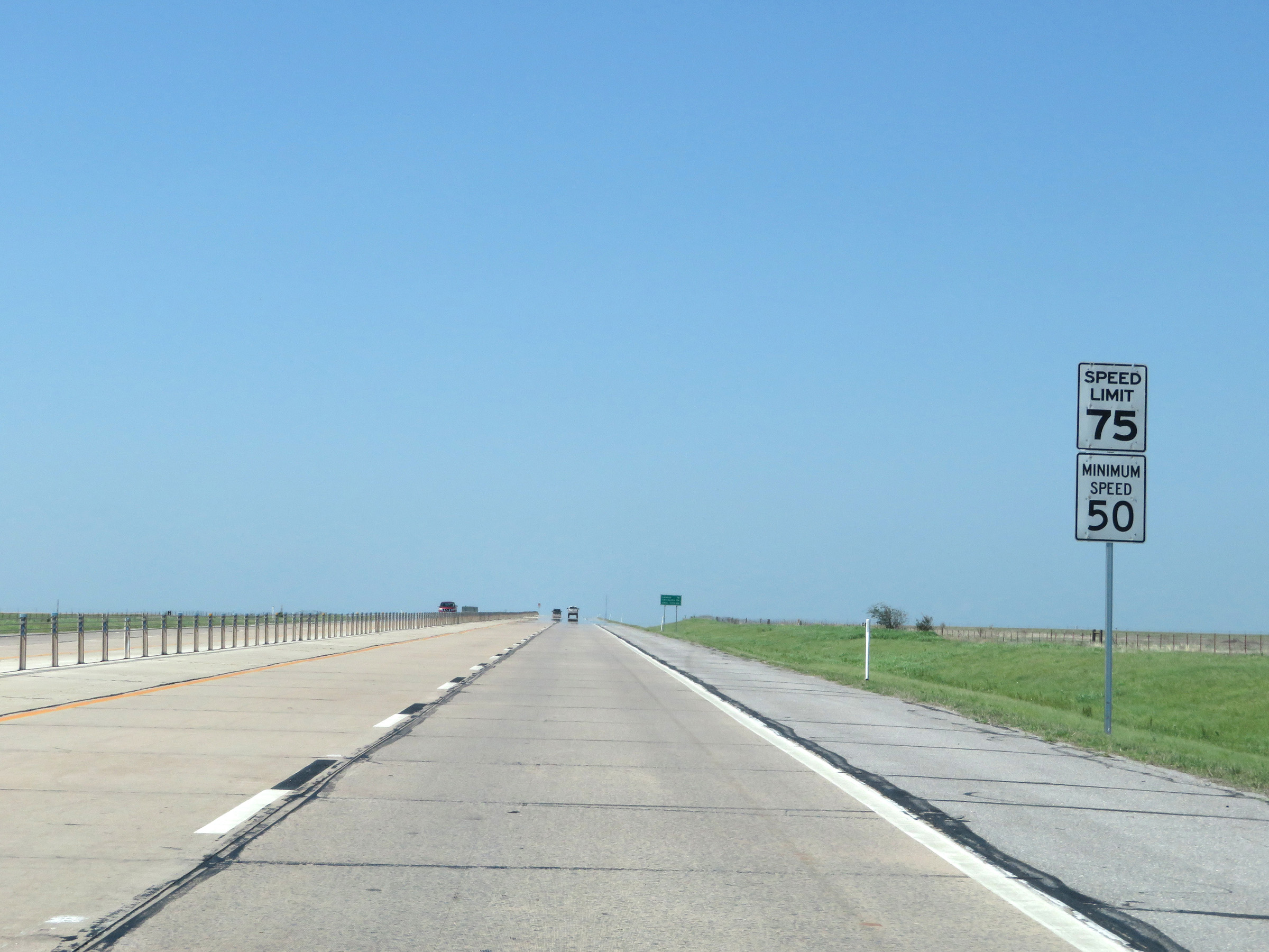 |
The speed limits remain 75 mph maximum and 50 mph minimum on Interstate 44 East (H.E. Bailey Turnpike). (Photo taken 5/18/18). |
 |
View on Interstate 44 East (H.E. Bailey Turnpike) at mile marker 22. (Photo taken 5/18/18). |
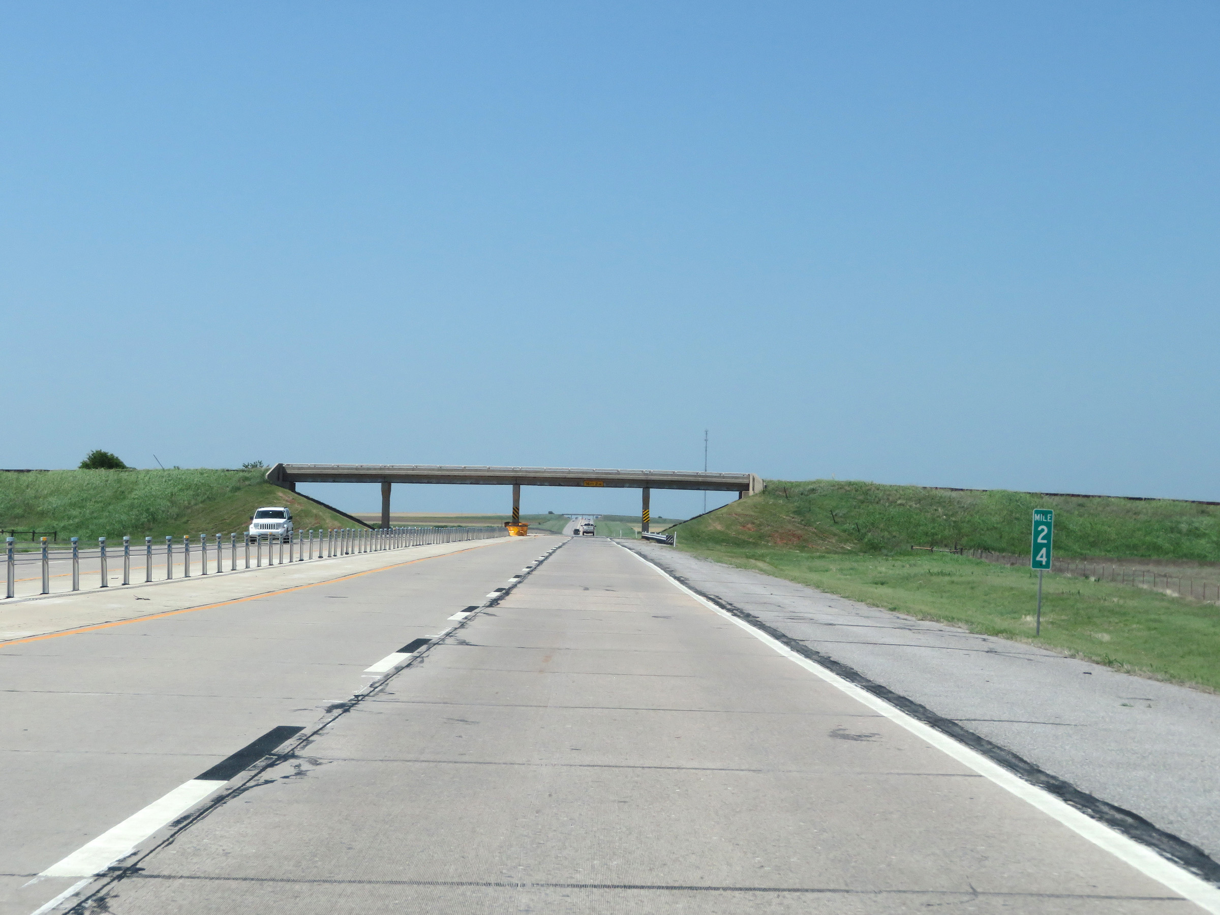 |
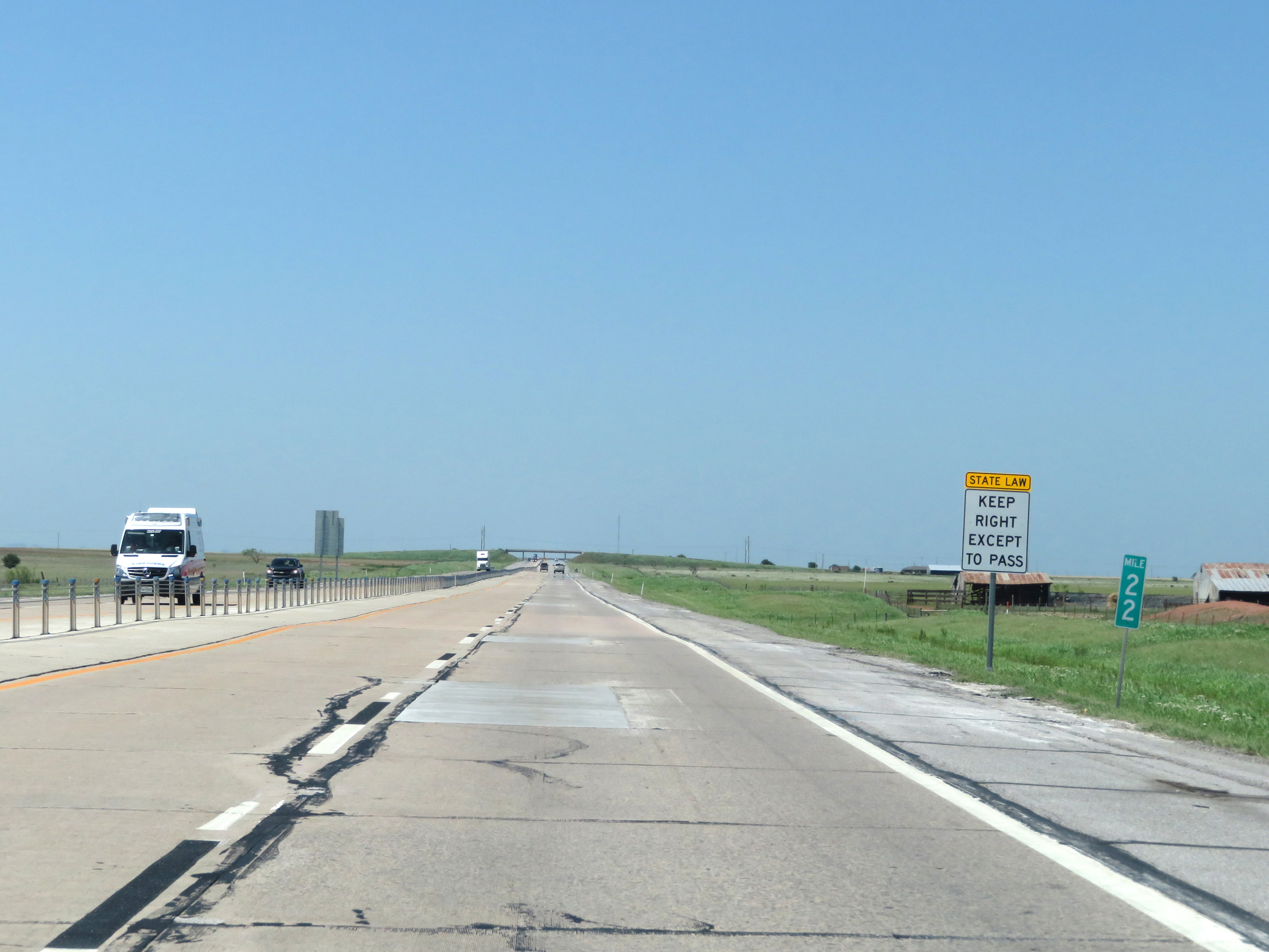
Mile marker 24 on Interstate 44 East (H.E. Bailey Turnpike) in Comanche County. (Photo taken 5/18/18). |
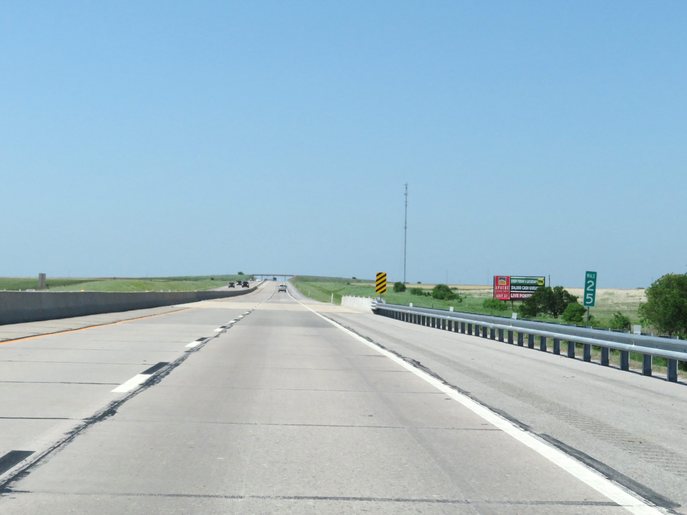 |
Interstate 44 East (H.E. Bailey Turnpike) at mile marker 25. (Photo taken 5/18/18). |
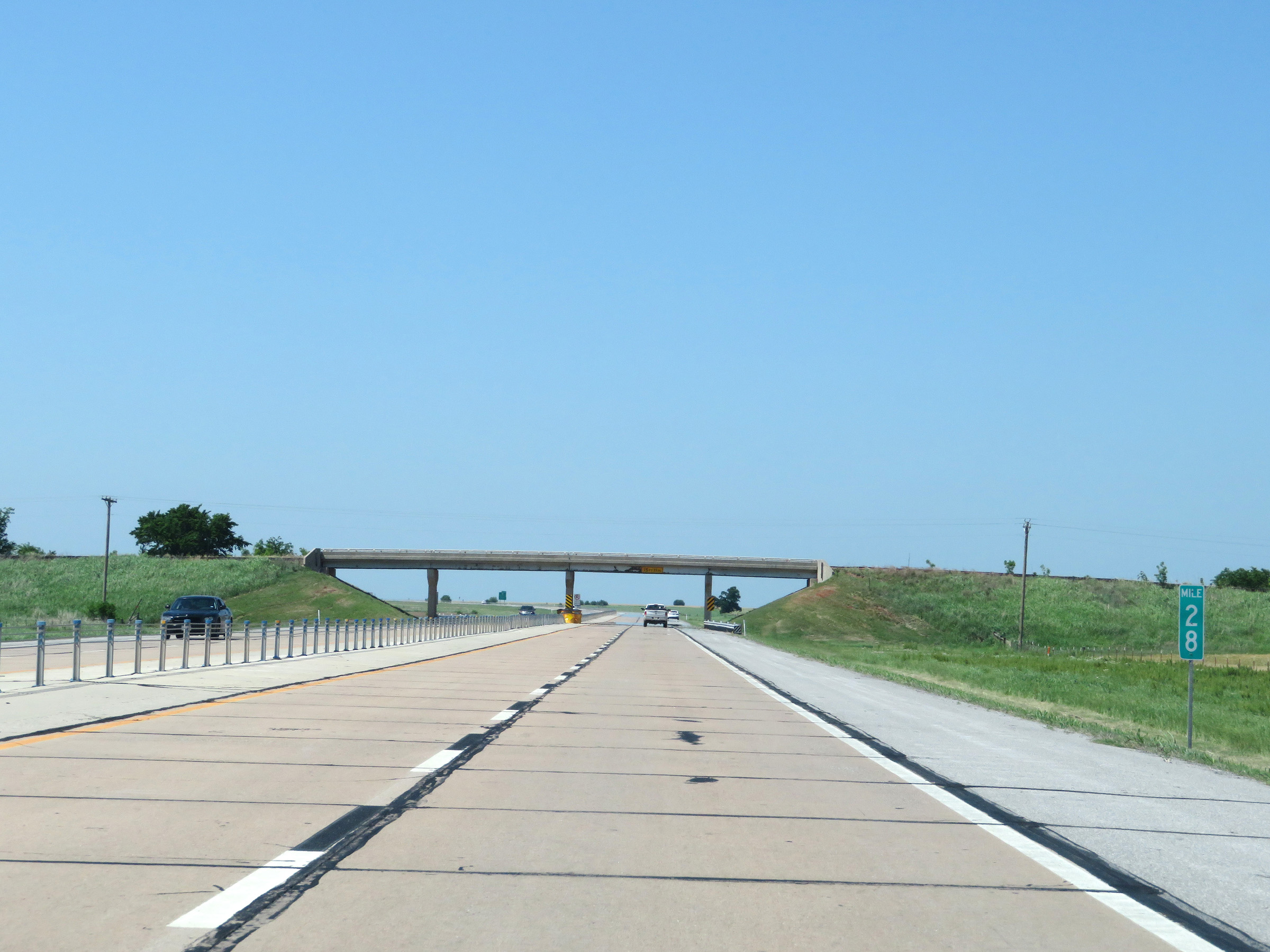 |
View on Interstate 44 East (H.E. Bailey Turnpike) at mile marker 28. (Photo taken 5/18/18). |
 |
Interstate 44 East (H.E. Bailey Turnpike) approaching Exit 30 - 1 mile. (Photo taken 5/18/18). |
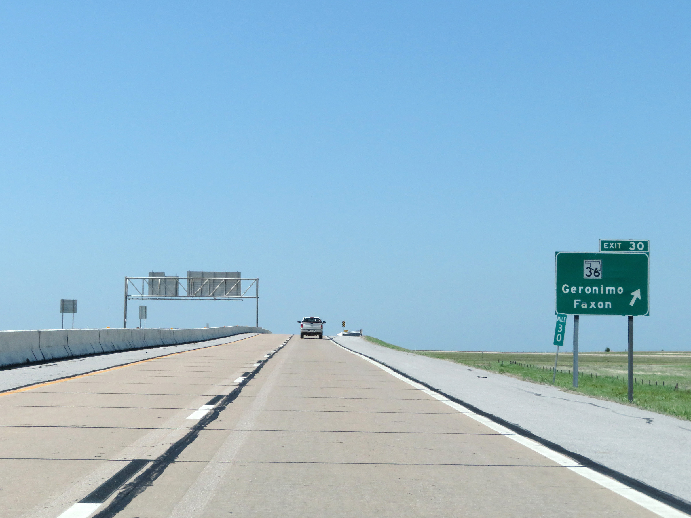 |
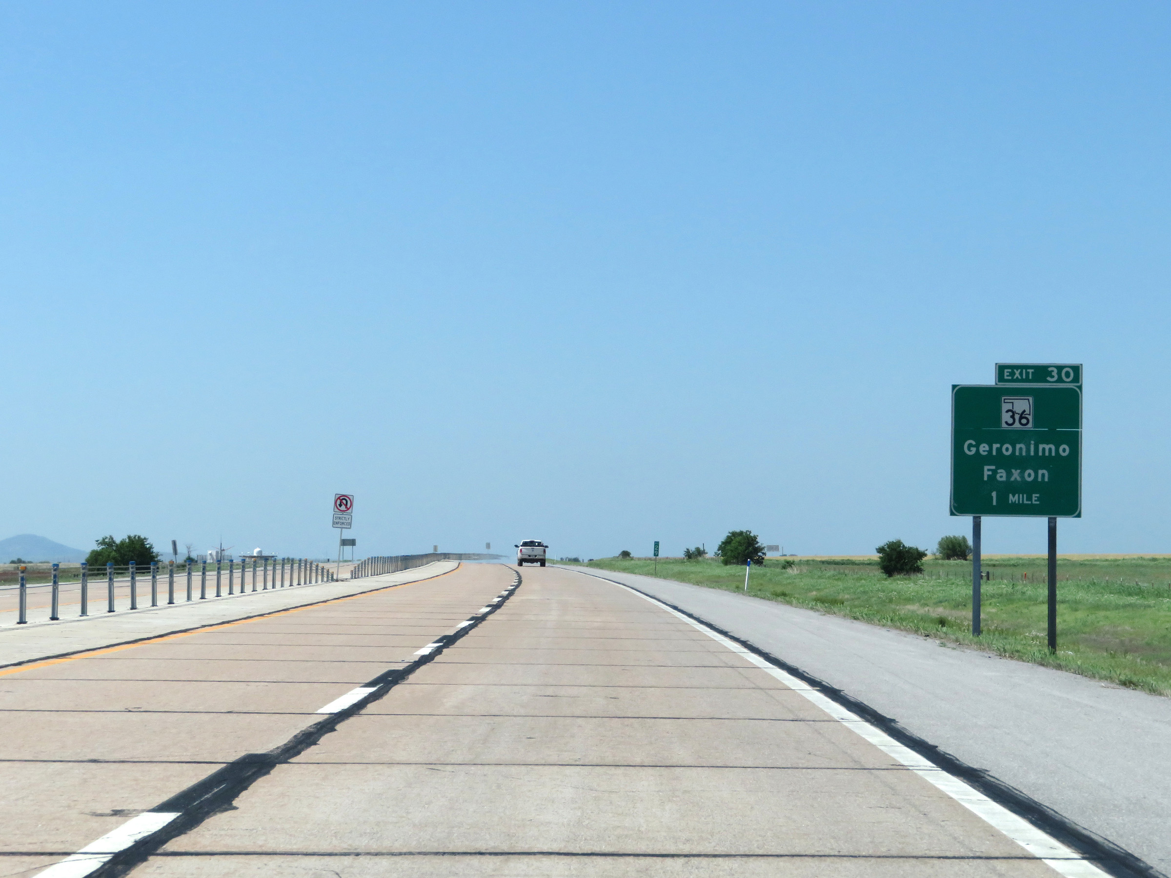
Interstate 44 East (H.E. Bailey Turnpike) at Exit 30: OK 36 - Geronimo / Faxon (Photo taken 5/18/18). |
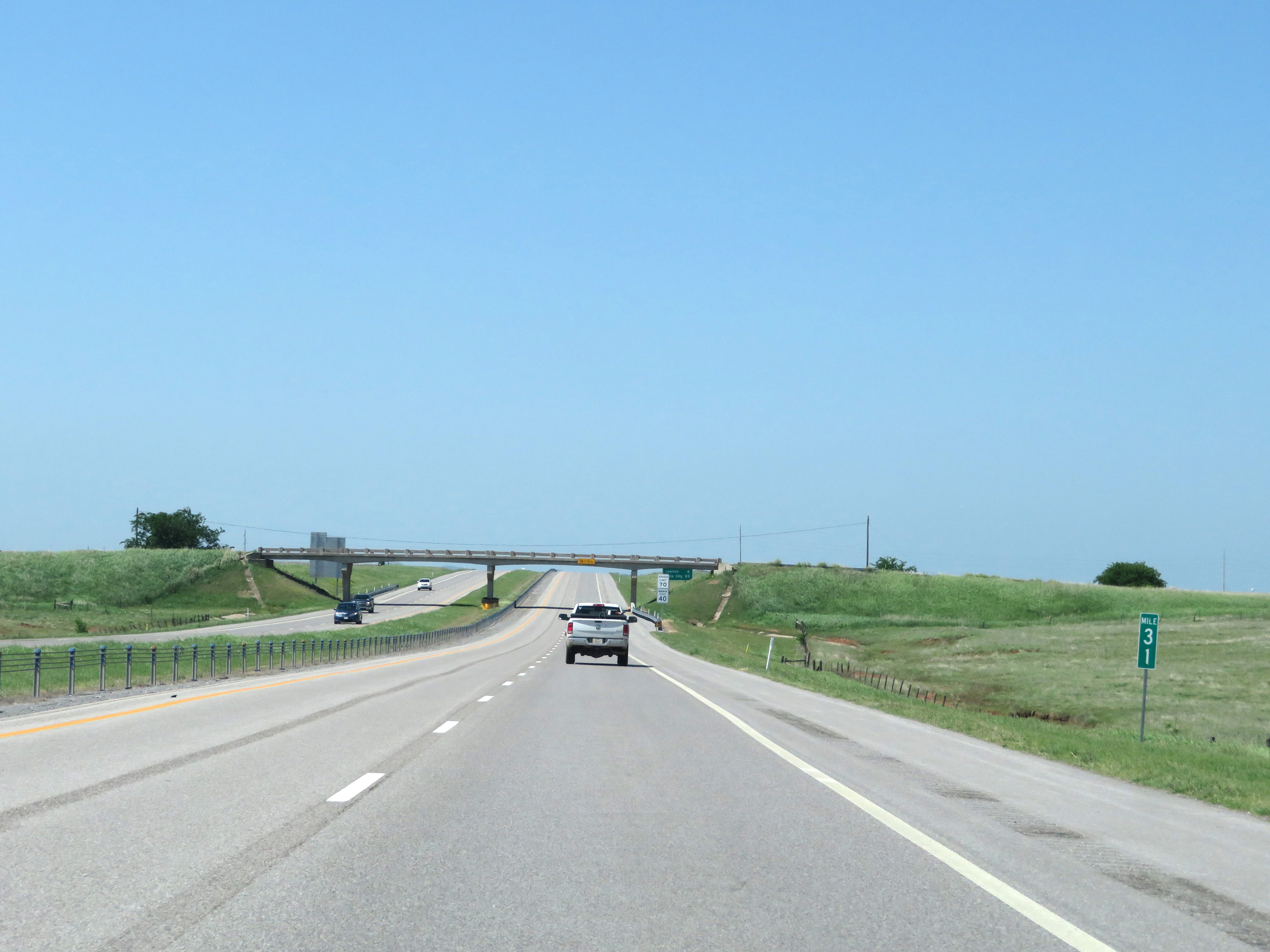 |
Interstate 44 East (H.E. Bailey Turnpike) at mile marker 31. (Photo taken 5/18/18). |
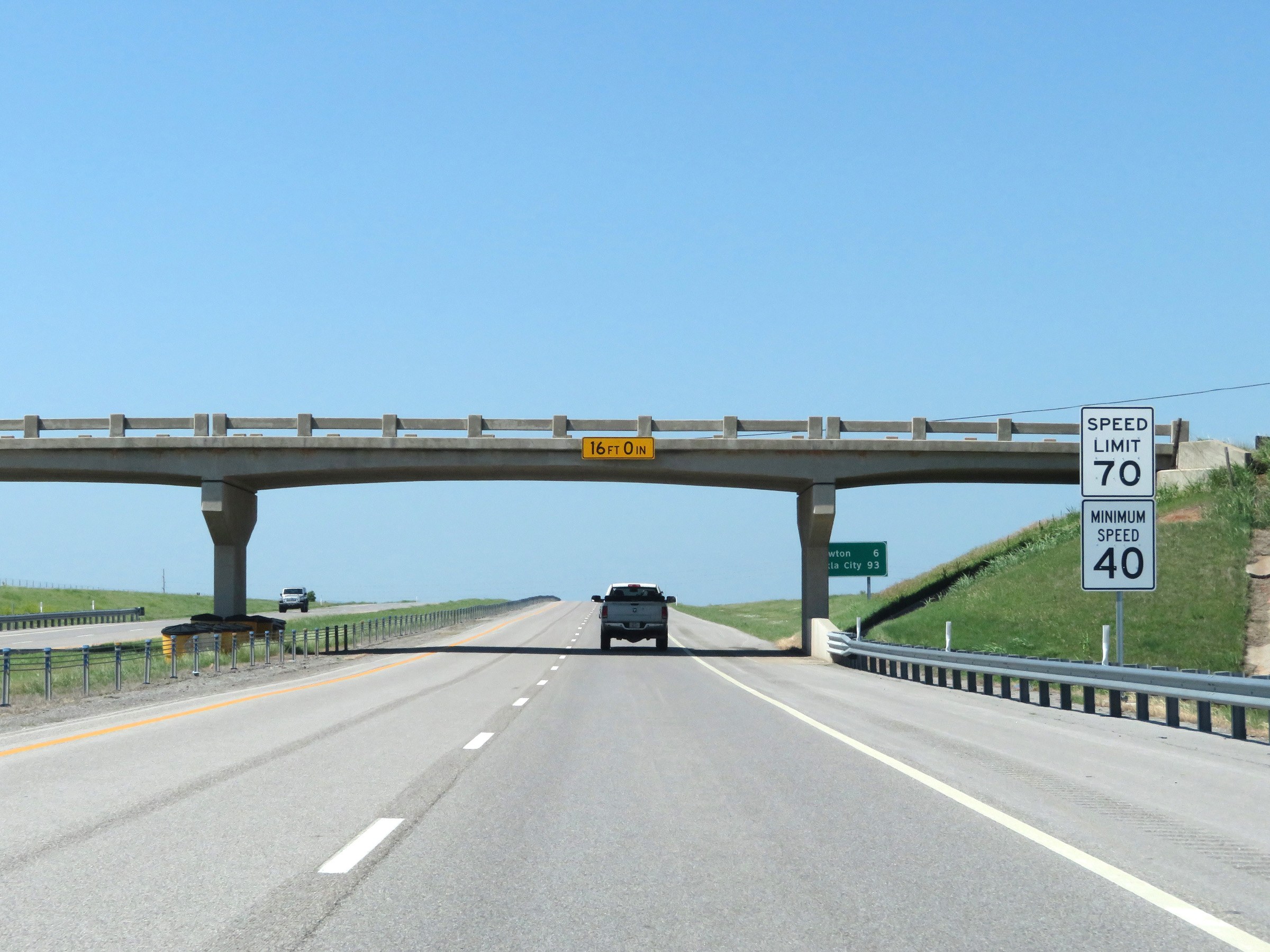 |
Approaching Lawton, the speed limits decrease to 70 mph maximum and 40 mph minimum as the western segment of the H.E. Bailey Turnpike prepares to come to an end. (Photo taken 5/18/18). |
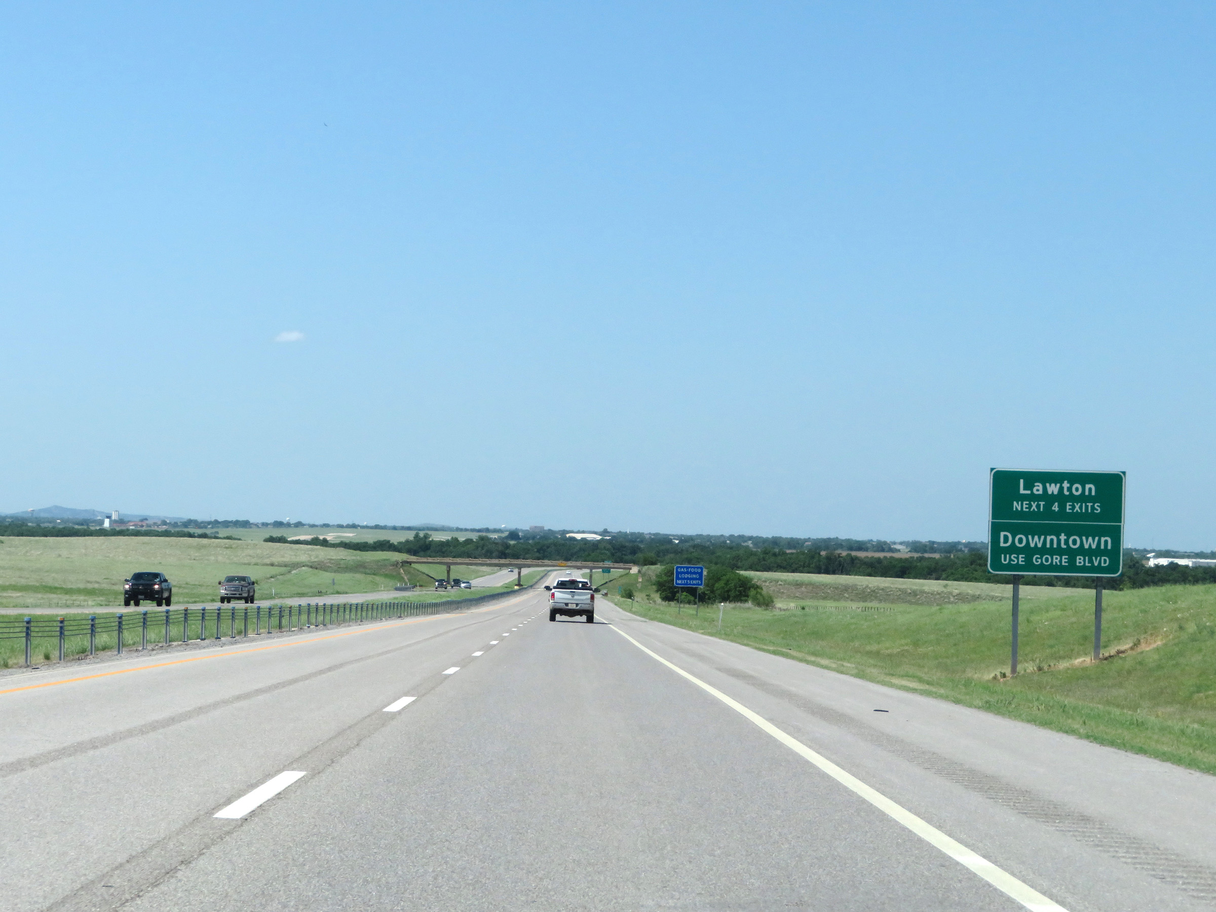 |
Take any of the next 4 exits to Lawton. Traffic to downtown should use Exit 37. (Photo taken 5/18/18). |
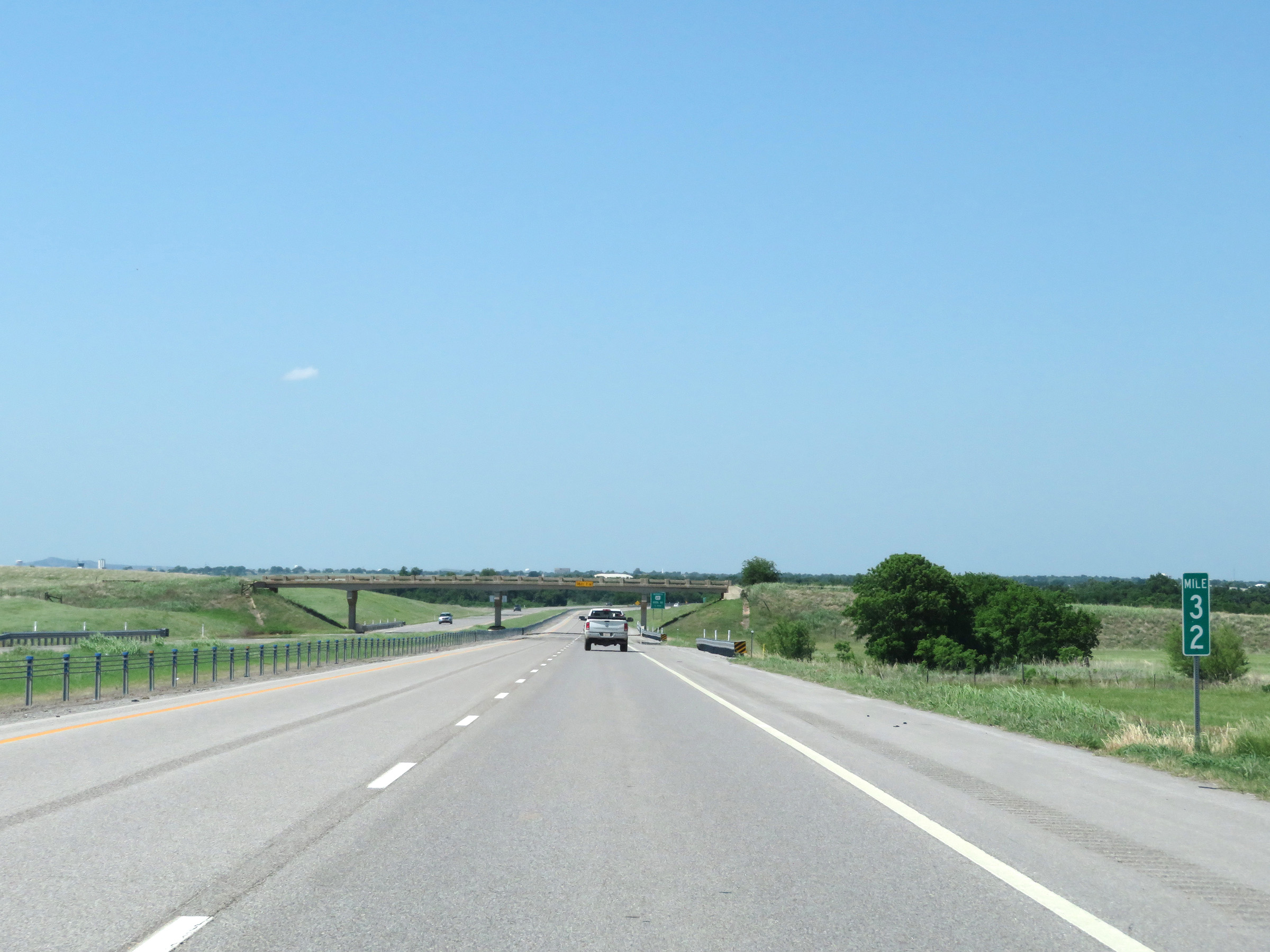 |
View on Interstate 44 East (H.E. Bailey Turnpike) at mile marker 32. (Photo taken 5/18/18). |
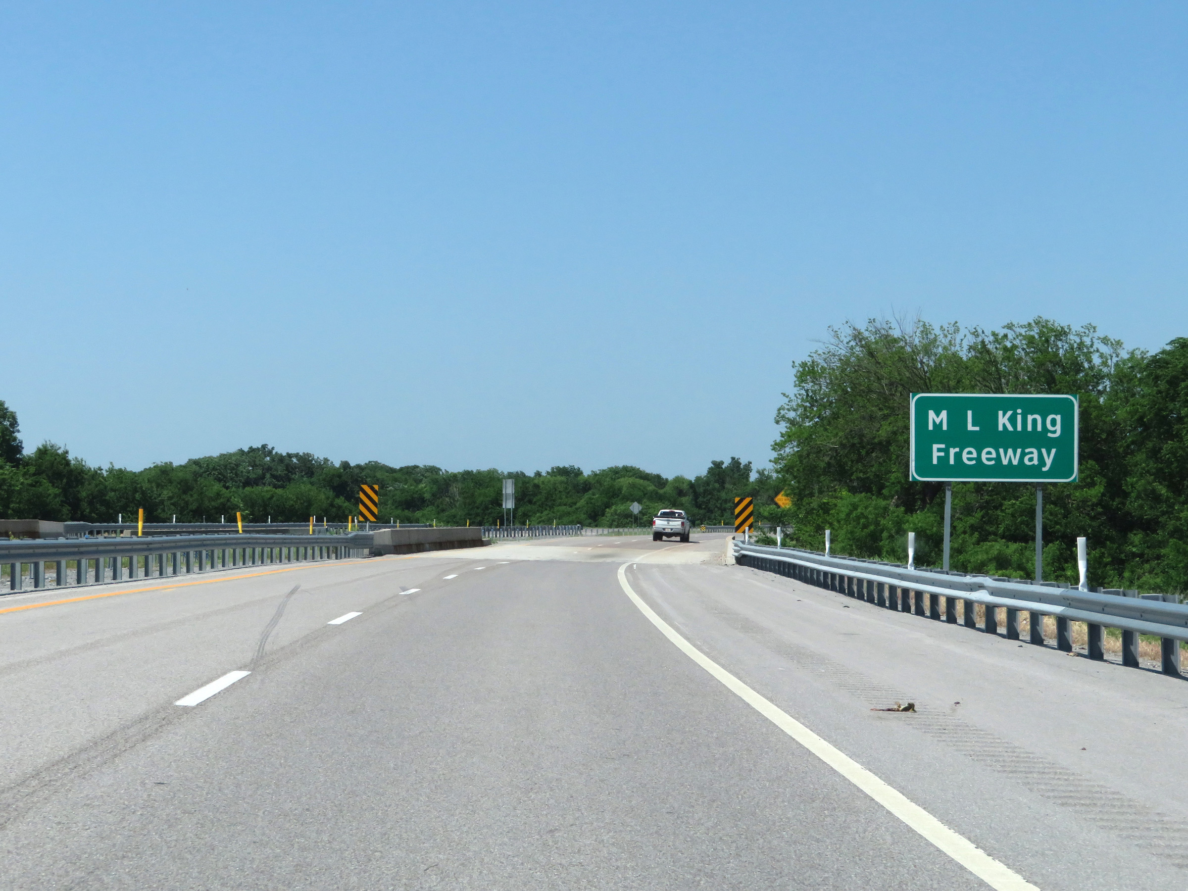 |
As Interstate 44 East nears Lawton, the western segment of the H.E. Bailey Turnpike comes to an end. The free portion of I-44 through Lawton is known as Martin Luther King Freeway and the Pioneer Expressway. (Photo taken 5/18/18). |
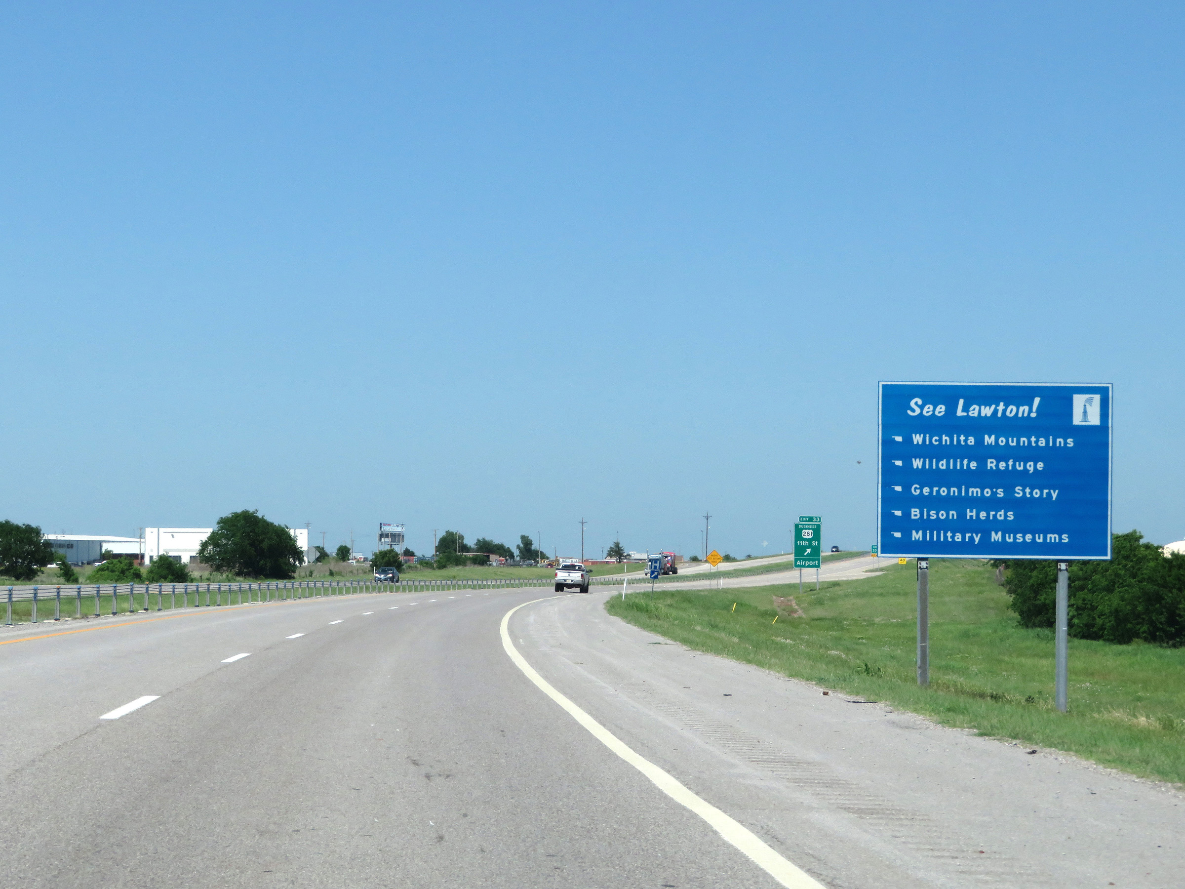 |
See Lawton! sign on Interstate 44 East. Points of interest in and around Lawton include the Wichita Mountains, a wildlife refuge, Geronimo's Story, bison herds, and military museums. (Photo taken 5/18/18). |
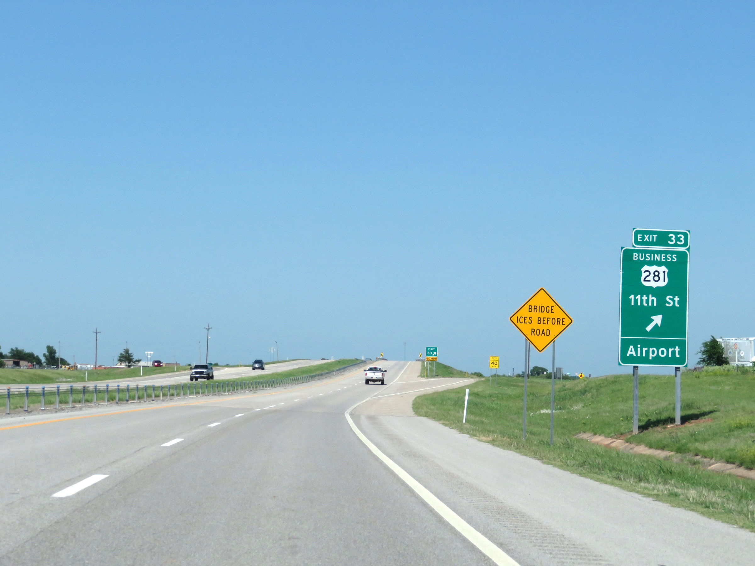 |
Interstate 44 East at Exit 33: US 281 Business - 11th St / Airport (Photo taken 5/18/18). |
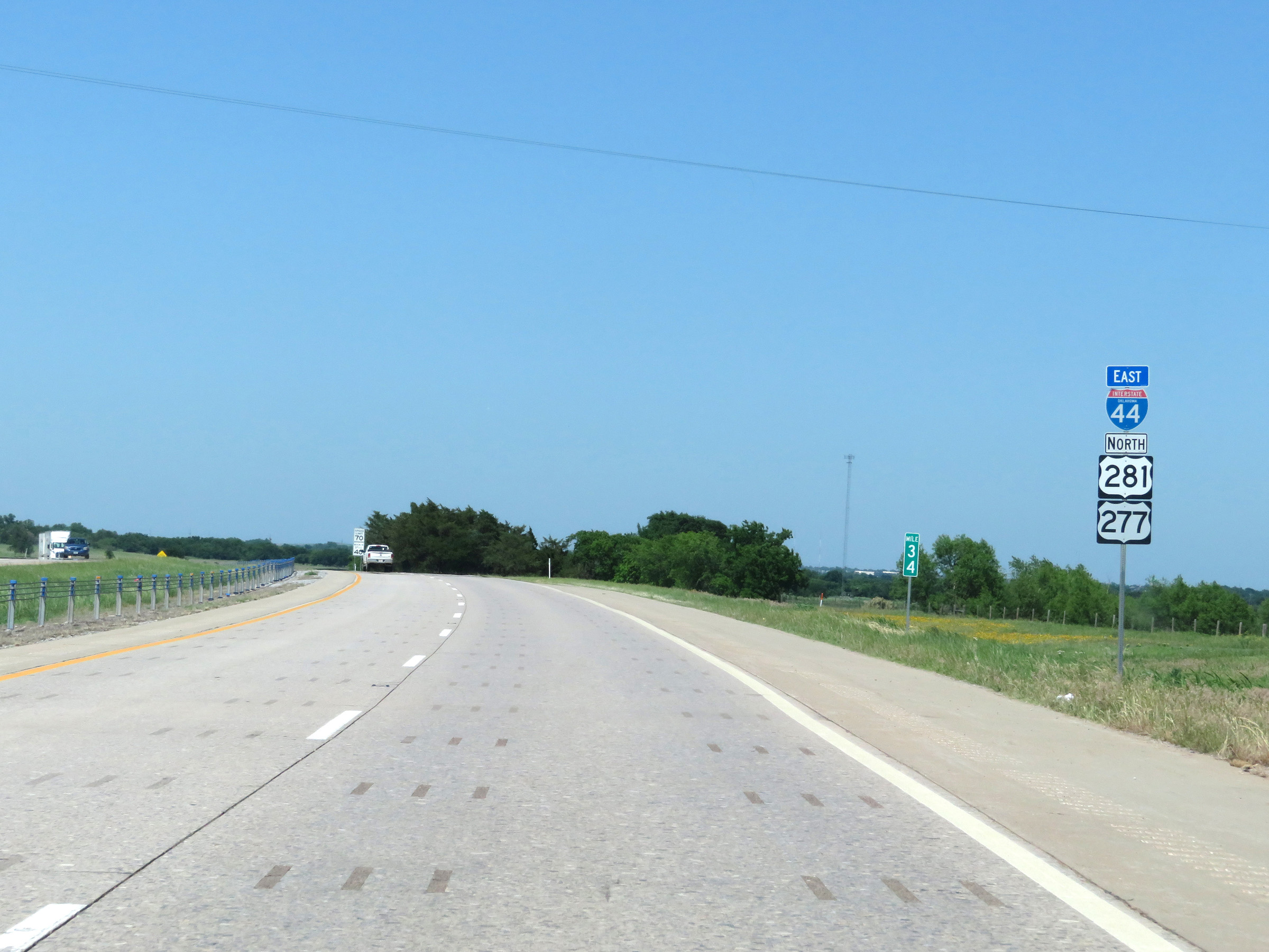 |
State-named Interstate 44 East reassurance shield at mile marker 34 in Lawton. (Photo taken 5/18/18). |
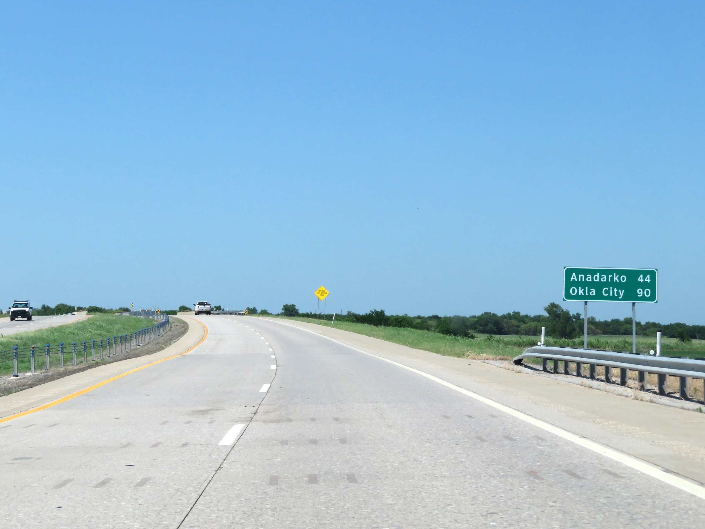 |
Mileage sign on Interstate 44 East. It's 44 miles to Anadarko and 90 miles to Oklahoma City. (Photo taken 5/18/18). |
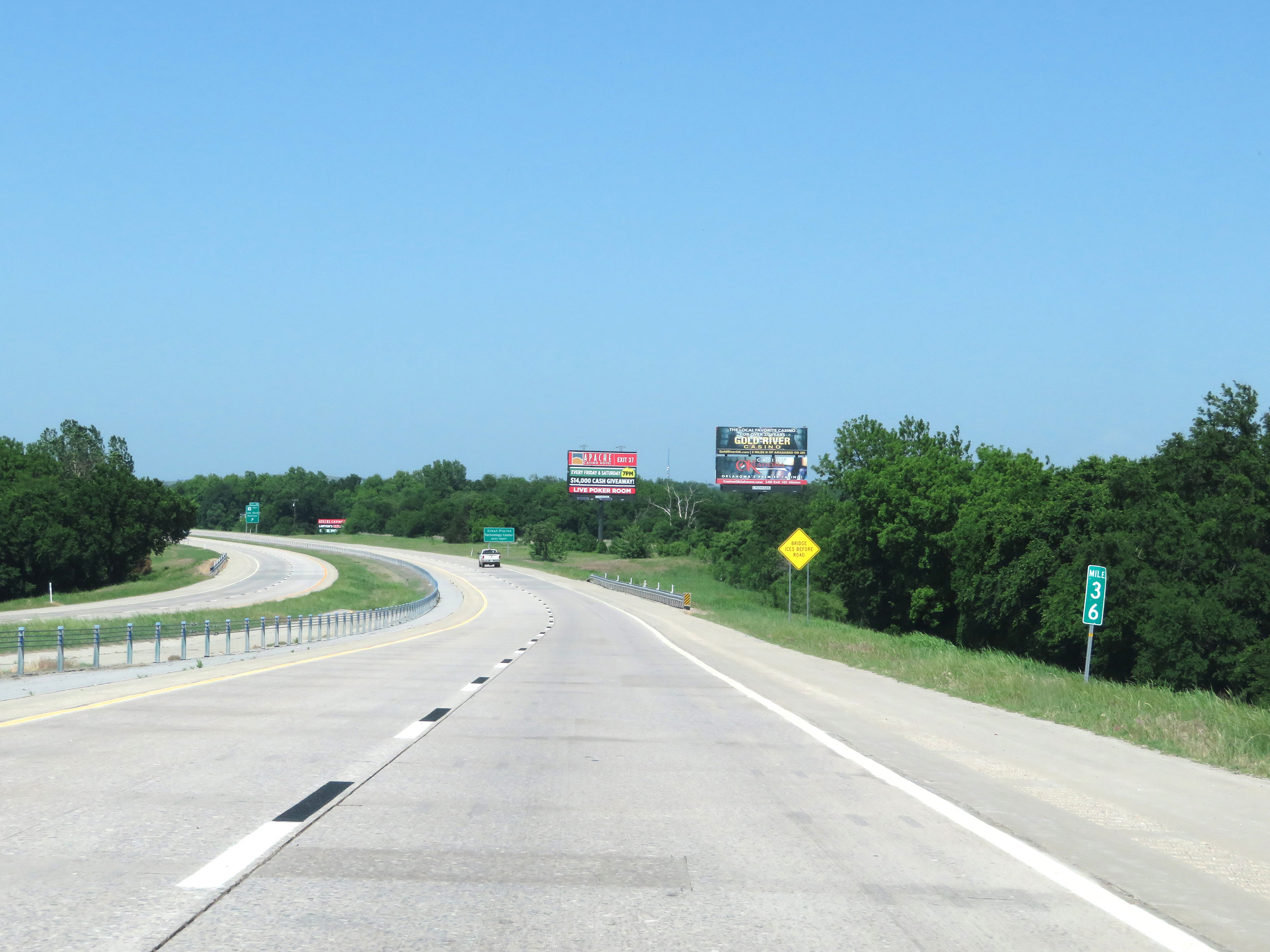 |
View on Interstate 44 East at mile marker 36. (Photo taken 5/18/18). |
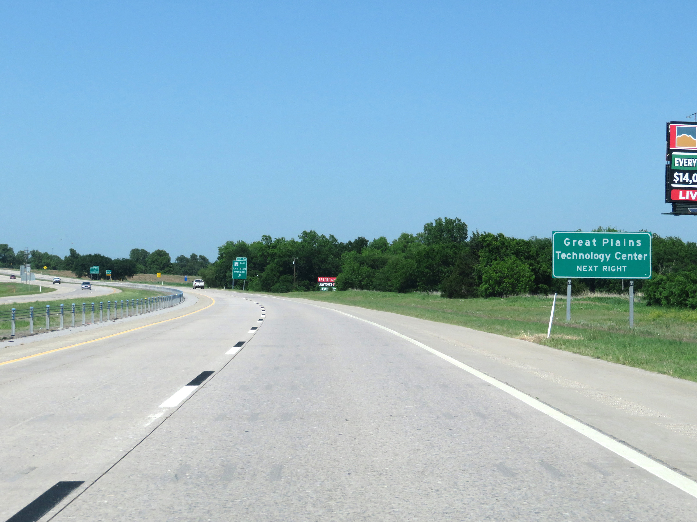 |
Take Exit 36 to Great Plains Technology Center. (Photo taken 5/18/18). |
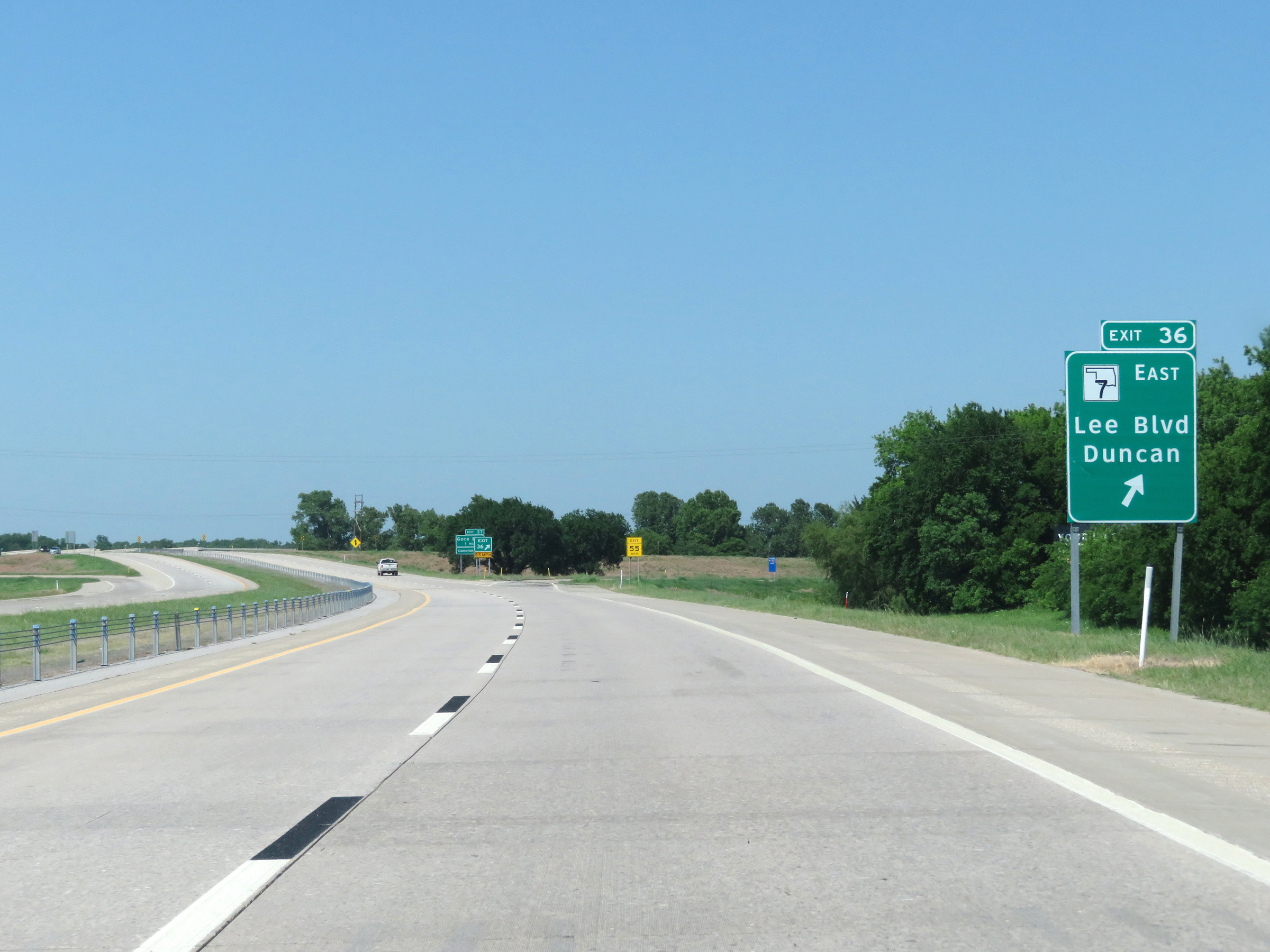 |
Interstate 44 East at Exit 36: OK 7 East - Lee Blvd / Duncan (Photo taken 5/18/18). |
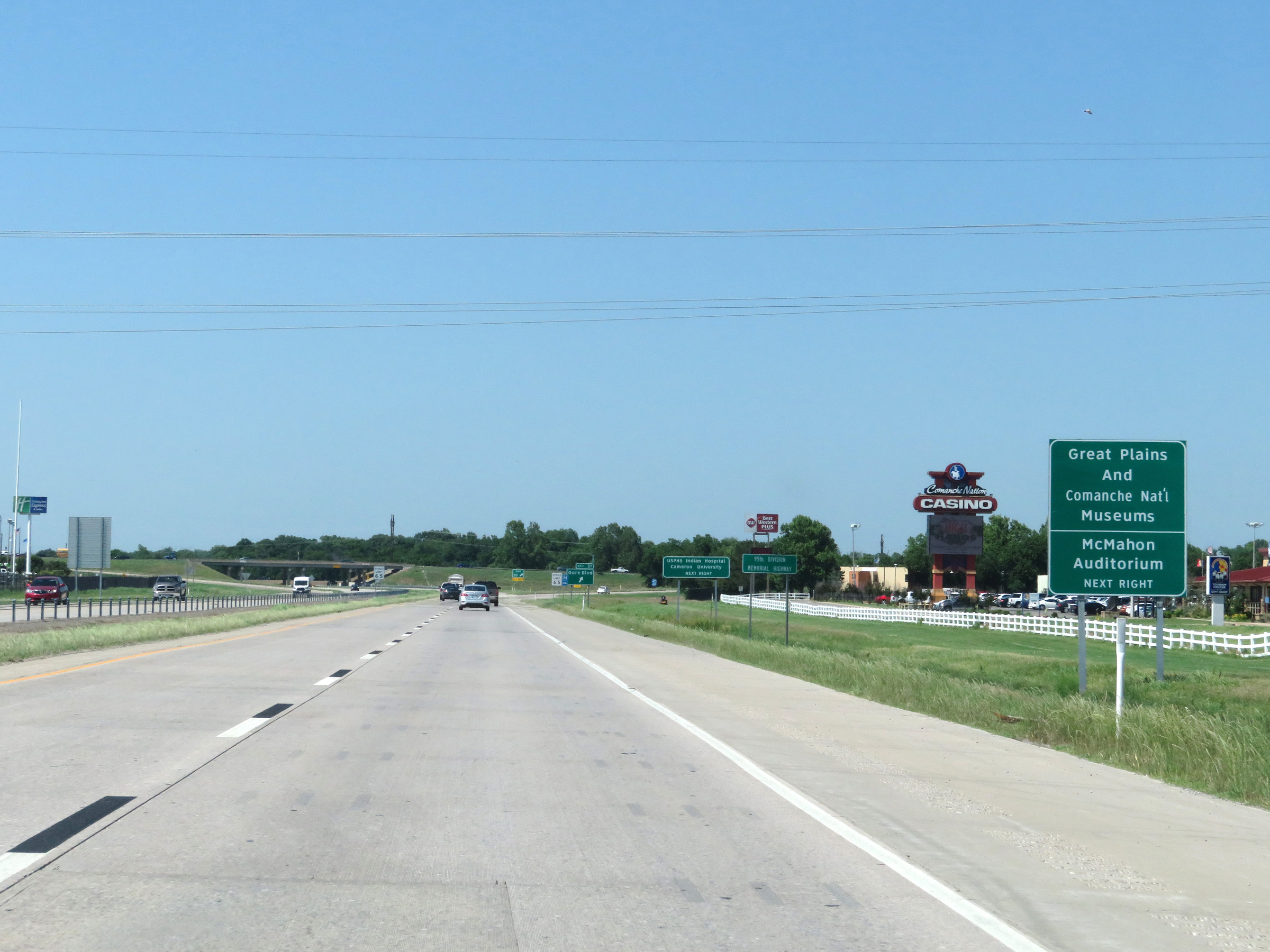 |
Take Exit 37 to the Great Plains and Comanche National Museums as well as McMahon Auditorium. (Photo taken 5/18/18). |
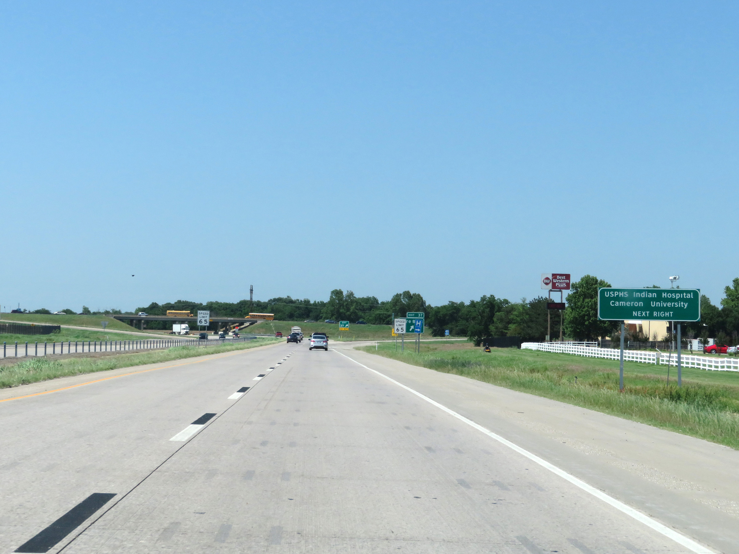 |
Also take Exit 37 to USPHS Indian Hospital and Cameron University. (Photo taken 5/18/18). |
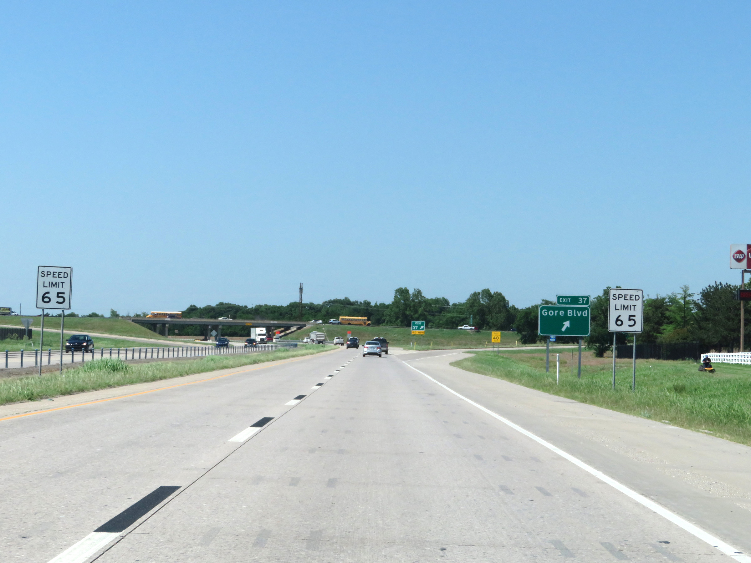 |
At Exit 37, the maximum speed limit decreases to 65 mph. (Photo taken 5/18/18). |
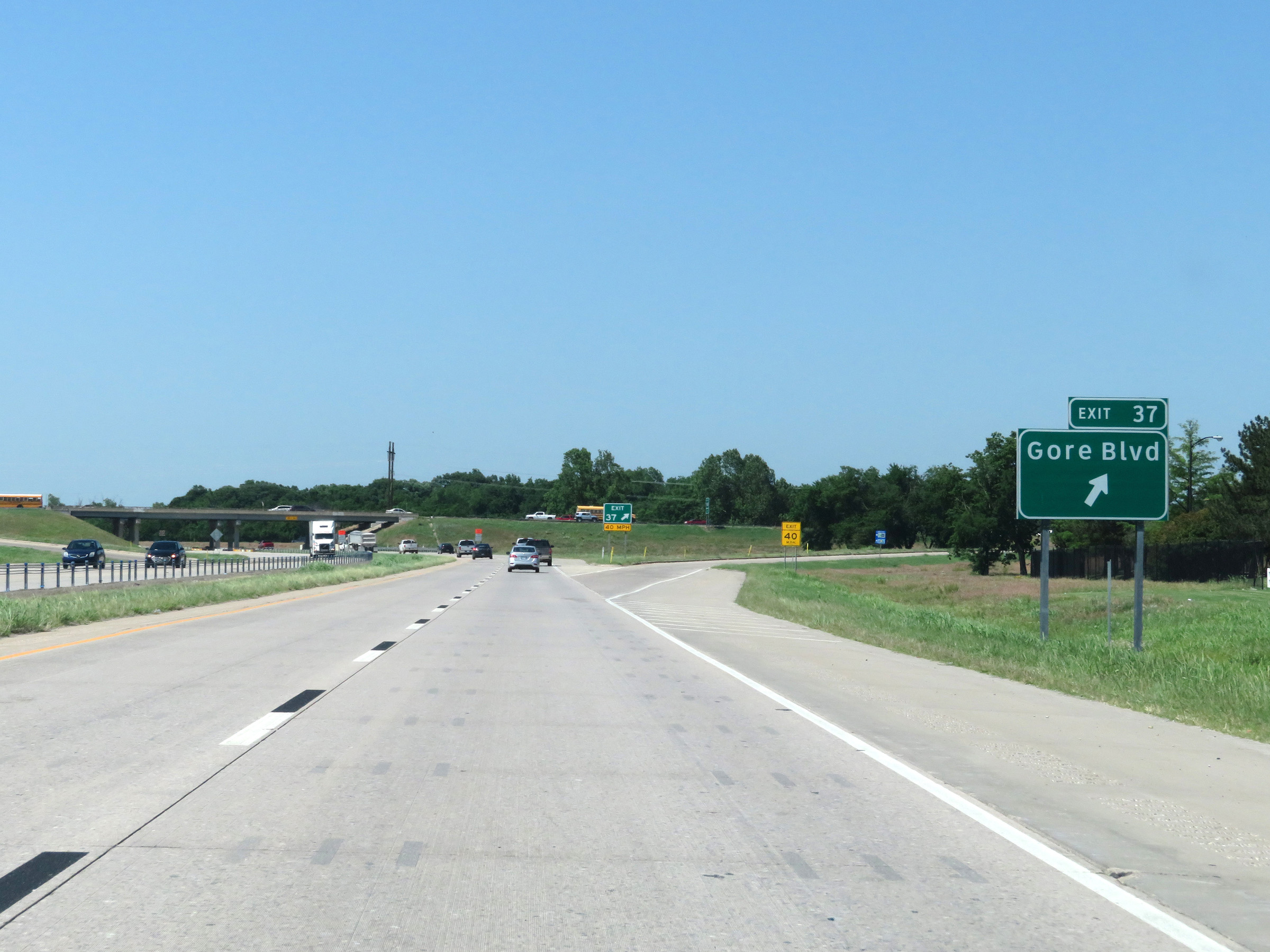 |
Interstate 44 East at Exit 37: Gore Blvd (Photo taken 5/18/18). |
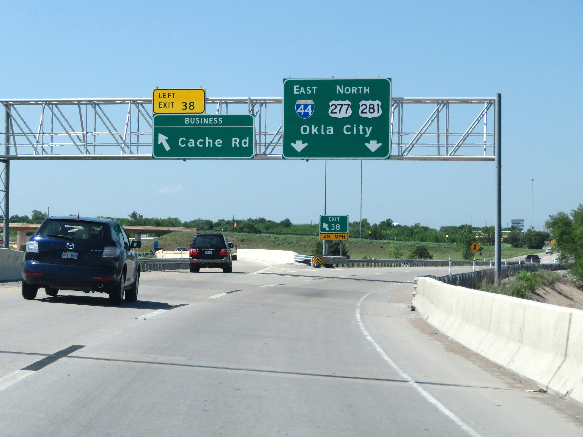 |
Interstate 44 East at Exit 38: Cache Rd (Photo taken 5/18/18). |
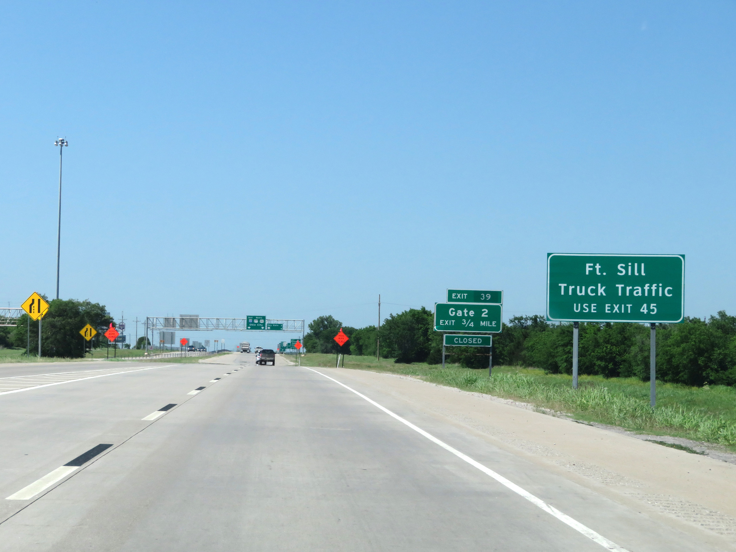 |
All trucks to Fort Sill should use Exit 45. (Photo taken 5/18/18). |
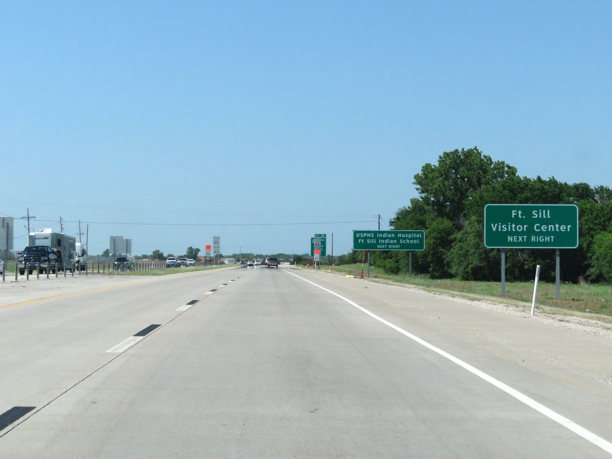 |
Take Exit 39 to the Fort Sill Visitor Center, USPHS Indian Hospital, and Fort Sill Indian School. (Photo taken 5/18/18). |
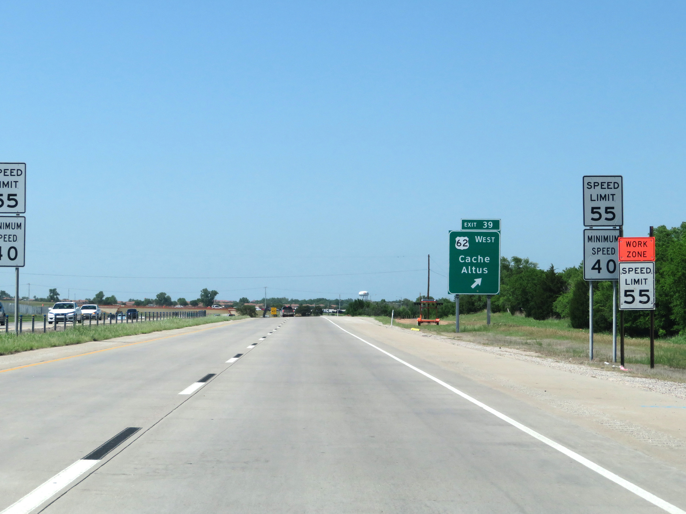 |
At Exit 39, the maximum speed limit decreases to 55 mph as Interstate 44 East prepares to pass by downtown Lawton. The minimum speed limit remains 40 mph. (Photo taken 5/18/18). |
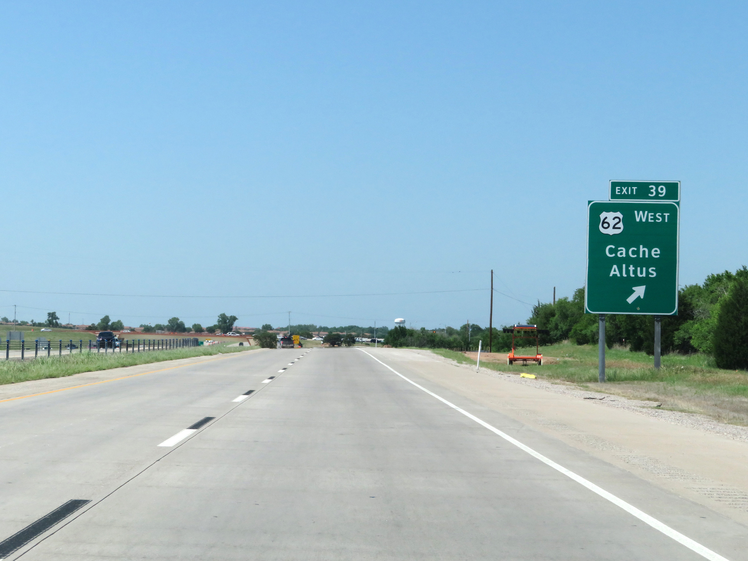 |
Interstate 44 East at Exit 39: US 62 West - Cache / Altus (Photo taken 5/18/18). |
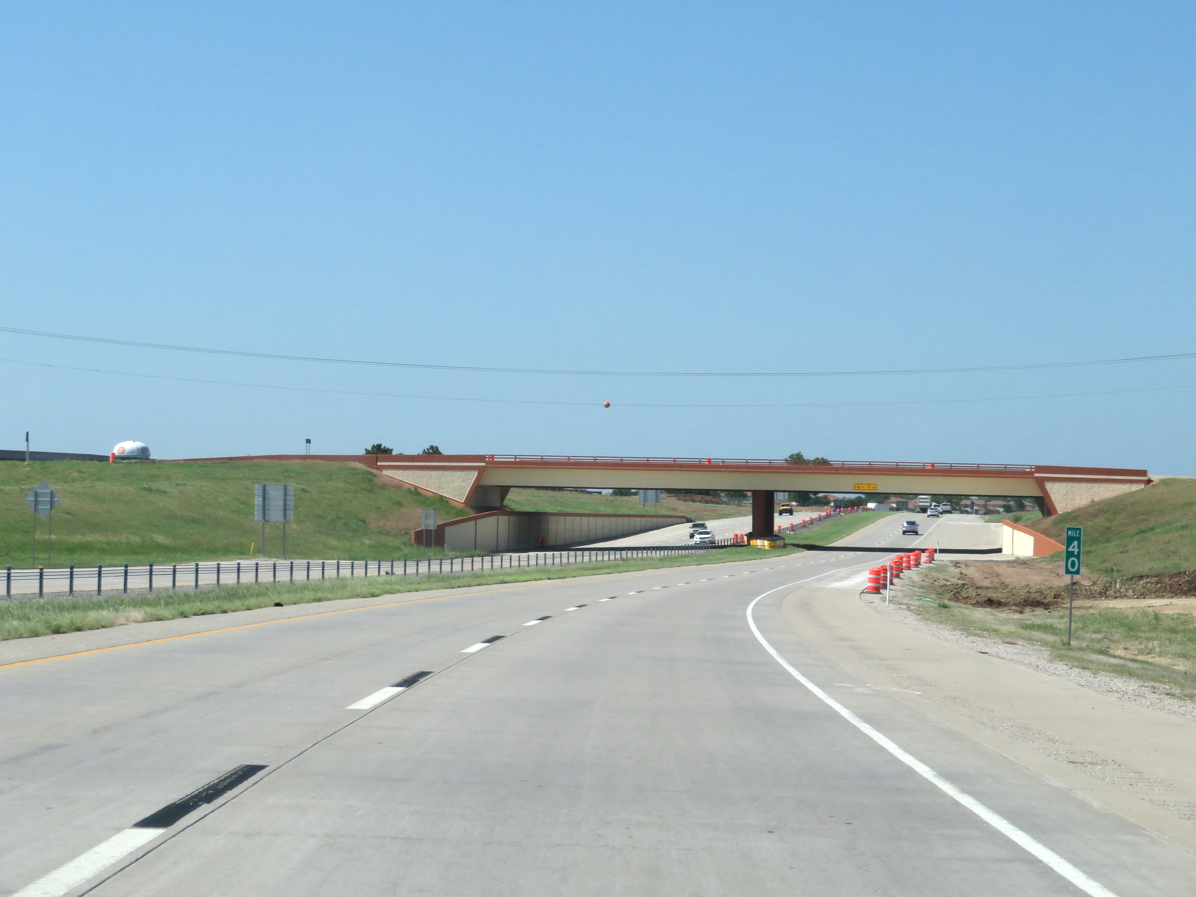 |
View on Interstate 44 East at mile marker 40. (Photo taken 5/18/18). |
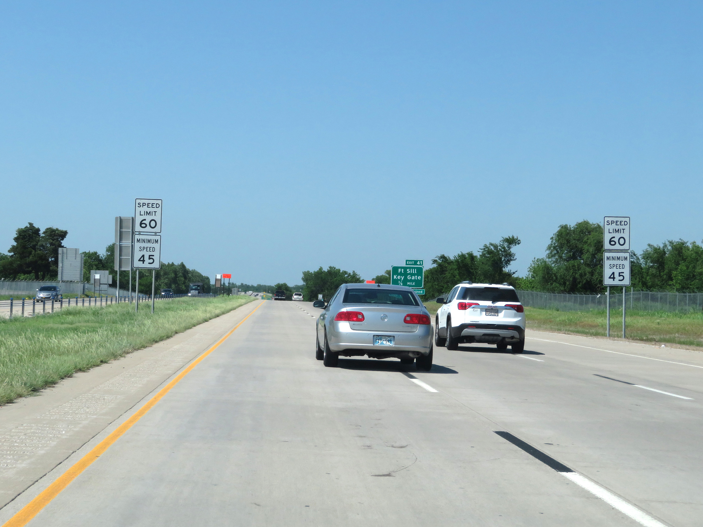 |
Approaching Exit 41, the speed limits increase to 60 mph maximum and 45 mph minimum. (Photo taken 5/18/18). |
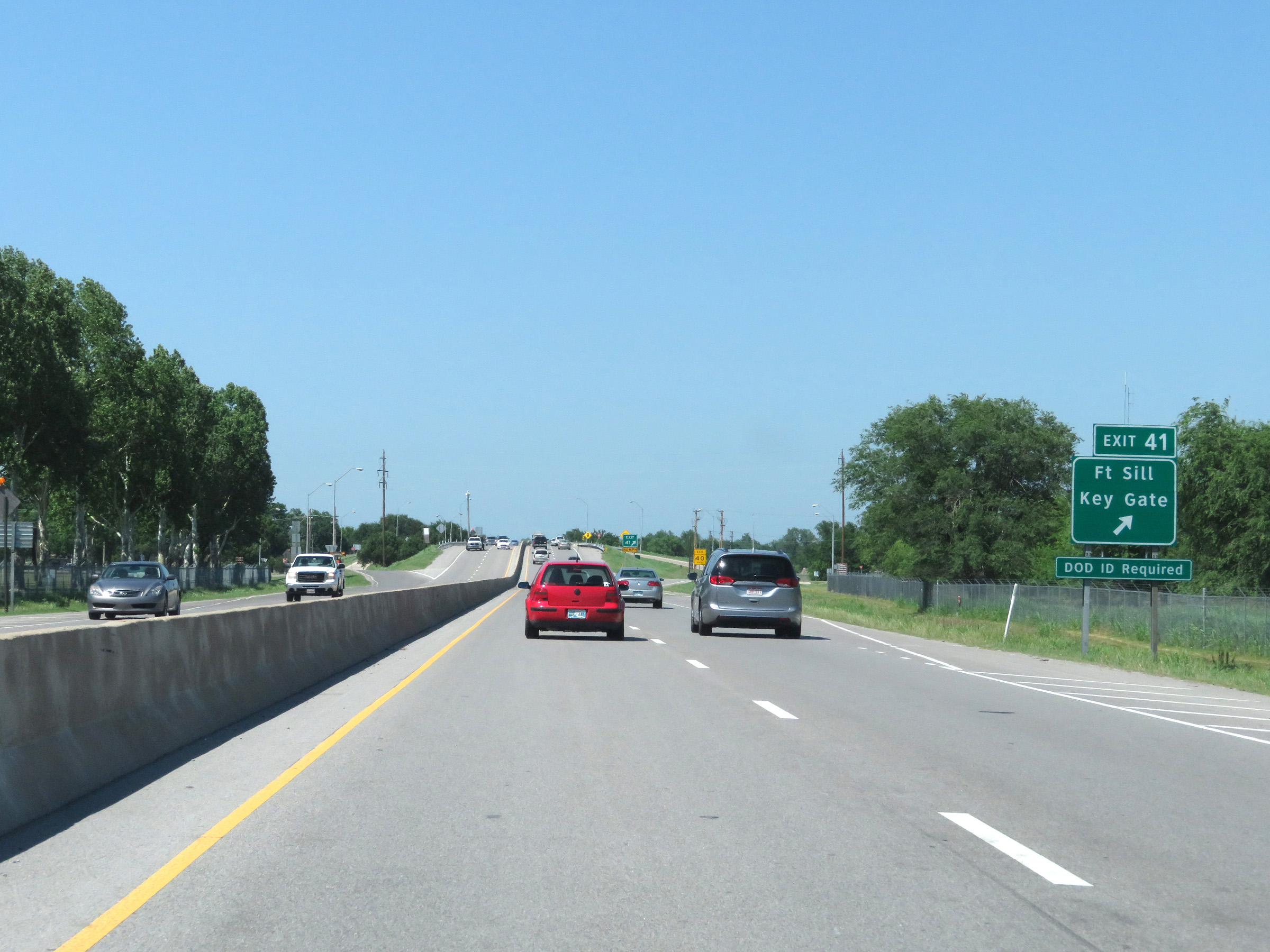 |
Interstate 44 East at Exit 41: Fort Sill Key Gate (Photo taken 5/18/18). |
Section 2: Lawton (Exit 41) to Chickasha (Exit 83)
 |
Beyond Exit 41, the maximum speed limit increases to 70 mph once again. The minimum speed limit decreases to 40 mph. (Photo taken 5/18/18). |
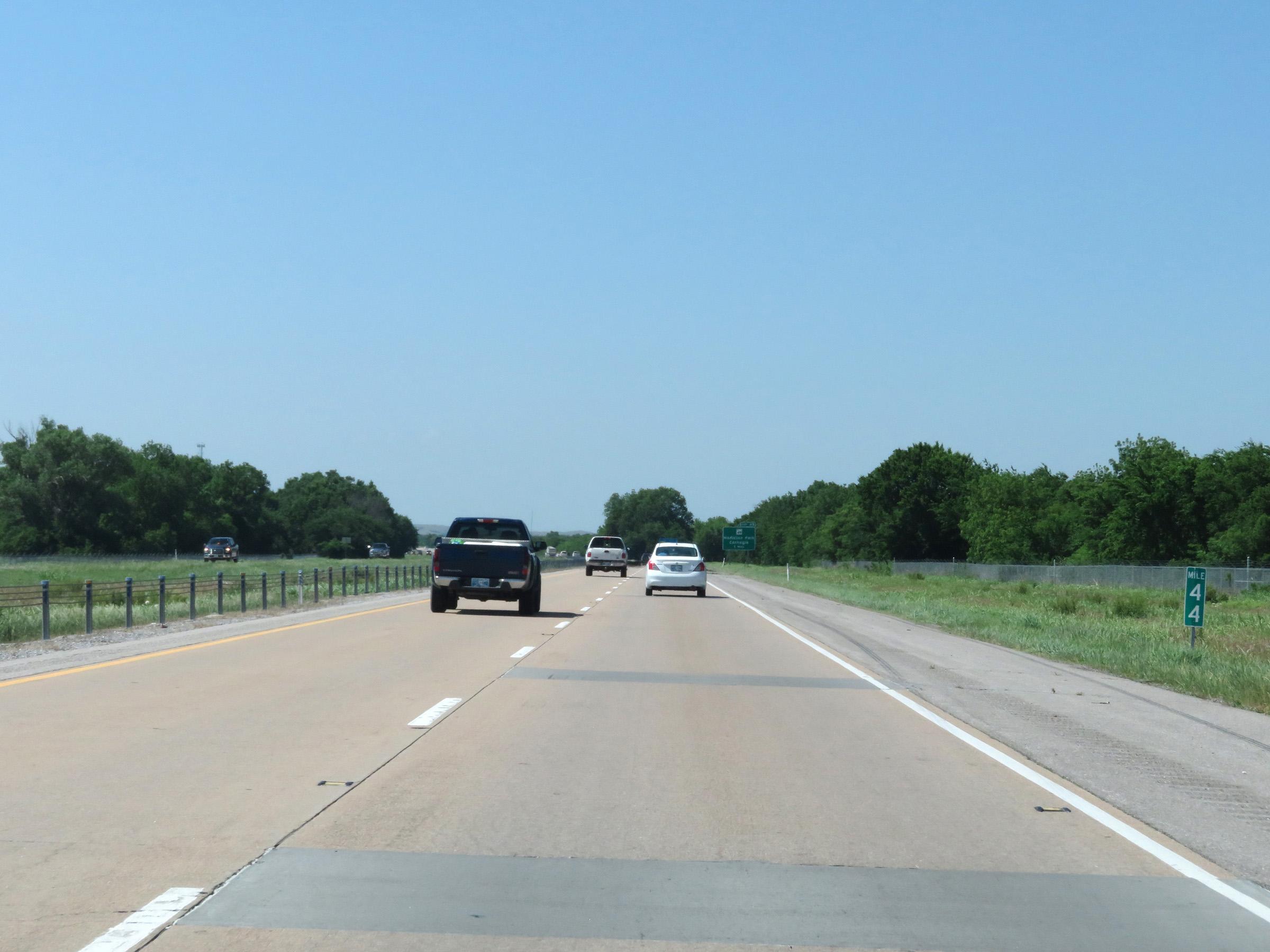 |
Interstate 44 East at mile marker 44. (Photo taken 5/18/18). |
 |
Interstate 44 East approaching Exit 45 - 1 mile. (Photo taken 5/18/18). |
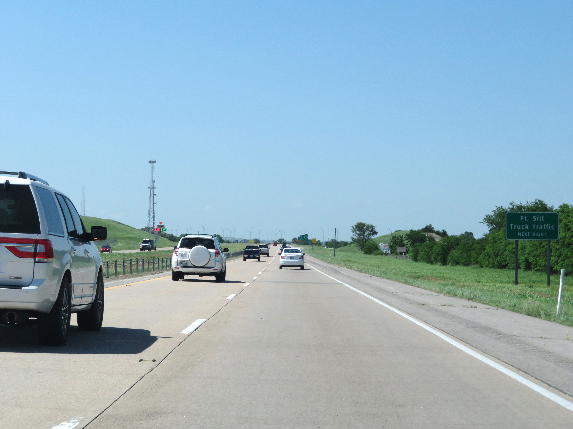 |
Again, all truck traffic to Fort Sill should use Exit 45. (Photo taken 5/18/18). |
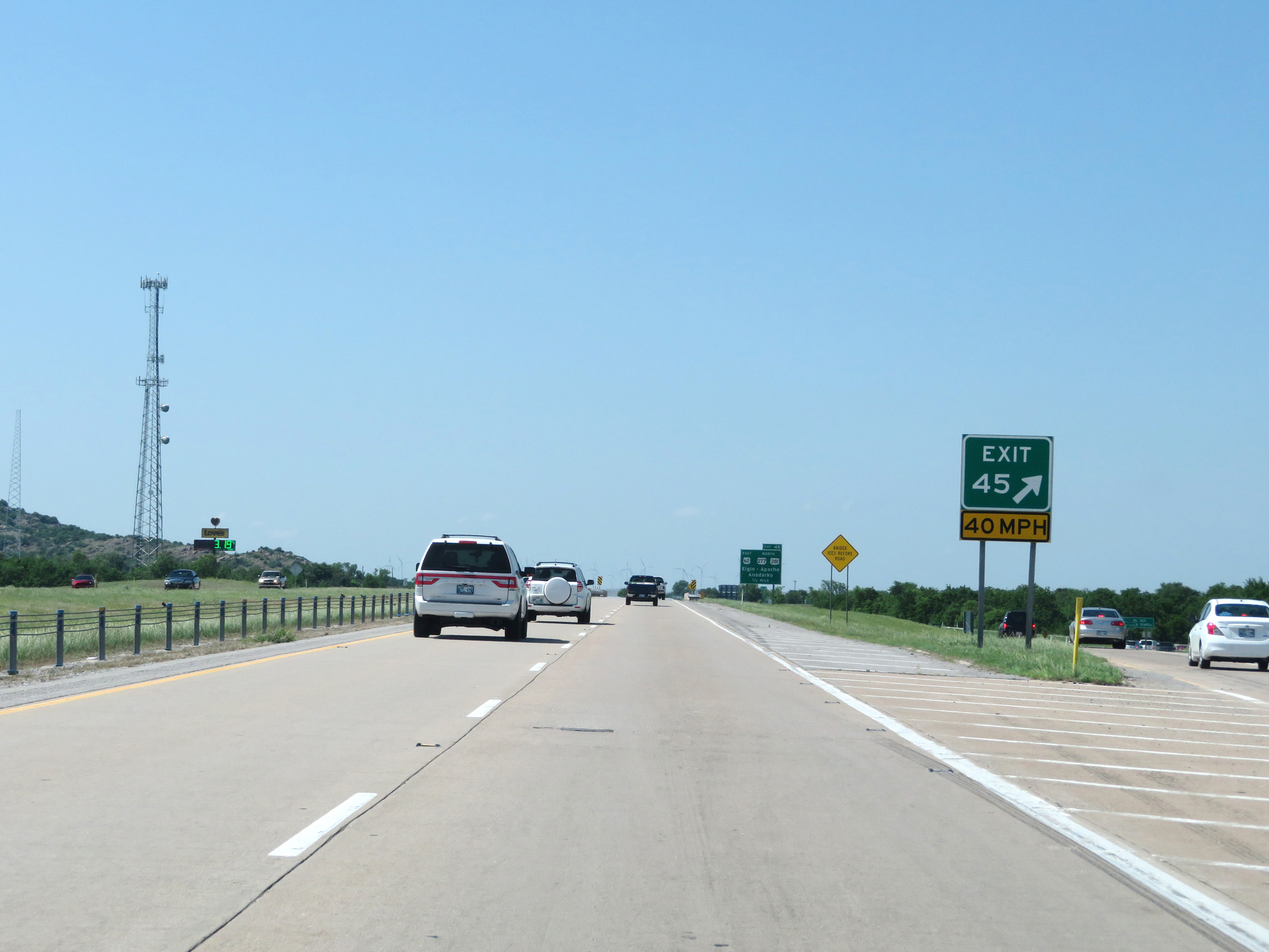 |
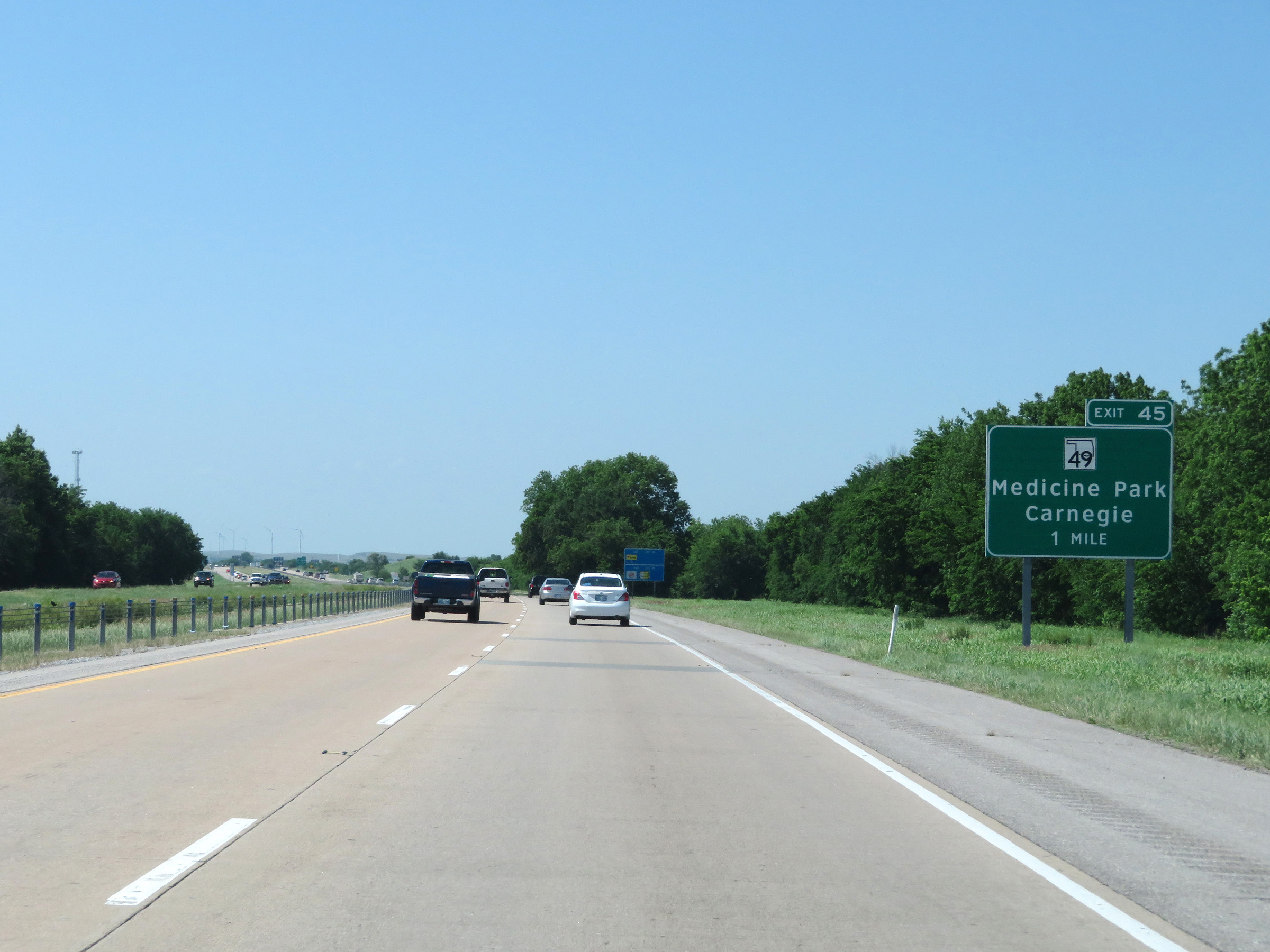
Interstate 44 East at Exit 45: OK 49 - Medicine Park / Carnegie (Photo taken 5/18/18). |
 |
Take Exit 46 to Fort Sill National Cemetery. (Photo taken 5/18/18). |
 |
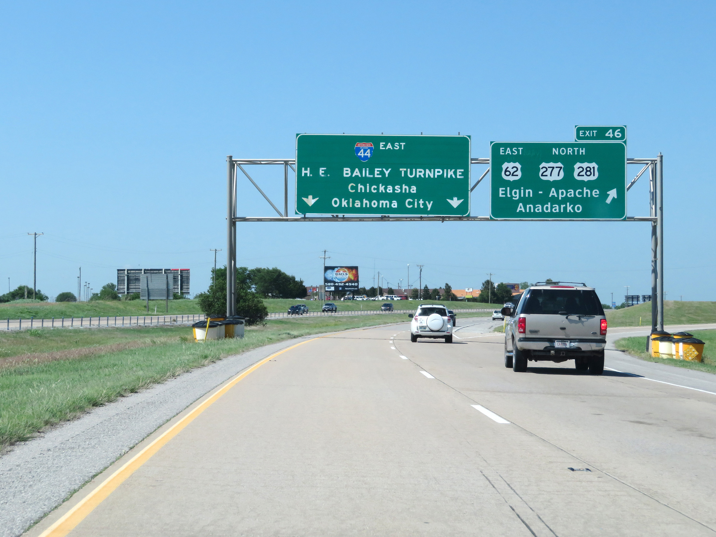
As this advance signage reads, Exit 46 is the final free exit on the Pioneer Expressway portion of Interstate 44 East before the eastern segment of the H.E. Bailey Turnpike begins. (Photo taken 5/18/18). |
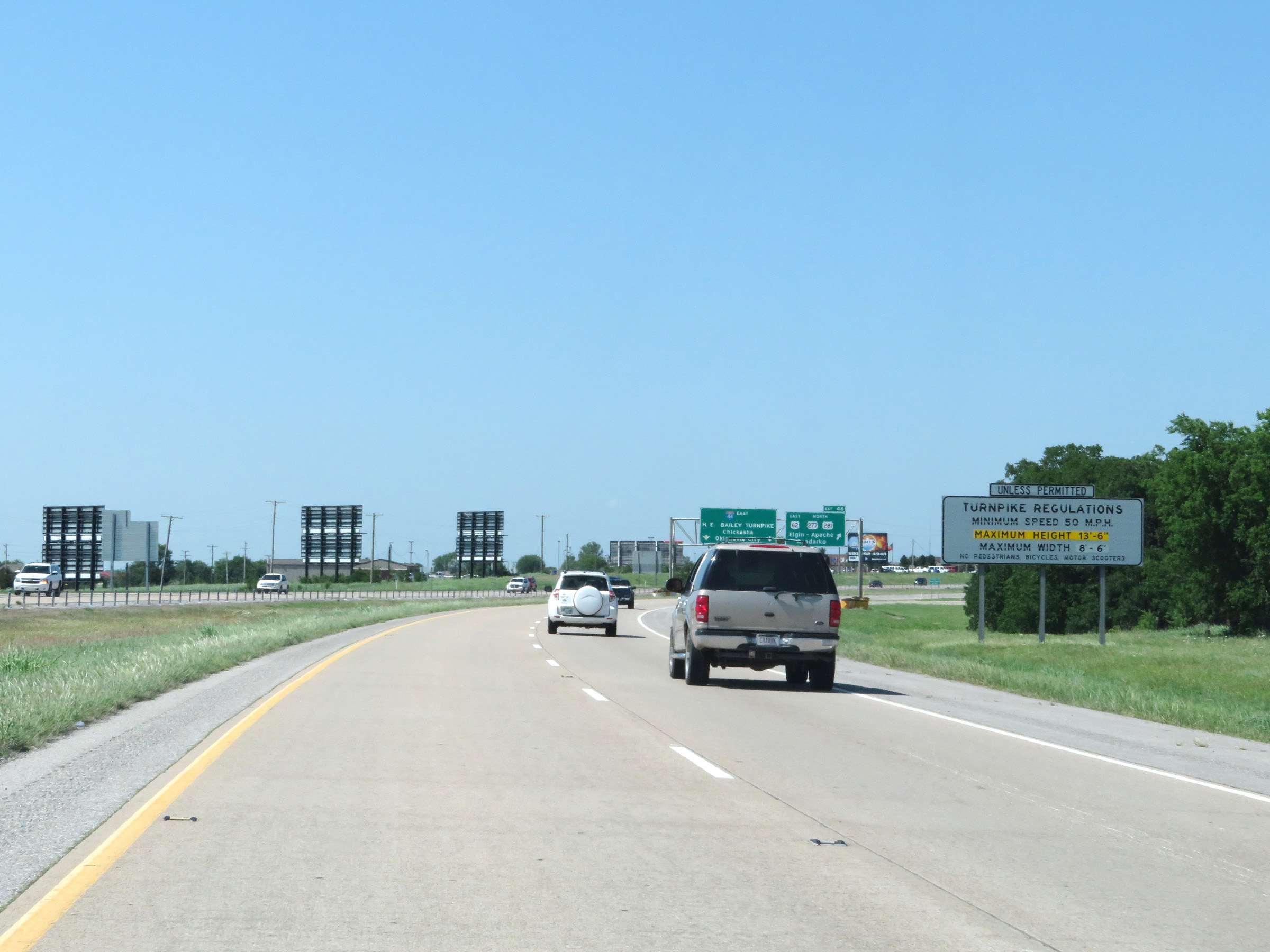 |
This sign once again displays the regulations governing the upcoming eastern segment of the H.E. Bailey Turnpike on Interstate 44 East. (Photo taken 5/18/18). |
 |
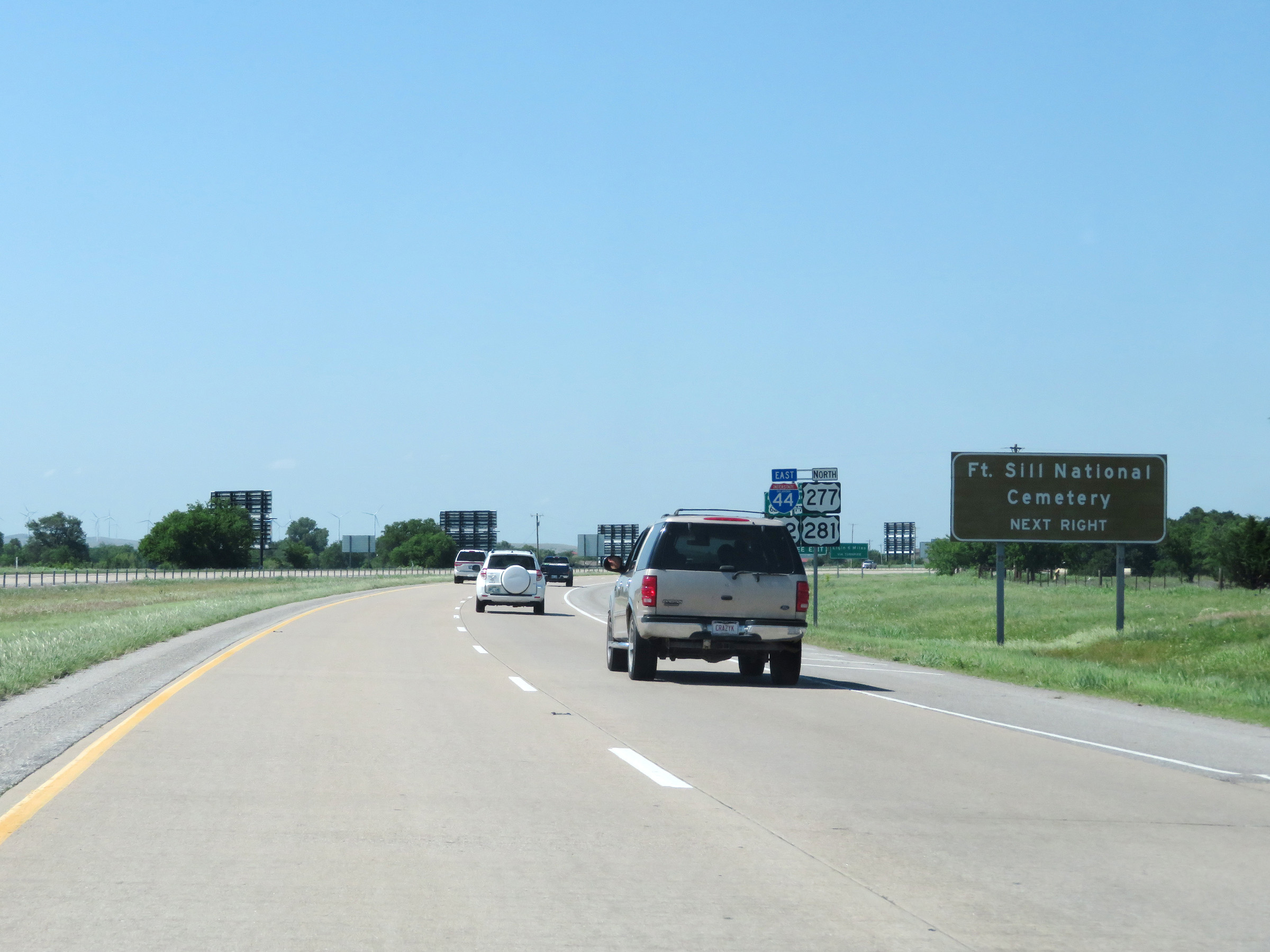
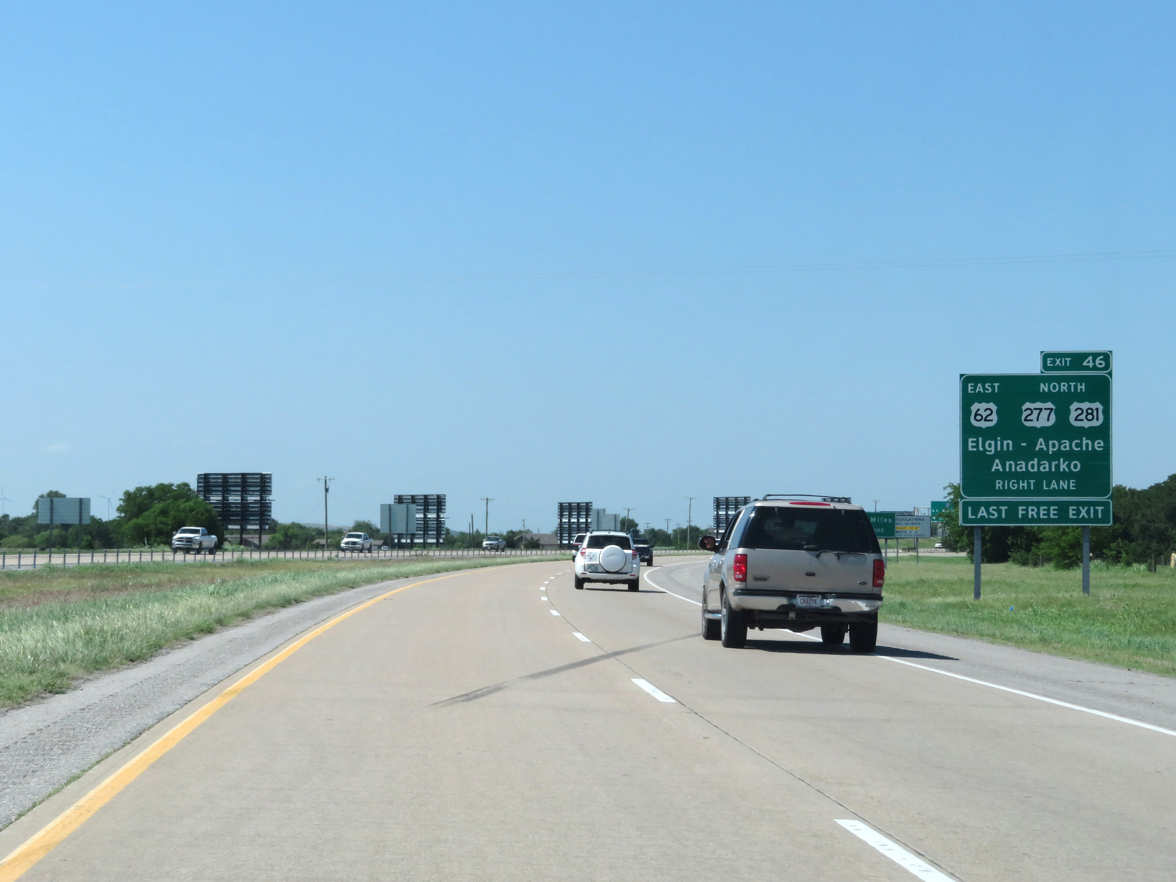
Interstate 44 East at Exit 46: US 62 East / US 277 North / US 281 North - Elgin / Apache / Anadarko (Photo taken 5/18/18). |
 |
This sign just beyond Exit 46 marks the beginning of the turnpike maintenance, which also marks the beginning of the eastern segment of the H.E. Bailey Turnpike on Interstate 44 East. (Photo taken 5/18/18). |
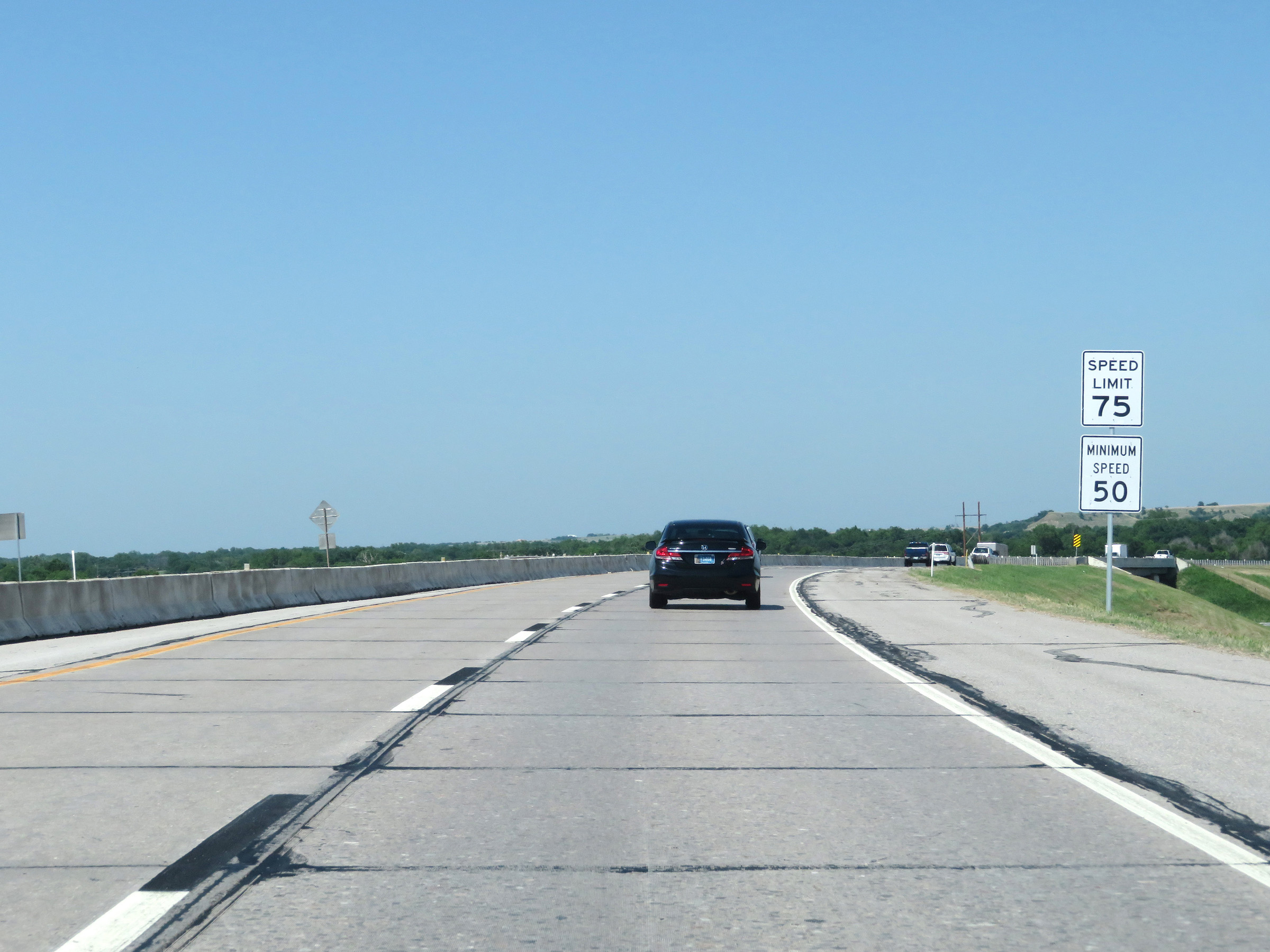 |
Now that Interstate 44 East has entered the eastern segment of the H.E. Bailey Turnpike, the speed limits increase to 75 mph maximum and 50 mph minimum. (Photo taken 5/18/18). |
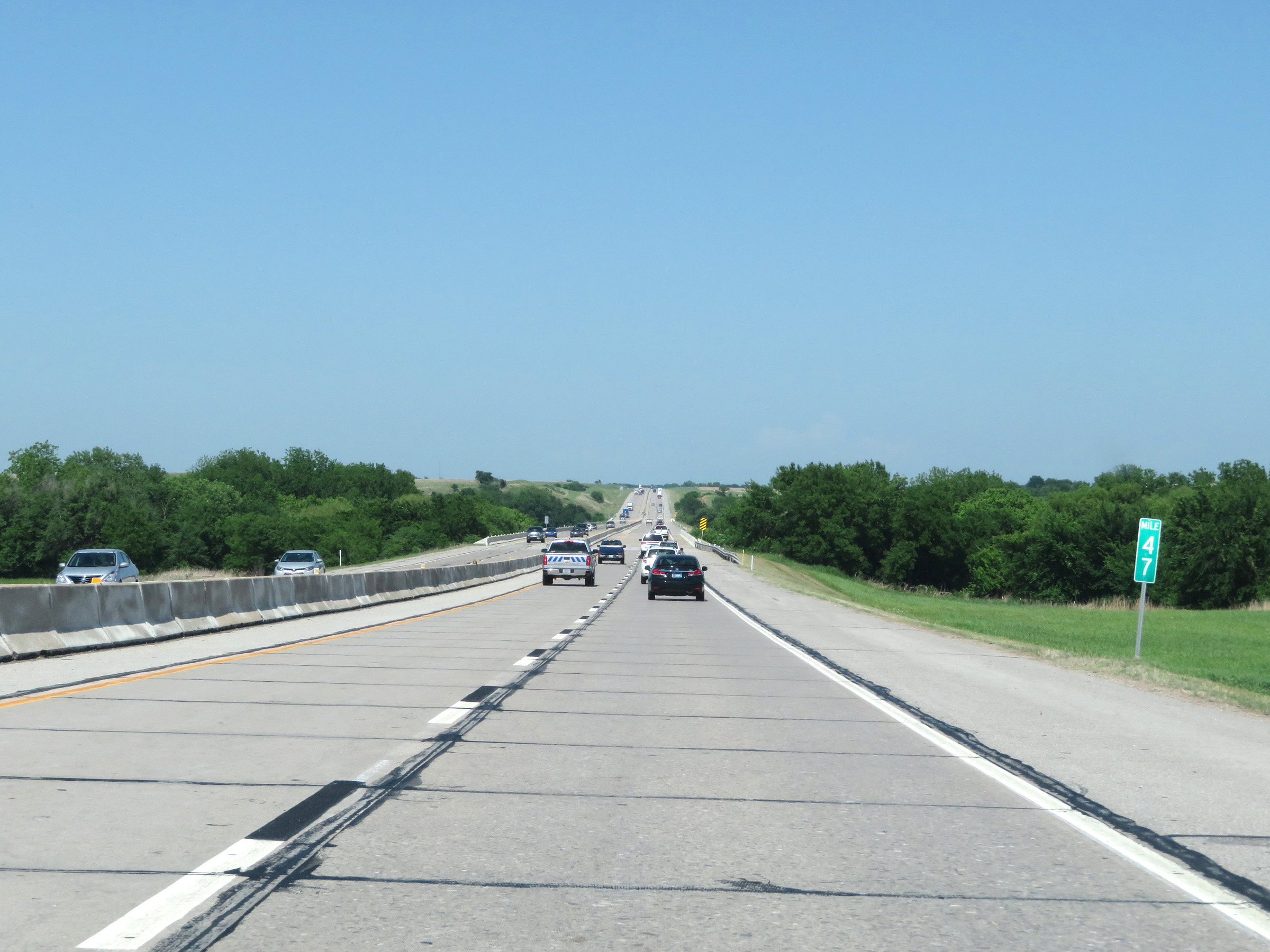 |
View on Interstate 44 East (H.E. Bailey Turnpike) at mile marker 47. (Photo taken 5/18/18). |
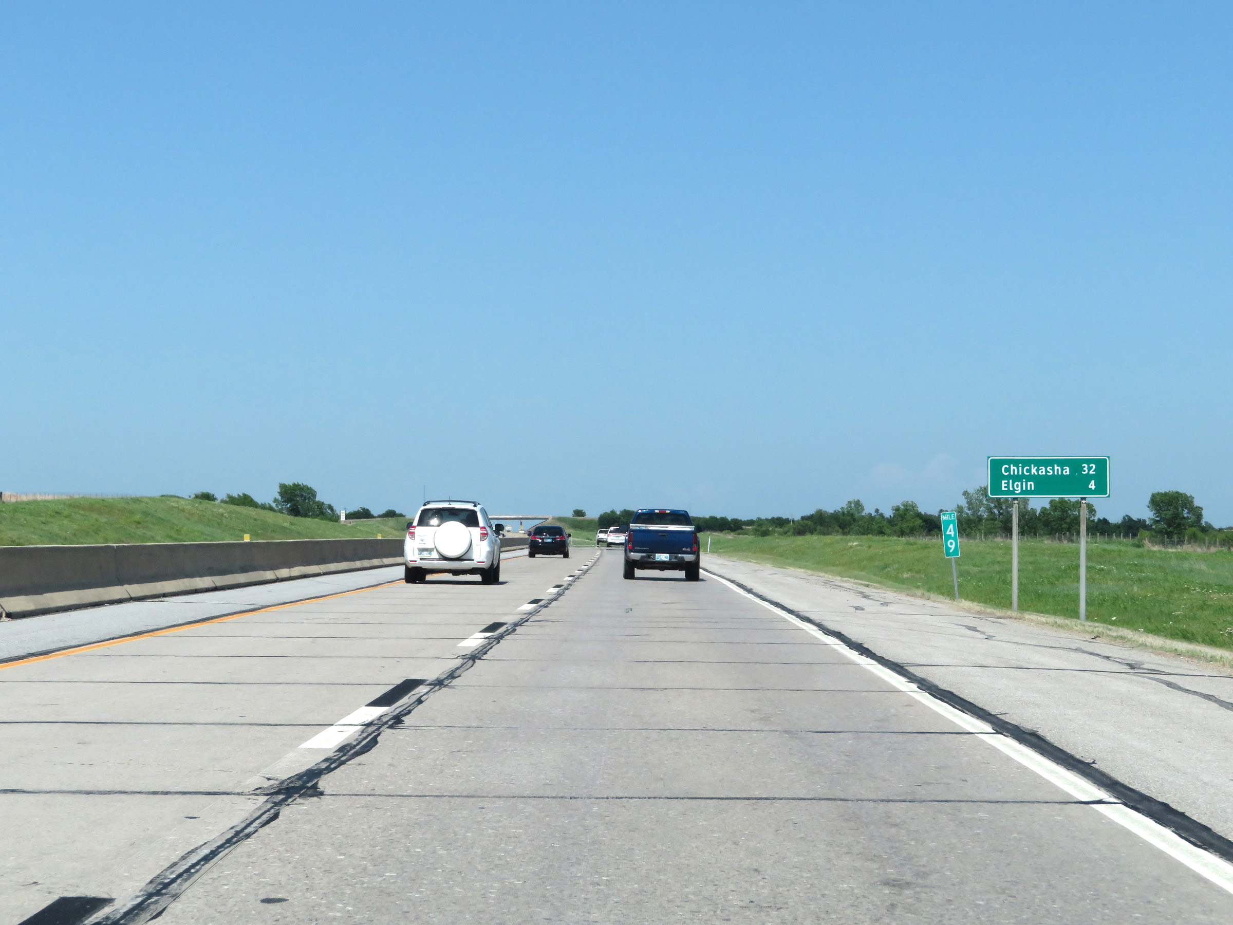 |
Another mileage sign at mile marker 49. It's 32 miles to Chickasha and 4 miles to Elgin. (Photo taken 5/18/18). |
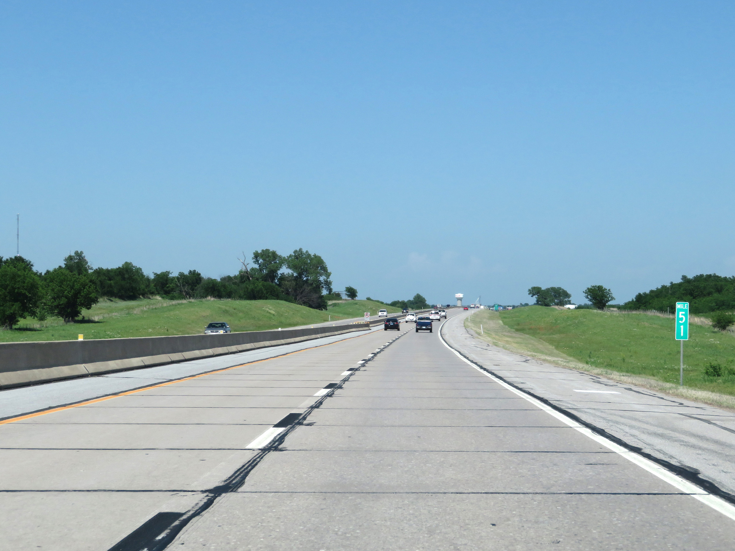 |
Mile marker 51 on Interstate 44 East (H.E. Bailey Turnpike) in Comanche County. (Photo taken 5/18/18). |
 |
Interstate 44 East (H.E. Bailey Turnpike) approaching Exit 53 - 1 mile. (Photo taken 5/18/18). |
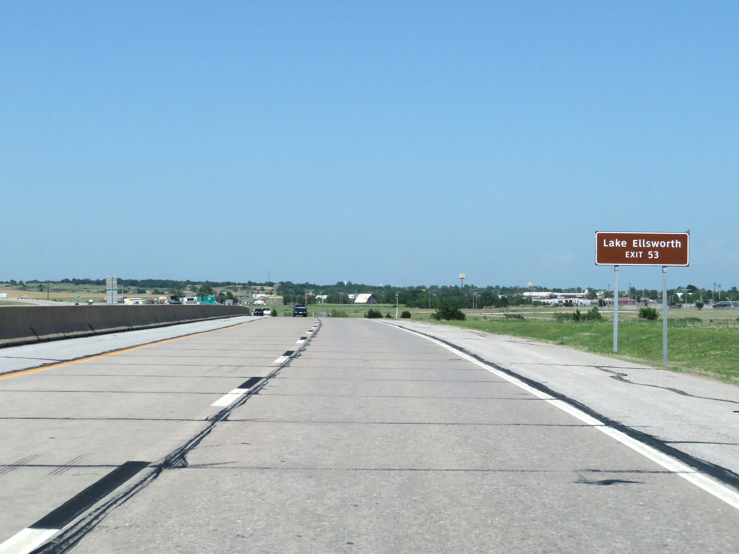 |
Take Exit 53 to Lake Ellsworth. (Photo taken 5/18/18). |
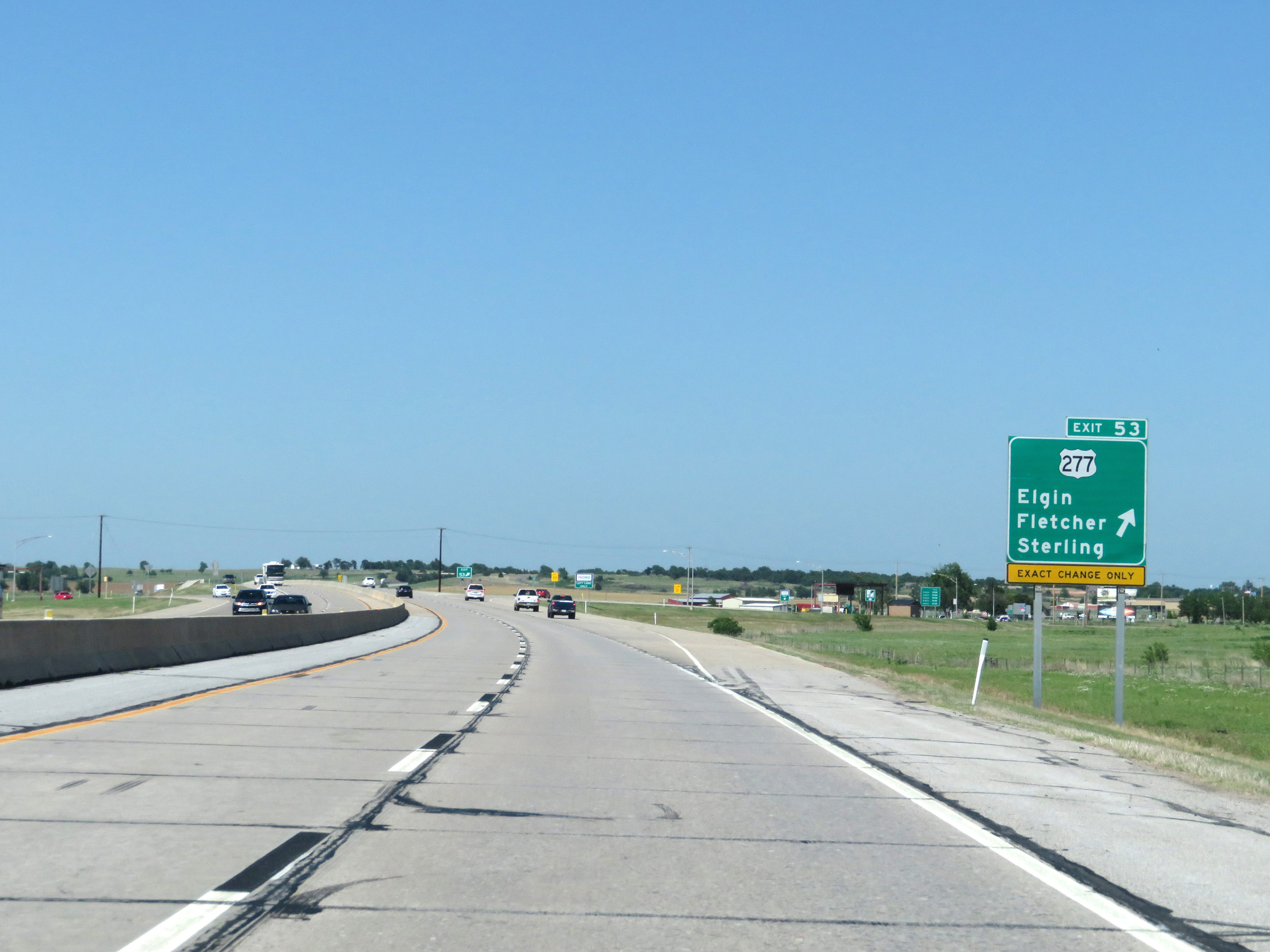 |
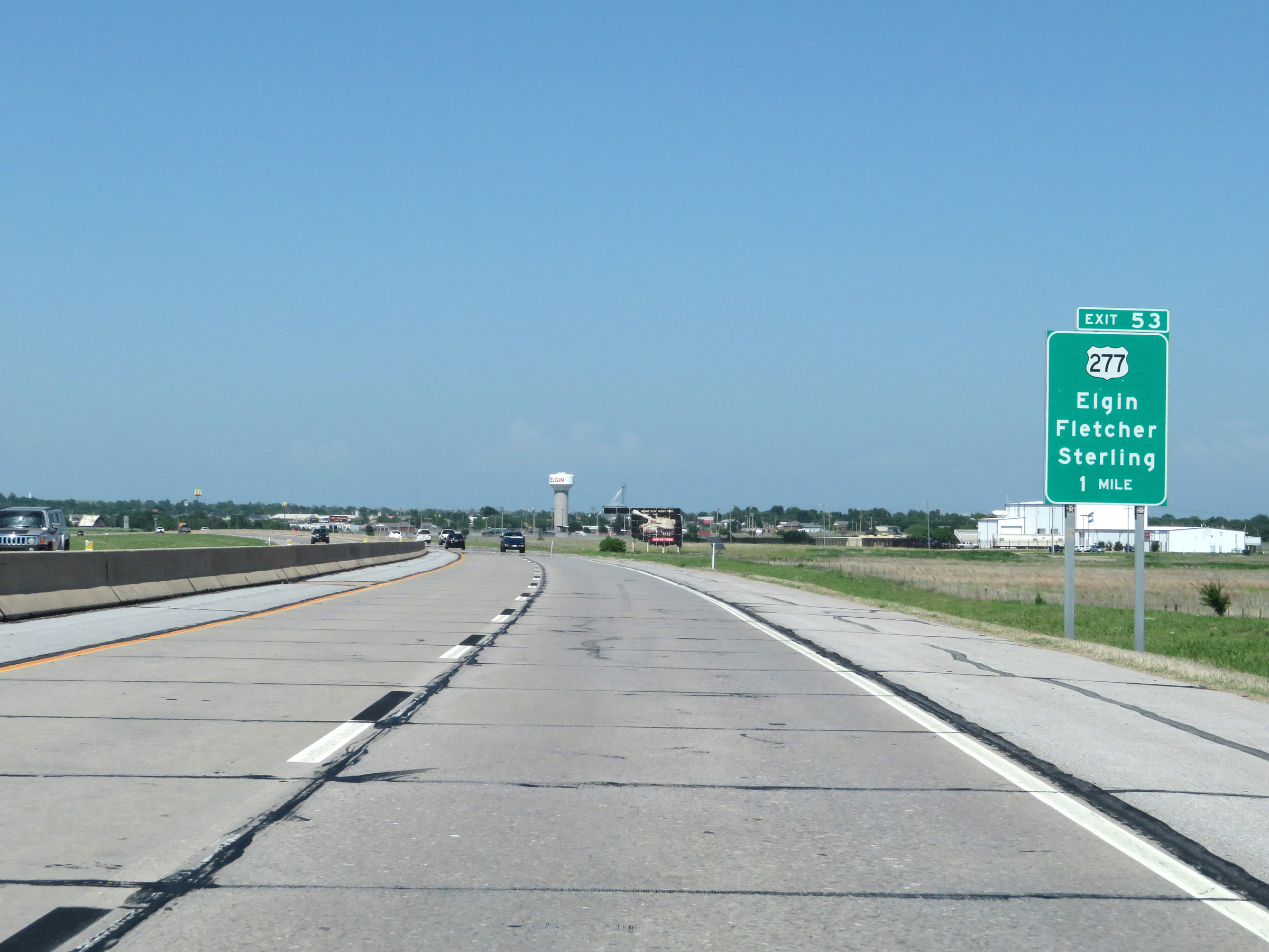
Interstate 44 East (H.E. Bailey Turnpike) at Exit 53: US 277 - Elgin / Fletcher / Sterling (Photo taken 5/18/18). |
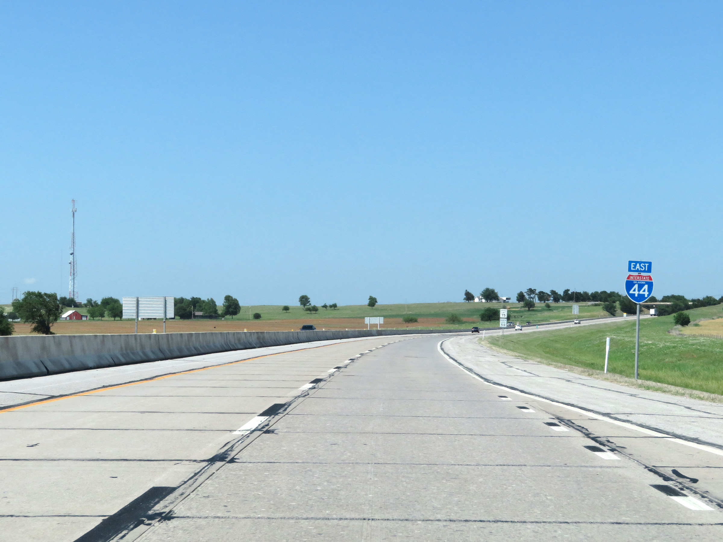 |
State-named Interstate 44 East reassurance shield on the eastern segment of the H.E. Bailey Turnpike. (Photo taken 5/18/18). |
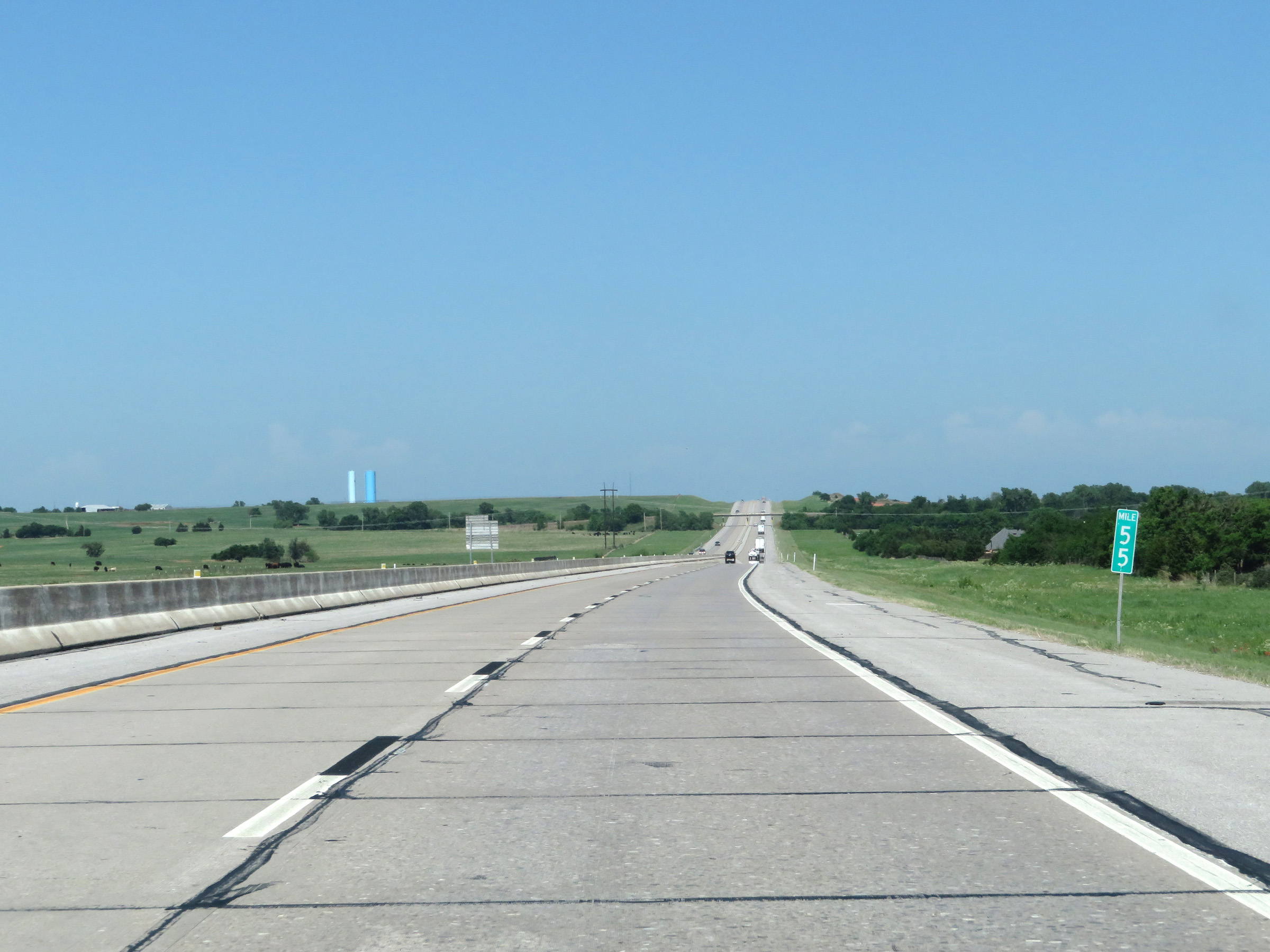 |
View on Interstate 44 East (H.E. Bailey Turnpike) at mile marker 55. (Photo taken 5/18/18). |
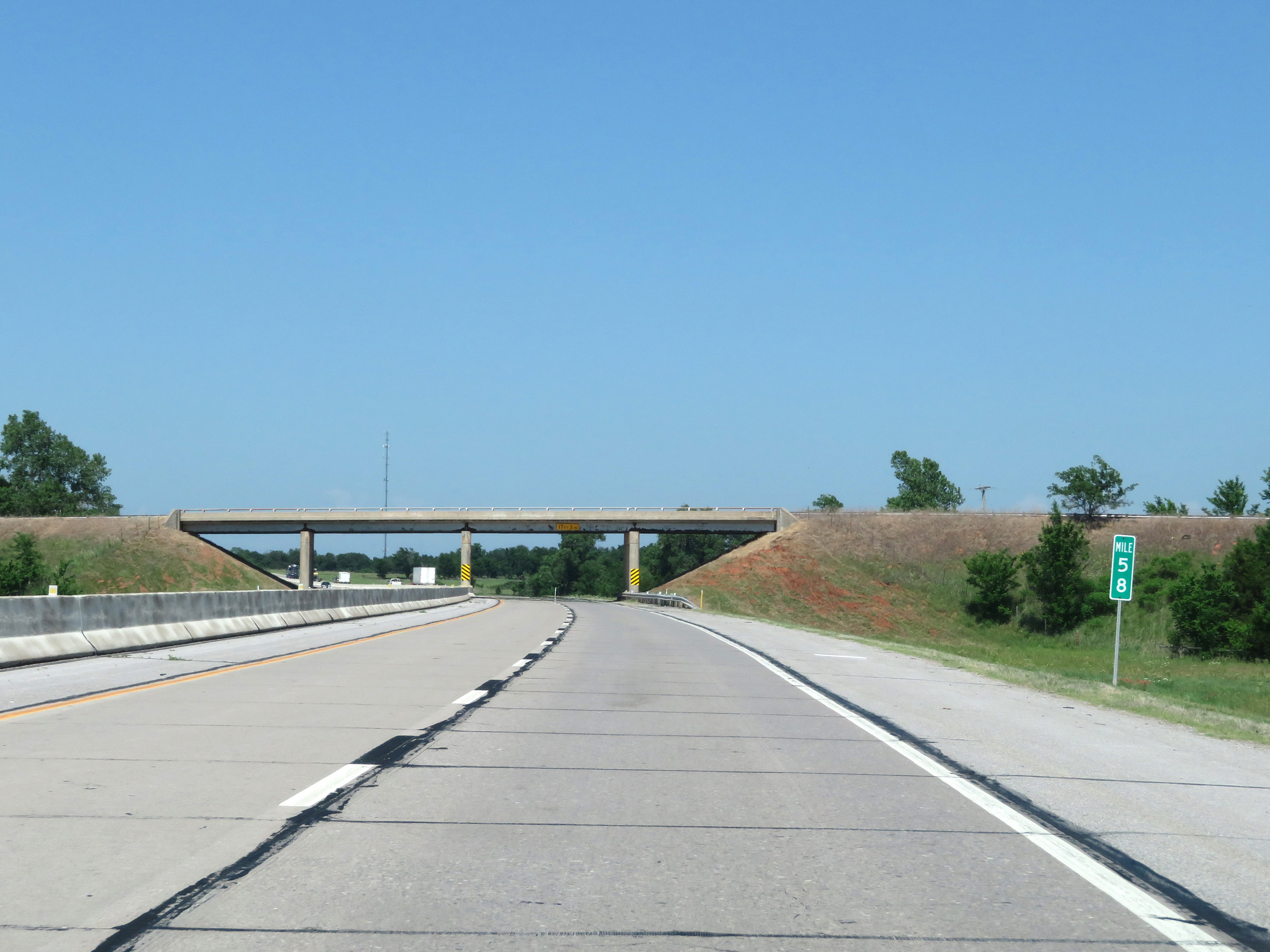 |
Interstate 44 East (H.E. Bailey Turnpike) at mile marker 58. (Photo taken 5/18/18). |
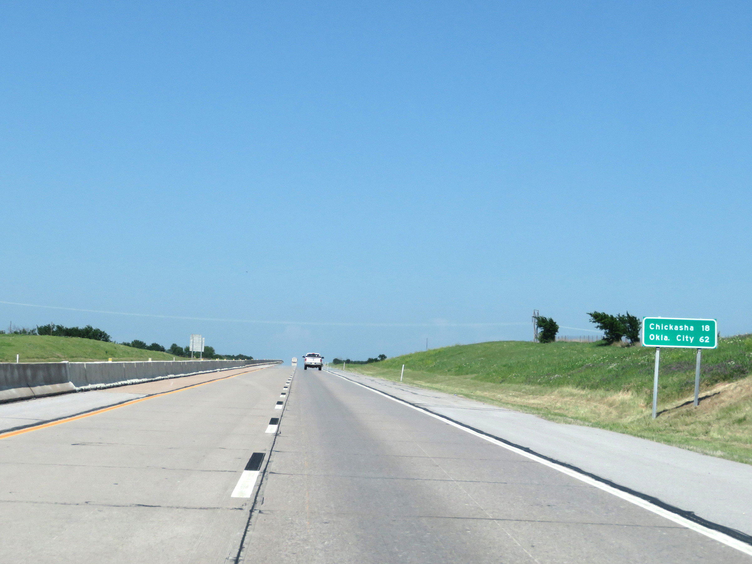 |
Another mileage sign on Interstate 44 East (H.E. Bailey Turnpike). It's 18 miles to Chickasha and 62 miles to Oklahoma City. (Photo taken 5/18/18). |
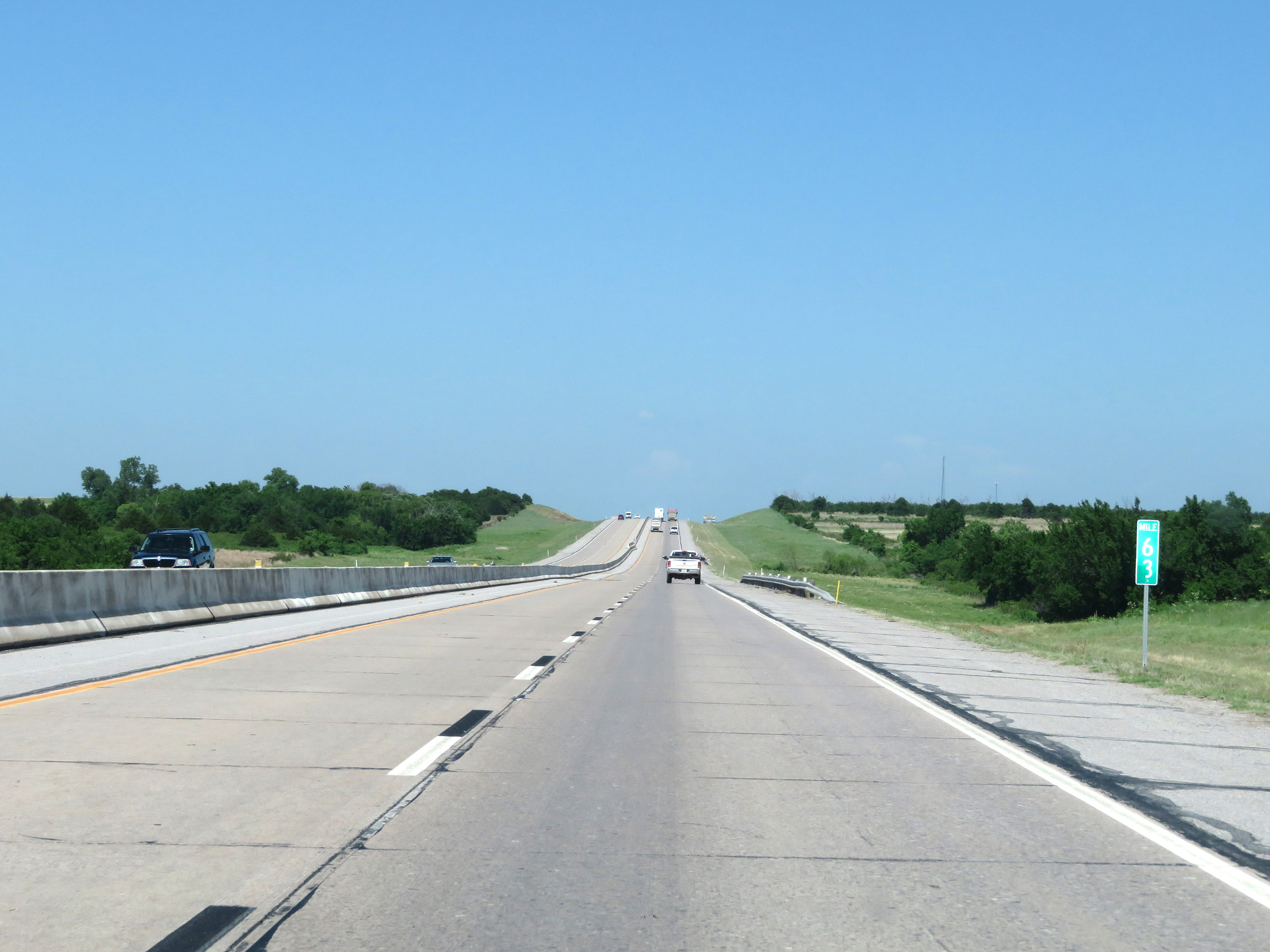 |
View on Interstate 44 East (H.E. Bailey Turnpike) at mile marker 63. (Photo taken 5/18/18). |
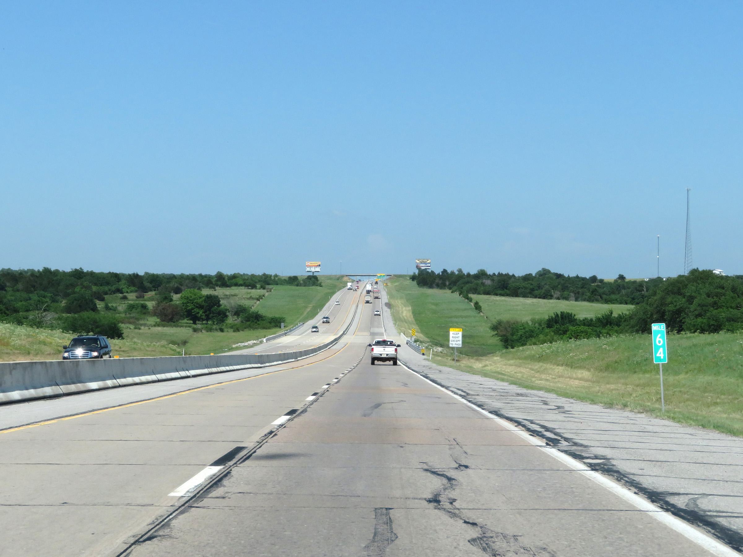 |
Interstate 44 East (H.E. Bailey Turnpike) at mile marker 64. (Photo taken 5/18/18). |
 |
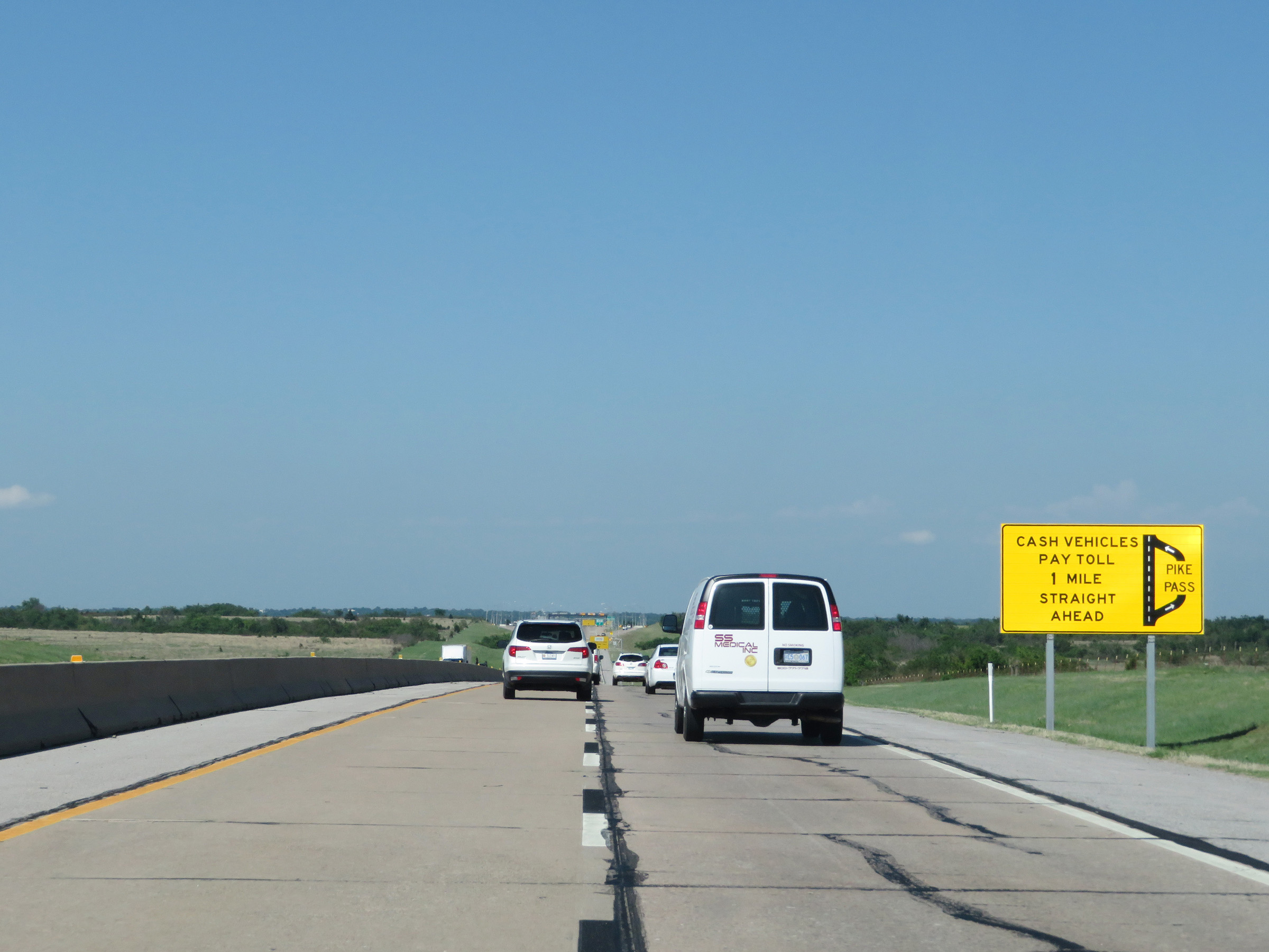
The first of two toll plazas on the eastern segment of the H.E. Bailey Turnpike, the Chicksaha toll plaza, is 1 mile ahead. PikePass users should use the left lane and cash customers should use the right lane. (Photo taken 5/18/18). |
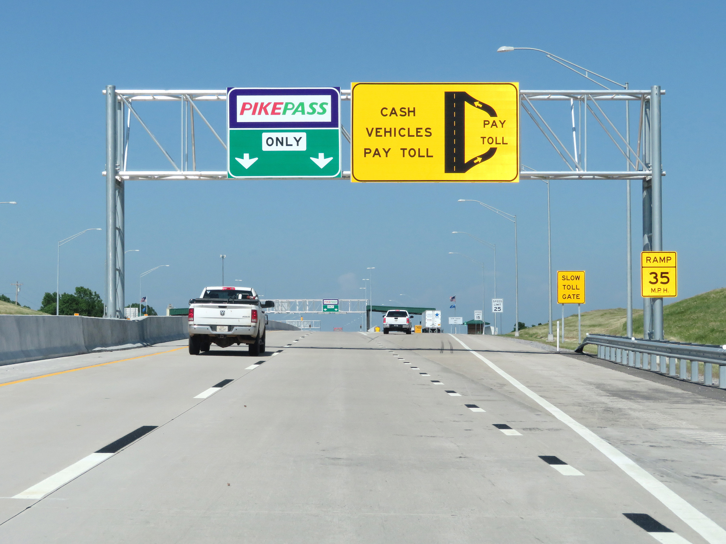 |
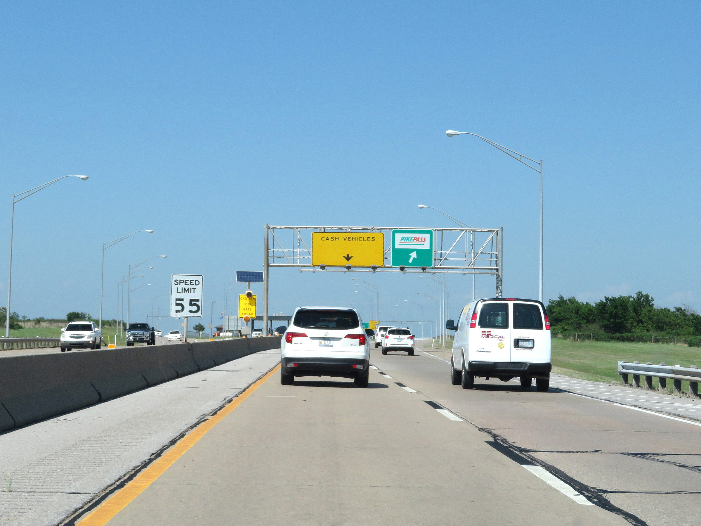
Interstate 44 East (H.E. Bailey Turnpike) at the ramp to the Chickasha toll plaza. PikePass holders can stay straight ahead and pay electronically without stopping. (Photo taken 5/18/18). |
 |
A closer view of the ramp to the Chickasha toll plaza. The speed limit on the ramp decreases to 25 mph. (Photo taken 5/18/18). |
 |
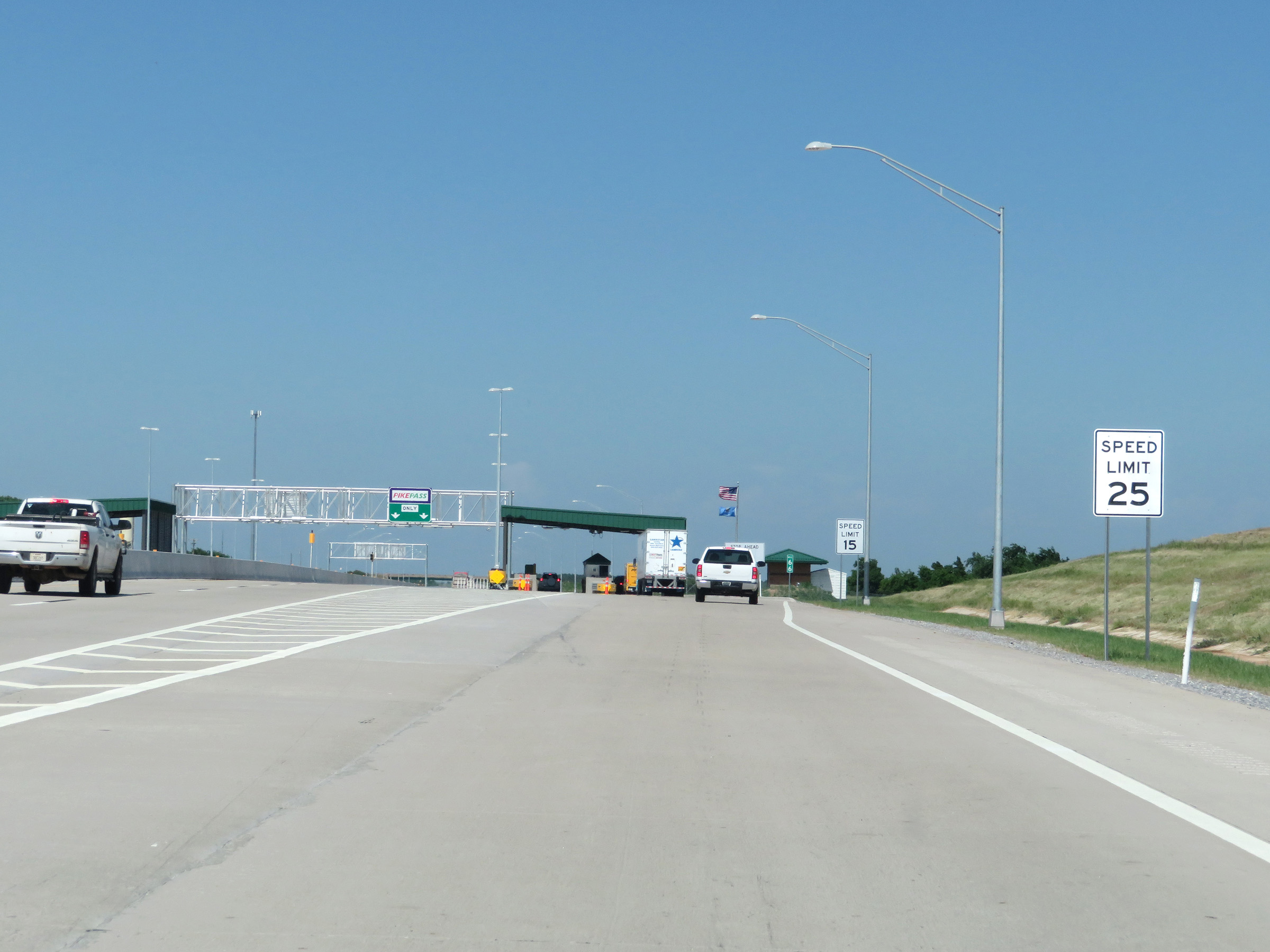
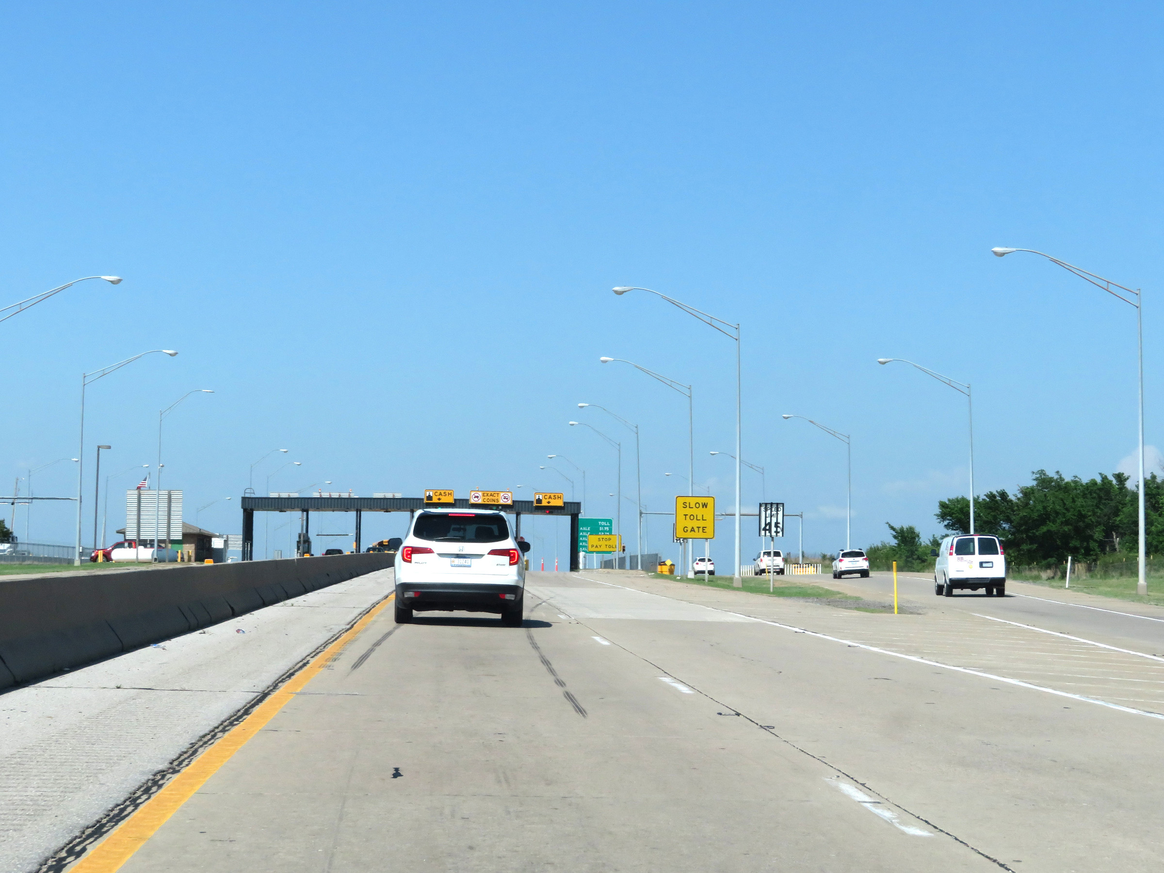
At mile marker 66, the speed limit decreases to 15 mph approaching the Chickasha toll plaza. (Photo taken 5/18/18). |
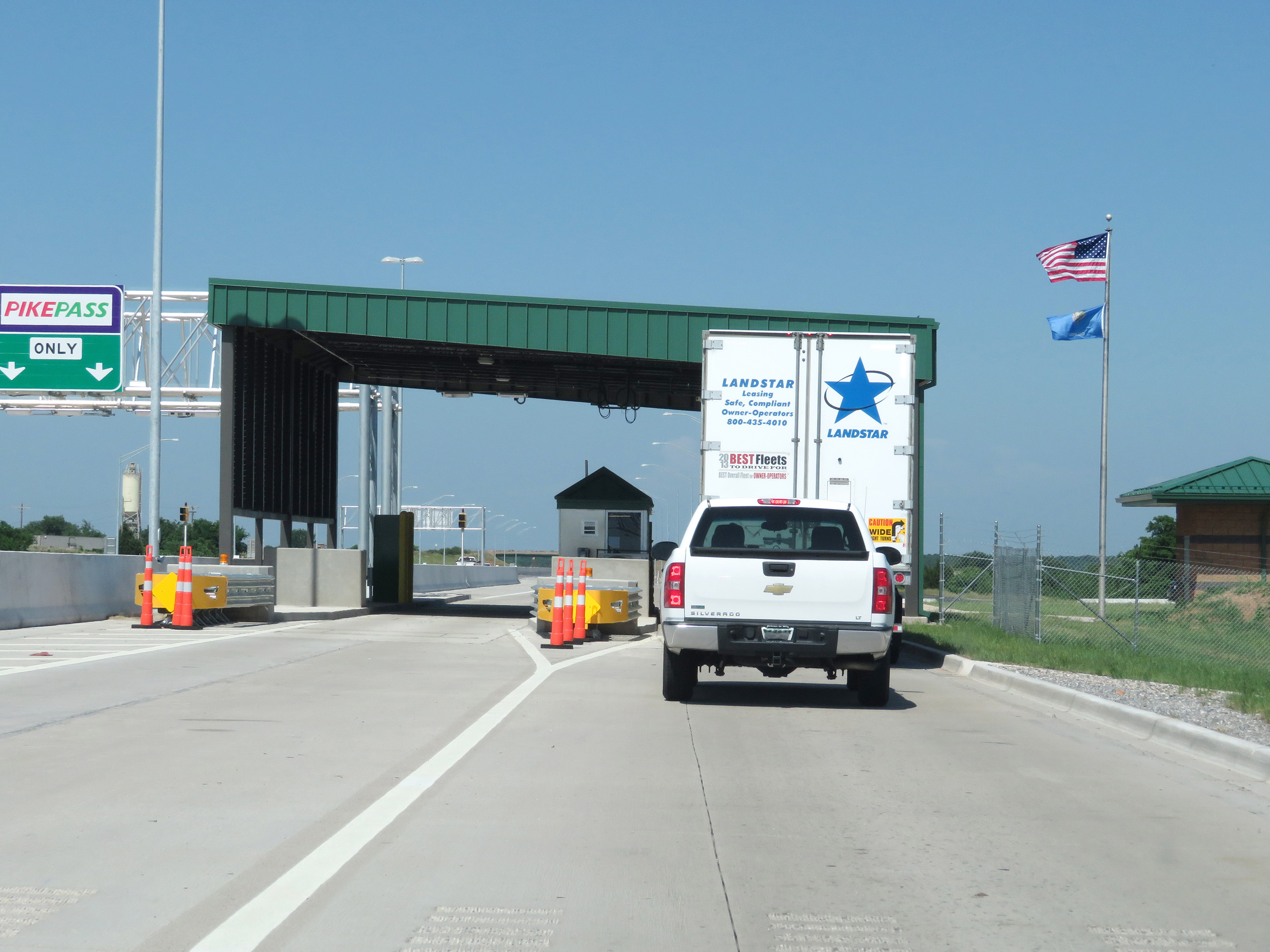 |
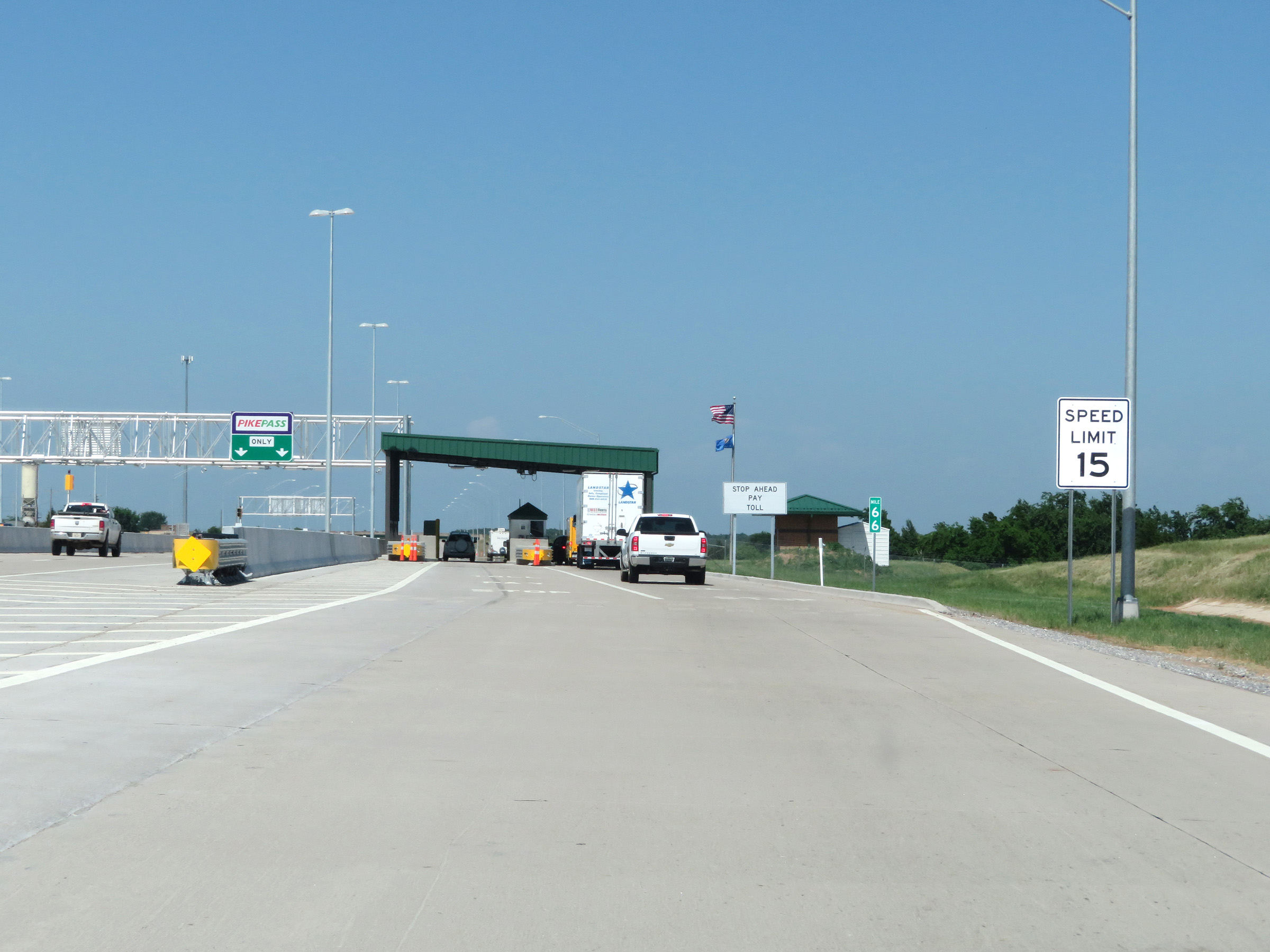
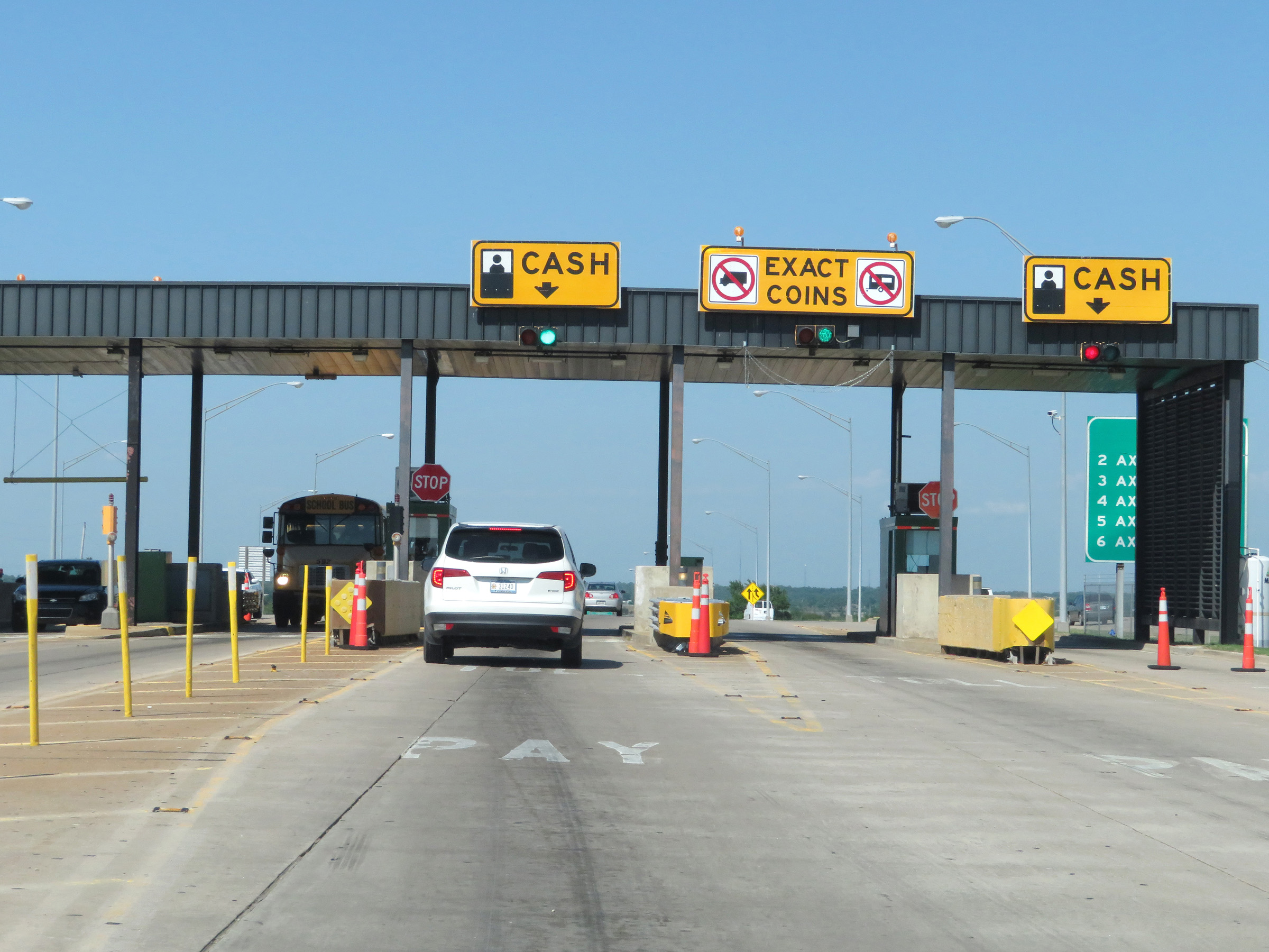
Interstate 44 East (H.E. Bailey Turnpike) at the Chickasha toll plaza. (Photo taken 5/18/18). |
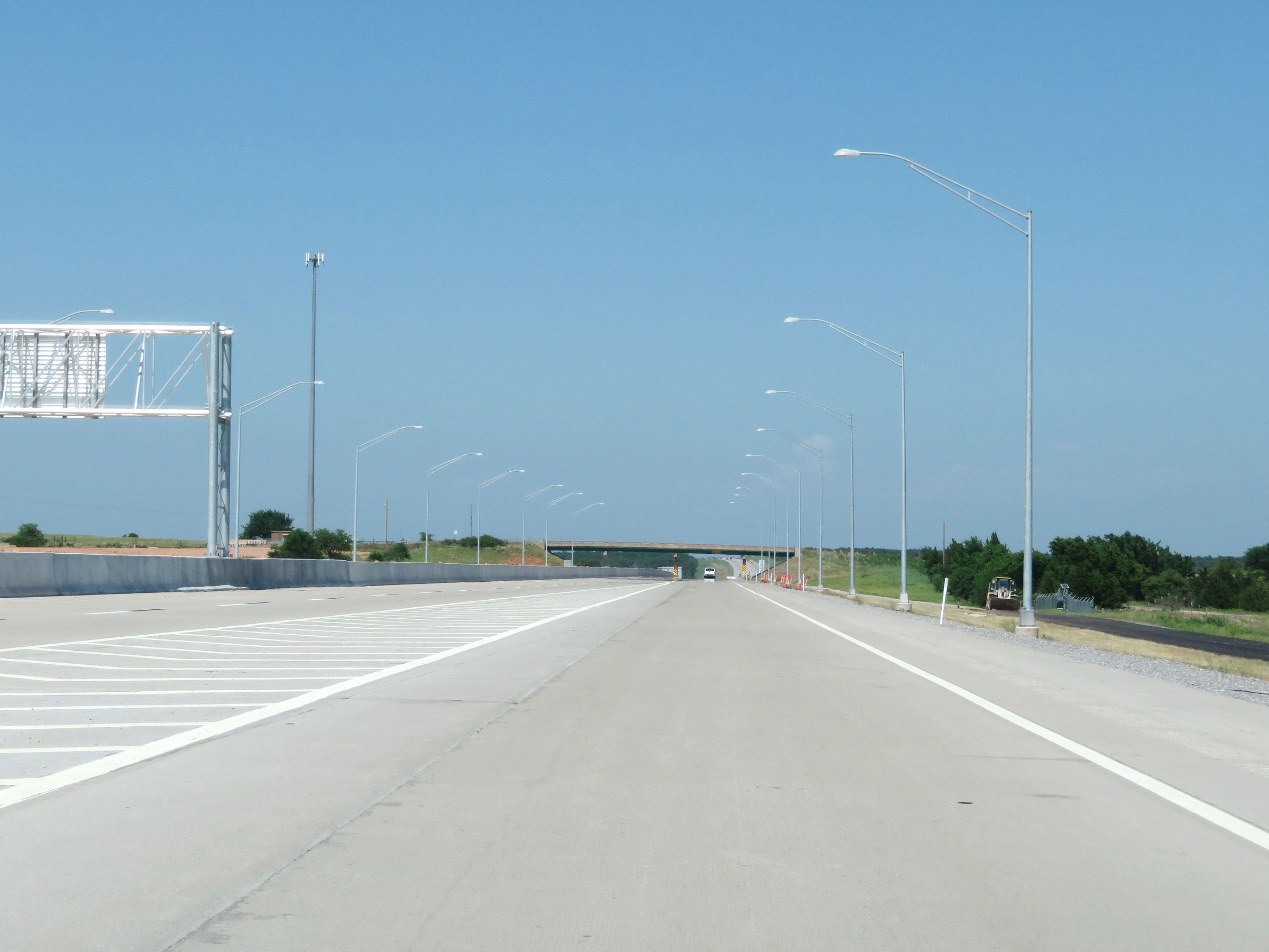 |
View leaving the Chickasha toll plaza on Interstate 44 East (H.E. Bailey Turnpike). (Photo taken 5/18/18). |
 |
The speed limits of 75 mph maximum and 50 mph minimum resume once again. (Photo taken 5/18/18). |
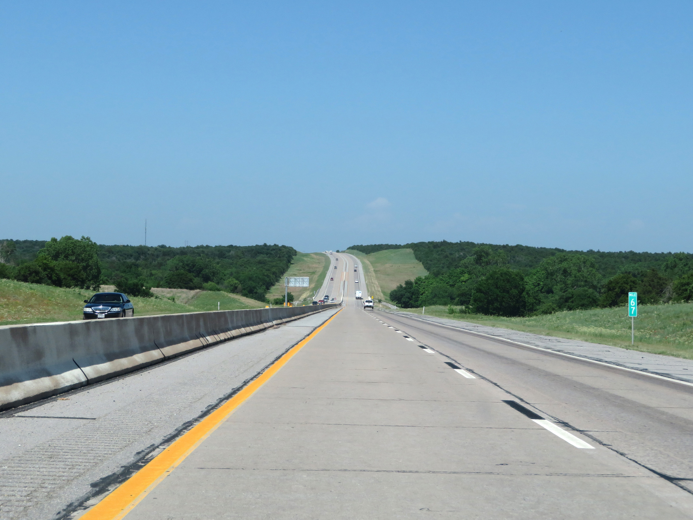 |
View on Interstate 44 East (H.E. Bailey Turnpike) at mile marker 67. (Photo taken 5/18/18). |
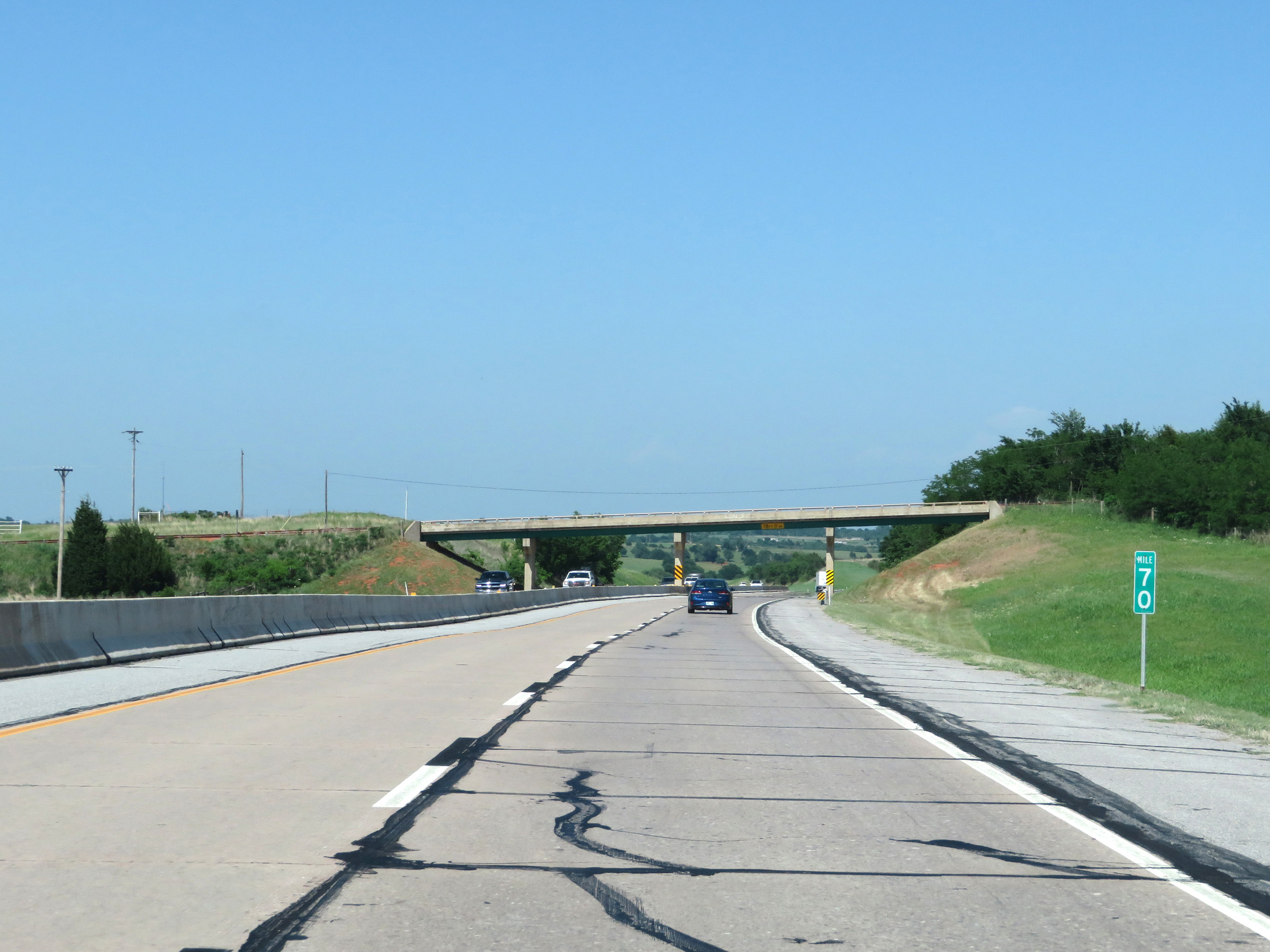 |
Interstate 44 East (H.E. Bailey Turnpike) at mile marker 70. (Photo taken 5/18/18). |
 |
Mile marker 72 on Interstate 44 East (H.E. Bailey Turnpike) in Grady County. (Photo taken 5/18/18). |
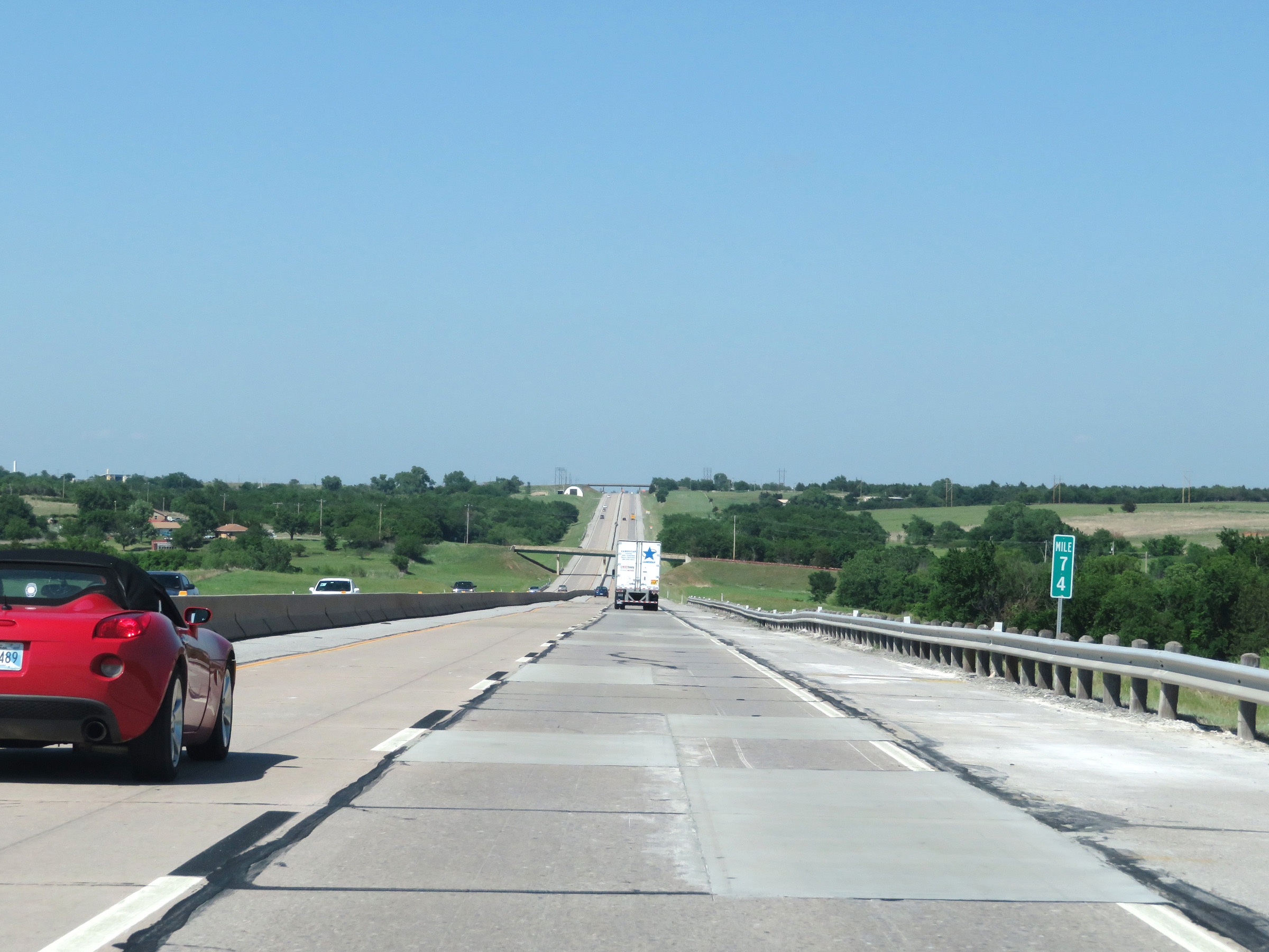 |
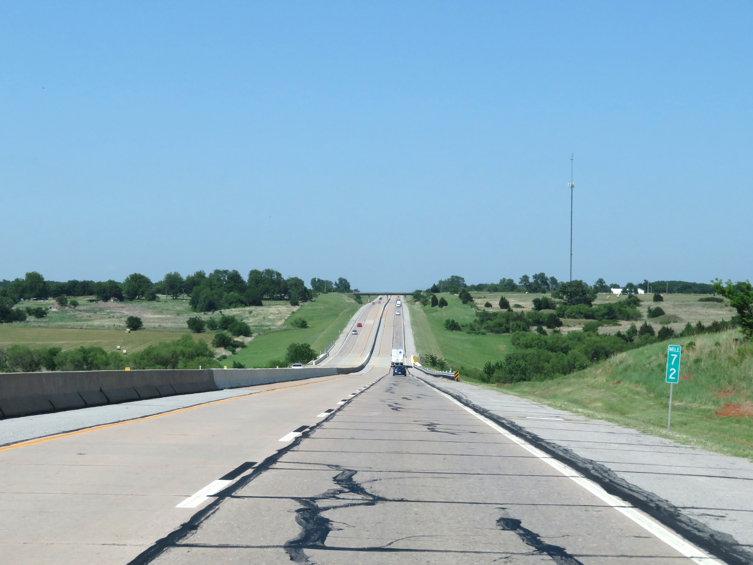
View on Interstate 44 East (H.E. Bailey Turnpike) at mile marker 74. (Photo taken 5/18/18). |
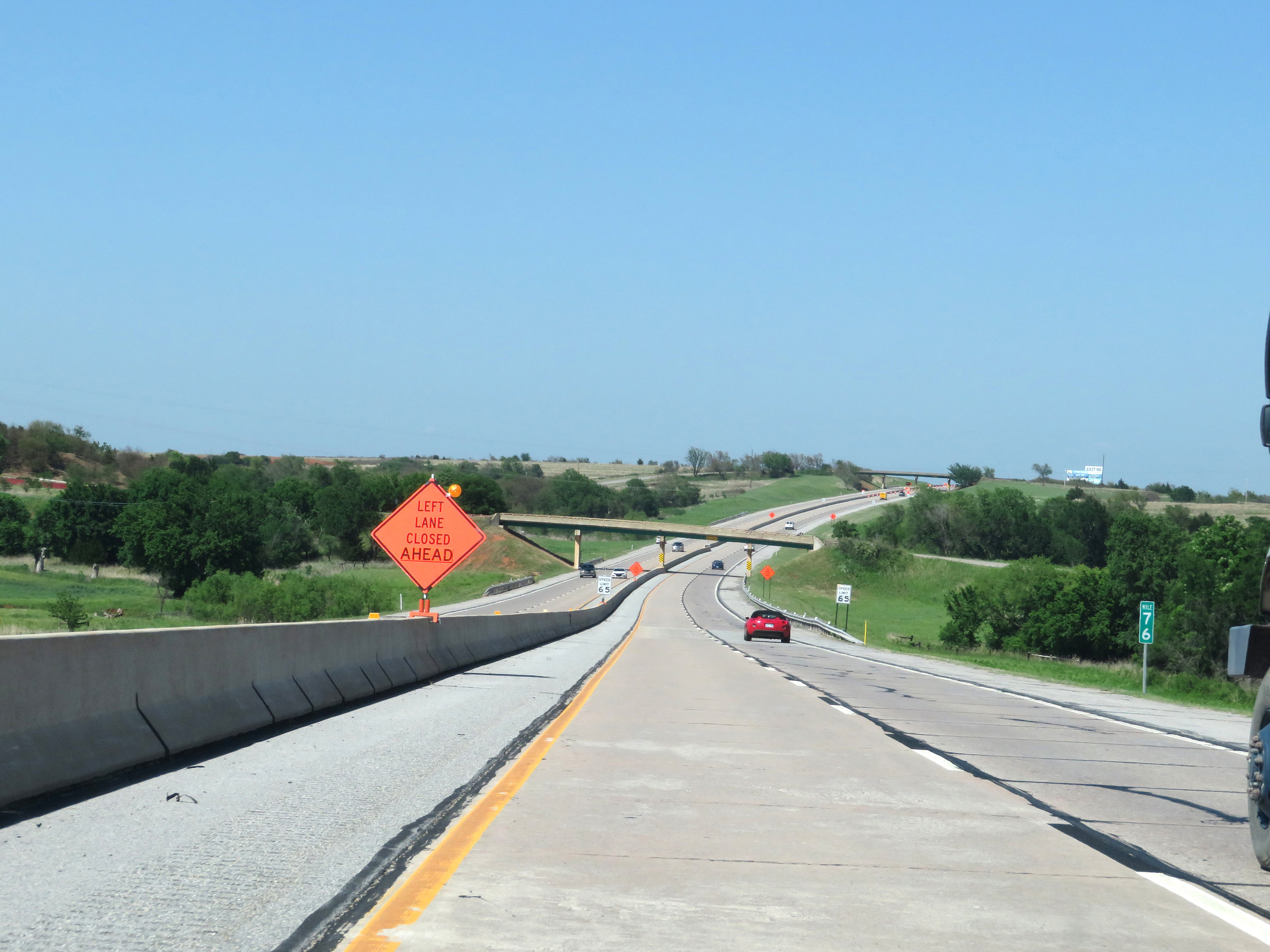 |
Interstate 44 East (H.E. Bailey Turnpike) at mile marker 76. (Photo taken 5/18/18). |
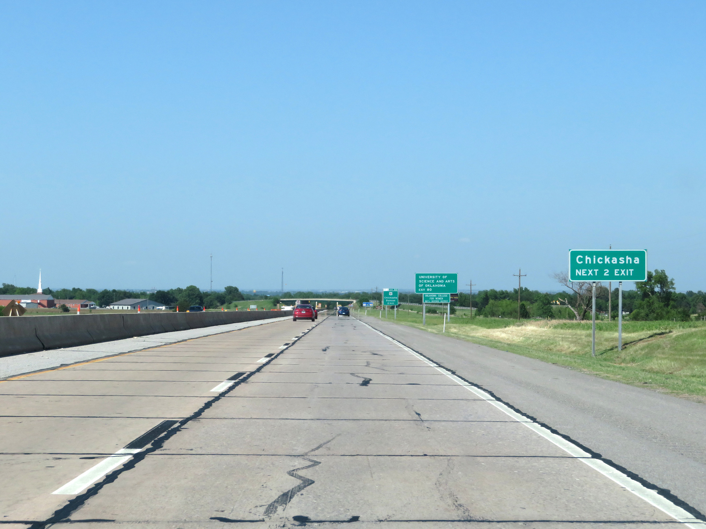 |
Take either of the next 2 exits to Chickasha. (Photo taken 5/18/18). |
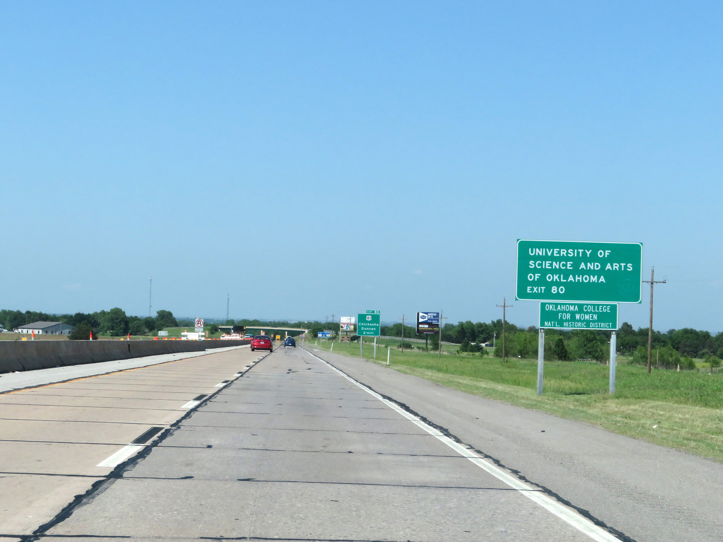 |
Take Exit 80 to the University of Science and Arts of Oklahoma. (Photo taken 5/18/18). |
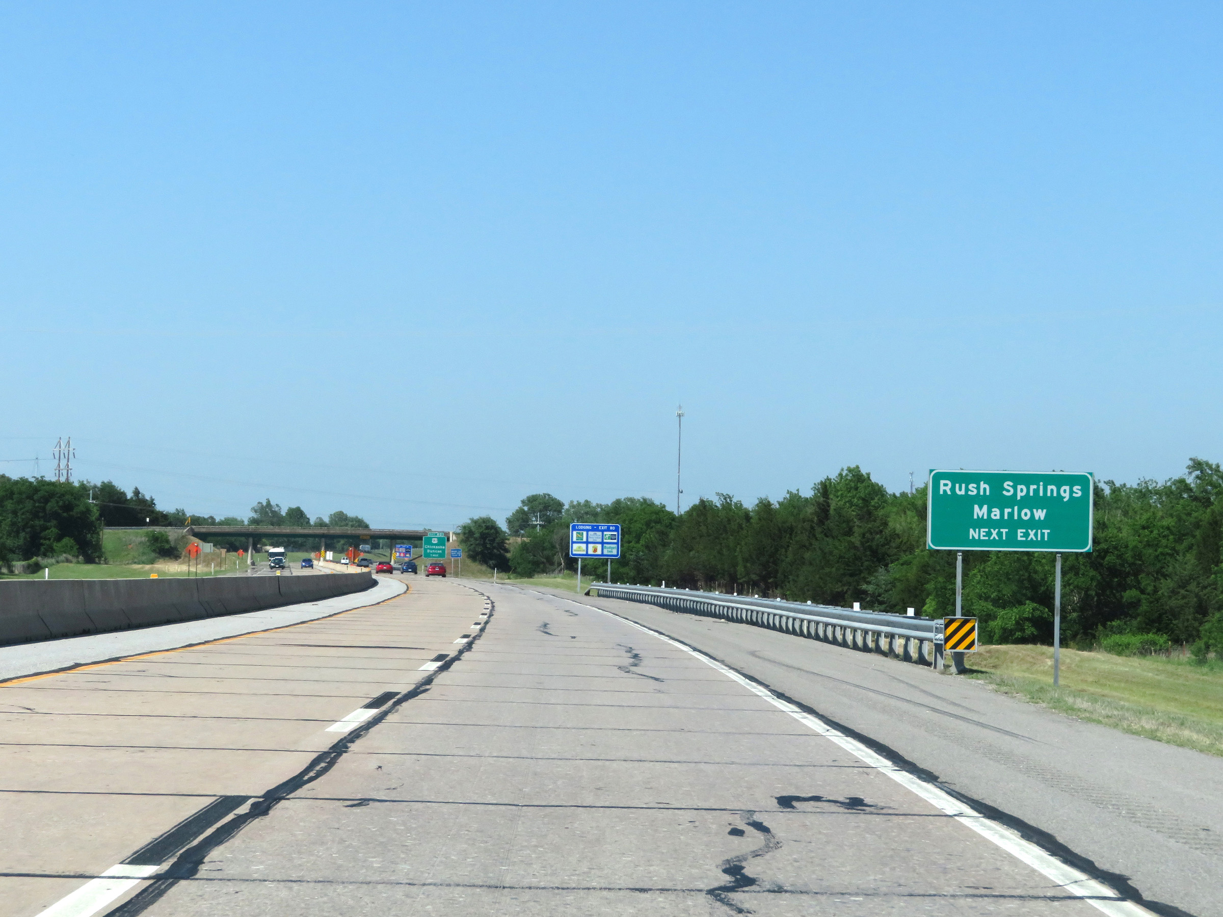 |
Also take Exit 80 to Rush Springs and Marlow. (Photo taken 5/18/18). |
 |
Interstate 44 East (H.E. Bailey Turnpike) approaching Exit 80 - 1 mile. (Photo taken 5/18/18). |
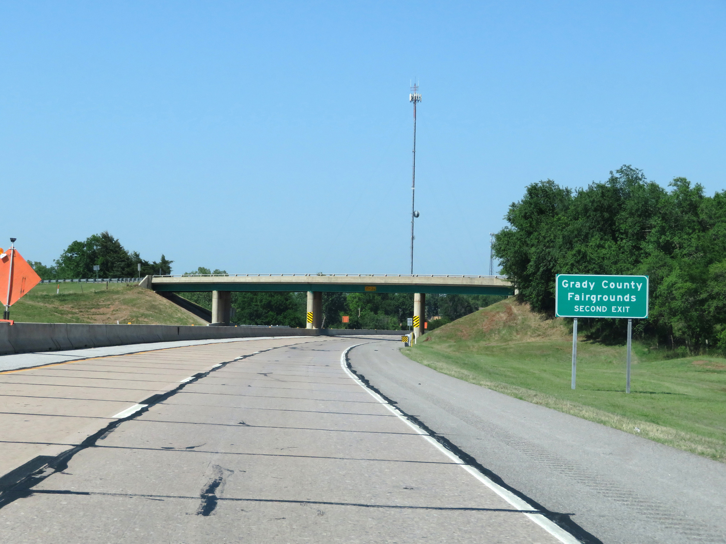 |
Take Exit 83 to the Grady County Fairgrounds. (Photo taken 5/18/18). |
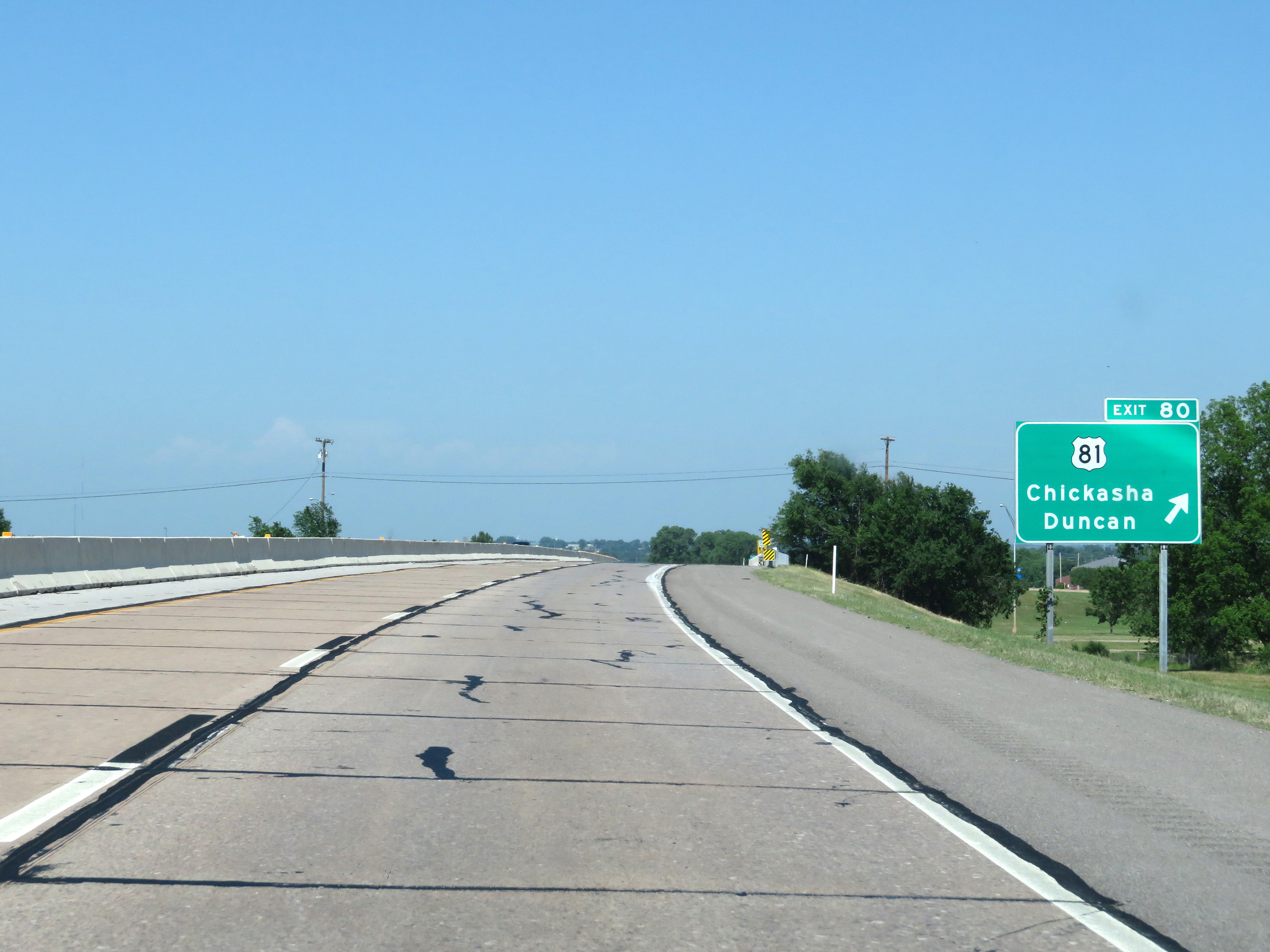 |
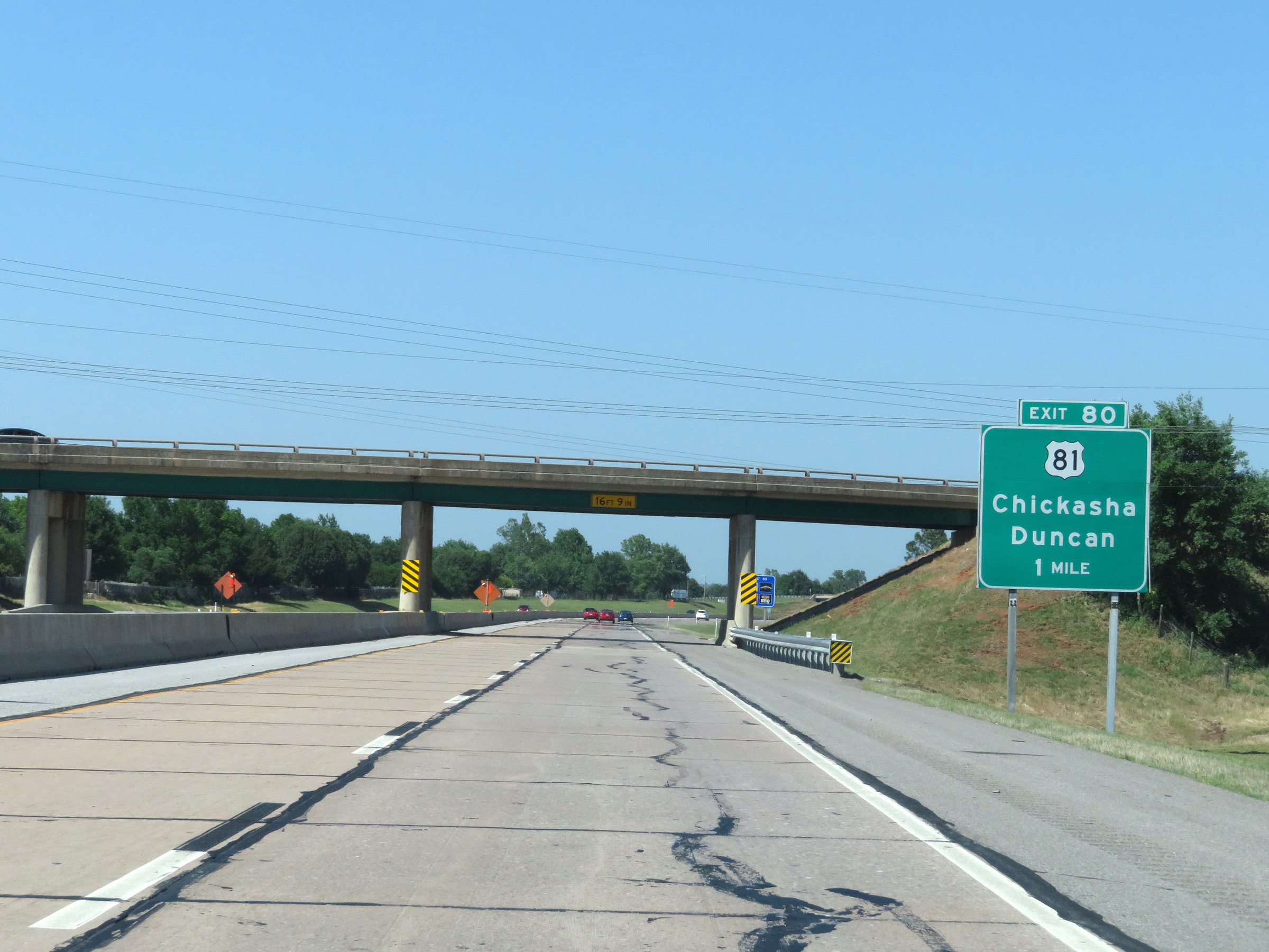
Interstate 44 East (H.E. Bailey Turnpike) at Exit 80: US 81 - Chickasha / Duncan (Photo taken 5/18/18). |
 |
Another state-named Interstate 44 East reassurance shield on the eastern segment of the H.E. Bailey Turnpike in Chickasha. (Photo taken 5/18/18). |
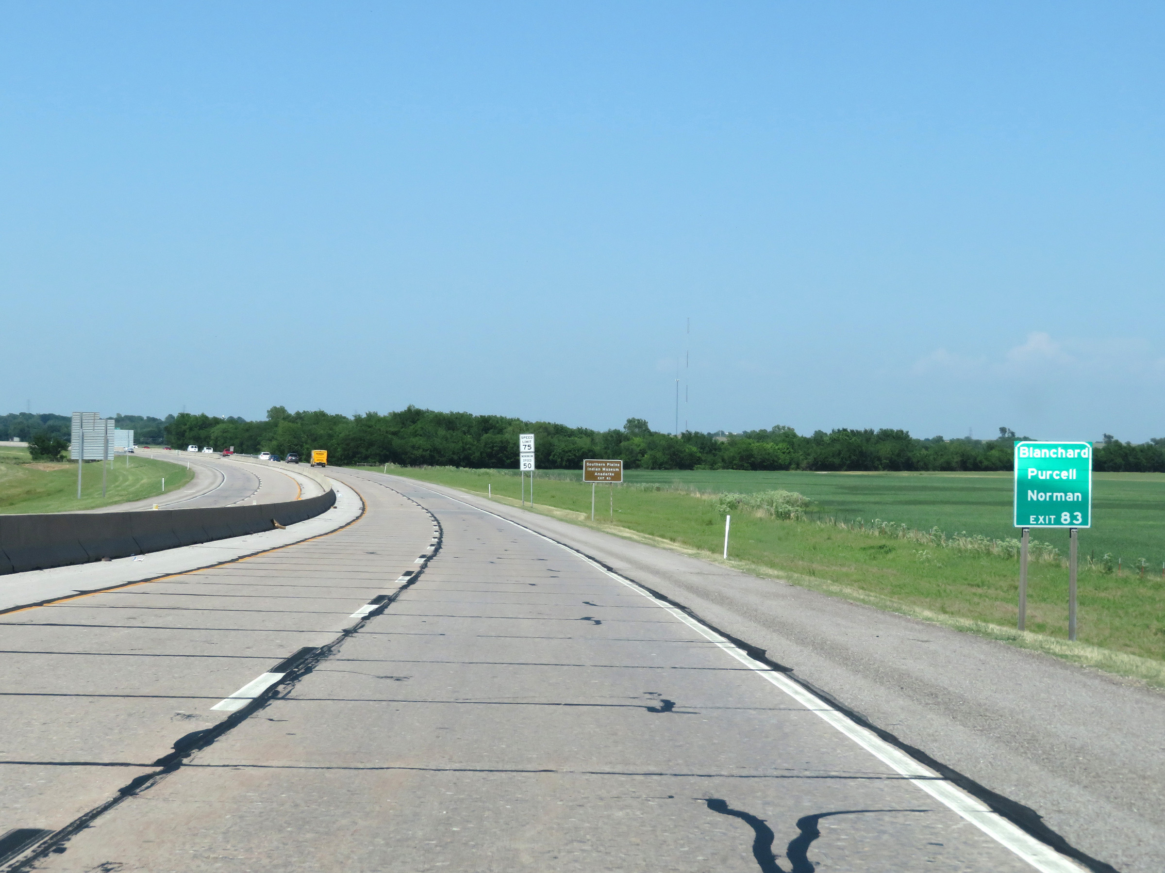 |
Take Exit 83 to Blanchard, Purcell, and Norman. (Photo taken 5/18/18). |
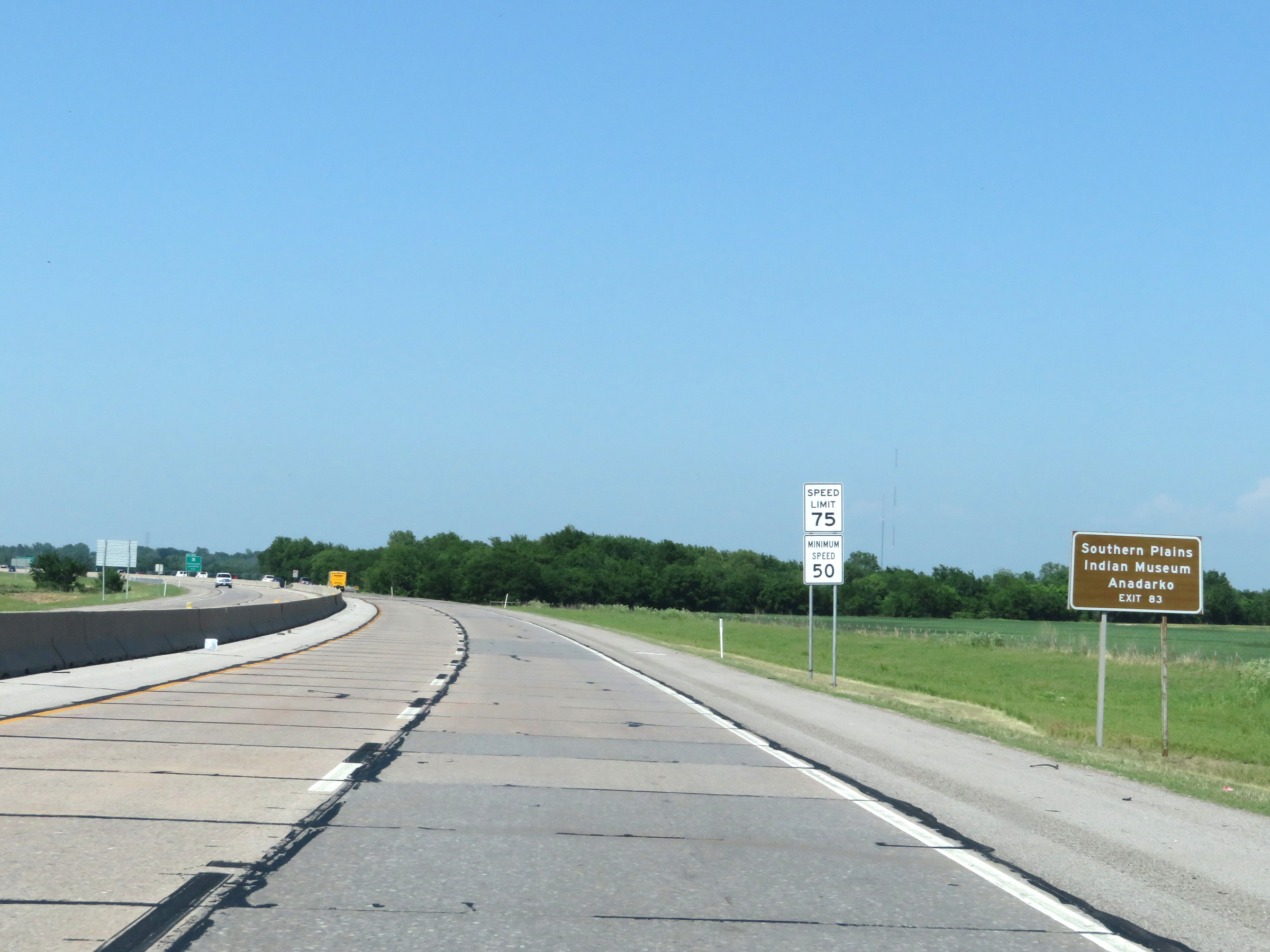 |
Also take Exit 83 to the Southern Plains Indian Museum in Anadarko. (Photo taken 5/18/18). |
 |
Interstate 44 East (H.E. Bailey Turnpike) approaching Exit 83 - 1 mile. (Photo taken 5/18/18). |
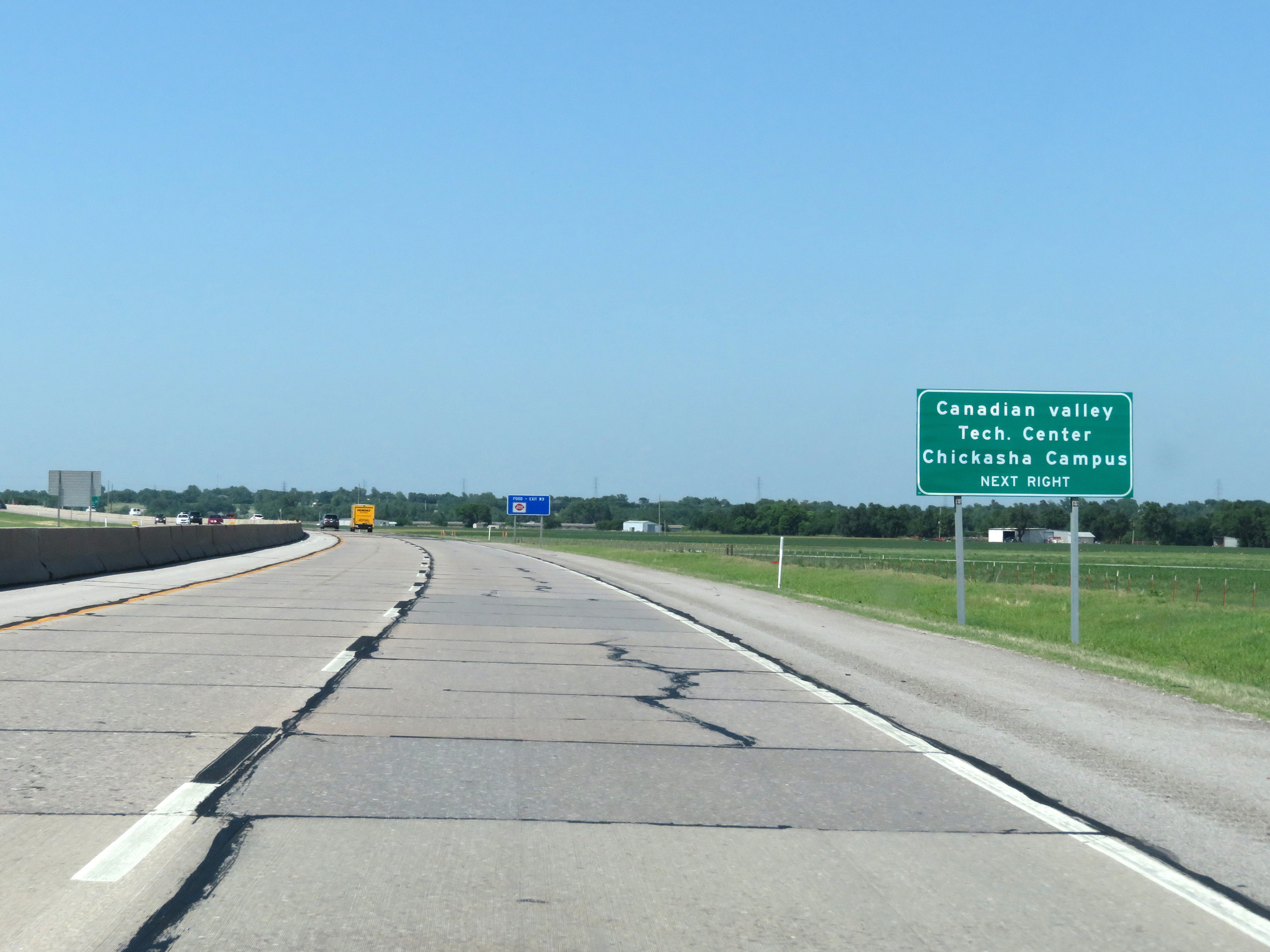 |
Take Exit 83 to Canadian Valley Tech Center Chickasha Campus as well. (Photo taken 5/18/18). |
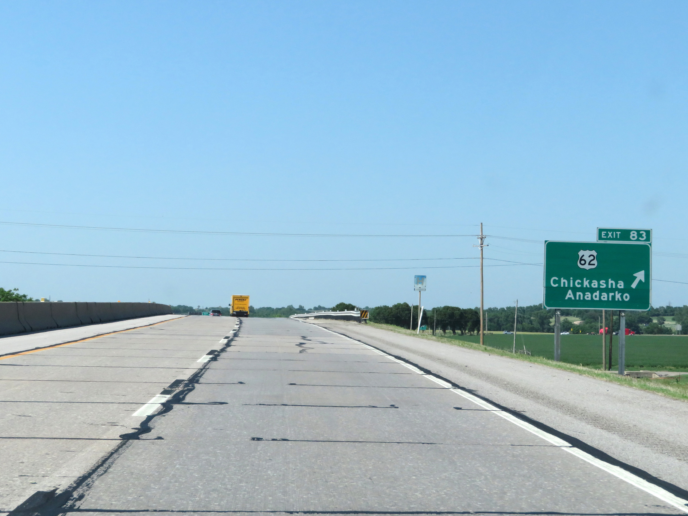 |
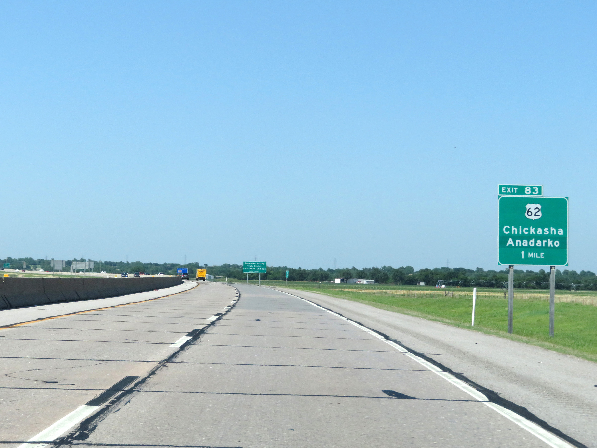
Interstate 44 East (H.E. Bailey Turnpike) at Exit 83: US 62 - Chickasha / Anadarko (Photo taken 5/18/18). |
 |
Oklahoma City now lies 40 miles ahead. (Photo taken 5/18/18). |
 |
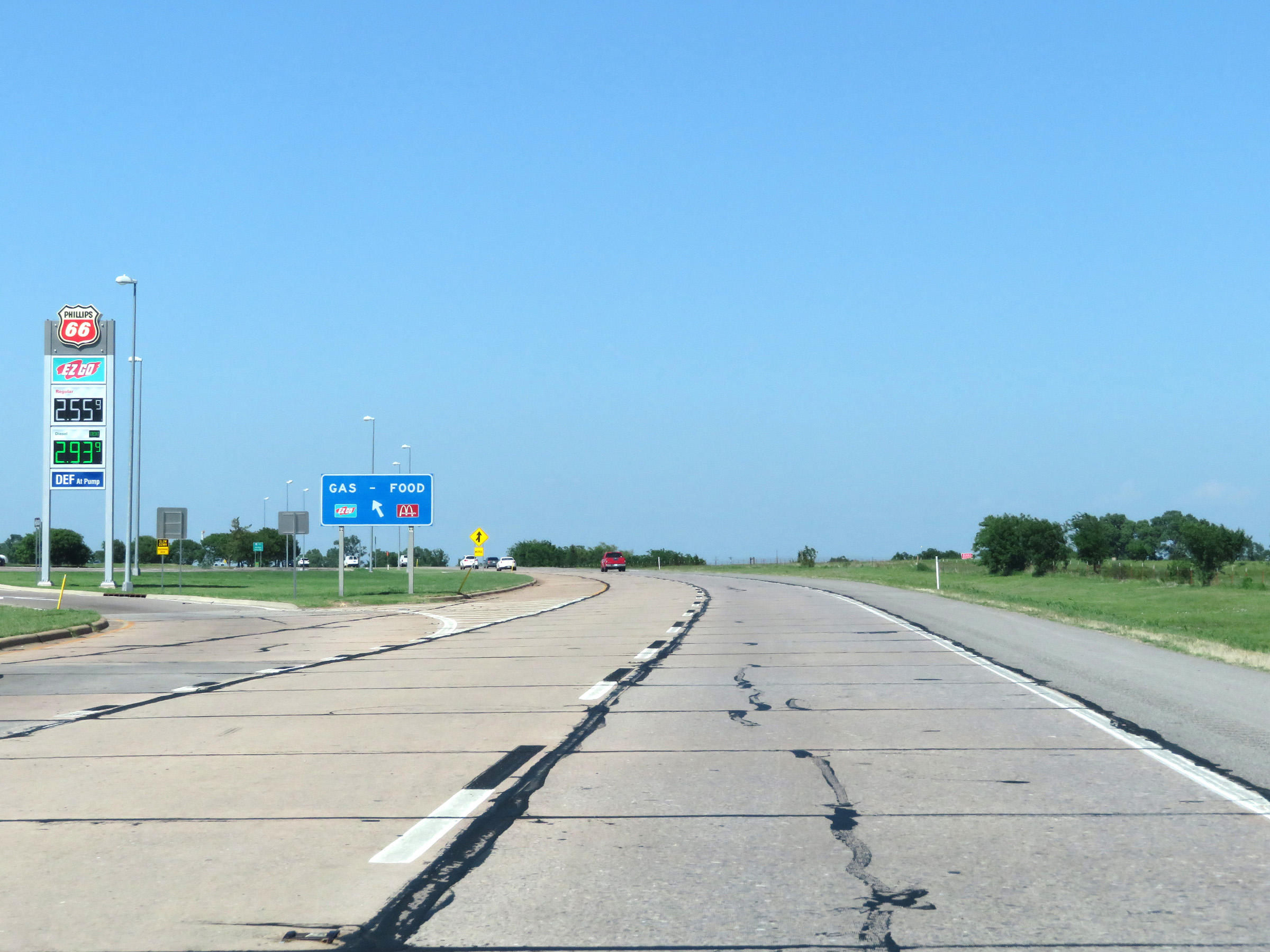
Interstate 44 East (H.E. Bailey Turnpike) approaching the Chickasha Service Plaza - 1 mile on the left. (Photo taken 5/18/18). |
 |
Interstate 44 East (H.E. Bailey Turnpike) at the Chickasha Service Plaza. (Photo taken 5/18/18). |
 |
State-named Interstate 44 East reassurance shield. (Photo taken 5/18/18). |
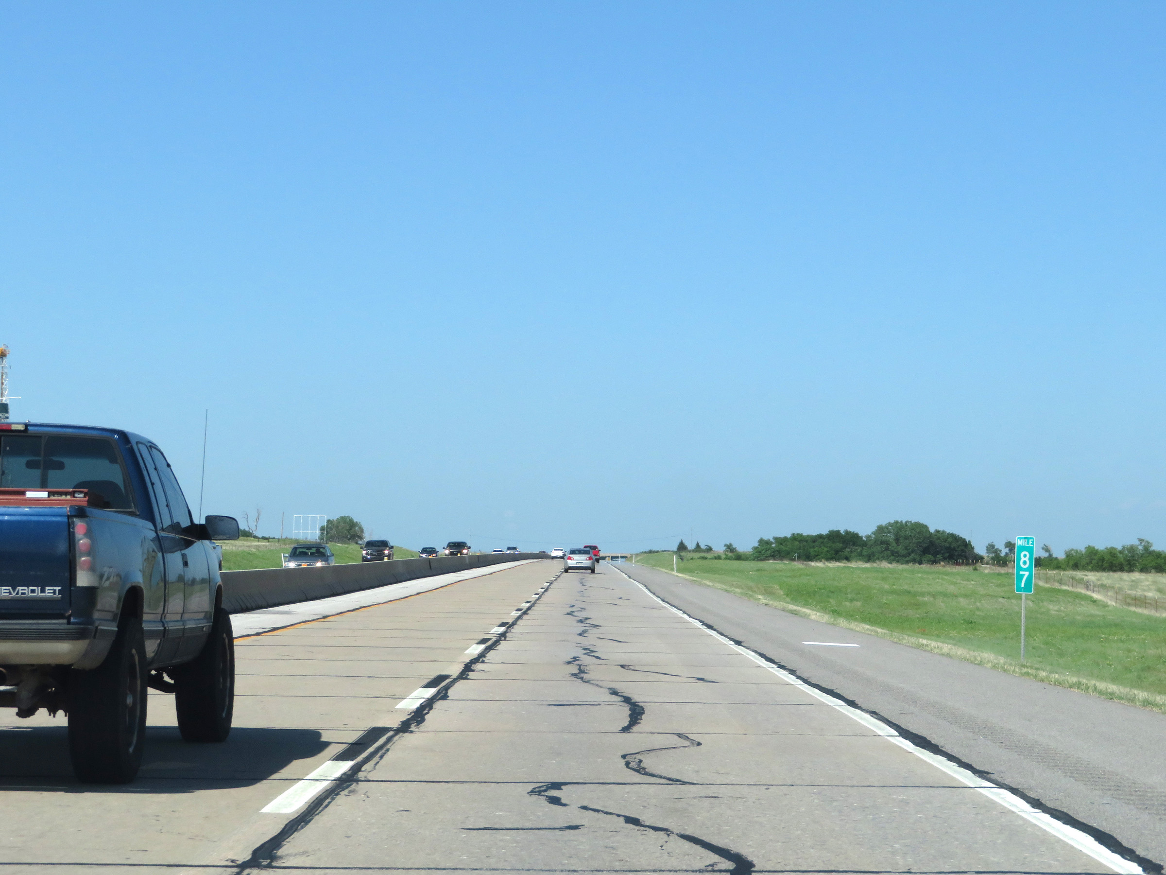 |
Mile marker 87 on Interstate 44 East (H.E. Bailey Turnpike) in Grady County. (Photo taken 5/18/18). |
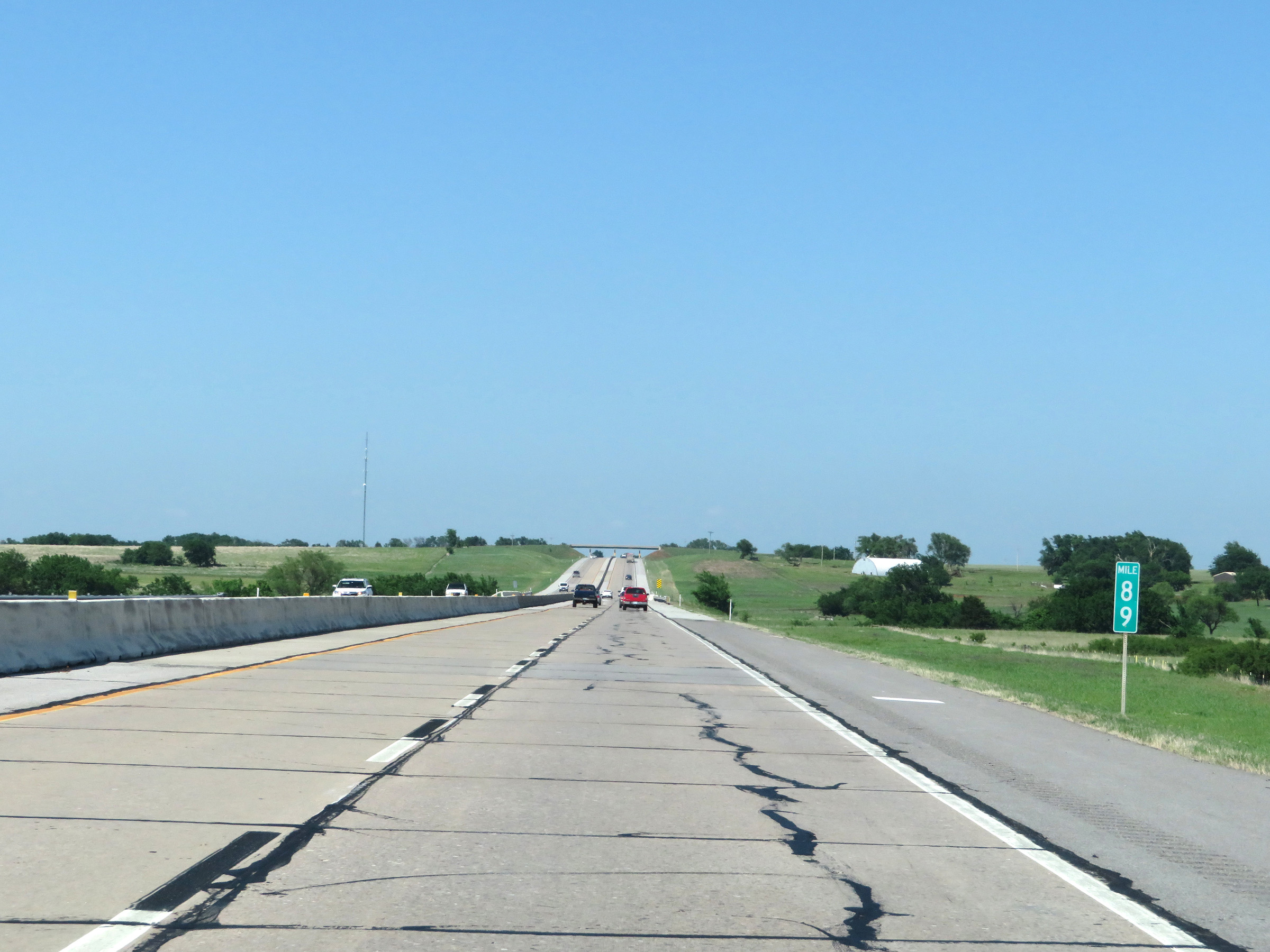 |
View on Interstate 44 East (H.E. Bailey Turnpike) at mile marker 89. (Photo taken 5/18/18). |
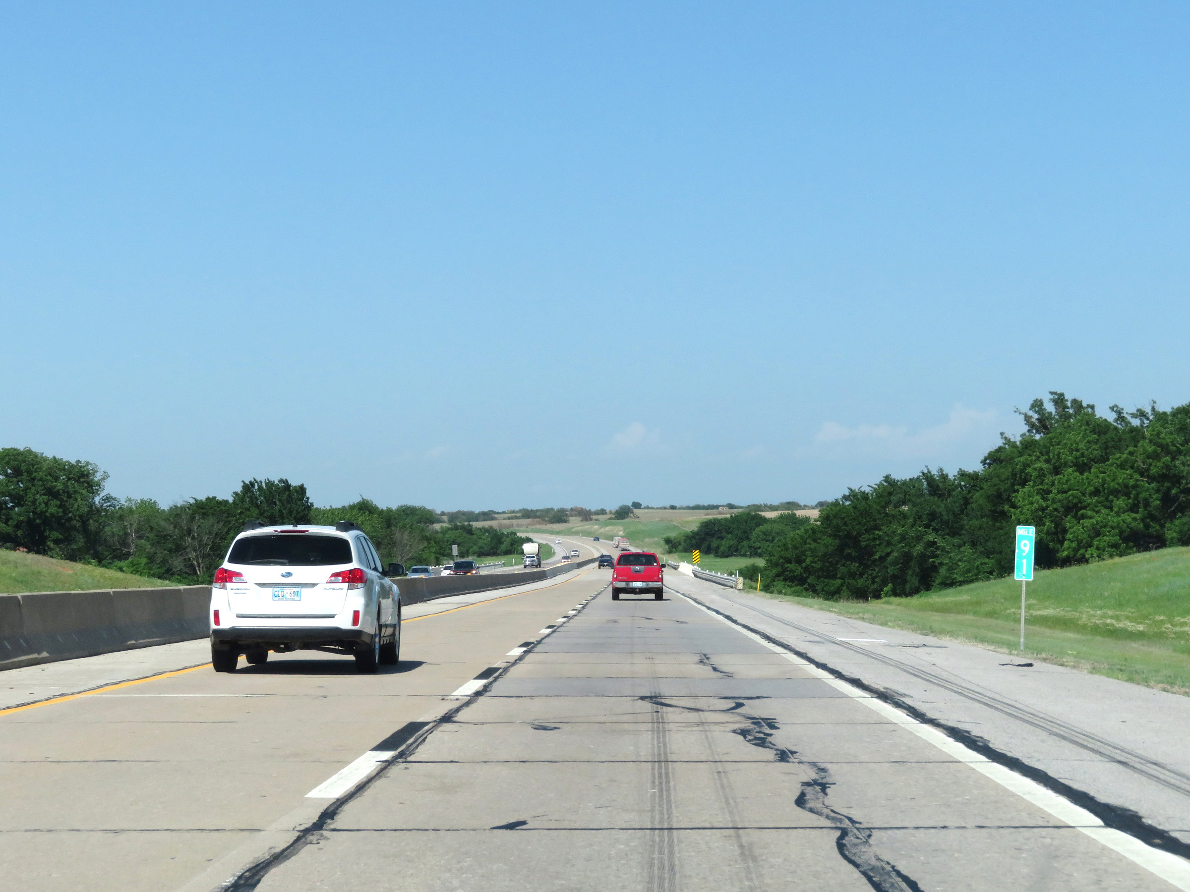 |
Interstate 44 East (H.E. Bailey Turnpike) at mile marker 91. (Photo taken 5/18/18). |
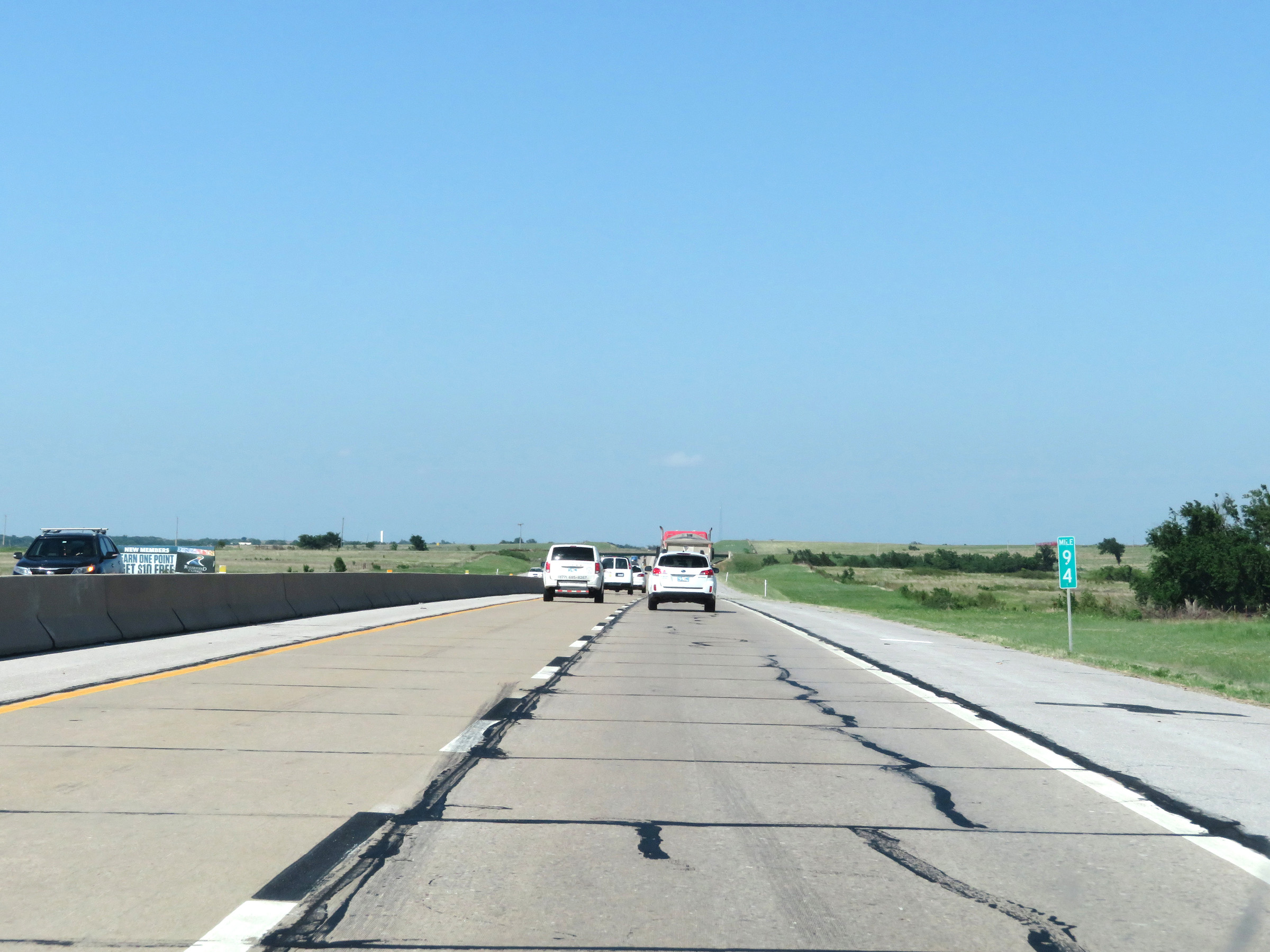 |
Mile marker 94 on Interstate 44 East (H.E. Bailey Turnpike) in Grady County. (Photo taken 5/18/18). |
 |
Interstate 44 East (H.E. Bailey Turnpike) approaching the second and final toll plaza on its eastern segment, which is the Newcastle toll plaza - 1 mile ahead. The layout of this toll plaza is the opposite of the previous two - PikePass users will need to keep to the right while cash customers will need to stay straight ahead. (Photo taken 5/18/18). |
 |
The speed limit decreases to 55 mph on Interstate 44 East (H.E. Bailey Turnpike) approaching the ramp to the PikePass express lane. Again, the layout of this plaza is the opposite of the previous two. Cash customers must use the left lane to get to the toll plaza while PikePass customers must use the right lane. (Photo taken 5/18/18). |
 |
A closer view of the ramp to the electronic toll gantry in the PikePass express lane on the right. (Photo taken 5/18/18). |
 |
Interstate 44 East (H.E. Bailey Turnpike) at the Newcastle toll plaza. (Photo taken 5/18/18). |
 |
View leaving the Newcastle toll plaza on Interstate 44 East (H.E. Bailey Turnpike). (Photo taken 5/18/18). |
 |
Interstate 44 East (H.E. Bailey Turnpike) approaching the unnumbered exit to the H.E. Bailey Spur - 1 mile. (Photo taken 5/18/18). |
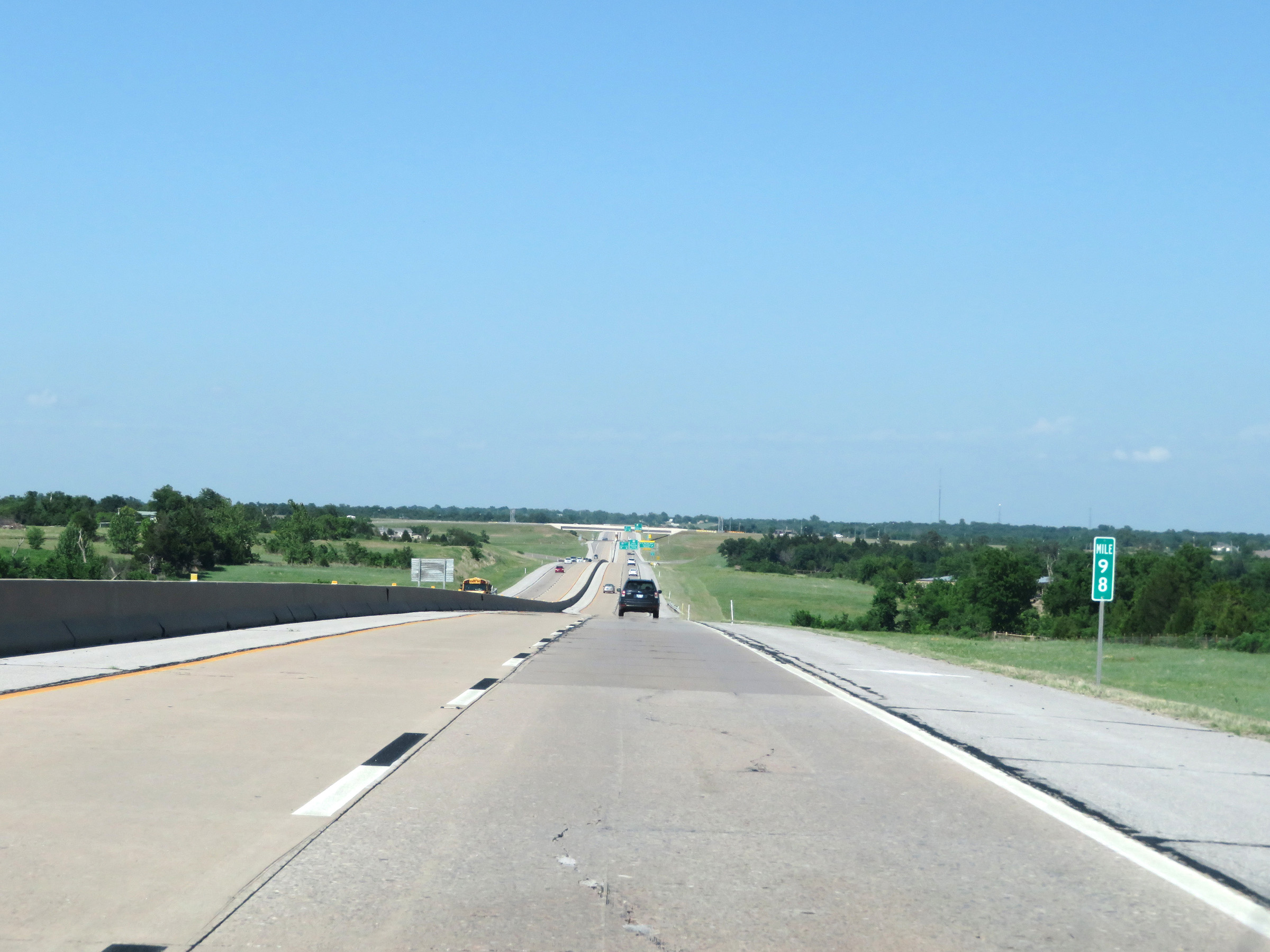 |
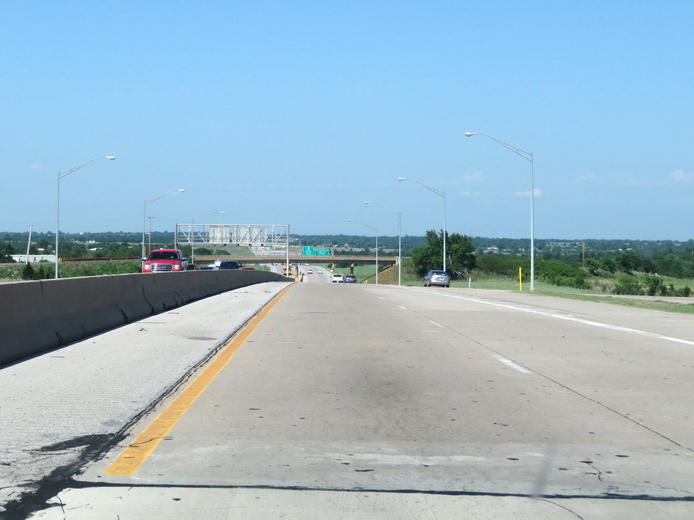
View on Interstate 44 East (H.E. Bailey Turnpike) at mile marker 98. (Photo taken 5/18/18). |
 |
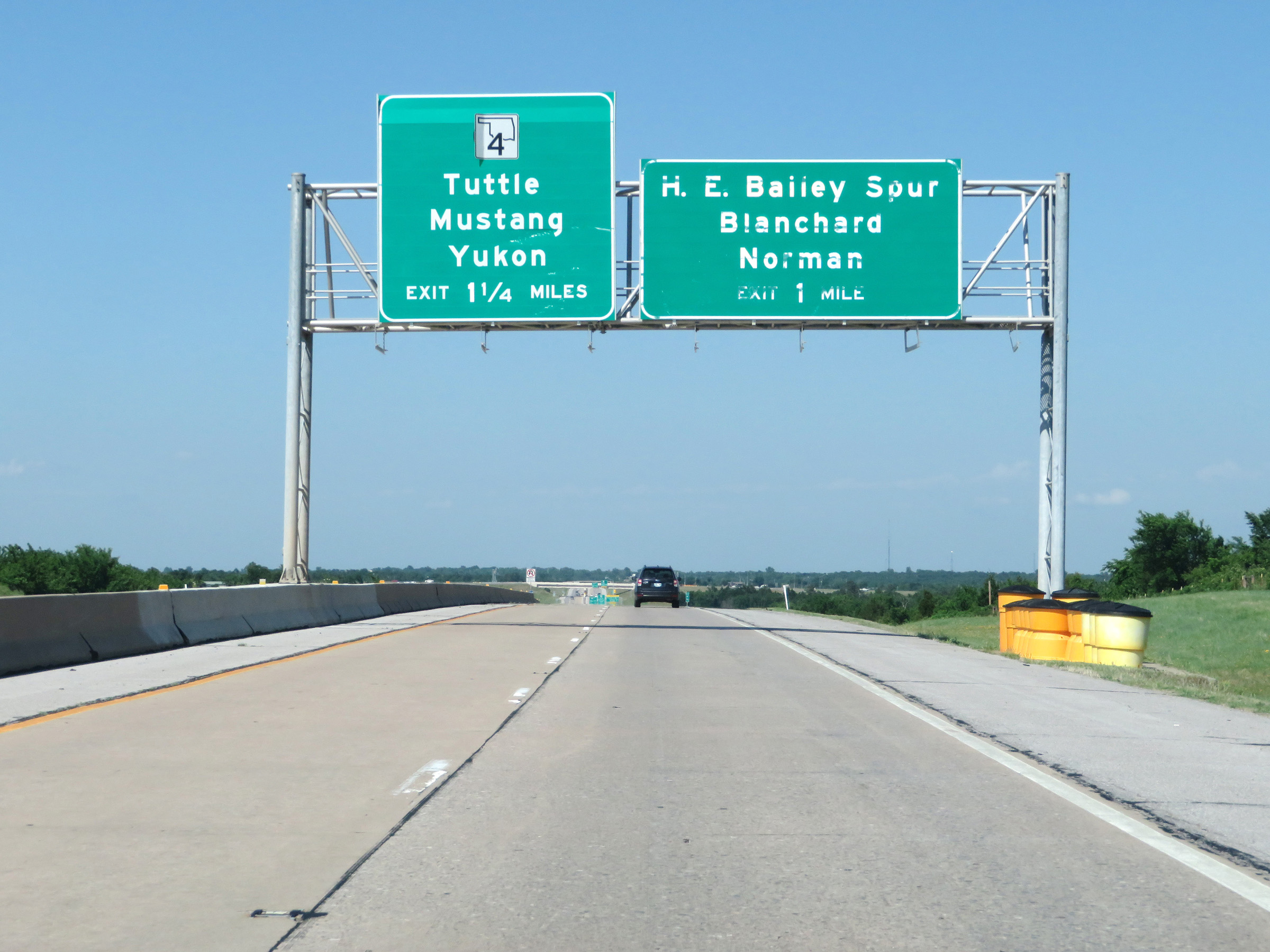
Interstate 44 East (H.E. Bailey Turnpike) at Exit: H.E. Bailey Spur - Blanchard / Norman (Photo taken 5/18/18). |
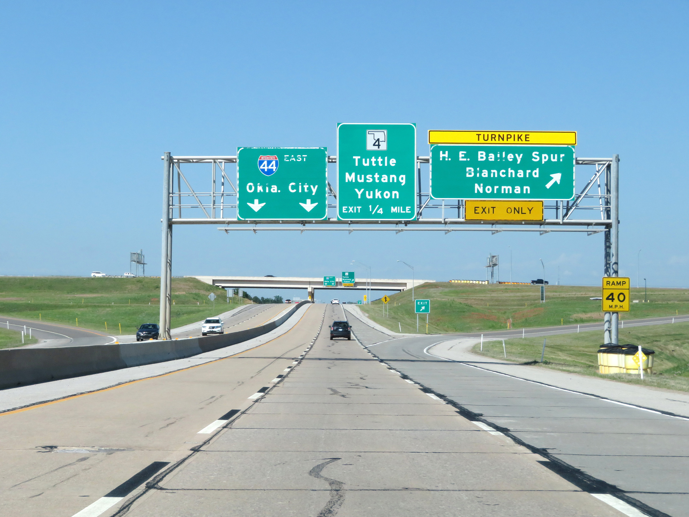
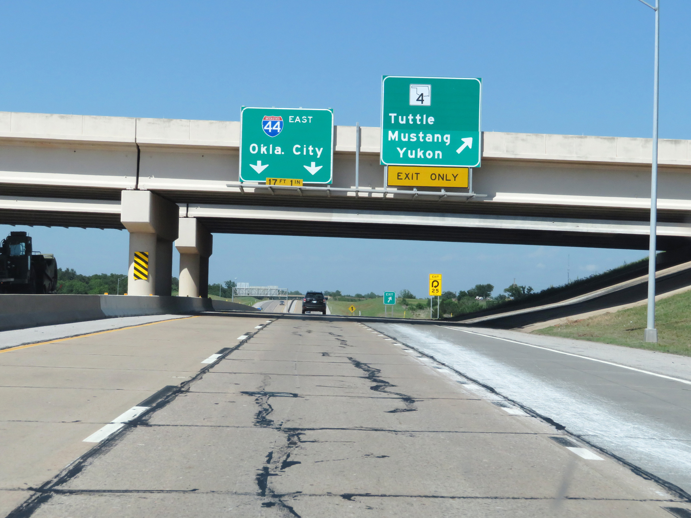 |
Interstate 44 East (H.E. Bailey Turnpike) at Exit: OK 4 - Tuttle / Mustang / Yukon (Photo taken 5/18/18). |
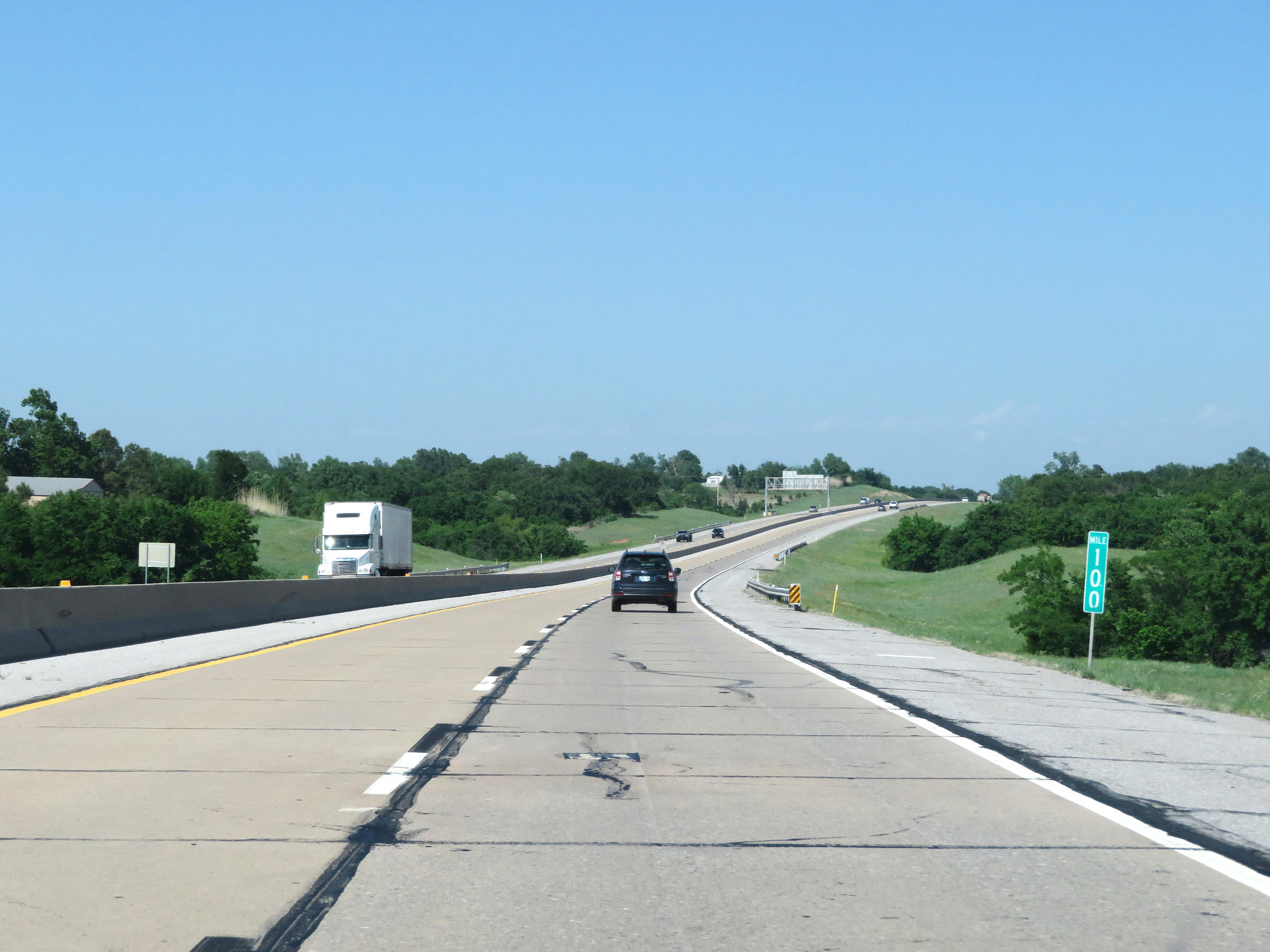 |
View on Interstate 44 East (H.E. Bailey Turnpike) at mile marker 100. (Photo taken 5/18/18). |
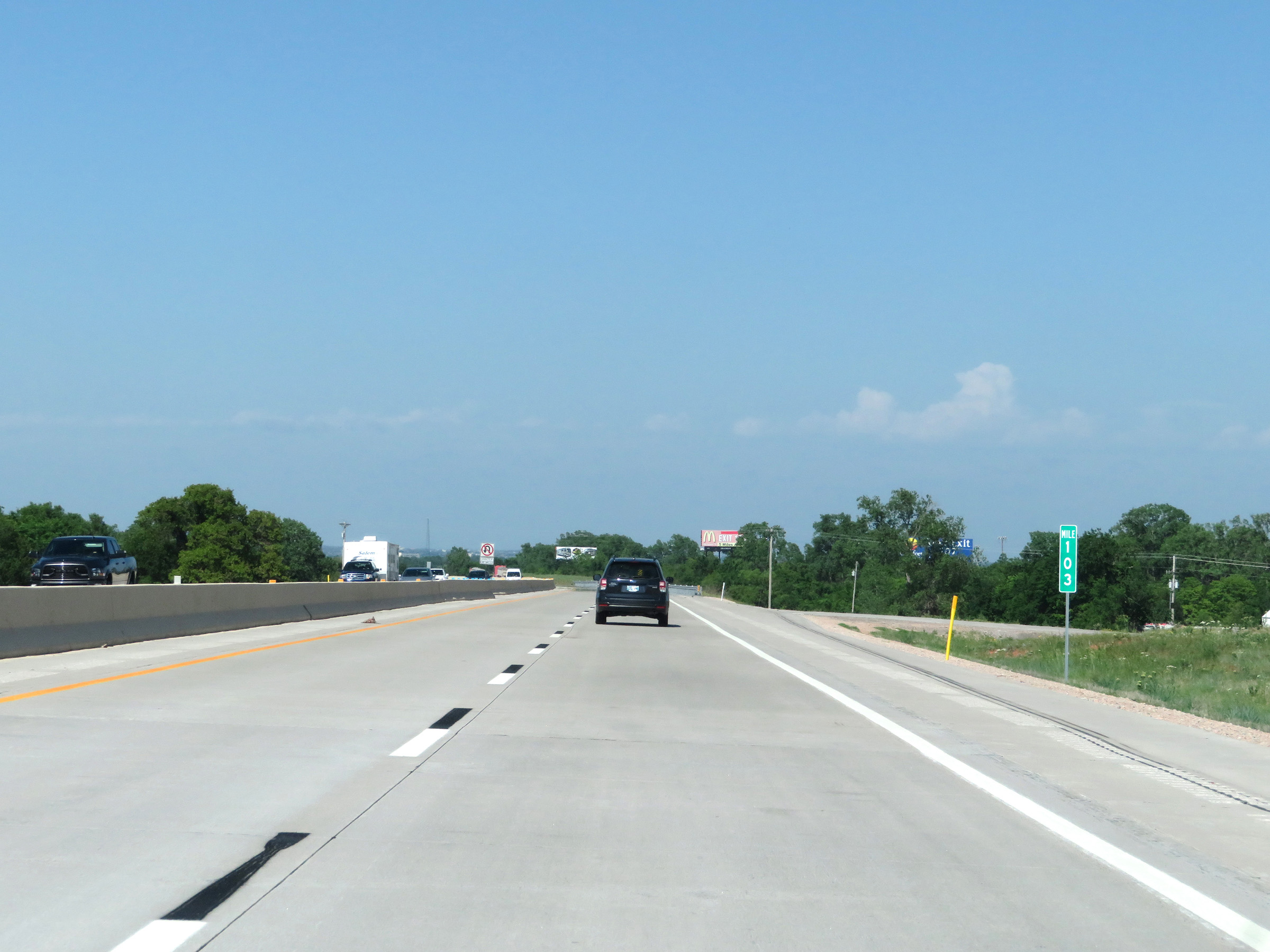 |
Interstate 44 East (H.E. Bailey Turnpike) at mile marker 103. (Photo taken 5/18/18). |
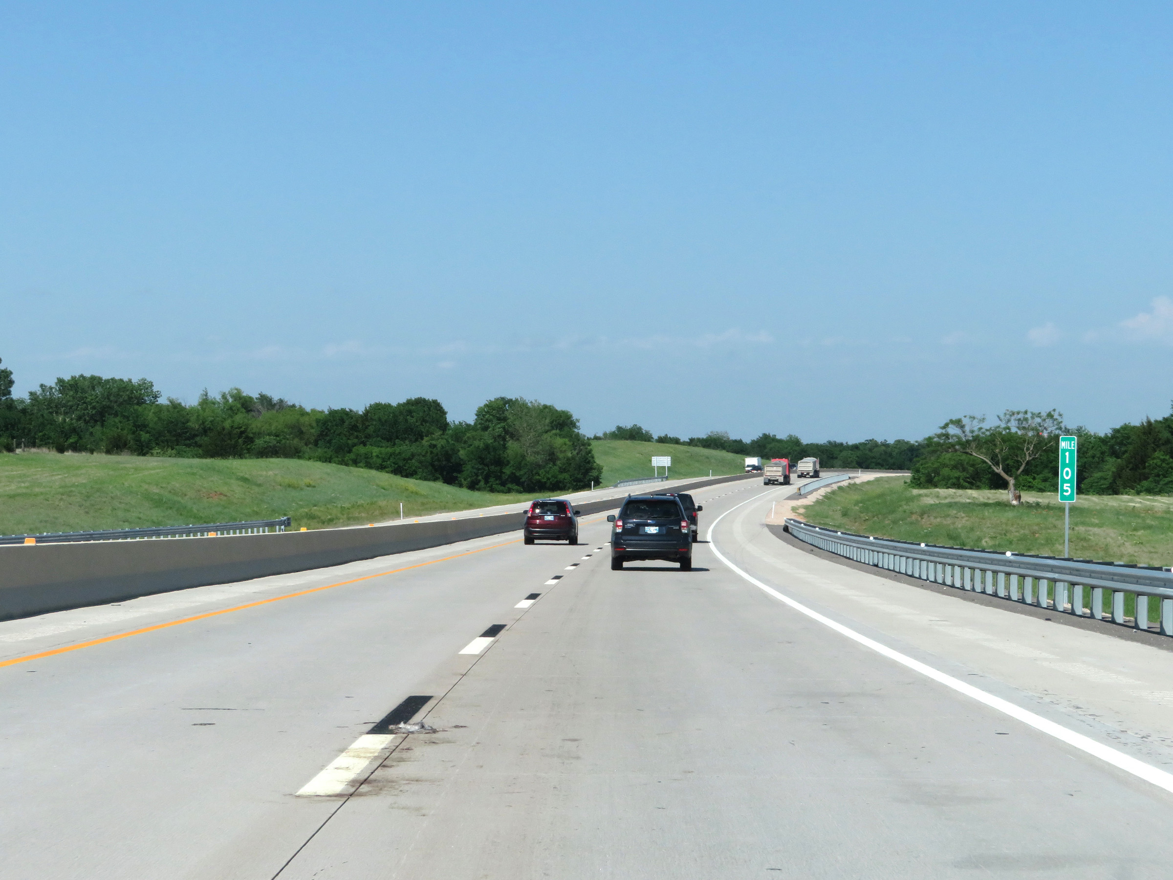 |
View on Interstate 44 East (H.E. Bailey Turnpike) at mile marker 105. (Photo taken 5/18/18). |
 |
Interstate 44 East (H.E. Bailey Turnpike) approaching Exit 107 - 1 mile. (Photo taken 5/18/18). |
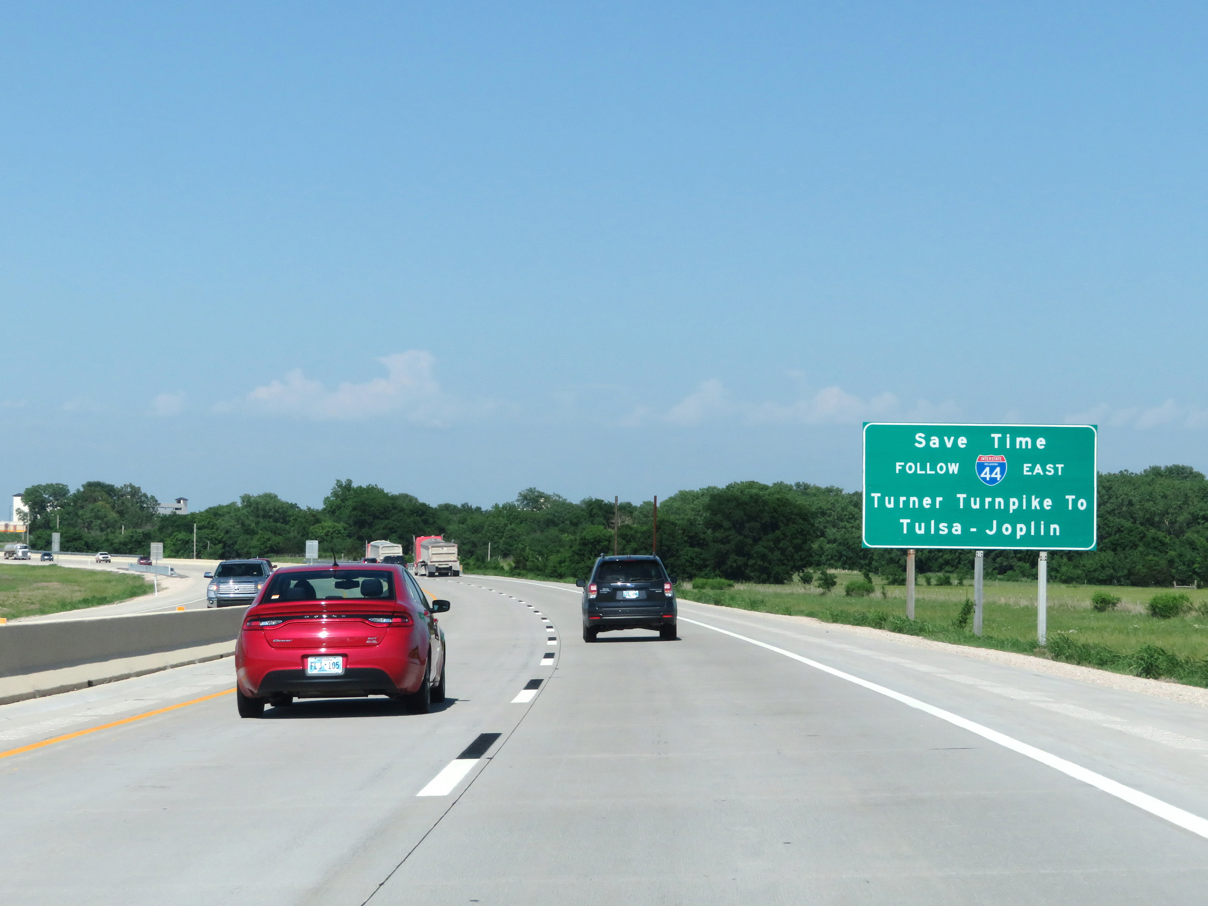 |
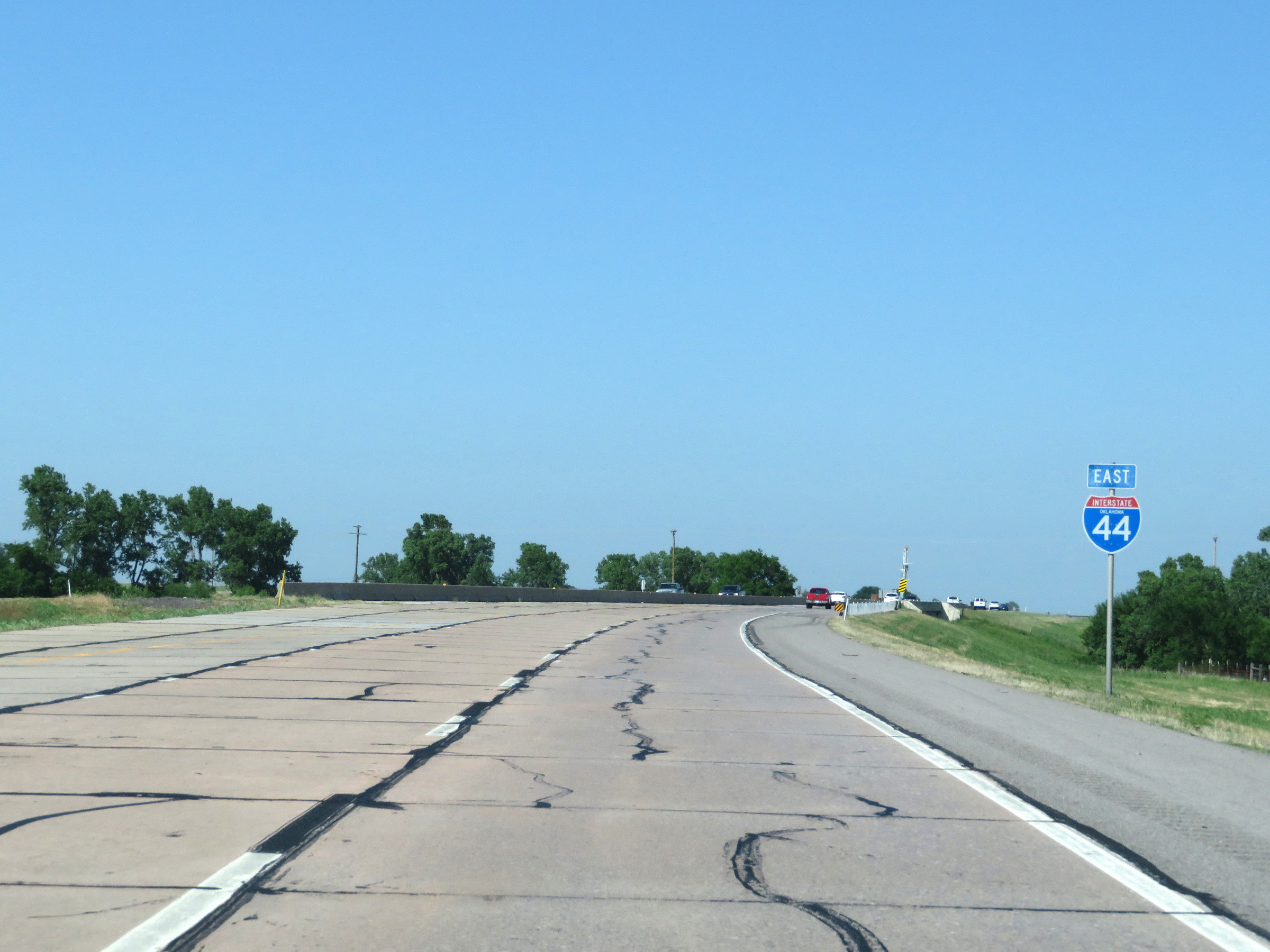
Approaching the end of the eastern segment of the H.E. Bailey Turnpike, this sign reads that traffic to Tulsa and Joplin should follow Interstate 44 East and the Turner Turnpike. (Photo taken 5/18/18). |
 |
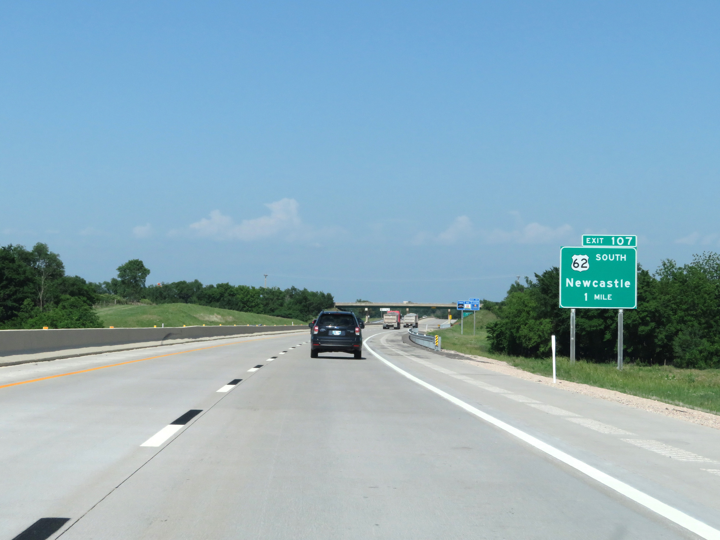
Interstate 44 East (H.E. Bailey Turnpike) at Exit 107: US 62 South - Newcastle (Photo taken 5/18/18). |
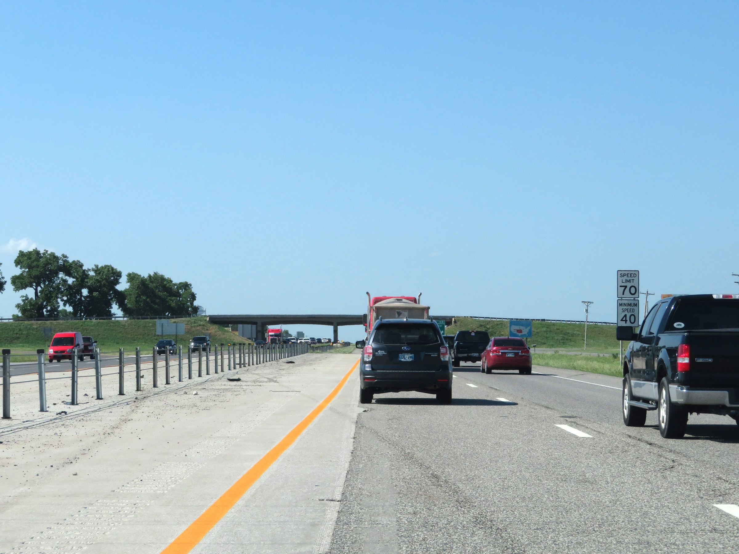 |
Just beyond Exit 107, the eastern segment of the H.E. Bailey Turnpike comes to an end on Interstate 44 East. As a result, the speed limits are decreased to 70 mph maximum and 40 mph minimum. (Photo taken 5/18/18). |
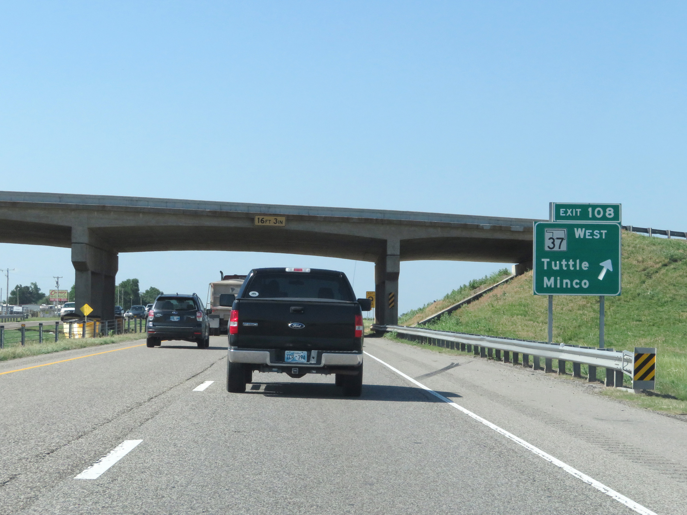 |
Interstate 44 East at Exit 108: OK 37 West - Tuttle / Minco (Photo taken 5/18/18). |
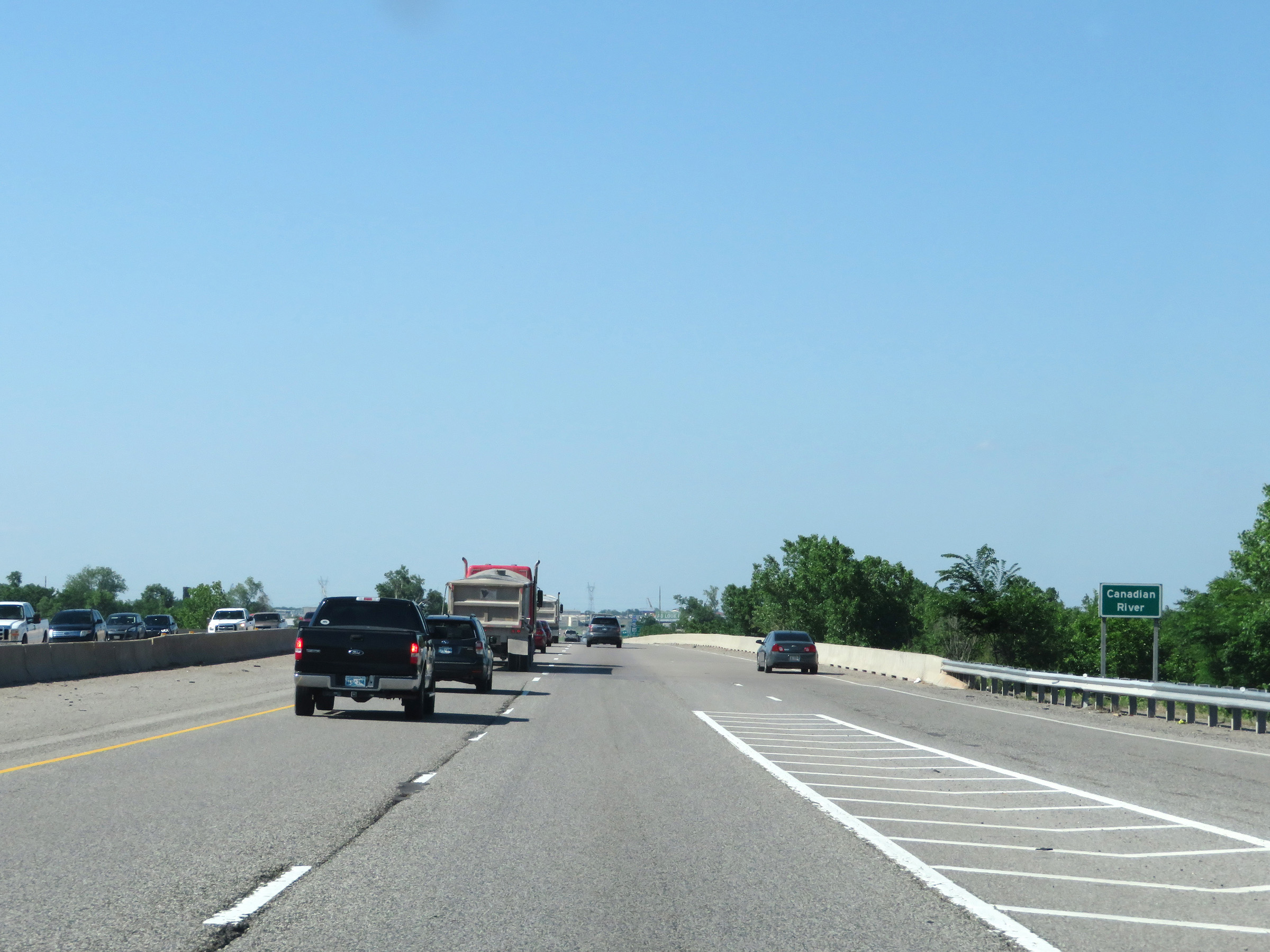 |
Interstate 44 East as it crosses the Canadian River. (Photo taken 5/18/18). |
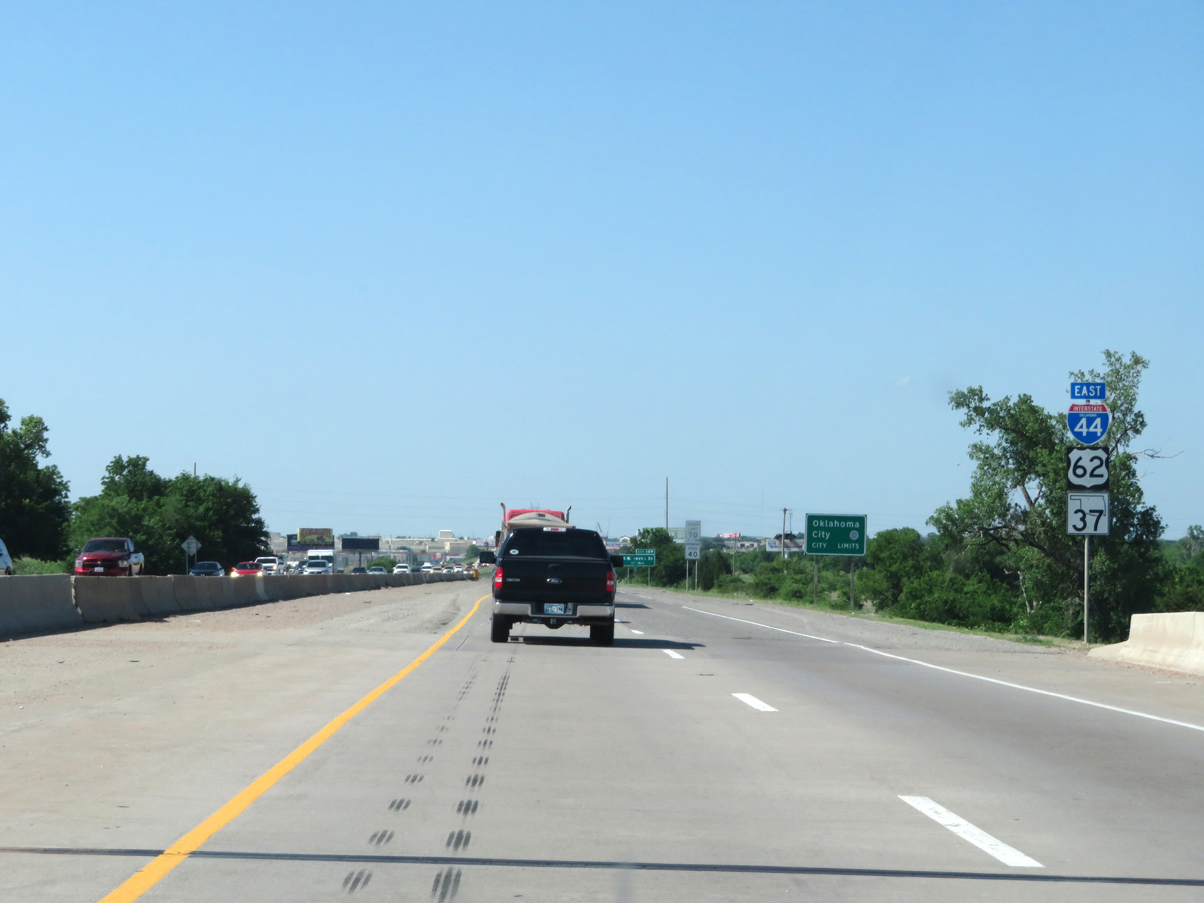 |
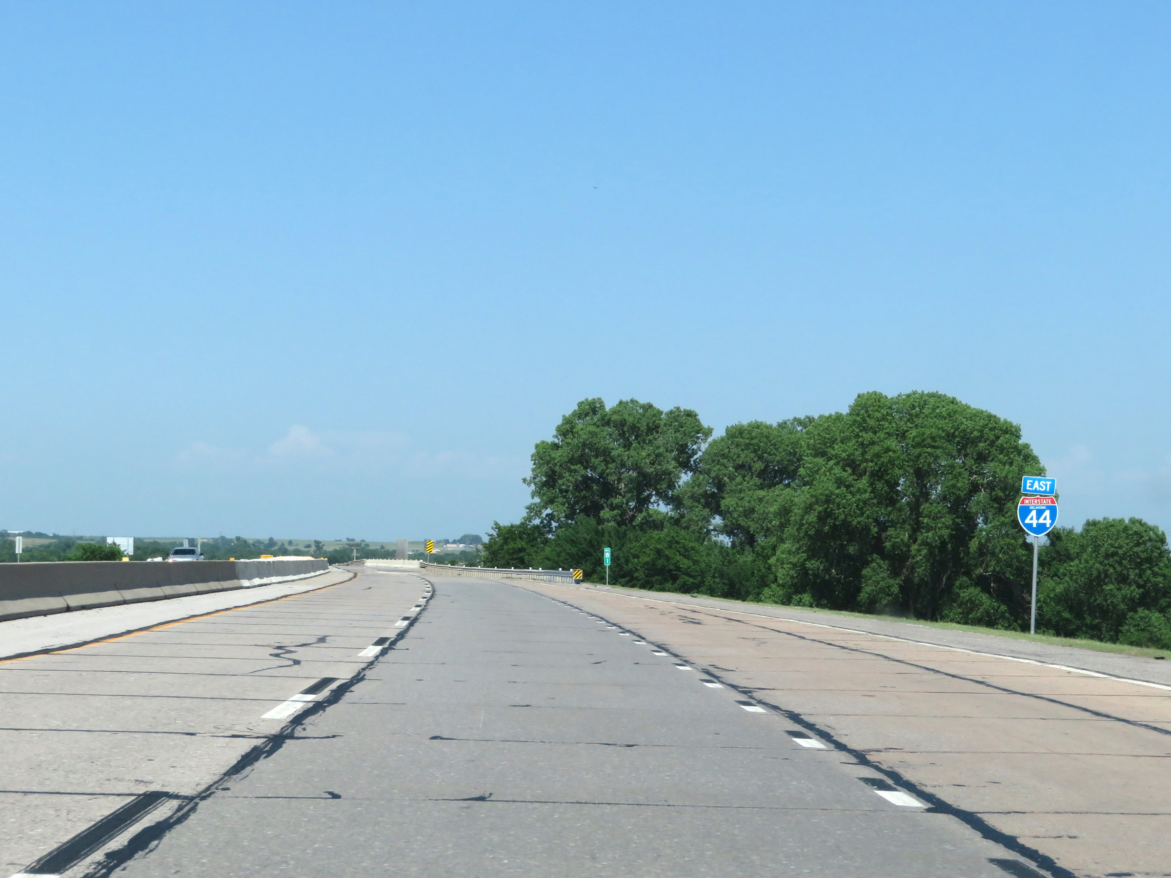
Another state-named Interstate 44 East reassurance shield as I-44 East enters the Oklahoma City city limits. (Photo taken 5/18/18). |
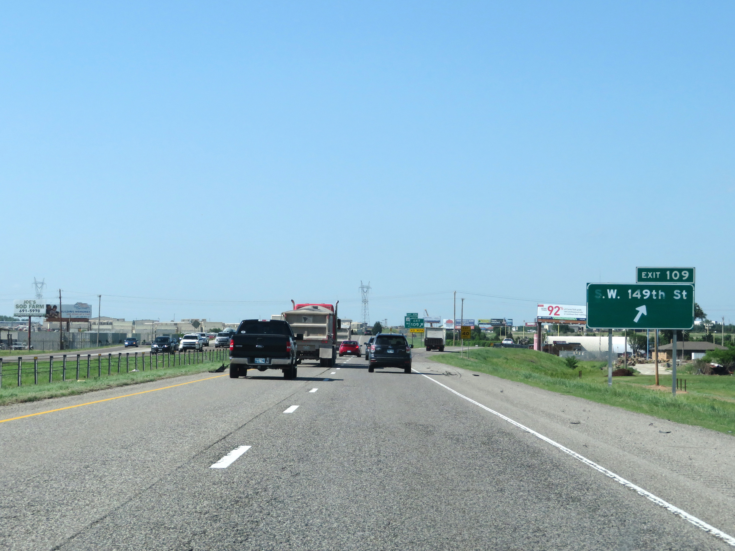 |
Interstate 44 East at Exit 109: SW 149th St (Photo taken 5/18/18). |
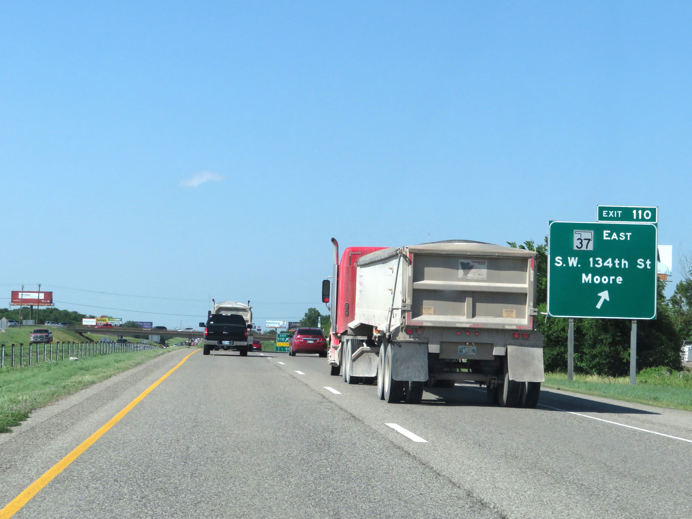 |
Interstate 44 East at Exit 110: OK 37 East - SW 134th St / Moore (Photo taken 5/18/18). |
 |
Take Exit 111 to Mid-America Christian University. (Photo taken 5/18/18). |
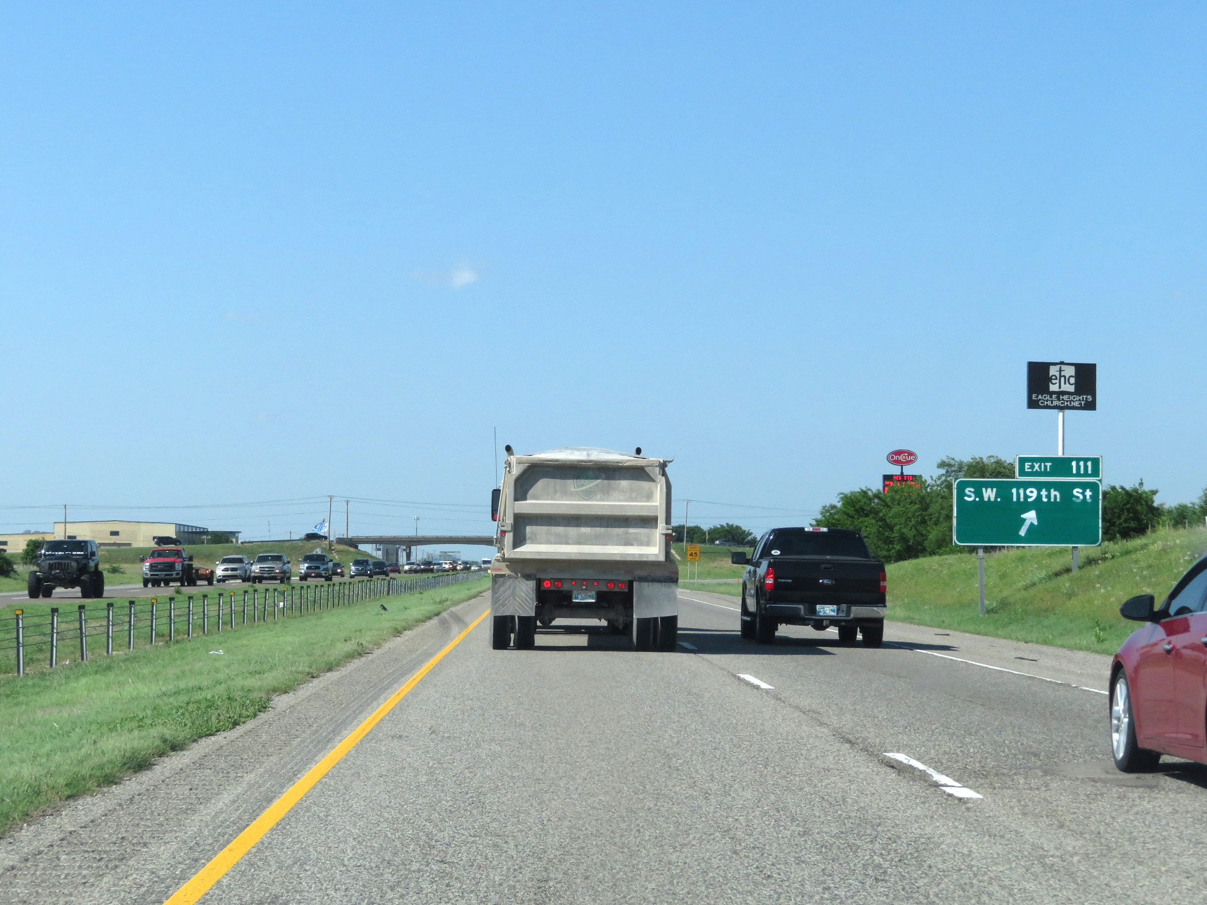 |
Interstate 44 East at Exit 111: SW 119th St (Photo taken 5/18/18). |
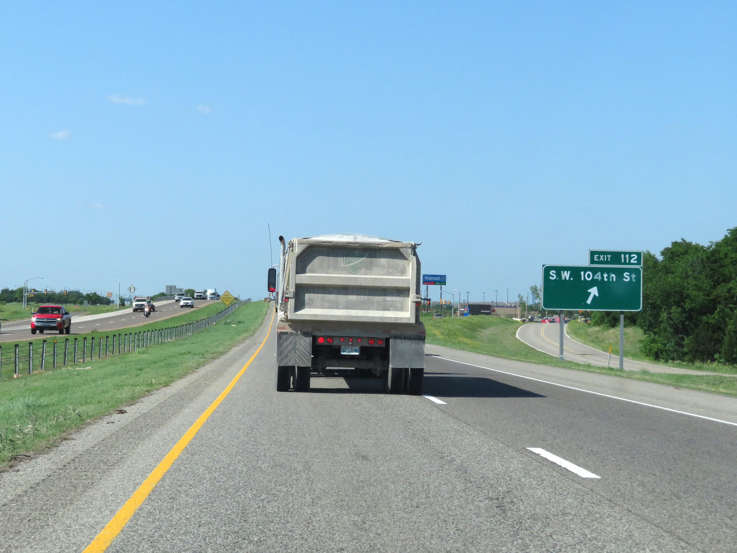 |
Interstate 44 East at Exit 112: SW 104th St (Photo taken 5/18/18). |
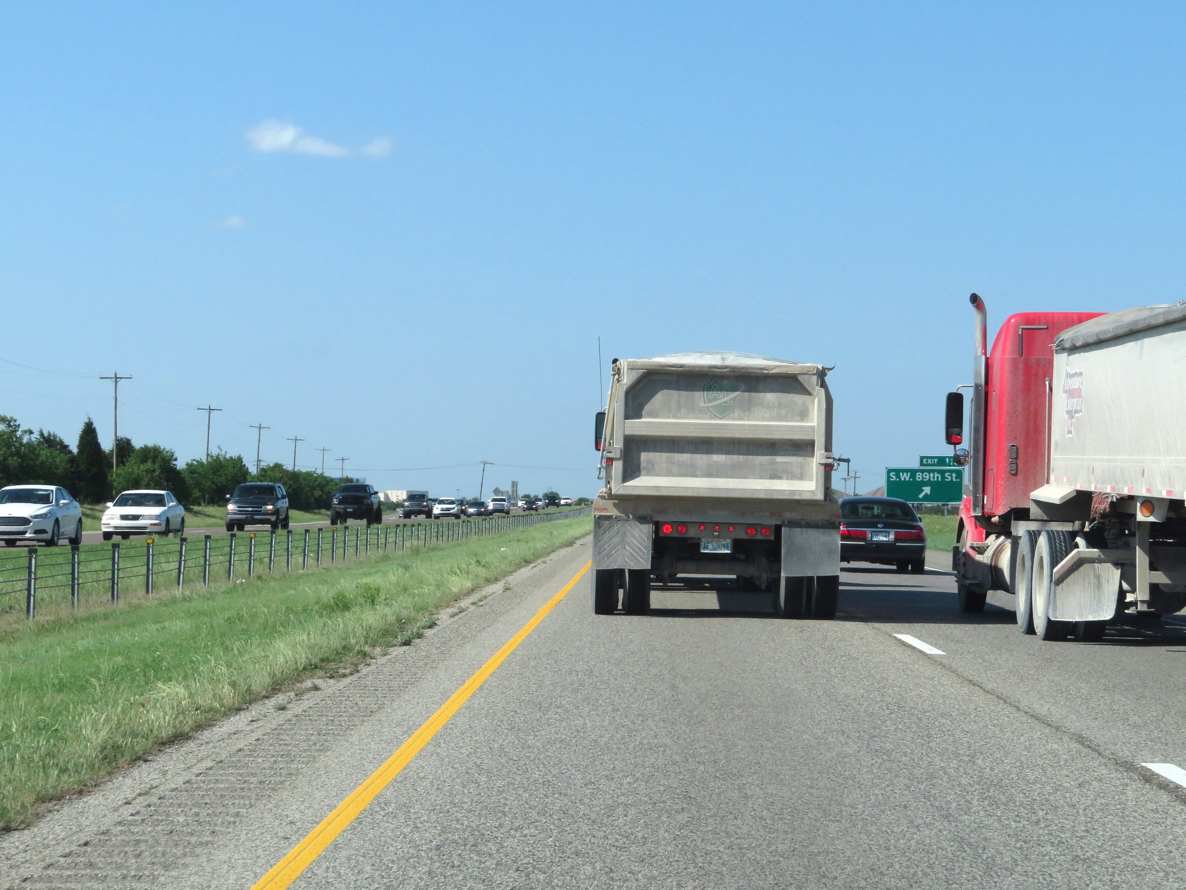 |
Interstate 44 East at Exit 113: SW 89th St (Photo taken 5/18/18). |
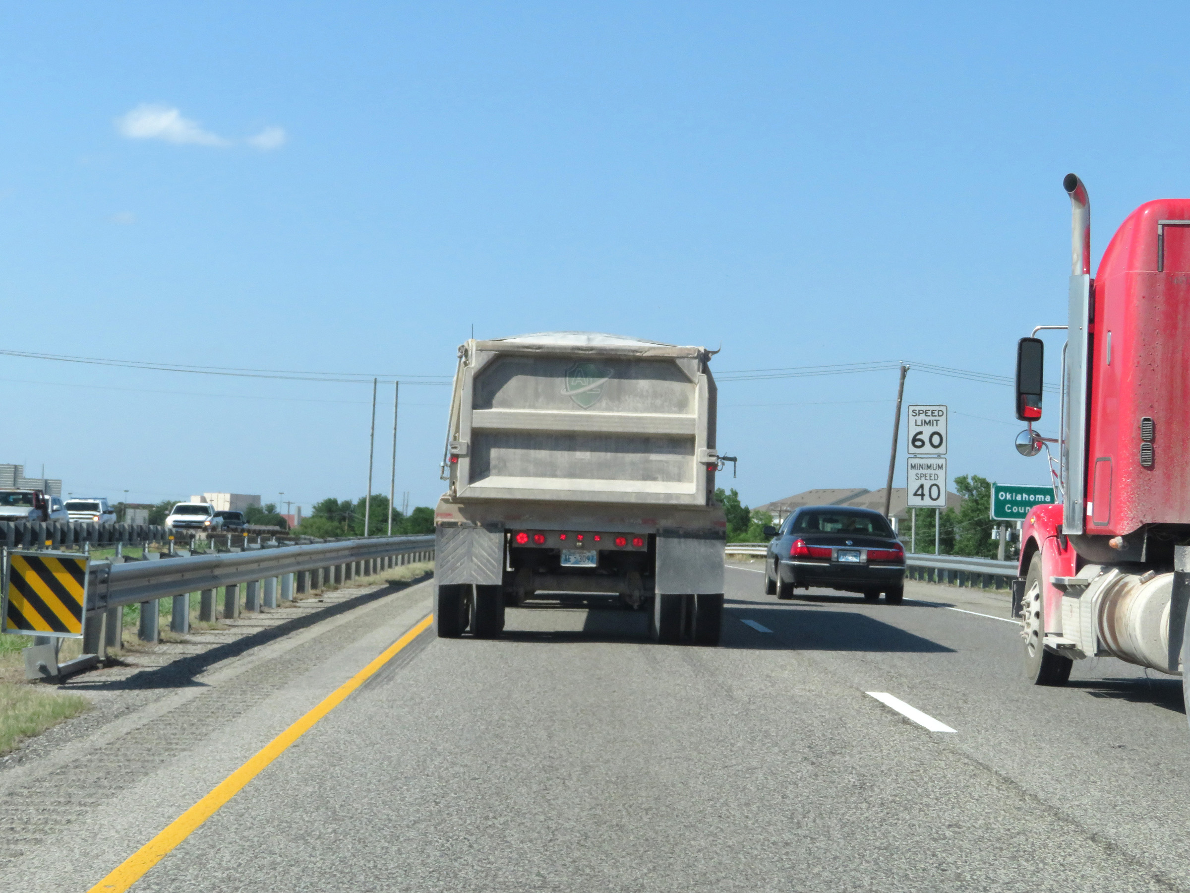 |
As Interstate 44 East enters Oklahoma County, the maximum speed limit decreases to 60 mph. The minimum speed limit remains 40 mph. (Photo taken 5/18/18). |
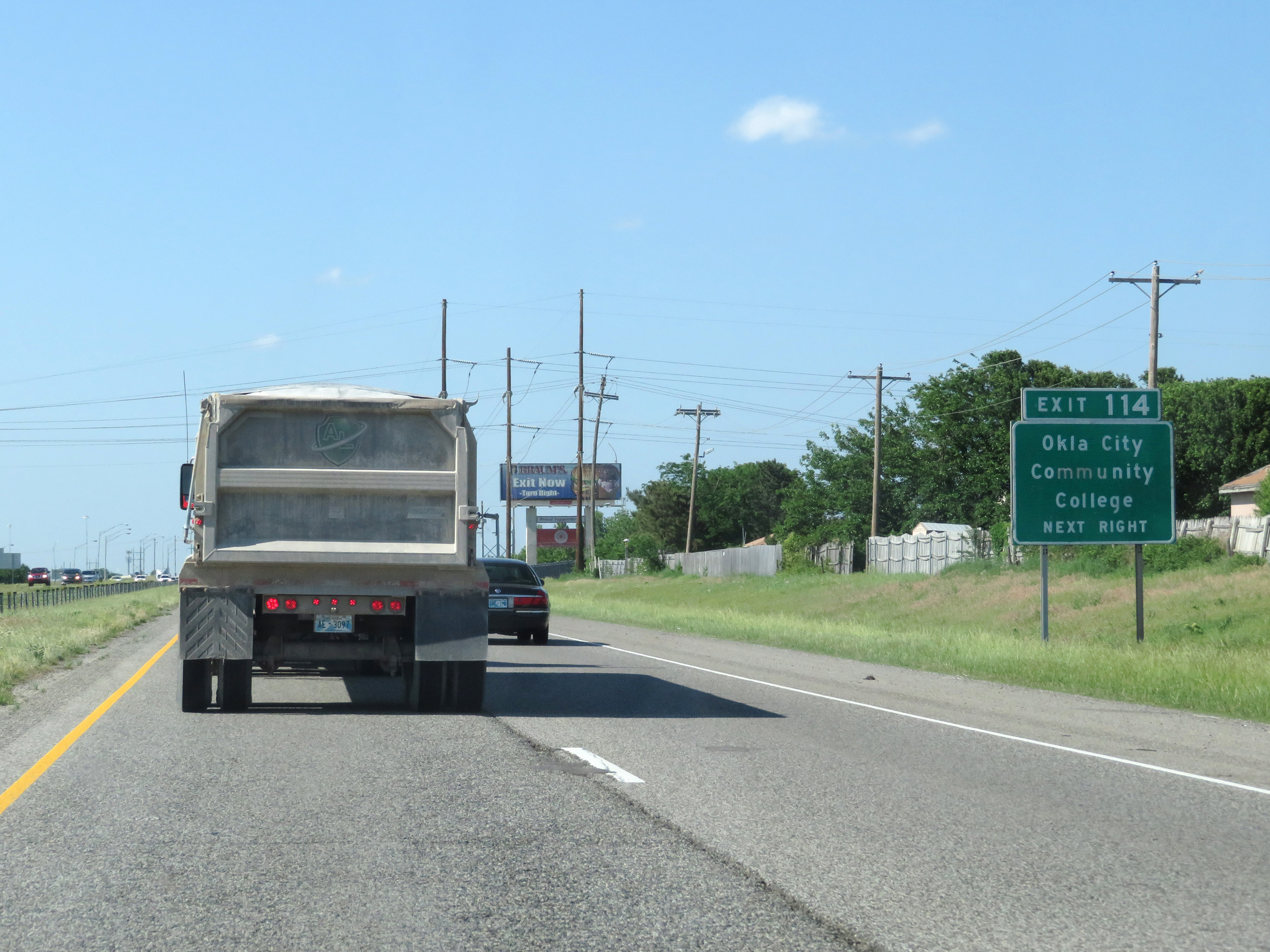 |
Take Exit 114 to Oklahoma City Community College. (Photo taken 5/18/18). |
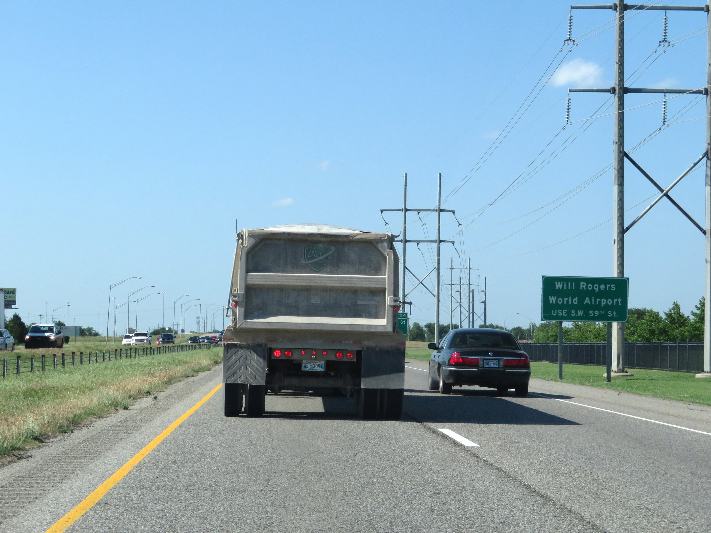 |
Take Exit 116A to Will Rogers World Airport. (Photo taken 5/18/18). |
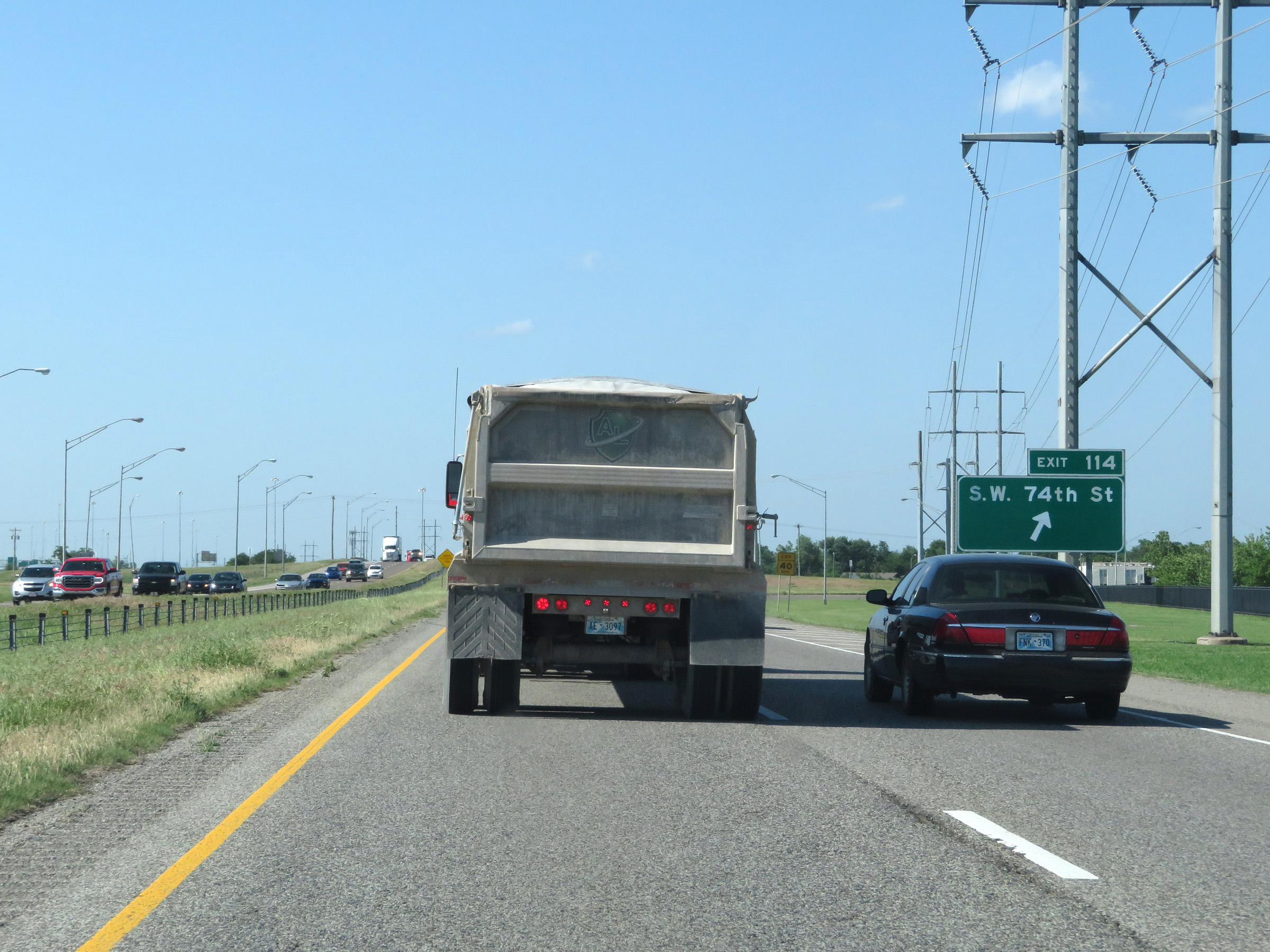 |
Interstate 44 East at Exit 114: SW 74th St (Photo taken 5/18/18). |
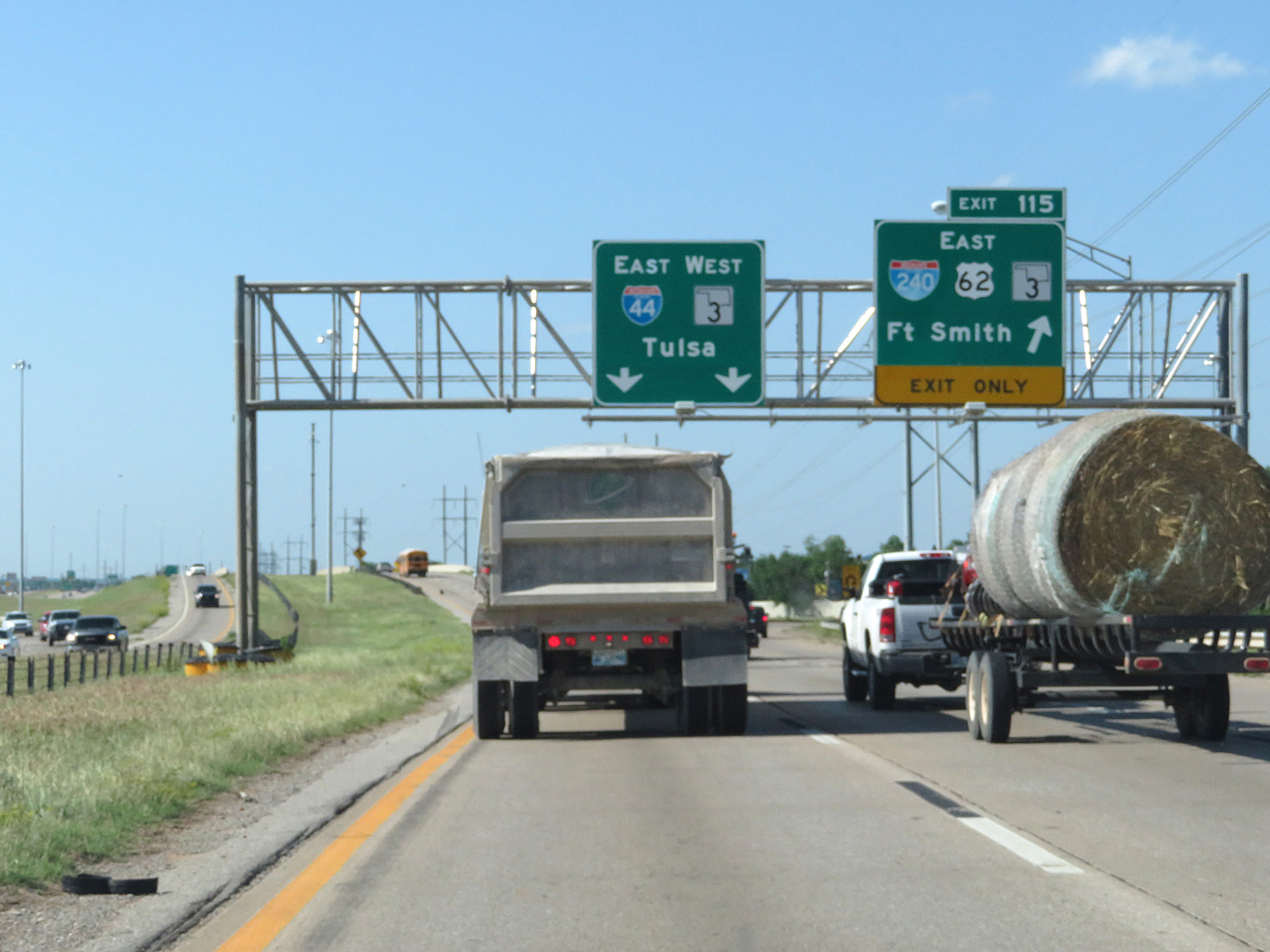 |
Interstate 44 East at Exit 115: Interstate 240 East / US 62 East / OK 3 East - Fort Smith (Photo taken 5/18/18). |
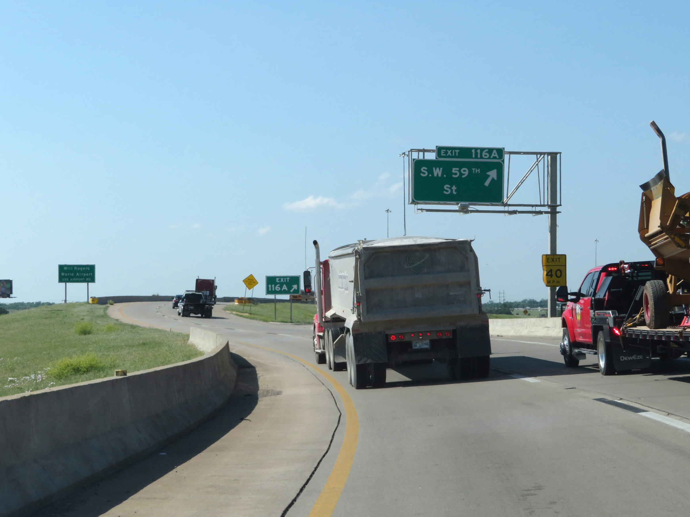 |
Interstate 44 East at Exit 116A: SW 59th St (Photo taken 5/18/18). |
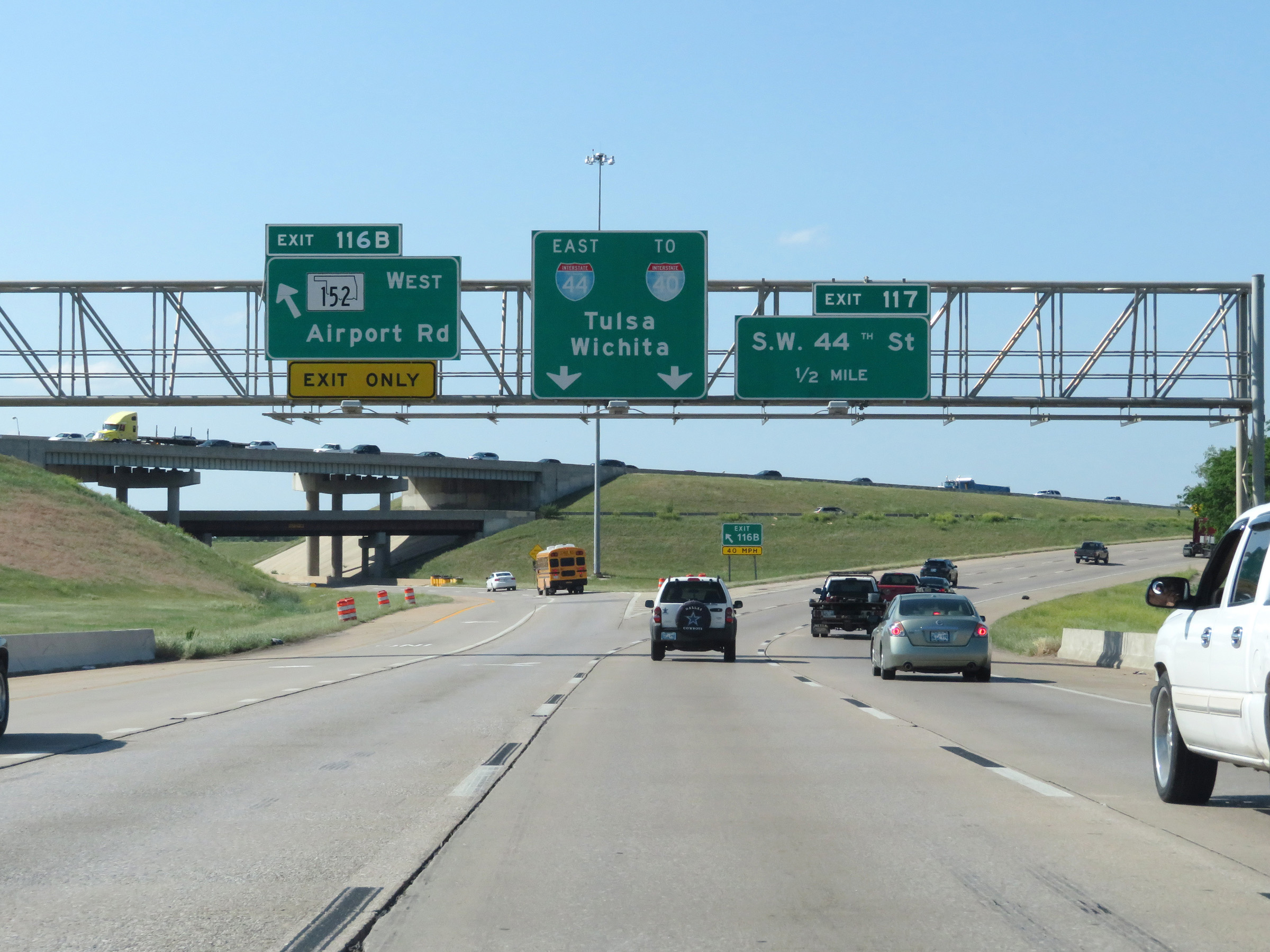 |
Interstate 44 East at Exit 116B: OK 152 West - Airport Rd (Photo taken 5/18/18). |
 |
Interstate 44 East at Exit 117A: SW 44th St (Photo taken 5/18/18). |
 |
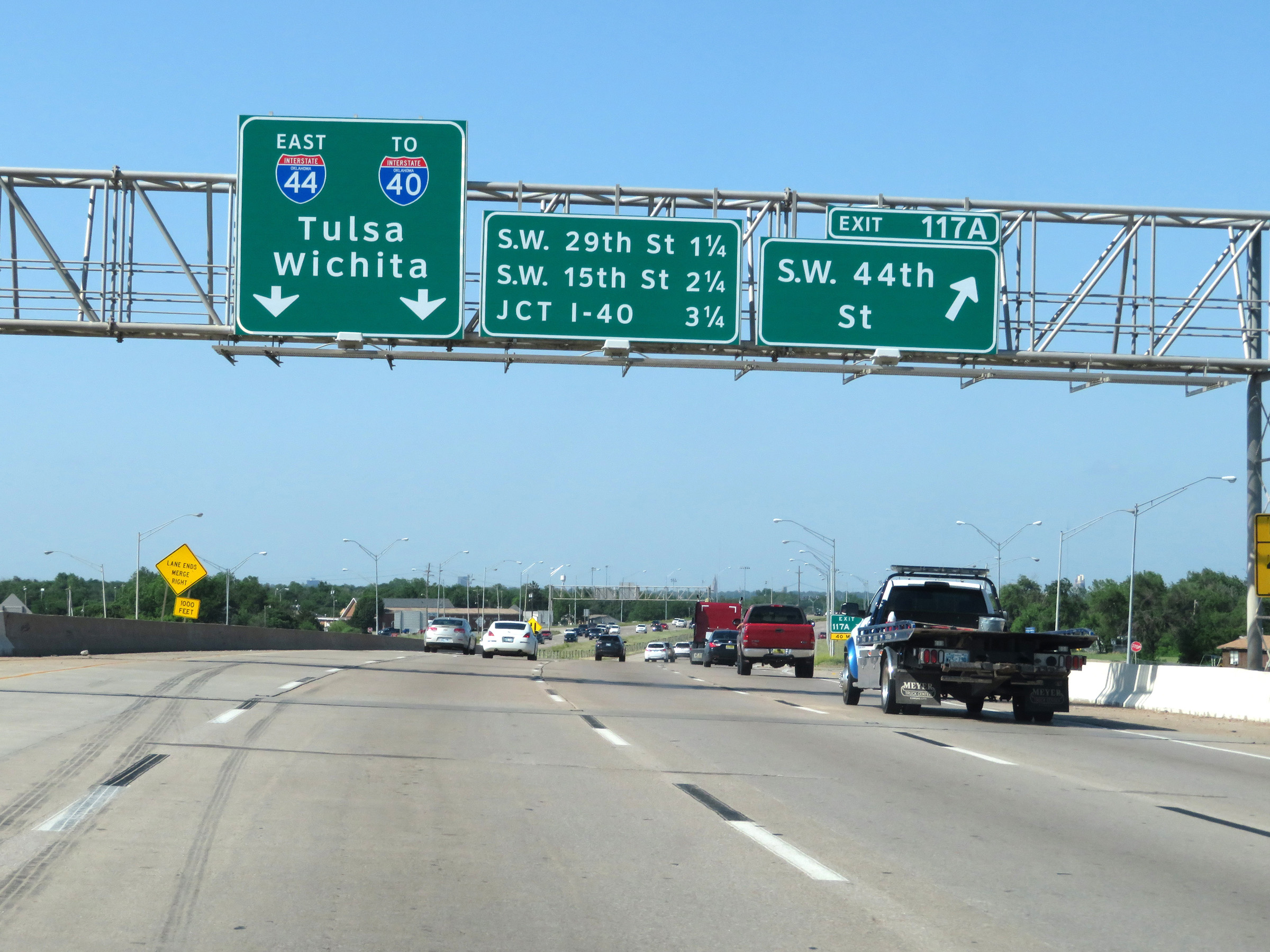
Mileage sign listing the distances to the next three interchanges on Interstate 44 East in southwestern Oklahoma City. (Photo taken 5/18/18). |
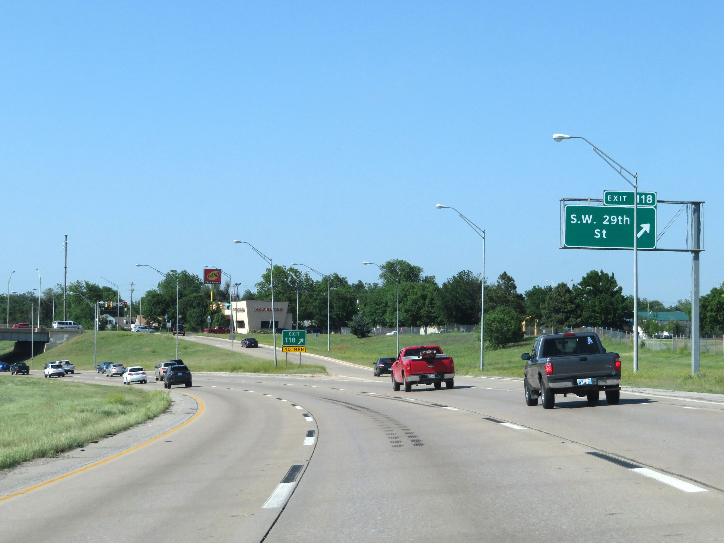 |
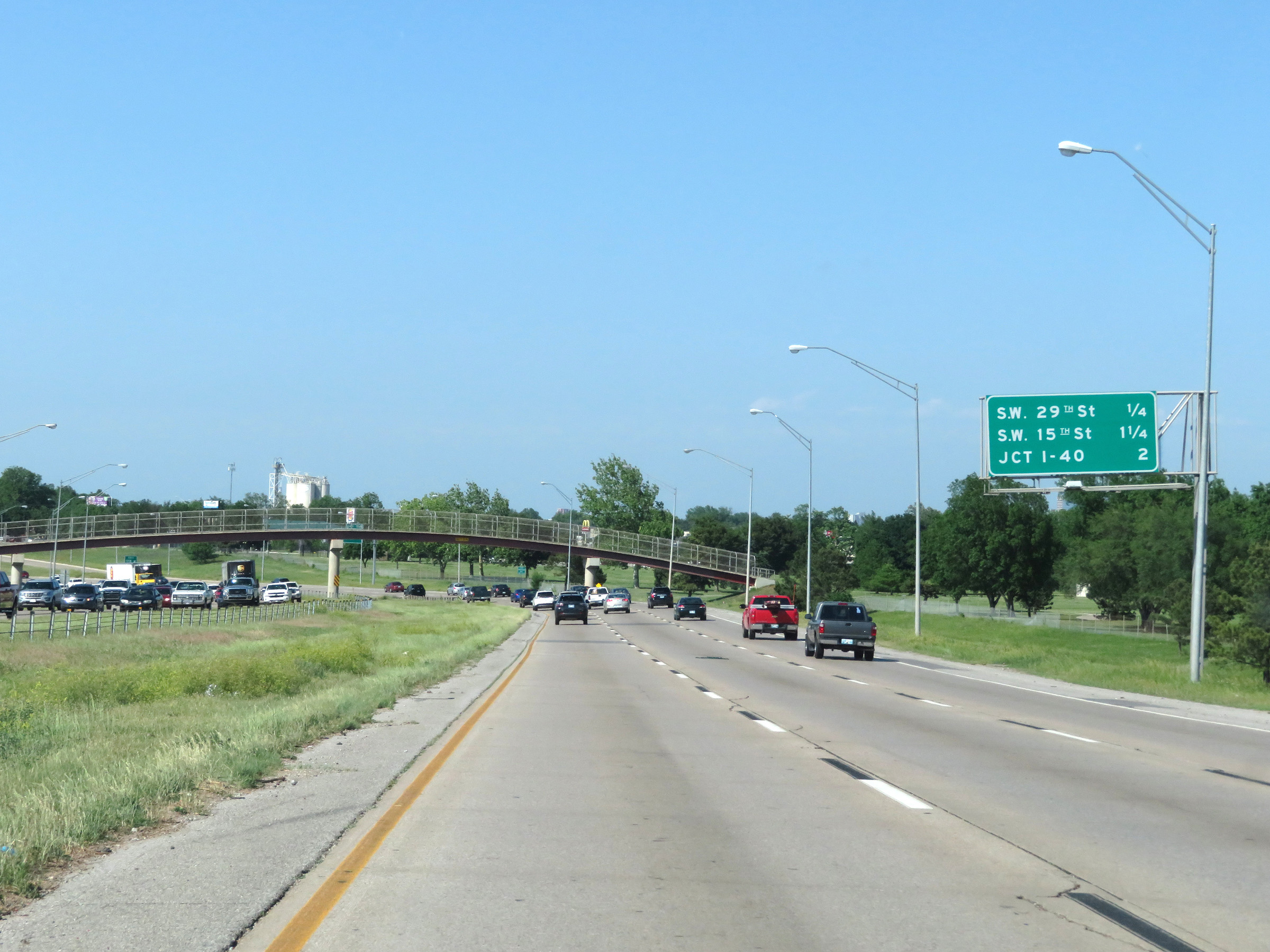
Interstate 44 East at Exit 118: SW 29th St (Photo taken 5/18/18). |
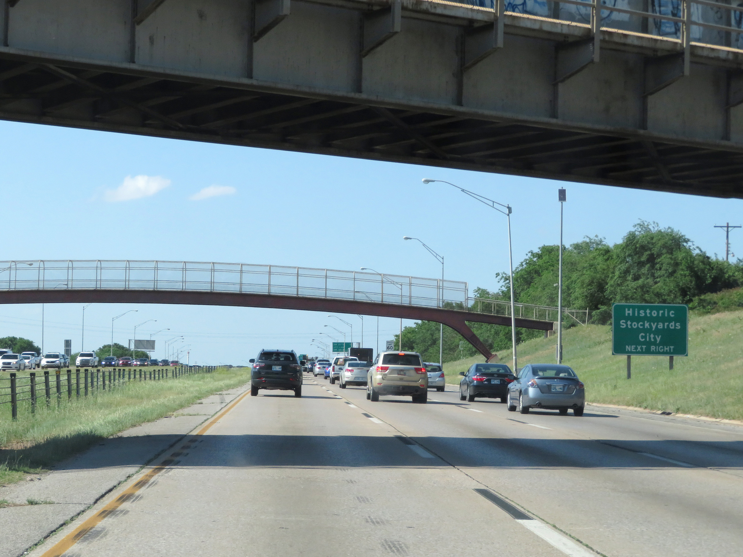 |
Take Exit 119 to Historic Stockyards City. (Photo taken 5/18/18). |
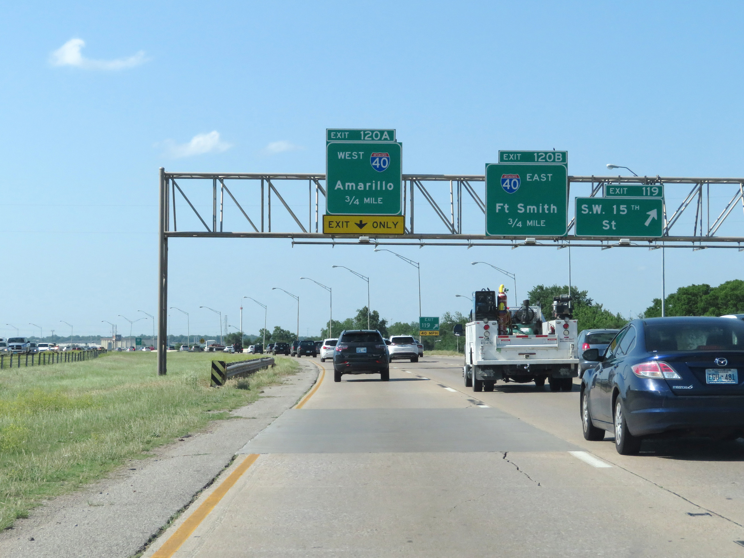 |
Interstate 44 East at Exit 119: SW 15th St (Photo taken 5/18/18). |
 |
Interstate 44 East approaching Exits 120A-B - 1/4 mile. (Photo taken 5/18/18). |
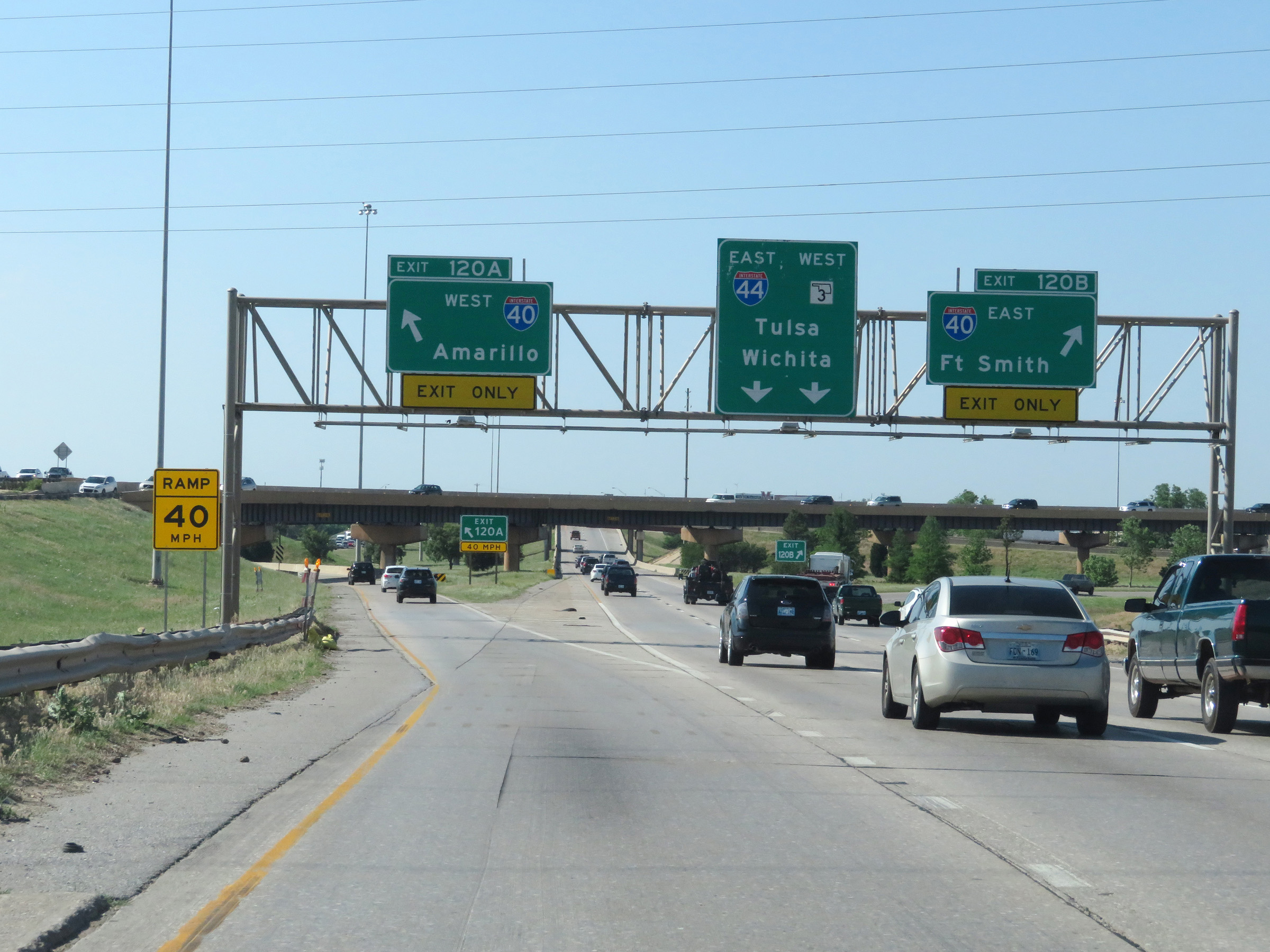 |
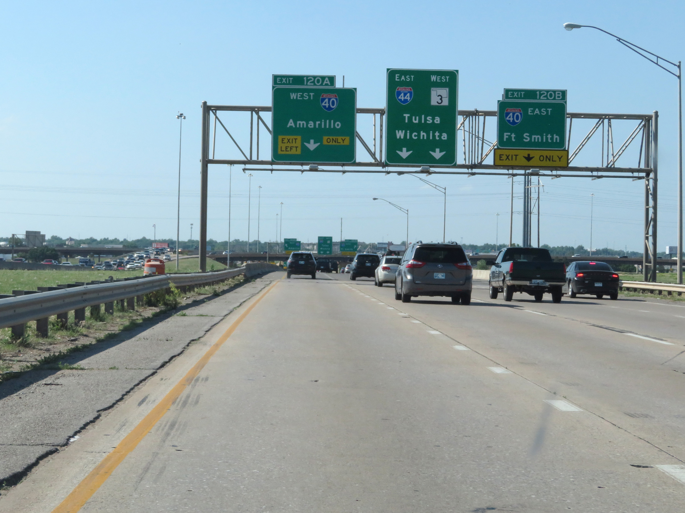
Interstate 44 East at Exit 120A: Interstate 40 West - Amarillo; Exit 120B: Interstate 40 East - Fort Smith (Photo taken 5/18/18). |