Road Information |
||
 |
||
| Total Mileage in State: | 237 miles | |
| Eastern End: | At Pennsylvania state line | |
| Western End: | At Indiana state line | |
| Mileage covered in Photos: | 237 miles | |
| Counties covered in Photos: | Williams, Fulton, Lucas, Wood, Ottawa, Sandusky, Ottawa, Sandusky, Erie, Lorain, Cuyahoga, Summit, Portage, Trumbull, Mahoning, Trumbull | |
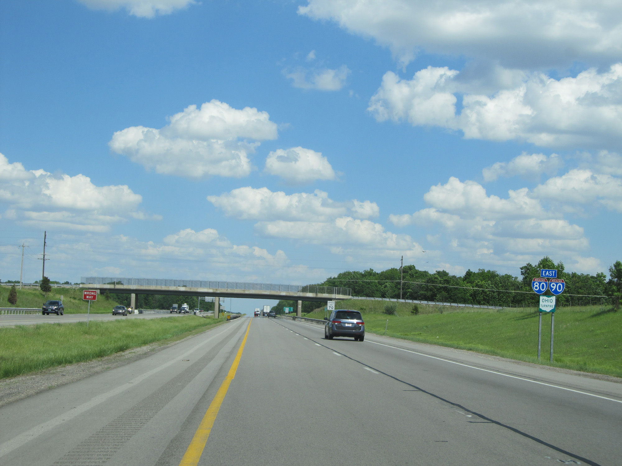
| Major Junctions in Photos: | US 20/US 23, in Maumee I-75, in Maumee I-280, near Perrysburg I-90, near Elyria I-71, near Strongsville I-77, near Richfield I-480, in Streetsboro I-76, in North Jackson |
|
| Control Cities in Photos: | Montpelier, Maumee, Perrysburg, Fremont, Elyria, North Ridgeville, Youngstown, Hubbard | |
Eastbound
- Section 1: Indiana Border to Maumee (Exit 64)
- Section 2: Maumee (Exit 64) to Elyria (Exit 142)
- Section 3: Elyria (Exit 142) to Lordstown (Exit 209)
- Section 4: Lordstown (Exit 209) to Pennsylvania Border
Section 1: Indiana Border to Maumee (Exit 64)
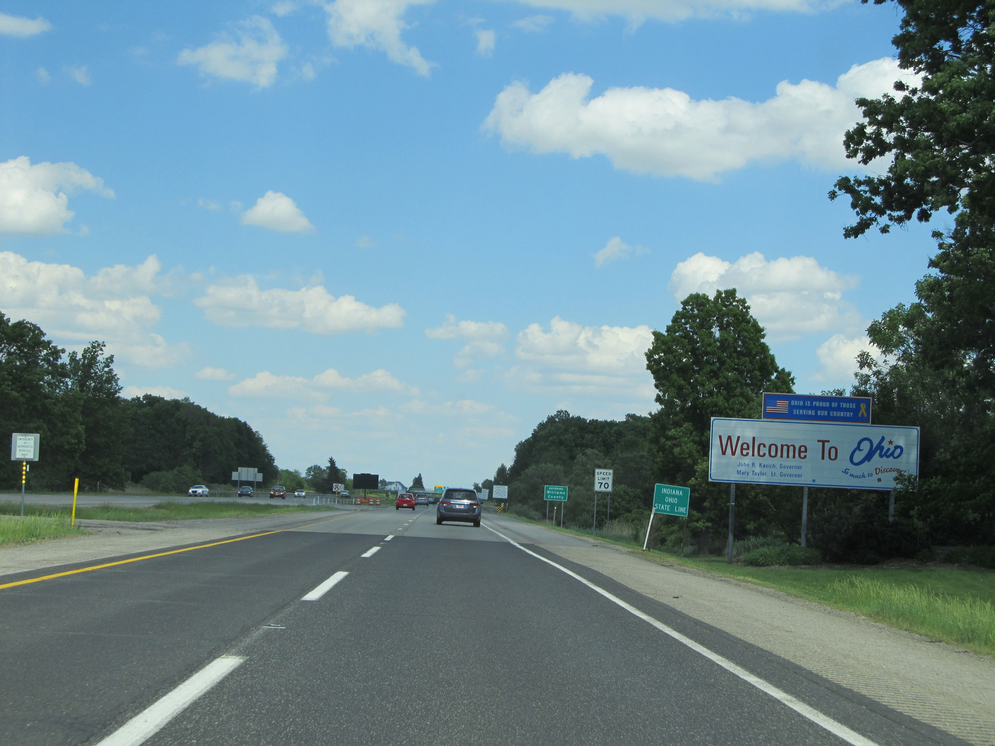 |
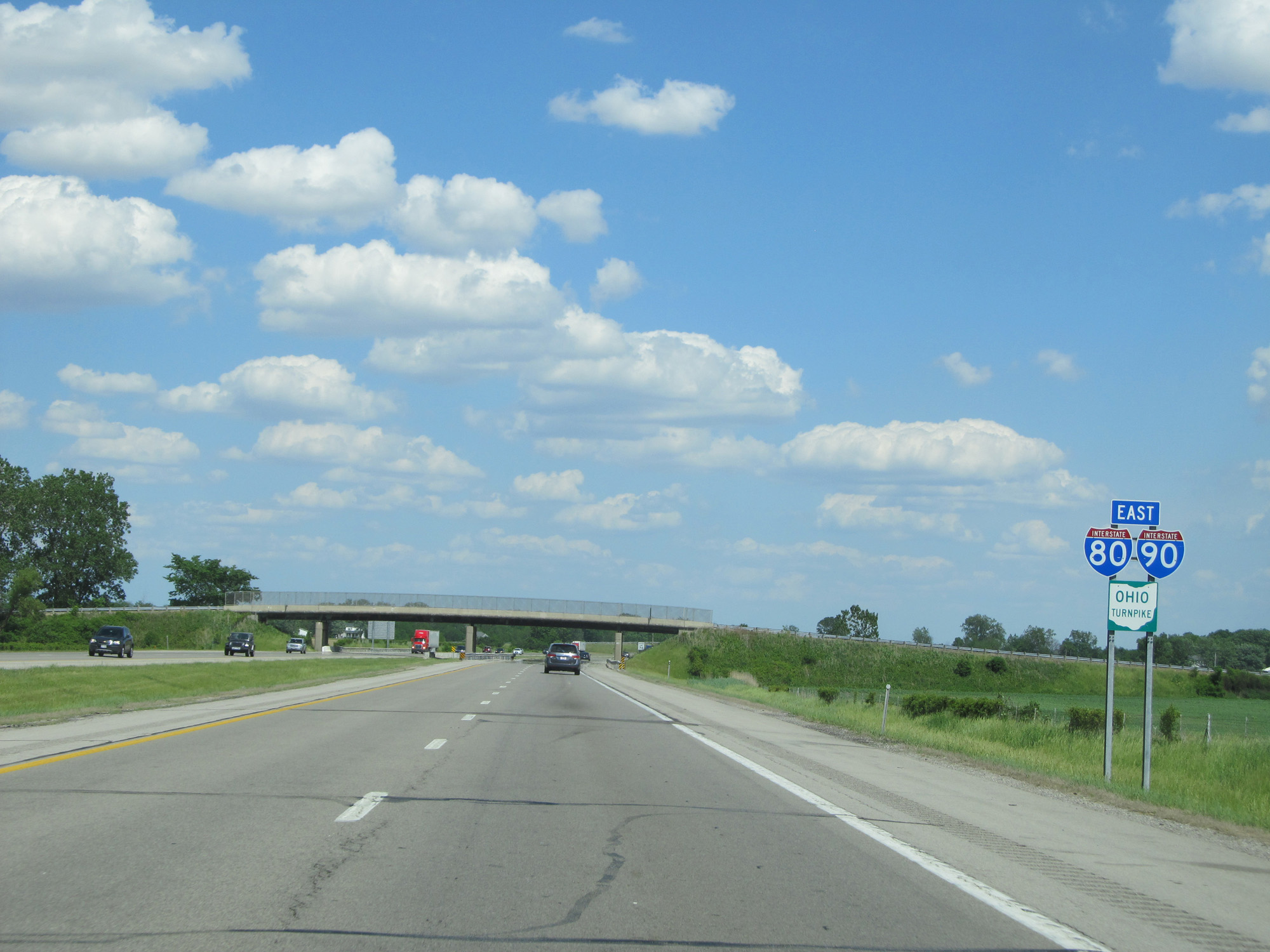
Ohio welcome sign as Interstate 80 / Interstate 90 East enter the Buckeye State from Indiana. (Photo taken 5/30/16). |
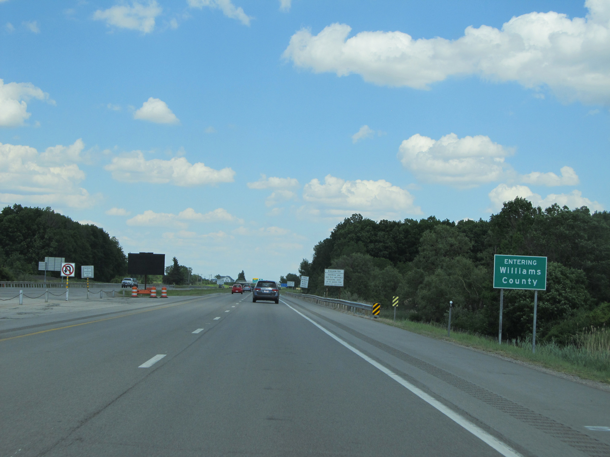 |
Interstate 80 / Interstate 90 East in Ohio start out in Williams County. (Photo taken 5/30/16). |
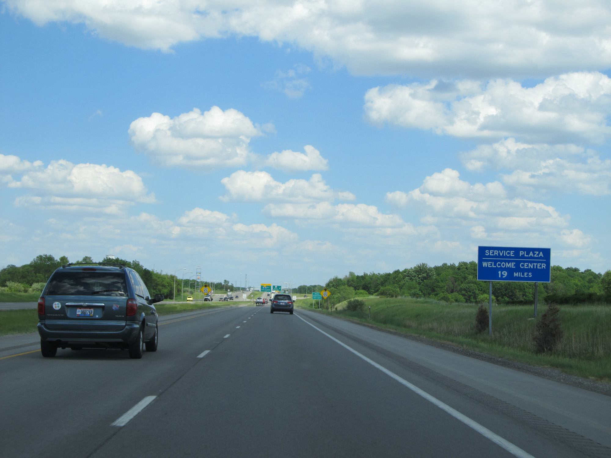 |
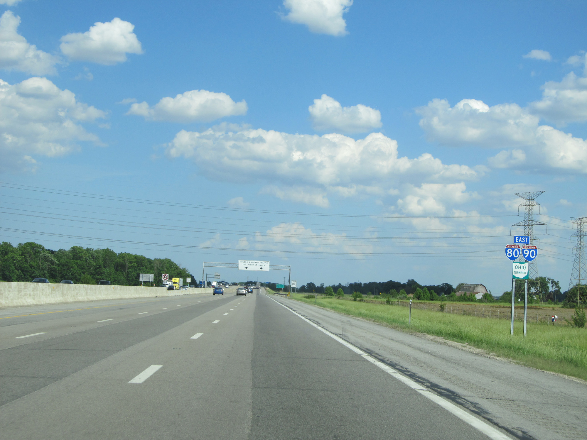
The first service plaza heading eastbound on the Ohio Turnpike (which begins just ahead) is 19 miles ahead. A Welcome Center is also located at the plaza. (Photo taken 5/30/16). |
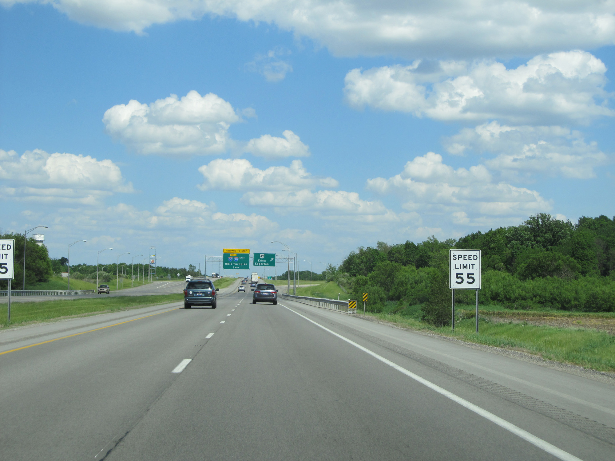 |
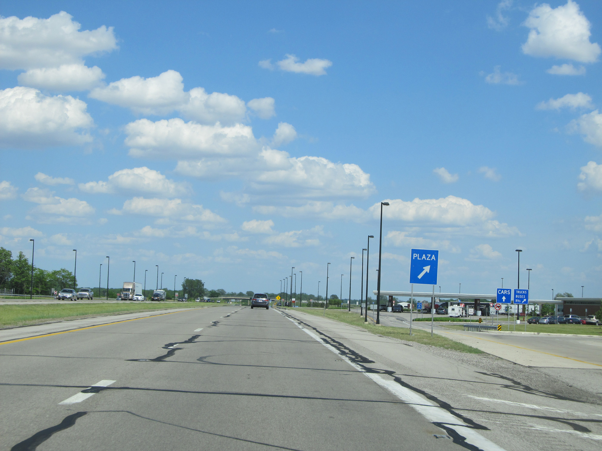
Approaching the Westgate toll plaza for the entry to the Ohio Turnpike, the speed limit decreases from 70 mph to 55 mph here. (Photo taken 5/30/16). |
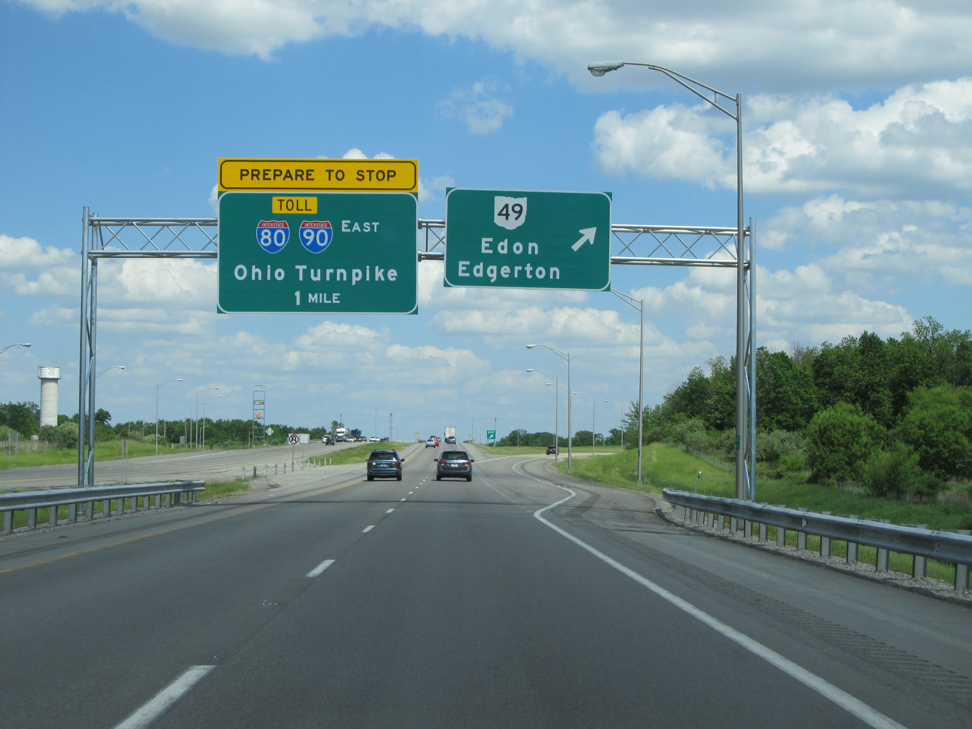 |
Interstate 80 / Interstate 90 East at Exit: OH 49 - Edon / Edgerton (Photo taken 5/30/16). |
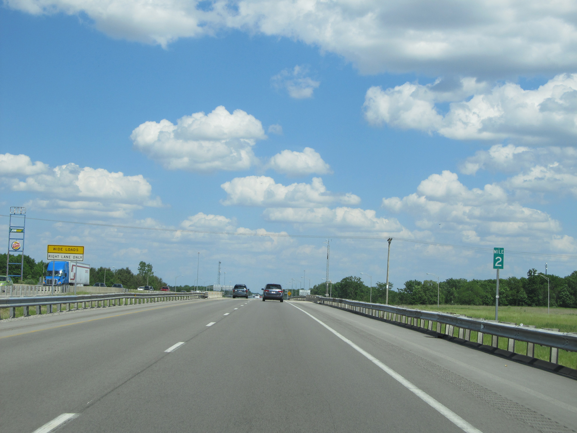 |
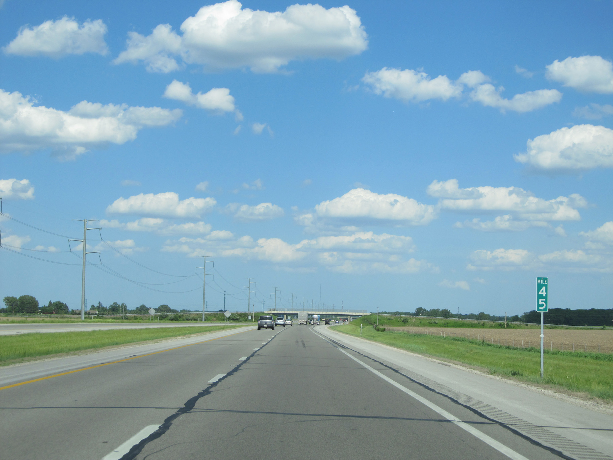
Interstate 80 / Interstate 90 East at mile marker 2. (Photo taken 5/30/16). |
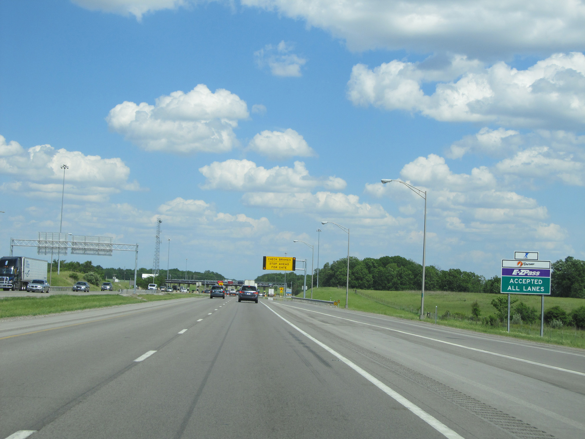 |
EZ Pass is accepted at all toll lanes. (Photo taken 5/30/16). |
 |
Interstate 80 / Interstate 90 East approaching the Westgate toll plaza and the entrance to the Ohio Turnpike. (Photo taken 5/30/16). |
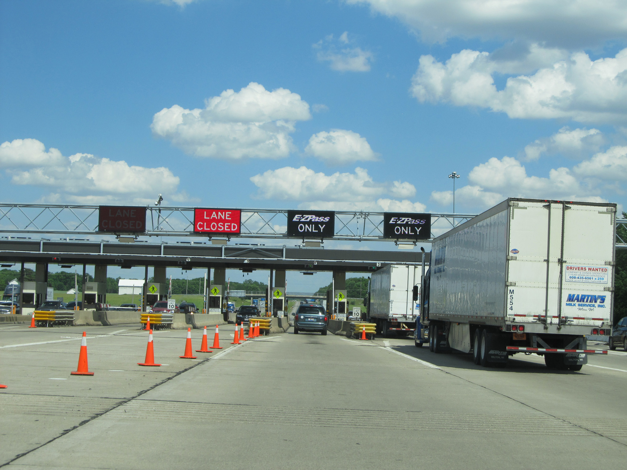 |
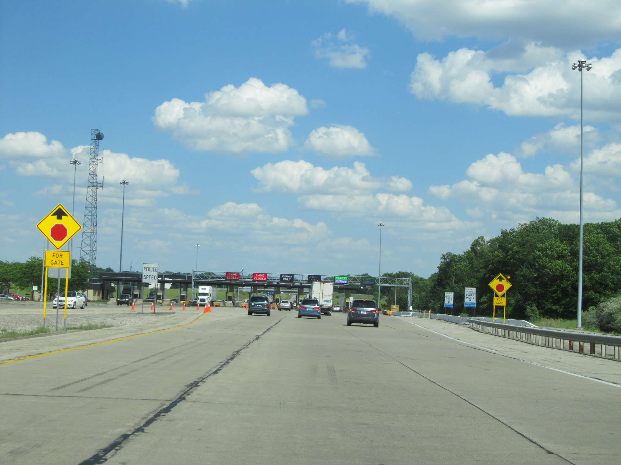
A closer view of the toll plaza. (Photo taken 5/30/16). |
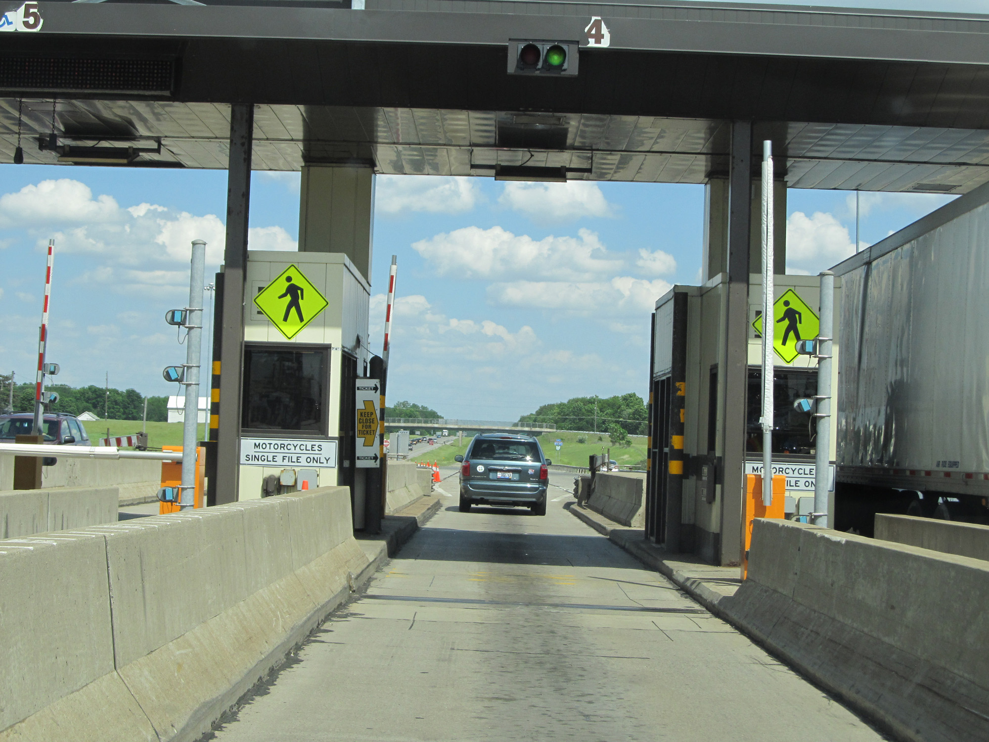 |
View at the Westgate toll plaza. (Photo taken 5/30/16). |
 |
Interstate 80 / Interstate 90 East (Ohio Turnpike) reassurance shields. (Photo taken 5/30/16). |
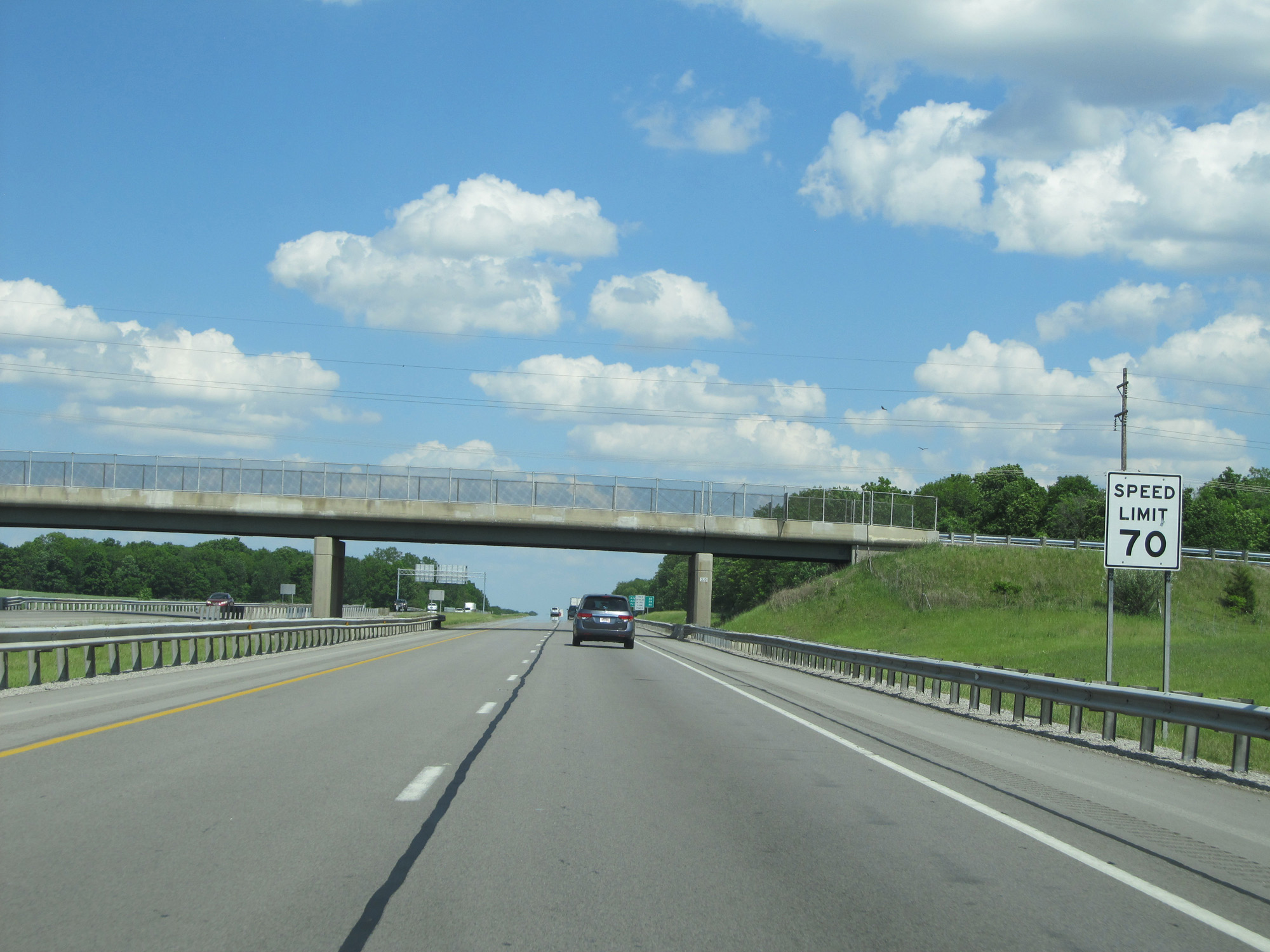 |
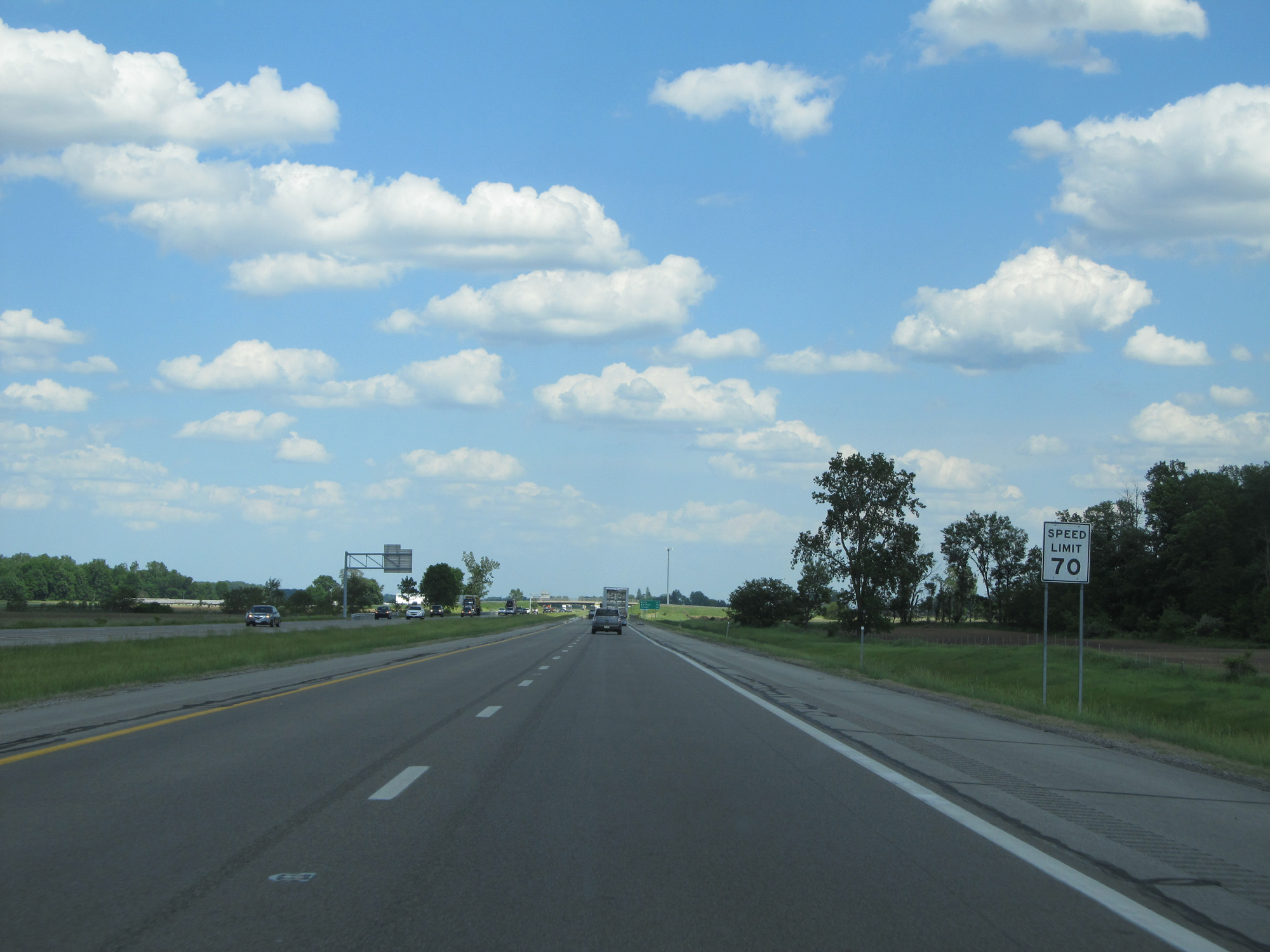
The speed limit of 70 mph resumes. 70 mph is the standard speed limit on most rural Interstate highways in Ohio. (Photo taken 5/30/16). |
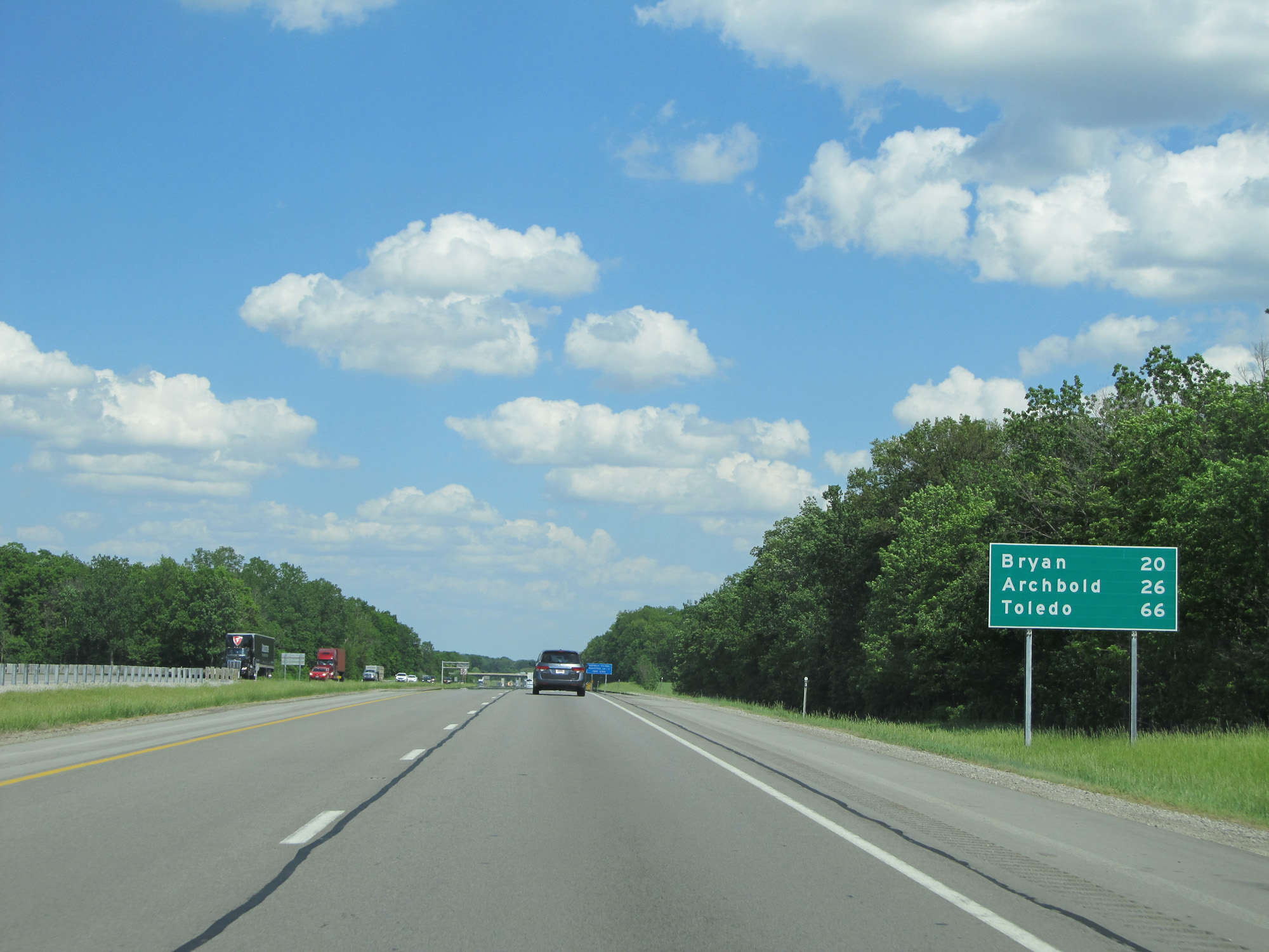 |
Mileage sign on Interstate 80 / Interstate 90 East (Ohio Turnpike). It's 20 miles to Bryan, 26 miles to Archbold, and 66 miles to Toledo. (Photo taken 5/30/16). |
 |
Interstate 80 / Interstate 90 East (Ohio Turnpike) at mile marker 4. (Photo taken 5/30/16). |
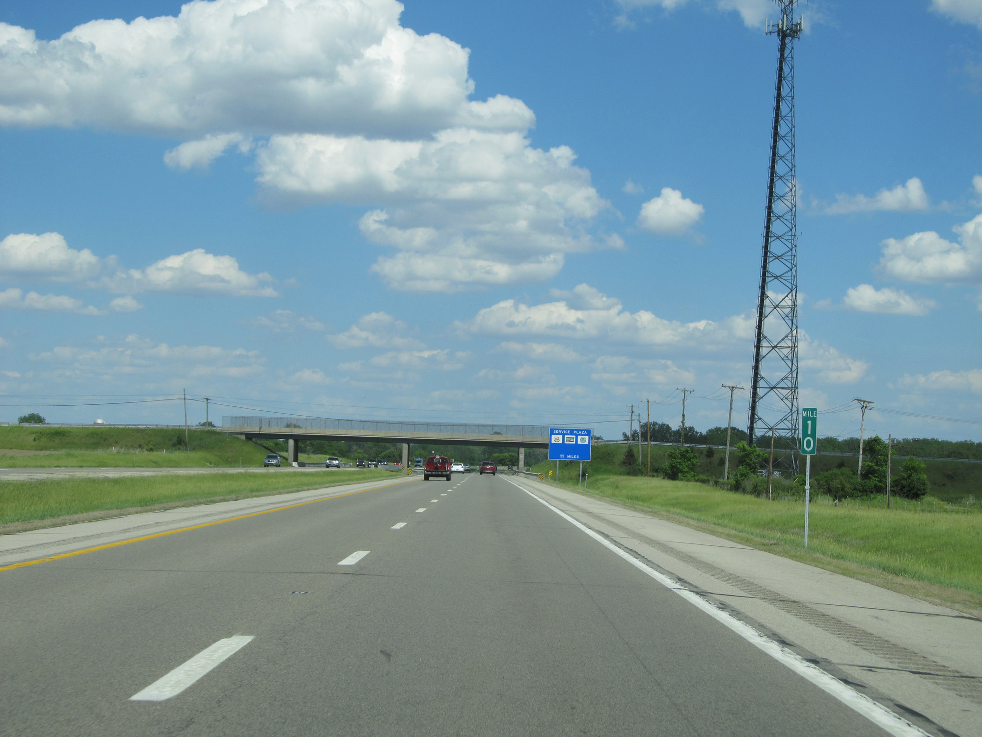 |
Interstate 80 / Interstate 90 East (Ohio Turnpike) at mile marker 10. (Photo taken 5/30/16). |
 |
Interstate 80 / Interstate 90 East (Ohio Turnpike) approaching Exit 13 - 1 mile. (Photo taken 5/30/16). |
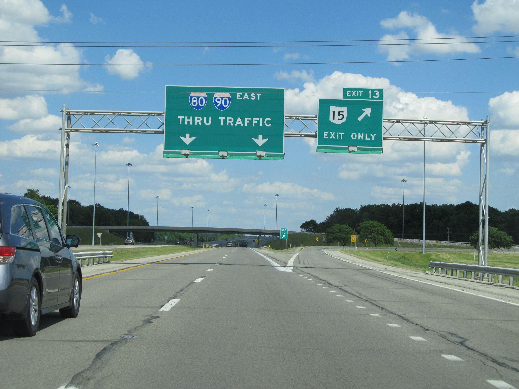 |
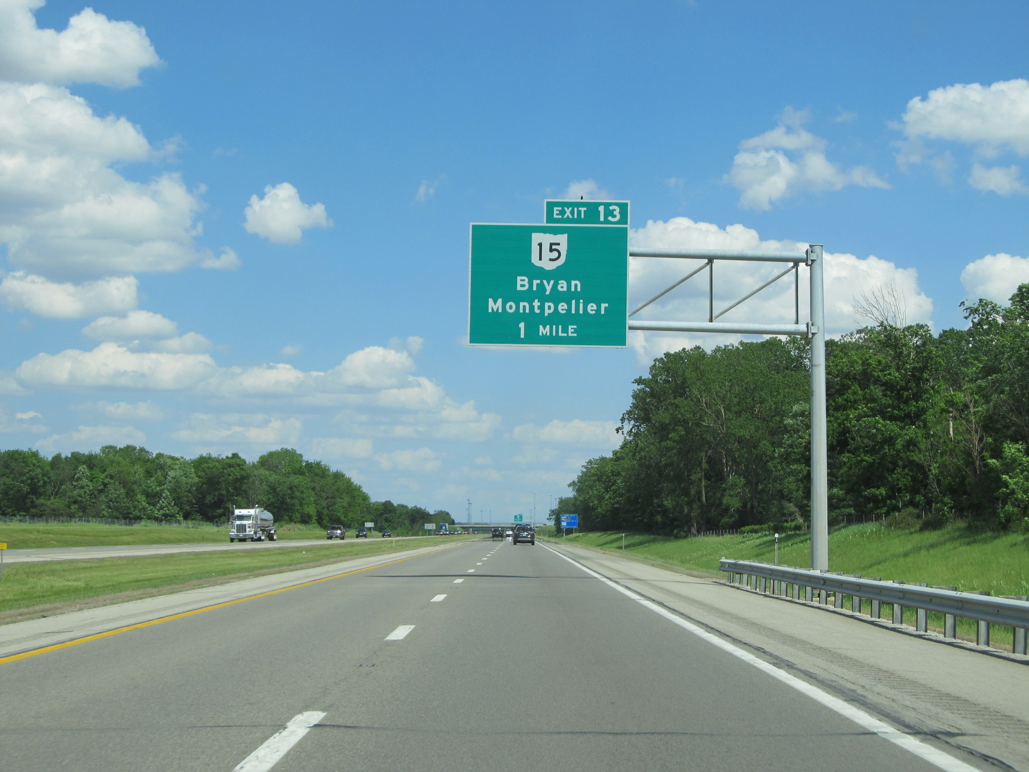
Interstate 80 / Interstate 90 East (Ohio Turnpike) at Exit 13: OH 15 - Bryan / Montpelier (Photo taken 5/30/16). |
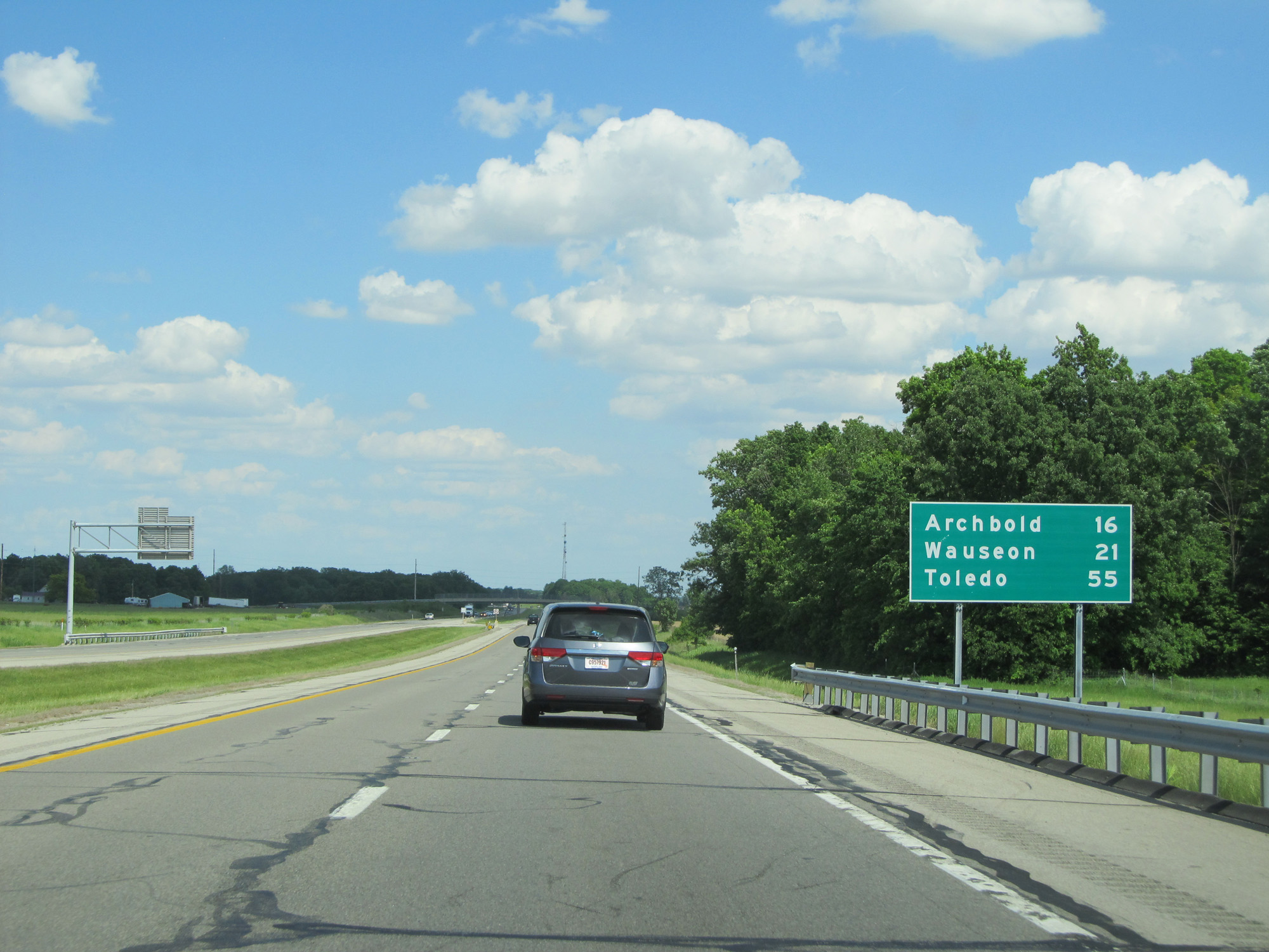 |
Mileage sign on Interstate 80 / Interstate 90 East (Ohio Turnpike). It's 16 miles to Archbold, 21 miles to Wauseon, and 55 miles to Toledo. (Photo taken 5/30/16). |
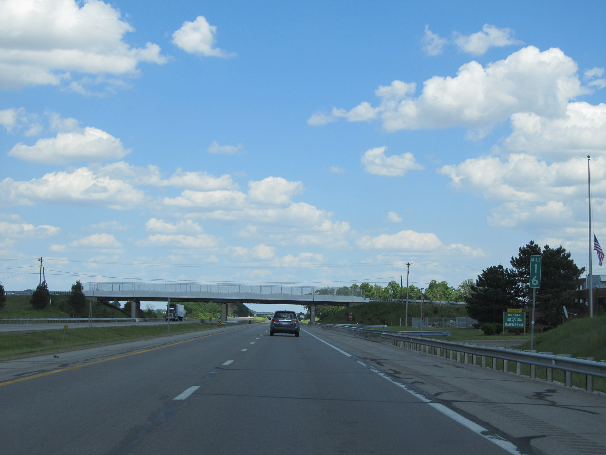 |
Interstate 80 / Interstate 90 East (Ohio Turnpike) at mile marker 16. (Photo taken 5/30/16). |
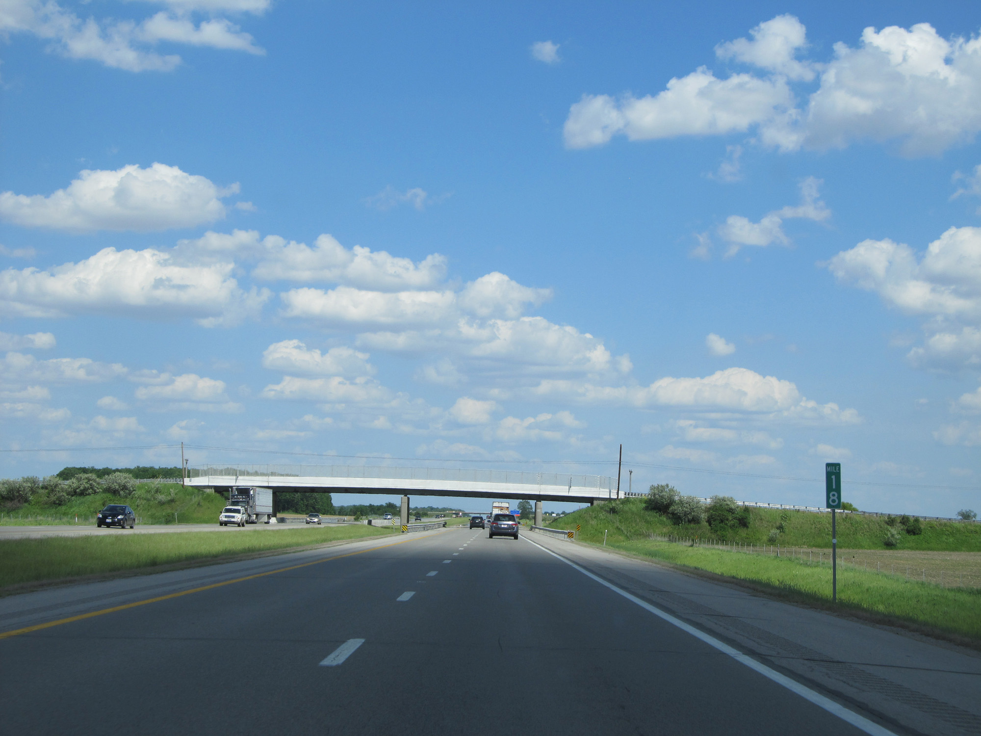 |
Interstate 80 / Interstate 90 East (Ohio Turnpike) at mile marker 18. (Photo taken 5/30/16). |
 |
The Tiffin River Service Plaza is 2 miles ahead. (Photo taken 5/30/16). |
 |
Interstate 80 / Interstate 90 East (Ohio Turnpike) at the Tiffin River Service Plaza. (Photo taken 5/30/16). |
 |
Interstate 80 / Interstate 90 East (Ohio Turnpike) reassurance shields. (Photo taken 5/30/16). |
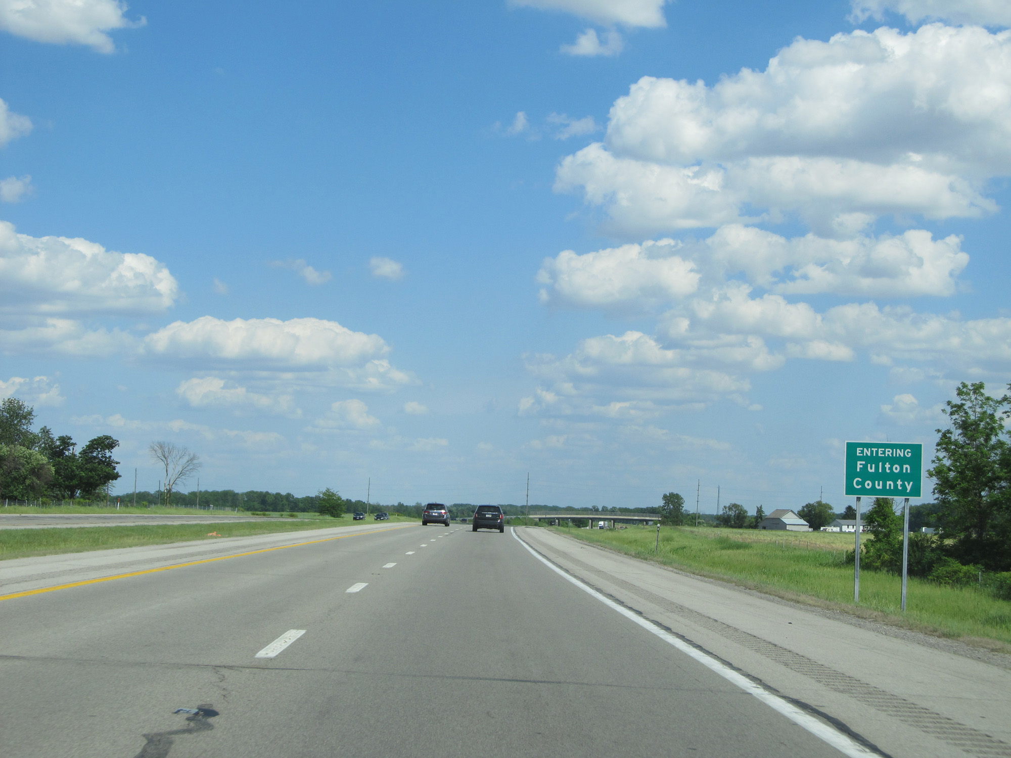 |
Interstate 80 / Interstate 90 East (Ohio Turnpike) entering Fulton County. (Photo taken 5/30/16). |
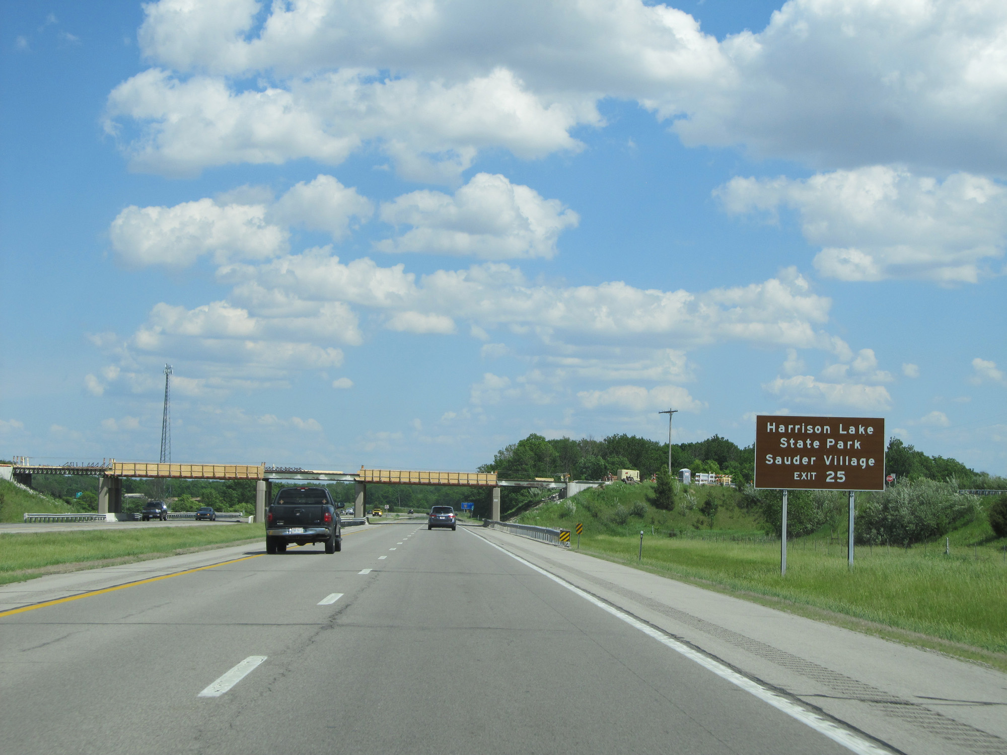 |
Take Exit 25 to Harrison Lake State Park and Sauder Village. (Photo taken 5/30/16). |
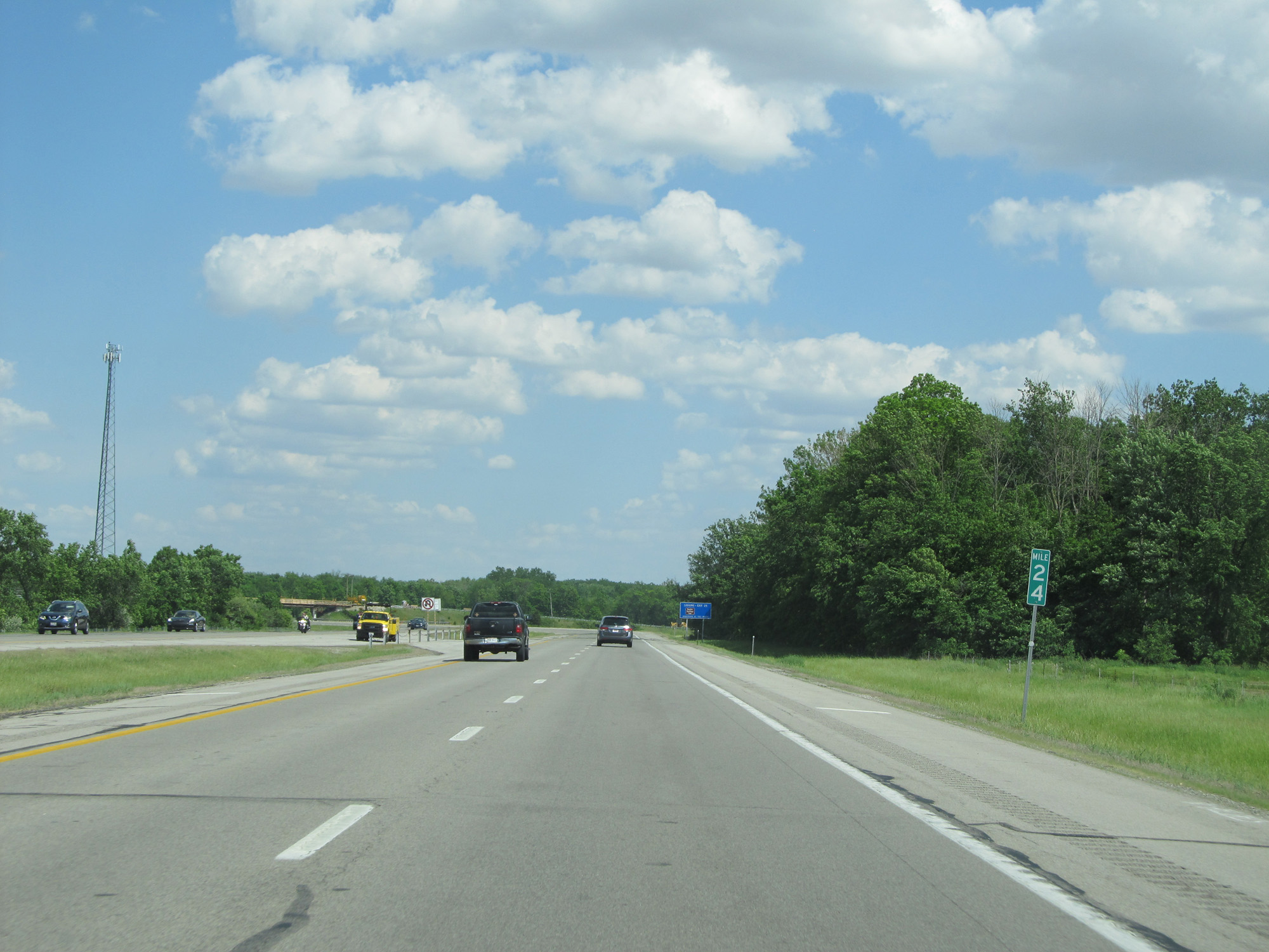 |
Interstate 80 / Interstate 90 East (Ohio Turnpike) at mile marker 24. (Photo taken 5/30/16). |
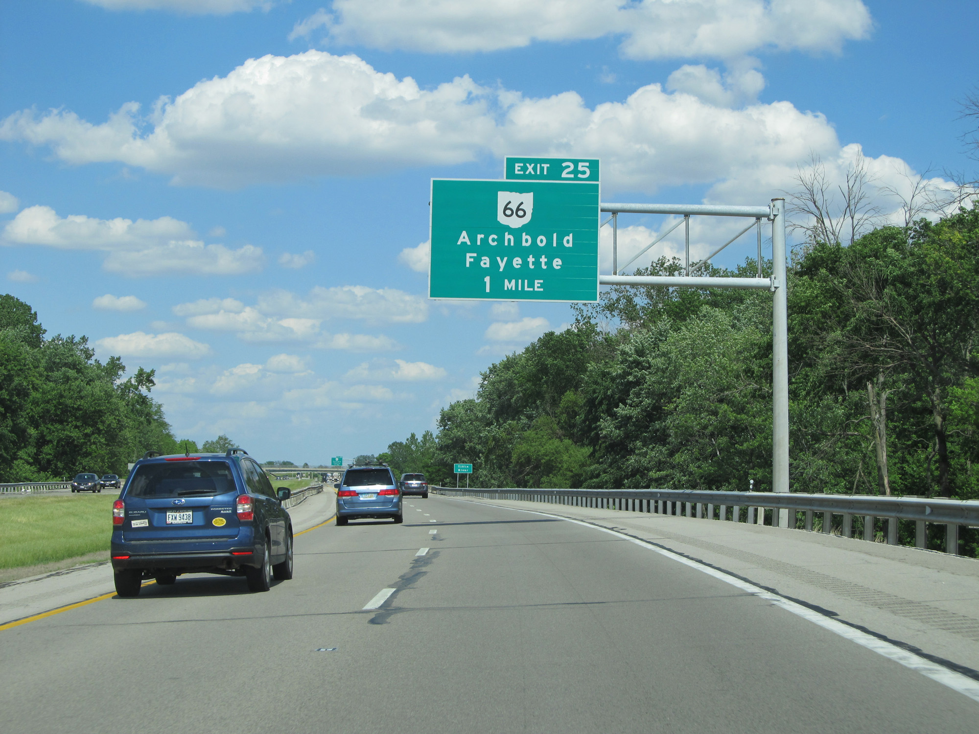 |
Interstate 80 / Interstate 90 East (Ohio Turnpike) approaching Exit 25 - 1 mile. (Photo taken 5/30/16). |
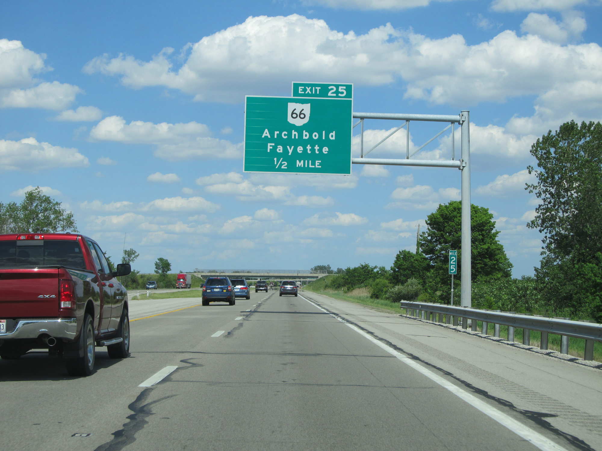 |
Interstate 80 / Interstate 90 East (Ohio Turnpike) approaching Exit 25 - 1/2 mile. (Photo taken 5/30/16). |
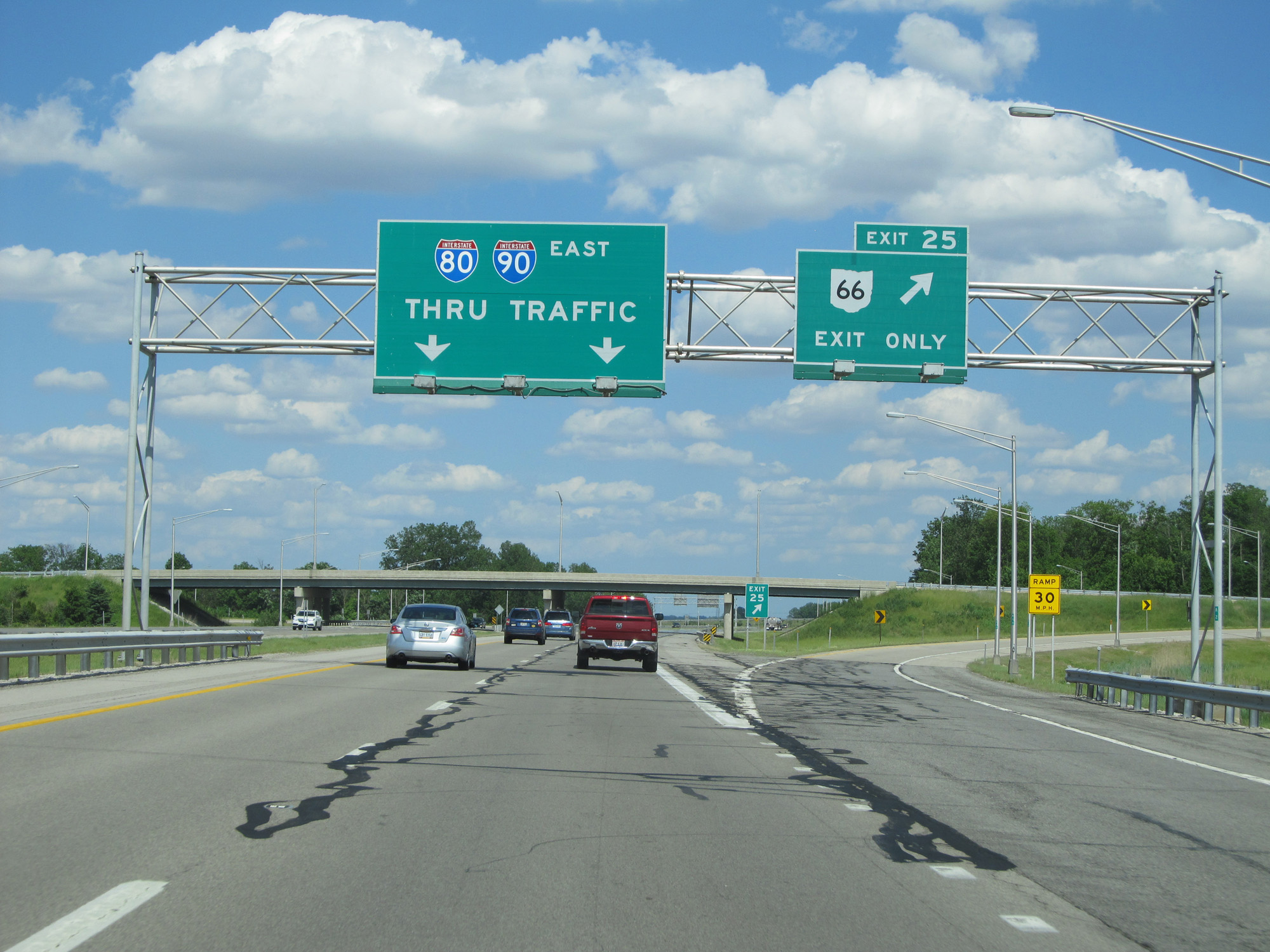 |
Interstate 80 / Interstate 90 East (Ohio Turnpike) at Exit 25: OH 66 - Archbold / Fayette (Photo taken 5/30/16). |
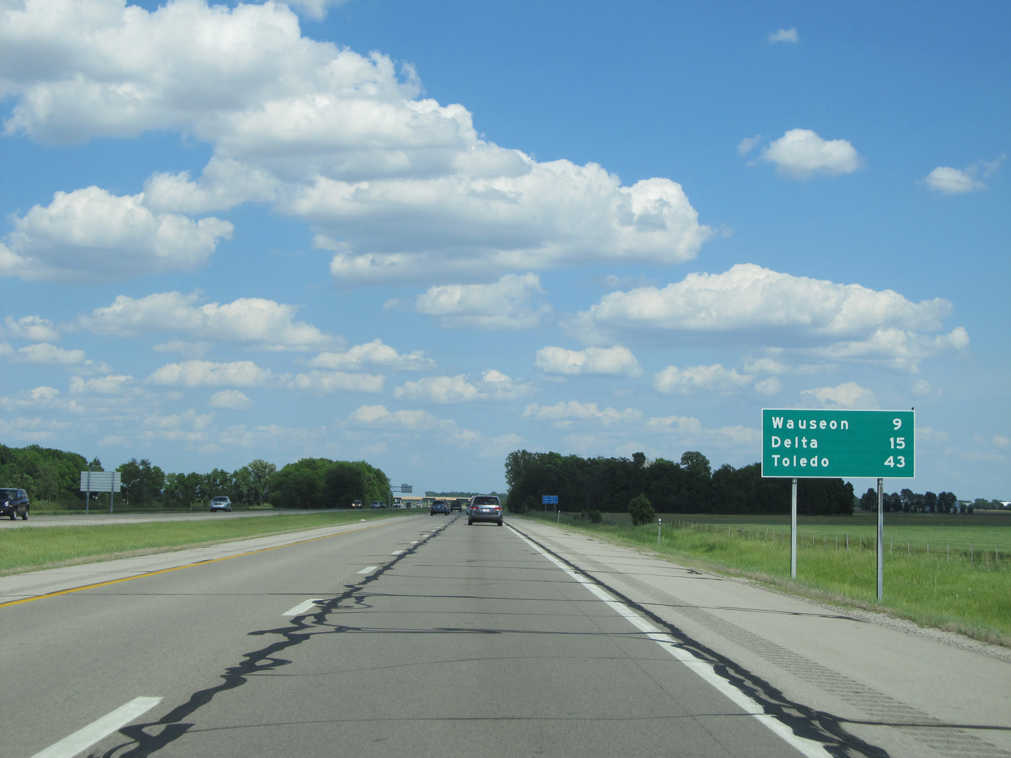 |
Mileage sign on Interstate 80 / Interstate 90 East (Ohio Turnpike). It's 9 miles to Wauseon, 15 miles to Delta, and 43 miles to Toledo. (Photo taken 5/30/16). |
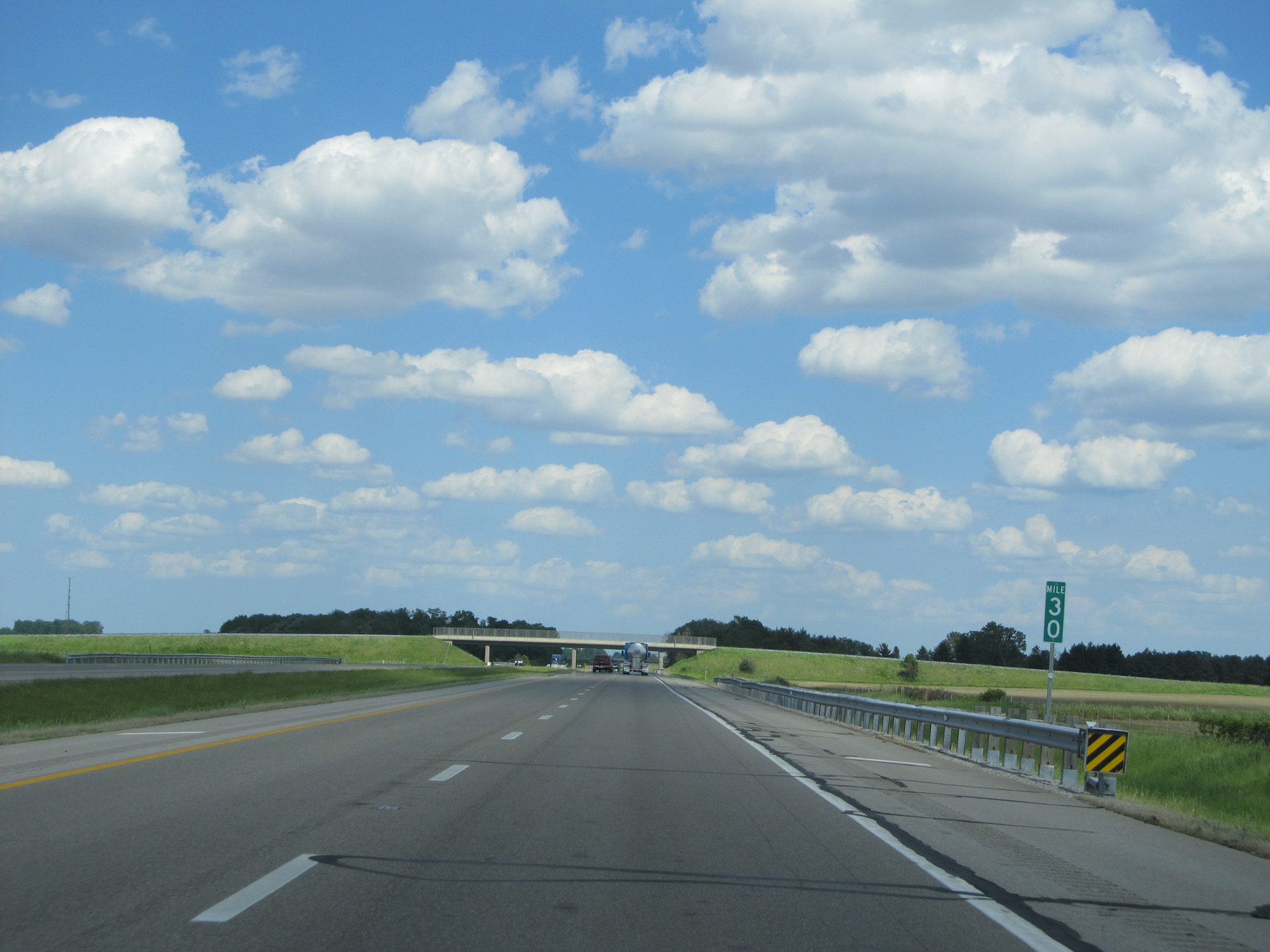 |
Interstate 80 / Interstate 90 East (Ohio Turnpike) at mile marker 30. (Photo taken 5/30/16). |
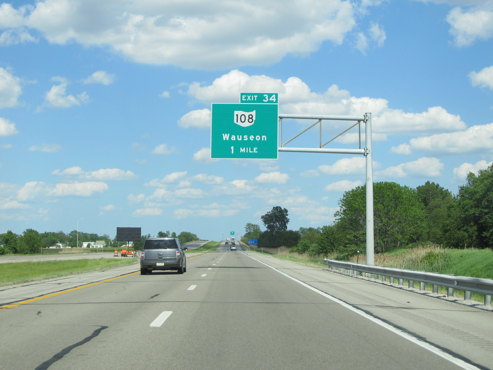 |
Interstate 80 / Interstate 90 East (Ohio Turnpike) approaching Exit 34 - 1 mile. (Photo taken 5/30/16). |
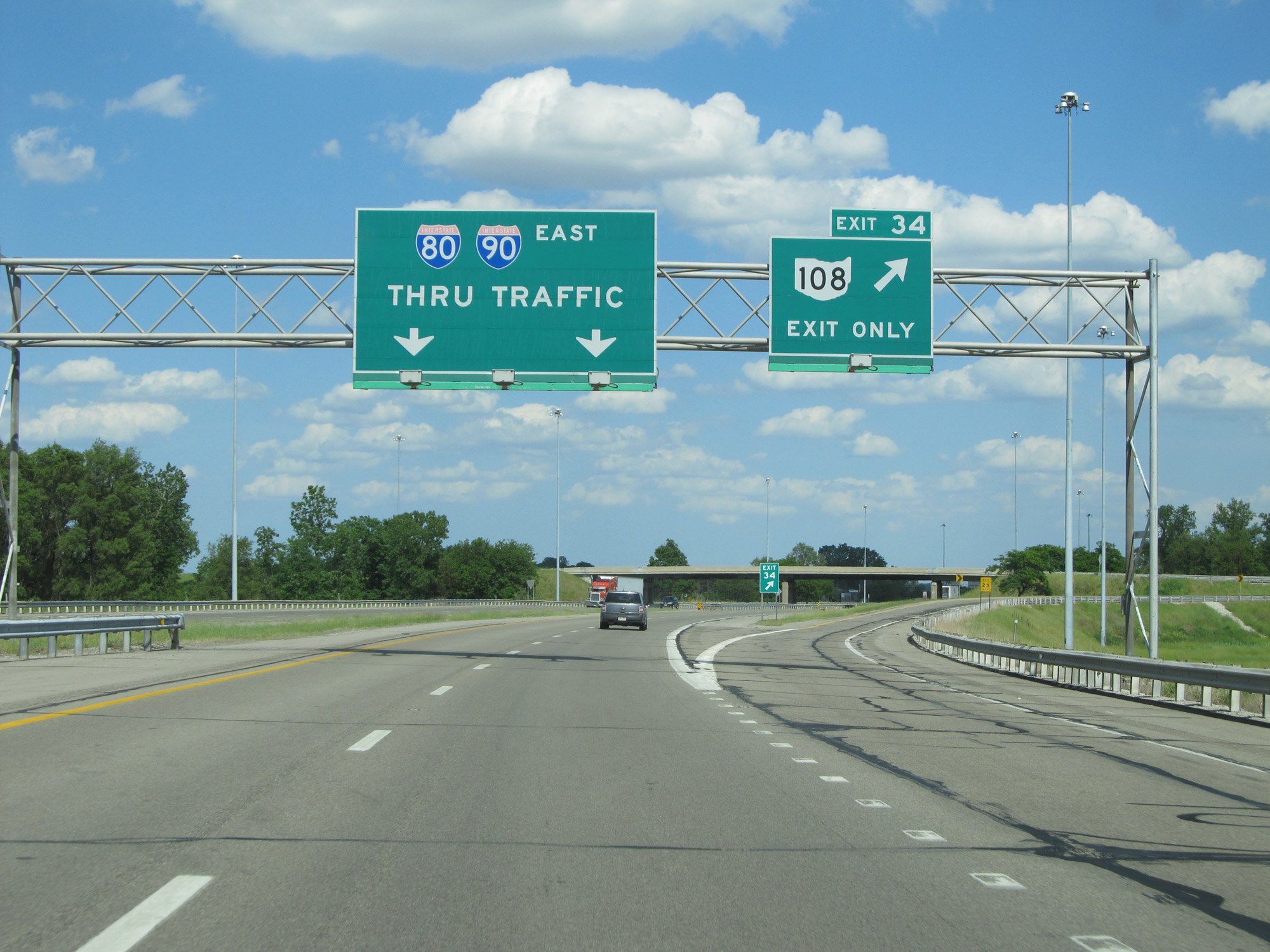 |
Interstate 80 / Interstate 90 East (Ohio Turnpike) at Exit 34: OH 108 - Wauseon (Photo taken 5/30/16). |
 |
The speed limit remains 70 mph for all traffic. (Photo taken 5/30/16). |
 |
Interstate 80 / Interstate 90 East (Ohio Turnpike) approaching Exit 39 - 1 mile. (Photo taken 5/30/16). |
 |
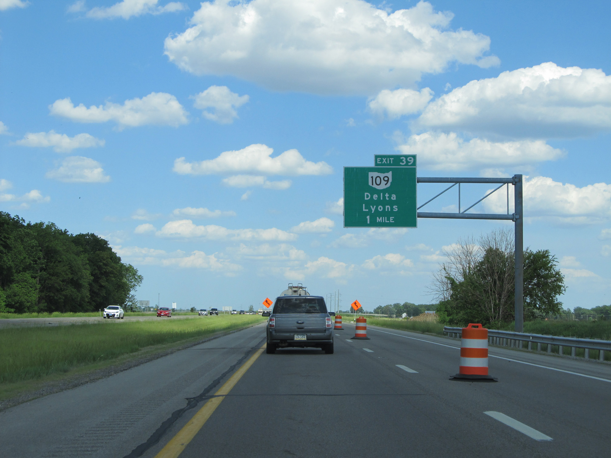
Interstate 80 / Interstate 90 East (Ohio Turnpike) at Exit 39: OH 109 - Delta / Lyons (Photo taken 5/30/16). |
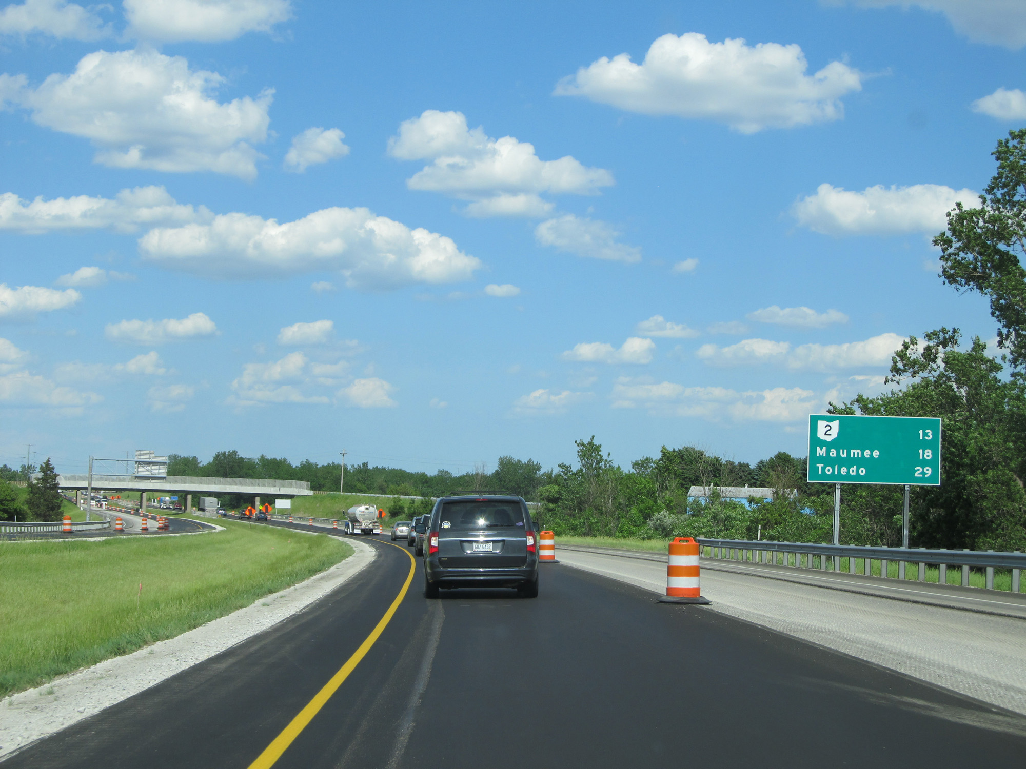 |
Mileage sign on Interstate 80 / Interstate 90 East (Ohio Turnpike). It's 13 miles to the junction of OH 2, 18 miles to Maumee, and 29 miles to Toledo. (Photo taken 5/30/16). |
 |
Interstate 80 / Interstate 90 East (Ohio Turnpike) at mile marker 45. (Photo taken 5/30/16). |
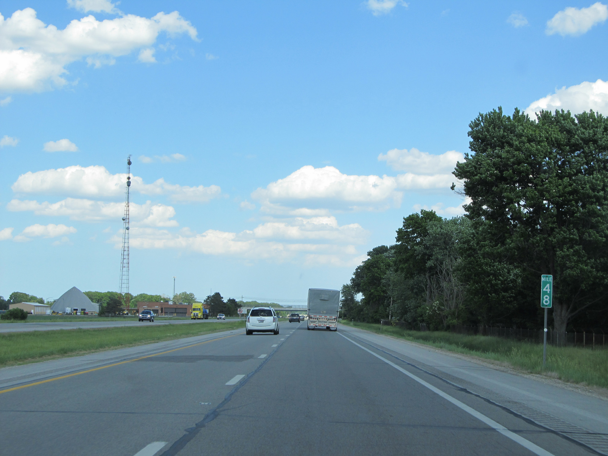 |
Interstate 80 / Interstate 90 East (Ohio Turnpike) at mile marker 48. (Photo taken 5/30/16). |
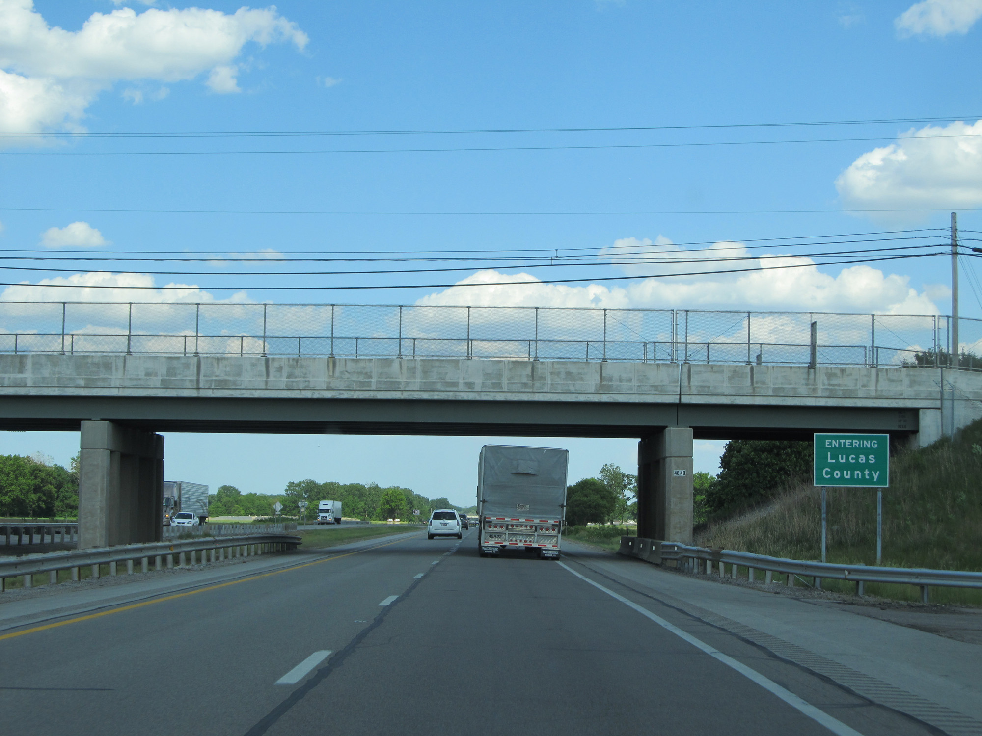 |
Interstate 80 / Interstate 90 East (Ohio Turnpike) entering Lucas County. (Photo taken 5/30/16). |
 |
Interstate 80 / Interstate 90 East (Ohio Turnpike) reassurance shields. (Photo taken 5/30/16). |
 |
Interstate 80 / Interstate 90 East (Ohio Turnpike) approaching Exit 52 - 1 mile. (Photo taken 5/30/16). |
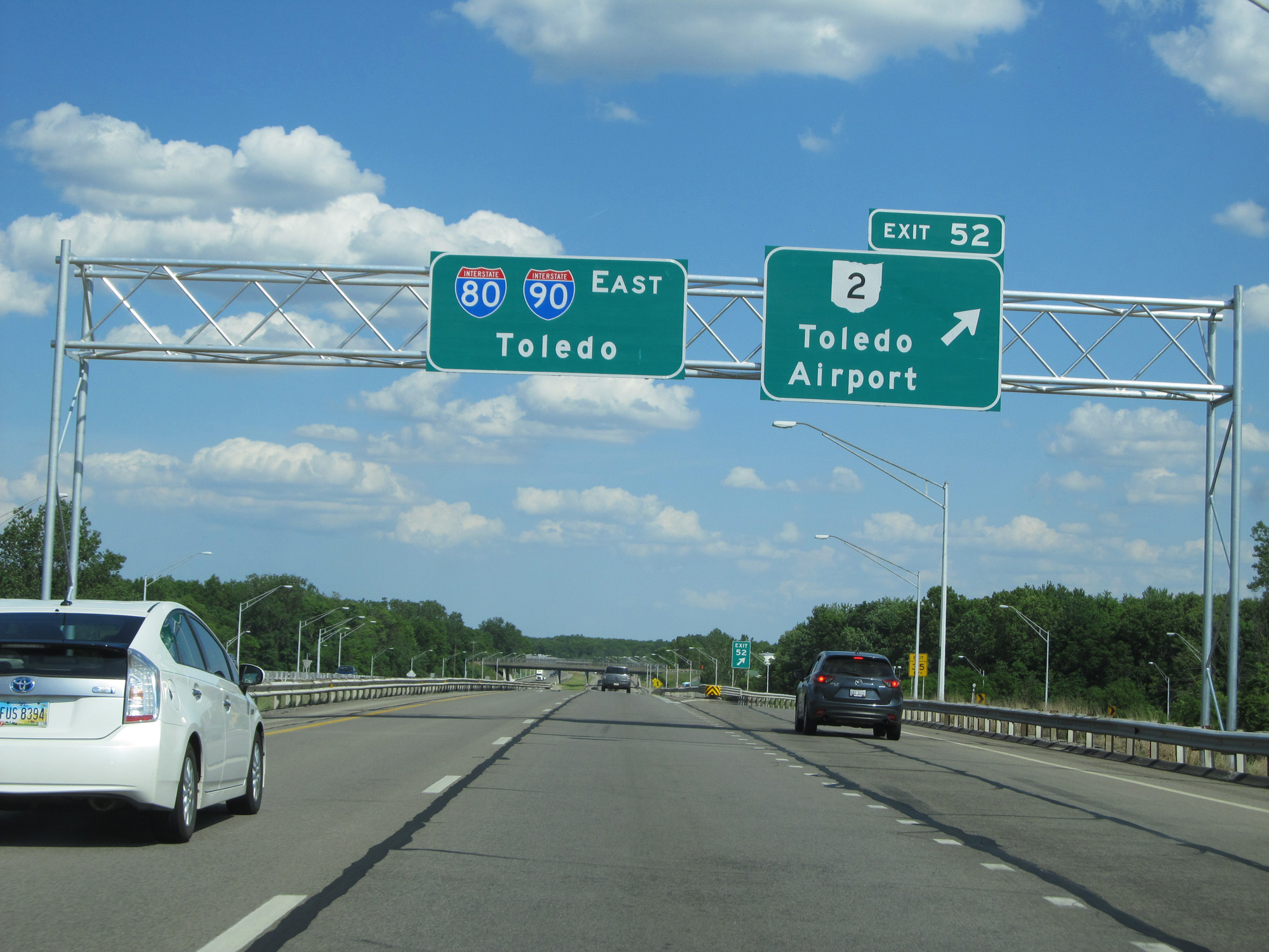 |
Interstate 80 / Interstate 90 East (Ohio Turnpike) at Exit 52: OH 2 - Toledo Airport / Swanton (Photo taken 5/30/16). |
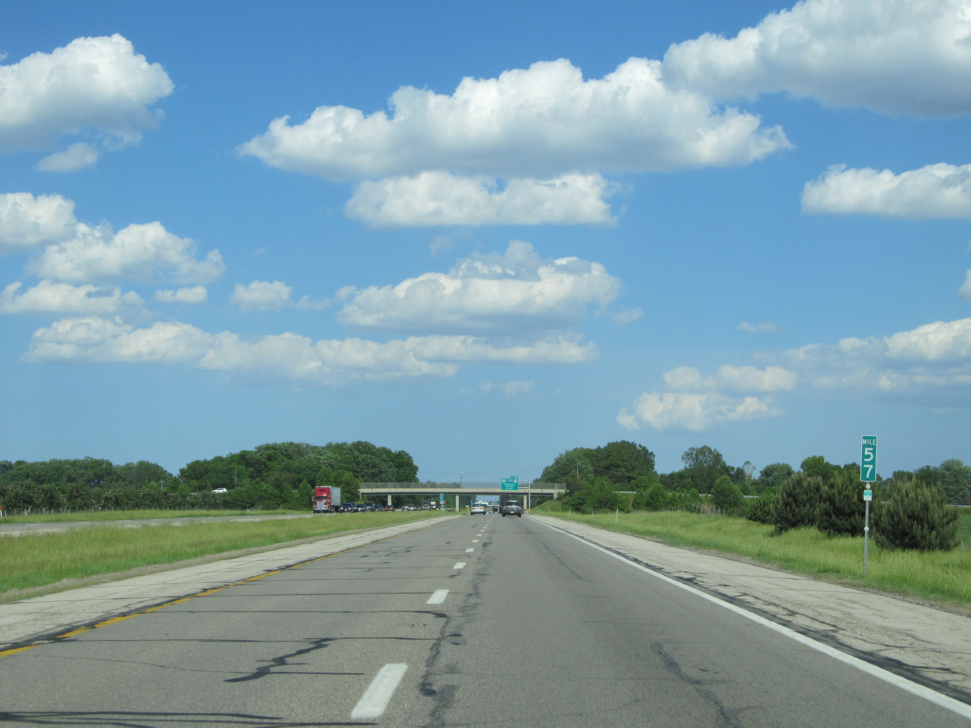 |
Interstate 80 / Interstate 90 East (Ohio Turnpike) at mile marker 57. (Photo taken 5/30/16). |
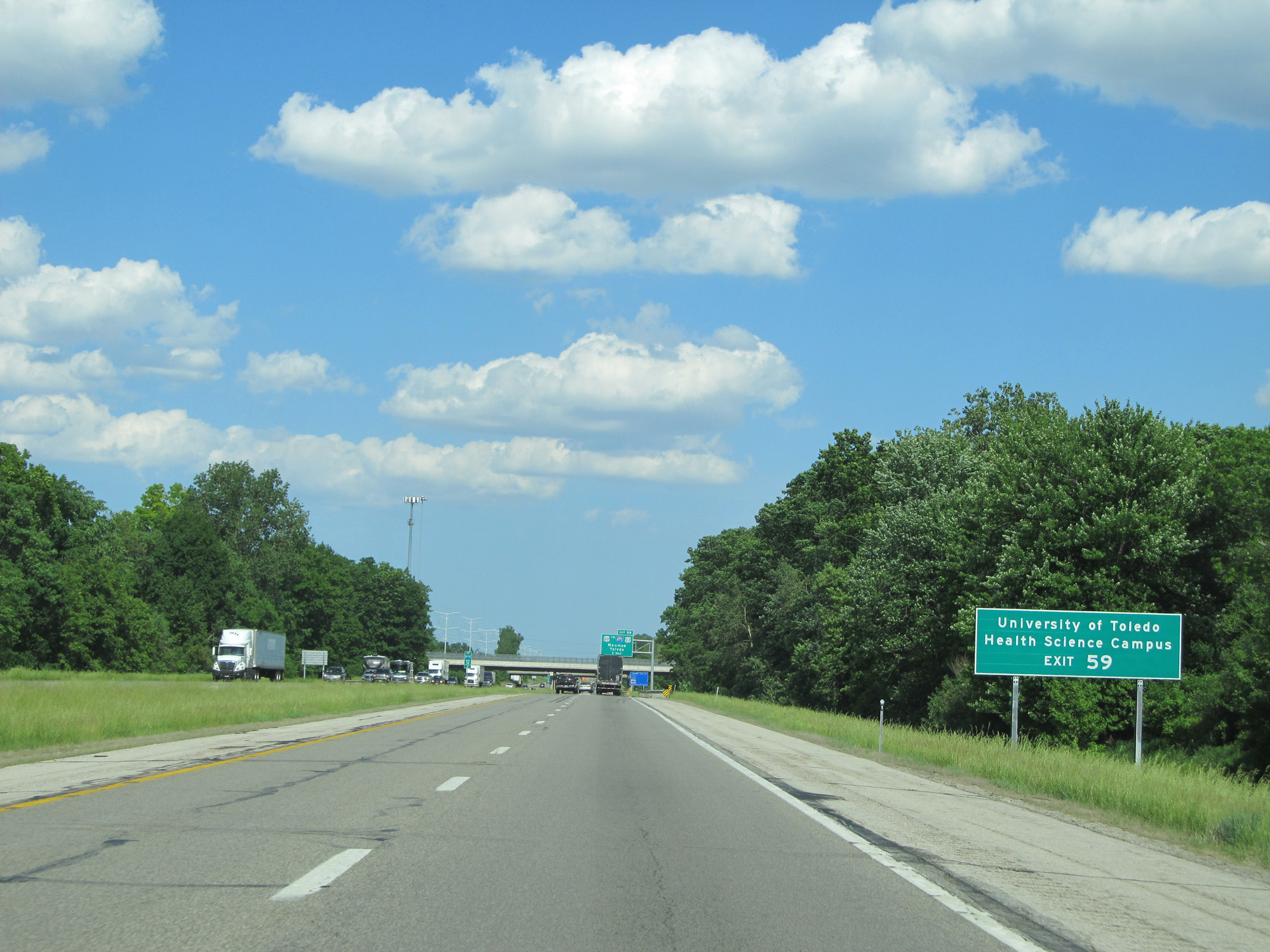 |
Take Exit 59 to the University of Toledo Health Science Campus. (Photo taken 5/30/16). |
 |
Interstate 80 / Interstate 90 East (Ohio Turnpike) approaching Exit 59 - 1 mile. (Photo taken 5/30/16). |
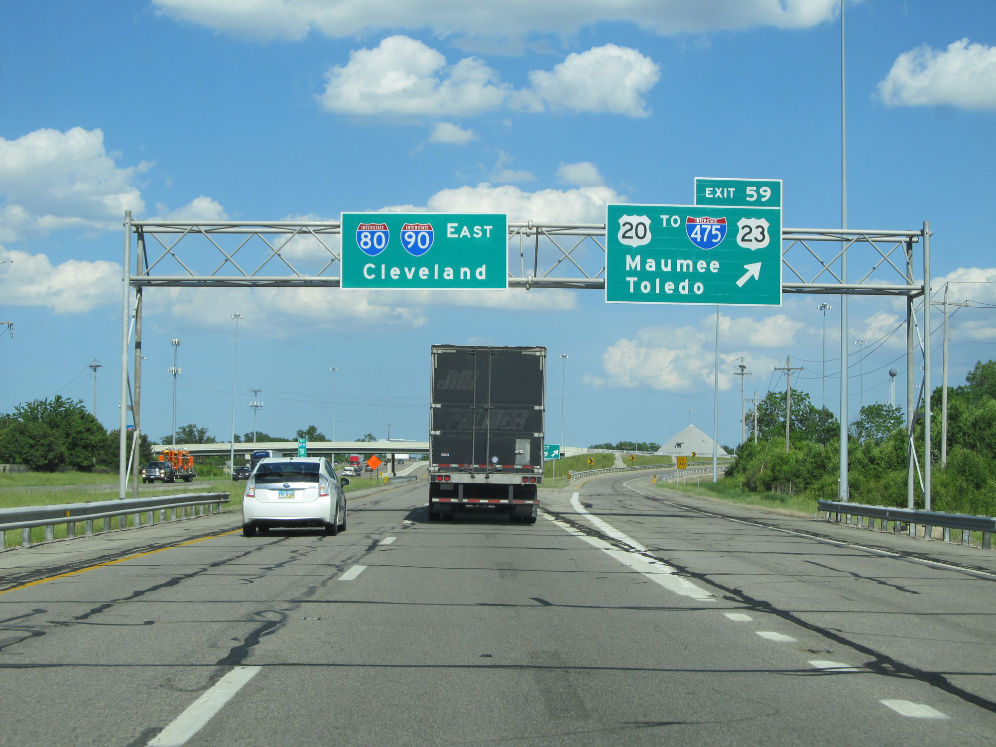 |
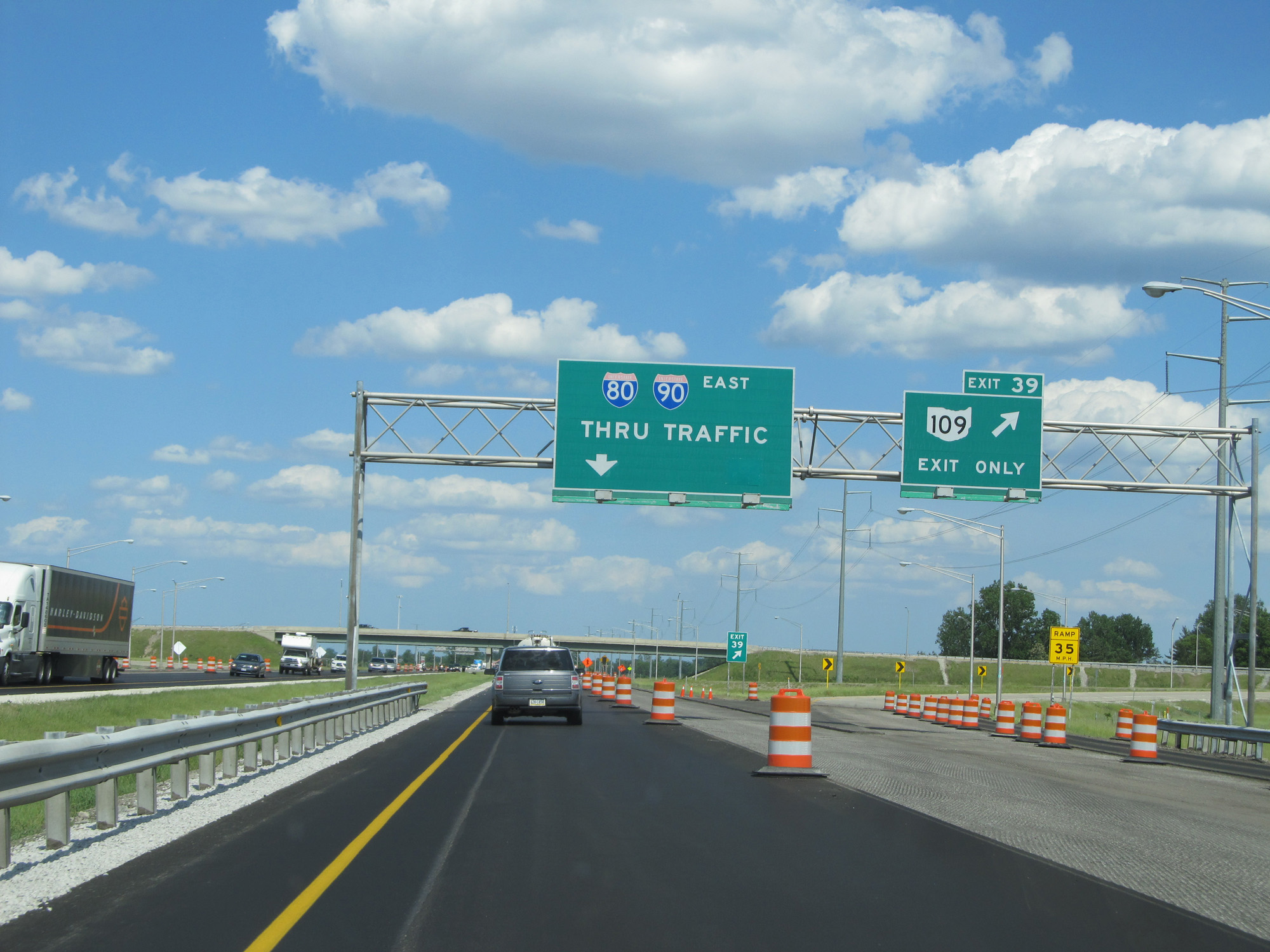
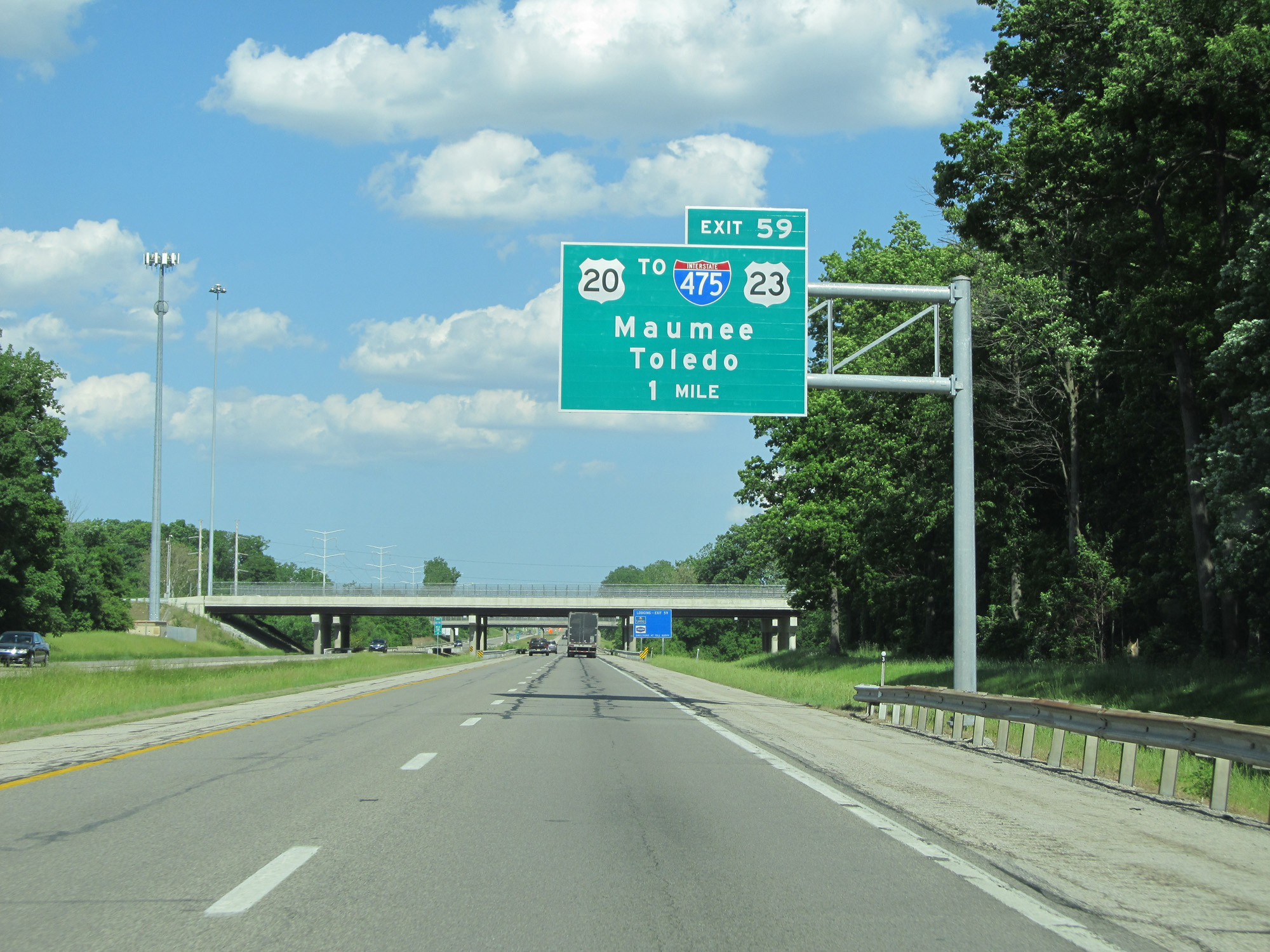
Interstate 80 / Interstate 90 East (Ohio Turnpike) at Exit 59: US 20 / To Interstate 475 / To US 23 - Maumee / Toledo (Photo taken 5/30/16). |
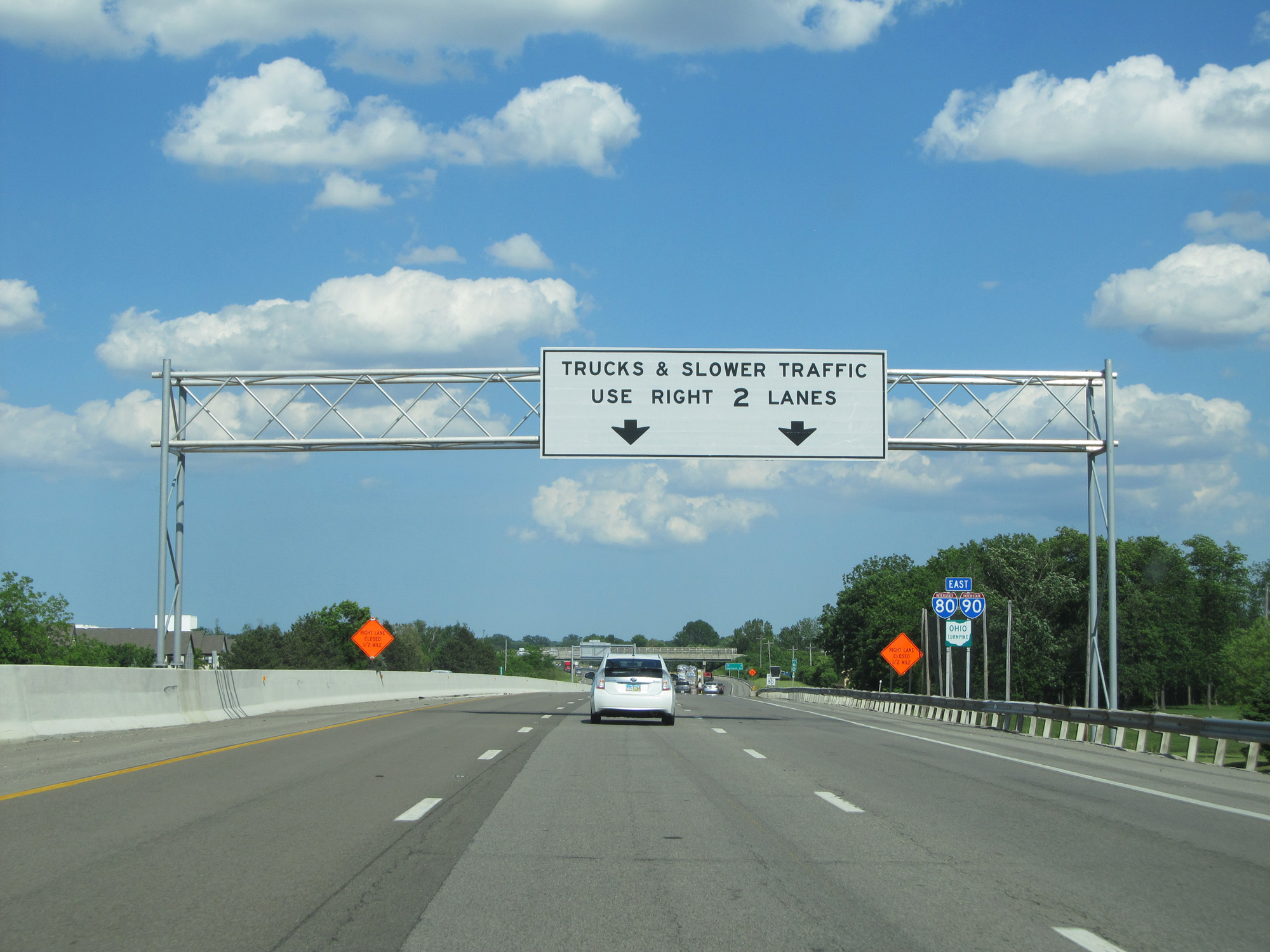 |
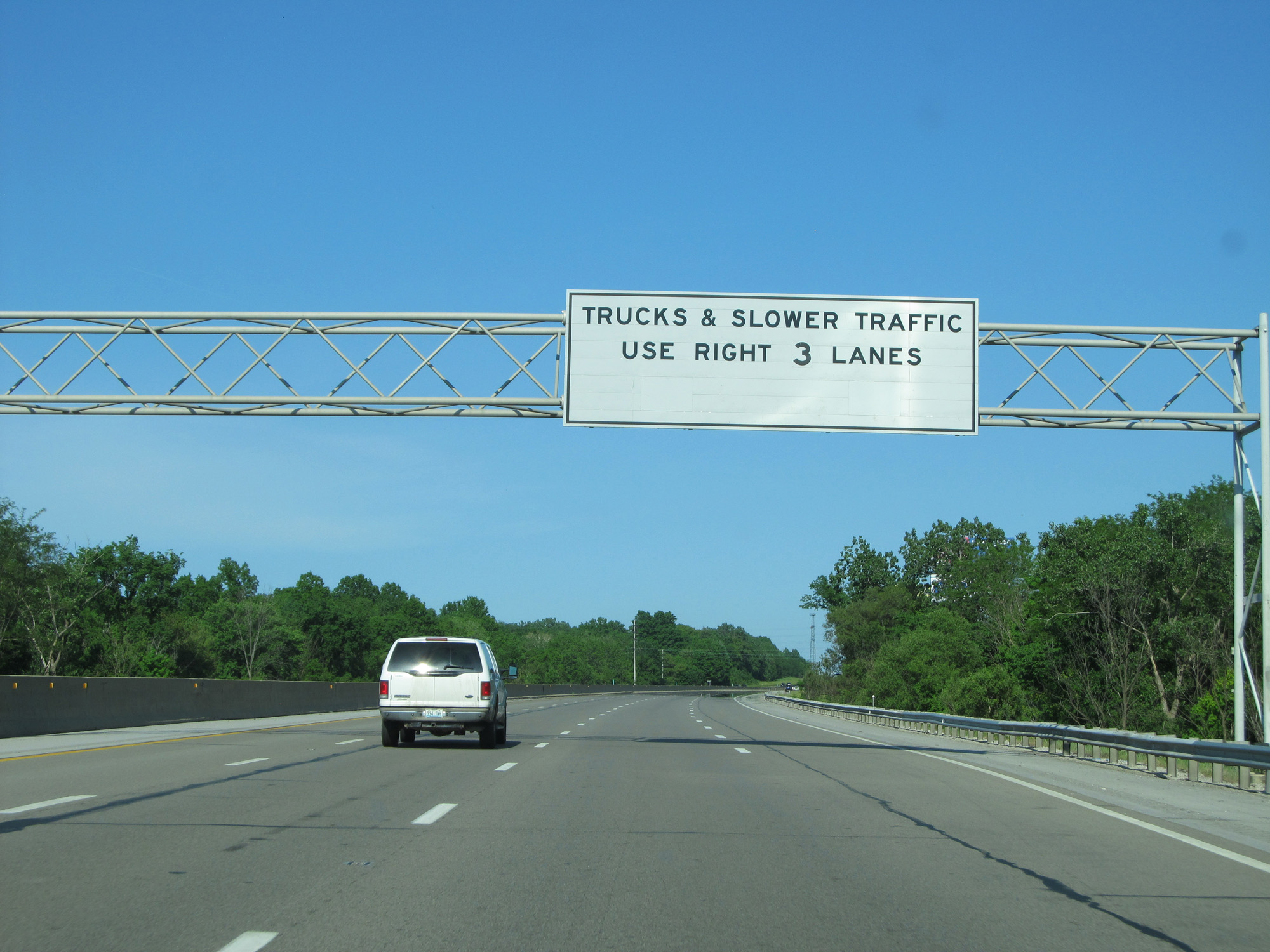
East of Exit 59, Interstate 80 / Interstate 90 East (Ohio Turnpike) is widened to three lanes in each direction. (Photo taken 5/30/16). |
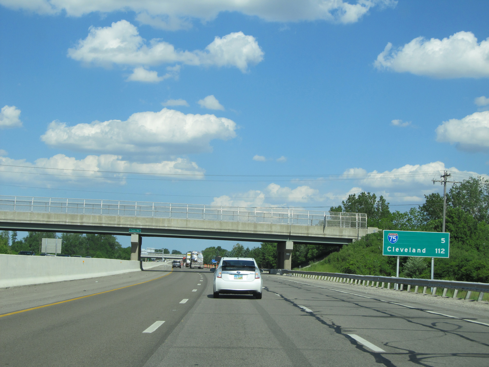 |
Mileage sign on Interstate 80 / Interstate 90 East (Ohio Turnpike). It's 5 miles to the junction of Interstate 75 and 112 miles to Cleveland. (Photo taken 5/30/16). |
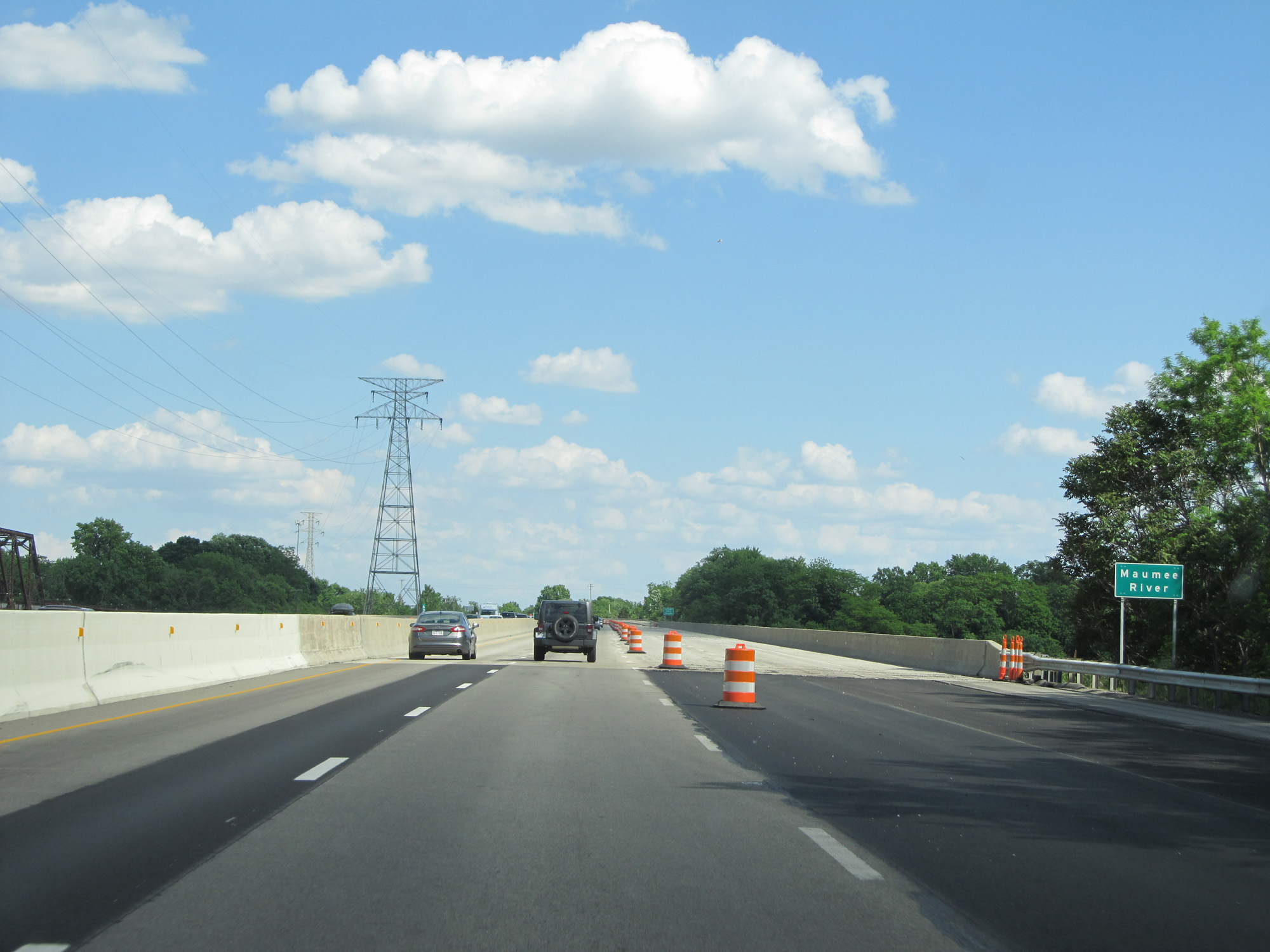 |
Interstate 80 / Interstate 90 East (Ohio Turnpike) crossing the Maumee River. (Photo taken 5/30/16). |
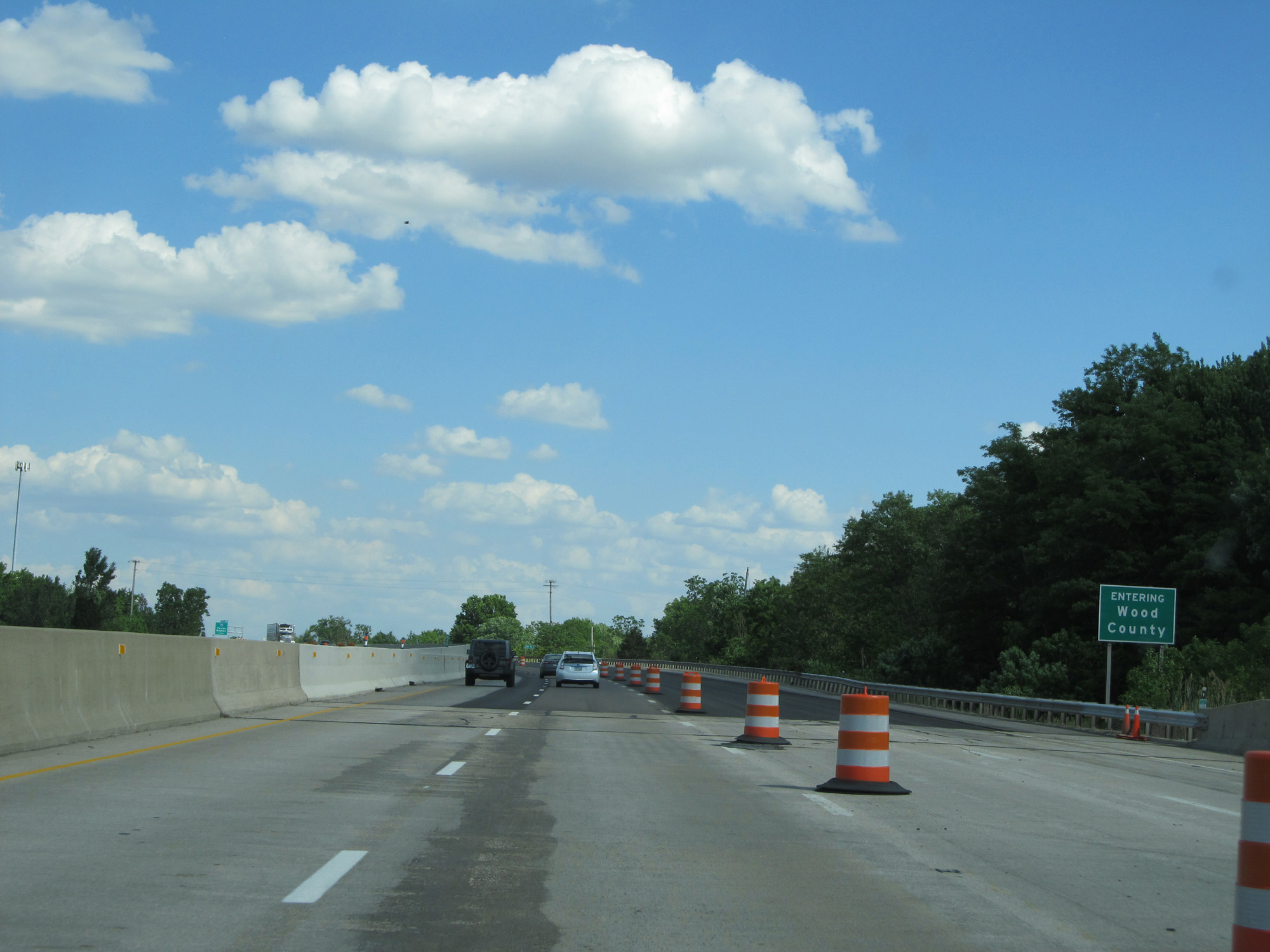 |
Interstate 80 / Interstate 90 East (Ohio Turnpike) enters Wood County on the east side of the Maumee River. (Photo taken 5/30/16). |
 |
Interstate 80 / Interstate 90 East (Ohio Turnpike) approaching Exit 64 - 1 mile. (Photo taken 5/30/16). |
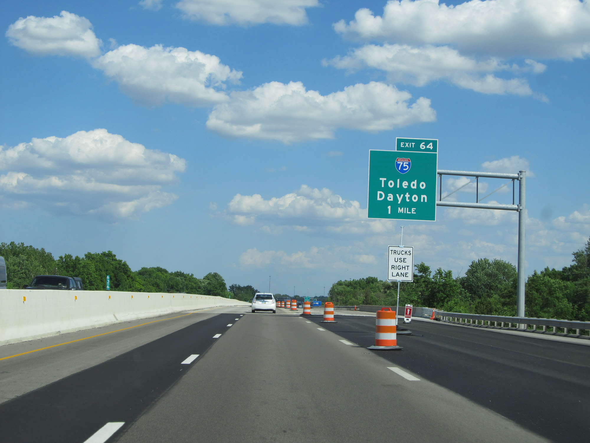
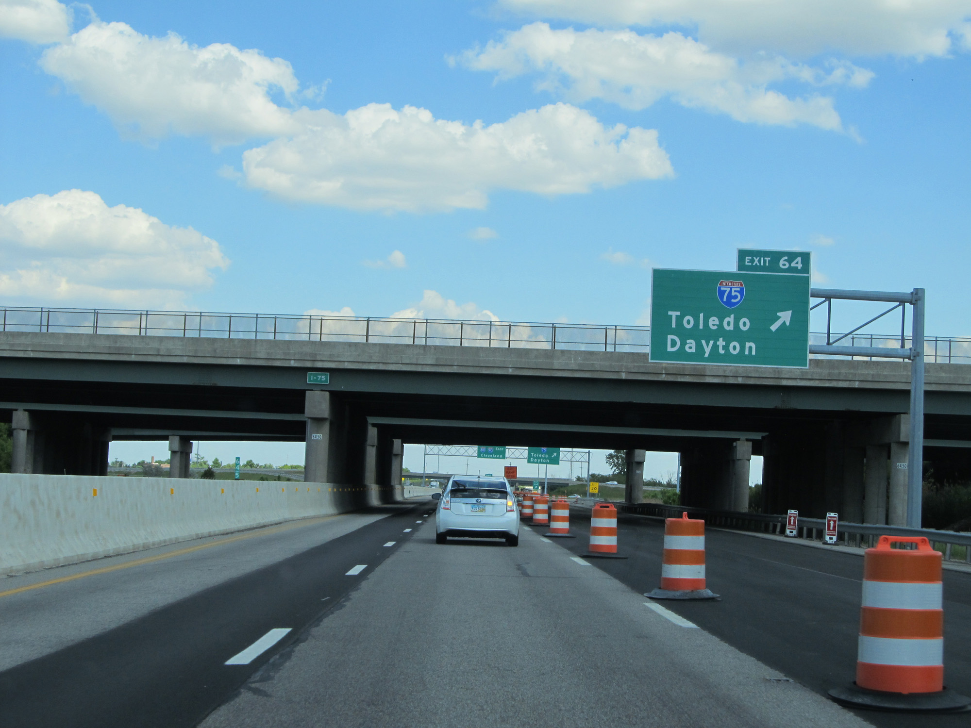 |
Interstate 80 / Interstate 90 East (Ohio Turnpike) at Exit 64: Interstate 75 - Toledo / Dayton (Photo taken 5/30/16). |
Section 2: Maumee (Exit 64) to Elyria (Exit 142)
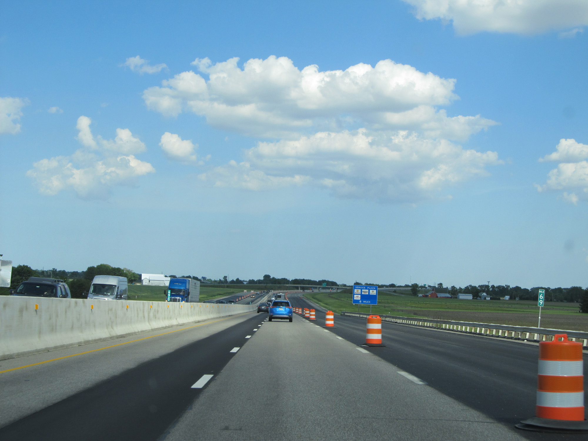 |
Interstate 80 / Interstate 90 East (Ohio Turnpike) at mile marker 69. (Photo taken 5/30/16). |
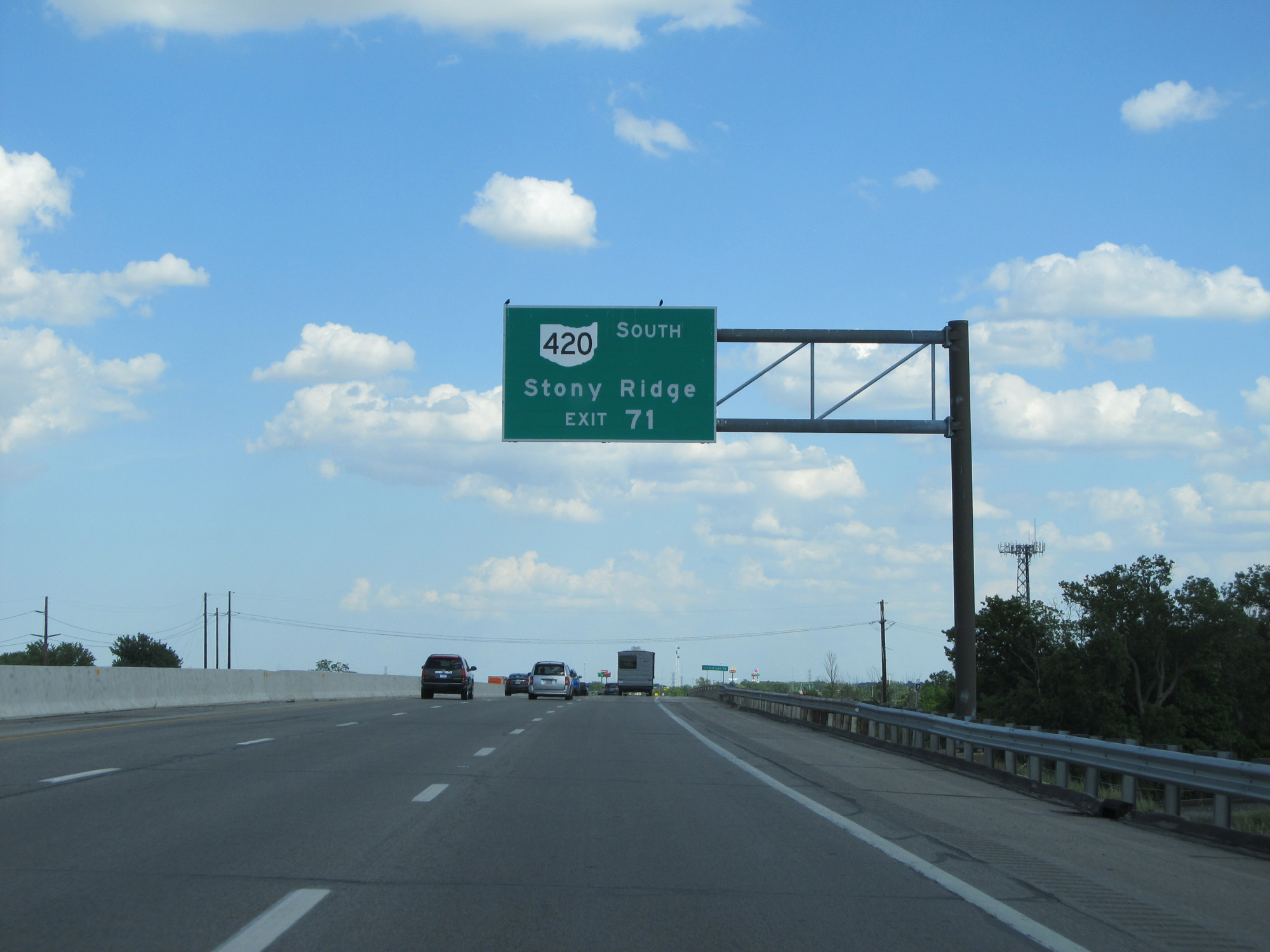 |
Take Exit 71 to OH 420 South toward Stony Ridge. (Photo taken 5/30/16). |
 |
Interstate 80 / Interstate 90 East (Ohio Turnpike) approaching Exit 71 - 1 mile. (Photo taken 5/30/16). |
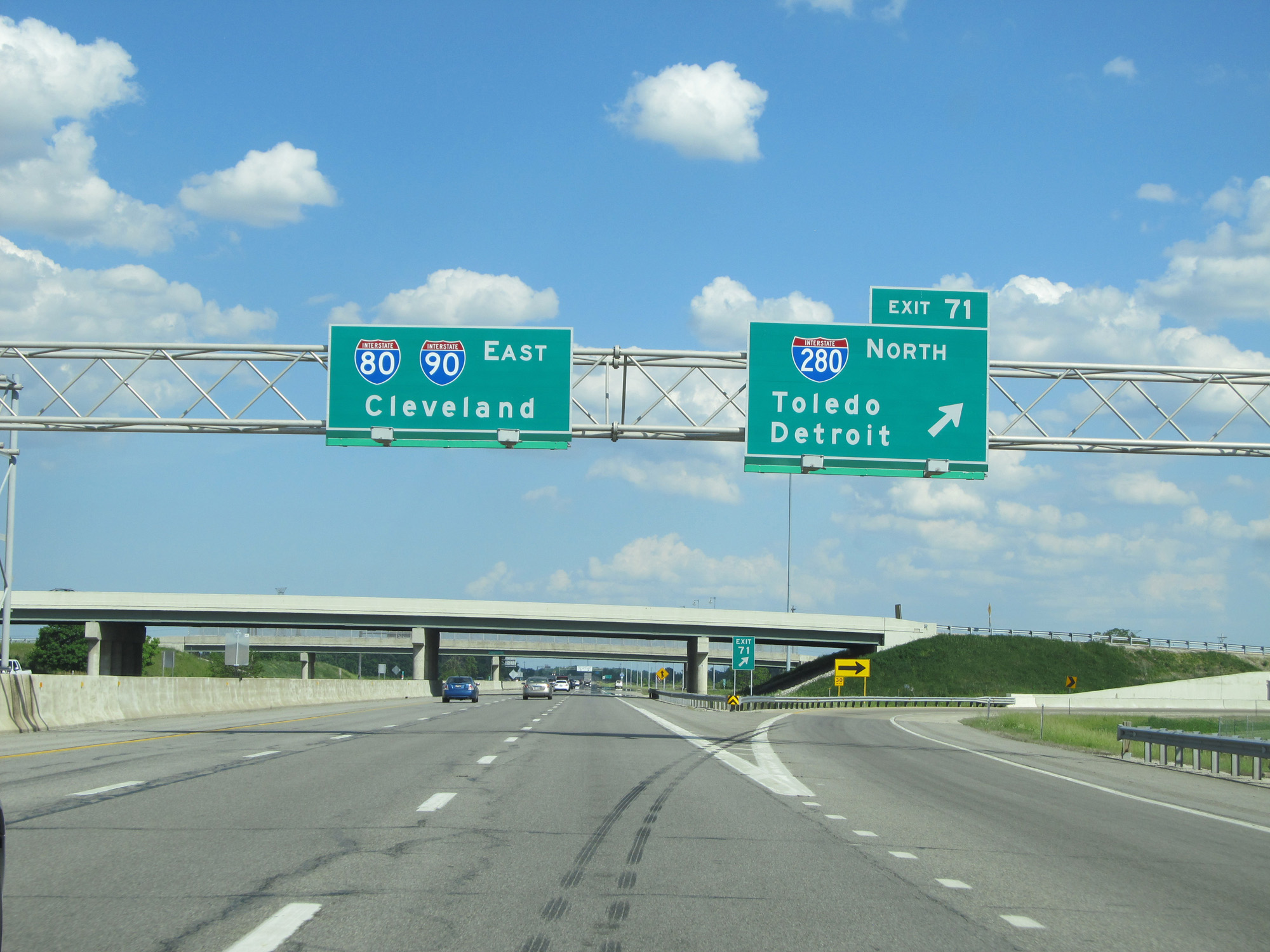 |
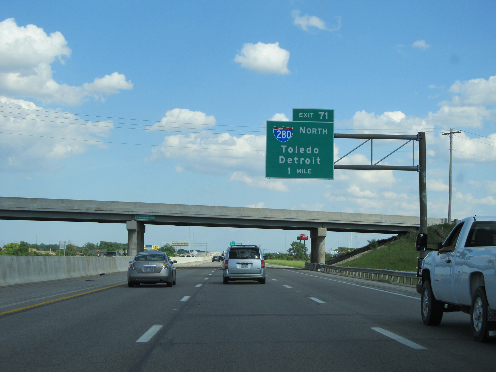
Interstate 80 / Interstate 90 East (Ohio Turnpike) at Exit 71: Interstate 280 North - Toledo / Detroit (Photo taken 5/30/16). |
 |
Interstate 80 / Interstate 90 East (Ohio Turnpike) reassurance shields. (Photo taken 5/30/16). |
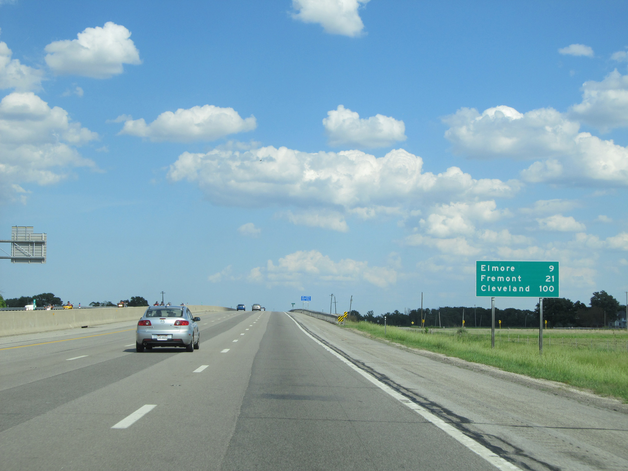 |
Mileage sign on Interstate 80 / Interstate 90 East (Ohio Turnpike). It's 9 miles to Elmore, 21 miles to Fremont, and 100 miles to Cleveland. (Photo taken 5/30/16). |
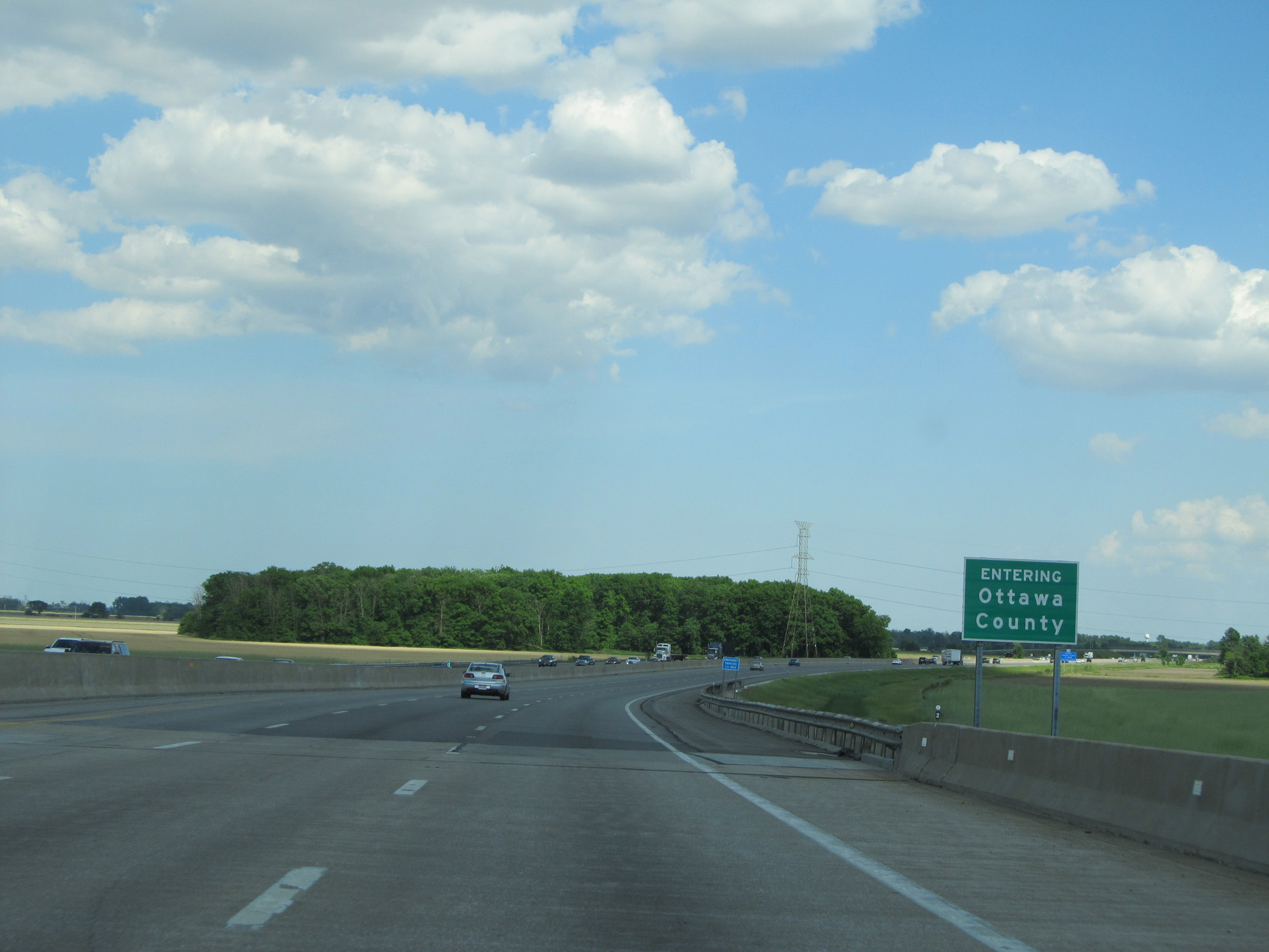 |
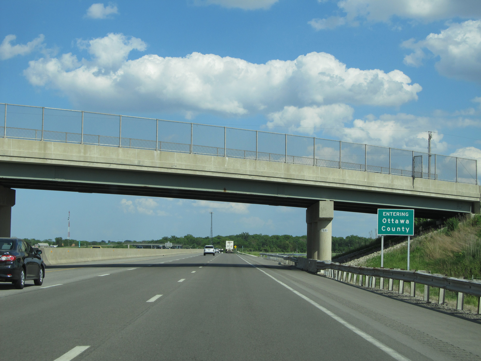
Interstate 80 / Interstate 90 East (Ohio Turnpike) entering Ottawa County. (Photo taken 5/30/16). |
 |
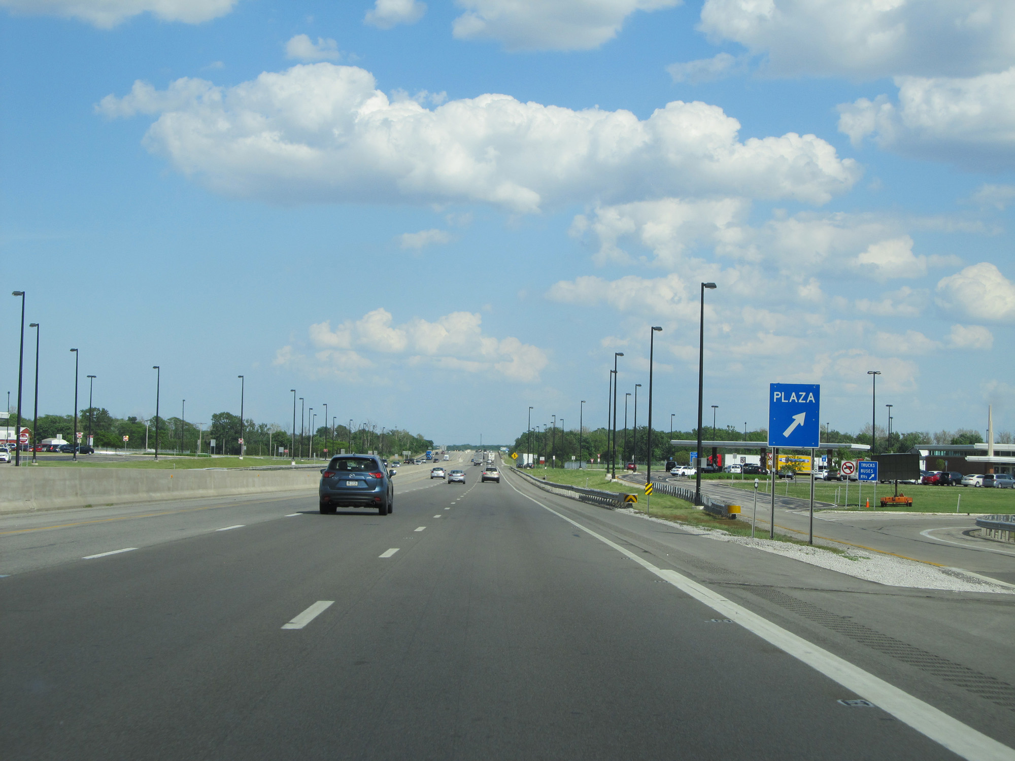
Interstate 80 / Interstate 90 East (Ohio Turnpike) approaching the Wyandot Service Plaza - 2 miles. (Photo taken 5/30/16). |
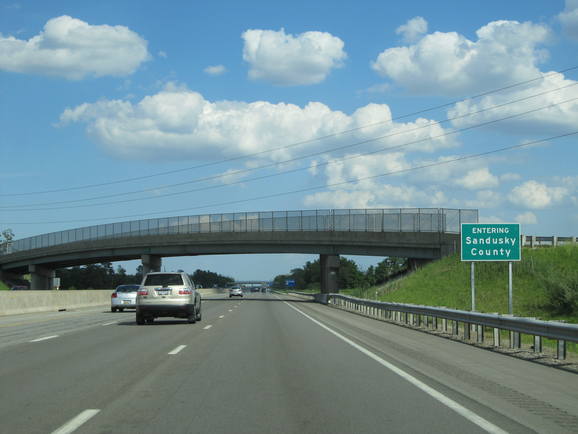 |
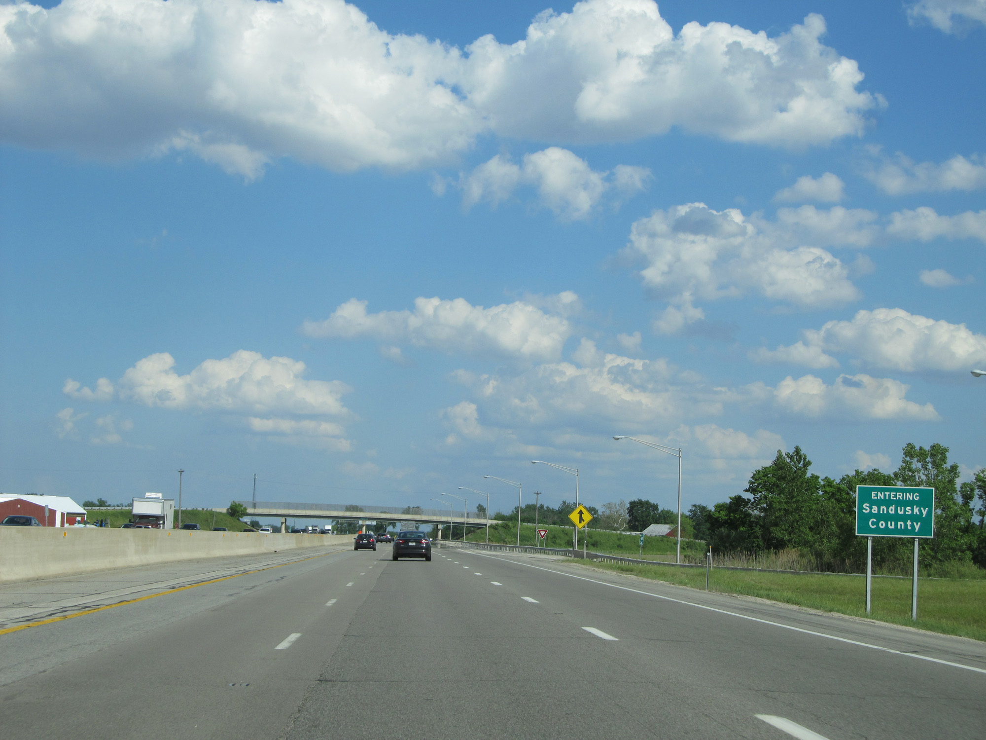
Interstate 80 / Interstate 90 East (Ohio Turnpike) entering Sandusky County. (Photo taken 5/30/16). |
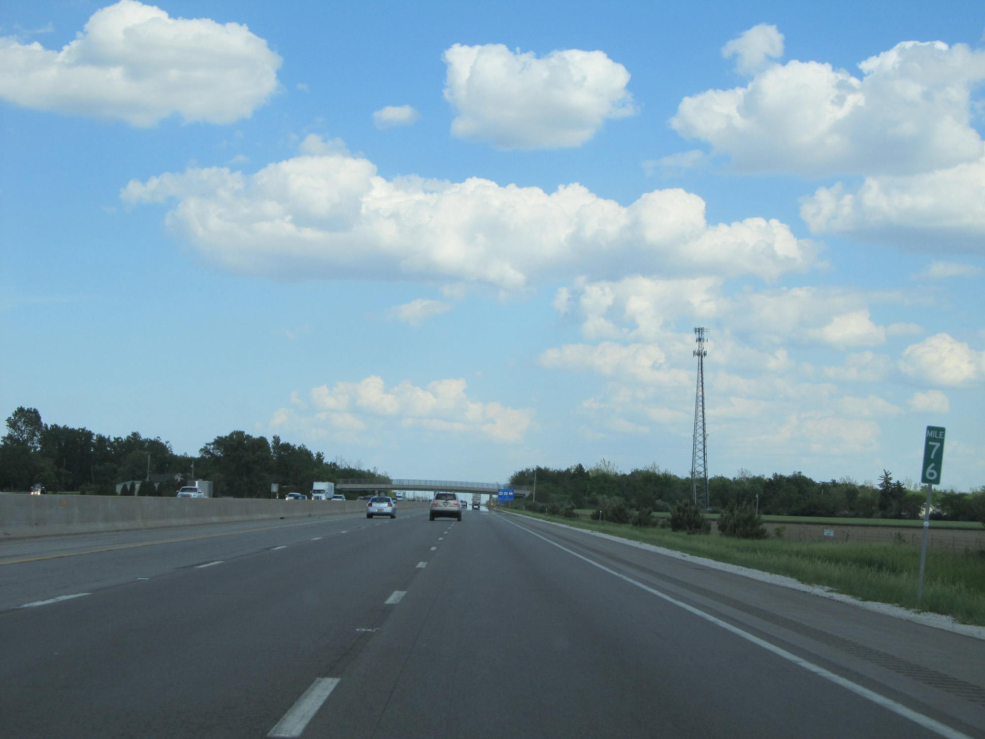 |
Interstate 80 / Interstate 90 East (Ohio Turnpike) at mile marker 76. (Photo taken 5/30/16). |
 |
Interstate 80 / Interstate 90 East (Ohio Turnpike) at the Wyandot Service Plaza. (Photo taken 5/30/16). |
 |
Interstate 80 / Interstate 90 East (Ohio Turnpike) as it re-enters Ottawa County. (Photo taken 5/30/16). |
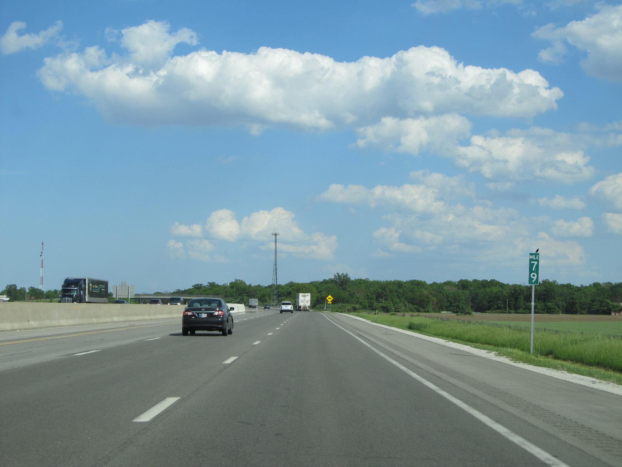 |
Interstate 80 / Interstate 90 East (Ohio Turnpike) at mile marker 79. (Photo taken 5/30/16). |
 |
Interstate 80 / Interstate 90 East (Ohio Turnpike) approaching Exit 81 - 1 mile. (Photo taken 5/30/16). |
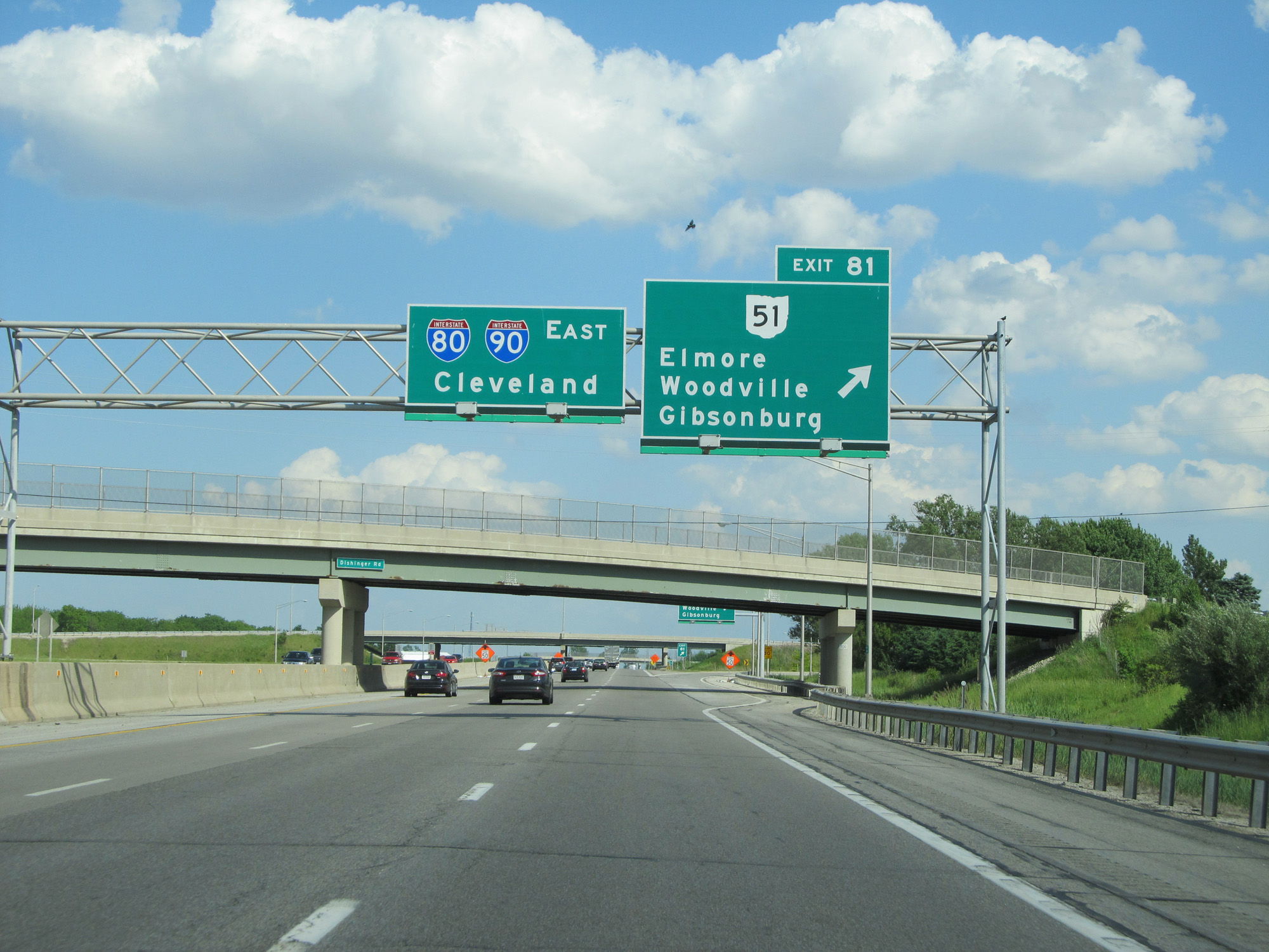 |
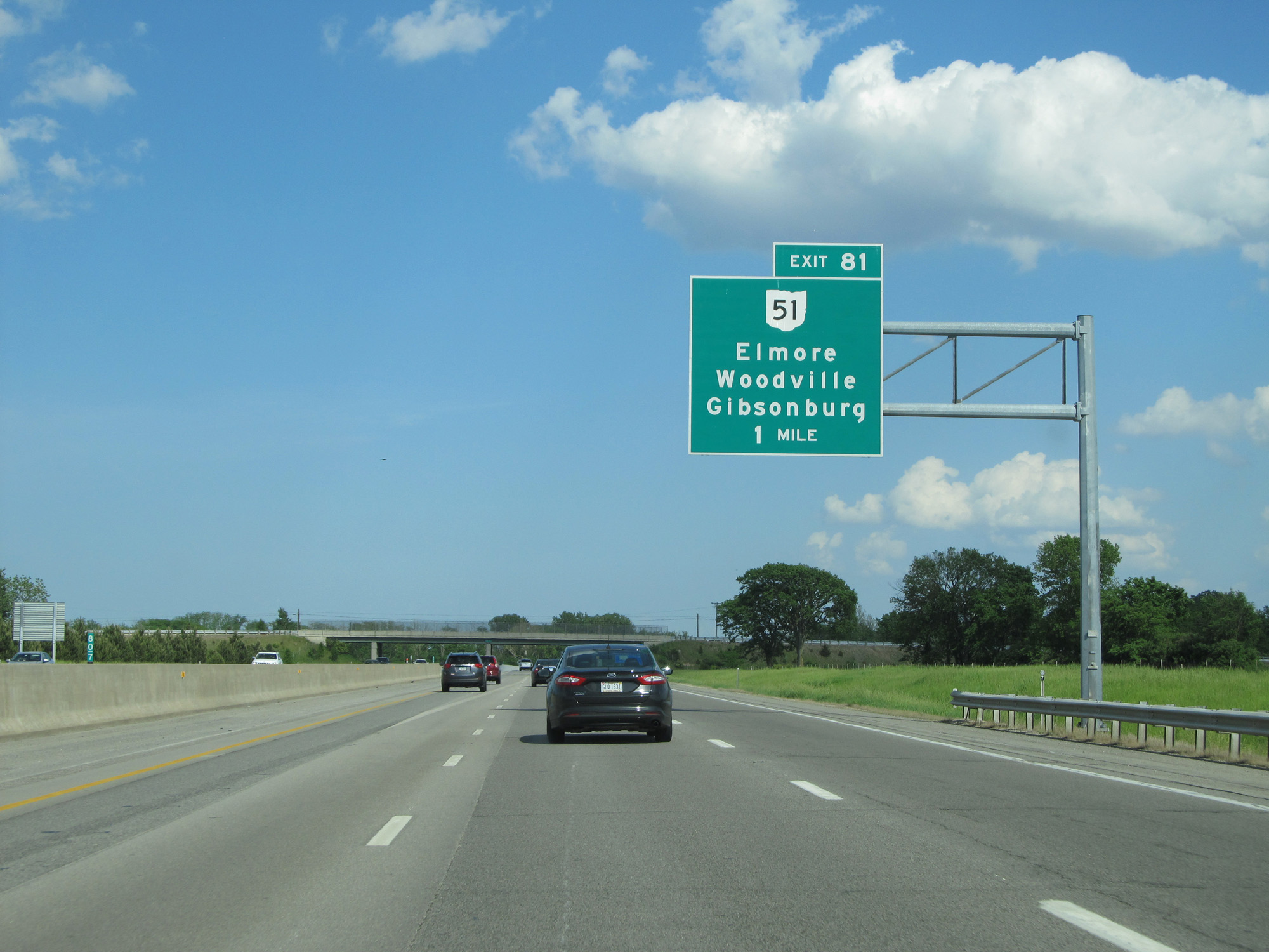
Interstate 80 / Interstate 90 East (Ohio Turnpike) at Exit 81: OH 51 - Elmore / Woodville / Gibsonburg (Photo taken 5/30/16). |
 |
Interstate 80 / Interstate 90 East (Ohio Turnpike) as it re-enters Sandusky County. (Photo taken 5/30/16). |
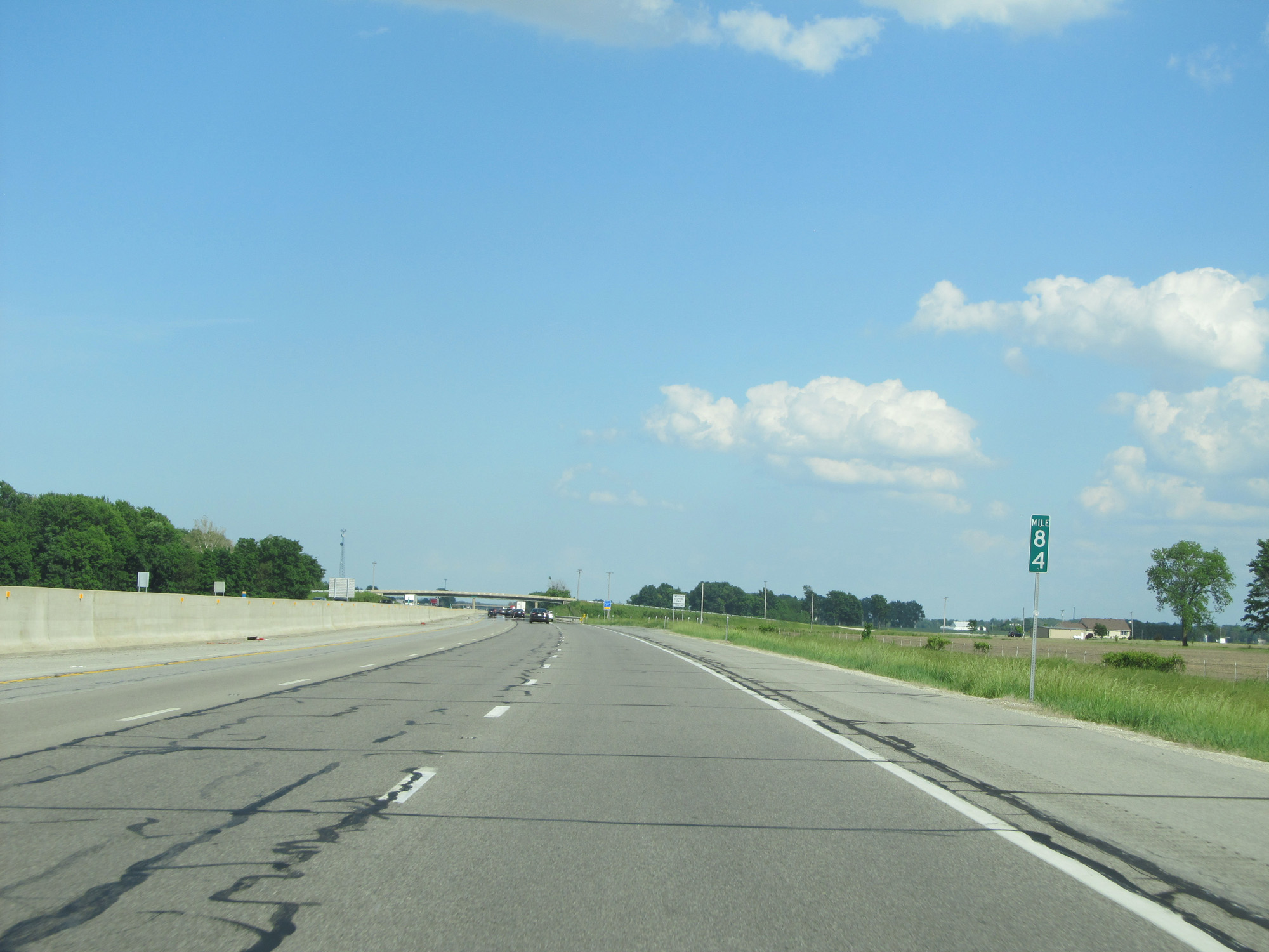 |
Interstate 80 / Interstate 90 East (Ohio Turnpike) at mile marker 84. (Photo taken 5/30/16). |
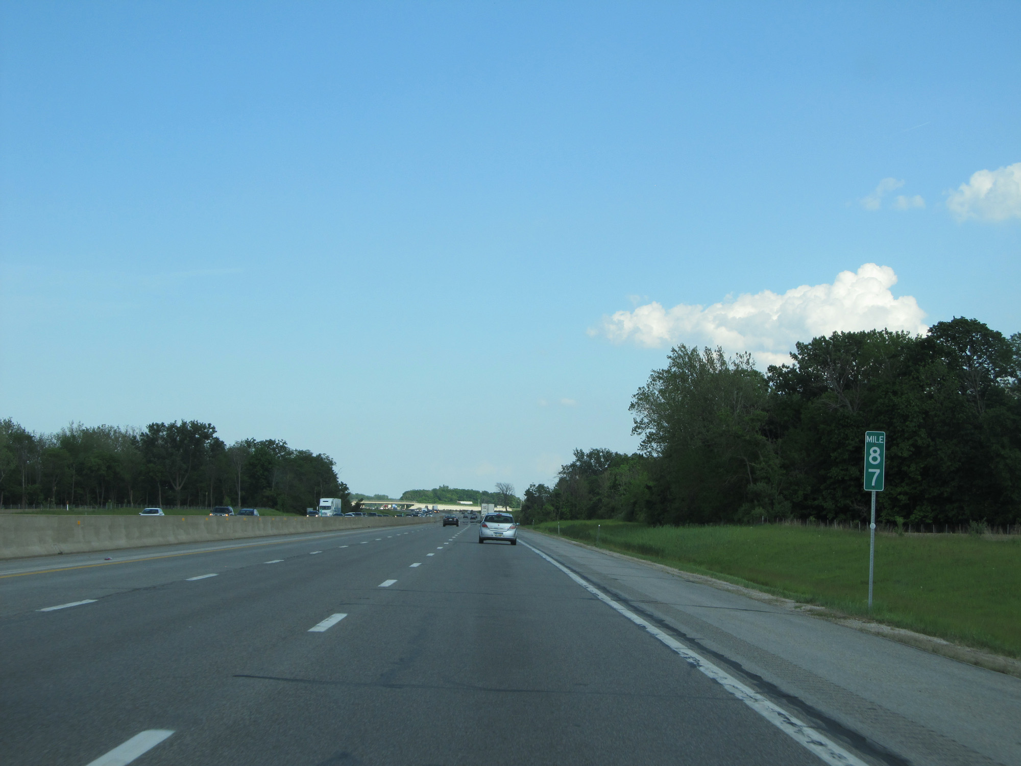 |
Interstate 80 / Interstate 90 East (Ohio Turnpike) at mile marker 87. (Photo taken 5/30/16). |
 |
Interstate 80 / Interstate 90 East (Ohio Turnpike) approaching Exit 91 - 1 mile. (Photo taken 5/30/16). |
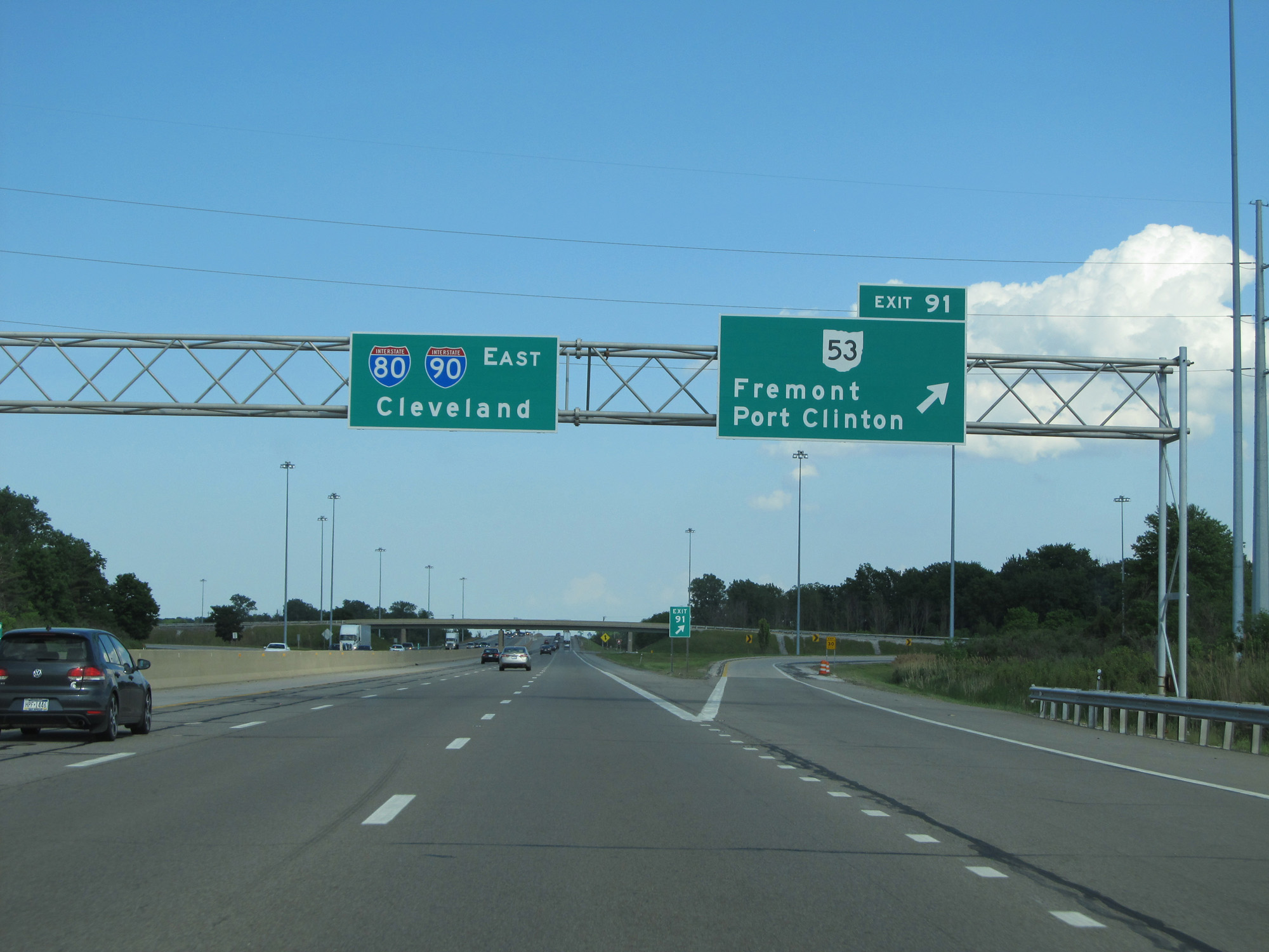 |
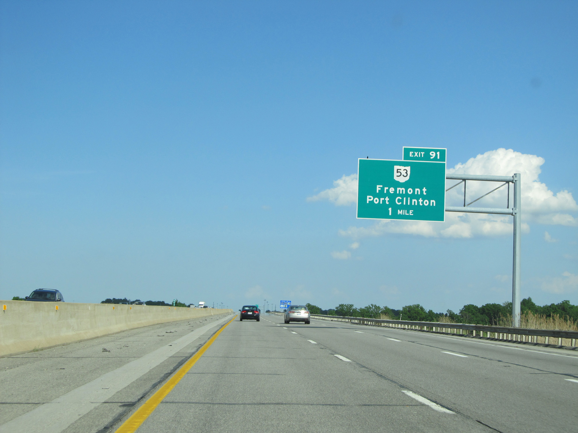
Interstate 80 / Interstate 90 East (Ohio Turnpike) at Exit 91: OH 53 - Fremont / Port Clinton (Photo taken 5/30/16). |
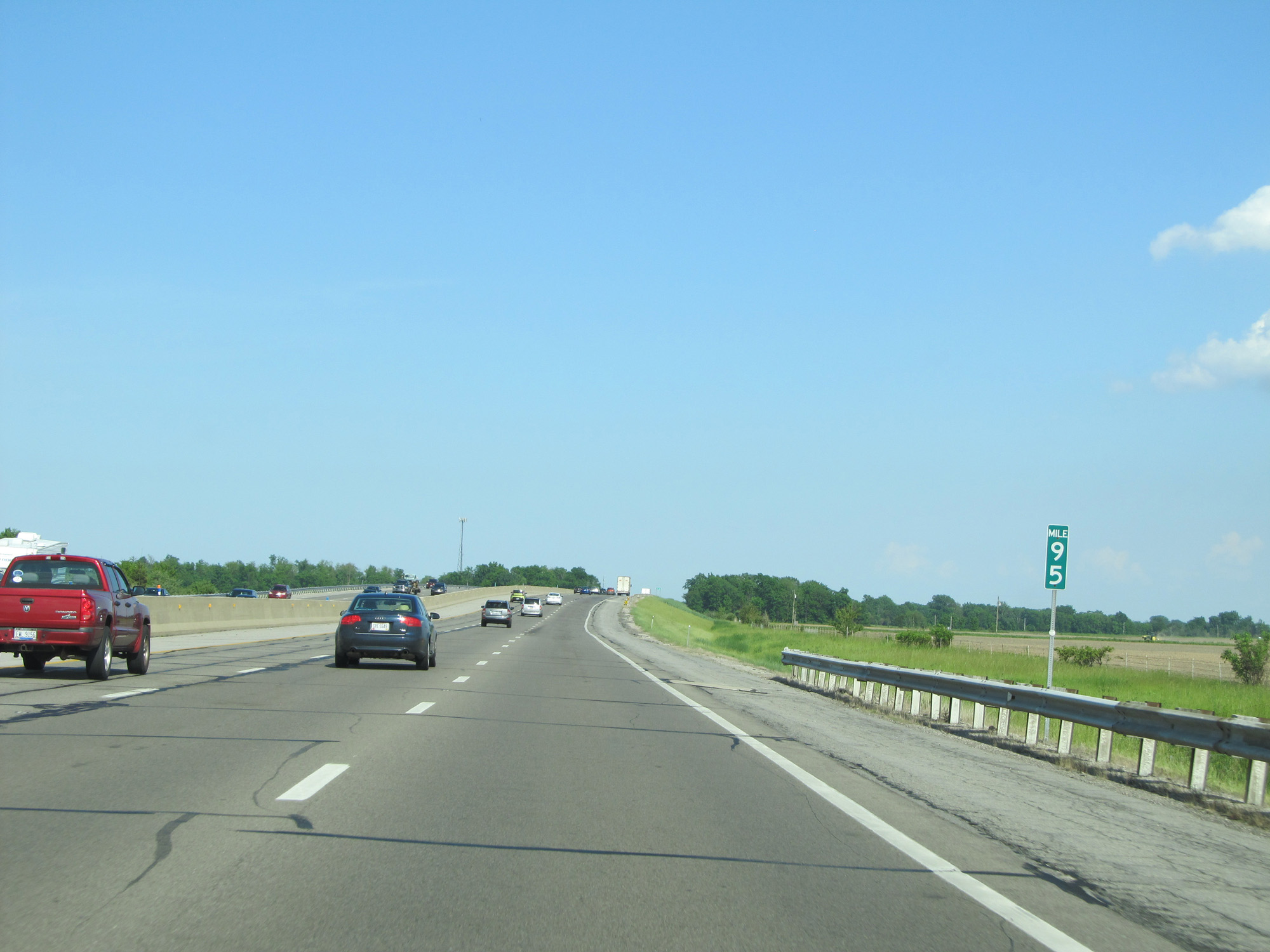 |
Interstate 80 / Interstate 90 East (Ohio Turnpike) at mile marker 95. (Photo taken 5/30/16). |
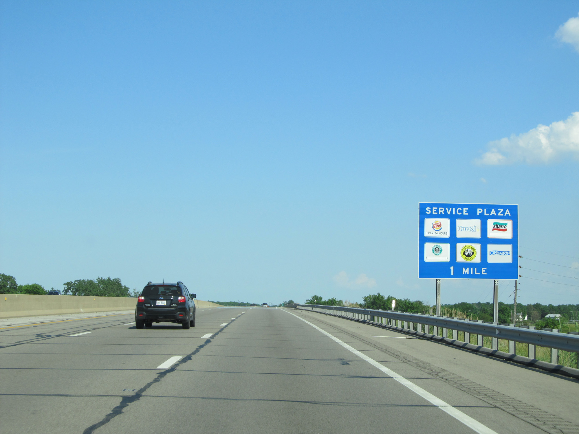 |
Interstate 80 / Interstate 90 East (Ohio Turnpike) approaching the Commodore Perry Service Plaza - 1 mile. (Photo taken 5/30/16). |
 |
Interstate 80 / Interstate 90 East (Ohio Turnpike) at mile marker 99. (Photo taken 5/30/16). |
 |
Interstate 80 / Interstate 90 East (Ohio Turnpike) at the Commodore Perry Service Plaza. (Photo taken 5/30/16). |
 |
Interstate 80 / Interstate 90 East (Ohio Turnpike) at mile marker 105. (Photo taken 5/30/16). |
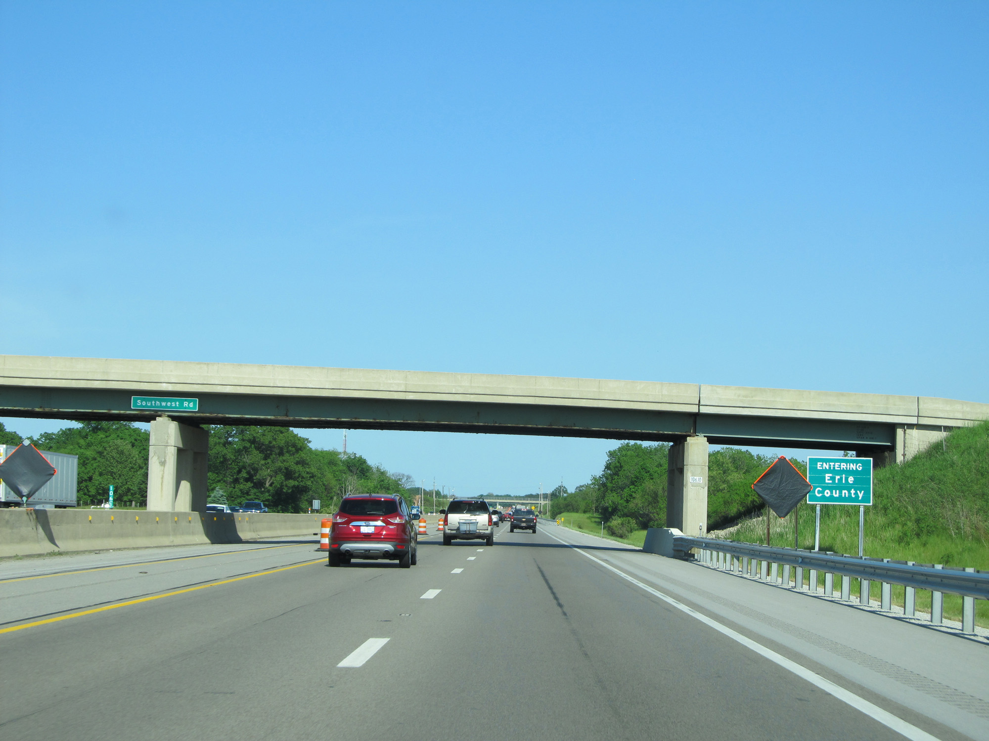 |
Interstate 80 / Interstate 90 East (Ohio Turnpike) entering Erie County. (Photo taken 5/30/16). |
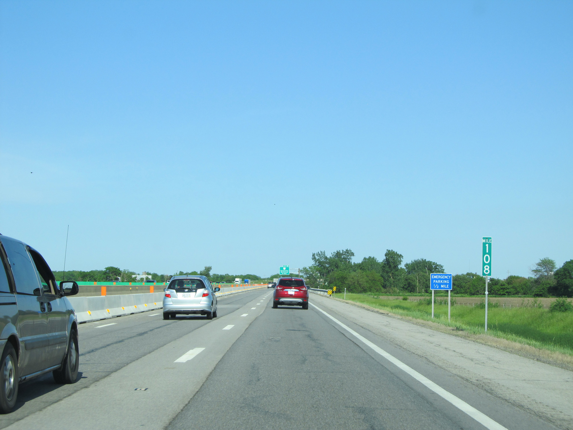 |
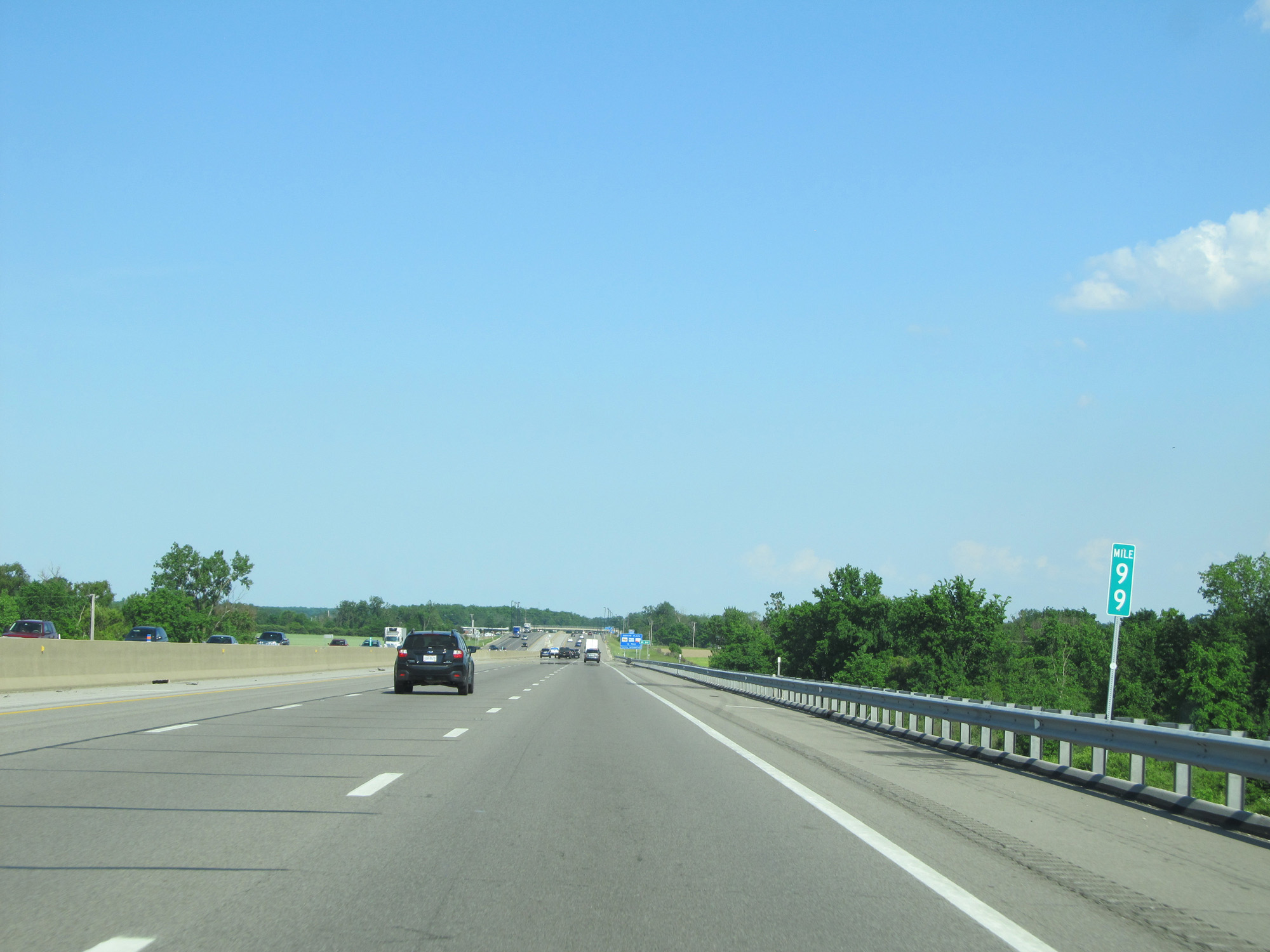
Interstate 80 / Interstate 90 East (Ohio Turnpike) at mile marker 108. (Photo taken 5/30/16). |
 |
Interstate 80 / Interstate 90 East (Ohio Turnpike) approachinig Exit 110 - 1 mile. (Photo taken 5/30/16). |
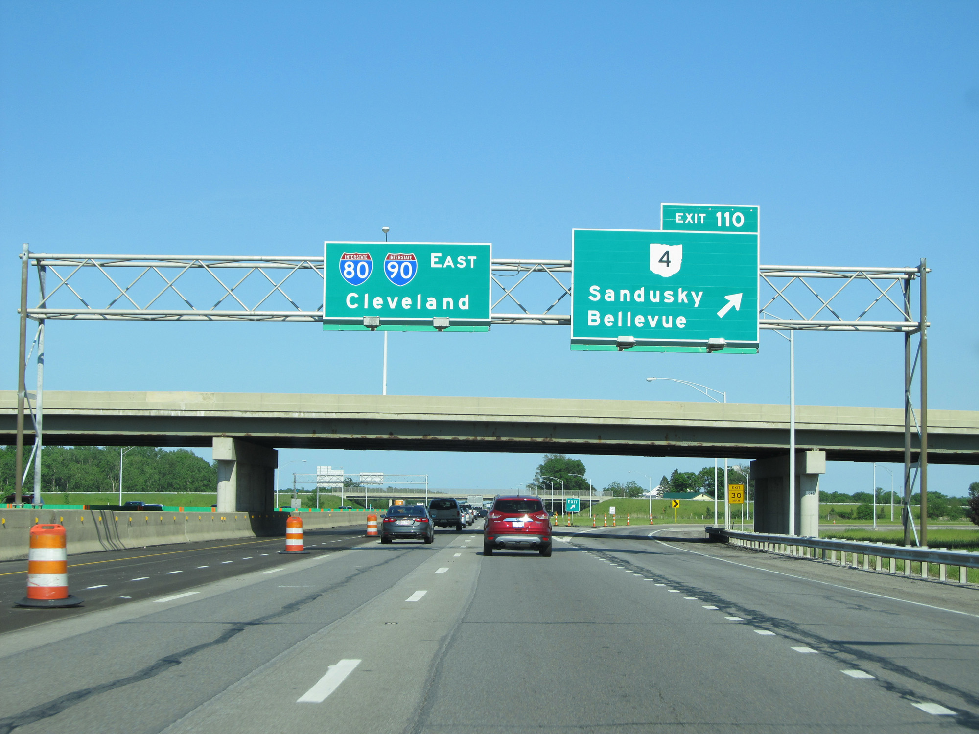 |
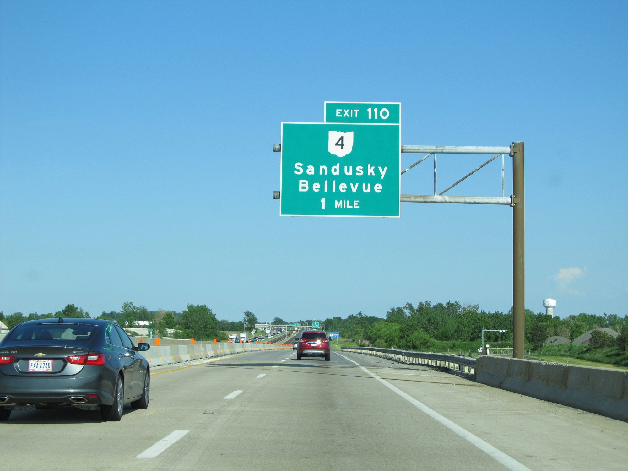
Interstate 80 / Interstate 90 East (Ohio Turnpike) at Exit 110: OH 4 - Sandusky / Bellevue (Photo taken 5/30/16). |
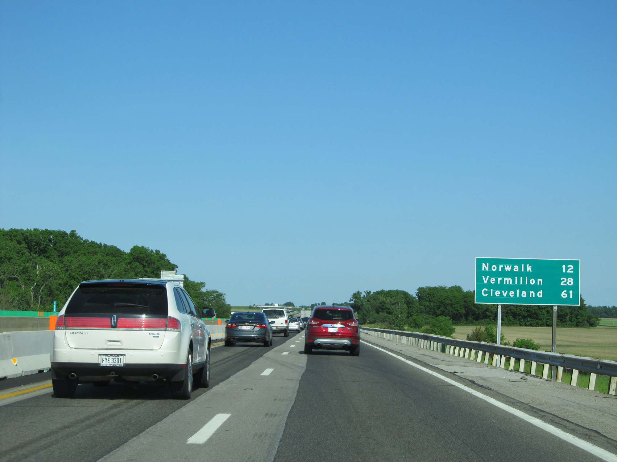 |
Mileage sign on Interstate 80 / Interstate 90 East (Ohio Turnpike). It's 12 miles to Norwalk, 28 miles to Vermilion, and 61 miles to Cleveland. (Photo taken 5/30/16). |
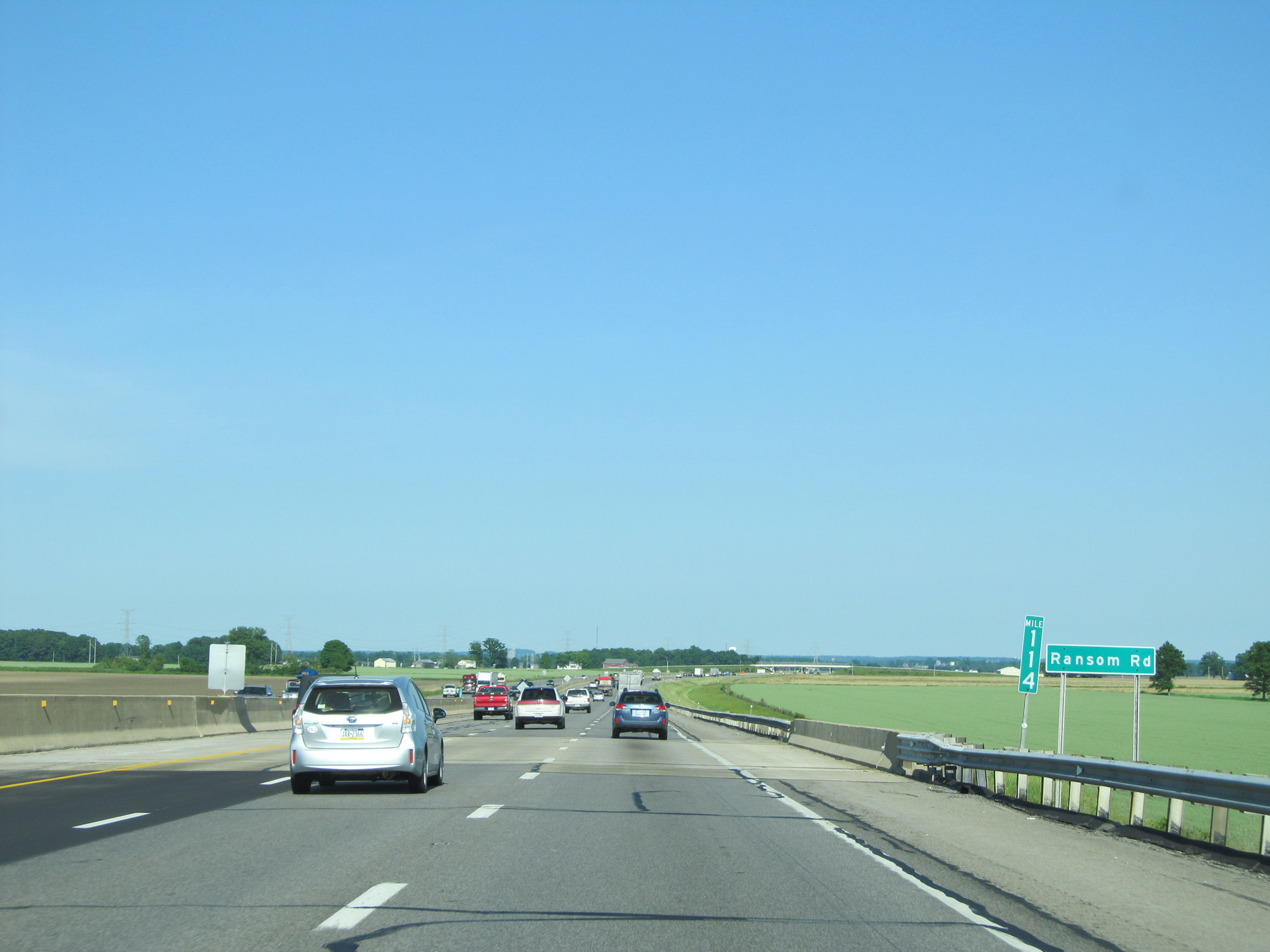 |
Interstate 80 / Interstate 90 East (Ohio Turnpike) at mile marker 114. (Photo taken 5/30/16). |
 |
Interstate 80 / Interstate 90 East (Ohio Turnpike) approaching Exit 118 - 1 mile. (Photo taken 5/30/16). |
 |
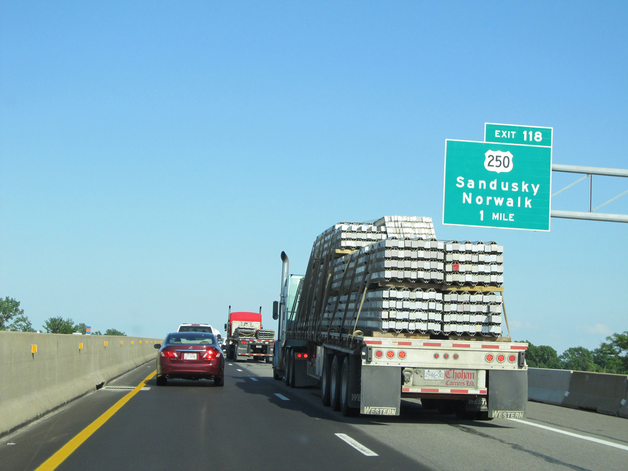
Interstate 80 / Interstate 90 East (Ohio Turnpike) at Exit 118: US 250 - Sandusky / Norwalk (Photo taken 5/30/16). |
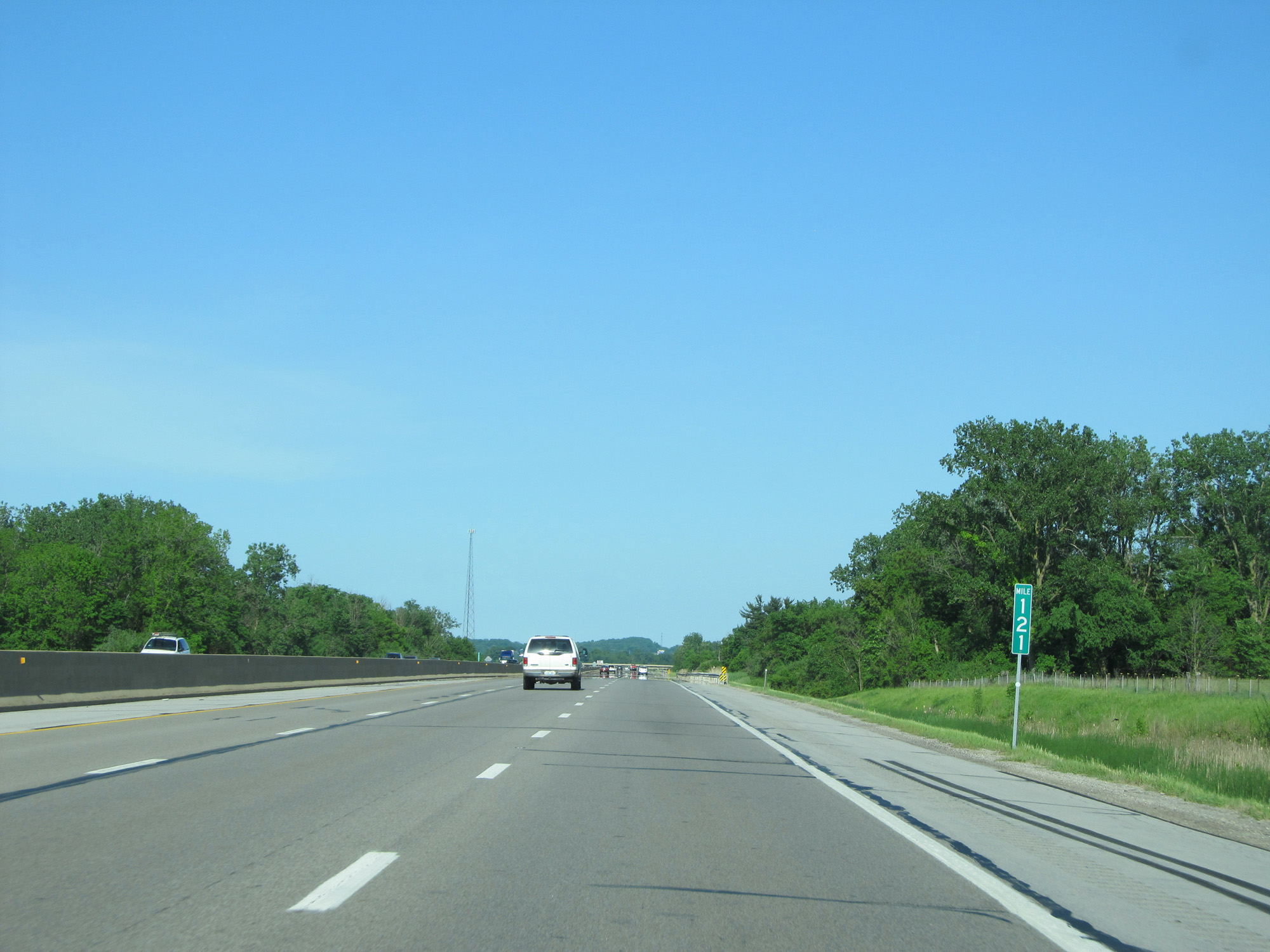 |
Interstate 80 / Interstate 90 East (Ohio Turnpike) at mile marker 121. (Photo taken 5/30/16). |
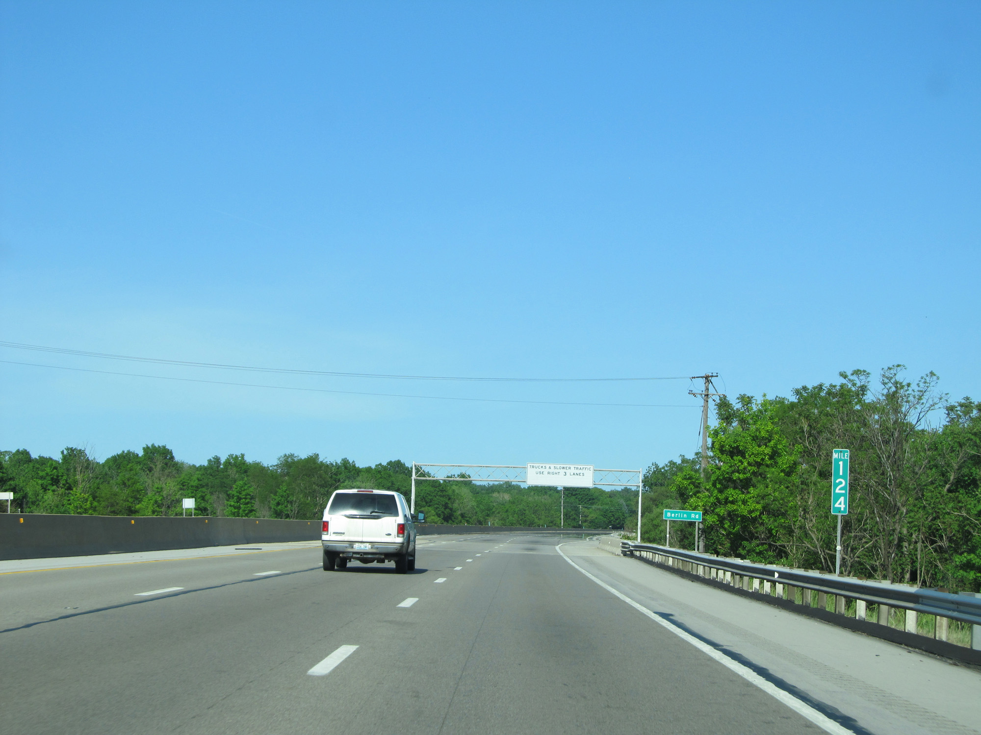 |
Interstate 80 / Interstate 90 East (Ohio Turnpike) at mile marker 124. (Photo taken 5/30/16). |
 |
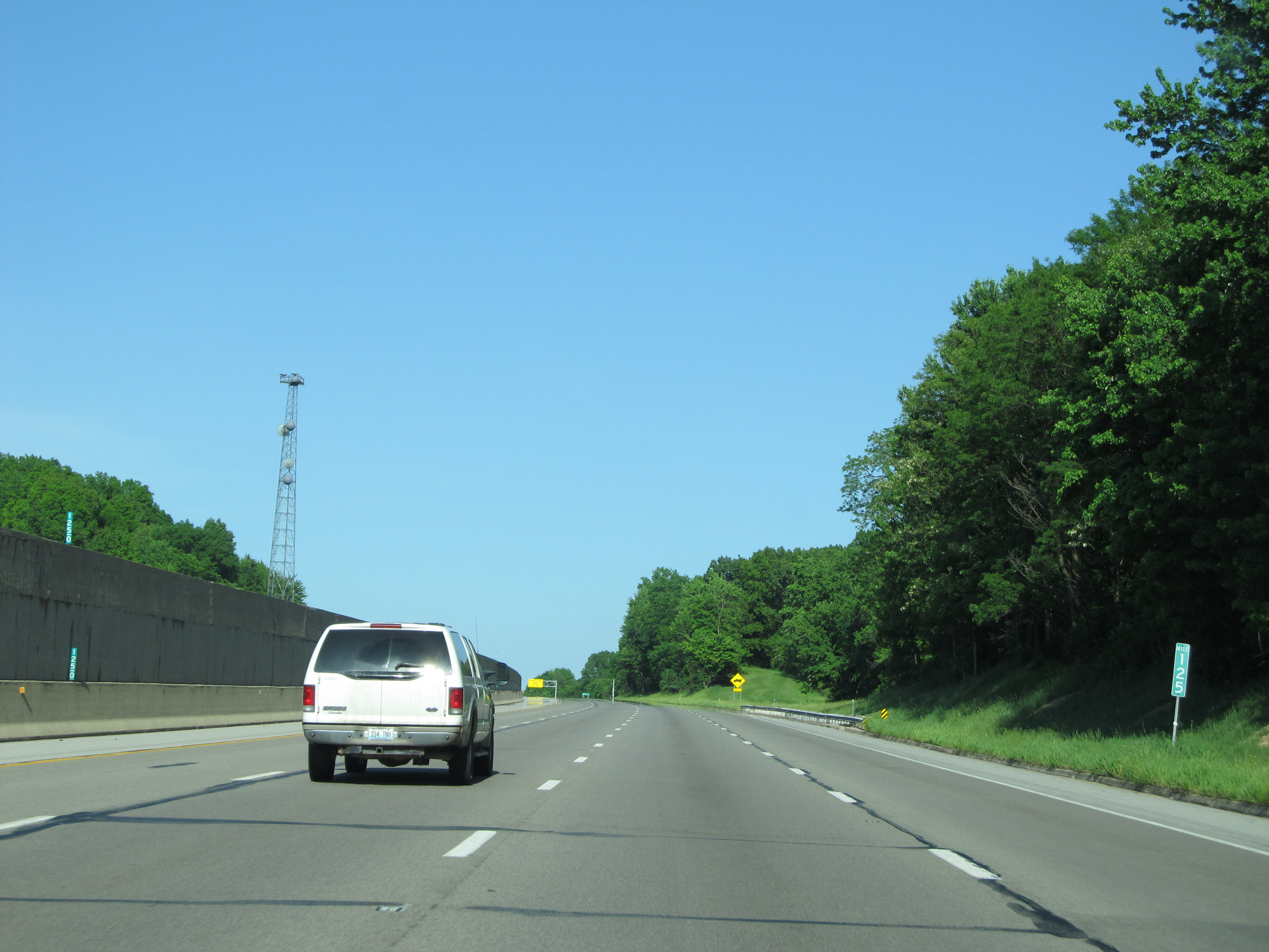
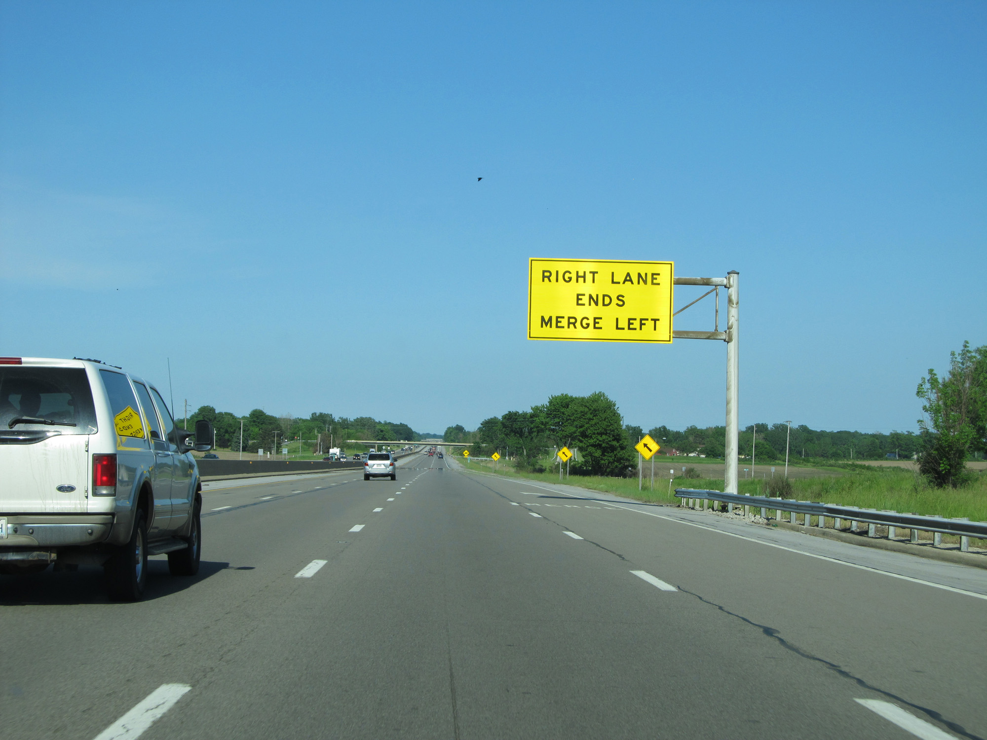
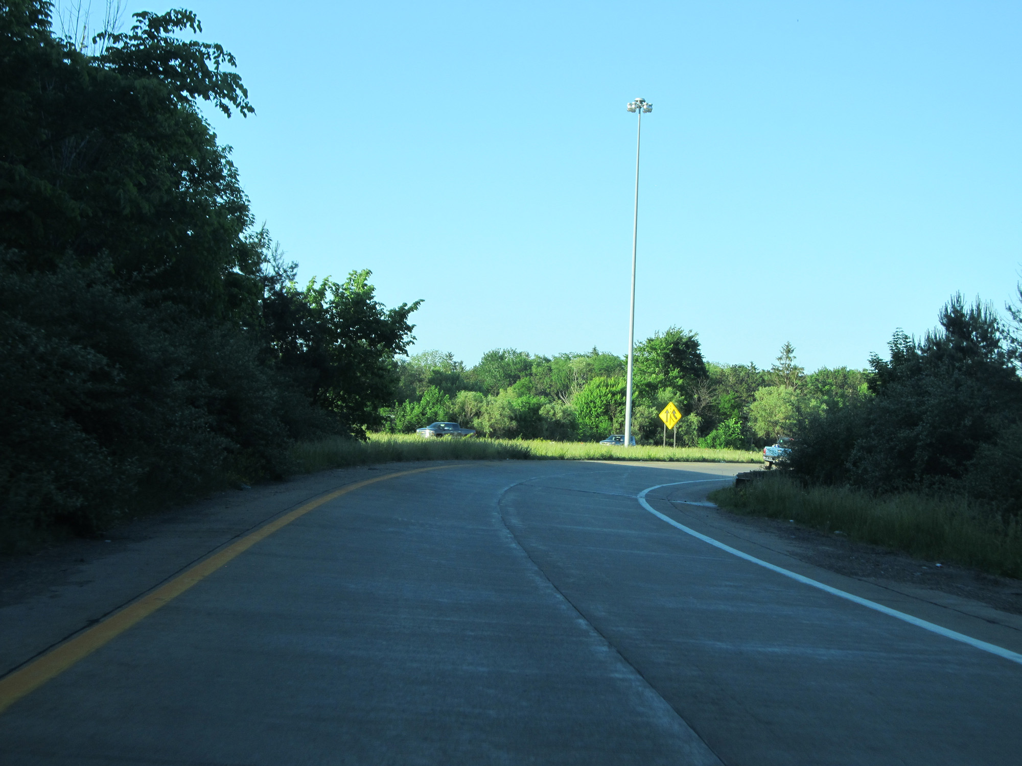
Interstate 80 / Interstate 90 East (Ohio Turnpike) near mile marker 124.5, as a brief climbing lane appears. (Photo taken 5/30/16). |
 |
Interstate 80 / Interstate 90 East (Ohio Turnpike) at mile marker 125. (Photo taken 5/30/16). |
 |
Interstate 80 / Interstate 90 East (Ohio Turnpike) as the climbing lane comes to an end on the right. (Photo taken 5/30/16). |
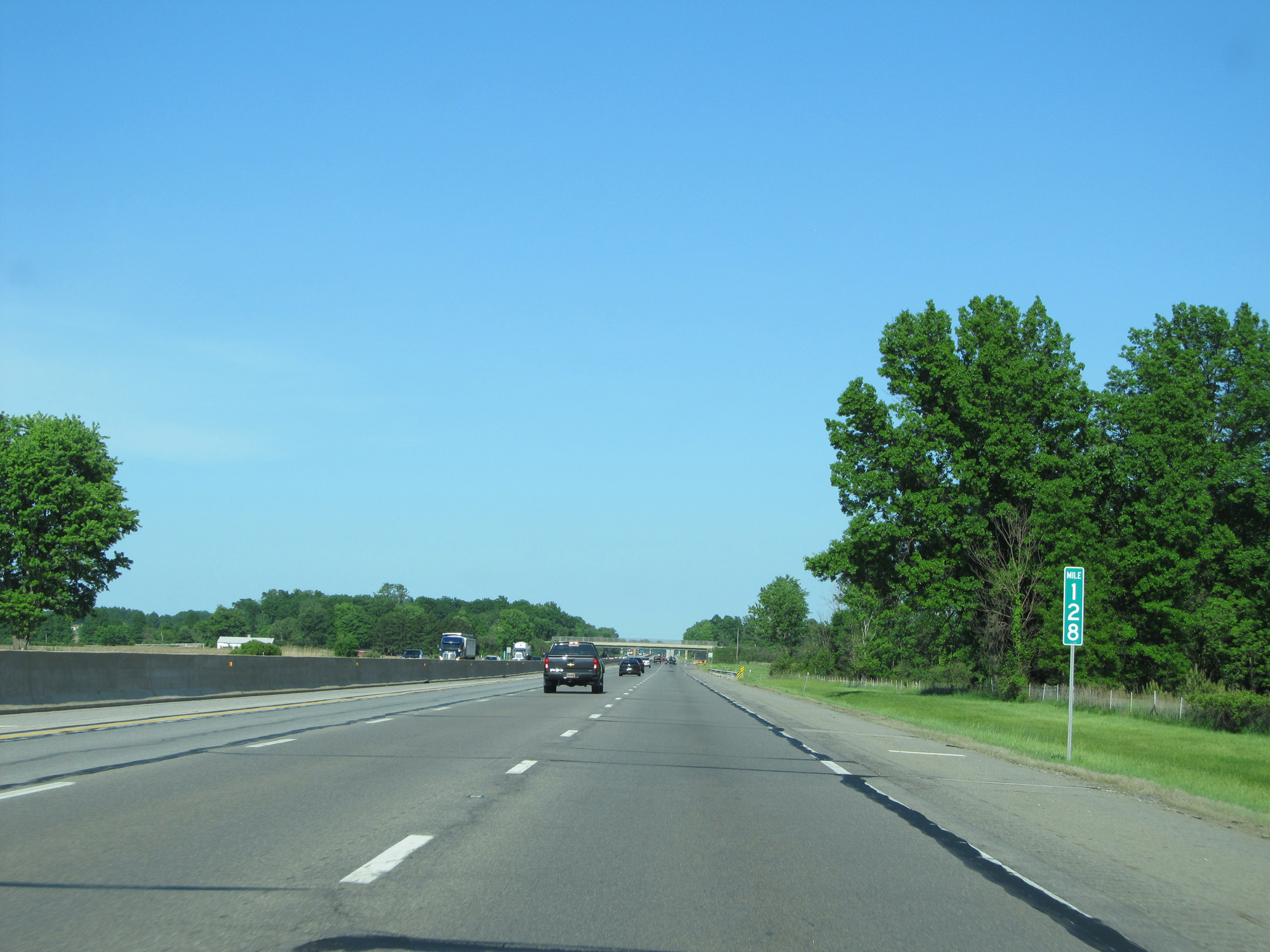 |
Interstate 80 / Interstate 90 East (Ohio Turnpike) at mile marker 128. (Photo taken 5/30/16). |
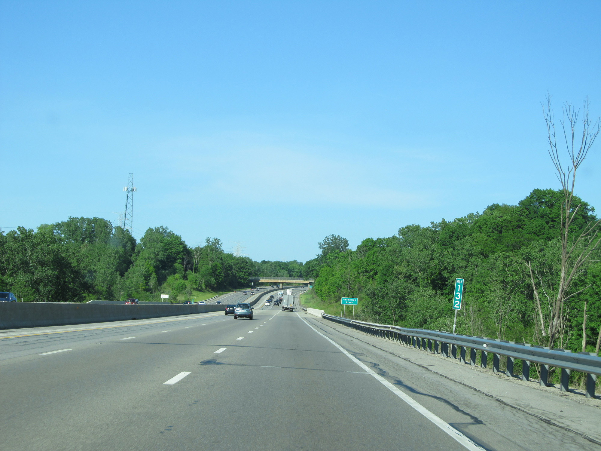 |
Interstate 80 / Interstate 90 East (Ohio Turnpike) at mile marker 132. (Photo taken 5/30/16). |
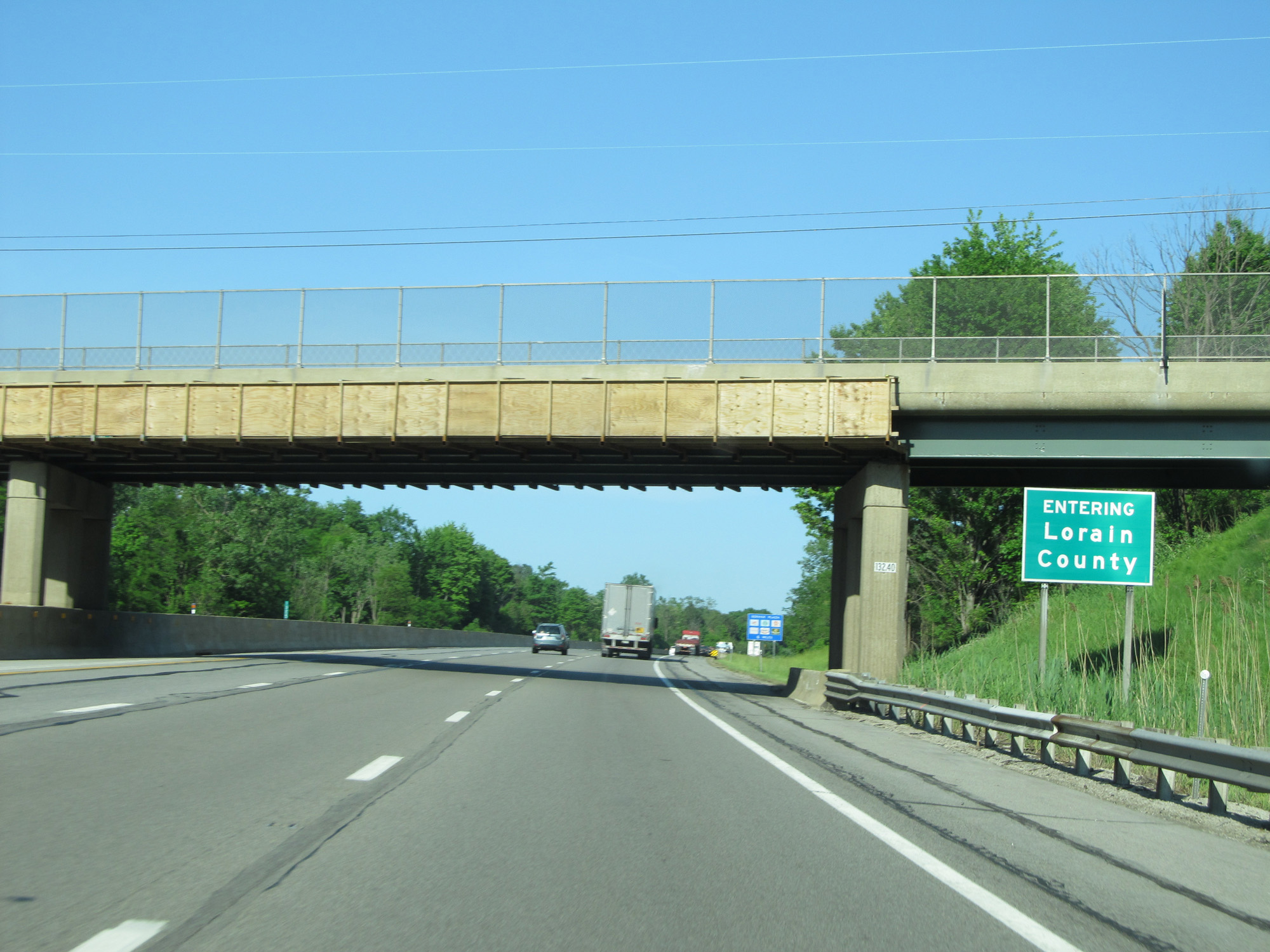 |
Interstate 80 / Interstate 90 East (Ohio Turnpike) entering Lorain County. (Photo taken 5/30/16). |
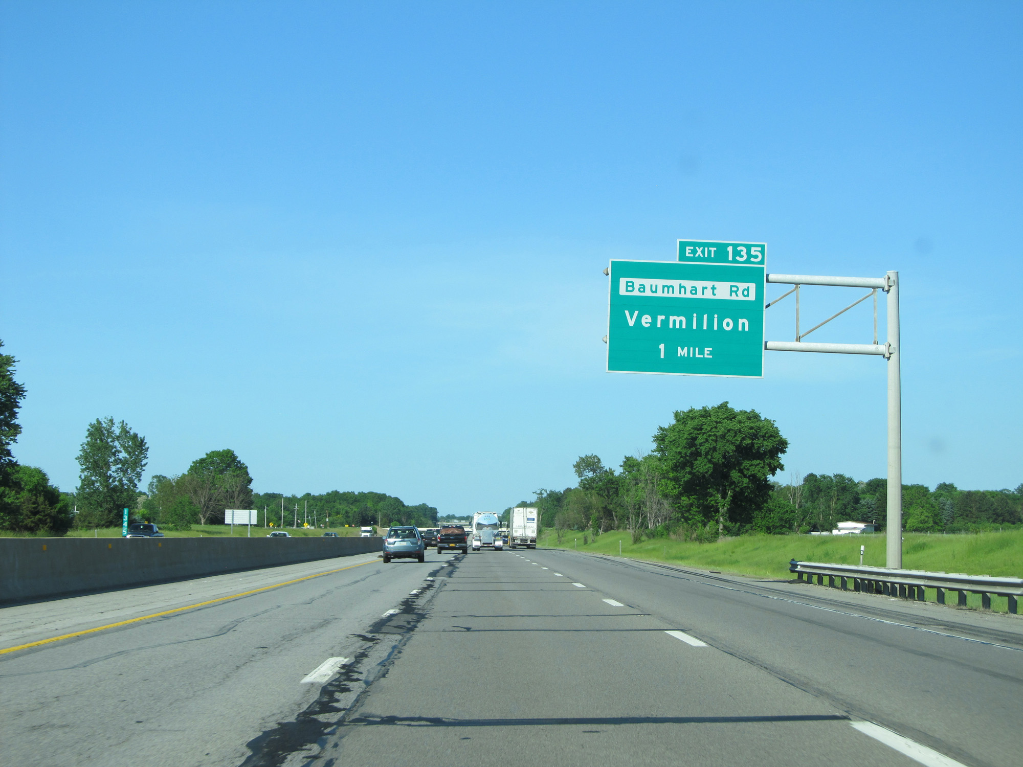 |
Interstate 80 / Interstate 90 East (Ohio Turnpike) approaching Exit 135 - 1 mile. (Photo taken 5/30/16). |
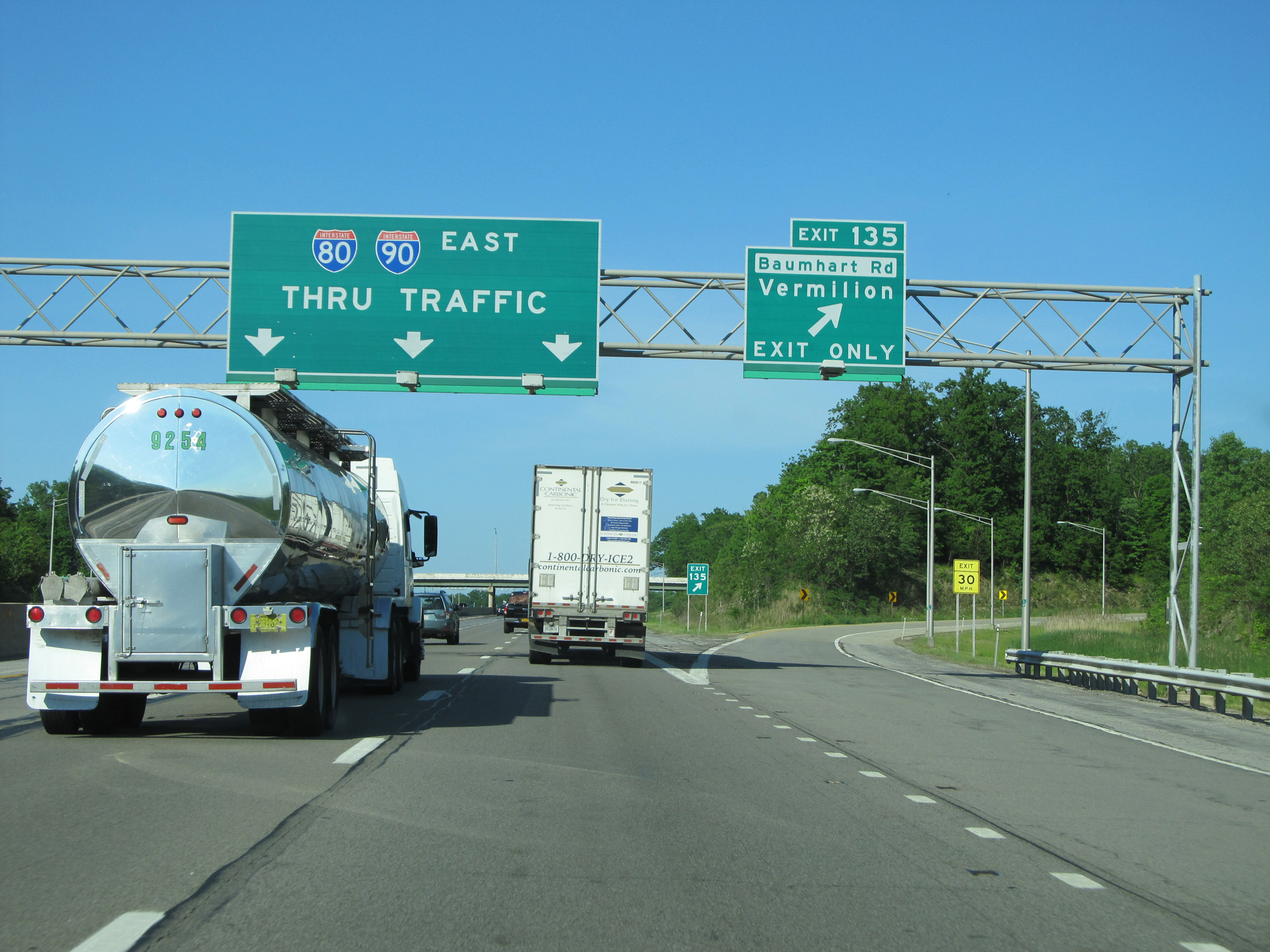 |
Interstate 80 / Interstate 90 East (Ohio Turnpike) at Exit 135: Baumhart Rd / Vermilion (Photo taken 5/30/16). |
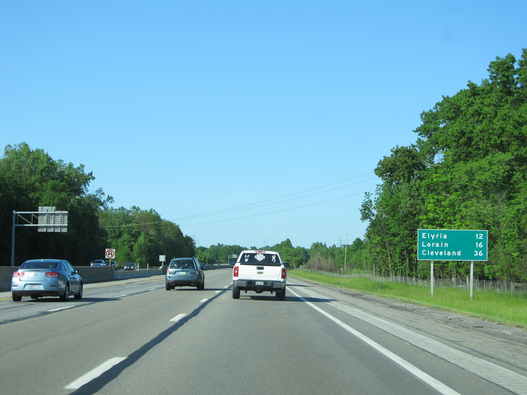 |
Mileage sign on Interstate 80 / Interstate 90 East (Ohio Turnpike). It's 12 miles to Elyria, 16 miles to Lorain, and 36 miles to Cleveland. (Photo taken 5/30/16). |
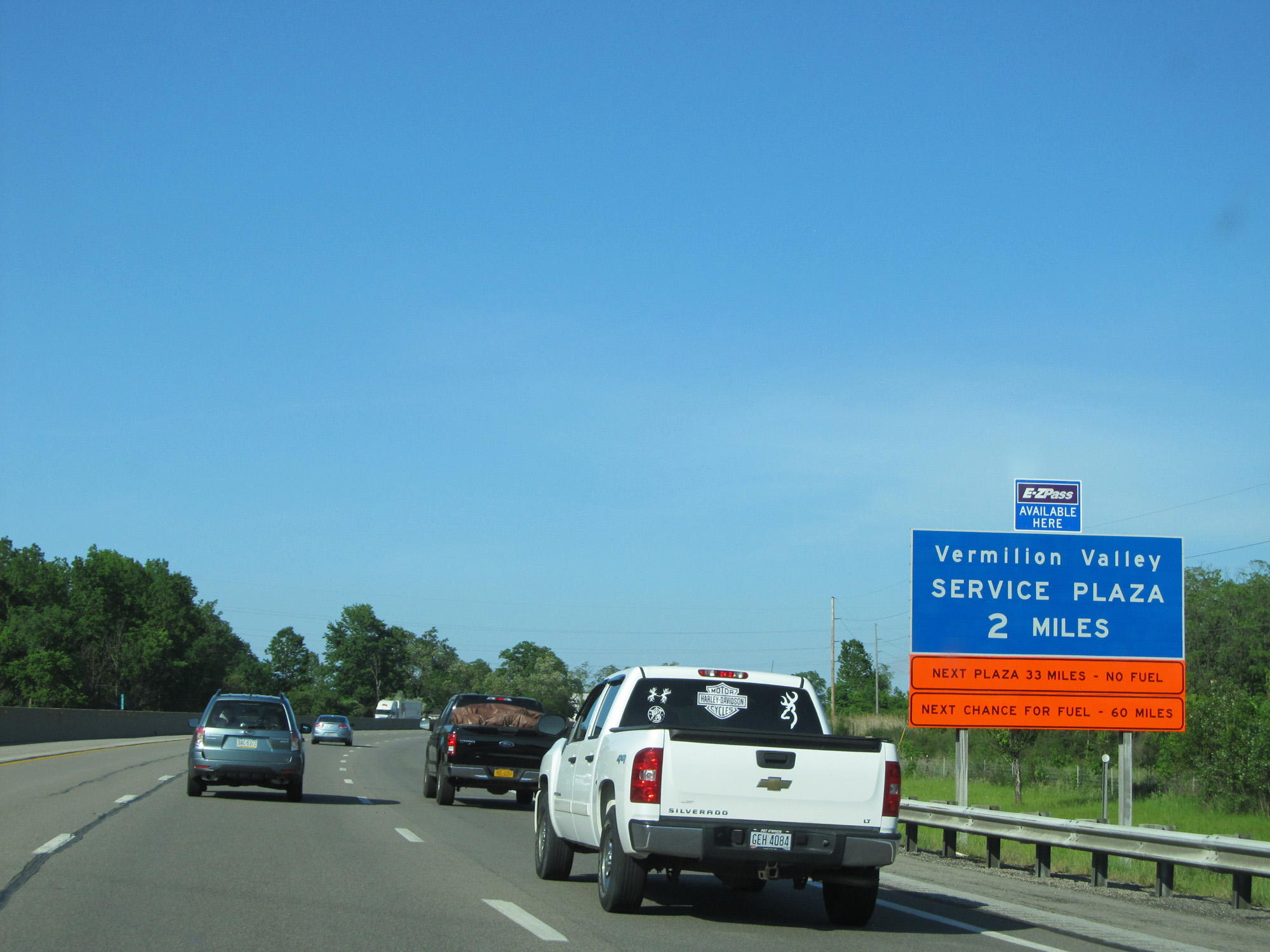 |
Interstate 80 / Interstate 90 East (Ohio Turnpike) approaching the Vermilion Valley Service Plaza - 2 miles. (Photo taken 5/30/16). |
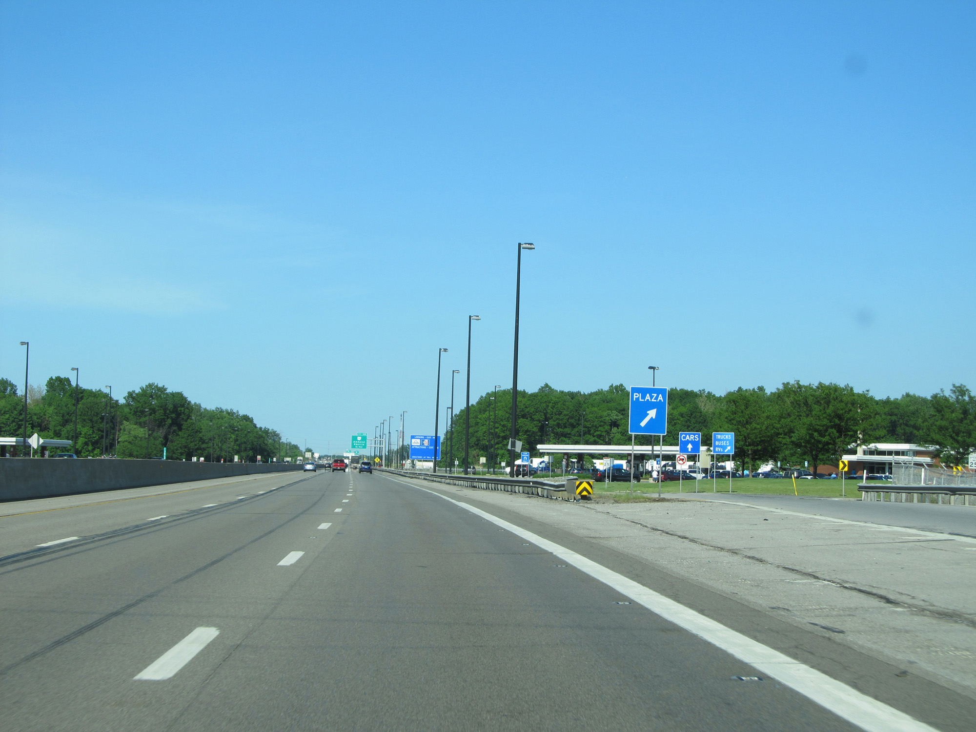 |
Interstate 80 / Interstate 90 East (Ohio Turnpike) at the Vermilion Valley Service Plaza. (Photo taken 5/30/16). |
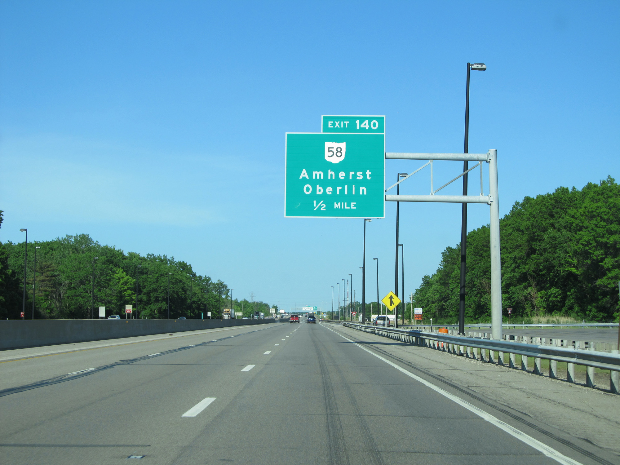 |
Interstate 80 / Interstate 90 East (Ohio Turnpike) approaching Exit 140 - 1/2 mile. (Photo taken 5/30/16). |
 |
Interstate 80 / Interstate 90 East (Ohio Turnpike) at Exit 140: OH 58 - Amherst / Oberlin (Photo taken 5/30/16). |
 |
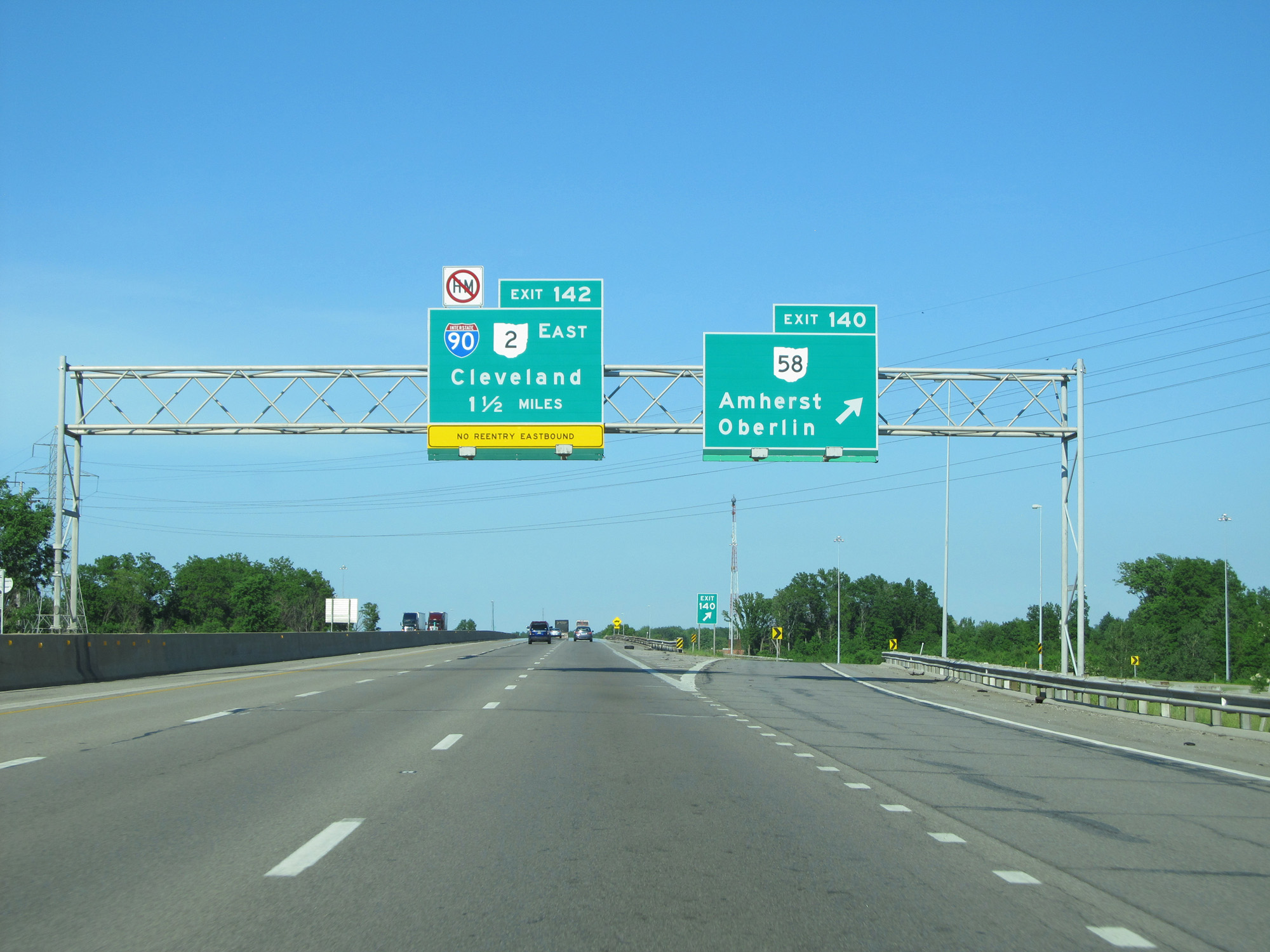
Interstate 80 / Interstate 90 East (Ohio Turnpike) approaching Exit 142 - 1 mile. (Photo taken 5/30/16). |
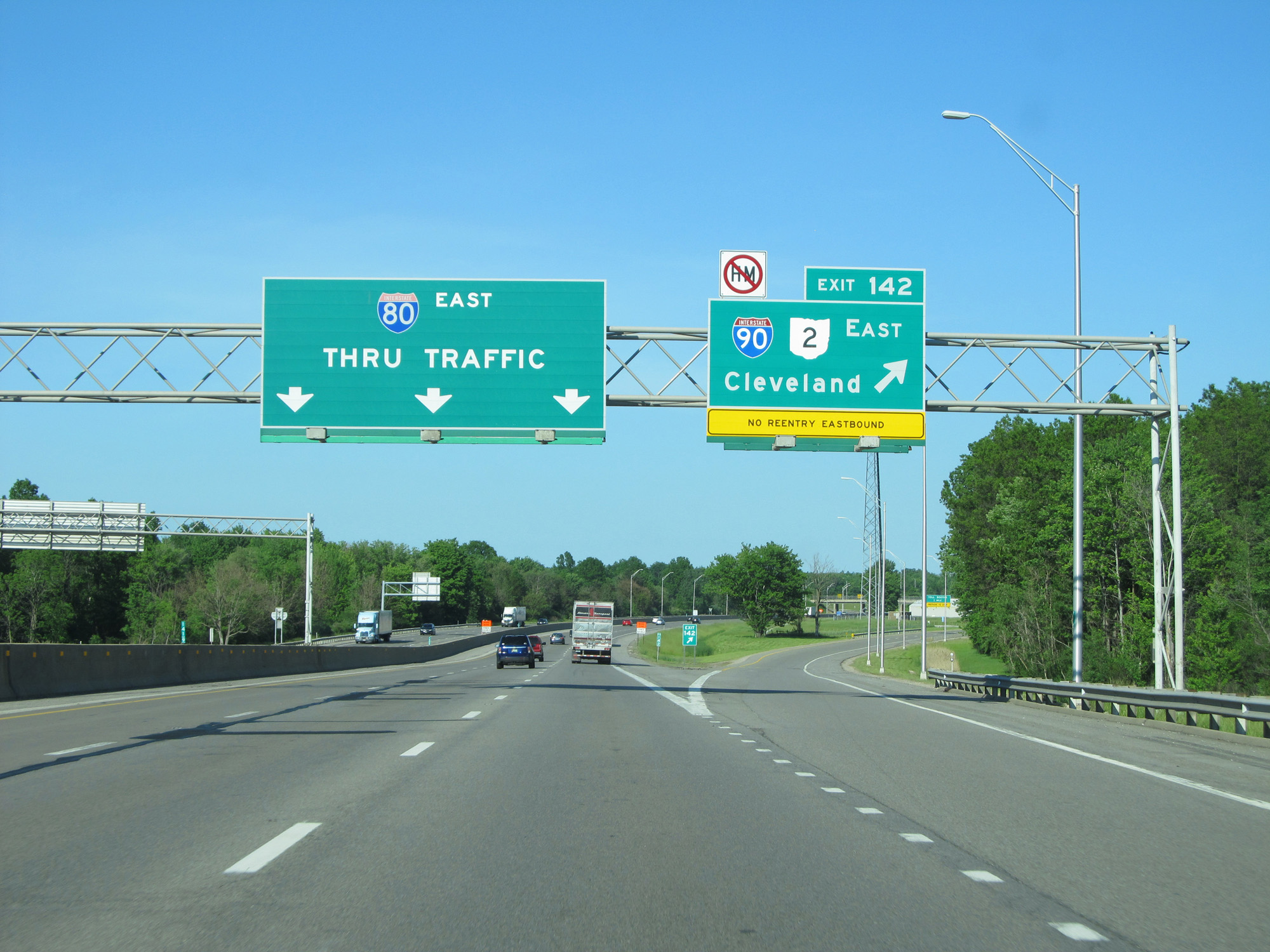 |
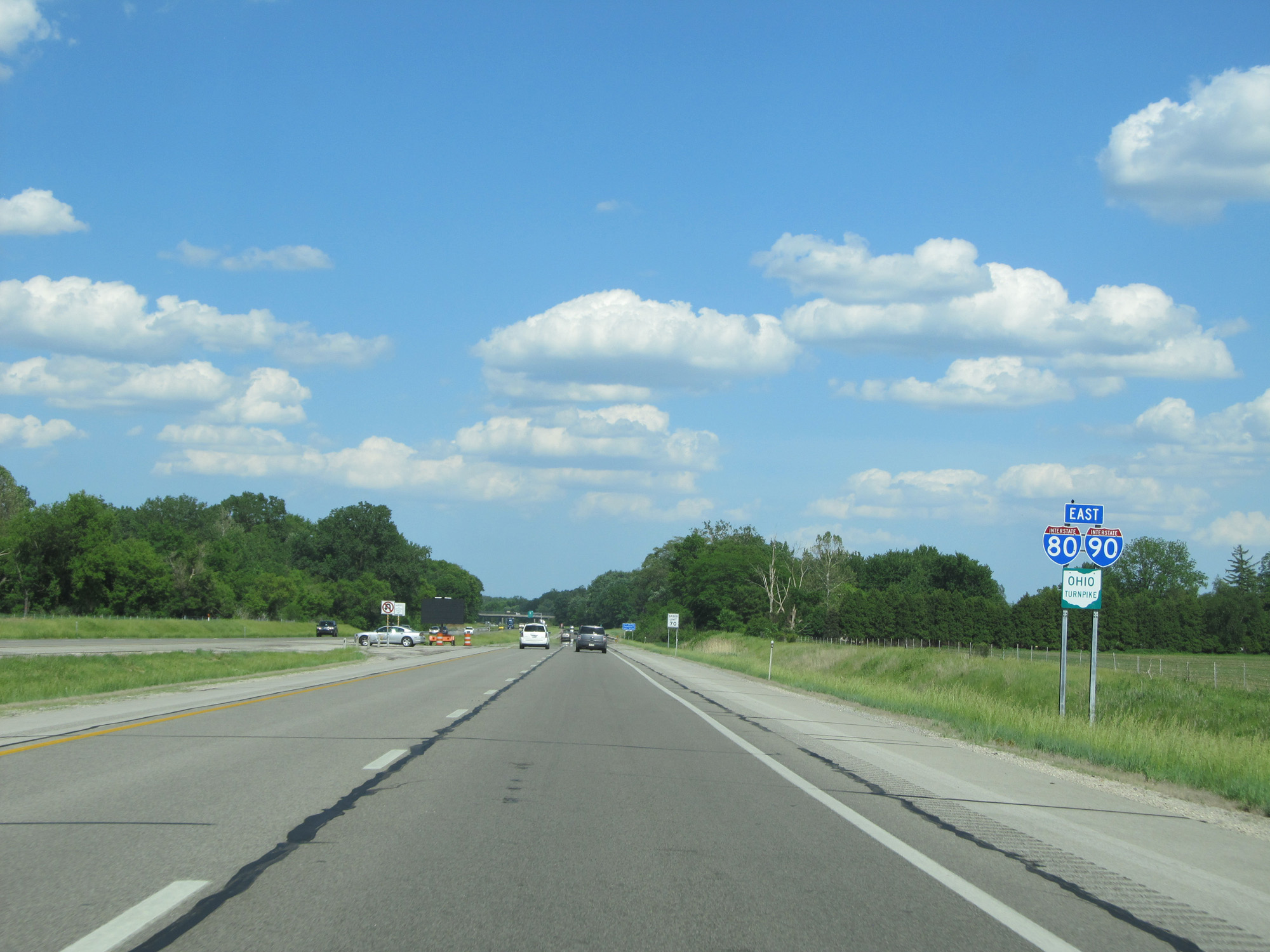
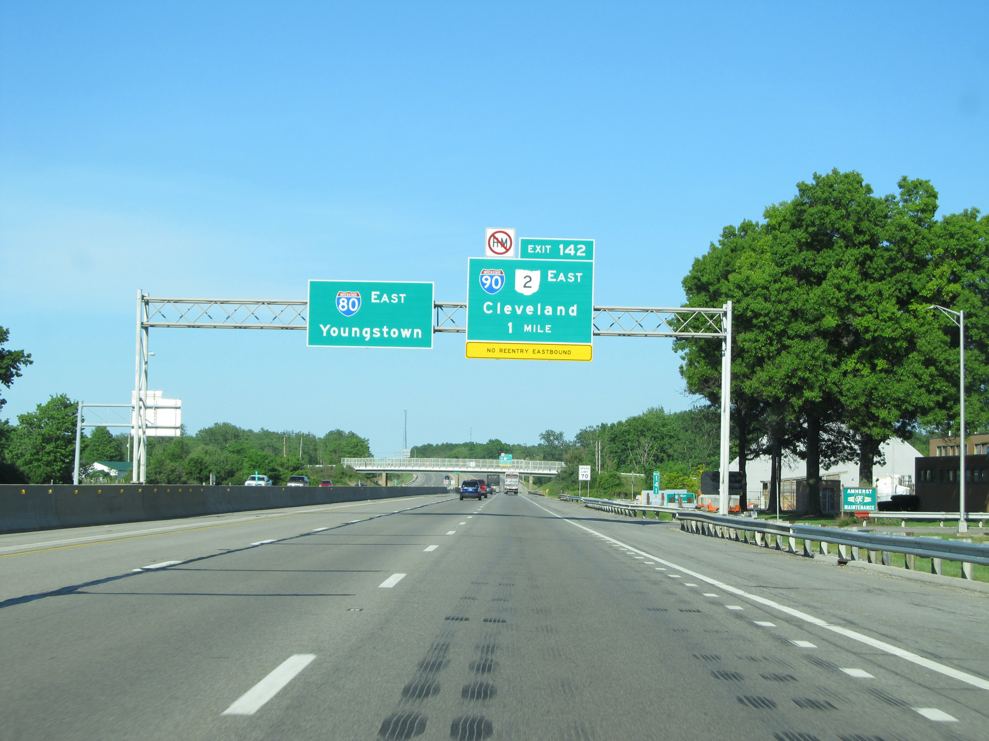
Interstate 80 / Interstate 90 East (Ohio Turnpike) at Exit 142: Interstate 90 East / OH 2 East - Cleveland (Photo taken 5/30/16). |
Section 3: Elyria (Exit 142) to Lordstown (Exit 209)
 |
Interstate 80 East (Ohio Turnpike) approaching Exit 145 - 1 mile. (Photo taken 5/30/16). |
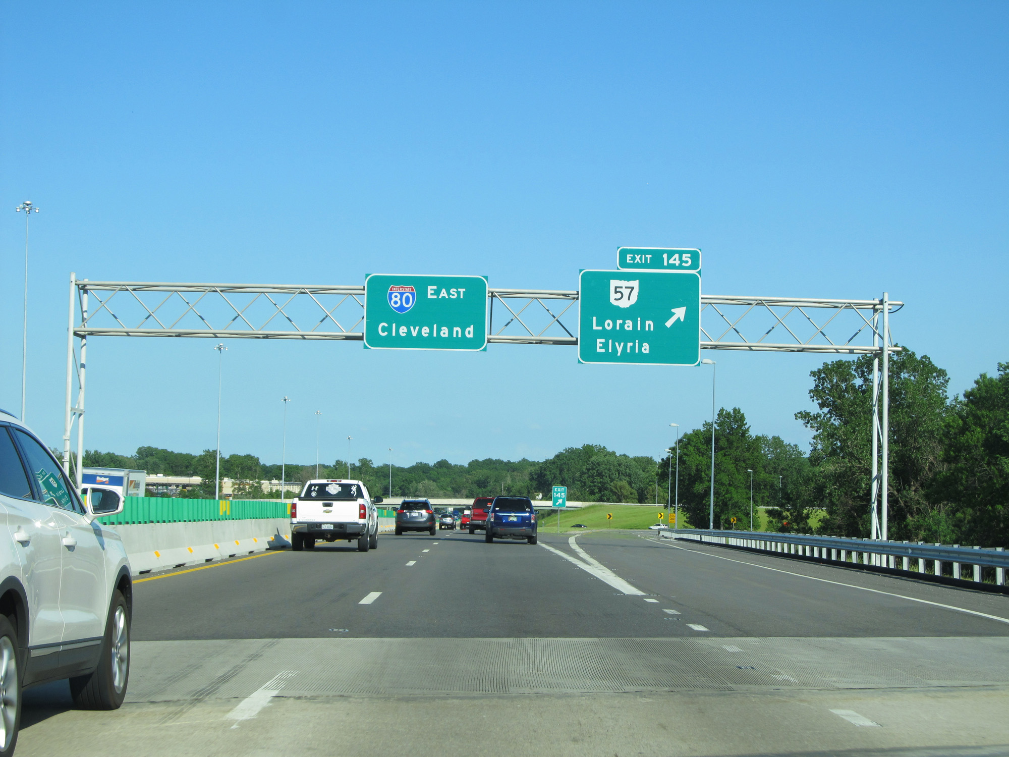 |
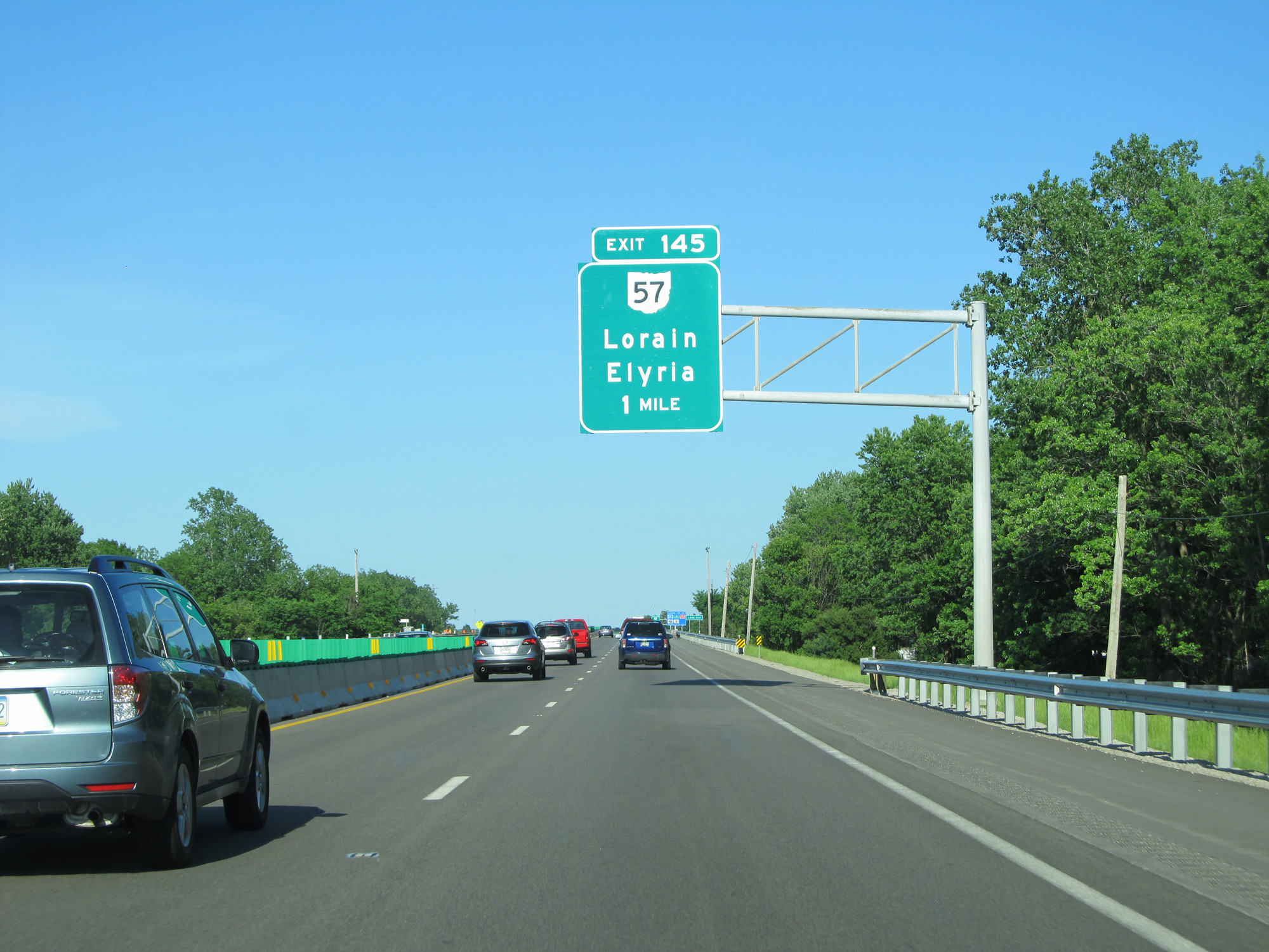
Interstate 80 East (Ohio Turnpike) at Exit 145: OH 57 - Lorain / Elyria (Photo taken 5/30/16). |
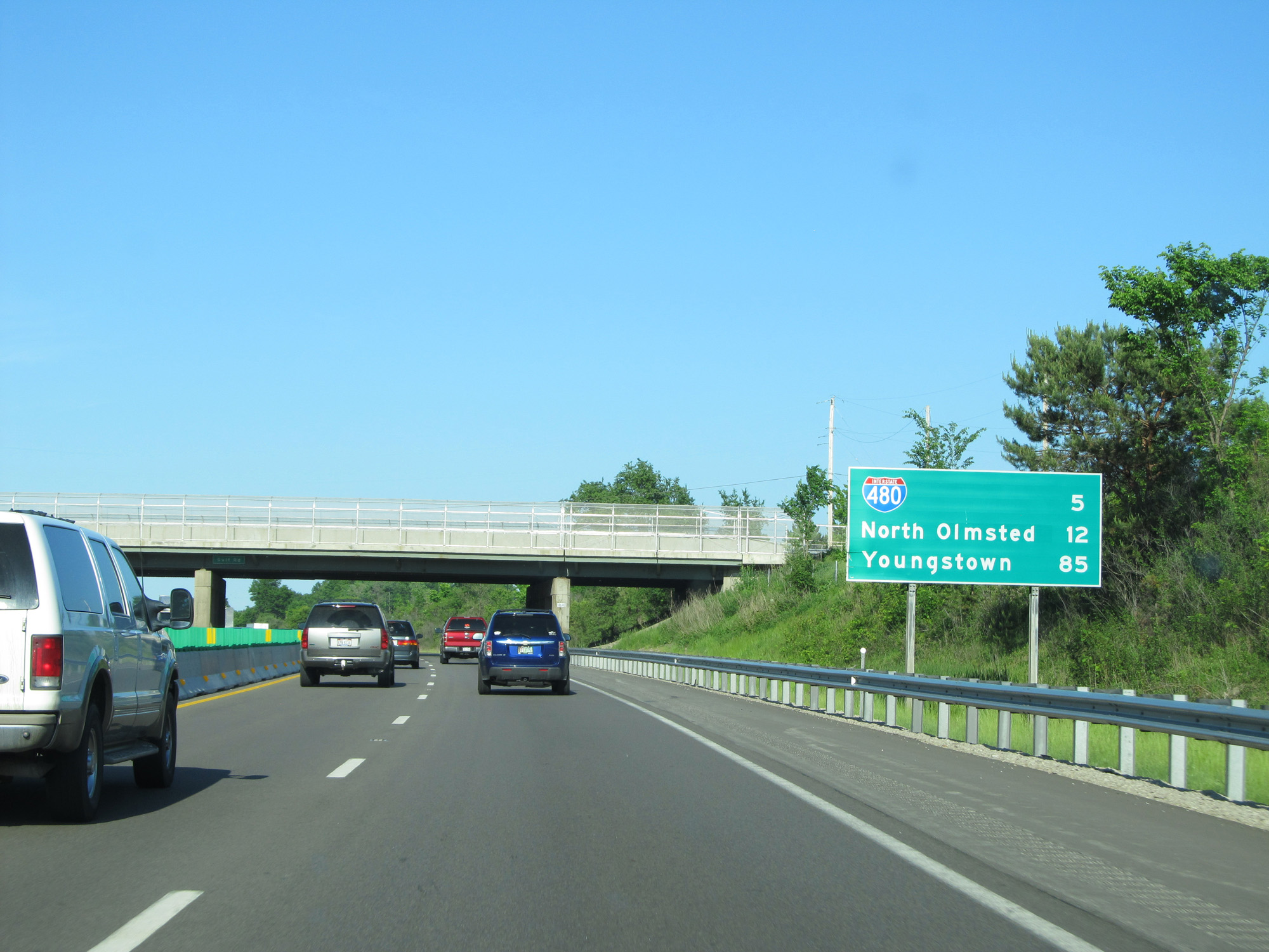 |
Mileage sign on Interstate 80 East (Ohio Turnpike). It's 5 miles to the junction of Interstate 480, 12 miles to North Olmsted, and 85 miles to Youngstown. (Photo taken 5/30/16). |
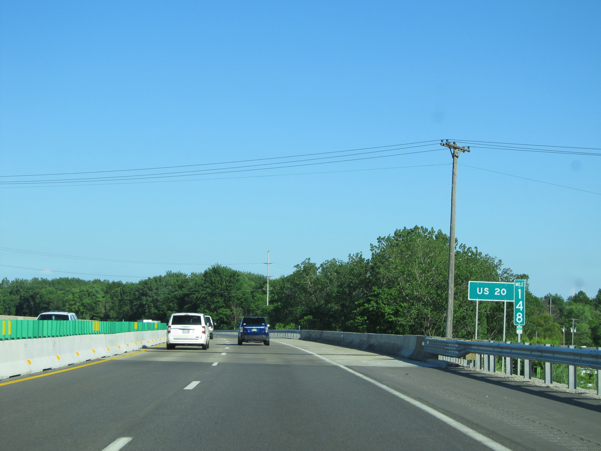 |
Interstate 80 East (Ohio Turnpike) at mile marker 148. (Photo taken 5/30/16). |
 |
Interstate 80 East (Ohio Turnpike) approaching Exit 151 - 1 mile. (Photo taken 5/30/16). |
 |
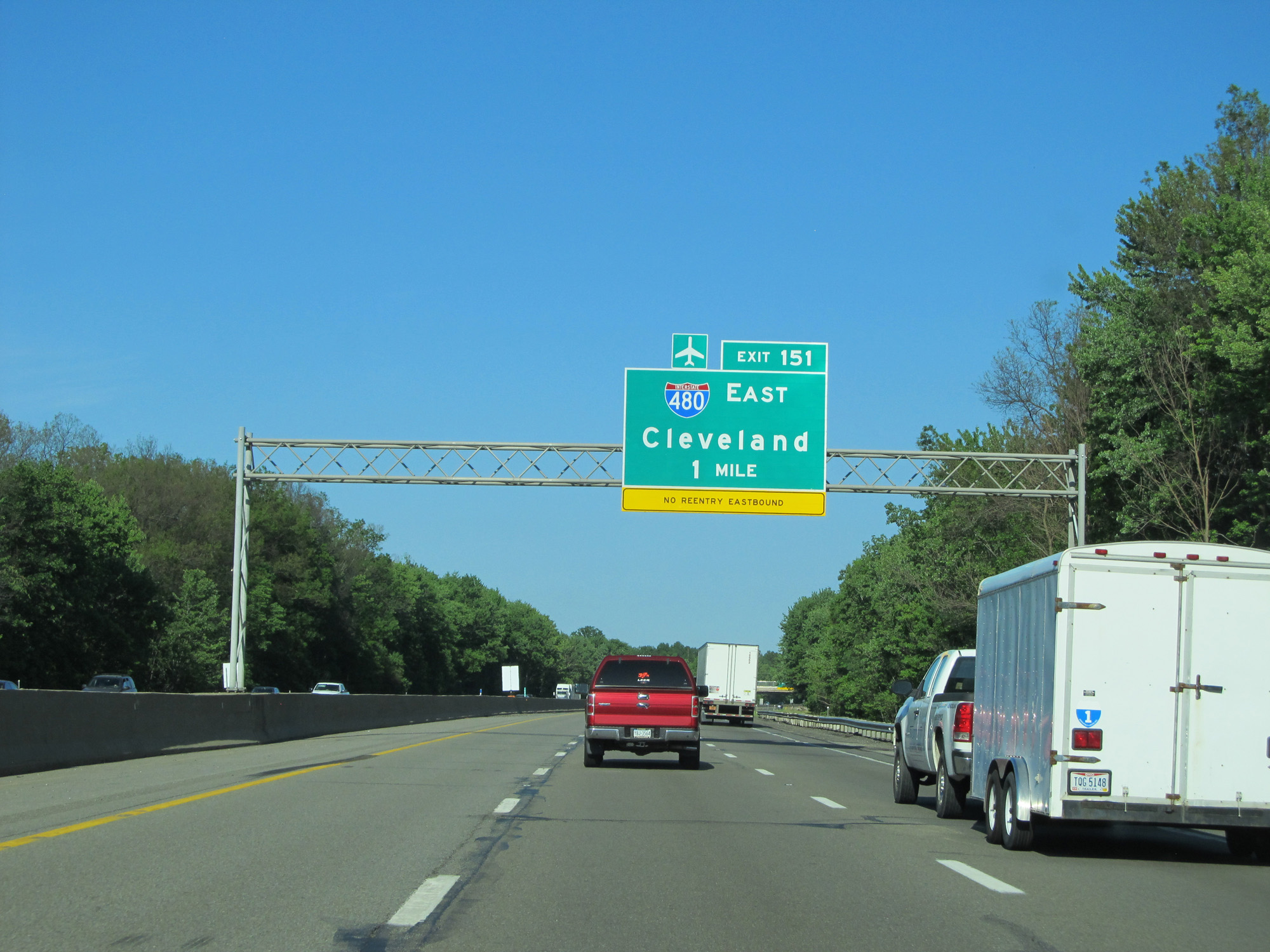
Interstate 80 East (Ohio Turnpike) at Exit 151: Interstate 480 East - Cleveland (Photo taken 5/30/16). |
 |
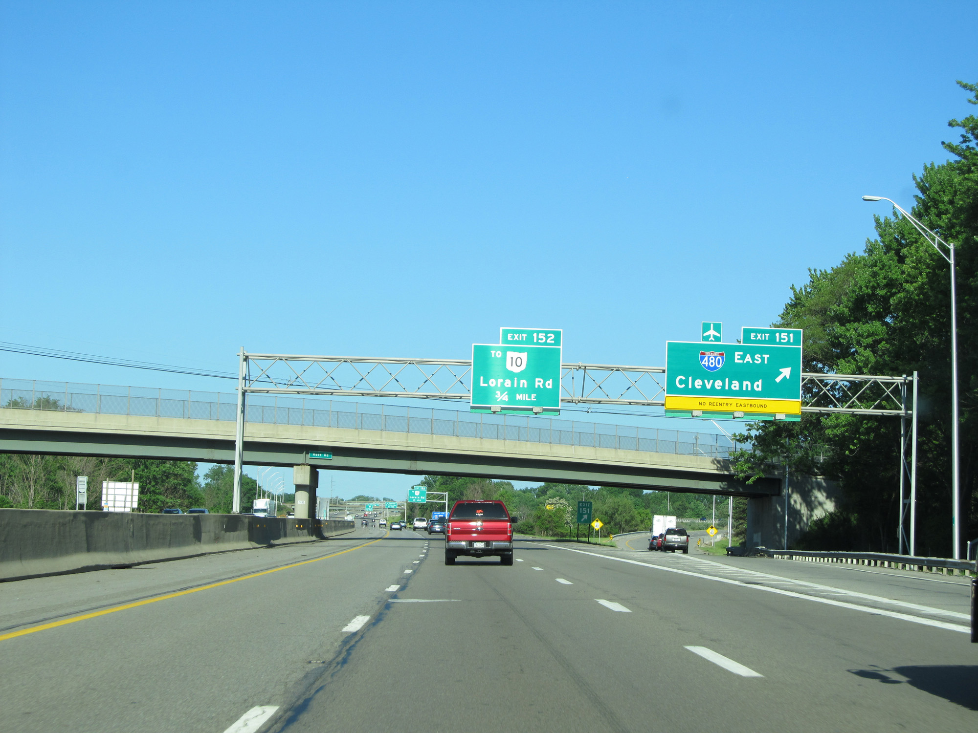
Interstate 80 East (Ohio Turnpike) approaching Exit 152 - 1/2 mile. (Photo taken 5/30/16). |
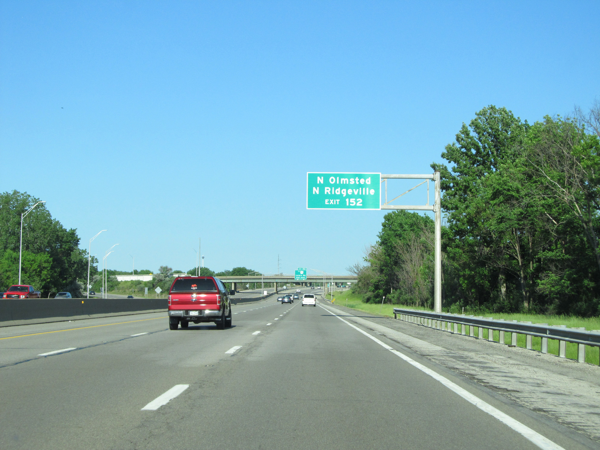 |
Take Exit 152 to North Olmsted and North Ridgeville. (Photo taken 5/30/16). |
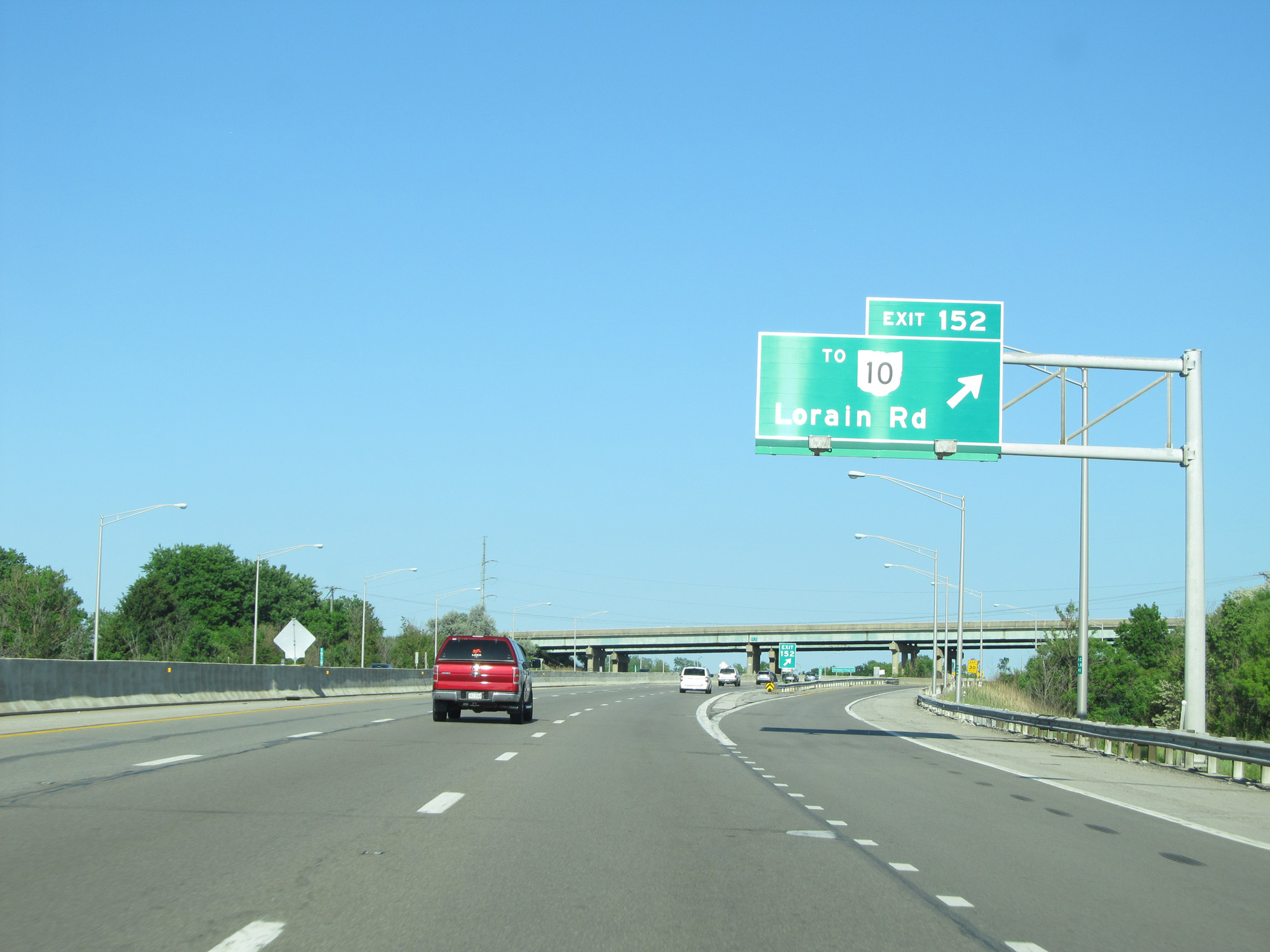 |
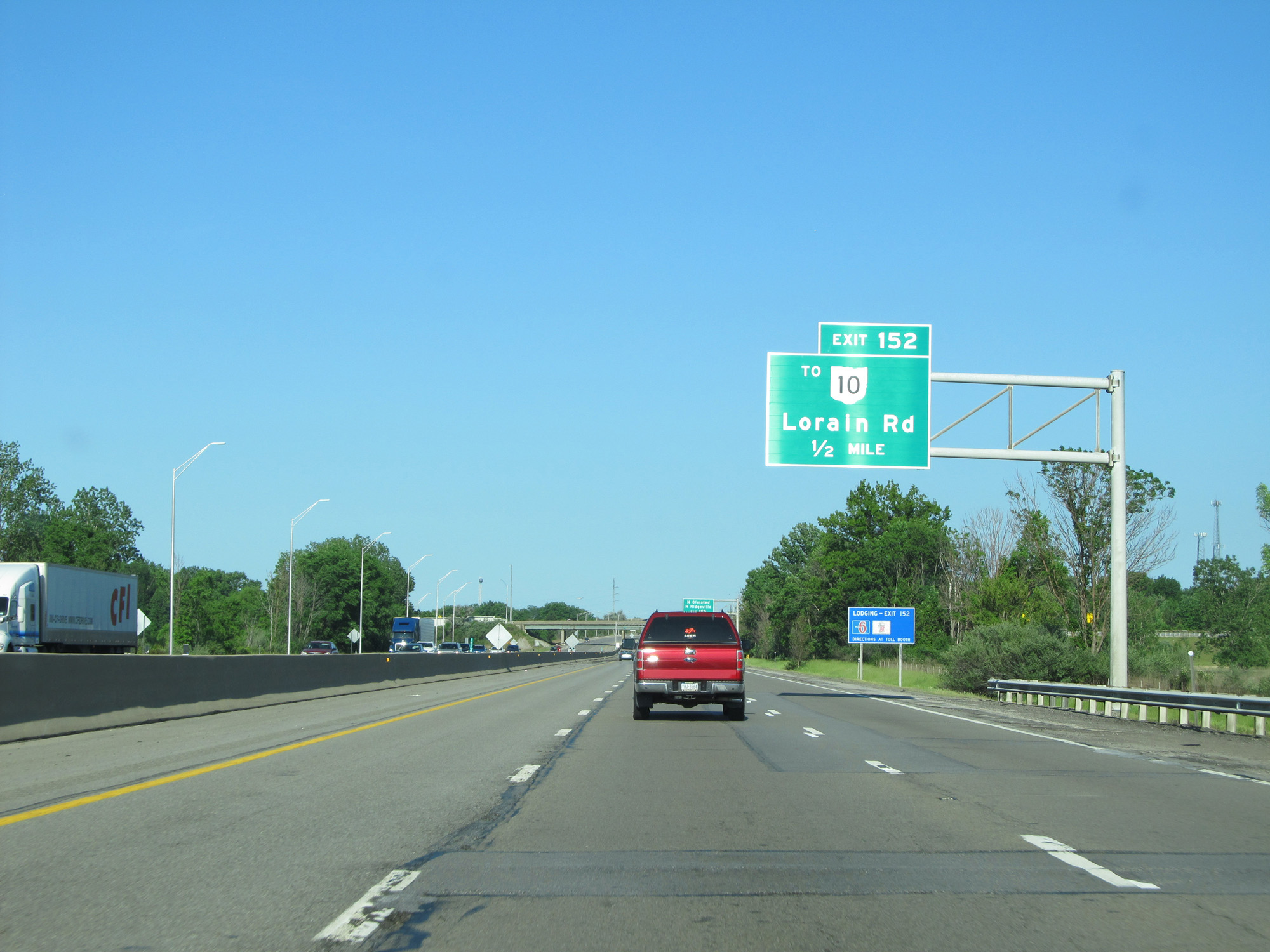
Interstate 80 East (Ohio Turnpike) at Exit 152: To OH 10 - Lorain Rd (Photo taken 5/30/16). |
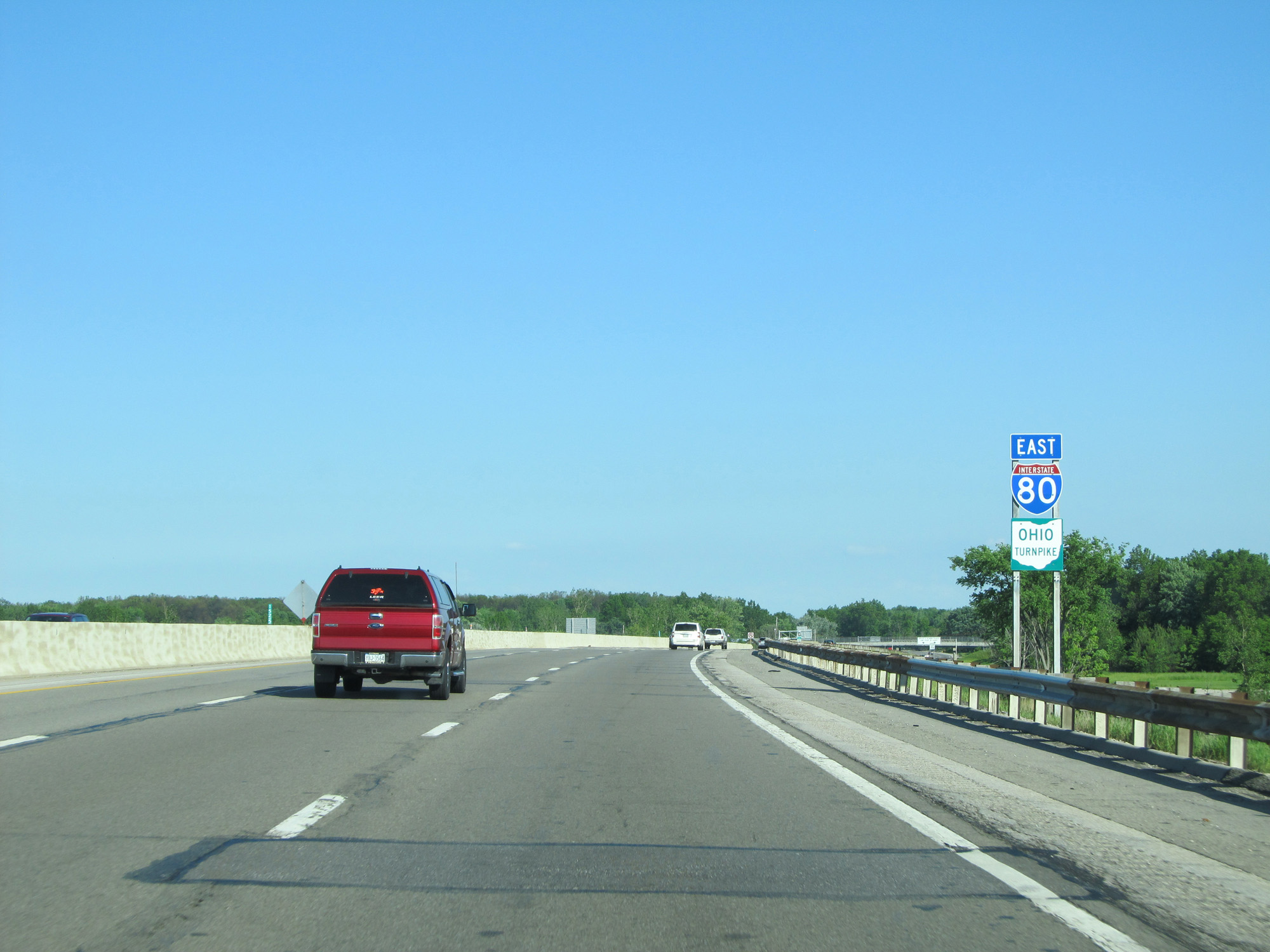 |
Interstate 80 East (Ohio Turnpike) reassurance shield. (Photo taken 5/30/16). |
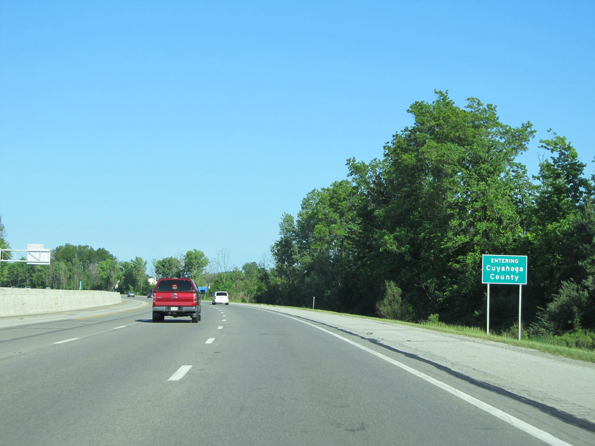 |
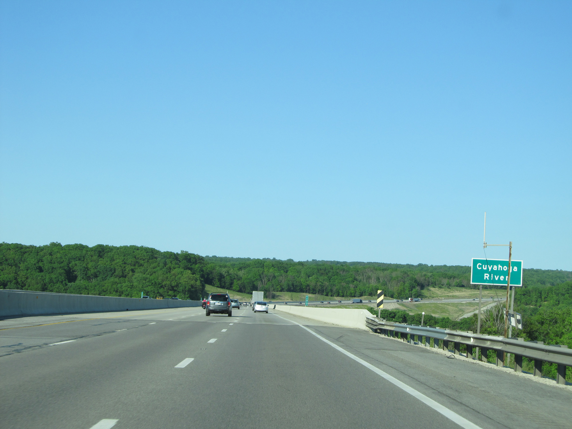
Interstate 80 East (Ohio Turnpike) entering Cuyahoga County. (Photo taken 5/30/16). |
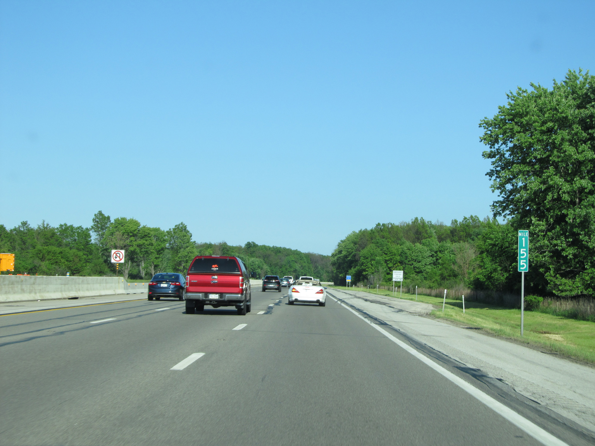 |
Interstate 80 East (Ohio Turnpike) at mile marker 155. (Photo taken 5/30/16). |
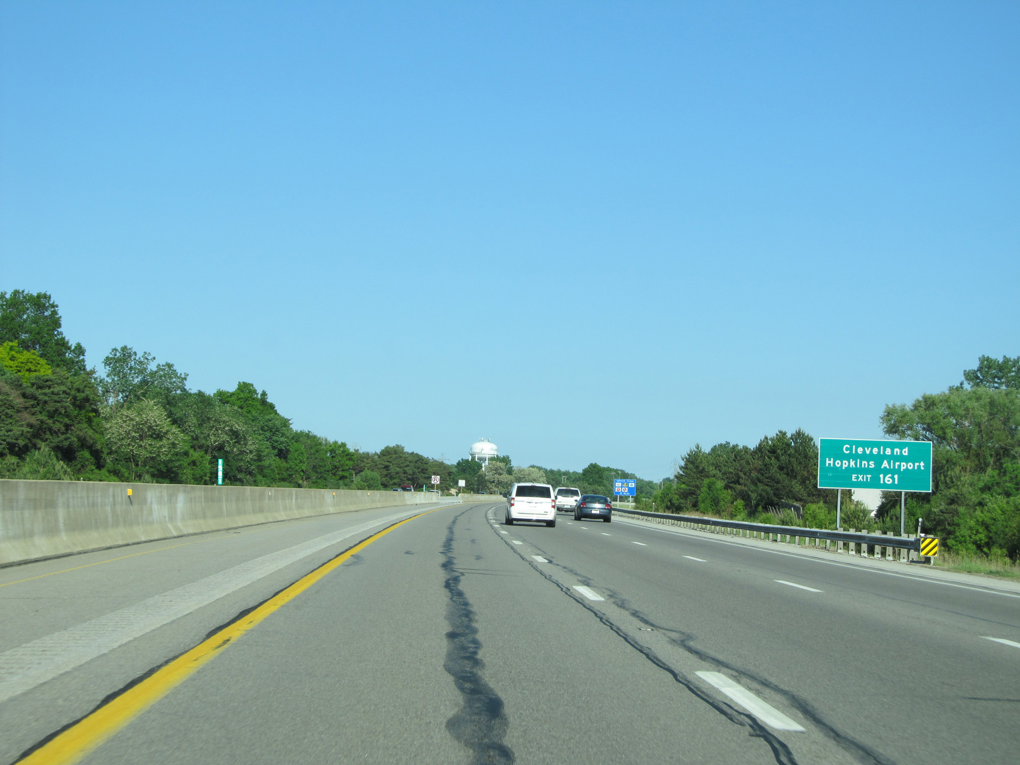 |
Take Exit 161 to Cleveland Hopkins Airport. (Photo taken 5/30/16). |
 |
Interstate 80 East (Ohio Turnpike) approaching Exit 161 - 2 miles. (Photo taken 5/30/16). |
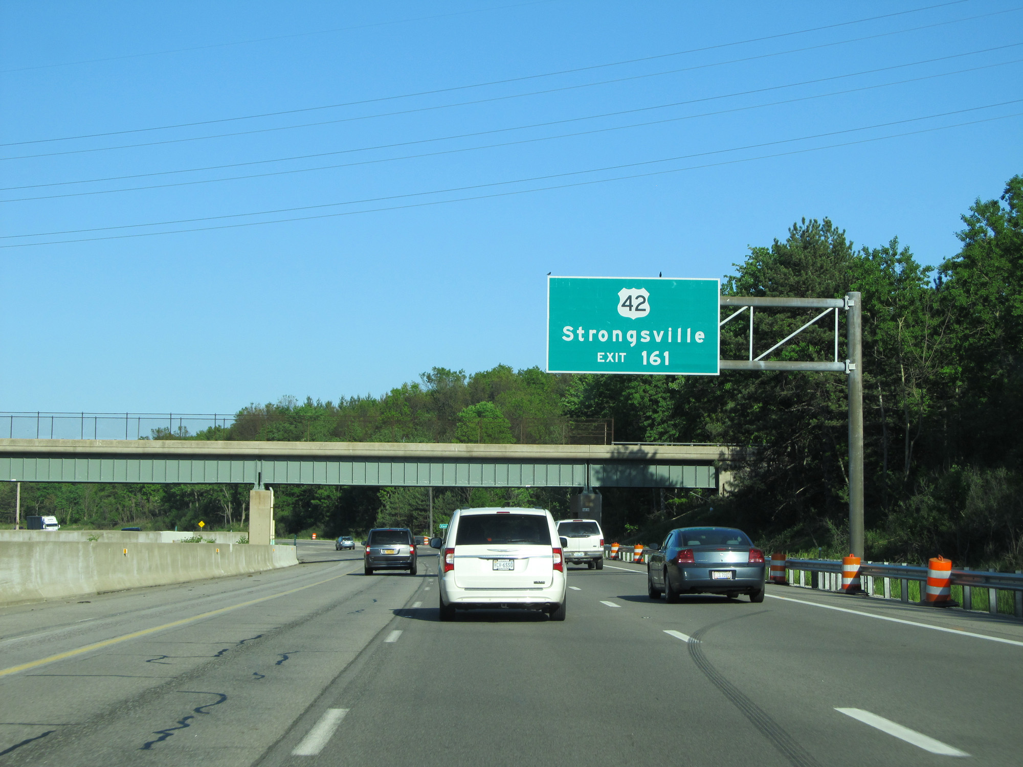 |
Take Exit 161 to US 42 toward Strongsville. (Photo taken 5/30/16). |
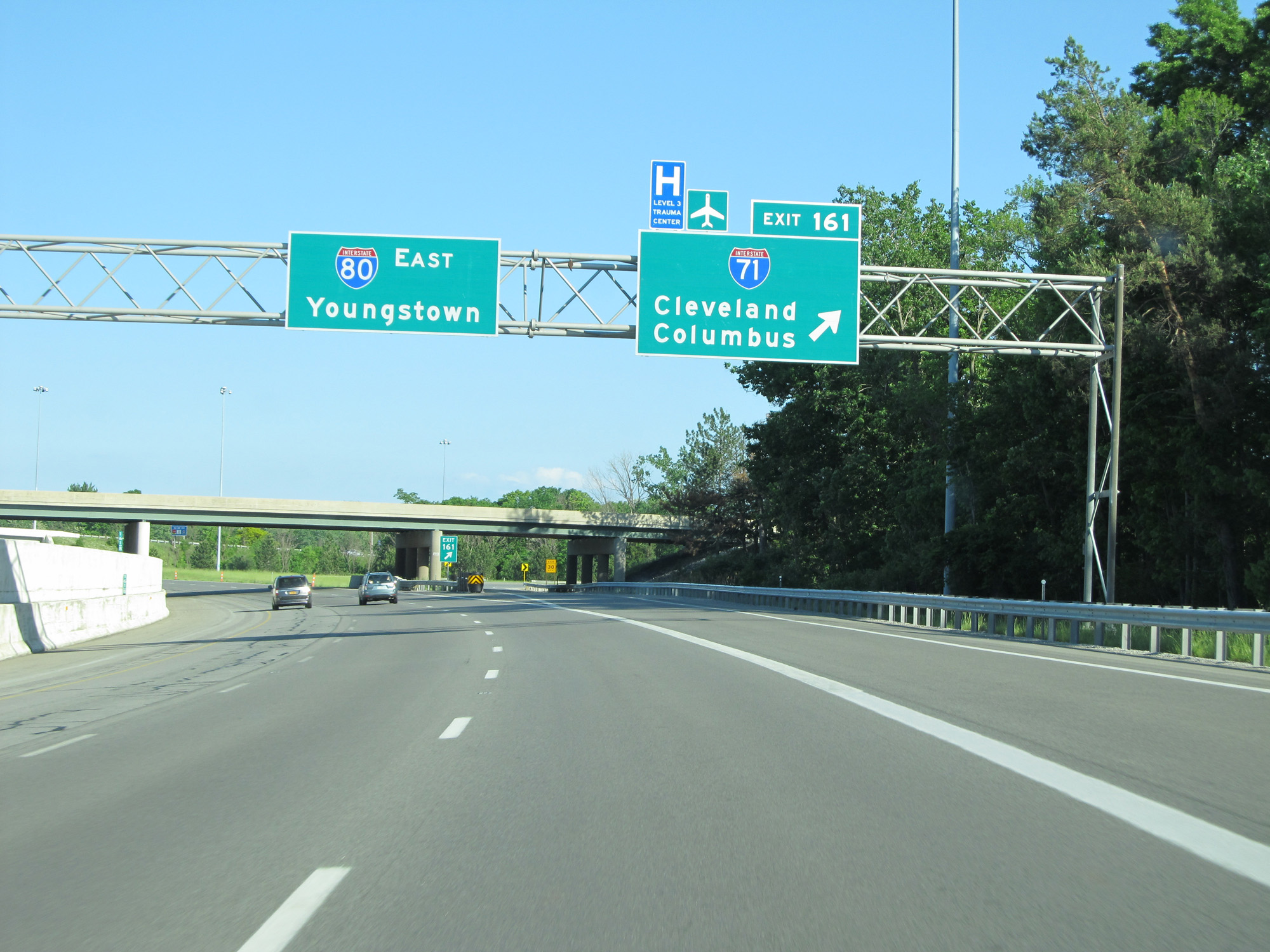 |
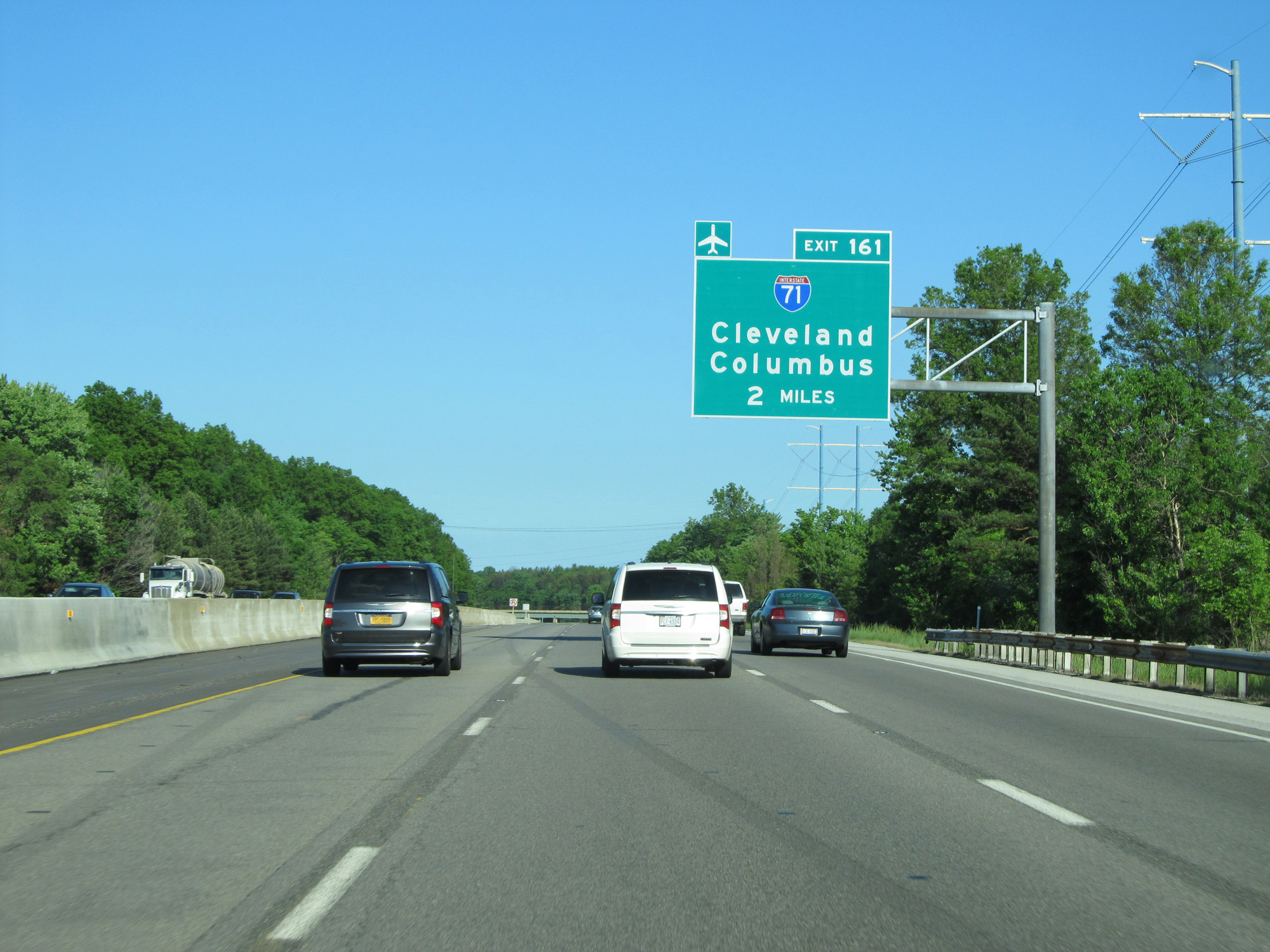
Interstate 80 East (Ohio Turnpike) at Exit 161: Interstate 71 - Cleveland / Columbus (Photo taken 5/30/16). |
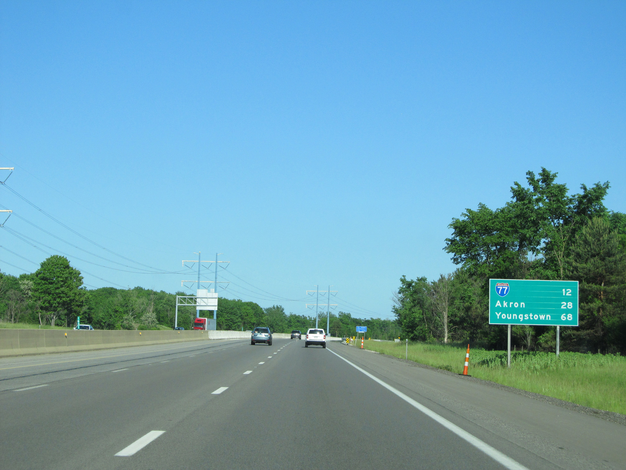 |
Mileage sign on Interstate 80 East (Ohio Turnpike). It's 12 miles to the junction of Interstate 77, 28 miles to Akron, and 68 miles to Youngstown. (Photo taken 5/30/16). |
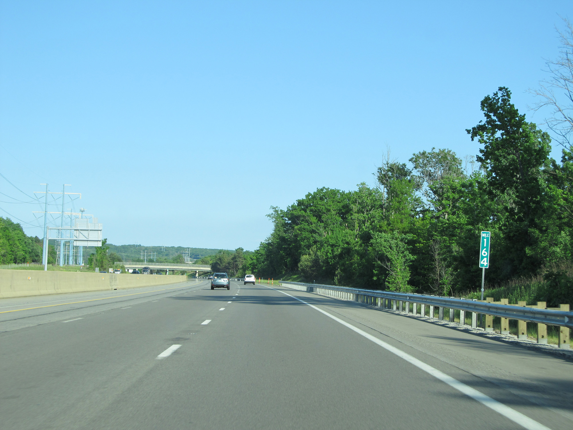 |
Interstate 80 East (Ohio Turnpike) at mile marker 164. (Photo taken 5/30/16). |
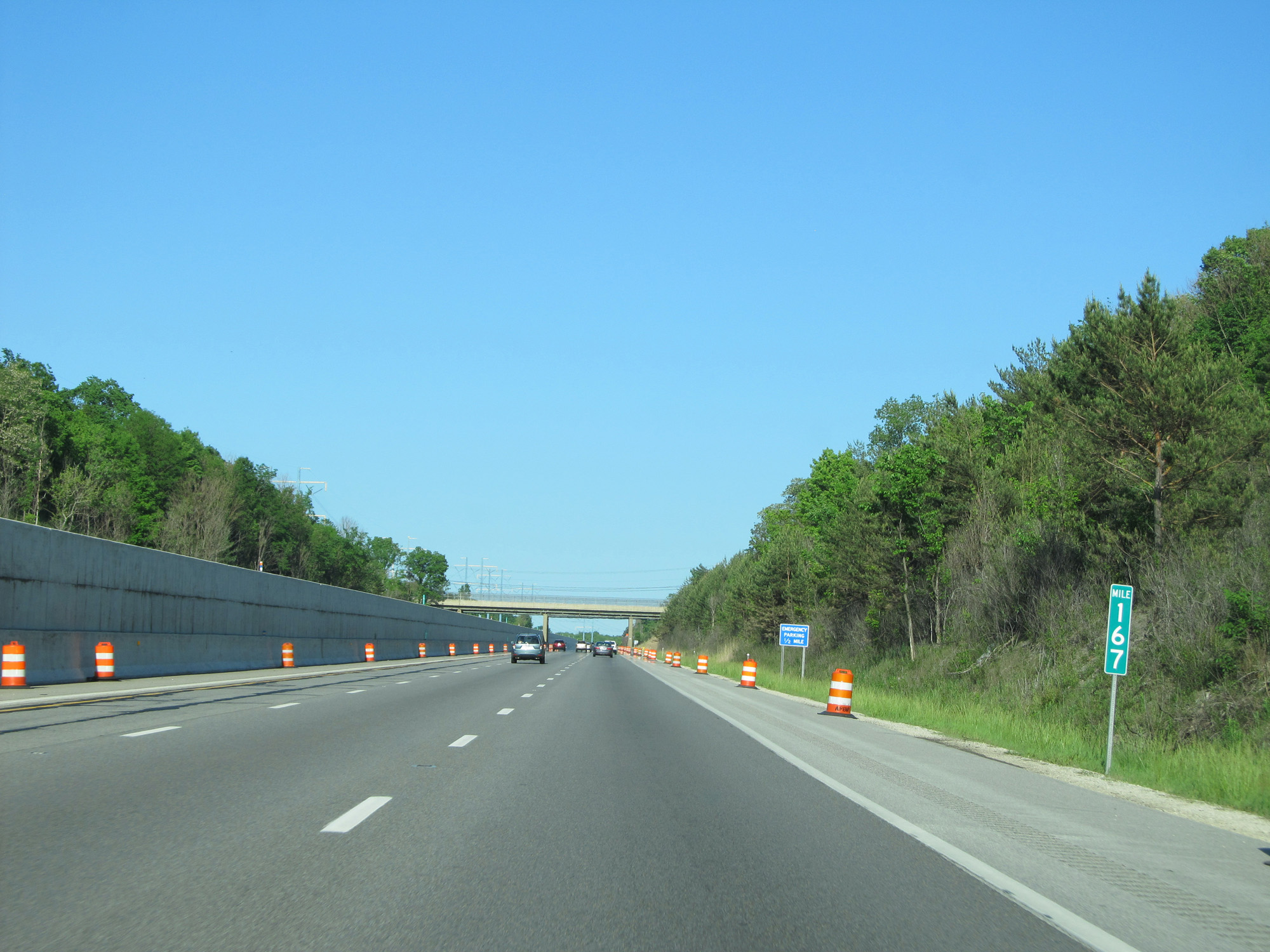 |
Interstate 80 East (Ohio Turnpike) at mile marker 167. (Photo taken 5/30/16). |
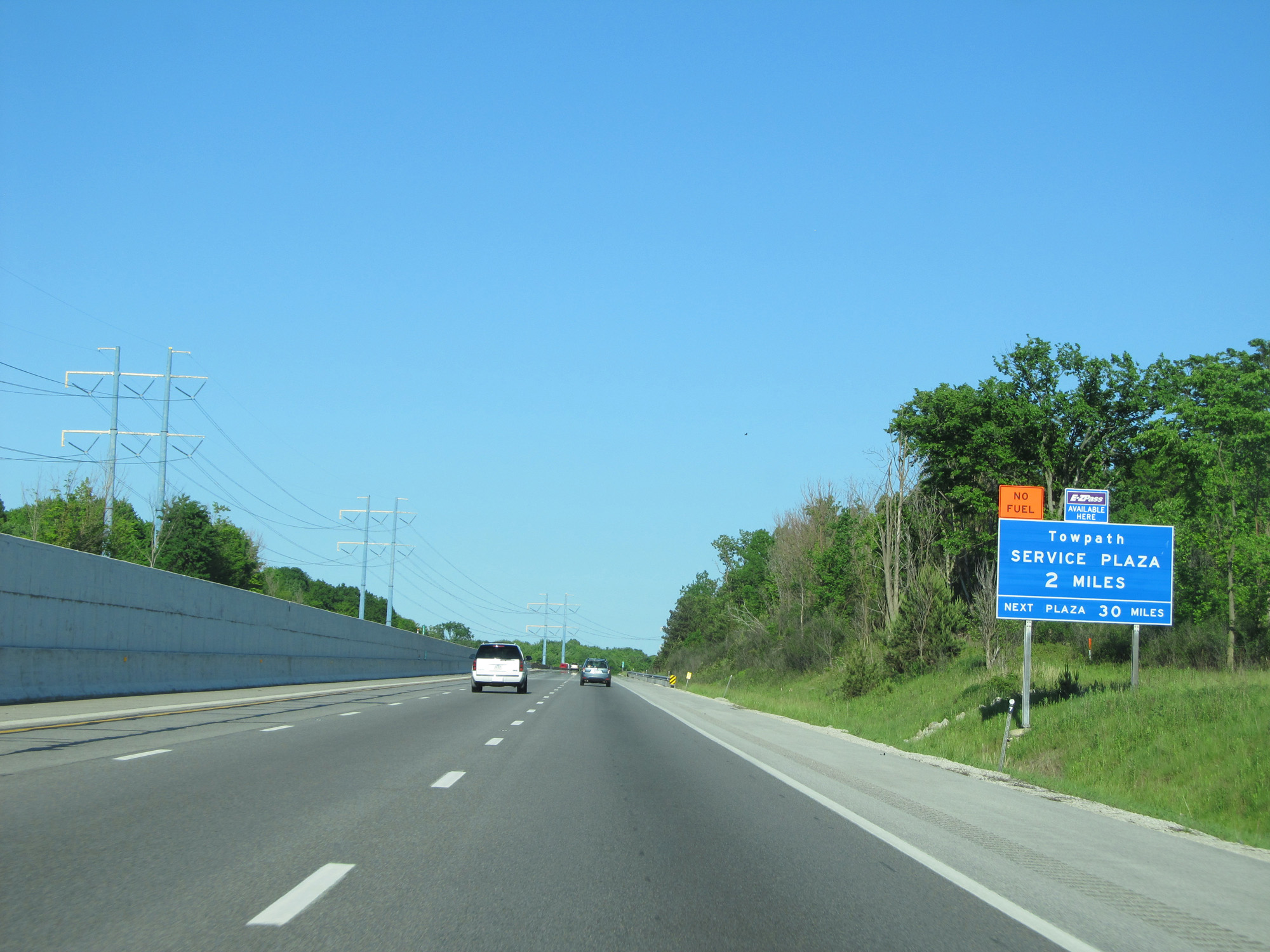 |
Interstate 80 East (Ohio Turnpike) approaching the Towpath Service Plaza - 2 miles. (Photo taken 5/30/16). |
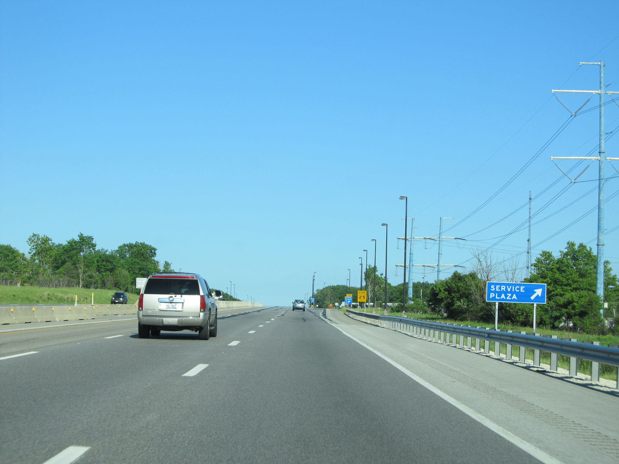 |
Interstate 80 East (Ohio Turnpike) at the Towpath Service Plaza. (Photo taken 5/30/16). |
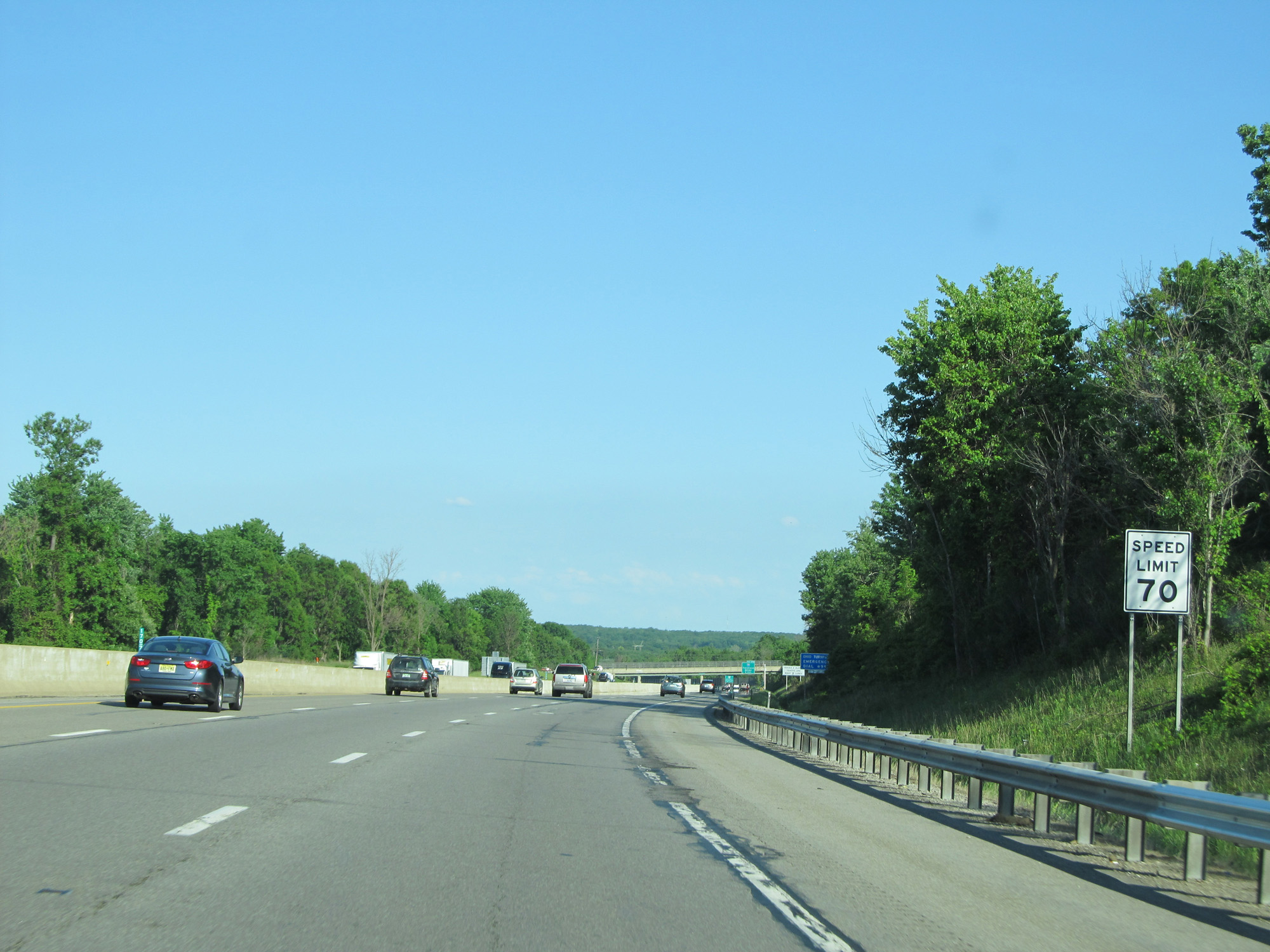 |
Speed Limit - 70 mph. (Photo taken 5/30/16). |
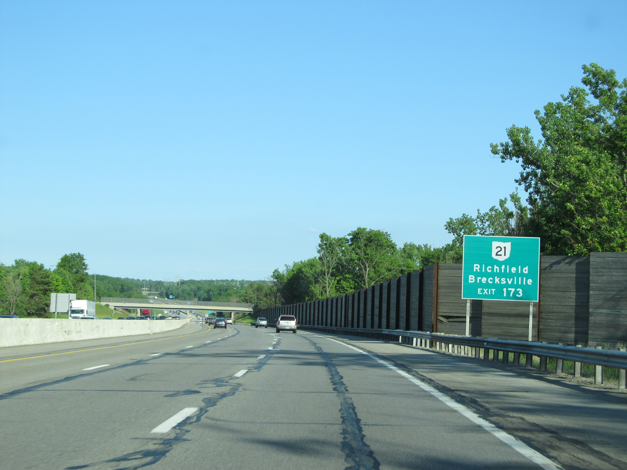 |
Take Exit 173 for OH 21 to Richfield and Brecksville. (Photo taken 5/30/16). |
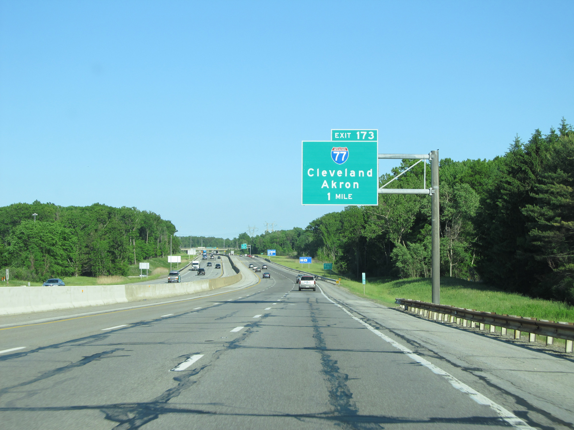 |
Interstate 80 East (Ohio Turnpike) approaching Exit 173 - 1 mile. (Photo taken 5/30/16). |
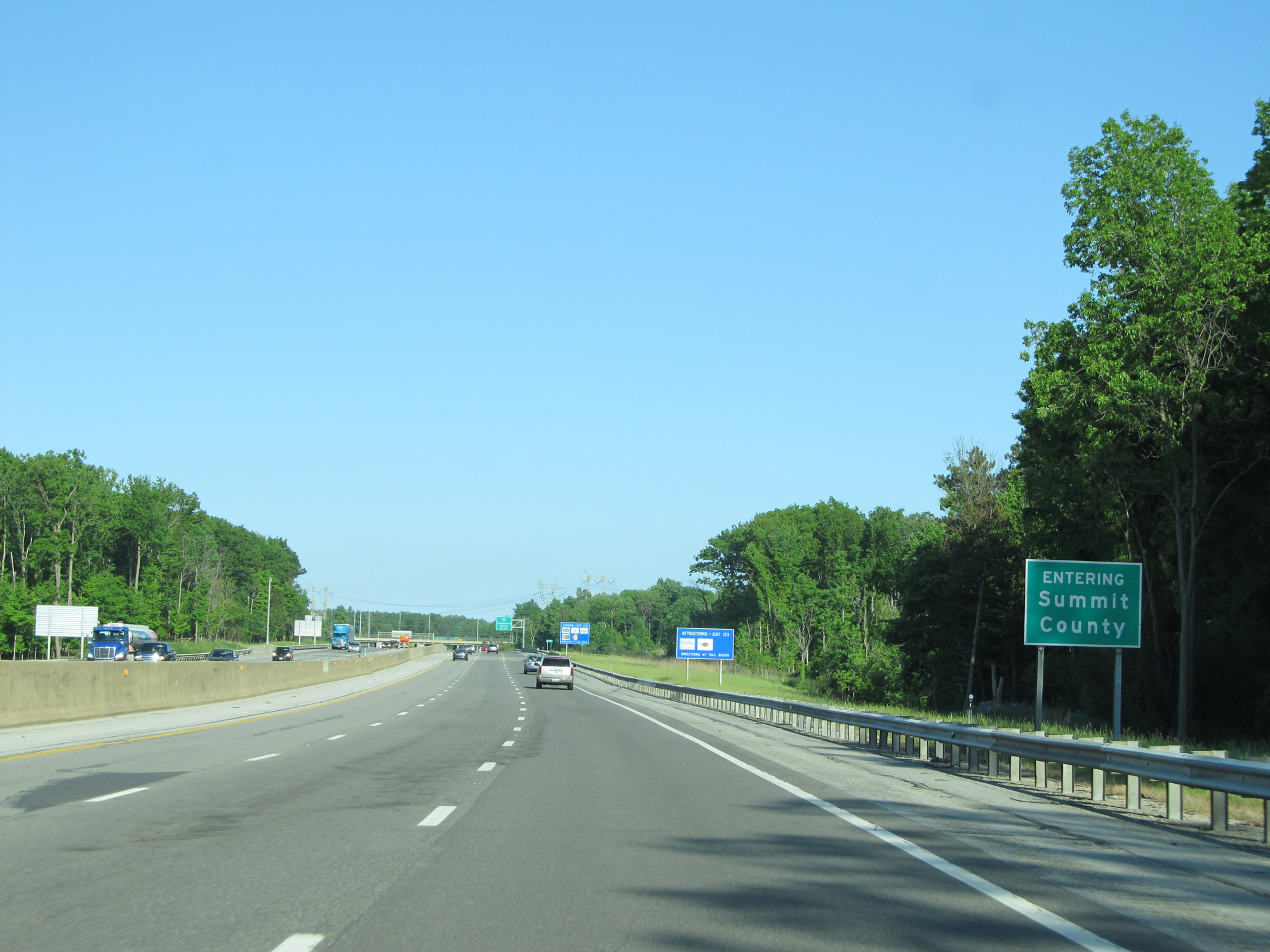 |
Interstate 80 East (Ohio Turnpike) entering Summit County. (Photo taken 5/30/16). |
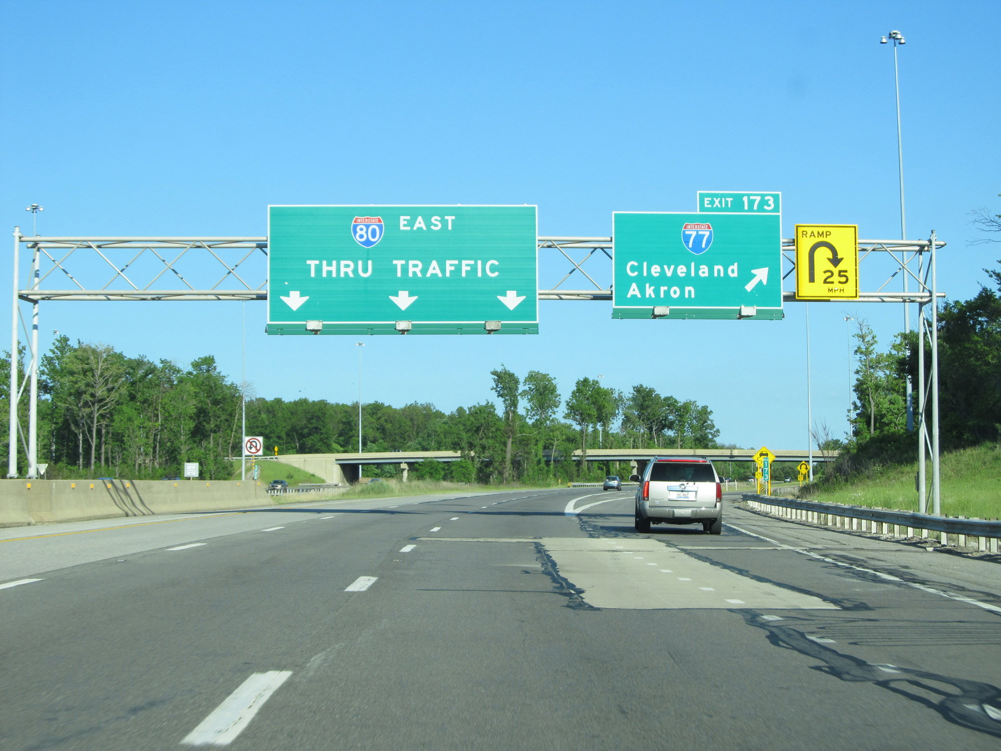 |
Interstate 80 East (Ohio Turnpike) at Exit 173: Interstate 77 - Cleveland / Akron (Photo taken 5/30/16). |
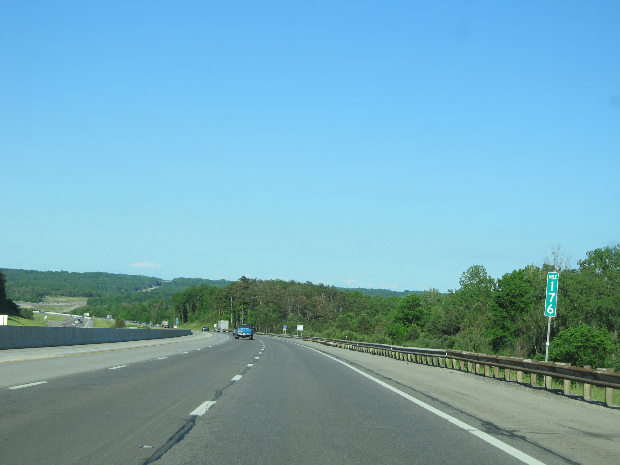 |
Interstate 80 East (Ohio Turnpike) at mile marker 176. (Photo taken 5/30/16). |
 |
Interstate 80 East (Ohio Turnpike) crossing the Cuyahoga River. (Photo taken 5/30/16). |
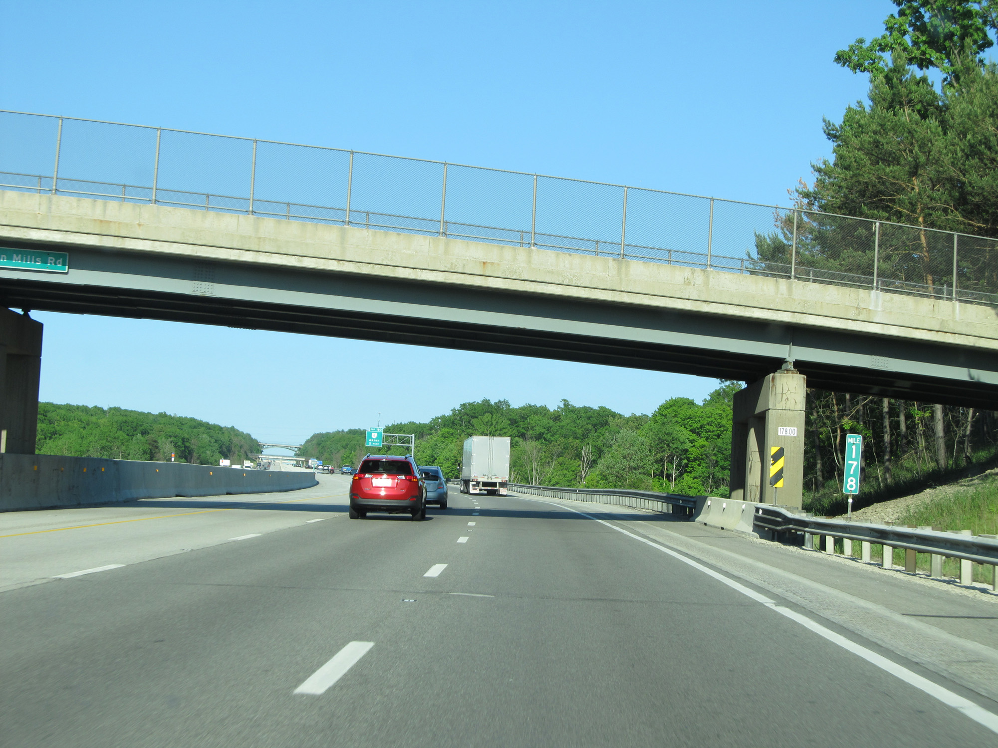 |
Interstate 80 East (Ohio Turnpike) at mile marker 178. (Photo taken 5/30/16). |
 |
Interstate 80 East (Ohio Turnpike) approaching Exit 180 - 1 mile. (Photo taken 5/30/16). |
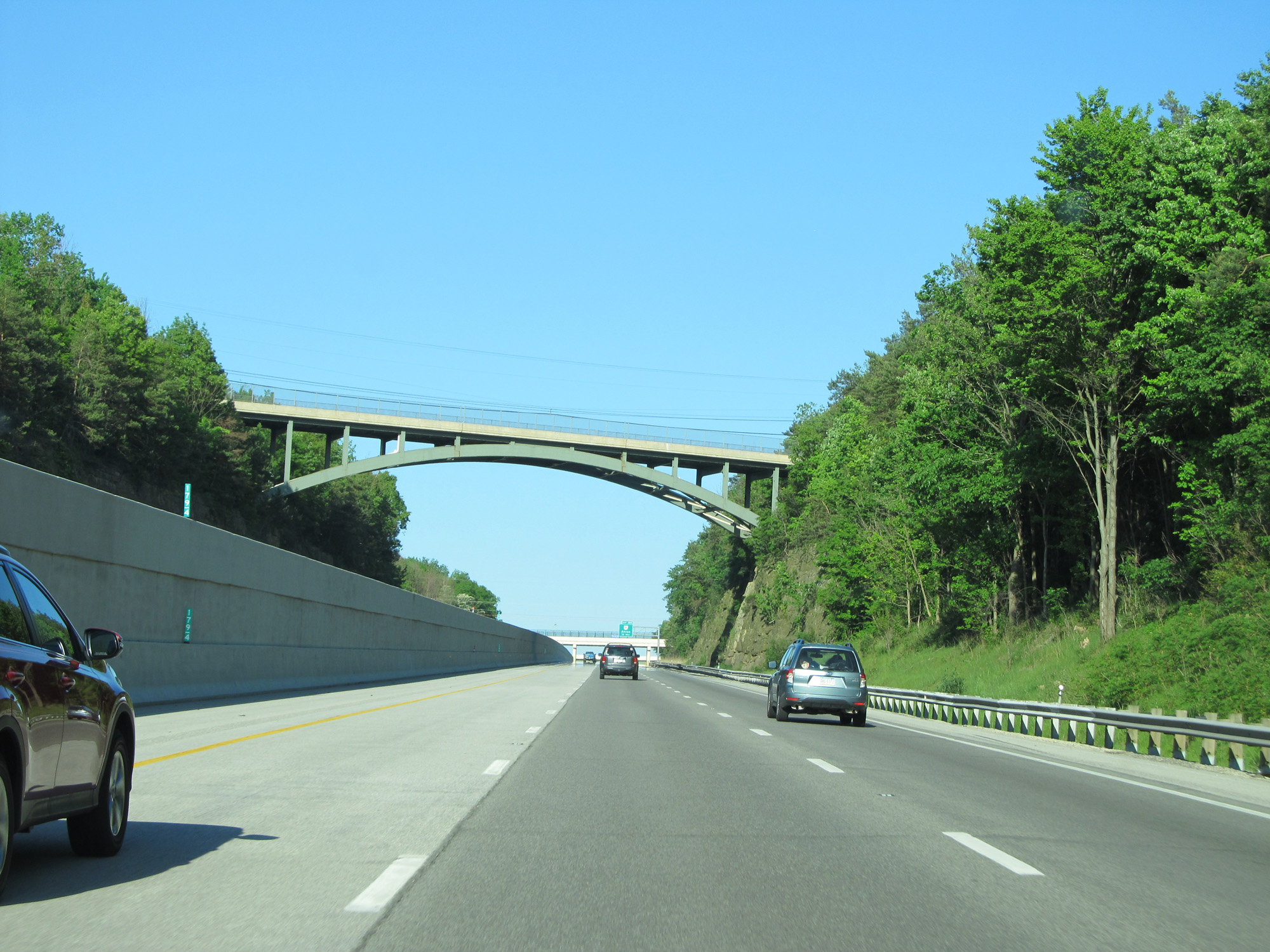 |
View on Interstate 80 East (Ohio Turnpike) at mile marker 179.4. (Photo taken 5/30/16). |
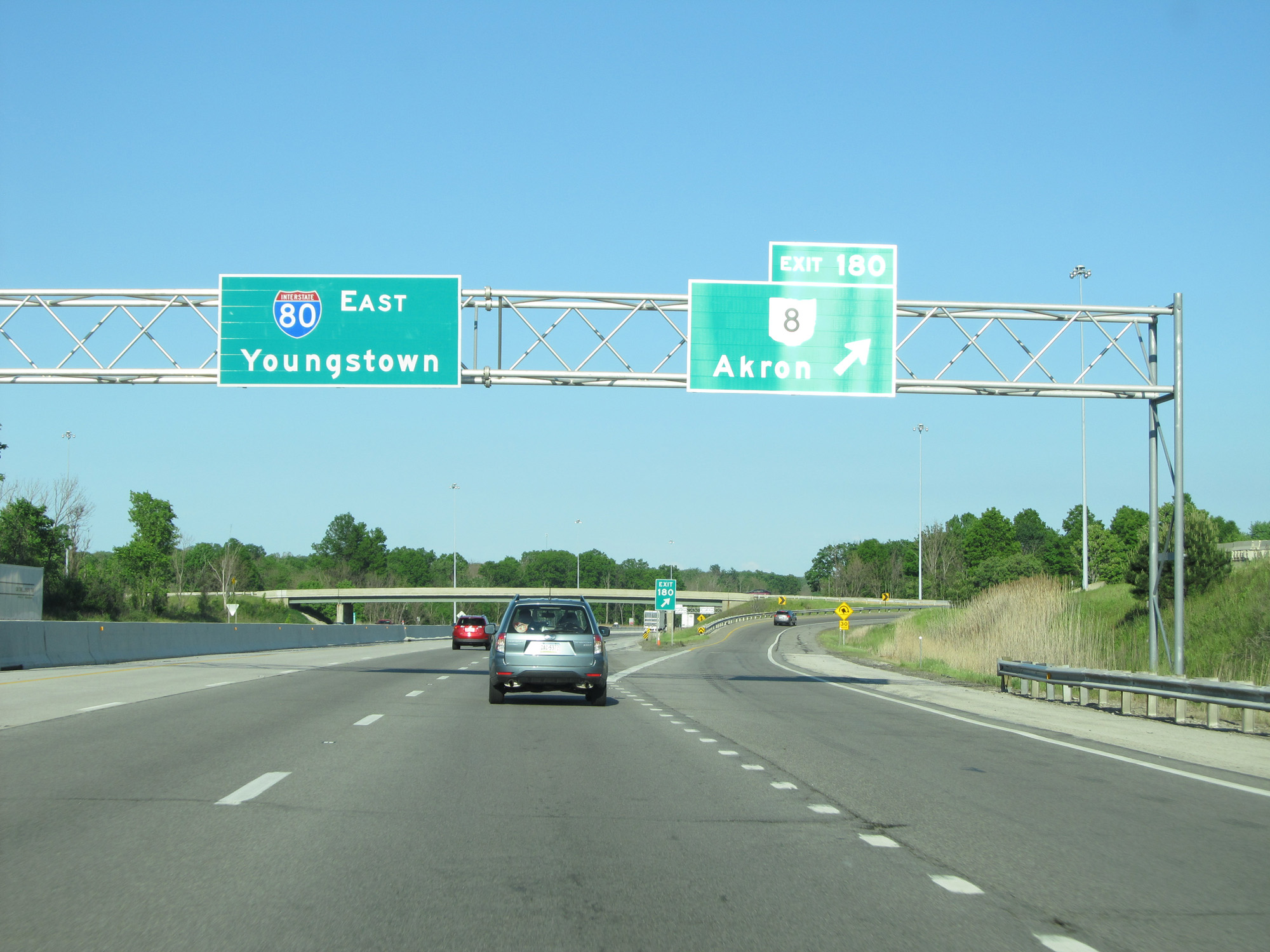 |
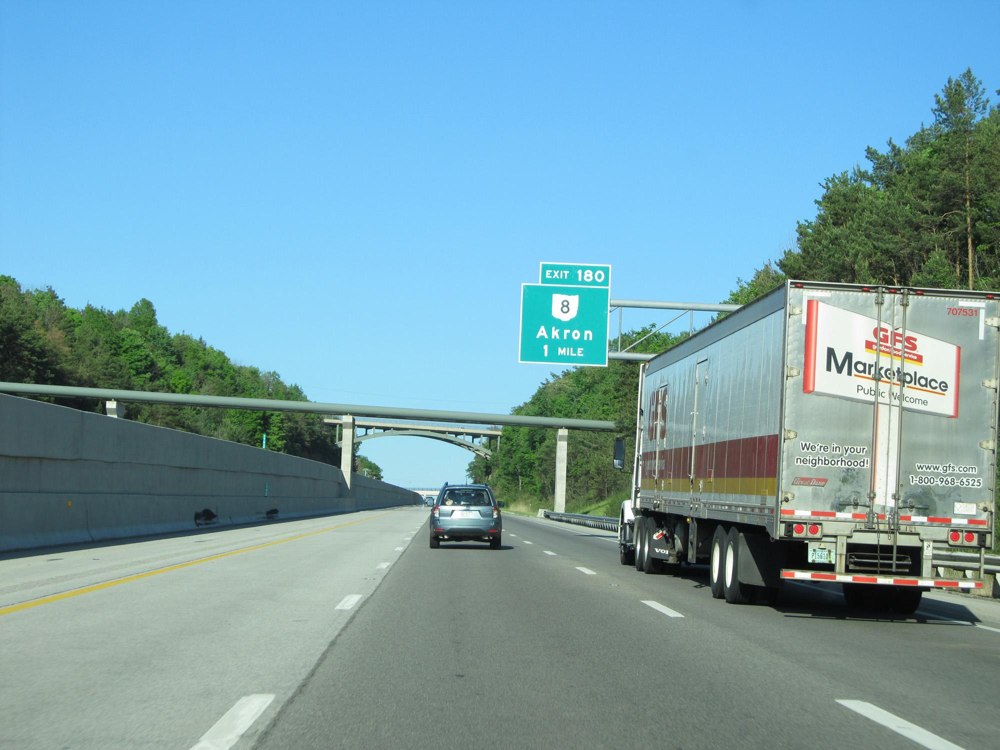
Interstate 80 East (Ohio Turnpike) at Exit 180: OH 8 - Akron (Photo taken 5/30/16). |
 |
Interstate 80 East (Ohio Turnpike) reassurance shield. (Photo taken 5/30/16). |
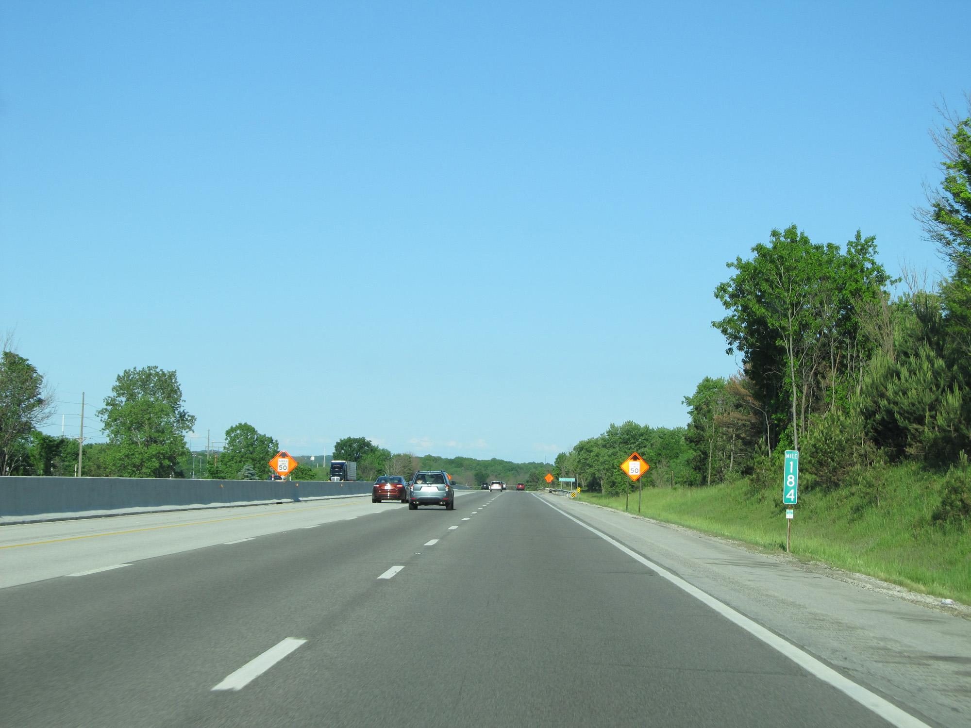 |
Interstate 80 East (Ohio Turnpike) at mile marker 184. (Photo taken 5/30/16). |
 |
Interstate 80 East (Ohio Turnpike) approaching Exit 187 - 1 mile. (Photo taken 5/30/16). |
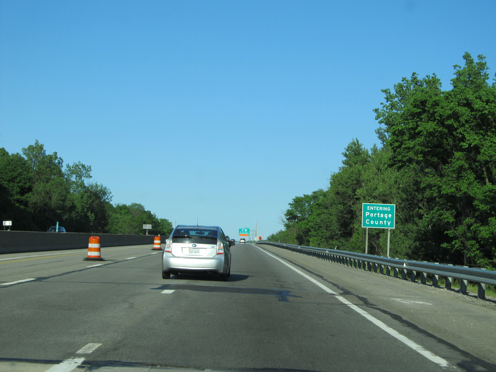 |
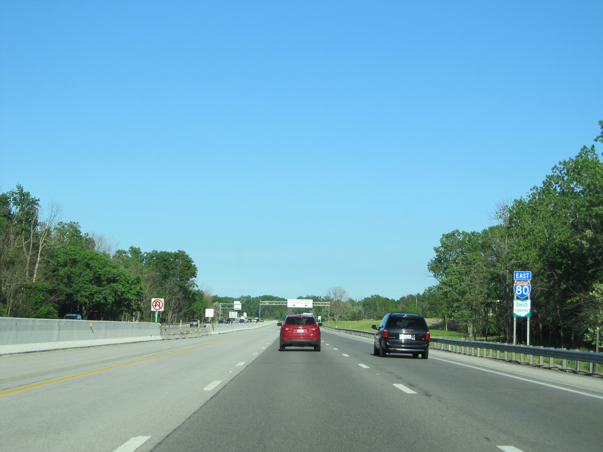
Interstate 80 East (Ohio Turnpike) entering Portage County. (Photo taken 5/30/16). |
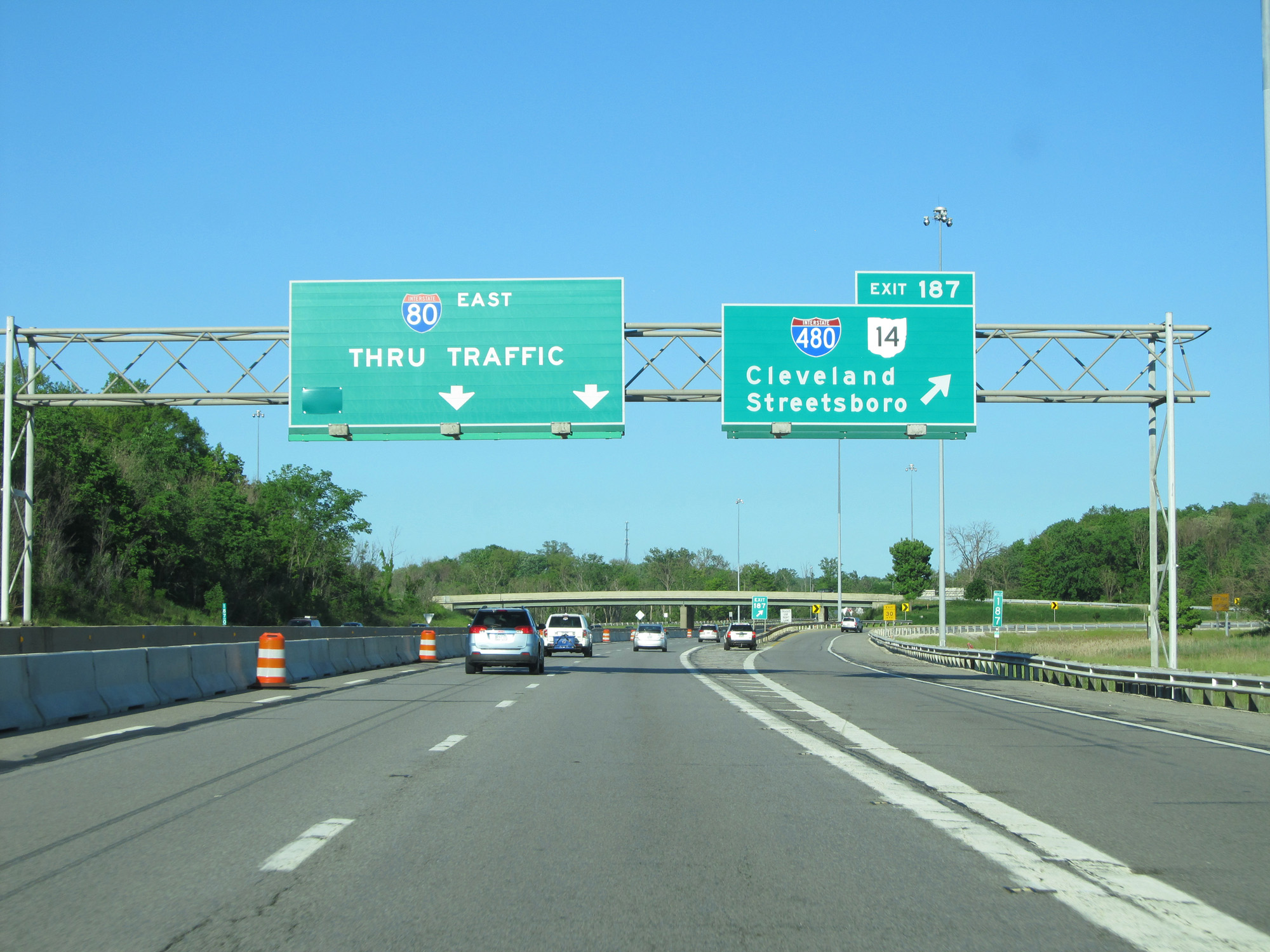 |
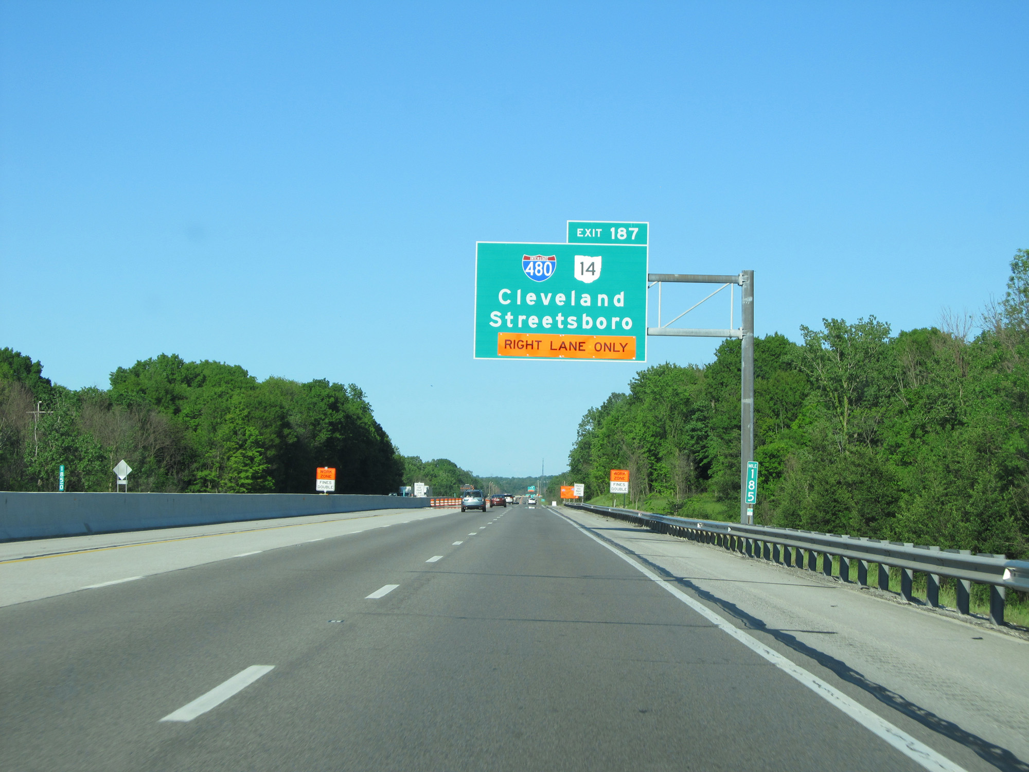
Interstate 80 East (Ohio Turnpike) at Exit 187: Interstate 480 / OH 14 - Cleveland / Streetsboro (Photo taken 5/30/16). |
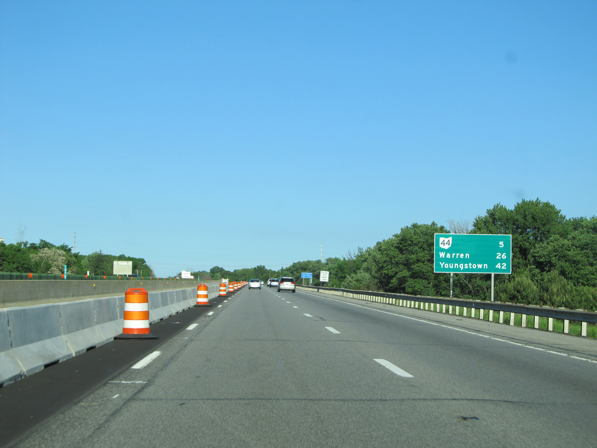 |
Mileage sign on Interstate 80 East (Ohio Turnpike). It's 5 miles to the junction of OH 44, 26 miles to Warren, and 42 miles to Youngstown. (Photo taken 5/30/16). |
 |
Interstate 80 East (Ohio Turnpike) at mile marker 189. (Photo taken 5/30/16). |
 |
Interstate 80 East (Ohio Turnpike) approaching Exit 193 - 1 mile. (Photo taken 5/30/16). |
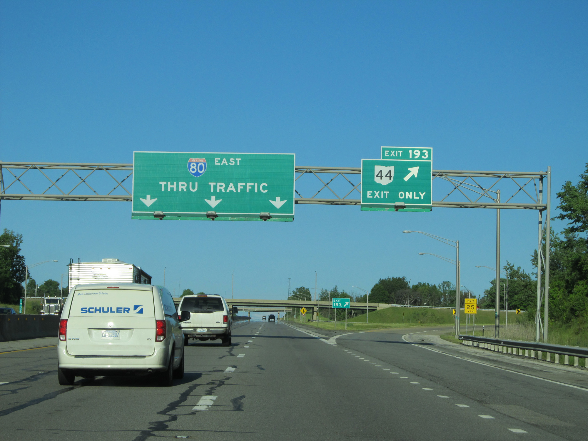 |
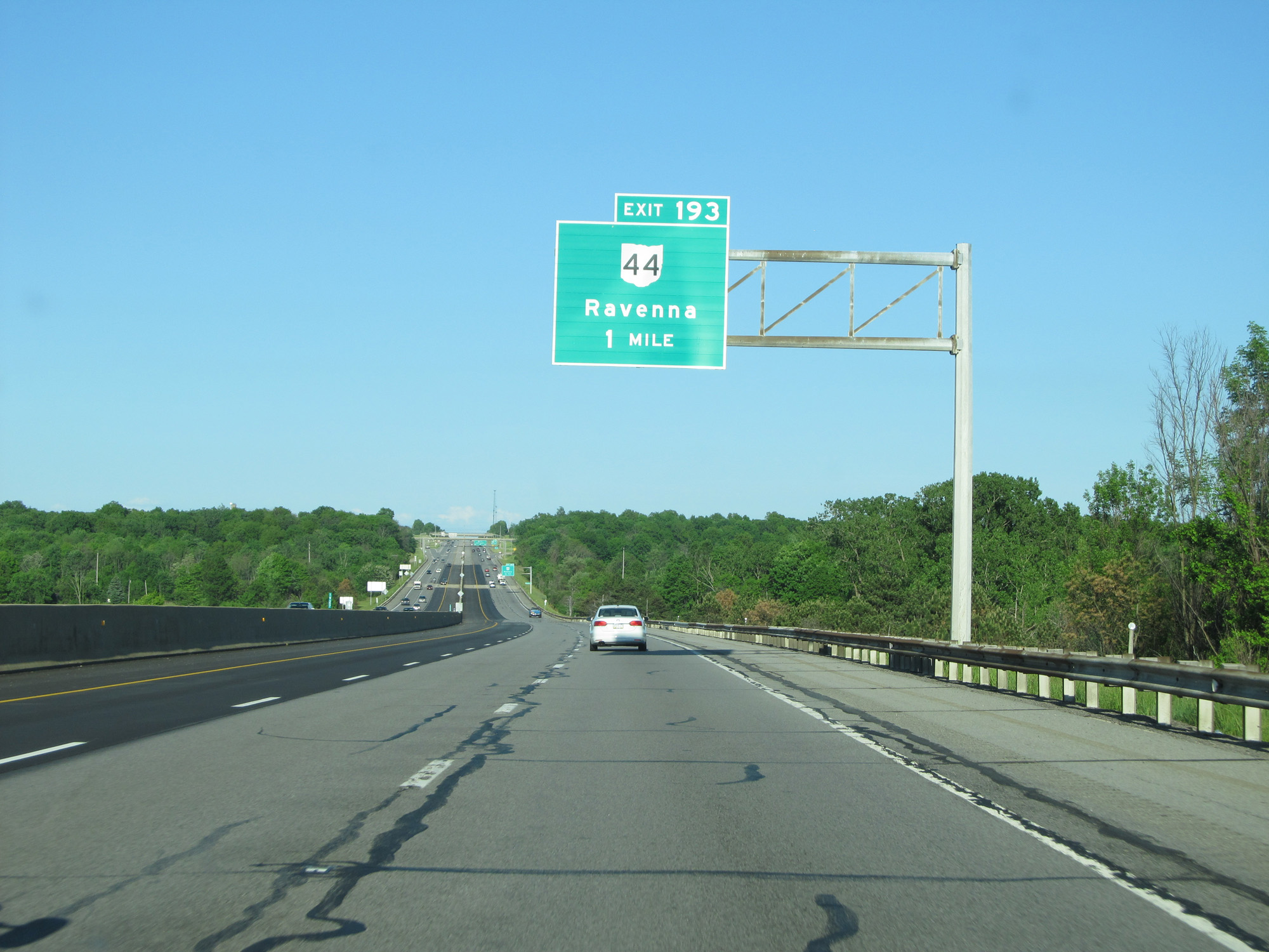
Interstate 80 East (Ohio Turnpike) at Exit 193: OH 44 - Ravenna (Photo taken 5/30/16). |
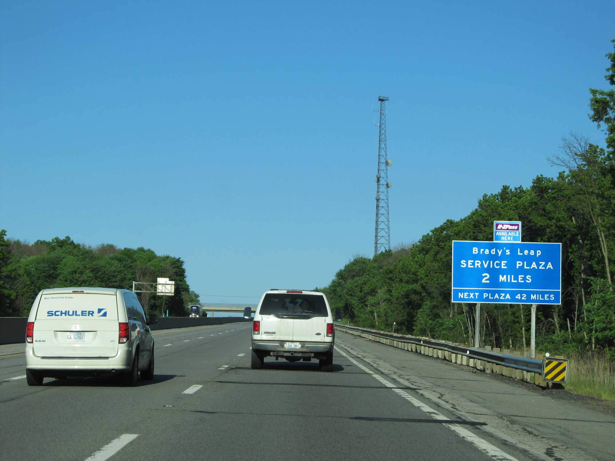 |
Interstate 80 East (Ohio Turnpike) approaching the Brady's Leap Service Plaza - 2 miles. (Photo taken 5/30/16). |
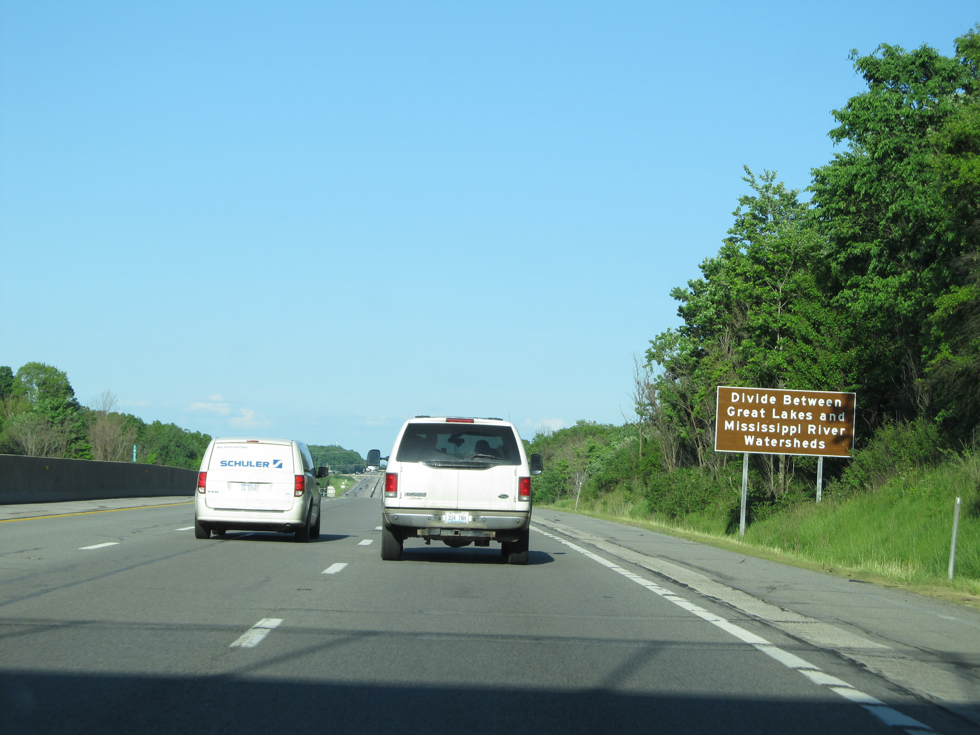 |
Interstate 80 East (Ohio Turnpike) as it crosses the Divide Between the Great Lakes and Mississippi River Watersheds. (Photo taken 5/30/16). |
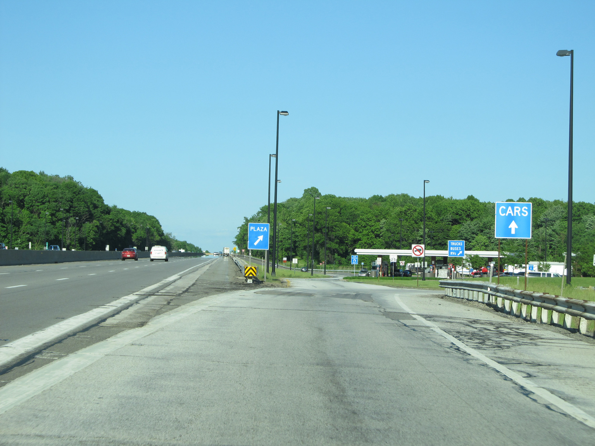 |
Interstate 80 East (Ohio Turnpike) at the Brady's Leap Service Plaza. (Photo taken 5/30/16). |
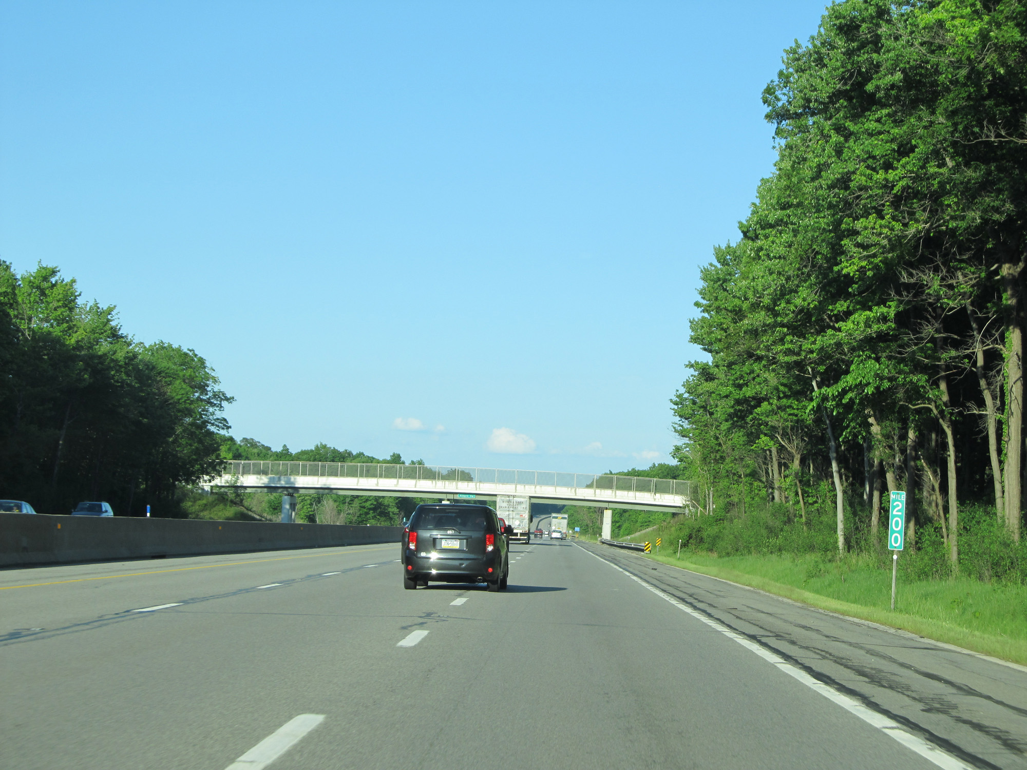 |
Interstate 80 East (Ohio Turnpike) at mile marker 200. (Photo taken 5/30/16). |
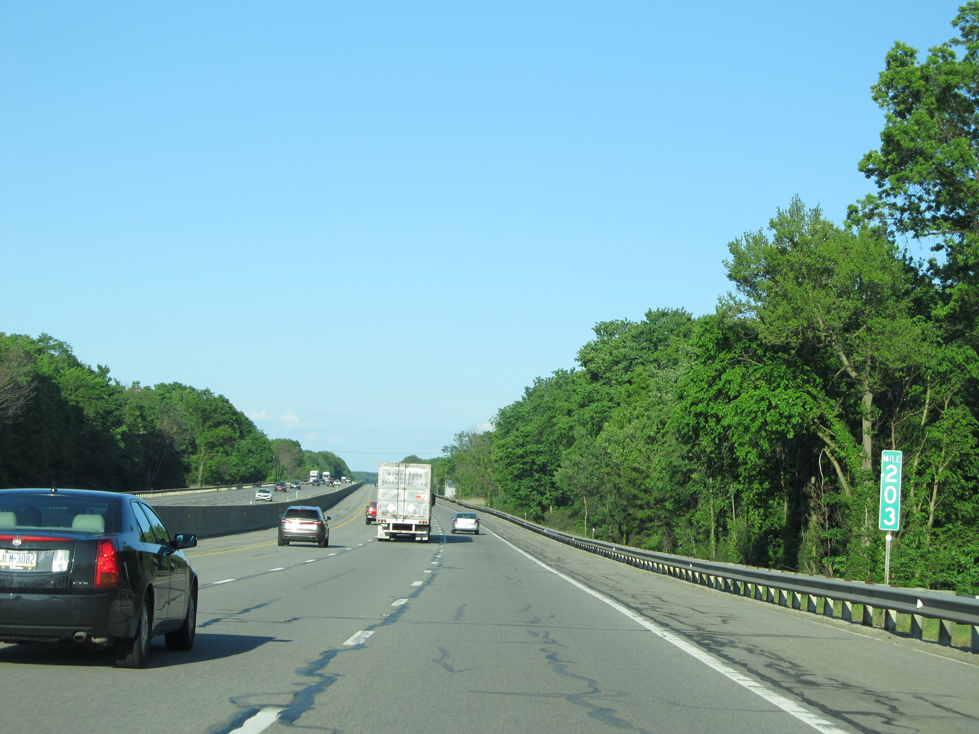 |
Interstate 80 East (Ohio Turnpike) at mile marker 203. (Photo taken 5/30/16). |
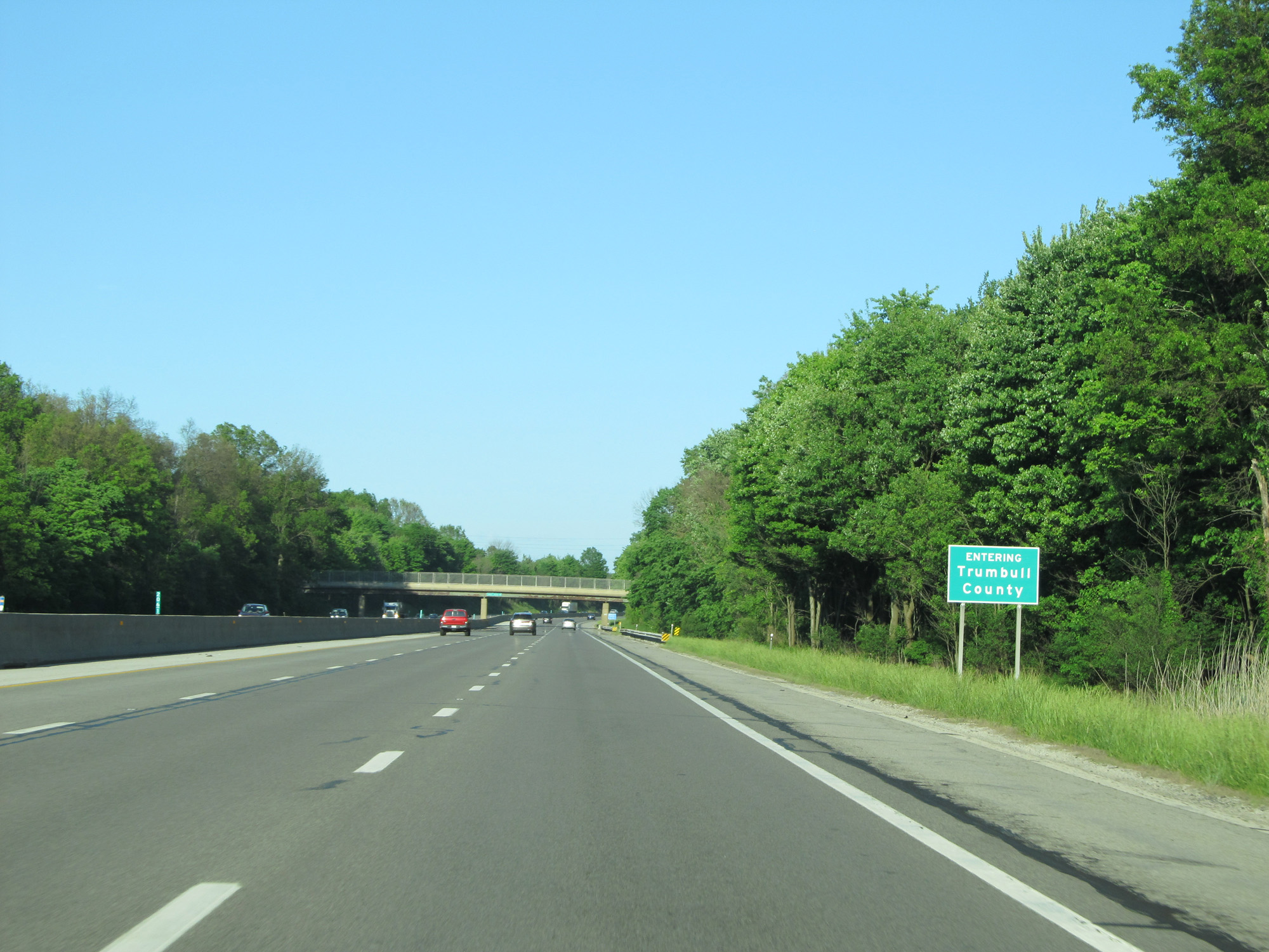 |
Interstate 80 East (Ohio Turnpike) entering Trumbull County. (Photo taken 5/30/16). |
 |
Interstate 80 East (Ohio Turnpike) approaching Exit 209 - 1 mile. (Photo taken 5/30/16). |
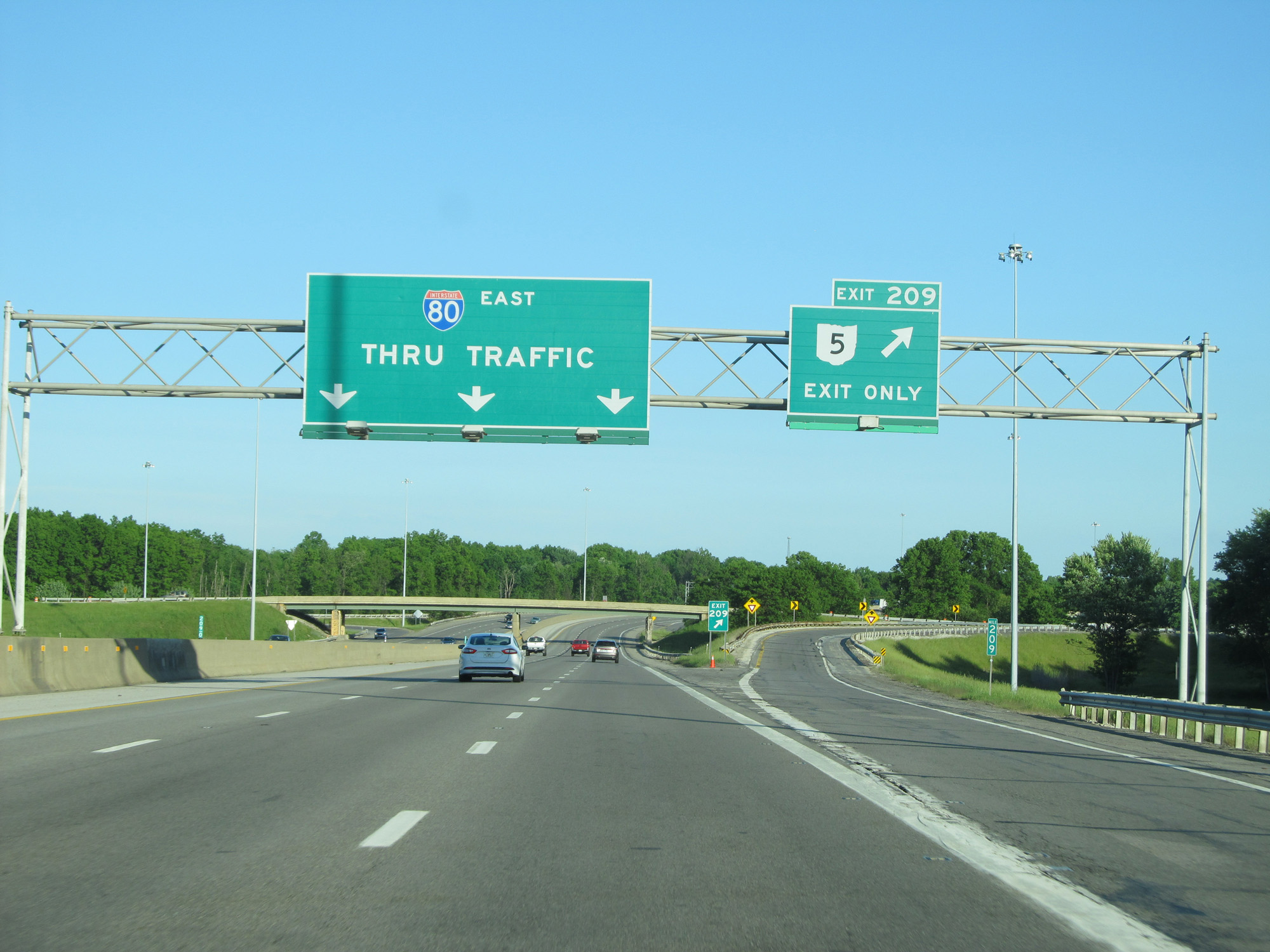 |
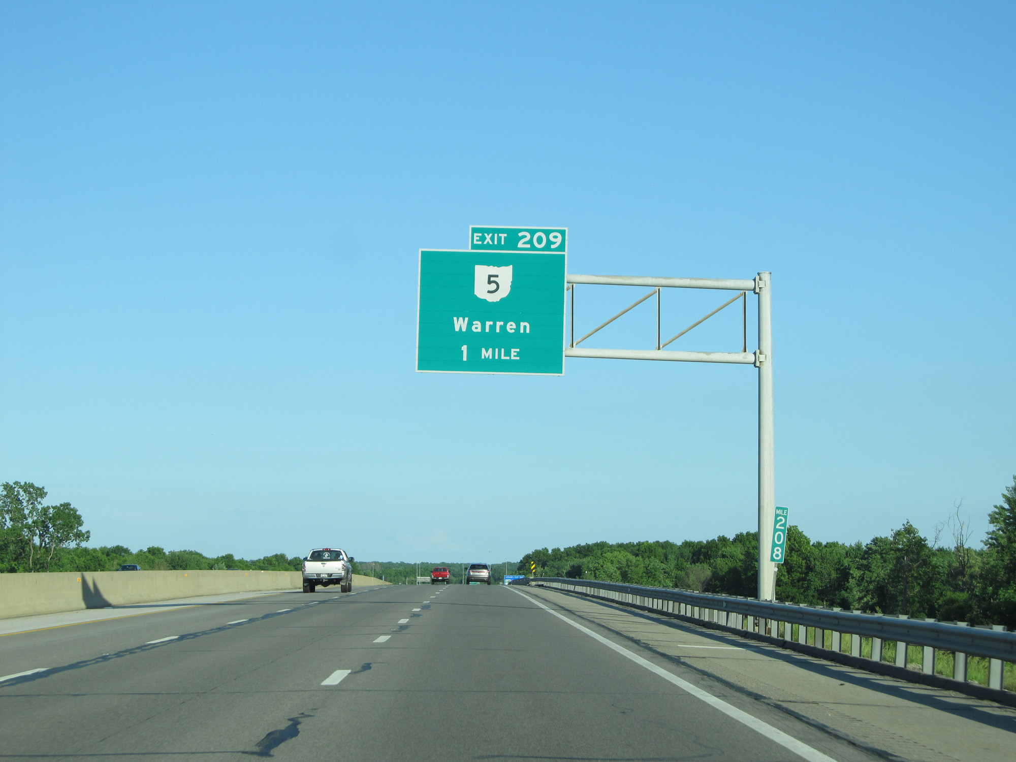
Interstate 80 East (Ohio Turnpike) at Exit 209: OH 5 - Warren (Photo taken 5/30/16). |
Section 4: Lordstown (Exit 209) to Pennsylvania Border
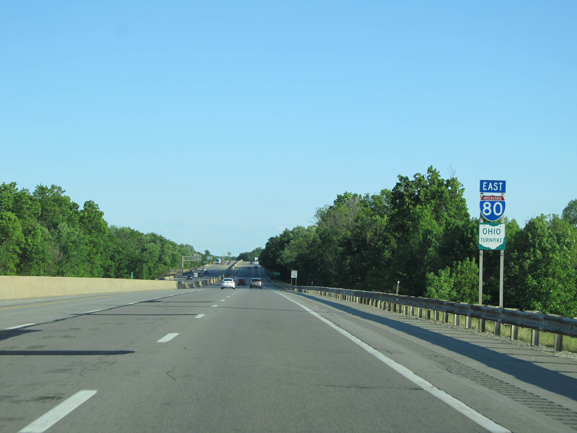 |
Interstate 80 East (Ohio Turnpike) reassurance shield. (Photo taken 5/30/16). |
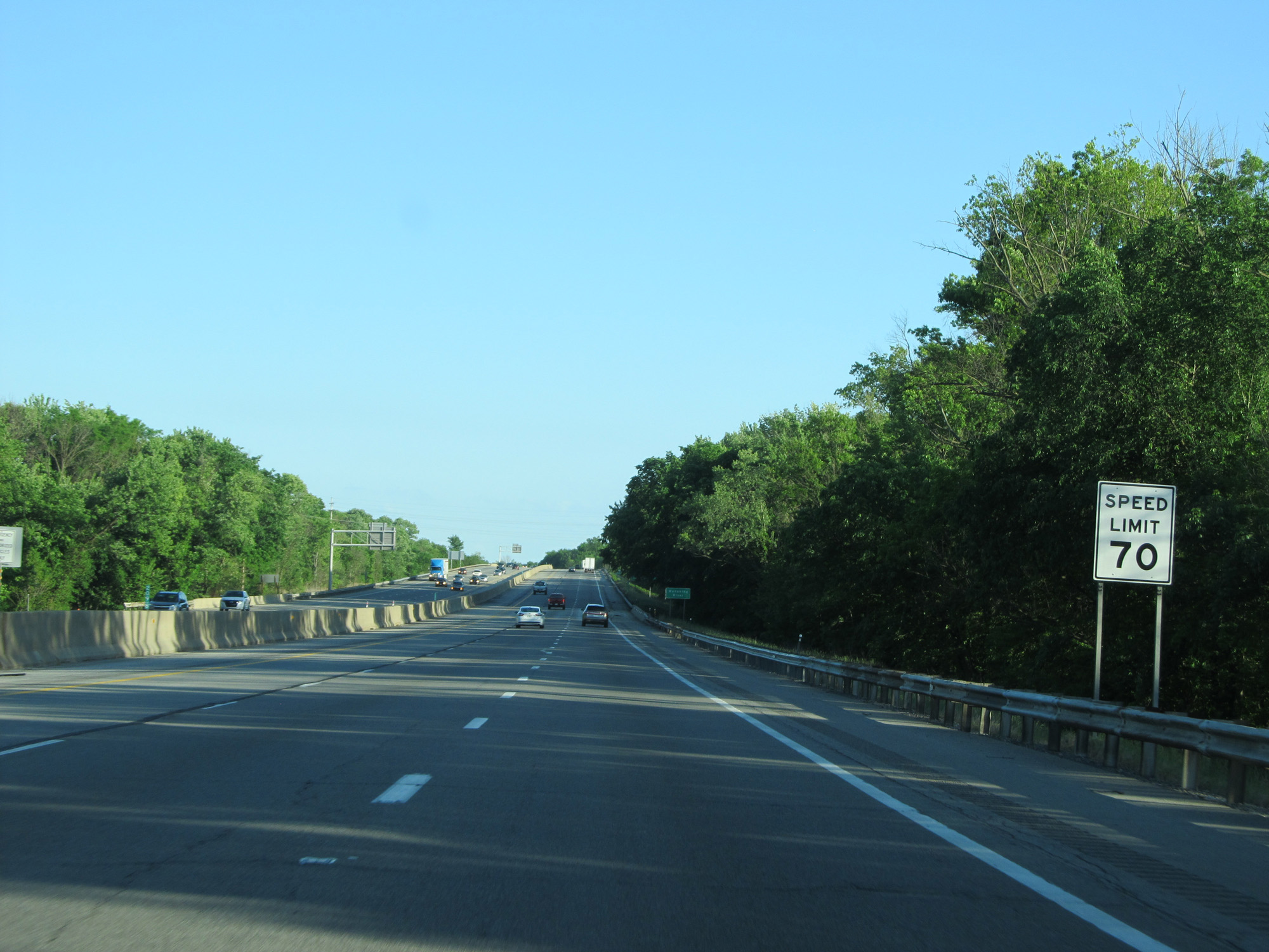 |
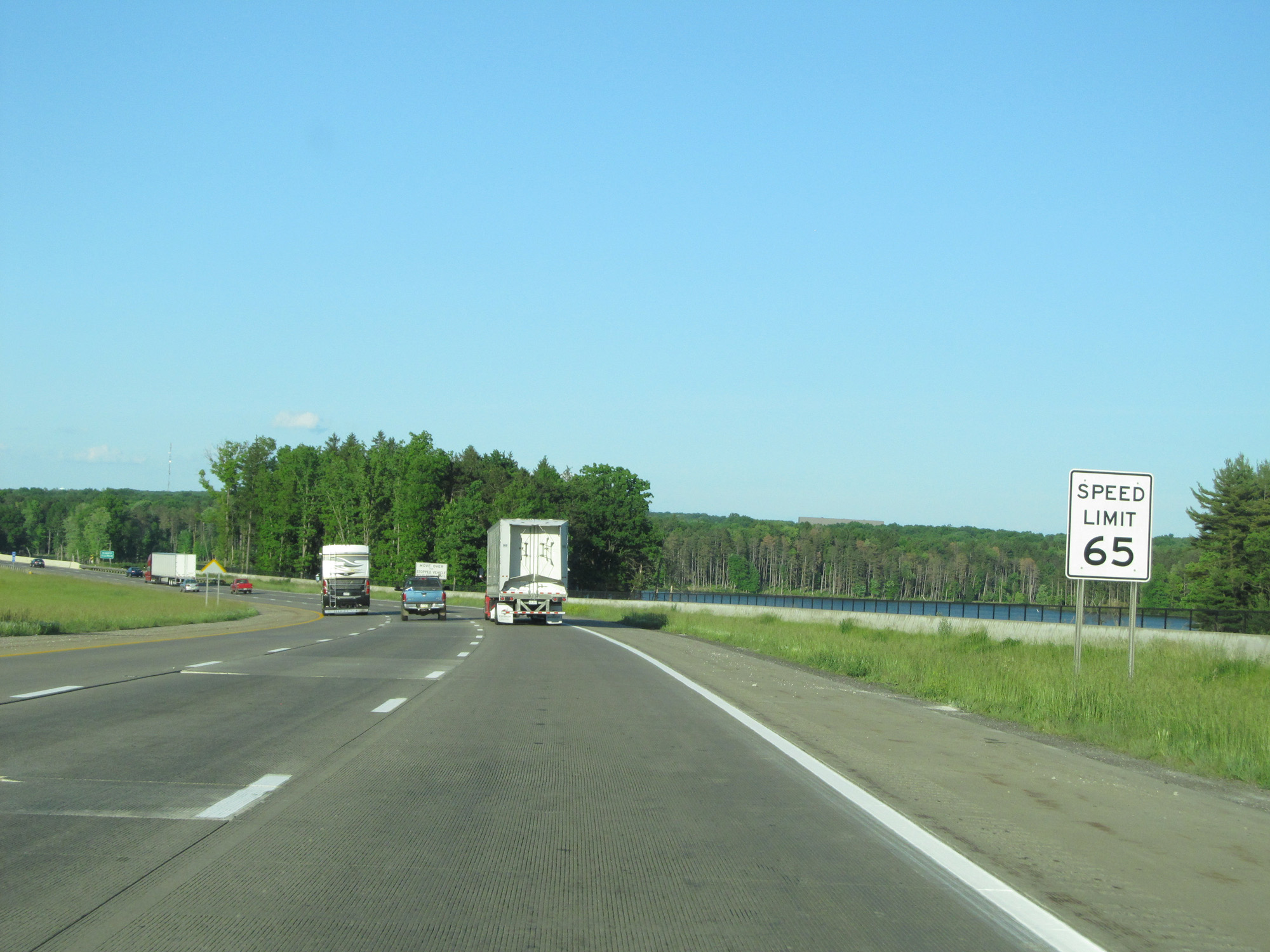
The speed limit remains 70 mph. (Photo taken 5/30/16). |
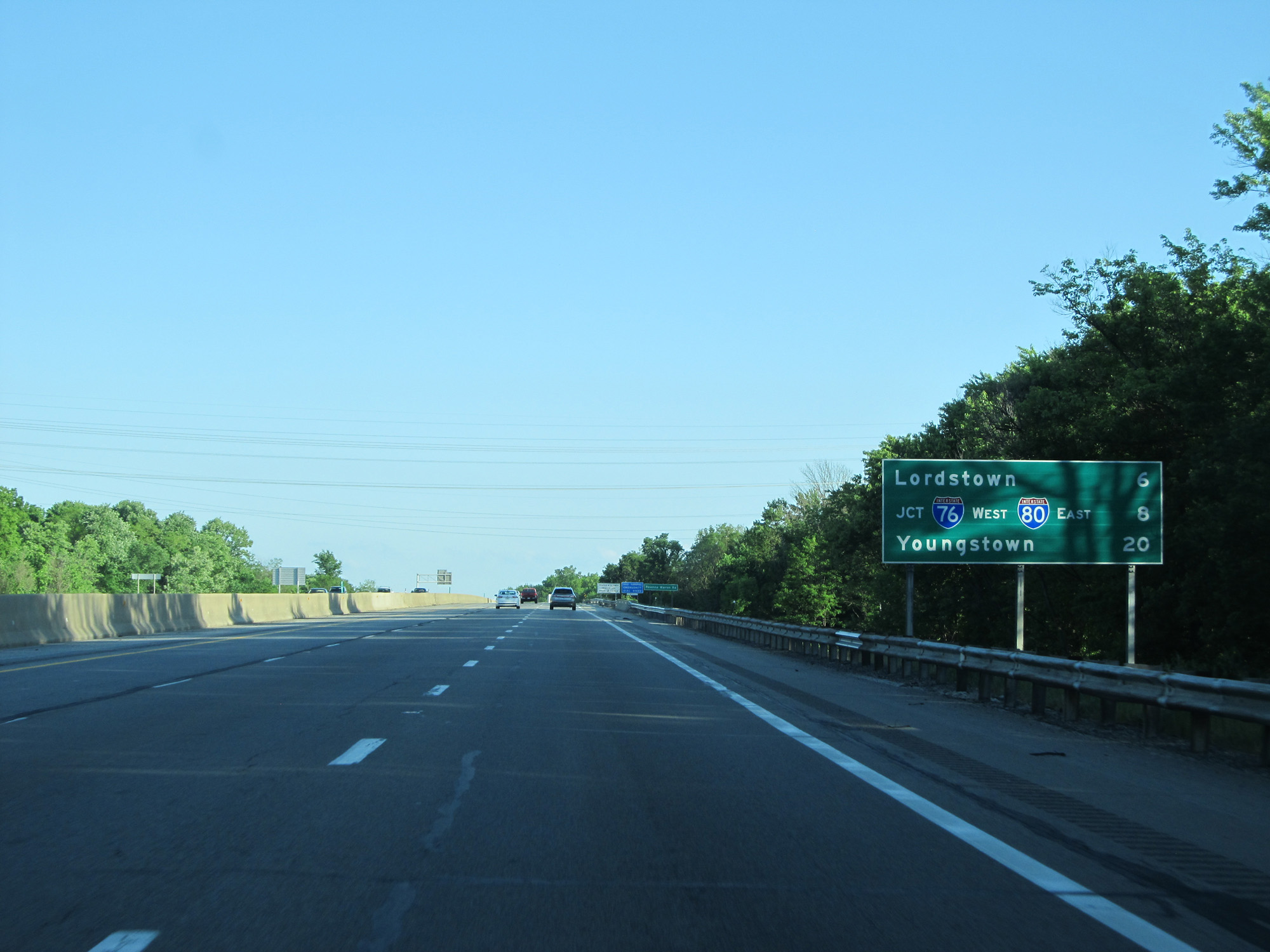 |
Mileage sign on Interstate 80 East (Ohio Turnpike). It's 6 miles to Lordstown, 8 miles to the junction of Interstate 76, and 20 miles to Youngstown. (Photo taken 5/30/16). |
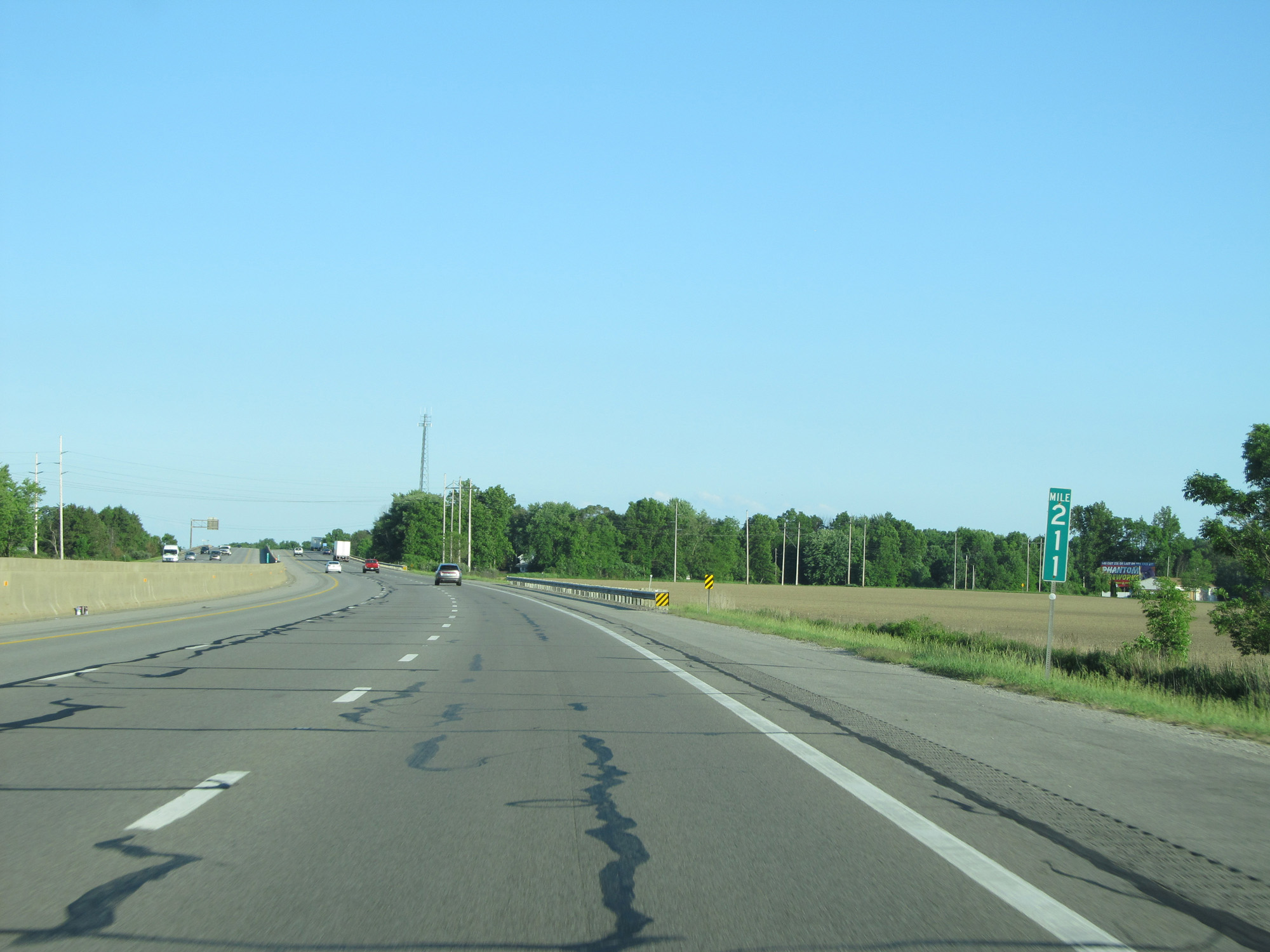 |
Interstate 80 East (Ohio Turnpike) at mile marker 211. (Photo taken 5/30/16). |
 |
Interstate 80 East (Ohio Turnpike) at mile marker 213. (Photo taken 5/30/16). |
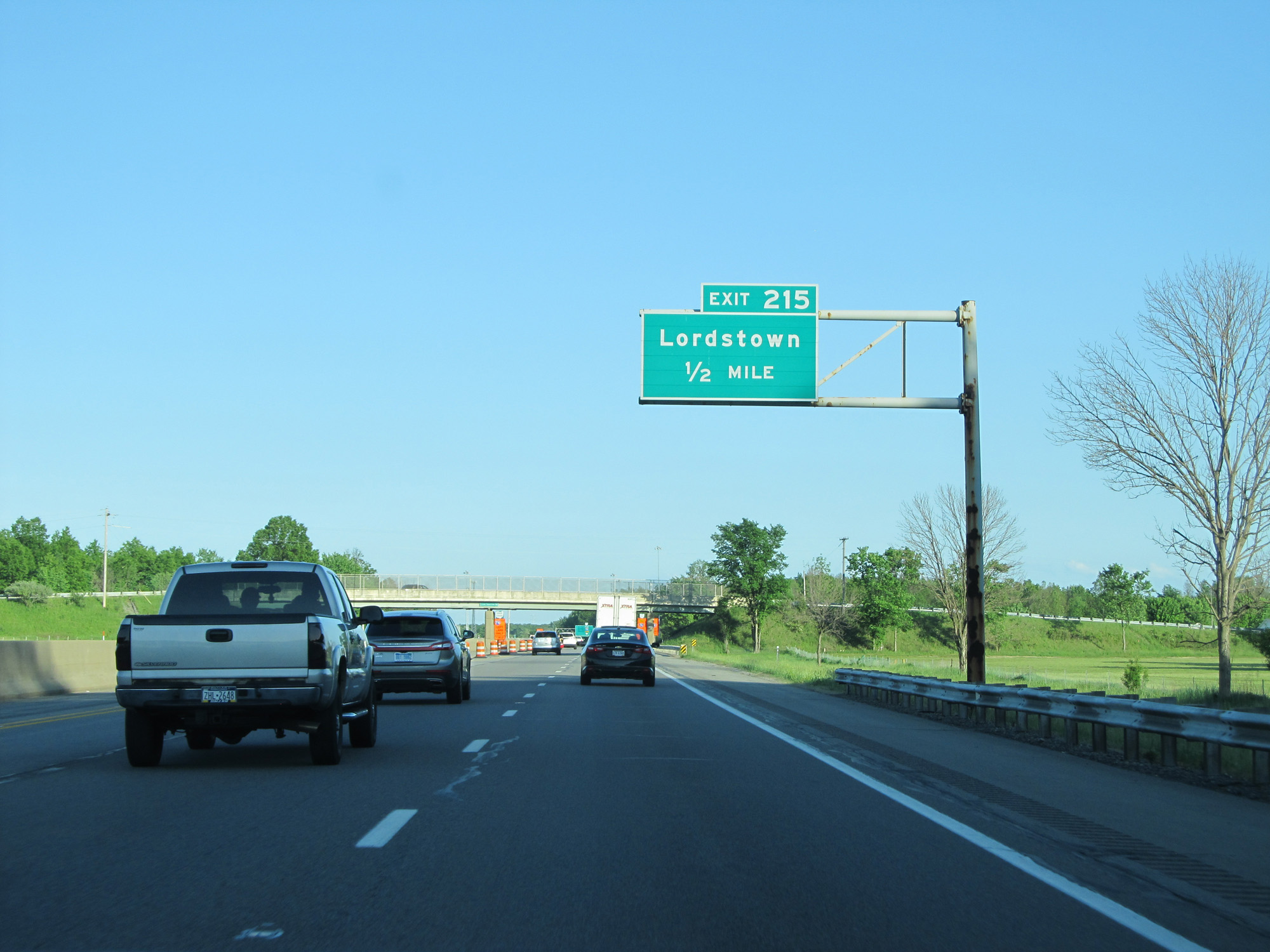 |
Interstate 80 East (Ohio Turnpike) approaching Exit 215 - 1/2 mile. (Photo taken 5/30/16). |
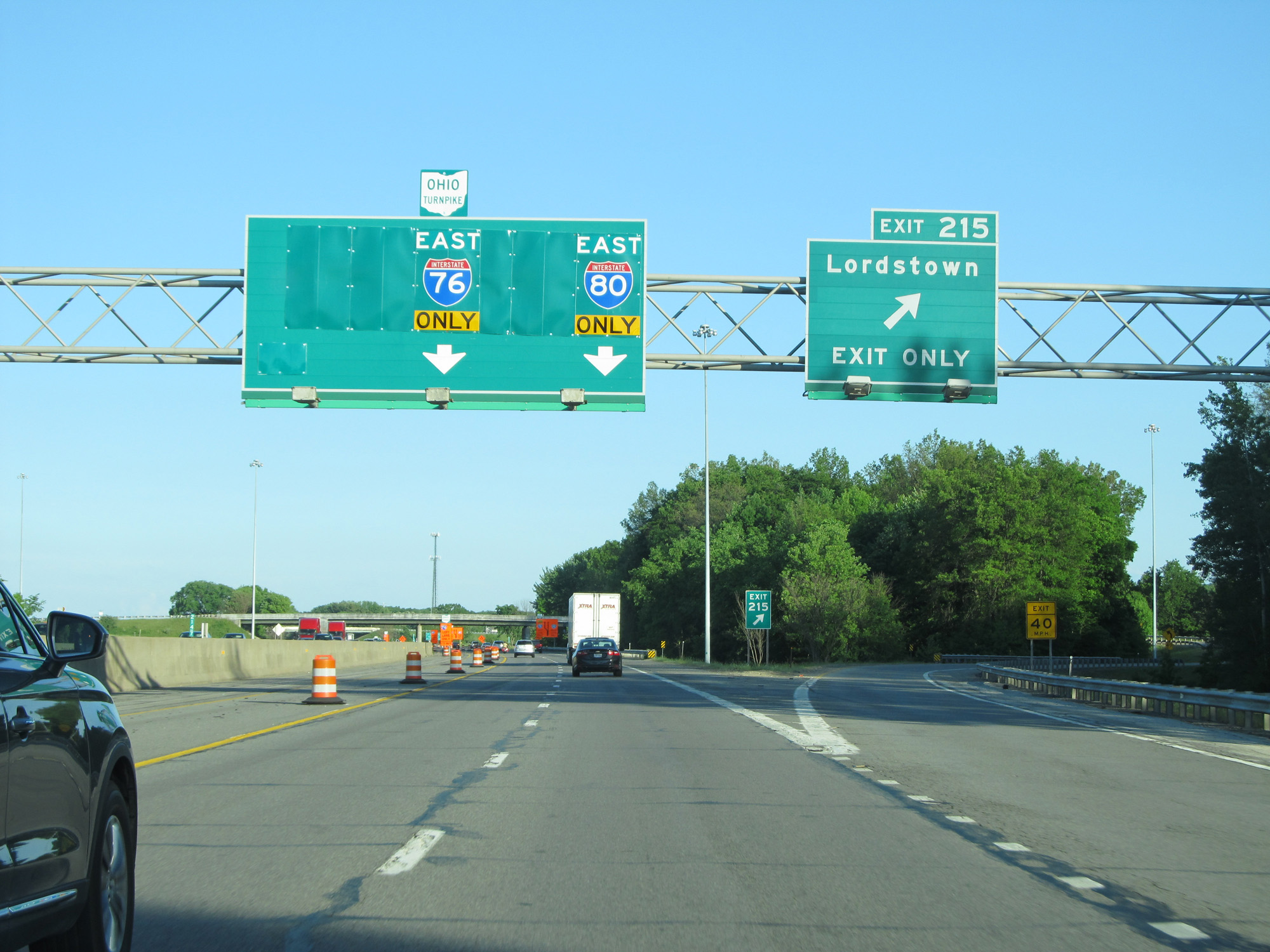 |
Interstate 80 East (Ohio Turnpike) at Exit 215: Lordstown (Photo taken 5/30/16). |
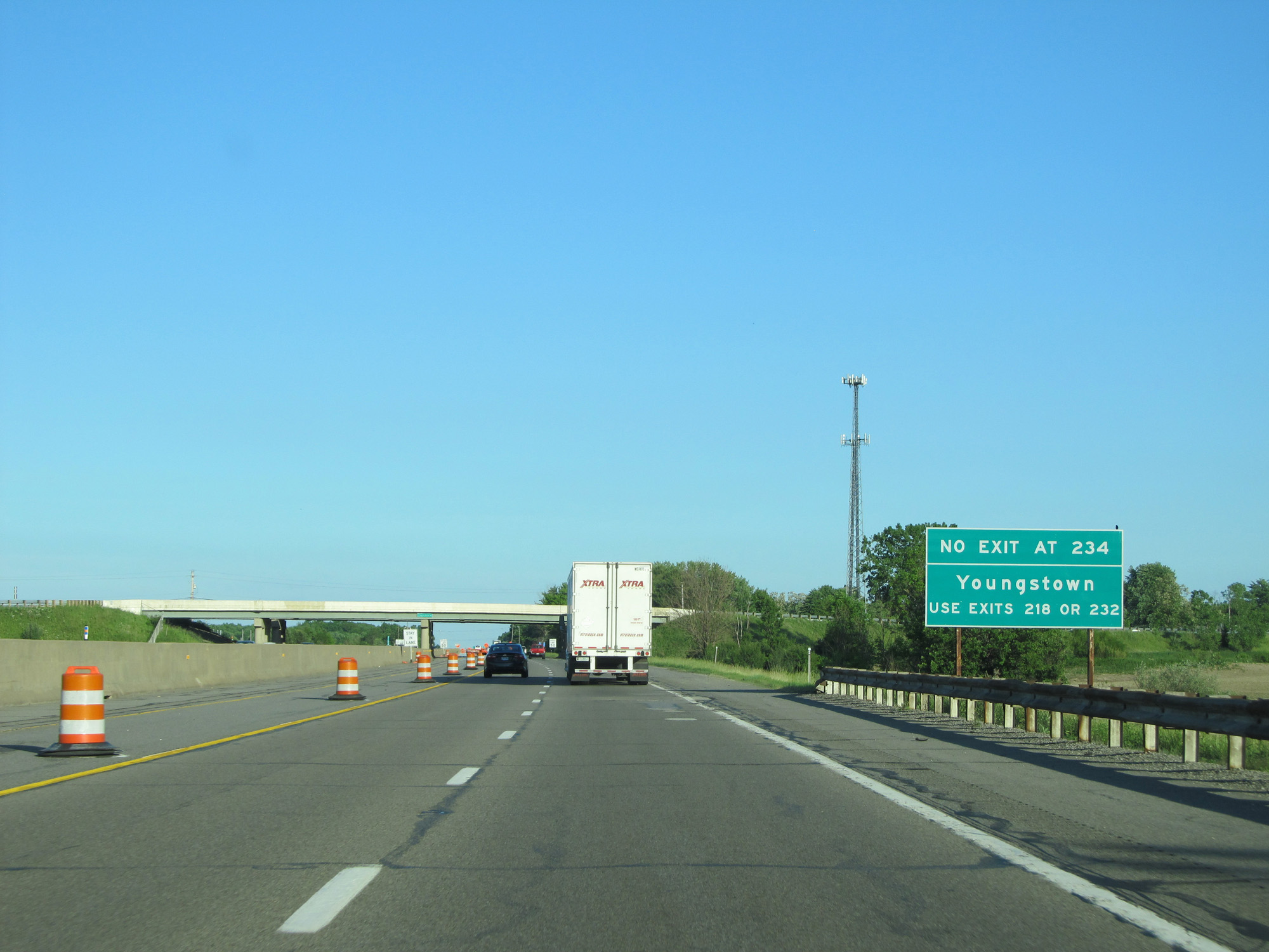 |
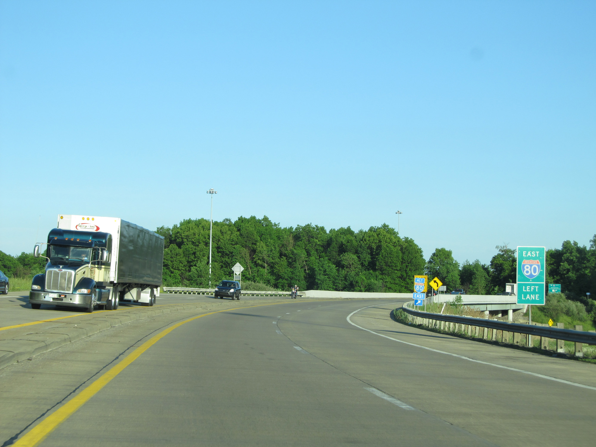
This sign warns that there is no eastbound Exit 234 on the Ohio Turnpike (which is Interstate 76 at that point). Therefore, all traffic headed to Youngstown should use Exits 218 or 232. (Photo taken 5/30/16). |
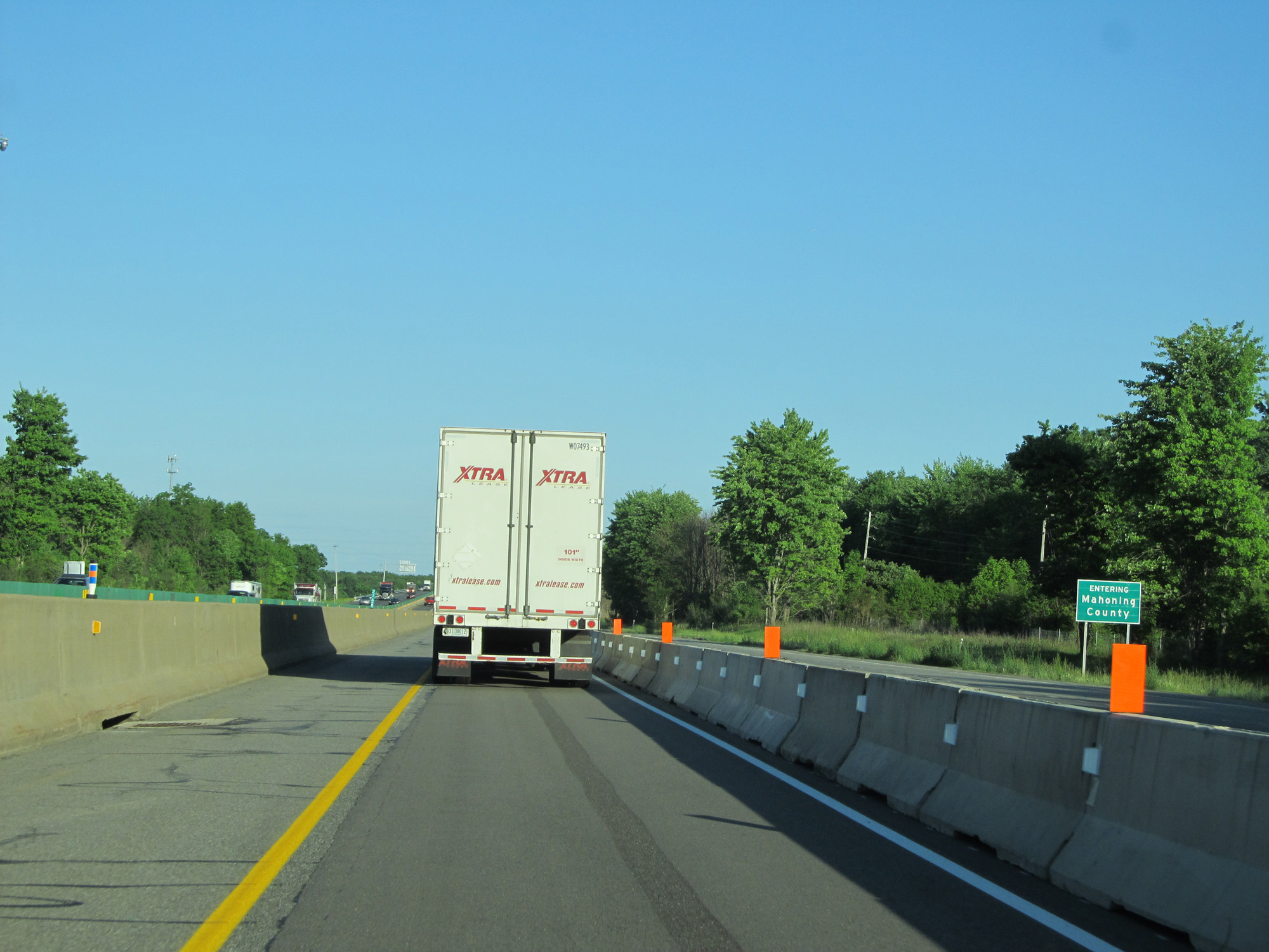 |
Interstate 80 East (Ohio Turnpike) entering Mahoning County. (Photo taken 5/30/16). |
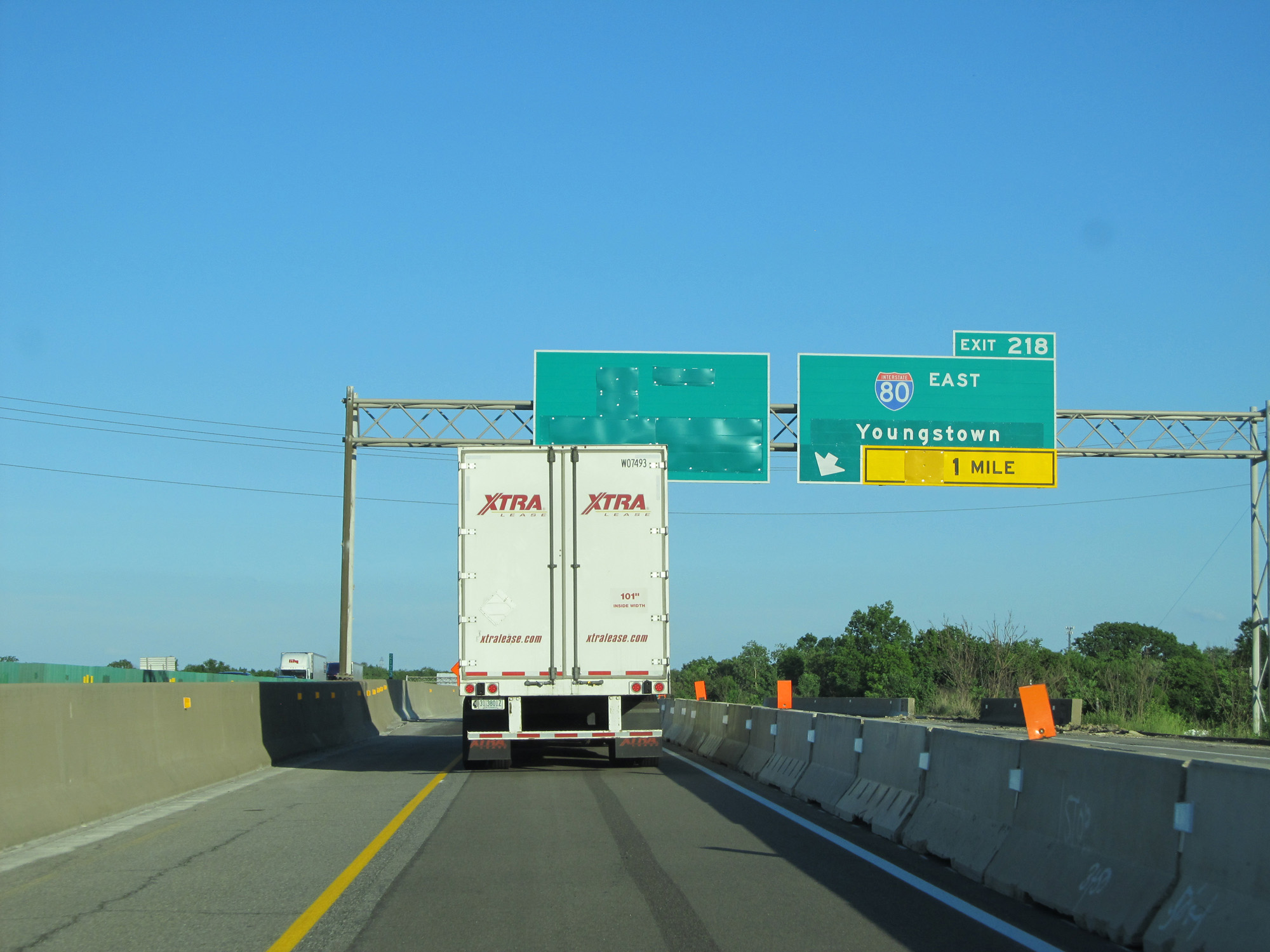 |
Interstate 80 East (Ohio Turnpike) approaching Exit 218 - 1 mile. (Photo taken 5/30/16). |
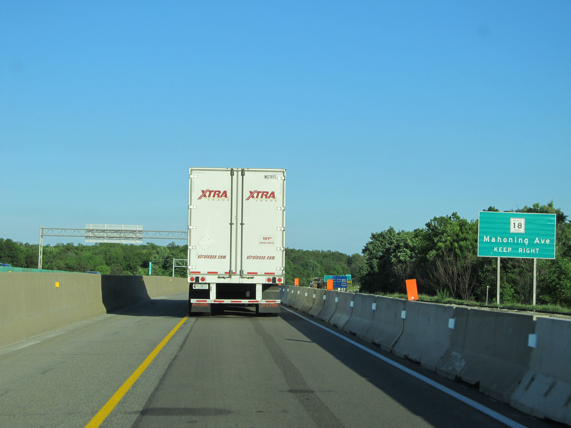 |
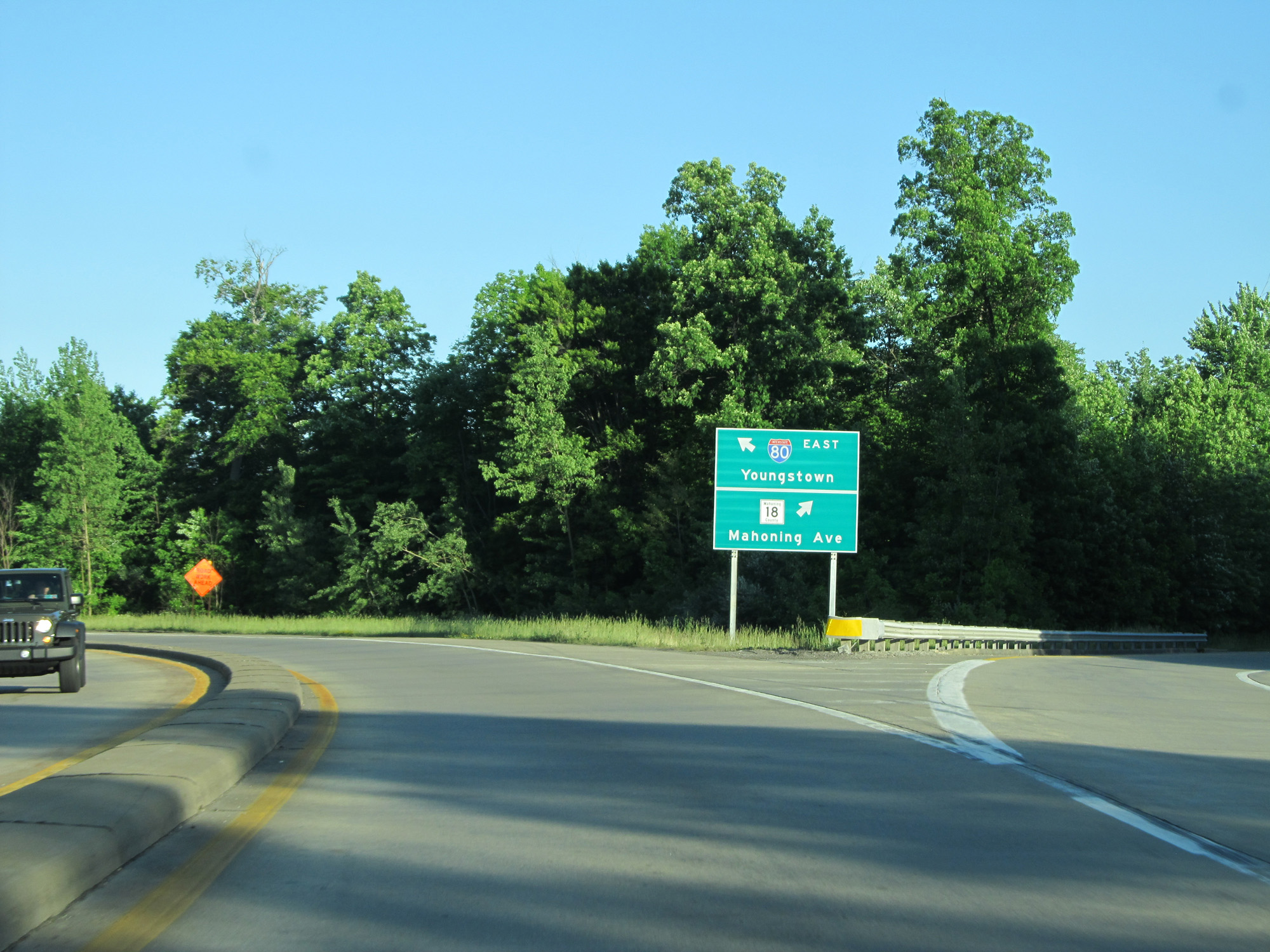
Take Exit 218 to CR 18 (Mahoning Ave). (Photo taken 5/30/16). |
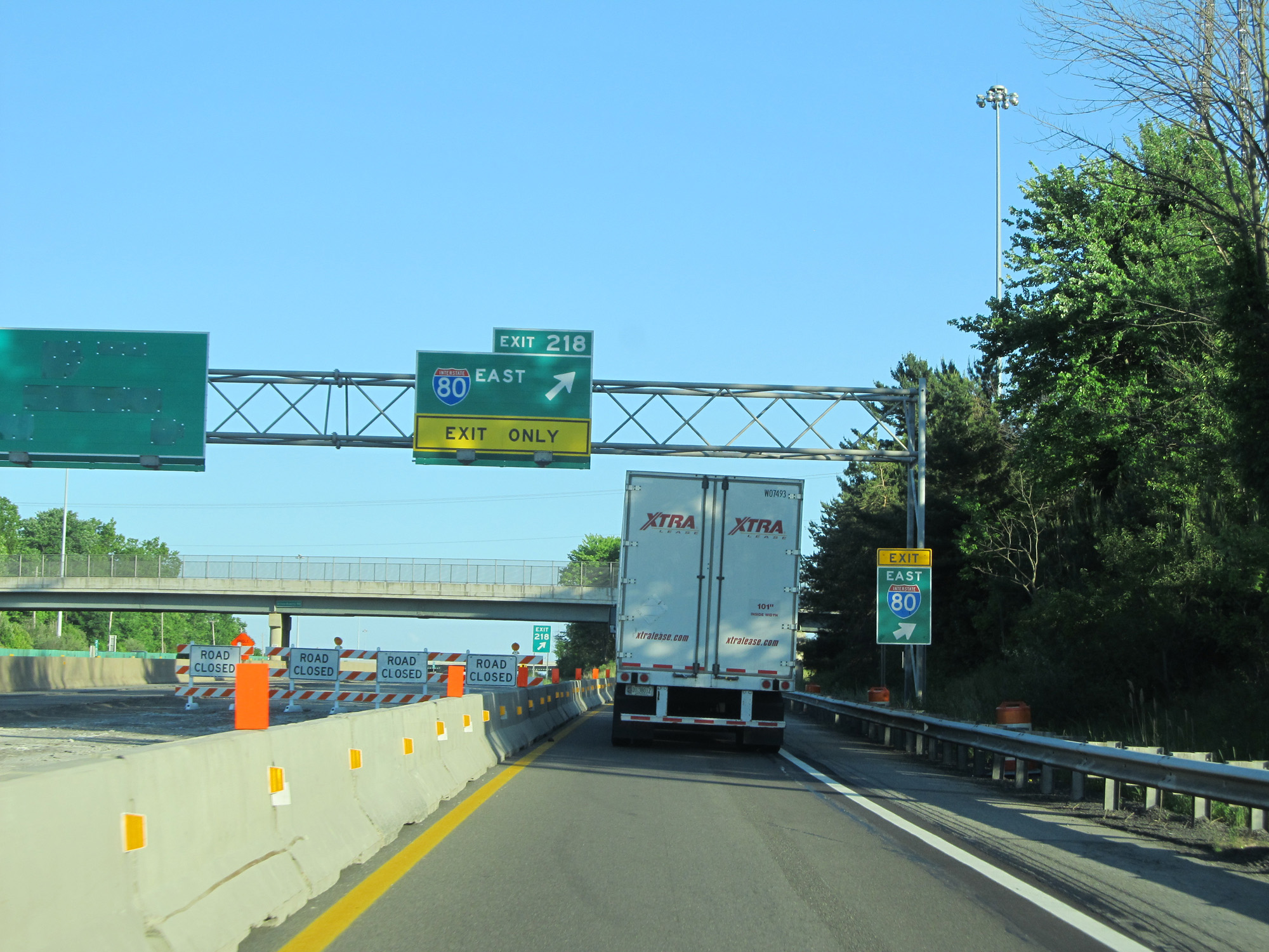 |
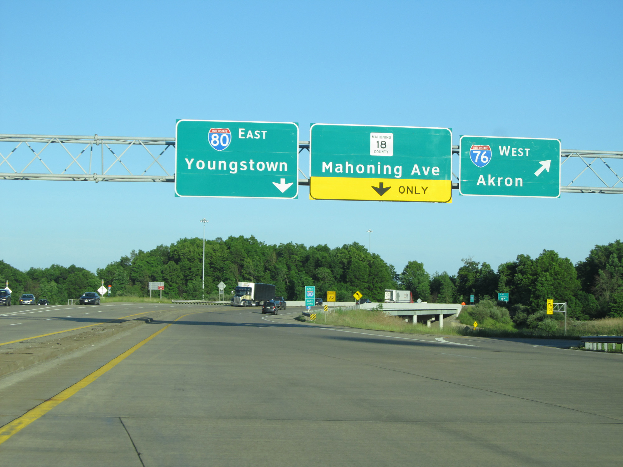
Interstate 80 East (Ohio Turnpike) at Exit 218: Interstate 80 East - Youngstown / Niles. All Interstate 80 Eastbound traffic must exit the turnpike here to head due west for the Pennsylvania border. Staying straight ahead on the turnpike here dumps you onto Interstate 76 East. (Photo taken 5/30/16). |
 |
View on the ramp for Exit 218. (Photo taken 5/30/16). |
 |
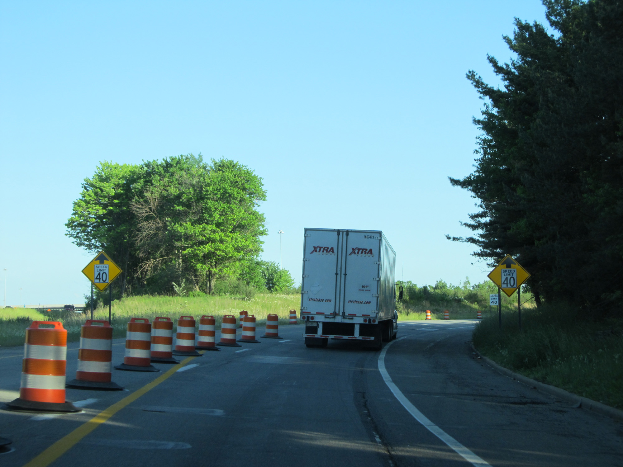
The speed limit on the ramp is posted at 40 mph approaching the toll plaza. (Photo taken 5/30/16). |
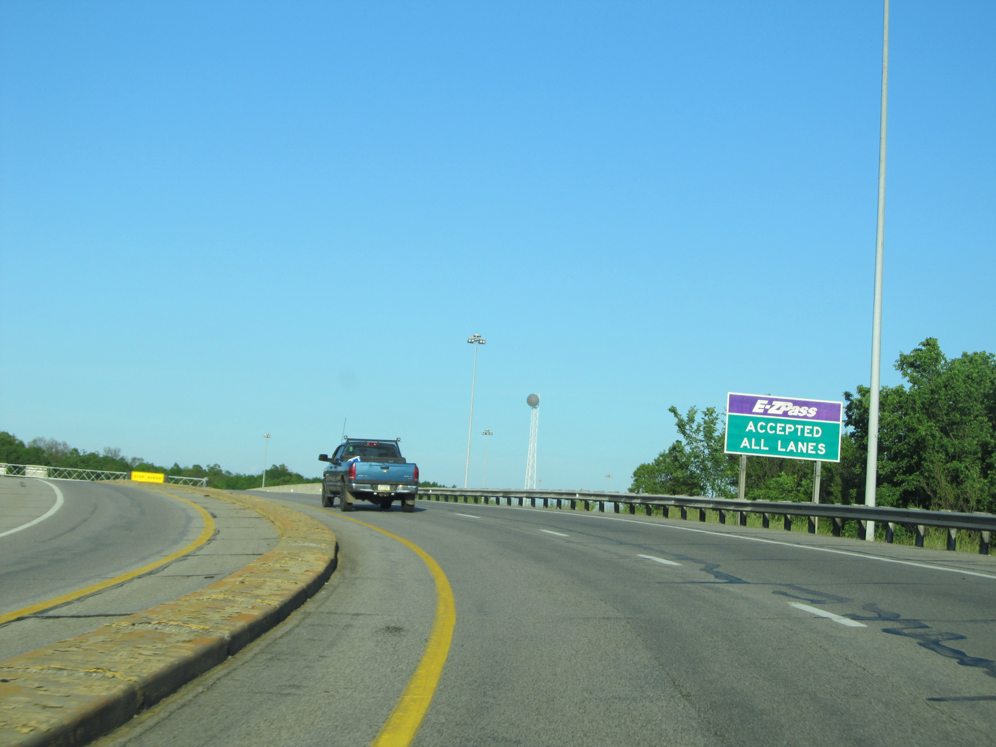 |
EZ Pass is accepted in all lanes at the toll plaza. (Photo taken 5/30/16). |
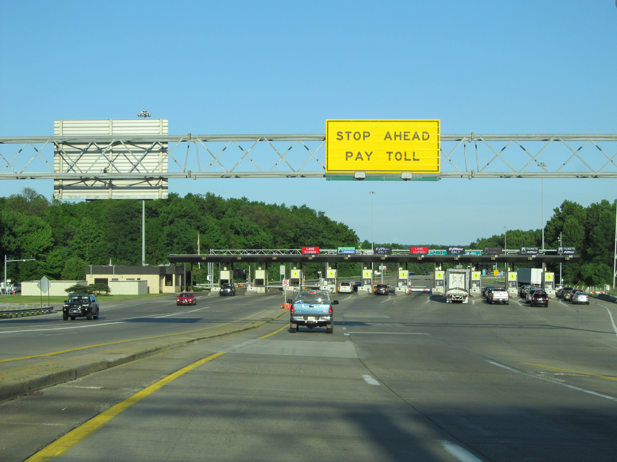 |
Interstate 80 East approaching the toll plaza. (Photo taken 5/30/16). |
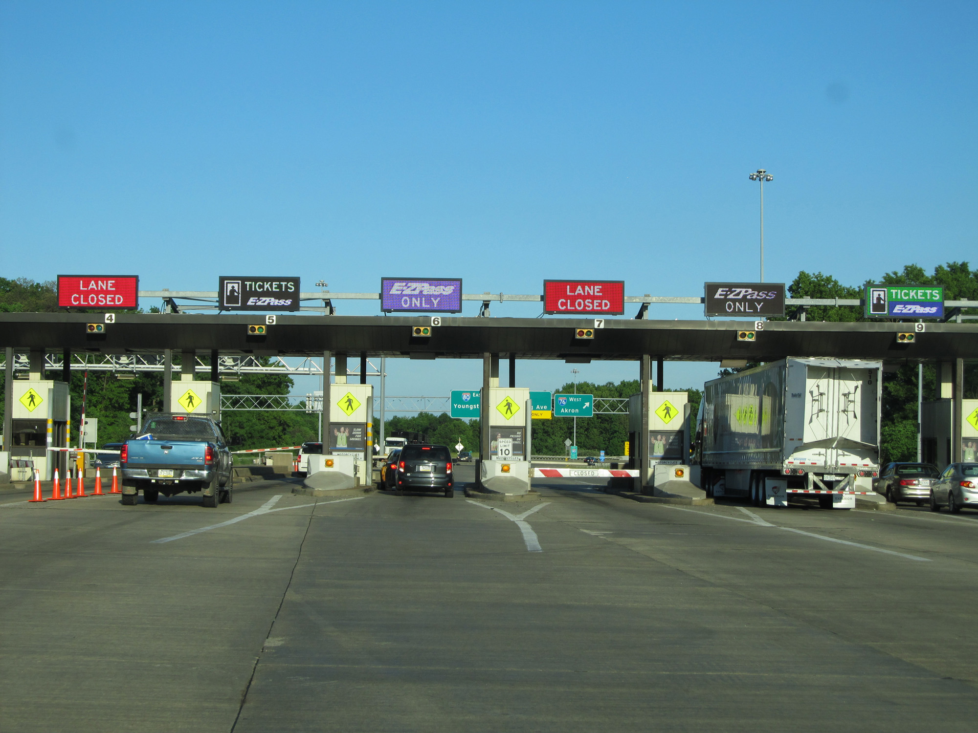 |
A closer view of the toll plaza for the Youngstown-Niles interchange. (Photo taken 5/30/16). |
 |
Leaving the toll plaza, Interstate 80 East traffic should stay to the left in the leftmost lane. (Photo taken 5/30/16). |
 |
Again, Interstate 80 East traffic should stay in the left lane only, as this sign reads. (Photo taken 5/30/16). |
 |
The right lane here becomes an exit only lane for CR 18 (Mahoning Ave). (Photo taken 5/30/16). |
 |
View on the ramp for Interstate 80 East. (Photo taken 5/30/16). |
 |
One final view on the ramp. (Photo taken 5/30/16). |
 |
Interstate 80 East at mile marker 220. (Photo taken 5/30/16). |
 |
The speed limit on the toll-free portion of Interstate 80 East is 65 mph as seen here. This speed limit lasts the rest of the way to the Pennsylvania border. (Photo taken 5/30/16). |
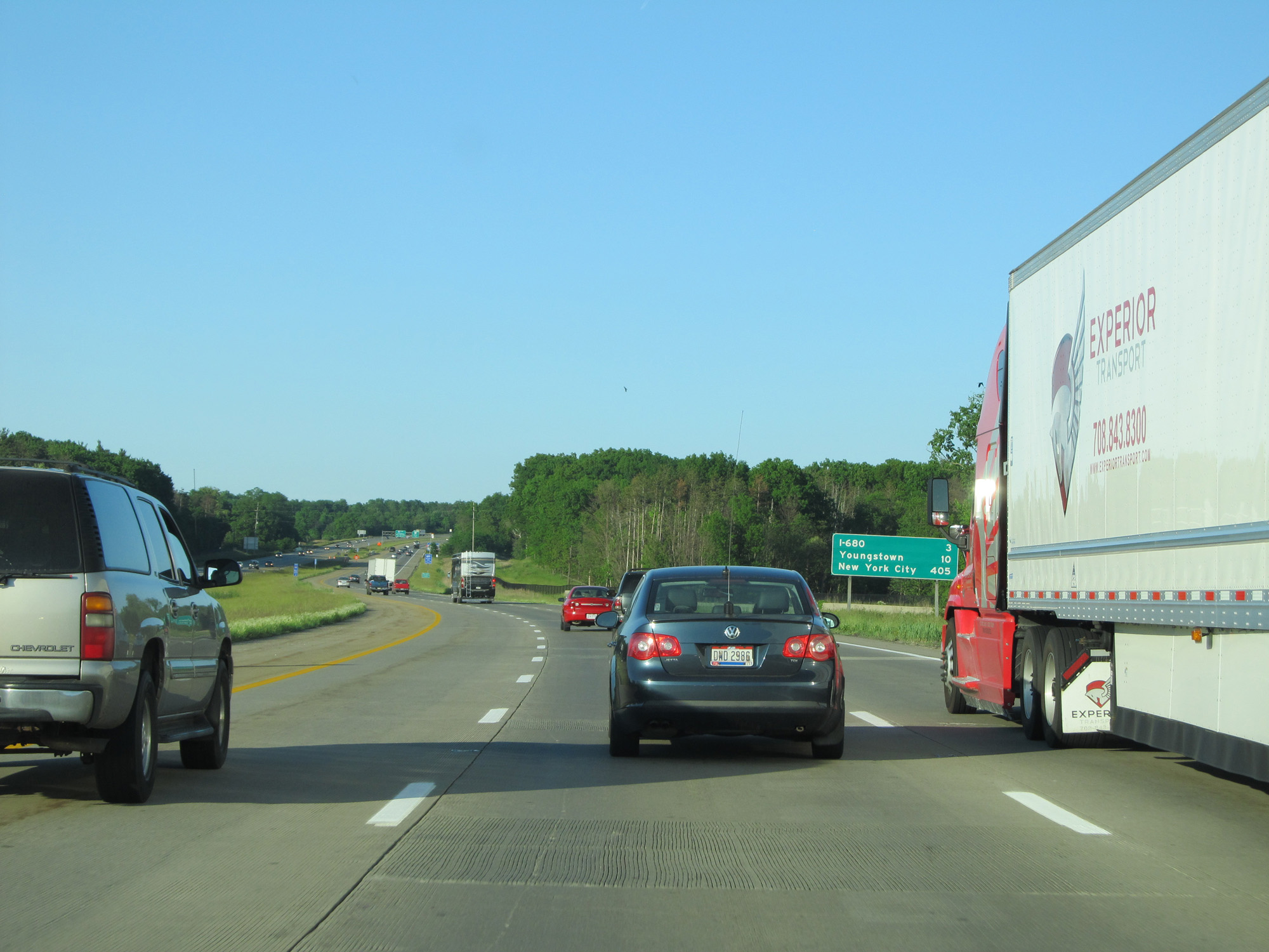 |
Mileage sign on Interstate 80 East. It's 3 miles to the junction of Interstate 680, 10 miles to Youngstown, and 405 miles to New York City. (Photo taken 5/30/16). |
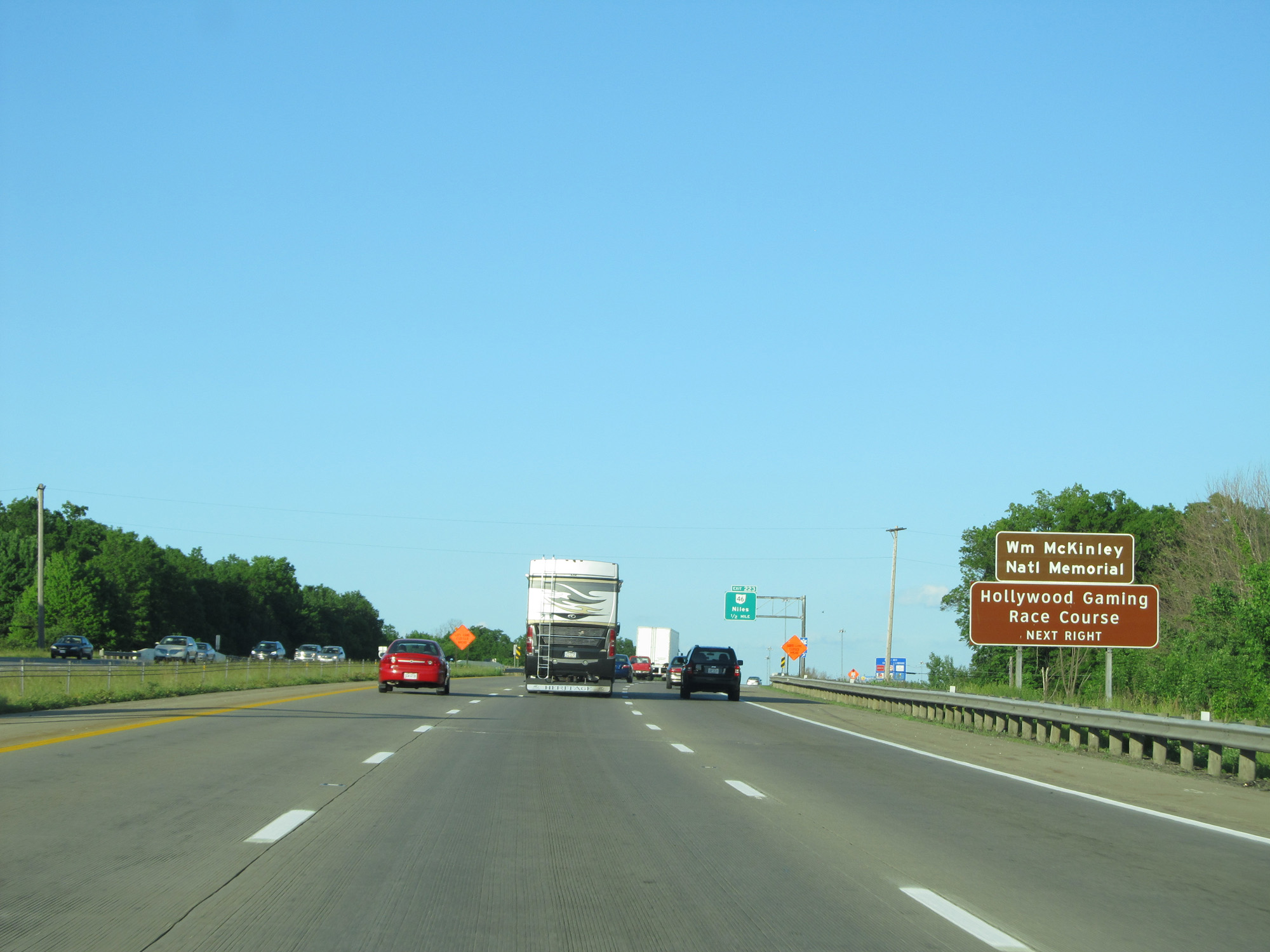 |
Take Exit 223 to the William McKinley National Memorial and Hollywood Gaming Race Course. (Photo taken 5/30/16). |
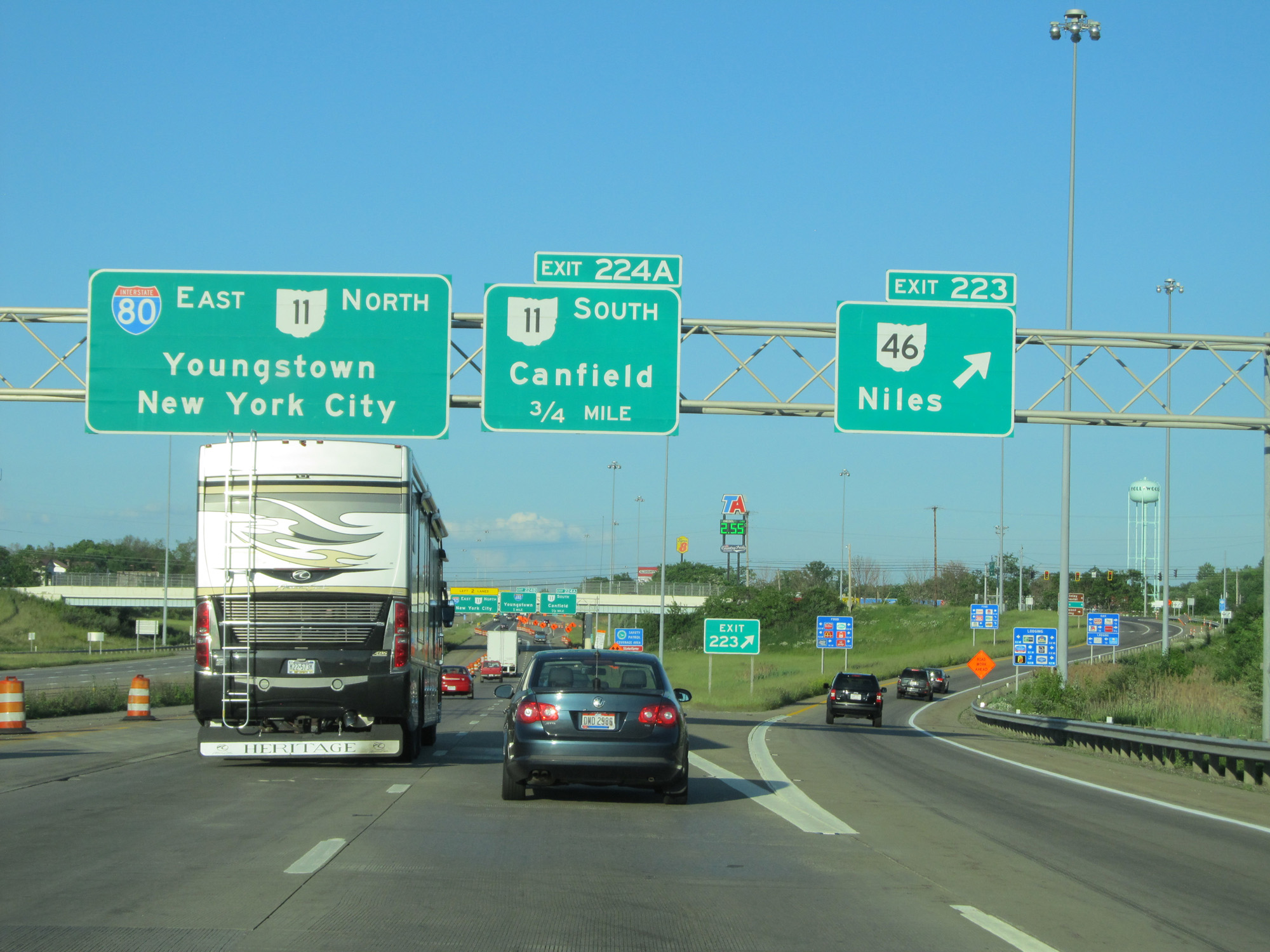 |
Interstate 80 East at Exit 223: OH 46 - Niles (Photo taken 5/30/16). |
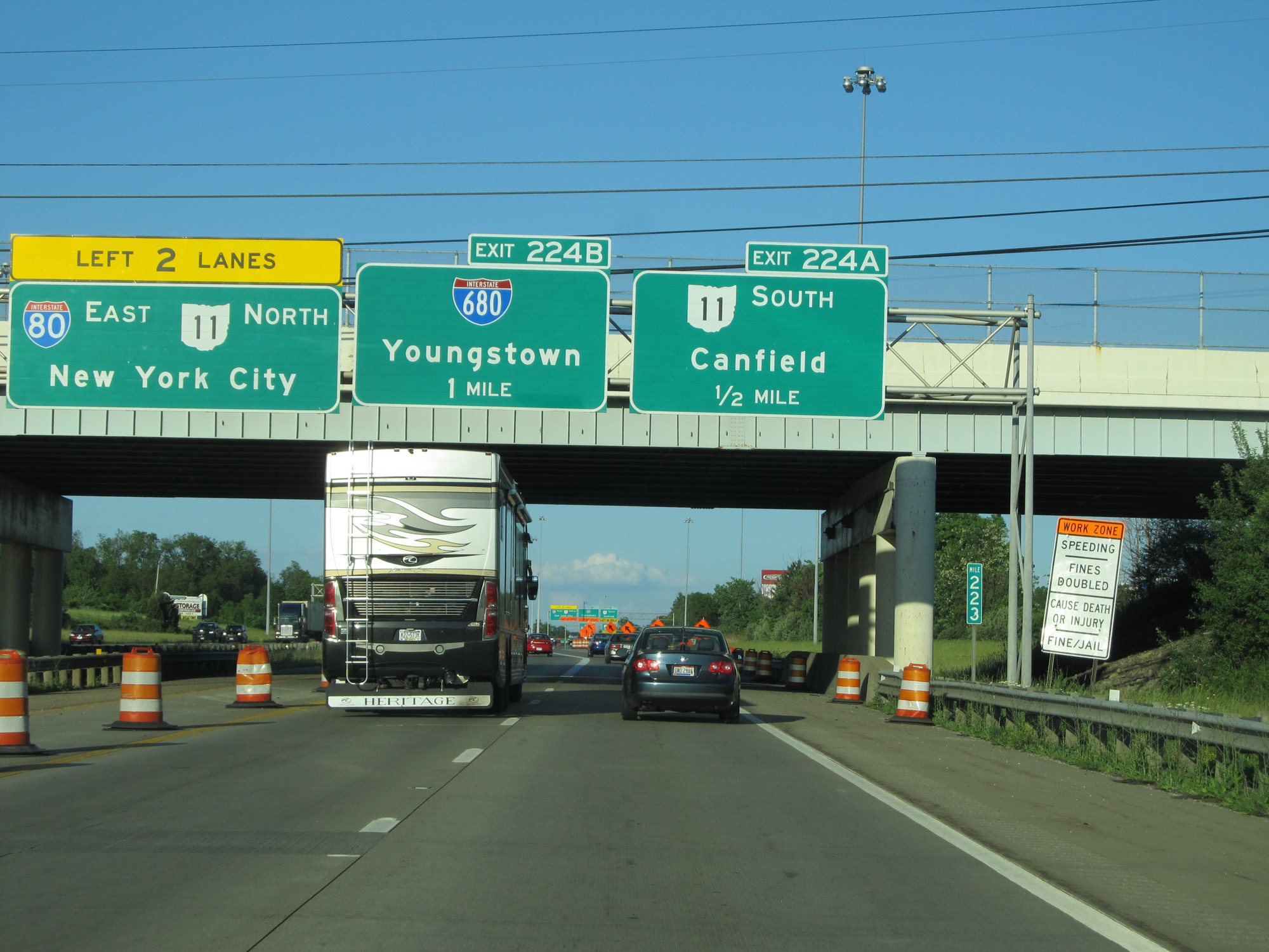 |
Interstate 80 East approaching Exit 224B - 1 mile. (Photo taken 5/30/16). |
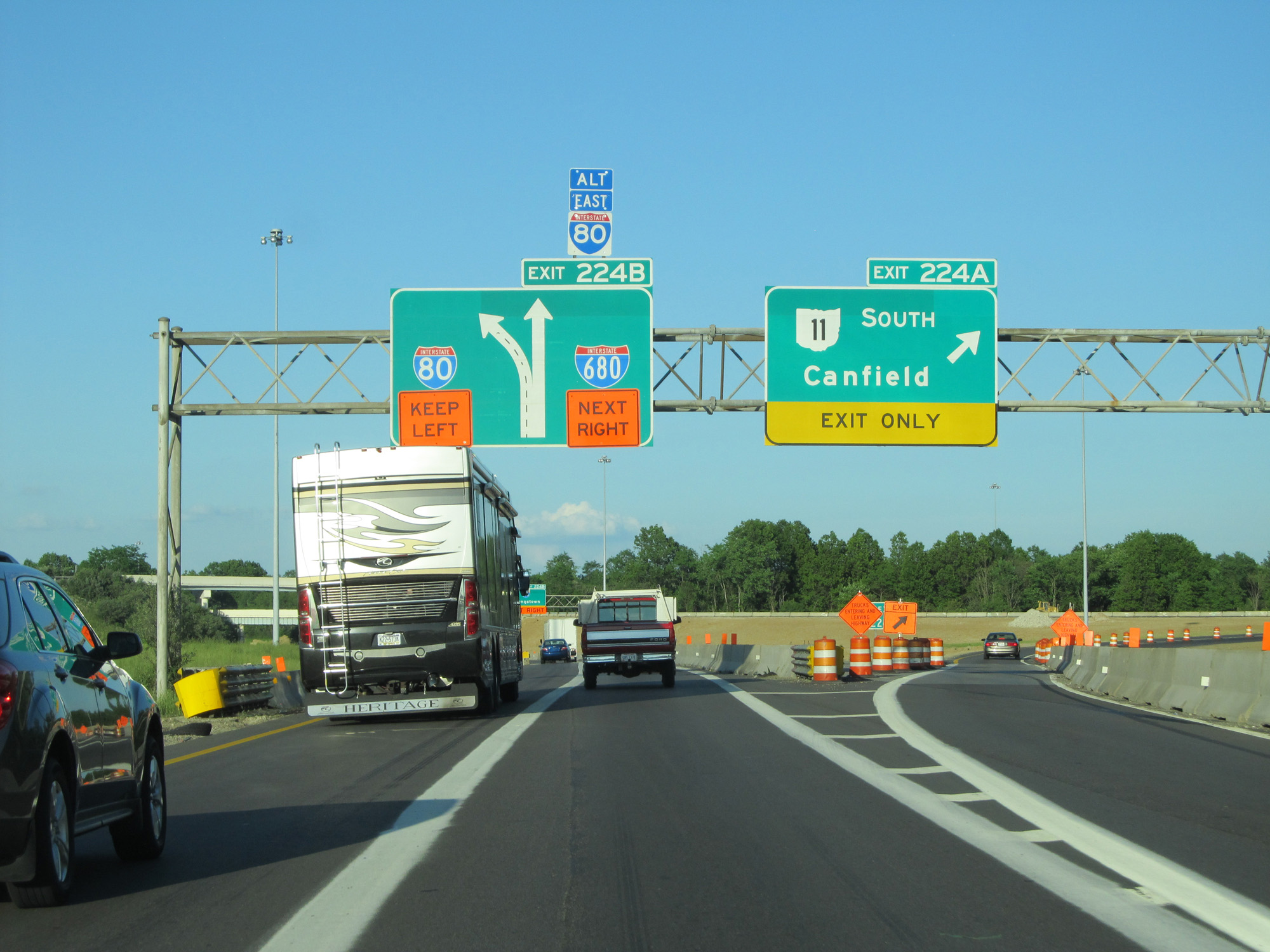 |
Interstate 80 East at Exit 224A: OH 11 South - Canfield (Photo taken 5/30/16). |
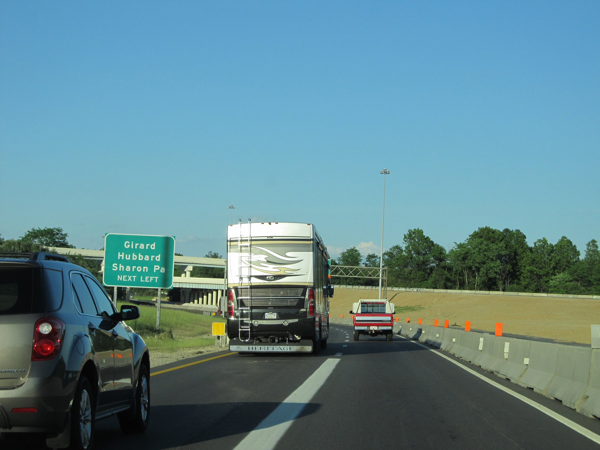 |
Take the next left (to remain on Interstate 80 East) to Girard, Hubbard, and Sharon, PA. (Photo taken 5/30/16). |
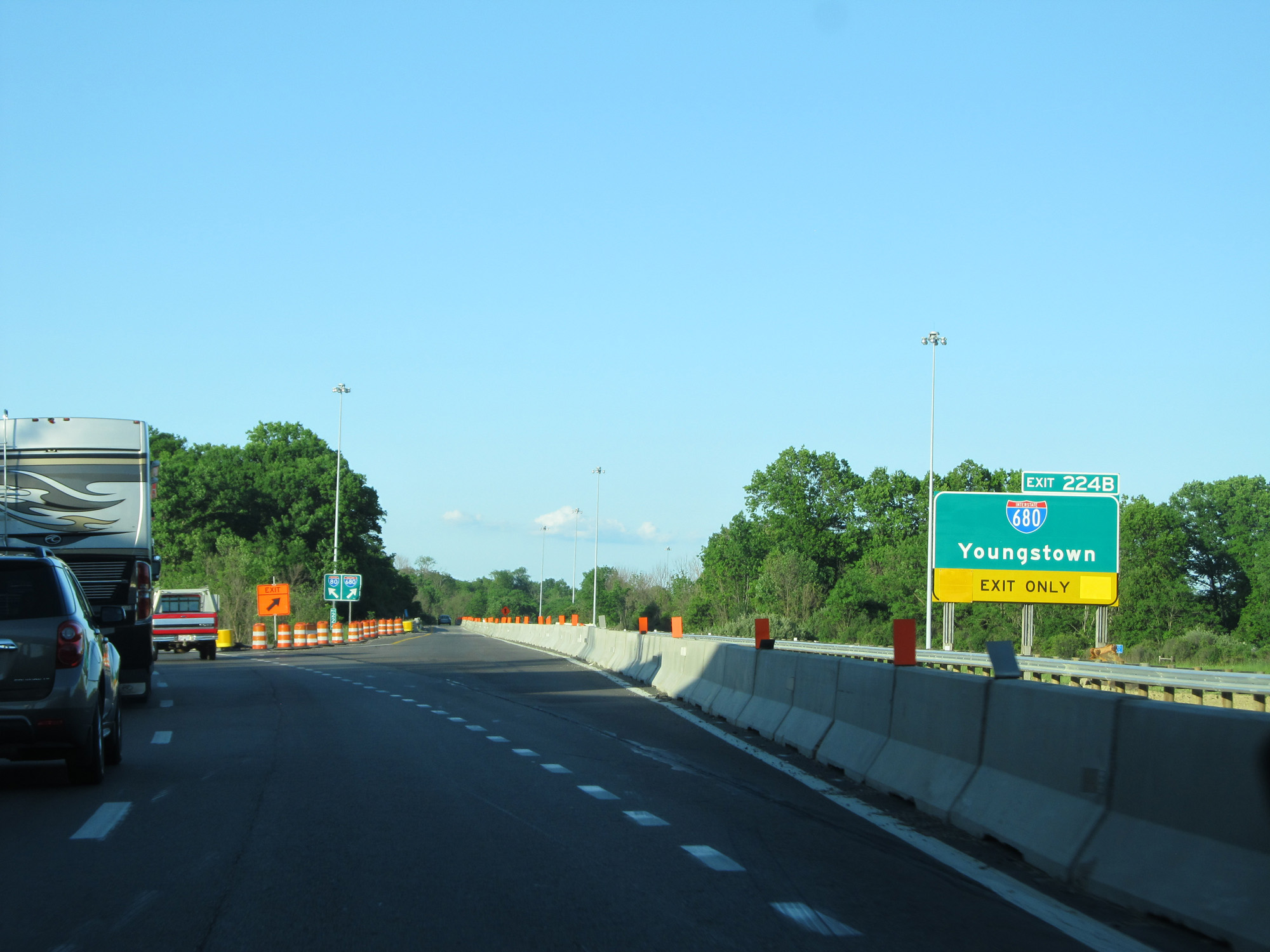 |
Interstate 80 East at Exit 224B: Interstate 680 - Youngstown (Photo taken 5/30/16). |
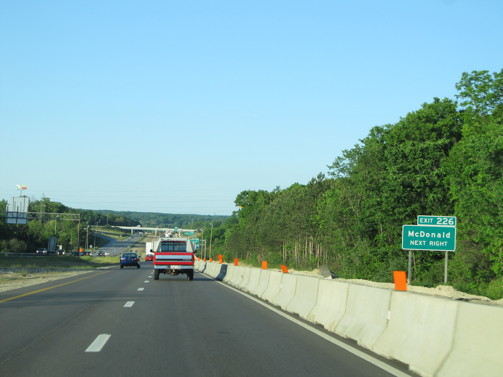 |
Take Exit 226 to McDonald. (Photo taken 5/30/16). |
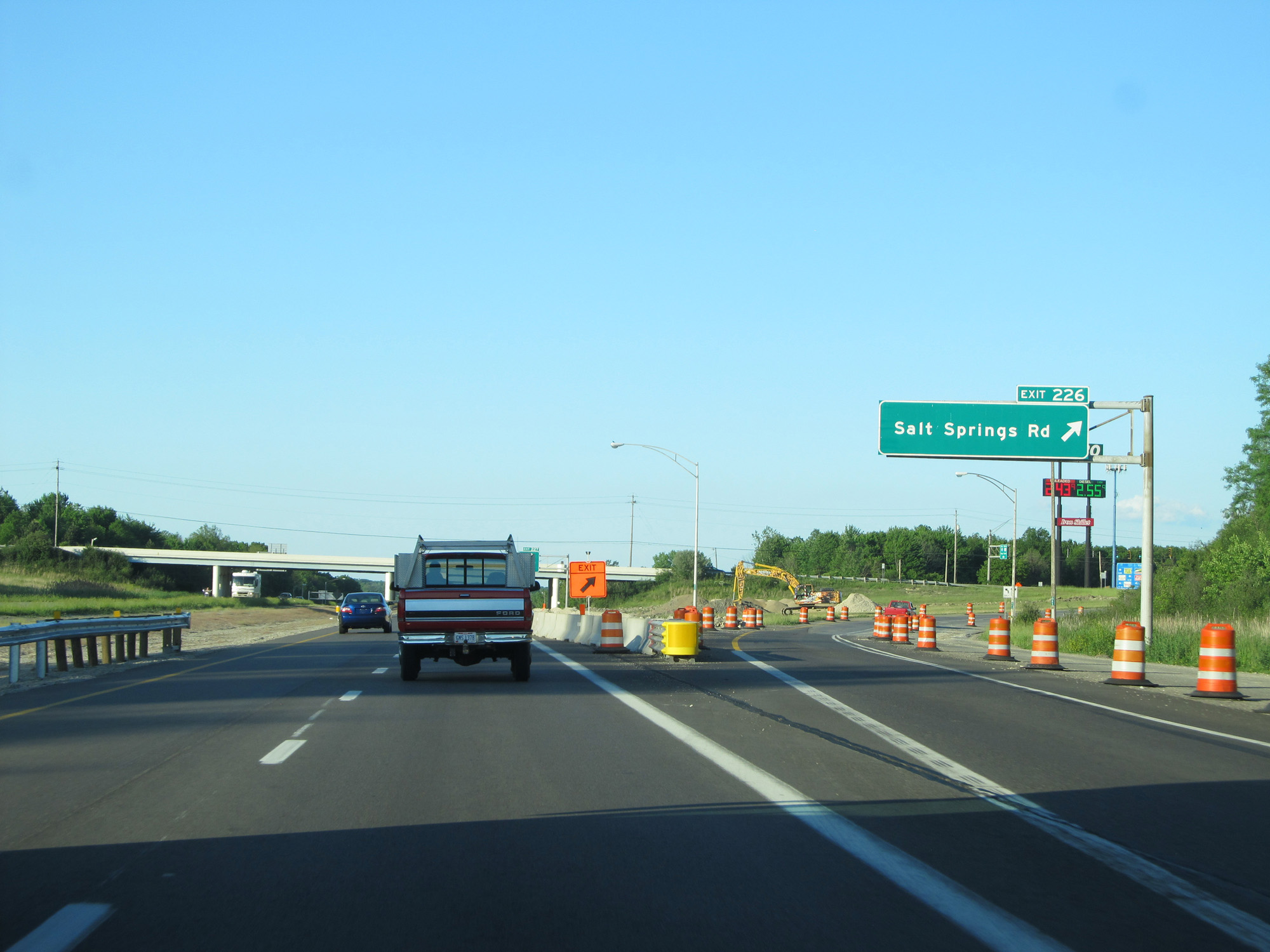 |
Interstate 80 East at Exit 226: Salt Springs Rd (Photo taken 5/30/16). |
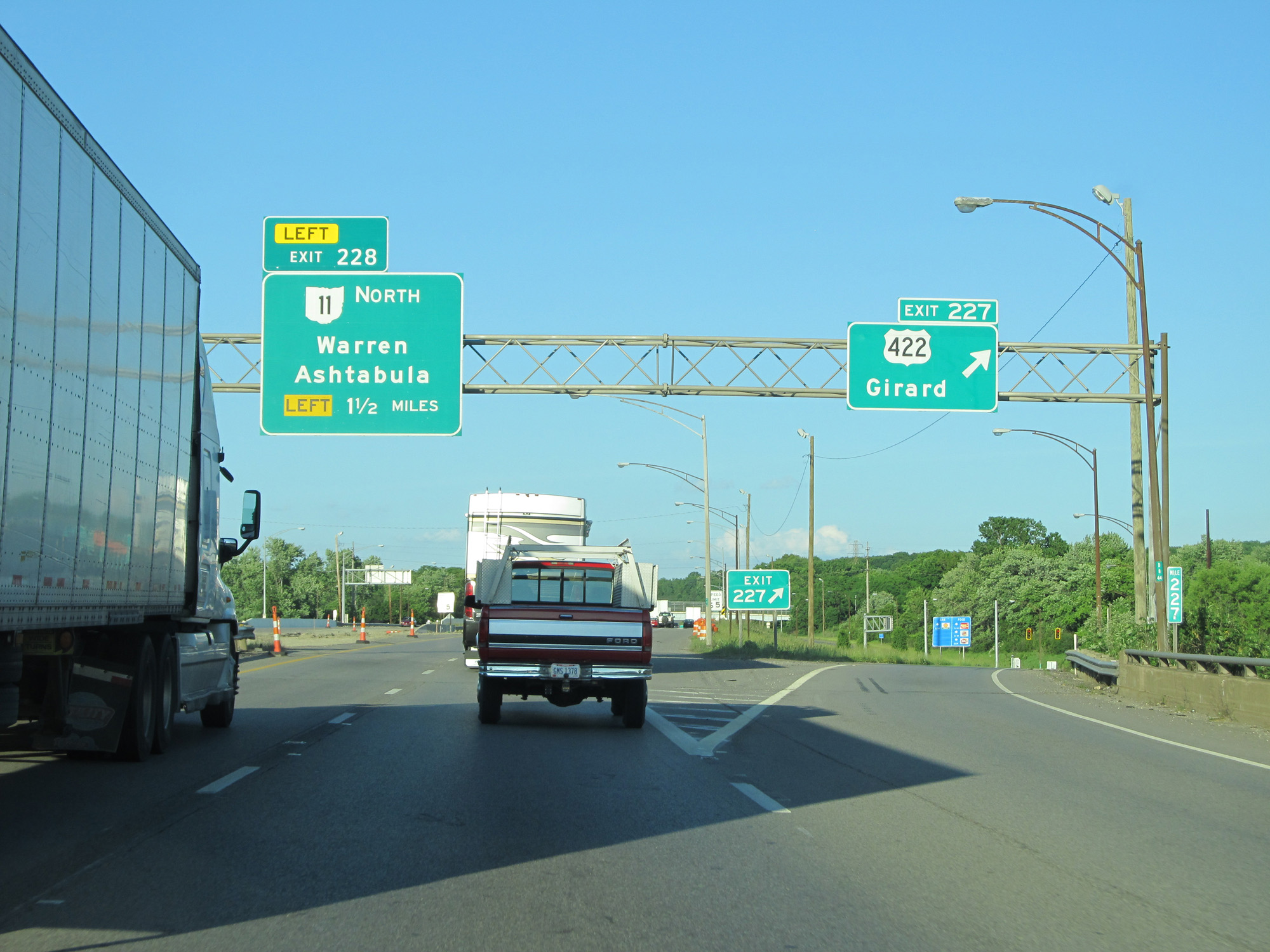 |
Interstate 80 East at Exit 227: US 422 - Girard (Photo taken 5/30/16). |
 |
Interstate 80 East reassurance shield. (Photo taken 5/30/16). |
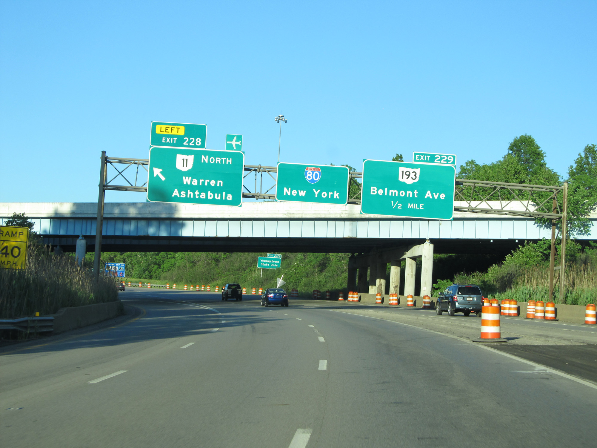 |
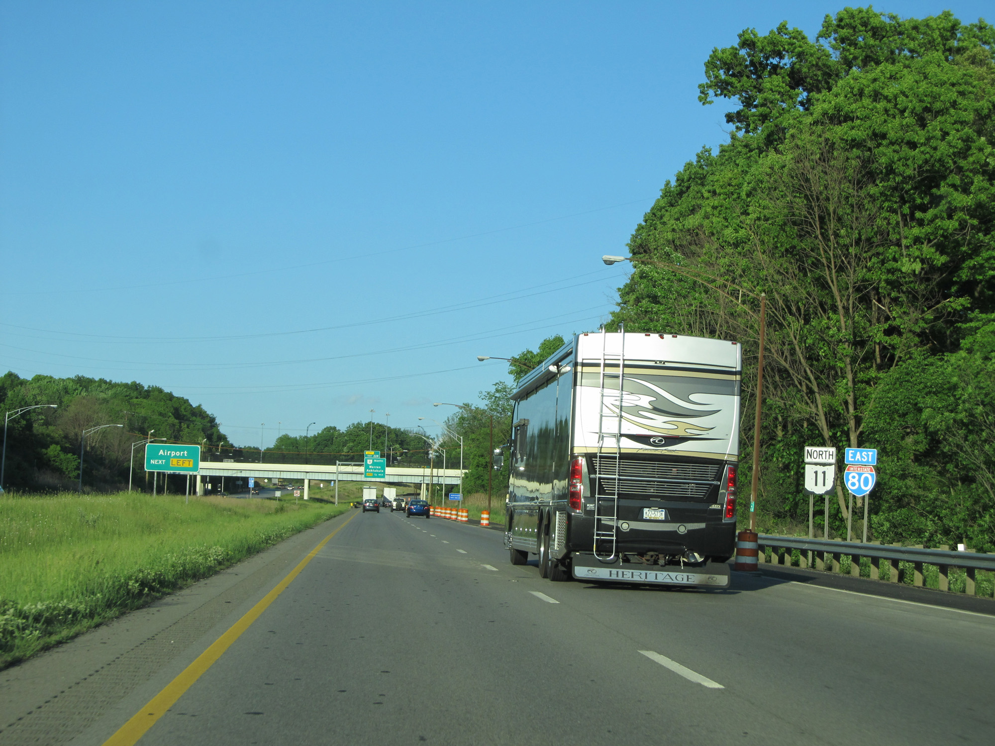
Interstate 80 East at Exit 228: OH 11 North - Warren / Ashtabula (Photo taken 5/30/16). |
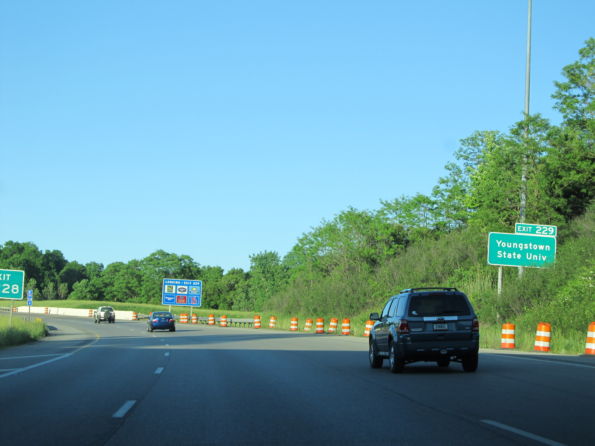 |
Take Exit 229 to Youngstown State University. (Photo taken 5/30/16). |
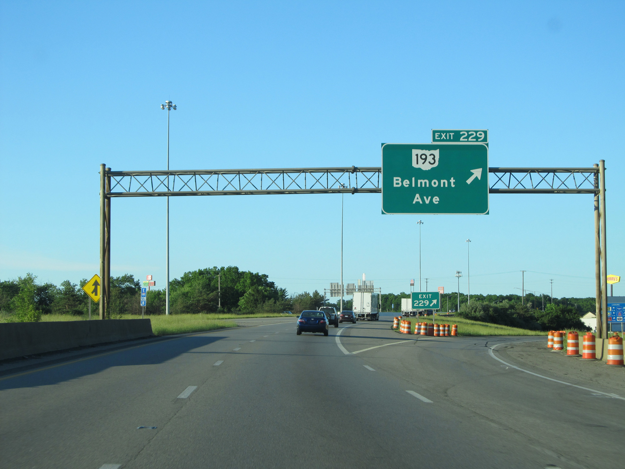 |
Interstate 80 East at Exit 229: OH 193 - Belmont Ave (Photo taken 5/30/16). |
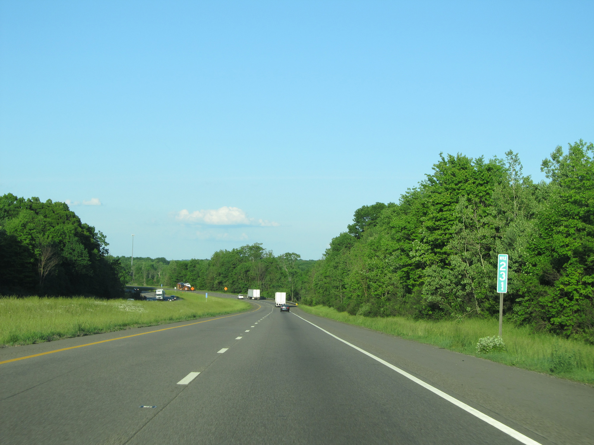 |
Interstate 80 East at mile marker 231. (Photo taken 5/30/16). |
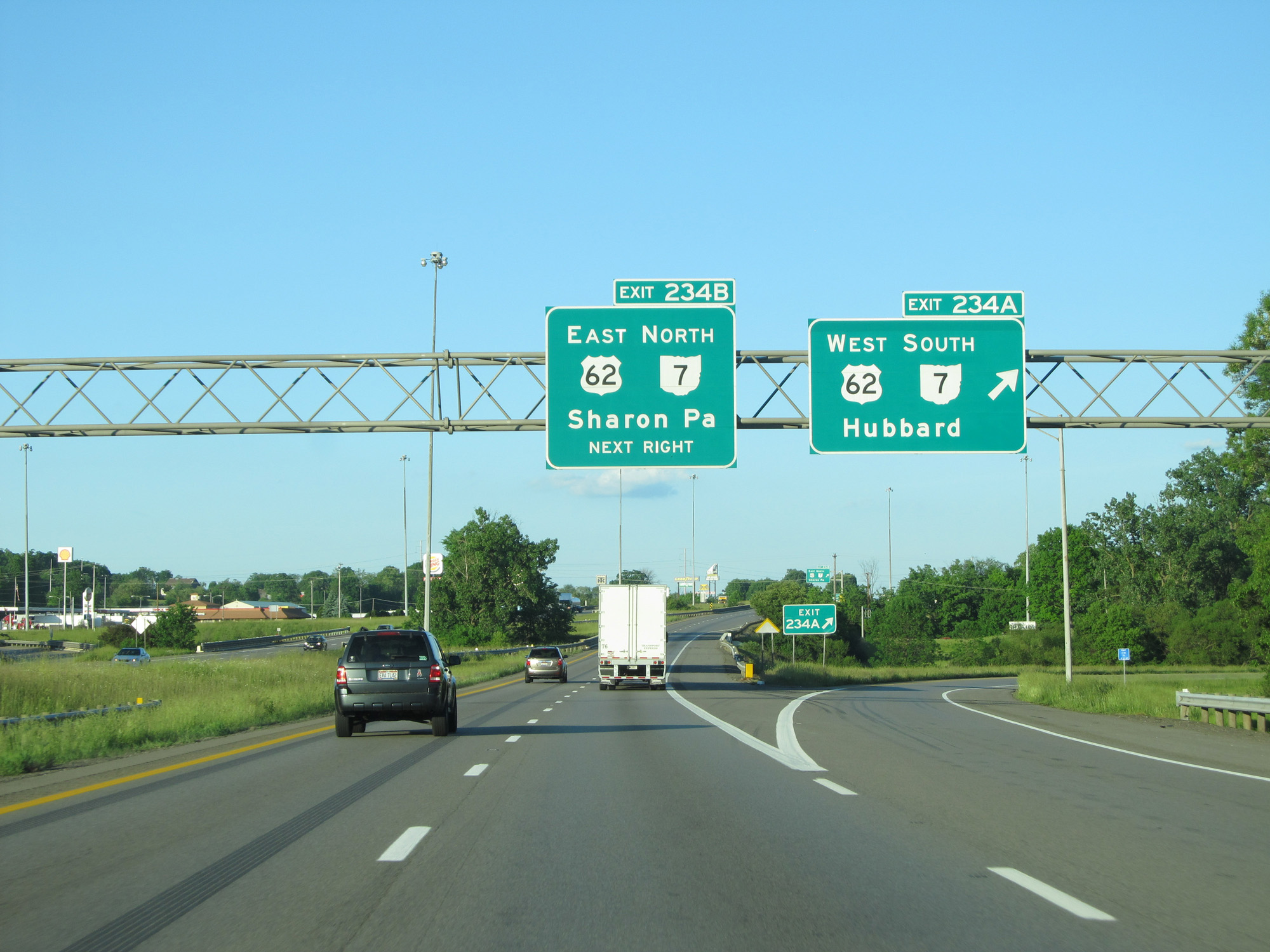 |
Interstate 80 East at Exit 234A: US 62 West / OH 7 South - Hubbard (Photo taken 5/30/16). |
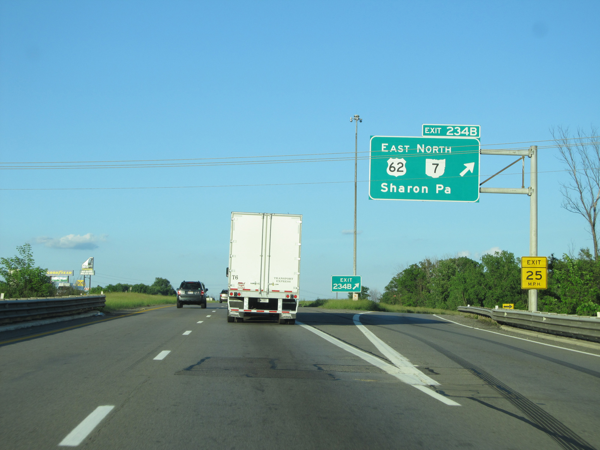 |
Interstate 80 East at Exit 234B: US 62 East / OH 7 North - Sharon, PA (Photo taken 5/30/16). |
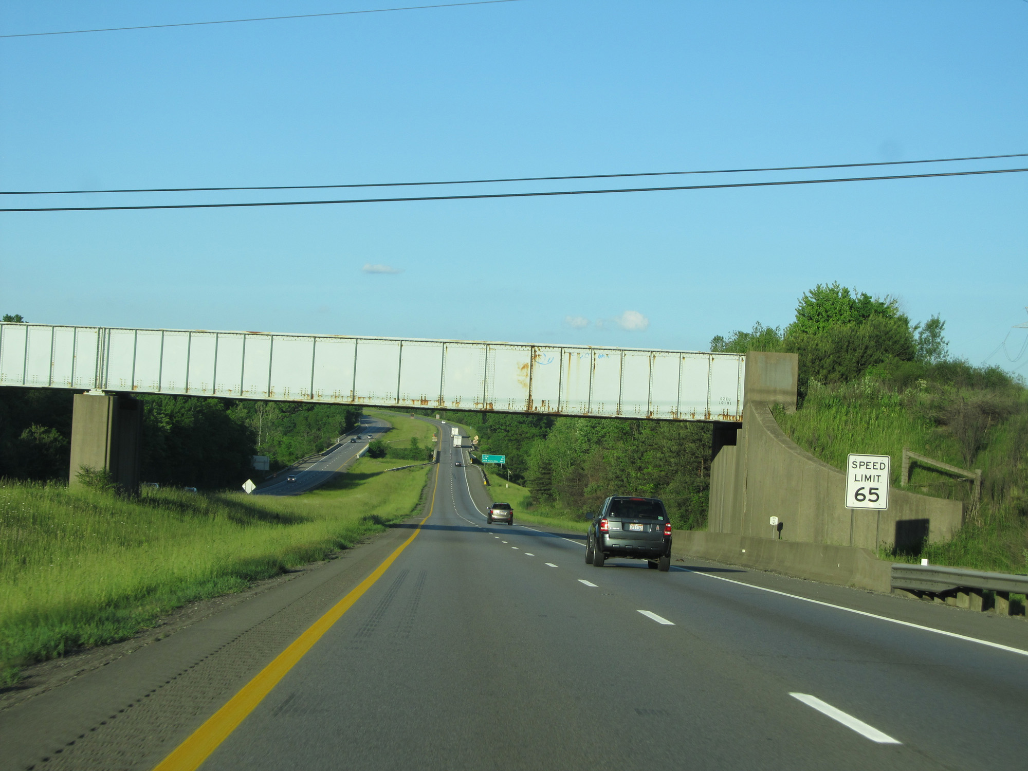 |
The speed limit remains 65 mph. (Photo taken 5/30/16). |
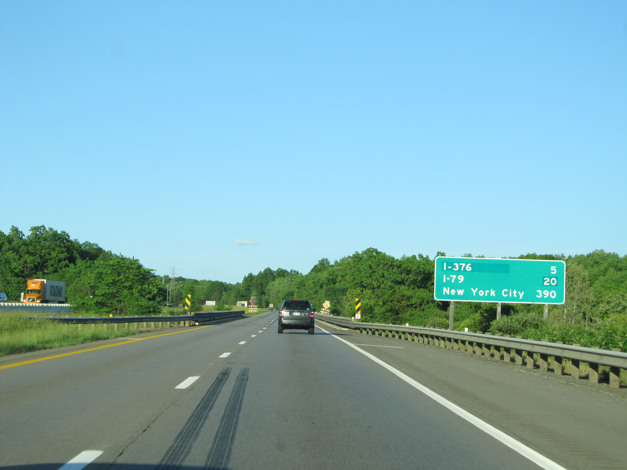 |
Mileage sign on Interstate 80 East. It's 5 miles to the junction of Interstate 376, 20 miles to the junction of Interstate 79, and 390 miles to New York City. (Photo taken 5/30/16). |
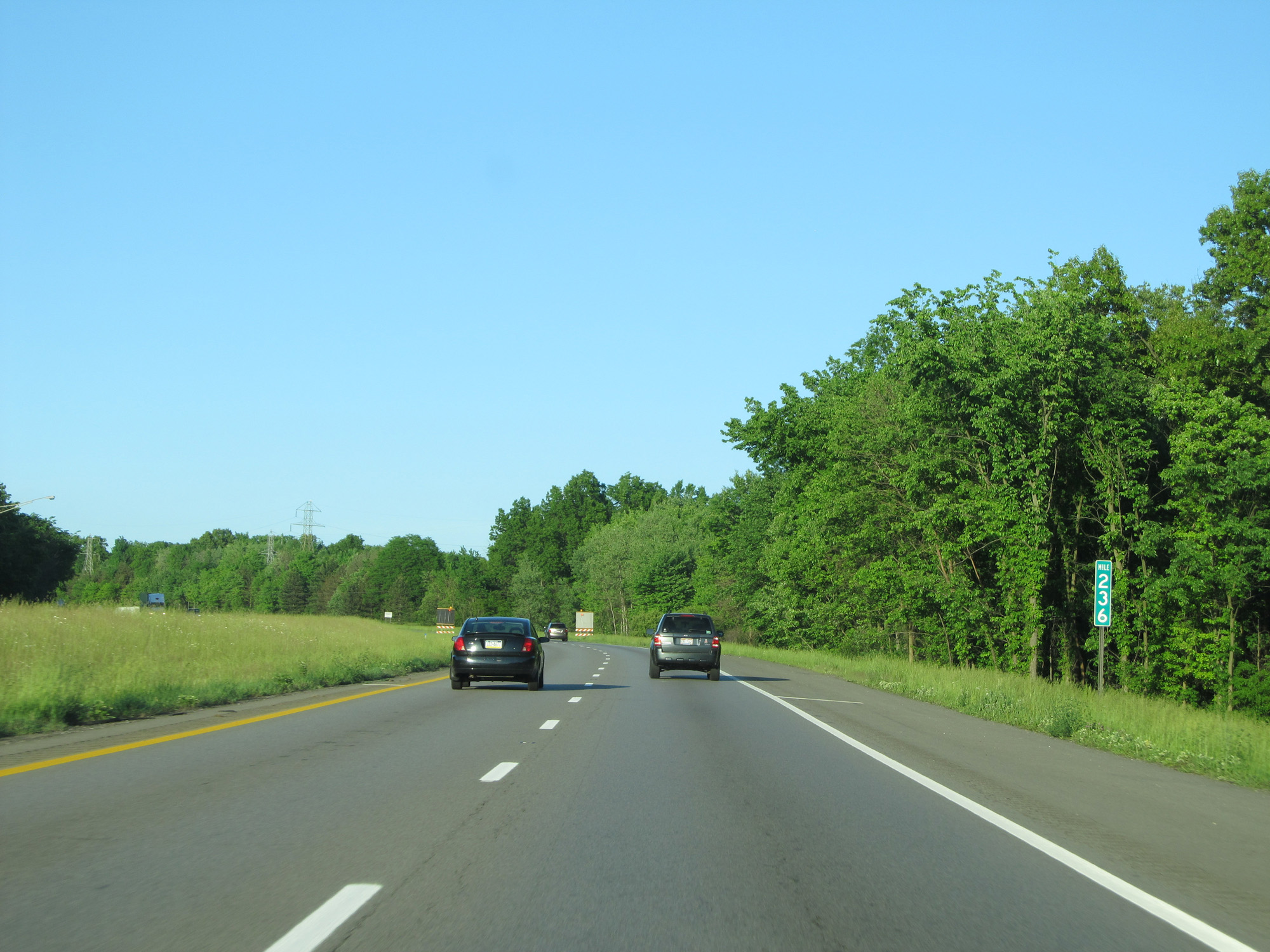 |
Interstate 80 East at mile marker 236. (Photo taken 5/30/16). |
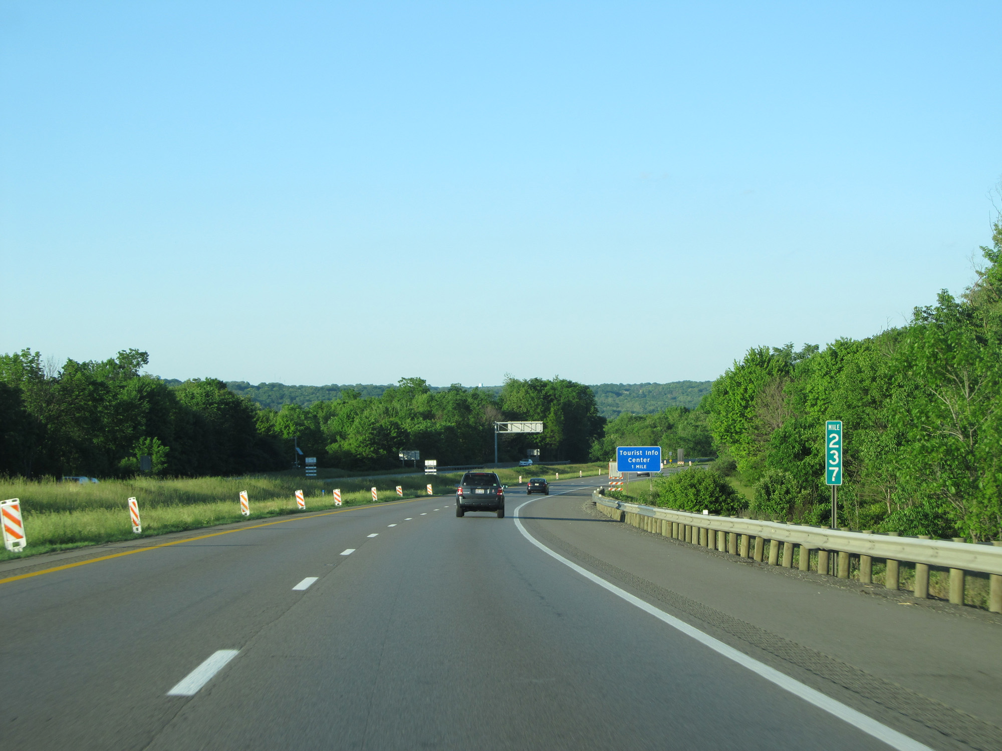 |
Interstate 80 East at mile marker 237, as it prepares to cross into Pennsylvania. (Photo taken 5/30/16). |