Road Information |
||
 |
||
| Total Mileage in State: | 163 miles | |
| Northern End: | At I-90, in Cleveland | |
| Southern End: | At West Virginia state line | |
| Mileage covered in Photos: | 49 miles | |
| Counties covered in Photos: | Washington, Noble, Guernsey, Cuyahoga | |
| Major Junctions in Photos: | I-70, in Cambridge I-490, in Cleveland |
|
| Control Cities in Photos: | Marietta, Cambridge, Cleveland | |
Northbound
- Section 1: West Virginia Border to Cambridge (Exit 44A)
- Section 2: Independence (Exit 156) to Cleveland (Exit 161B)
Section 1: West Virginia Border to Cambridge (Exit 44A)
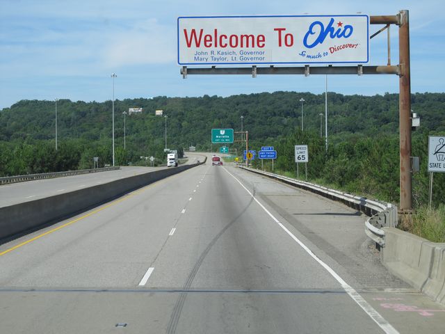 |
Ohio welcome sign as Interstate 77 North enters the state from West Virginia. (Photo taken 7/14/11). |
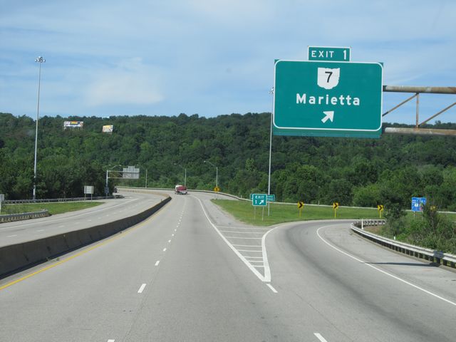 |
Interstate 77 North at Exit 1: OH 7 - Marietta (Photo taken 7/14/11). |
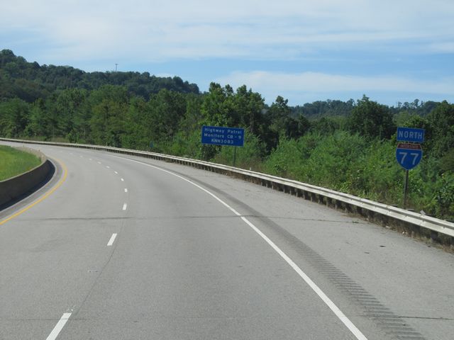 |
Interstate 77 North shield sign located near mile marker 1. (Photo taken 7/14/11). |
 |
Speed limit sign located near mile marker 1. The speed limit on most rural Ohio freeways is 65 mph. (Photo taken 7/14/11). |
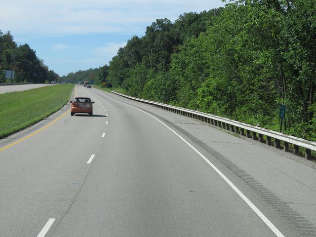 |
Interstate 77 North: Road view from mile marker 2. (Photo taken 7/14/11). |
 |
Interstate 77 North: Road view from mile marker 3. (Photo taken 7/14/11). |
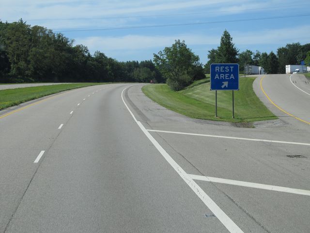 |
Interstate 77 North at the Rest Area located near mile marker 4. (Photo taken 7/14/11). |
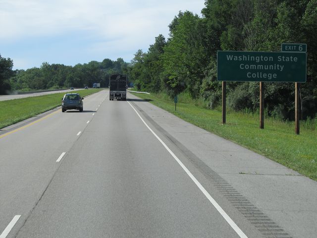 |
Use Exit 6 to get to Washington State Community College. (Photo taken 7/14/11). |
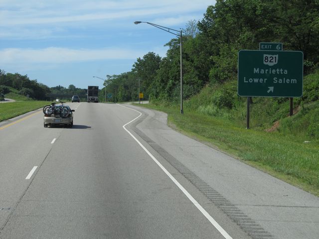 |
Interstate 77 North at Exit 6: OH 821 - Marietta / Lower Salem (Photo taken 7/14/11). |
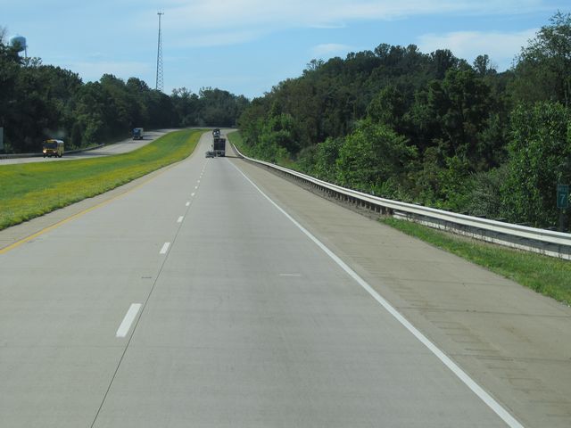 |
Interstate 77 North: Road view from mile marker 7. (Photo taken 7/14/11). |
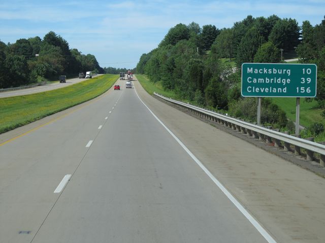 |
Mileage sign located near mile marker 8. It's 10 miles to Macksburg, 39 miles to Cambridge, and 156 miles to Cleveland. (Photo taken 7/14/11). |
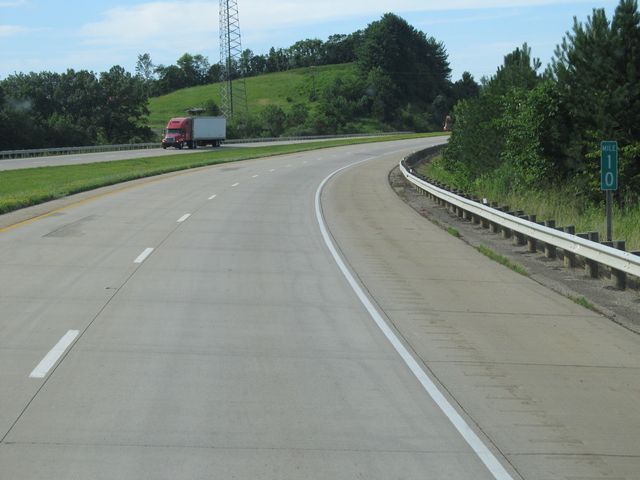 |
Interstate 77 North: Road view from mile marker 10. (Photo taken 7/14/11). |
 |
Interstate 77 North: Road view from mile marker 14. (Photo taken 7/14/11). |
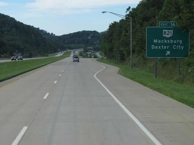 |
Interstate 77 North at Exit 16: OH 821 - Macksburg / Dexter City (Photo taken 7/14/11). |
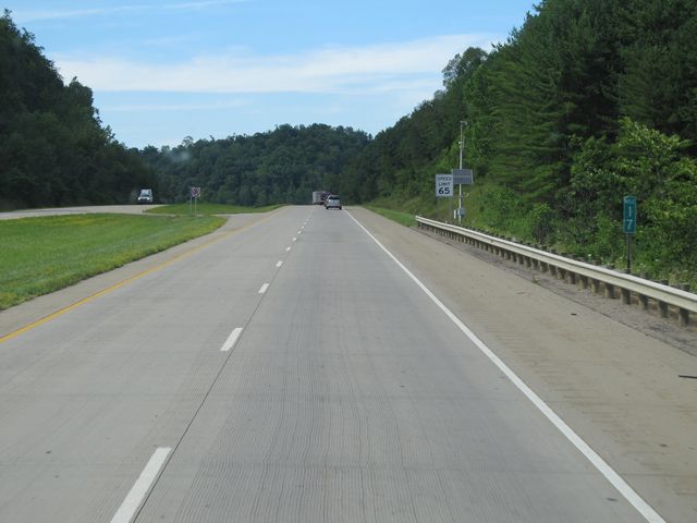 |
Interstate 77 North: Road view from mile marker 17. (Photo taken 7/14/11). |
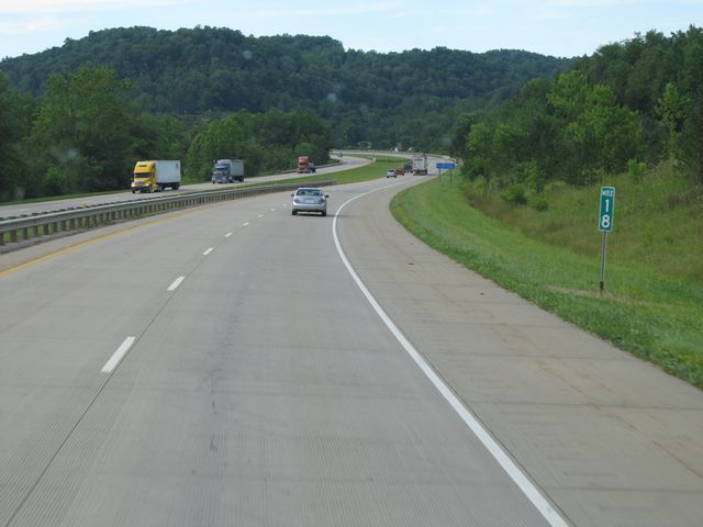 |
Interstate 77 North: Road view from mile marker 18. (Photo taken 7/14/11). |
 |
Interstate 77 North: Road view from mile marker 22. (Photo taken 7/14/11). |
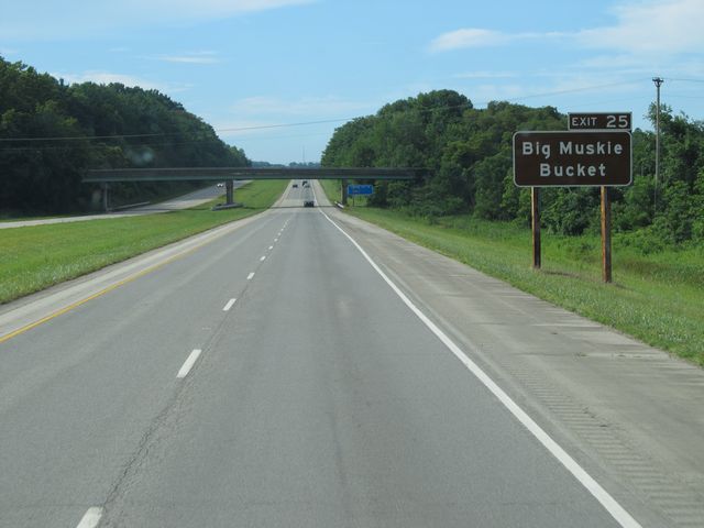 |
Use Exit 25 for Big Muskie Bucket. (Photo taken 7/14/11). |
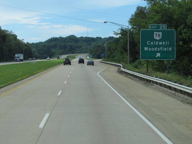 |
Interstate 77 North at Exit 25: OH 78 - Caldwell / Woodsfield (Photo taken 7/14/11). |
 |
Use Exit 28 for Wolf Run State Park. (Photo taken 7/14/11). |
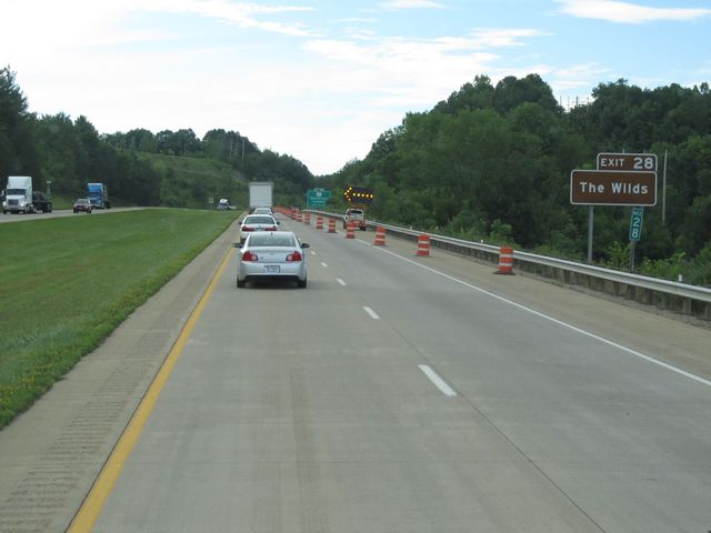 |
Also use Exit 28 for The Wilds. (Photo taken 7/14/11). |
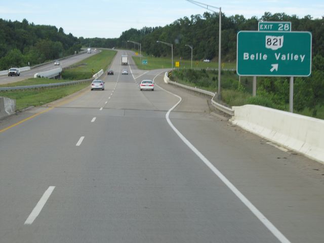 |
Interstate 77 North at Exit 28: OH 821 - Belle Valley (Photo taken 7/14/11). |
 |
Interstate 77 North: Road view from mile marker 31. (Photo taken 7/14/11). |
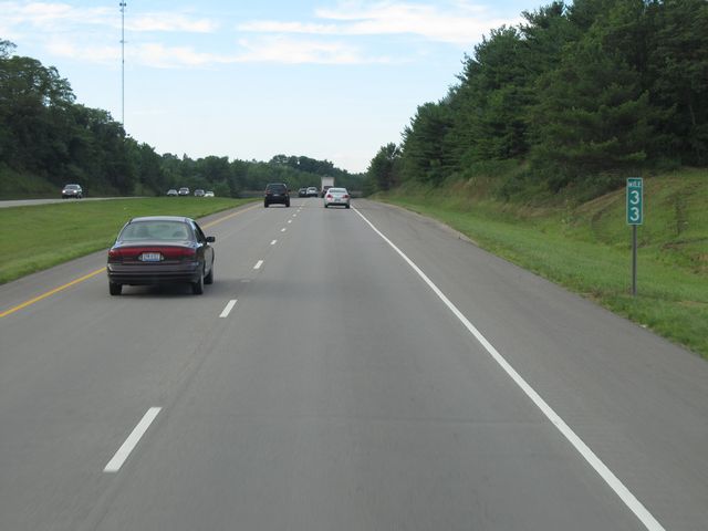 |
Interstate 77 North: Road view from mile marker 33. (Photo taken 7/14/11). |
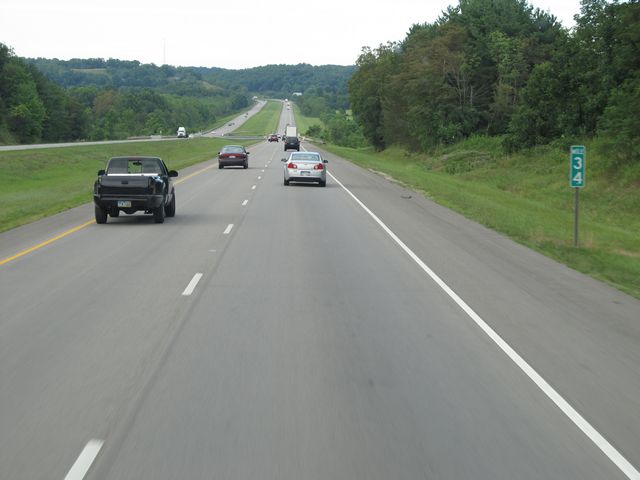 |
Interstate 77 North: Road view from mile marker 34. (Photo taken 7/14/11). |
 |
Use Exit 37 to get to Seneca Lake. (Photo taken 7/14/11). |
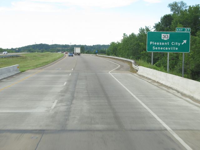 |
Interstate 77 North at Exit 37: OH 313 - Pleasant City / Senecaville (Photo taken 7/14/11). |
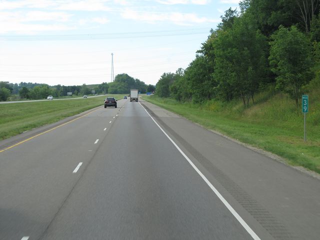 |
Interstate 77 North: Road view from mile marker 39. (Photo taken 7/14/11). |
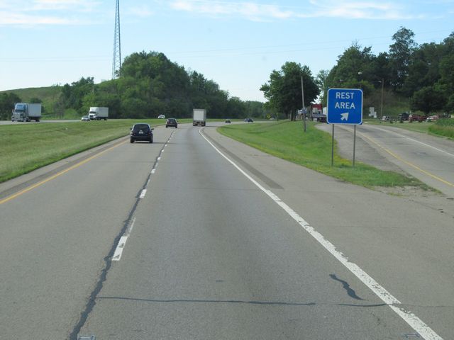 |
Interstate 77 North at the Rest Area located near mile marker 40. (Photo taken 7/14/11). |
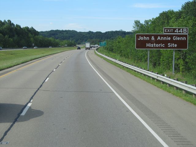 |
Use Exit 44B to get to the John & Annie Glenn Historic Site. (Photo taken 7/14/11). |
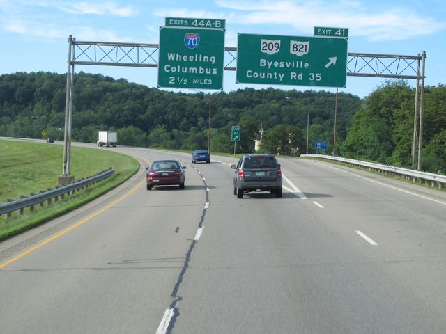 |
Interstate 77 North at Exit 41: OH 209 / OH 821 - Byesville / County Rd 35 (Photo taken 7/14/11). |
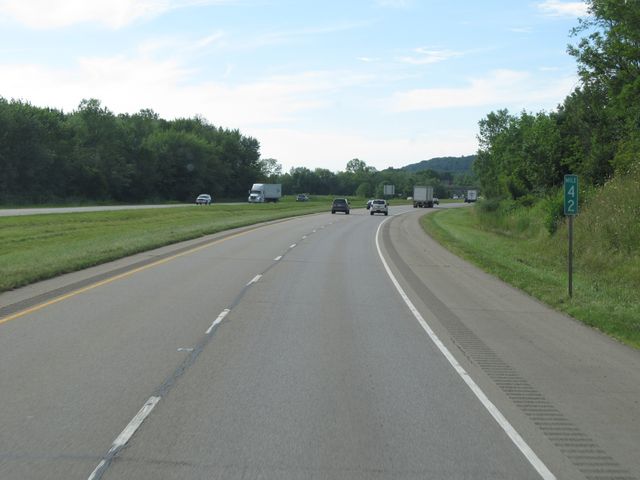 |
Interstate 77 North: Road view from mile marker 42. (Photo taken 7/14/11). |
 |
Use Exit 47 to get to Salt Fork State Park and Lodge. (Photo taken 7/14/11). |
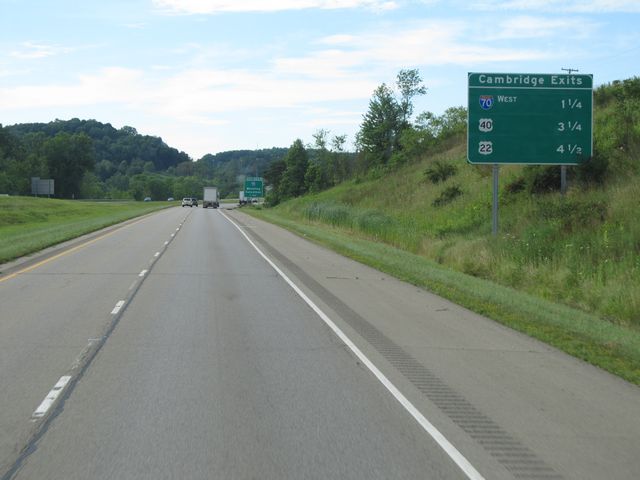 |
Sign listing the distances to the upcoming Cambridge exits. (Photo taken 7/14/11). |
 |
Interstate 77 North approaching Exits 44A-B - 1 mile. (Photo taken 7/14/11). |
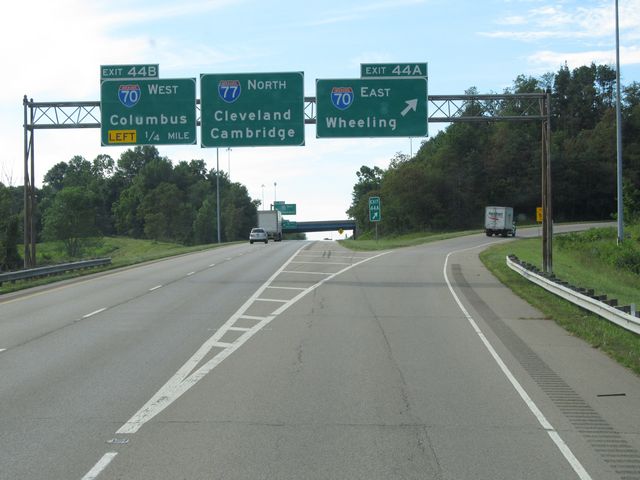 |
Interstate 77 North at Exit 44A: Interstate 70 East - Wheeling (Photo taken 7/14/11). |
Section 2: Independence (Exit 156) to Cleveland (Exit 161B)
 |
Interstate 77 North: Road view from mile marker 157. (Photo taken 7/10/11). |
 |
Interstate 77 North shield sign located near mile marker 158. Below the shield is a sign indicating that trucks hauling Hazardous Materials requiring placards are not allowed to use this stretch of Interstate 77. (Photo taken 7/10/11). |
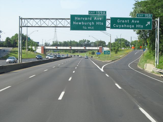 |
Interstate 77 North at Exit 158: Grant Ave / Cuyahoga Hts (Photo taken 7/10/11). |
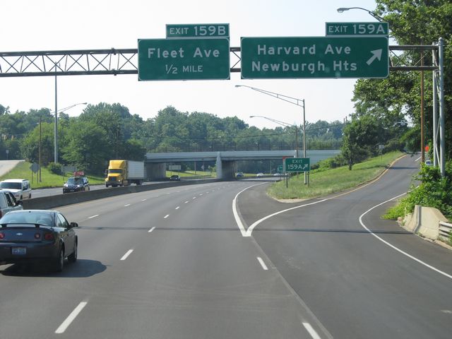 |
Interstate 77 North at Exit 159A: Harvard Ave / Newburgh Hts (Photo taken 7/10/11). |
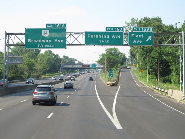 |
Interstate 77 North at Exit 159B: Fleet Ave (Photo taken 7/10/11). |
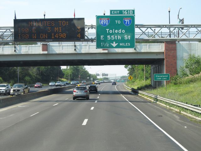 |
Interstate 77 North approaching Exit 161B - 1 1/2 miles. (Photo taken 7/10/11). |
 |
Interstate 77 North at Exit 160: Pershing Ave (Photo taken 7/10/11). |
 |
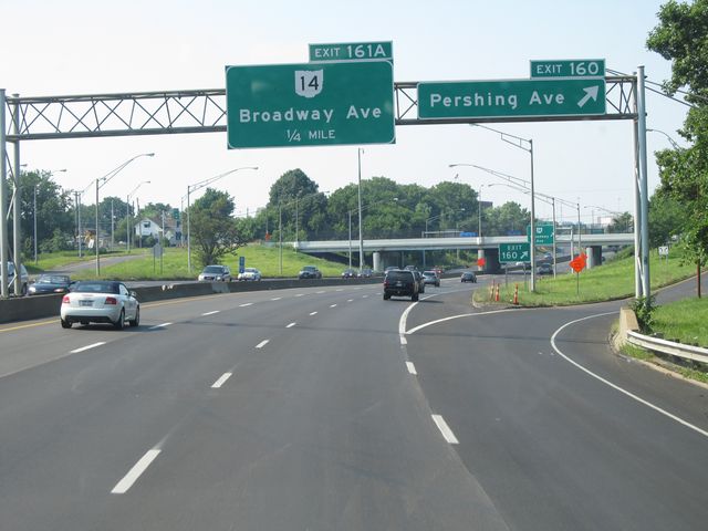
Interstate 77 North at Exit 161A: OH 14 - Broadway Ave (Photo taken 7/10/11). |
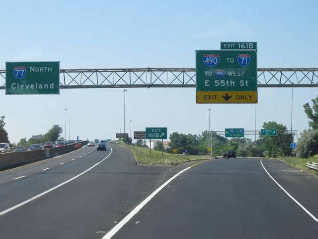 |
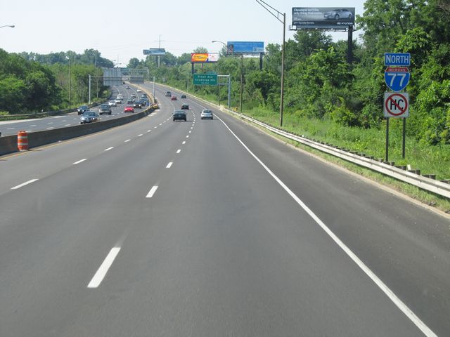
Interstate 77 North at Exit 161B: Interstate 490 / To Interstate 71 / To Interstate 90 West / E 55th St (Photo taken 7/10/11). |