Road Information |
||
 |
||
| Total Mileage in State: | 1.75 miles | |
| Eastern End: | At I-271, in Warrensville Heights | |
| Western End: | At I-480 West, in Maple Heights | |
| Mileage covered in Photos: | 1.75 miles | |
| Counties covered in Photos: | Cuyahoga | |
| Major Junctions in Photos: | I-480 West, in Maple Heights | |
| Control Cities in Photos: | Warrensville Heights, North Randall, Bedford Heights | |
Westbound
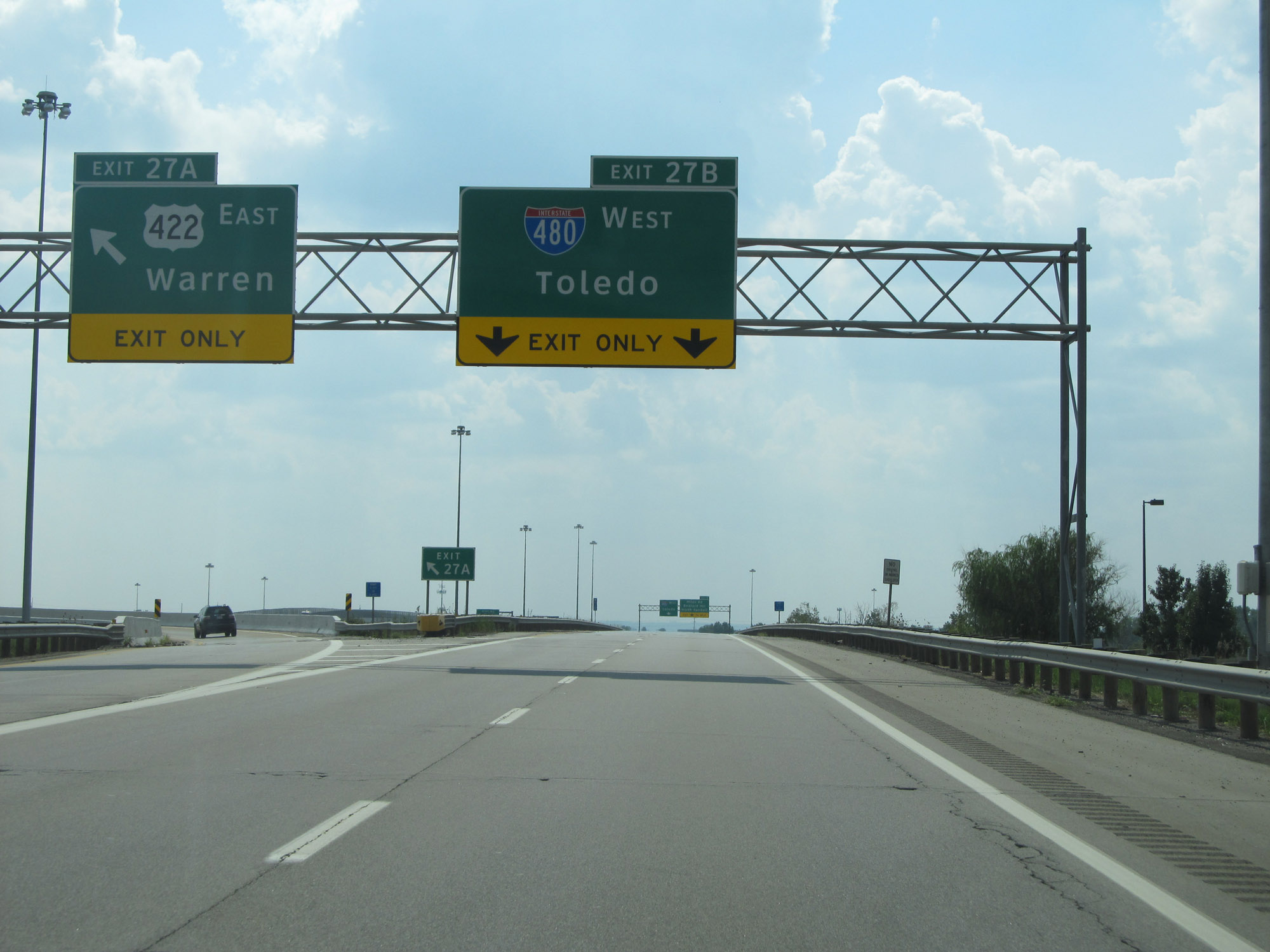 |
The Interstate 480N West spur begins here, at Exit 27B from Interstate 271 South. Although not acknowledged on the exit signage, I-480N is signed on its mile markers, as we will see in a couple photos. (Photo taken 9/6/15). |
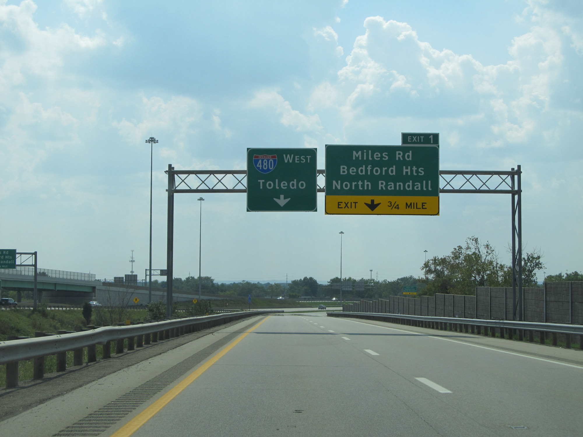 |
There is one exit on Interstate 480N West during its 1.75-mile duration, and it is 3/4 mile ahead. (Photo taken 9/6/15). |
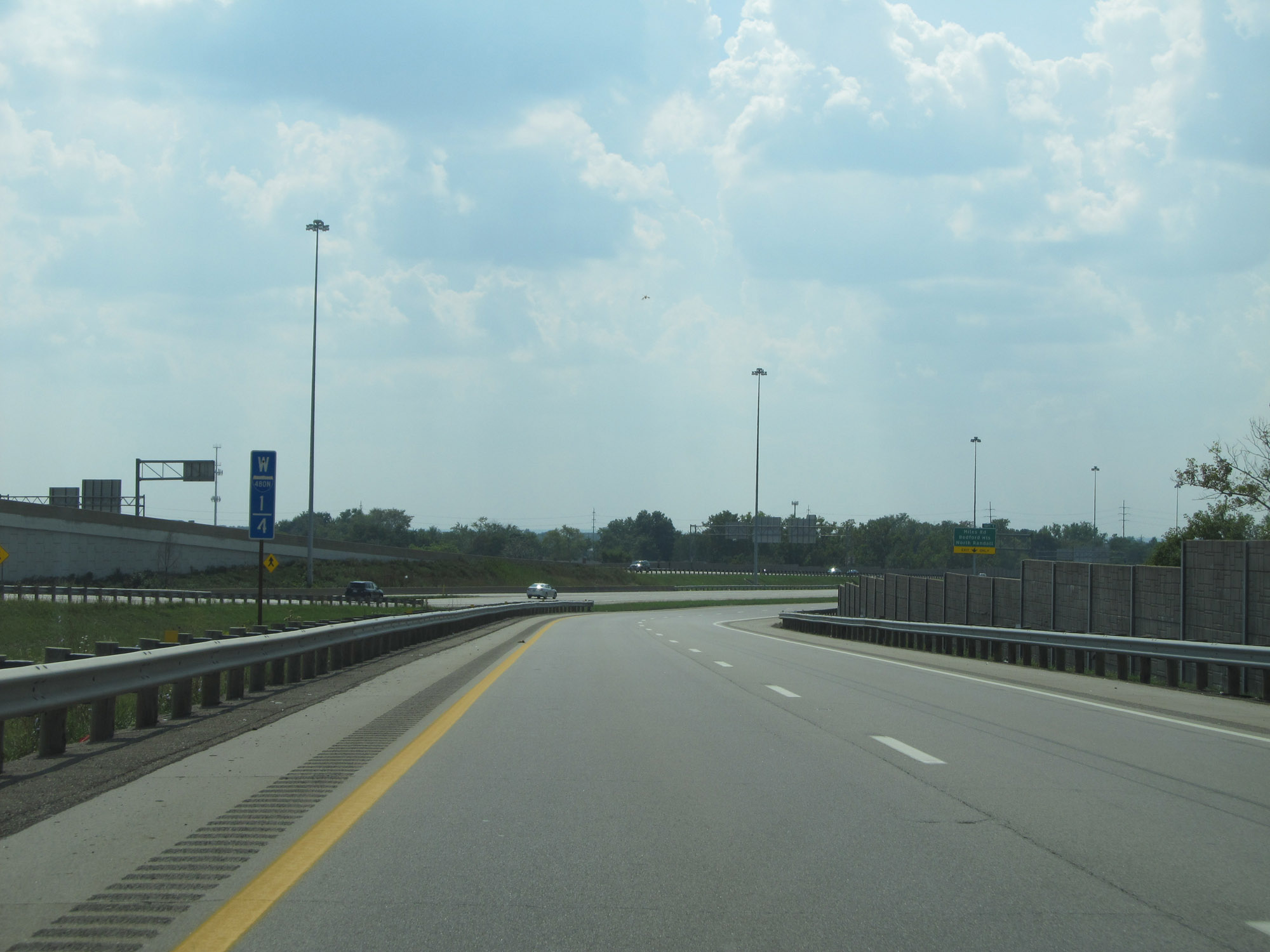 |
Interstate 480N West at mile marker 1.4. Notice the I-480N shield on the milepost. (Photo taken 9/6/15). |
 |
At mile marker 1.2, traffic from Interstate 271 South's express lanes prepares to merge into it from the left. (Photo taken 9/6/15). |
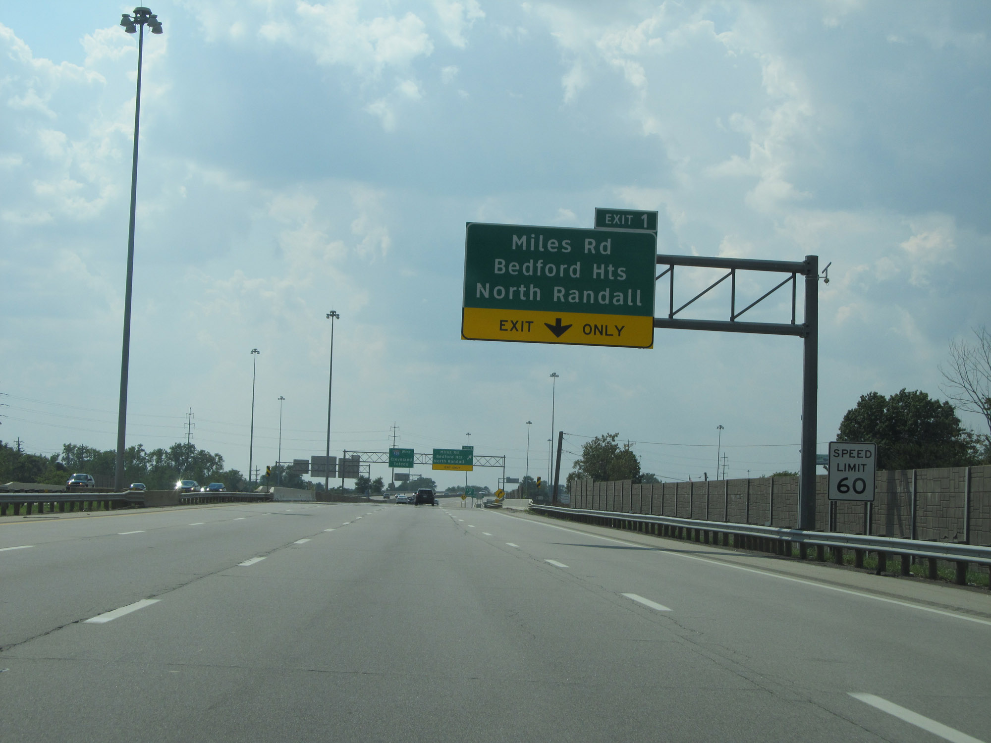 |
The speed limit on Interstate 480N West is 60 mph. (Photo taken 9/6/15). |
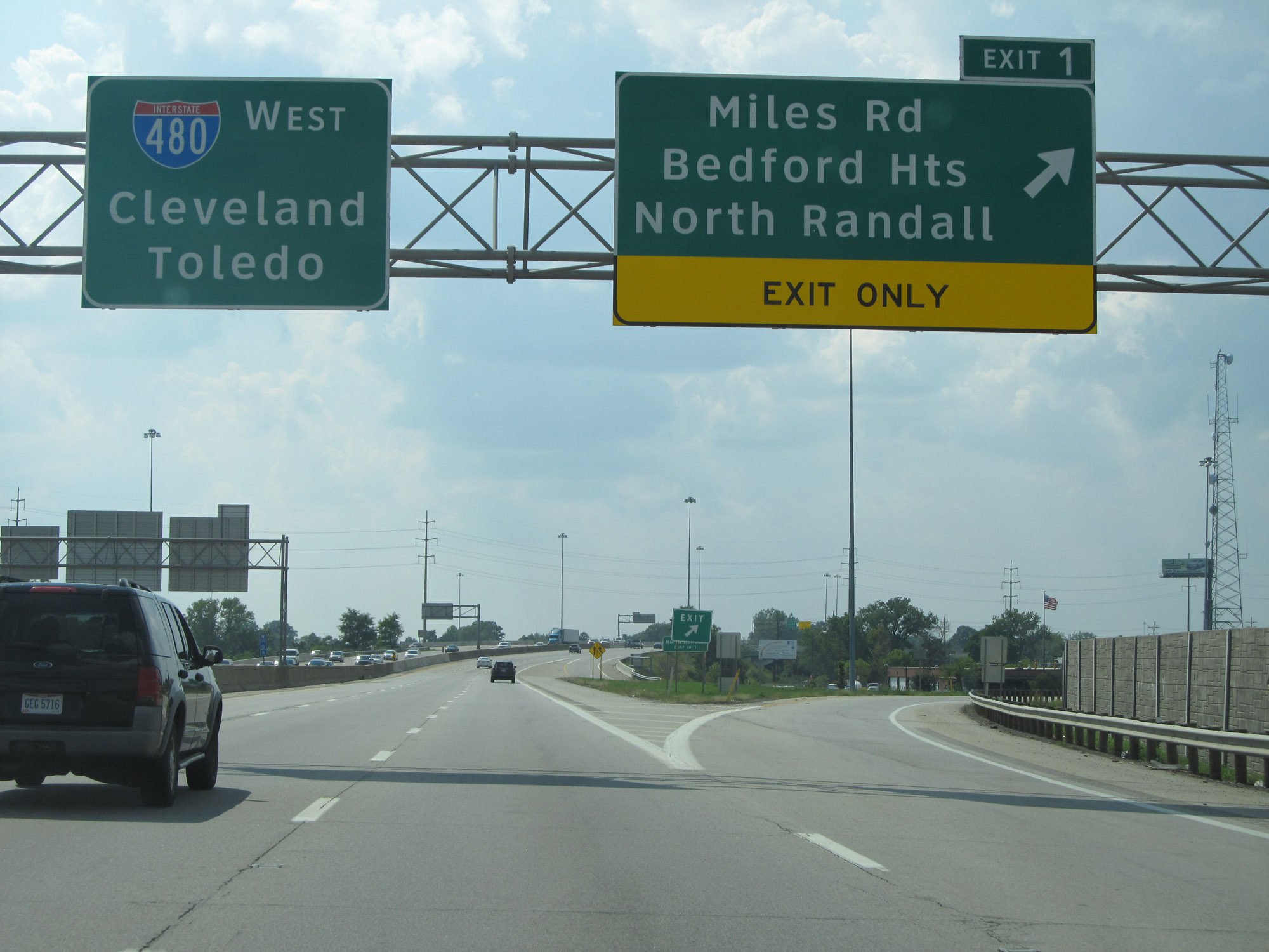 |
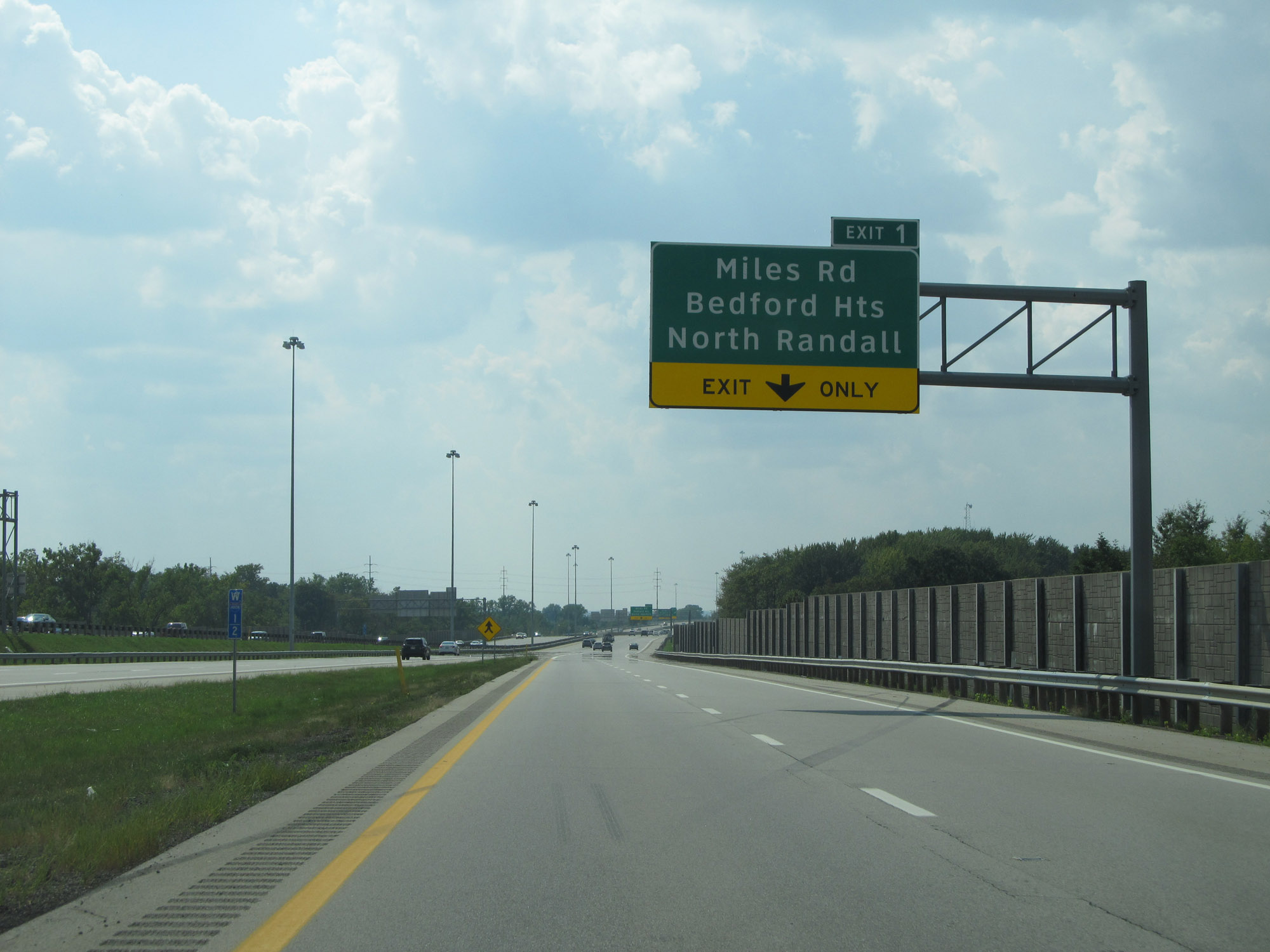
Interstate 480N West at Exit 1: Miles Rd / Bedford Heights / North Randall (Photo taken 9/6/15). |
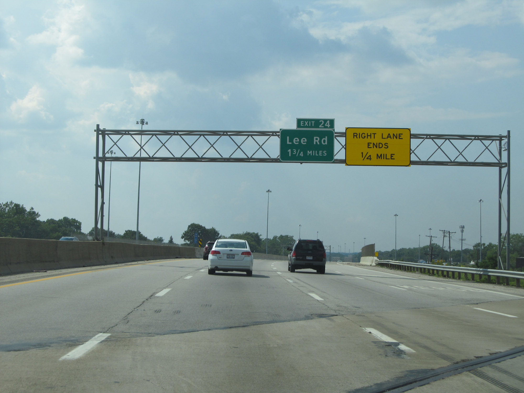 |
Advance signage for Exit 24 on Interstate 480 West as Interstate 480N West nears its end. (Photo taken 9/6/15). |
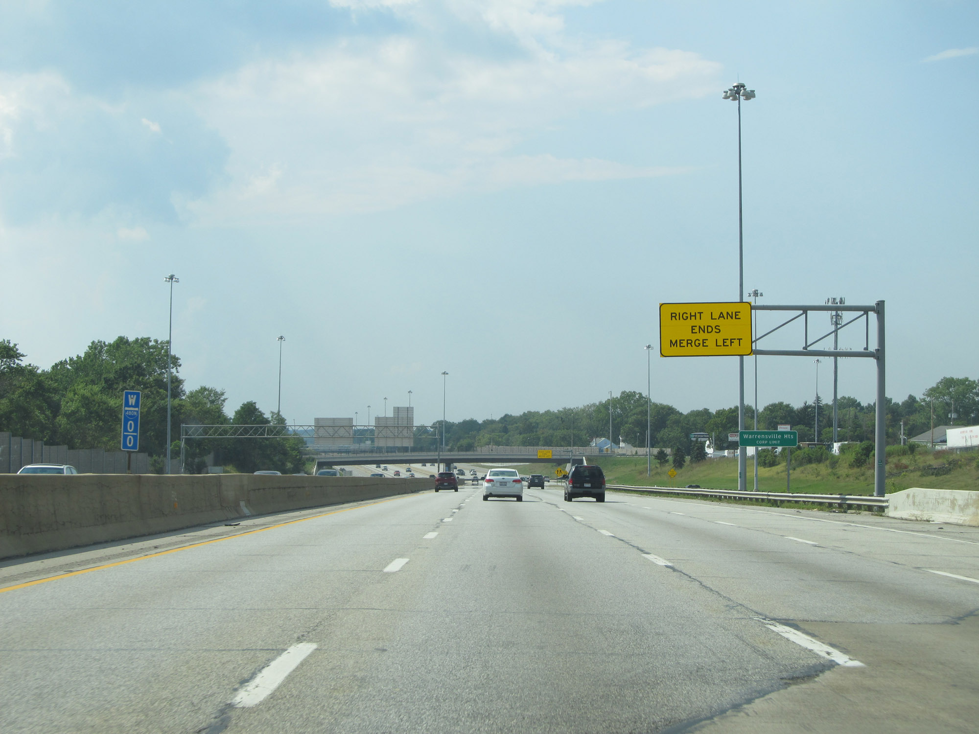 |
Interstate 480N West at mile marker 0, as Interstate 480's mainline westbound traffic comes in on the right to combine with I-480N's 3 westbound lanes. (Photo taken 9/6/15). |