Road Information |
||
.png "Interstate 29 in North Dakota") |
||
| Total Mileage in State: | 217 miles | |
| Northern End: | At Canadian border | |
| Southern End: | At South Dakota state line | |
| Mileage covered in Photos: | 217 miles | |
| Counties covered in Photos: | Richland, Cass, Traill, Grand Forks, Walsh, Pembina | |
| Major Junctions in Photos: | I-94, in Fargo US 10, in Fargo |
|
| Control Cities in Photos: | Fargo, Grand Forks, Pembina | |
Northbound
- Section 1: South Dakota Border to Fargo (Exit 63B)
- Section 2: Fargo (Exit 63B) to Grand Forks (Exit 141)
- Section 3: Grand Forks (Exit 141) to Canadian Border
Section 1: South Dakota Border to Fargo (Exit 63B)
 |
Interstate 29 North at Exit 1: CR 1E (Photo taken 5/23/16). |
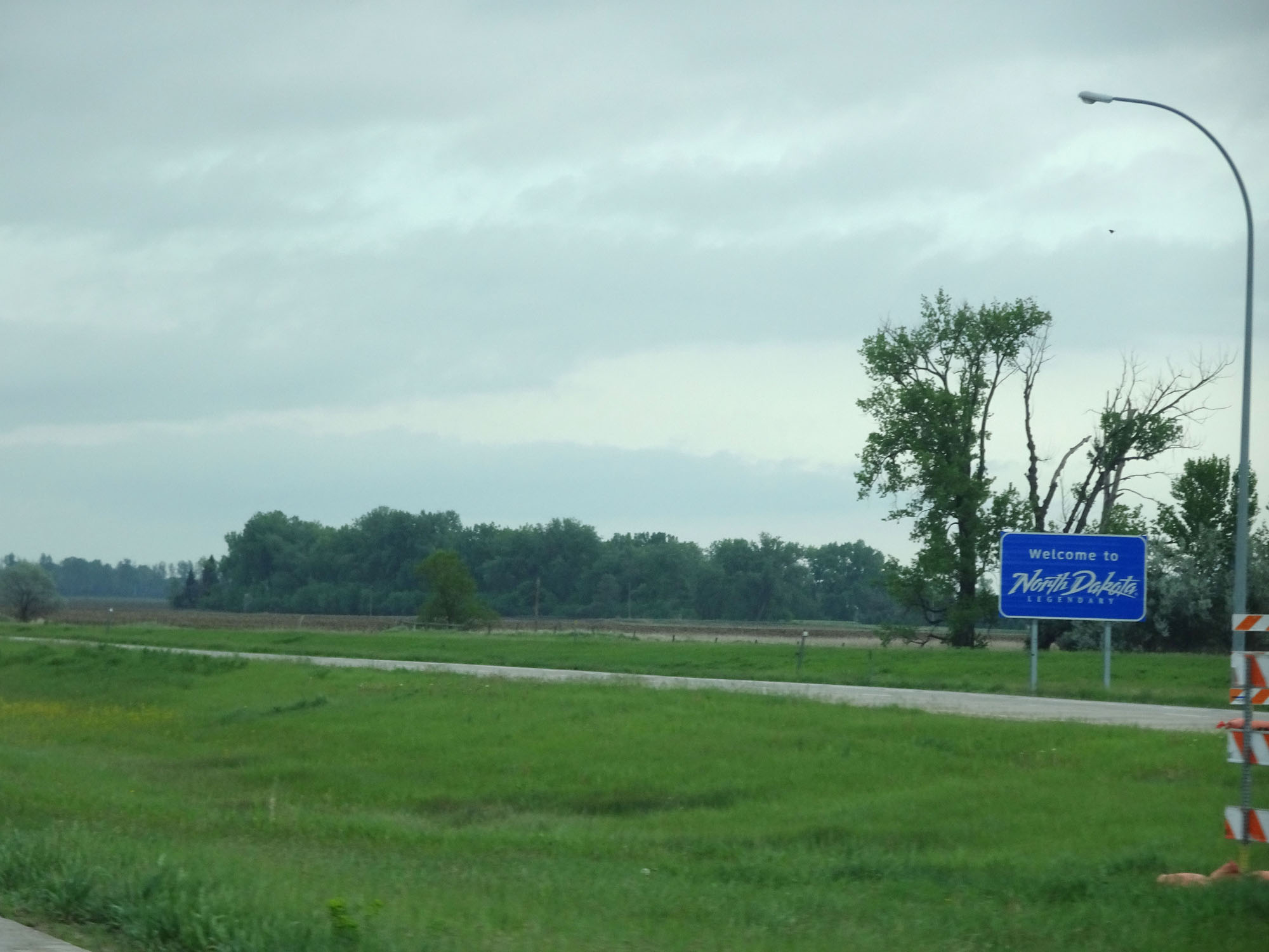 |
North Dakota welcome sign on Interstate 29 North as it enters the Peace Garden State from South Dakota. (Photo taken 5/23/16). |
 |
Interstate 29 North at Exit 2: CR 22 (Photo taken 5/23/16). |
 |
Interstate 29 North at the (closed at the time) Rest Area in Richland County. (Photo taken 5/23/16). |
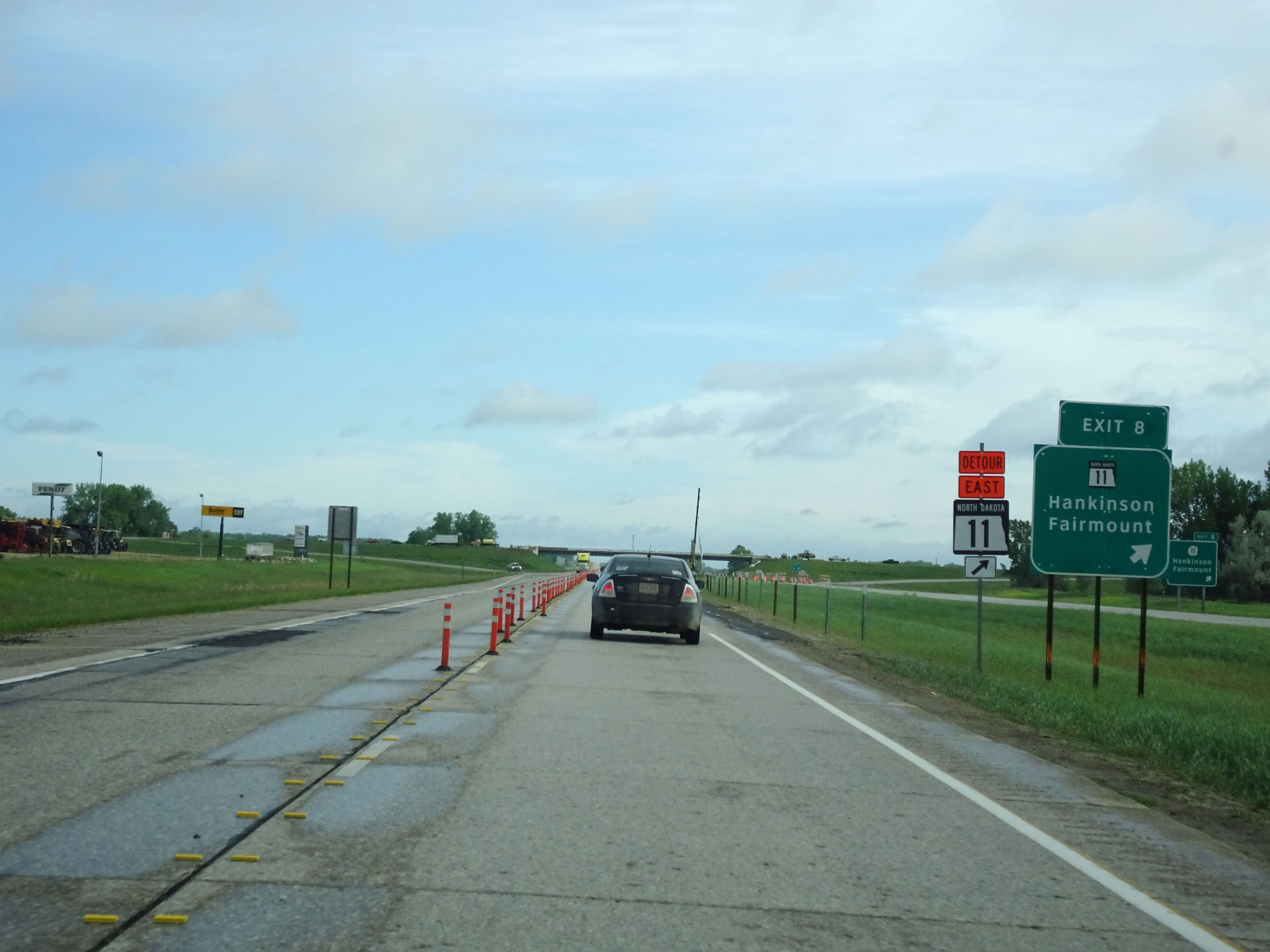 |
Interstate 29 North at Exit 8: ND 11 - Hankinson / Fairmount (Photo taken 5/23/16). |
 |
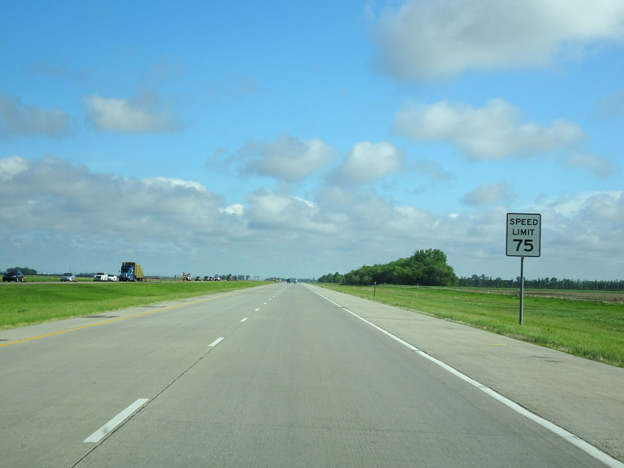
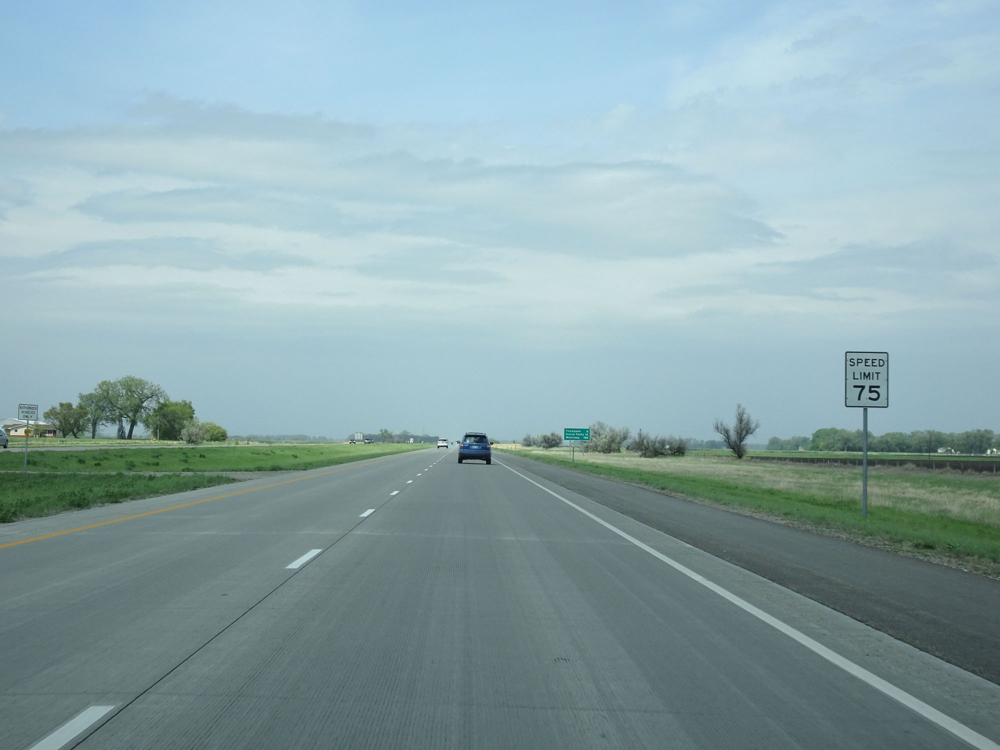
The speed limit on Interstate 29 North starts out at 75 mph. This is the standard speed limit on rural Interstate highways in North Dakota. (Photo taken 5/23/16). |
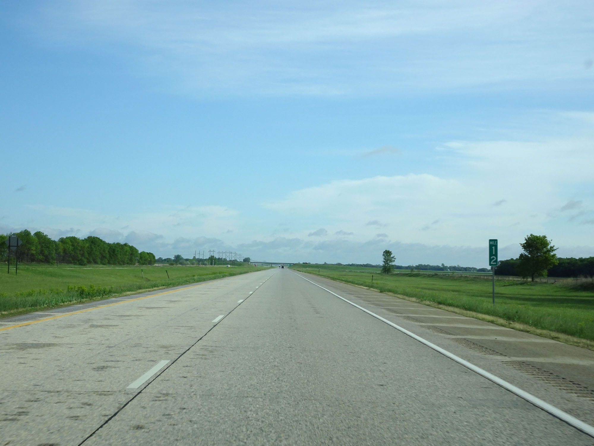 |
Interstate 29 North at mile marker 12. (Photo taken 5/23/16). |
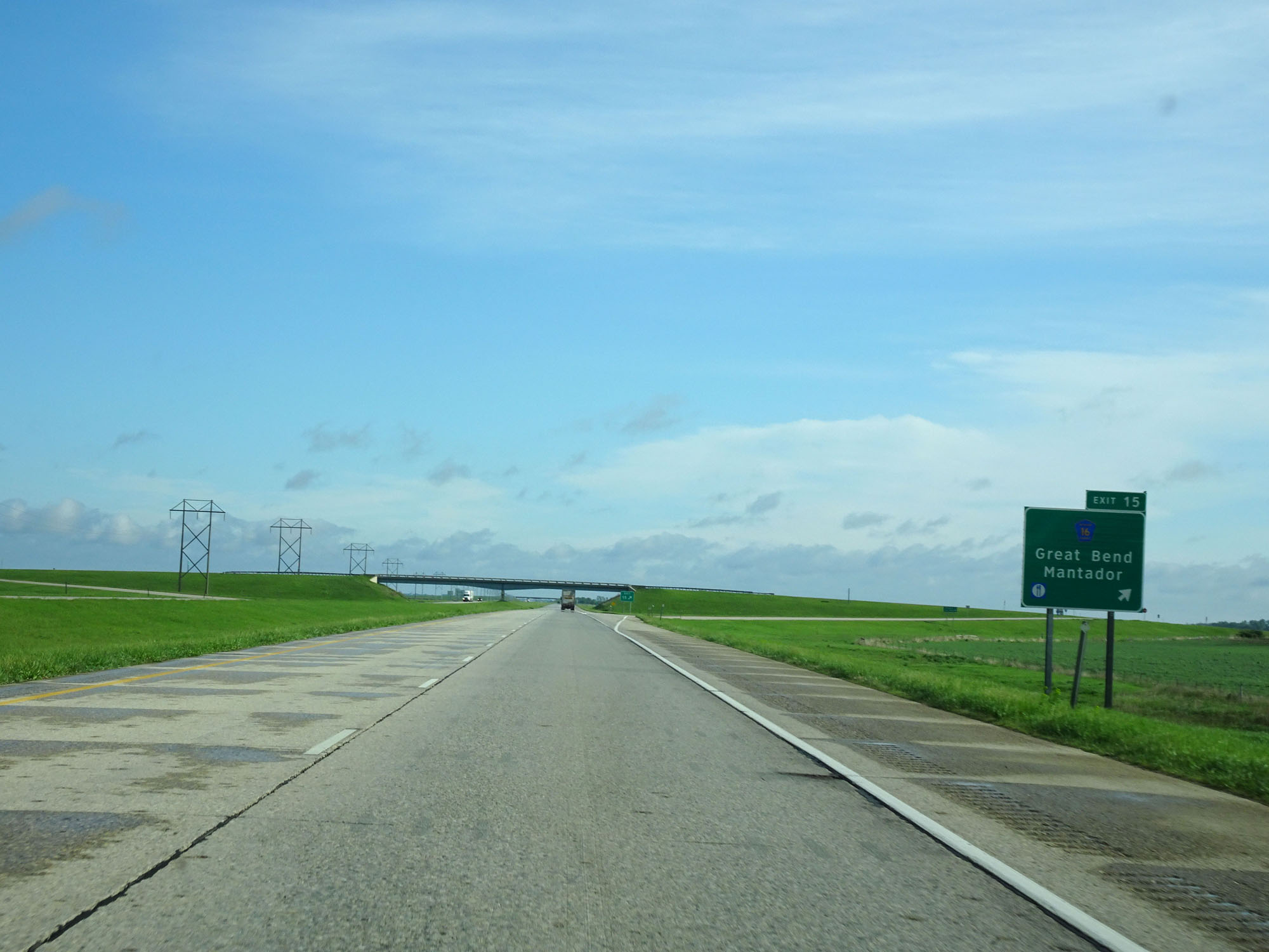 |
Interstate 29 North at Exit 15: CR 16 - Great Bend / Mantador (Photo taken 5/23/16). |
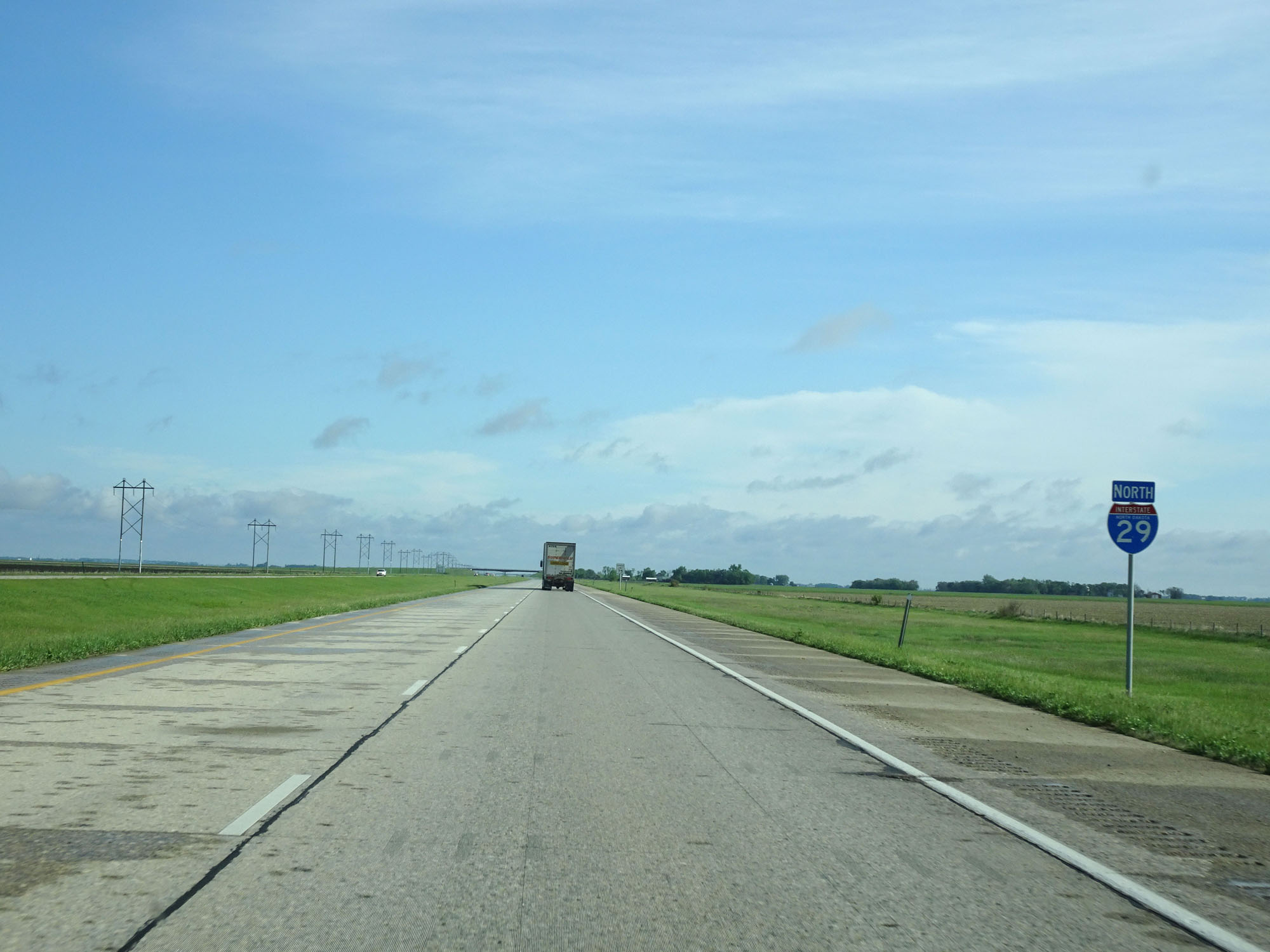 |
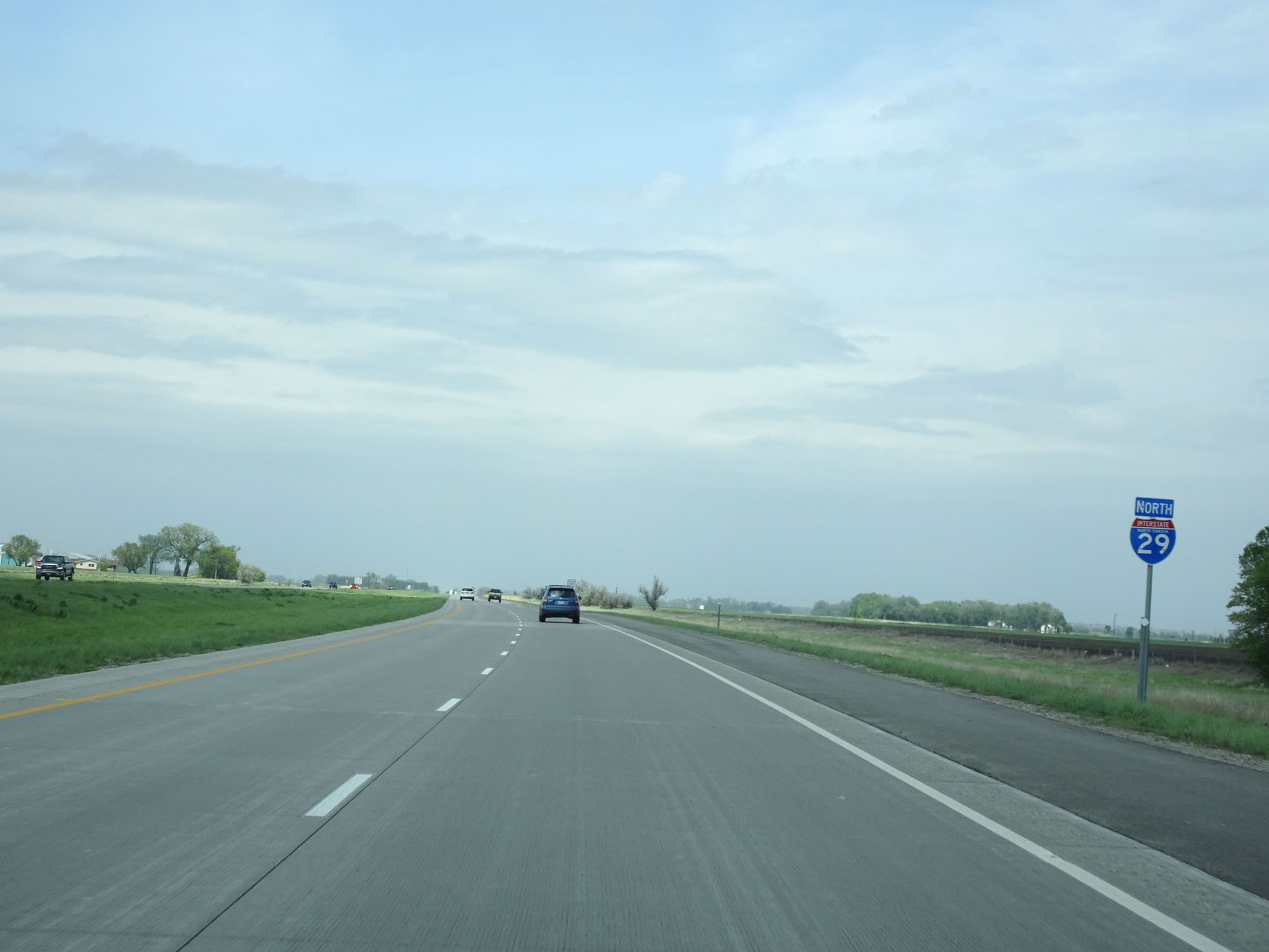
State-named Interstate 29 North reassurance shield. (Photo taken 5/23/16). |
 |
The speed limit remains 75 mph. (Photo taken 5/23/16). |
 |
Interstate 29 North at mile marker 18. (Photo taken 5/23/16). |
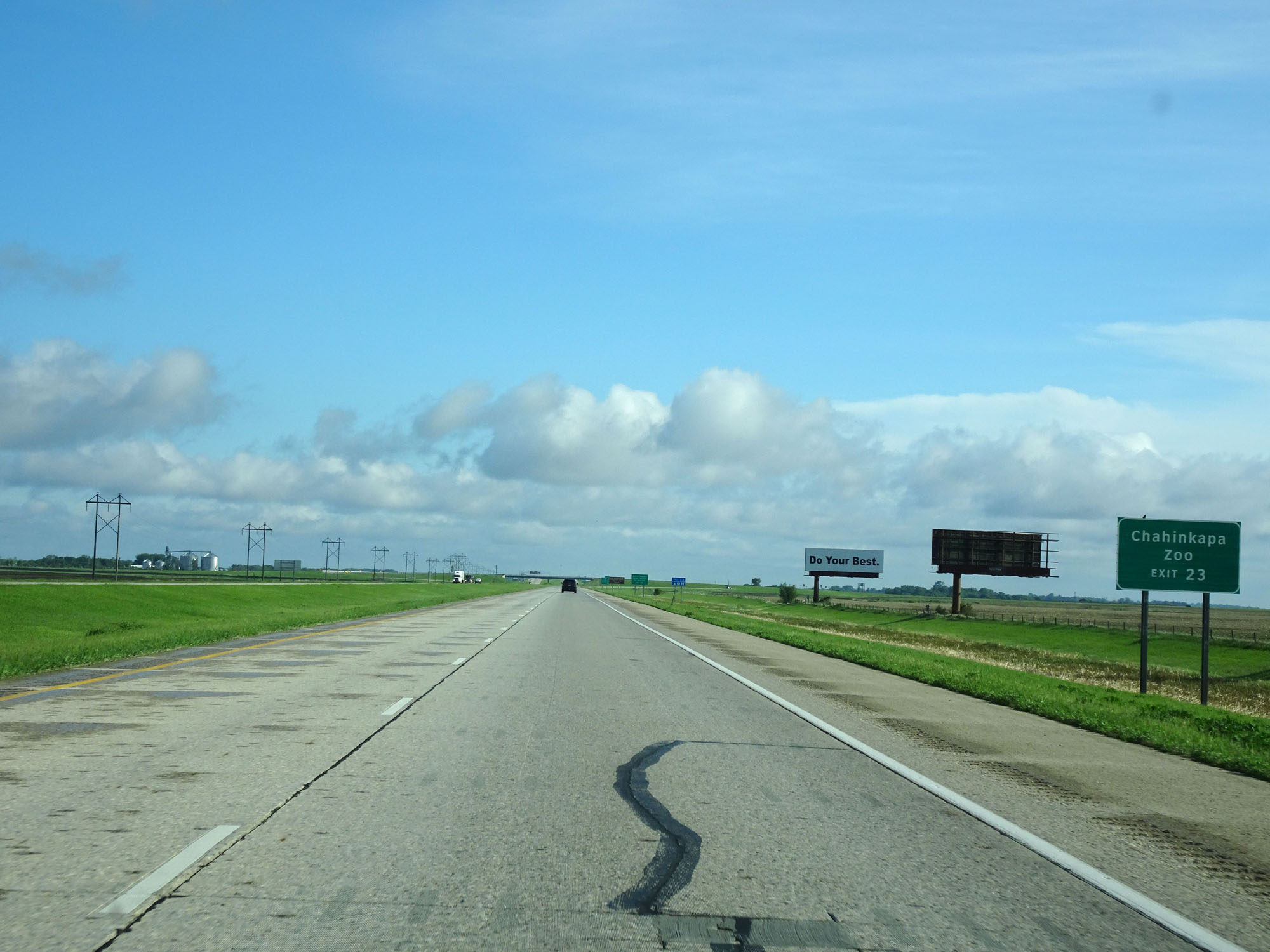 |
Take Exit 23 to Chahinkapa Zoo. (Photo taken 5/23/16). |
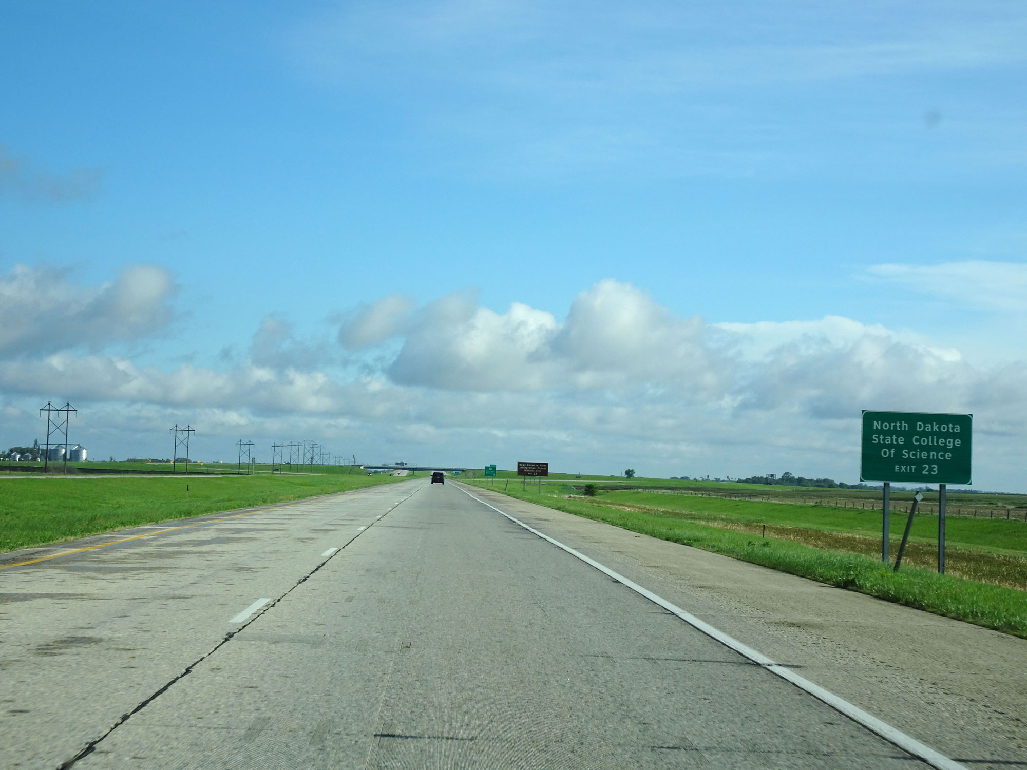 |
Also take Exit 23 to the North Dakota State College of Science. (Photo taken 5/23/16). |
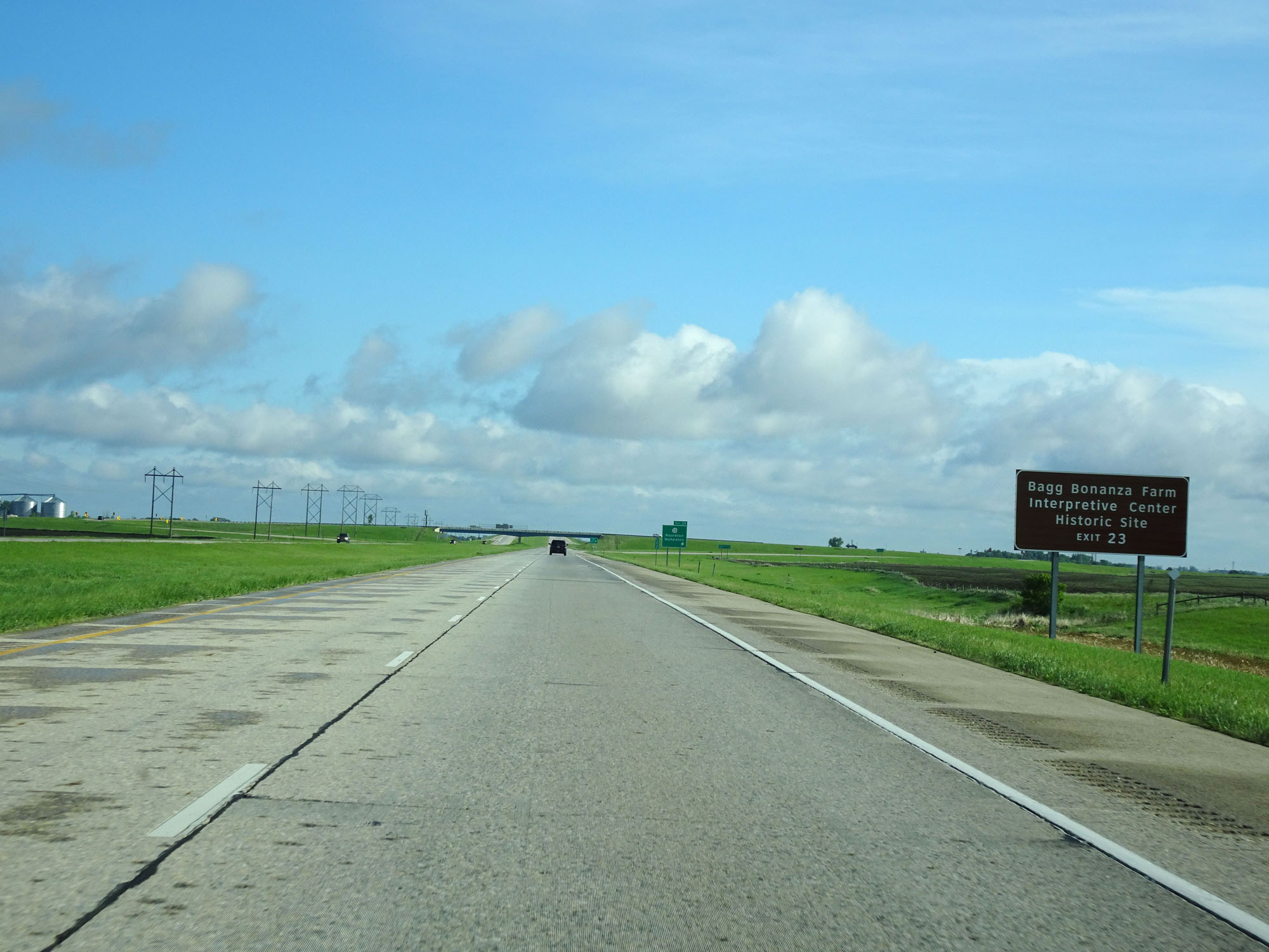 |
Take Exit 23 to Bagg Bonanza Farm Interpretive Center and Historic Site as well. (Photo taken 5/23/16). |
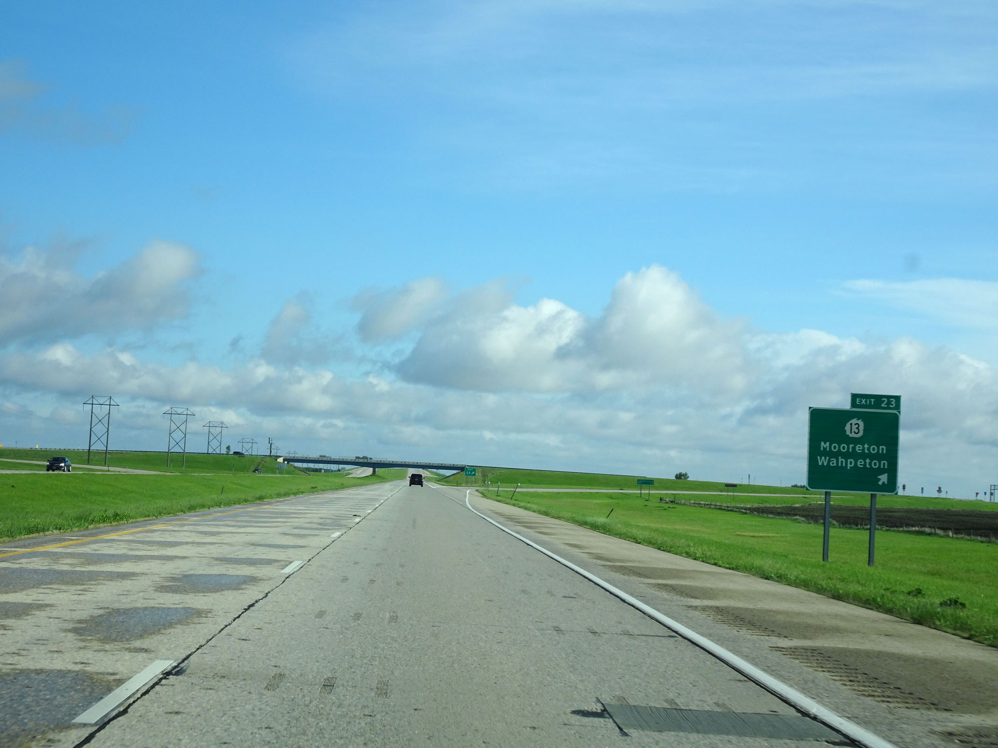 |
Interstate 29 North at Exit 23: ND 13 - Mooreton / Wahpeton (Photo taken 5/23/16). |
 |
Mileage sign on Interstate 29 North. It's 25 miles to the junction of ND 46 and 42 miles to Fargo. (Photo taken 5/23/16). |
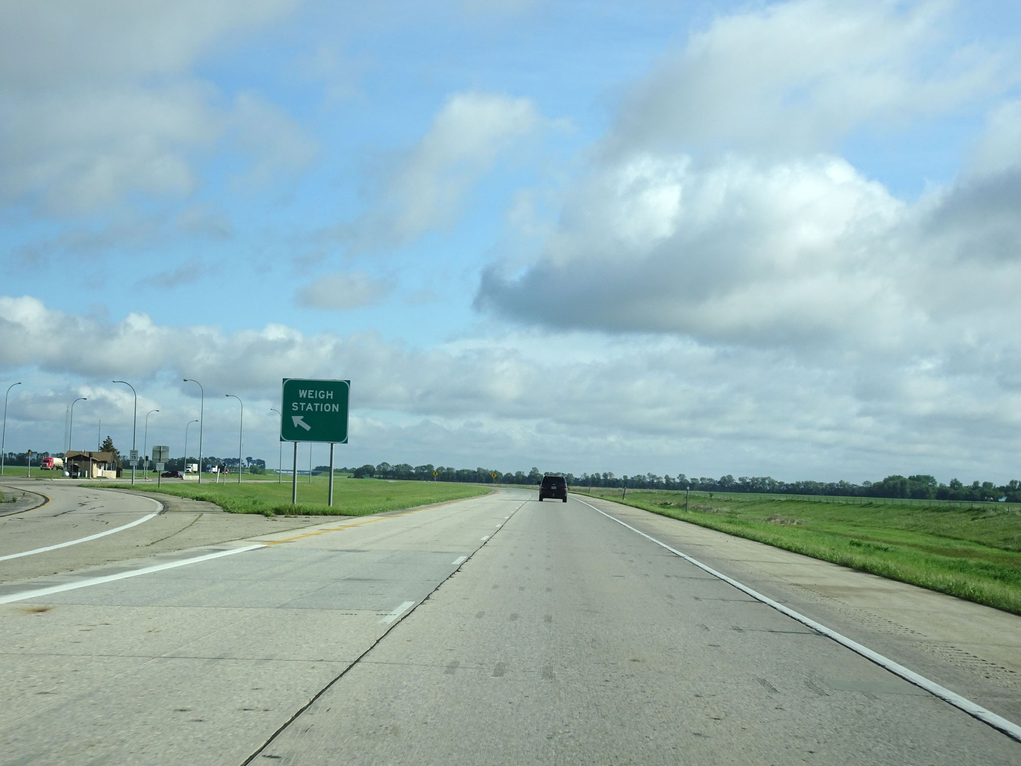 |
Interstate 29 North at the Weigh Station in Richland County, located in the median. (Photo taken 5/23/16). |
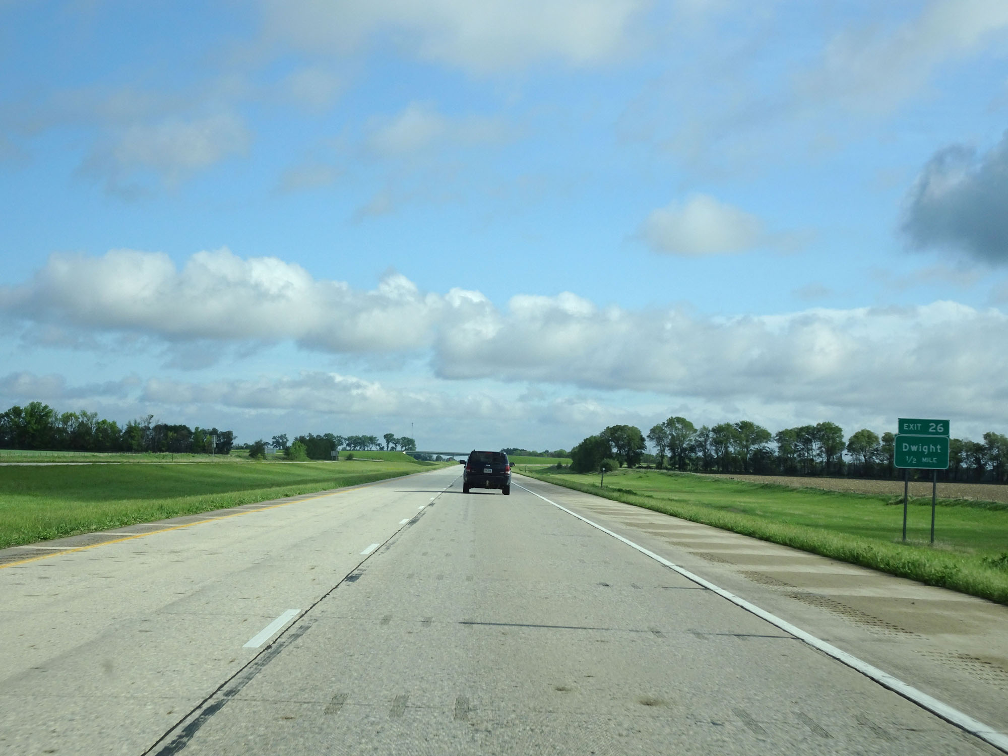 |
Interstate 29 North approaching Exit 26 - 1/2 mile. (Photo taken 5/23/16). |
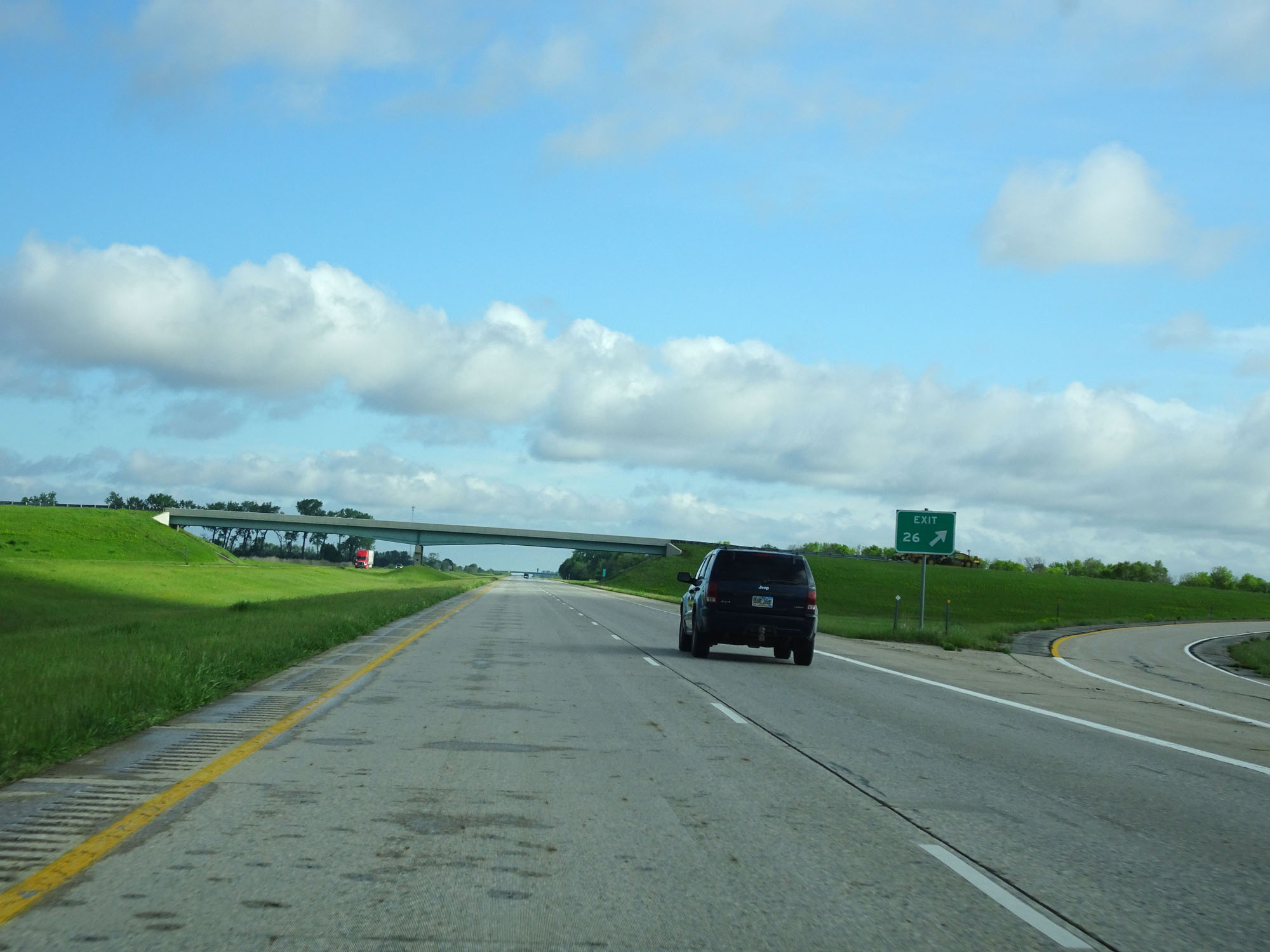 |
Interstate 29 North at Exit 26: Dwight (Photo taken 5/23/16). |
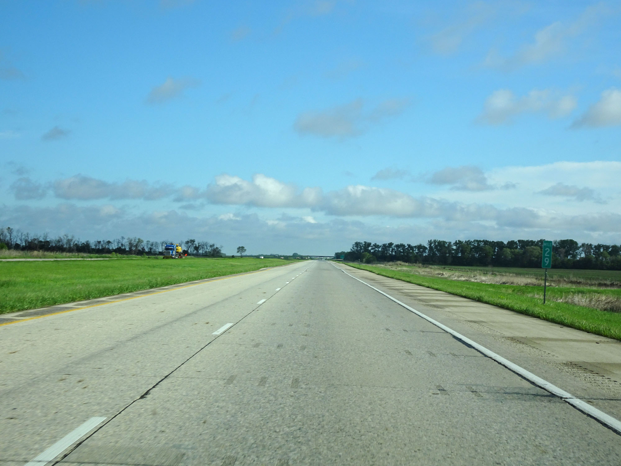 |
Interstate 29 North at mile marker 29. (Photo taken 5/23/16). |
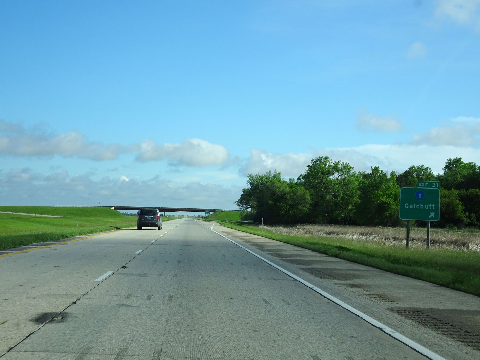 |
Interstate 29 North at Exit 31: CR 8 - Galchutt (Photo taken 5/23/16). |
 |
Interstate 29 North at mile marker 32. (Photo taken 5/23/16). |
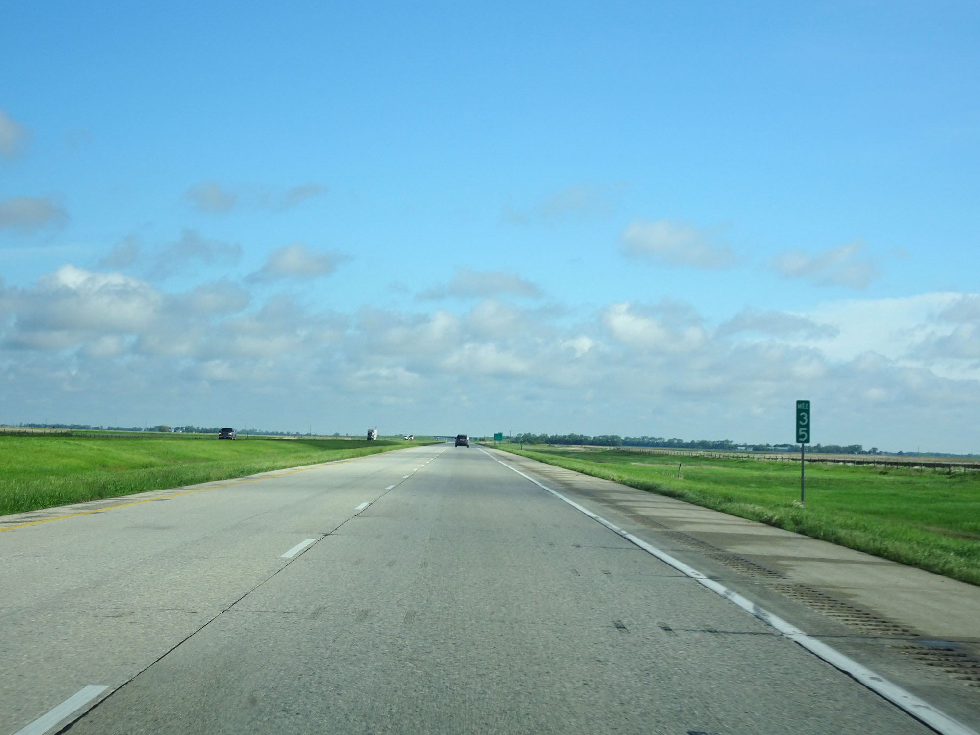 |
Interstate 29 North at mile marker 35. (Photo taken 5/23/16). |
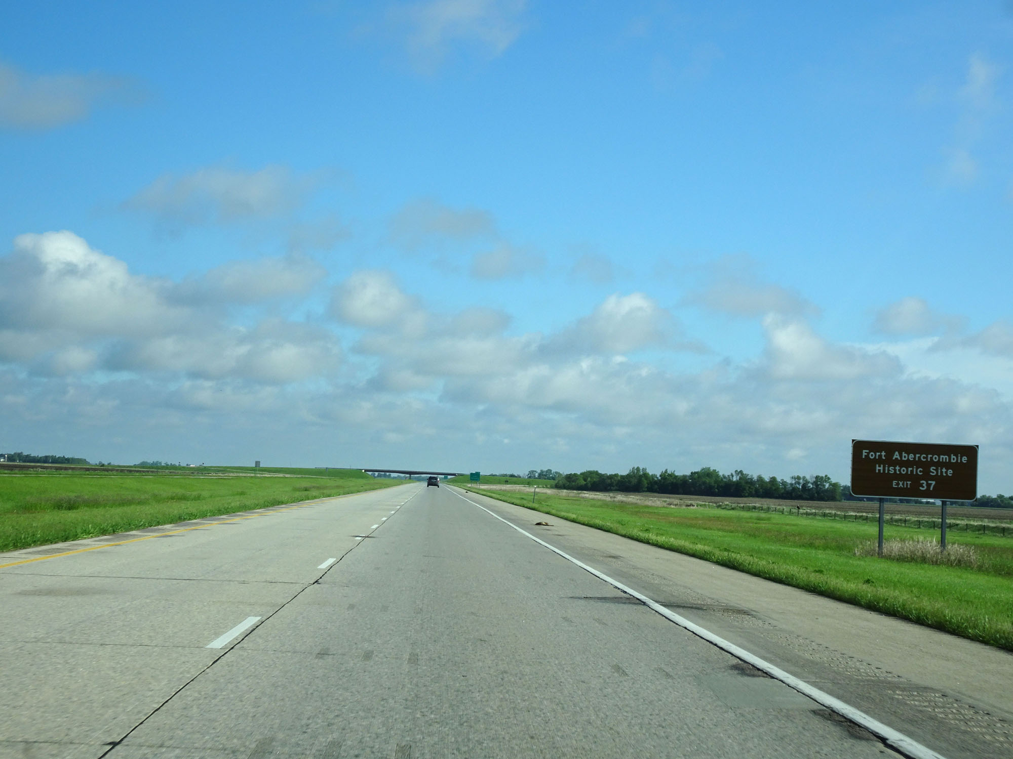 |
Take Exit 37 to Fort Abercrombie Historic Site. (Photo taken 5/23/16). |
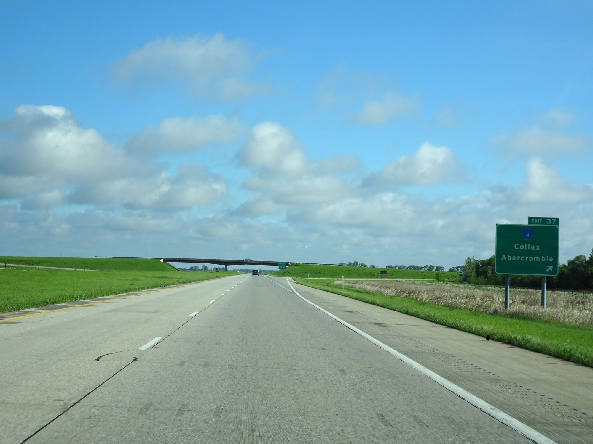 |
Interstate 29 North at Exit 37: CR 4 - Colfax / Abercrombie (Photo taken 5/23/16). |
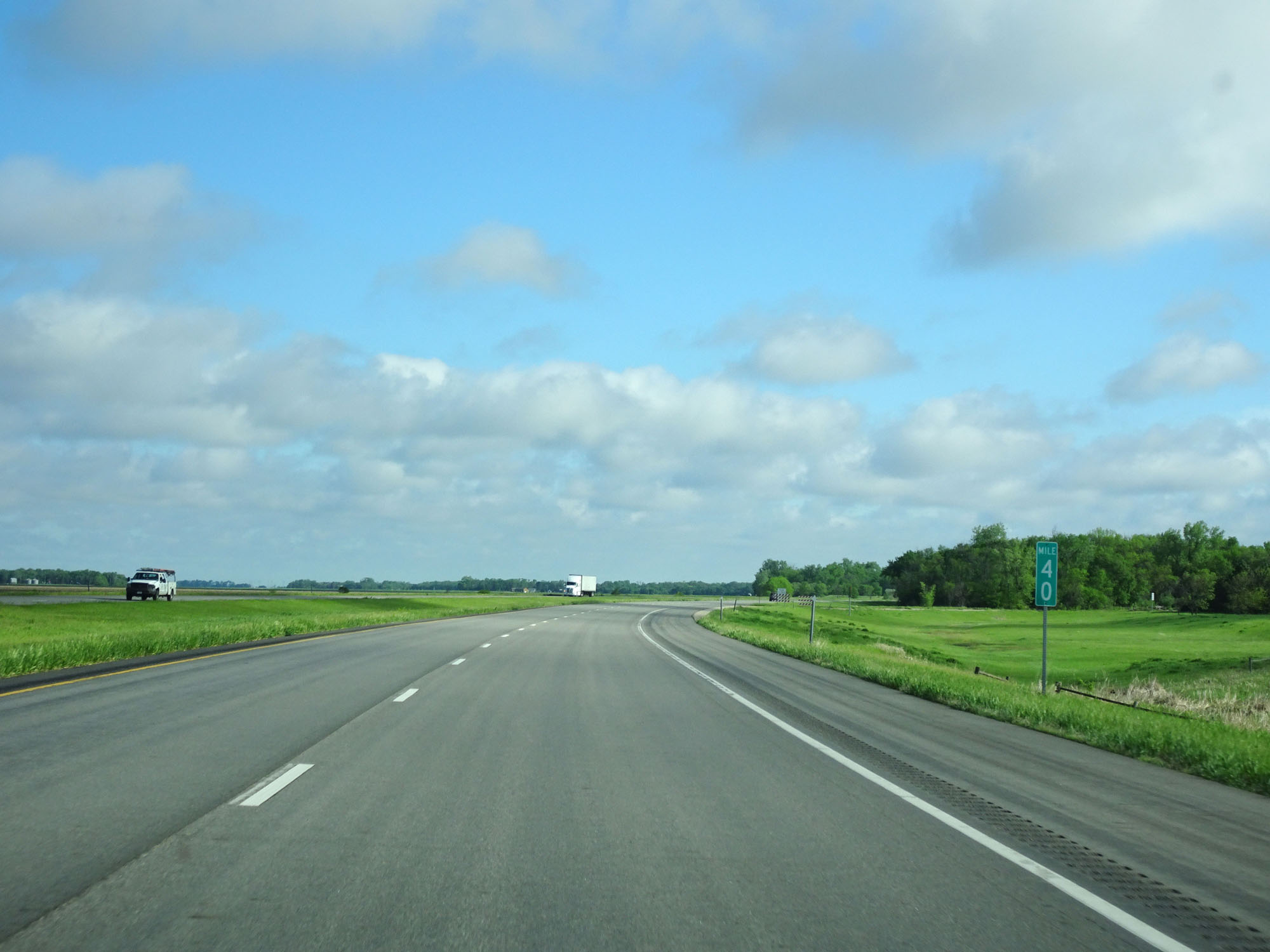 |
Interstate 29 North at mile marker 40. (Photo taken 5/23/16). |
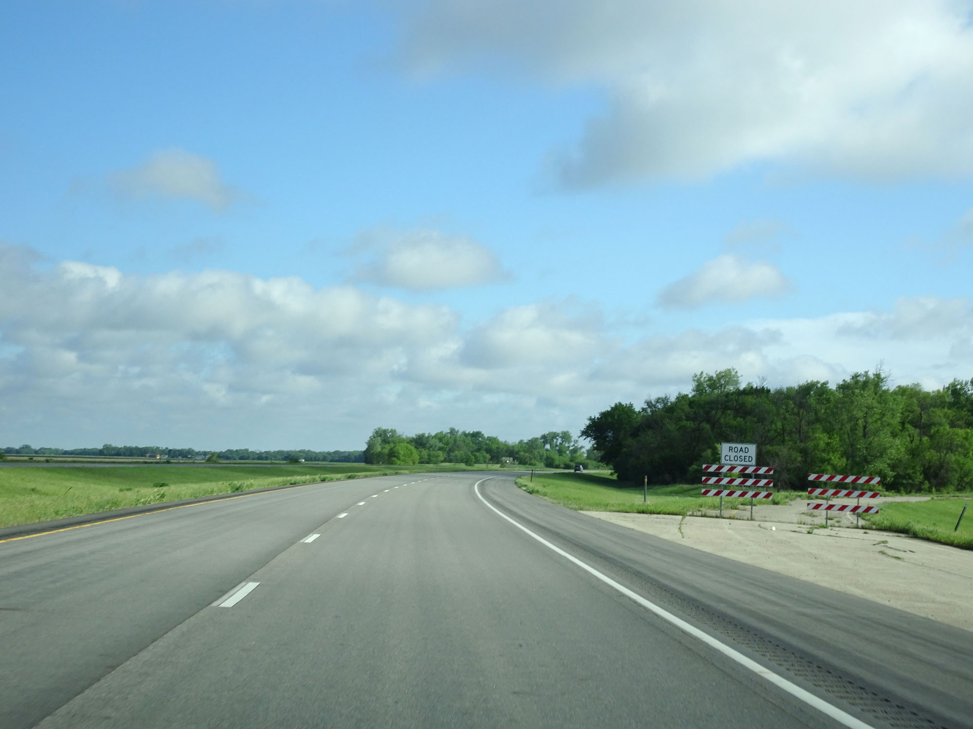 |
Abandoned Rest Area on Interstate 29 North in Richland County. (Photo taken 5/23/16). |
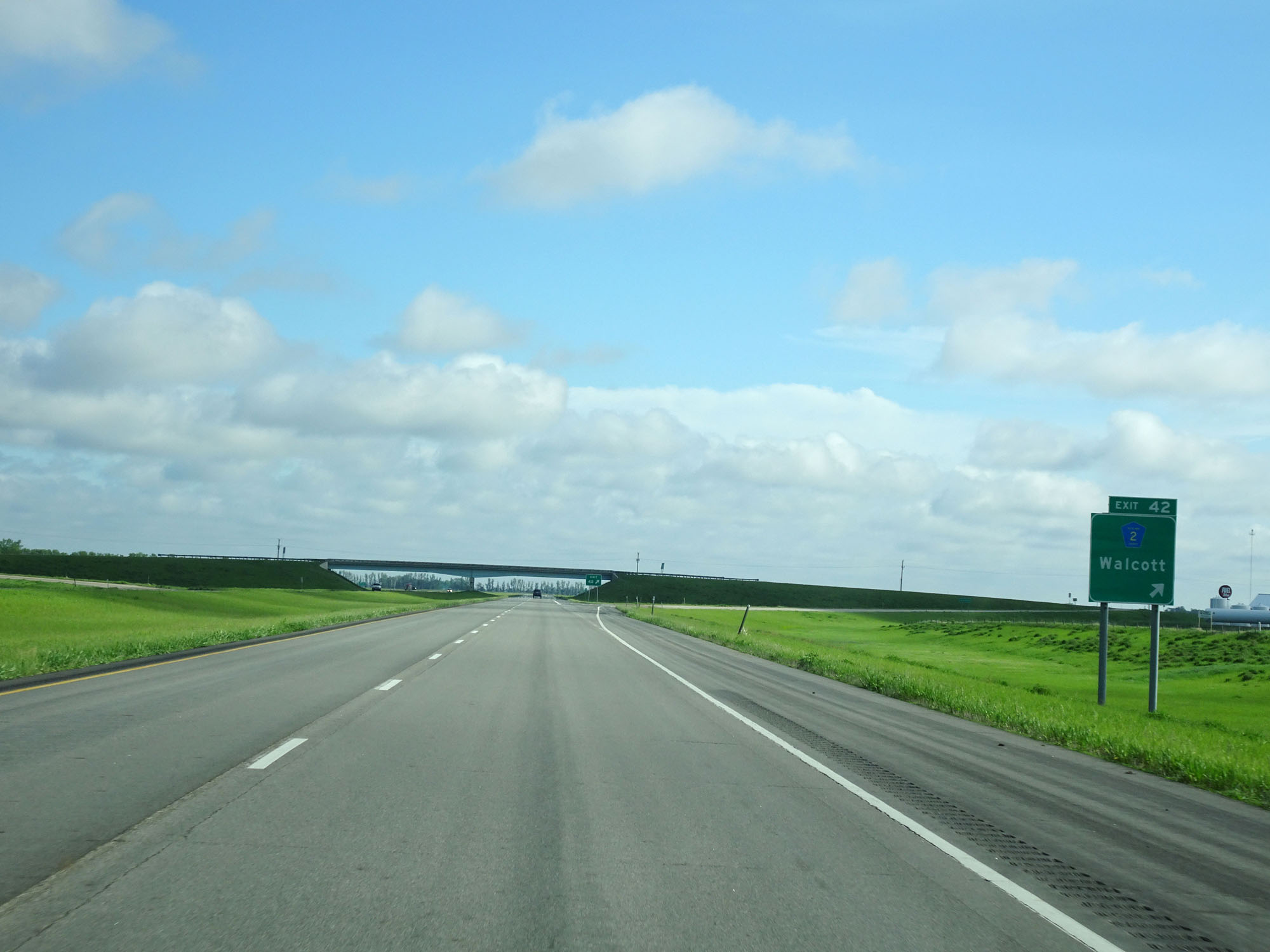 |
Interstate 29 North at Exit 42: CR 2 - Walcott (Photo taken 5/23/16). |
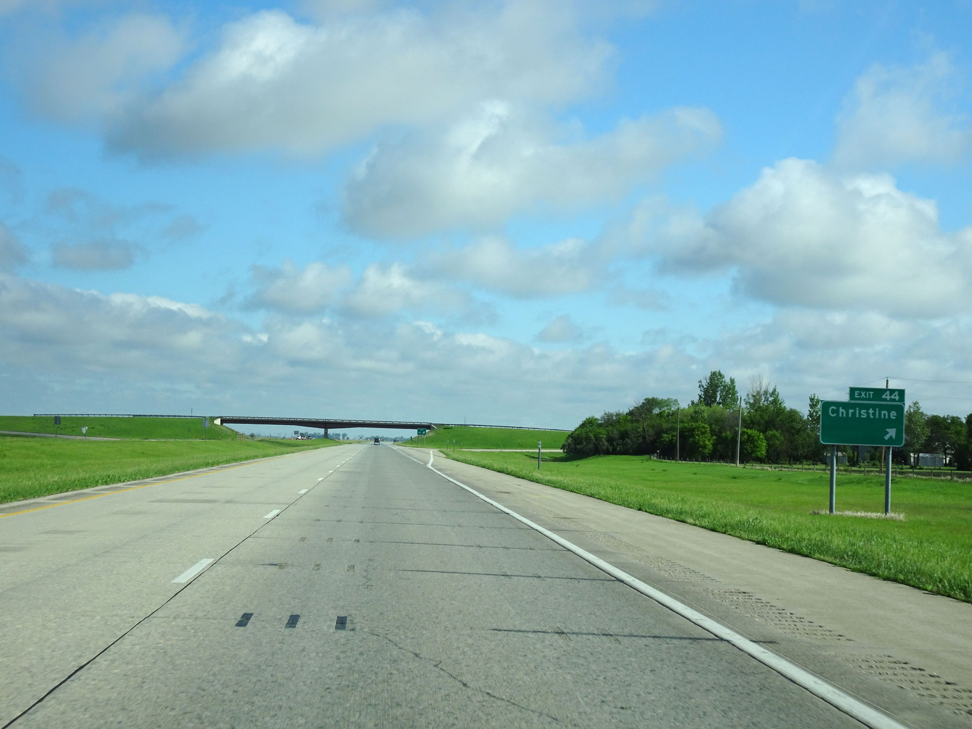 |
Interstate 29 North at Exit 44: Christine (Photo taken 5/23/16). |
 |
State-named Interstate 29 North reassurance shield. (Photo taken 5/23/16). |
 |
The speed limit remains 75 mph for all traffic. (Photo taken 5/23/16). |
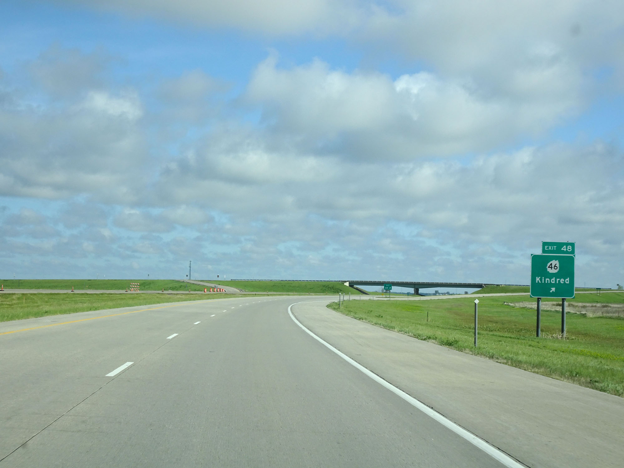 |
Interstate 29 North at Exit 48: ND 46 - Kindred (Photo taken 5/23/16). |
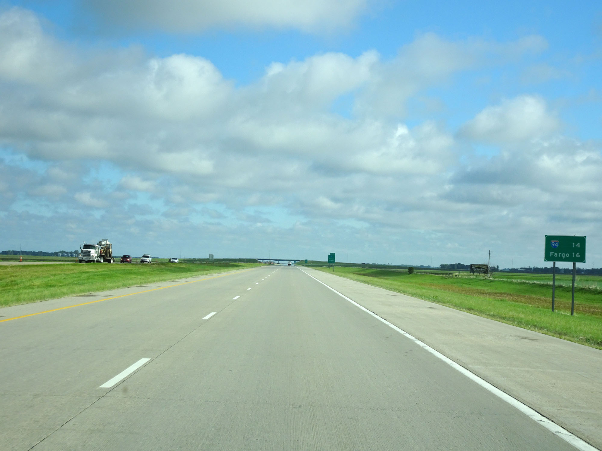 |
Mileage sign on Interstate 29 North. It's 14 miles to the junction of Interstate 94 and 16 miles to Fargo. (Photo taken 5/23/16). |
 |
Interstate 29 North at Exit 49: CR 18 - Hickson / Oxbow (Photo taken 5/23/16). |
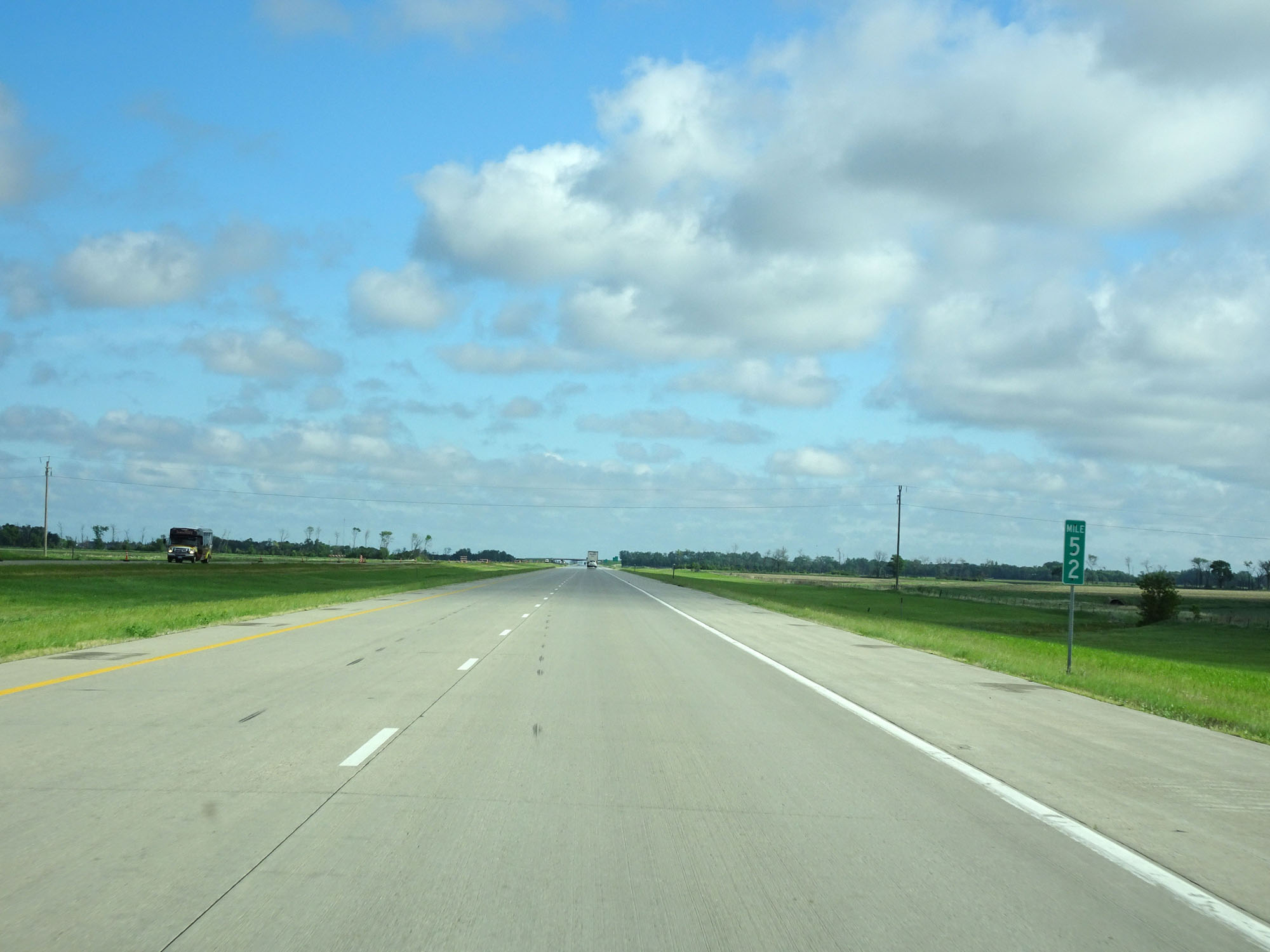 |
Interstate 29 North at mile marker 52. (Photo taken 5/23/16). |
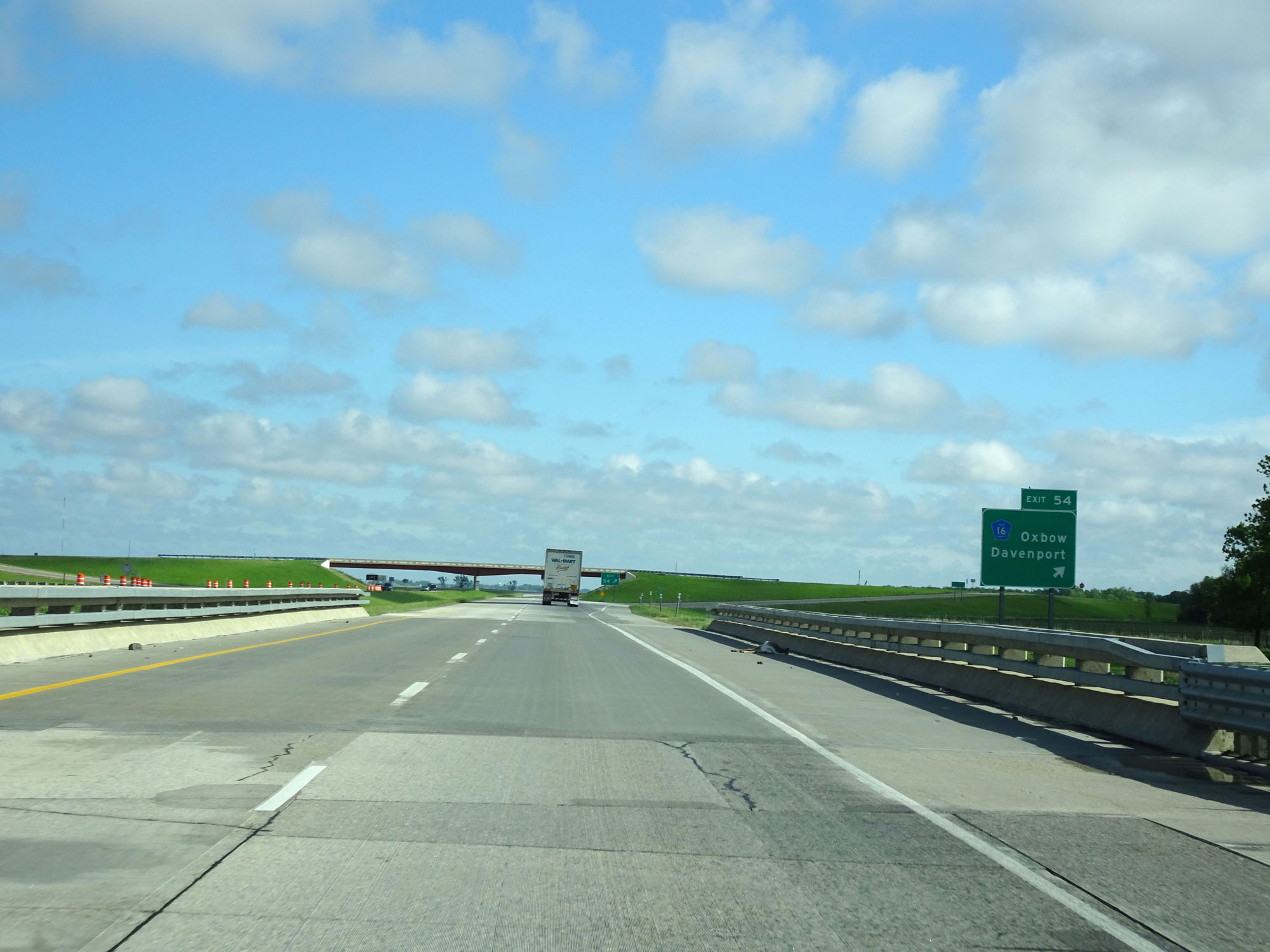 |
Interstate 29 North at Exit 54: CR 16 - Oxbow / Davenport (Photo taken 5/23/16). |
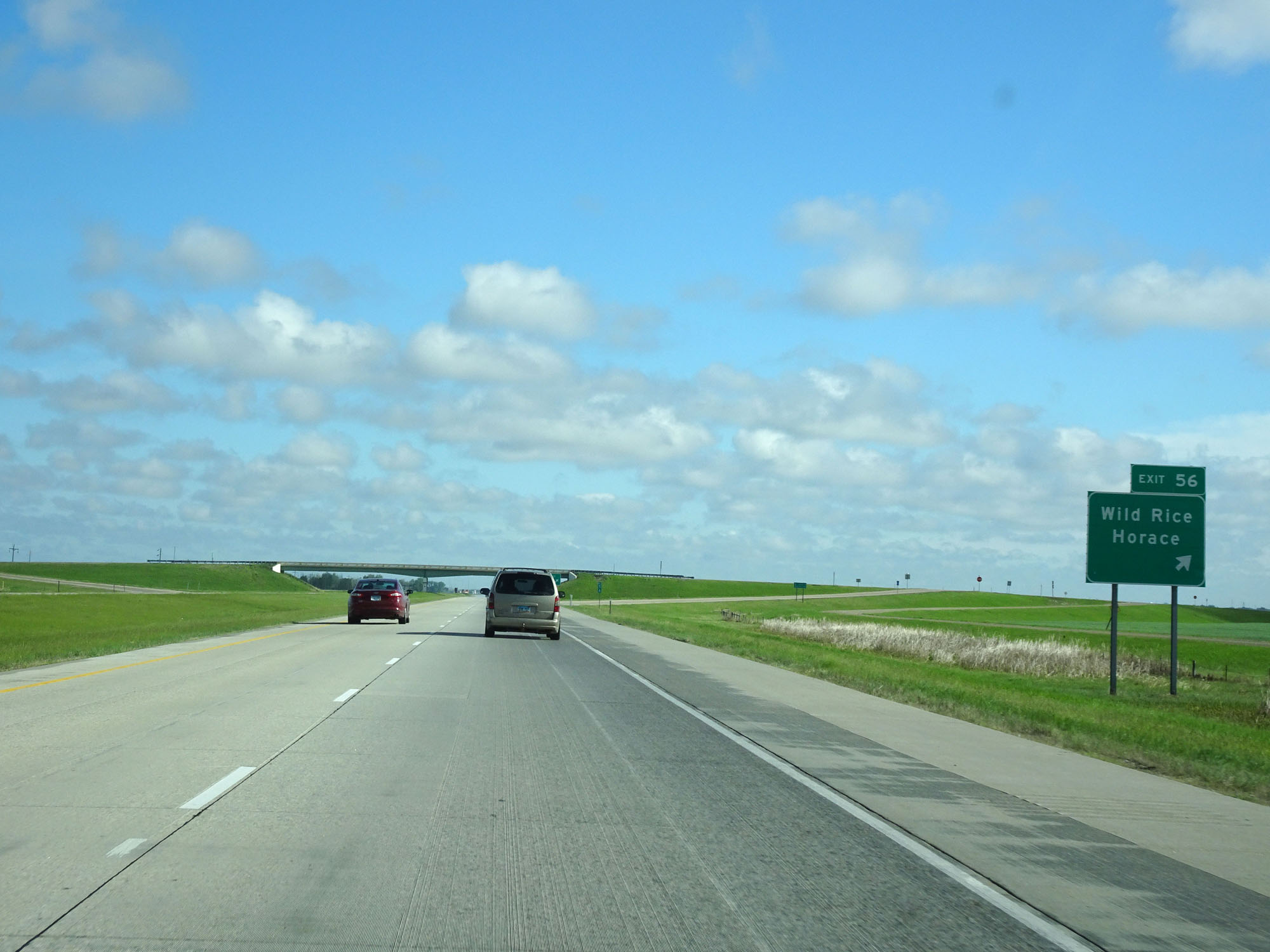 |
Interstate 29 North at Exit 56: Wild Rice / Horace (Photo taken 5/23/16). |
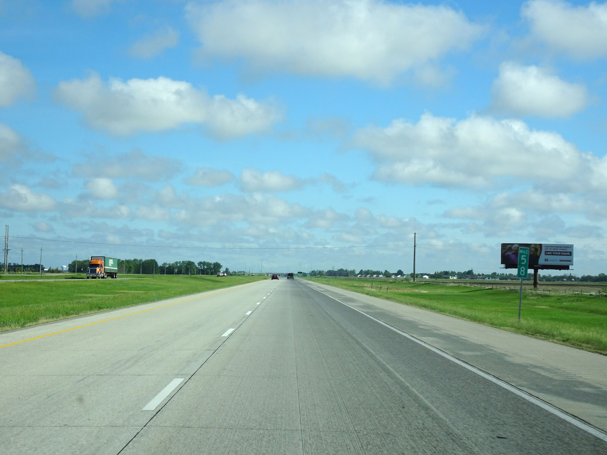 |
Interstate 29 North at mile marker 58. (Photo taken 5/23/16). |
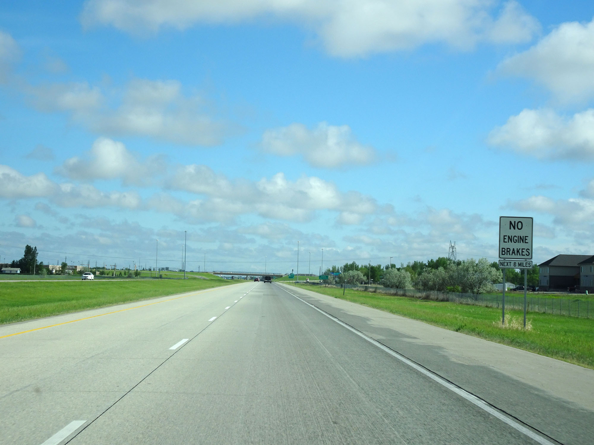 |
Engine brakes are prohibited for the next 8 miles on Interstate 29 North as it nears the outskirts of Fargo. (Photo taken 5/23/16). |
 |
Take any of the next 8 exits to Fargo. (Photo taken 5/23/16). |
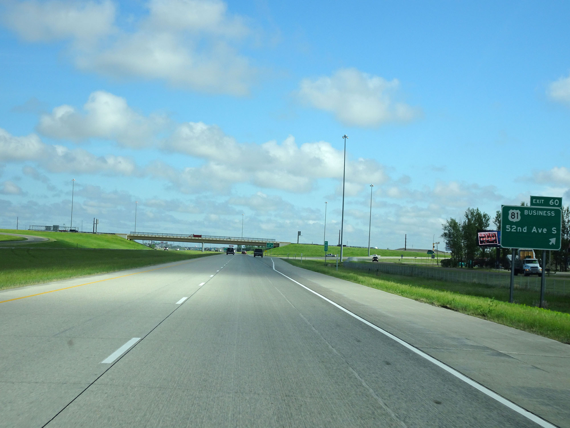 |
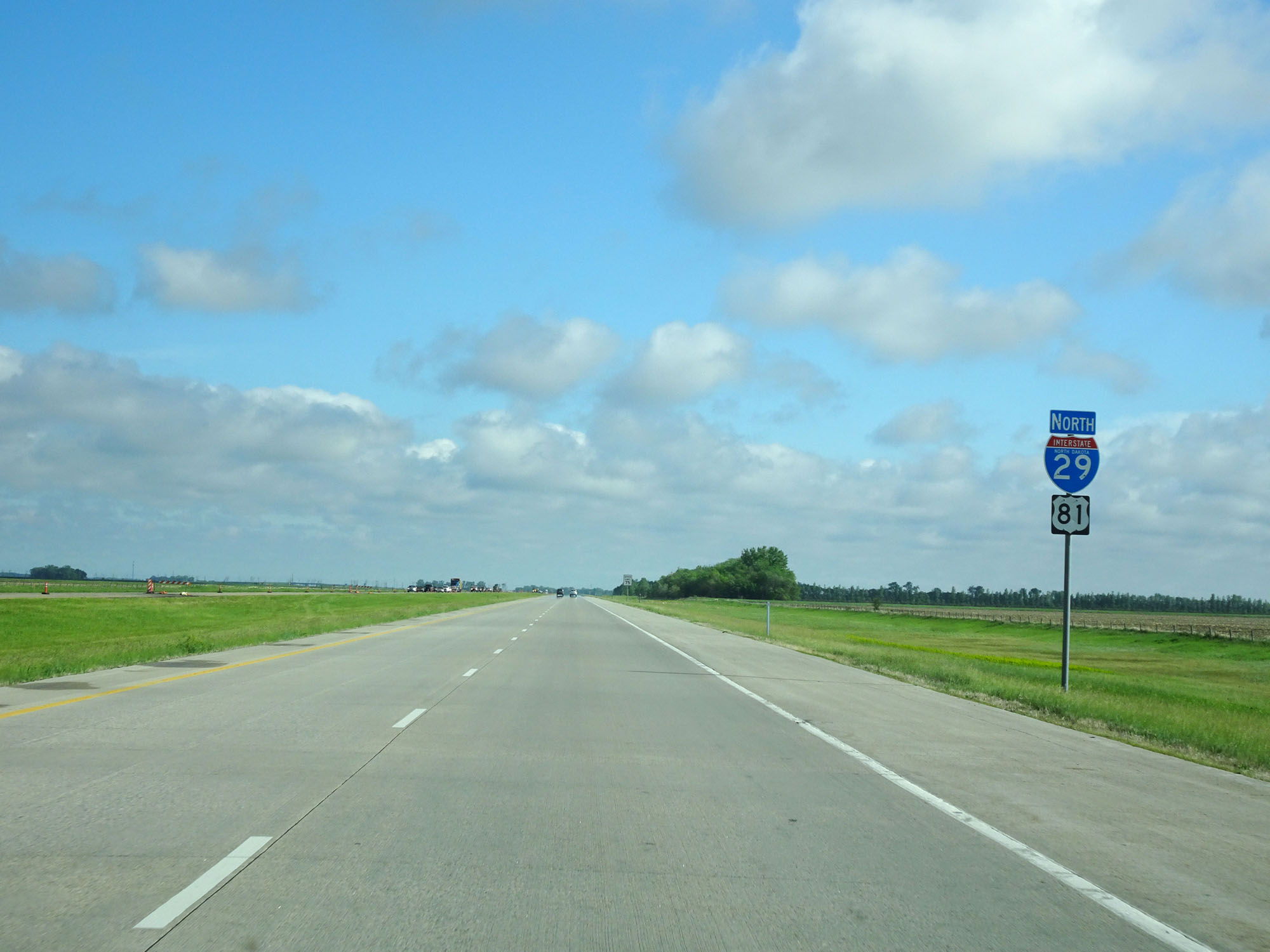
Interstate 29 North at Exit 60: US 81 Business - 52nd Ave S (Photo taken 5/23/16). |
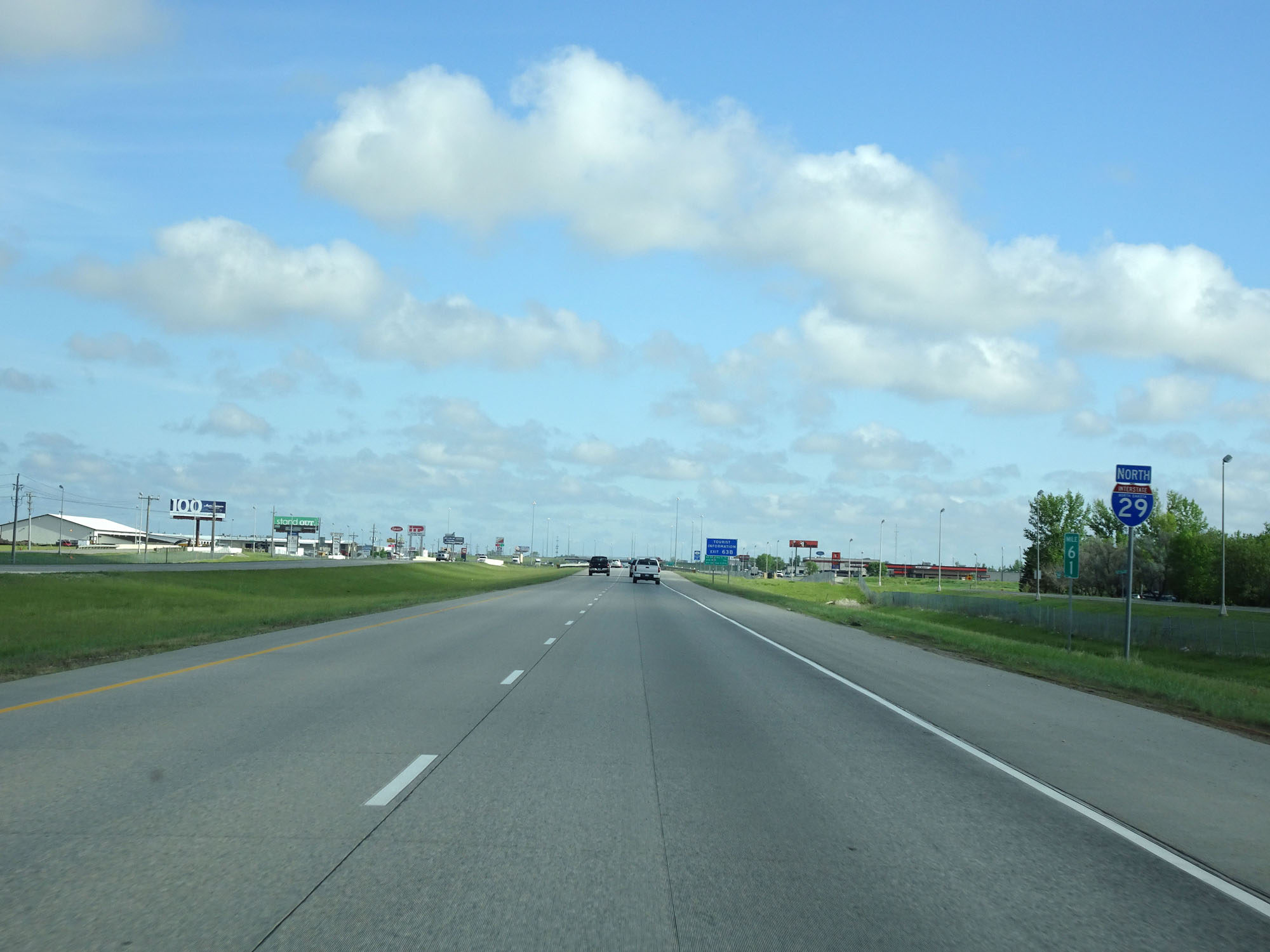 |
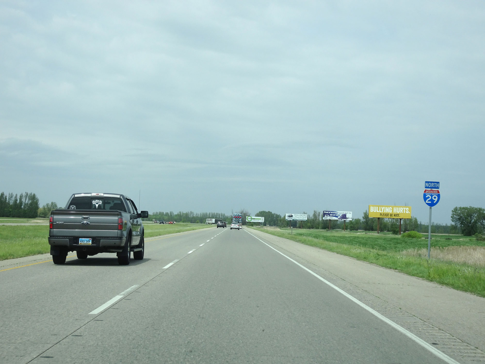
State-named Interstate 29 North reassurance shield at mile marker 61. (Photo taken 5/23/16). |
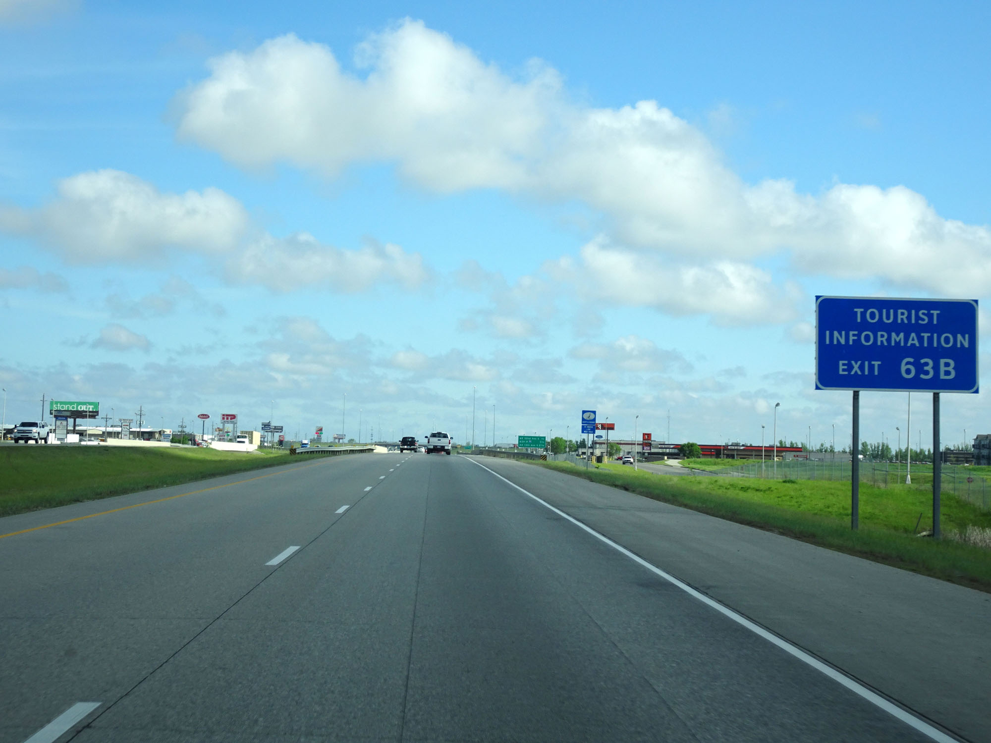 |
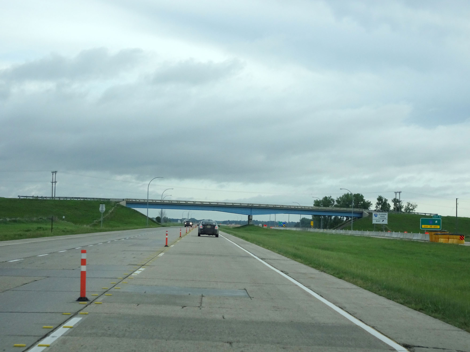
Take Exit 63B for Tourist Information. (Photo taken 5/23/16). |
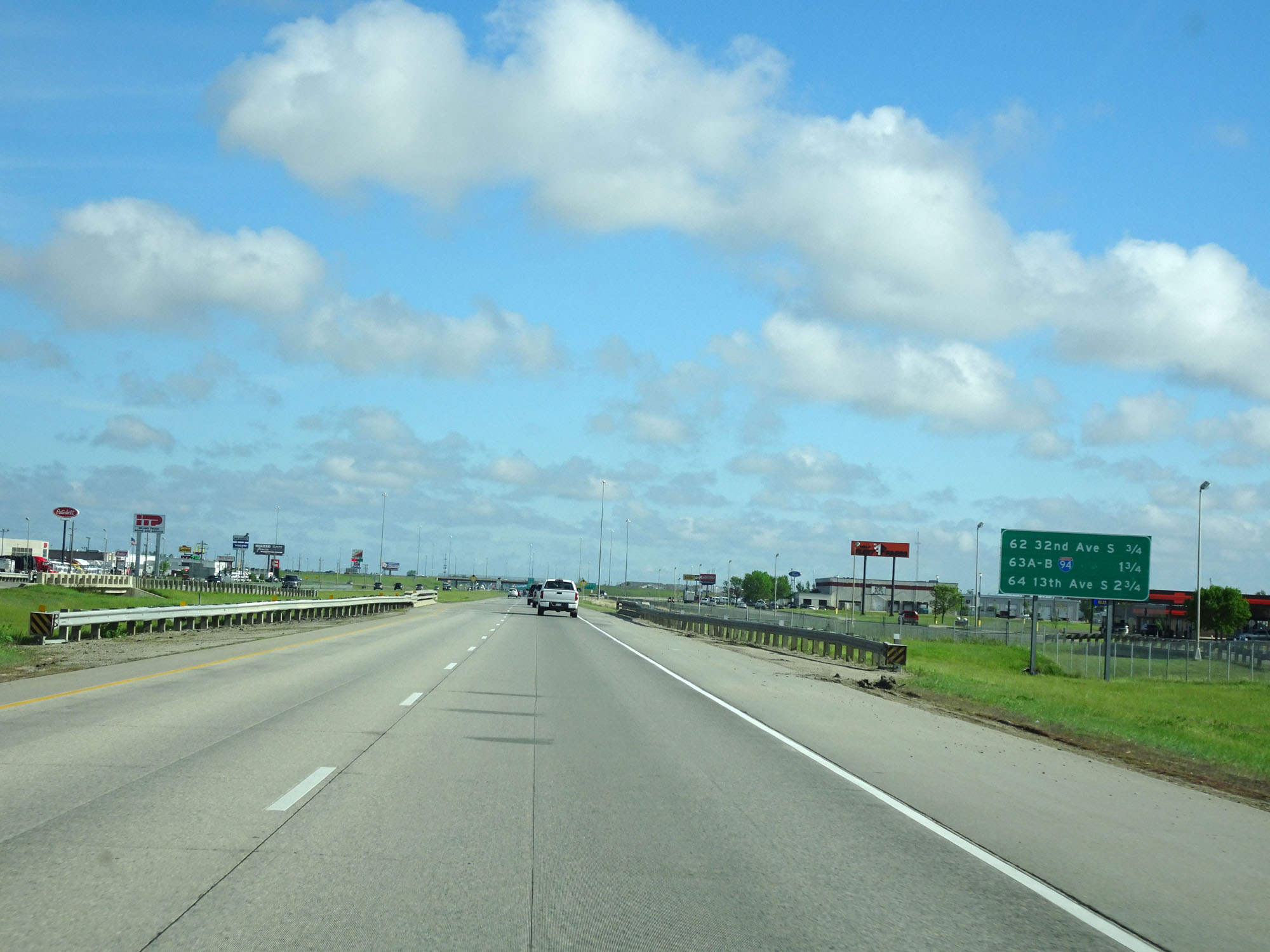 |
This sign lists the distances to the three upcoming Fargo exits. (Photo taken 5/23/16). |
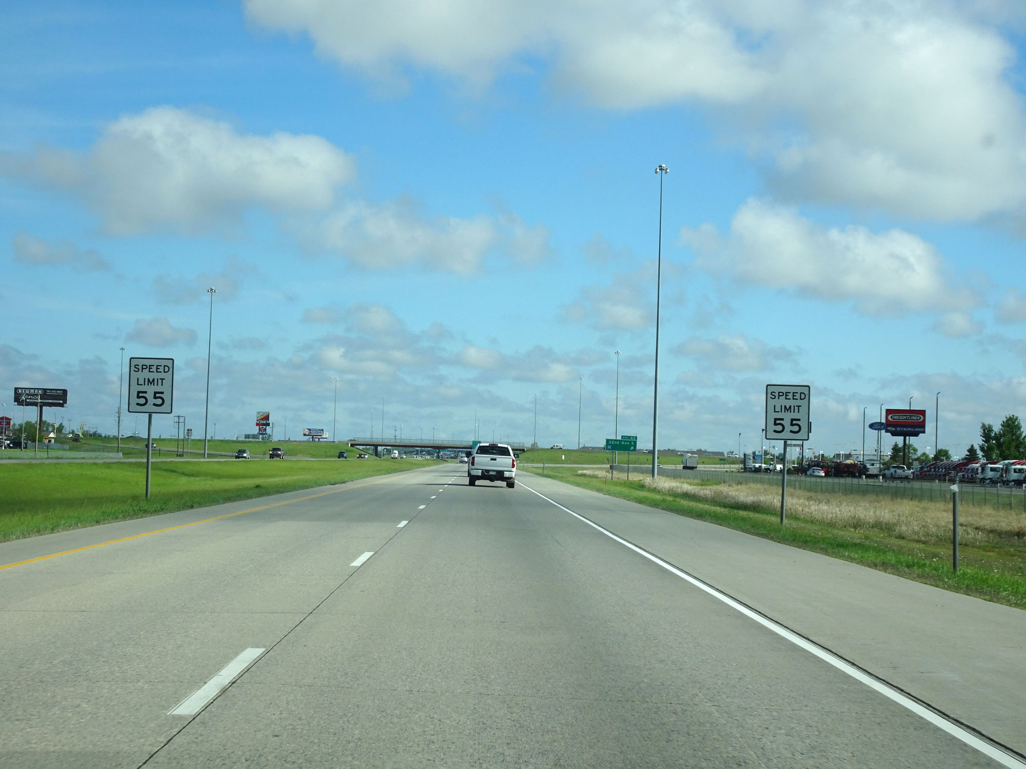 |
Nearing Fargo and the junction of Interstate 94, the speed limit decreases to 55 mph for all traffic. (Photo taken 5/23/16). |
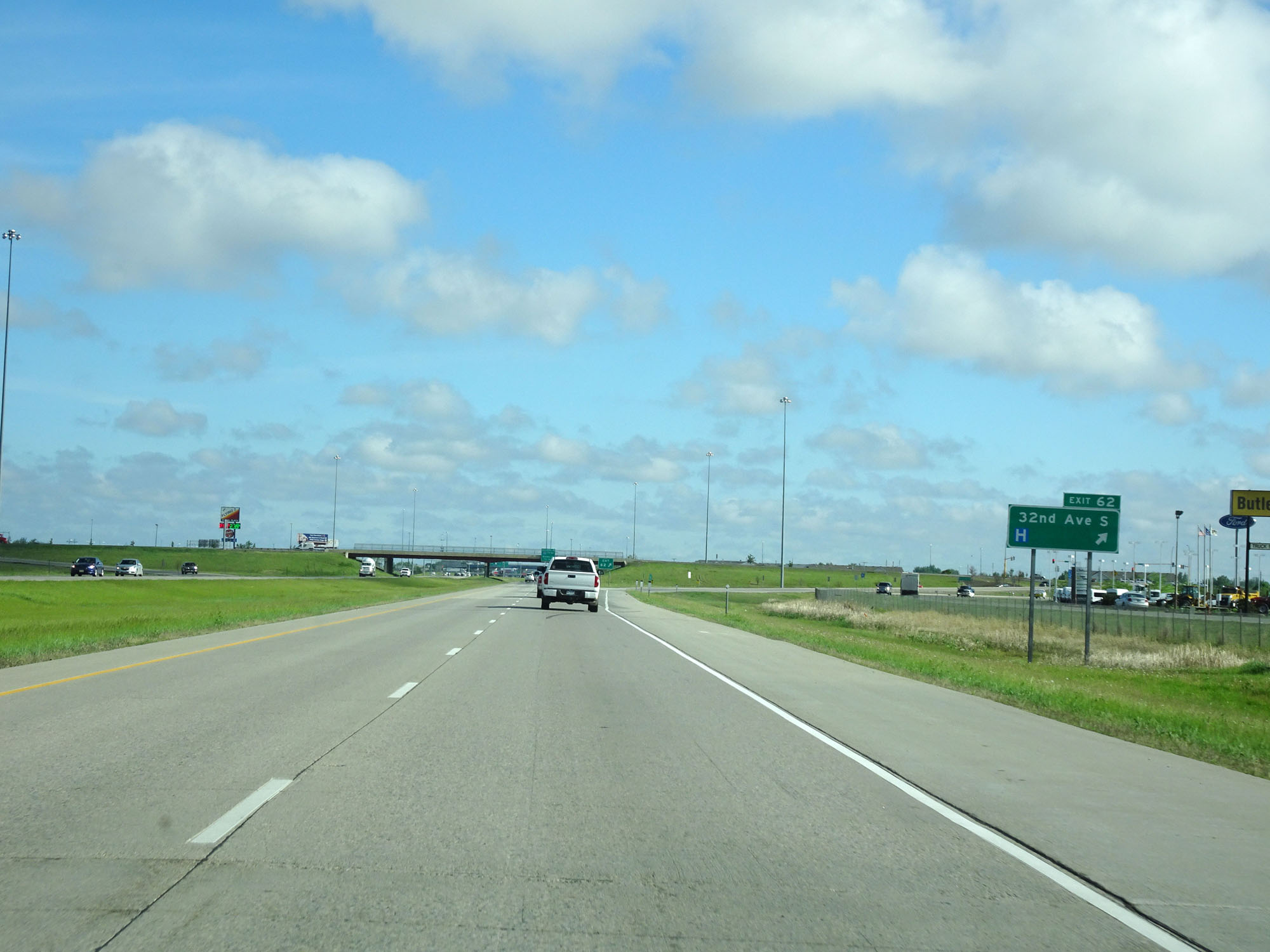 |
Interstate 29 North at Exit 62: 32nd Ave S (Photo taken 5/23/16). |
 |
Interstate 29 North approaching Exits 63A-B - 3/4 mile. (Photo taken 5/23/16). |
 |
Take Exit 63A (Interstate 94 East) to Moorhead. (Photo taken 5/23/16). |
 |
Interstate 29 North approaching Exit 63A - 1/4 mile. (Photo taken 5/23/16). |
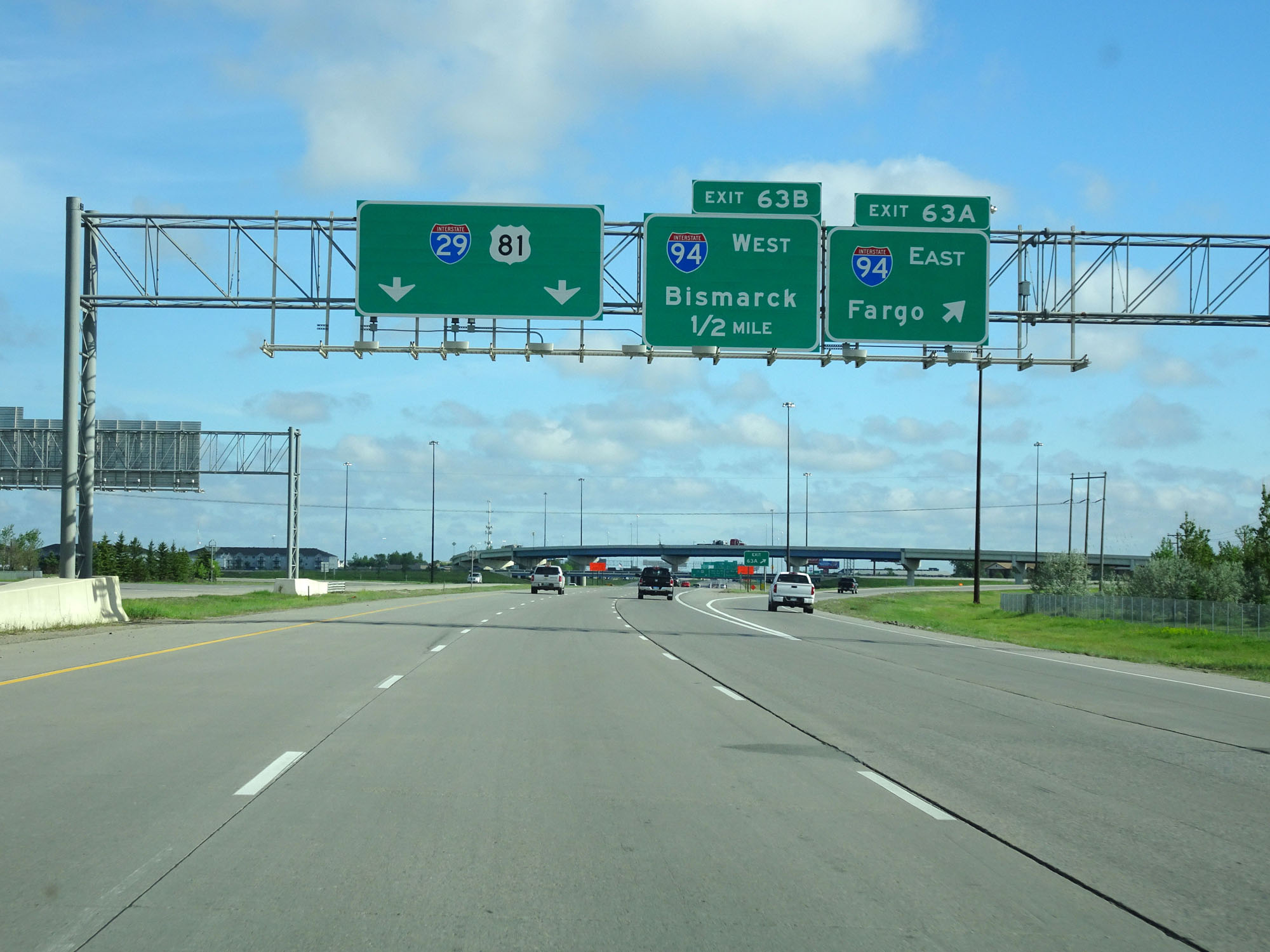 |
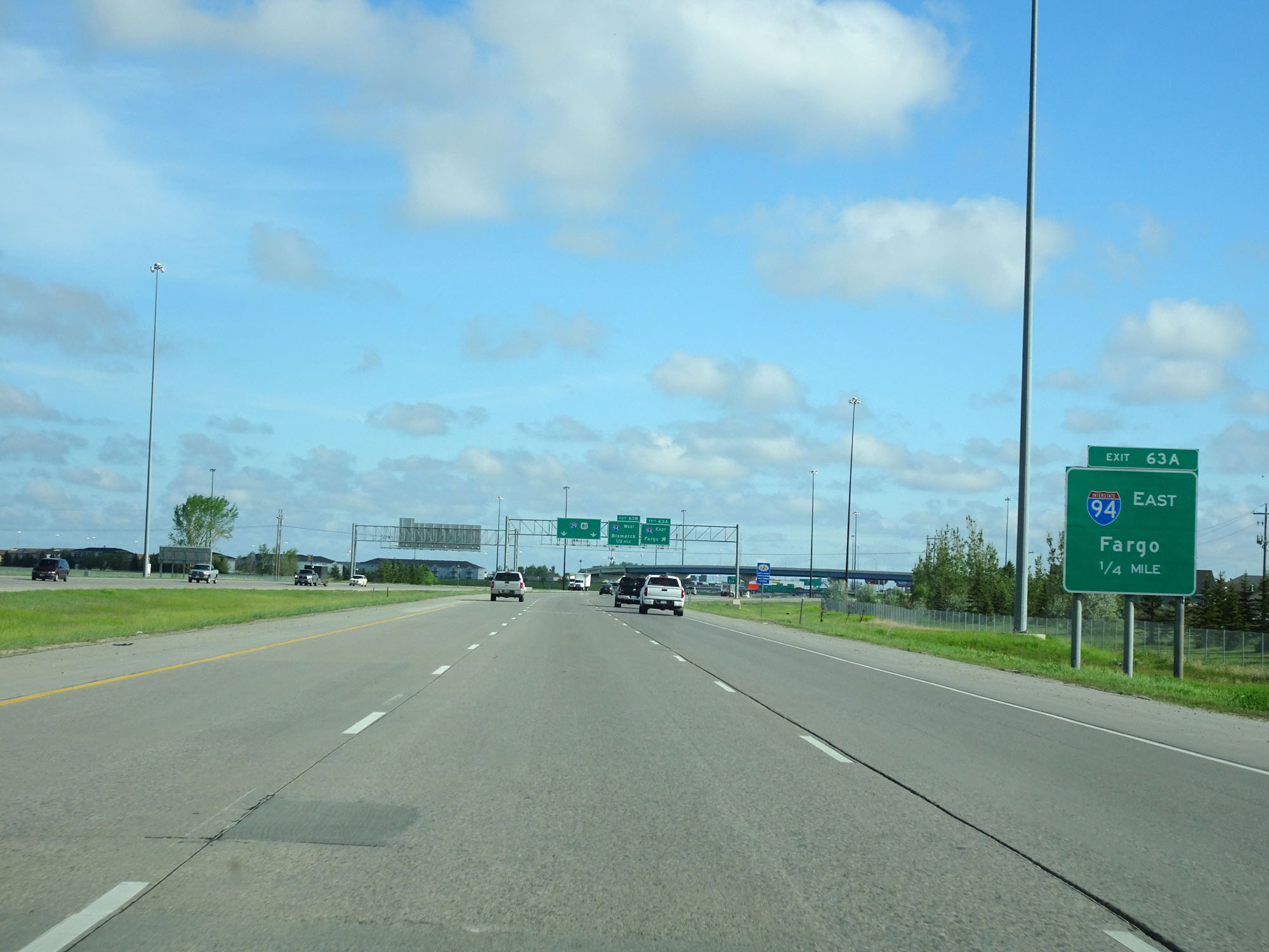
Interstate 29 North at Exit 63A: Interstate 94 East - Fargo (Photo taken 5/23/16). |
 |
Interstate 29 North at Exit 63B: Interstate 94 West - Bismarck (Photo taken 5/23/16). |
Section 2: Fargo (Exit 63B) to Grand Forks (Exit 141)
 |
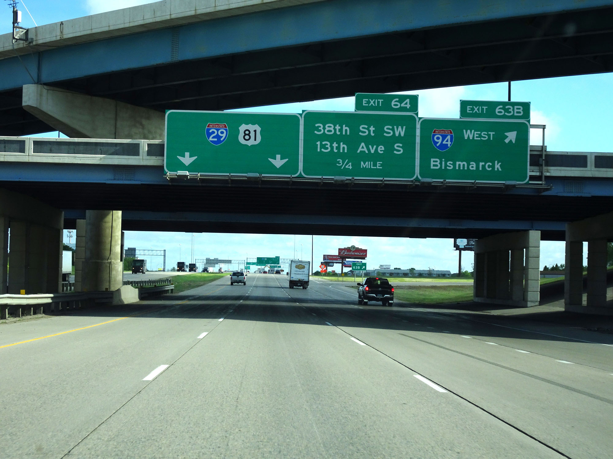
Interstate 29 North at Exit 64: 38th St SW / 13th Ave S (Photo taken 5/22/16). |
 |
Interstate 29 North approaching Exit 65 - 1 mile. (Photo taken 5/22/16). |
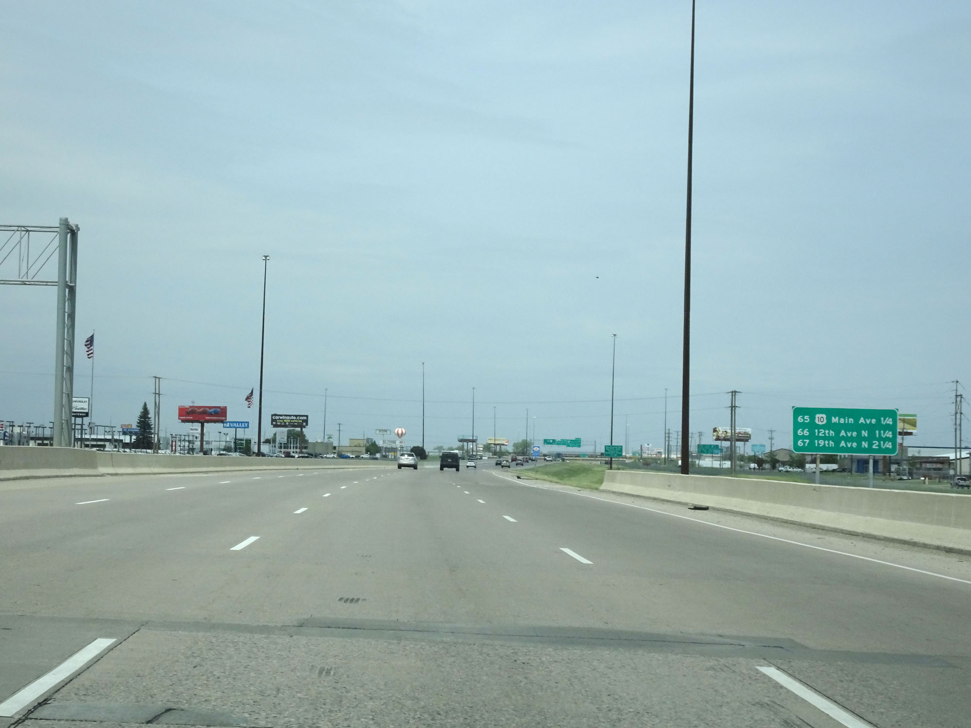 |
Sign listing the distances to the next three Fargo exits. (Photo taken 5/22/16). |
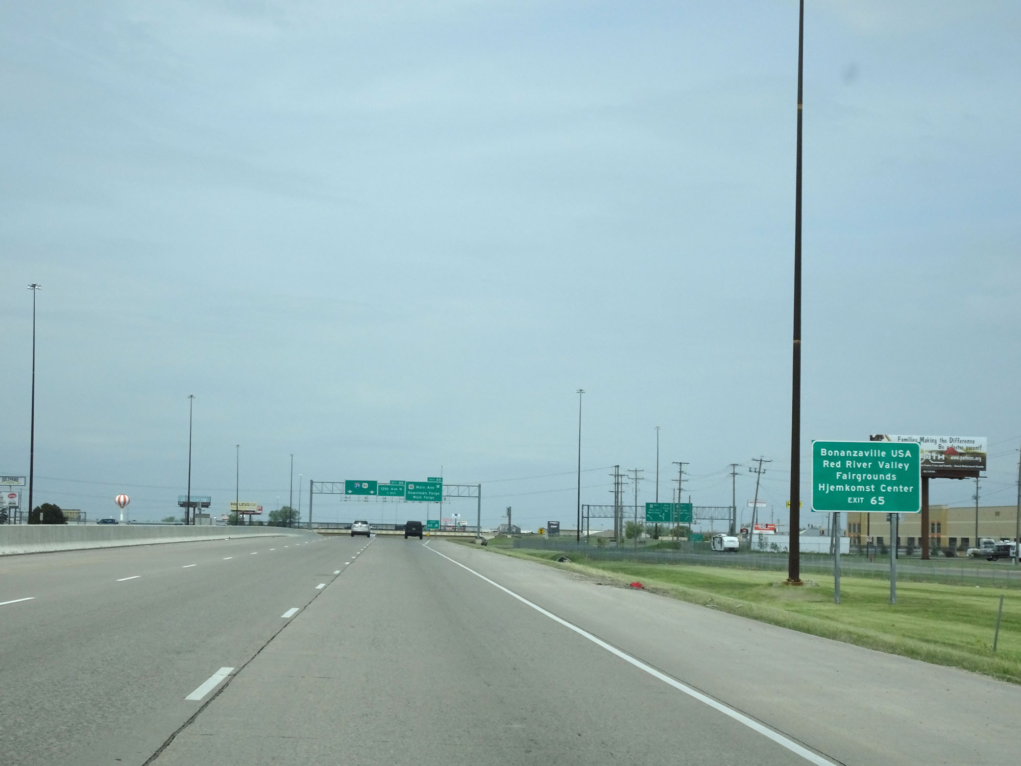 |
Take Exit 65 to Bonanzaville USA, Red River Valley, Fairgrounds, and Hjemkomst Center. (Photo taken 5/22/16). |
 |
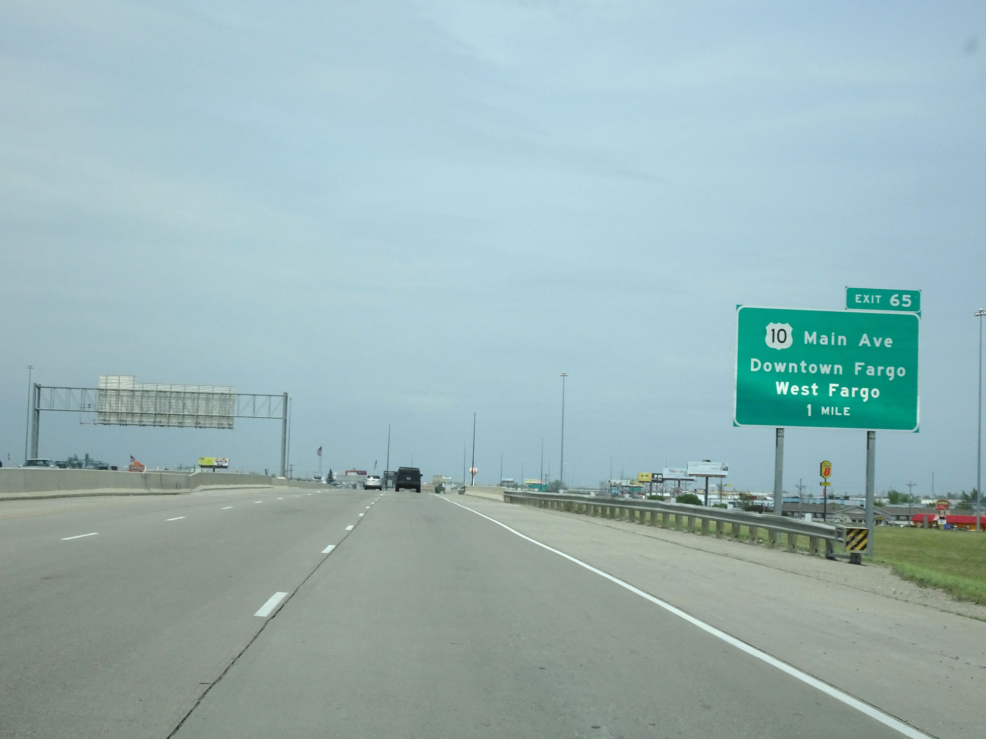
Interstate 29 North at Exit 65: US 10 - Main Ave / Downtown Fargo / West Fargo (Photo taken 5/22/16). |
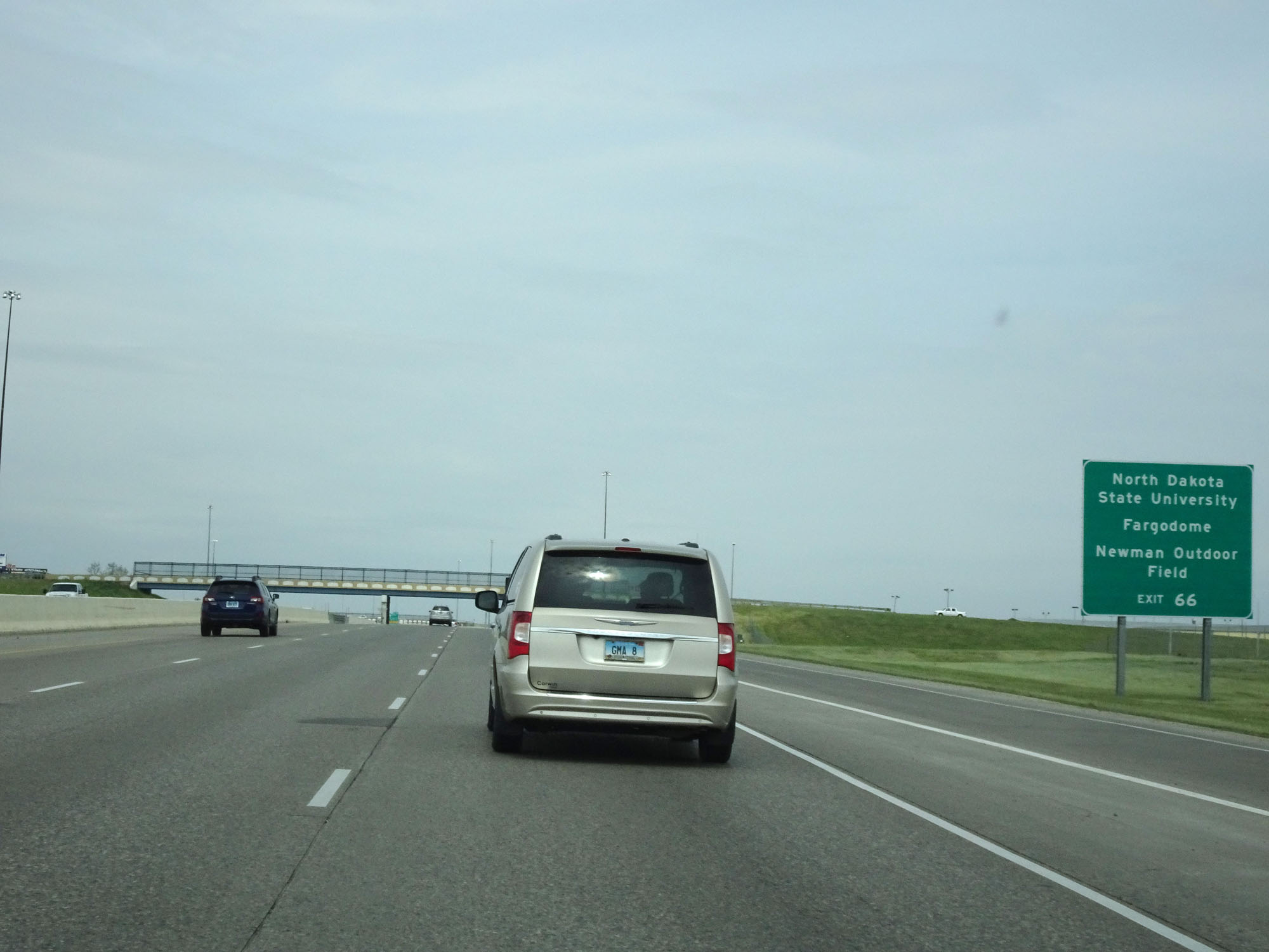 |
Take Exit 66 to North Dakota State University, Fargodome, and Newman Outdoor Field. (Photo taken 5/22/16). |
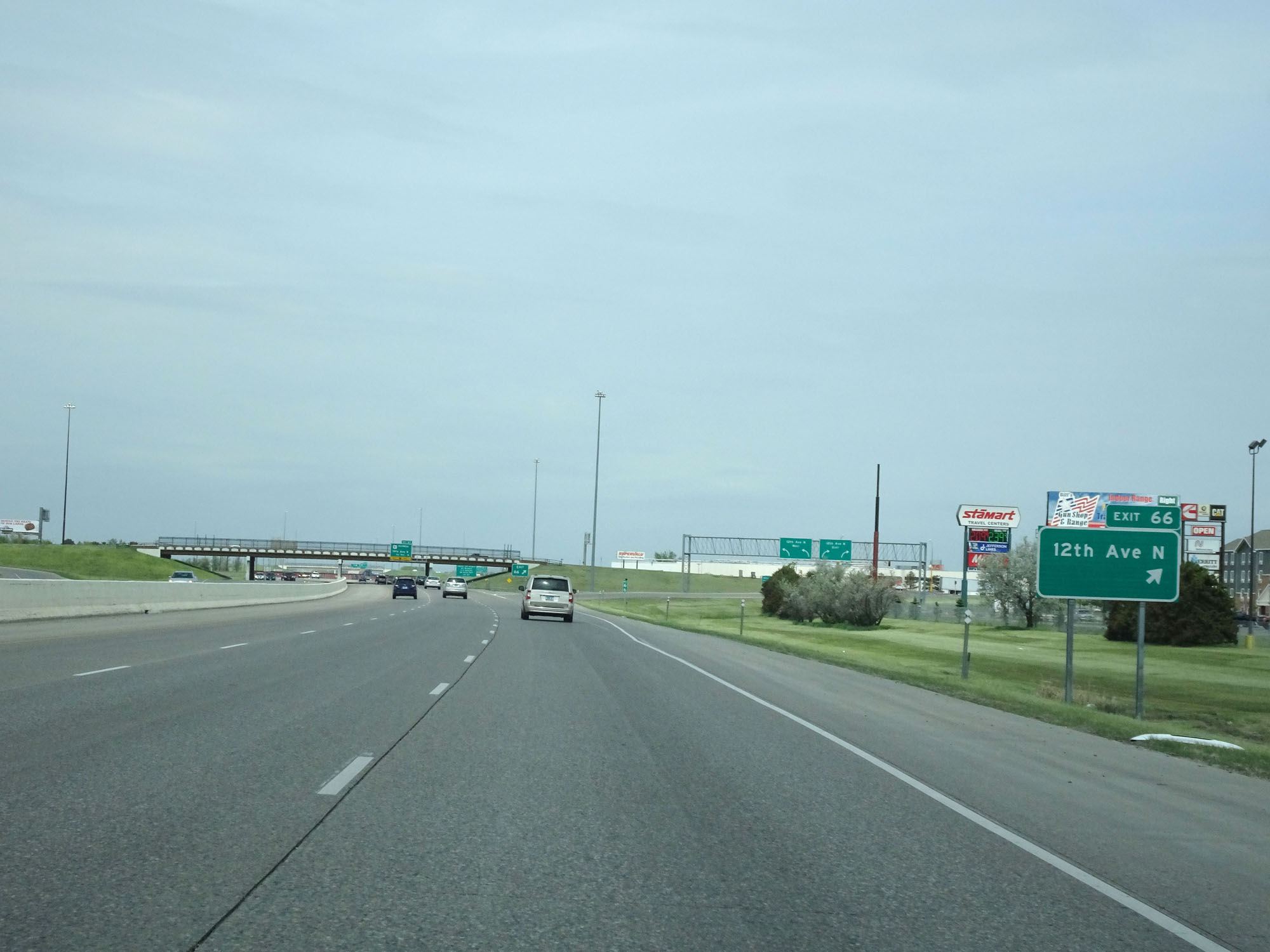 |
Interstate 29 North at Exit 66: 12th Ave N (Photo taken 5/22/16). |
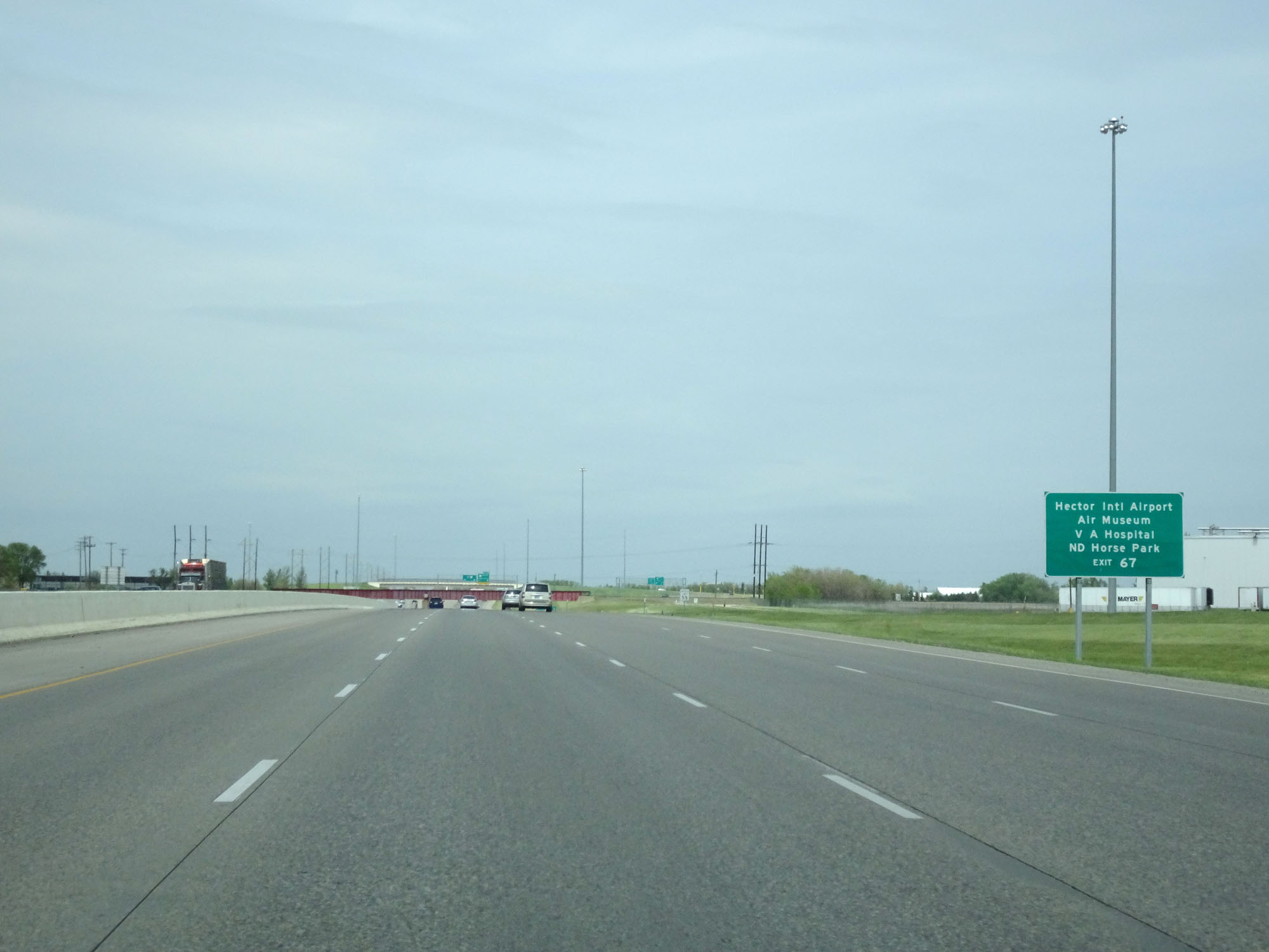 |
Take Exit 67 to Hector International Airport, the Air Museum, VA Hospital, and North Dakota Horse Park. (Photo taken 5/22/16). |
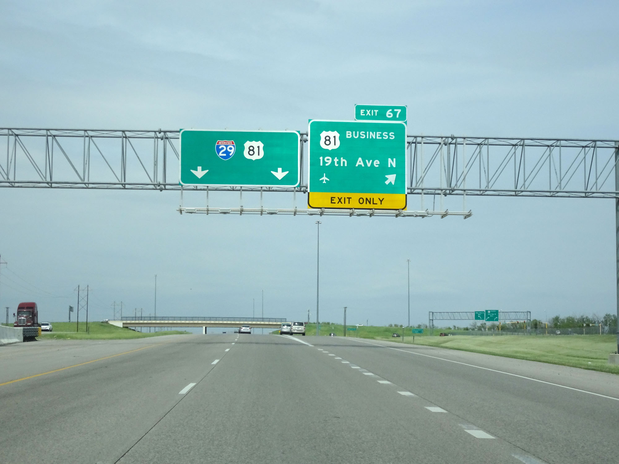 |
Interstate 29 North at Exit 67: US 81 Business - 19th Ave N (Photo taken 5/22/16). |
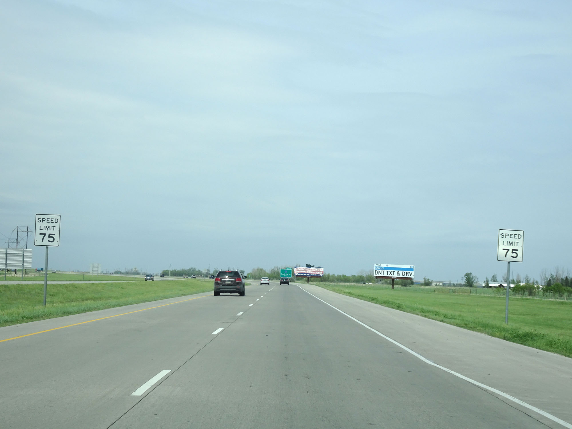 |
North of Exit 67, the standard rural speed limit of 75 mph resumes as Interstate 29 North leaves the Fargo area. (Photo taken 5/22/16). |
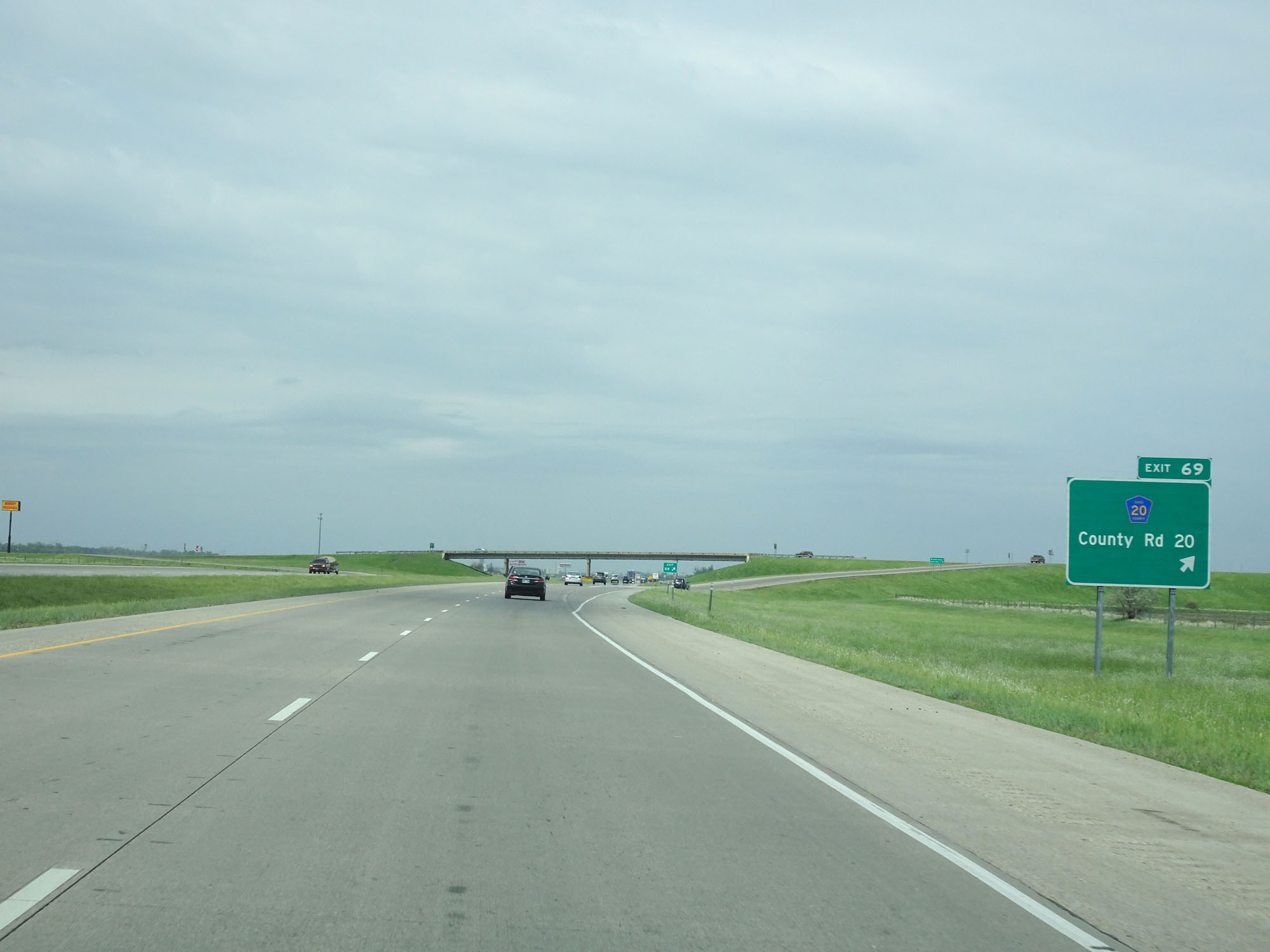 |
Interstate 29 North at Exit 69: CR 20 - County Rd 20 (Photo taken 5/22/16). |
 |
Another state-named Interstate 29 North reassurance shield. (Photo taken 5/22/16). |
 |
Mileage sign on Interstate 29 North. It's 2 miles to Harwood, 34 miles to Hillsboro, and 68 miles to Grand Forks. (Photo taken 5/22/16). |
 |
Interstate 29 North at Exit 72: Harwood (Photo taken 5/22/16). |
 |
State-named Interstate 29 North reassurance shield. (Photo taken 5/22/16). |
 |
The speed limit remains 75 mph. (Photo taken 5/22/16). |
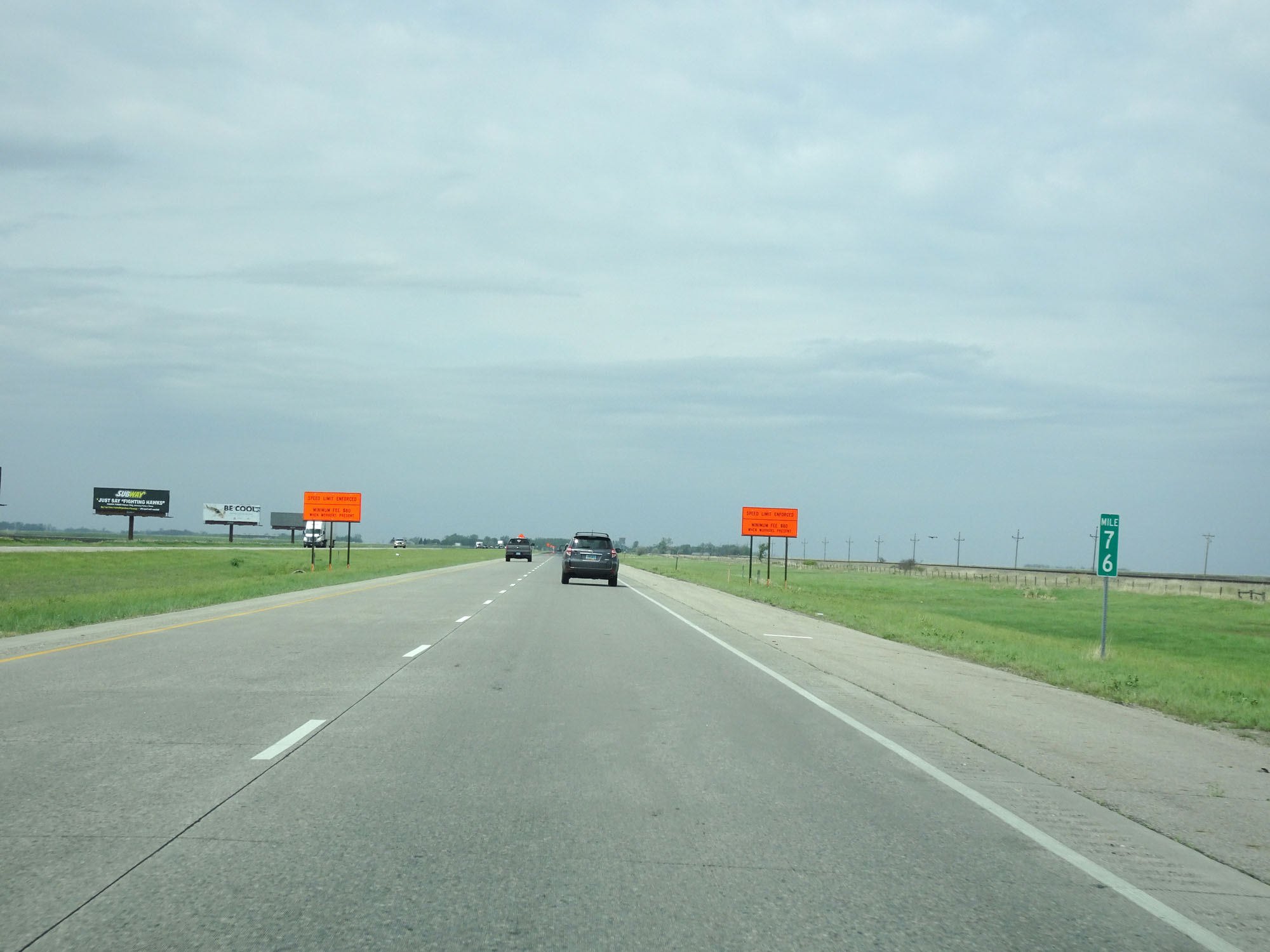 |
Interstate 29 North at mile marker 76. (Photo taken 5/22/16). |
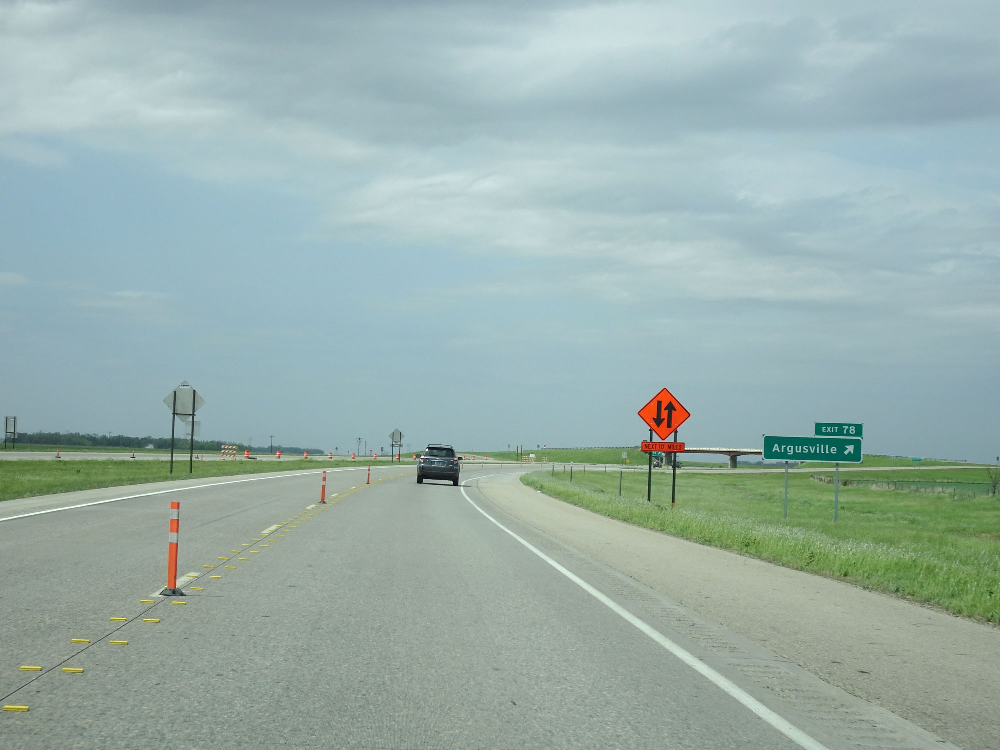 |
Interstate 29 North at Exit 78: Argusville (Photo taken 5/22/16). |
 |
Interstate 29 North at mile marker 80. (Photo taken 5/22/16). |
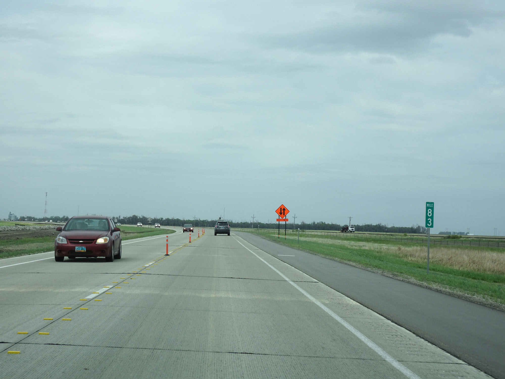 |
Interstate 29 North at mile marker 83. (Photo taken 5/22/16). |
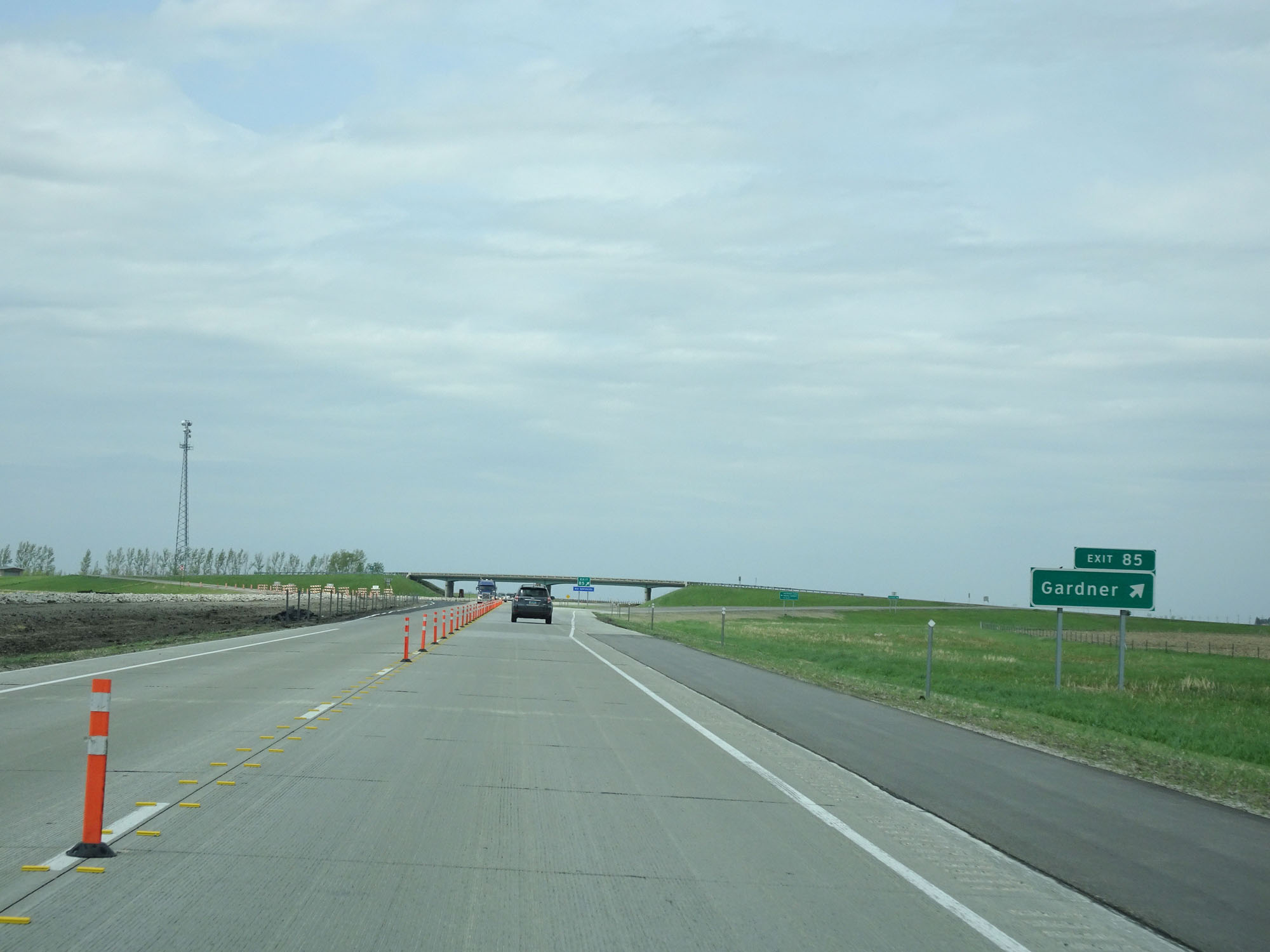 |
Interstate 29 North at Exit 85: Gardner (Photo taken 5/22/16). |
 |
Interstate 29 North at mile marker 90. (Photo taken 5/22/16). |
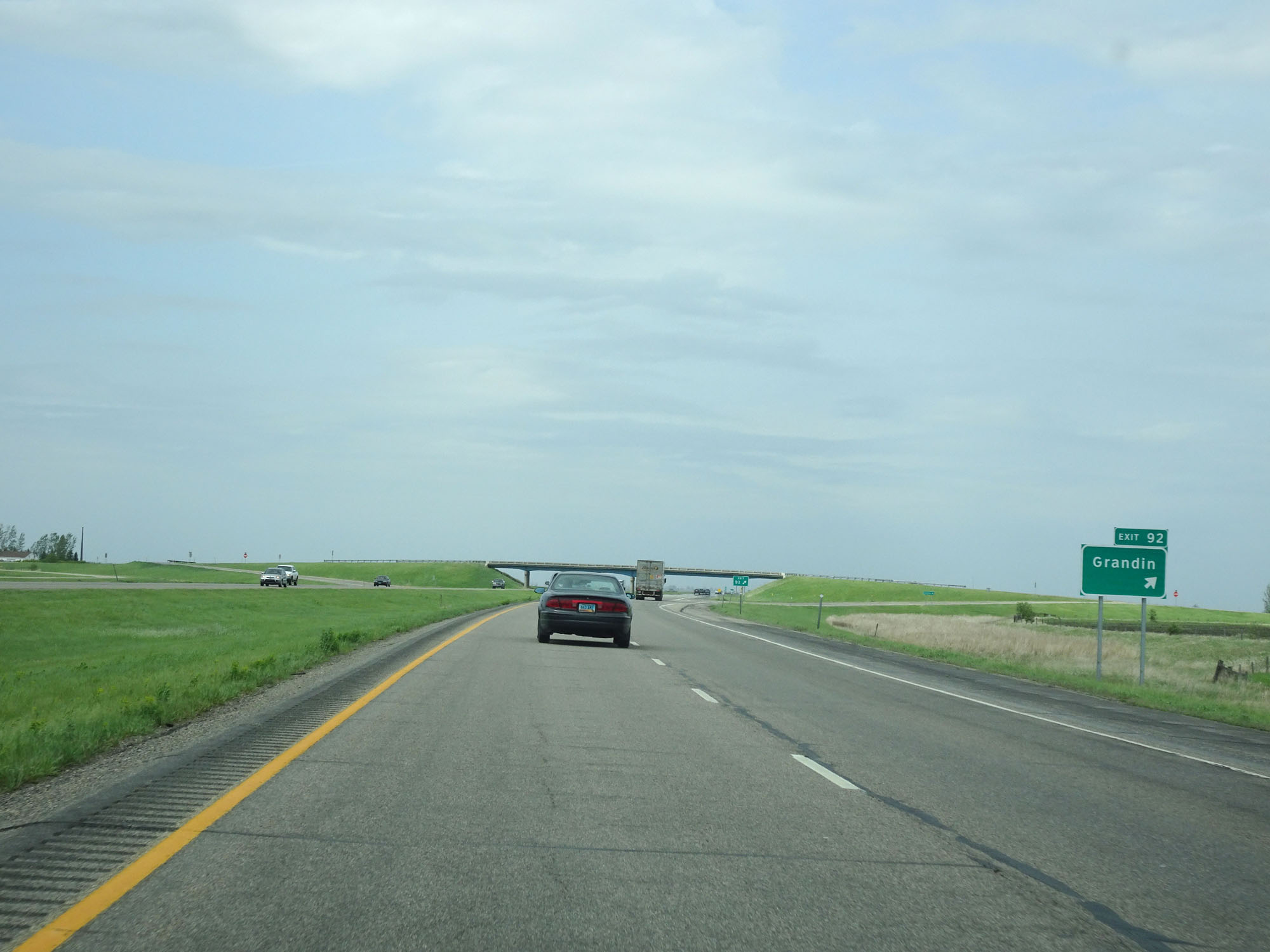 |
Interstate 29 North at Exit 92: Grandin (Photo taken 5/22/16). |
 |
Mileage sign on Interstate 29 North. It's 7 miles to Exit 100, 11 miles to Hillsboro, and 45 miles to Grand Forks. (Photo taken 5/22/16). |
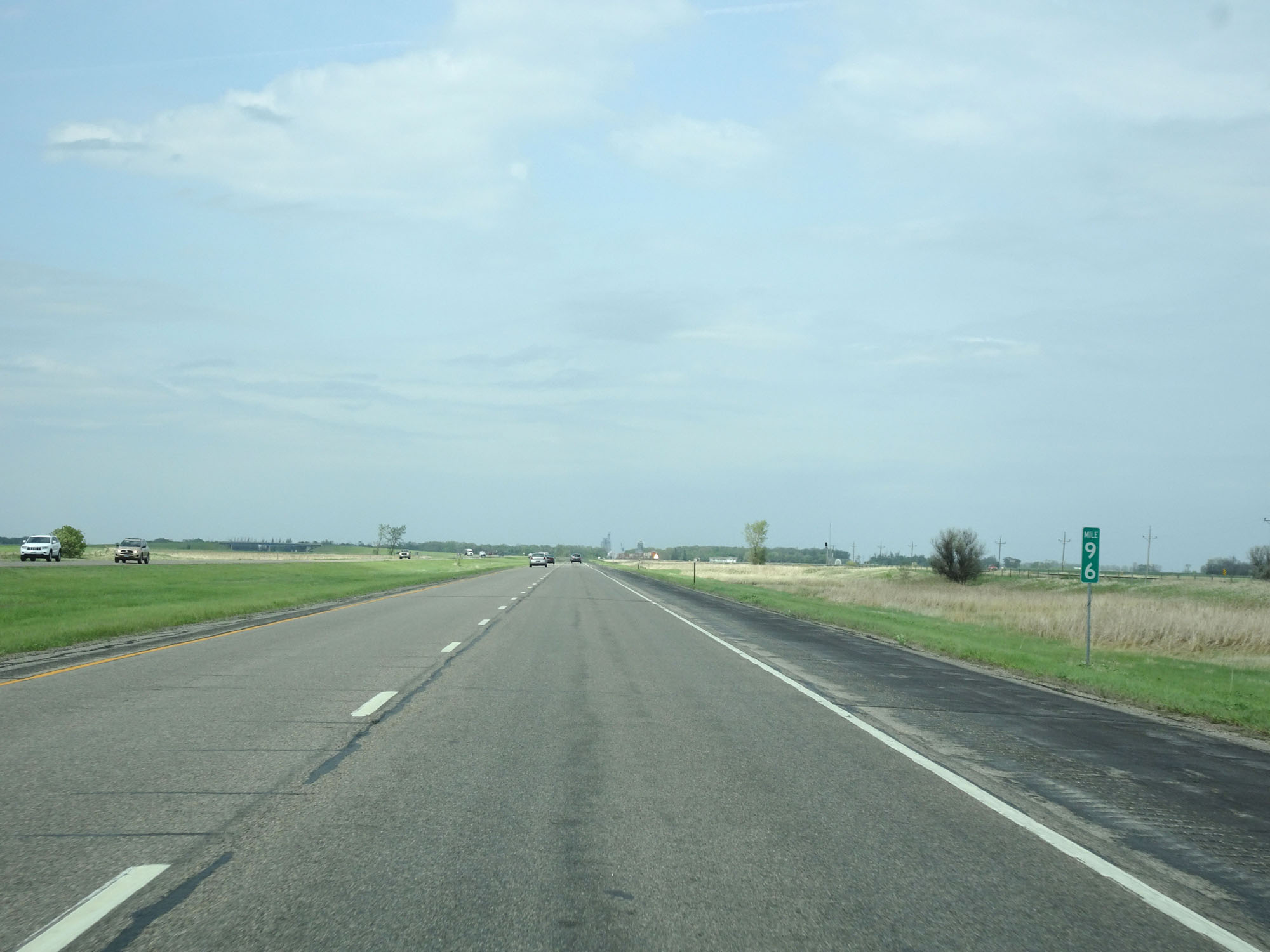 |
Interstate 29 North at mile marker 96. (Photo taken 5/22/16). |
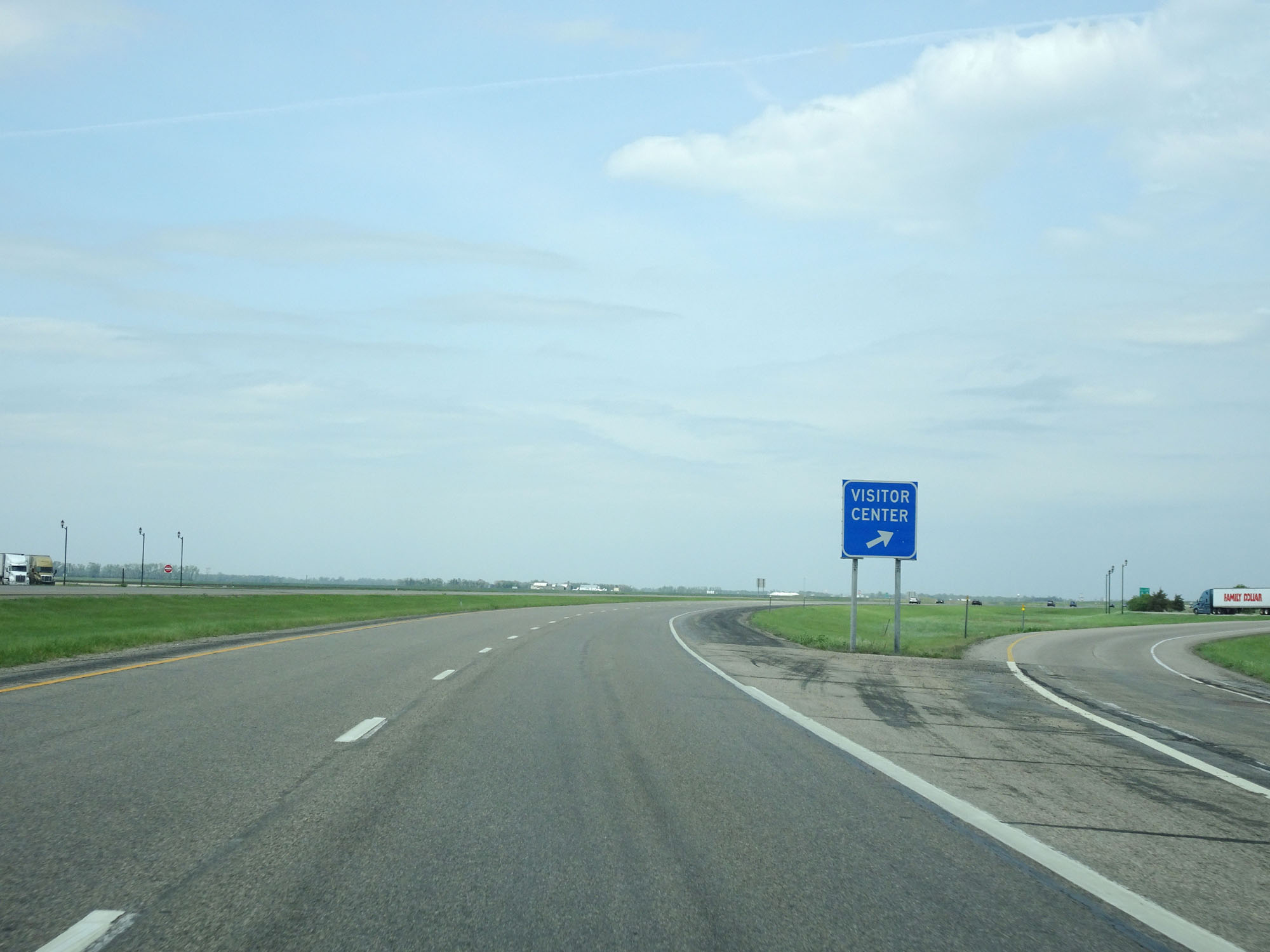 |
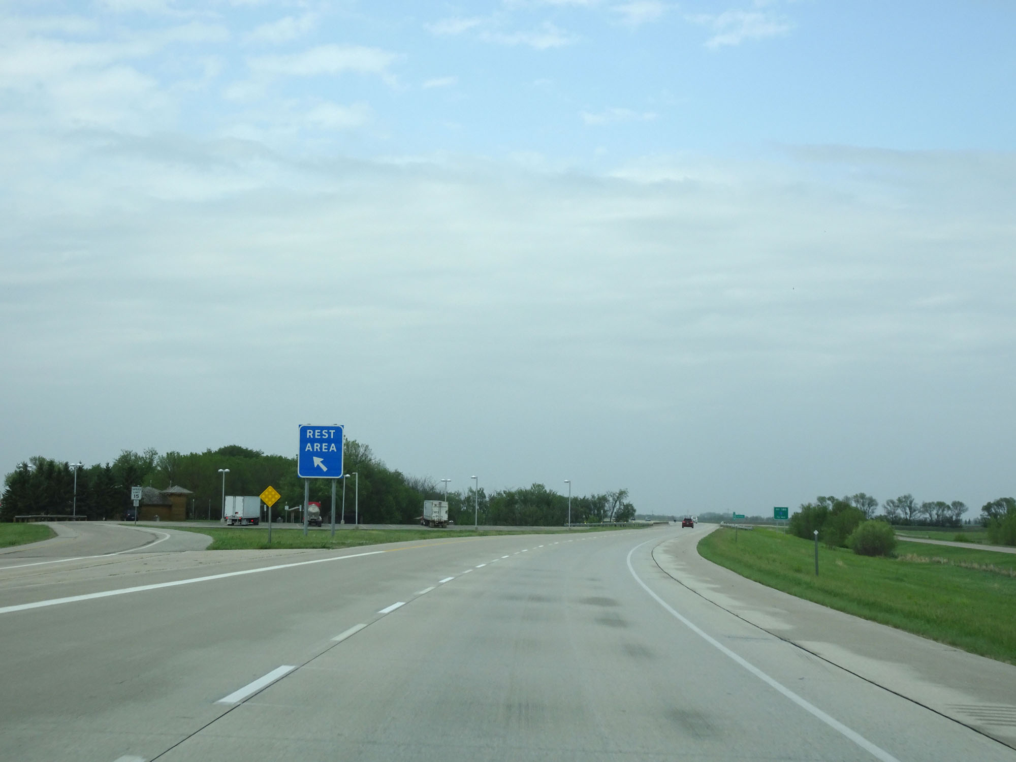
Interstate 29 North at the Visitor Center / Rest Area near the Cass-Traill County line. (Photo taken 5/22/16). |
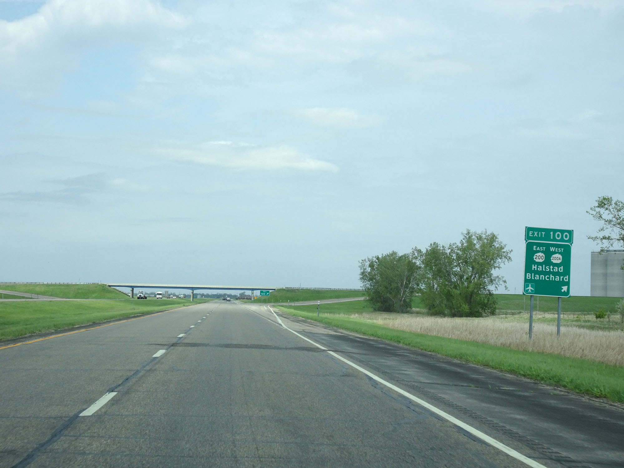 |
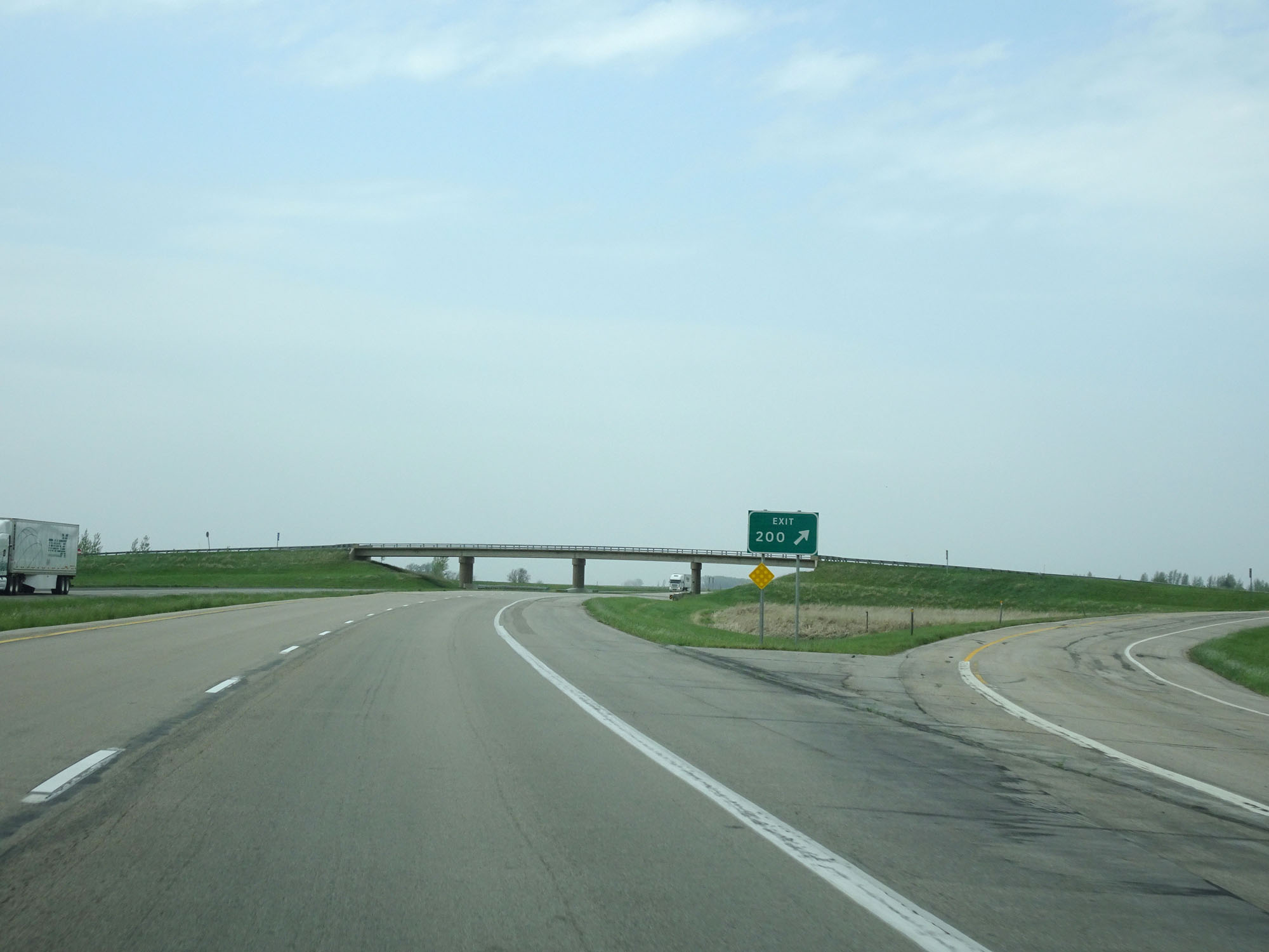
Interstate 29 North at Exit 100: ND 200 East / ND 200A West - Halstad / Blanchard (Photo taken 5/22/16). |
 |
State-named Interstate 29 North reassurance shield. (Photo taken 5/22/16). |
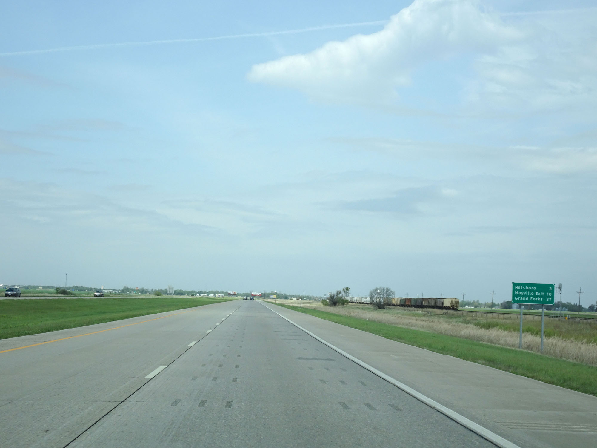 |
Another mileage sign on Interstate 29 North. It's 3 miles to Hillsboro, 10 miles to the Mayville Exit, and 37 miles to Grand Forks. (Photo taken 5/22/16). |
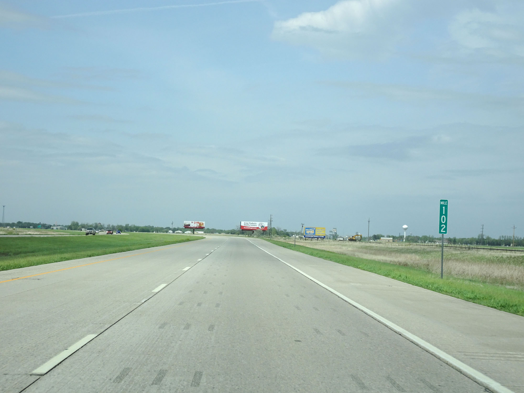 |
Interstate 29 North at mile marker 102. (Photo taken 5/22/16). |
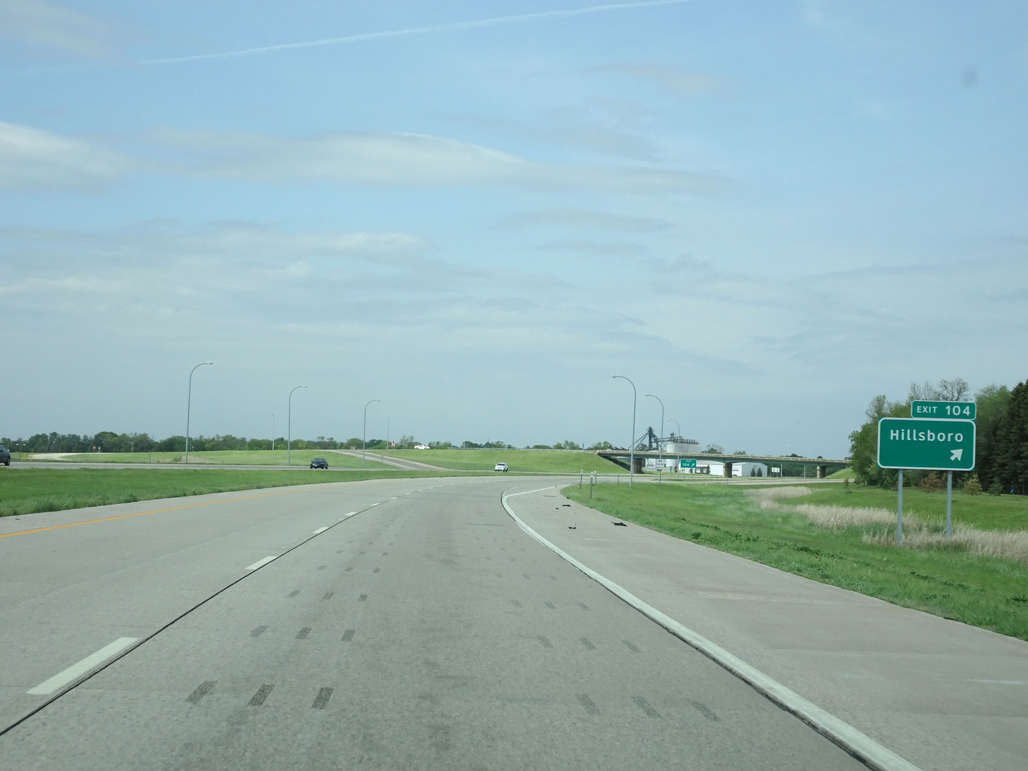 |
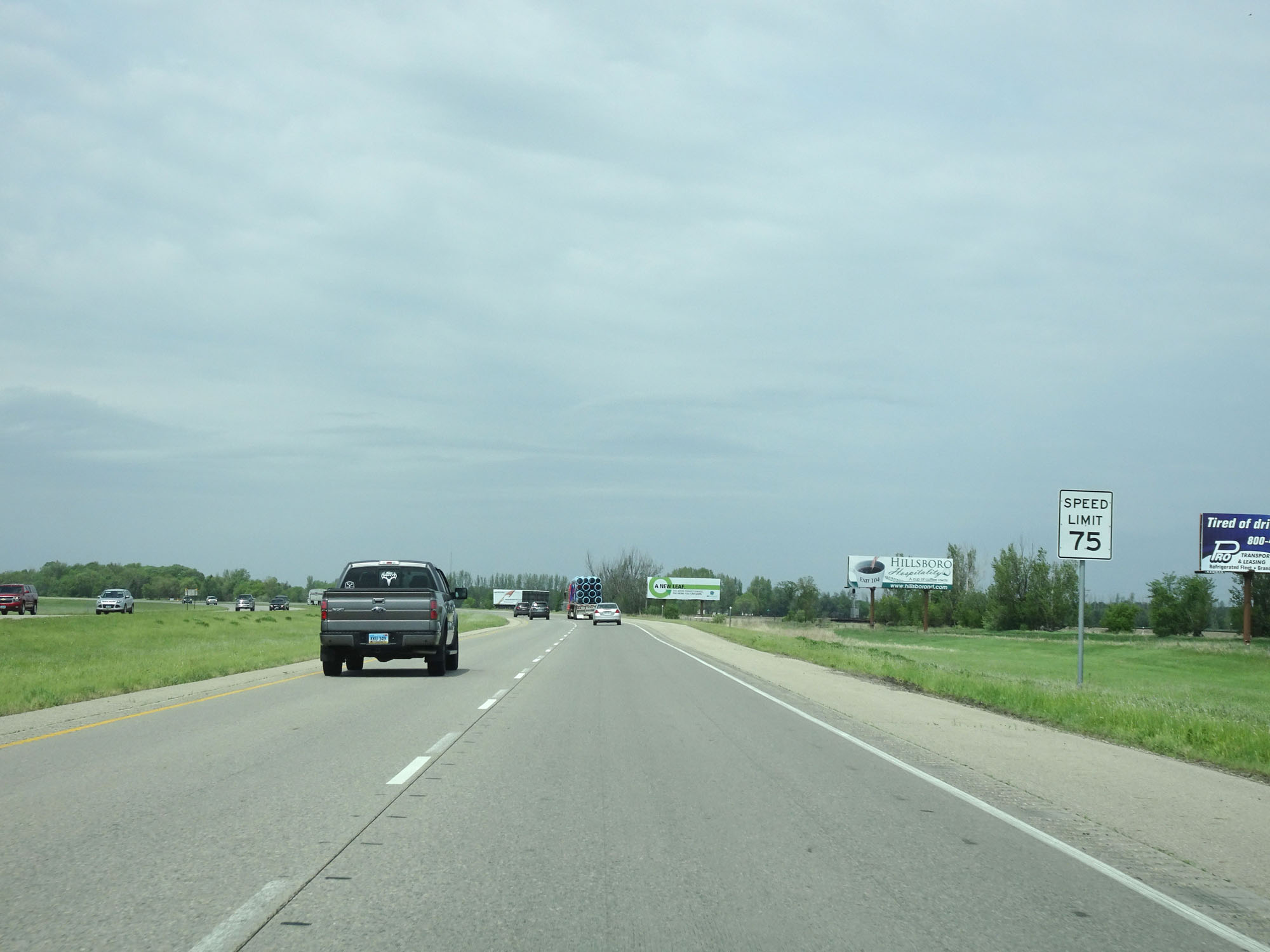
Interstate 29 North at Exit 104: Hillsboro (Photo taken 5/22/16). |
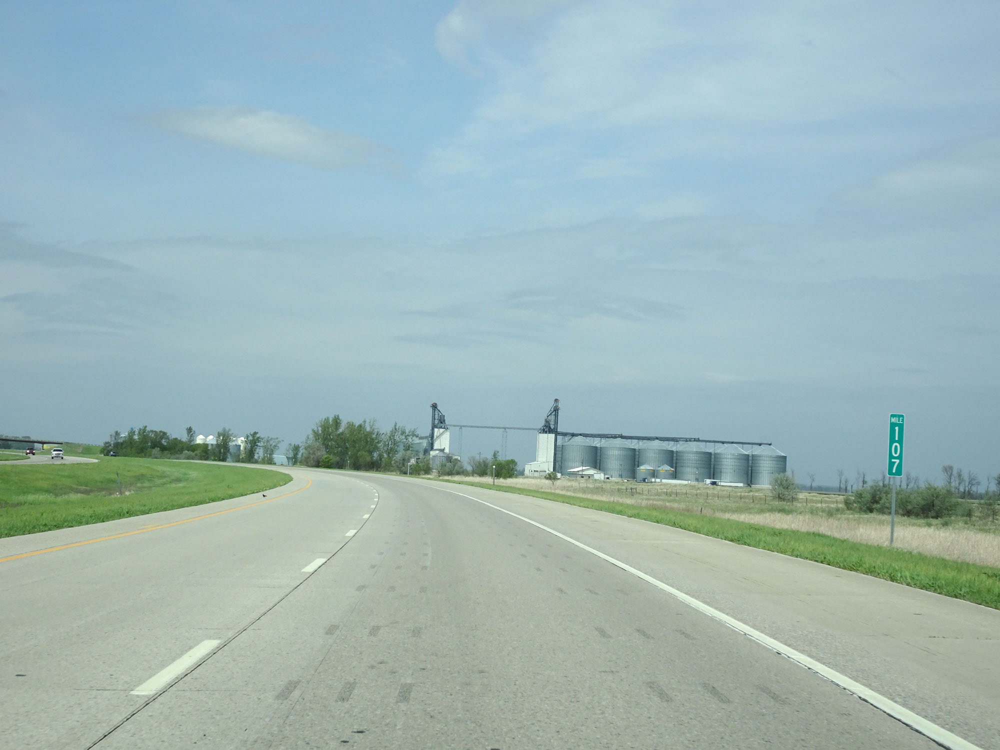 |
Interstate 29 North at mile marker 107. (Photo taken 5/22/16). |
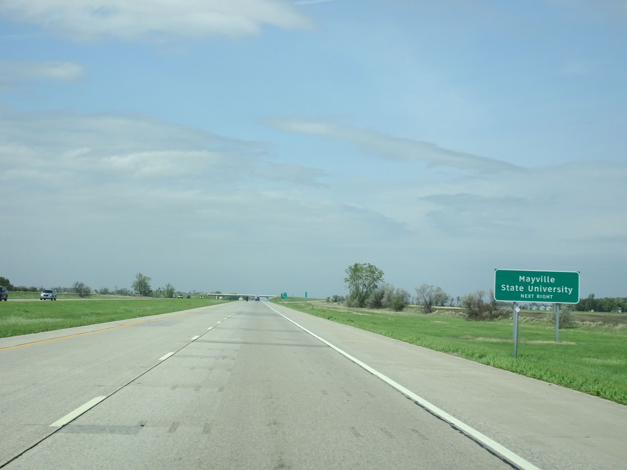 |
Take Exit 111 to Mayville State University. (Photo taken 5/22/16). |
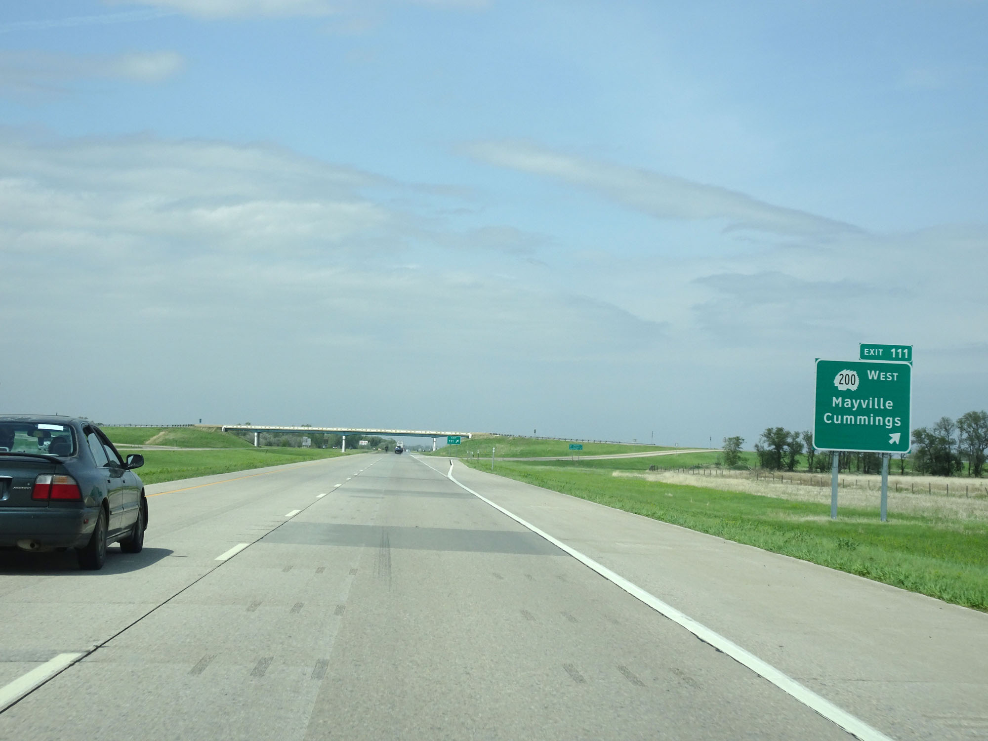 |
Interstate 29 North at Exit 111: ND 200 West - Mayville / Cummings (Photo taken 5/22/16). |
 |
Another state-named Interstate 29 North reassurance shield. (Photo taken 5/22/16). |
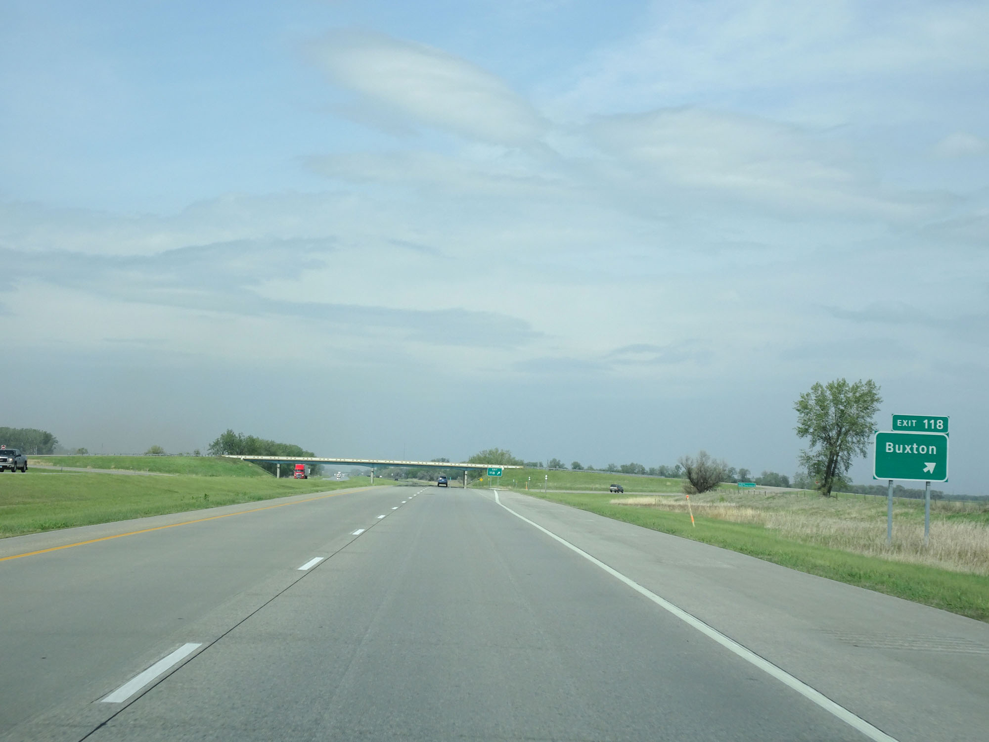 |
Interstate 29 North at Exit 118: Buxton (Photo taken 5/22/16). |
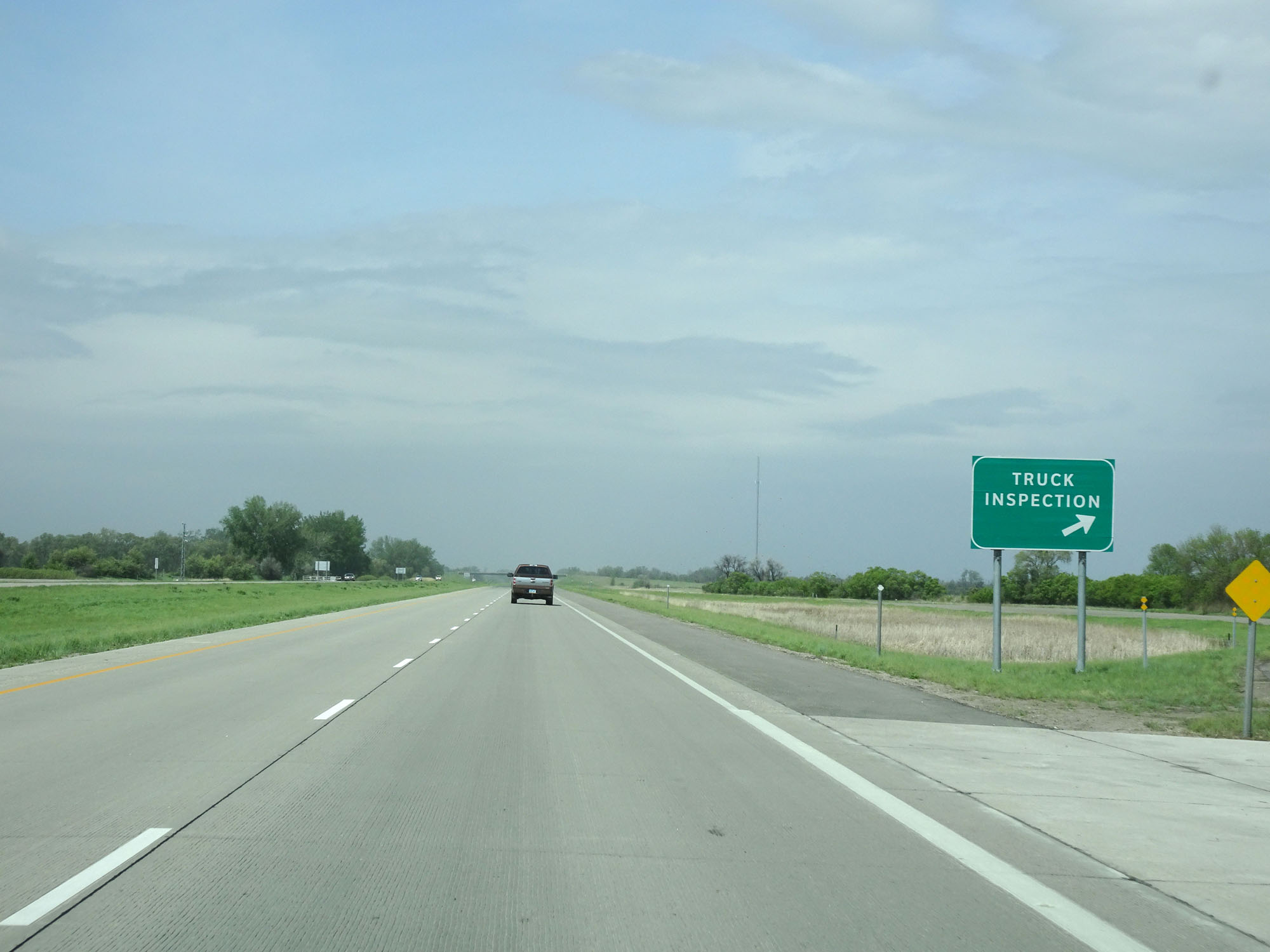 |
Interstate 29 North at the Truck Inspection Station in Traill County. (Photo taken 5/22/16). |
 |
Interstate 29 North at Exit 123: CR 25 - Reynolds (Photo taken 5/22/16). |
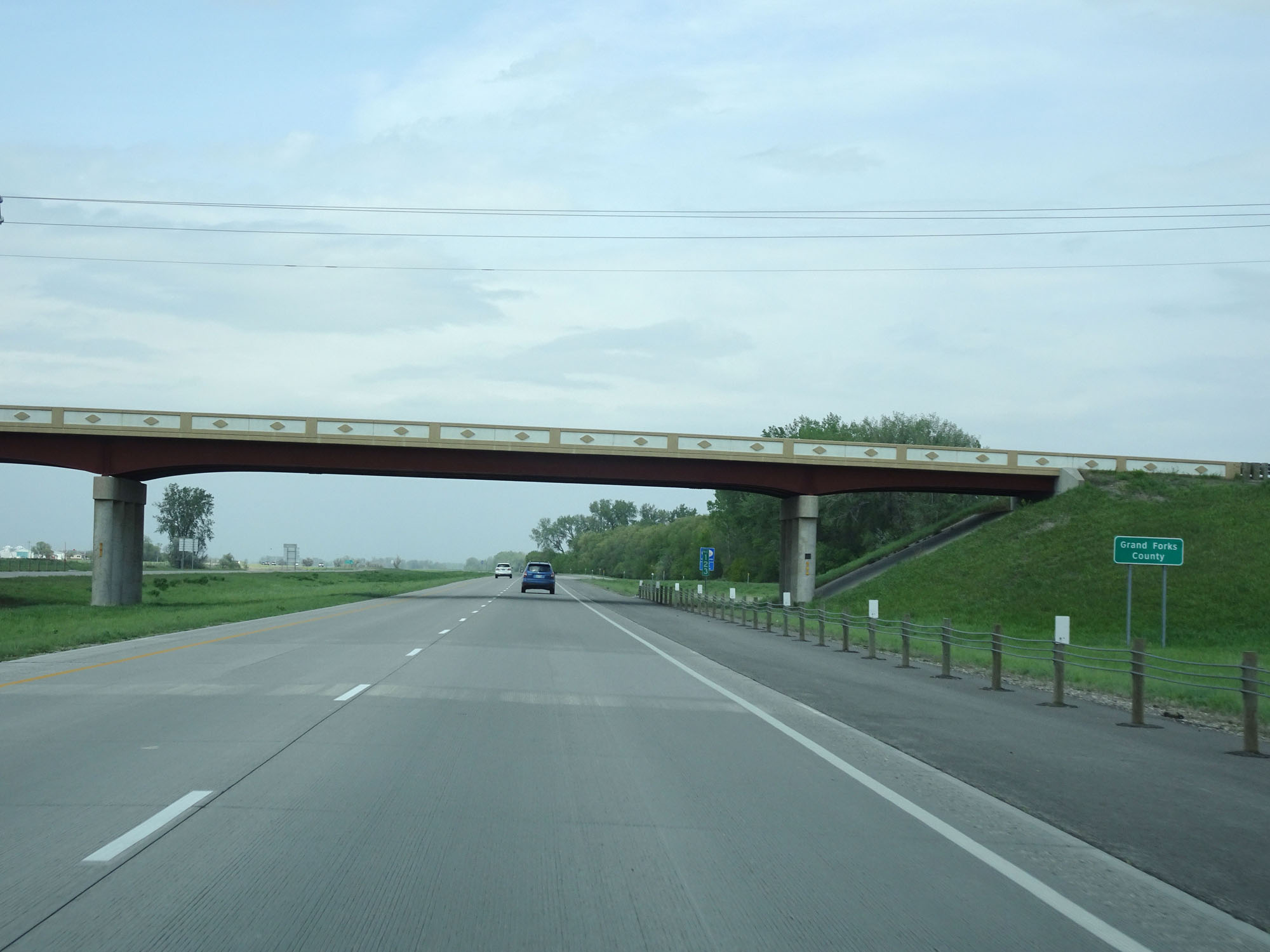 |
Interstate 29 North entering Grand Forks County. (Photo taken 5/22/16). |
 |
State-named Interstate 29 North reassurance shield. (Photo taken 5/22/16). |
 |
The speed limit remains 75 mph for all traffic. (Photo taken 5/22/16). |
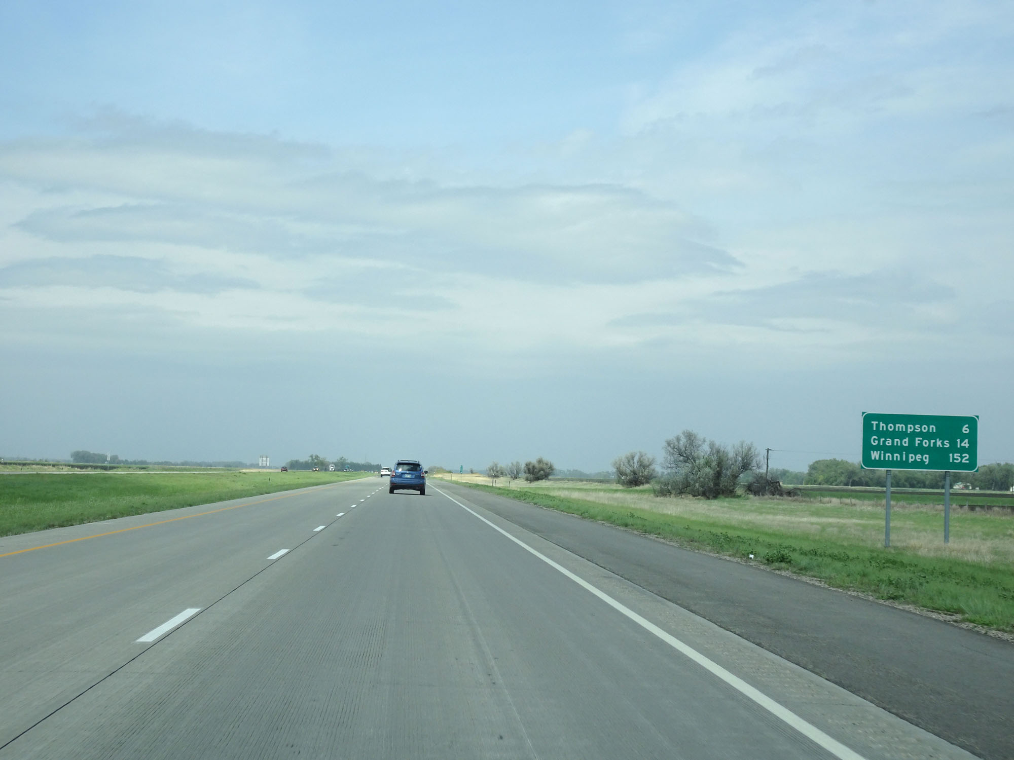 |
Mileage sign on Interstate 29 North. It's 6 miles to Thompson, 14 miles to Grand Forks, and 152 miles to Winnipeg. (Photo taken 5/22/16). |
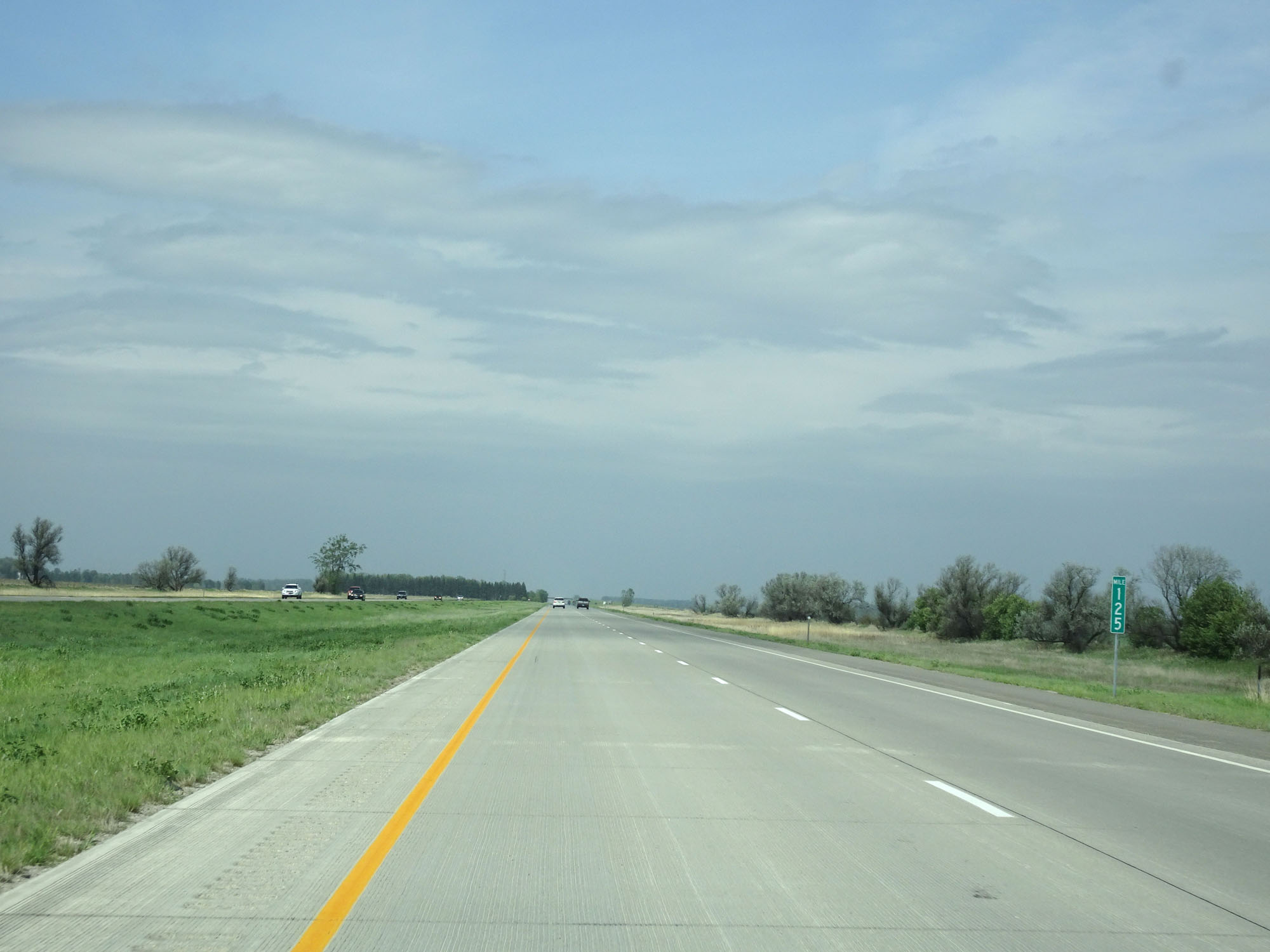 |
Interstate 29 North at mile marker 125. (Photo taken 5/22/16). |
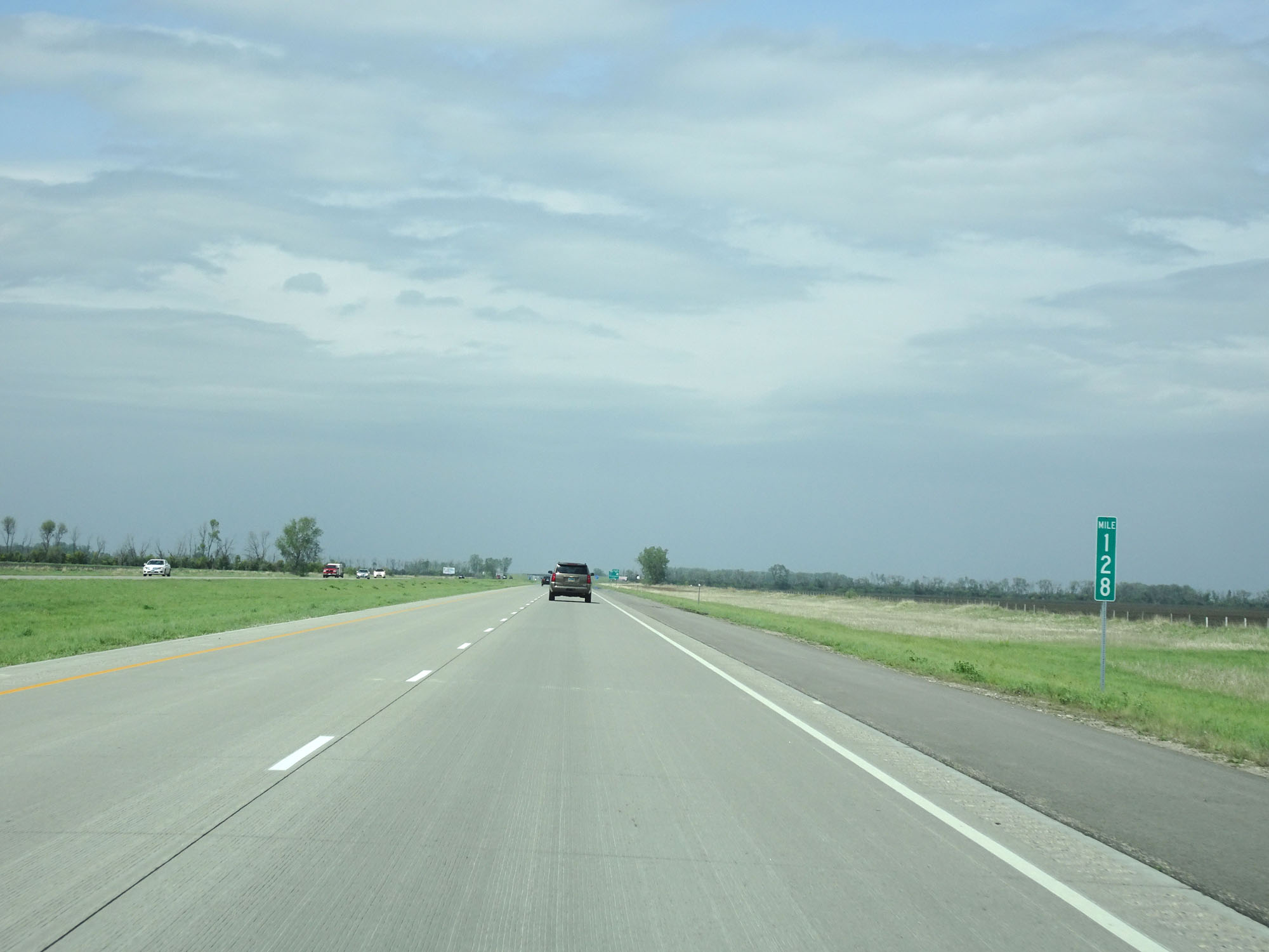 |
Interstate 29 North at mile marker 128. (Photo taken 5/22/16). |
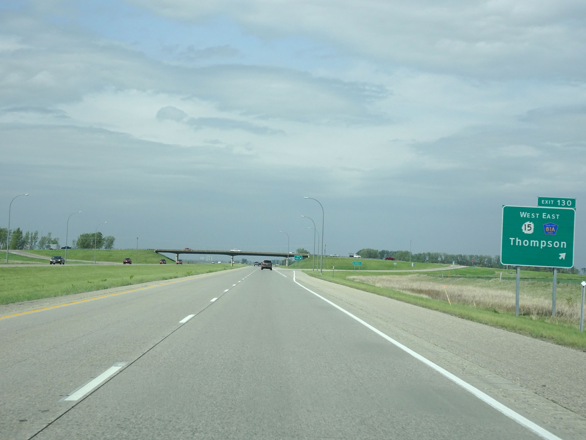 |
Interstate 29 North at Exit 130: ND 15 West / CR 81A East - Thompson (Photo taken 5/22/16). |
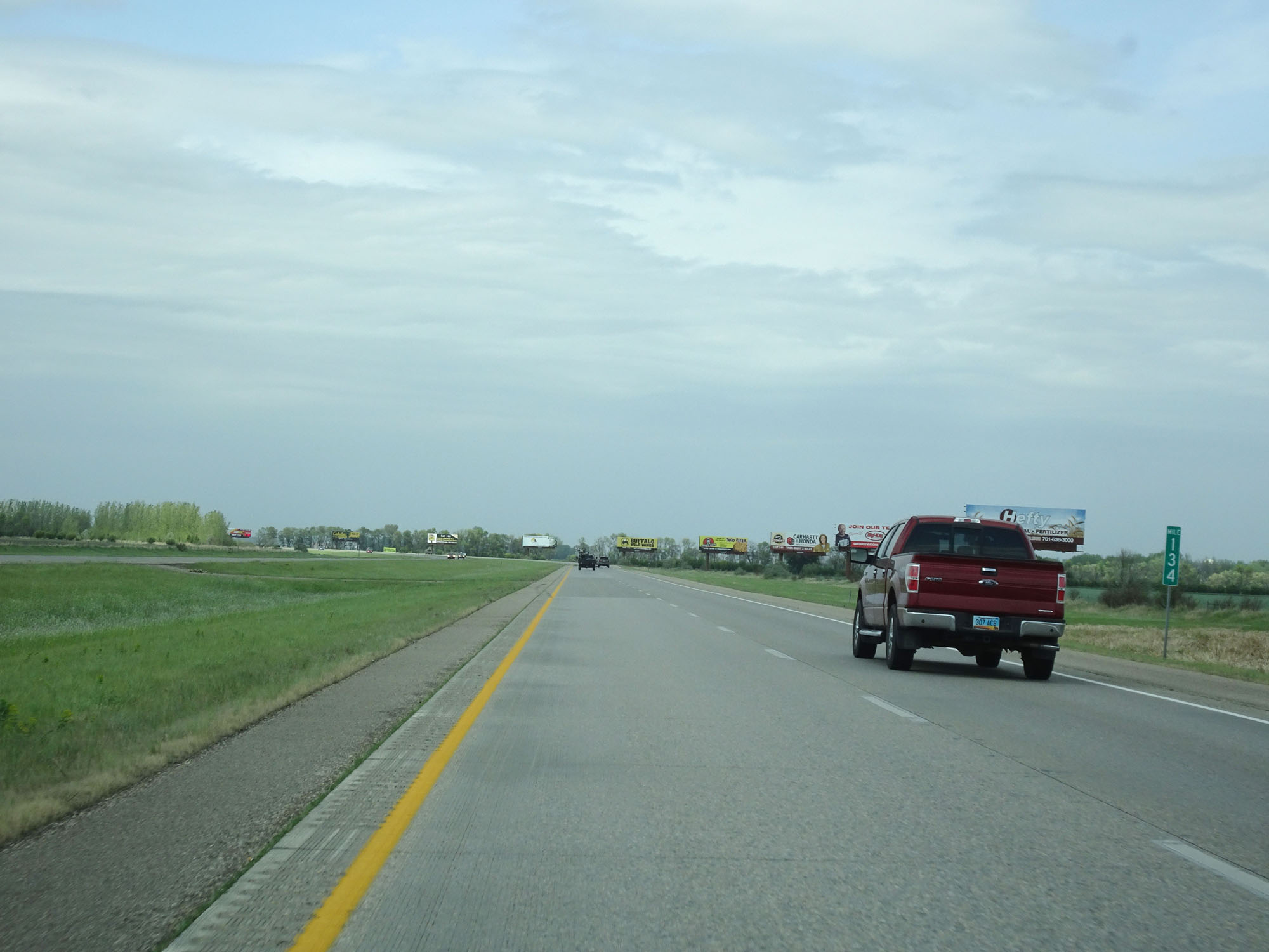 |
Interstate 29 North at mile marker 134. (Photo taken 5/22/16). |
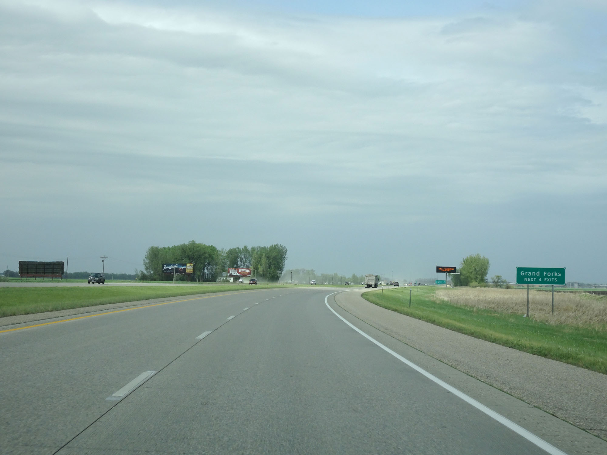 |
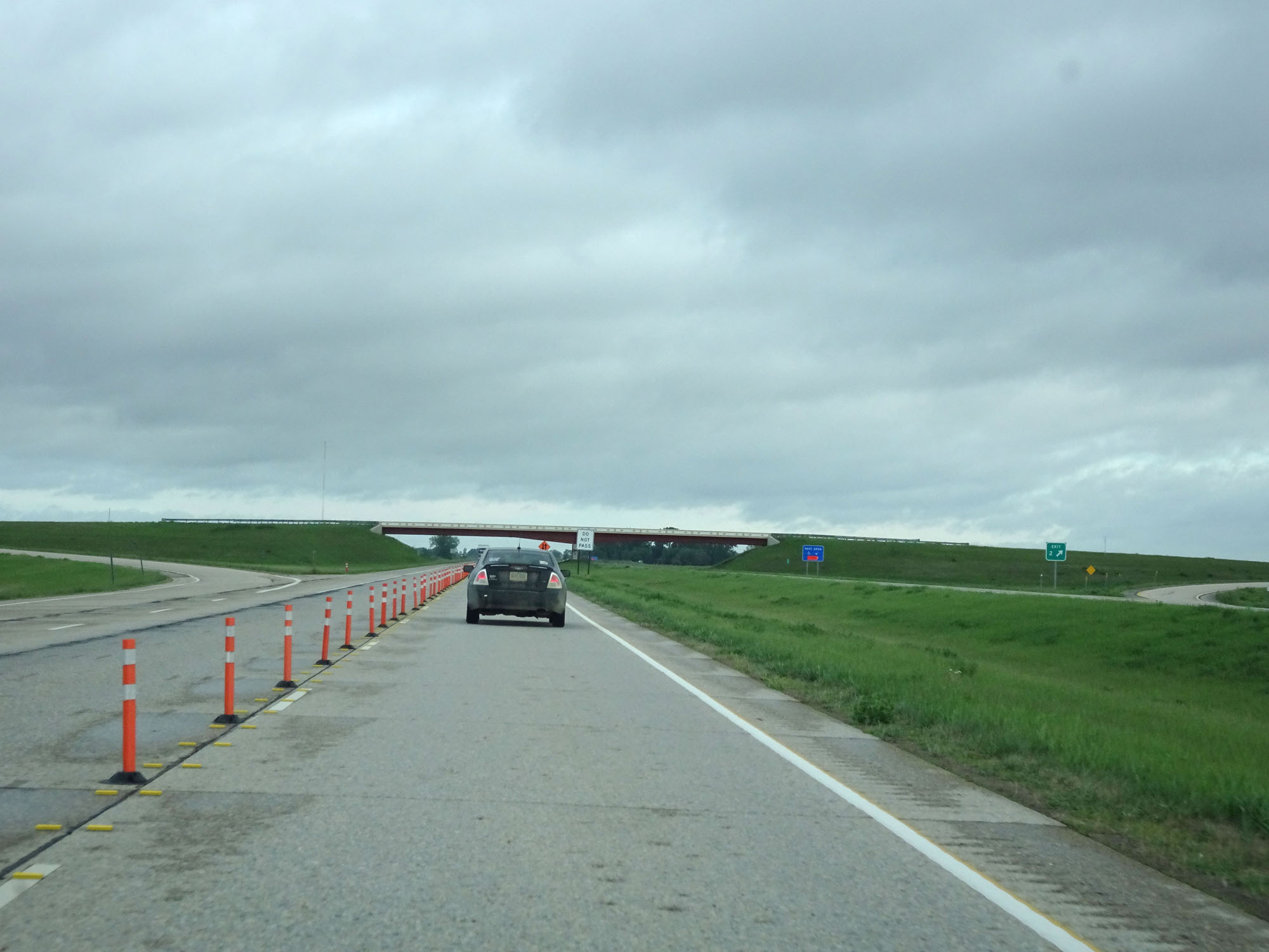
Take any of the next 4 exits to Grand Forks. (Photo taken 5/22/16). |
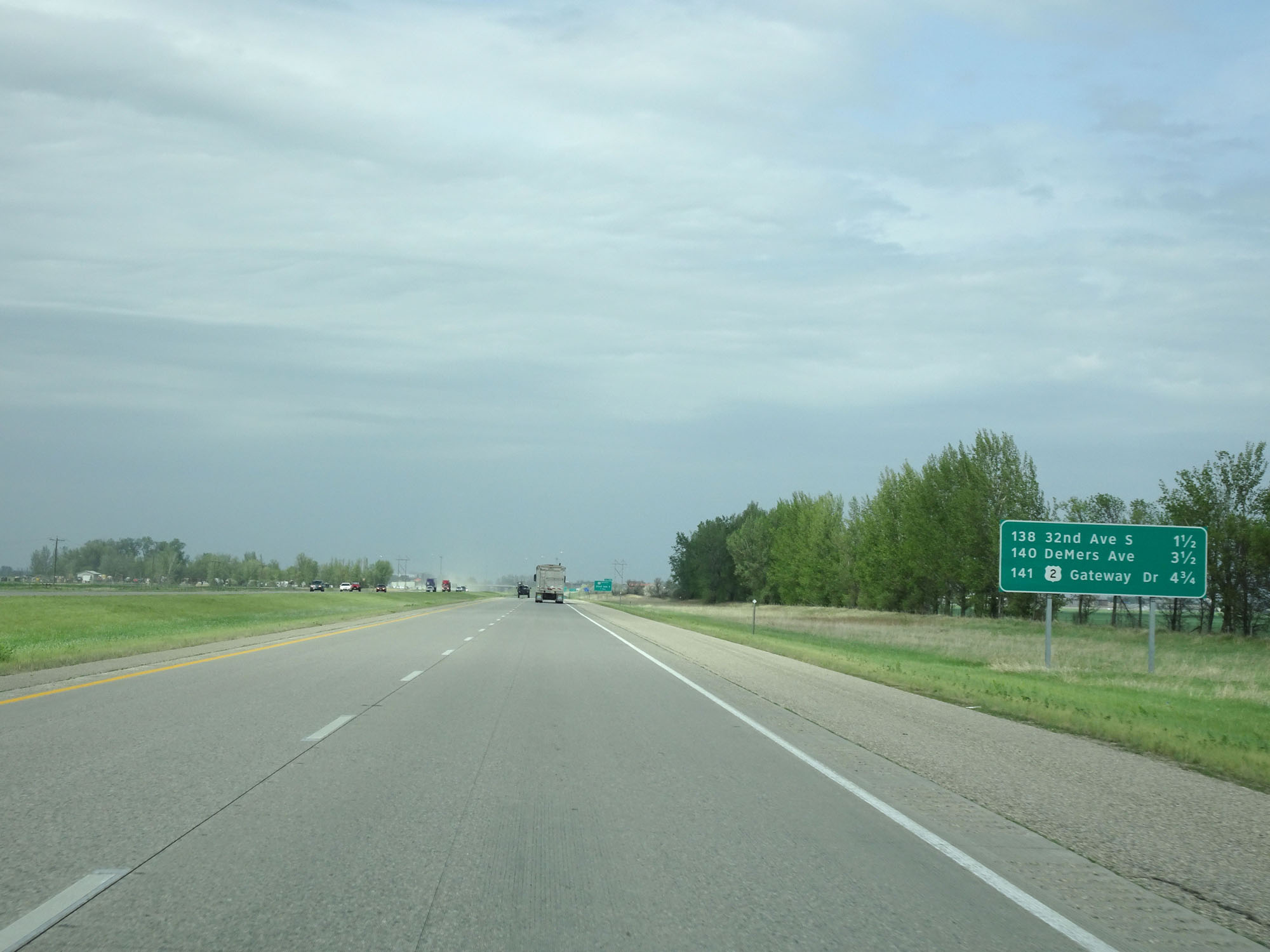 |
Sign listing the distances to the three upcoming Grand Forks exits. (Photo taken 5/22/16). |
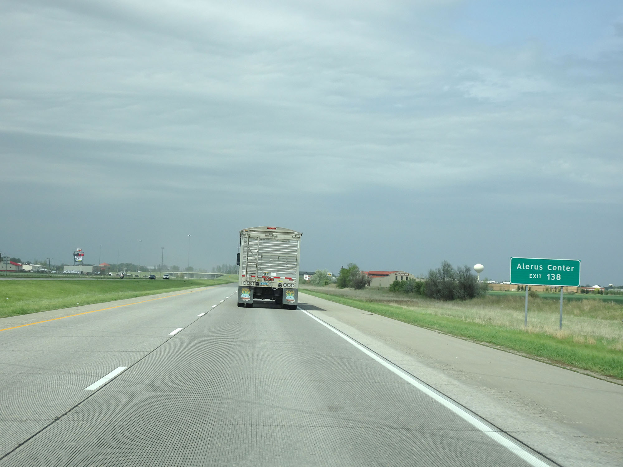 |
Take Exit 138 to Alerus Center. (Photo taken 5/22/16). |
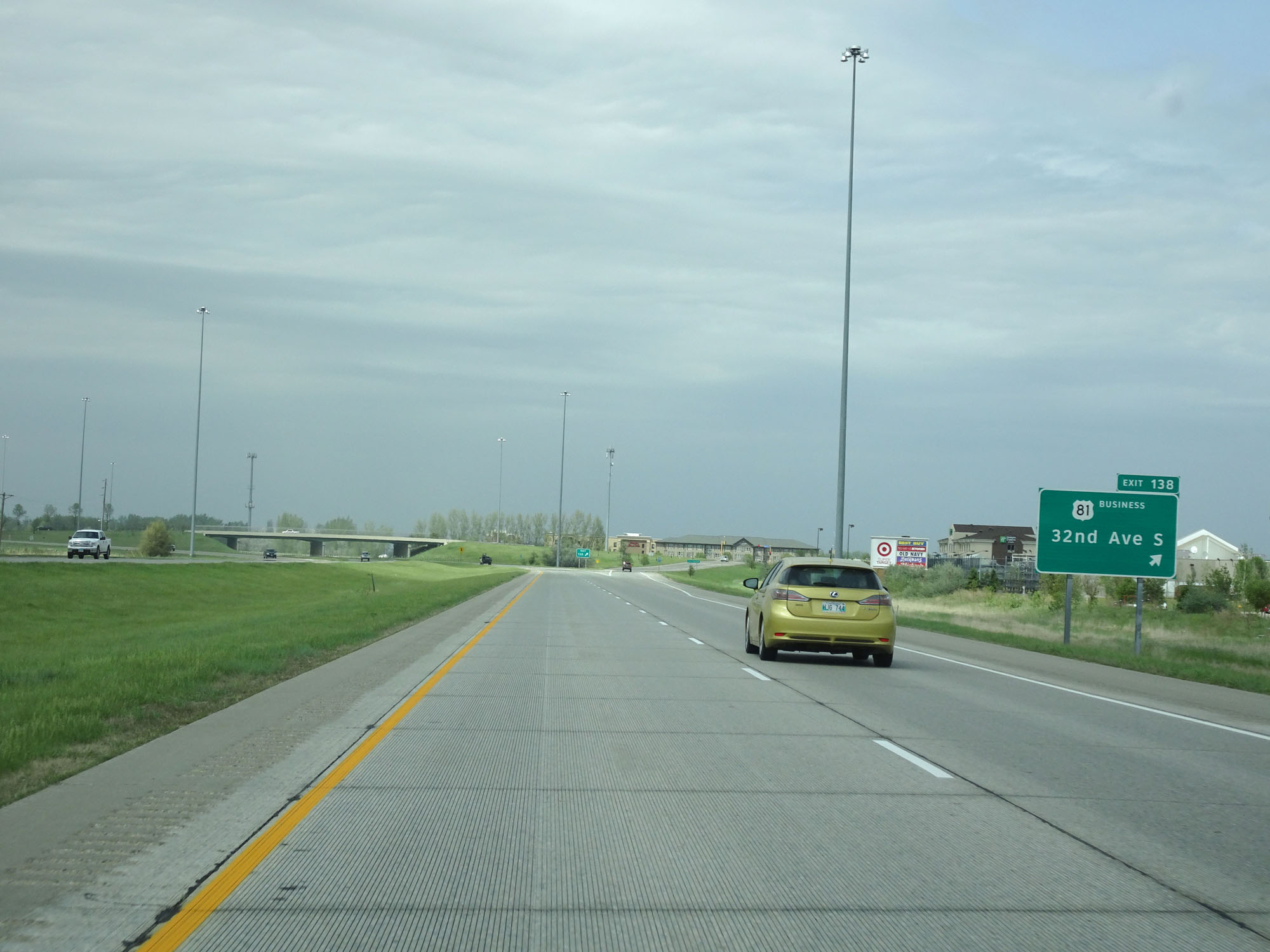 |
Interstate 29 North at Exit 138: US 81 Business - 32nd Ave S (Photo taken 5/22/16). |
 |
Take Exit 140 to the University of North Dakota. (Photo taken 5/22/16). |
 |
Interstate 29 North at Exit 140: DeMers Ave / Downtown (Photo taken 5/22/16). |
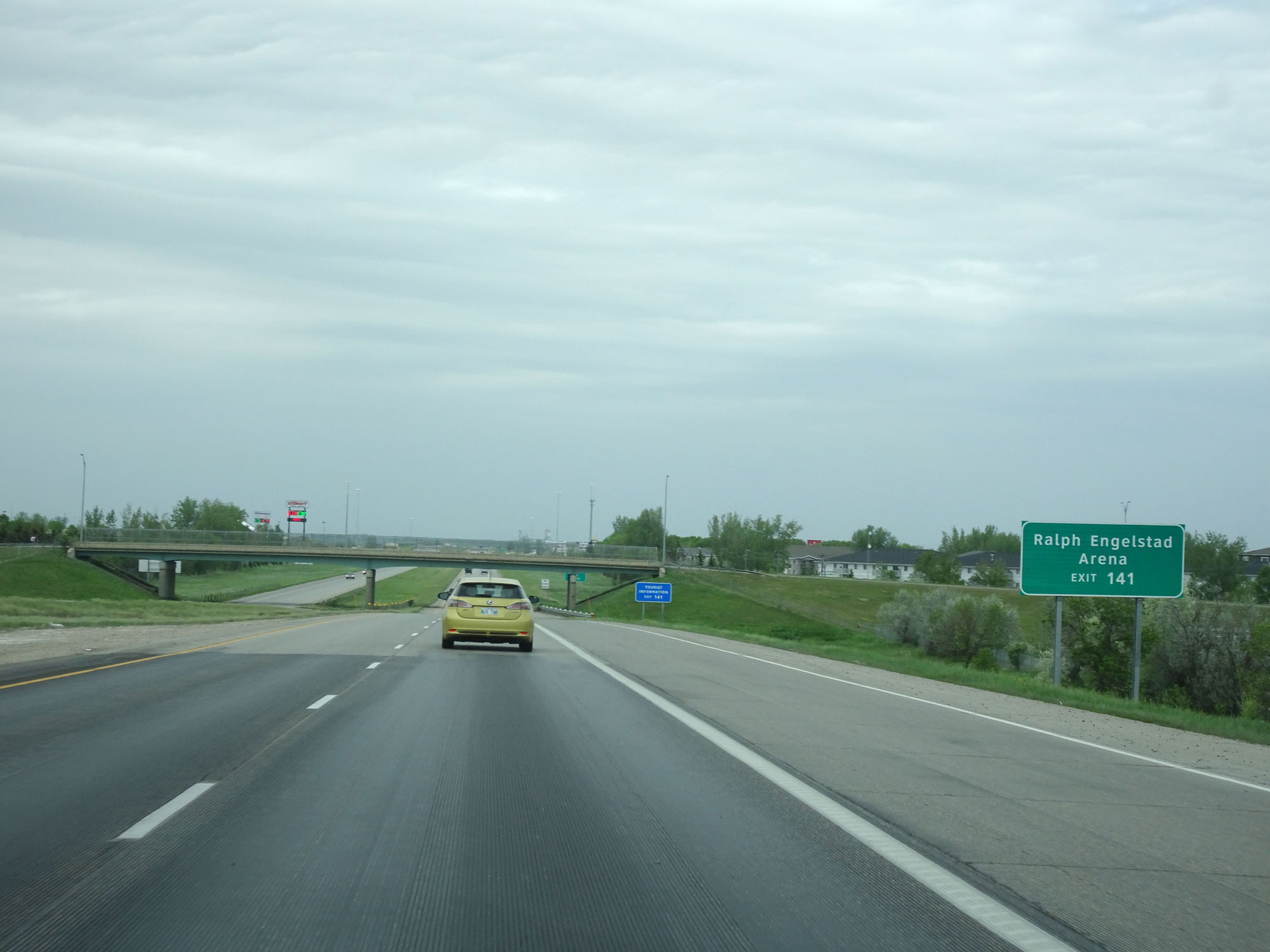 |
Take Exit 141 to Ralph Engelstad Arena. (Photo taken 5/22/16). |
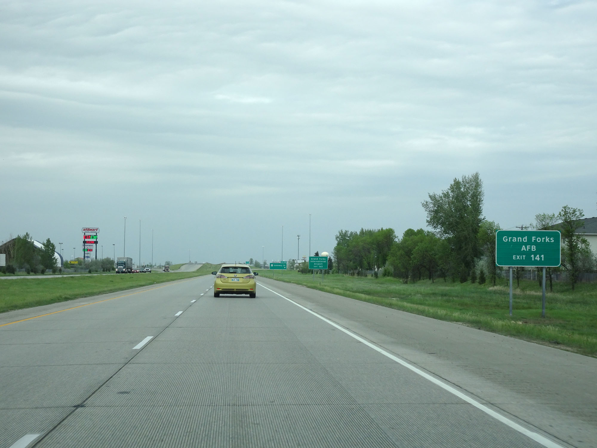 |
Also take Exit 141 to Grand Forks AFB. (Photo taken 5/22/16). |
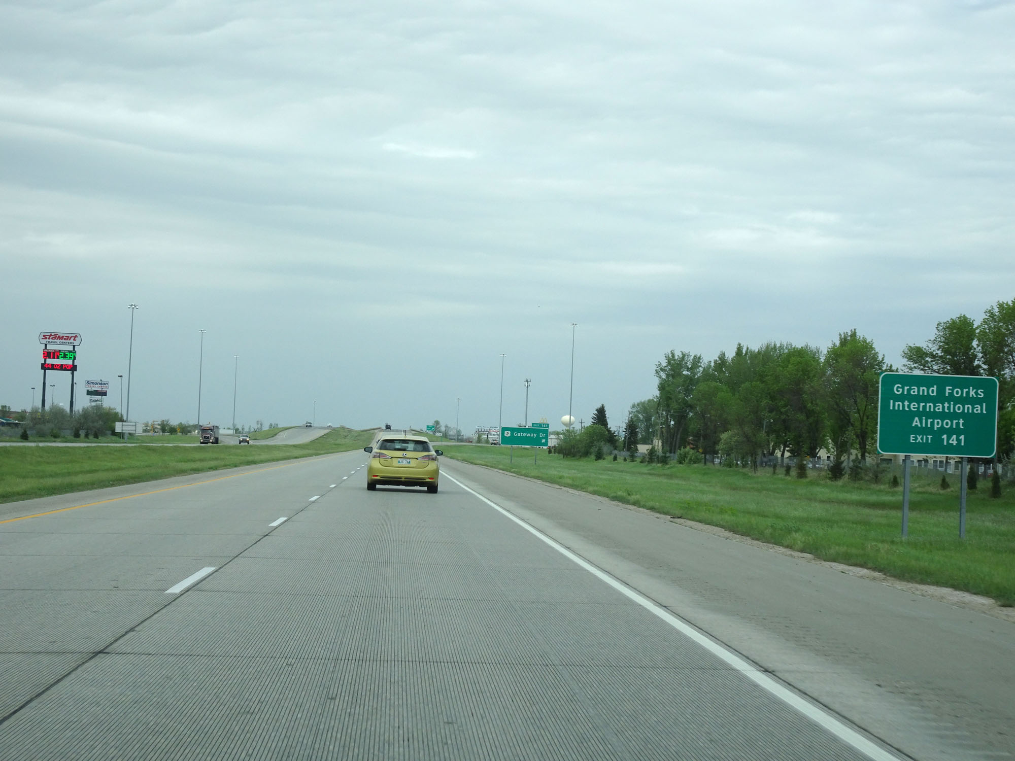 |
Take Exit 141 to Grand Forks International Airport as well. (Photo taken 5/22/16). |
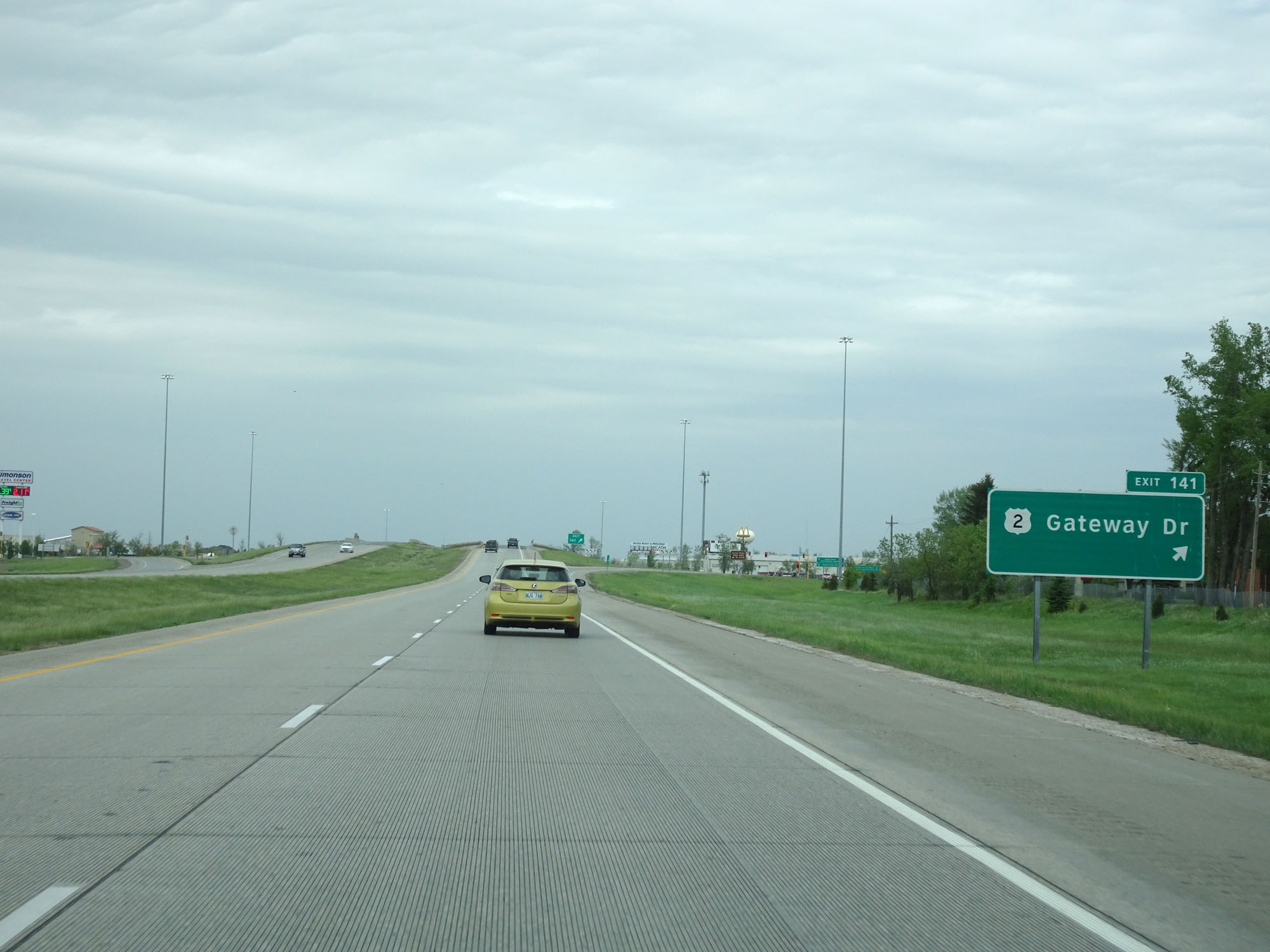 |
Interstate 29 North at Exit 141: US 2 - Gateway Dr (Photo taken 5/22/16). |
Section 3: Grand Forks (Exit 141) to Canadian Border
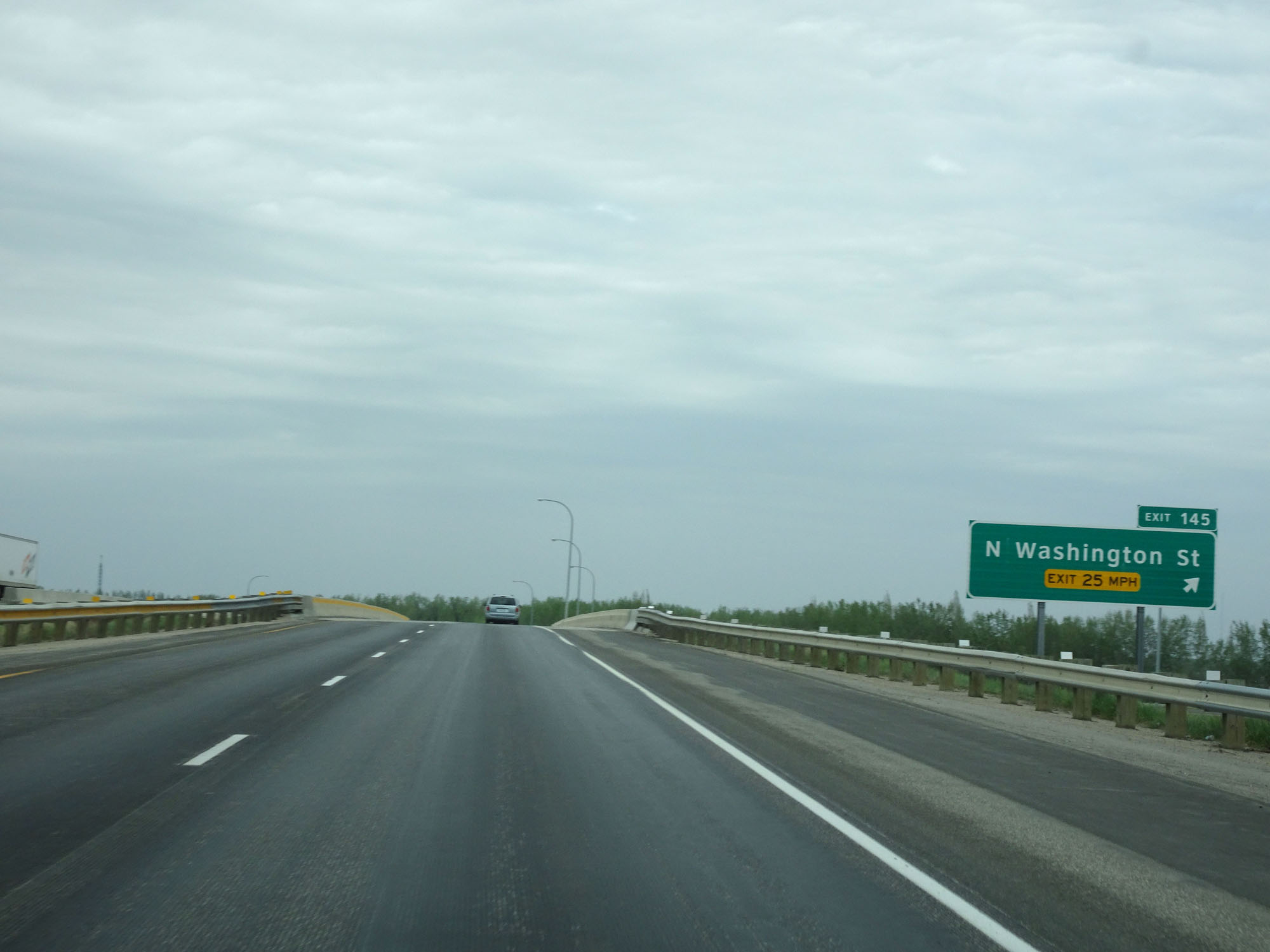 |
Interstate 29 North at Exit 145: N Washington St (Photo taken 5/22/16). |
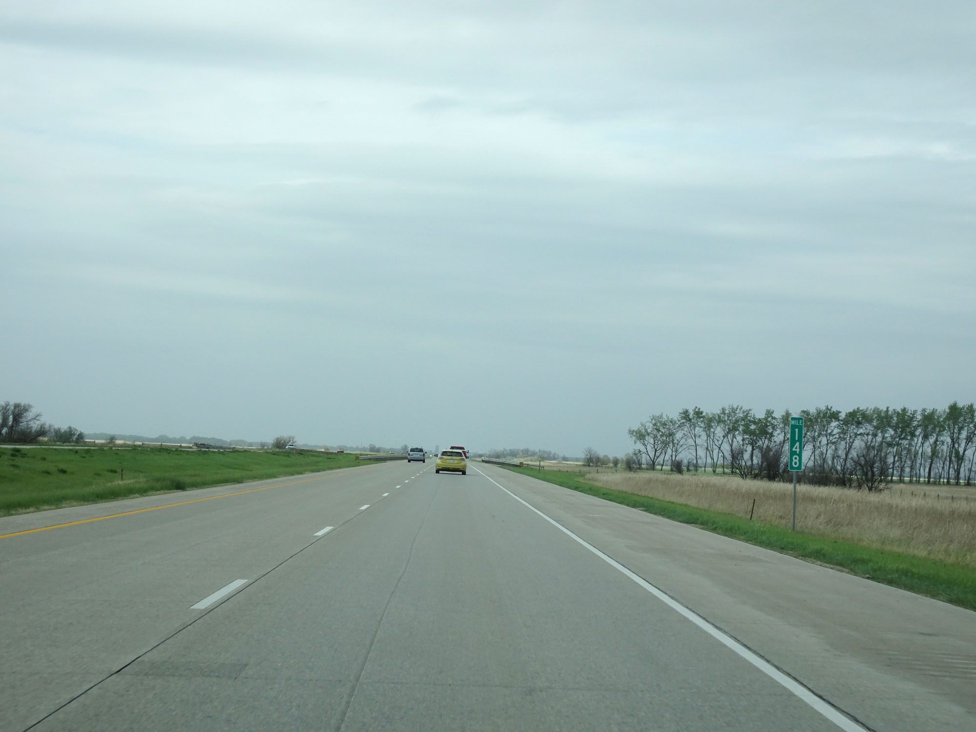 |
Interstate 29 North at mile marker 148. (Photo taken 5/22/16). |
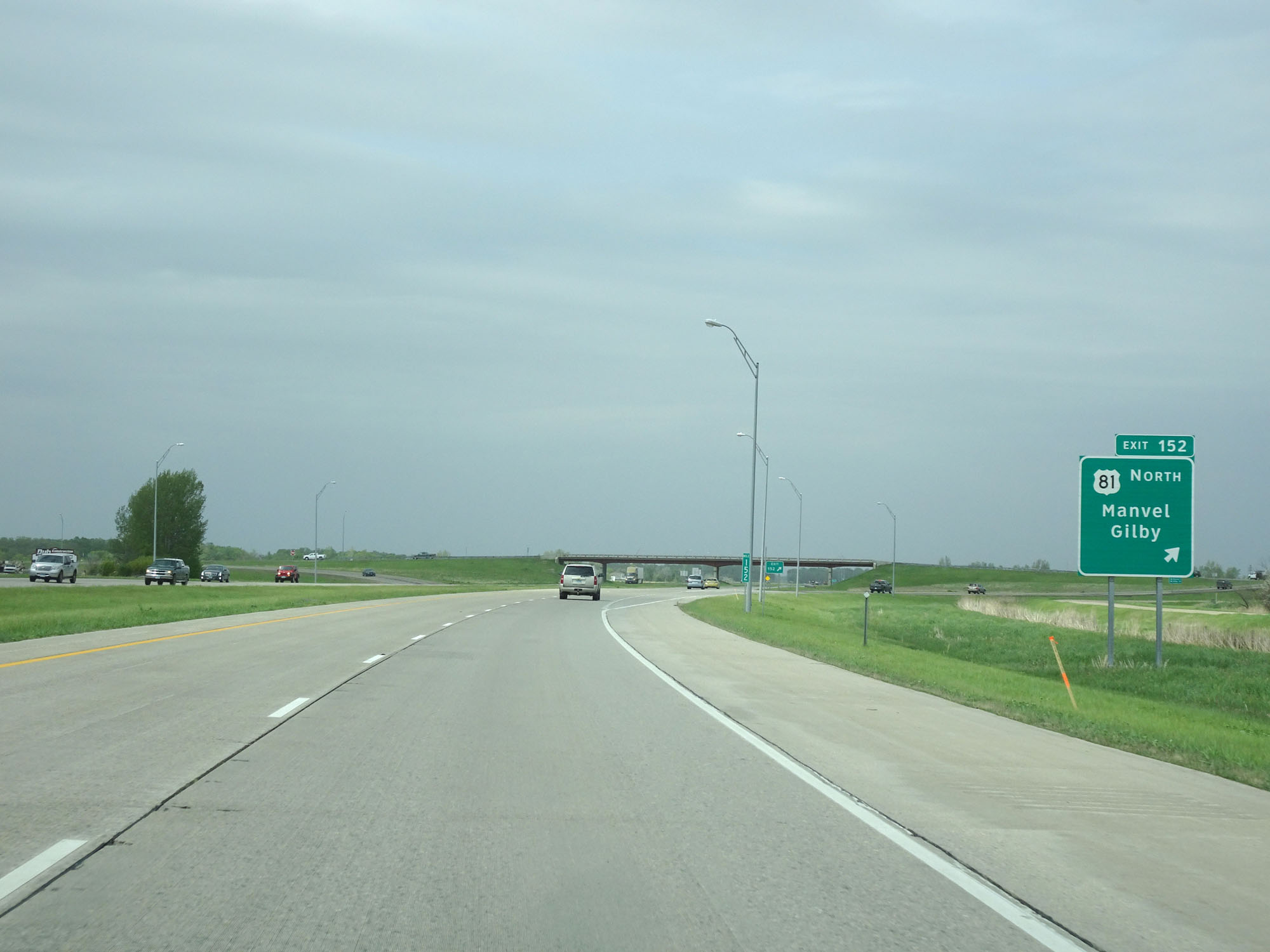 |
Interstate 29 North at Exit 152: US 81 North - Manvel / Gilby (Photo taken 5/22/16). |
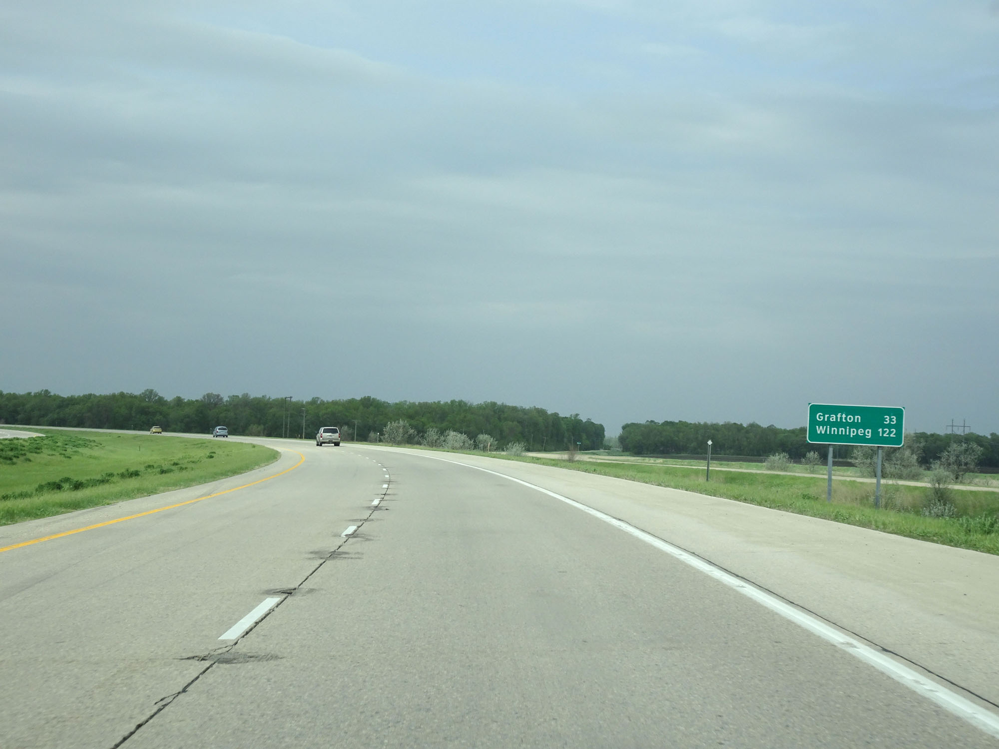 |
Mileage sign on Interstate 29 North. It's 33 miles to Grafton and 122 miles to Winnipeg. (Photo taken 5/22/16). |
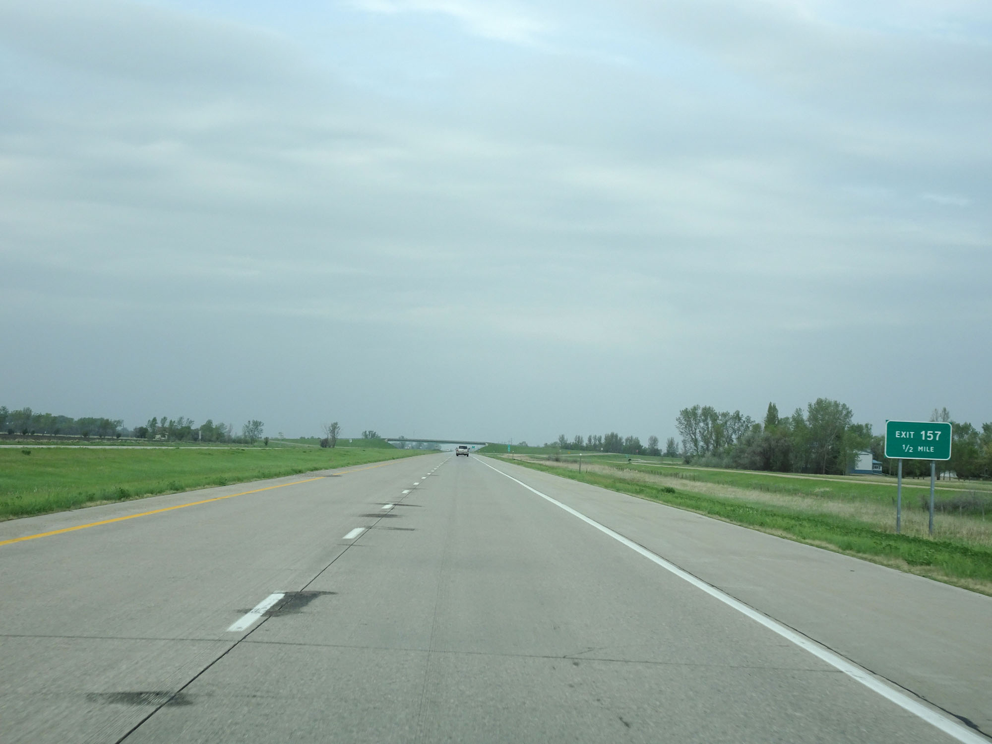 |
Interstate 29 North approaching Exit 157 - 1/2 mile. (Photo taken 5/22/16). |
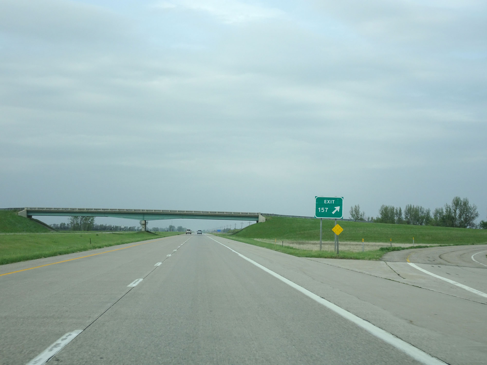 |
Interstate 29 North at Exit 157: (No Name) (Photo taken 5/22/16). |
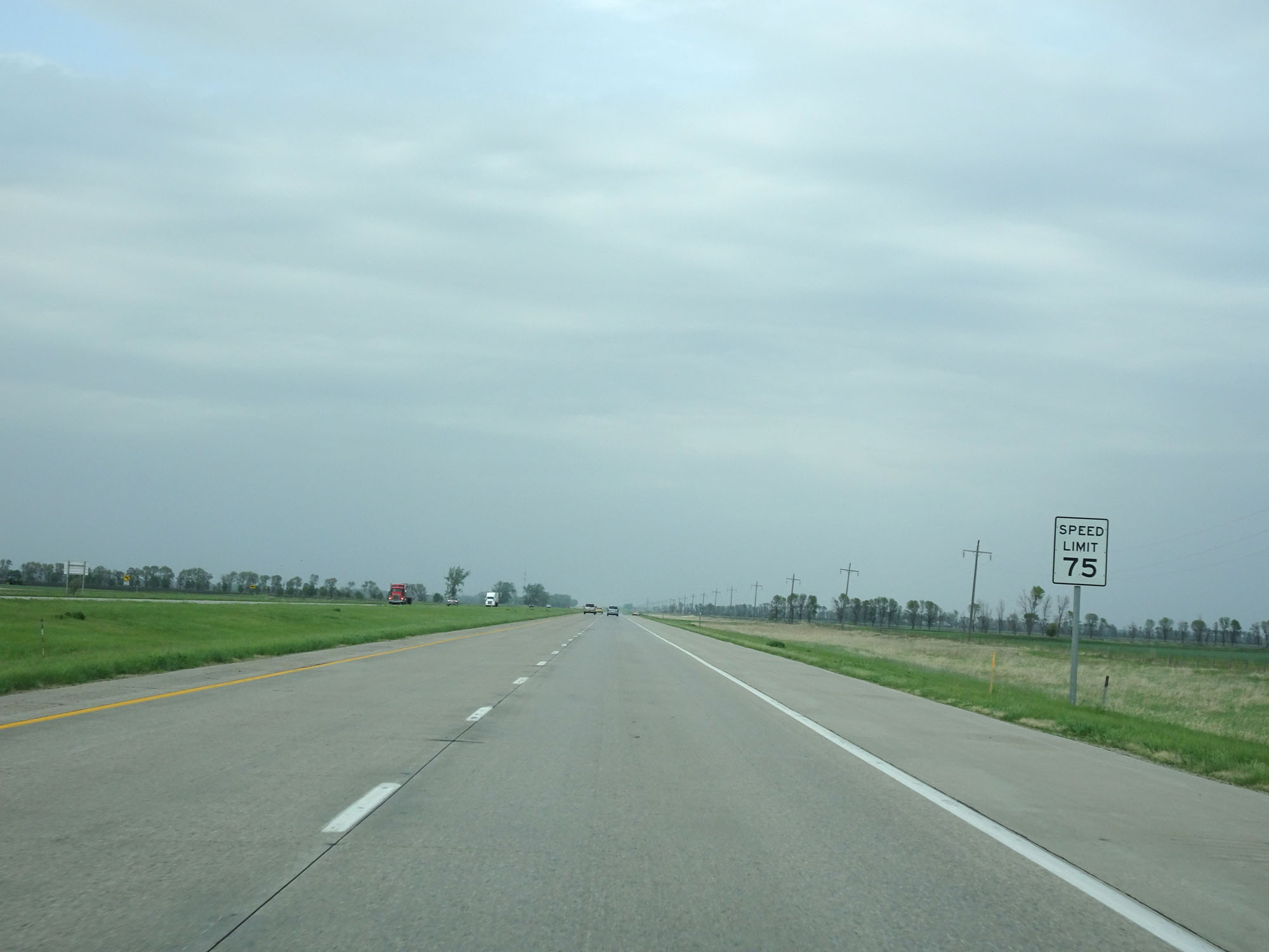 |
Speed Limit - 75 mph. (Photo taken 5/22/16). |
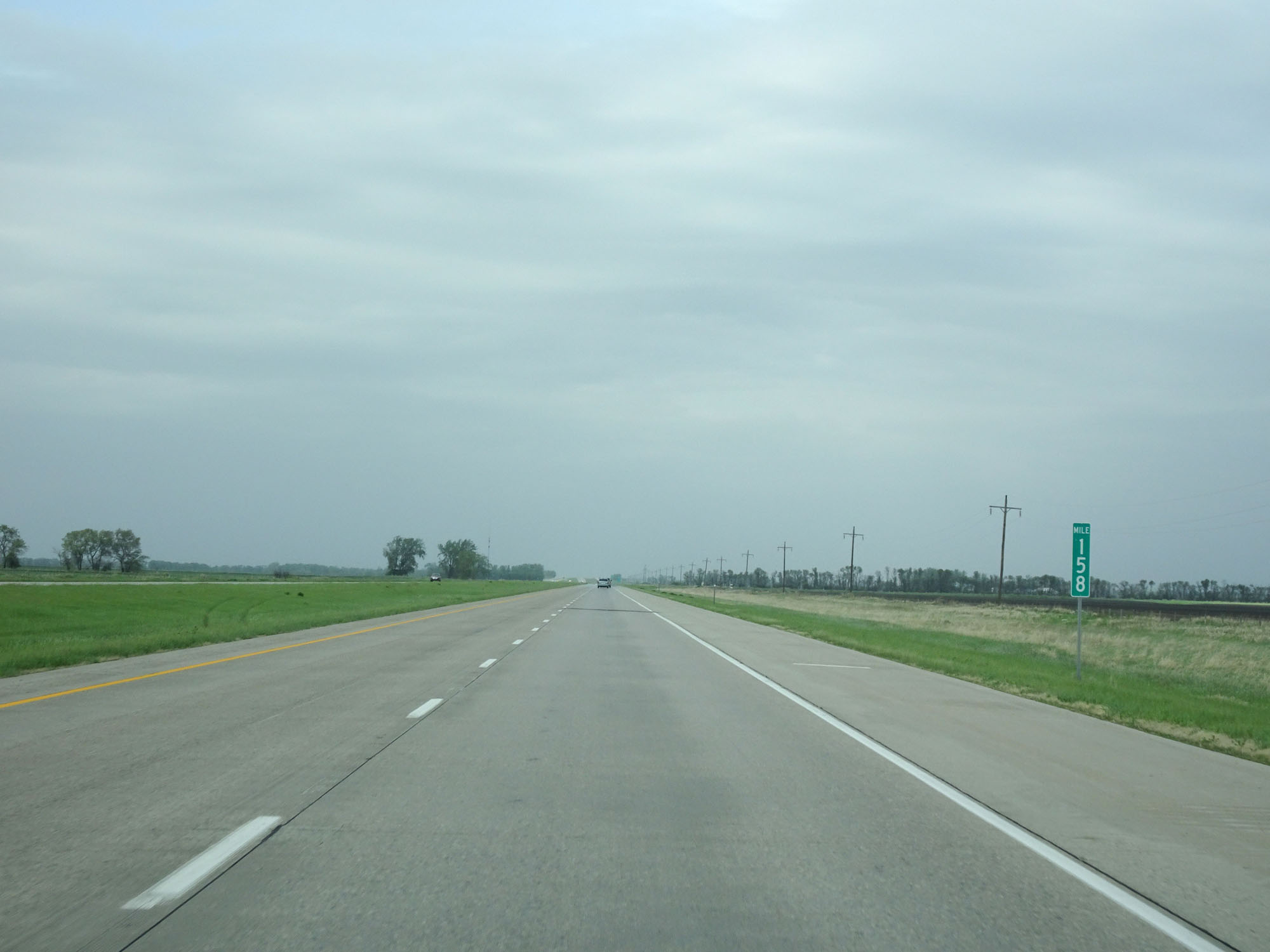 |
Interstate 29 North at mile marker 158. (Photo taken 5/22/16). |
 |
Interstate 29 North at Exit 161: ND 54 East / CR 19 West - Oslo / Ardoch (Photo taken 5/22/16). |
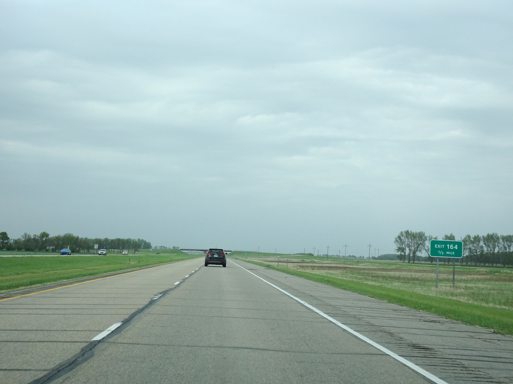 |
Interstate 29 North approaching Exit 164 - 1/2 mile. (Photo taken 5/22/16). |
 |
Interstate 29 North at Exit 164: (No Name) (Photo taken 5/22/16). |
 |
Interstate 29 North at mile marker 166. (Photo taken 5/22/16). |
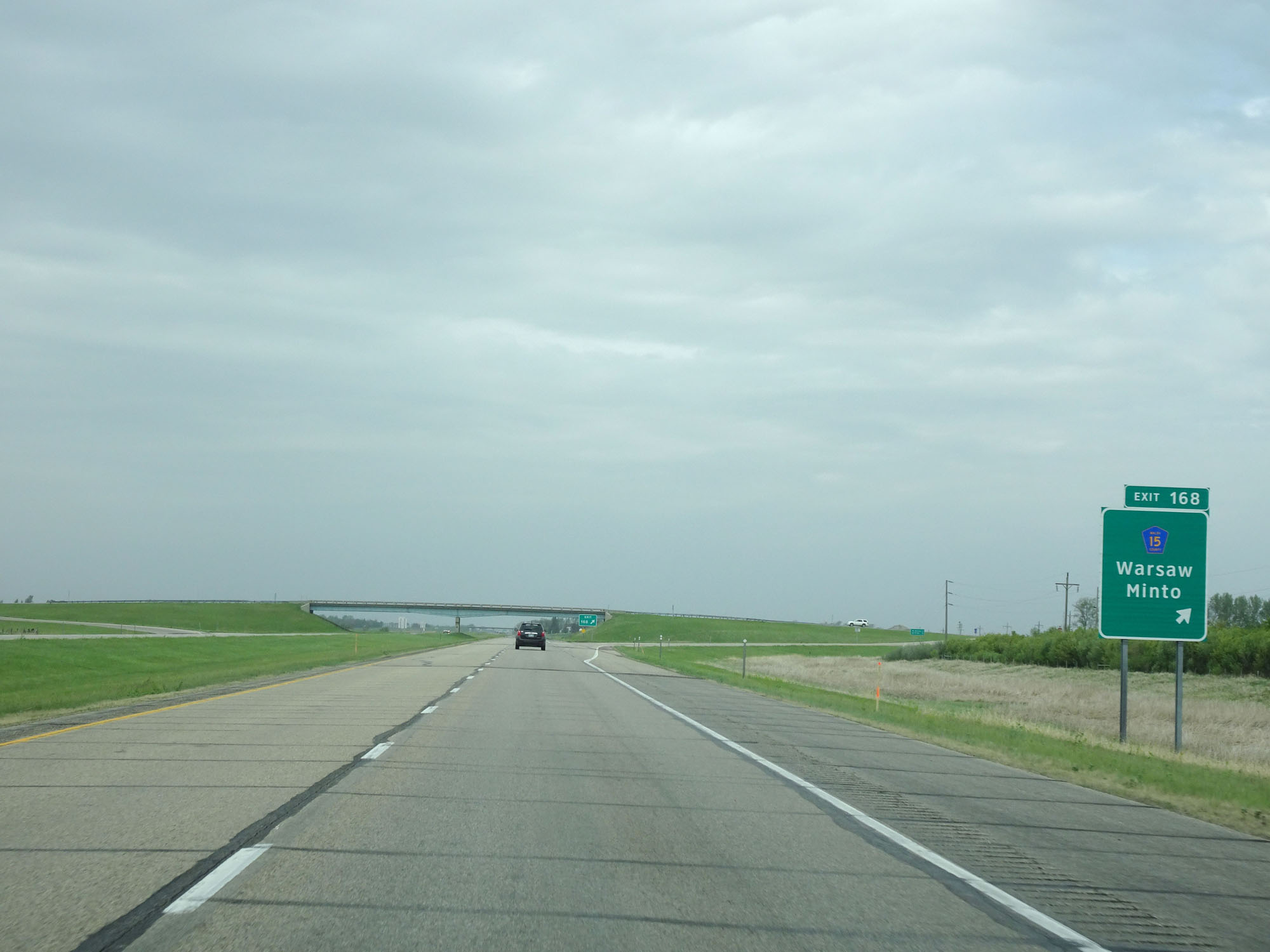 |
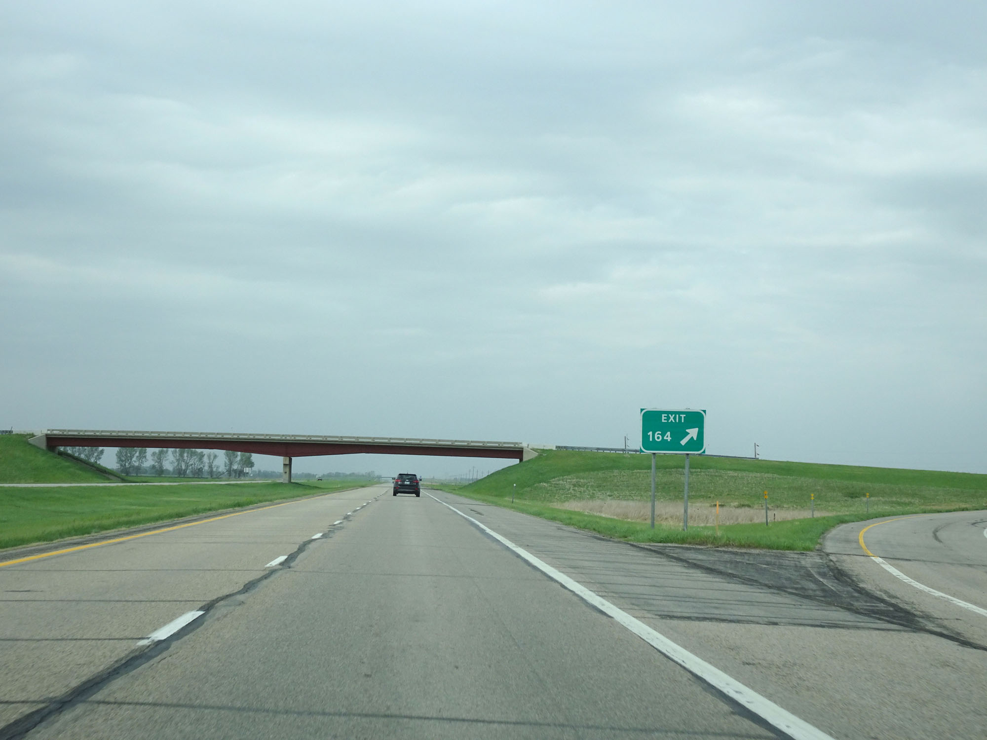
Interstate 29 North at Exit 168: CR 15 - Warsaw / Minto (Photo taken 5/22/16). |
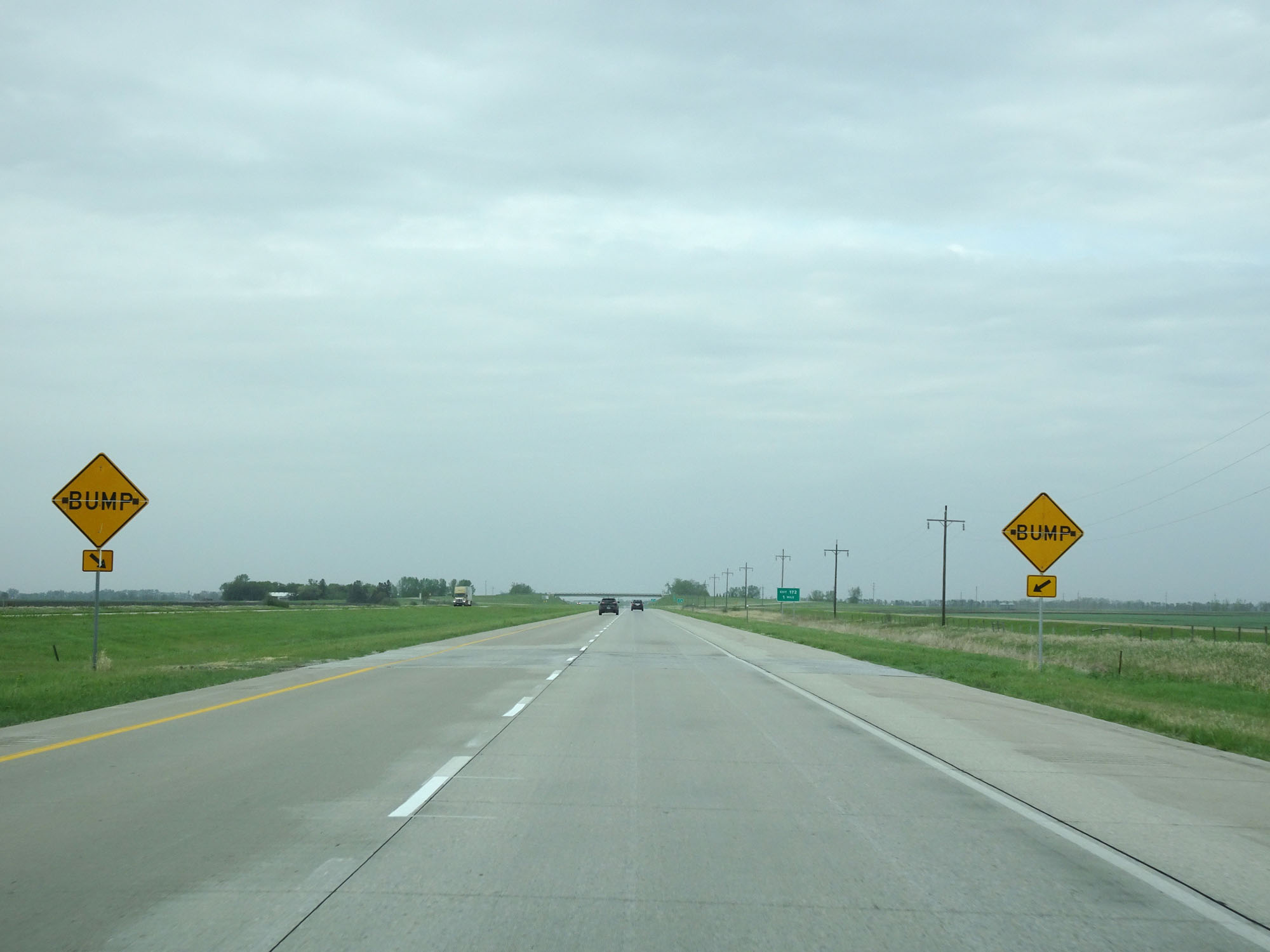 |
View on Interstate 29 North. (Photo taken 5/22/16). |
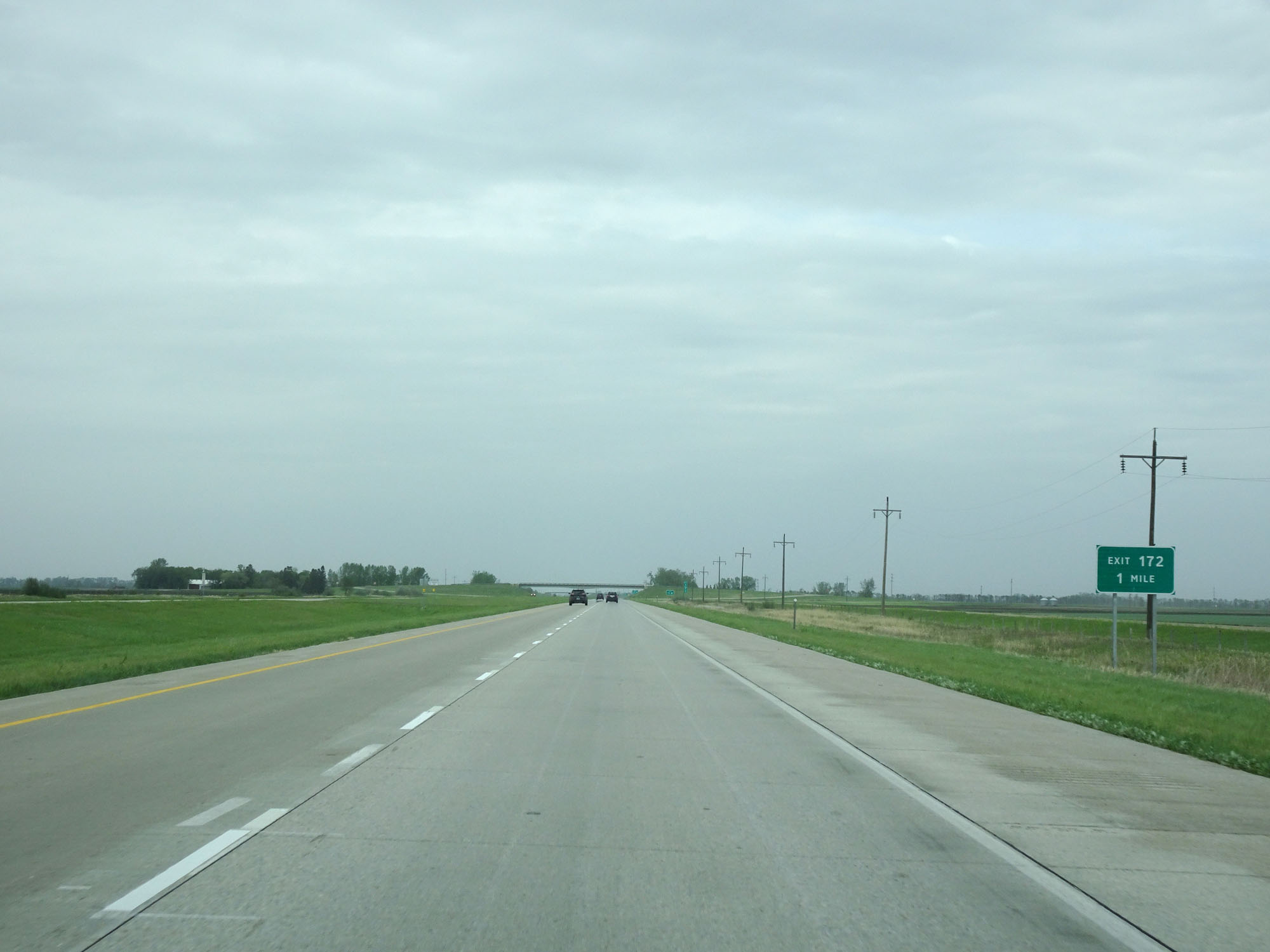 |
Interstate 29 North approaching Exit 172 - 1 mile. (Photo taken 5/22/16). |
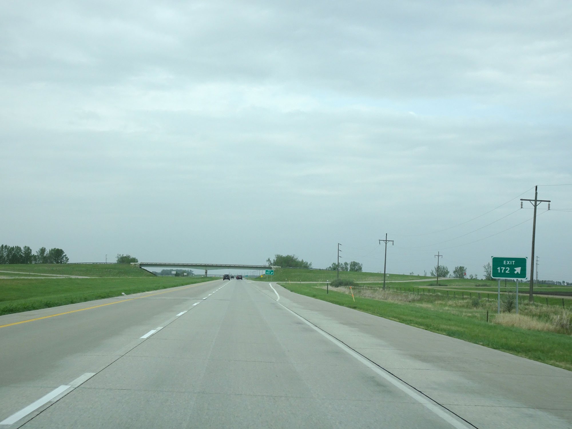 |
Interstate 29 North at Exit 172: (No Name) (Photo taken 5/22/16). |
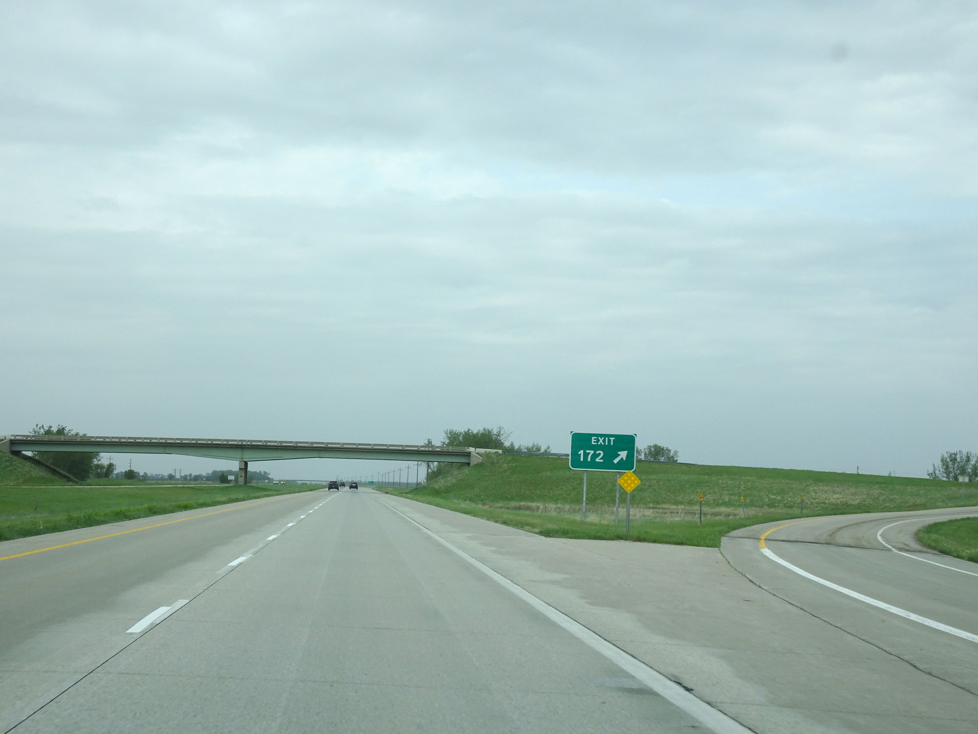 |
Gore point signage for Exit 172. (Photo taken 5/22/16). |
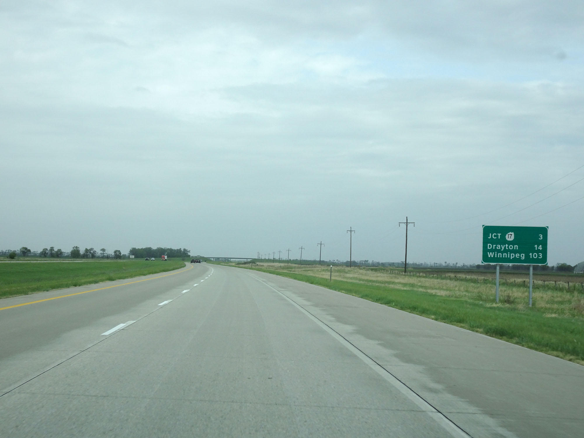 |
Mileage sign on Interstate 29 North. It's 3 miles to the junction of ND 17, 14 miles to Drayton, and 103 miles to Winnipeg. (Photo taken 5/22/16). |
 |
Interstate 29 North at mile marker 174. (Photo taken 5/22/16). |
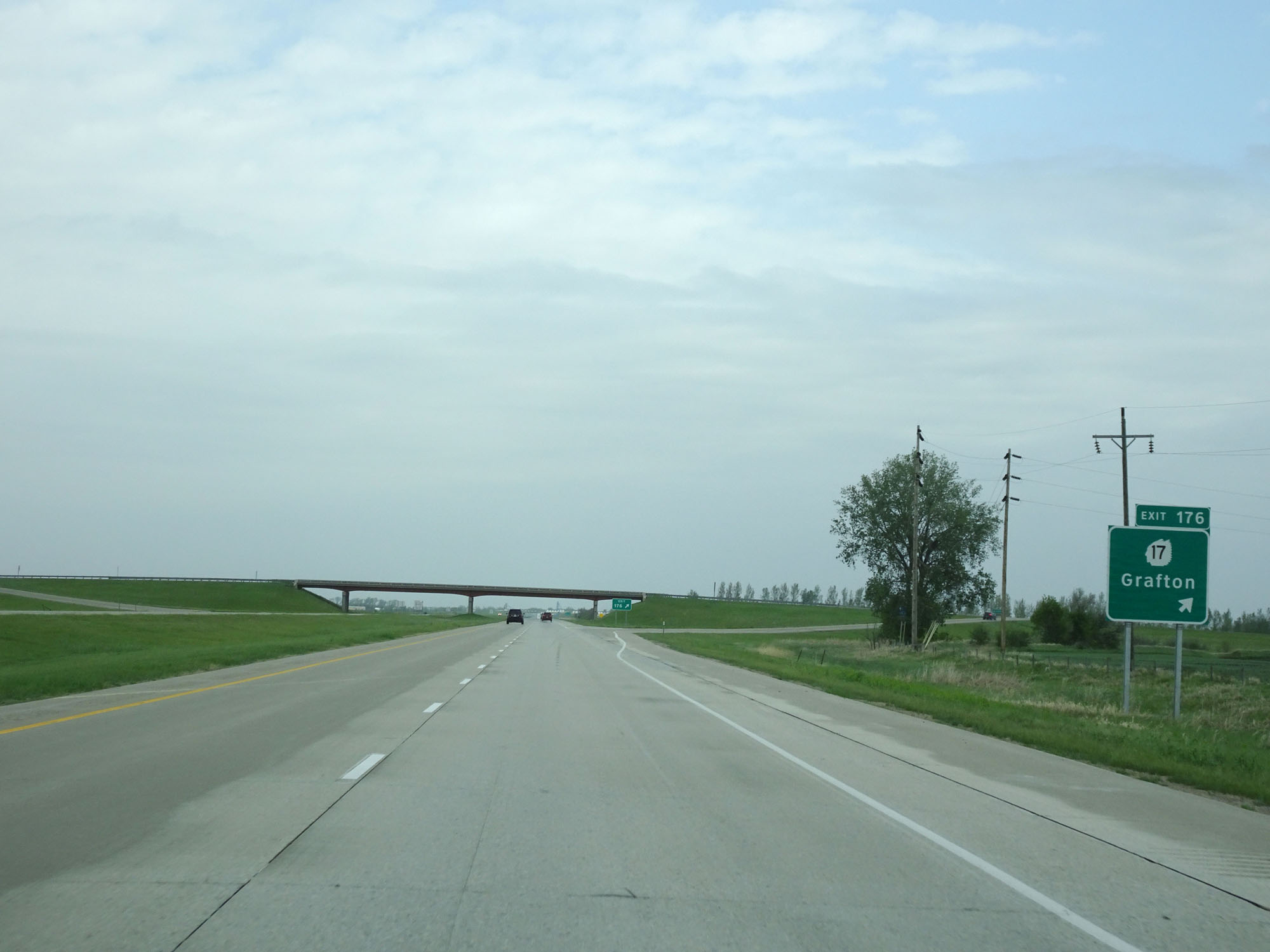 |
Interstate 29 North at Exit 176: ND 17 - Grafton (Photo taken 5/22/16). |
 |
Interstate 29 North at mile marker 178. (Photo taken 5/22/16). |
 |
Interstate 29 North at the Rest Area in the median located in Walsh County. (Photo taken 5/22/16). |
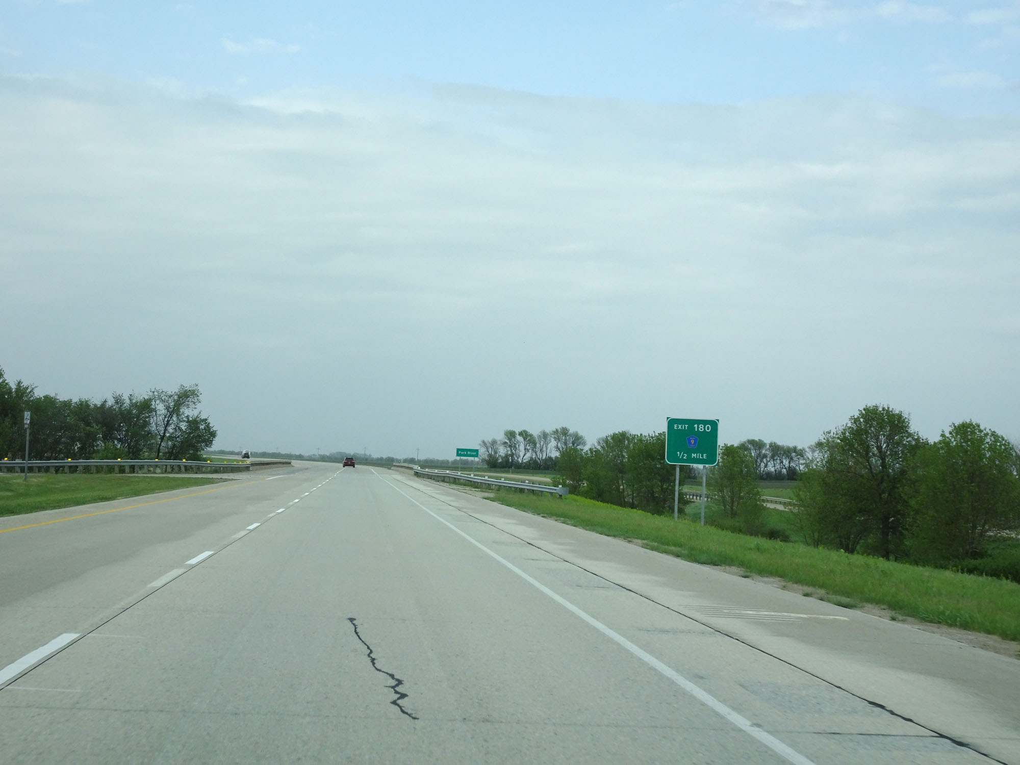 |
Interstate 29 North approaching Exit 180 - 1/2 mile. (Photo taken 5/22/16). |
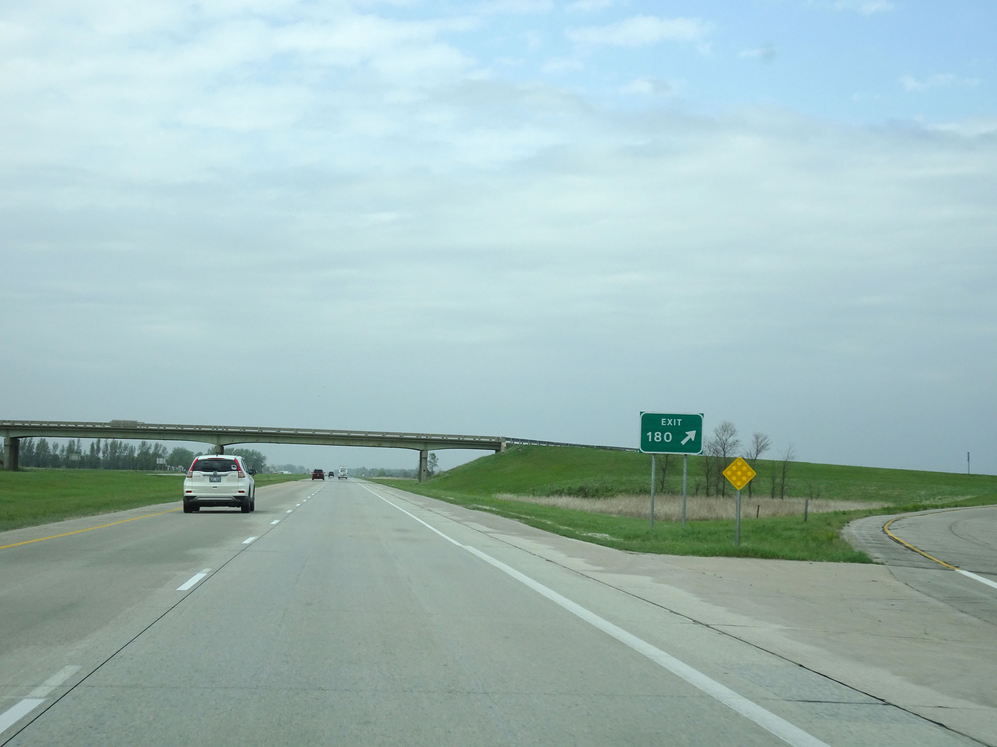 |
Interstate 29 North at Exit 180: CR 9 (Photo taken 5/22/16). |
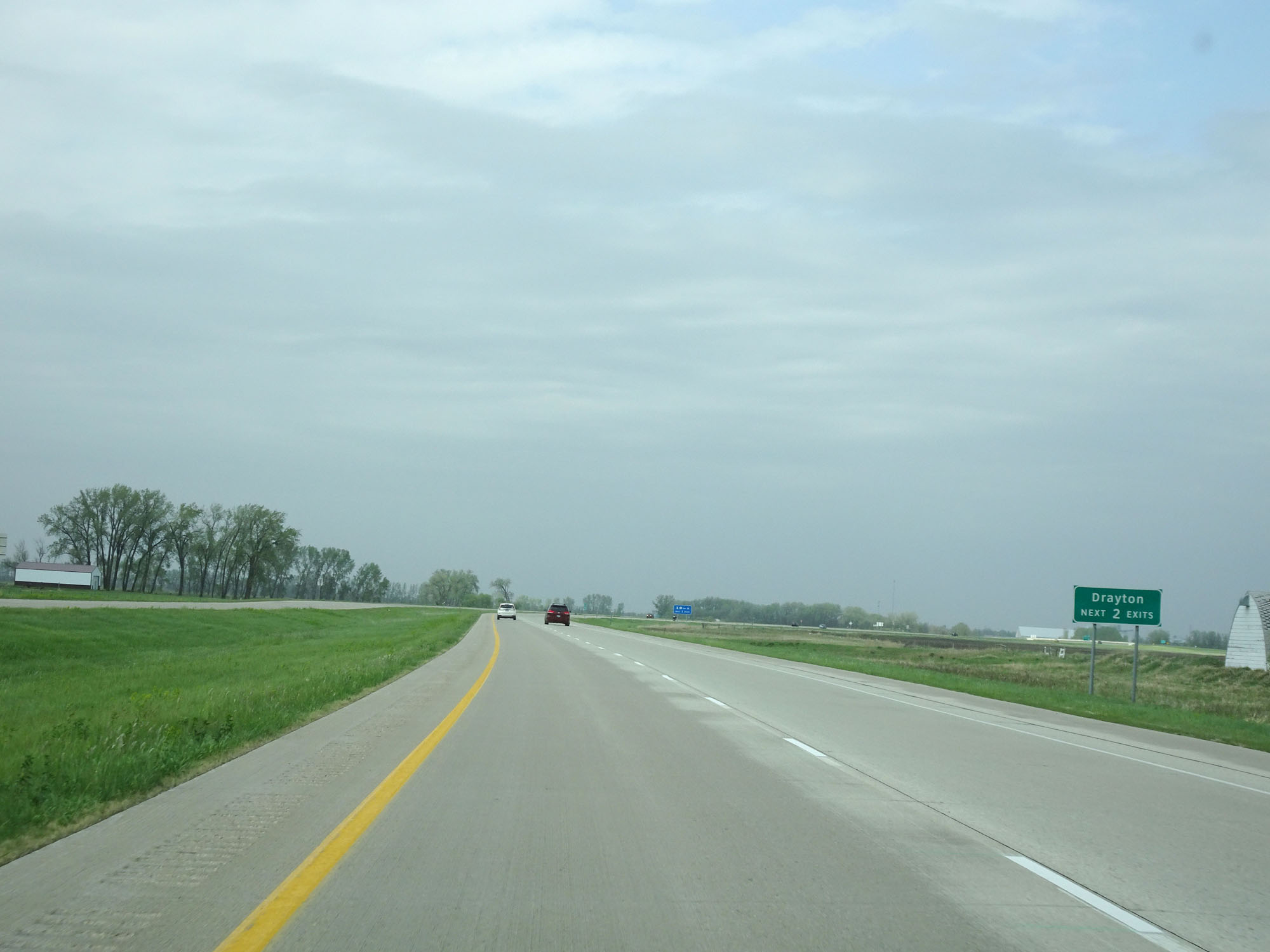 |
Take either of the next 2 exits to Drayton. (Photo taken 5/22/16). |
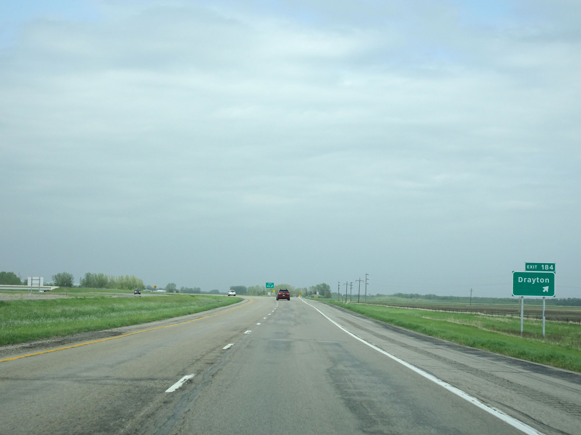 |
Interstate 29 North at Exit 184: Drayton (Photo taken 5/22/16). |
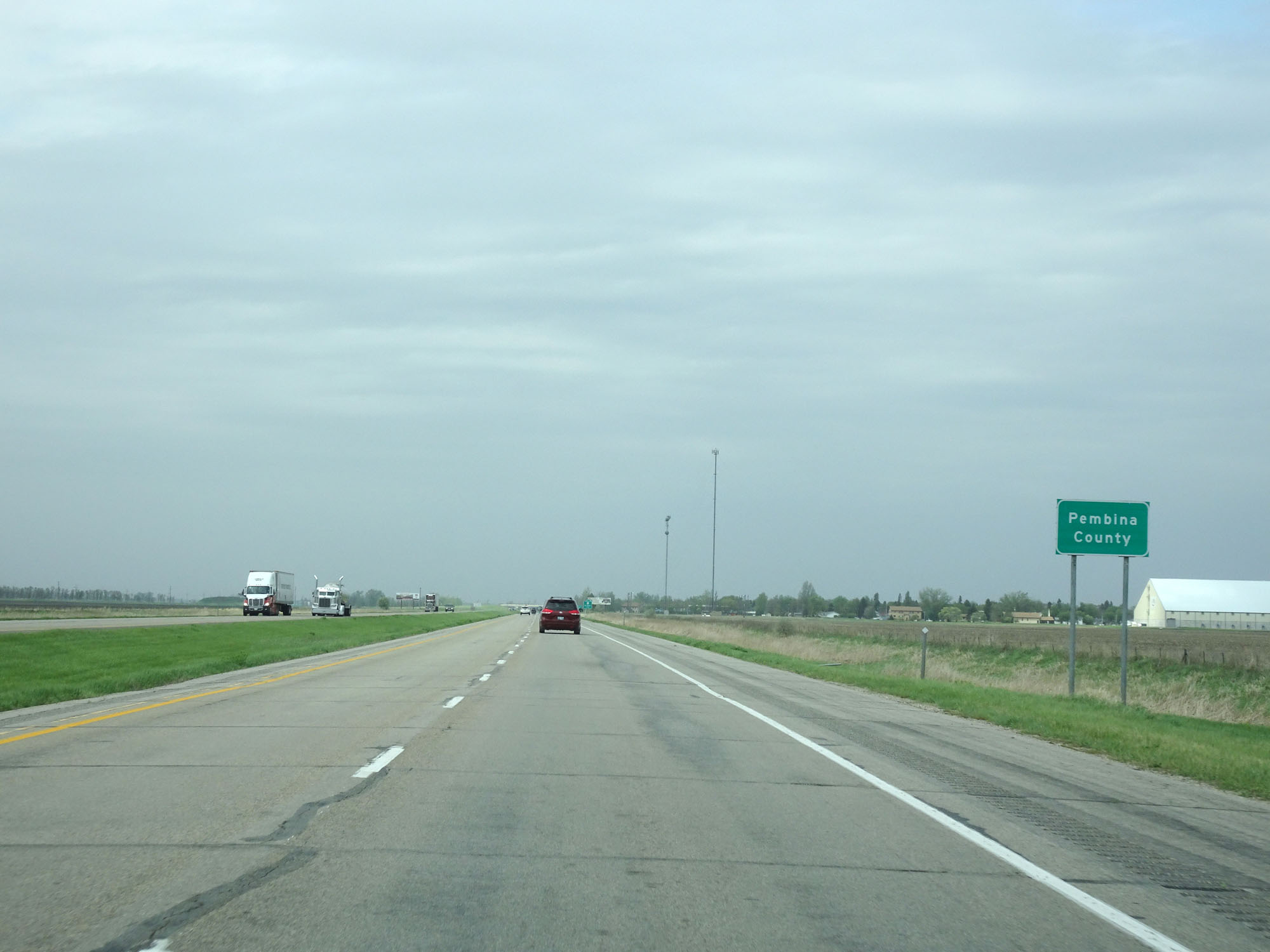 |
Interstate 29 North as it enters Pembina County. (Photo taken 5/22/16). |
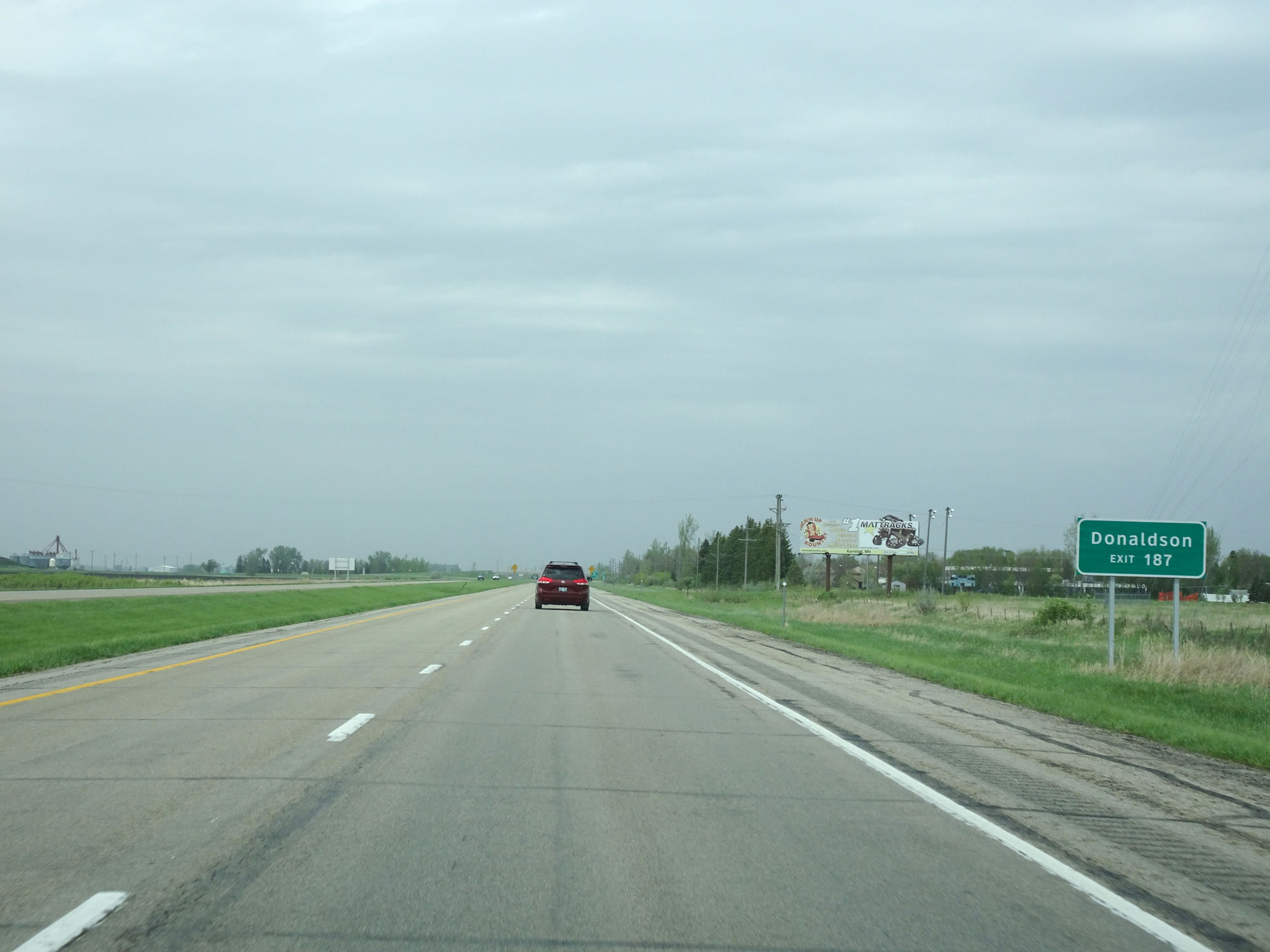 |
Take Exit 187 to Donaldson. (Photo taken 5/22/16). |
 |
Interstate 29 North at Exit 187: ND 66 - Drayton (Photo taken 5/22/16). |
 |
State-named Interstate 29 North reassurance shield. (Photo taken 5/22/16). |
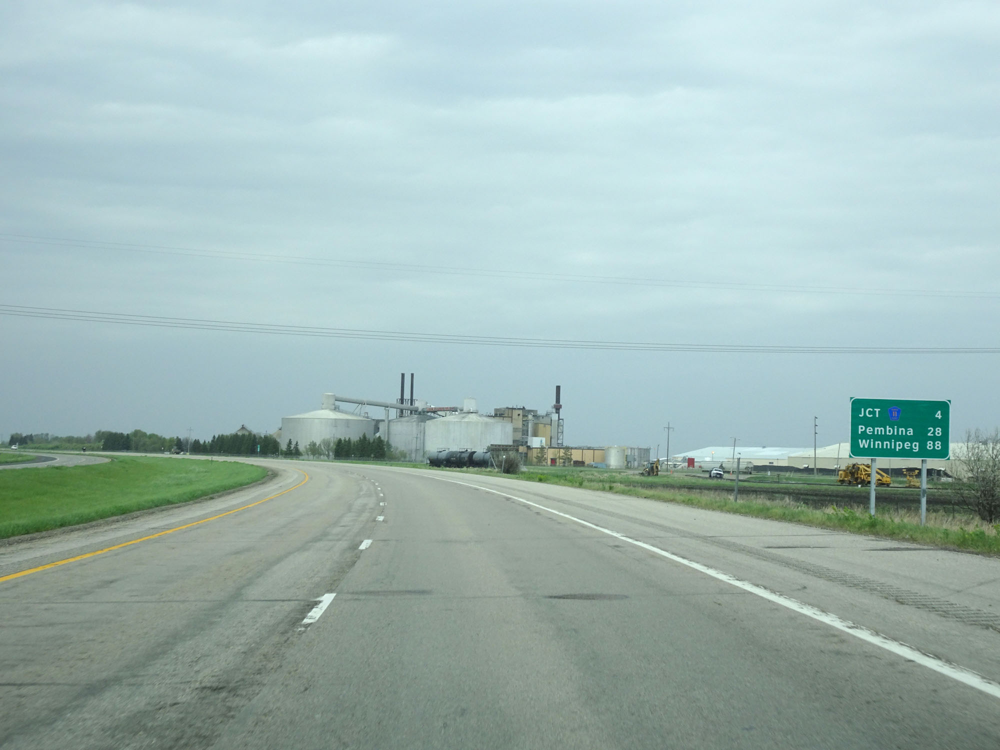 |
Mileage sign on Interstate 29 North. It's 4 miles to the junction of CR 11, 28 miles to Pembina, and 88 miles to Winnipeg. (Photo taken 5/22/16). |
 |
Interstate 29 North approaching Exit 191 - 1 mile. (Photo taken 5/22/16). |
 |
Interstate 29 North at mile marker 190. (Photo taken 5/22/16). |
 |
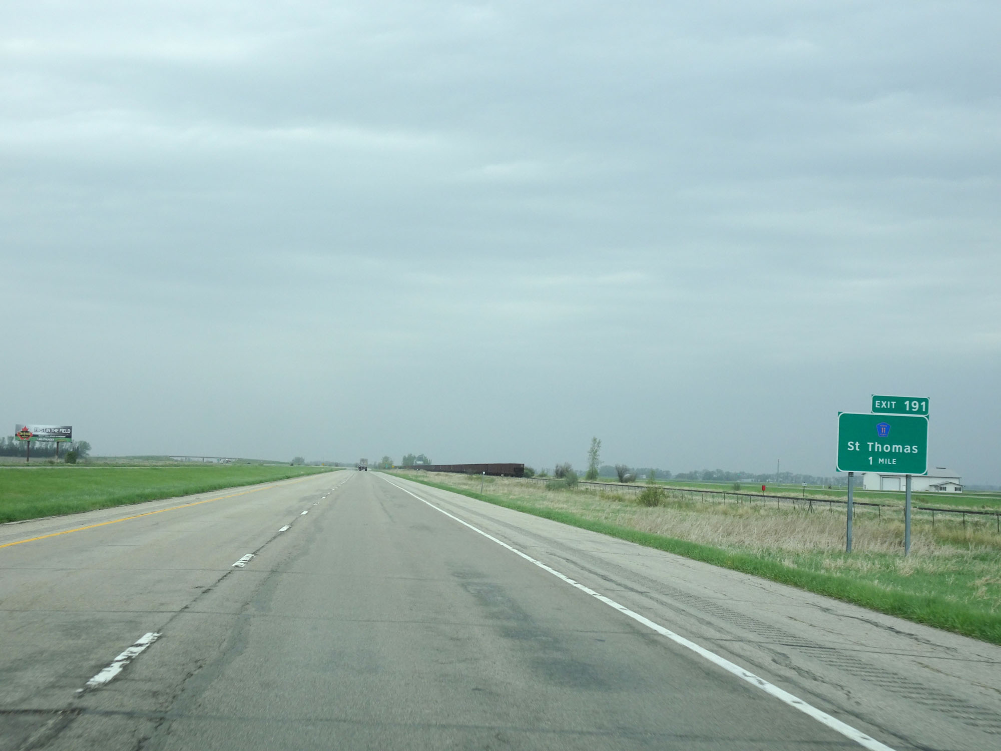
Interstate 29 North at Exit 191: CR 11 - St Thomas (Photo taken 5/22/16). |
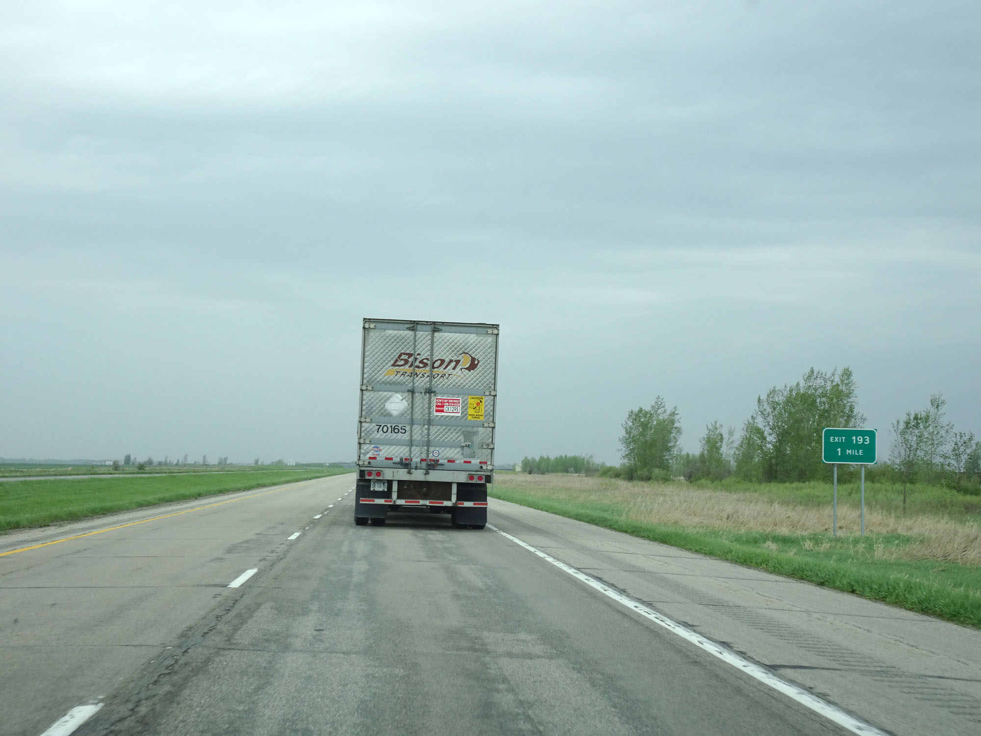 |
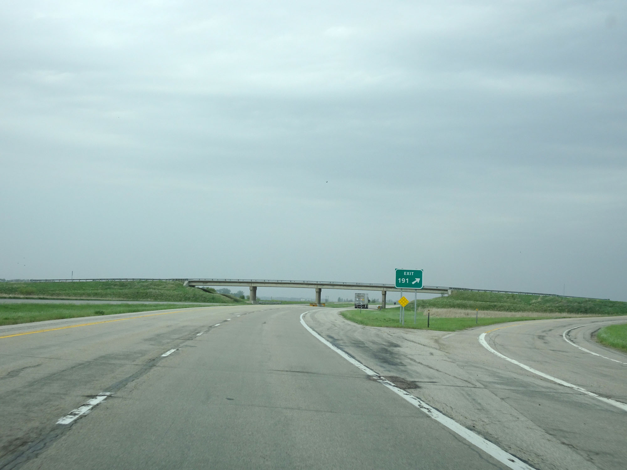
Interstate 29 North approaching Exit 193 - 1 mile. (Photo taken 5/22/16). |
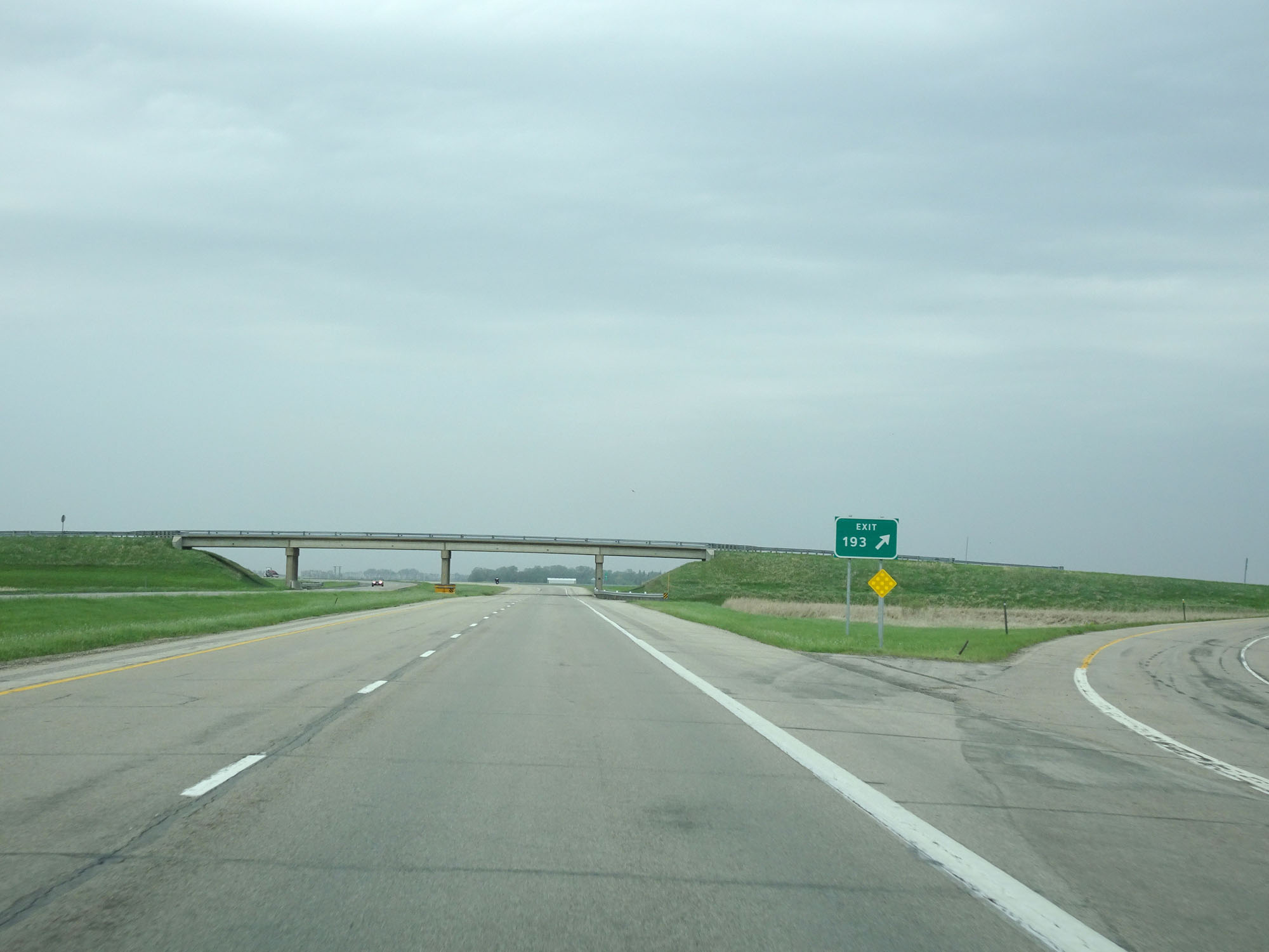 |
Interstate 29 North at Exit 193: (No Name) (Photo taken 5/22/16). |
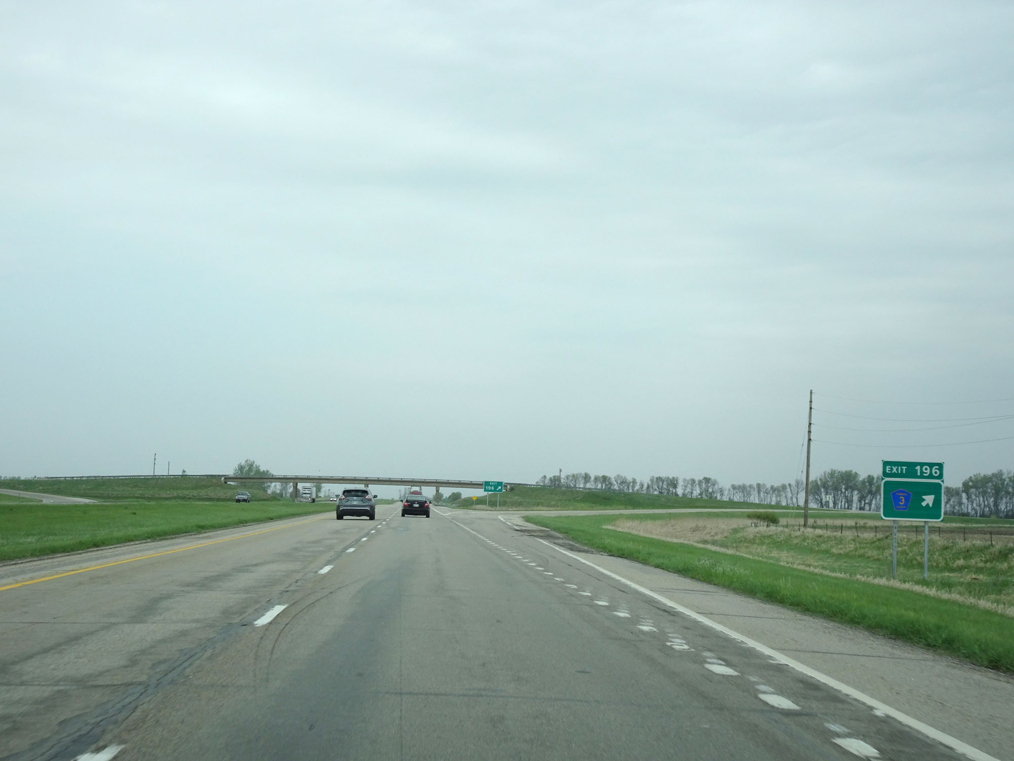 |
Interstate 29 North at Exit 196: CR 3 (Photo taken 5/22/16). |
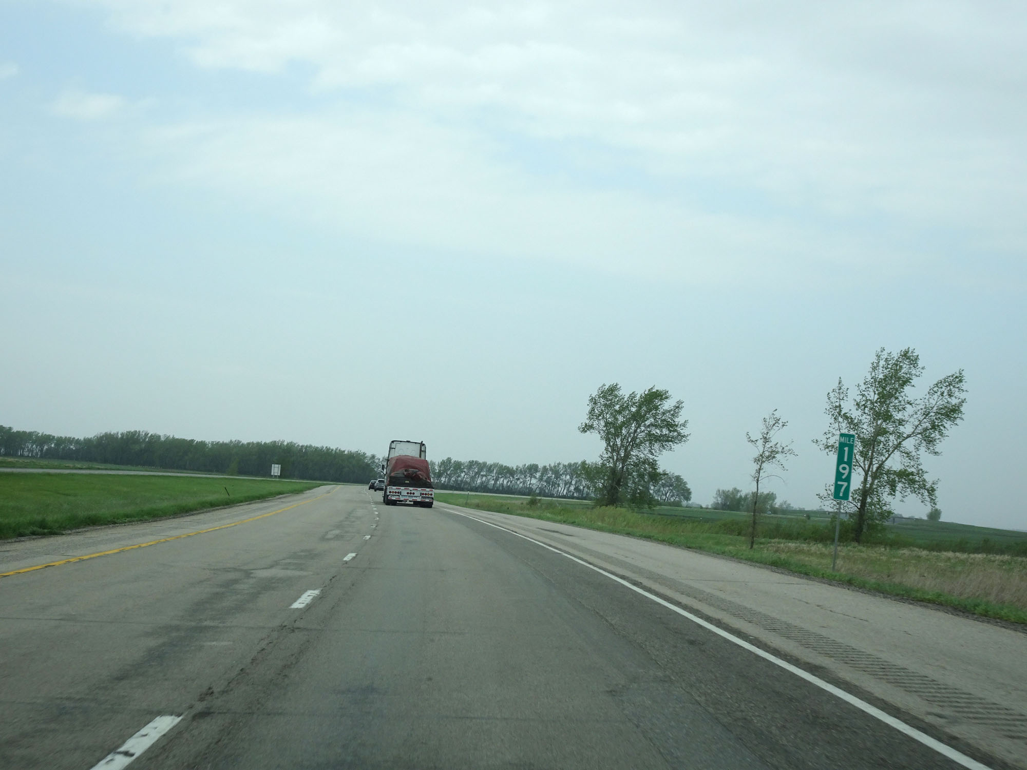 |
Interstate 29 North at mile marker 197. (Photo taken 5/22/16). |
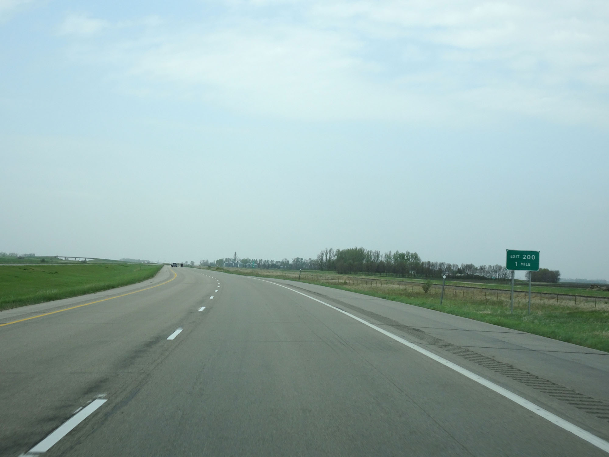 |
Interstate 29 North approaching Exit 200 - 1 mile. (Photo taken 5/22/16). |
 |
Interstate 29 North at Exit 200: (No Name) (Photo taken 5/22/16). |
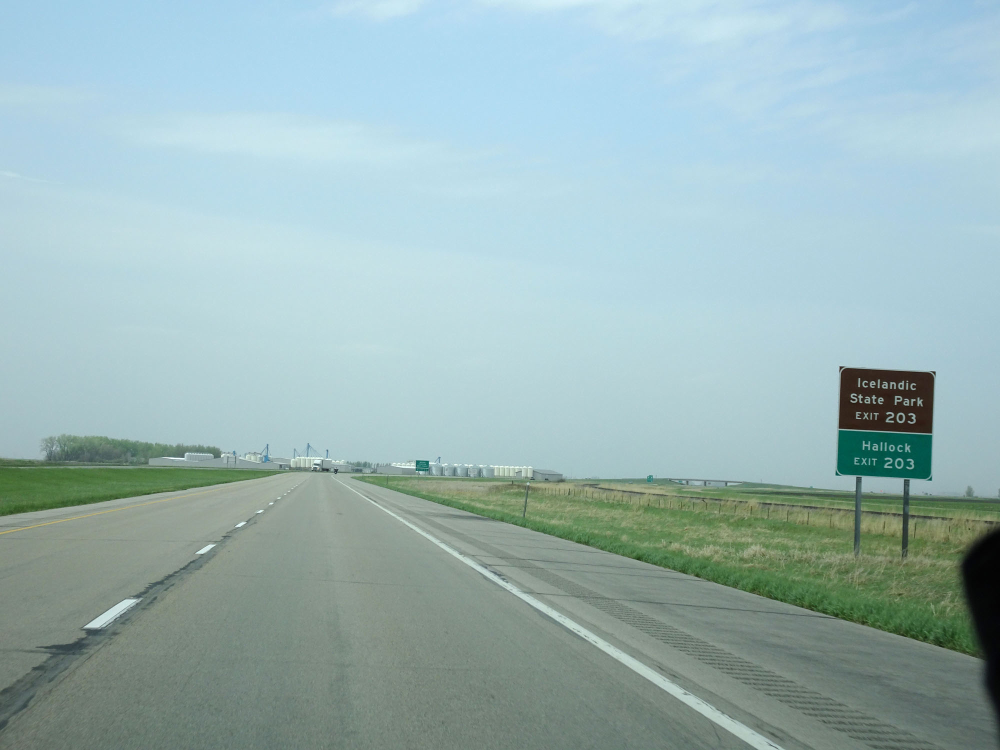 |
Take Exit 203 to Icelandic State Park and Hallock. (Photo taken 5/22/16). |
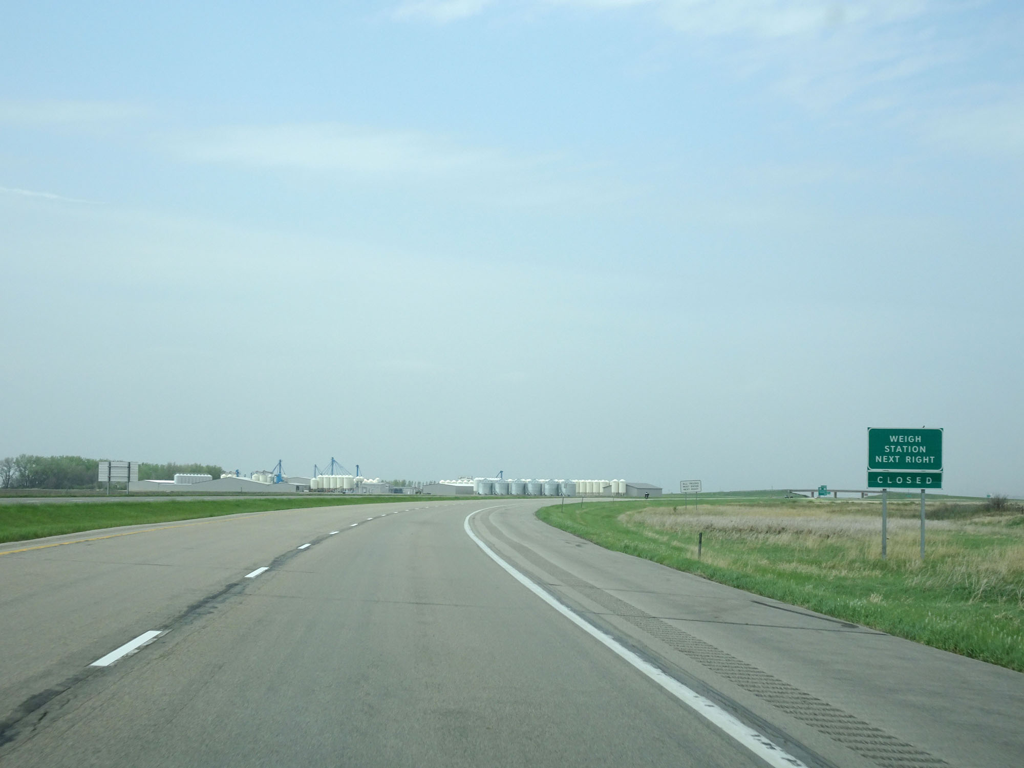 |
There is also a Weigh Station located off Exit 203. (Photo taken 5/22/16). |
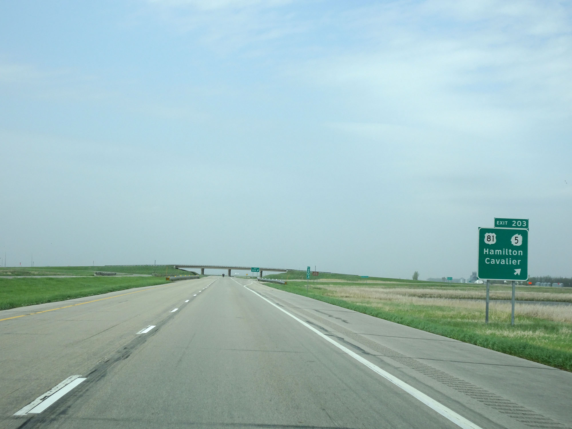 |
Interstate 29 North at Exit 203: US 81 / ND 5 - Hamilton / Cavalier (Photo taken 5/22/16). |
 |
Another state-named Interstate 29 North reassurance shield. (Photo taken 5/22/16). |
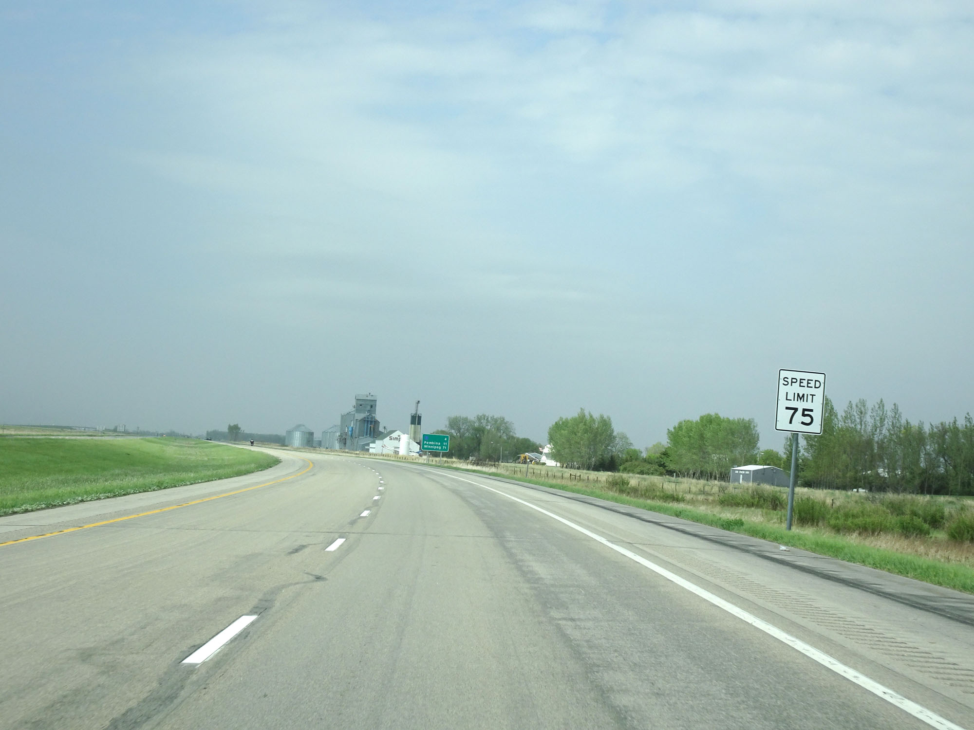 |
The speed limit remains 75 mph. (Photo taken 5/22/16). |
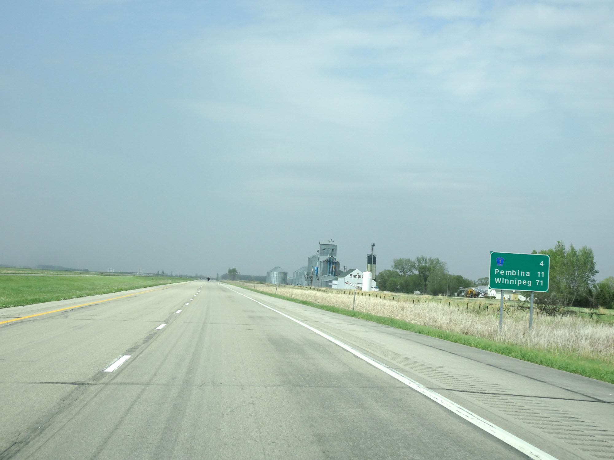 |
Mileage sign on Interstate 29 North. It's 4 miles to the junction of CR 1, 11 miles to Pembina, and 71 miles to Winnipeg. (Photo taken 5/22/16). |
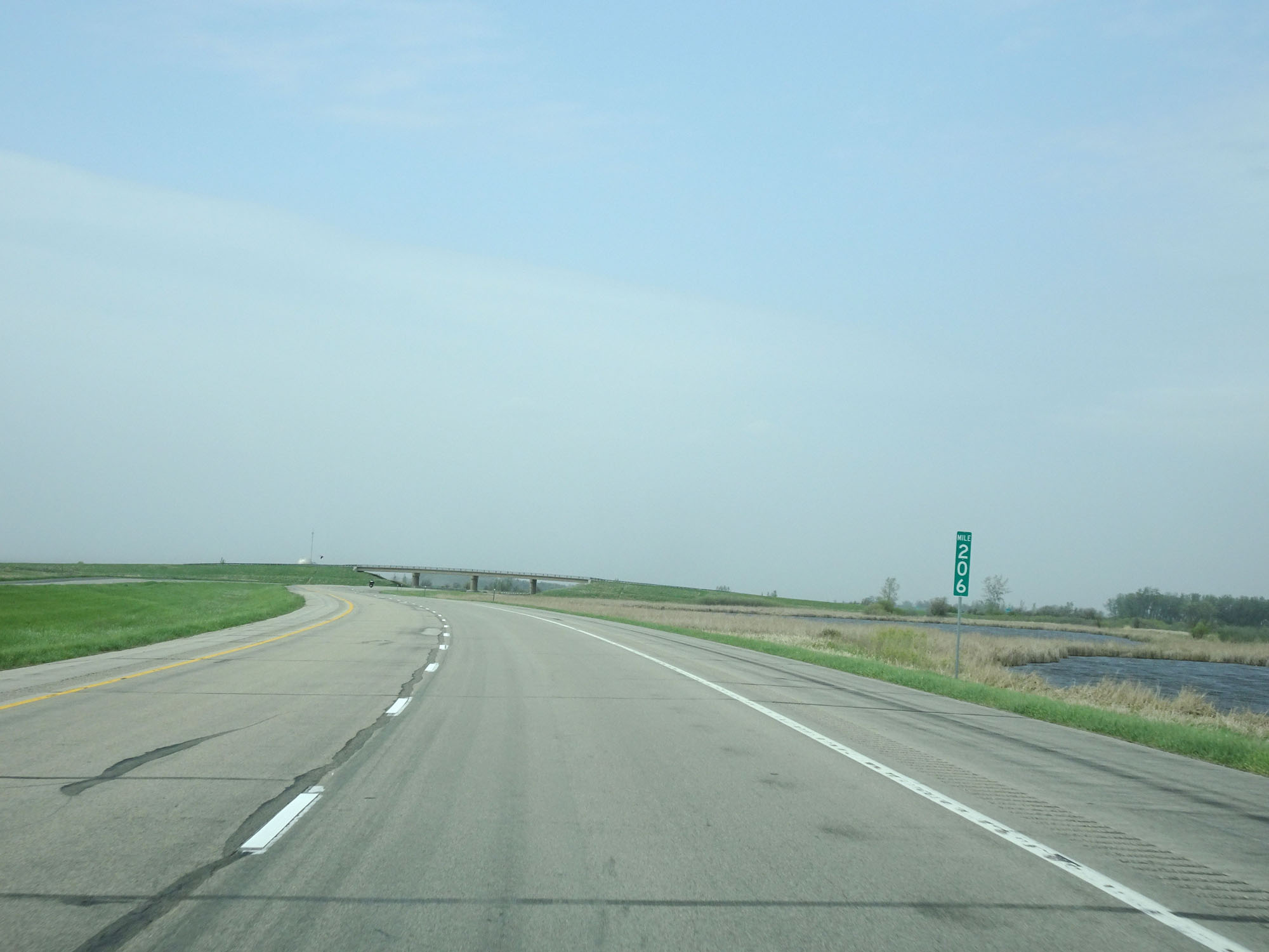 |
Interstate 29 North at mile marker 206. (Photo taken 5/22/16). |
 |
Interstate 29 North at Exit 208: CR 1 - Bathgate (Photo taken 5/22/16). |
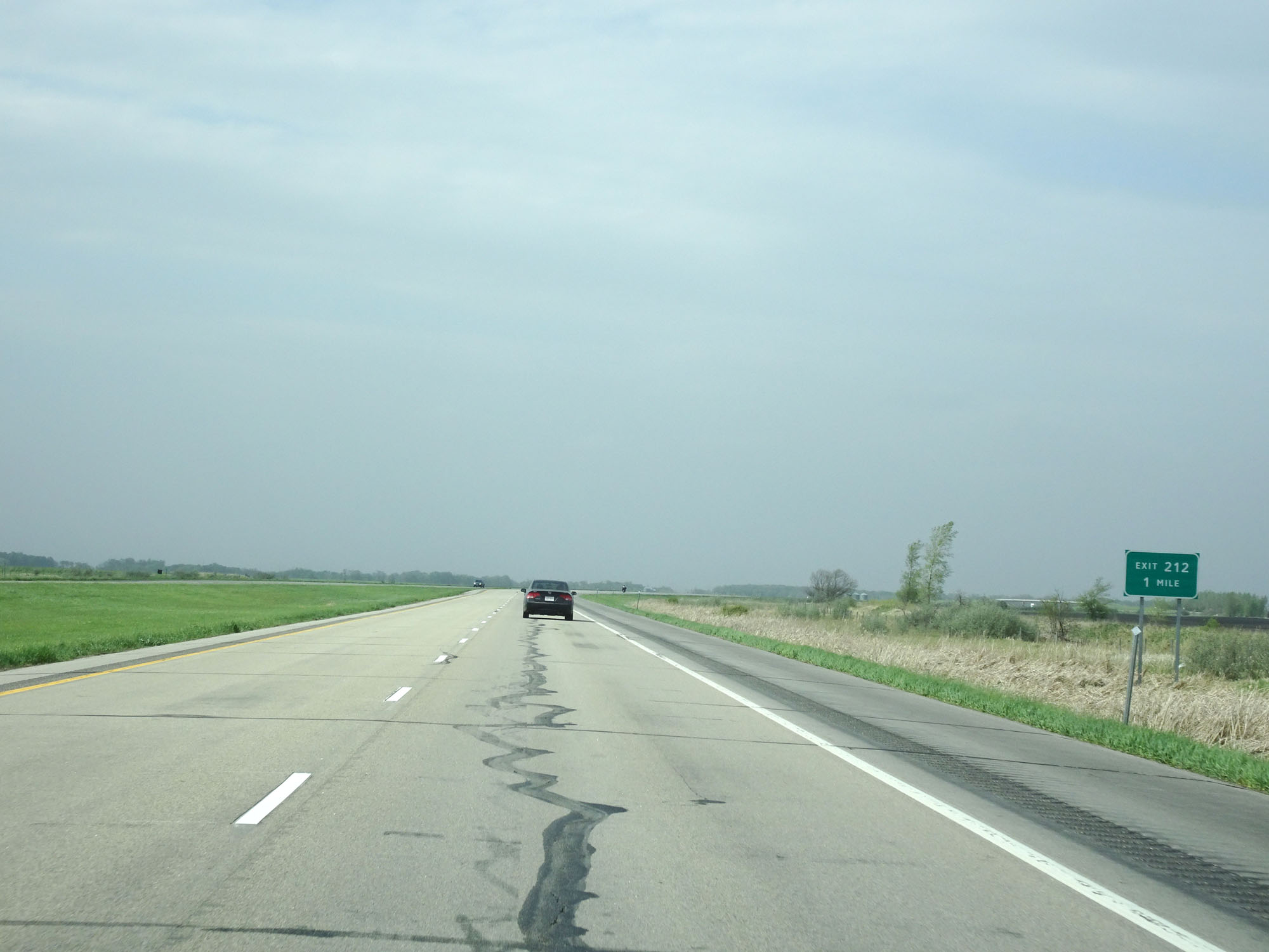 |
Interstate 29 North approaching Exit 212 - 1 mile. (Photo taken 5/22/16). |
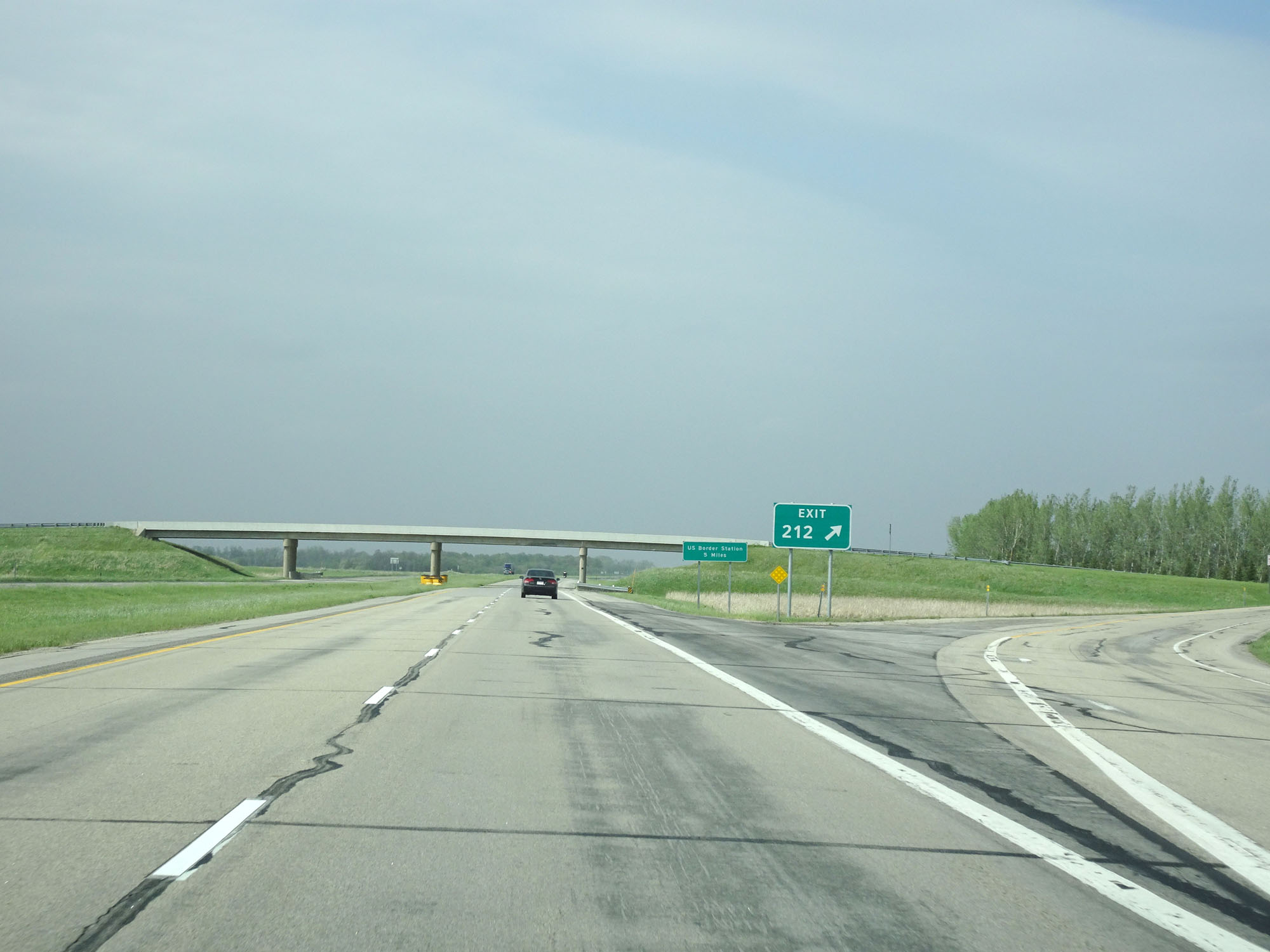 |
Interstate 29 North at Exit 212: (No Name) (Photo taken 5/22/16). |
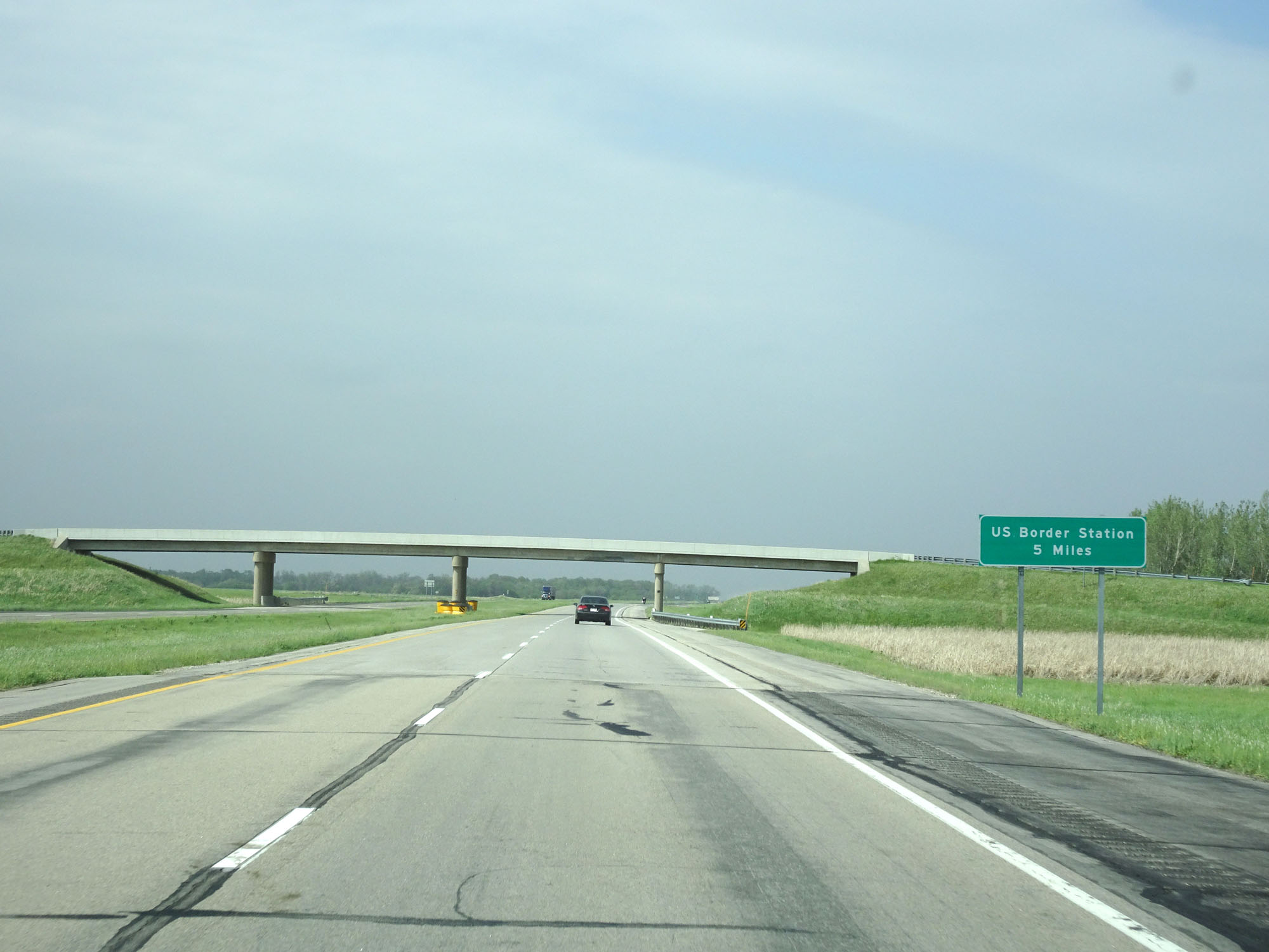 |
The US Border Customs Station lies 5 miles ahead. (Photo taken 5/22/16). |
 |
Interstate 29 North approaching Exit 215 - 1 mile. (Photo taken 5/22/16). |
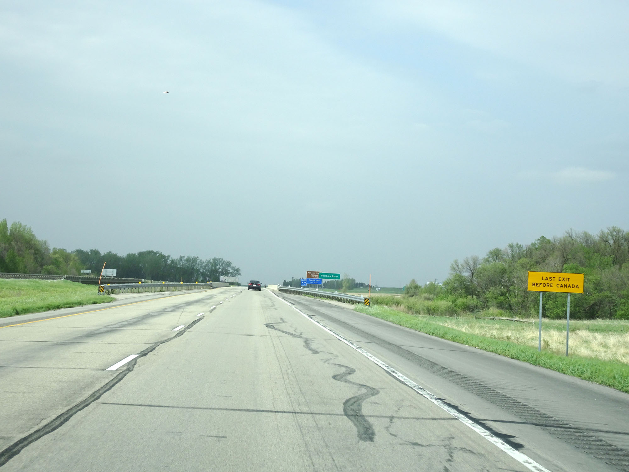 |
This sign warns that Exit 215 is the final exit before the Canadian border. (Photo taken 5/22/16). |
 |
Take Exit 215 to the Pembina State Museum and Tourist Info. (Photo taken 5/22/16). |
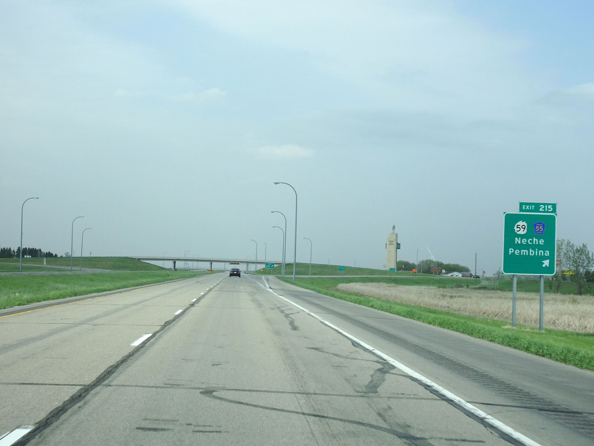 |
Interstate 29 North at Exit 215: ND 59 / CR 55 - Neche / Pembina (Photo taken 5/22/16). |
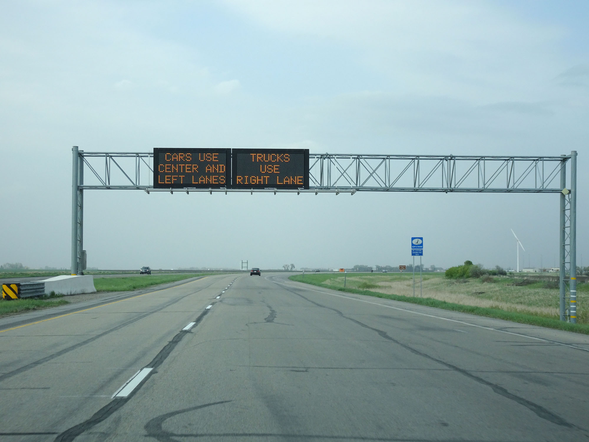 |
Overhead digital traffic alert sign north of Exit 215, giving ample warning of the proper current lane usage at the border station ahead. (Photo taken 5/22/16). |
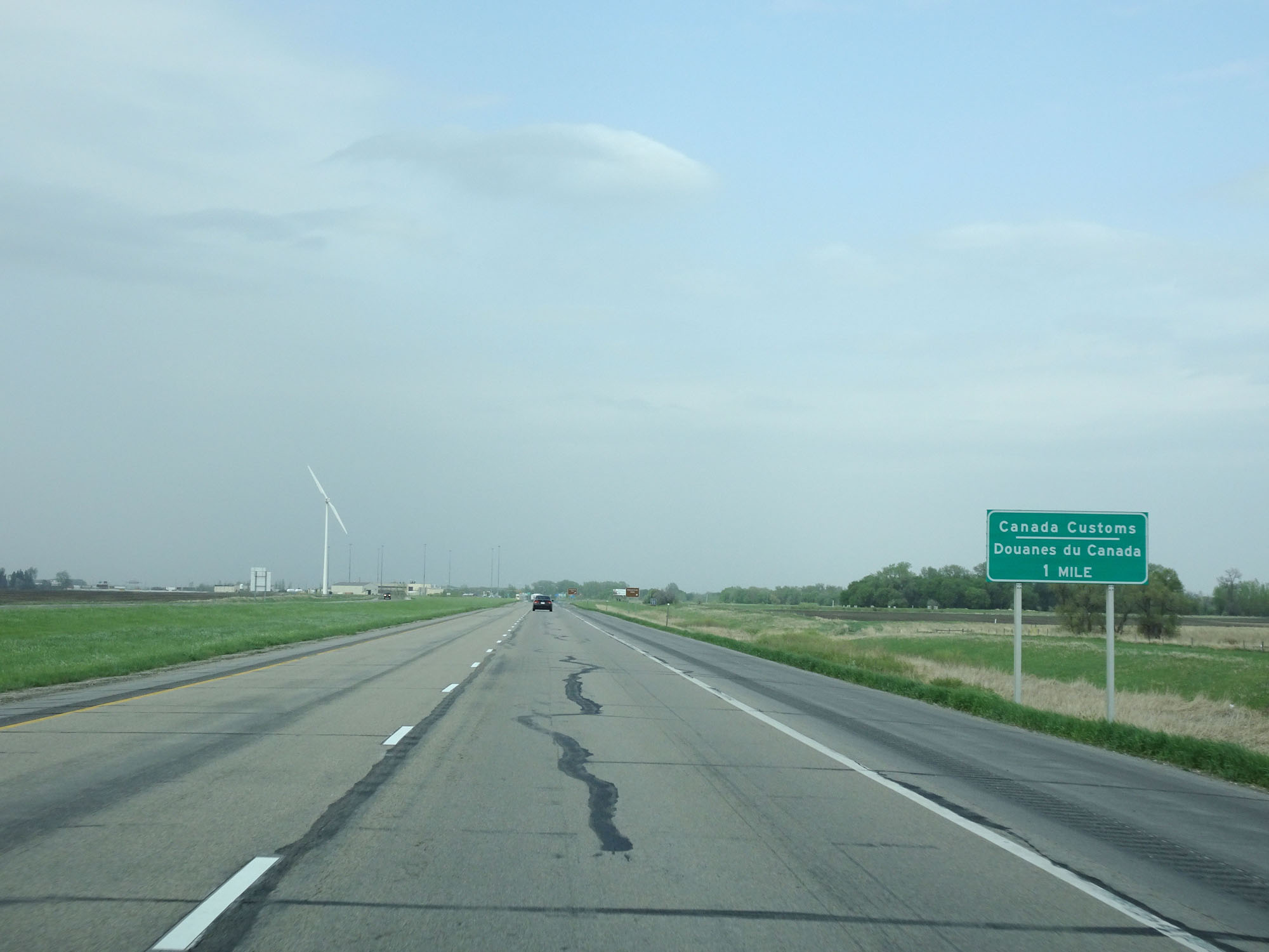 |
At this point, the Canadian border and the Canada Customs Station are 1 mile ahead. (Photo taken 5/22/16). |
 |
Interstate 29 North at the Historic Site approaching the Canadian Border. (Photo taken 5/22/16). |
 |
View of the ramp to the Historical Site. (Photo taken 5/22/16). |
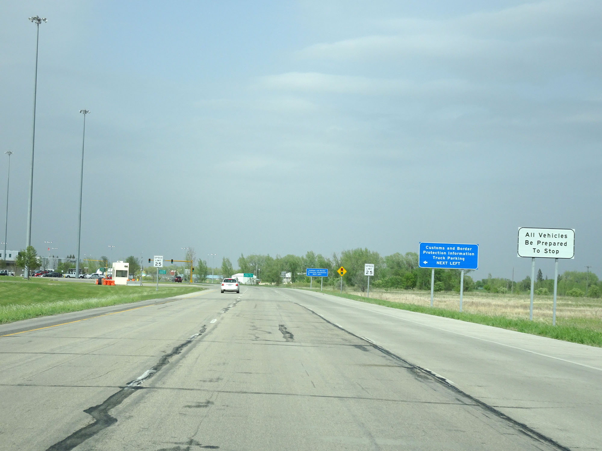 |
Approaching the Canadian border and the customs station, this sign warns all traffic to be prepared to stop ahead. (Photo taken 5/22/16). |
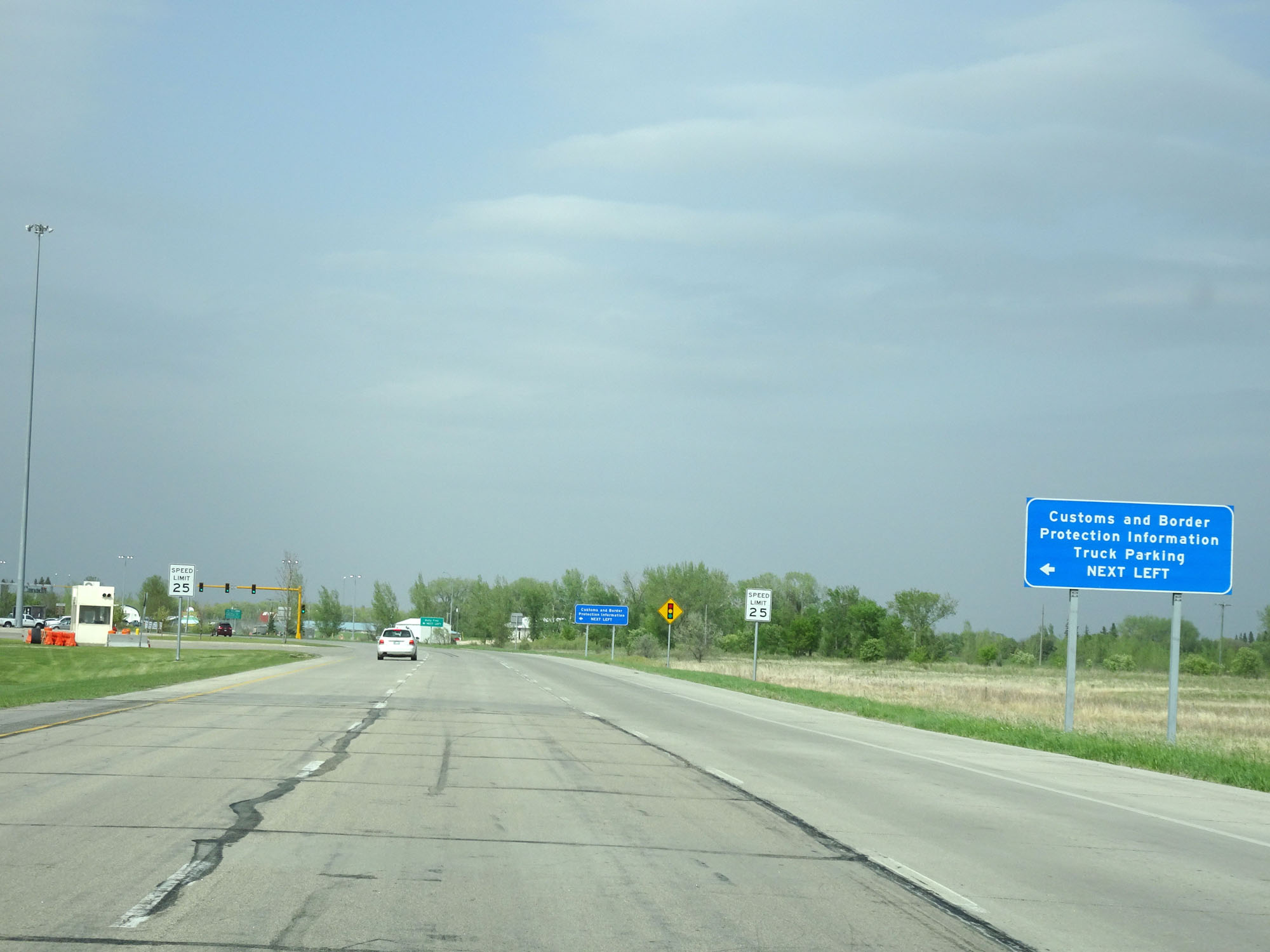 |
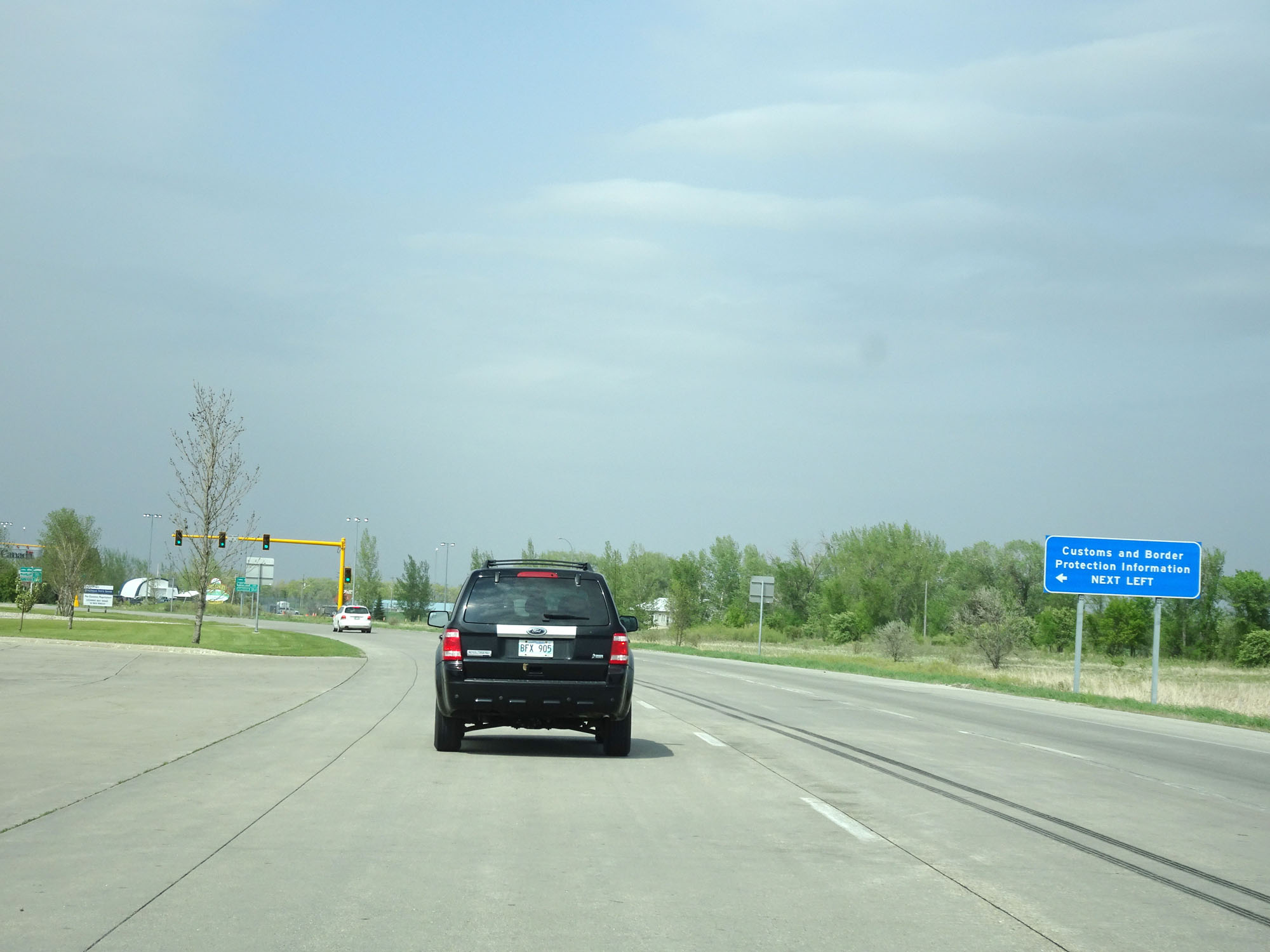
Take the next left to Customs and Border Protection Information and Truck Parking. (Photo taken 5/22/16). |
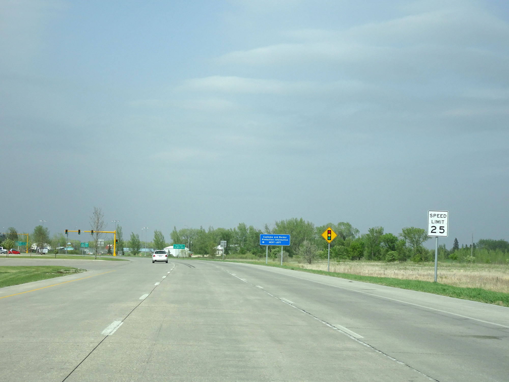 |
Approaching the border and customs stations, the speed limit decreases to 25 mph. (Photo taken 5/22/16). |
 |
Interstate 29 North as it reaches its northern terminus at the Canadian border and customs stations. (Photo taken 5/22/16). |