Road Information |
||
 |
||
| Total Mileage in State: | 71 miles (53 Current, 18 Future) | |
| Eastern End: | At South Carolina state line | |
| Western End: | At Tennessee state line | |
| Mileage covered in Photos: | 71 miles (53 Current, 18 Future) | |
| Counties covered in Photos: | Polk, Henderson, Buncombe, Madison | |
| Major Junctions in Photos: | US 64, in Hendersonville I-40/I-240, in Asheville |
|
| Control Cities in Photos: | Hendersonville, Asheville, Weaverville | |
Westbound
- Section 1: South Carolina Border to Asheville (Exit 31B)
- Section 2: Asheville (Exit 31B) to Tennessee Border
Section 1: South Carolina Border to Asheville (Exit 31B)
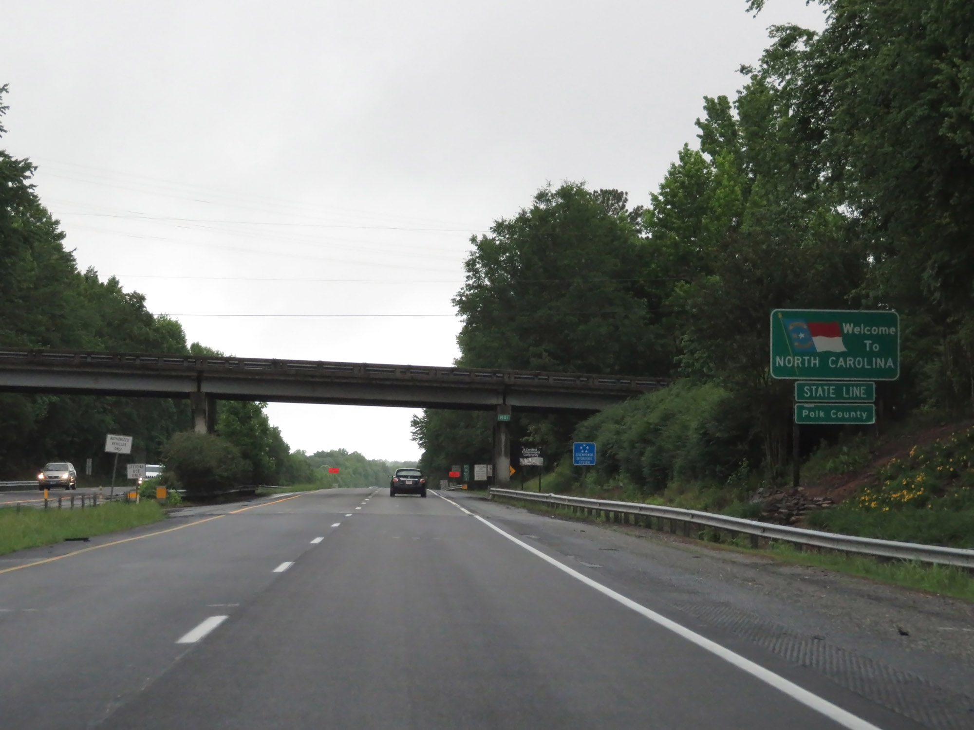 |
North Carolina welcome sign as Interstate 26 West enters the Tar Heel State and Polk County from South Carolina. (Photo taken 5/26/18). |
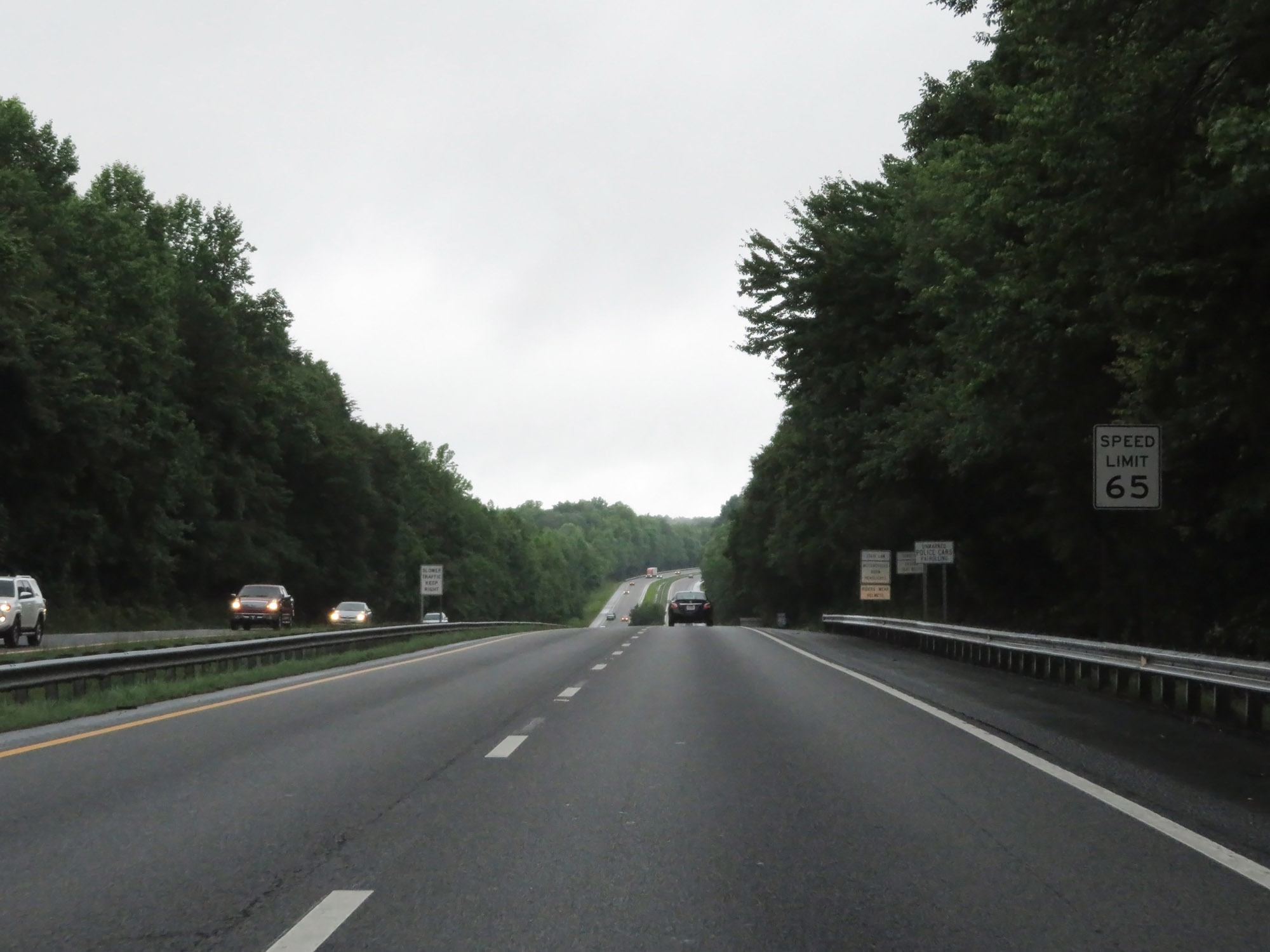 |
The speed limit on Interstate 26 West starts out at 65 mph. (Photo taken 5/26/18). |
 |
Interstate 26 West reassurance shield. (Photo taken 5/26/18). |
 |
Mileage sign on Interstate 26 West. It's 4 miles to Columbus, 22 miles to Hendersonville, and 43 miles to Asheville. (Photo taken 5/26/18). |
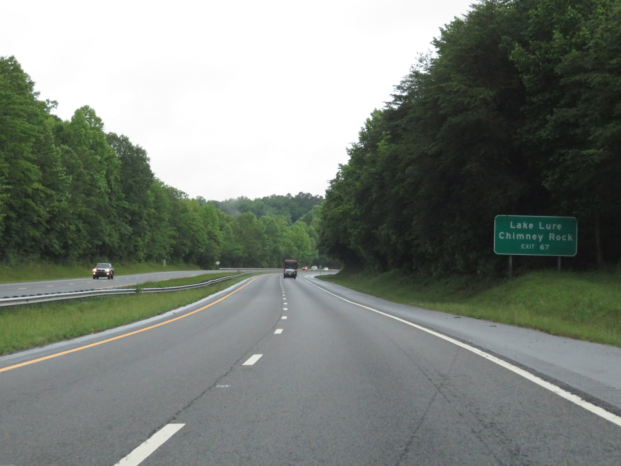 |
Take Exit 67 to Lake Lure and Chimney Rock. (Photo taken 5/26/18). |
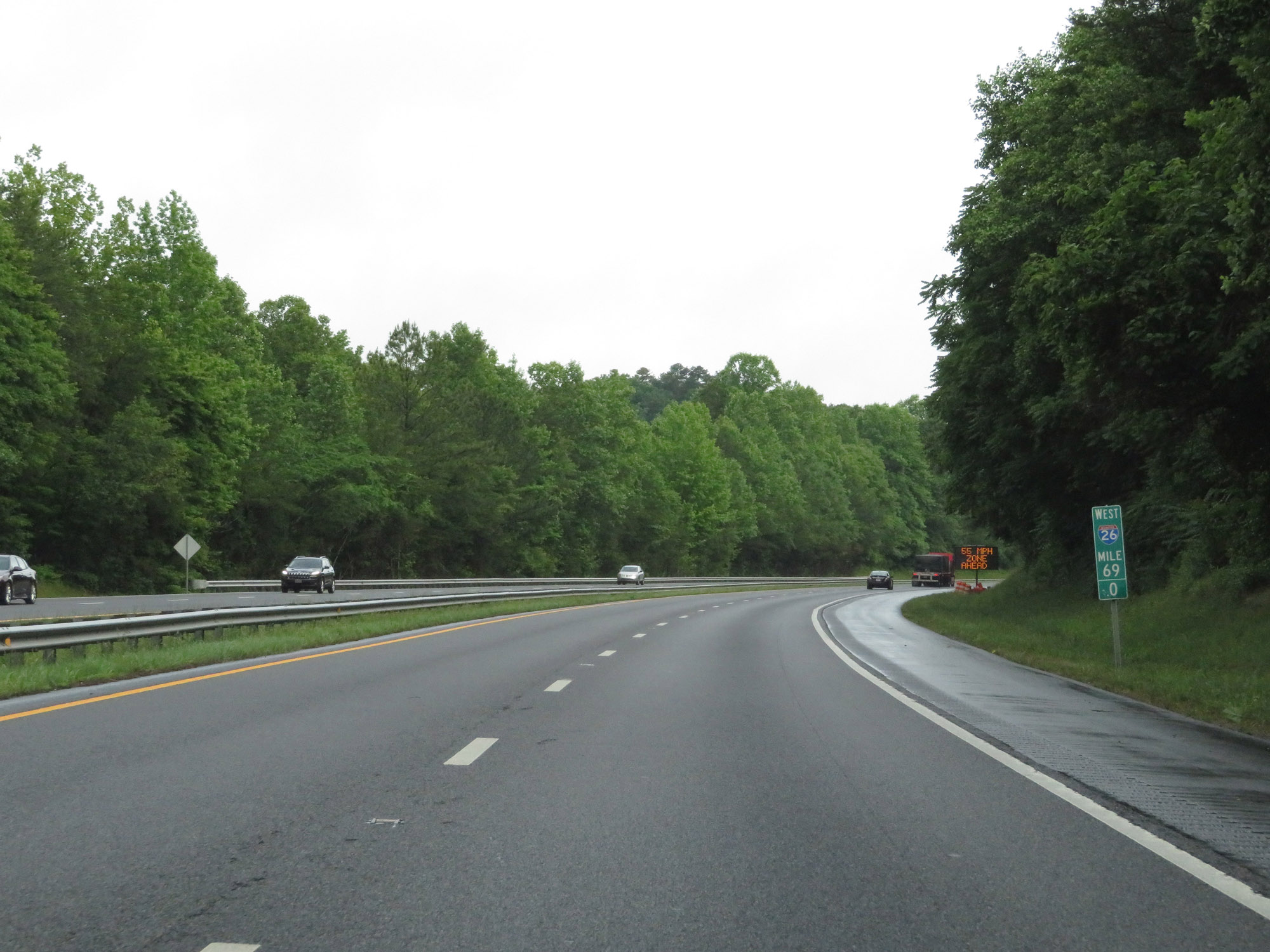 |
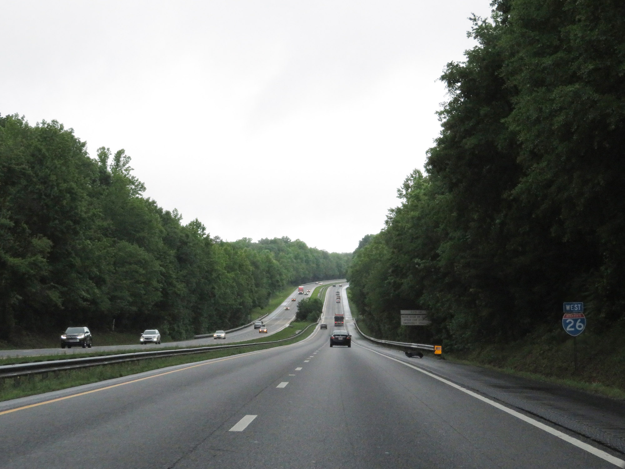
Interstate 26 West at mile marker 69. (Photo taken 5/26/18). |
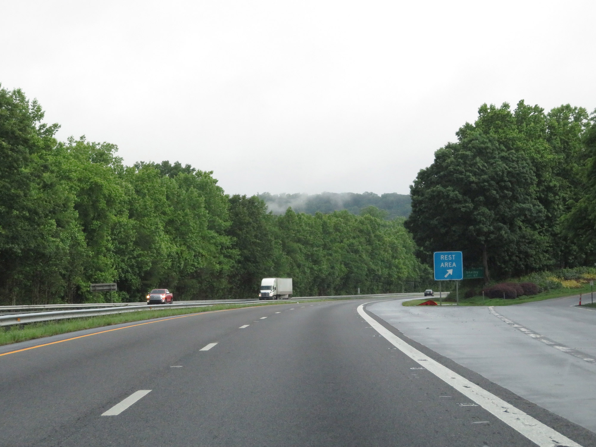 |
Rest Area / North Carolina Welcome Center on Interstate 26 West in Polk County. (Photo taken 5/26/18). |
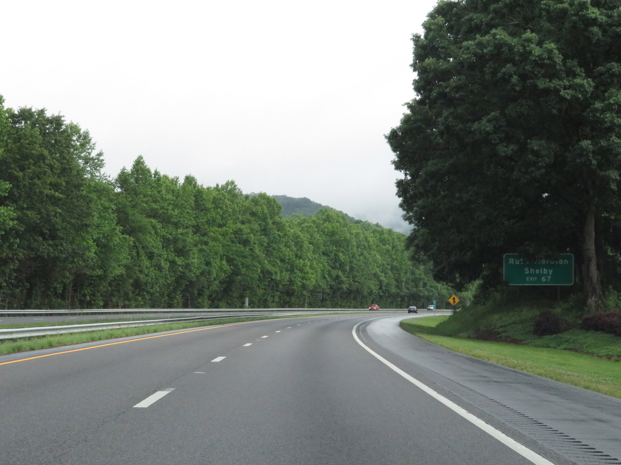 |
Take Exit 67 to Rutherfordton and Shelby. (Photo taken 5/26/18). |
 |
Interstate 26 West at Exit 67: NC 108 / To US 74 East - Columbus / Tryon (Photo taken 5/26/18). |
 |
View on Interstate 26 West. The speed limit remains 65 mph. (Photo taken 5/26/18). |
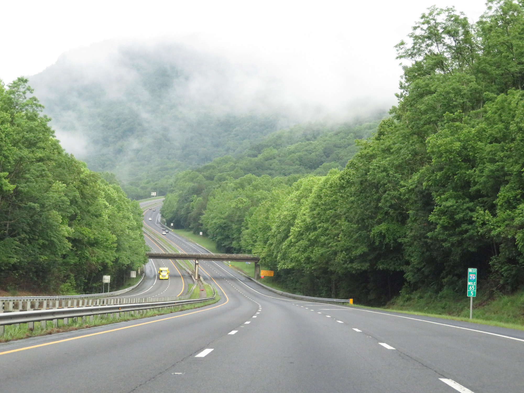 |
View on Interstate 26 West at mile marker 65.5. (Photo taken 5/26/18). |
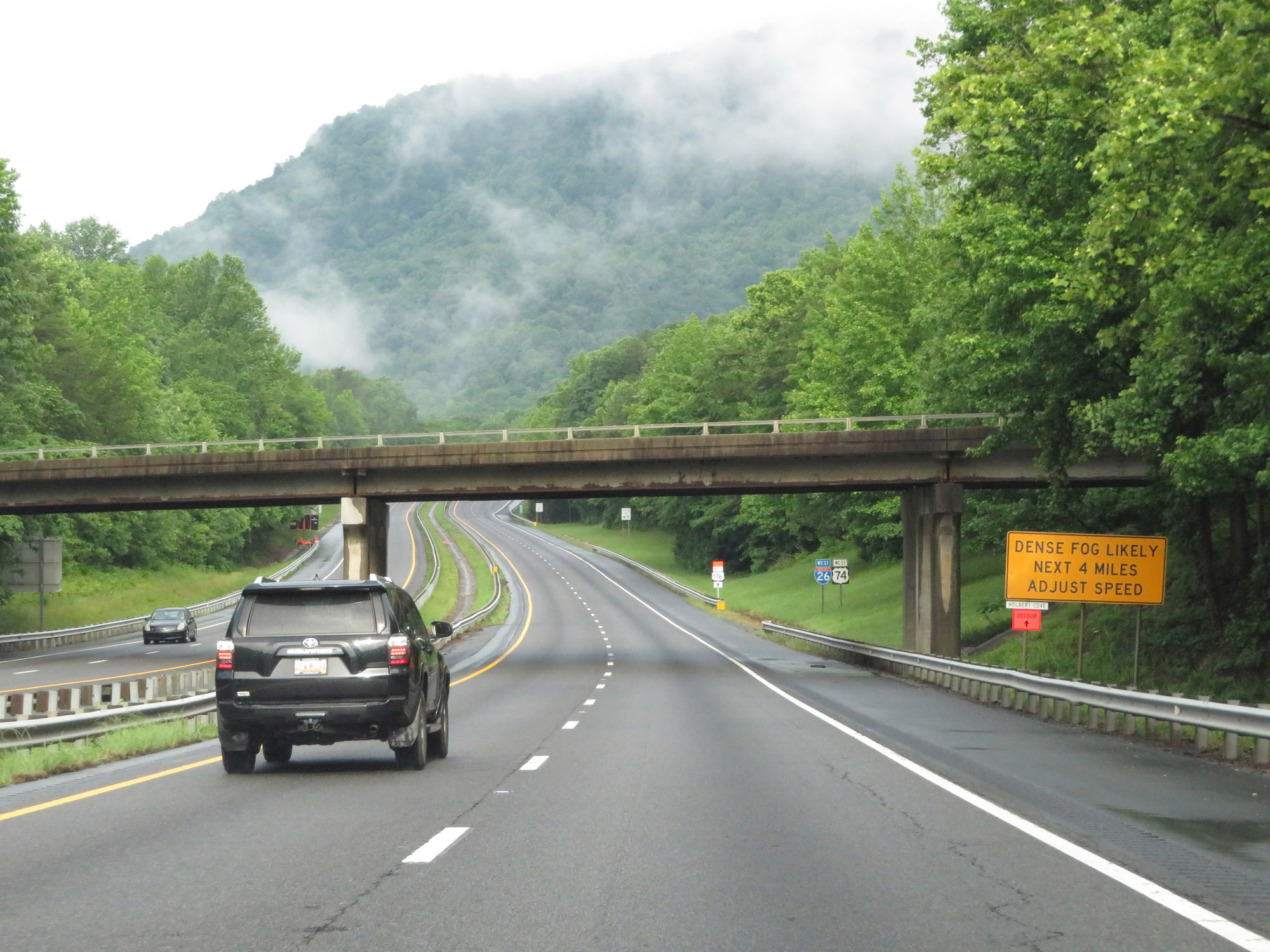 |
This sign warns that dense fog is likely for the next 4 miles. Adjust your speed accordingly. (Photo taken 5/26/18). |
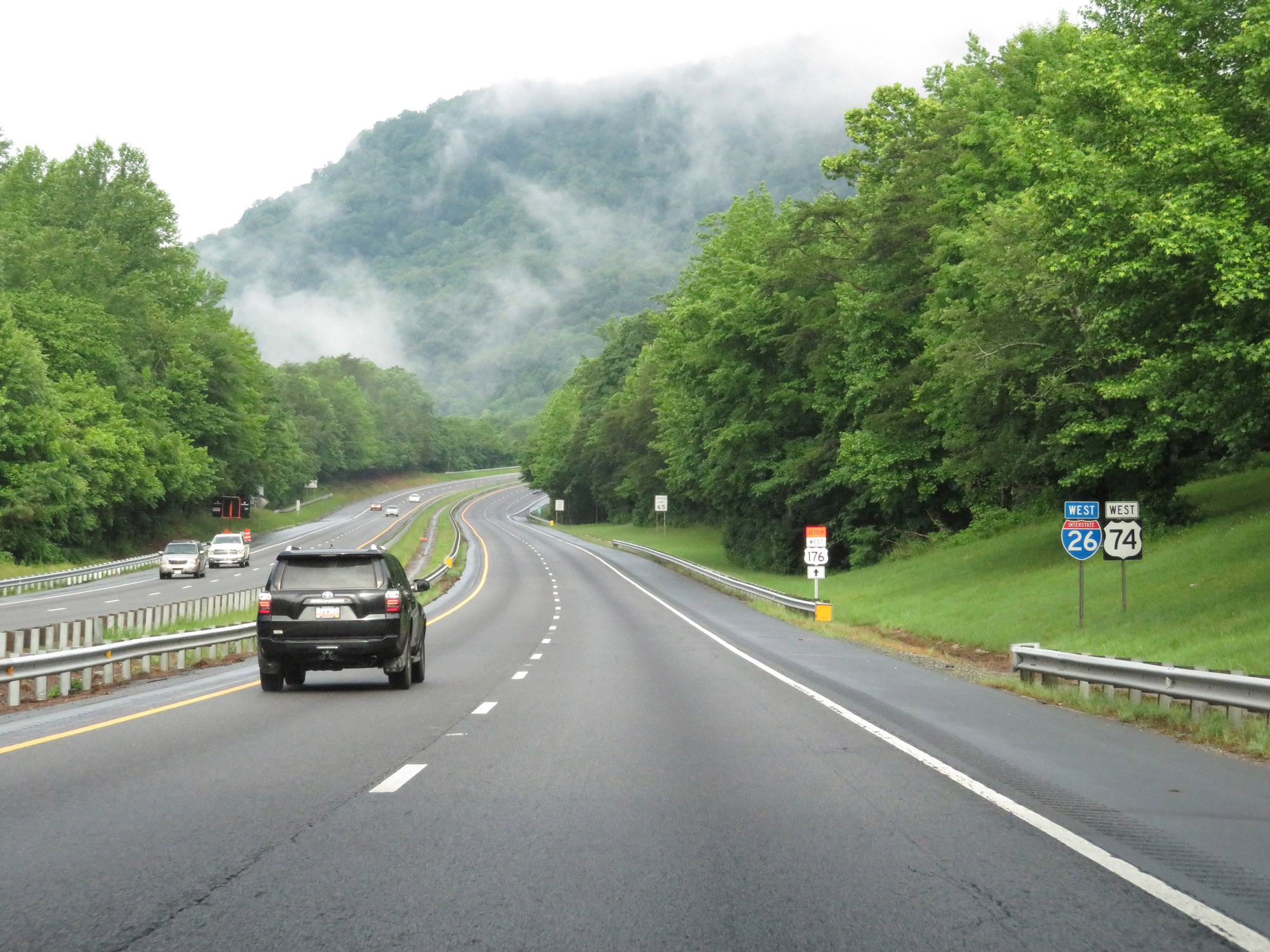 |
Another Interstate 26 West reassurance shield. US 74 West will run concurrently with I-26 from here to Asheville. (Photo taken 5/26/18). |
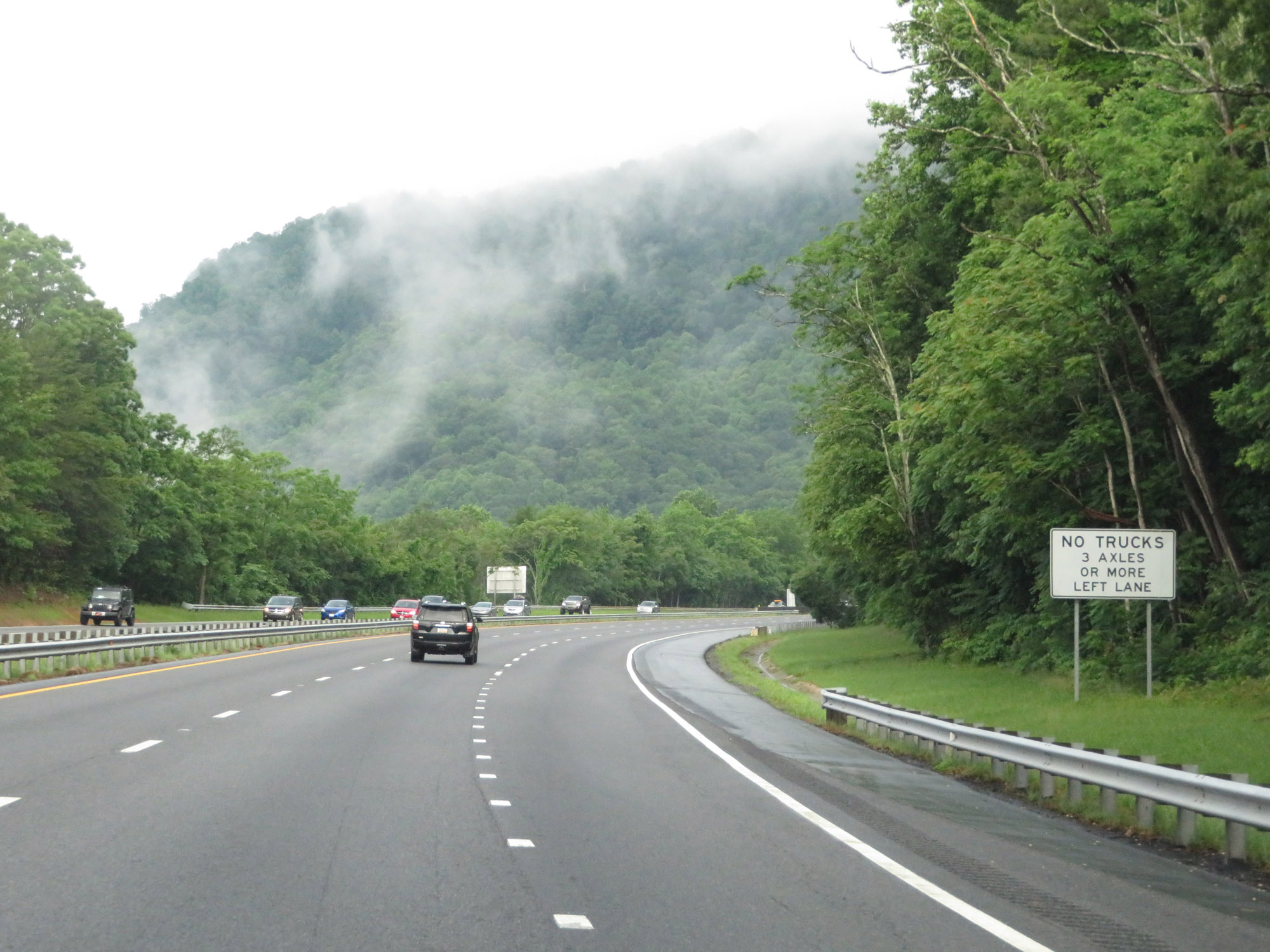 |
As Interstate 26 West prepares to make its first long and steep climb, a truck climbing lane appears. Trucks are prohibited in the leftmost lane during this stretch. (Photo taken 5/26/18). |
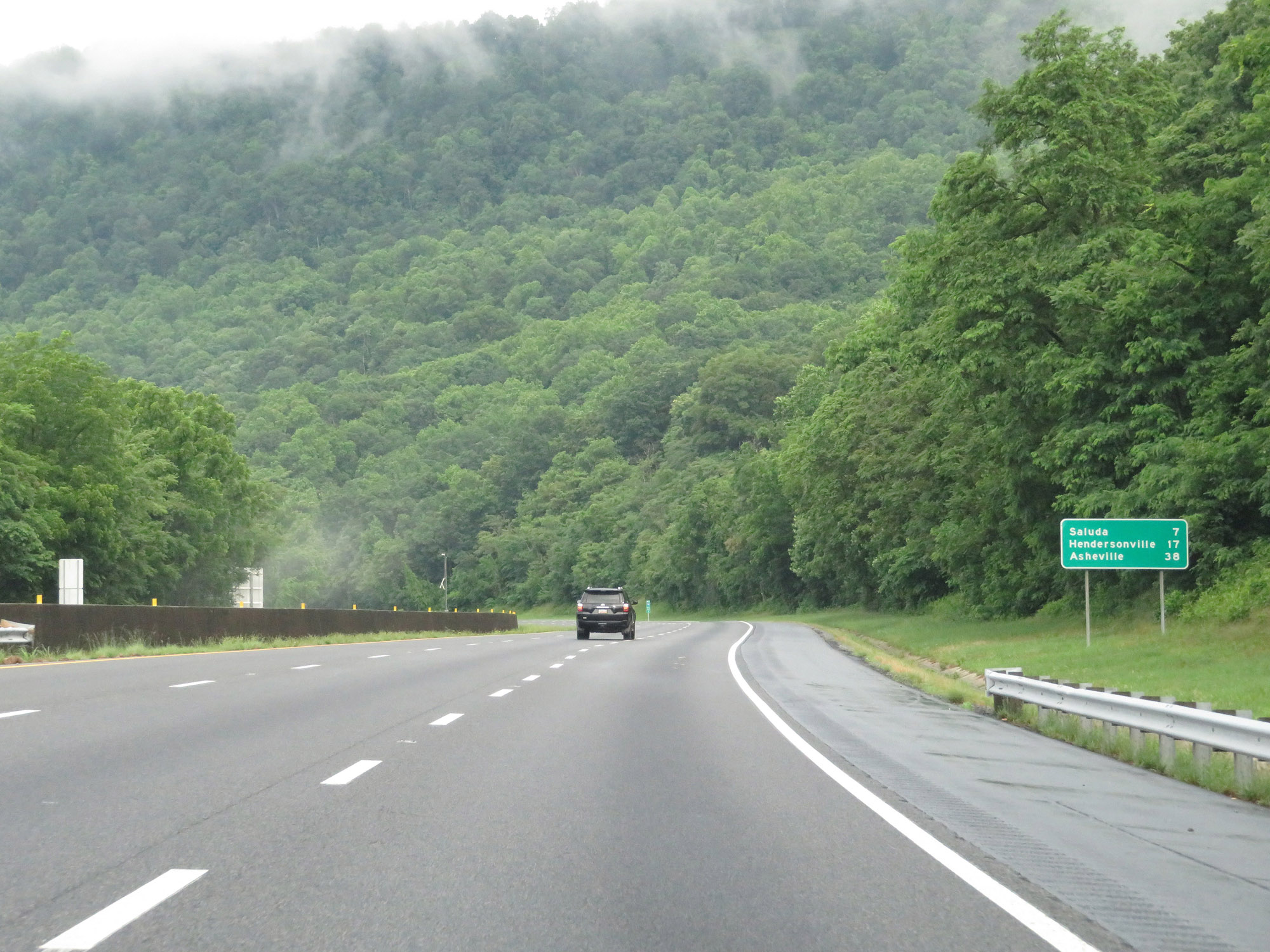 |
Mileage sign on Interstate 26 West. It's 7 miles to Saluda, 17 miles to Hendersonville, and 38 miles to Asheville. (Photo taken 5/26/18). |
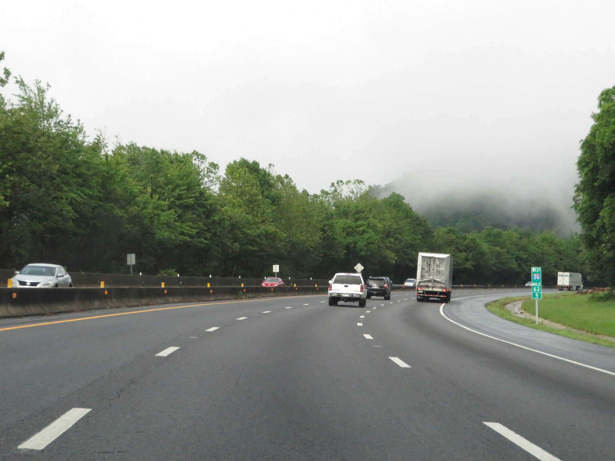 |
Interstate 26 West at mile marker 63.5, as it continues up a steep climb. (Photo taken 5/26/18). |
 |
View on Interstate 26 West at mile marker 63. (Photo taken 5/26/18). |
 |
Interstate 26 West at mile marker 62, nearing the top of the climb. (Photo taken 5/26/18). |
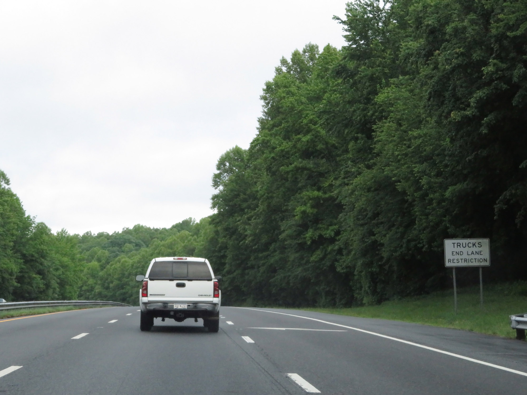 |
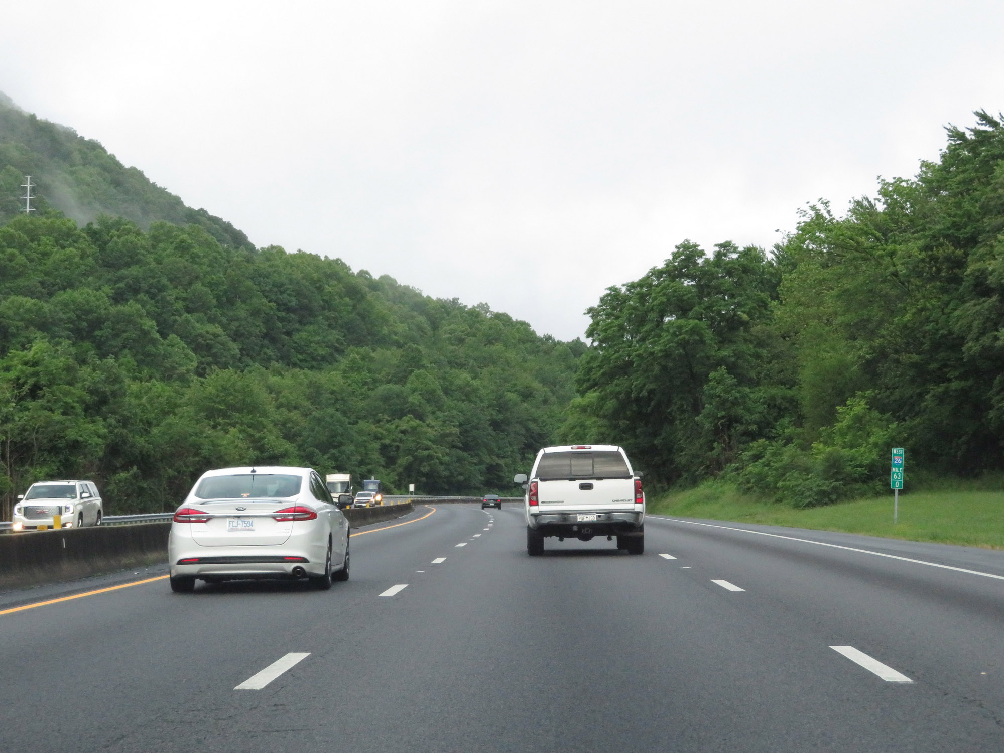
At the top of the grade, the truck climbing lane ends as do the truck lane restrictions. (Photo taken 5/26/18). |
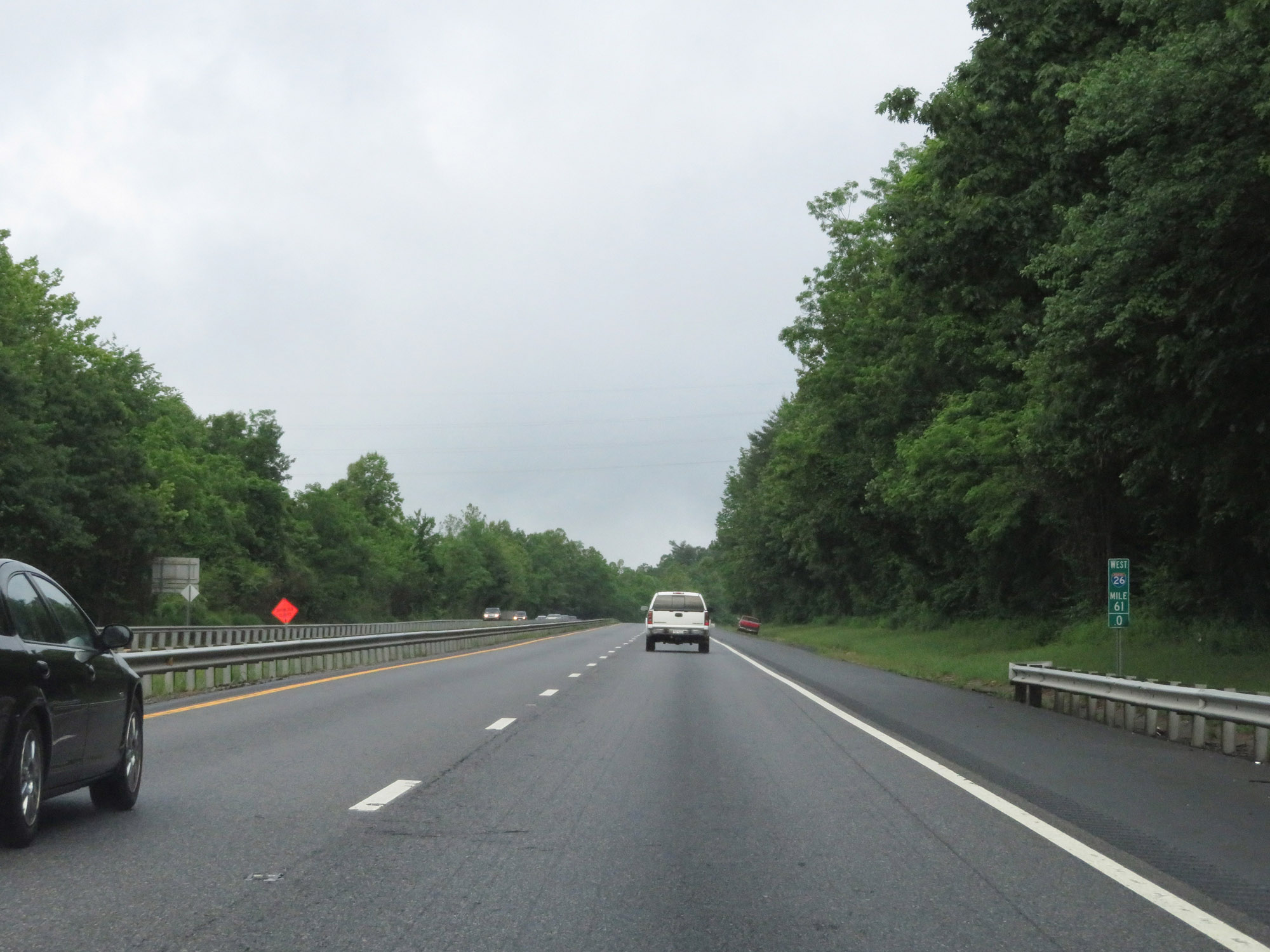 |
View on Interstate 26 West at mile marker 61. (Photo taken 5/26/18). |
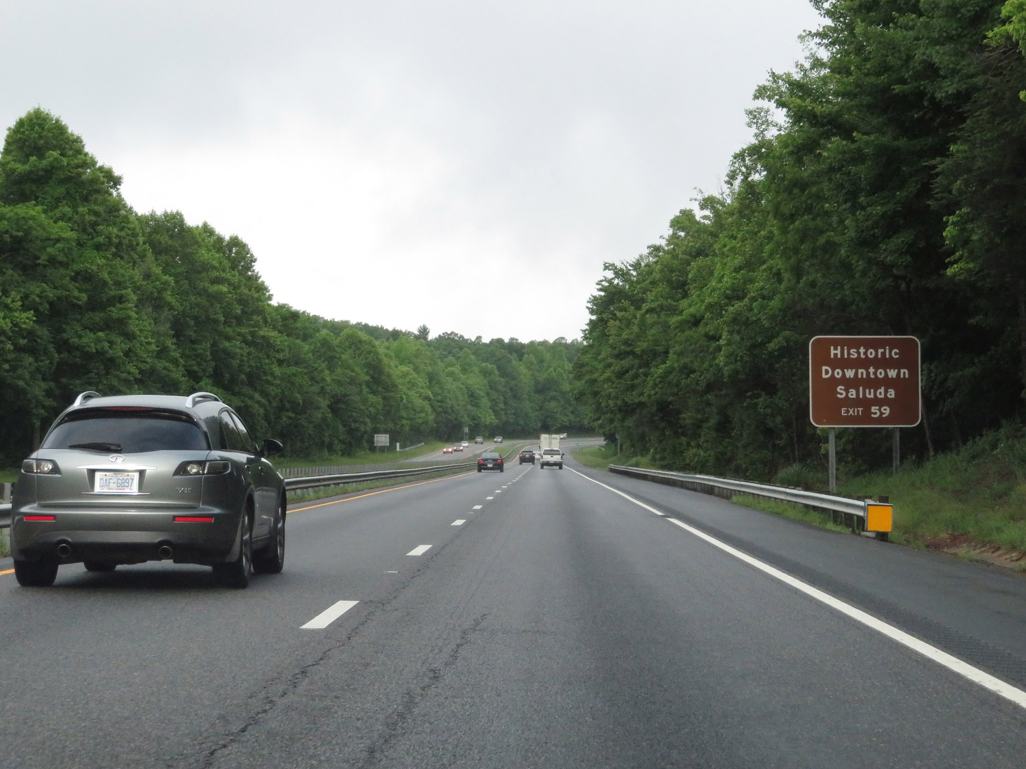 |
Take Exit 59 to Historic Downtown Saluda. (Photo taken 5/26/18). |
 |
Interstate 26 West at Exit 59: Saluda (Photo taken 5/26/18). |
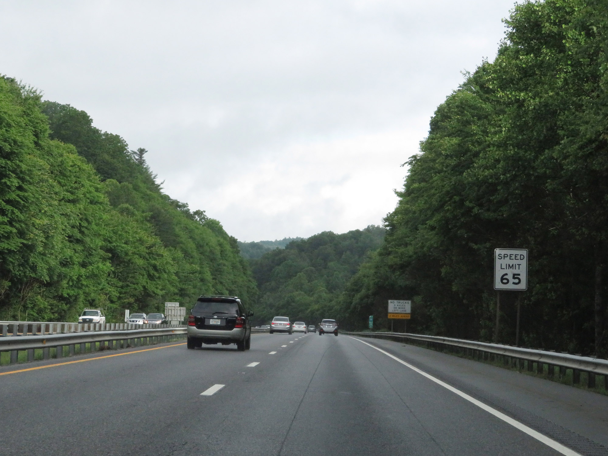 |
The speed limit remains 65 mph. (Photo taken 5/26/18). |
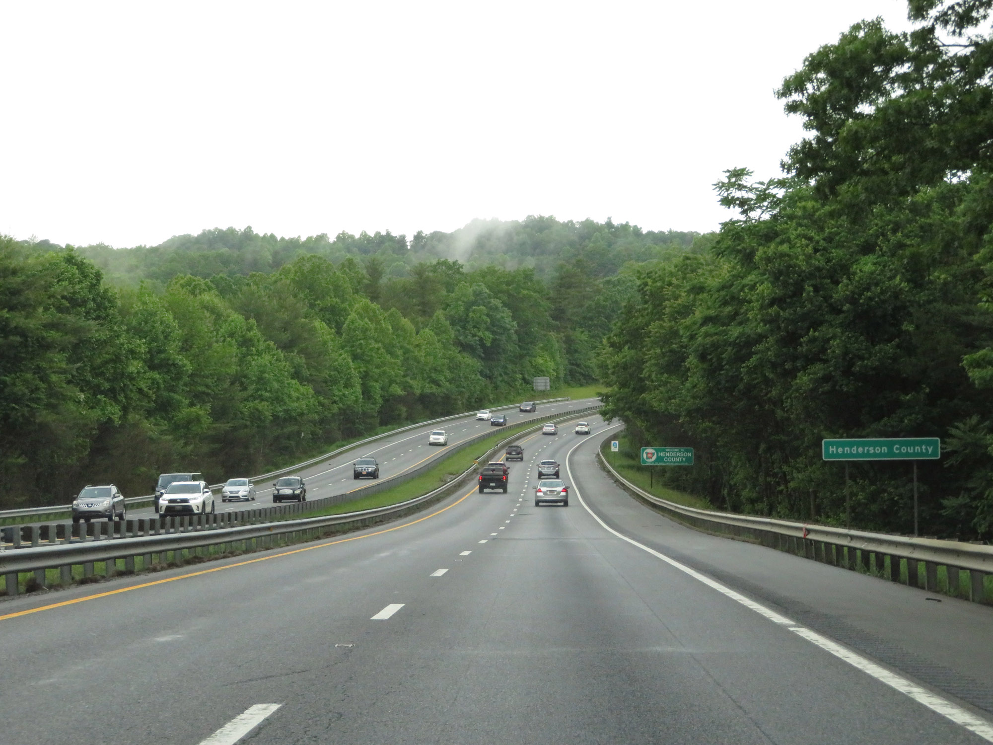 |
Interstate 26 West as it enters Henderson County. (Photo taken 5/26/18). |
 |
Interstate 26 West at mile marker 57. (Photo taken 5/26/18). |
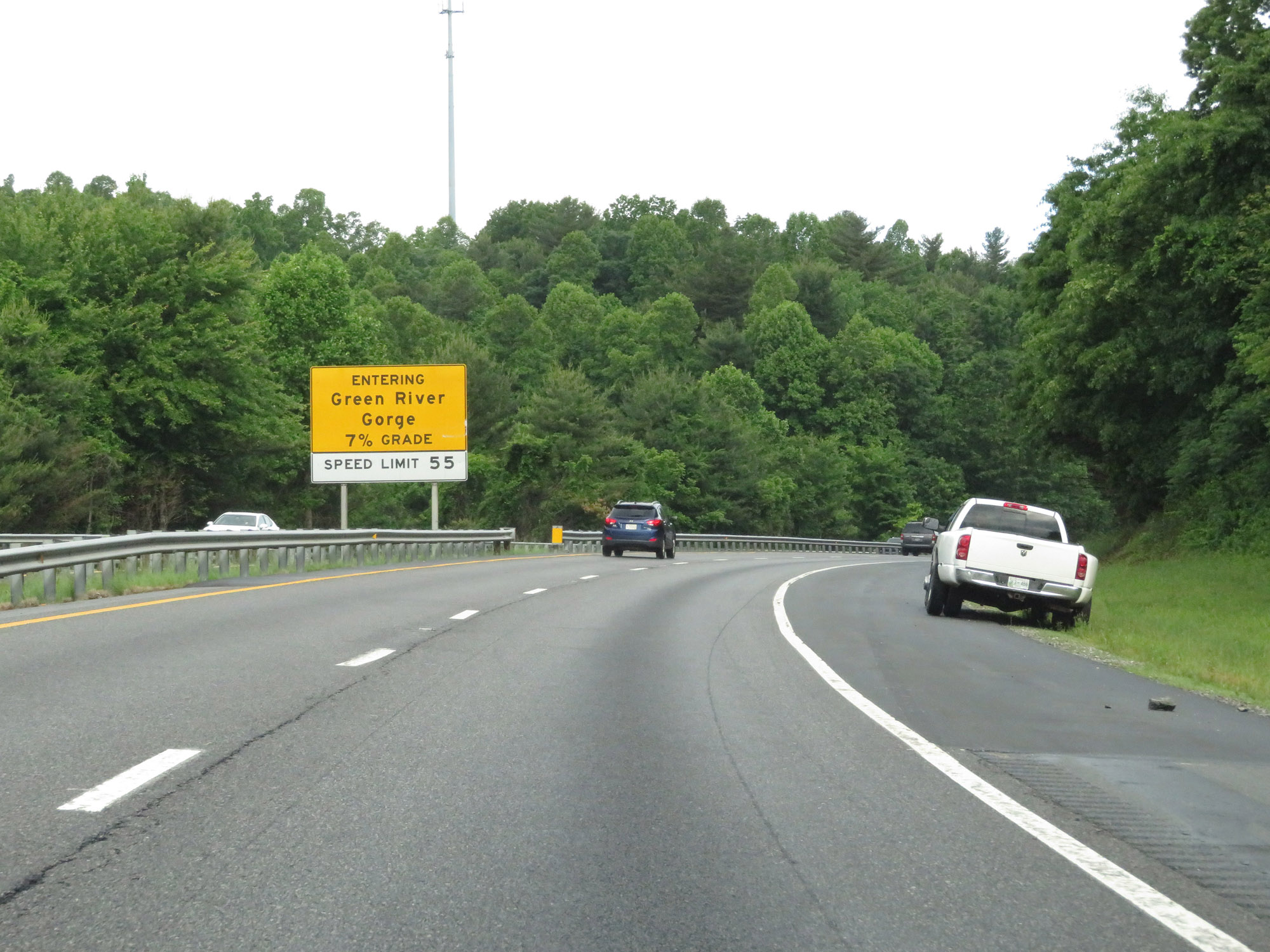 |
Just beyond mile marker 57, Interstate 26 West enters Green River Gorge and prepares to traverse a steep (7%) downgrade ahead. (Photo taken 5/26/18). |
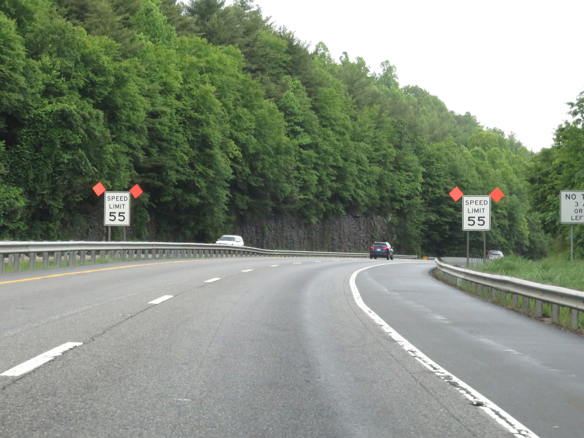 |
Preparing to go down the long, steep 7% downgrade ahead, the speed limit decreases to 55 mph. (Photo taken 5/26/18). |
 |
Interstate 26 West at mile marker 56.5, starting down the 7% grade to the Green River. (Photo taken 5/26/18). |
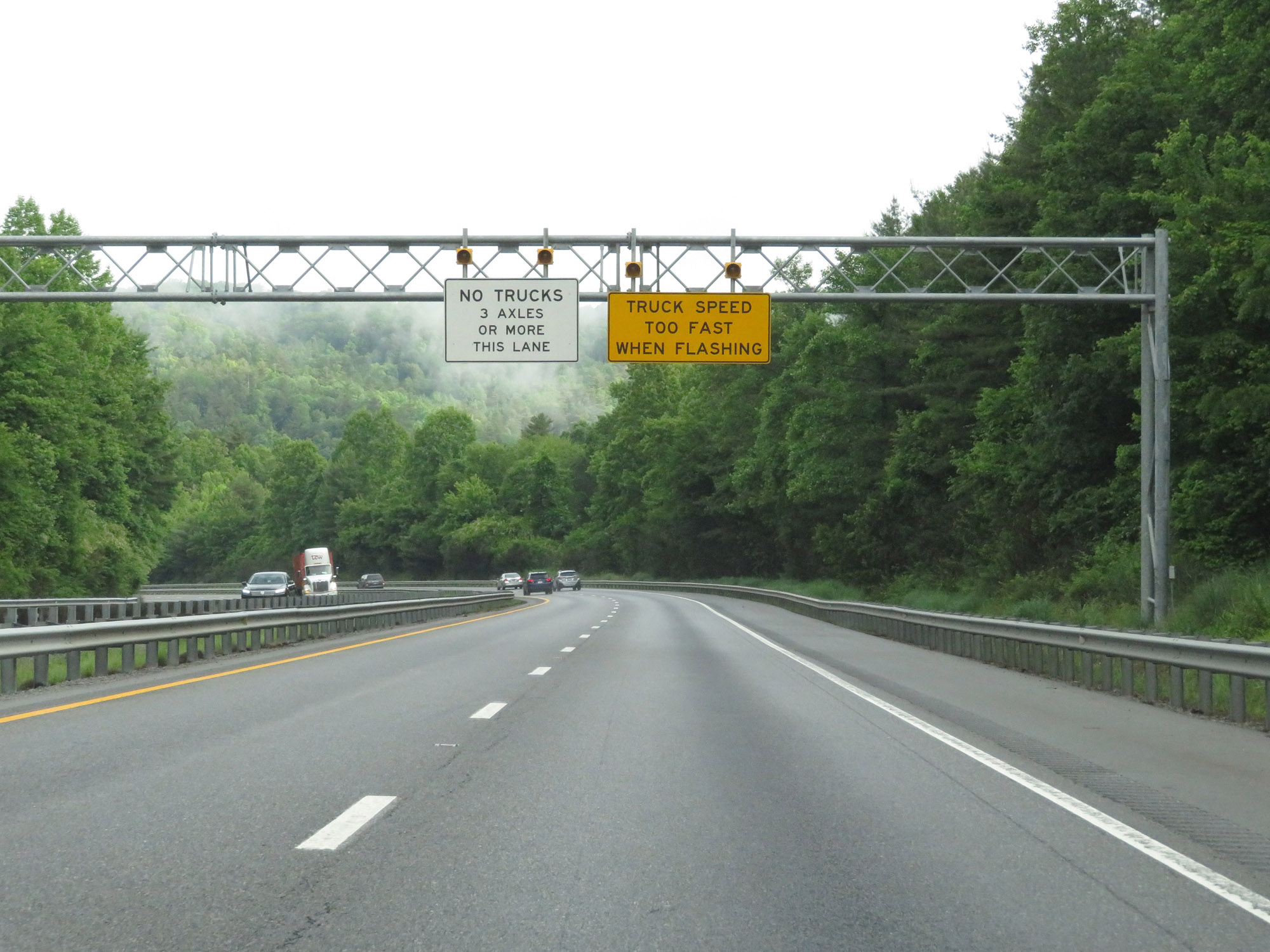 |
Going down this grade, trucks are prohibited in the left lane. The warning sign on the right will have flashing lights if a truck's speed is deemed too fast for the downgrade. (Photo taken 5/26/18). |
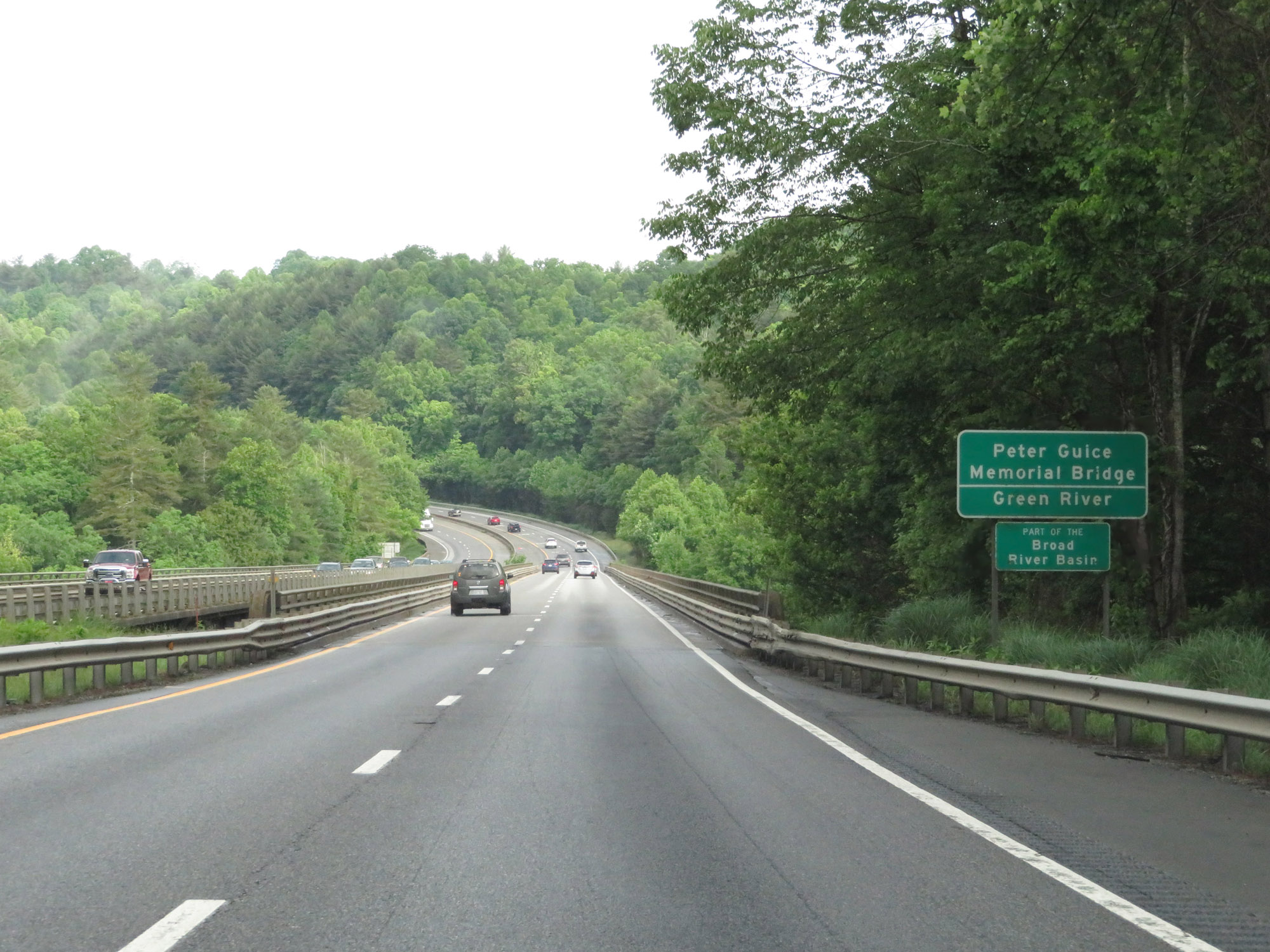 |
Nearing the bottom of the 7% downgrade, Interstate 26 West crosses the Peter Guice Memorial Bridge over the Green River. (Photo taken 5/26/18). |
 |
Interstate 26 West at mile marker 55.5. (Photo taken 5/26/18). |
 |
Now at the bottom of the grade, the speed limit of 65 mph resumes. (Photo taken 5/26/18). |
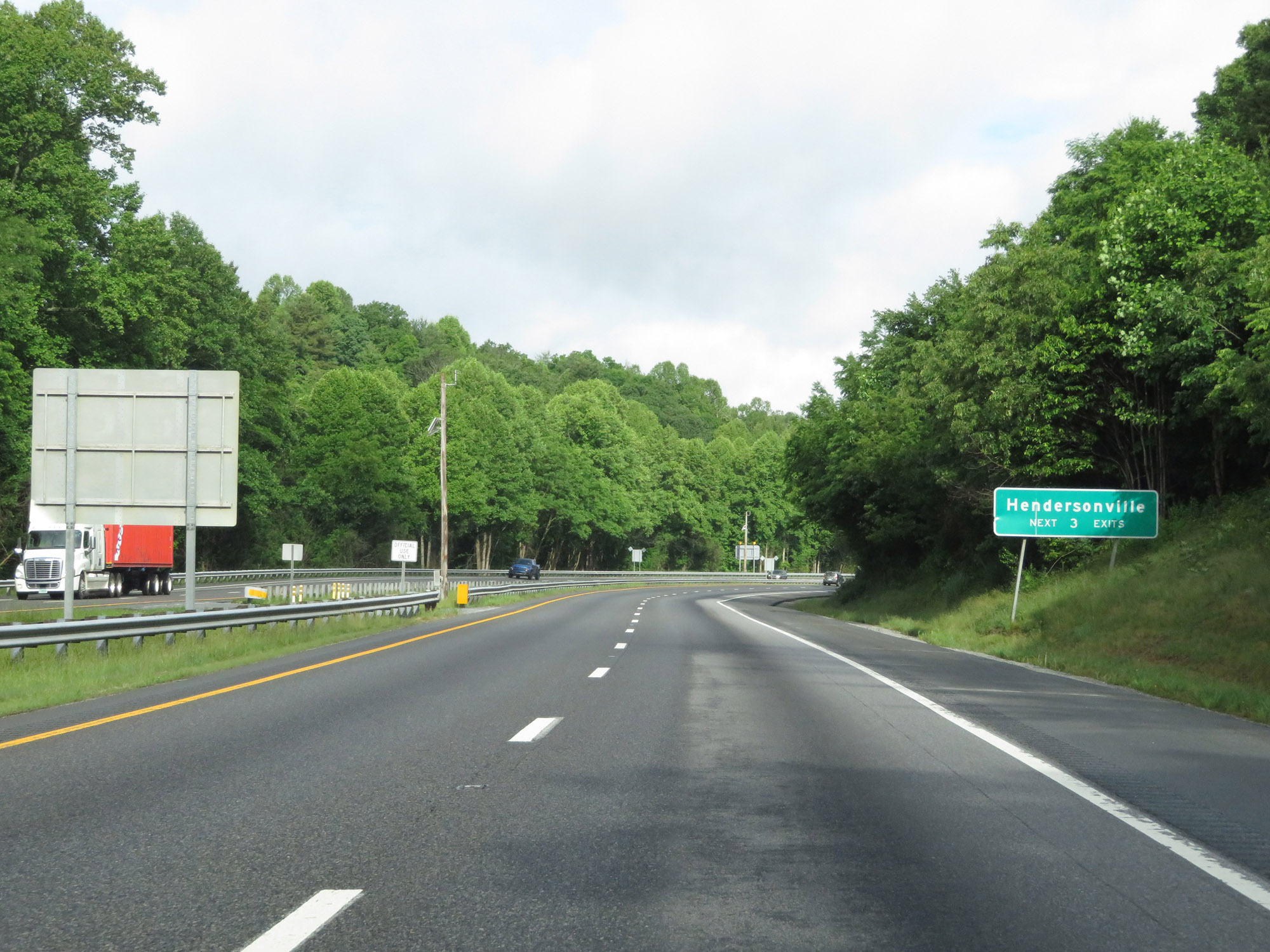 |
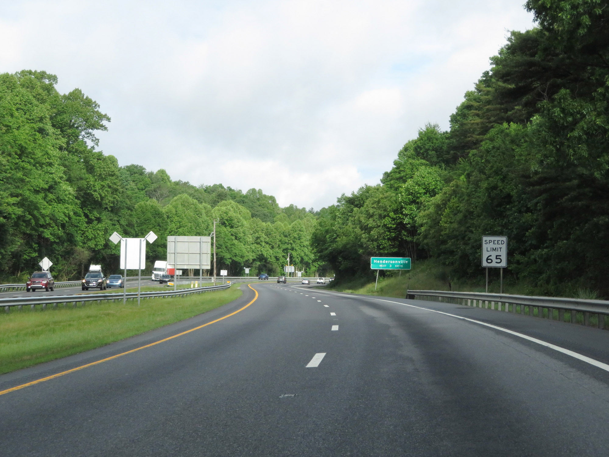
Take any of the next 3 exits to Hendersonville. (Photo taken 5/26/18). |
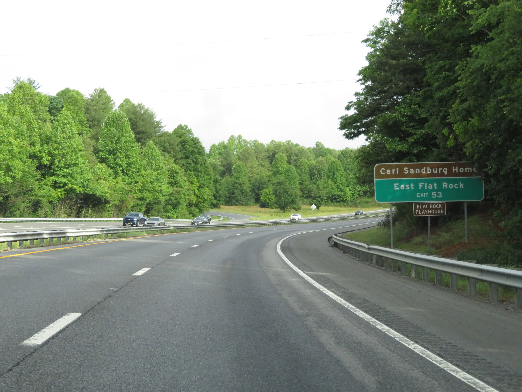 |
Take Exit 53 to the Carl Sandburg Home, East Flat Rock, and Flat Rock Playhouse. (Photo taken 5/26/18). |
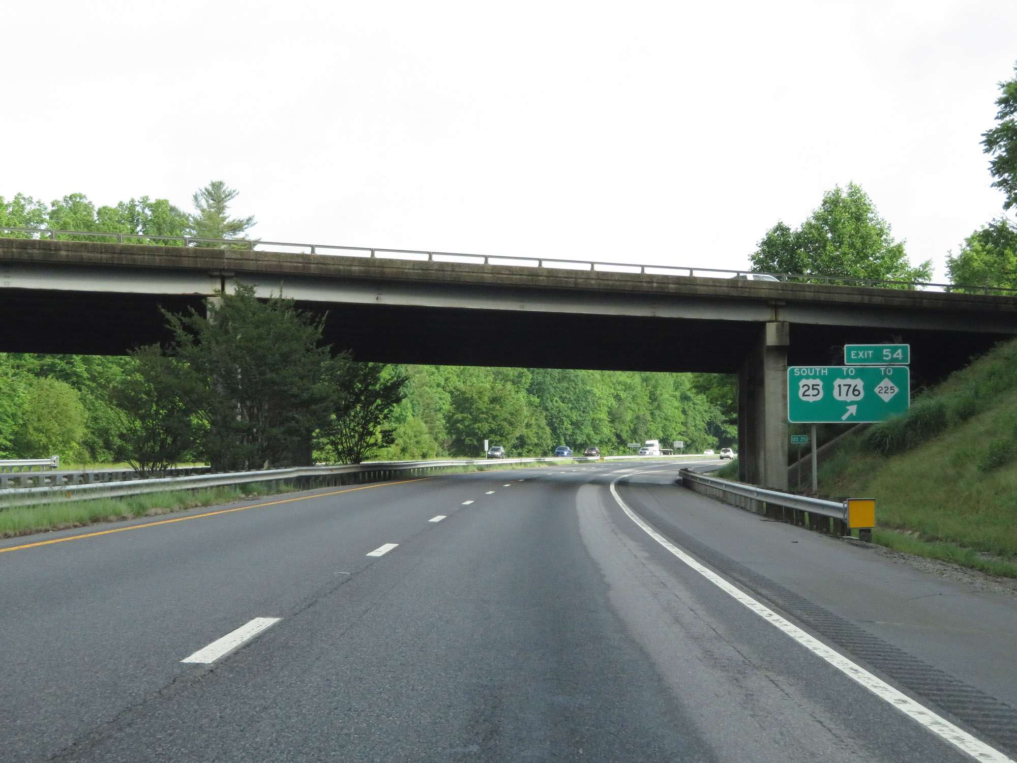 |
Interstate 26 West at Exit 54: US 25 South / To US 176 / To NC 225 (Photo taken 5/26/18). |
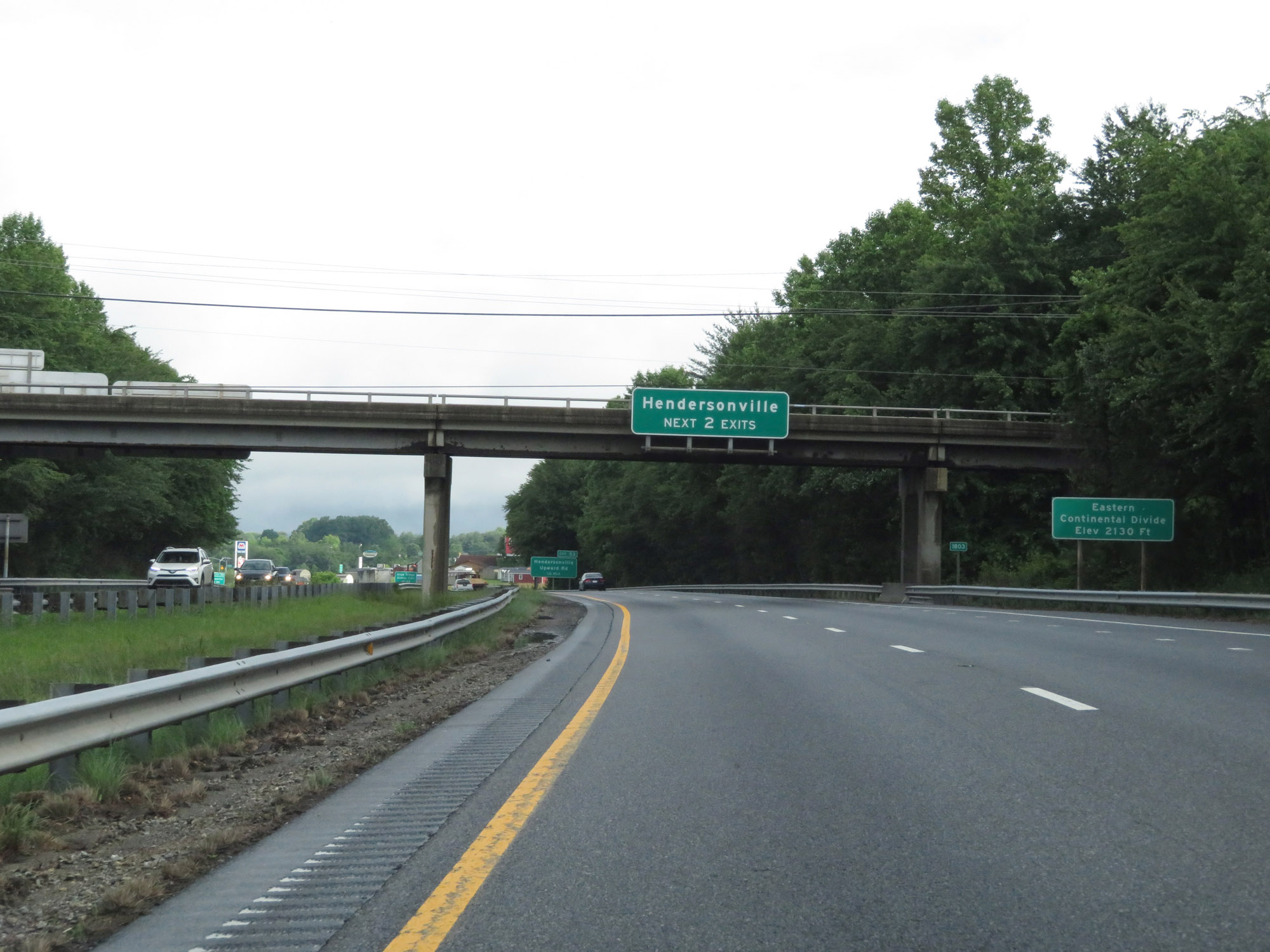 |
In Hendersonville, Interstate 26 West crosses the Eastern Continental Divide at an elevation of 2,130 feet. (Photo taken 5/26/18). |
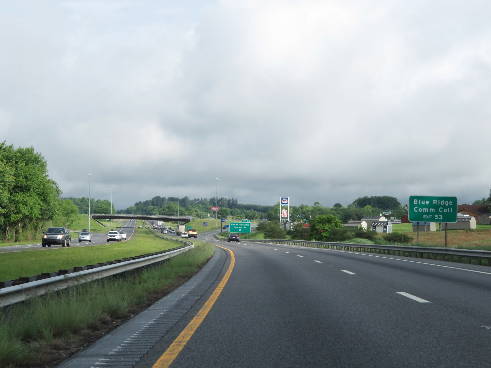 |
Take Exit 53 to Blue Ridge Community College. (Photo taken 5/26/18). |
 |
Interstate 26 West at Exit 53: Hendersonville / Upward Rd (Photo taken 5/26/18). |
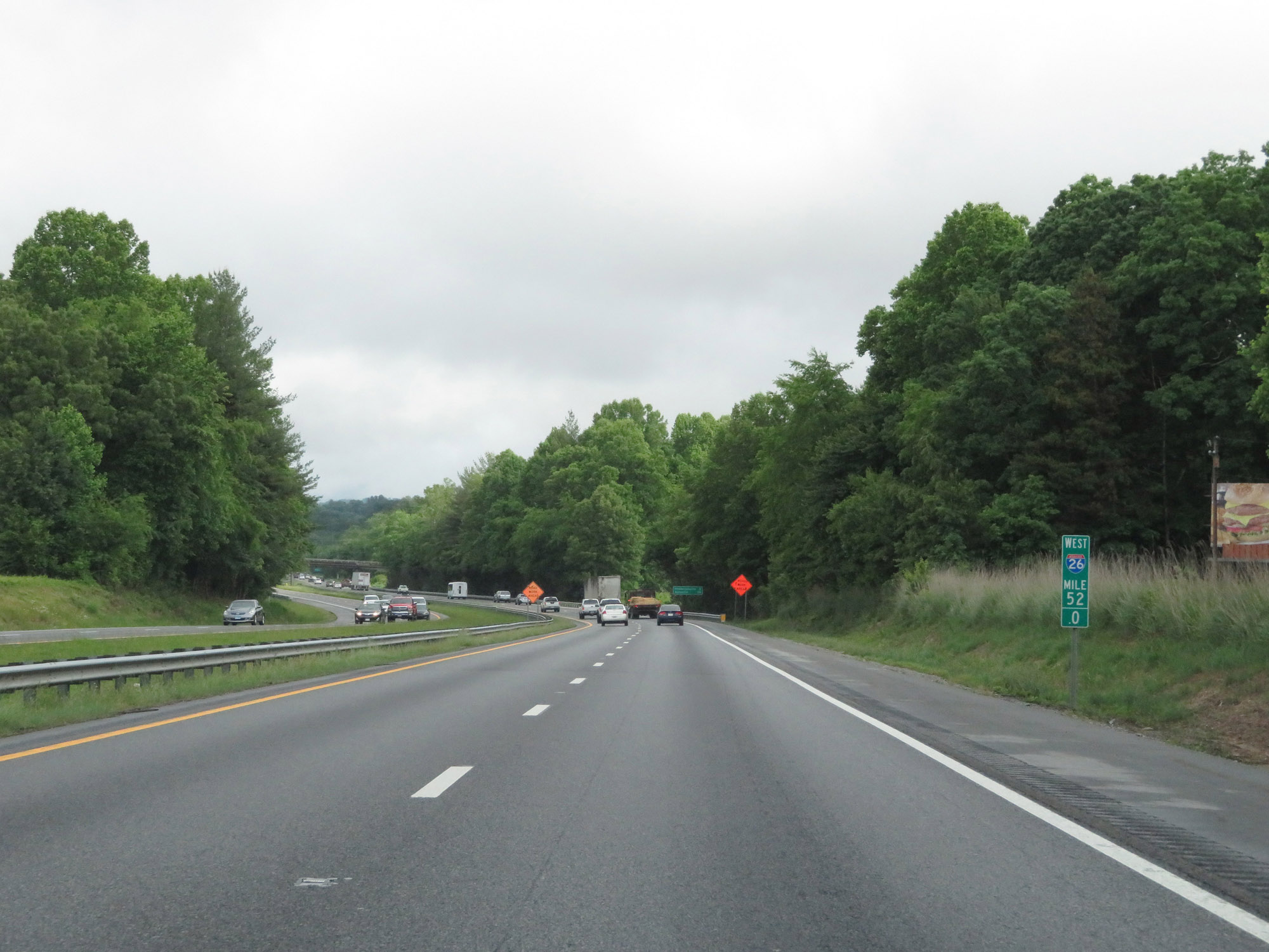 |
View on Interstate 26 West at mile marker 52. (Photo taken 5/26/18). |
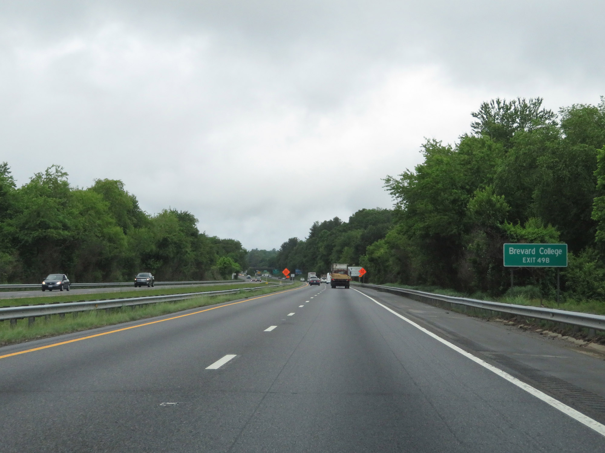 |
Take Exit 49B to Brevard College. (Photo taken 5/26/18). |
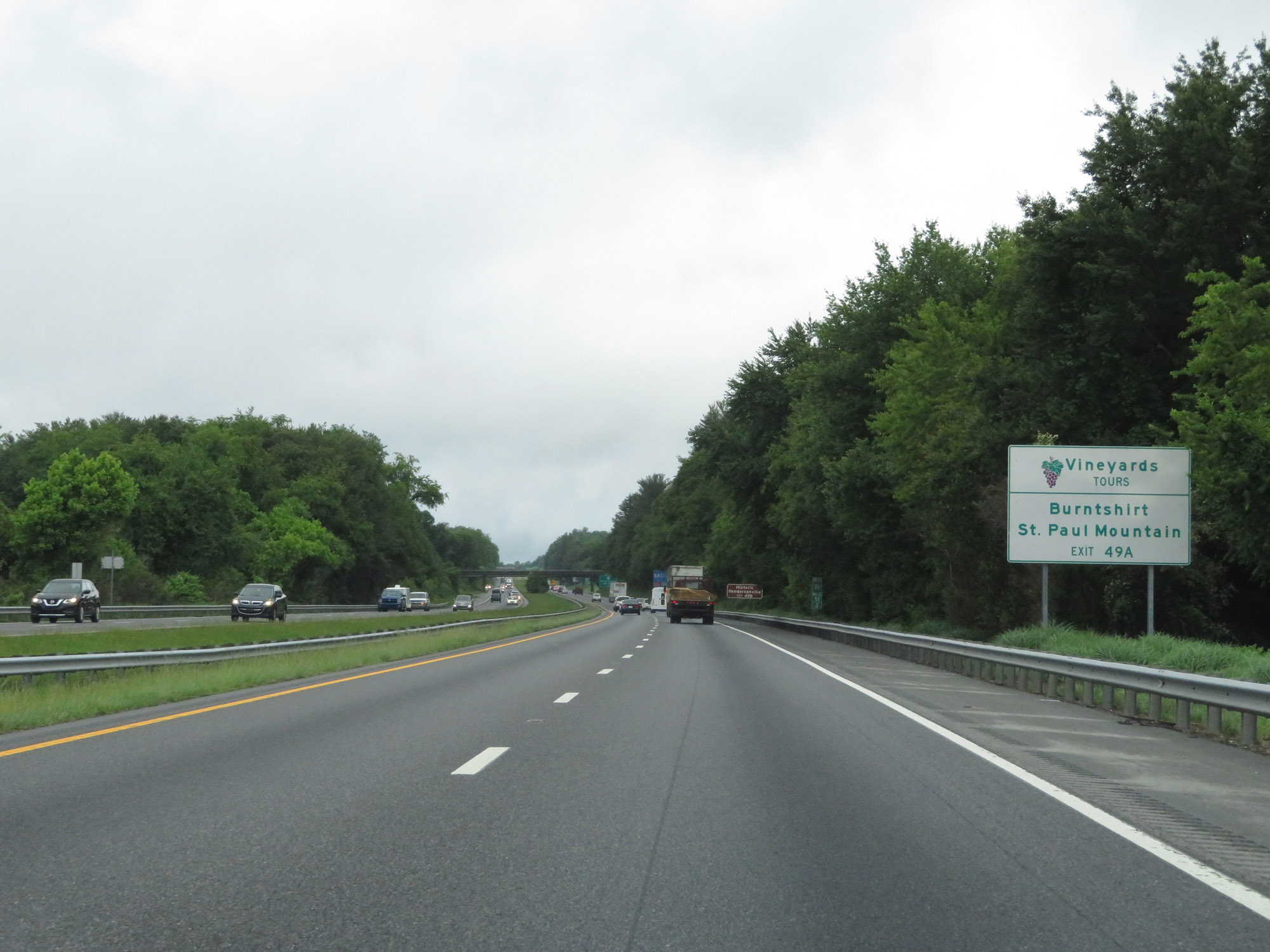 |
Take Exit 49A to Burntshirt and St. Paul Mountain vineyards. (Photo taken 5/26/18). |
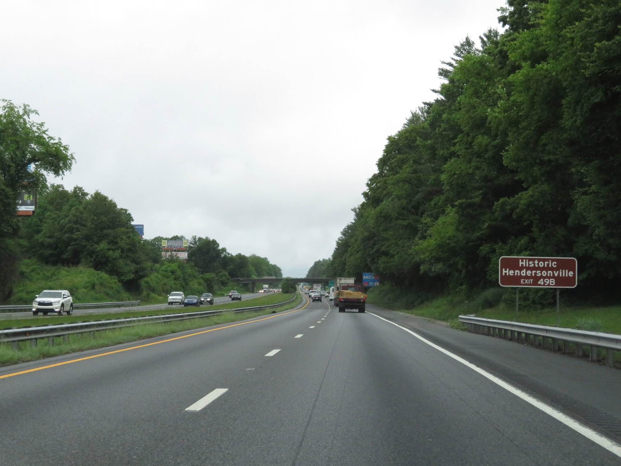 |
Also take Exit 49B to Historic Hendersonville. (Photo taken 5/26/18). |
 |
Interstate 26 West at Exit 49A: US 64 East - Bat Cave (Photo taken 5/26/18). |
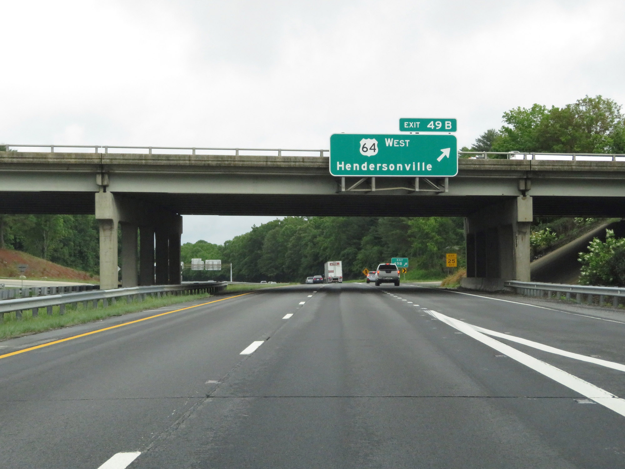 |
Interstate 26 West at Exit 49B: US 64 West - Hendersonville (Photo taken 5/26/18). |
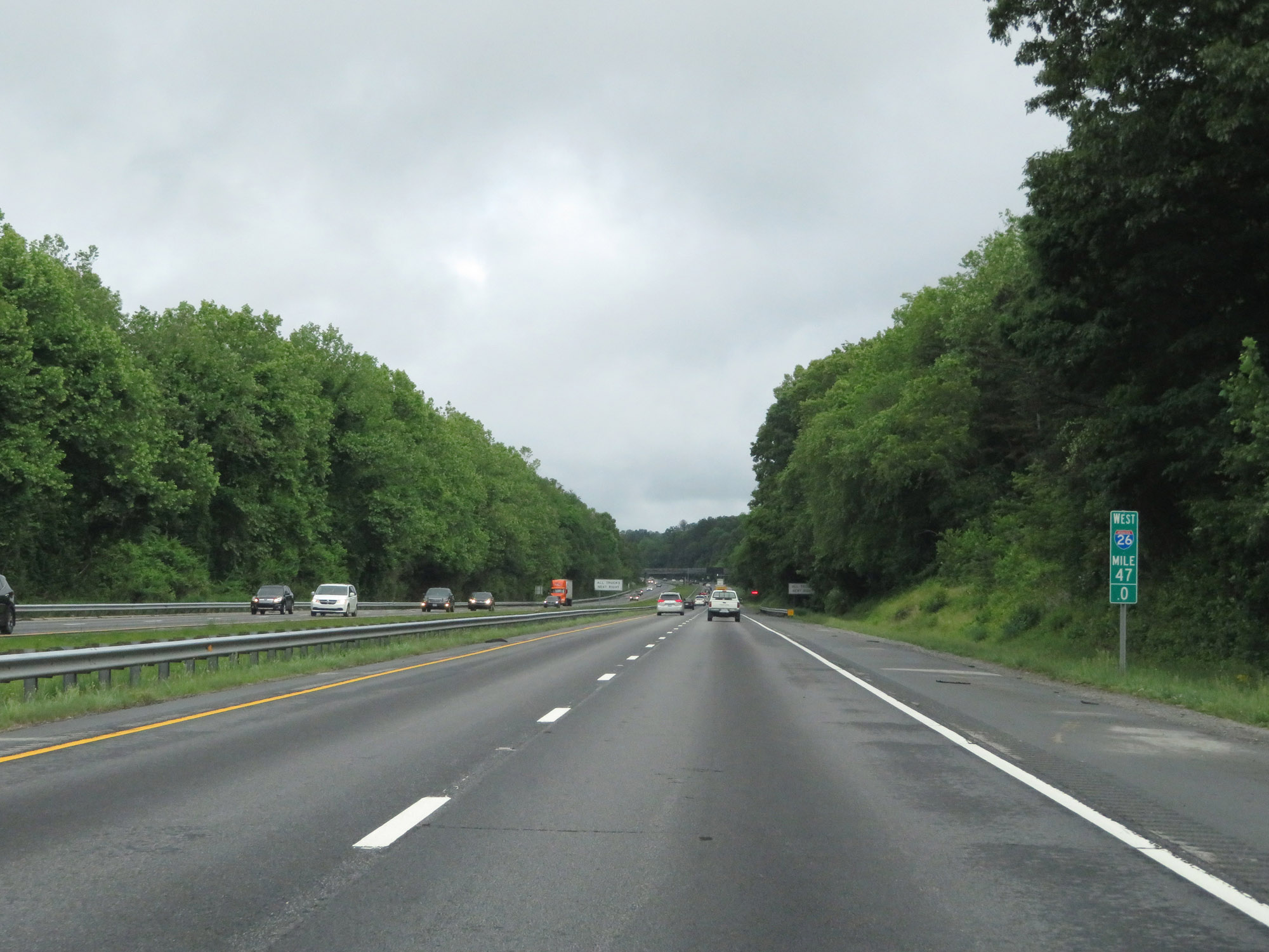 |
View on Interstate 26 West at mile marker 47. (Photo taken 5/26/18). |
 |
Weigh Station on Interstate 26 West in Henderson County. (Photo taken 5/26/18). |
 |
Another Interstate 26 West reassurance shield. (Photo taken 5/26/18). |
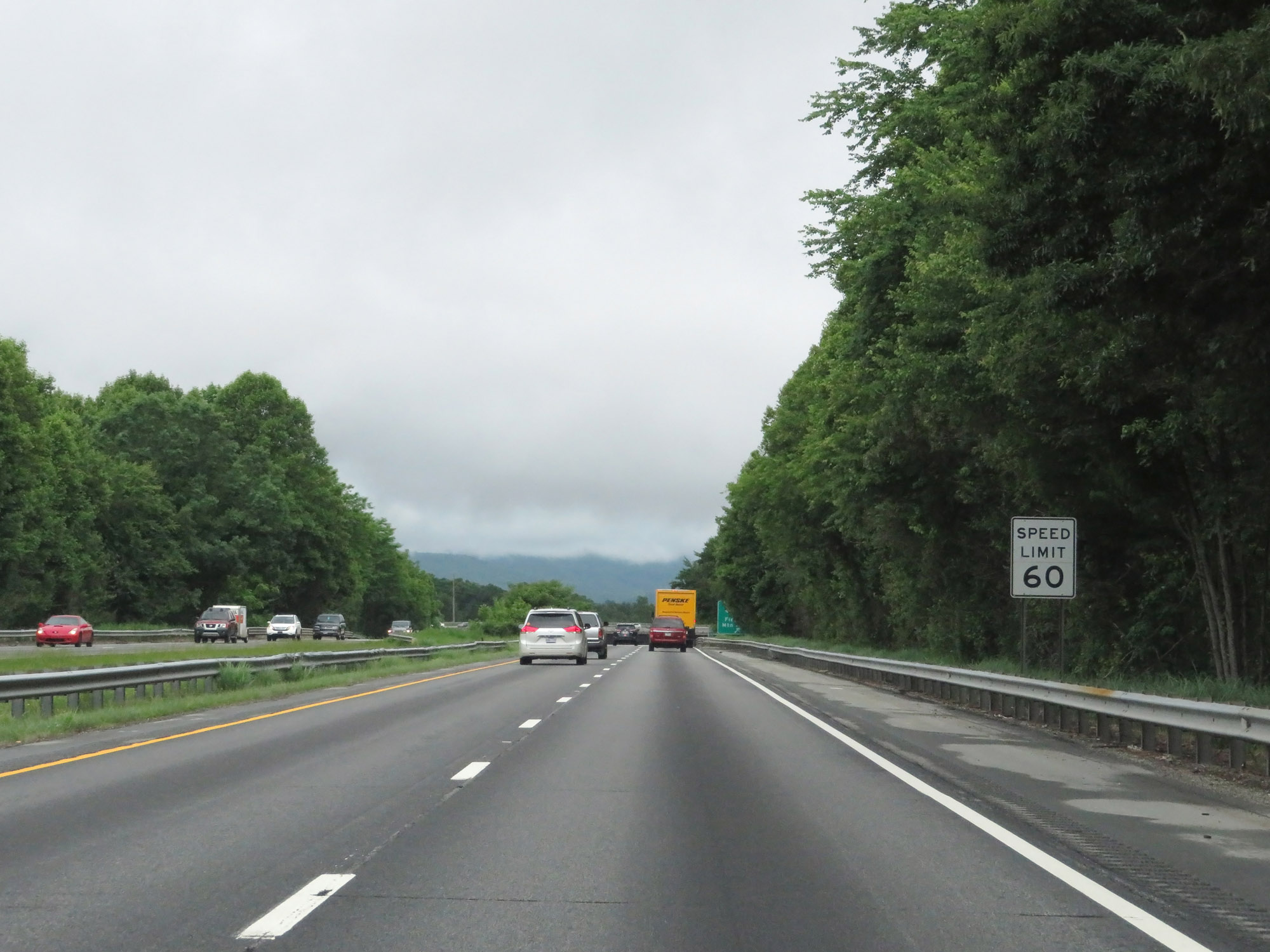 |
Approaching Exit 44, the speed limit decreases to 60 mph. (Photo taken 5/26/18). |
 |
Interstate 26 West at Exit 44: US 25 North / US 25 Business South - Fletcher / Mountain Home (Photo taken 5/26/18). |
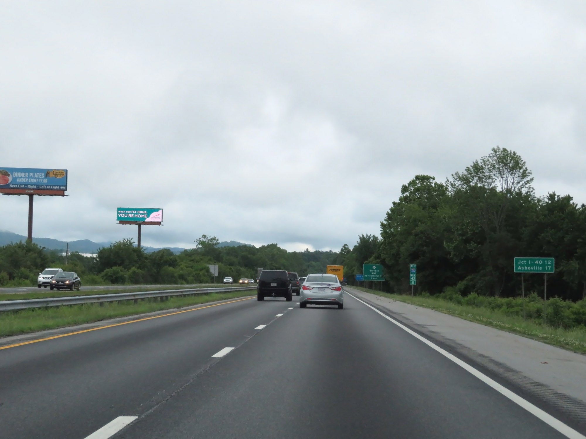 |
Mileage sign at mile marker 43. It's 12 miles to the junction of Interstate 40 and 17 miles to Asheville. (Photo taken 5/26/18). |
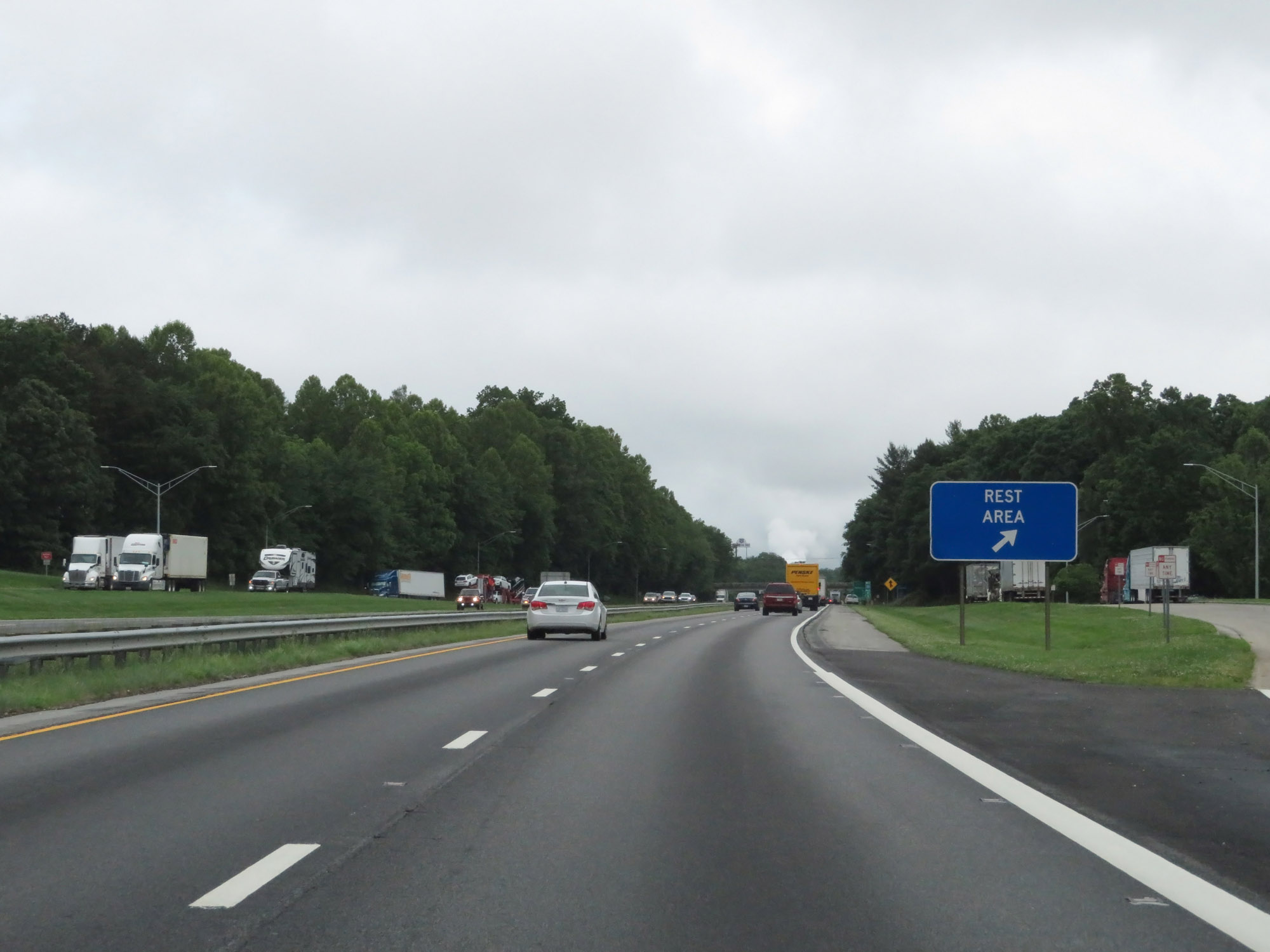 |
Rest Area on Interstate 26 West in Henderson County. (Photo taken 5/26/18). |
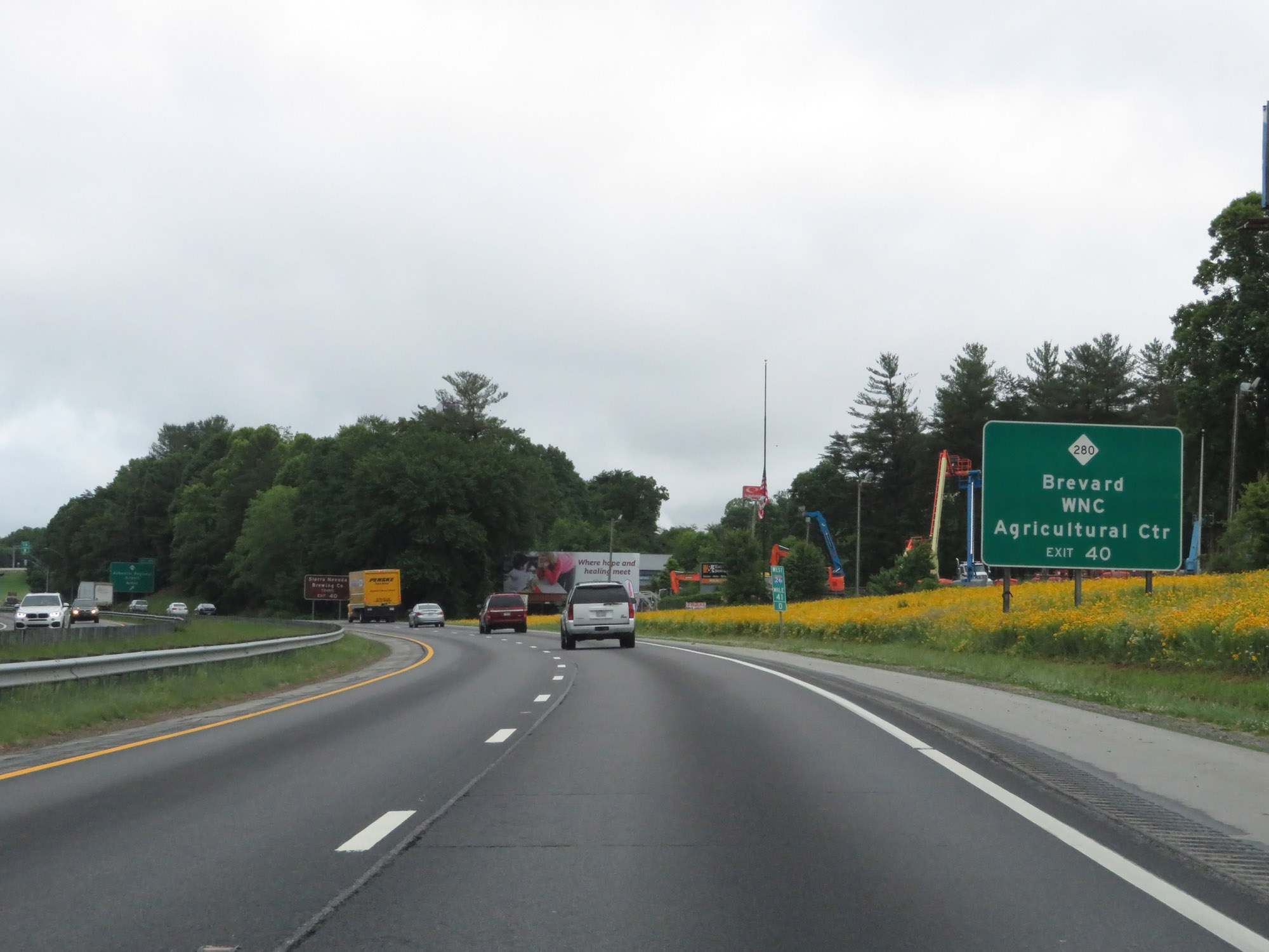 |
Take Exit 40 to Brevard and the Western North Carolina Agricultural Center. (Photo taken 5/26/18). |
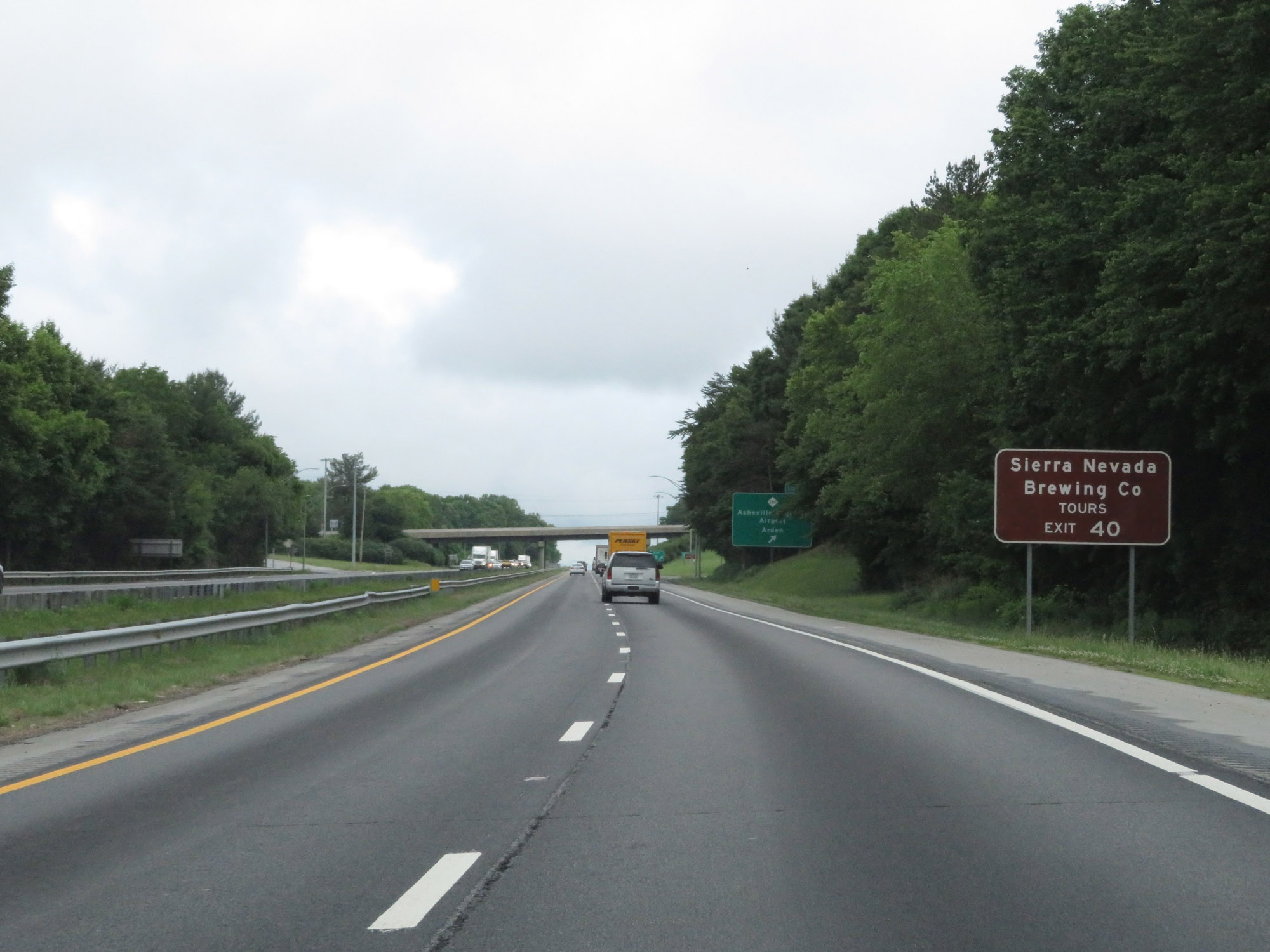 |
Also take Exit 40 to the Sierra Nevada Brewing Co. (Photo taken 5/26/18). |
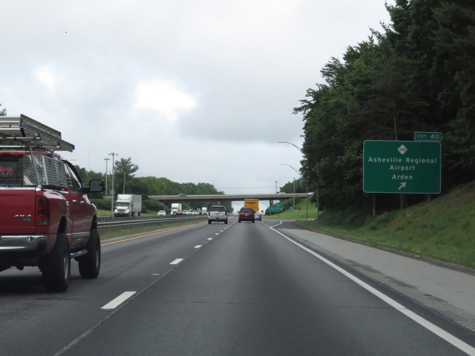 |
Interstate 26 West at Exit 40: NC 280 - Asheville Regional Airport / Arden (Photo taken 5/26/18). |
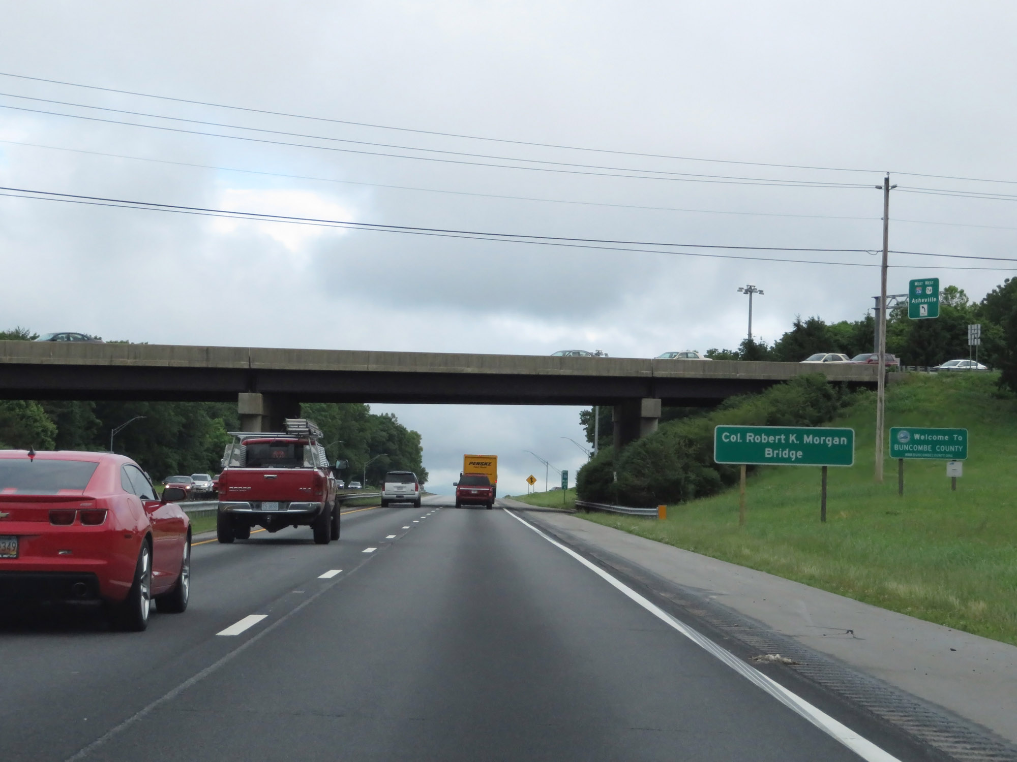 |
Interstate 26 West as it enters Buncombe County. (Photo taken 5/26/18). |
 |
Take Exit 37 to Biltmore Park. (Photo taken 5/26/18). |
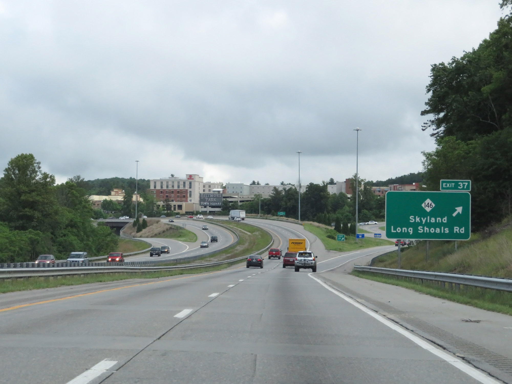 |
Interstate 26 West at Exit 37: NC 146 - Skyland / Long Shoals Rd (Photo taken 5/26/18). |
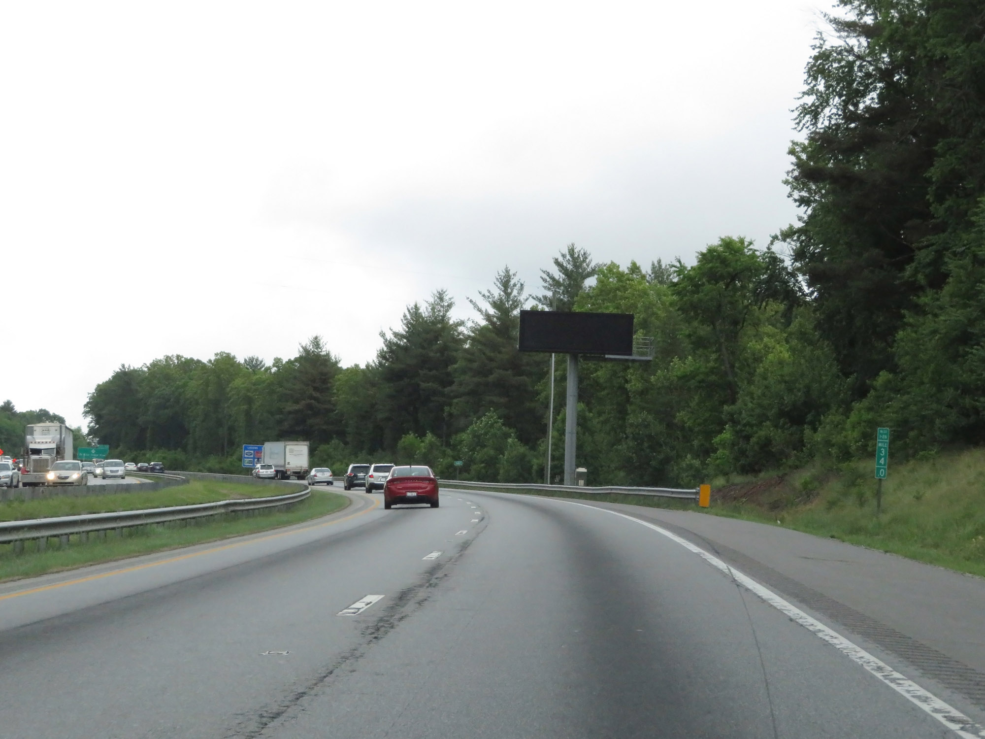 |
Interstate 26 West at mile marker 34. (Photo taken 5/26/18). |
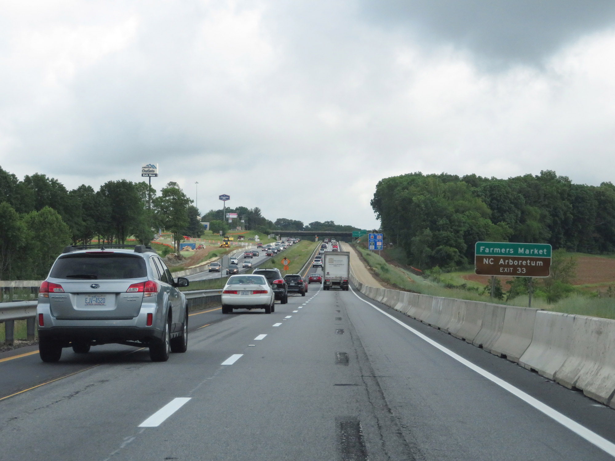 |
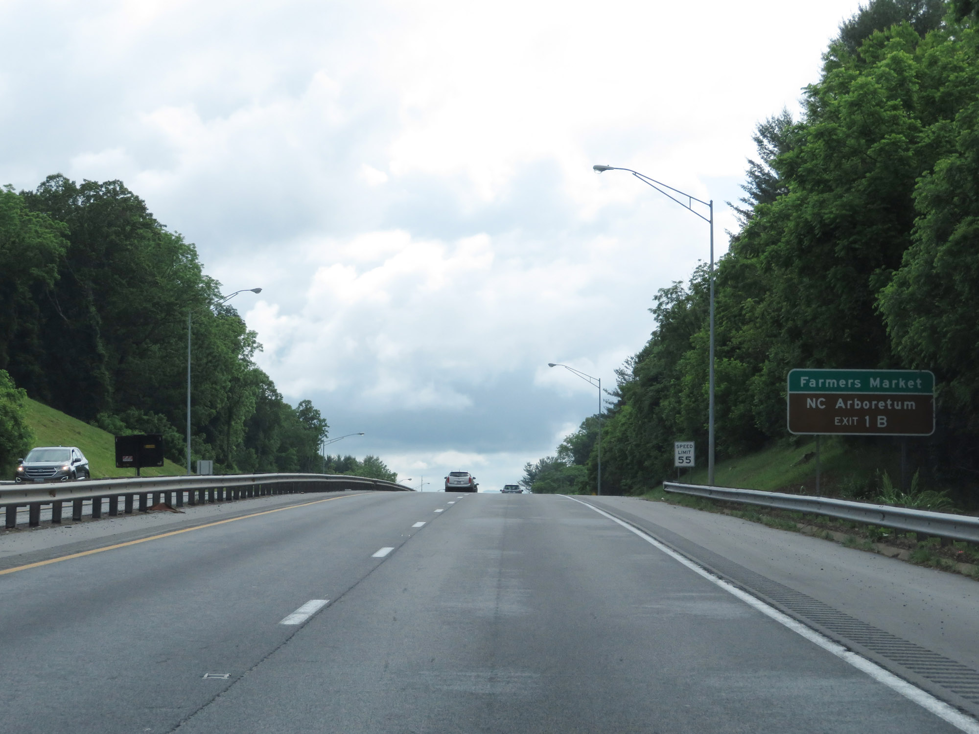
Take Exit 33 to the Farmers Market and NC Arboretum. (Photo taken 5/26/18). |
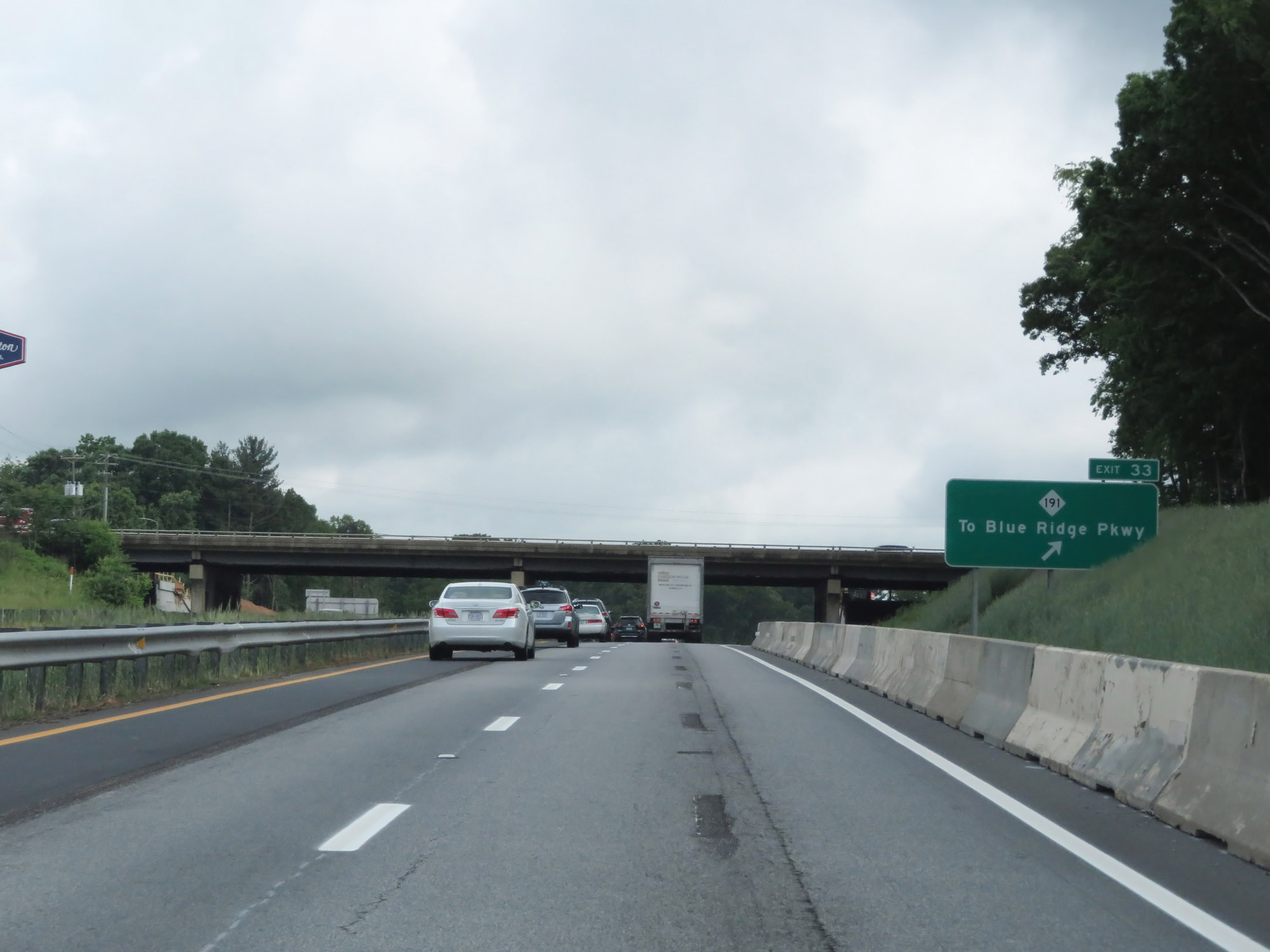 |
Interstate 26 West at Exit 33: NC 191 - To Blue Ridge Pkwy (Photo taken 5/26/18). |
 |
Take Exit 31A (Interstate 40 East) to the Farmers Market and Black Mountain. (Photo taken 5/26/18). |
 |
Interstate 26 West approaching Exit 31A - 1/4 mile; Exit 31B - 1/2 mile on the left. (Photo taken 5/26/18). |
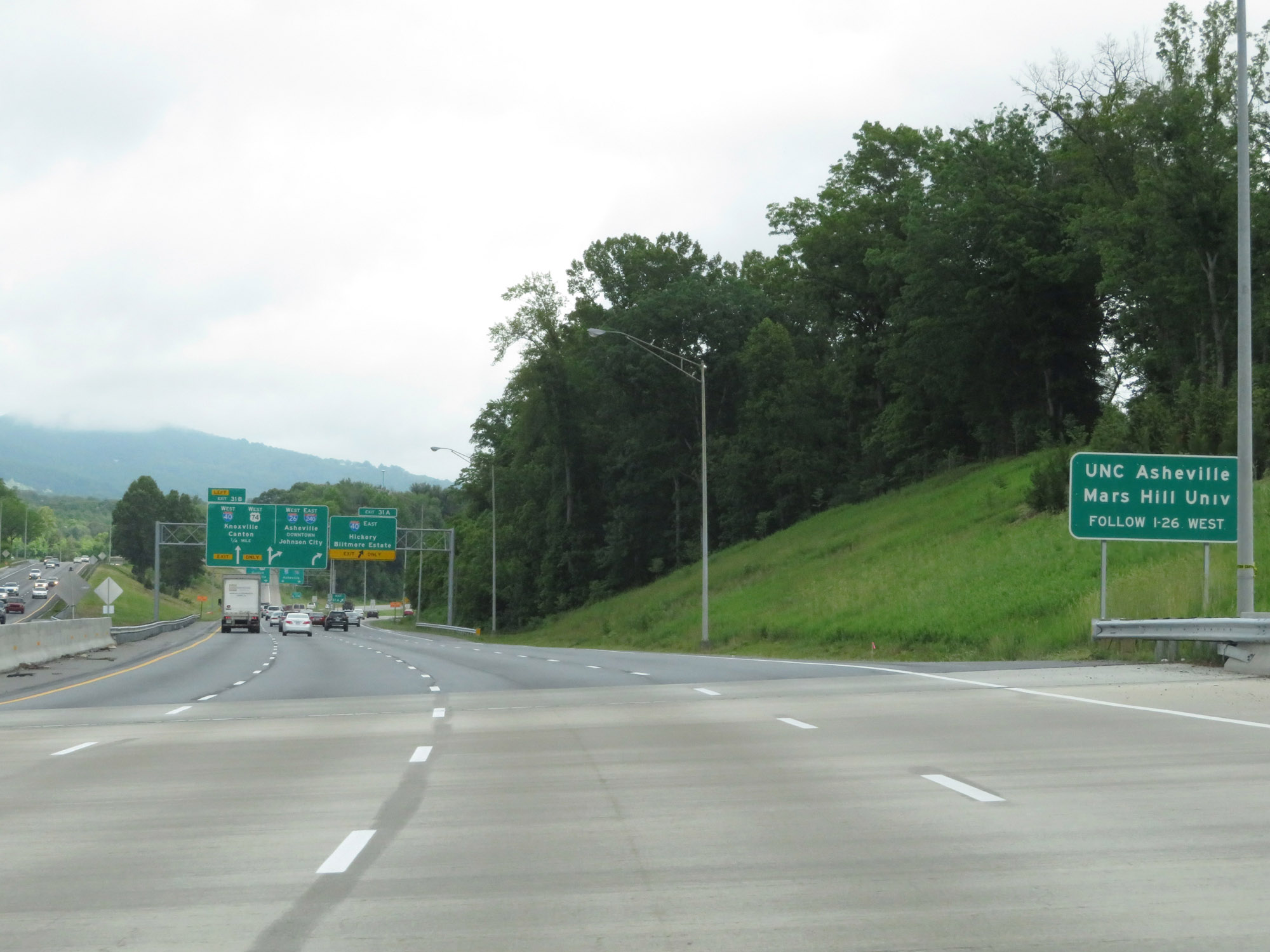 |
Traffic headed to UNC Asheville and Mars Hill University should remain on Interstate 26 West. (Photo taken 5/26/18). |
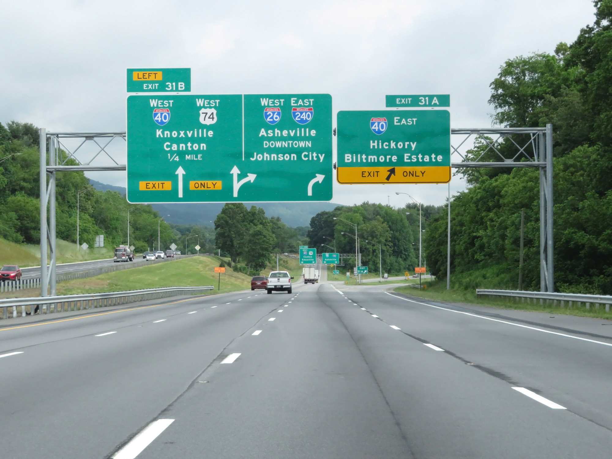 |
Interstate 26 West at Exit 31A: Interstate 40 East - Hickory / Biltmore Estate (Photo taken 5/26/18). |
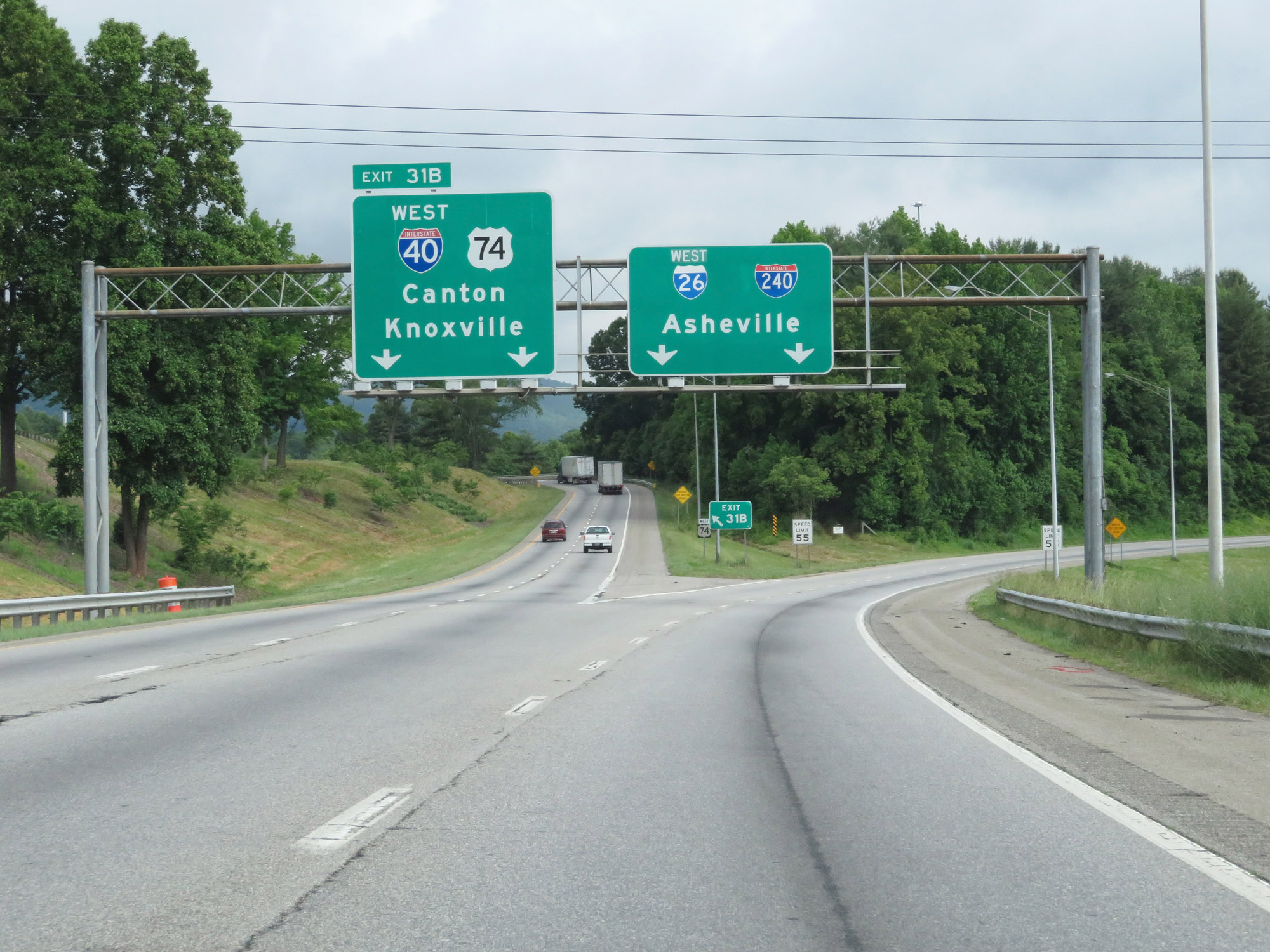 |
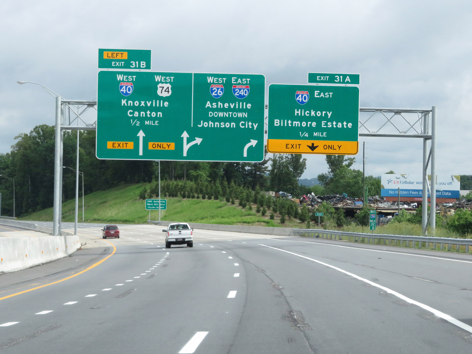
Interstate 26 West at Exit 31B: Interstate 40 West / US 74 - Canton / Knoxville (Photo taken 5/26/18). |
Section 2: Asheville (Exit 31B) to Tennessee Border
 |
The speed limit decreases to 55 mph as Interstate 26 West meets the beginning of Interstate 240 East and they proceed toward downtown Asheville. I-26 and I-240 will run together for the next 3.5 miles. (Photo taken 5/26/18). |
 |
Interstate 26 West / Interstate 240 East at mile marker 31. Here, we see a standalone Interstate 240 East reassurance shield. The mile markers during the brief concurrency of I-26 and I-240 are based on the mileage of I-26. However, the exit numbers are based off I-240's mileage. (Photo taken 5/26/18). |
 |
Take Exit 1B to the Farmers Market and NC Arboretum. (Photo taken 5/26/18). |
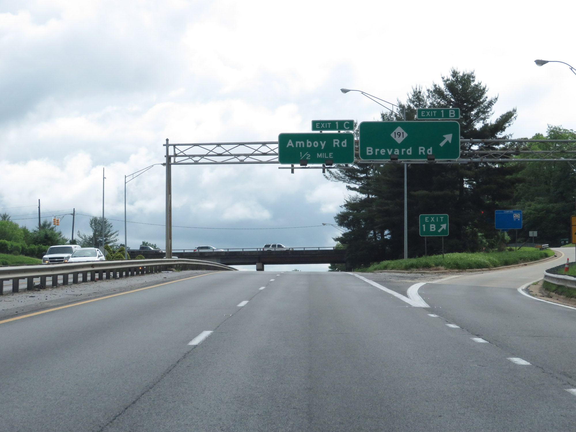 |
Interstate 26 West / Interstate 240 East at Exit 1B: NC 191 - Brevard Rd (Photo taken 5/26/18). |
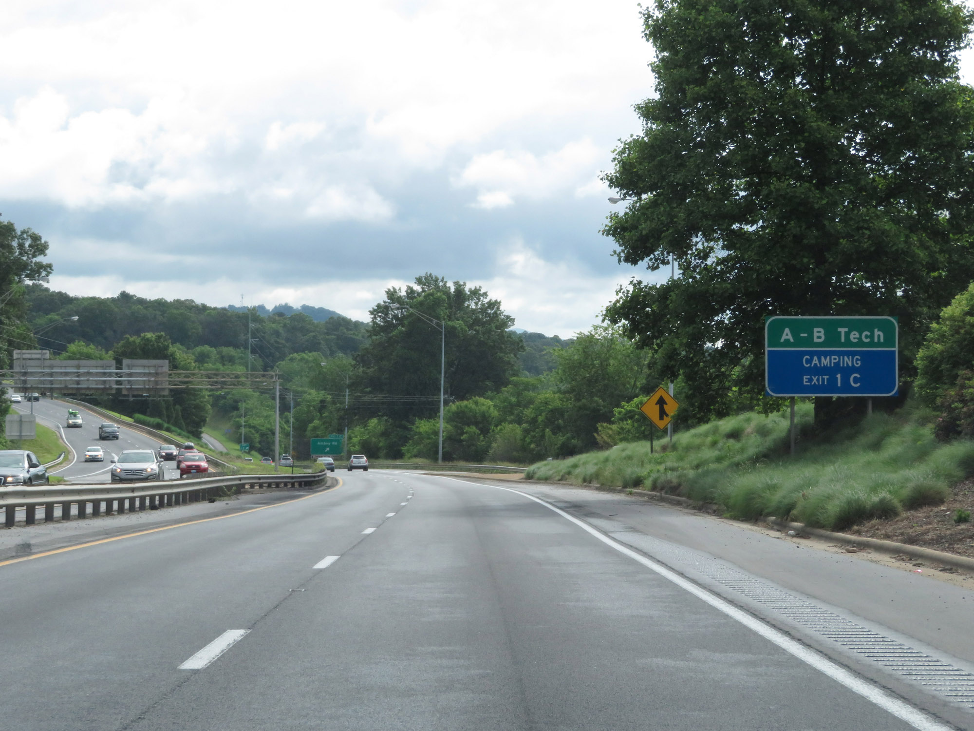 |
Take Exit 1C to A-B Tech. (Photo taken 5/26/18). |
 |
Interstate 26 West / Interstate 240 East at Exit 1C: Amboy Rd (Photo taken 5/26/18). |
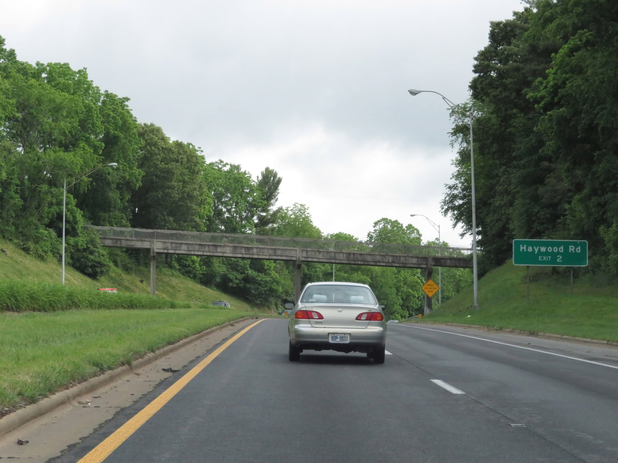 |
Take Exit 2 to Haywood Rd. (Photo taken 5/26/18). |
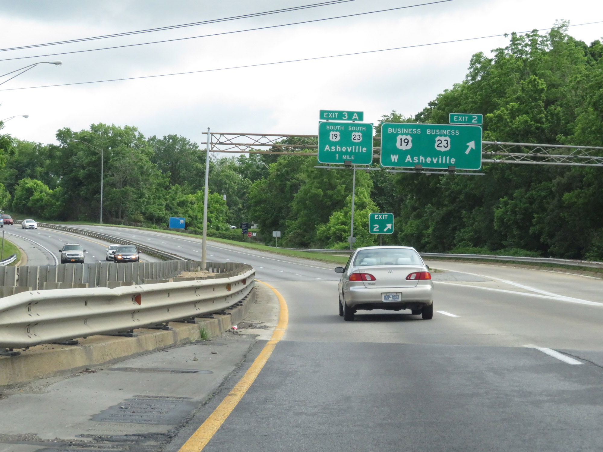 |
Interstate 26 West / Interstate 240 East at Exit 2: US 19 Business / US 23 Business - West Asheville (Photo taken 5/26/18). |
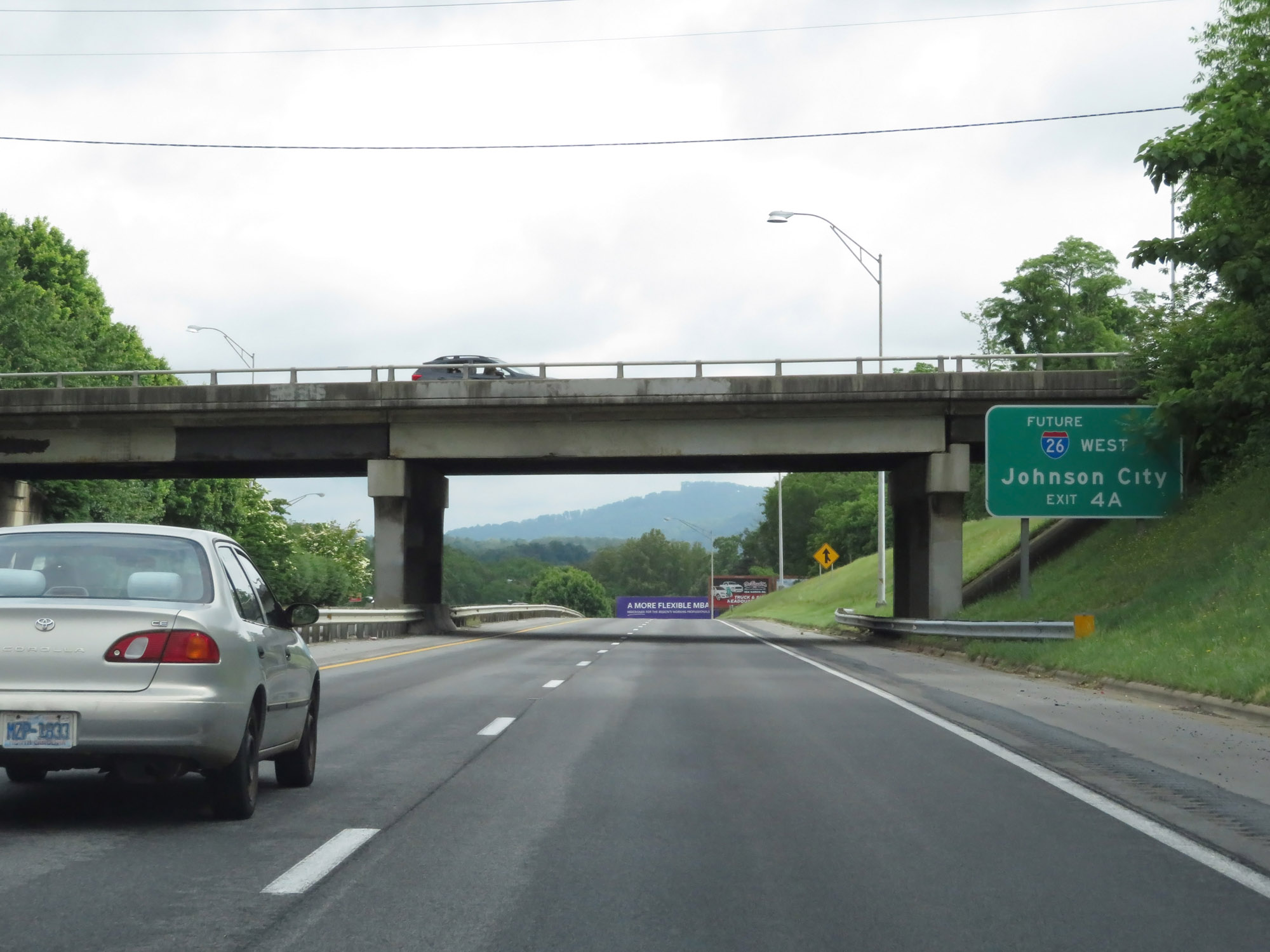 |
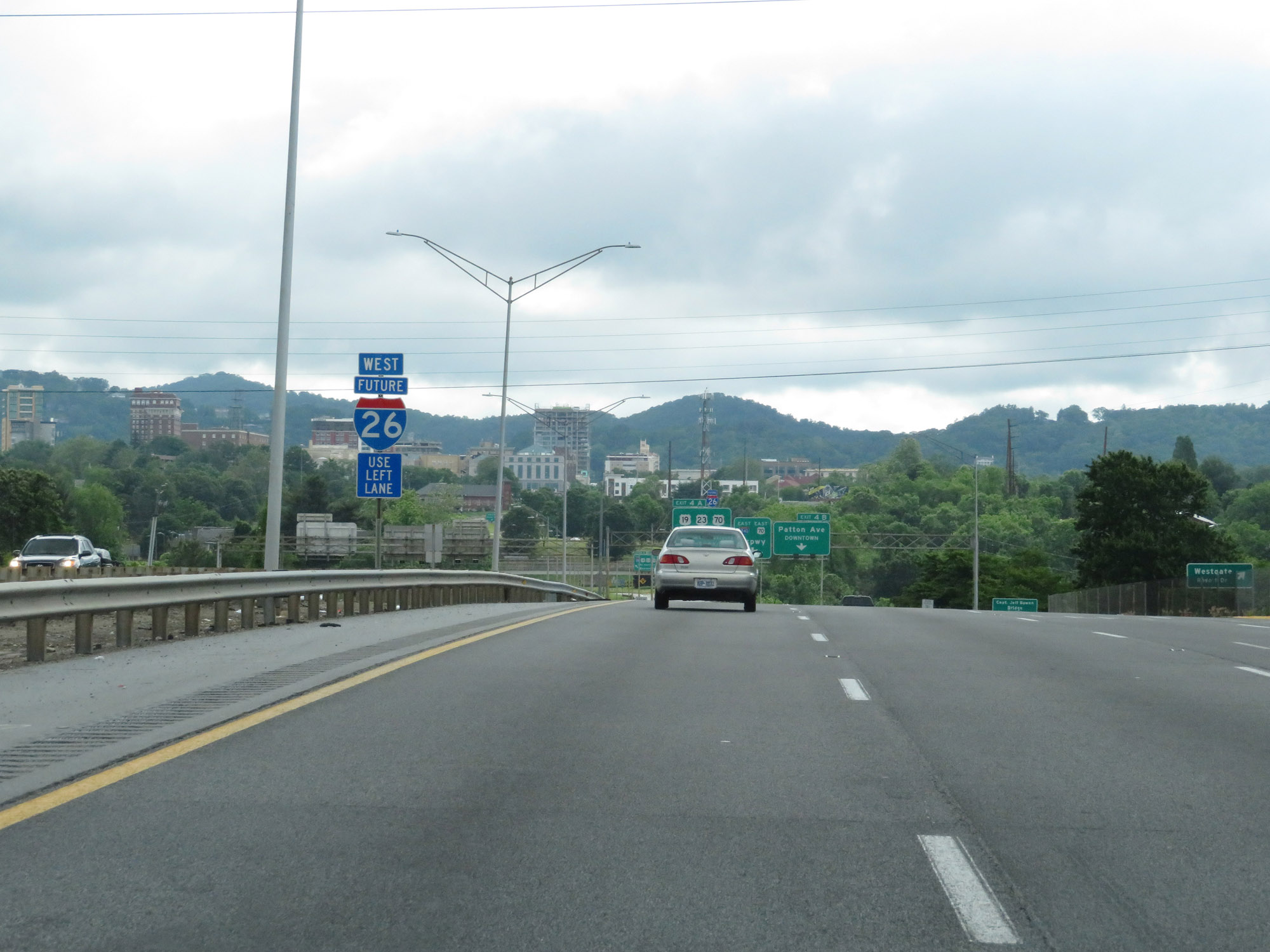
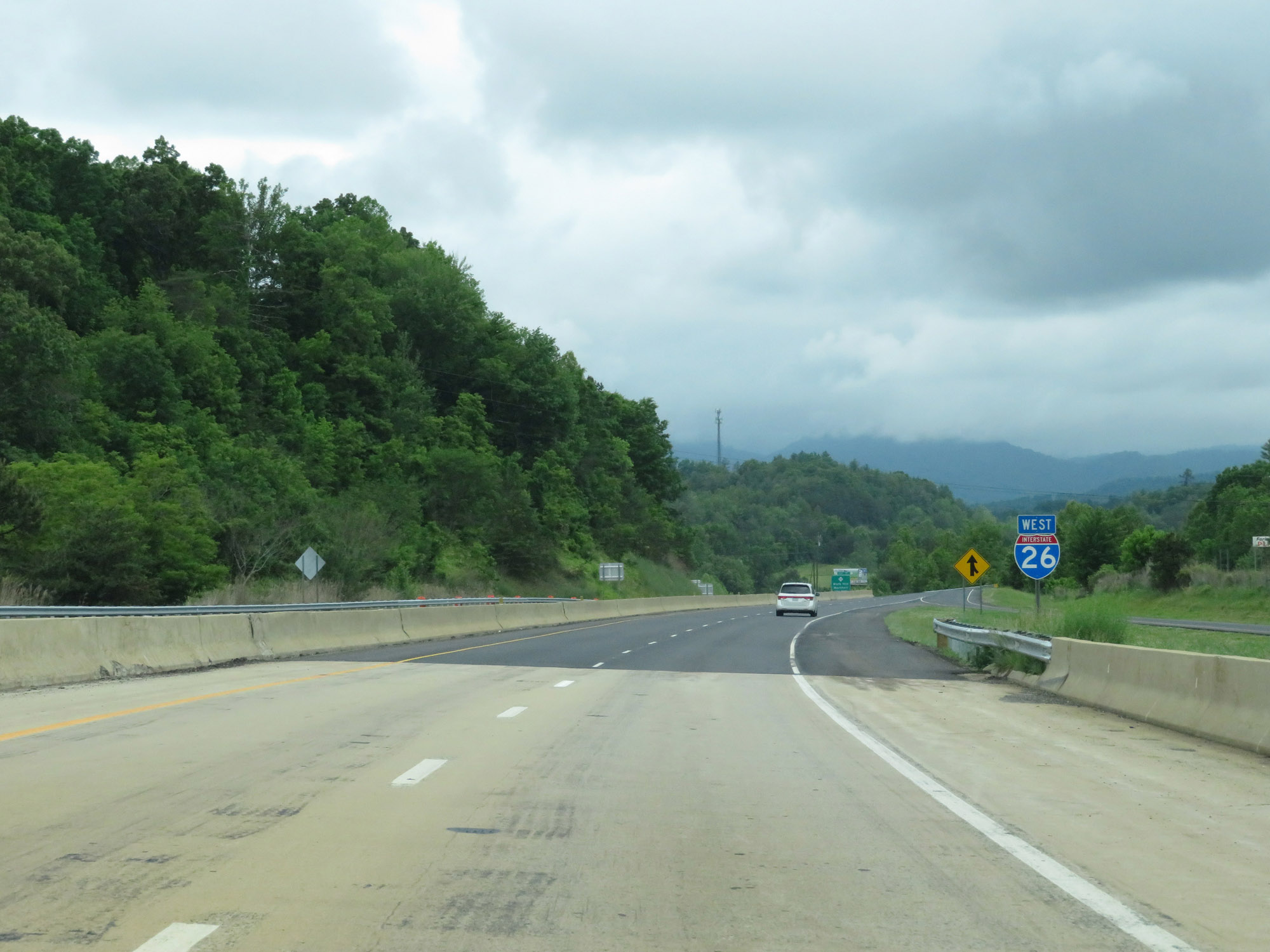
Take Exit 4A to Future Interstate 26 West toward Johnson City. Interstate 26 remains currently signed up to Exit 4A on Interstate 240. From that point, it will be signed as Future Interstate 26 West for 18 miles. You'll see. (Photo taken 5/26/18). |
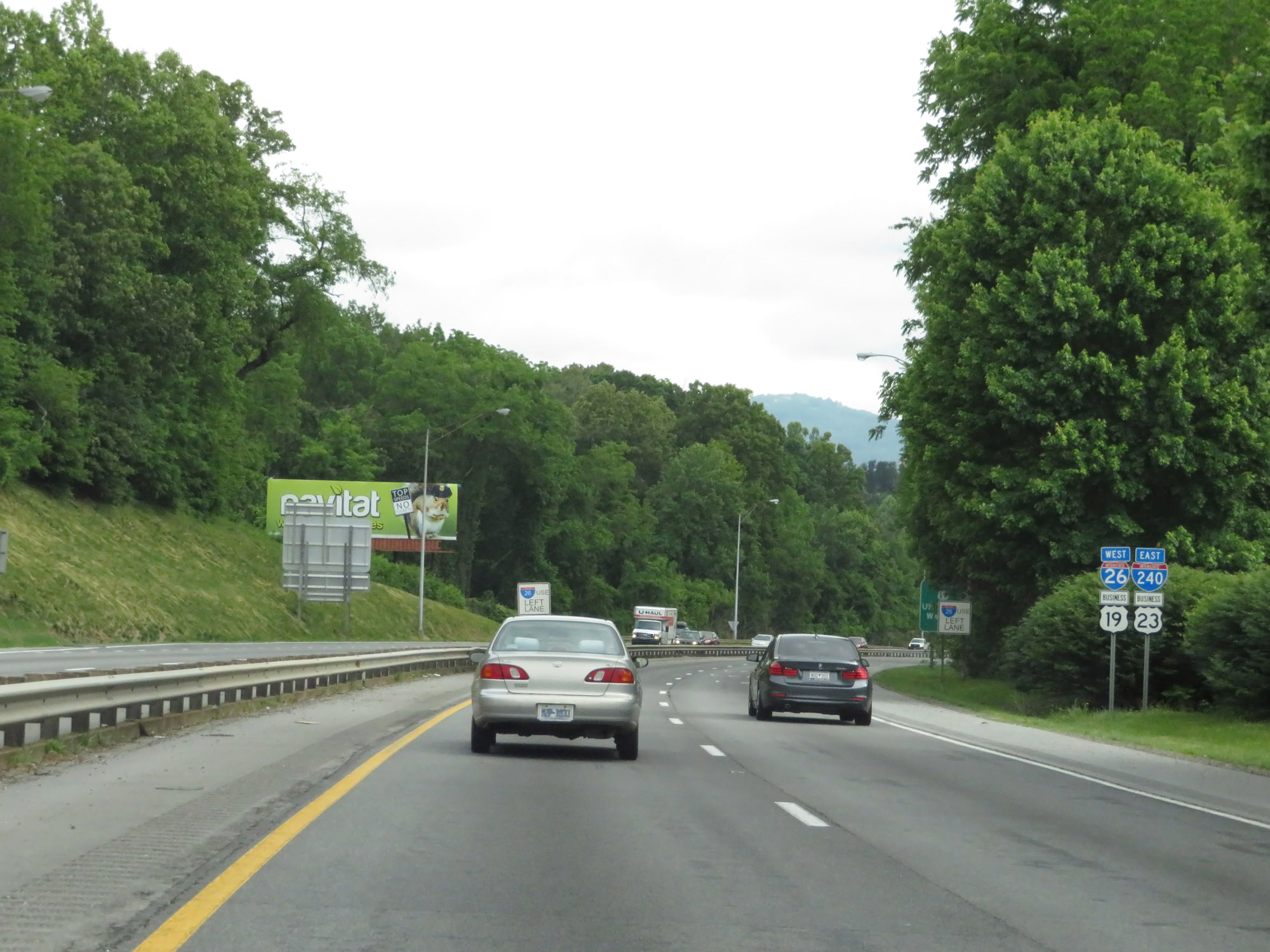 |
Interstate 26 West / Interstate 240 East reassurance shields in Asheville. (Photo taken 5/26/18). |
 |
As Interstate 26 West / Interstate 240 East get closer to downtown Asheville, the speed limit decreases to 50 mph. (Photo taken 5/26/18). |
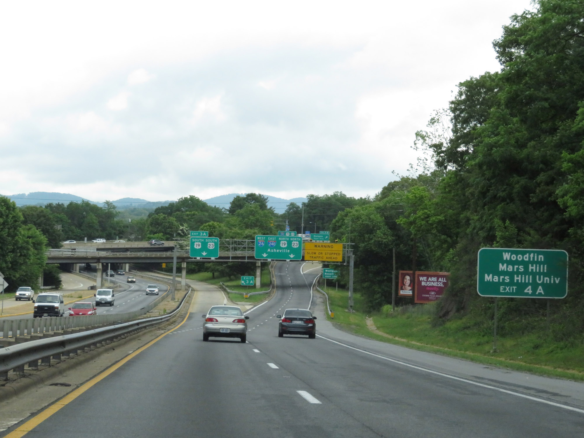 |
Take Exit 4A (Future Interstate 26 West) to Woodfin, Mars Hill, and Mars Hill University. (Photo taken 5/26/18). |
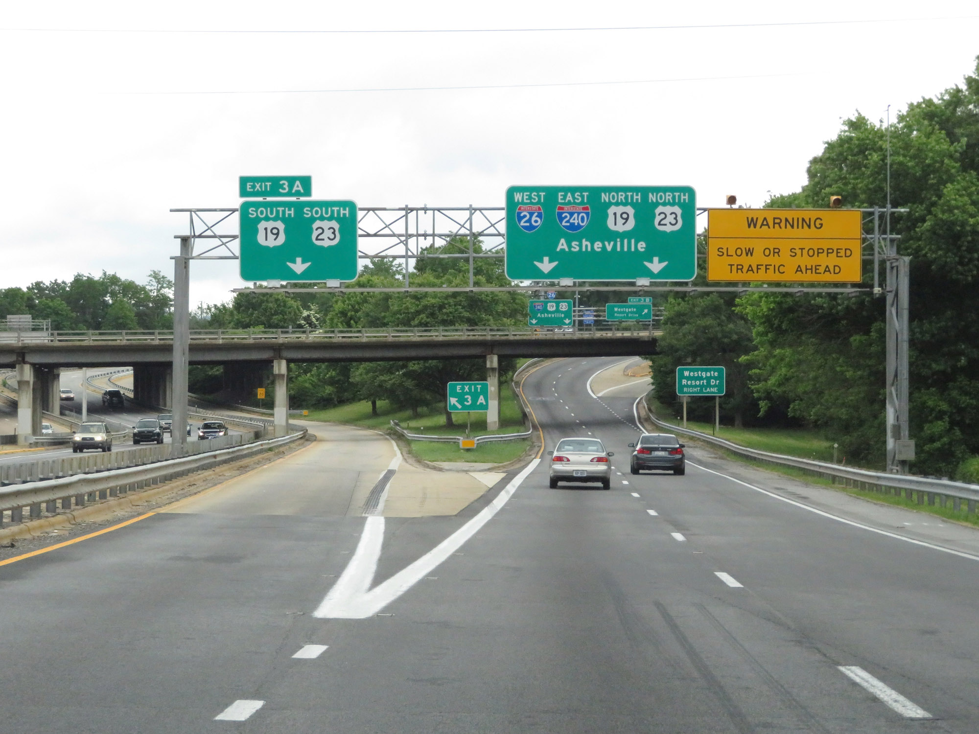 |
Interstate 26 West / Interstate 240 East at Exit 3A: US 19 South / US 23 South (Photo taken 5/26/18). |
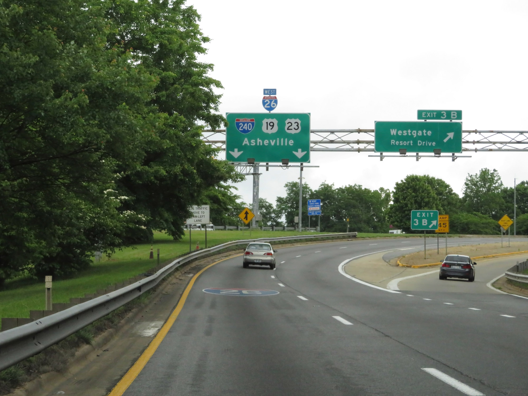 |
Interstate 26 West / Interstate 240 East at Exit 3B: Westgate Resort Drive (Photo taken 5/26/18). |
 |
As downtown Asheville comes into view, this sign warns that traffic looking to continue following Interstate 26 West should get in the left lane and follow Future Interstate 26 West. (Photo taken 5/26/18). |
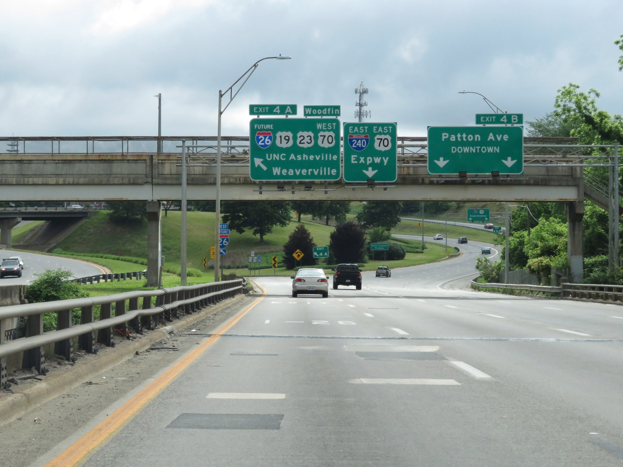 |
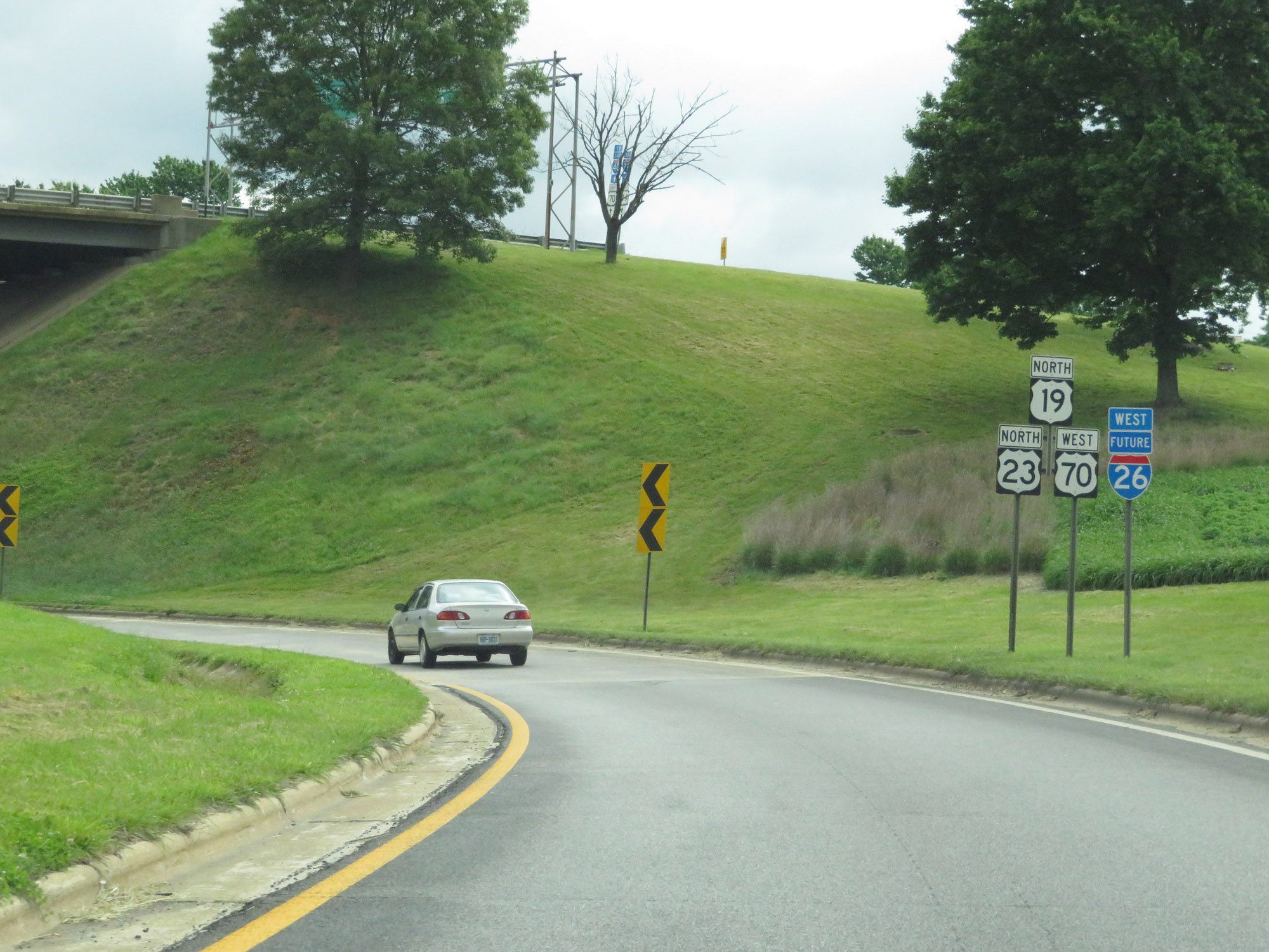
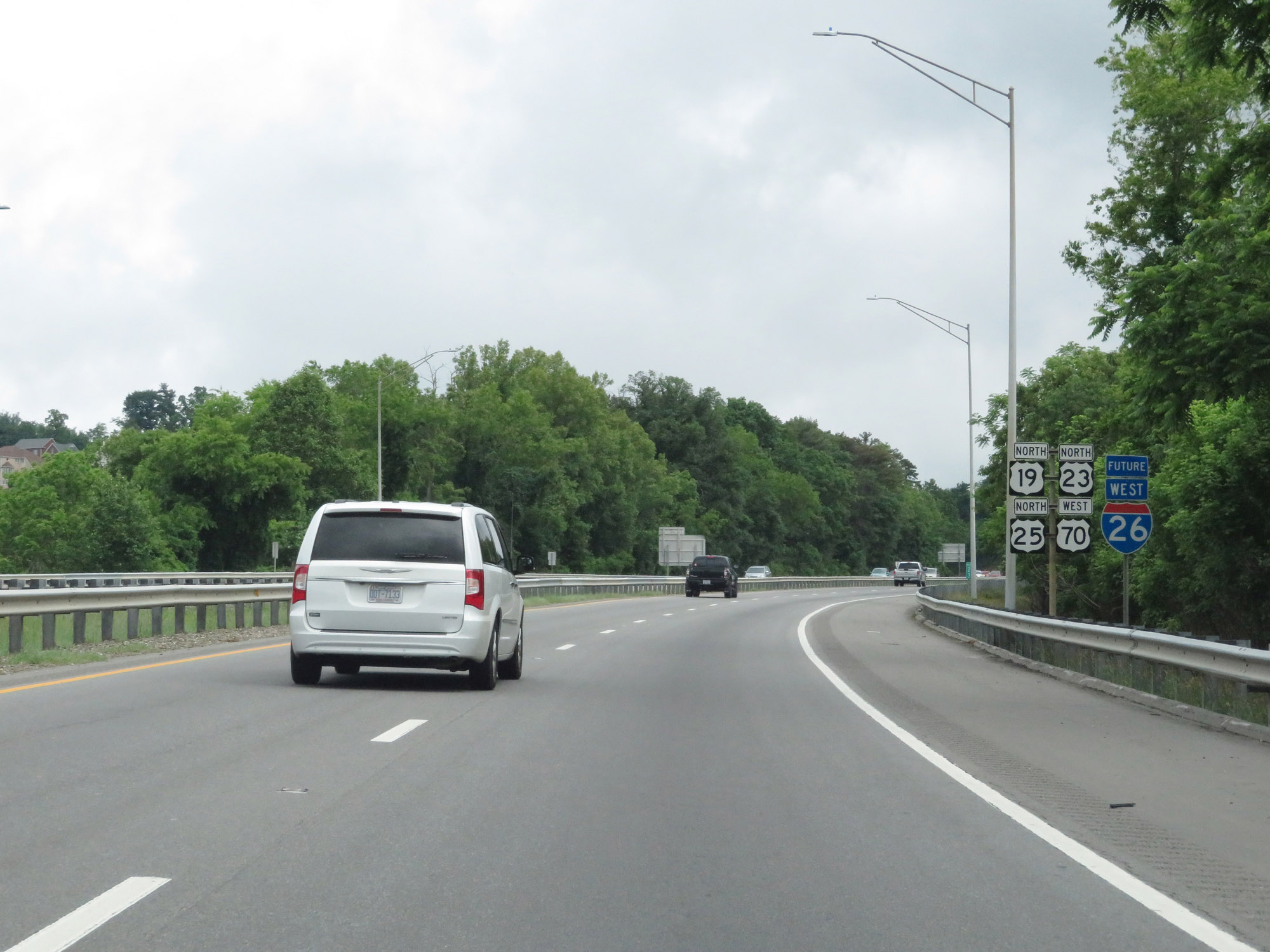
Interstate 26 West / Interstate 240 East at Exit 4A: Future Interstate 26 West / US 19 North / US 23 North / US 70 West - UNC Asheville / Weaverville. This marks the northern end of the southern segment of Interstate 26's current signed alignment in North Carolina. (Photo taken 5/26/18). |
 |
Future Interstate 26 West reassurance shield on the ramp for Exit 4A. For the next 18 miles or so, Interstate 26 West is not currently signed and is rather signed as Future I-26 West. The reason for this is that a lot of this segment of US 23 North / US 19 North / US 70 West does not currently meet Interstate standards. However, plans and funding are in the works to get this stretch up to standard, at which point it will be fully signed. (Photo taken 5/26/18). |
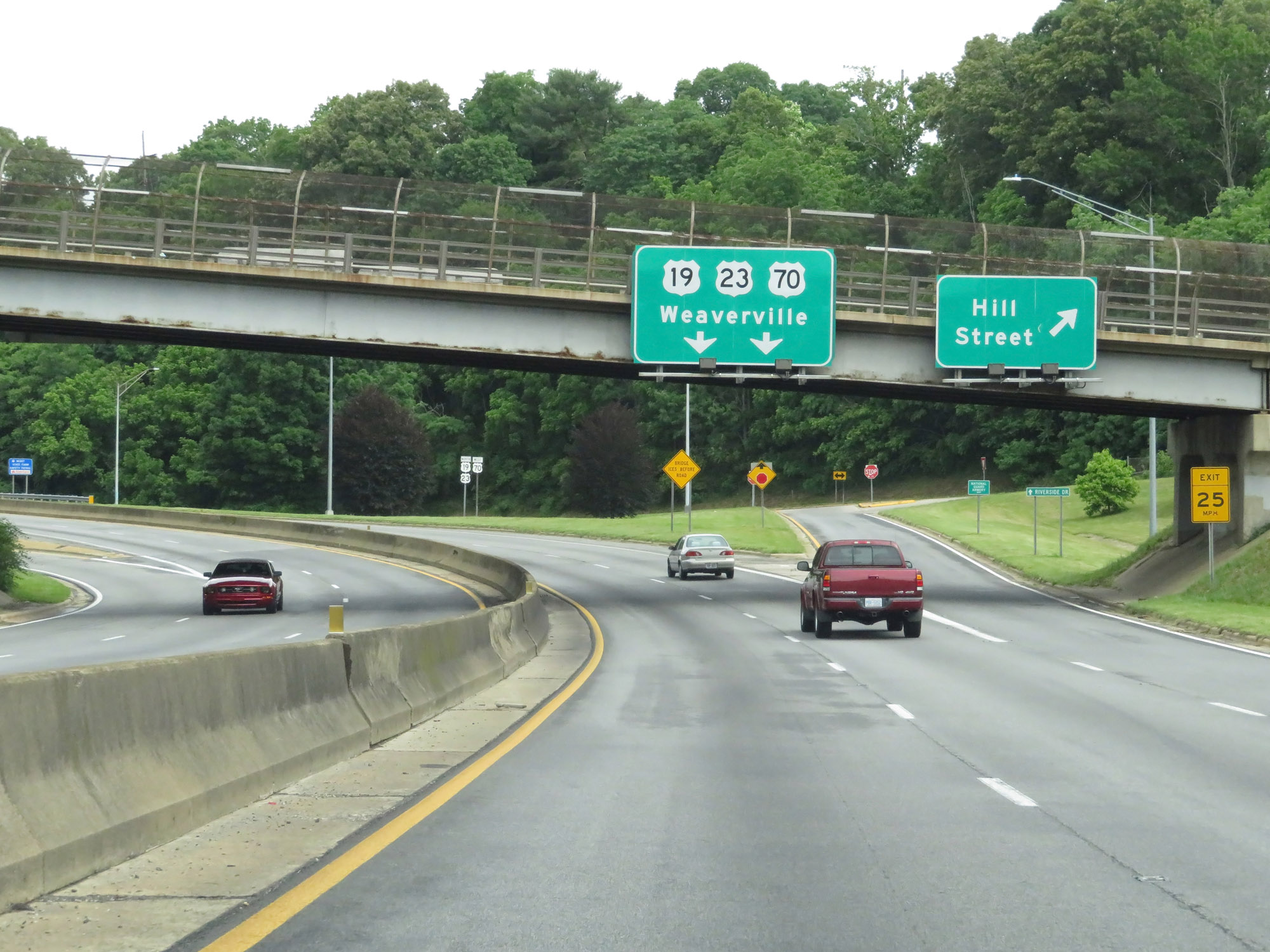 |
Future Interstate 26 West / US 23 North / US 19 North / US 70 West at Exit: Hill Street (Photo taken 5/26/18). |
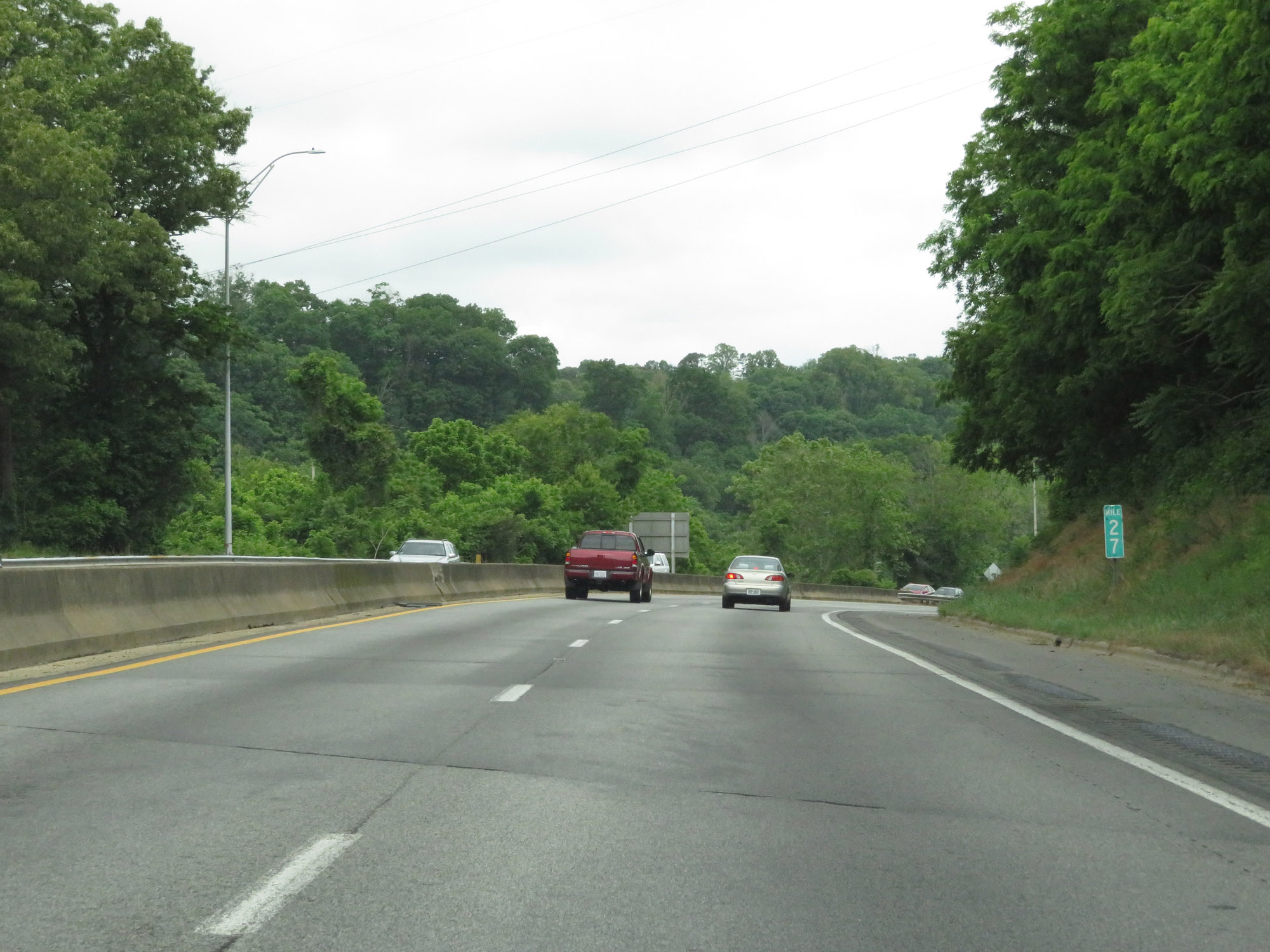 |
Future Interstate 26 West / US 23 North / US 19 North / US 70 West at mile marker 27. Although this segment is a Future designation, the mile markers and exit numbers continue based off the mileage of the current (signed) portions of Interstate 26 in North Carolina. (Photo taken 5/26/18). |
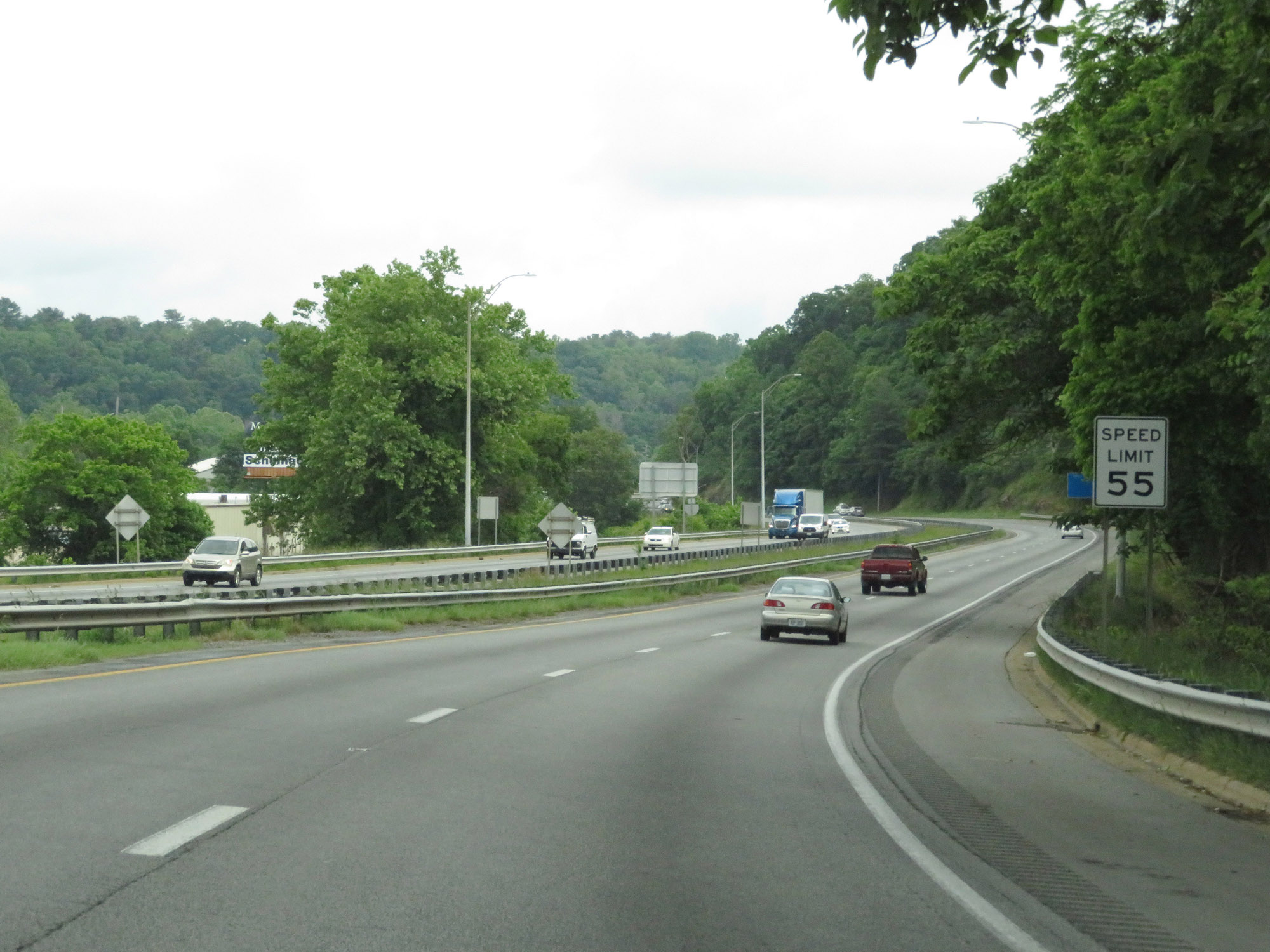 |
The speed limit on Future Interstate 26 West / US 23 North / US 19 North / US 70 West is 55 mph here as these routes leave downtown Asheville. (Photo taken 5/26/18). |
 |
Take Exit 25 to the National Forest Office & Information Center. (Photo taken 5/26/18). |
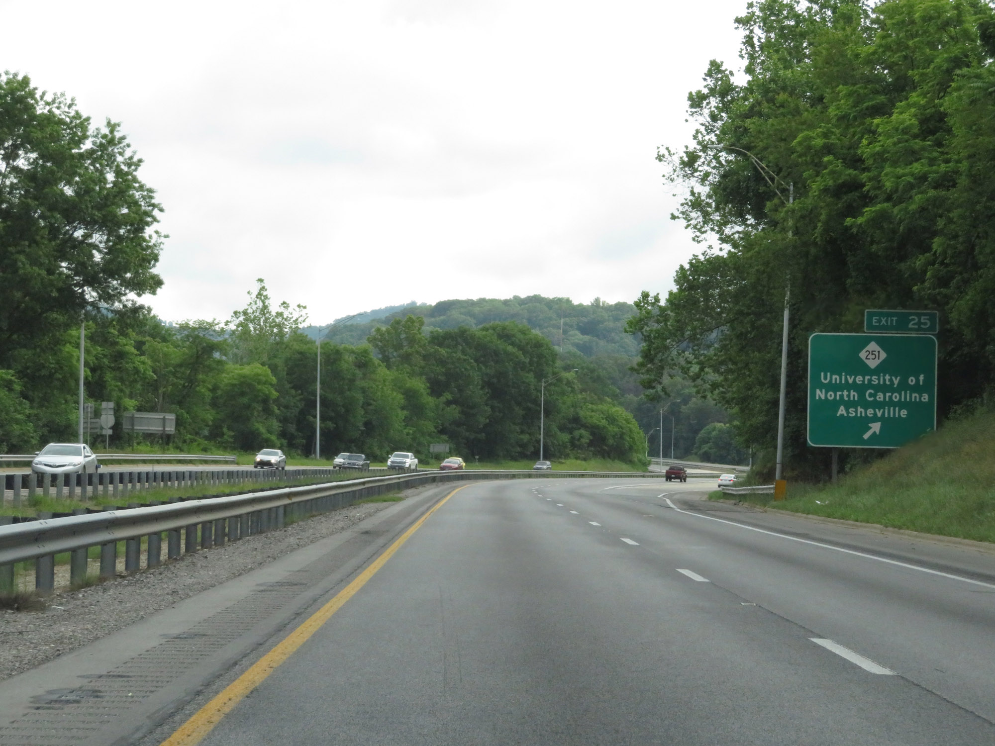 |
Future Interstate 26 West / US 23 North / US 19 North / US 70 West at Exit 25: NC 251 - University of North Carolina Asheville (Photo taken 5/26/18). |
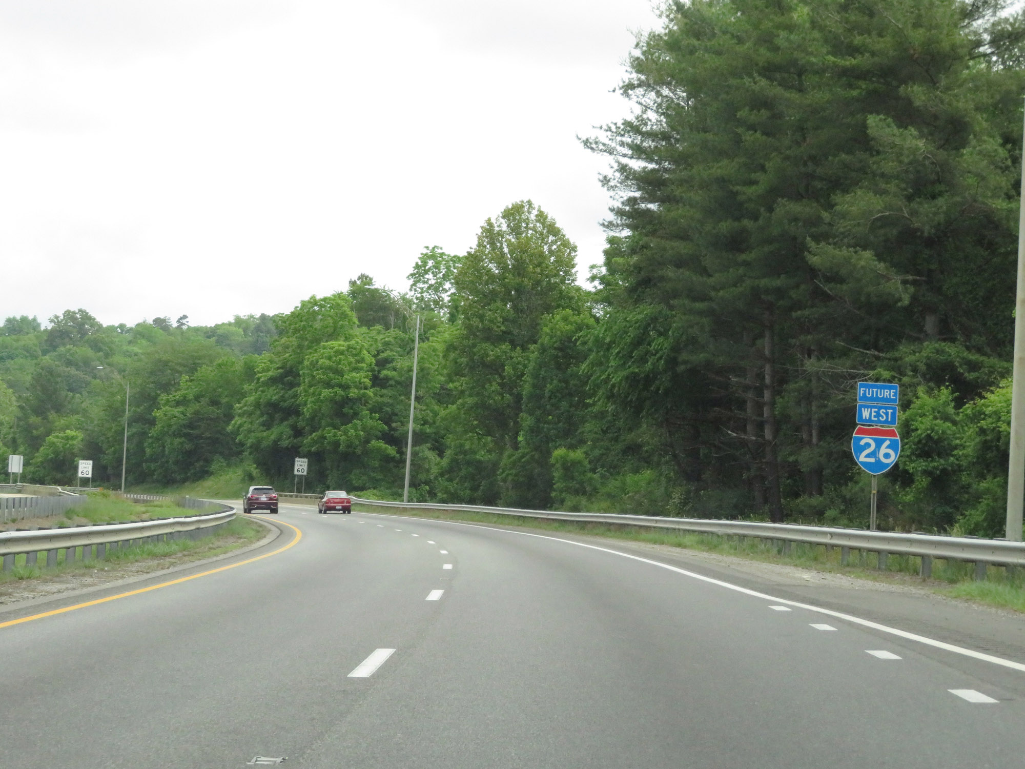 |
Future Interstate 26 West reassurance shield. (Photo taken 5/26/18). |
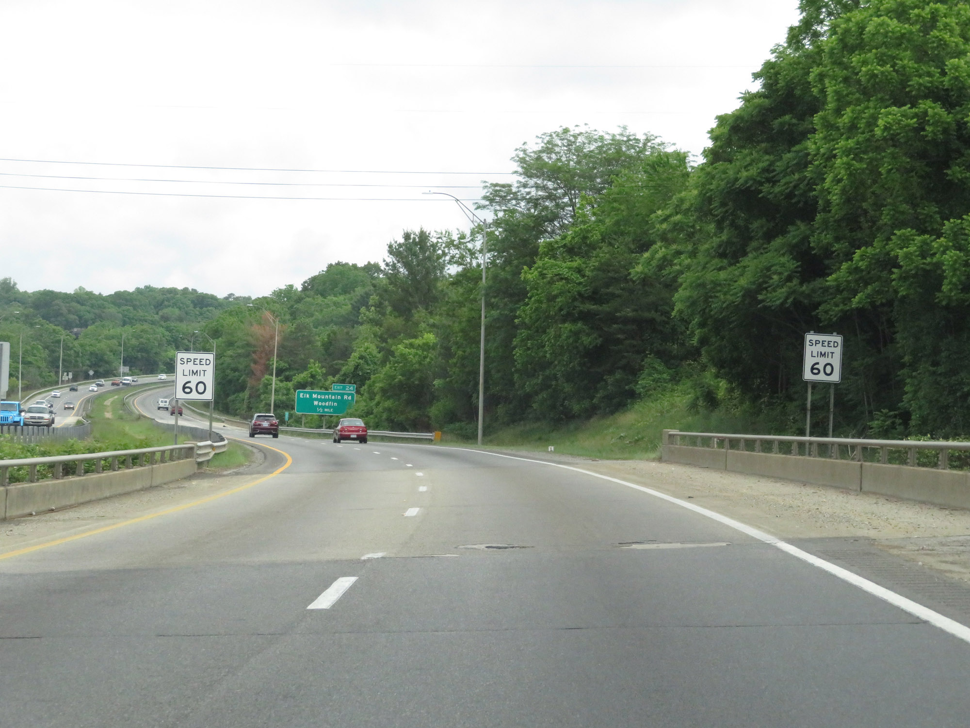 |
Approaching Exit 24, the speed limit increases to 60 mph. (Photo taken 5/26/18). |
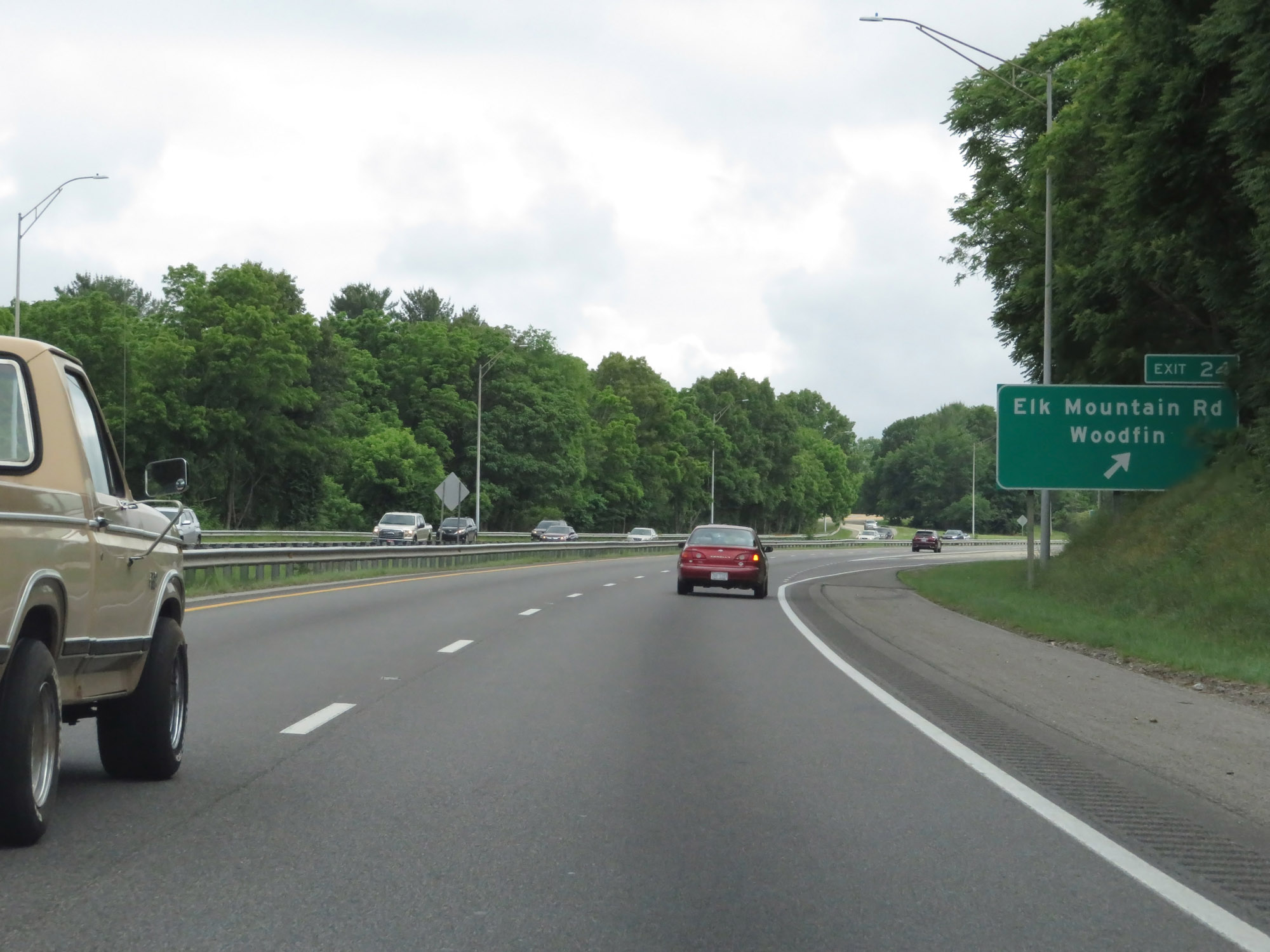 |
Future Interstate 26 West / US 23 North / US 19 North / US 70 West at Exit 24: Elk Mountain Rd / Woodfin (Photo taken 5/26/18). |
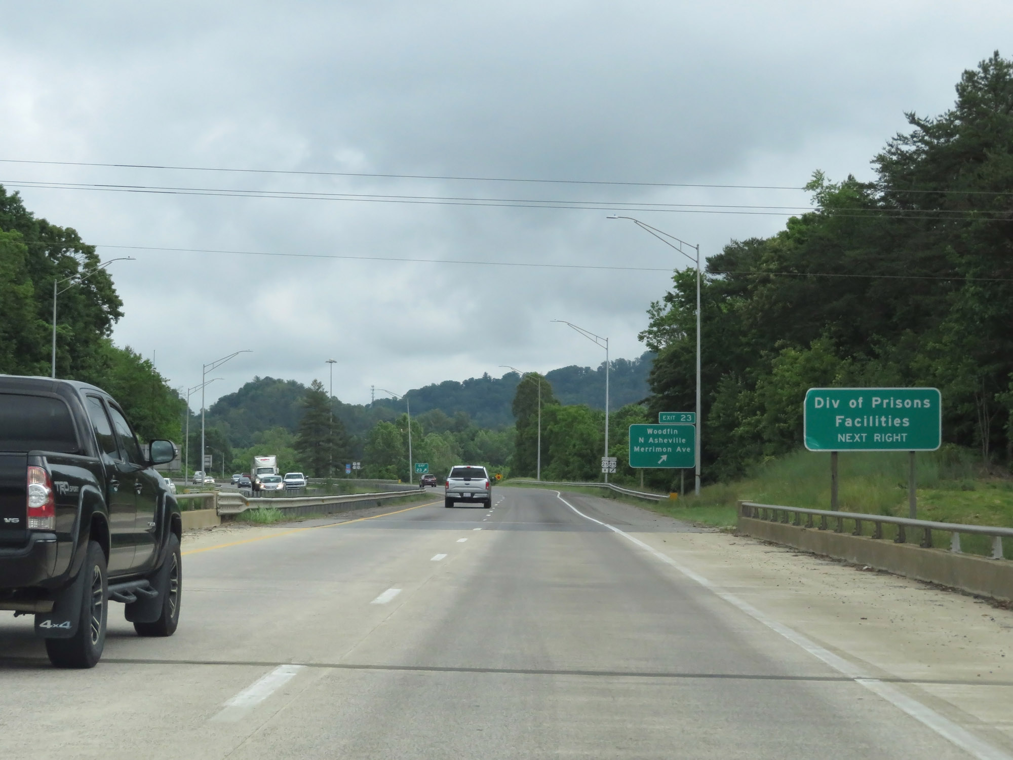 |
Take Exit 23 to the Division of Prisons Facilities. (Photo taken 5/26/18). |
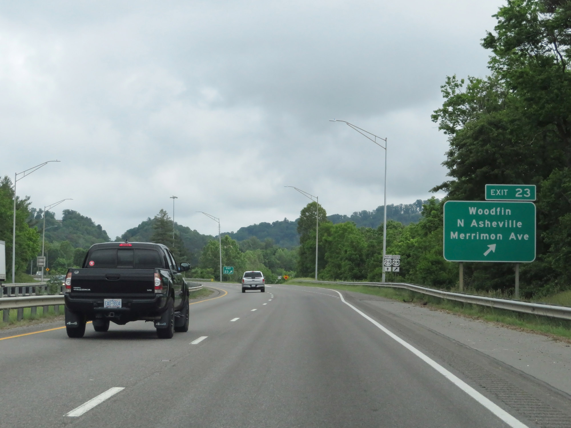 |
Future Interstate 26 West / US 23 North / US 19 North / US 70 West at Exit 23: Woodfin / North Asheville / Merrimon Ave (Photo taken 5/26/18). |
 |
Another Future Interstate 26 West reassurance shield alongside US 23 North / US 25 North / US 19 North / US 70 West reassurance markers. That's some serious concurrency there. (Photo taken 5/26/18). |
 |
Take Exit 21 to Vance Birthplace Historic Site. (Photo taken 5/26/18). |
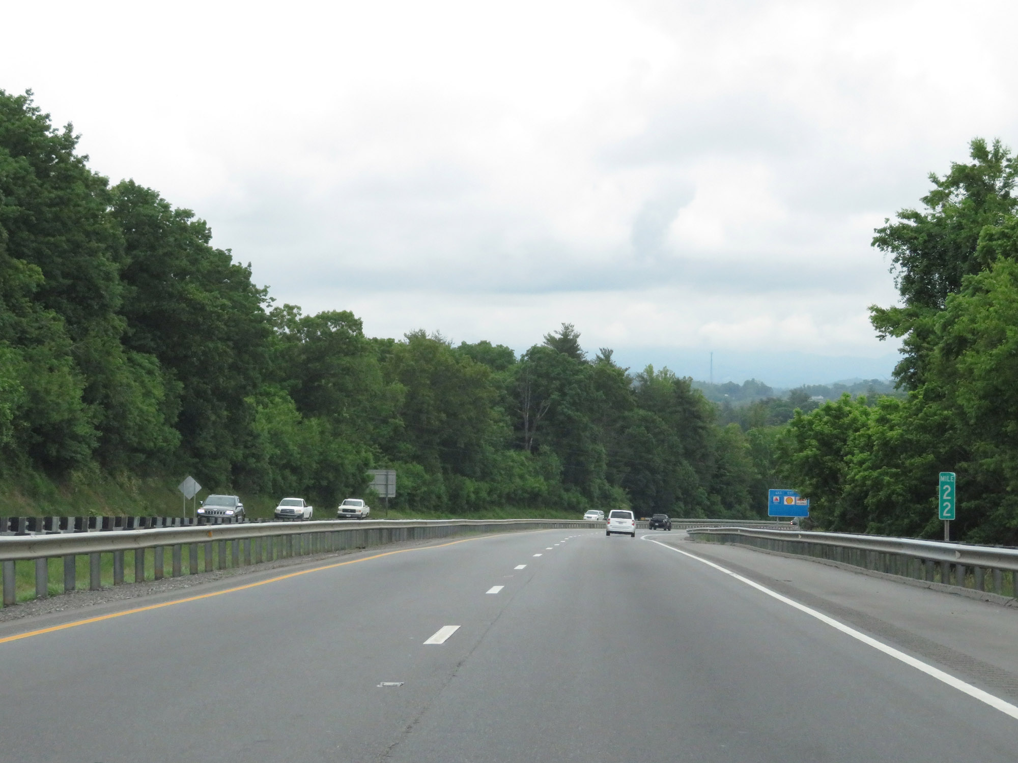 |
Future Interstate 26 West / US 23 North / US 25 North / US 19 North / US 70 West at mile marker 22. (Photo taken 5/26/18). |
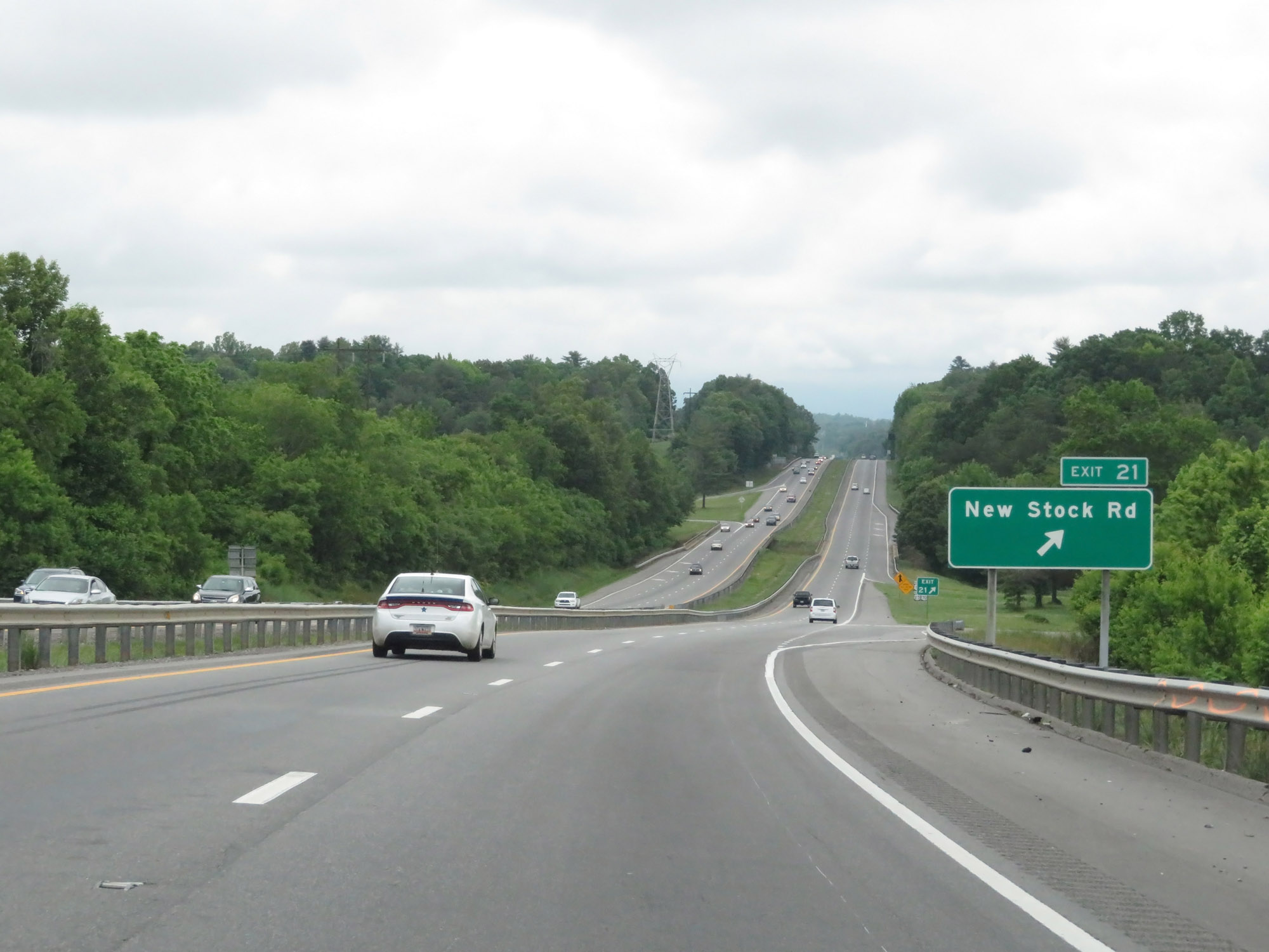 |
Future Interstate 26 West / US 23 North / US 25 North / US 19 North / US 70 West at Exit 21: New Stock Rd (Photo taken 5/26/18). |
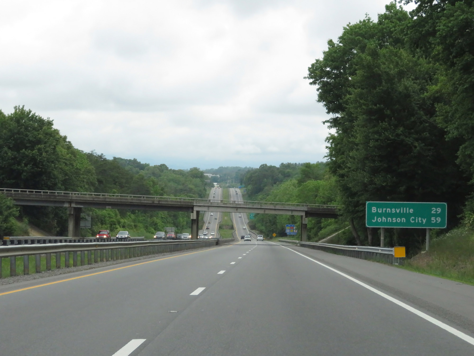 |
Mileage sign on Future Interstate 26 West / US 23 North / US 25 North / US 19 North / US 70 West. It's 29 miles to Burnsville and 59 miles to Johnson City. (Photo taken 5/26/18). |
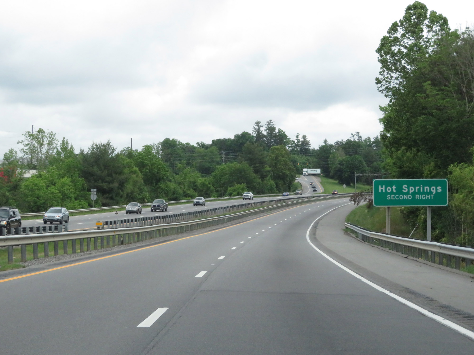 |
Take Exit 19A to Hot Springs. (Photo taken 5/26/18). |
 |
Future Interstate 26 West / US 23 North / US 25 North / US 19 North / US 70 West at Exit 19B: Weaverville (Photo taken 5/26/18). |
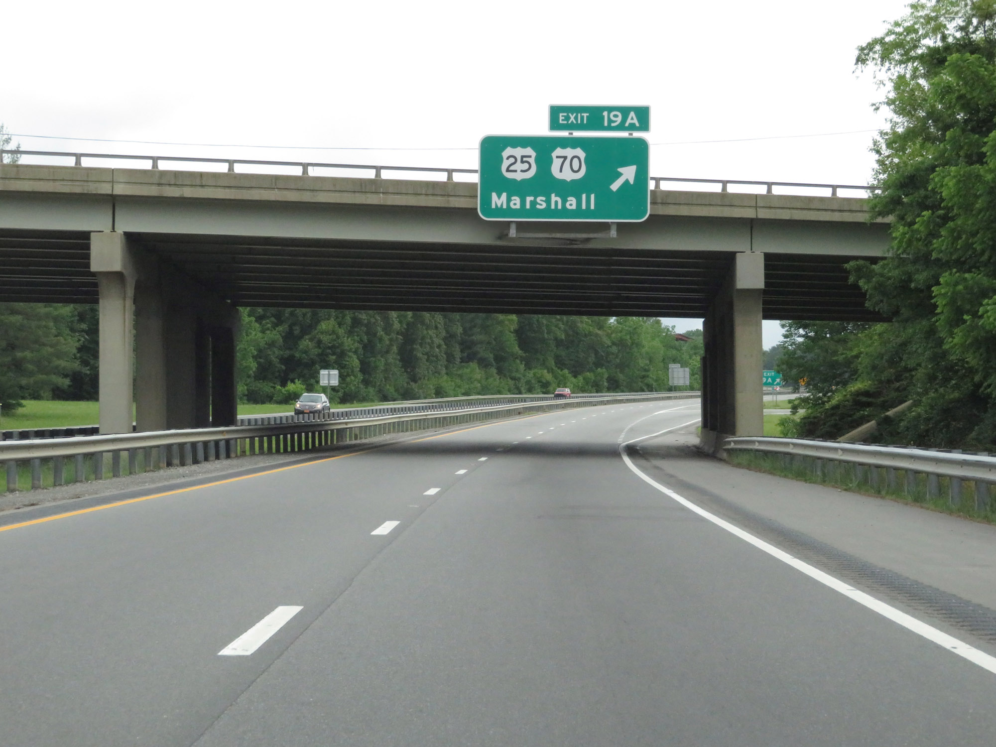 |
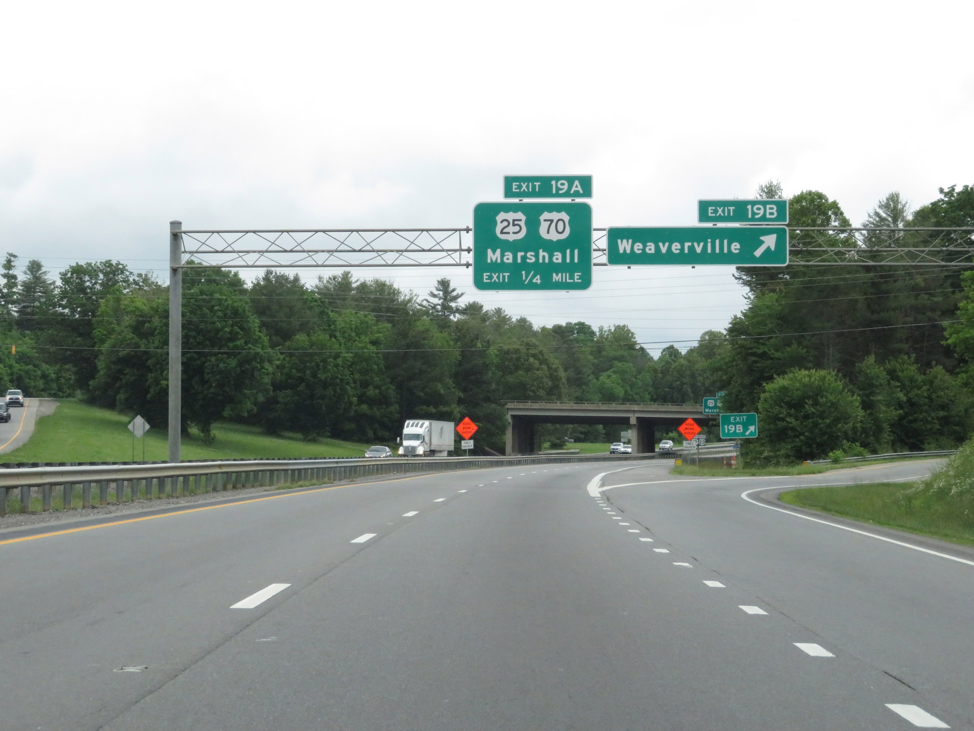
Future Interstate 26 West / US 23 North / US 25 North / US 19 North / US 70 West at Exit 19A: US 25 North / US 70 West - Marshall (Photo taken 5/26/18). |
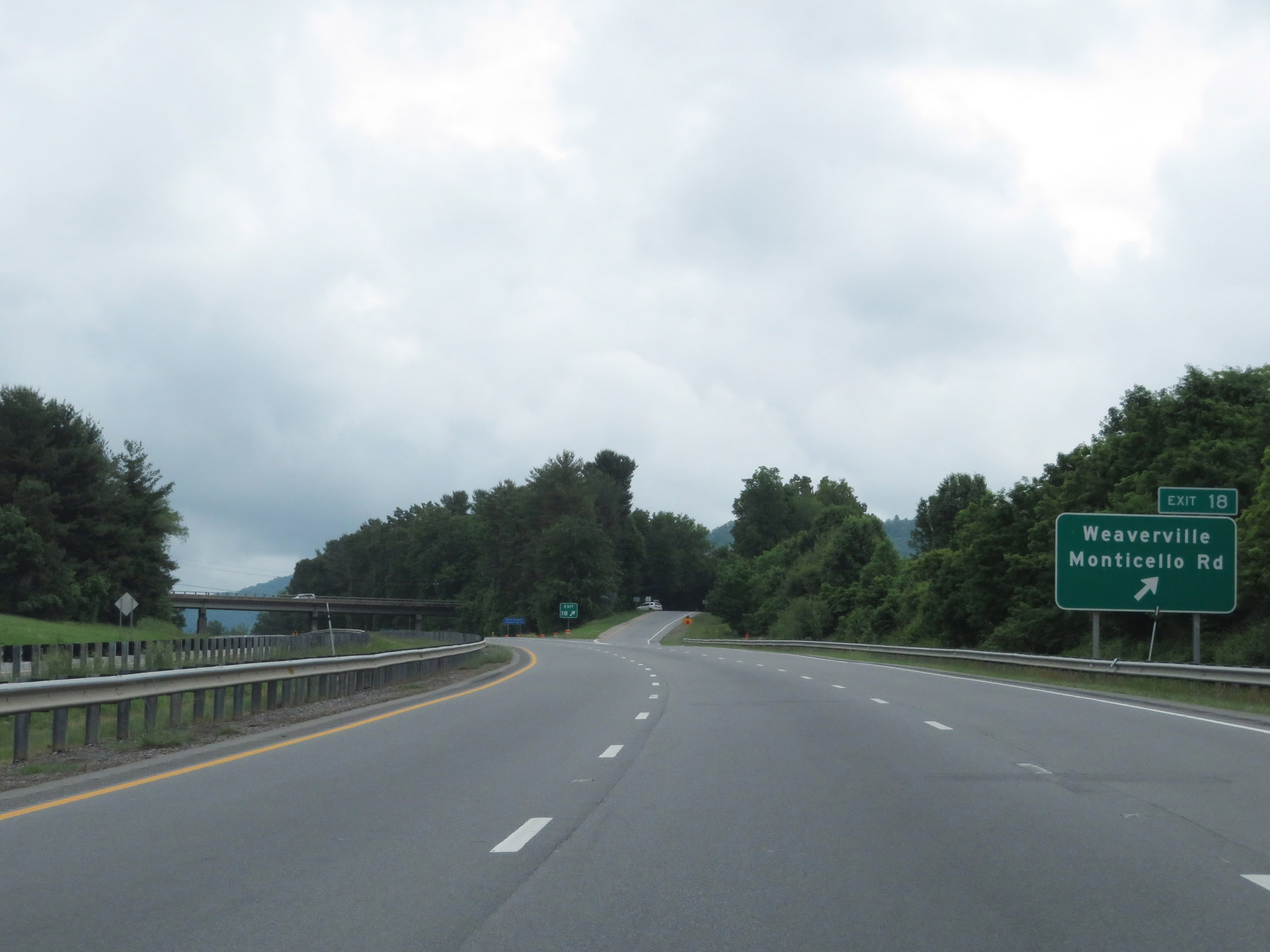 |
Future Interstate 26 West / US 23 North / US 19 North at Exit 18: Weaverville / Monticello Rd (Photo taken 5/26/18). |
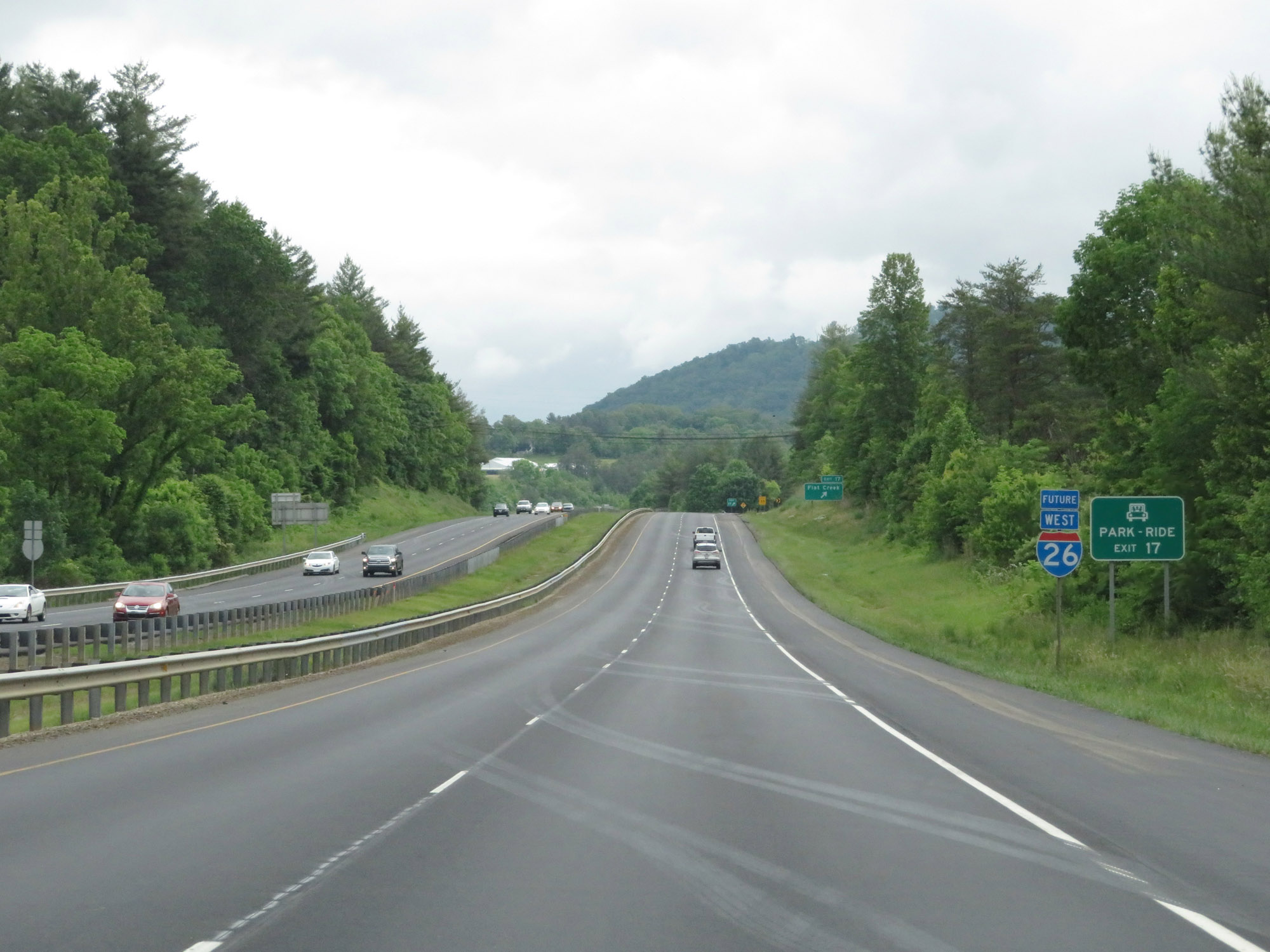 |
Take Exit 17 to access the Park & Ride lot. (Photo taken 5/26/18). |
 |
Future Interstate 26 West / US 23 North / US 19 North at Exit 17: Flat Creek (Photo taken 5/26/18). |
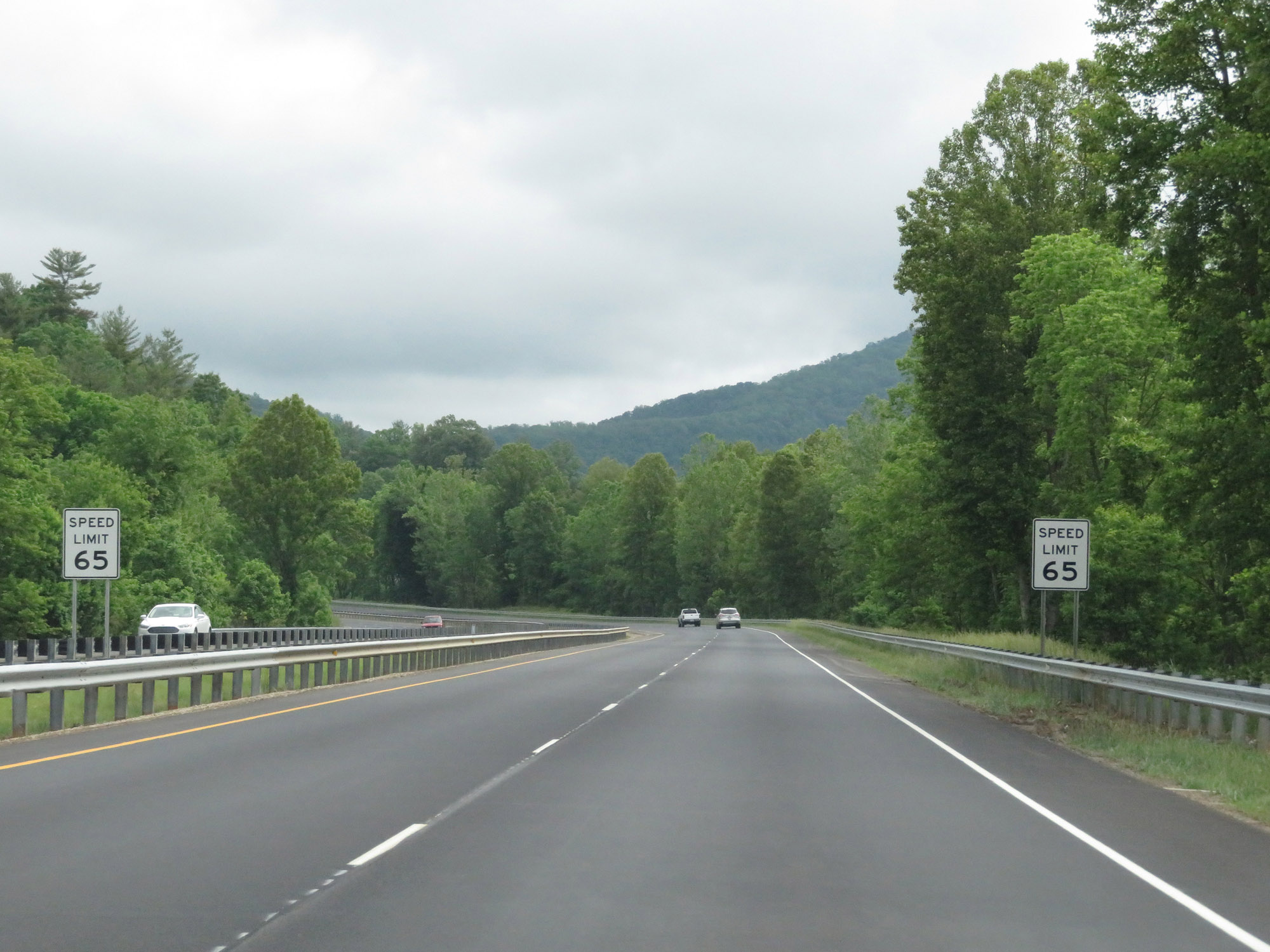 |
Beyond Exit 17, the speed limit increases to 65 mph. (Photo taken 5/26/18). |
 |
Future Interstate 26 West / US 23 North / US 19 North at mile marker 16. (Photo taken 5/26/18). |
 |
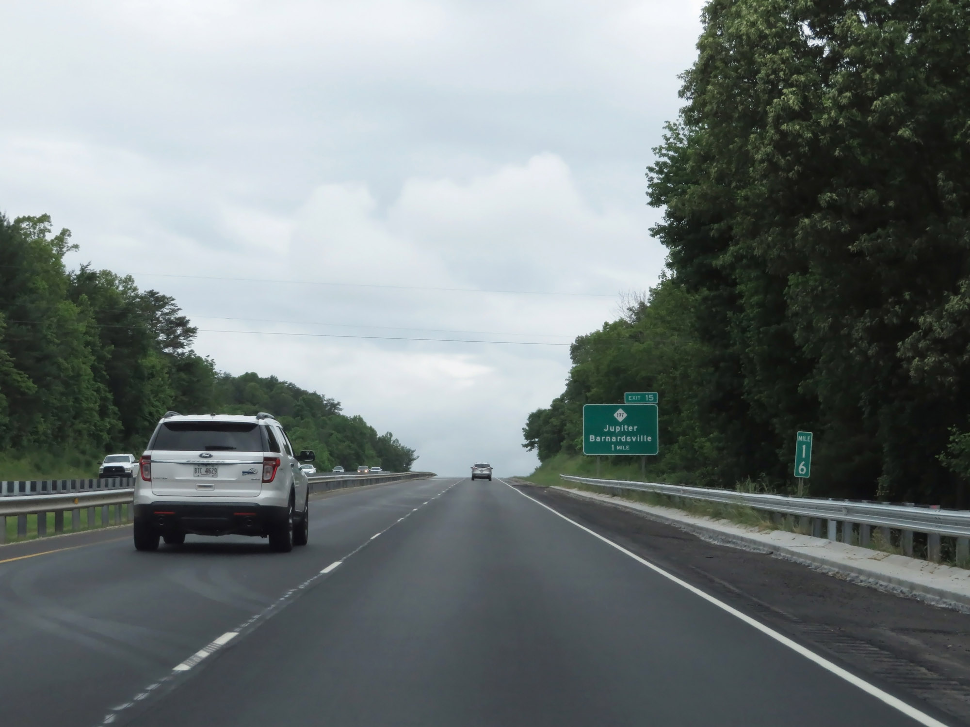
Future Interstate 26 West / US 23 North / US 19 North at Exit 15: NC 197 - Jupiter / Barnardsville (Photo taken 5/26/18). |
 |
Future Interstate 26 West / US 23 North / US 19 North at Exit 13: Forks of Ivy (Photo taken 5/26/18). |
 |
Immediately beyond Exit 13, this Interstate 26 West reassurance shield marks the transition from its Future designation to the northern portion of its current (signed) designation in North Carolina. (Photo taken 5/26/18). |
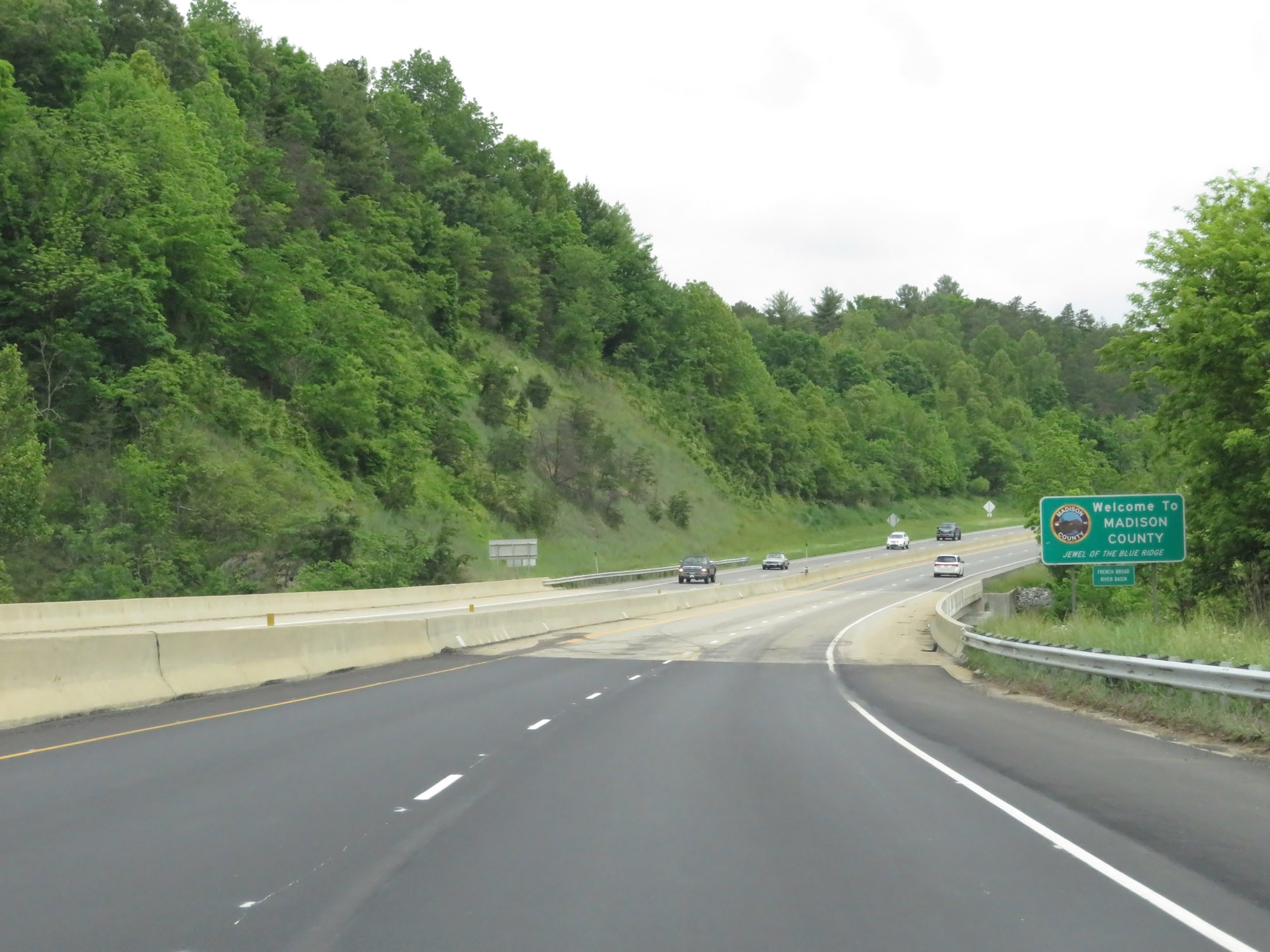 |
Interstate 26 West as it enters Madison County. (Photo taken 5/26/18). |
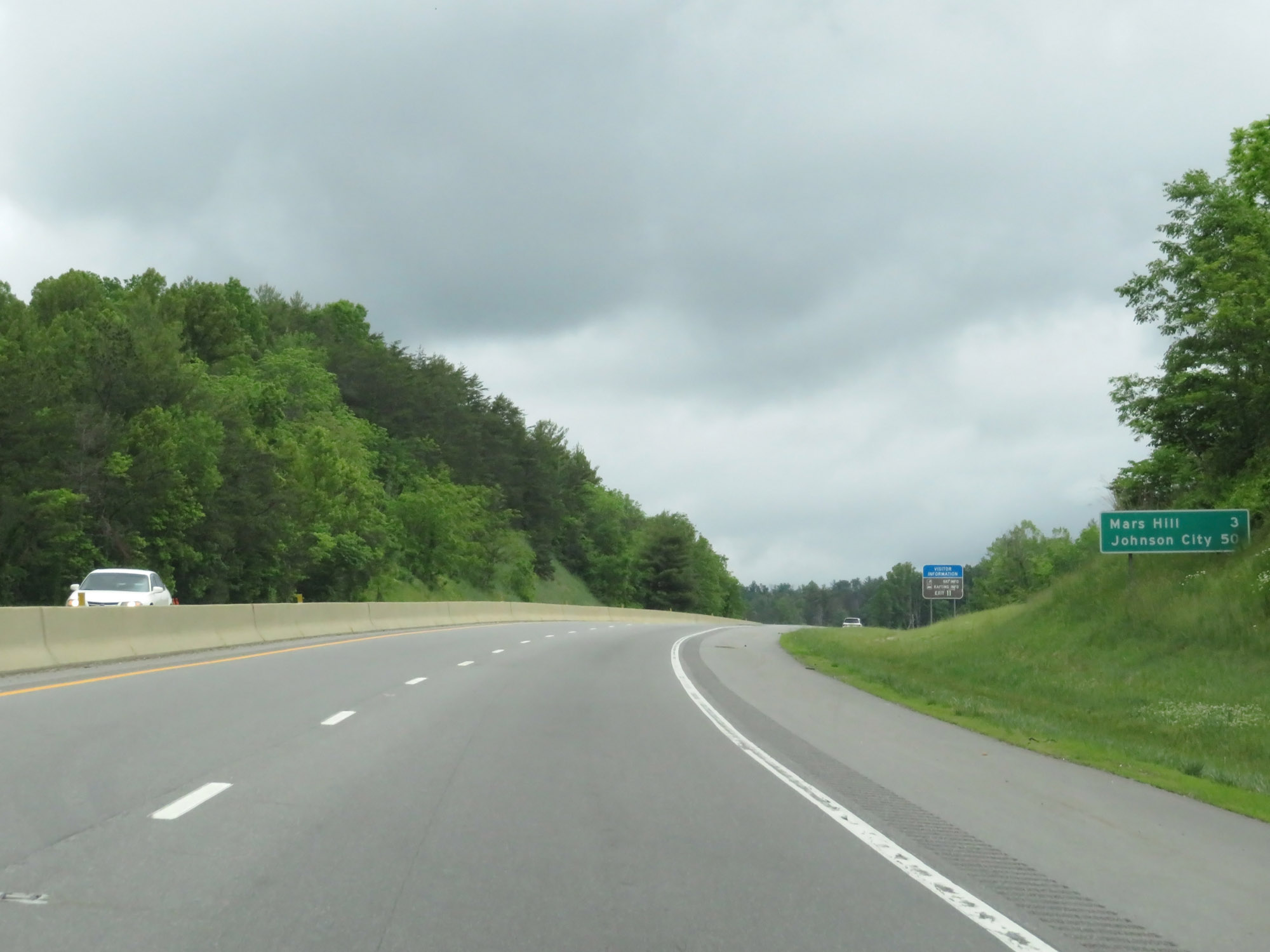 |
Mileage sign on Interstate 26 West. It's 3 miles to Mars Hill and 50 miles to Johnson City. (Photo taken 5/26/18). |
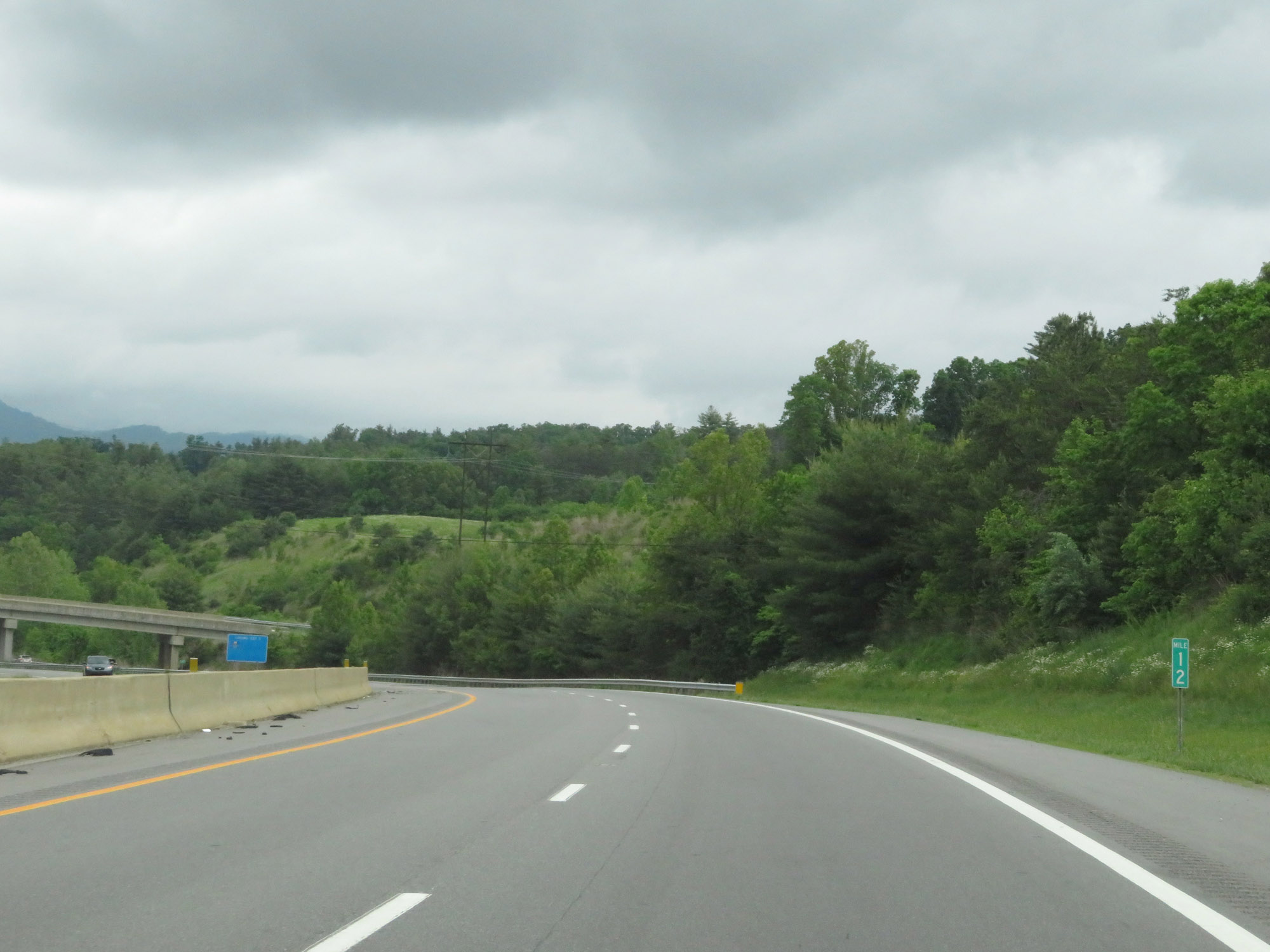 |
Interstate 26 West at mile marker 12. (Photo taken 5/26/18). |
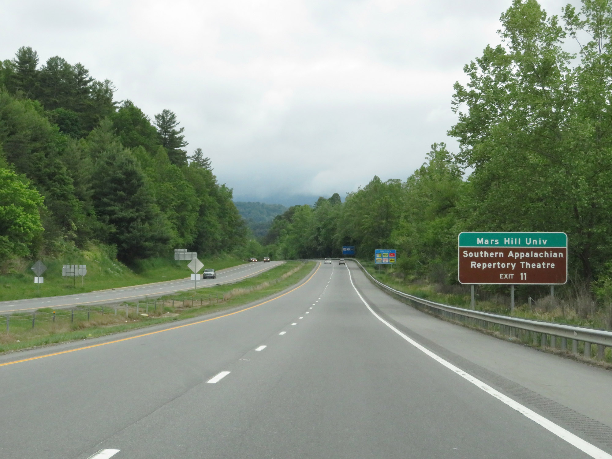 |
Take Exit 11 to Mars Hill University and the Southern Appalachian Repertory Theatre. (Photo taken 5/26/18). |
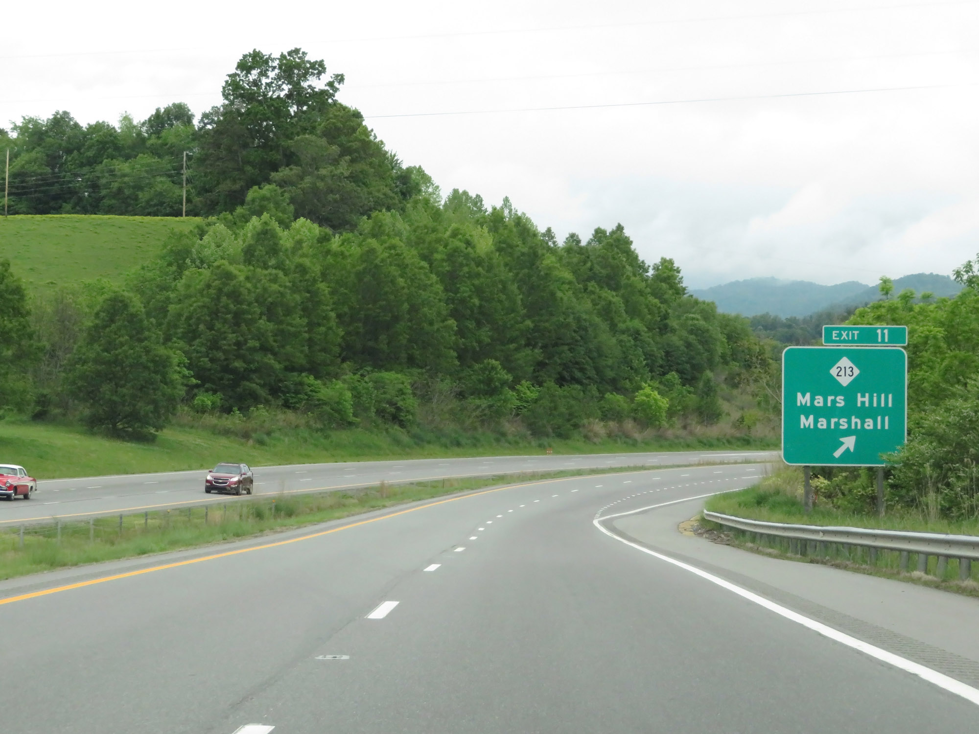 |
Interstate 26 West at Exit 11: NC 213 - Mars Hill / Marshall (Photo taken 5/26/18). |
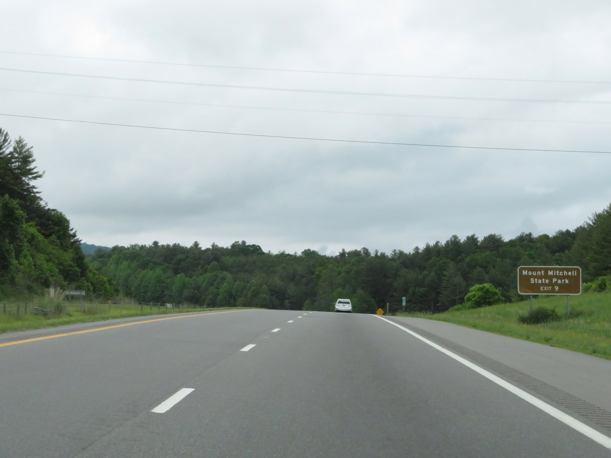 |
Take Exit 9 to Mount Mitchell State Park. (Photo taken 5/26/18). |
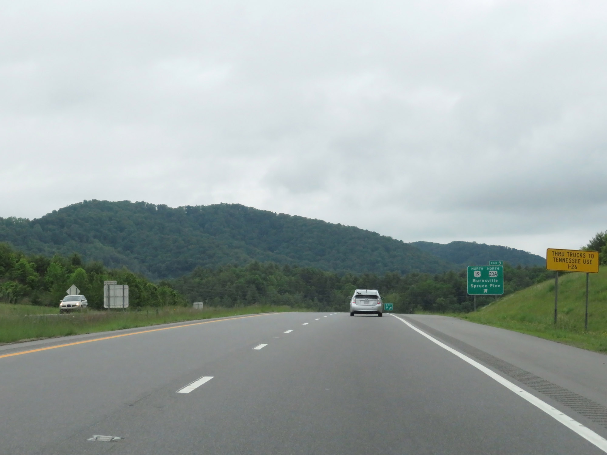 |
All thru trucks to Tennessee are urged to stay on Interstate 26 West. (Photo taken 5/26/18). |
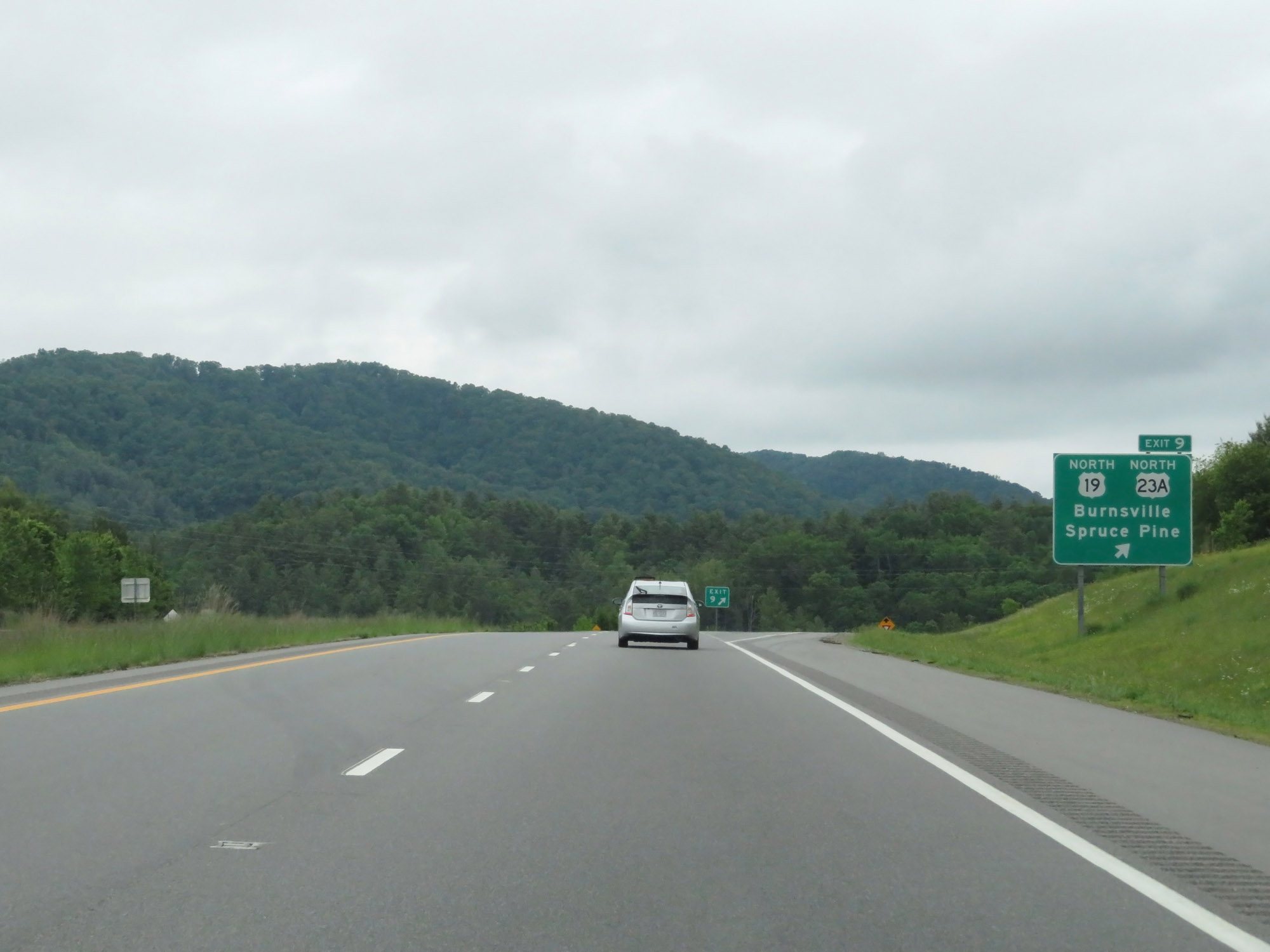 |
Interstate 26 West at Exit 9: US 19 North / US 23A North - Burnsville / Spruce Pine (Photo taken 5/26/18). |
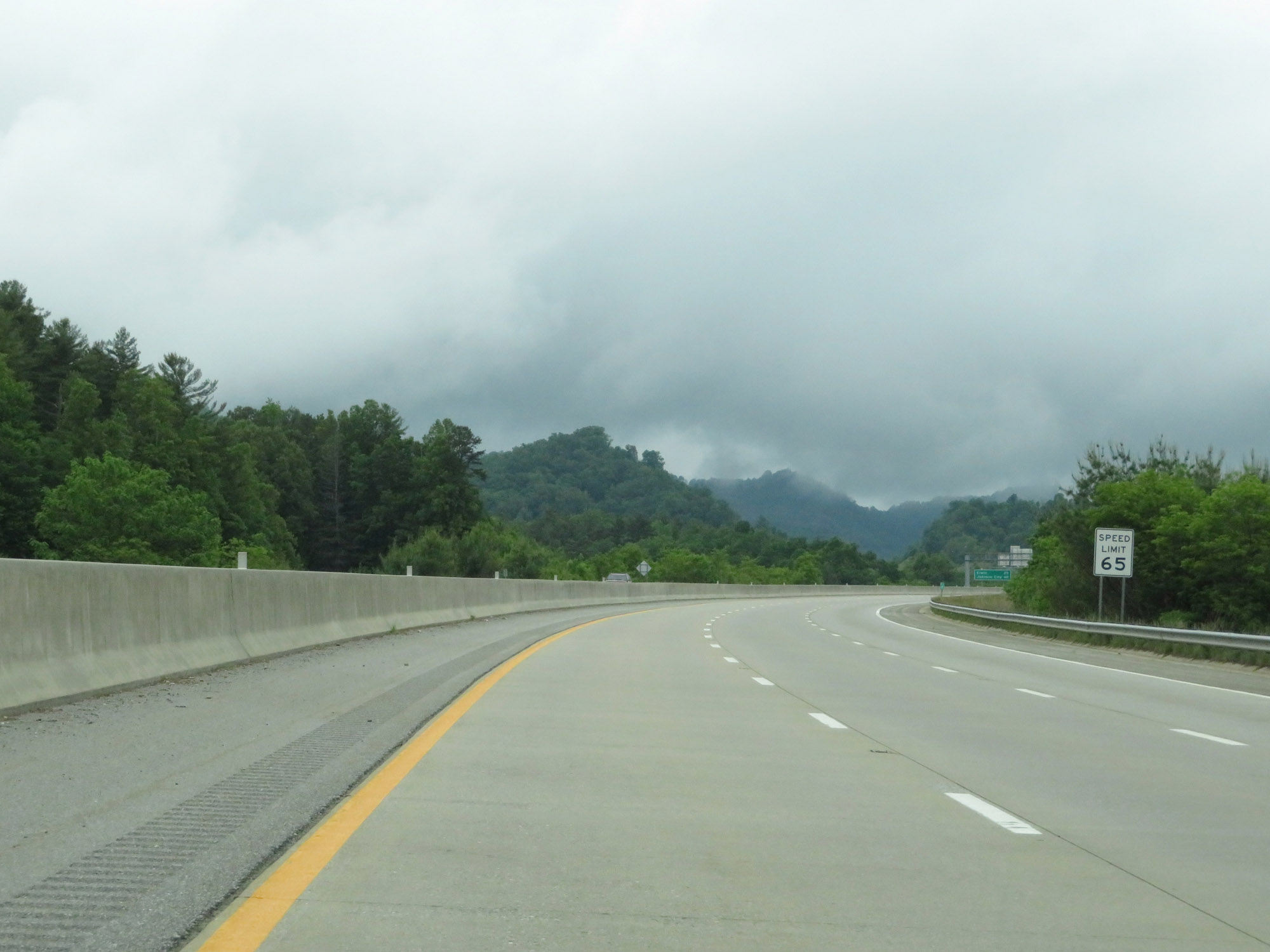 |
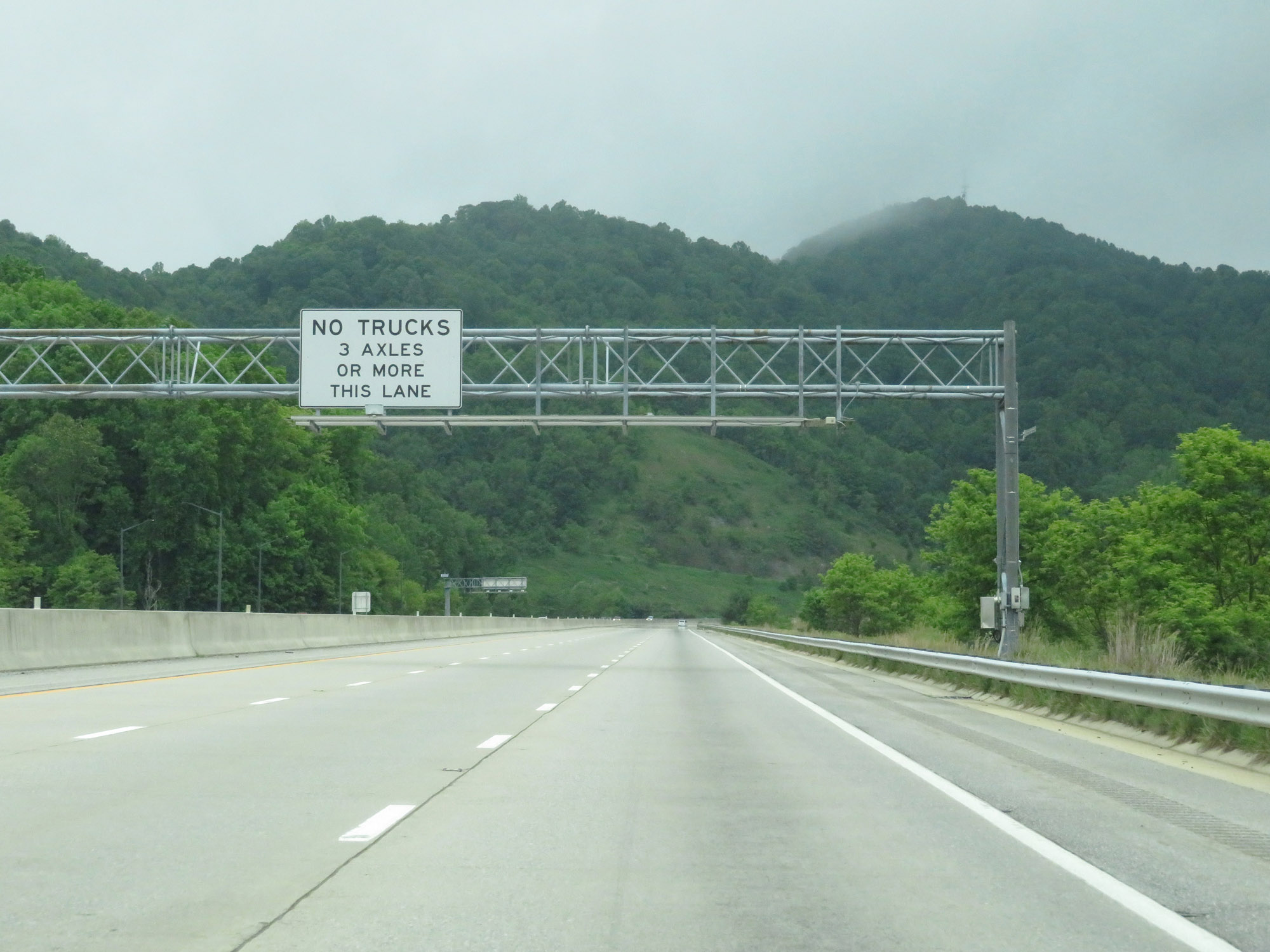
Past Exit 9, Interstate 26 West prepares to climb a long grade known as Buckner Gap. As such, a truck climbing lane appears here. The speed limit remains 65 mph. (Photo taken 5/26/18). |
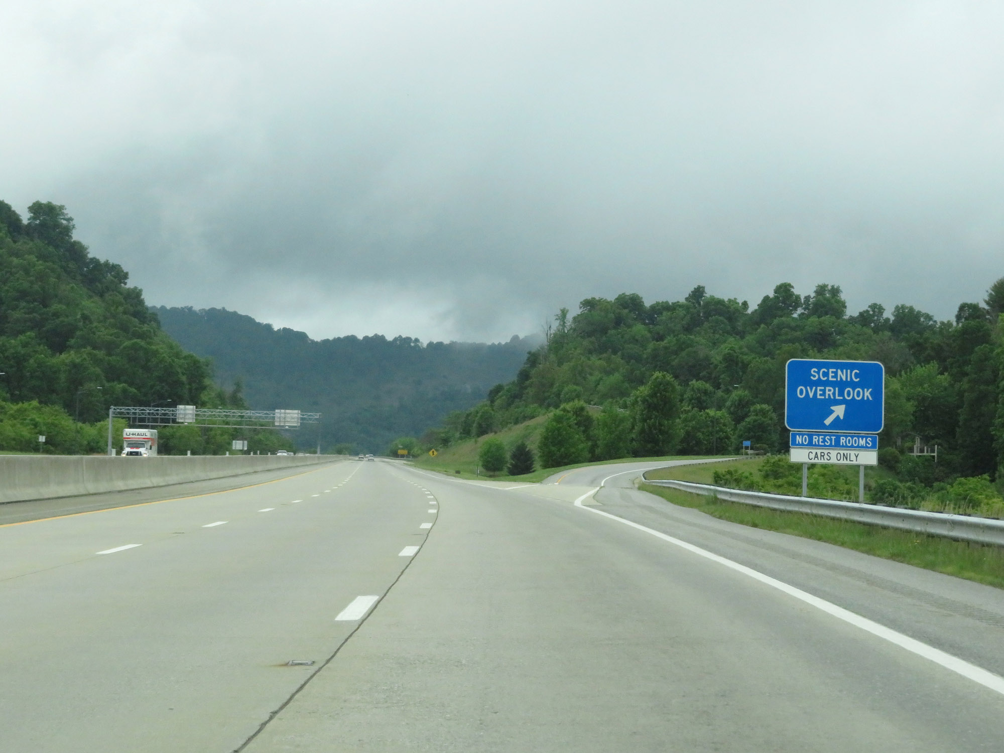 |
Scenic Overlook on Interstate 26 West as it climbs Buckner Gap in Madison County. (Photo taken 5/26/18). |
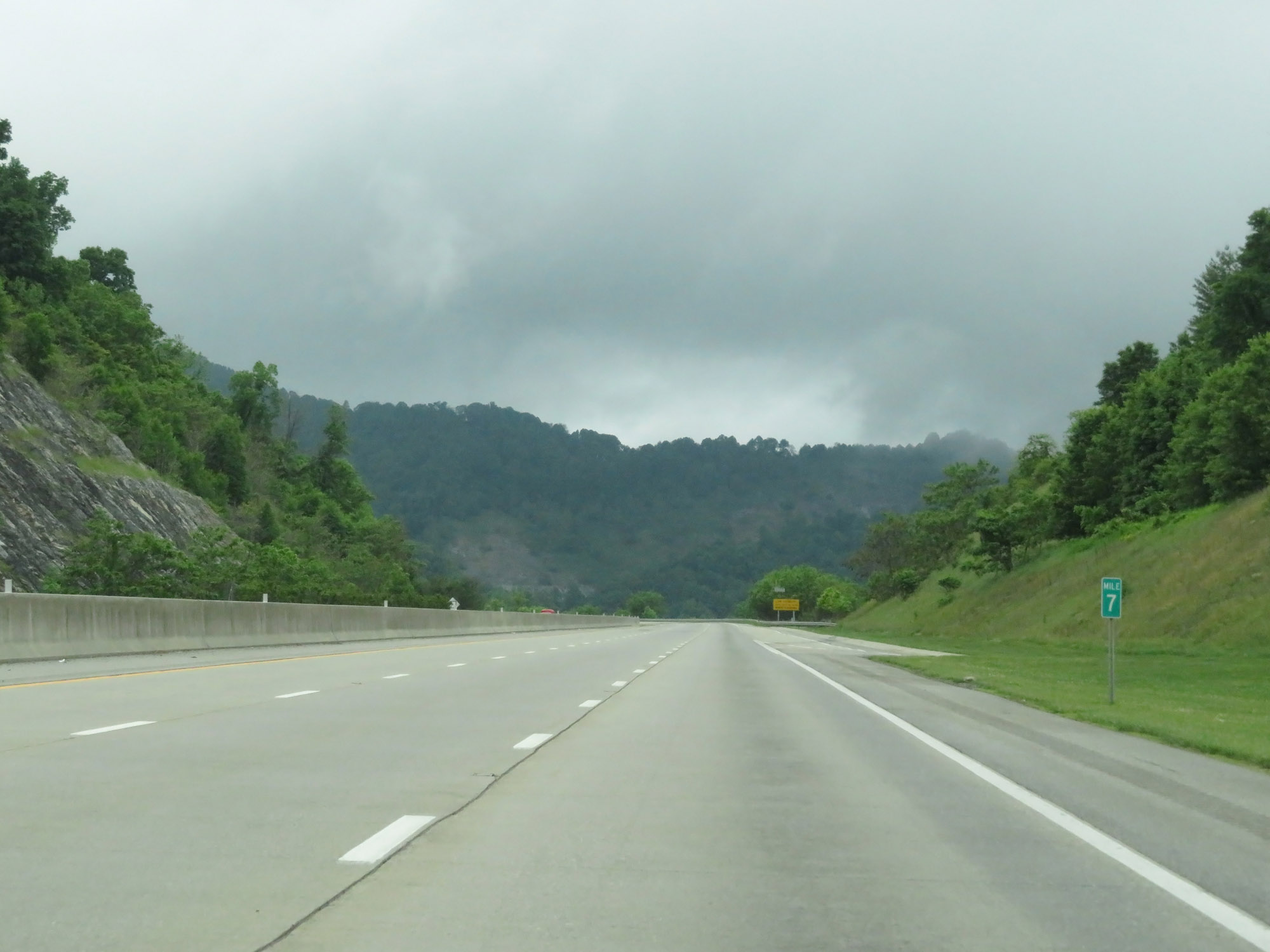 |
Interstate 26 West at mile marker 7. (Photo taken 5/26/18). |
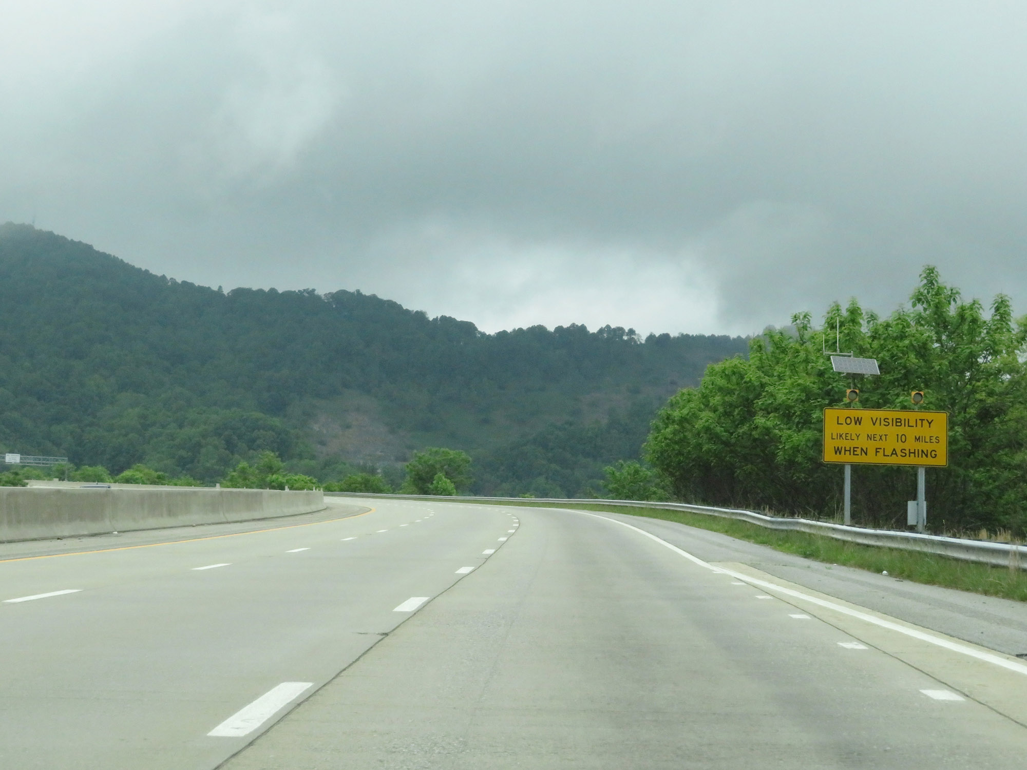 |
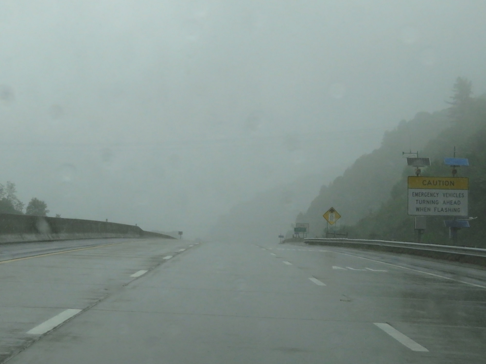
When the lights on this sign are flashing, it means that visibility is poor for the next 10 miles. The remainder of Interstate 26 West in North Carolina and the first few miles of it in Tennessee are subject to very dense fog. (Photo taken 5/26/18). |
 |
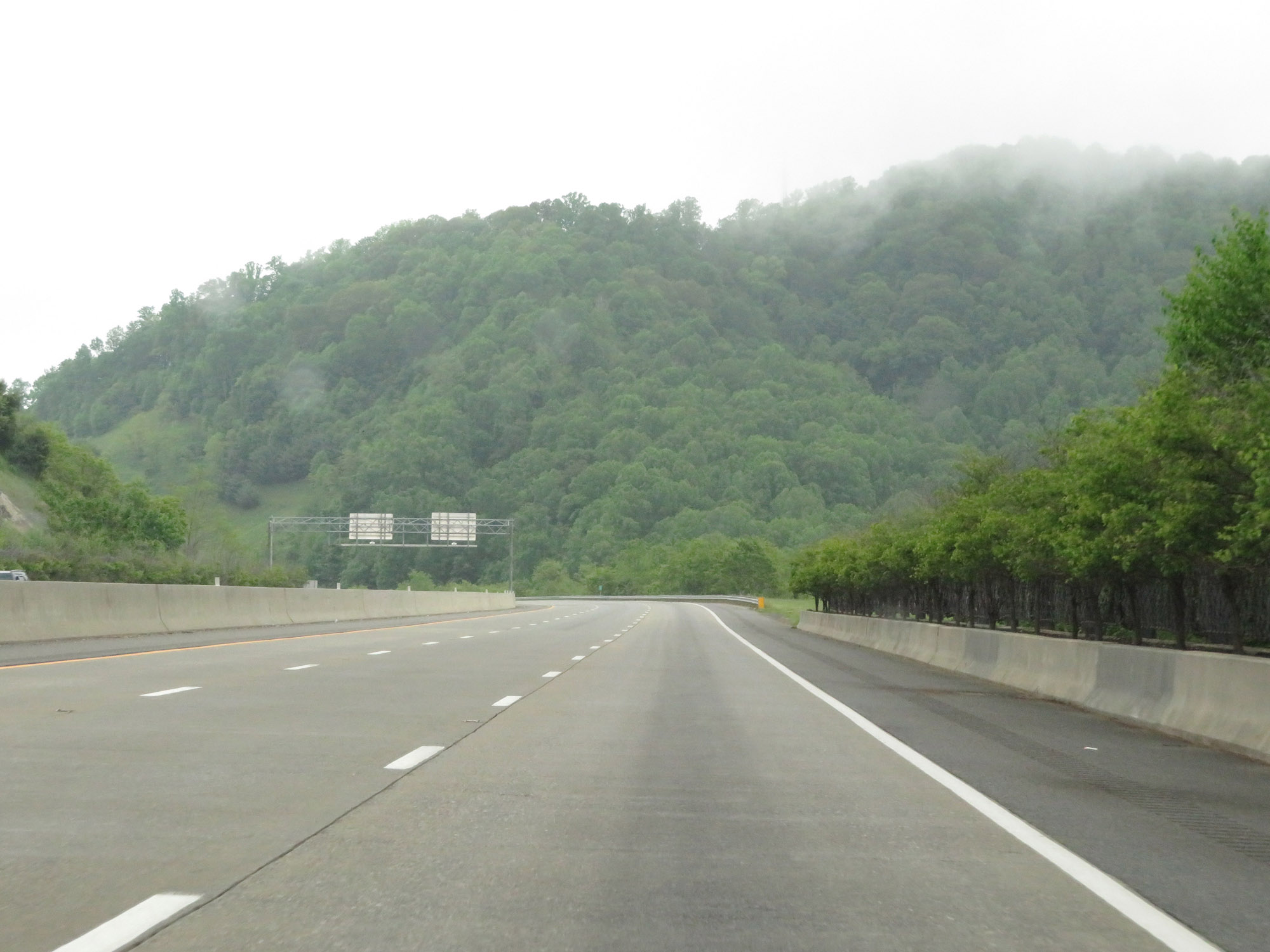
View on Interstate 26 West as it continues to climb Buckner Gap. (Photo taken 5/26/18). |
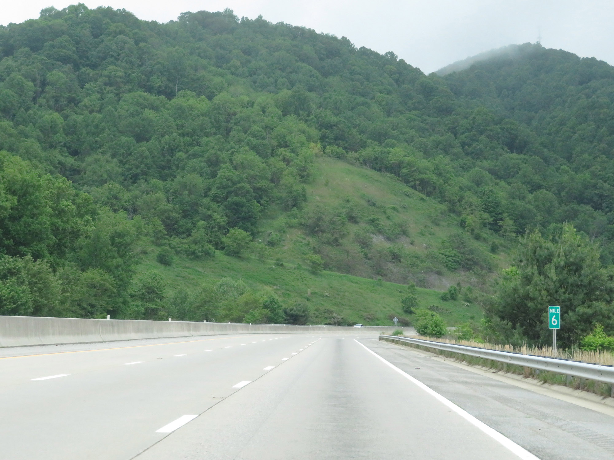 |
Interstate 26 West at mile marker 6. (Photo taken 5/26/18). |
 |
View on Interstate 26 West as it nears the top of Buckner Gap. (Photo taken 5/26/18). |
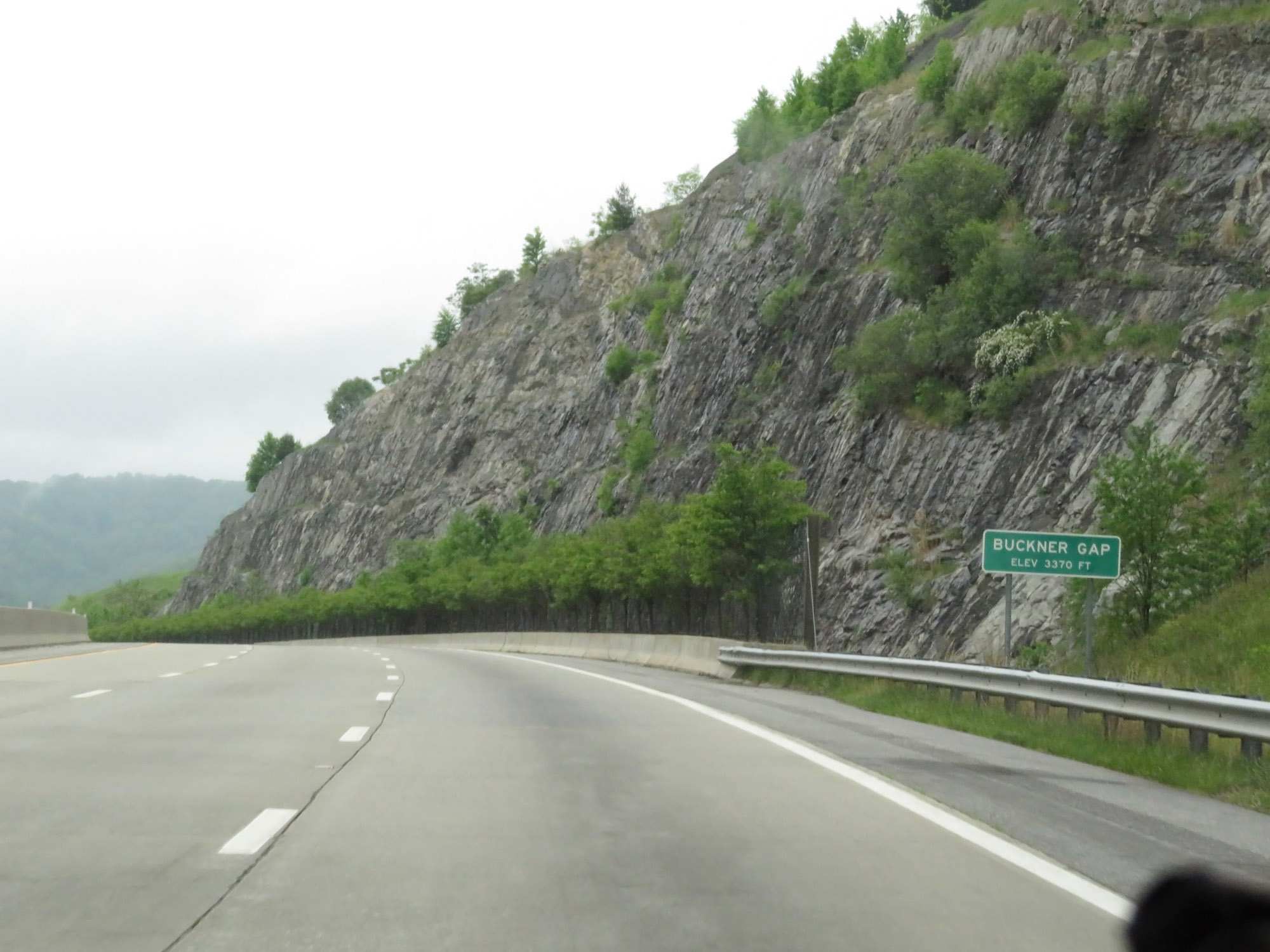 |
Interstate 26 West as it reaches the top of Buckner Gap at an elevation of 3,370 feet. (Photo taken 5/26/18). |
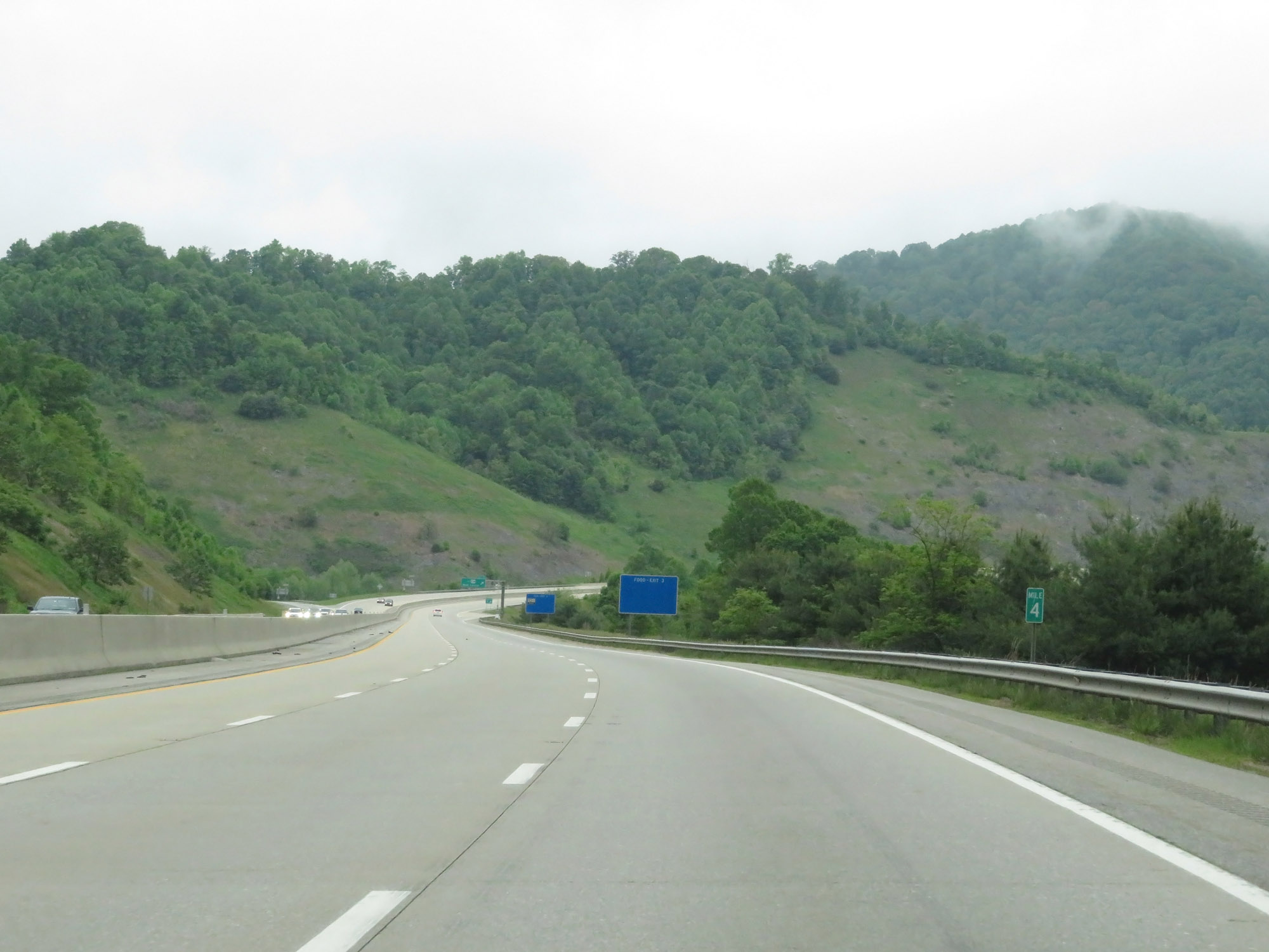 |
Interstate 26 West at mile marker 4. (Photo taken 5/26/18). |
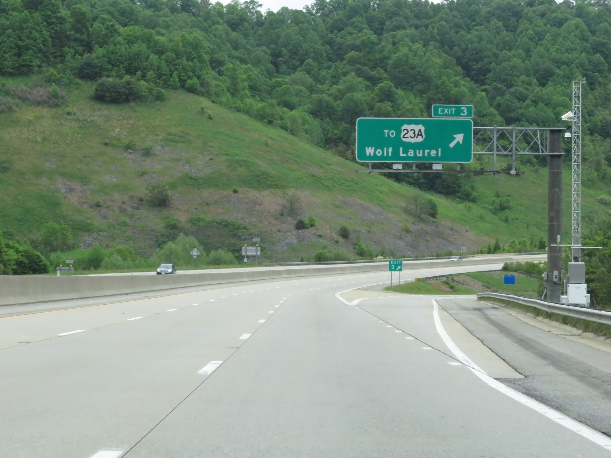 |
Interstate 26 West at Exit 3: To US 23A - Wolf Laurel (Photo taken 5/26/18). |
 |
One final Interstate 26 West reassurance shield. (Photo taken 5/26/18). |
 |
Mileage sign on Interstate 26 West. It's 19 miles to Erwin and 34 miles to Johnson City. (Photo taken 5/26/18). |
 |
Interstate 26 West at mile marker 2. (Photo taken 5/26/18). |
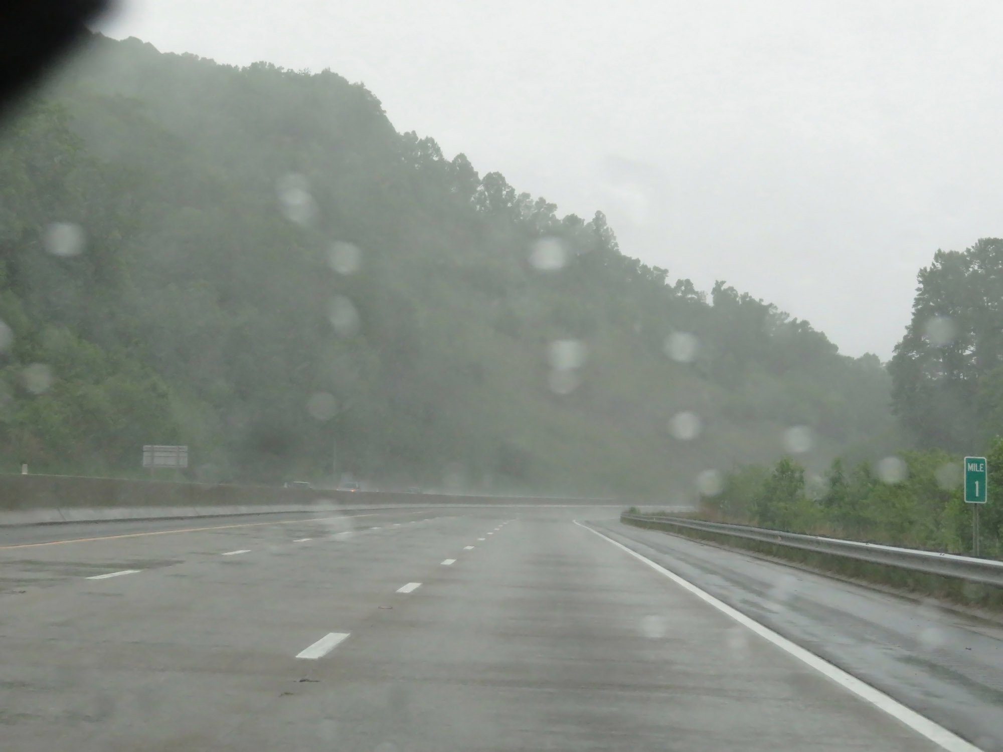 |
Interstate 26 West at mile marker 1. (Photo taken 5/26/18). |
 |
Approaching the Tennessee border, this sign directs all trucks to be in the right lane. The reason for this is that immediately after entering Tennessee, there is a mandatory stop for trucks before they continue westbound down a very long and steep grade. (Photo taken 5/26/18). |
 |
Interstate 26 West as it prepares to enter Tennessee, high in the Bald Mountains. (Photo taken 5/26/18). |