Road Information |
||
 |
||
| Total Mileage in State: | 183 miles | |
| Northern End: | At Canadian border | |
| Southern End: | At Pennsylvania state line | |
| Mileage covered in Photos: | 105 miles | |
| Counties covered in Photos: | Broome, Onondaga, Oswego, Jefferson | |
| Major Junctions in Photos: | I-86/NY 17, in Binghamton I-781, near Watertown |
|
| Control Cities in Photos: | Binghamton, Cicero, Watertown | |
Northbound
- Section 1: Pennsylvania Border to Binghamton (Exit 5)
- Section 2: Cicero (Exit 29S) to Watertown (Exit 46)
- Section 3: Watertown (Exit 46) to Canadian Border
Section 1: Pennsylvania Border to Binghamton (Exit 5)
 |
New York welcome sign as Interstate 81 North enters from Pennsylvania. (Photo taken 8/18/16). |
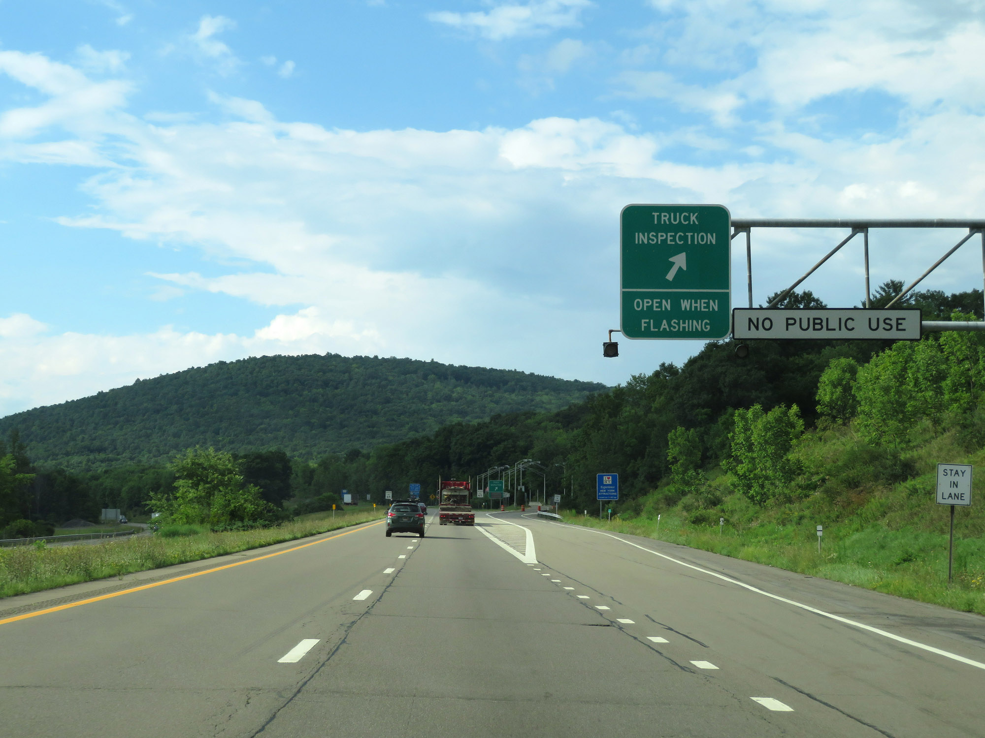 |
Truck Inspection Station on Interstate 81 North in Broome County. (Photo taken 8/18/16). |
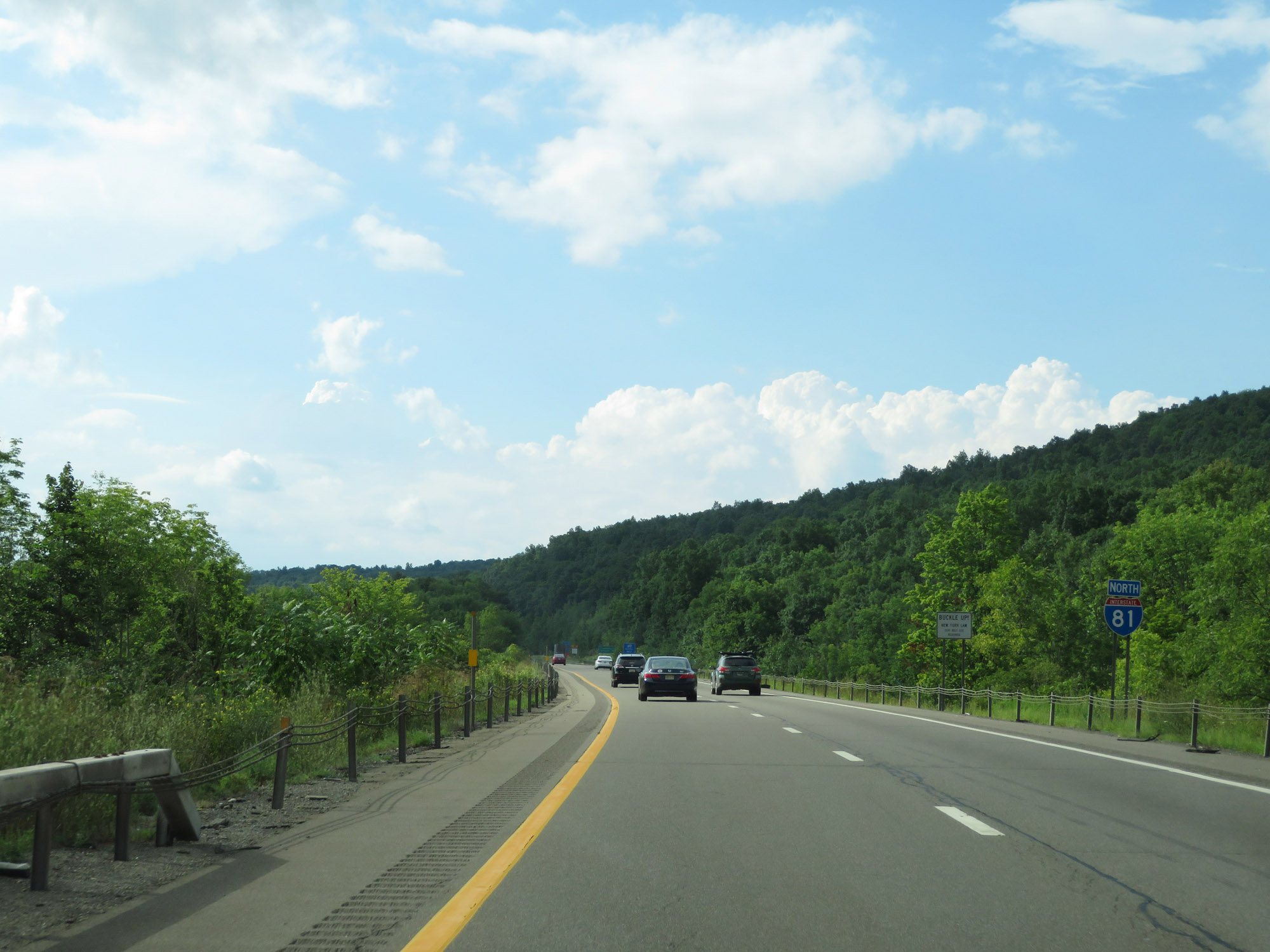 |
Interstate 81 North reassurance shield. (Photo taken 8/18/16). |
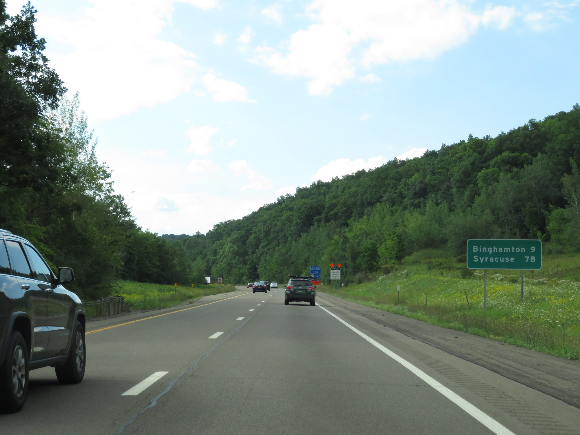 |
Mileage sign on Interstate 81 North. It's 9 miles to Binghamton and 78 miles to Syracuse. (Photo taken 8/18/16). |
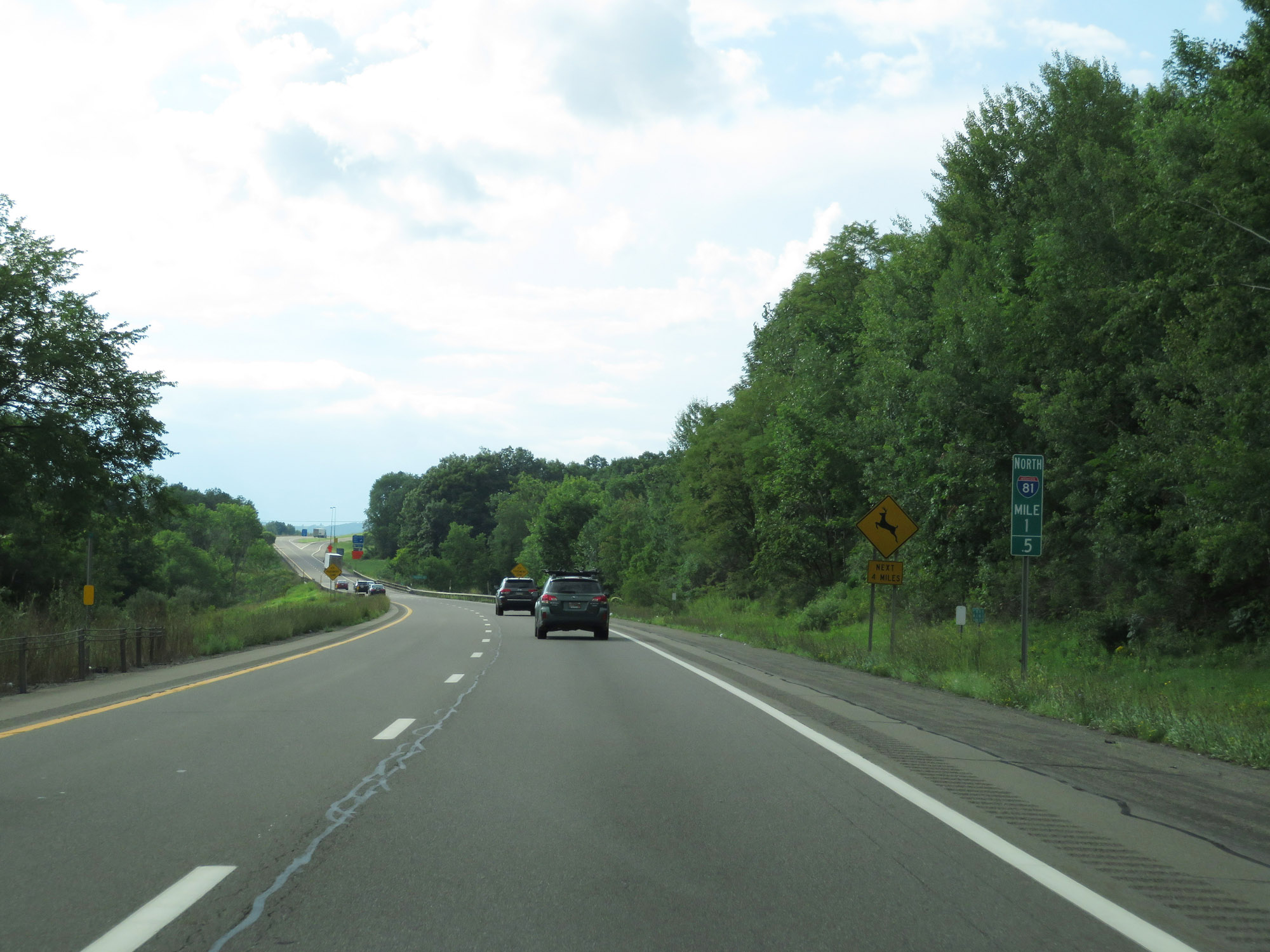 |
View on Interstate 81 North at mile marker 1.5. (Photo taken 8/18/16). |
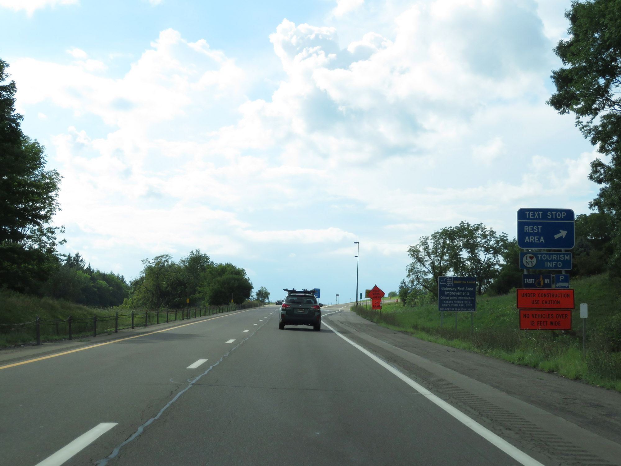 |
Rest Area / Text Stop on Interstate 81 North in Broome County. (Photo taken 8/18/16). |
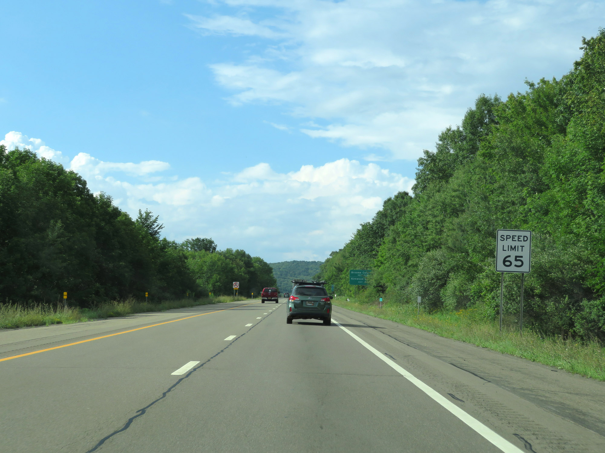 |
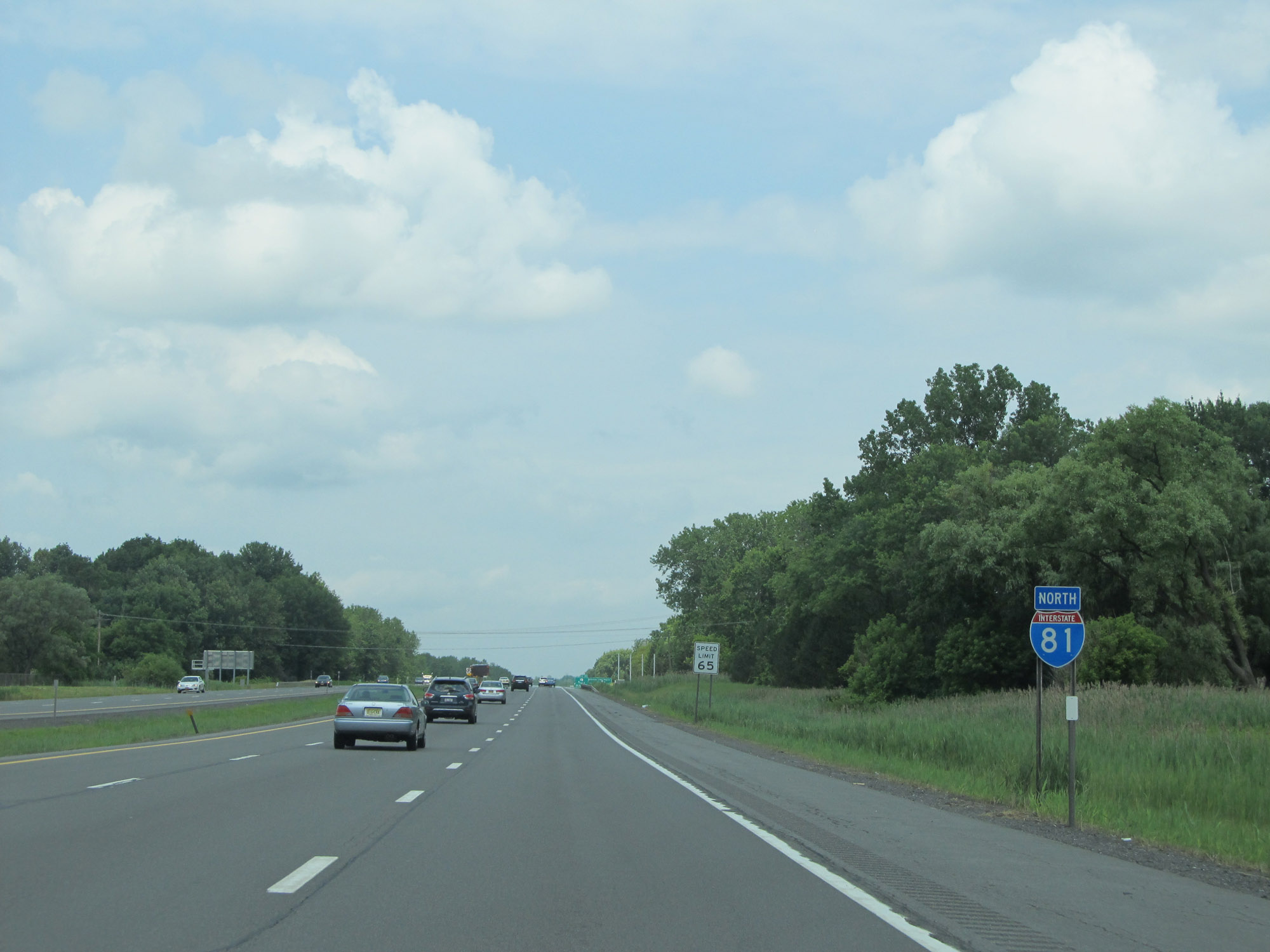
The speed limit on Interstate 81 North starts out at 65 mph. This is the standard speed limit on most rural Interstate highways in New York State. (Photo taken 8/18/16). |
 |
Take Exit 1 to Broome Corporate Park. Take Exit 2W to Kirkwood Industrial Park. (Photo taken 8/18/16). |
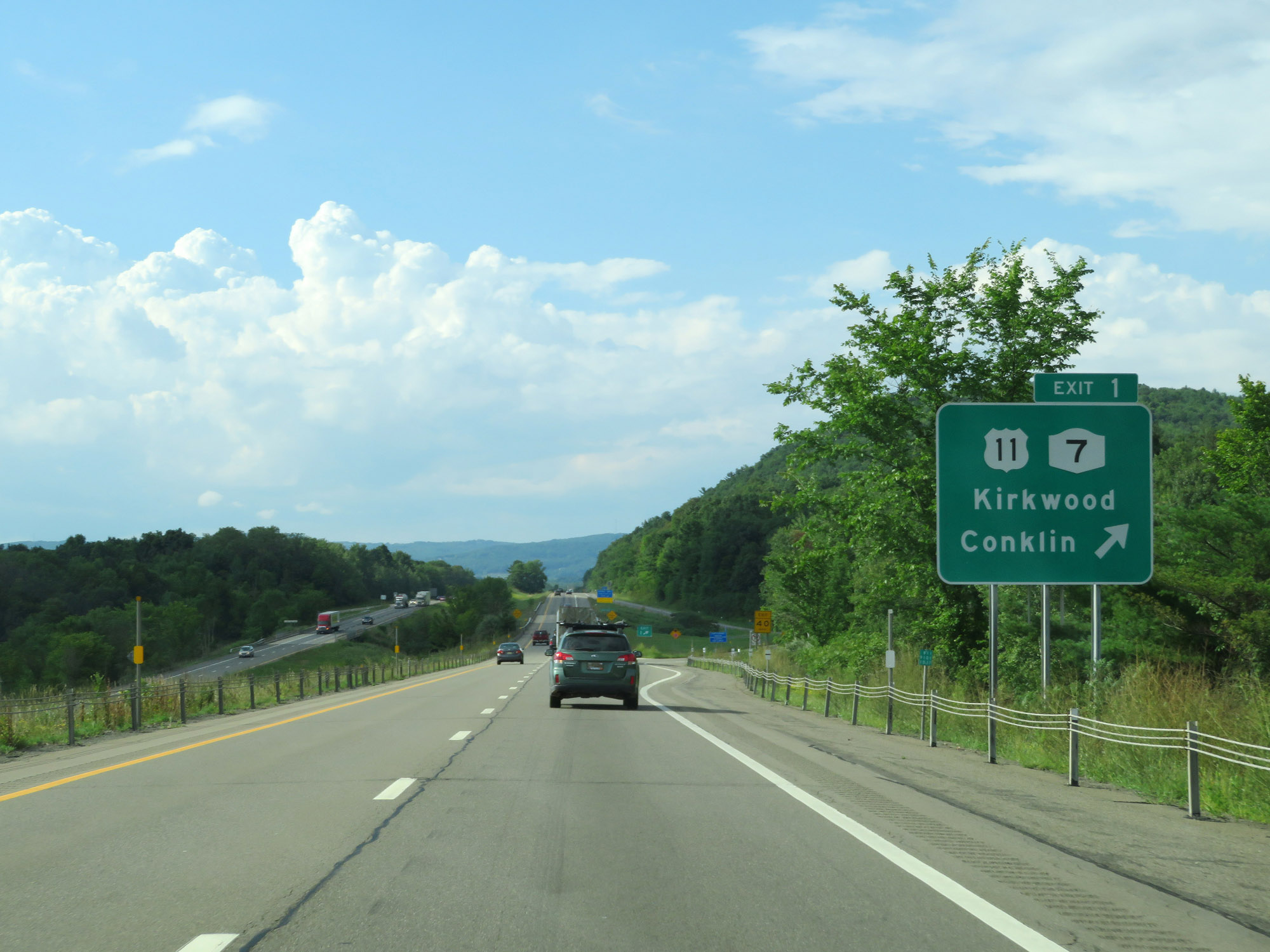 |
Interstate 81 North at Exit 1: US 11 / NY 7 - Kirkwood / Conklin (Photo taken 8/18/16). |
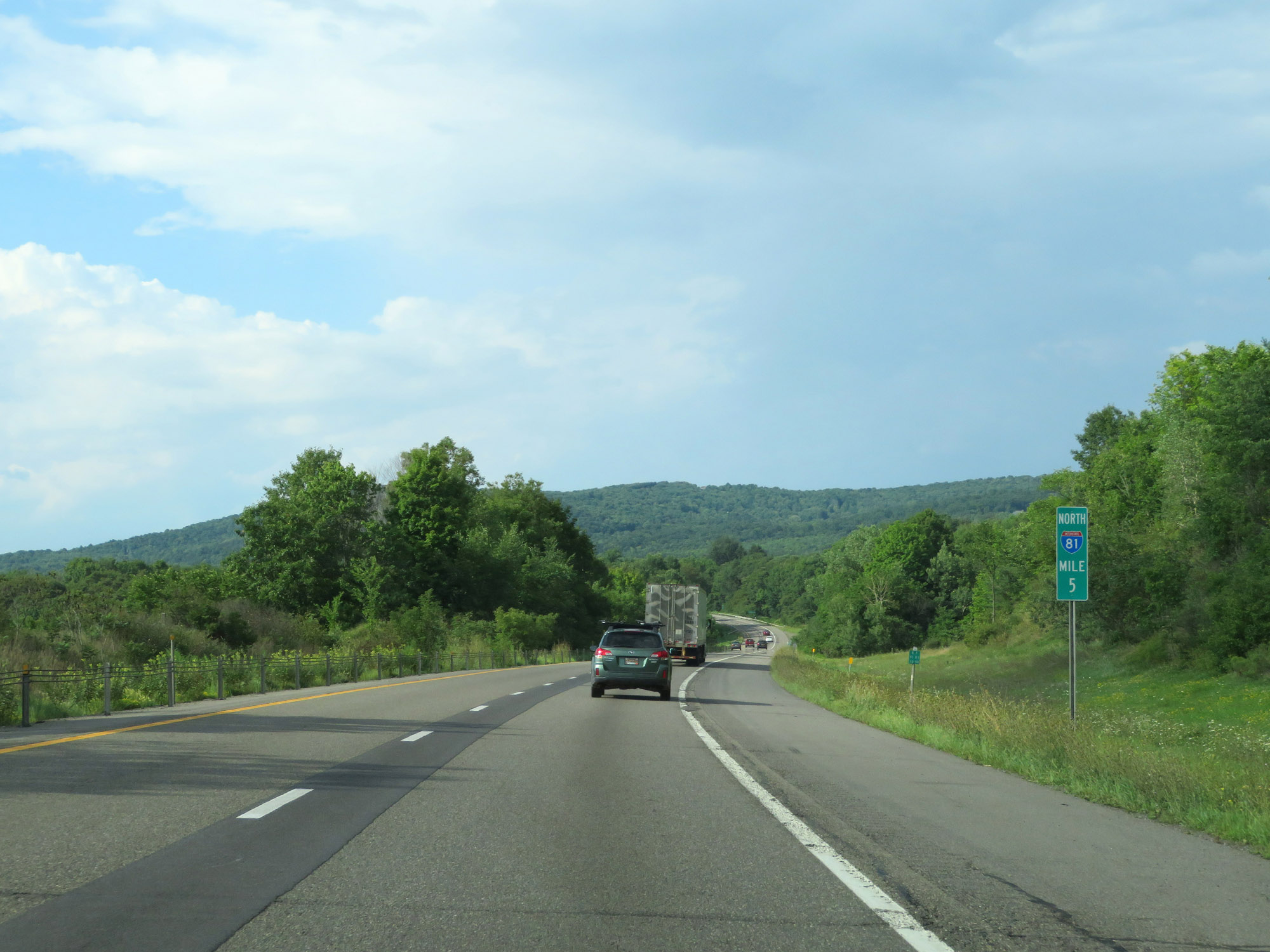 |
View on Interstate 81 North at mile marker 5. (Photo taken 8/18/16). |
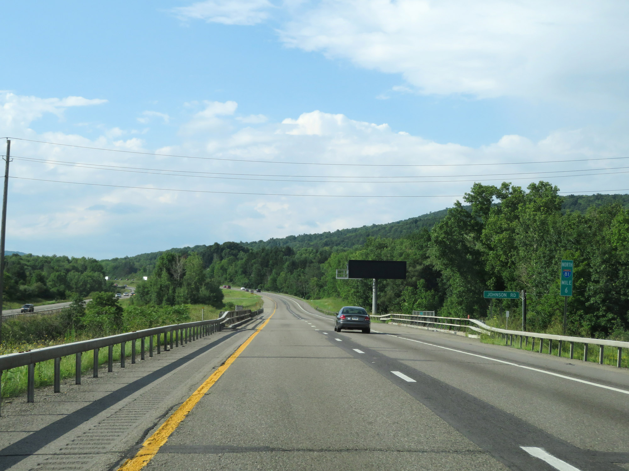 |
Interstate 81 North at mile marker 6. (Photo taken 8/18/16). |
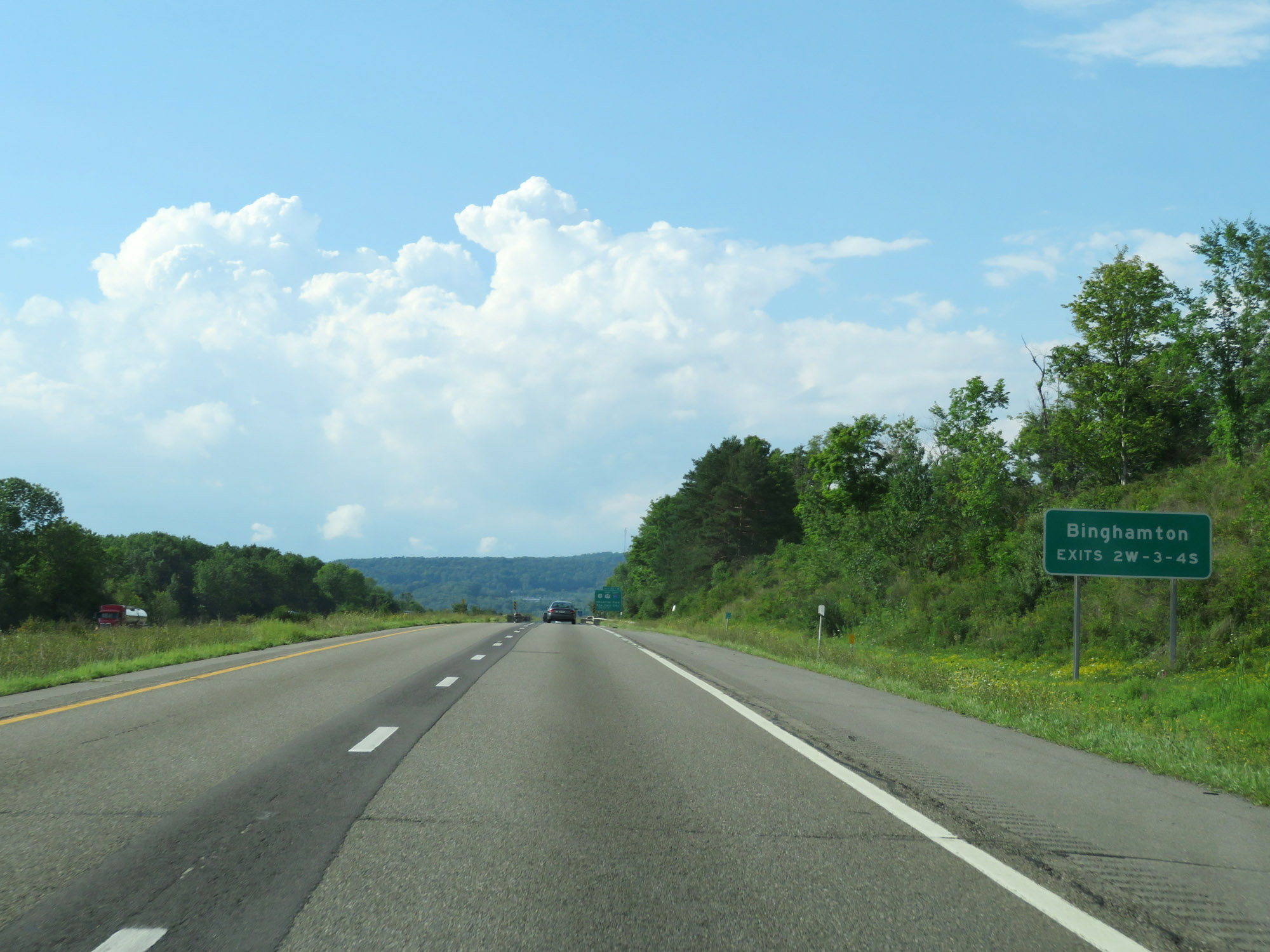 |
Take Exits 2W, 3, and 4S to Binghamton. (Photo taken 8/18/16). |
 |
Interstate 81 North approaching Exits 2E-W - 1 mile. (Photo taken 8/18/16). |
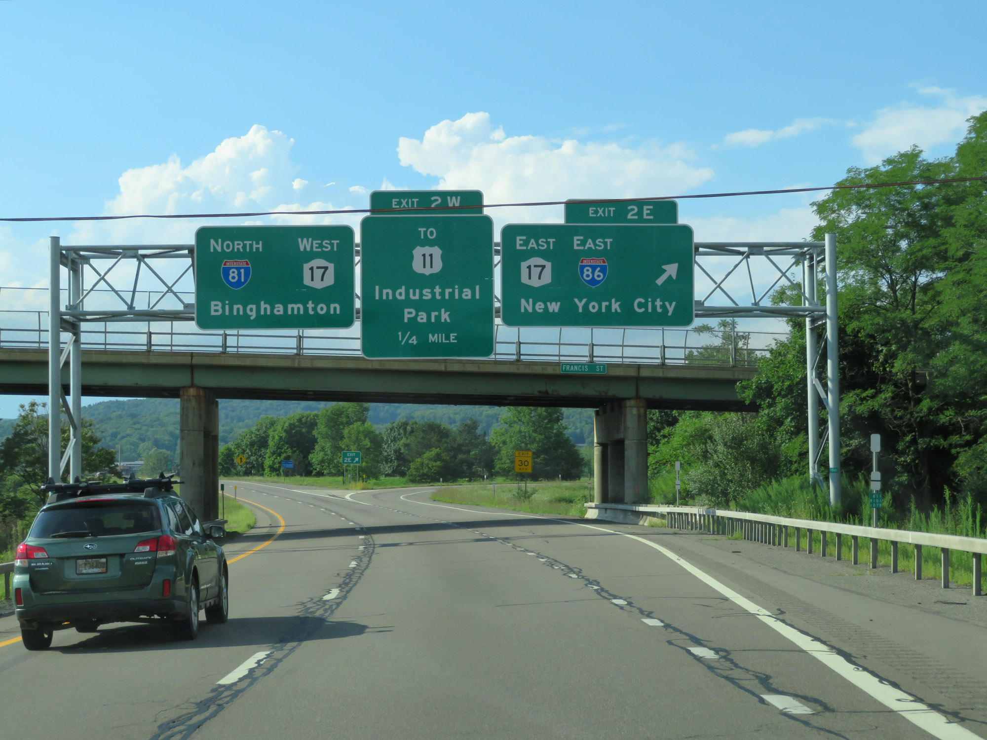 |
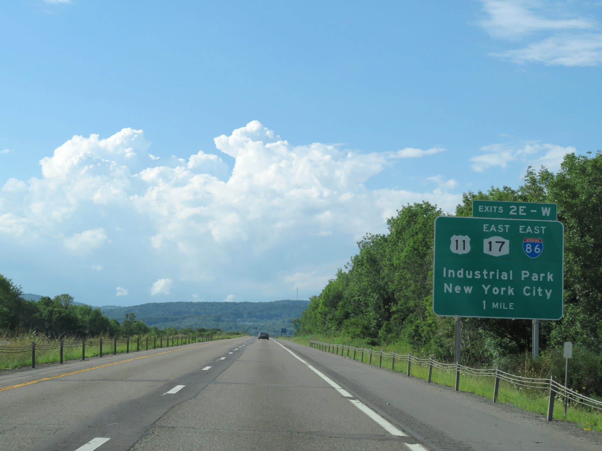
Interstate 81 North at Exit 2E: Interstate 86 East / NY 17 East - New York City (Photo taken 8/18/16). |
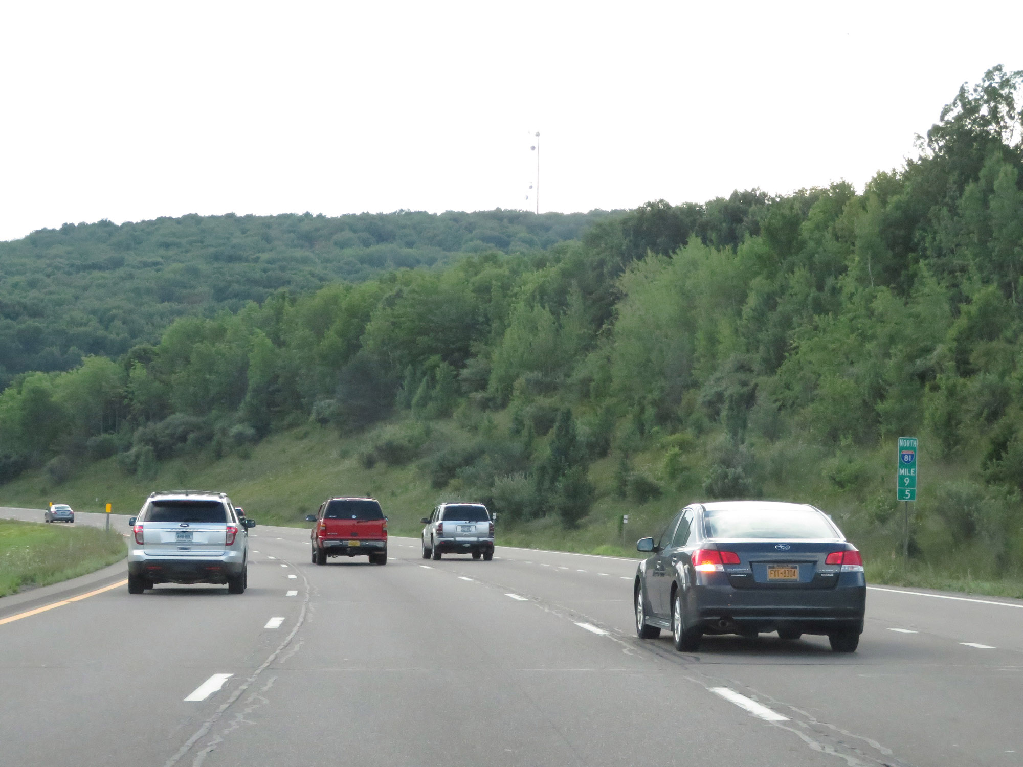 |
View on Interstate 81 North / Future Interstate 86 West at mile marker 9.5, as the duplex curves to the west to head toward downtown Binghamton. (Photo taken 8/18/16). |
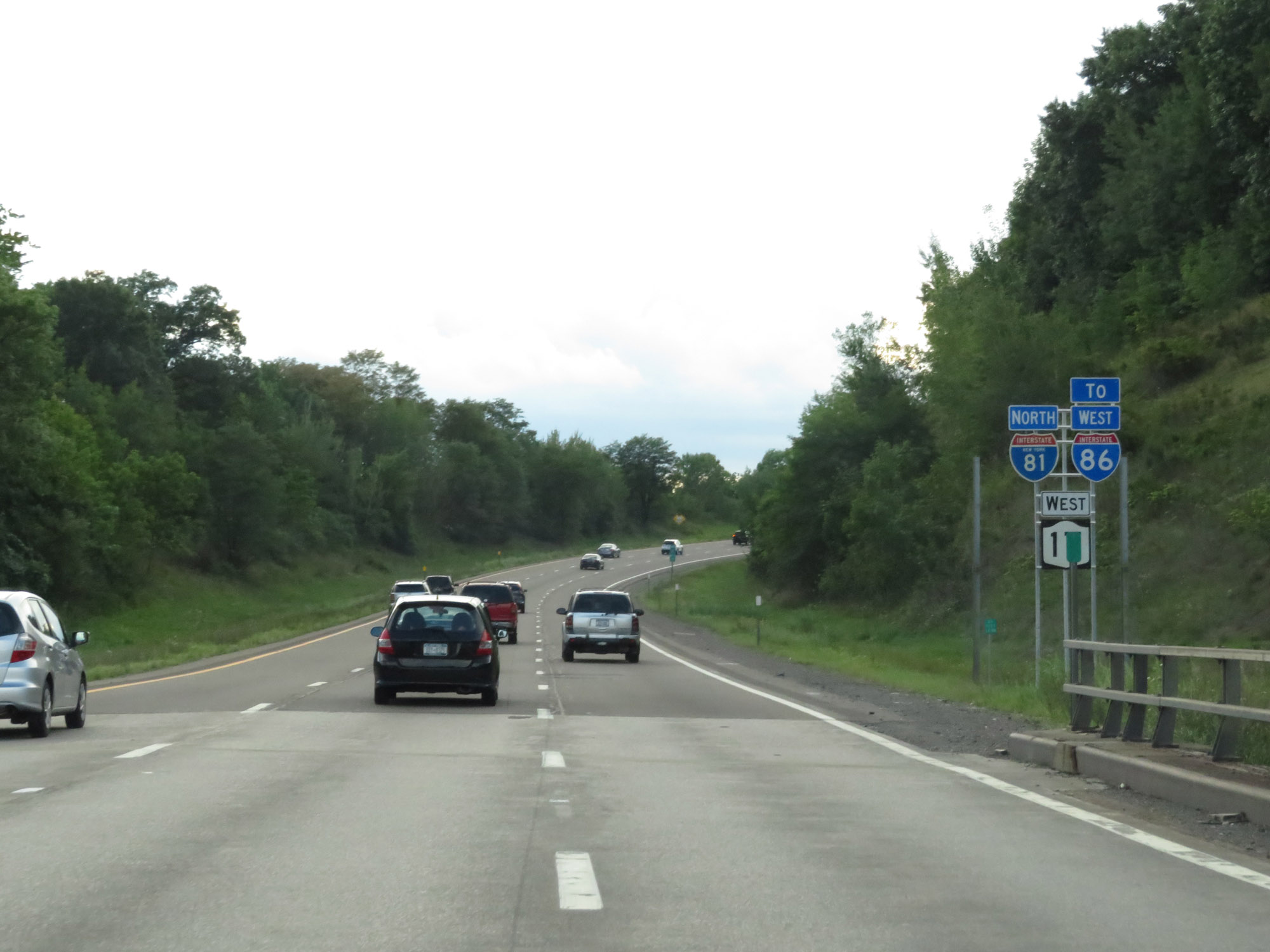 |
State-named Interstate 81 North reassurance shield alongside an Interstate 86 West shield with a 'TO' tab. Although I-86 is not officially signed at this point, it will run concurrently with I-81 through Binghamton once signed. (Photo taken 8/18/16). |
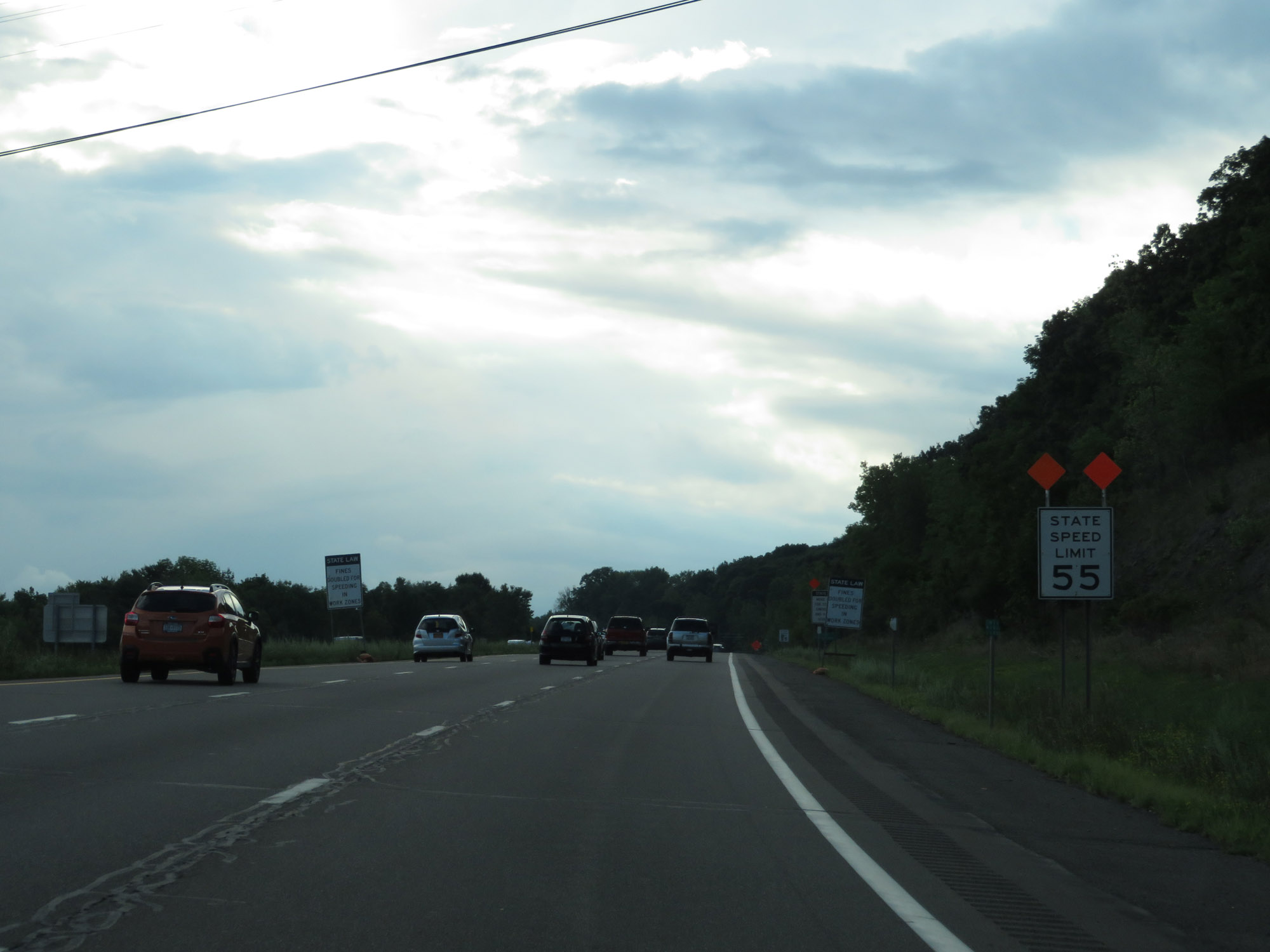 |
The speed limit decreases to 55 mph on Interstate 81 North / Future Interstate 86 West approaching downtown Binghamton. (Photo taken 8/18/16). |
 |
Entering the Binghamton city limits on Interstate 81 North / Future Interstate 86 West. (Photo taken 8/18/16). |
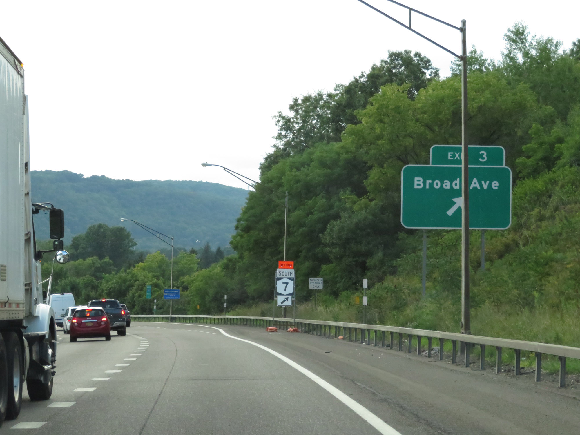 |
Interstate 81 North / Future Interstate 86 West at Exit 3: Broad Ave (Photo taken 8/18/16). |
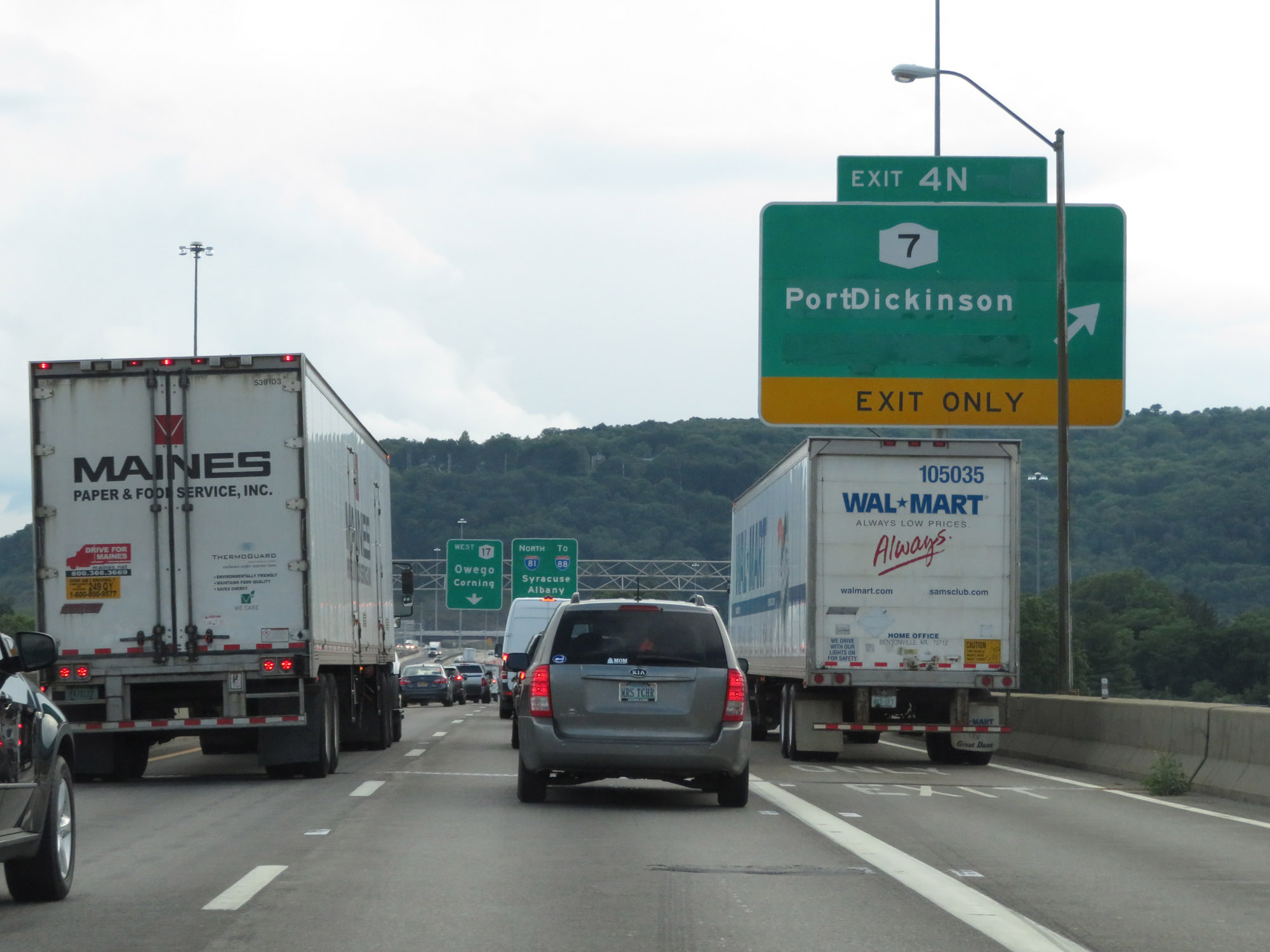 |
Interstate 81 North / Future Interstate 86 West at Exit 4N: NY 7 - Port Dickinson (Photo taken 8/18/16). |
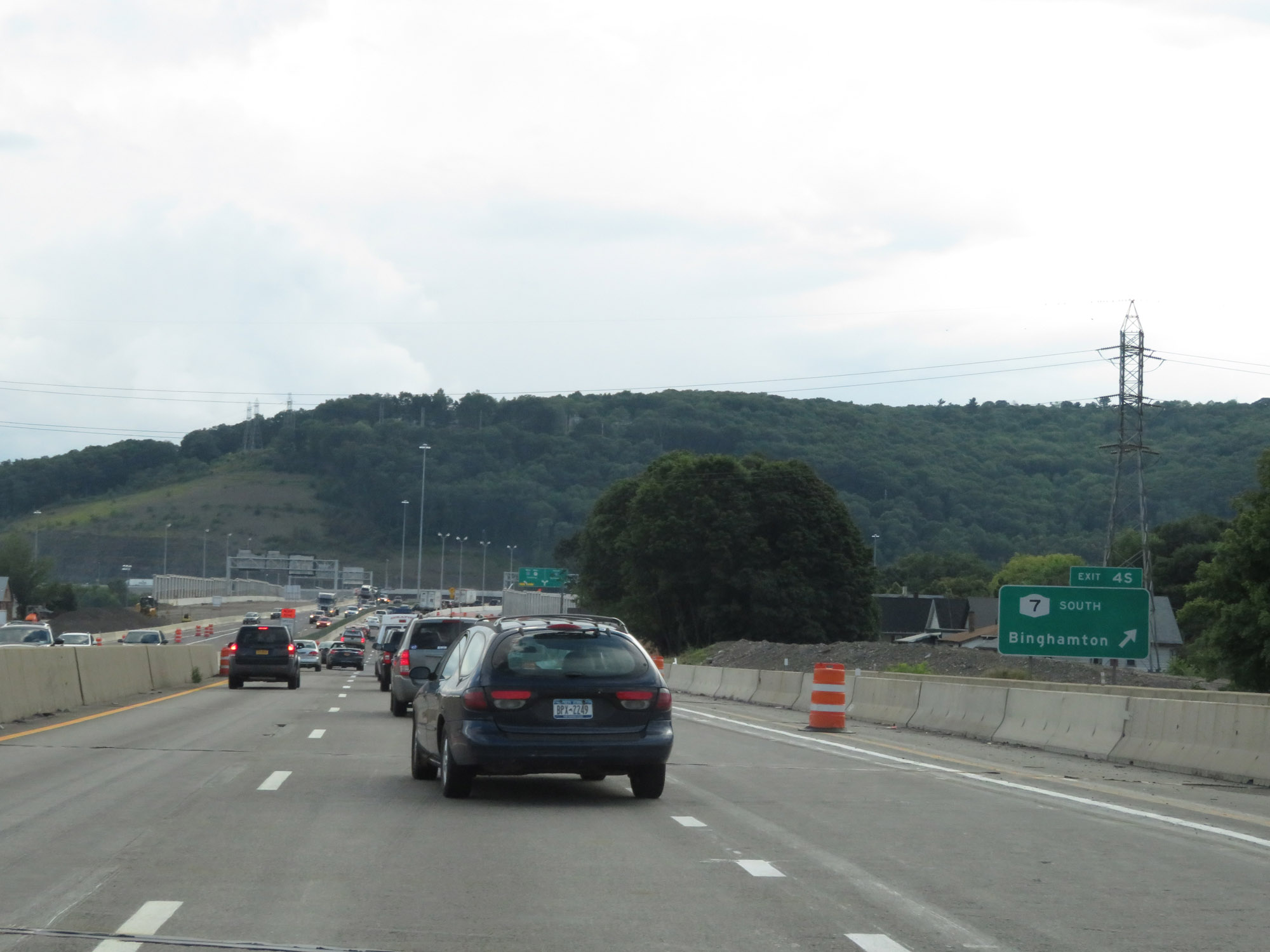 |
Interstate 81 North / Future Interstate 86 West at Exit 4S: NY 7 South - Binghamton (Photo taken 8/18/16). |
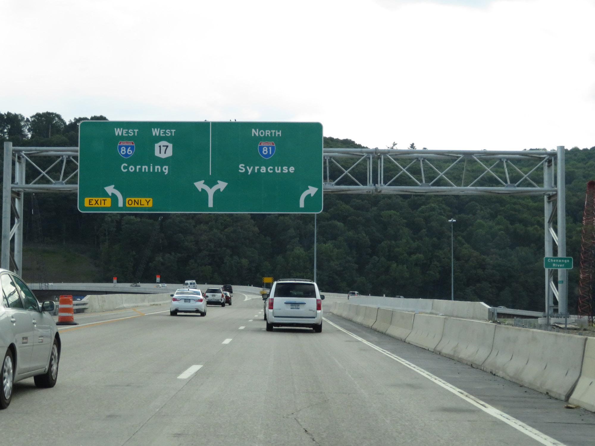 |
Interstate 81 North / Future Interstate 86 West at Exit: Future Interstate 86 West / NY 17 West - Corning. This sign is actually incorrect at the time since I-86 is not yet signed at this point. When it is, it will run concurrenty with NY 17 to the border of Pennsylvania. After dipping briefly into PA, it will continue back into New York toward Elmira and Jamestown. (Photo taken 8/18/16). |
 |
Another Interstate 81 North reassurance shield, as it curves back in a northern direction. (Photo taken 8/18/16). |
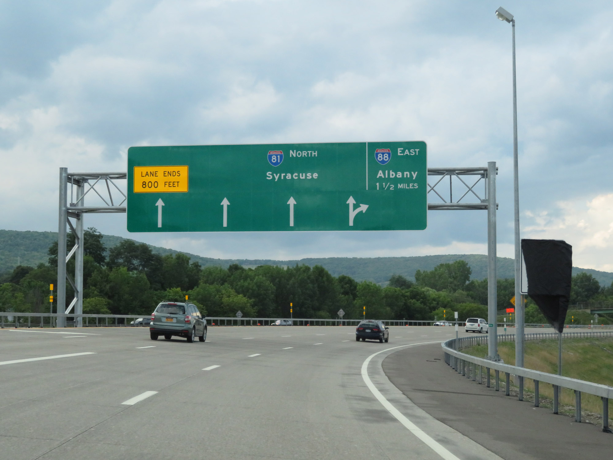 |
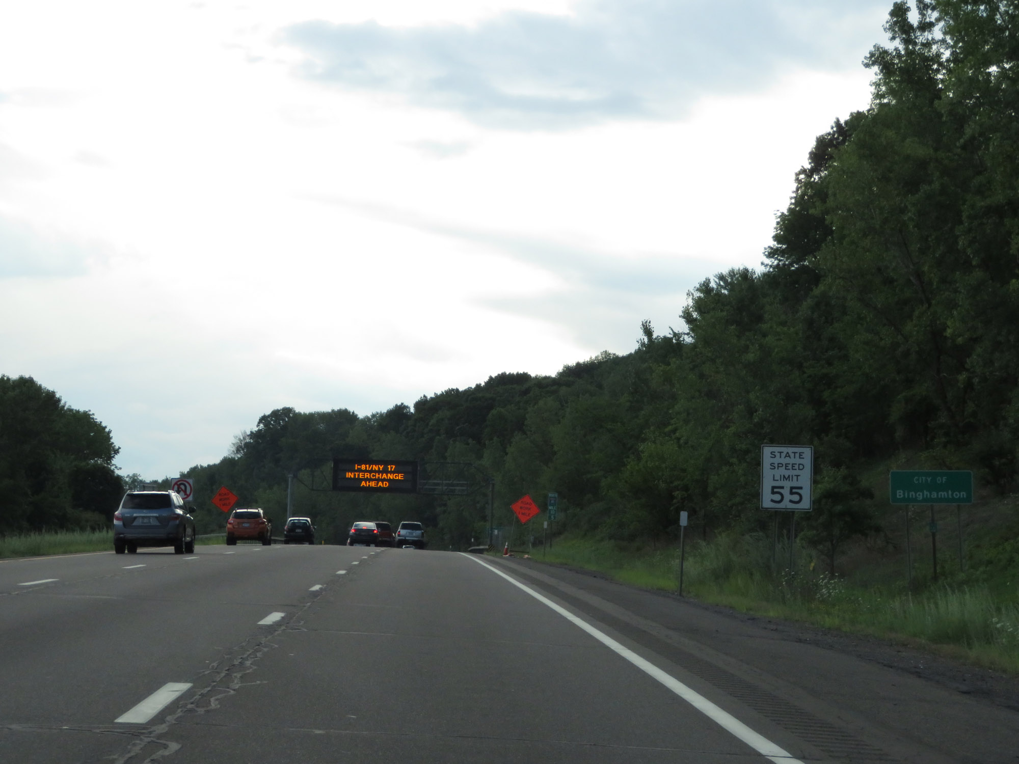
Interstate 81 North approaching the junction of Interstate 88 East - 1 1/2 miles. (Photo taken 8/18/16). |
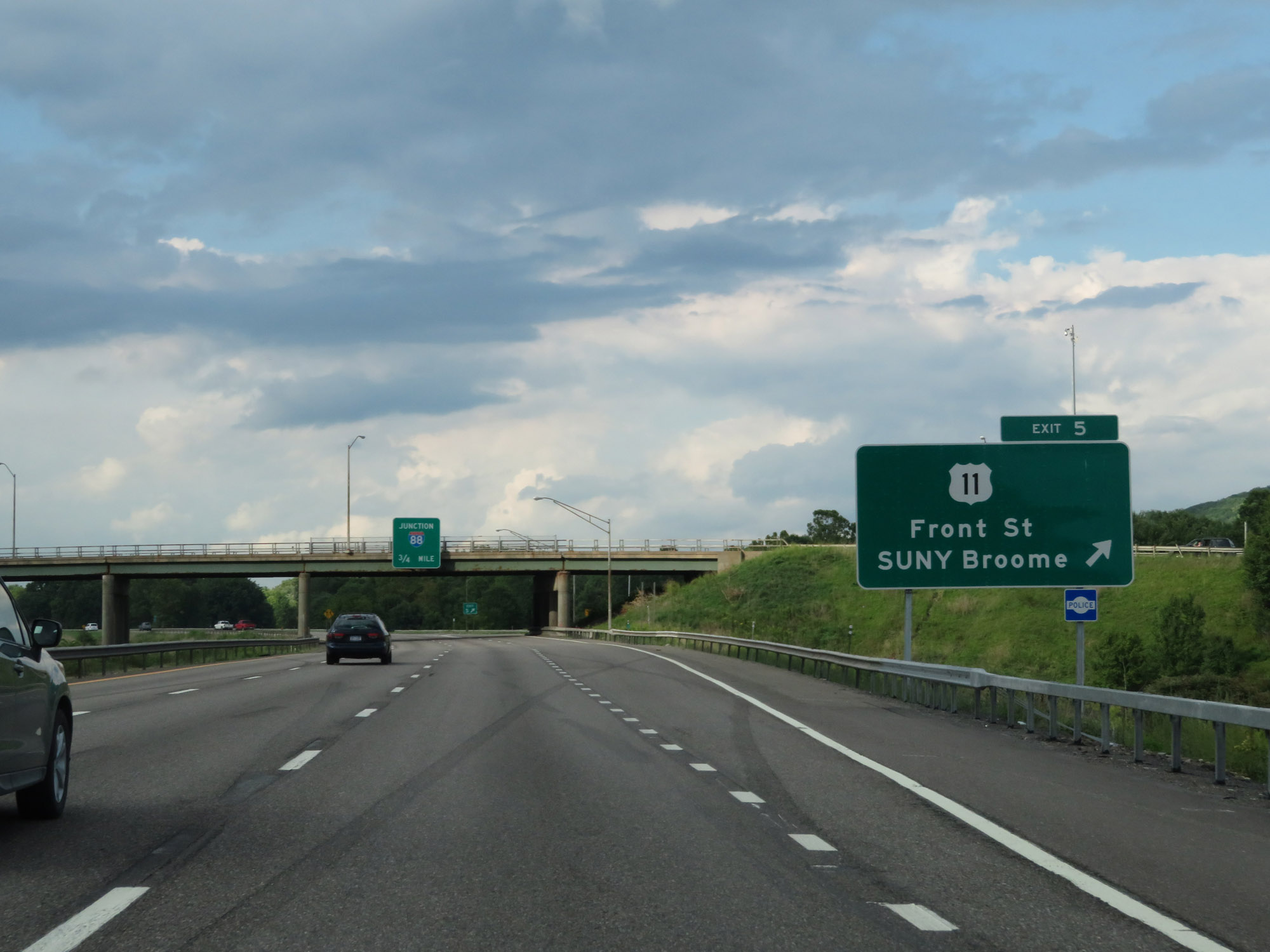 |
Interstate 81 North at Exit 5: US 11 - Front St / SUNY Broome (Photo taken 8/18/16). |
Section 2: Cicero (Exit 29S) to Watertown (Exit 46)
 |
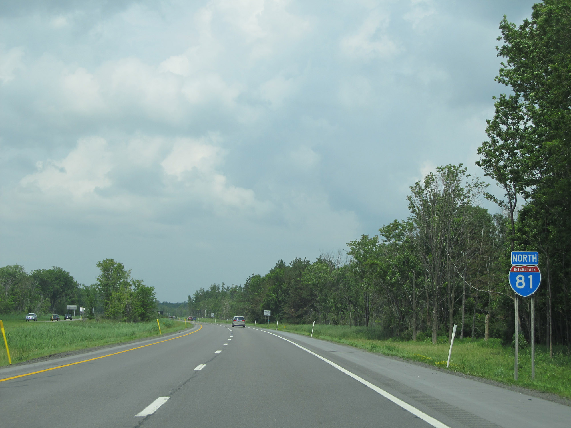
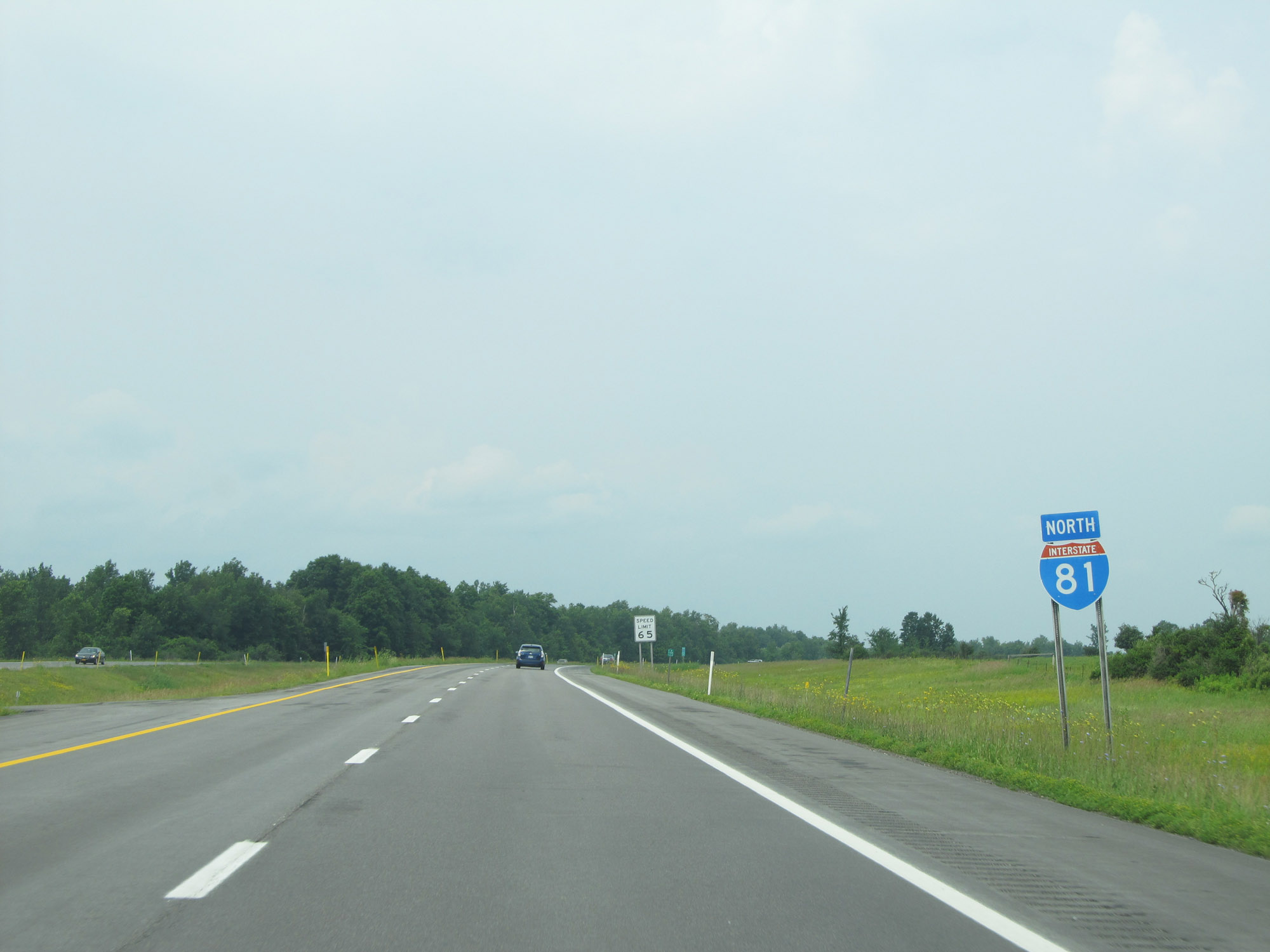
Interstate 81 North reassurance shield. (Photo taken 7/4/15). |
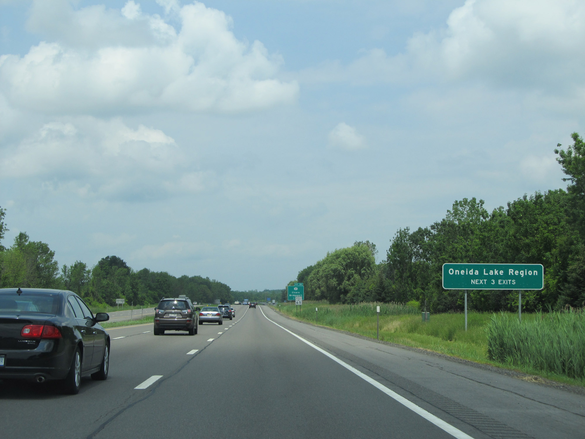 |
Take any of the next 3 exits to the Oneida Lake Region. (Photo taken 7/4/15). |
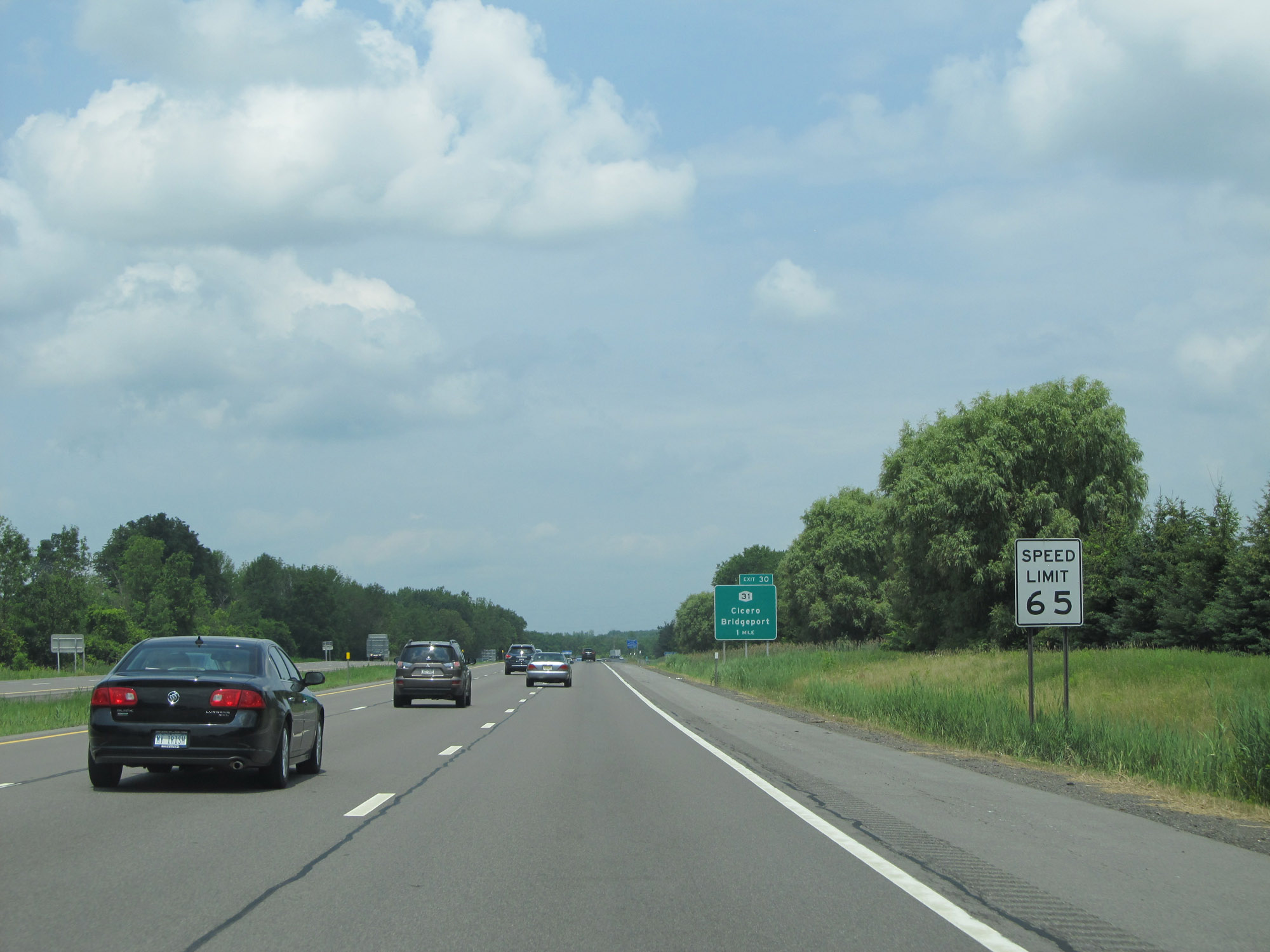 |
The speed limit is 65 mph at this point on Interstate 81 North. This is the standard speed limit on most rural Interstate highways in New York State. (Photo taken 7/4/15). |
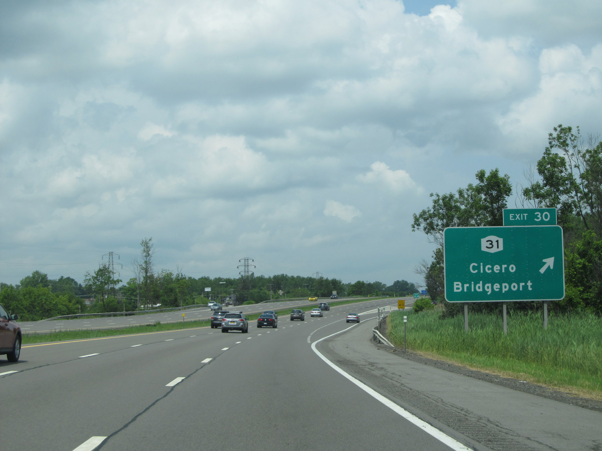 |
Interstate 81 North at Exit 30: NY 31 - Cicero / Bridgeport (Photo taken 7/4/15). |
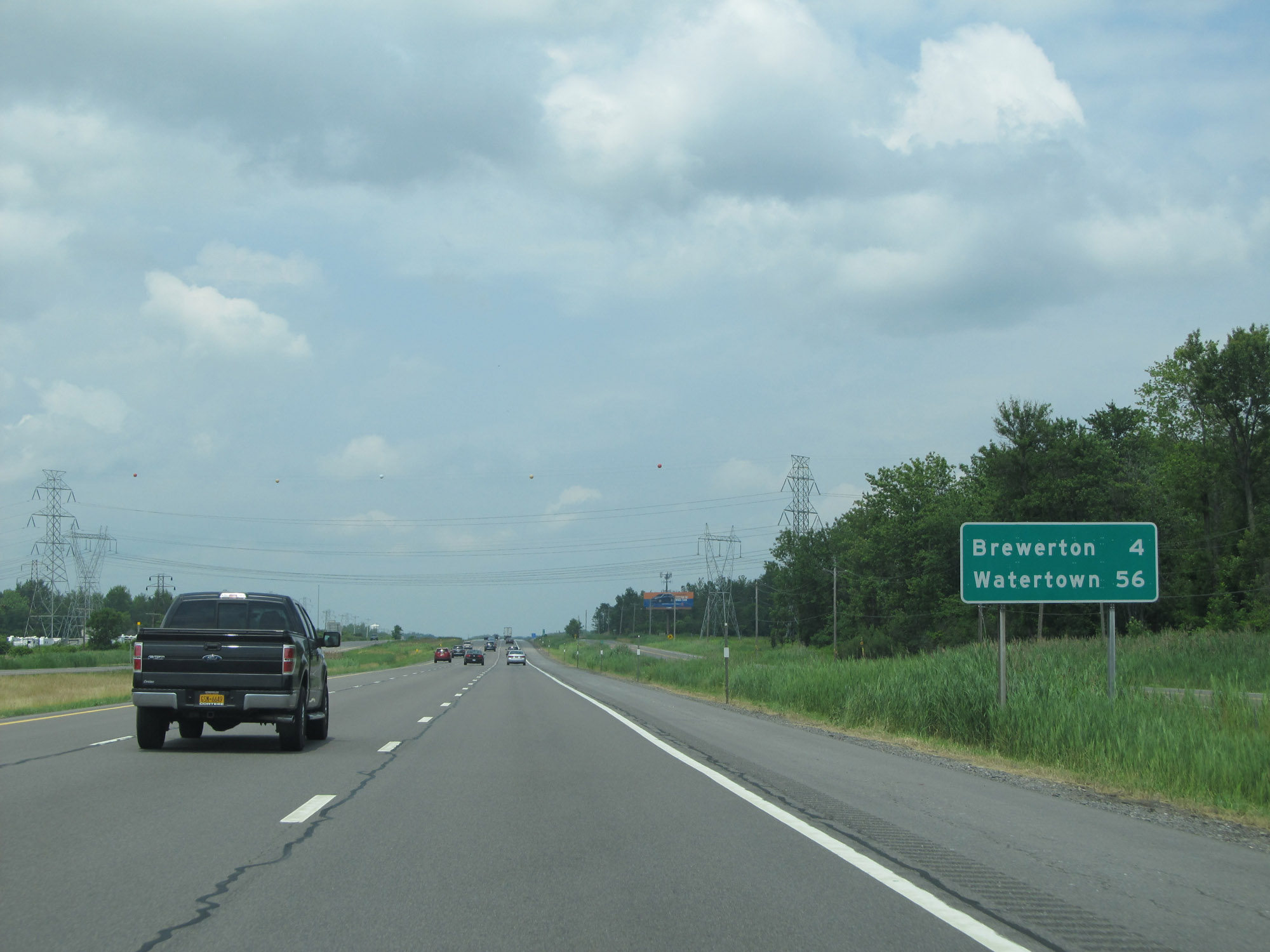 |
Mileage sign on Interstate 81 North. It's 4 miles to Brewerton and 56 miles to Watertown. (Photo taken 7/4/15). |
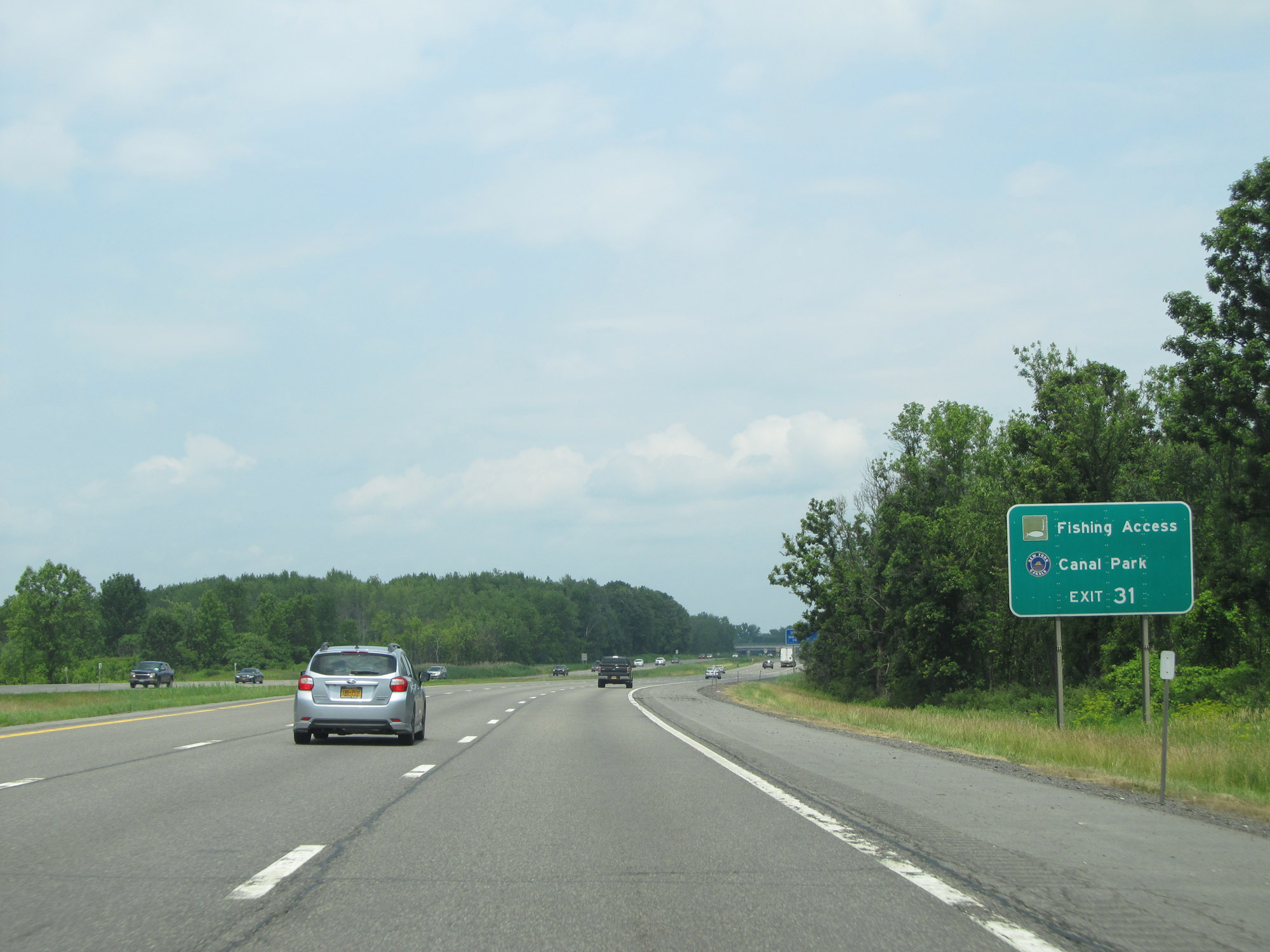 |
Take Exit 31 to Fishing Access and Canal Park. (Photo taken 7/4/15). |
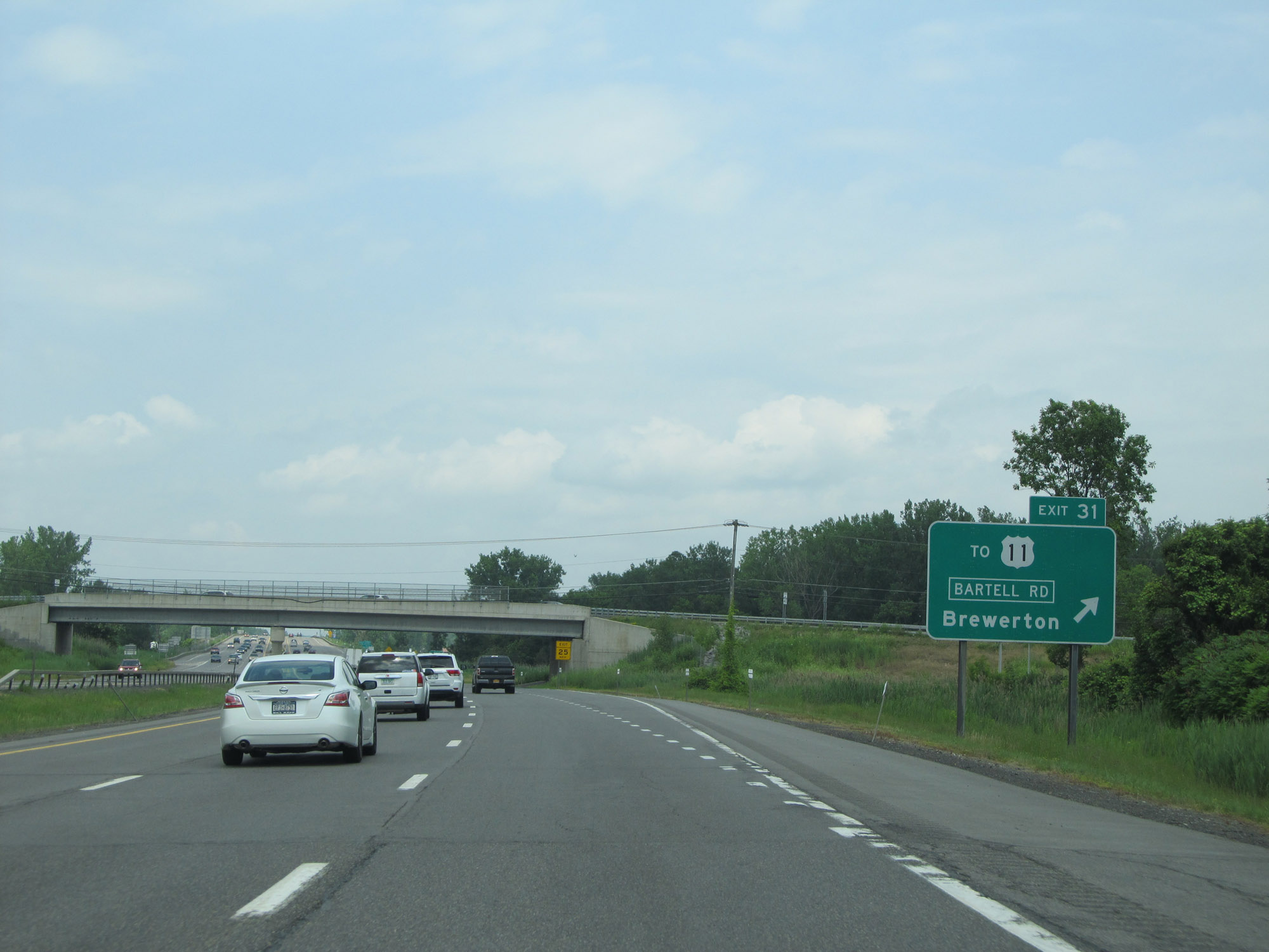 |
Interstate 81 North at Exit 31: To US 11 - Bartell Rd / Brewerton (Photo taken 7/4/15). |
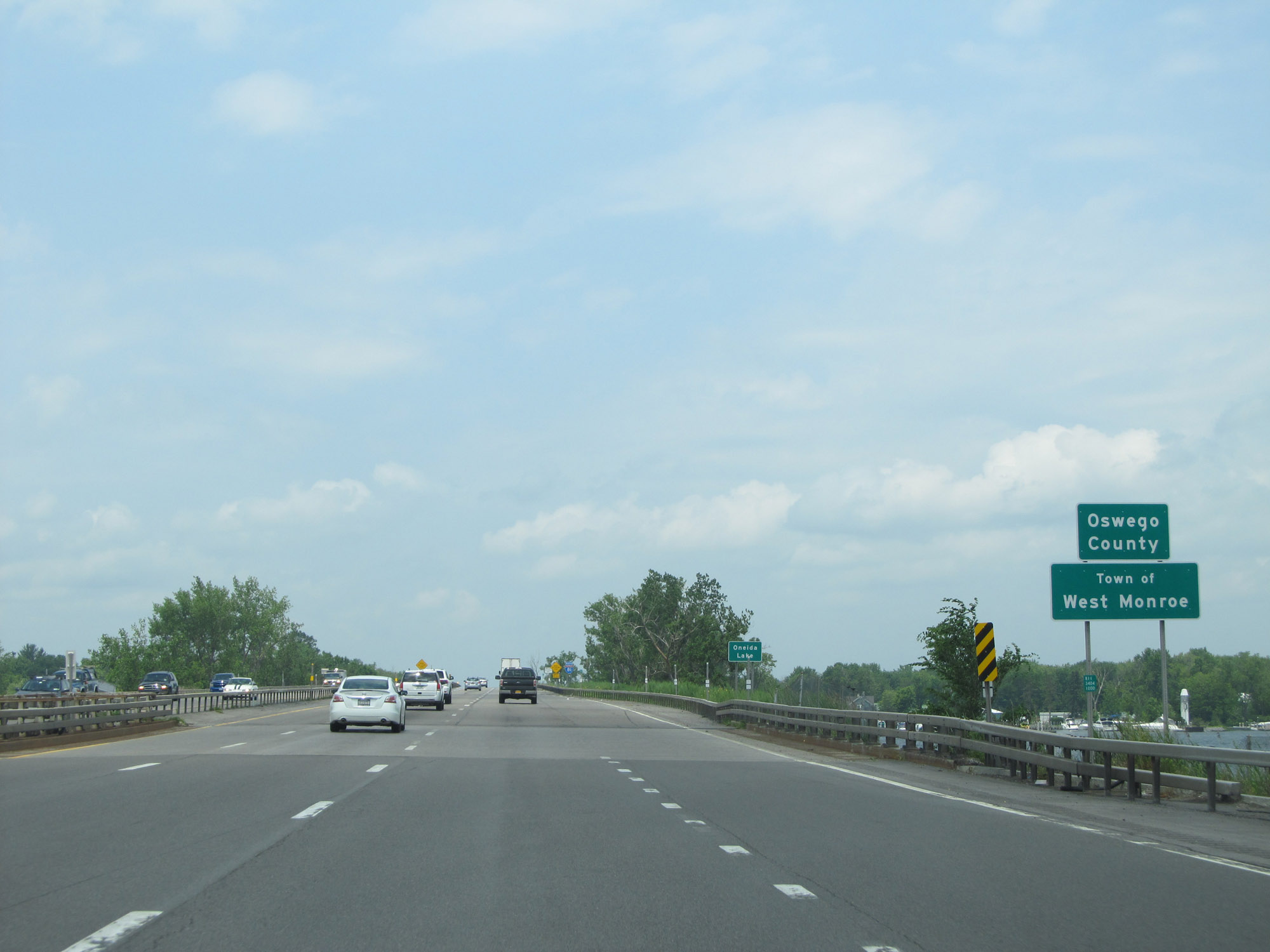 |
Interstate 81 North as it enters Oswego County by crossing Oneida Lake. (Photo taken 7/4/15). |
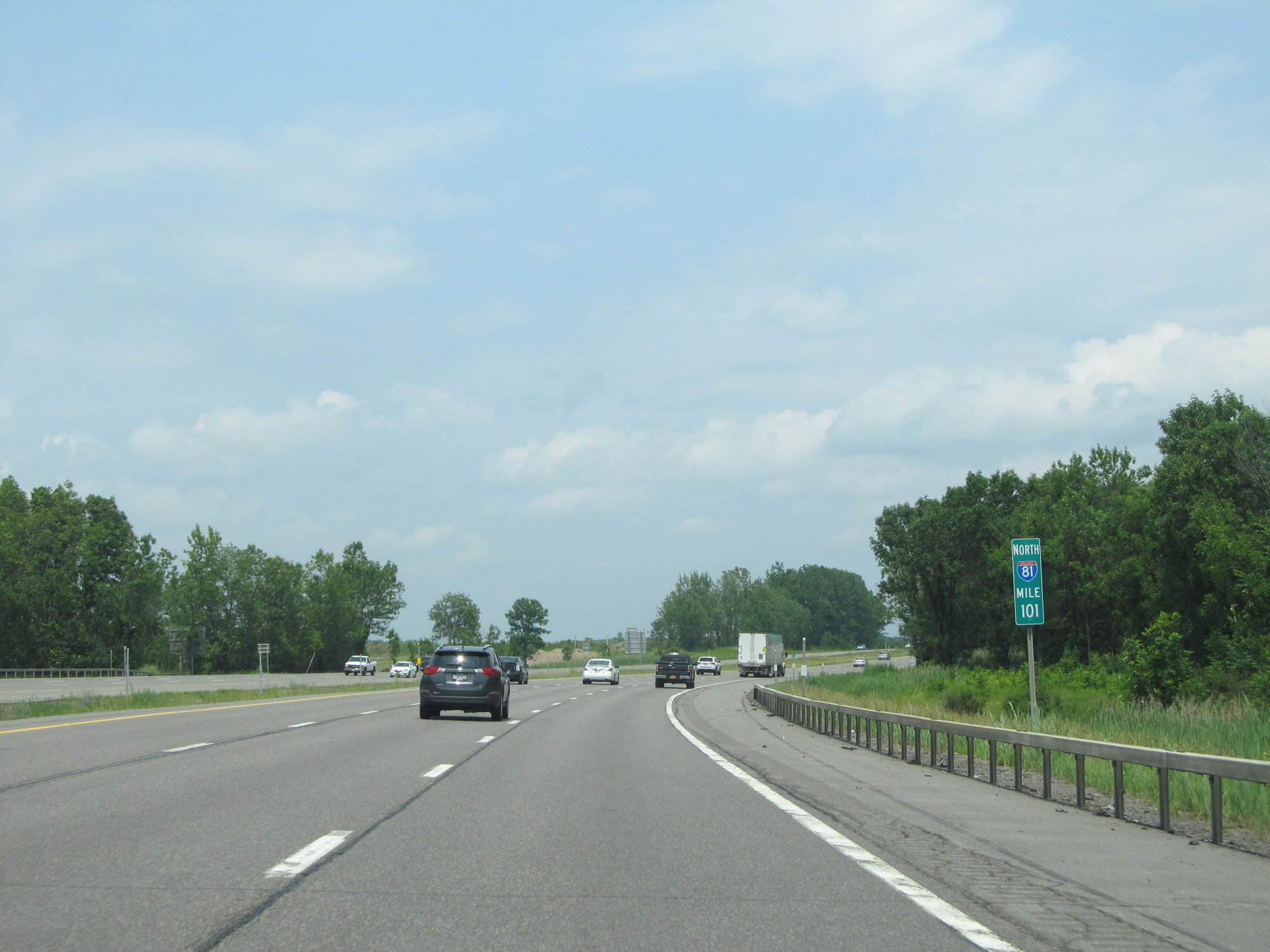 |
View on Interstate 81 North at mile marker 101. (Photo taken 7/4/15). |
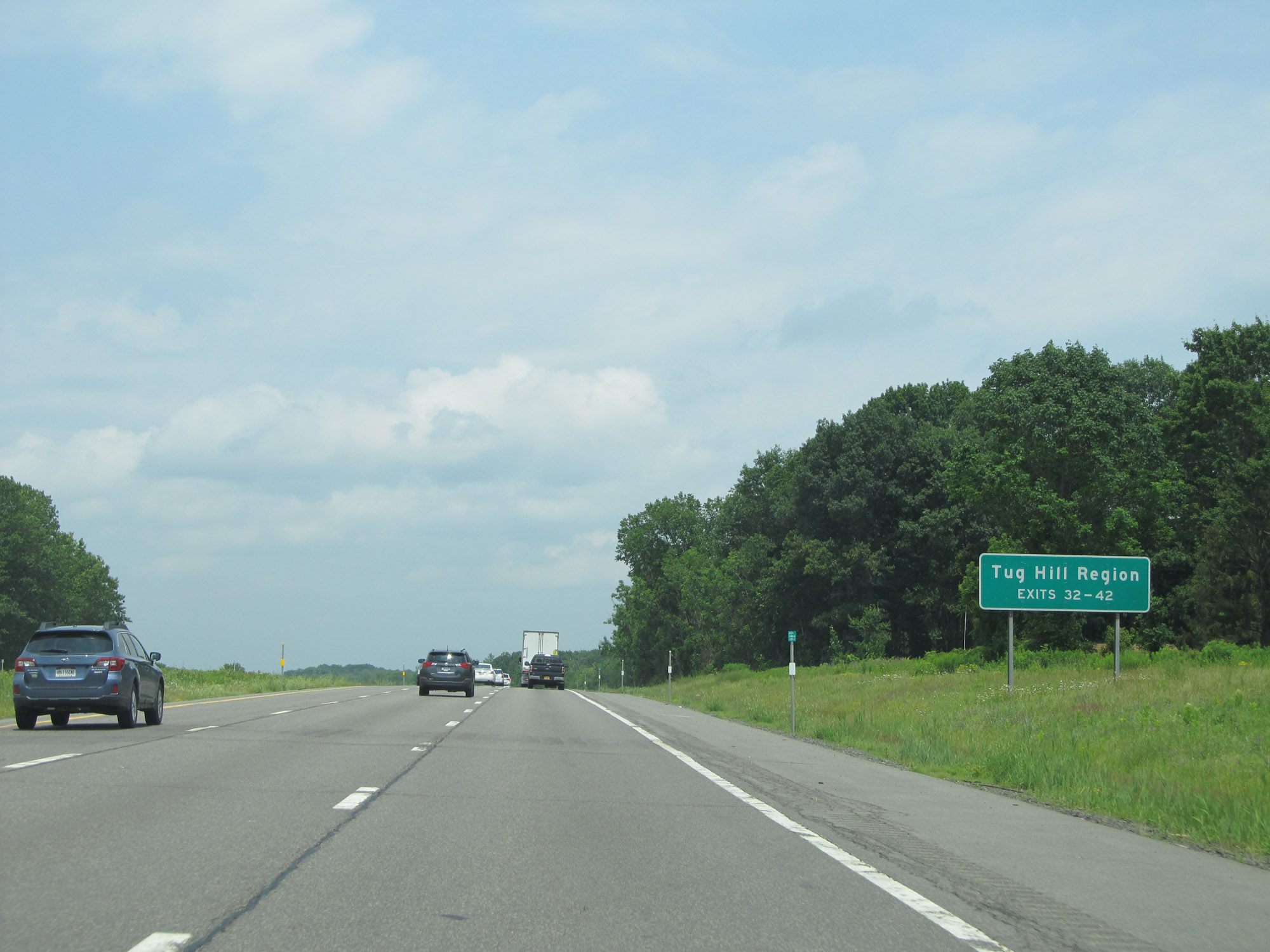 |
Take Exits 23-42 to the Tug Hill Region. (Photo taken 7/4/15). |
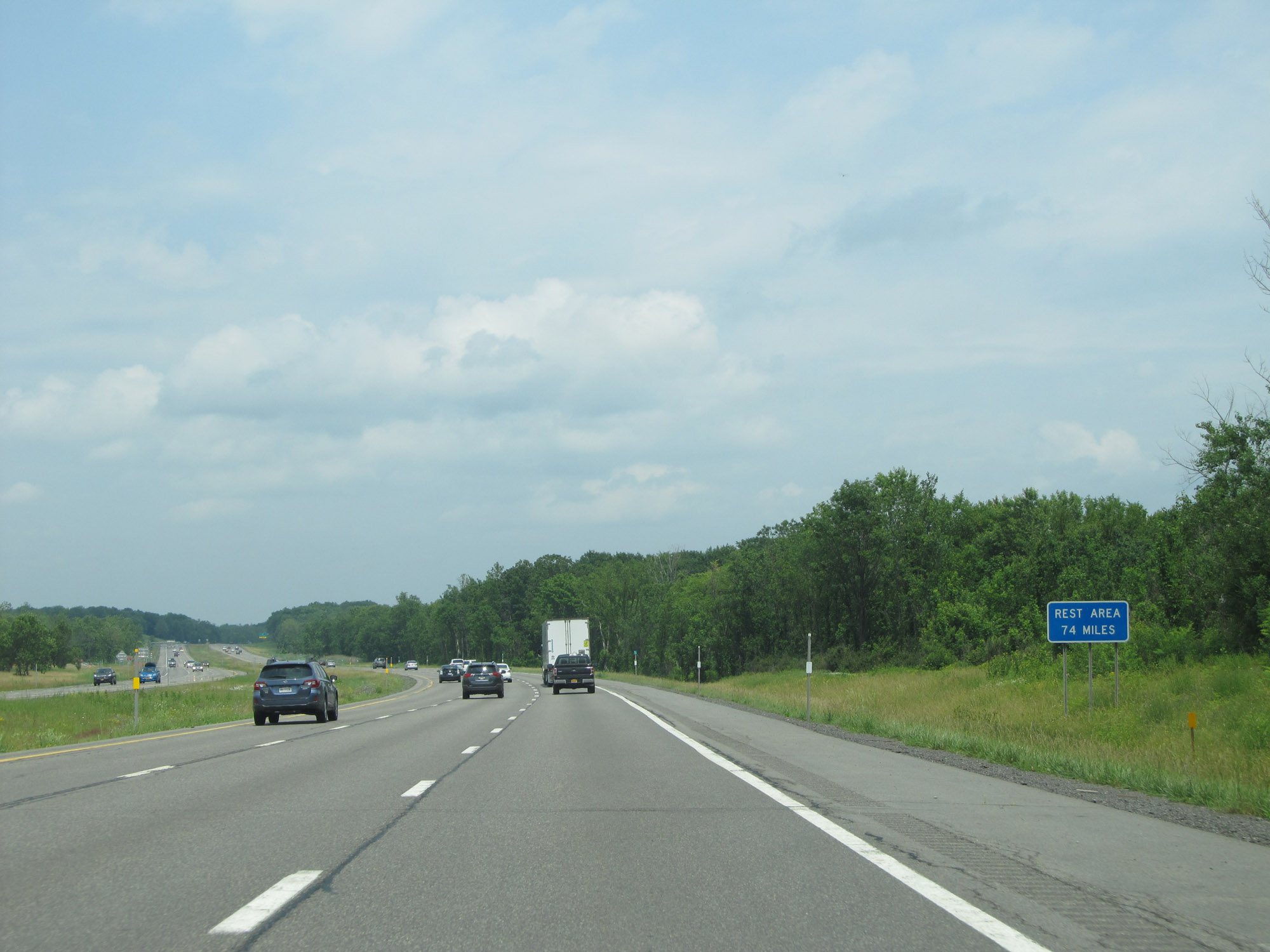 |
The next full Rest Area on Interstate 81 North is 74 miles ahead. However, there will be a few Parking Areas along the way. (Photo taken 7/4/15). |
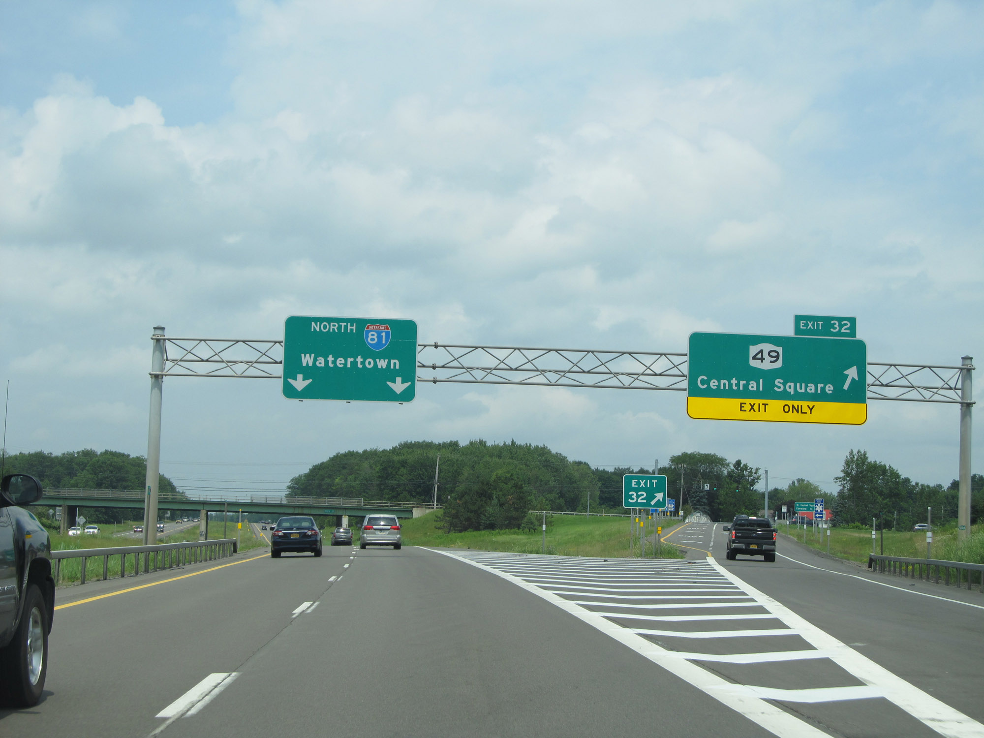 |
Interstate 81 North at Exit 32: NY 49 - Central Square (Photo taken 7/4/15). |
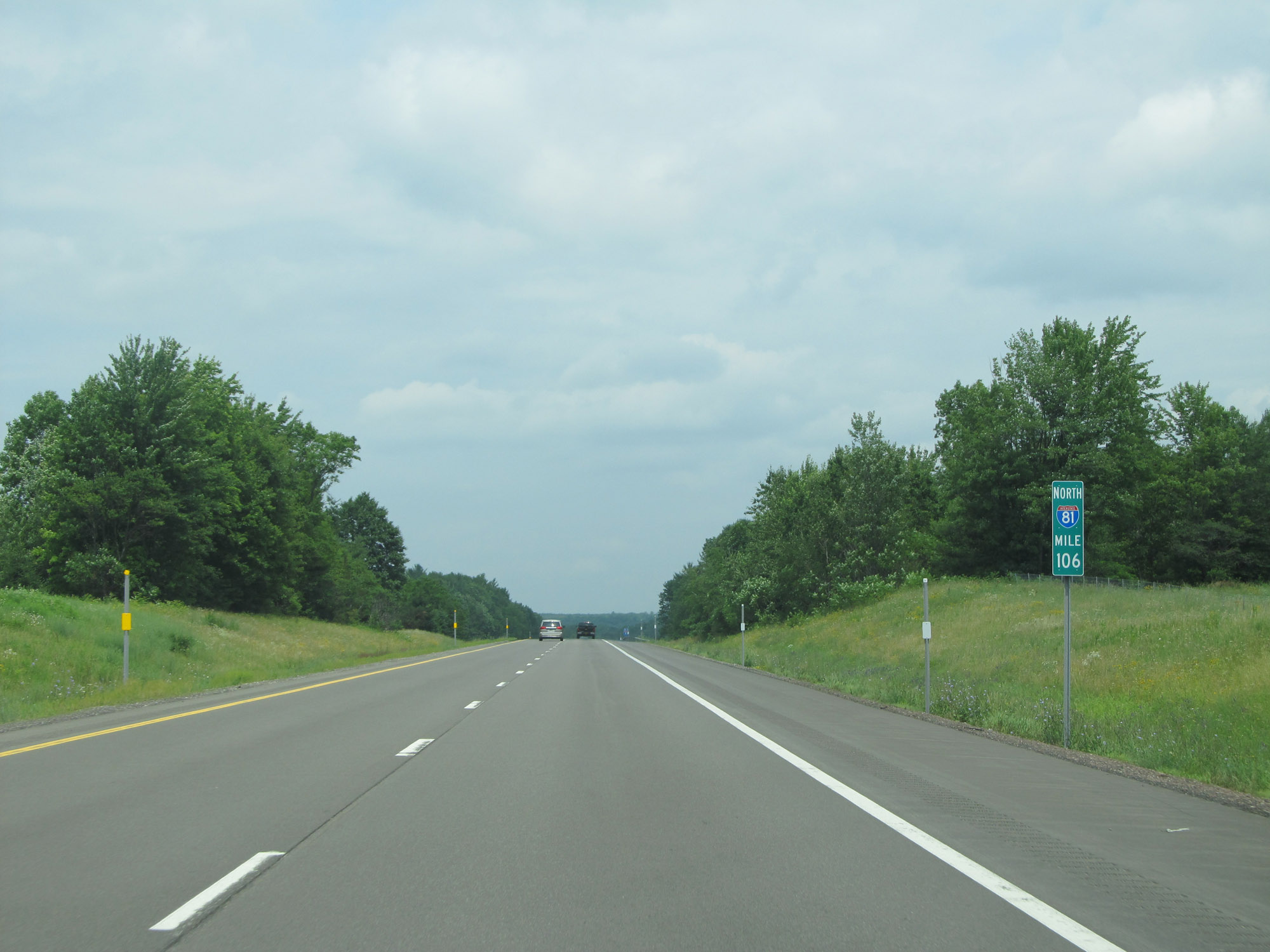 |
View on Interstate 81 North at mile marker 106. (Photo taken 7/4/15). |
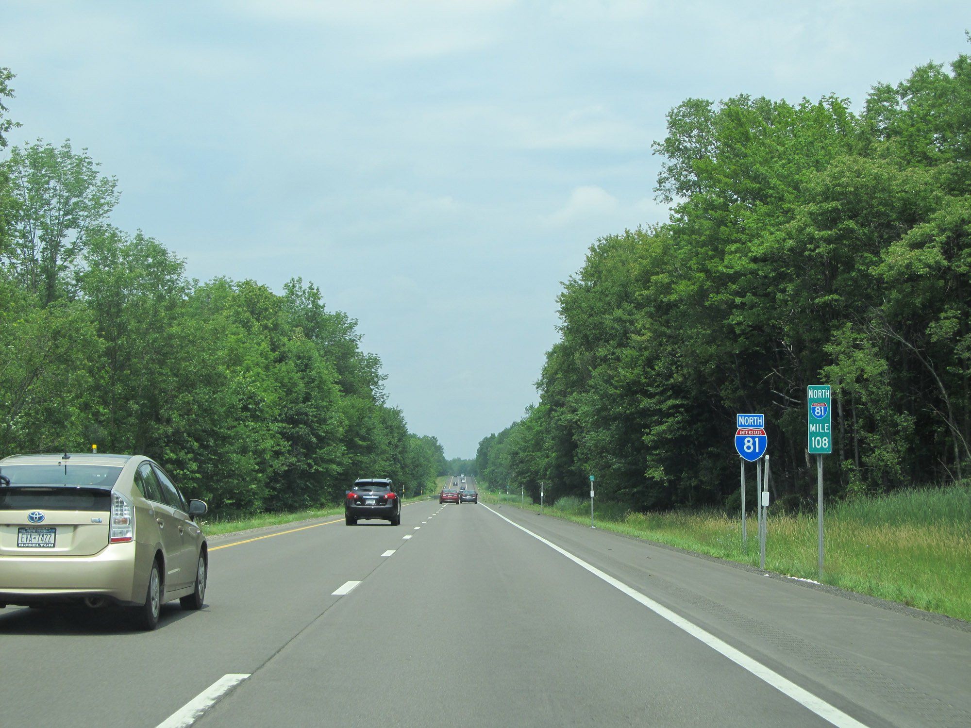 |
Interstate 81 North at mile marker 108. (Photo taken 7/4/15). |
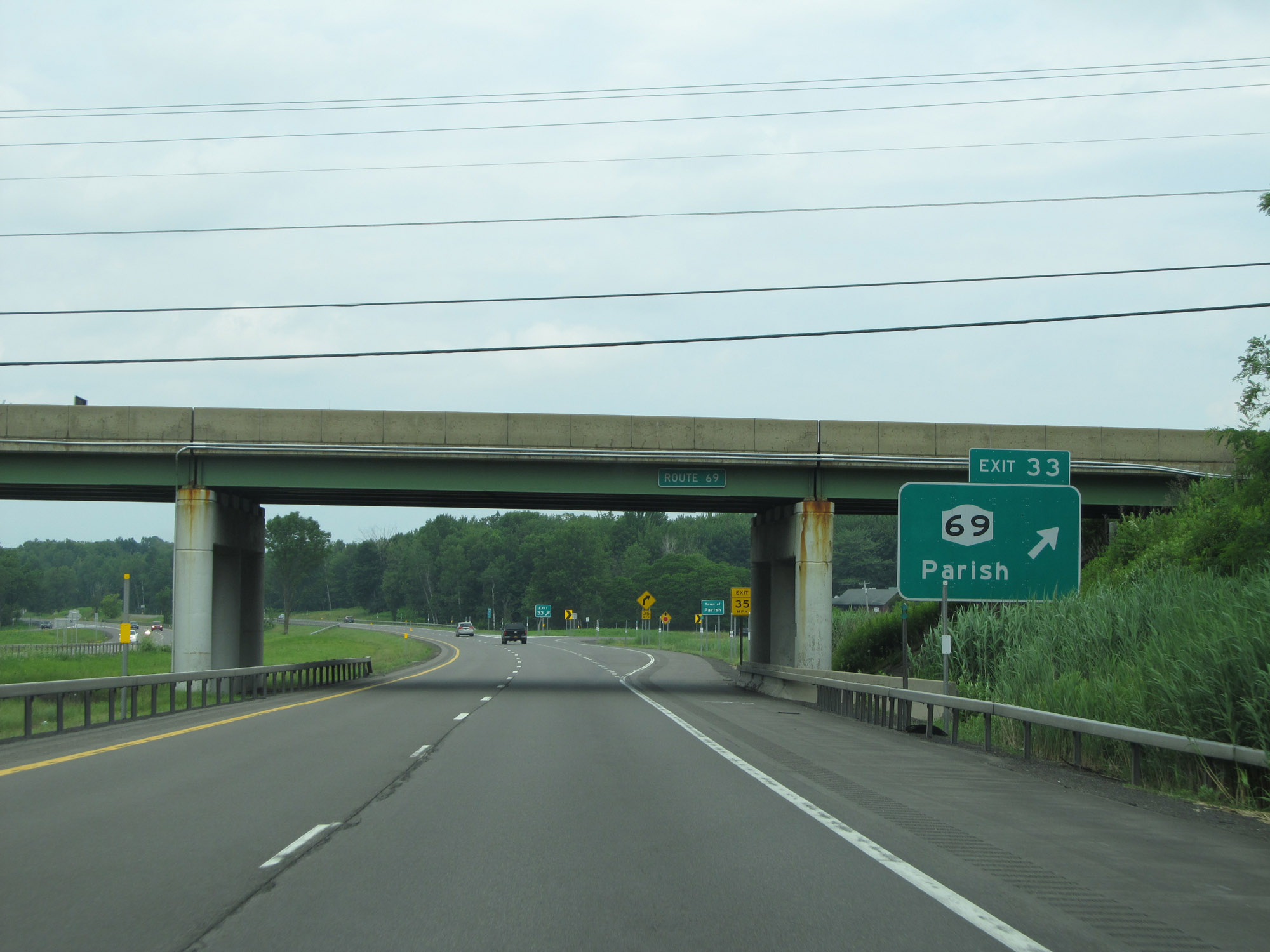 |
Interstate 81 North at Exit 33: NY 69 - Parish (Photo taken 7/4/15). |
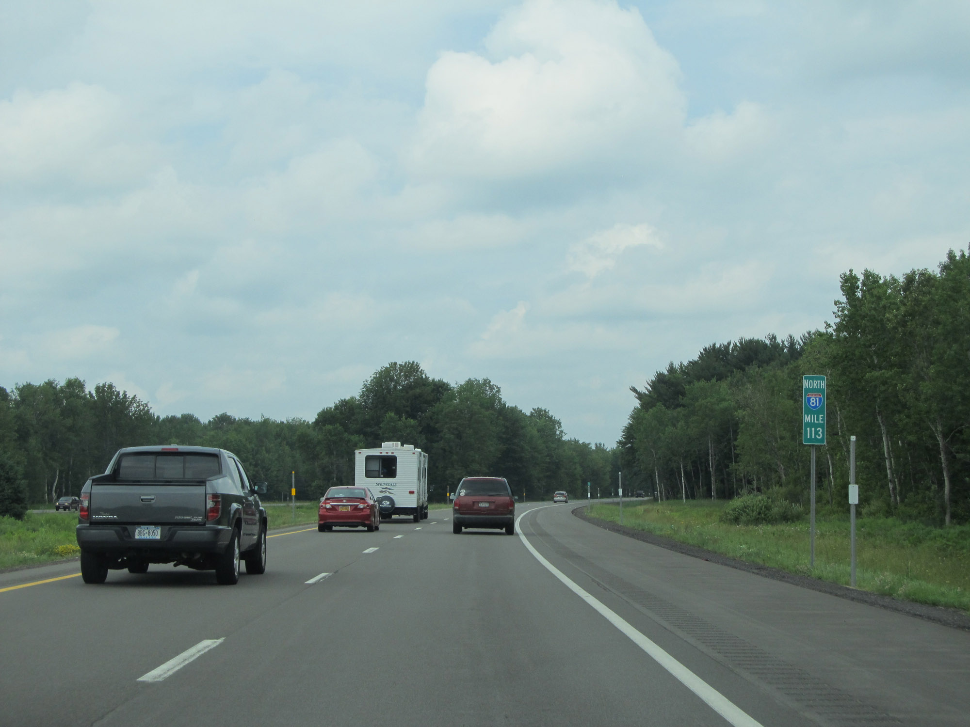 |
View on Interstate 81 North at mile marker 113. (Photo taken 7/4/15). |
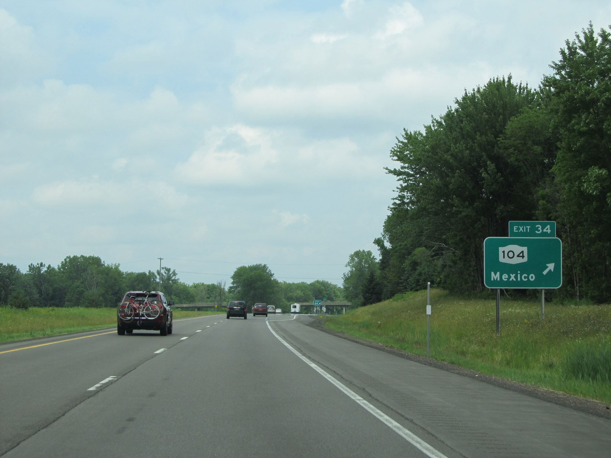 |
Interstate 81 North at Exit 34: NY 104 - Mexico (Photo taken 7/4/15). |
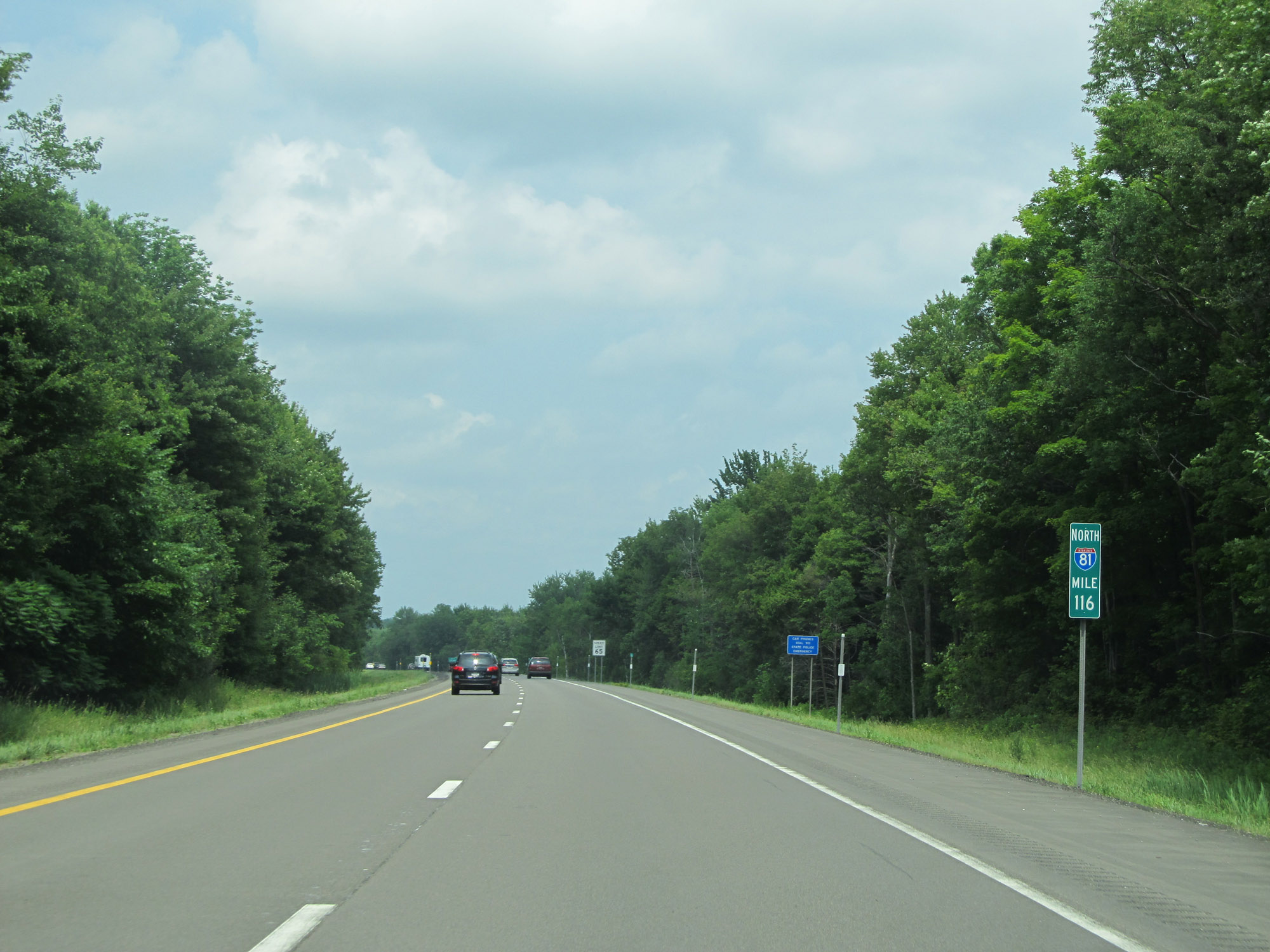 |
Interstate 81 North at mile marker 116. (Photo taken 7/4/15). |
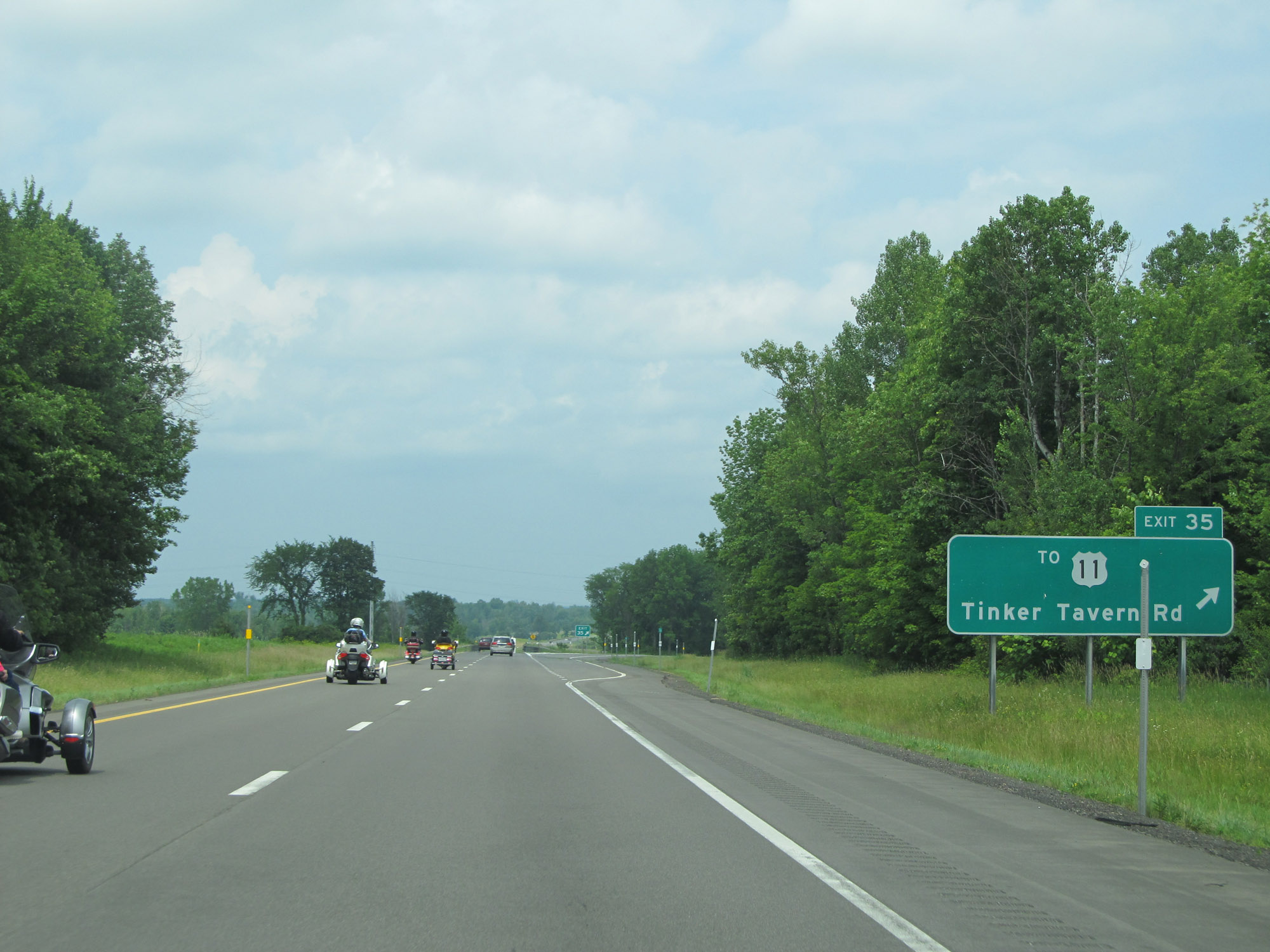 |
Interstate 81 North at Exit 35: To US 11 - Tinker Tavern Rd (Photo taken 7/4/15). |
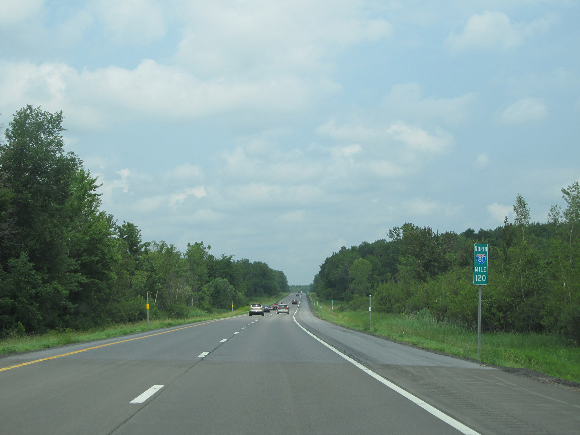 |
View on Interstate 81 North at mile marker 120. (Photo taken 7/4/15). |
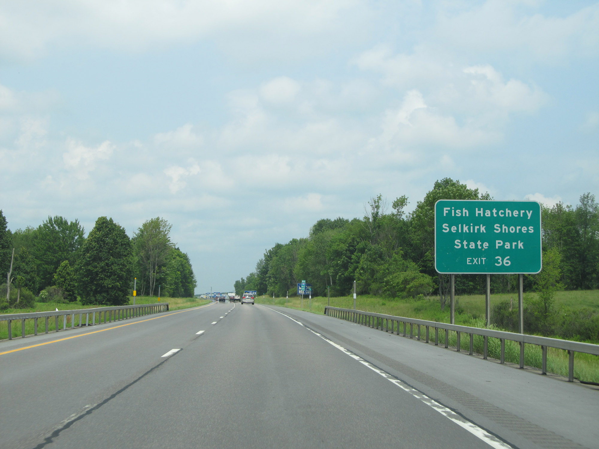 |
Take Exit 36 to the Fish Hatchery and Selkirk Shores State Park. (Photo taken 7/4/15). |
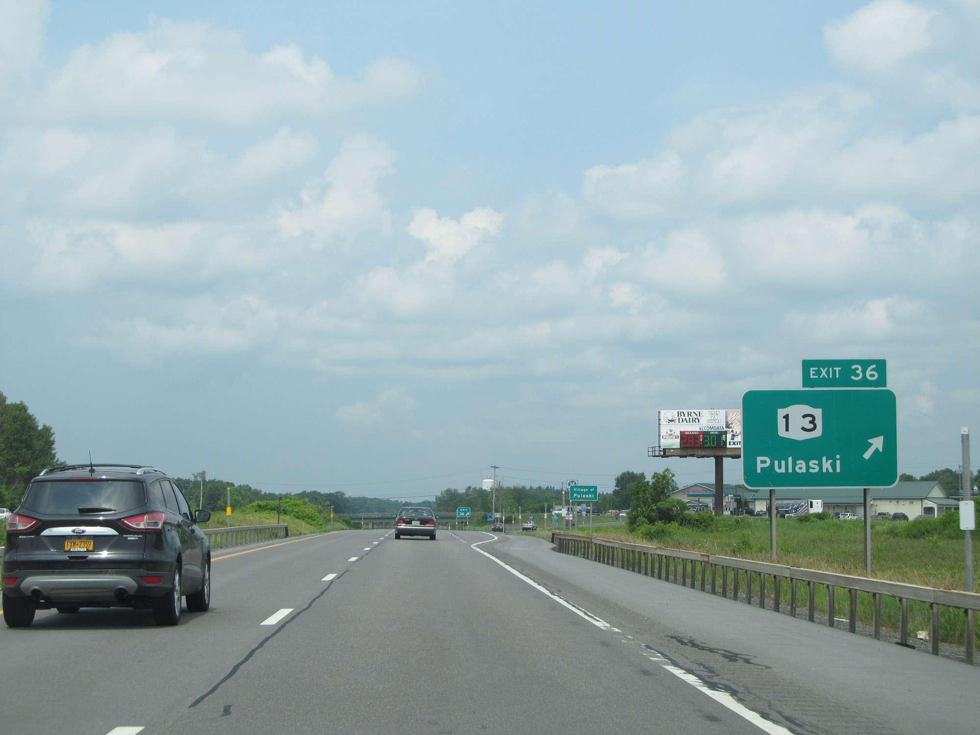 |
Interstate 81 North at Exit 36: NY 13 - Pulaski (Photo taken 7/4/15). |
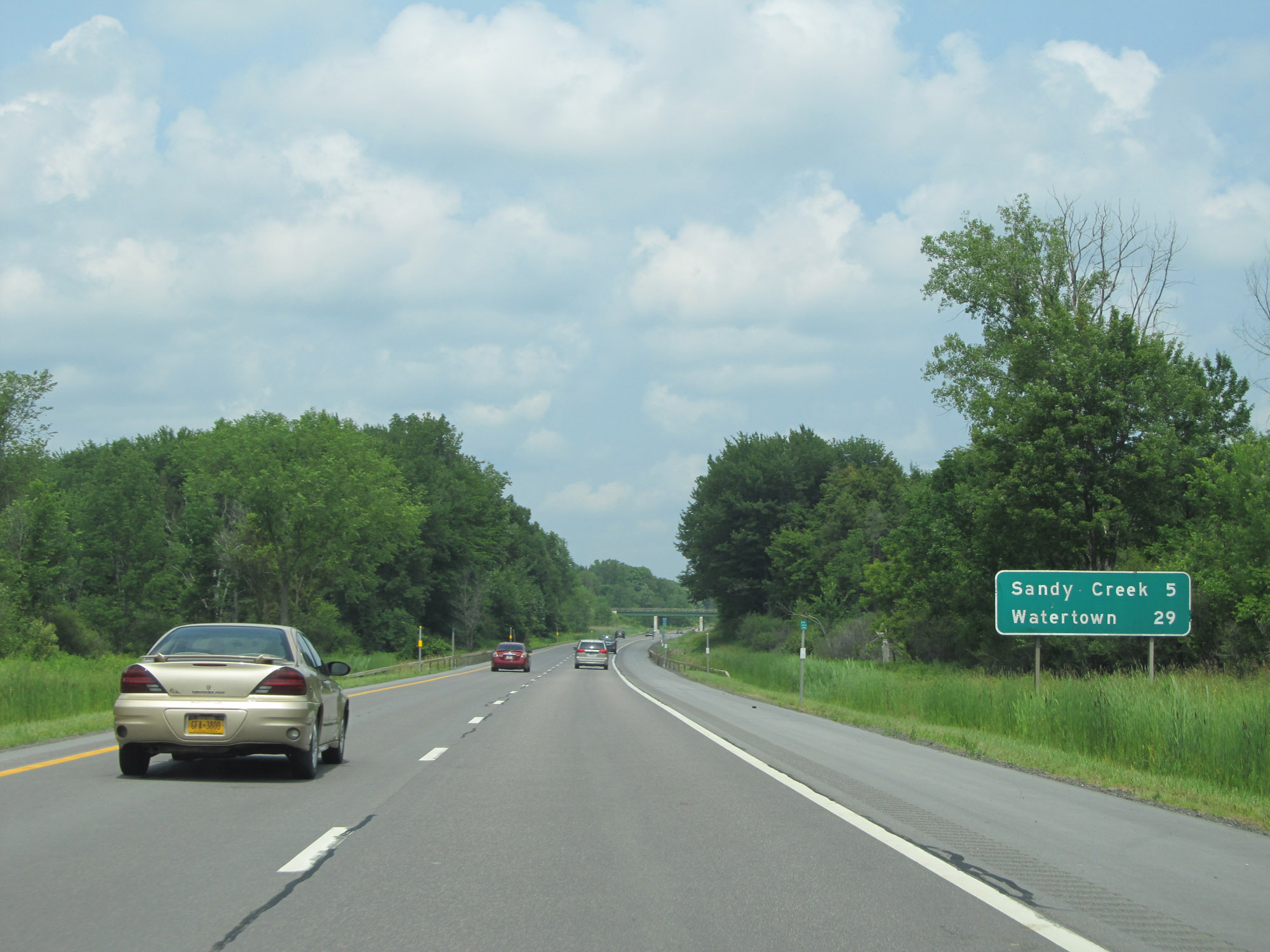 |
Another mileage sign on Interstate 81 North. It's 5 miles to Sandy Creek and 29 miles to Watertown. (Photo taken 7/4/15). |
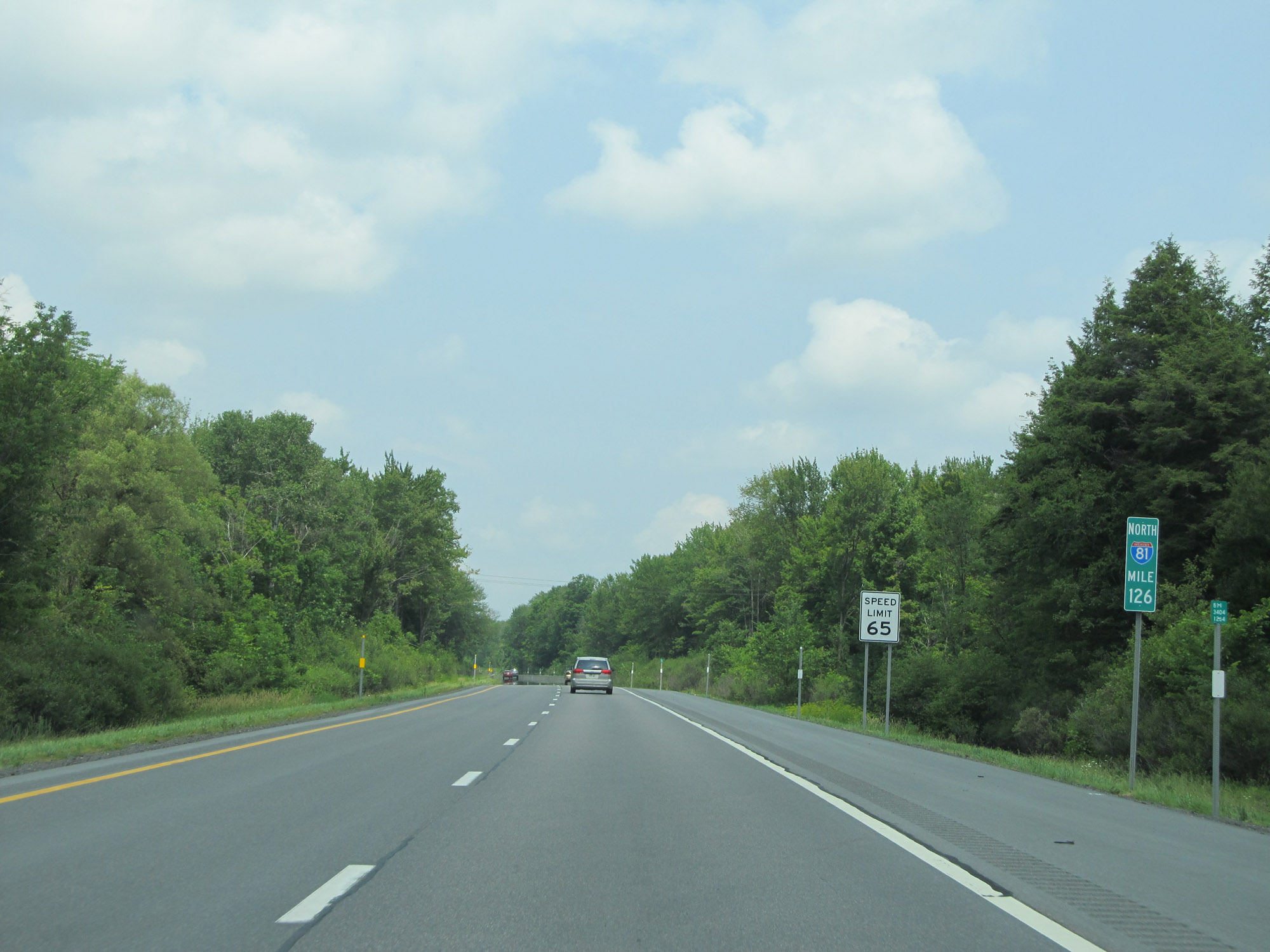 |
View on Interstate 81 North at mile marker 126. (Photo taken 7/4/15). |
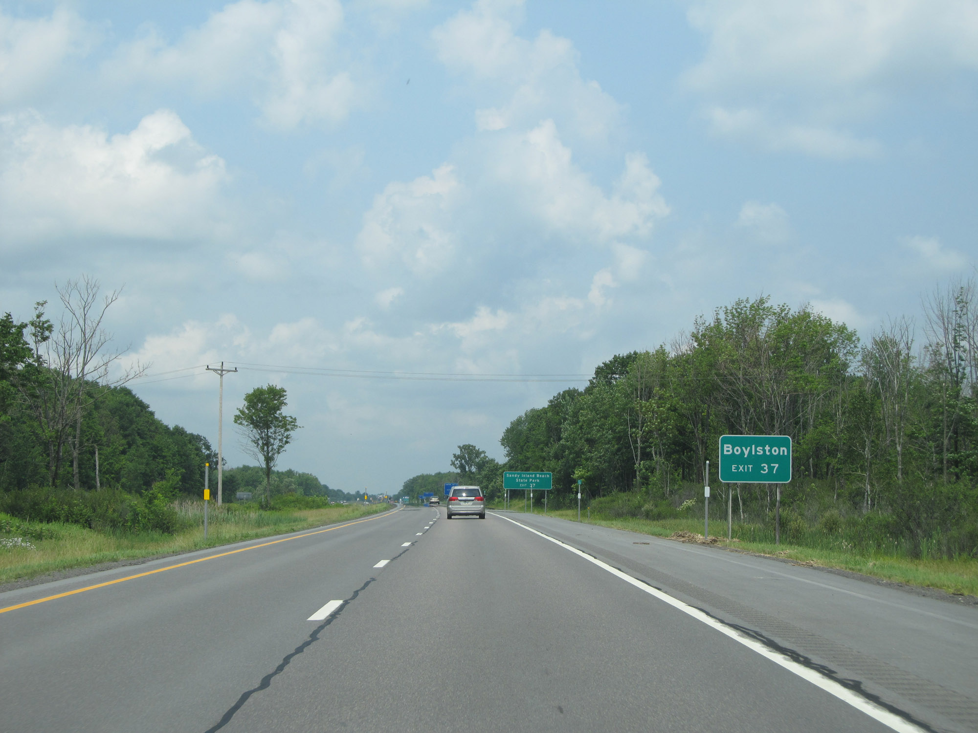 |
Take Exit 37 to Boylston. (Photo taken 7/4/15). |
 |
Also take Exit 37 to Sandy Island Beach State Park. (Photo taken 7/4/15). |
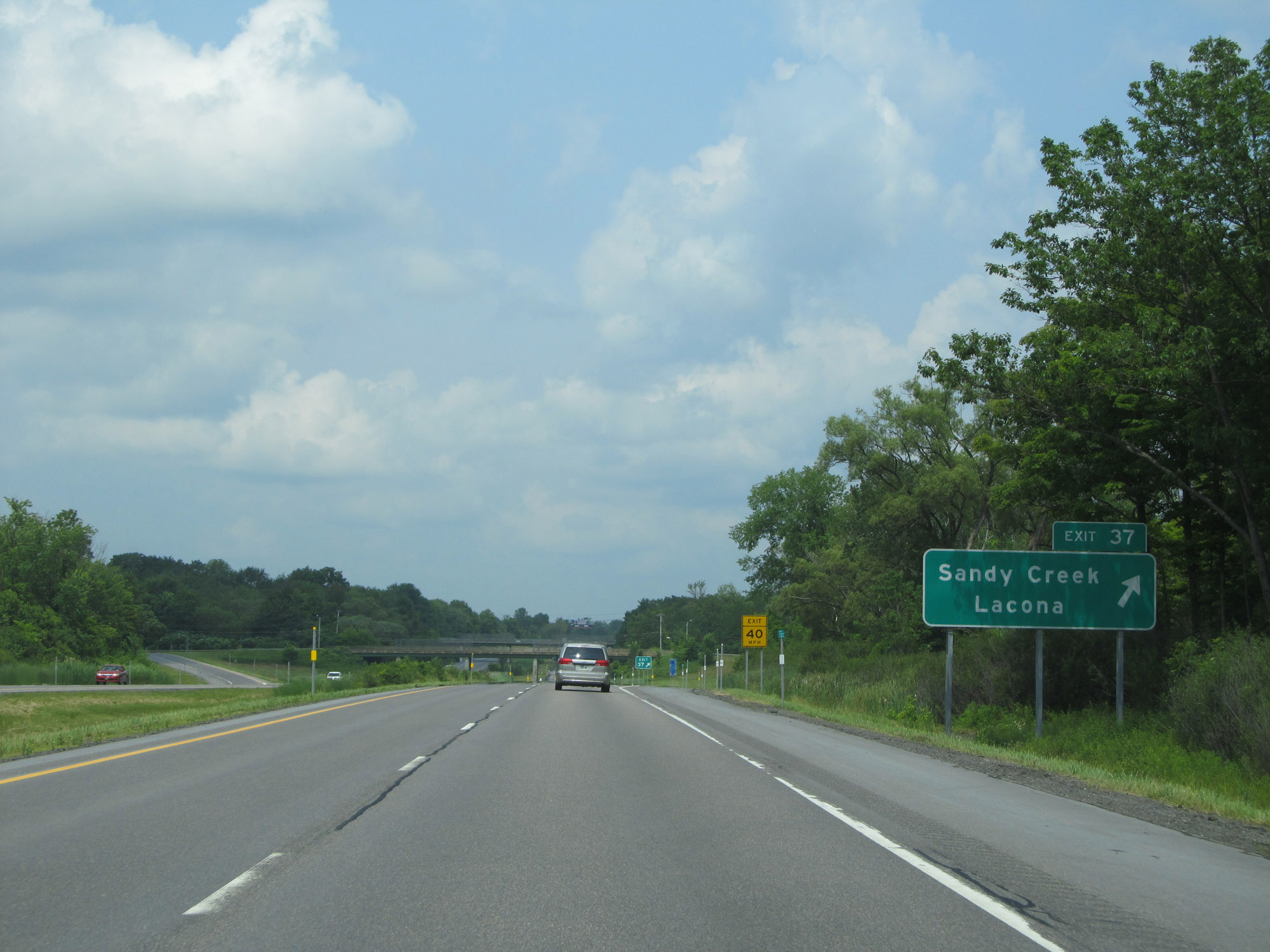 |
Interstate 81 North at Exit 37: Sandy Creek / Lacona (Photo taken 7/4/15). |
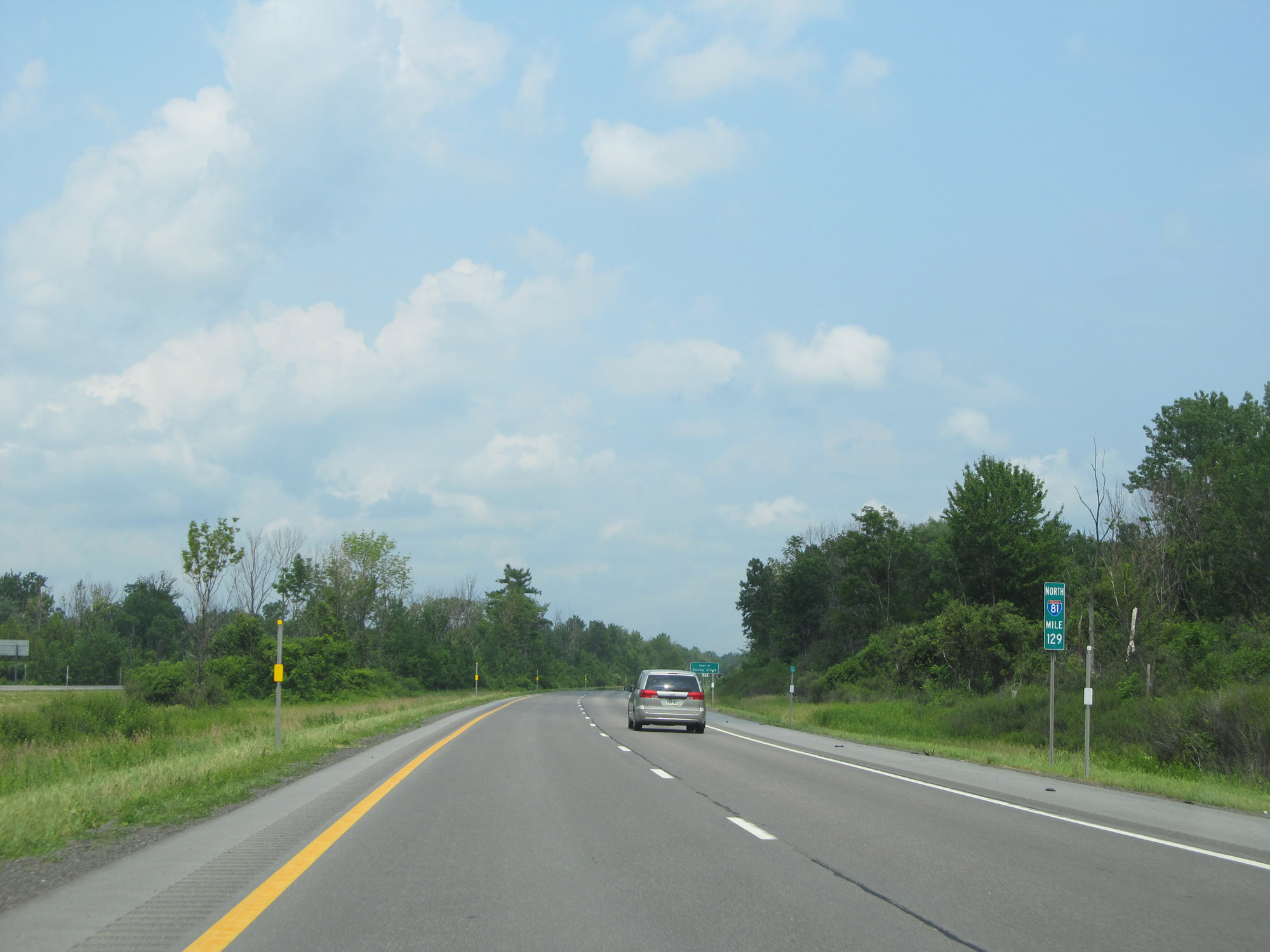 |
Interstate 81 North at mile marker 129. (Photo taken 7/4/15). |
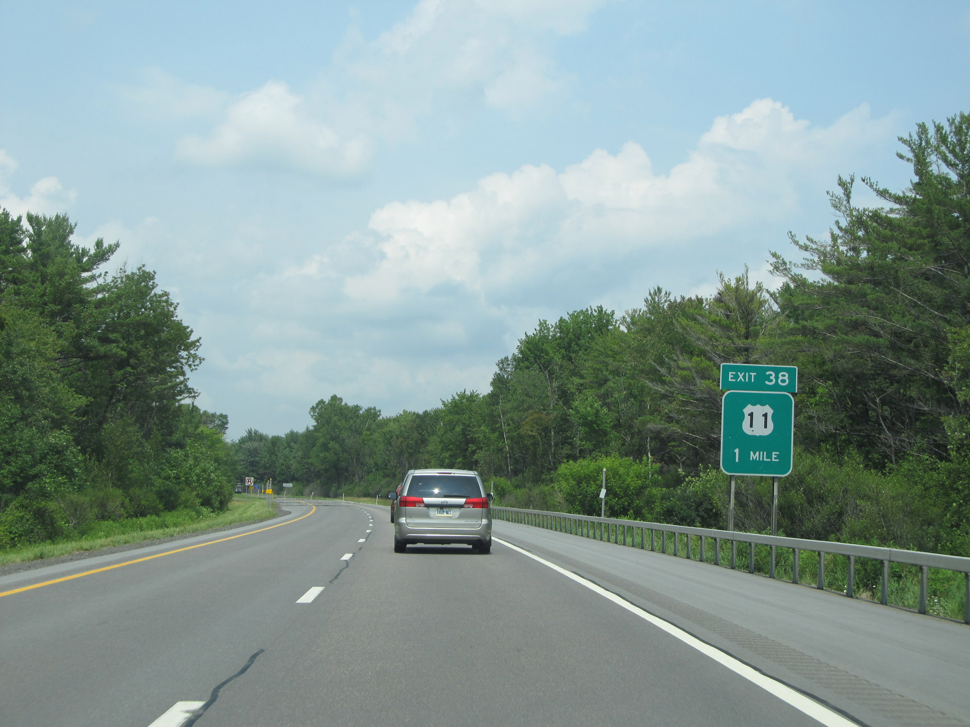 |
Interstate 81 North approaching Exit 38 - 1 mile. (Photo taken 7/4/15). |
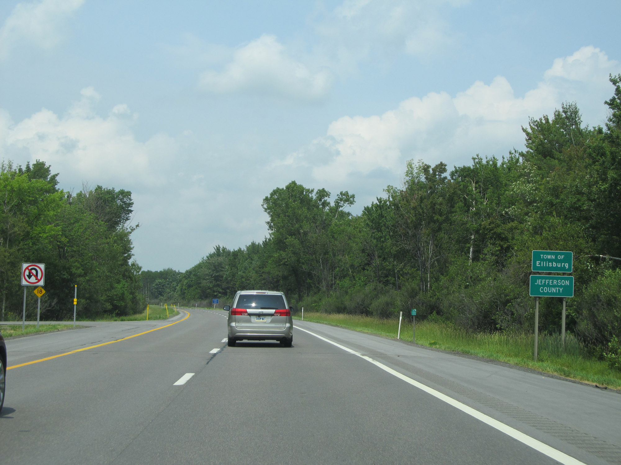 |
Entering Jefferson County on Interstate 81 North. (Photo taken 7/4/15). |
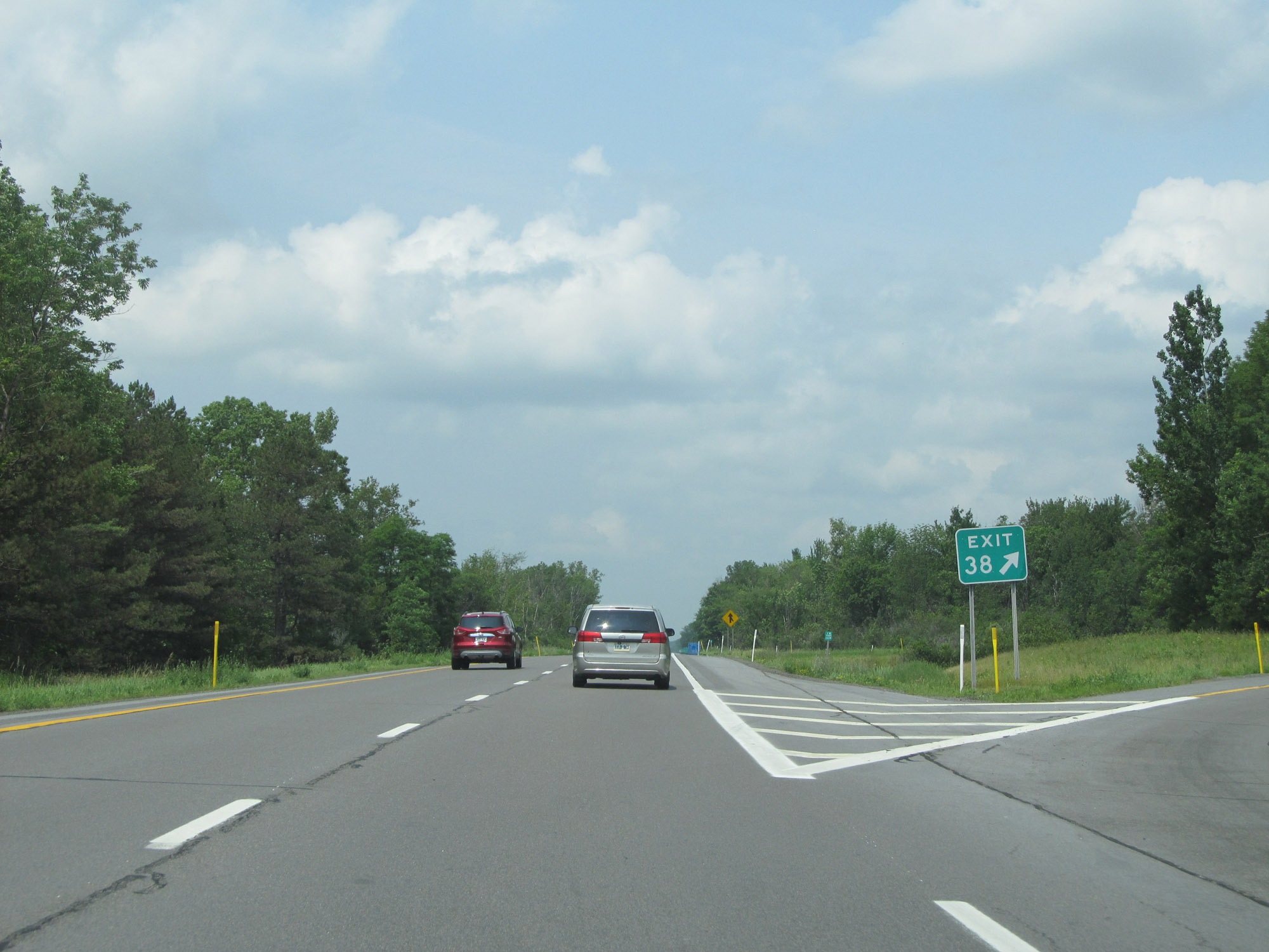 |
Interstate 81 North at Exit 38: US 11 (Photo taken 7/4/15). |
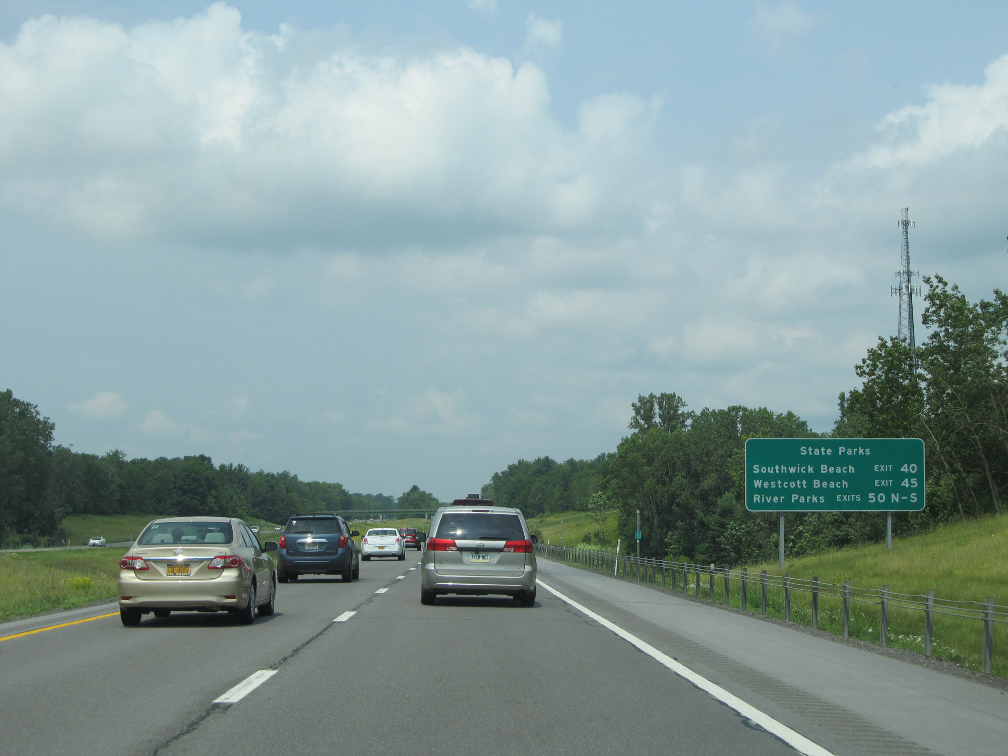 |
This sign shows the exits to take to the different State Parks listed. (Photo taken 7/4/15). |
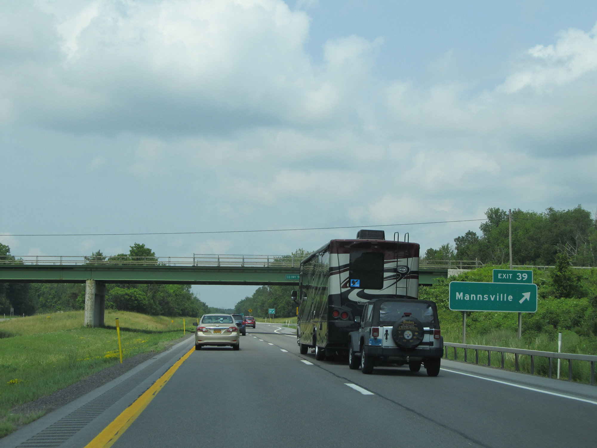 |
Interstate 81 North at Exit 39: Mannsville (Photo taken 7/4/15). |
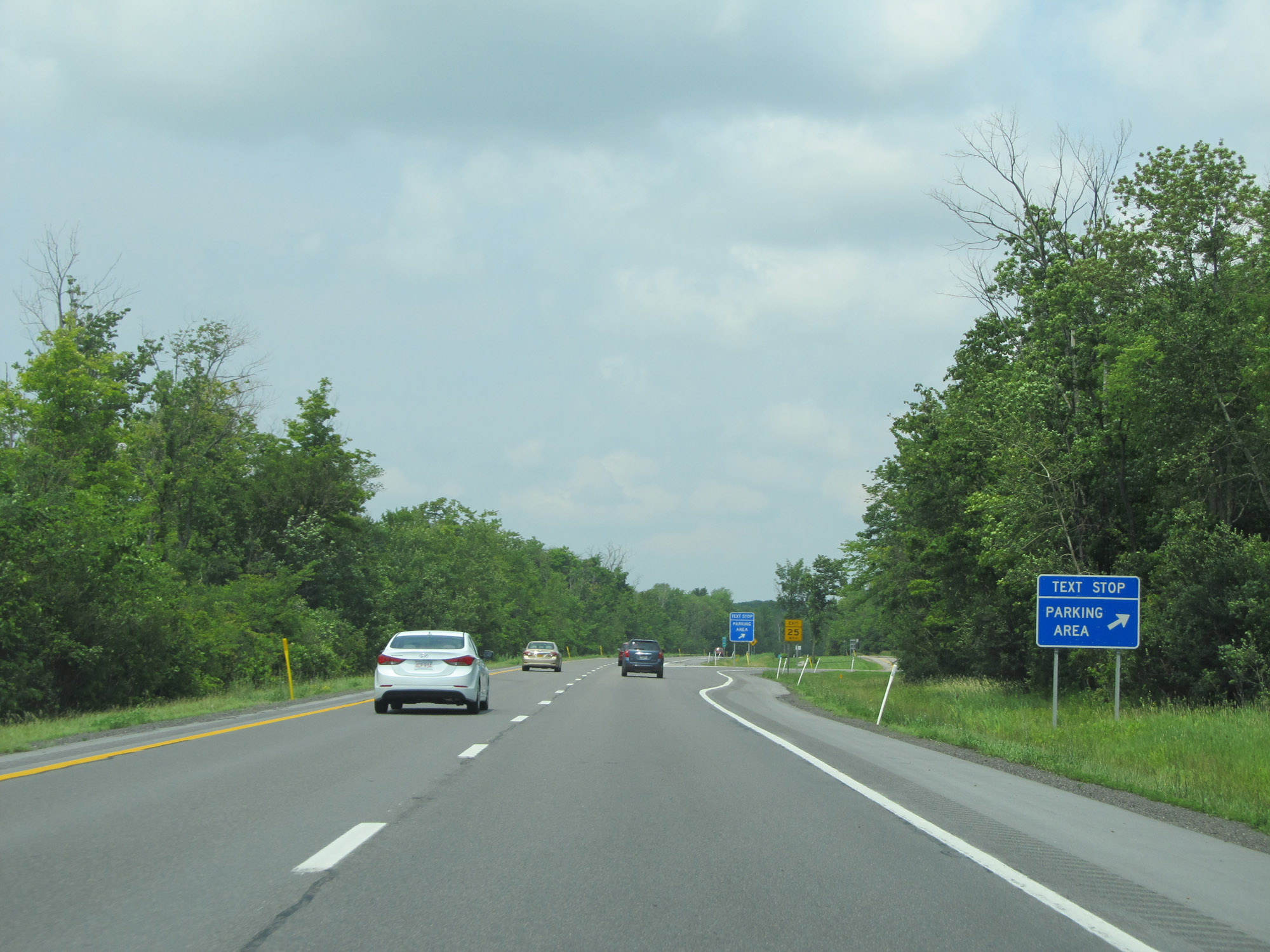 |
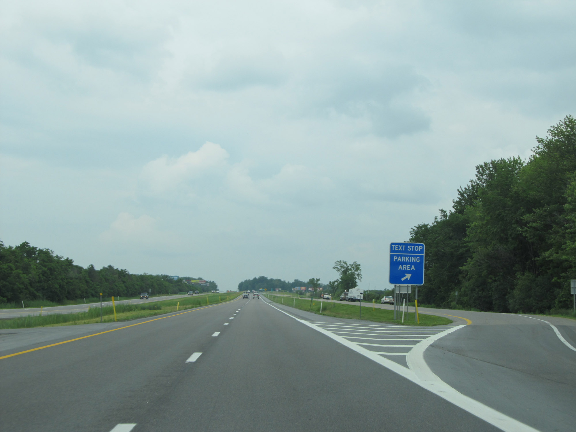
Parking Area / Text Stop on Interstate 81 North in Jefferson County. (Photo taken 7/4/15). |
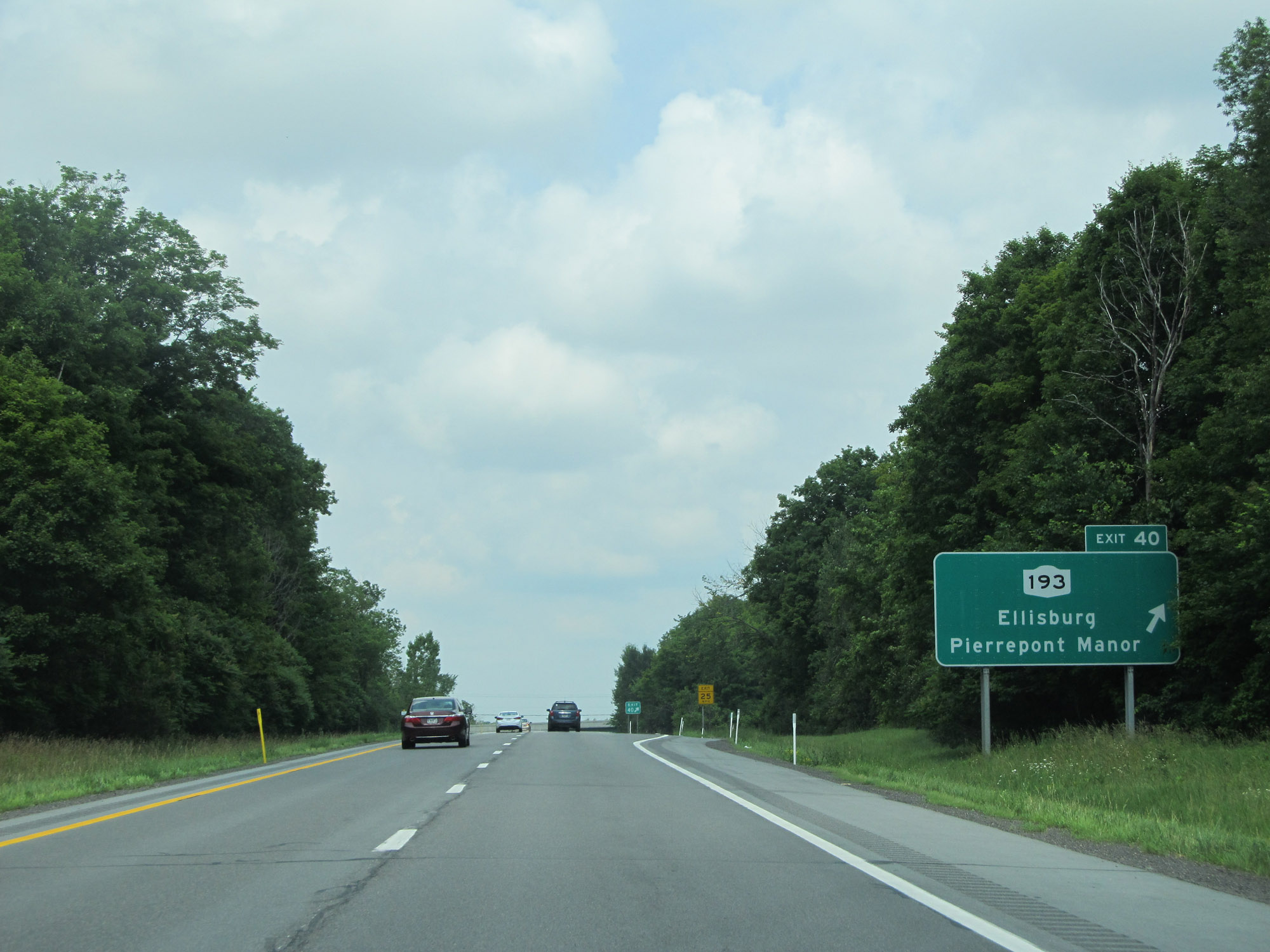 |
Interstate 81 North at Exit 40: NY 193 - Ellisburg / Pierrepont Manor (Photo taken 7/4/15). |
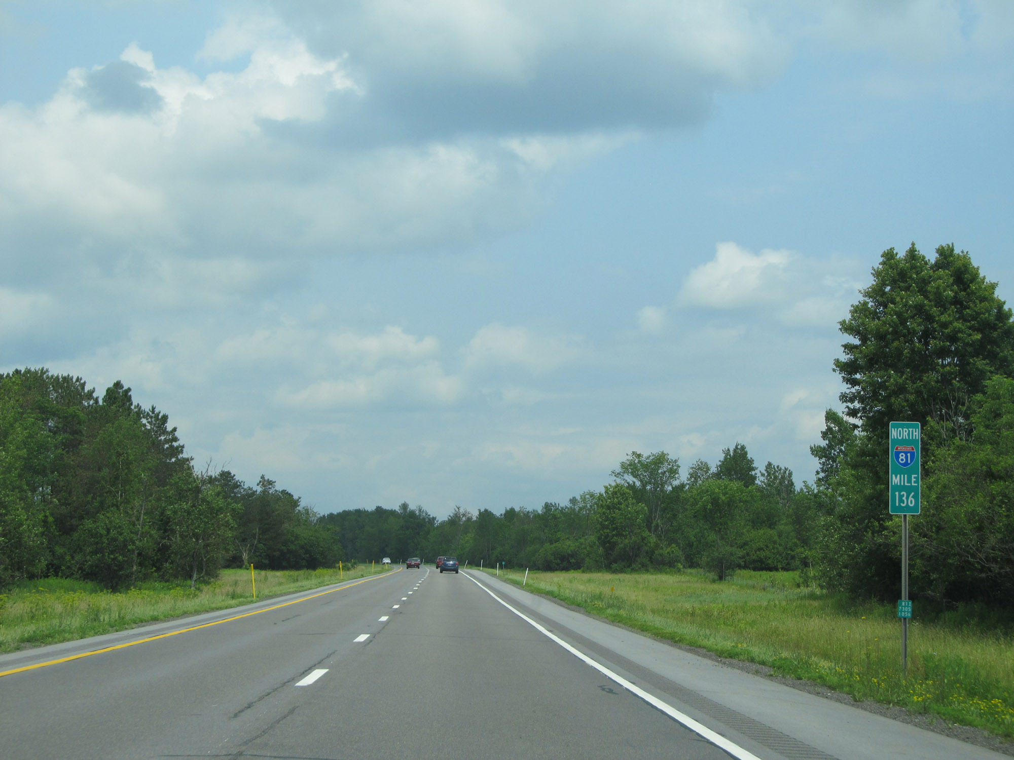 |
View on Interstate 81 North at mile marker 136. (Photo taken 7/4/15). |
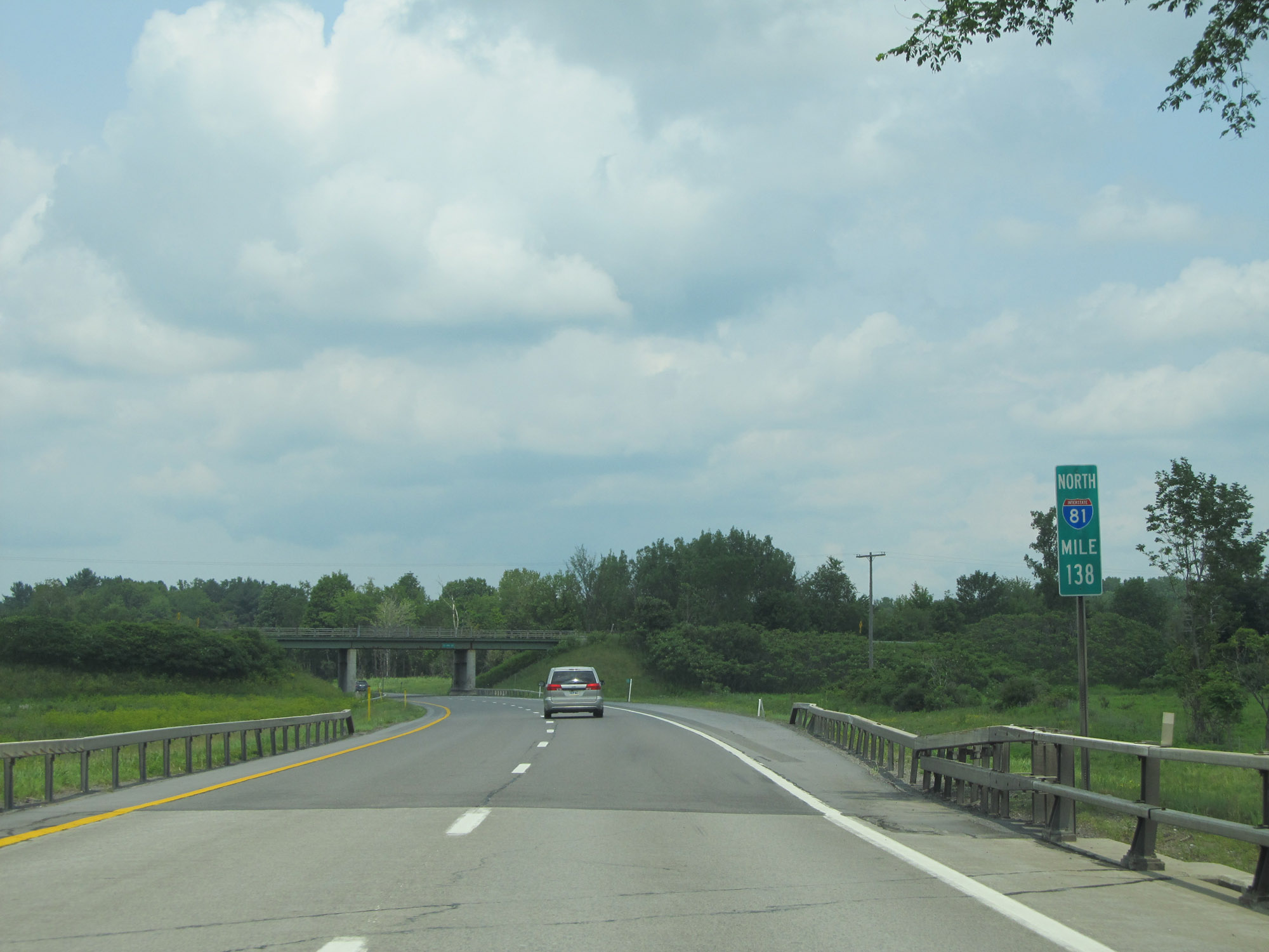 |
Interstate 81 North at mile marker 138. (Photo taken 7/4/15). |
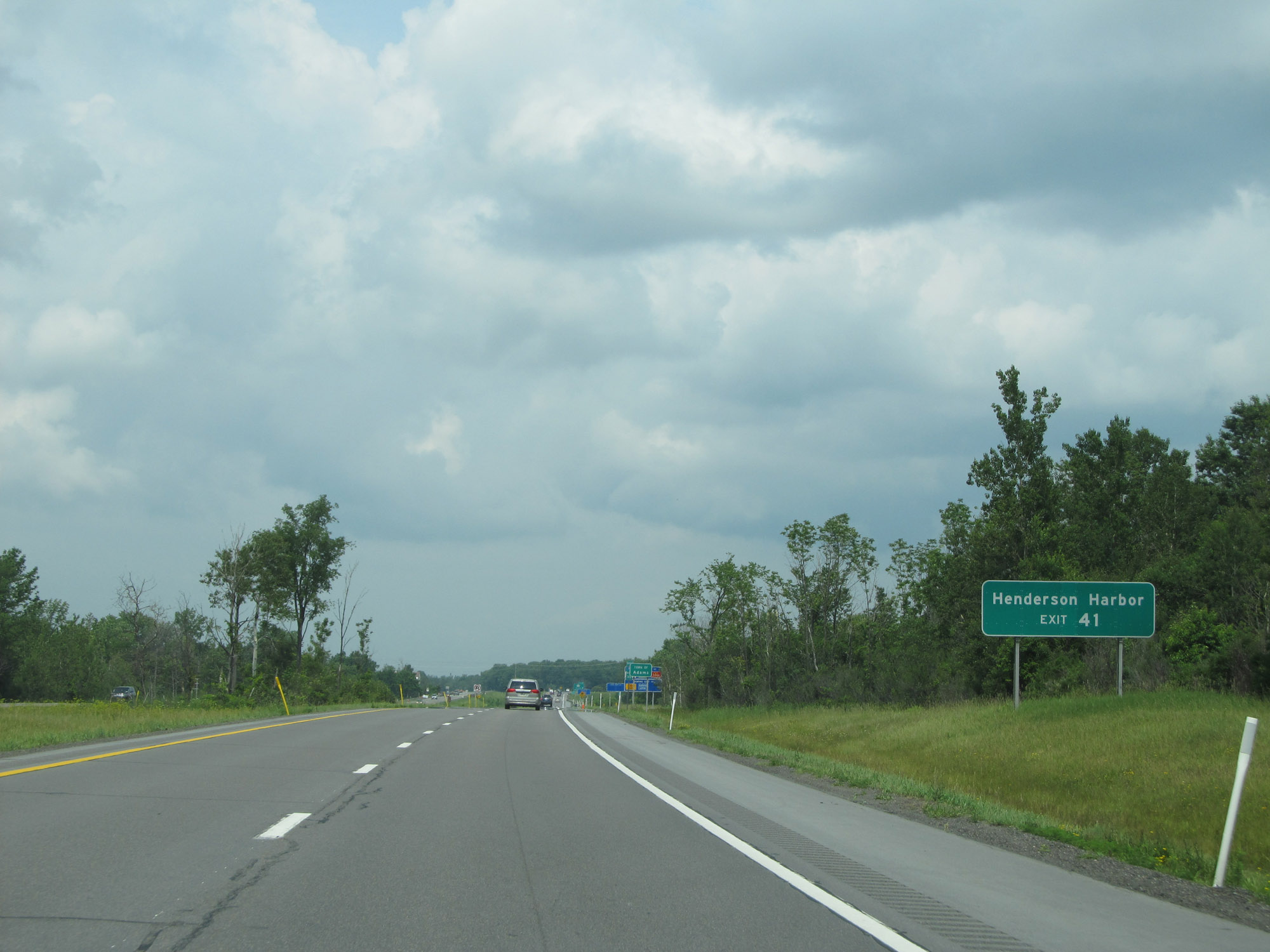 |
Take Exit 41 to Henderson Harbor. (Photo taken 7/4/15). |
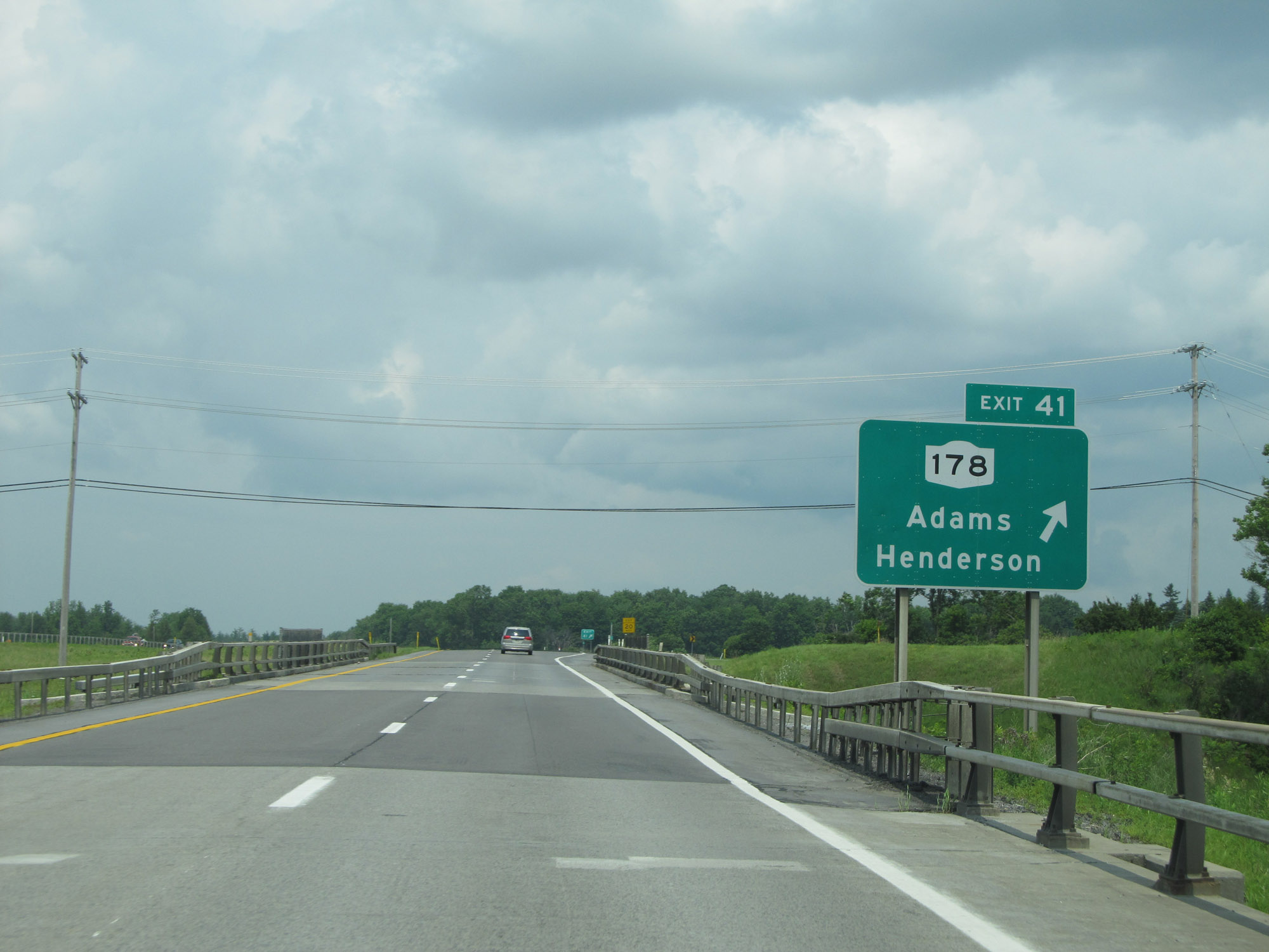 |
Interstate 81 North at Exit 41: NY 178 - Adams / Henderson (Photo taken 7/4/15). |
 |
Interstate 81 North reassurance shield. (Photo taken 7/4/15). |
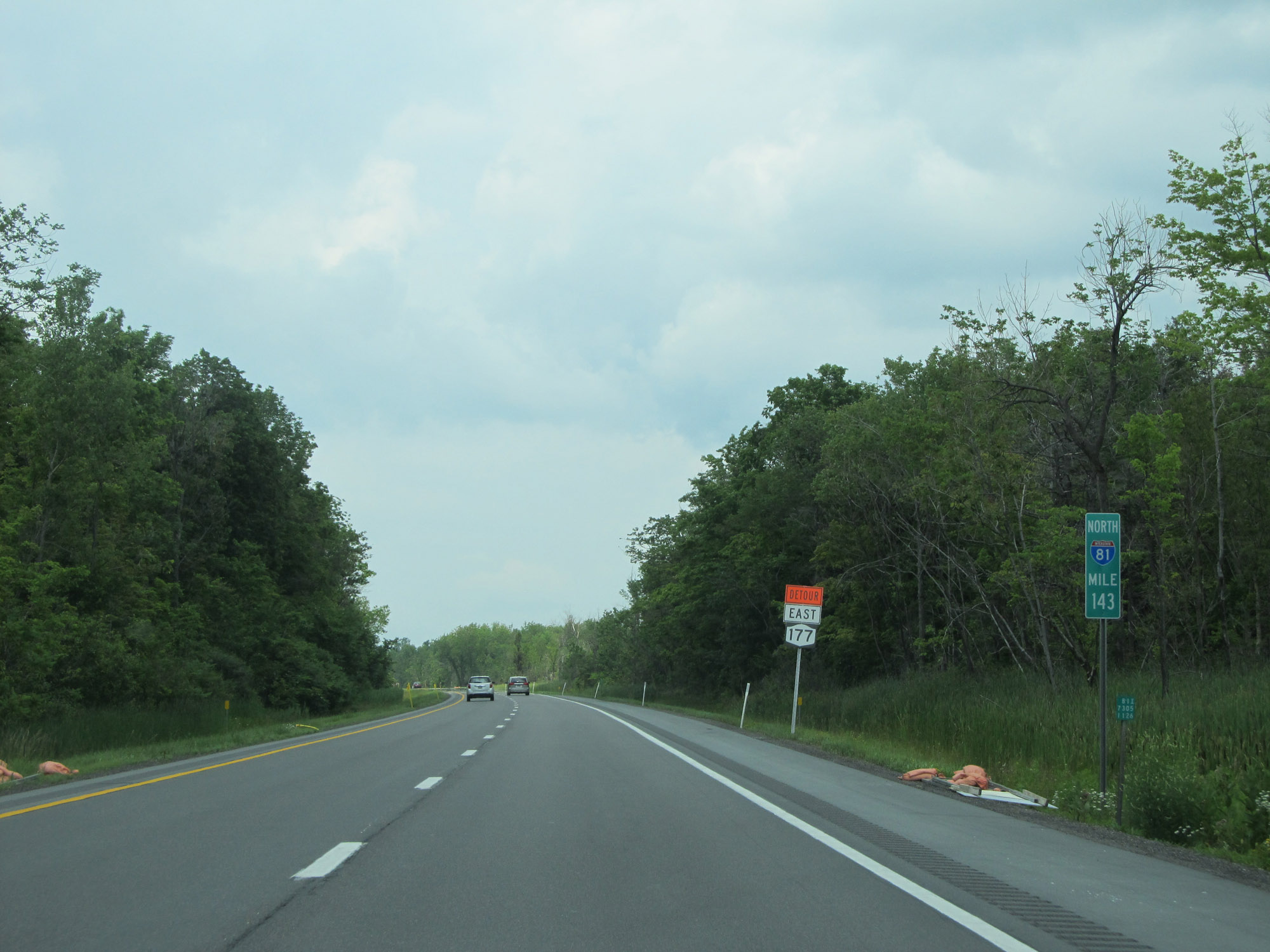 |
View on Interstate 81 North at mile marker 143. (Photo taken 7/4/15). |
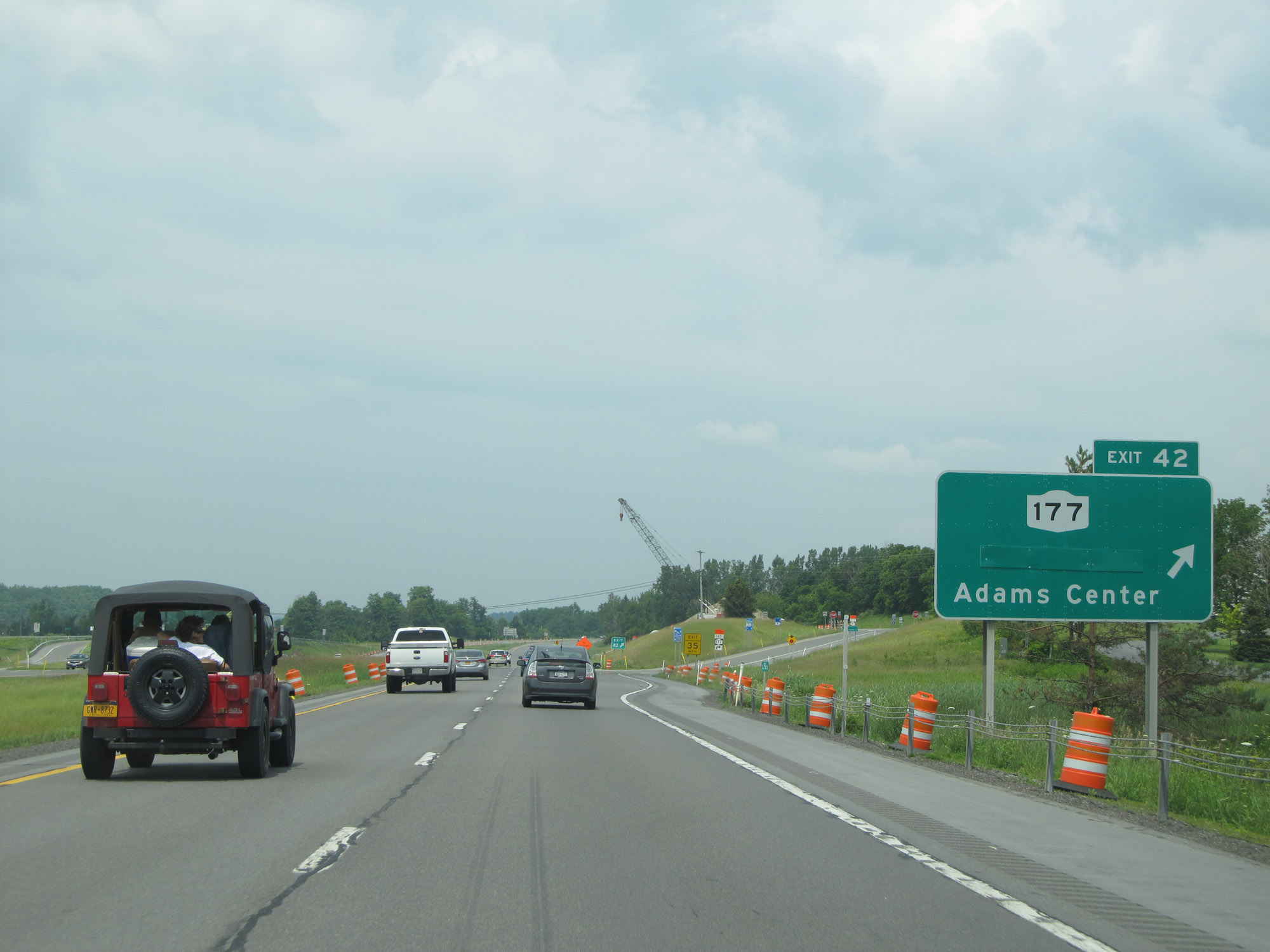 |
Interstate 81 North at Exit 42: NY 177 - Smithville / Adams Center (Photo taken 7/4/15). |
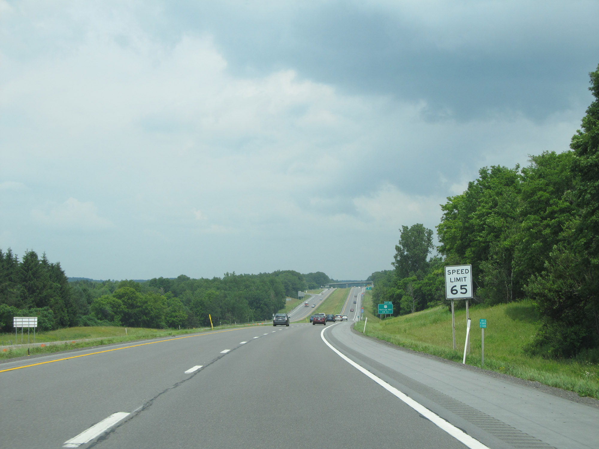 |
The speed limit remains 65 mph on Interstate 81 North. (Photo taken 7/4/15). |
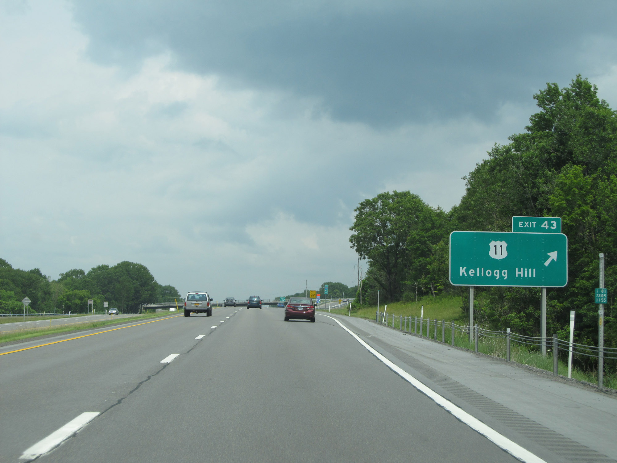 |
Interstate 81 North at Exit 43: US 11 - Kellogg Hill (Photo taken 7/4/15). |
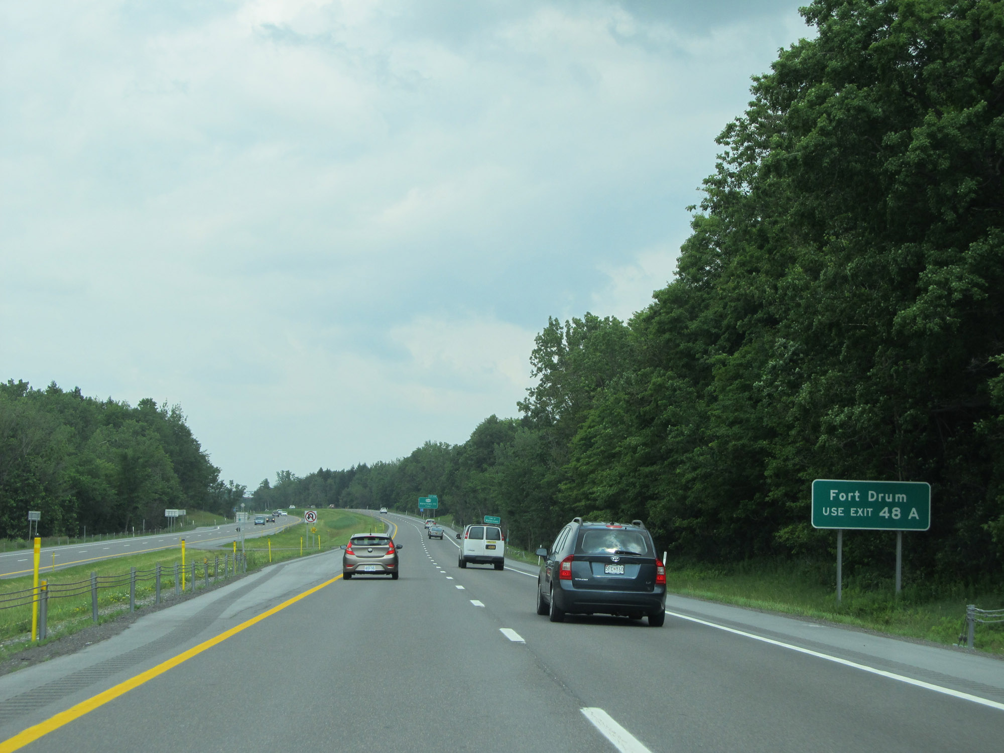 |
Traffic to Fort Drum should use Exit 48A. (Photo taken 7/4/15). |
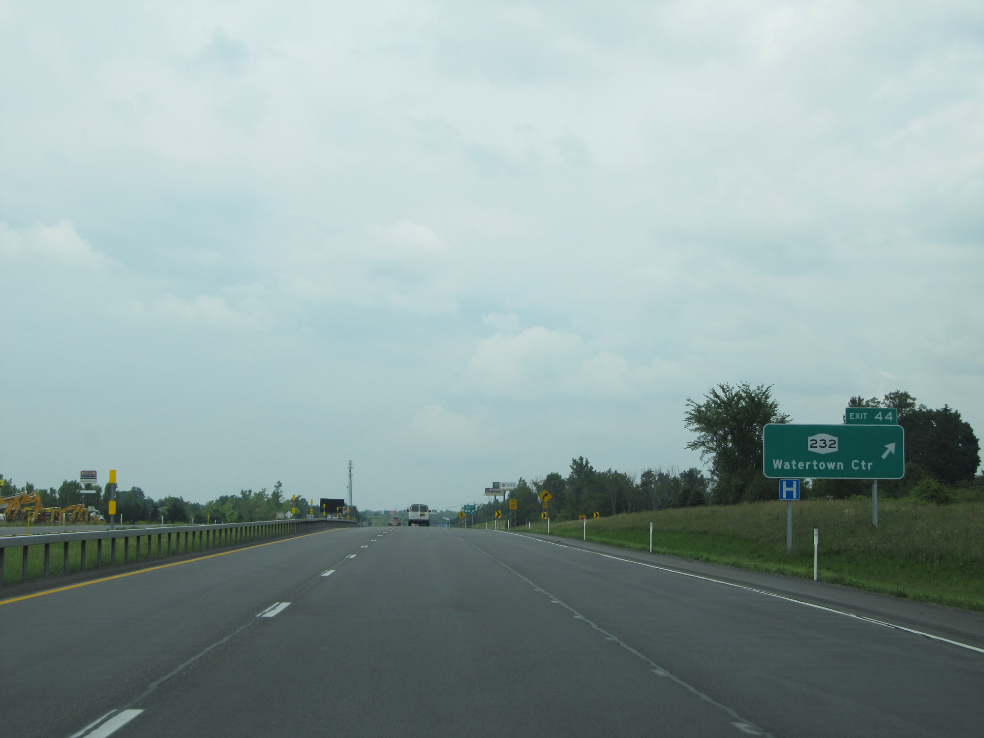 |
Interstate 81 North at Exit 44: NY 232 - Watertown Center (Photo taken 7/4/15). |
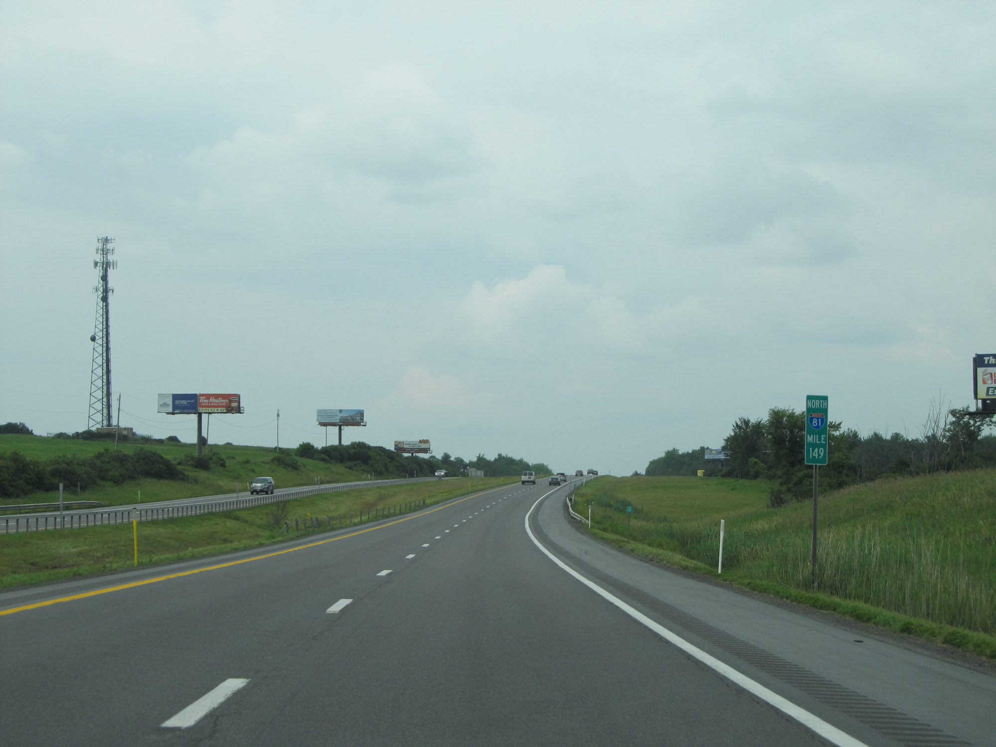 |
View on Interstate 81 North at mile marker 149. (Photo taken 7/4/15). |
 |
Another Parking Area / Text Stop in Jefferson County, nearing Watertown. (Photo taken 7/4/15). |
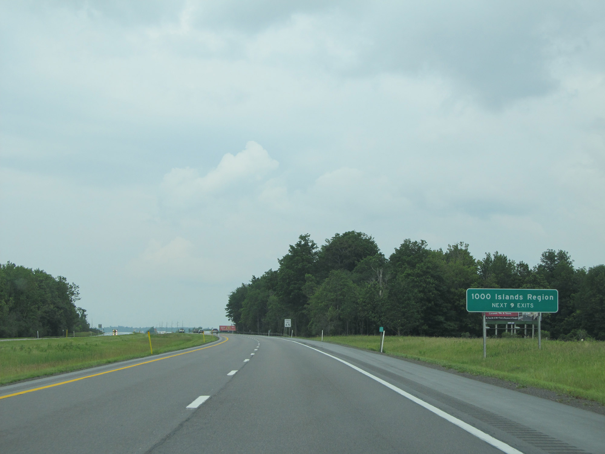 |
Take any of the next 9 exits to the 1000 Islands Region. (Photo taken 7/4/15). |
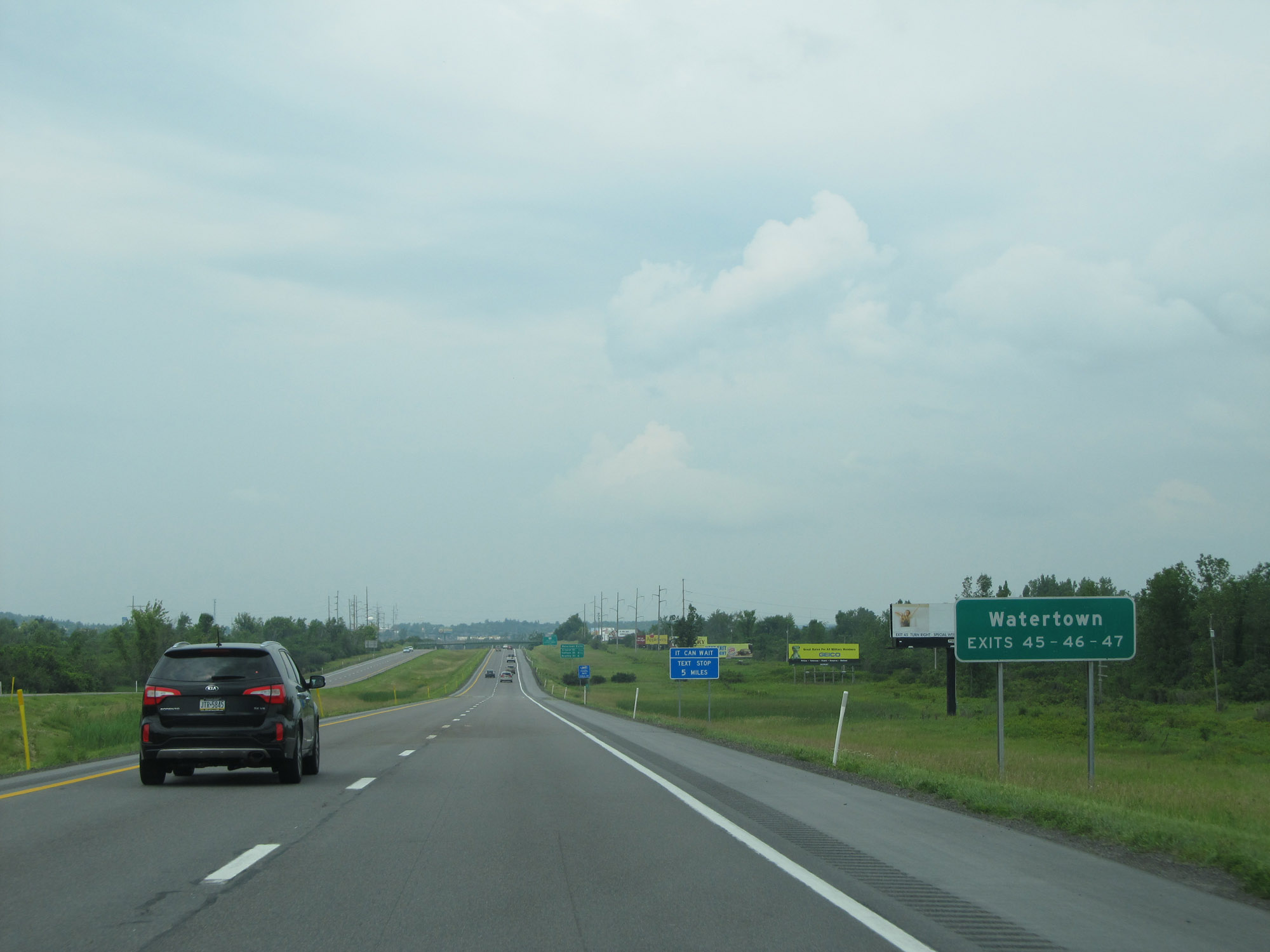 |
Take Exits 45, 46, or 47 to Watertown. (Photo taken 7/4/15). |
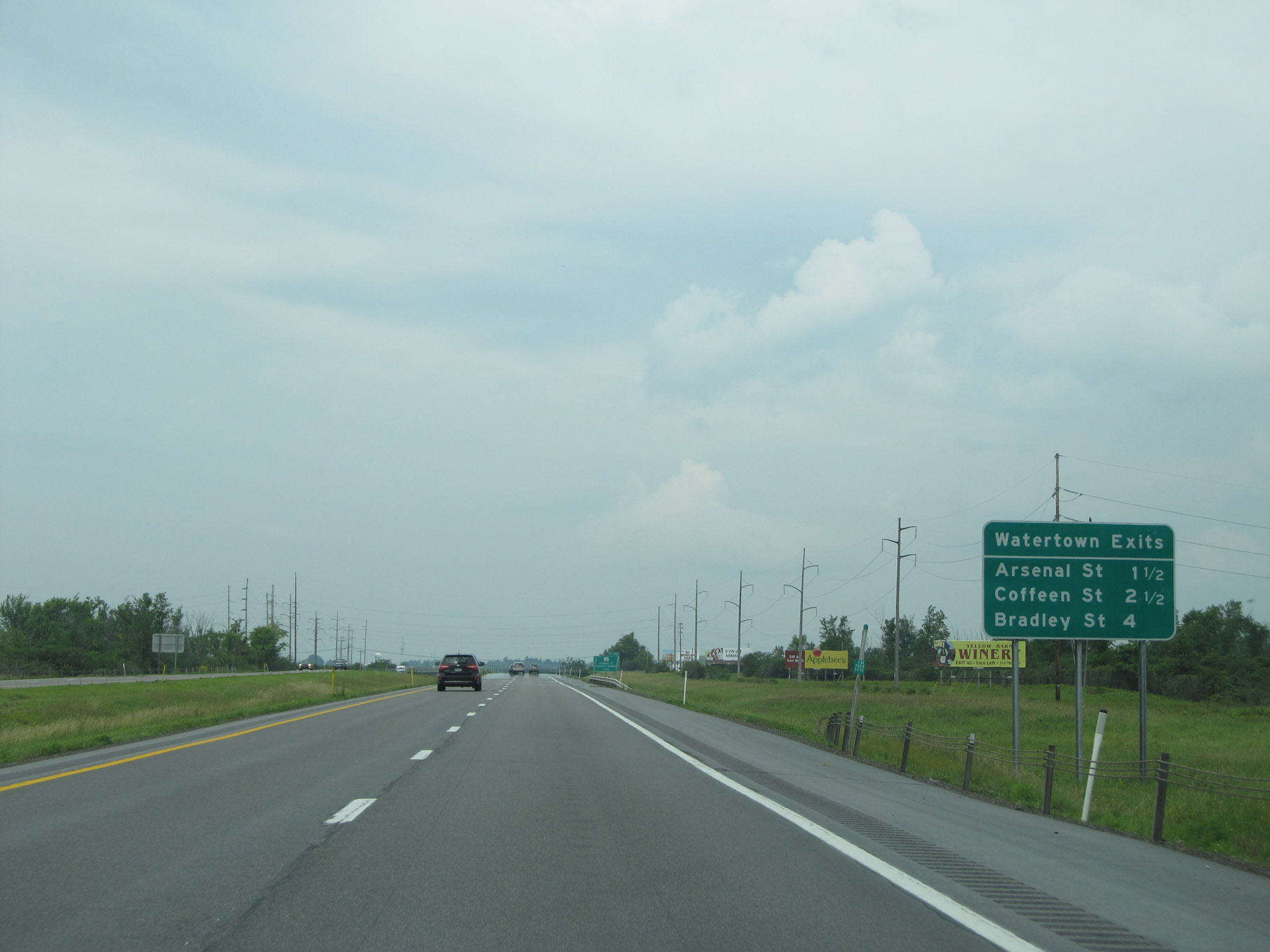 |
This sign lists the distances to the three upcoming exits to Watertown. (Photo taken 7/4/15). |
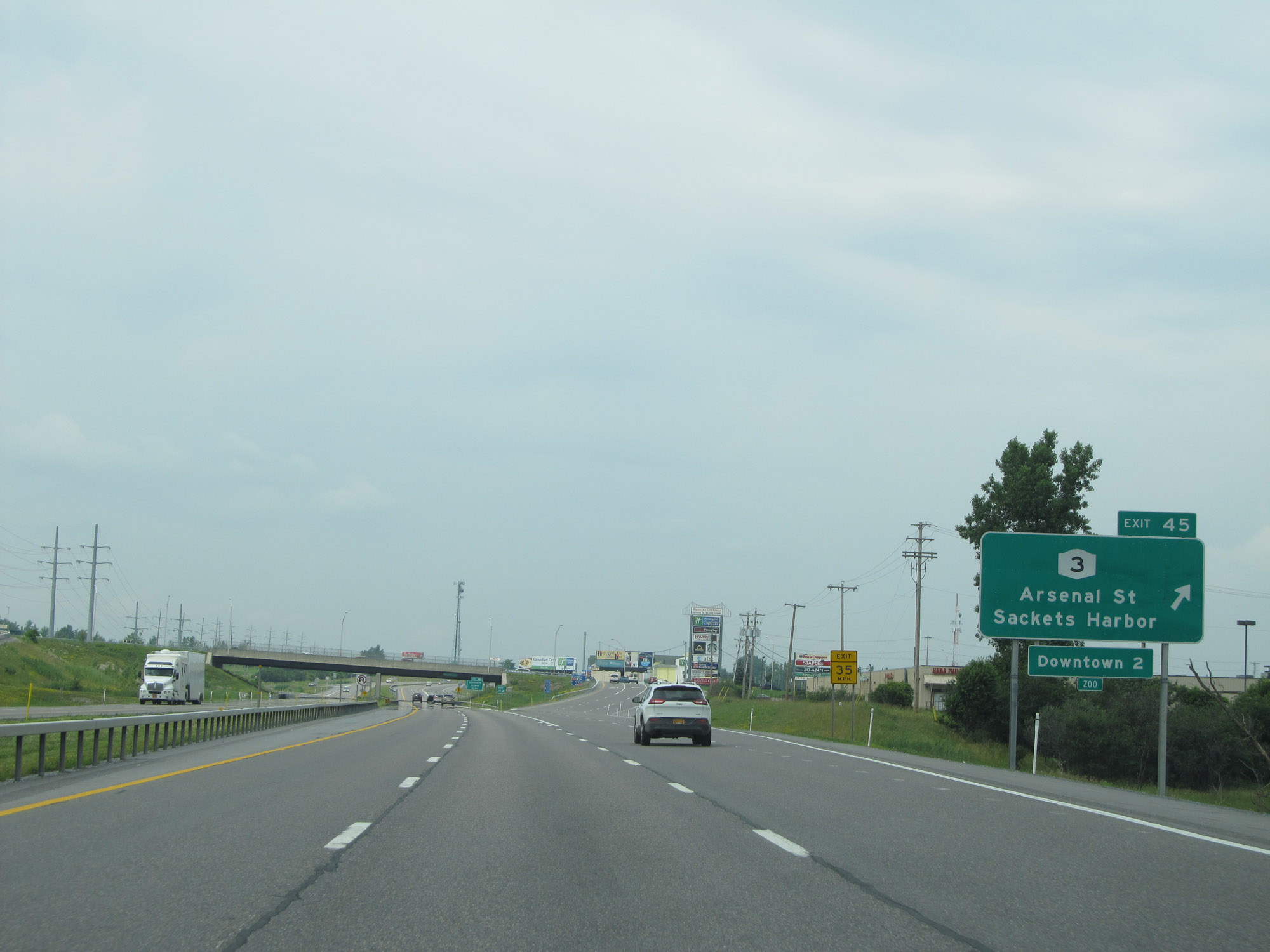 |
Interstate 81 North at Exit 45: NY 3 - Arsenal St / Sackets Harbor (Photo taken 7/4/15). |
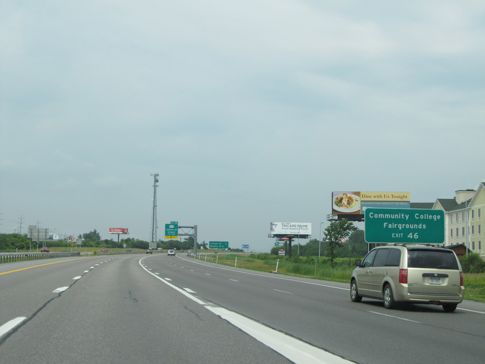 |
Take Exit 46 to the Community College and Fairgrounds. (Photo taken 7/4/15). |
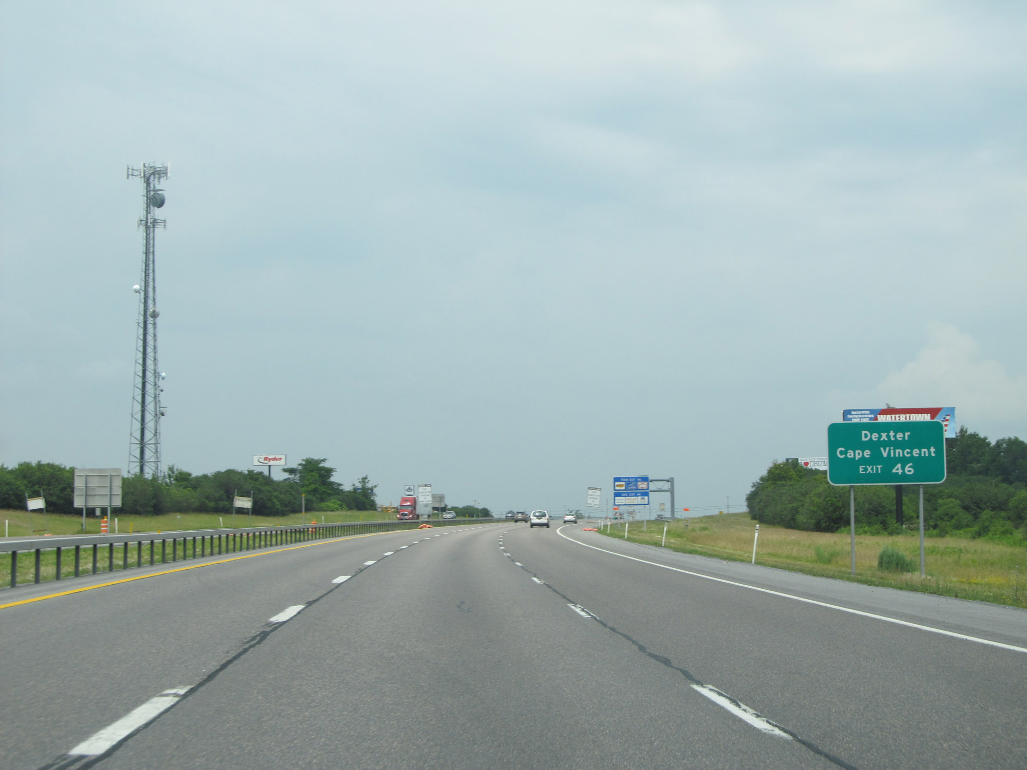 |
Also take Exit 46 to Dexter and Cape Vincent. (Photo taken 7/4/15). |
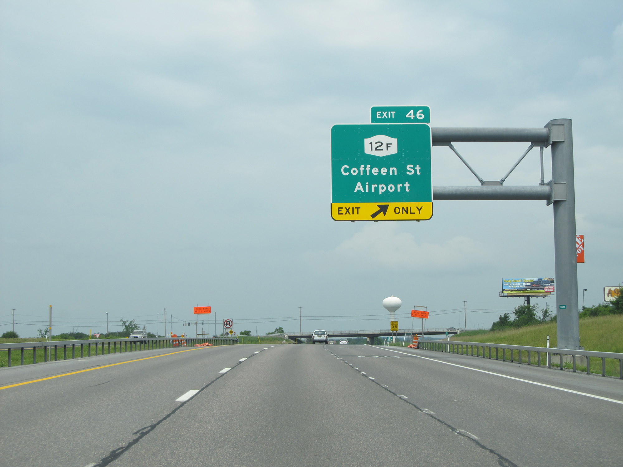 |
Interstate 81 North at Exit 46: NY 12F - Coffeen St / Airport (Photo taken 7/4/15). |
Section 3: Watertown (Exit 46) to Canadian Border
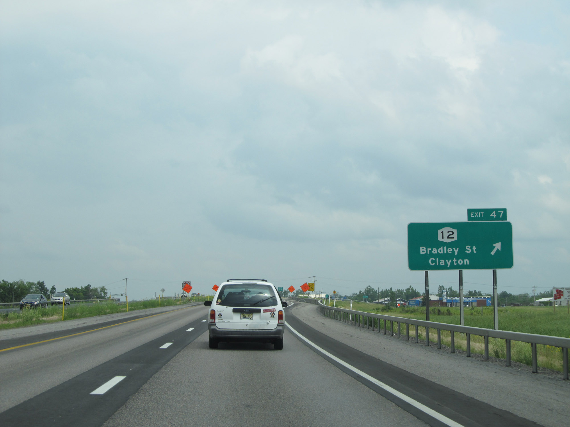 |
Interstate 81 North at Exit 47: NY 12 - Bradley St / Clayton (Photo taken 7/4/15). |
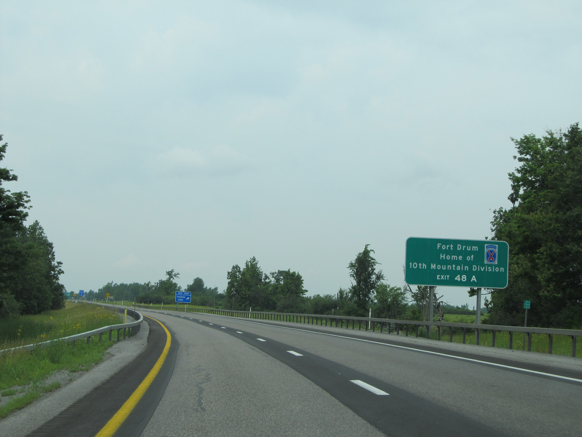 |
Take Exit 48A to Fort Drum, home of the 10th Mountain Division. (Photo taken 7/4/15). |
 |
Parking Area / Text Stop on Interstate 81 North in Jefferson County, to the north of Watertown. (Photo taken 7/4/15). |
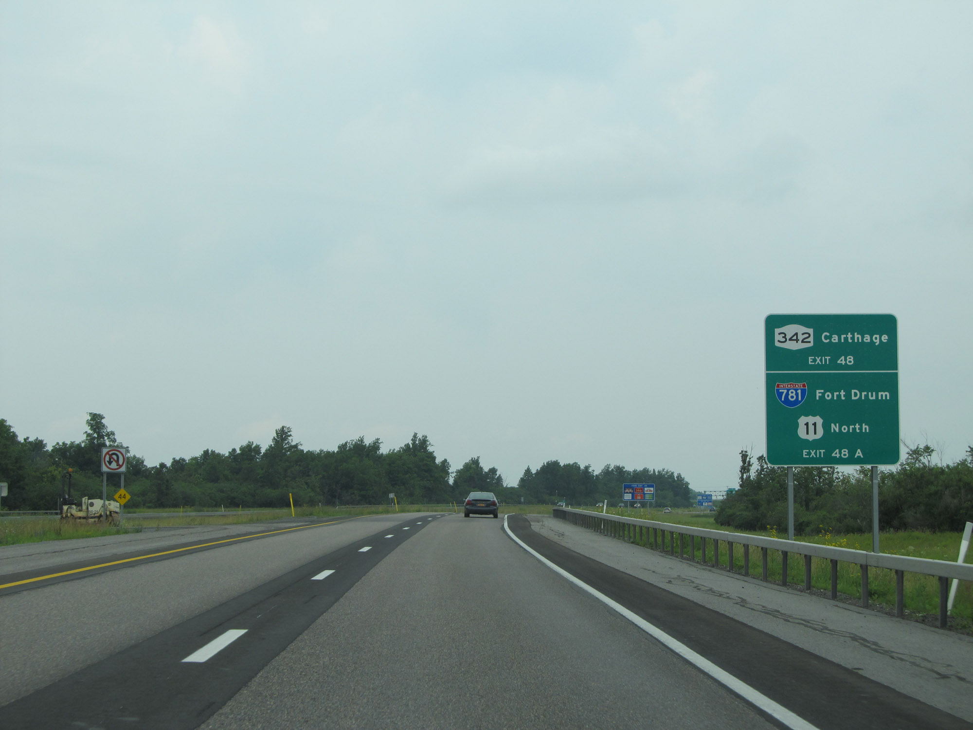 |
Take Exit 48 to NY 342 toward Carthage. Take Exit 48A to Interstate 781 and US 11 North, toward Fort Drum. (Photo taken 7/4/15). |
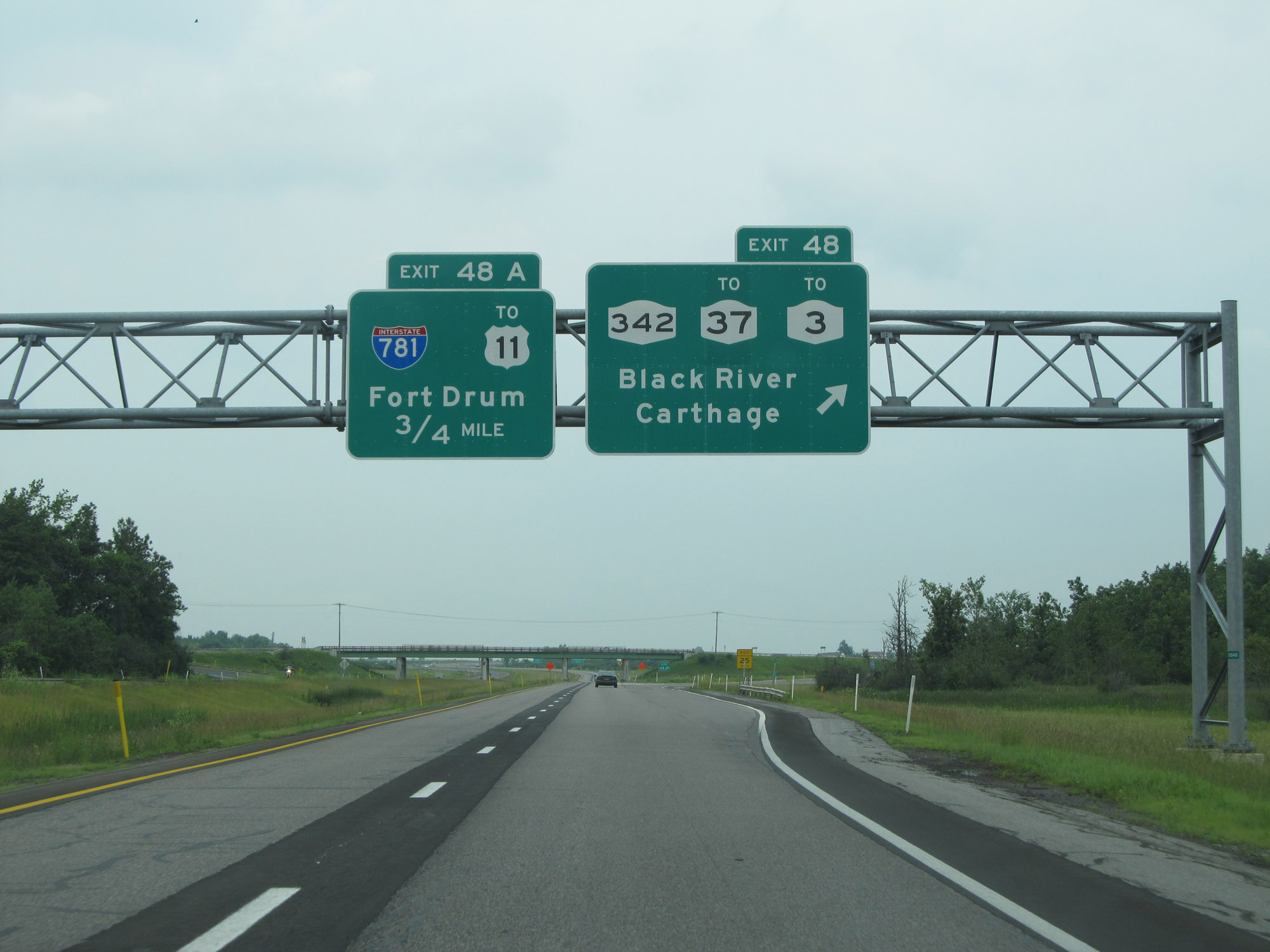 |
Interstate 81 North at Exit 48: NY 342 / To NY 37 / To NY 3 - Black River / Carthage (Photo taken 7/4/15). |
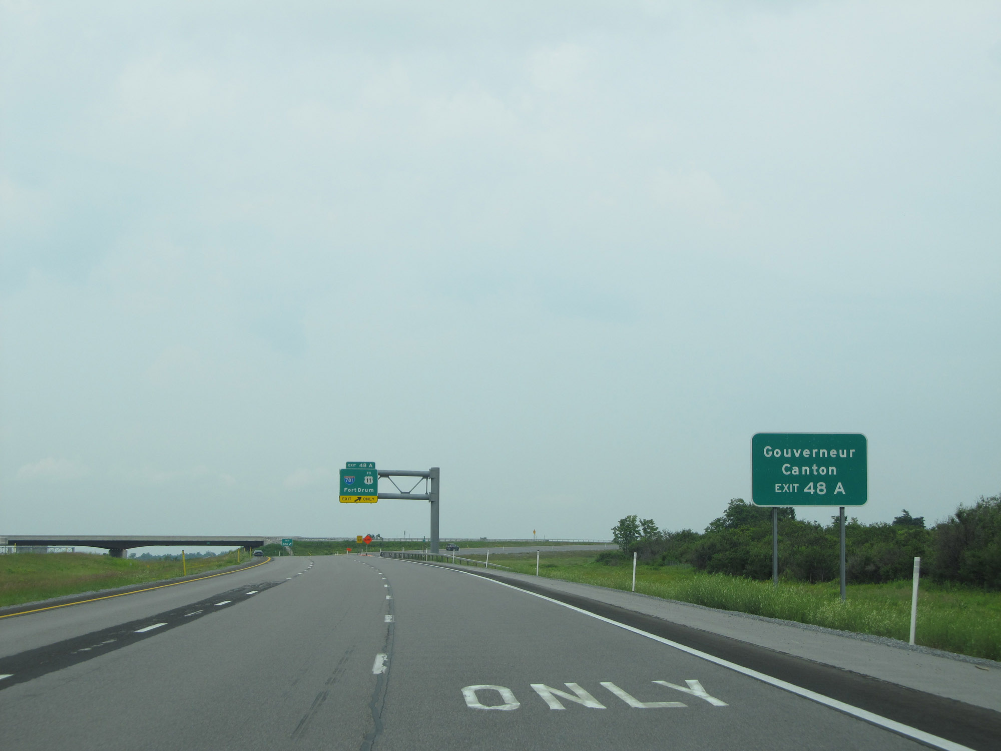 |
Take Exit 48A (Interstate 781 East) to Gouverneur and Canton. (Photo taken 7/4/15). |
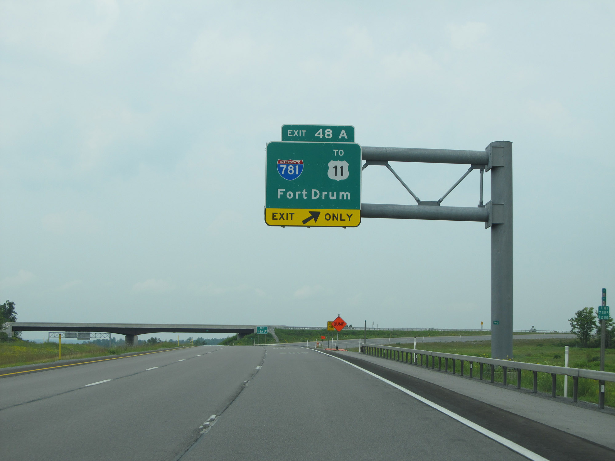 |
Interstate 81 North at Exit 48A: Interstate 781 East / To US 11 - Fort Drum (Photo taken 7/4/15). |
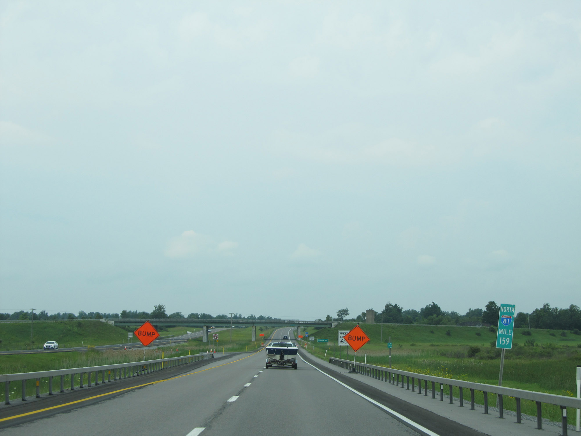 |
View on Interstate 81 North at mile marker 159. (Photo taken 7/4/15). |
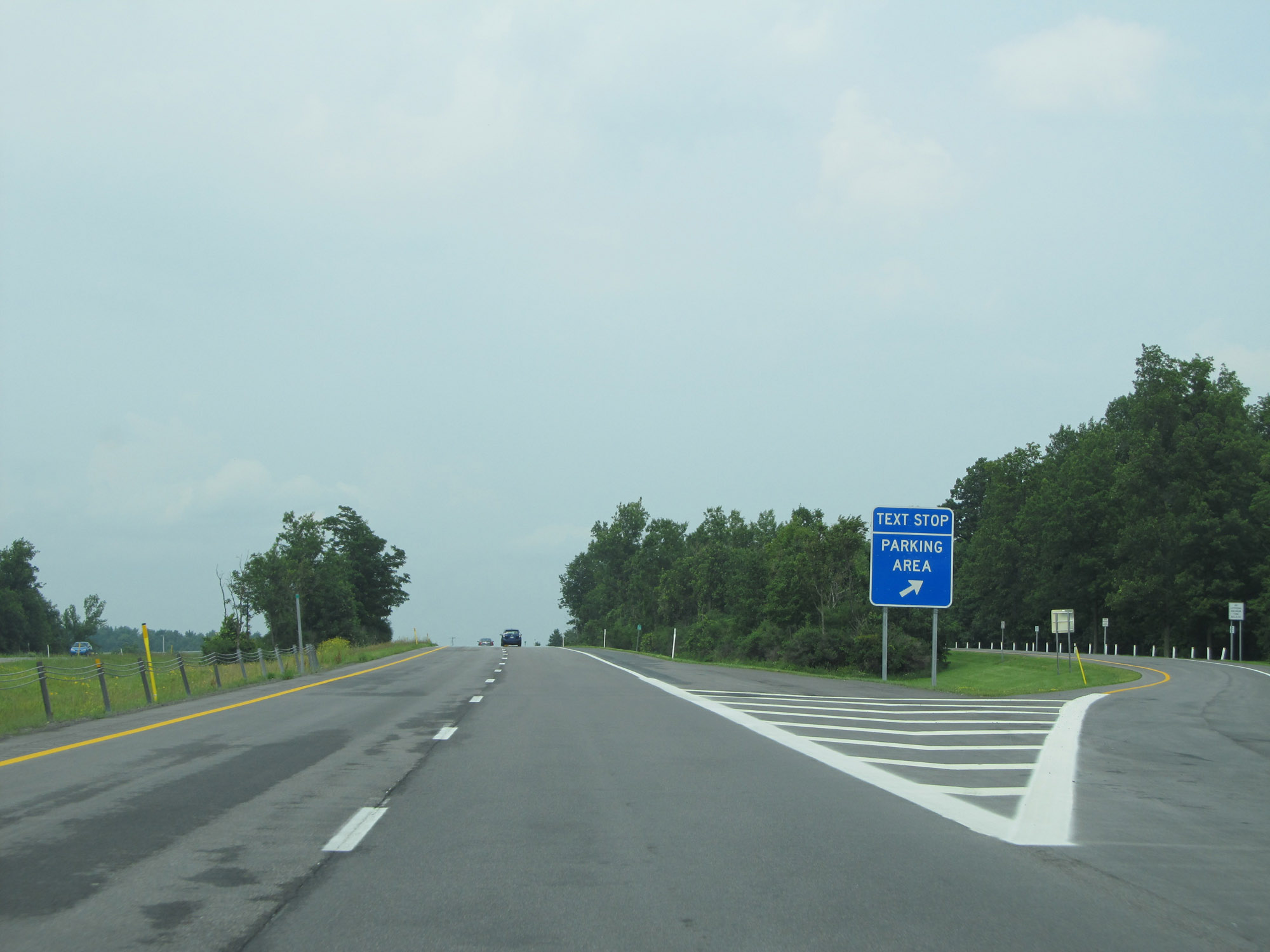 |
Another Parking Area / Text Stop on Interstate 81 North in Jefferson County. (Photo taken 7/4/15). |
 |
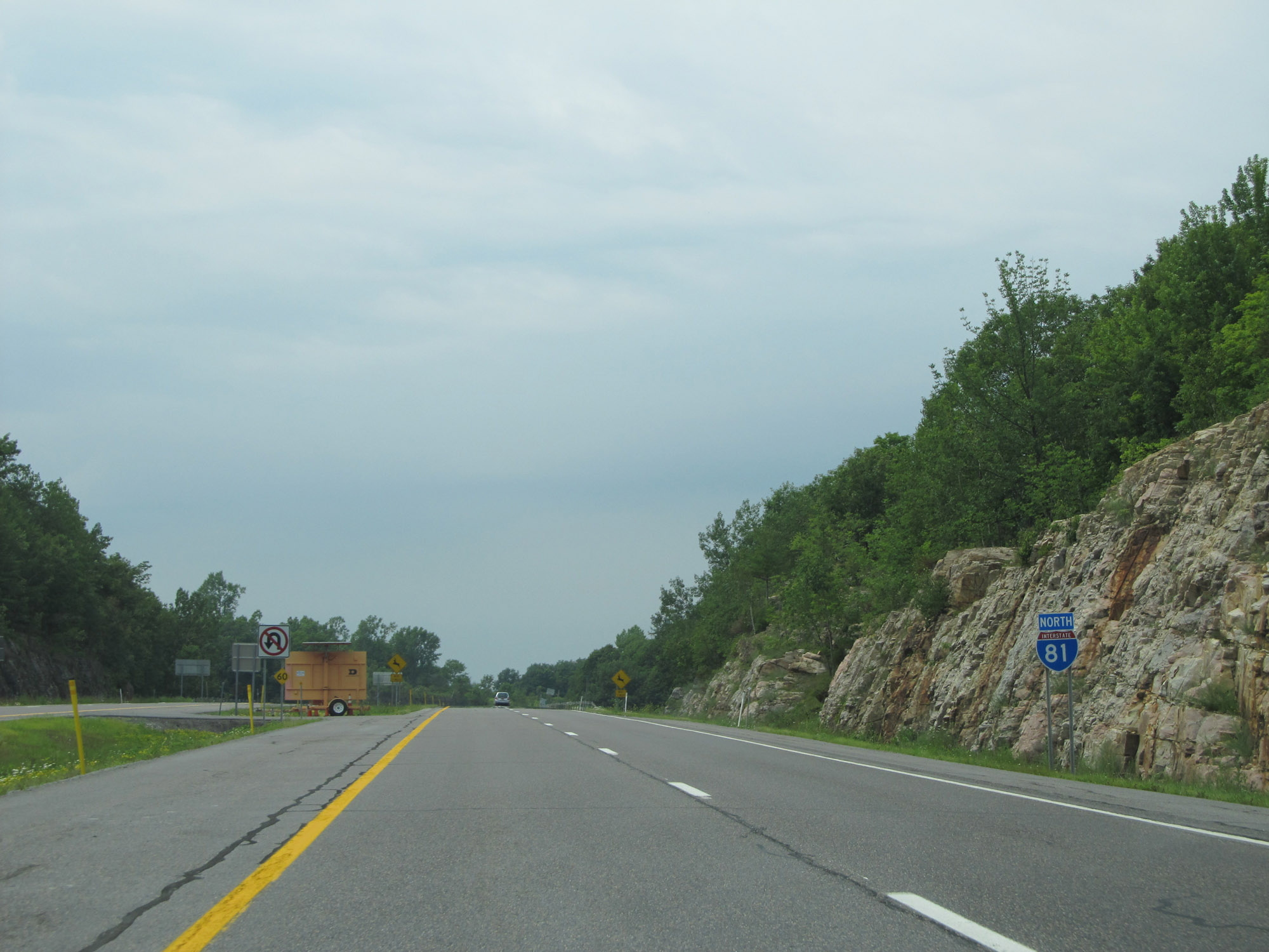
Interstate 81 North reassurance shield. (Photo taken 7/4/15). |
 |
View on Interstate 81 North at mile marker 162. (Photo taken 7/4/15). |
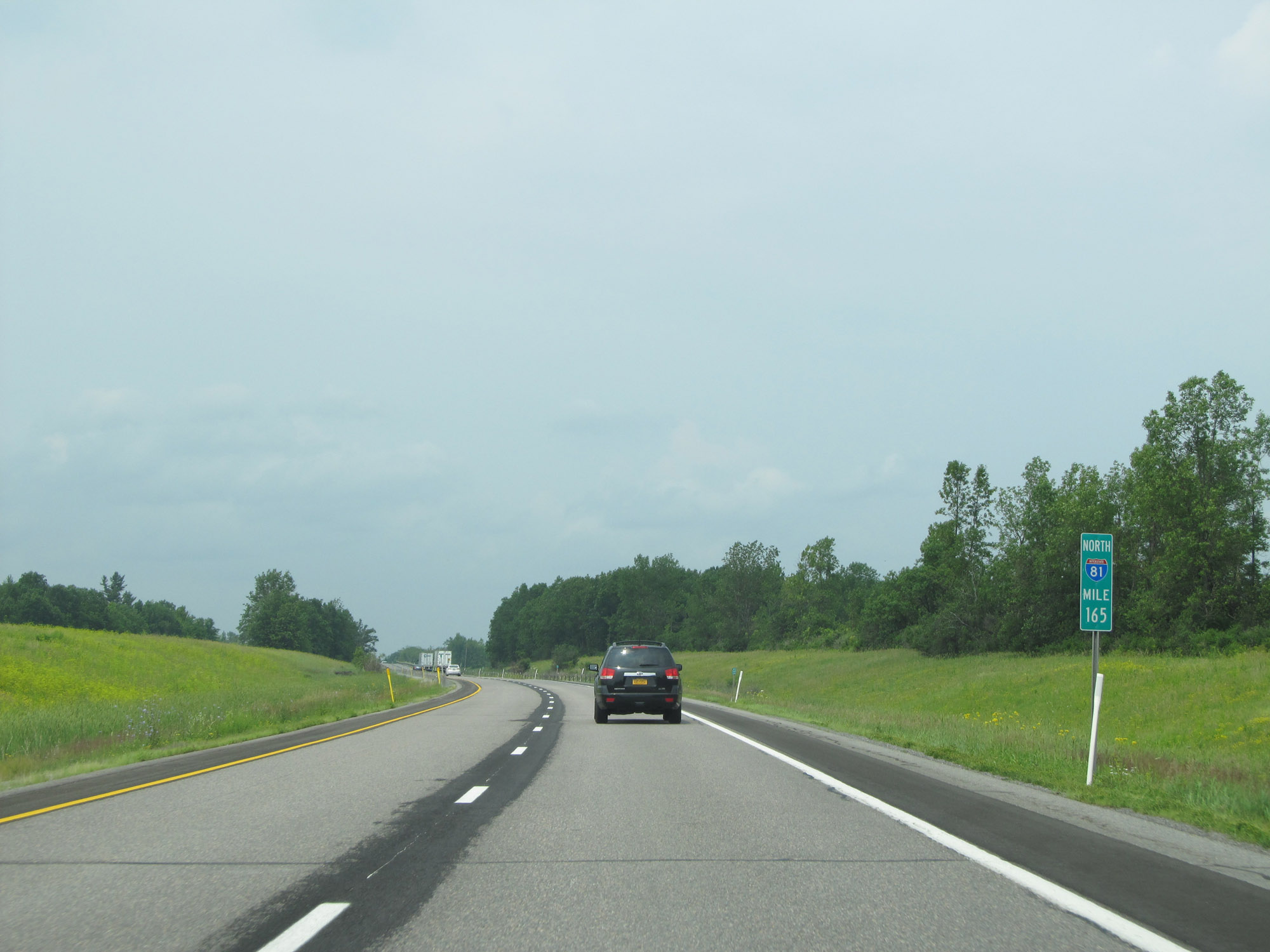 |
Interstate 81 North at mile marker 165. (Photo taken 7/4/15). |
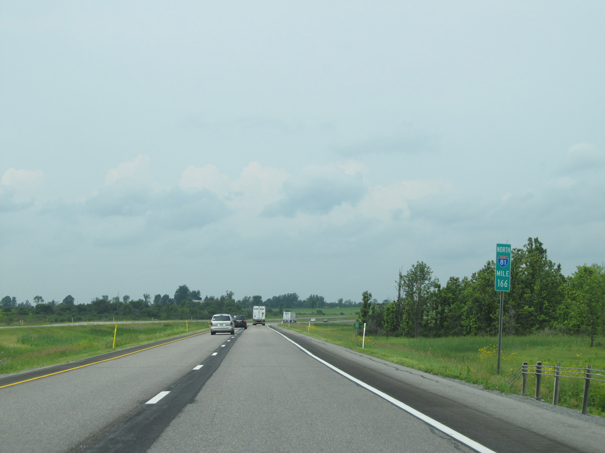 |
View on Interstate 81 North at mile marker 166. (Photo taken 7/4/15). |
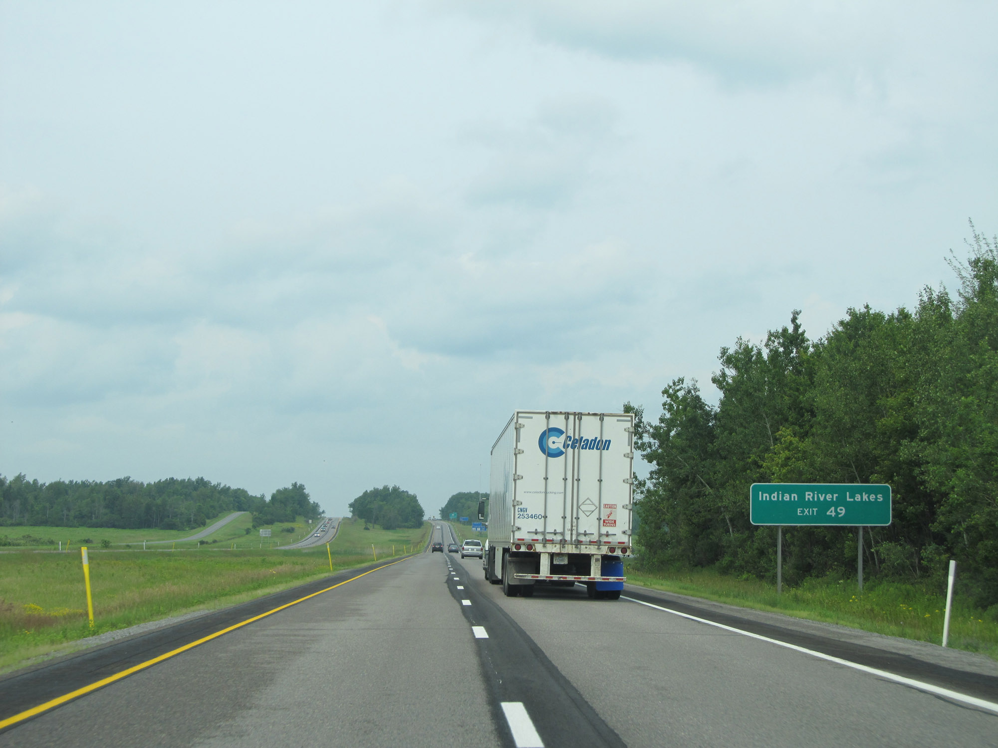 |
Take Exit 49 to Indian River Lakes. (Photo taken 7/4/15). |
 |
Interstate 81 North at Exit 49: NY 411 - Theresa / LaFargeville (Photo taken 7/4/15). |
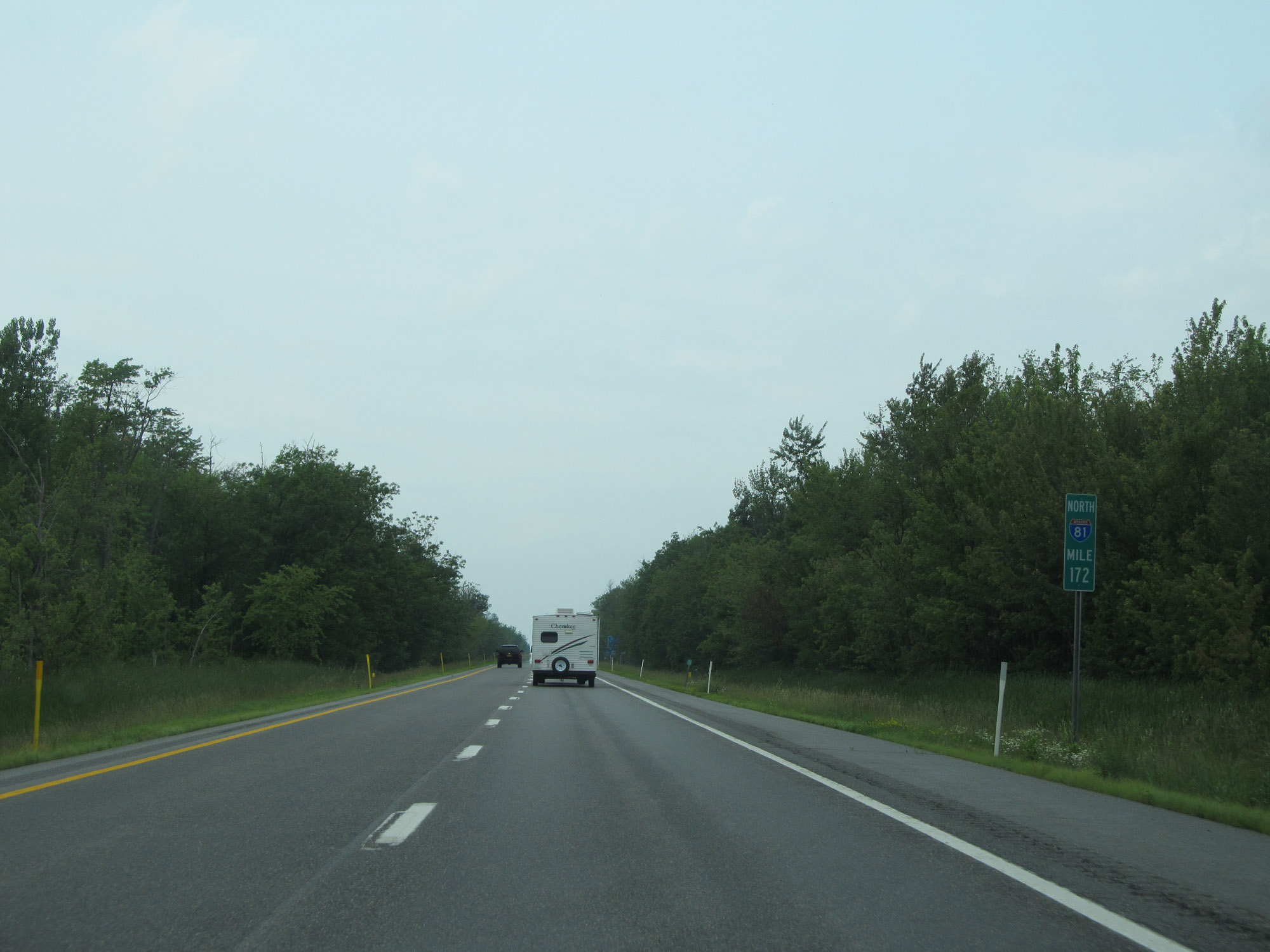 |
Interstate 81 North at mile marker 172. (Photo taken 7/4/15). |
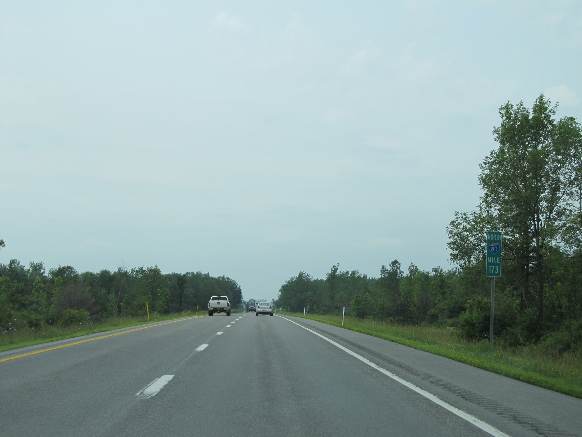 |
View on Interstate 81 North at mile marker 173. (Photo taken 7/4/15). |
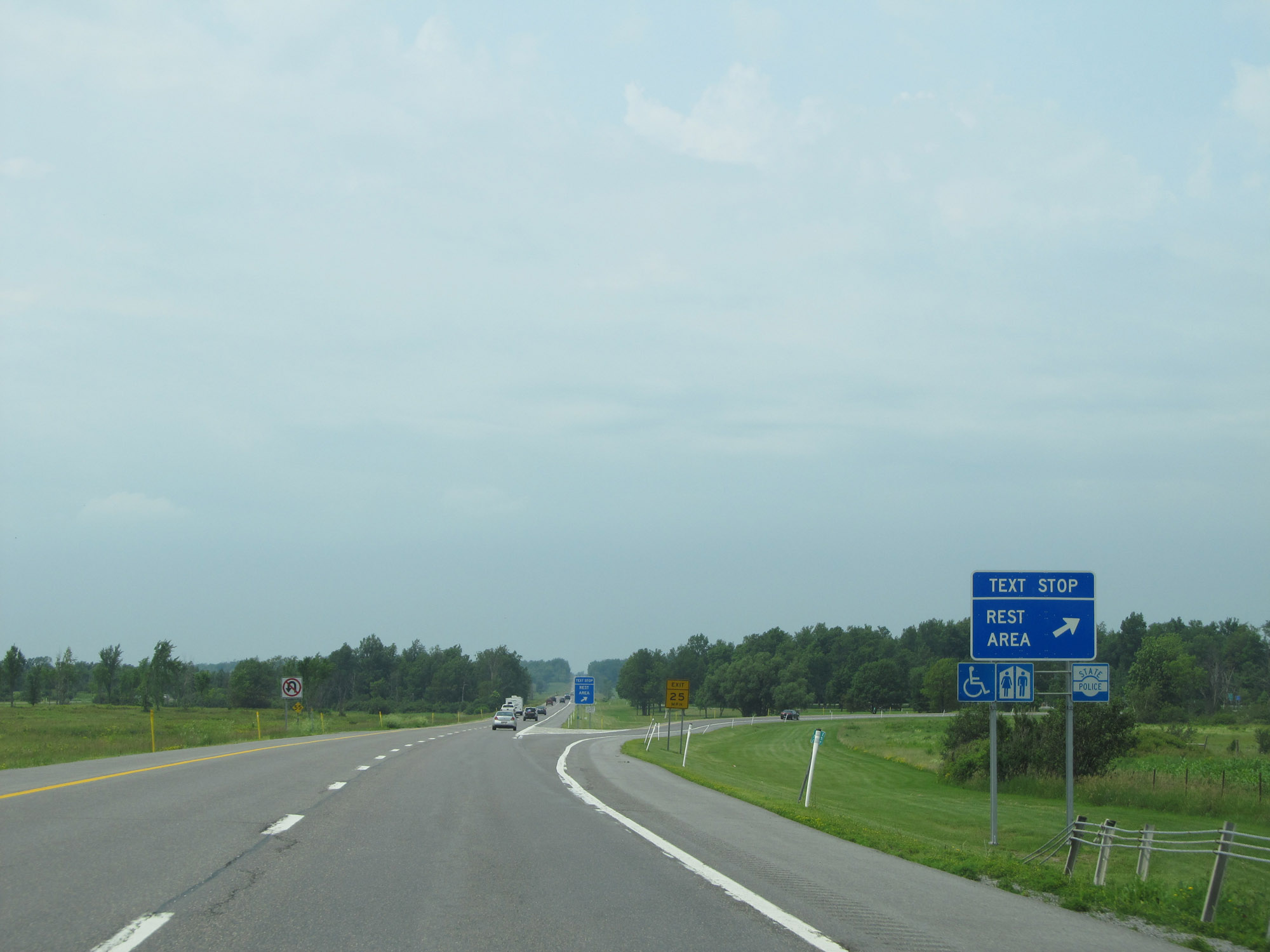 |
Rest Area / Text Stop on Interstate 81 North in Jefferson County. (Photo taken 7/4/15). |
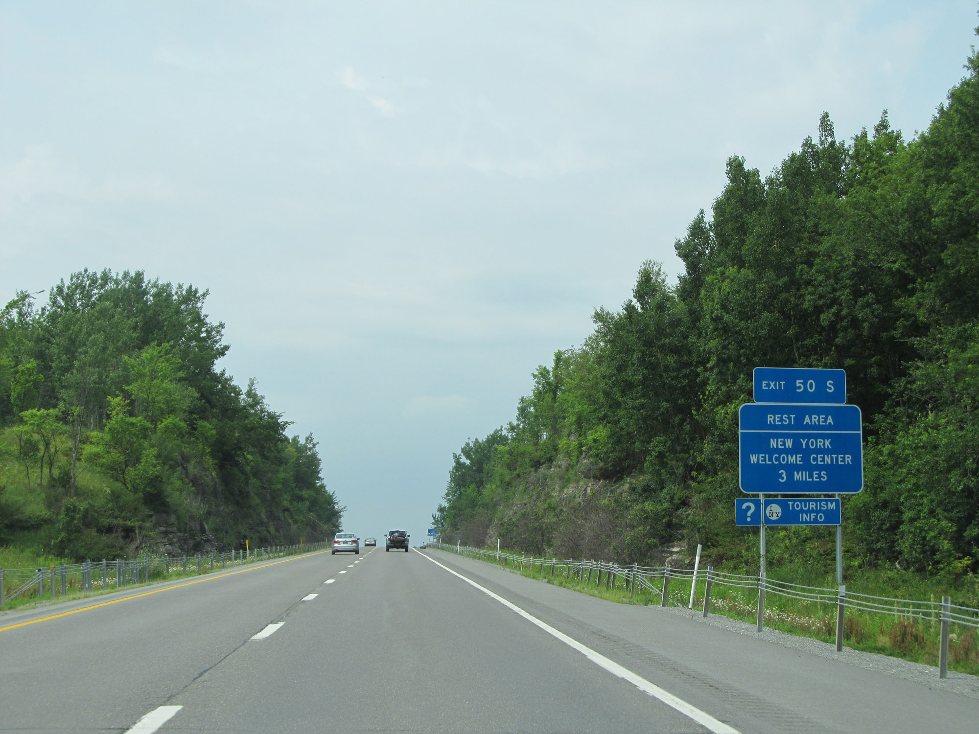 |
Another Rest Area and New York Welcome Center exists 3 miles ahead off of Exit 50S, which is on the other side of the Thousand Islands Bridge ahead. (Photo taken 7/4/15). |
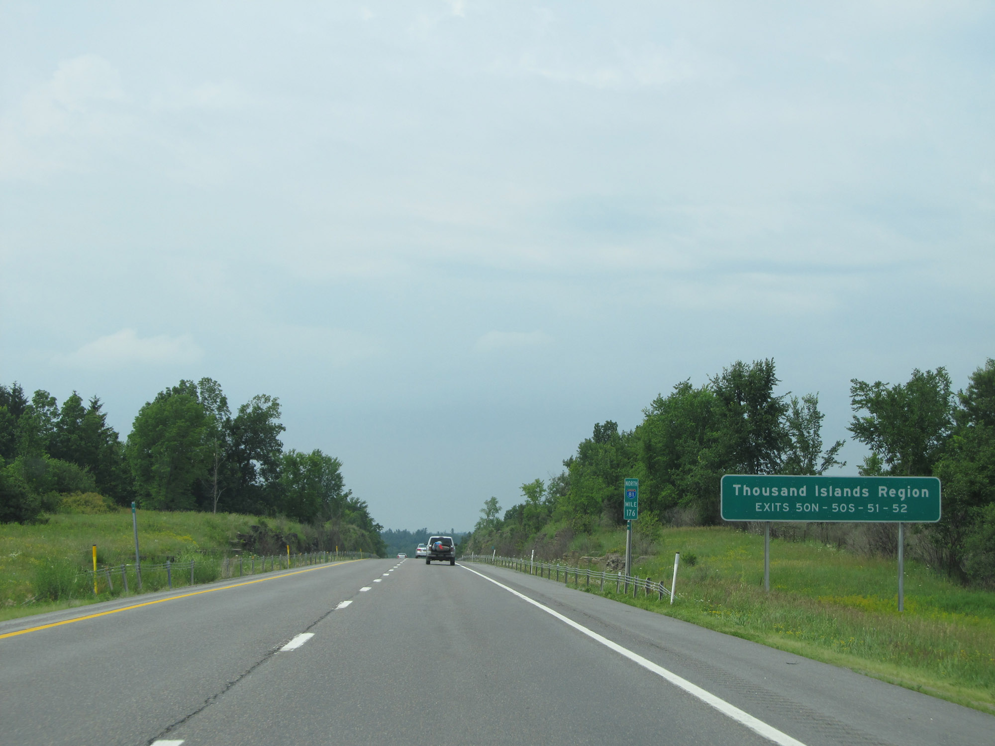 |
Take Exits 50N, 50S, 51, and 52 to the Thousand Islands Region. (Photo taken 7/4/15). |
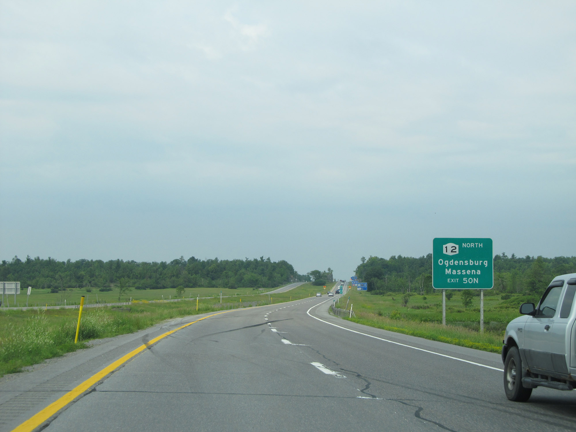 |
Take Exit 50N to NY 12 North toward Ogdensburg and Massena. (Photo taken 7/4/15). |
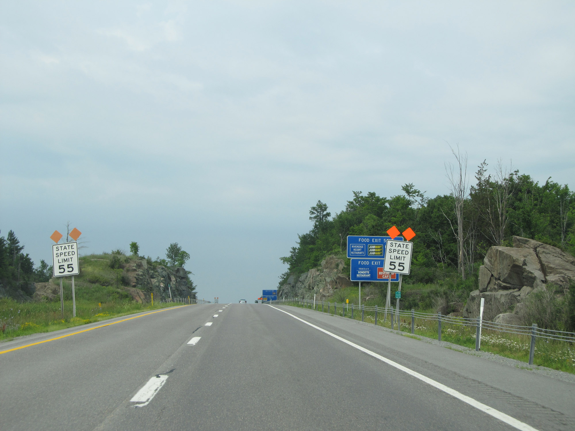 |
Nearing the Thousand Islands Bridge and its toll plaza, the speed limit decreases to 55 mph. (Photo taken 7/4/15). |
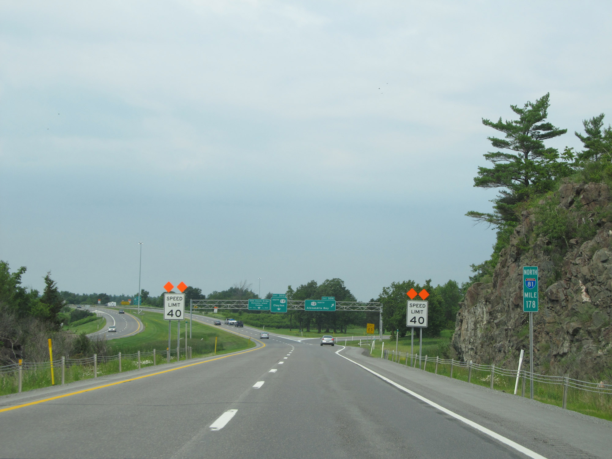 |
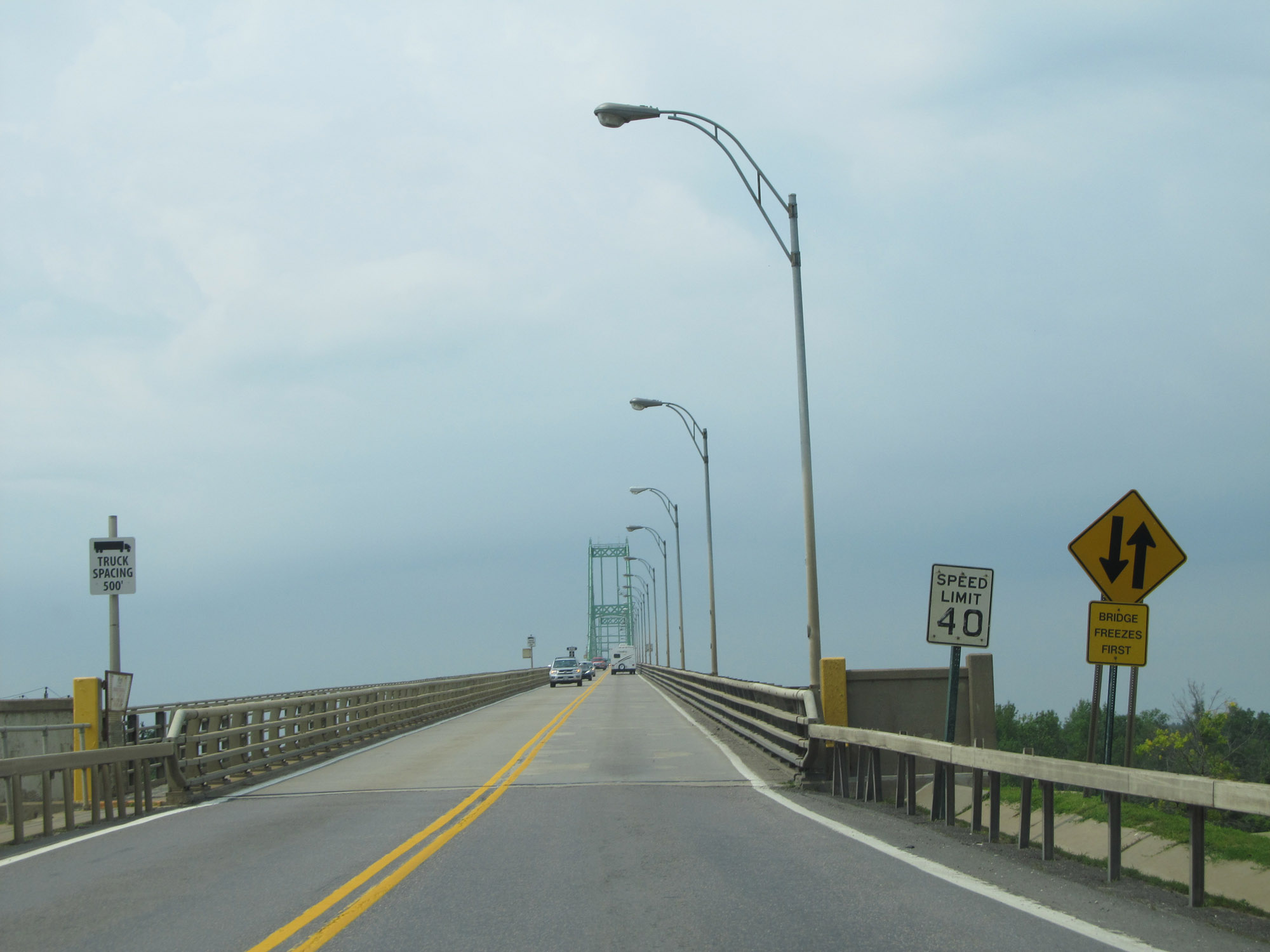
At mile marker 178, just before Exit 50N, the speed limit decreases further to 40 mph. (Photo taken 7/4/15). |
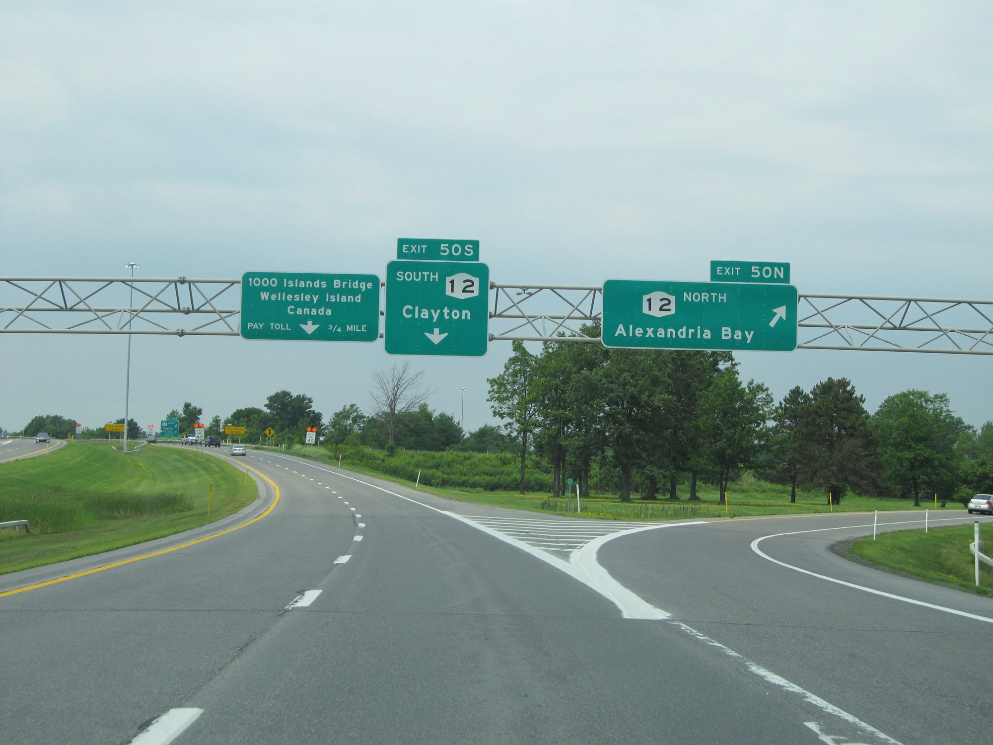 |
Interstate 81 North at Exit 50N: NY 12 North - Alexandria Bay (Photo taken 7/4/15). |
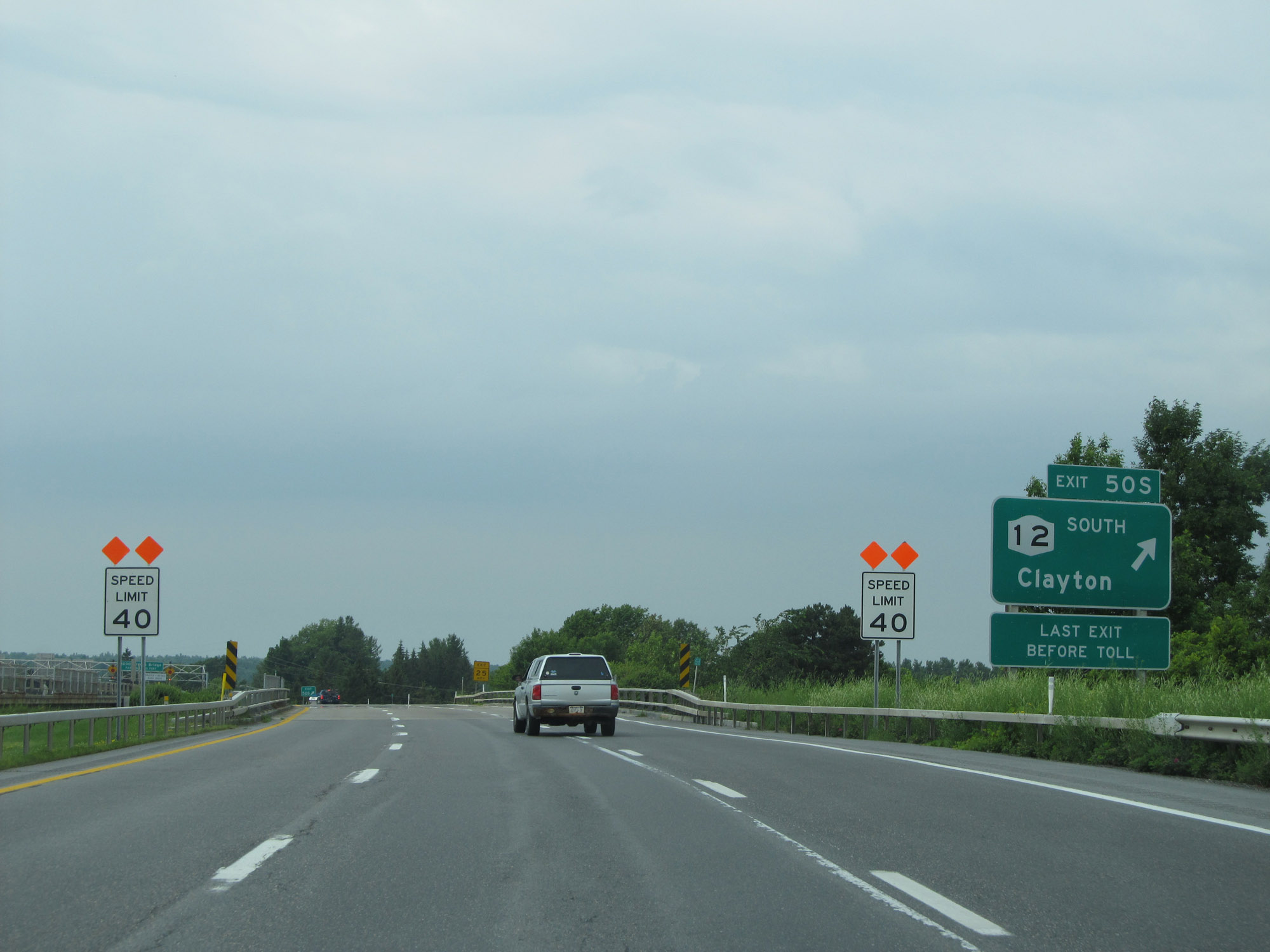 |
Interstate 81 North at Exit 50S: NY 12 South - Clayton (Photo taken 7/4/15). |
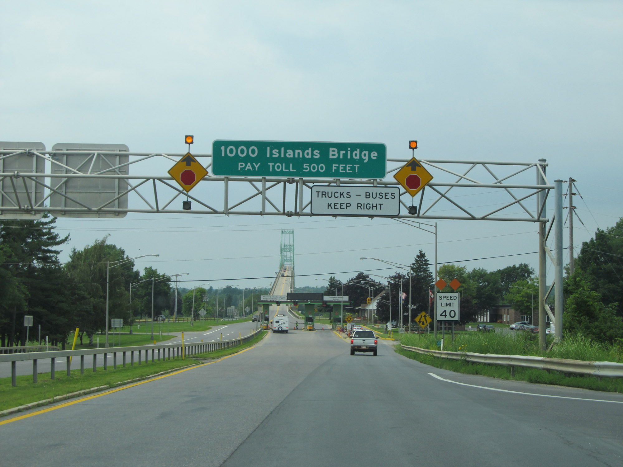 |
View on Interstate 81 North as it approaches the Thousand Islands Bridge and its toll plaza, 500 feet ahead. Trucks and buses should keep to the right at the toll plaza. (Photo taken 7/4/15). |
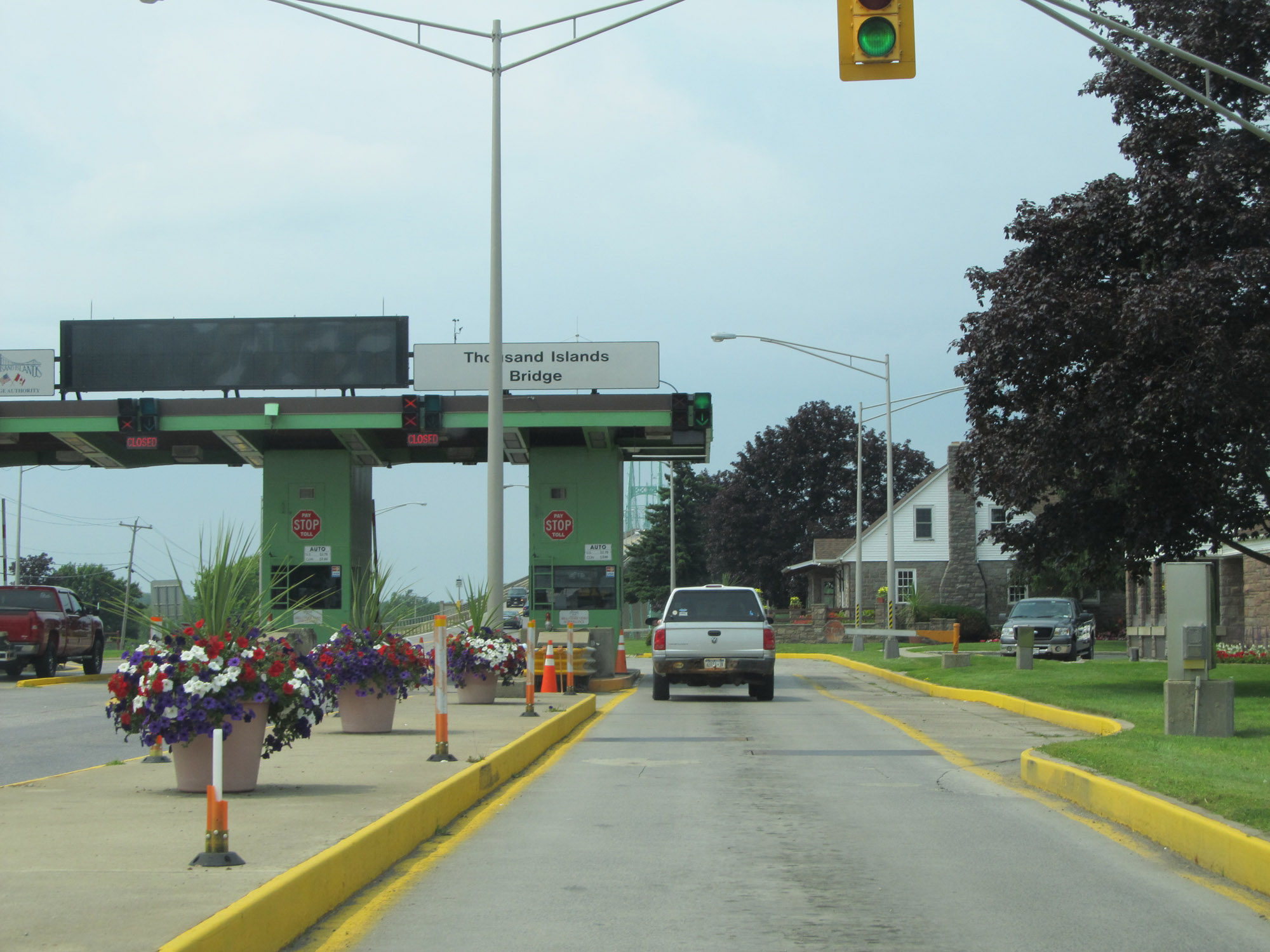 |
View of the toll plaza for the Thousand Islands Bridge on Interstate 81 North. (Photo taken 7/4/15). |
 |
Interstate 81 North is reduced to a single lane to cross the Thousand Islands Bridge. The speed limit remains 40 mph across the bridge. (Photo taken 7/4/15). |
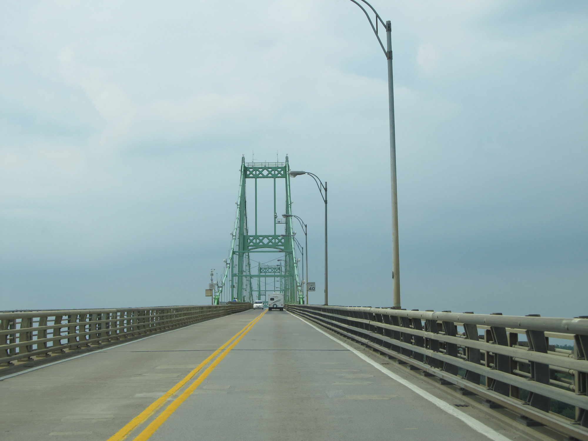 |
View on Interstate 81 North as it crosses the Thousand Islands Bridge. (Photo taken 7/4/15). |
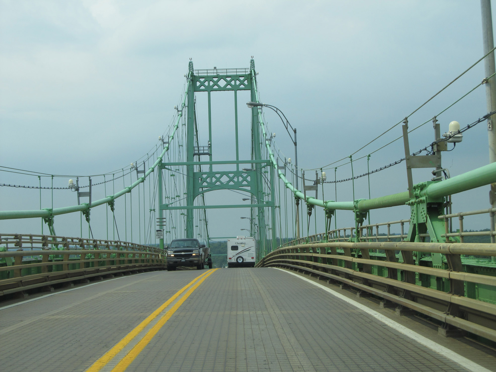 |
Interstate 81 North on the Thousand Islands Bridge as it nears its peak and begins its descent. (Photo taken 7/4/15). |
 |
View on Interstate 81 North on the Thousand Islands Bridge as it makes its descent. (Photo taken 7/4/15). |
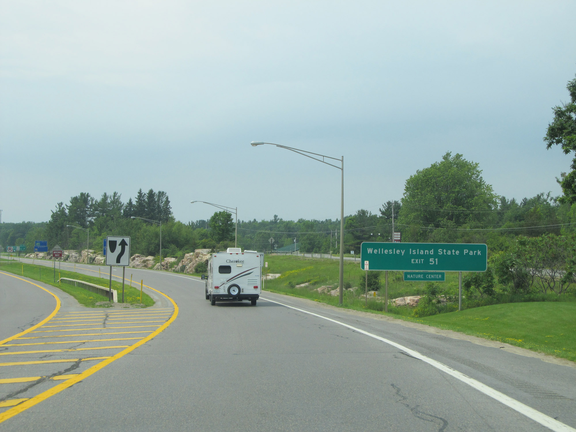 |
take Exit 51 to Wellesley Island State Park. (Photo taken 7/4/15). |
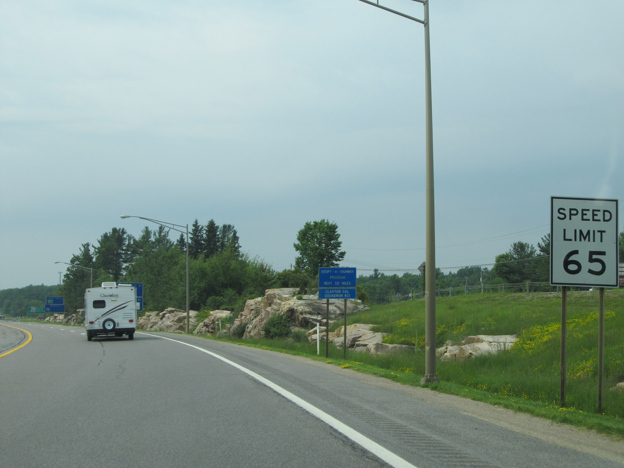 |
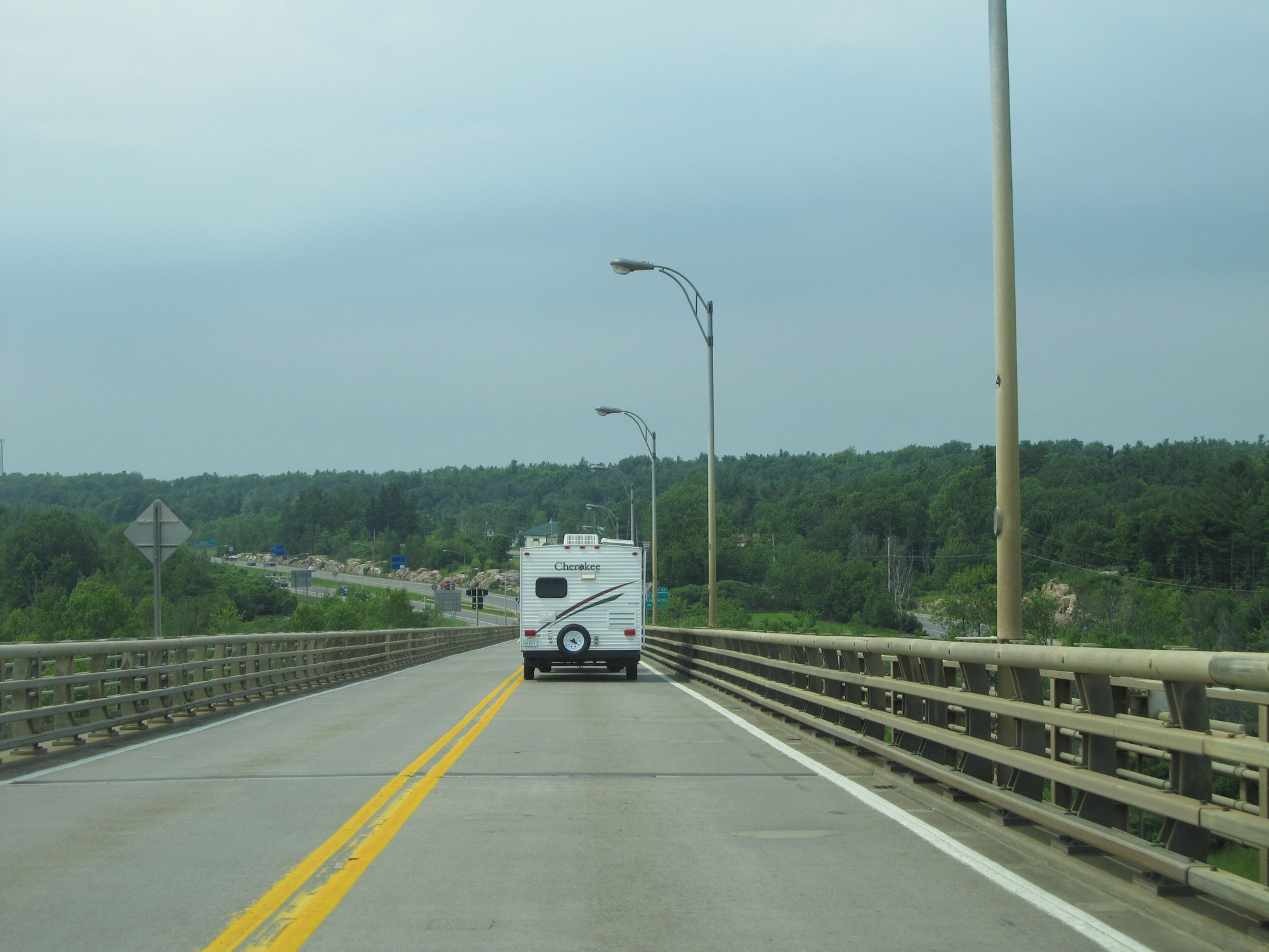
The speed limit increases to 65 mph on the north side of the Thousand Islands Bridge. (Photo taken 7/4/15). |
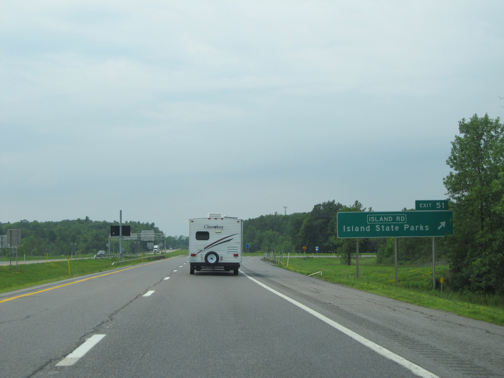 |
Interstate 81 North at Exit 51: Island Rd / Island State Parks (Photo taken 7/4/15). |
 |
Interstate 81 North reassurance shield. (Photo taken 7/4/15). |
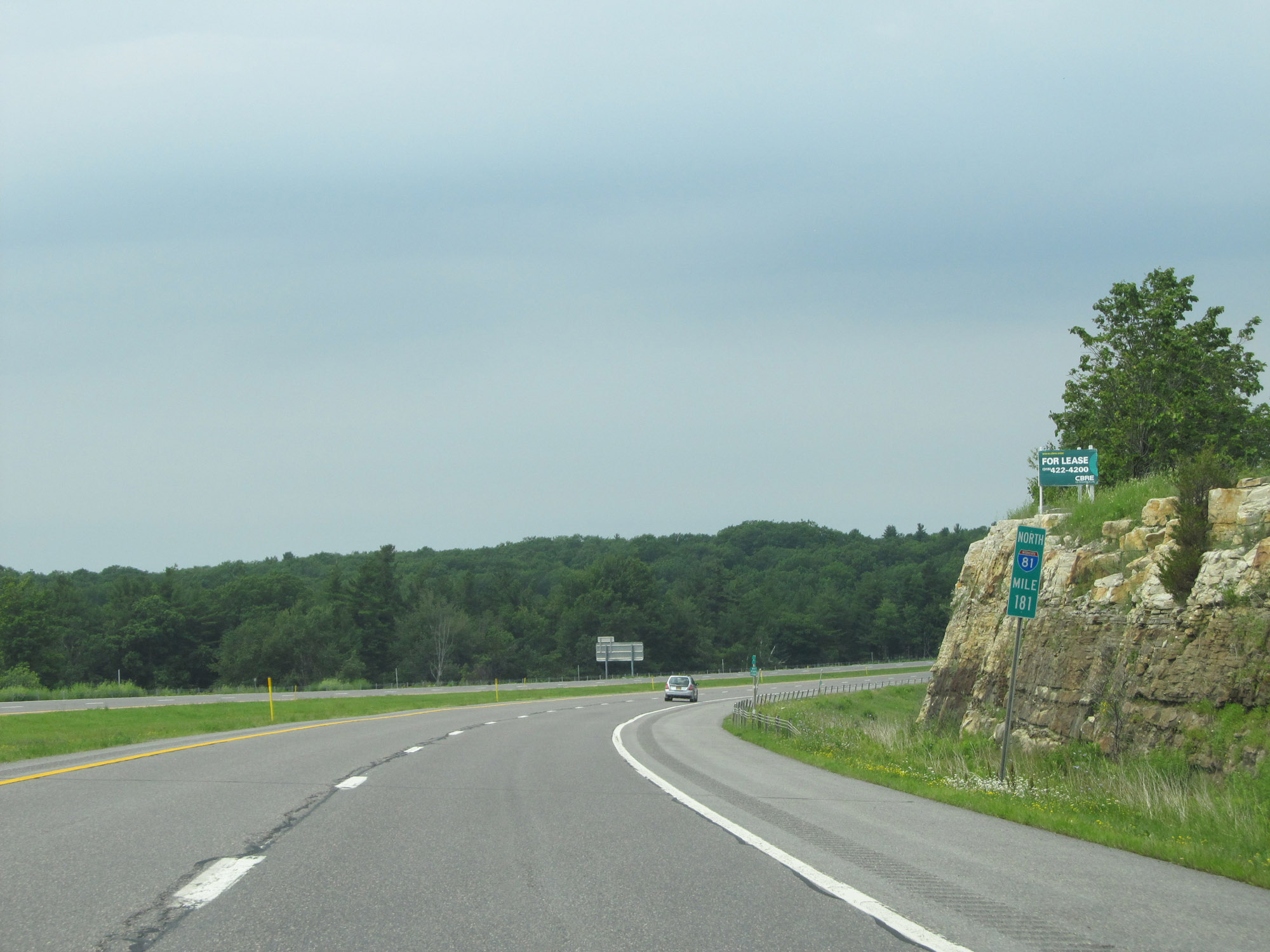 |
View on Interstate 81 North at mile marker 181. (Photo taken 7/4/15). |
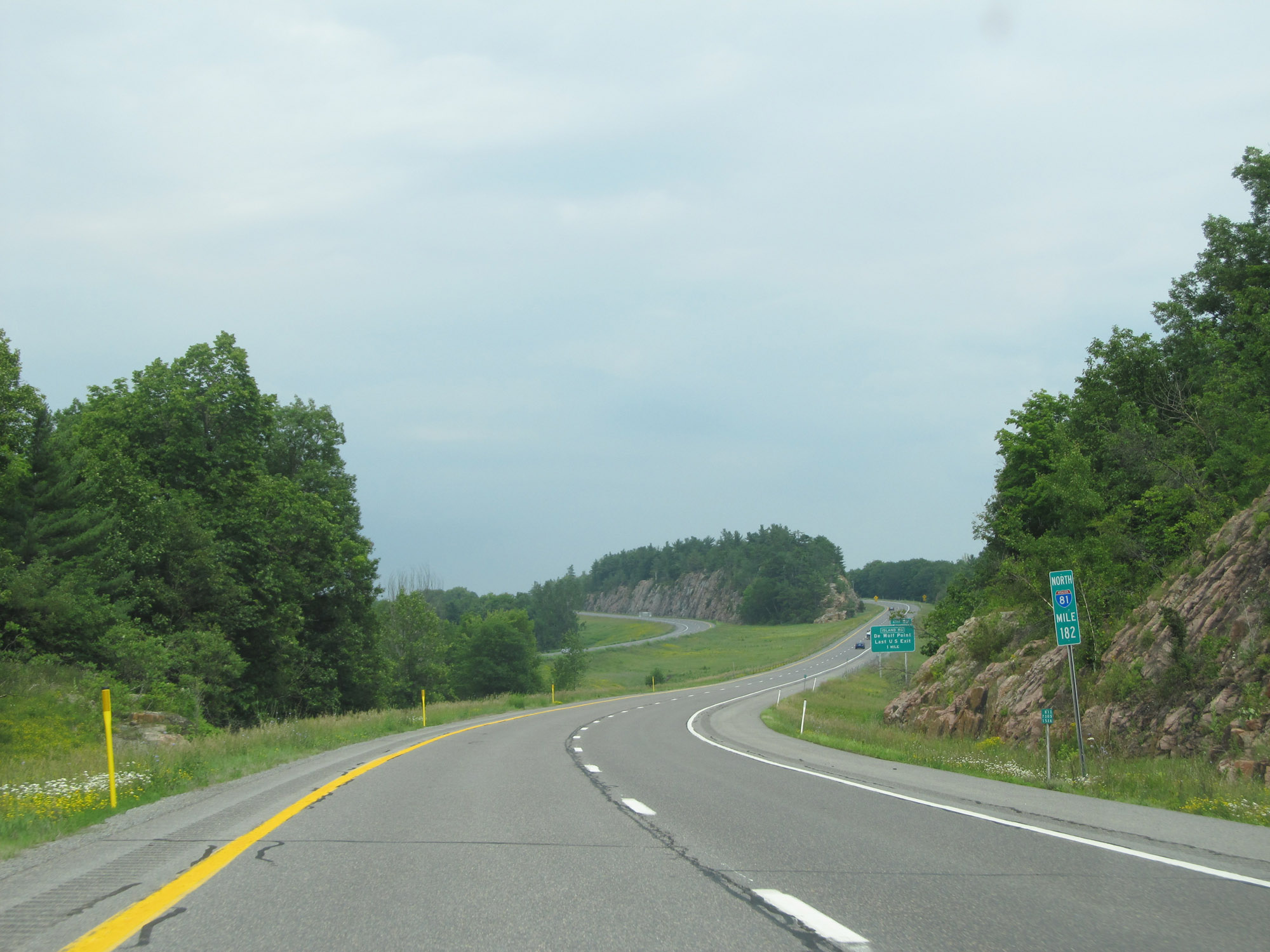 |
Interstate 81 North at mile marker 182. (Photo taken 7/4/15). |
 |
Approaching the last US Exit, Exit 52, and the northern terminus of Interstate 81, the speed limit decreases to 40 mph again. (Photo taken 7/4/15). |
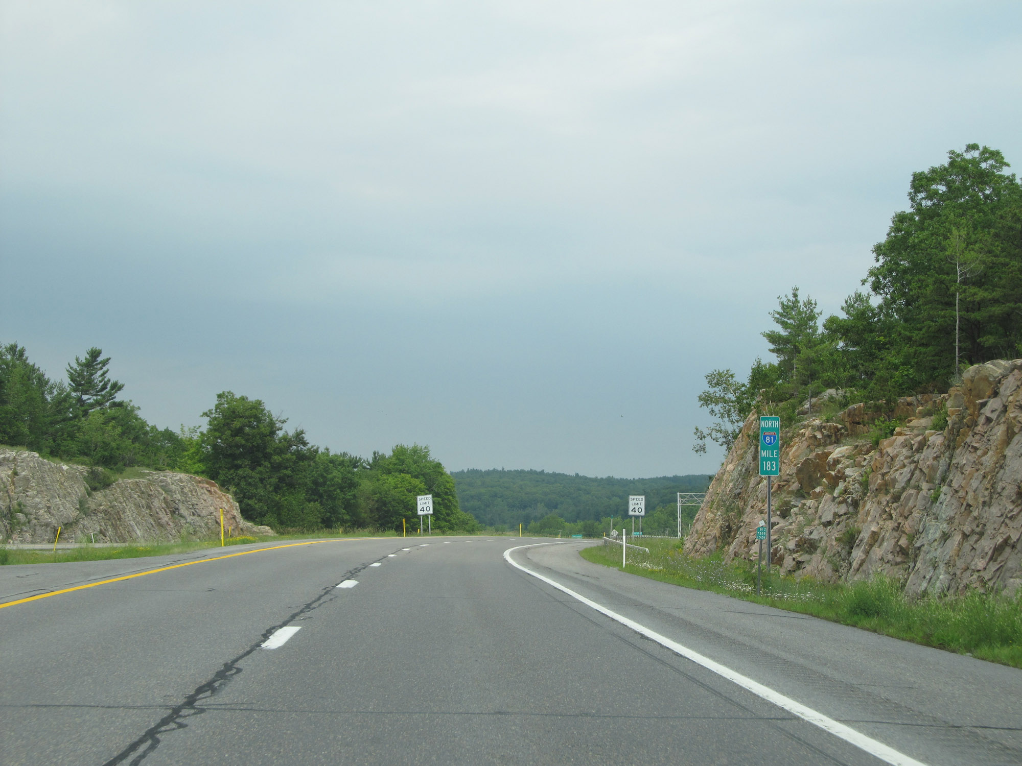 |
View on Interstate 81 North at mile marker 183. (Photo taken 7/4/15). |
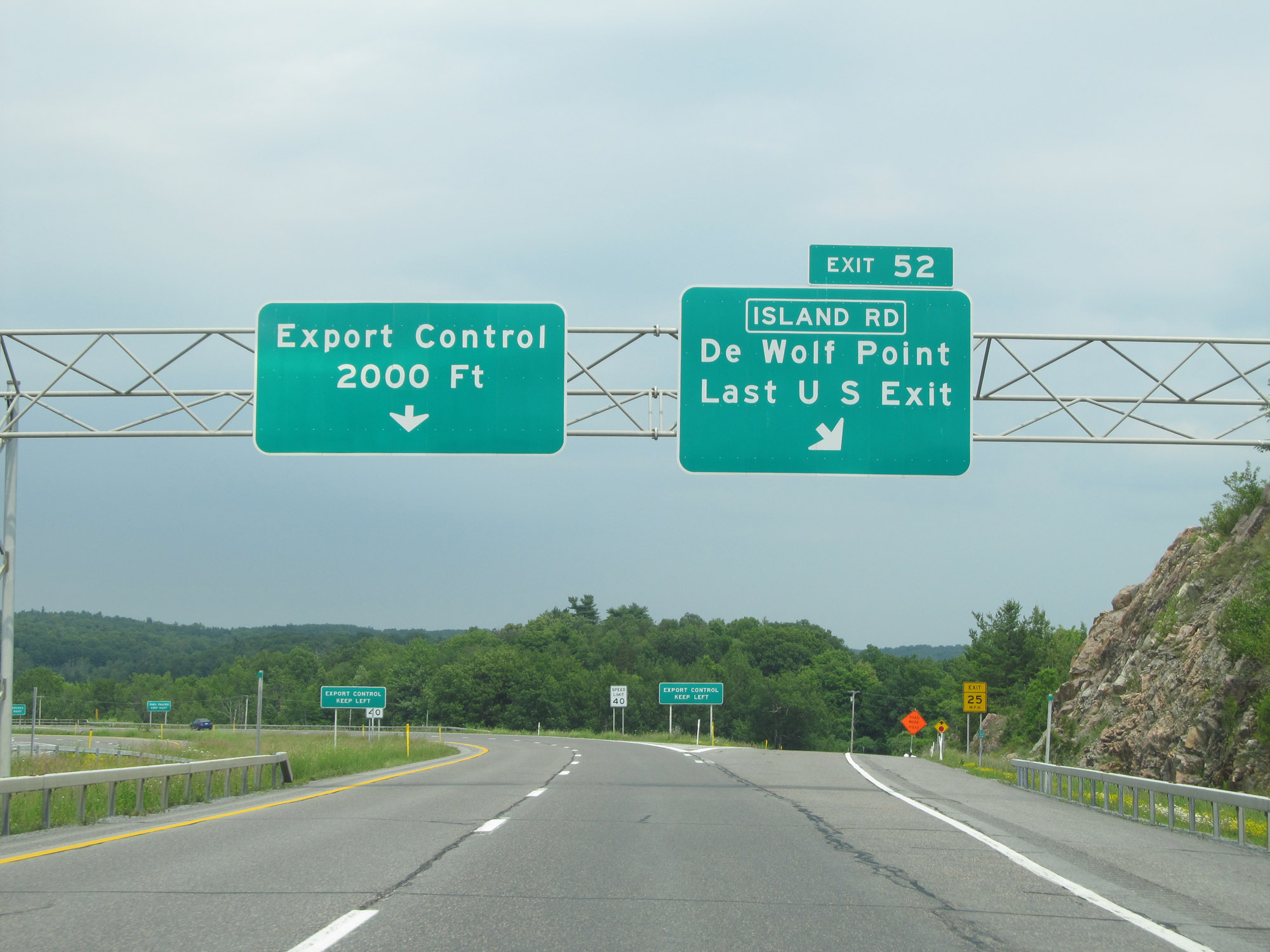 |
Interstate 81 North at Exit 52: Island Rd / De Wolf Point / Last US Exit. Canada customs is just 2,000 feet ahead as Interstate 81 North reaches its northern terminus. (Photo taken 7/4/15). |