Road Information |
||
 |
||
| Total Mileage in State: | 373 miles | |
| Eastern End: | At Texas state line | |
| Western End: | At Arizona state line | |
| Mileage covered in Photos: | 373 miles | |
| Counties covered in Photos: | Quay, Guadalupe, Torrance, Santa Fe, Bernalillo, Cibola, McKinley | |
| Major Junctions in Photos: | US 54, in Tucumcari US 54/US 84, in Santa Rosa I-25, in Albuquerque US 491, in Gallup |
|
| Control Cities in Photos: | Tucumcari, Santa Rosa, Moriarty, Albuquerque, Grants, Gallup | |
Westbound
- Section 1: Texas Border to Santa Rosa (Exit 275)
- Section 2: Santa Rosa (Exit 275) to Albuquerque (Exit 166)
- Section 3: Albuquerque (Exit 166) to Grants (Exit 85)
- Section 4: Grants (Exit 85) to Arizona Border
Section 1: Texas Border to Santa Rosa (Exit 275)
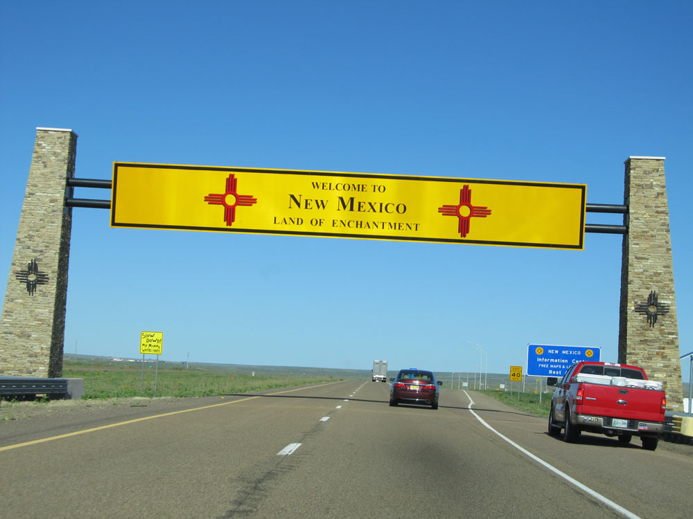 |
New Mexico overhead welcome sign as Interstate 40 West enters the Land of Enchantment from Texas. (Photo taken 5/18/15). |
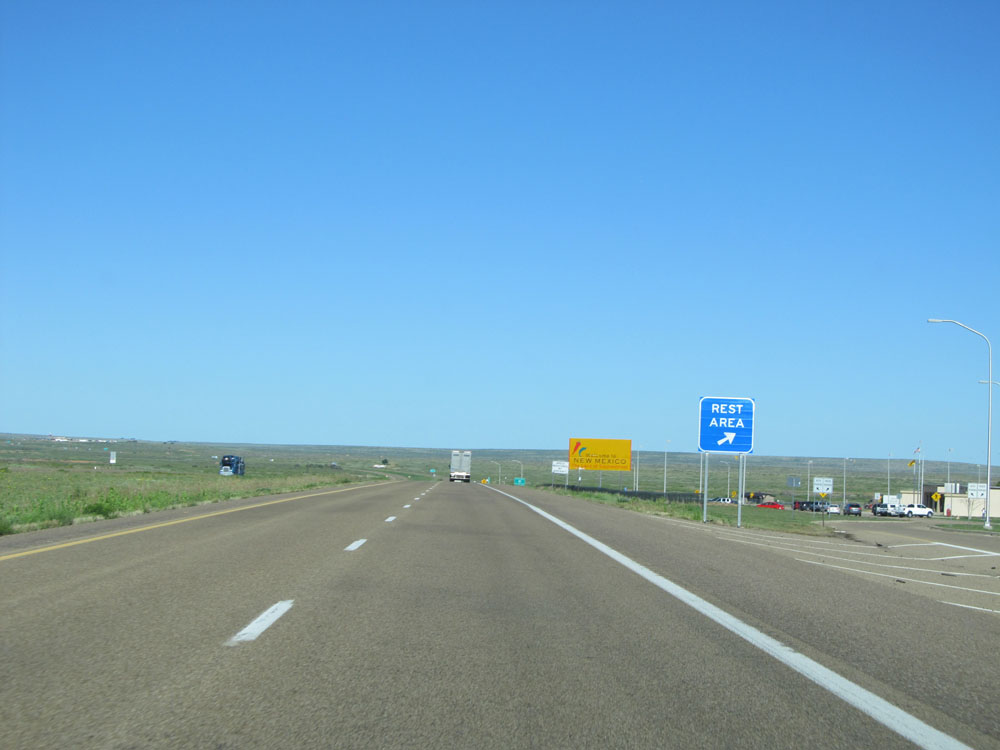 |
Interstate 40 West at the Rest Area / New Mexico Information Center located just across the border, near mile marker 373. (Photo taken 5/18/15). |
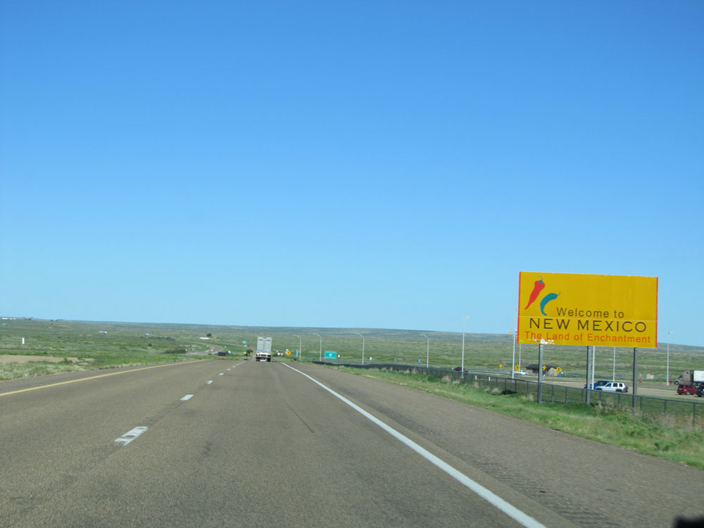 |
A second New Mexico welcome sign located alongside the Welcome Center. (Photo taken 5/18/15). |
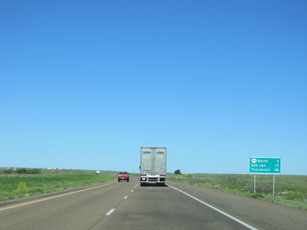 |
Mileage sign near mile marker 373. It's 3 miles to the first exit in New Mexico, which is the junction of NM 392 North. Meanwhile, it's 17 miles to San Jon and 38 miles to Tucumcari. (Photo taken 5/18/15). |
 |
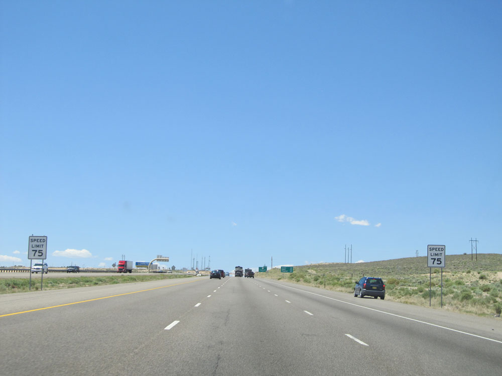
Speed limit signs near mile marker 370. The speed limit on most rural Interstates in New Mexico is 75 mph for all vehicles. (Photo taken 5/18/15). |
 |
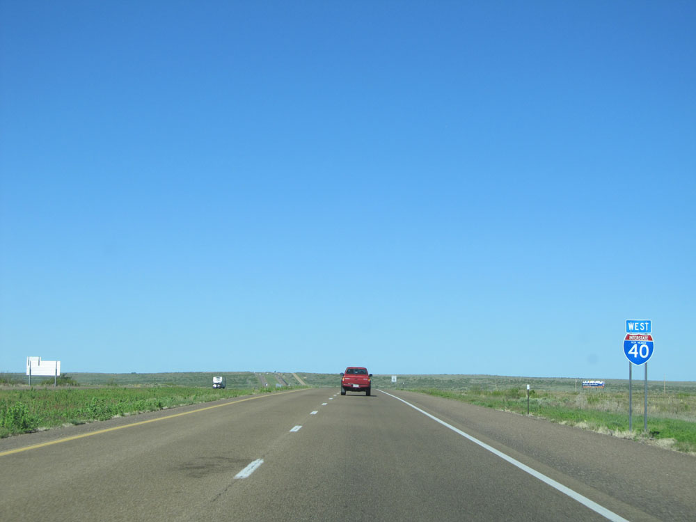
Interstate 40 West at Exit 369: NM 93 South / NM 392 North - Endee (Photo taken 5/18/15). |
 |
Interstate 40 West shield located near mile marker 369. (Photo taken 5/18/15). |
 |
Interstate 40 West: Road view from mile marker 364. (Photo taken 5/18/15). |
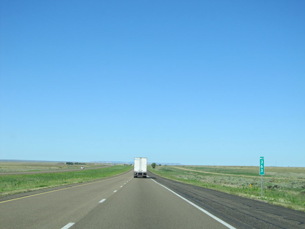 |
Interstate 40 West at mile marker 363. (Photo taken 5/18/15). |
 |
Interstate 40 West at Exit 361: Bard (Photo taken 5/18/15). |
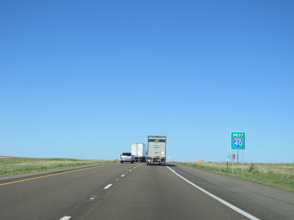 |
New Mexico-style Interstate 40 West shield near mile marker 361. New Mexico is the only state in the lower 48 in which you will see these kinds of shield signs with a green background to them. (Photo taken 5/18/15). |
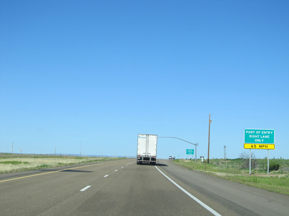 |
Interstate 40 West approaching the Port of Entry / Weigh Station - 1 mile. All commercial vehicles must enter the POE when it is open. (Photo taken 5/18/15). |
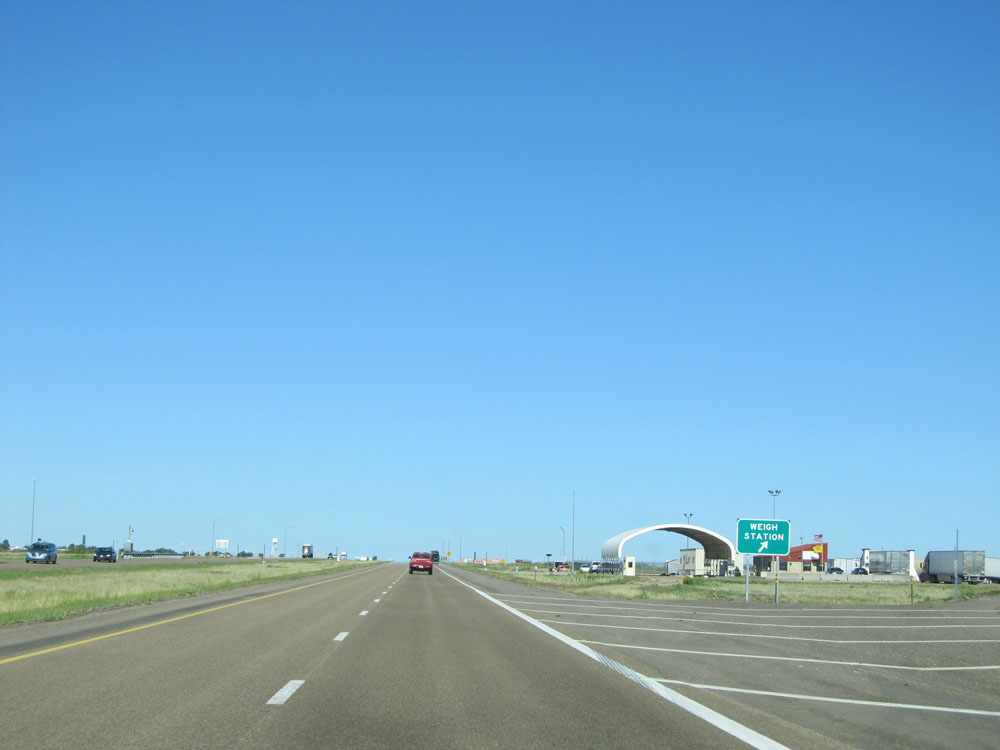 |
Interstate 40 West at the Port of Entry / Weigh Station located near mile marker 357. (Photo taken 5/18/15). |
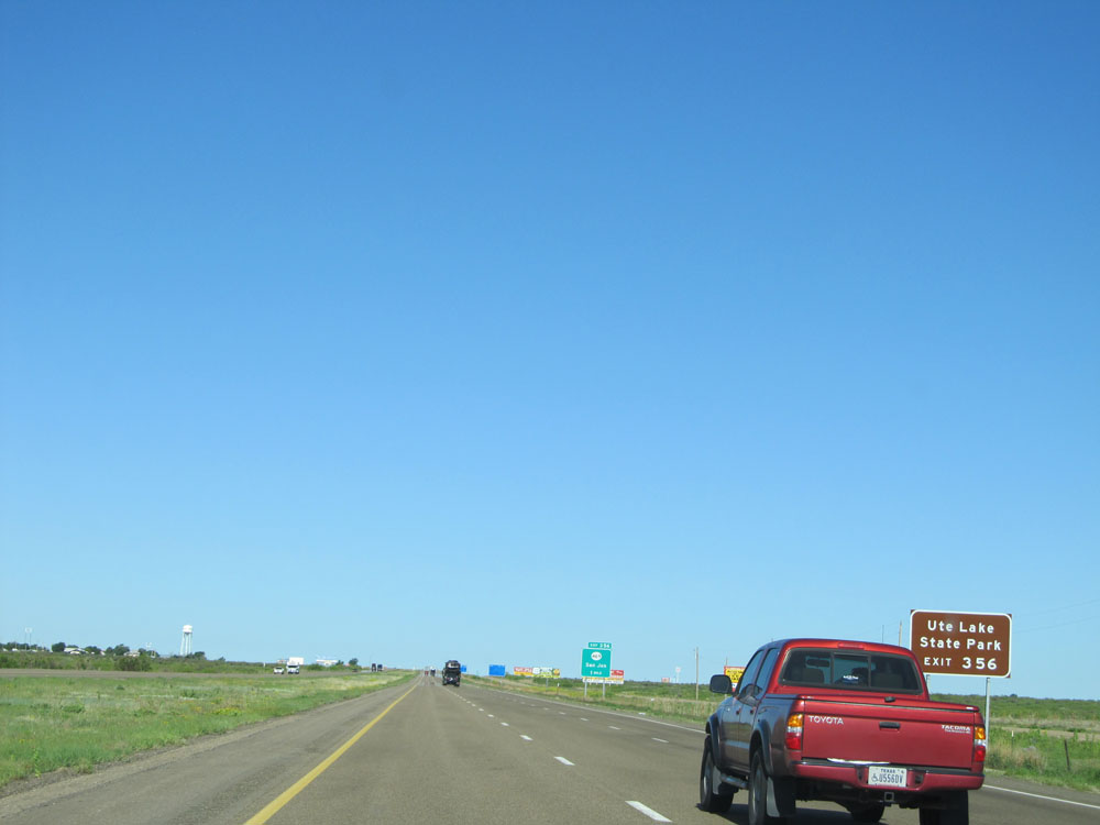 |
Take Exit 356 to Ute Lake State Park. (Photo taken 5/18/15). |
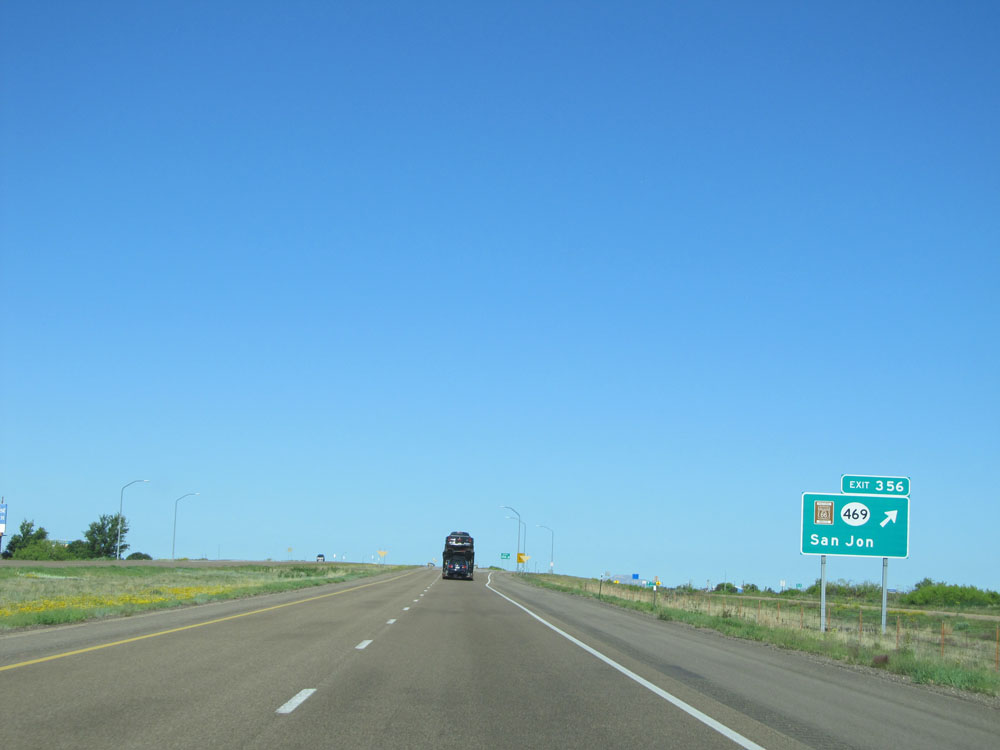 |
Interstate 40 West at Exit 356: NM 469 / Historic Route 66 - San Jon (Photo taken 5/18/15). |
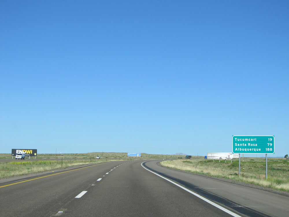 |
Mileage sign located near mile marker 356. It's 19 miles to Tucumcari, 79 miles to Santa Rosa, and 188 miles to Albuquerque. (Photo taken 5/18/15). |
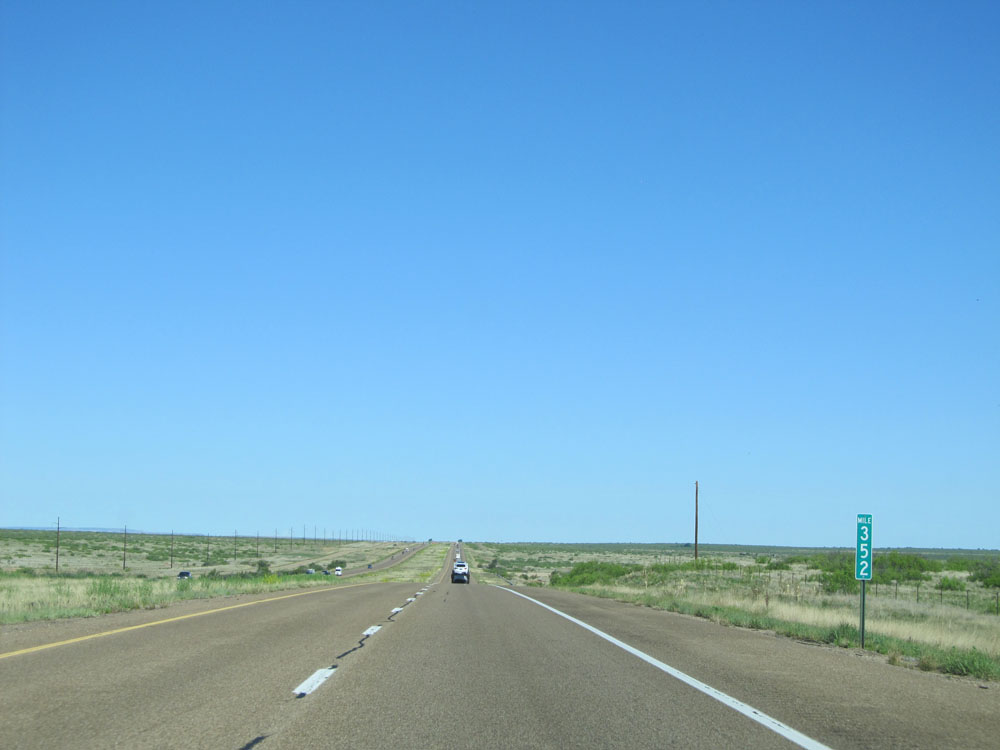 |
Interstate 40 West: Road view from mile marker 352. (Photo taken 5/18/15). |
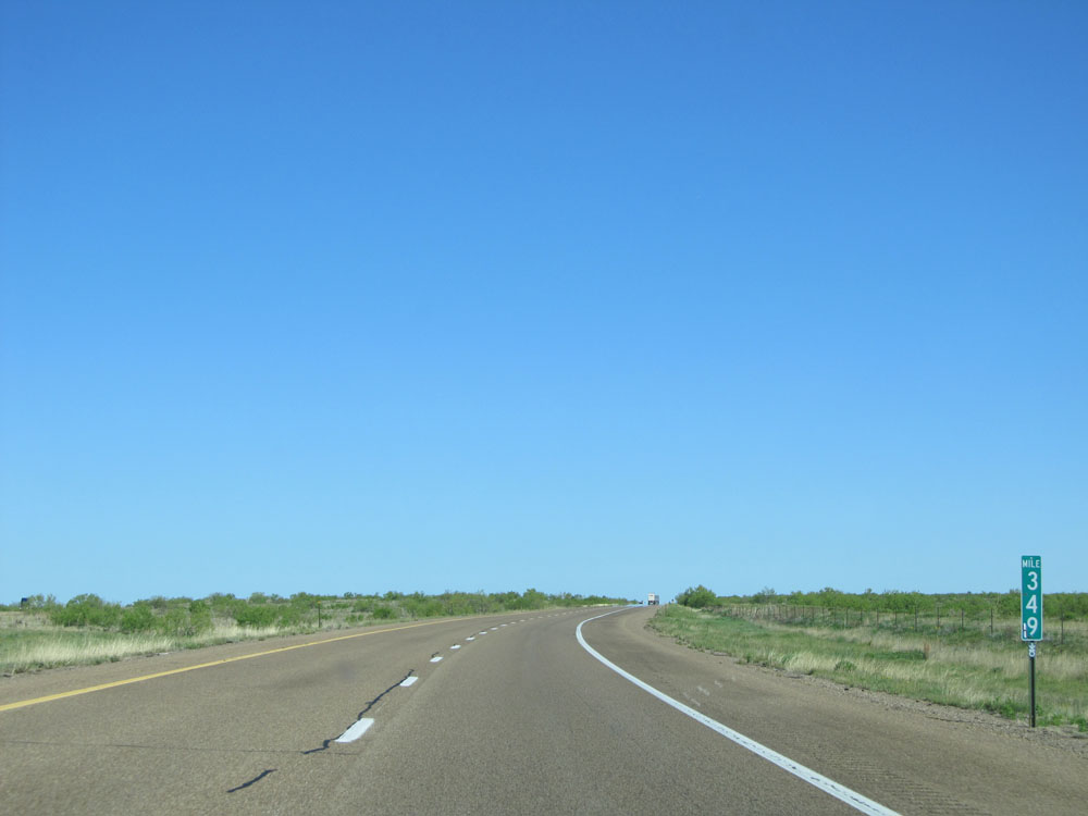 |
Interstate 40 West at mile marker 349. (Photo taken 5/18/15). |
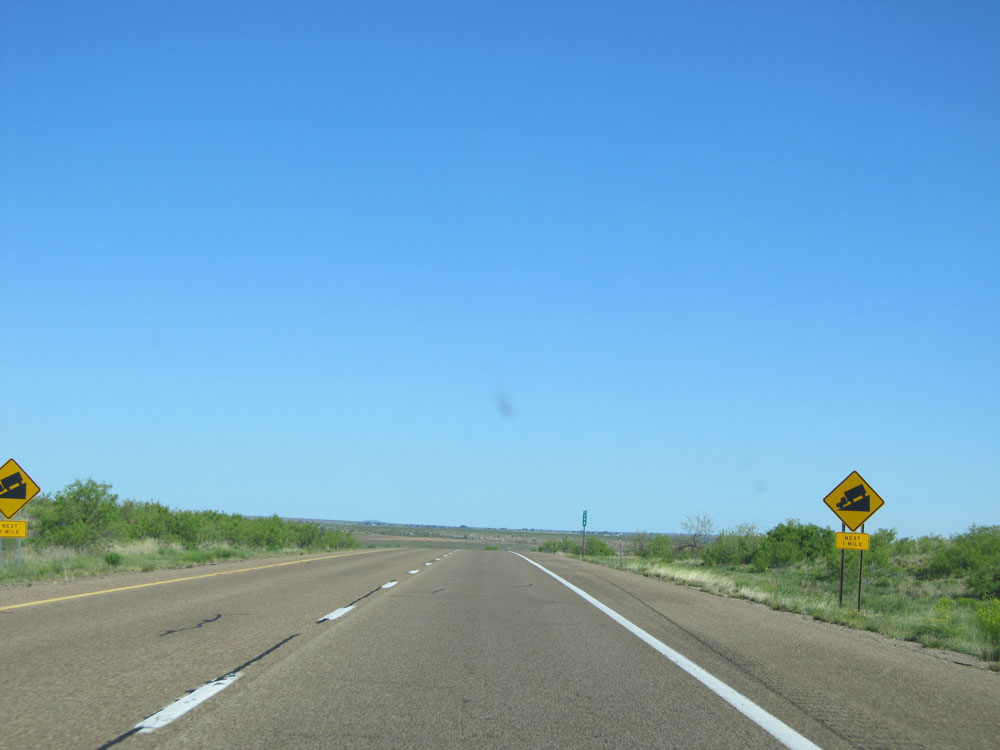 |
Near mile marker 348, Interstate 40 West prepares to go down a bit of a grade for the next 1 mile, seemingly out of nowhere. (Photo taken 5/18/15). |
 |
View on Interstate 40 West near mile marker 348, as you begin down the grade. (Photo taken 5/18/15). |
 |
View on Interstate 40 West near mile marker 347 as you continue down the hill. (Photo taken 5/18/15). |
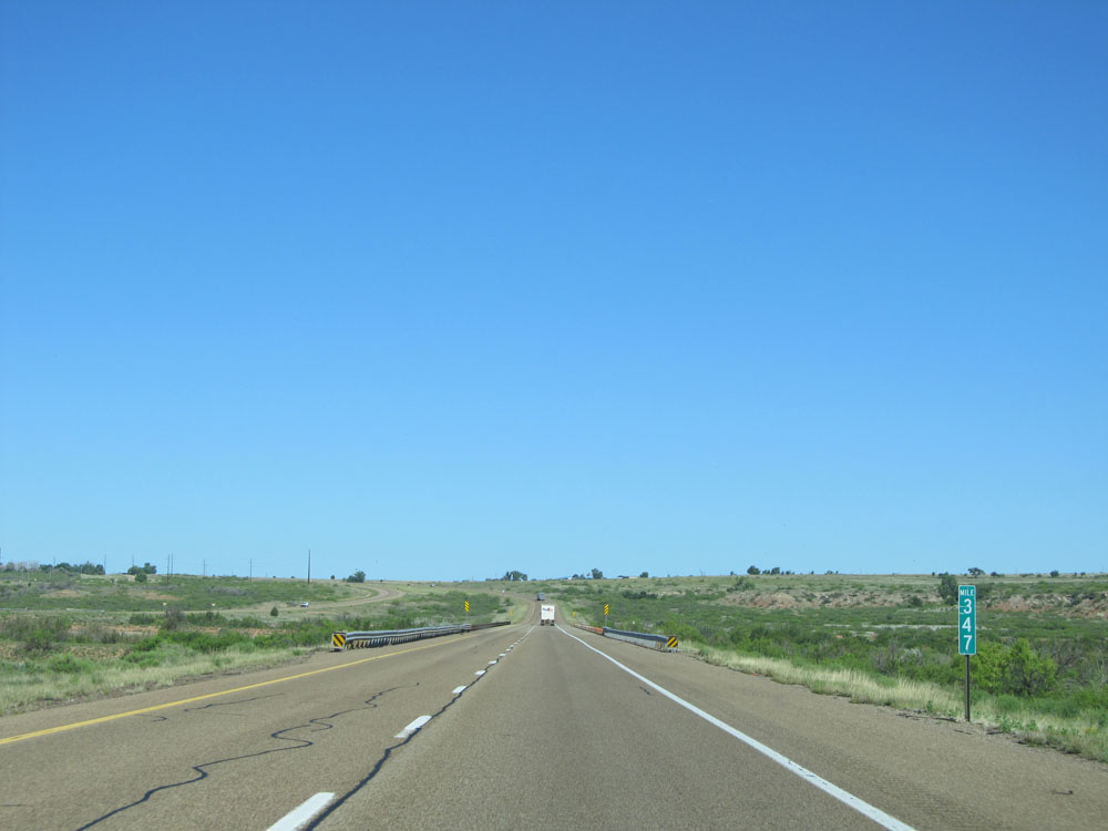 |
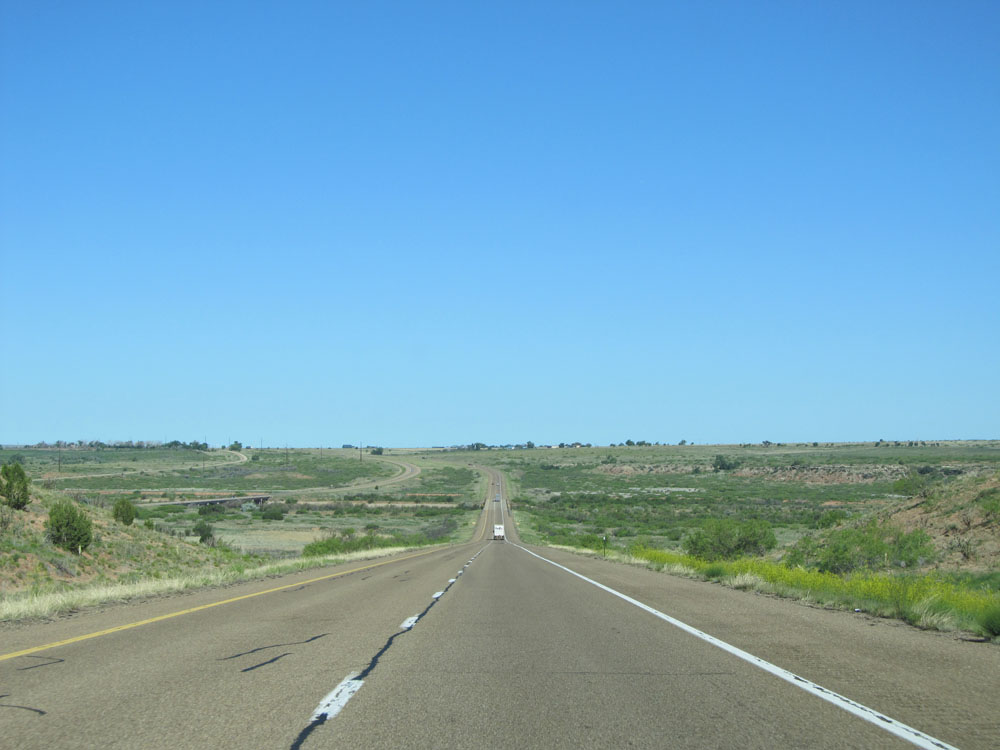
Interstate 40 West: Road view from mile marker 347, at the bottom of the grade. (Photo taken 5/18/15). |
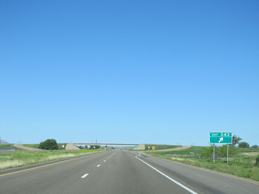 |
Interstate 40 West at Exit 343: (No Name). These unnamed exits in New Mexico usually exist for ranch access purposes. (Photo taken 5/18/15). |
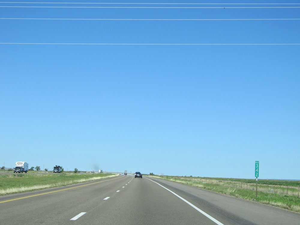 |
Interstate 40 West: Road view from mile marker 342. (Photo taken 5/18/15). |
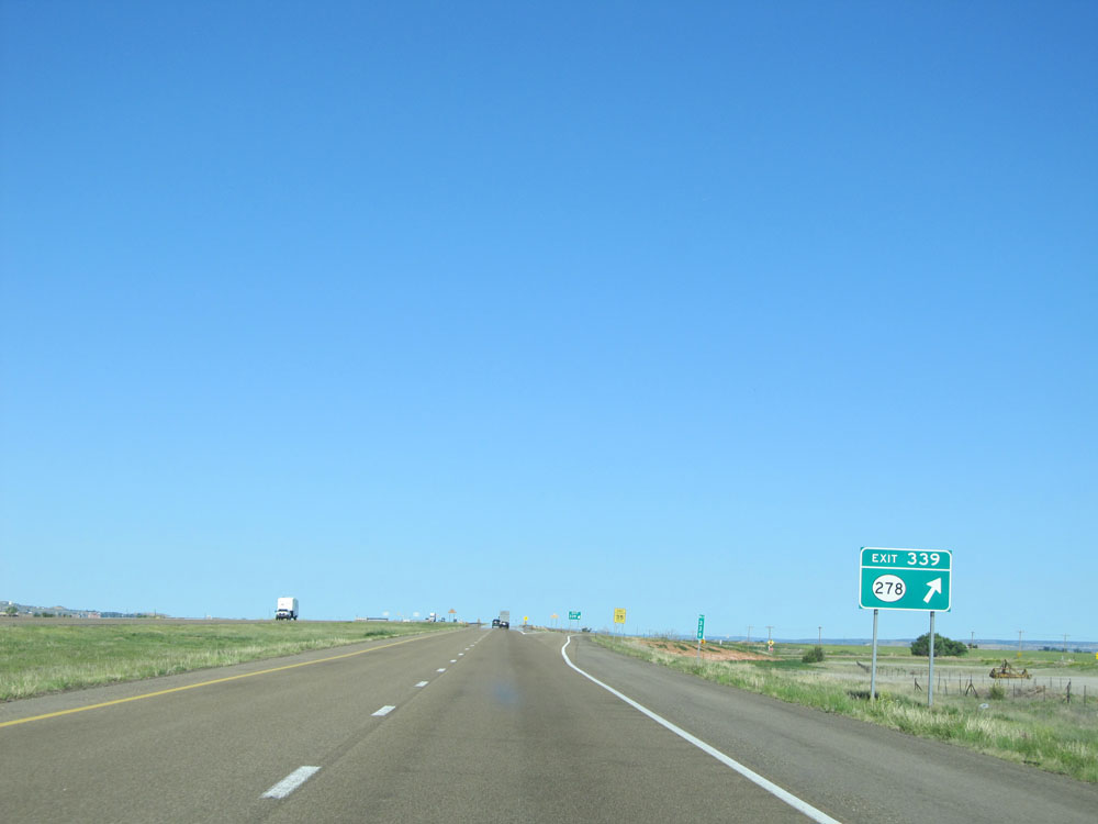 |
Interstate 40 West at Exit 339: NM 278 (Photo taken 5/18/15). |
 |
This big blue sign gives a rundown on the number and types of services available off the next 5 exits in Tucumcari. (Photo taken 5/18/15). |
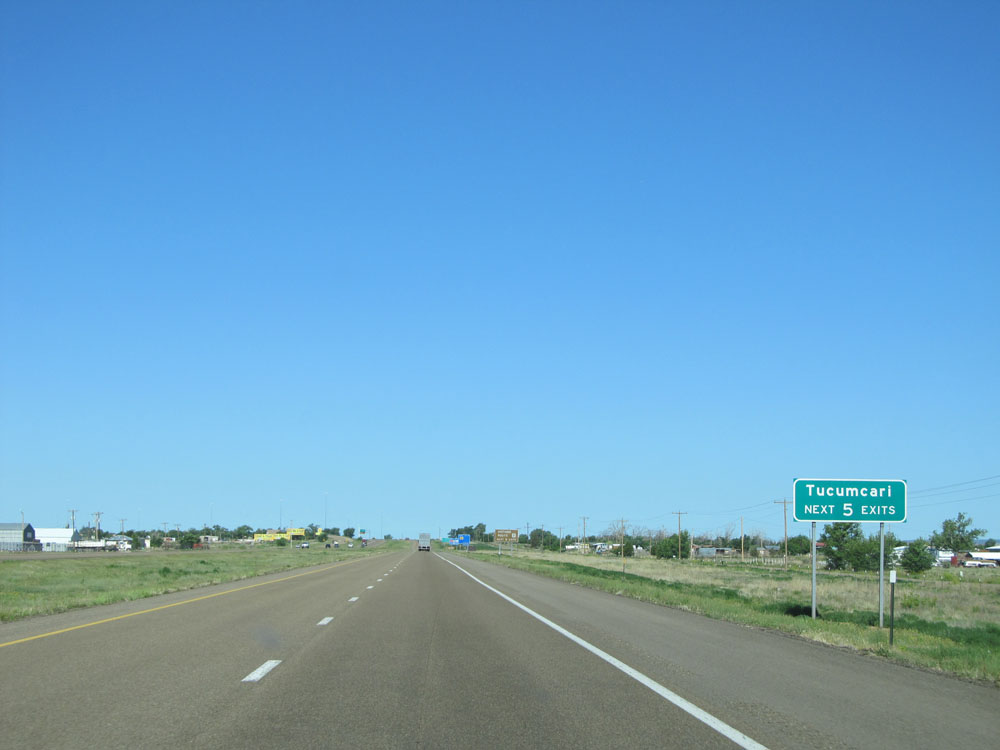 |
Take any of the next 5 exits to Tucumcari. (Photo taken 5/18/15). |
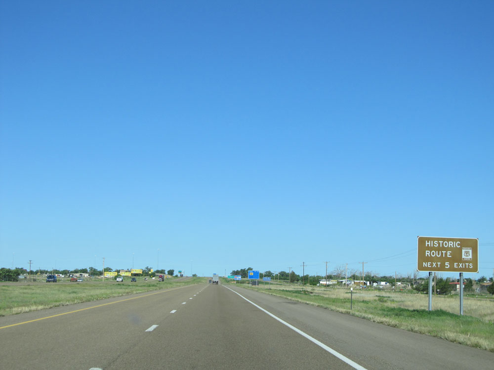 |
Also take any of the next 5 exits to Historic Route 66. (Photo taken 5/18/15). |
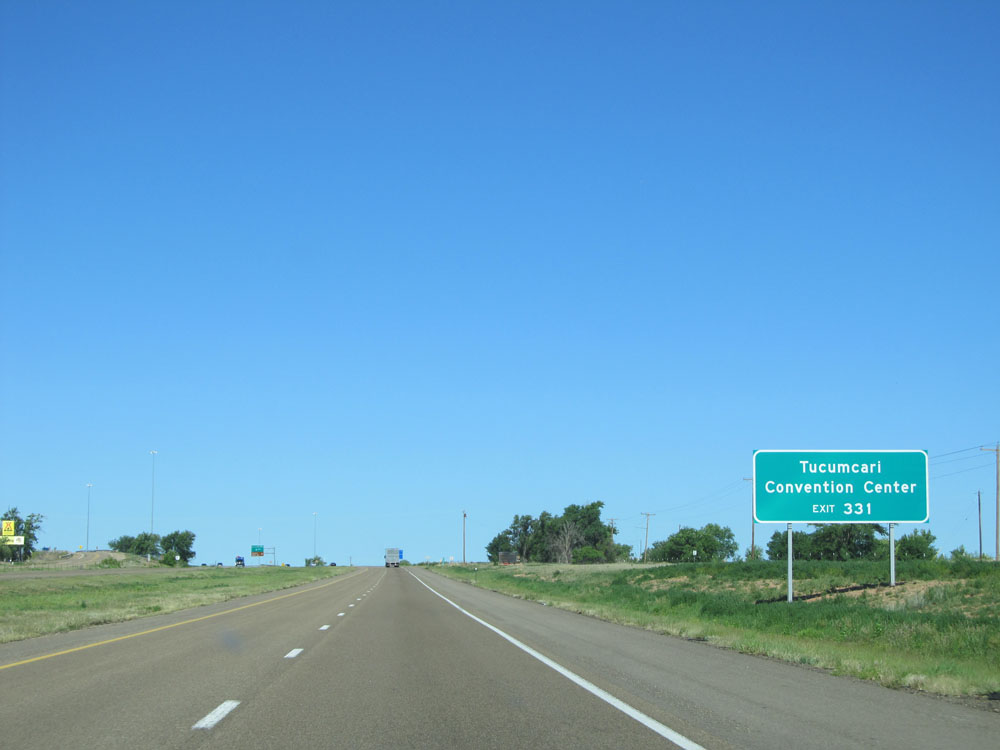 |
Take Exit 331 to Tucumcari Convention Center. (Photo taken 5/18/15). |
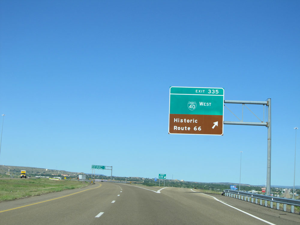 |
Interstate 40 West at Exit 335: Interstate 40 Bus. West - Historic Route 66 (Photo taken 5/18/15). |
 |
Sign listing the distances to the three upcoming Tucumcari exits. (Photo taken 5/18/15). |
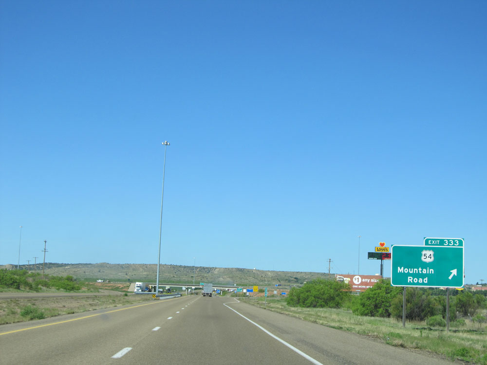 |
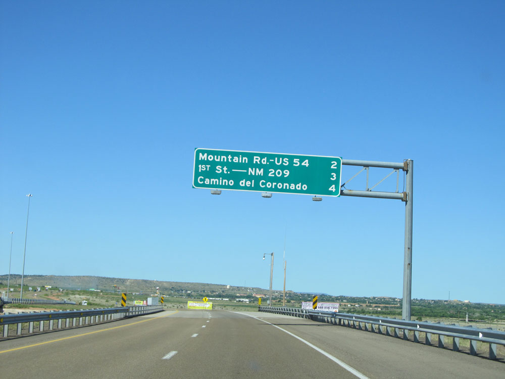
Interstate 40 West at Exit 333: US 54 - Mountain Road (Photo taken 5/18/15). |
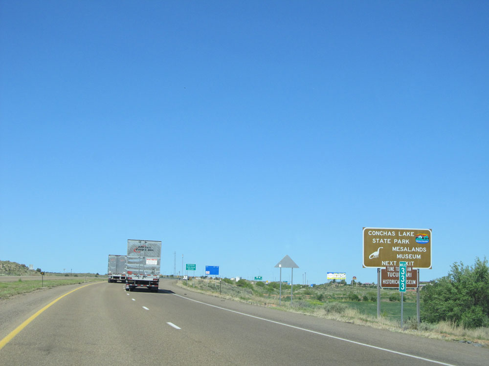 |
Take Exit 332 to Conchas Lake State Park and Mesalands Museum. (Photo taken 5/18/15). |
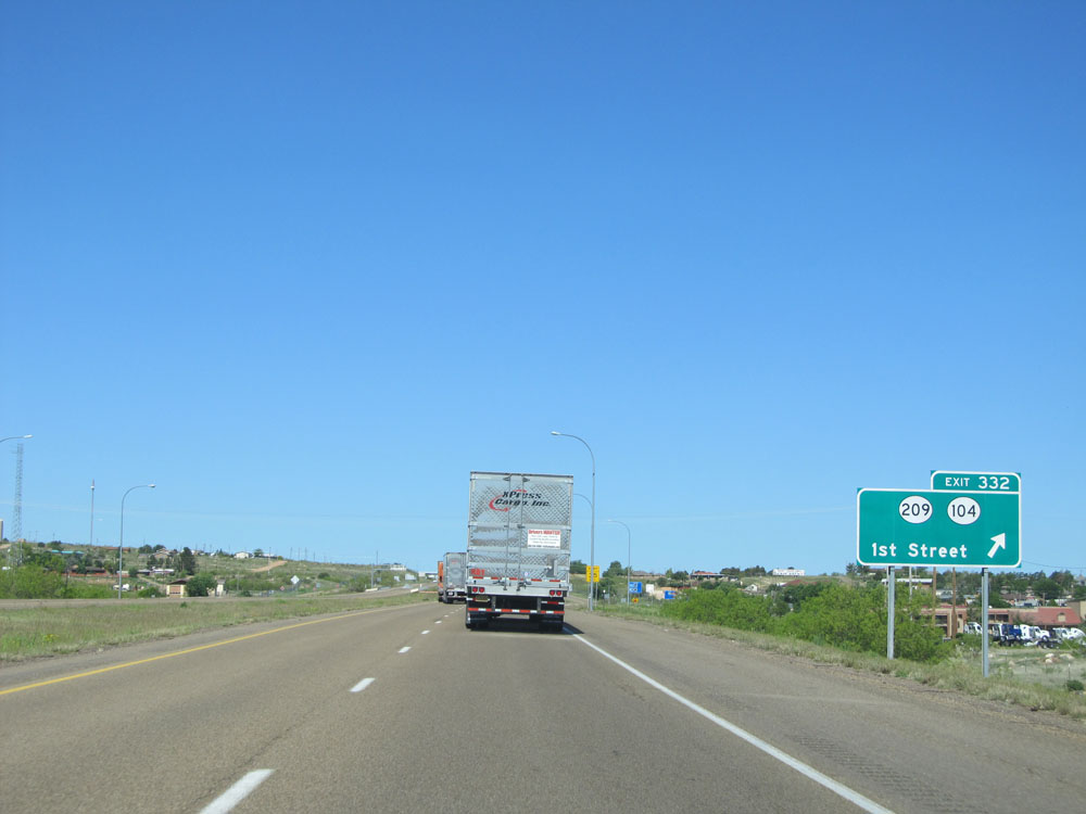 |
Interstate 40 West at Exit 332: NM 209 / NM 104 - 1st Street (Photo taken 5/18/15). |
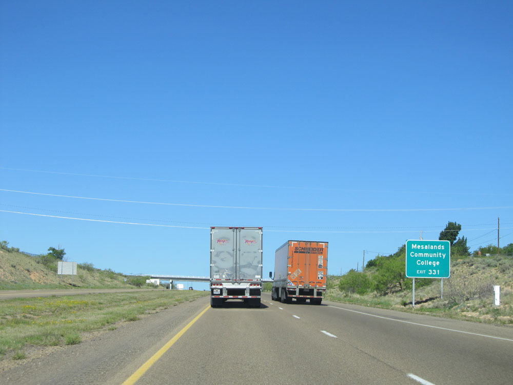 |
Take Exit 331 to Mesalands Community College. (Photo taken 5/18/15). |
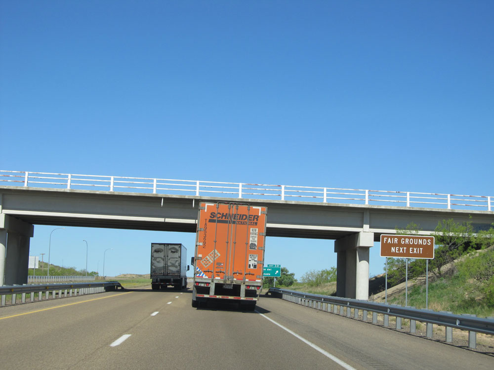 |
Also use Exit 331 to the Fairgrounds. (Photo taken 5/18/15). |
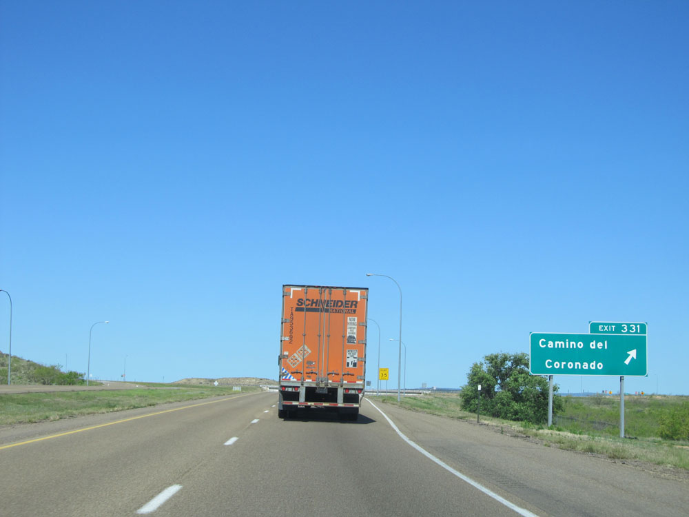 |
Interstate 40 West at Exit 331: Camino del Coronado (Photo taken 5/18/15). |
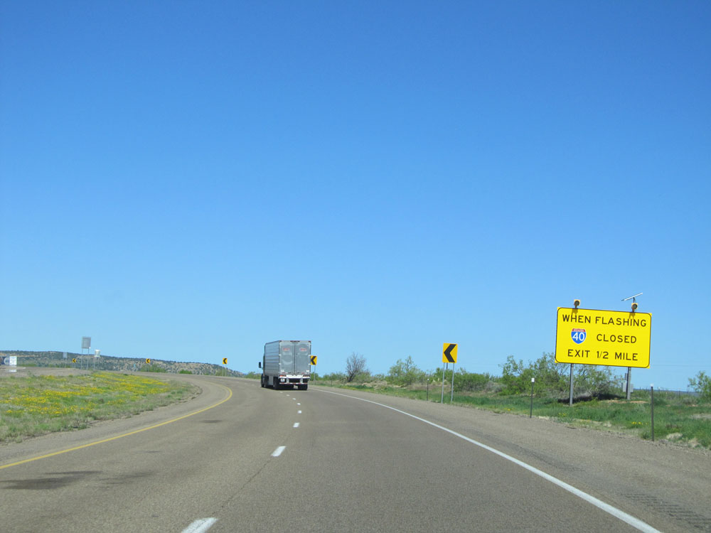 |
When the lights on this sign are flashing, it means Interstate 40 West is closed ahead and all traffic must take the next exit 1/2 mile ahead. There are several of these signs along Interstate 40 in New Mexico. (Photo taken 5/18/15). |
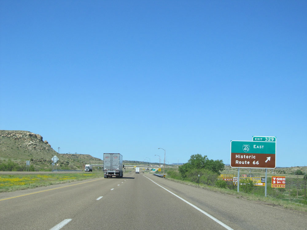 |
Interstate 40 West at Exit 329: Interstate 40 Bus. East - Historic Route 66 (Photo taken 5/18/15). |
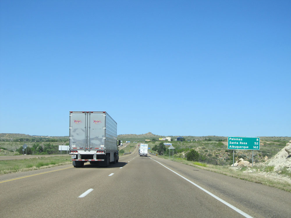 |
Mileage sign located near mile marker 329. It's 8 miles to Palomas, 52 miles to Santa Rosa, and 162 miles to Albuquerque. (Photo taken 5/18/15). |
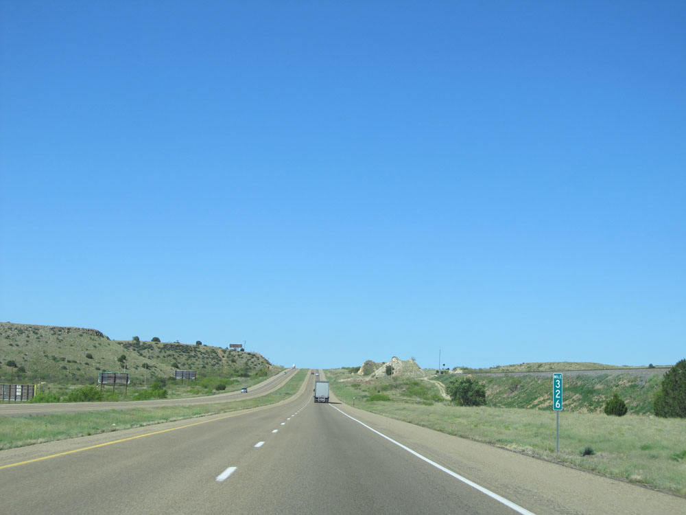 |
Interstate 40 West: Road view from mile marker 326. (Photo taken 5/18/15). |
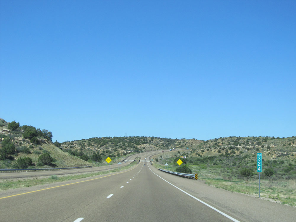 |
Interstate 40 West: Road view from mile marker 324. (Photo taken 5/18/15). |
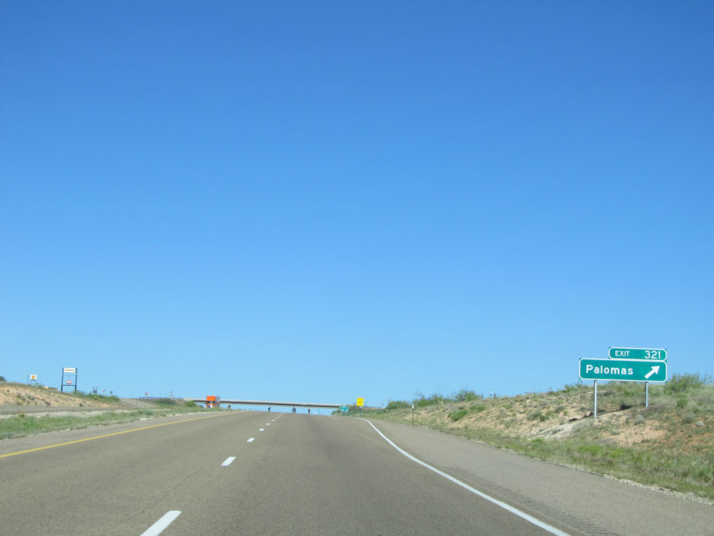 |
Interstate 40 West at Exit 321: Palomas (Photo taken 5/18/15). |
 |
Interstate 40 West green-backed shield located near mile marker 321. (Photo taken 5/18/15). |
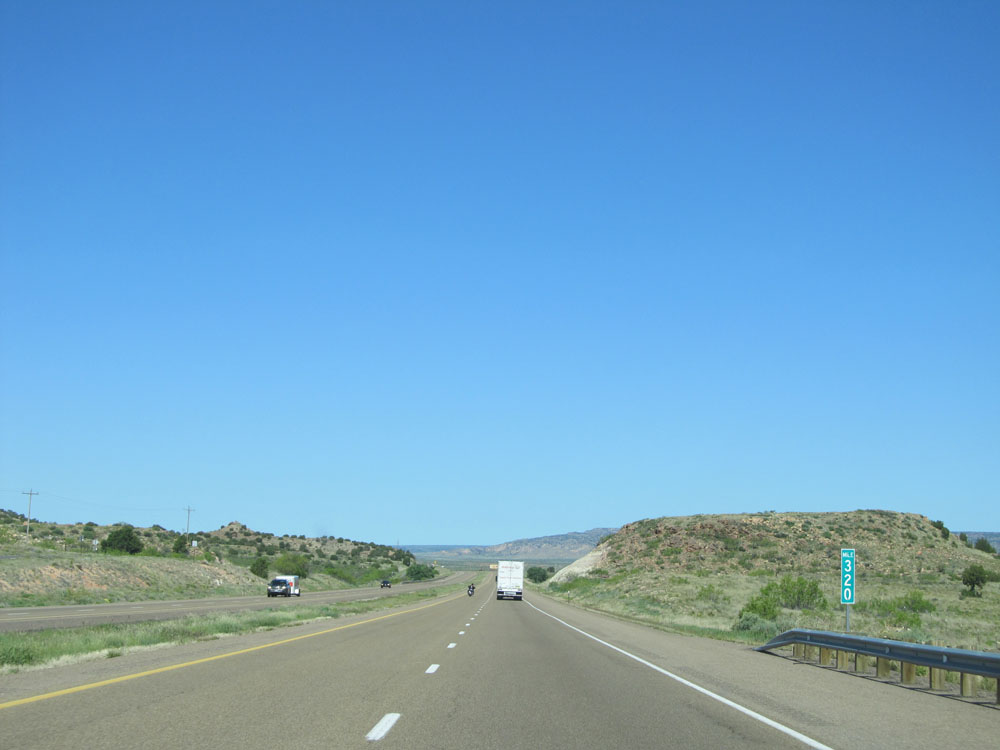 |
Interstate 40 West at mile marker 320. (Photo taken 5/18/15). |
 |
Interstate 40 West: Road view from mile marker 317. (Photo taken 5/18/15). |
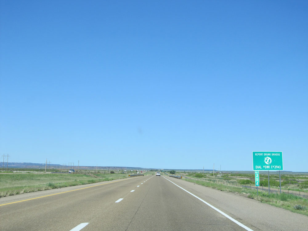 |
Interstate 40 West: Road view from mile marker 314. (Photo taken 5/18/15). |
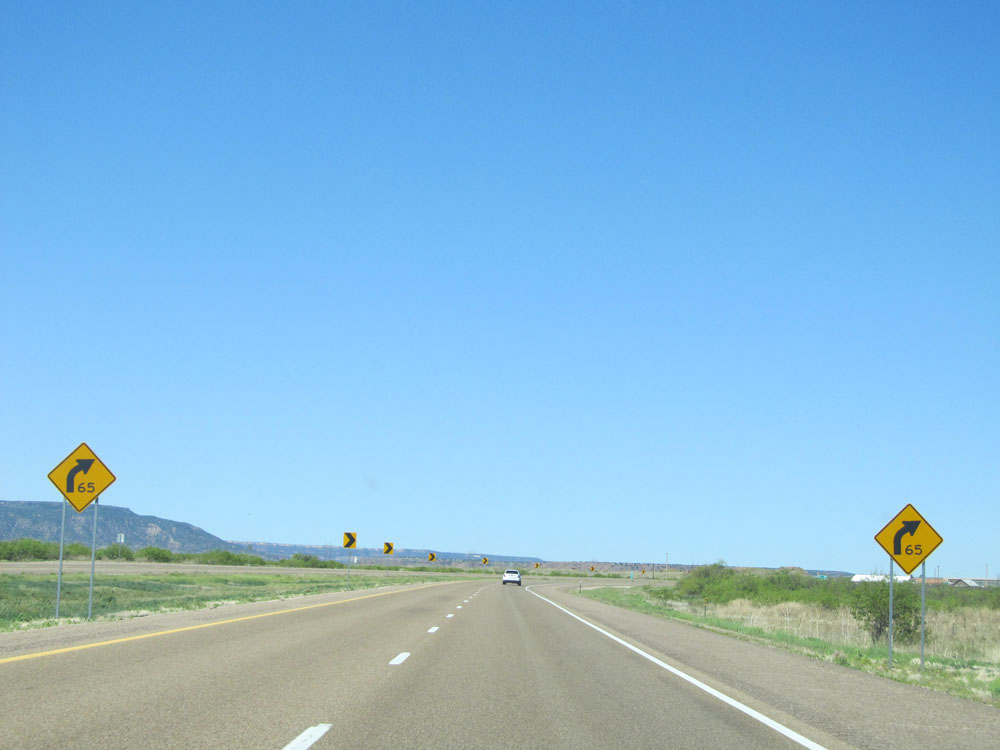 |
Interstate 40 West as it prepares to traverse a 65 mph curve ahead. (Photo taken 5/18/15). |
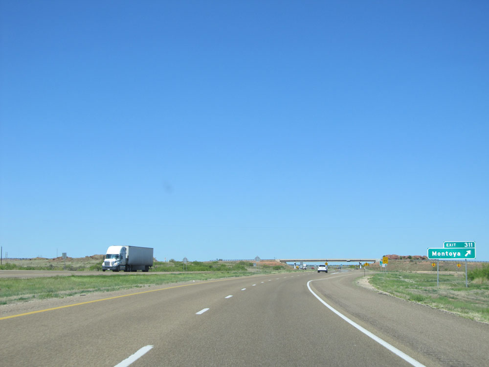 |
Interstate 40 West at Exit 311: Montoya (Photo taken 5/18/15). |
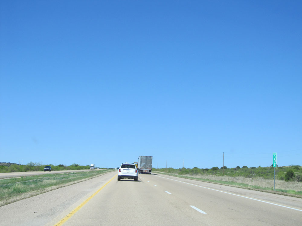 |
Interstate 40 West at mile marker 307. (Photo taken 5/18/15). |
 |
Interstate 40 West at mile marker 303. (Photo taken 5/18/15). |
 |
Interstate 40 West at the (currently closed) Rest Area located near mile marker 302. (Photo taken 5/18/15). |
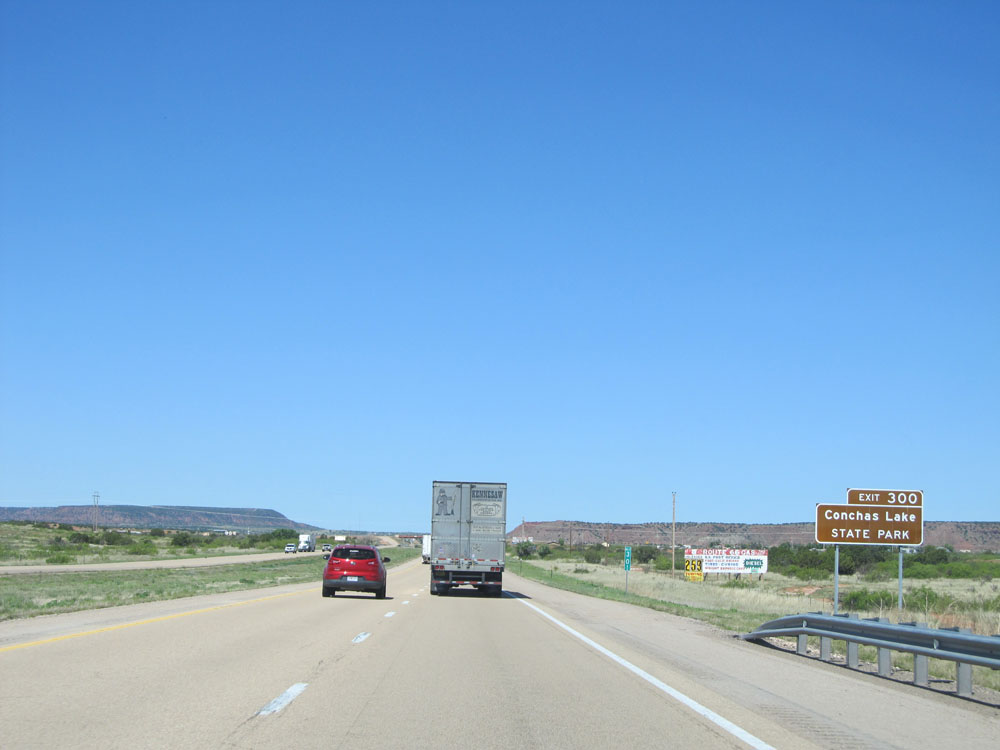 |
Take Exit 300 to Conchas Lake State Park. (Photo taken 5/18/15). |
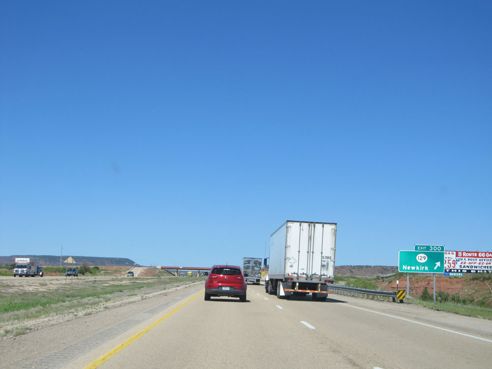 |
Interstate 40 West at Exit 300: NM 129 - Newkirk (Photo taken 5/18/15). |
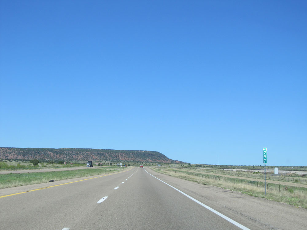 |
Interstate 40 West: Road view from mile marker 297. (Photo taken 5/18/15). |
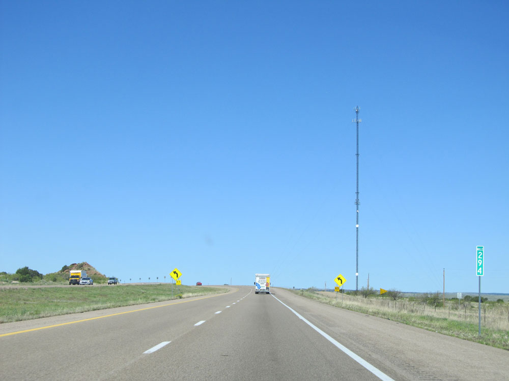 |
Interstate 40 West at mile marker 294, as Interstate 40 prepares to traverse another 65 mph curve. (Photo taken 5/18/15). |
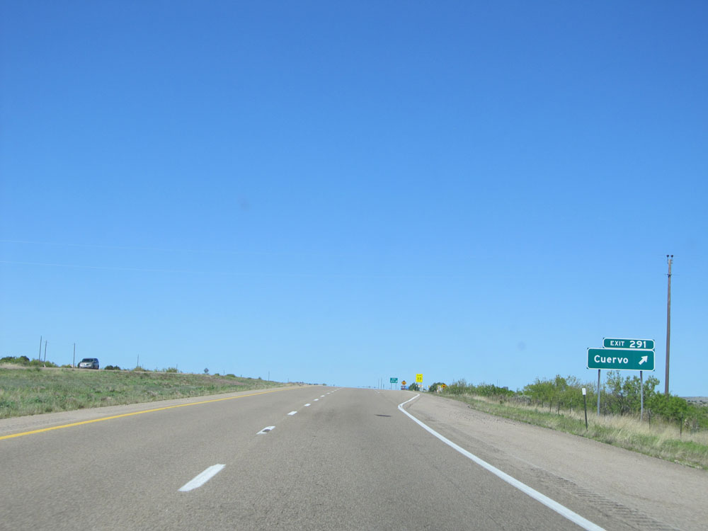 |
Interstate 40 West at Exit 291: Cuervo (Photo taken 5/18/15). |
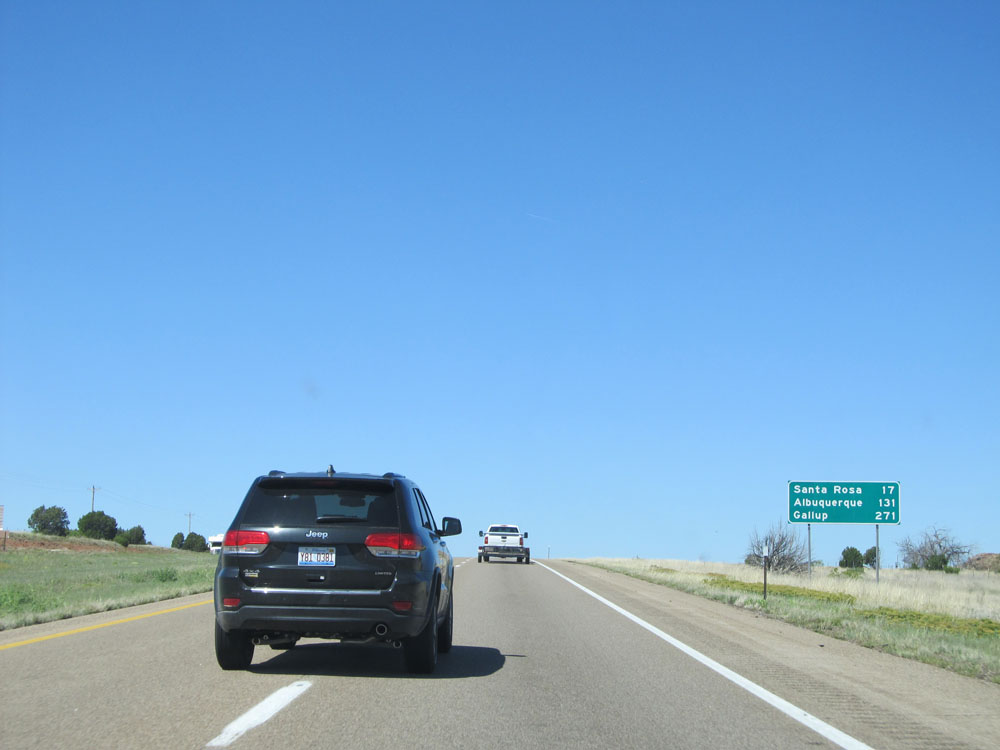 |
Mileage sign near mile marker 291. It's 17 miles to Santa Rosa, 131 miles to Albuquerque, and 271 miles to Gallup. (Photo taken 5/18/15). |
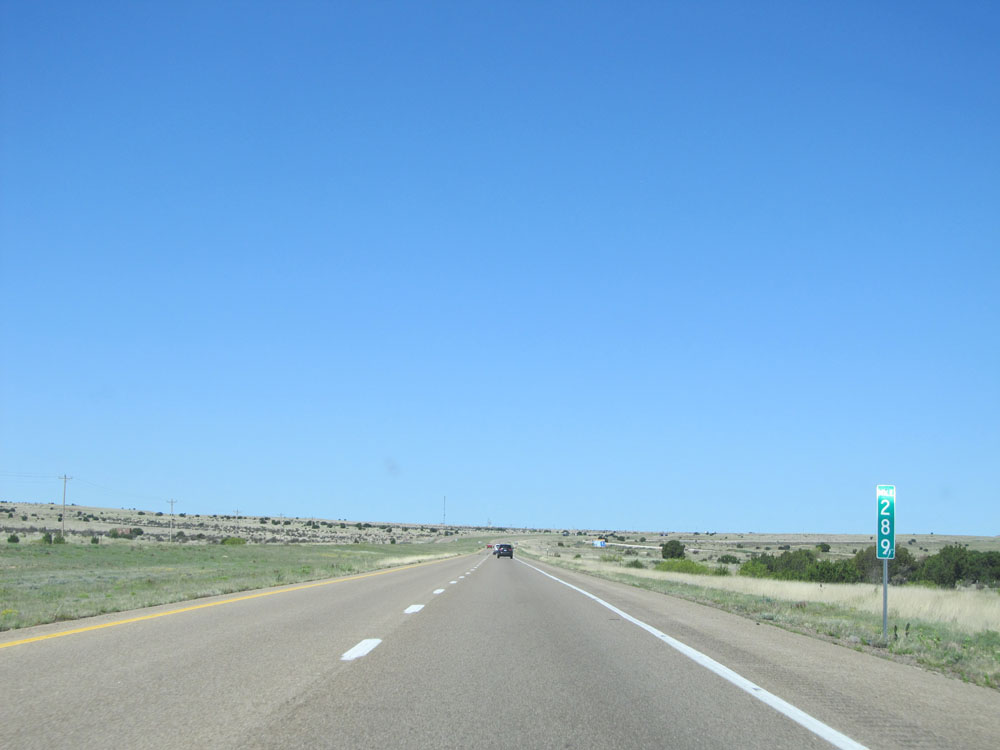 |
Interstate 40 West: Road view from mile marker 289. (Photo taken 5/18/15). |
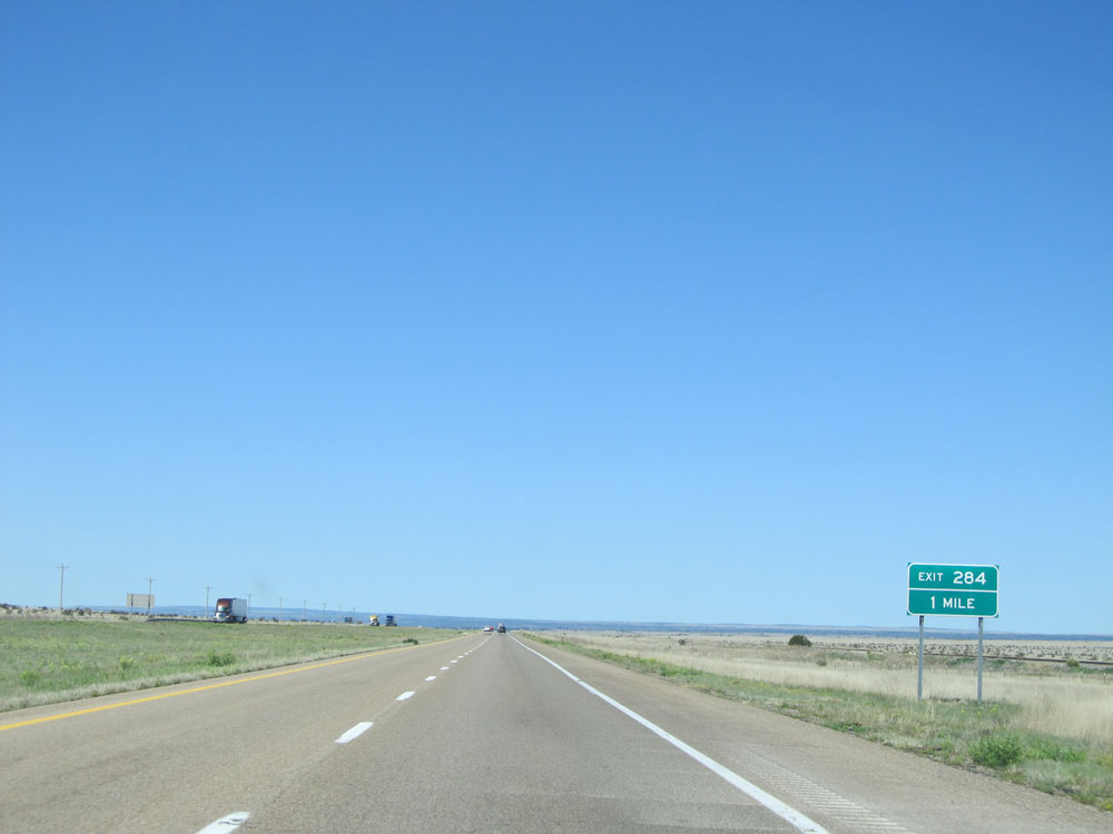 |
Interstate 40 West approaching Exit 284 - 1 mile. (Photo taken 5/18/15). |
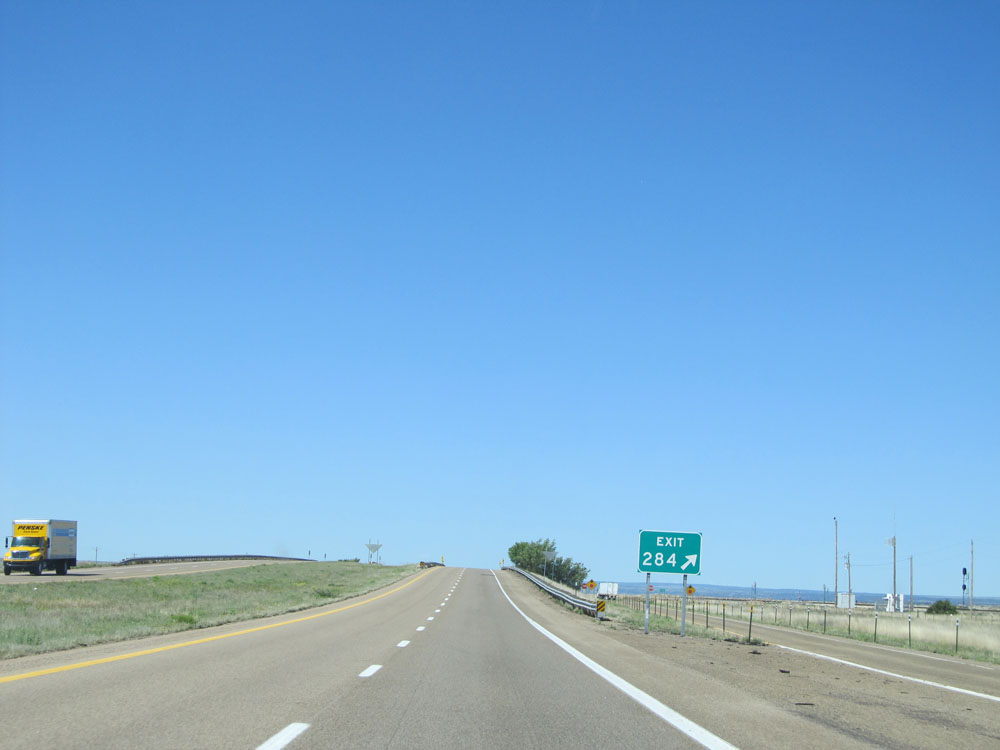 |
Interstate 40 West at Exit 284: (No Name) (Photo taken 5/18/15). |
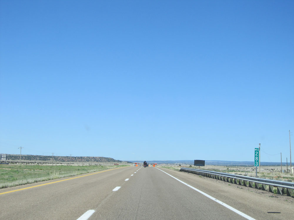 |
Interstate 40 West at mile marker 283. (Photo taken 5/18/15). |
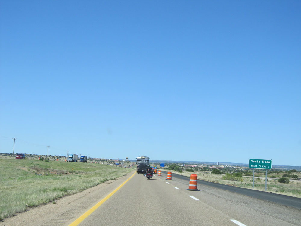 |
Take any of the next 3 exits to Santa Rosa. (Photo taken 5/18/15). |
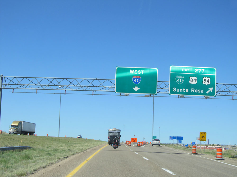 |
Interstate 40 West at Exit 277: Interstate 40 Bus. / US 84 / US 54 - Santa Rosa (Photo taken 5/18/15). |
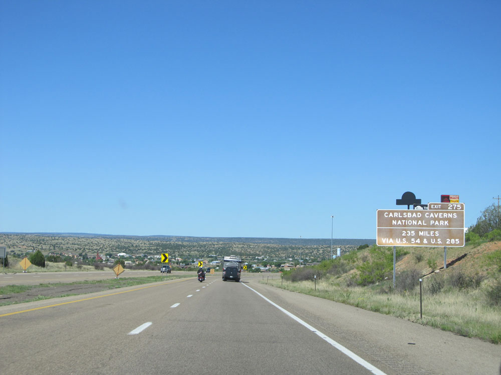 |
Take Exit 275 and follow US 54 to US 285 for 235 miles for the shortest route to Carlsbad Caverns National Park. (Photo taken 5/18/15). |
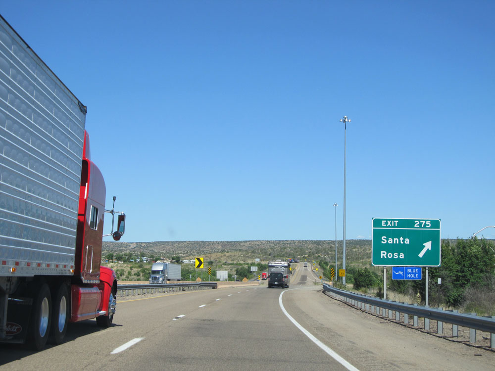 |
Interstate 40 West at Exit 275: Santa Rosa (Photo taken 5/18/15). |
Section 2: Santa Rosa (Exit 275) to Albuquerque (Exit 166)
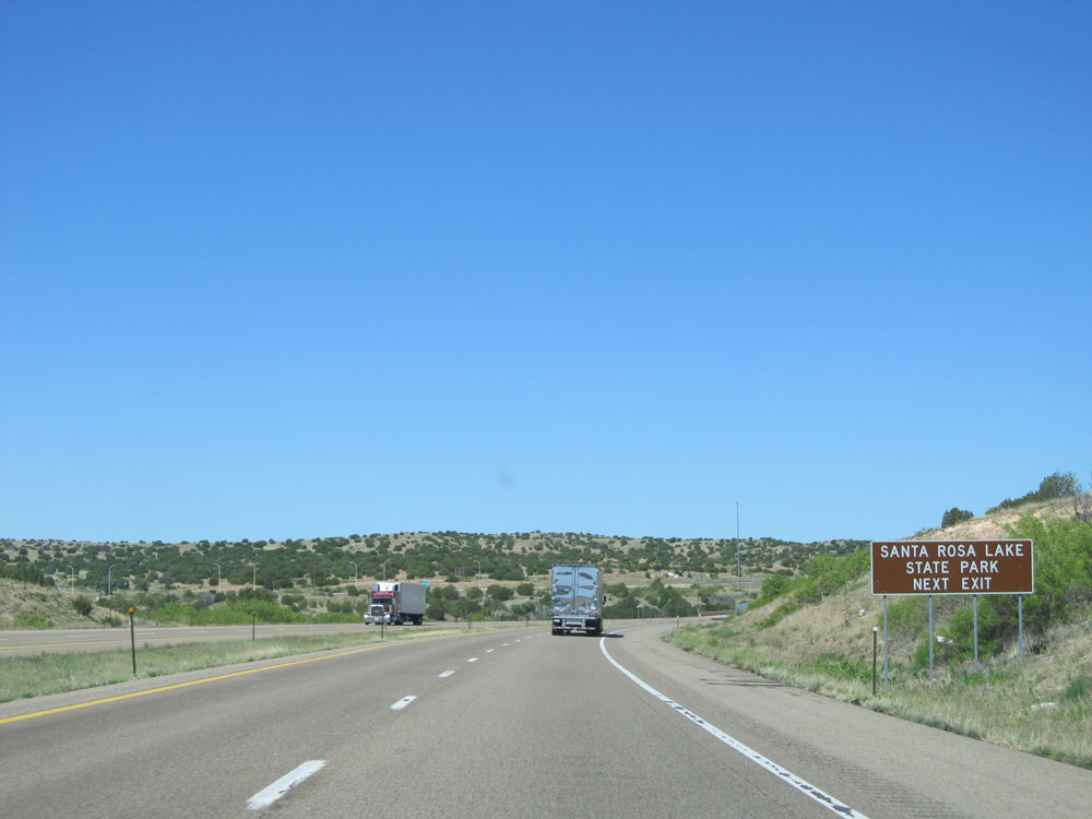 |
Take Exit 273 to Santa Rosa Lake State Park. (Photo taken 5/18/15). |
 |
Use the next exit (Exit 273) when the lights on this sign are flashing, since they indicate that Interstate 40 West is closed ahead. (Photo taken 5/18/15). |
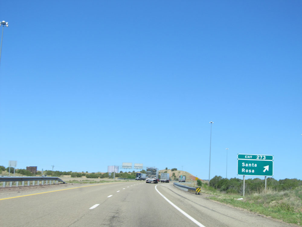 |
Interstate 40 West at Exit 273: Santa Rosa (Photo taken 5/18/15). |
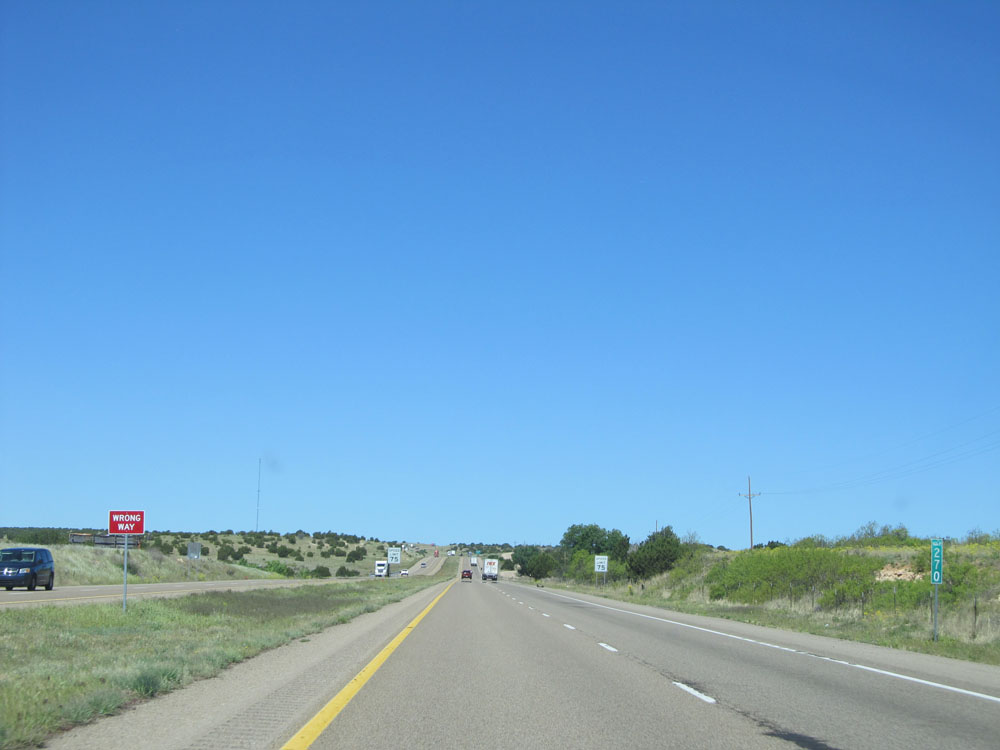 |
Interstate 40 West: Road view from mile marker 270. (Photo taken 5/18/15). |
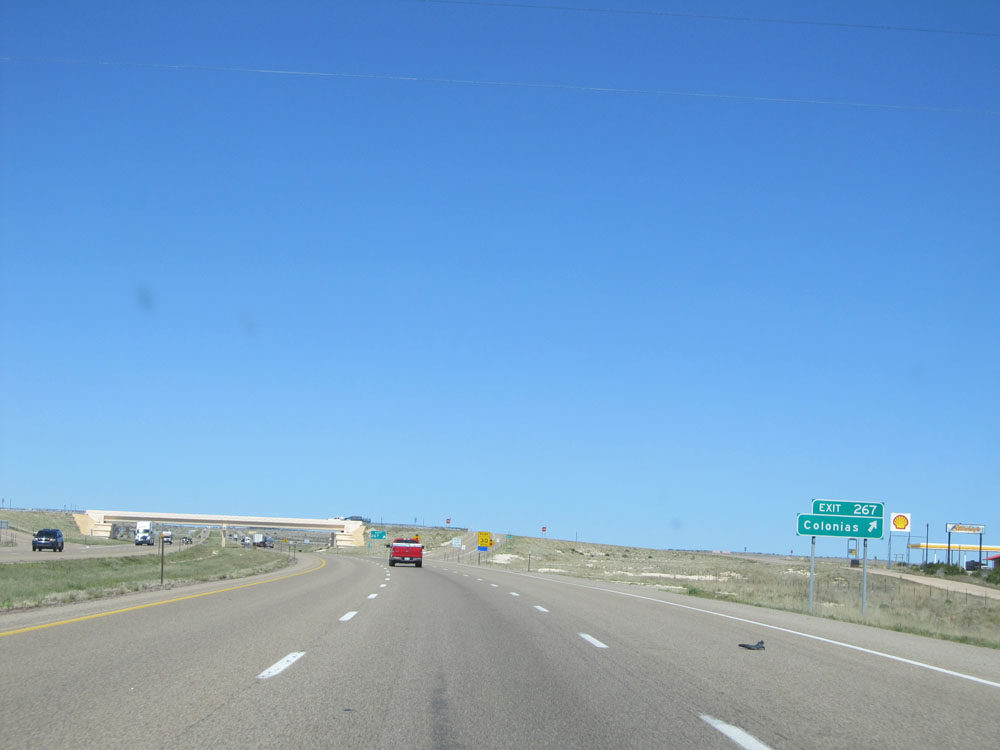 |
Interstate 40 West at Exit 267: Colonias (Photo taken 5/18/15). |
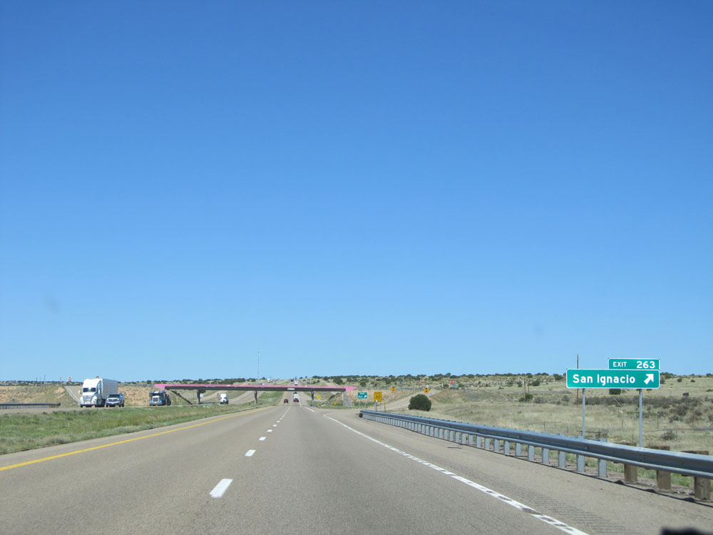 |
Interstate 40 West at Exit 263: San Ignacio (Photo taken 5/18/15). |
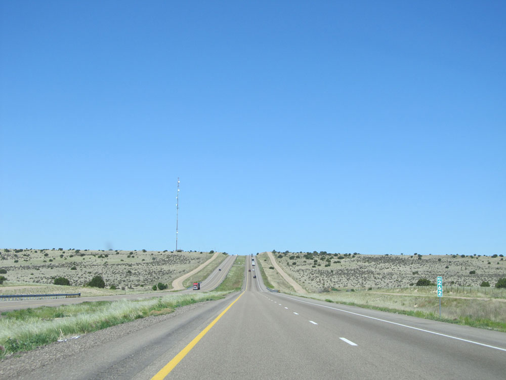 |
Interstate 40 West at mile marker 262. (Photo taken 5/18/15). |
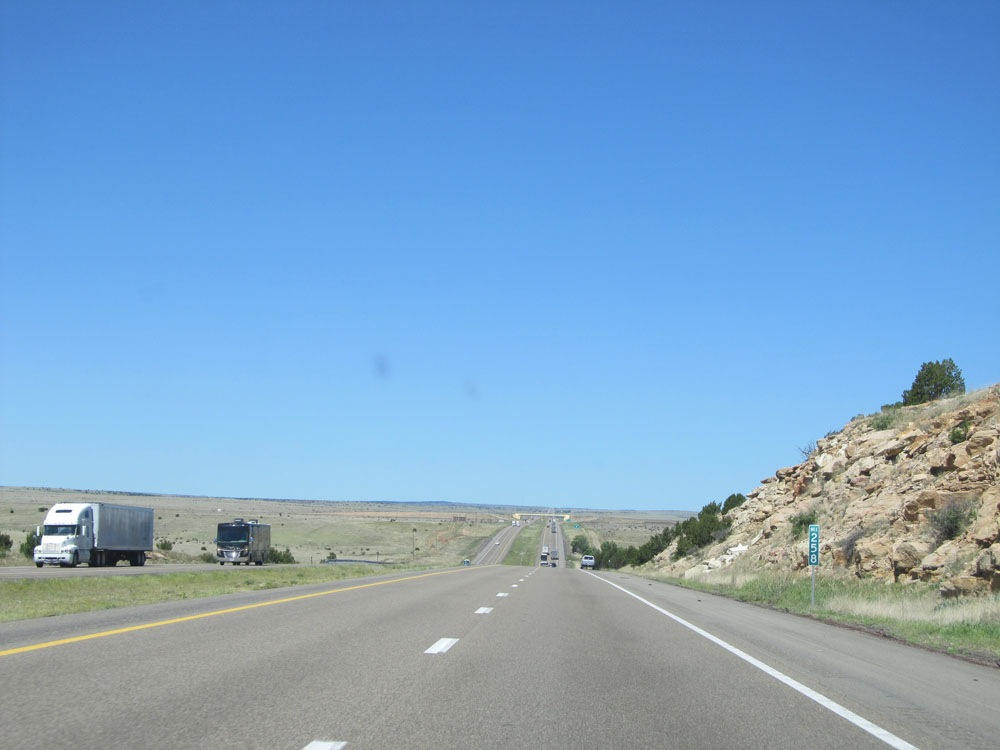 |
Interstate 40 West: Road view from mile marker 258. (Photo taken 5/18/15). |
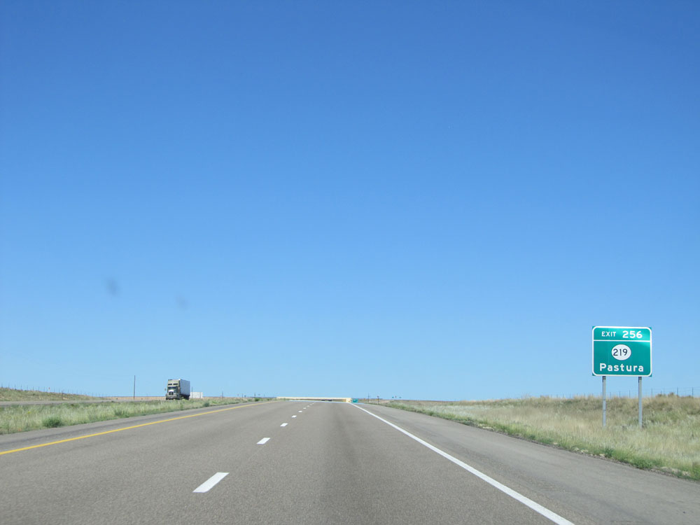 |
Take Exit 256 to NM 219 to Pastura. (Photo taken 5/18/15). |
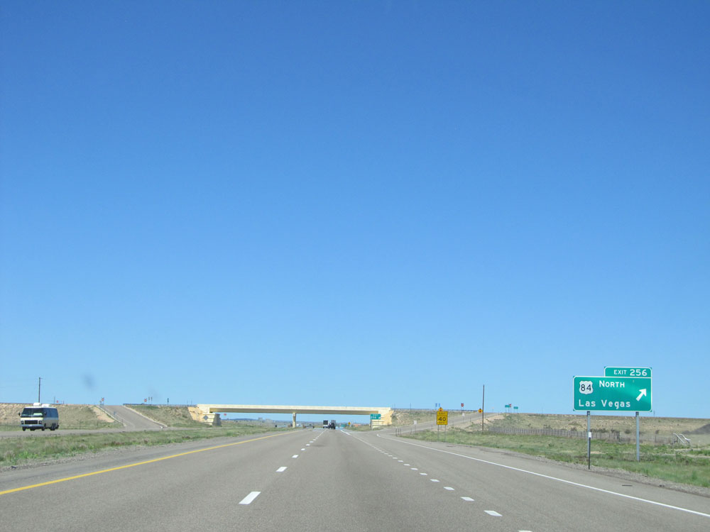 |
Interstate 40 West at Exit 256: US 84 North - Las Vegas (Photo taken 5/18/15). |
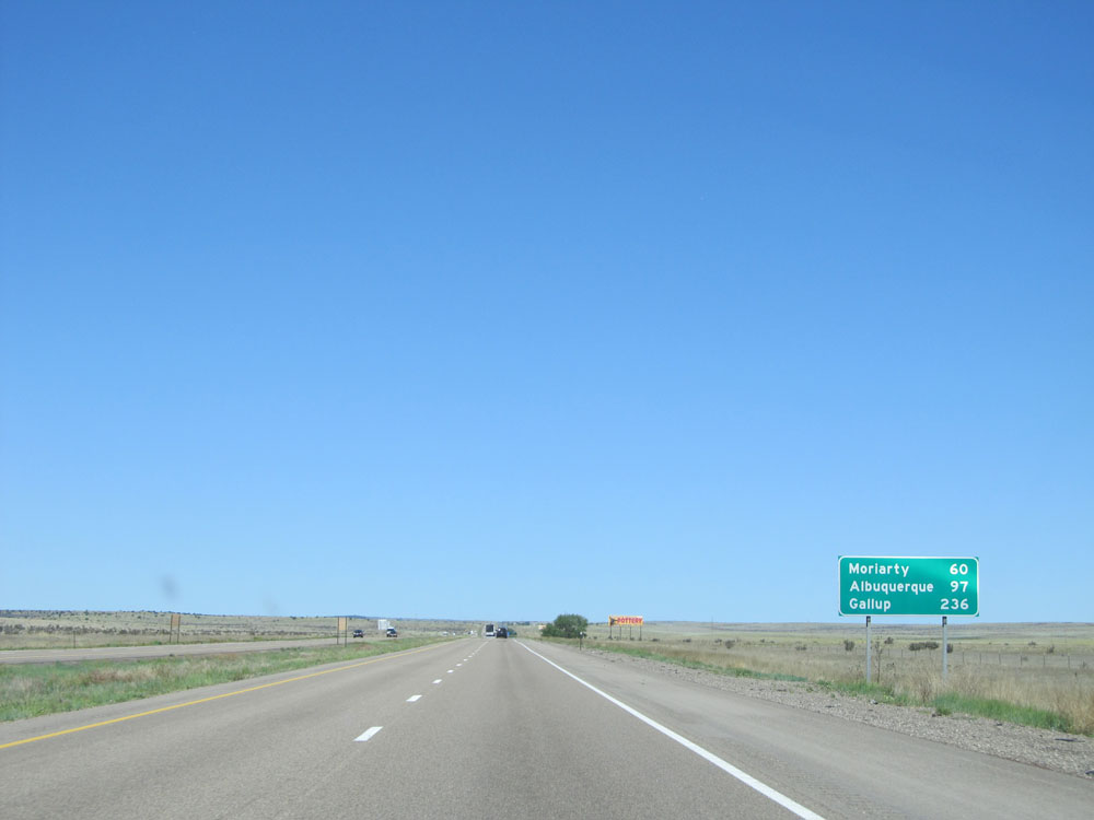 |
Mileage sign near mile marker 256. It's 60 miles to Moriarty, 97 miles to Albuquerque, and 236 miles to Gallup. (Photo taken 5/18/15). |
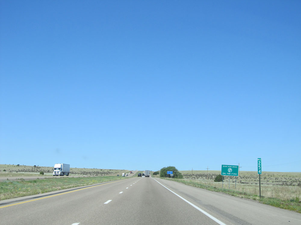 |
Interstate 40 West: Road view from mile marker 254. (Photo taken 5/18/15). |
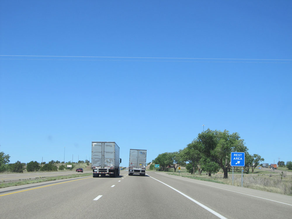 |
Interstate 40 West at Exit 252: Rest Area (Photo taken 5/18/15). |
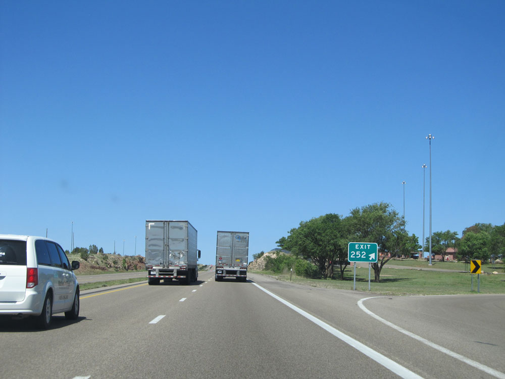 |
Exit sign for the Rest Area, Exit 252. (Photo taken 5/18/15). |
 |
Interstate 40 West: Road view from mile marker 248. (Photo taken 5/18/15). |
 |
Interstate 40 West at mile marker 245. (Photo taken 5/18/15). |
 |
Interstate 40 West at Exit 243A: Milagro (Photo taken 5/18/15). |
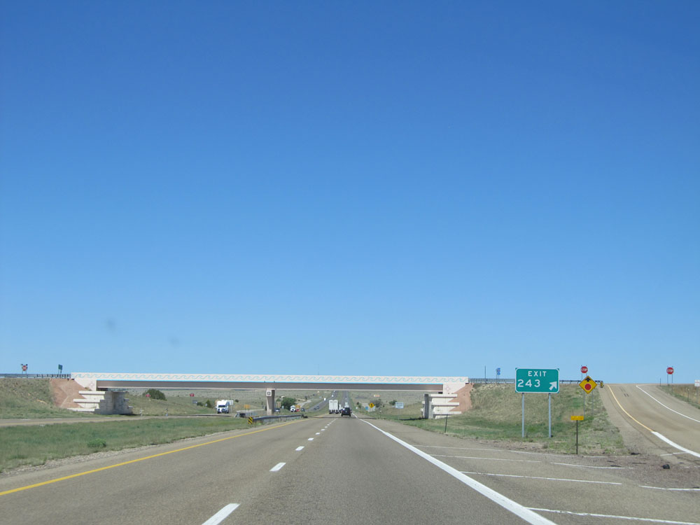 |
Interstate 40 West at Exit 243: (No Name) (Photo taken 5/18/15). |
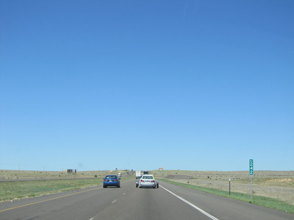 |
Interstate 40 West: Road view from mile marker 242. (Photo taken 5/18/15). |
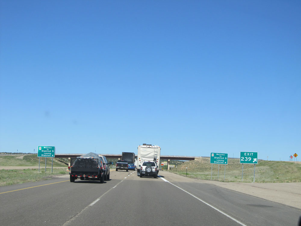 |
Interstate 40 West at Exit 239: (No Name) (Photo taken 5/18/15). |
 |
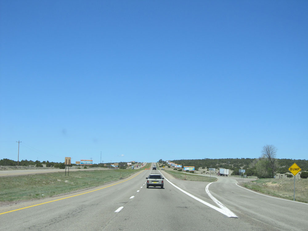
The long line of billboards you see here are advertising Flying C Ranch, which is a "tourist trap" off Exit 234 ahead. You will see these billboards for several miles before this point, and they get very agressive with them as you get close to Exit 234. (Photo taken 5/18/15). |
 |
More billboards for Flying C Ranch. Pottery, T-Shirts, Fireworks and the like are advertised here. (Photo taken 5/18/15). |
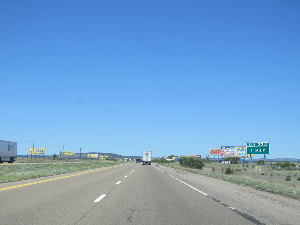 |
Interstate 40 West approaching Exit 234 - 1 mile. The relentless advertisements continue. (Photo taken 5/18/15). |
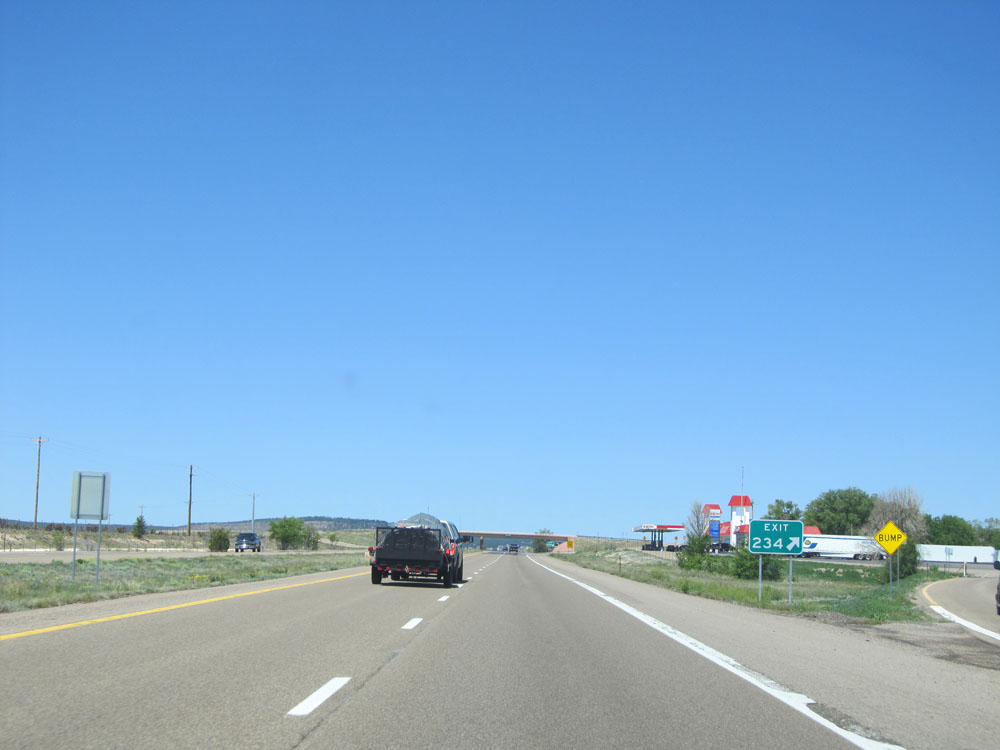 |
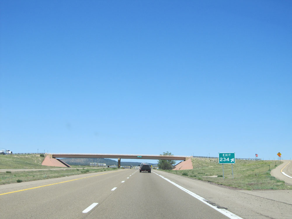
Interstate 40 West at Exit 234: (No Name). However, I'll go ahead and call it Exit 234: Flying C Ranch (Photo taken 5/18/15). |
 |
Interstate 40 West at a second exit ramp for Exit 234: (No Name). The first ramp was a direct exit to Flying C Ranch itself, while this one appears to be for ranch access without having to go through the Flying C Ranch parking lot. However, I still don't see why they weren't signed as Exits 234B and 234A, respectively. (Photo taken 5/18/15). |
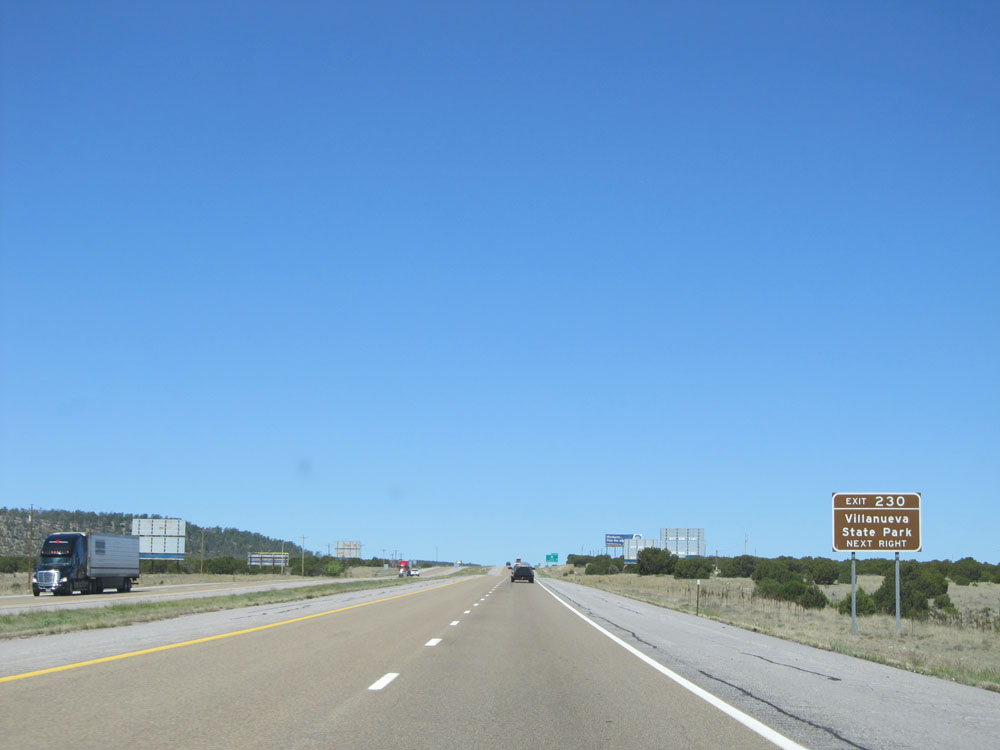 |
Take Exit 230 to Villanueva State Park. (Photo taken 5/18/15). |
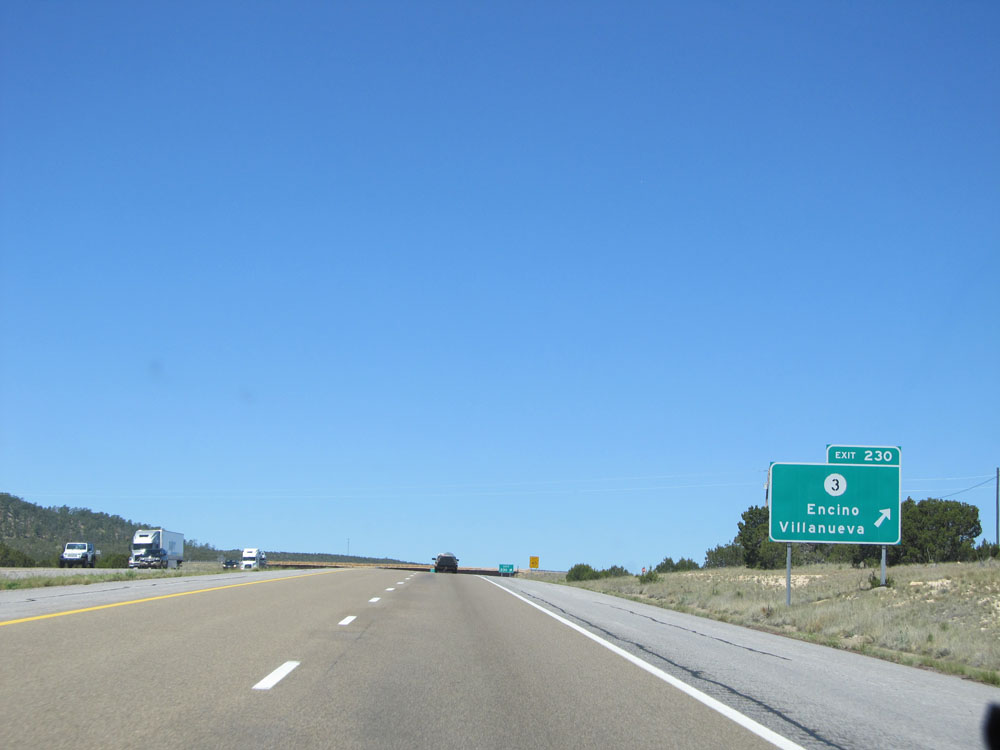 |
Interstate 40 West at Exit 230: NM 3 - Encino / Villanueva (Photo taken 5/18/15). |
 |
Interstate 40 West: Road view from mile marker 228. (Photo taken 5/18/15). |
 |
Interstate 40 West at Exit 226: (No Name) (Photo taken 5/18/15). |
 |
View on Interstate 40 West, climbing a short and steep grade. (Photo taken 5/18/15). |
 |
Interstate 40 West: Road view from mile marker 223. (Photo taken 5/18/15). |
 |
Interstate 40 West at mile marker 221. (Photo taken 5/18/15). |
 |
Interstate 40 West at the Parking Area located near mile marker 220. (Photo taken 5/18/15). |
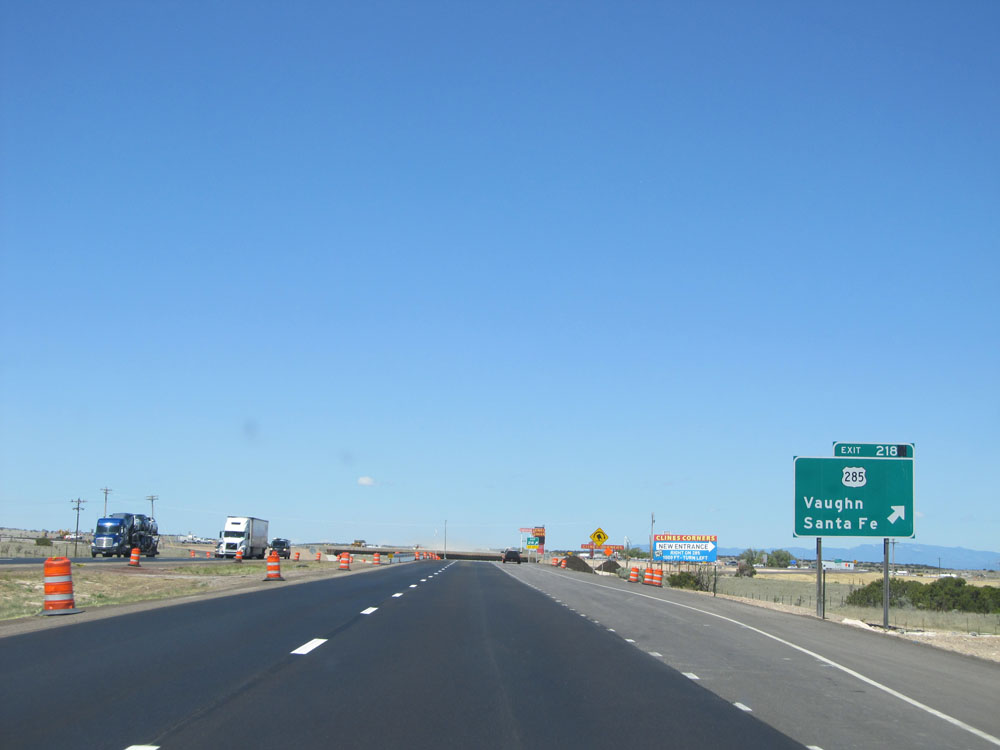 |
Interstate 40 West at Exit 218: US 285 - Vaughn / Santa Fe (Photo taken 5/18/15). |
 |
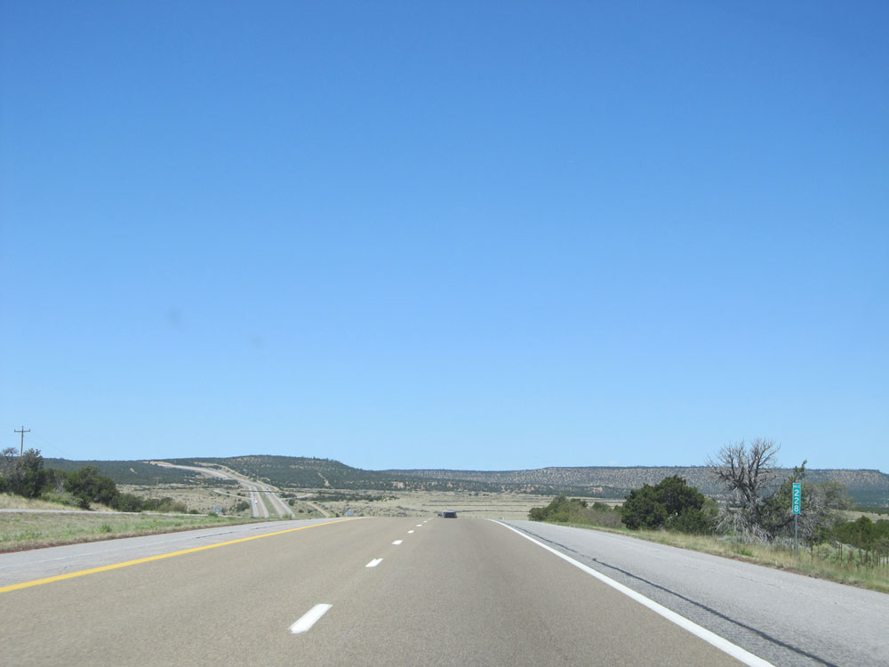
Mileage sign near mile marker 218. It's 58 miles to Albuquerque, 133 miles to Grants, and 187 miles to Gallup. (Photo taken 5/18/15). |
 |
View on Interstate 40 West. (Photo taken 5/18/15). |
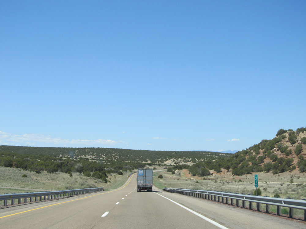 |
Interstate 40 West: Road view from mile marker 215. (Photo taken 5/18/15). |
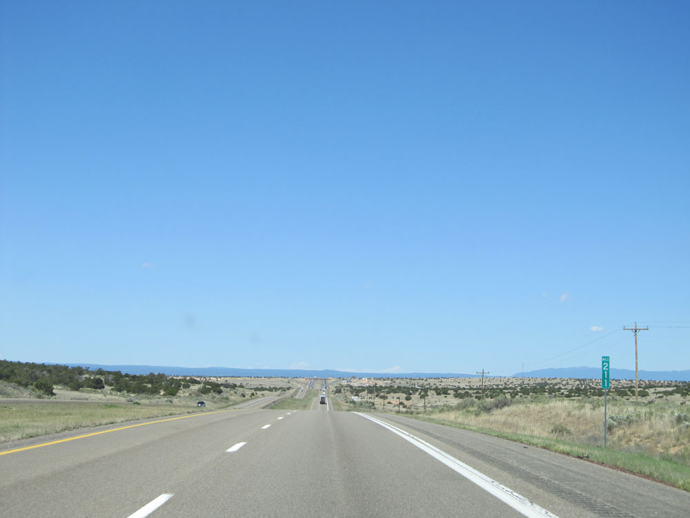 |
Interstate 40 West at mile marker 211. (Photo taken 5/18/15). |
 |
Interstate 40 West at Exit 208: Wagon Wheel (Photo taken 5/18/15). |
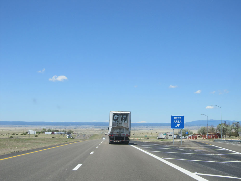 |
Interstate 40 West at the Rest Area located near mile marker 207. (Photo taken 5/18/15). |
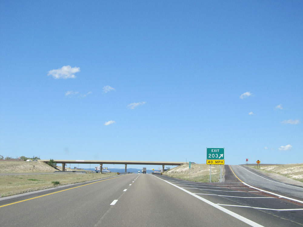 |
Interstate 40 West at Exit 203: (No Name) (Photo taken 5/18/15). |
 |
Interstate 40 West: Road view from mile marker 202, approaching Moriarty. (Photo taken 5/18/15). |
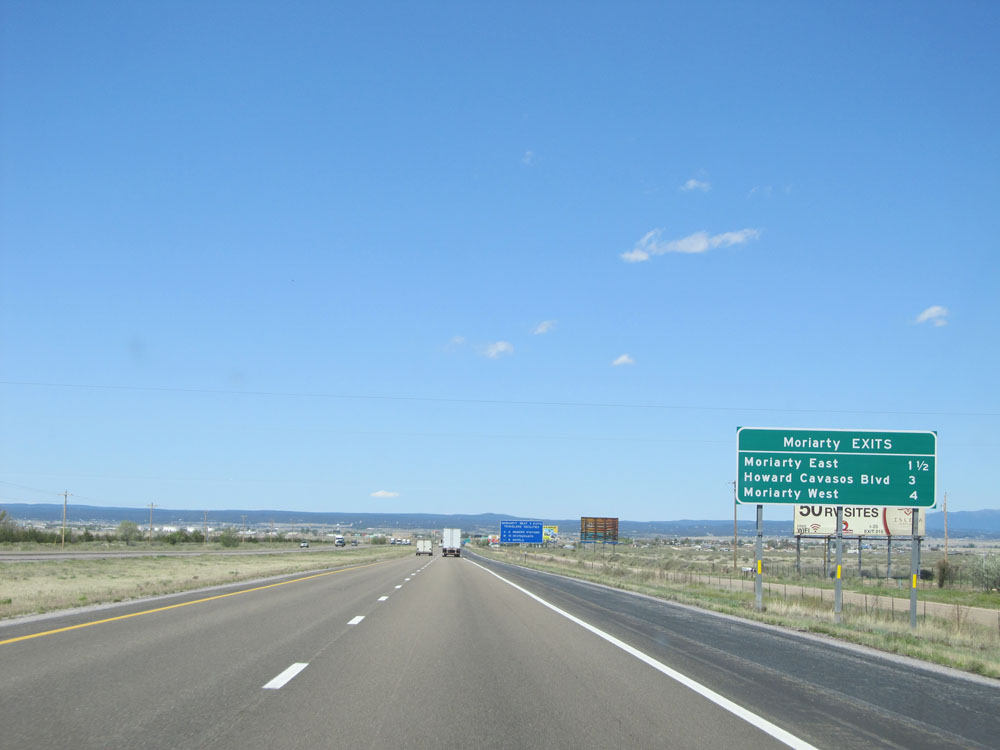 |
Sign listing the distances to the three upcoming exits to Moriarty. (Photo taken 5/18/15). |
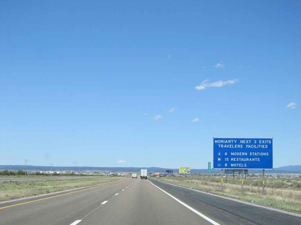 |
Similar to the one back in Tucumcari, this big blue sign at mile marker 200 gives a summary of the number and kinds of services available in Moriarty off the next 3 exits. (Photo taken 5/18/15). |
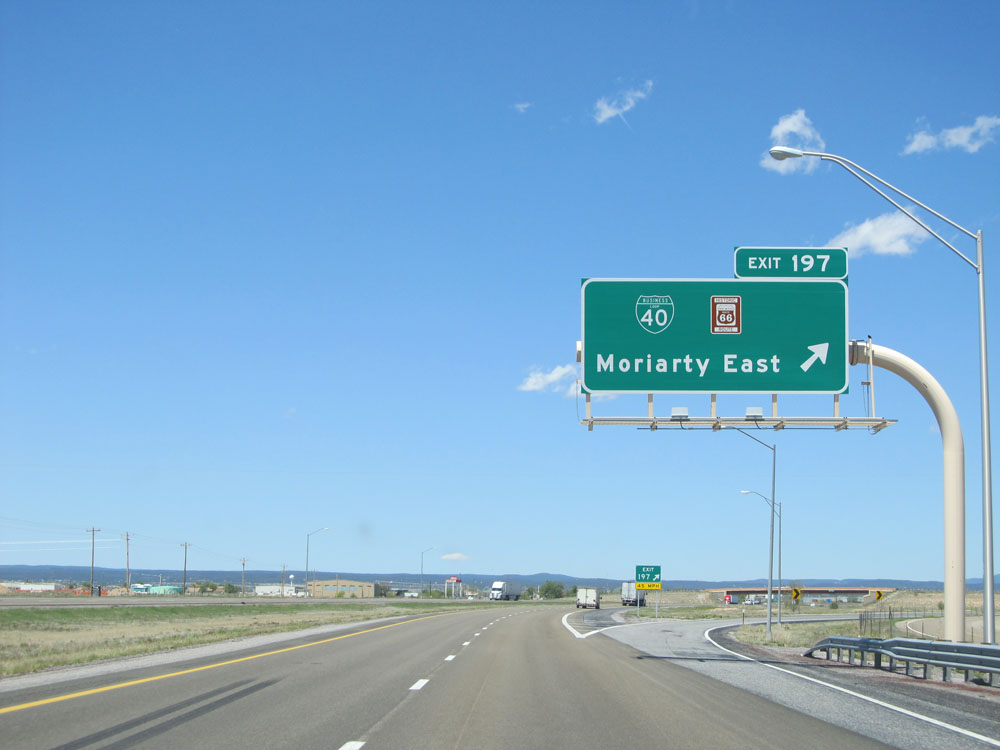 |
Interstate 40 West at Exit 197: Interstate 40 Bus. / Historic Route 66 - Moriarty East (Photo taken 5/18/15). |
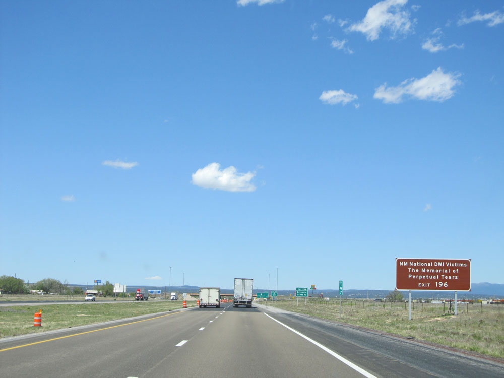 |
Take Exit 196 to The Memorial of Perpetual Tears. (Photo taken 5/18/15). |
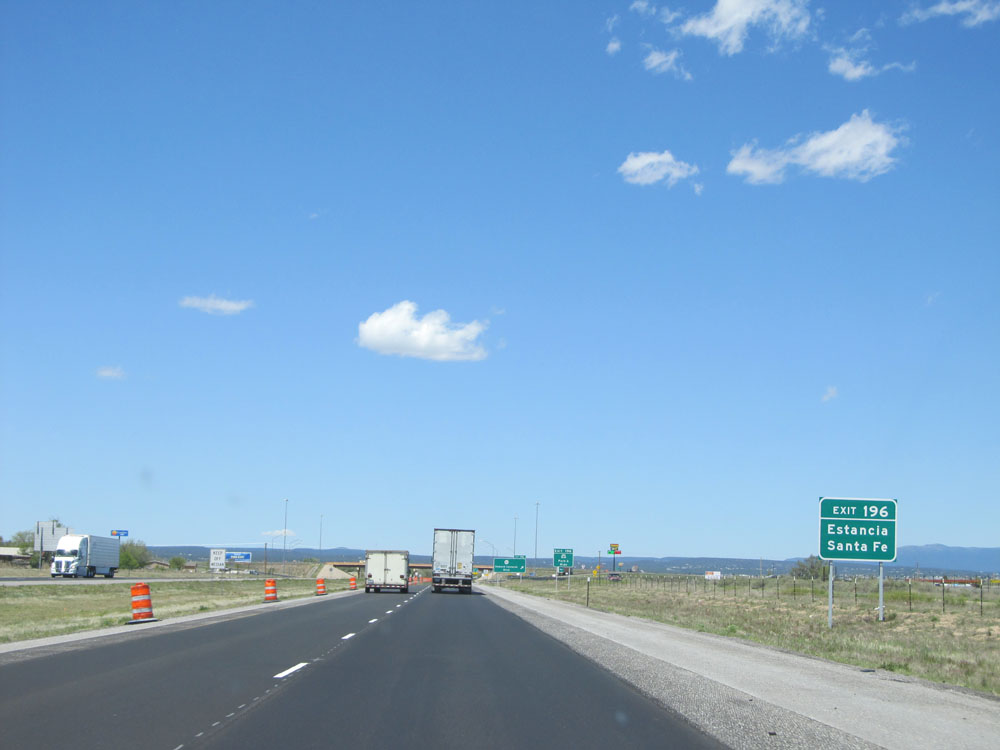 |
Also take Exit 196 to Estancia and Santa Fe. (Photo taken 5/18/15). |
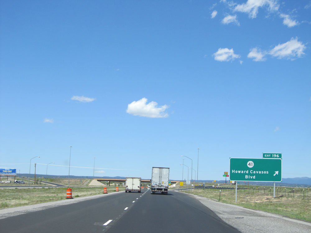 |
Interstate 40 West at Exit 196: NM 41 - Howard Cavasos Blvd (Photo taken 5/18/15). |
 |
Interstate 40 West at Exit 194: Interstate 40 Bus. / Historic Route 66 - Moriarty West (Photo taken 5/18/15). |
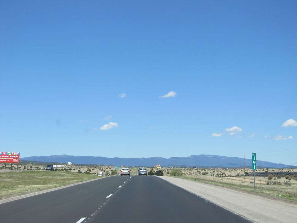 |
Interstate 40 West: Road view from mile marker 191, leaving Moriarty. (Photo taken 5/18/15). |
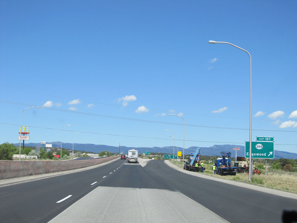 |
Interstate 40 West at Exit 187: NM 344 - Edgewood (Photo taken 5/18/15). |
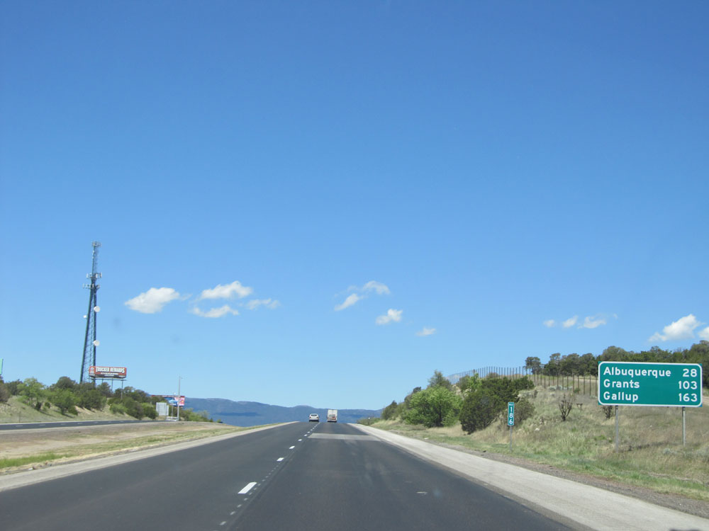 |
Mileage sign at mile marker 186. It's now just 28 miles to Albuquerque, while it's 103 miles to Grants and 163 miles to Gallup. (Photo taken 5/18/15). |
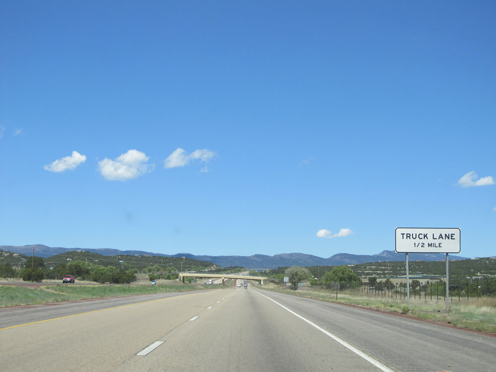 |
In 1/2 mile, a truck lane will appear as we climb a bit of a grade. (Photo taken 5/18/15). |
 |
As we begin up the grade, the speed limit decreases to 65 mph as the truck climbing lane appears. (Photo taken 5/18/15). |
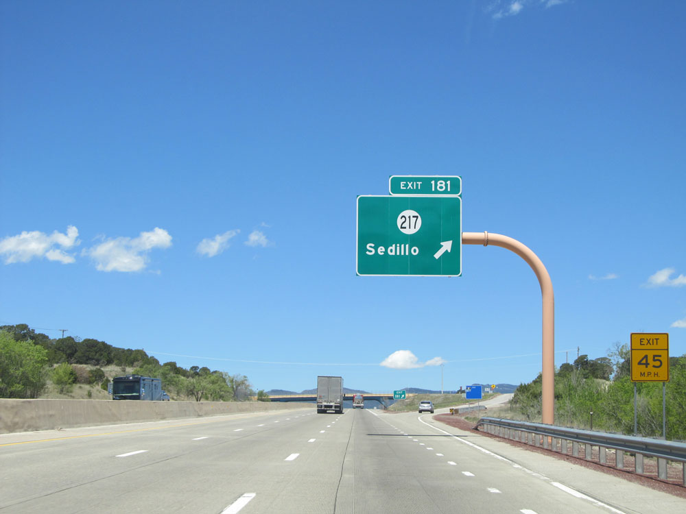 |
Interstate 40 West at Exit 181: NM 217 - Sedillo (Photo taken 5/18/15). |
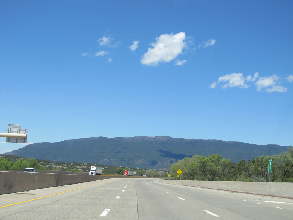 |
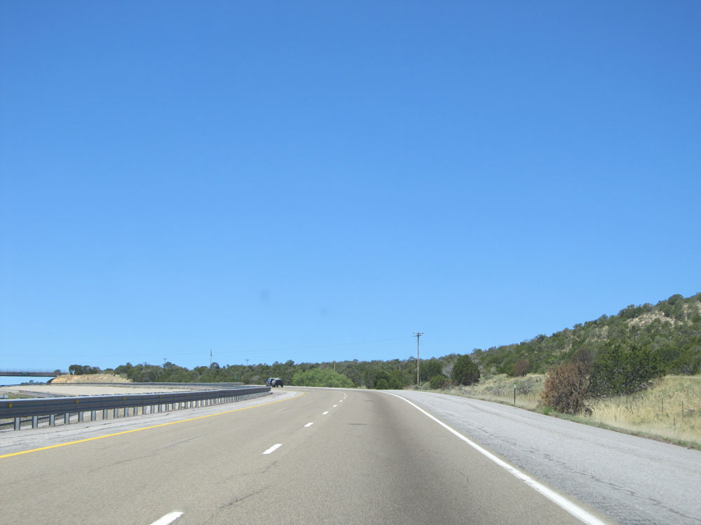
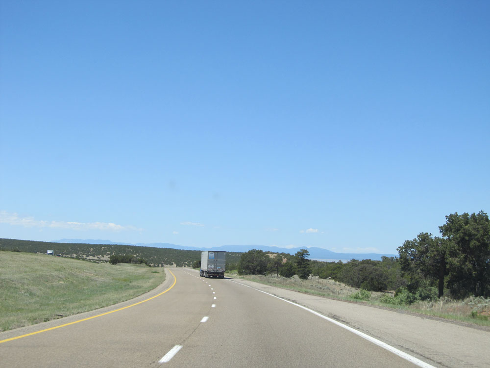
Interstate 40 West: Road view from mile marker 181. Albuquerque lies on the other side of these mountains we see in the distance here. (Photo taken 5/18/15). |
 |
Interstate 40 West assurance shield near mile marker 180. (Photo taken 5/18/15). |
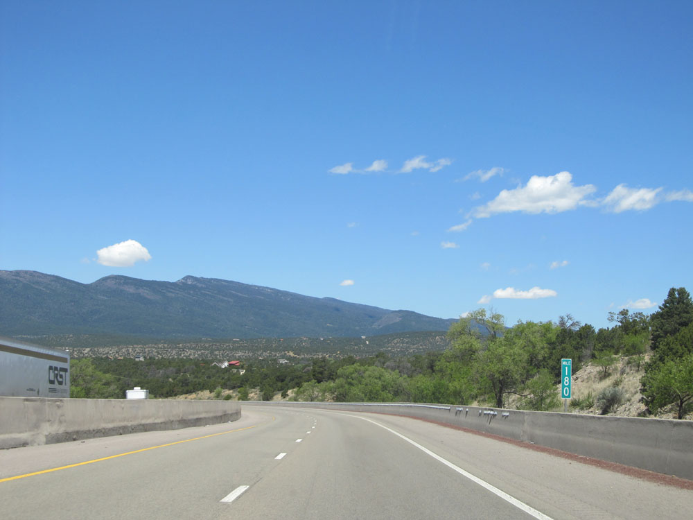 |
Interstate 40 West at mile marker 180. (Photo taken 5/18/15). |
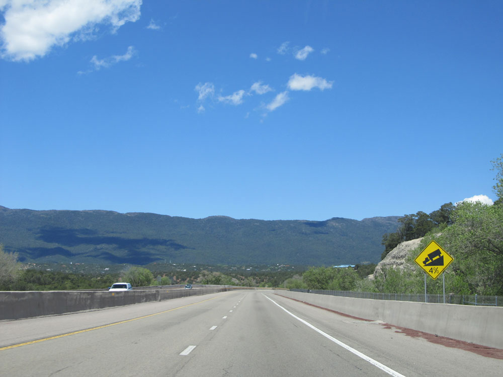 |
We just got done climbing up a bit of a grade, only to now prepare to go down one. A 4% grade lies ahead. (Photo taken 5/18/15). |
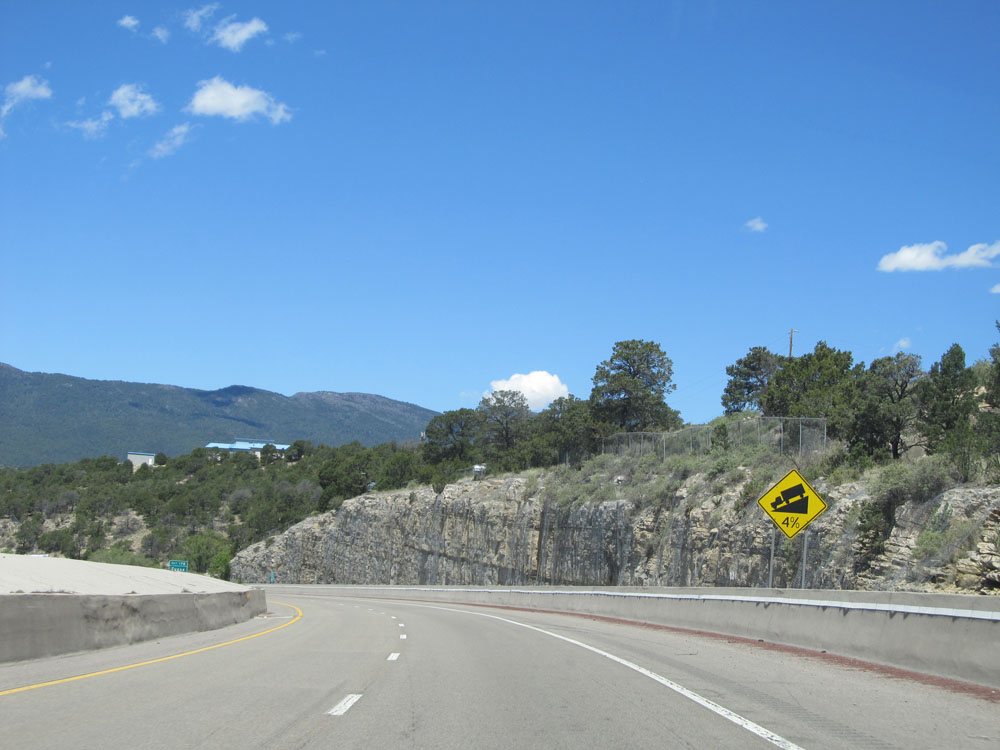 |
View on Interstate 40 West as it continues down the 4% grade toward the Albuquerque area. (Photo taken 5/18/15). |
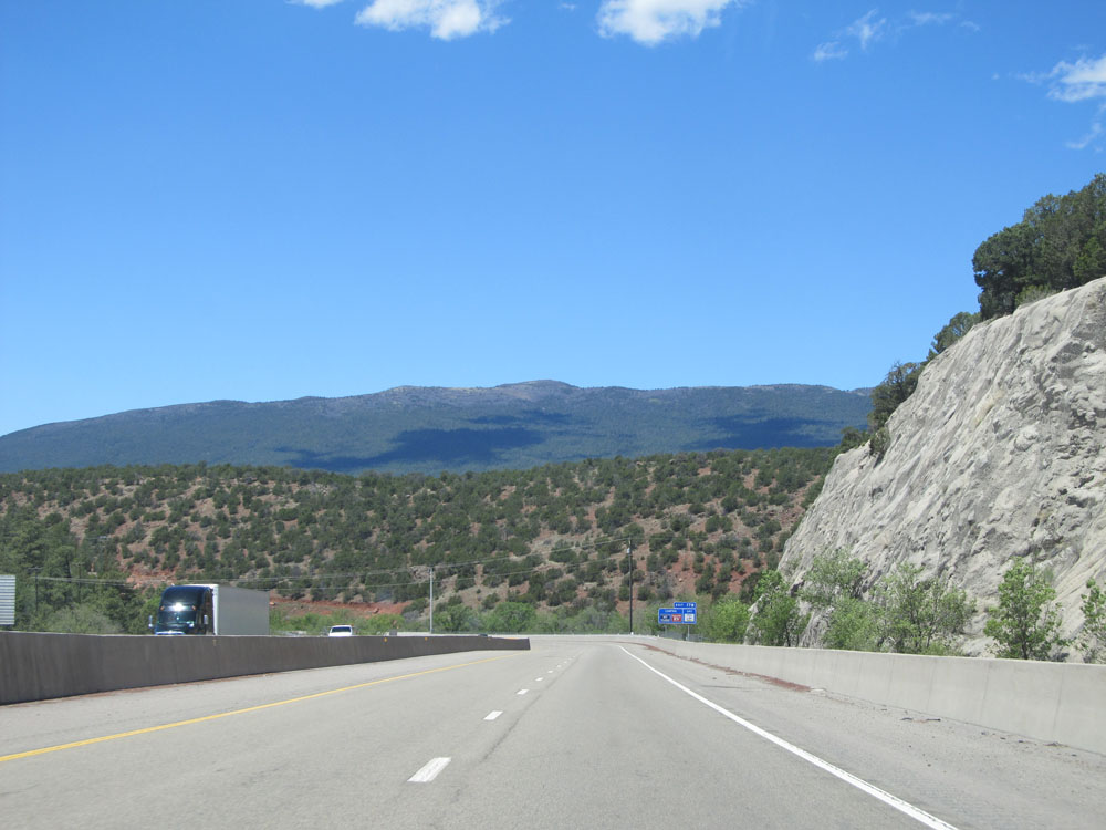 |
View on Interstate 40 West, near mile marker 179. (Photo taken 5/18/15). |
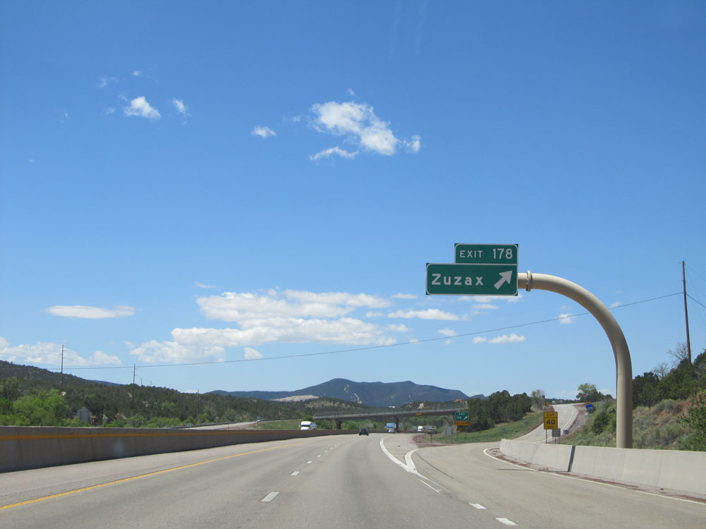 |
Interstate 40 West at Exit 178: Zuzax (Photo taken 5/18/15). |
 |
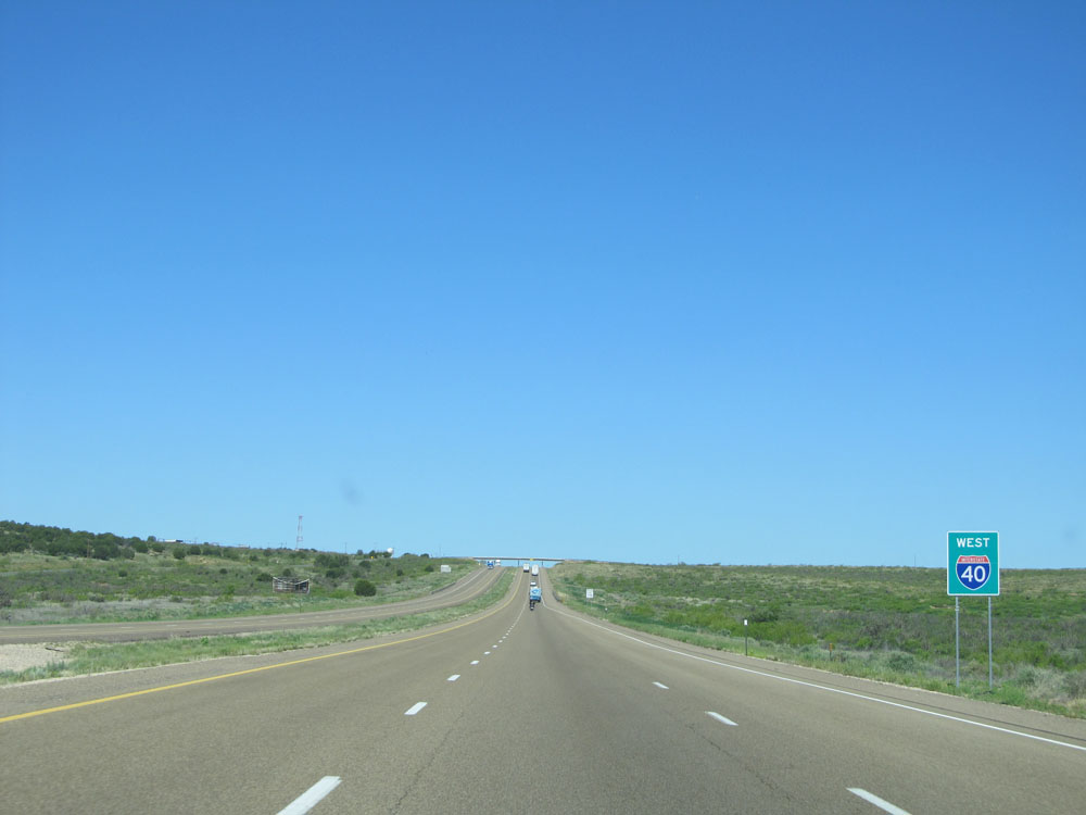
The speed limit remains 65 mph from here all the way through Albuquerque. (Photo taken 5/18/15). |
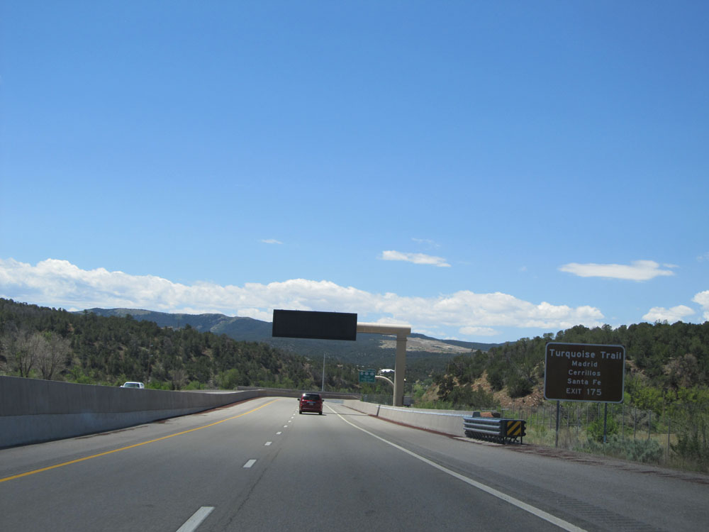 |
Take Exit 175 for Turquoise Trail to Madrid, Cerrillos, and Santa Fe. (Photo taken 5/18/15). |
 |
Also take the next right (Exit 175) to Historic Route 66. (Photo taken 5/18/15). |
 |
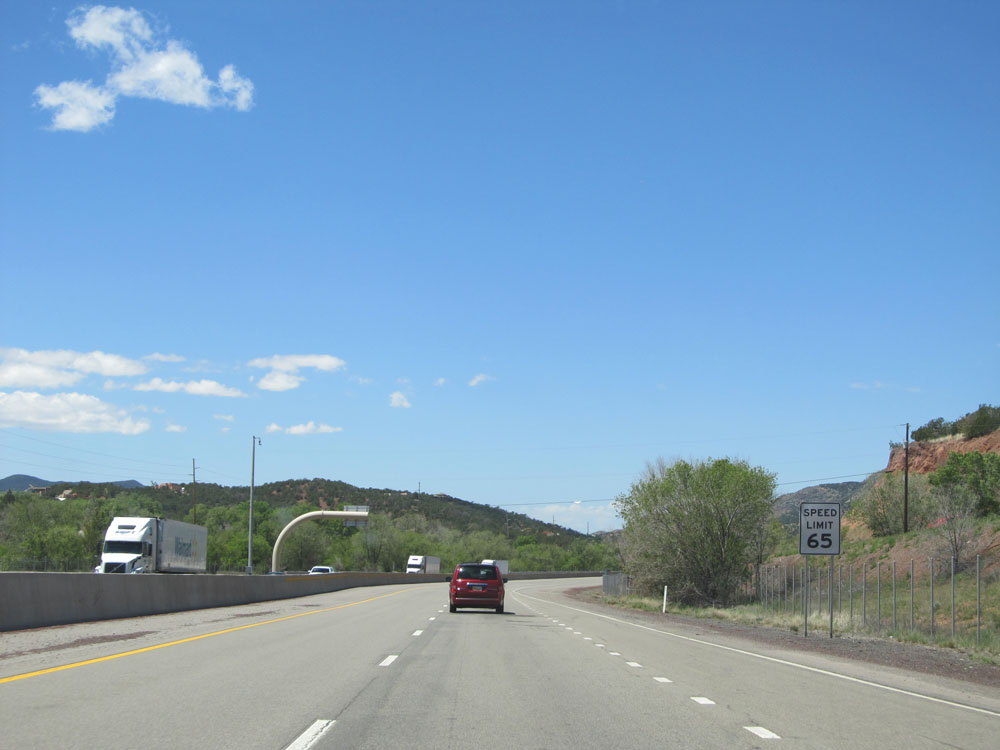
Interstate 40 West at Exit 175: NM 14 / NM 333 / NM 337 - Tijeras / Cedar Crest (Photo taken 5/18/15). |
 |
Interstate 40 West: A beautiful road view from mile marker 174. (Photo taken 5/18/15). |
 |
Another road view from just west of mile marker 174. (Photo taken 5/18/15). |
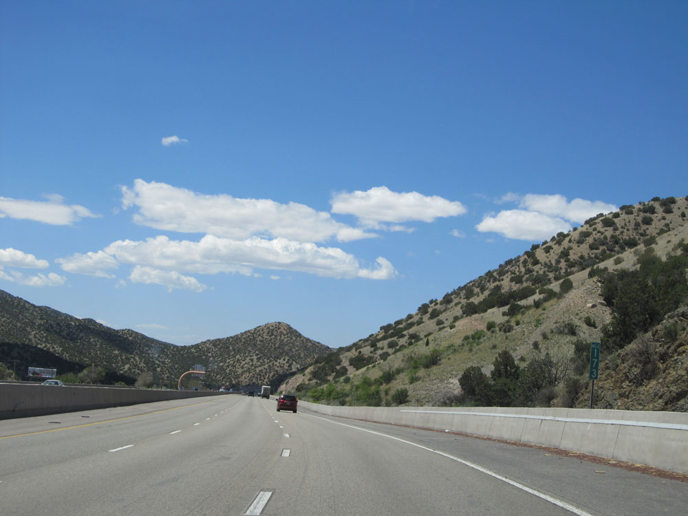 |
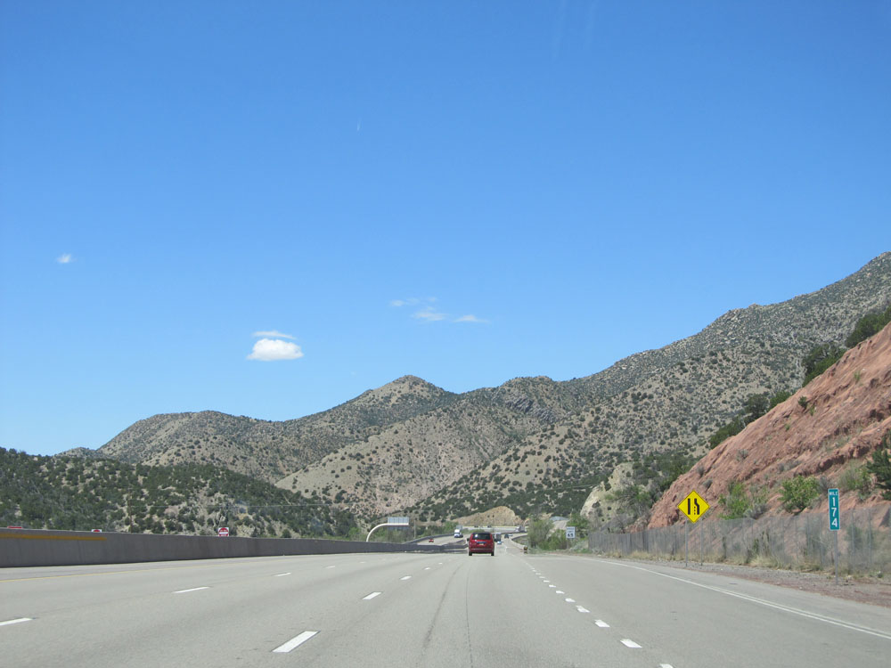
Interstate 40 West at mile marker 173. (Photo taken 5/18/15). |
 |
Interstate 40 West: Road view from mile marker 172. (Photo taken 5/18/15). |
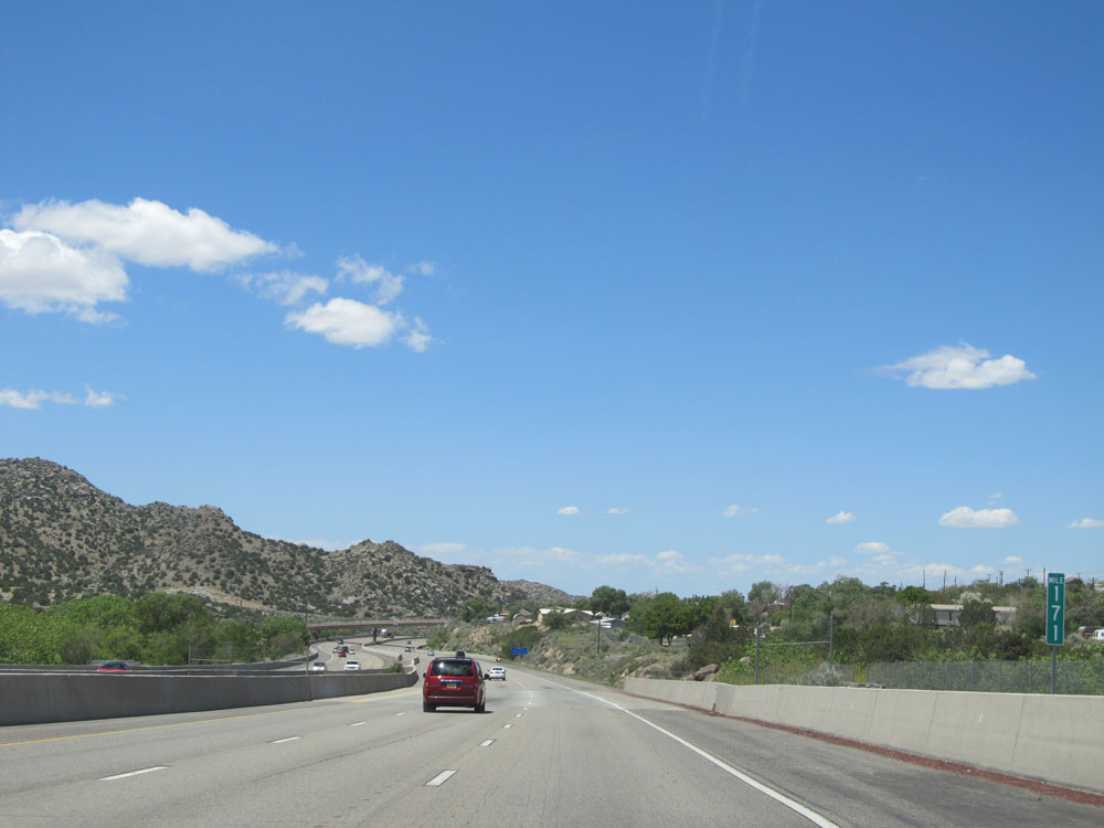 |
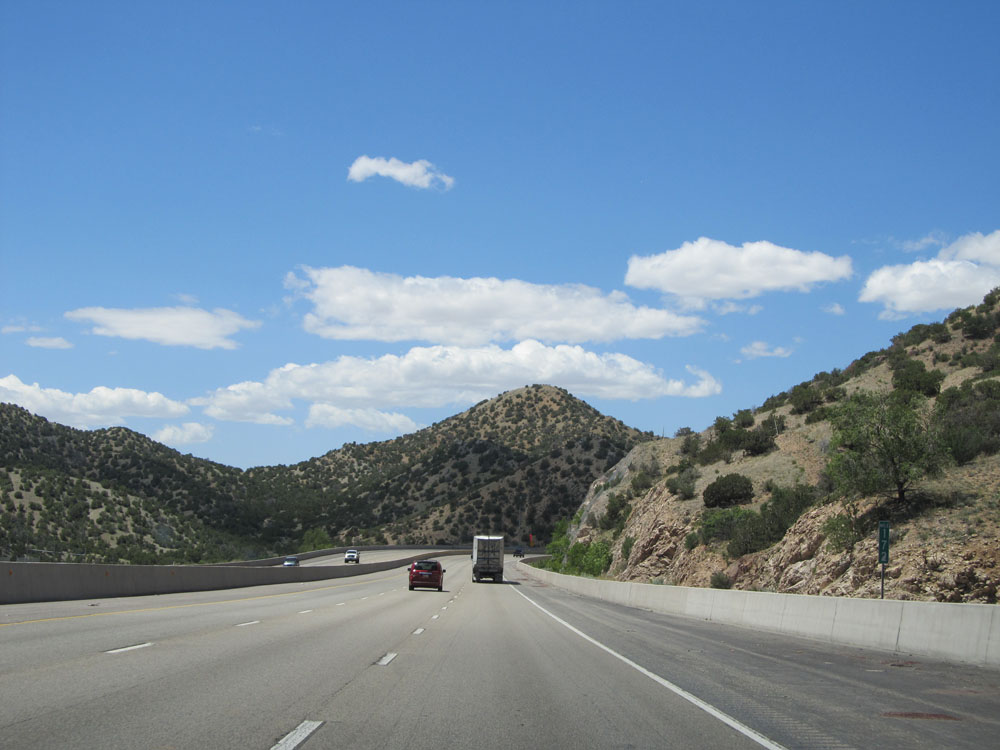
Interstate 40 West: Road view from mile marker 171. (Photo taken 5/18/15). |
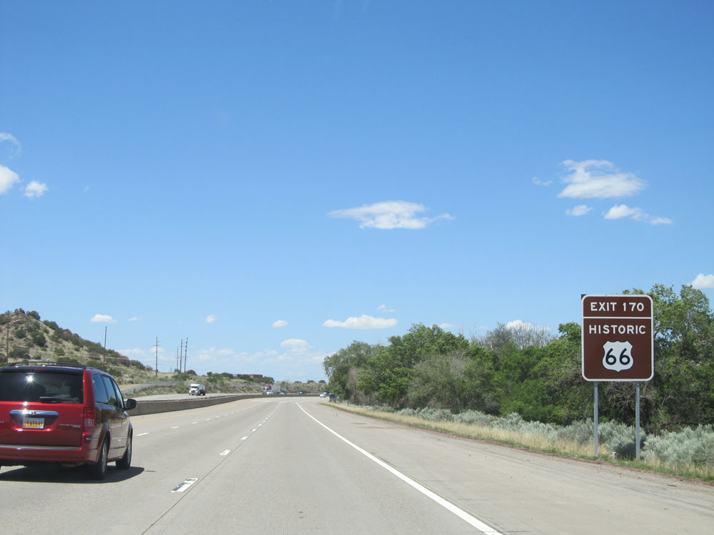 |
Take Exit 170 to Historic Route 66. (Photo taken 5/18/15). |
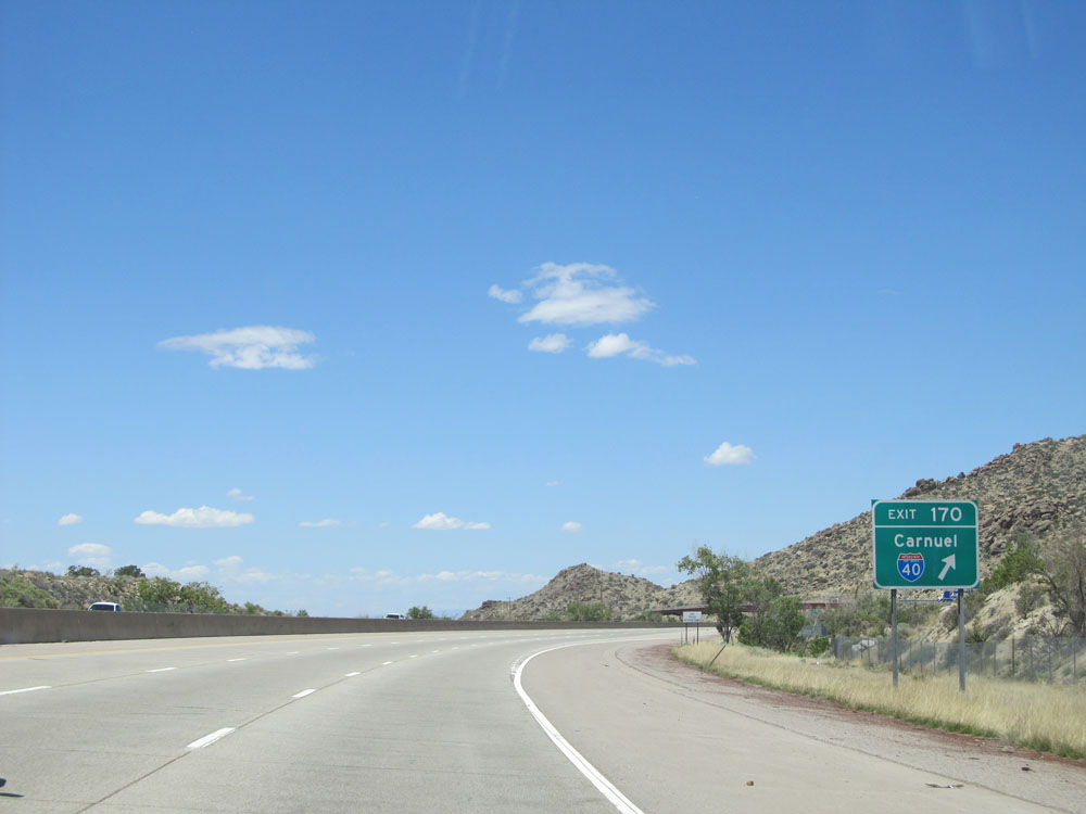 |
Interstate 40 West at Exit 170: Carnuel. I love the random, totally incorrect Interstate 40 shield tacked onto this exit sign. (Photo taken 5/18/15). |
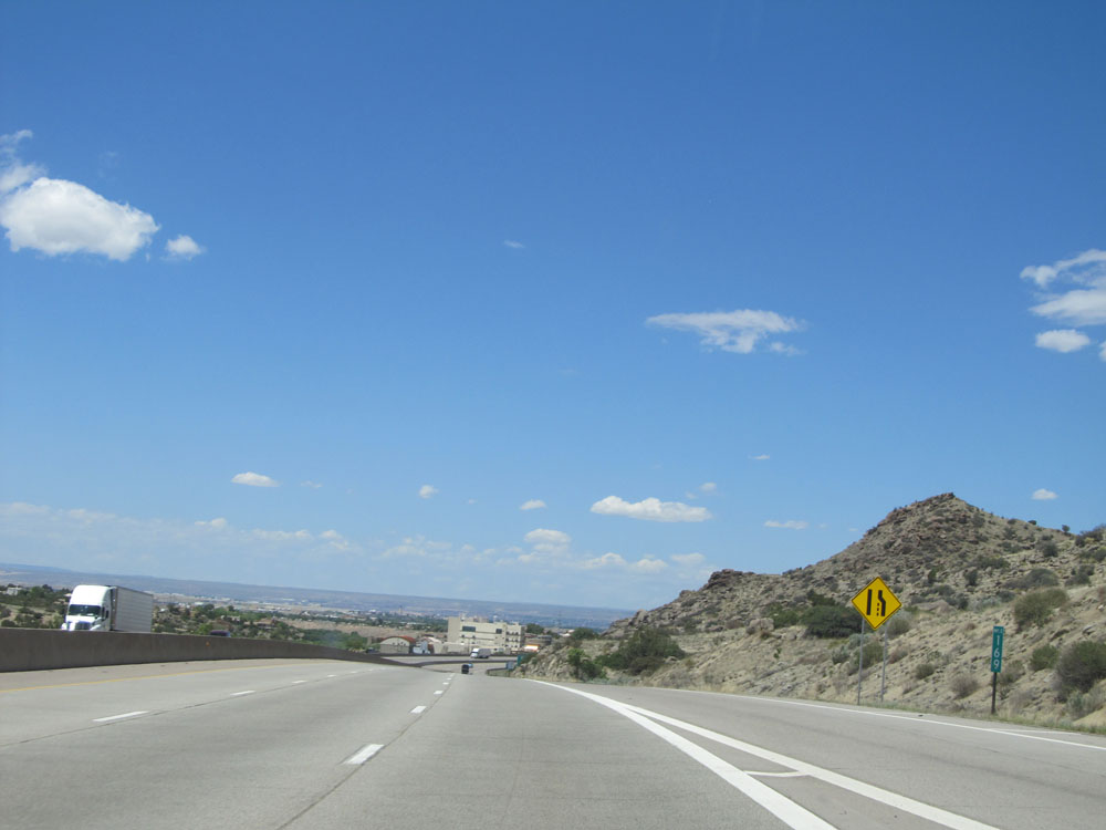 |
Interstate 40 West: Road view from mile marker 169 as we approach the Albuquerque metro area. (Photo taken 5/18/15). |
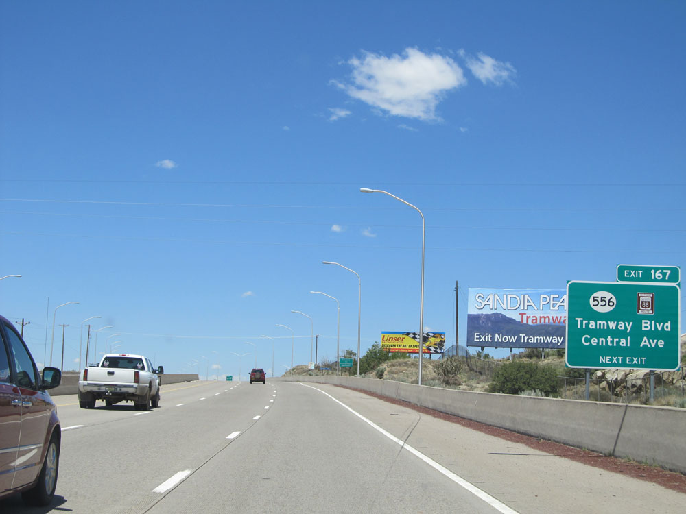 |
Interstate 40 West at Exit 167: NM 556 / Historic Route 66 - Tramway Blvd / Central Ave (Photo taken 5/18/15). |
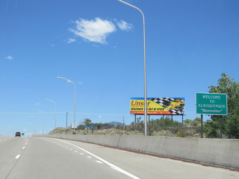 |
This sign welcomes you to Albuquerque as you enter the city limits. (Photo taken 5/18/15). |
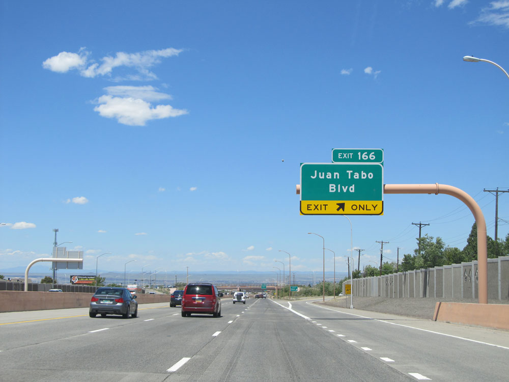 |
Interstate 40 West at Exit 166: Juan Tabo Blvd (Photo taken 5/18/15). |
Section 3: Albuquerque (Exit 166) to Grants (Exit 85)
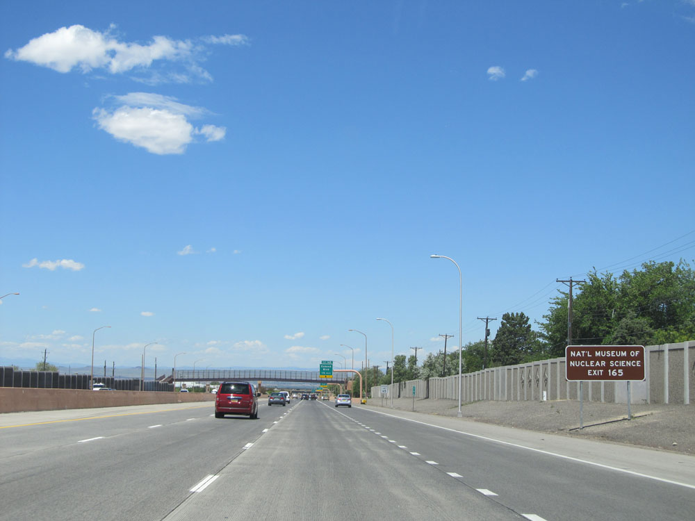 |
Take Exit 165 to the National Museum of Nuclear Science. (Photo taken 5/18/15). |
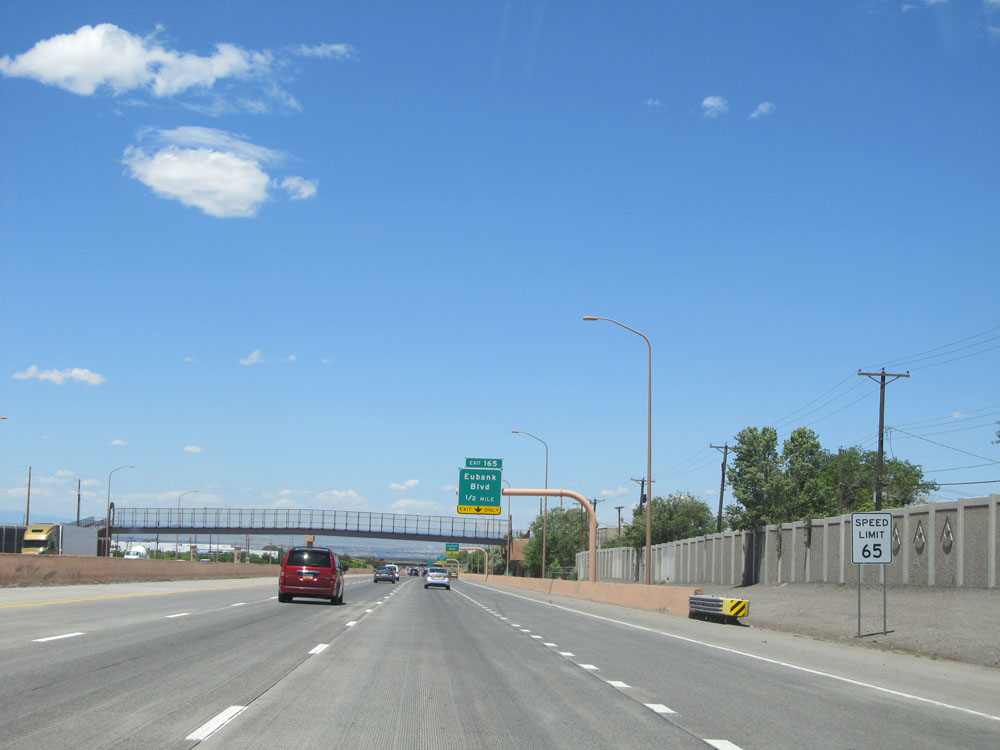 |
As previously mentioned, the speed limit remains at 65 mph as you pass through Albuquerque on Interstate 40. (Photo taken 5/18/15). |
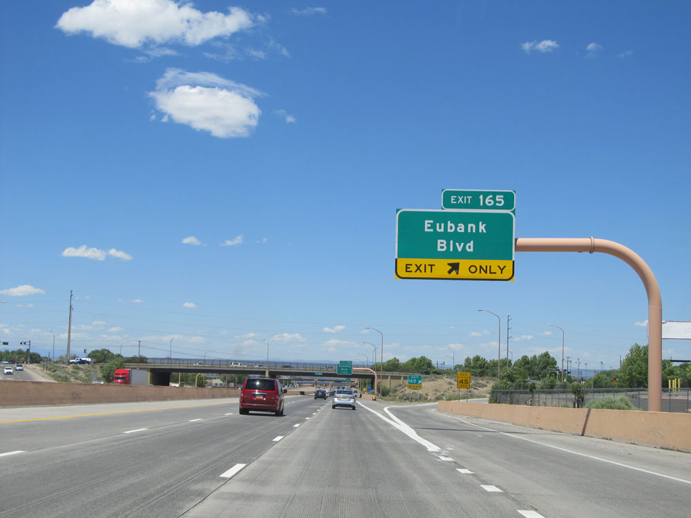 |
Interstate 40 West at Exit 165: Eubank Blvd (Photo taken 5/18/15). |
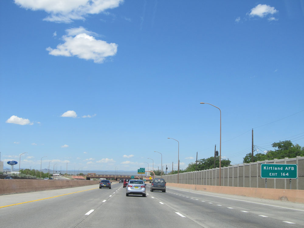 |
Take Exit 164 to Kirtland Air Force Base. (Photo taken 5/18/15). |
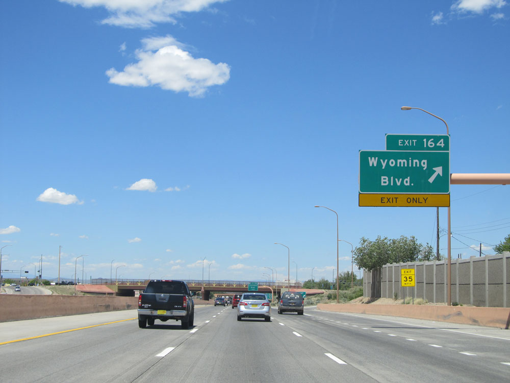 |
Interstate 40 West at Exit 164: Wyoming Blvd (Photo taken 5/18/15). |
 |
The junction of Interstate 25 lies 5 miles ahead. Take Interstate 25 South to Exit 221 to get to Albuquerque International Sunport. (Photo taken 5/18/15). |
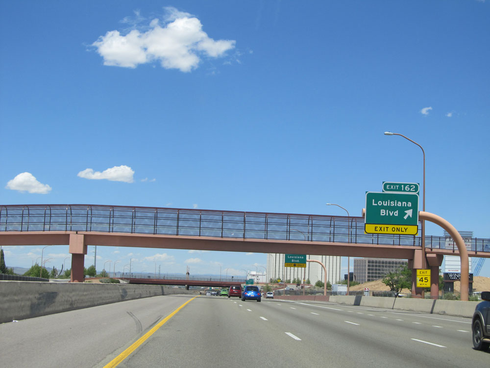 |
Interstate 40 West at Exit 162: Louisiana Blvd (Photo taken 5/18/15). |
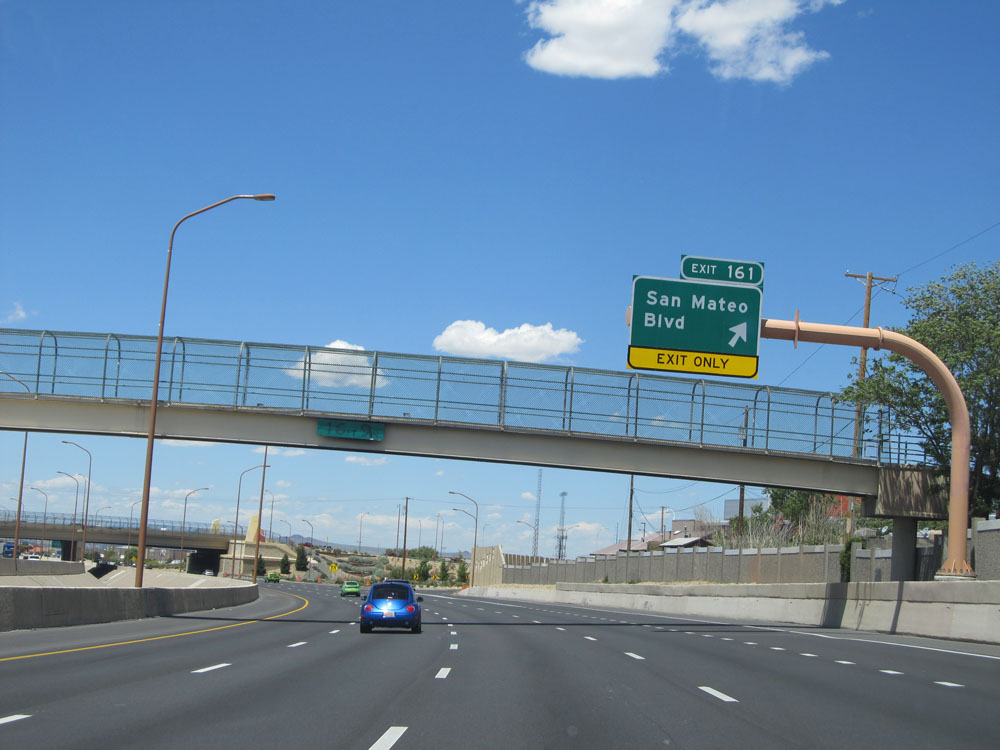 |
Interstate 40 West at Exit 161: San Mateo Blvd (Photo taken 5/18/15). |
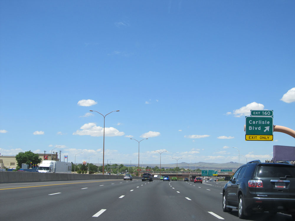 |
Interstate 40 West at Exit 160: Carlisle Blvd (Photo taken 5/18/15). |
 |
Interstate 40 West approaching Exits 159B-C - 1 mile. (Photo taken 5/18/15). |
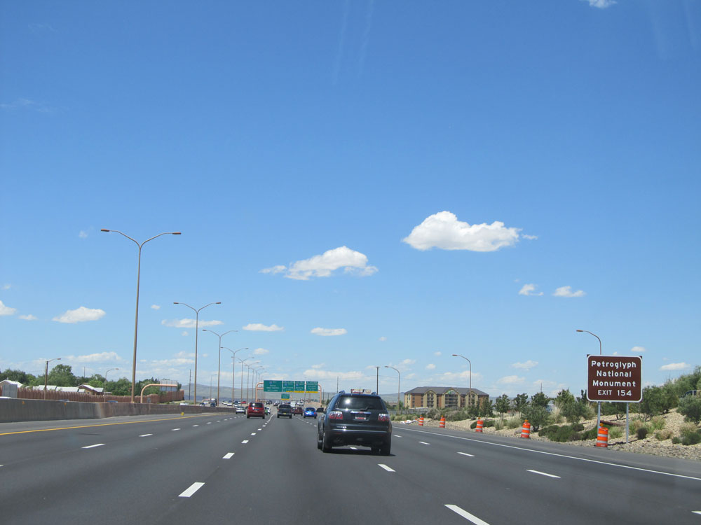 |
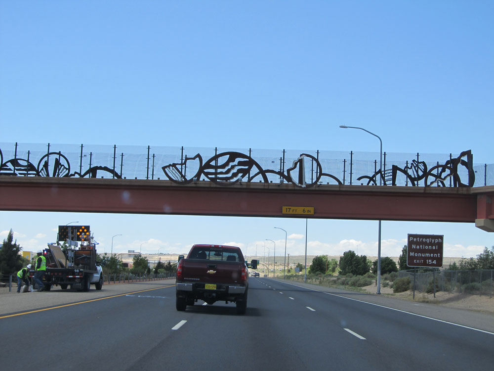
Use Exit 154 to the Petroglyph National Monument. (Photo taken 5/18/15). |
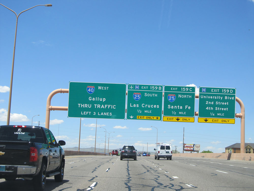 |
Stay in the three leftmost lanes to stay on Interstate 40 West as you approach the junction of Interstate 25. (Photo taken 5/18/15). |
 |
Interstate 40 West at Exit 159D: University Blvd / 2nd Street / 4th Street (Photo taken 5/18/15). |
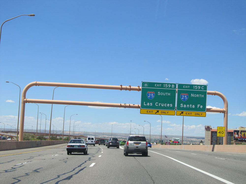 |
Interstate 40 West at Exit 159C: Interstate 25 North - Santa Fe; Exit 159B: Interstate 25 South - Las Cruces (Photo taken 5/18/15). |
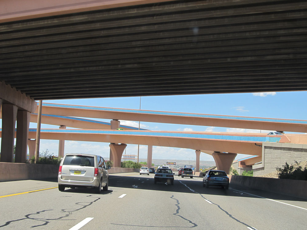 |
Interstate 40 West as it passes under Interstate 25. As you can see, many of the overpasses in and around Albuquerque are painted with desert colors. (Photo taken 5/18/15). |
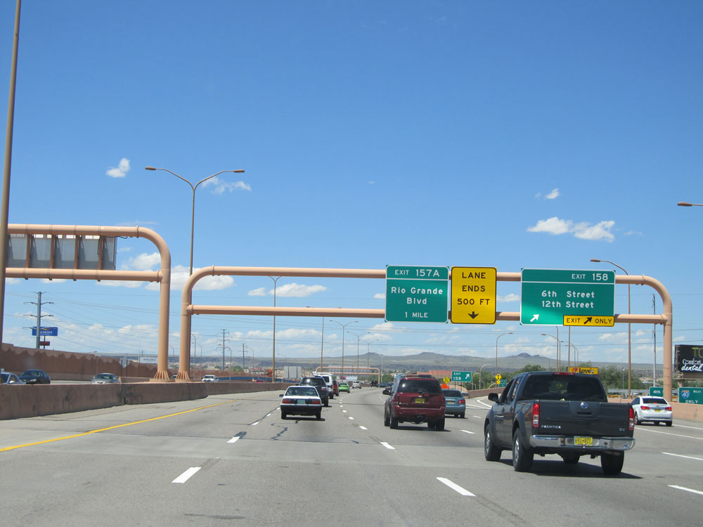 |
Interstate 40 West at Exit 158: 6th Street / 12th Street (Photo taken 5/18/15). |
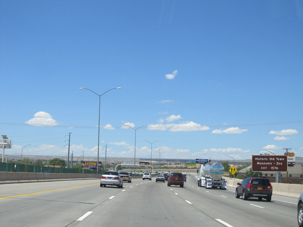 |
Take Exit 157A to Historic Old Town Museums/Zoo. (Photo taken 5/18/15). |
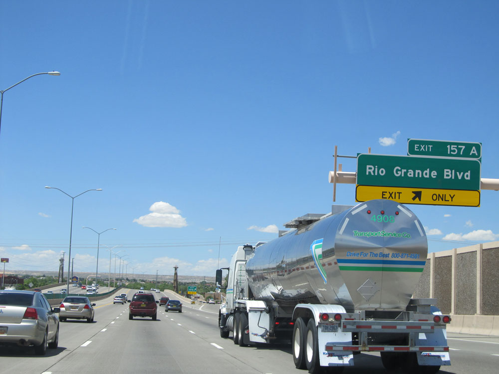 |
Interstate 40 West at Exit 157A: Rio Grande Blvd (Photo taken 5/18/15). |
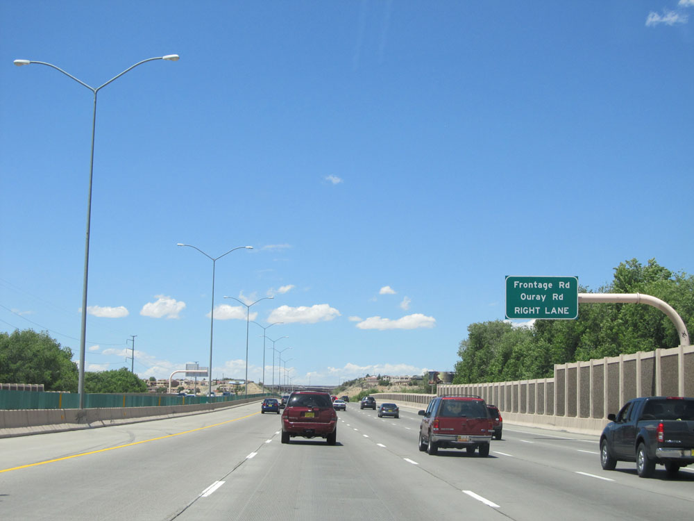 |
Keep to the right onto Exit 155 to Frontage Rd and Ouray Rd. (Photo taken 5/18/15). |
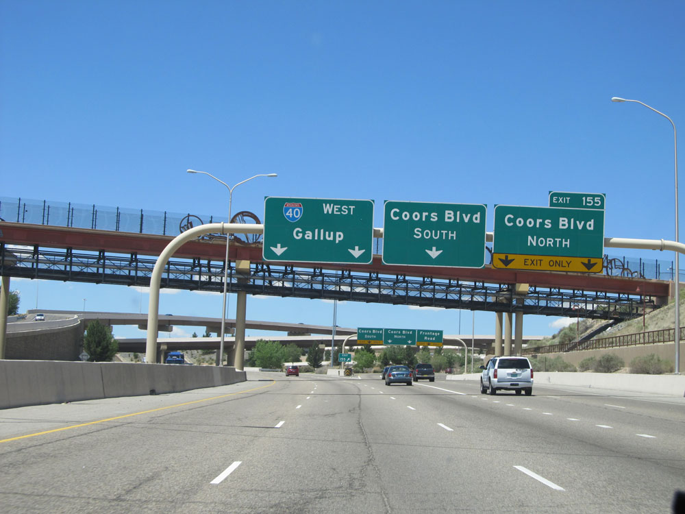 |
Interstate 40 West at Exit 155: Coors Blvd North / Coors Blvd South (Photo taken 5/18/15). |
 |
Take Exit 154 to the Petroglyph National Monument. (Photo taken 5/18/15). |
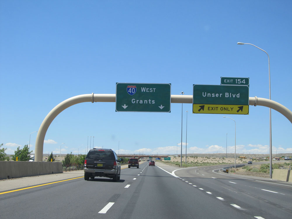 |
Interstate 40 West at Exit 154: Unser Blvd (Photo taken 5/18/15). |
 |
Leaving Albuquerque to the west, this sign warns that the next Rest Area is 50 miles ahead on Interstate 40 West. (Photo taken 5/18/15). |
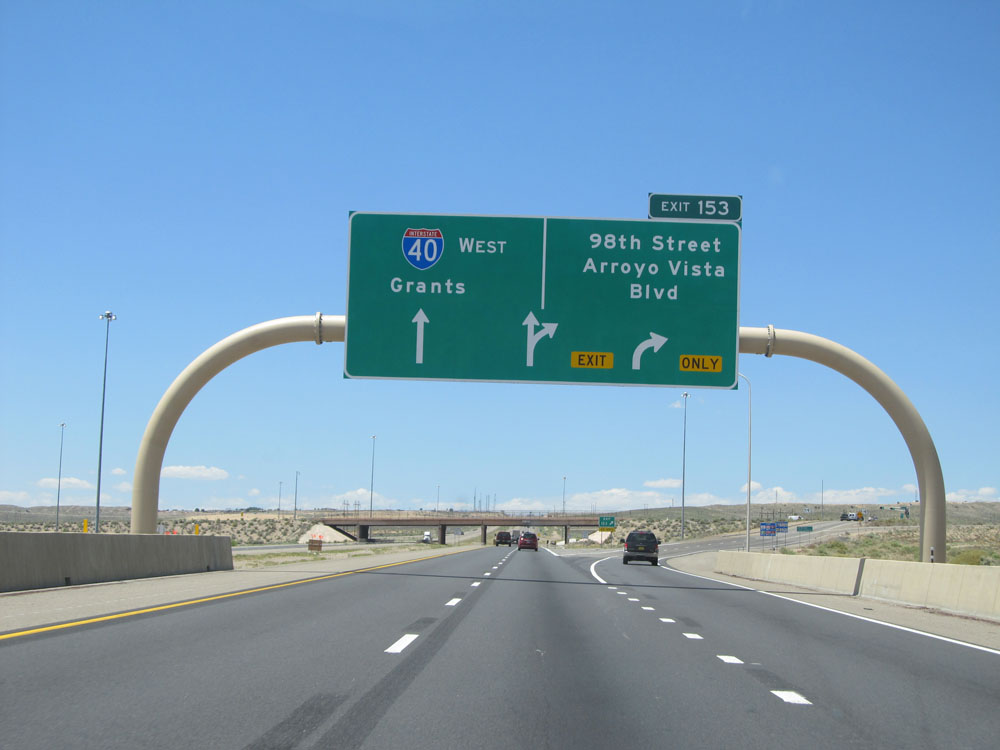 |
Interstate 40 West at Exit 153: 98th Street / Arroyo Vista Blvd (Photo taken 5/18/15). |
 |
Once you leave Albuquerque, just past Exit 153, the standard speed limit of 75 mph resumes. (Photo taken 5/18/15). |
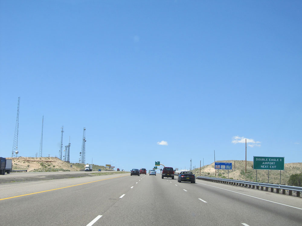 |
Take Exit 149 to Double Eagle II Airport. (Photo taken 5/18/15). |
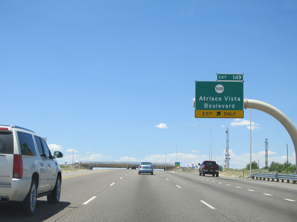 |
Interstate 40 West at Exit 149: NM 500 - Atrisco Vista Boulevard (Photo taken 5/18/15). |
 |
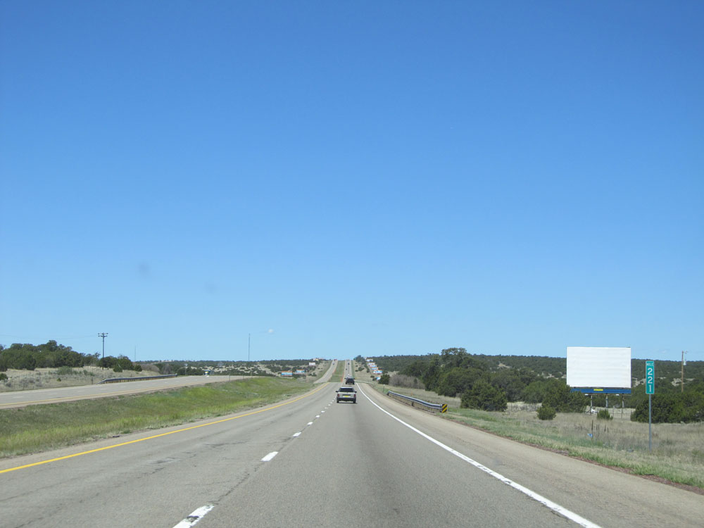
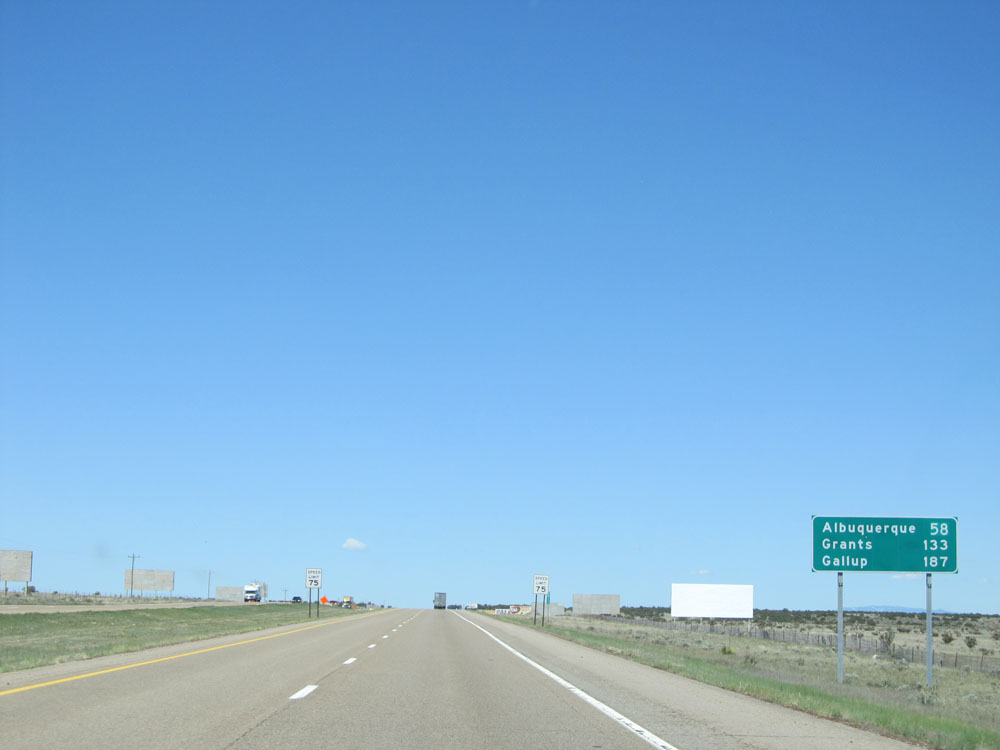
Mileage sign near mile marker 149. It's 63 miles to Grants, 127 miles to Gallup, and 312 miles to Flagstaff. (Photo taken 5/18/15). |
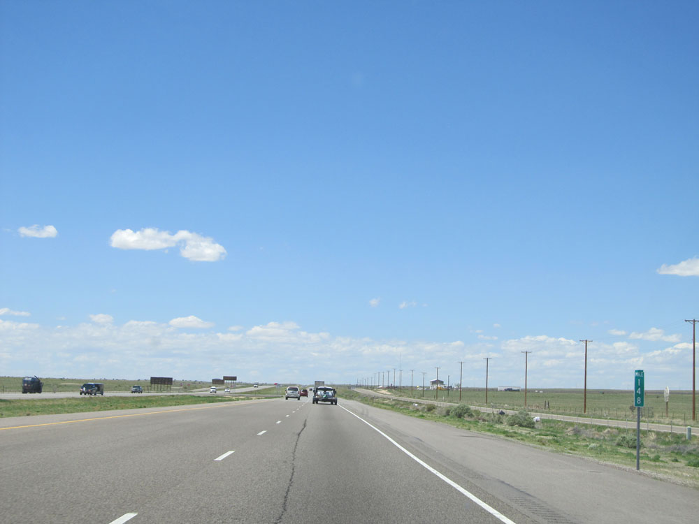 |
Interstate 40 West: Road view from mile marker 148. (Photo taken 5/18/15). |
 |
View on Interstate 40 West. (Photo taken 5/18/15). |
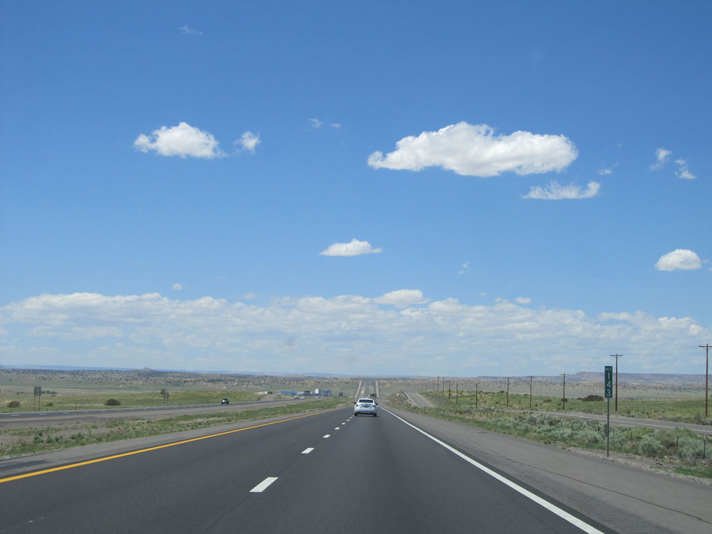 |
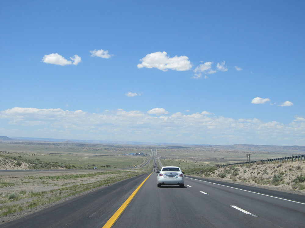
Interstate 40 West at mile marker 143. (Photo taken 5/18/15). |
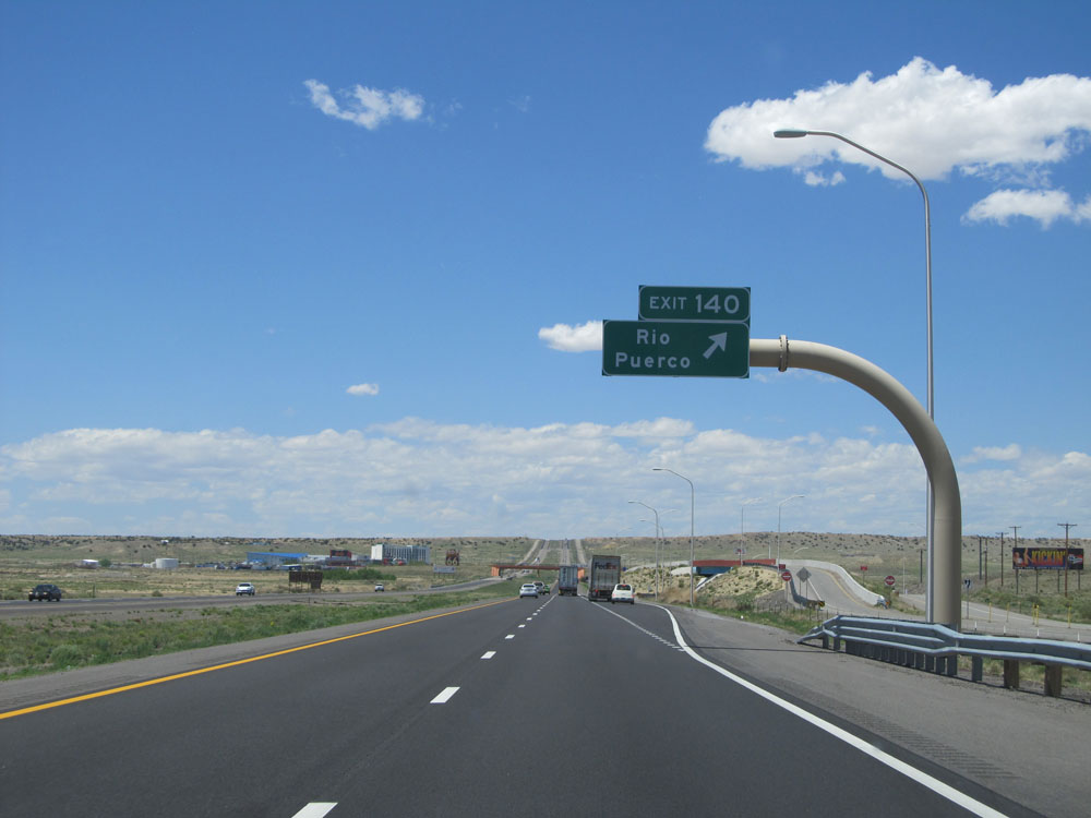 |
Interstate 40 West at Exit 140: Rio Puerco (Photo taken 5/18/15). |
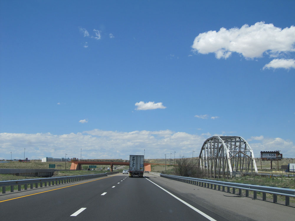 |
View on Interstate 40 West. (Photo taken 5/18/15). |
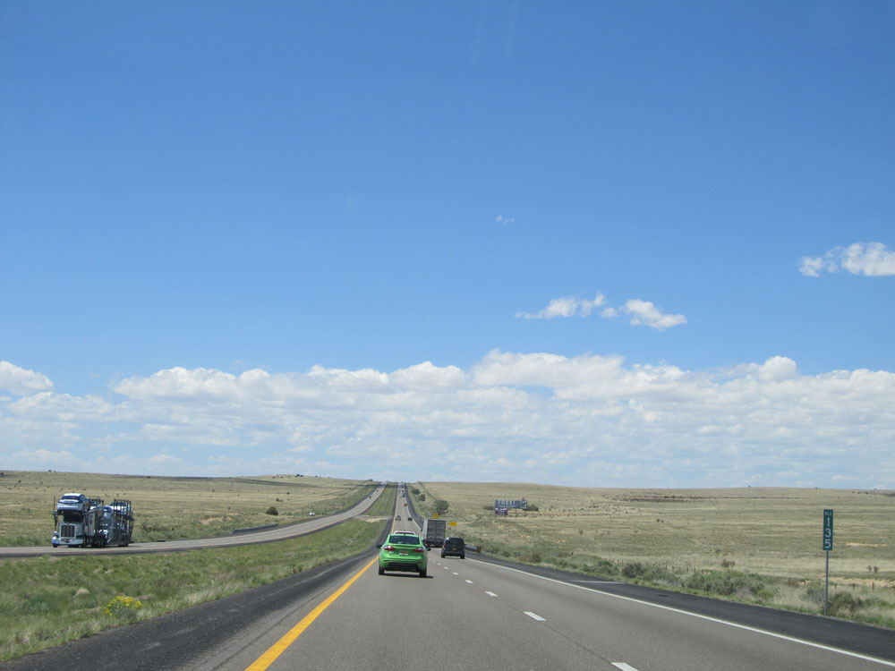 |
Interstate 40 West: Road view from mile marker 135. (Photo taken 5/18/15). |
 |
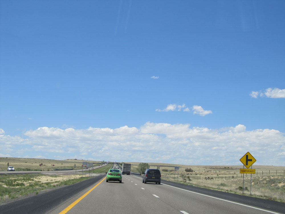
This sign warns of the presence of driveway entrances for the next 5 miles. Although this is against Interstate standards, you also see a few of them on Interstate 40 in Texas as you approach the border of New Mexico. (Photo taken 5/18/15). |
 |
Here we see a sign warning us of an at-grade driveway entrance ahead on the right. (Photo taken 5/18/15). |
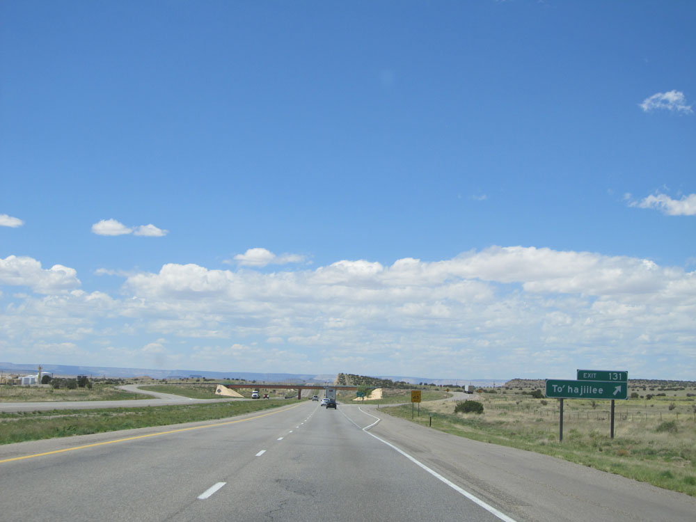 |
Interstate 40 West at Exit 131: To'hajiilee (Photo taken 5/18/15). |
 |
Interstate 40 West: Road view from mile marker 128. (Photo taken 5/18/15). |
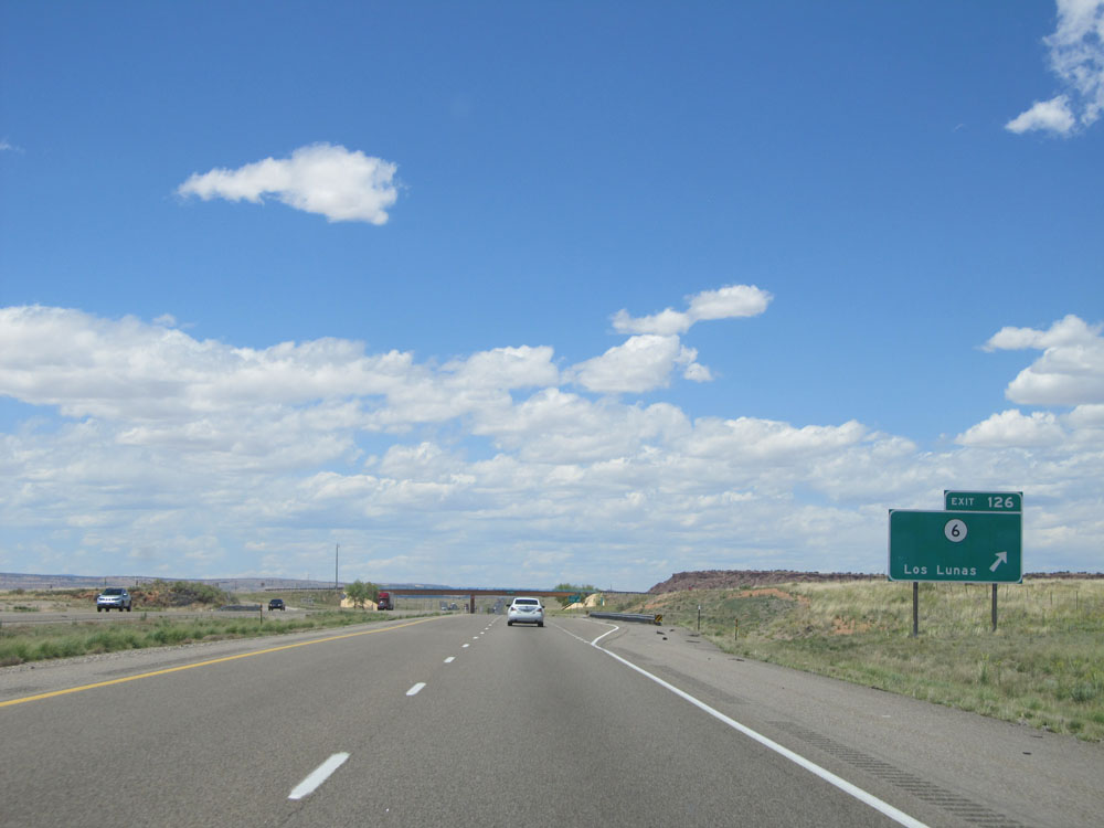 |
Interstate 40 West at Exit 126: NM 6 - Los Lunas (Photo taken 5/18/15). |
 |
Interstate 40 West: Road view from mile marker 124. (Photo taken 5/18/15). |
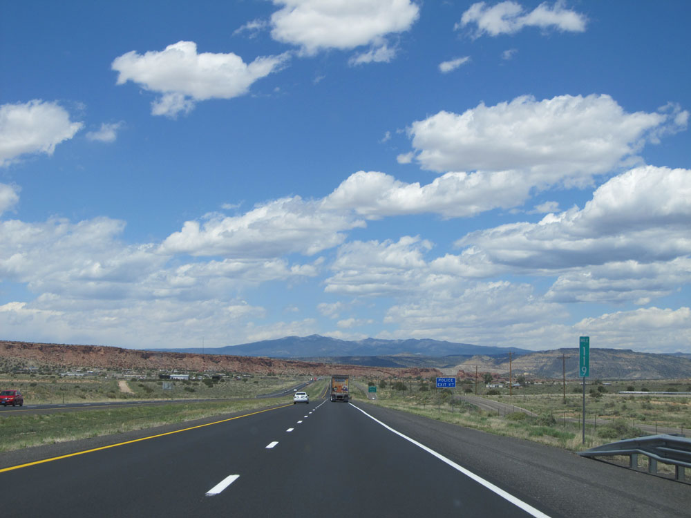 |
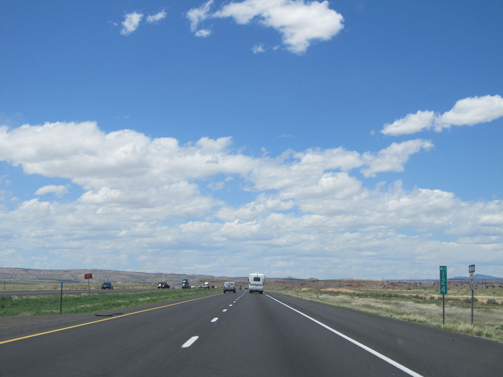
Interstate 40 West: Road view from mile marker 119. (Photo taken 5/18/15). |
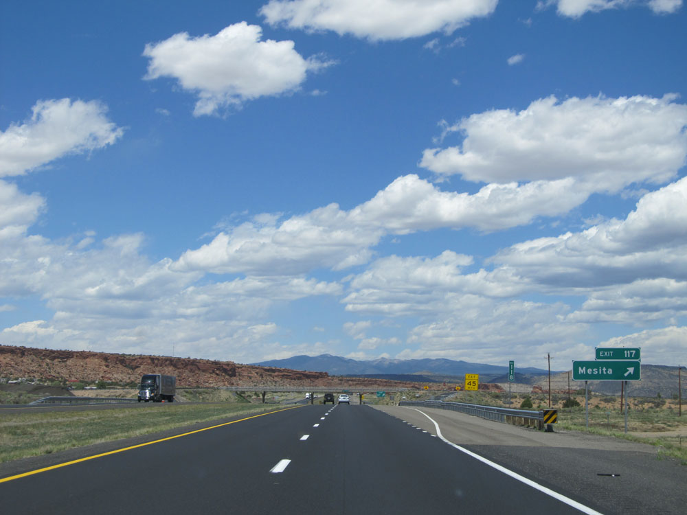 |
Interstate 40 West at Exit 117: Mesita (Photo taken 5/18/15). |
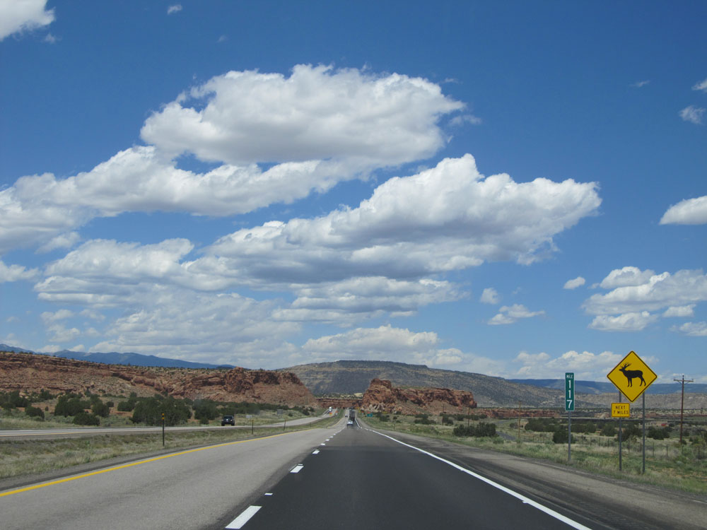 |
At mile marker 117, this sign warns of possible elk crossing for the next 7 miles. (Photo taken 5/18/15). |
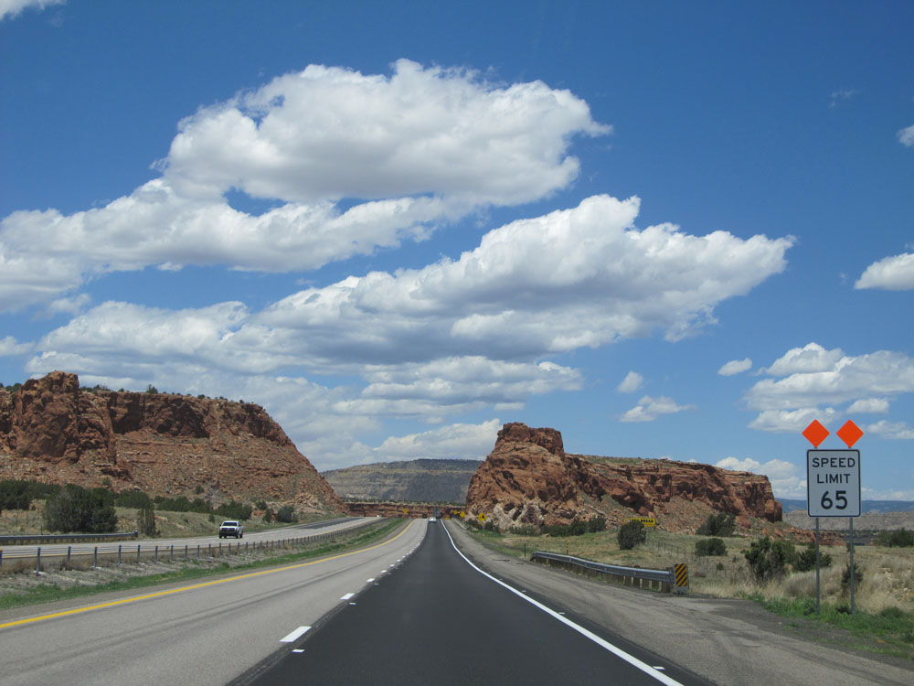 |
As Interstate 40 West approaches a few curves, the speed limit drops to 65 mph just past mile marker 117. What a cool rock formation ahead! (Photo taken 5/18/15). |
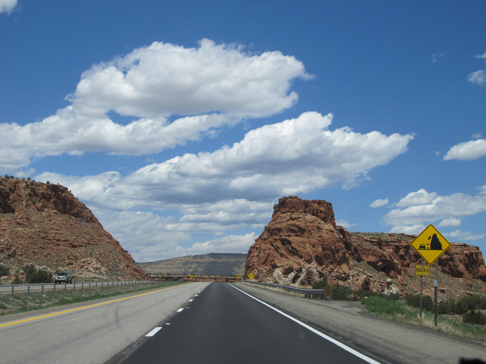 |
Be alert for fallen rocks on the roadway ahead. (Photo taken 5/18/15). |
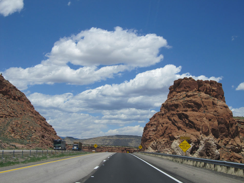 |
View on Interstate 40 West. Also, as this warning sign says, gusty winds may exist ahead. (Photo taken 5/18/15). |
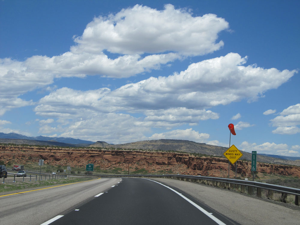 |
Interstate 40 West: Road view from mile marker 116. (Photo taken 5/18/15). |
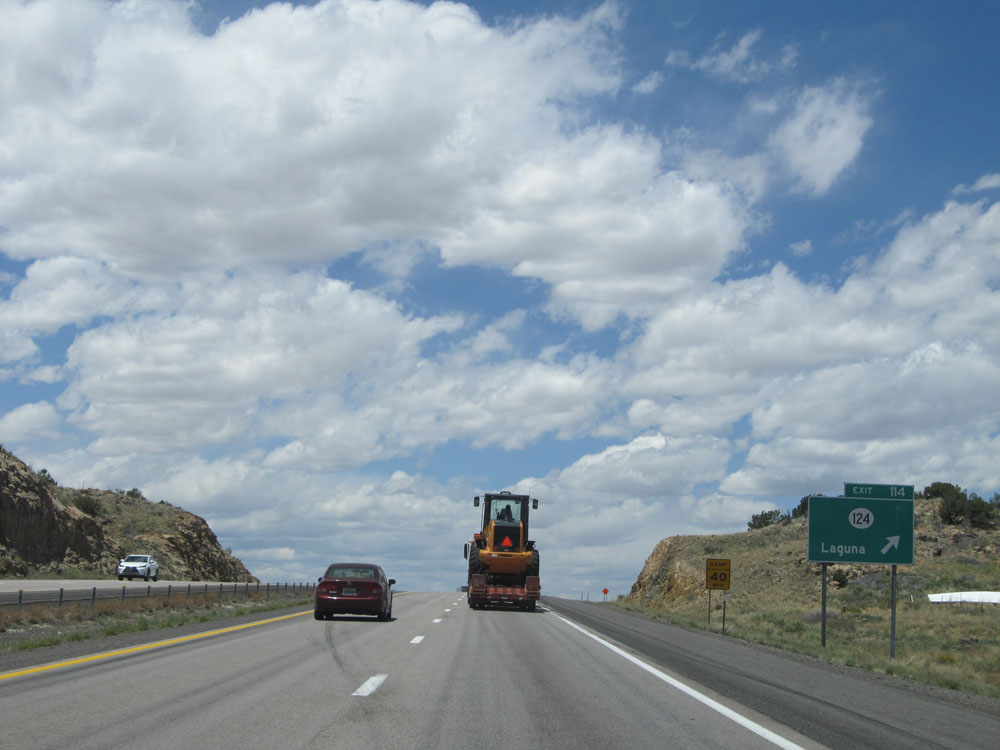 |
Interstate 40 West at Exit 114: NM 124 - Laguna (Photo taken 5/18/15). |
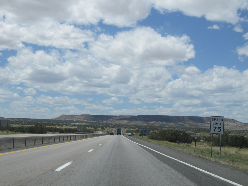 |
Near mile marker 115, the standard speed limit of 75 mph resumes. (Photo taken 5/18/15). |
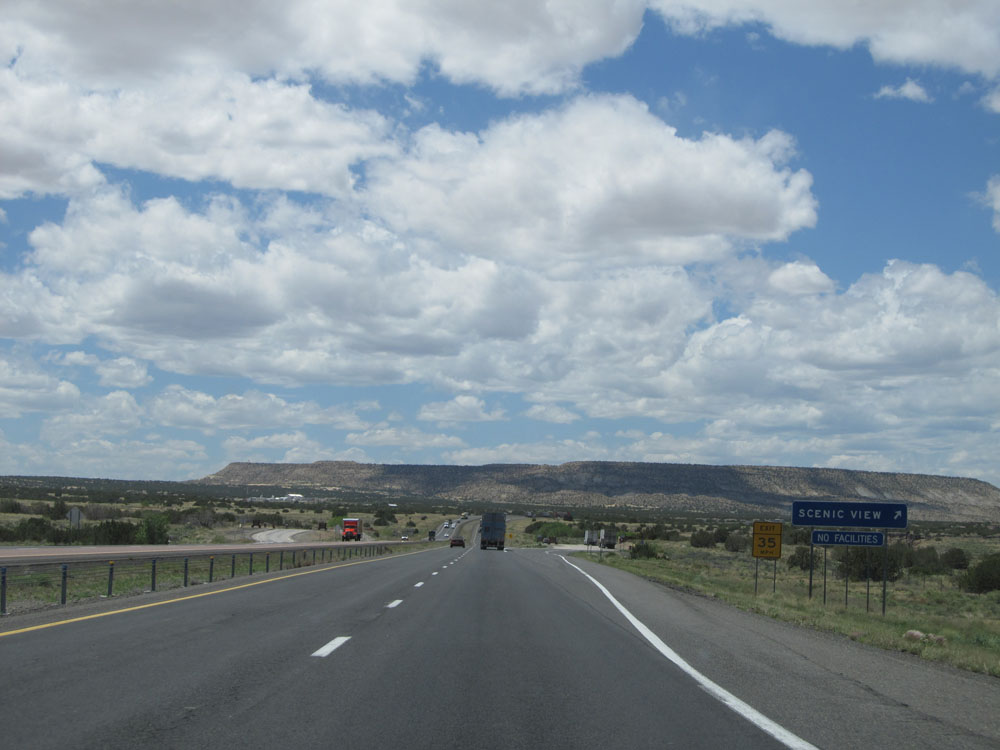 |
Interstate 40 West at the Scenic View Area near mile marker 113. (Photo taken 5/18/15). |
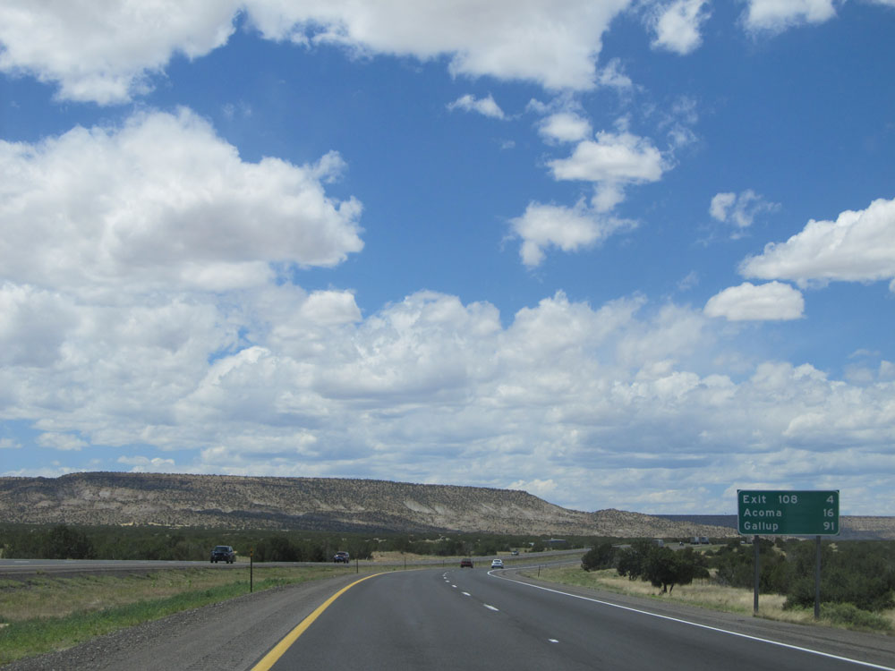 |
Mileage sign near mile marker 113. It's 4 miles to the next exit (Exit 108), 16 miles to Acoma, and 91 miles to Gallup. (Photo taken 5/18/15). |
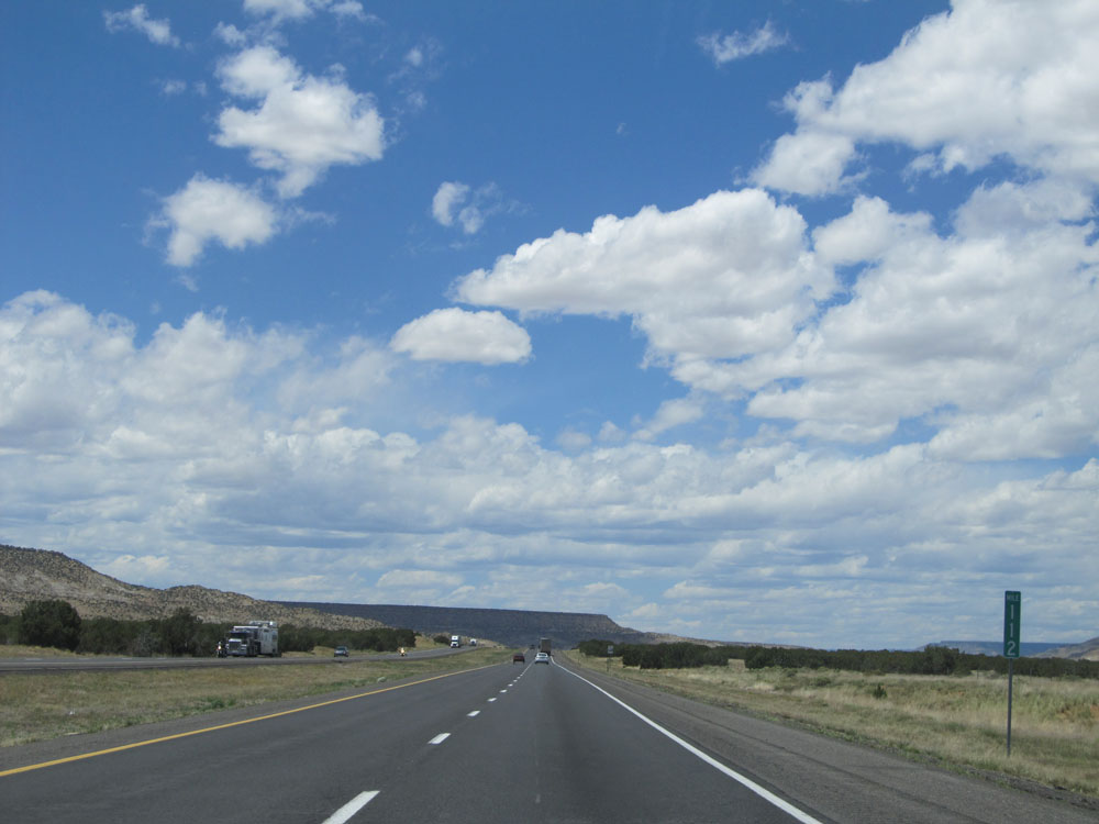 |
Interstate 40 West: Road view from mile marker 112. (Photo taken 5/18/15). |
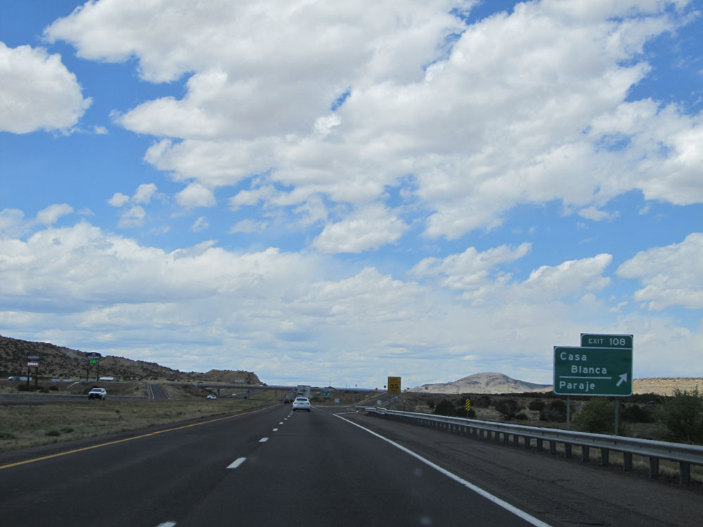 |
Interstate 40 West at Exit 108: Casa Blanca / Paraje (Photo taken 5/18/15). |
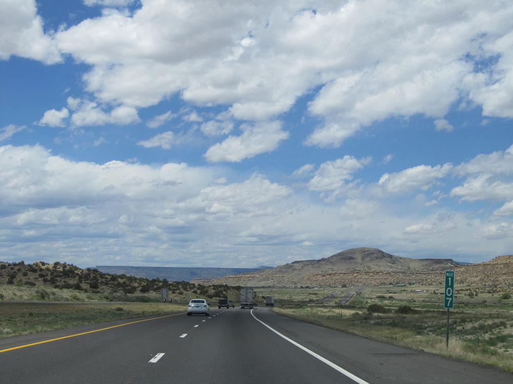 |
Interstate 40 West at mile marker 107. (Photo taken 5/18/15). |
 |
Interstate 40 West at Exit 104: Cubero / Budville / Seama (Photo taken 5/18/15). |
 |
View on Interstate 40 West. (Photo taken 5/18/15). |
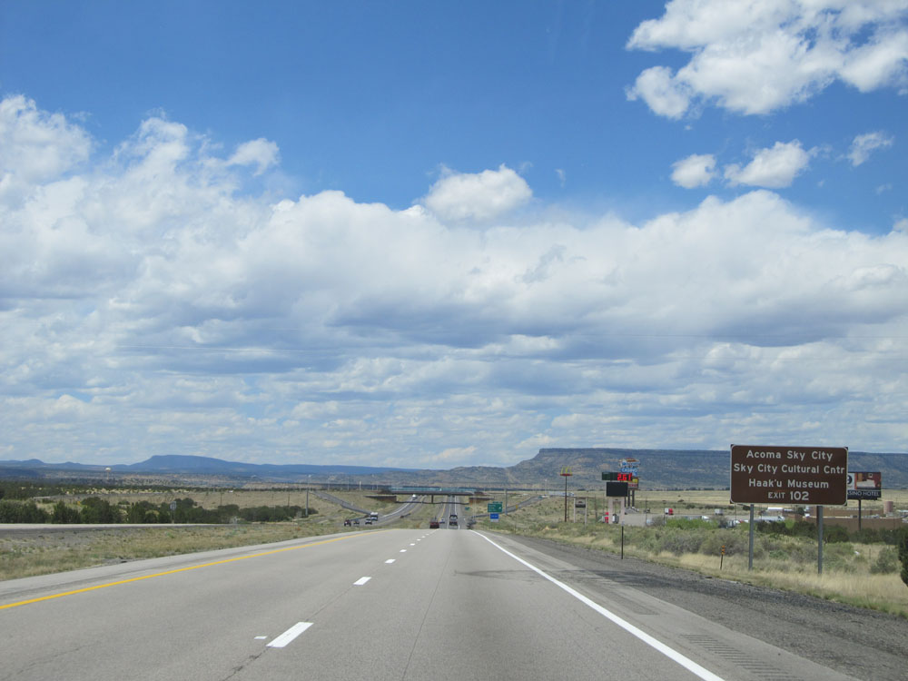 |
Take Exit 102 to Acoma / Sky City, Sky City Cultural Center, and Haak'u Museum. (Photo taken 5/18/15). |
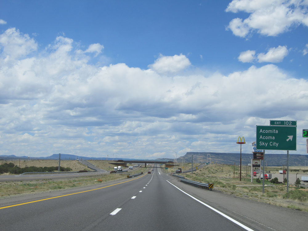 |
Interstate 40 West at Exit 102: Acomita / Acoma / Sky City (Photo taken 5/18/15). |
 |
Interstate 40 West at Exit 100: San Fidel (Photo taken 5/18/15). |
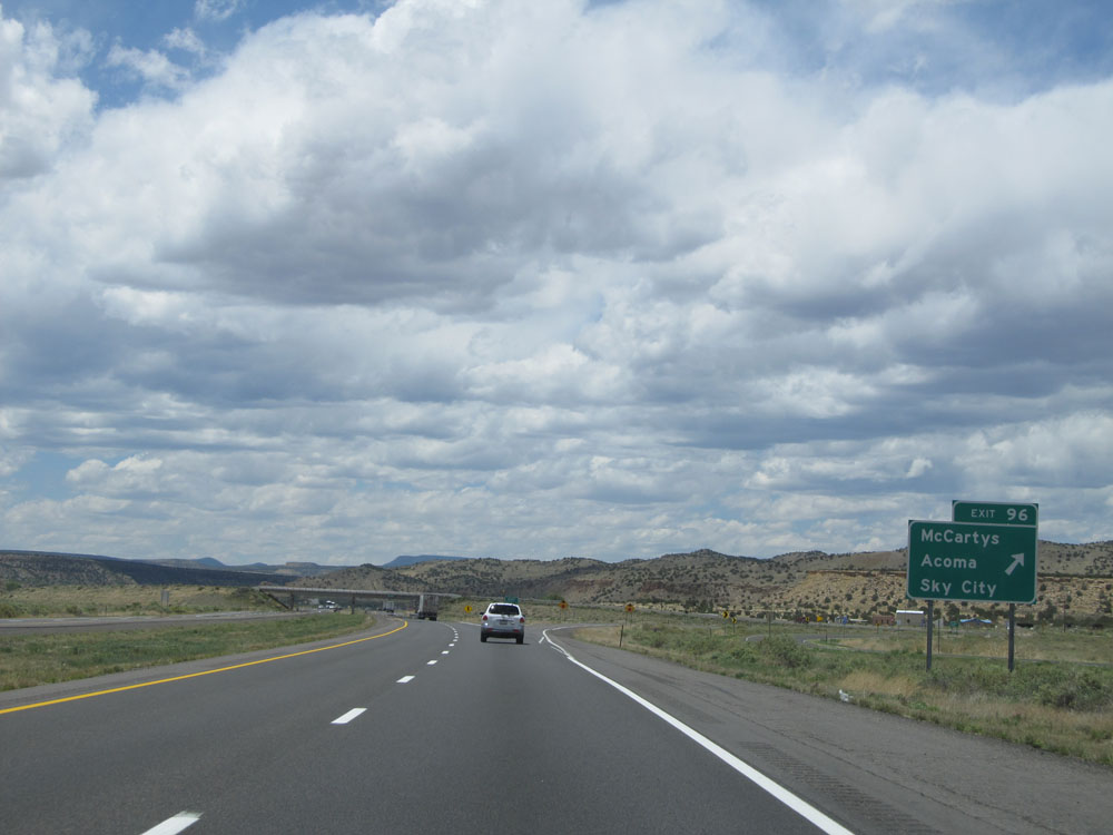 |
Interstate 40 West at Exit 96: McCartys / Acoma / Sky City (Photo taken 5/18/15). |
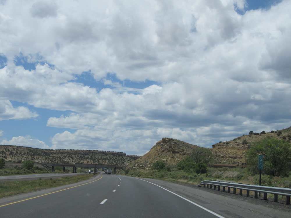 |
Interstate 40 West: Road view from mile marker 95. (Photo taken 5/18/15). |
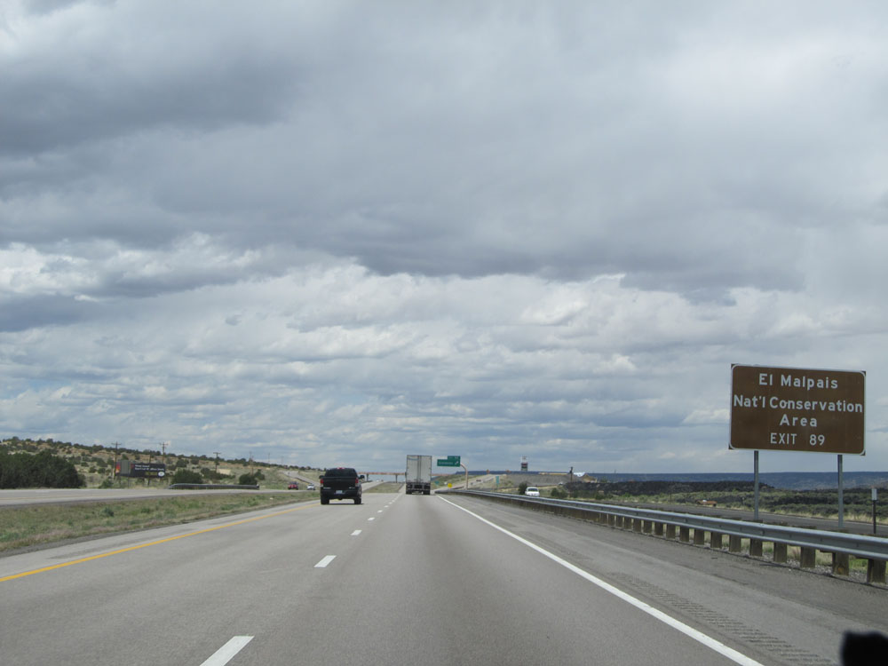 |
Take Exit 89 to El Malpais National Conservation Area. (Photo taken 5/18/15). |
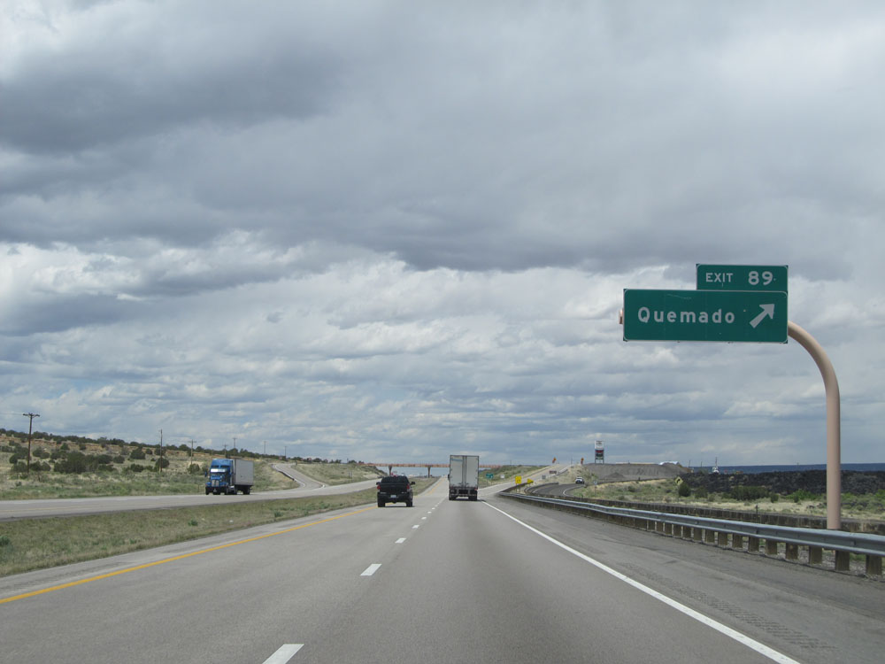 |
Interstate 40 West at Exit 89: Quemado (Photo taken 5/18/15). |
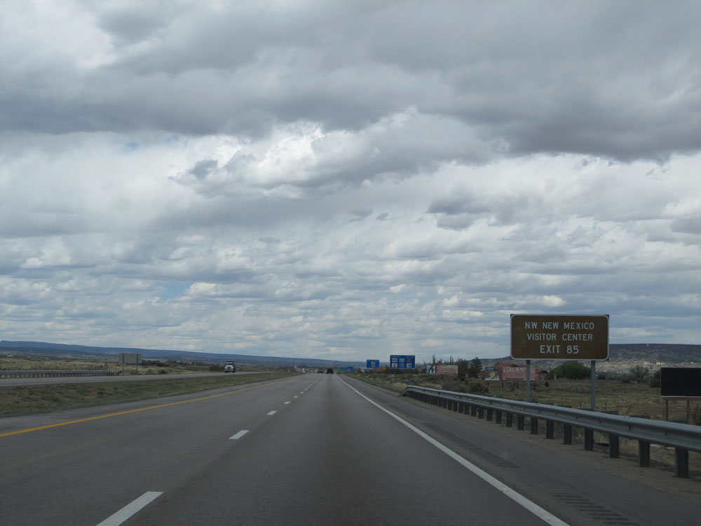 |
Take Exit 85 to the Northwestern New Mexico Visitor Center. (Photo taken 5/18/15). |
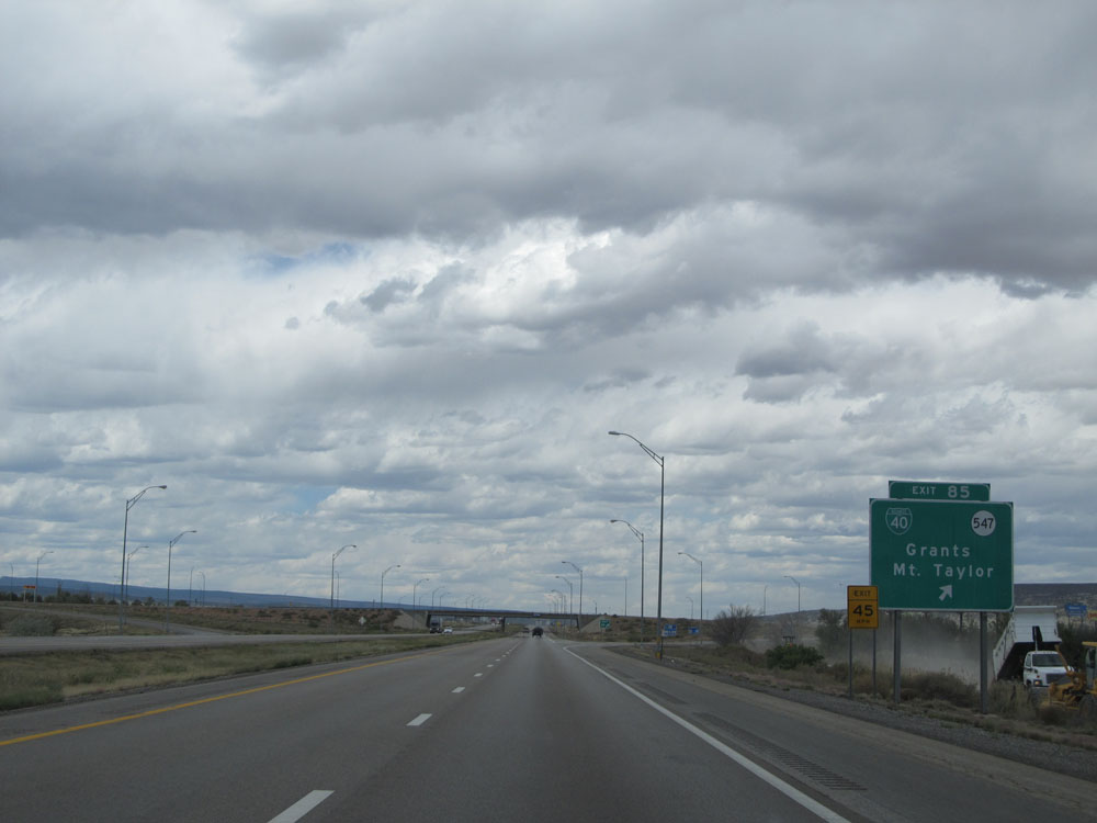 |
Interstate 40 West at Exit 85: Interstate 40 Bus. / NM 547 - Grants / Mt. Taylor (Photo taken 5/18/15). |
Section 4: Grants (Exit 85) to Arizona Border
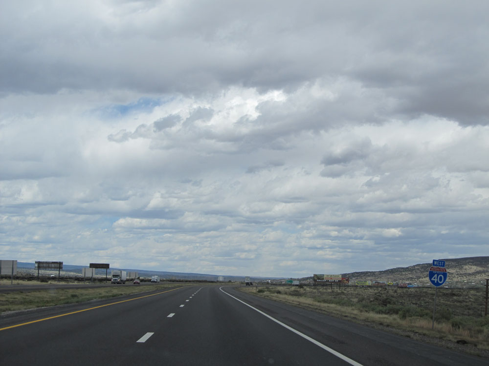 |
Interstate 40 West assurance shield near mile marker 85 (without the green backing to it!). (Photo taken 5/18/15). |
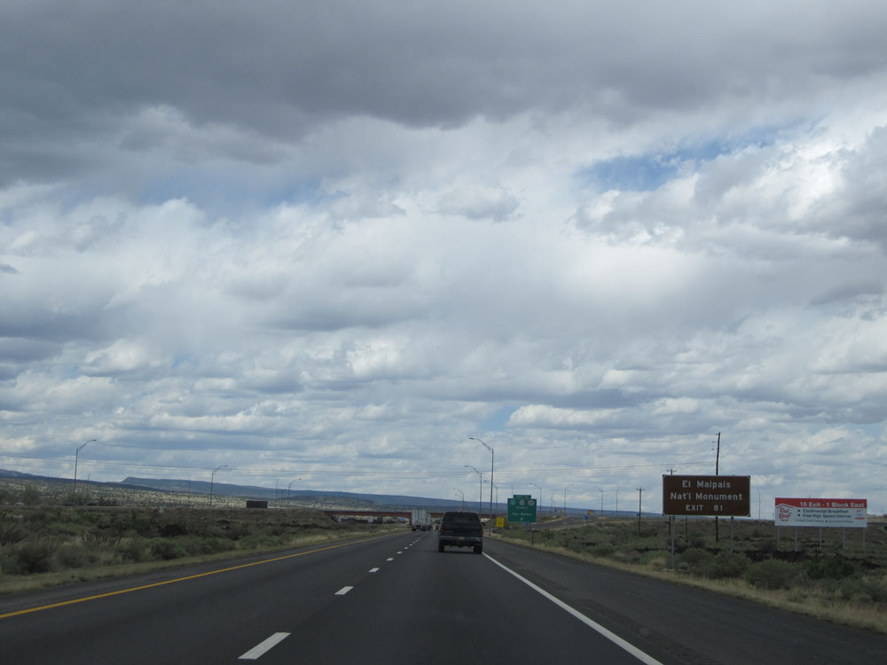 |
Take Exit 81 to El Malpais National Monument. (Photo taken 5/18/15). |
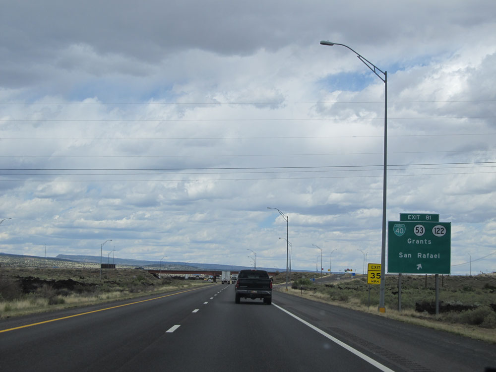 |
Interstate 40 West at Exit 81: Interstate 40 Bus. / NM 53 / NM 122 - Grants / San Rafael (Photo taken 5/18/15). |
 |
Take Exit 79 for NM 509 / NM 605 to Chaco Culture National Historic Park. (Photo taken 5/18/15). |
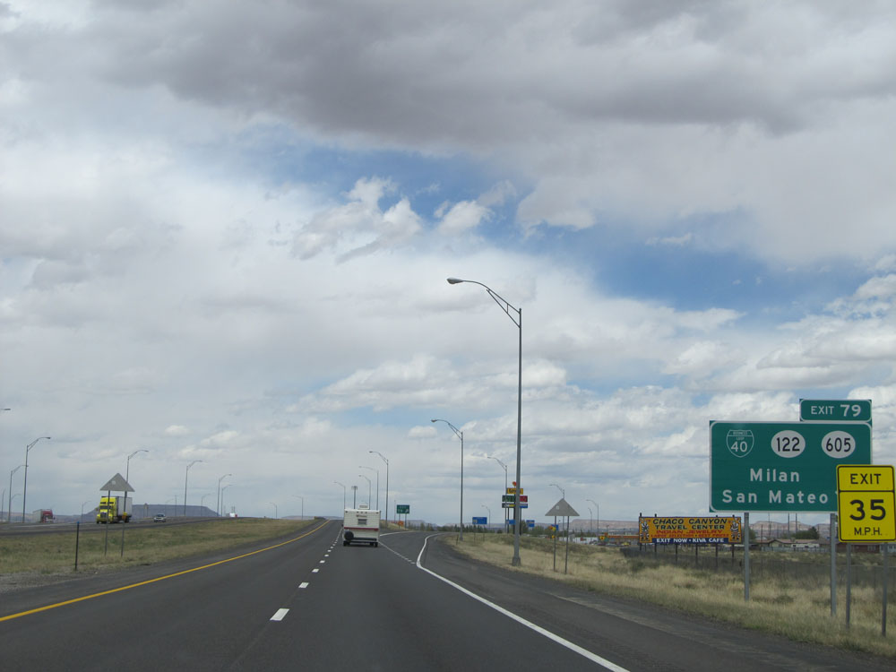 |
Interstate 40 West at Exit 79: Interstate 40 Bus. / NM 122 / NM 605 - Milan / San Mateo (Photo taken 5/18/15). |
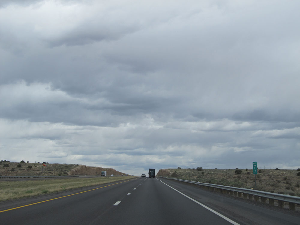 |
Interstate 40 West at mile marker 77. (Photo taken 5/18/15). |
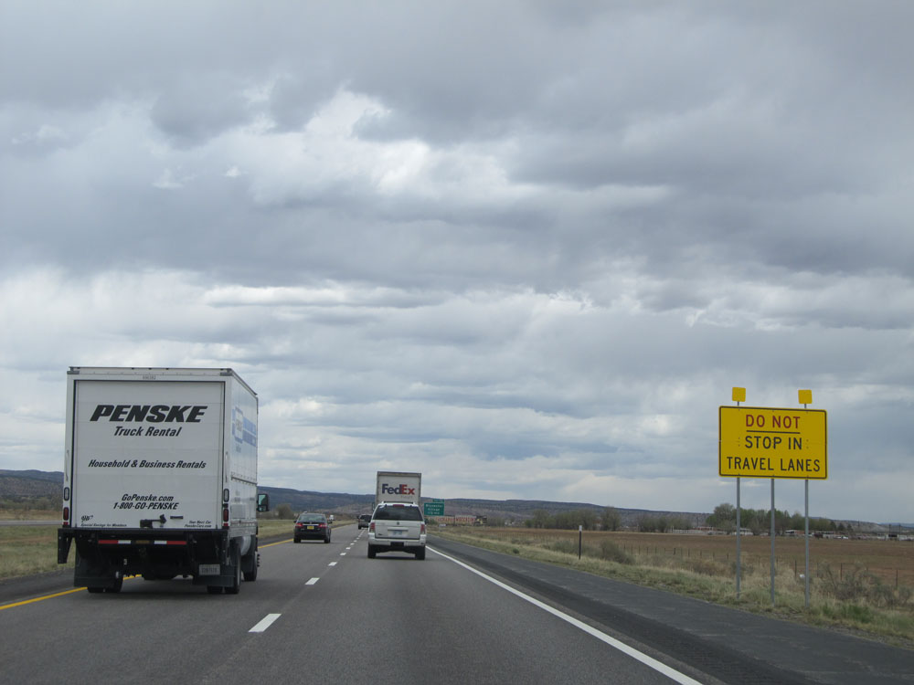 |
This sign warns motorists to not stop in travel lanes in the case of a dust storm causing zero visibility. These signs are very common on Interstate 10 in southern New Mexico, but this is the only spot they're seen on Interstate 40. (Photo taken 5/18/15). |
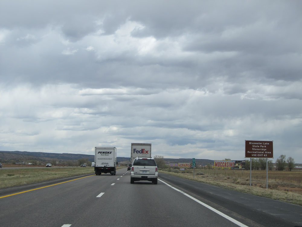 |
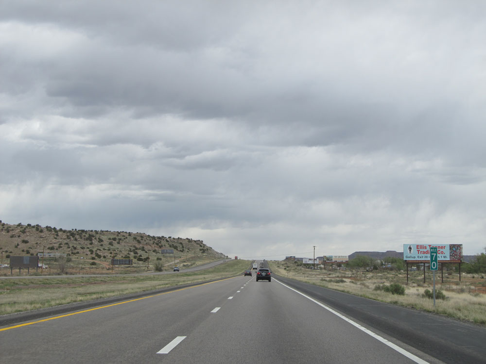
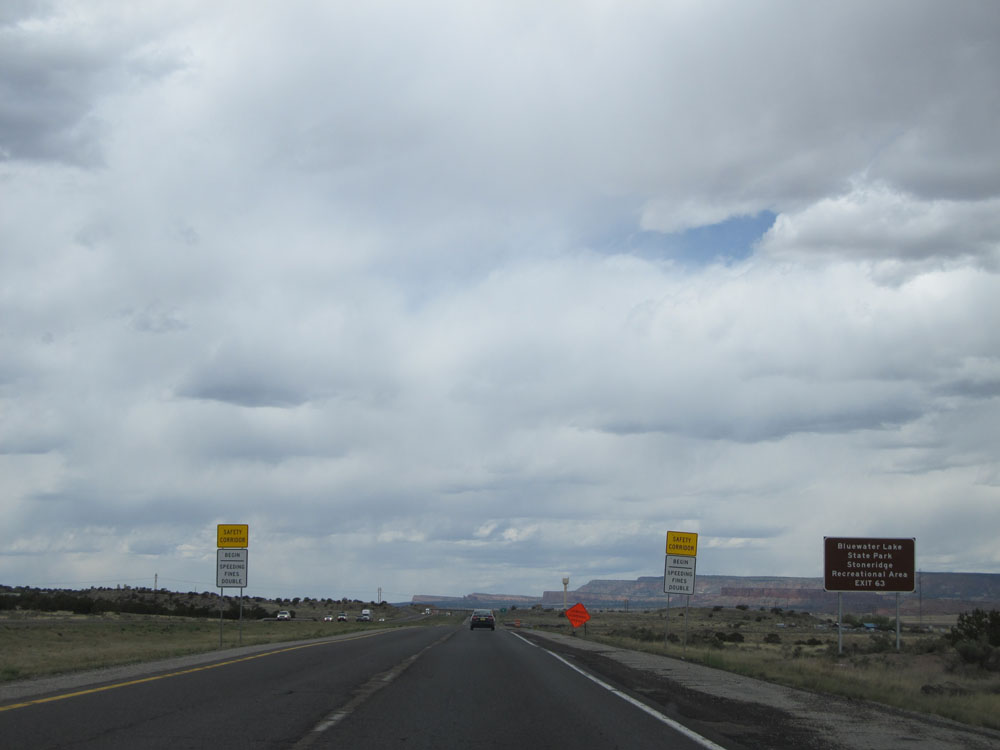
Take Exit 63 to Bluewater Lake State Park and Stoneridge Recreational Area. As you can see in the distance here, there are more billboards similar to those for Flying C Ranch back at Exit 234. These ones are advertising the same things, but this tourist trap at Exit 72 ahead is called Bluewater Outpost. (Photo taken 5/18/15). |
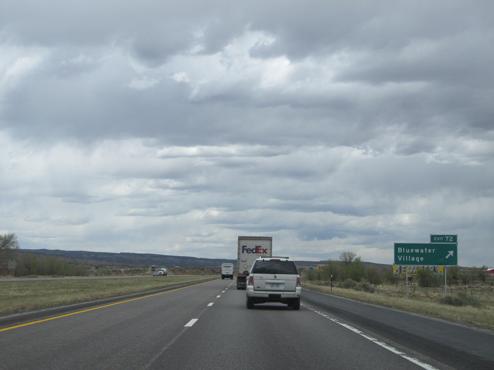 |
Interstate 40 West at Exit 63: Bluewater Village (Photo taken 5/18/15). |
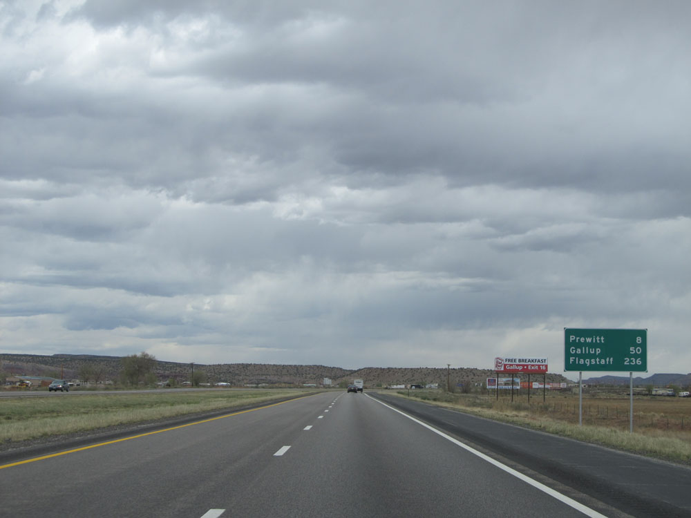 |
Mileage sign located near mile marker 72. It's 8 miles to Prewitt, 50 miles to Gallup, and 236 miles to Flagstaff. (Photo taken 5/18/15). |
 |
Interstate 40 West at mile marker 70. (Photo taken 5/18/15). |
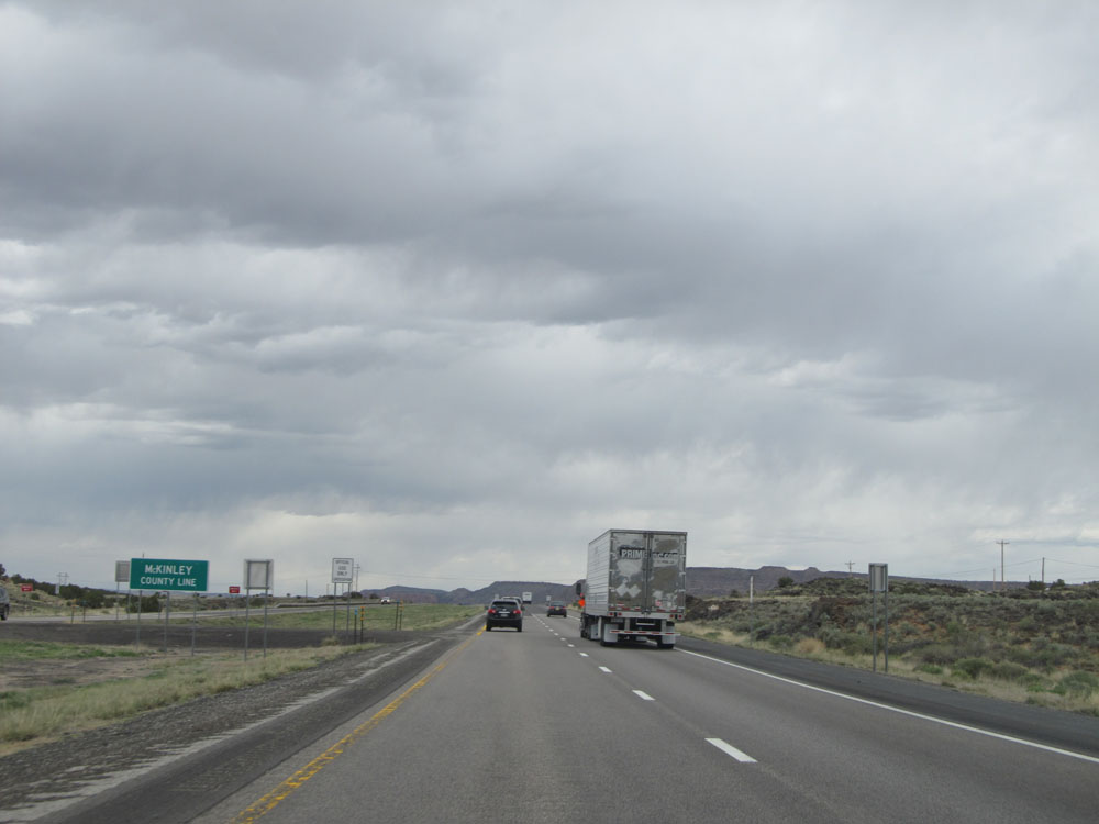 |
Interstate 40 West as it enters McKinley County. (Photo taken 5/18/15). |
 |
Interstate 40 West at mile marker 67. (Photo taken 5/18/15). |
 |
Once again, use Exit 63 to Bluewater Lake State Park and Stoneridge Recreational Area. (Photo taken 5/18/15). |
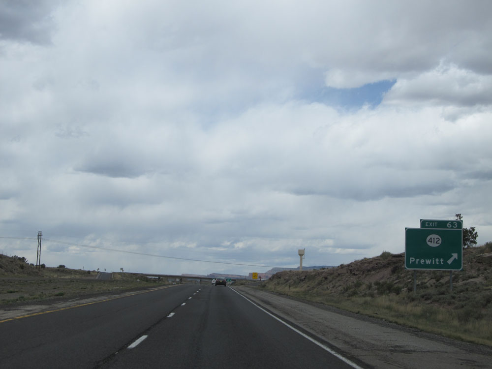 |
Interstate 40 West at Exit 63: NM 412 - Prewitt (Photo taken 5/18/15). |
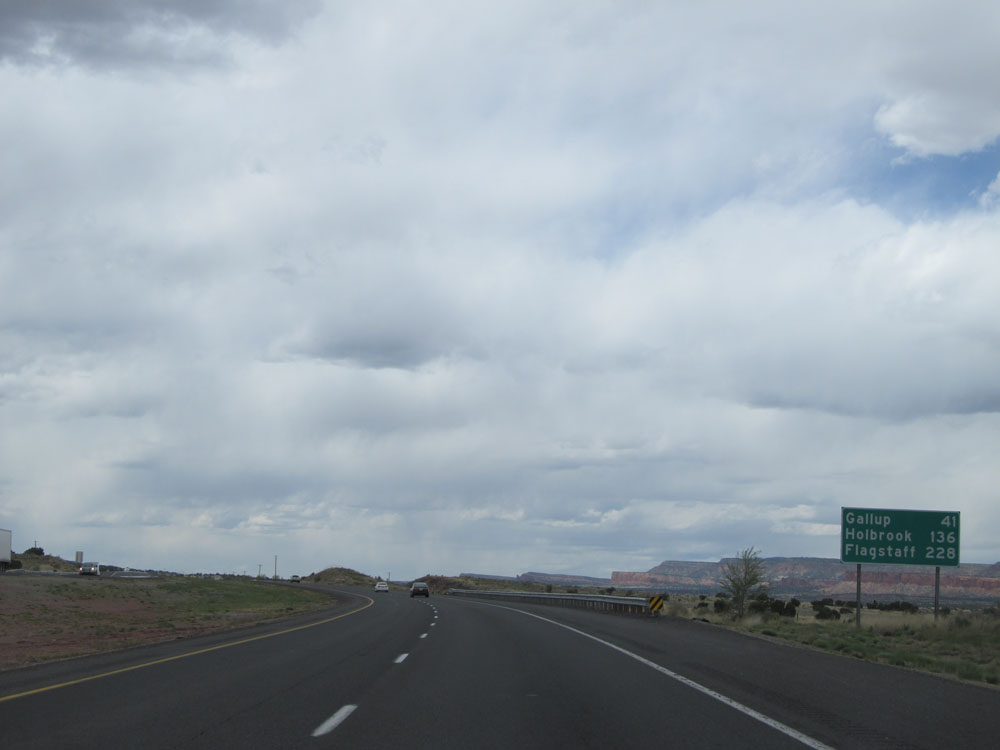 |
Mileage sign near mile marker 63. It's 42 miles to Gallup, 136 miles to Holbrook, and 228 miles to Flagstaff. (Photo taken 5/18/15). |
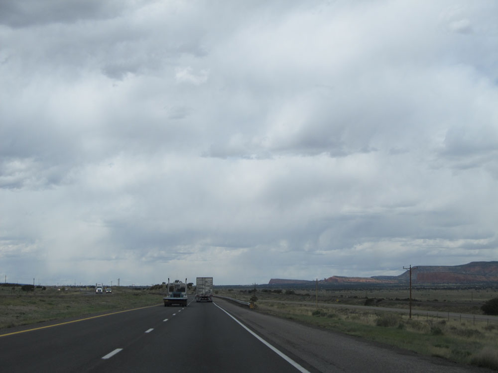 |
Interstate 40 West: Road view from near mile marker 59. (Photo taken 5/18/15). |
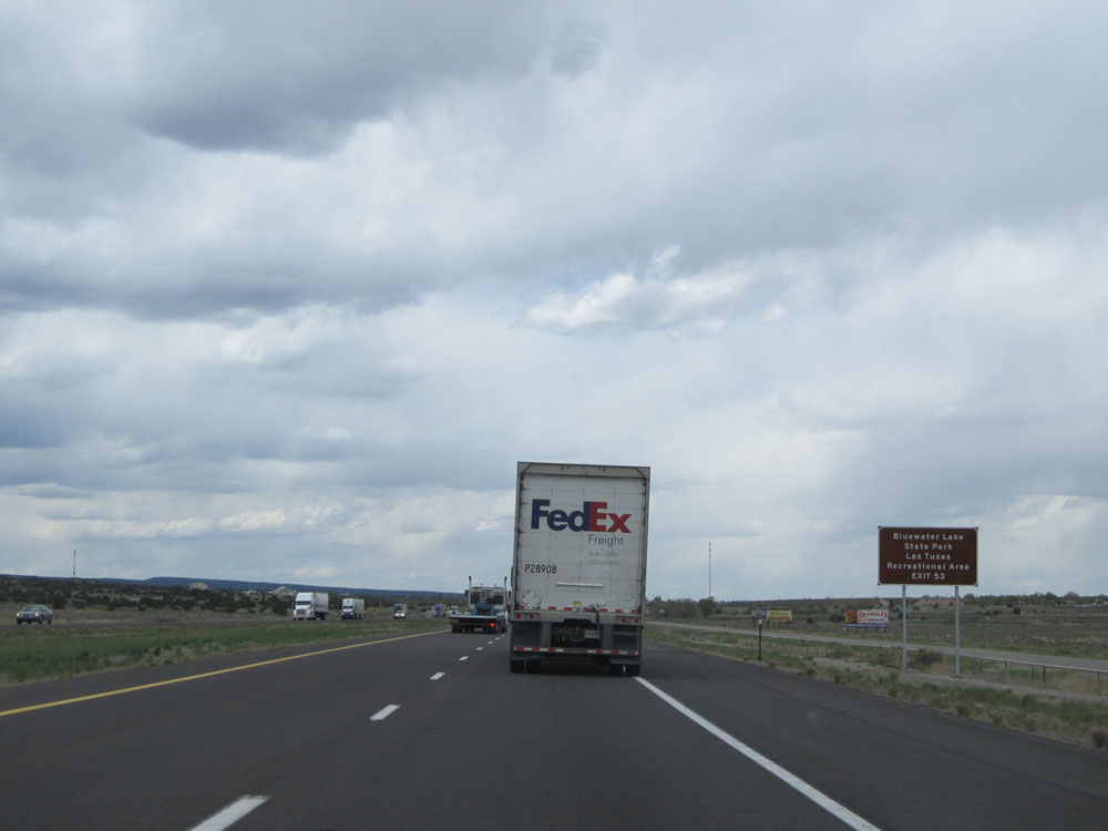 |
You can also access Bluewater Lake State Park and Stoneridge Recreational Area via Exit 53 ahead. (Photo taken 5/18/15). |
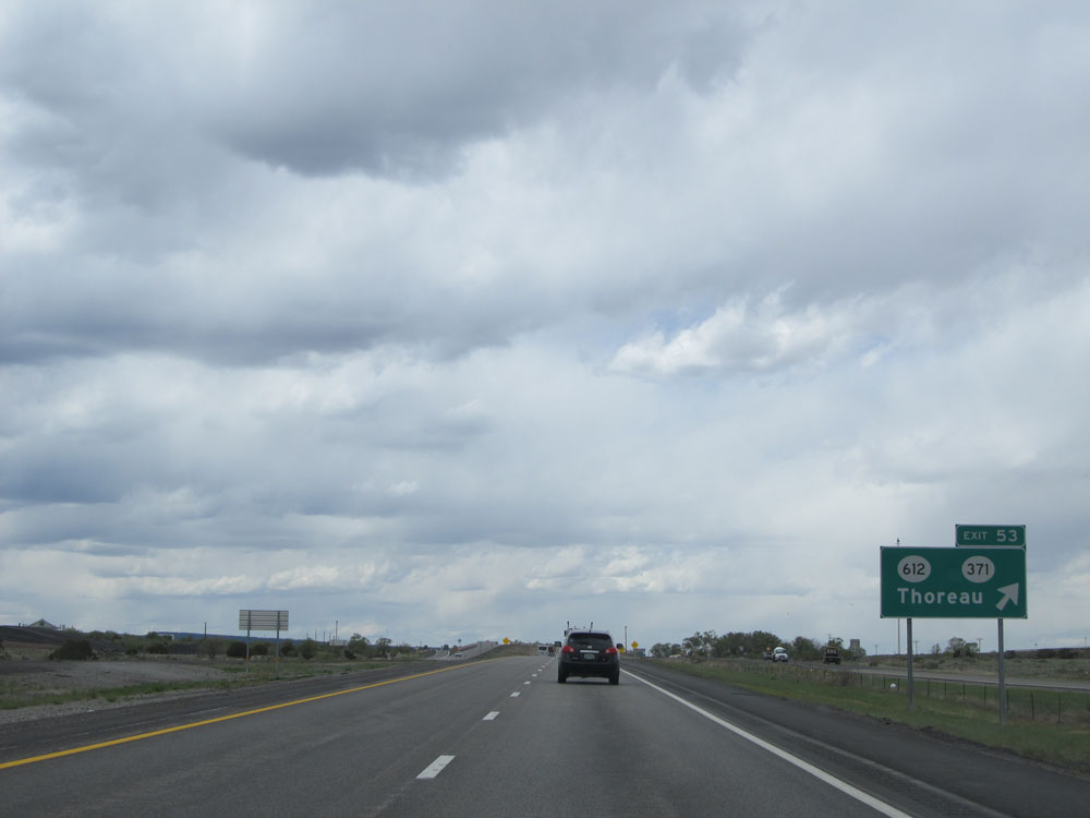 |
Interstate 40 West at Exit 53: NM 612 / NM 371 - Thoreau (Photo taken 5/18/15). |
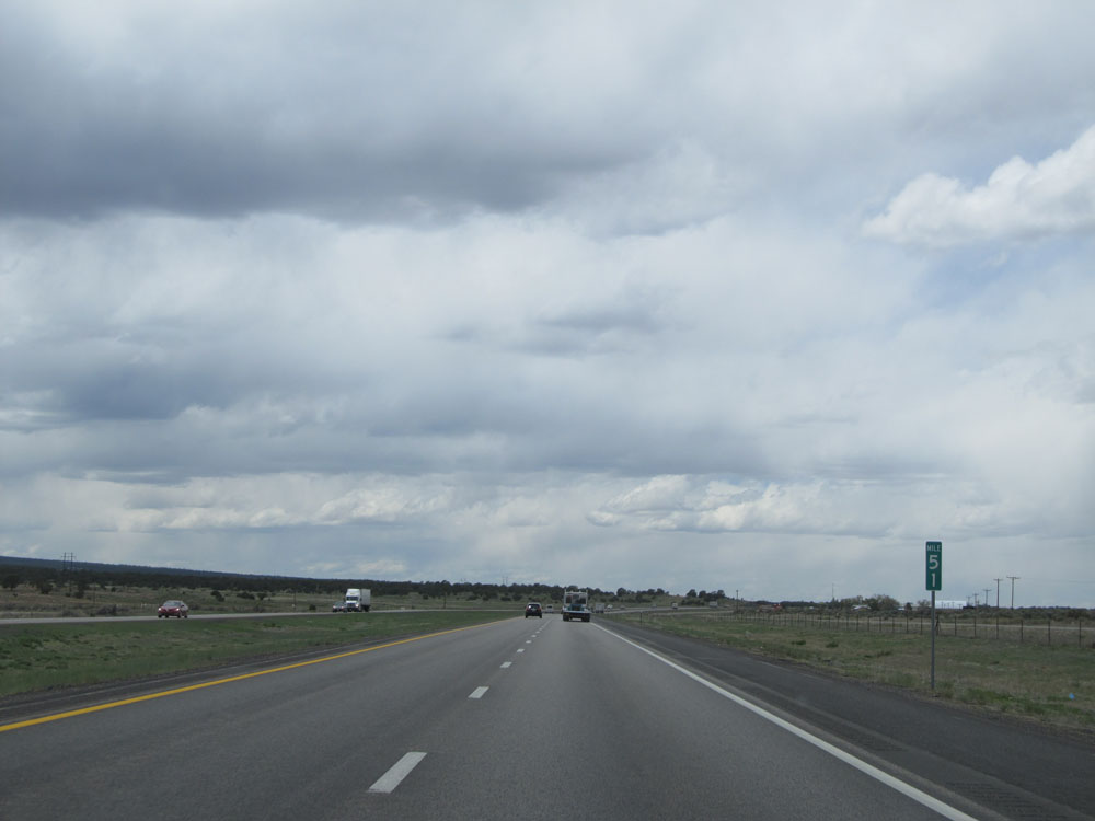 |
Interstate 40 West: Road view from mile marker 51. (Photo taken 5/18/15). |
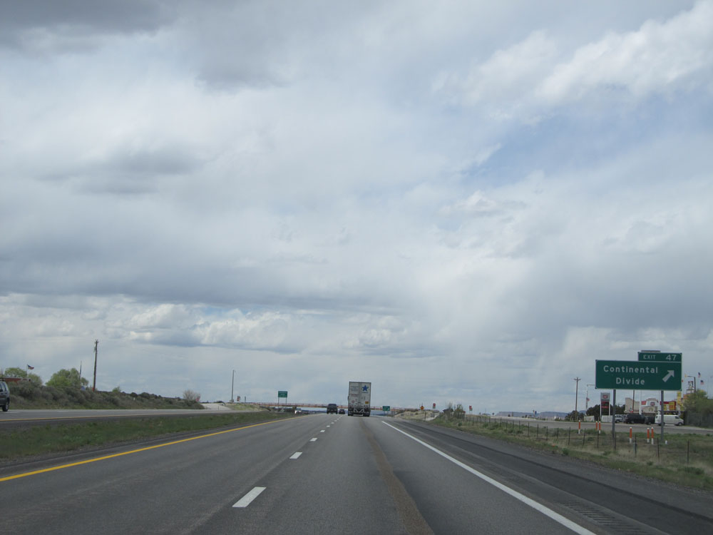 |
Interstate 40 West at Exit 47: Continental Divide (Photo taken 5/18/15). |
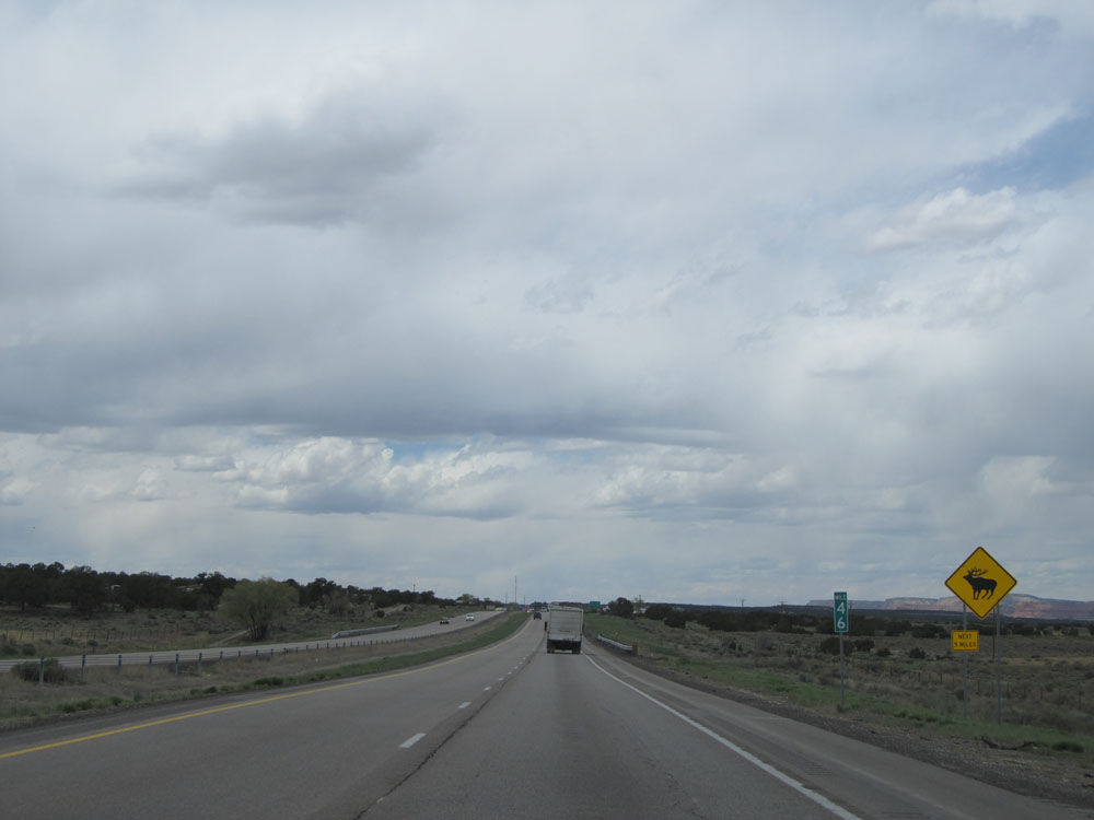 |
At mile marker 46, this warning sign alerts motorists of possible elk crossing for the next 5 miles. (Photo taken 5/18/15). |
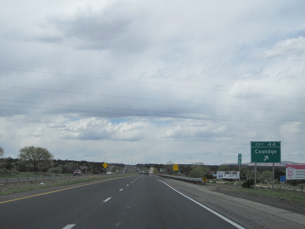 |
Interstate 40 West at Exit 44: Coolidge (Photo taken 5/18/15). |
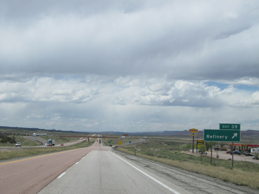 |
Interstate 40 West at Exit 39: Refinery (Photo taken 5/18/15). |
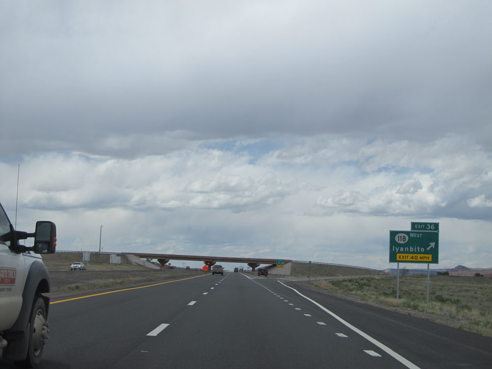 |
Interstate 40 West at Exit 36: NM 118 West - Iyanbito (Photo taken 5/18/15). |
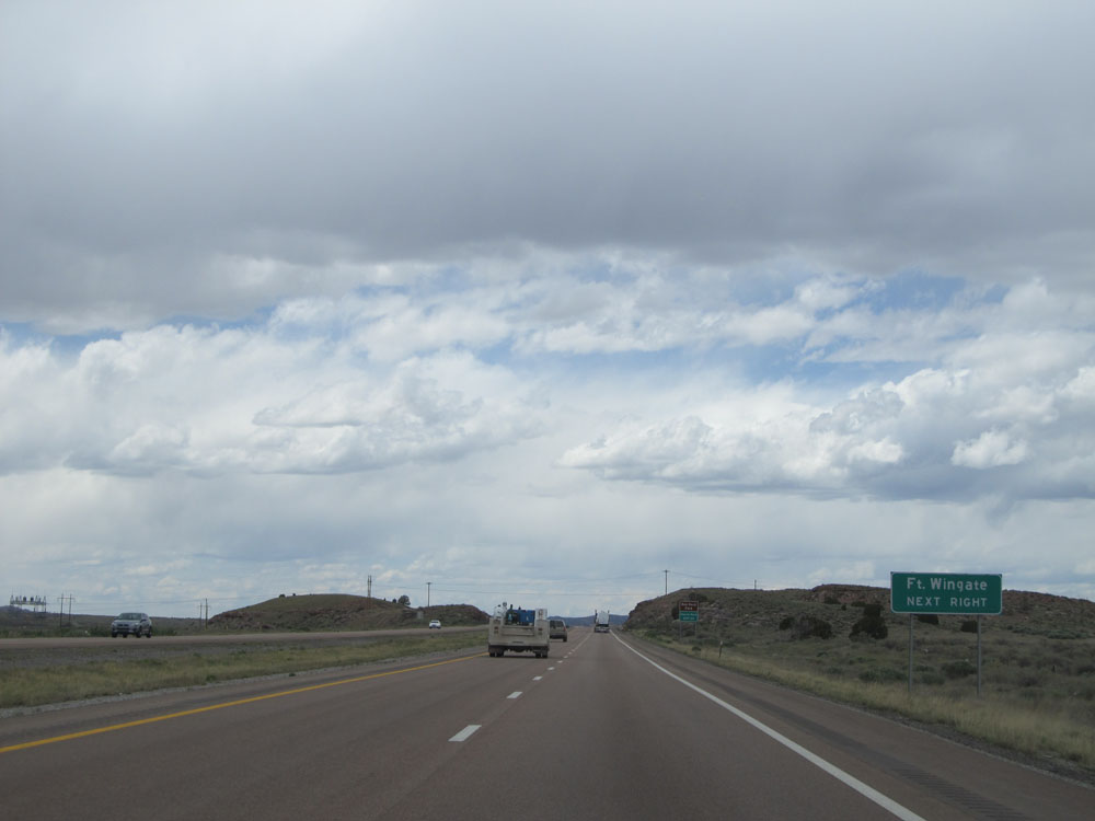 |
Take Exit 33 to Ft. Wingate. (Photo taken 5/18/15). |
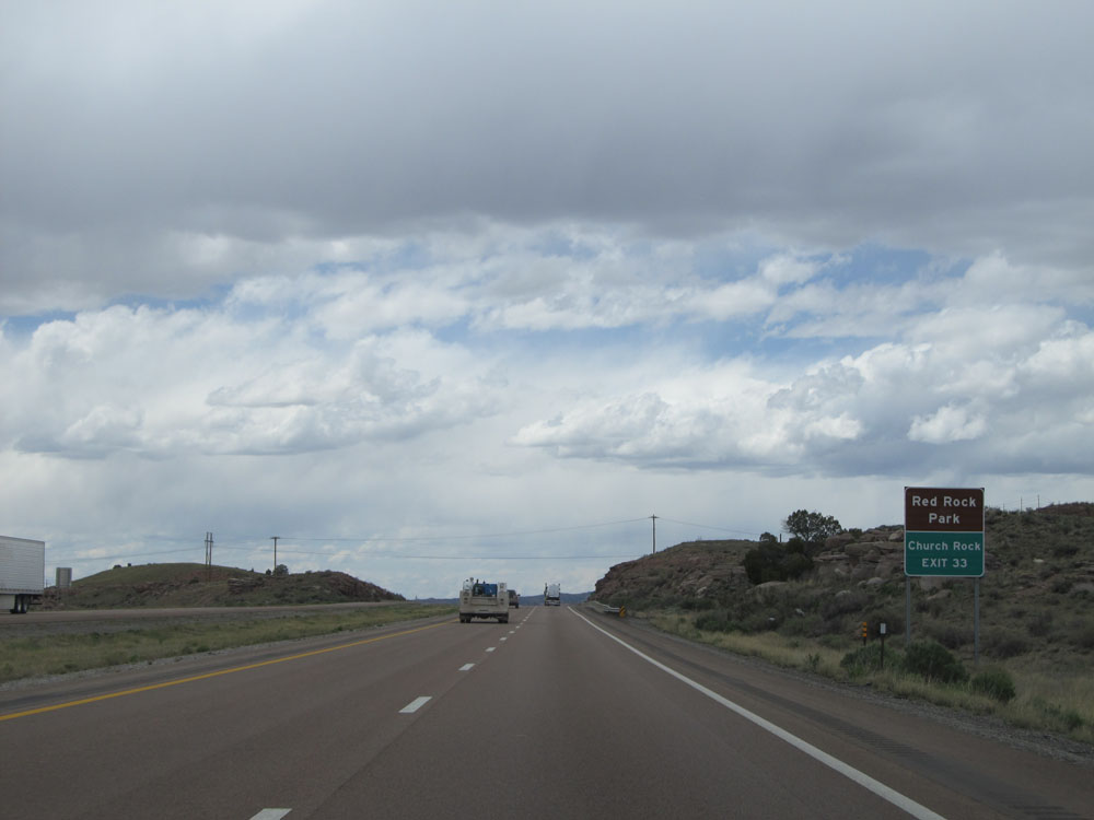 |
Also take Exit 33 to Red Rock Park and Church Rock. (Photo taken 5/18/15). |
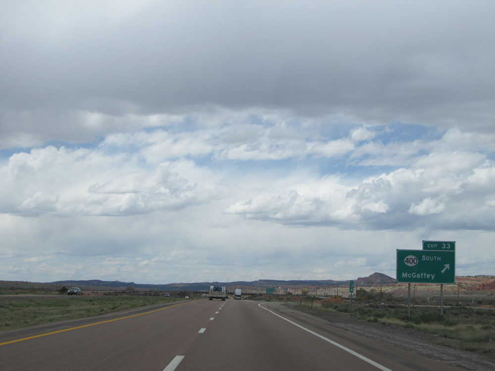 |
Interstate 40 West at Exit 33: NM 400 South - McGaffey (Photo taken 5/18/15). |
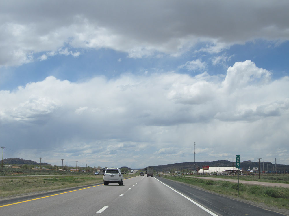 |
Interstate 40 West: Road view from mile marker 29, approaching Gallup. (Photo taken 5/18/15). |
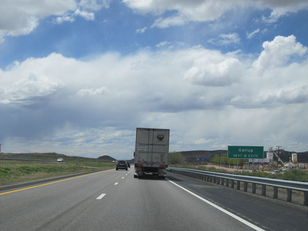 |
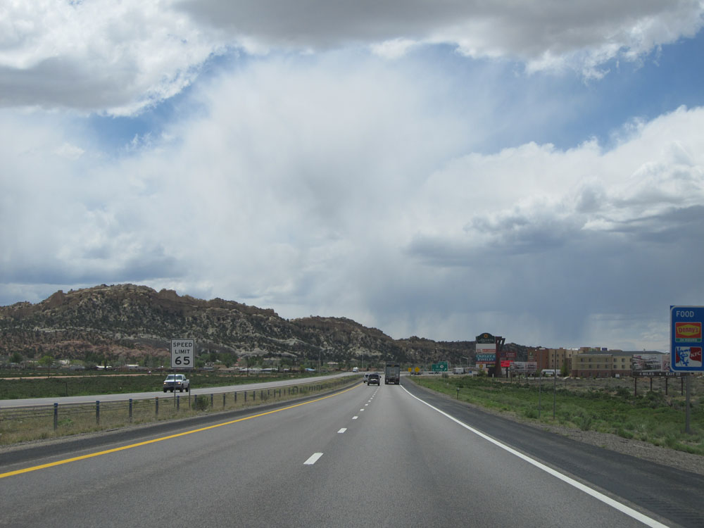
Take any of the next 4 exits to Gallup. (Photo taken 5/18/15). |
 |
The speed limit drops to 65 mph as you pass through Gallup. (Photo taken 5/18/15). |
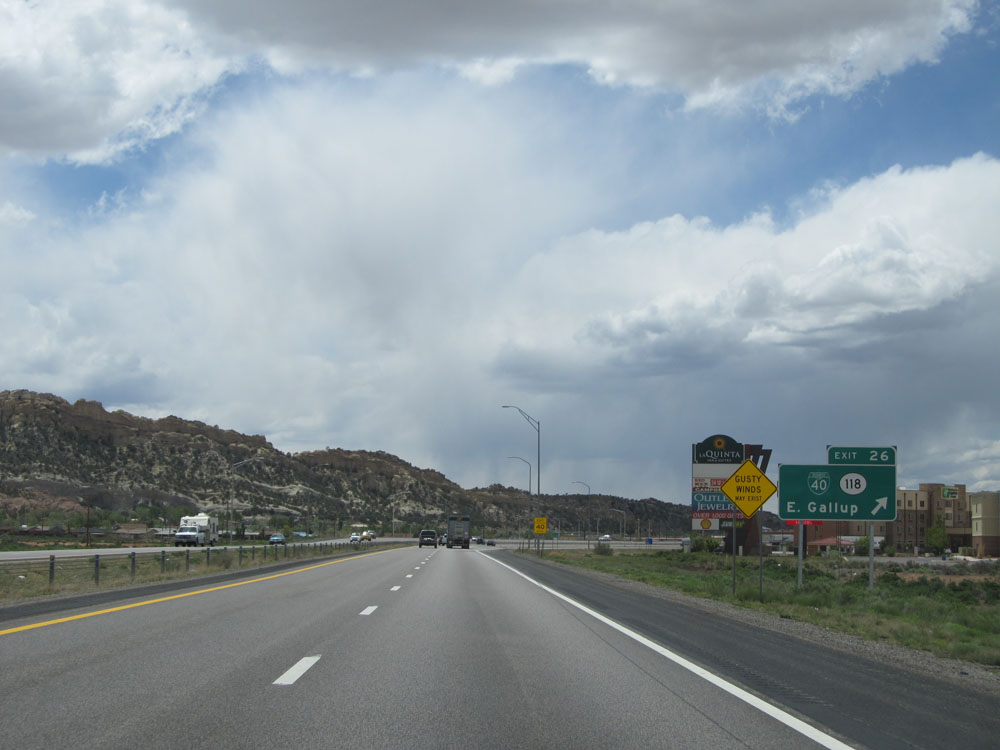 |
Interstate 40 West at Exit 26: Interstate 40 Bus. / NM 118 - East Gallup (Photo taken 5/18/15). |
 |
Interstate 40 West at Exit 22: Miyamura Dr / Montoya Blvd (Photo taken 5/18/15). |
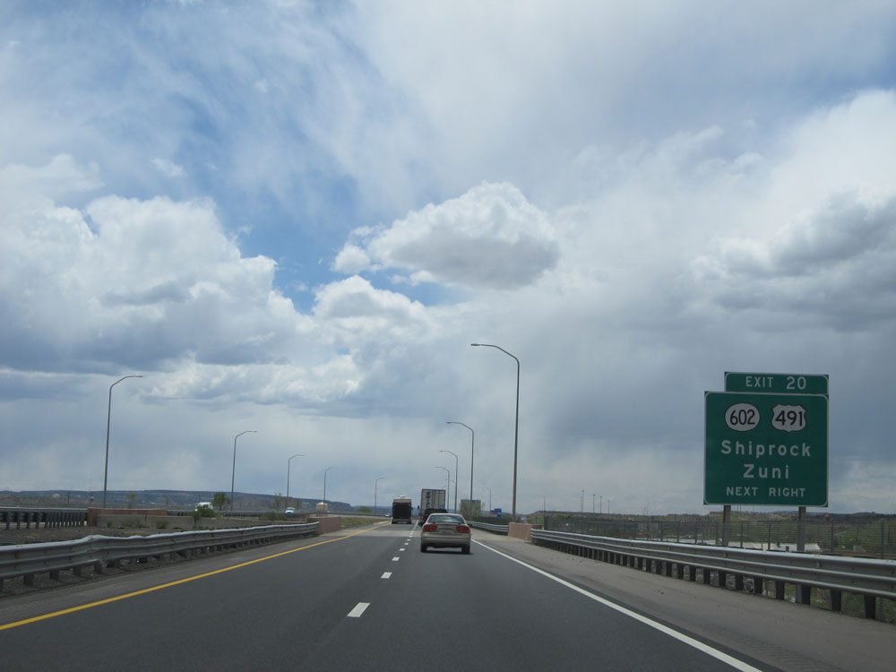 |
Take Exit 20 to NM 602 / US 491 to Shiprock and Zuni. (Photo taken 5/18/15). |
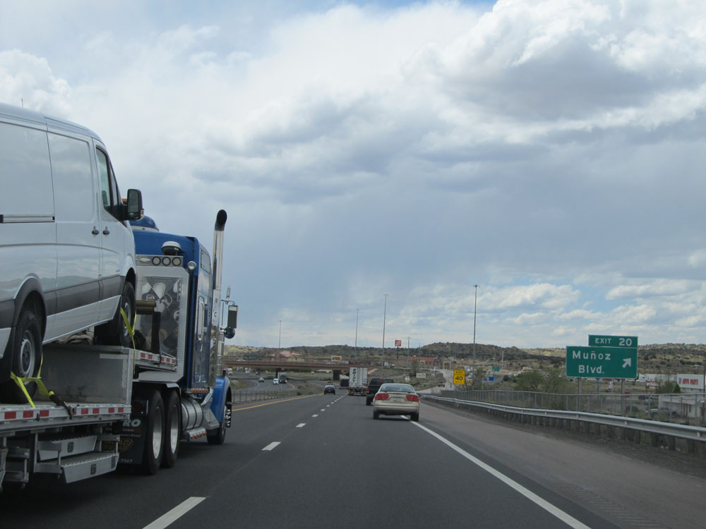 |
Interstate 40 West at Exit 20: Munoz Blvd (Photo taken 5/18/15). |
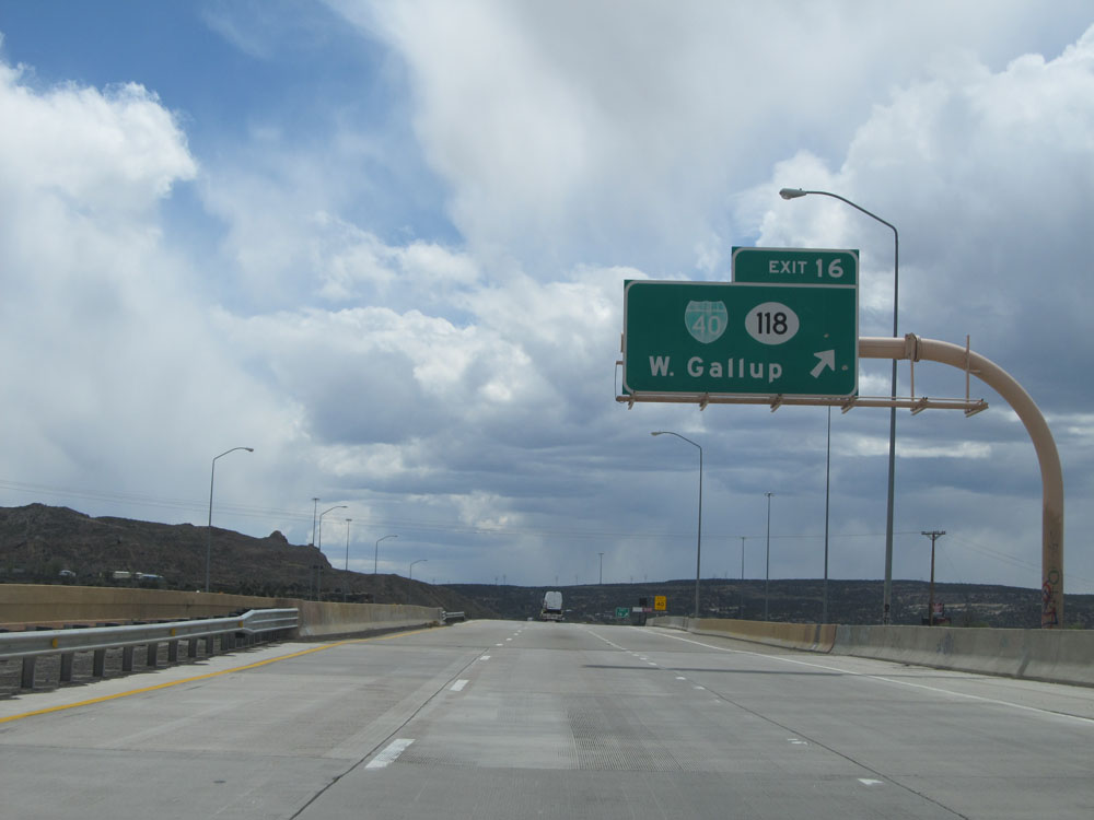 |
Interstate 40 West at Exit 16: Interstate 40 Bus. / NM 118 - West Gallup (Photo taken 5/18/15). |
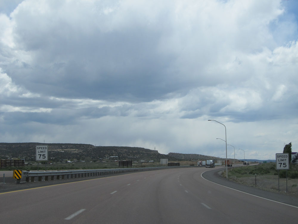 |
Once west of Exit 16, the standard speed limit of 75 mph resumes. (Photo taken 5/18/15). |
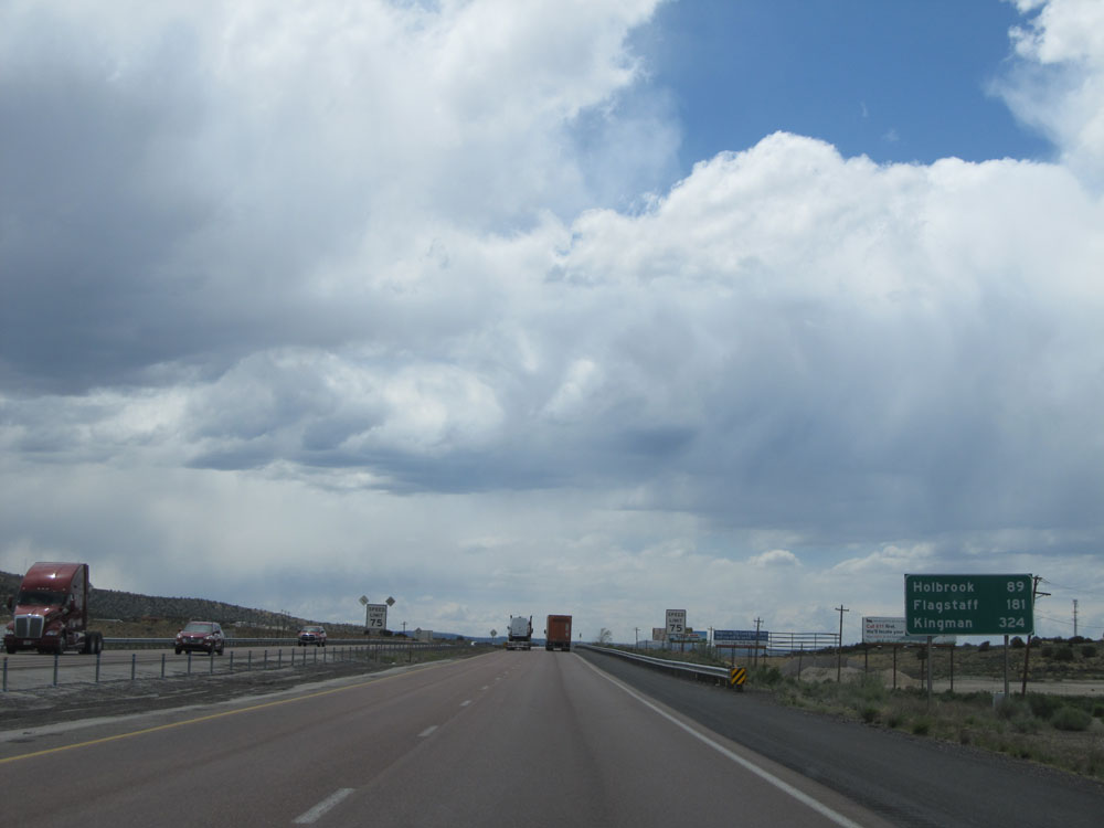 |
Mileage sign near mile marker 16. It's 89 miles to Holbrook, 181 miles to Flagstaff, and 324 miles to Kingman. (Photo taken 5/18/15). |
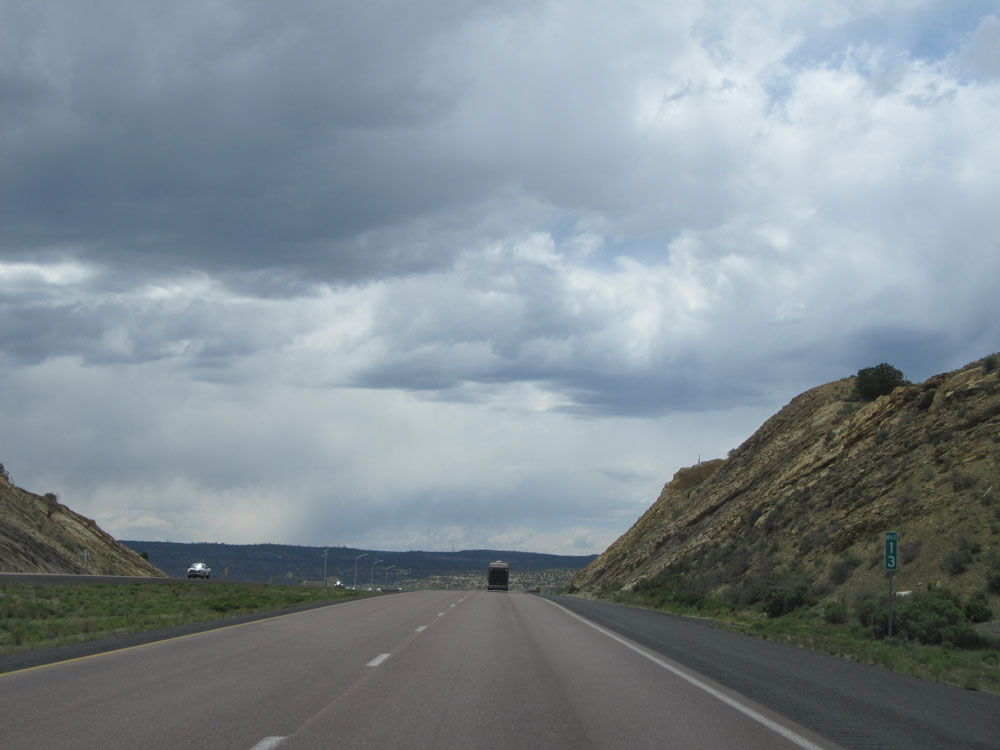 |
Interstate 40 West: Road view from mile marker 13. (Photo taken 5/18/15). |
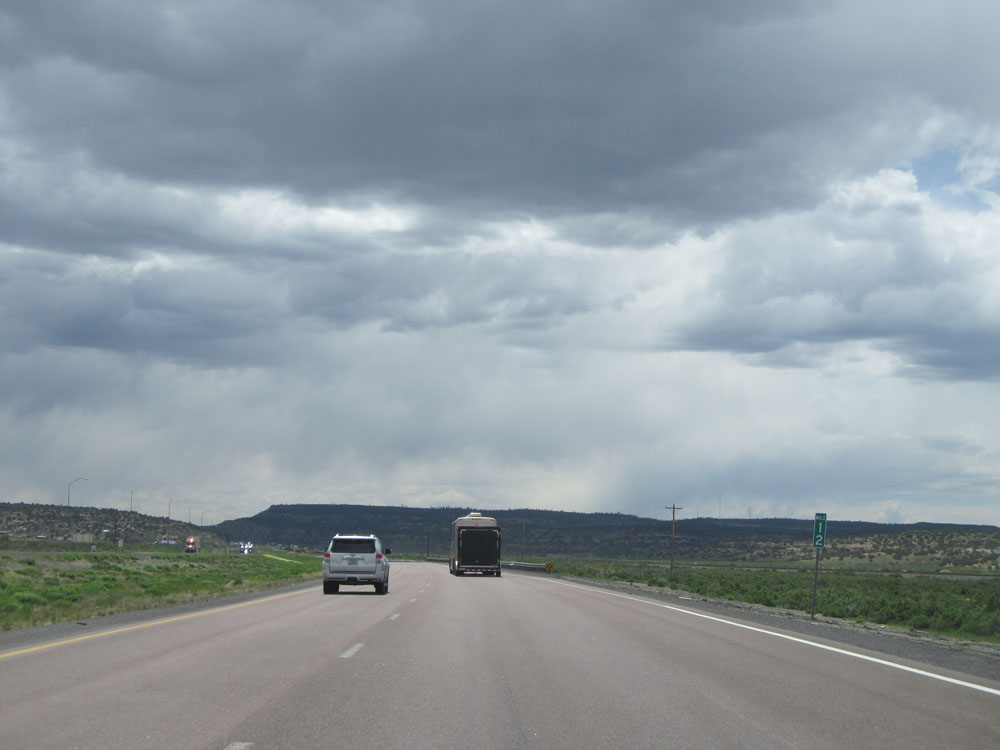 |
Interstate 40 West: Road view from mile marker 12. (Photo taken 5/18/15). |
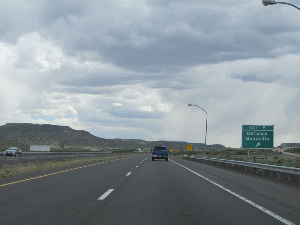 |
Interstate 40 West at Exit 8: Defiance / Manuelito (Photo taken 5/18/15). |
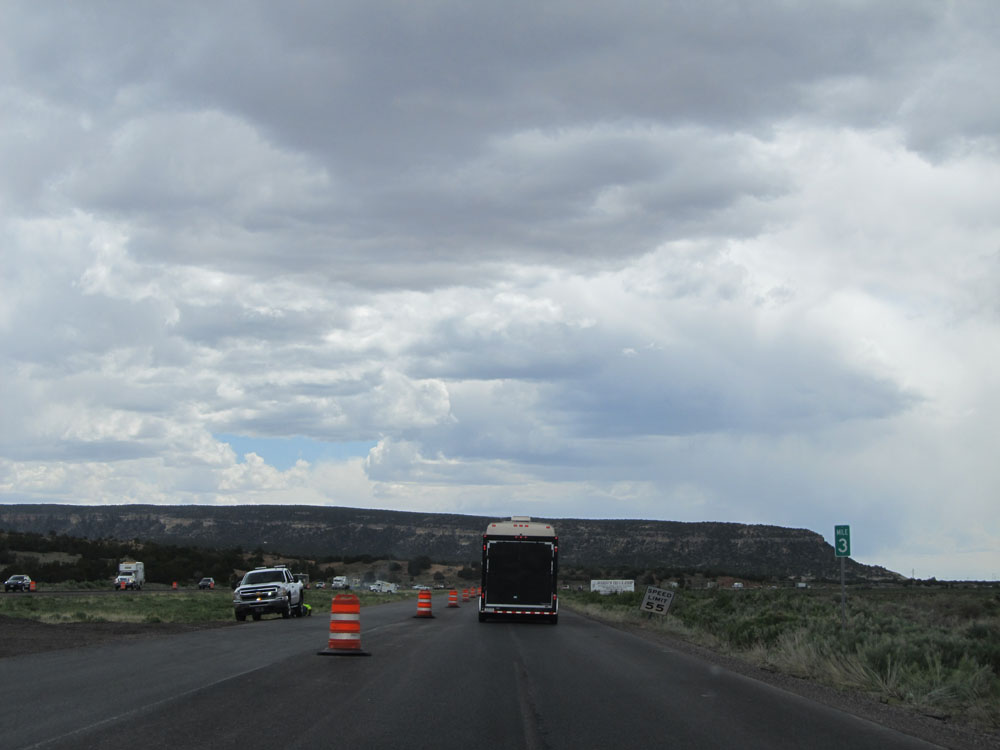 |
Interstate 40 West: Road view from mile marker 3. (Photo taken 5/18/15). |
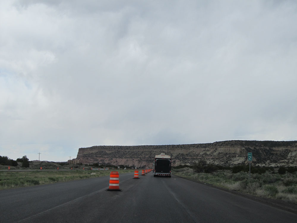 |
Interstate 40 West at mile marker 2. (Photo taken 5/18/15). |
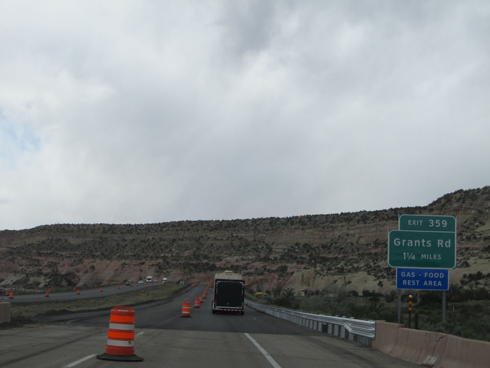 |
Interstate 40 West approaching Exit 359 - 1 1/4 miles. The off ramp for this exit is almost immediately across the Arizona border. (Photo taken 5/18/15). |
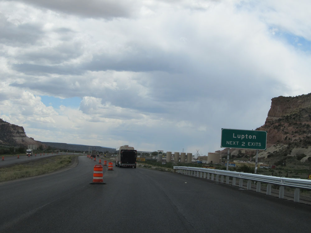 |
Take either of the next 2 exits, the first two Arizona exits on Interstate 40 West, to Lupton. (Photo taken 5/18/15). |
 |
Interstate 40 West: Road view from mile marker 0, as I-40 enters Arizona. (Photo taken 5/18/15). |