Road Information |
||
 |
||
| Total Mileage in State: | 462 miles | |
| Northern End: | At Colorado state line | |
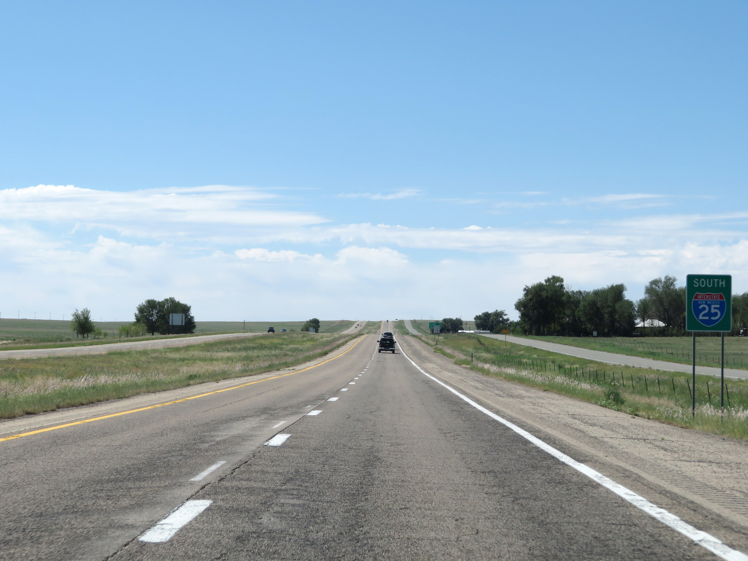
| Southern End: | At I-10, in Las Cruces | |
| Mileage covered in Photos: | 462 miles | |
| Counties covered in Photos: | Colfax, Mora, San Miguel, Santa Fe, Sandoval, Bernalillo, Valencia, Socorro, Sierra, Doña Ana | |
| Major Junctions in Photos: | US 84, in Las Vegas US 84/US 285, in Santa Fe I-40, in Albuquerque US 60, in Socorro US 70, in Las Cruces I-10, in Las Cruces |
|
| Control Cities in Photos: | Raton, Las Vegas, Santa Fe, Albuquerque, Socorro, Truth or Consequences, Las Cruces | |
Southbound
- Section 1: Colorado Border to Springer (Exit 412)
- Section 2: Springer (Exit 412) to Las Vegas (Exit 343)
- Section 3: Las Vegas (Exit 343) to Santa Fe (Exit 282B)
- Section 4: Santa Fe (Exit 282B) to Albuquerque (Exit 228)
- Section 5: Albuquerque (Exit 228) to Belen (Exit 190)
- Section 6: Belen (Exit 190) to Socorro (Exit 150)
- Section 7: Socorro (Exit 150) to Truth or Consequences (Exit 83)
- Section 8: Truth or Consequences (Exit 83) to Hatch (Exit 41)
- Section 9: Hatch (Exit 41) to Interstate 10
Section 1: Colorado Border to Springer (Exit 412)
 |
Interstate 25 South as it enters New Mexico from Colorado at the summit of Raton Pass. (Photo taken 8/13/20). |
 |
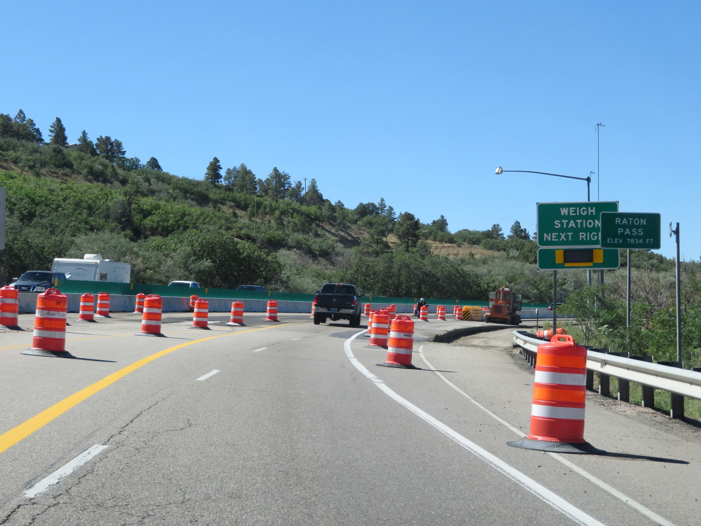
Interstate 25 South at Exit 460: Weigh Station (Photo taken 8/13/20). |
 |
Just beyond the ramp for Exit 460, Interstate 25 South starts its descent of Raton Pass. (Photo taken 8/13/20). |
 |
Interstate 25 South as it starts down Raton Pass. (Photo taken 8/13/20). |
 |
View on Interstate 25 South as it continues down Raton Pass. (Photo taken 8/13/20). |
 |
Another view on Interstate 25 South descending Raton Pass. (Photo taken 8/13/20). |
 |
Interstate 25 South at mile marker 459. (Photo taken 8/13/20). |
 |
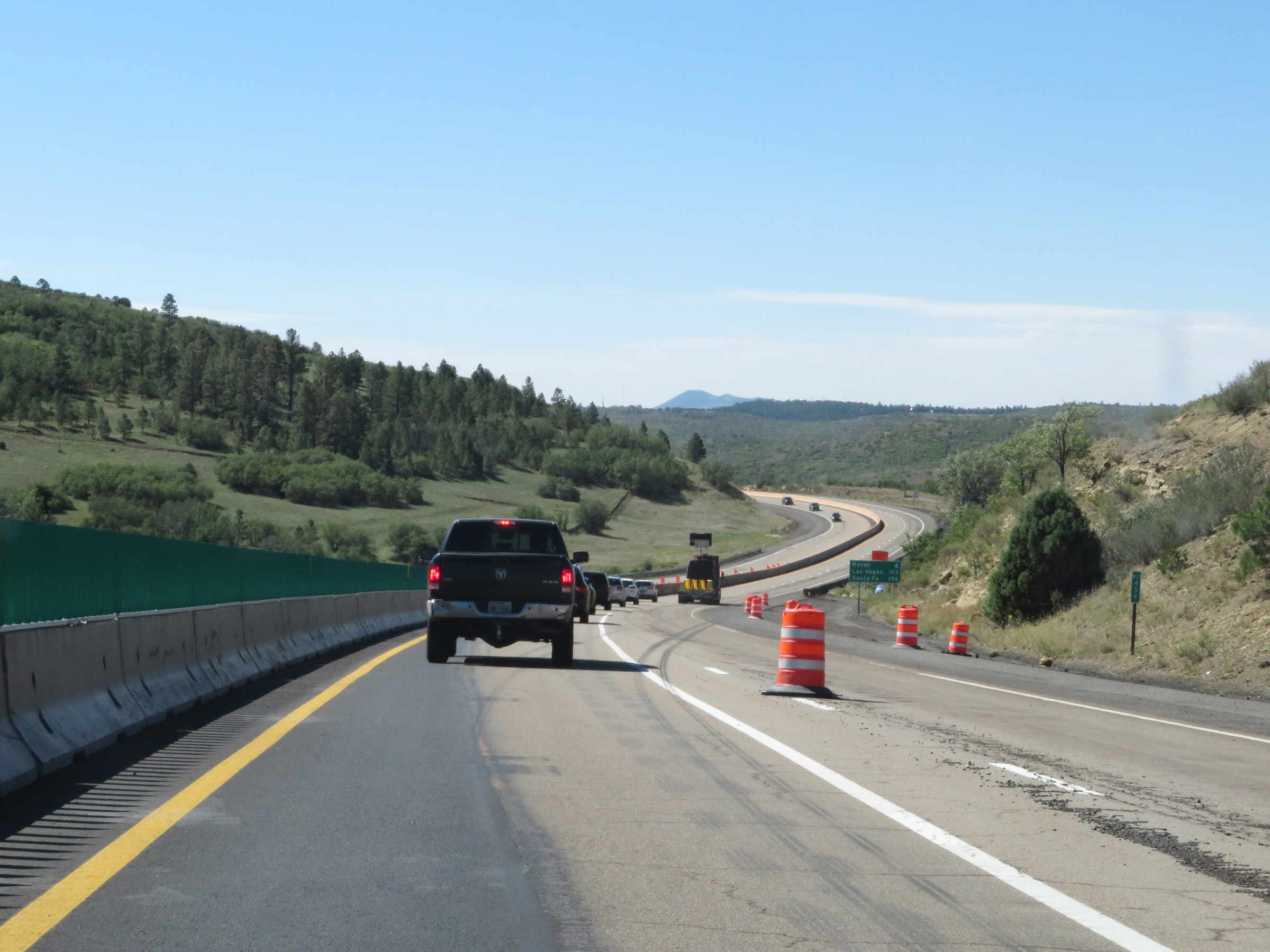
Mileage sign on Interstate 25 South. It's 6 miles to Raton, 113 miles to Las Vegas, and 174 miles to Santa Fe. (Photo taken 8/13/20). |
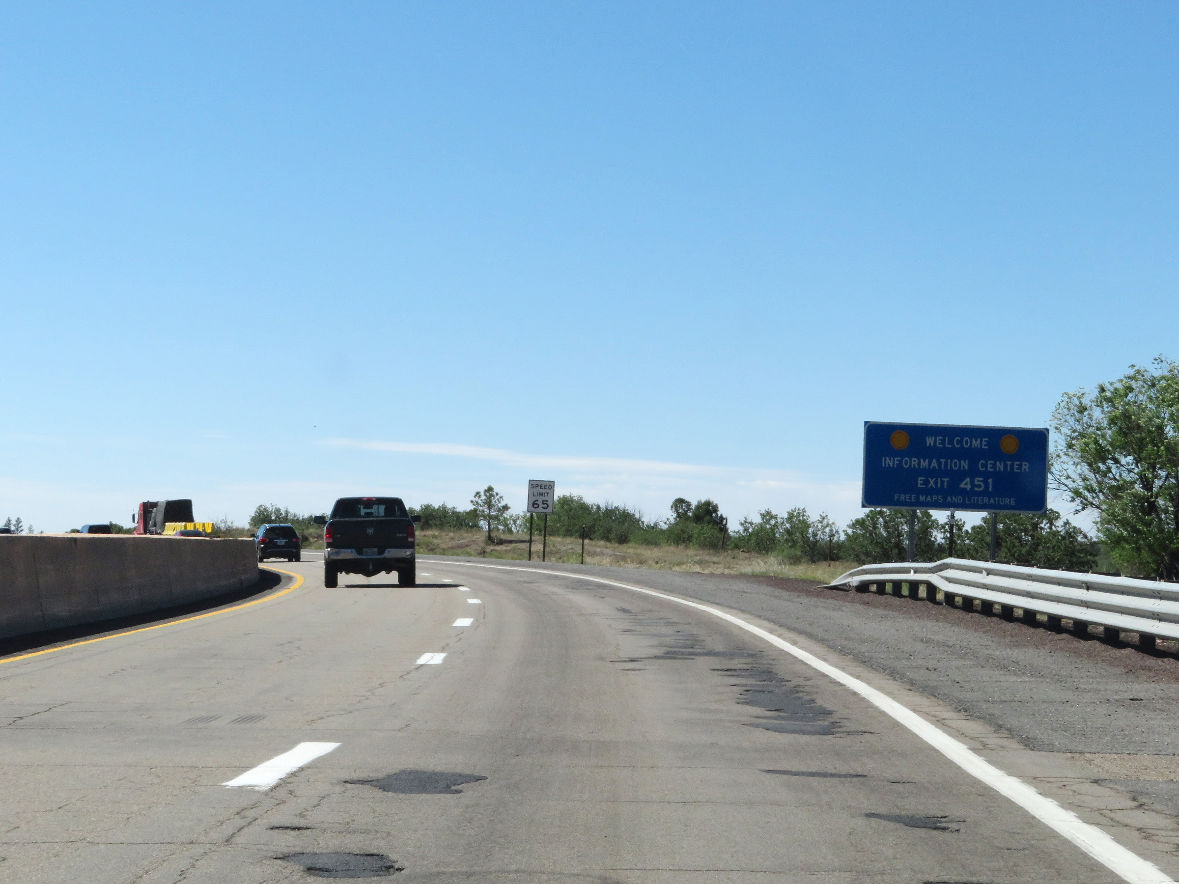 |
The New Mexico Welcome Center on Interstate 25 South is off Exit 451. (Photo taken 8/13/20). |
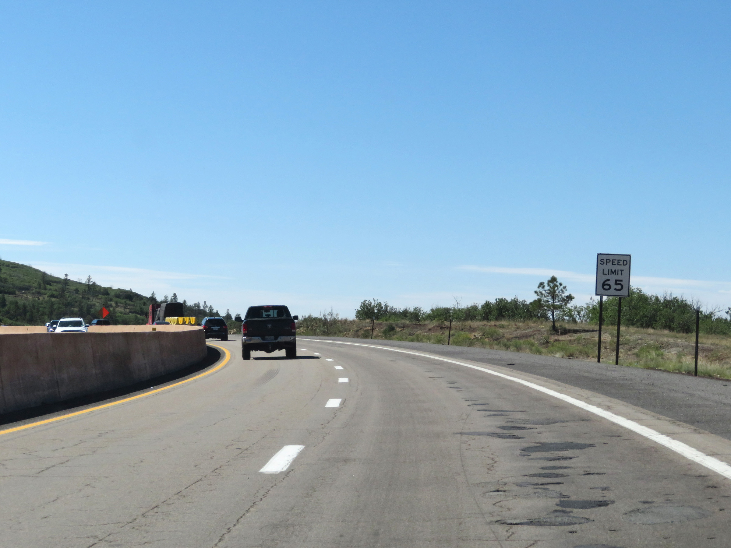 |
The speed limit on Interstate 25 South in New Mexico starts out at 65 mph as it descends Raton Pass. (Photo taken 8/13/20). |
 |
View on Interstate 25 South at mile marker 458. (Photo taken 8/13/20). |
 |
Interstate 25 South at mile marker 457. (Photo taken 8/13/20). |
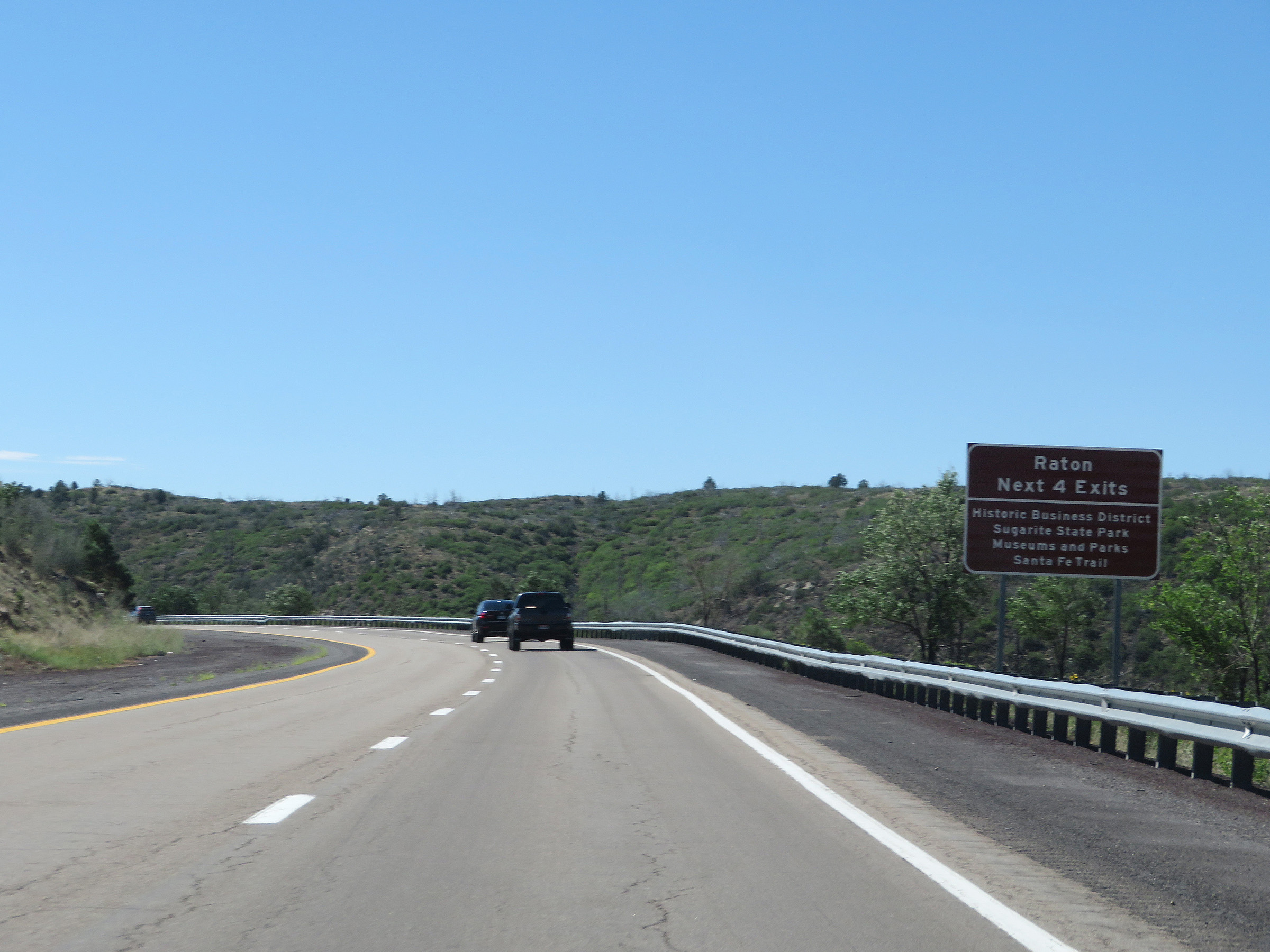 |
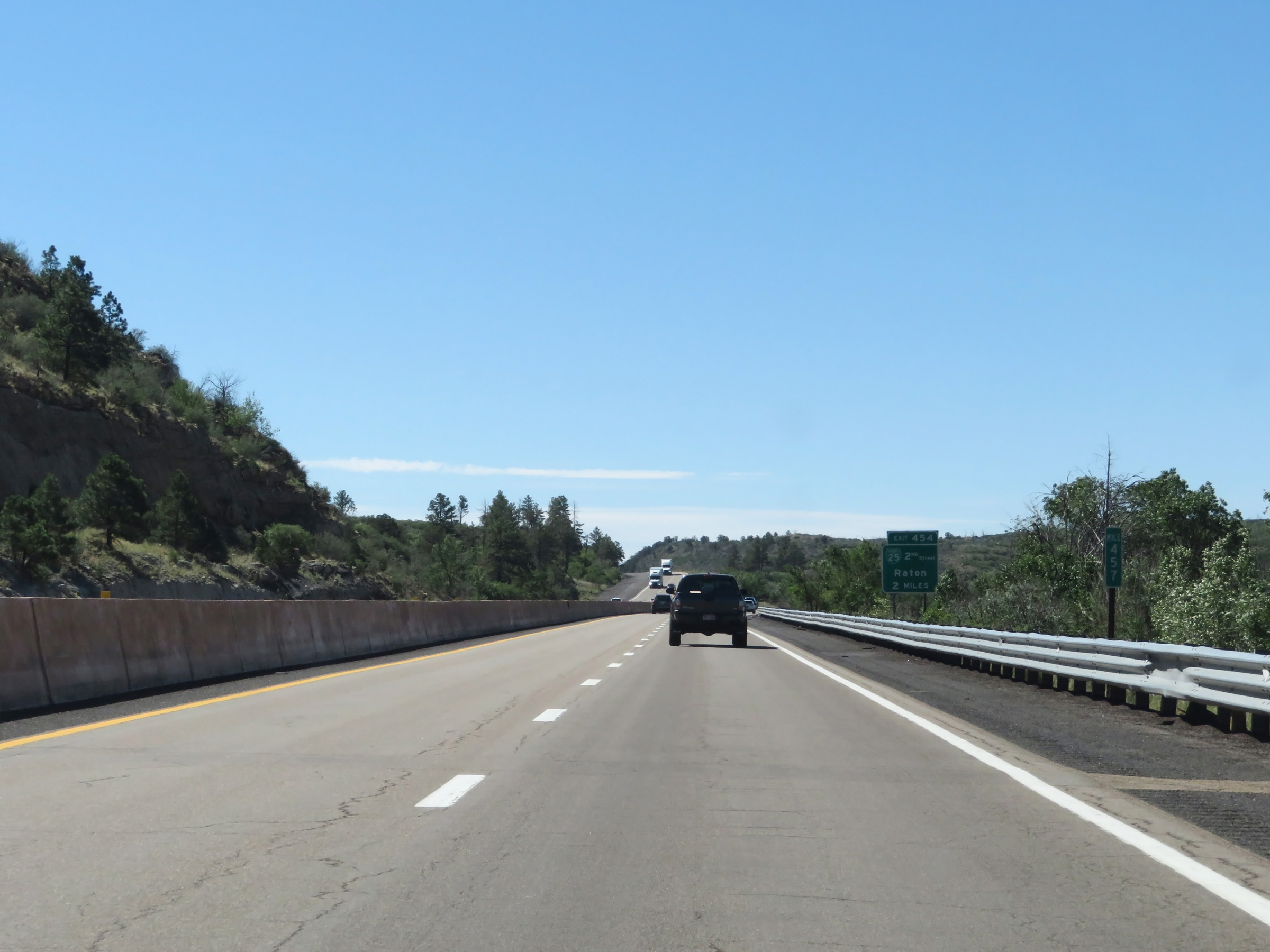
Take any of the next 4 exits to Raton and the attractions listed on this sign. (Photo taken 8/13/20). |
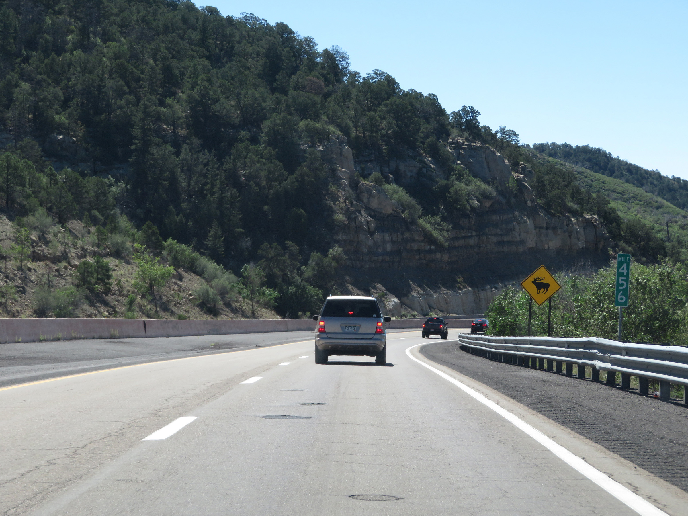 |
View on Interstate 25 South at mile marker 456, still descending Raton Pass. (Photo taken 8/13/20). |
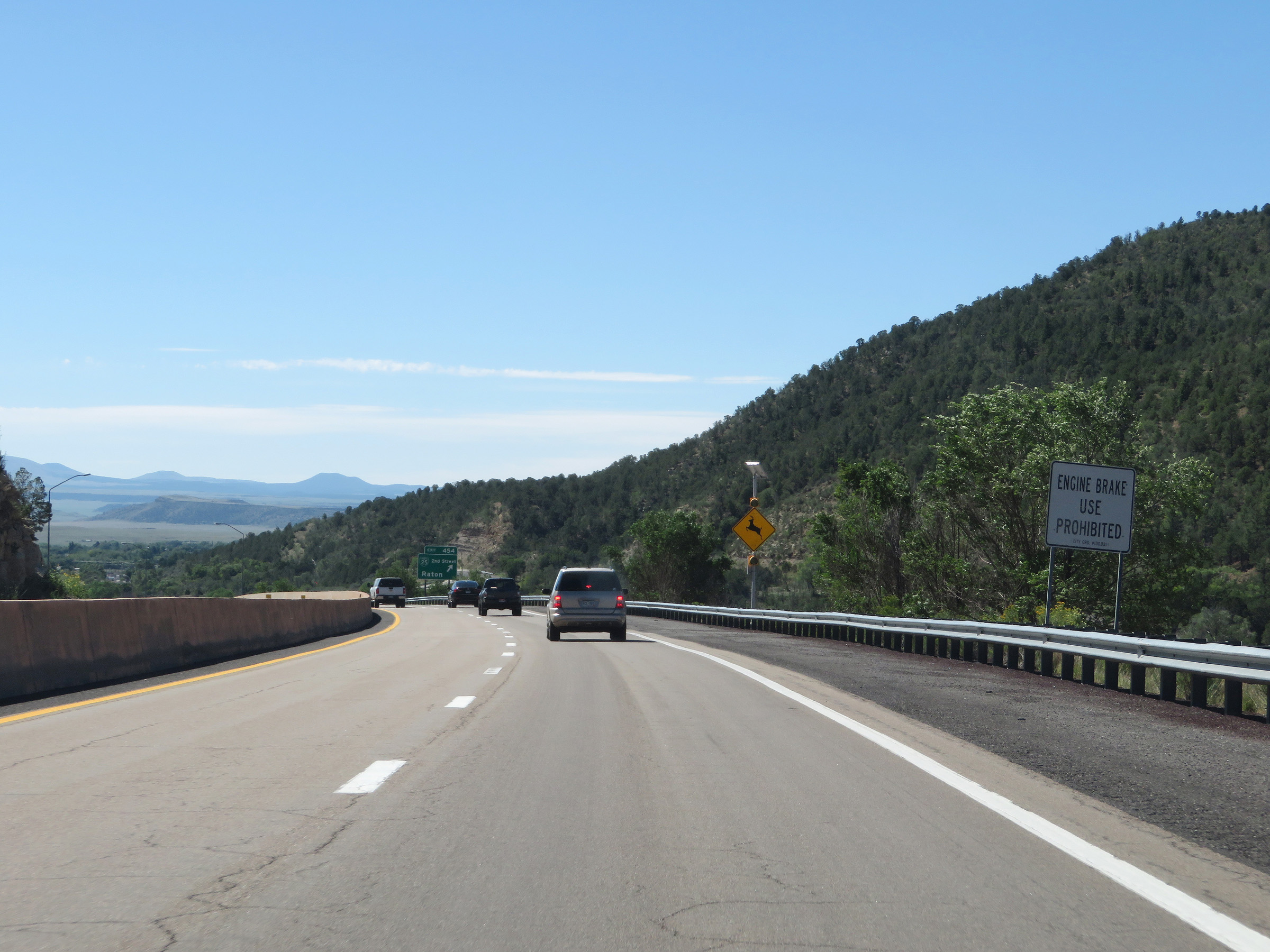 |
This sign warns that for the remainder of the downgrade to the bottom of Raton Pass, Engine Brake (or "Jake Brake") use is prohibited. (Photo taken 8/13/20). |
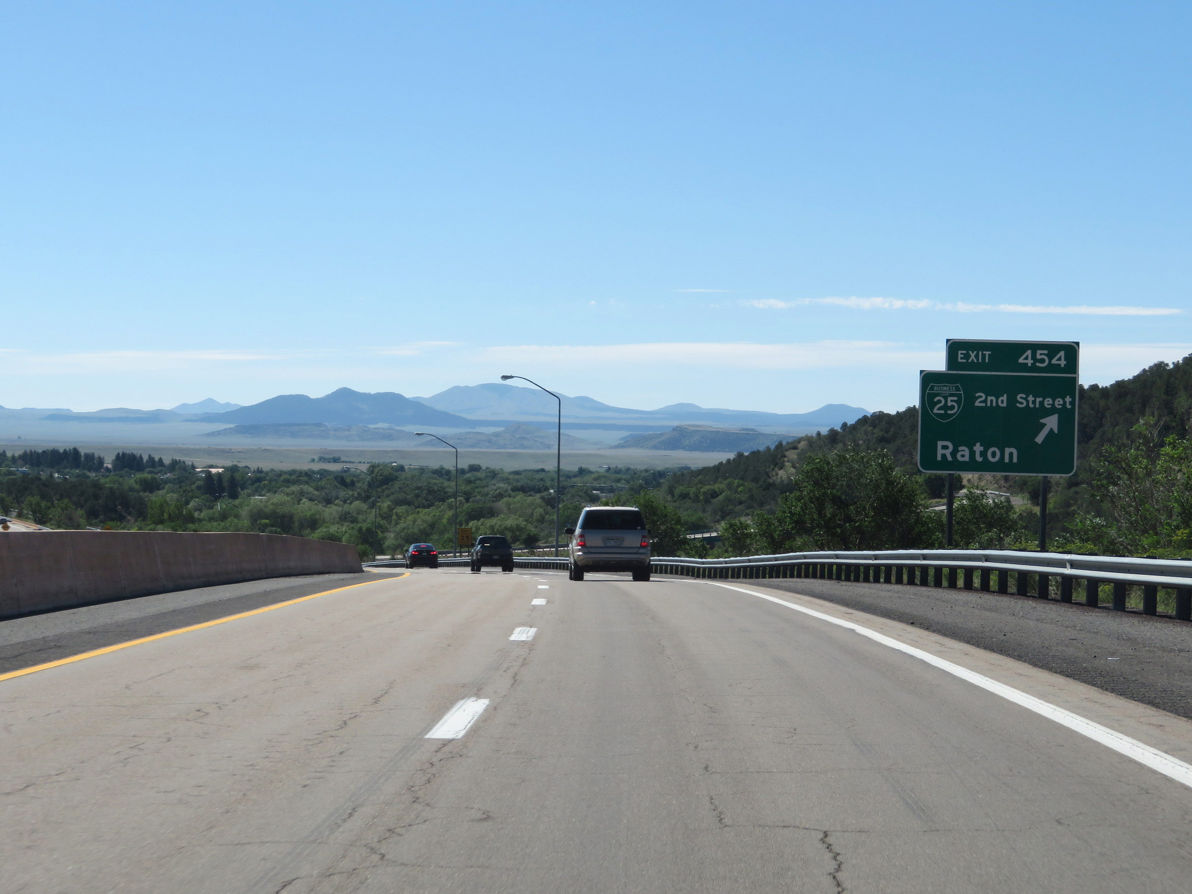 |
Interstate 25 South at Exit 454: Interstate 25 Business Loop - 2nd Street / Raton (Photo taken 8/13/20). |
 |
Interstate 25 South reassurance shield as it reaches the base of Raton Pass. (Photo taken 8/13/20). |
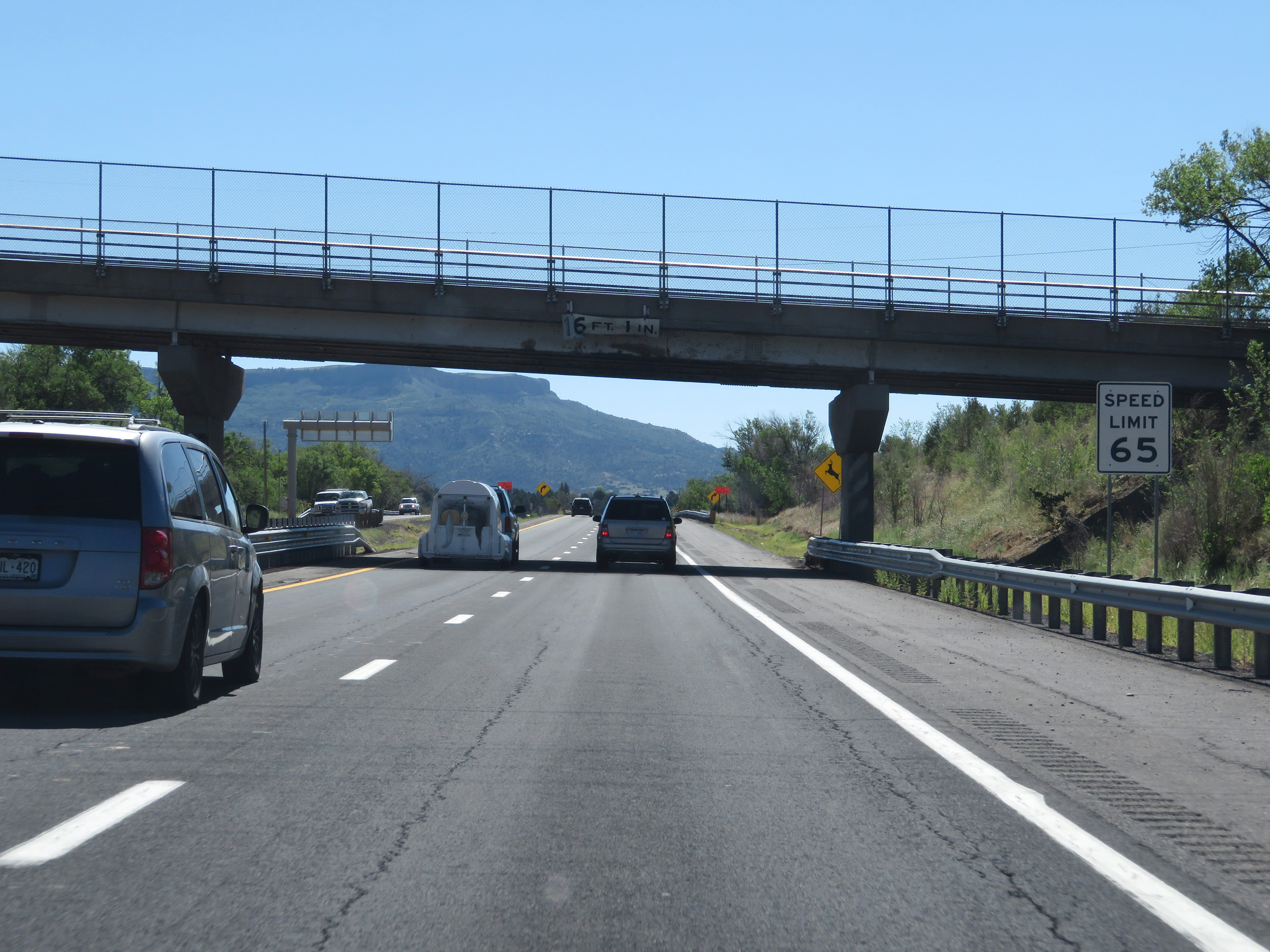 |
The speed limit remains 65 mph through the Raton area. (Photo taken 8/13/20). |
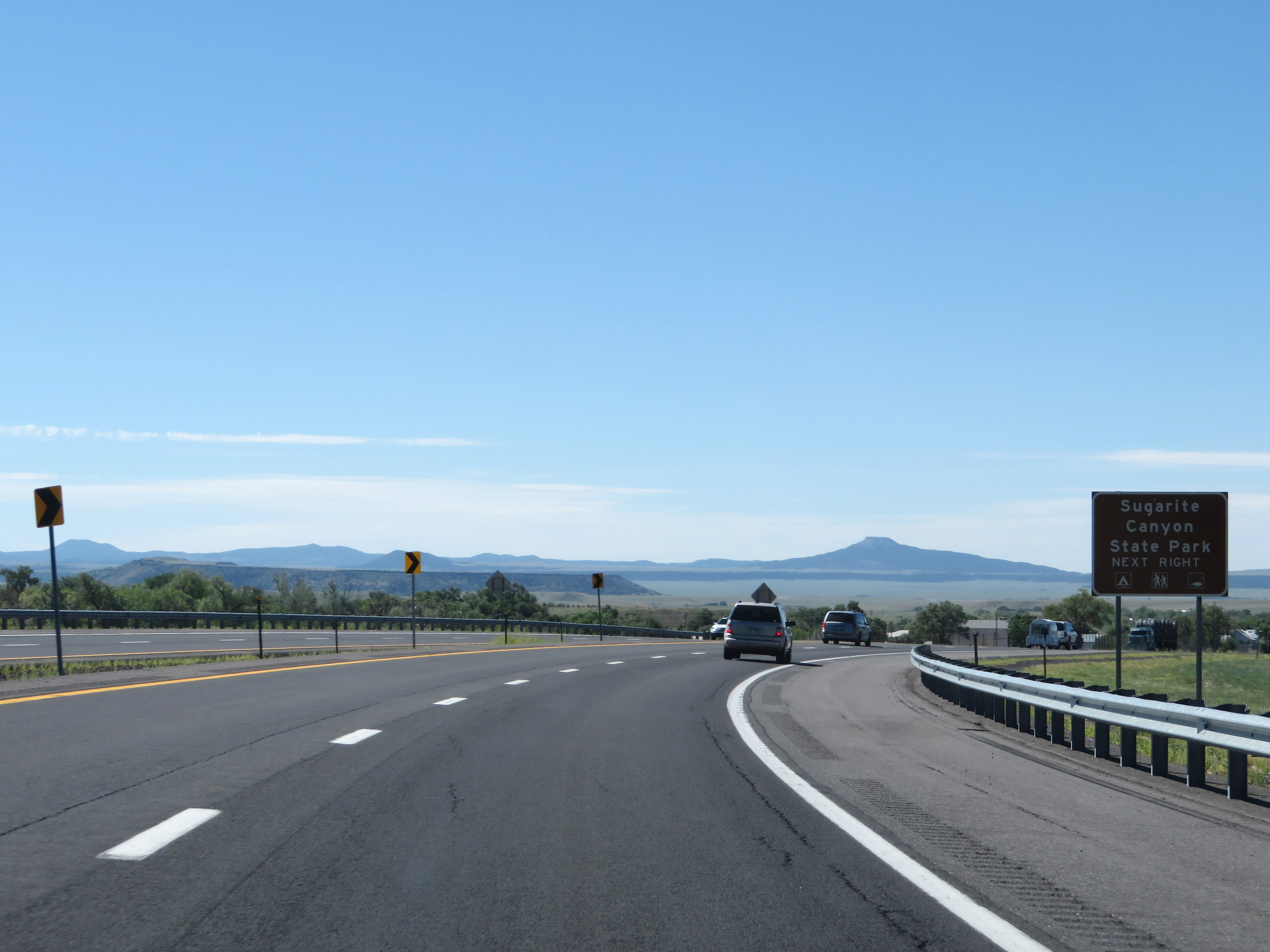 |
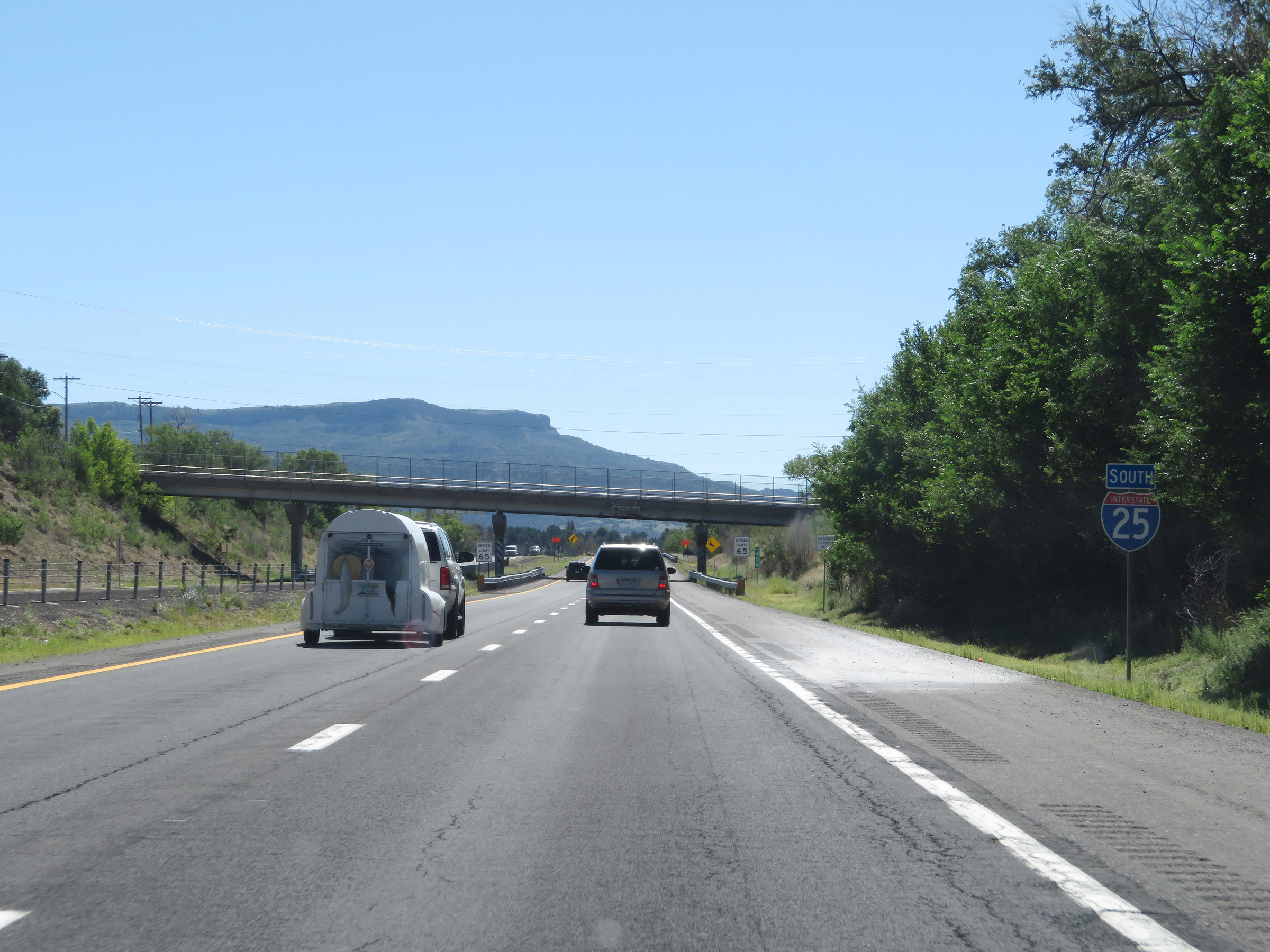
Take Exit 452 to Sugarite Canyon State Park. (Photo taken 8/13/20). |
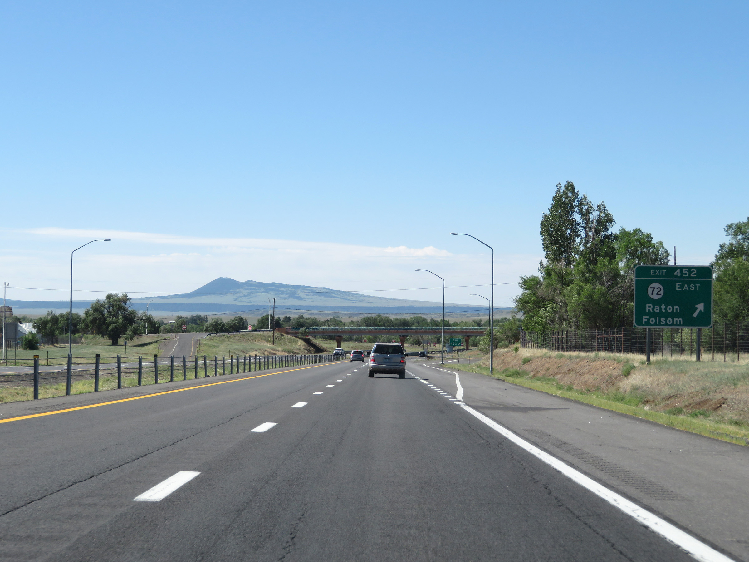 |
Interstate 25 South at Exit 452: NM 72 East - Raton / Folsom (Photo taken 8/13/20). |
 |
Green box Interstate 25 South reassurance shield. These kinds of non-cutout confirming markers are common in New Mexico, as we will continue to see. (Photo taken 8/13/20). |
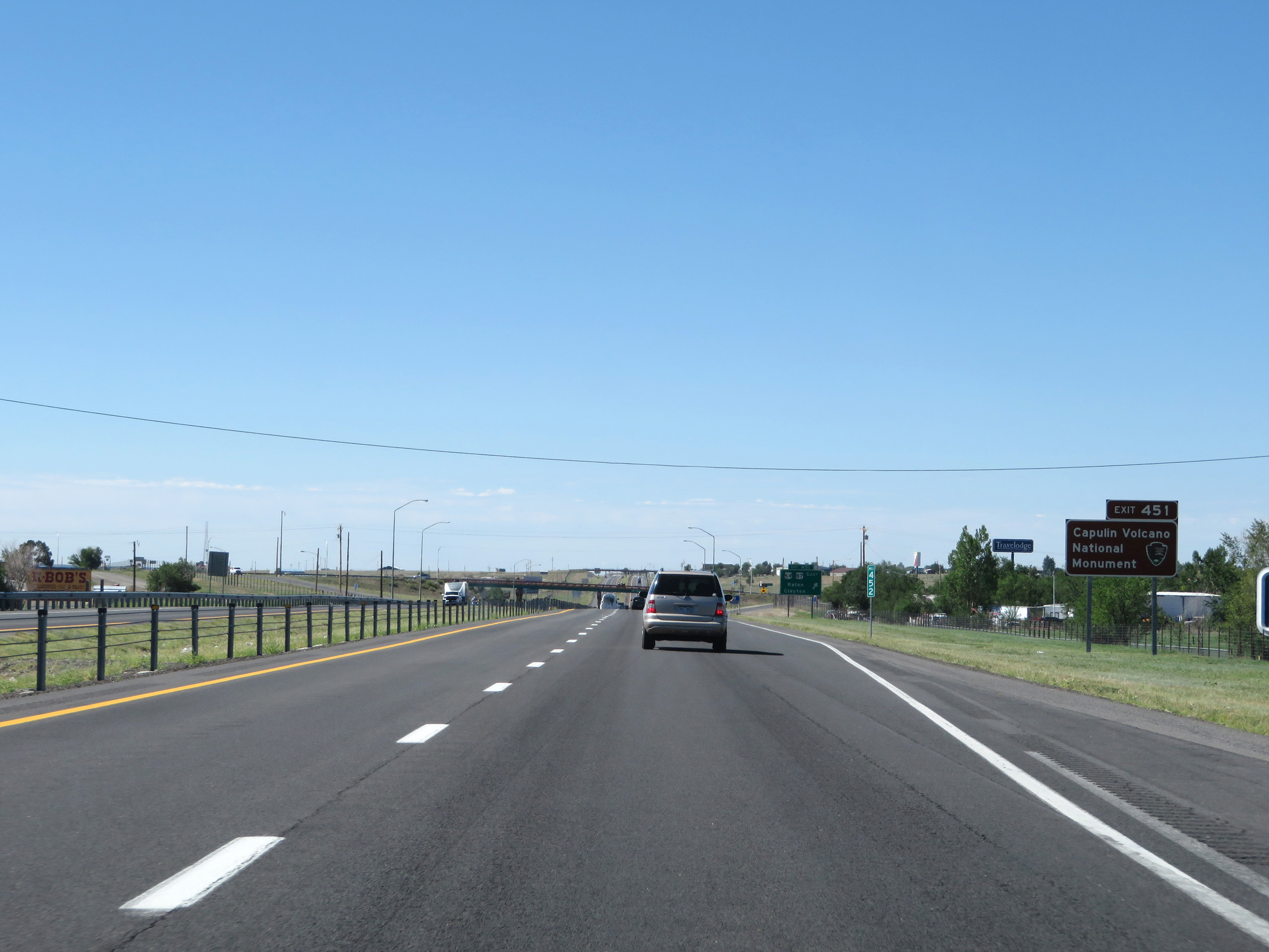 |
Take Exit 451 to Capulin Volcano National Monument. (Photo taken 8/13/20). |
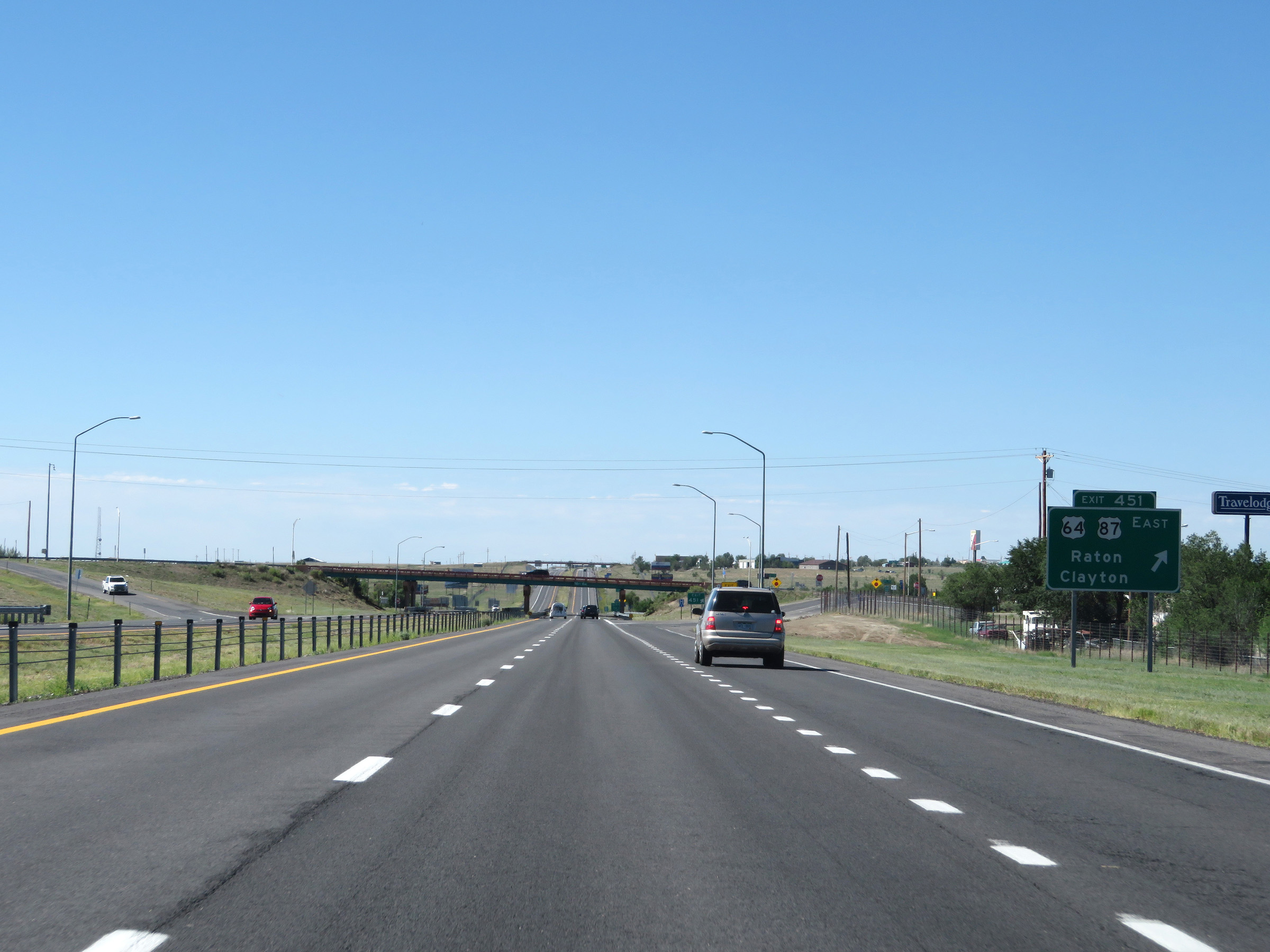 |
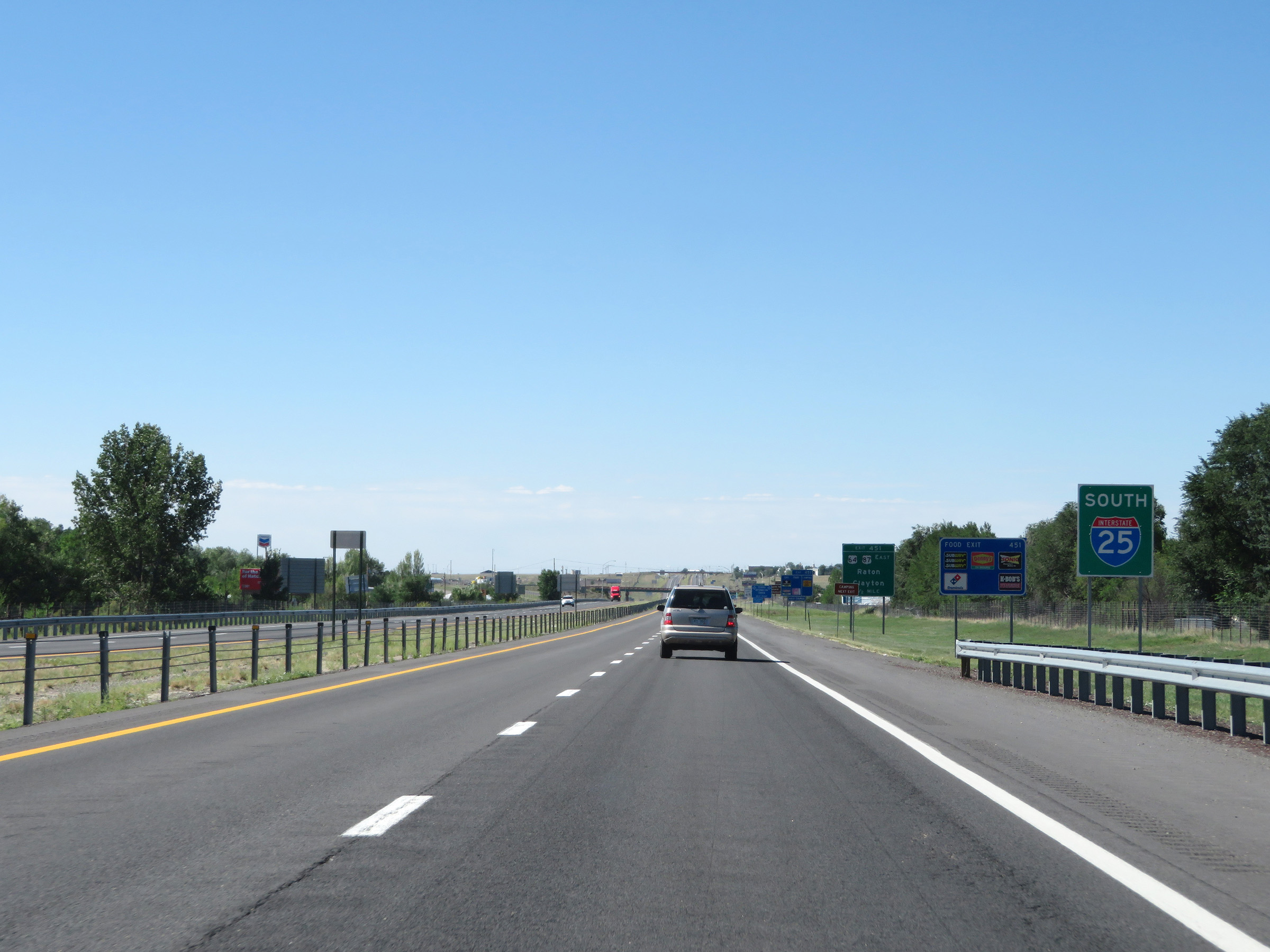
Interstate 25 South at Exit 451: US 64 / US 87 East - Raton / Clayton (Photo taken 8/13/20). |
 |
Interstate 25 South at Exit 450: Interstate 25 Business Loop North - 2nd St (Photo taken 8/13/20). |
 |
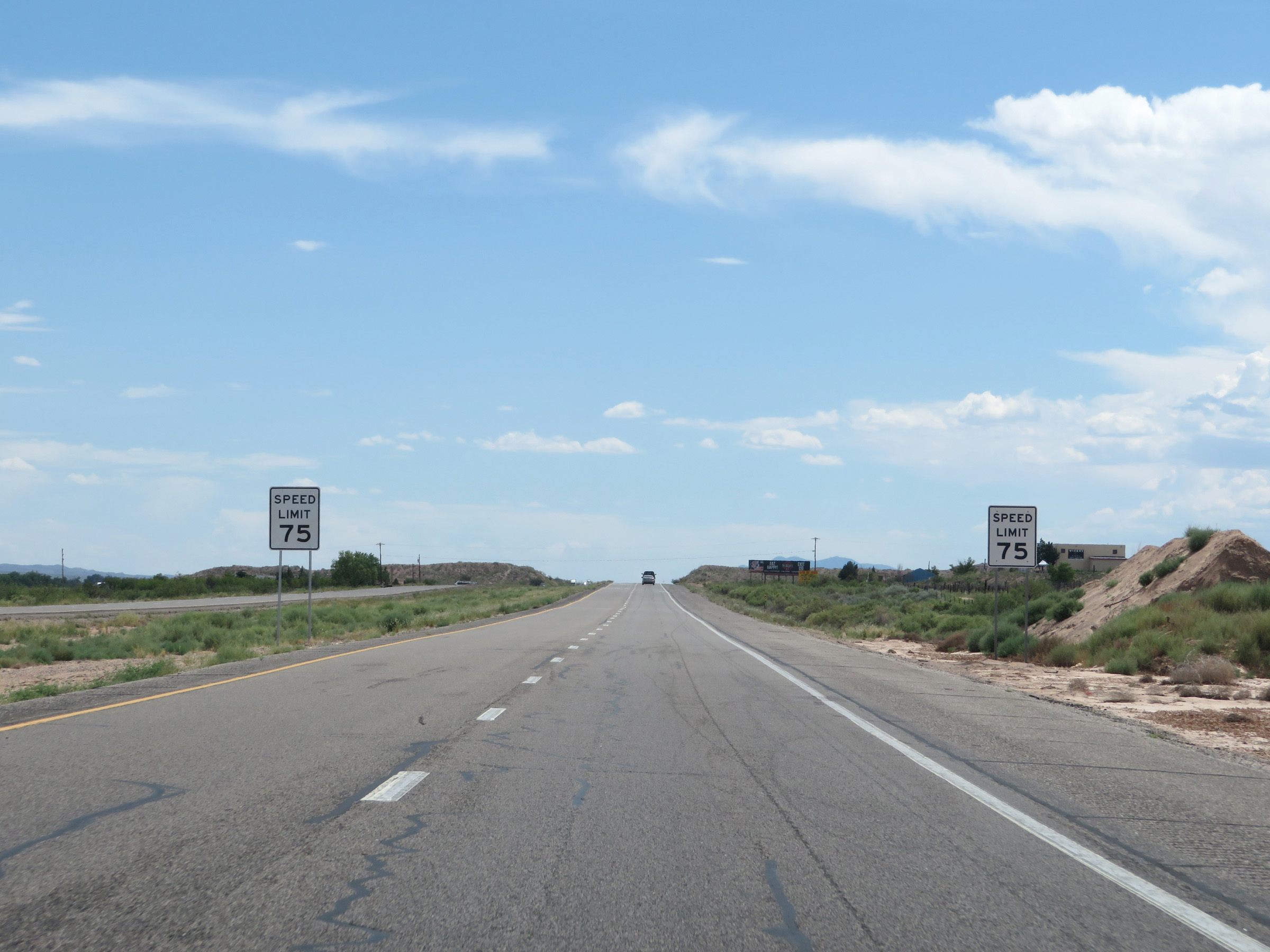
South of Exit 450, the speed limit increases to 75 mph for all traffic as Interstate 25 South leaves the Raton area. This is the standard speed limit on most rural Interstate highways in New Mexico. (Photo taken 8/13/20). |
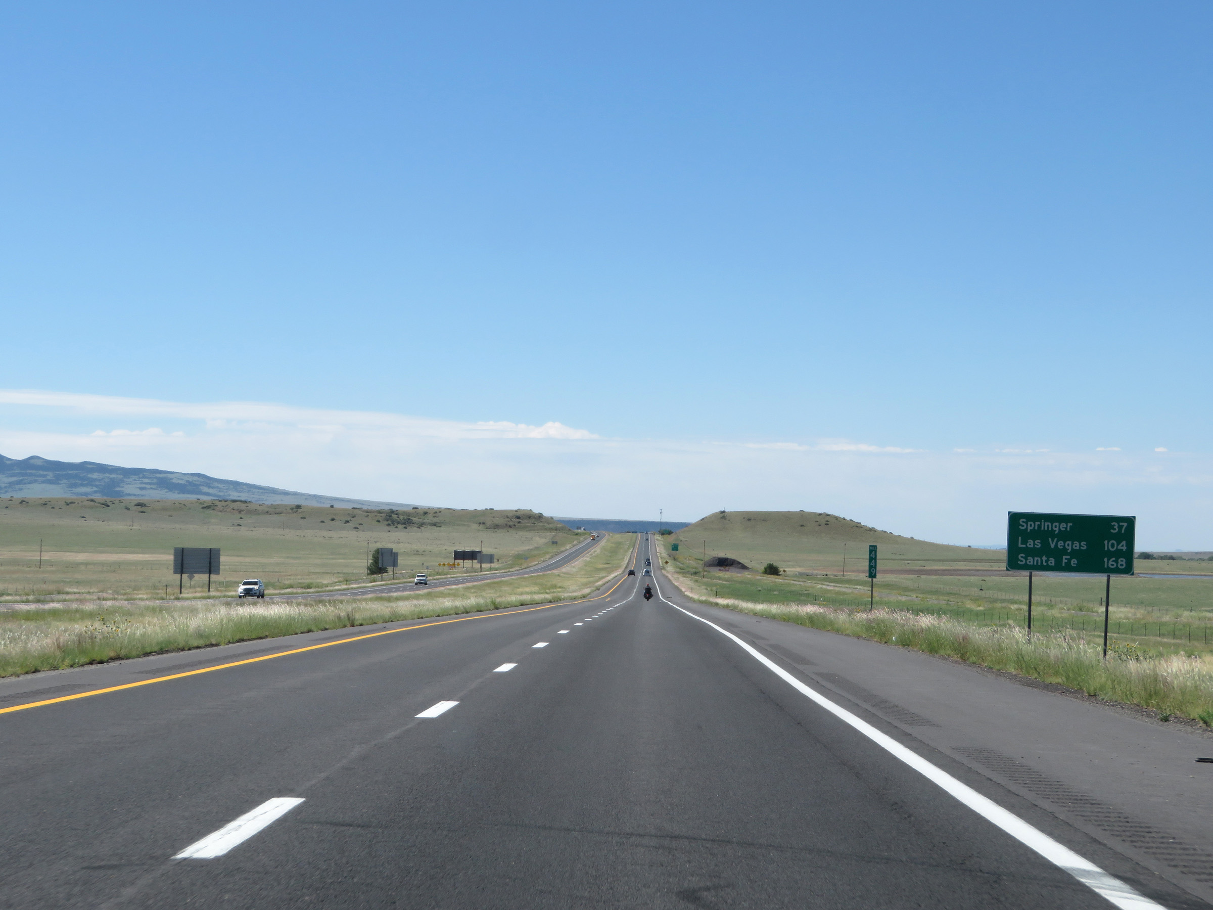 |
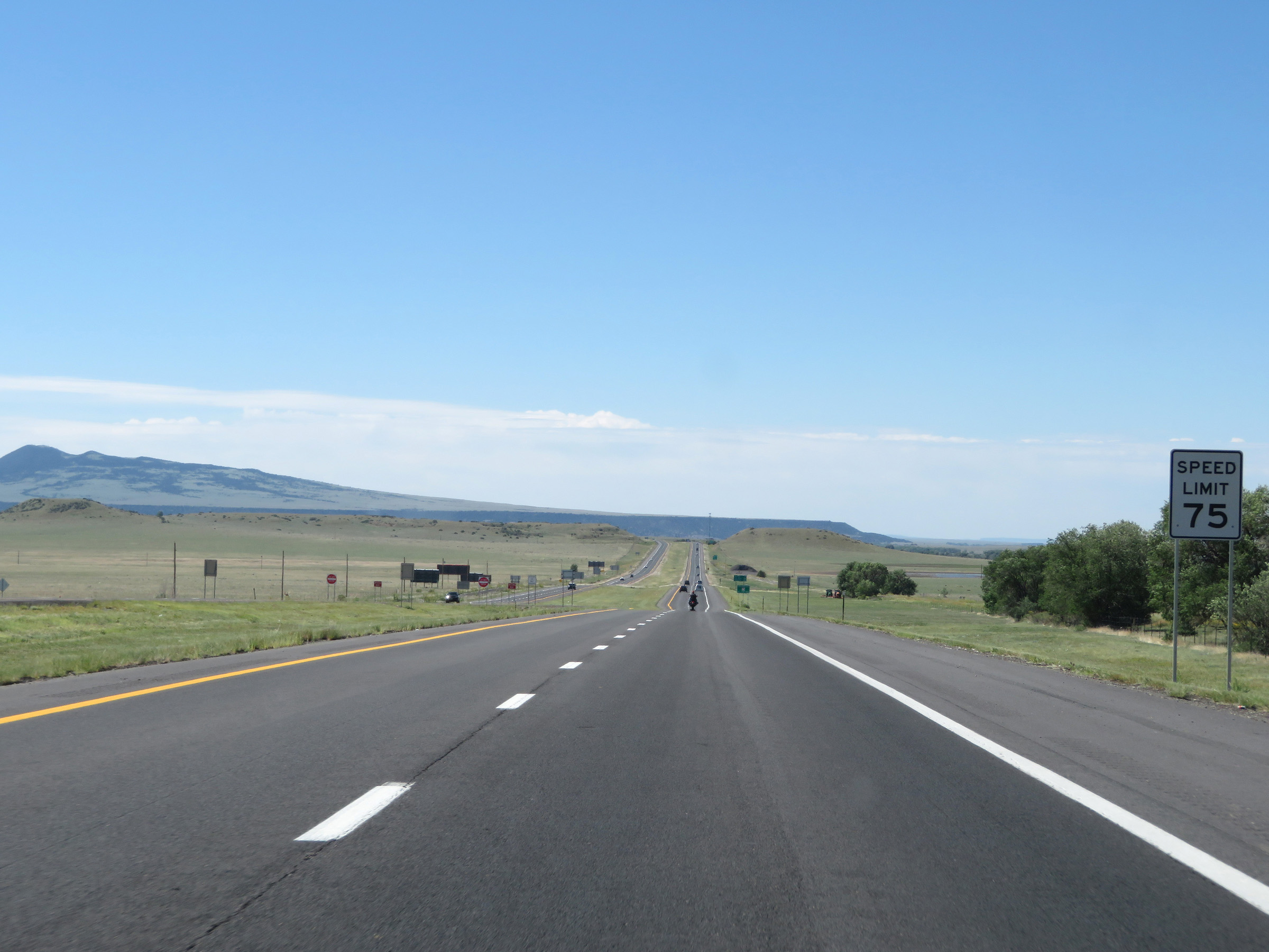
Mileage sign at mile marker 449. It's 37 miles to Springer, 104 miles to Las Vegas, and 168 miles to Santa Fe. (Photo taken 8/13/20). |
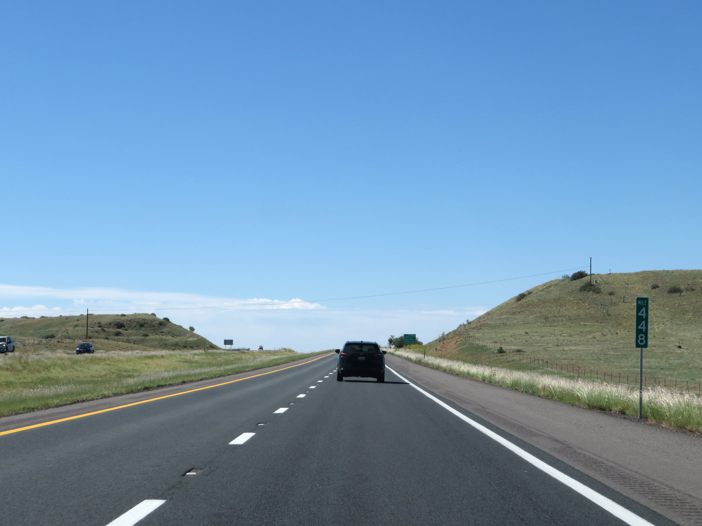 |
View on Interstate 25 South at mile marker 448. (Photo taken 8/13/20). |
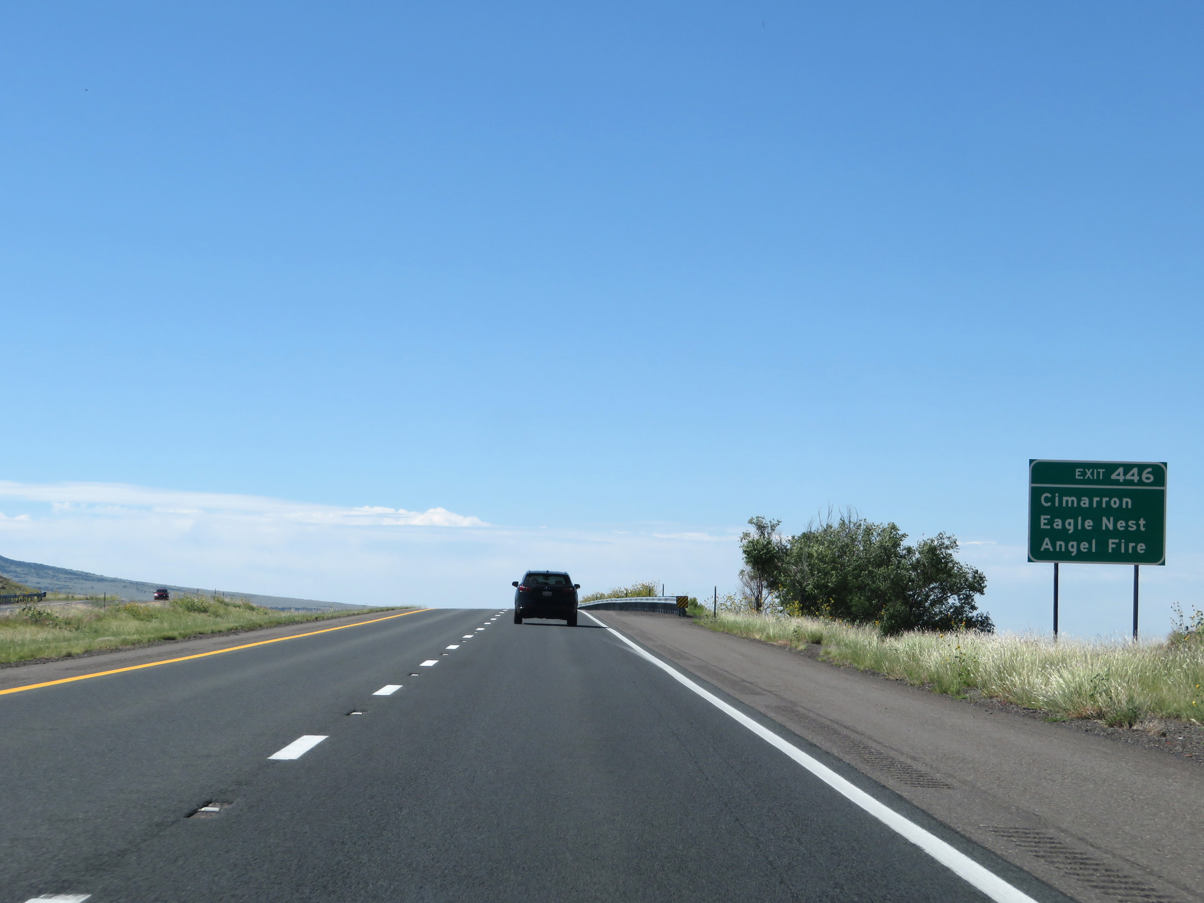 |
Take Exit 446 to Cimarron, Eagle Nest, and Angel Fire. (Photo taken 8/13/20). |
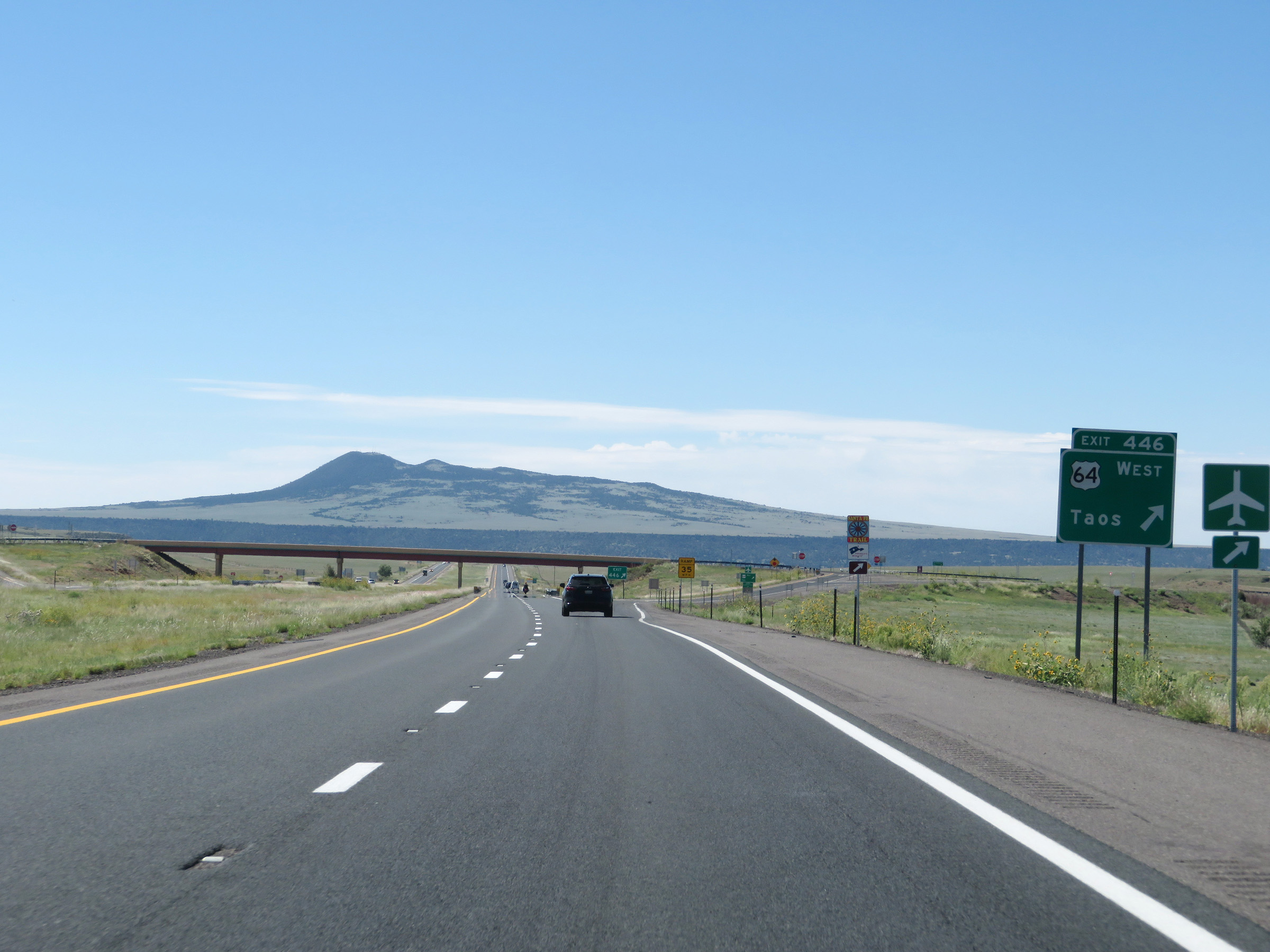 |
Interstate 25 South at Exit 446: US 64 West - Taos (Photo taken 8/13/20). |
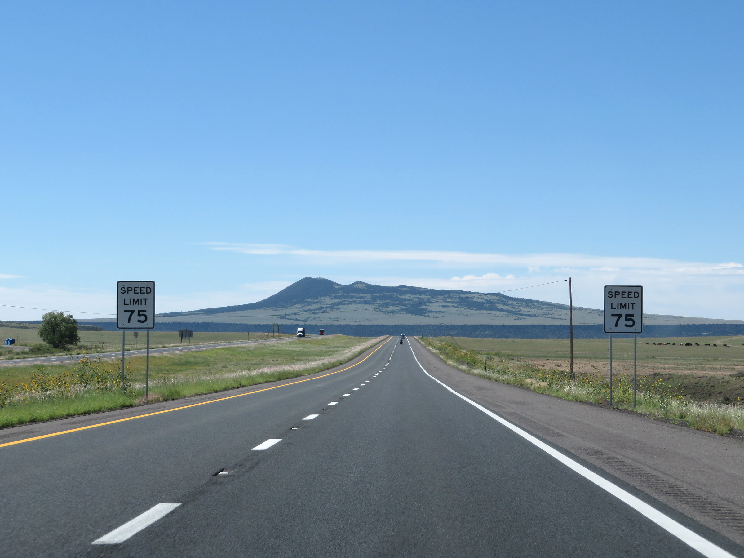 |
The speed limit remains 75 mph. (Photo taken 8/13/20). |
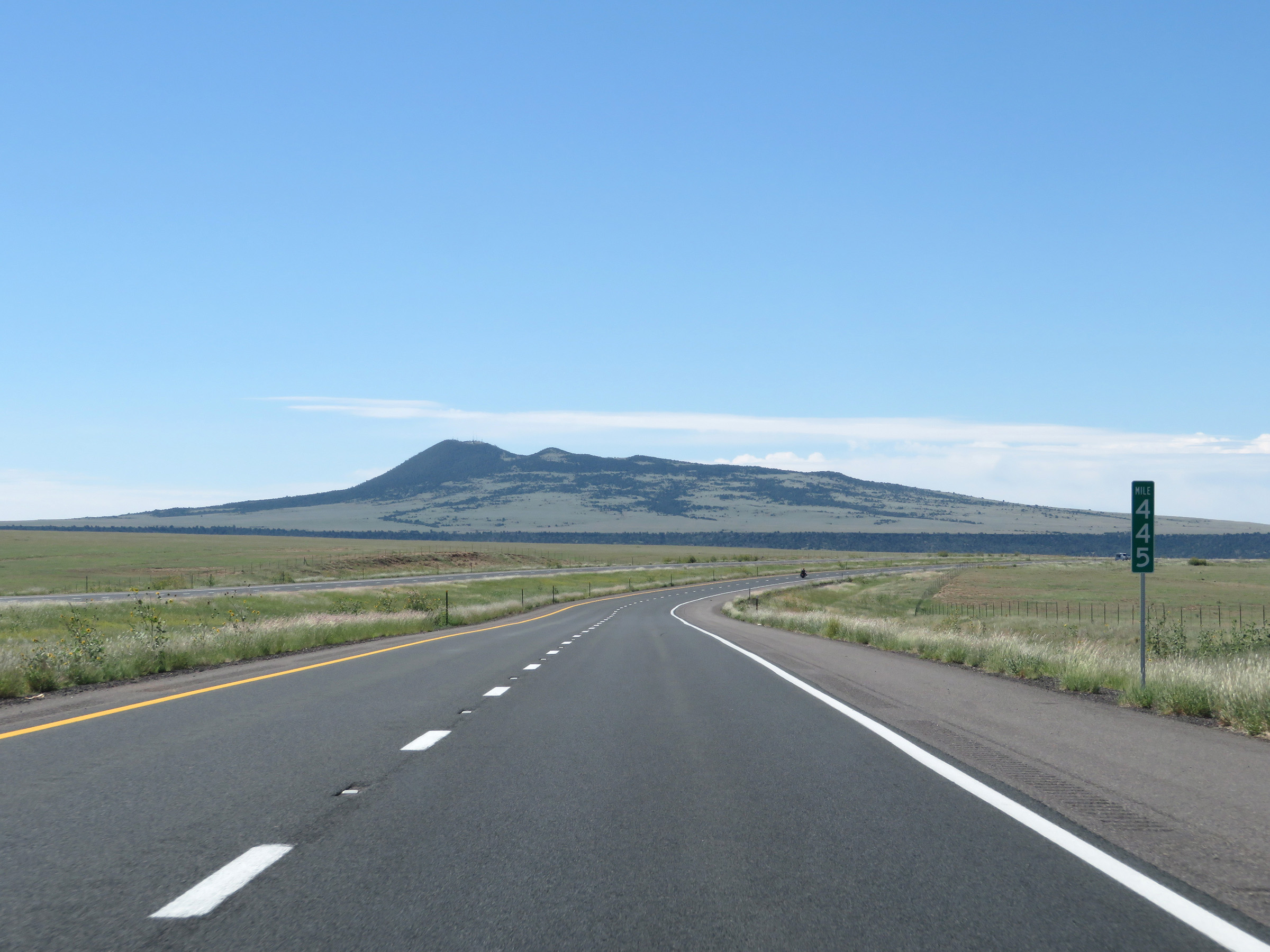 |
View on Interstate 25 South at mile marker 445. (Photo taken 8/13/20). |
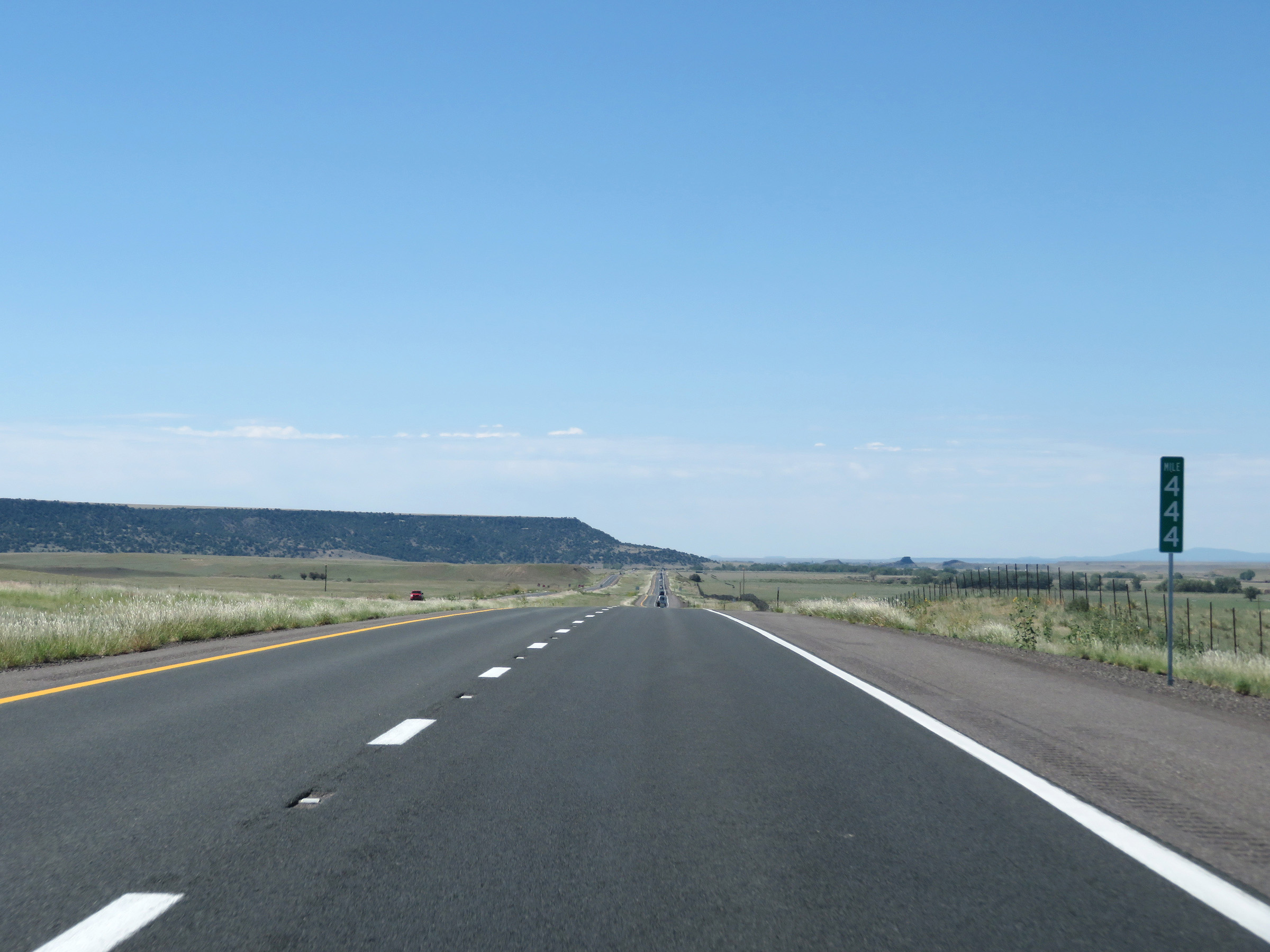 |
Interstate 25 South at mile marker 444. (Photo taken 8/13/20). |
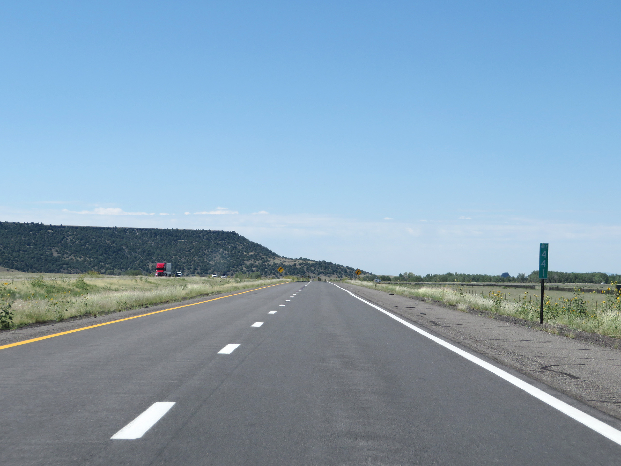 |
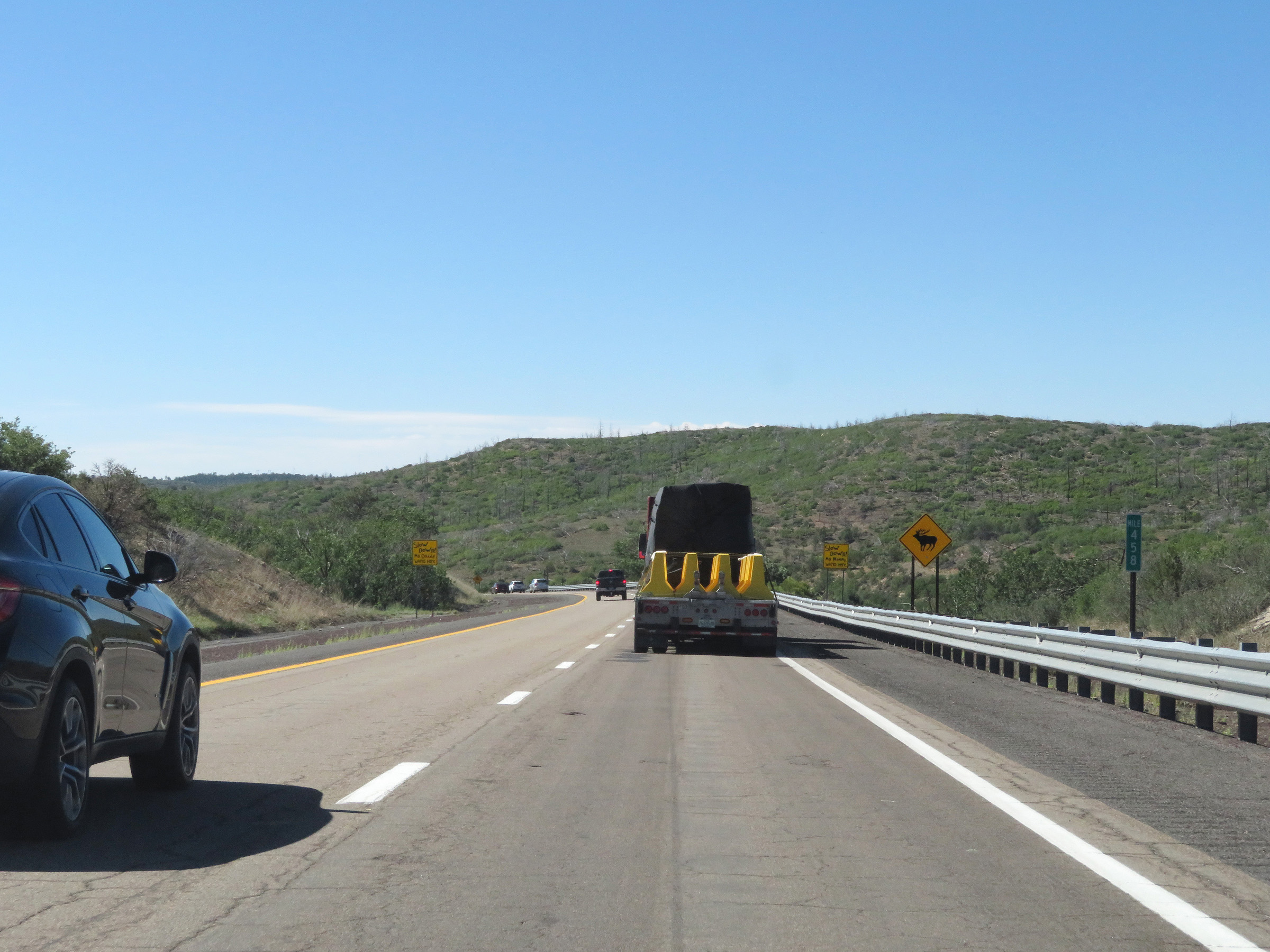
Mile marker 441 on Interstate 25 South in Colfax County. (Photo taken 8/13/20). |
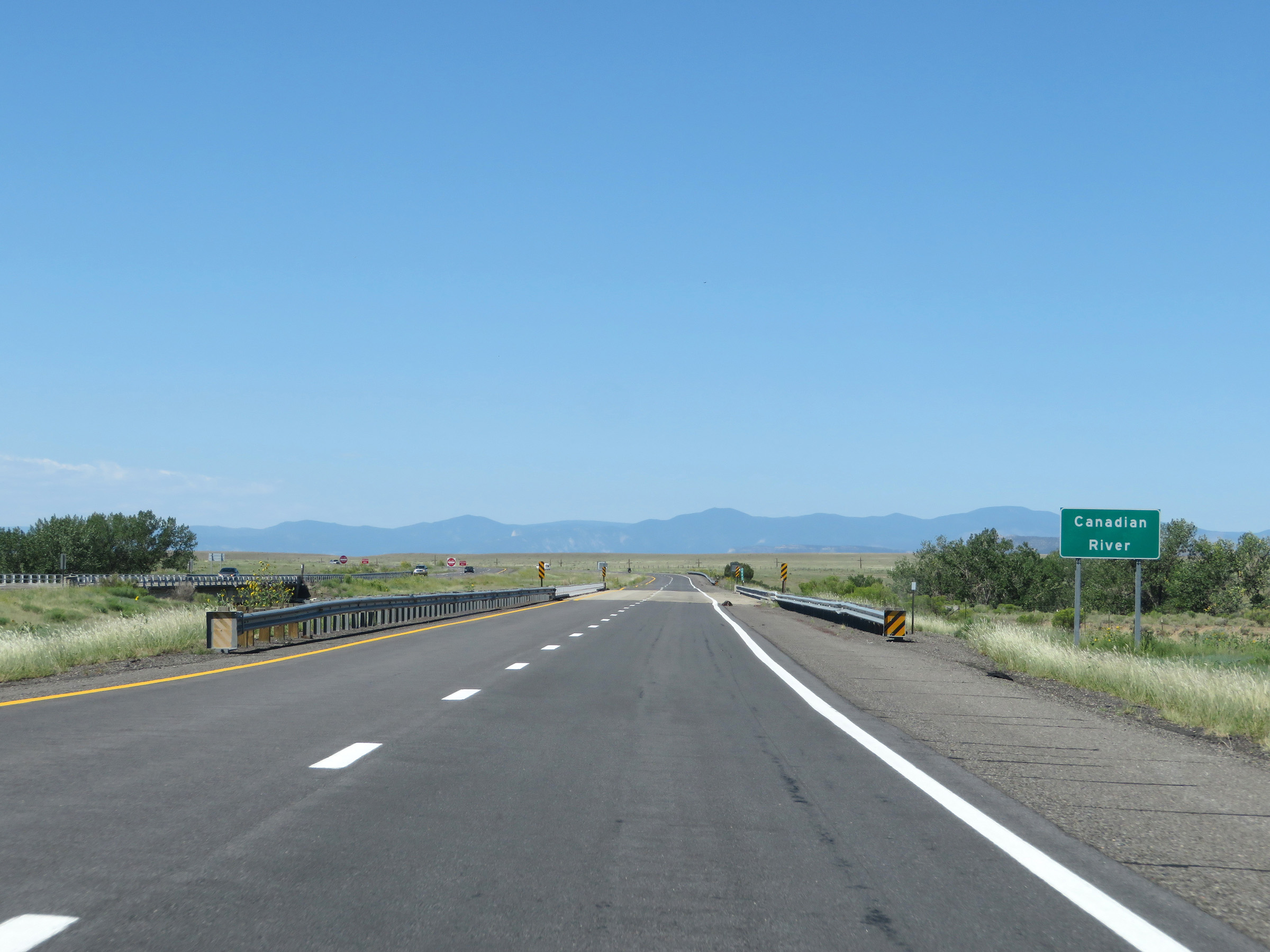 |
Interstate 25 South as it crosses the Canadian River in Colfax County. (Photo taken 8/13/20). |
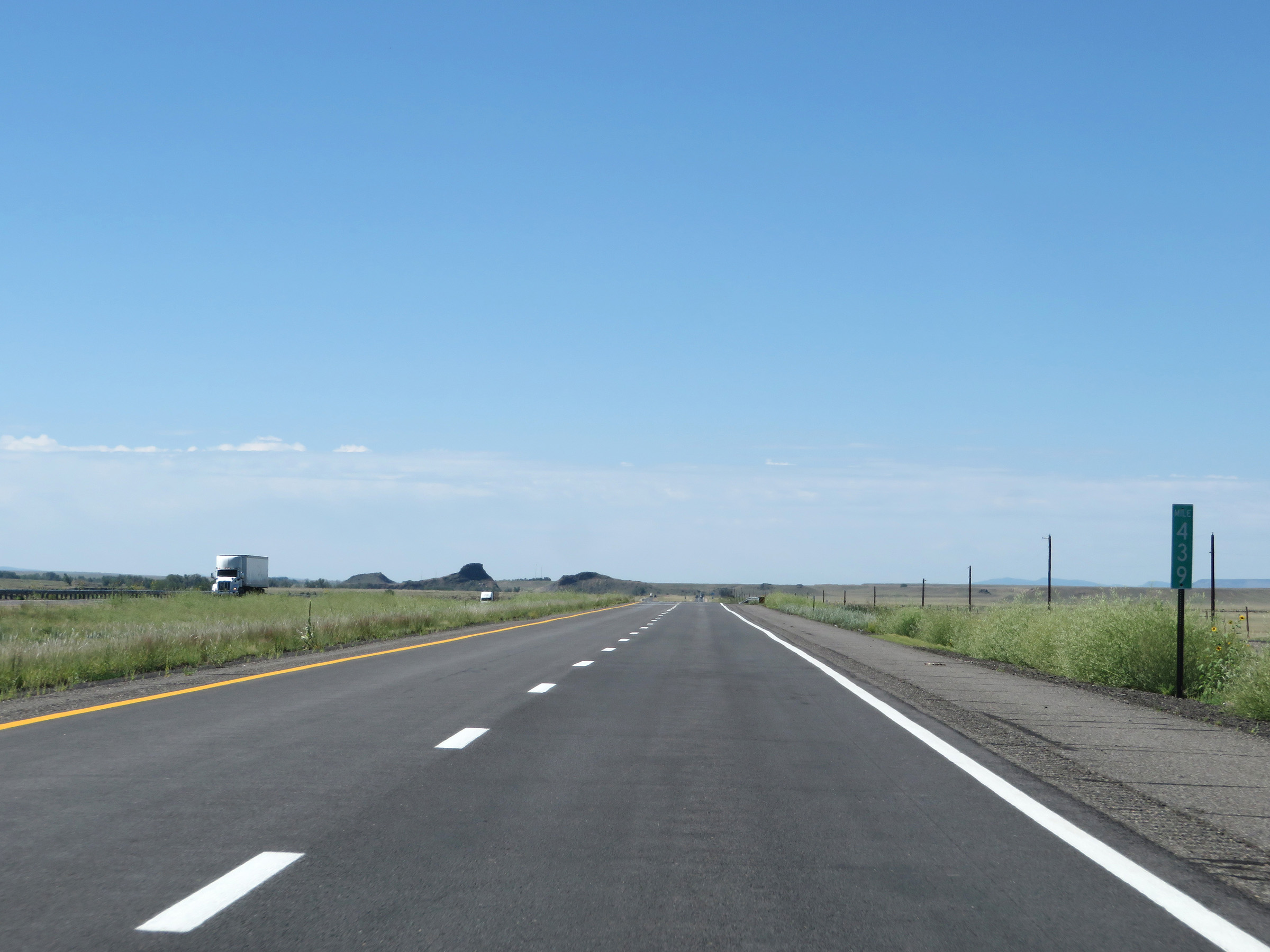 |
View on Interstate 25 South at mile marker 439. (Photo taken 8/13/20). |
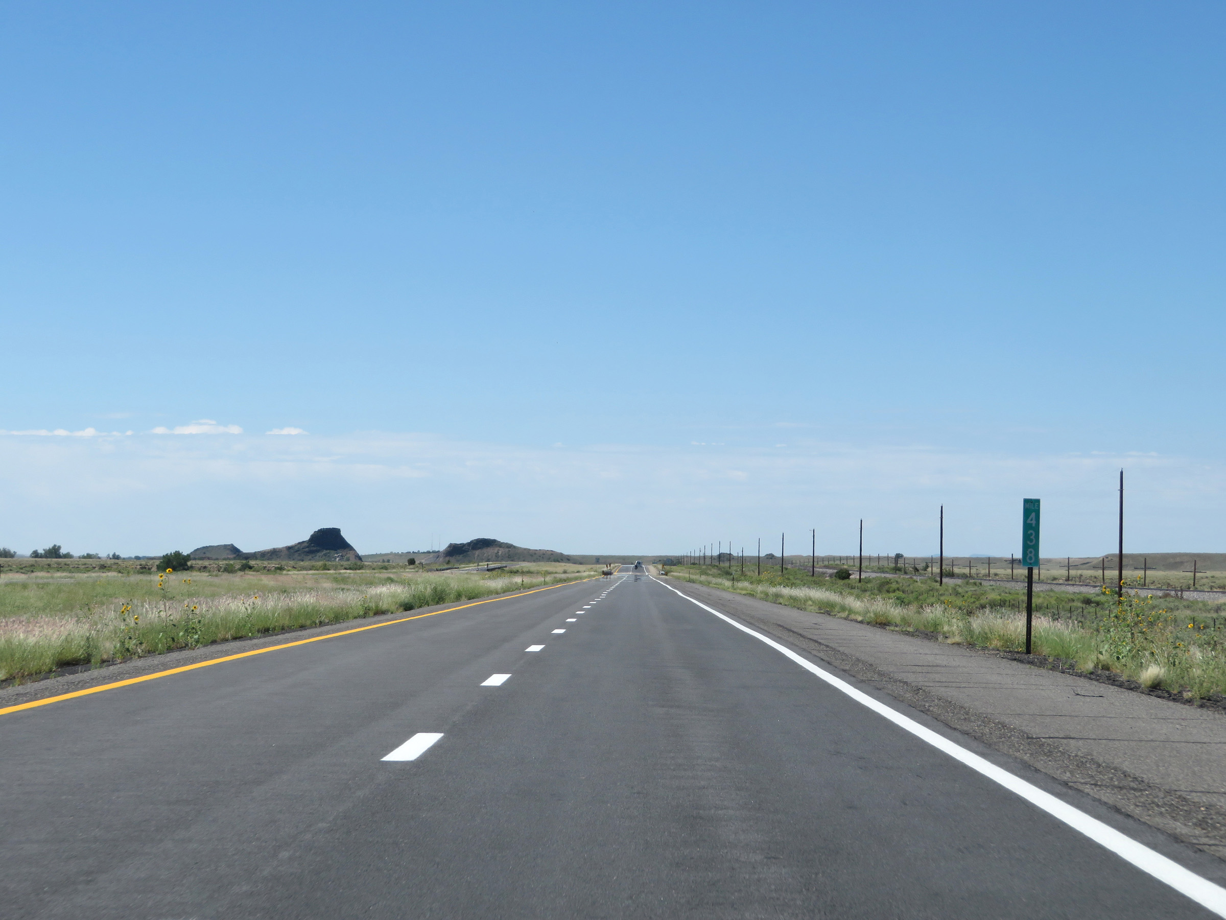 |
Interstate 25 South at mile marker 438. (Photo taken 8/13/20). |
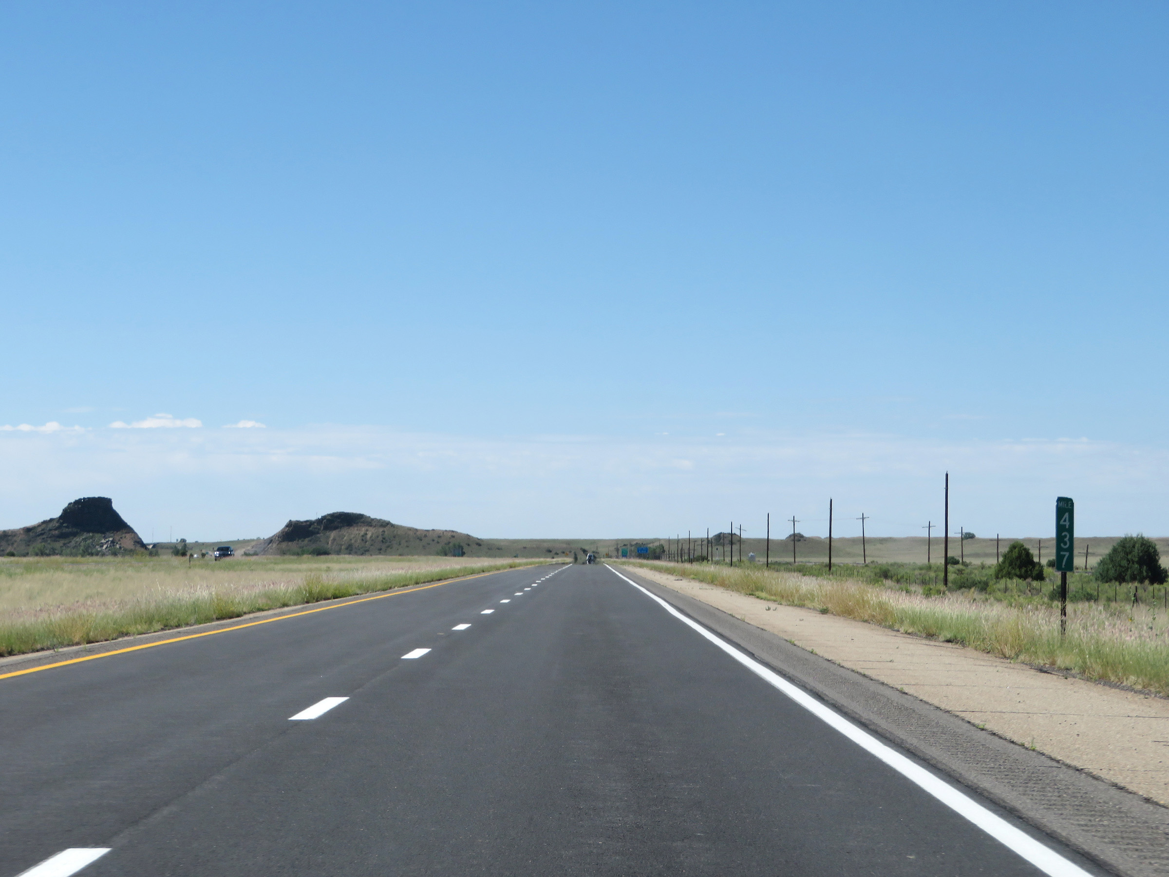 |
Mile marker 437 on Interstate 25 South in Colfax County. (Photo taken 8/13/20). |
 |
Interstate 25 South at mile marker 436. (Photo taken 8/13/20). |
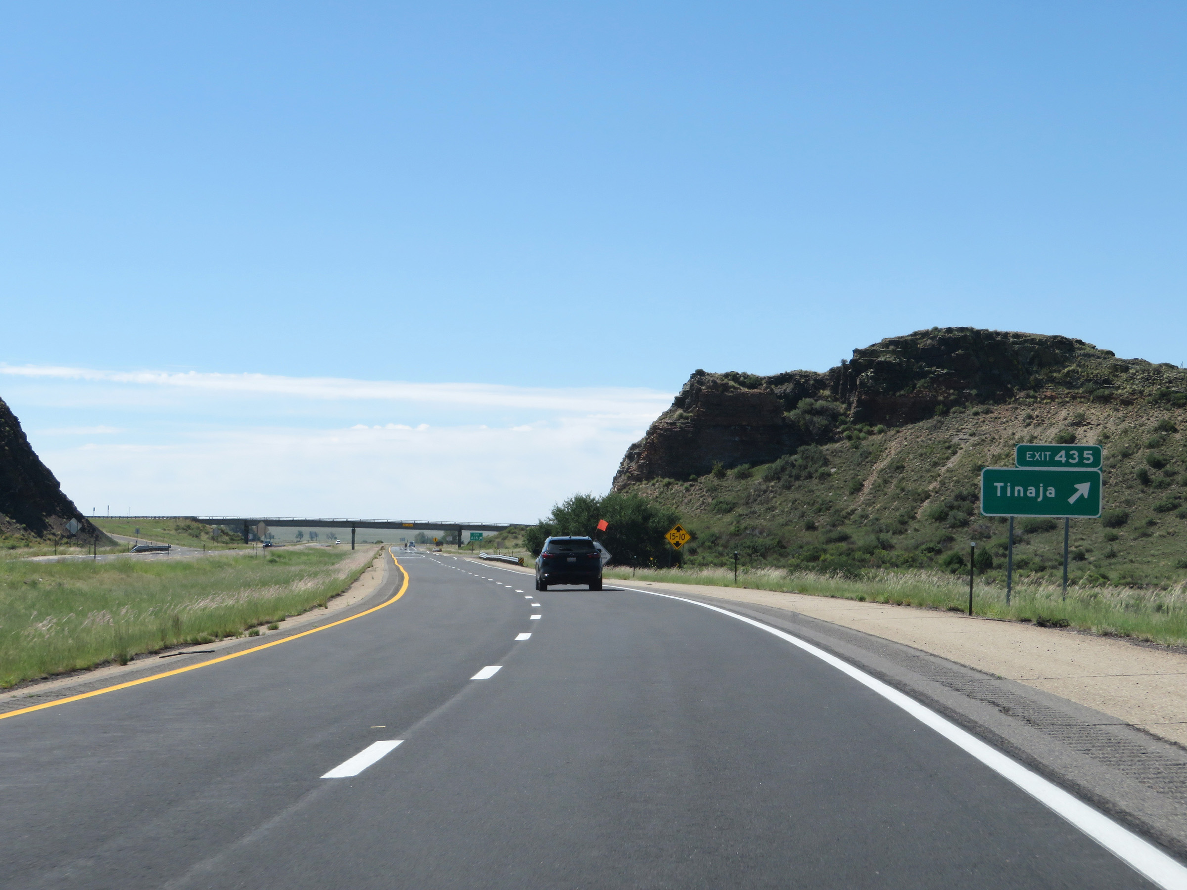 |
Interstate 25 South at Exit 435: Tinaja (Photo taken 8/13/20). |
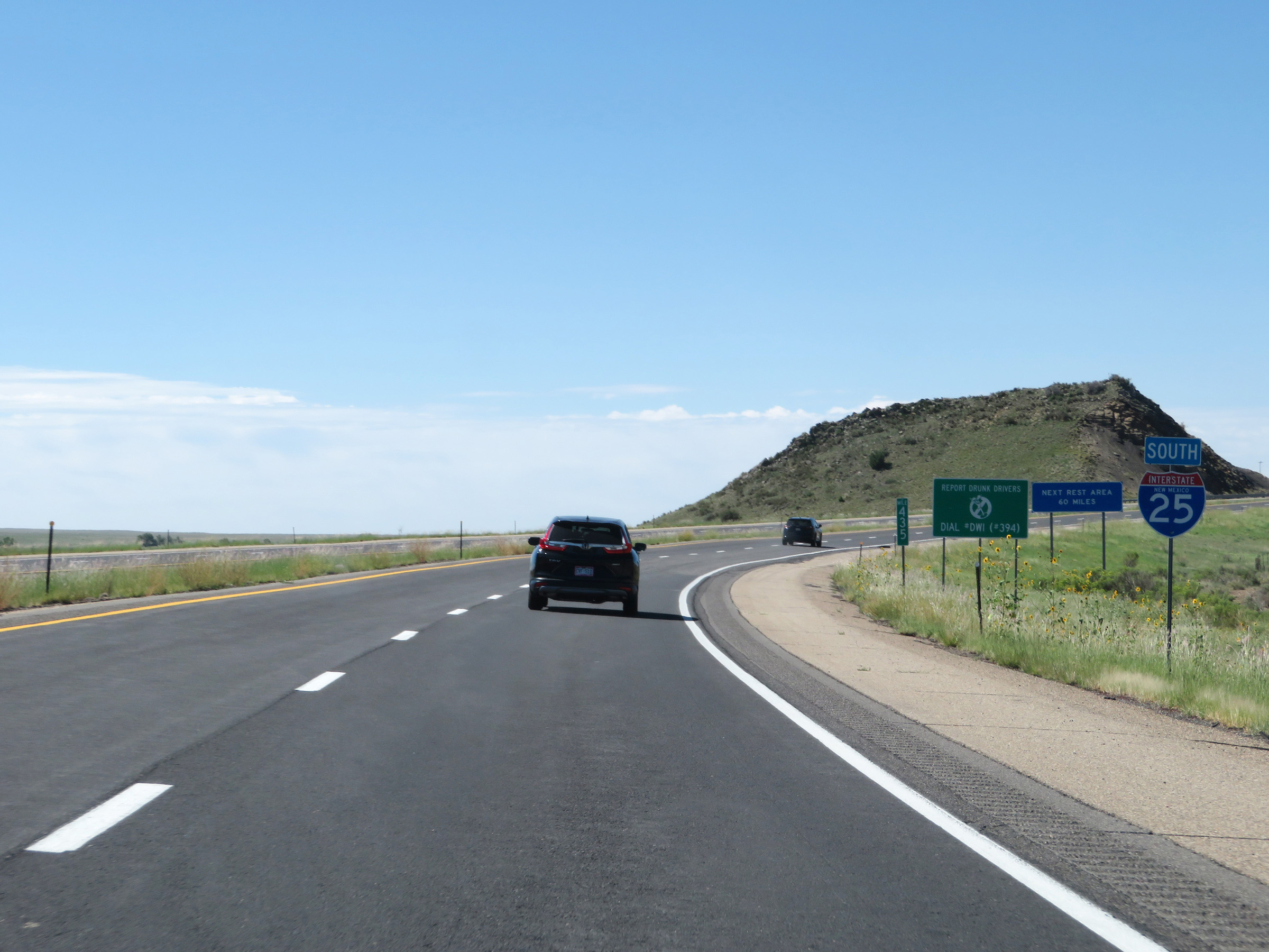 |
State-named Interstate 25 South reassurance shield at mile marker 435. (Photo taken 8/13/20). |
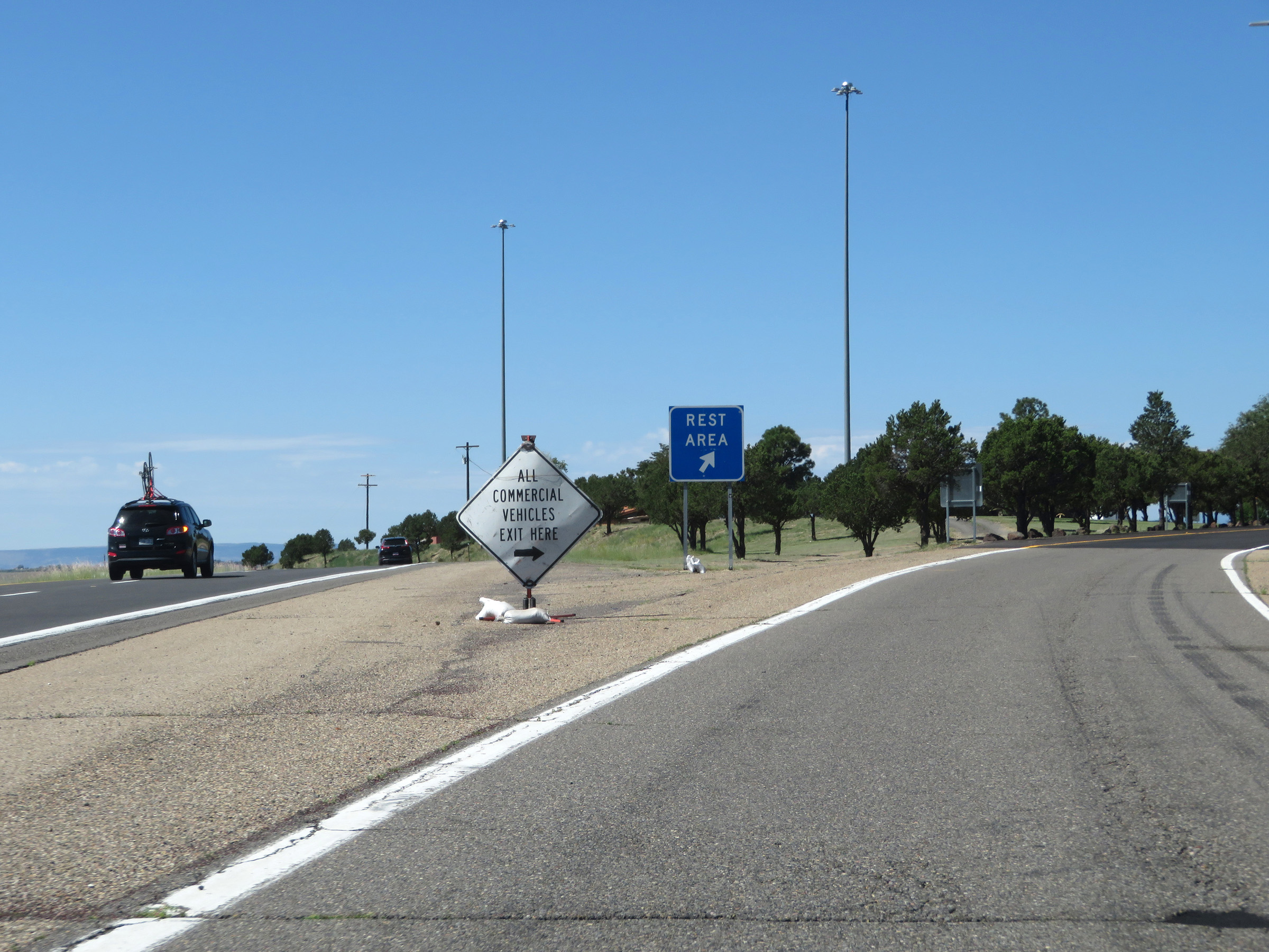 |
Rest Area on Interstate 25 South in Colfax County. (Photo taken 8/13/20). |
 |
View on Interstate 25 South at mile marker 432. (Photo taken 8/13/20). |
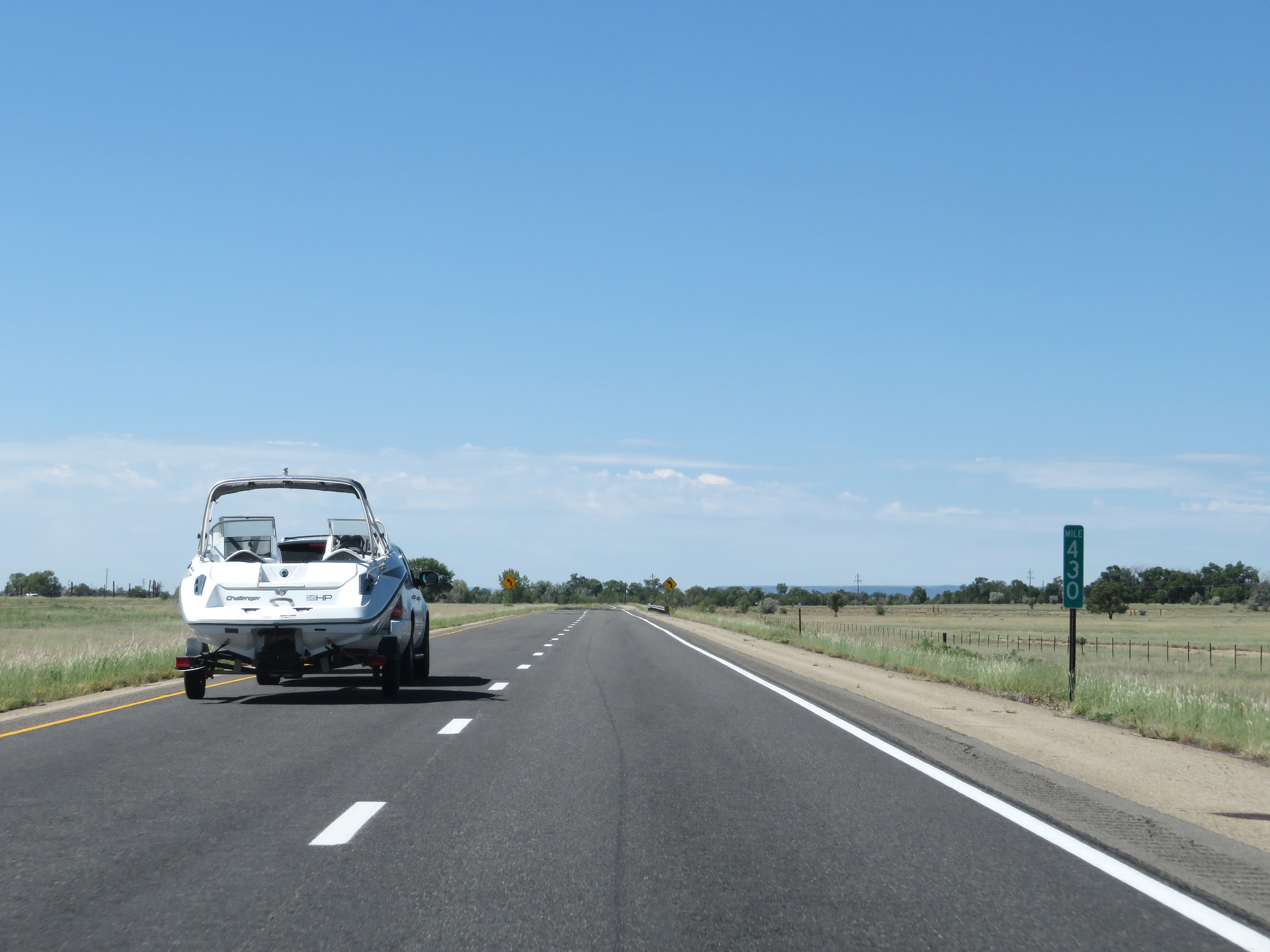 |
Interstate 25 South at mile marker 430. (Photo taken 8/13/20). |
 |
View on interstate 25 South at mile marker 428. (Photo taken 8/13/20). |
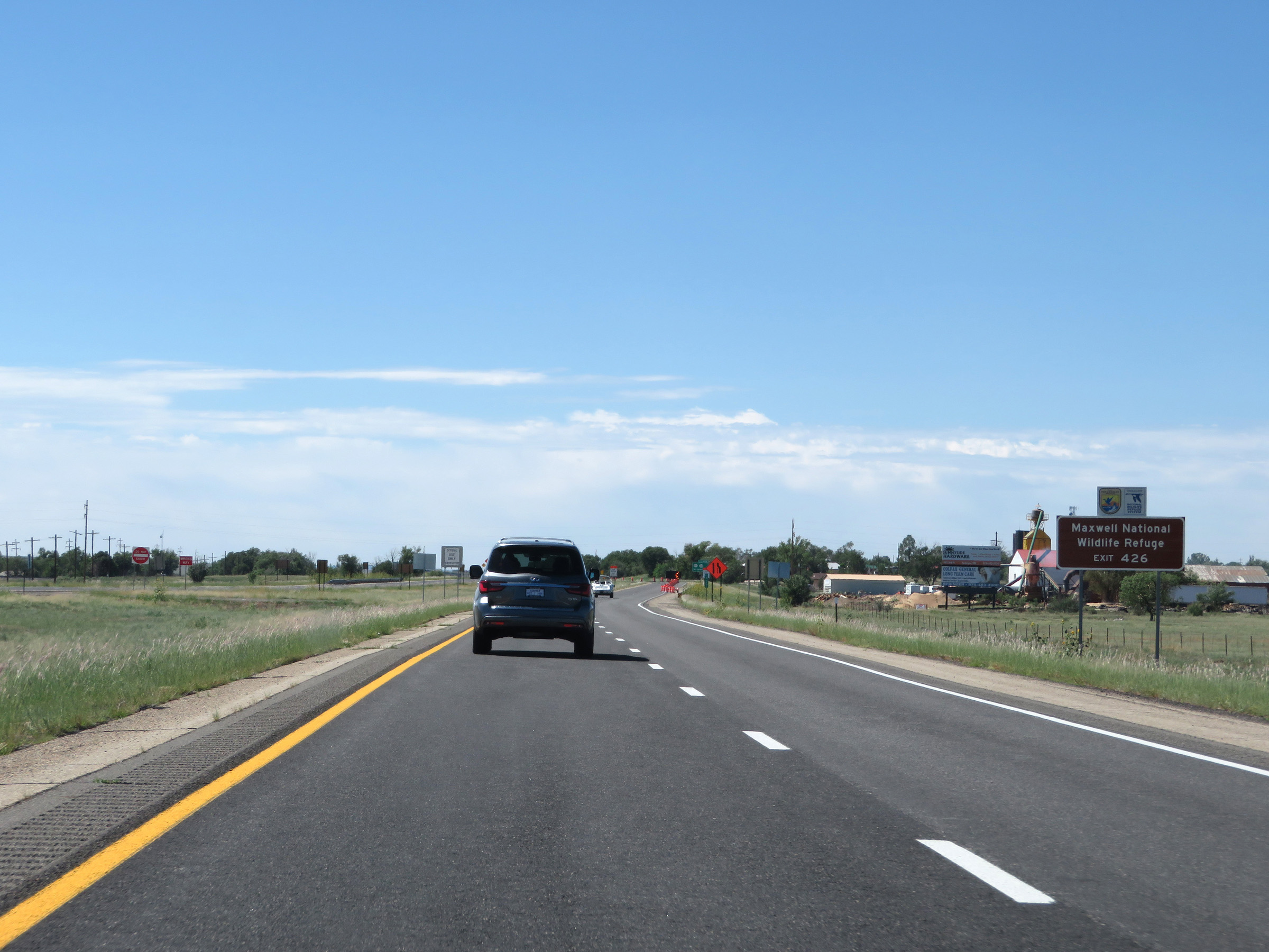 |
Take Exit 426 to Maxwell National Wildlife Refuge. (Photo taken 8/13/20). |
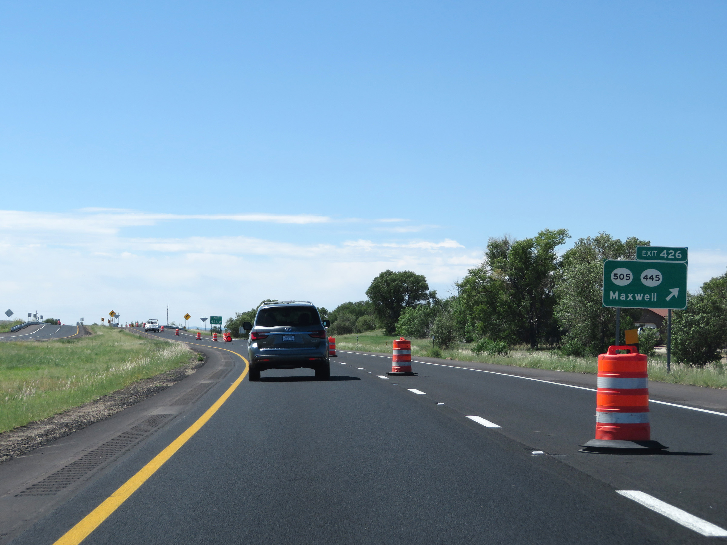 |
Interstate 25 South at Exit 426: NM 505 / NM 445 - Maxwell (Photo taken 8/13/20). |
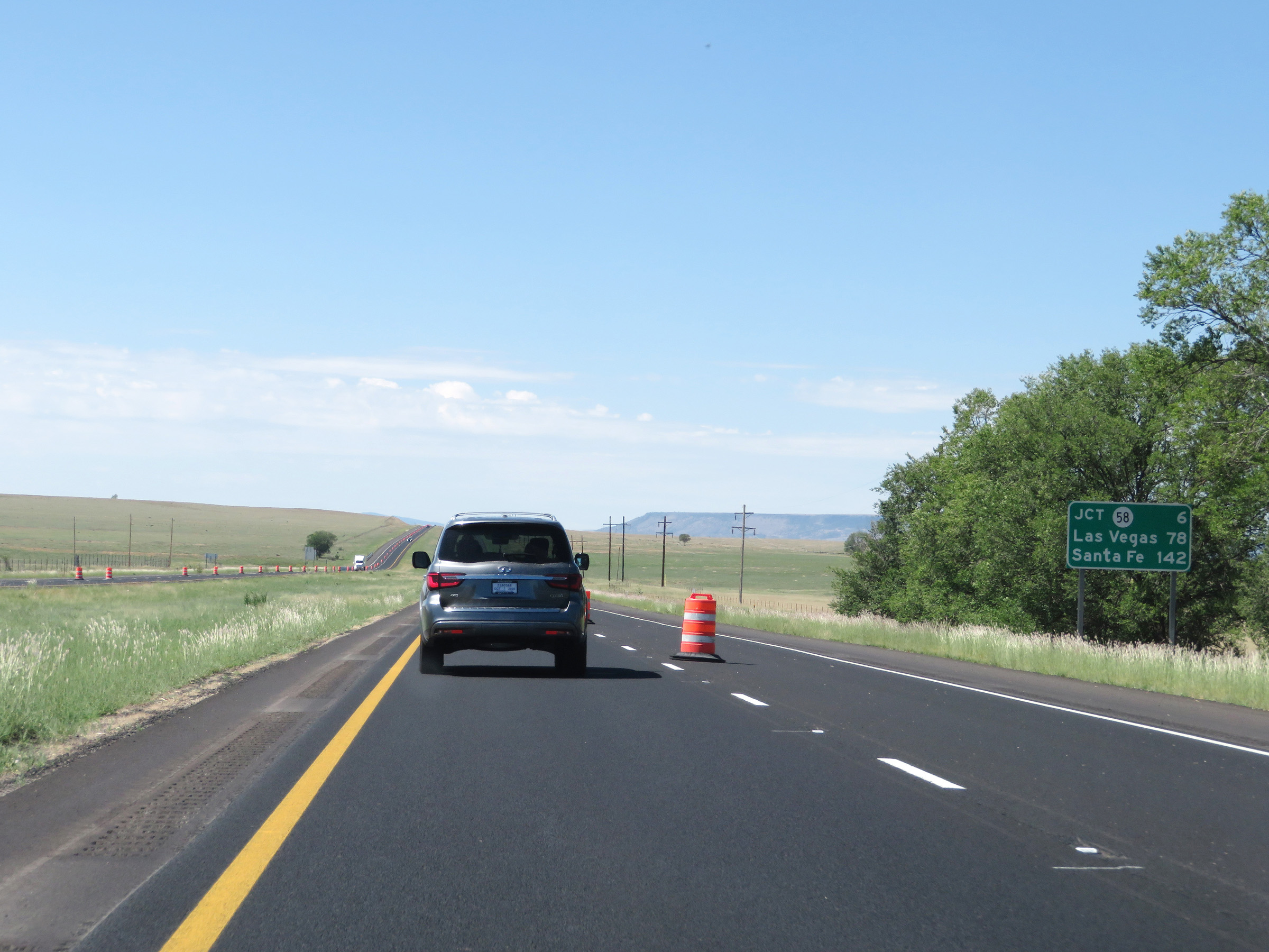 |
Another mileage sign on Interstate 25 South. It's 6 miles to the junction of NM 58, 78 miles to Las Vegas, and 142 miles to Santa Fe. (Photo taken 8/13/20). |
 |
Interstate 25 South at mile marker 425. (Photo taken 8/13/20). |
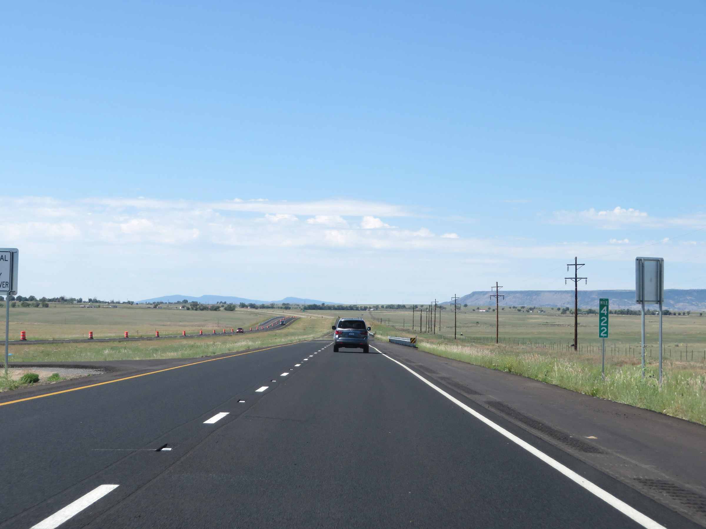 |
View on Interstate 25 South at mile marker 422. (Photo taken 8/13/20). |
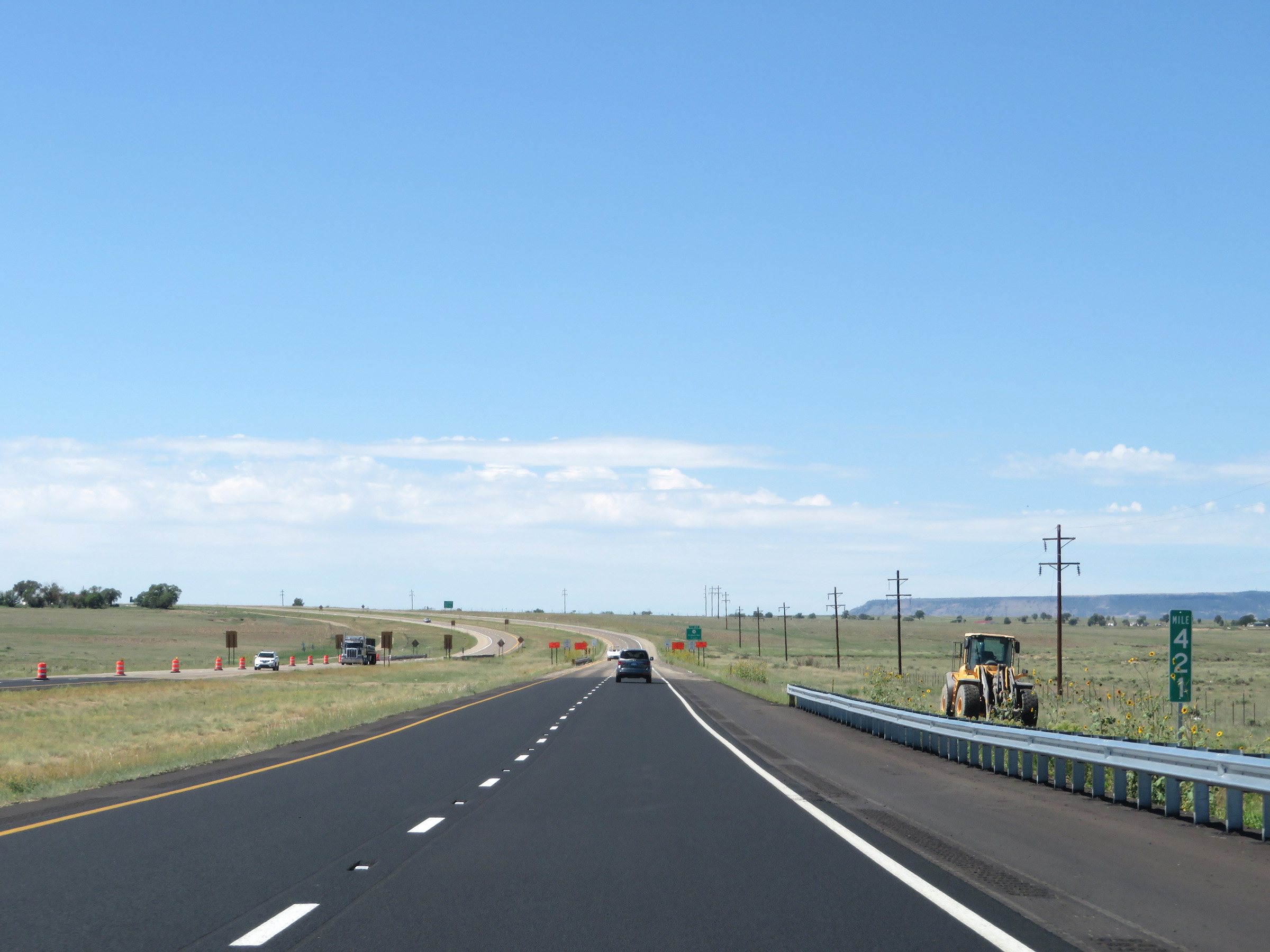 |
Interstate 25 South at mile marker 421. (Photo taken 8/13/20). |
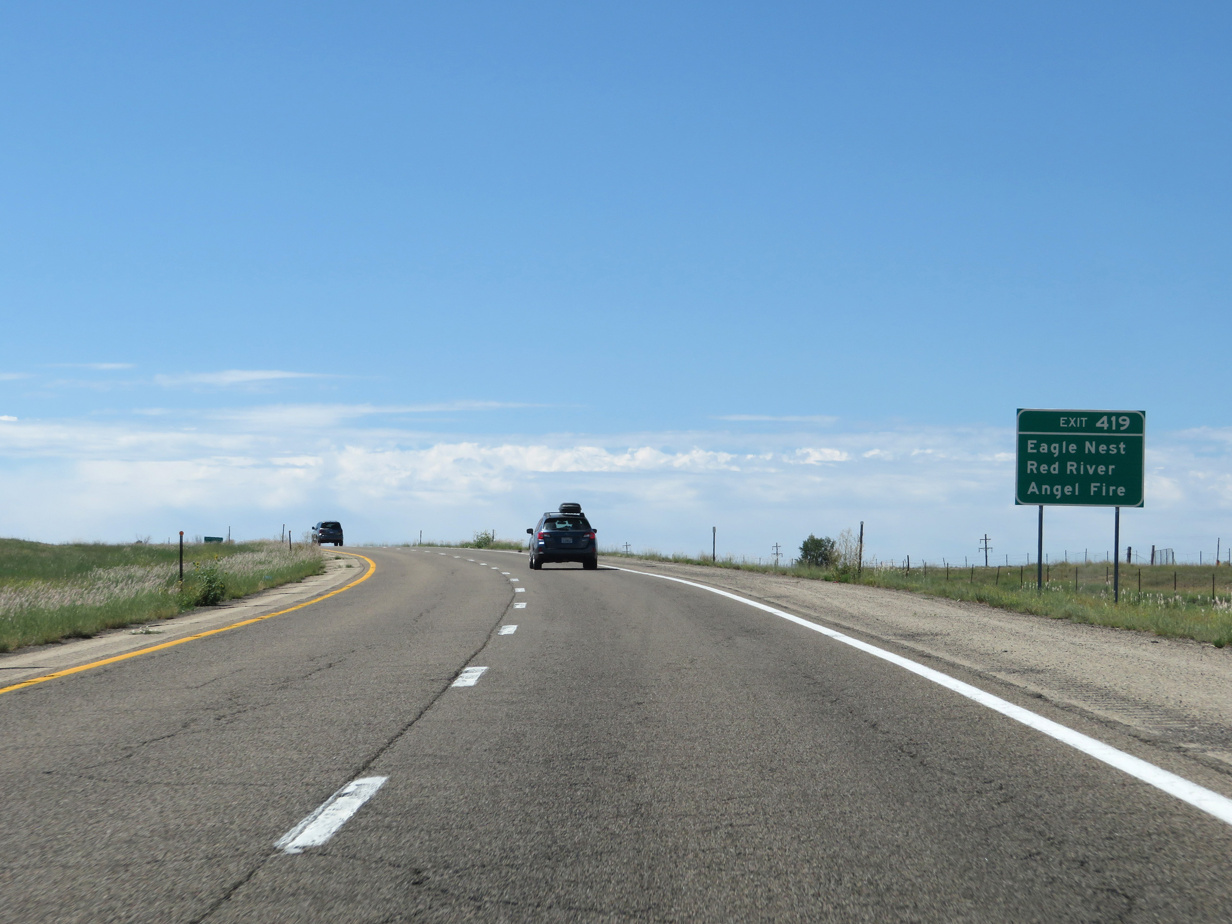 |
Take Exit 419 to Eagle Nest, Red River, and Angel Fire. (Photo taken 8/13/20). |
 |
Interstate 25 South at Exit 419: NM 58 West - Cimarron (Photo taken 8/13/20). |
 |
Non-cutout, state-named Interstate 25 South reassurance shield. (Photo taken 8/13/20). |
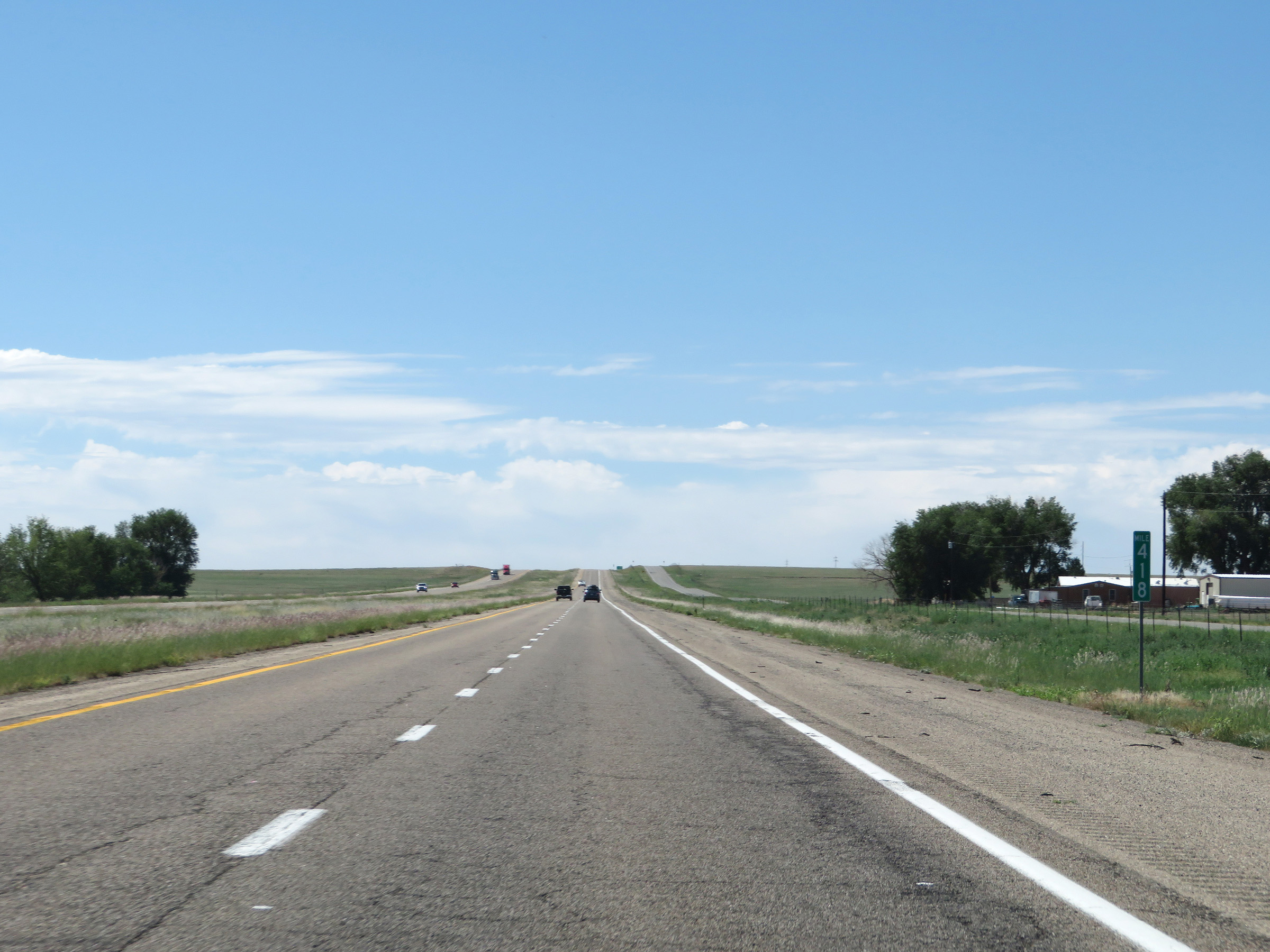 |
View on Interstate 25 South at mile marker 418. (Photo taken 8/13/20). |
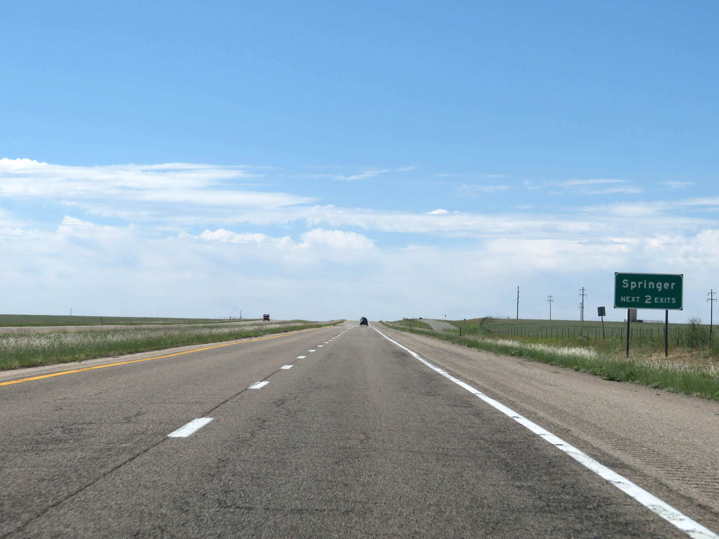 |
Take either of the next 2 exits to Springer. (Photo taken 8/13/20). |
 |
Interstate 25 South at mile marker 416. (Photo taken 8/13/20). |
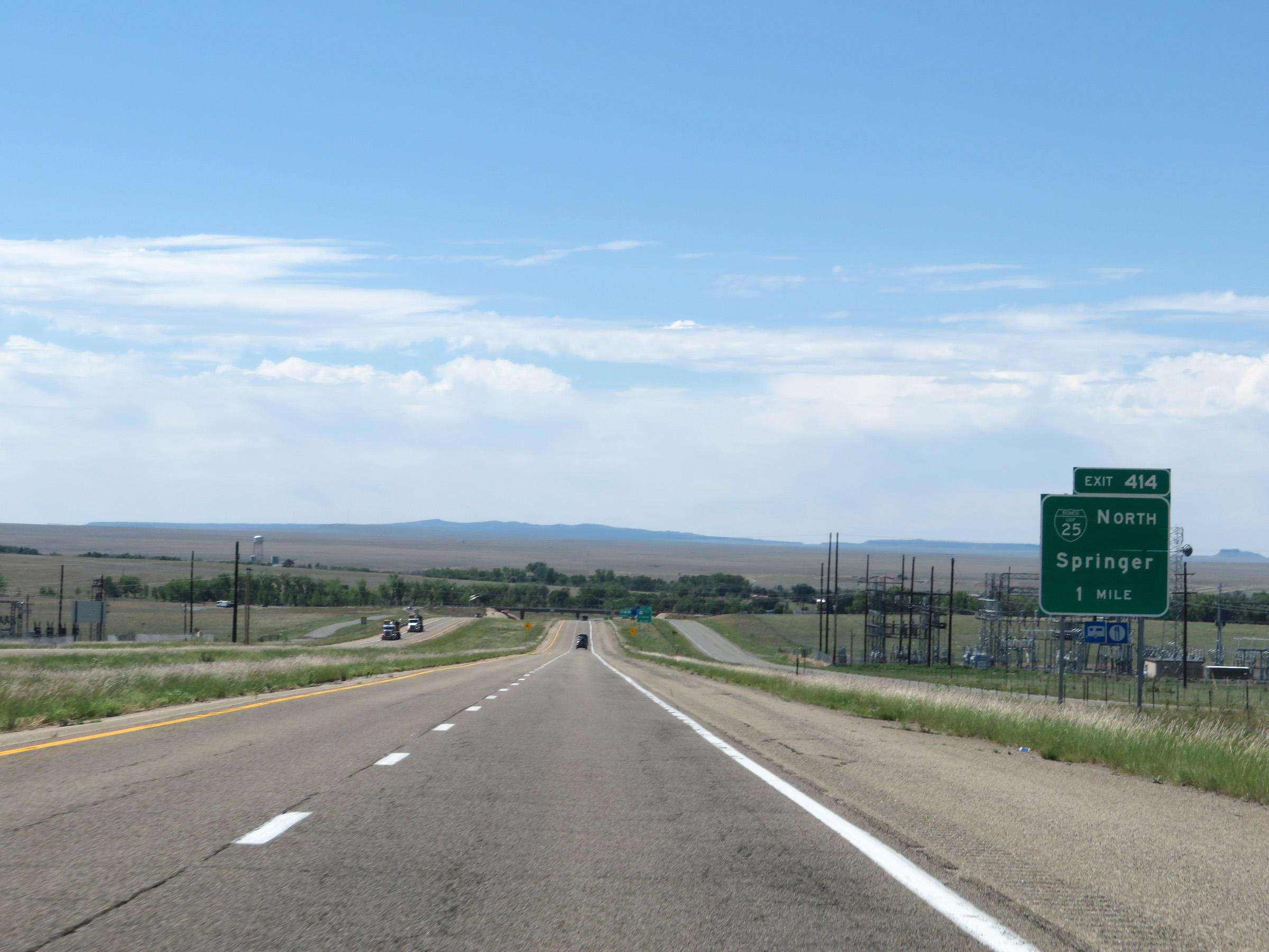 |
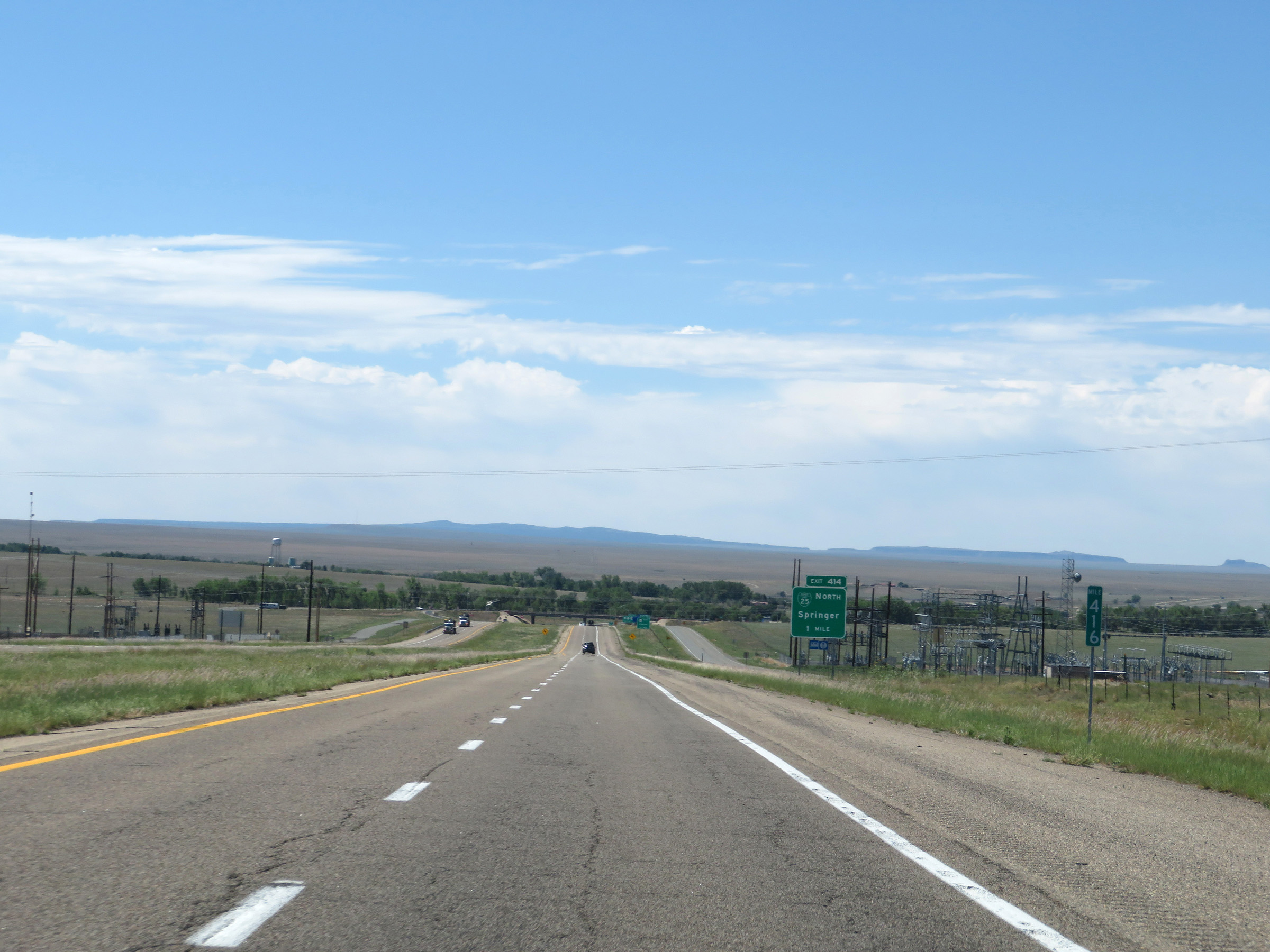
Take Exit 414 to Interstate 25 Business Loop North. (Photo taken 8/13/20). |
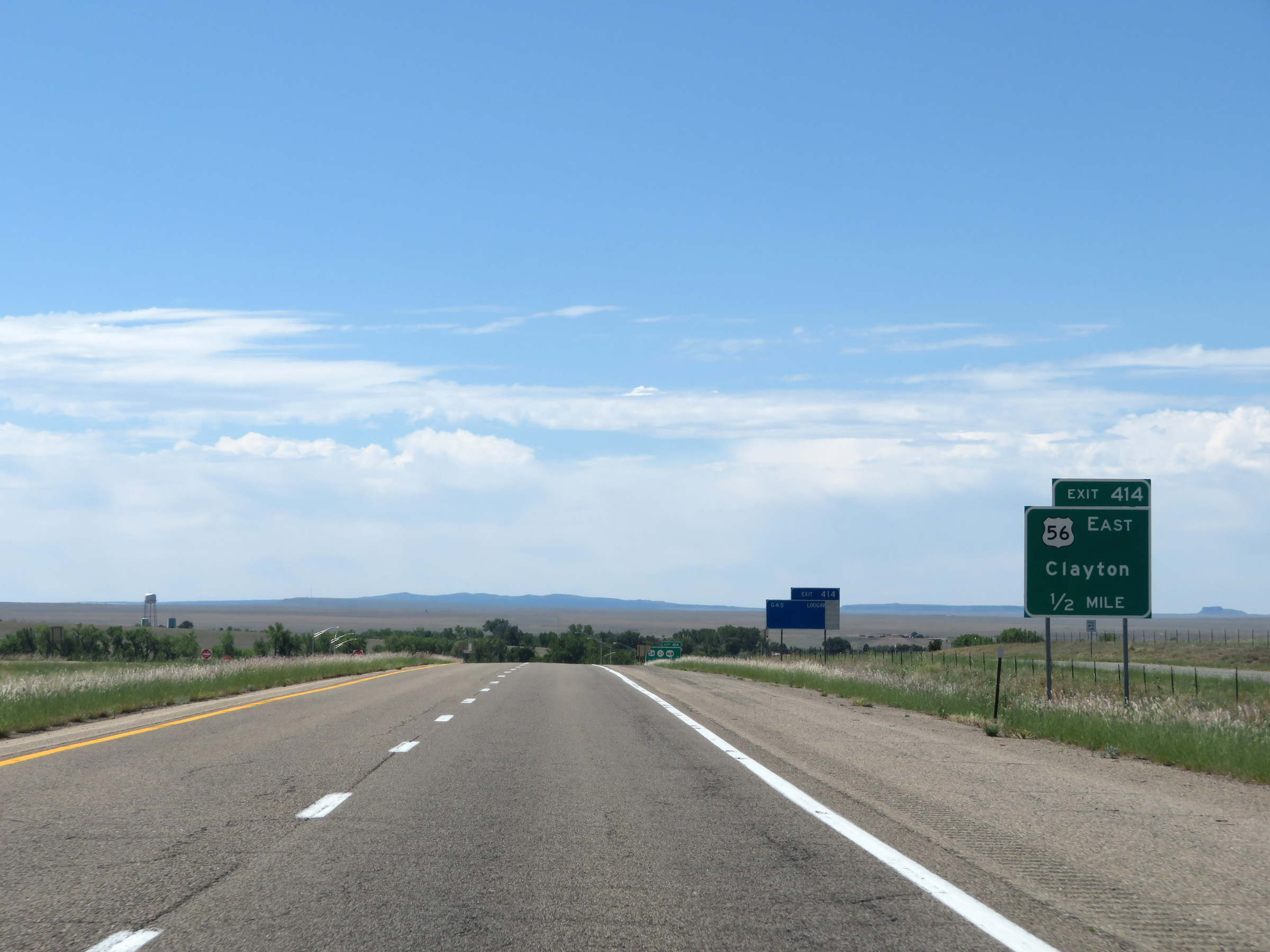 |
Also take Exit 414 to Clayton via US 56 East. (Photo taken 8/13/20). |
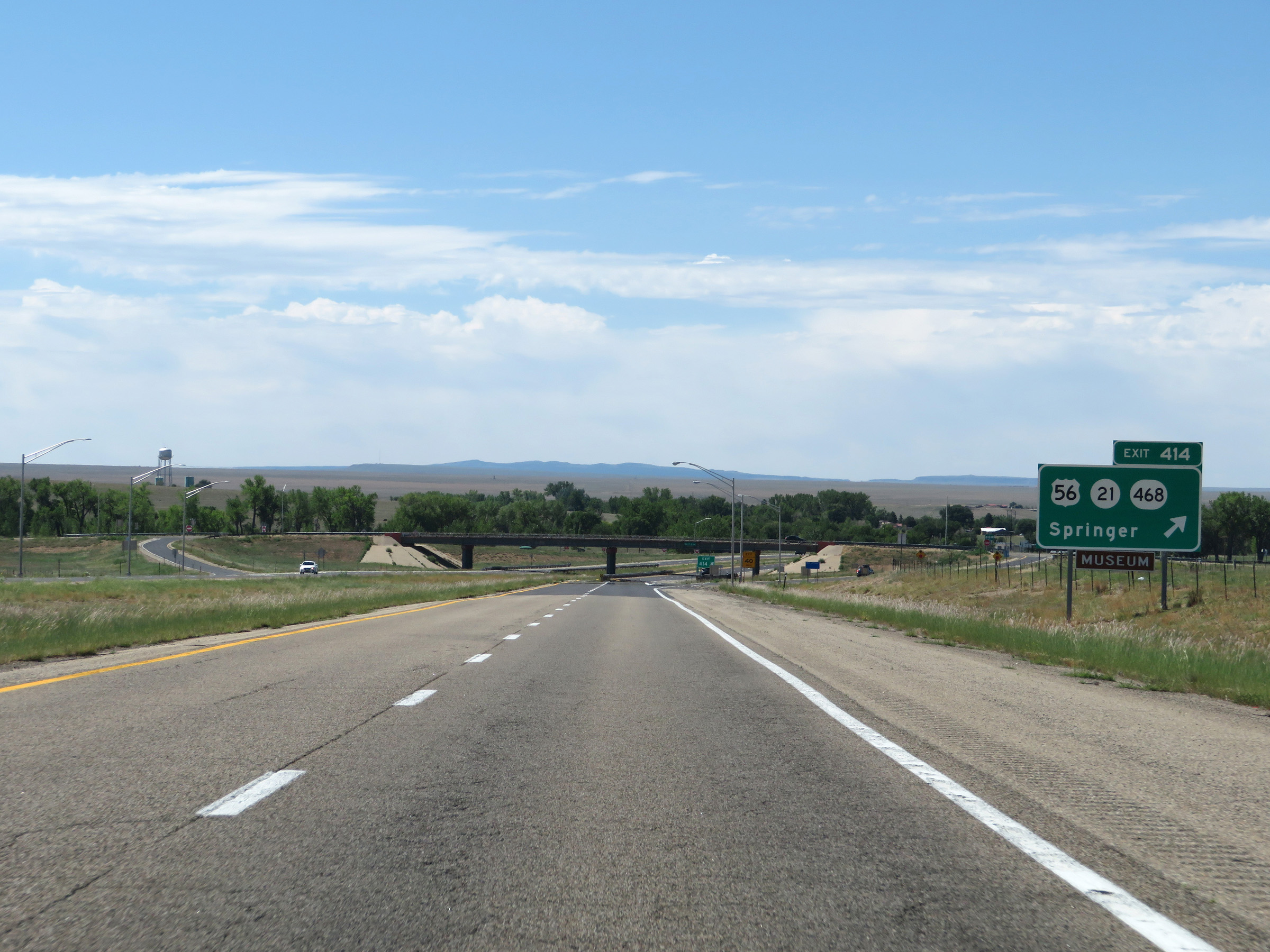 |
Interstate 25 South at Exit 414: US 56 / NM 21 / NM 468 - Springer (Photo taken 8/13/20). |
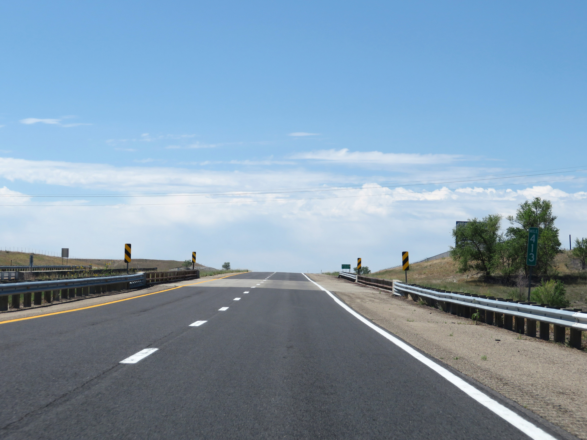 |
View on Interstate 25 South at mile marker 413. (Photo taken 8/13/20). |
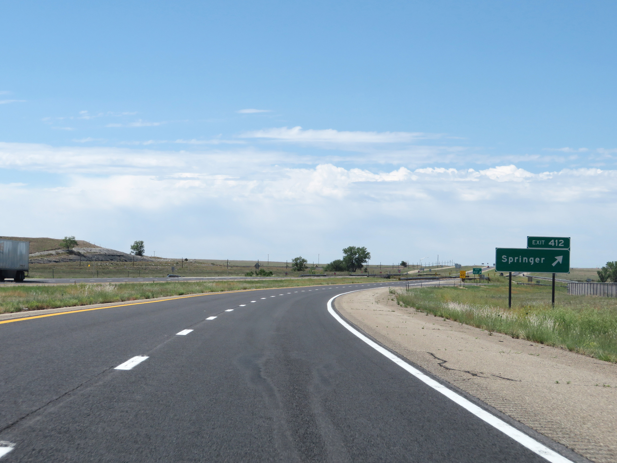 |
Interstate 25 South at Exit 412: Springer (Photo taken 8/13/20). |
Section 2: Springer (Exit 412) to Las Vegas (Exit 343)
 |
Another state-named Interstate 25 South reassurance shield. (Photo taken 8/13/20). |
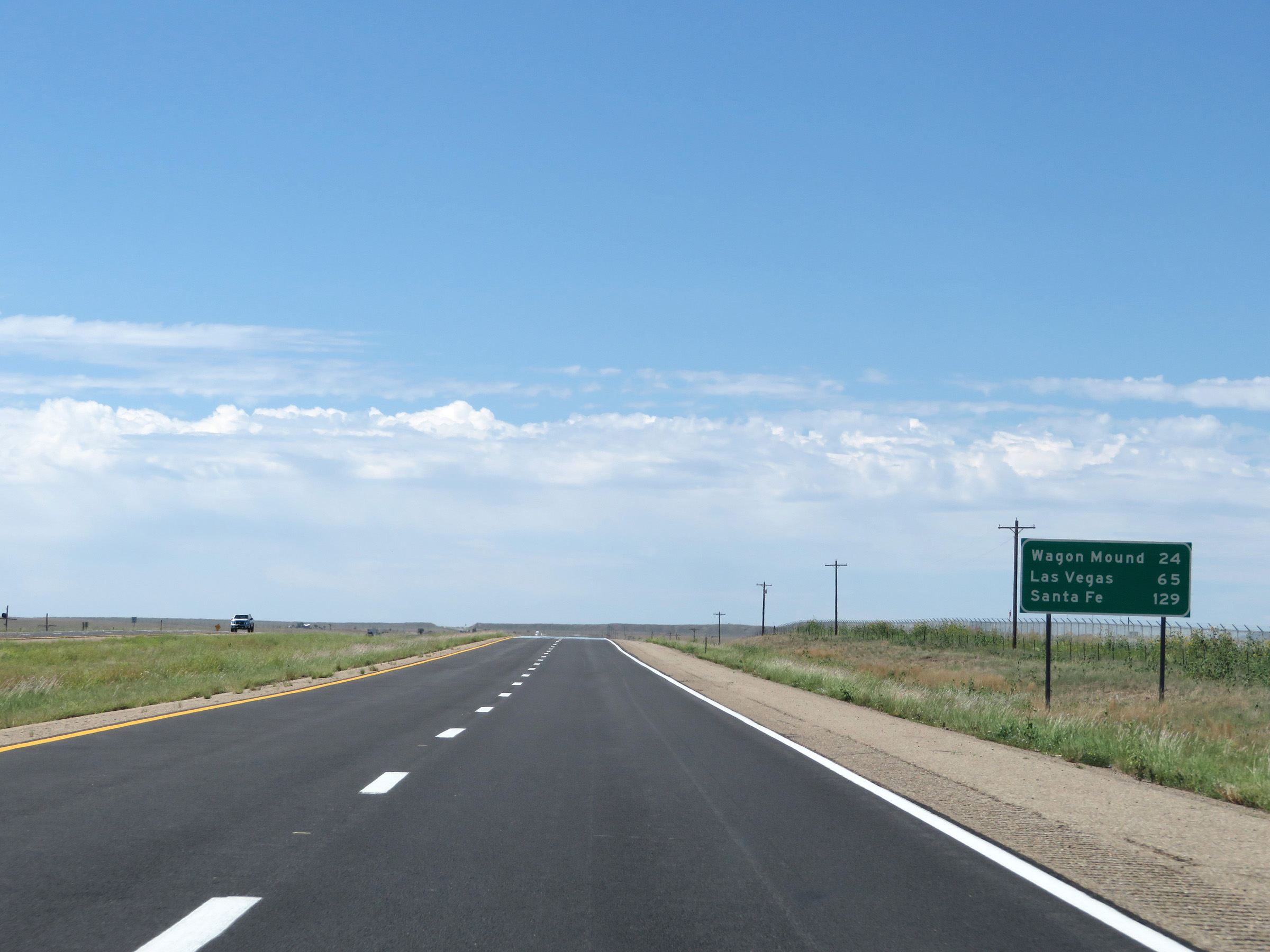 |
Mileage sign on Interstate 25 South. It's 24 miles to Wagon Mound, 65 miles to Las Vegas, and 129 miles to Santa Fe. (Photo taken 8/13/20). |
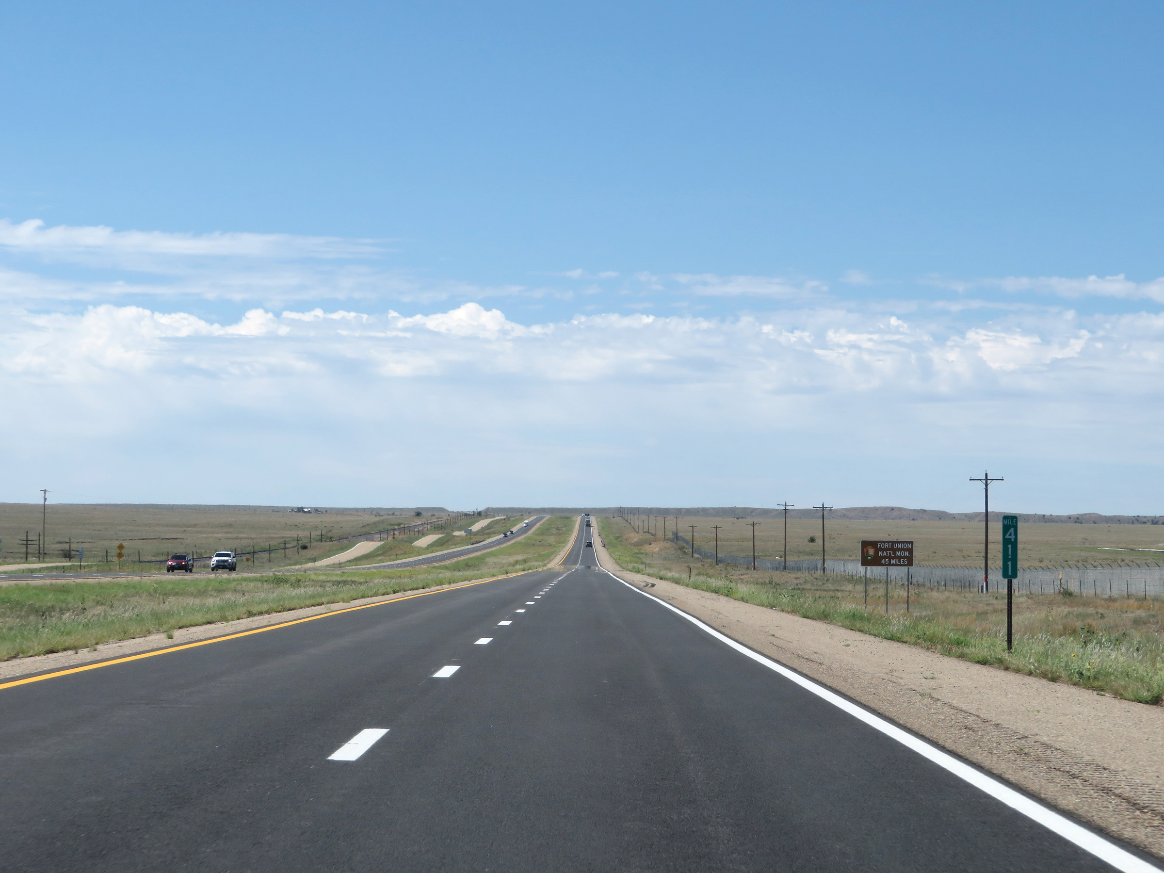 |
View on Interstate 25 South at mile marker 411. (Photo taken 8/13/20). |
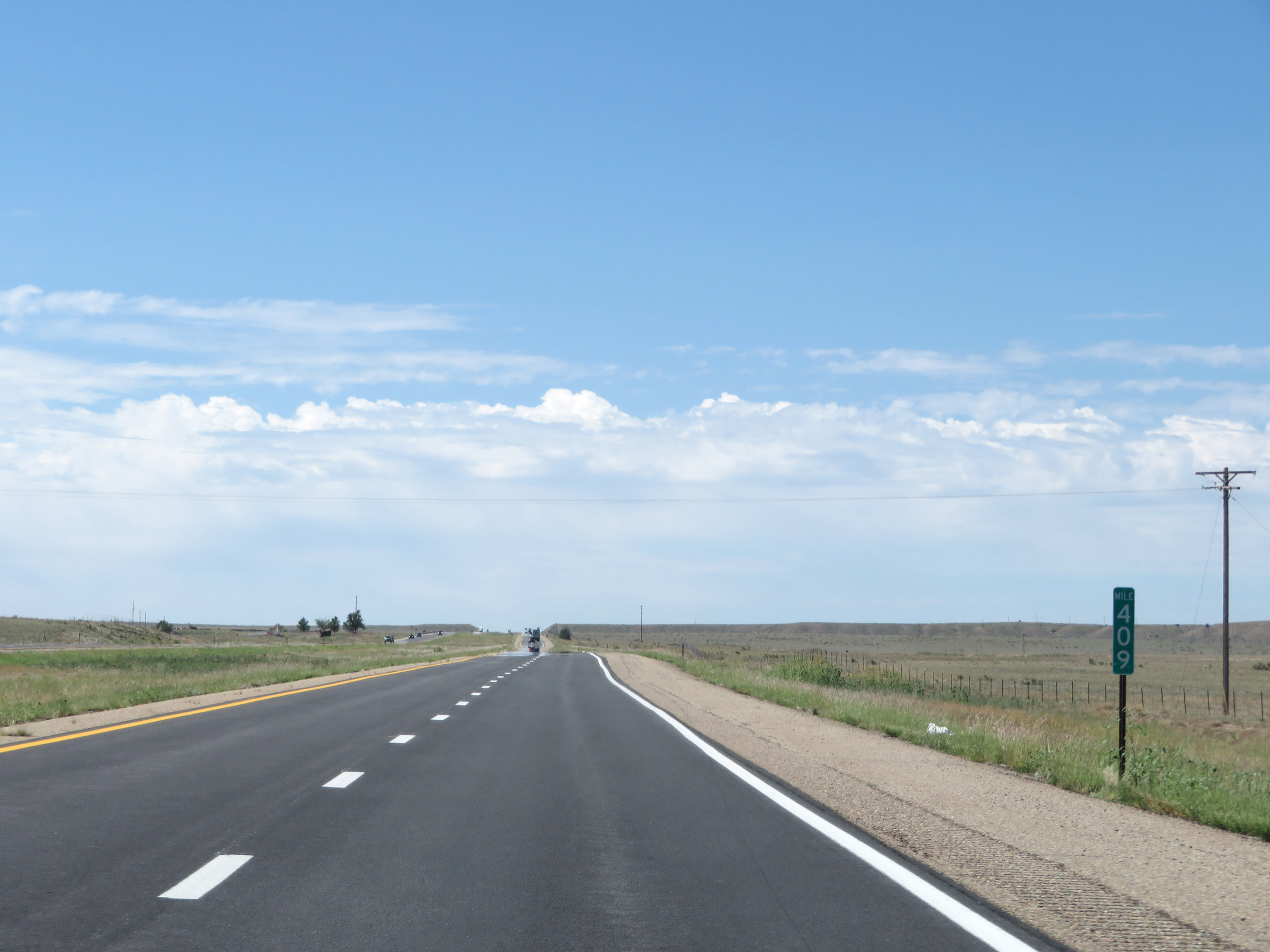 |
Interstate 25 South at mile marker 409. (Photo taken 8/13/20). |
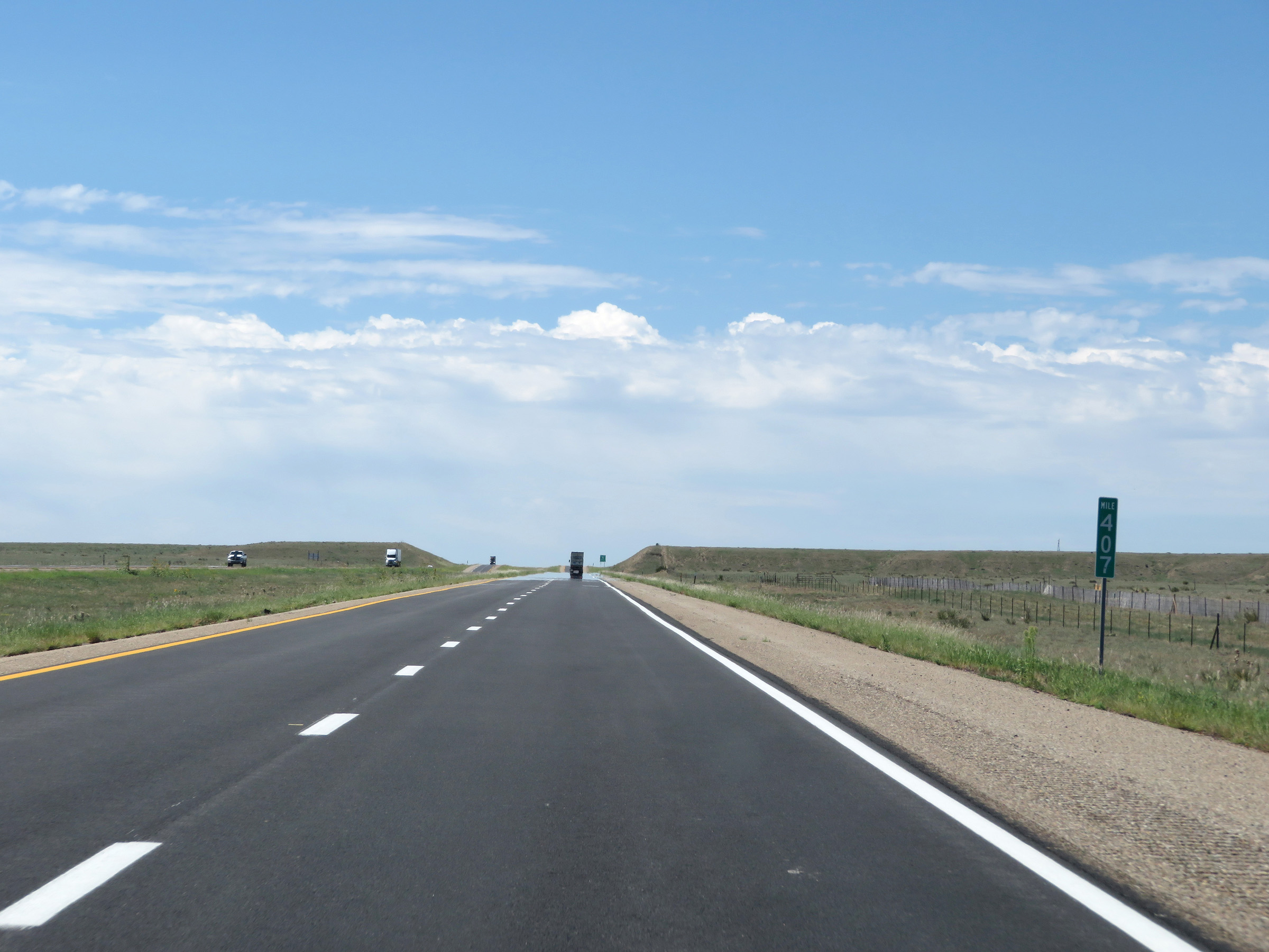 |
Mile marker 407 on Interstate 25 South in Colfax County. (Photo taken 8/13/20). |
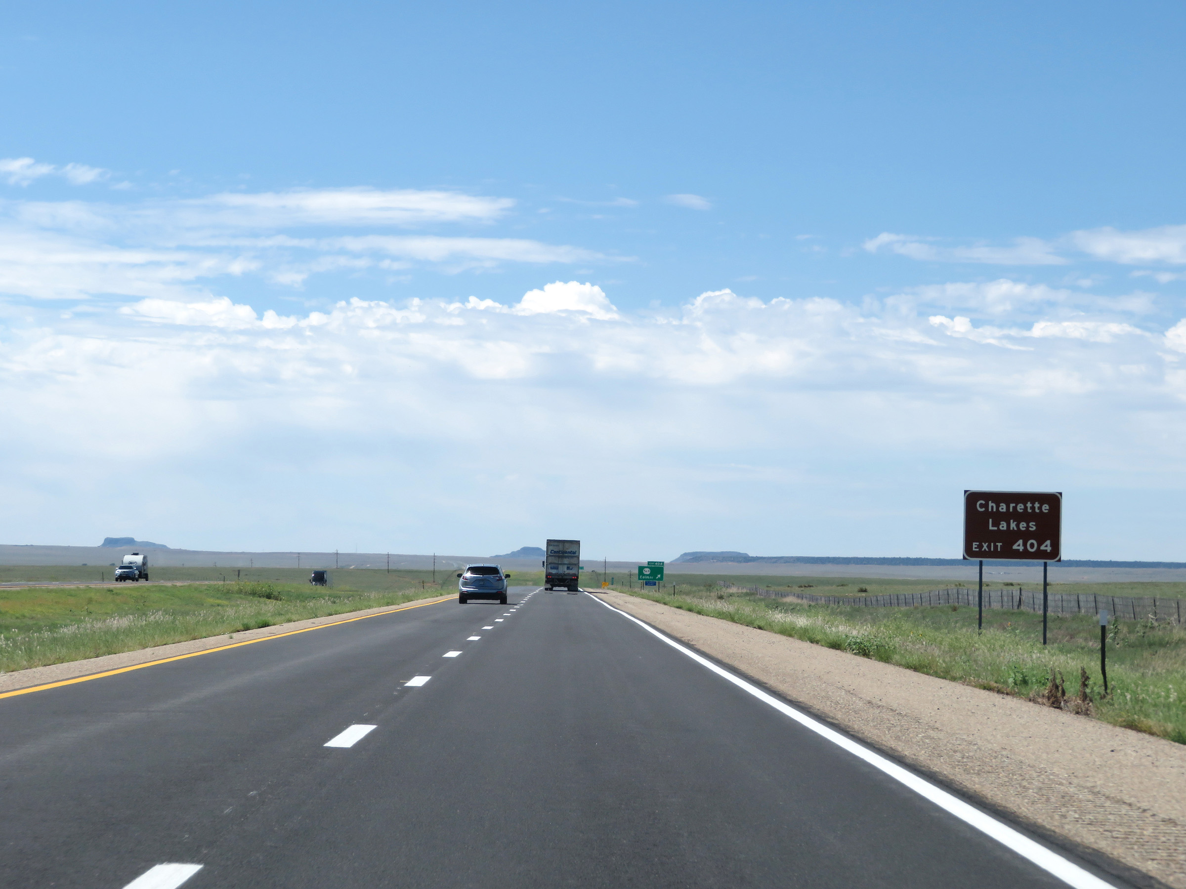 |
Take Exit 404 to Charette Lakes. (Photo taken 8/13/20). |
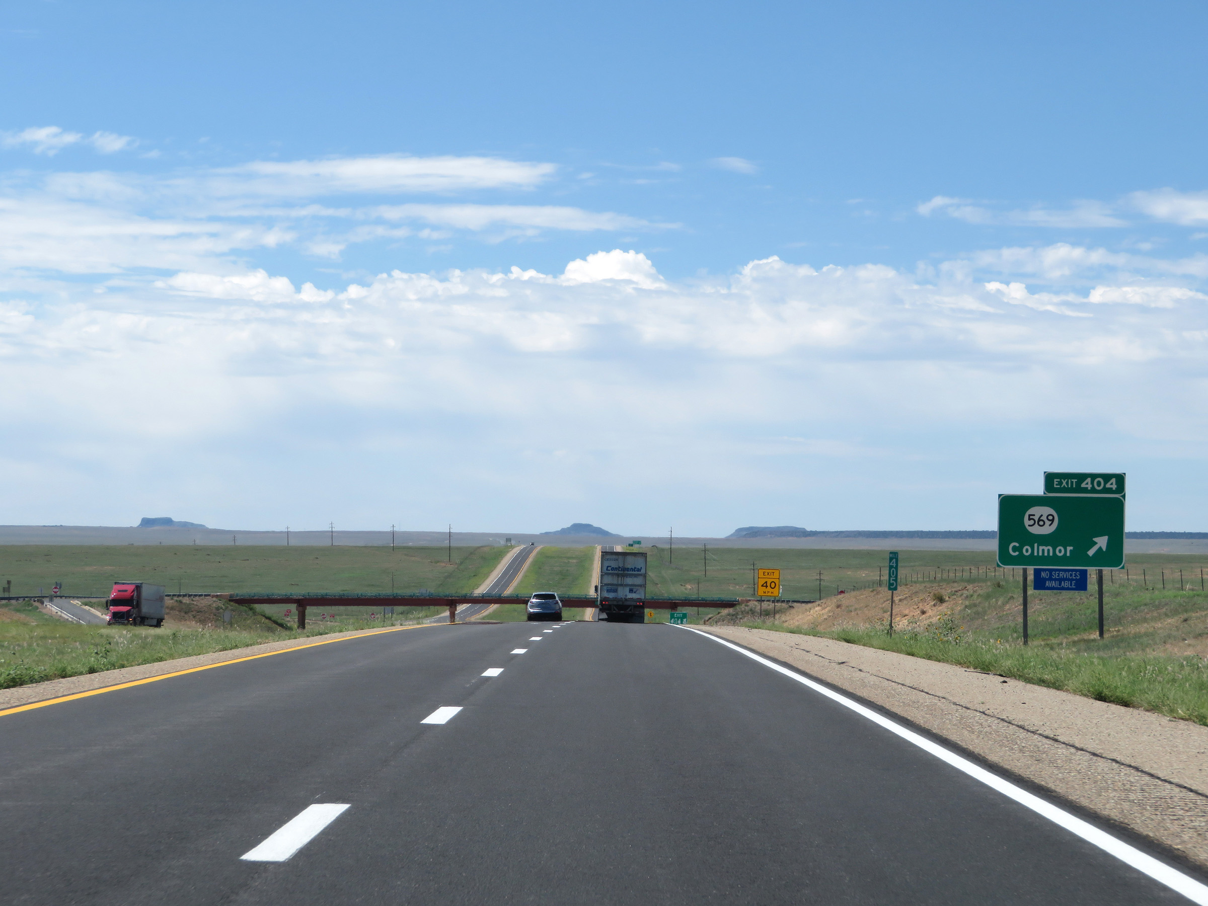 |
Interstate 25 South at Exit 404: NM 569 - Colmor (Photo taken 8/13/20). |
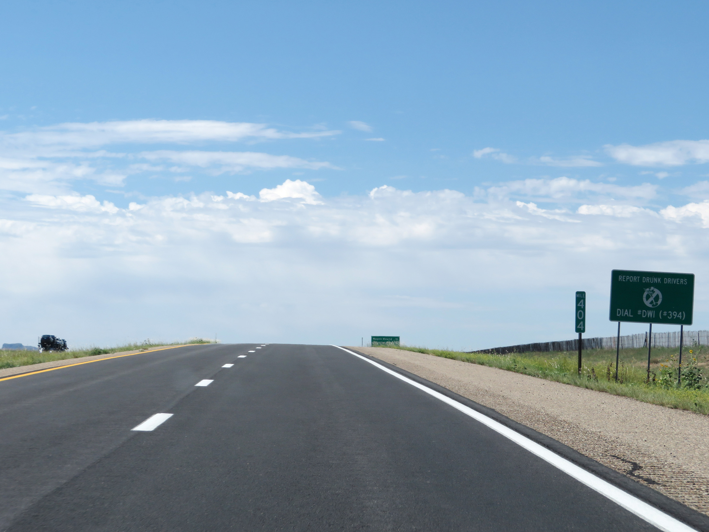 |
Interstate 25 South at mile marker 404. (Photo taken 8/13/20). |
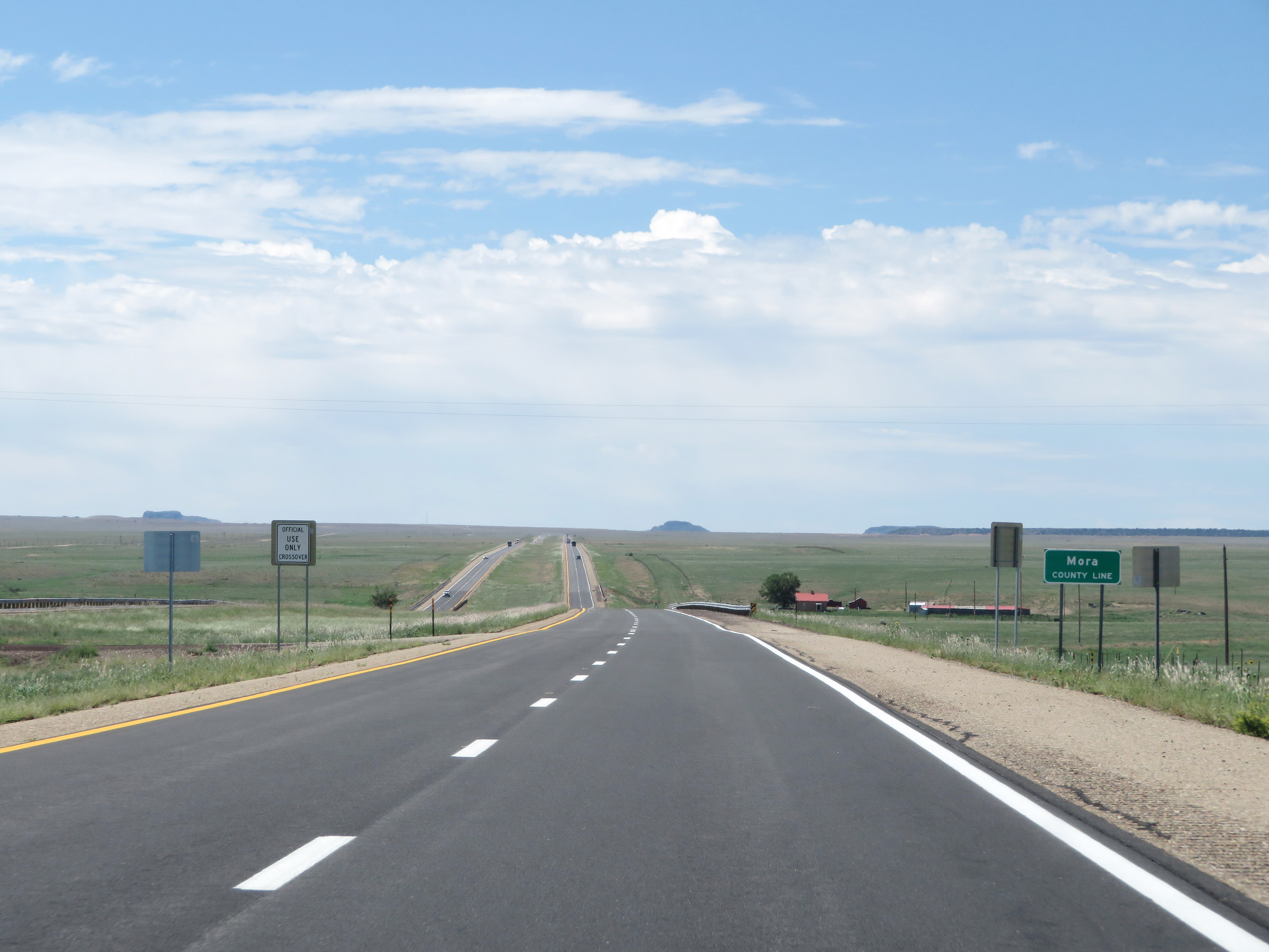 |
Interstate 25 South as it enters Mora County. (Photo taken 8/13/20). |
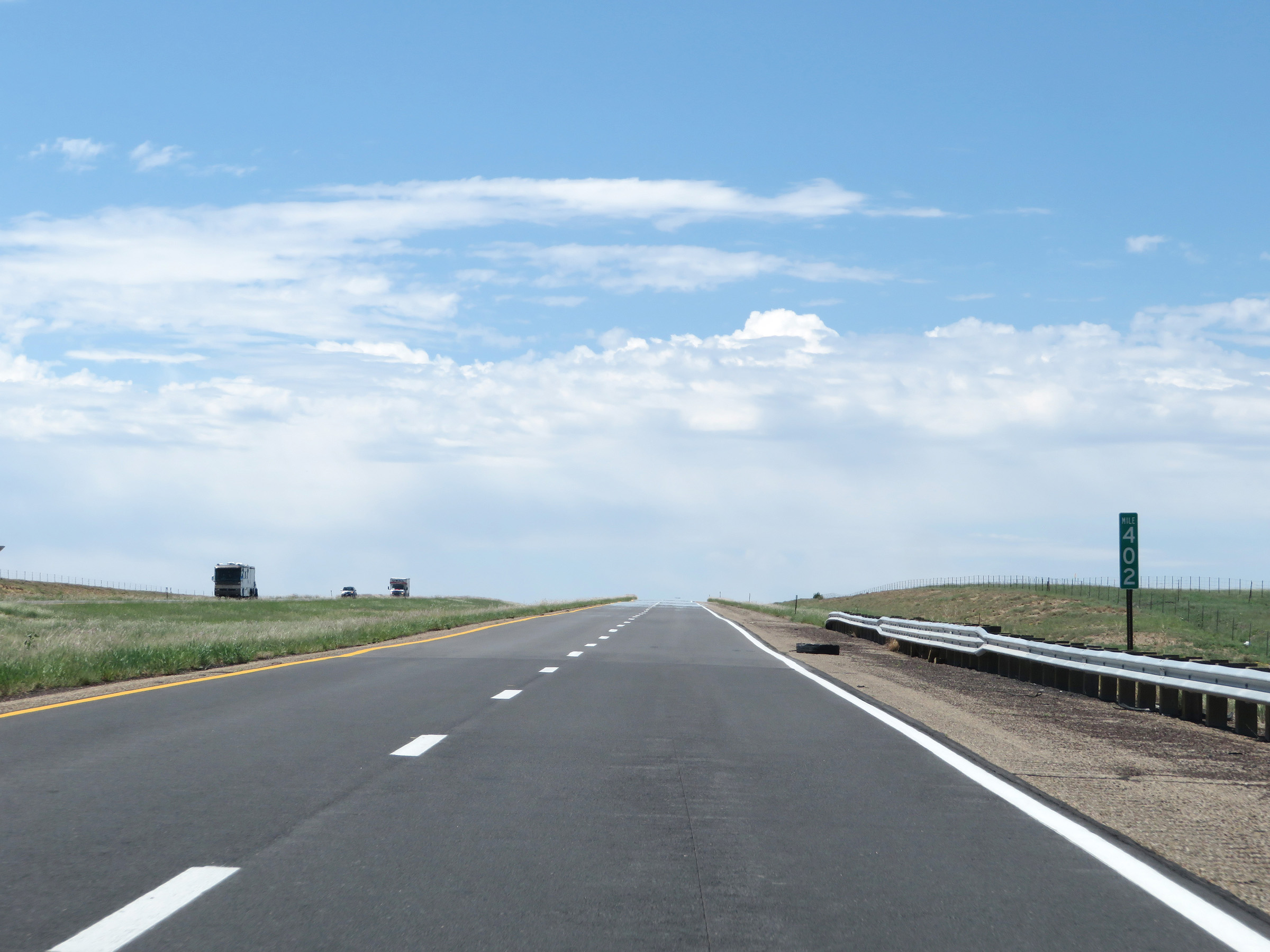 |
View on Interstate 25 South at mile marker 402. (Photo taken 8/13/20). |
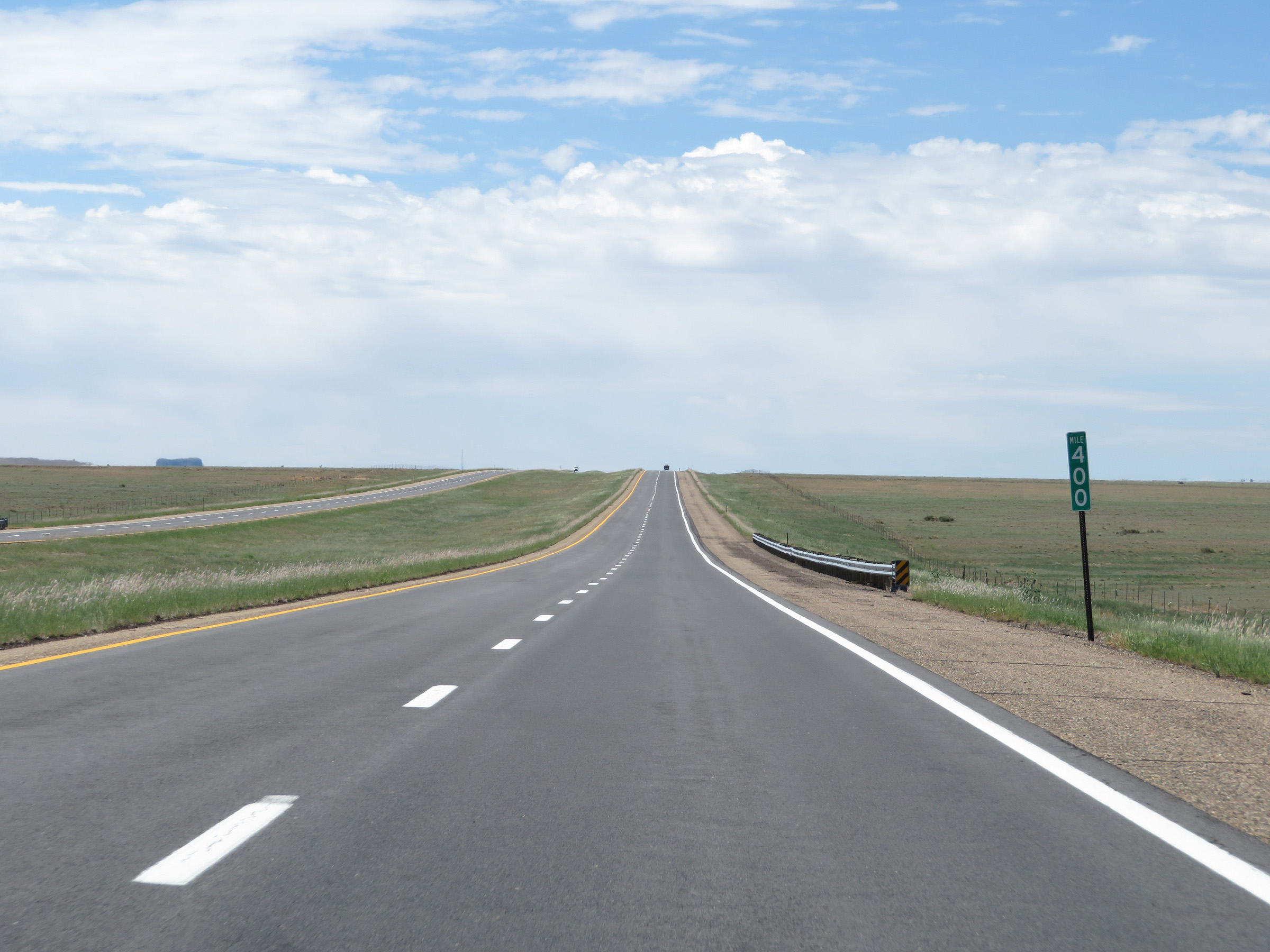 |
Interstate 25 South at mile marker 400. (Photo taken 8/13/20). |
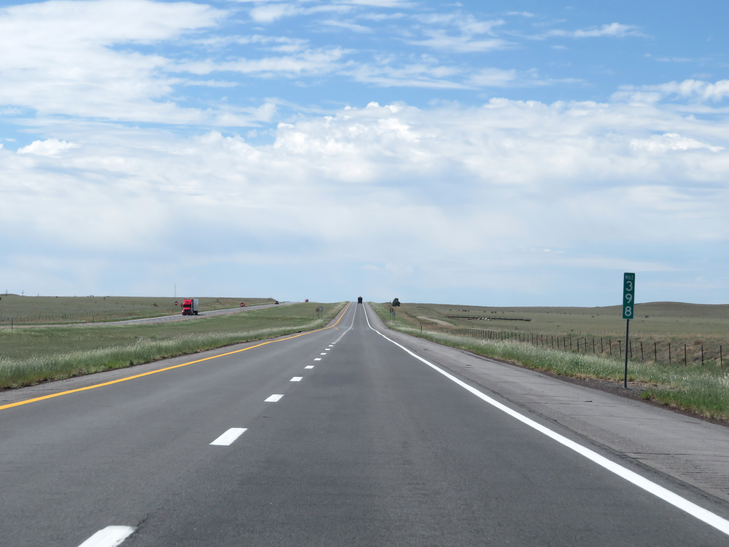 |
View on Interstate 25 South at mile marker 398. (Photo taken 8/13/20). |
 |
Mile marker 396 on Interstate 25 South in Mora County. (Photo taken 8/13/20). |
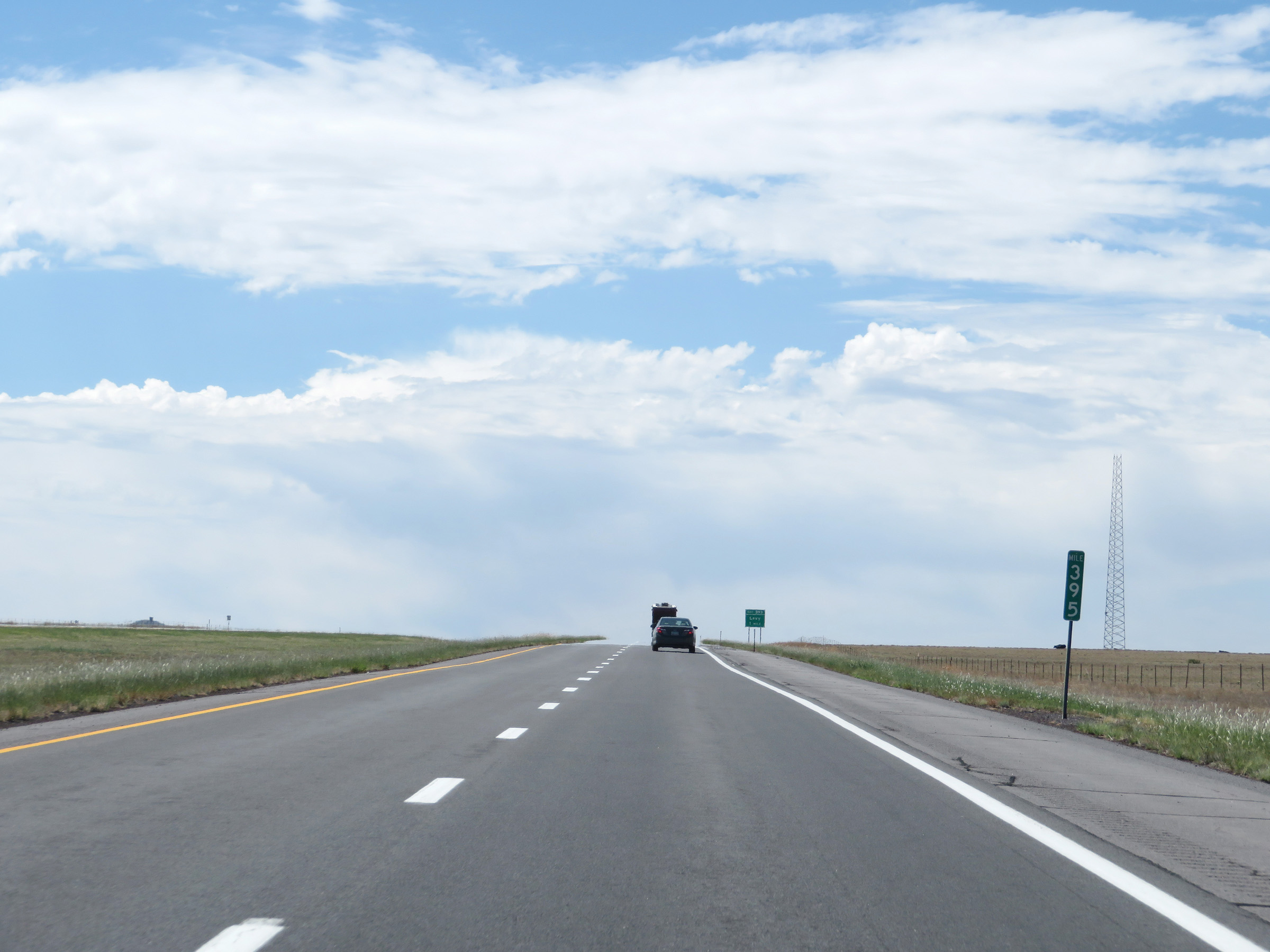 |
Interstate 25 South at mile marker 395. (Photo taken 8/13/20). |
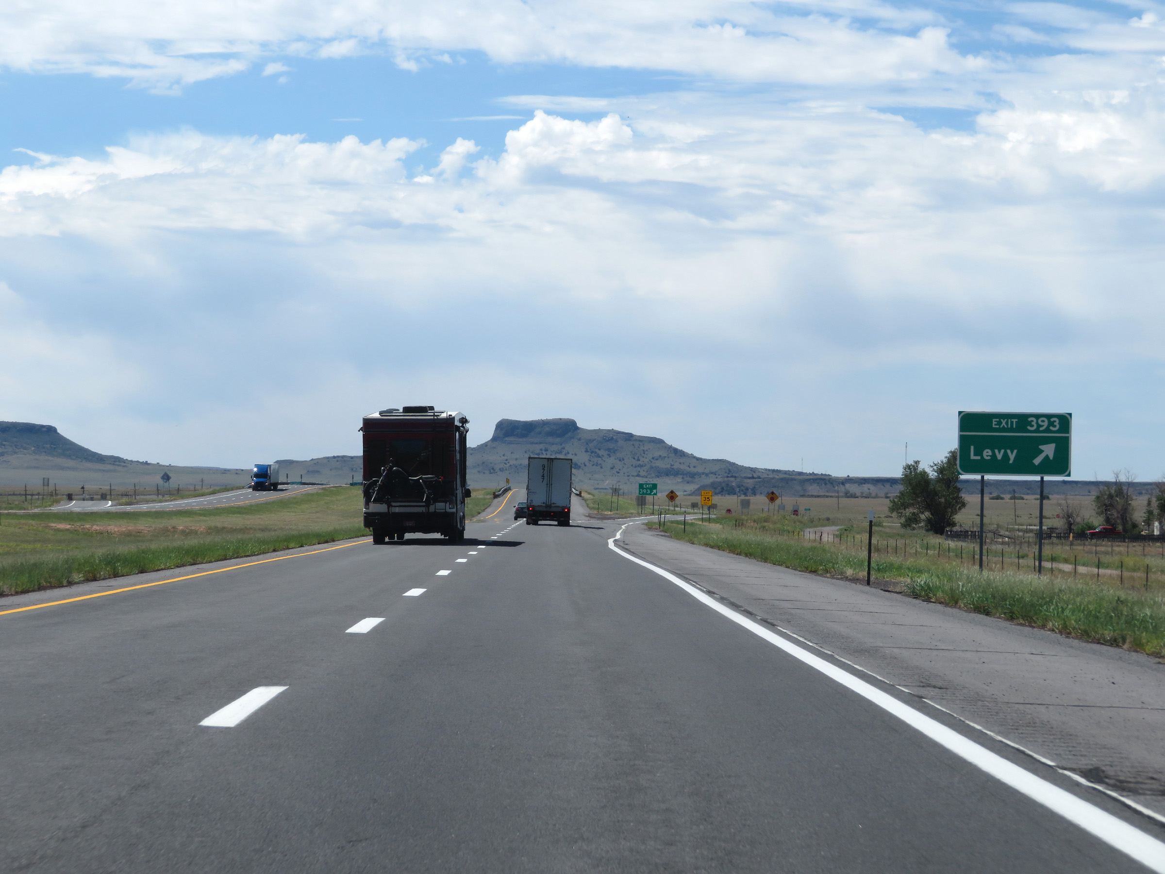 |
Interstate 25 South at Exit 393: Levy (Photo taken 8/13/20). |
 |
View on Interstate 25 South at mile marker 391. (Photo taken 8/13/20). |
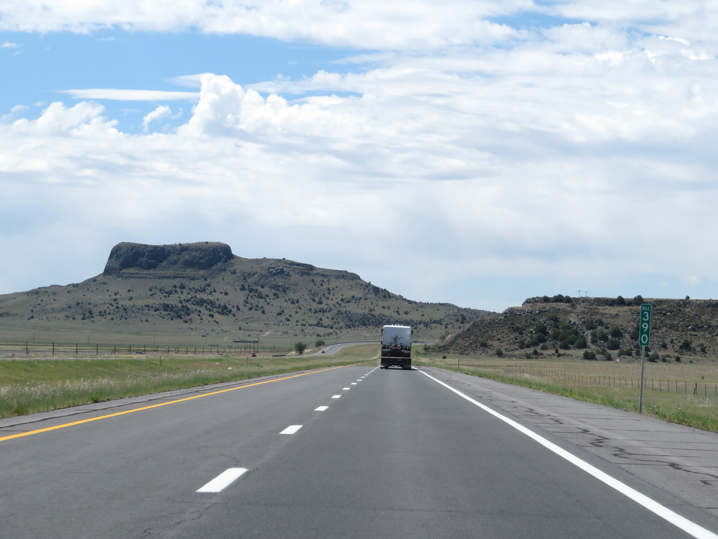 |
Interstate 25 South at mile marker 390. (Photo taken 8/13/20). |
 |
Take Exit 387 to Roy and Ocate. (Photo taken 8/13/20). |
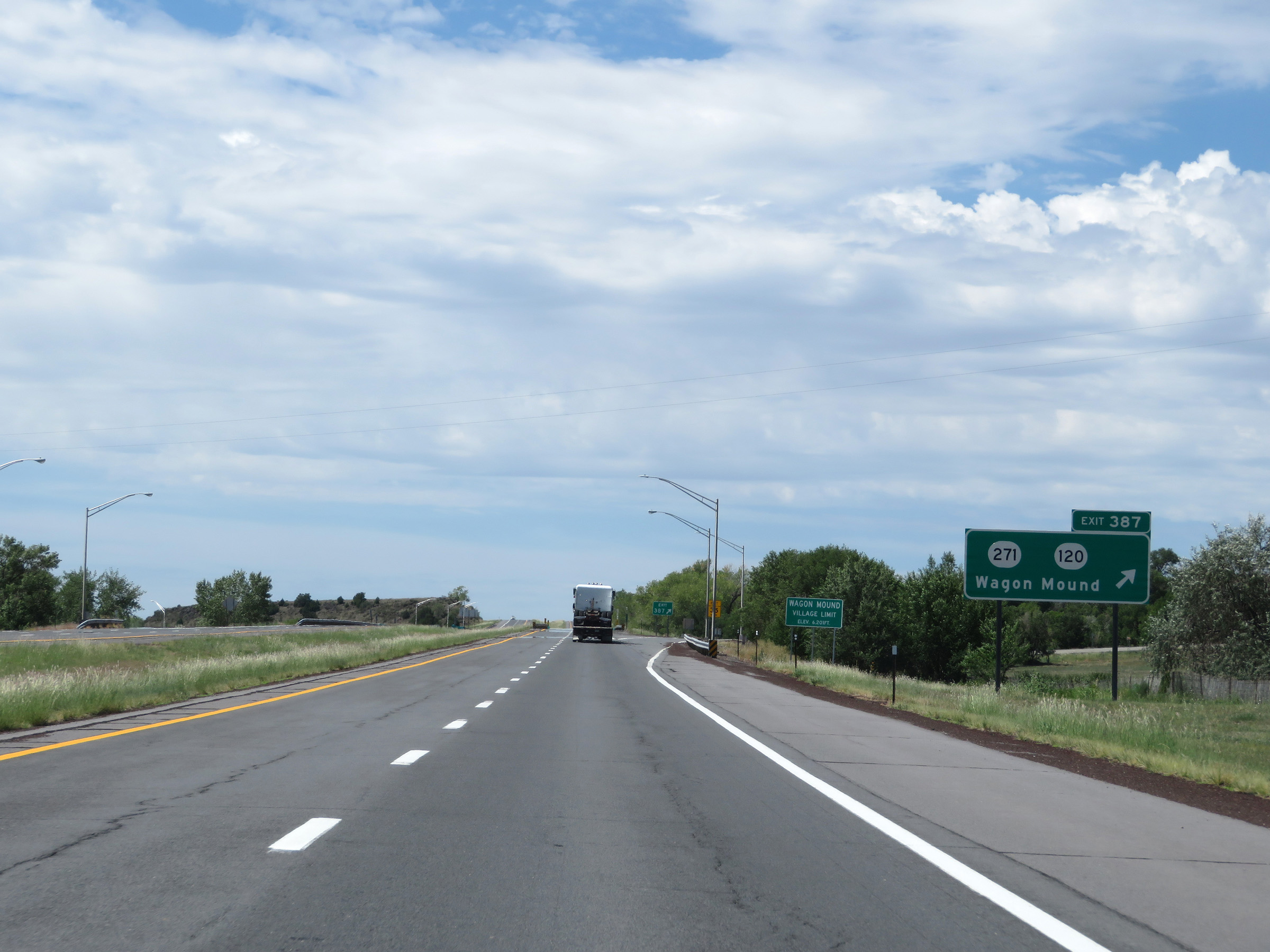 |
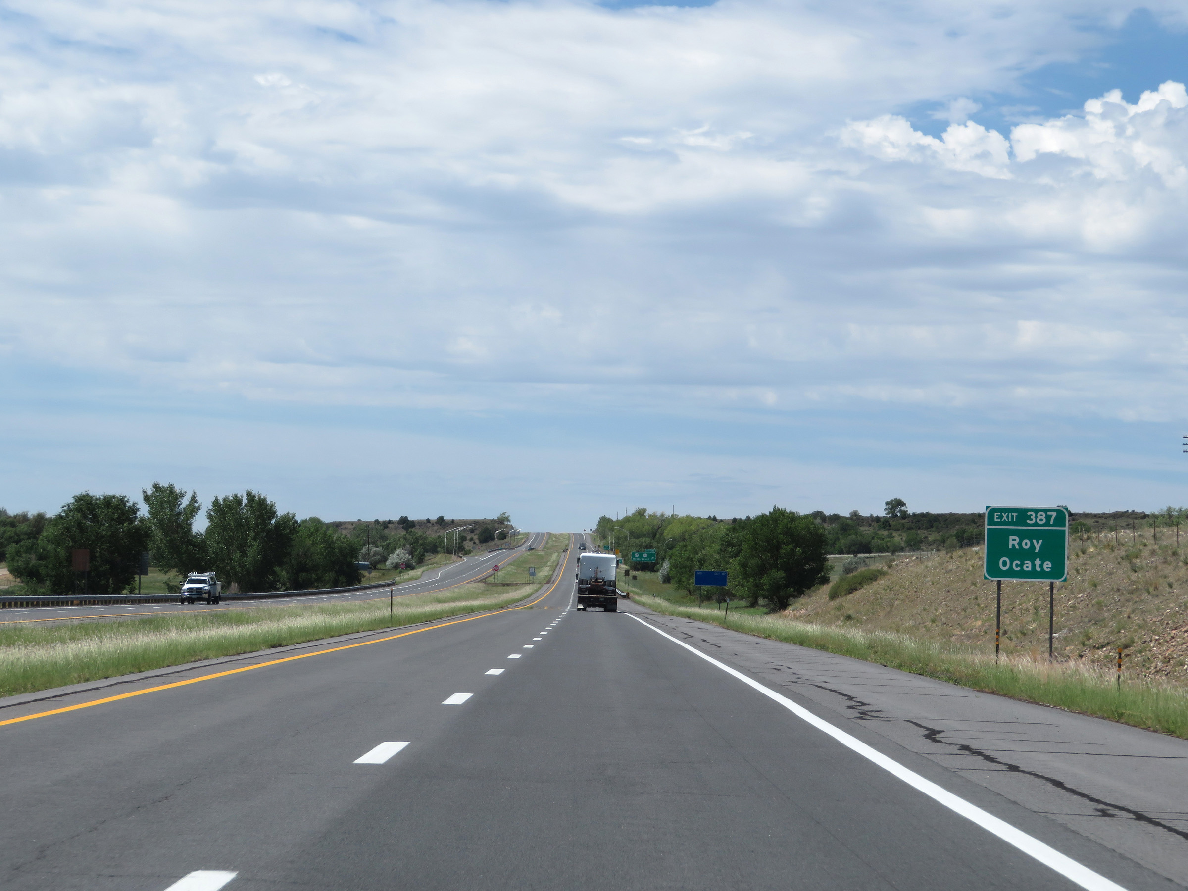
Interstate 25 South at Exit 387: NM 271 / NM 120 - Wagon Mound (Photo taken 8/13/20). |
 |
Another mileage sign on Interstate 25 South. It's 20 miles to Watrous, 41 miles to Las Vegas, and 105 miles to Santa Fe. (Photo taken 8/13/20). |
 |
View on Interstate 25 South at mile marker 386. (Photo taken 8/13/20). |
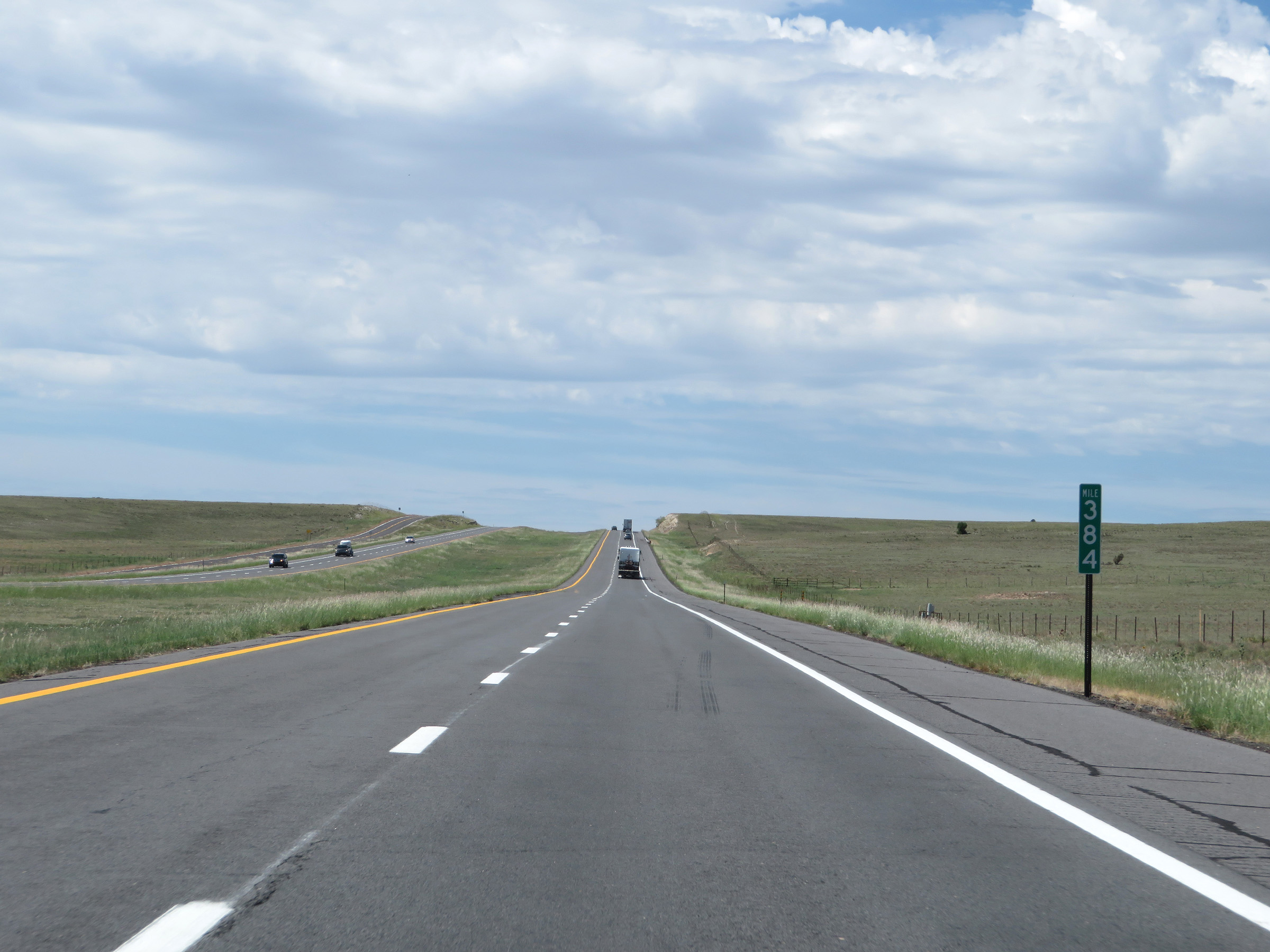 |
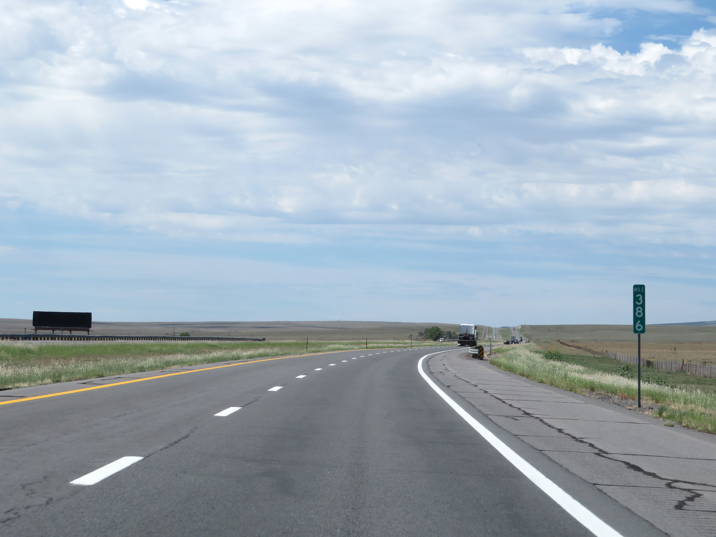
Interstate 25 South at mile marker 384. (Photo taken 8/13/20). |
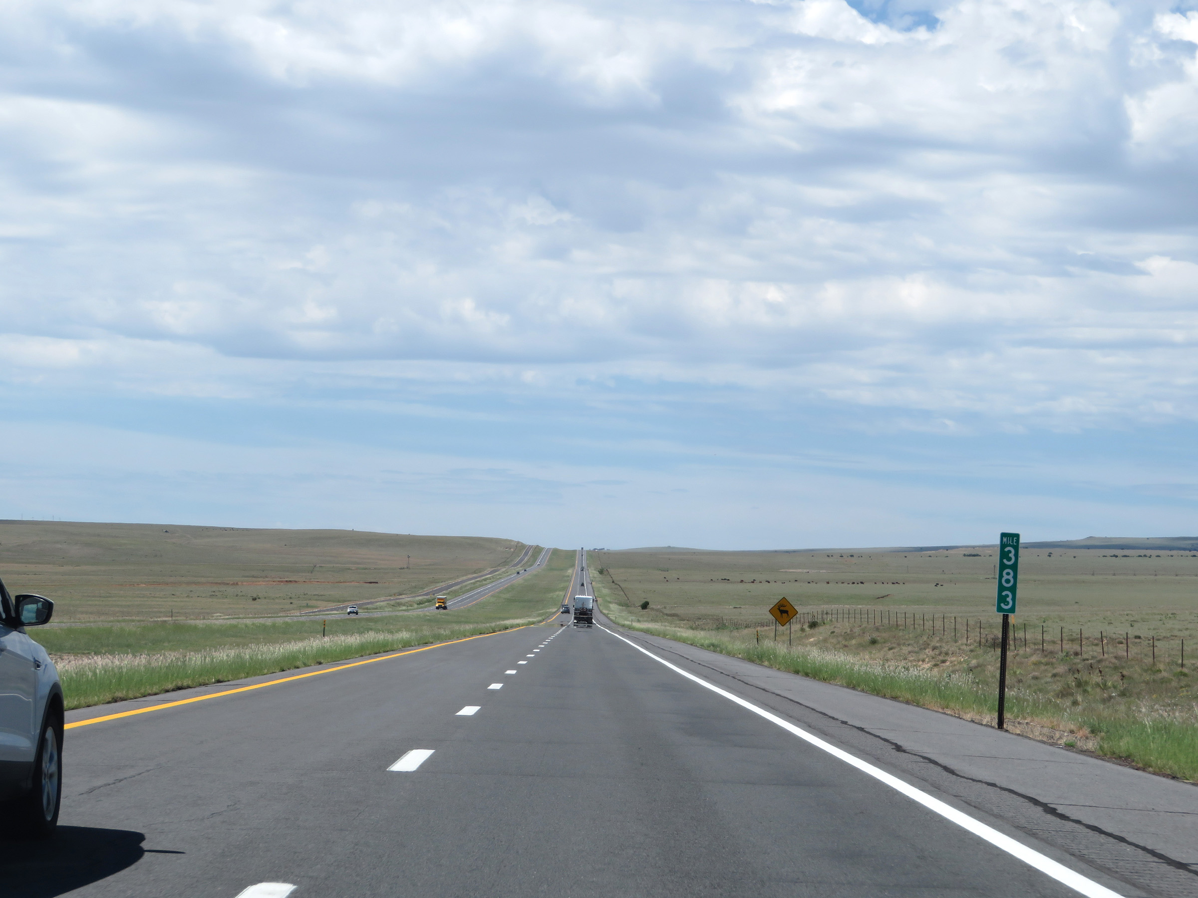 |
View on Interstate 25 South at mile marker 383. (Photo taken 8/13/20). |
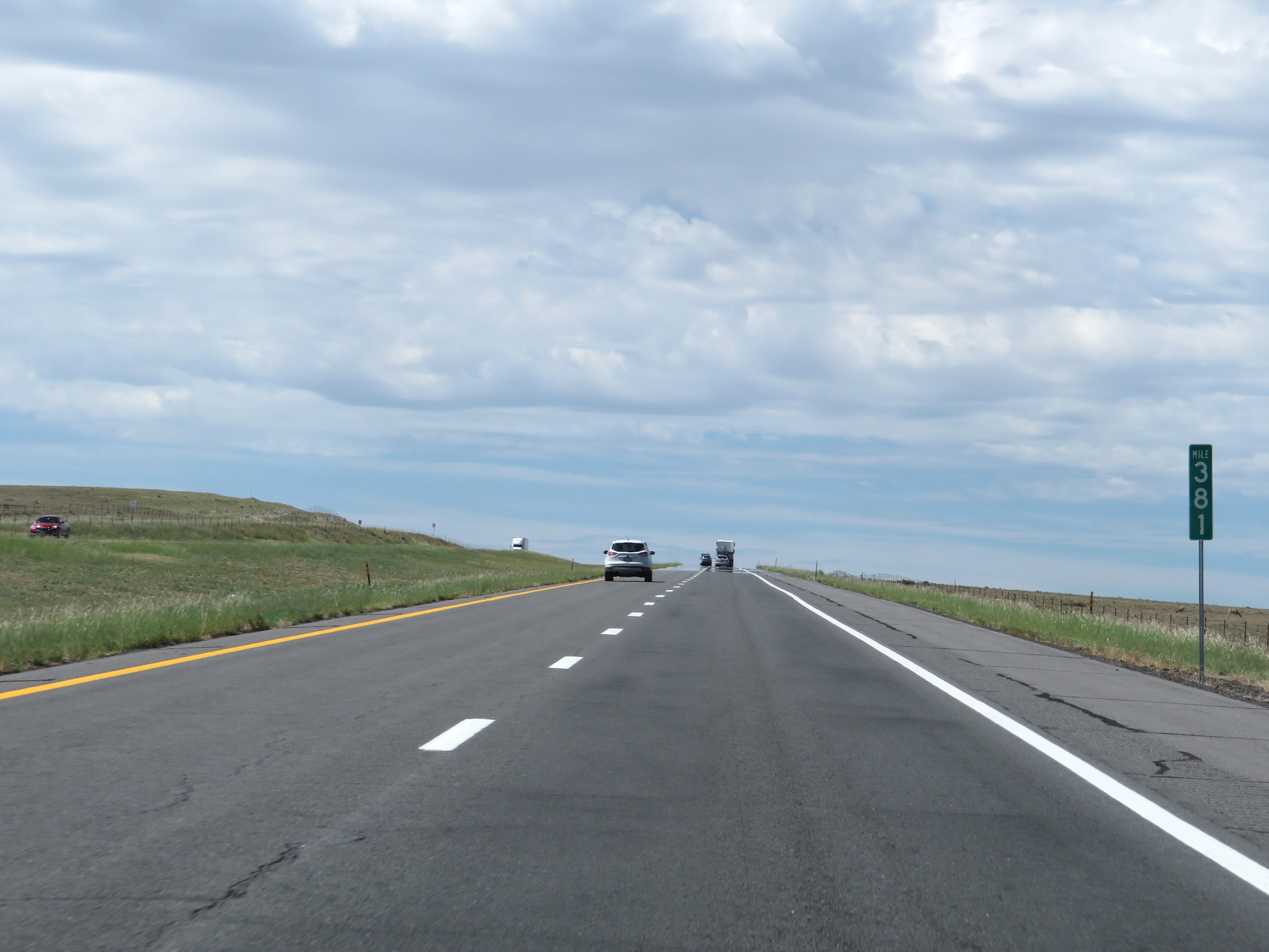 |
Mile marker 381 on Interstate 25 South in Mora County. (Photo taken 8/13/20). |
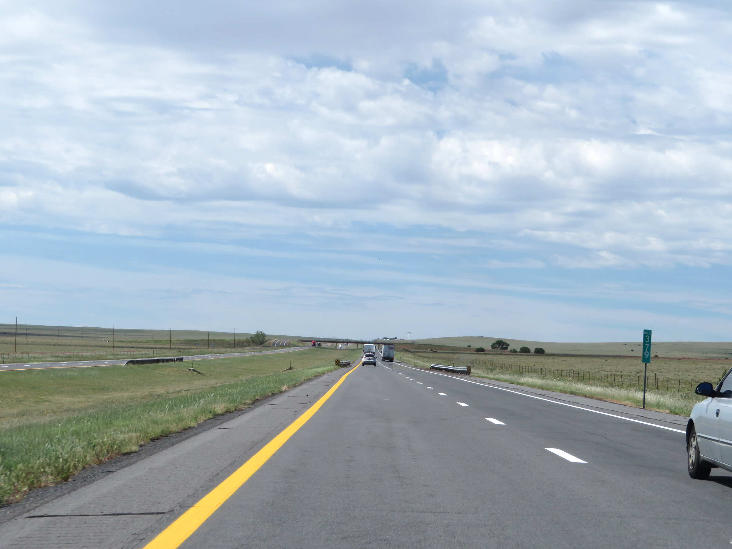 |
Interstate 25 South at mile marker 379. (Photo taken 8/13/20). |
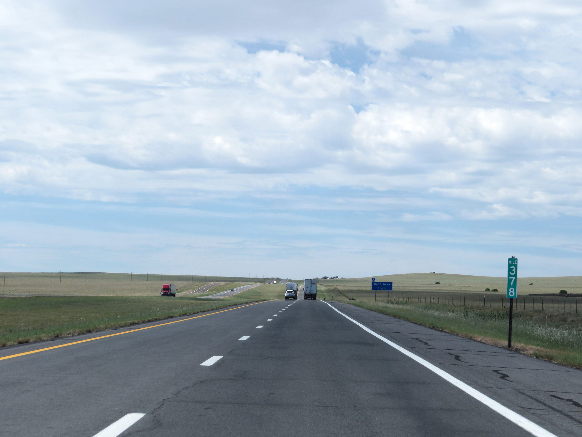 |
View on Interstate 25 South at mile marker 378. (Photo taken 8/13/20). |
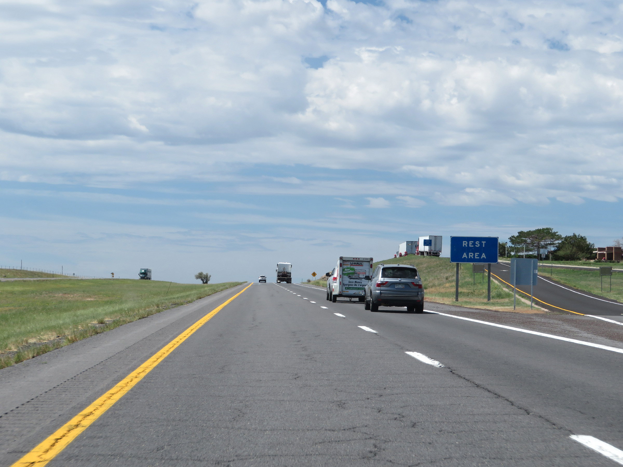 |
Rest Area on Interstate 25 South in Mora County. (Photo taken 8/13/20). |
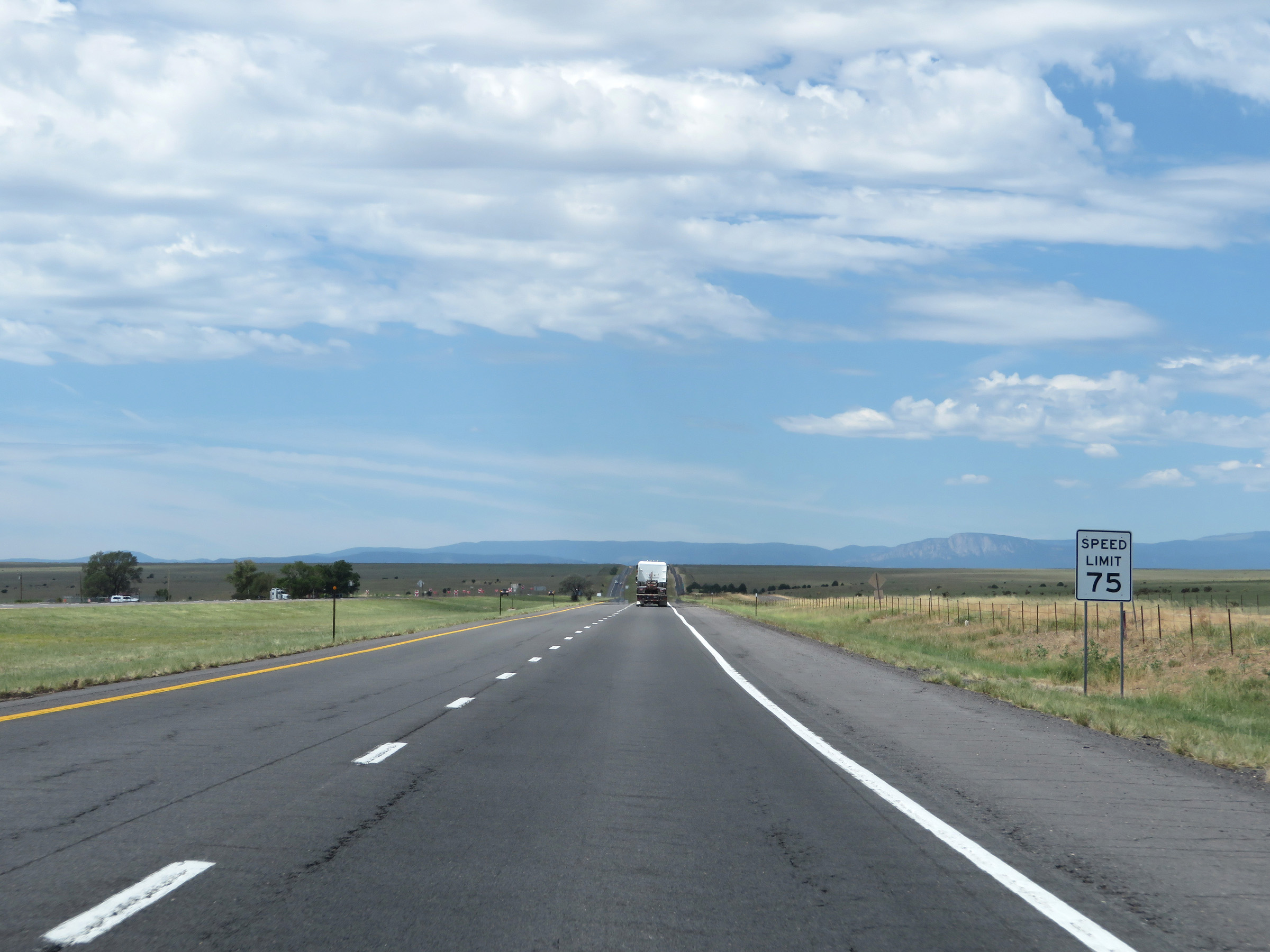 |
The speed limit remains the rural standard 75 mph for all traffic. (Photo taken 8/13/20). |
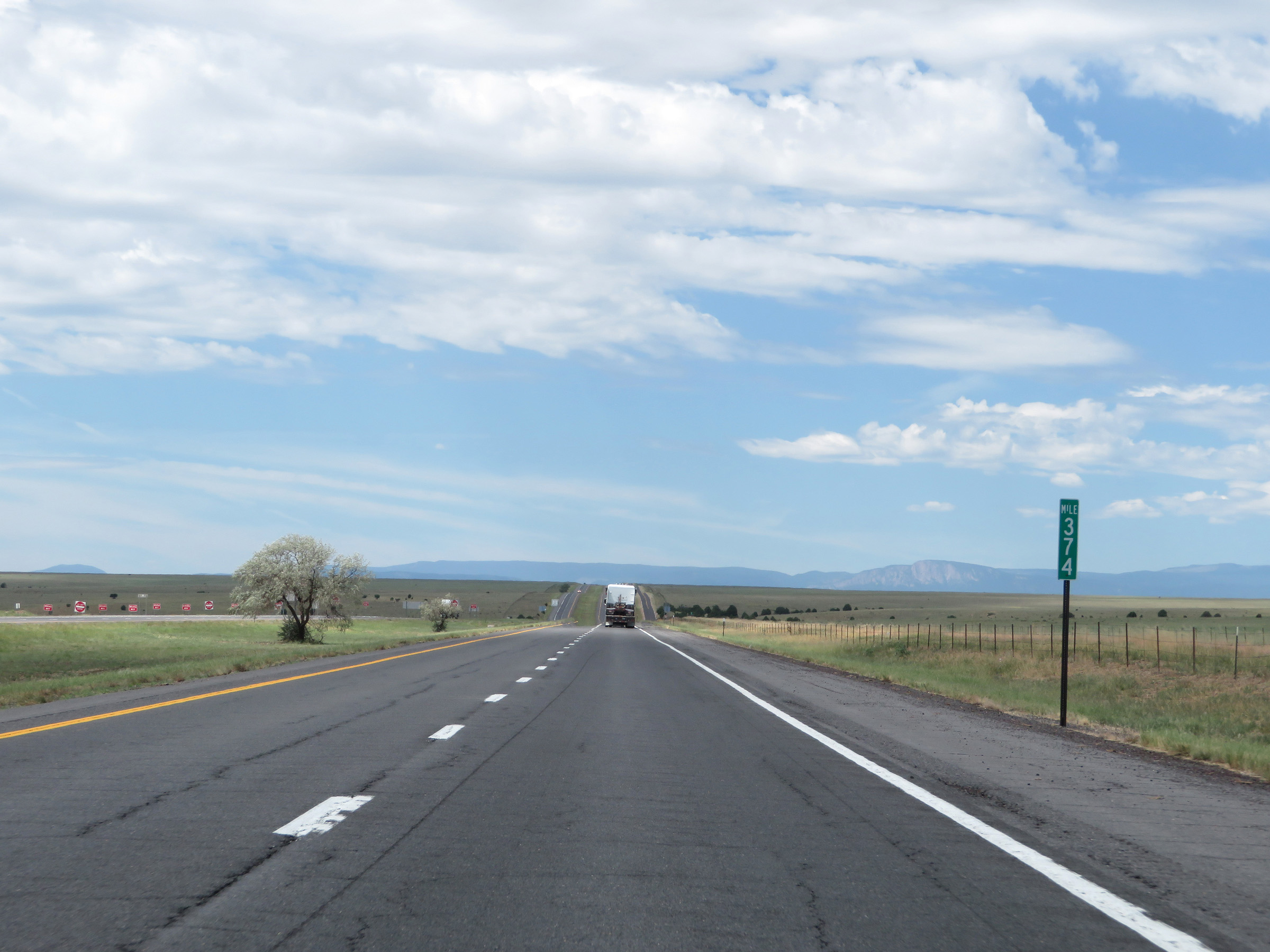 |
View on Interstate 25 South at mile marker 374. (Photo taken 8/13/20). |
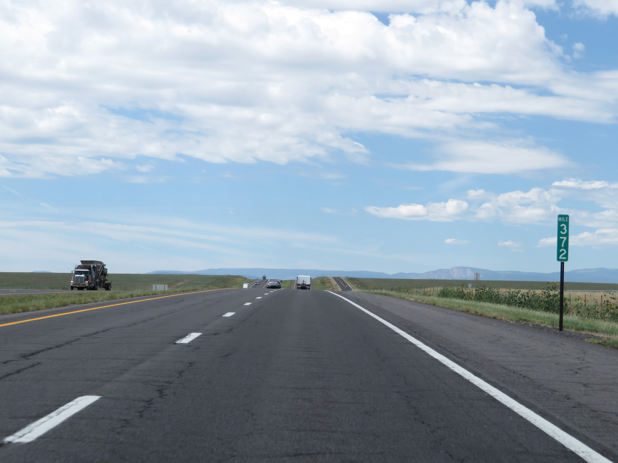 |
Interstate 25 South at mile marker 372. (Photo taken 8/13/20). |
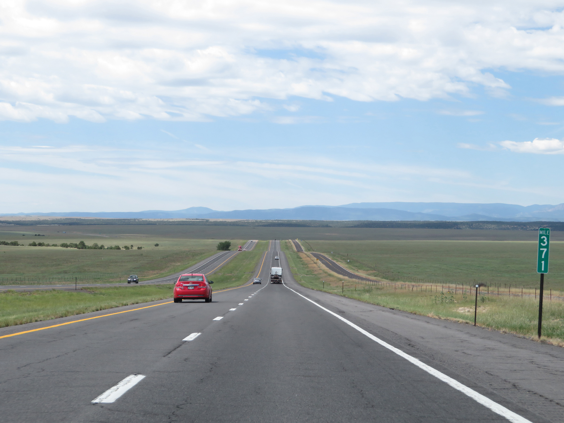 |
View on Interstate 25 South at mile marker 371. (Photo taken 8/13/20). |
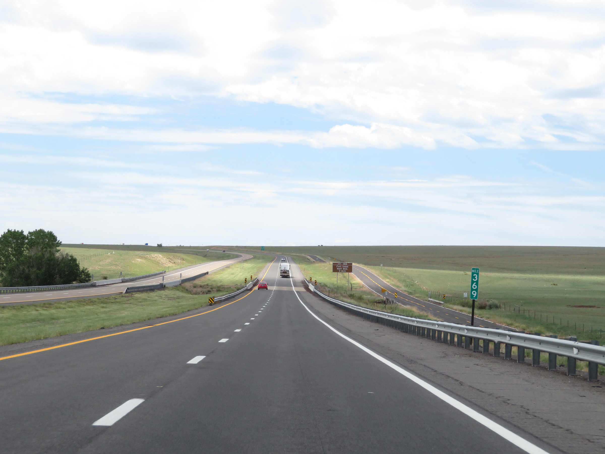 |
Mile marker 369 on Interstate 25 South in Mora County. (Photo taken 8/13/20). |
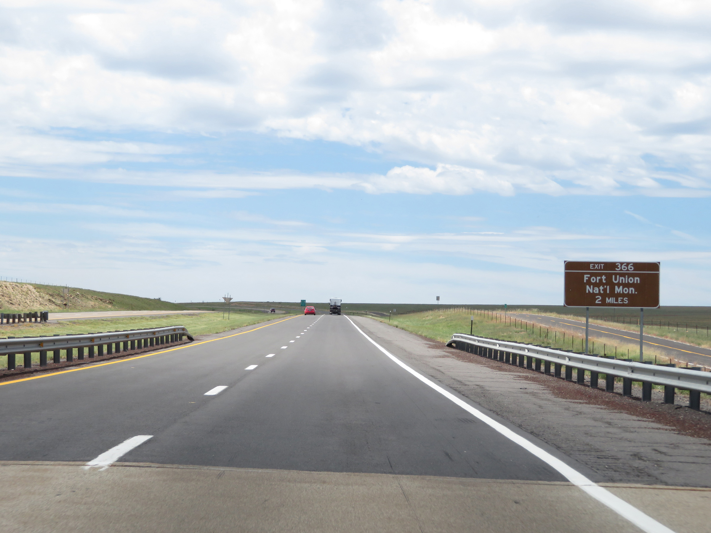 |
Take Exit 366 to Fort Union National Monument. (Photo taken 8/13/20). |
 |
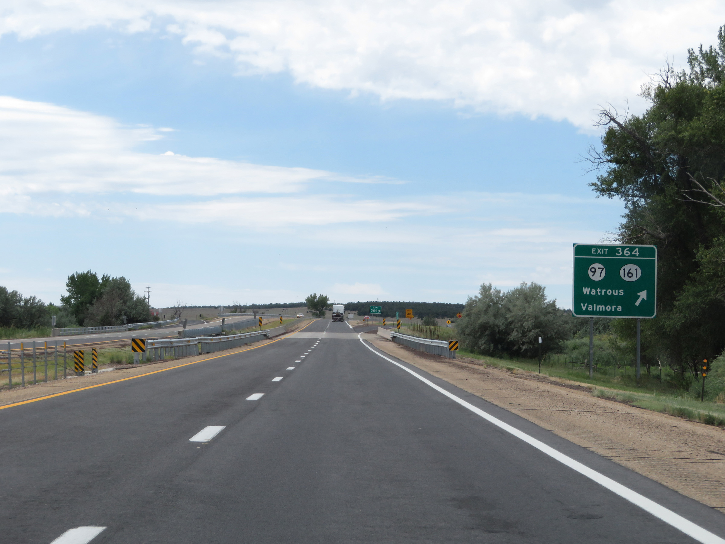
Interstate 25 South at Exit 366: NM 97 / NM 161 - Watrous / Valmora (Photo taken 8/13/20). |
 |
Another state-named Interstate 25 South reassurance shield. (Photo taken 8/13/20). |
 |
Interstate 25 South at Exit 364: NM 97 / NM 161 - Watrous / Valmora (Photo taken 8/13/20). |
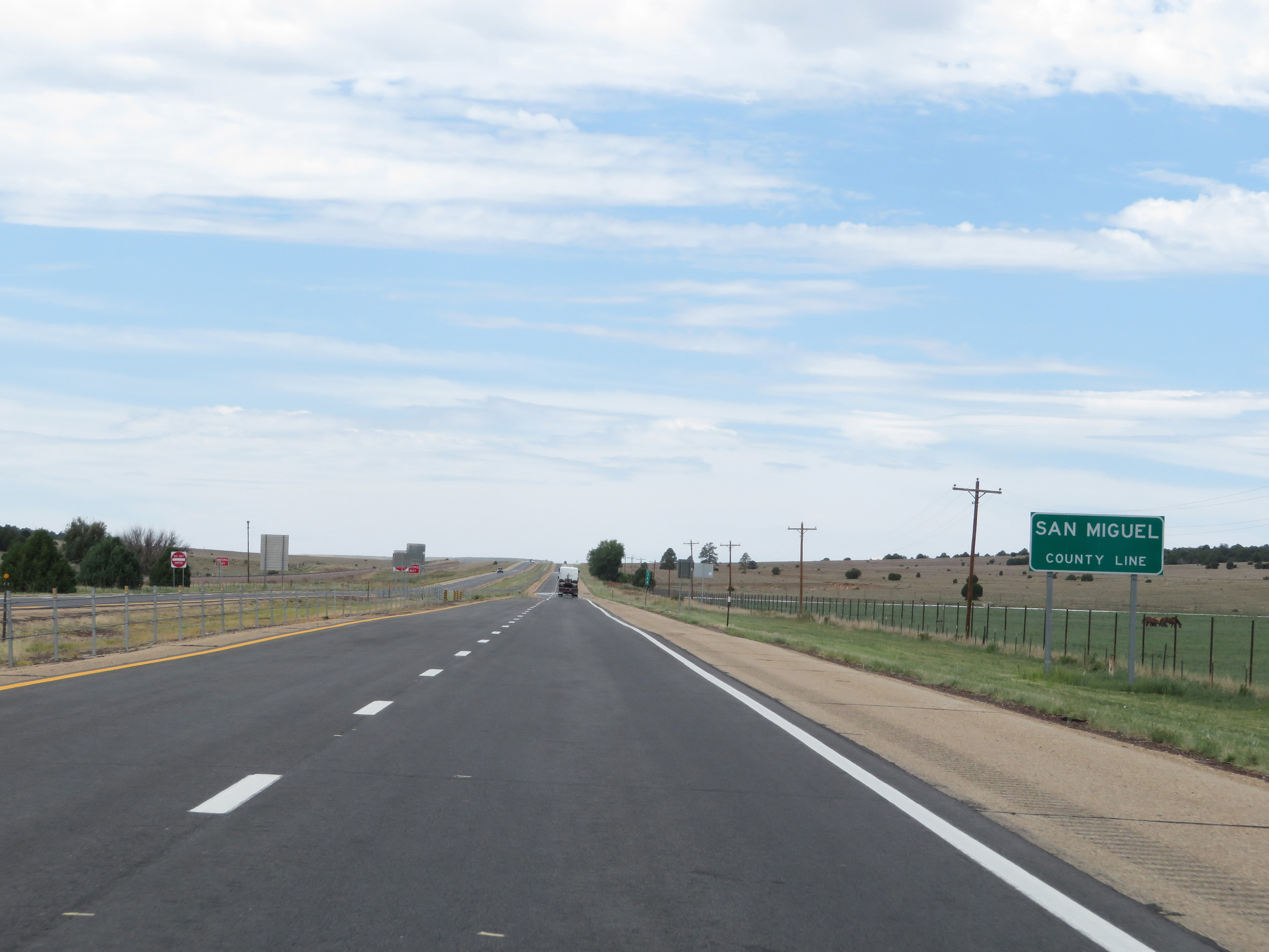 |
Interstate 25 South as it enters San Miguel County. (Photo taken 8/13/20). |
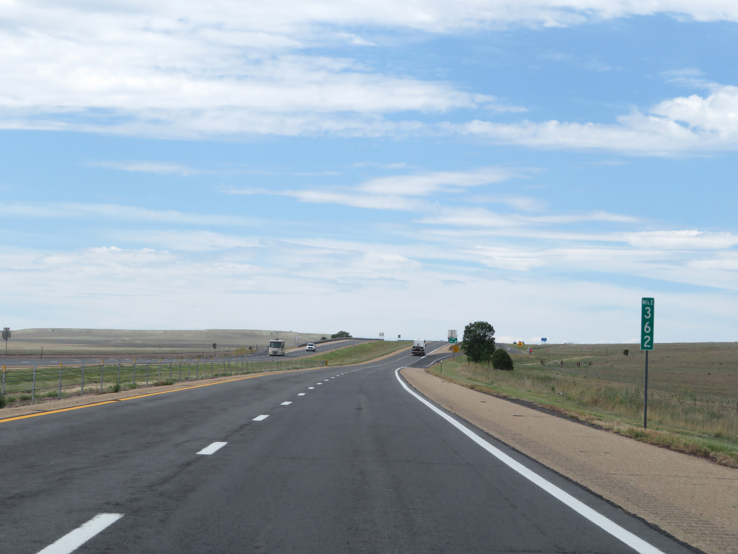 |
View on Interstate 25 South at mile marker 362. (Photo taken 8/13/20). |
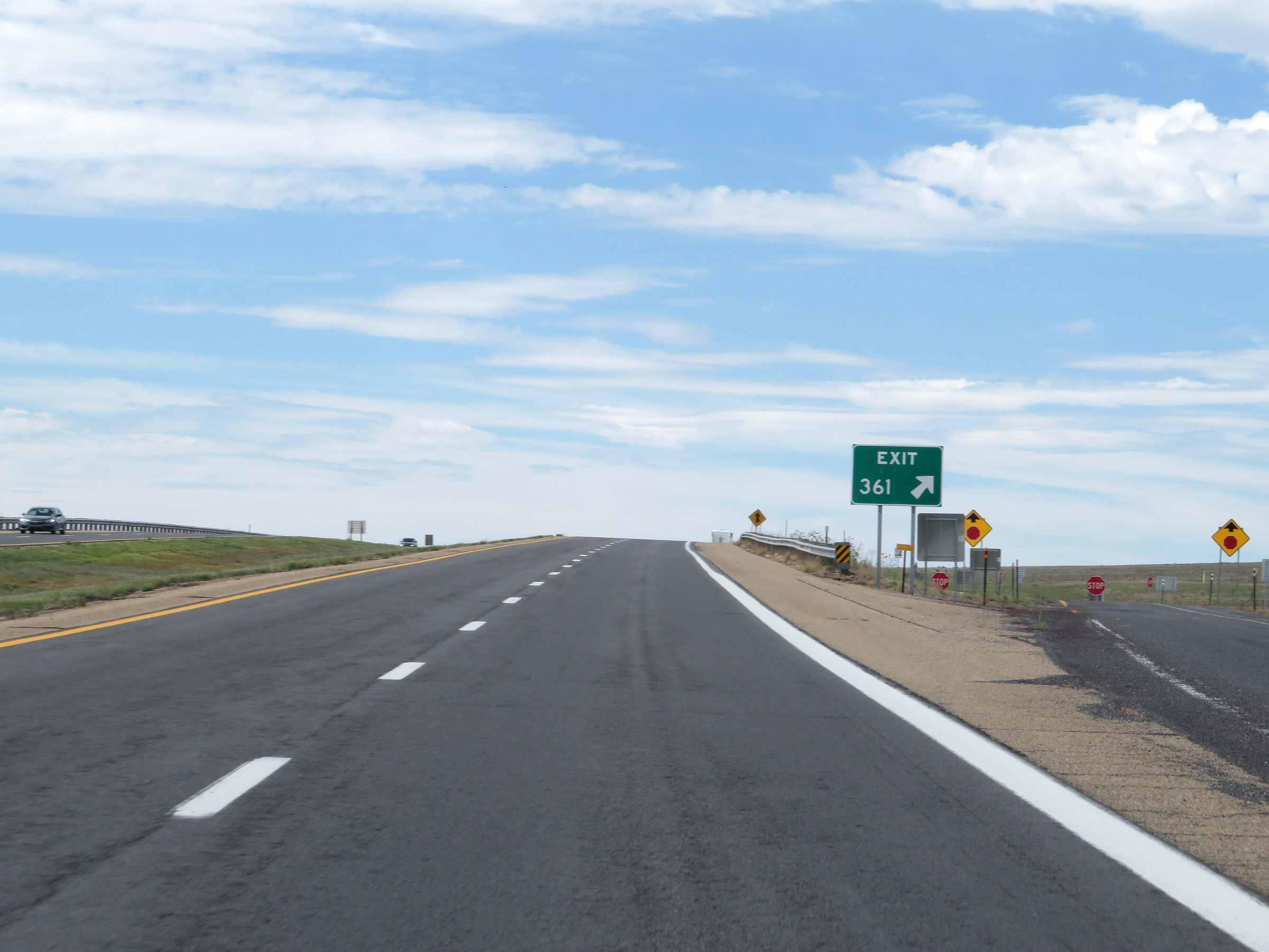 |
Interstate 25 South at Exit 361: (No Name) (Photo taken 8/13/20). |
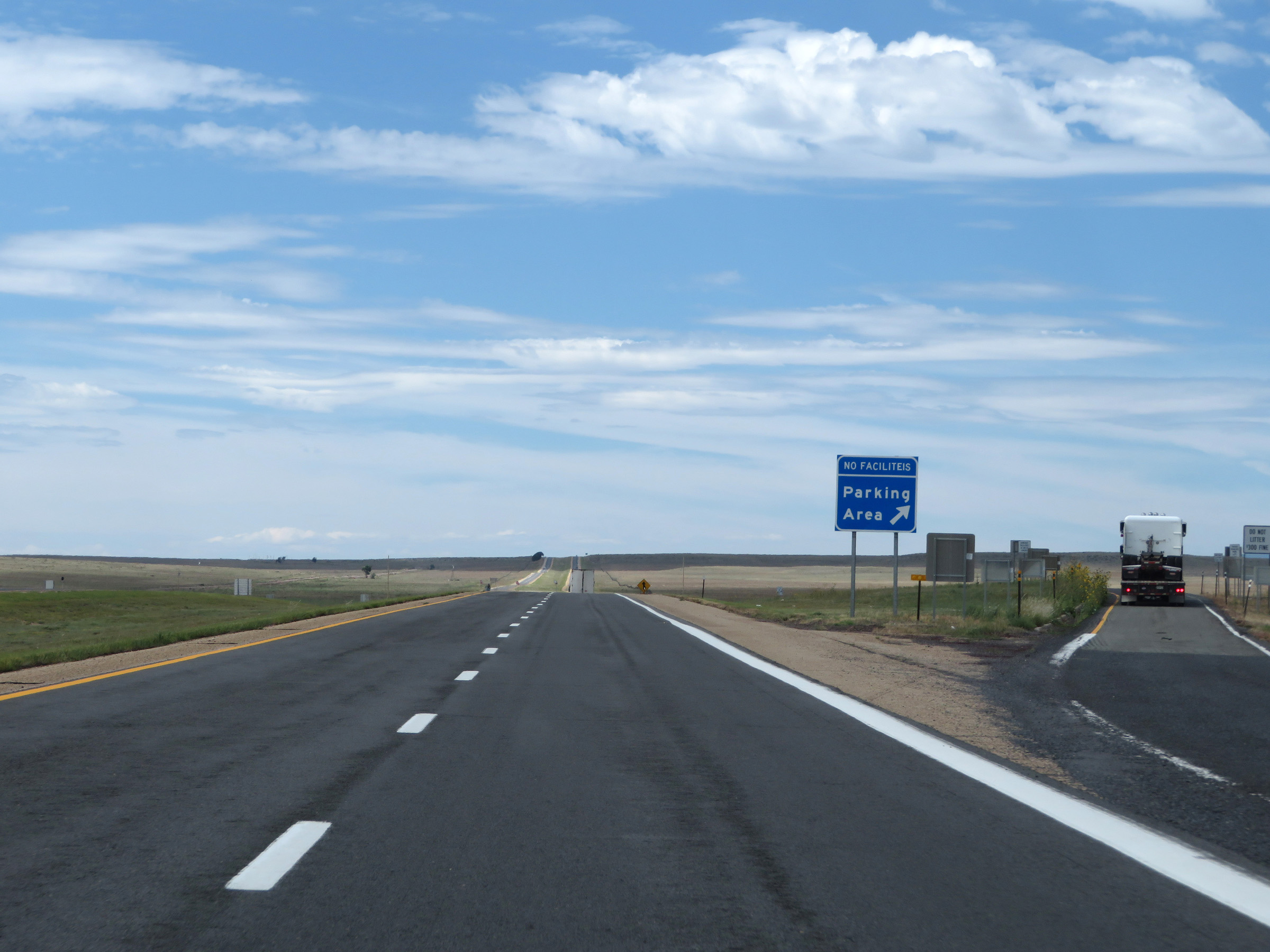 |
Parking Area on Interstate 25 South in San Miguel County. (Photo taken 8/13/20). |
 |
View on Interstate 25 South at mile marker 360. (Photo taken 8/13/20). |
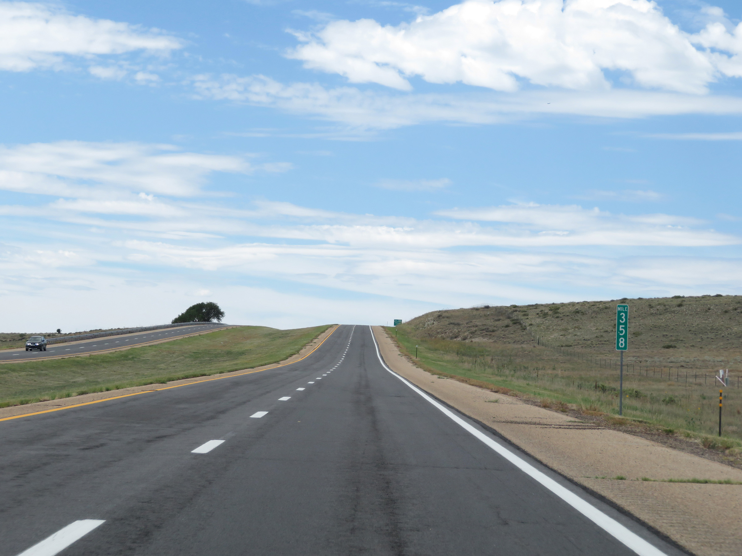 |
Interstate 25 South at mile marker 358. (Photo taken 8/13/20). |
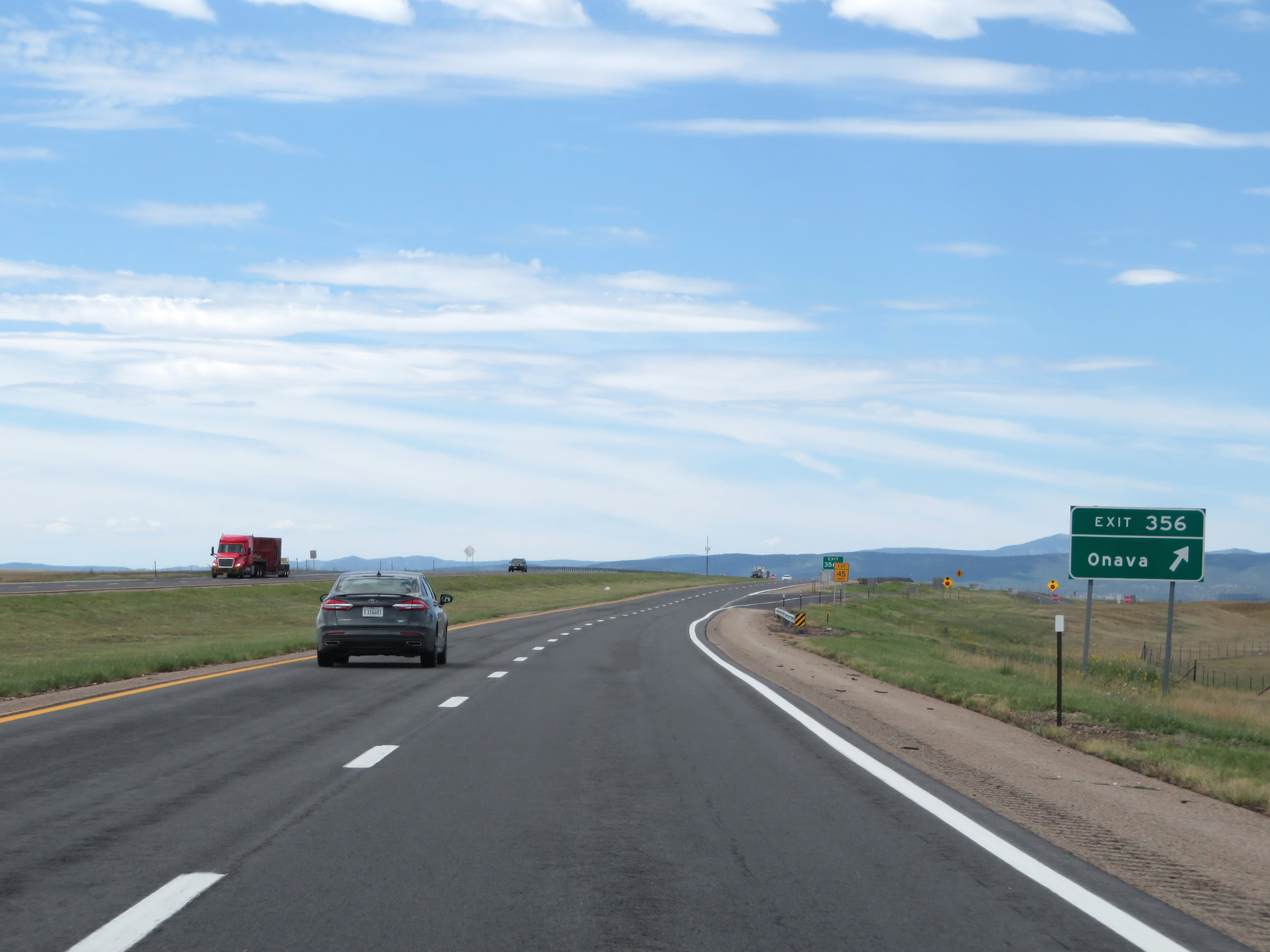 |
Interstate 25 South at Exit 356: Onava (Photo taken 8/13/20). |
 |
The speed limit on Interstate 25 South remains 75 mph. (Photo taken 8/13/20). |
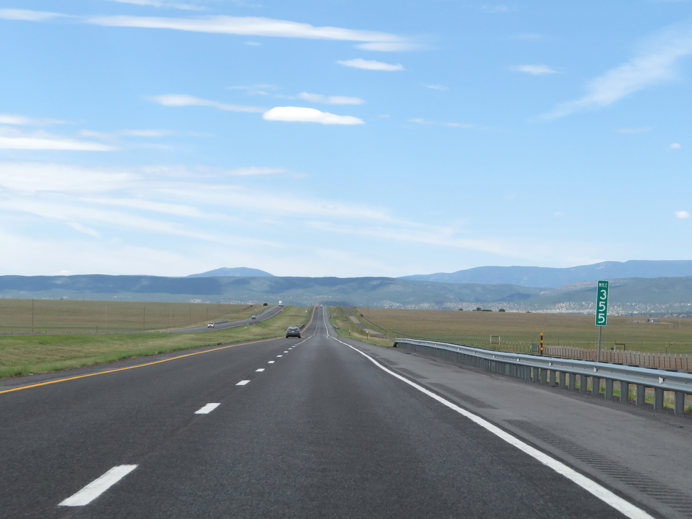 |
Interstate 25 South at mile marker 355. (Photo taken 8/13/20). |
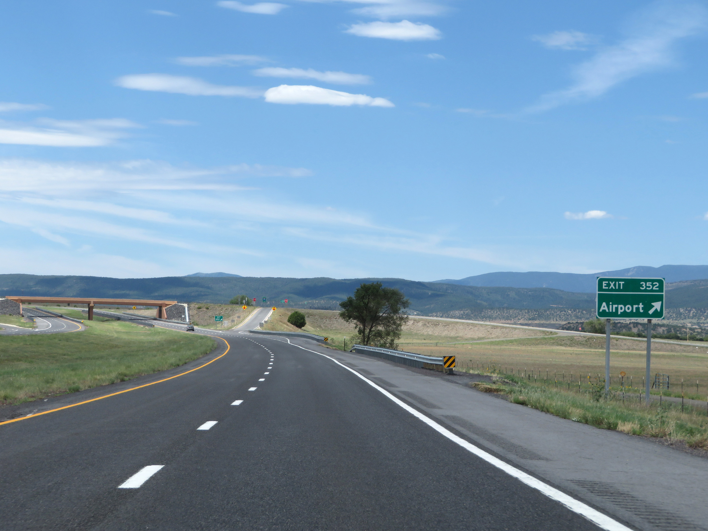 |
Interstate 25 South at Exit 352: Airport (Photo taken 8/13/20). |
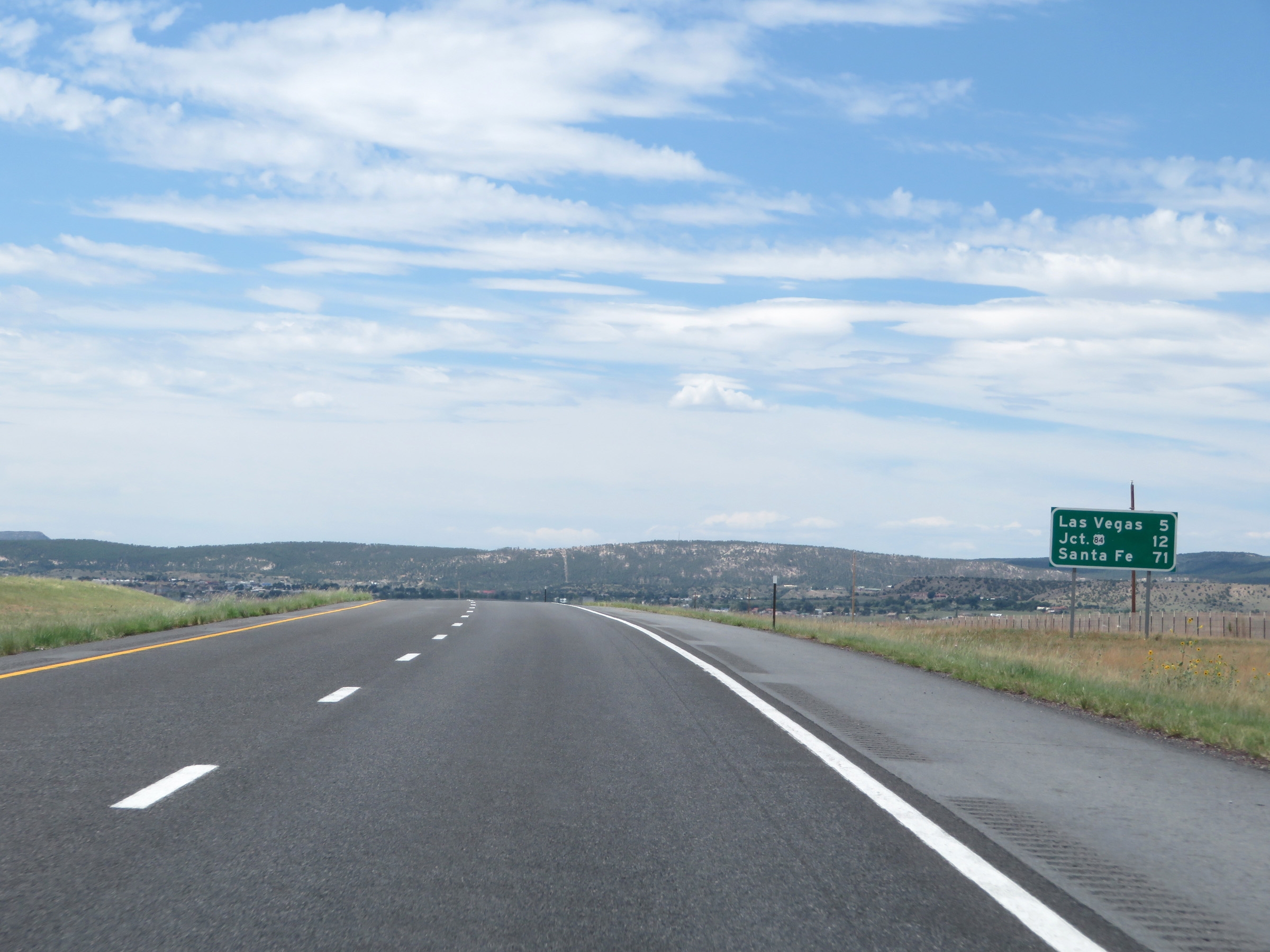 |
Another mileage sign on Interstate 25 South. It's now just 5 miles to Las Vegas, 12 miles to the junction of US 84, and 71 miles to Santa Fe. (Photo taken 8/13/20). |
 |
View on Interstate 25 South at mile marker 351. (Photo taken 8/13/20). |
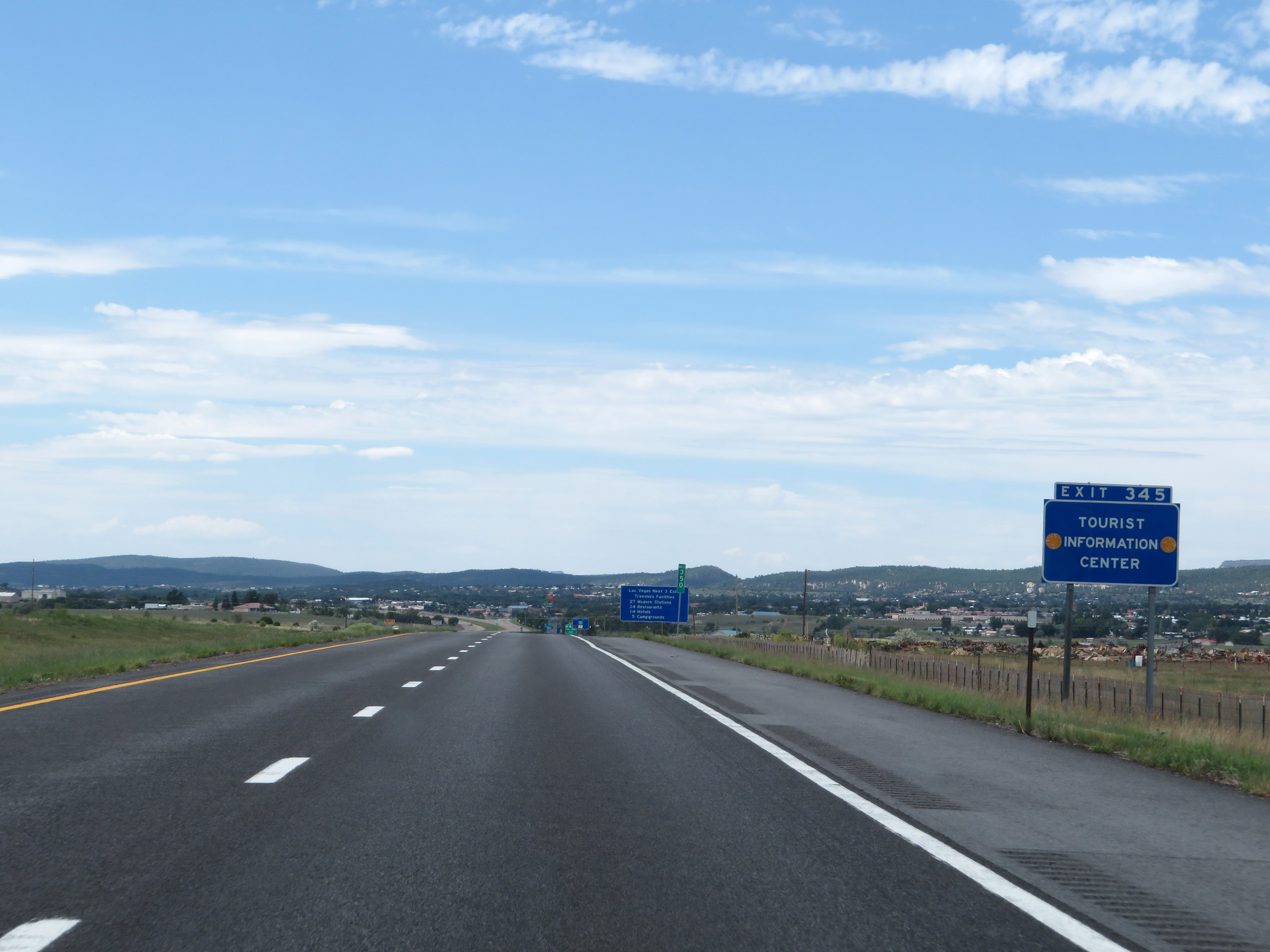 |
A Tourist Information Center exists off Exit 345 ahead. (Photo taken 8/13/20). |
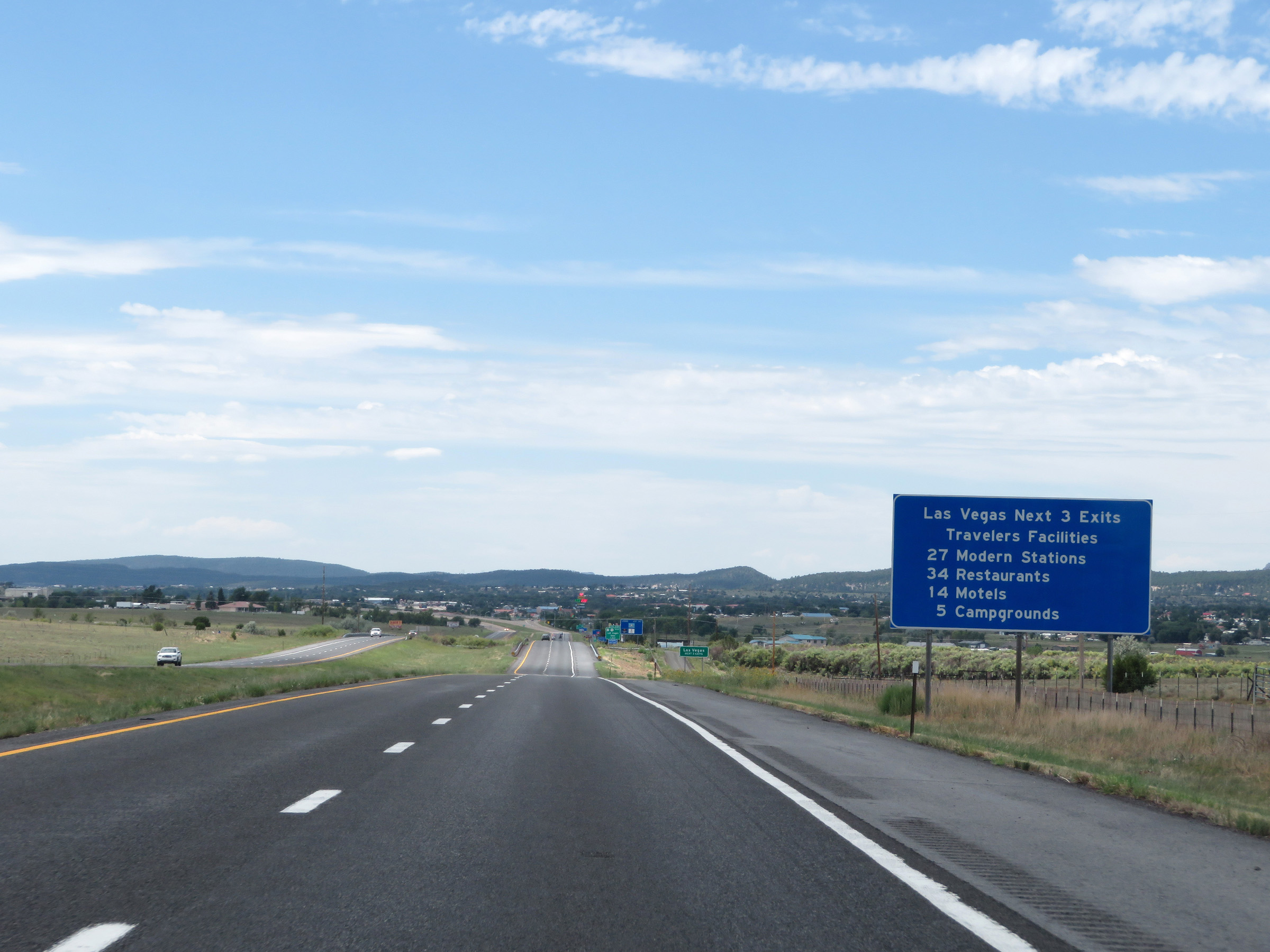 |
This sign gives a summary of the number and types of services available at the next 3 exits in Las Vegas. (Photo taken 8/13/20). |
 |
Take any of the next 3 exits to Las Vegas. (Photo taken 8/13/20). |
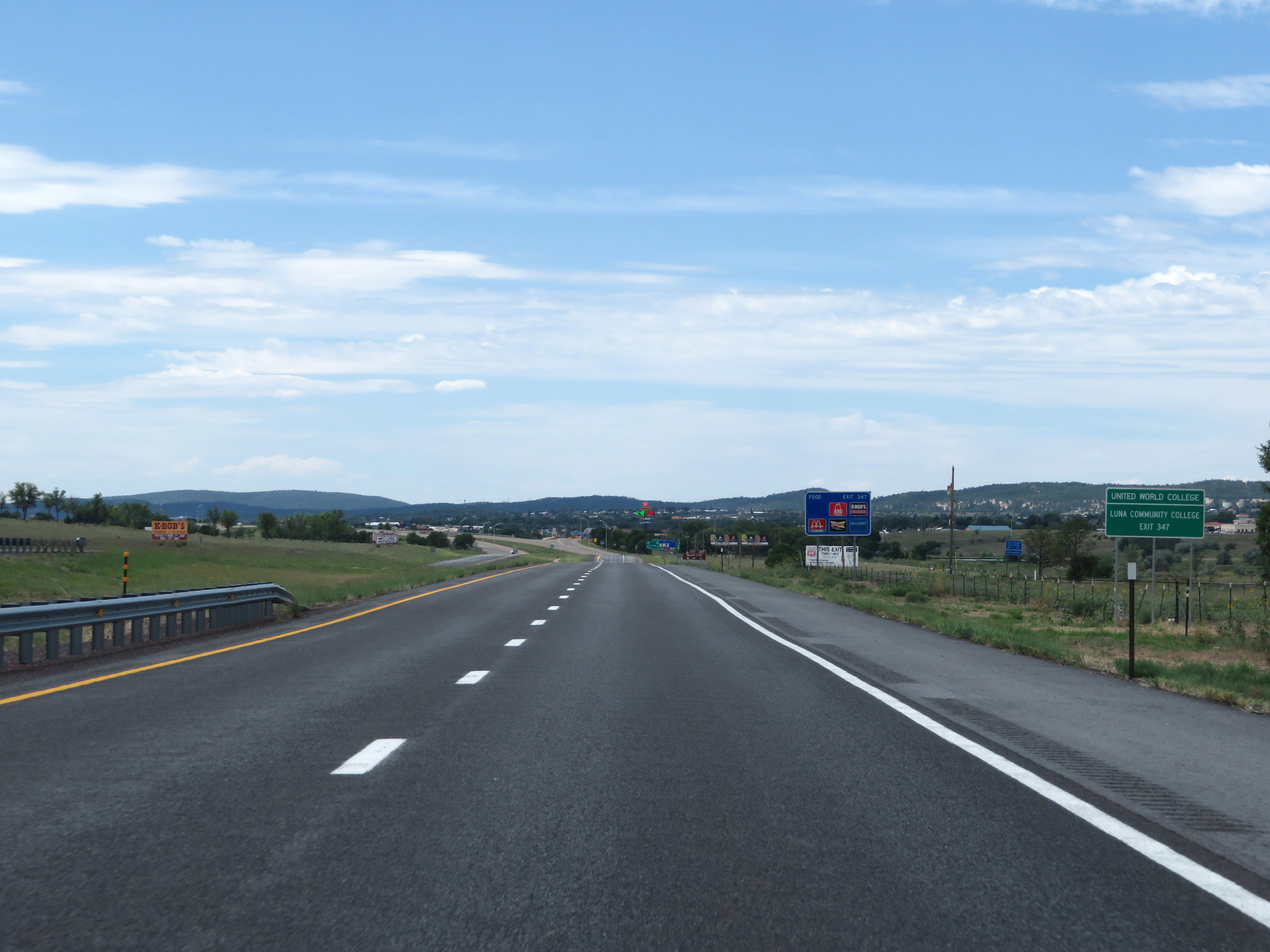 |
Take Exit 347 to United World College and Luna Community College. (Photo taken 8/13/20). |
 |
Also take Exit 347 to Storrie Lake. (Photo taken 8/13/20). |
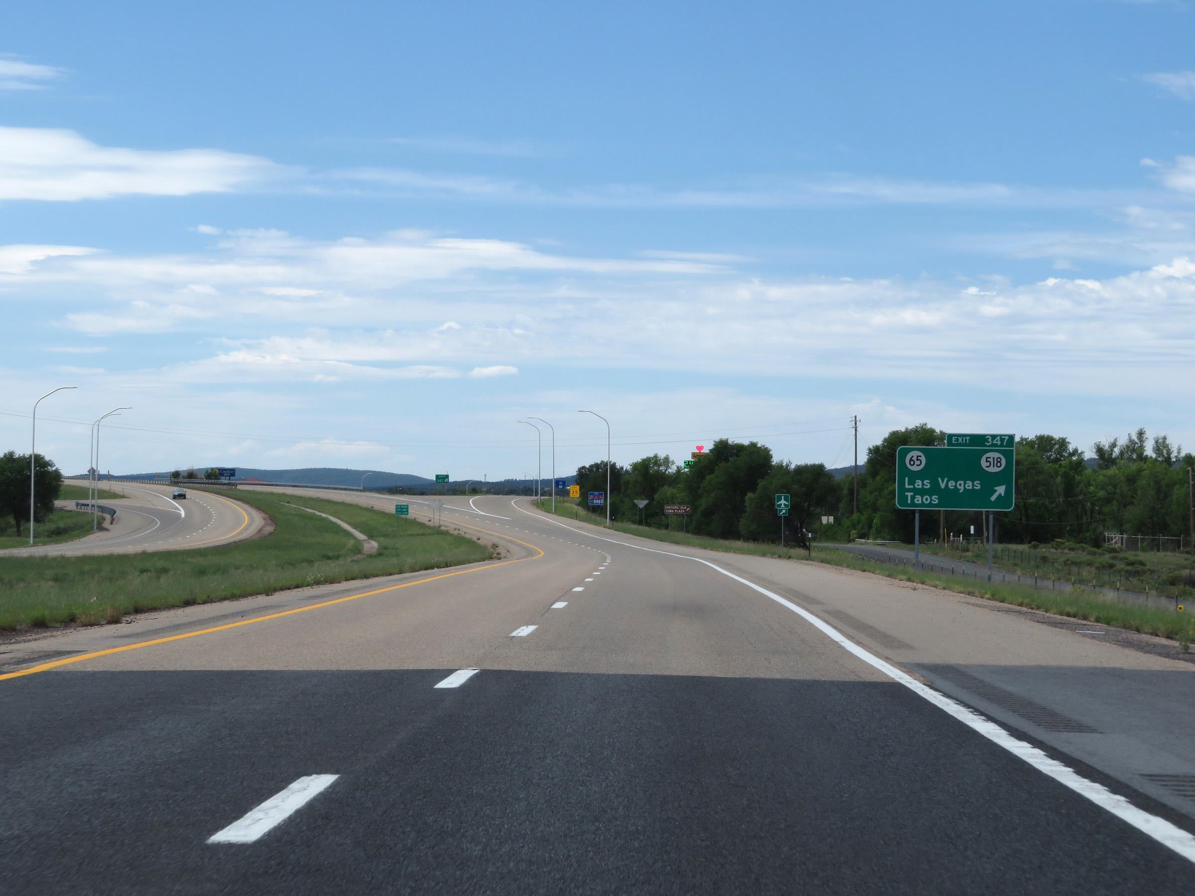 |
Interstate 25 South at Exit 347: NM 65 / NM 518 - Las Vegas / Taos (Photo taken 8/13/20). |
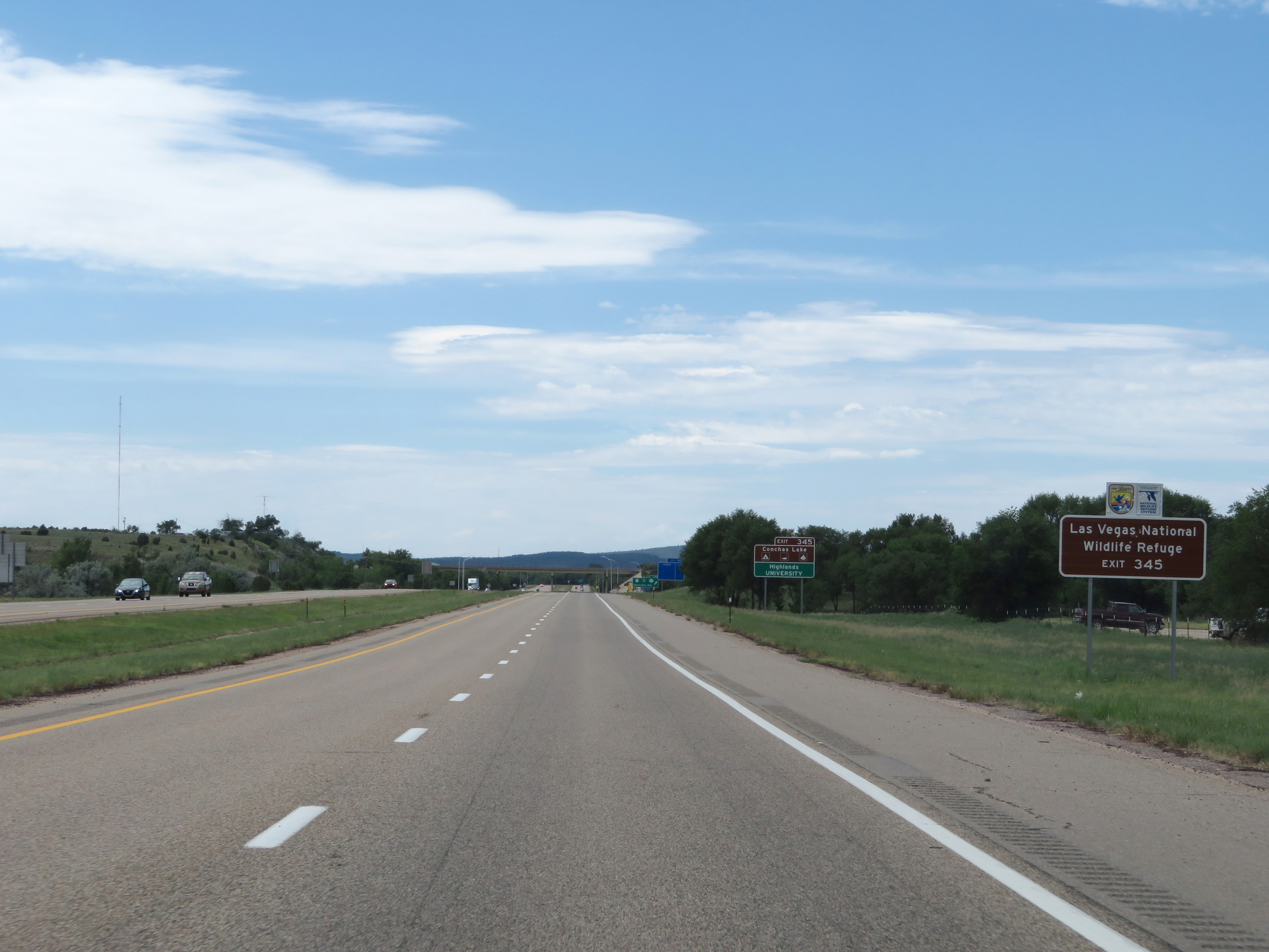 |
Take Exit 345 to Las Vegas National Wildlife Refuge. (Photo taken 8/13/20). |
 |
Also take Exit 345 to Conchas Lake and Highlands University. (Photo taken 8/13/20). |
 |
Interstate 25 South at Exit 345: NM 65 / Interstate 25 Business / NM 104 - University Ave (Photo taken 8/13/20). |
 |
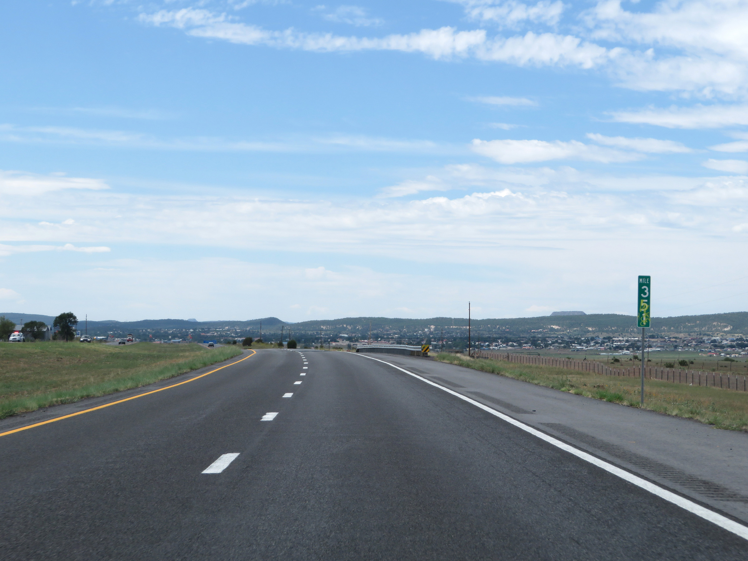
View on Interstate 25 South at mile marker 345. (Photo taken 8/13/20). |
 |
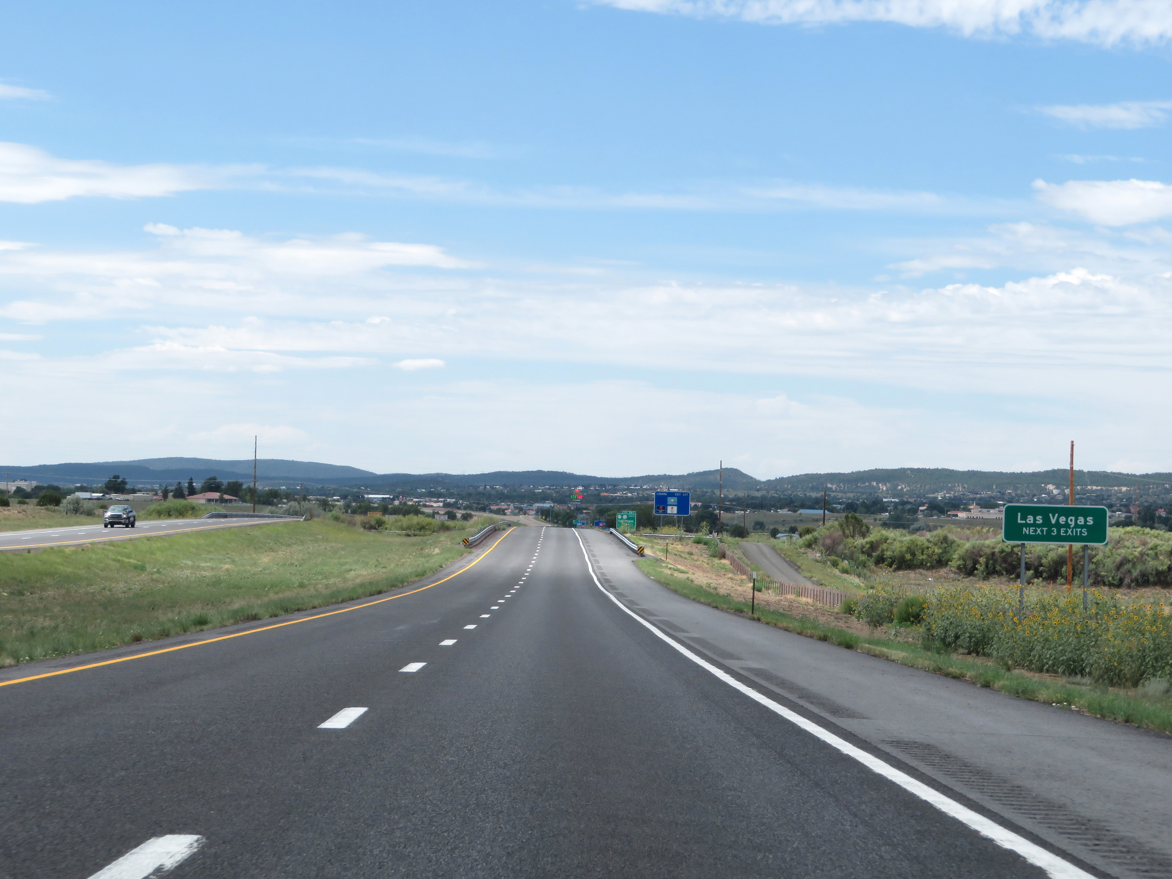
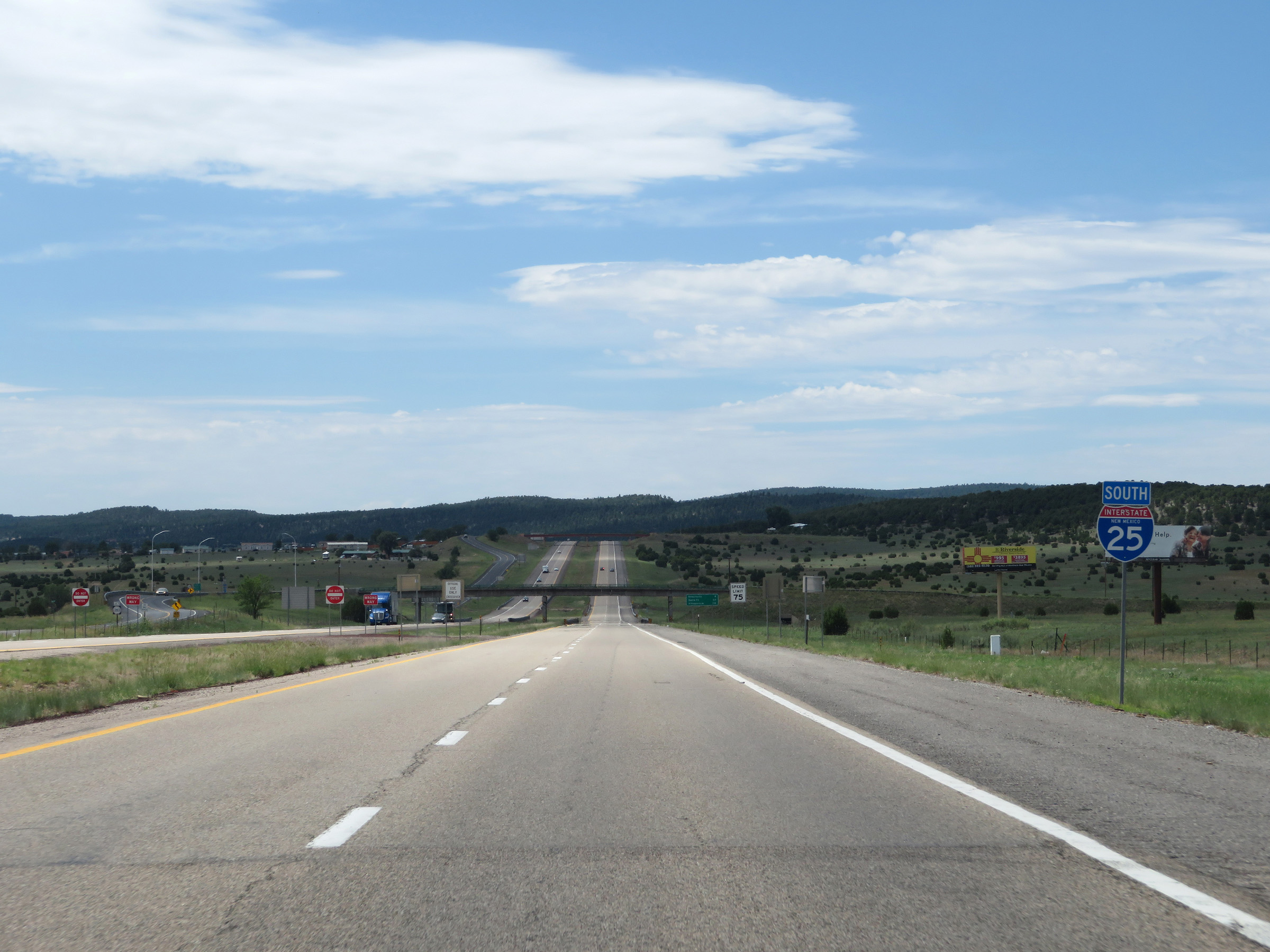
Interstate 25 South at Exit 343: NM 283 / Interstate 25 Business Loop / NM 329 - Las Vegas (Photo taken 8/13/20). |
Section 3: Las Vegas (Exit 343) to Santa Fe (Exit 282B)
 |
This sign warns motorists to watch for elk entering the right of way for the next 3 miles. (Photo taken 8/13/20). |
 |
State-named Interstate 25 South reassurance shield leaving the Las Vegas area. (Photo taken 8/13/20). |
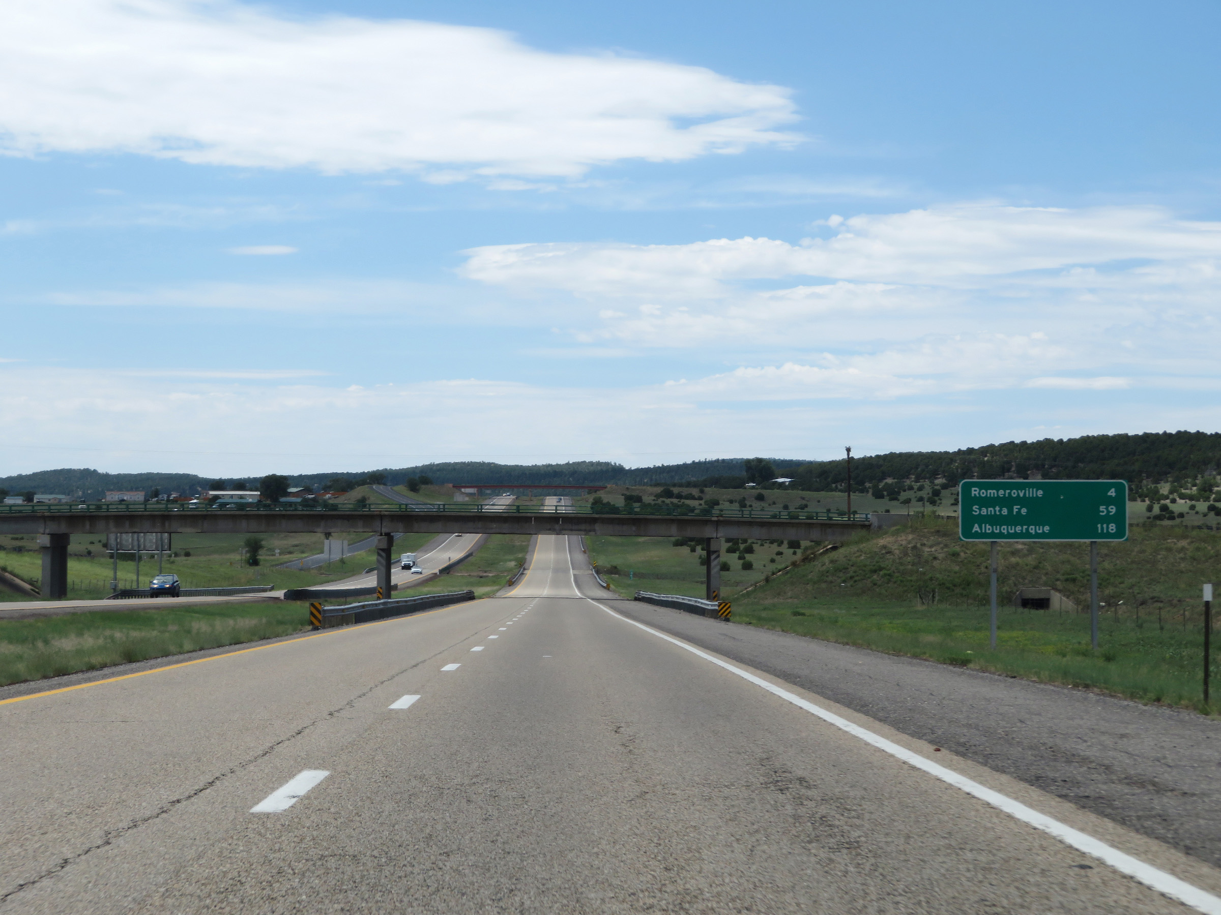 |
Mileage sign on Interstate 25 South. It's 4 miles to Romeroville, 59 miles to Santa Fe, and 118 miles to Albuquerque. (Photo taken 8/13/20). |
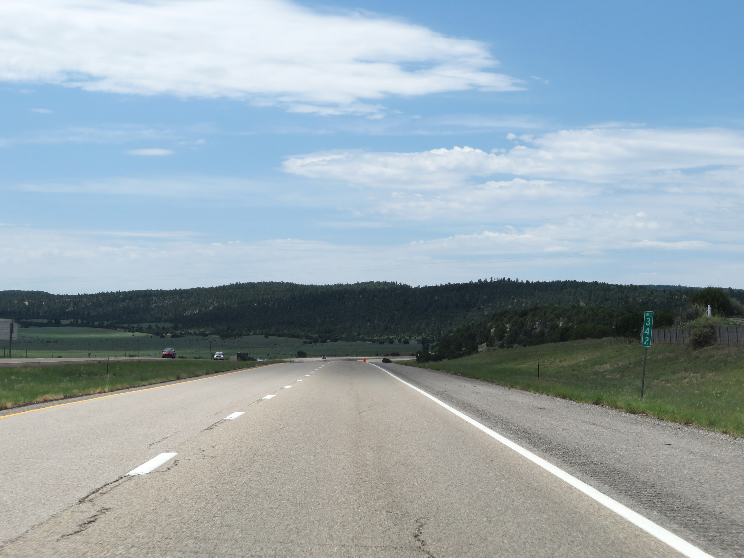 |
View on Interstate 25 South at mile marker 342. (Photo taken 8/13/20). |
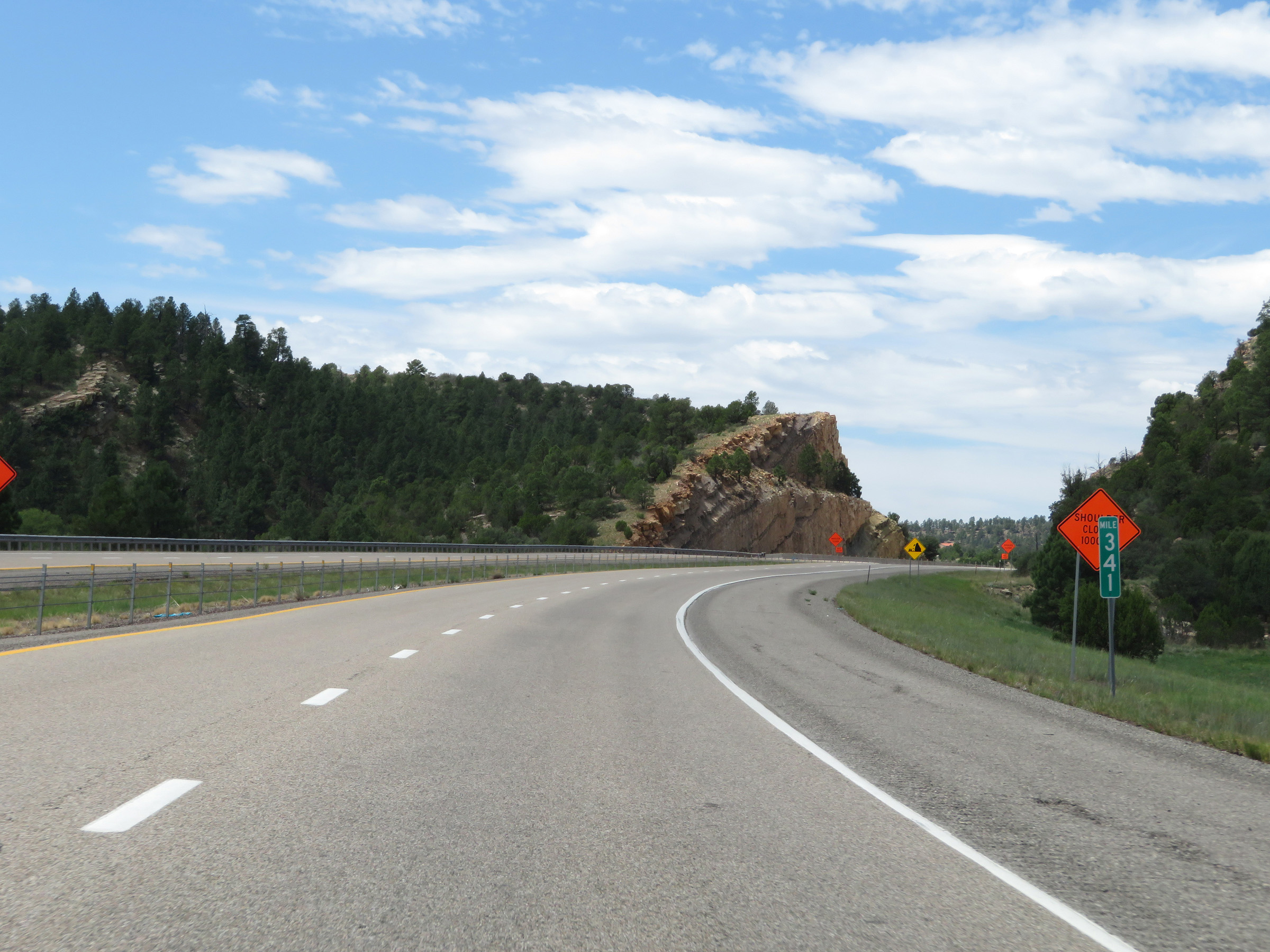 |
Interstate 25 South at mile marker 341. (Photo taken 8/13/20). |
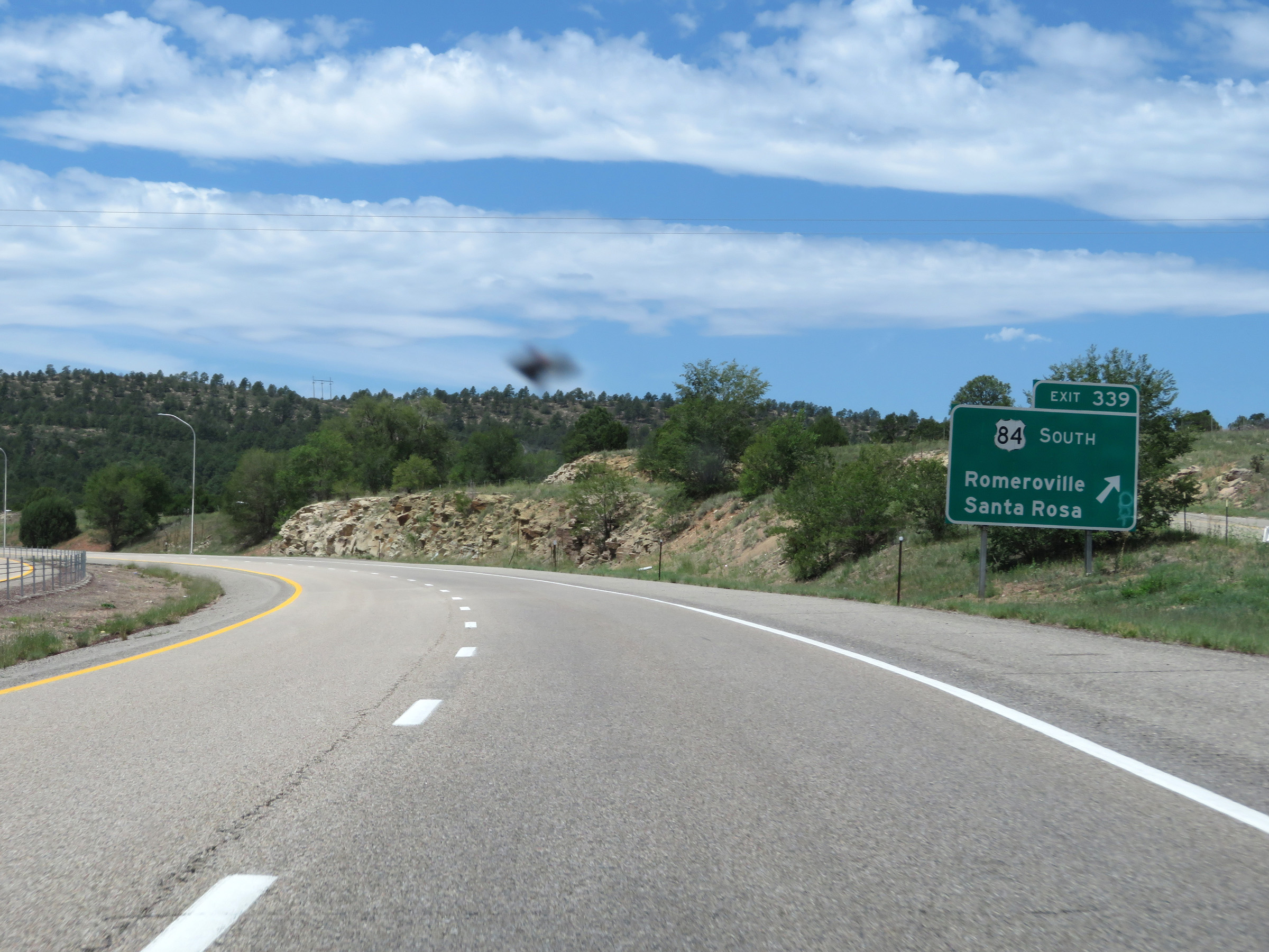 |
Interstate 25 South at Exit 339: US 84 South - Romeroville / Santa Rosa (Photo taken 8/13/20). |
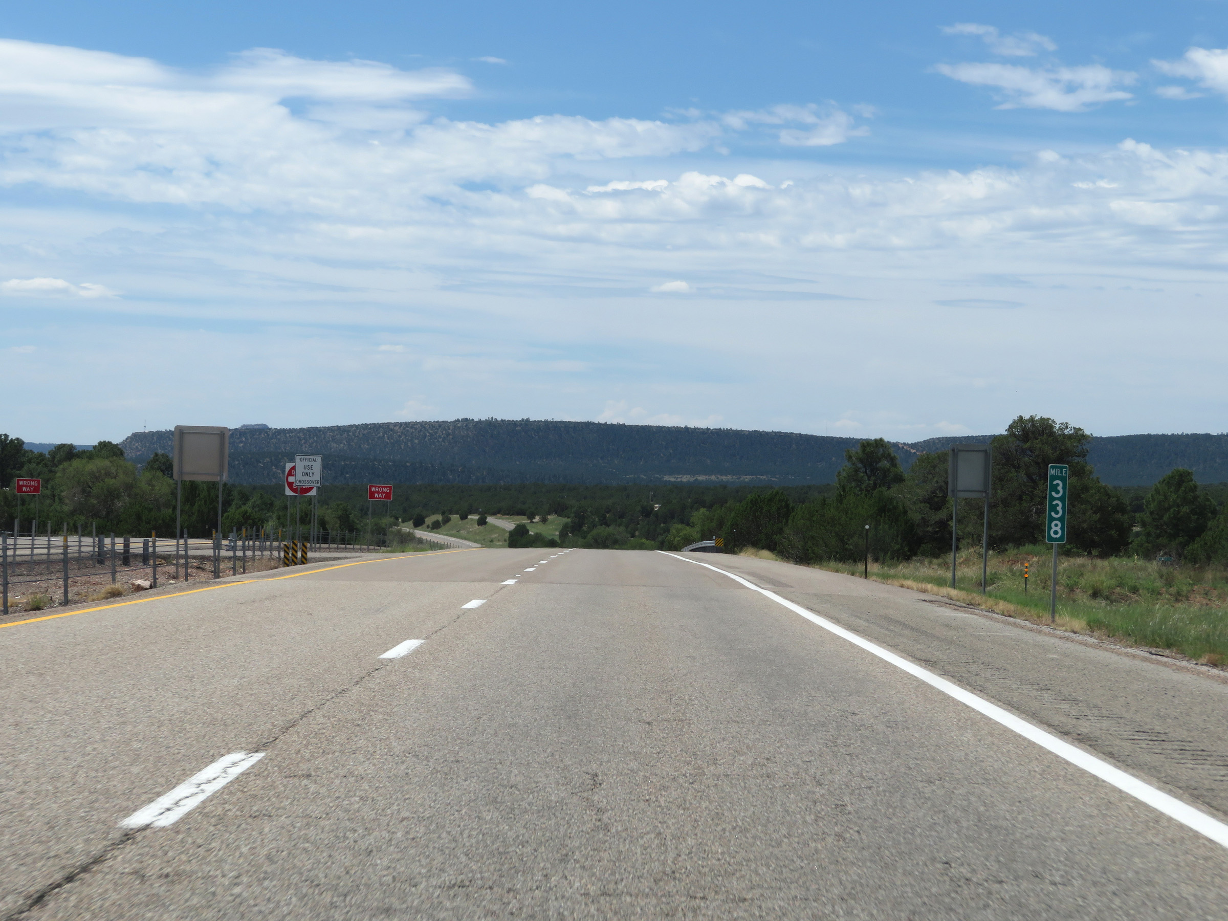 |
View on Interstate 25 South at mile marker 338. (Photo taken 8/13/20). |
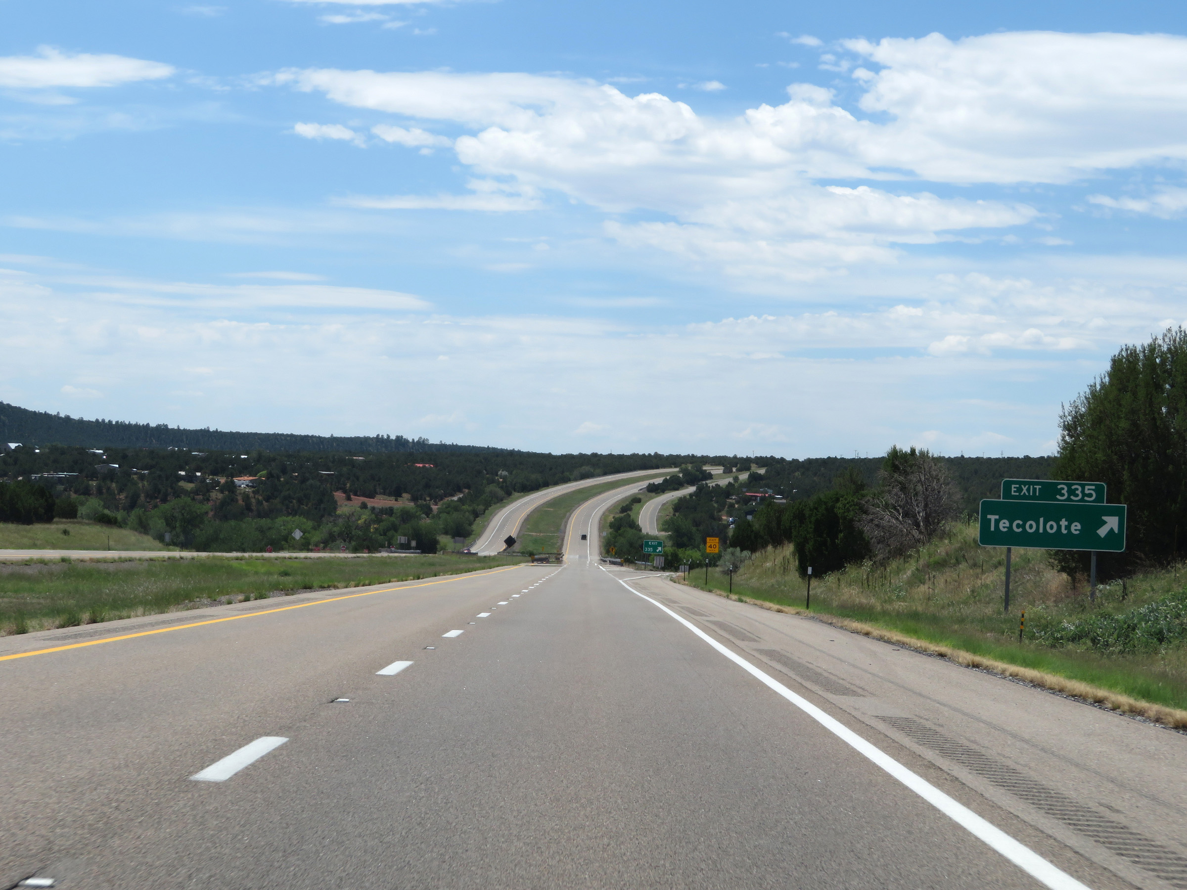 |
Interstate 25 South at Exit 335: Tecolote (Photo taken 8/13/20). |
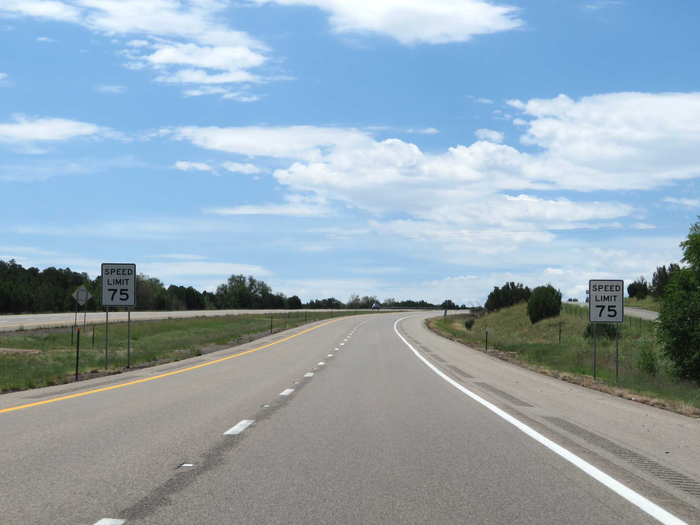 |
The speed limit remains 75 mph for all traffic on Interstate 25 South. (Photo taken 8/13/20). |
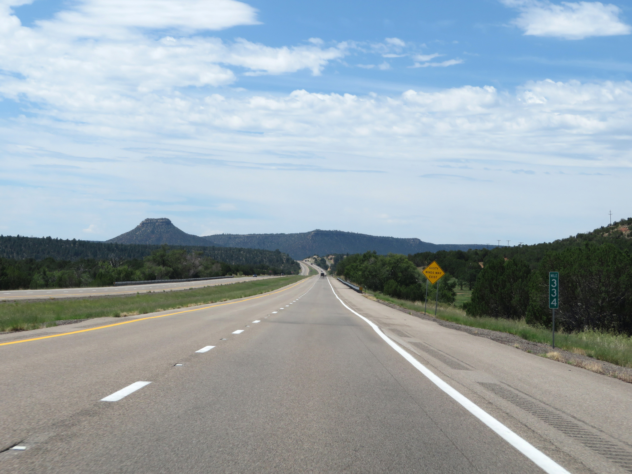 |
View on Interstate 25 South at mile marker 334. (Photo taken 8/13/20). |
 |
Interstate 25 South at mile marker 332. (Photo taken 8/13/20). |
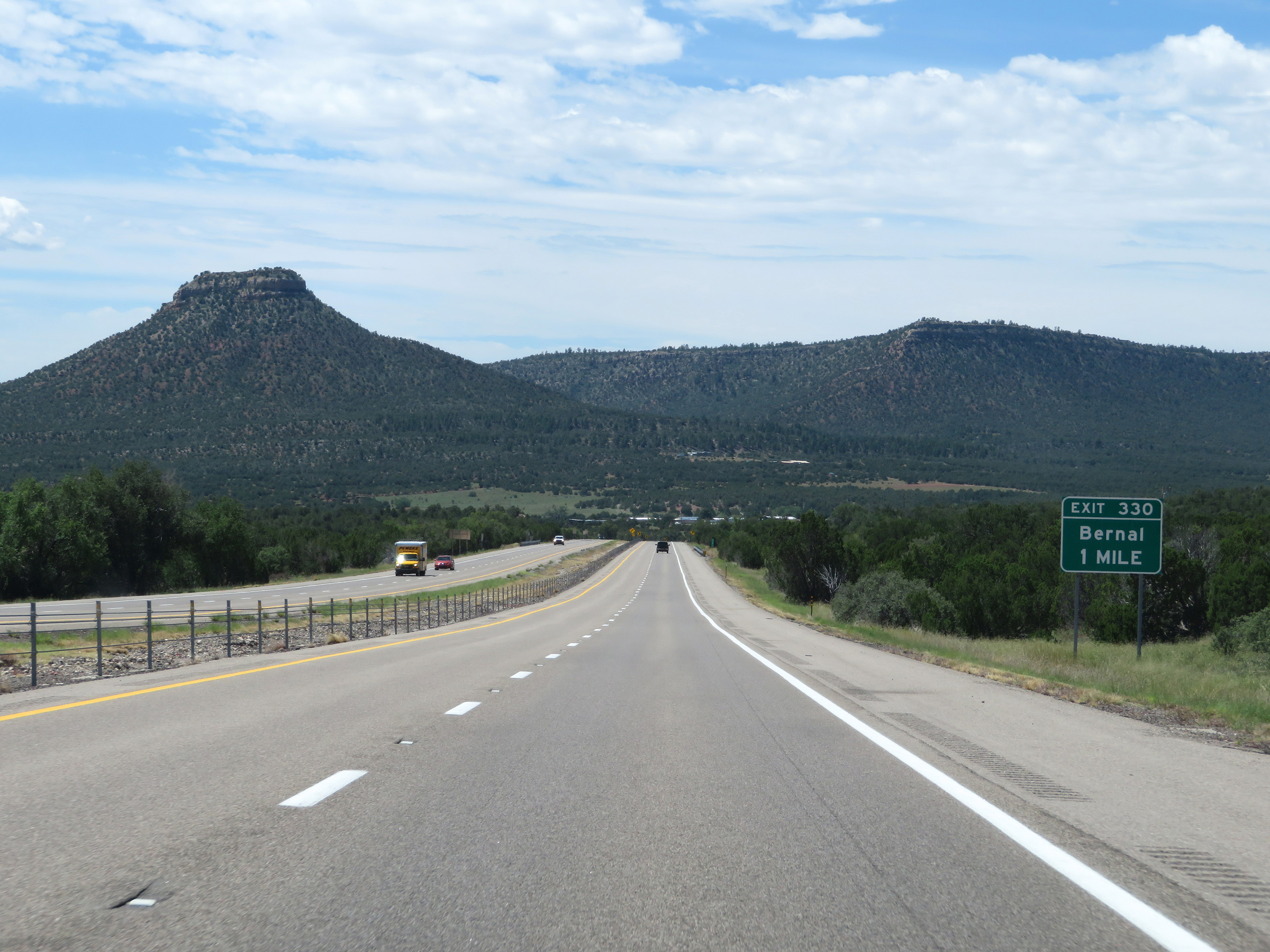 |
Interstate 25 South approaching Exit 330 - 1 mile. (Photo taken 8/13/20). |
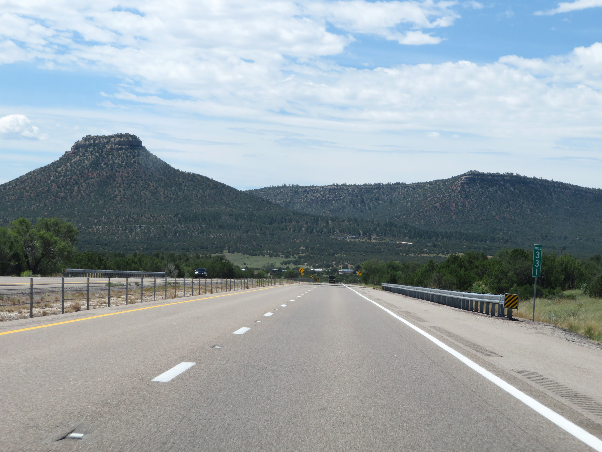 |
View on Interstate 25 South at mile marker 331. (Photo taken 8/13/20). |
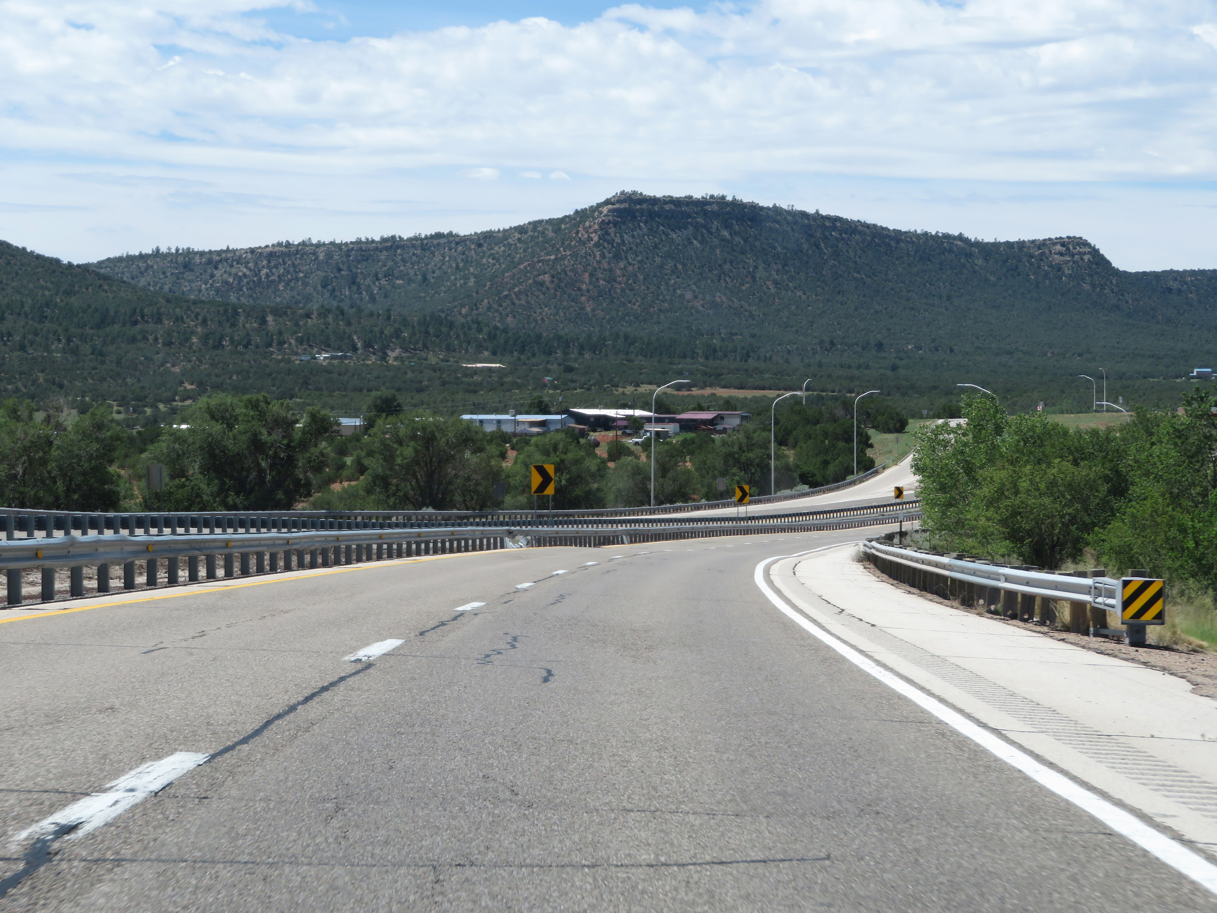 |
View on Interstate 25 South approaching Exit 330, as it curves to the west. (Photo taken 8/13/20). |
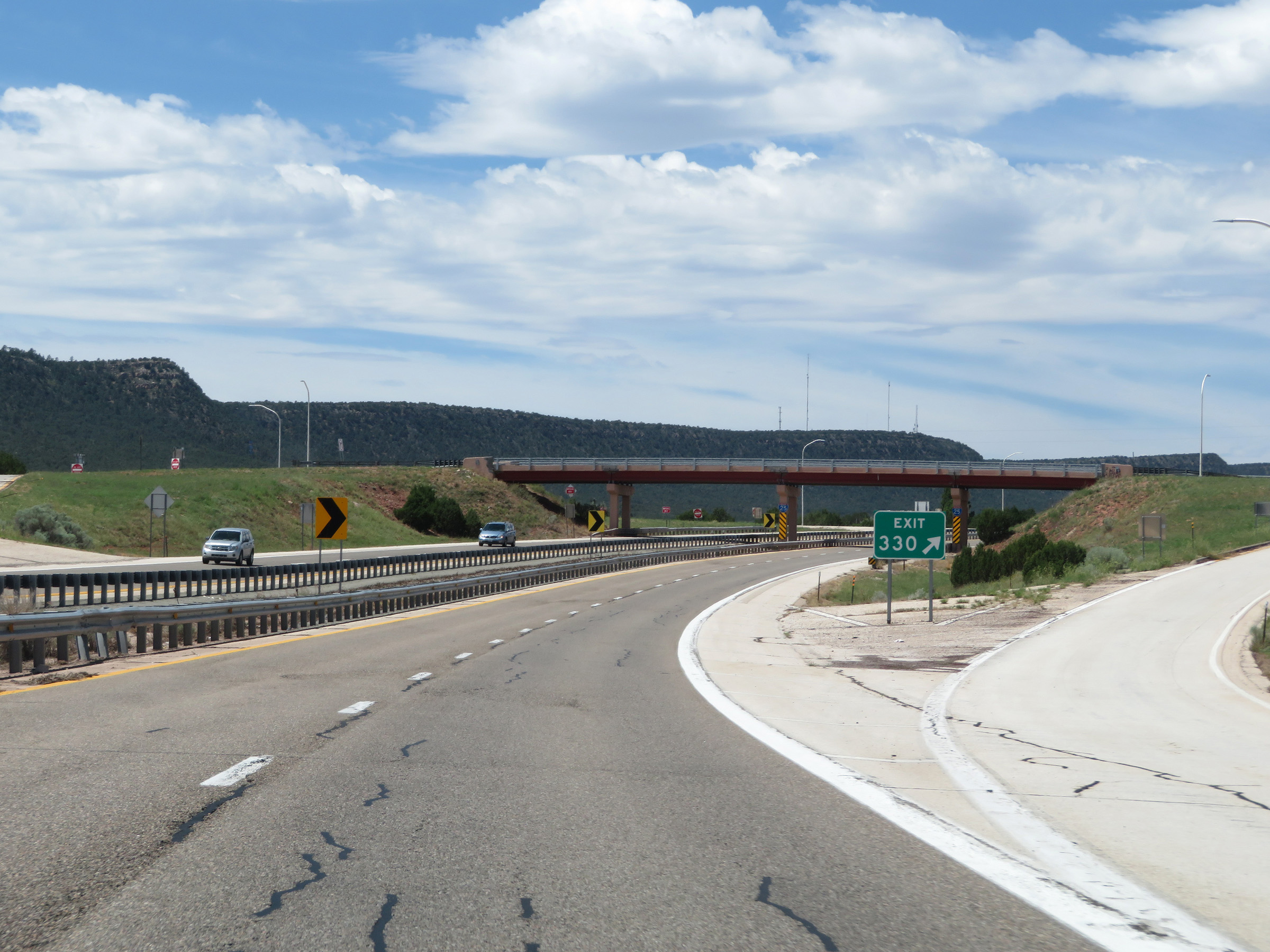 |
Interstate 25 South at Exit 330: Bernal (Photo taken 8/13/20). |
 |
State-named reassurance shields posted on the overpass at Exit 330. (Photo taken 8/13/20). |
 |
Another mileage sign on Interstate 25 South. It's 5 miles to the junction of NM 3, 31 miles to Glorieta, and 45 miles to Santa Fe. (Photo taken 8/13/20). |
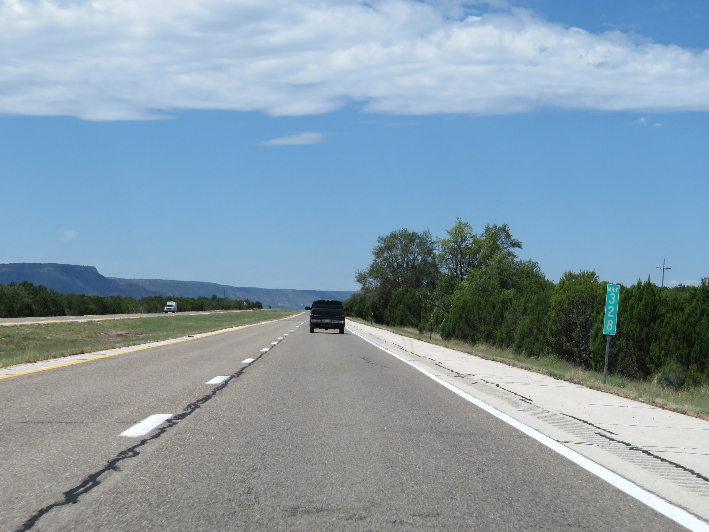 |
View on Interstate 25 South at mile marker 328, now heading due west. (Photo taken 8/13/20). |
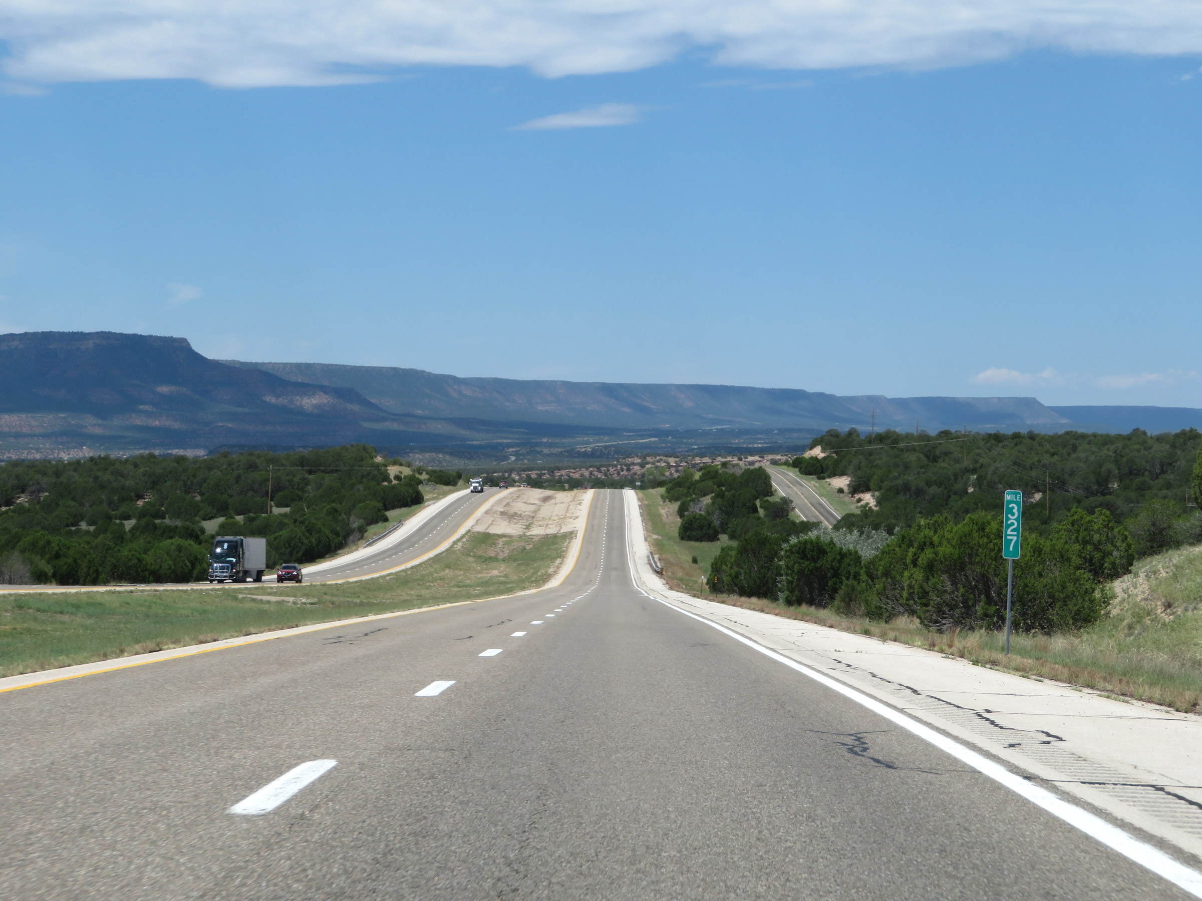 |
Interstate 25 South at mile marker 327. (Photo taken 8/13/20). |
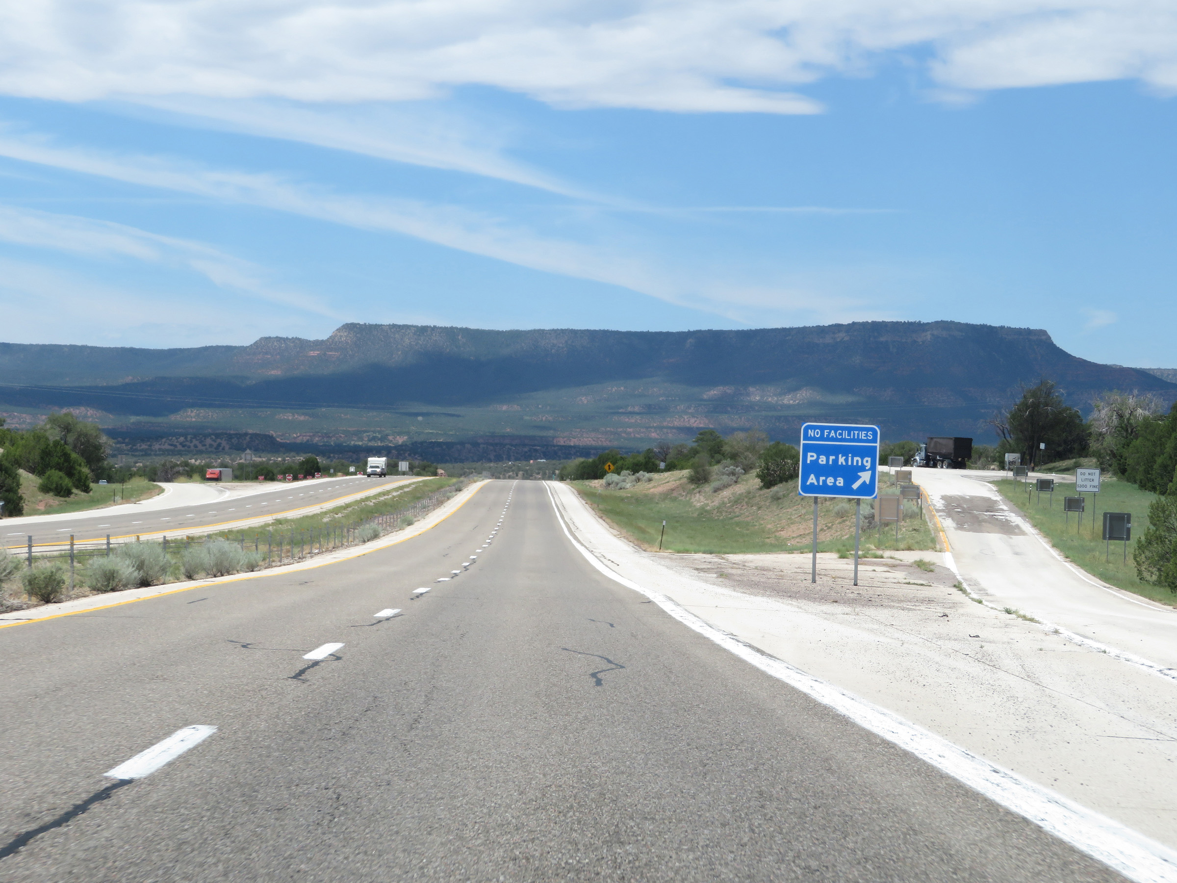 |
Another Parking Area on Interstate 25 South in San Miguel County. (Photo taken 8/13/20). |
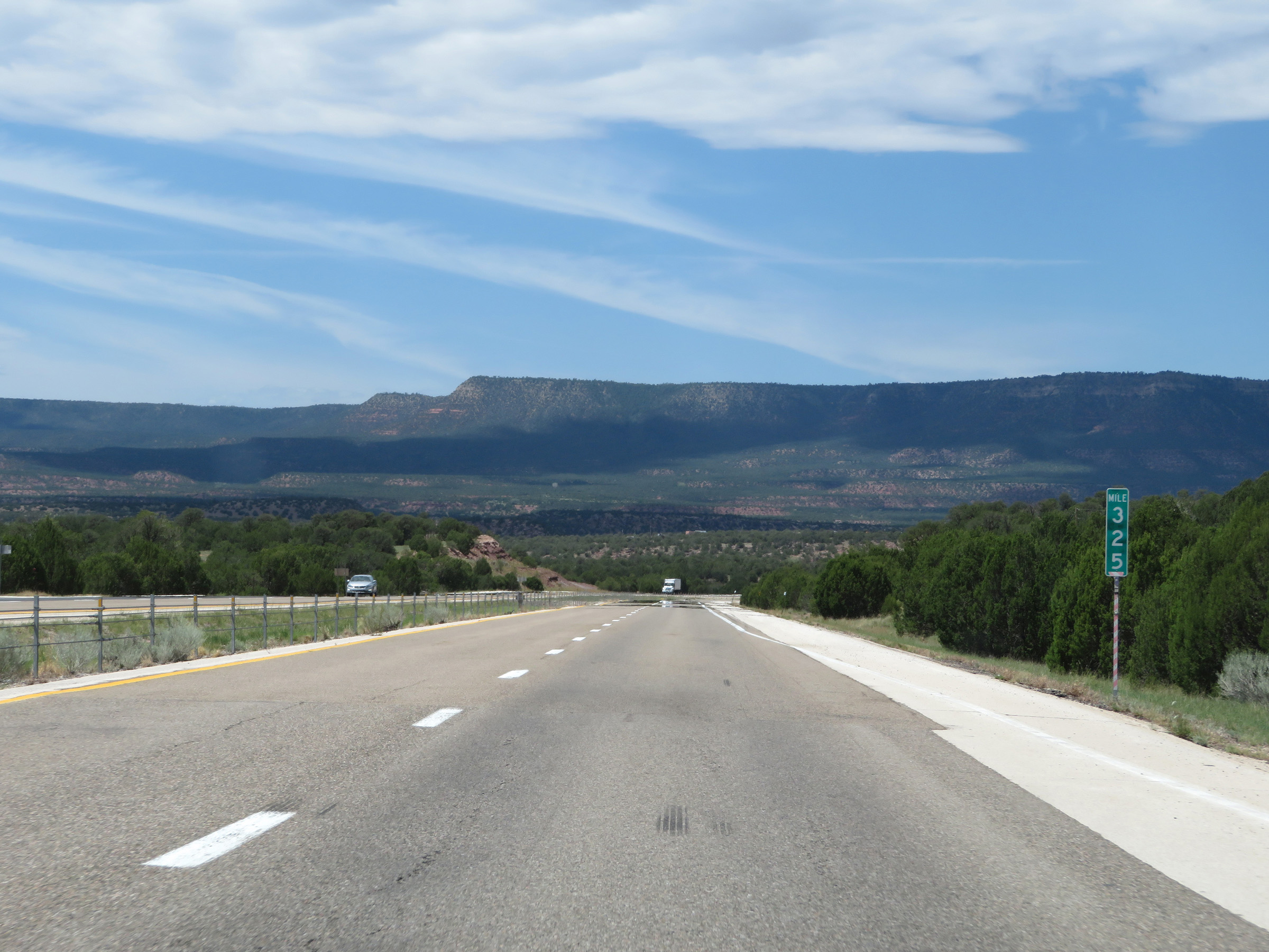 |
View on Interstate 25 South at mile marker 325. (Photo taken 8/13/20). |
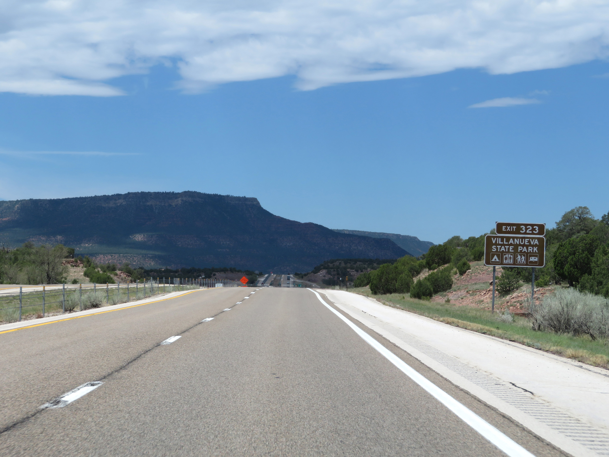 |
Take Exit 323 to Villanueva State Park. (Photo taken 8/13/20). |
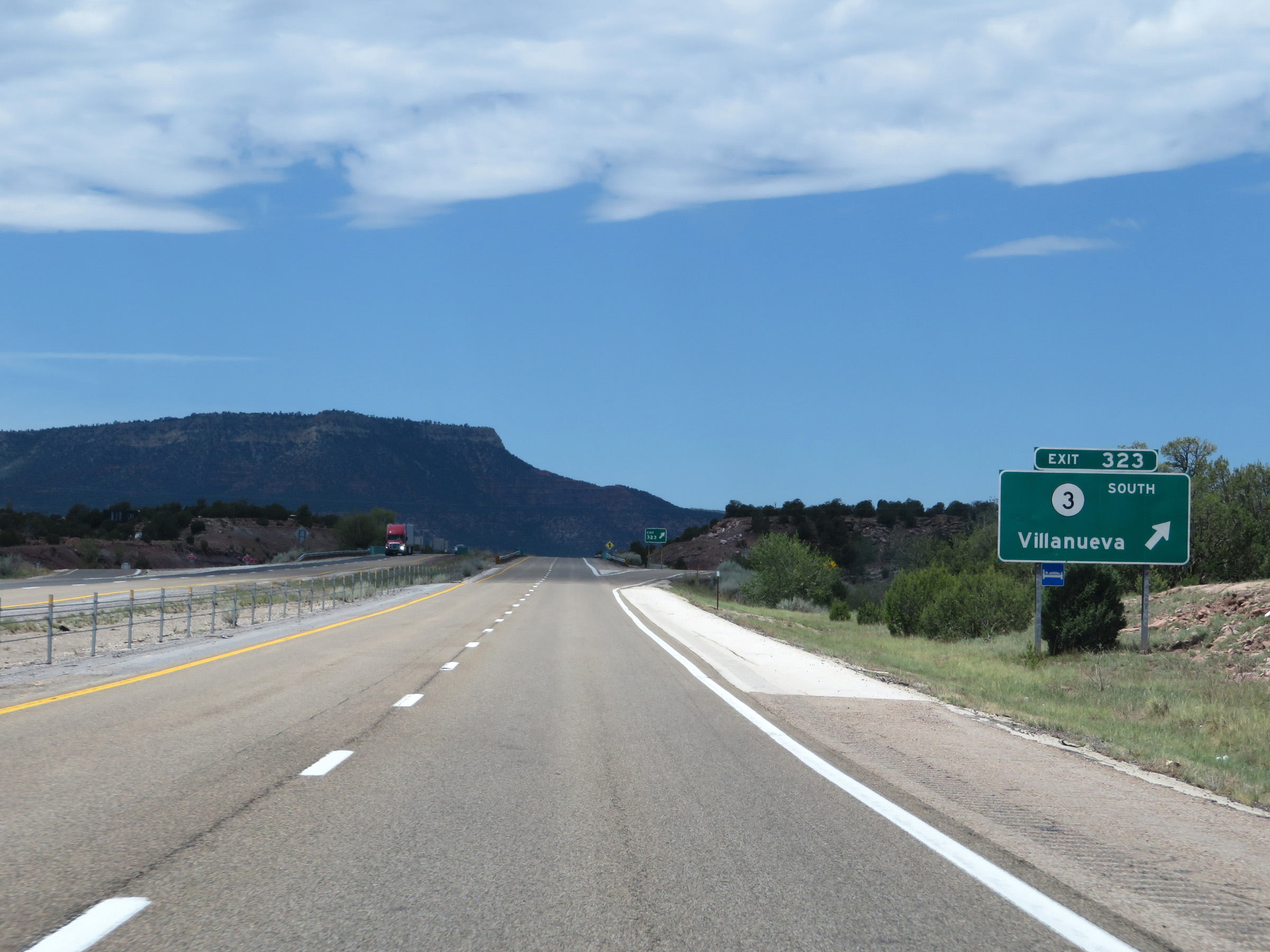 |
Interstate 25 South at Exit 323: NM 3 South - Villanueva (Photo taken 8/13/20). |
 |
Interstate 25 South reassurance shield. (Photo taken 8/13/20). |
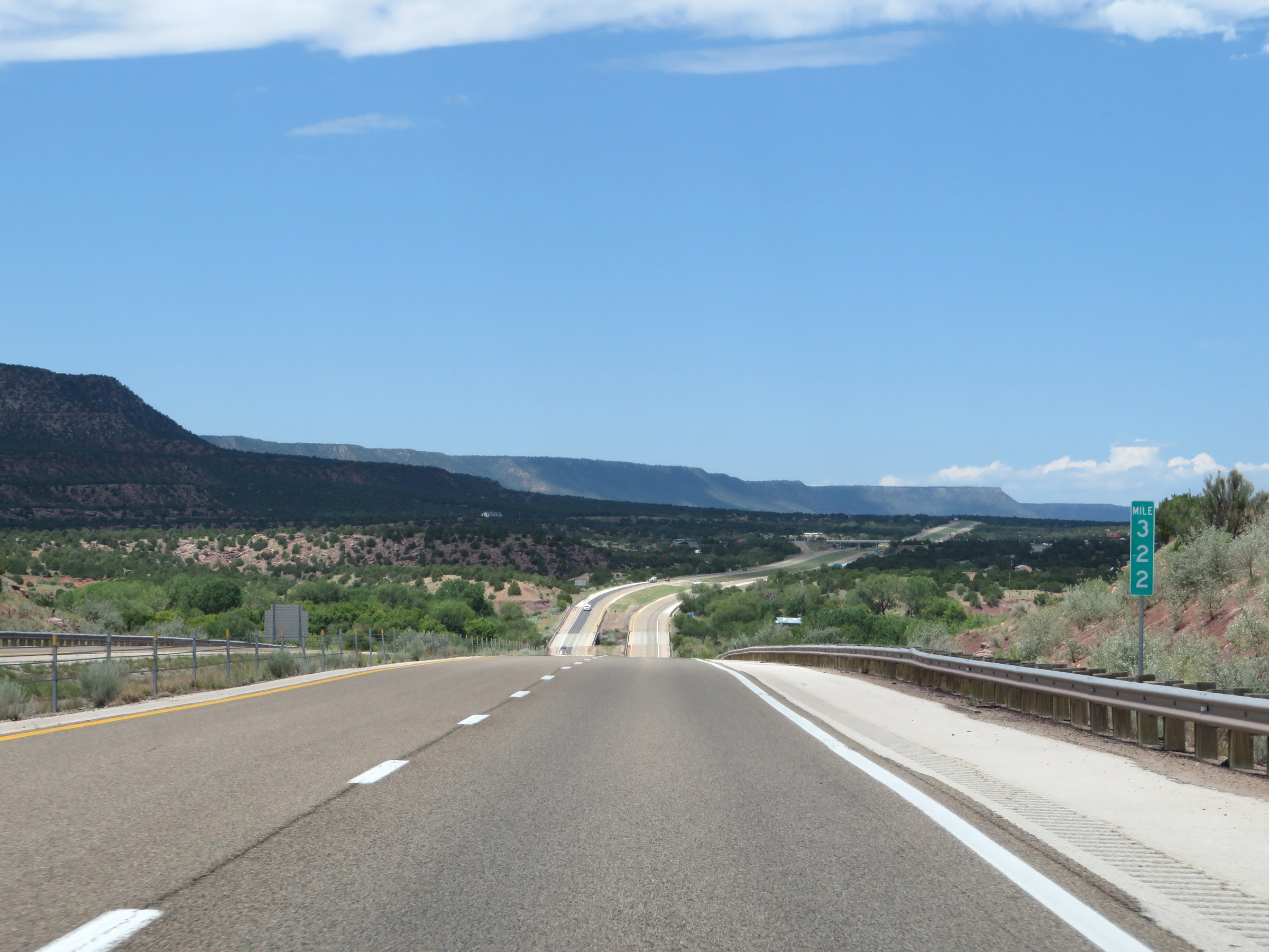 |
View on Interstate 25 South at mile marker 322. (Photo taken 8/13/20). |
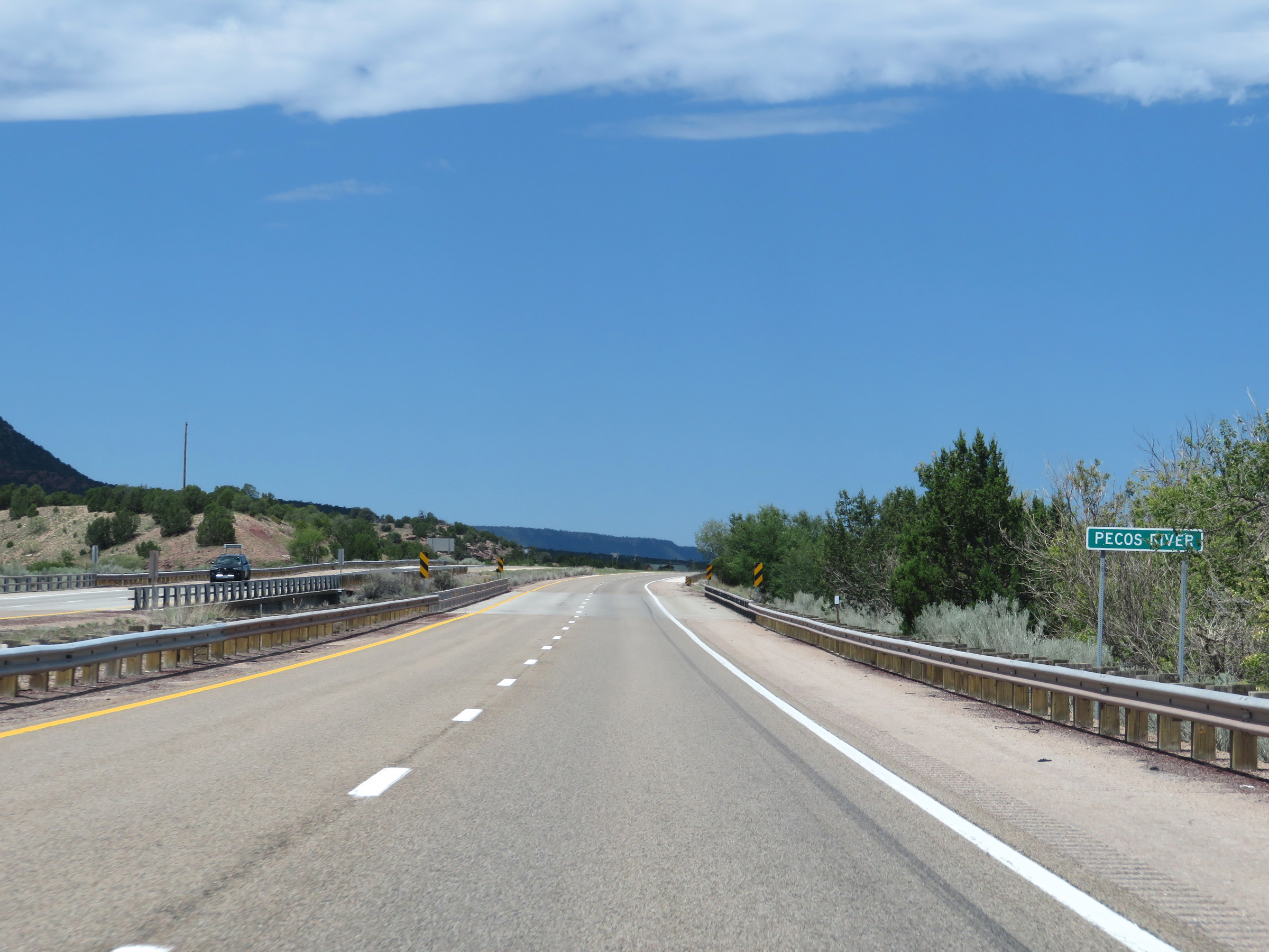 |
Interstate 25 South as it crosses the Pecos River. (Photo taken 8/13/20). |
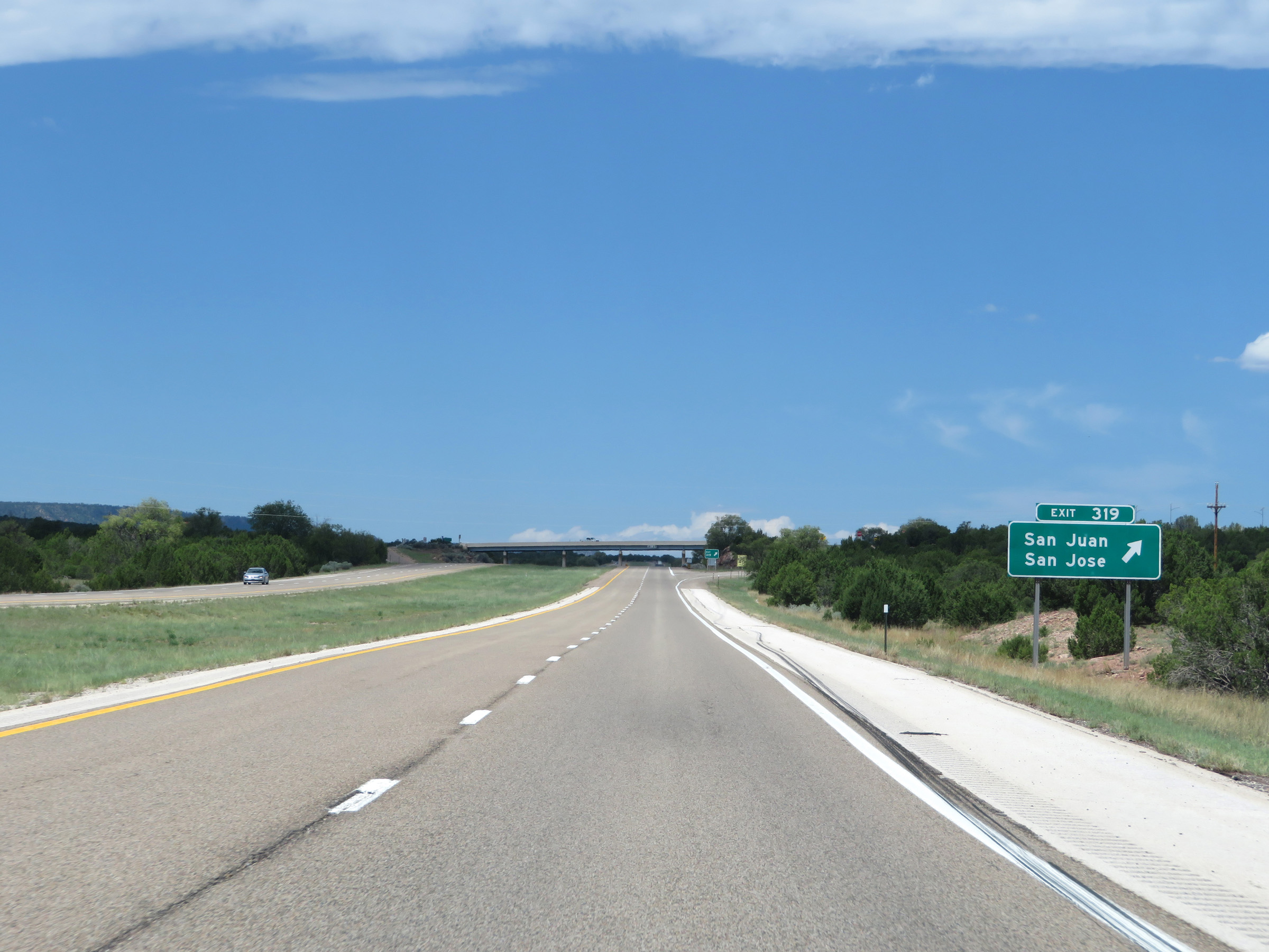 |
Interstate 25 South at Exit 319: San Juan / San Jose (Photo taken 8/13/20). |
 |
View on Interstate 25 South at mile marker 318. (Photo taken 8/13/20). |
 |
Interstate 25 South at mile marker 315. (Photo taken 8/13/20). |
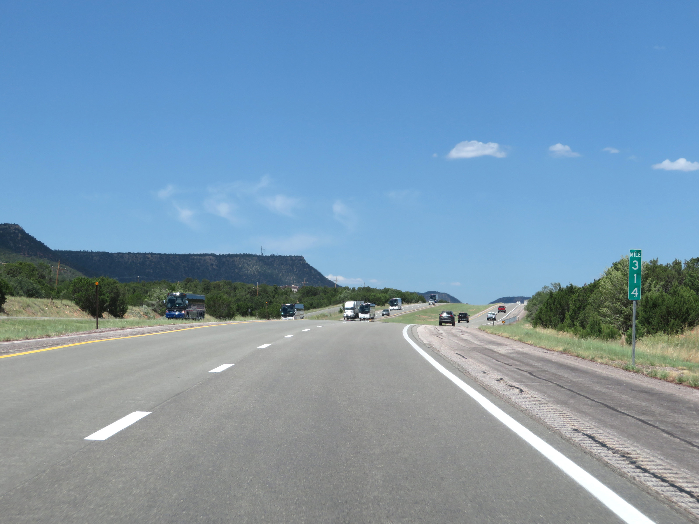 |
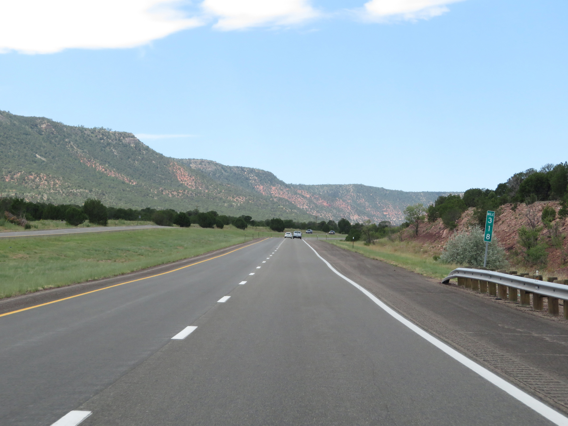
Mile marker 314 on Interstate 25 South in San Miguel County. (Photo taken 8/13/20). |
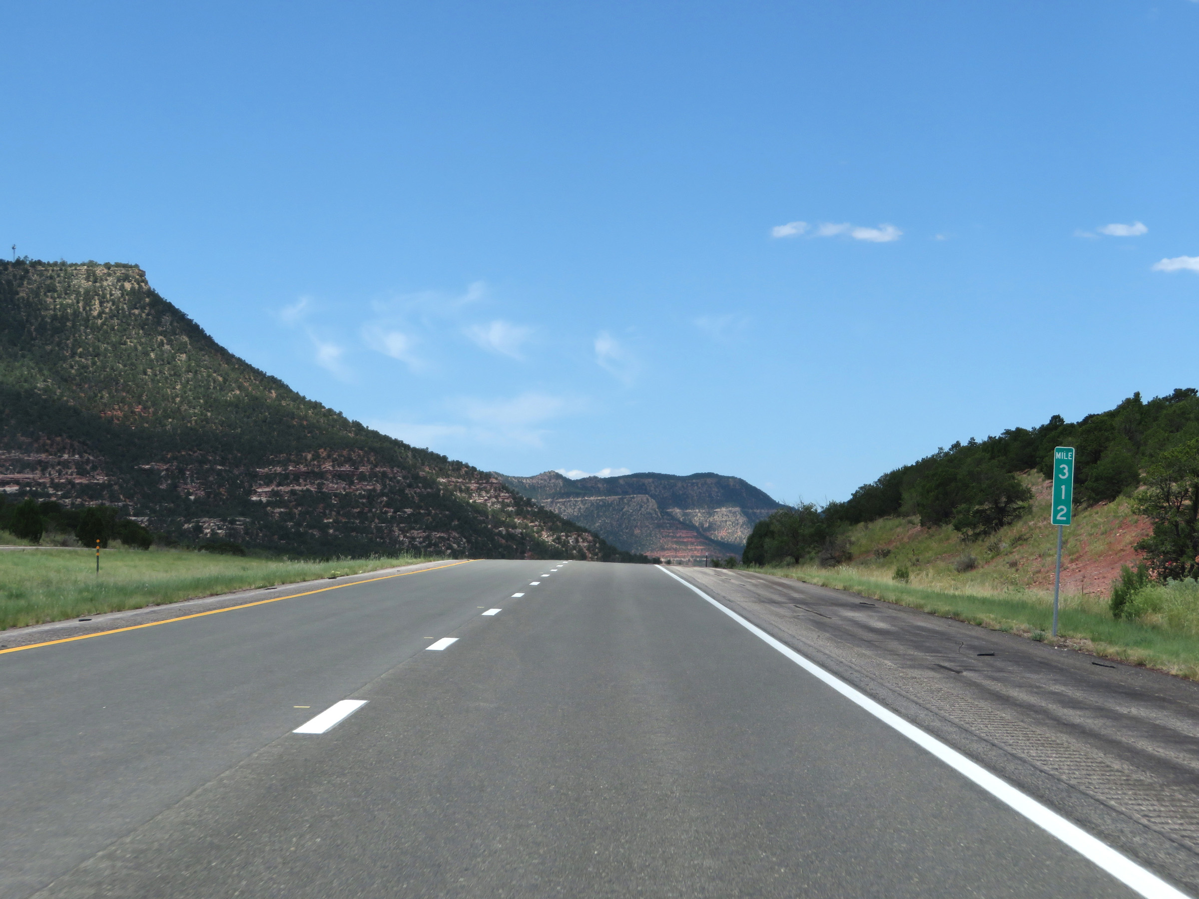 |
View on Interstate 25 South at mile marker 312. (Photo taken 8/13/20). |
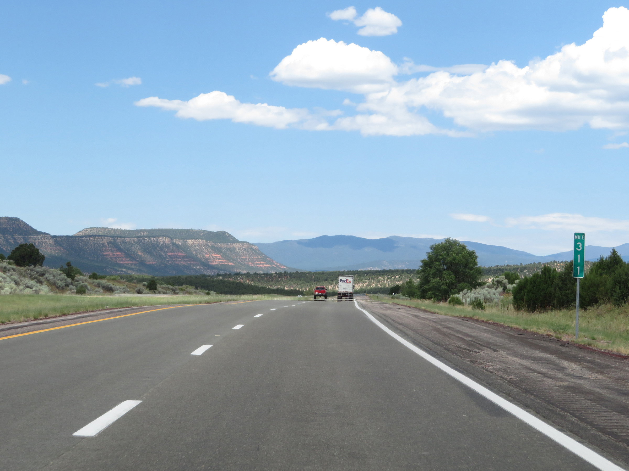 |
Interstate 25 South at mile marker 311. (Photo taken 8/13/20). |
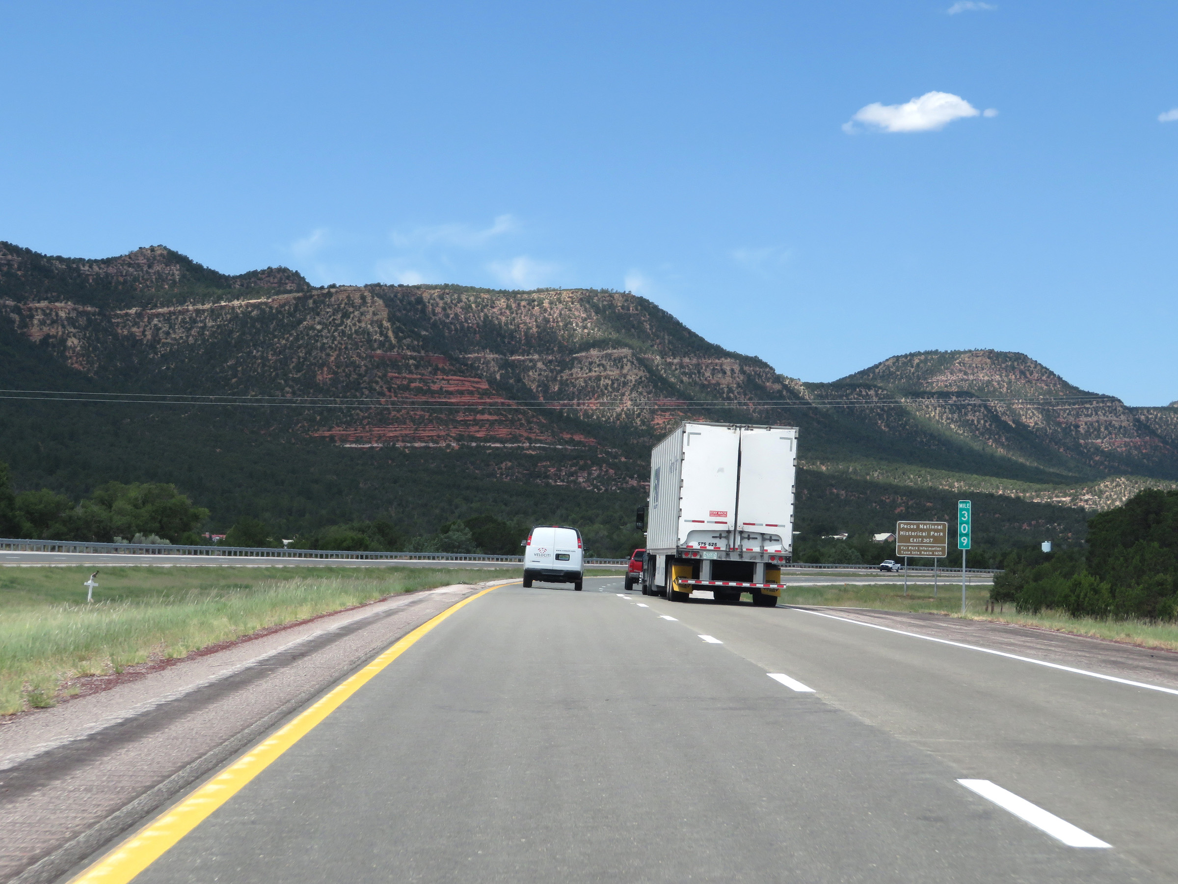 |
View on Interstate 25 South at mile marker 309. (Photo taken 8/13/20). |
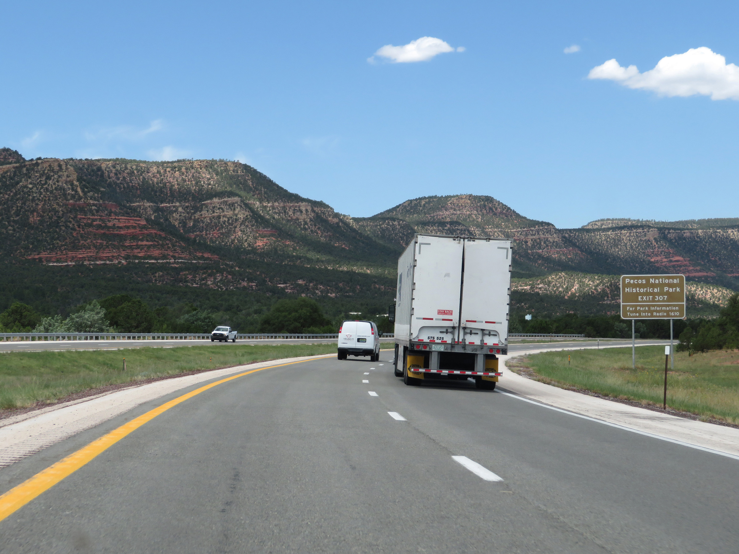 |
Take Exit 307 to Pecos National Historical Park. (Photo taken 8/13/20). |
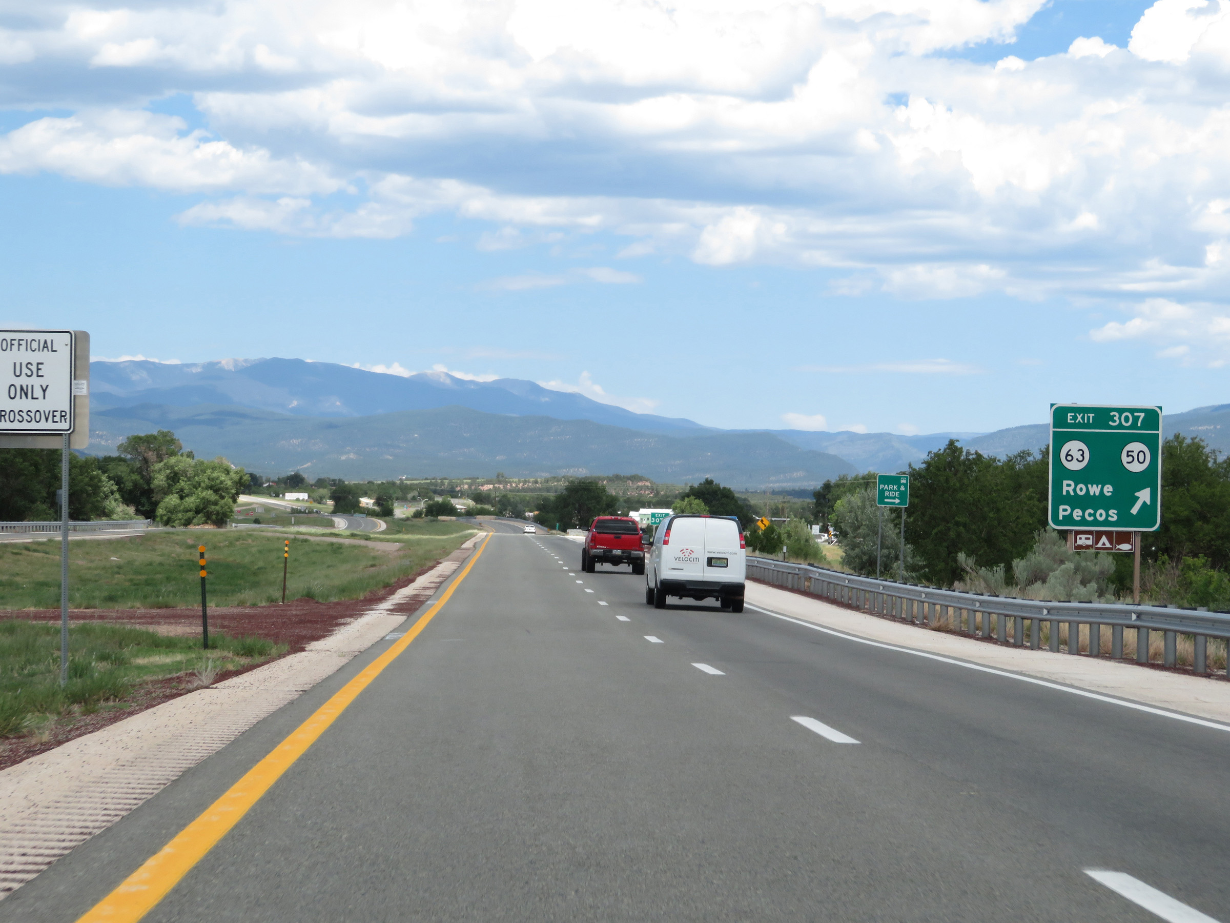 |
Interstate 25 South at Exit 307: NM 63 / NM 50 - Rowe / Pecos (Photo taken 8/13/20). |
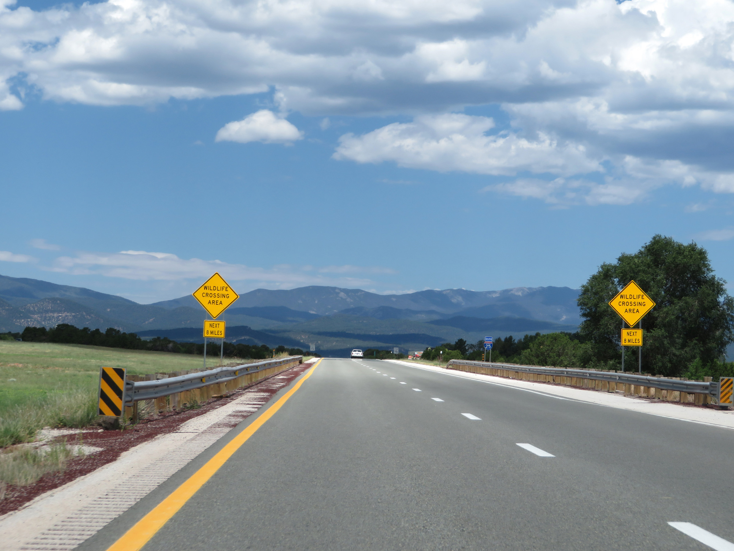 |
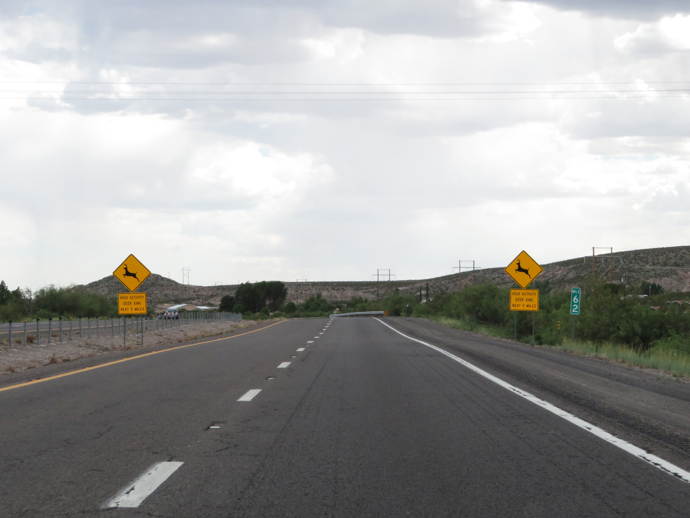
These signs warn motorists to be alert for wildlife crossing the roadway for the next 8 miles. (Photo taken 8/13/20). |
 |
Speed limit signs at mile marker 307. The speed limit remains 75 mph. (Photo taken 8/13/20). |
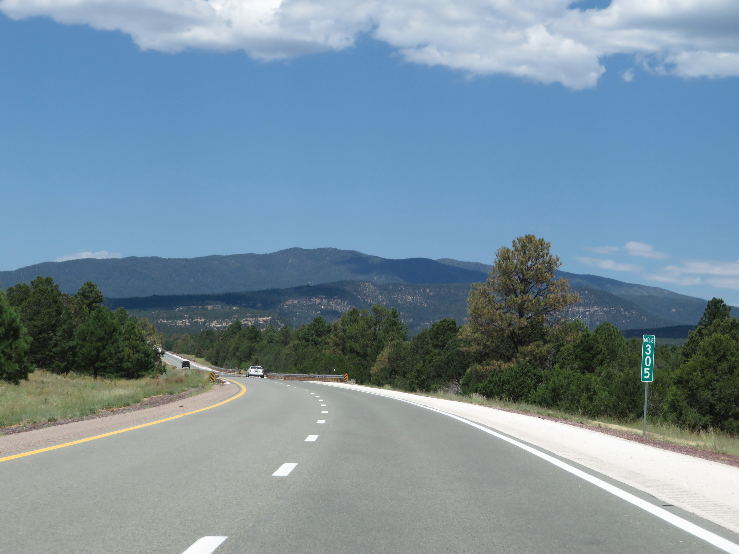 |
View on Interstate 25 South at mile marker 305. (Photo taken 8/13/20). |
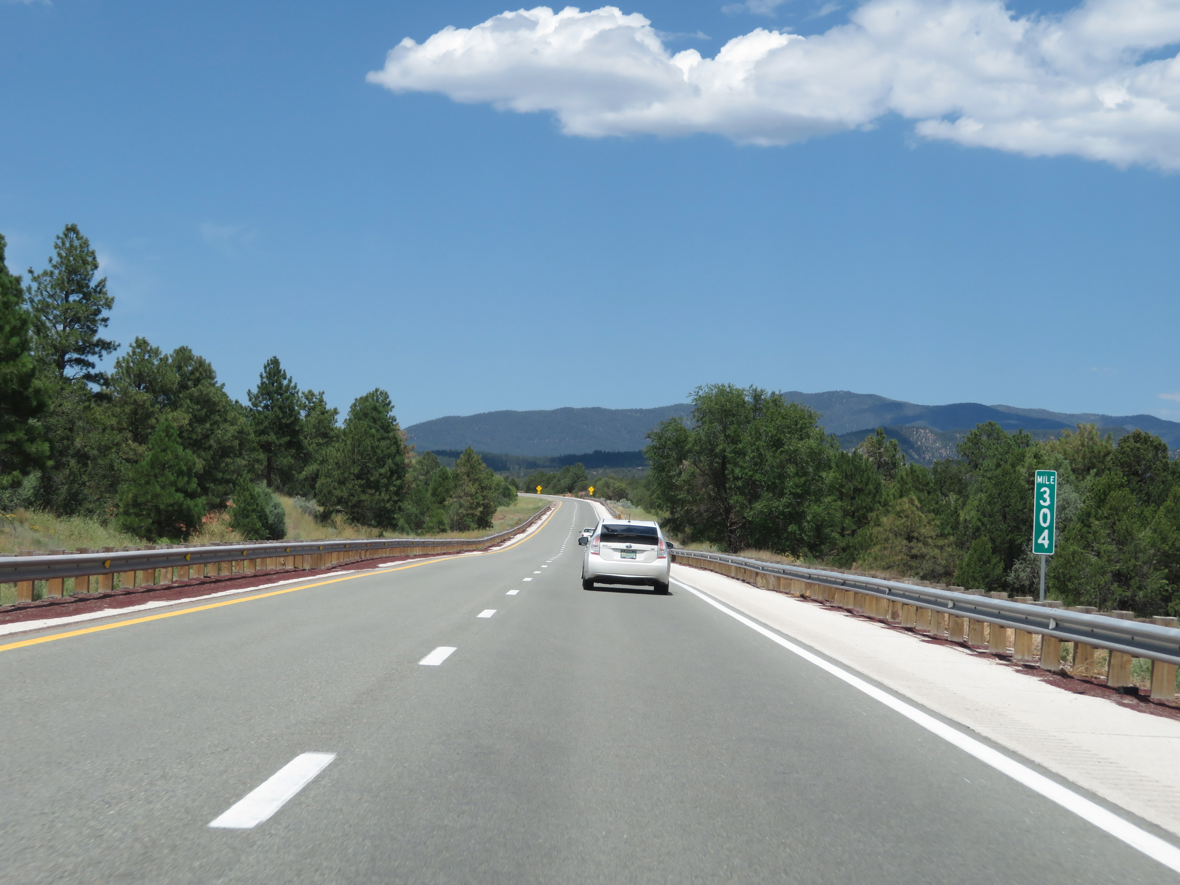 |
Interstate 25 South at mile marker 304. (Photo taken 8/13/20). |
 |
Interstate 25 South as it enters Santa Fe County. Yep, this one pretty much got away from me. (Photo taken 8/13/20). |
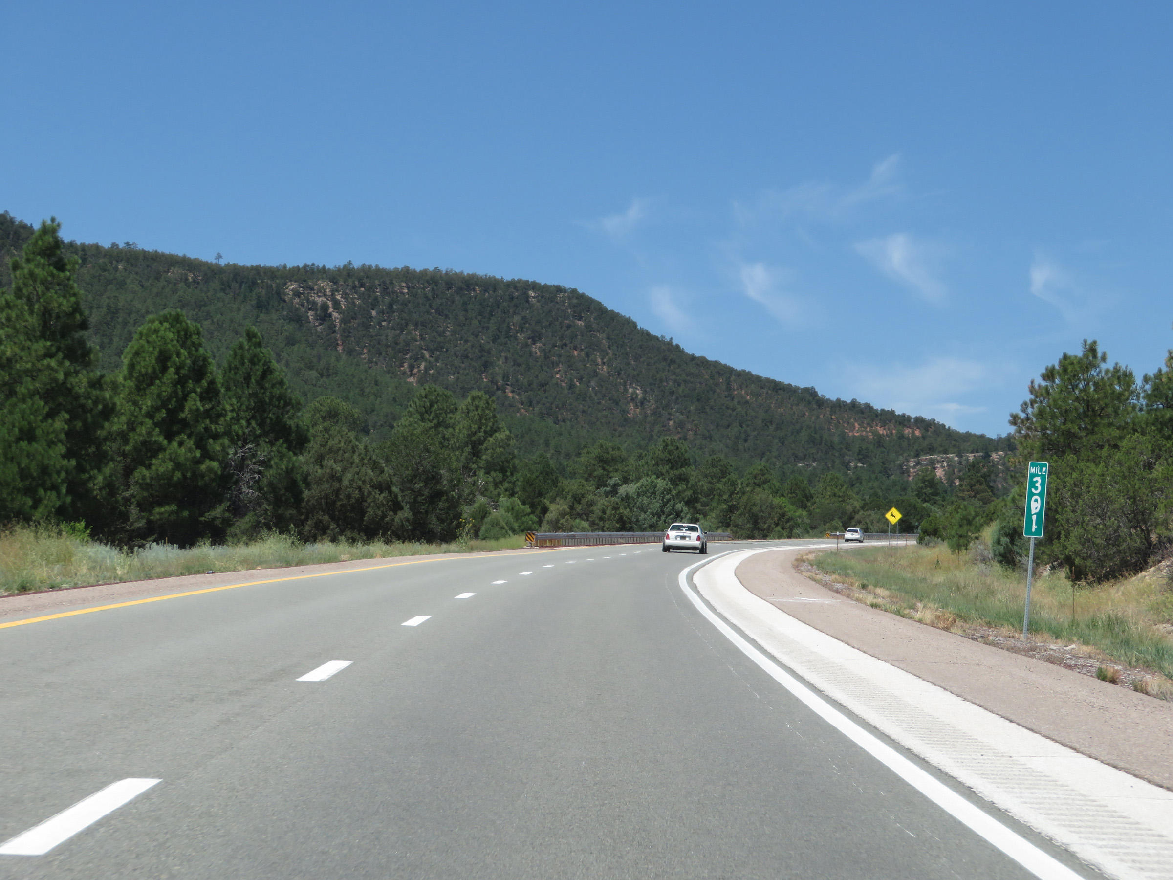 |
View on Interstate 25 South at mile marker 301. (Photo taken 8/13/20). |
 |
Interstate 25 South approaching Exit 299 - 1 mile. (Photo taken 8/13/20). |
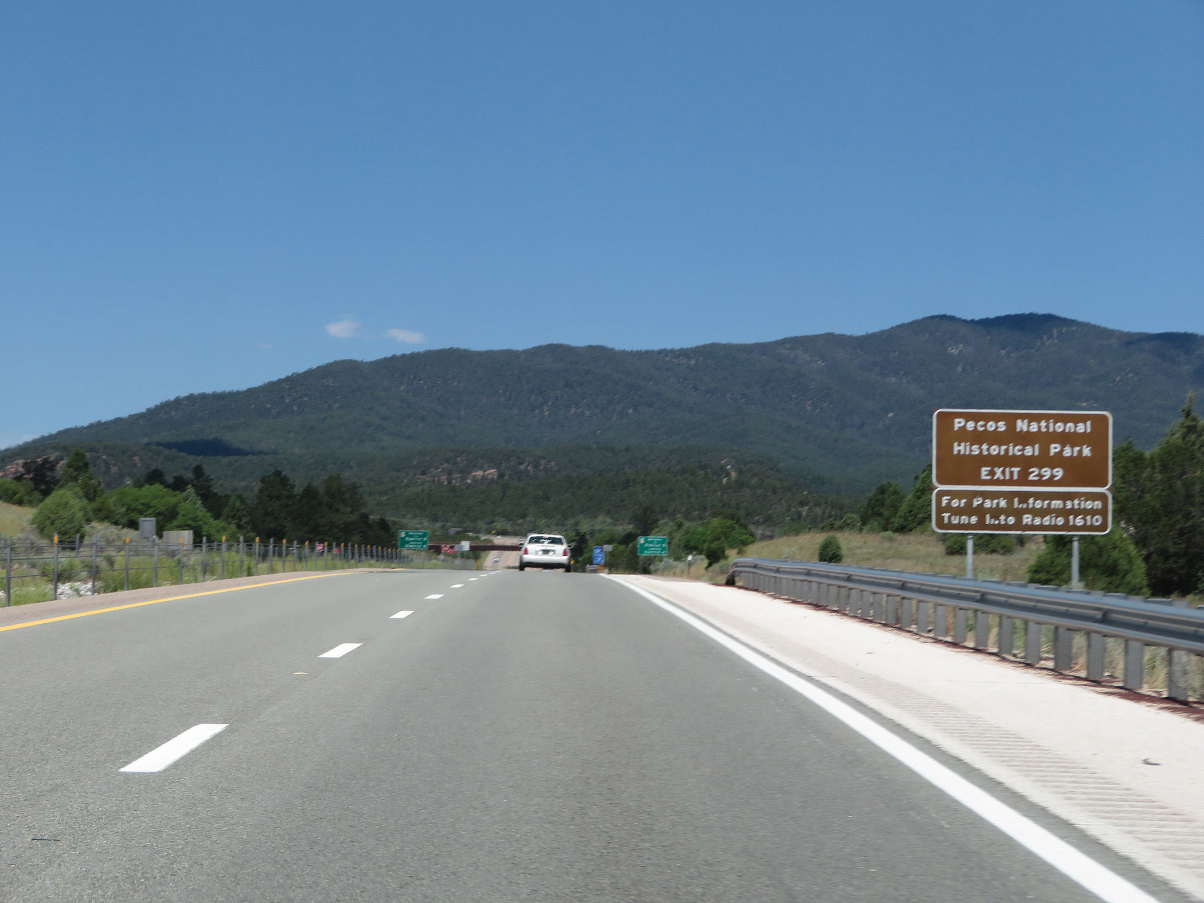 |
Take Exit 299 to Pecos National Historical Park. (Photo taken 8/13/20). |
 |
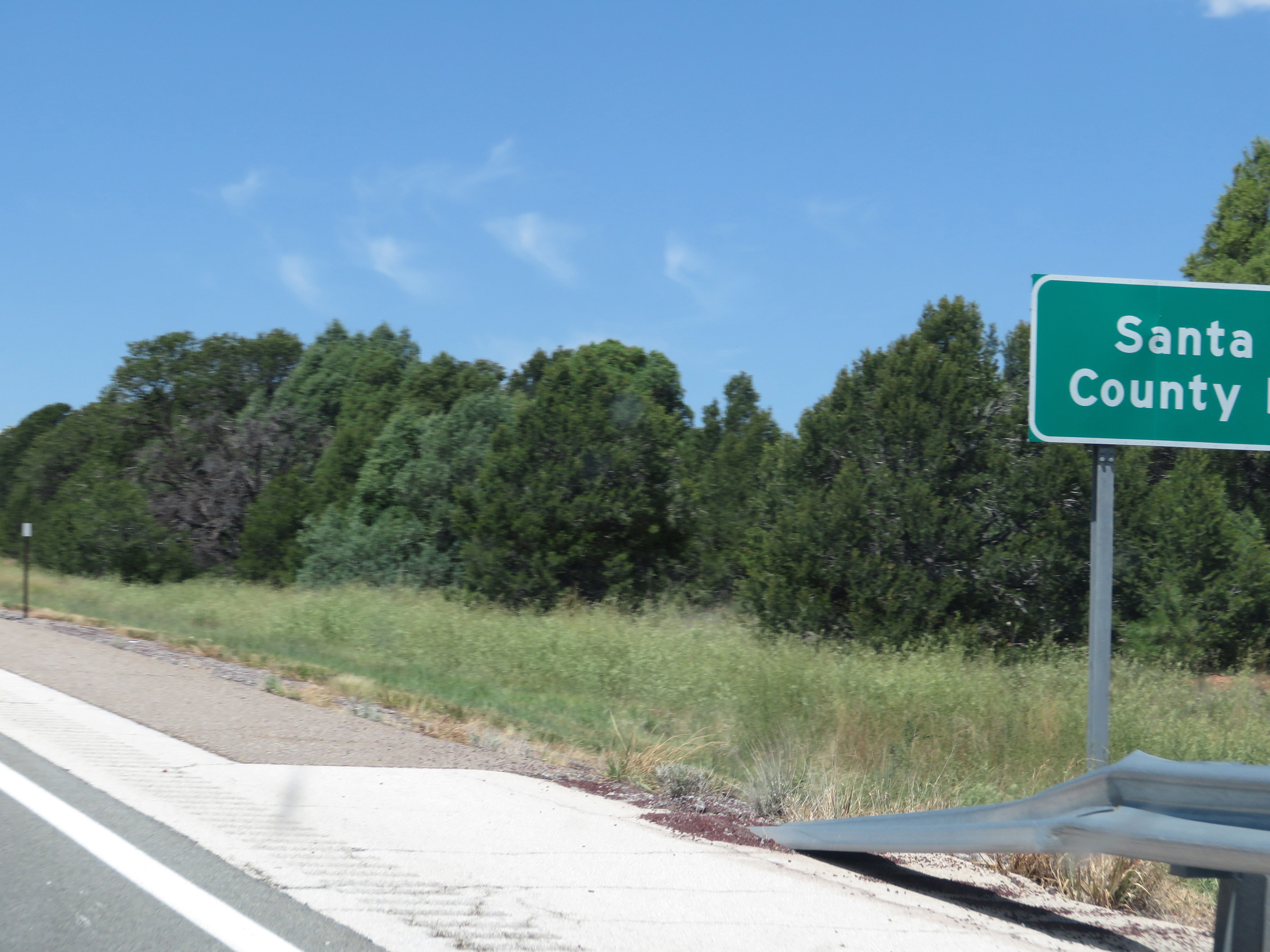
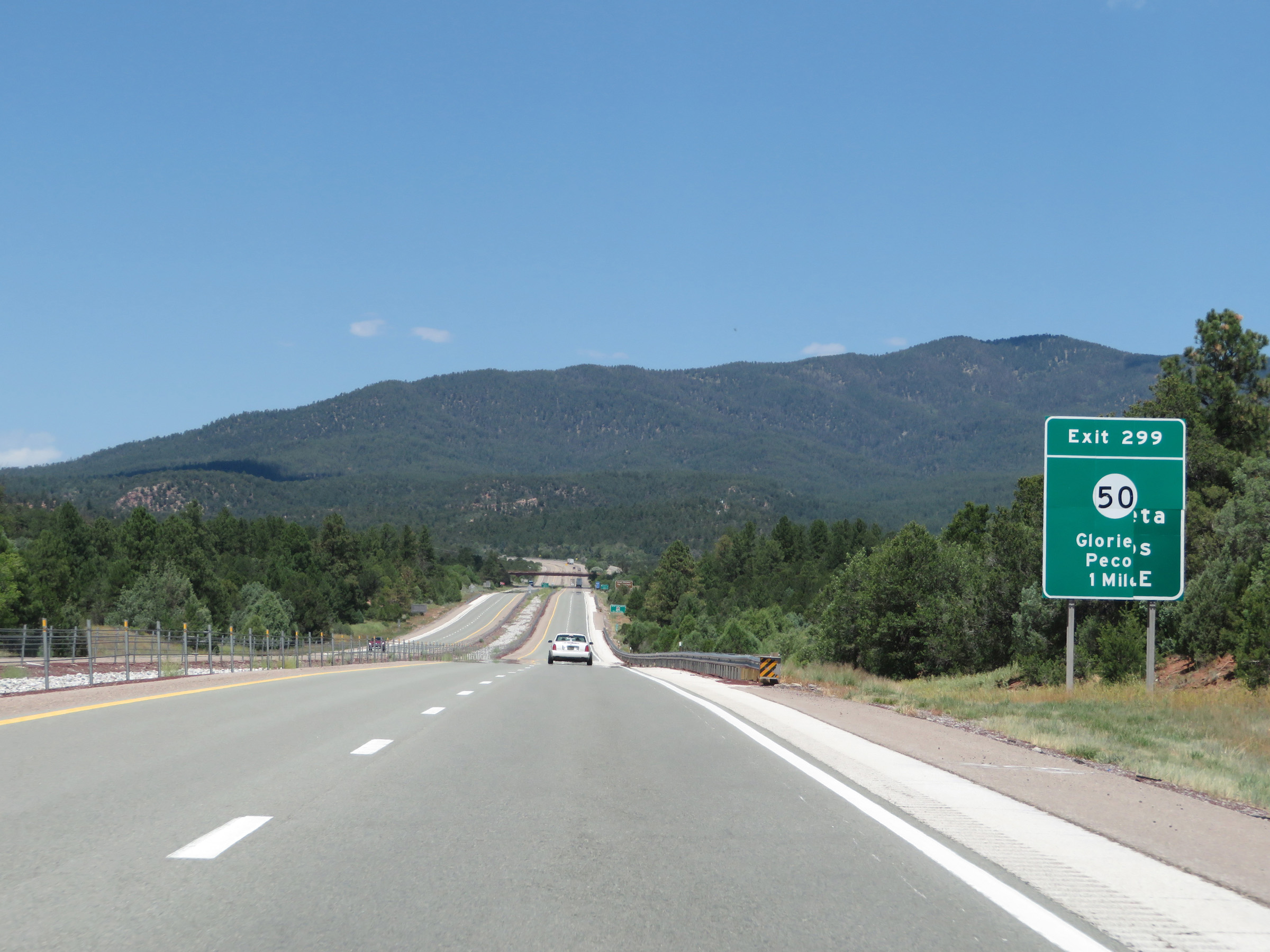
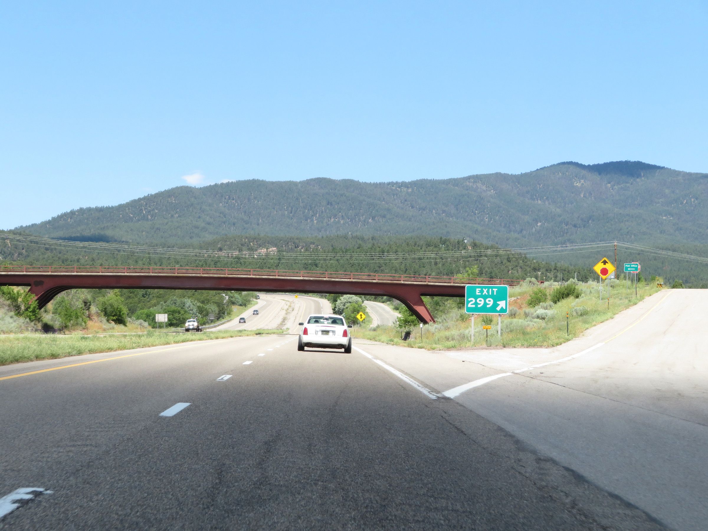
Interstate 25 South at Exit 299: NM 50 - Glorieta / Pecos (Photo taken 8/13/20). |
 |
View of the ramp for Exit 299 on Interstate 25 South. (Photo taken 8/13/20). |
 |
Interstate 25 South as it curves hard to the southwest just beyond Exit 299. (Photo taken 8/13/20). |
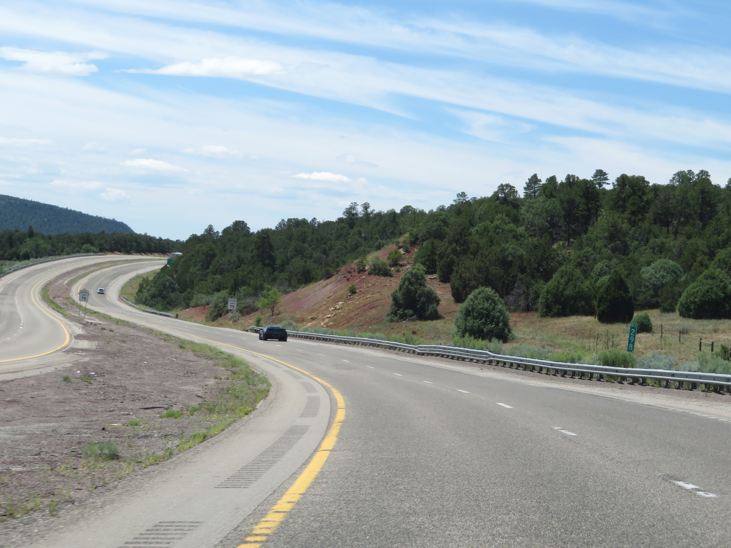 |
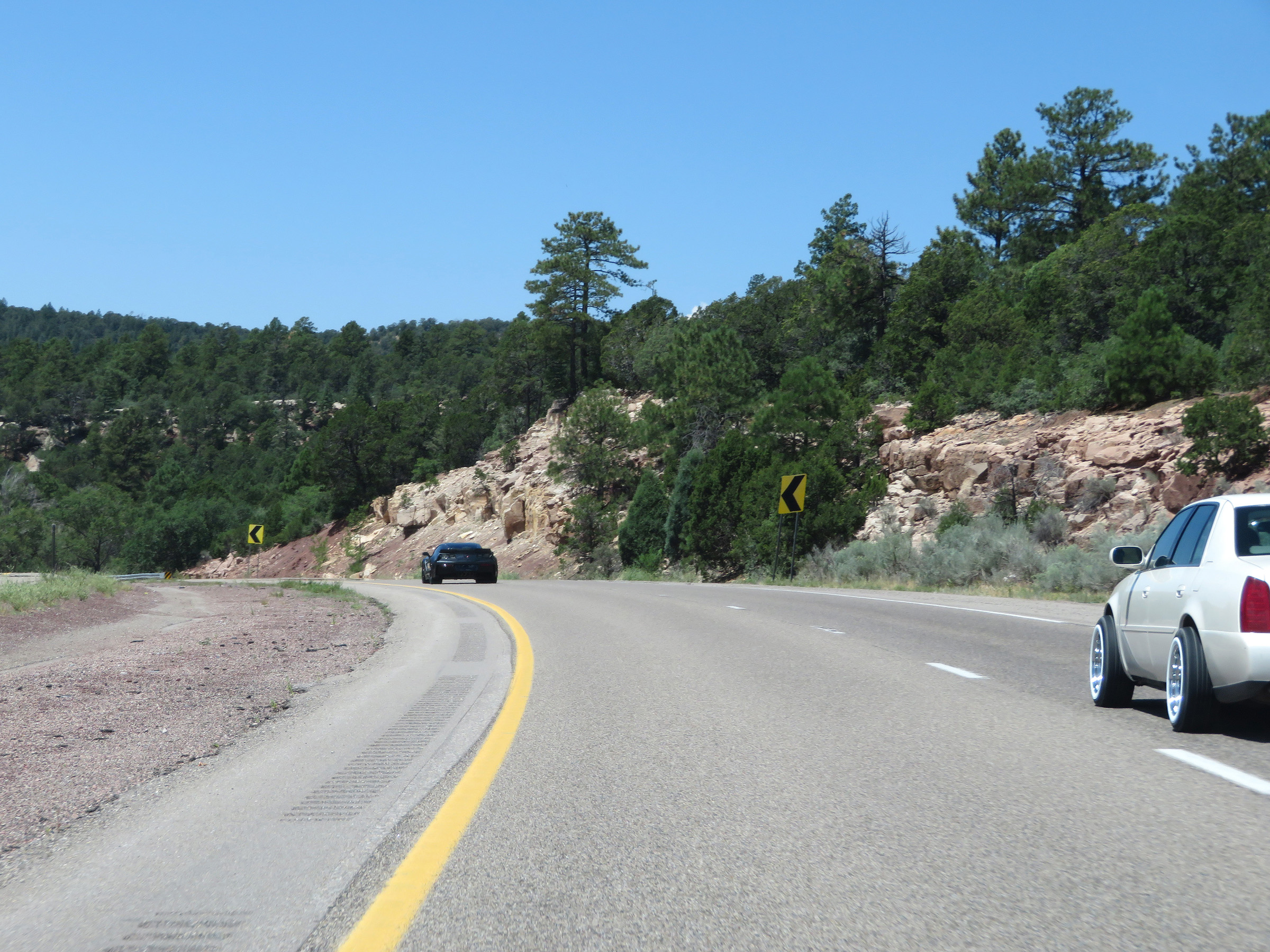
View on Interstate 25 South at mile marker 298. (Photo taken 8/13/20). |
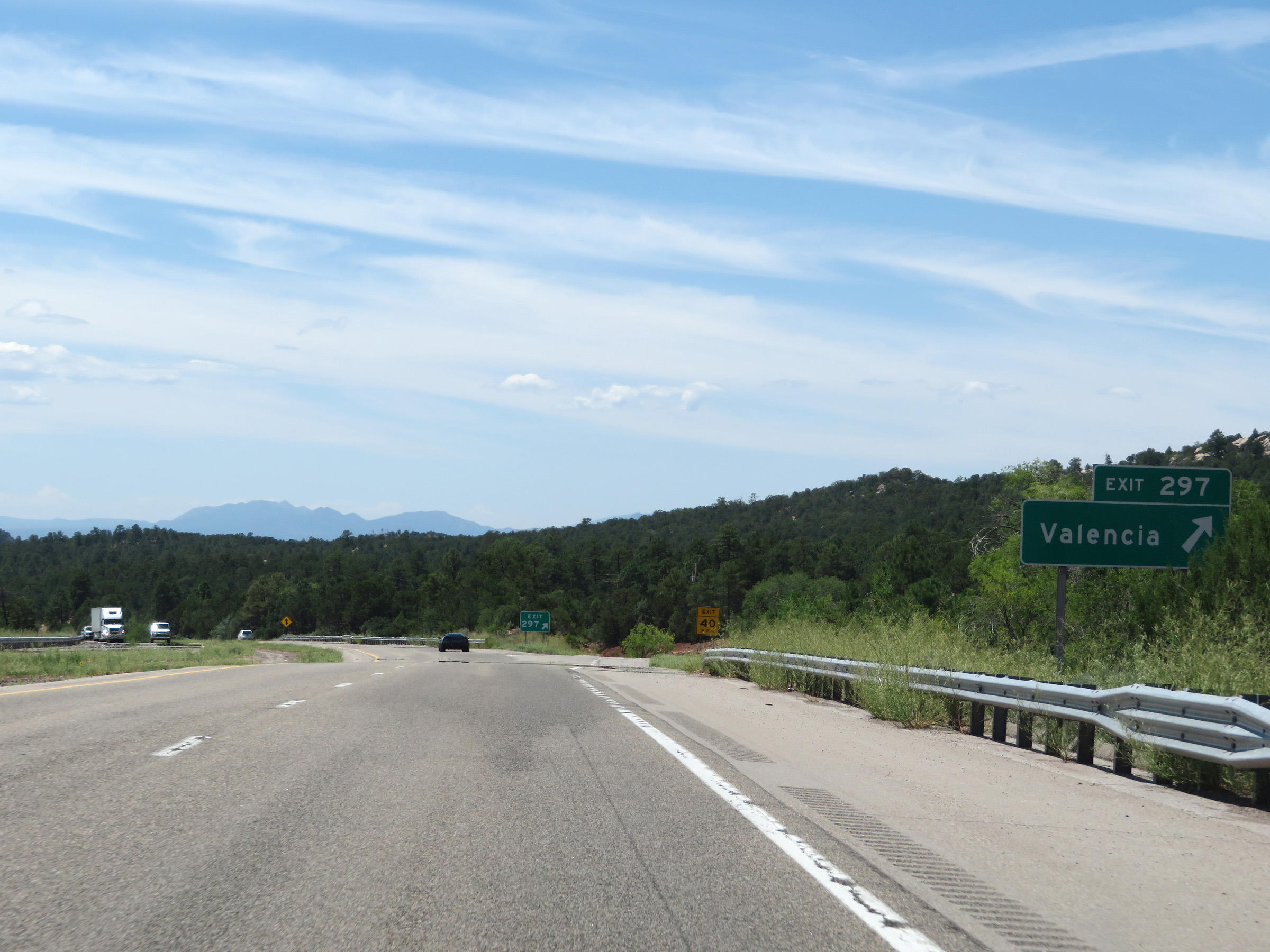 |
Interstate 25 South at Exit 297: Valencia (Photo taken 8/13/20). |
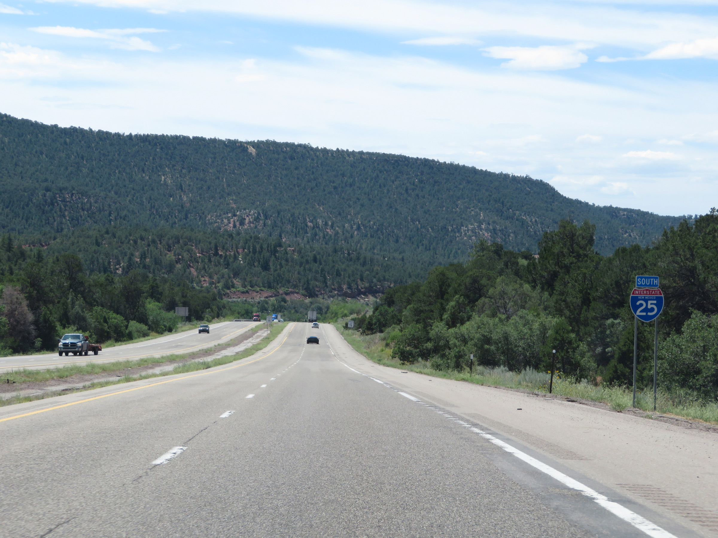 |
State-named Interstate 25 South reassurance shield. (Photo taken 8/13/20). |
 |
Interstate 25 South approaching Exit 294 - 1 mile. (Photo taken 8/13/20). |
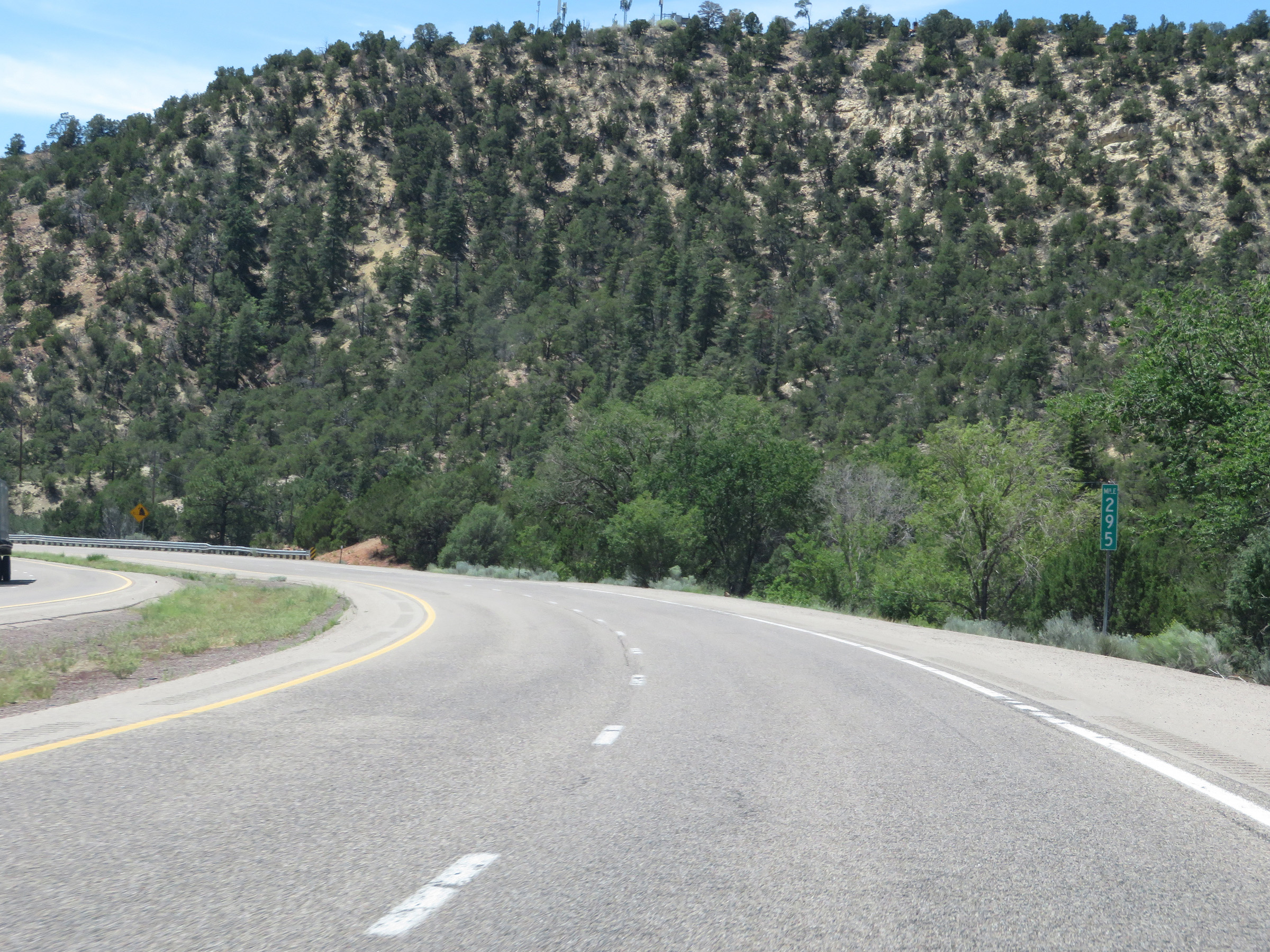 |
View on Interstate 25 South at mile marker 295. (Photo taken 8/13/20). |
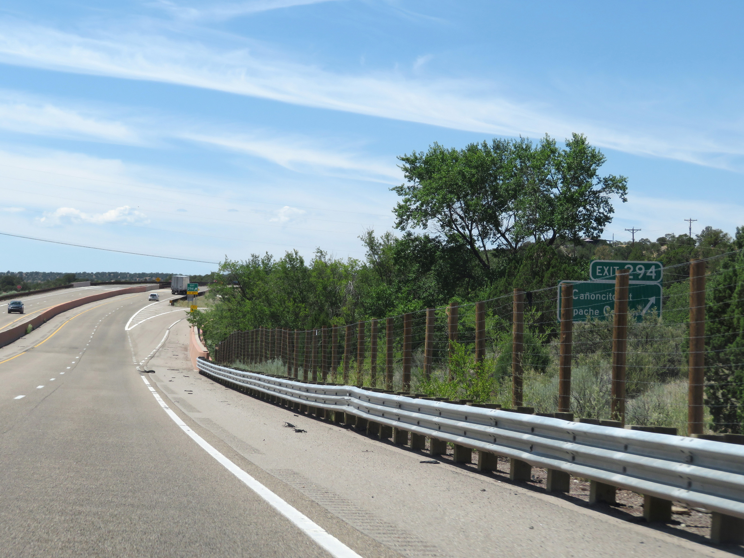 |
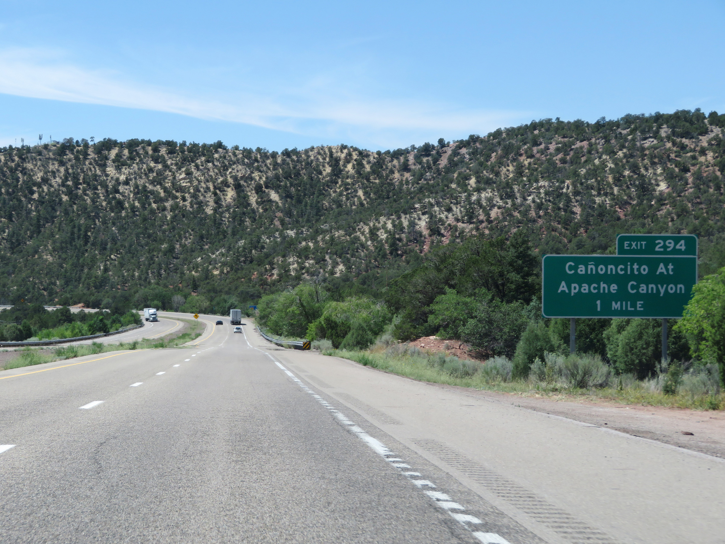
Interstate 25 South at Exit 294: Cañoncito At Apache Canyon (Photo taken 8/13/20). |
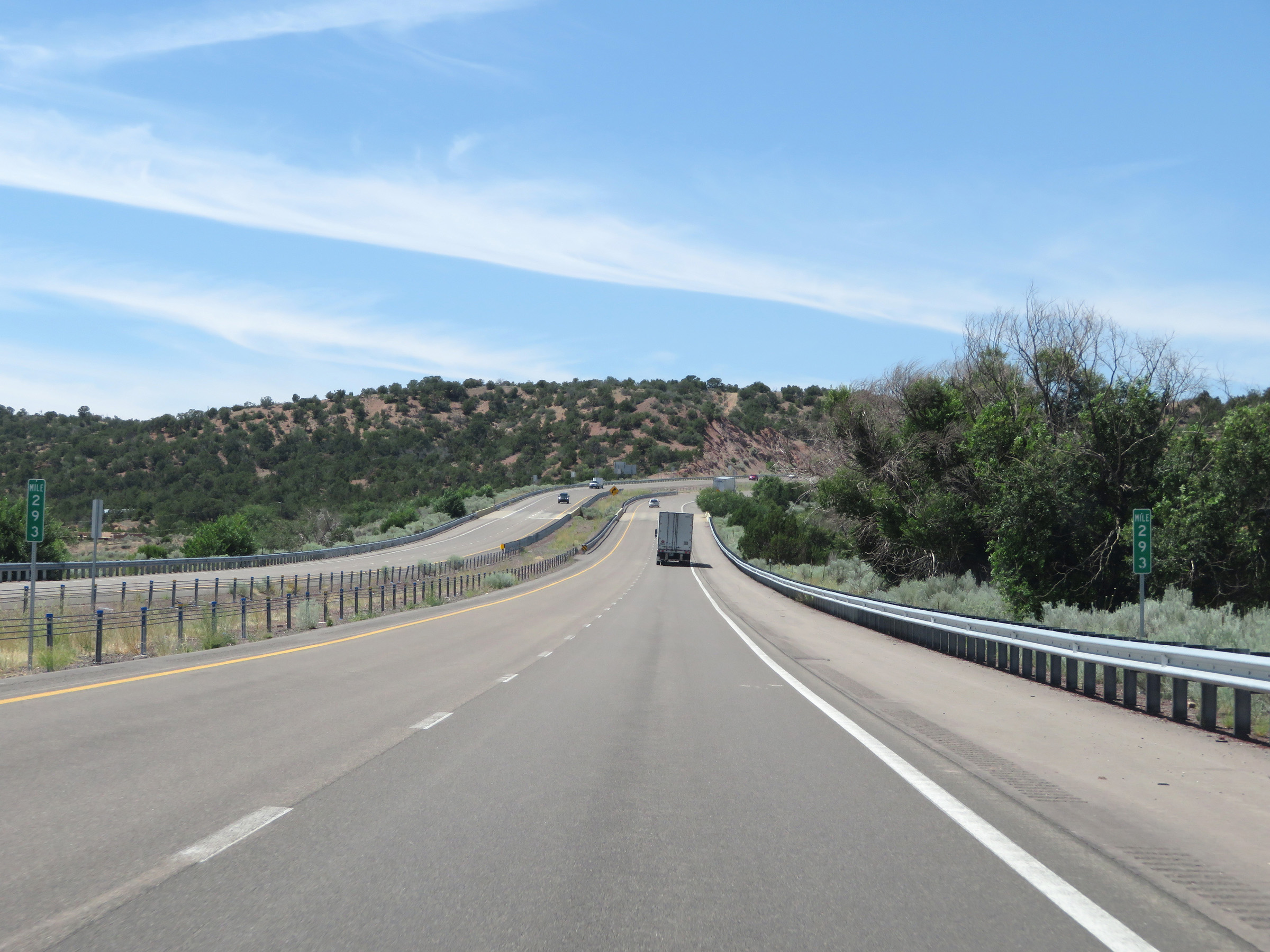 |
Interstate 25 South at mile marker 293. (Photo taken 8/13/20). |
 |
Take Exit 290 to Eldorado and Lamy. (Photo taken 8/13/20). |
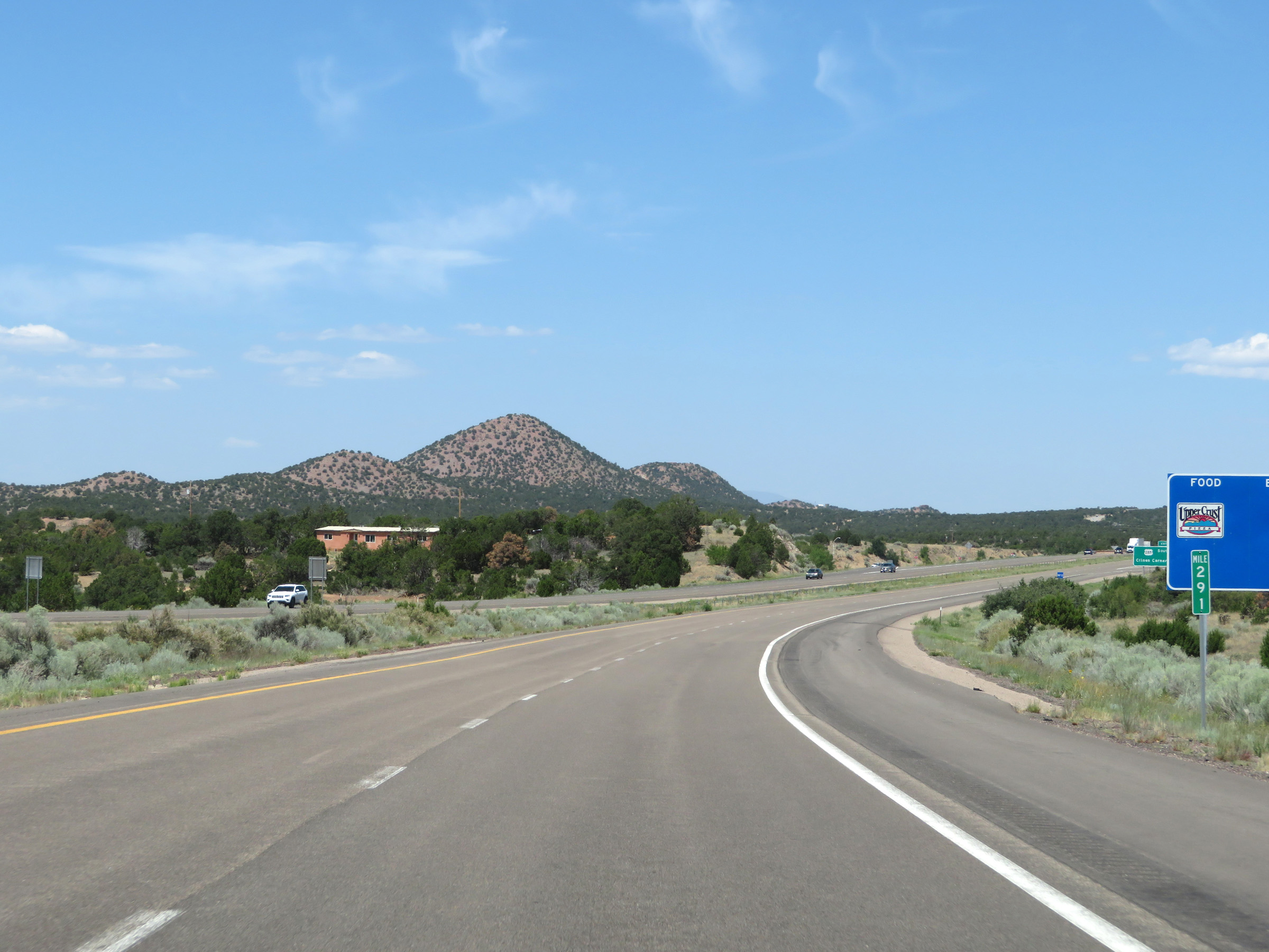 |
View on Interstate 25 South at mile marker 291. (Photo taken 8/13/20). |
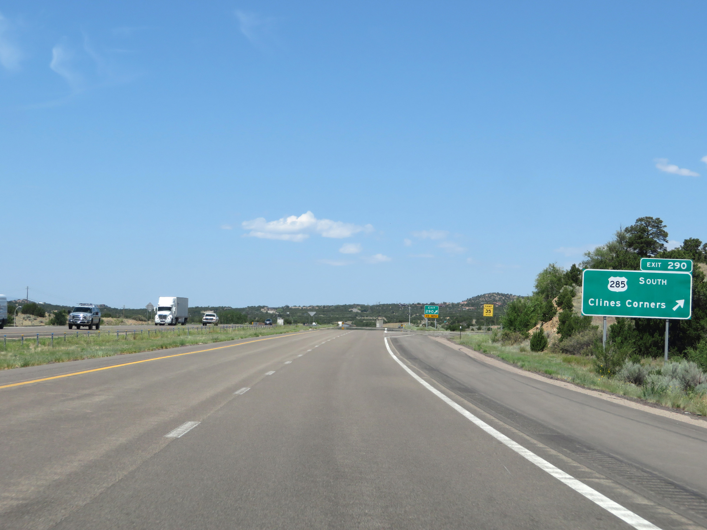 |
Interstate 25 South at Exit 290: US 285 South - Clines Corners (Photo taken 8/13/20). |
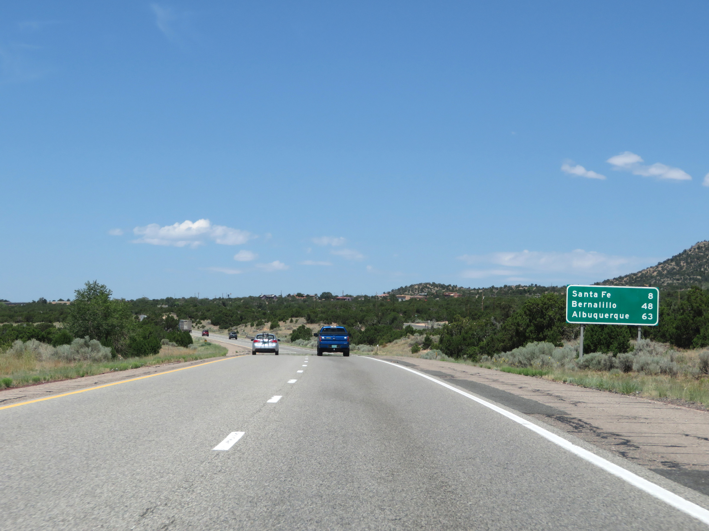 |
Another mileage sign on Interstate 25 South. It's 8 miles to Santa Fe, 48 miles to Bernalillo, and 63 miles to Albuquerque. (Photo taken 8/13/20). |
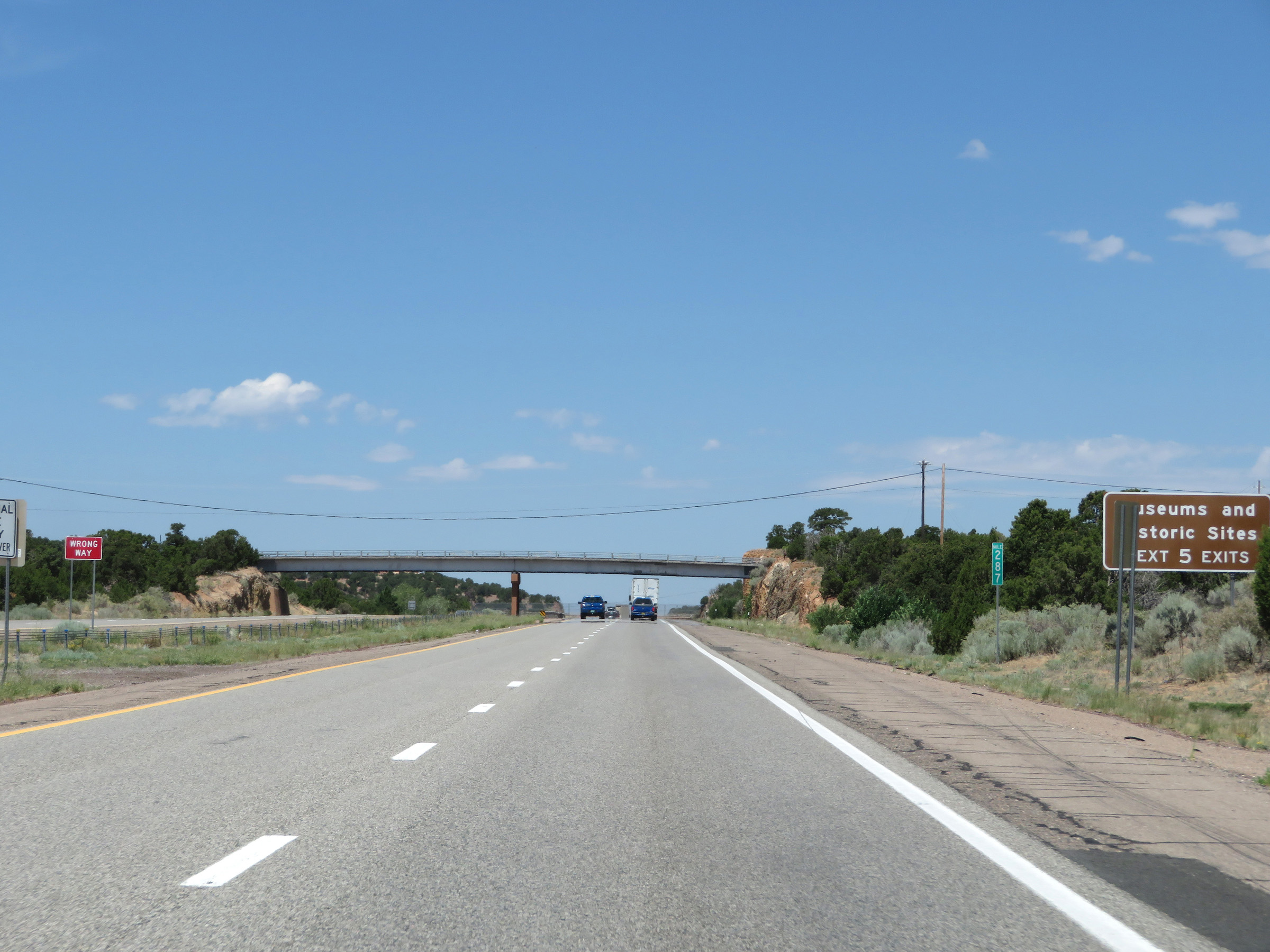 |
Take any of the next 5 exits to the Museums and Historic Sites of Santa Fe. (Photo taken 8/13/20). |
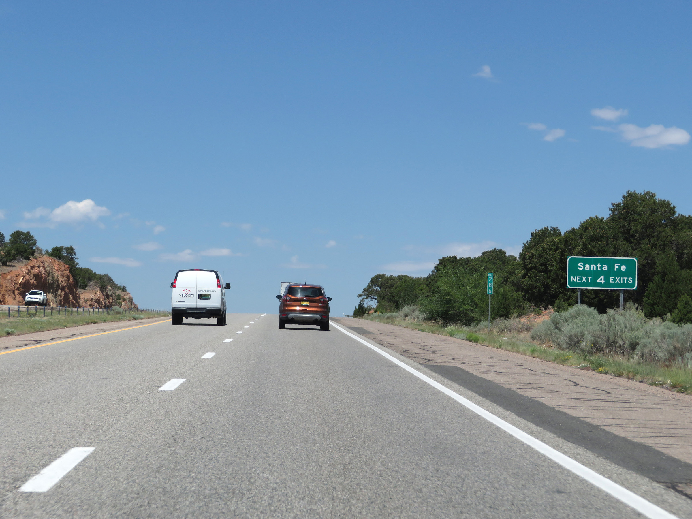 |
Take any of the next 4 exits to Santa Fe. (Photo taken 8/13/20). |
 |
Mileage sign listing the distances to the 4 upcoming exits to Santa Fe. (Photo taken 8/13/20). |
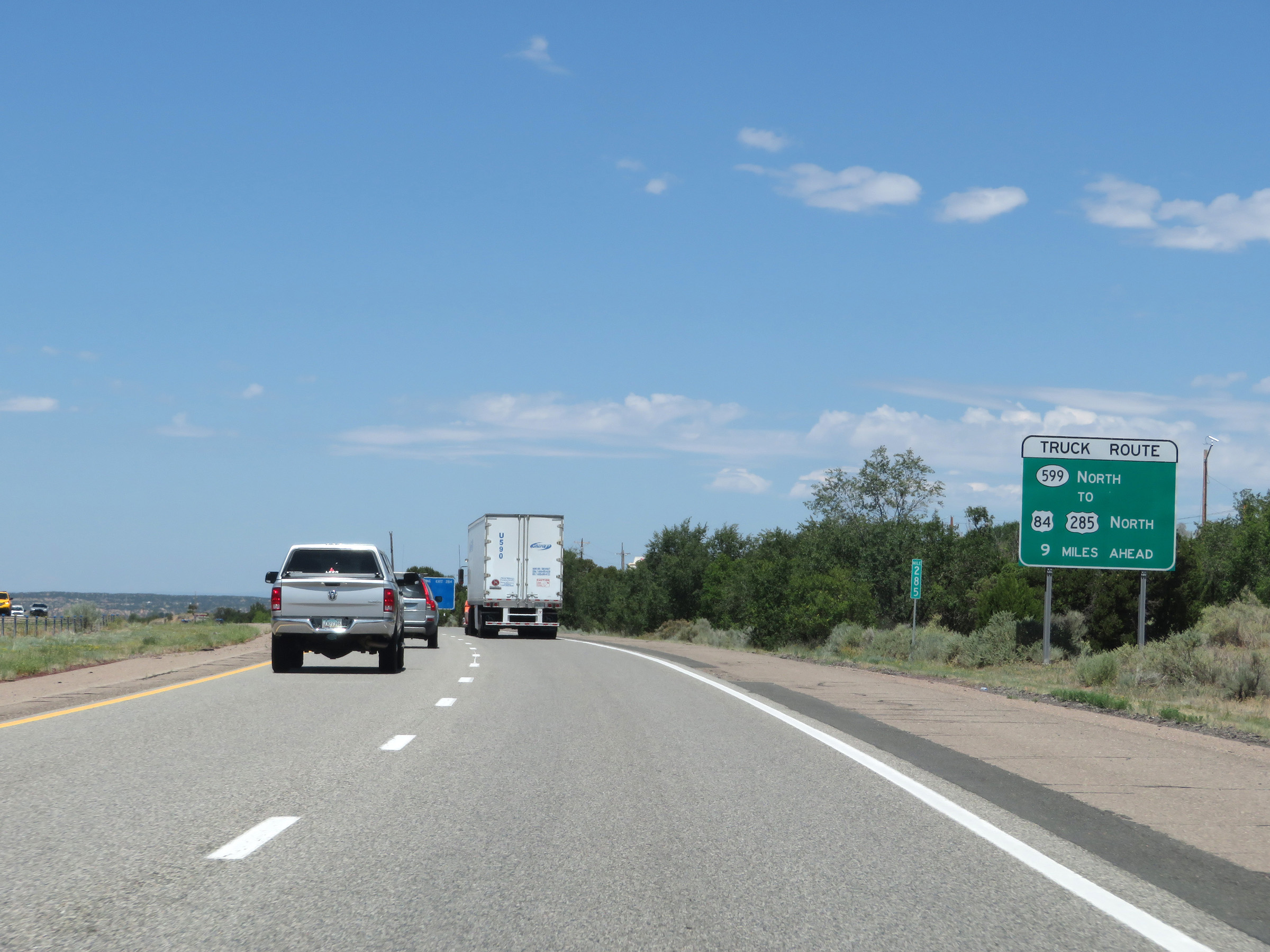 |
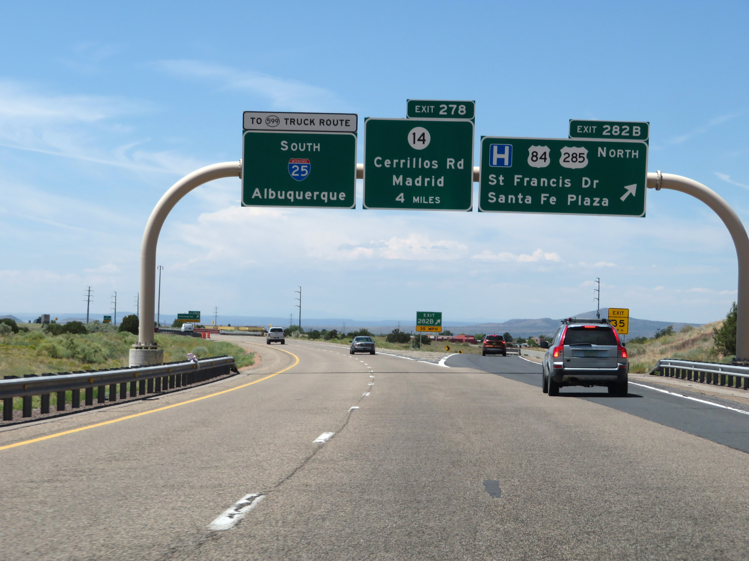
Trucks to US 84 and US 285 North should follow NM 599 North via Exit 276, 9 miles ahead. (Photo taken 8/13/20). |
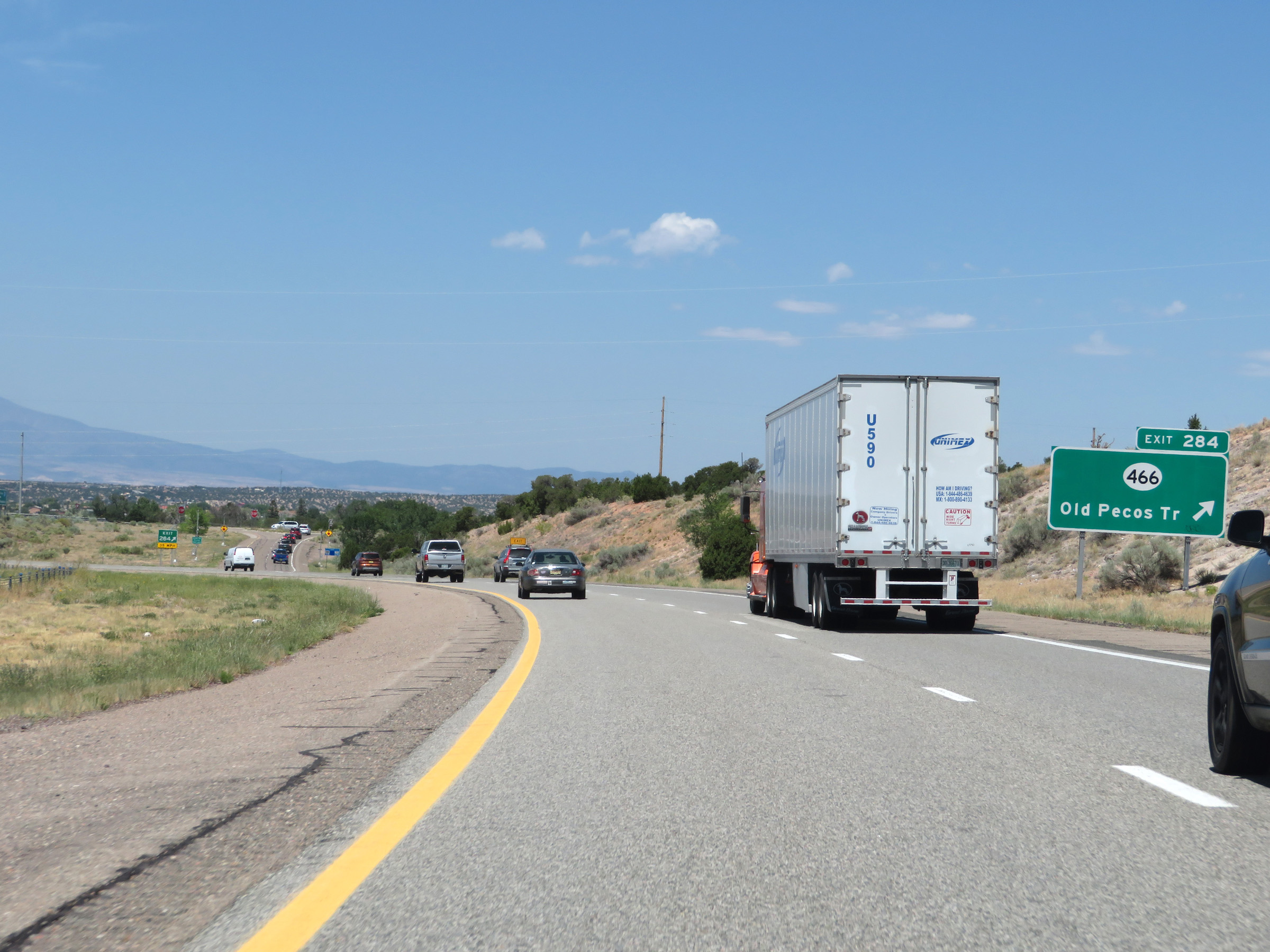 |
Interstate 25 South at Exit 284: NM 466 - Old Pecos Trail (Photo taken 8/13/20). |
 |
Non-cutout Interstate 25 South reassurance shield in Santa Fe. (Photo taken 8/13/20). |
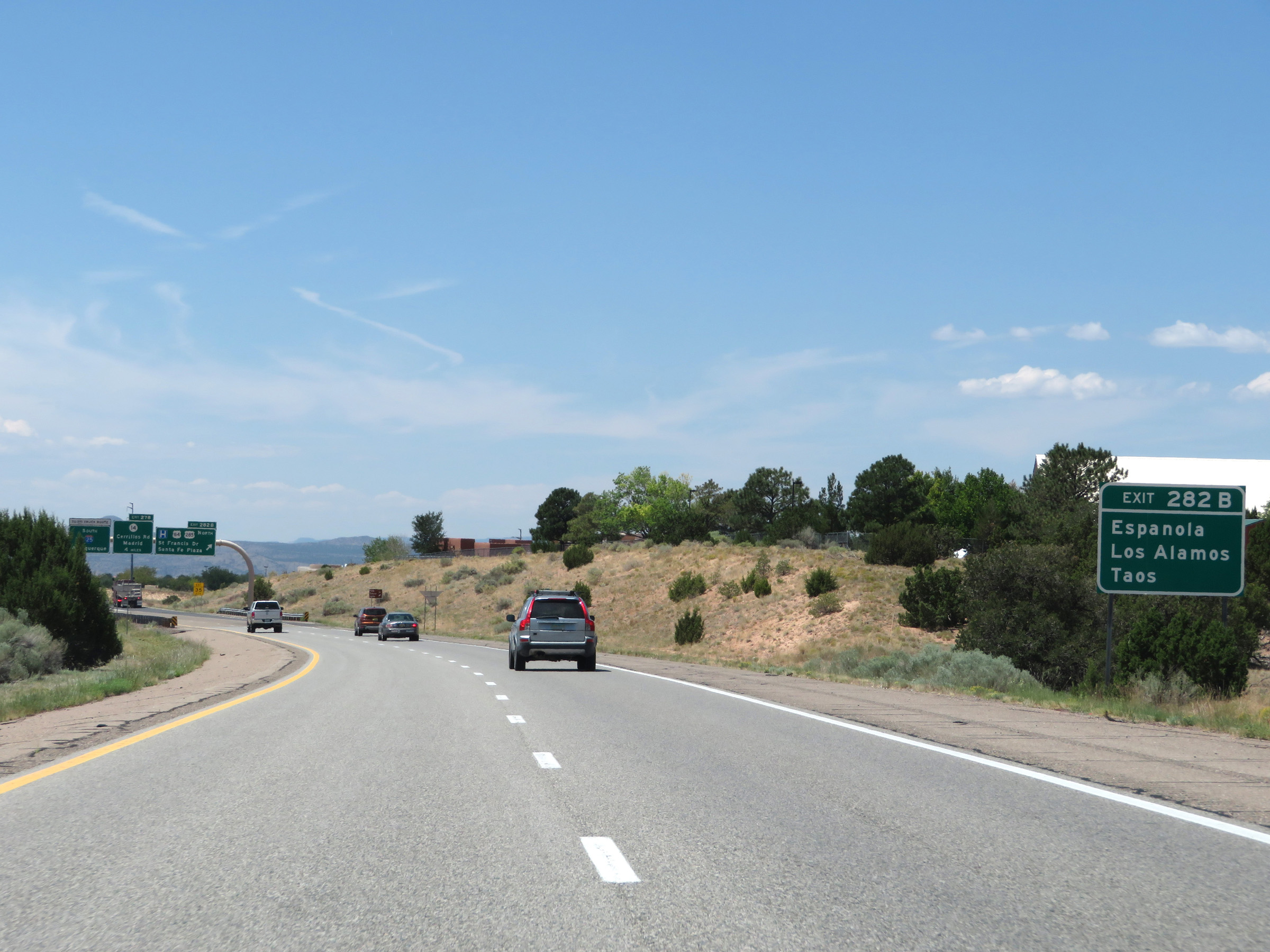 |
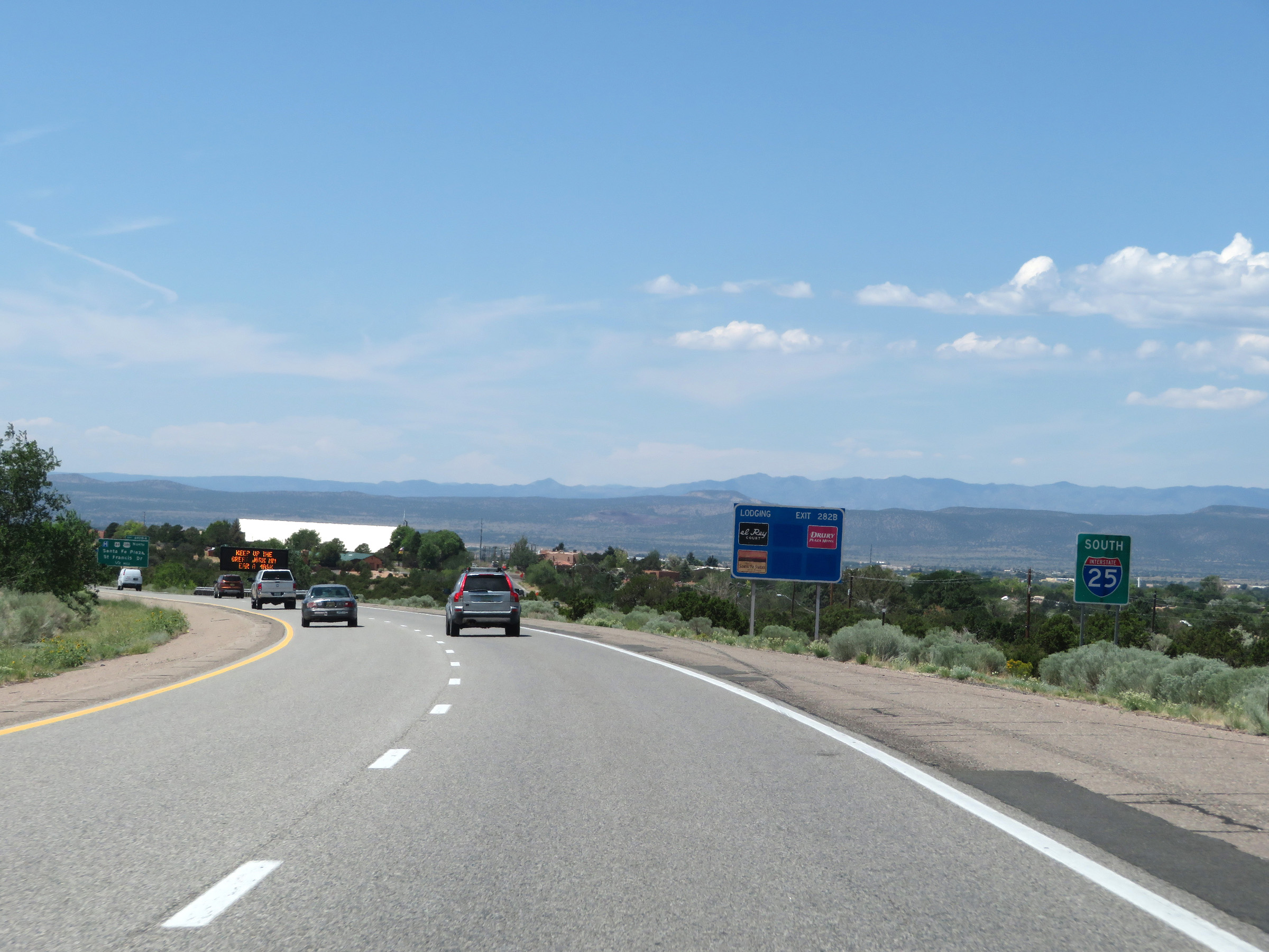
Take Exit 282B to Espanola, Los Alamos, and Taos. (Photo taken 8/13/20). |
 |
Interstate 25 South at Exit 282B: US 84 North / US 285 North - St Francis Dr / Santa Fe Plaza (Photo taken 8/13/20). |
Section 4: Santa Fe (Exit 282B) to Albuquerque (Exit 228)
 |
Interstate 25 South at Exit 282A: Frontage Rd (Photo taken 8/13/20). |
 |
The speed limit remains 75 mph on Interstate 25 South through the Santa Fe area. (Photo taken 8/13/20). |
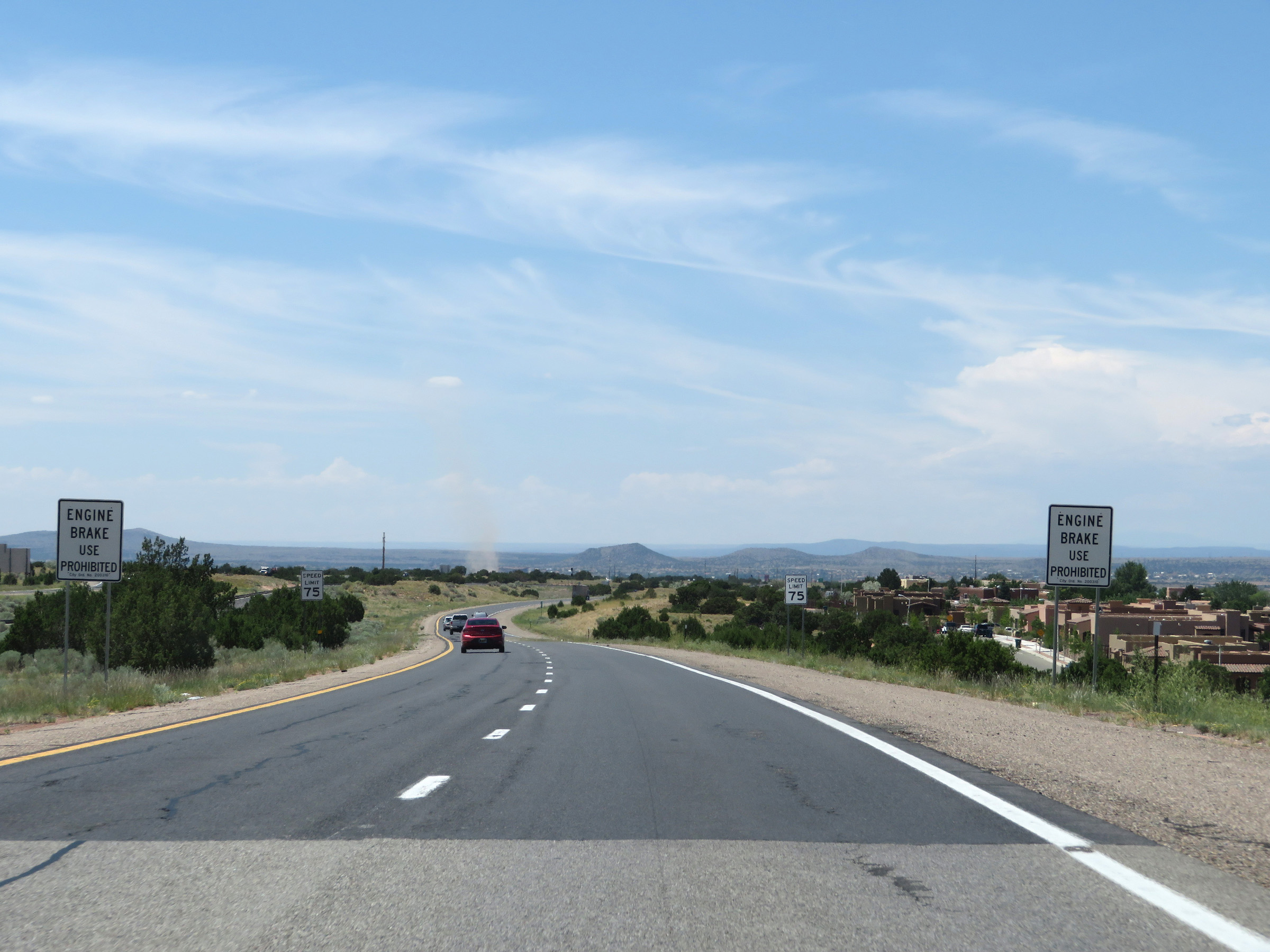 |
These signs warn truck drivers that the use of engine brakes (or "jake" brakes) is prohibited in the Santa Fe area on Interstate 25 South. (Photo taken 8/13/20). |
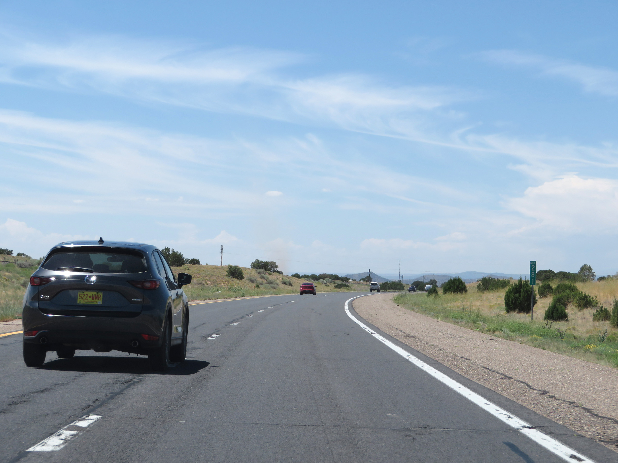 |
View on Interstate 25 South at mile marker 281. (Photo taken 8/13/20). |
 |
Interstate 25 South approaching Exit 278 - 1 mile. (Photo taken 8/13/20). |
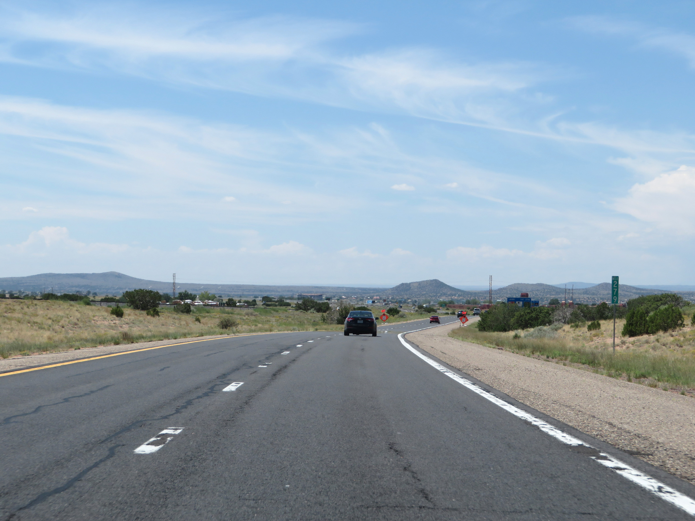 |
Interstate 25 South at mile marker 279. (Photo taken 8/13/20). |
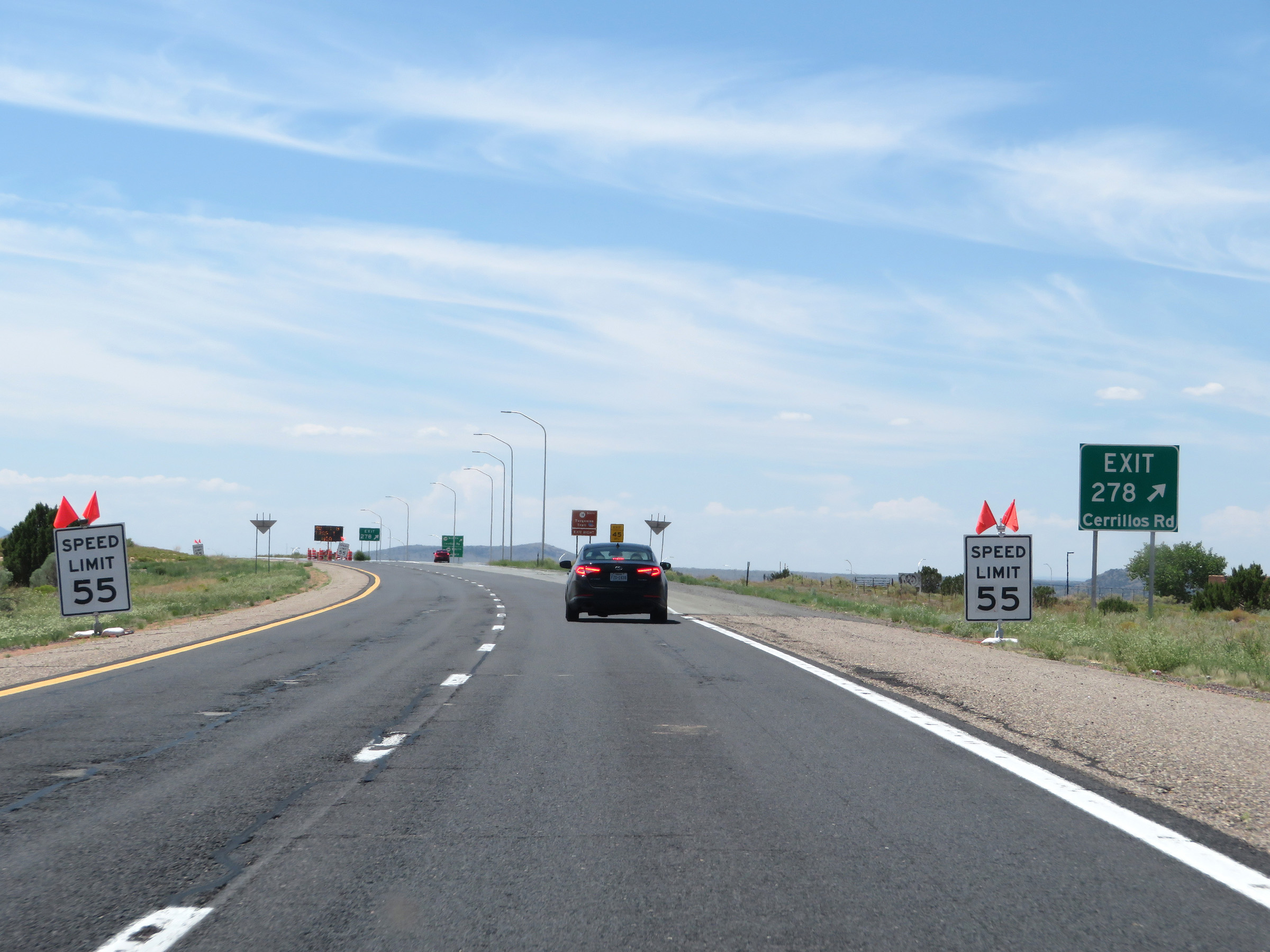 |
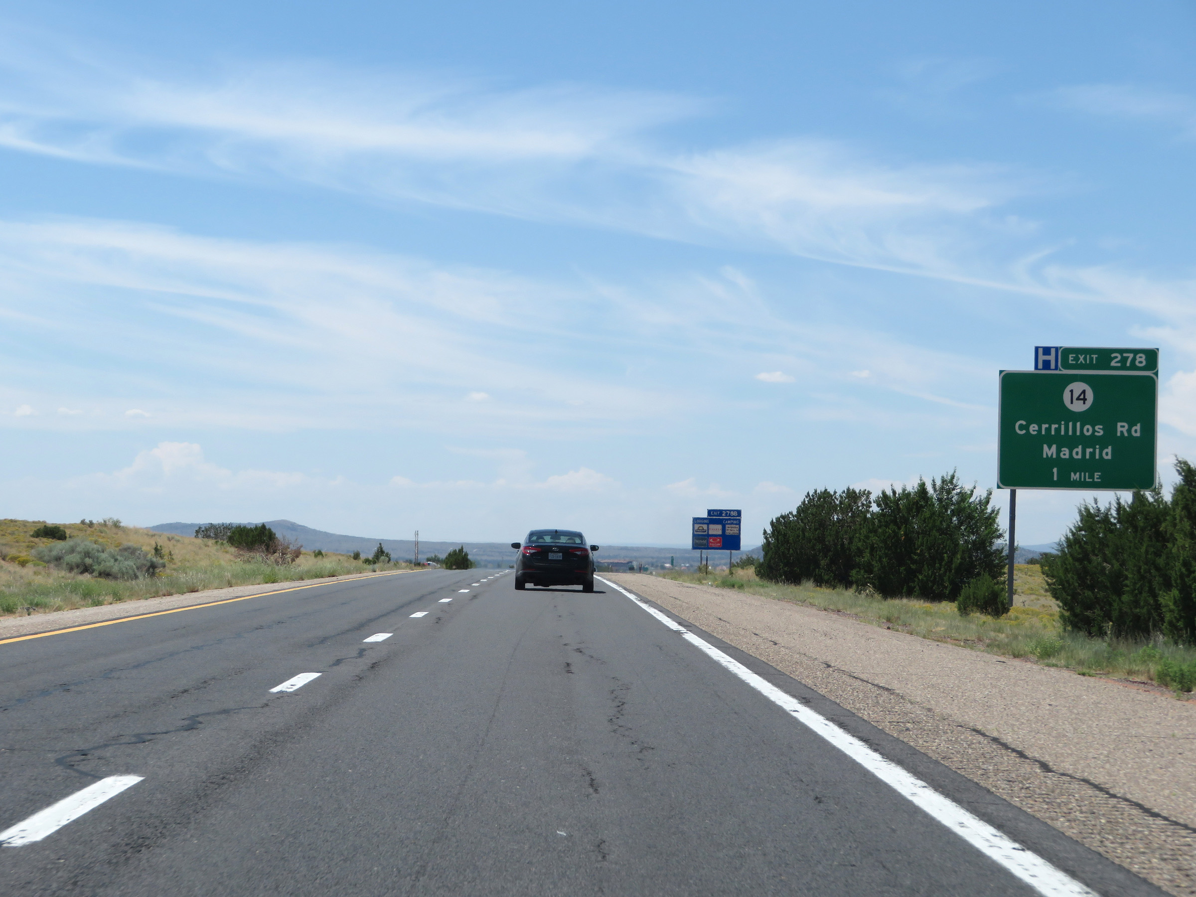
Interstate 25 South at Exit 278: NM 14 - Cerrillos Rd / Madrid (Photo taken 8/13/20). |
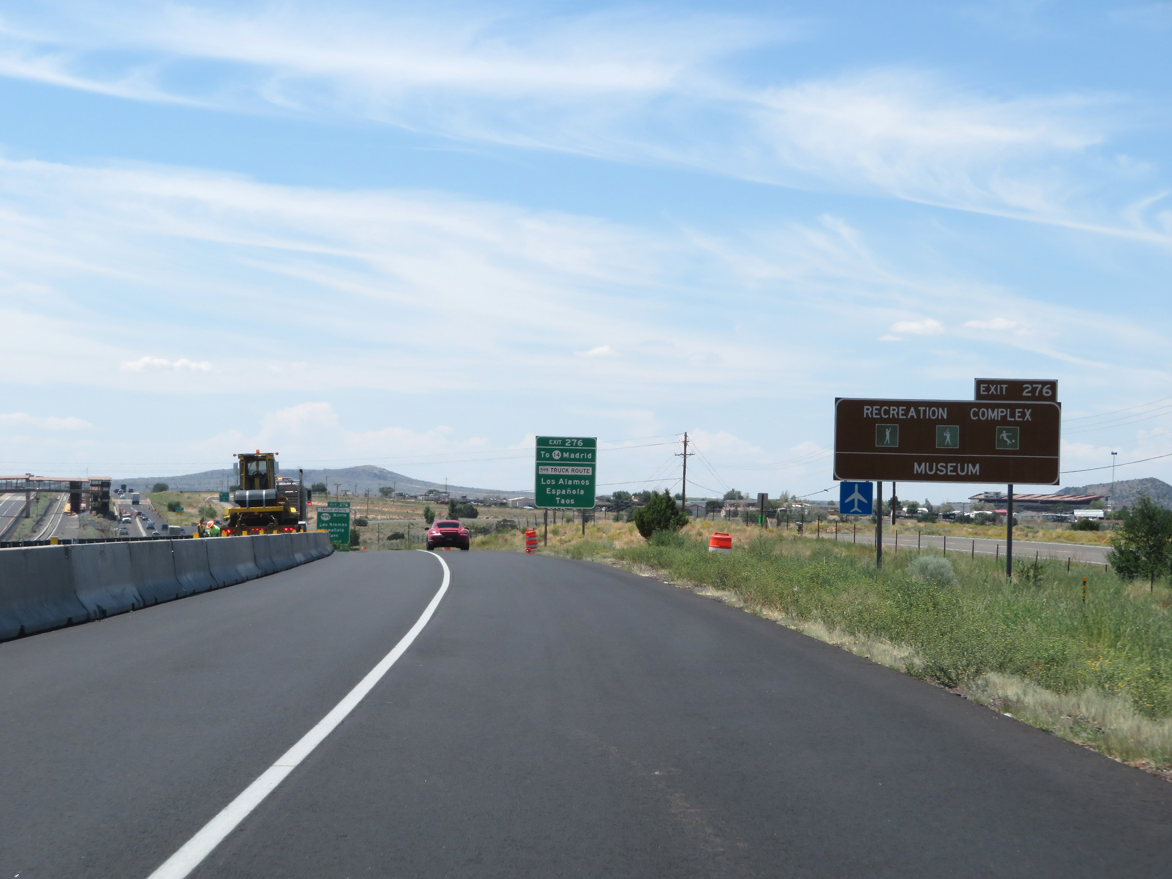 |
Take Exit 276 to the Recreation Complex and Museum. (Photo taken 8/13/20). |
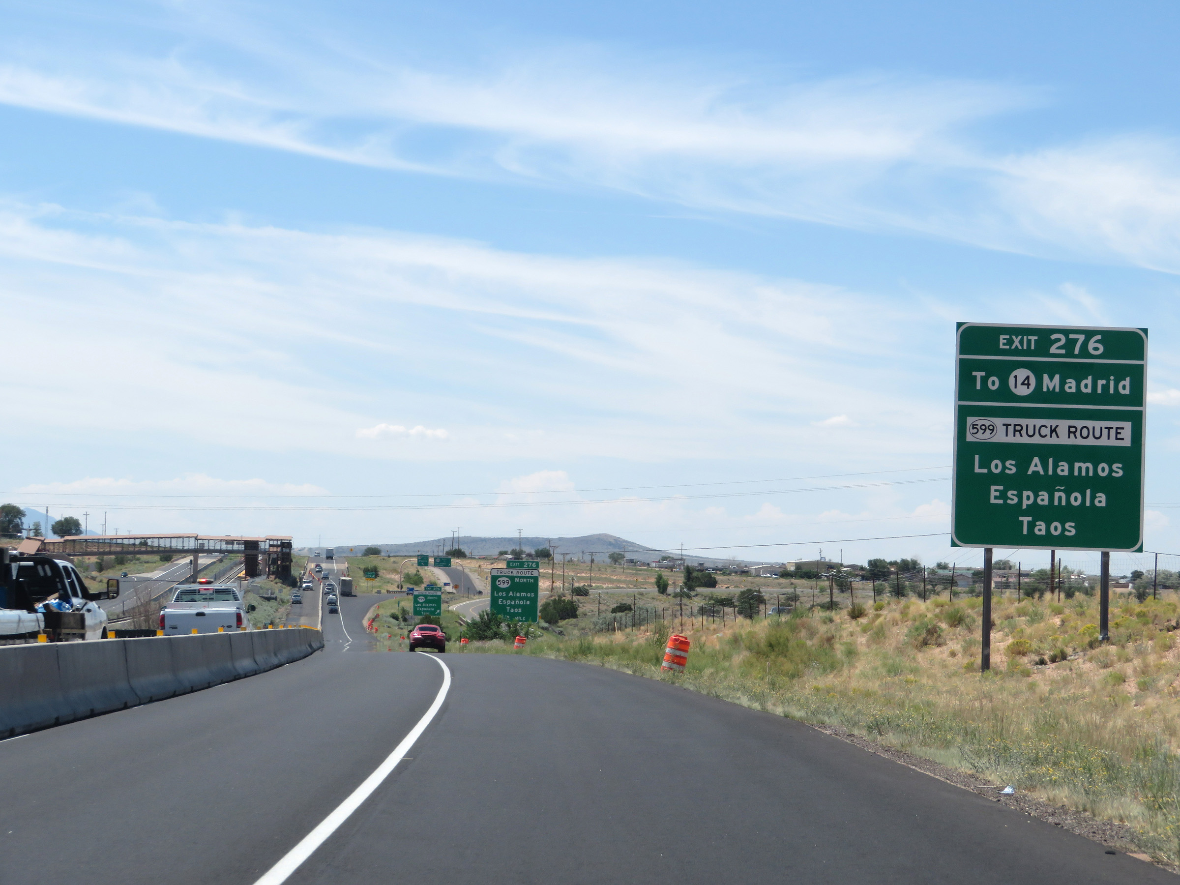 |
Also take Exit 276 to NM 14 toward Madrid, as well as the designated truck route of NM 599 North to Los Alamos, Española, and Taos. (Photo taken 8/13/20). |
 |
Interstate 25 South at Exit 276: NM 599 North (Truck Route) - Los Alamos / Española / Taos (Photo taken 8/13/20). |
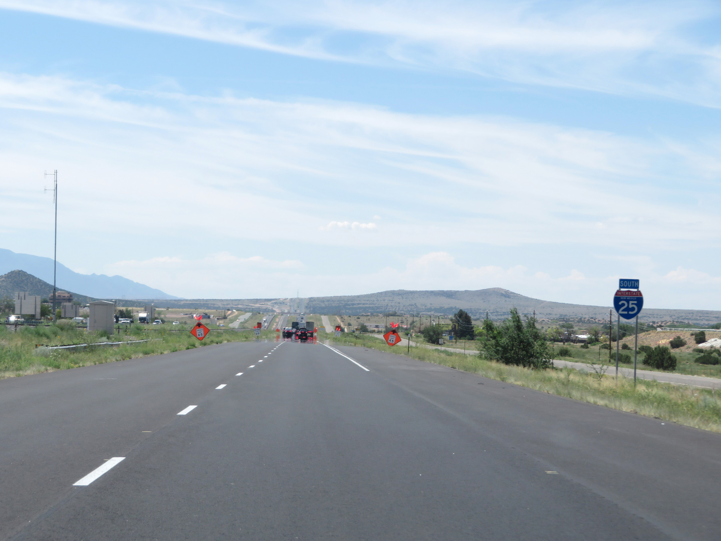 |
State-named Interstate 25 South reassurance shield. (Photo taken 8/13/20). |
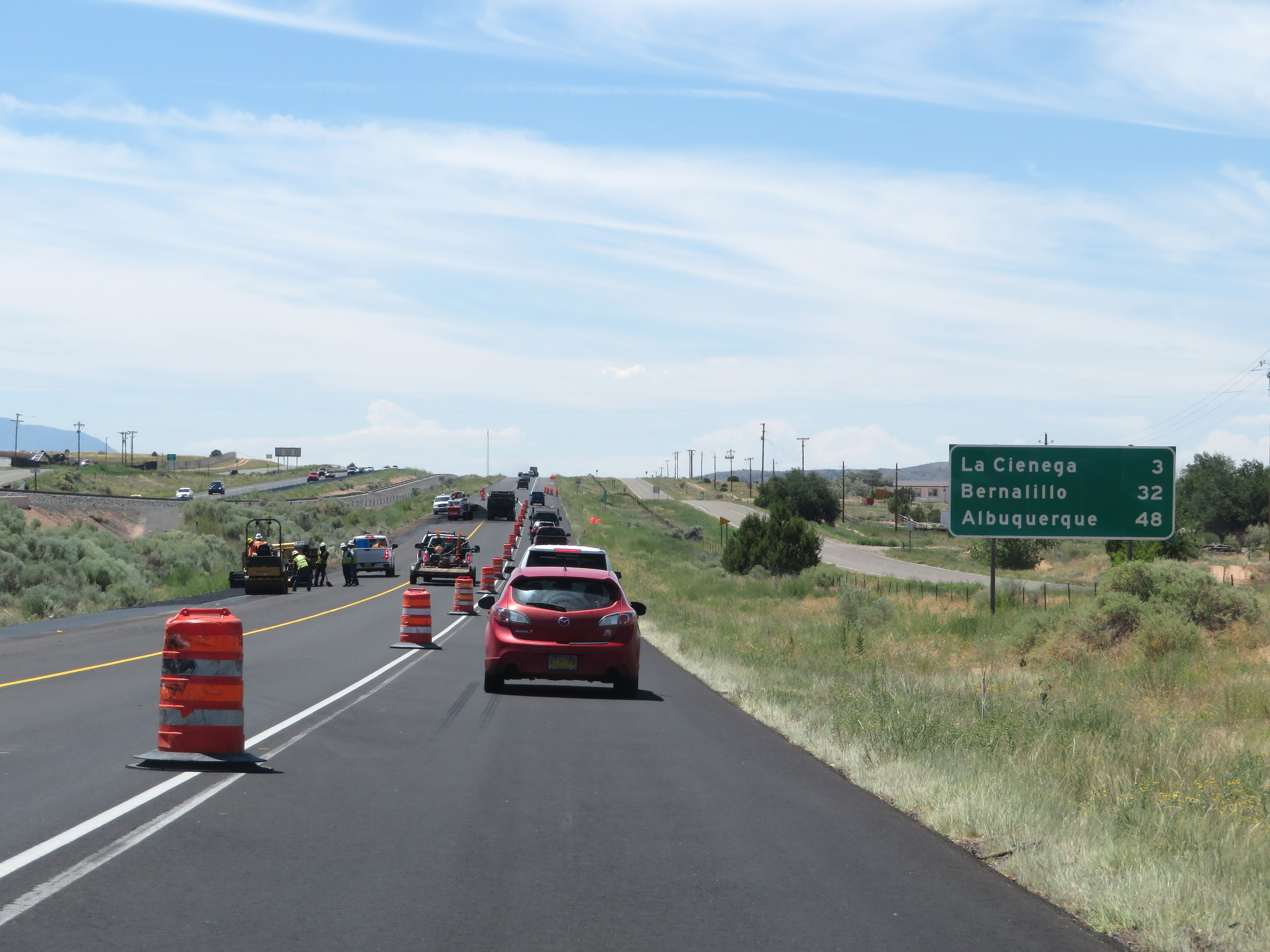 |
Mileage sign on Interstate 25 South as it leaves the Santa Fe area. It's 3 miles to La Cienega, 32 miles to Bernalillo, and 48 miles to Albuquerque. (Photo taken 8/13/20). |
 |
Interstate 25 South at mile marker 274. (Photo taken 8/13/20). |
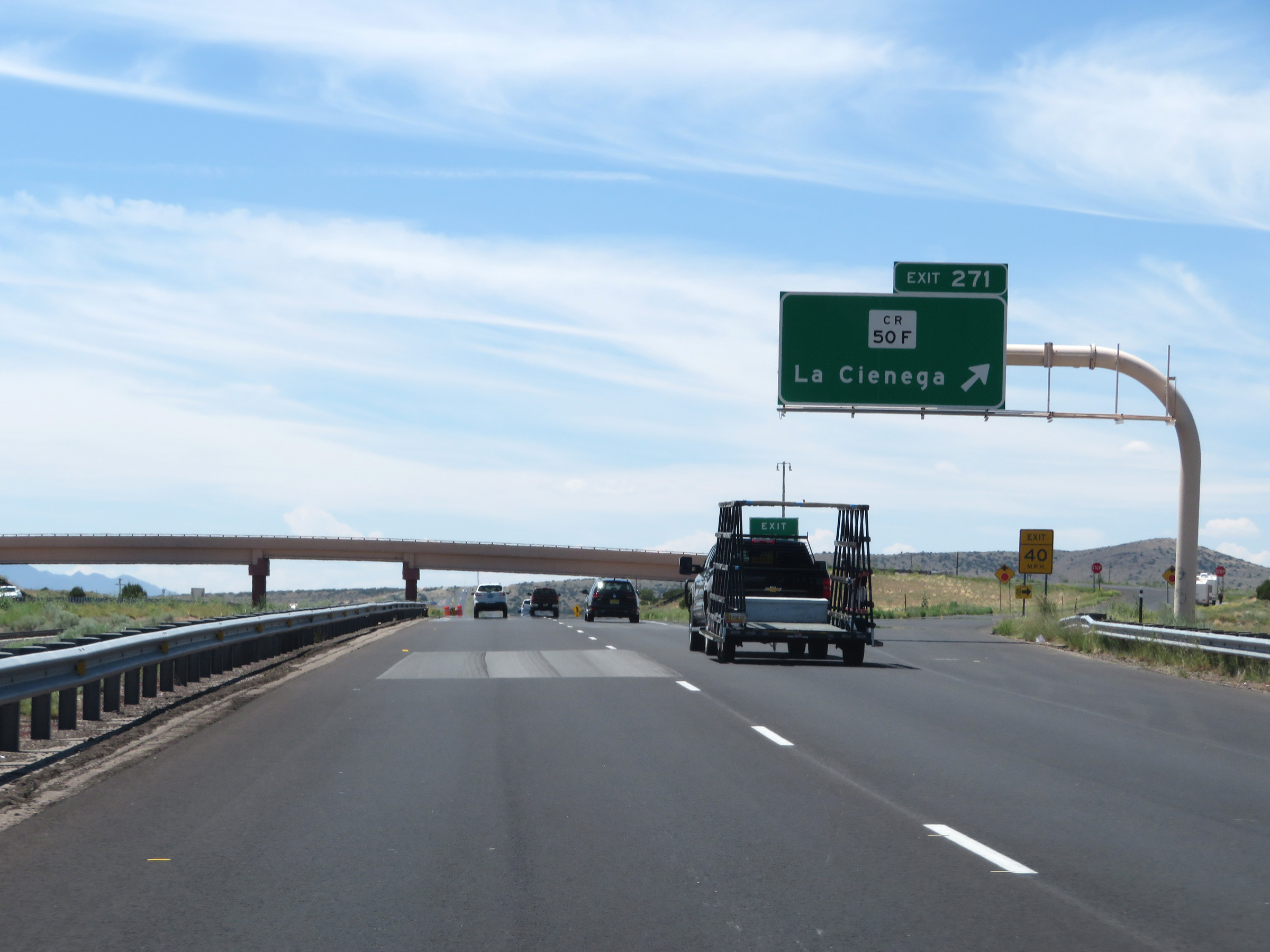 |
Interstate 25 South at Exit 271: CR 50F - La Cienega (Photo taken 8/13/20). |
 |
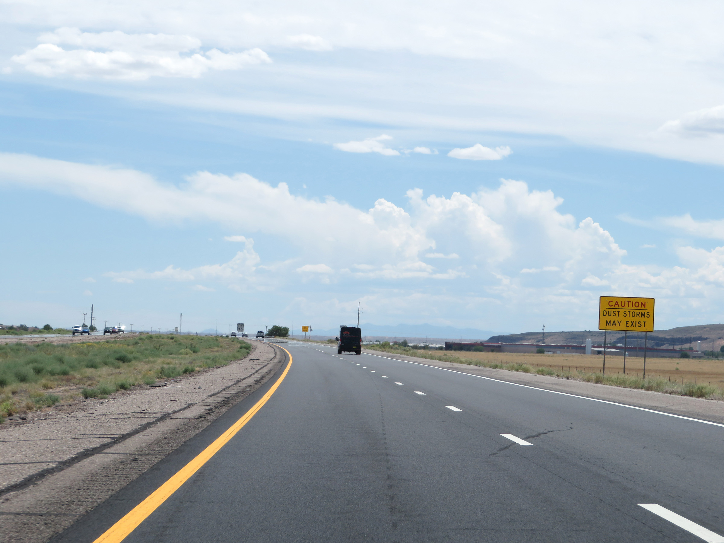
These signs warn motorists to be alert for possible dust storms for the next 5 miles on Interstate 25 South. (Photo taken 8/13/20). |
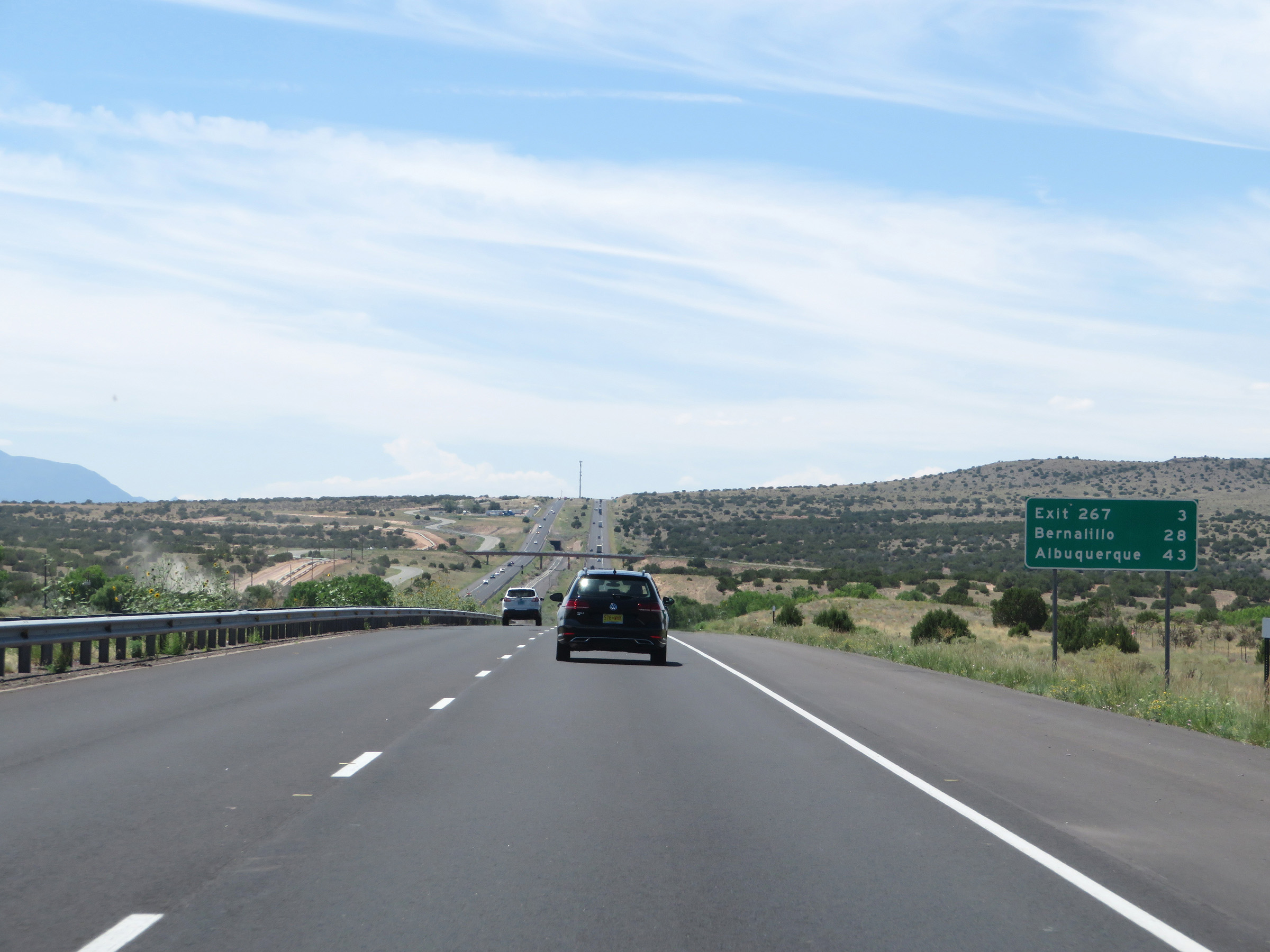 |
Another mileage sign on Interstate 25 South. It's 3 miles to the next exit (Exit 267), 28 miles to Bernalillo, and 43 miles to Albuquerque. (Photo taken 8/13/20). |
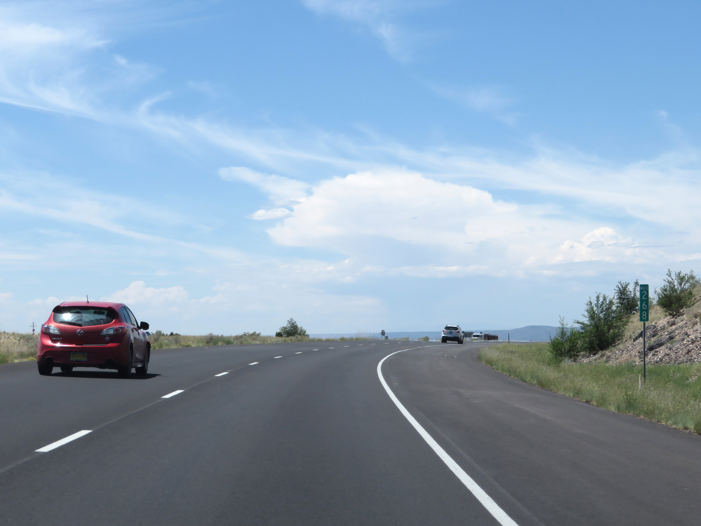 |
View on Interstate 25 South at mile marker 268. (Photo taken 8/13/20). |
 |
Interstate 25 South at Exit 267: Inspection Station (Photo taken 8/13/20). |
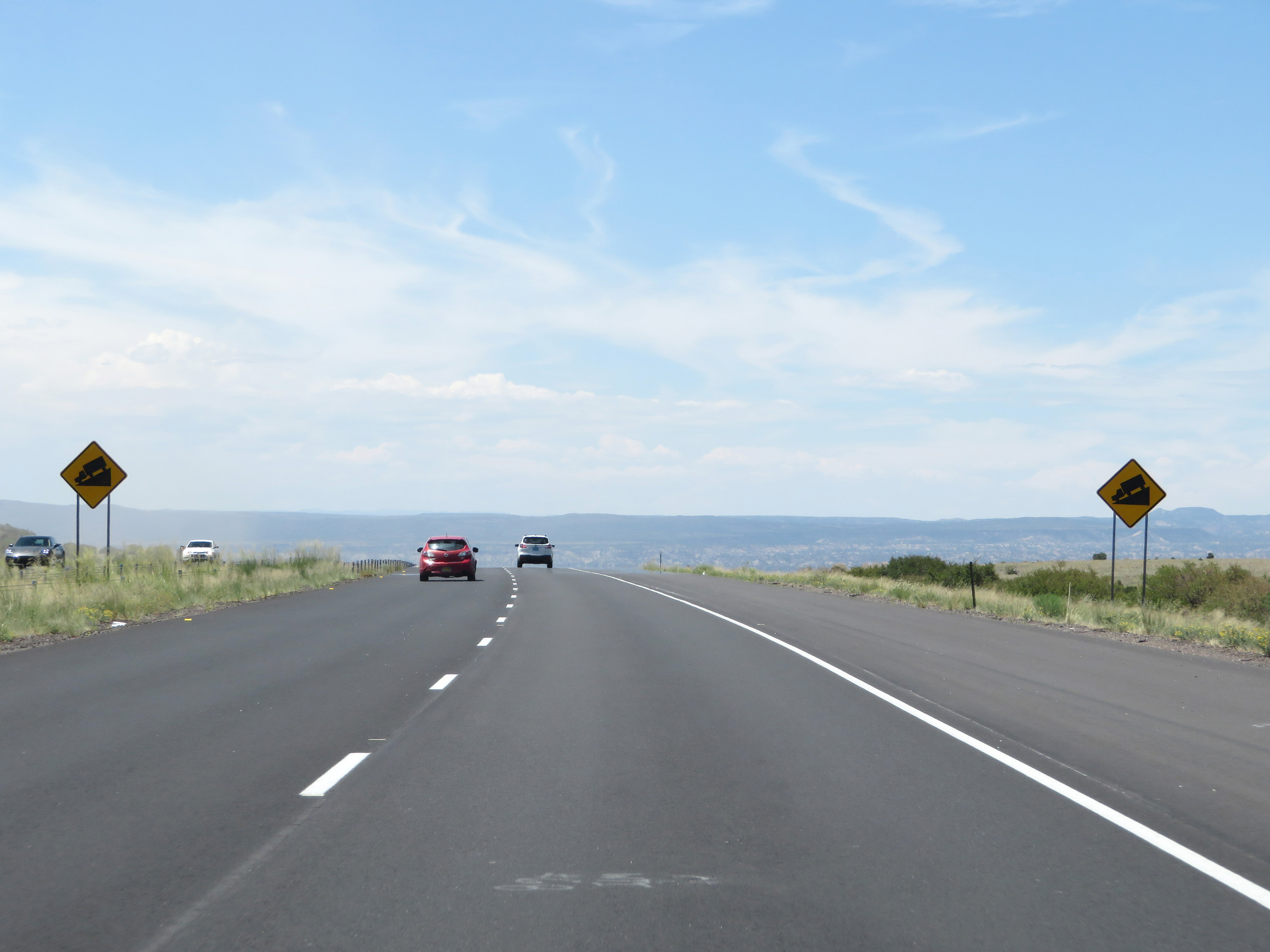 |
Beyond Exit 267, Interstate 25 South prepares to traverse a steep downgrade as these signs warn. The length and steepness of the grade are not shown. (Photo taken 8/13/20). |
 |
View on Interstate 25 South at mile marker 266, as it starts down the grade. (Photo taken 8/13/20). |
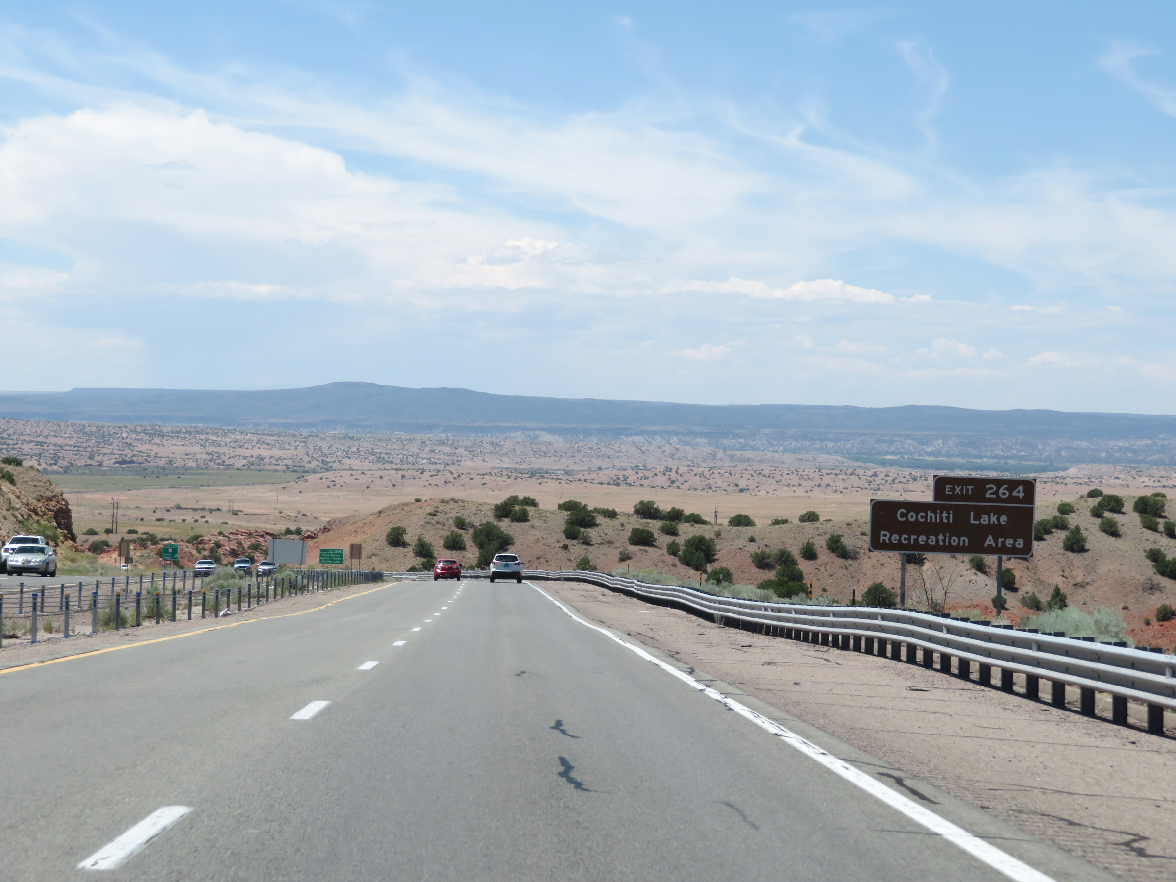 |
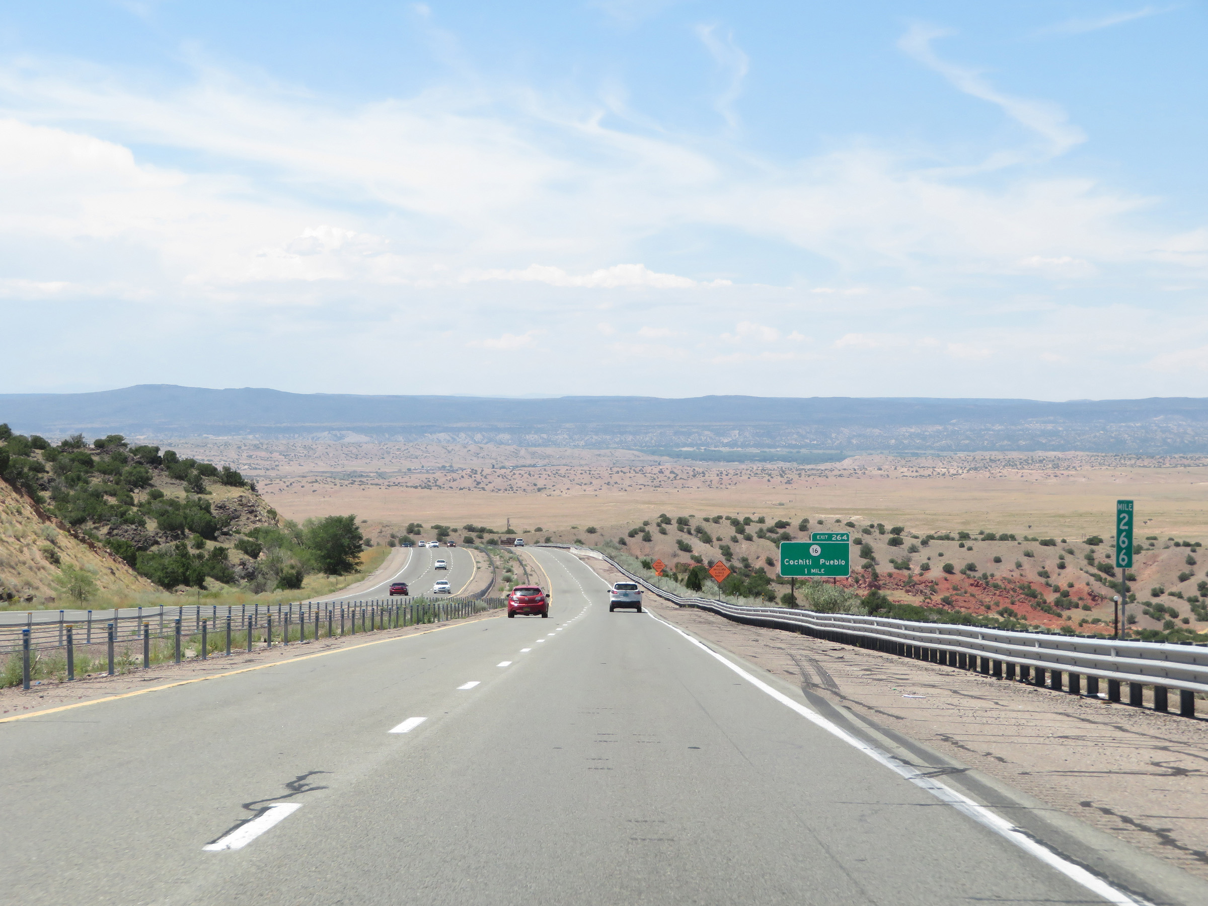
Take Exit 264 to Cochiti Lake Recreation Area. (Photo taken 8/13/20). |
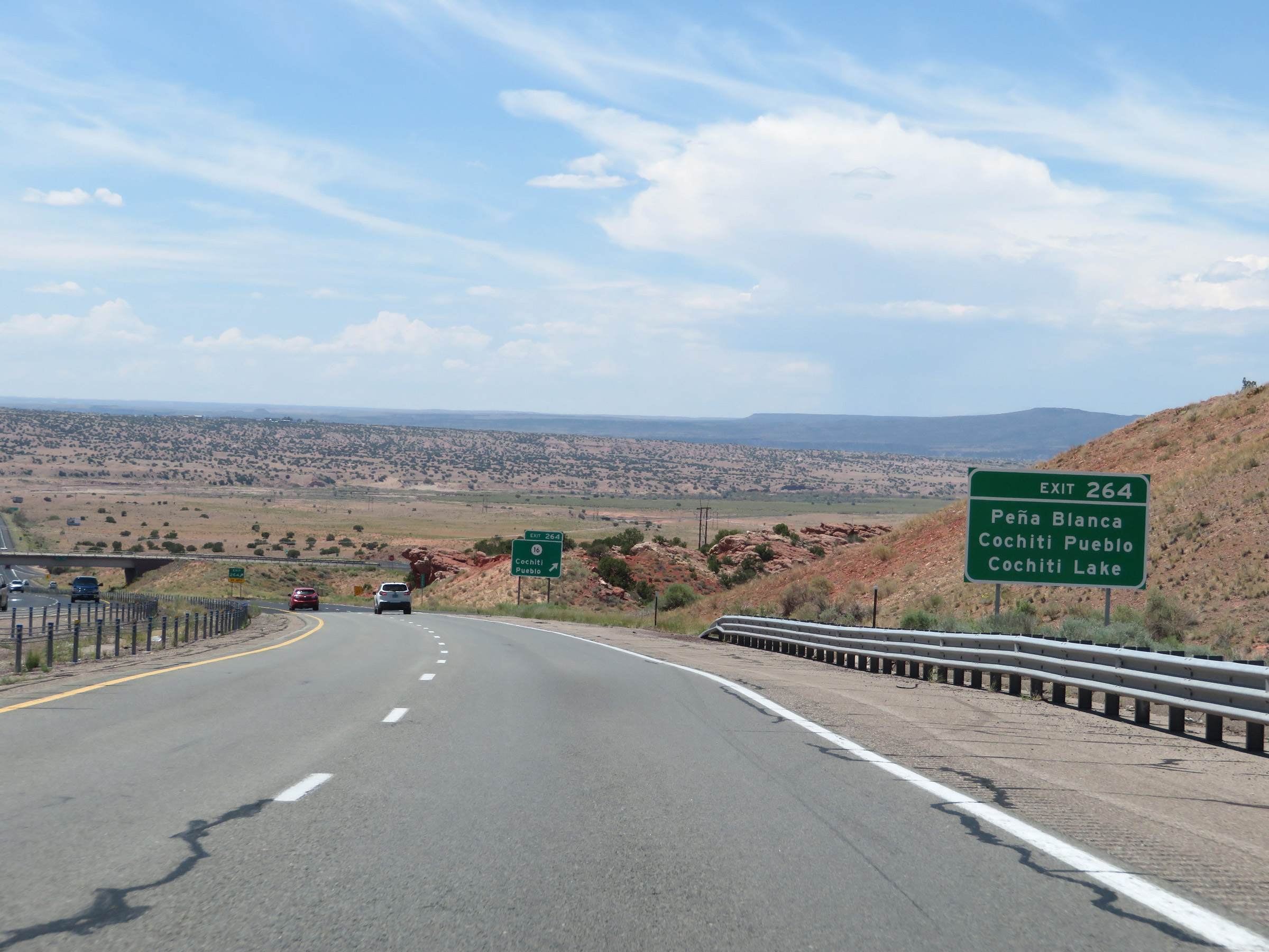 |
Also take Exit 264 to Peña Blanca, Cochiti Pueblo, and Cochiti Lake. (Photo taken 8/13/20). |
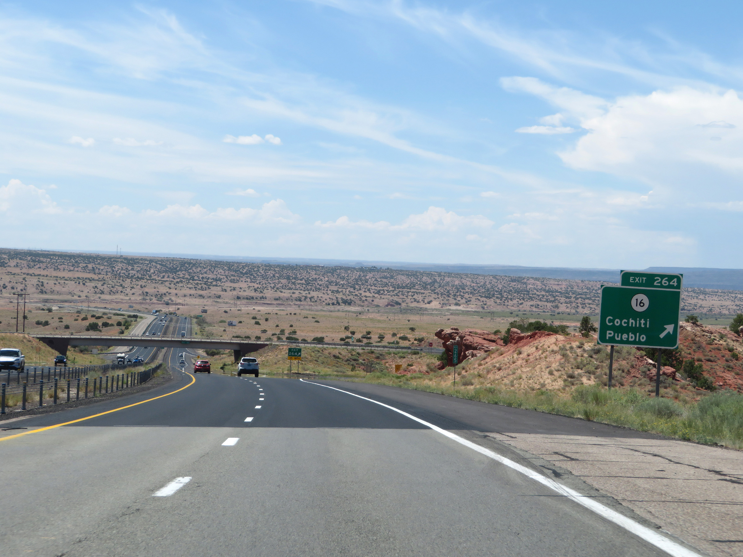 |
Interstate 25 South at Exit 264: NM 16 - Cochiti Pueblo (Photo taken 8/13/20). |
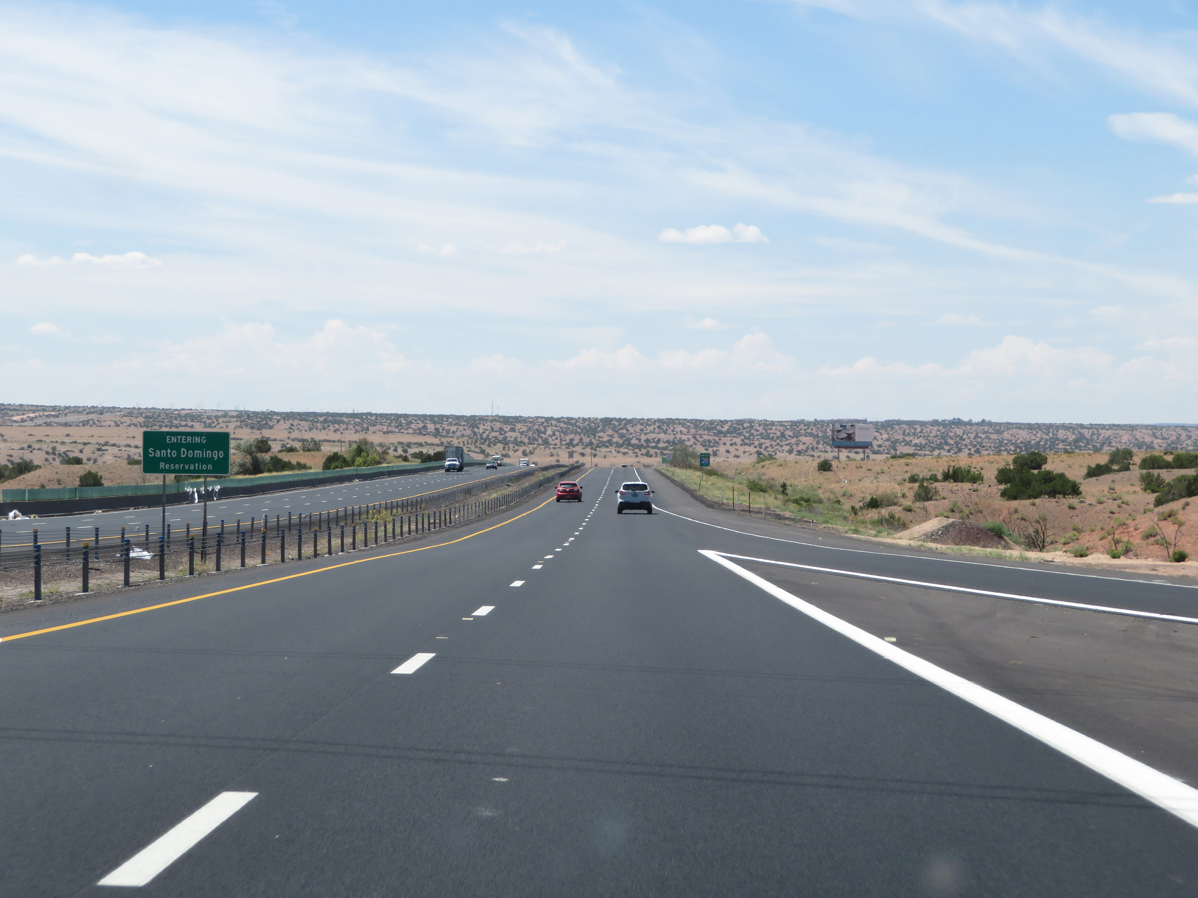 |
At the bottom of the grade, Interstate 25 South enters the Santo Domingo Reservation. (Photo taken 8/13/20). |
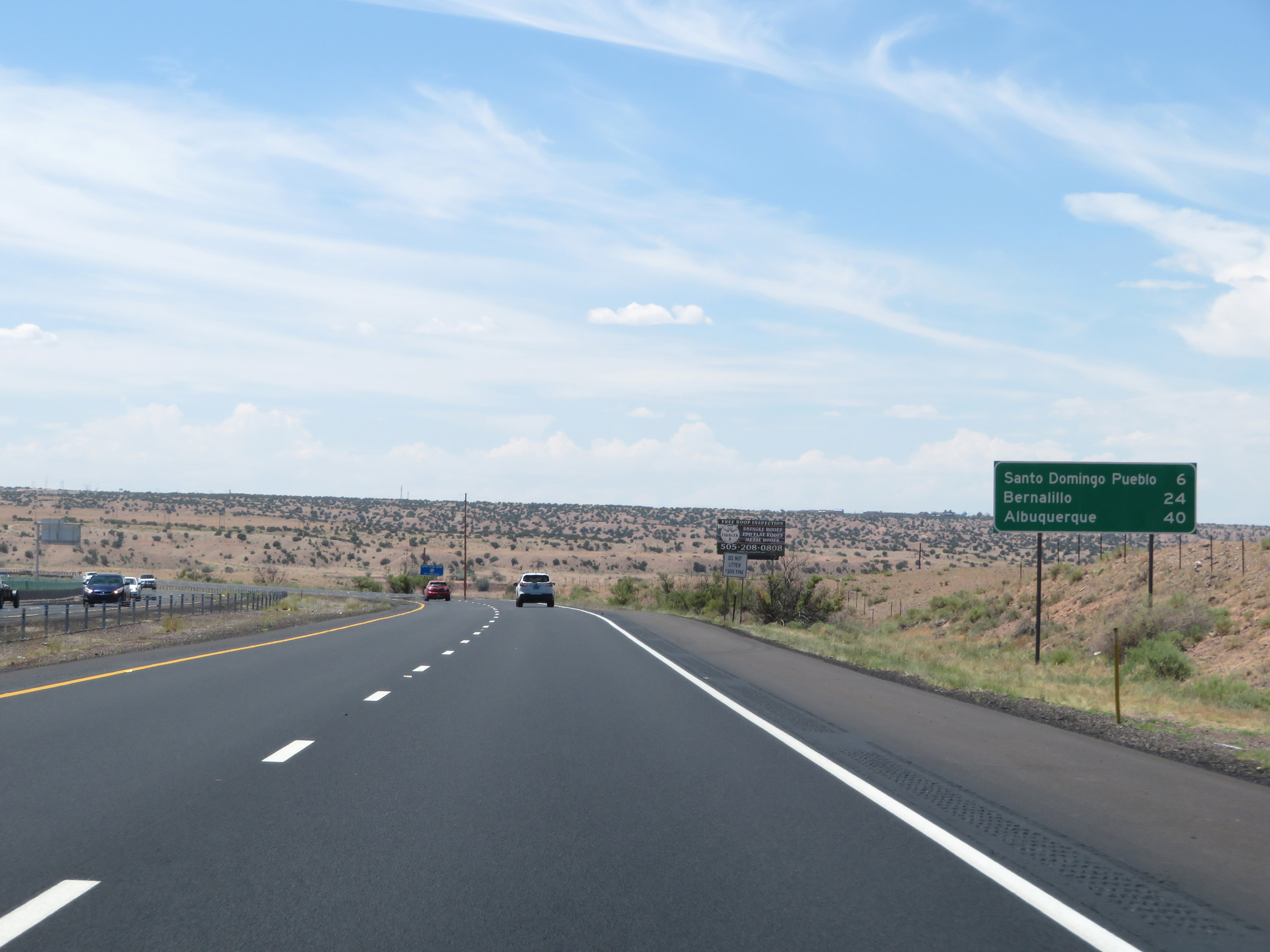 |
Mileage sign on Interstate 25 South. It's 6 miles to Santo Domingo Pueblo, 24 miles to Bernalillo, and 40 miles to Albuquerque. (Photo taken 8/13/20). |
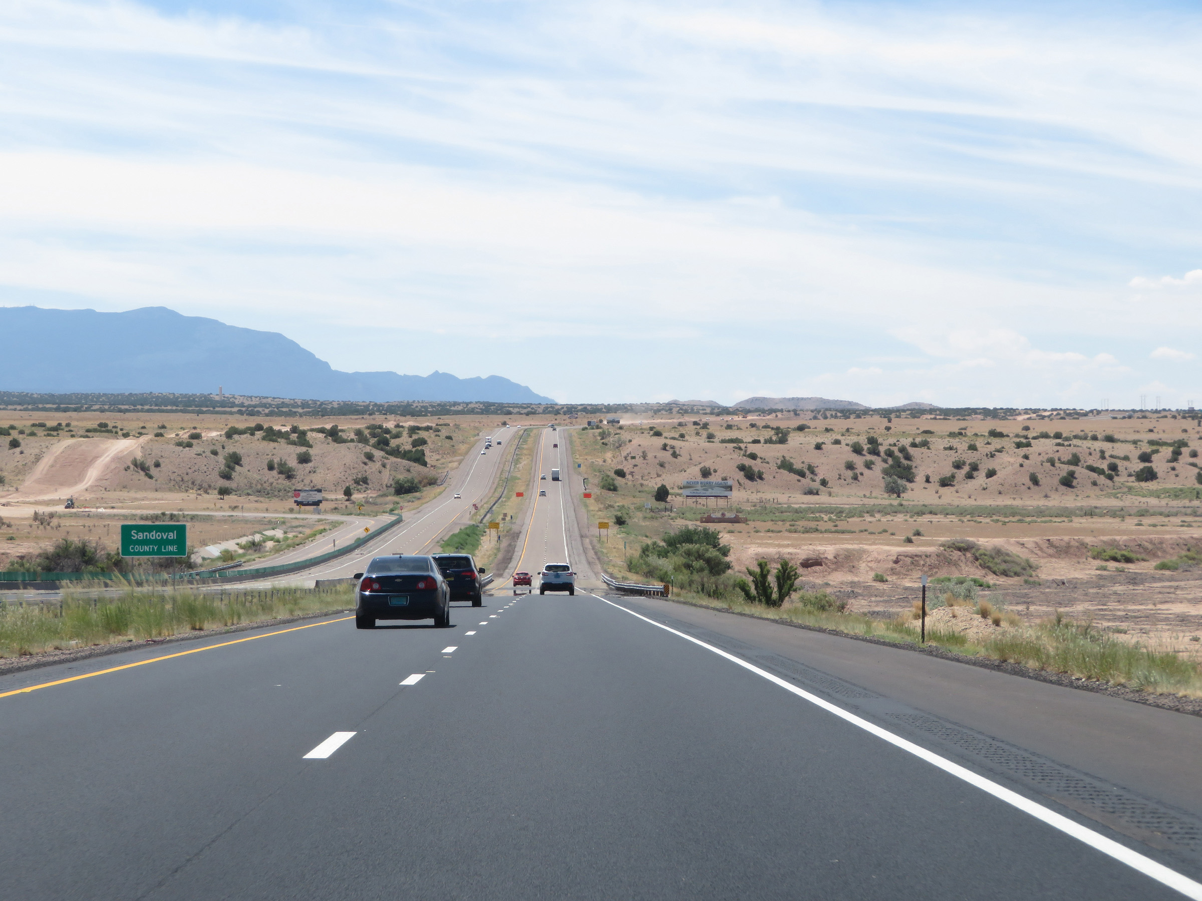 |
Interstate 25 South as it enters Sandoval County. (Photo taken 8/13/20). |
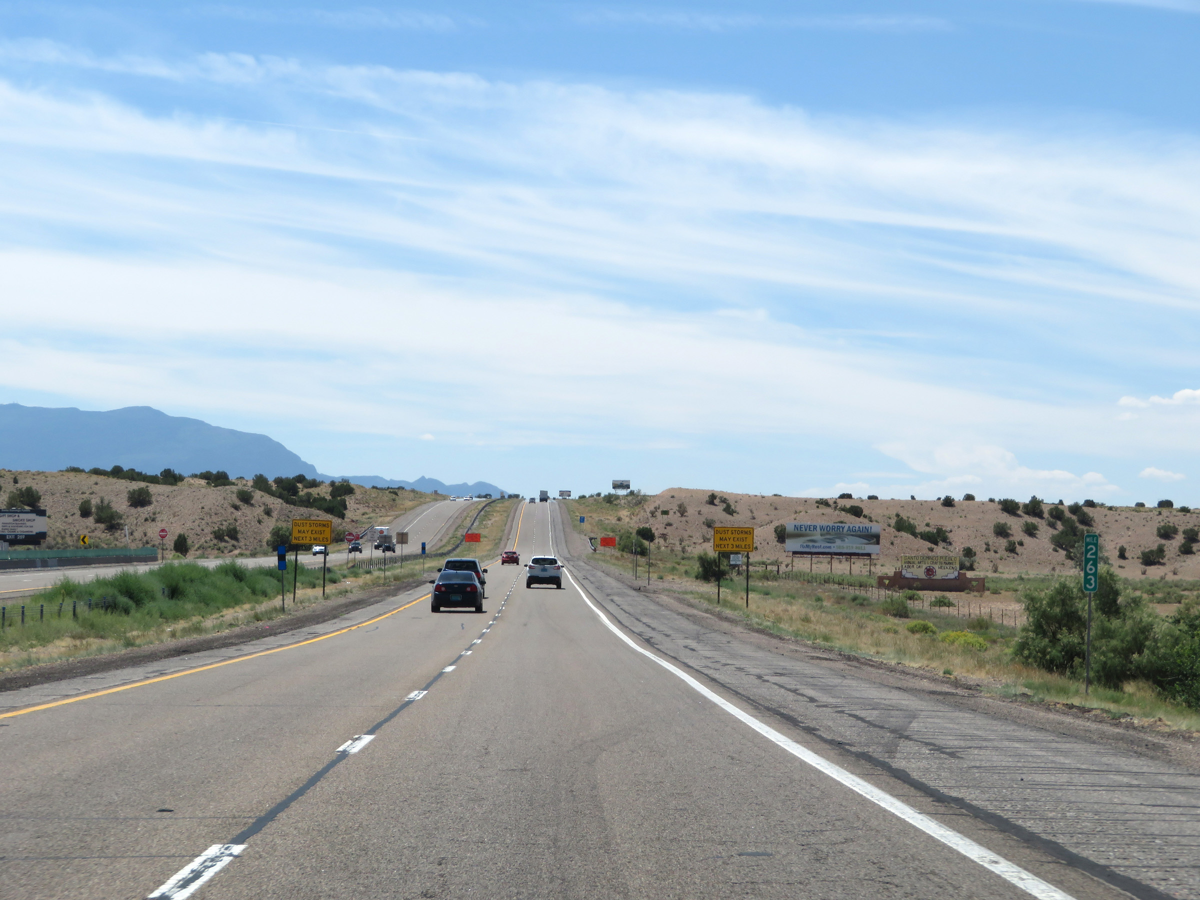 |
View on Interstate 25 South at mile marker 263. (Photo taken 8/13/20). |
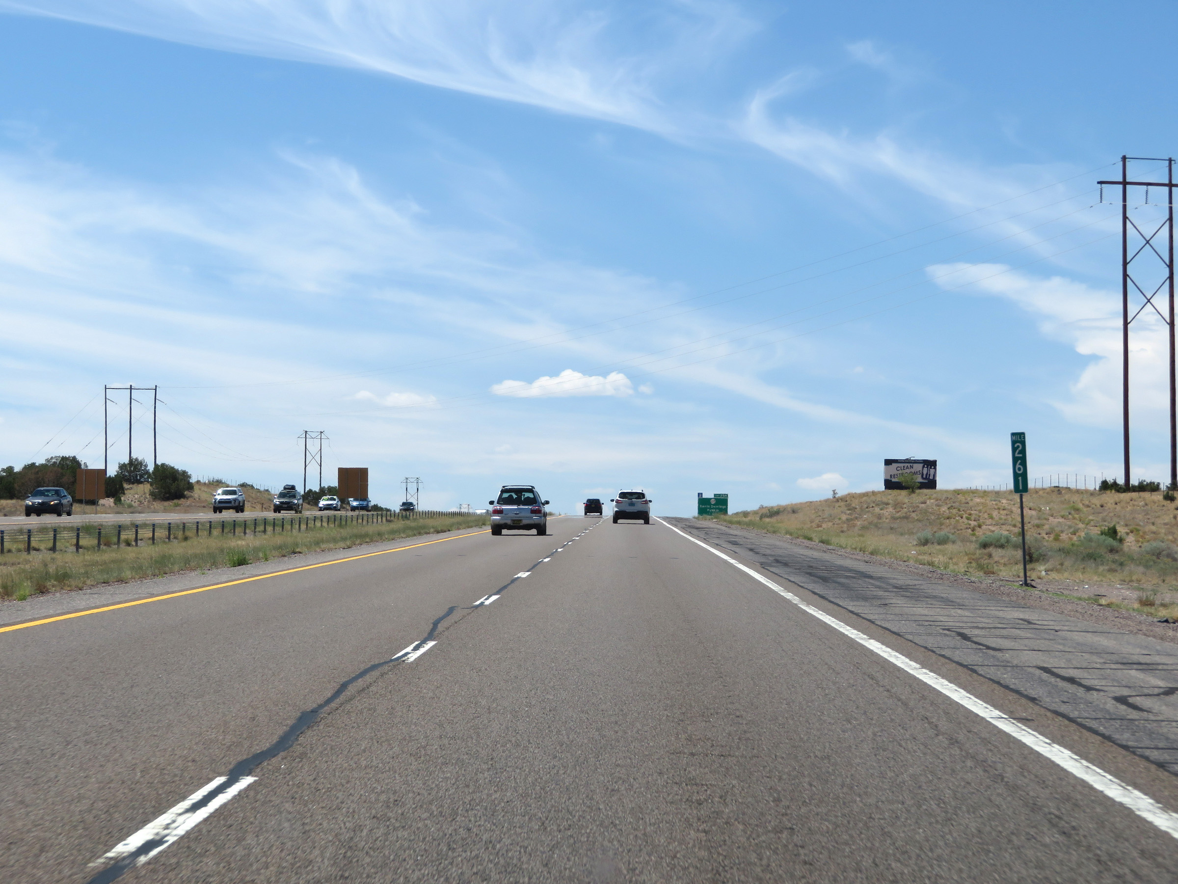 |
Interstate 25 South at mile marker 261. (Photo taken 8/13/20). |
 |
Interstate 25 South at Exit 259: NM 22 - Santo Domingo Pueblo (Photo taken 8/13/20). |
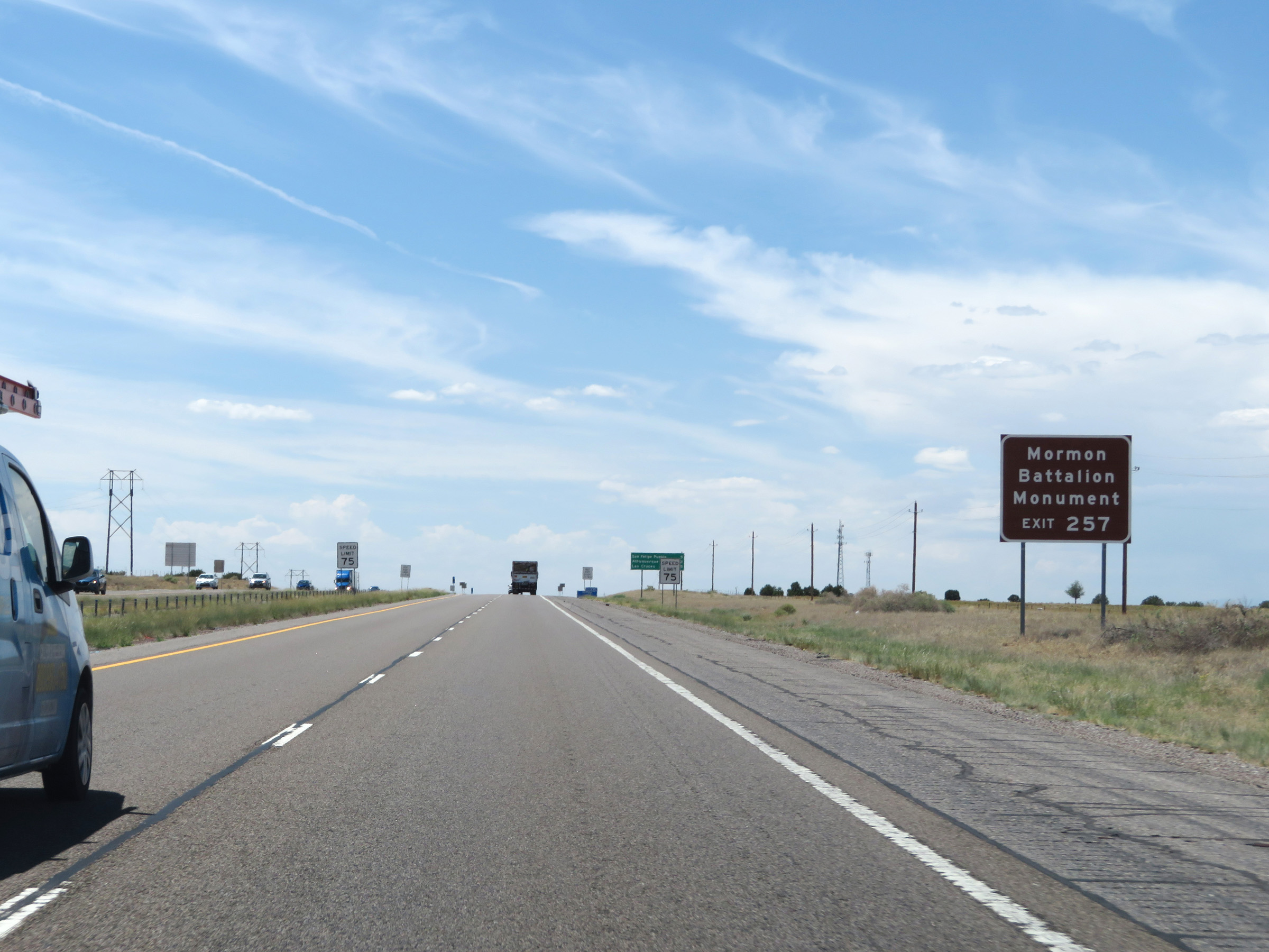 |
Take Exit 257 to the Mormon Battalion Monument. (Photo taken 8/13/20). |
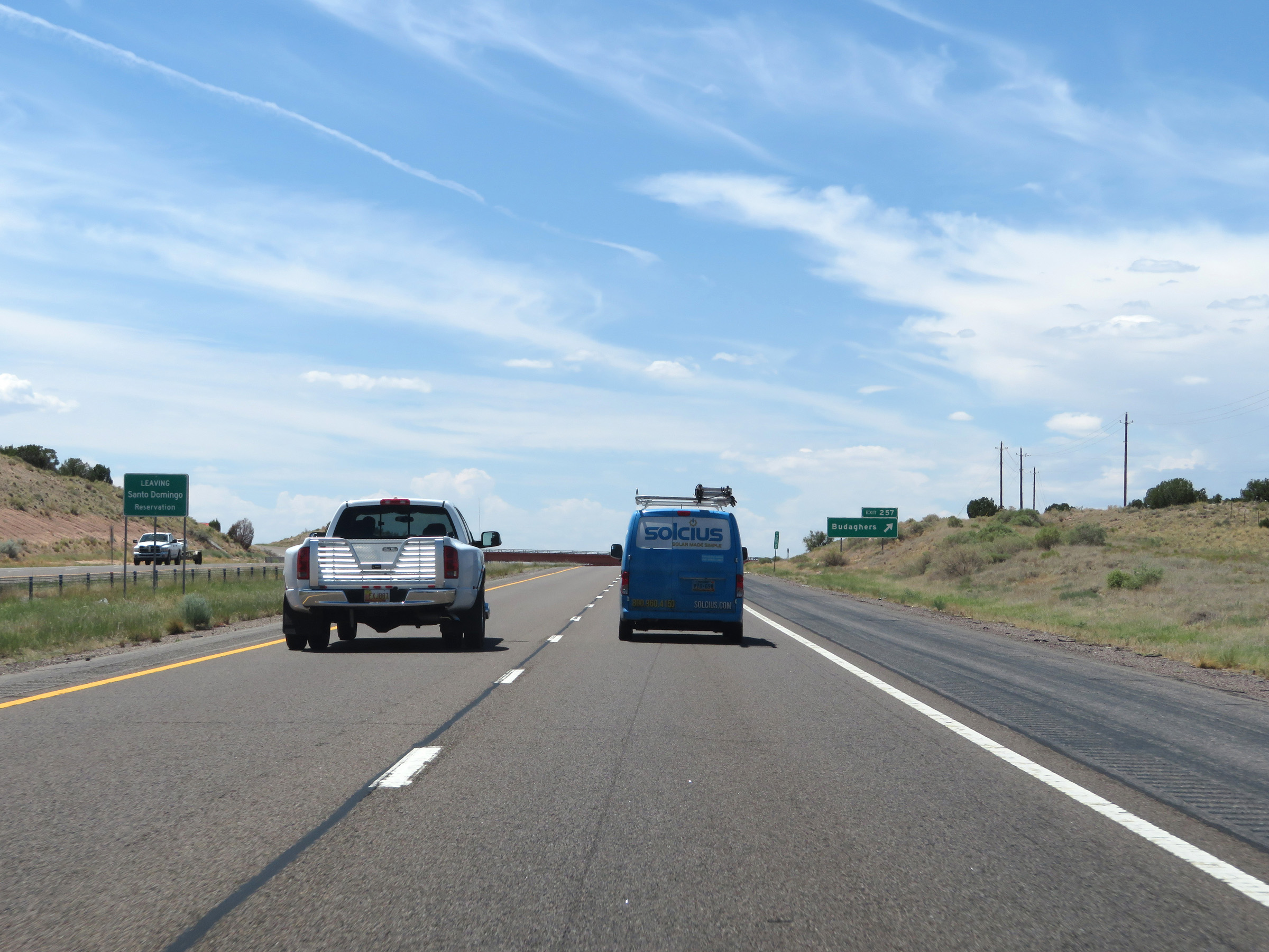 |
Just before Exit 257, Interstate 25 South leaves the Santo Domingo Reservation. (Photo taken 8/13/20). |
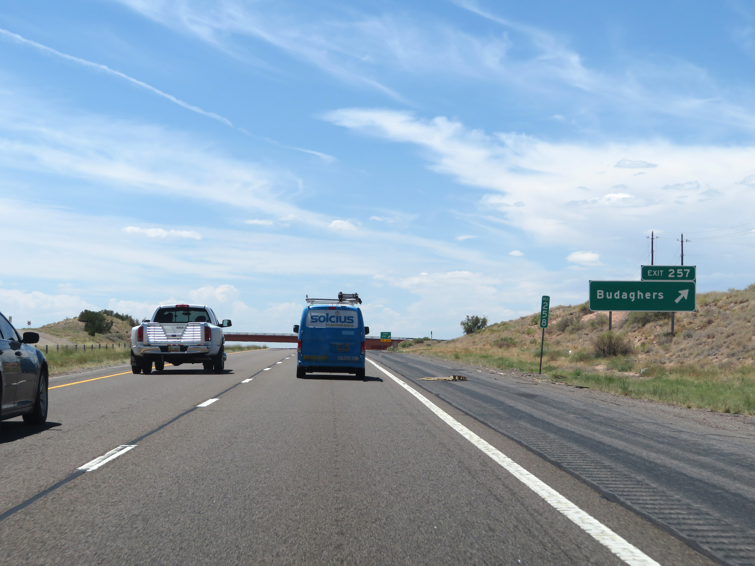 |
Interstate 25 South at Exit 257: Budaghers (Photo taken 8/13/20). |
 |
The speed limit remains the rural standard 75 mph. (Photo taken 8/13/20). |
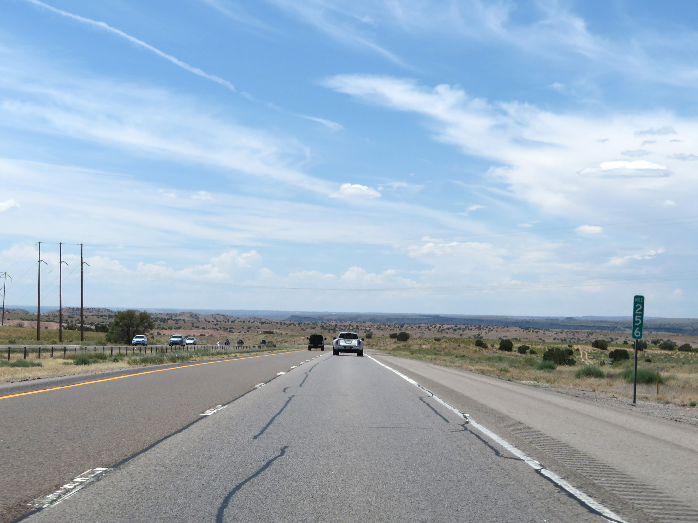 |
View on Interstate 25 South at mile marker 256. (Photo taken 8/13/20). |
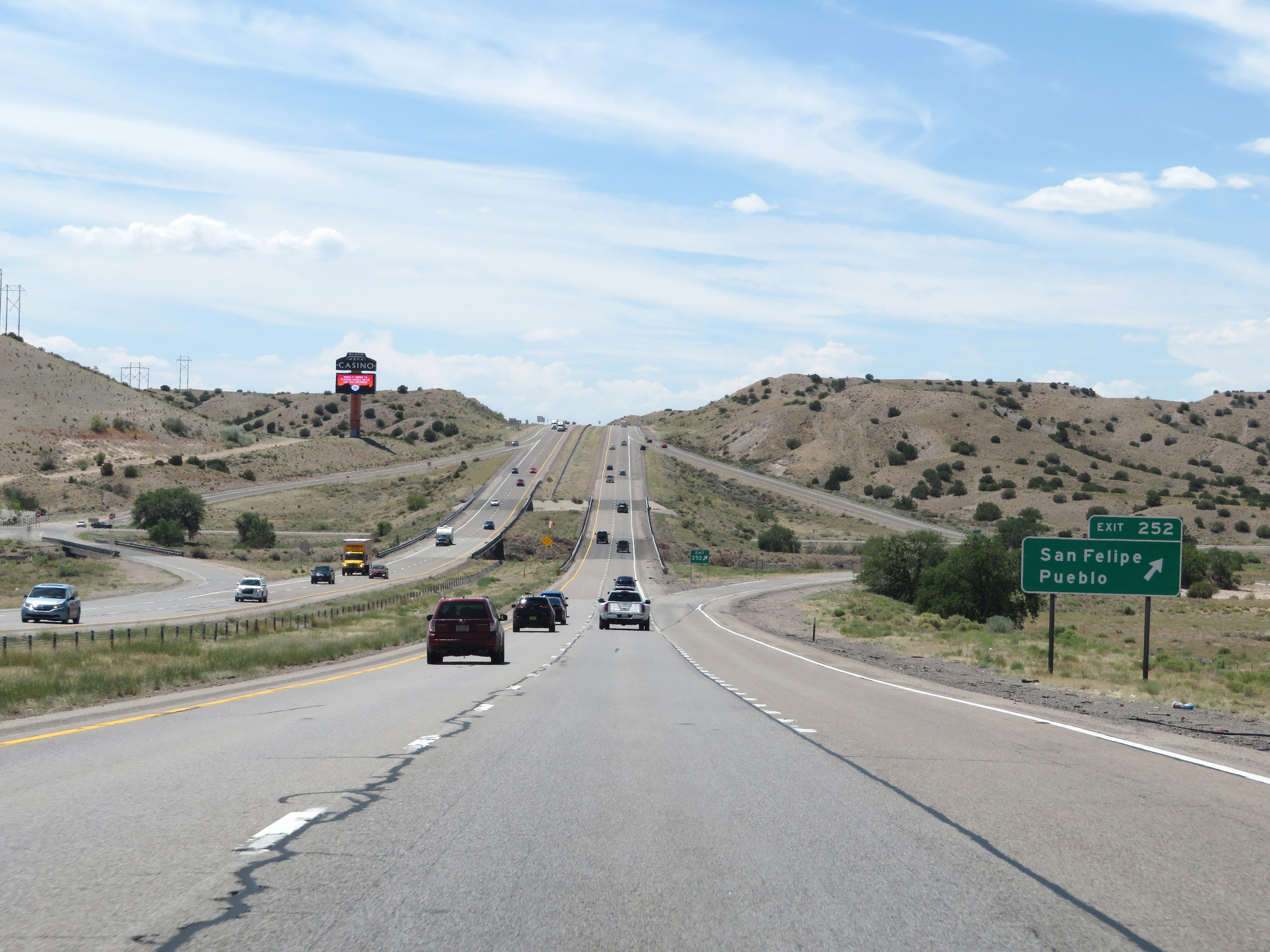 |
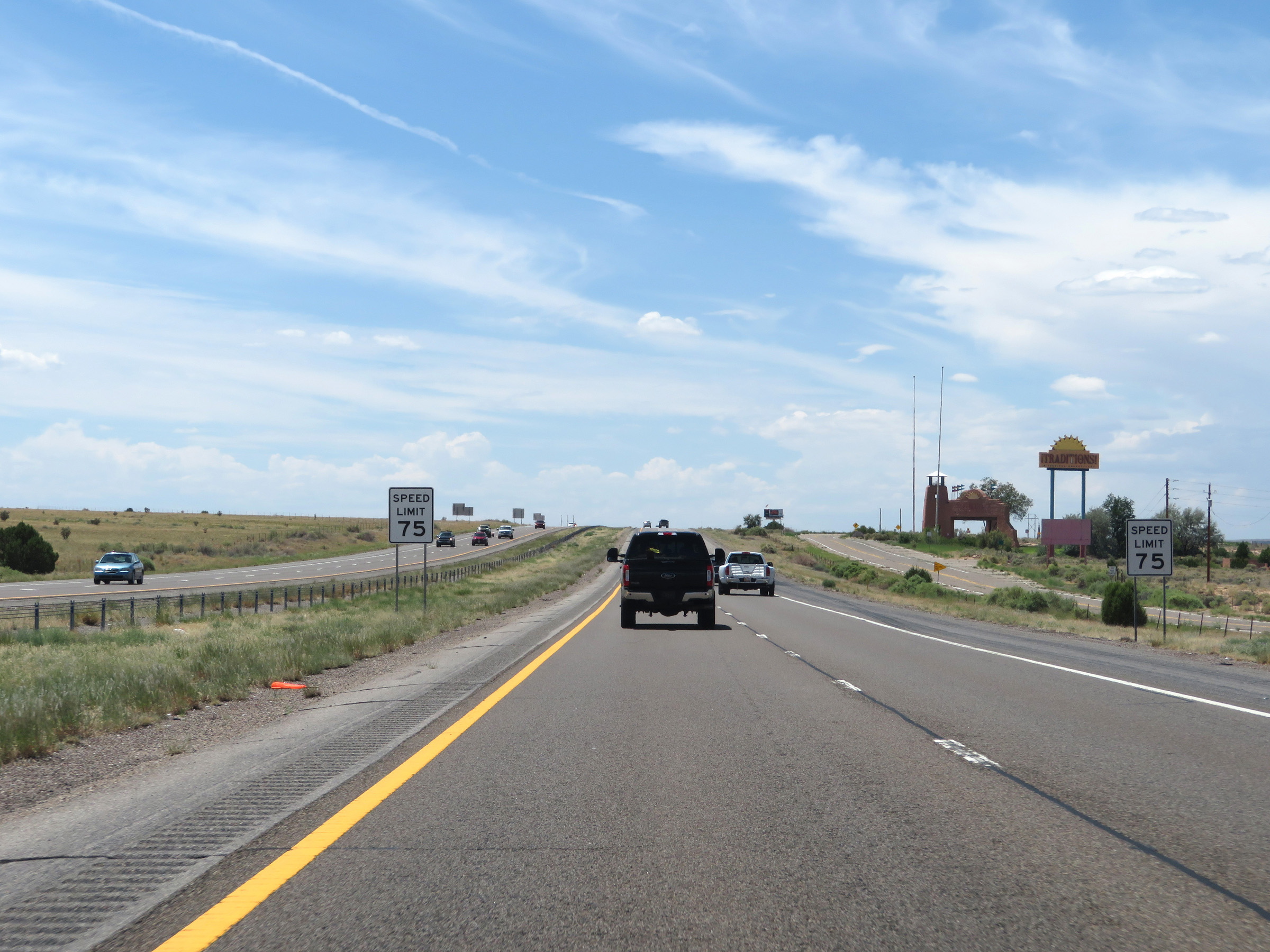
Interstate 25 South at Exit 252: San Felipe Pueblo (Photo taken 8/13/20). |
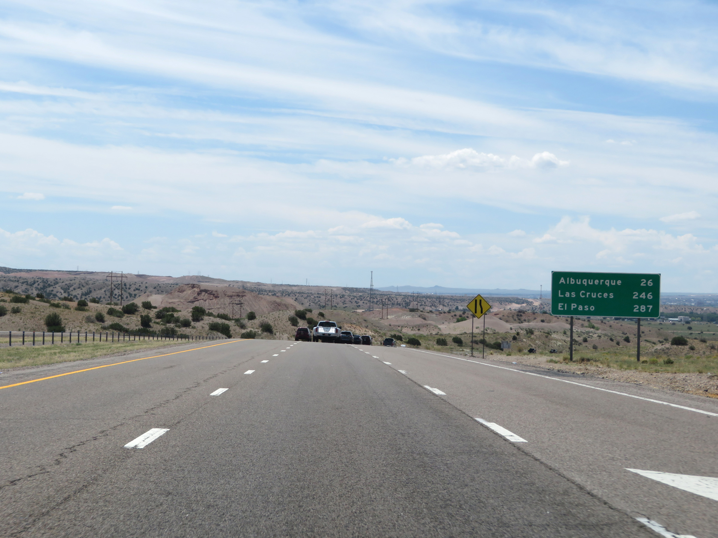 |
Another mileage sign on Interstate 25 South. It's 26 miles to Albuquerque, 246 miles to Las Cruces, and 287 miles to El Paso. (Photo taken 8/13/20). |
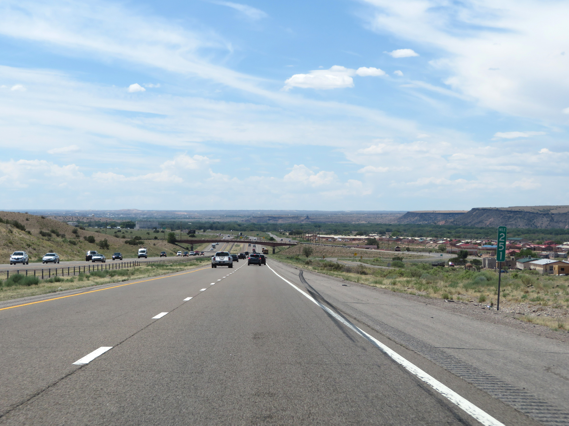 |
Interstate 25 South at mile marker 251. (Photo taken 8/13/20). |
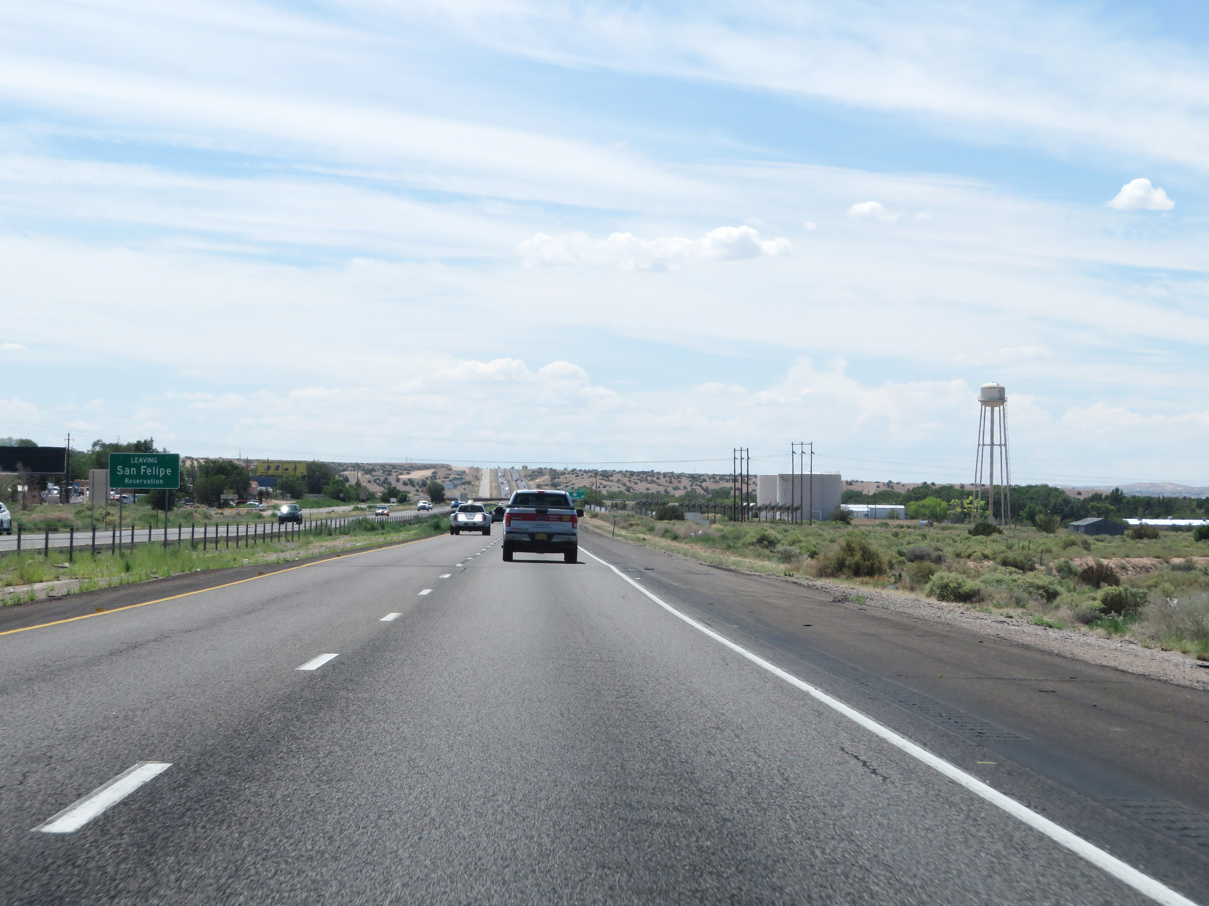 |
Interstate 25 South as it leaves the San Felipe Reservation. (Photo taken 8/13/20). |
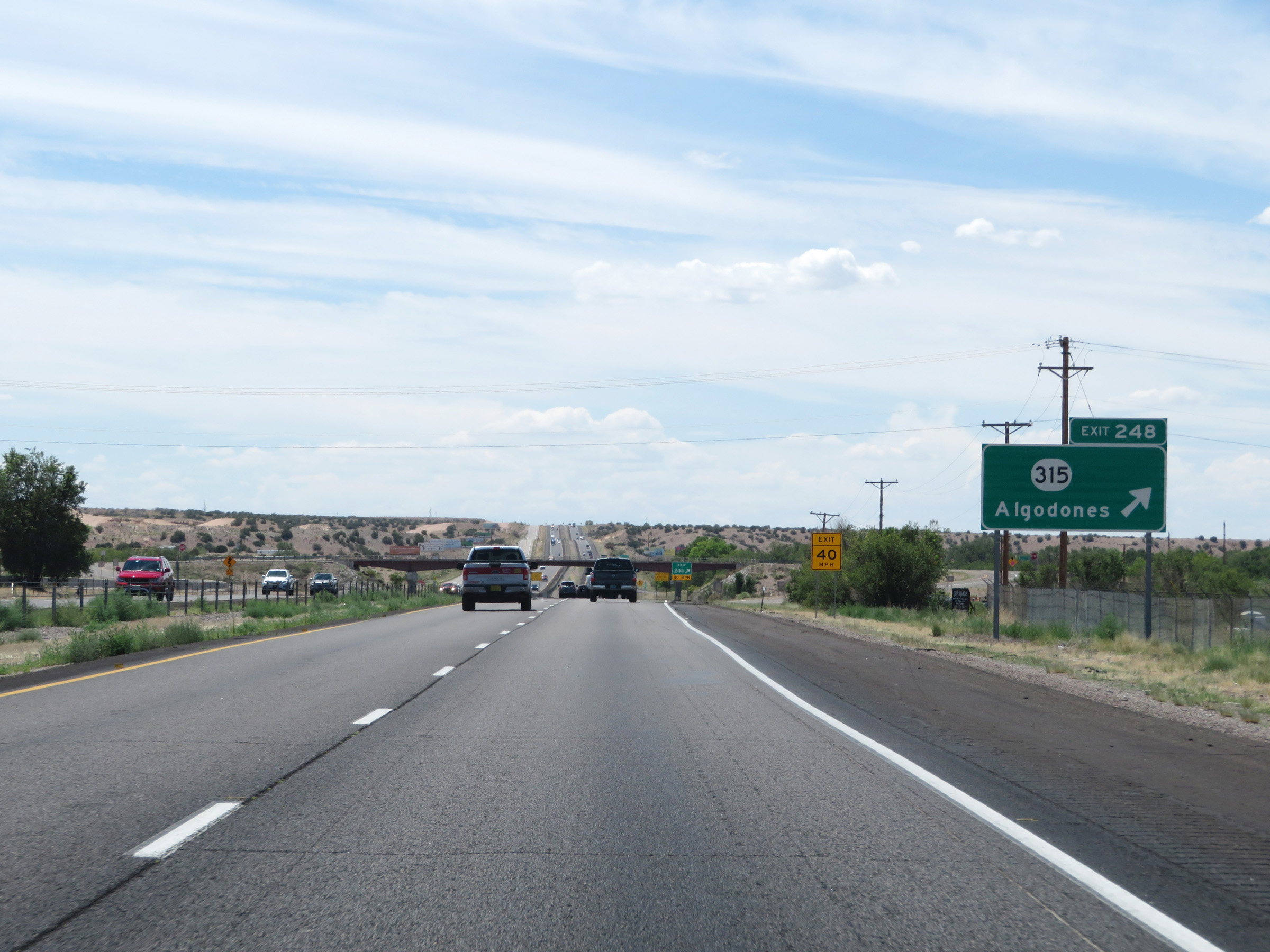 |
Interstate 25 South at Exit 248: NM 315 - Algodones (Photo taken 8/13/20). |
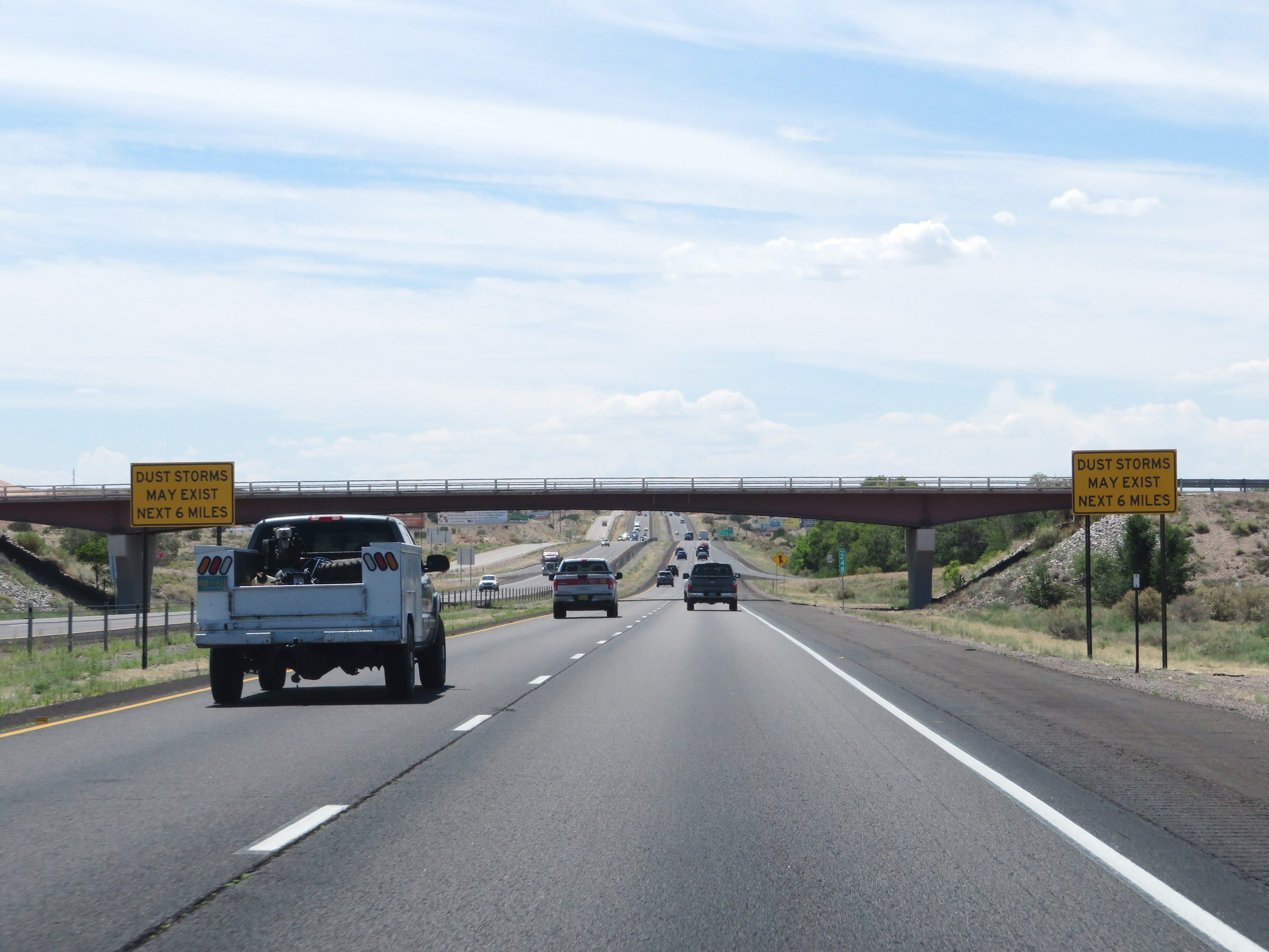 |
More signs warning of the possibility of dust storms for the next 6 miles on Interstate 25 South. (Photo taken 8/13/20). |
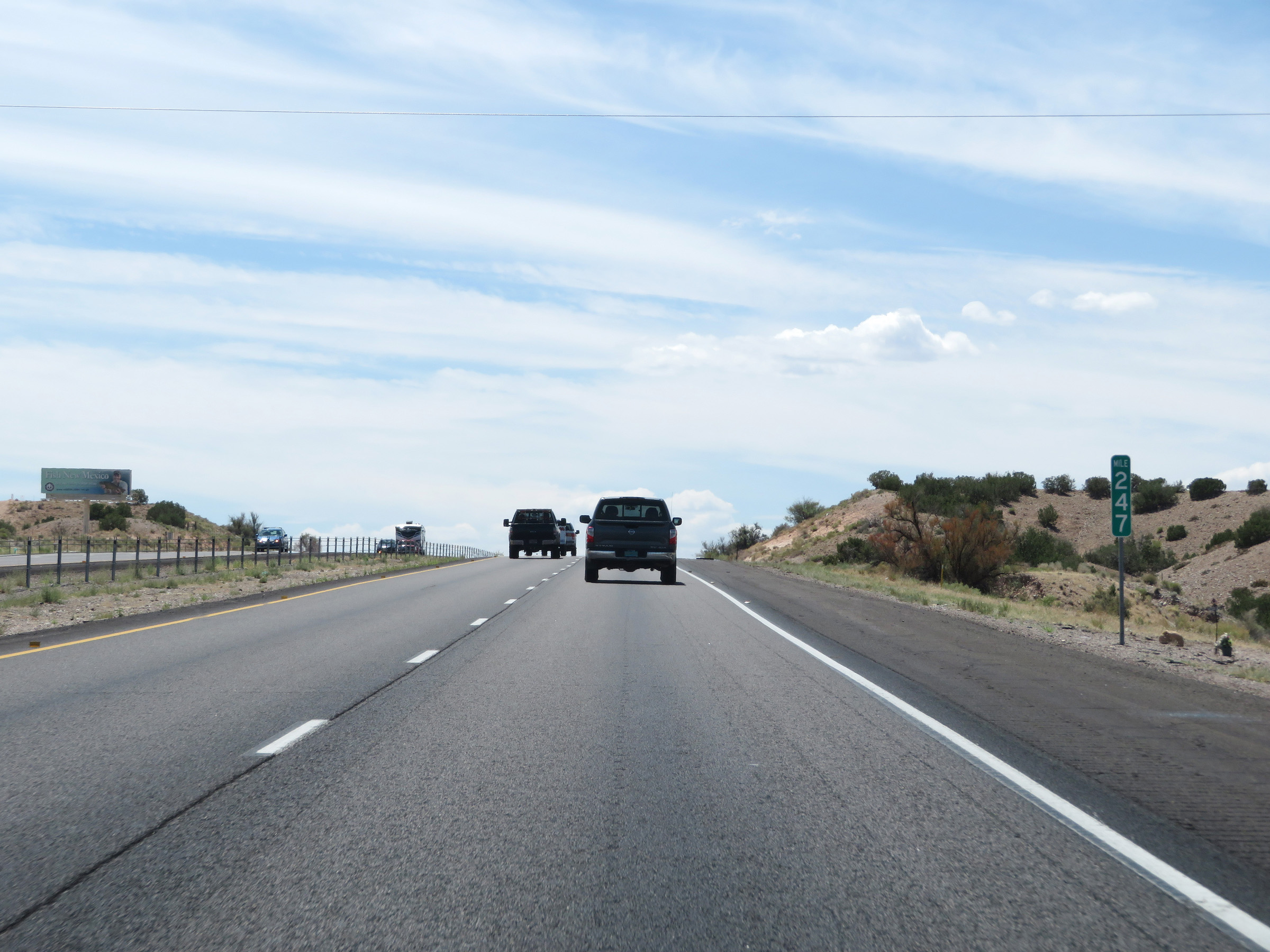 |
Interstate 25 South at mile marker 247. (Photo taken 8/13/20). |
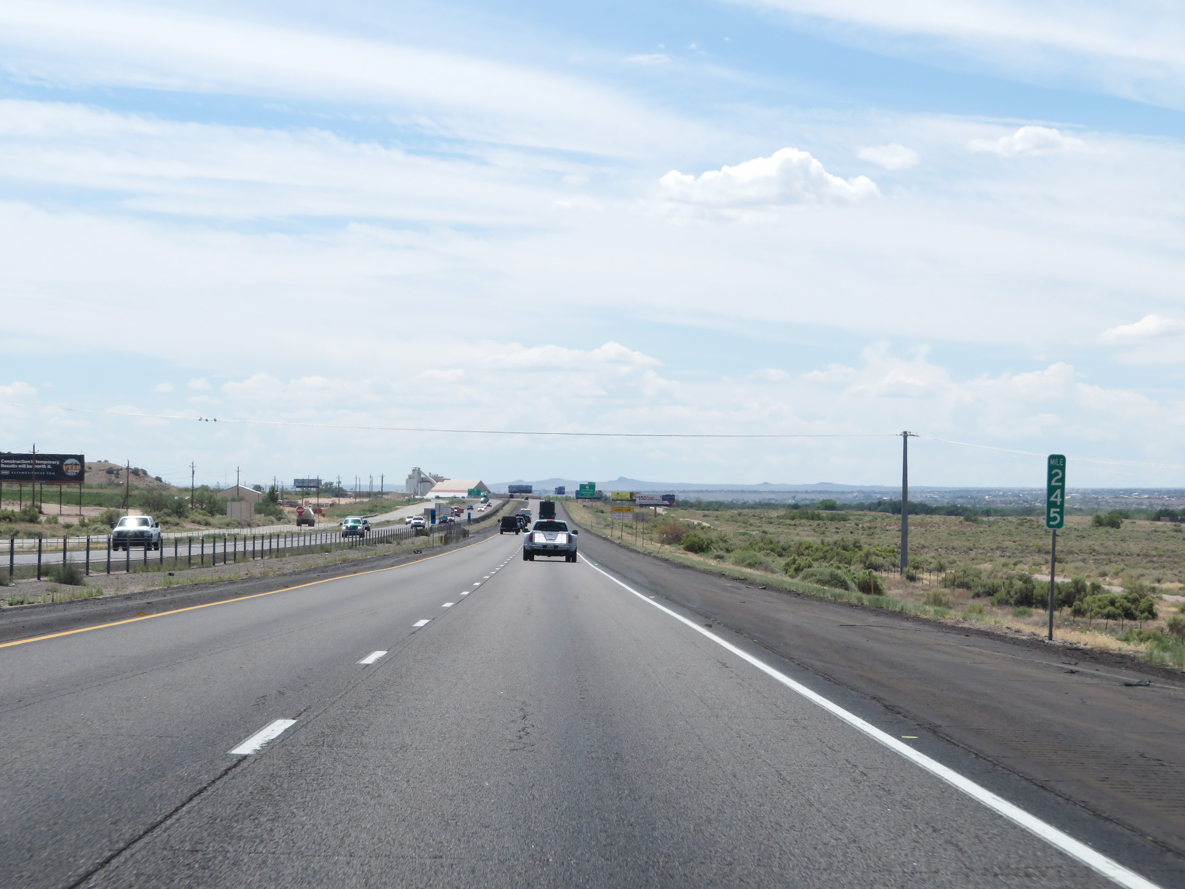 |
View on Interstate 25 South at mile marker 245. (Photo taken 8/13/20). |
 |
Interstate 25 South as it leaves the Santa Ana Reservation. (Photo taken 8/13/20). |
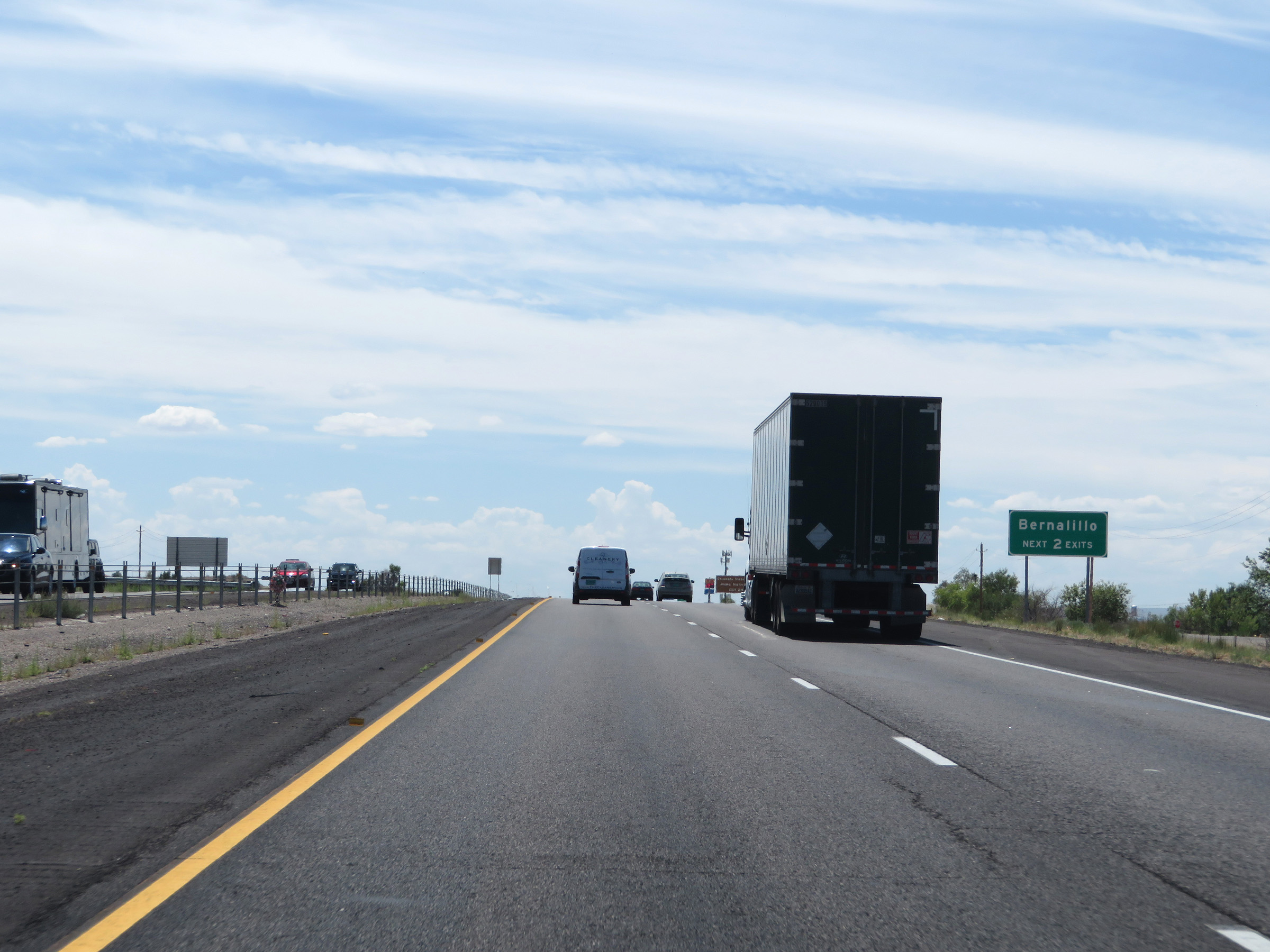 |
Take either of the next 2 exits to Bernalillo. (Photo taken 8/13/20). |
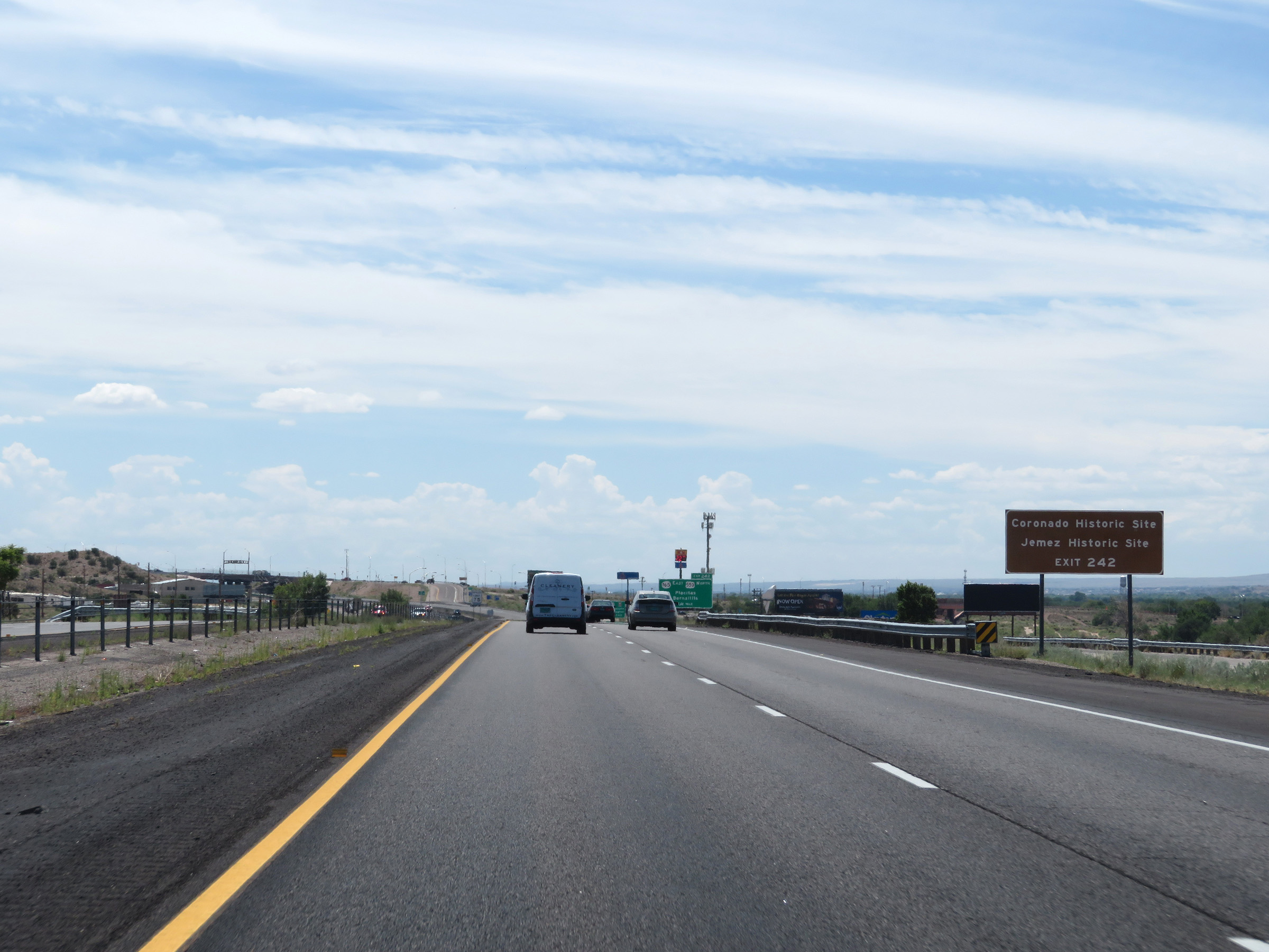 |
Take Exit 242 to Coronado Historic Site and Jemez Historic Site. (Photo taken 8/13/20). |
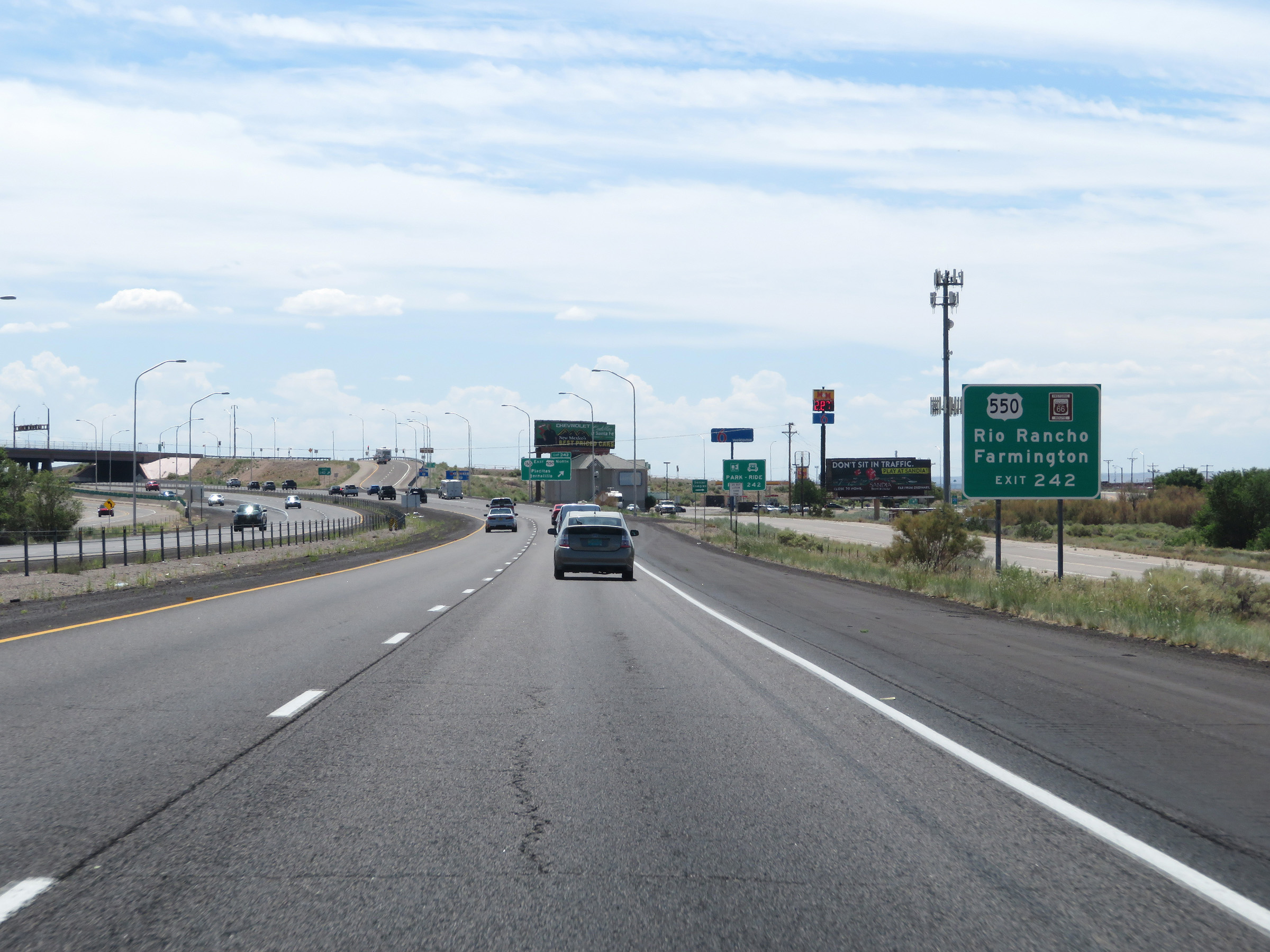 |
Also take Exit 242 to Rio Rancho and Farmington via US 550 North. (Photo taken 8/13/20). |
 |
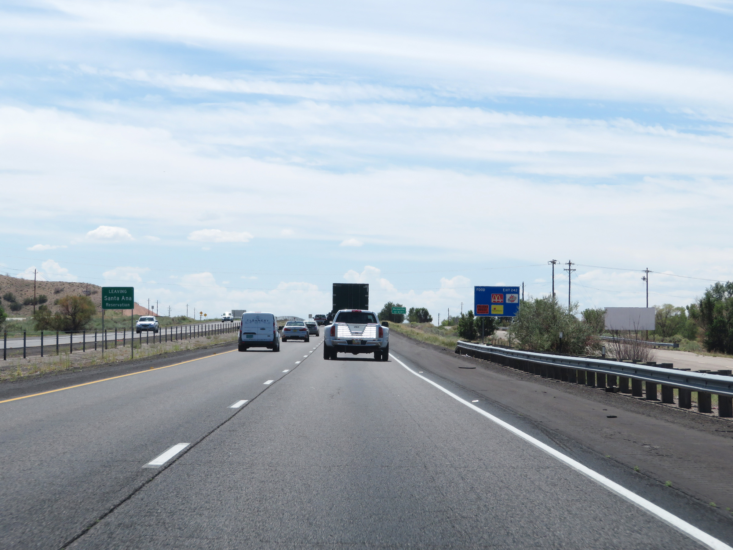
Interstate 25 South at Exit 242: NM 165 East / US 550 North - Placitas / Bernalillo (Photo taken 8/13/20). |
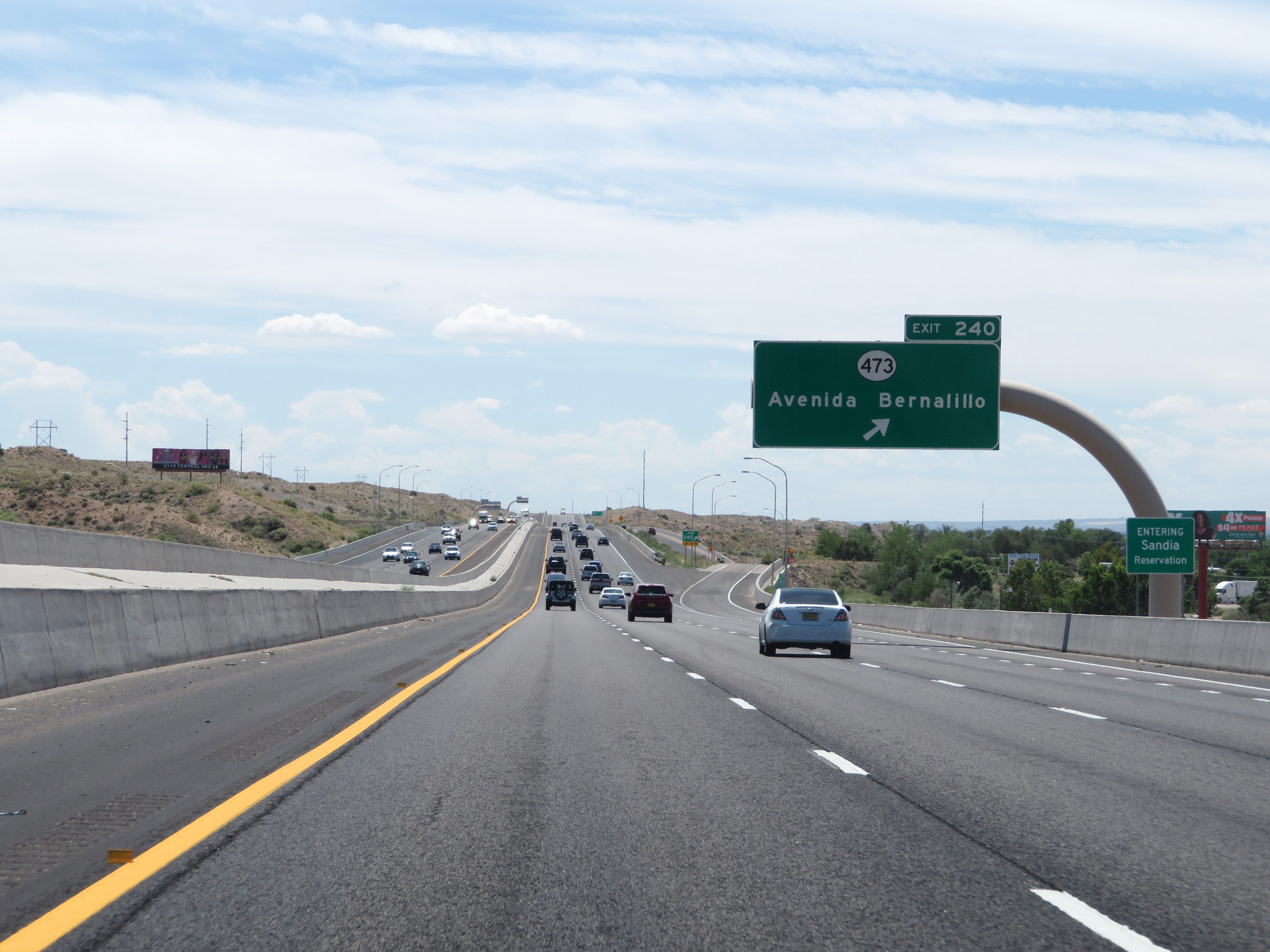 |
Interstate 25 South at Exit 240: NM 473 - Avenida Bernalillo (Photo taken 8/13/20). |
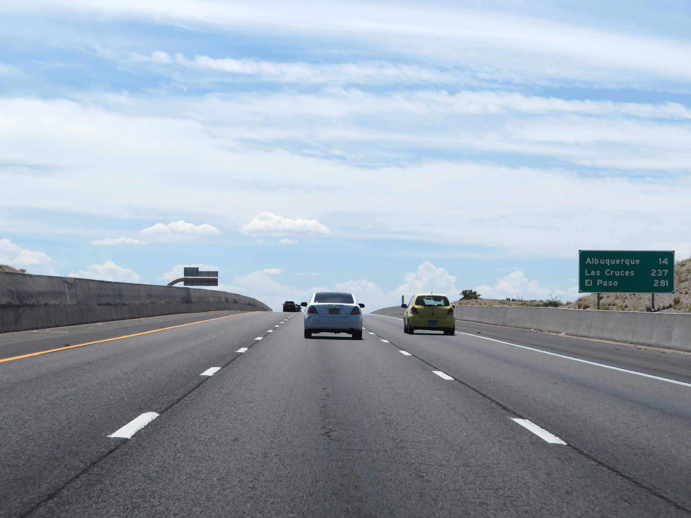 |
Mileage sign on Interstate 25 South. It's 14 miles to Albuquerque, 237 miles to Las Cruces, and 281 miles to El Paso. (Photo taken 8/13/20). |
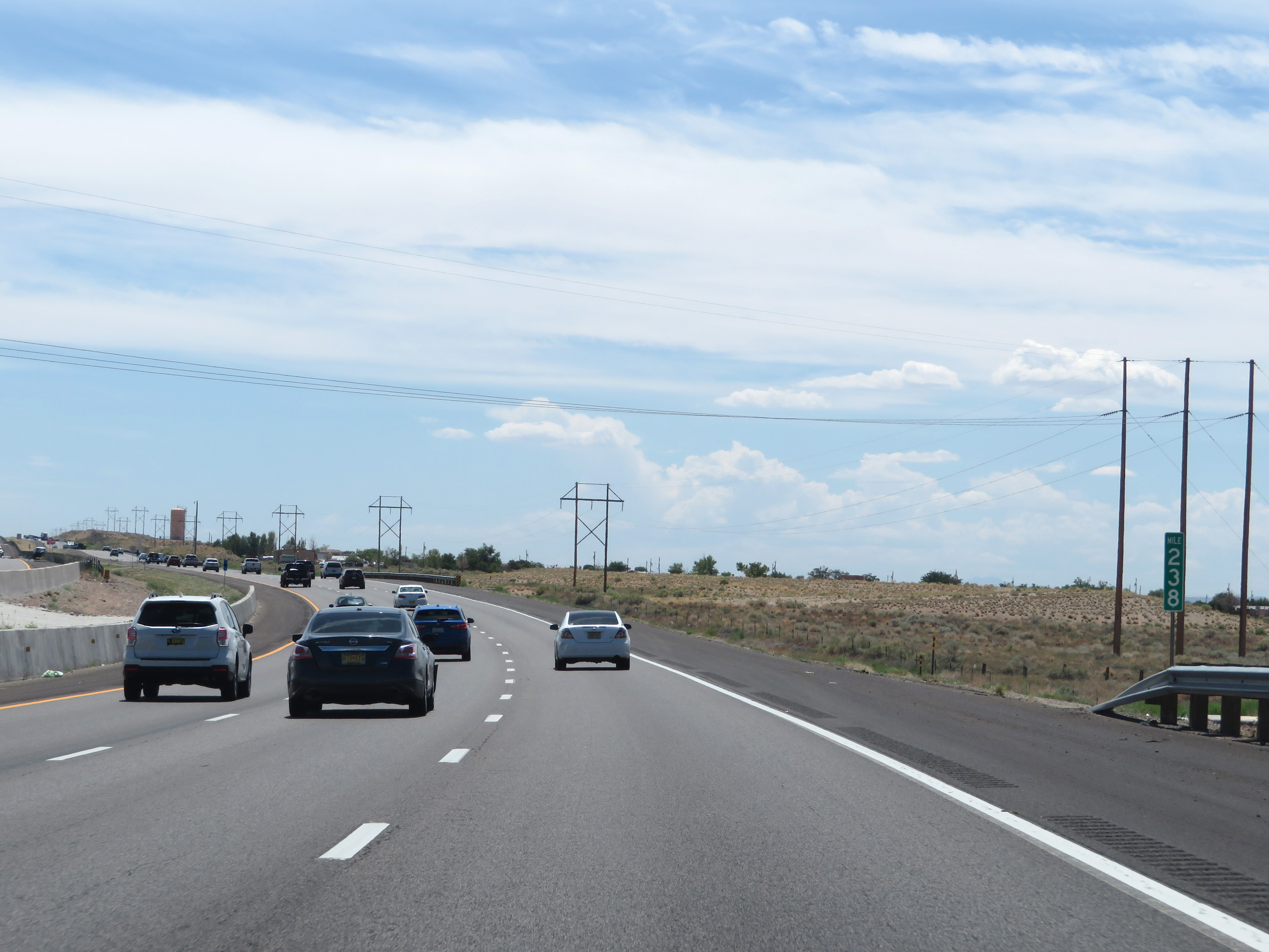 |
View on Interstate 25 South at mile marker 238. (Photo taken 8/13/20). |
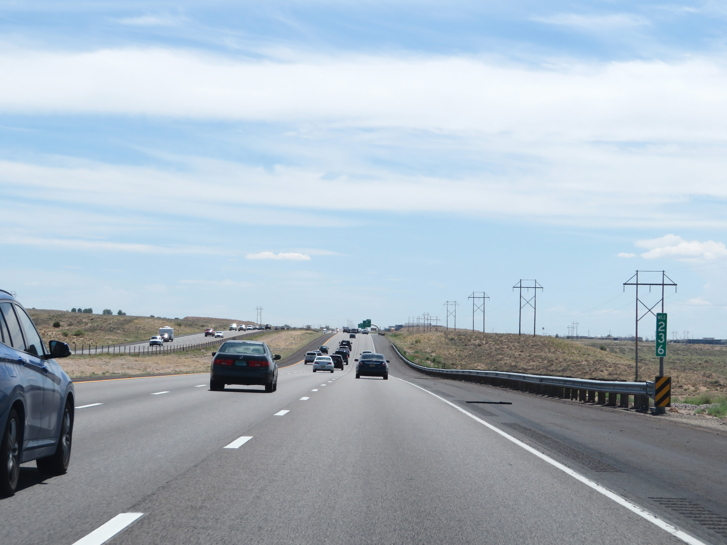 |
Interstate 25 South at mile marker 236. (Photo taken 8/13/20). |
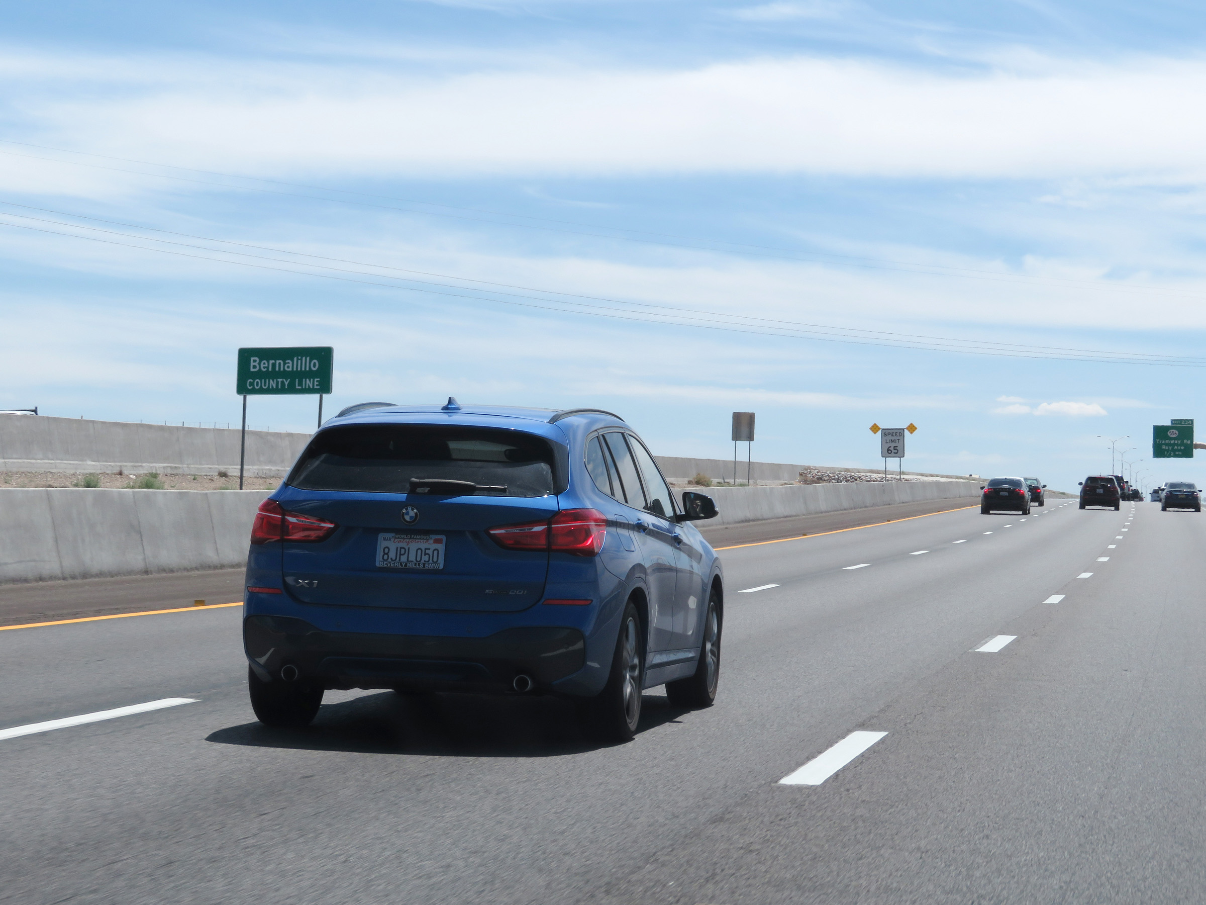 |
Interstate 25 South as it enters Bernalillo County. (Photo taken 8/13/20). |
 |
Upon entering Bernalillo County, the speed limit decreases to 65 mph as Interstate 25 South nears Albuquerque. (Photo taken 8/13/20). |
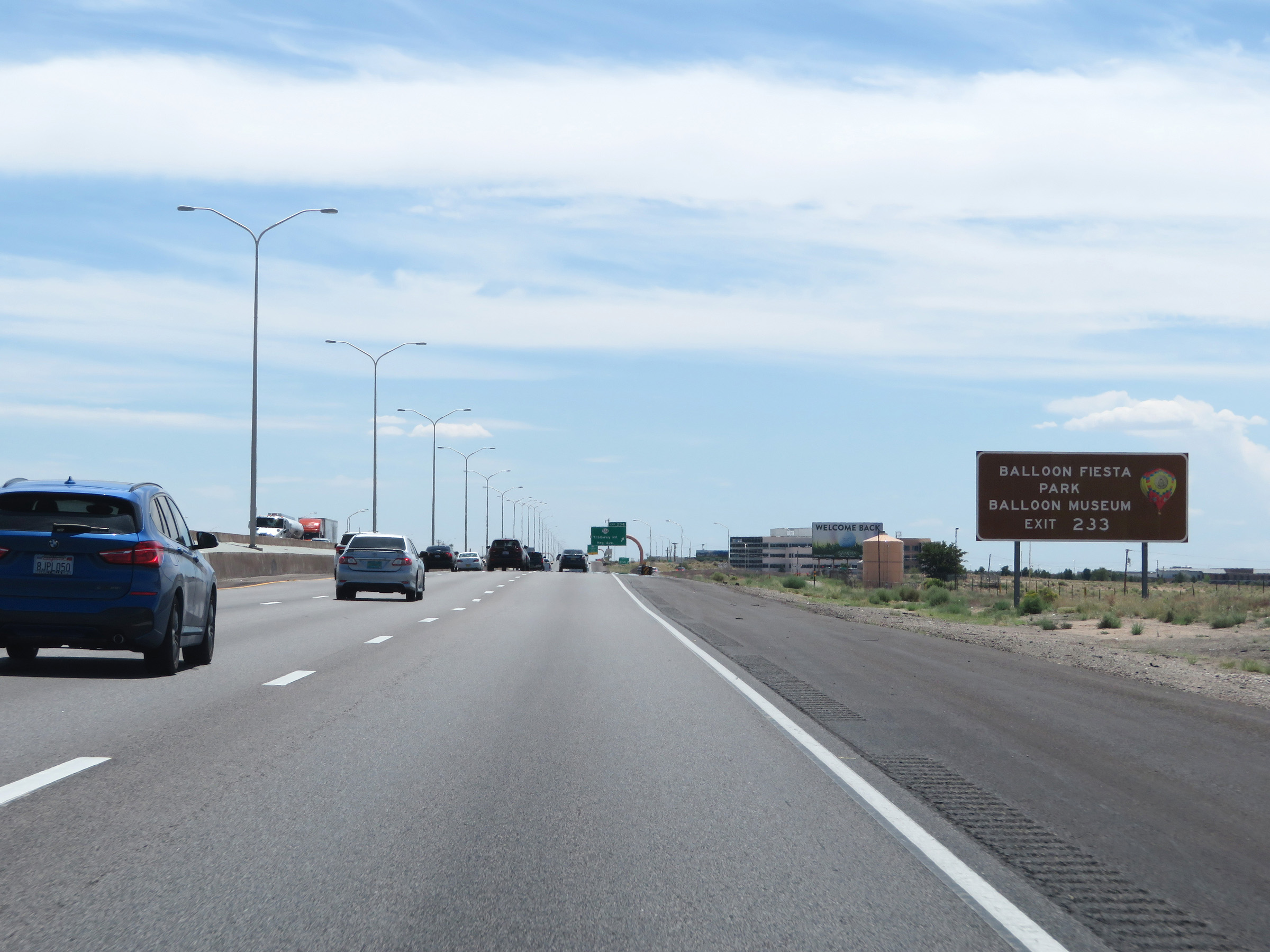 |
Take Exit 233 to Balloon Fiesta Park and the Balloon Museum. (Photo taken 8/13/20). |
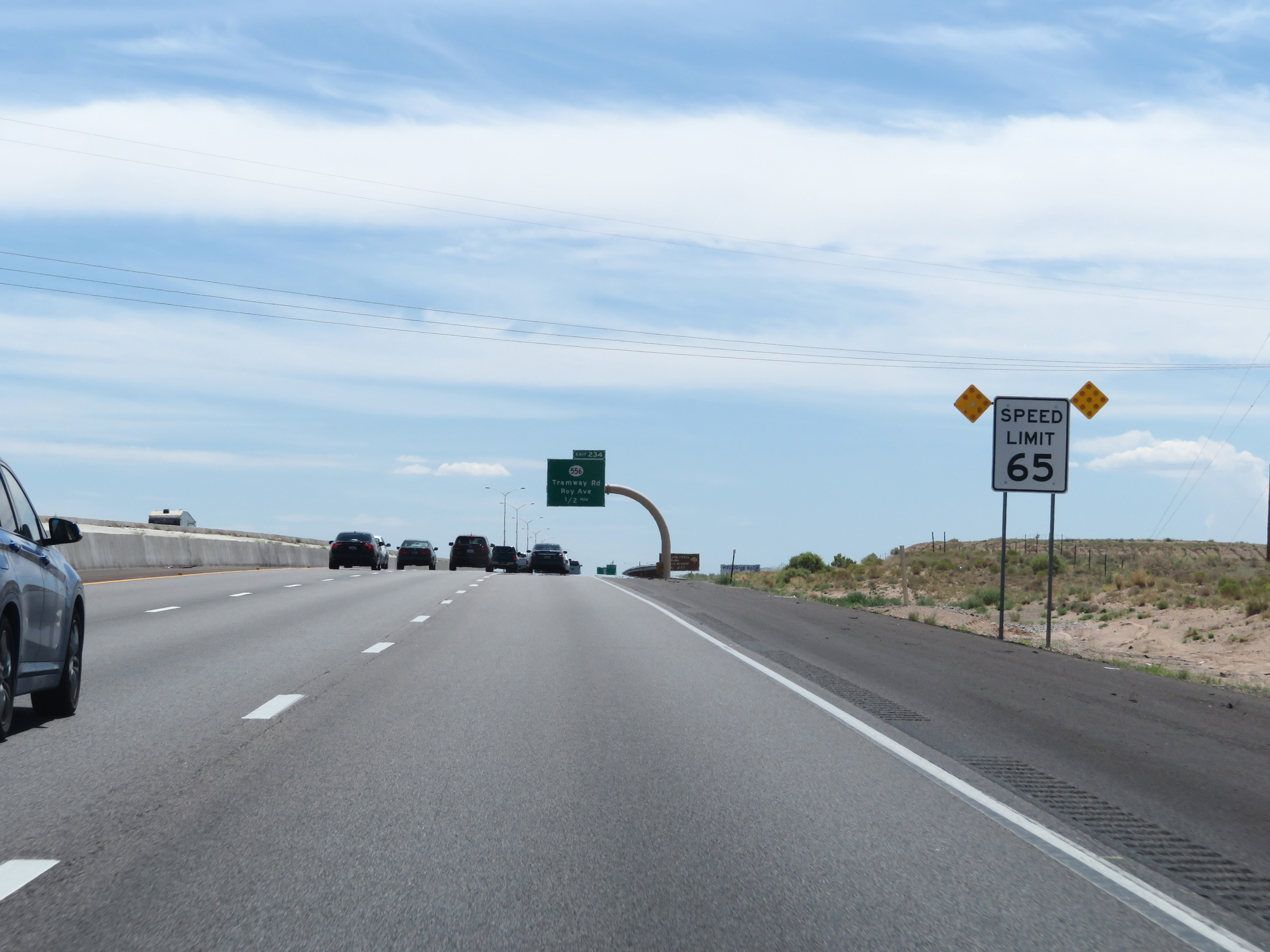
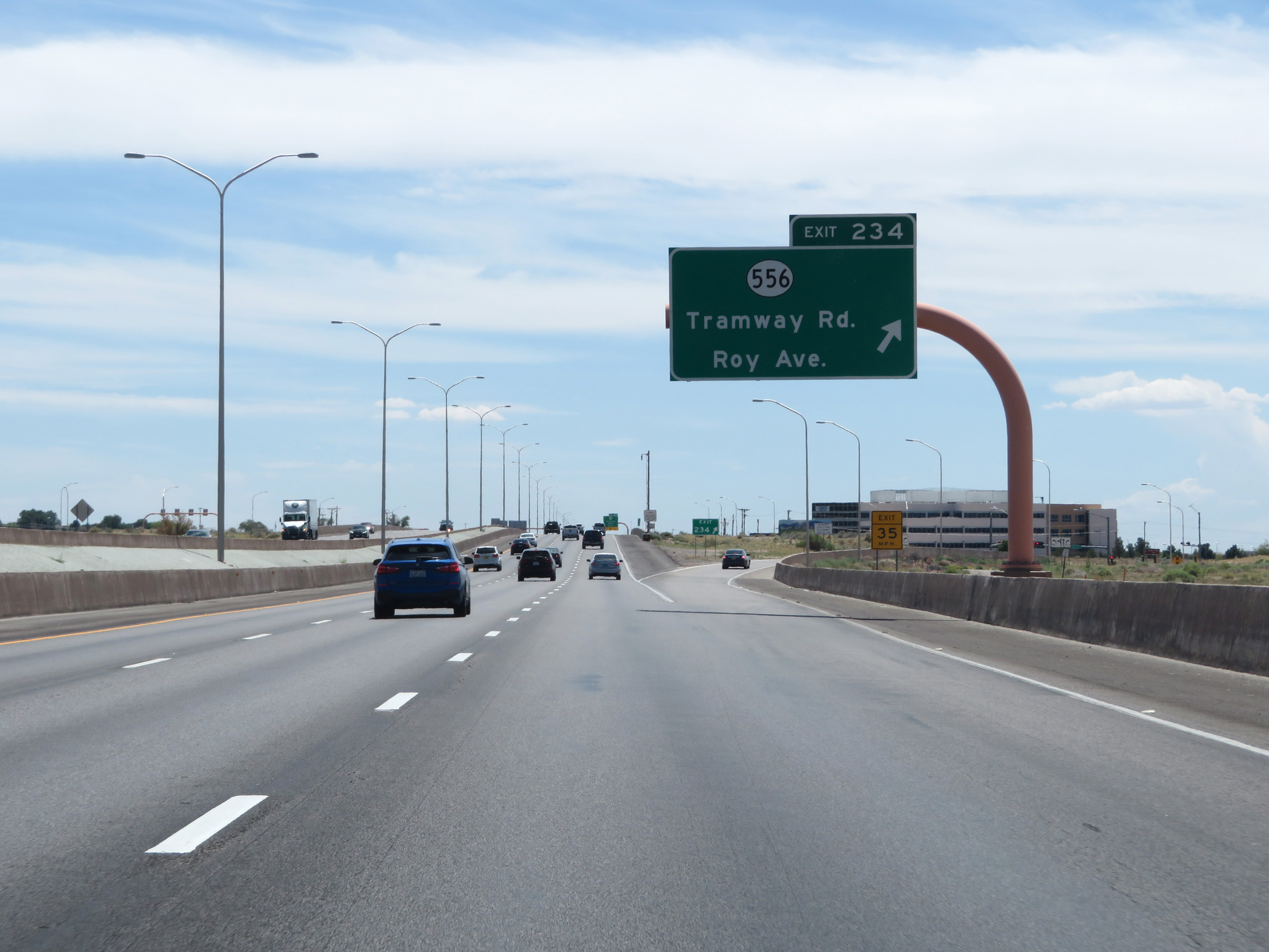 |
Interstate 25 South at Exit 234: NM 556 - Tramway Rd / Roy Ave (Photo taken 8/13/20). |
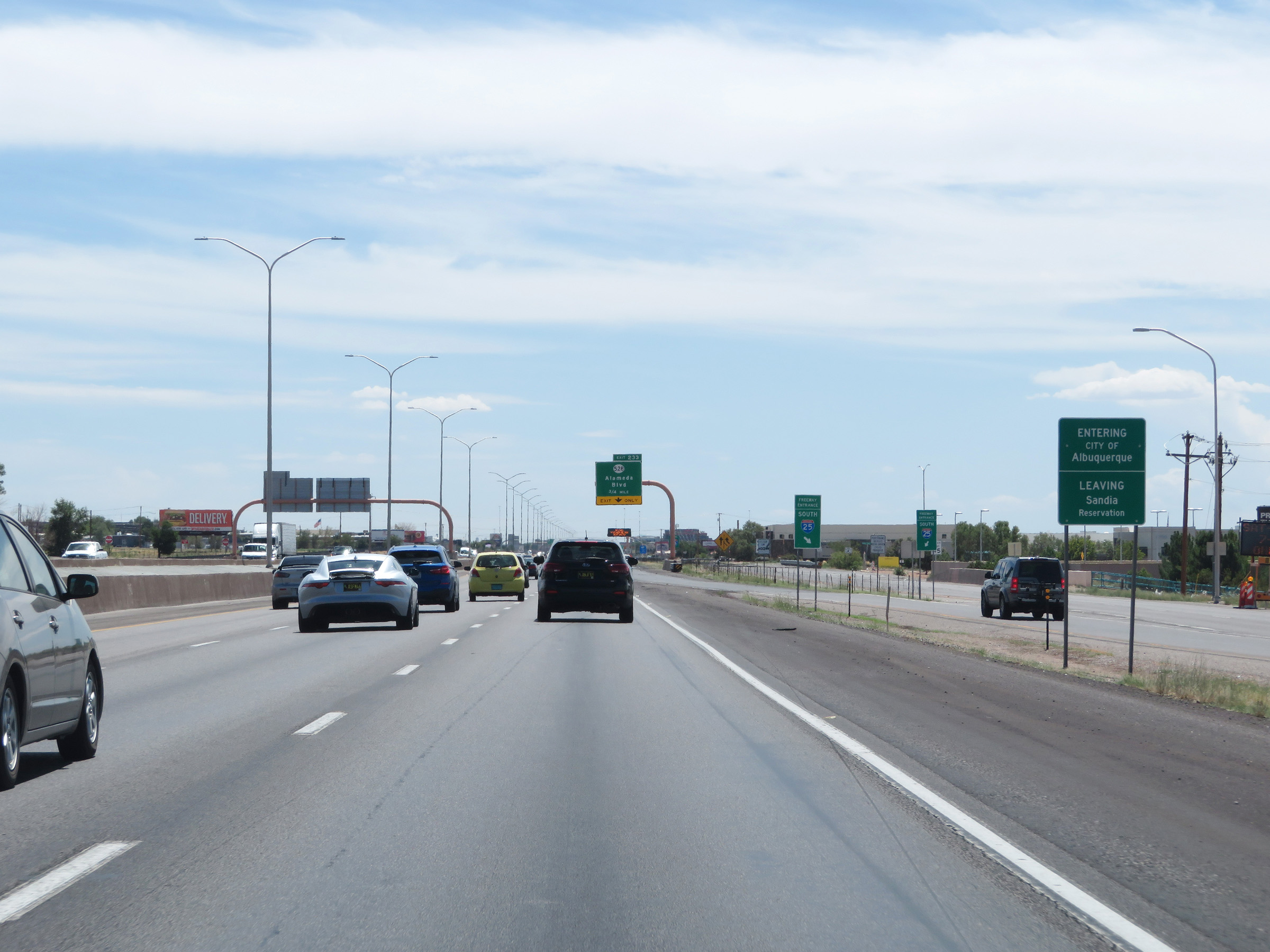 |
Interstate 25 South as it enters the Albuquerque city limits. (Photo taken 8/13/20). |
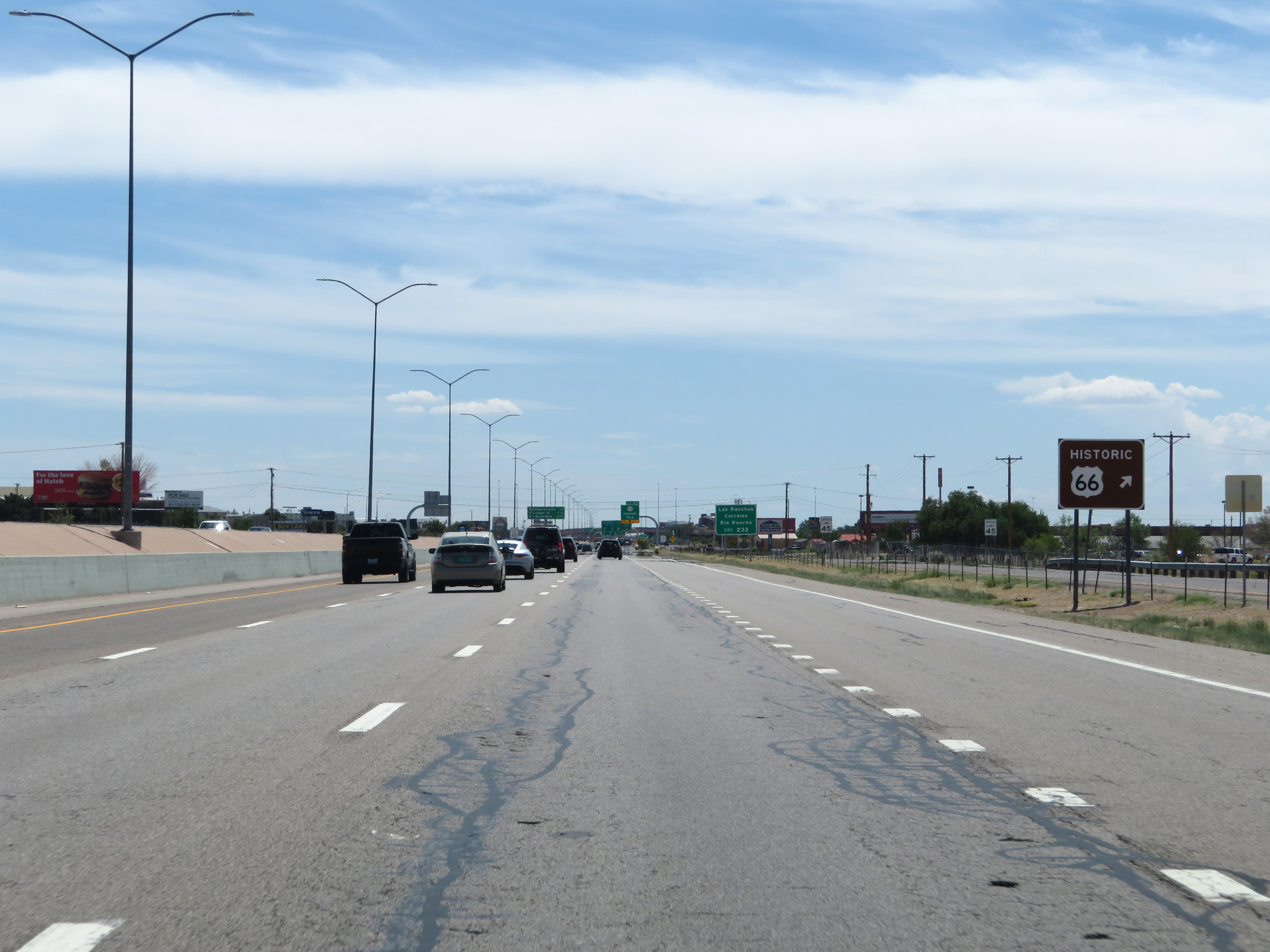 |
Also take Exit 233 to Historic US 66. (Photo taken 8/13/20). |
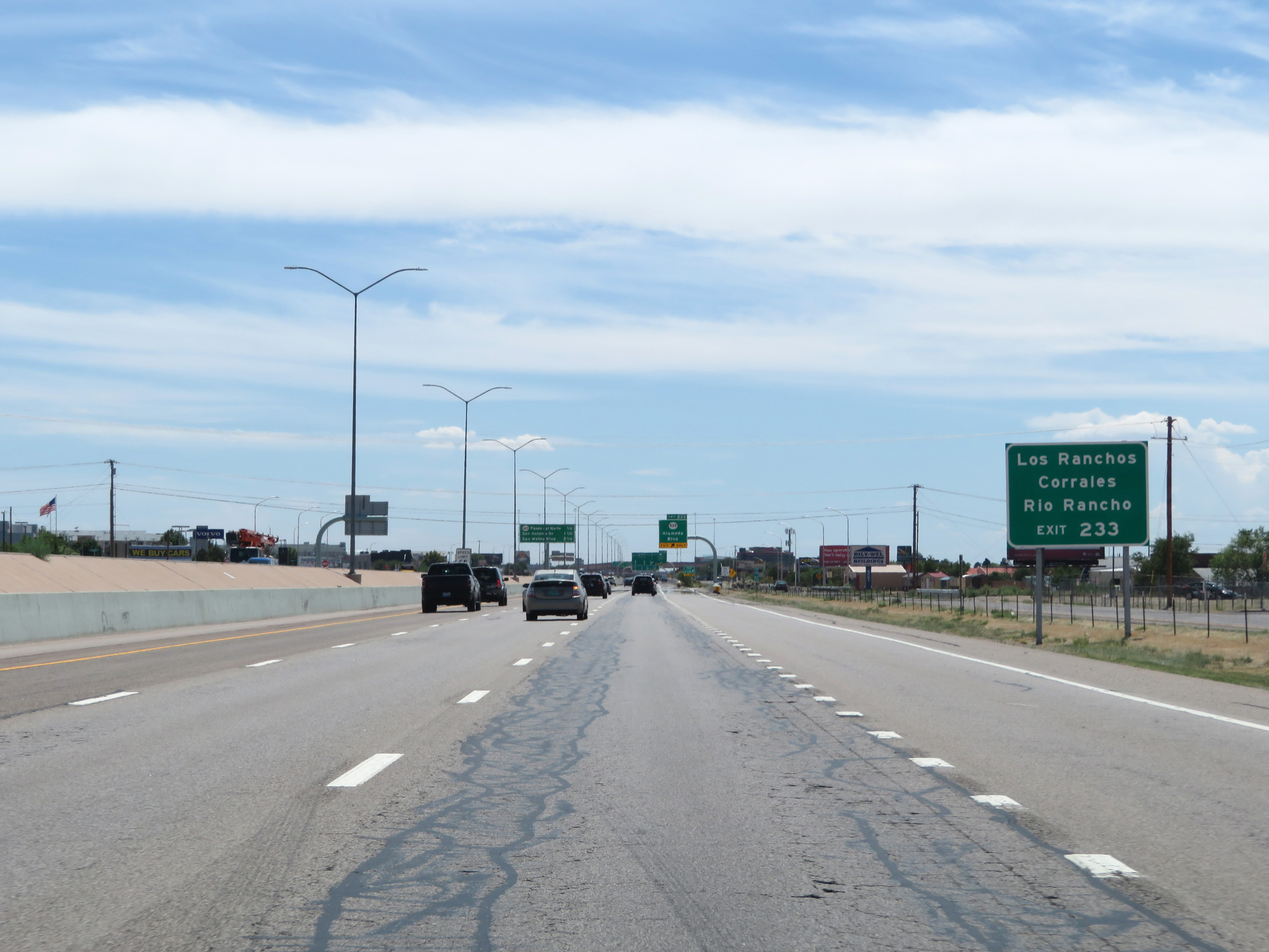 |
Take Exit 233 to Los Ranchos Corrales and Rio Rancho as well. (Photo taken 8/13/20). |
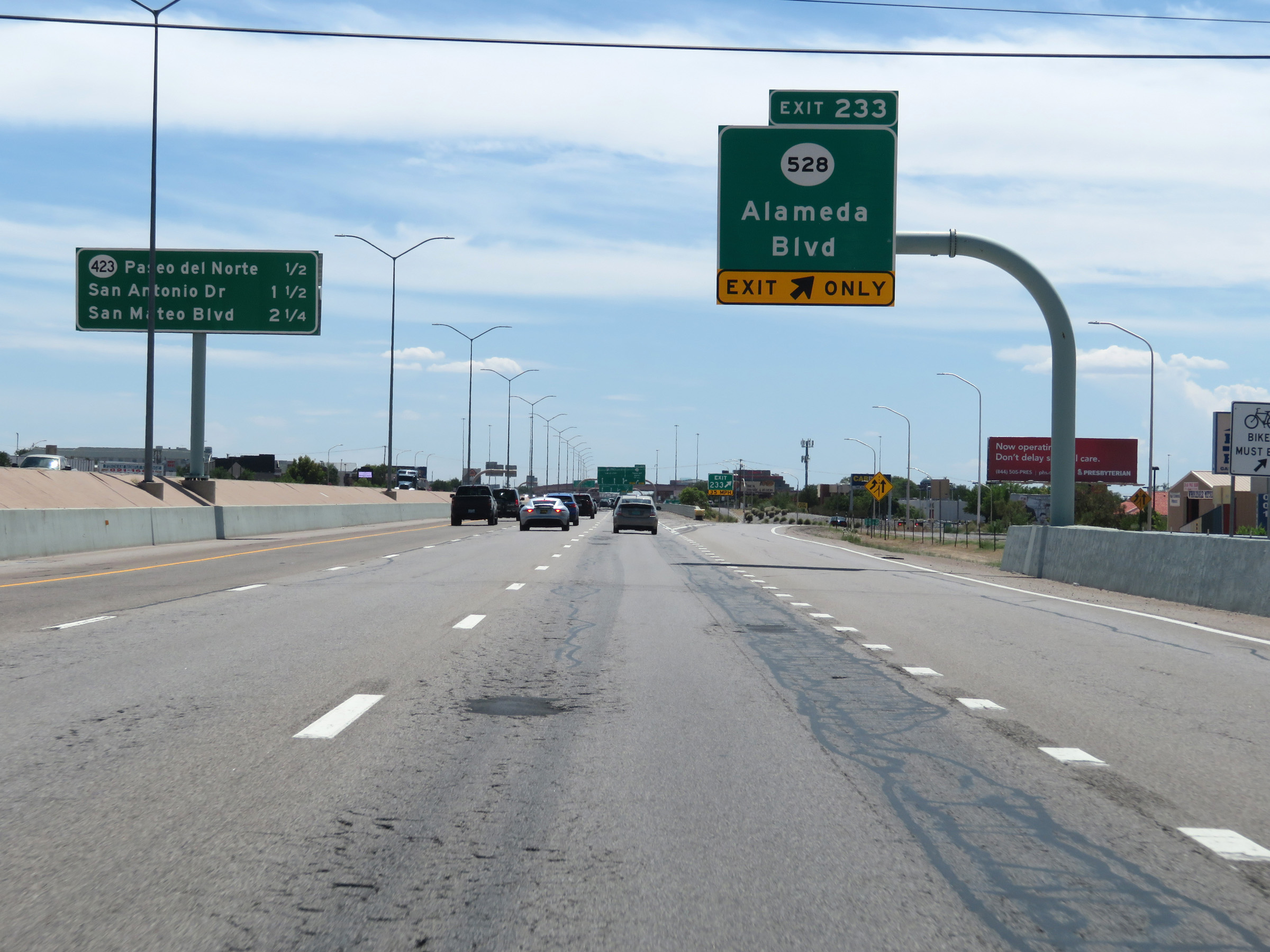 |
Interstate 25 South at Exit 233: NM 528 - Alameda Blvd (Photo taken 8/13/20). |
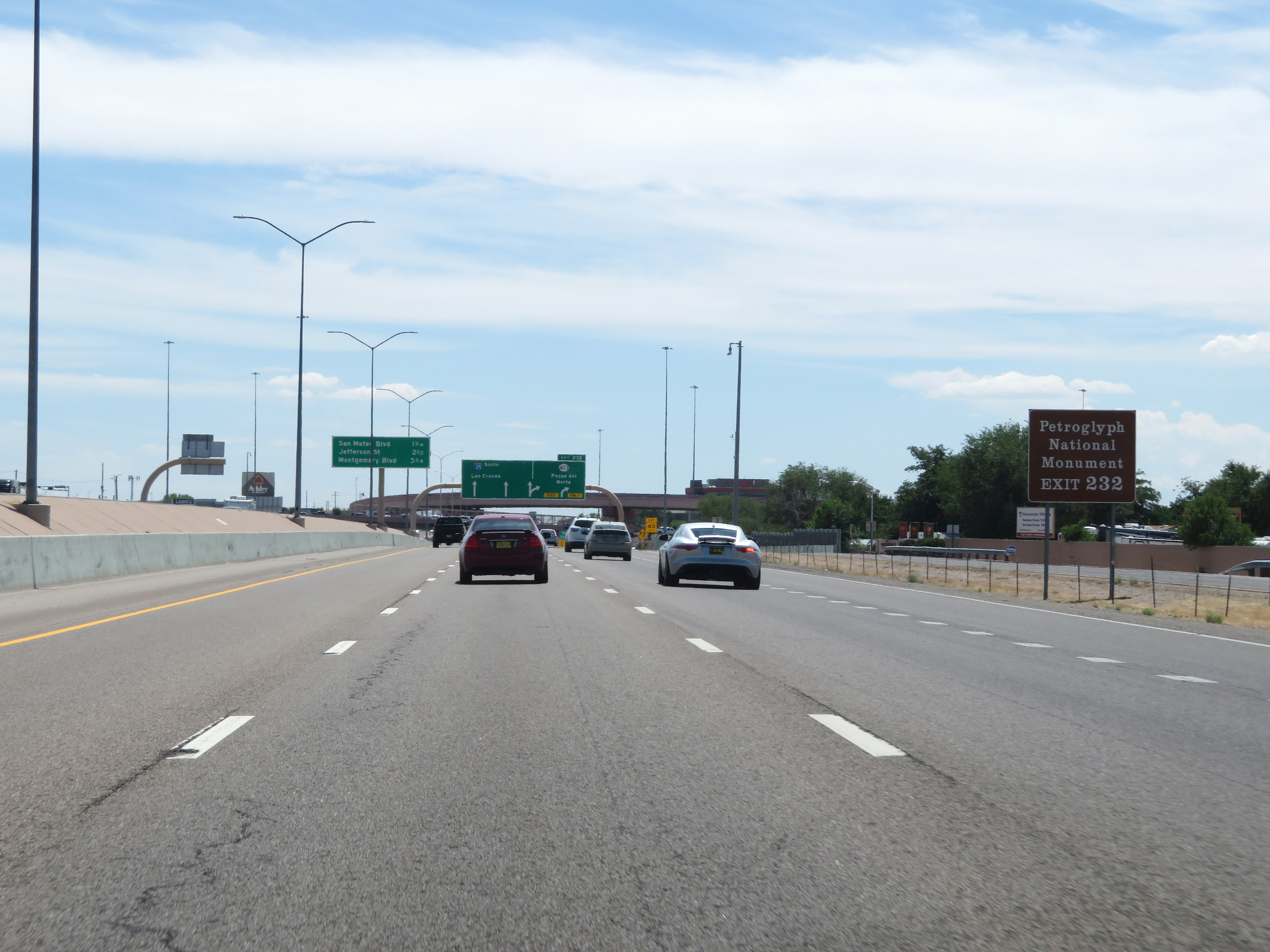 |
Take Exit 232 to the Petroglyph National Monument. (Photo taken 8/13/20). |
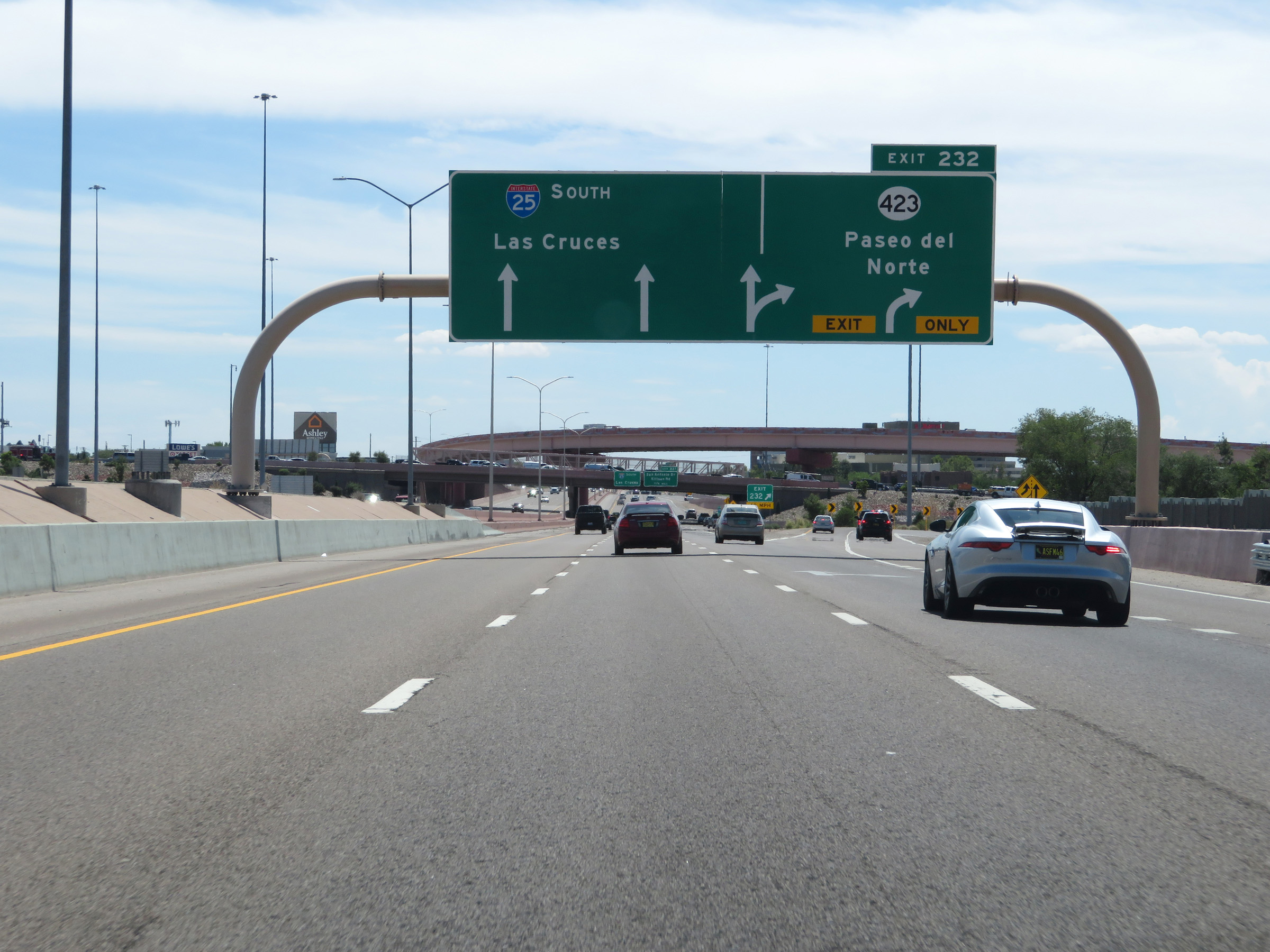 |
Interstate 25 South at Exit 232: NM 423 - Paseo del Norte (Photo taken 8/13/20). |
 |
View on Interstate 25 South at mile marker 232. (Photo taken 8/13/20). |
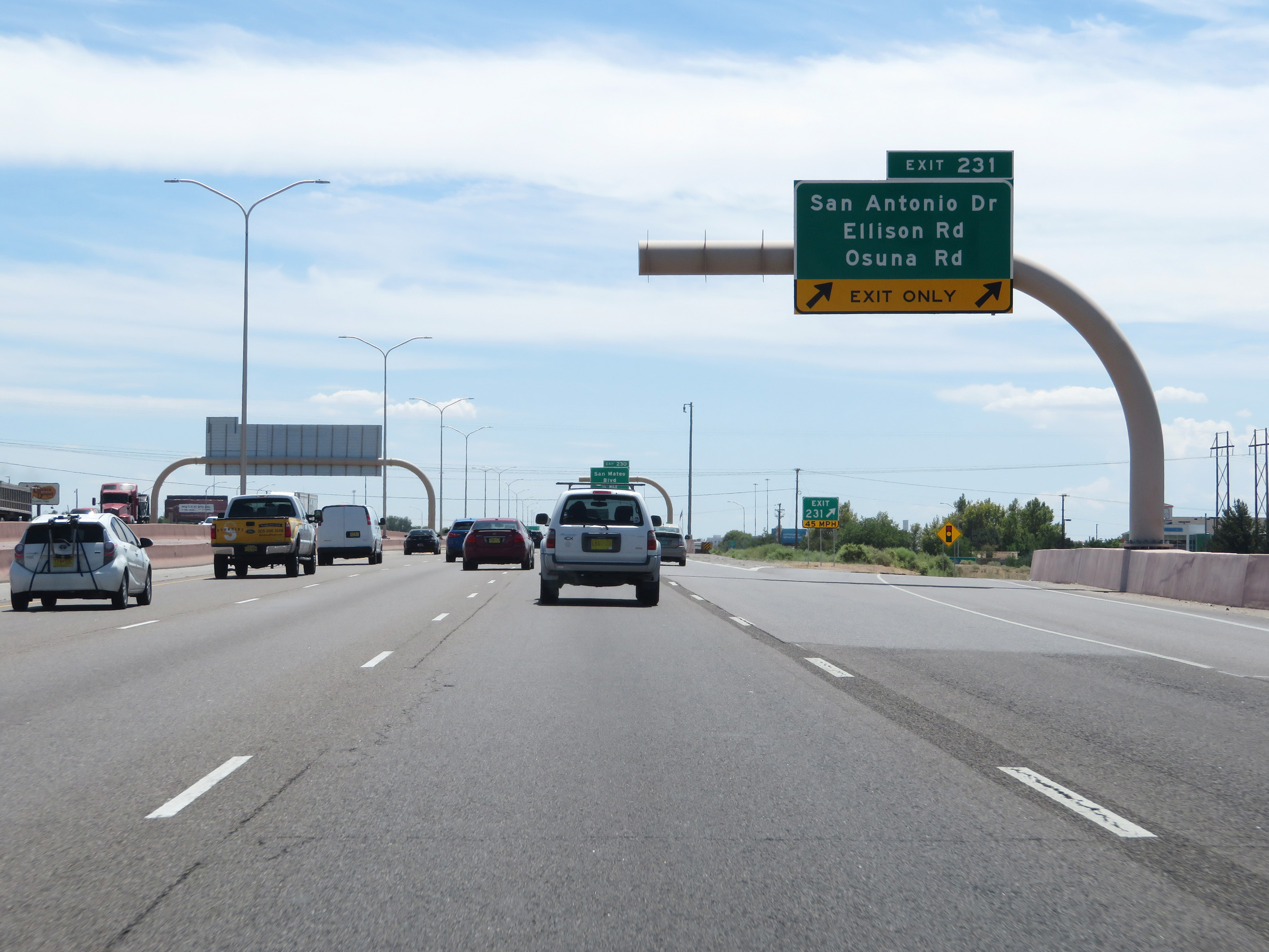 |
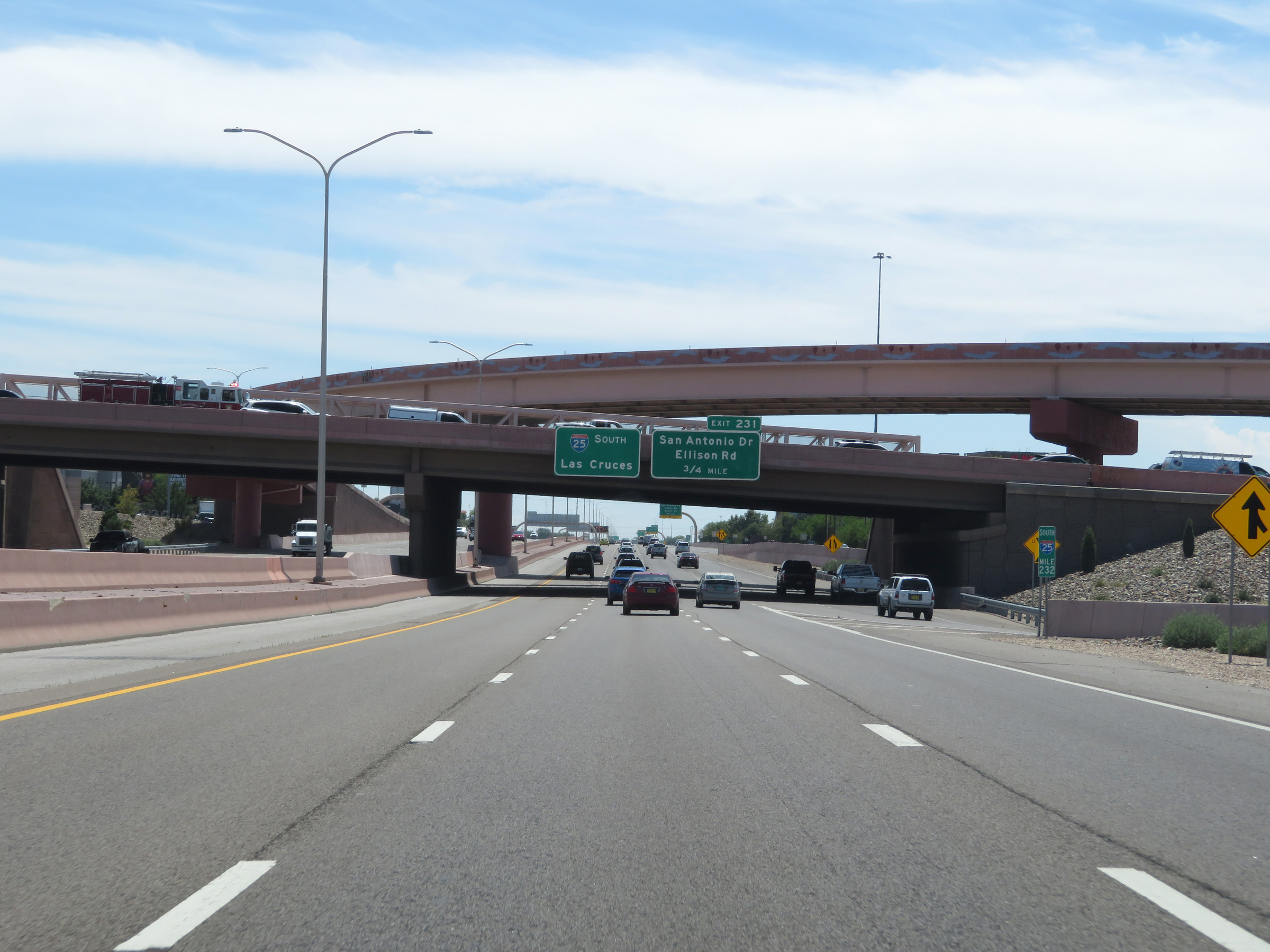
Interstate 25 South at Exit 231: San Antonio Dr / Ellison Rd / Osuna Rd (Photo taken 8/13/20). |
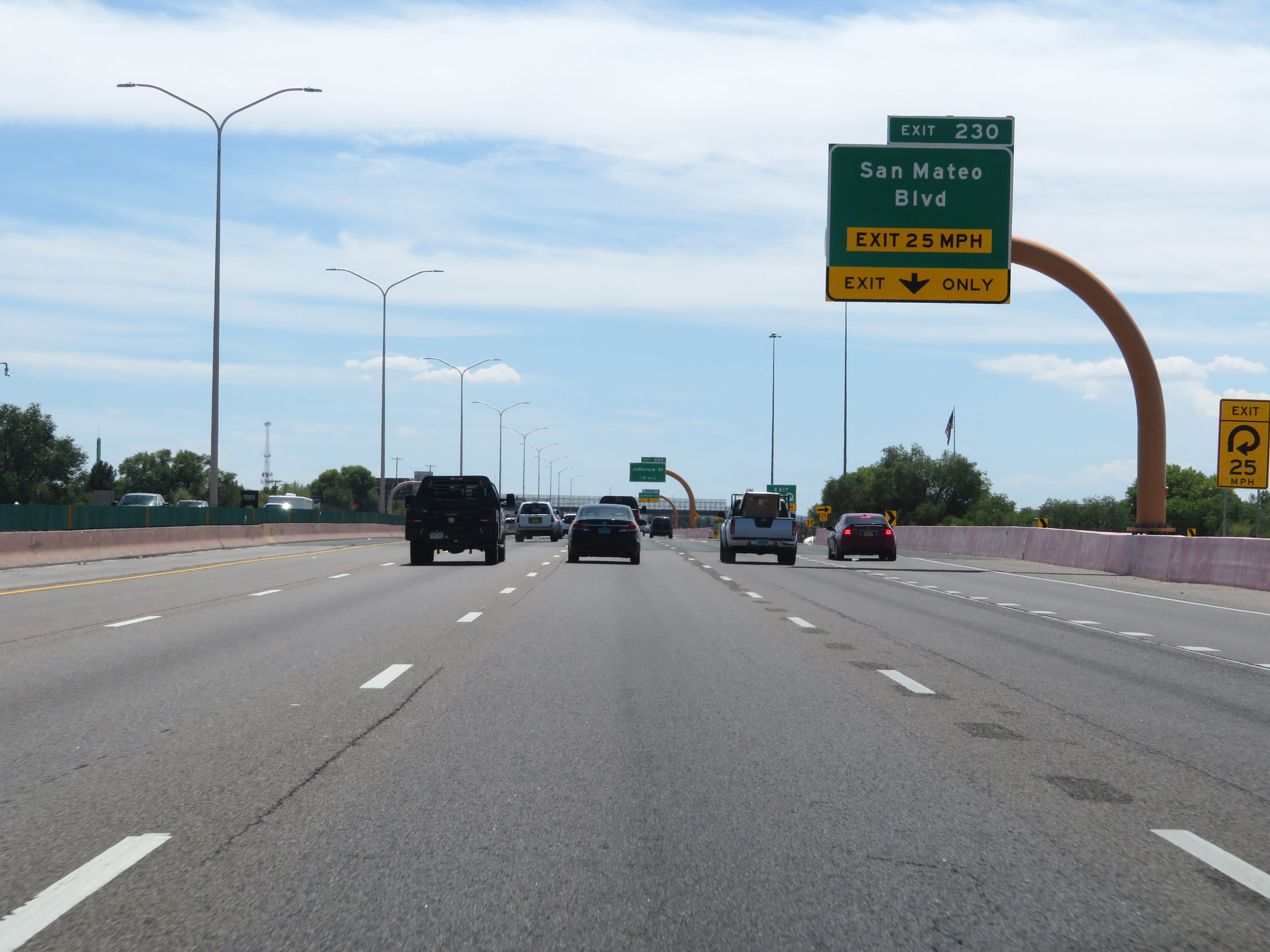 |
Interstate 25 South at Exit 230: San Mateo Blvd (Photo taken 8/13/20). |
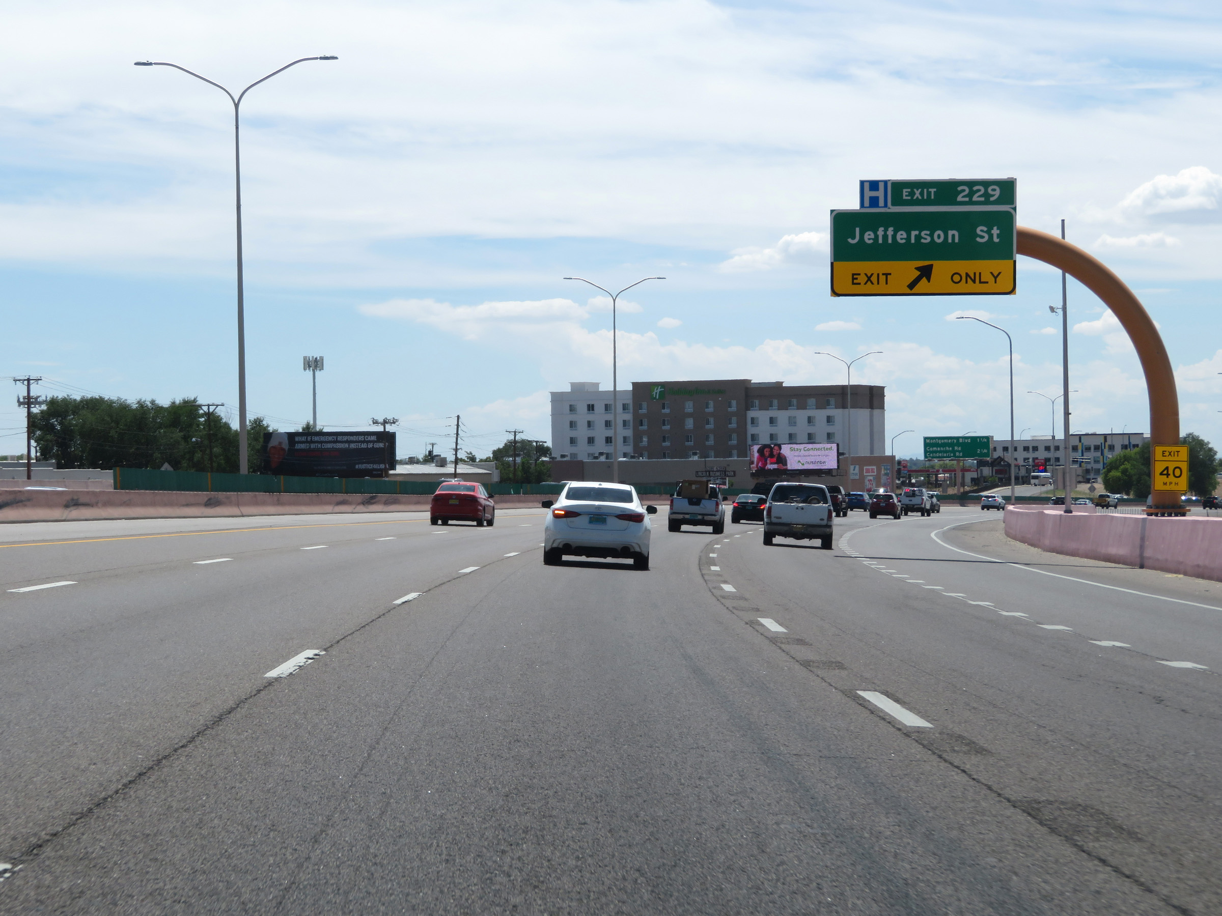 |
Interstate 25 South at Exit 229: Jefferson St (Photo taken 8/13/20). |
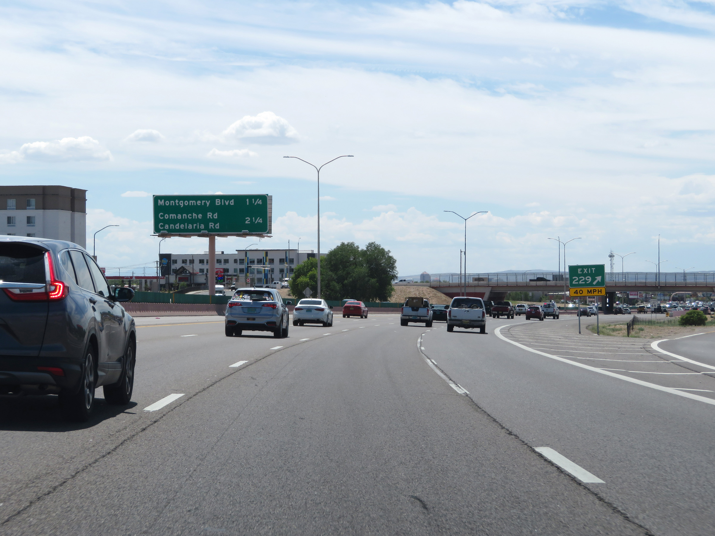 |
Overhead mileage sign on the median listing the distances to the two upcoming Albuquerque exits on Interstate 25 South. (Photo taken 8/13/20). |
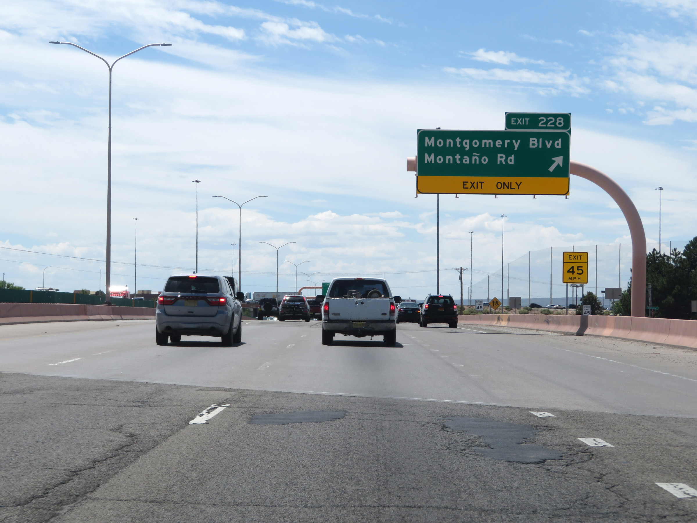 |
Interstate 25 South at Exit 228: Montgomery Blvd / Montaño Rd (Photo taken 8/13/20). |
Section 5: Albuquerque (Exit 228) to Belen (Exit 190)
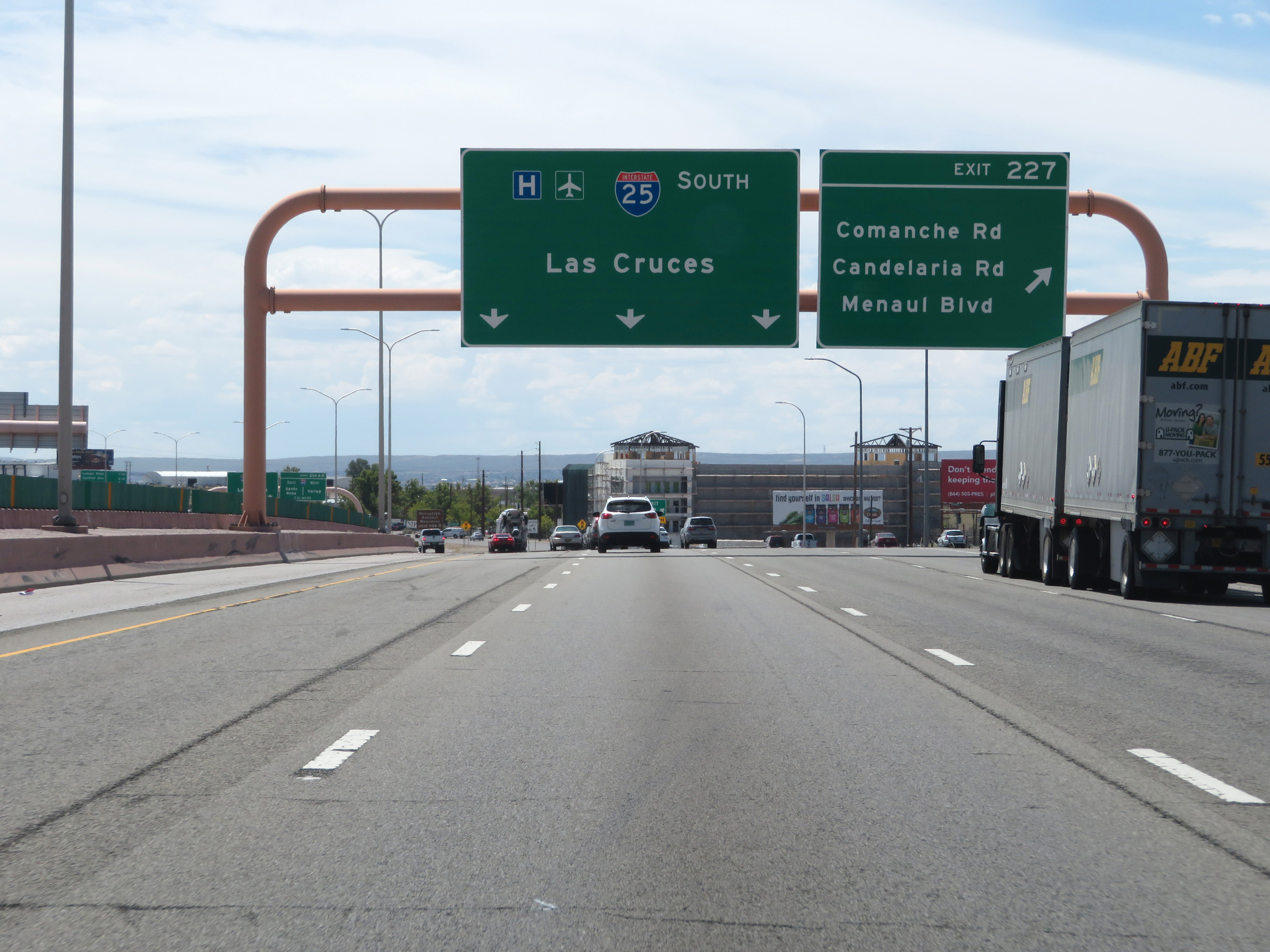 |
Interstate 25 South at Exit 227: Comanche Rd / Candelaria Rd / Menual Blvd (Photo taken 8/13/20). |
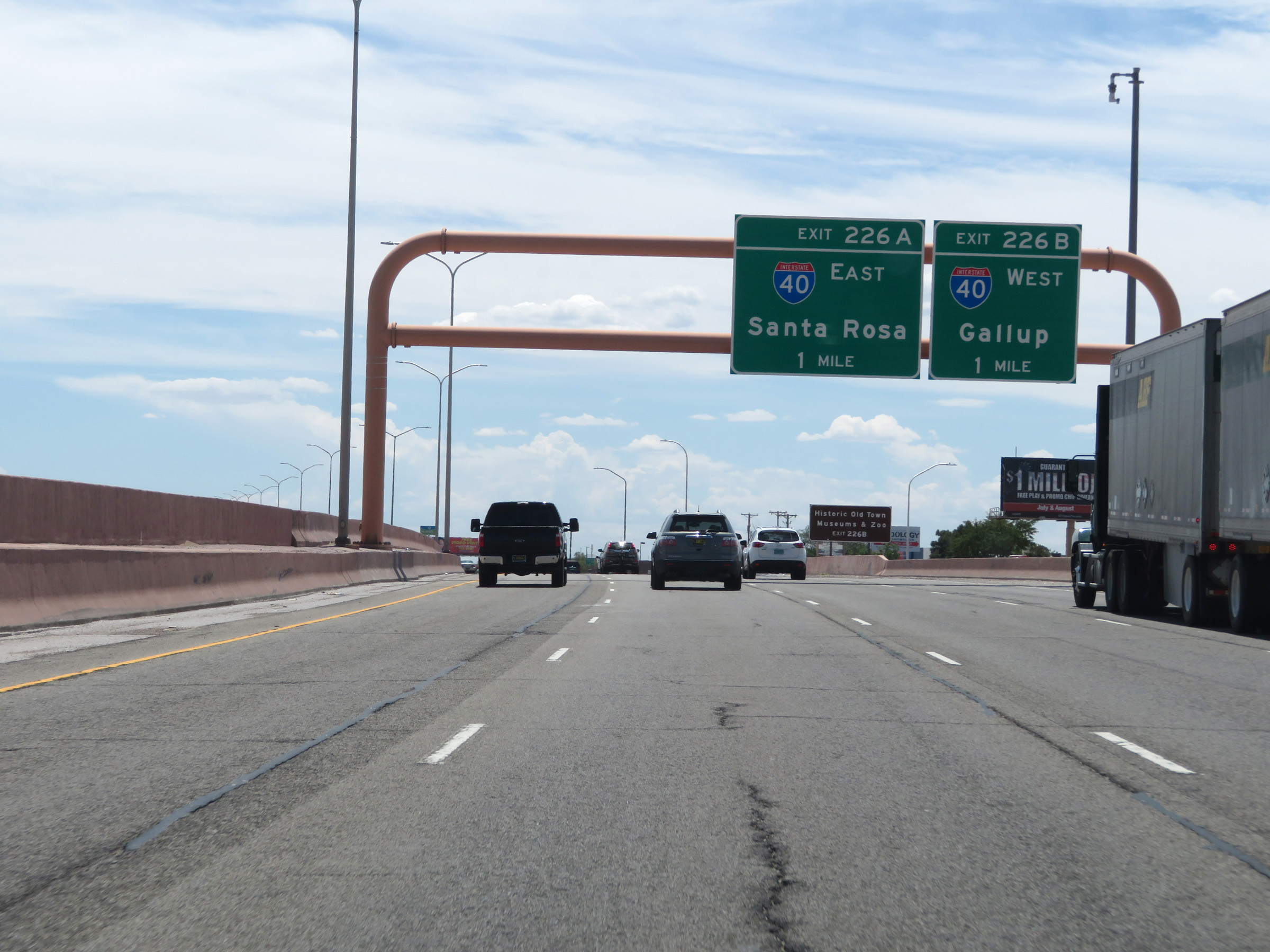 |
Interstate 25 South approaching Exits 226B-A - 1 mile. (Photo taken 8/13/20). |
 |
Take Exit 226B (Interstate 40 West) to Historic Old Town and the Museums & Zoo. (Photo taken 8/13/20). |
 |
Interstate 25 South at Exit 226B: Interstate 40 West - Gallup; Exit 226A: Interstate 40 East - Santa Rosa (Photo taken 8/13/20). |
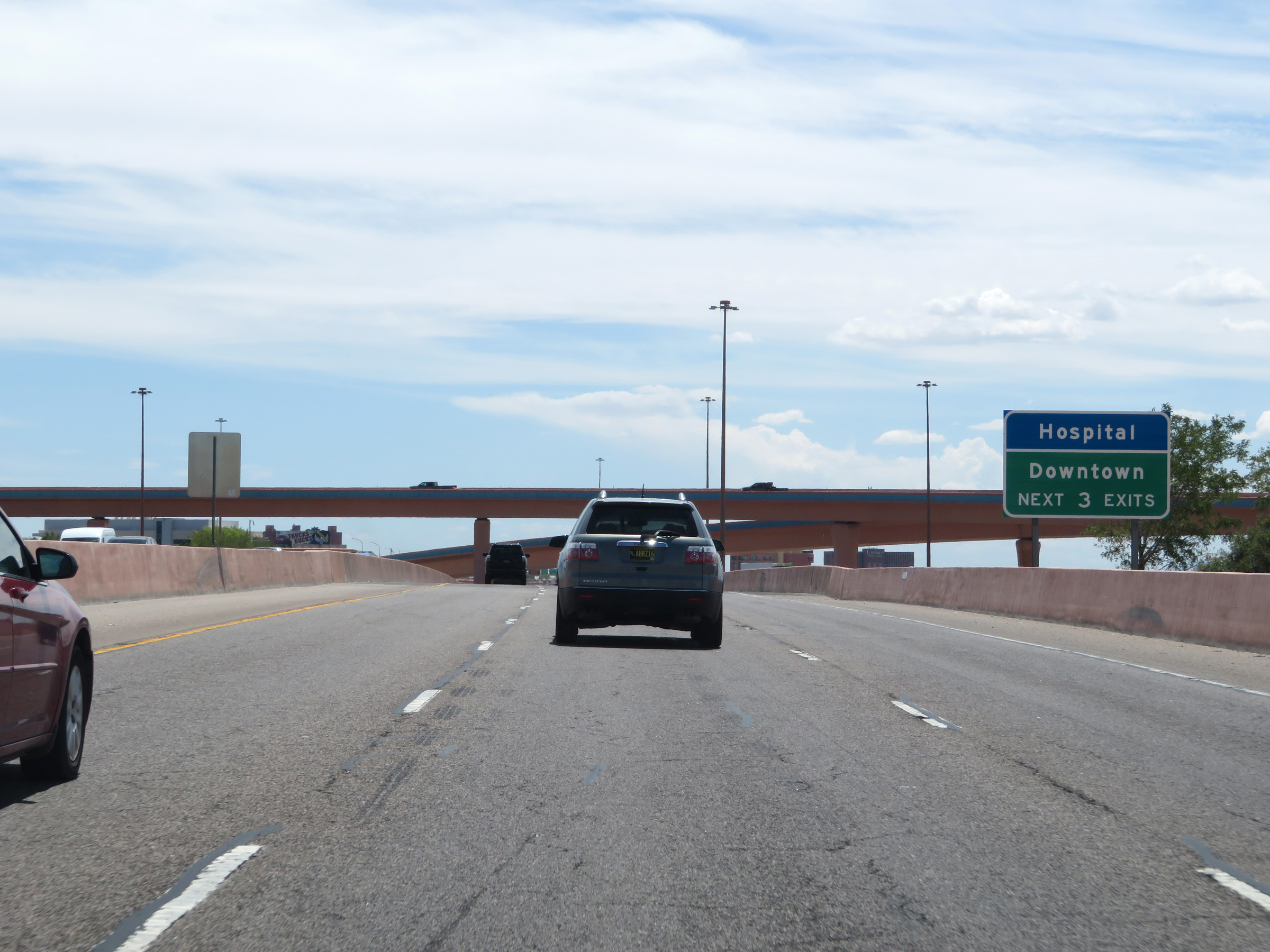 |
Take any of the next 3 exits to Downtown. (Photo taken 8/13/20). |
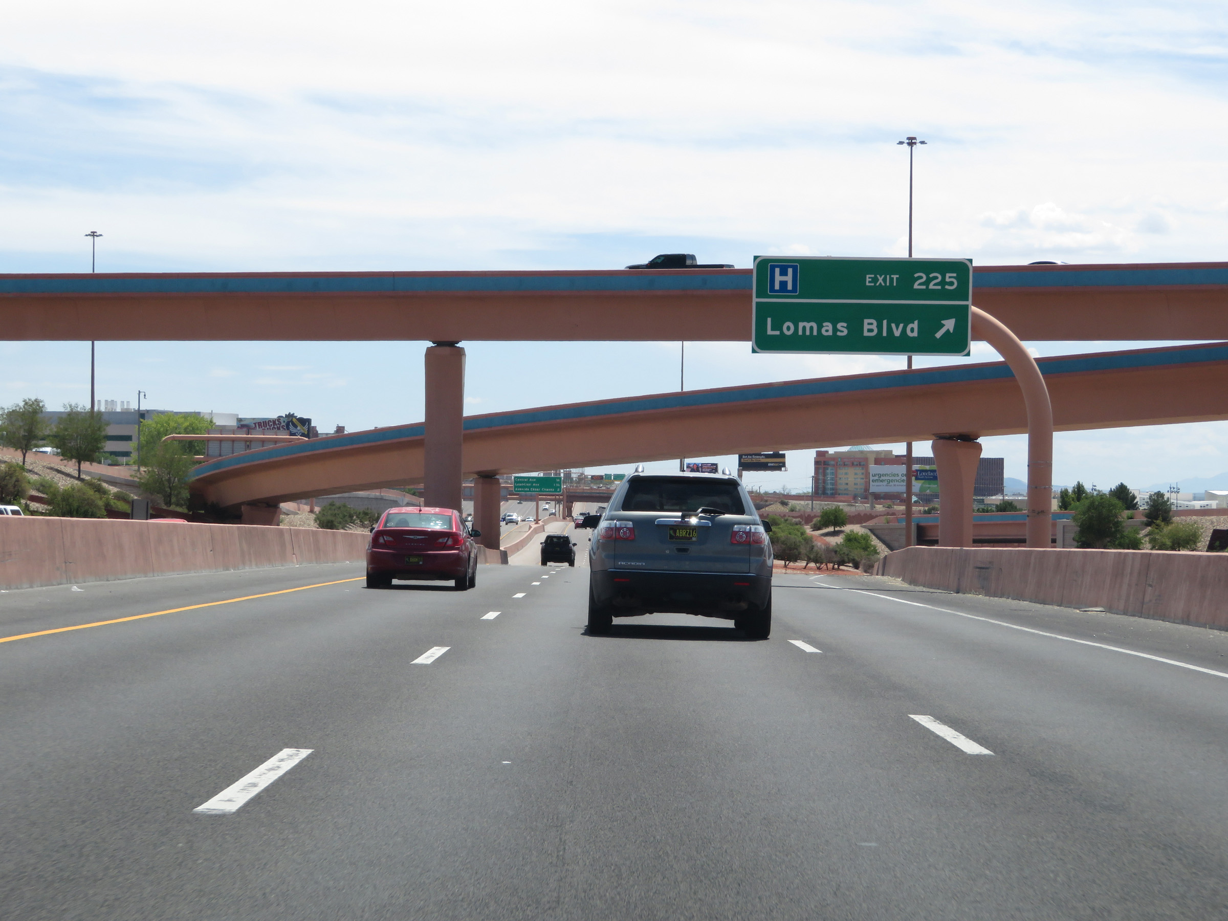 |
Interstate 25 South at Exit 225: Lomas Blvd (Photo taken 8/13/20). |
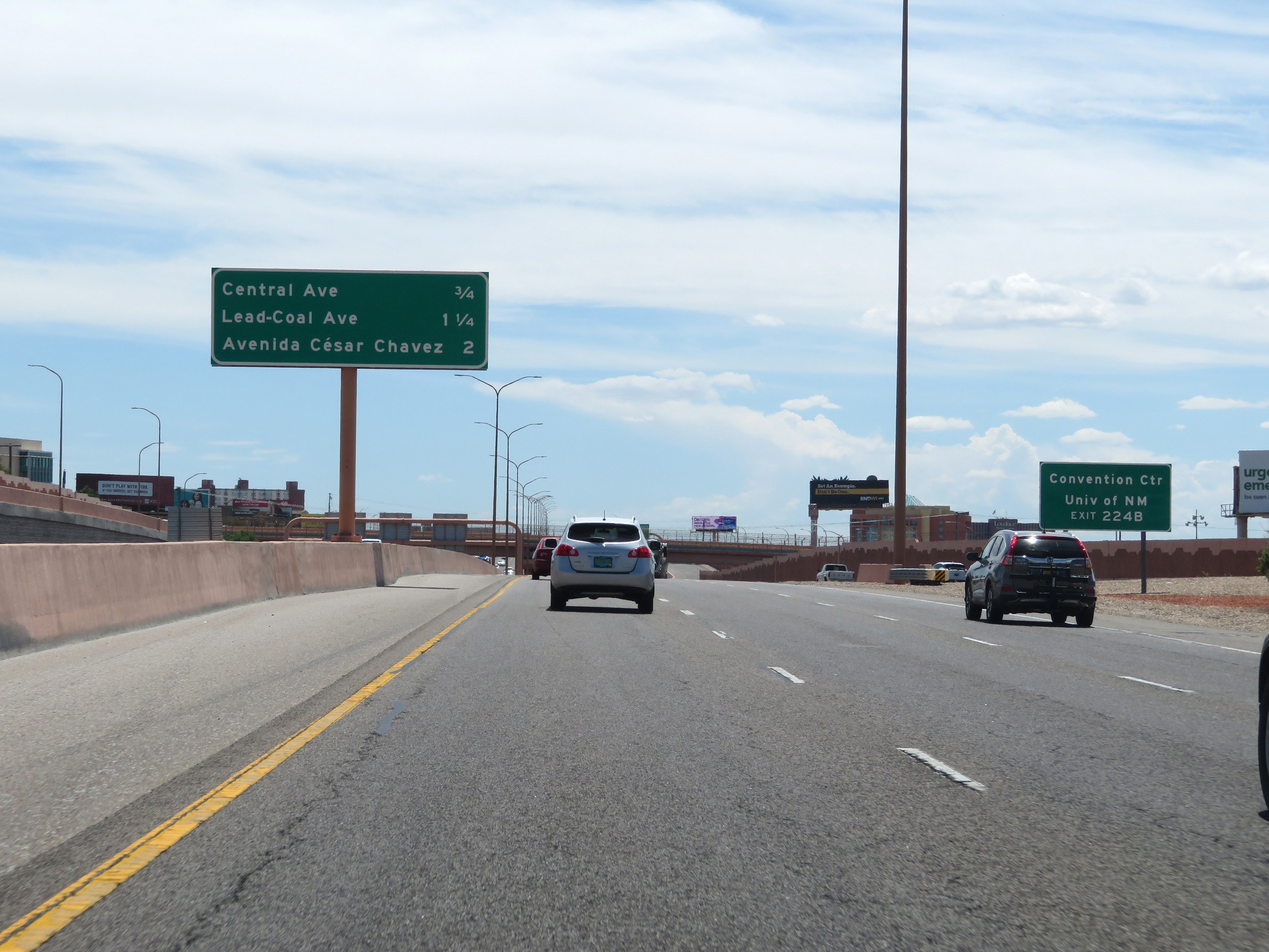 |
Take Exit 224B to the Convention Center and the University of New Mexico. (Photo taken 8/13/20). |
 |
Interstate 25 South at Exit 224B: Martin Luther King Jr Ave / Central Ave (Photo taken 8/13/20). |
 |
Another overhead mileage sign on the median listing the distances to the next three interchanges on Interstate 25 South in Albuquerque. (Photo taken 8/13/20). |
 |
In downtown Albuquerque, the speed limit decreases to 55 mph on Interstate 25 South. (Photo taken 8/13/20). |
 |
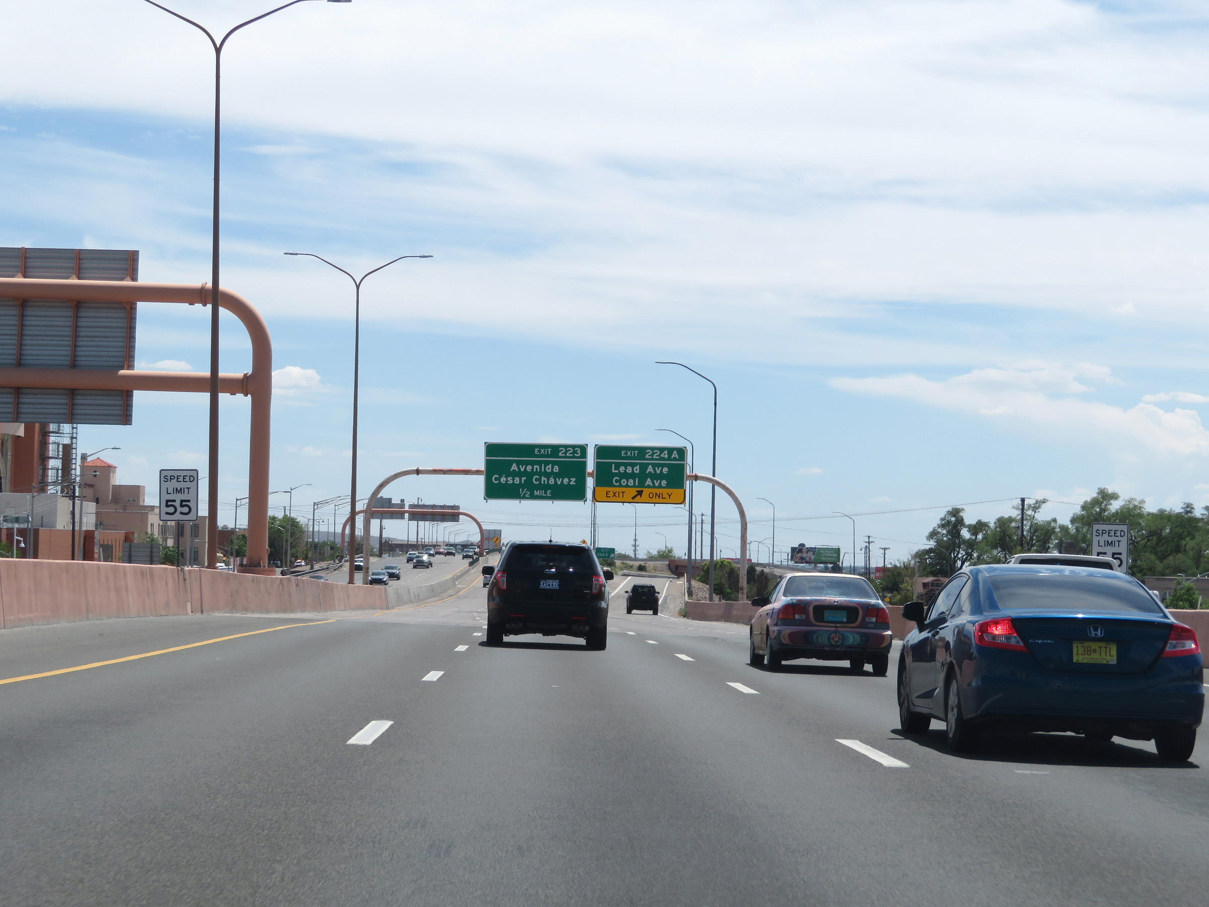
Interstate 25 South at Exit 224A: Lead Ave / Coal Ave (Photo taken 8/13/20). |
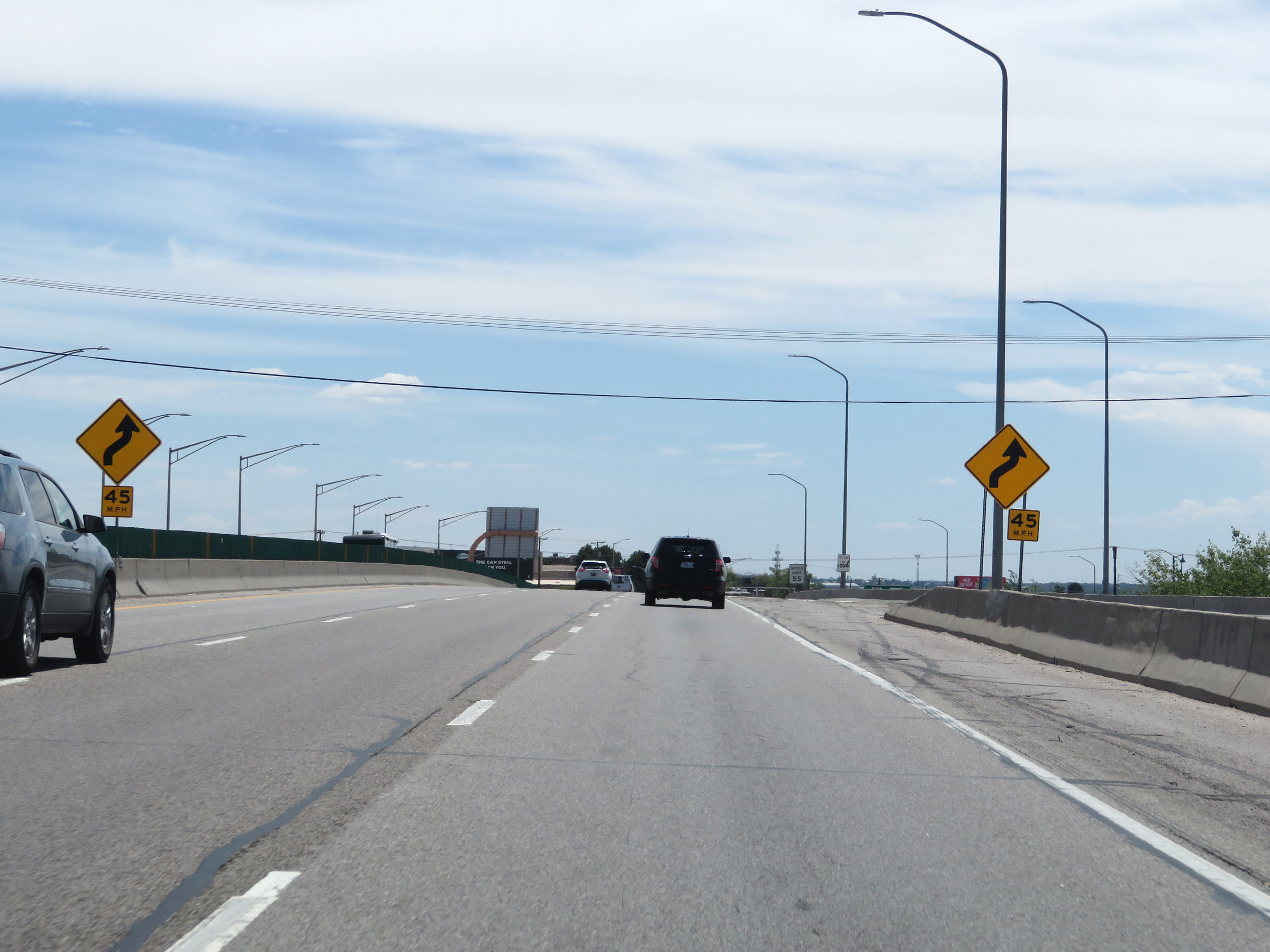 |
Interstate 25 South will traverse a pair of sharp curves ahead. 45 mph is advised. (Photo taken 8/13/20). |
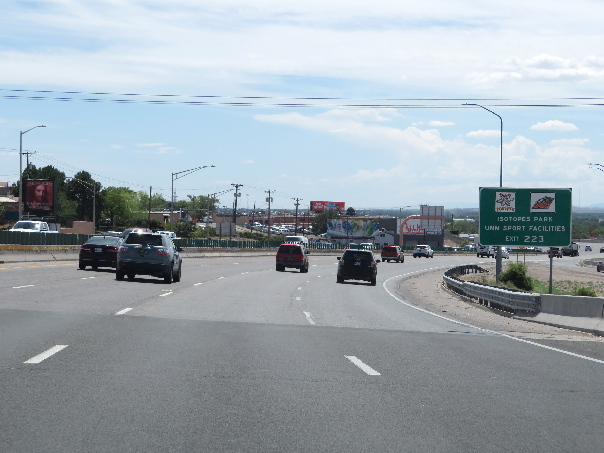 |
Take Exit 223 to Isotopes Park and the UNM Sports Facilities. (Photo taken 8/13/20). |
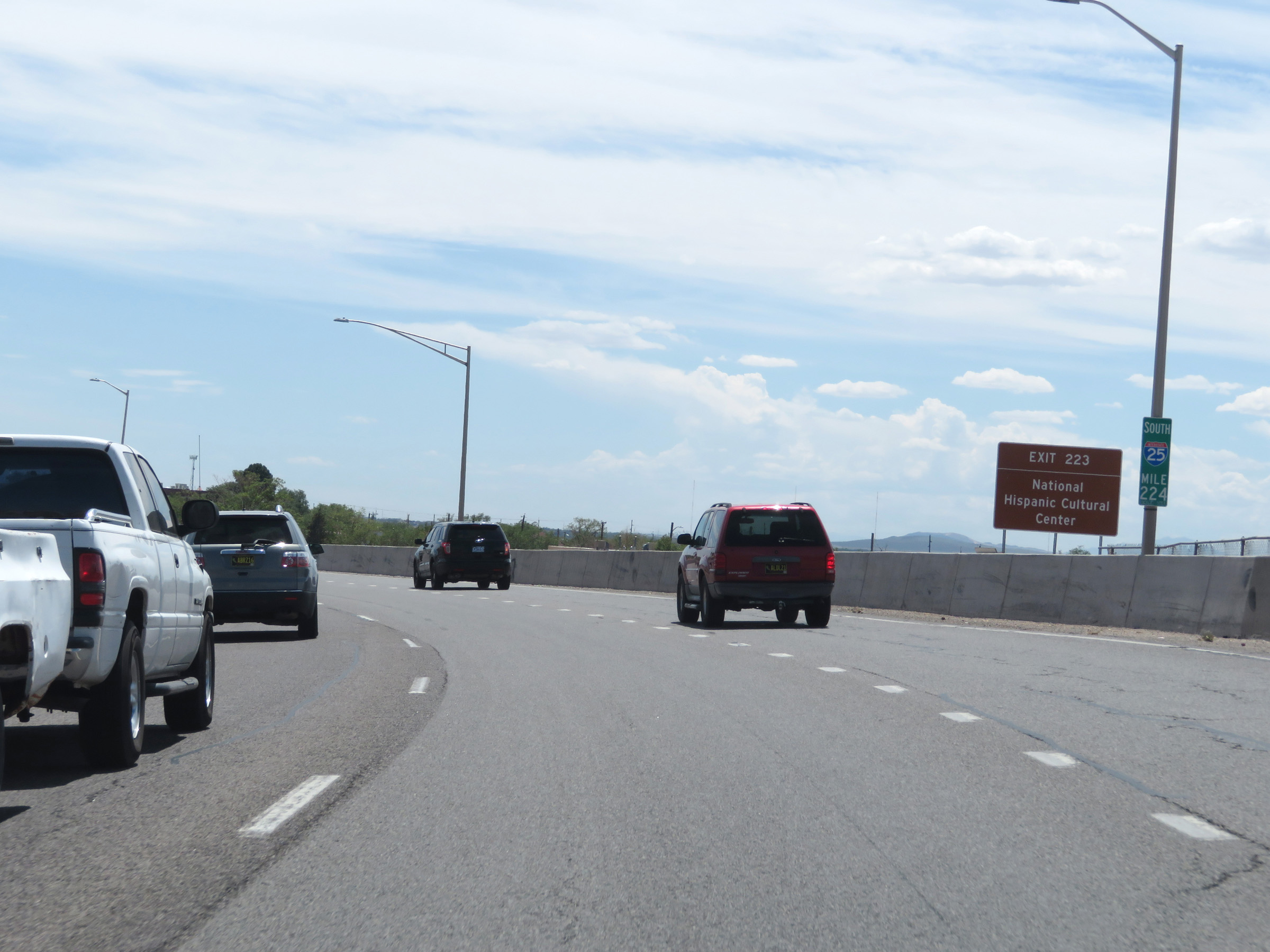 |
Also take Exit 223 to the National Hispanic Cultural Center. (Photo taken 8/13/20). |
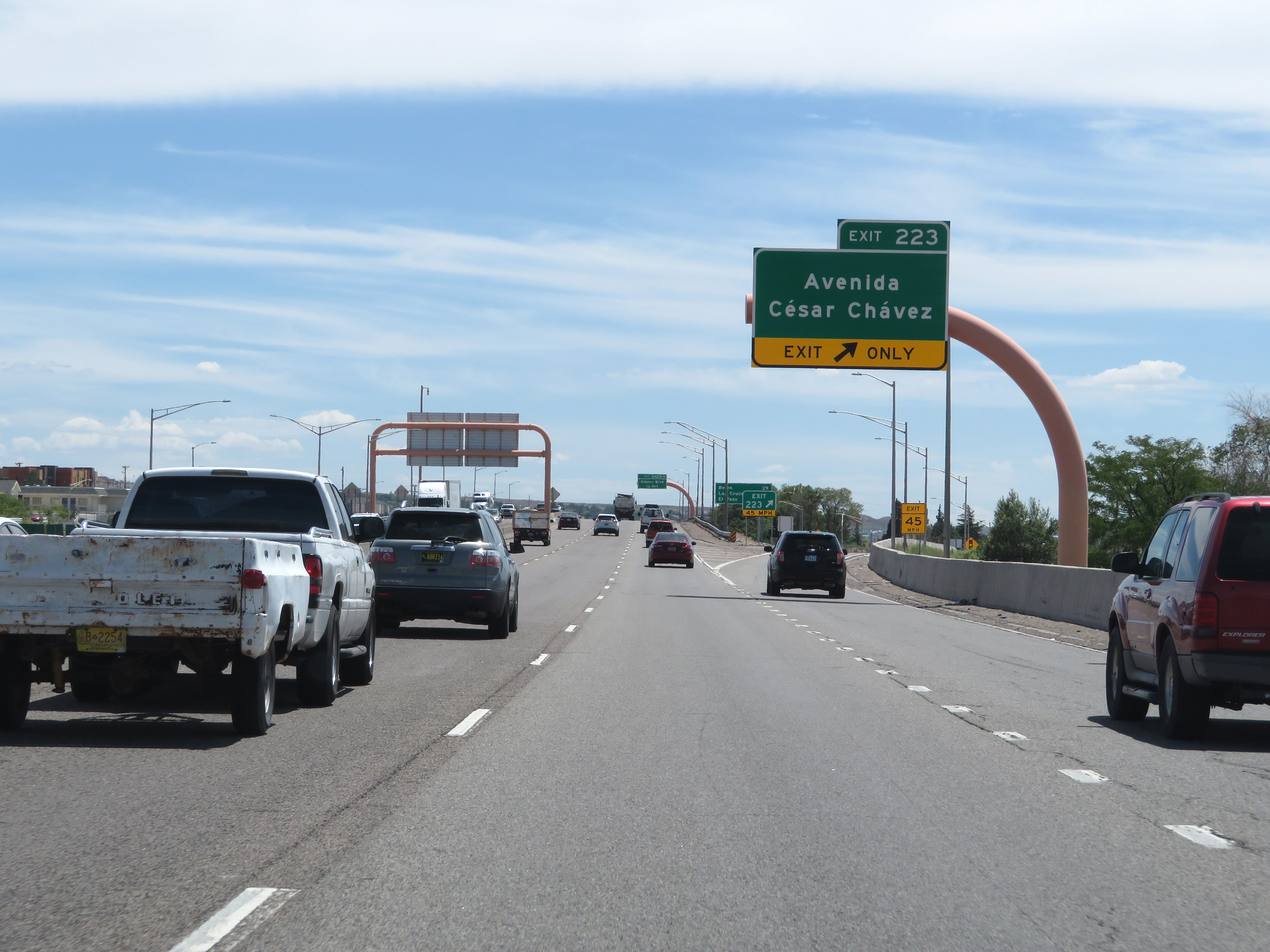 |
Interstate 25 South at Exit 223: Avenida César Chávez (Photo taken 8/13/20). |
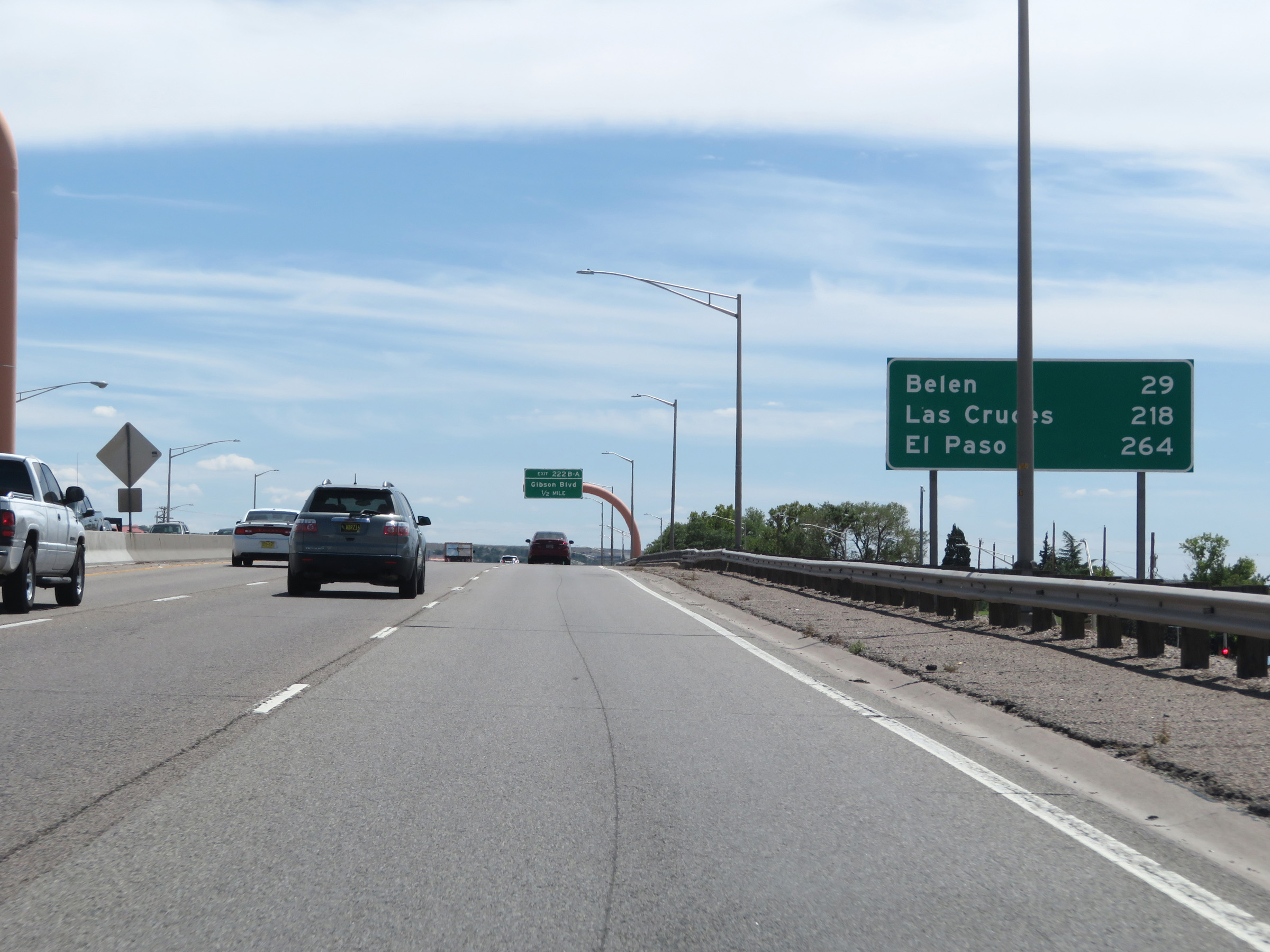 |
Mileage sign on Interstate 25 South in Albuquerque. It's 29 miles to Belen, 218 miles to Las Cruces, and 264 miles to El Paso. (Photo taken 8/13/20). |
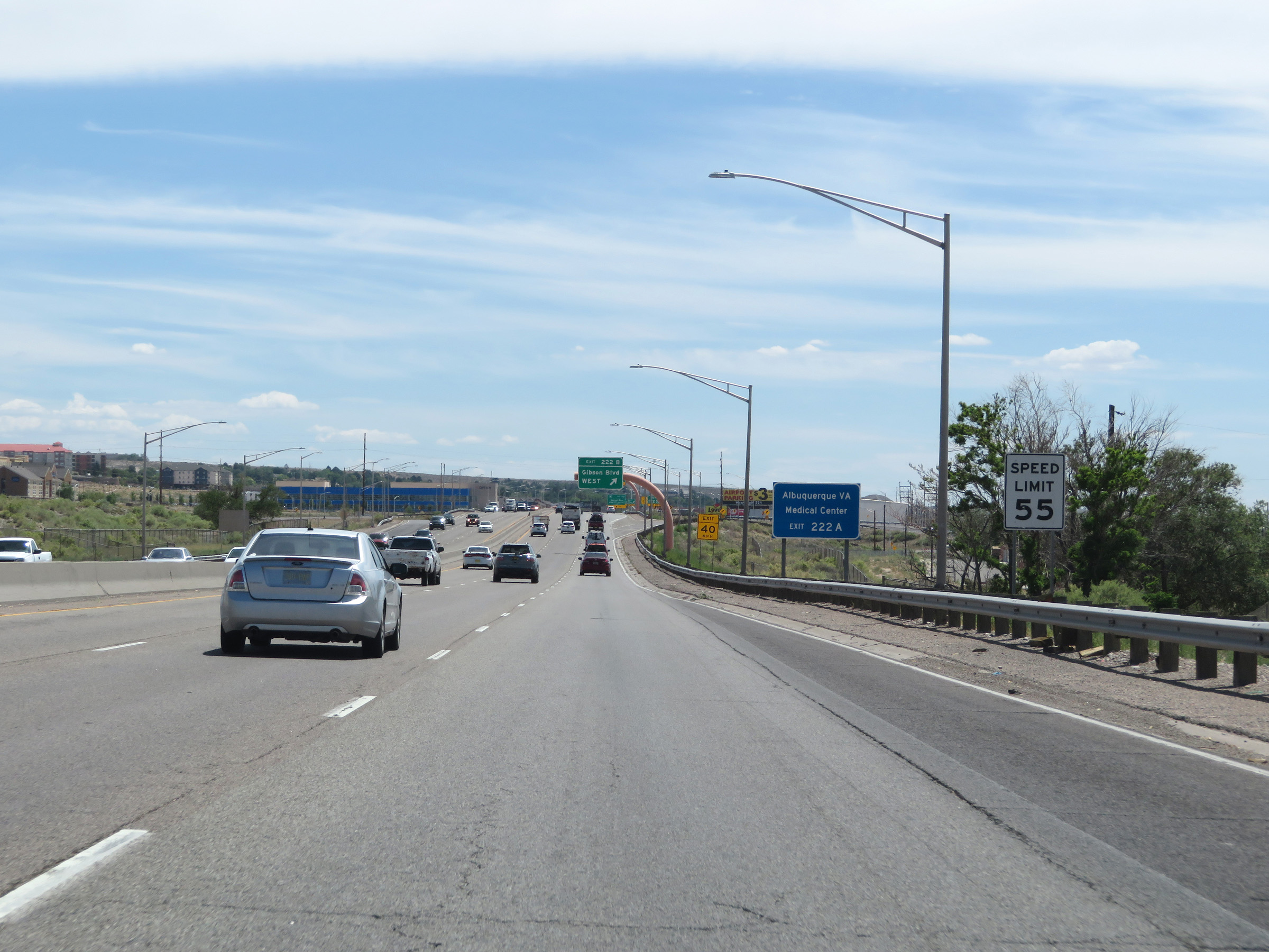 |
The speed limit remains 55 mph. (Photo taken 8/13/20). |
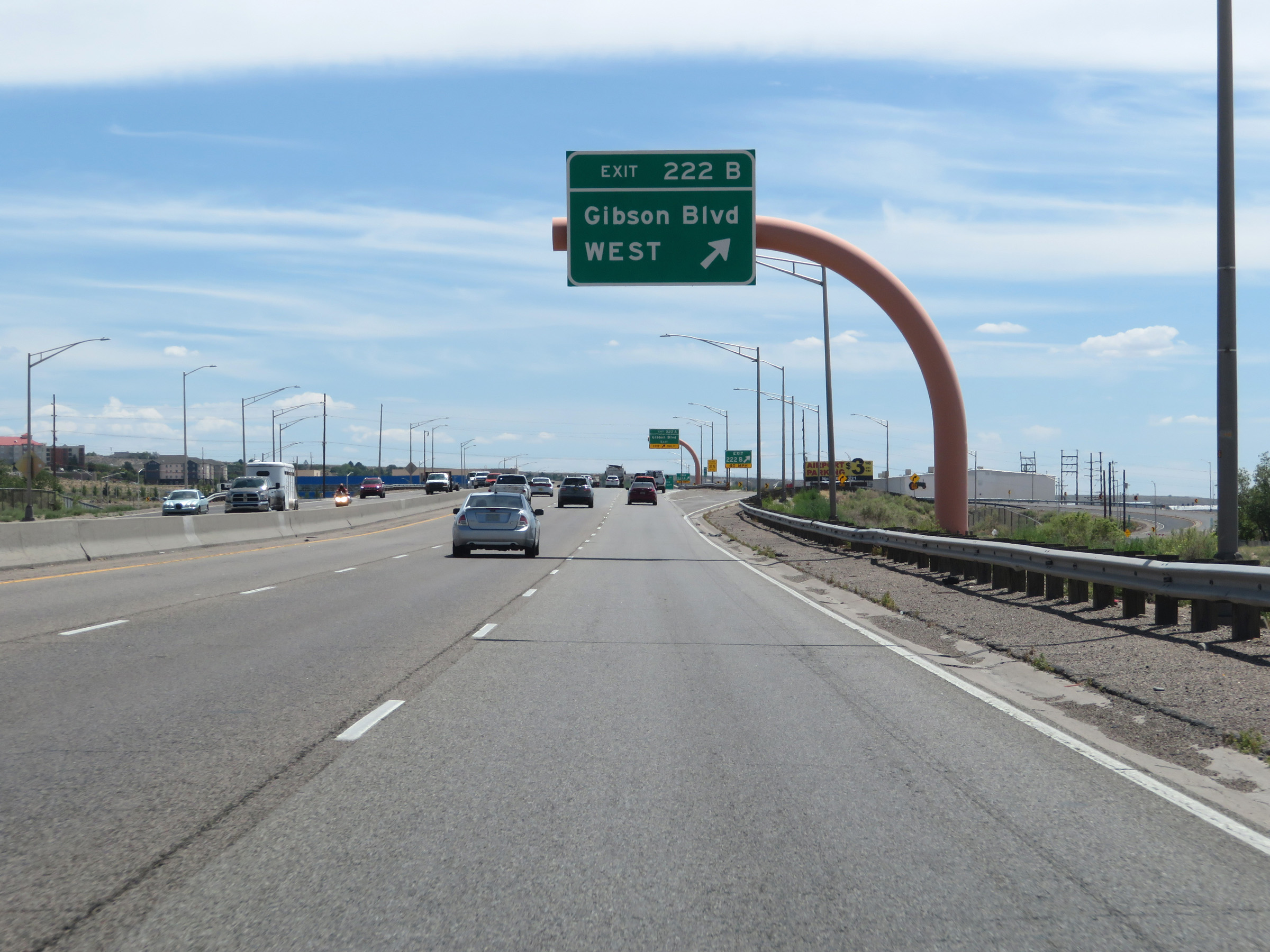 |
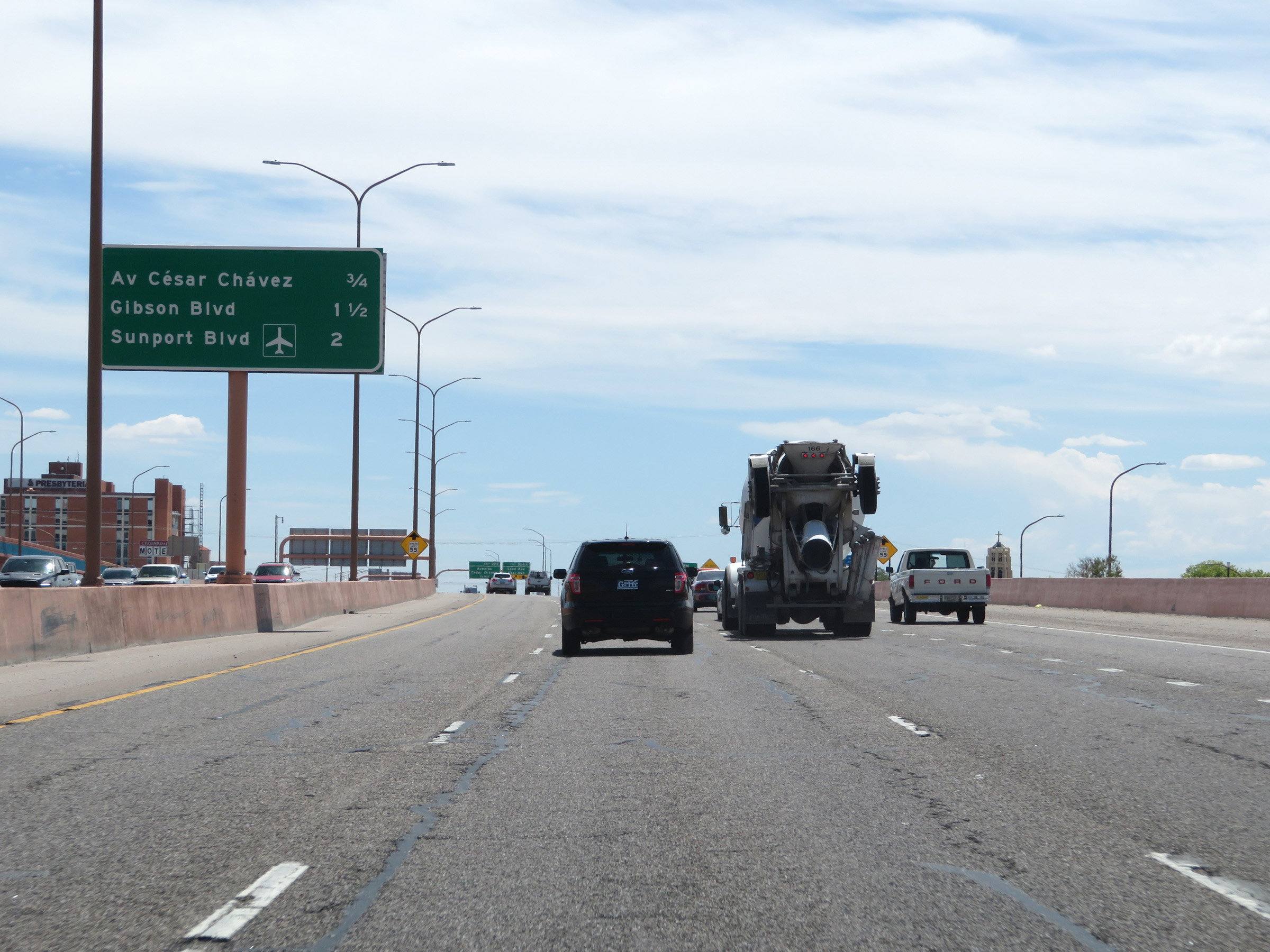
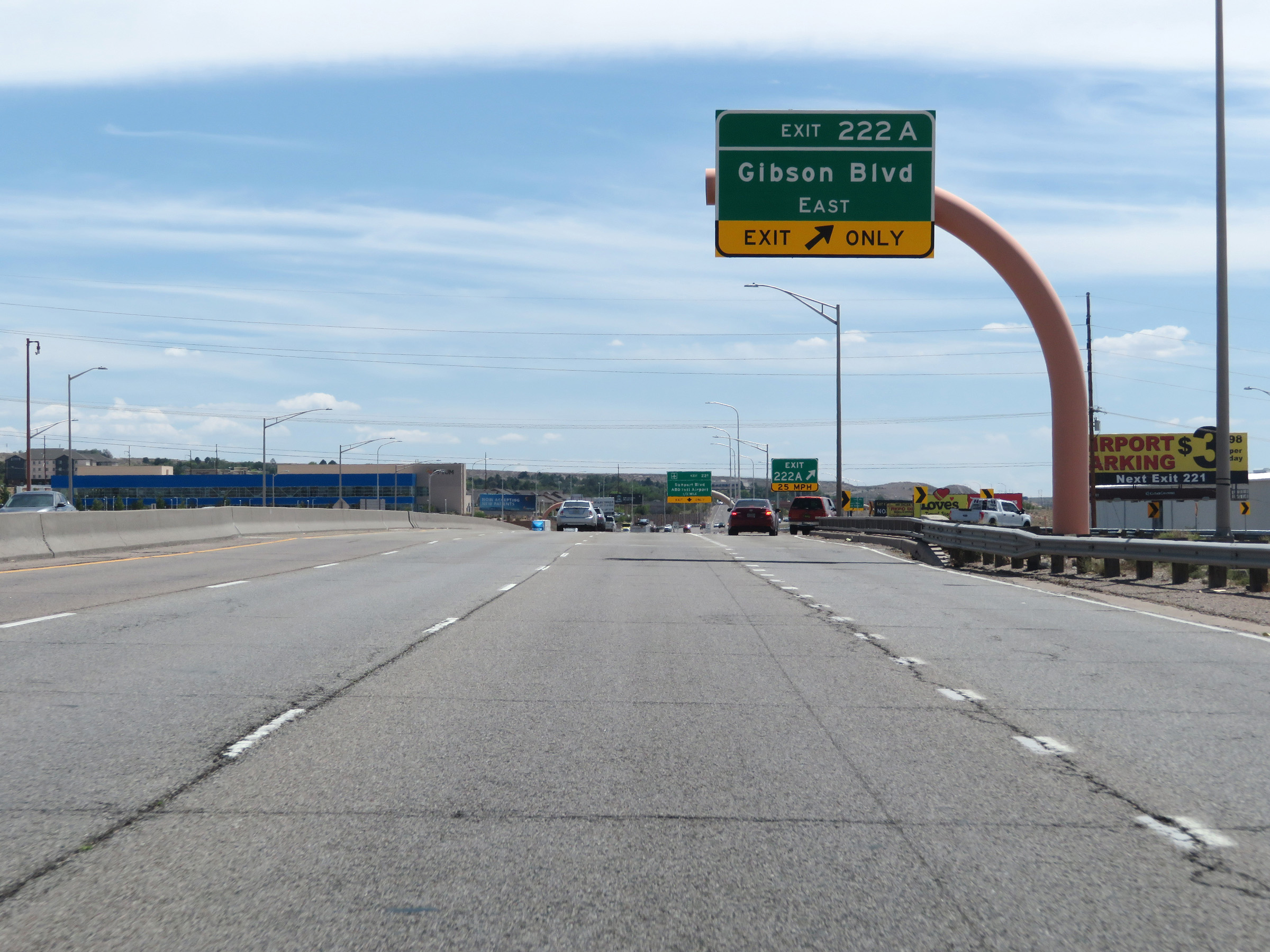
Interstate 25 South at Exit 222B: Gibson Blvd West (Photo taken 8/13/20). |
 |
Interstate 25 South at Exit 222A: Gibson Blvd East (Photo taken 8/13/20). |
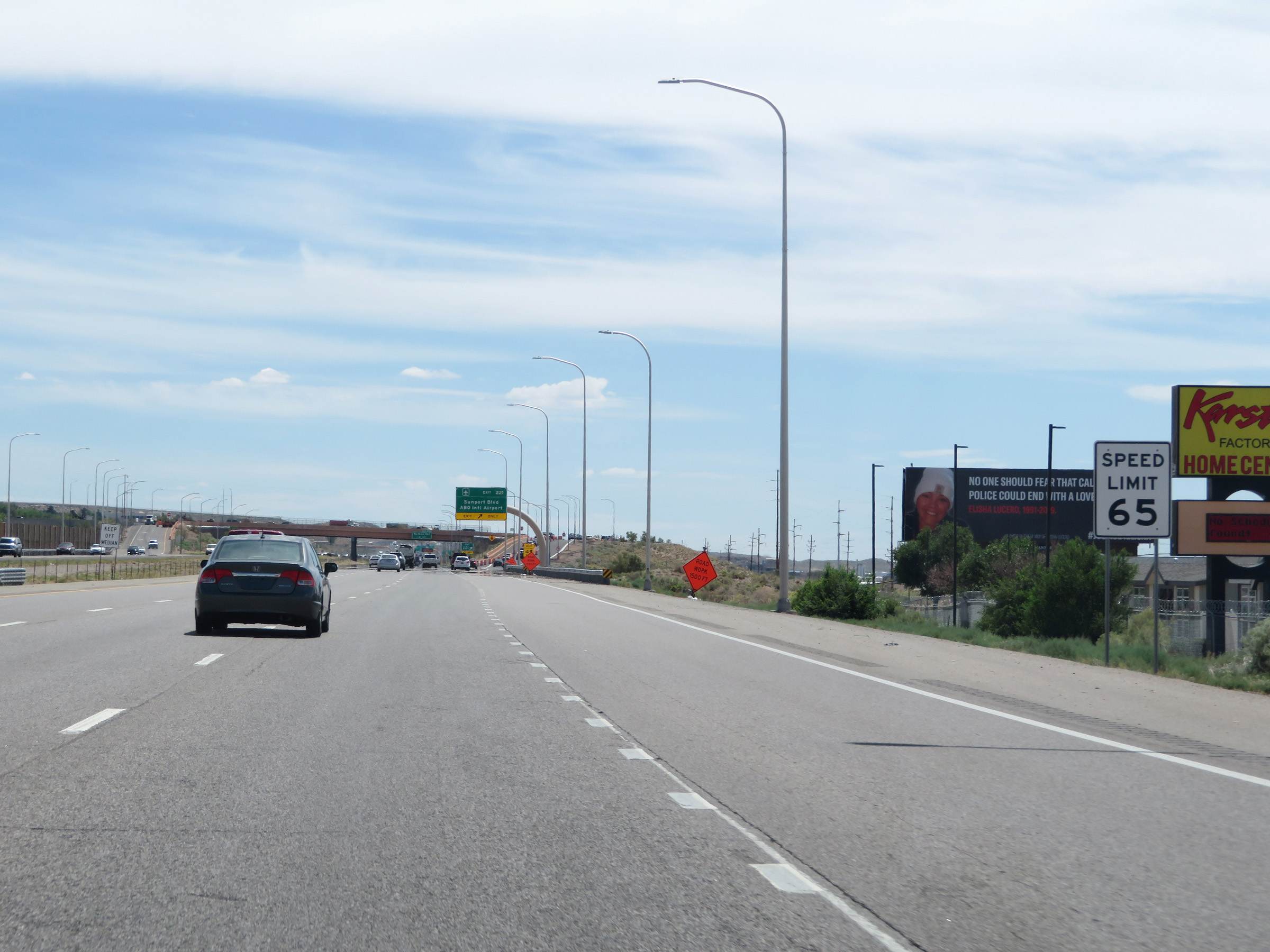 |
South of Exit 222A, the speed limit increases to 65 mph once again leaving downtown Albuquerque. (Photo taken 8/13/20). |
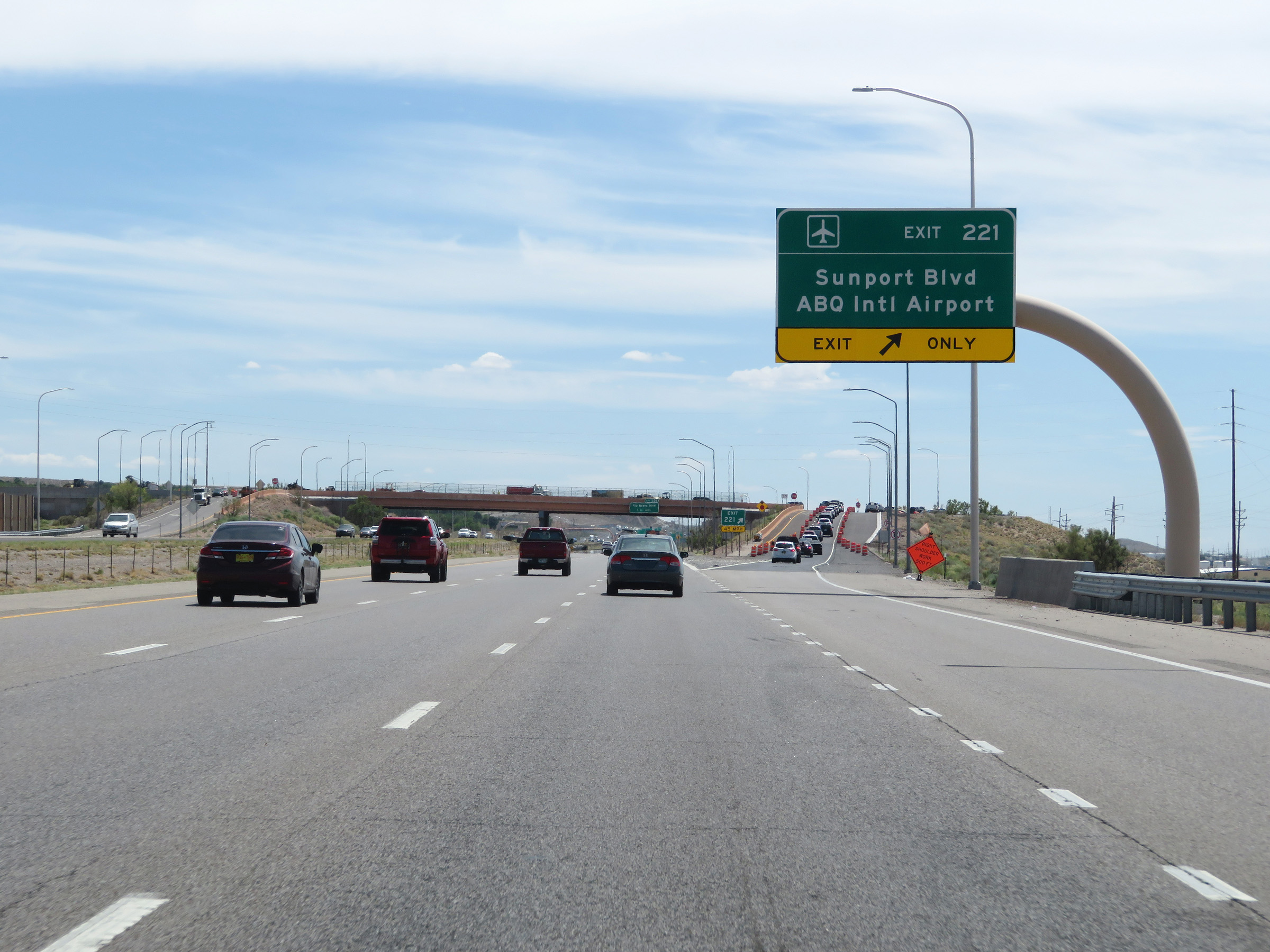 |
Interstate 25 South at Exit 221: Sunport Blvd / ABQ International Airport (Photo taken 8/13/20). |
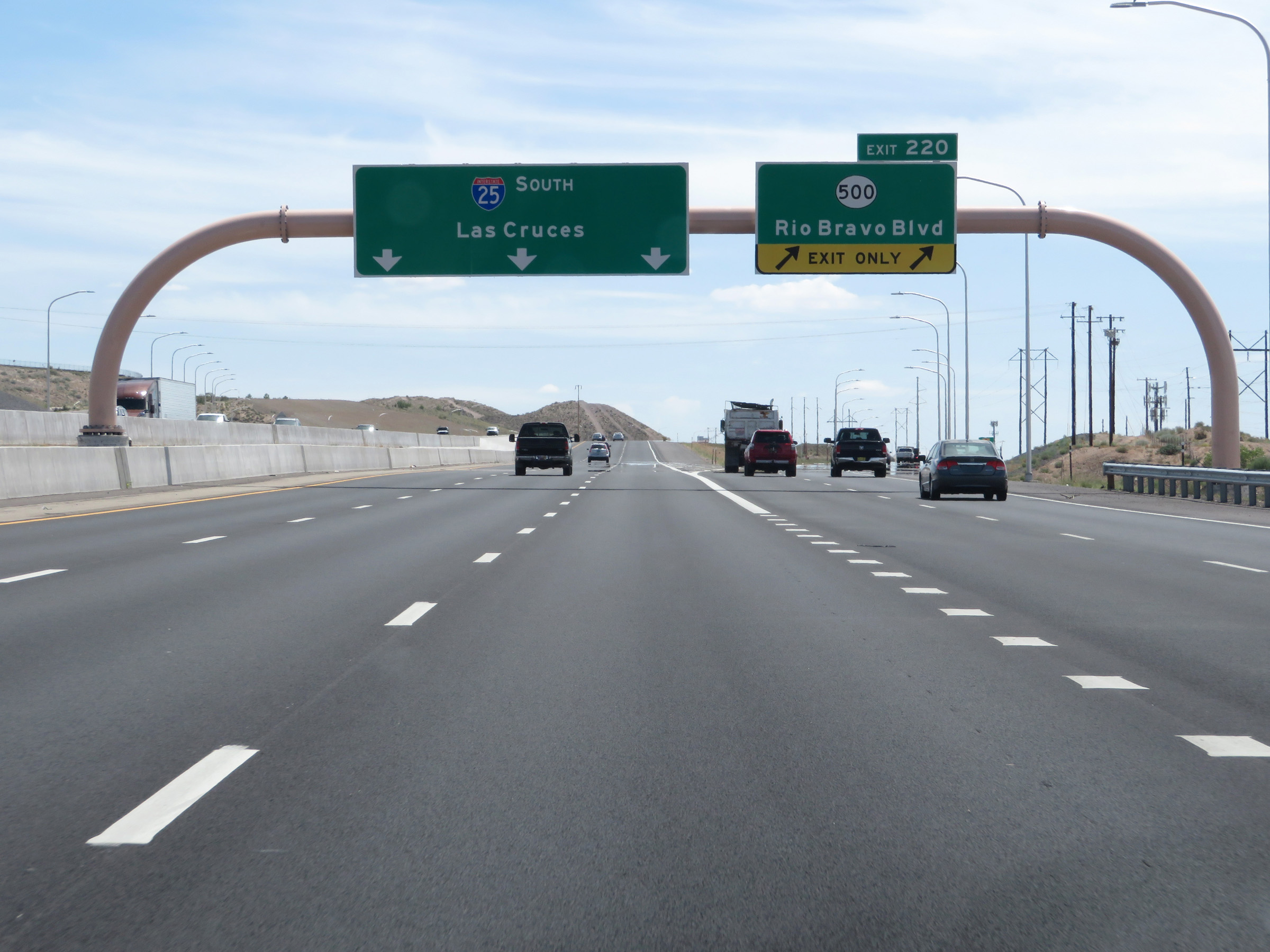 |
Interstate 25 South at Exit 220: NM 500 - Rio Bravo Blvd (Photo taken 8/13/20). |
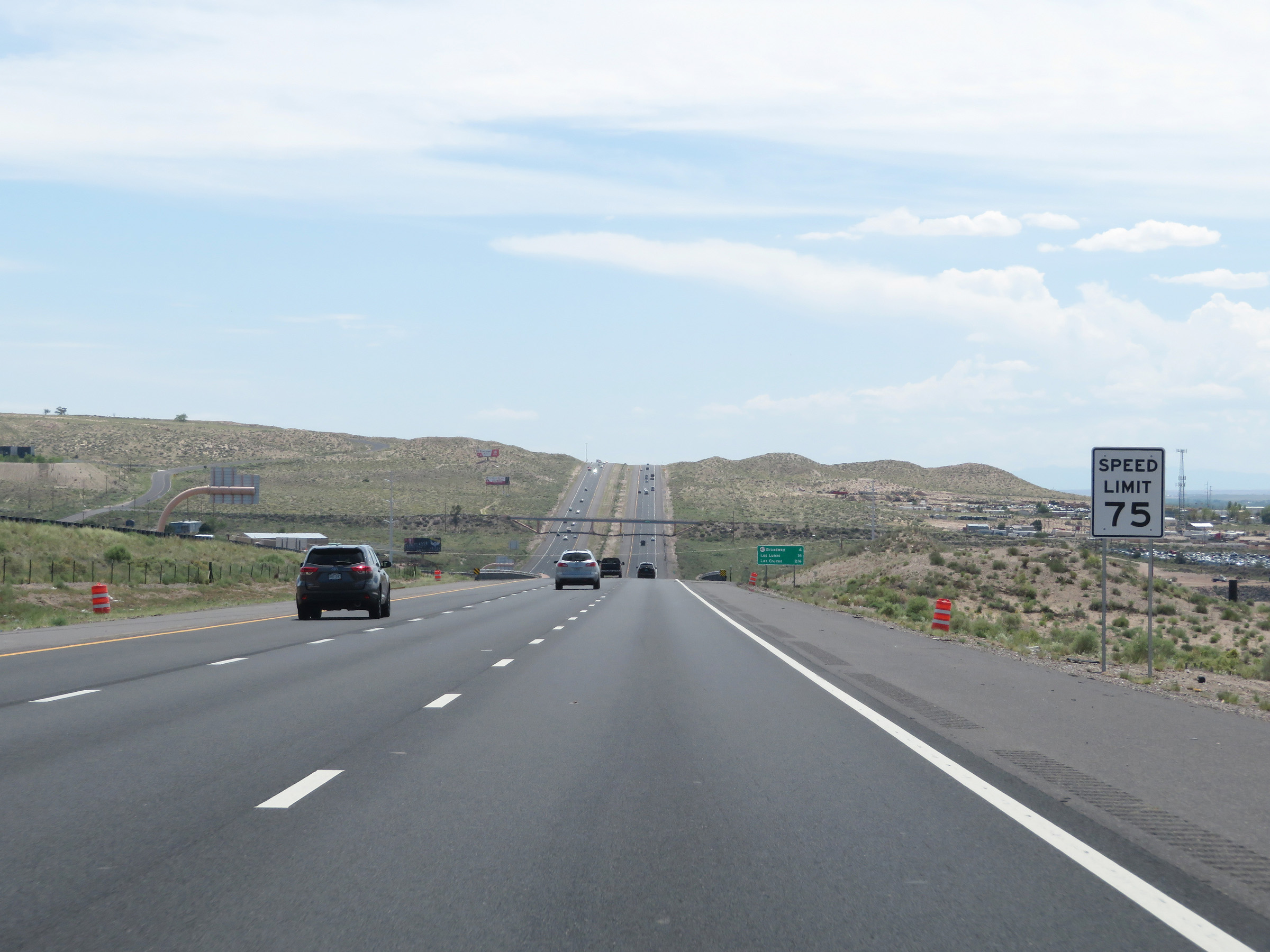 |
South of Exit 220, the speed limit increases to 75 mph once again. This is the standard speed limit on most rural Interstate highways in New Mexico. (Photo taken 8/13/20). |
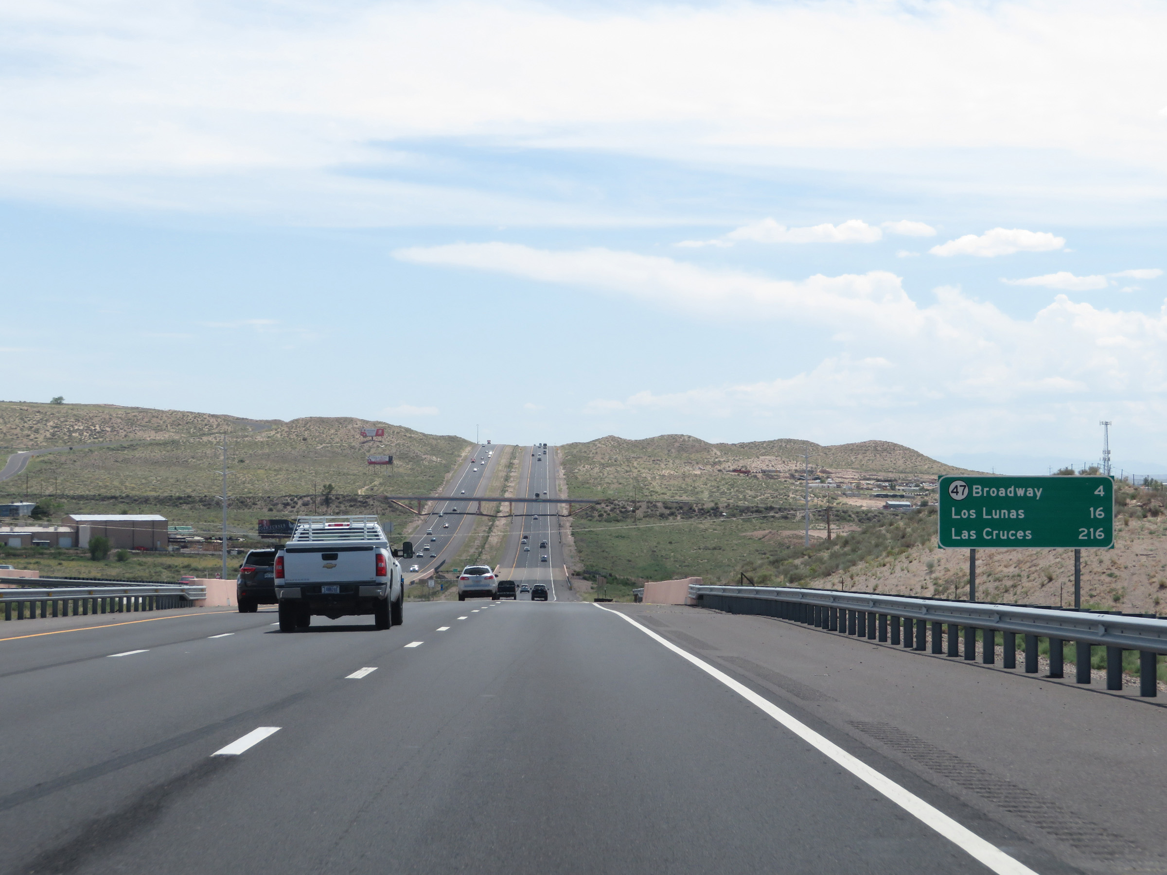 |
Another mileage sign on Interstate 25 South. It's 4 miles to the junction of NM 47 (Broadway), 16 miles to Los Lunas, and 216 miles to Las Cruces. (Photo taken 8/13/20). |
 |
View on Interstate 25 South at mile marker 219. (Photo taken 8/13/20). |
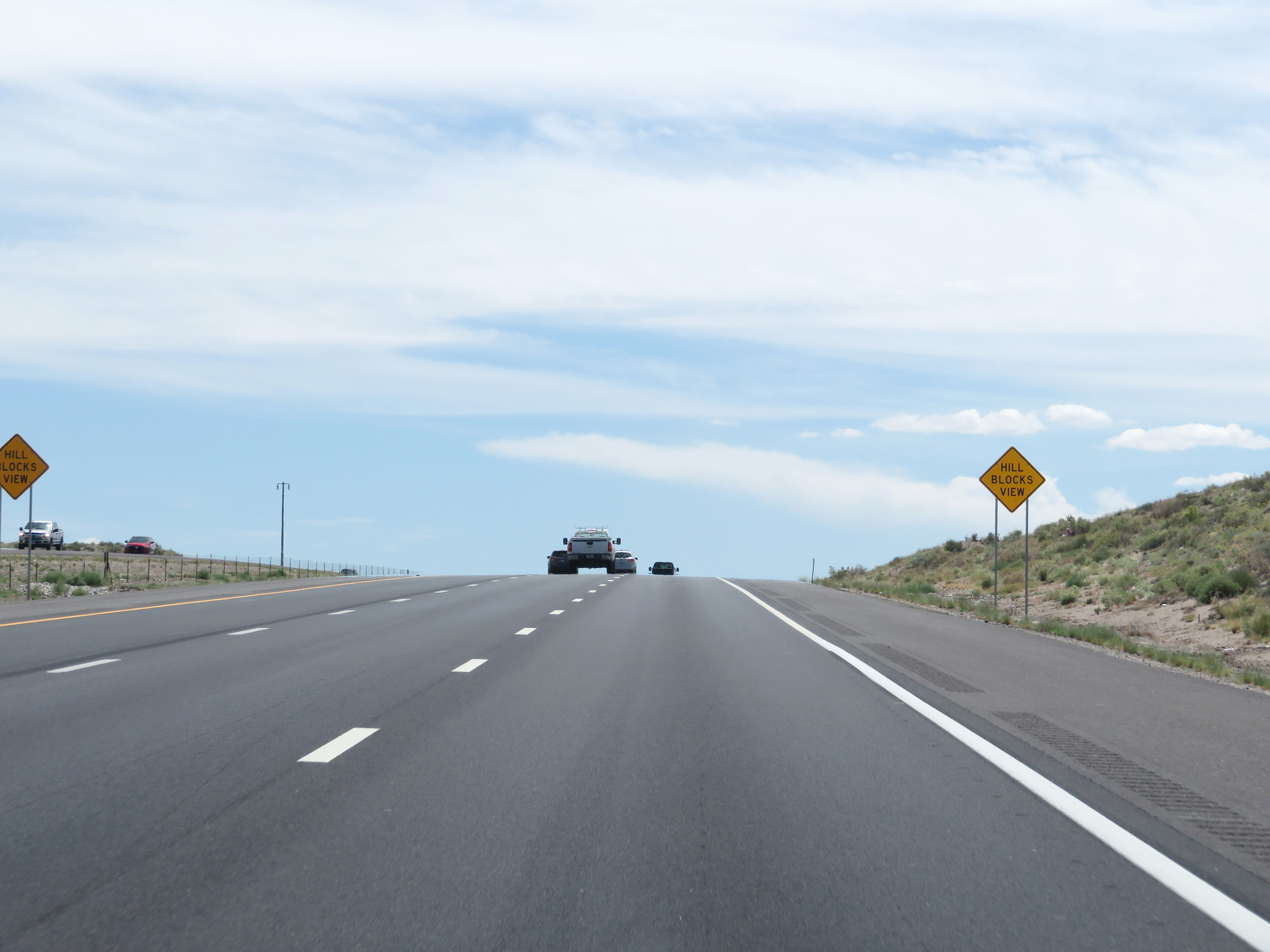 |
As Interstate 25 South climbs a bit of a grade, these signs warn that the hill blocks your view. (Photo taken 8/13/20). |
 |
Interstate 25 South at mile marker 217. (Photo taken 8/13/20). |
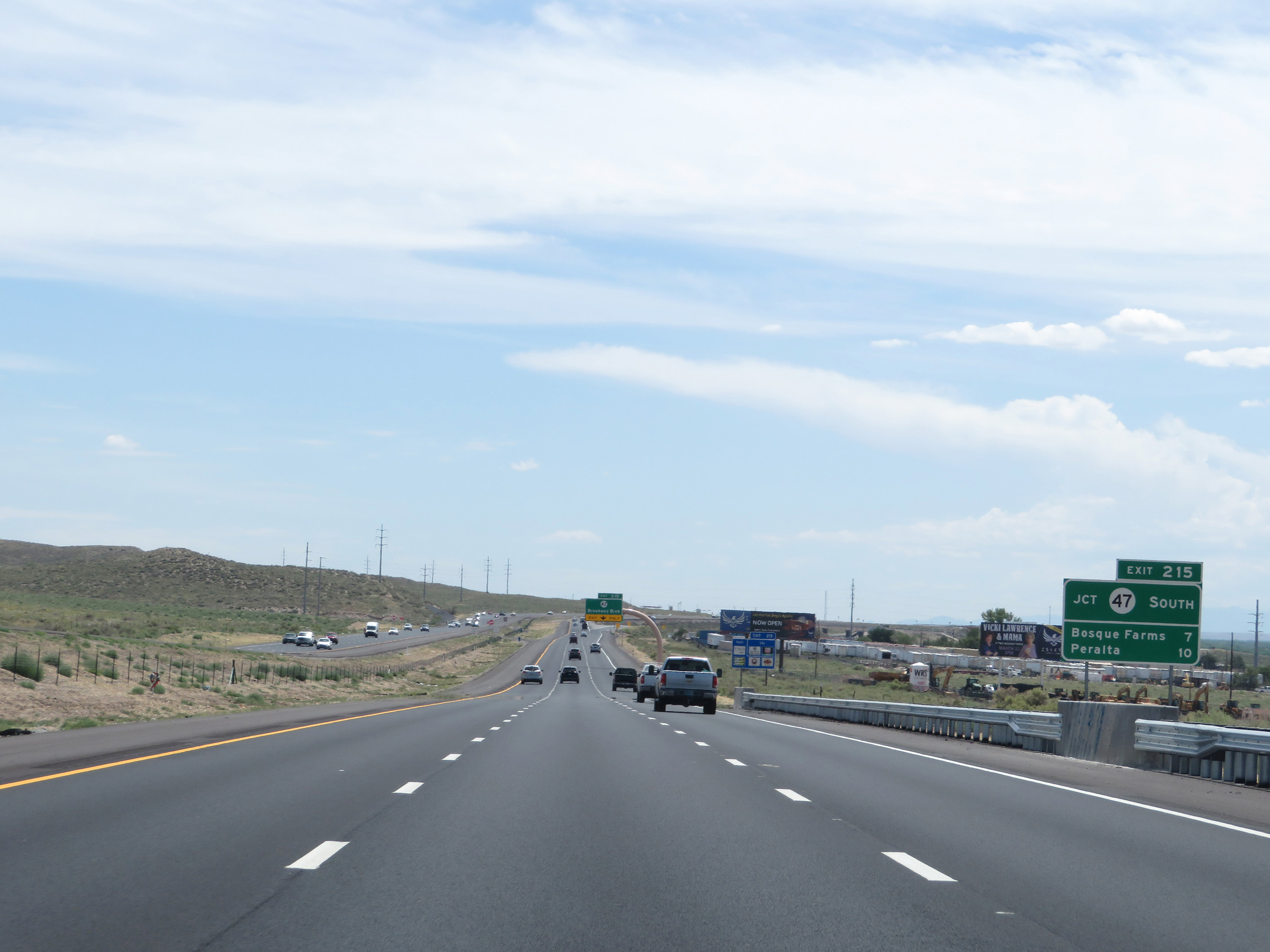 |
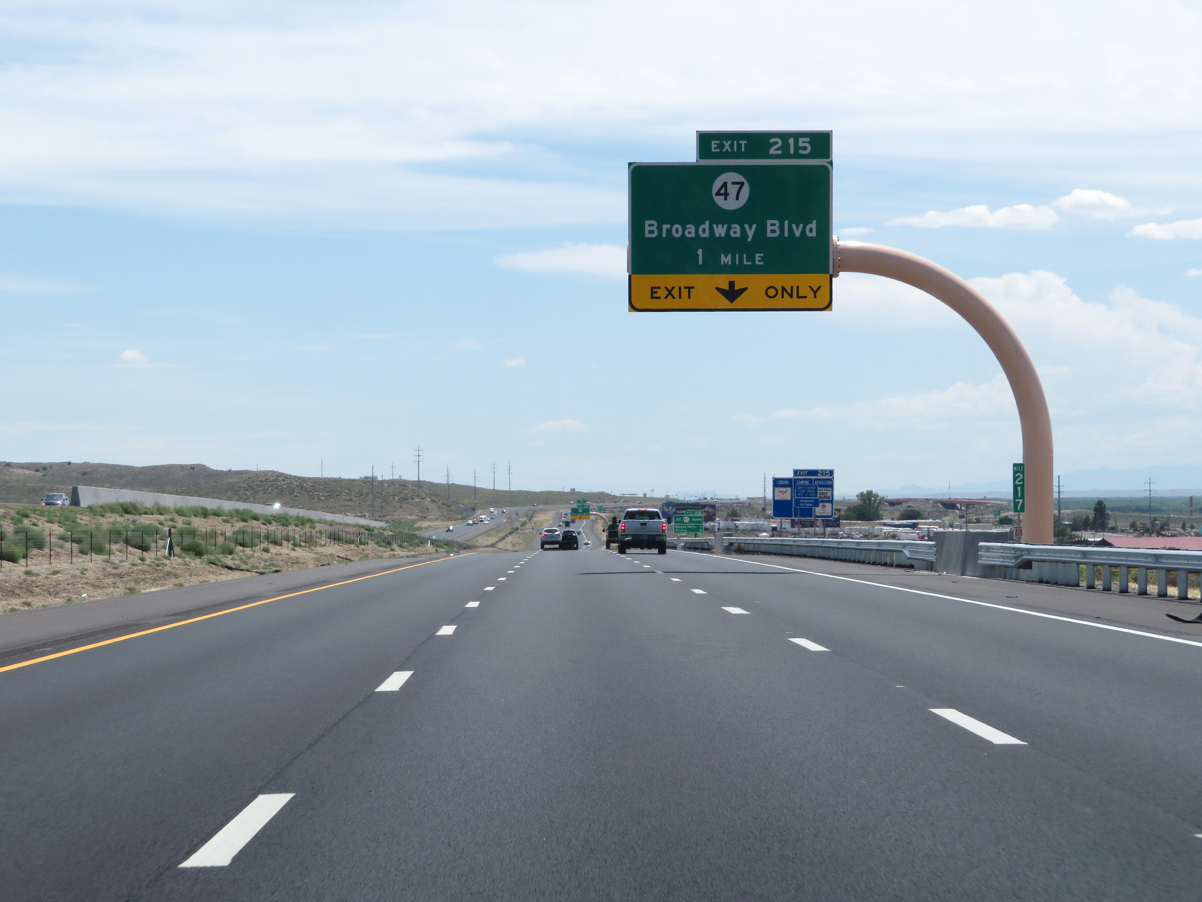
Take Exit 215 to Bosque Farms and Peralta via NM 47 South. (Photo taken 8/13/20). |
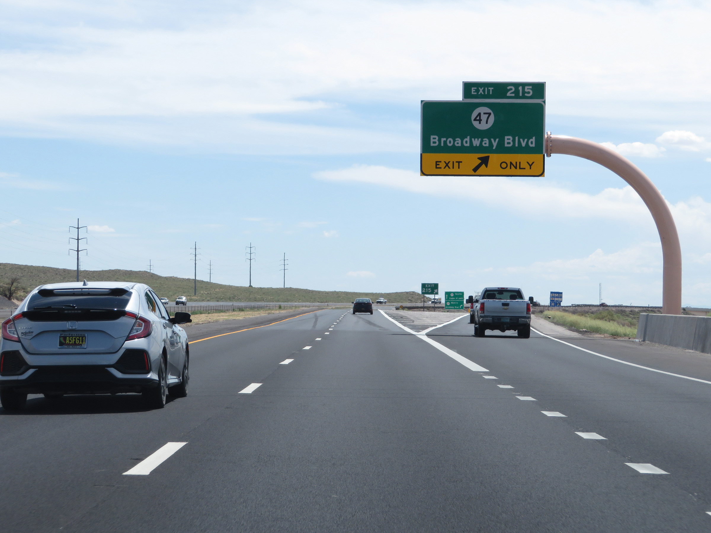 |
Interstate 25 South at Exit 215: NM 47 - Broadway Blvd (Photo taken 8/13/20). |
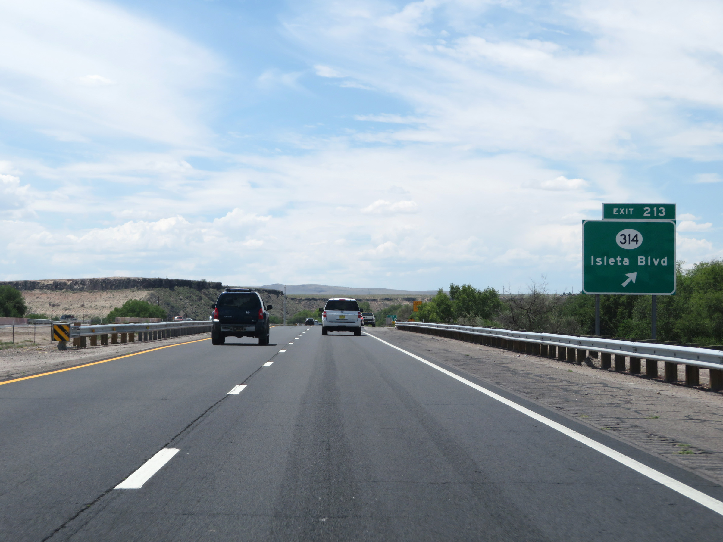 |
Interstate 25 South at Exit 213: NM 314 - Isleta Blvd (Photo taken 8/13/20). |
 |
Interstate 25 South as it enters the Isleta Reservation. (Photo taken 8/13/20). |
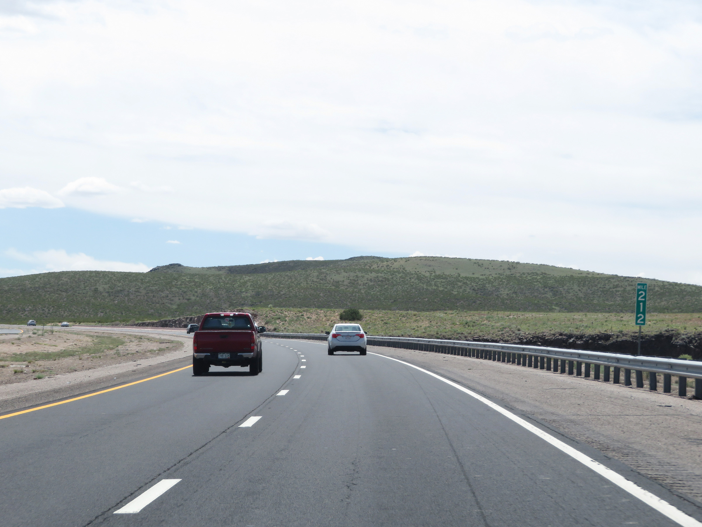 |
View on Interstate 25 South at mile marker 212. (Photo taken 8/13/20). |
 |
Take Exit 209 to NM 314 and NM 45. (Photo taken 8/13/20). |
 |
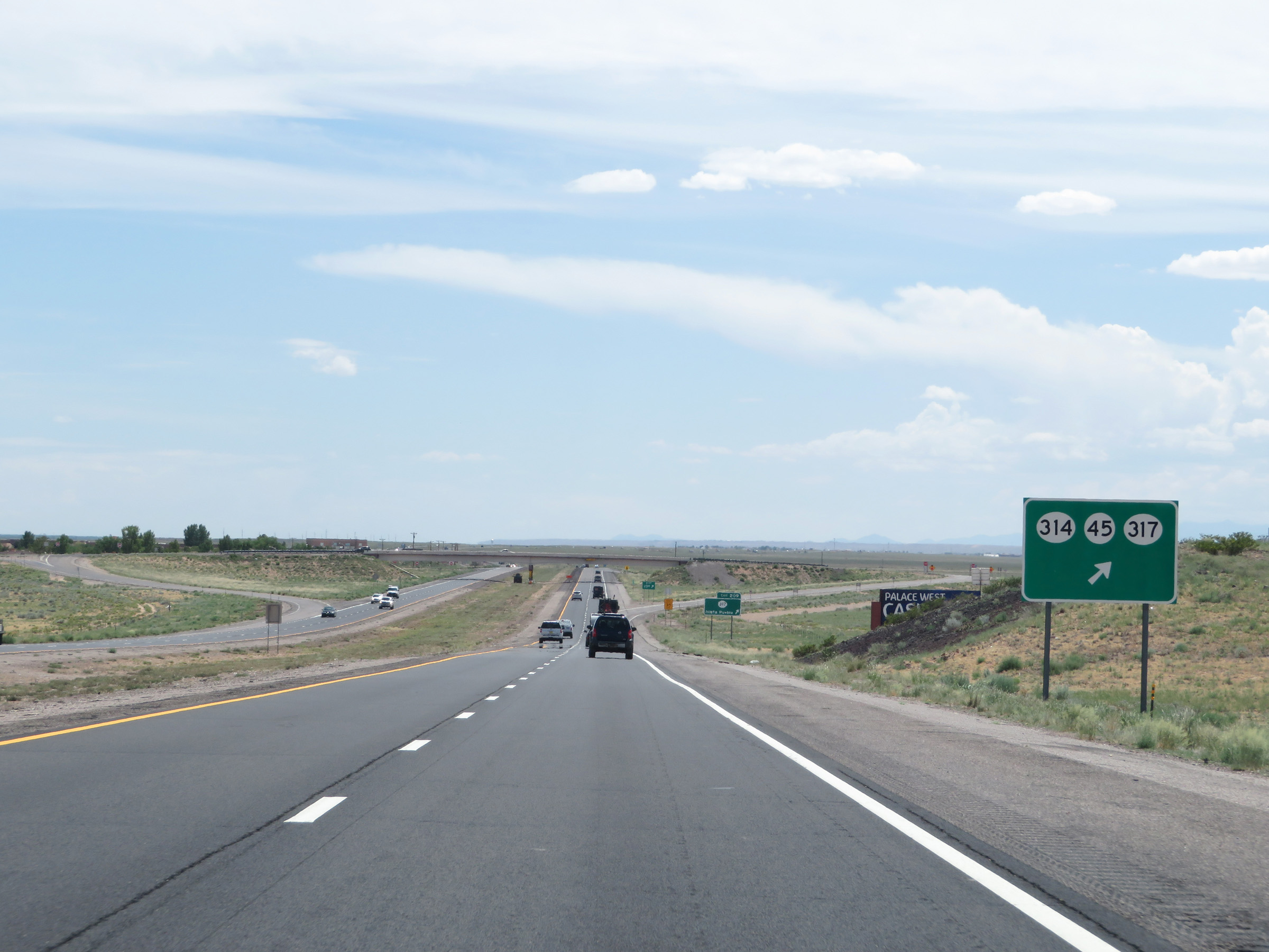
Interstate 25 South at Exit 209: NM 317 - Isleta Pueblo (Photo taken 8/13/20). |
 |
Non-cutout Interstate 25 South reassurance shield. (Photo taken 8/13/20). |
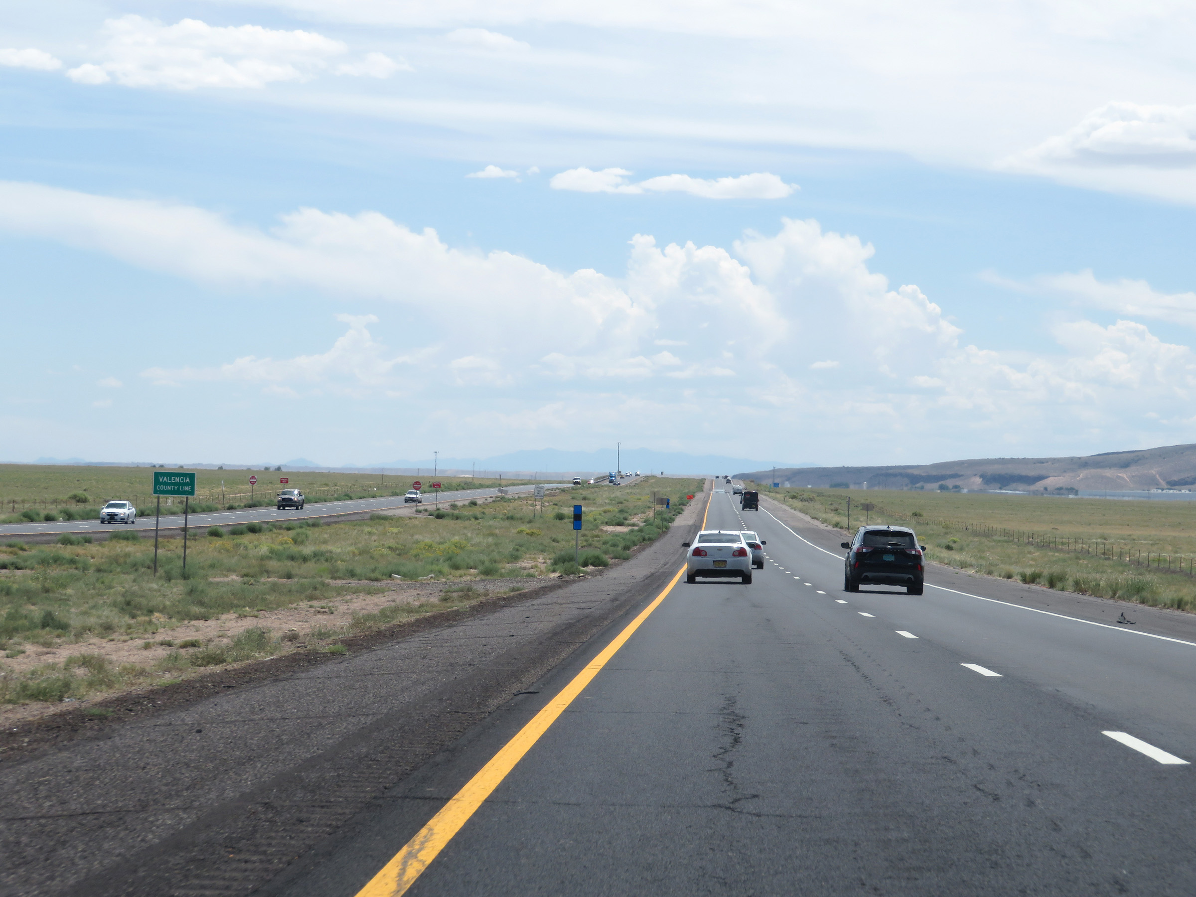 |
Interstate 25 South as it enters Valencia County. (Photo taken 8/13/20). |
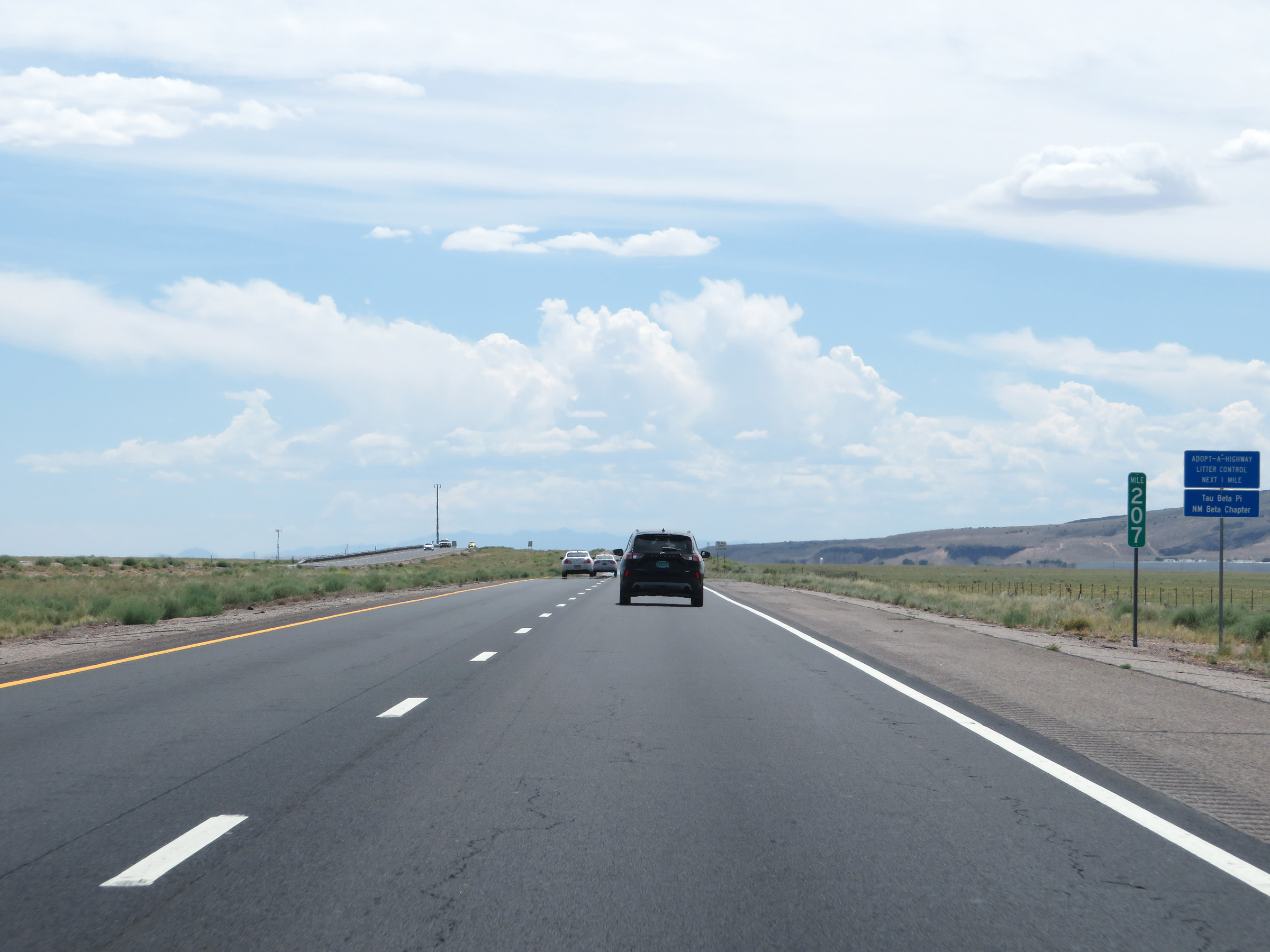 |
View on Interstate 25 South at mile marker 207. (Photo taken 8/13/20). |
 |
Sign warning motorists that dust storms may exist on this stretch of Interstate 25 South. (Photo taken 8/13/20). |
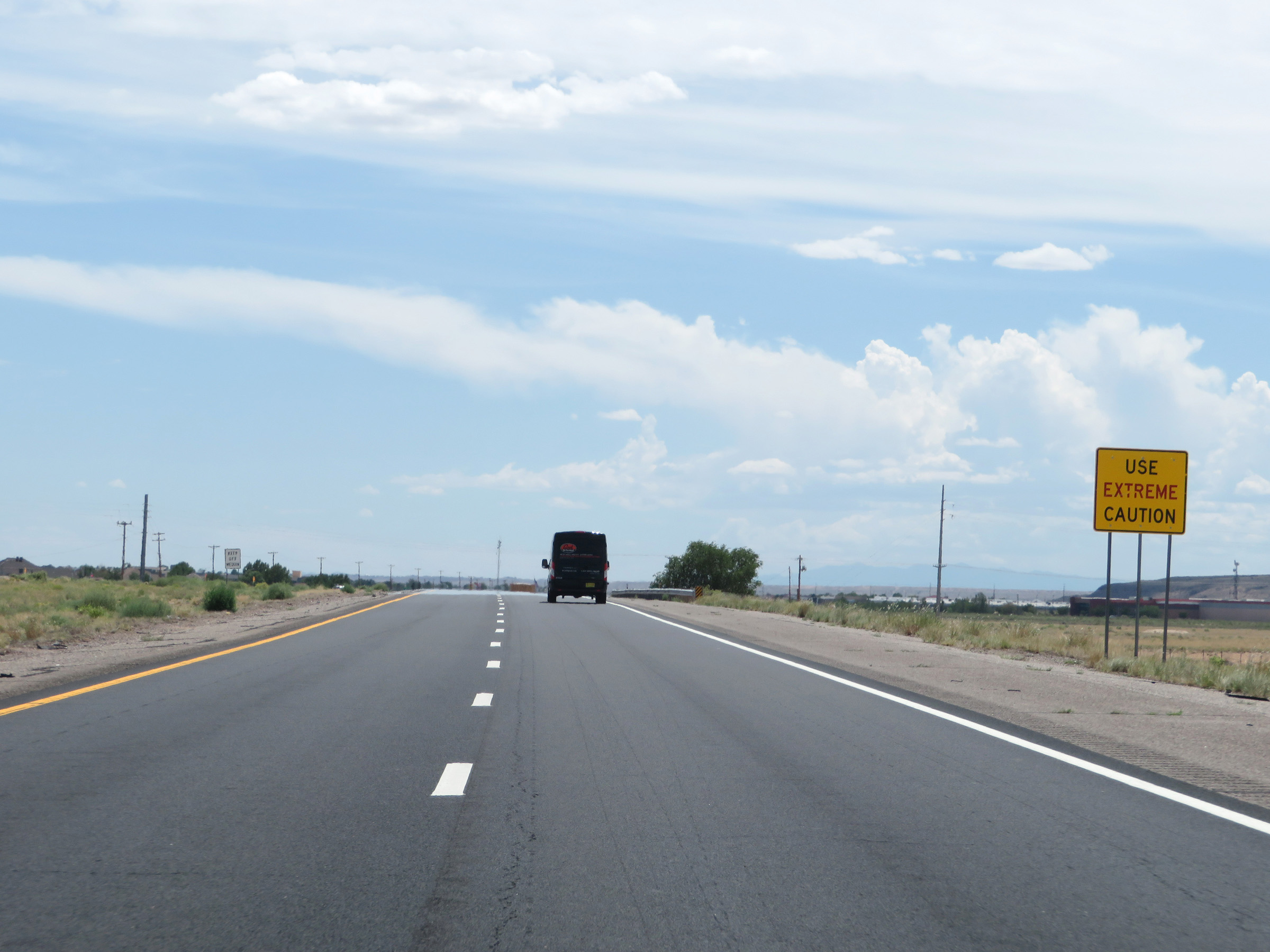 |
This follow up sign urges motorists to use extreme caution in the event of a dust storm. (Photo taken 8/13/20). |
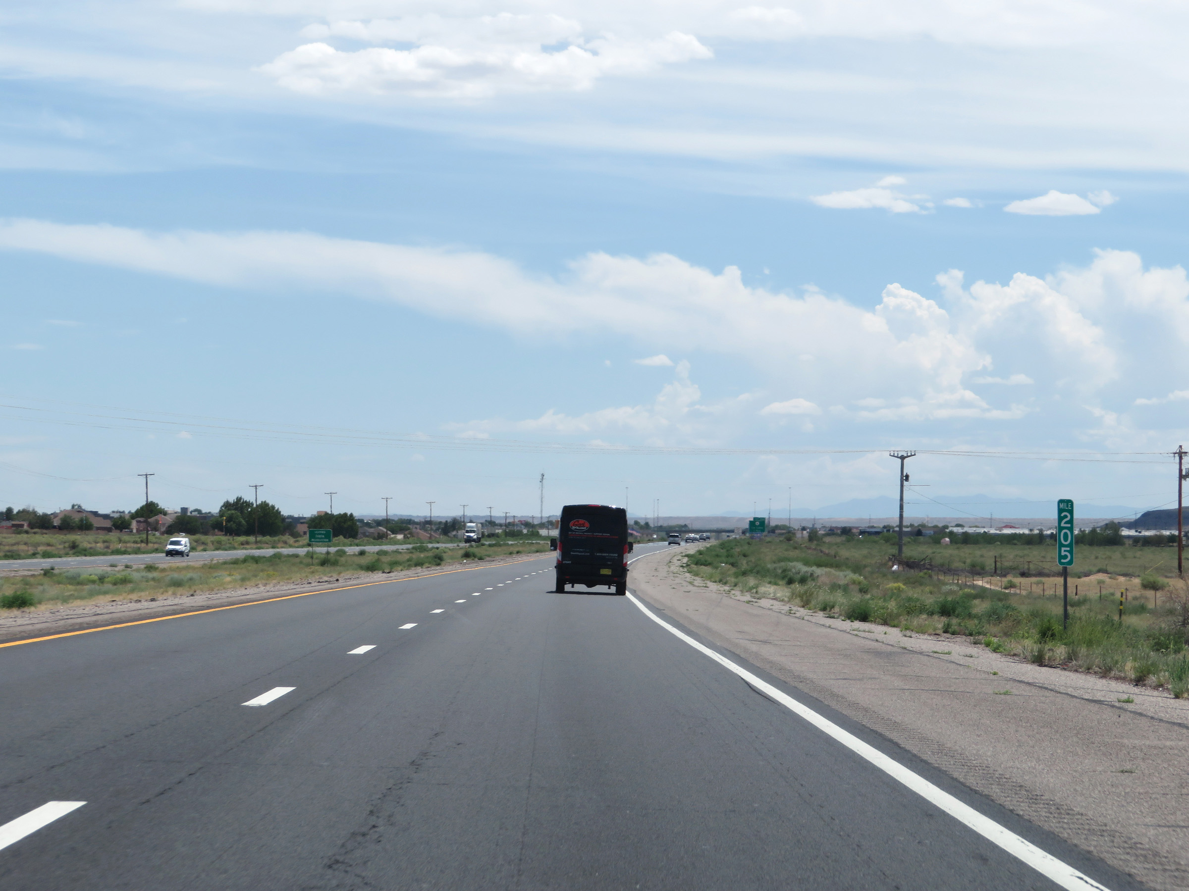 |
Interstate 25 South at mile marker 205. (Photo taken 8/13/20). |
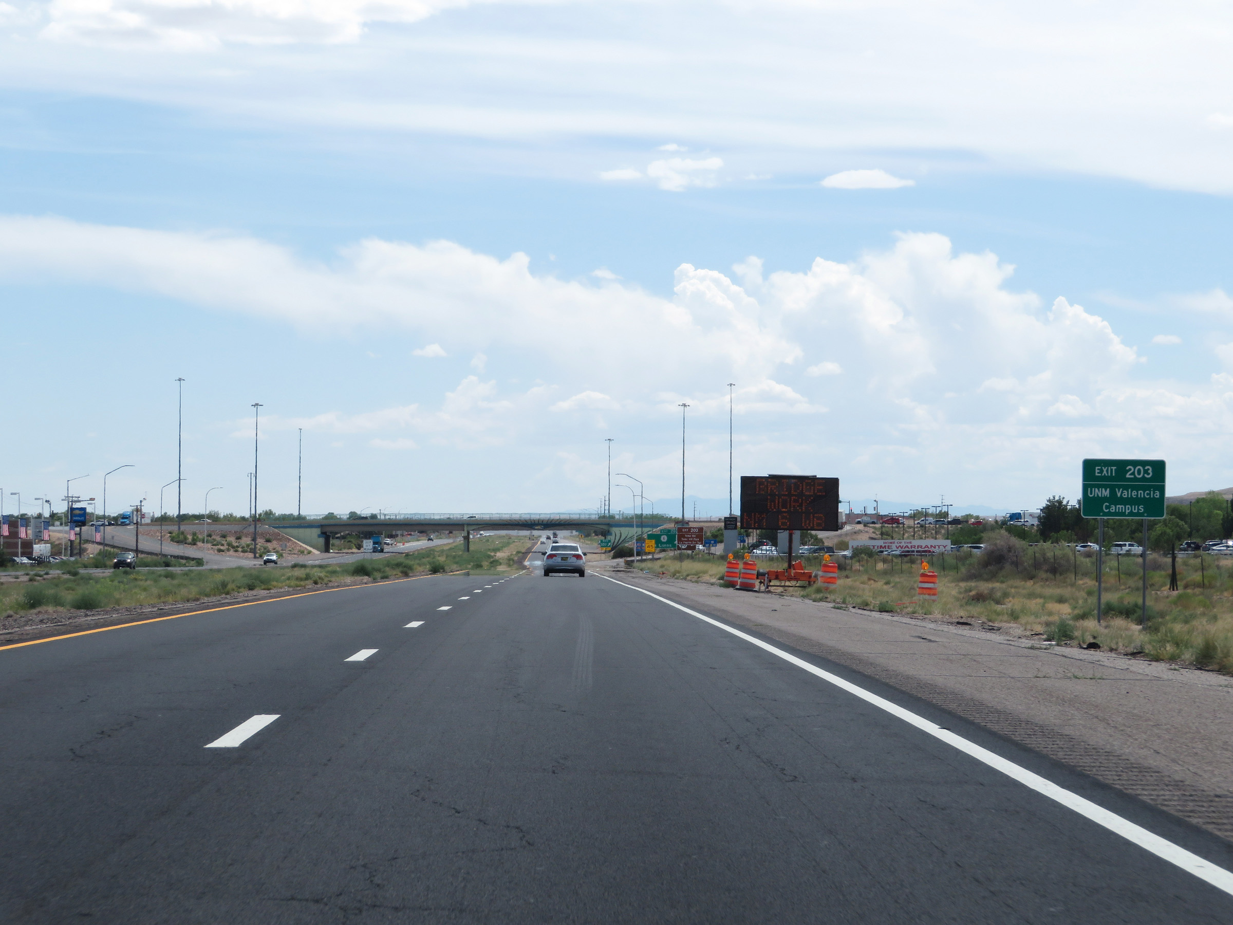 |
Take Exit 203 to the UNM Valencia Campus. (Photo taken 8/13/20). |
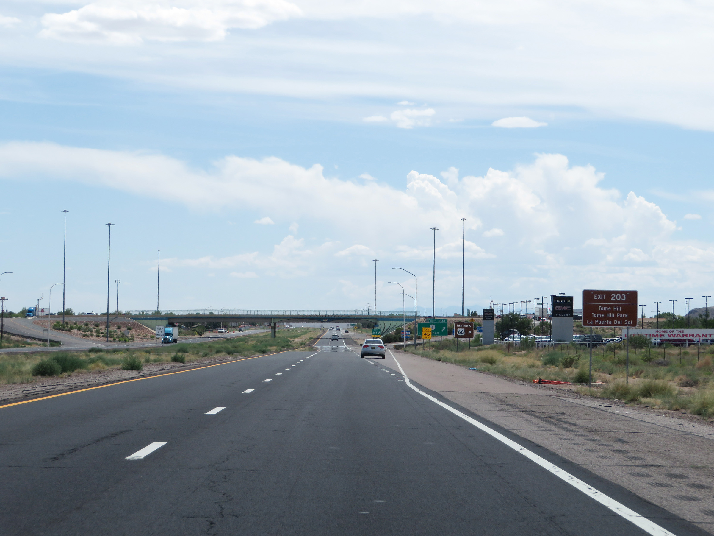 |
Also take Exit 203 to Tome Hill, Tome Hill Park, and La Puerta Del Sol. (Photo taken 8/13/20). |
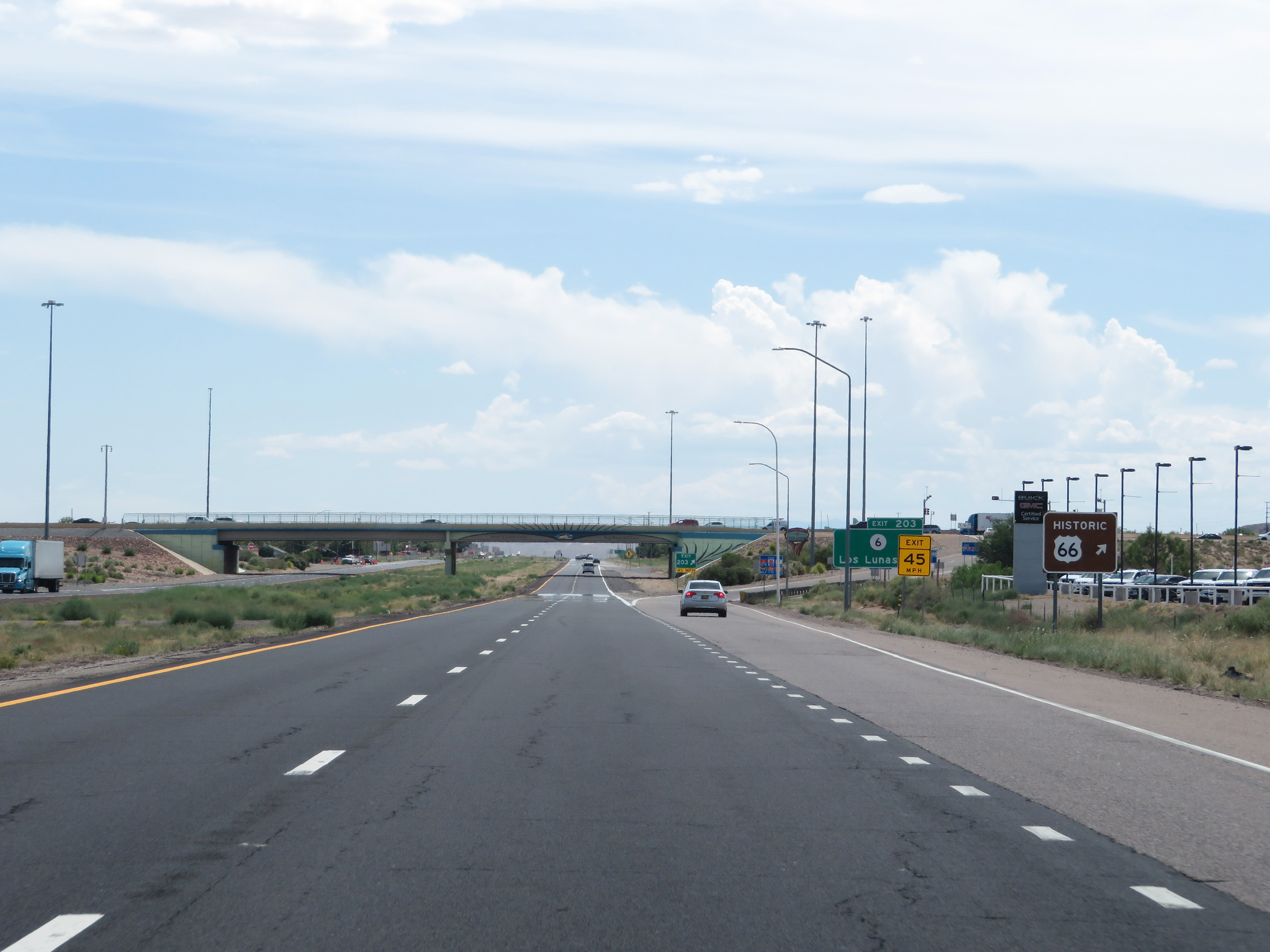 |
Take Exit 203 to Historic US Route 66 as well. (Photo taken 8/13/20). |
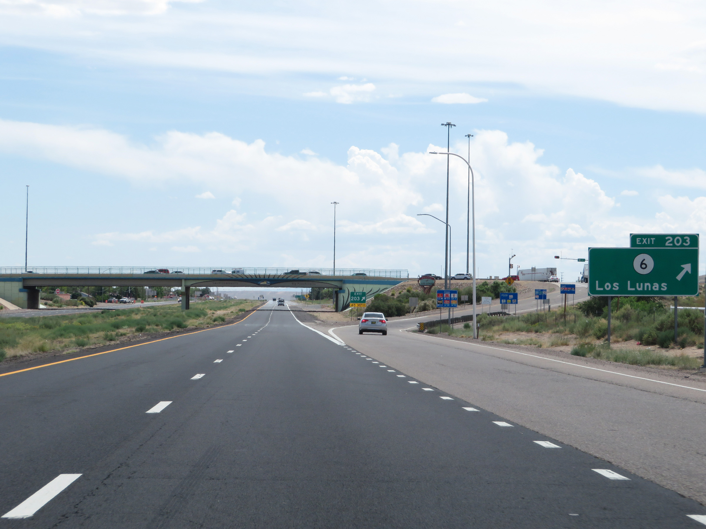 |
Interstate 25 South at Exit 203: NM 6 - Los Lunas (Photo taken 8/13/20). |
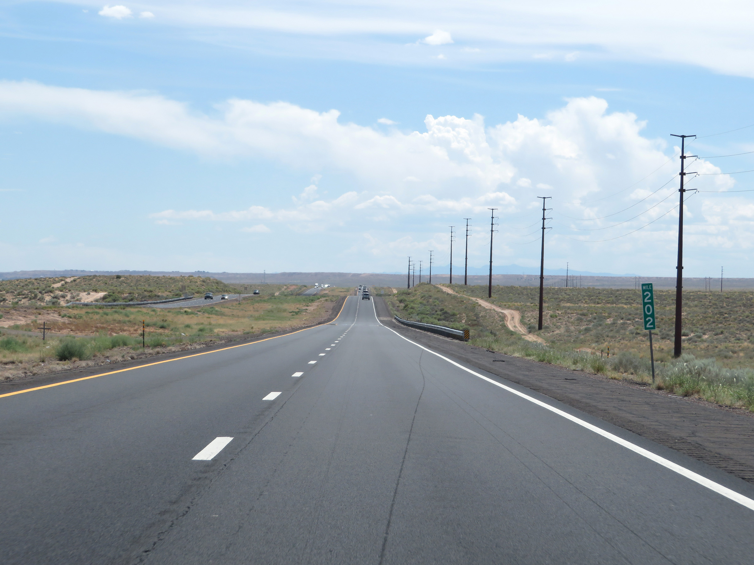 |
View on Interstate 25 South at mile marker 202. (Photo taken 8/13/20). |
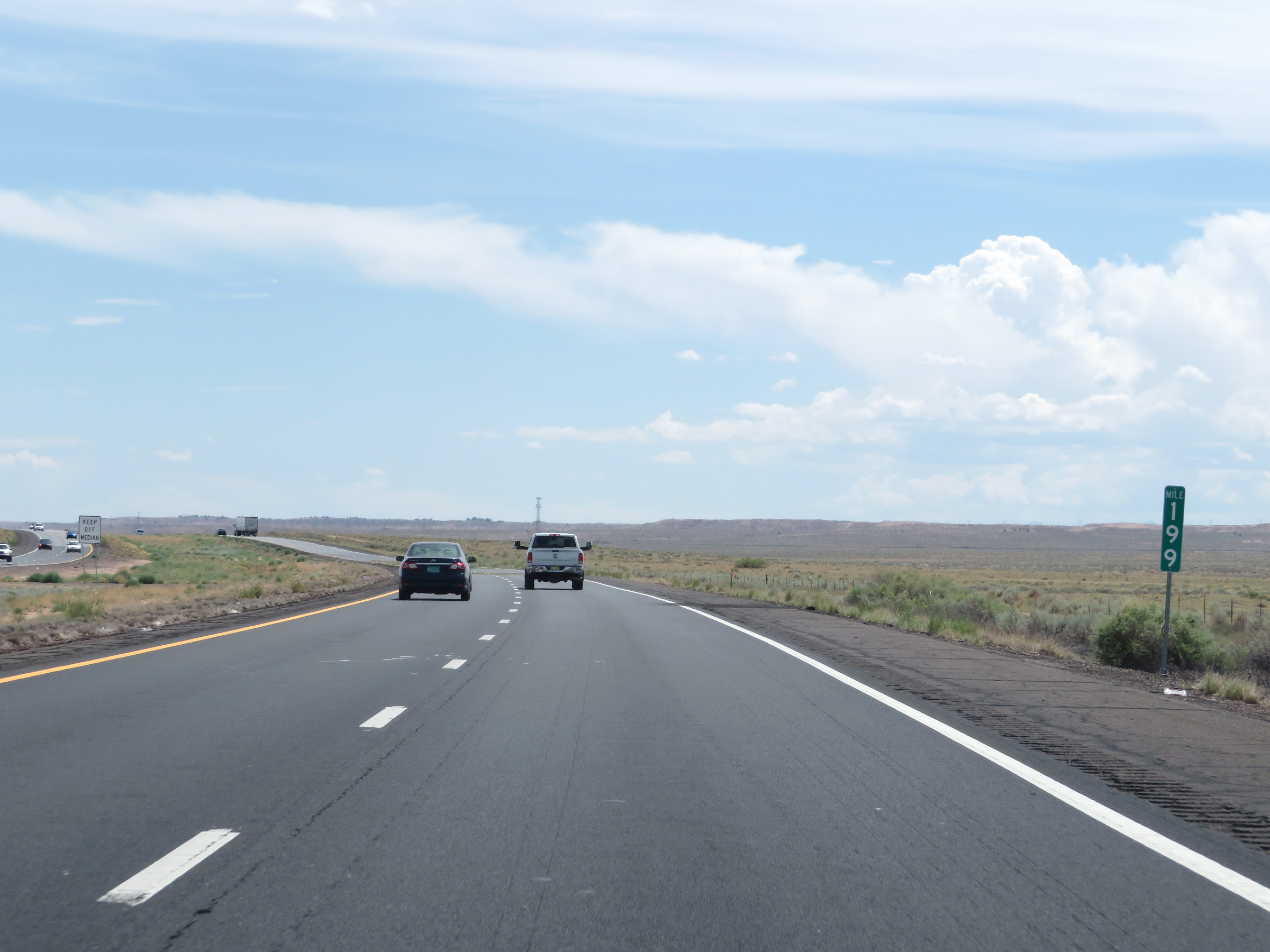 |
Interstate 25 South at mile marker 199. (Photo taken 8/13/20). |
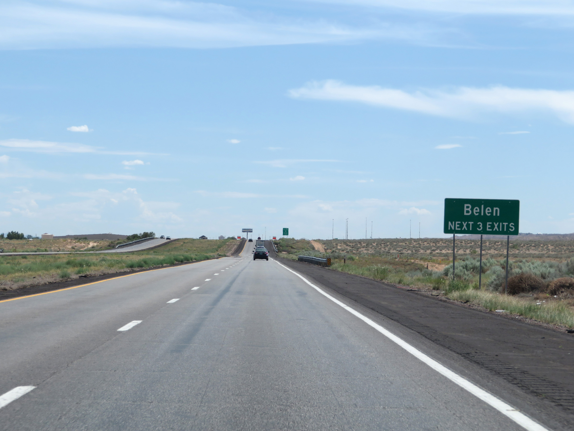 |
Take any of the next 3 exits to Belen. (Photo taken 8/13/20). |
 |
Take Exit 195 to Belen Multi-Purpose Park. (Photo taken 8/13/20). |
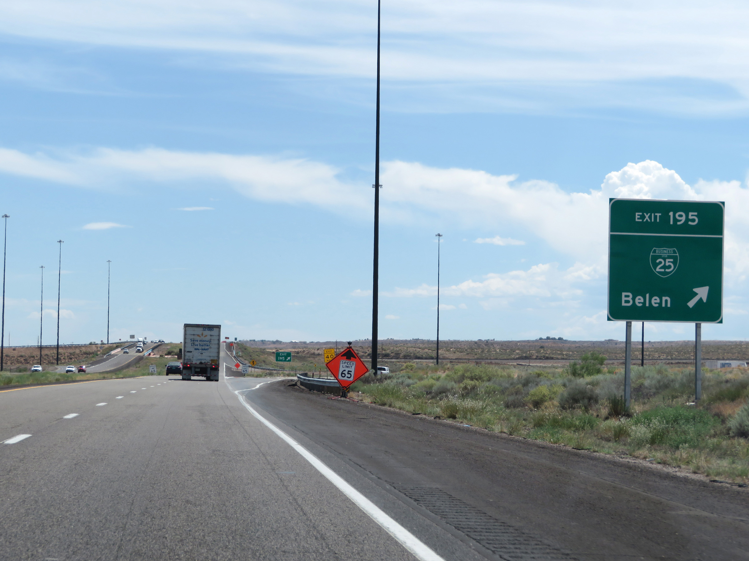 |
Interstate 25 South at Exit 195: Interstate 25 Business Loop - Belen (Photo taken 8/13/20). |
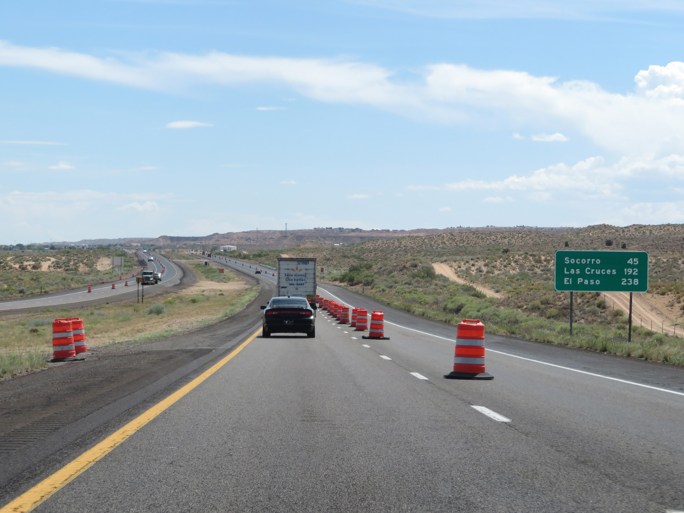 |
Mileage sign on Interstate 25 South. It's 45 miles to Socorro, 192 miles to Las Cruces, and 238 miles to El Paso. (Photo taken 8/13/20). |
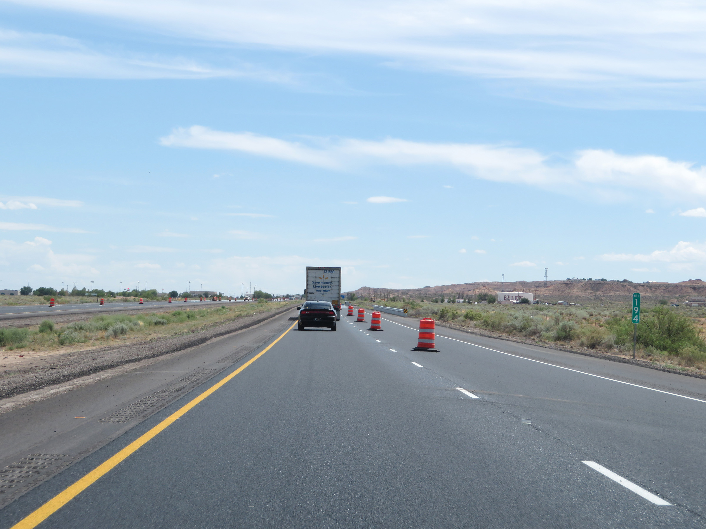 |
View on Interstate 25 South at mile marker 194. (Photo taken 8/13/20). |
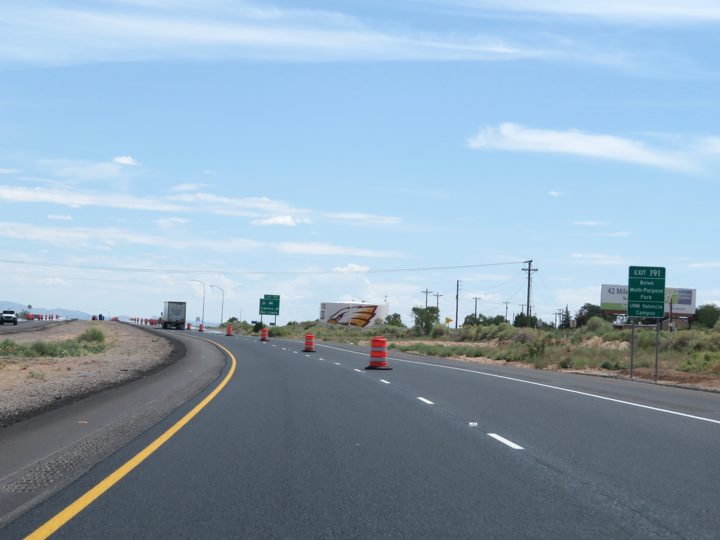 |
Take Exit 191 to Belen Multi-Purpose Park and the UNM Valencia Campus. (Photo taken 8/13/20). |
 |
Interstate 25 South at Exit 191: Camino Del Llano (Photo taken 8/13/20). |
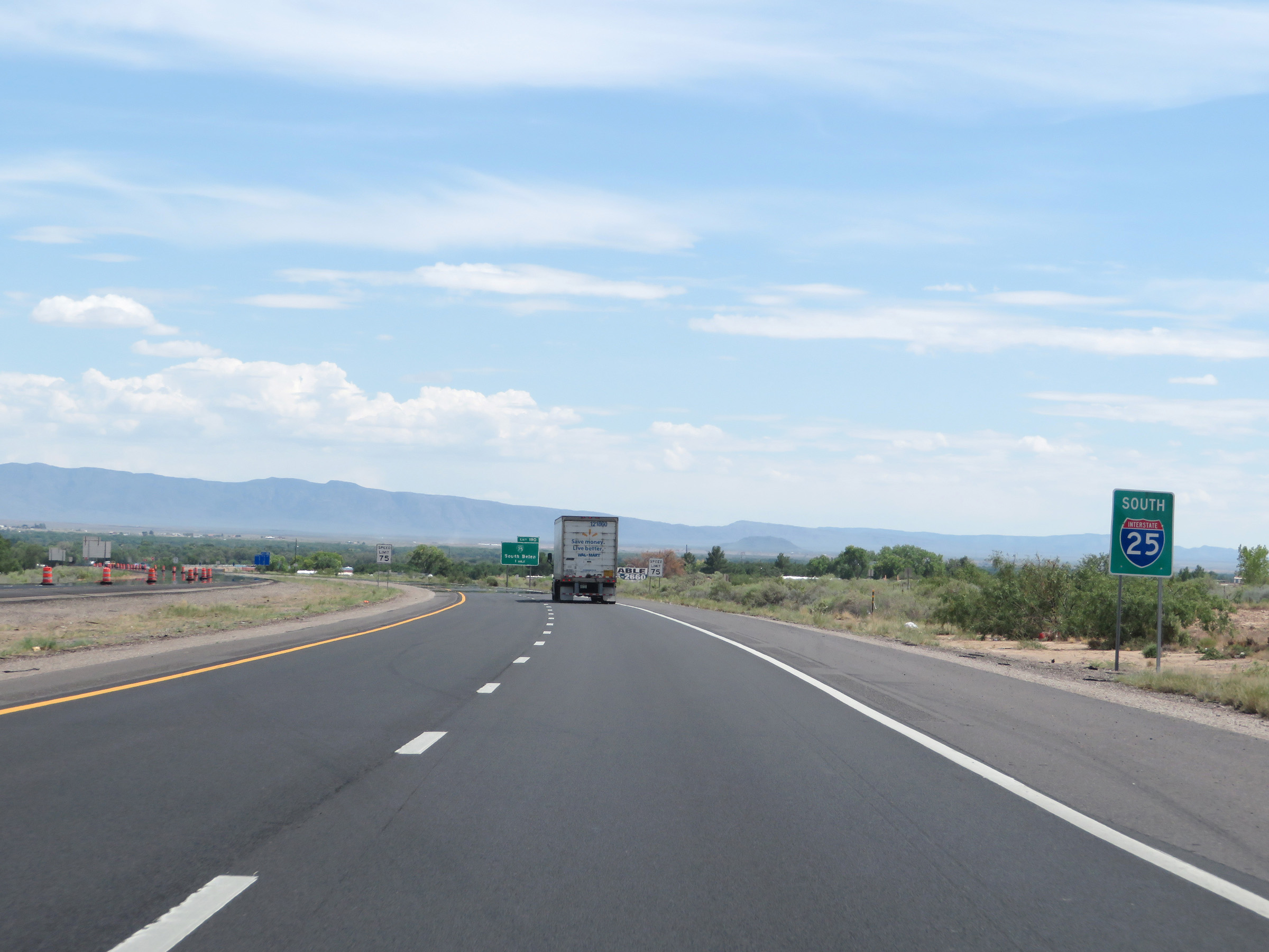 |
Another green box, non-cutout Interstate 25 South reassurance shield. (Photo taken 8/13/20). |
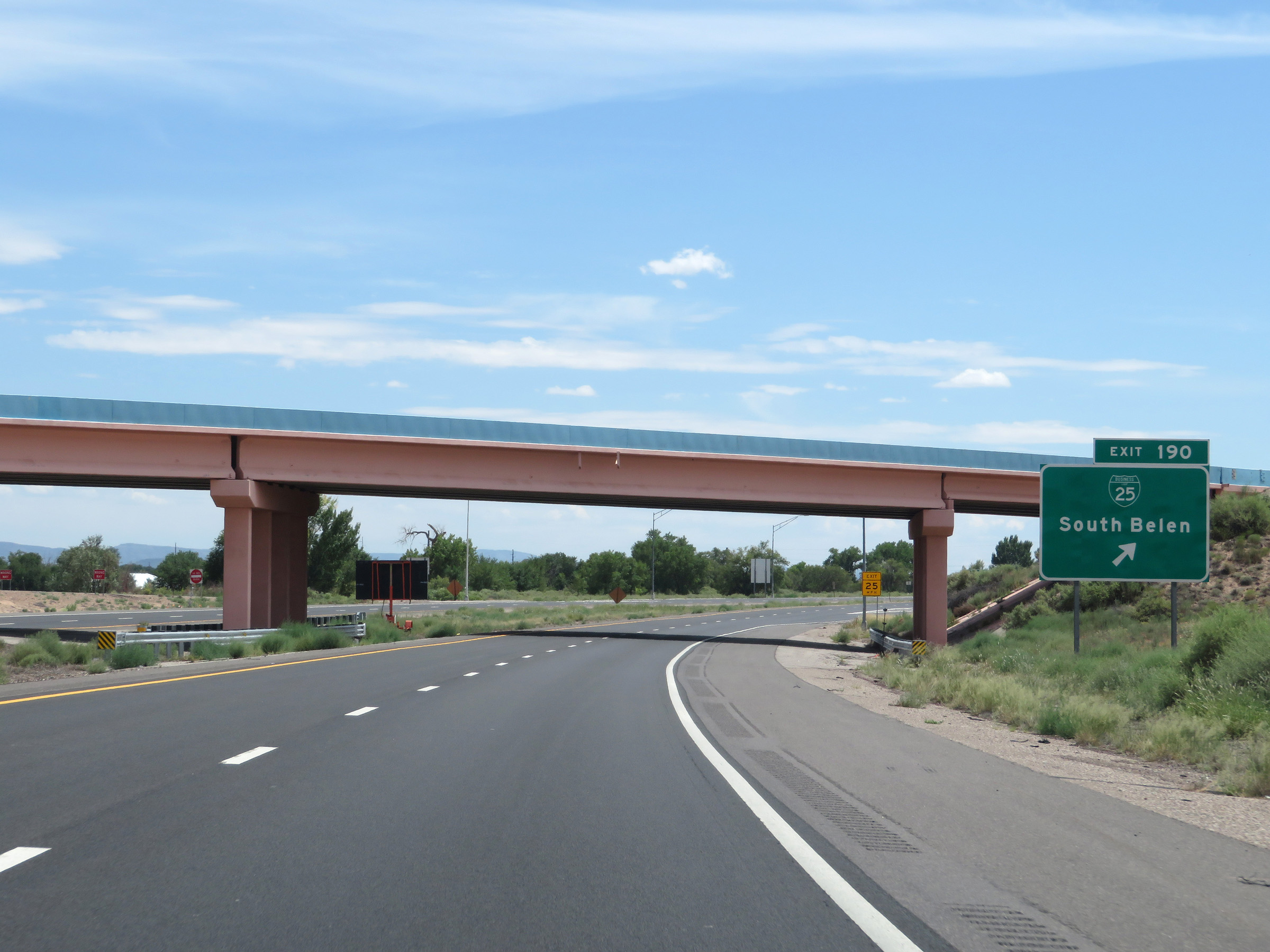 |
Interstate 25 South at Exit 190: Interstate 25 Business Loop - South Belen (Photo taken 8/13/20). |
Section 6: Belen (Exit 190) to Socorro (Exit 150)
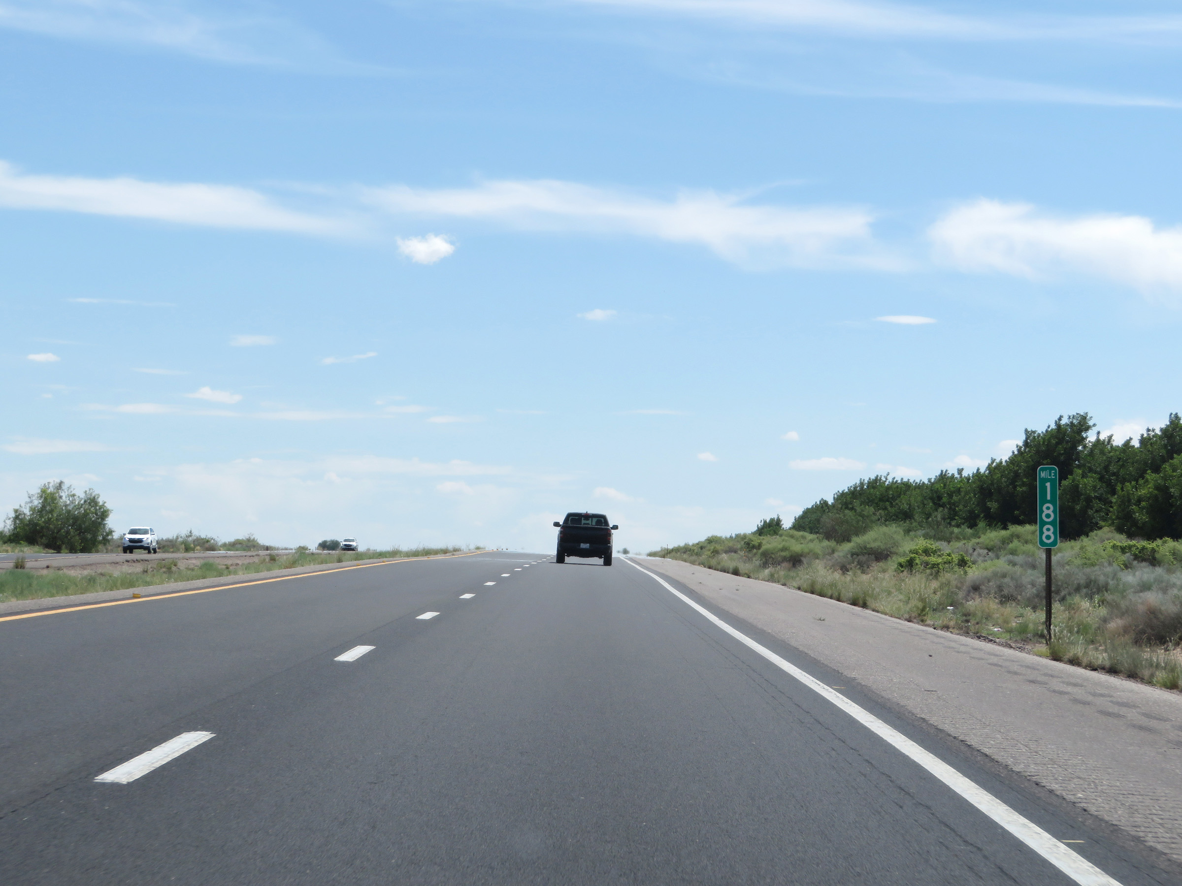 |
Interstate 25 South at mile marker 188. (Photo taken 8/13/20). |
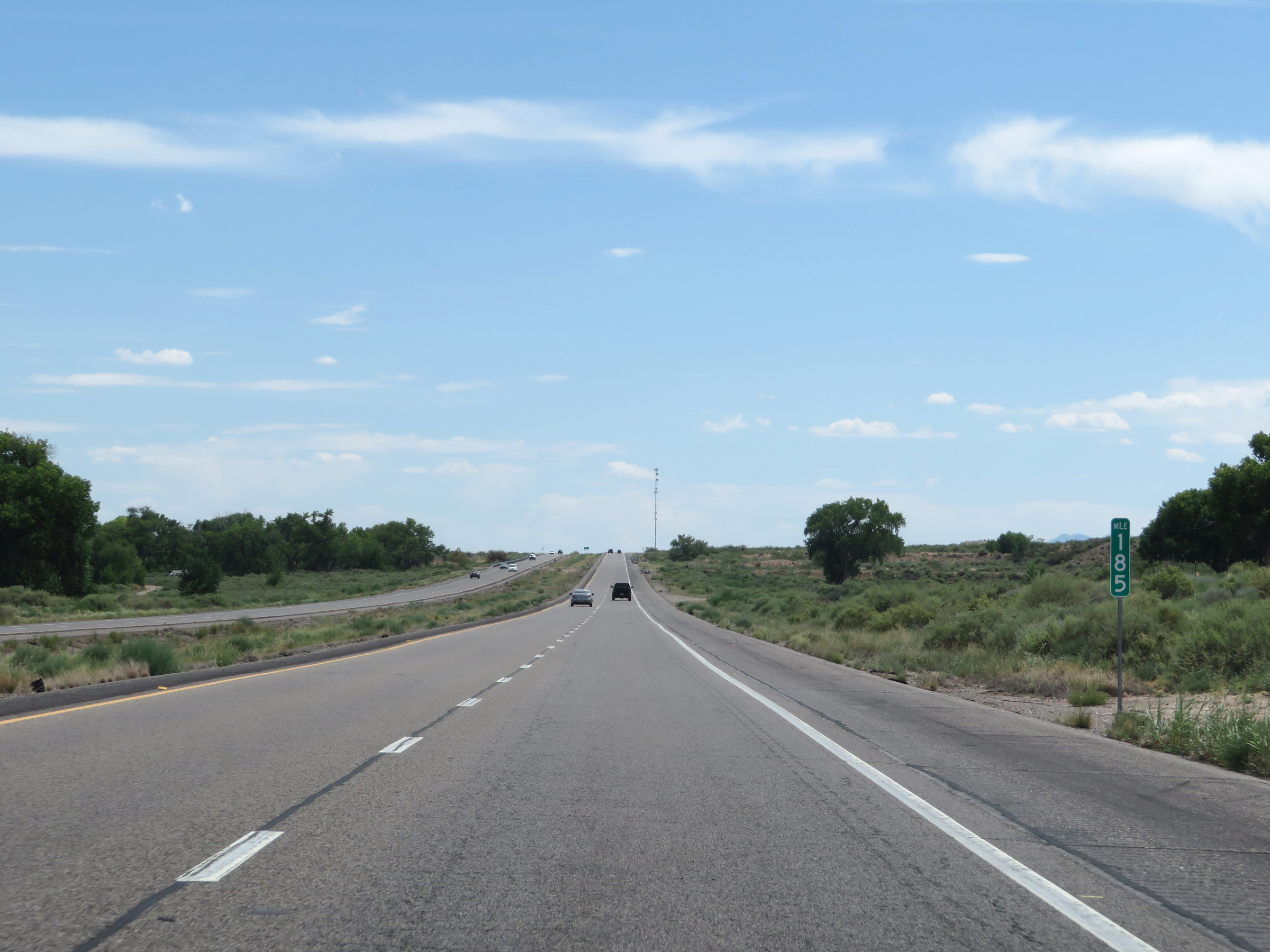 |
View on Interstate 25 South at mile marker 185. (Photo taken 8/13/20). |
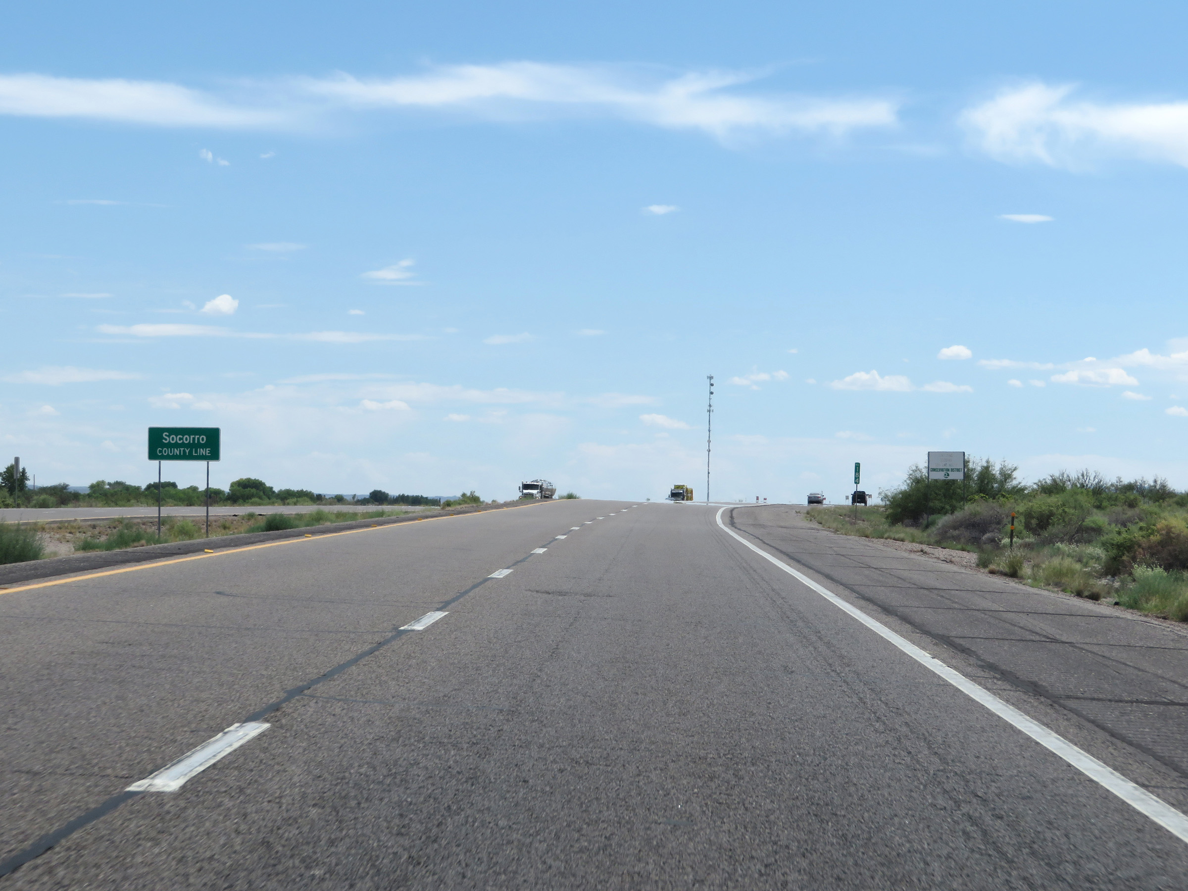 |
Interstate 25 South as it enters Socorro County. (Photo taken 8/13/20). |
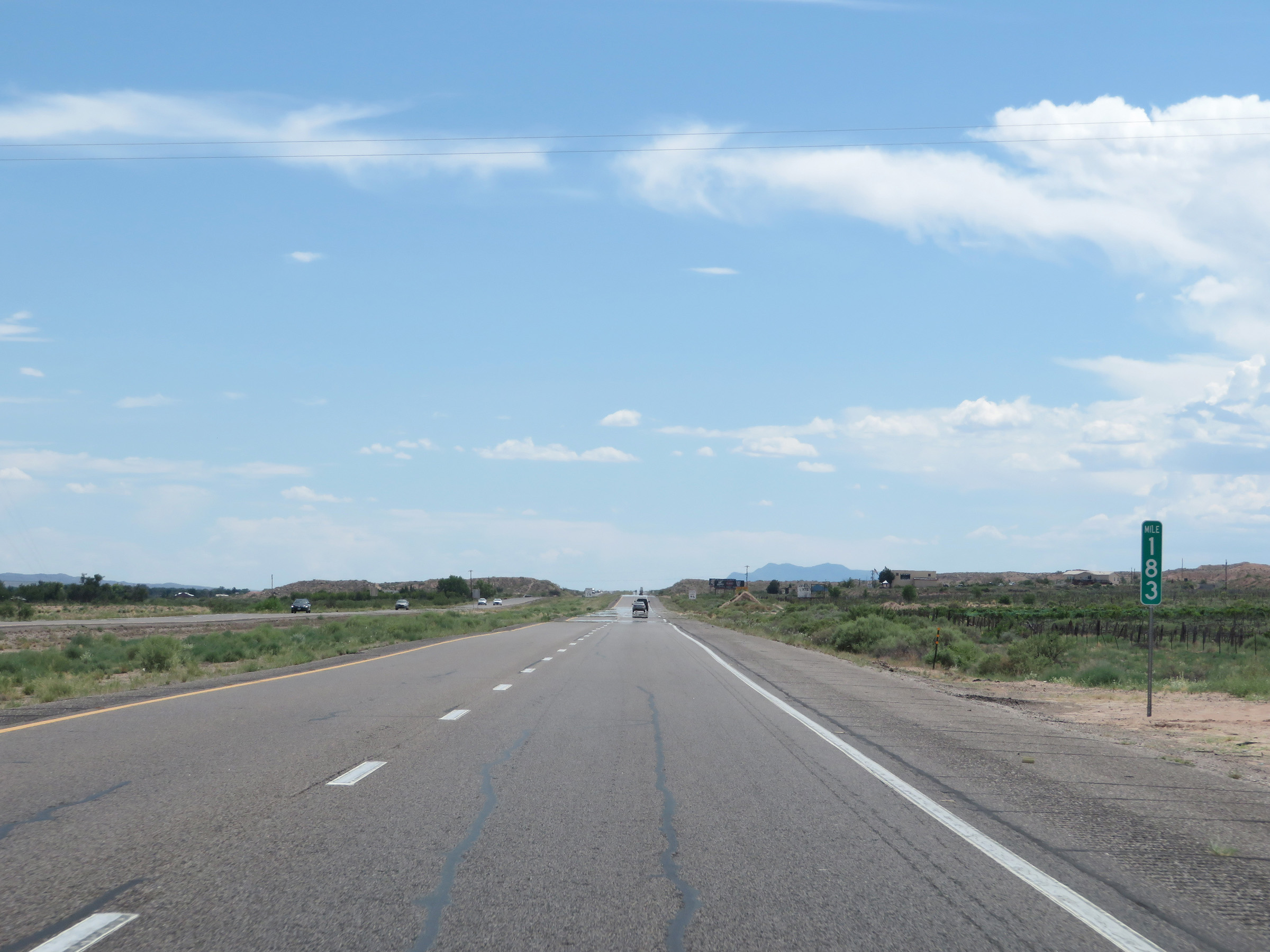 |
Interstate 25 South at mile marker 183. (Photo taken 8/13/20). |
 |
The speed limit remain 75 mph. This is the standard speed limit on most rural Interstate highways in New Mexico. (Photo taken 8/13/20). |
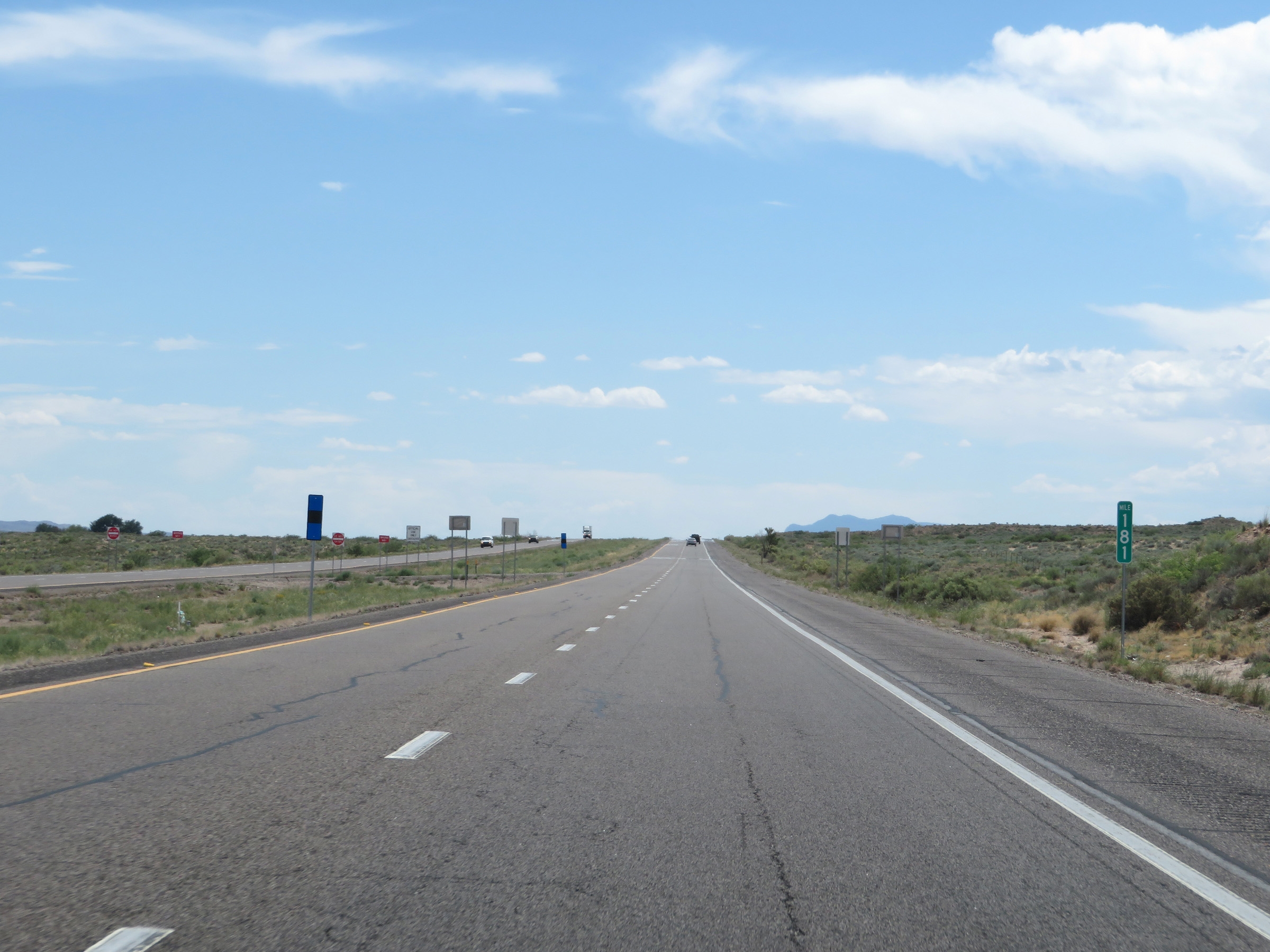 |
View on Interstate 25 South at mile marker 181. (Photo taken 8/13/20). |
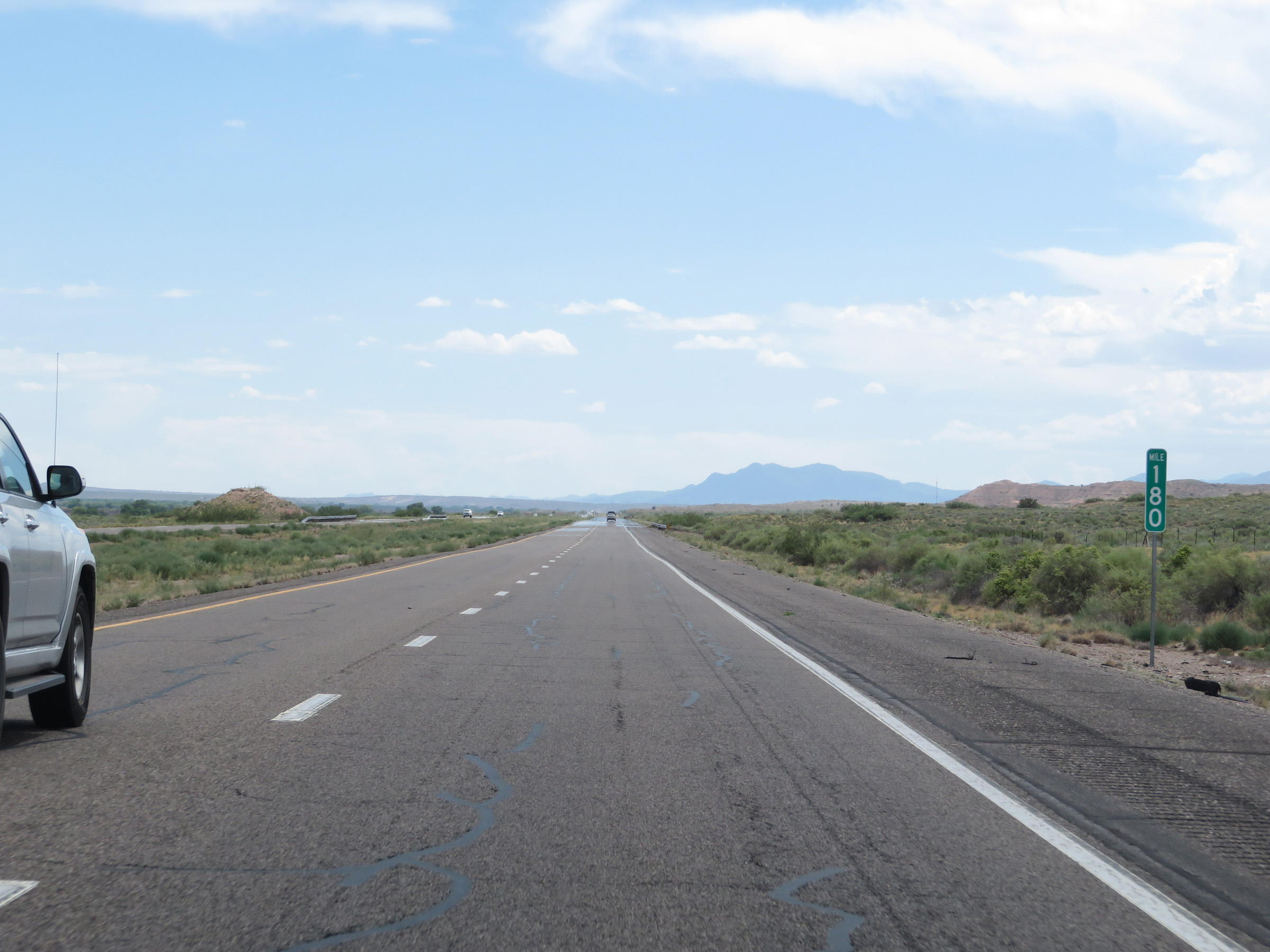 |
Interstate 25 South at mile marker 180. (Photo taken 8/13/20). |
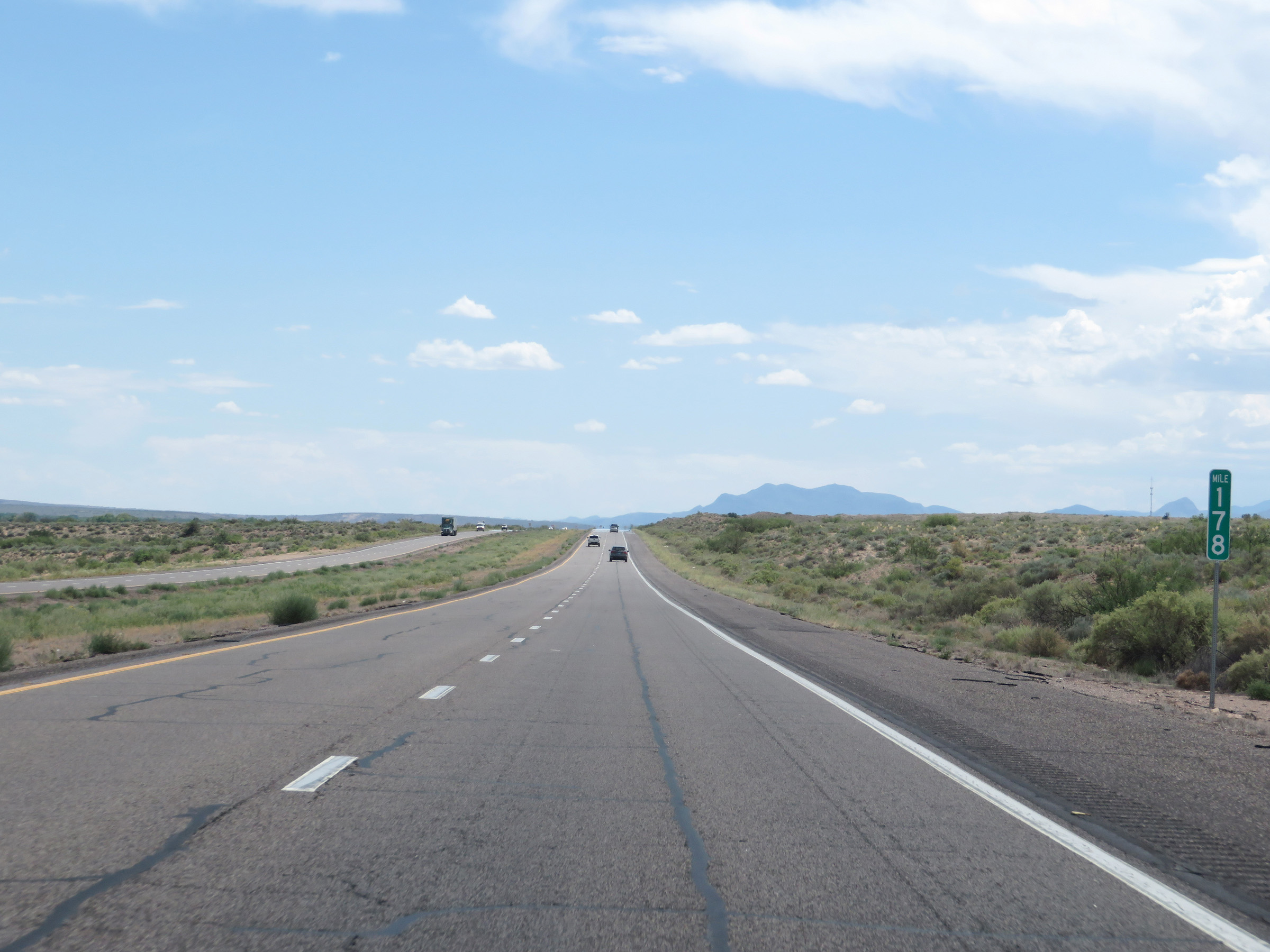 |
Mile marker 178 on Interstate 25 South in Socorro County. (Photo taken 8/13/20). |
 |
View on Interstate 25 South at mile marker 177. (Photo taken 8/13/20). |
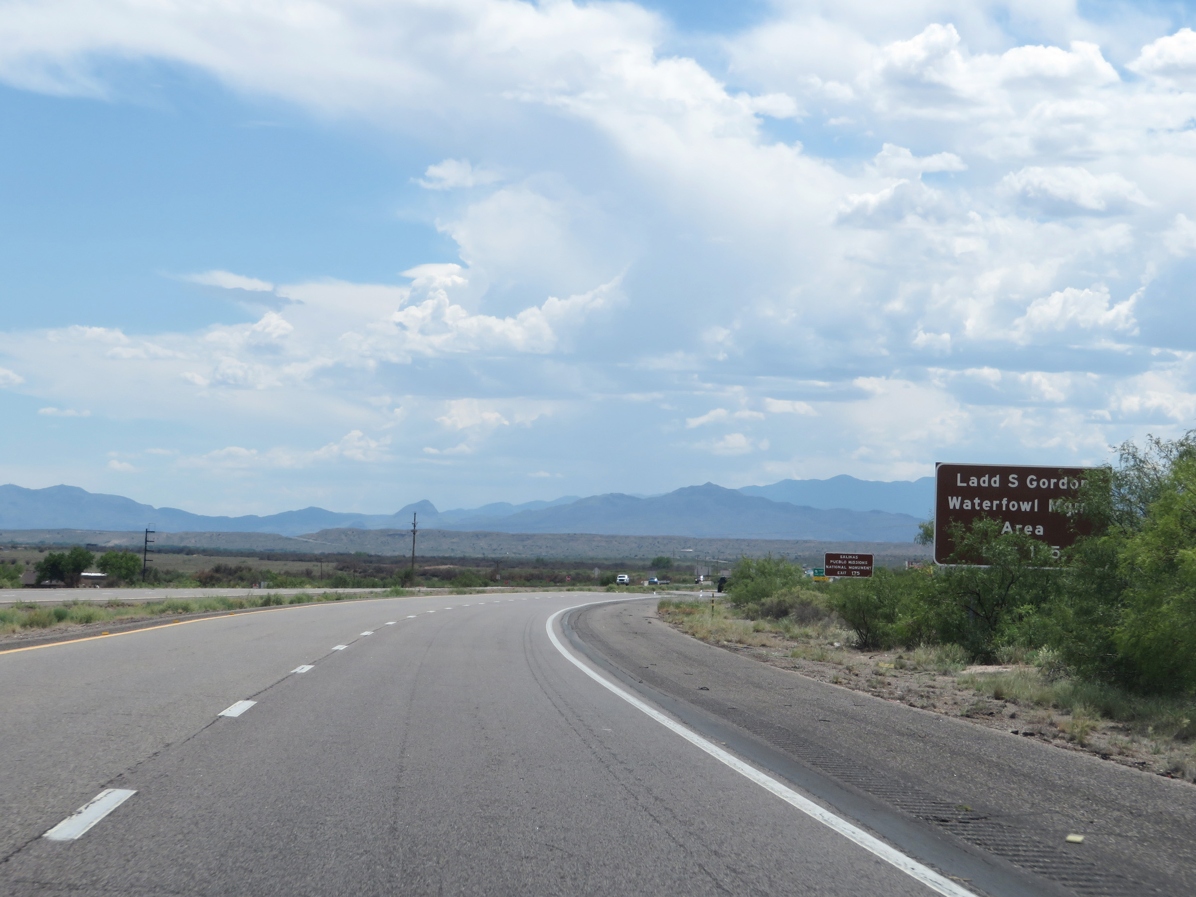 |
Take Exit 175 to Ladd S. Gordon Waterfowl Management Area. (Photo taken 8/13/20). |
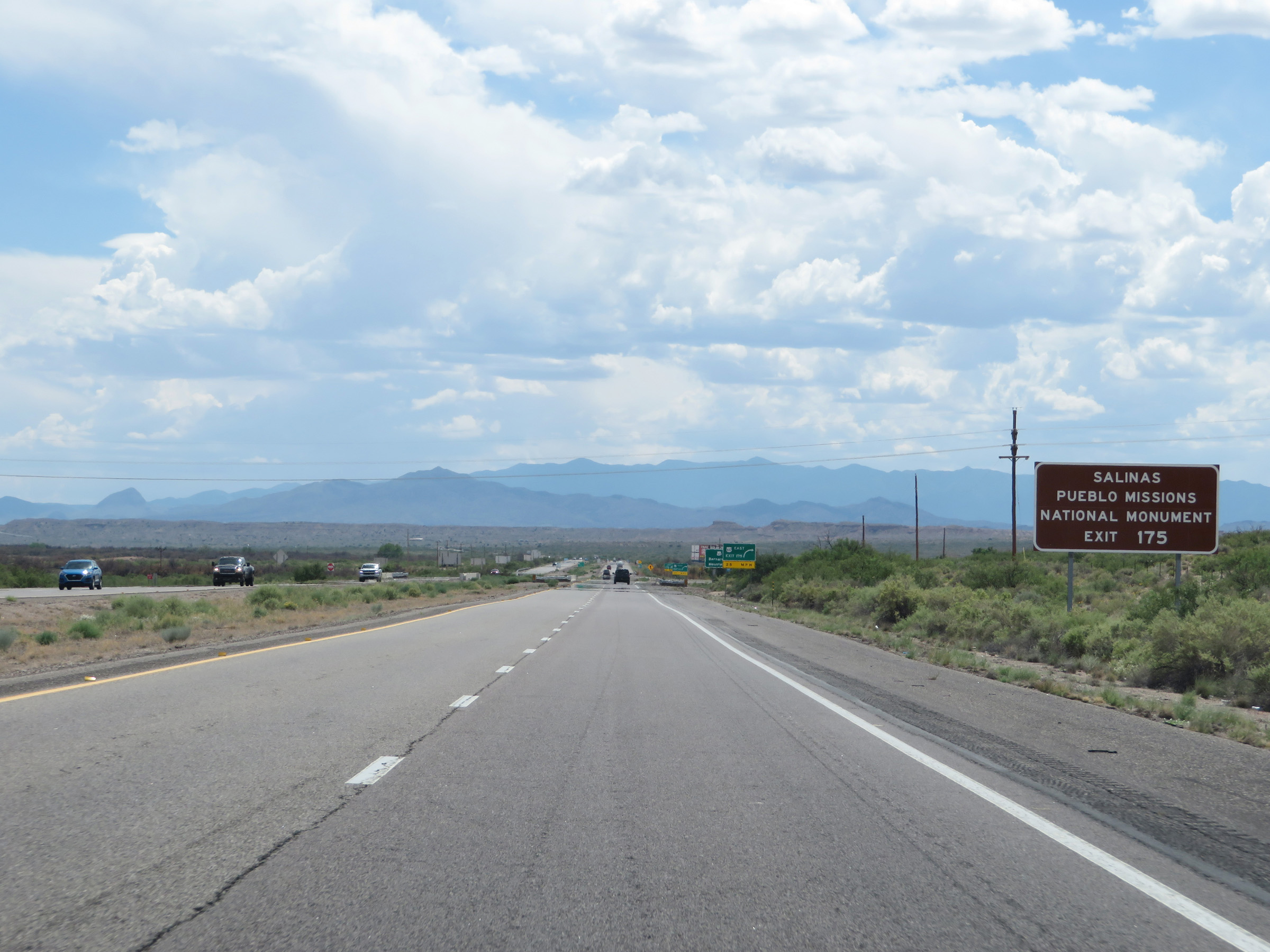 |
Also take Exit 175 to the Salinas Pueblo Missions National Monument. (Photo taken 8/13/20). |
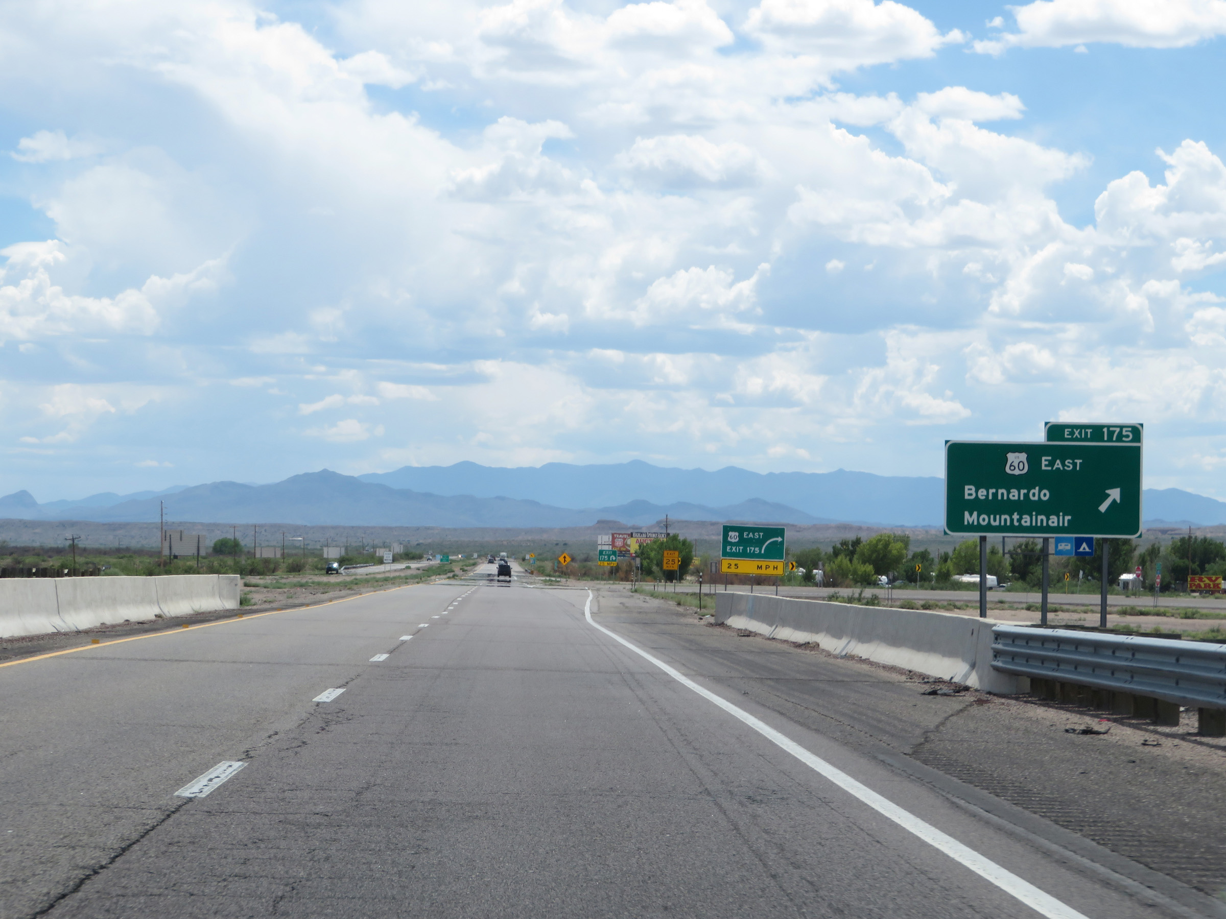 |
Interstate 25 South at Exit 175: US 60 East - Bernardo / Mountainair (Photo taken 8/13/20). |
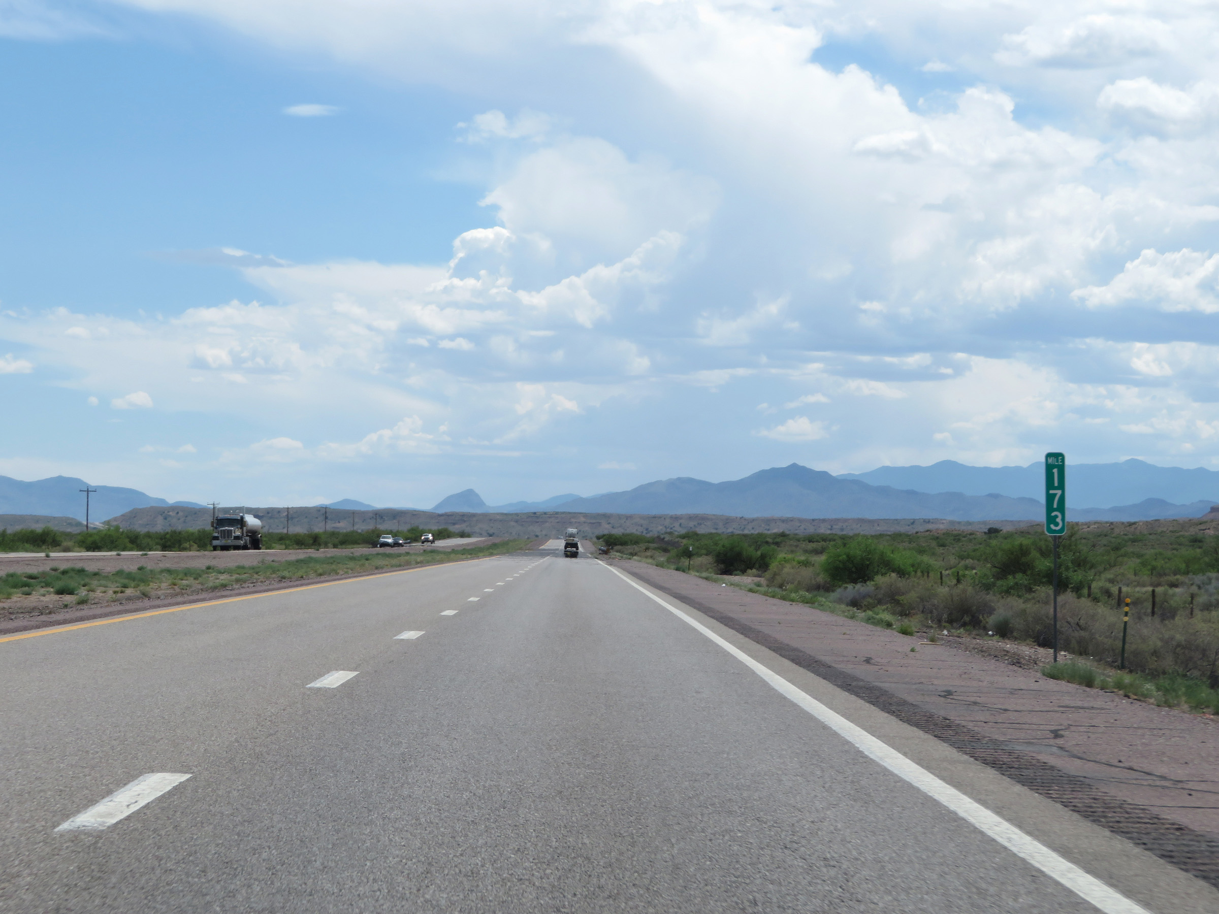 |
View on Interstate 25 South at mile marker 173. (Photo taken 8/13/20). |
 |
Interstate 25 South at mile marker 172. (Photo taken 8/13/20). |
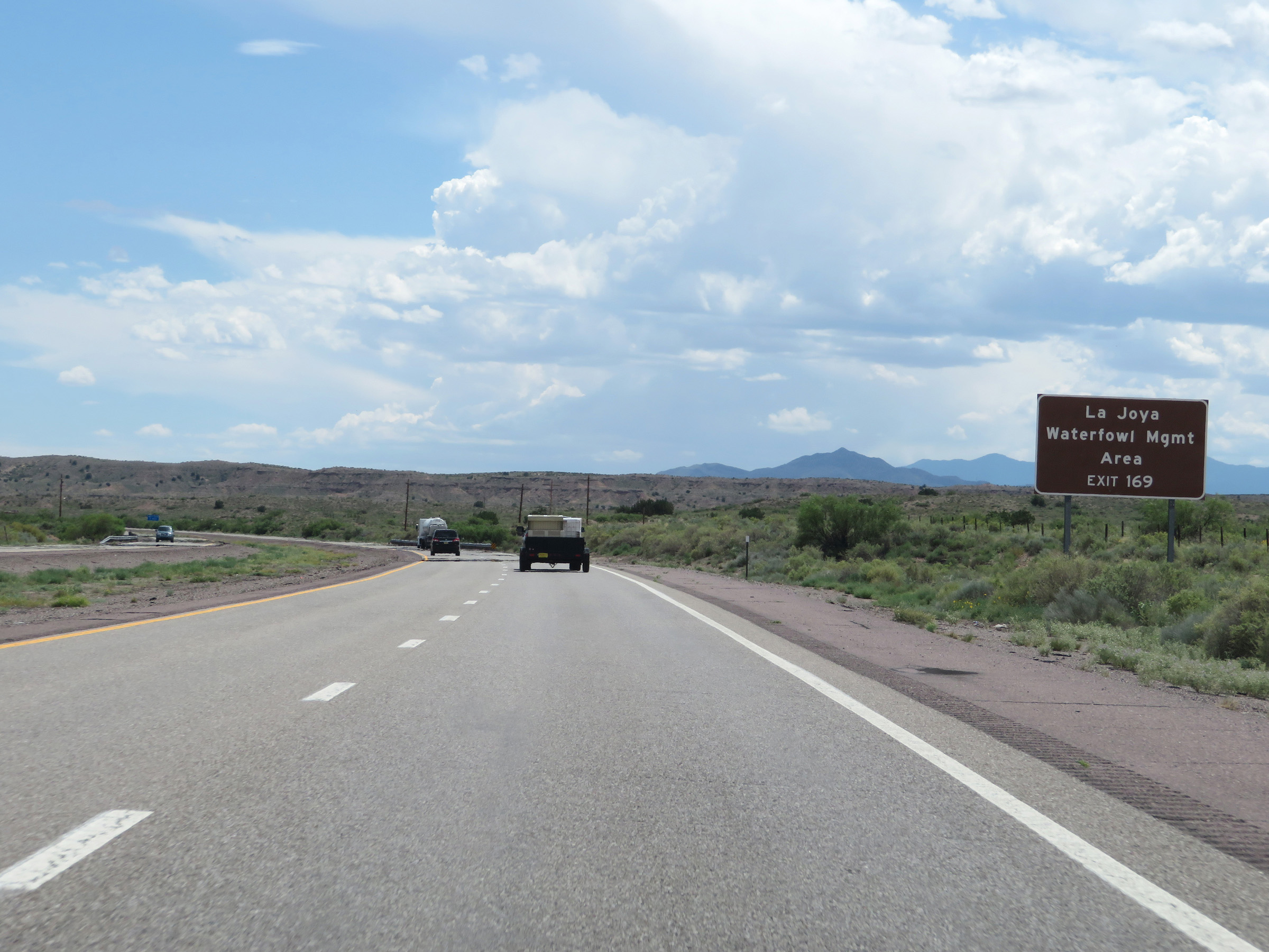 |
Take Exit 169 to La Joya Waterfowl Management Area. (Photo taken 8/13/20). |
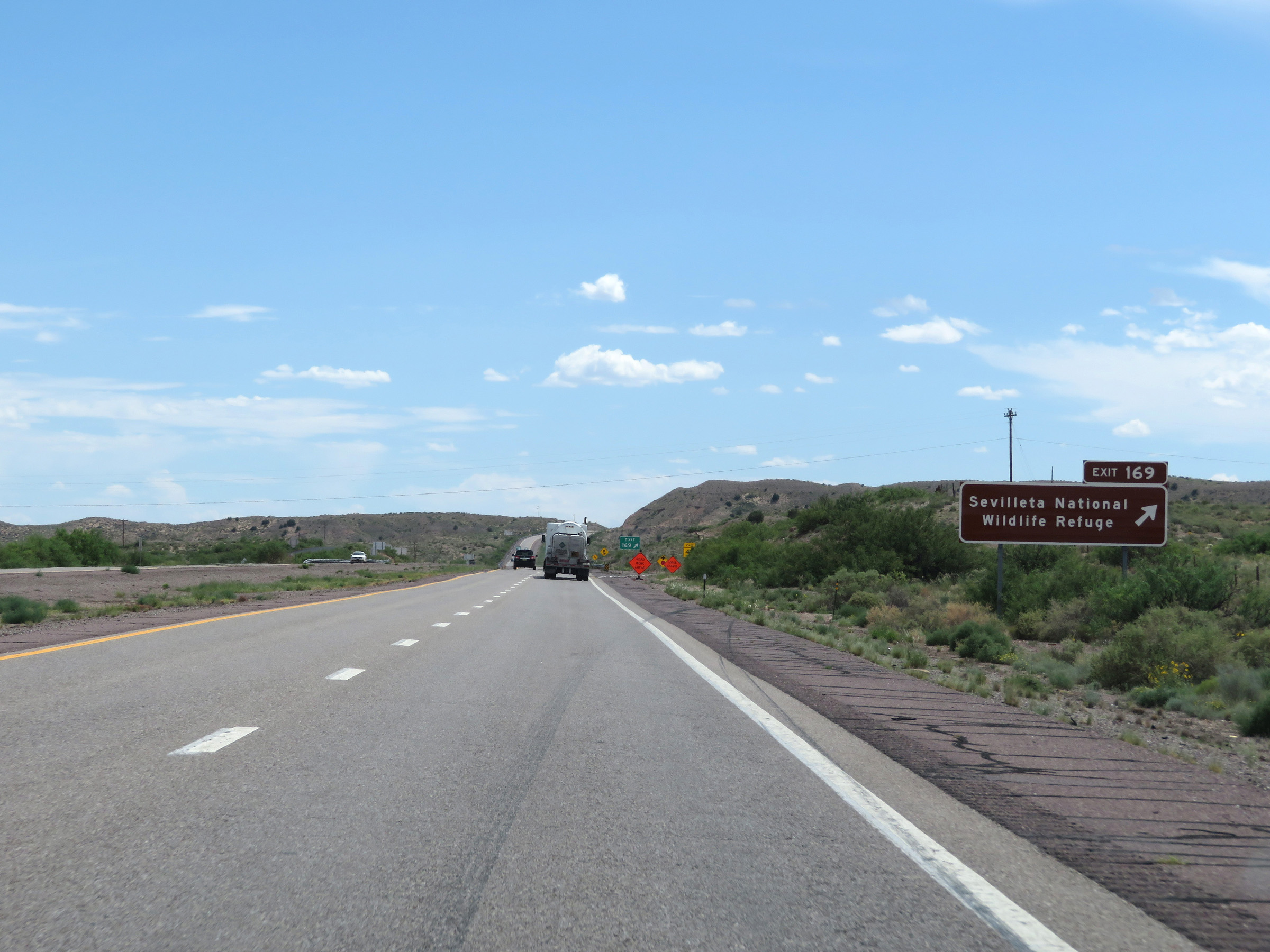 |
Interstate 25 South at Exit 169: Sevilleta National Wildlife Refuge (Photo taken 8/13/20). |
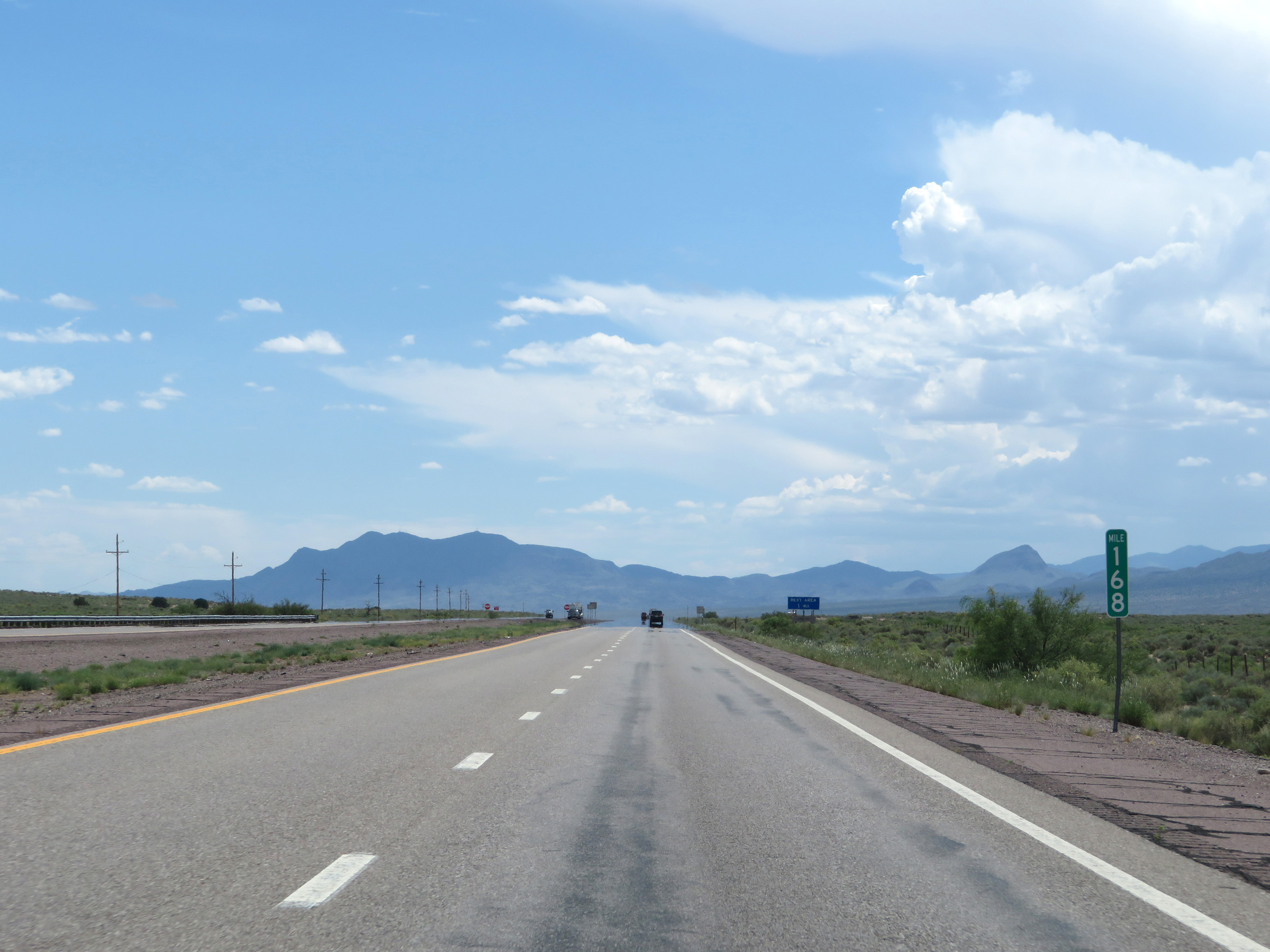 |
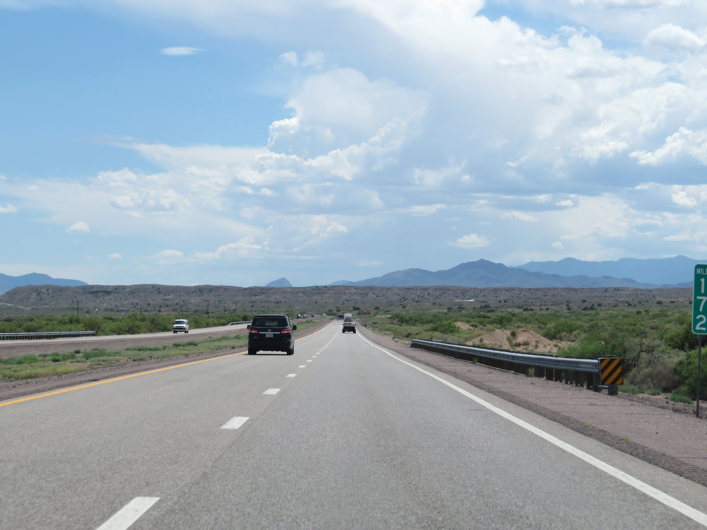
View on Interstate 25 South at mile marker 168. (Photo taken 8/13/20). |
 |
Rest Area on Interstate 25 South in Socorro County. (Photo taken 8/13/20). |
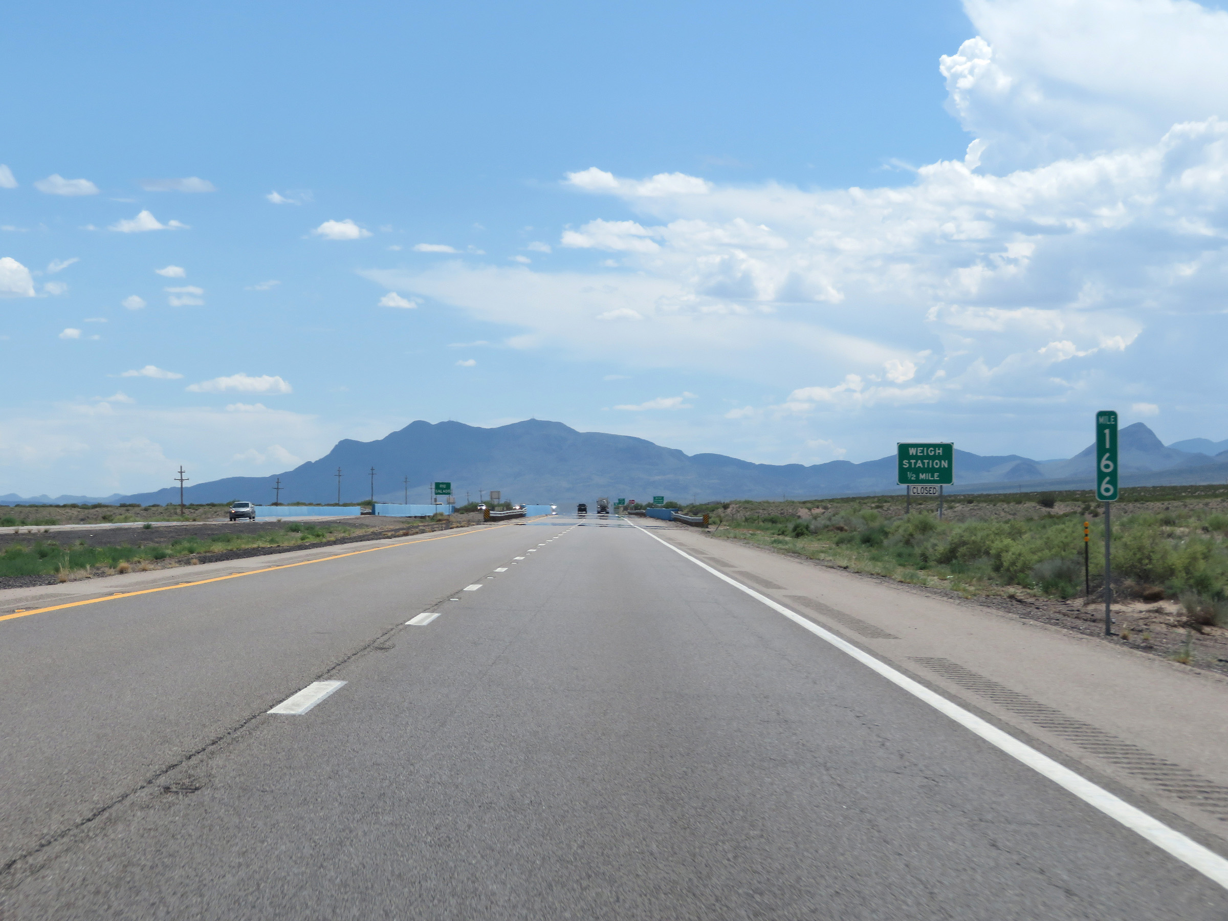 |
Interstate 25 South at mile marker 166. (Photo taken 8/13/20). |
 |
Weigh Station on Interstate 25 South at mile marker 165.5 in Socorro County. (Photo taken 8/13/20). |
 |
View on Interstate 25 South at mile marker 165. (Photo taken 8/13/20). |
 |
Interstate 25 South at Exit 163: San Acacia (Photo taken 8/13/20). |
 |
View on Interstate 25 South at mile marker 161. (Photo taken 8/13/20). |
 |
Interstate 25 South at mile marker 160. (Photo taken 8/13/20). |
 |
View on Interstate 25 South at mile marker 158. (Photo taken 8/13/20). |
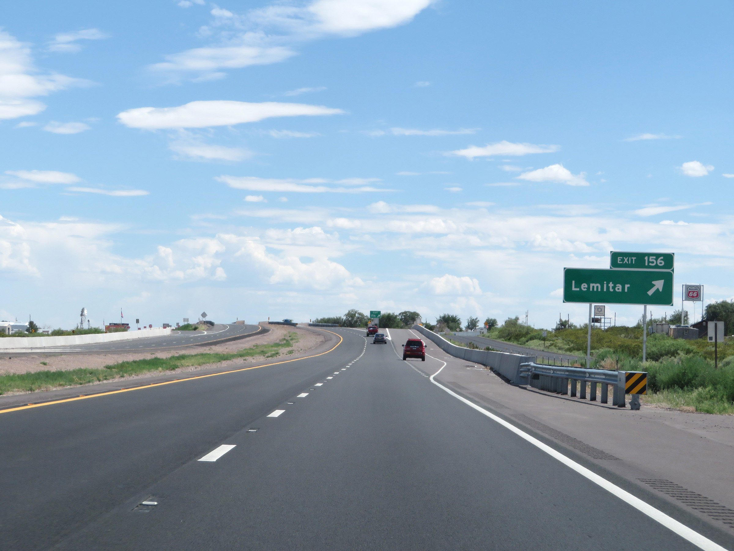 |
Interstate 25 South at Exit 156: Lemitar (Photo taken 8/13/20). |
 |
Non-cutout Interstate 25 South reassurance shield alongside a US 60 South confirming marker. (Photo taken 8/13/20). |
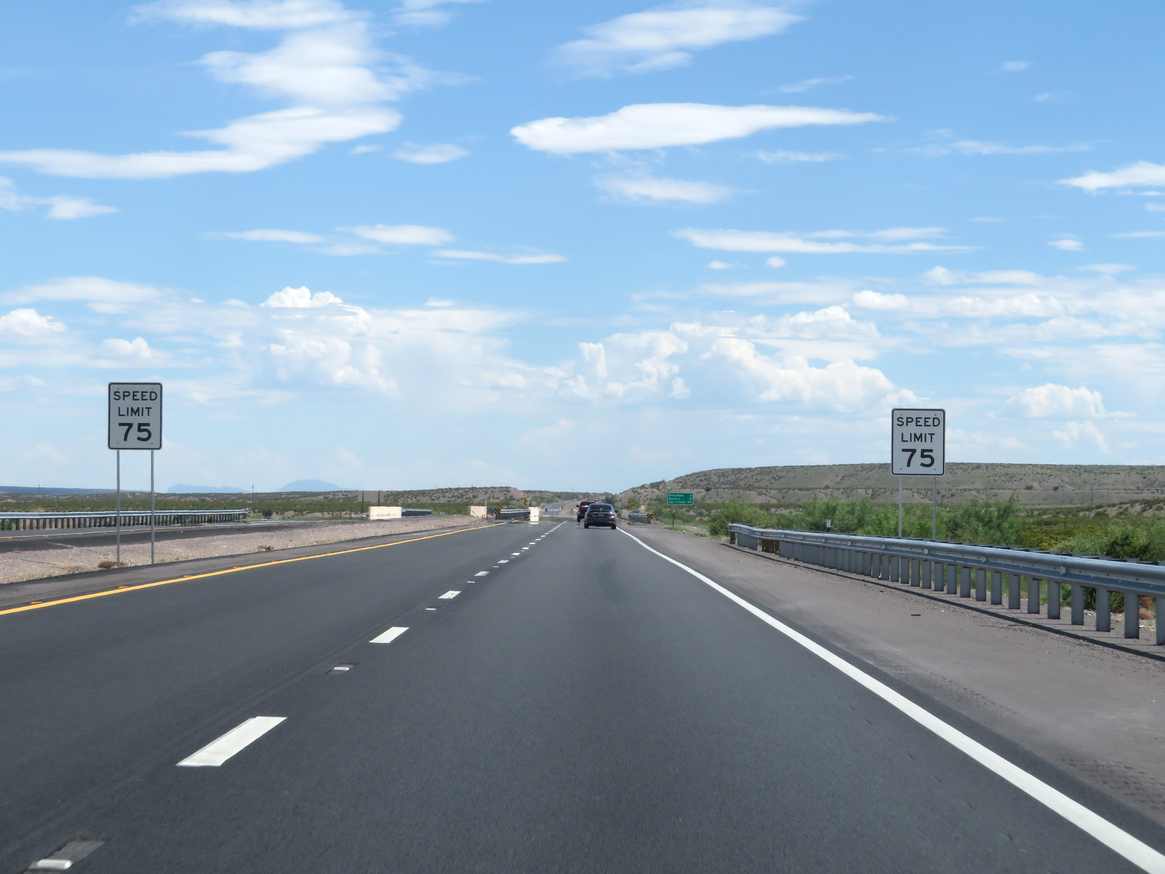 |
The speed limit remains 75 mph. (Photo taken 8/13/20). |
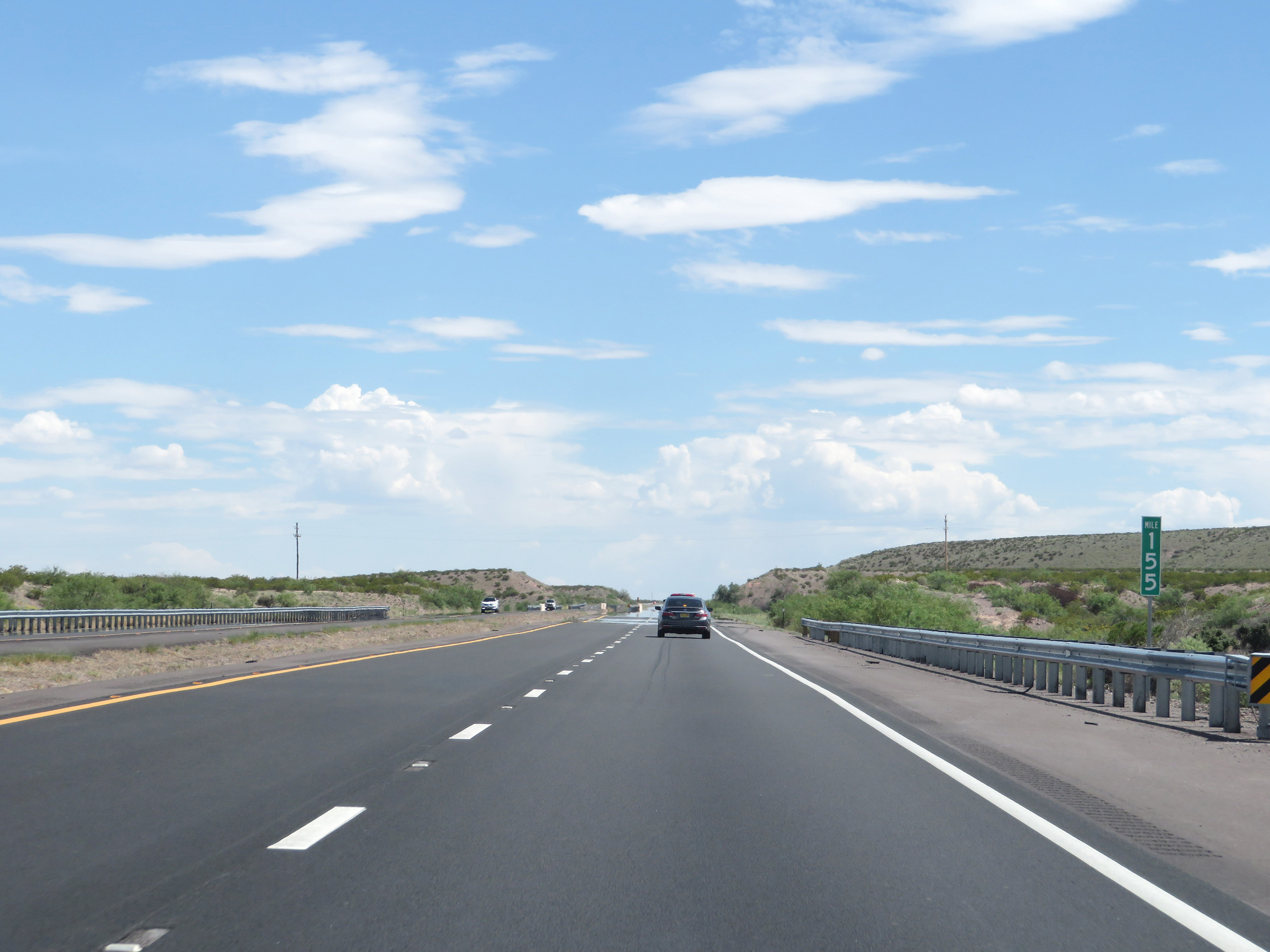 |
View on Interstate 25 South at mile marker 155. (Photo taken 8/13/20). |
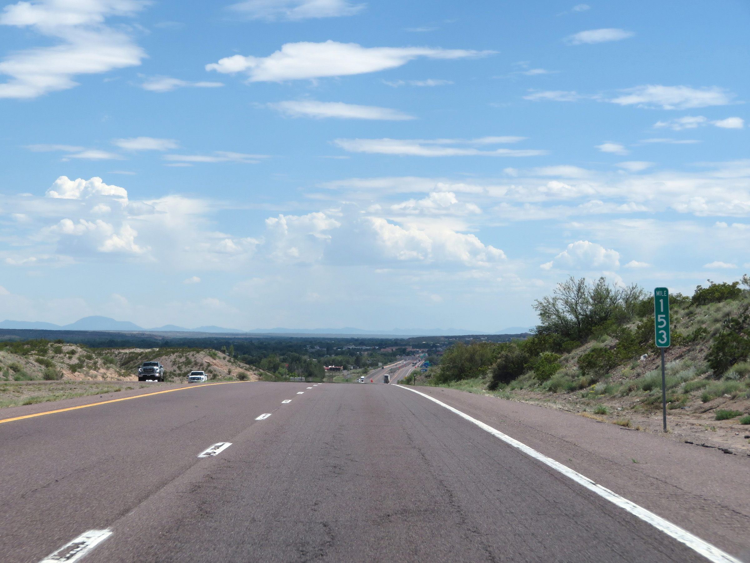 |
Interstate 25 South at mile marker 153. (Photo taken 8/13/20). |
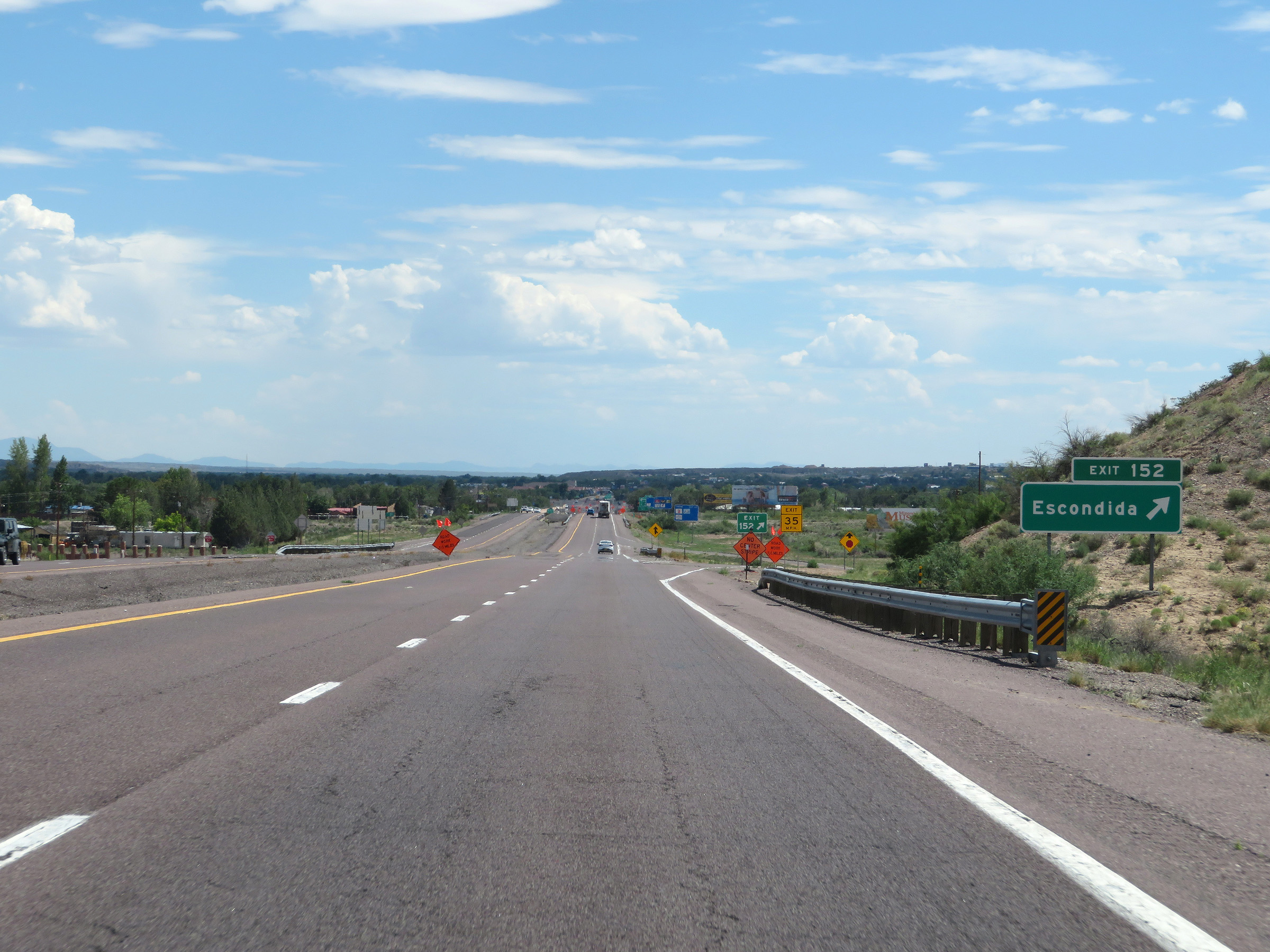 |
Interstate 25 South at Exit 152: Escondida (Photo taken 8/13/20). |
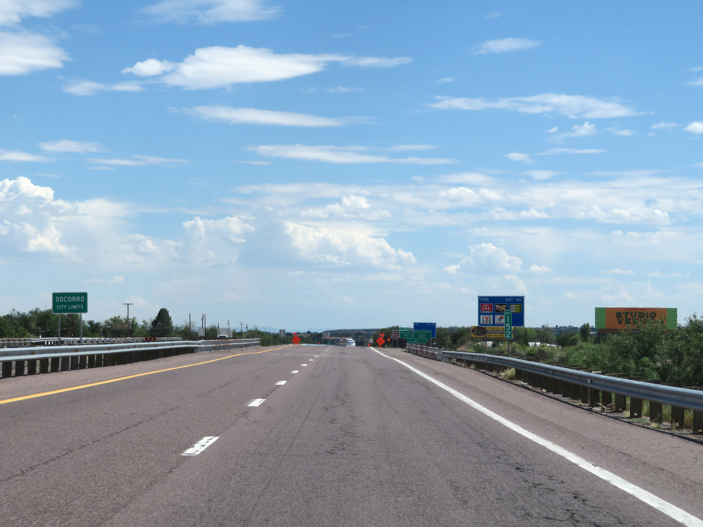 |
Interstate 25 South as it enters the Socorro city limits at mile marker 152. (Photo taken 8/13/20). |
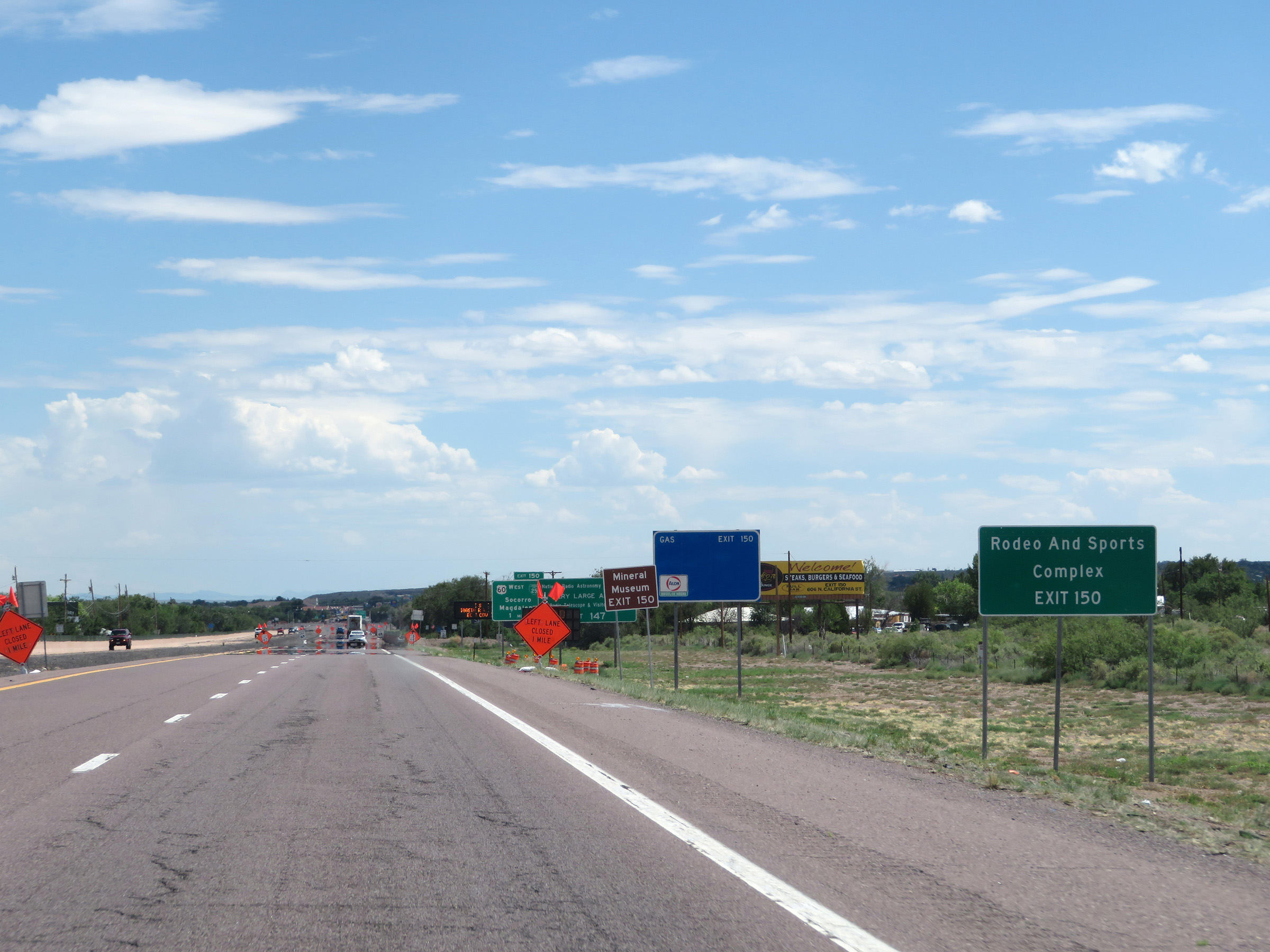 |
Take Exit 150 to the Rodeo and Sports Complex. (Photo taken 8/13/20). |
 |
Also take Exit 150 to the Mineral Museum. (Photo taken 8/13/20). |
 |
Take Exit 150 to New Mexico Tech as well. (Photo taken 8/13/20). |
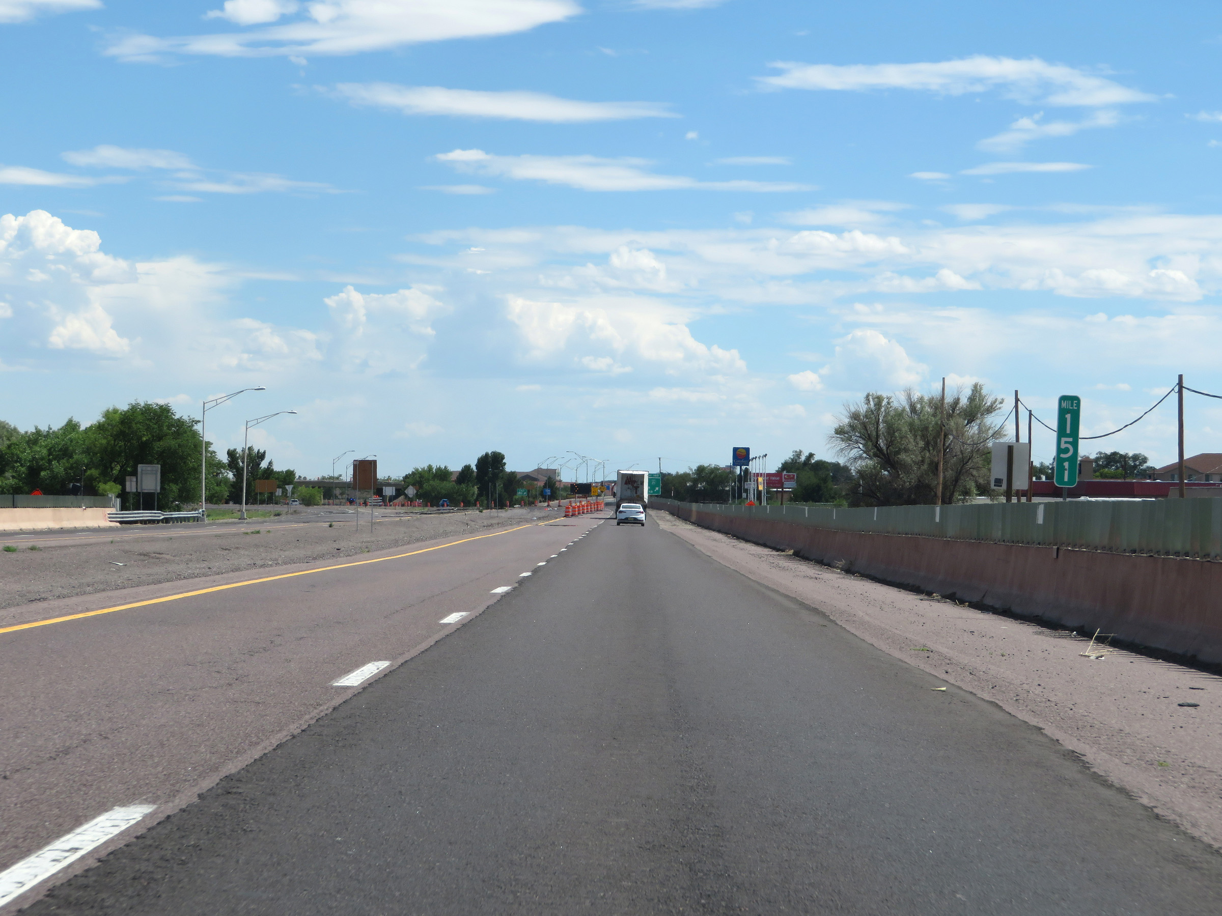 |
View on Interstate 25 South at mile marker 151. (Photo taken 8/13/20). |
 |
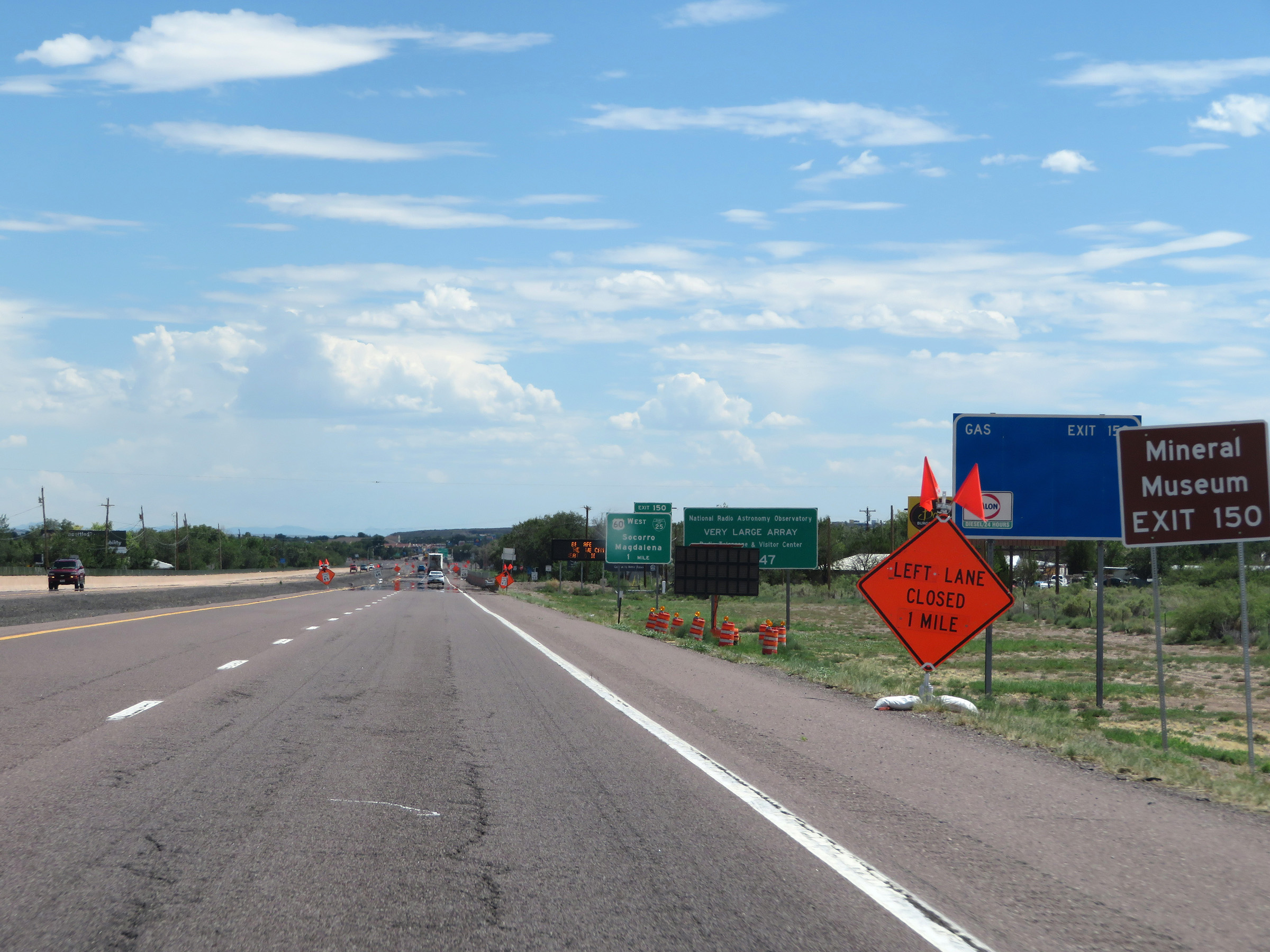
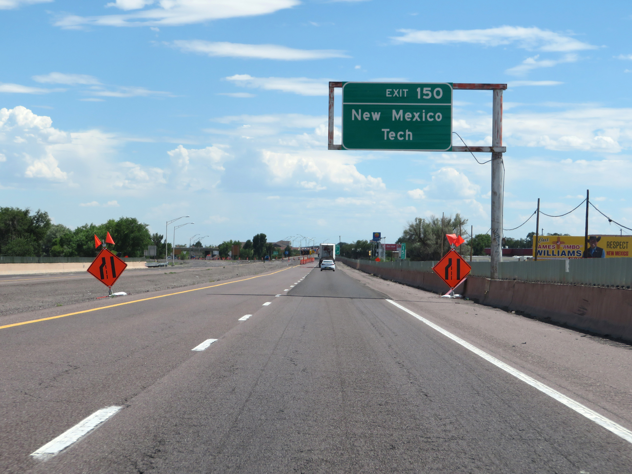
Interstate 25 South at Exit 150: Interstate 25 Business Loop / US 60 West - Socorro / Magdalena (Photo taken 8/13/20). |
Section 7: Socorro (Exit 150) to Truth or Consequences (Exit 83)
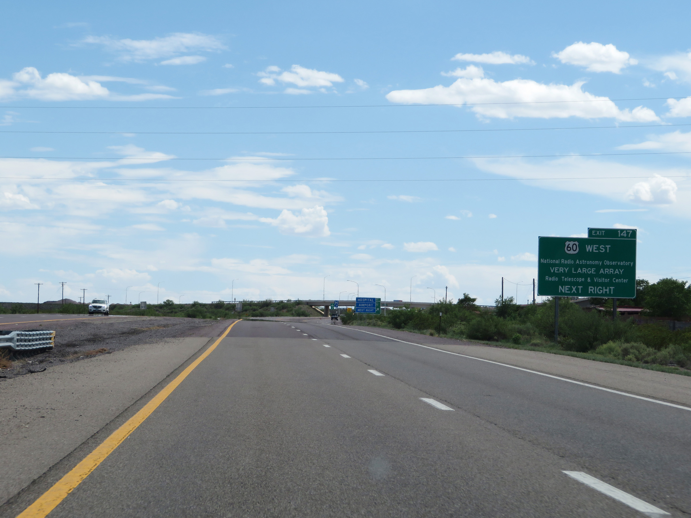 |
Take Exit 147 to the National Radio Astronomy Observatory and Visitor Center via US 60 West. (Photo taken 8/13/20). |
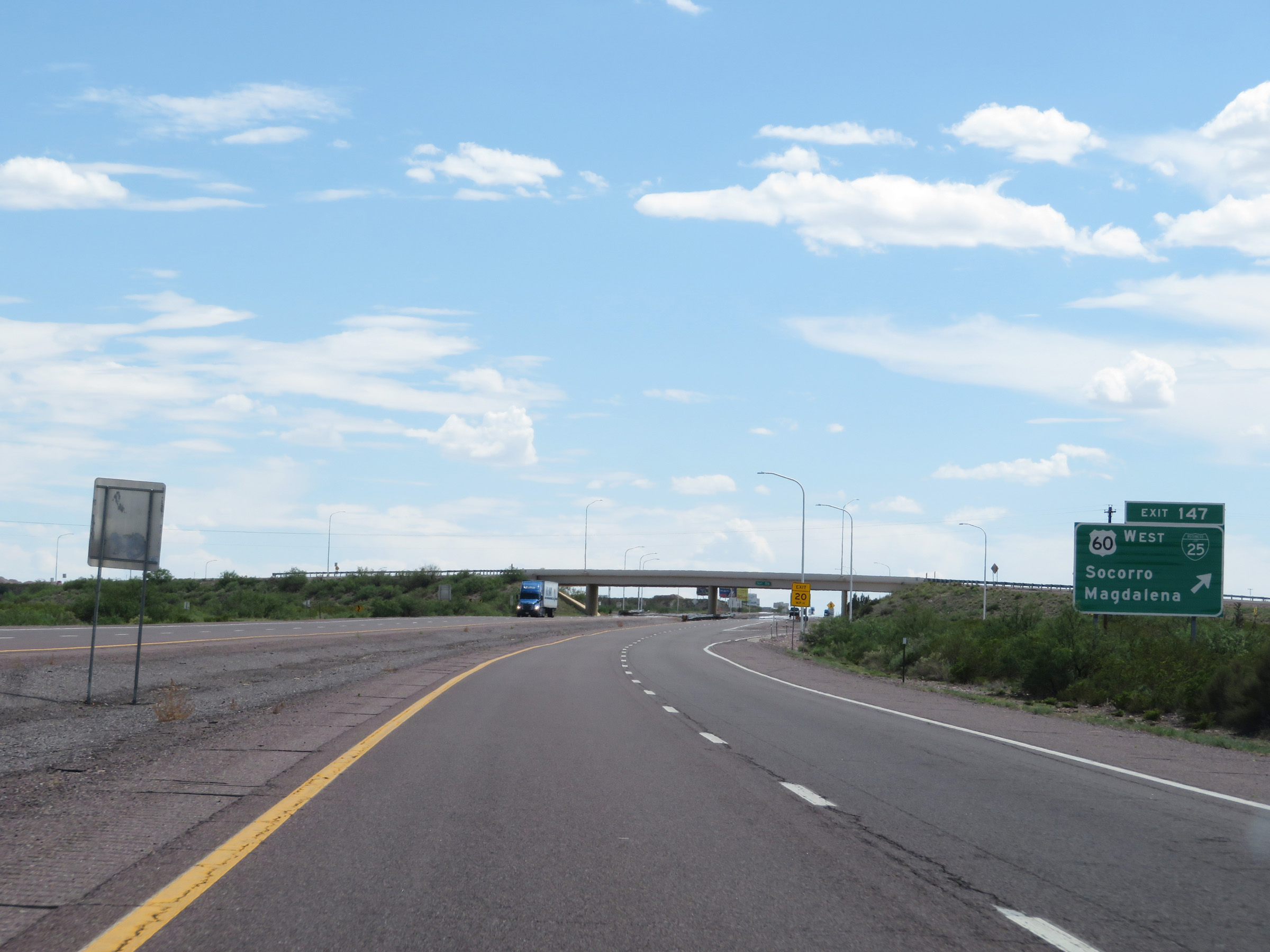 |
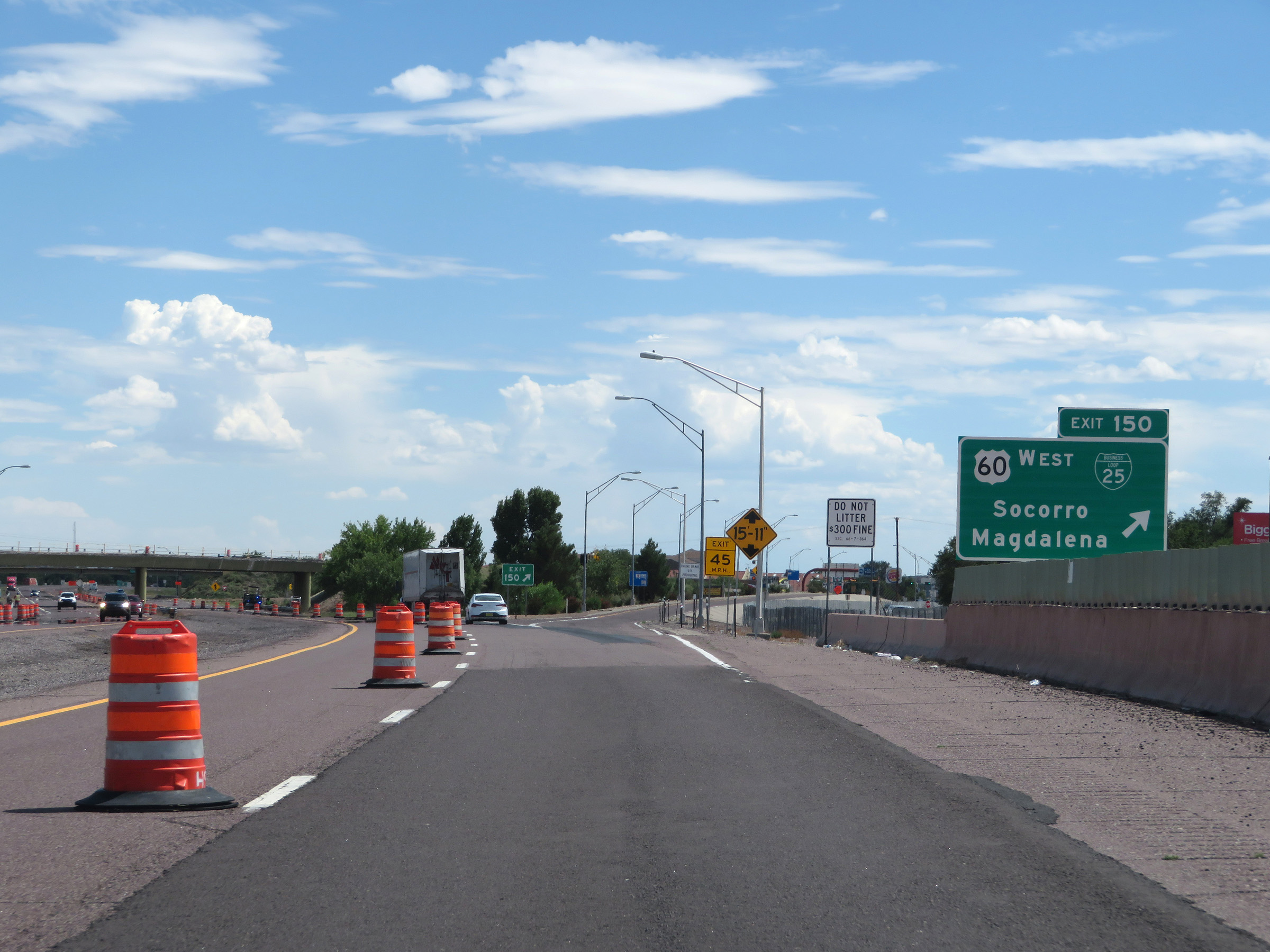
Interstate 25 South at Exit 147: Interstate 25 Business Loop / US 60 West - Socorro / Magdalena (Photo taken 8/13/20). |
 |
Mileage sign on Interstate 25 South leaving Socorro. It's 7 miles to San Antonio, 146 miles to Las Cruces, and 189 miles to El Paso. (Photo taken 8/13/20). |
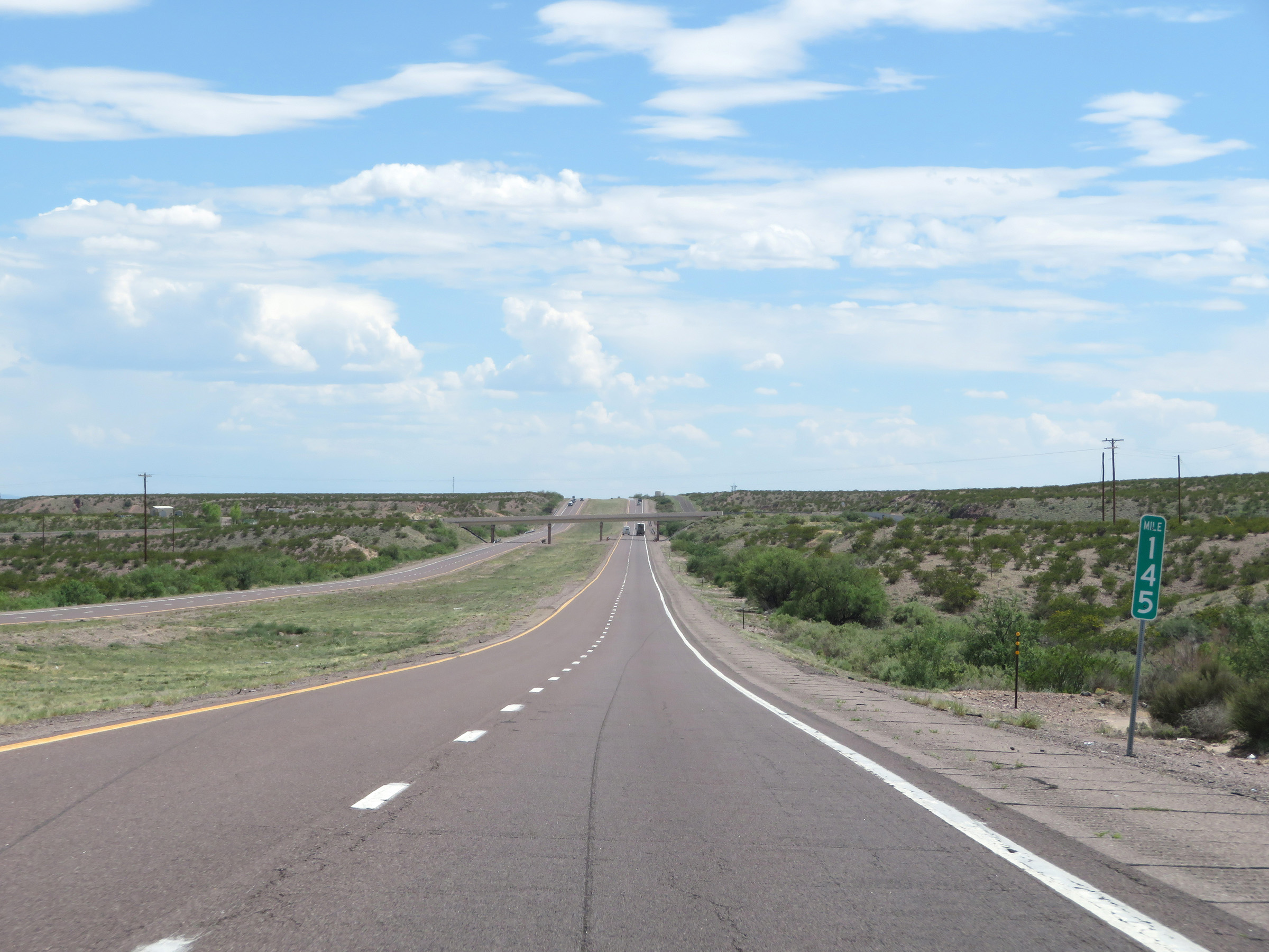 |
View on Interstate 25 South at mile marker 145. (Photo taken 8/13/20). |
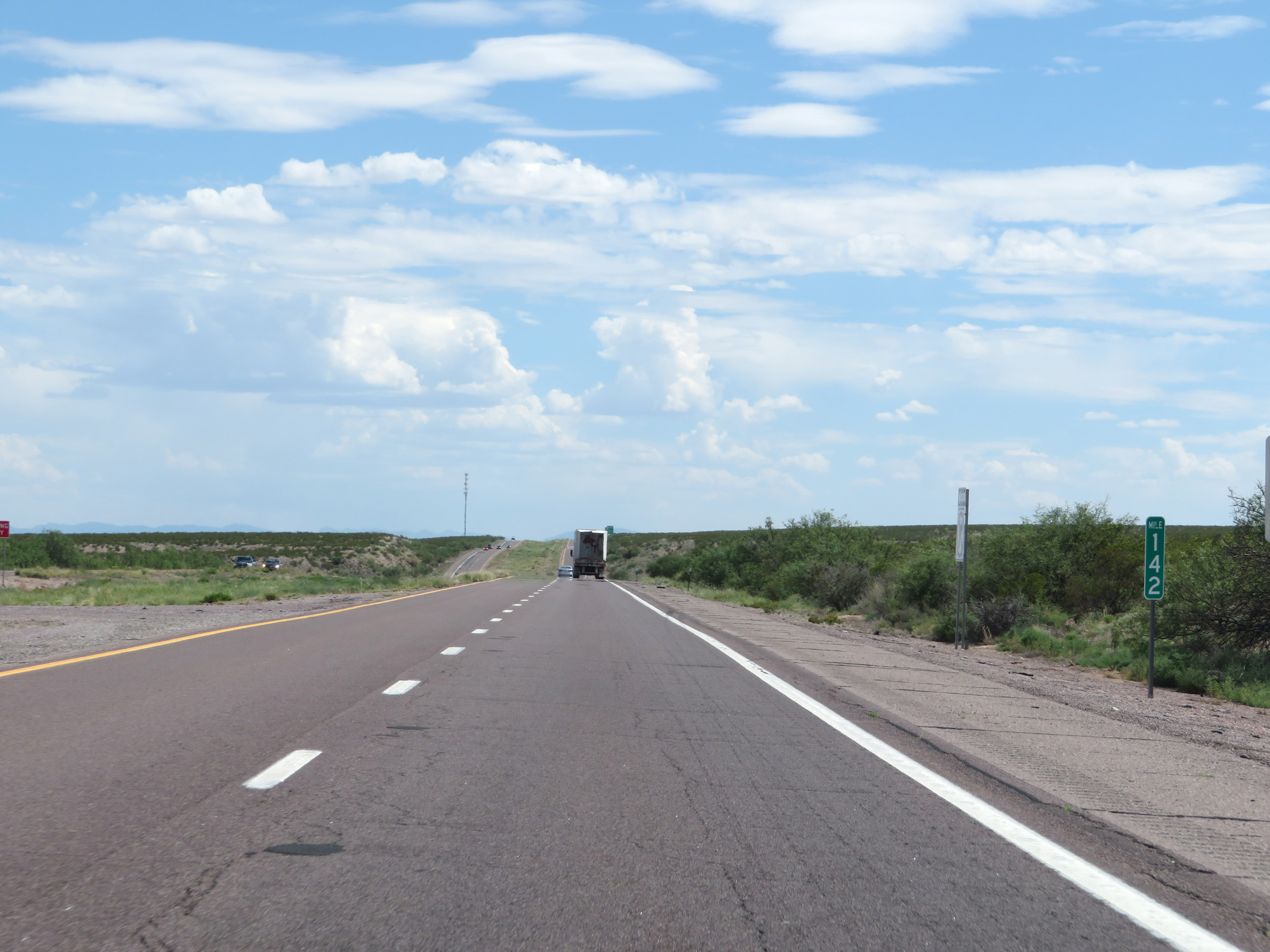 |
Interstate 25 South at mile marker 142. (Photo taken 8/13/20). |
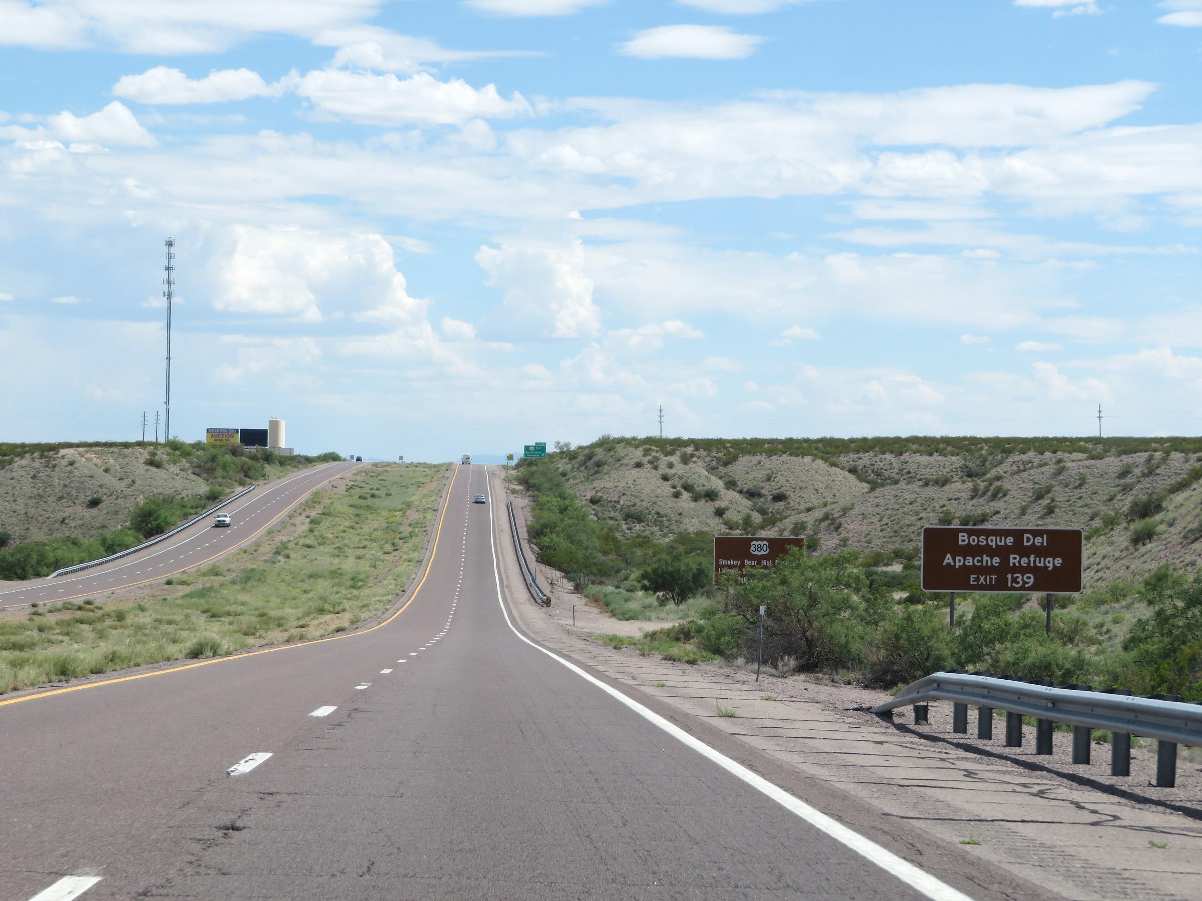 |
Take Exit 139 to Bosque Del Apache Refuge. (Photo taken 8/13/20). |
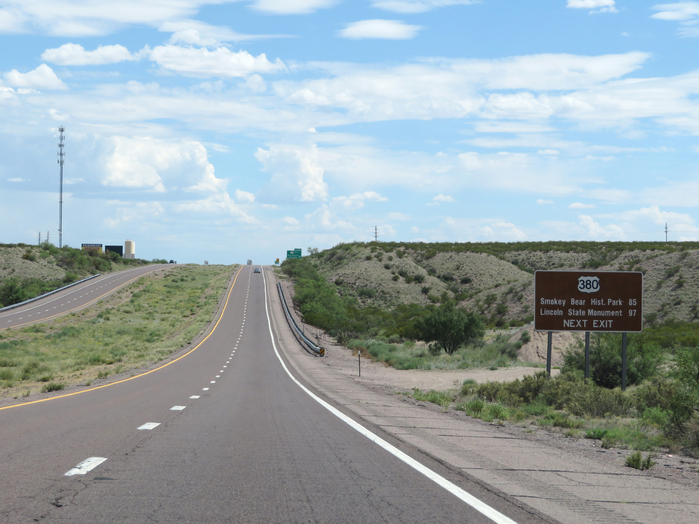 |
Also take Exit 139 to Smokey Bear Historic Park and the Lincoln State Monument via US 380 East. (Photo taken 8/13/20). |
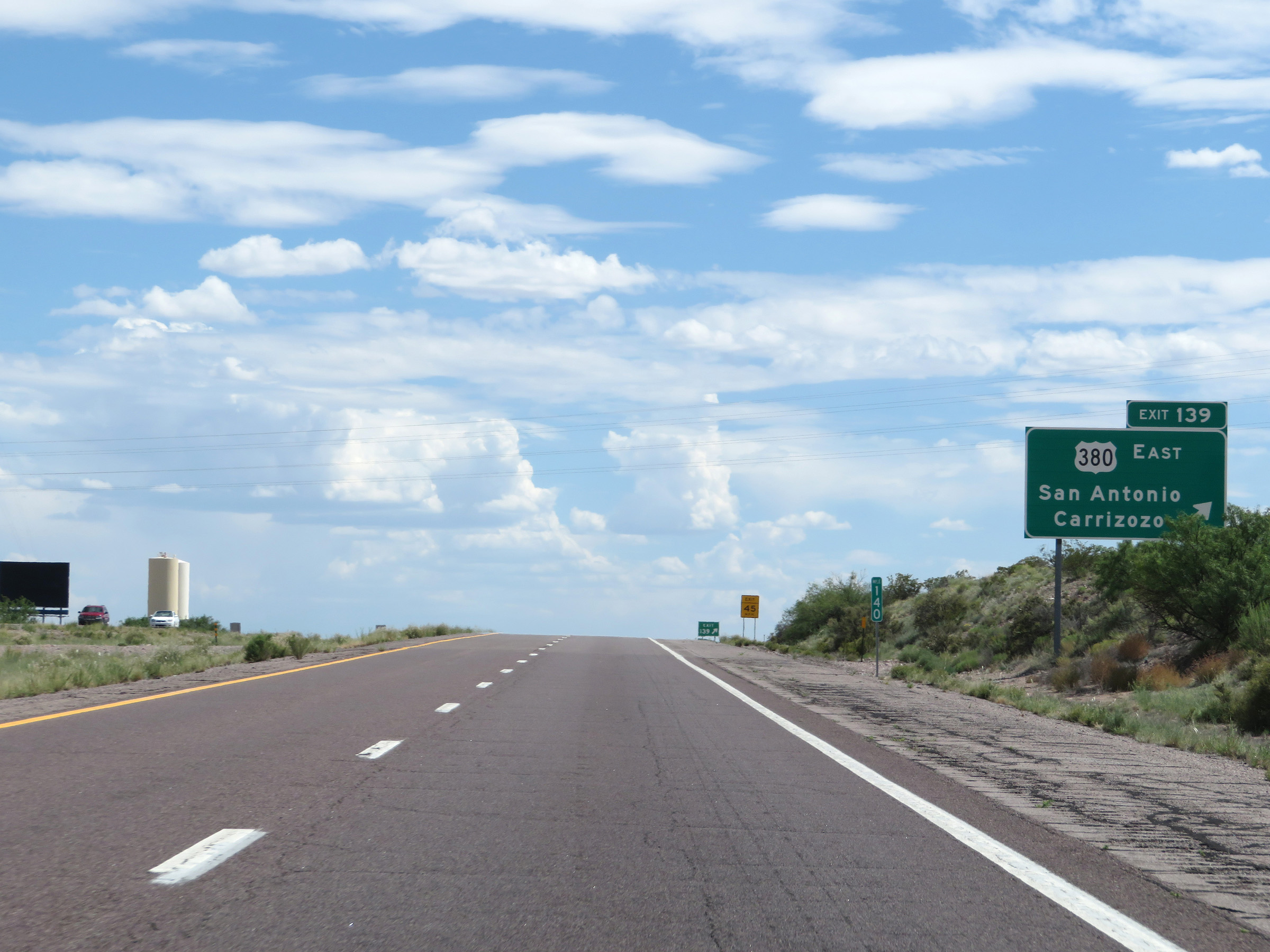 |
Interstate 25 South at Exit 139: US 380 East - San Antonio / Carrizozo (Photo taken 8/13/20). |
 |
Non-cutout, state-named Interstate 25 South reassurance shield. (Photo taken 8/13/20). |
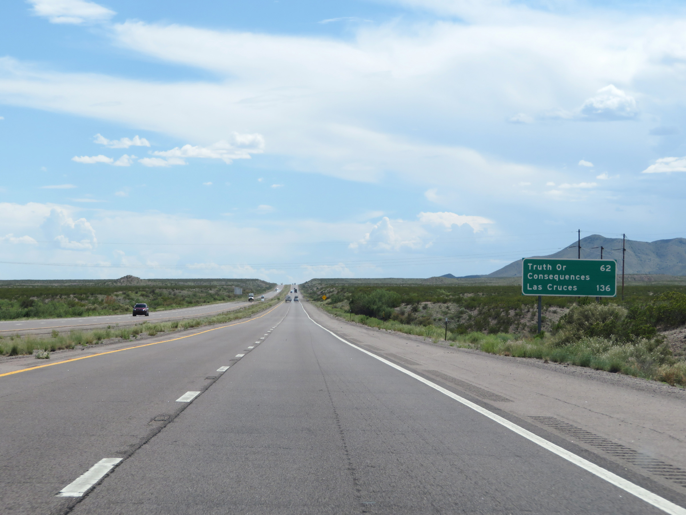 |
Mileage sign on Interstate 25 South. It's 62 miles to Truth or Consequences and 136 miles to Las Cruces. (Photo taken 8/13/20). |
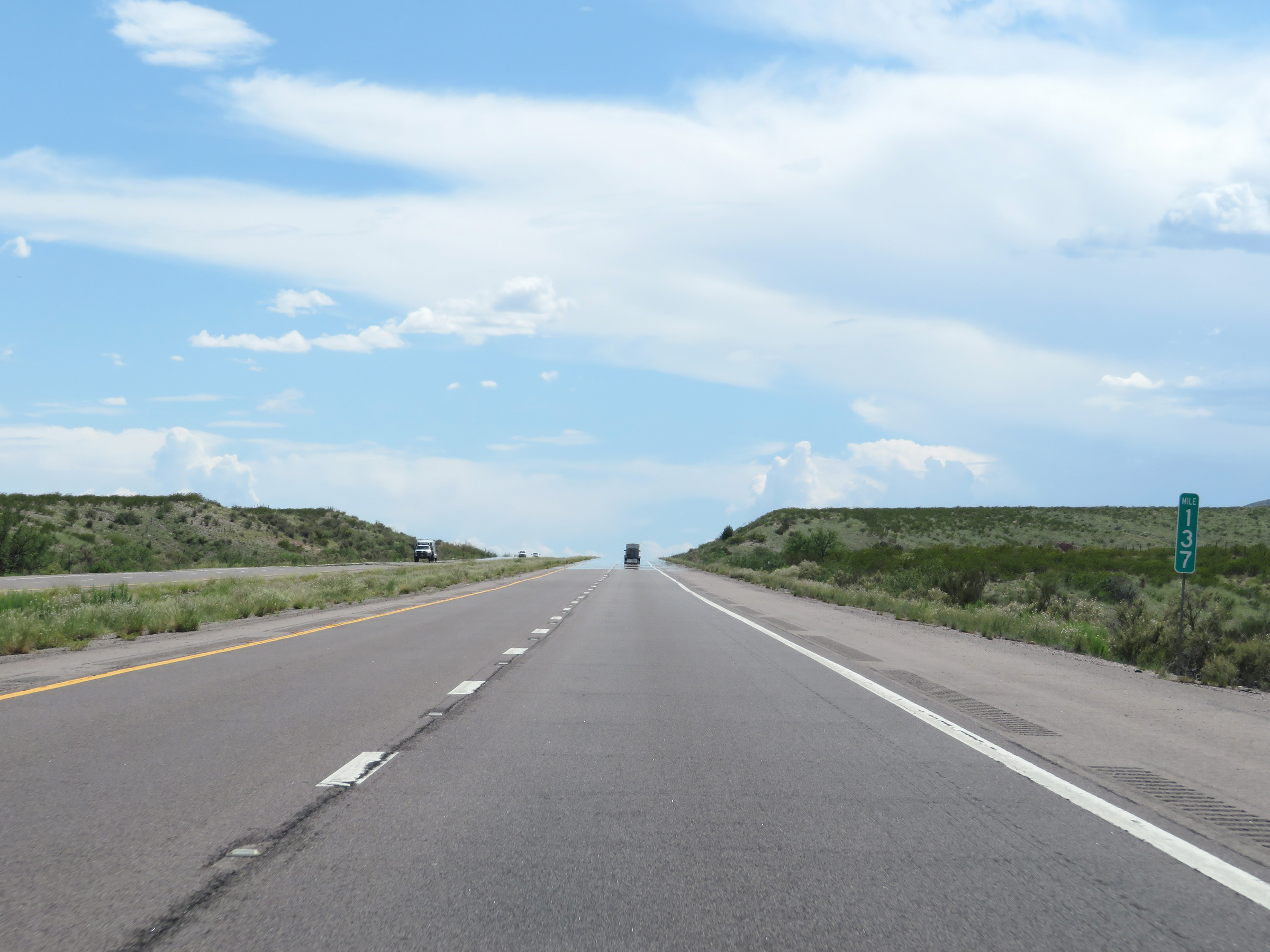 |
View on Interstate 25 South at mile marker 137. (Photo taken 8/13/20). |
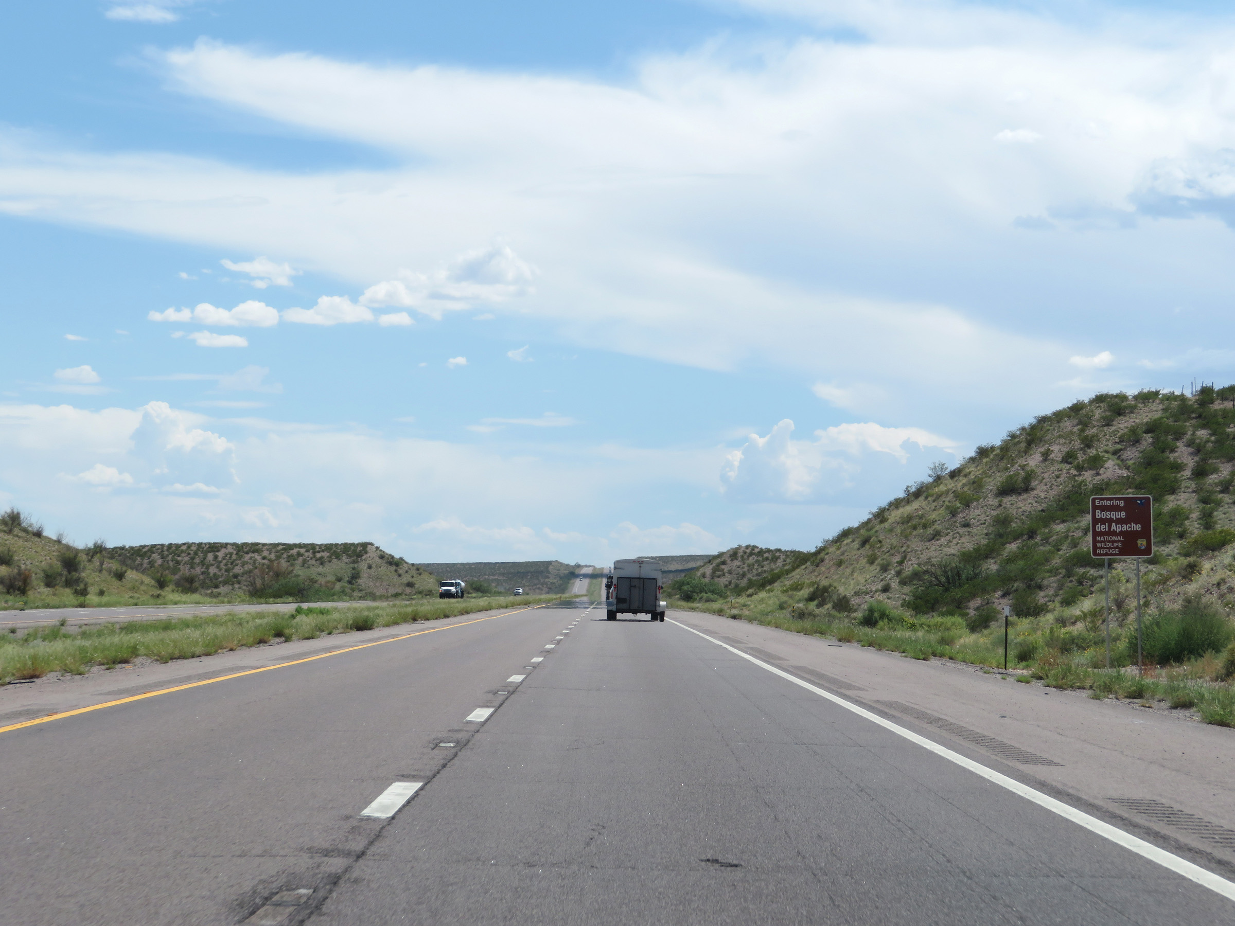 |
Interstate 25 South as it enters the Bosque del Apache National Wildlife Refuge. (Photo taken 8/13/20). |
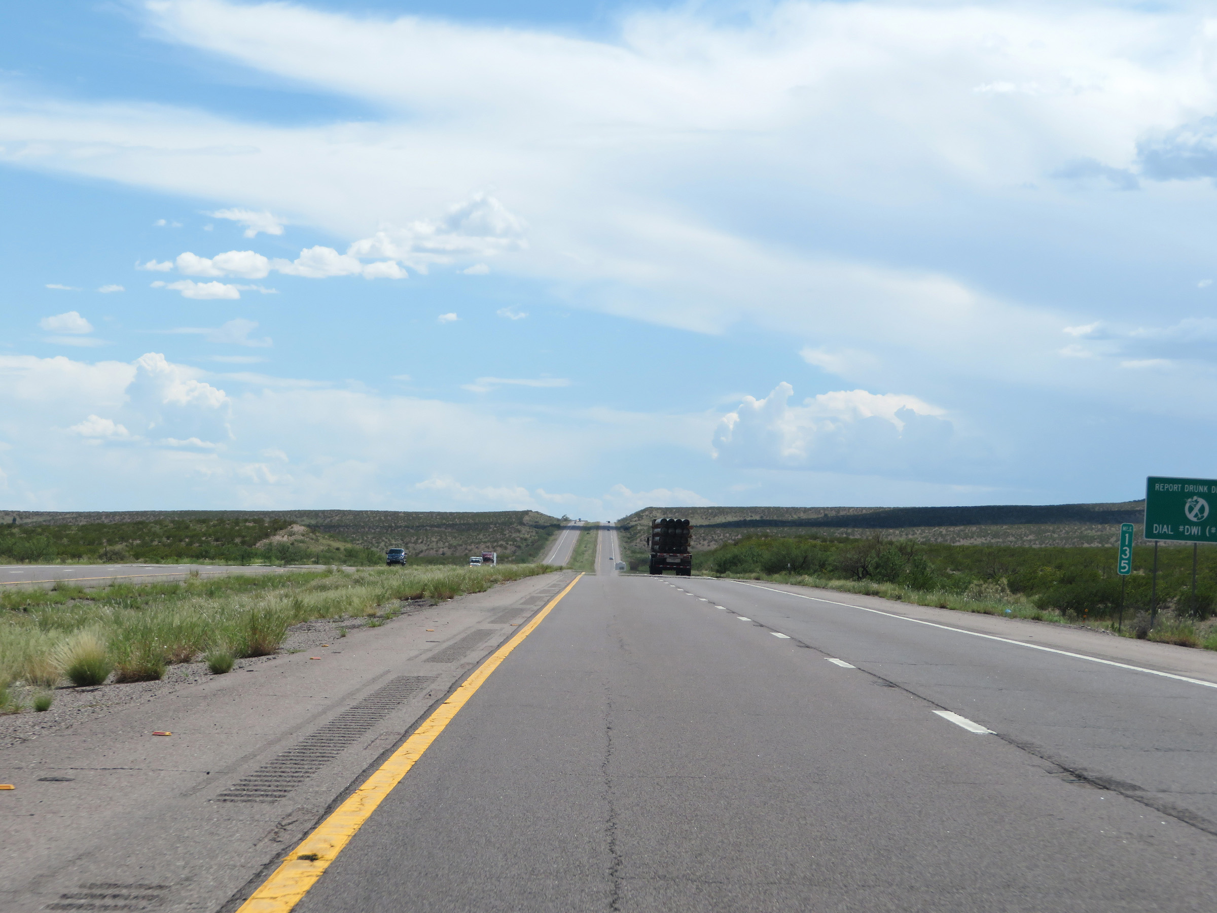 |
Interstate 25 South at mile marker 135. (Photo taken 8/13/20). |
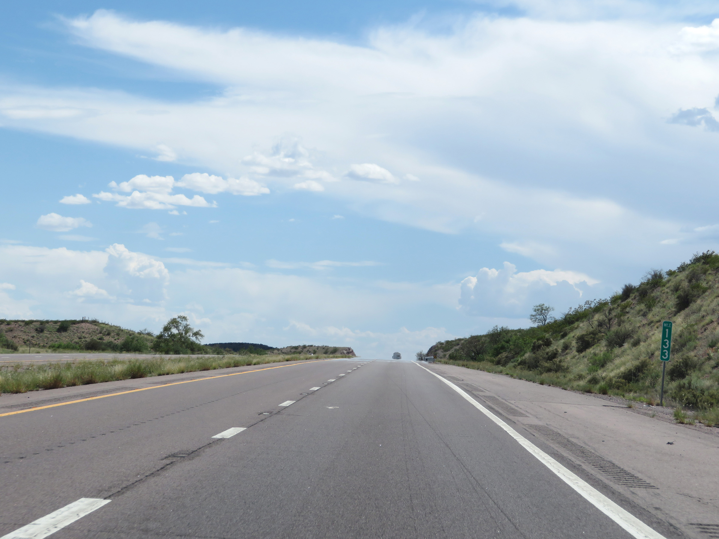 |
View on Interstate 25 South at mile marker 133. (Photo taken 8/13/20). |
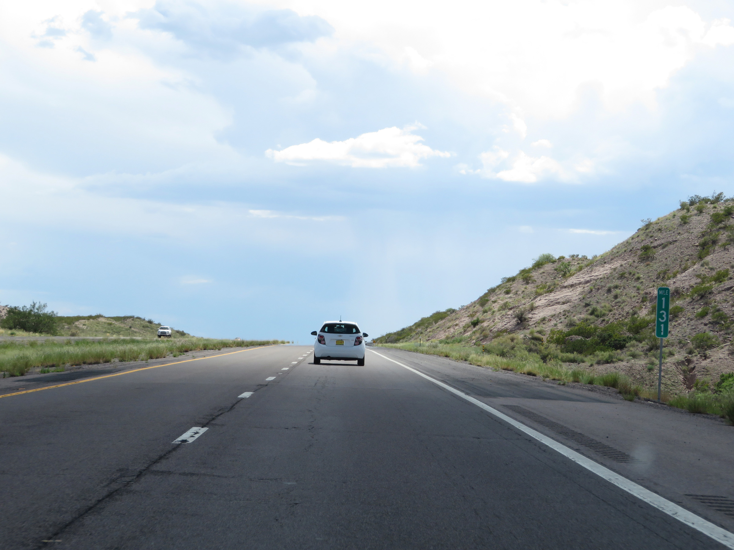 |
Interstate 25 South at mile marker 131. (Photo taken 8/13/20). |
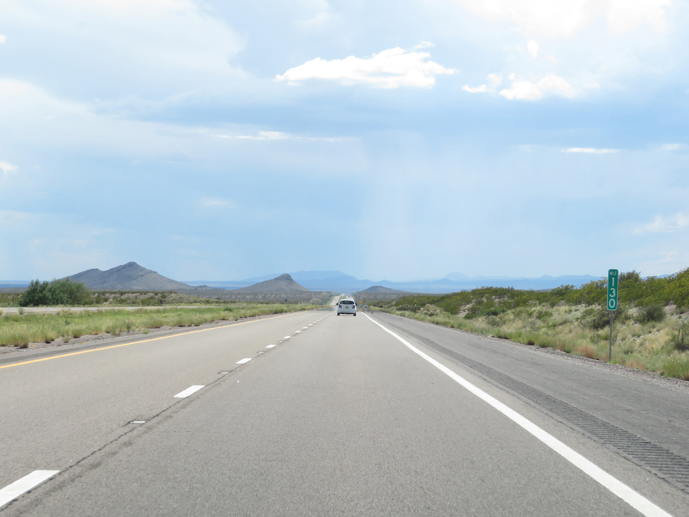 |
View on Interstate 25 South at mile marker 130. (Photo taken 8/13/20). |
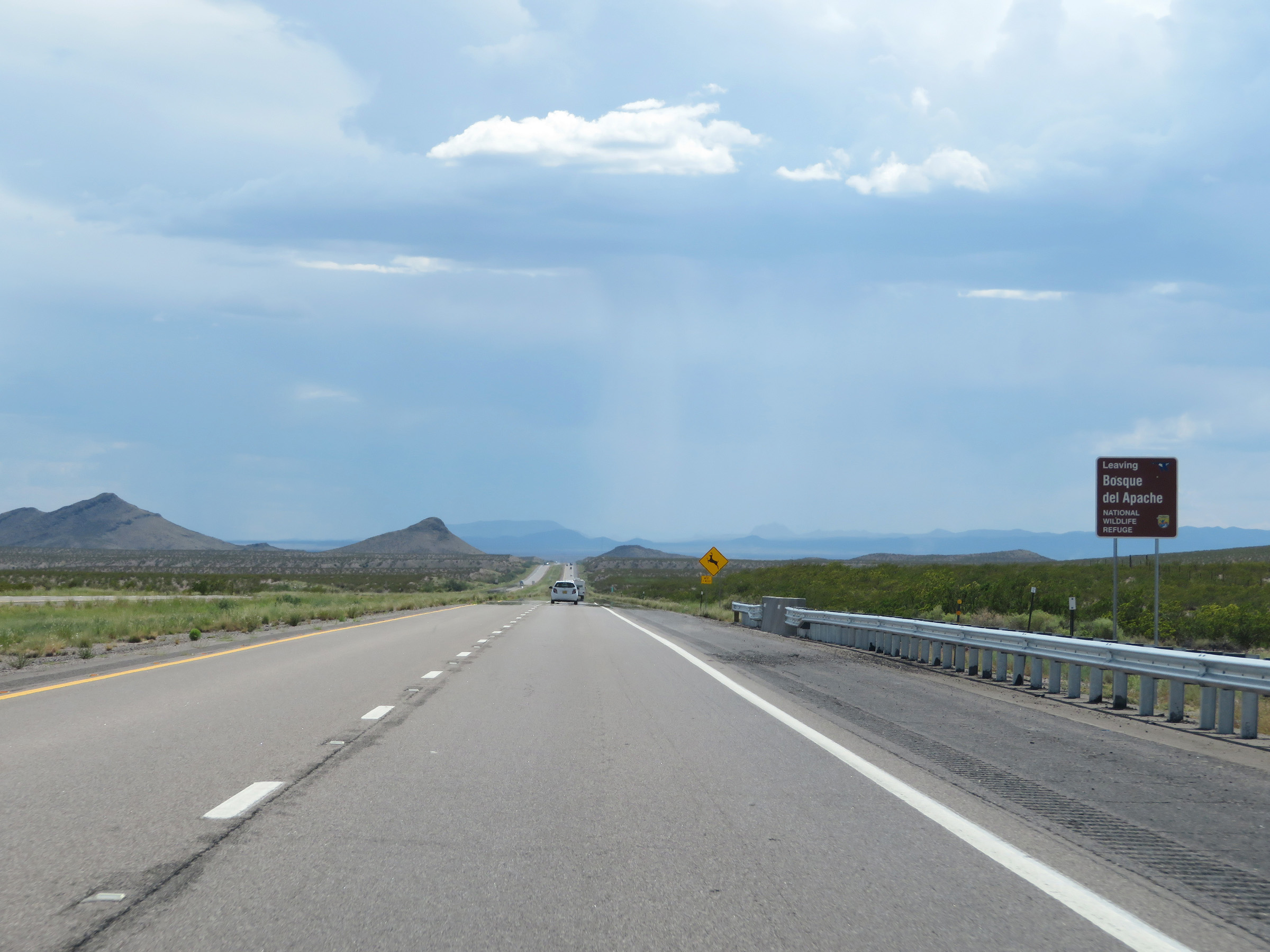 |
Interstate 25 South as it leaves Bosque del Apache National Wildlife Refuge. (Photo taken 8/13/20). |
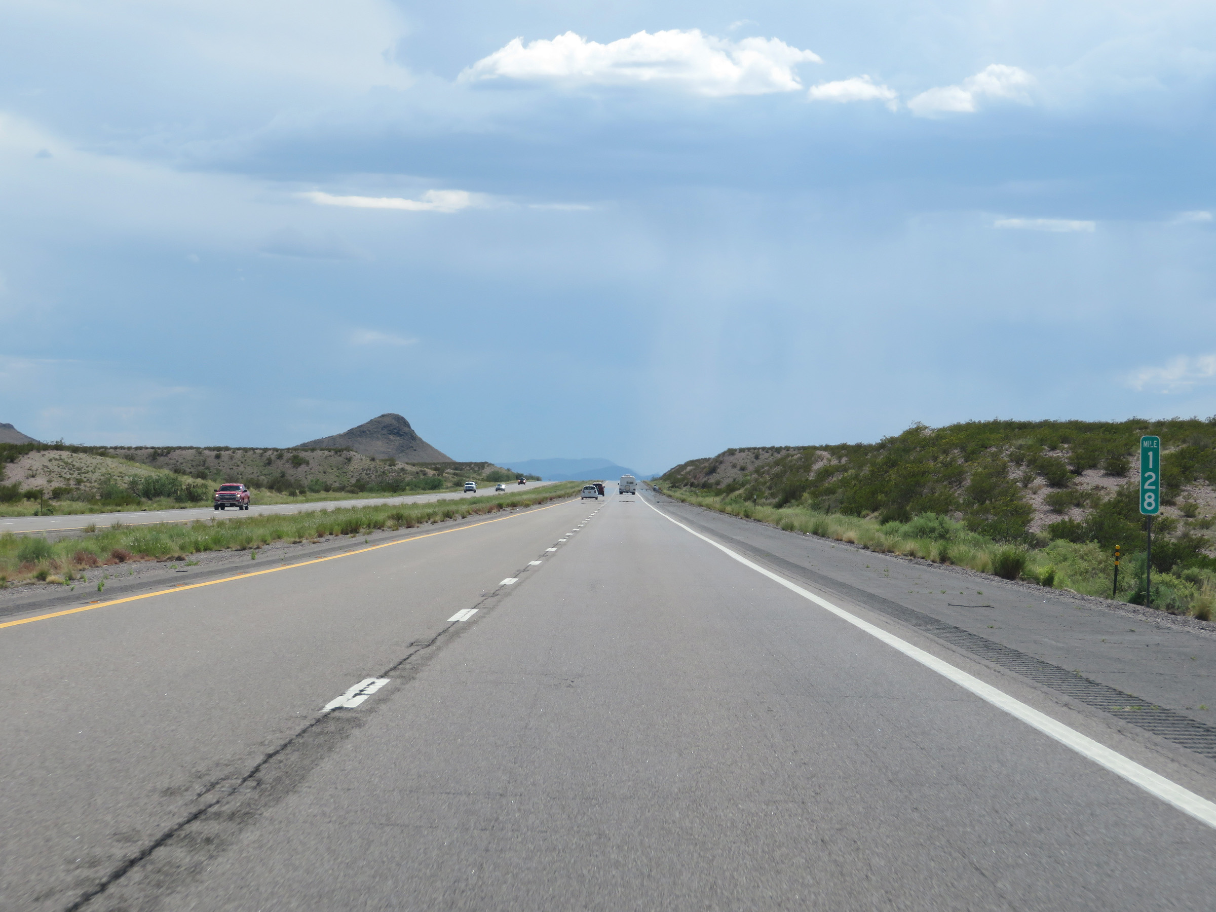 |
View on Interstate 25 South at mile marker 128. (Photo taken 8/13/20). |
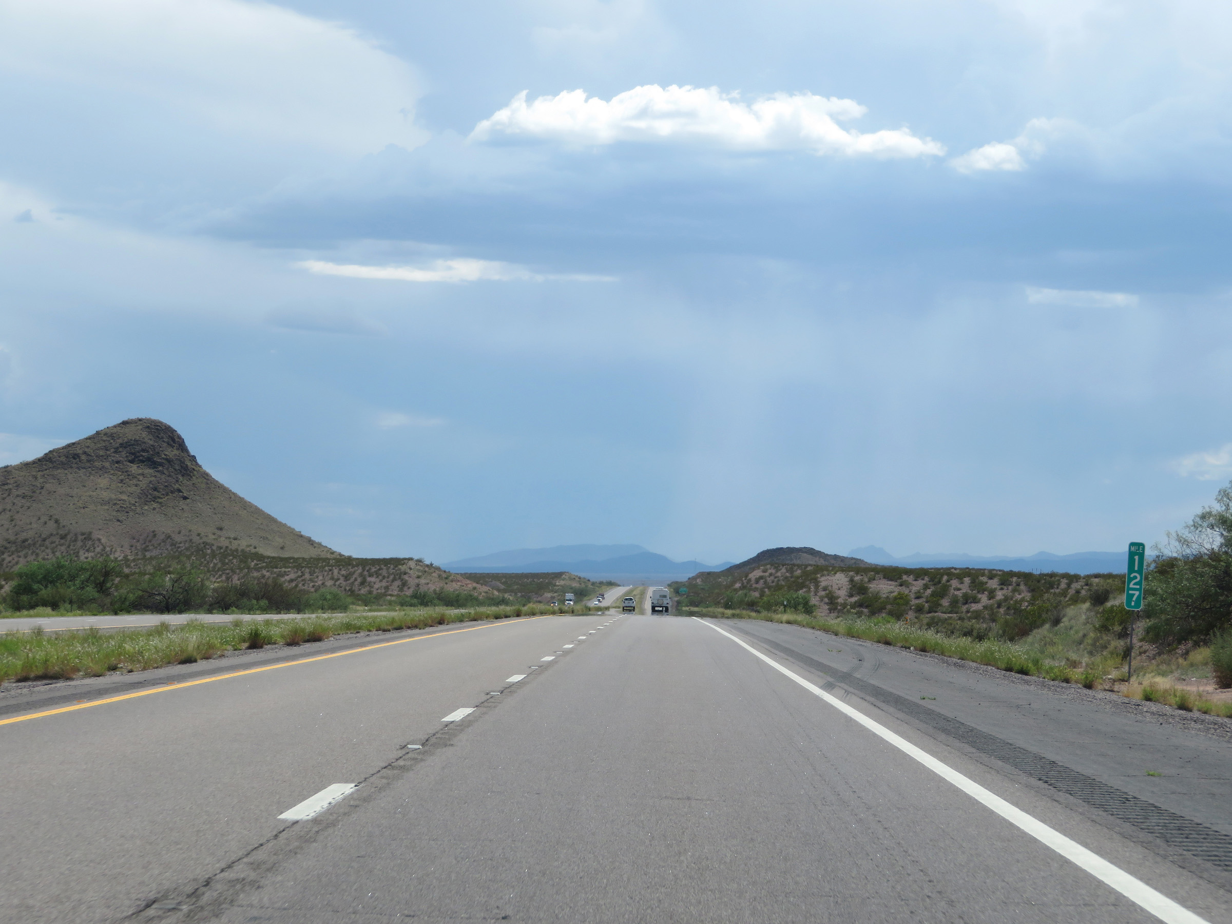 |
Mile marker 127 on Interstate 25 South in southern Socorro County. (Photo taken 8/13/20). |
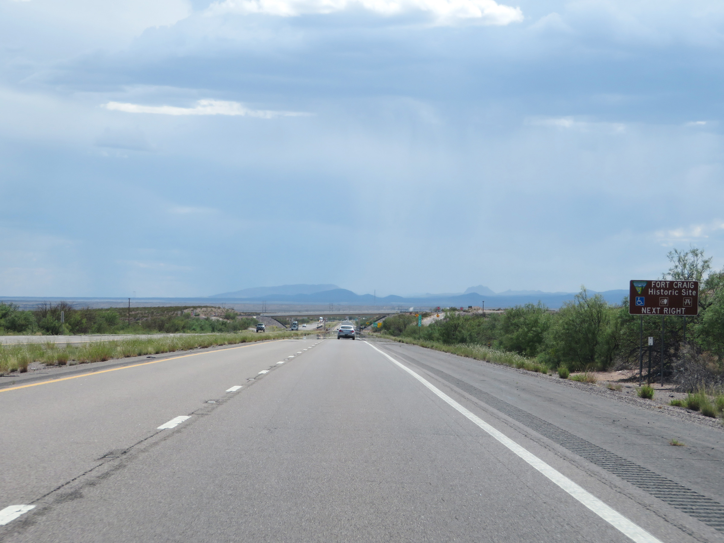 |
Take Exit 124 to Fort Craig Historic Site. (Photo taken 8/13/20). |
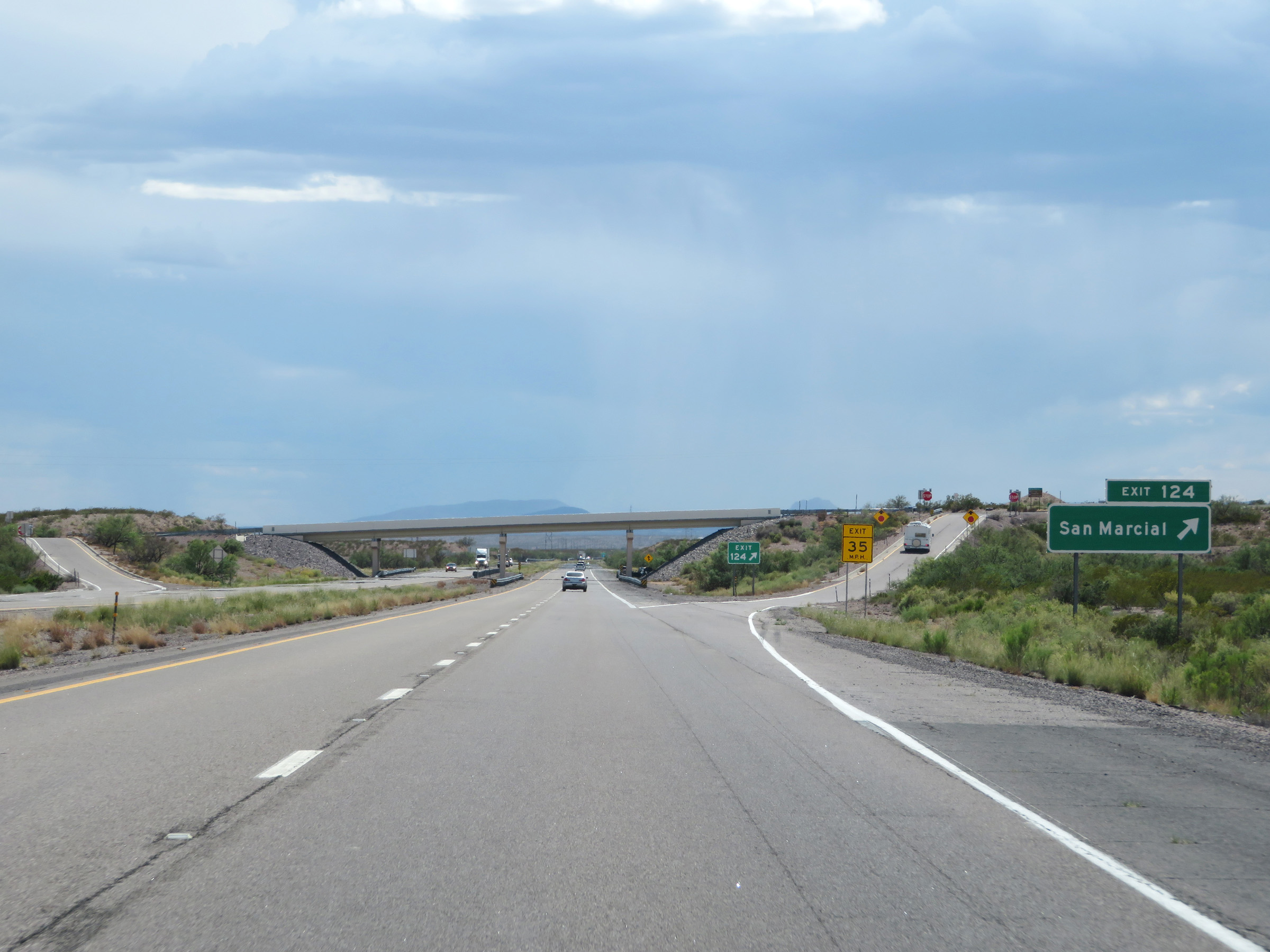 |
Interstate 25 South at Exit 124: San Marcial (Photo taken 8/13/20). |
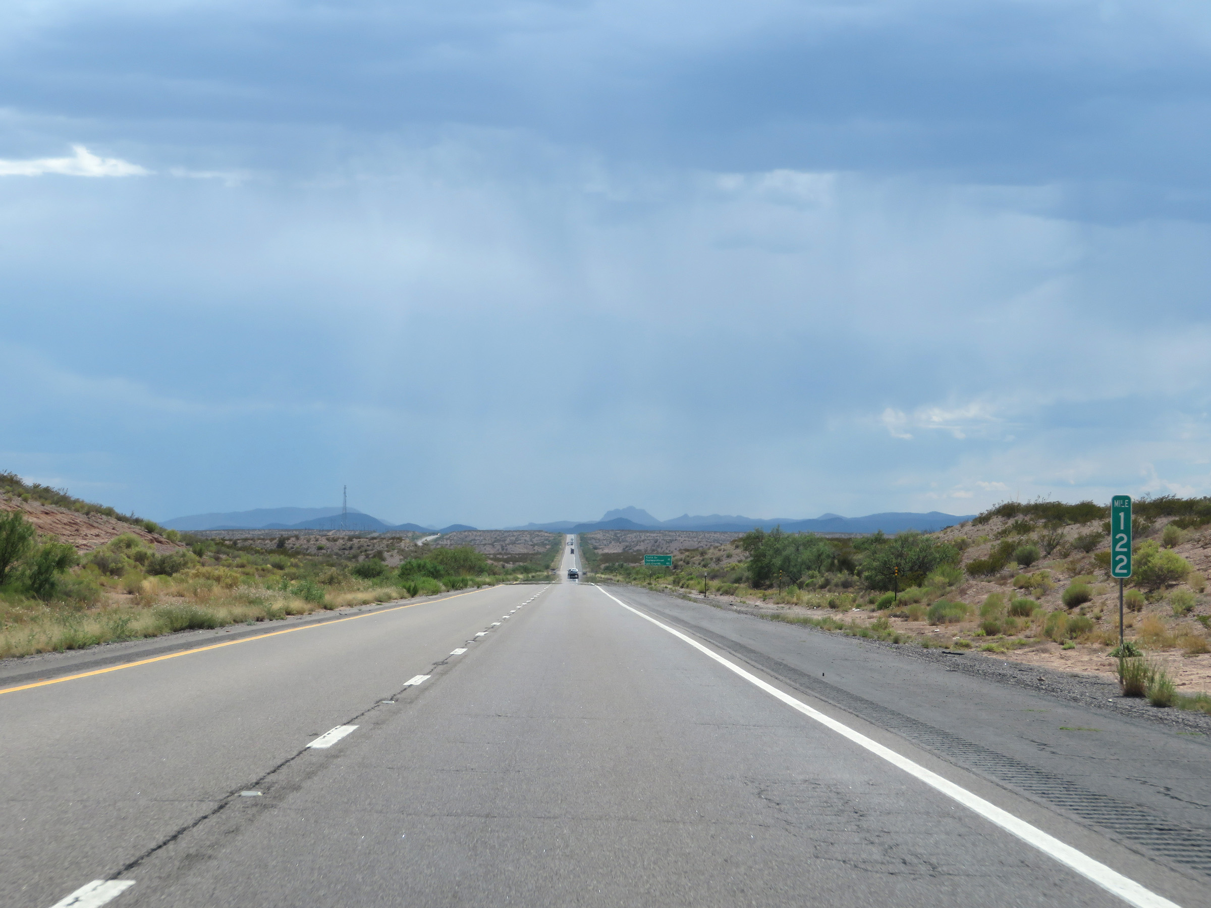 |
View on Interstate 25 South at mile marker 122. (Photo taken 8/13/20). |
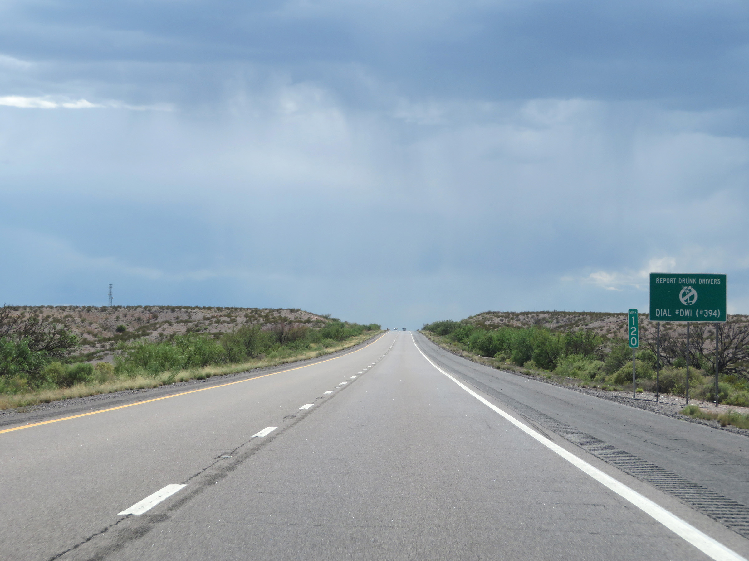 |
Interstate 25 South at mile marker 120. (Photo taken 8/13/20). |
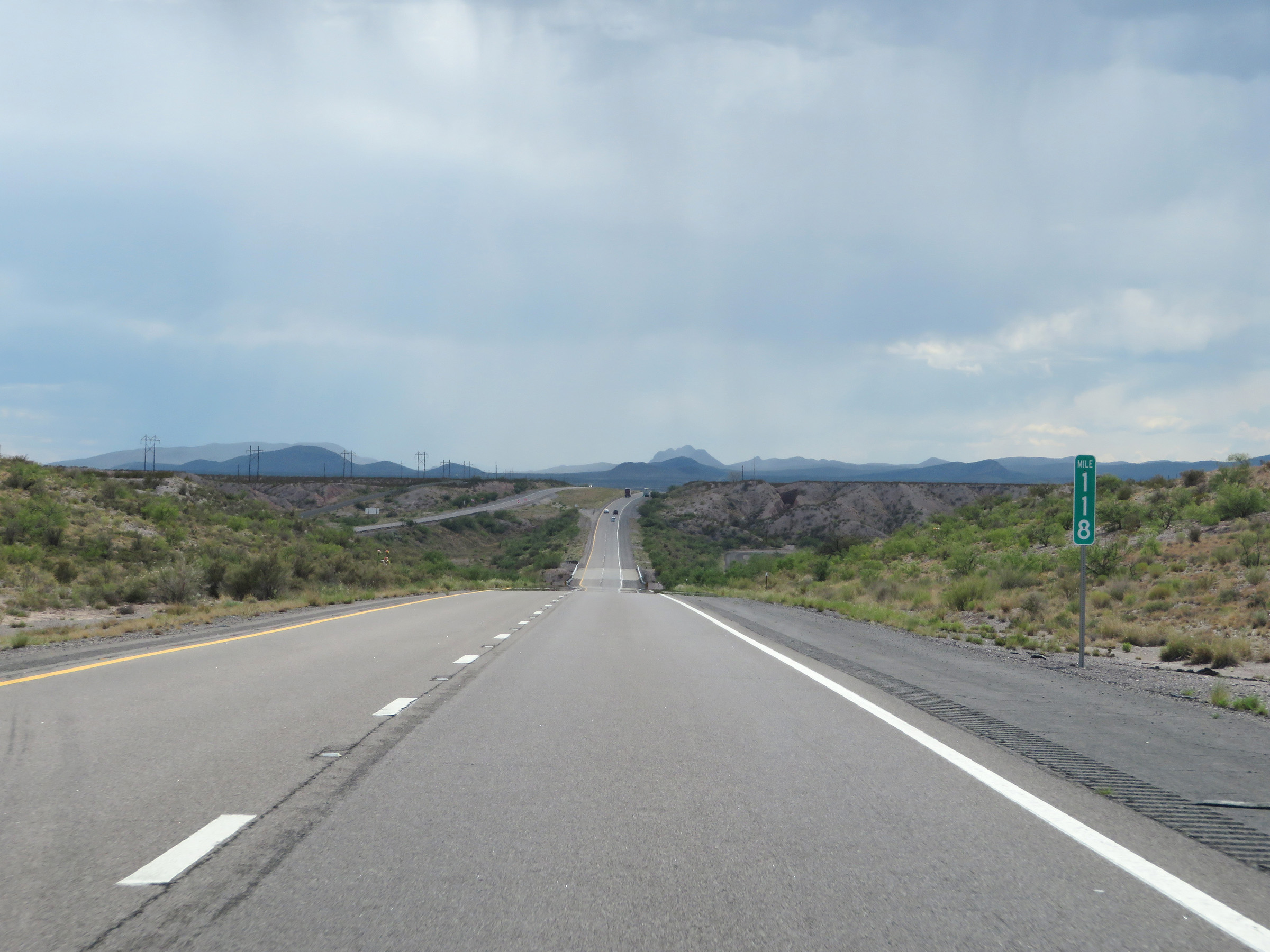 |
View on Interstate 25 South at mile marker 118. (Photo taken 8/13/20). |
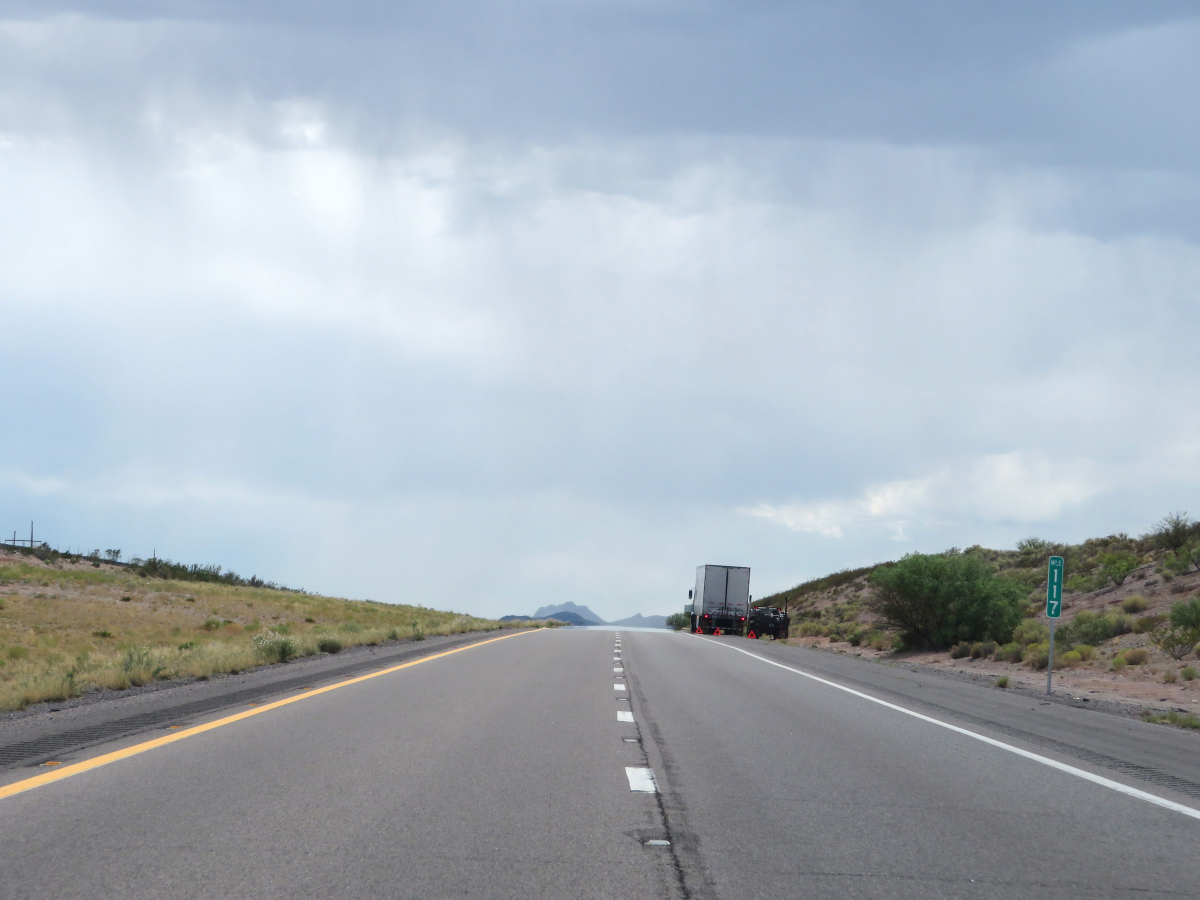 |
Mile marker 117 on Interstate 25 South in Socorro County. (Photo taken 8/13/20). |
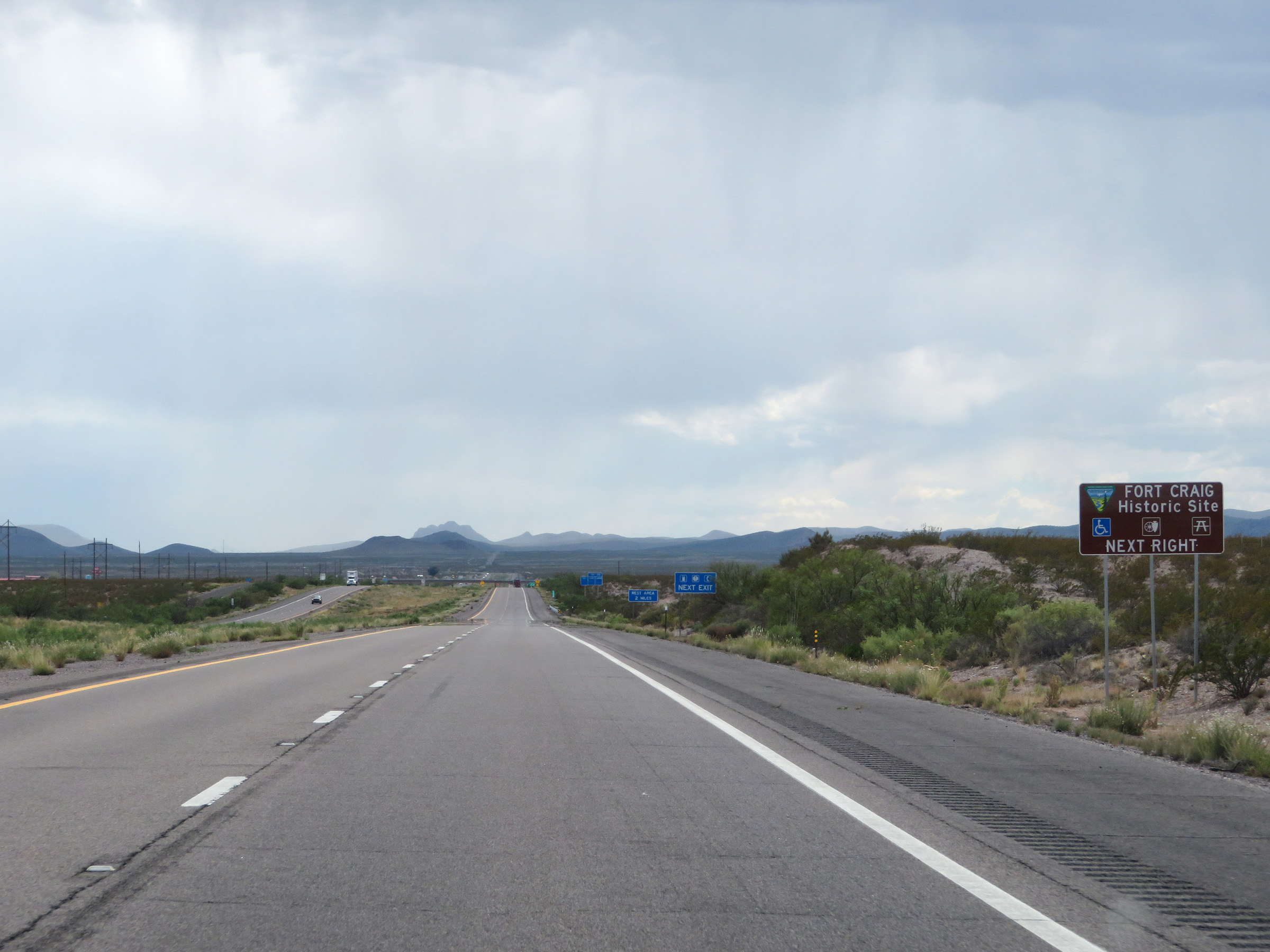 |
Fort Craig Historic Site can also be accessed via Exit 115. (Photo taken 8/13/20). |
 |
Interstate 25 South at Exit 115: NM 107 (Photo taken 8/13/20). |
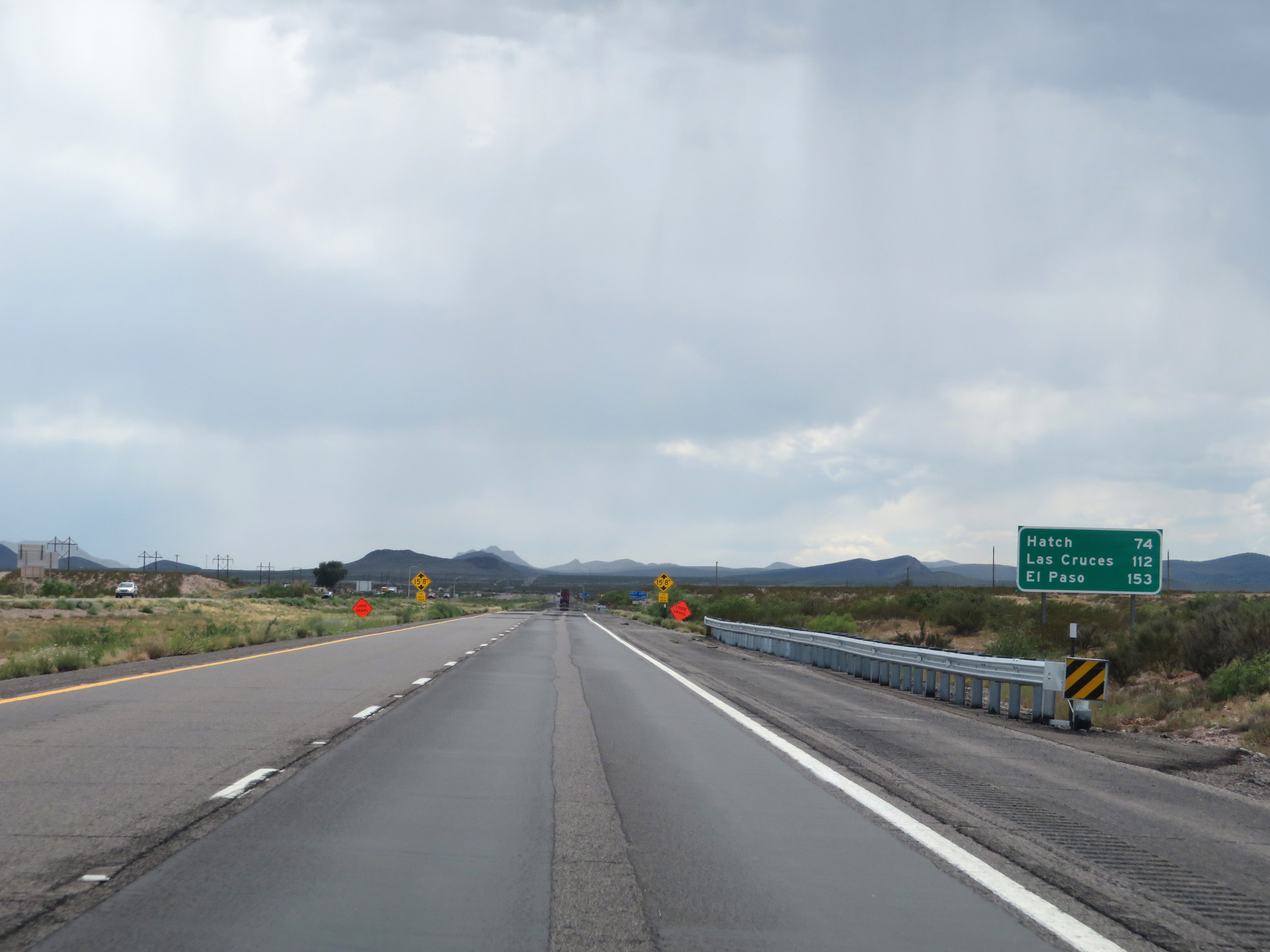 |
Another mileage sign on Interstate 25 South. It's 74 miles to Hatch, 112 miles to Las Cruces, and 153 miles to El Paso. (Photo taken 8/13/20). |
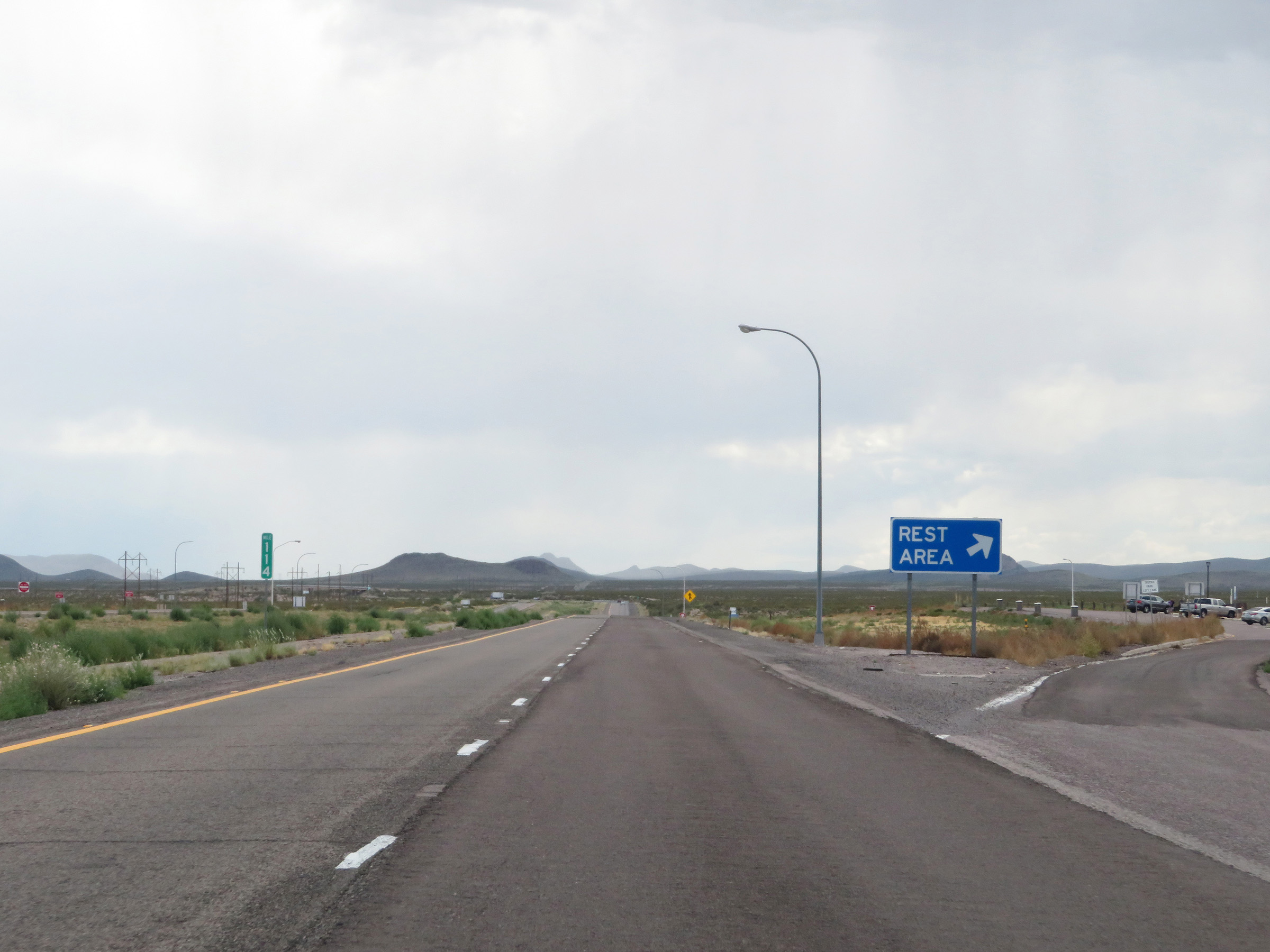 |
Rest Area on Interstate 25 South at mile marker 114 in southern Socorro County. (Photo taken 8/13/20). |
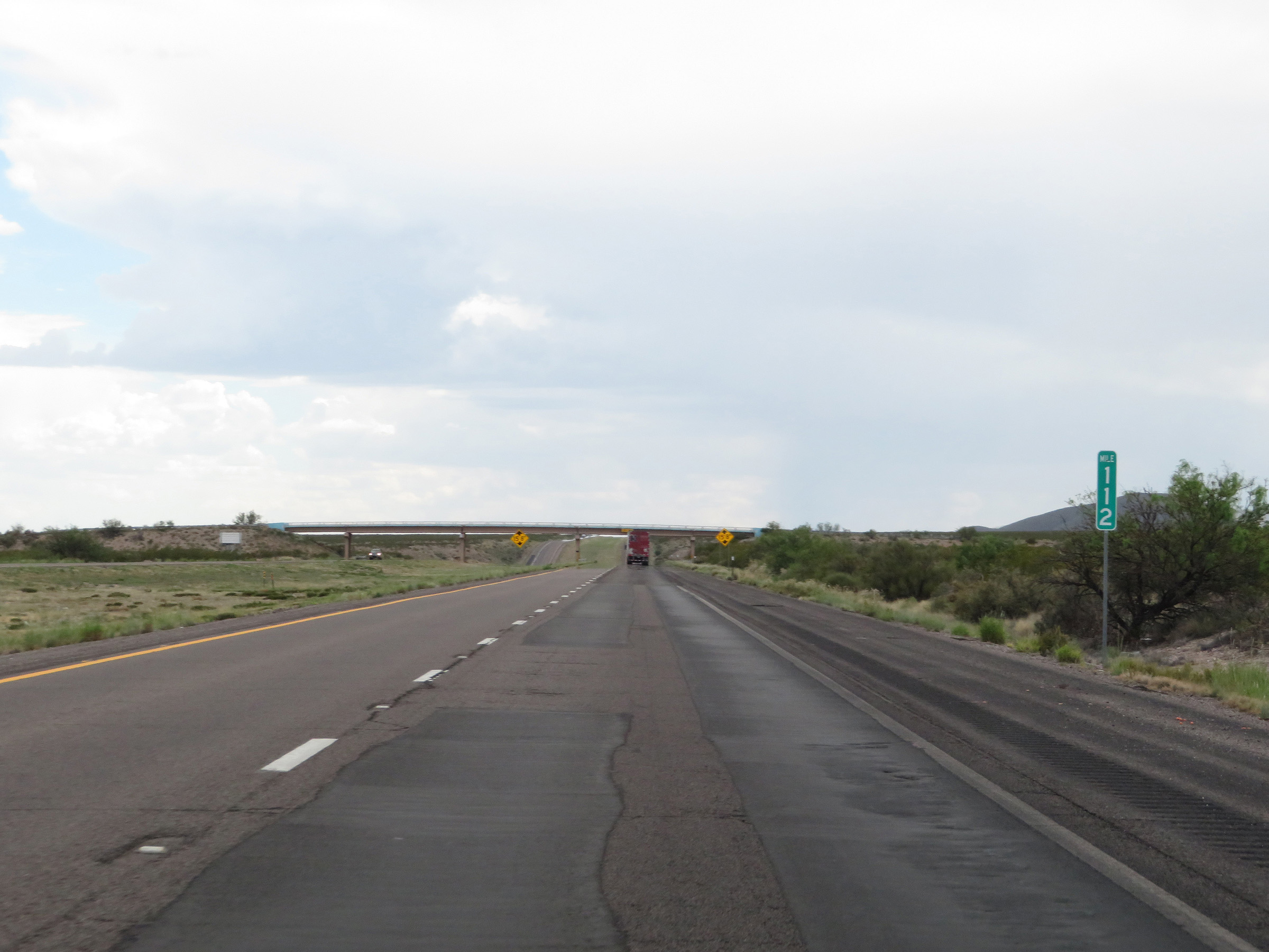 |
View on Interstate 25 South at mile marker 112. (Photo taken 8/13/20). |
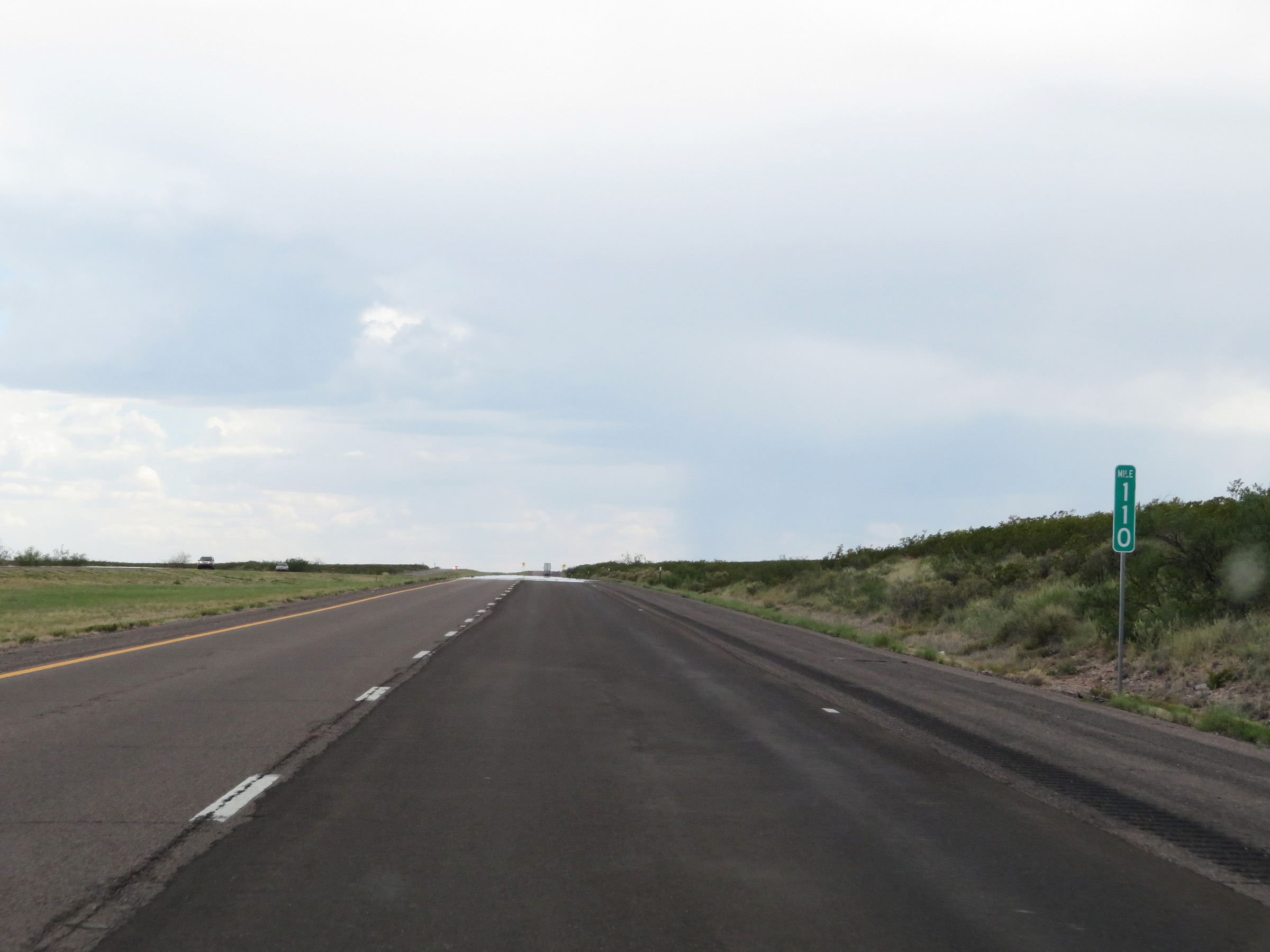 |
Interstate 25 South at mile marker 110. (Photo taken 8/13/20). |
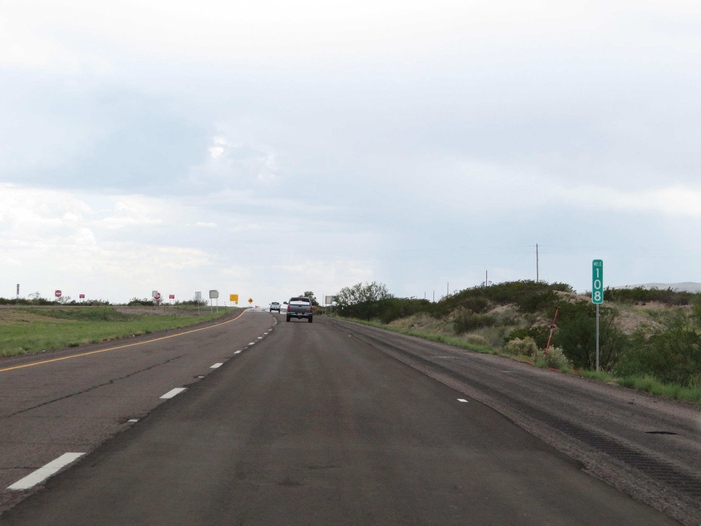 |
View on Interstate 25 South at mile marker 108. (Photo taken 8/13/20). |
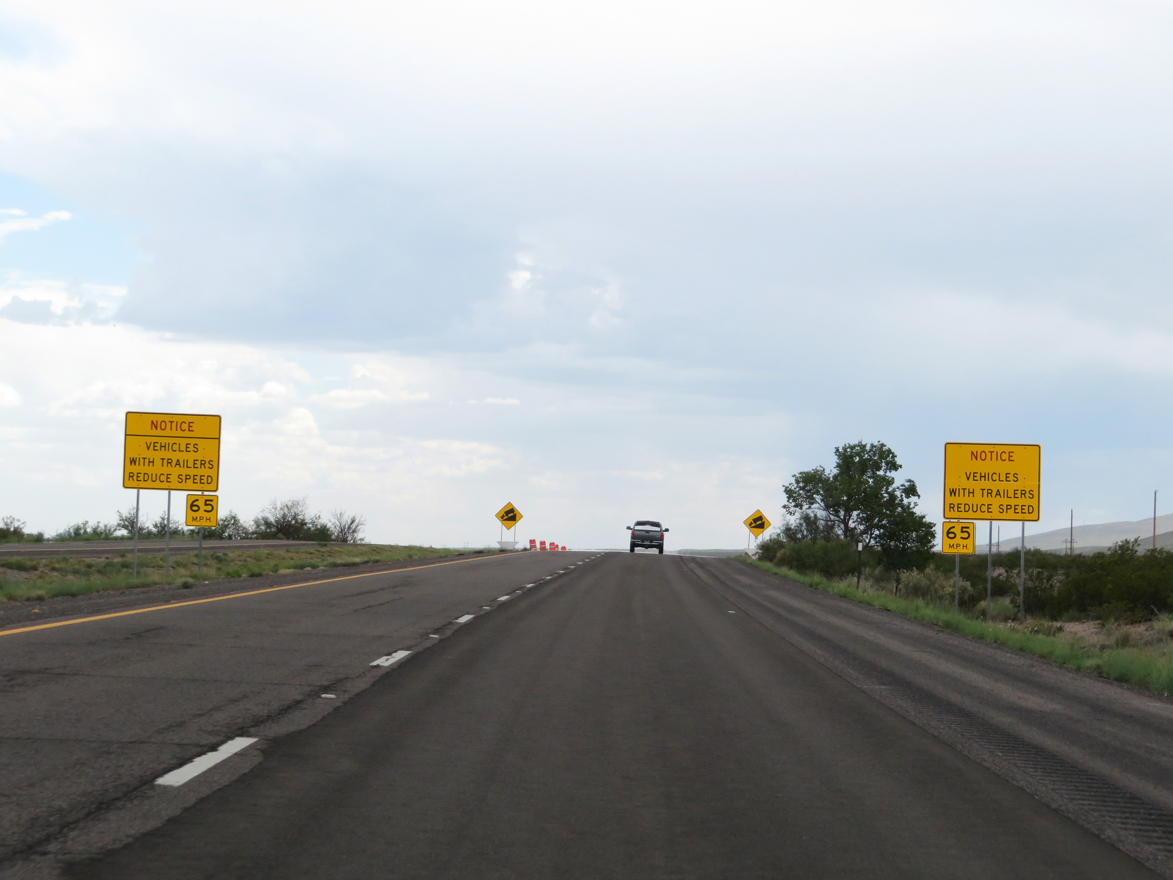 |
Ahead, Interstate 25 South will descend into Nogal Canyon. These signs warn trucks and vehicles with trailers that they should consider reducing their speed to 65 mph. (Photo taken 8/13/20). |
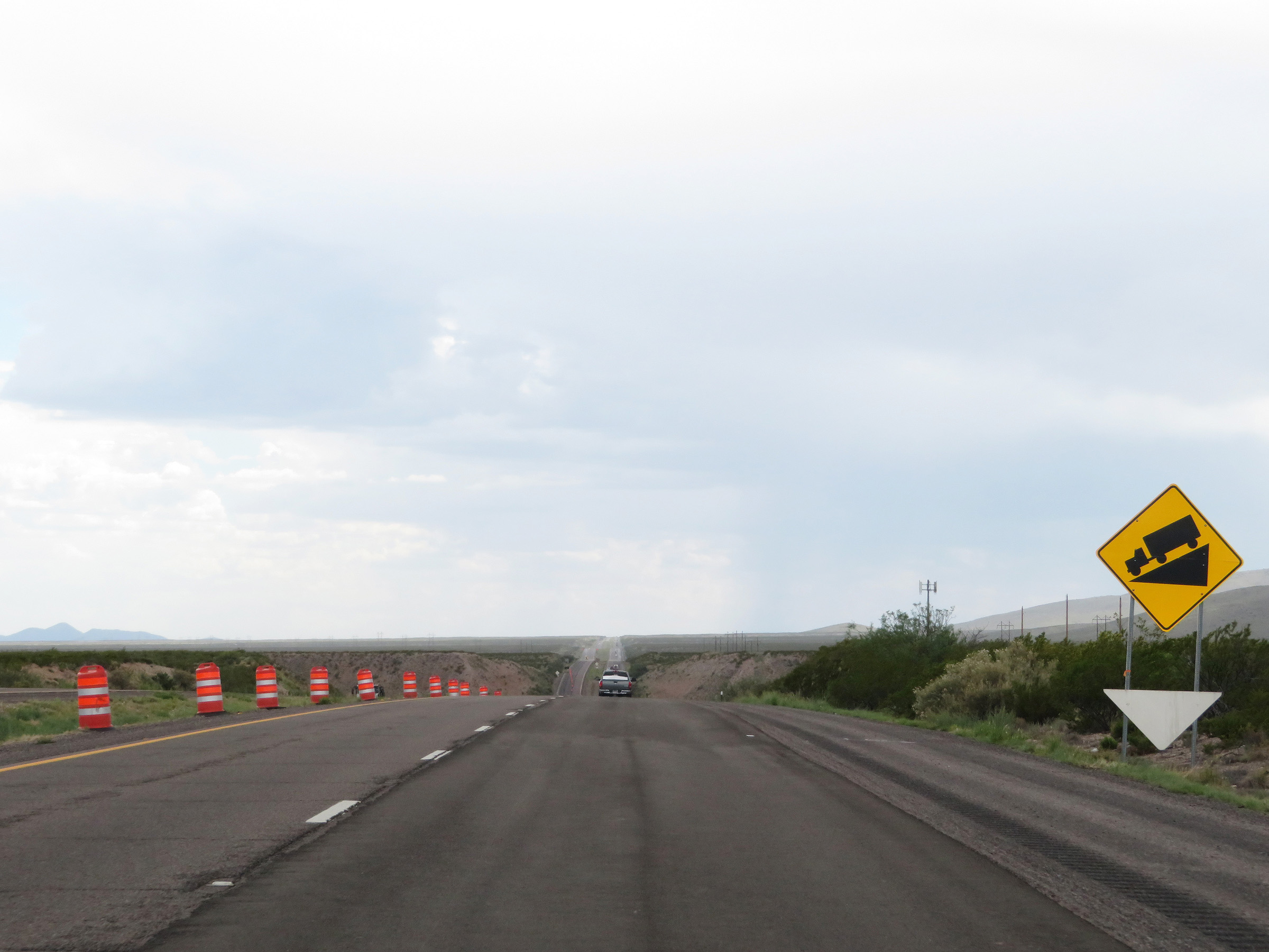 |
Warning sign alerting motorists of the steep (but brief) downgrade ahead as Interstate 25 South descends into Nogal Canyon, then climbs back out of it. (Photo taken 8/13/20). |
 |
As Interstate 25 South starts down the grade into Nogal Canyon, these signs warn that gusty winds may exist in the canyon. (Photo taken 8/13/20). |
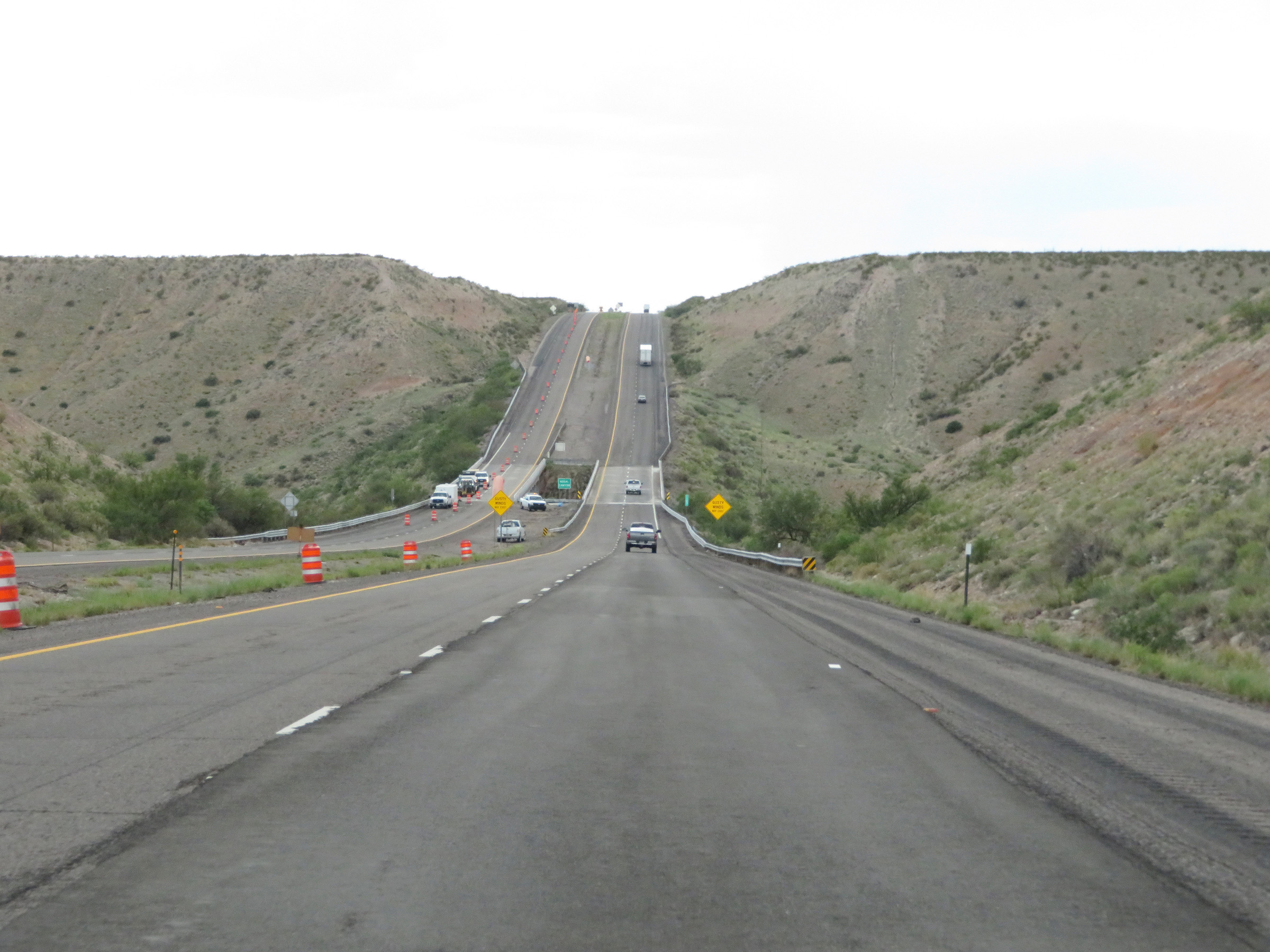 |
View on Interstate 25 South as it continues its steep descent into Nogal Canyon. (Photo taken 8/13/20). |
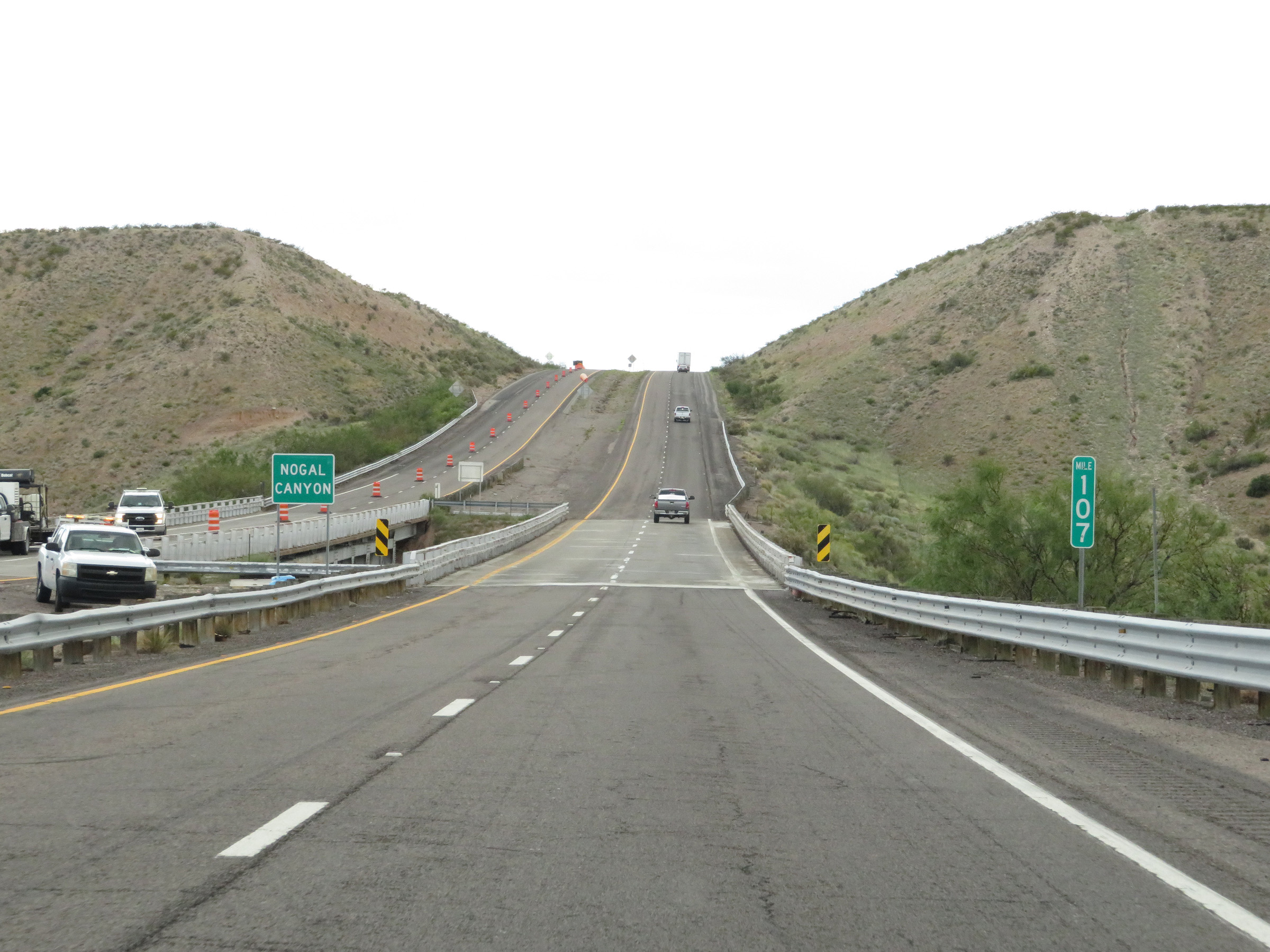 |
At mile marker 107, Interstate 25 South reaches the bottom of Nogal Canyon and prepares to climb right back up out of it. (Photo taken 8/13/20). |
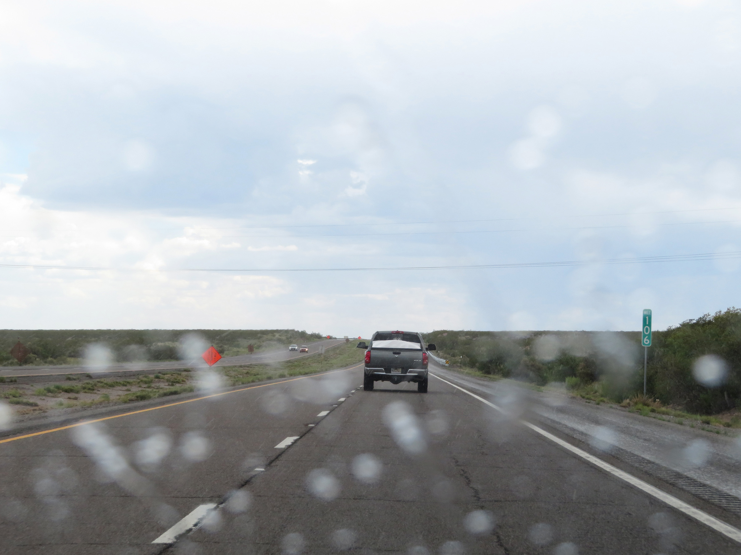 |
Interstate 25 South at mile marker 106, after climbing back out of Nogal Canyon. (Photo taken 8/13/20). |
 |
View on Interstate 25 South at mile marker 105. (Photo taken 8/13/20). |
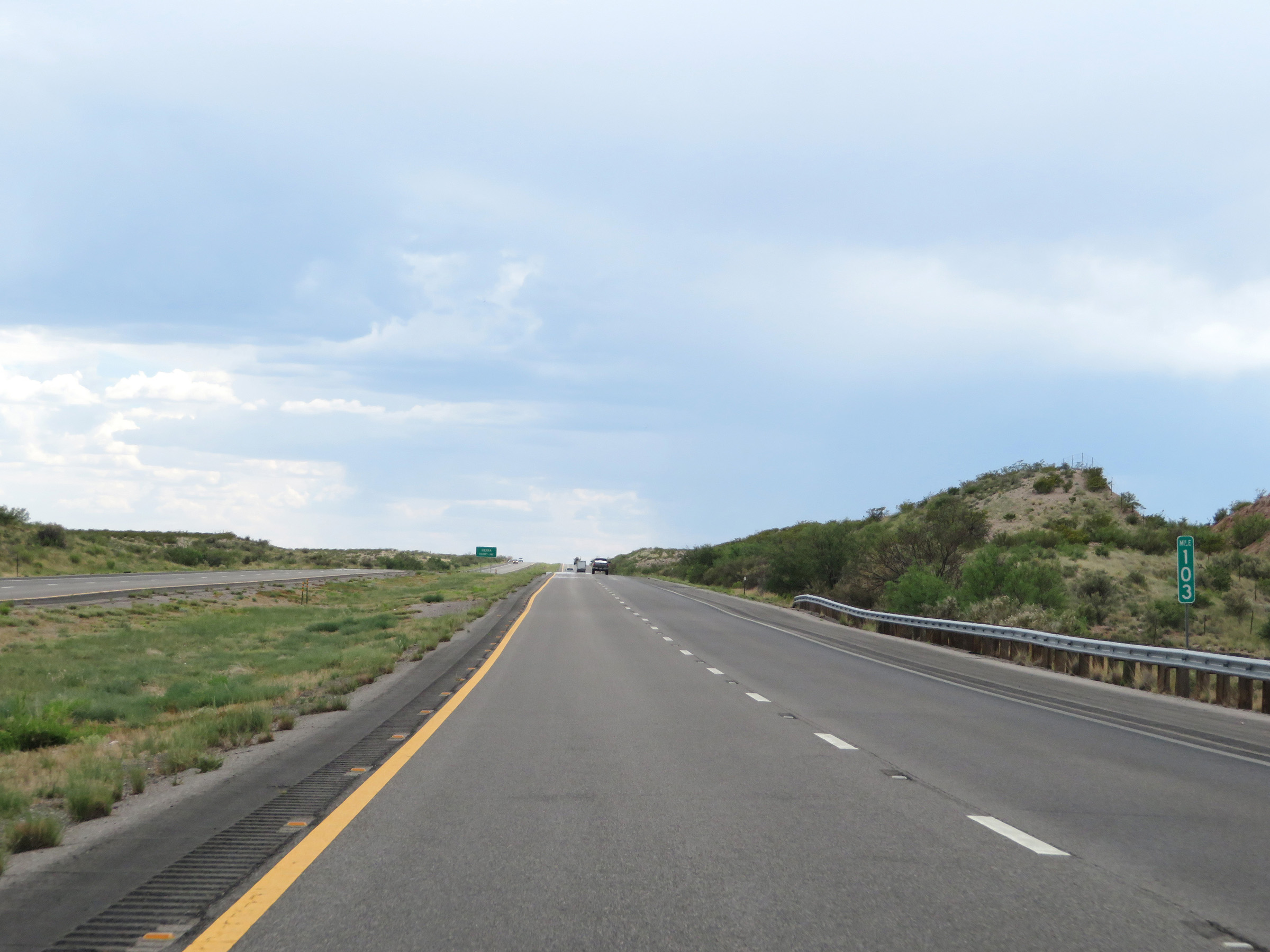 |
Interstate 25 South at mile marker 103. (Photo taken 8/13/20). |
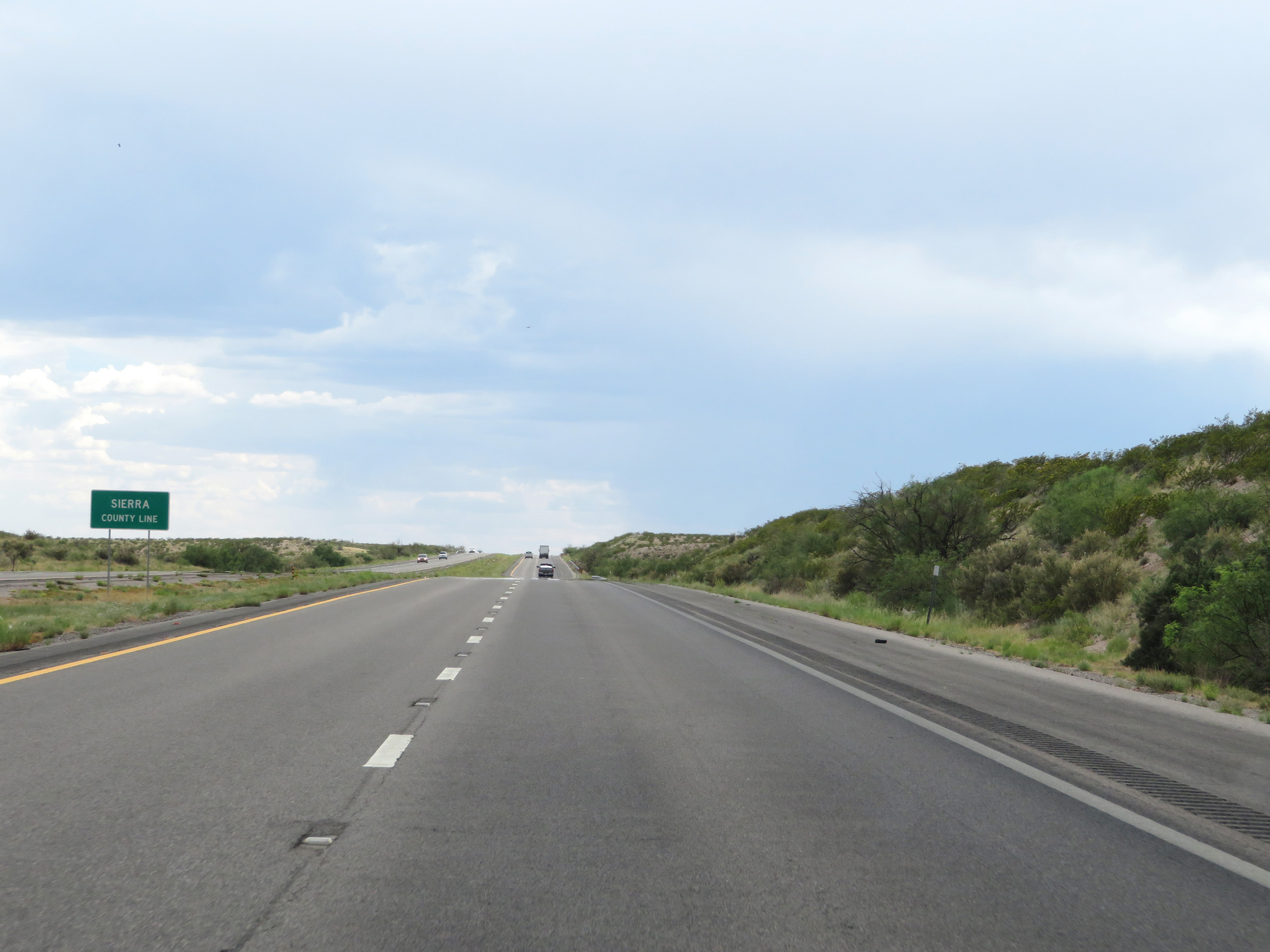 |
Just beyond mile marker 103, Interstate 25 South enters Sierra County. (Photo taken 8/13/20). |
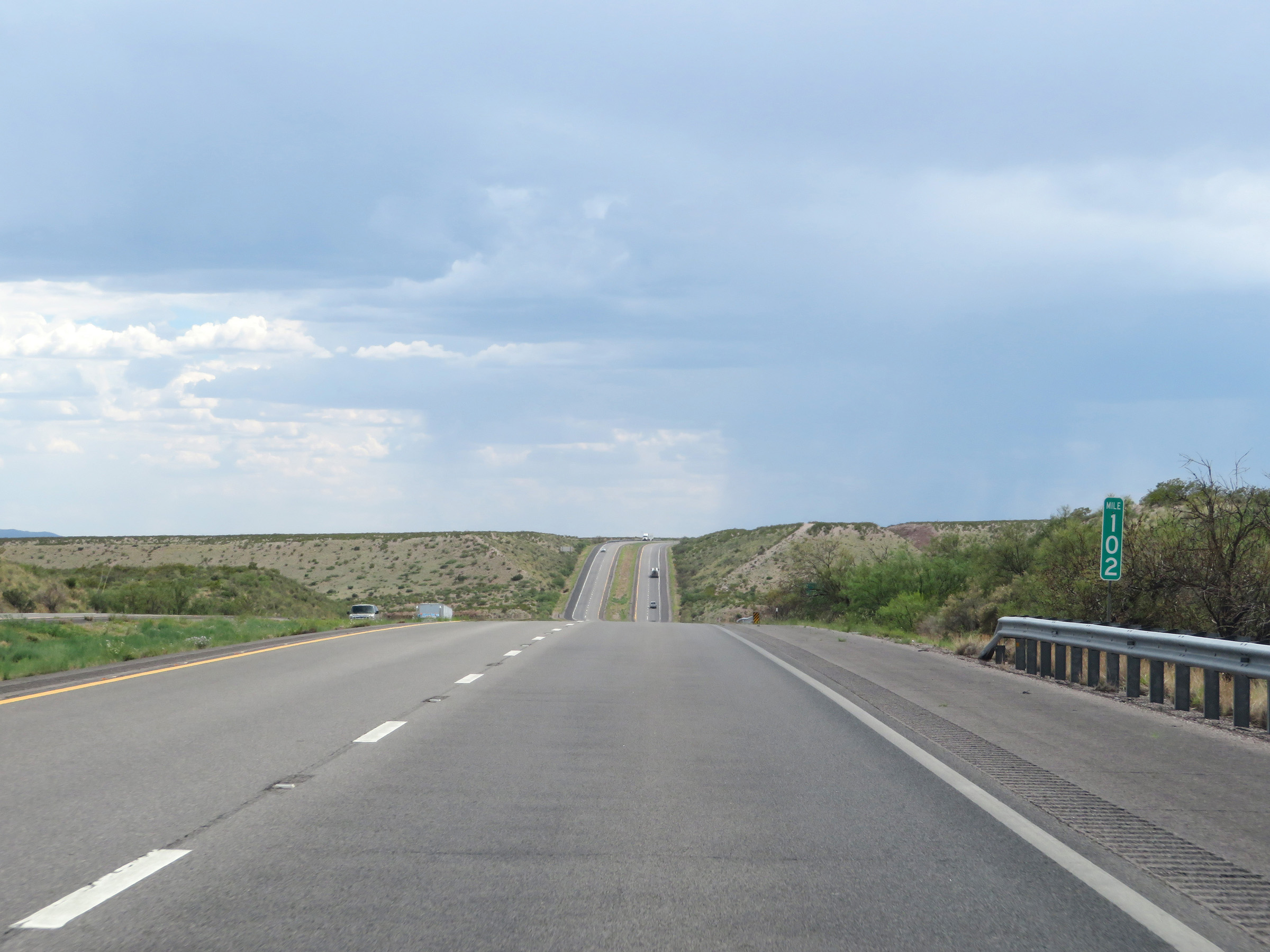 |
View on Interstate 25 South at mile marker 102. (Photo taken 8/13/20). |
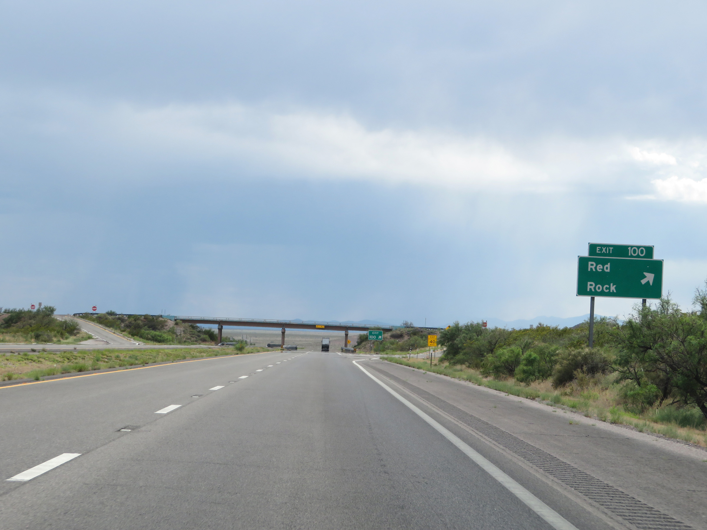 |
Interstate 25 South at Exit 100: Red Rock (Photo taken 8/13/20). |
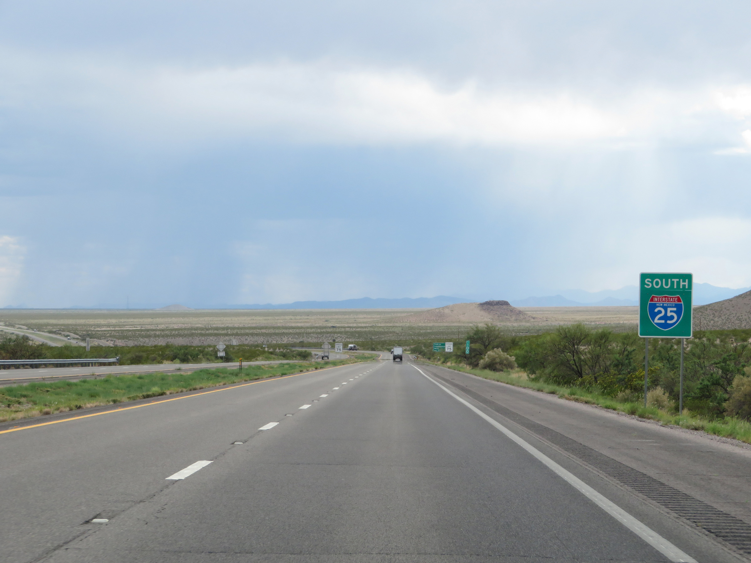 |
Another non-cutout, state-named Interstate 25 South reassurance shield at mile marker 100. (Photo taken 8/13/20). |
 |
The speed limit remains 75 mph on Interstate 25 South. This is the standard speed limit on most rural sections of Interstate highway in New Mexico. (Photo taken 8/13/20). |
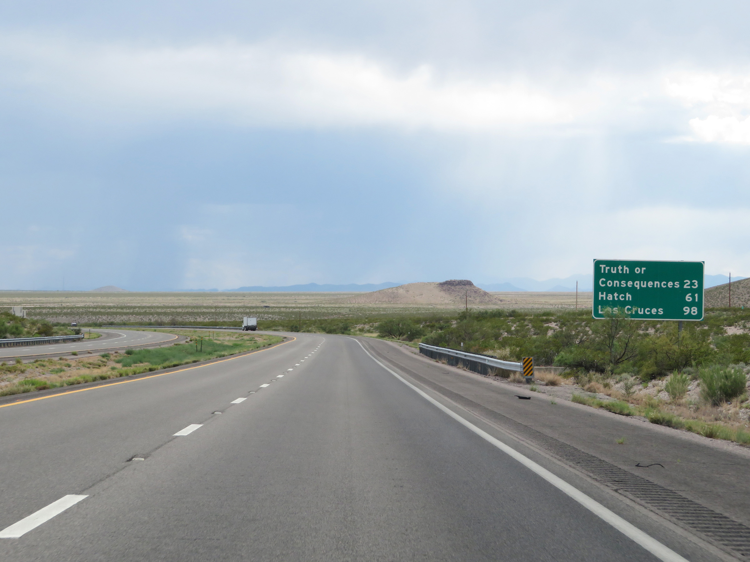 |
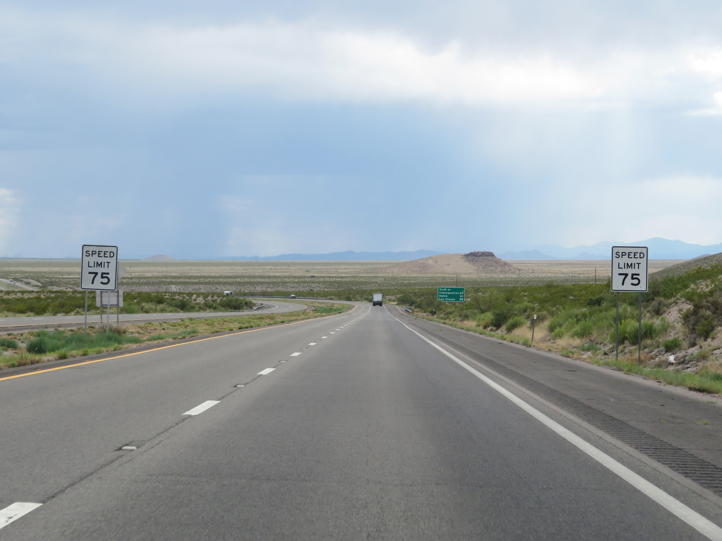
Another mileage sign on Interstate 25 South. It's 23 miles to Truth or Consequences, 61 miles to Hatch, and 98 miles to Las Cruces. (Photo taken 8/13/20). |
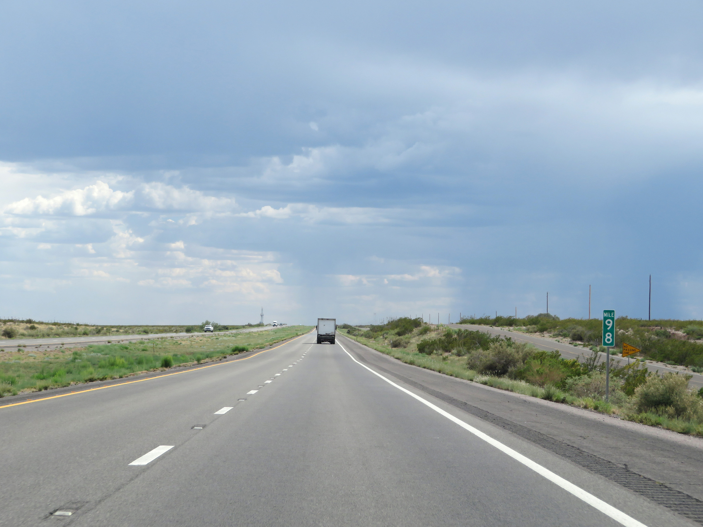 |
View on Interstate 25 South at mile marker 98. (Photo taken 8/13/20). |
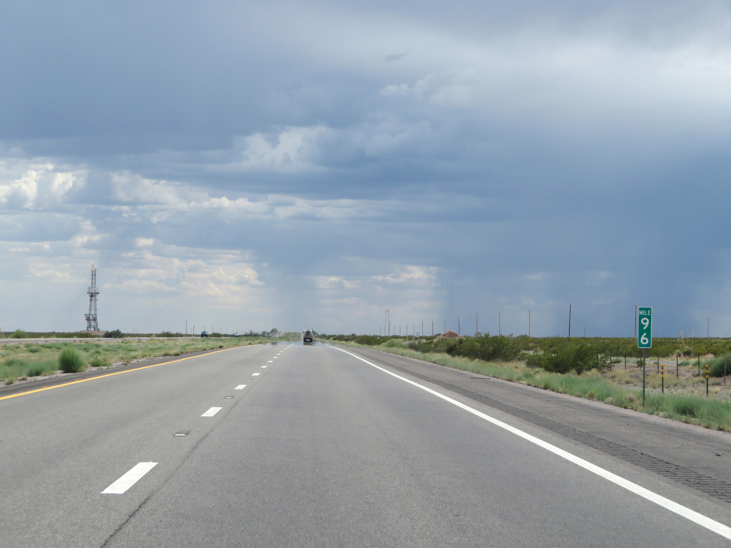 |
Interstate 25 South at mile marker 96. (Photo taken 8/13/20). |
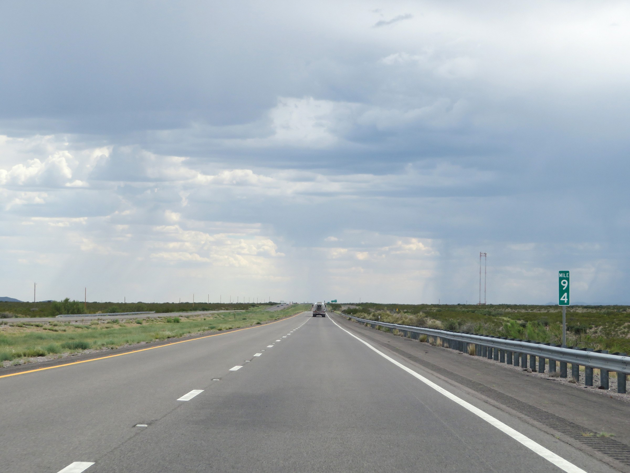 |
View on Interstate 25 South at mile marker 94. (Photo taken 8/13/20). |
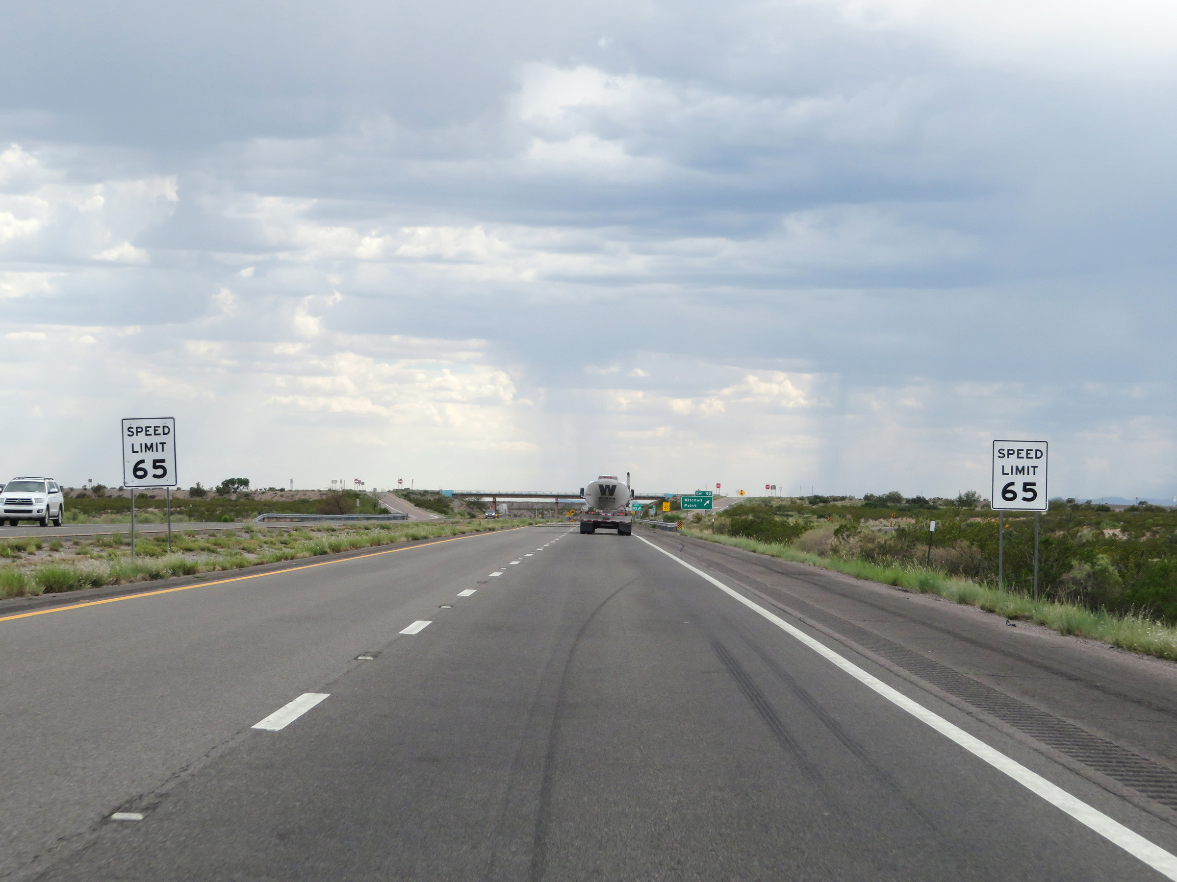 |
Approaching Exit 92, the speed limit decreases to 65 mph, as it prepares to traverse another steep downgrade into another valley, known as La Canada Alamosa. (Photo taken 8/13/20). |
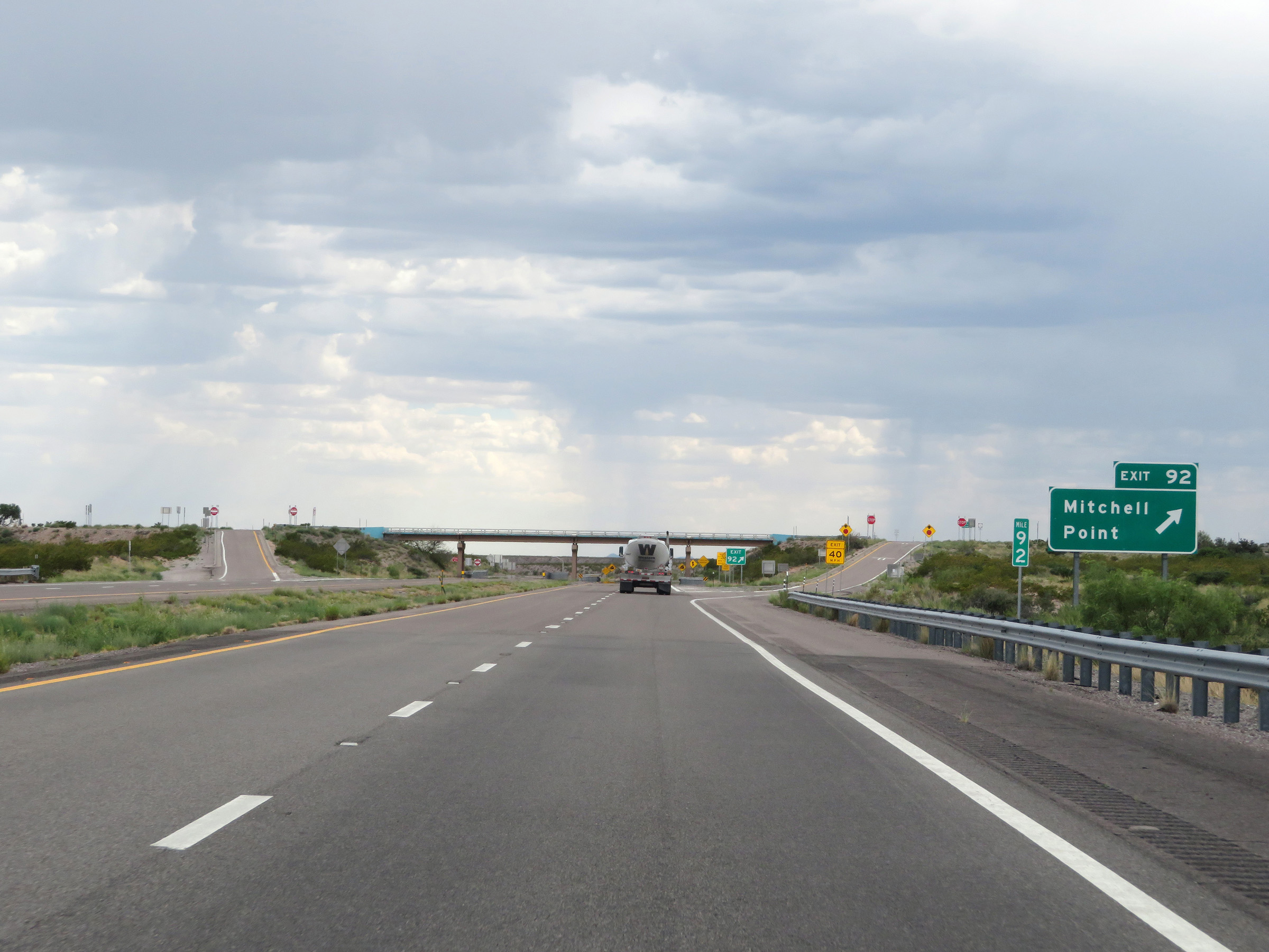 |
Interstate 25 South at Exit 92: Mitchell Point (Photo taken 8/13/20). |
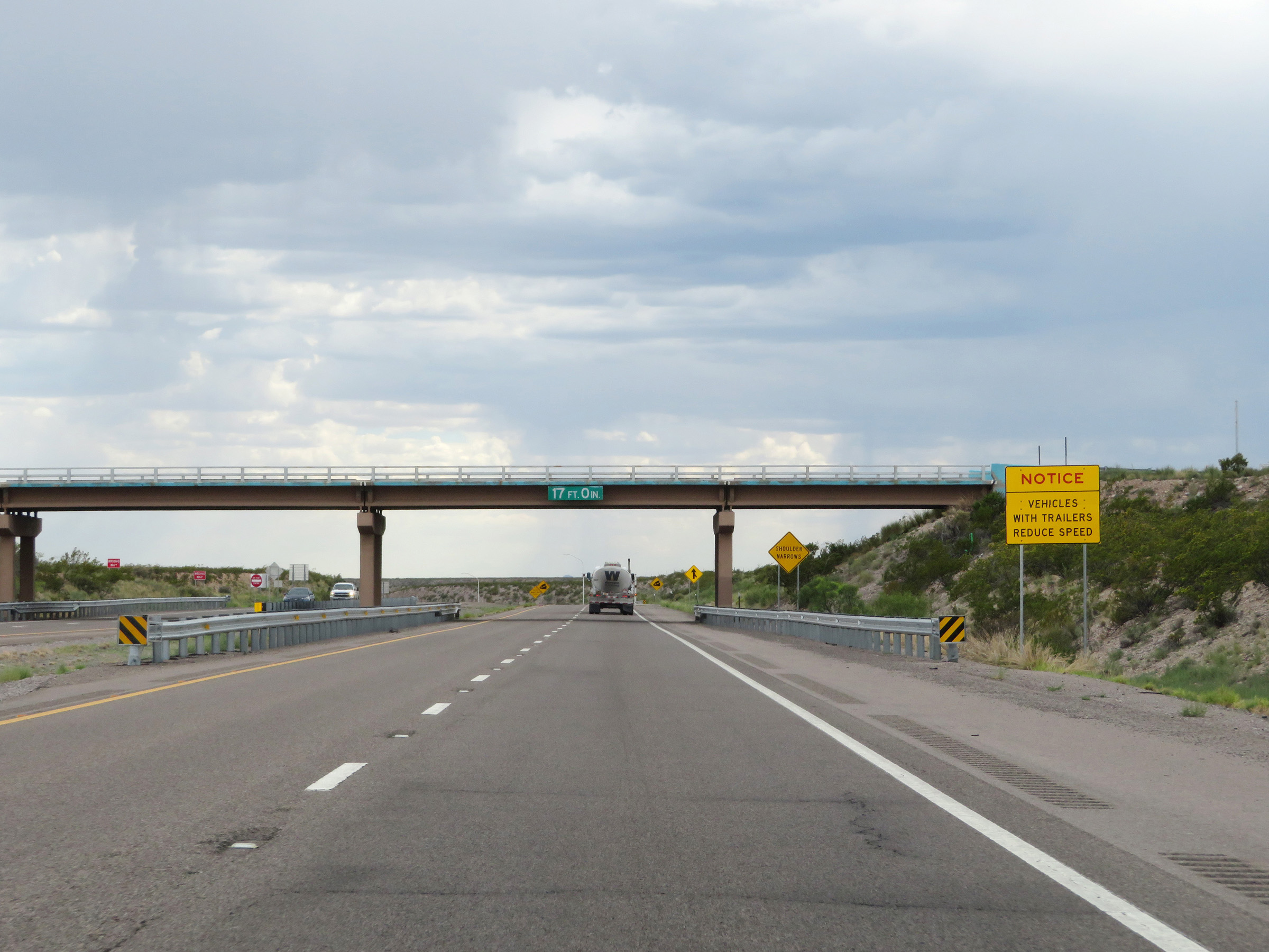 |
Approaching the start of the downgrade into La Canada Alamosa, this sign warns vehicles with trailers to reduce their speed in preparation. (Photo taken 8/13/20). |
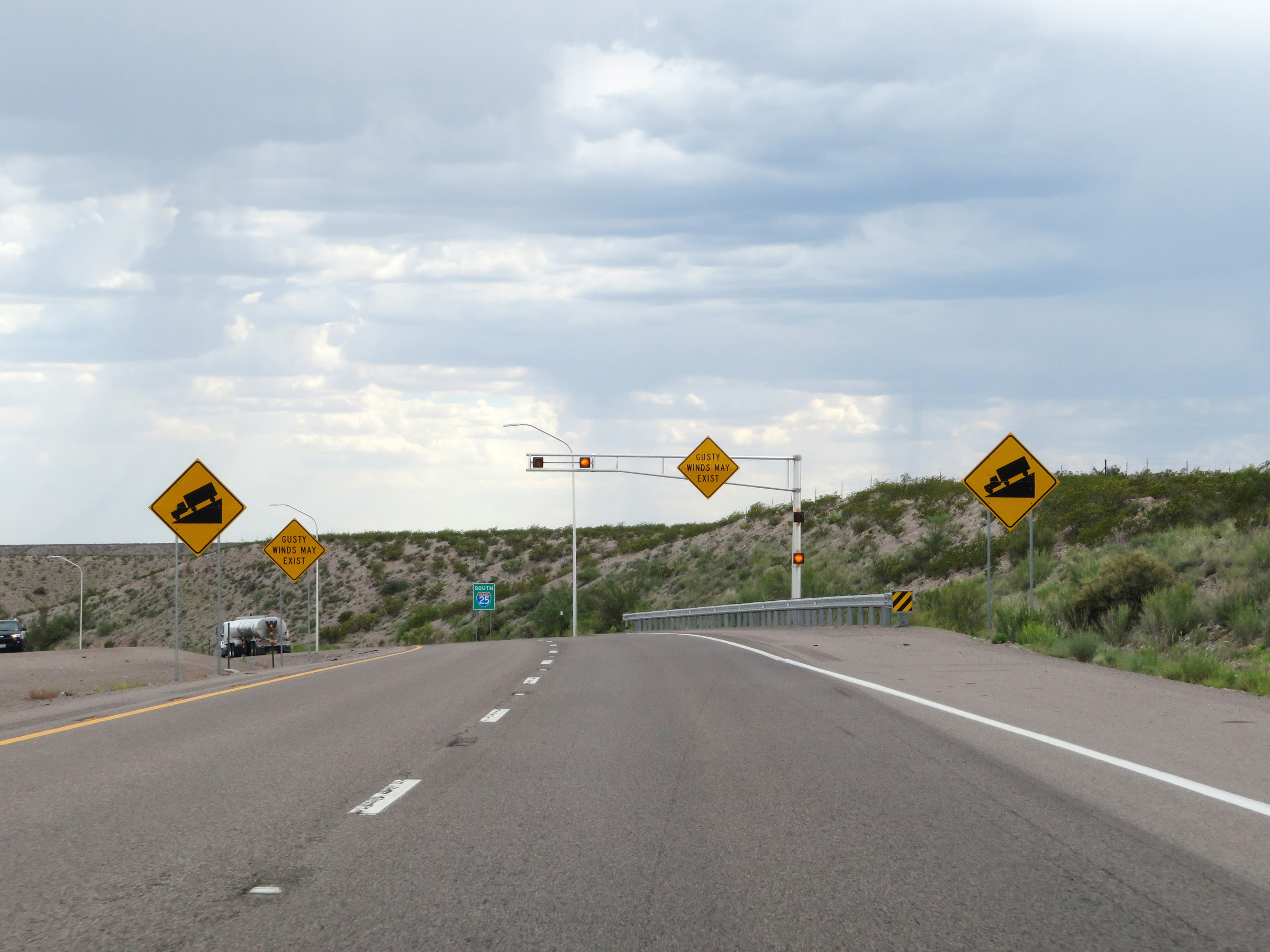 |
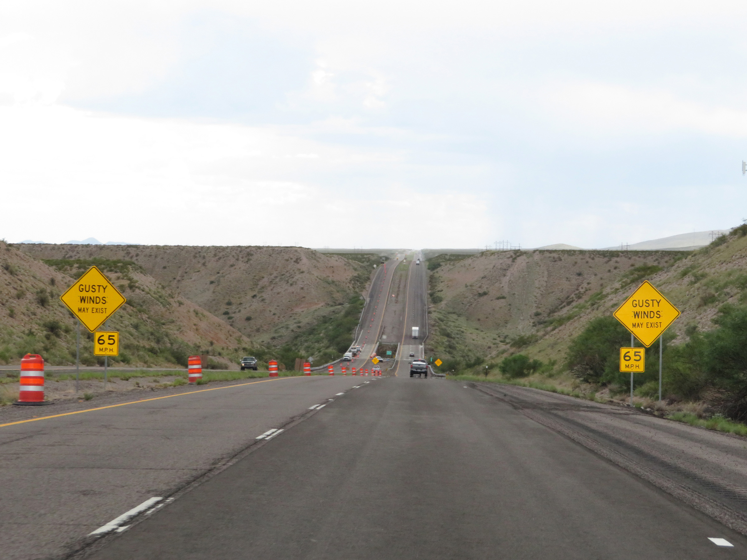
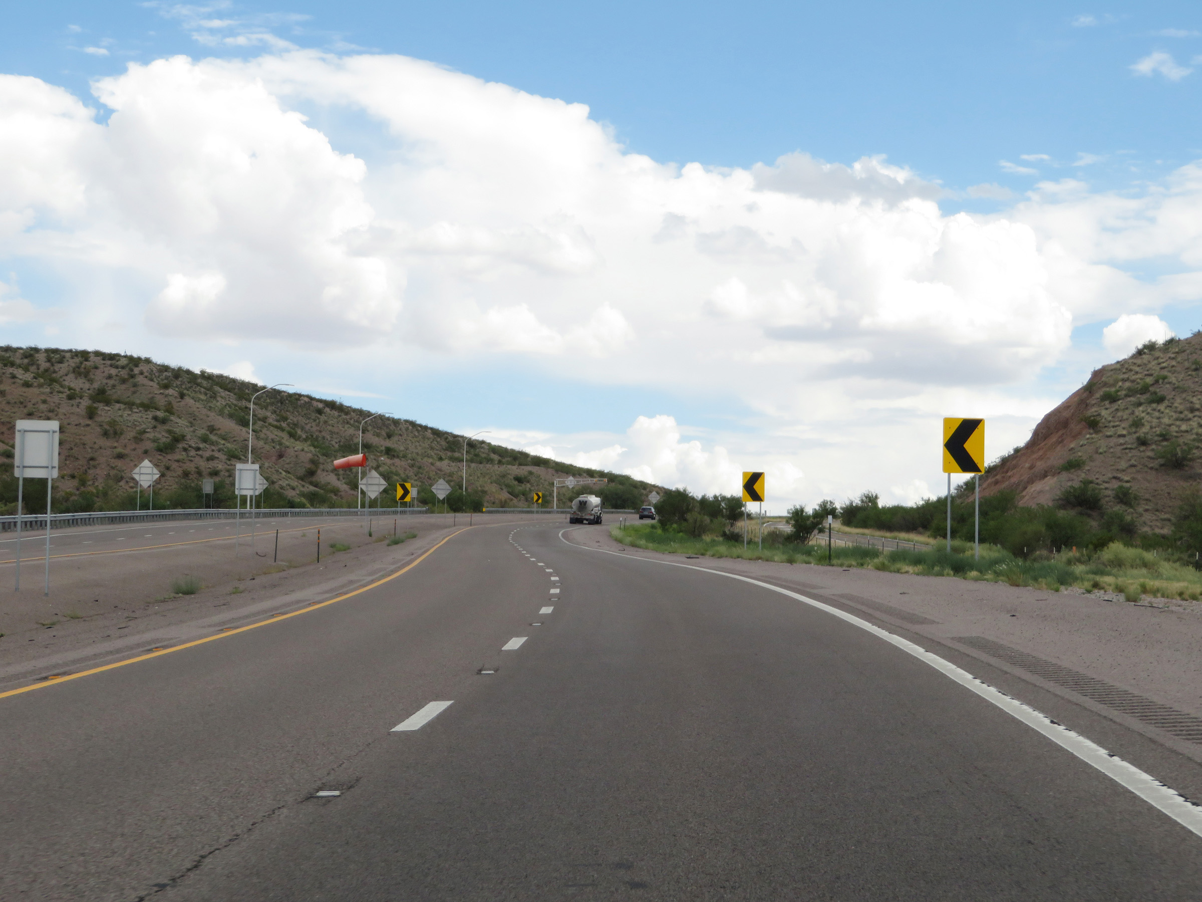
Warning signs as Interstate 25 South starts down the steep grade into La Canada Alamosa. One set warns of the downgrade (although it omits details on the length or steepness of the grade) while the other set warns of possible gusty winds. (Photo taken 8/13/20). |
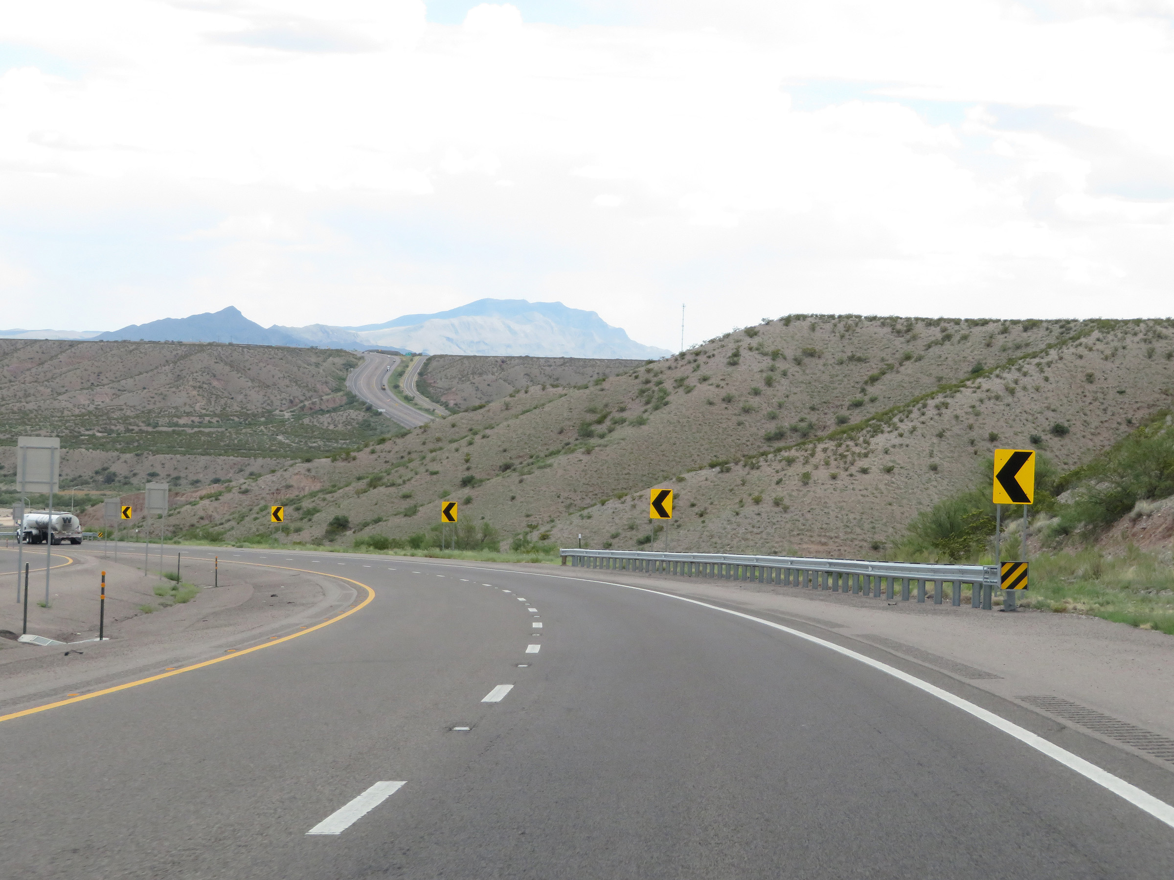 |
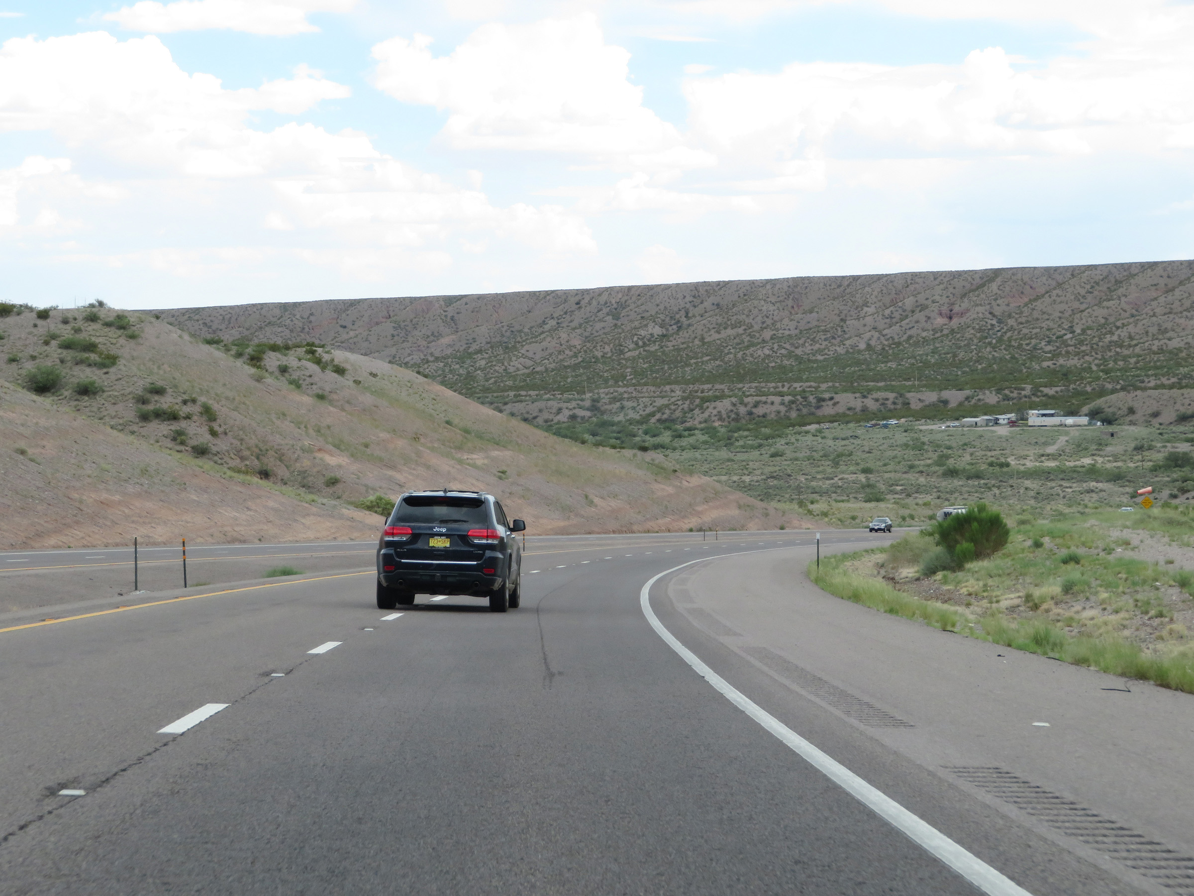
View on Interstate 25 South as it starts down the grade into the valley. In the distances, you can see I-25 on the other summit of the valley. During both the descent into the valley and the climb out, winding curves exist. (Photo taken 8/13/20). |
 |
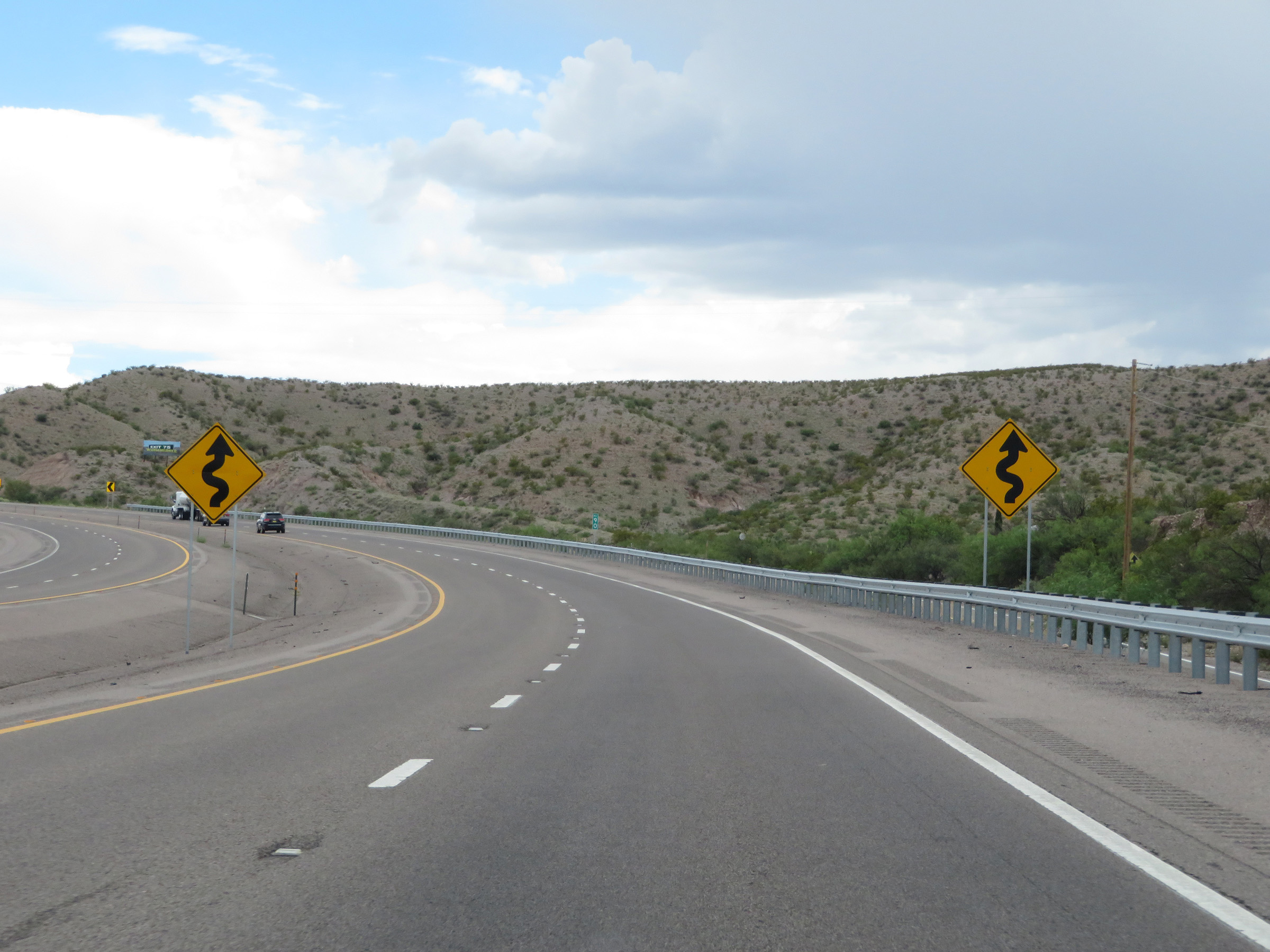
Supporting what I stated in the last photo caption, these signs warns of winding curves ahead on Interstate 25 South as it descends into La Canada Alamosa. (Photo taken 8/13/20). |
 |
View on Interstate 25 South at mile marker 91, as it continues to descend into La Canada Alamosa. (Photo taken 8/13/20). |
 |
Another view on Interstate 25 South as it traverses the downgrade. (Photo taken 8/13/20). |
 |
Interstate 25 South as the bottom of the valley comes into view. (Photo taken 8/13/20). |
 |
Interstate 25 South as it reaches the bottom of La Canada Alamosa. (Photo taken 8/13/20). |
 |
As Interstate 25 South begins to climb back out of La Canada Alamosa, these signs warn that the winding curves continue. (Photo taken 8/13/20). |
 |
View on Interstate 25 South beyond mile marker 90, as it continues its steep climb out of the valley. (Photo taken 8/13/20). |
 |
Interstate 25 South as it continues to climb up out of La Canada Alamosa. (Photo taken 8/13/20). |
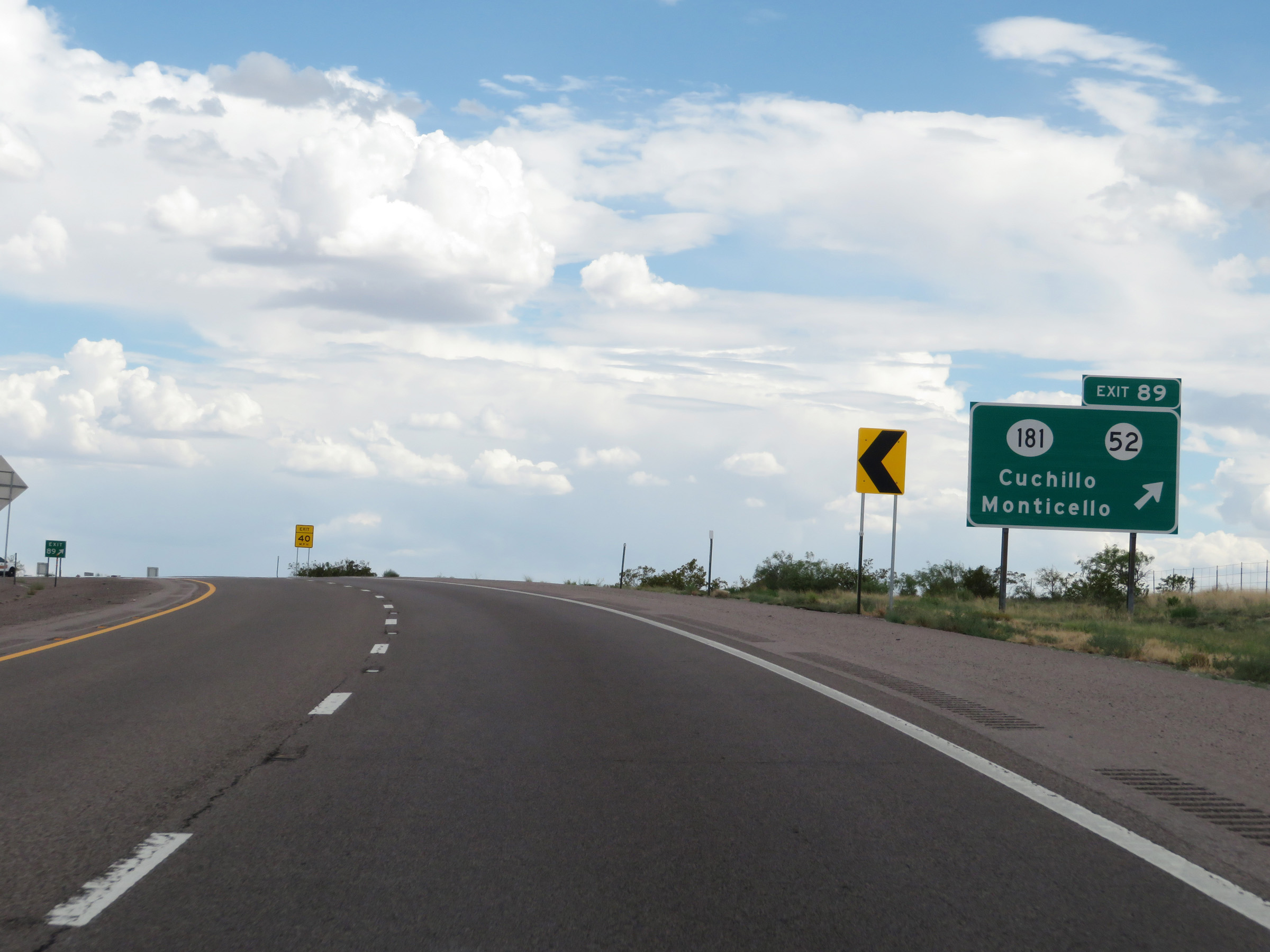 |
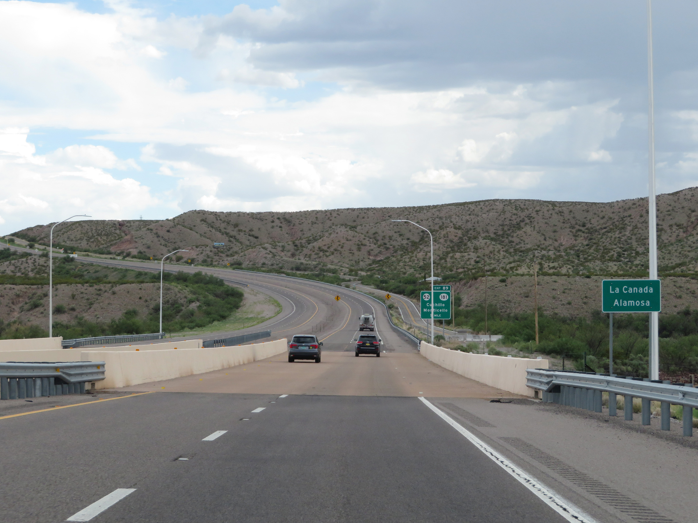
Interstate 25 South at Exit 89: NM 181 / NM 52 - Cuchillo / Monticello (Photo taken 8/13/20). |
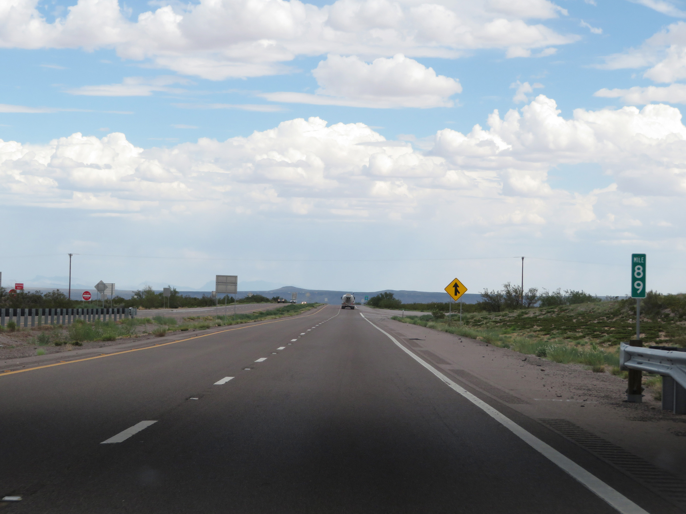 |
View on Interstate 25 South at mile marker 89, as it reaches the top of the climb out of the valley. (Photo taken 8/13/20). |
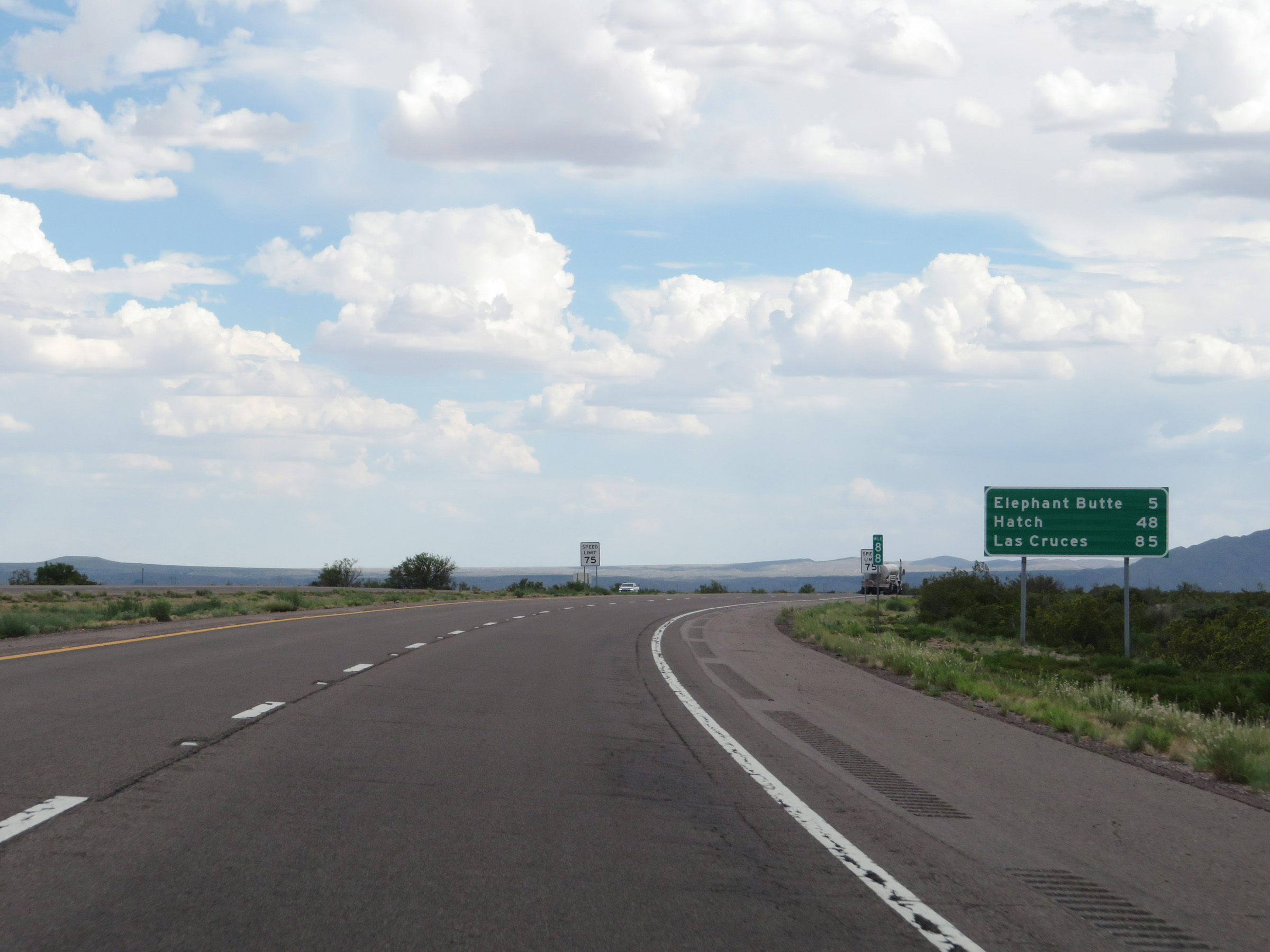 |
Mileage sign at mile marker 88. It's 5 miles to Elephant Butte, 48 miles to Hatch, and 85 miles to Las Cruces. (Photo taken 8/13/20). |
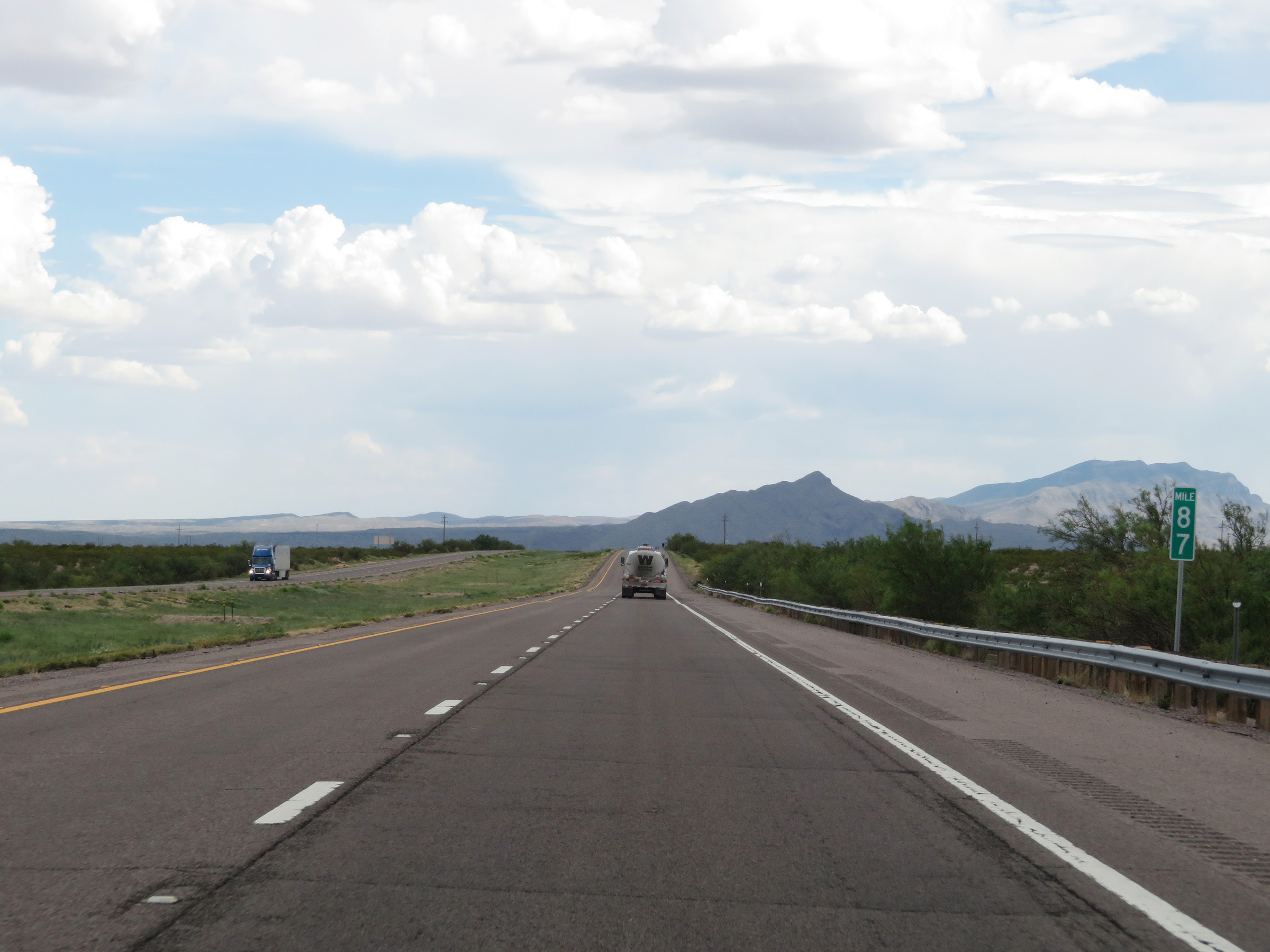 |
Interstate 25 South at mile marker 87. (Photo taken 8/13/20). |
 |
View on Interstate 25 South at mile marker 85. (Photo taken 8/13/20). |
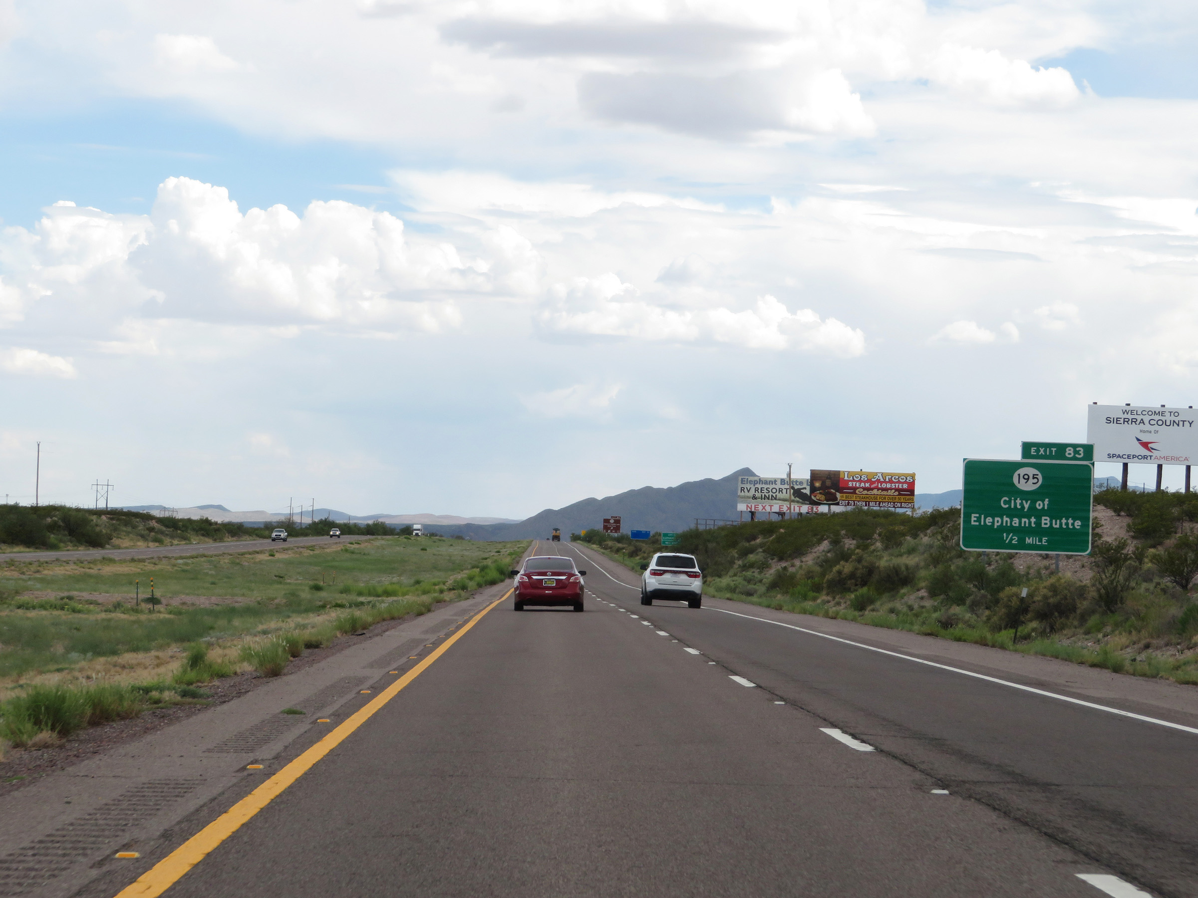 |
Take Exit 83 to the City of Elephant Butte. (Photo taken 8/13/20). |
 |
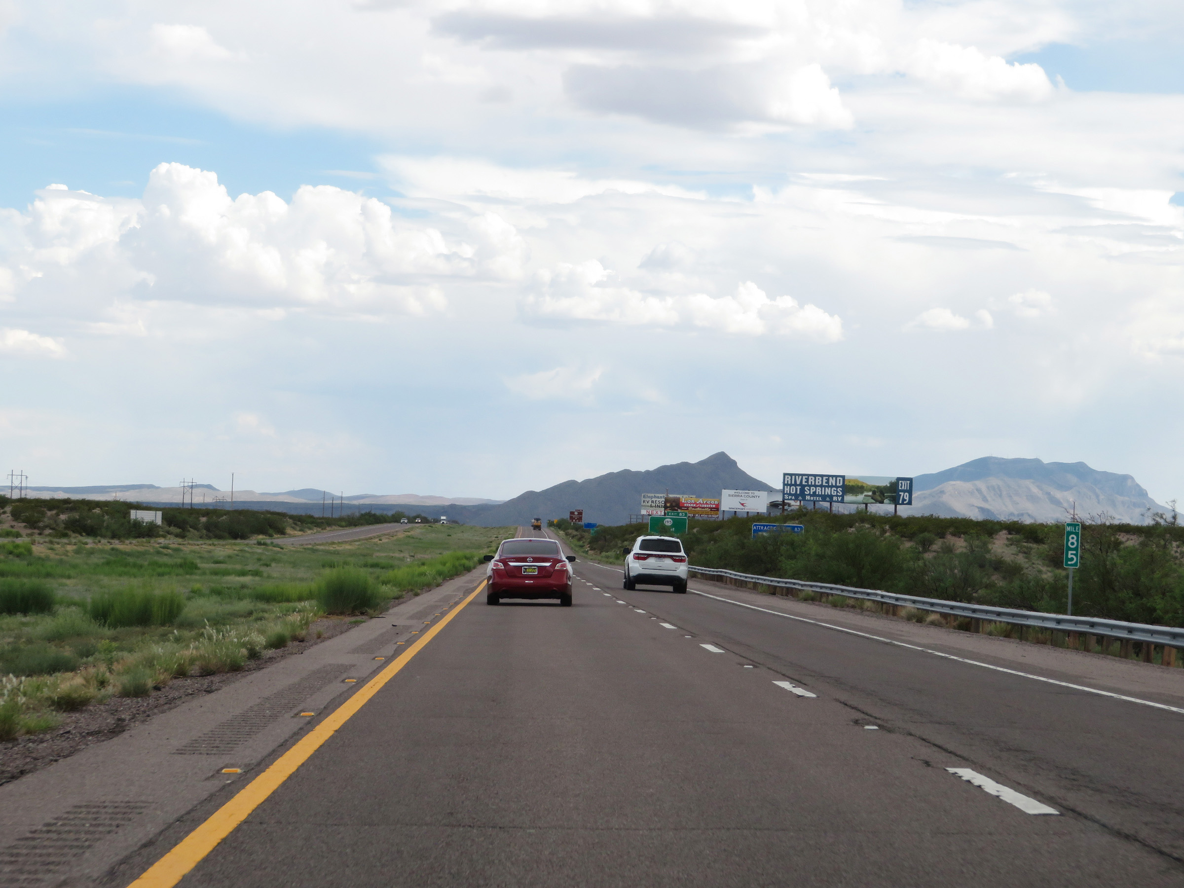
Interstate 25 South at Exit 83: NM 195 - Elephant Butte Lake State Park (Photo taken 8/13/20). |
Section 8: Truth or Consequences (Exit 83) to Hatch (Exit 41)
 |
View on Interstate 25 South at mile marker 83. (Photo taken 8/13/20). |
 |
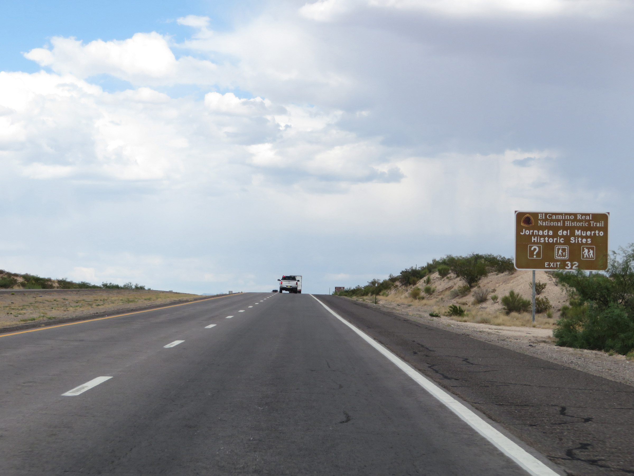
Take Exit 79 to El Camino Real National Historic Trail and Jornada del Muerto Historic Sites. (Photo taken 8/13/20). |
 |
Interstate 25 South at mile marker 81. (Photo taken 8/13/20). |
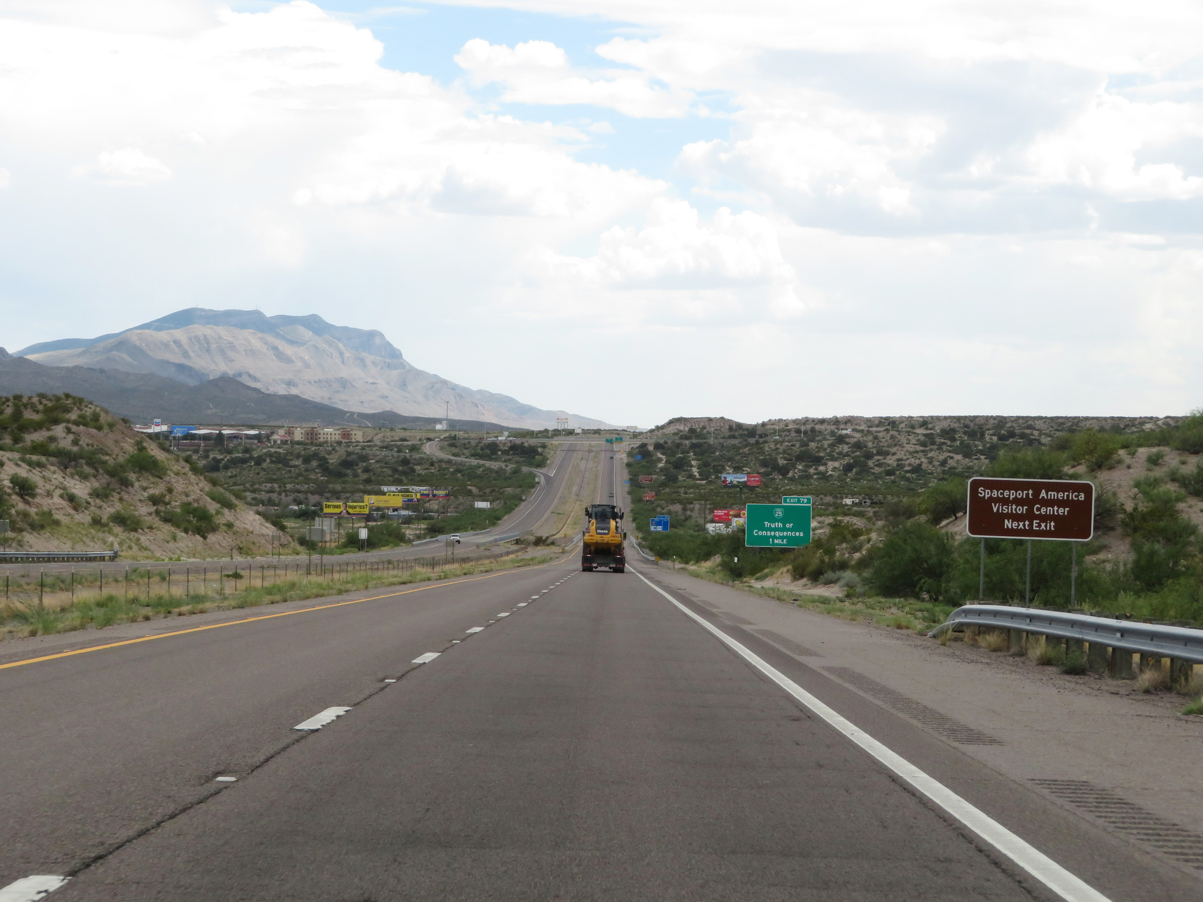 |
Also take Exit 79 to the Spaceport America Visitor Center. (Photo taken 8/13/20). |
 |
Take Exit 79 to the Hot Springs Historic District, Geronimo Springs Museum, and Veterans Memorial Park & Museum. (Photo taken 8/13/20). |
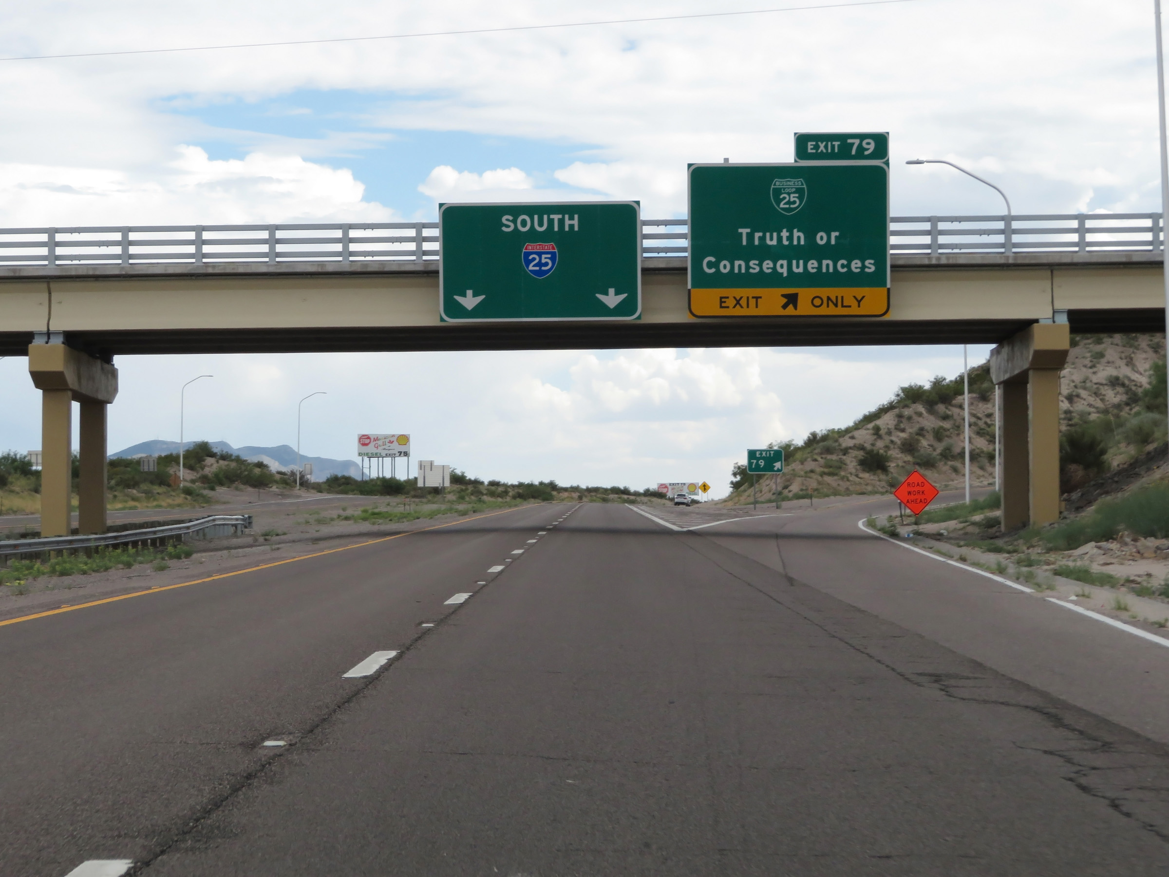 |
Interstate 25 South at Exit 79: Interstate 25 Business Loop - Truth or Consequences (Photo taken 8/13/20). |
 |
Non-cutout, state-named Interstate 25 South reassurance shield in Truth or Conseqences. (Photo taken 8/13/20). |
 |
The speed limit remains 75 mph for all traffic through the Truth or Consequences area. (Photo taken 8/13/20). |
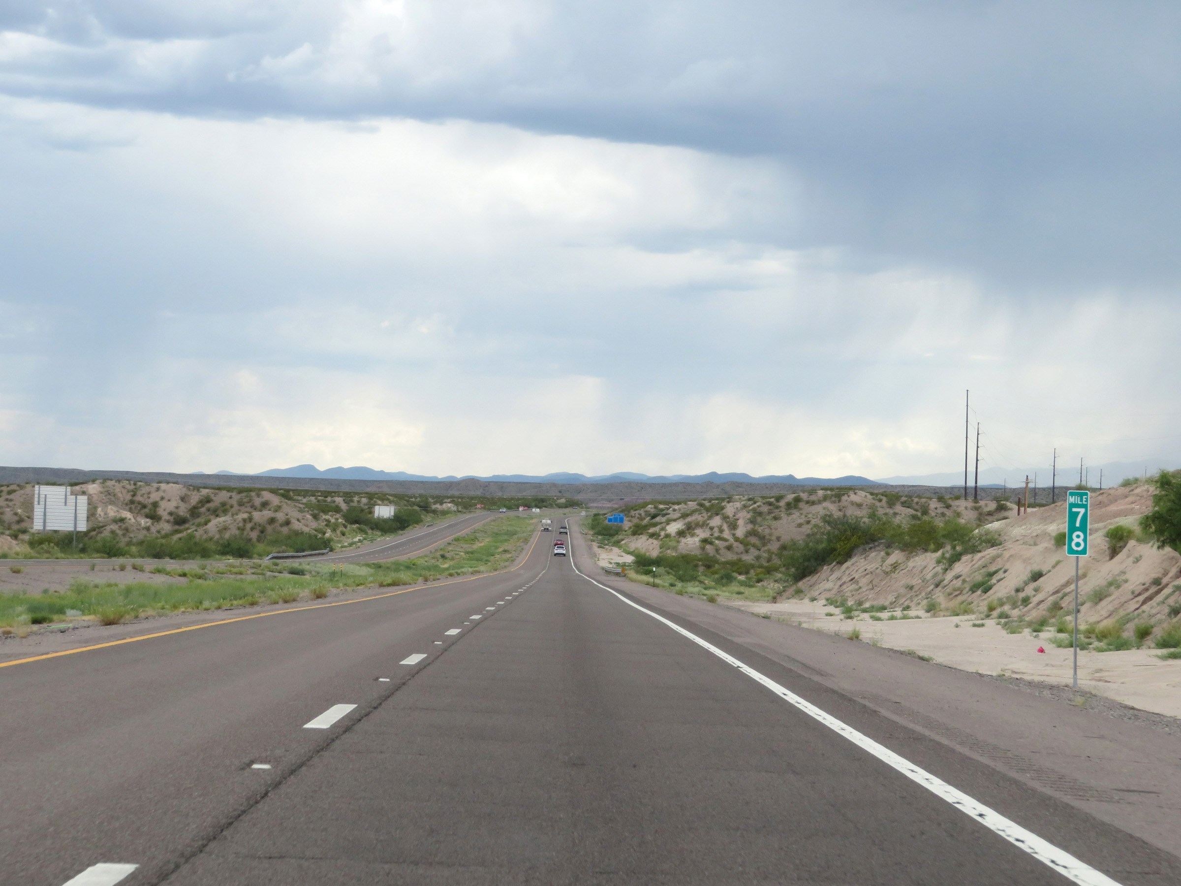 |
View on Interstate 25 South at mile marker 78. (Photo taken 8/13/20). |
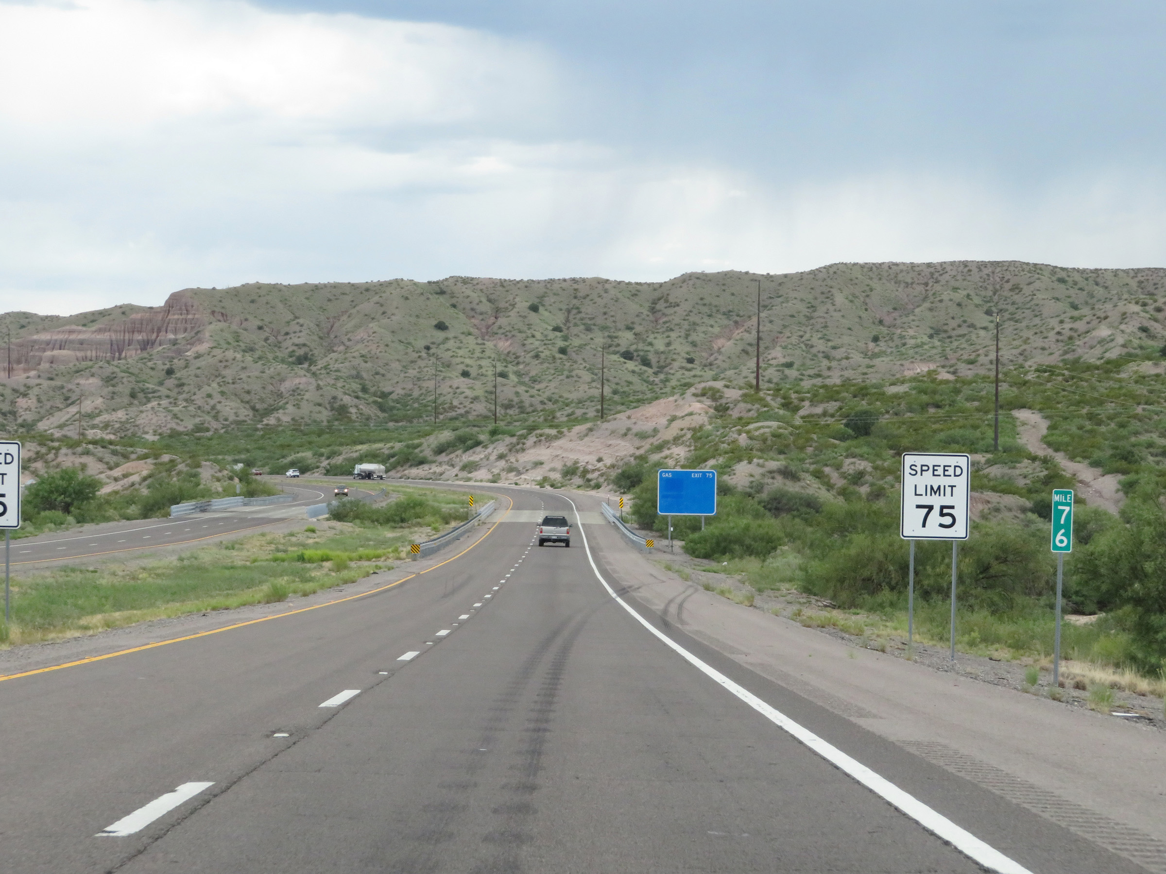 |
Interstate 25 South at mile marker 76. (Photo taken 8/13/20). |
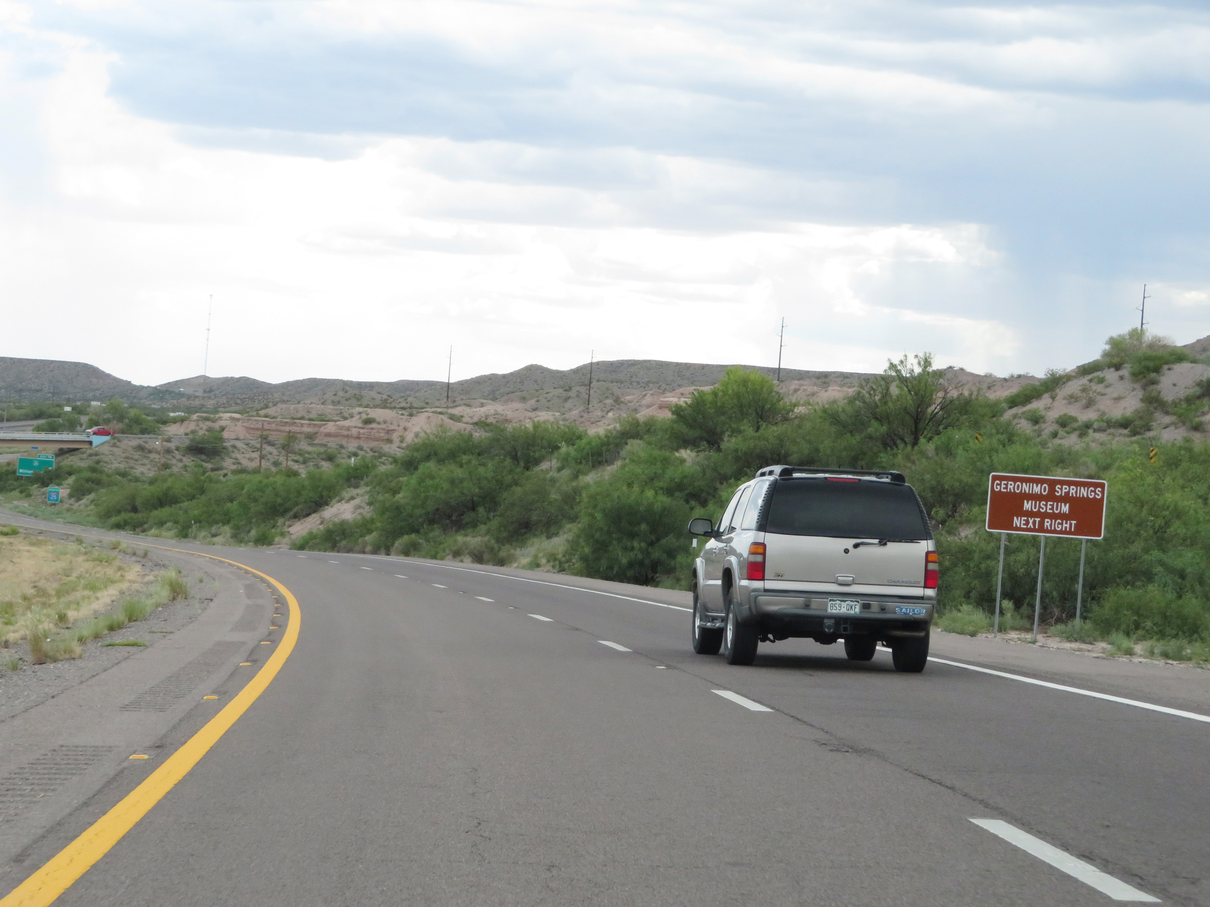 |
Take Exit 75 to the Geronimo Springs Museum. (Photo taken 8/13/20). |
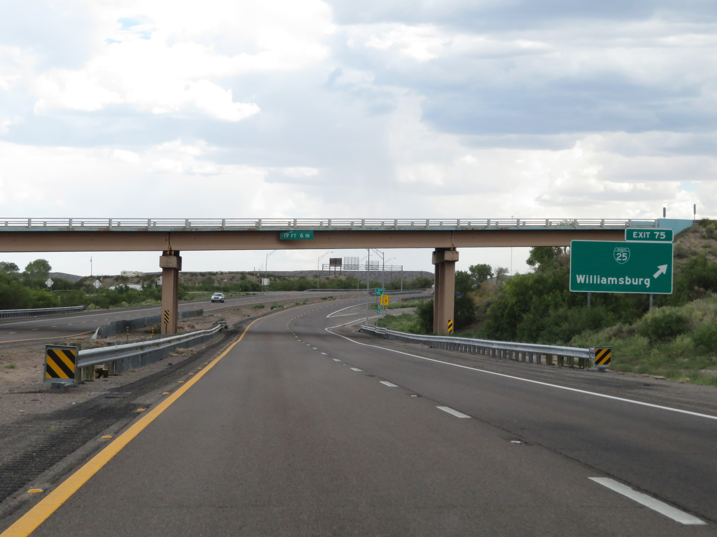 |
Interstate 25 South at Exit 75: Interstate 25 Business Loop - Williamsburg (Photo taken 8/13/20). |
 |
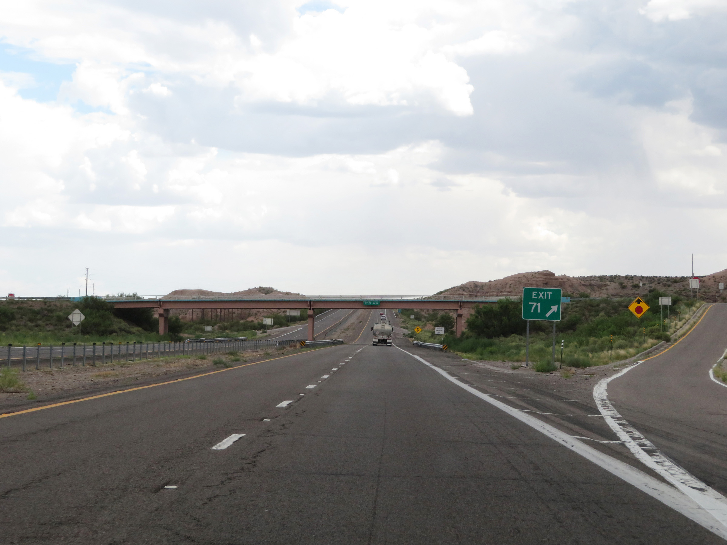
Interstate 25 South approaching Exit 71 - 1 mile. (Photo taken 8/13/20). |
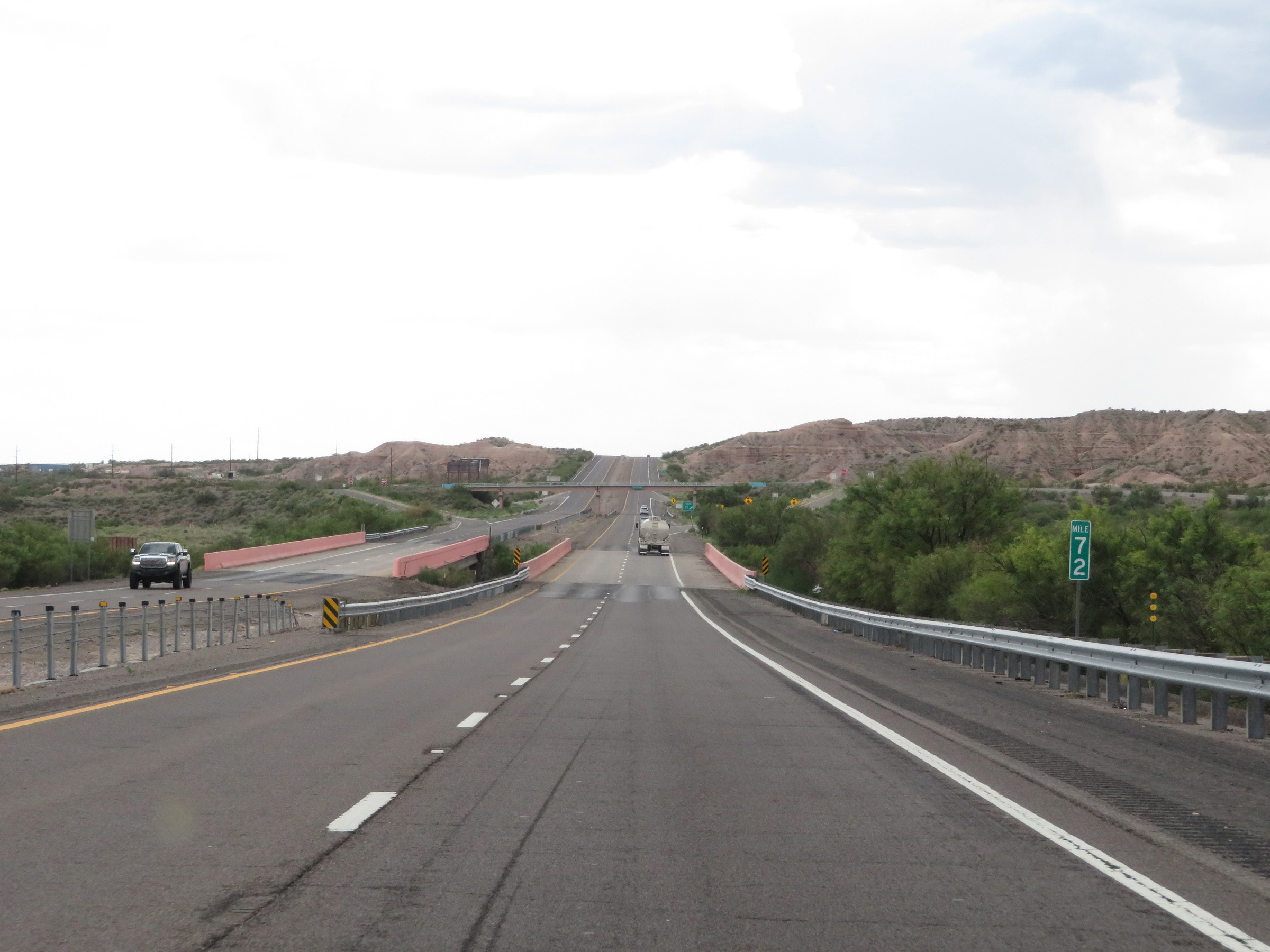 |
View on Interstate 25 South at mile marker 72. (Photo taken 8/13/20). |
 |
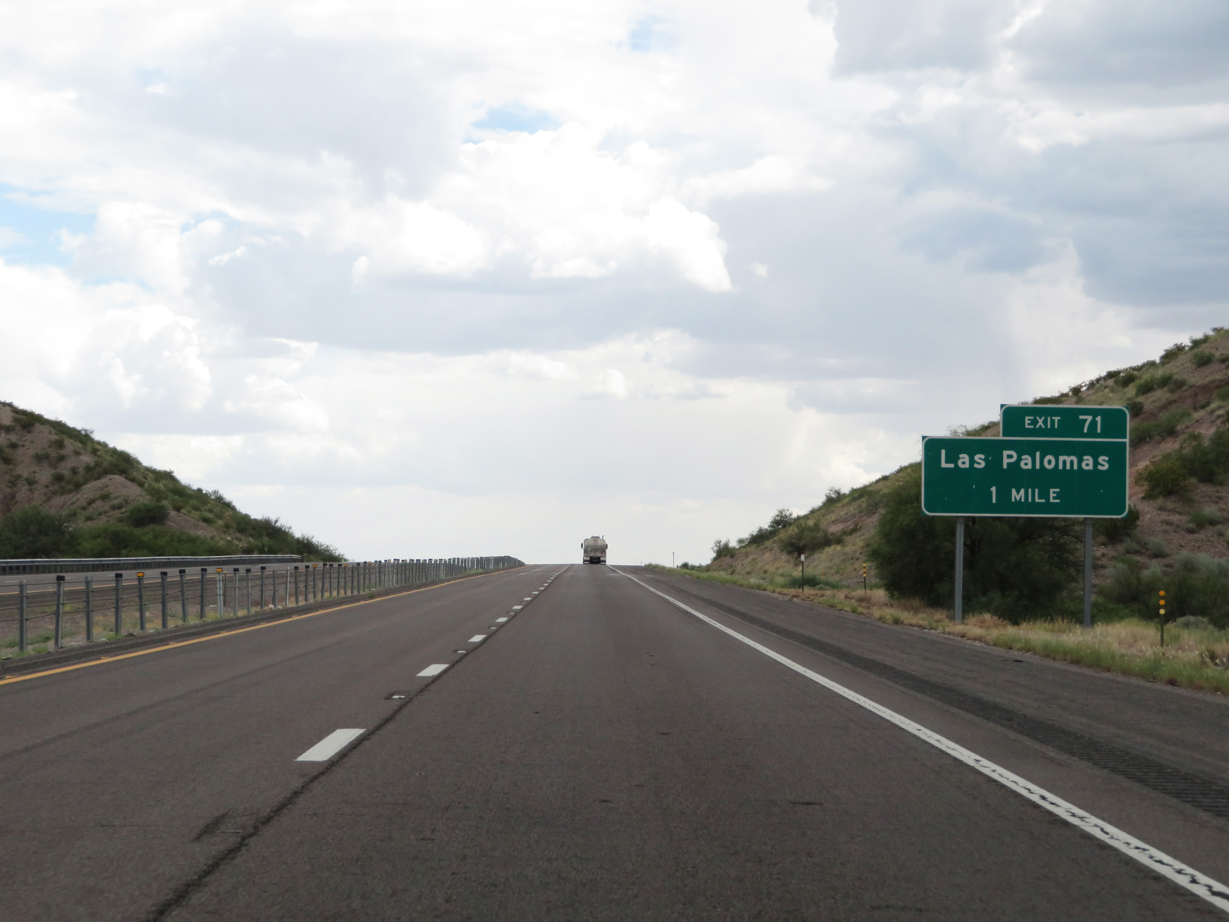
Interstate 25 South at Exit 71: Las Palomas (Photo taken 8/13/20). |
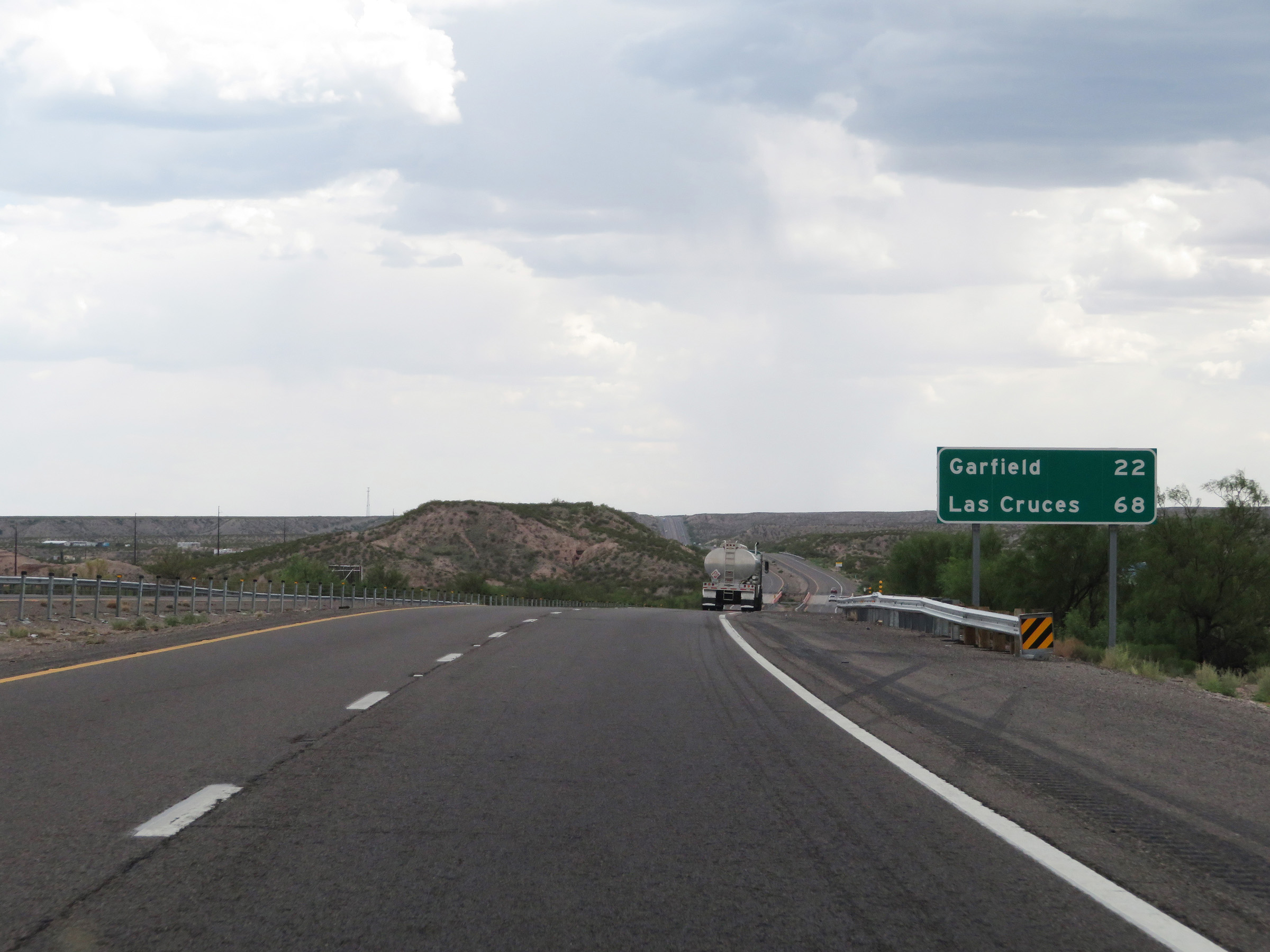 |
Mileage sign on Interstate 25 South. It's 22 miles to Garfield and 68 miles to Las Cruces. (Photo taken 8/13/20). |
 |
View on Interstate 25 South at mile marker 68. (Photo taken 8/13/20). |
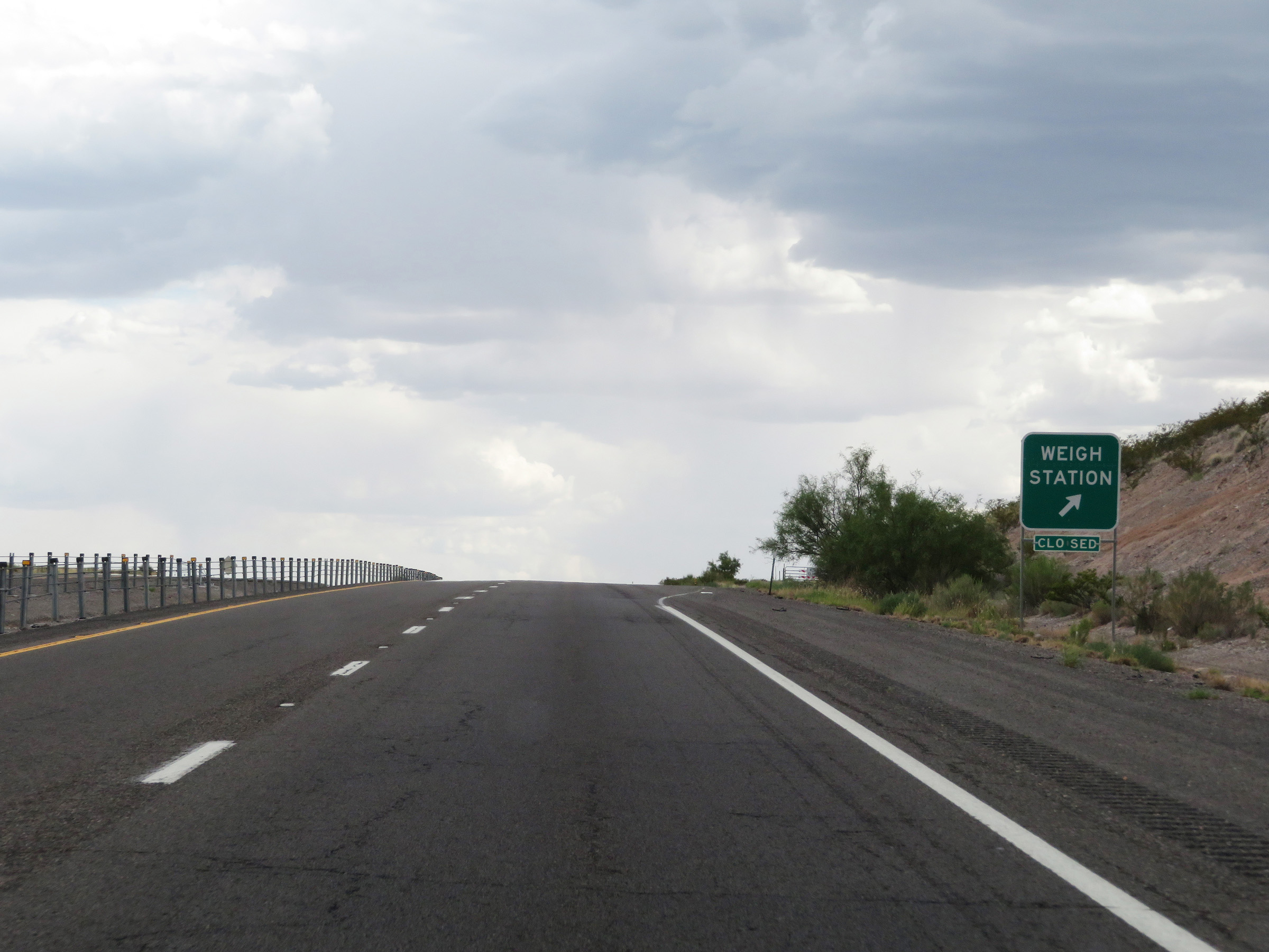 |
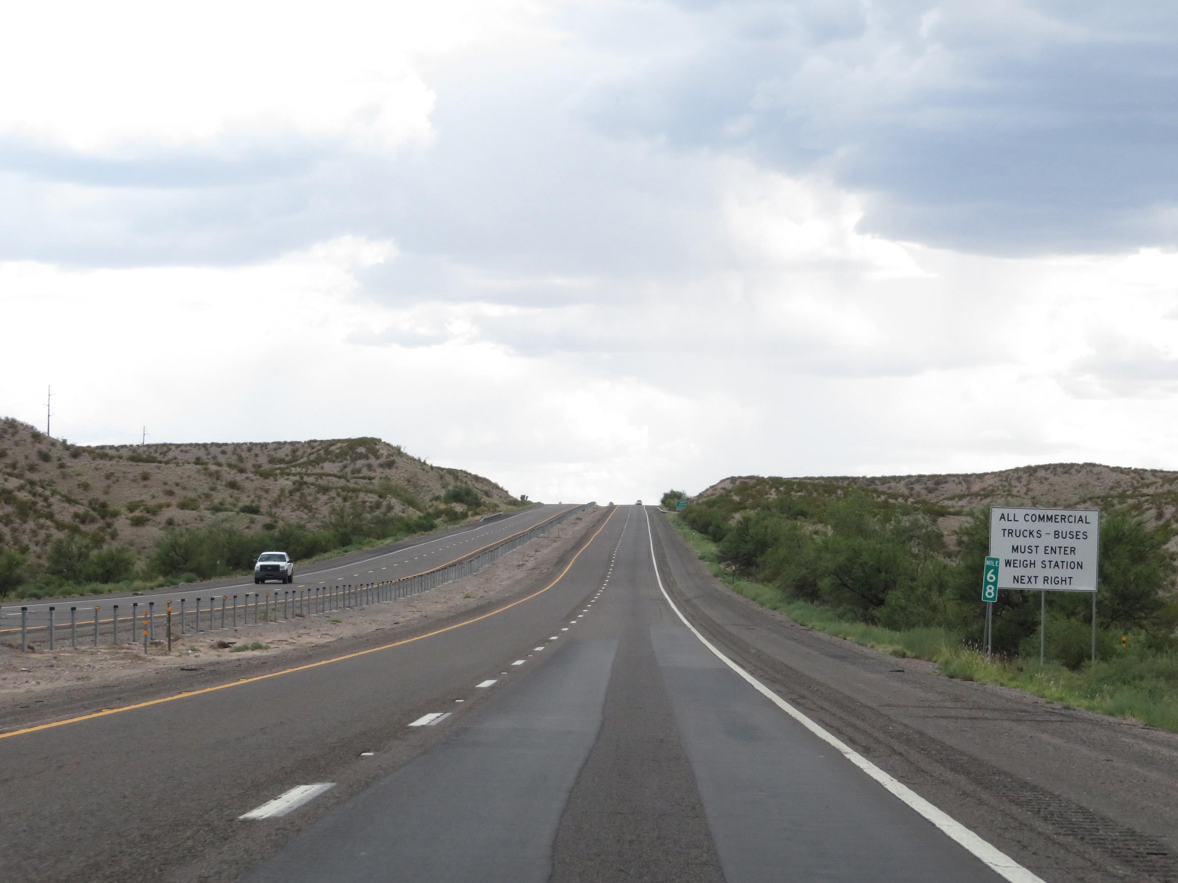
Weigh Station on Interstate 25 South in Sierra County. (Photo taken 8/13/20). |
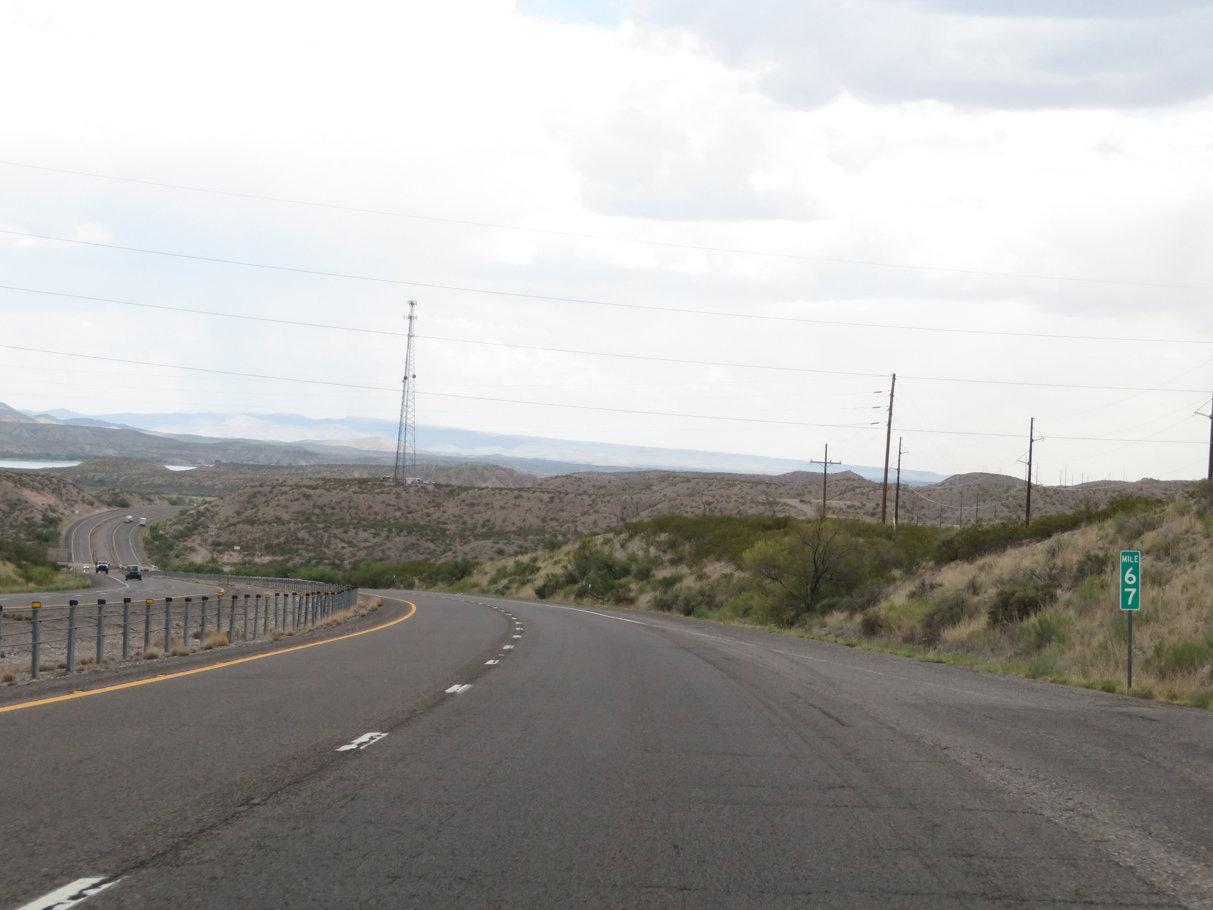 |
Interstate 25 South at mile marker 67. (Photo taken 8/13/20). |
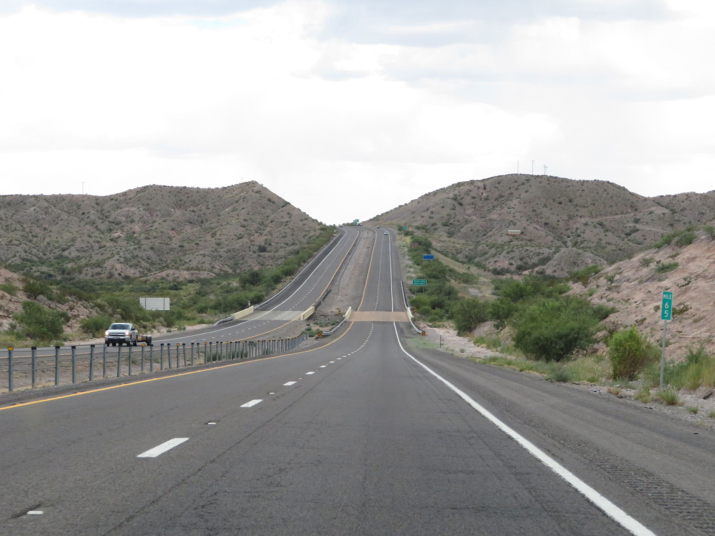 |
View on Interstate 25 South at mile marker 65. (Photo taken 8/13/20). |
 |
Take Exit 63 to Silver City. (Photo taken 8/13/20). |
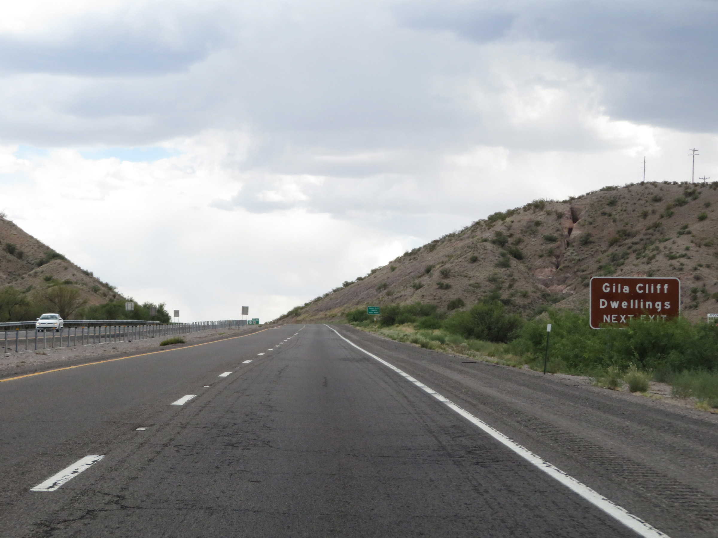 |
Also take Exit 63 to the Gila Cliff Dwellings. (Photo taken 8/13/20). |
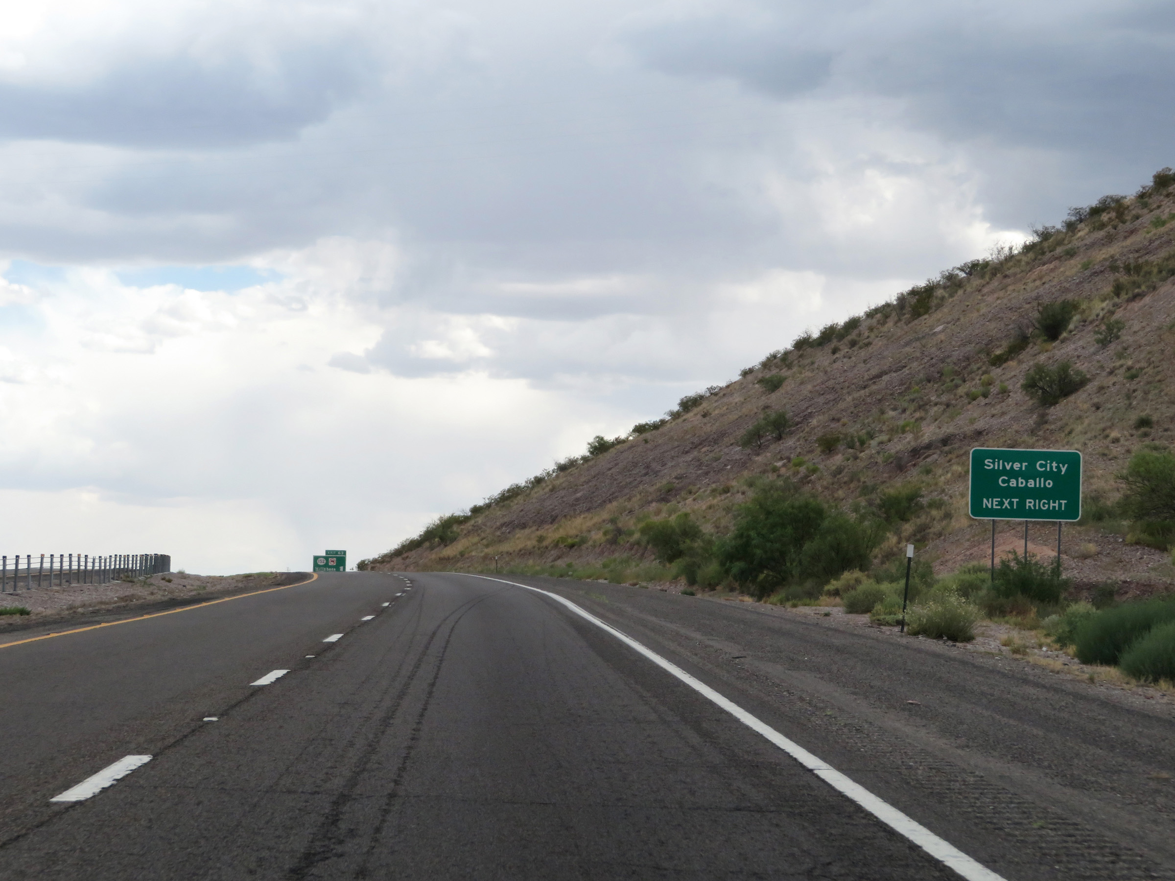 |
In addition to Silver City, take Exit 63 to Caballo. (Photo taken 8/13/20). |
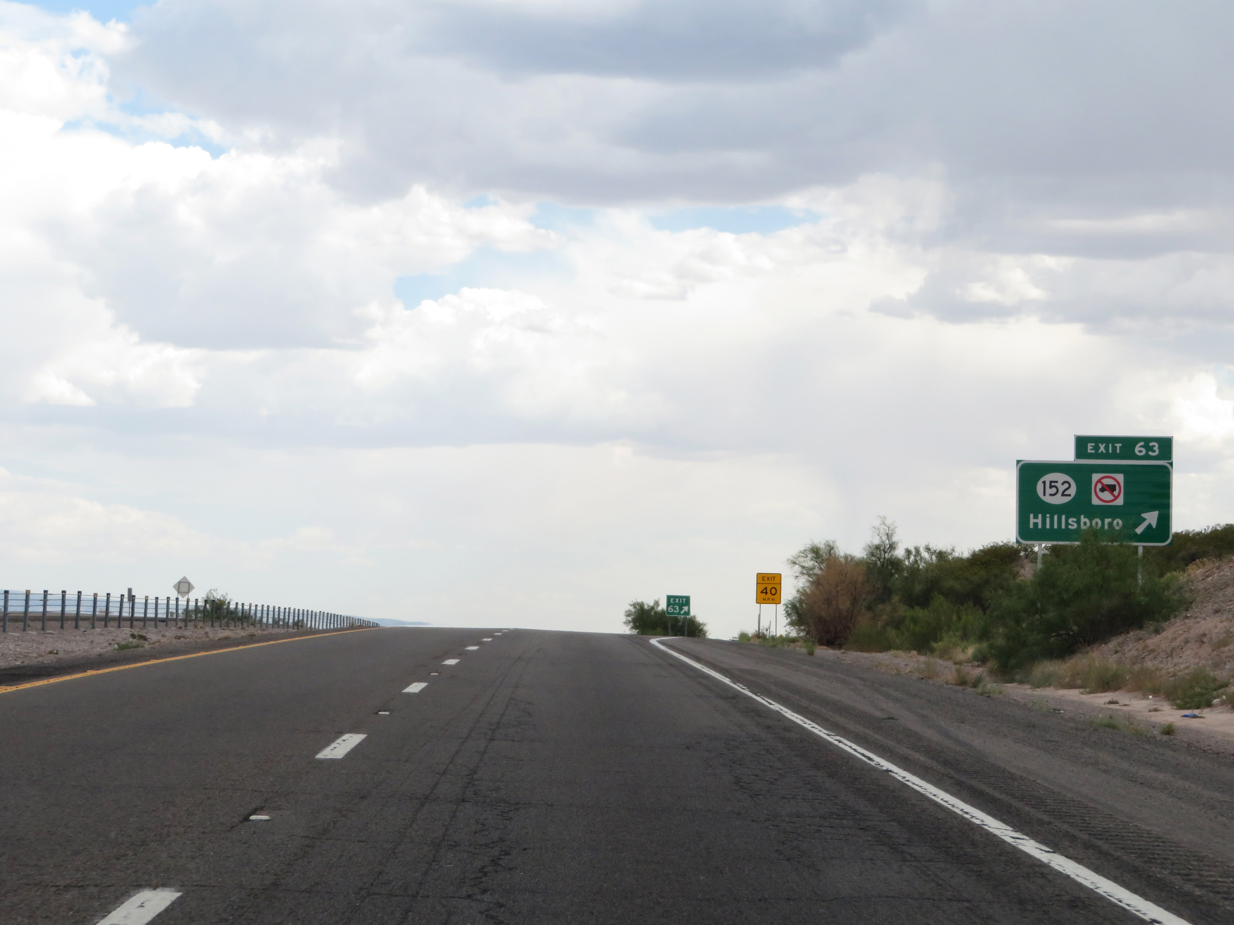 |
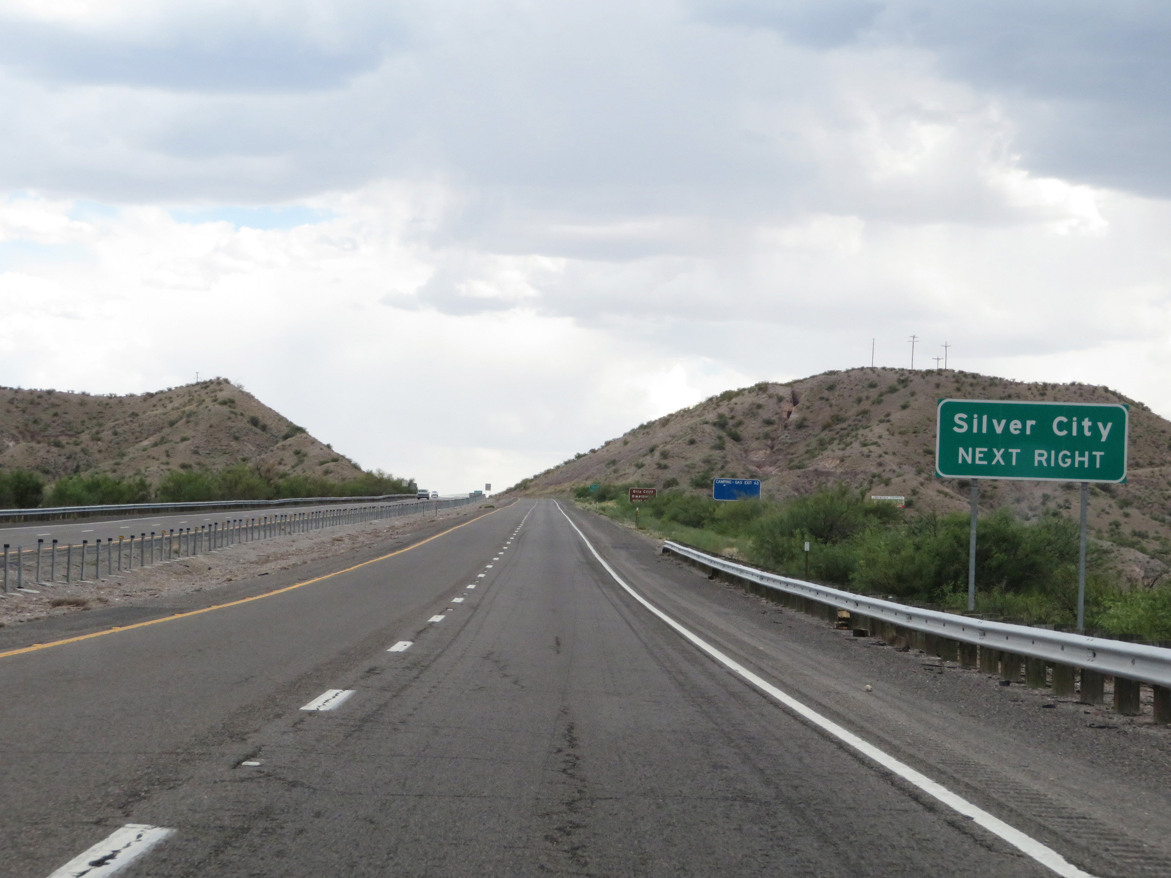
Interstate 25 South at Exit 63: NM 152 - Hillsboro (Photo taken 8/13/20). |
 |
View on Interstate 25 South at mile marker 62. (Photo taken 8/13/20). |
 |
Take Exit 59 to Derry and Arrey. (Photo taken 8/13/20). |
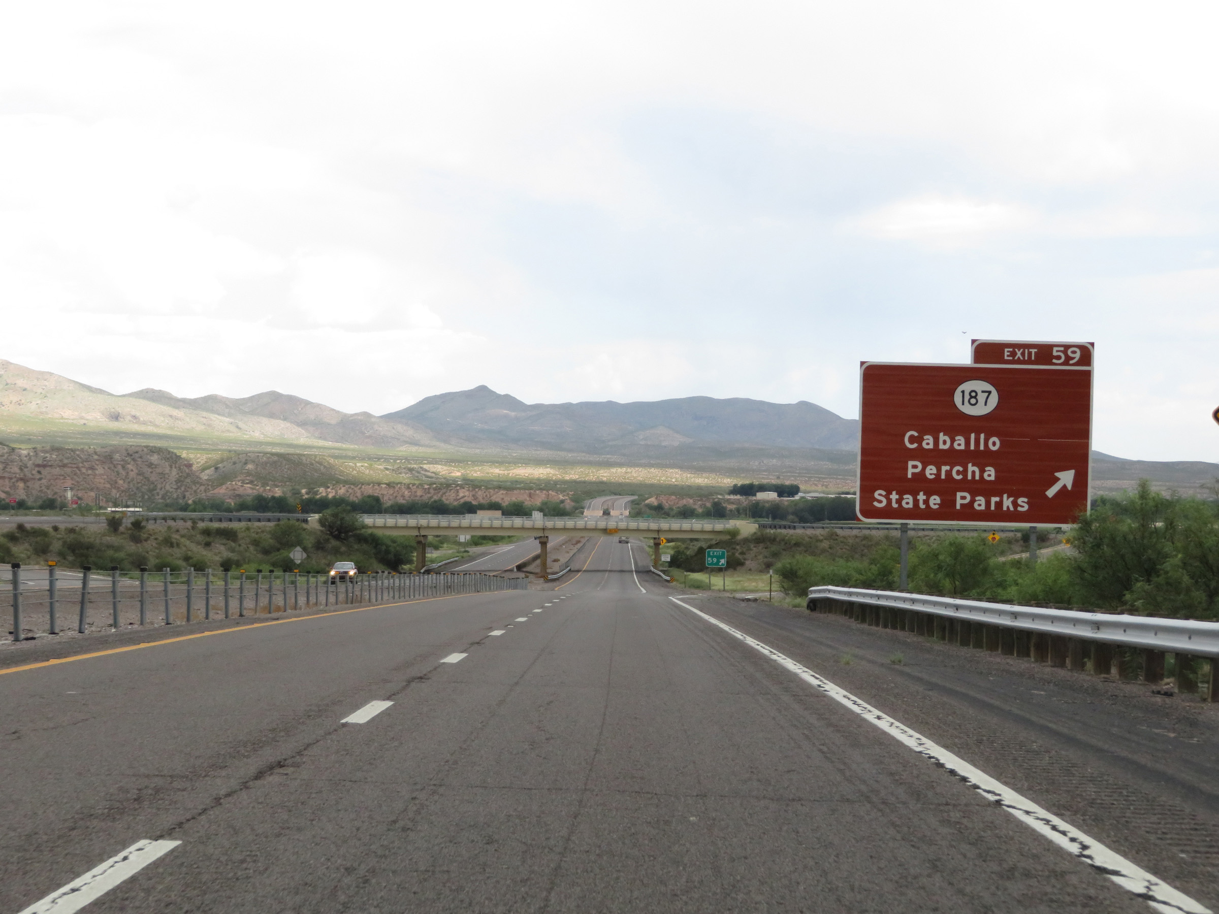 |
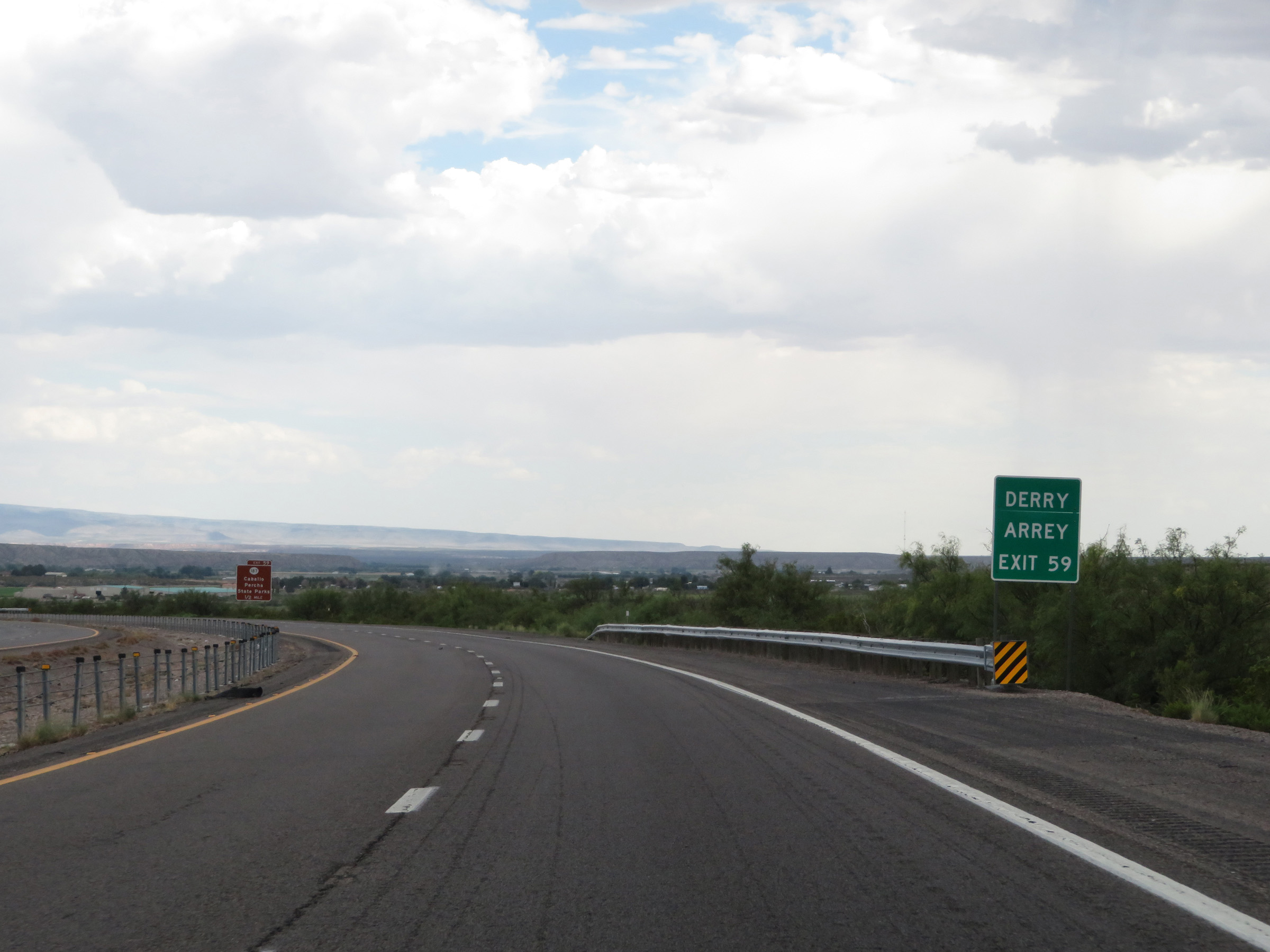
Interstate 25 South at Exit 59: NM 187 - Caballo State Park / Percha State Park (Photo taken 8/13/20). |
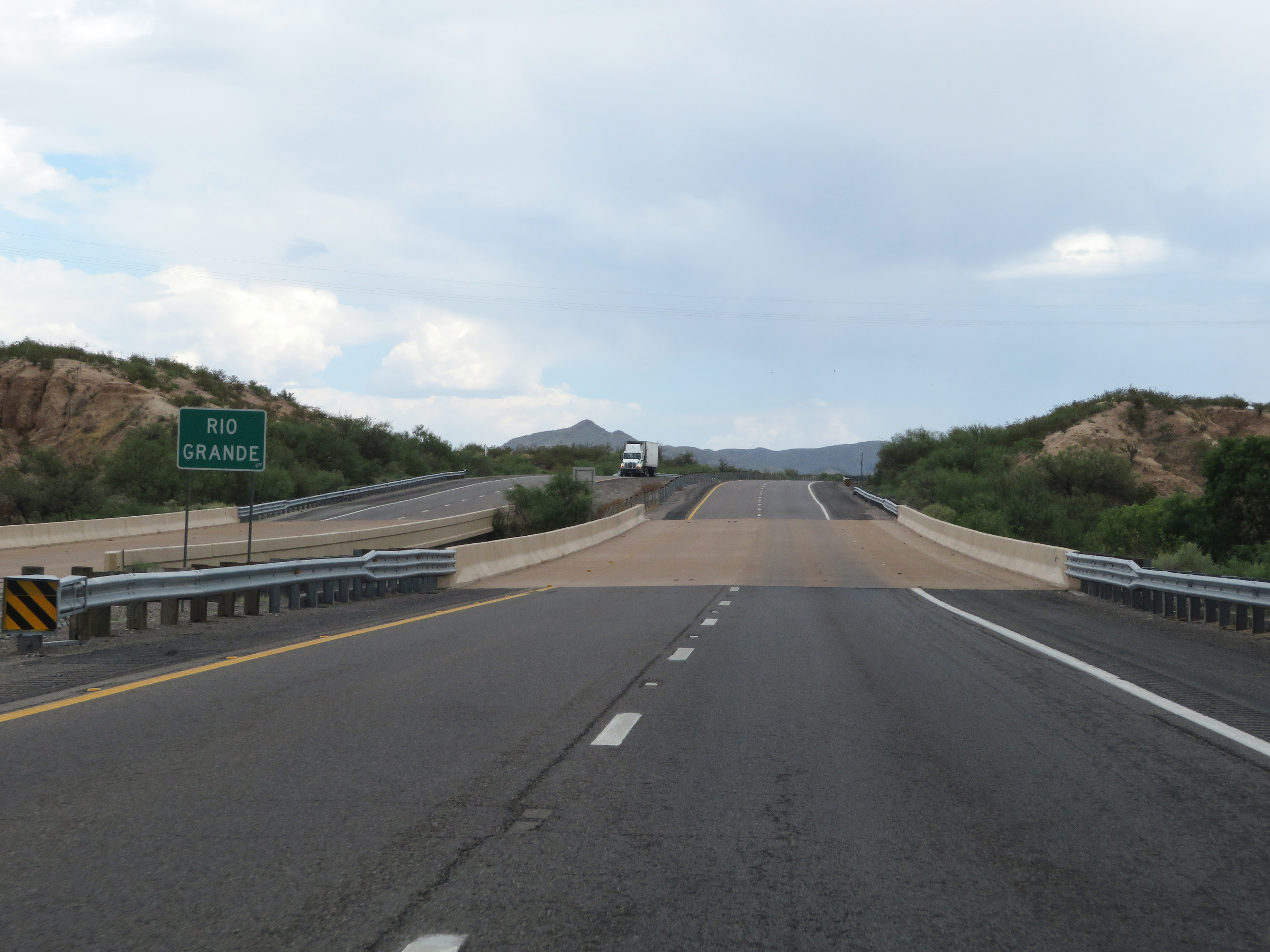 |
Interstate 25 South as it crosses the Rio Grande, to the south of Exit 59. (Photo taken 8/13/20). |
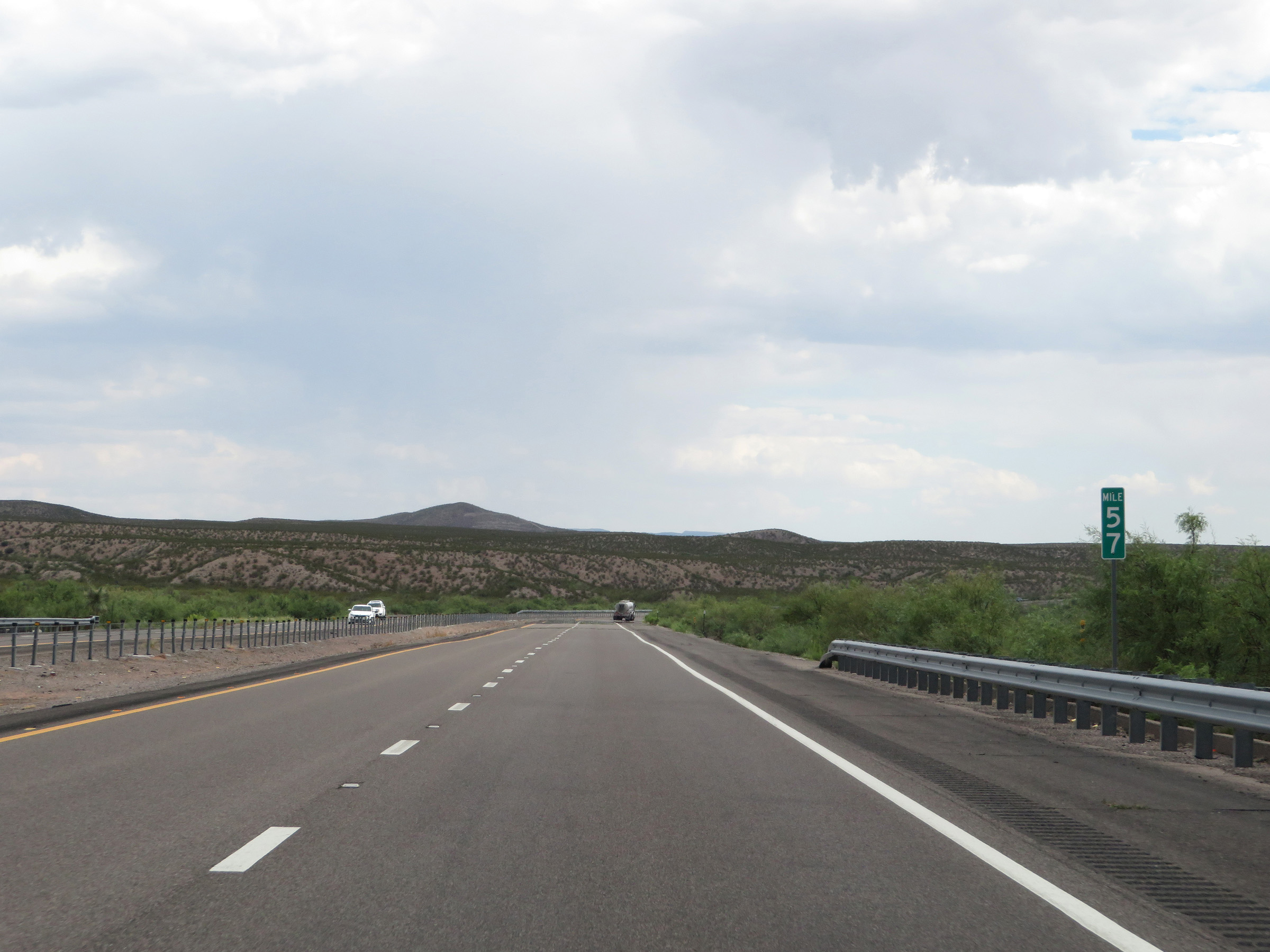 |
View on Interstate 25 South at mile marker 57. (Photo taken 8/13/20). |
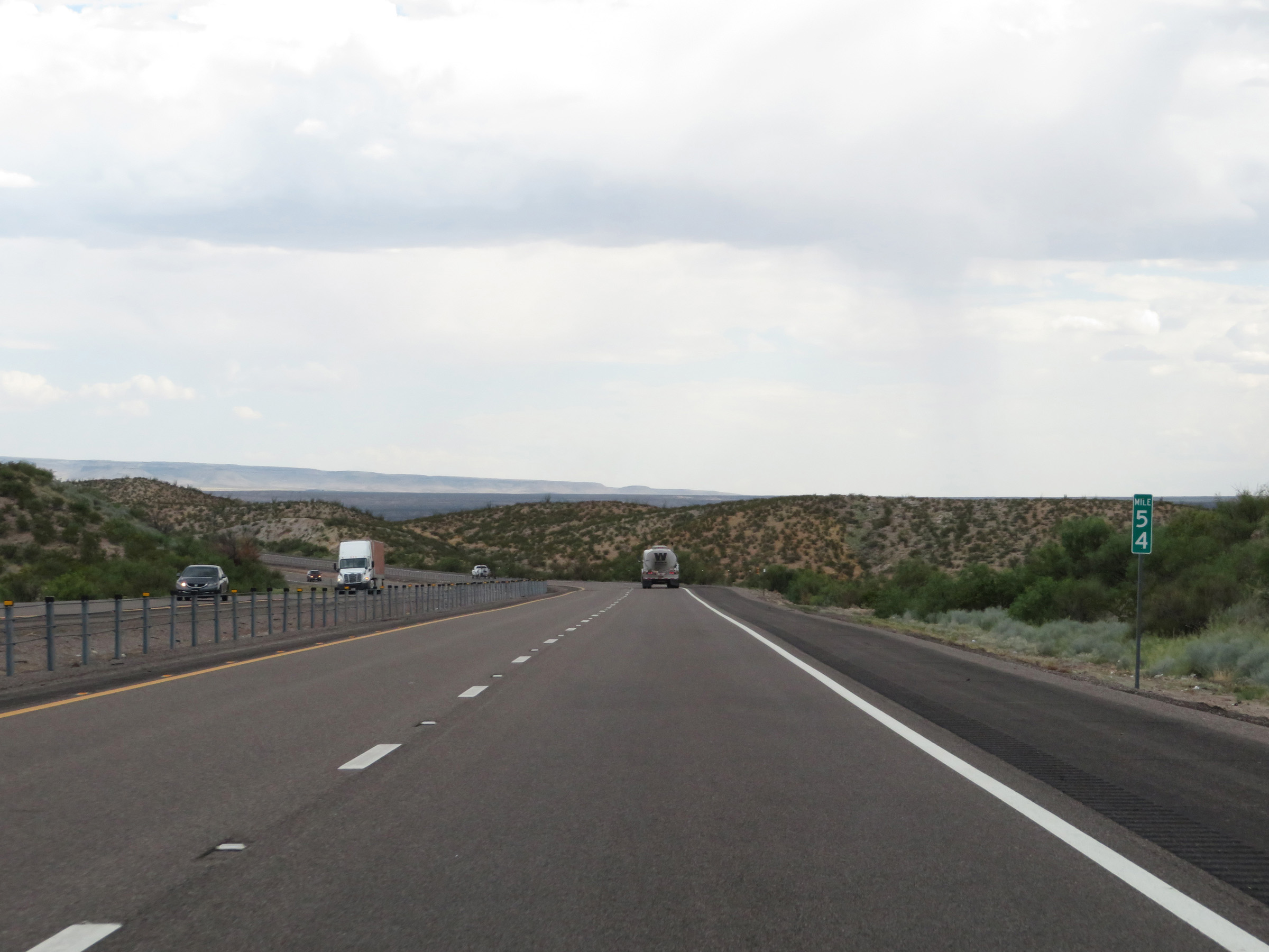 |
Interstate 25 South at mile marker 54. (Photo taken 8/13/20). |
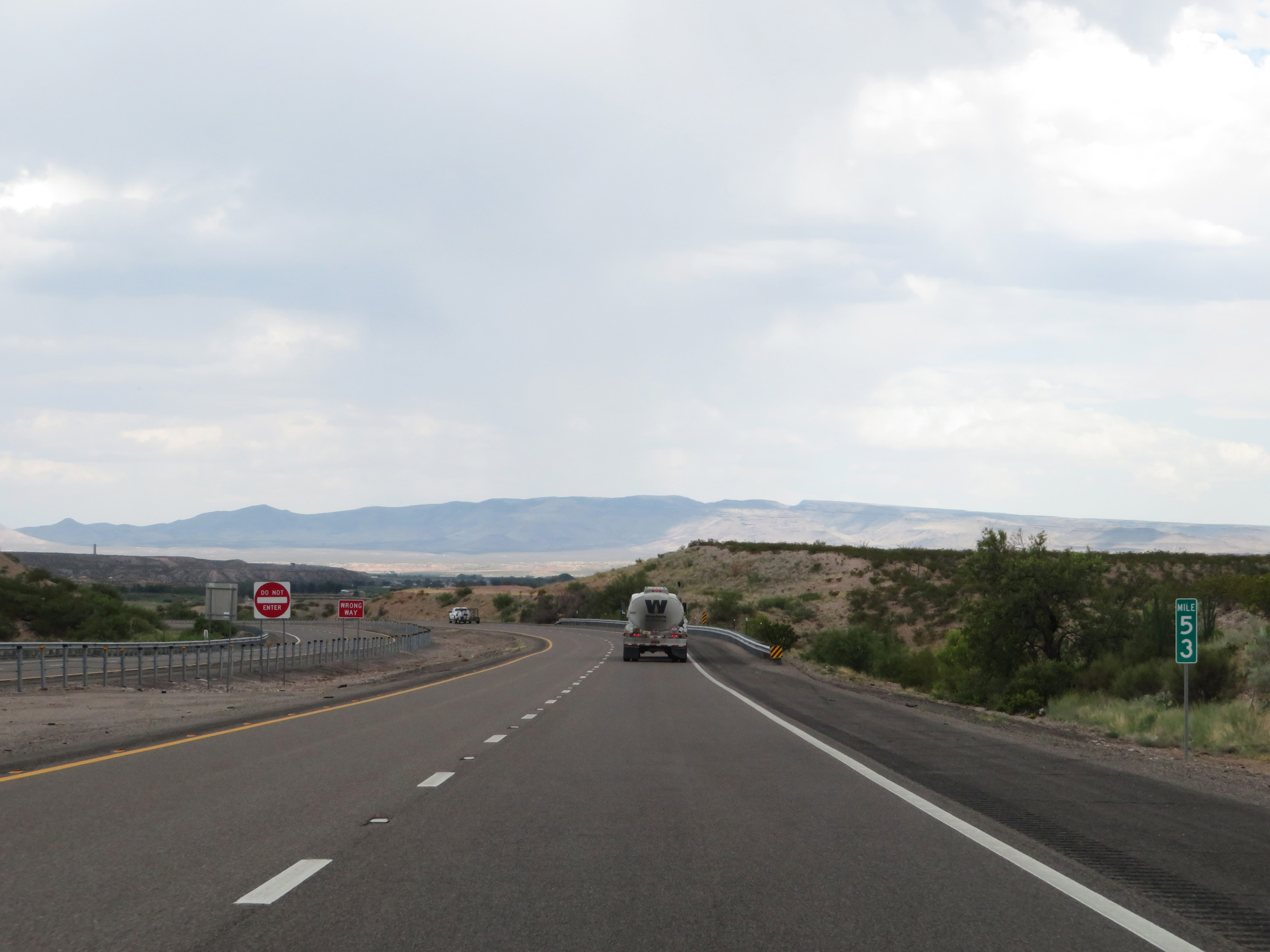 |
Mile marker 53 on Interstate 25 South in Sierra County. (Photo taken 8/13/20). |
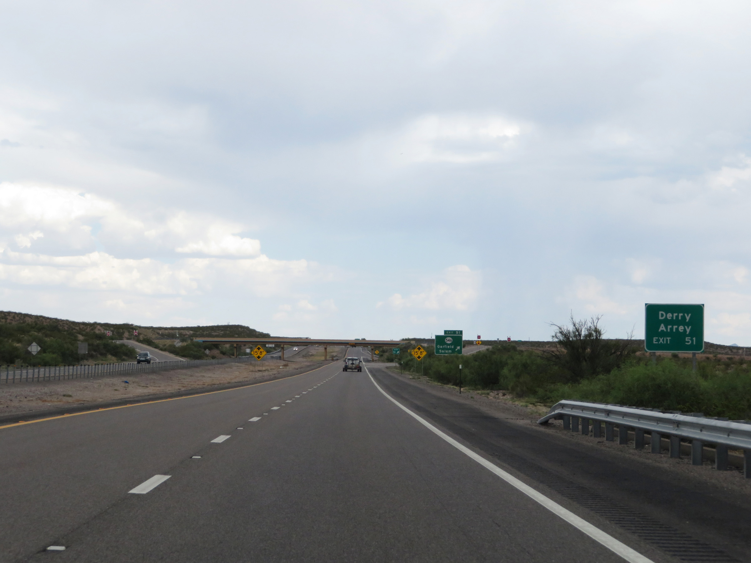 |
Take Exit 51 to Derry and Arrey. (Photo taken 8/13/20). |
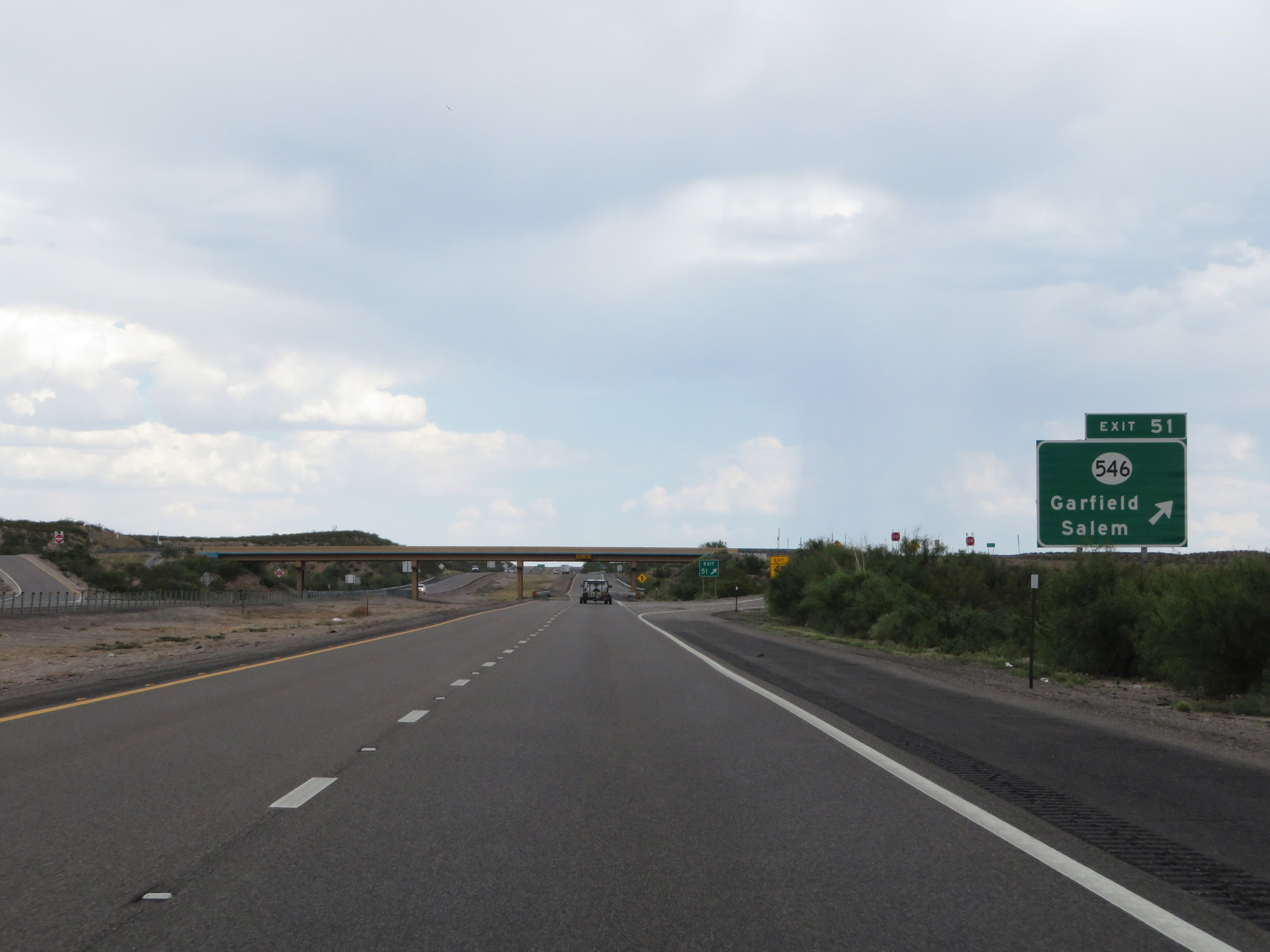 |
Interstate 25 South at Exit 51: NM 546 - Garfield / Salem (Photo taken 8/13/20). |
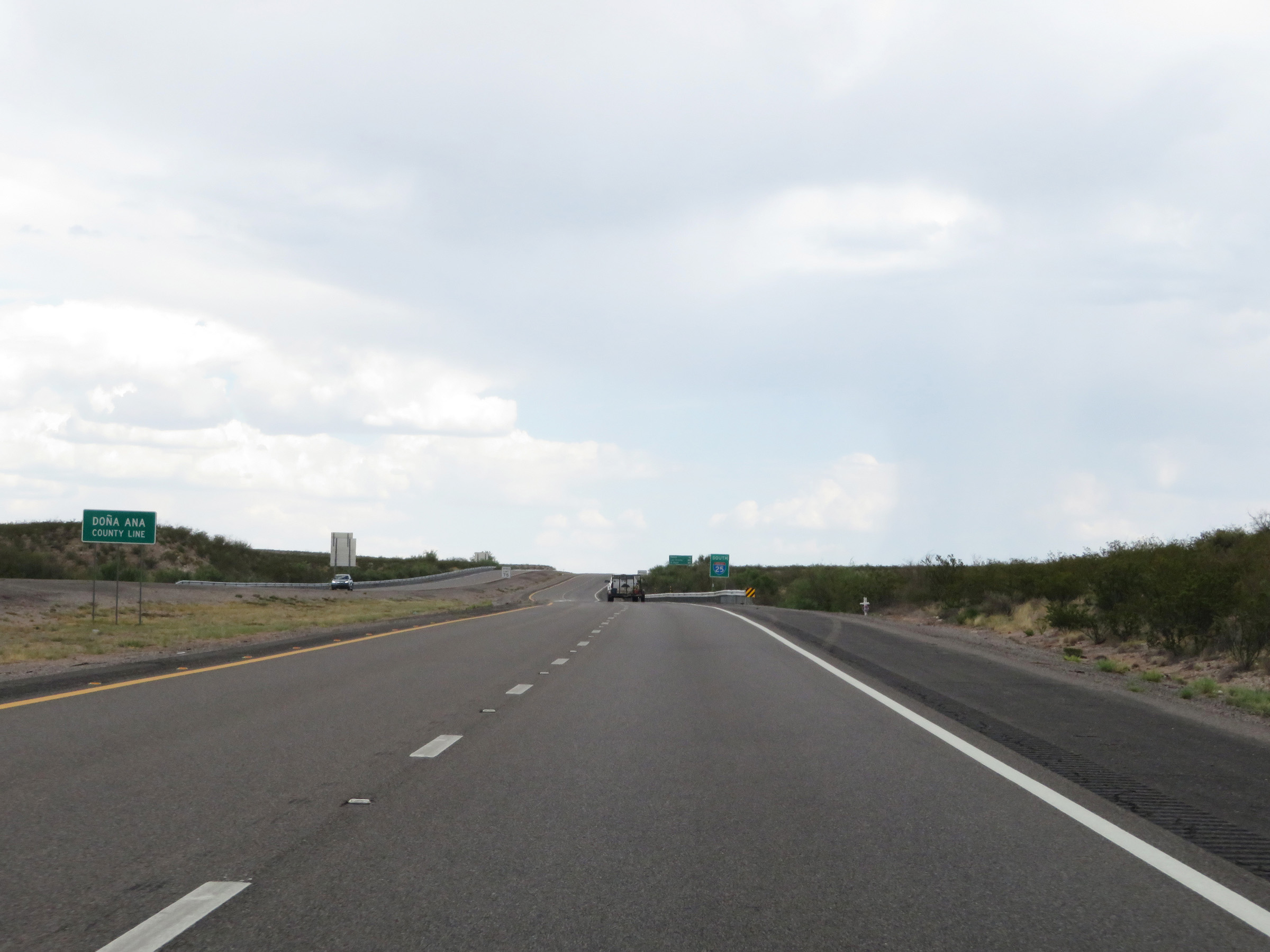 |
Interstate 25 South as it enters Doña Ana County. (Photo taken 8/13/20). |
 |
Another non-cutout, state-named Interstate 25 South reassurance shield upon entering Doña Ana County. (Photo taken 8/13/20). |
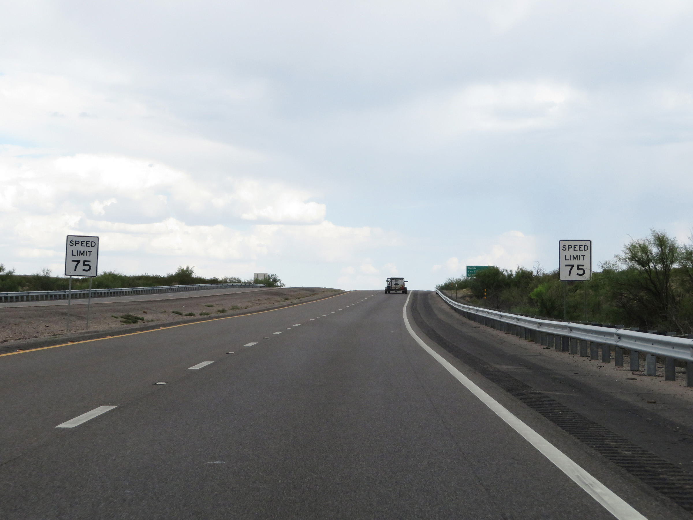 |
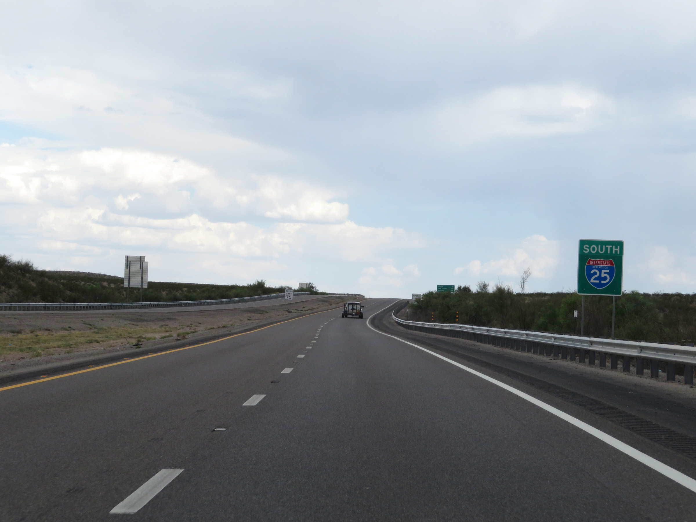
The speed limit remains 75 mph. (Photo taken 8/13/20). |
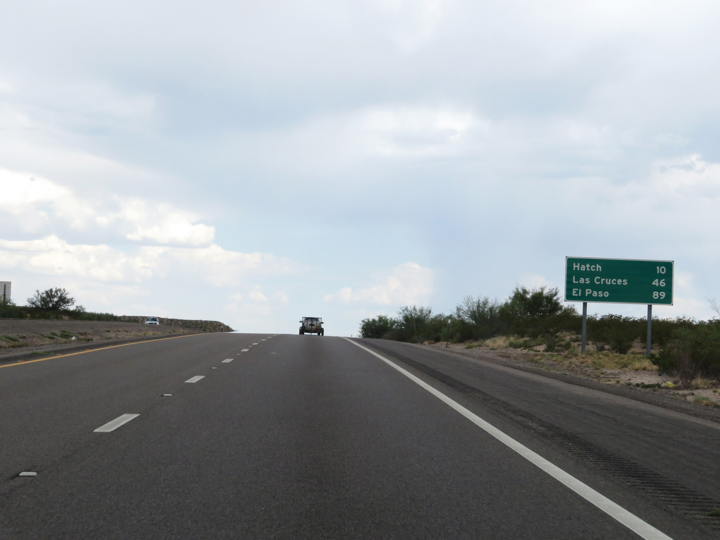 |
Another mileage sign on Interstate 25 South. It's 10 miles to Hatch, 46 miles to Las Cruces, and 89 miles to El Paso. (Photo taken 8/13/20). |
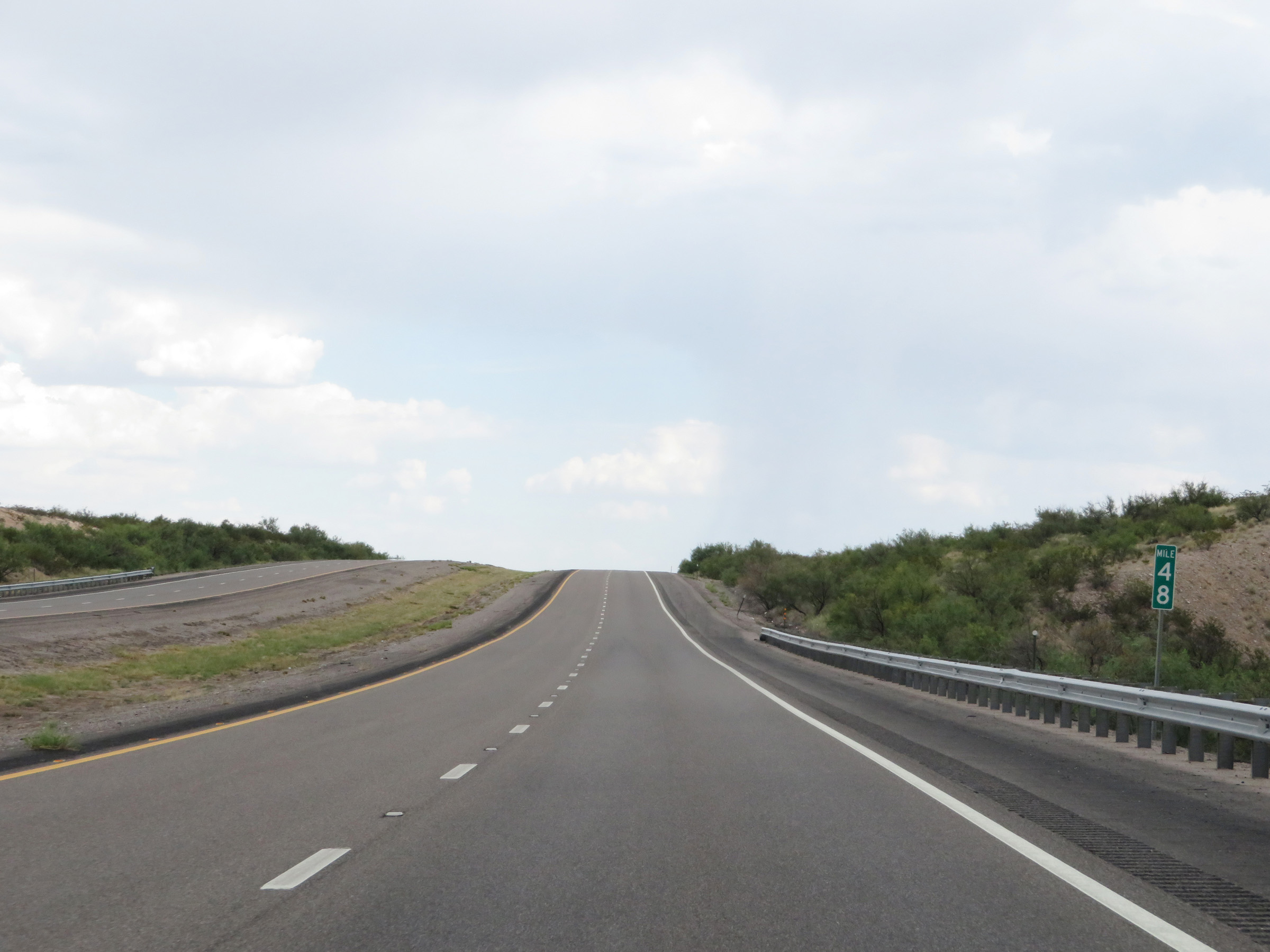 |
View on Interstate 25 South at mile marker 48. (Photo taken 8/13/20). |
 |
Interstate 25 South at mile marker 47. (Photo taken 8/13/20). |
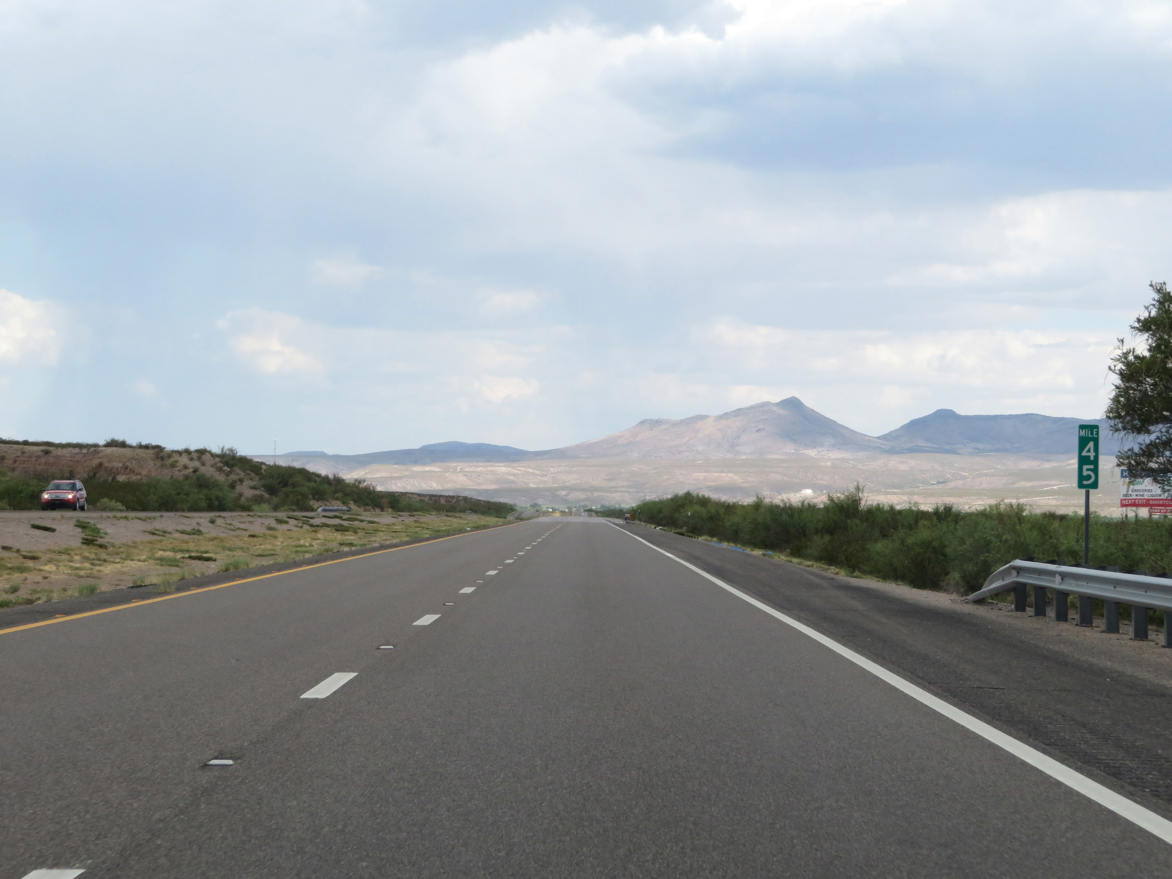 |
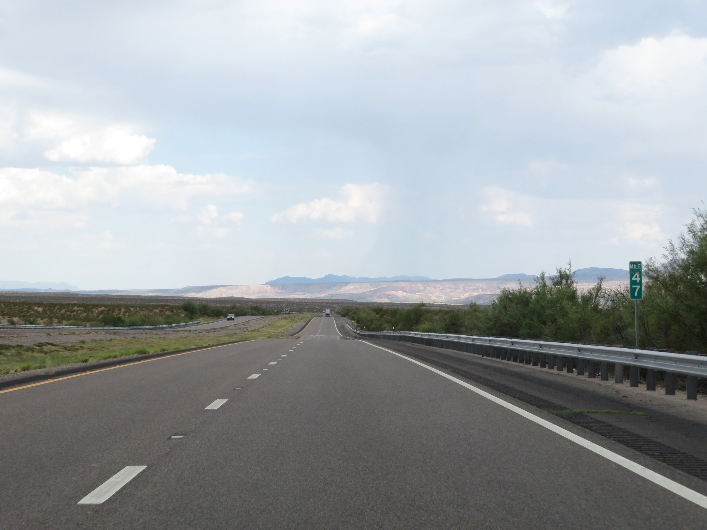
View on Interstate 25 South at mile marker 45. (Photo taken 8/13/20). |
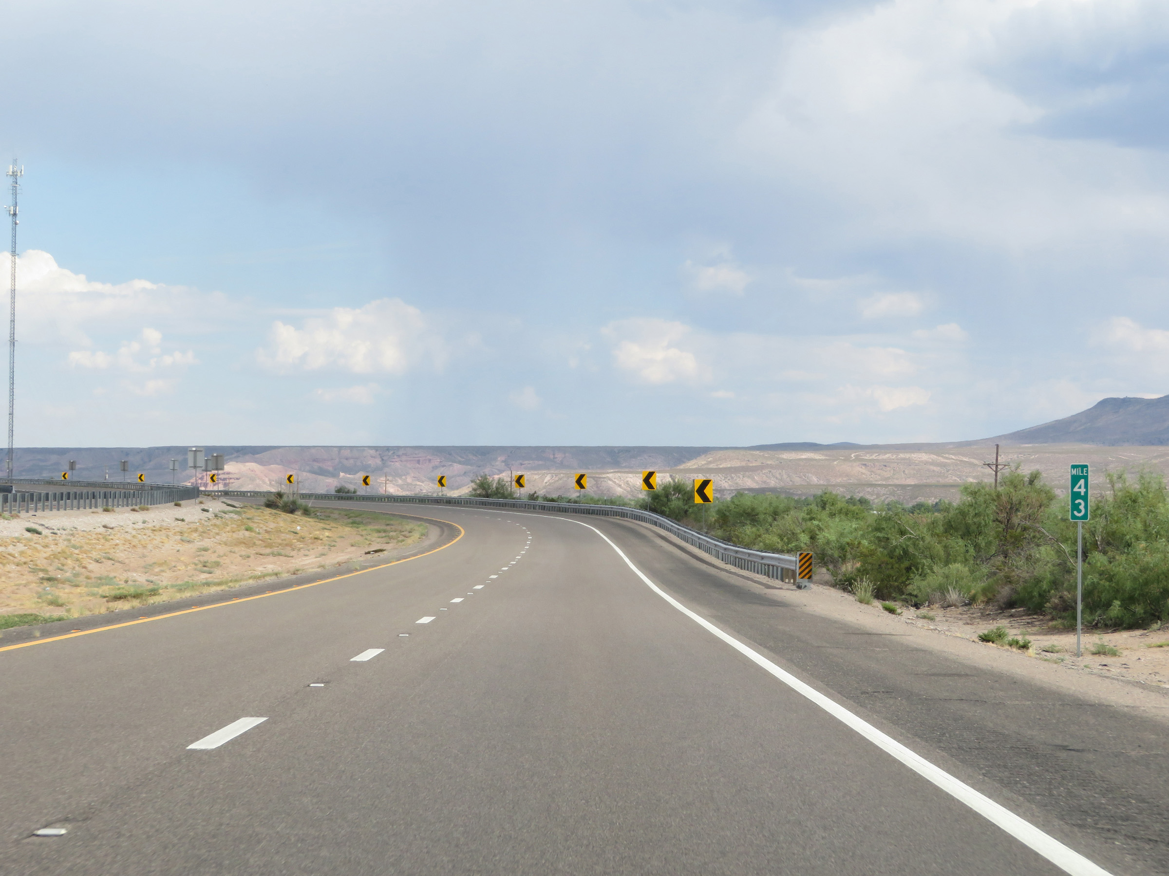 |
Interstate 25 South at mile marker 43. (Photo taken 8/13/20). |
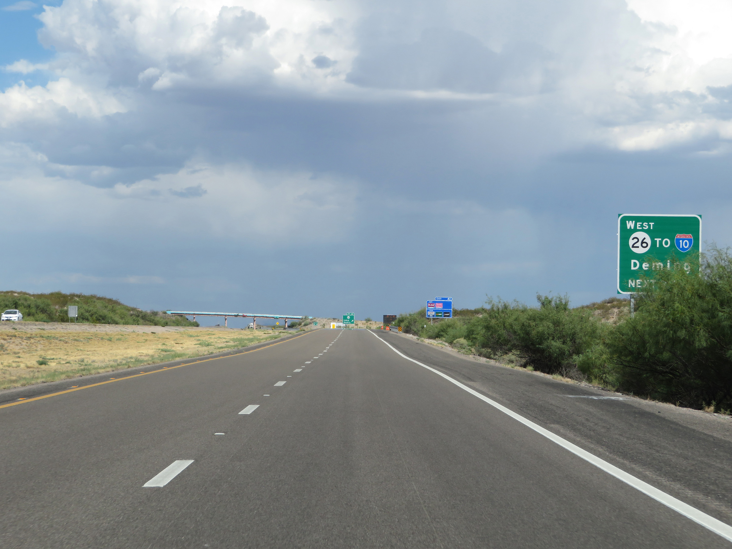 |
Take Exit 41 to Deming via NM 26 West to Interstate 10 West. (Photo taken 8/13/20). |
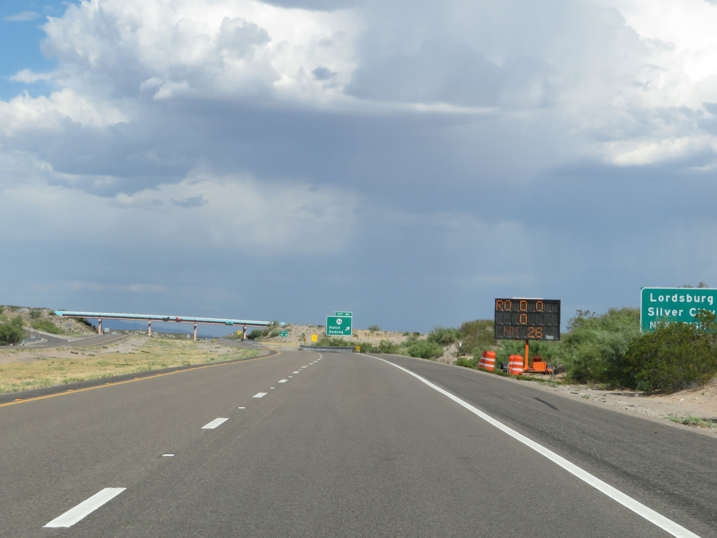 |
Also take Exit 41 to Lordsburg and Silver City. (Photo taken 8/13/20). |
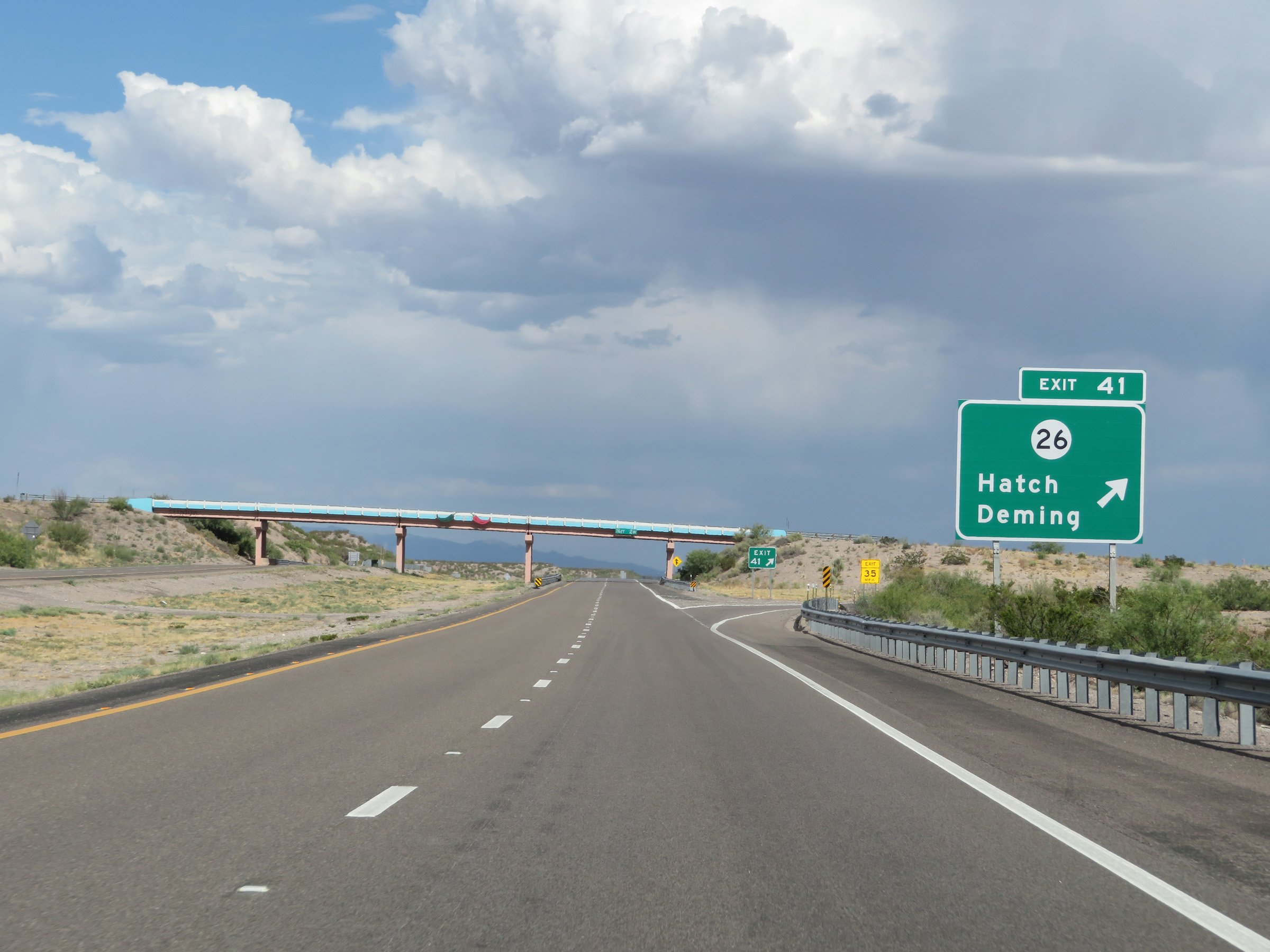 |
Interstate 25 South at Exit 41: NM 26 - Hatch / Deming (Photo taken 8/13/20). |
Section 9: Hatch (Exit 41) to Interstate 10
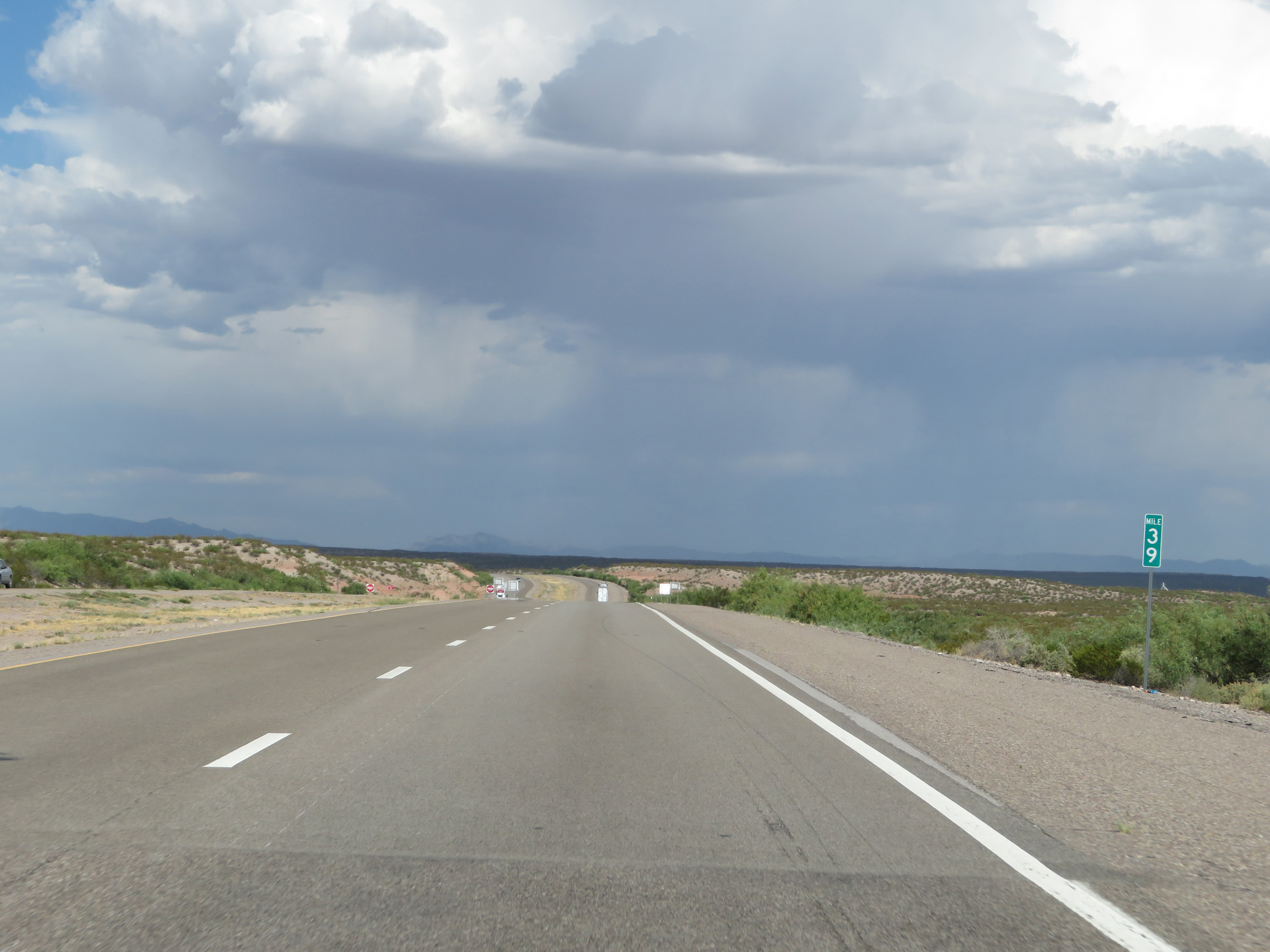 |
View on Interstate 25 South at mile marker 39. (Photo taken 8/13/20). |
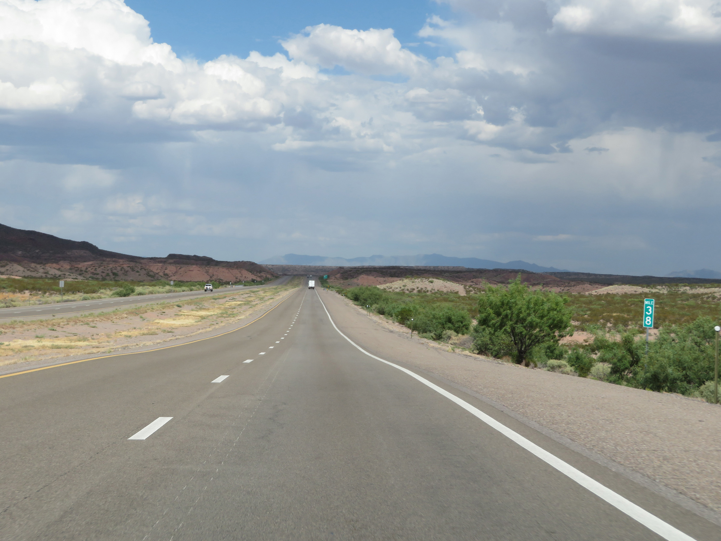 |
Interstate 25 South at mile marker 38. (Photo taken 8/13/20). |
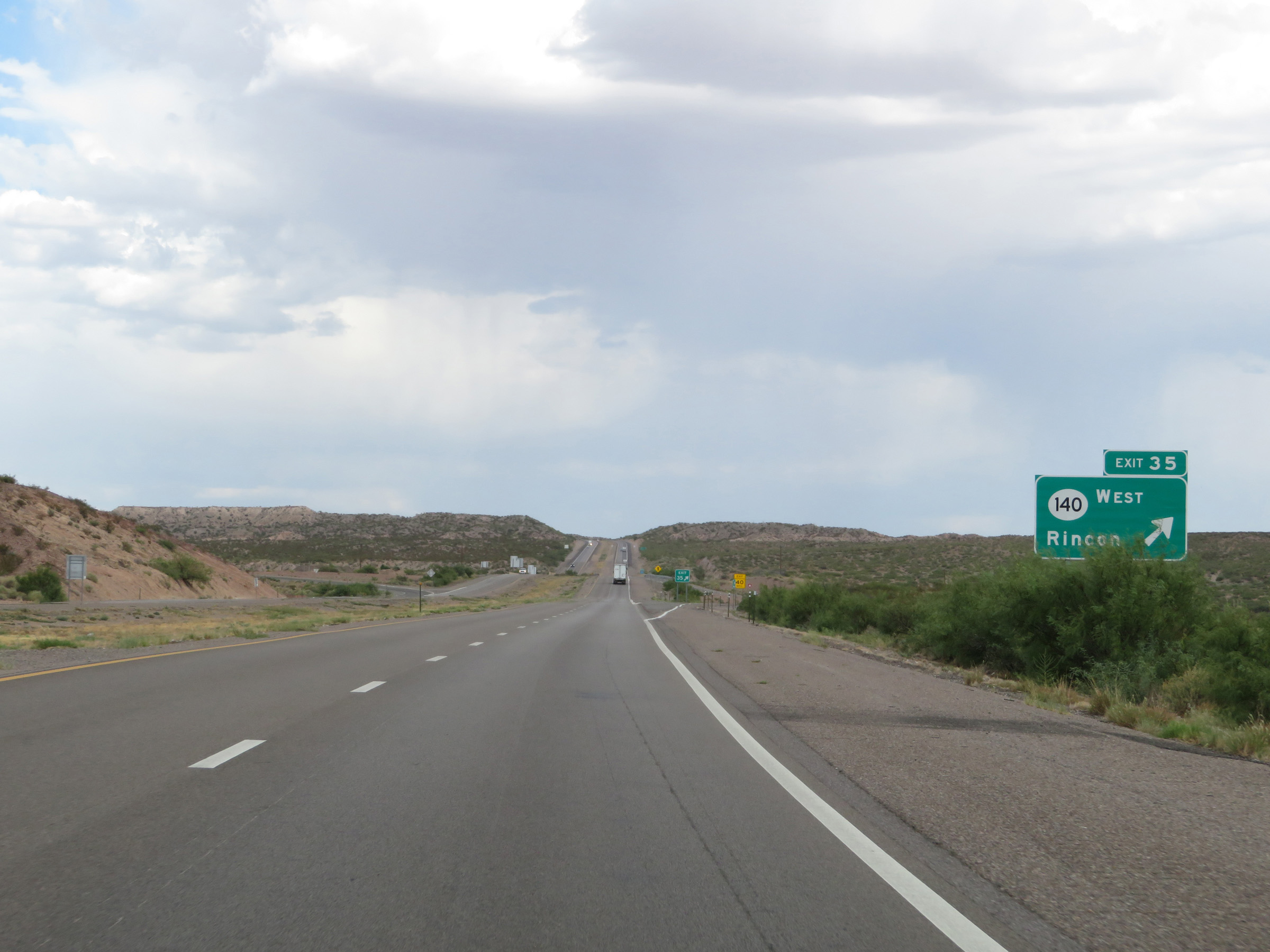 |
Interstate 25 South at Exit 35: NM 140 West - Rincon (Photo taken 8/13/20). |
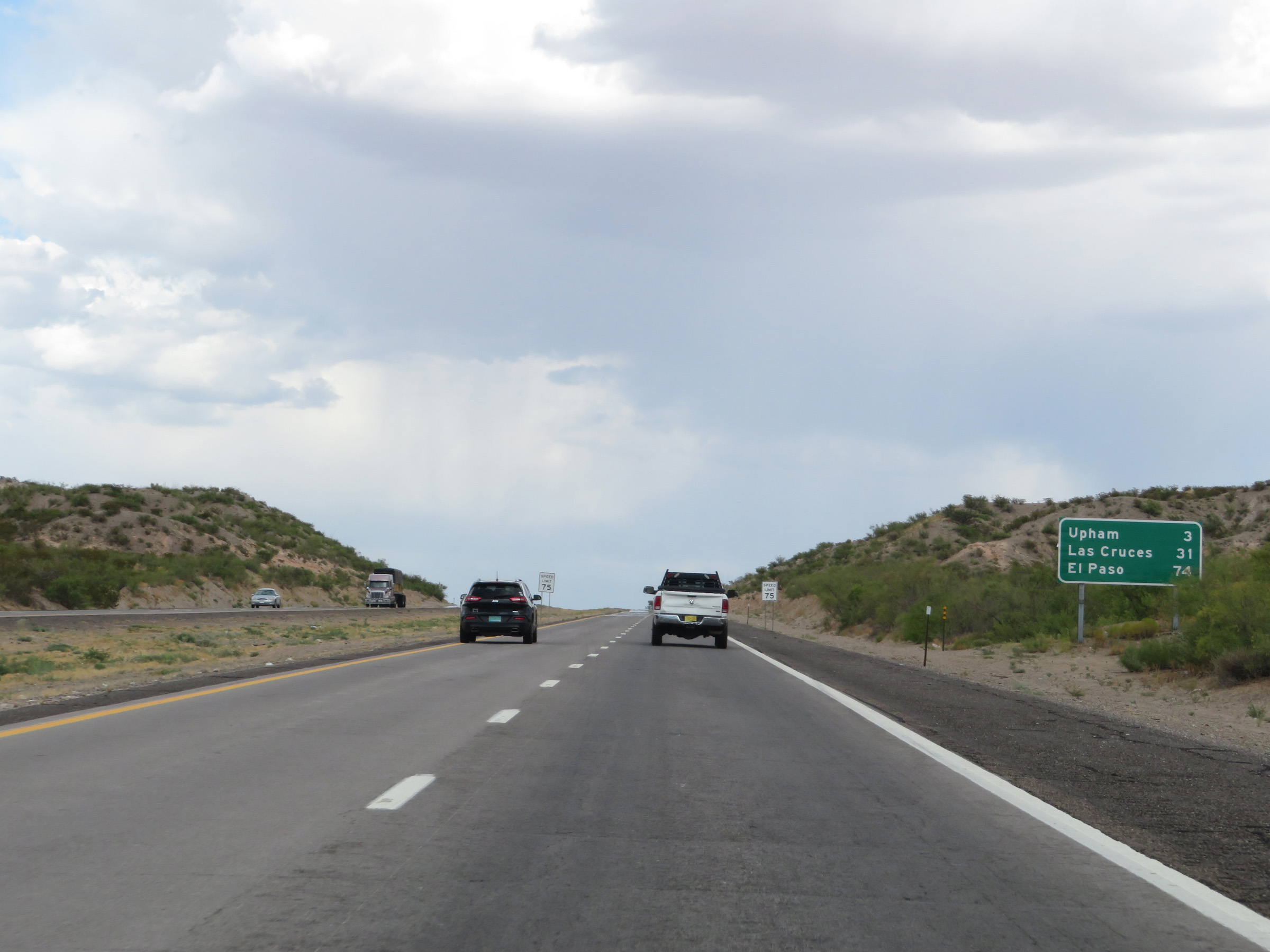 |
Mileage sign on Interstate 25 South. It's 3 miles to Upham, 31 miles to Las Cruces, and 74 miles to El Paso. (Photo taken 8/13/20). |
 |
Take Exit 32 to El Camino Real National Historic Trail and Jornada del Muerto Historic Sites. (Photo taken 8/13/20). |
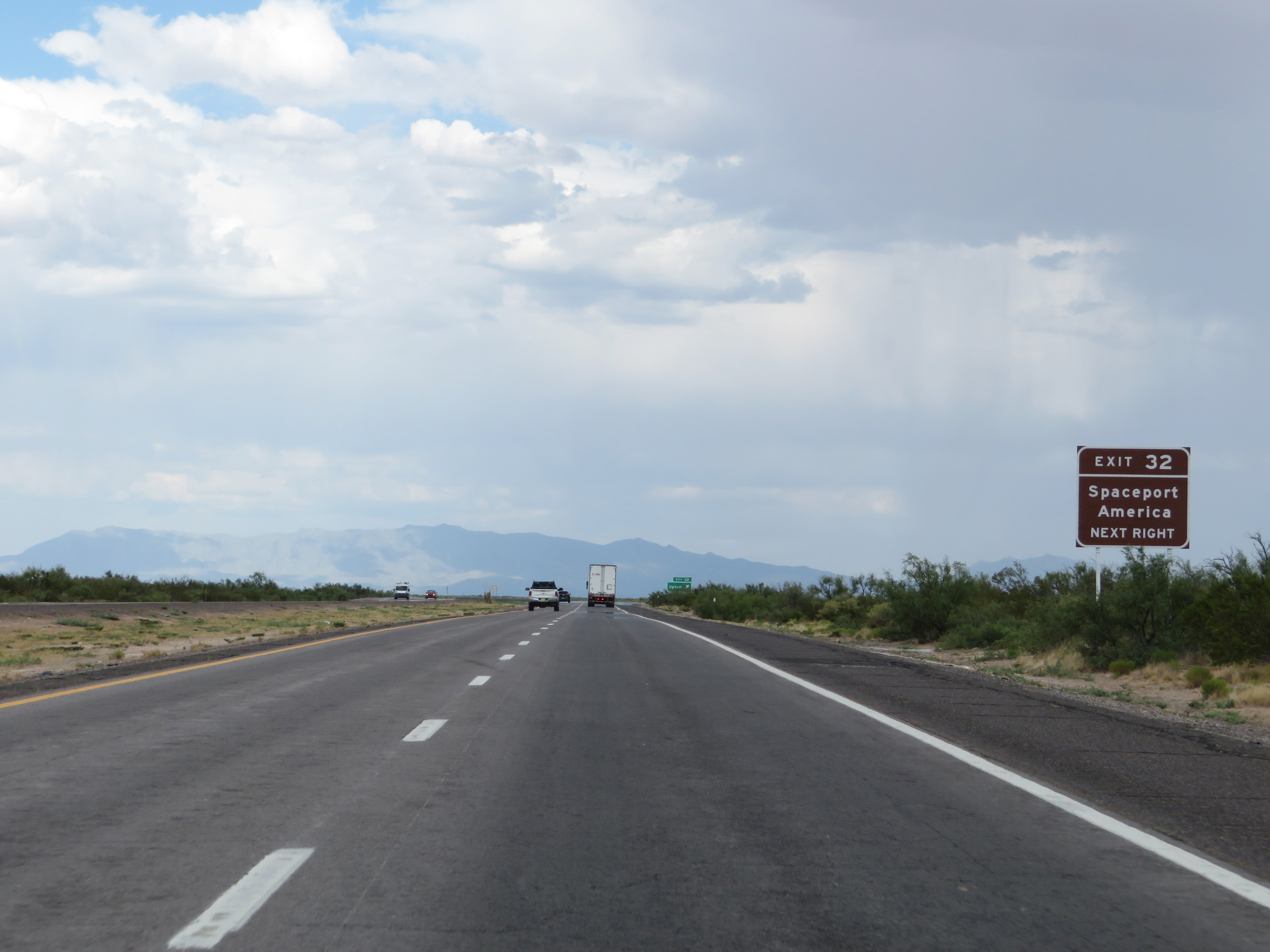 |
Also take Exit 32 to Spaceport America. (Photo taken 8/13/20). |
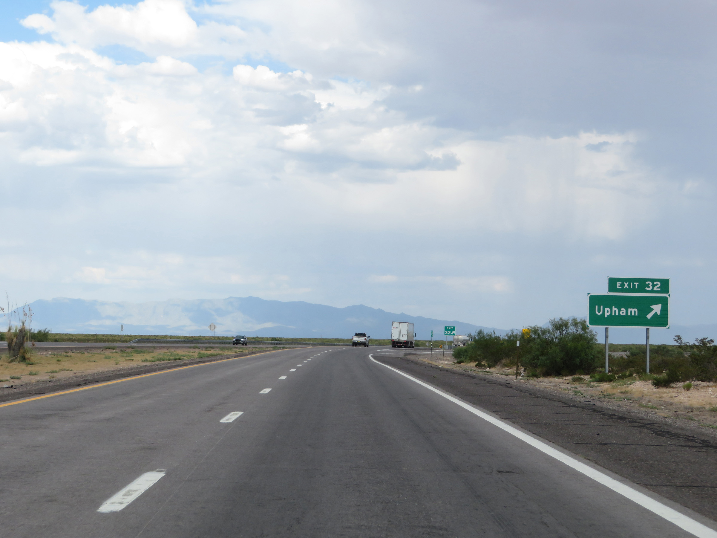 |
Interstate 25 South at Exit 32: Upham (Photo taken 8/13/20). |
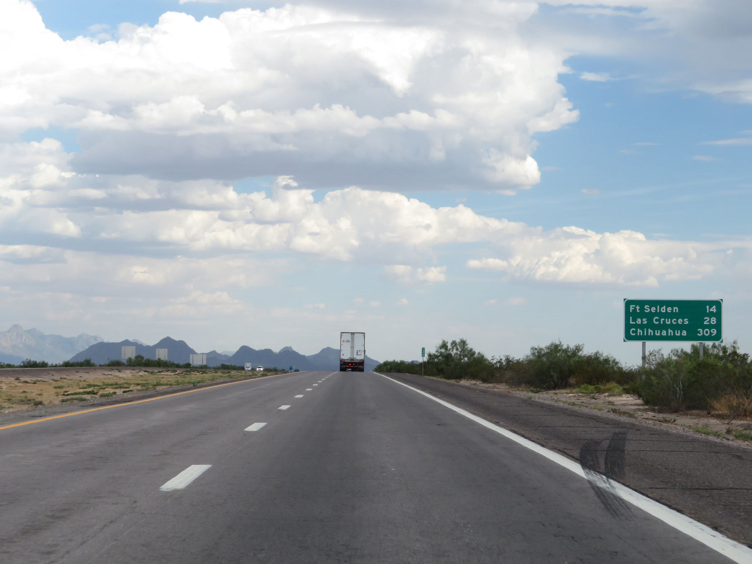 |
Another mileage sign on Interstate 25 South. It's 14 miles to Fort Selden, 28 miles to Las Cruces, and 309 miles to Chihuahua. (Photo taken 8/13/20). |
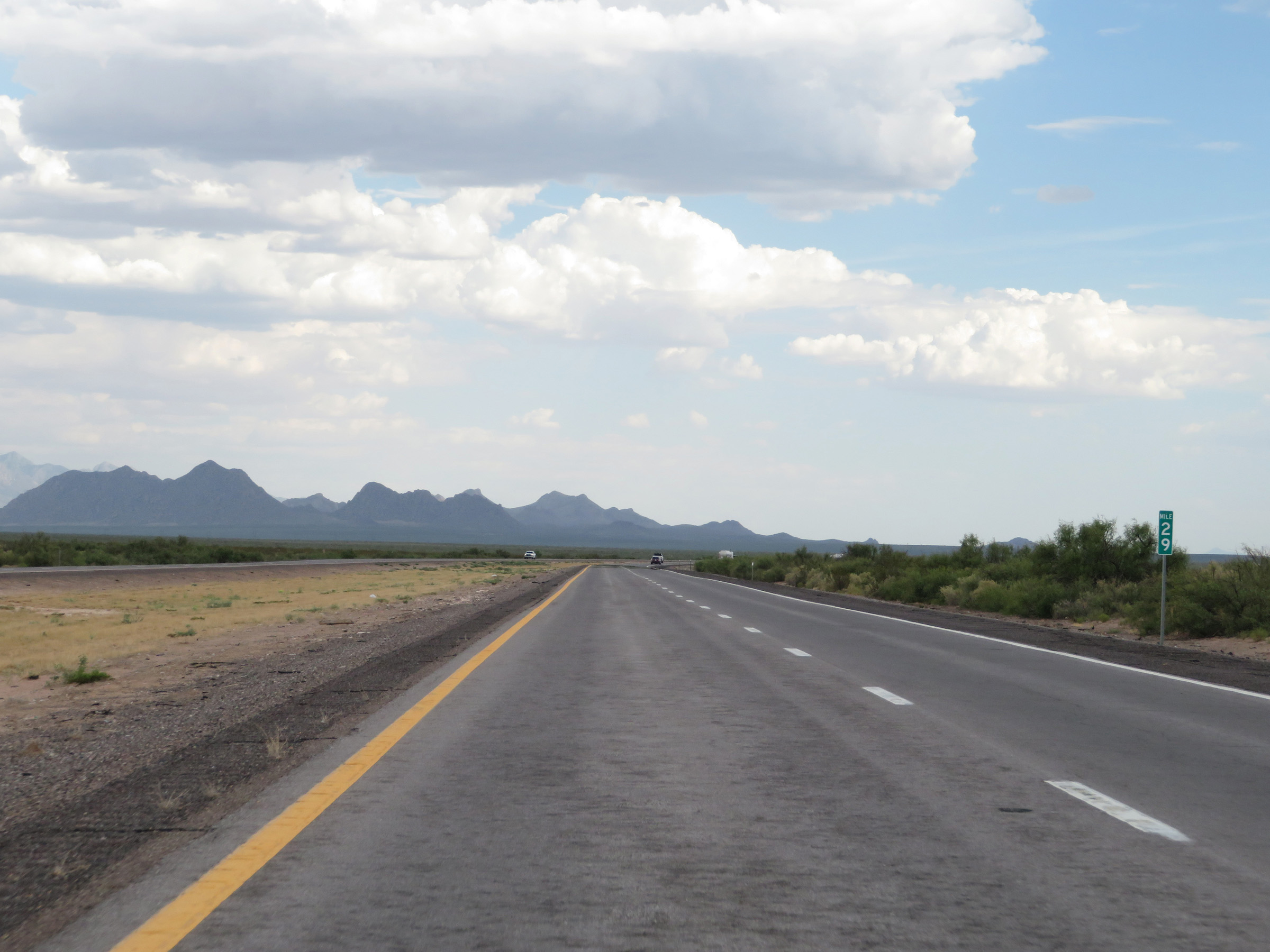 |
View on Interstate 25 South at mile marker 29. (Photo taken 8/13/20). |
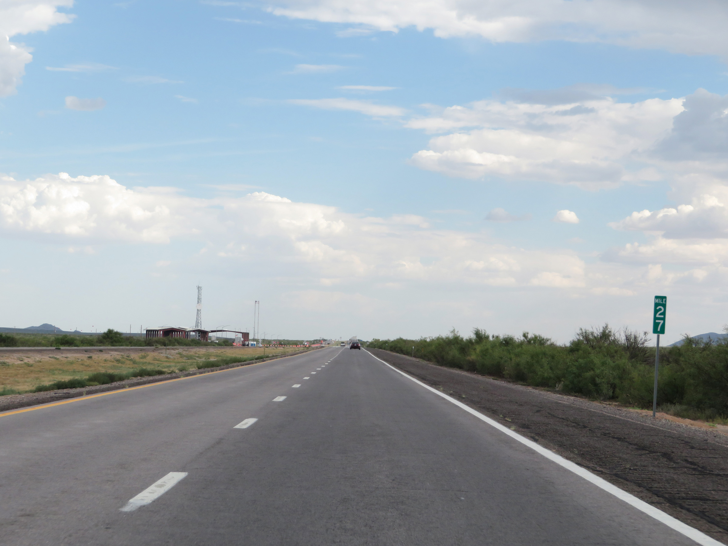 |
Interstate 25 South at mile marker 27. On the northbound side of I-25 here is a Border Patrol Checkpoint. (Photo taken 8/13/20). |
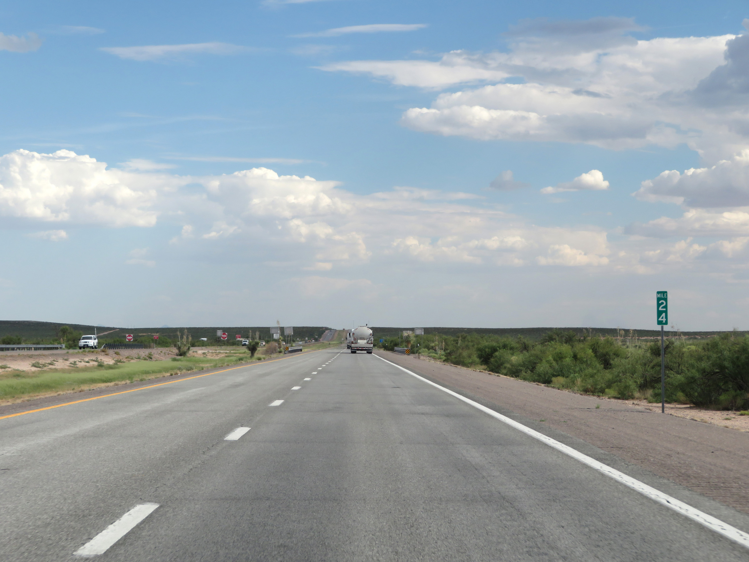 |
Interstate 25 South at mile marker 24. (Photo taken 8/13/20). |
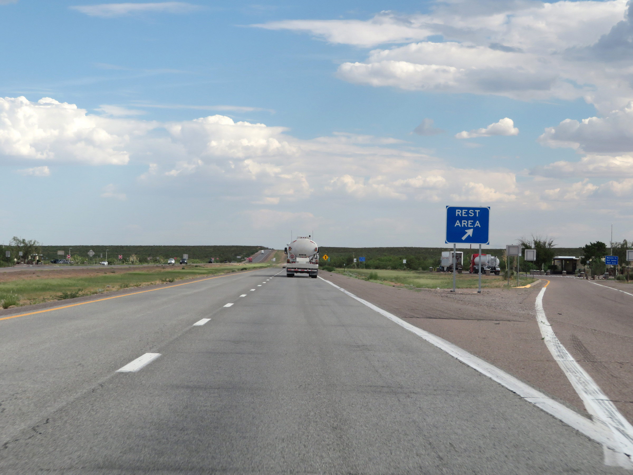 |
Rest Area on Interstate 25 South in Doña Ana County. (Photo taken 8/13/20). |
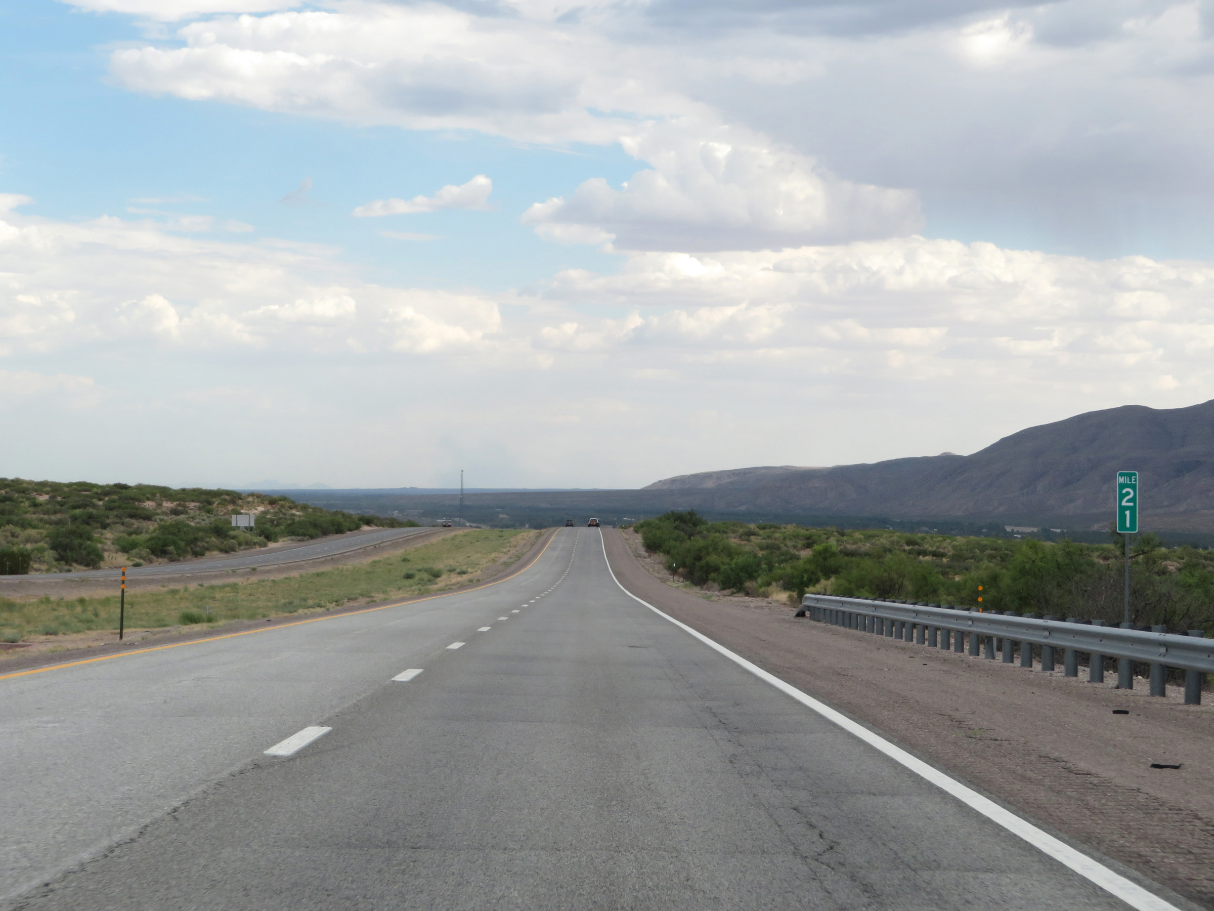 |
View on Interstate 25 South at mile marker 21. (Photo taken 8/13/20). |
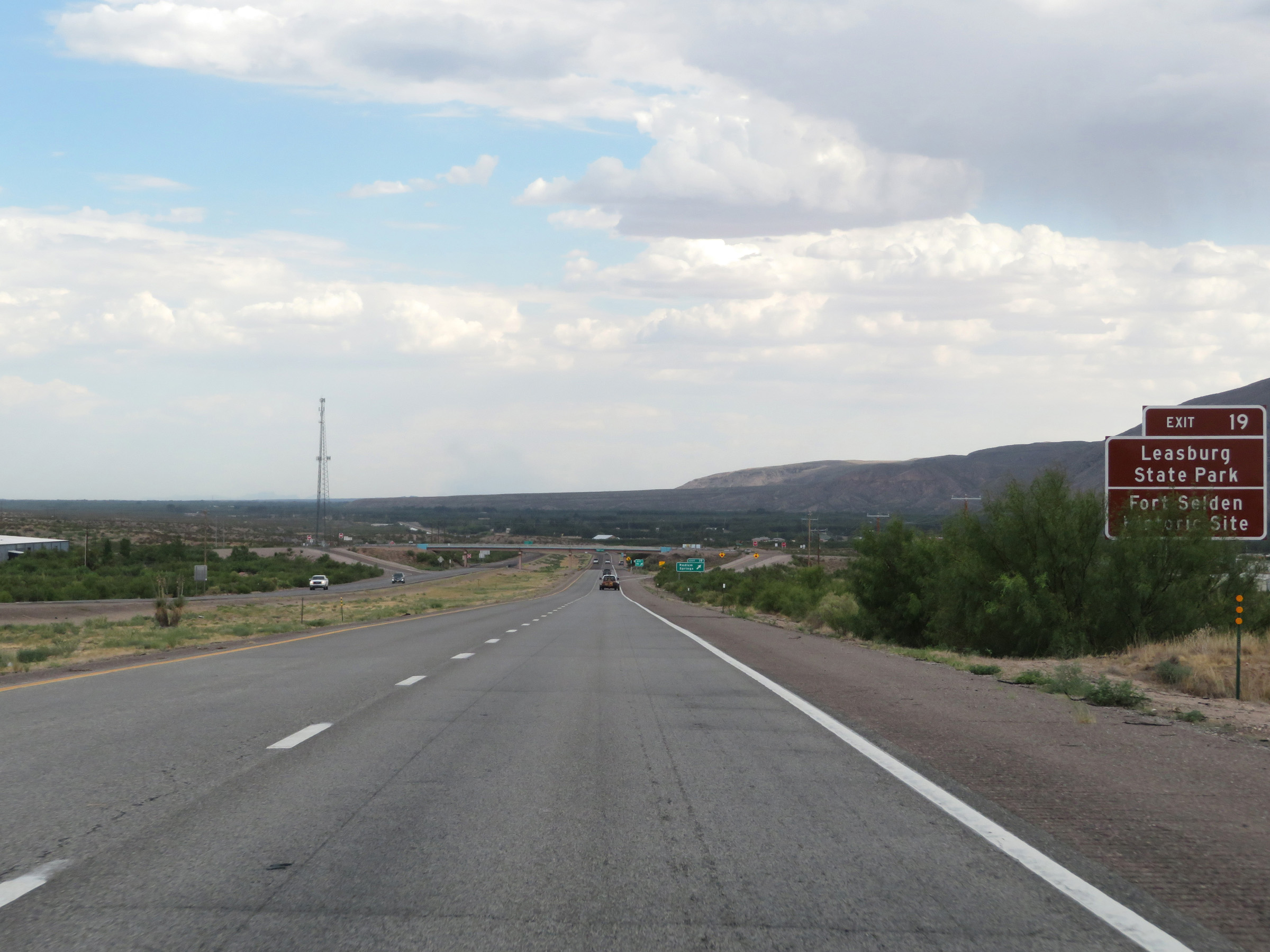 |
Take Exit 19 to Leasburg State Park and Fort Selden Historic Site. (Photo taken 8/13/20). |
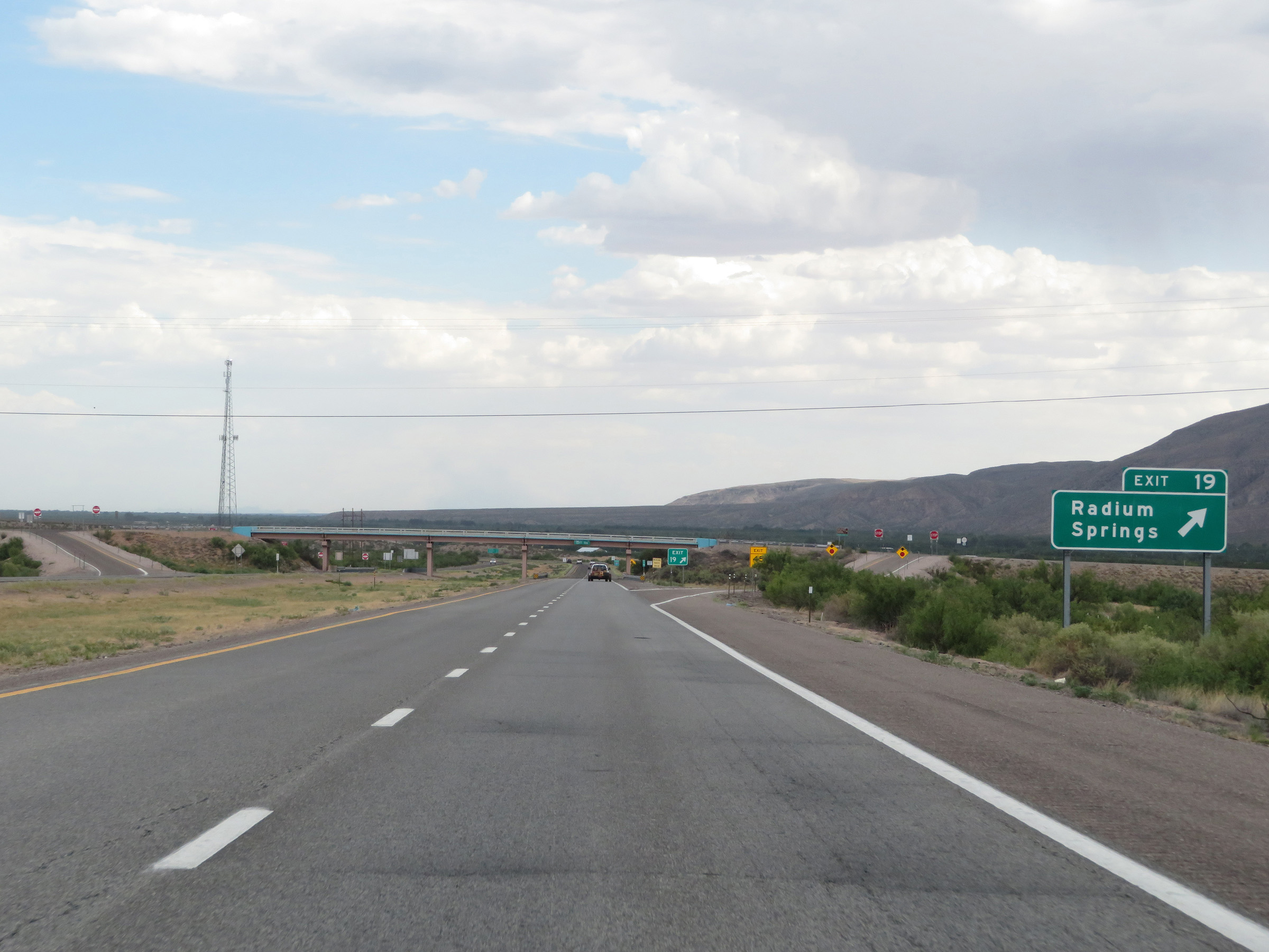 |
Interstate 25 South at Exit 19: Radium Springs (Photo taken 8/13/20). |
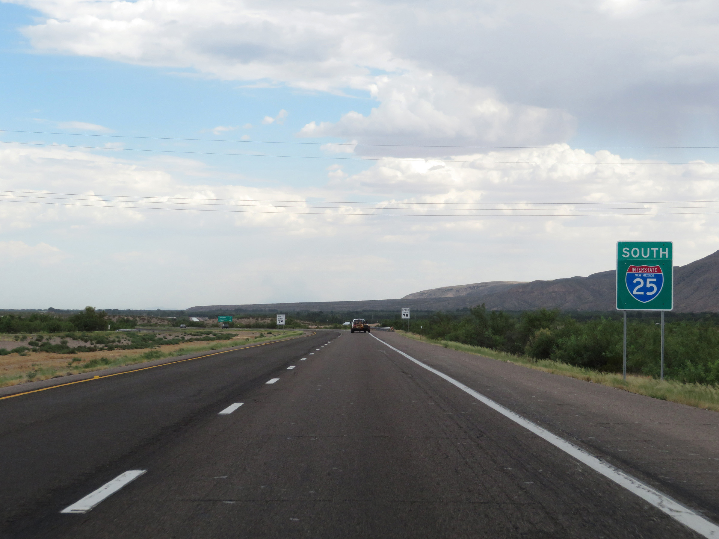 |
Another non-cutout, state-named Interstate 25 South reassurance shield. (Photo taken 8/13/20). |
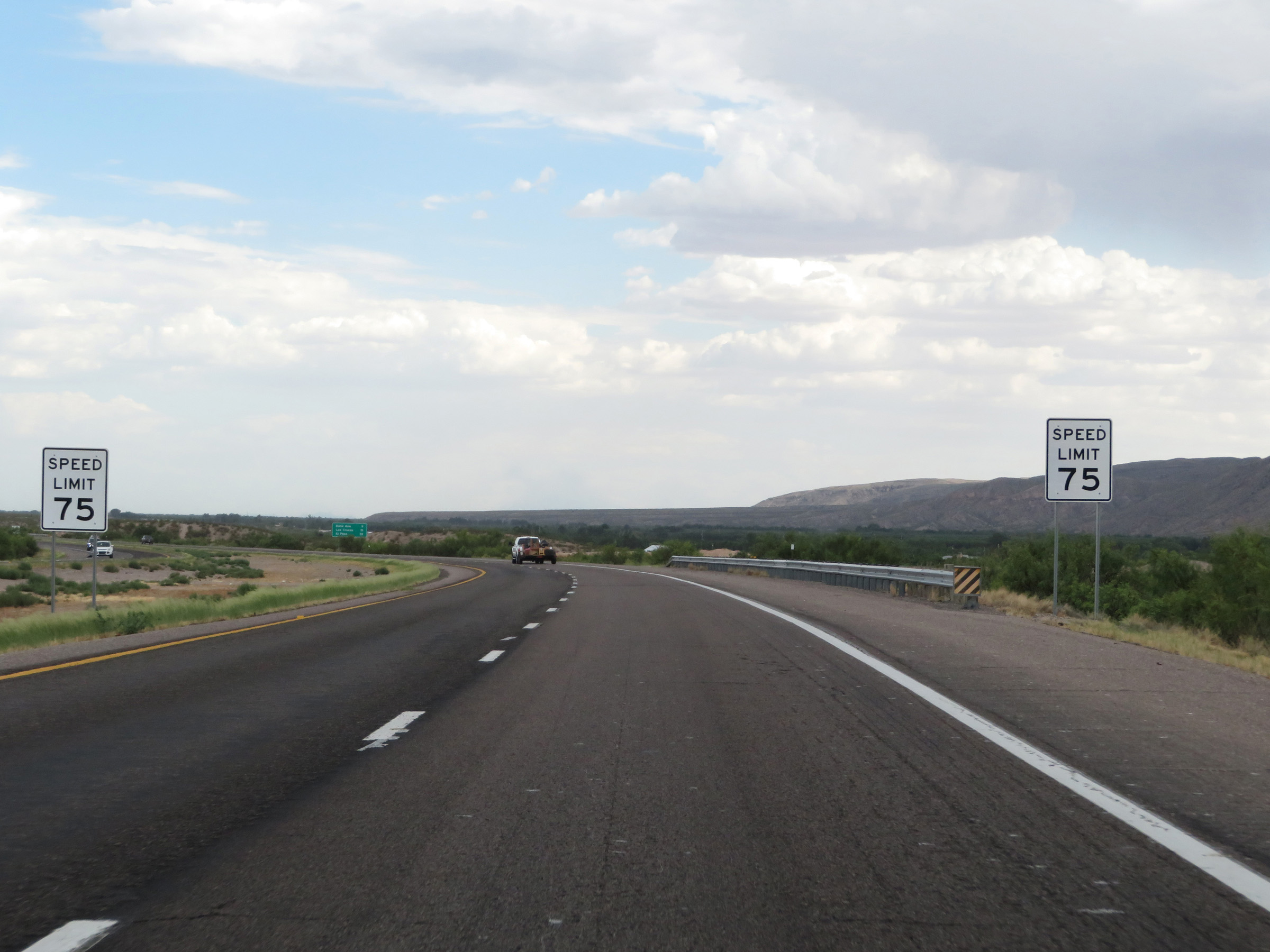 |
The speed limit remains 75 mph. (Photo taken 8/13/20). |
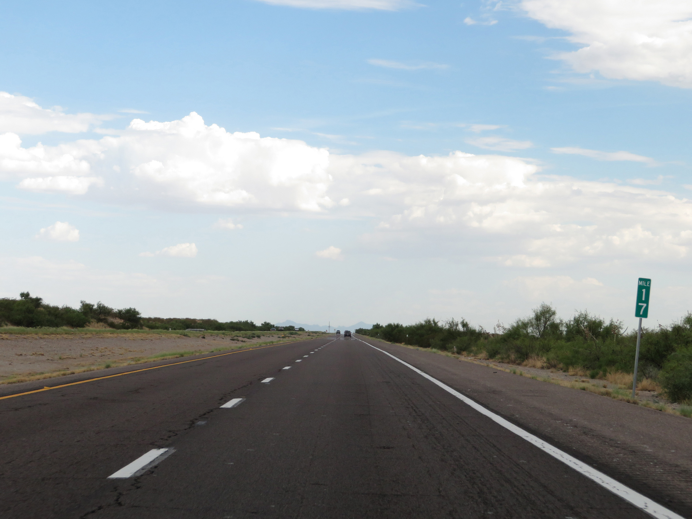 |
View on Interstate 25 South at mile marker 17. (Photo taken 8/13/20). |
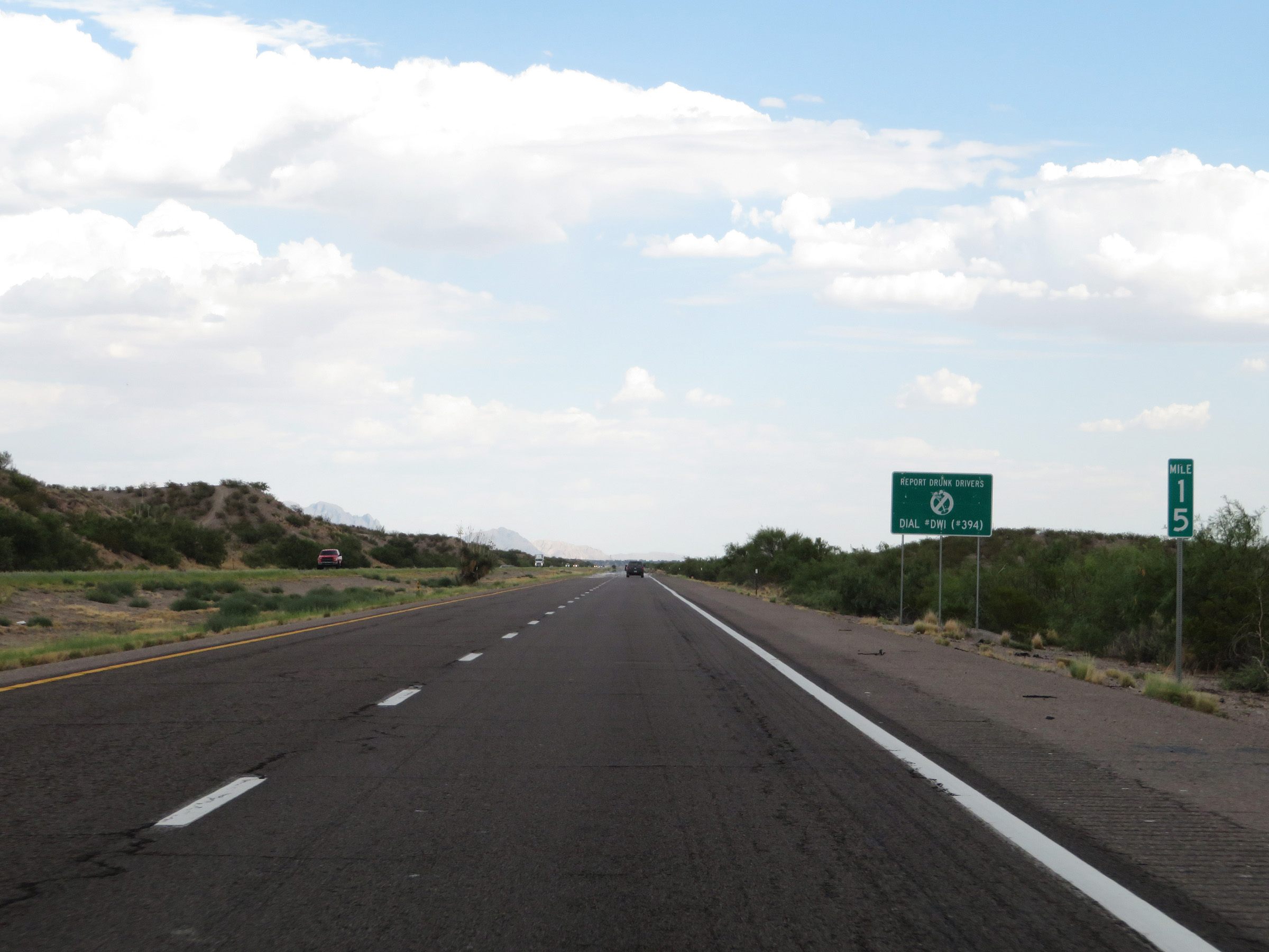 |
Interstate 25 South at mile marker 15. (Photo taken 8/13/20). |
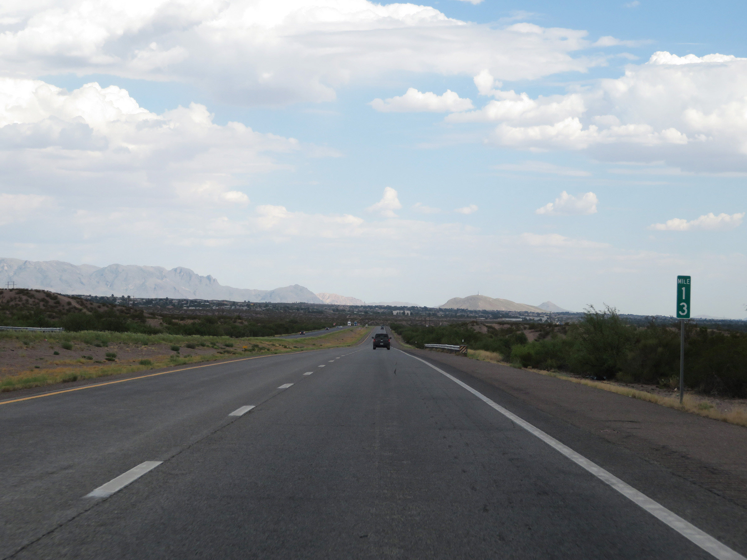 |
View on Interstate 25 South at mile marker 13. (Photo taken 8/13/20). |
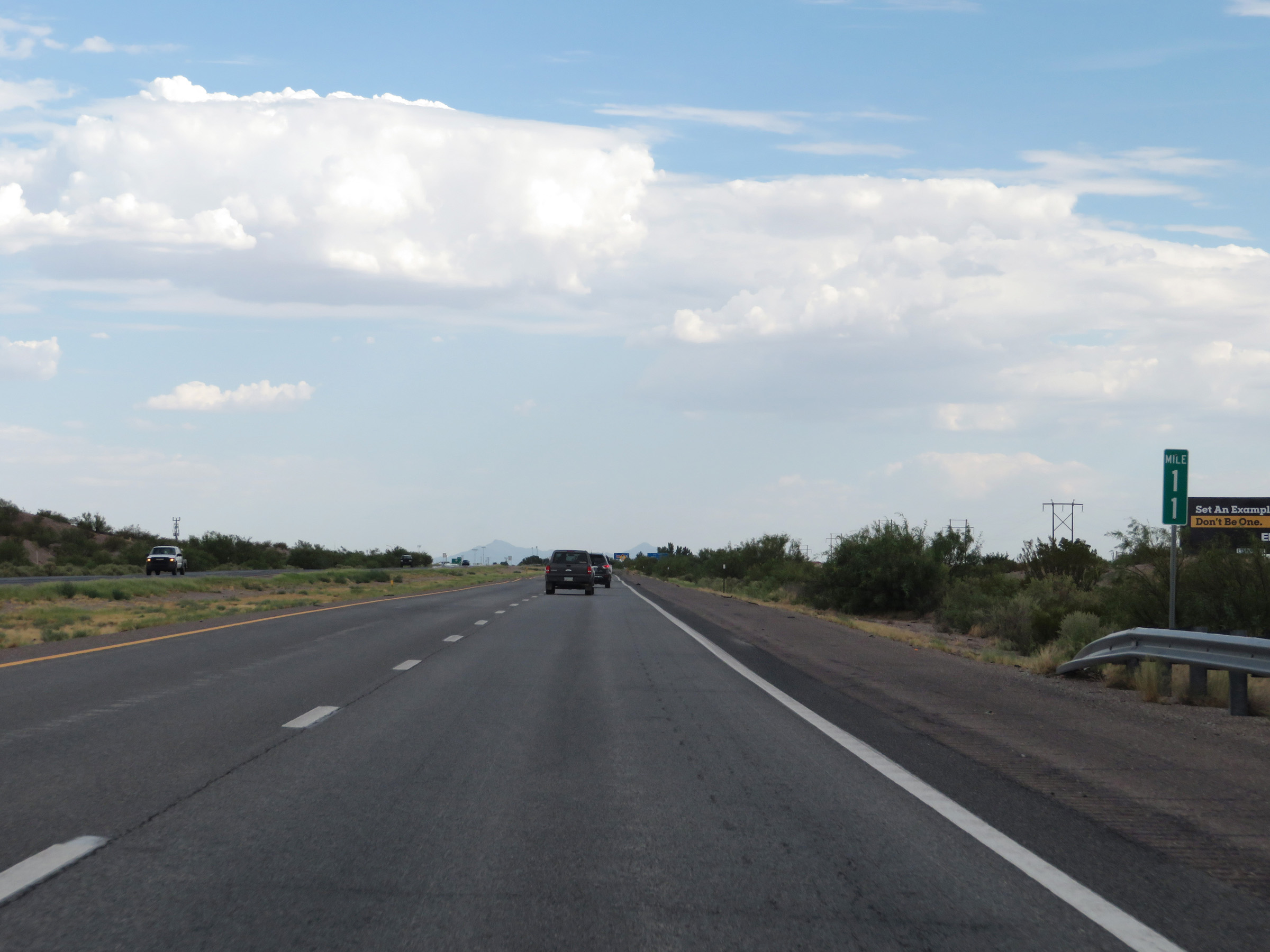 |
Mile marker 11 on Interstate 25 South in Doña Ana County. (Photo taken 8/13/20). |
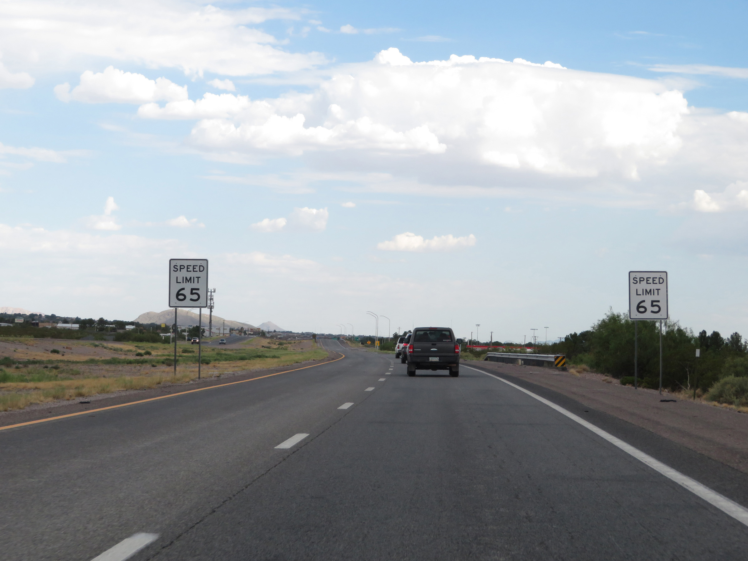 |
Near mile marker 10, the speed limit on Interstate 25 South decreases to 65 mph as it nears Las Cruces. (Photo taken 8/13/20). |
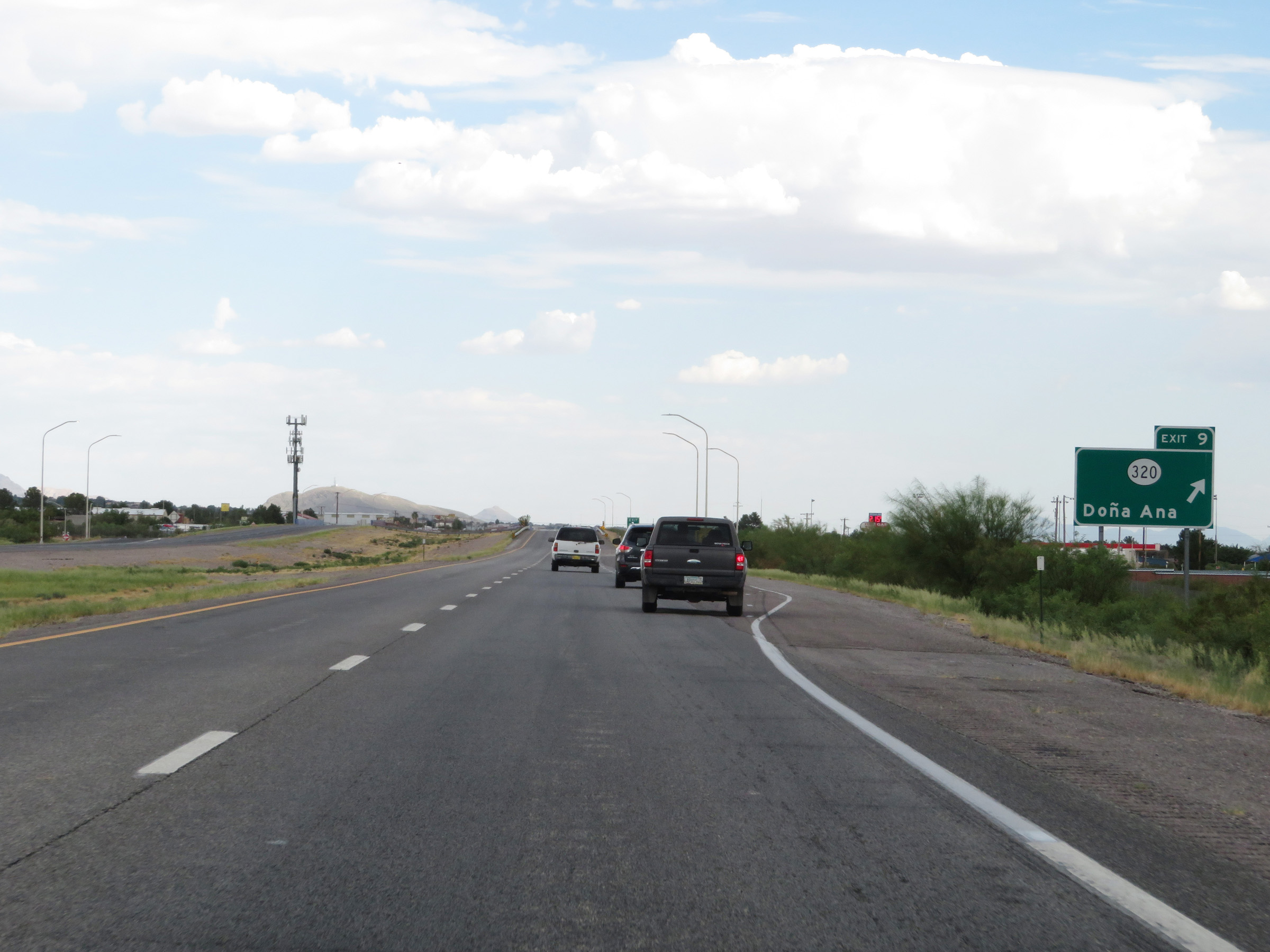 |
Interstate 25 South at Exit 9: NM 320 - Doña Ana (Photo taken 8/13/20). |
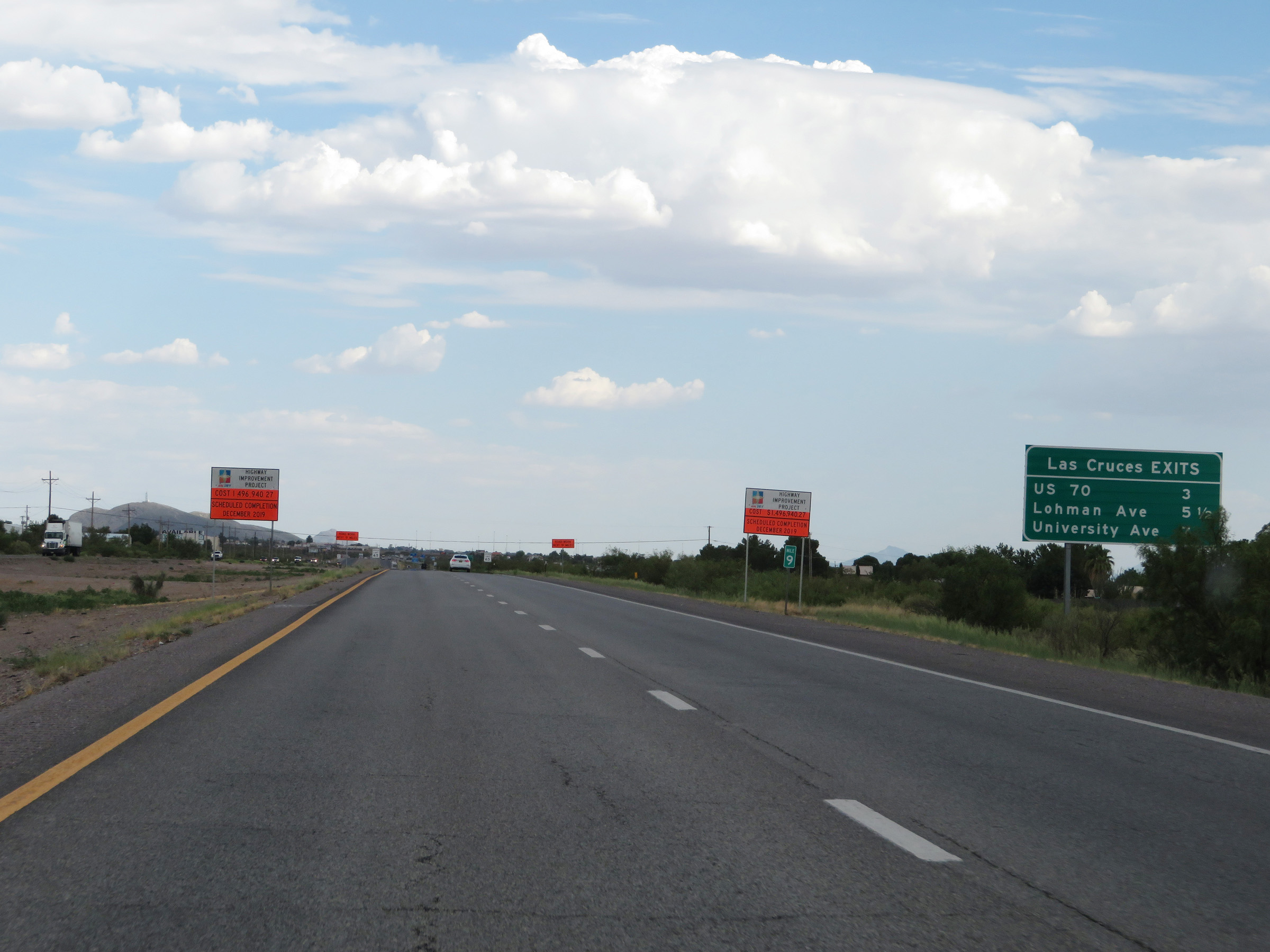 |
This sign lists the distances to the three upcoming Las Cruces exits on Interstate 25 South. (Photo taken 8/13/20). |
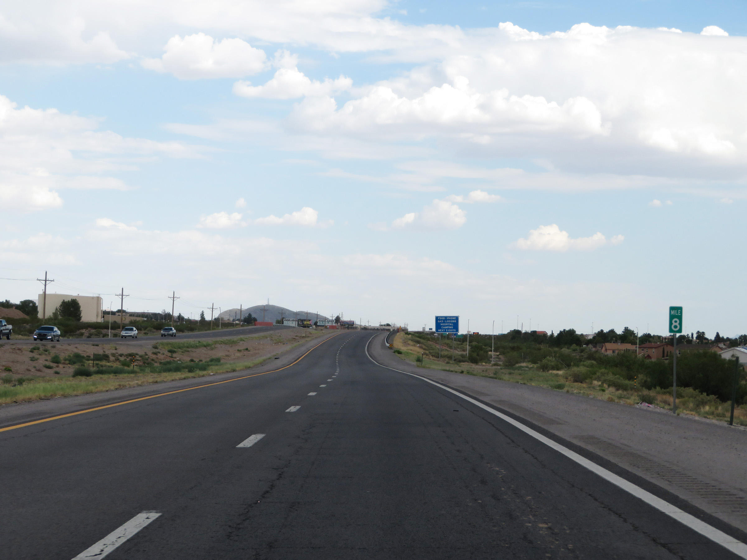 |
View on Interstate 25 South at mile marker 8. (Photo taken 8/13/20). |
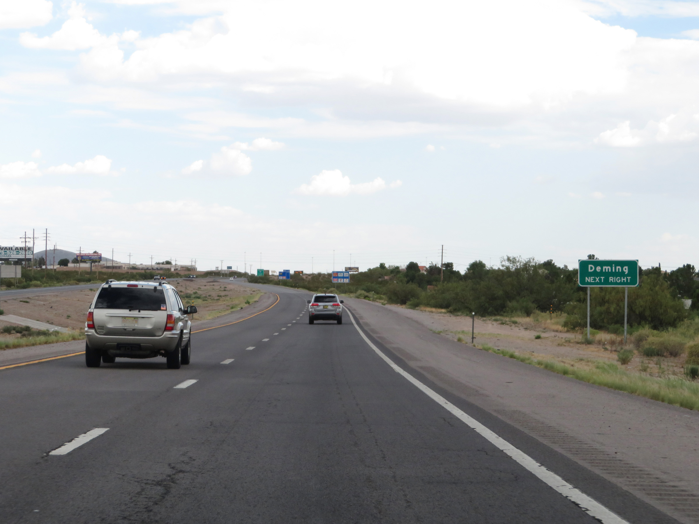 |
Take Exit 6 to Deming. (Photo taken 8/13/20). |
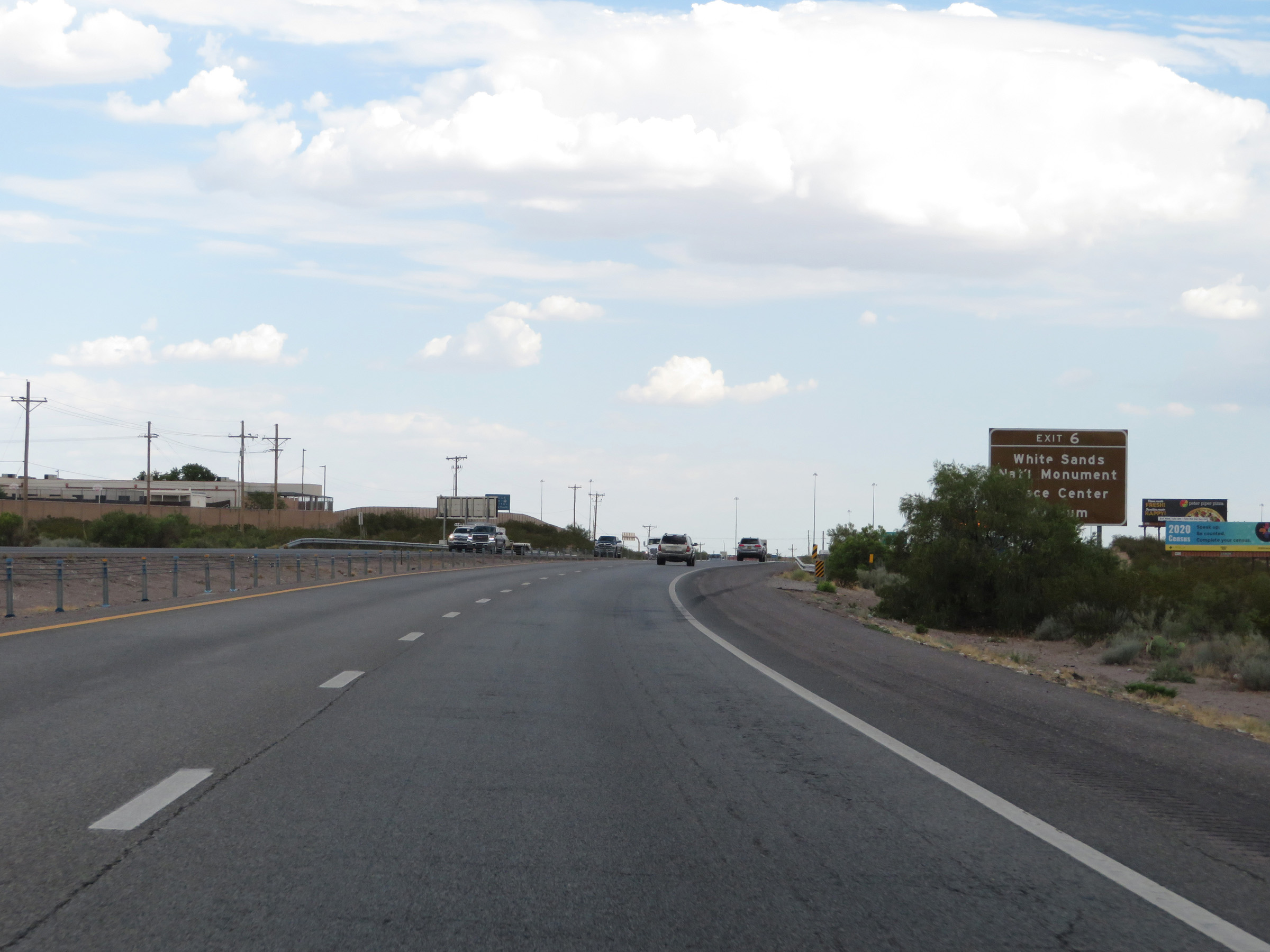 |
Also take Exit 6 to White Sands National Monument and the Space Center & Museum. (Photo taken 8/13/20). |
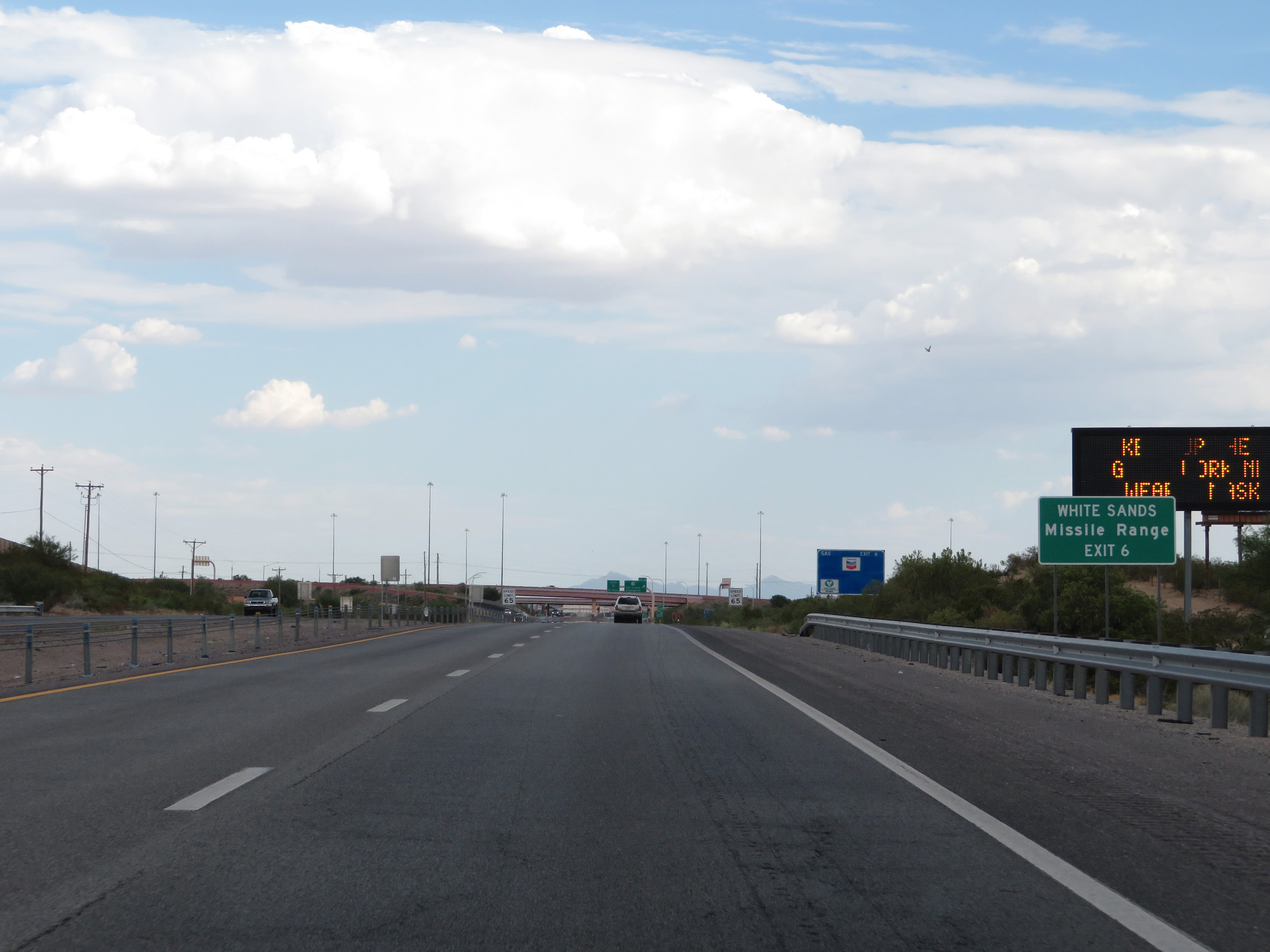 |
Take Exit 6 to the White Sands Missile Range as well. (Photo taken 8/13/20). |
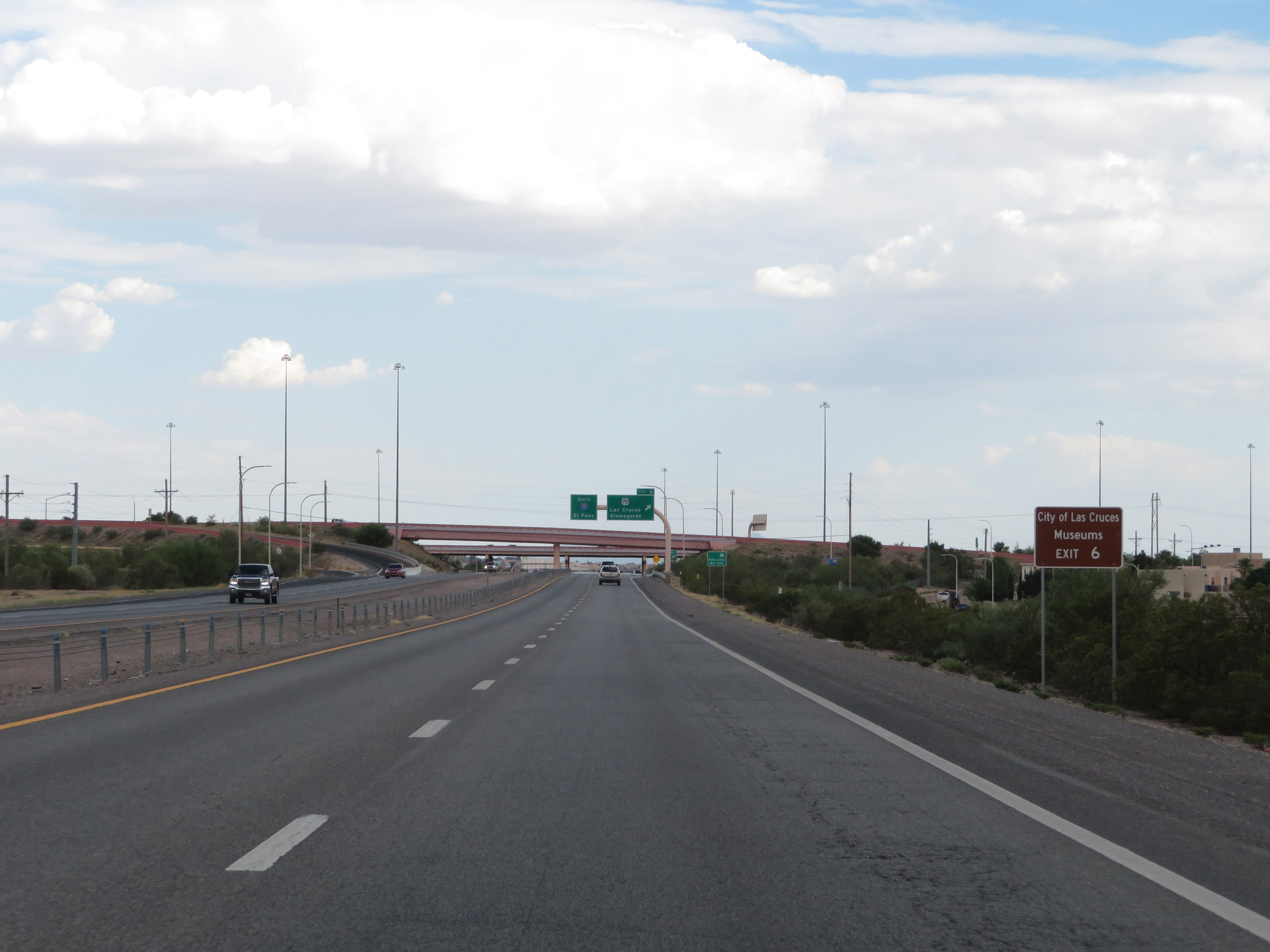 |
Use Exit 6 to the City of Las Cruces Museums also. (Photo taken 8/13/20). |
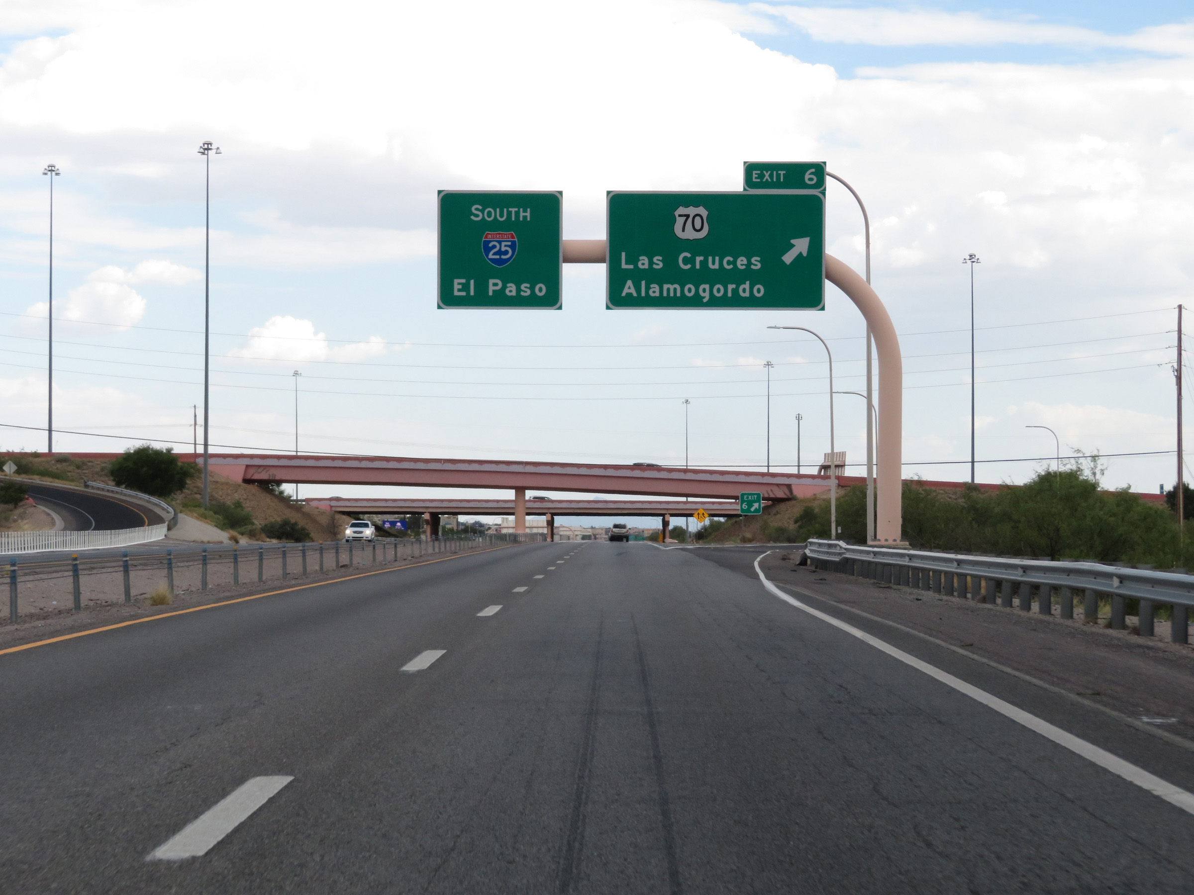 |
Interstate 25 South at Exit 6: US 70 - Las Cruces / Alamogordo (Photo taken 8/13/20). |
 |
Interstate 25 South at mile marker 6. (Photo taken 8/13/20). |
 |
View on Interstate 25 South at mile marker 5. (Photo taken 8/13/20). |
 |
Interstate 25 South at mile marker 4. (Photo taken 8/13/20). |
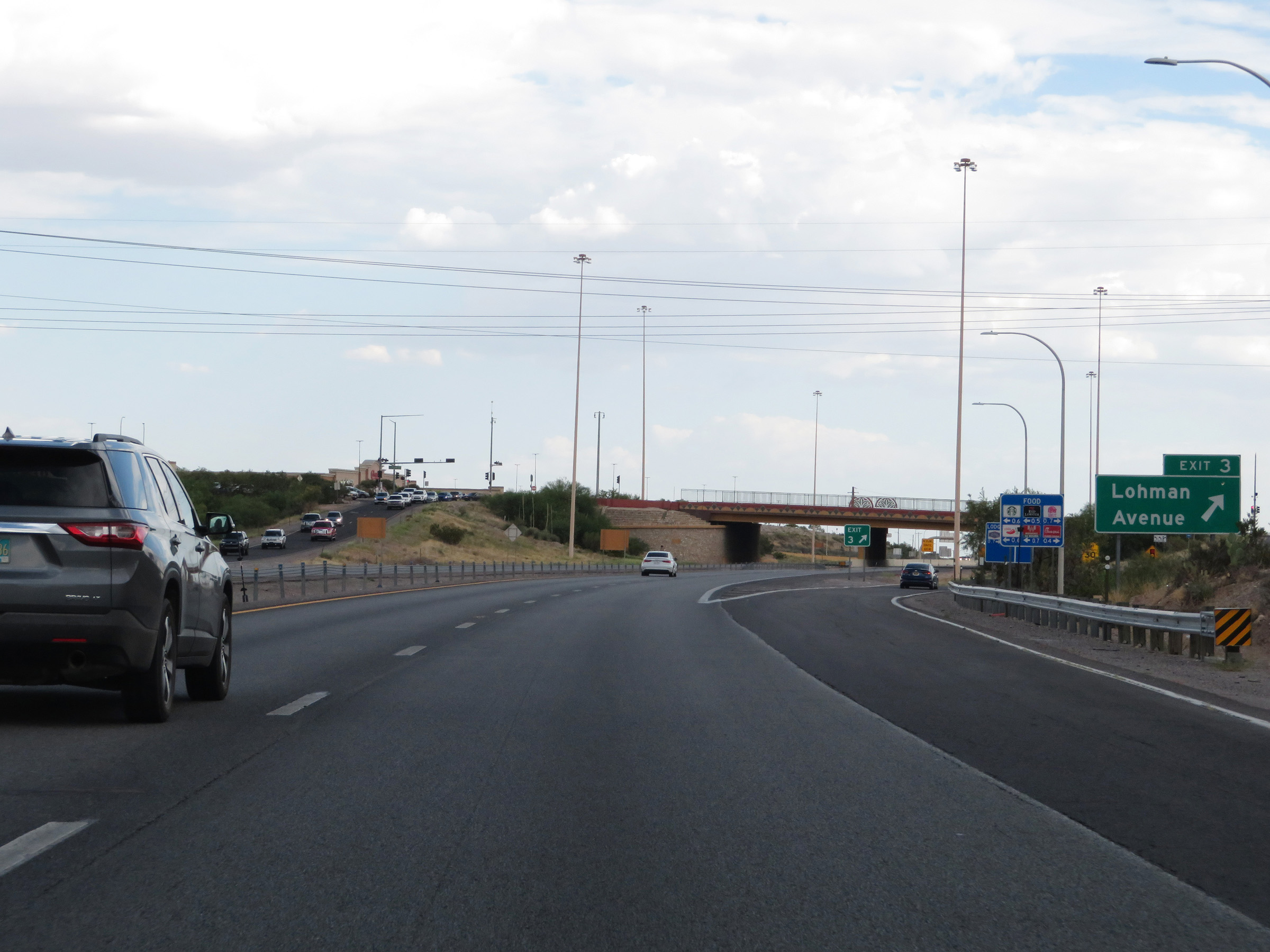 |
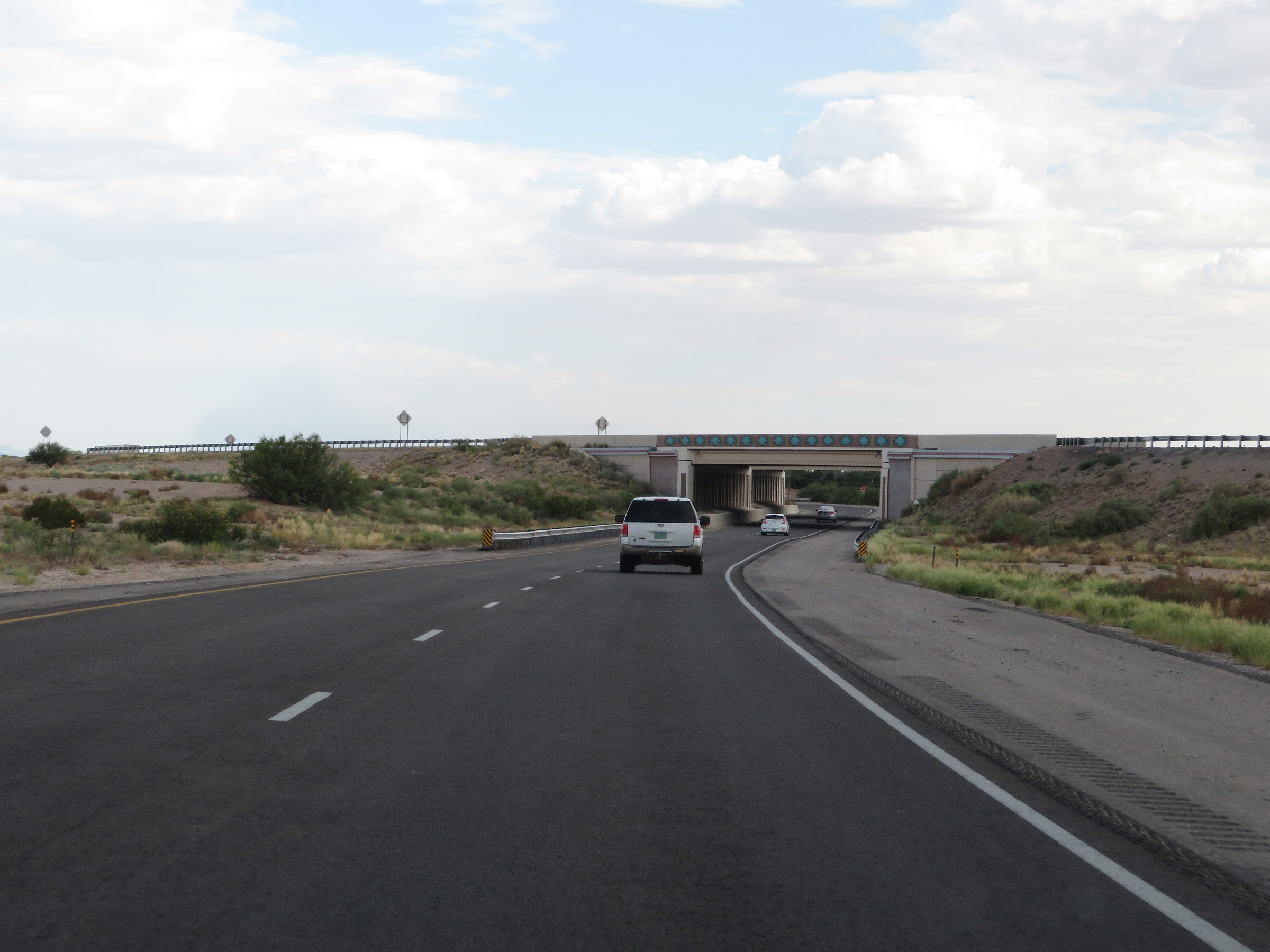
Interstate 25 South at Exit 3: Lohman Avenue (Photo taken 8/13/20). |
 |
State-named Interstate 25 South reassurance shield. (Photo taken 8/13/20). |
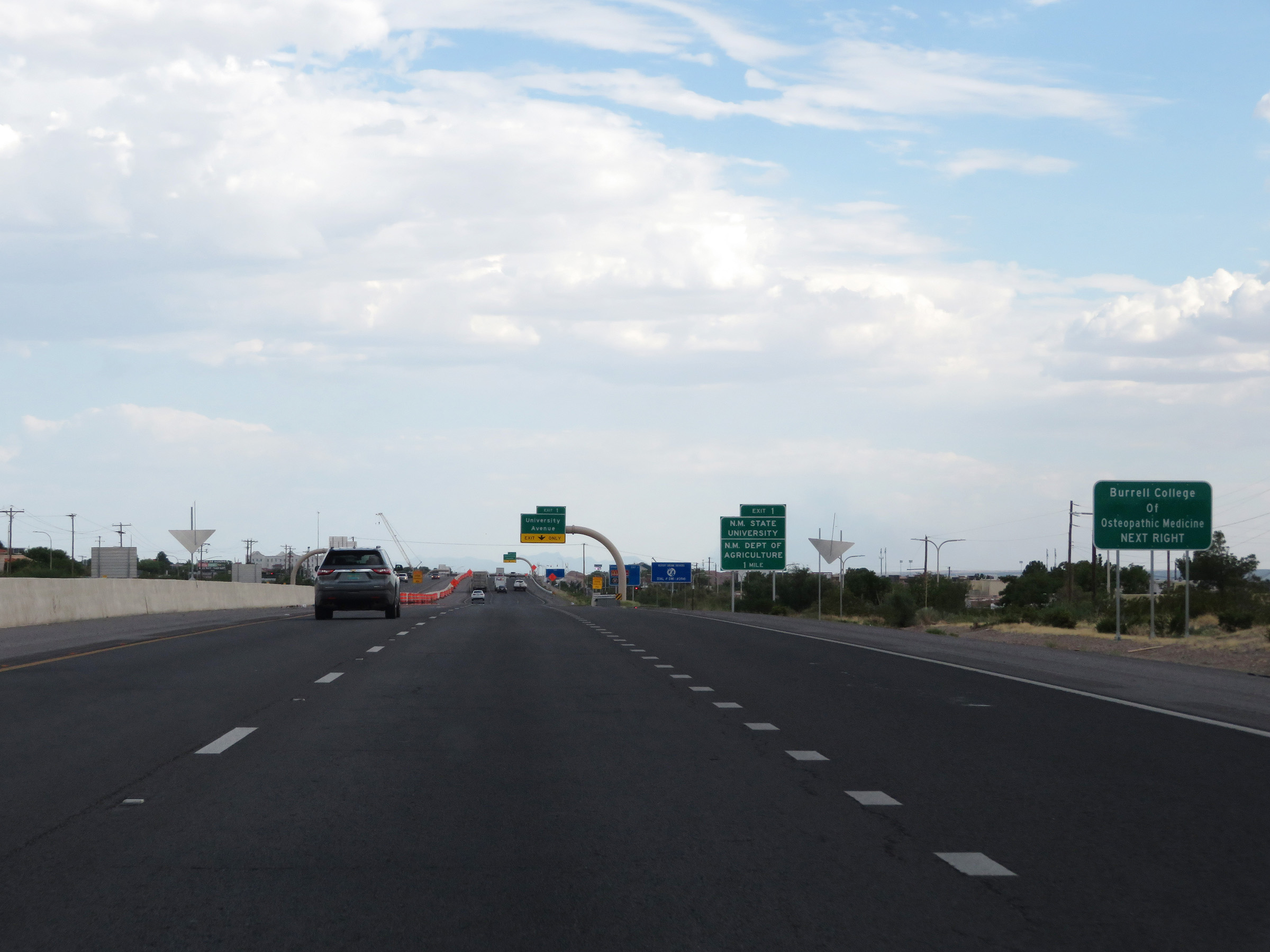 |
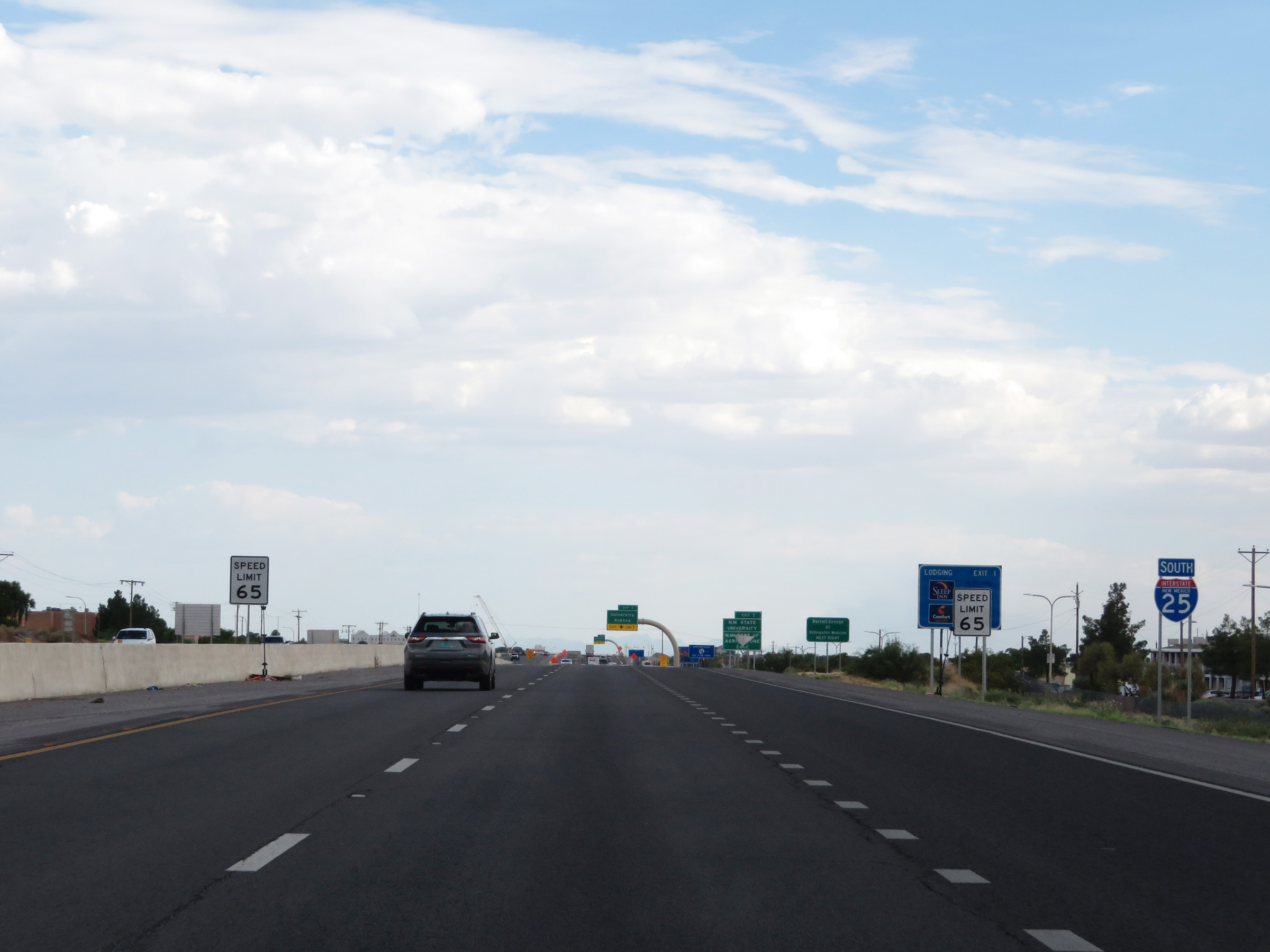
Take Exit 1 to Burrell College Of Osteopathic Medicine. (Photo taken 8/13/20). |
 |
Also take Exit 1 to New Mexico State University and the New Mexico Department of Agriculture. (Photo taken 8/13/20). |
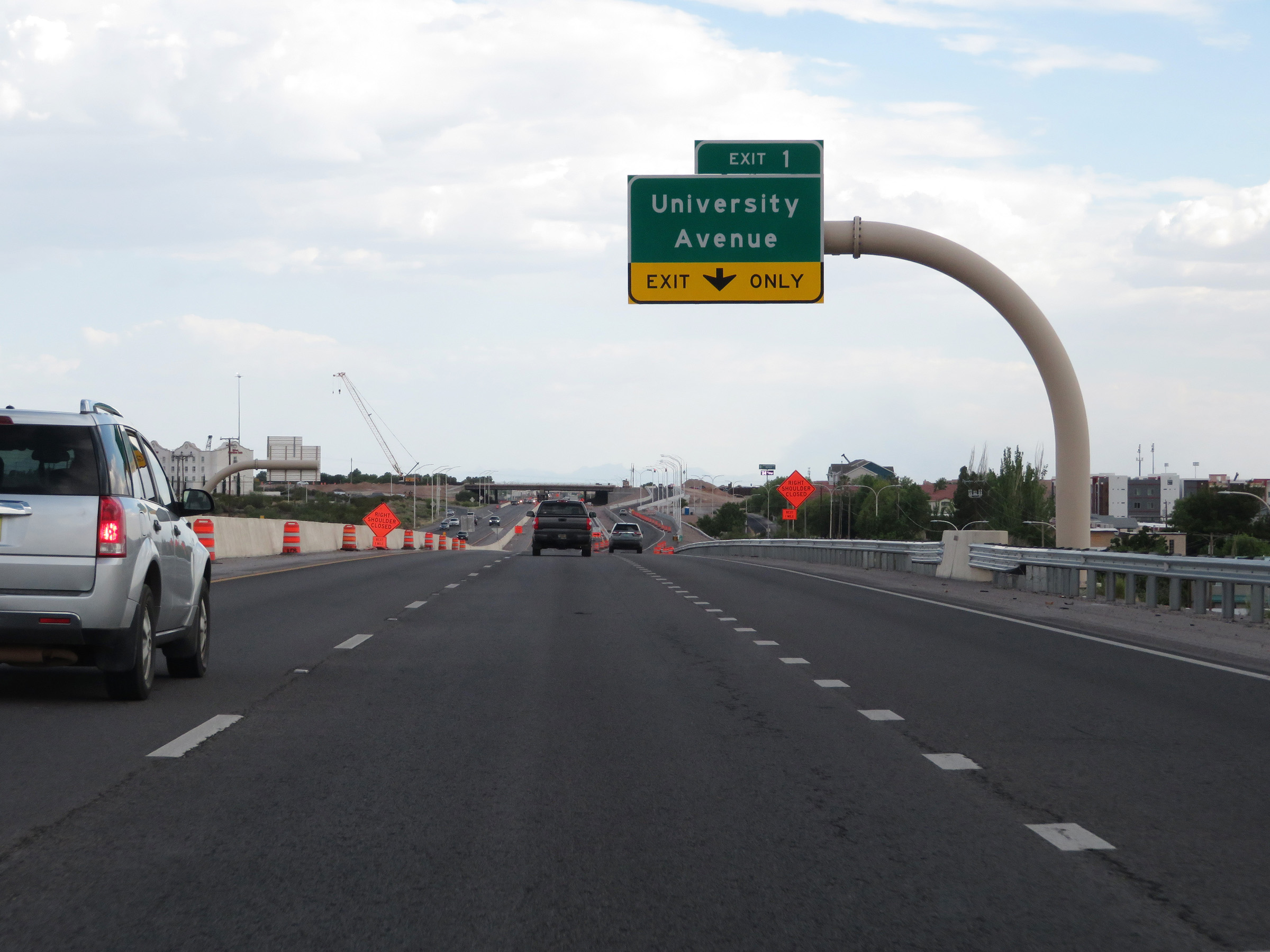 |
Interstate 25 South at Exit 1: University Avenue (Photo taken 8/13/20). |
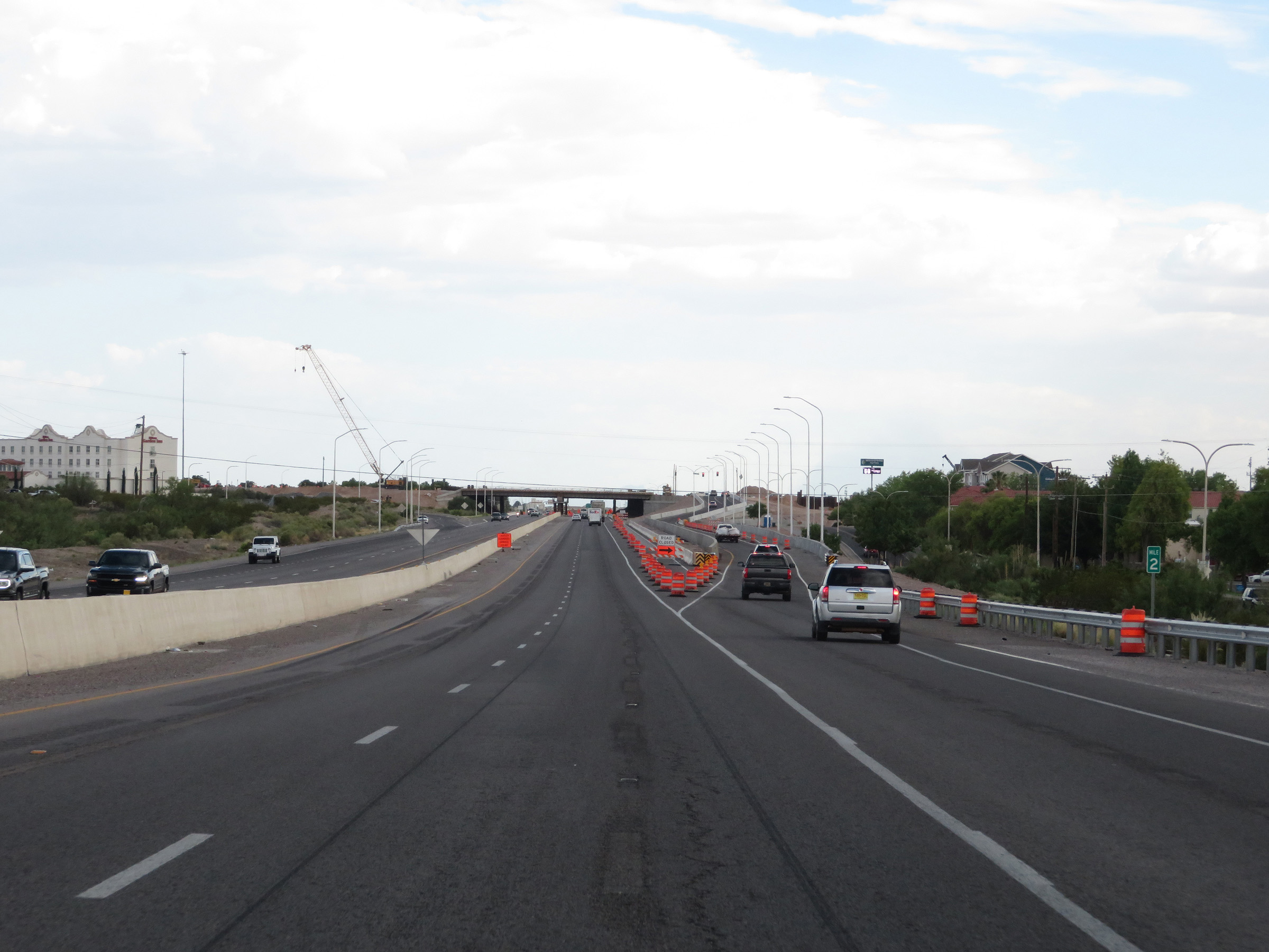 |
View of the ramp for Exit 1 at mile marker 2. (Photo taken 8/13/20). |
 |
View on Interstate 25 South as it approaches the junction of Interstate 10 in Las Cruces. (Photo taken 8/13/20). |
 |
The speed limit remains 65 mph for the brief remainder of Interstate 25 South. Notice the odd font on the speed limit sign to the right. (Photo taken 8/13/20). |
 |
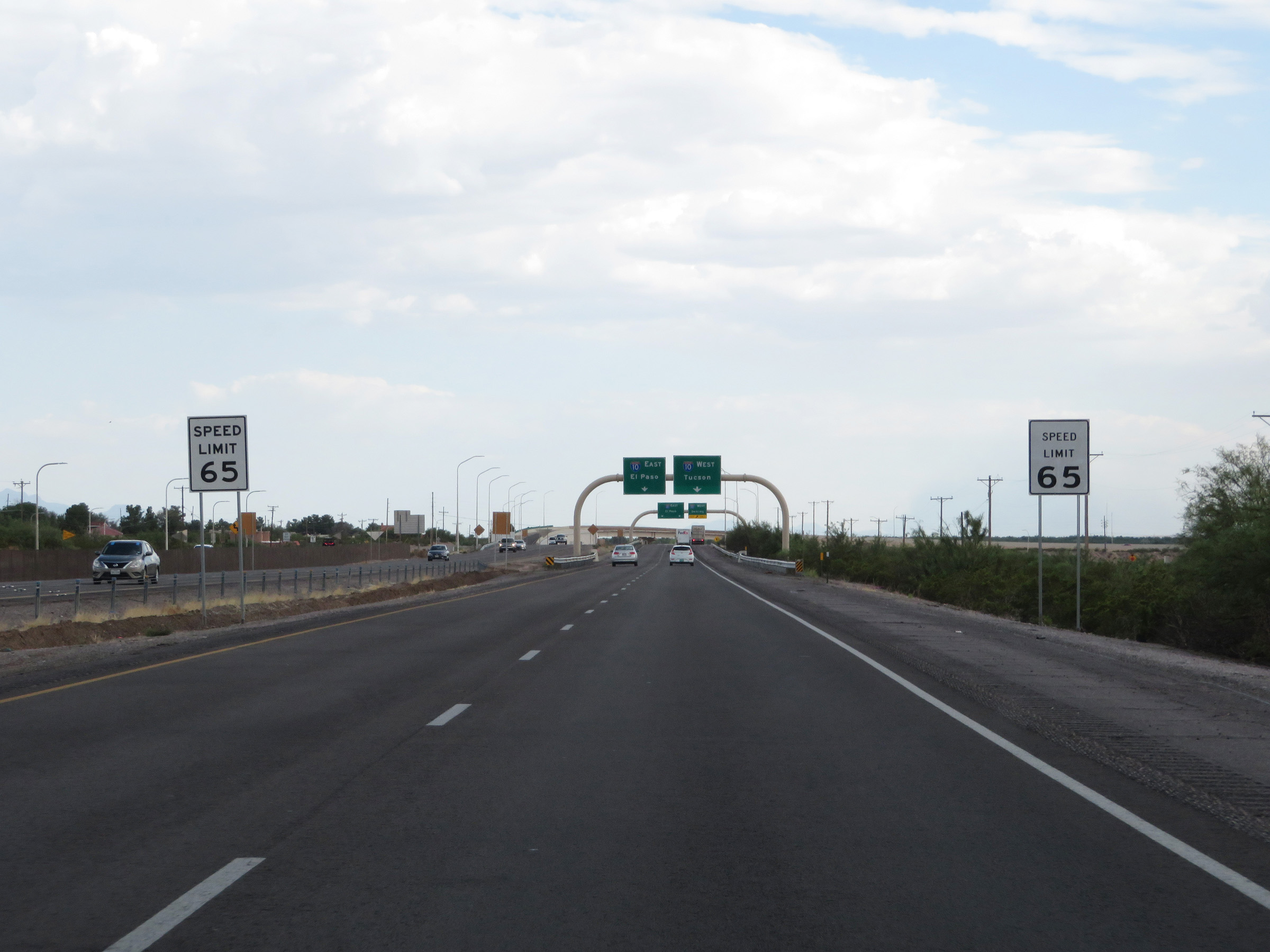
Interstate 25 South approaching the junction of Interstate 10. Traffic to Interstate 10 West should keep to the right. I-10 East traffic can stay straight ahead in either lane. (Photo taken 8/13/20). |
 |
Interstate 25 South at Exit: Interstate 10 West - Deming; Interstate 10 East - El Paso (Photo taken 8/13/20). |
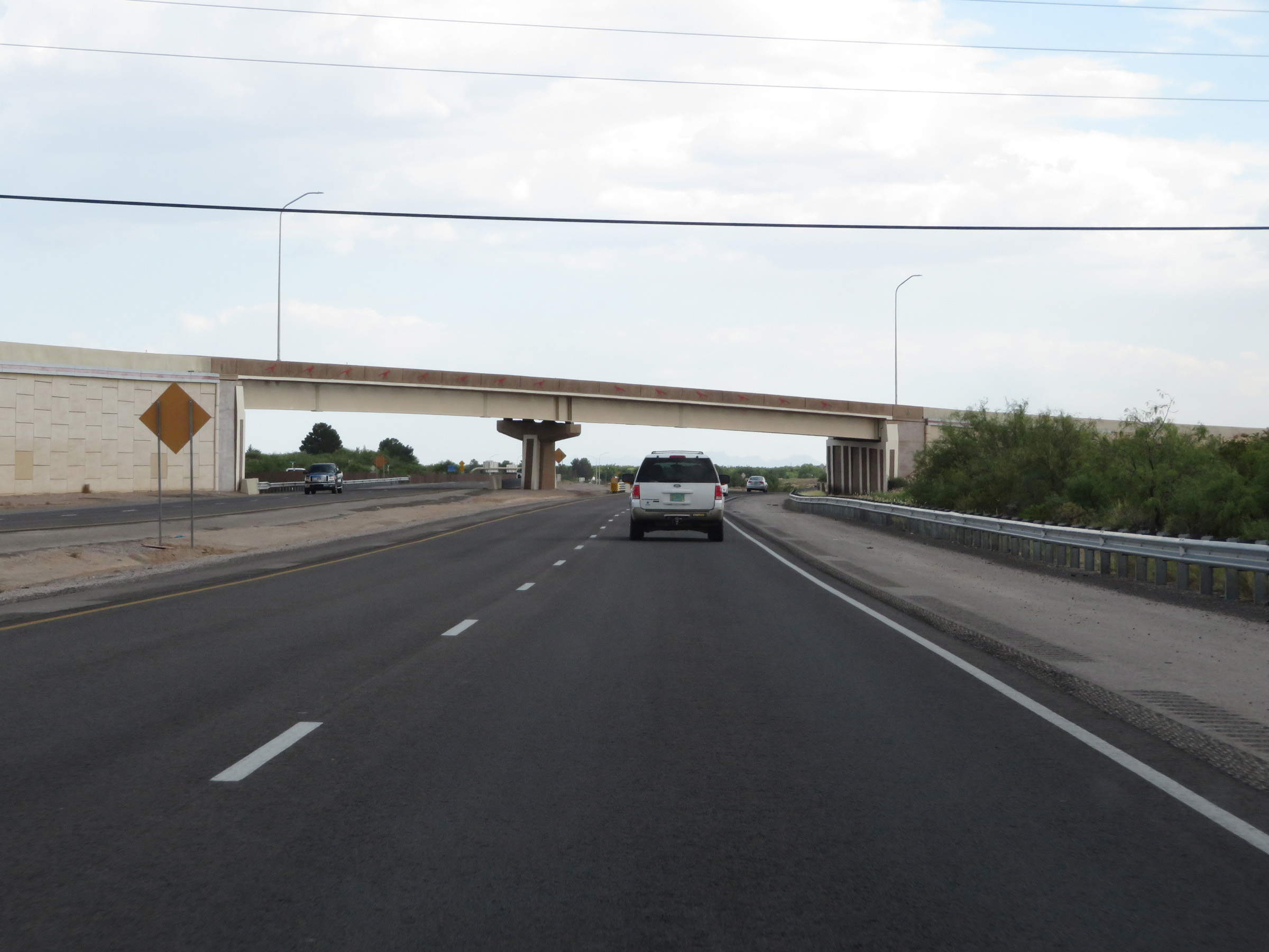 |
Interstate 25 South as it prepares to cross under the ramp from Interstate 10 East to Interstate 25 North. (Photo taken 8/13/20). |
 |
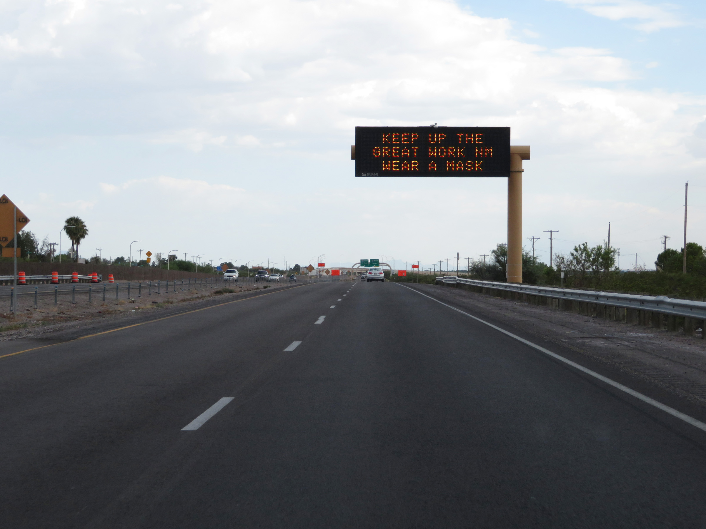
Interstate 25 South as it prepares to cross under Interstate 10 itself, marking the southern terminus of I-25. (Photo taken 8/13/20). |
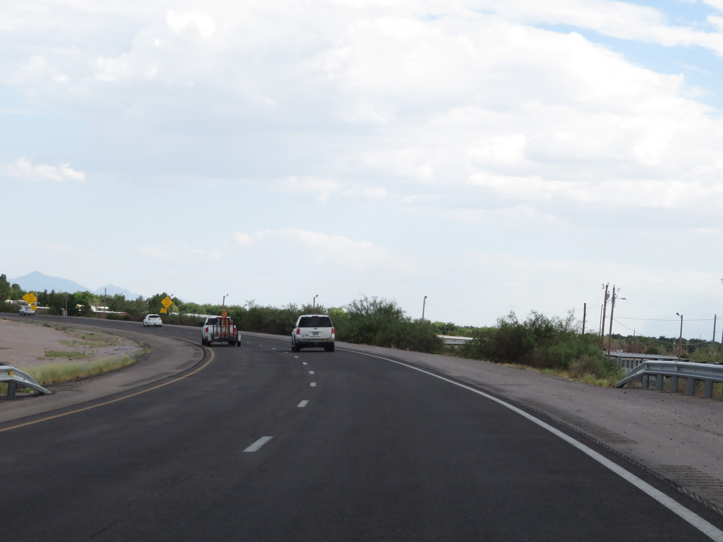 |
After passing under Interstate 10, the ramp from Interstate 25 South to Interstate 10 East maintains two lanes and curves to the east. (Photo taken 8/13/20). |
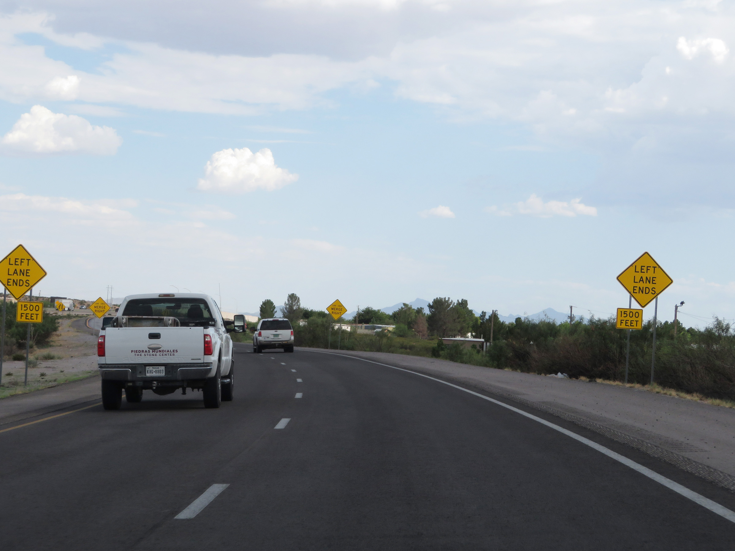 |
The ramp will be reduced to a single lane 1,500 feet ahead. (Photo taken 8/13/20). |
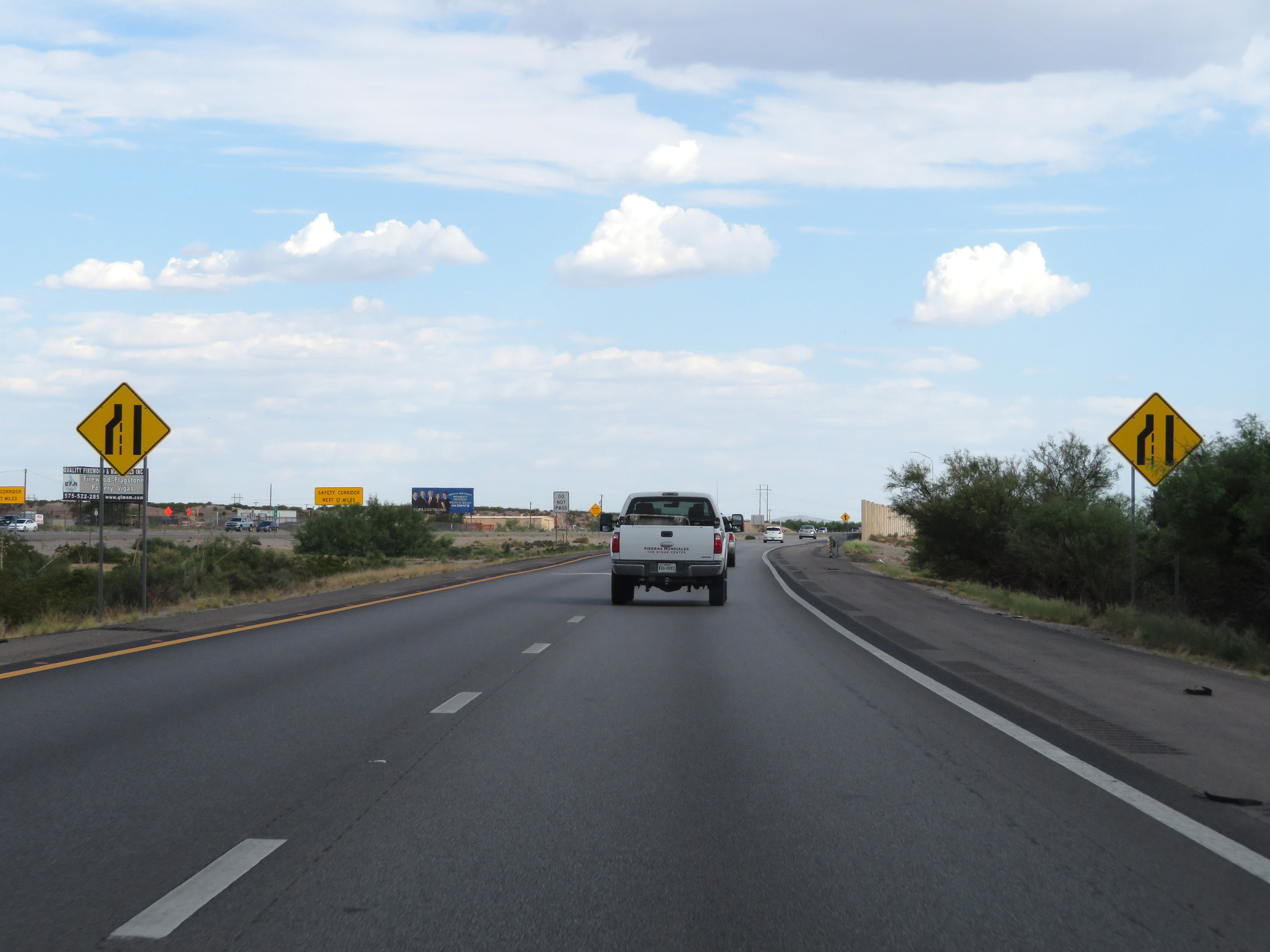 |
View on the ramp to Interstate 10 East as it is reduced to a single lane. (Photo taken 8/13/20). |
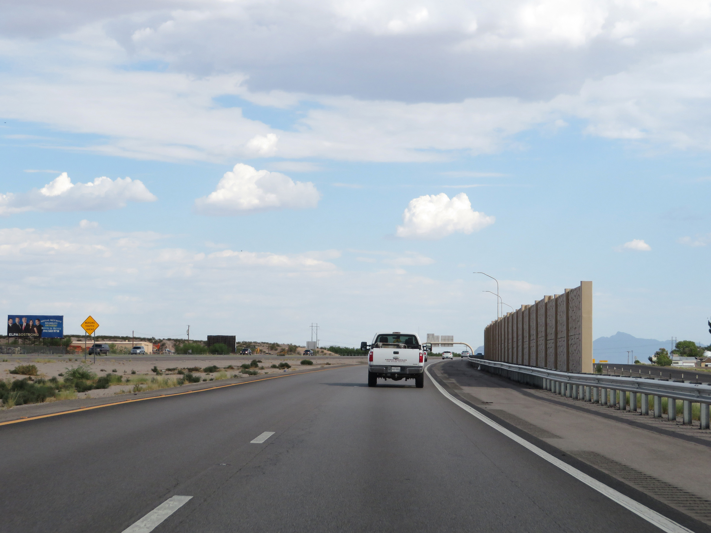 |
The ramp now prepares to merge into the eastbound lanes of Interstate 10, seen off to the left. (Photo taken 8/13/20). |
 |
The ramp from Interstate 25 South to Interstate 10 East finally merges into the eastbound lanes of I-10 at this point. (Photo taken 8/13/20). |
 |
Non-cutout, state-named Interstate 10 East reassurance shield just after the ramp from Interstate 25 South merges into it. (Photo taken 8/13/20). |