Road Information |
||
 |
||
| Total Mileage in State: | 164 miles | |
| Eastern End: | At Texas state line | |
| Western End: | At Arizona state line | |
| Mileage covered in Photos: | 164 miles | |
| Counties covered in Photos: | Hidalgo, Grant, Luna, Dona Ana | |
| Major Junctions in Photos: | US 70, in Lordsburg US 180, in Deming I-25, in Las Cruces |
|
| Control Cities in Photos: | Lordsburg, Deming, Las Cruces | |
Eastbound
- Section 1: Arizona Border to Deming (Exit 81)
- Section 2: Deming (Exit 81) to Texas Border
Section 1: Arizona Border to Deming (Exit 81)
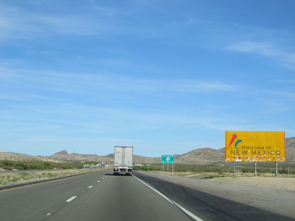 |
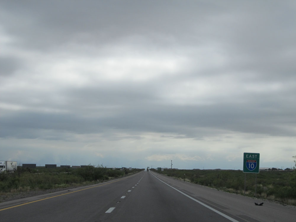
New Mexico welcome sign as Interstate 10 East enters the Land of Enchantment from Arizona. (Photo taken 5/20/15). |
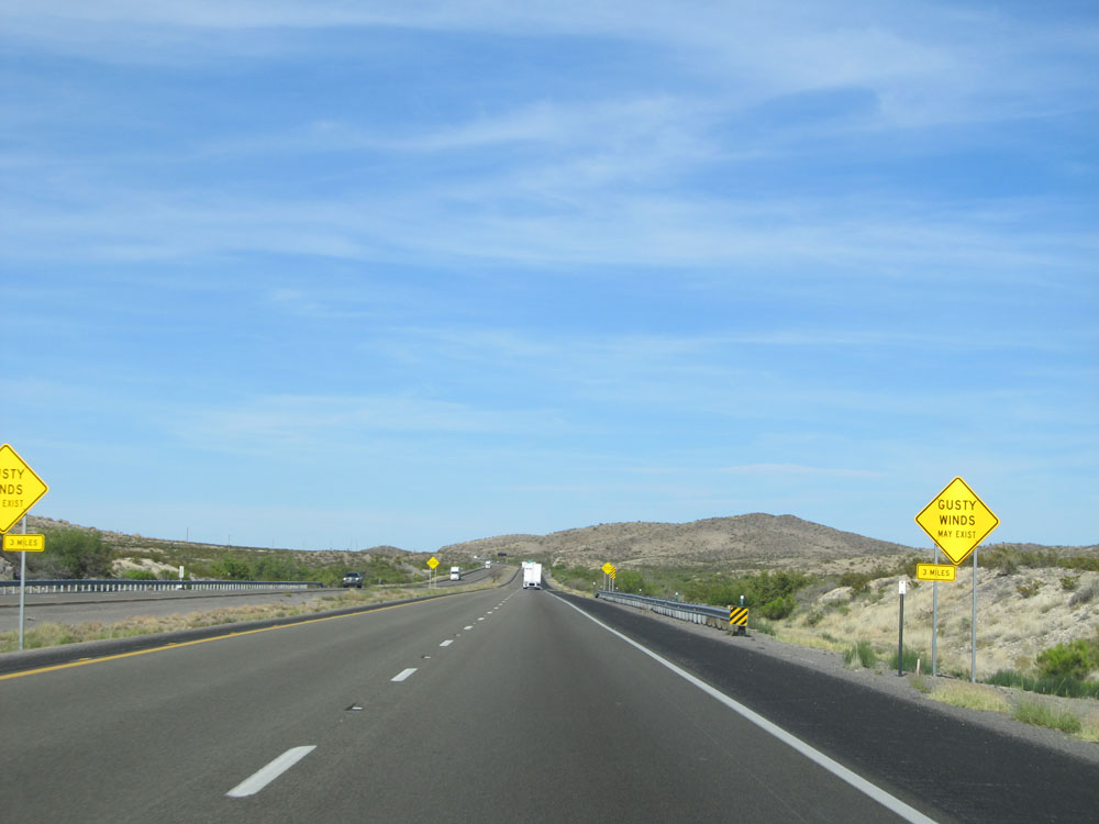 |
As these warning signs say, gusty winds may exist for the next 3 miles. (Photo taken 5/20/15). |
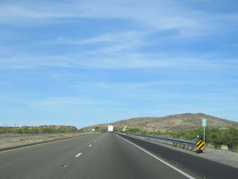 |
Interstate 10 East: Road view from mile marker 2. (Photo taken 5/20/15). |
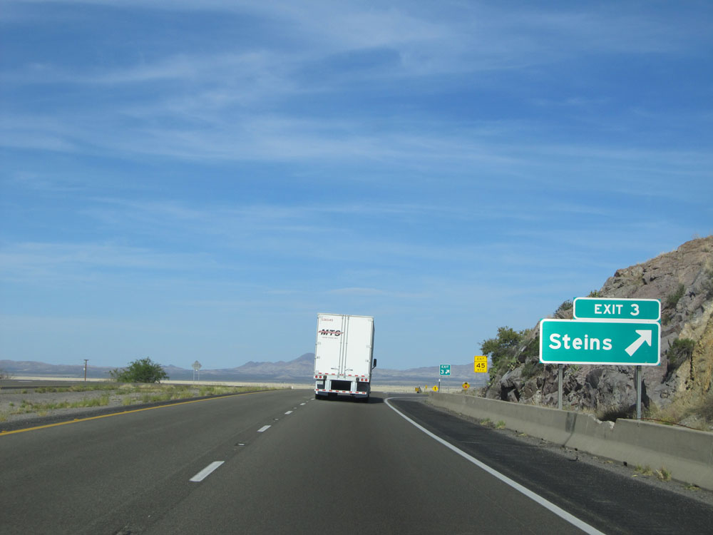 |
Interstate 10 East at Exit 3: Steins (Photo taken 5/20/15). |
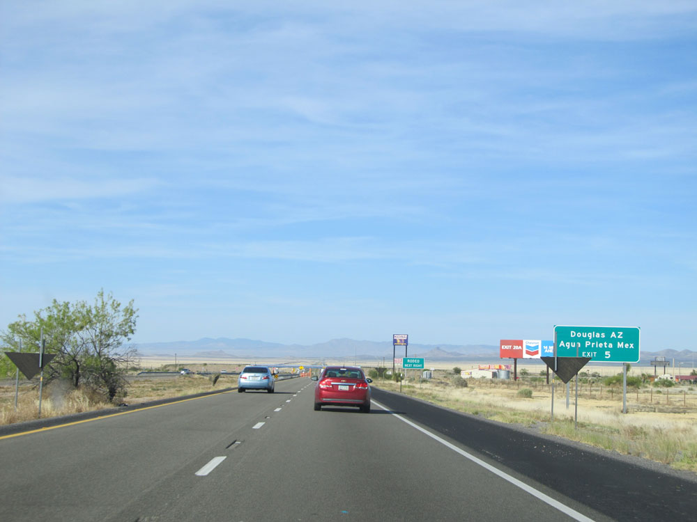 |
Take Exit 5 to Douglas, AZ and Agua Prieta, Mexico. (Photo taken 5/20/15). |
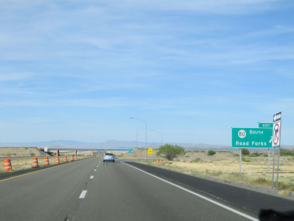 |
Interstate 10 East at Exit 5: NM 80 South - Road Forks (Photo taken 5/20/15). |
 |
Interstate 10 East assurance shield near mile marker 5. New Mexico is the only state that uses this type of shield on a green background. (Photo taken 5/20/15). |
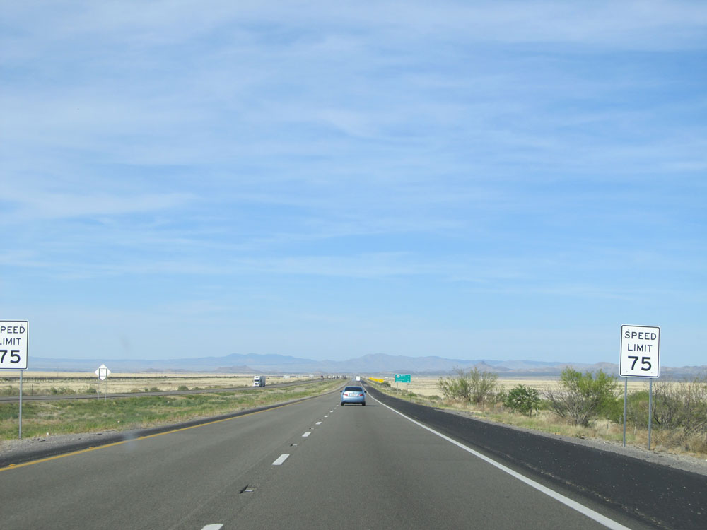 |
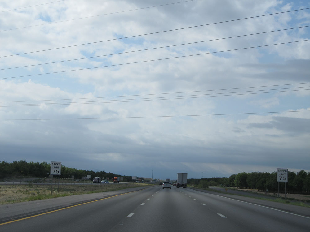
Speed limit signs near mile marker 6. The speed limit on most rural Interstates in New Mexico is 75 mph. (Photo taken 5/20/15). |
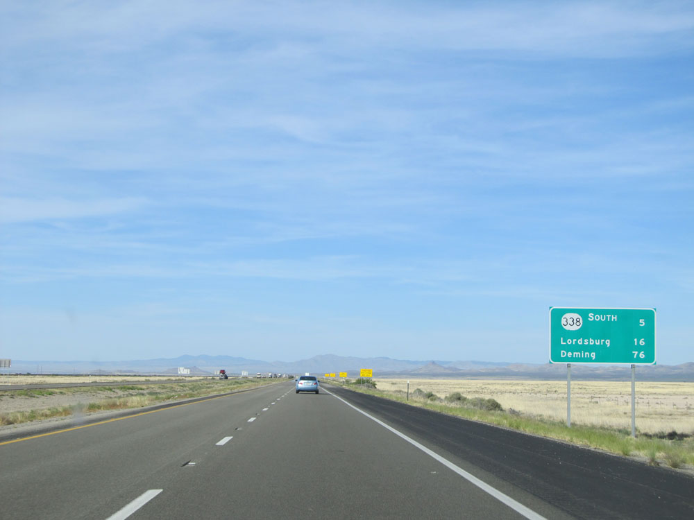 |
Mileage sign near mile marker 6. It's 5 miles to the next exit (junction of NM 338 South), 16 miles to Lordsburg, and 76 miles to Deming. (Photo taken 5/20/15). |
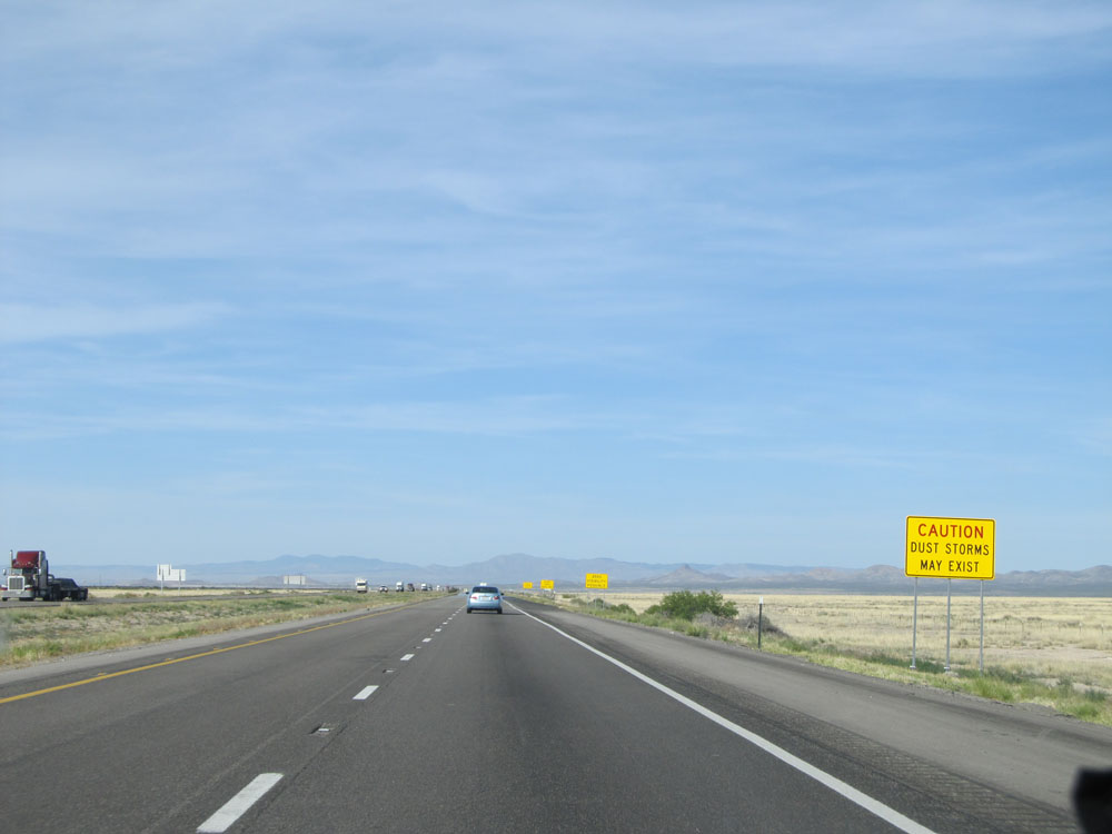 |
Caution: Dust Storms May Exist sign on Interstate 10 East. (Photo taken 5/20/15). |
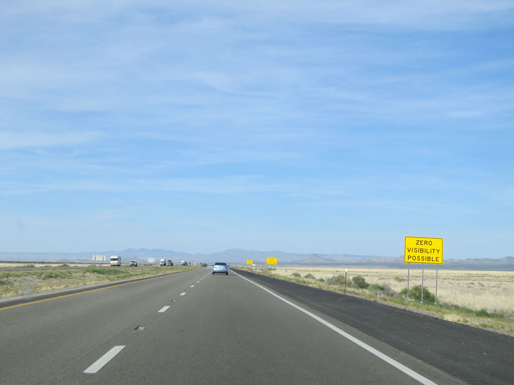 |
As such, zero visibility is possible during these dust storms. (Photo taken 5/20/15). |
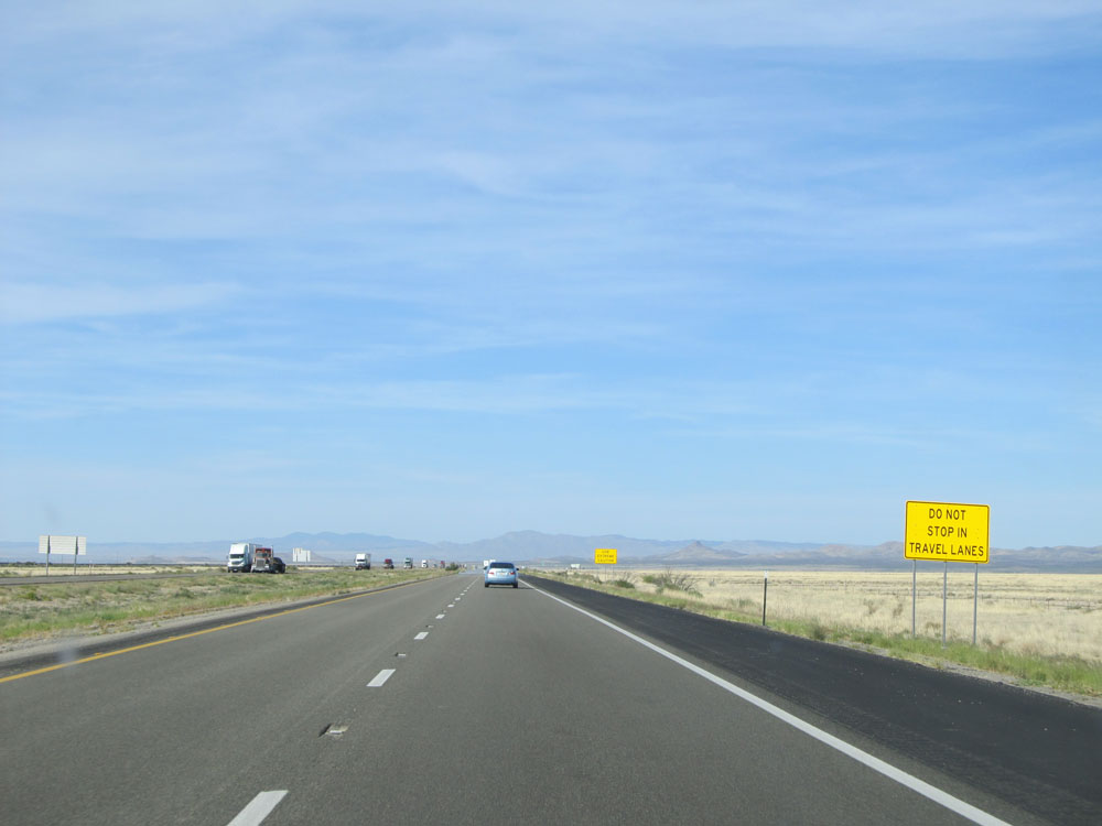 |
If zero visibility exists, do not stop in travel lanes! (Photo taken 5/20/15). |
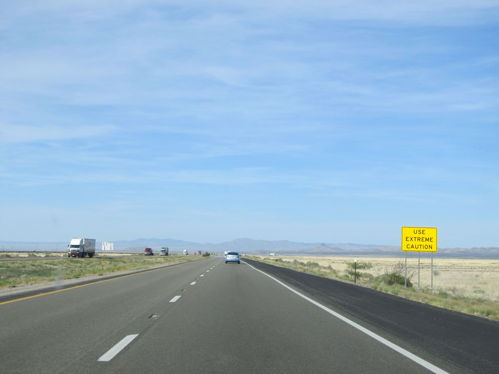 |
And this final warning sign advises motorists to use extreme caution. (Photo taken 5/20/15). |
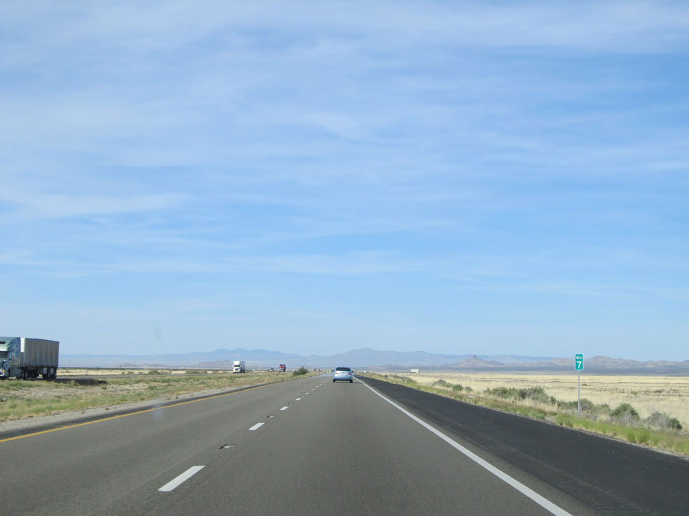 |
Interstate 10 East at mile marker 7. (Photo taken 5/20/15). |
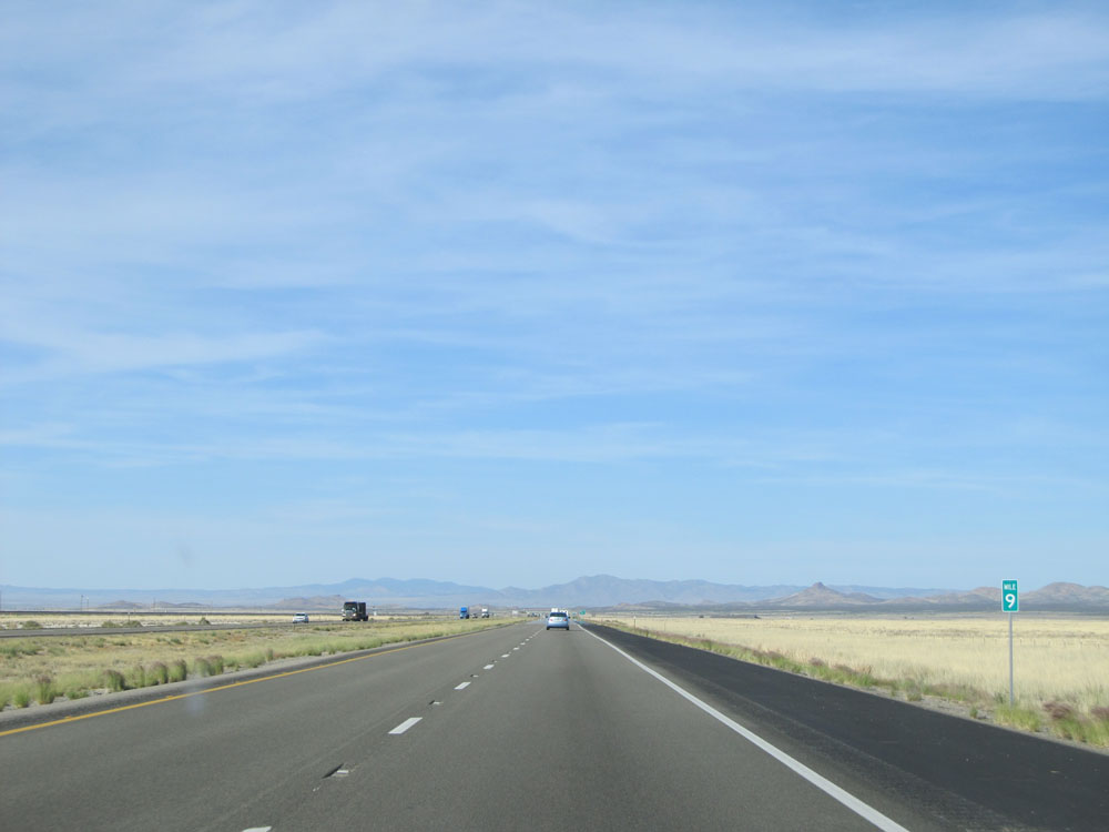 |
Interstate 10 East: Road view from mile marker 9. (Photo taken 5/20/15). |
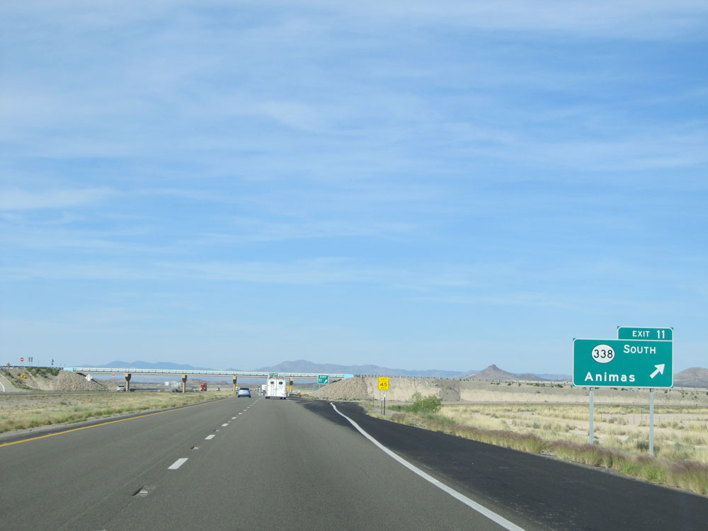 |
Interstate 10 East at Exit 11: NM 338 South - Animas (Photo taken 5/20/15). |
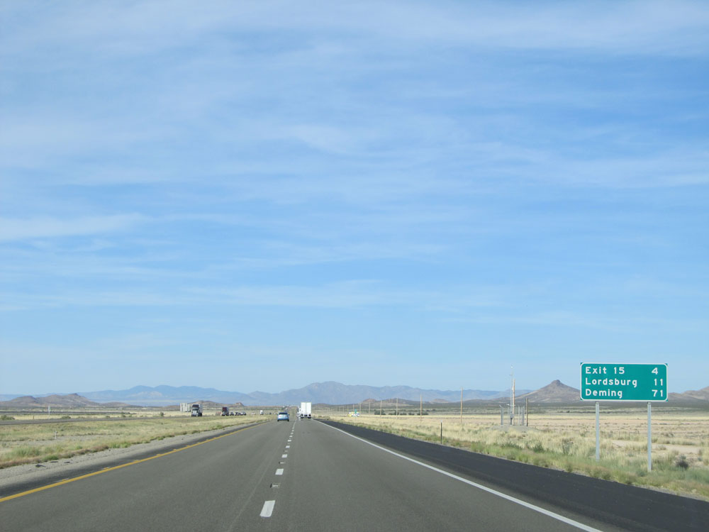 |
Mileage sign near mile marker 11. It's 4 miles to the next exit (Exit 15), 11 miles to Lordsburg, and 71 miles to Deming. (Photo taken 5/20/15). |
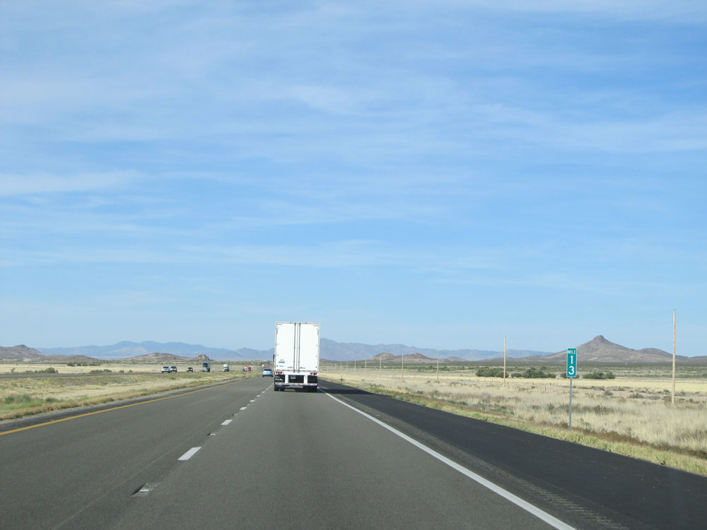 |
Interstate 10 East: Road view from mile marker 13. (Photo taken 5/20/15). |
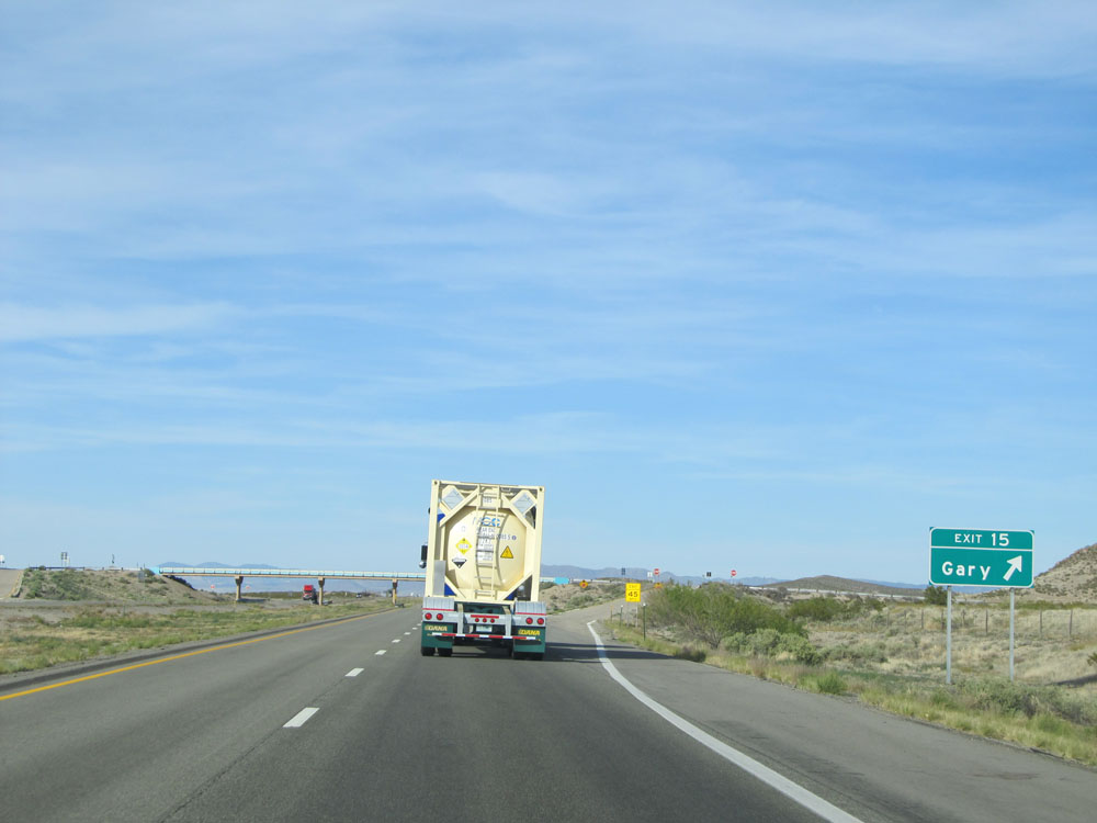 |
Interstate 10 East at Exit 15: Gary (Photo taken 5/20/15). |
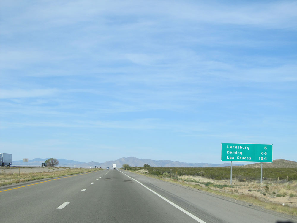 |
Mileage sign near mile marker 15. It's 6 miles to Lordsburg, 66 miles to Deming, and 124 miles to Las Cruces. (Photo taken 5/20/15). |
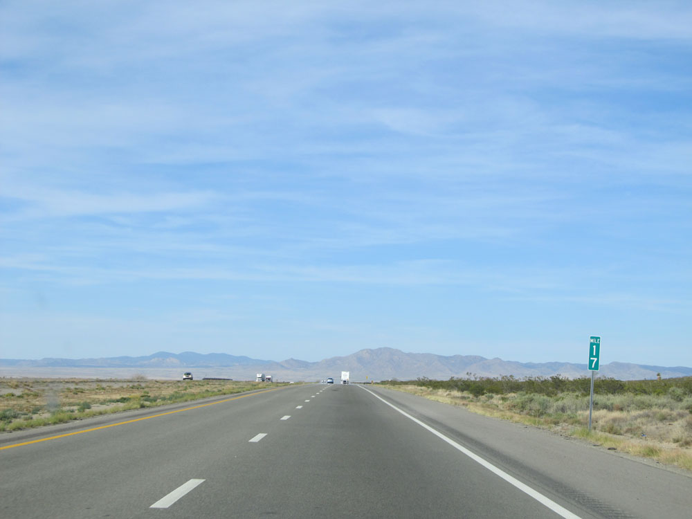 |
Interstate 10 East at mile marker 17. (Photo taken 5/20/15). |
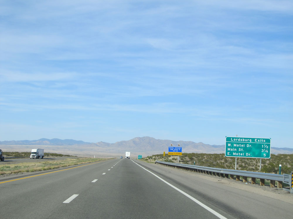 |
Sign listing the distances to the three upcoming exits to Lordsburg. (Photo taken 5/20/15). |
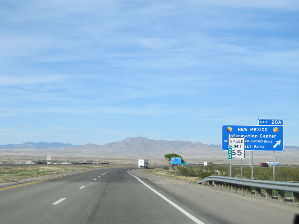 |
Interstate 10 East at Exit 20A: Rest Area / New Mexico Tourist Information Center. As you can also see here, at mile marker 20, the speed limit drops to 65 mph as you prepare to pass through the Lordsburg area. (Photo taken 5/20/15). |
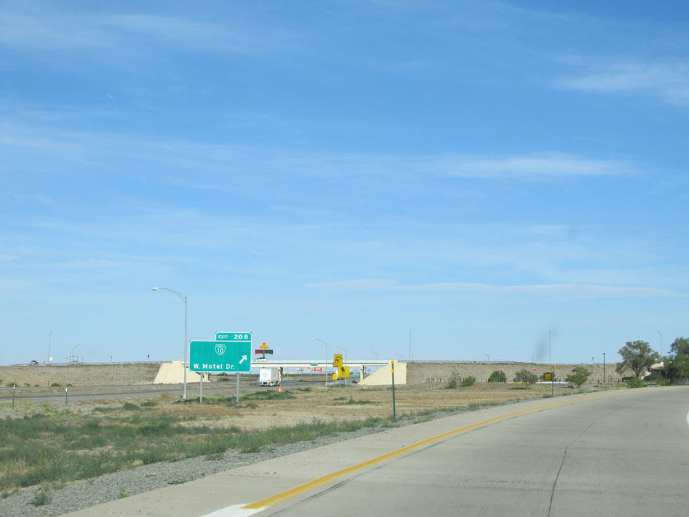 |
Interstate 10 East at Exit 20B: Interstate 10 Bus.: W. Motel Dr. I apologize for this one since I took it from the exit ramp. If you have to fill your tank up, you have to fill it up! (Photo taken 5/20/15). |
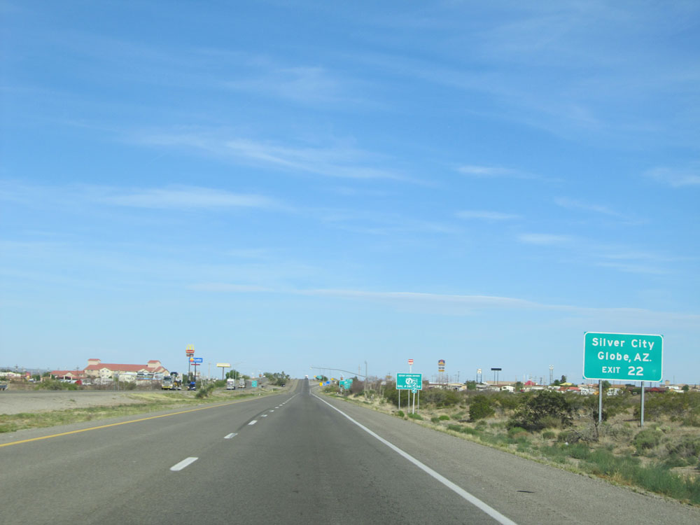 |
Take Exit 22 to Silver City and Globe, AZ. (Photo taken 5/20/15). |
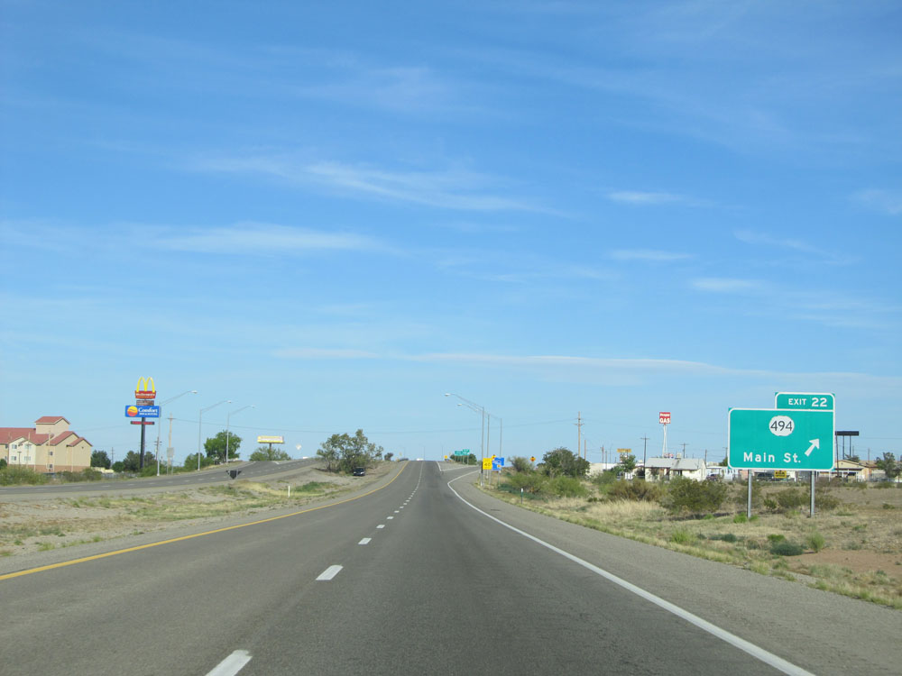 |
Interstate 10 East at Exit 22: NM 494 - Main St. (Photo taken 5/20/15). |
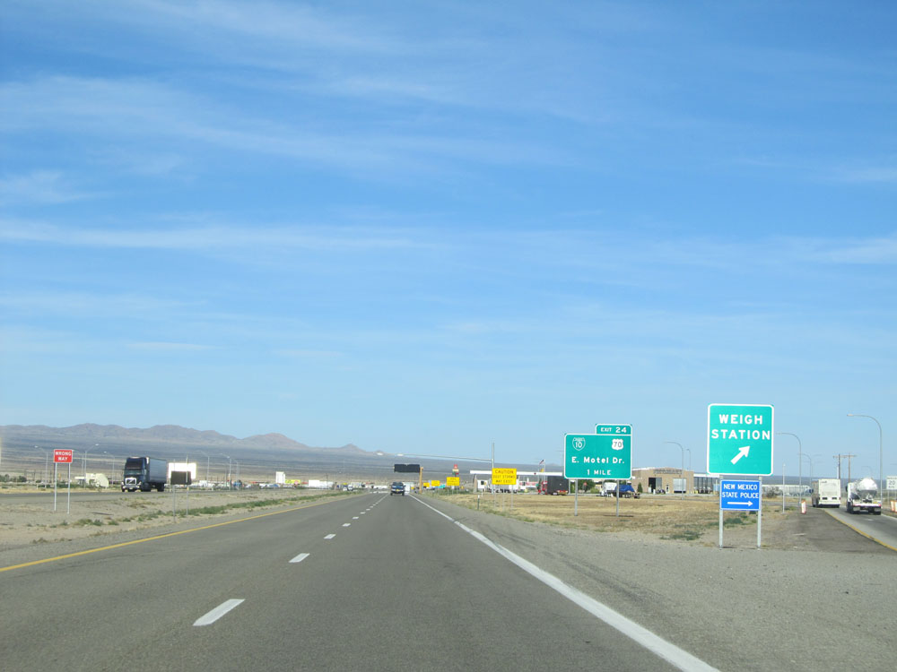 |
Interstate 10 East at the Weigh Station located just past mile marker 23. (Photo taken 5/20/15). |
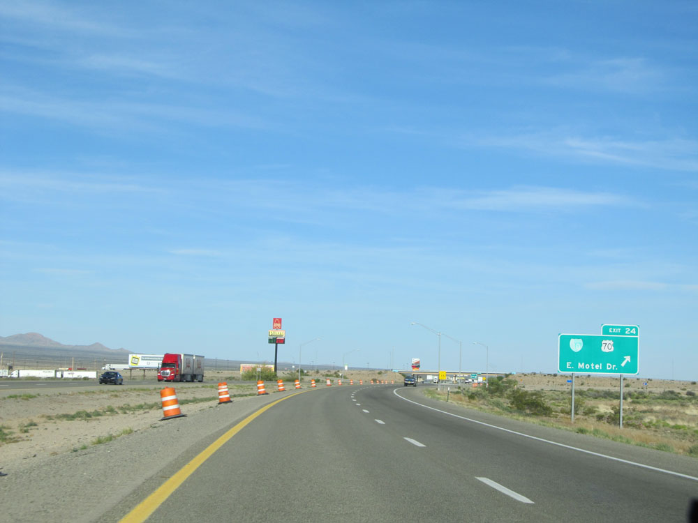 |
Interstate 10 East at Exit 24: Interstate 10 Bus. / US 70 - E. Motel Dr. (Photo taken 5/20/15). |
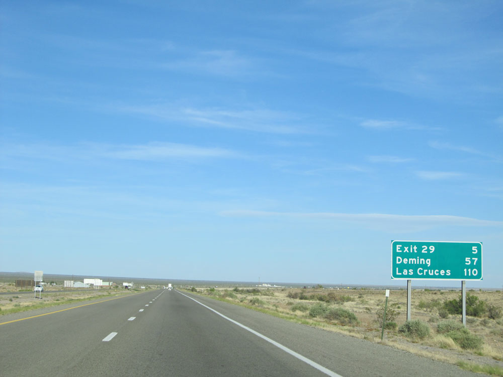 |
Mileage sign near mile marker 24. It's 5 miles to the next exit (Exit 29), 57 miles to Deming, and 110 miles to Las Cruces. (Photo taken 5/20/15). |
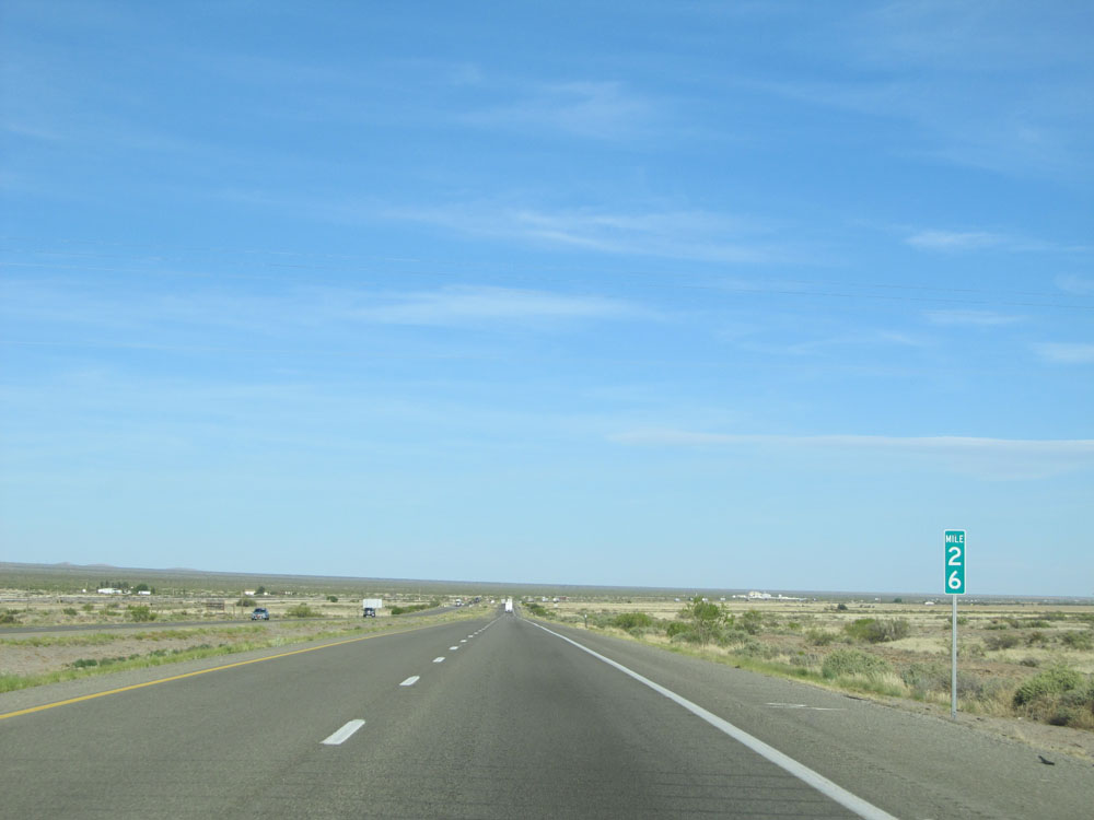 |
Interstate 10 East: Road view from mile marker 26. (Photo taken 5/20/15). |
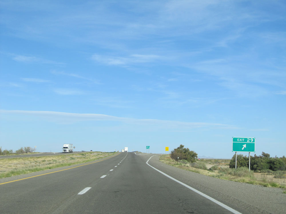 |
Interstate 10 East at Exit 29: (No Name). Exits in New Mexico without names are usually for ranch access. (Photo taken 5/20/15). |
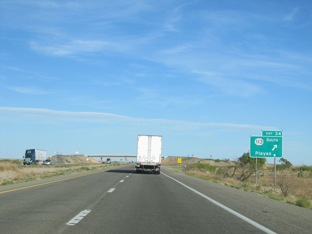 |
Interstate 10 East at Exit 34: NM 113 South - Playas (Photo taken 5/20/15). |
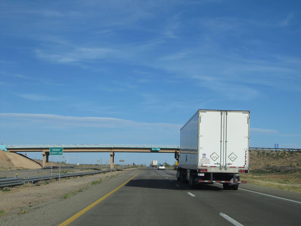 |
Interstate 10 East entering Grant County. (Photo taken 5/20/15). |
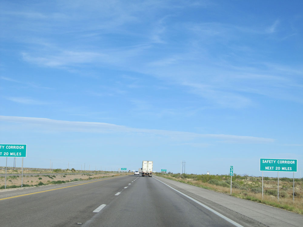 |
At mile marker 35, a Safety Corridor begins. New Mexico has these every now and then on their Interstates in which fines incurred withing the safety corridor are doubled. I think it's more apt to call them "Revenue Corridors". (Photo taken 5/20/15). |
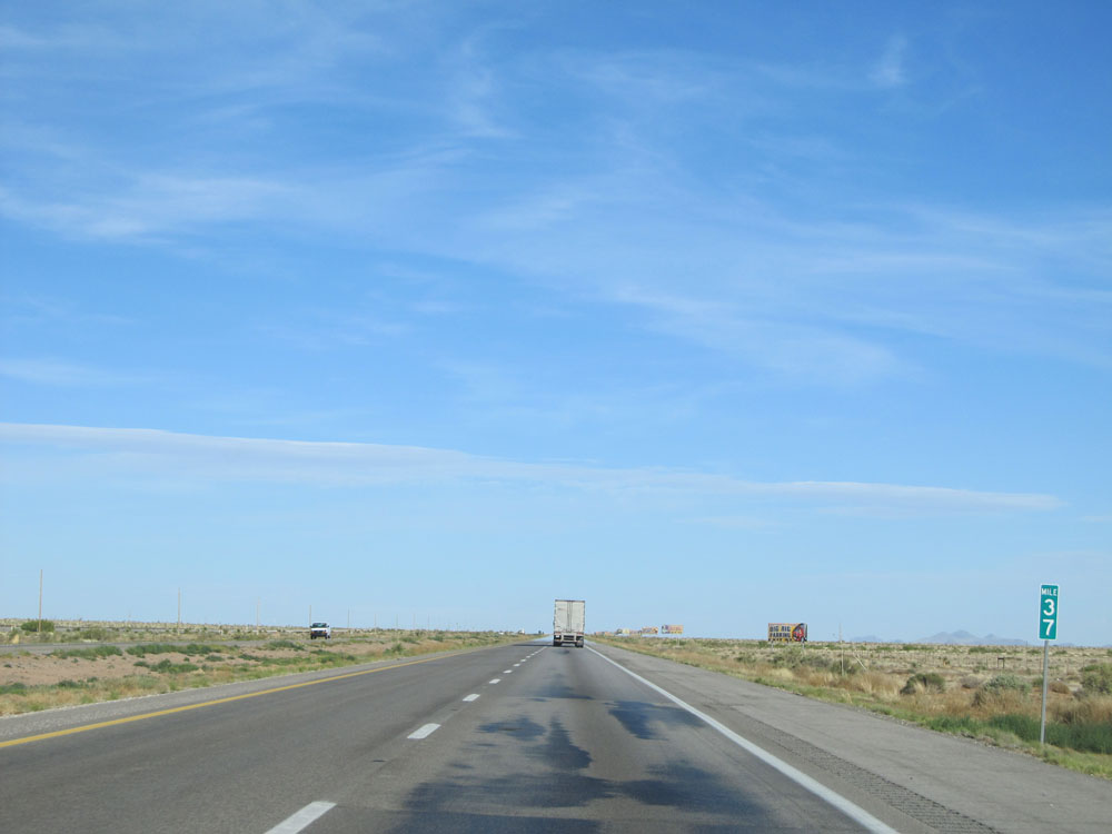 |
Interstate 10 East: Road view from mile marker 37. (Photo taken 5/20/15). |
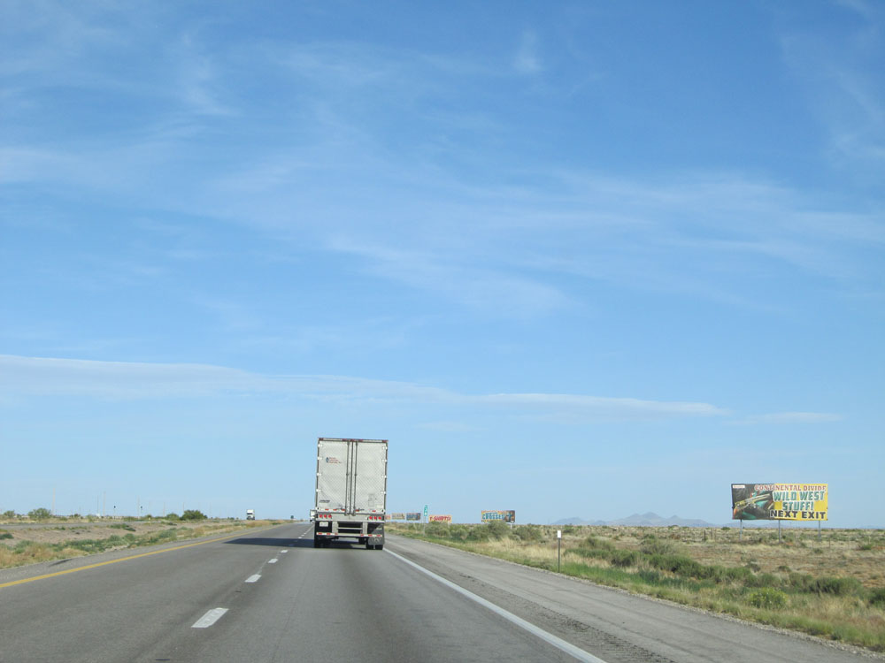 |
Much like Flying C Ranch on Interstate 40 in New Mexico, Interstate 10 has a few tourist traps like the one mentioned on this billboard: Continental Divide. (Photo taken 5/20/15). |
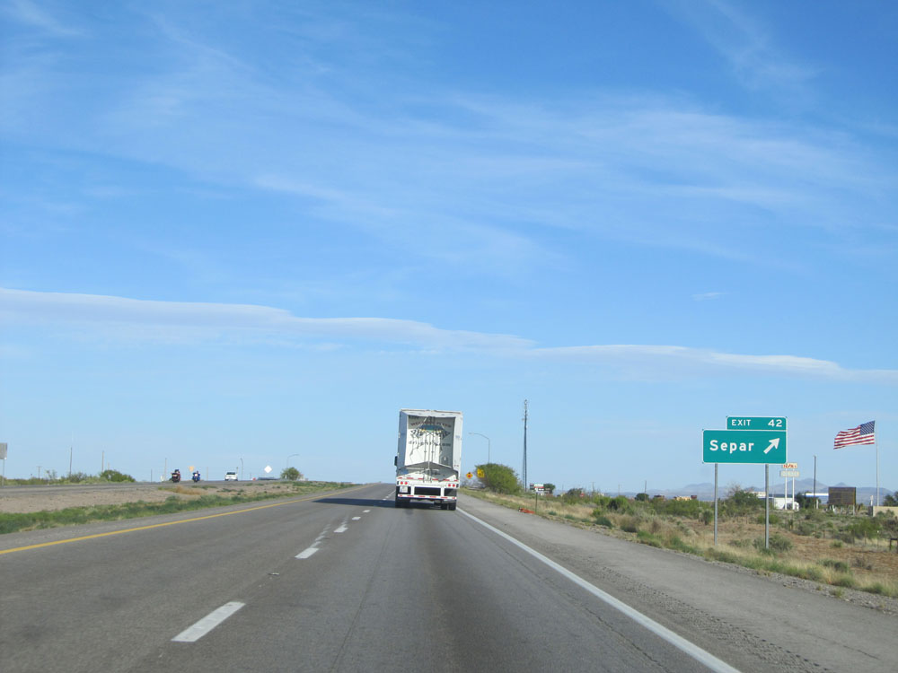 |
Interstate 10 East at Exit 42: Separ (Photo taken 5/20/15). |
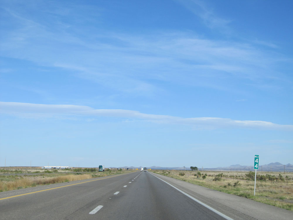 |
Interstate 10 East at mile marker 44. (Photo taken 5/20/15). |
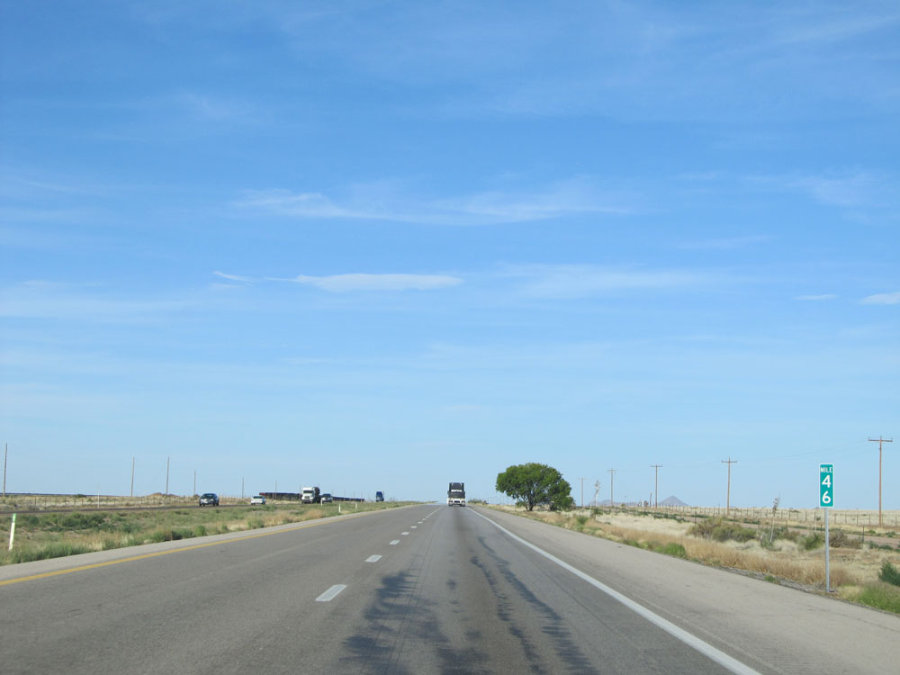 |
Interstate 10 East: Road view from mile marker 46. (Photo taken 5/20/15). |
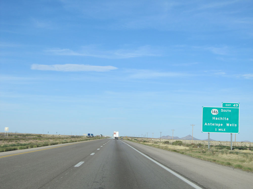 |
Interstate 10 East approaching Exit 49 - 1 mile. (Photo taken 5/20/15). |
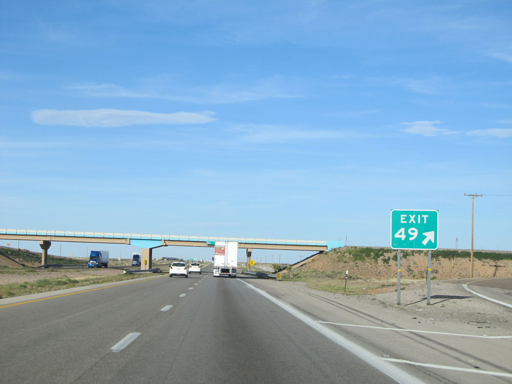 |
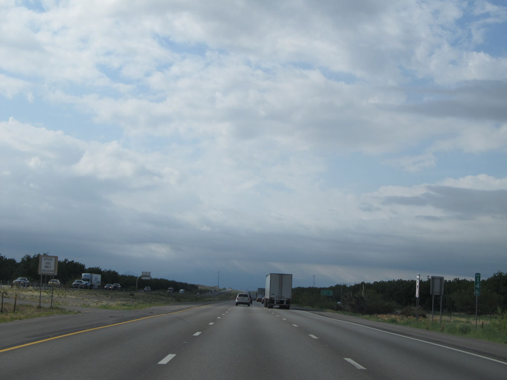
Interstate 10 East at Exit 49: NM 146 South - Hachita / Antelope Wells (Photo taken 5/20/15). |
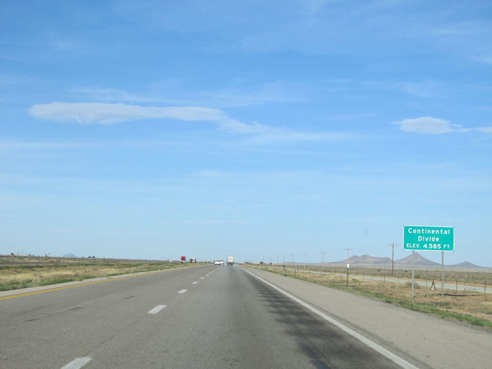 |
Interstate 10 East as it crosses the Continental Divide at an elevation of 4,585 feet above sea level. (Photo taken 5/20/15). |
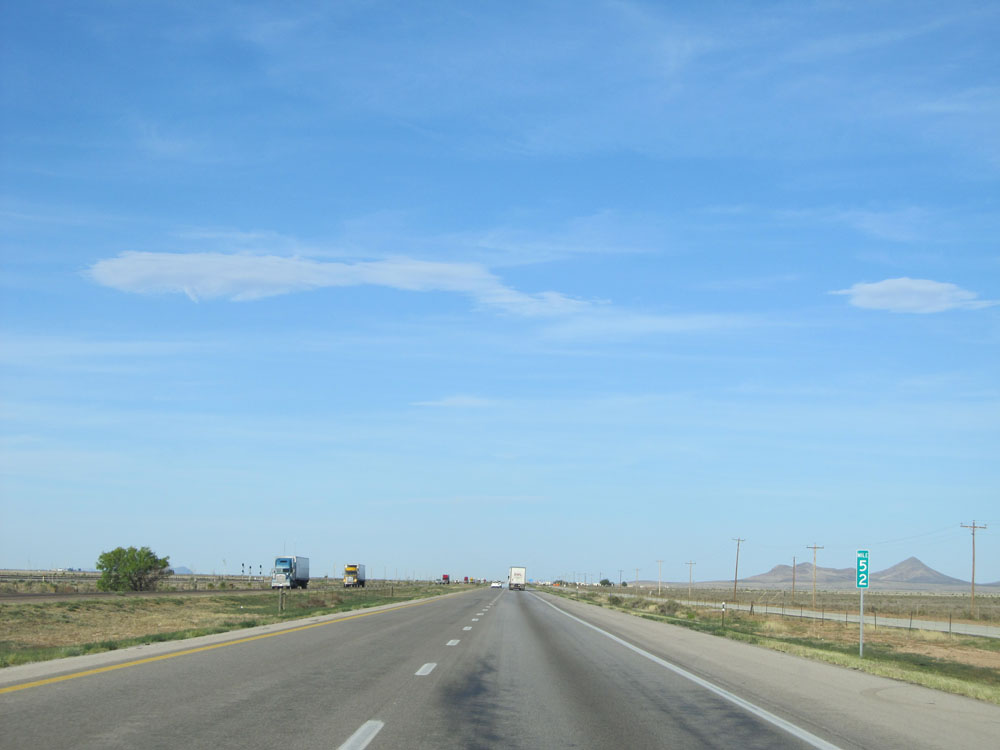 |
Interstate 10 East at mile marker 52. (Photo taken 5/20/15). |
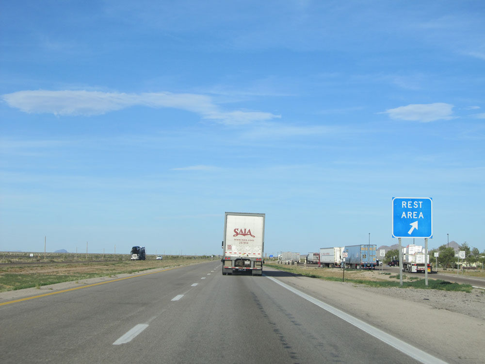 |
Interstate 10 East at the Rest Area located just past mile marker 53. (Photo taken 5/20/15). |
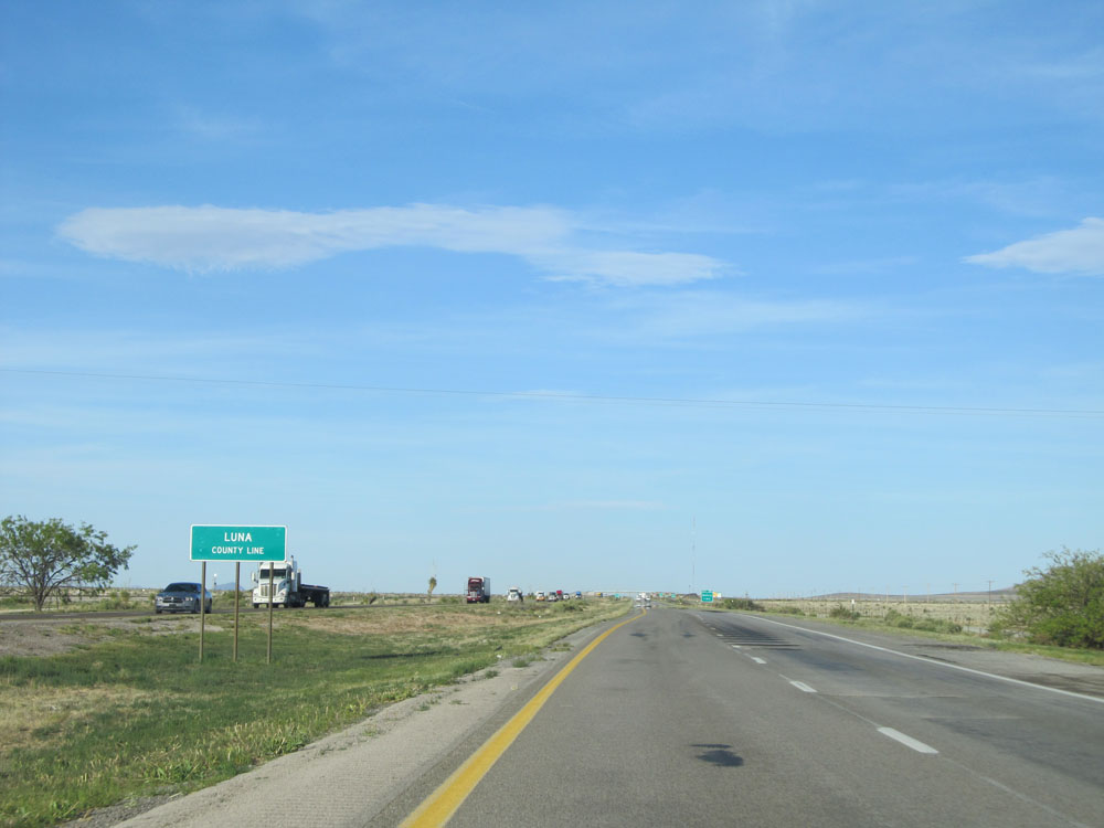 |
Interstate 10 East entering Luna County. (Photo taken 5/20/15). |
 |
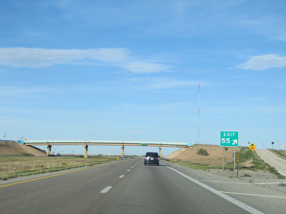
Interstate 10 East approaching Exit 55 - 1 mile. (Photo taken 5/20/15). |
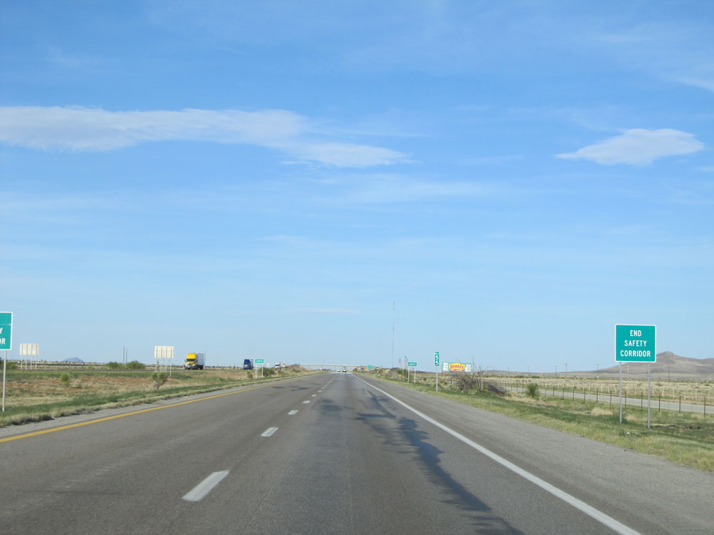 |
Interstate 10 East as the Safety Corridor comes to an end. (Photo taken 5/20/15). |
 |
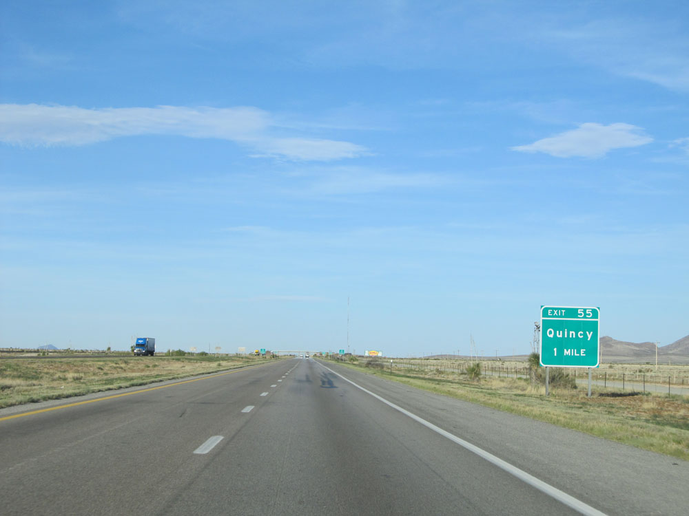
Interstate 10 East at Exit 55: Quincy (Photo taken 5/20/15). |
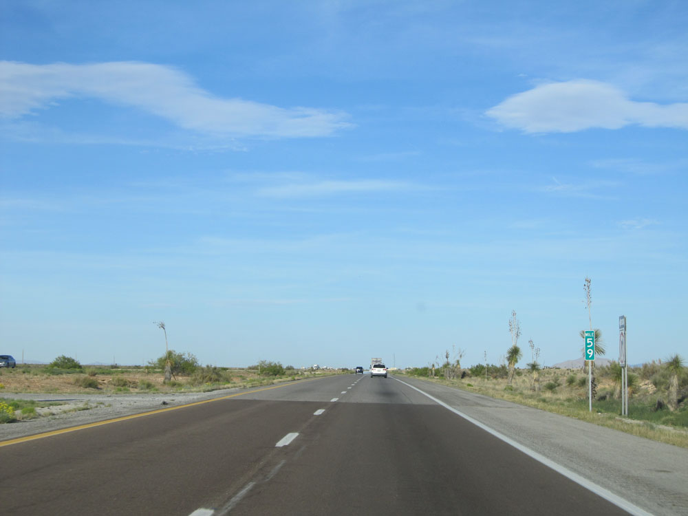 |
Interstate 10 East: Road view from mile marker 59. (Photo taken 5/20/15). |
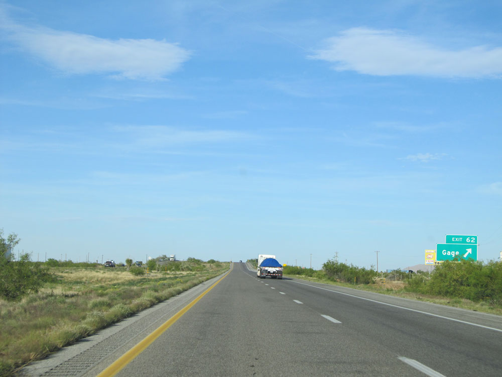 |
Interstate 10 East at Exit 62: Gage (Photo taken 5/20/15). |
 |
Another green-backed Interstate 10 East assurance shield near mile marker 62. (Photo taken 5/20/15). |
 |
Speed limit sign on Interstate 10 East. Once again, the speed limit on most rural Interstates in New Mexico is 75 mph. (Photo taken 5/20/15). |
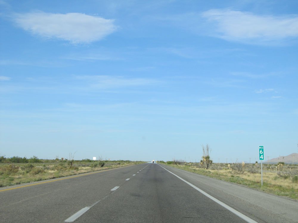 |
Interstate 10 East: Road view from mile marker 64. (Photo taken 5/20/15). |
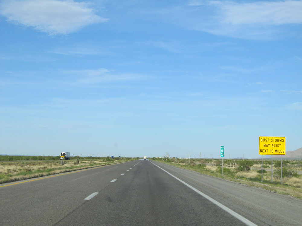 |
At mile marker 65, we see another sign warning of the possibility of dust storms existing for the next 15 miles. (Photo taken 5/20/15). |
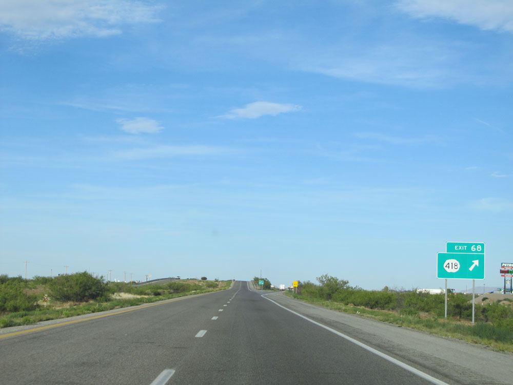 |
Interstate 10 East at Exit 68: NM 418 (Photo taken 5/20/15). |
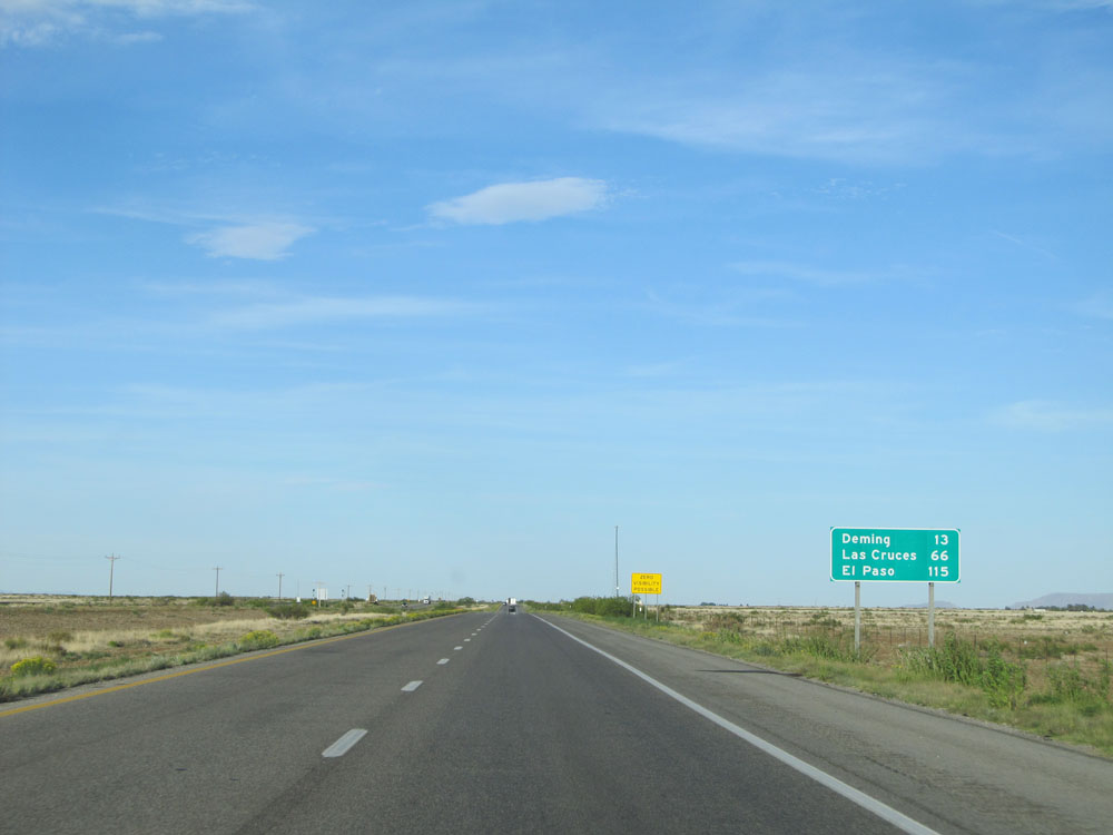 |
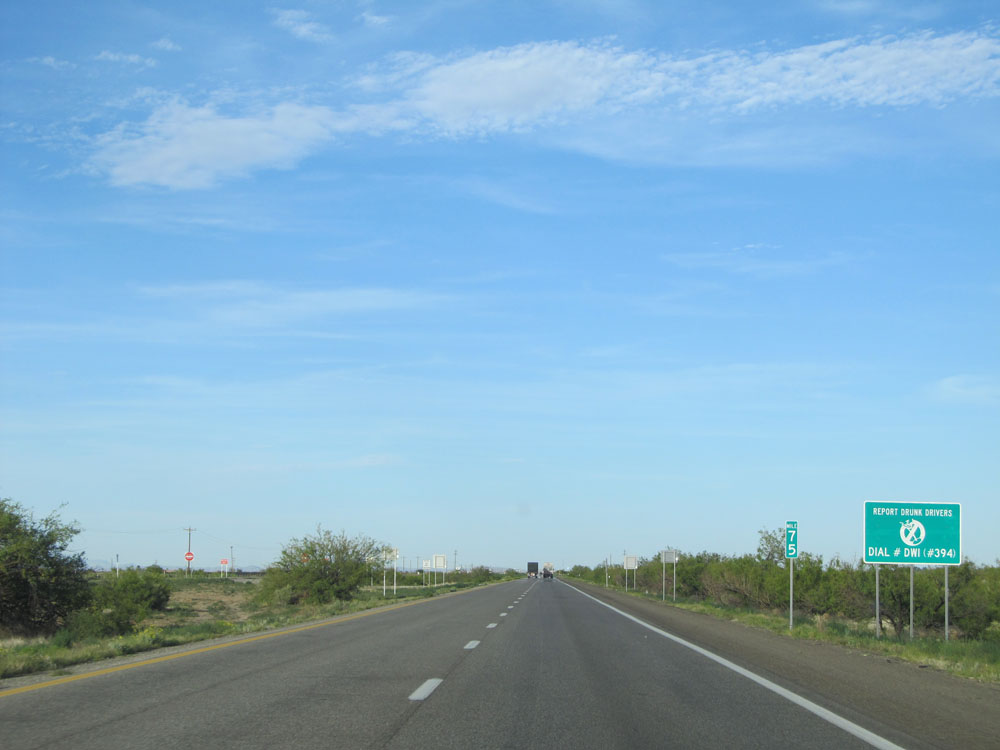
Mileage sign near mile marker 68. It's 13 miles to Deming, 66 miles to Las Cruces, and 115 miles to El Paso. (Photo taken 5/20/15). |
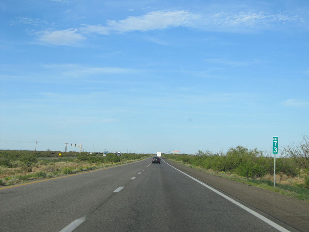 |
Interstate 10 East at mile marker 73. (Photo taken 5/20/15). |
 |
Interstate 10 East: Road view from mile marker 75. (Photo taken 5/20/15). |
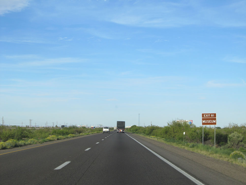 |
Take Exit 81 to a museum......of some sort I guess. (Photo taken 5/20/15). |
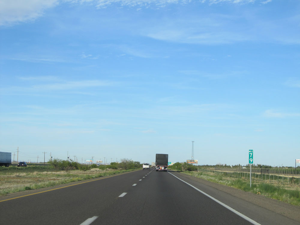 |
Interstate 10 East: Road view from mile marker 79. (Photo taken 5/20/15). |
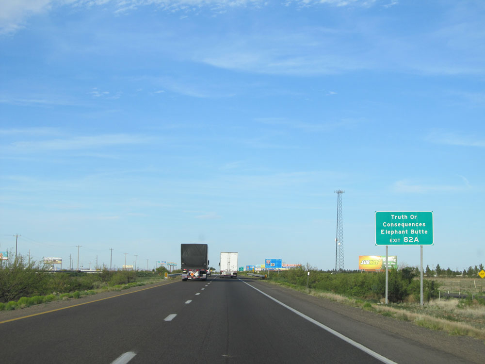 |
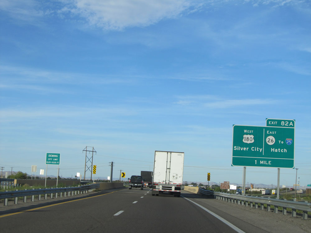
Take Exit 82A to Truth or Consequences and Elephant Butte. (Photo taken 5/20/15). |
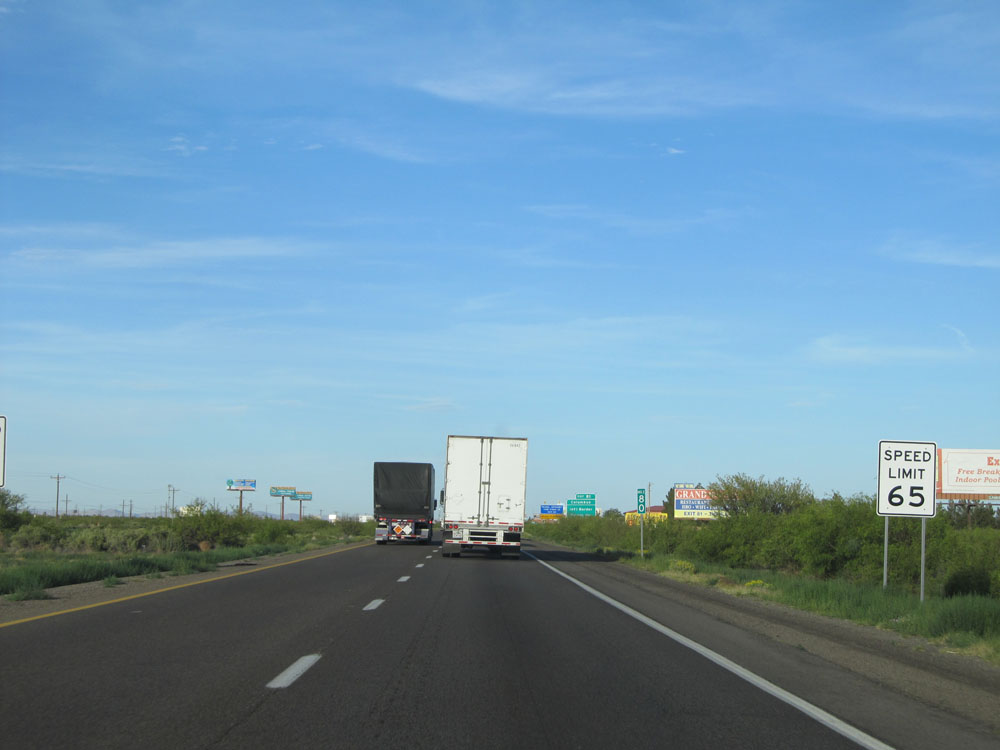 |
At mile marker 80, the speed limit decreases to 65 mph as you prepare to pass through Deming. (Photo taken 5/20/15). |
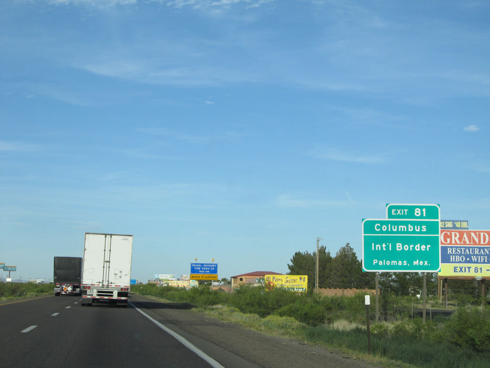 |
Also take Exit 81 to Columbus and the International Border, to Palomas, Mexico. (Photo taken 5/20/15). |
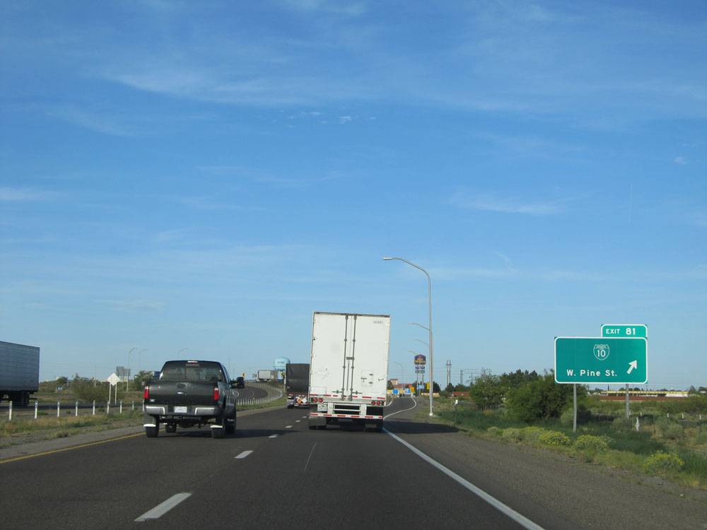 |
Interstate 10 East at Exit 81: Interstate 10 Bus. - W. Pine St. (Photo taken 5/20/15). |
Section 2: Deming (Exit 81) to Texas Border
 |
Interstate 10 East approaching Exit 82A - 1 mile. (Photo taken 5/20/15). |
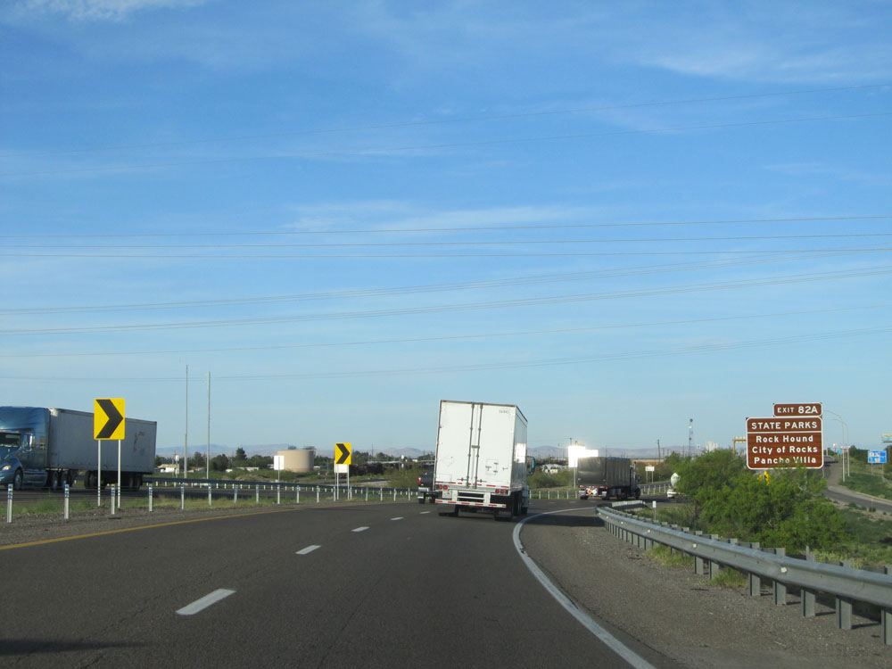 |
Take Exit 82A to Rock Hound, City of Rocks, and Pancho Villa State Parks. (Photo taken 5/20/15). |
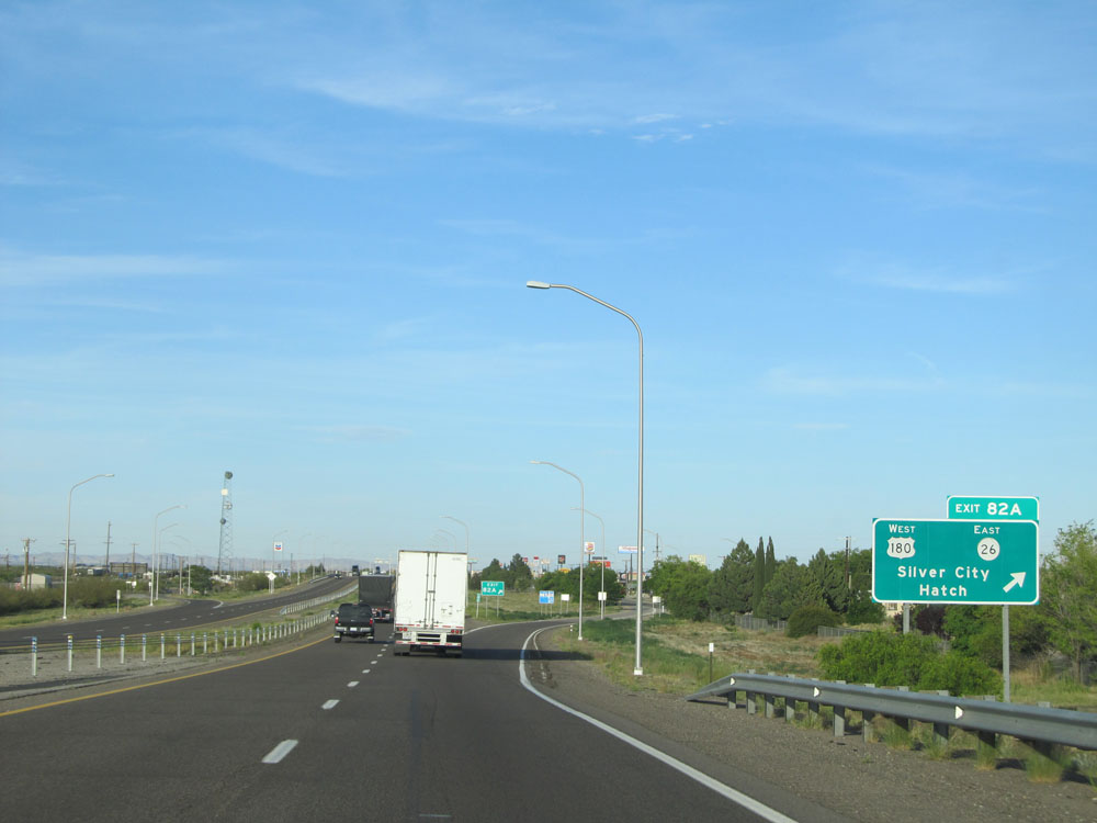 |
Interstate 10 East at Exit 82A: US 180 West / NM 26 East - Silver City / Hatch (Photo taken 5/20/15). |
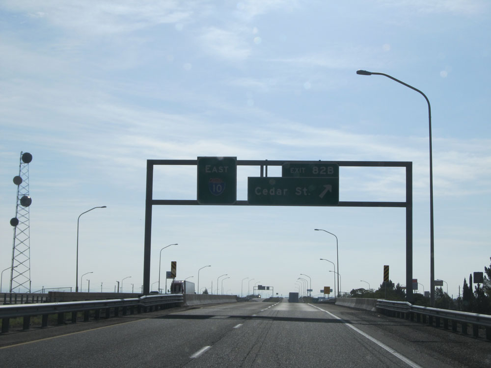 |
Interstate 10 East at Exit 82B: Cedar St (Photo taken 5/21/15). |
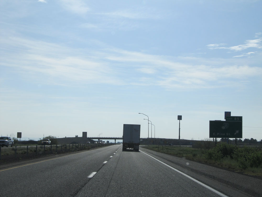 |
Interstate 10 East at Exit 85: Interstate 10 Bus. - E. Pine St. (Photo taken 5/21/15). |
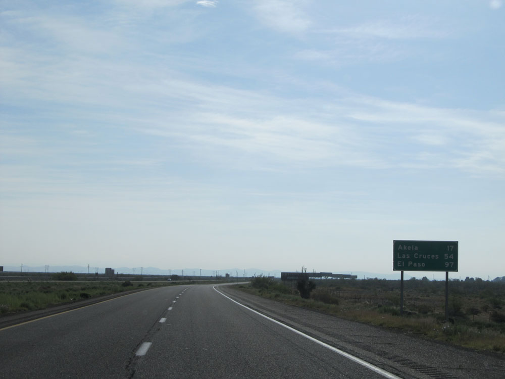 |
Mileage sign near mile marker 85. It's 17 miles to Akela, 54 miles to Las Cruces, and 97 miles to El Paso. (Photo taken 5/21/15). |
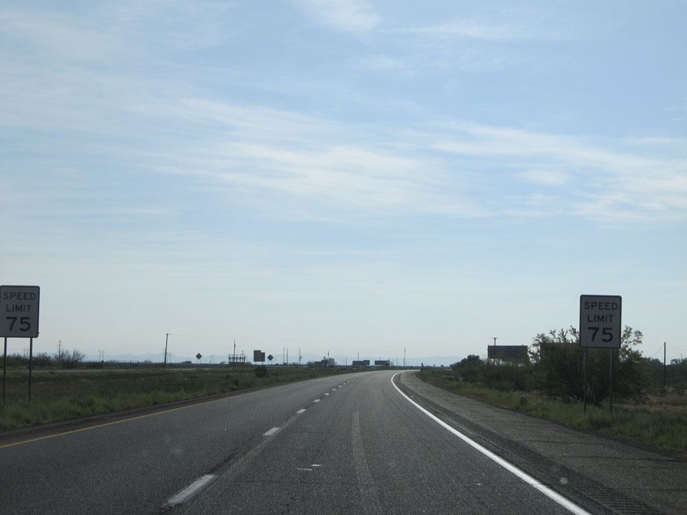 |
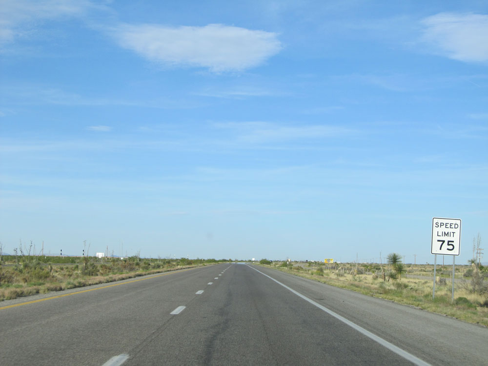
Just past mile marker 86, the standard speed limit of 75 mph resumes. (Photo taken 5/21/15). |
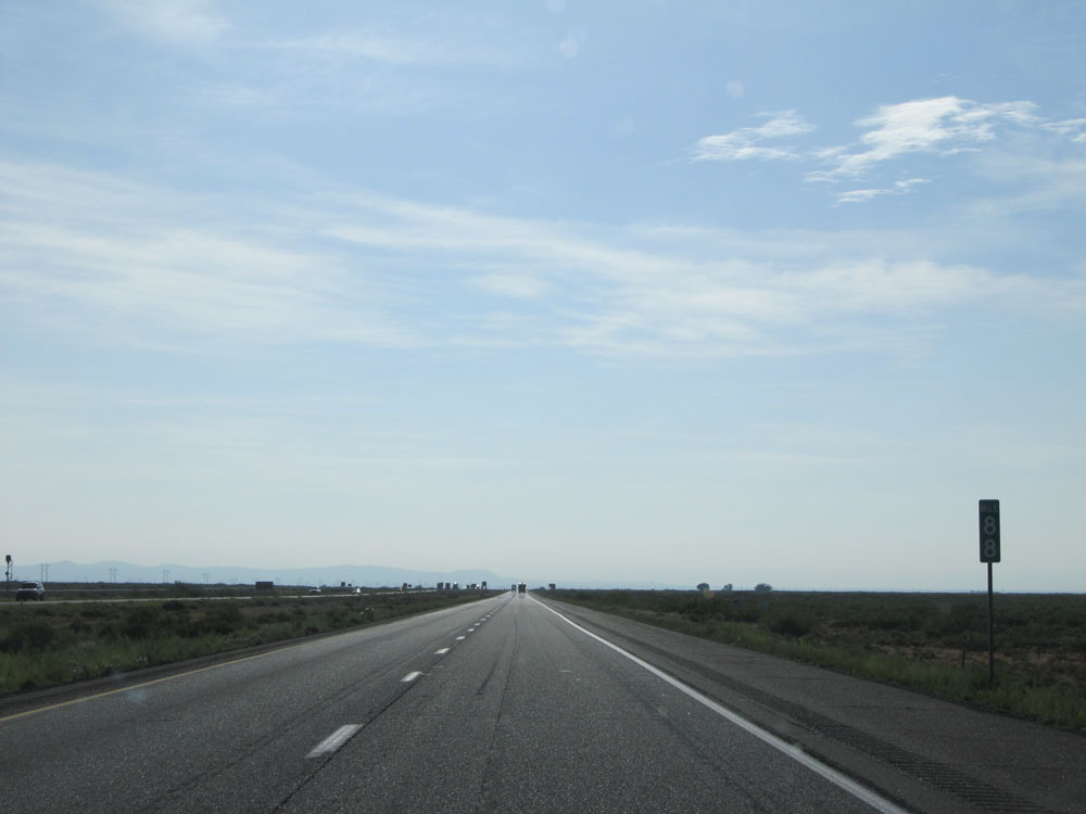 |
Interstate 10 East: Road view from mile marker 88. (Photo taken 5/21/15). |
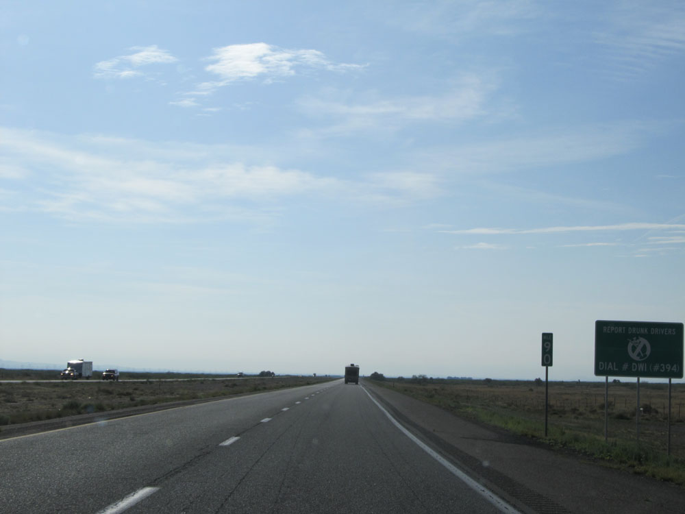 |
Interstate 10 East at mile marker 90. (Photo taken 5/21/15). |
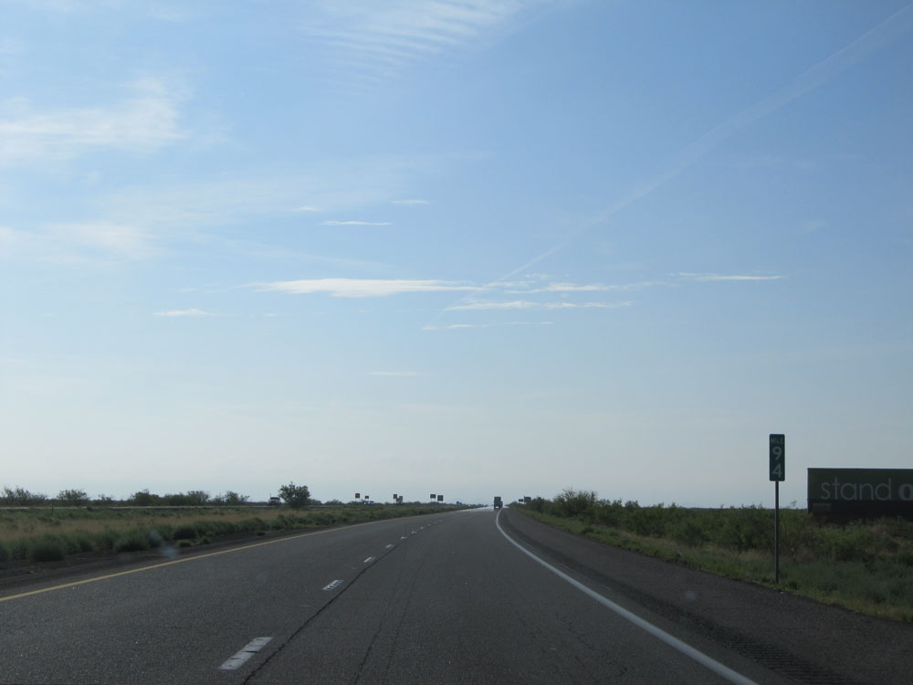 |
Interstate 10 East: Road view from mile marker 94. (Photo taken 5/21/15). |
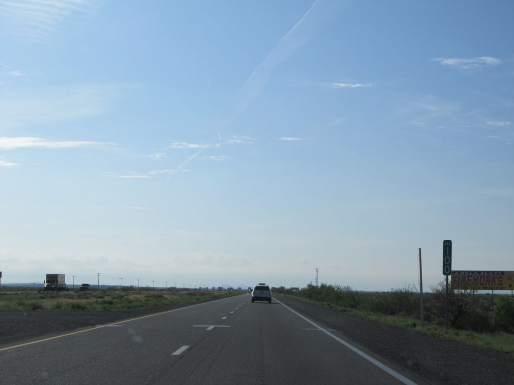 |
Interstate 10 East: Road view from mile marker 100. (Photo taken 5/21/15). |
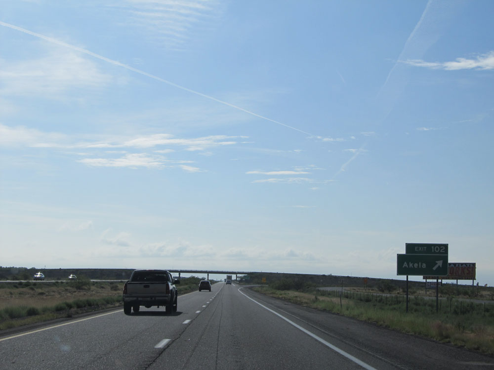 |
Interstate 10 East at Exit 102: Akela (Photo taken 5/21/15). |
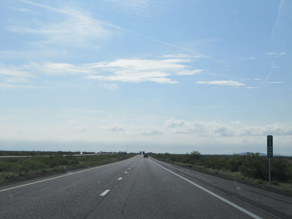 |
Interstate 10 East at mile marker 107. (Photo taken 5/21/15). |
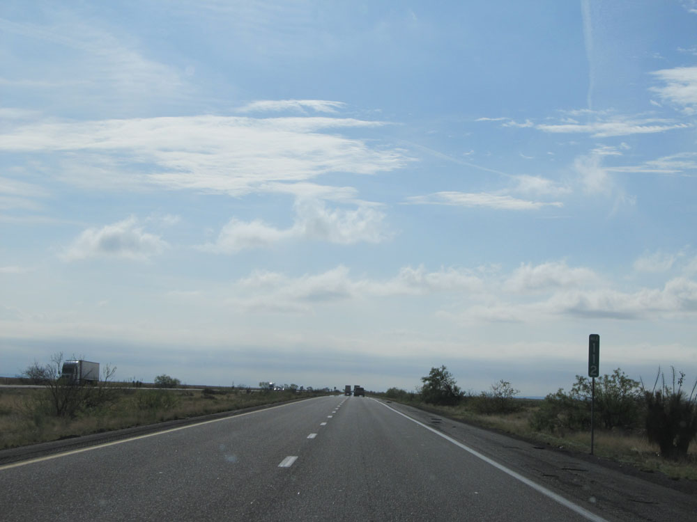 |
Interstate 10 East: Road view from mile marker 112. (Photo taken 5/21/15). |
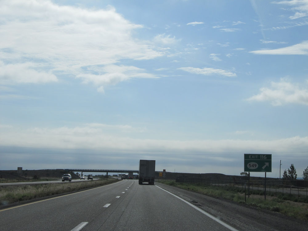 |
Interstate 10 East at Exit 116: NM 549 (Photo taken 5/21/15). |
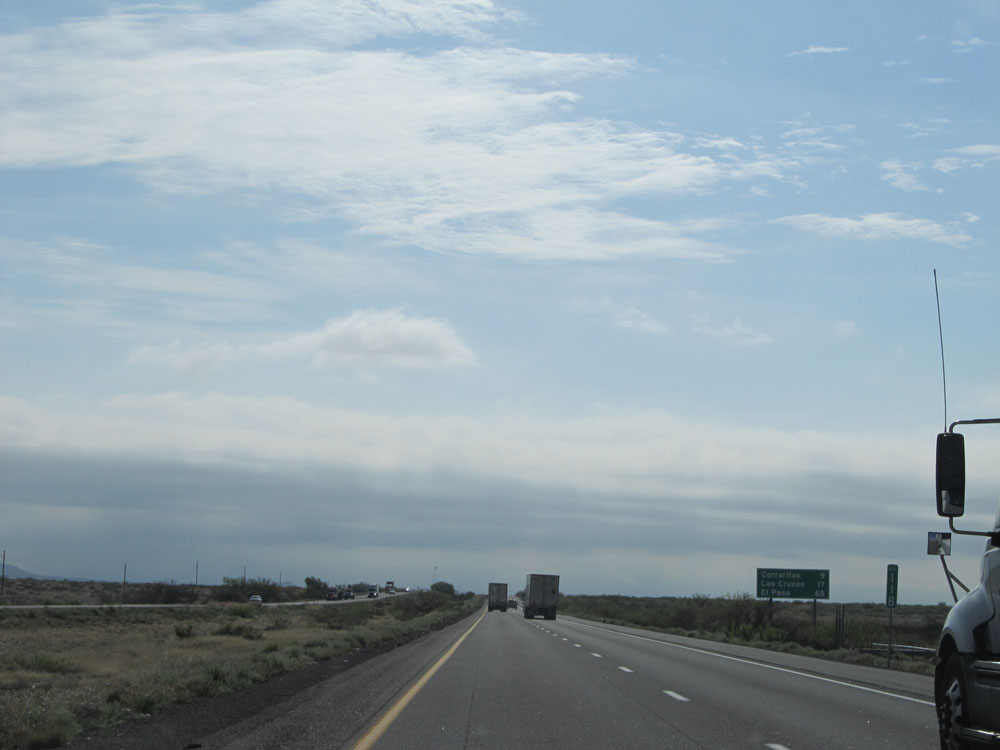 |
Mileage sign at mile marker 118. It's 9 miles to Corralitos, 17 miles to Las Cruces, and 65 miles to El Paso. (Photo taken 5/21/15). |
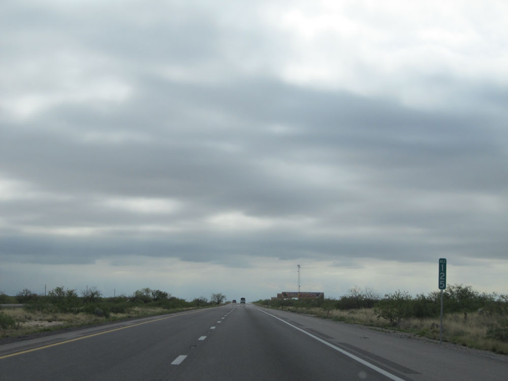 |
Interstate 10 East at mile marker 125. (Photo taken 5/21/15). |
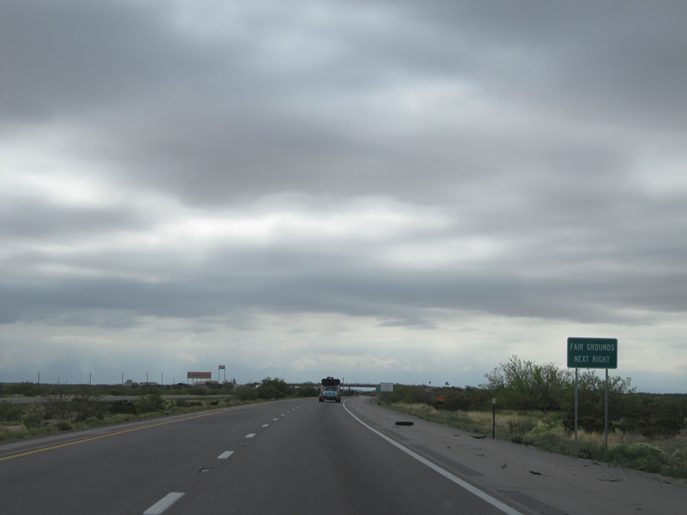 |
Take Exit 127 to the Fairgrounds. (Photo taken 5/21/15). |
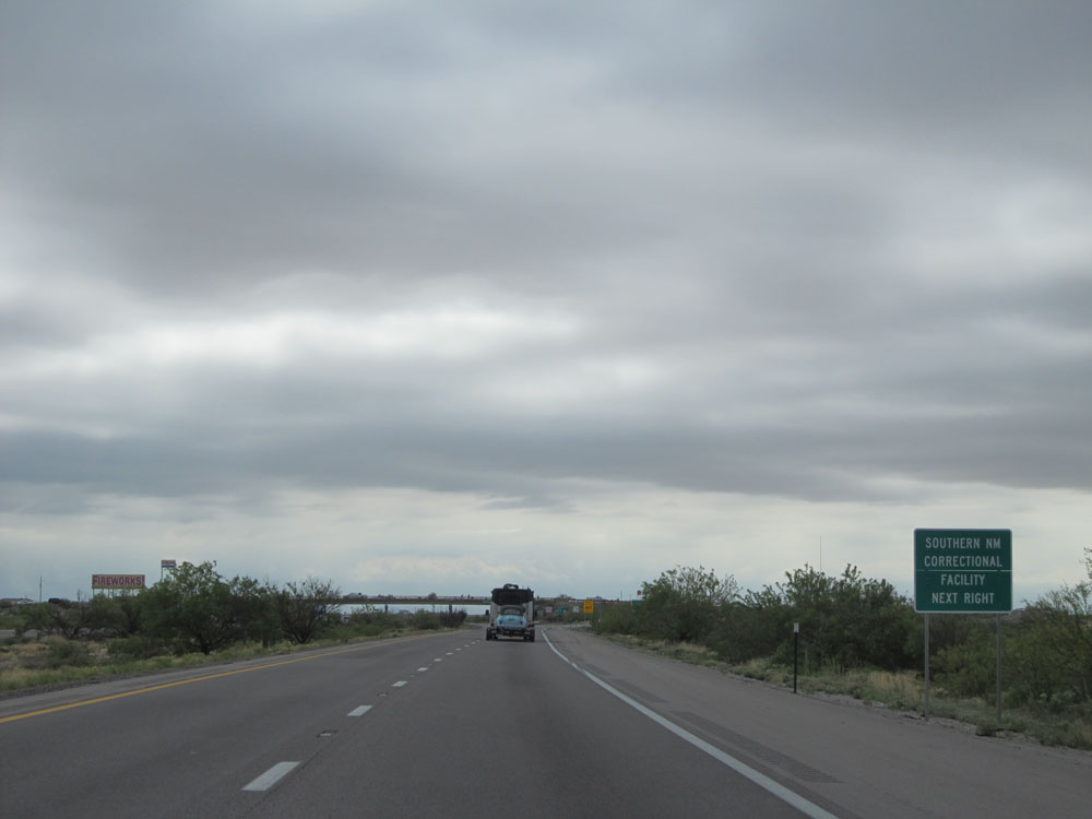 |
Also take Exit 127 to Southern New Mexico Correctional Facility. (Photo taken 5/21/15). |
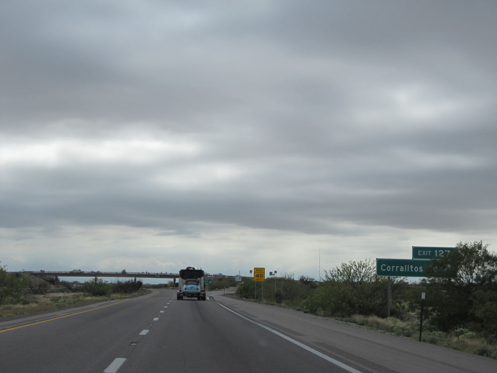 |
Interstate 10 East at Exit 127: Corralitos (Photo taken 5/21/15). |
 |
Interstate 10 East assurance shield near mile marker 128. (Photo taken 5/21/15). |
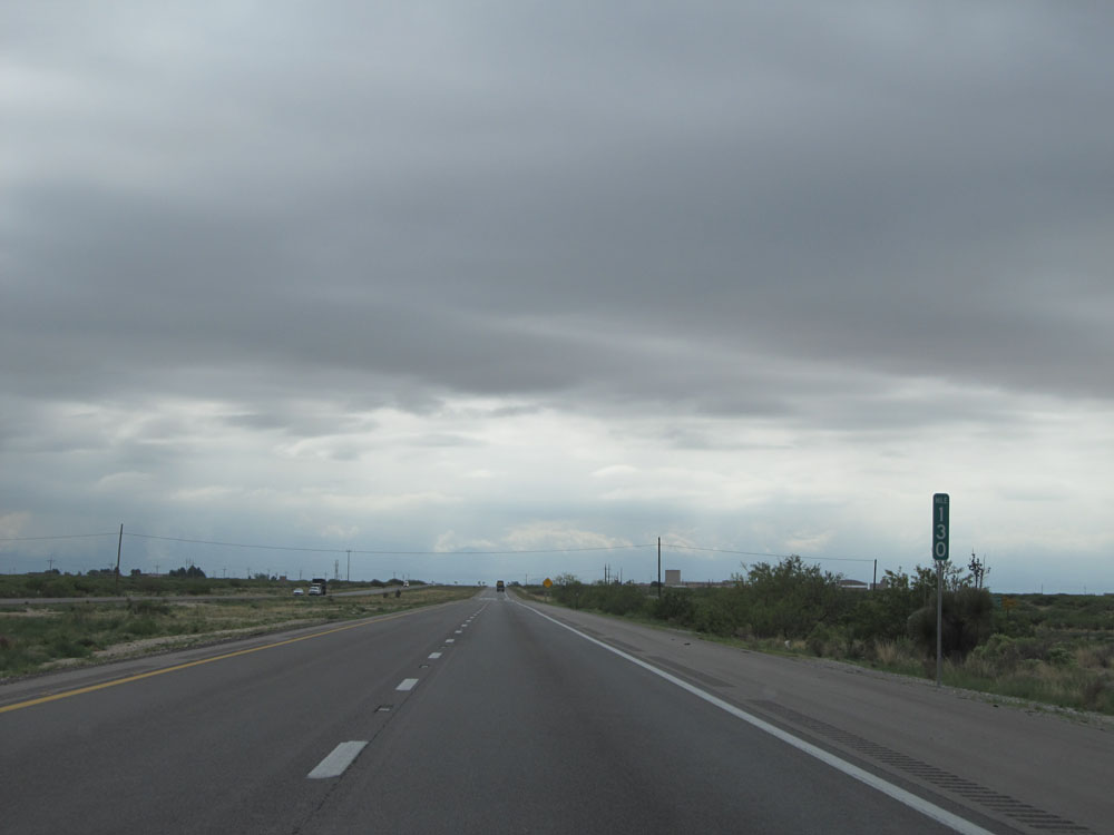 |
Interstate 10 East: Road view from mile marker 130. (Photo taken 5/21/15). |
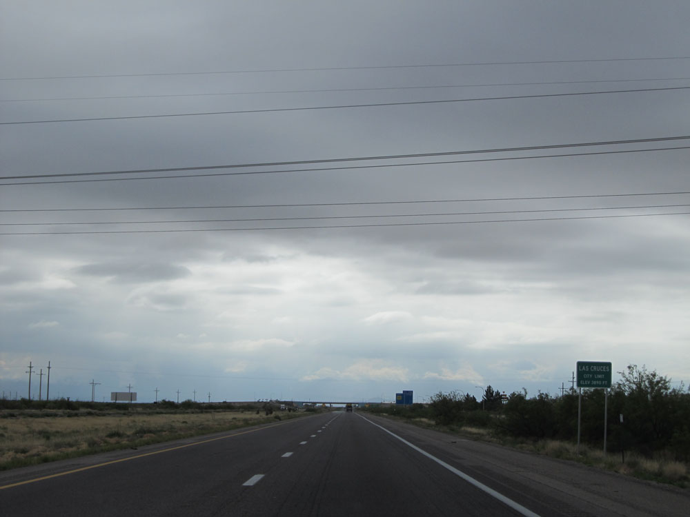 |
Interstate 10 East entering the Las Cruces city limits. (Photo taken 5/21/15). |
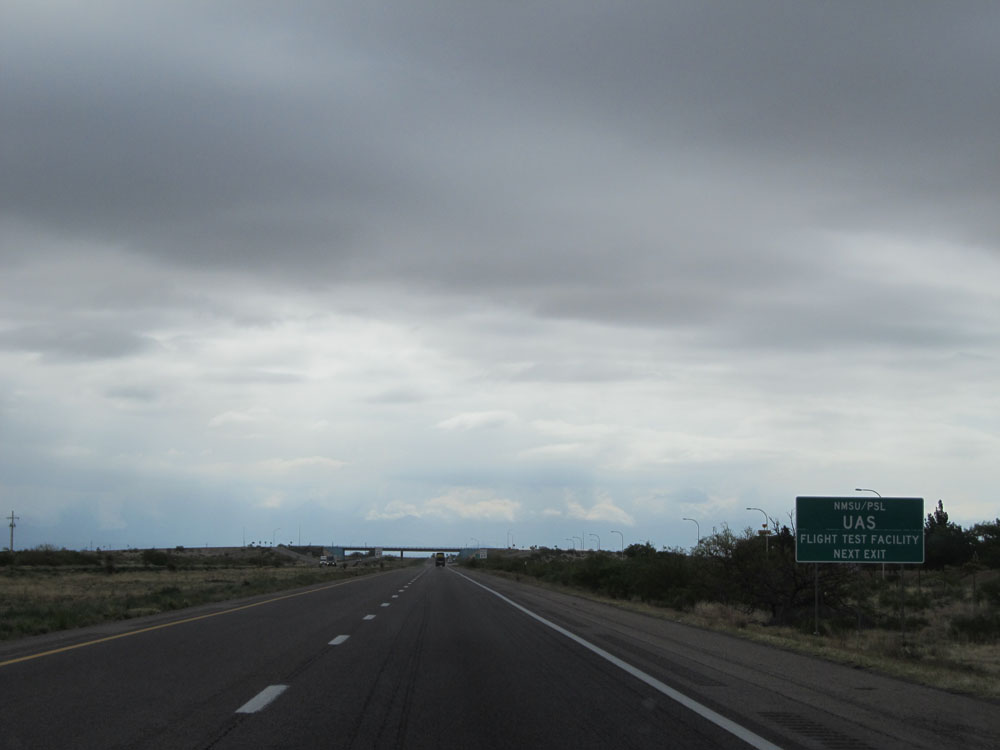 |
Take Exit 132 to NMSU/PSL UAS Flight Test Facility. (Photo taken 5/21/15). |
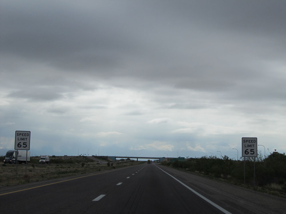 |
Upon entering the Las Cruces city limits, the speed limit drops to 65 mph. (Photo taken 5/21/15). |
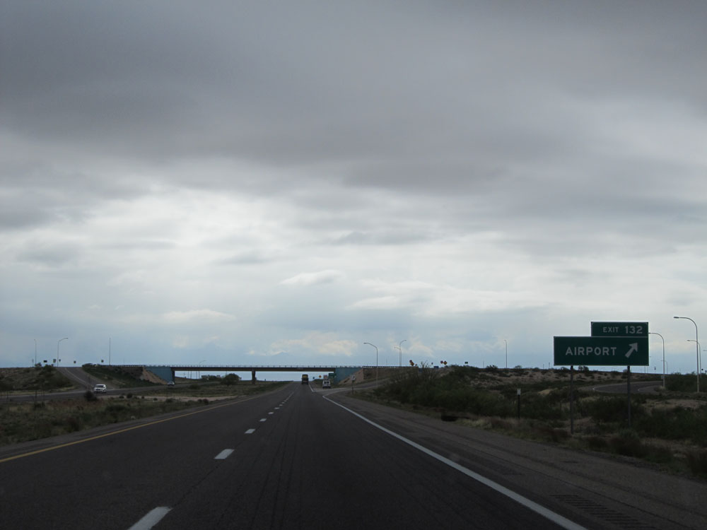 |
Interstate 10 East at Exit 132: Airport (Photo taken 5/21/15). |
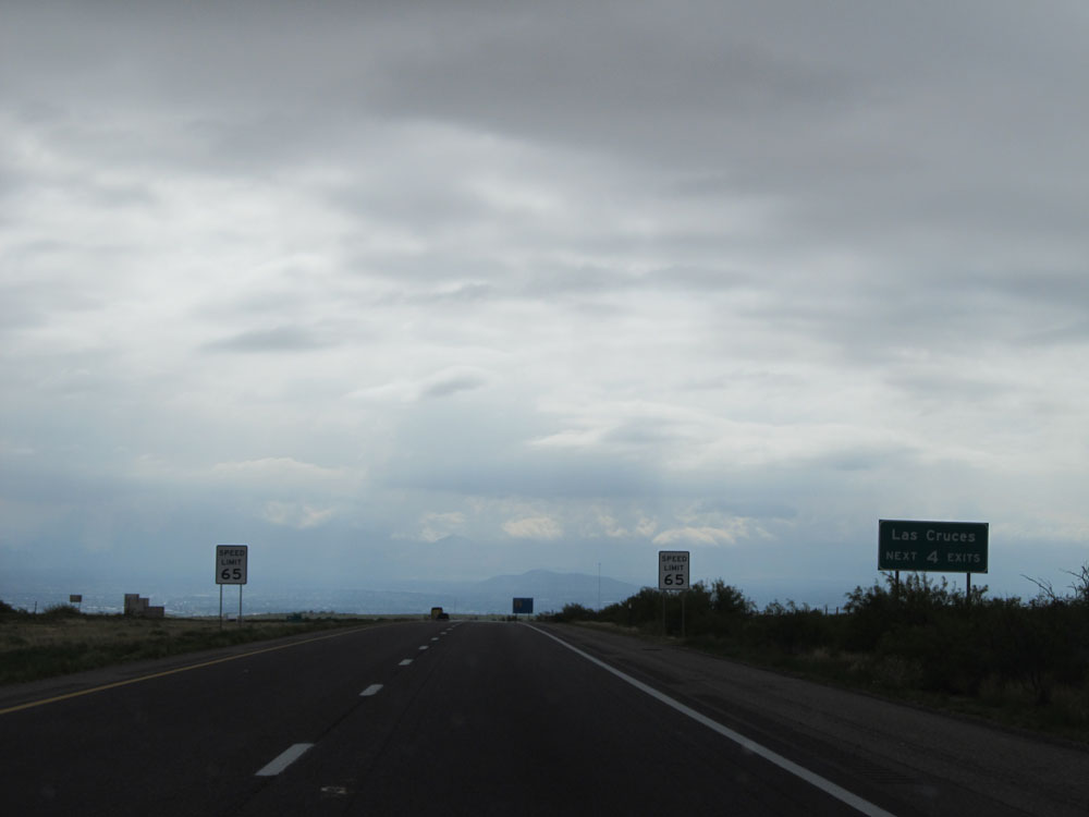 |
Take any of the next 4 exits to Las Cruces. (Photo taken 5/21/15). |
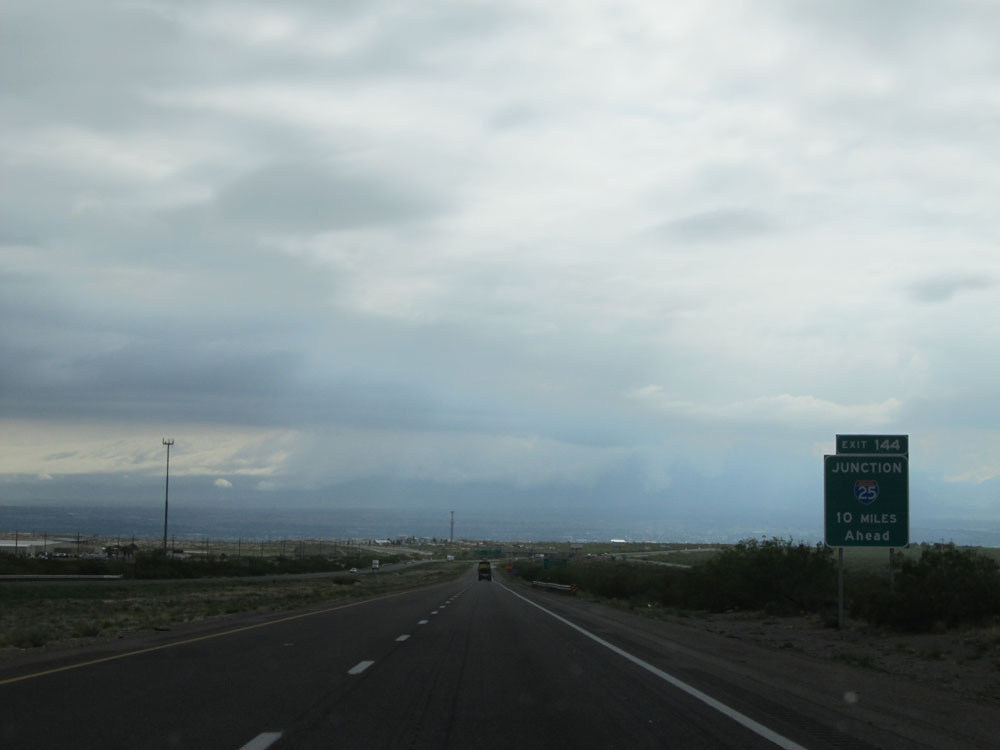 |
We're now 10 miles from Exit 144, which is the junction of Interstate 25. (Photo taken 5/21/15). |
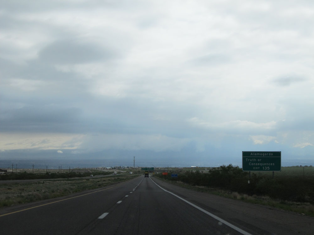 |
Take Exit 135 to Alamagordo and Truth or Consequences. (Photo taken 5/21/15). |
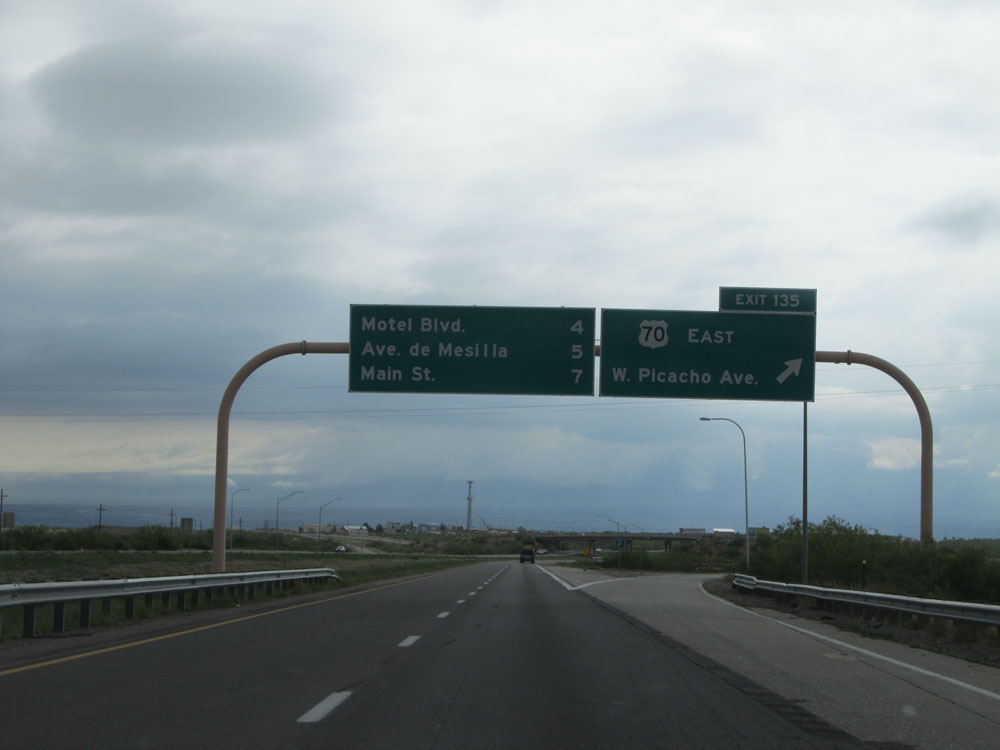 |
Interstate 10 East at Exit 135: US 70 East - W. Picacho Ave. (Photo taken 5/21/15). |
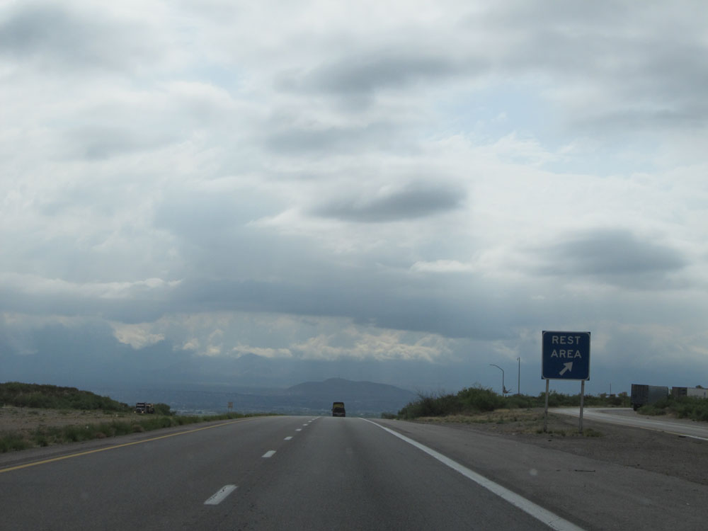 |
Interstate 10 East at the Rest Area located just past mile marker 135. (Photo taken 5/21/15). |
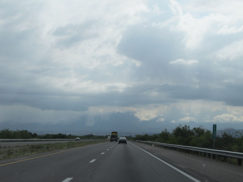 |
Interstate 10 East at mile marker 137. (Photo taken 5/21/15). |
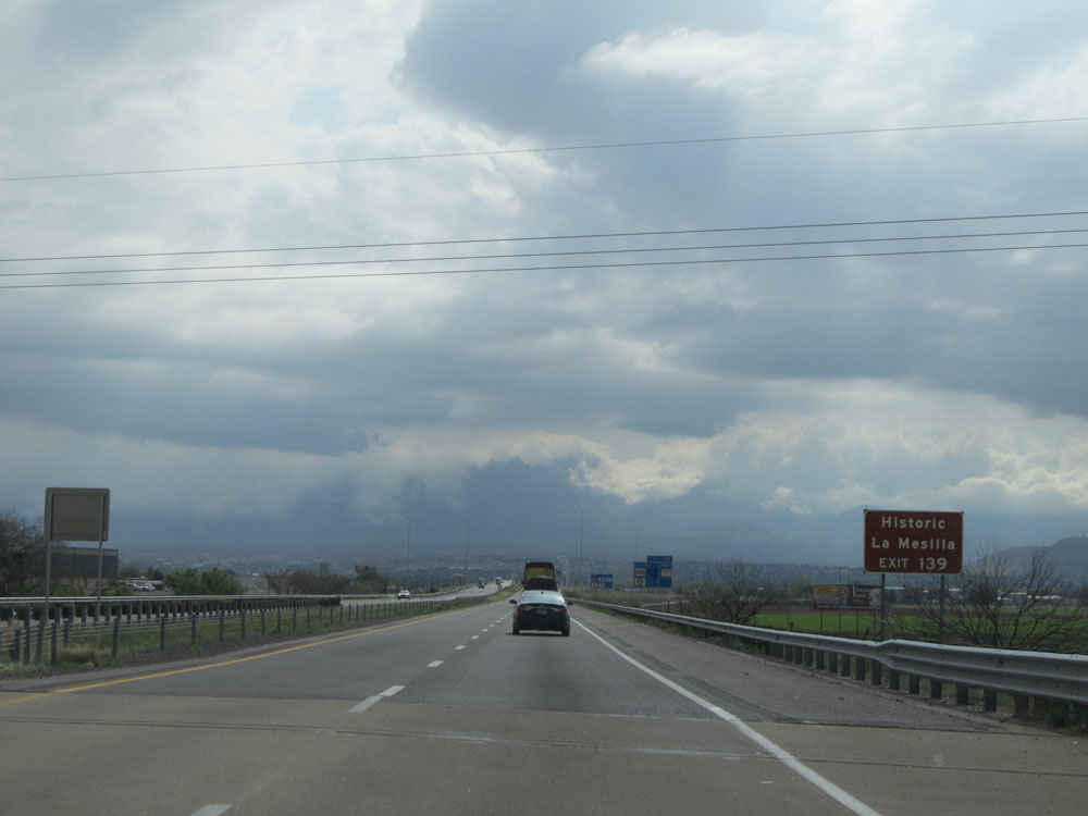 |
Take Exit 139 to Historic La Mesilla. (Photo taken 5/21/15). |
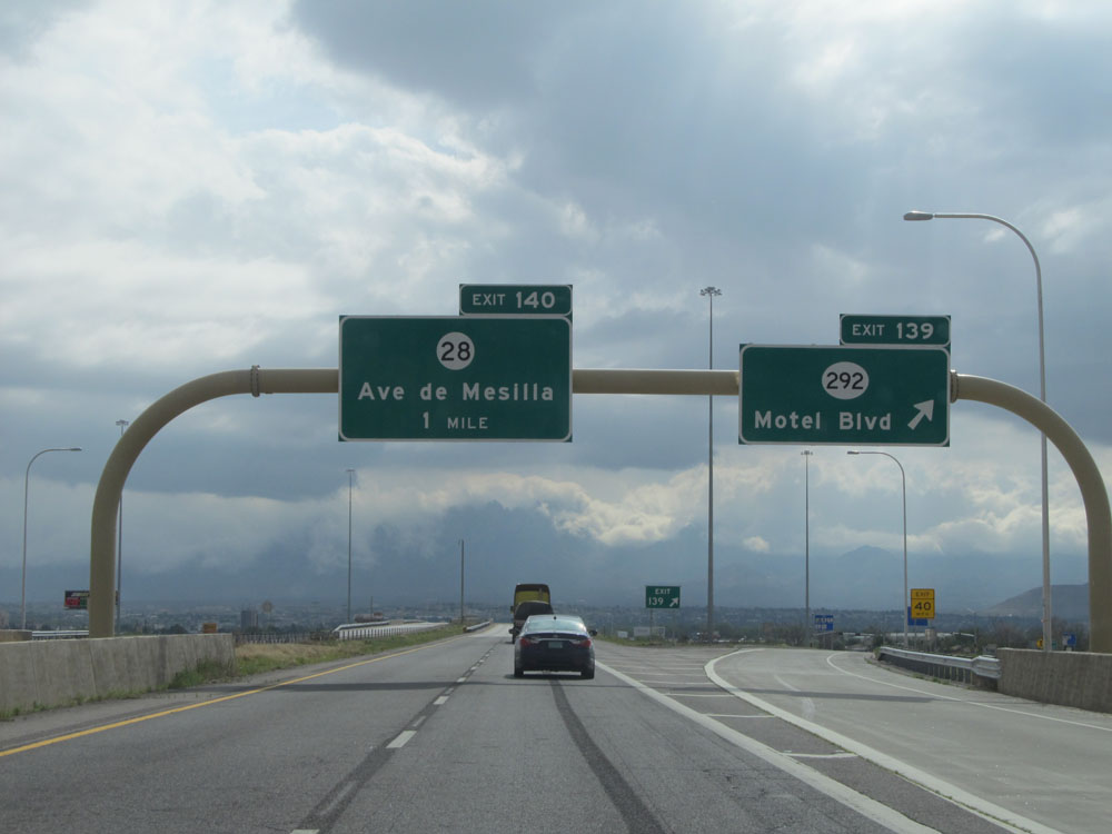 |
Interstate 10 East at Exit 139: NM 292 - Motel Blvd (Photo taken 5/21/15). |
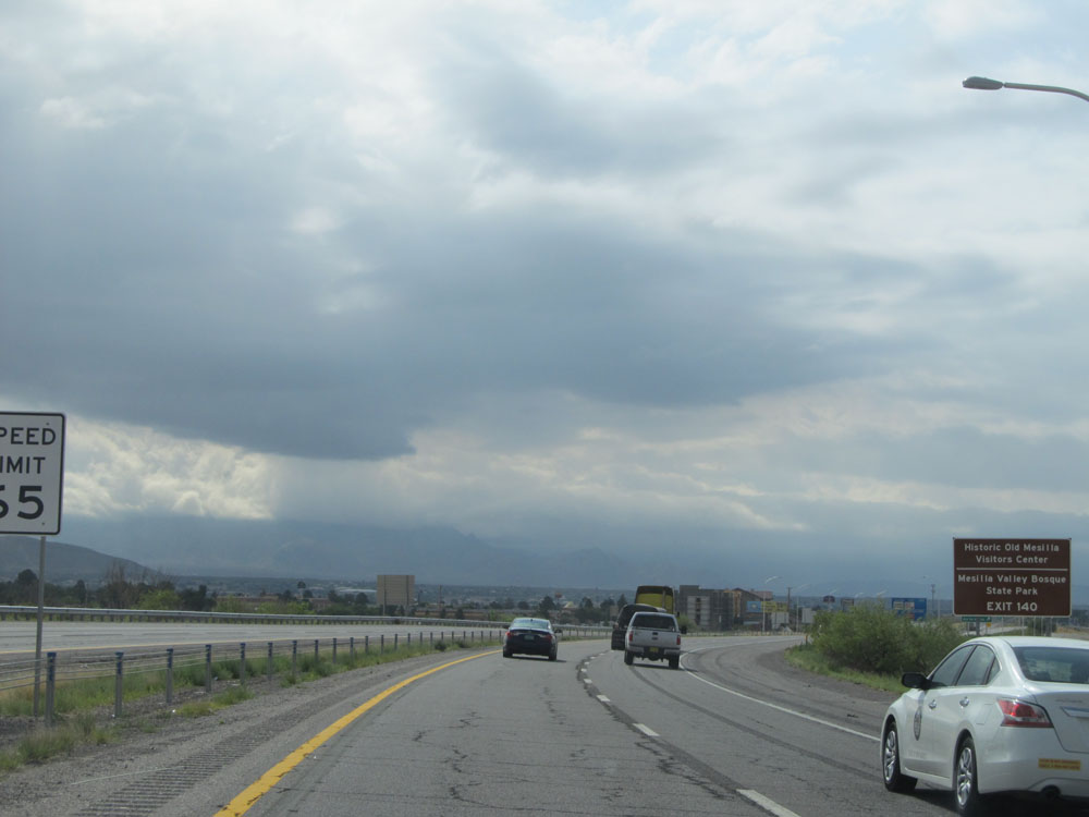 |
Take Exit 140 to Historic Old Mesilla Visitors Center and Mesilla Valley Bosque State Park. (Photo taken 5/21/15). |
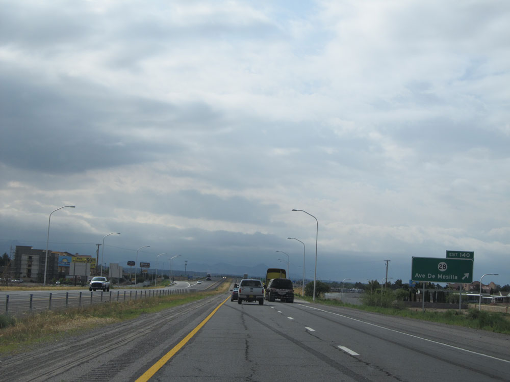 |
Interstate 10 East at Exit 140: NM 28 - Ave De Mesilla (Photo taken 5/21/15). |
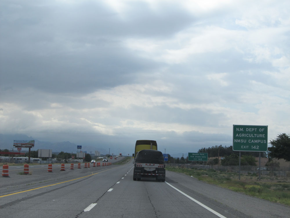 |
Take Exit 142 to New Mexico Department of Agriculture and New Mexico State University Campus. (Photo taken 5/21/15). |
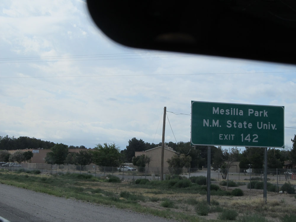 |
Take Exit 142 to Mesilla Park and New Mexico State University. I almost missed this one! (Photo taken 5/21/15). |
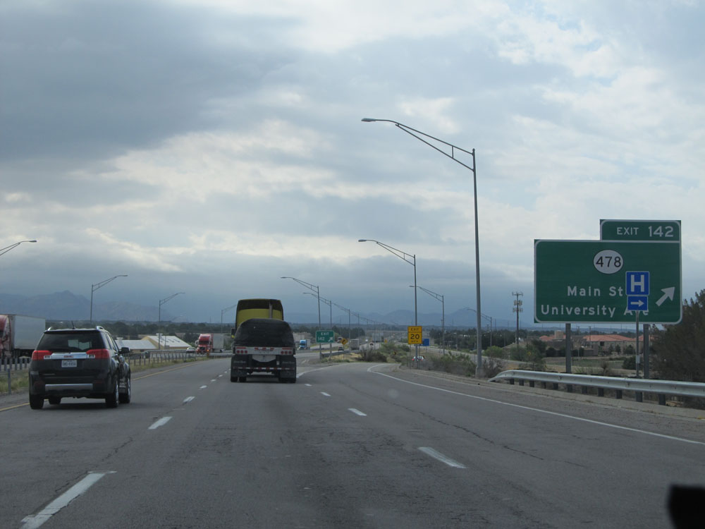 |
Interstate 10 East at Exit 142: NM 478 - Main St / University Ave (Photo taken 5/21/15). |
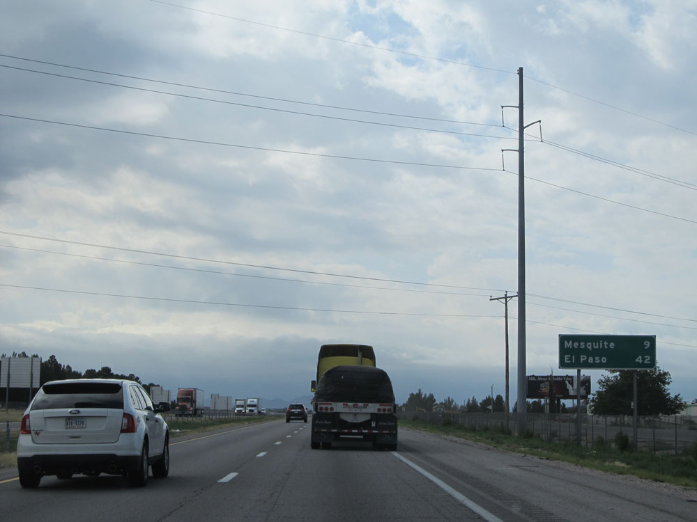 |
Mileage sign near mile marker 143. It's 9 miles to Mesquite and 42 miles to El Paso. (Photo taken 5/21/15). |
 |
Interstate 10 East approaching Exit 144 - 3/4 mile. (Photo taken 5/21/15). |
 |
Take Exit 144 to the Natural Historic Museum and Cultural Complex Museum. (Photo taken 5/21/15). |
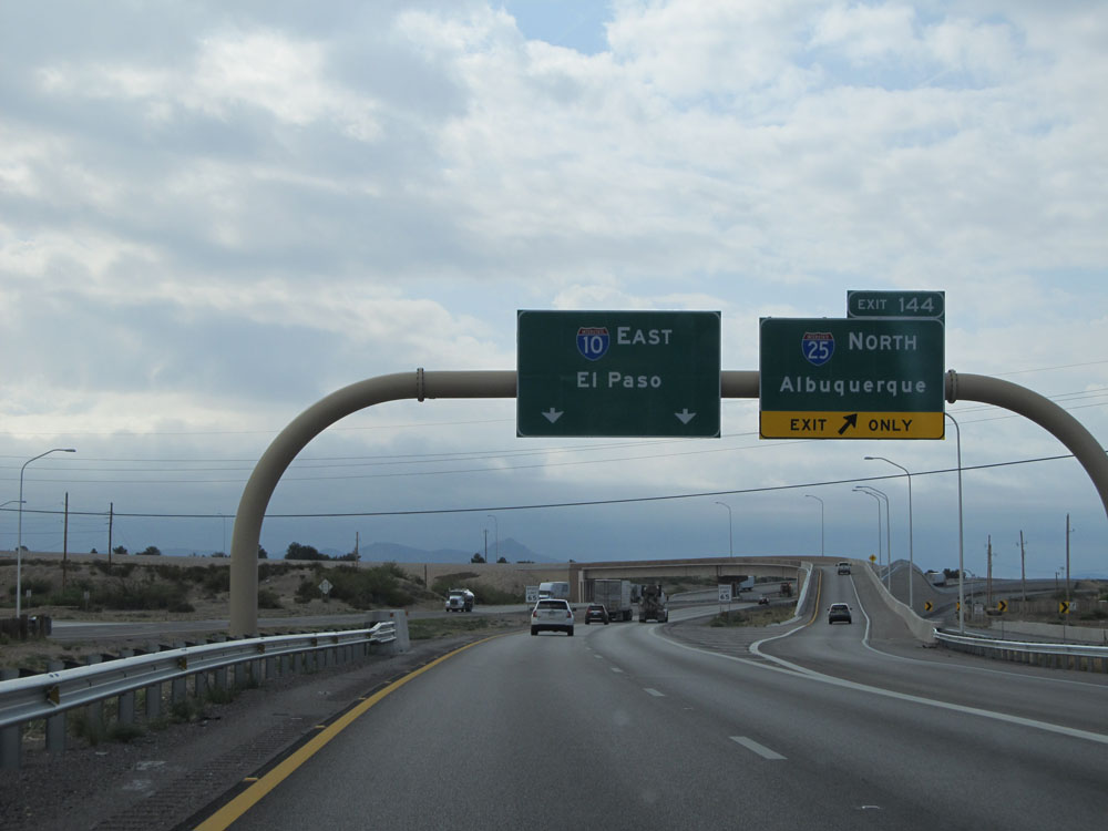 |
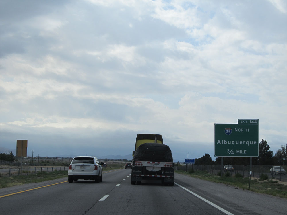
Interstate 10 East at Exit 144: Interstate 25 North - Albuquerque (Photo taken 5/21/15). |
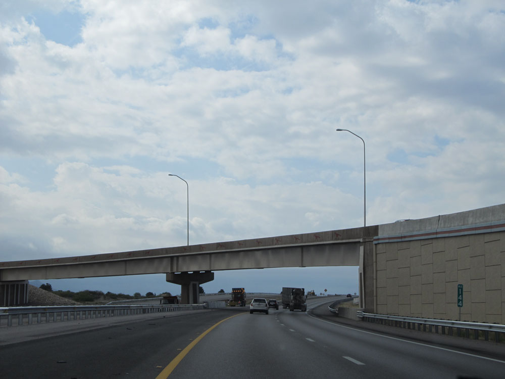 |
Interstate 10 East as it passes underneath the ramp to Interstate 25 North at mile marker 144. (Photo taken 5/21/15). |
 |
Near mile marker 145, the speed limit increases to 75 mph once again now that we're east of Las Cruces. (Photo taken 5/21/15). |
 |
Interstate 10 East: Road view from mile marker 146. Interstate 10 East maintains 3 lanes from Las Cruces to the Texas border. (Photo taken 5/21/15). |
 |
Interstate 10 East: Road view from mile marker 148. (Photo taken 5/21/15). |
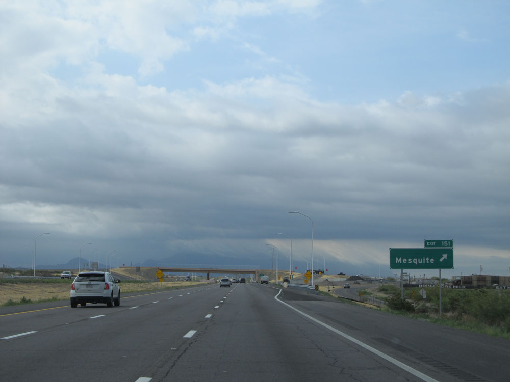 |
Interstate 10 East at Exit 151: Mesquite (Photo taken 5/21/15). |
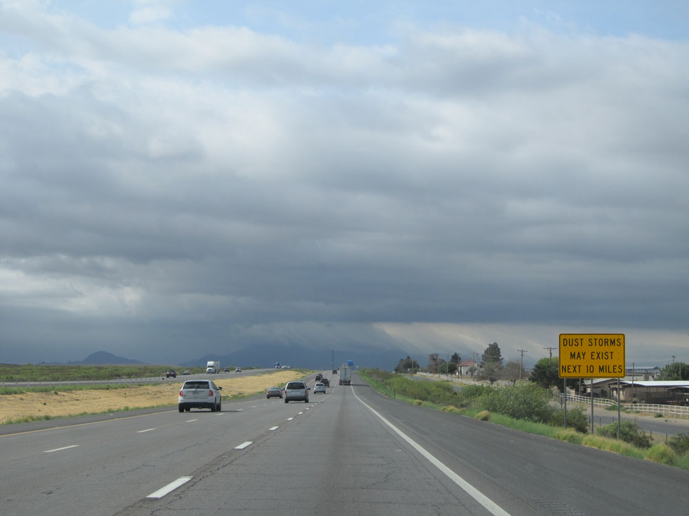 |
Warning sign stating that dust storms may exist for the next 10 miles. (Photo taken 5/21/15). |
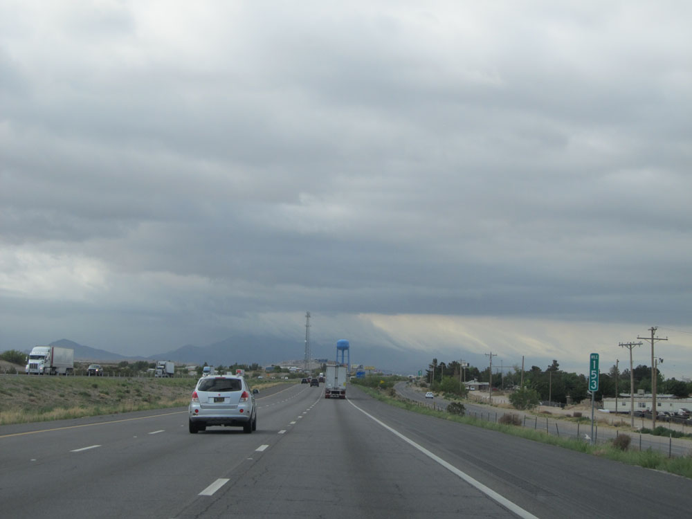 |
Interstate 10 East at mile marker 153. (Photo taken 5/21/15). |
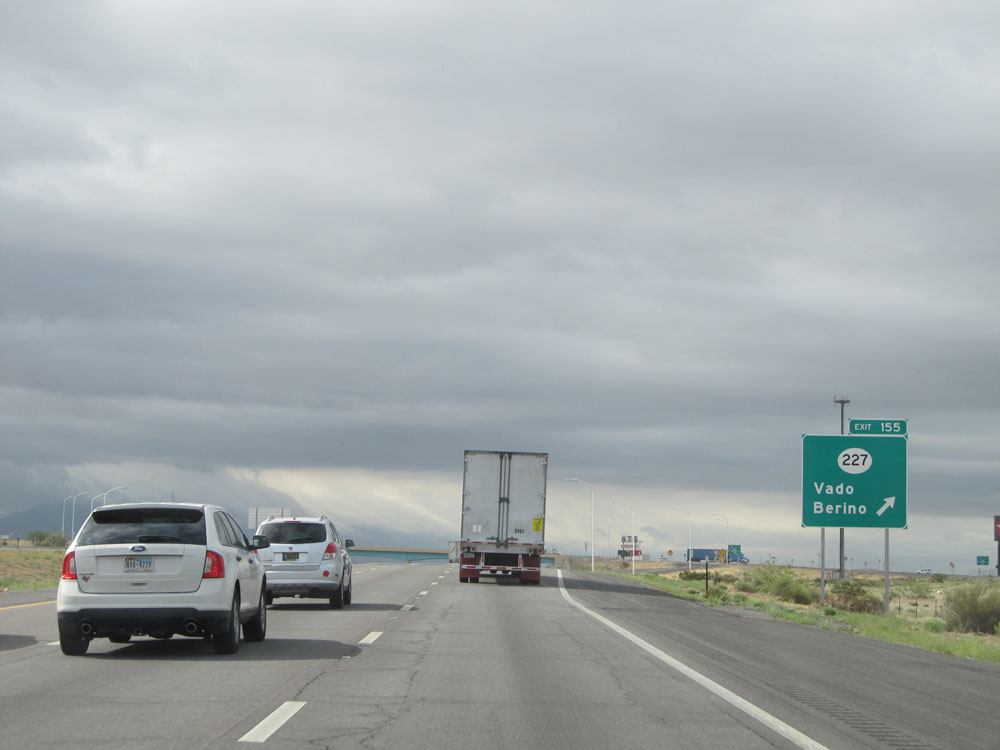 |
Interstate 10 East at Exit 155: NM 227 - Vado / Berino (Photo taken 5/21/15). |
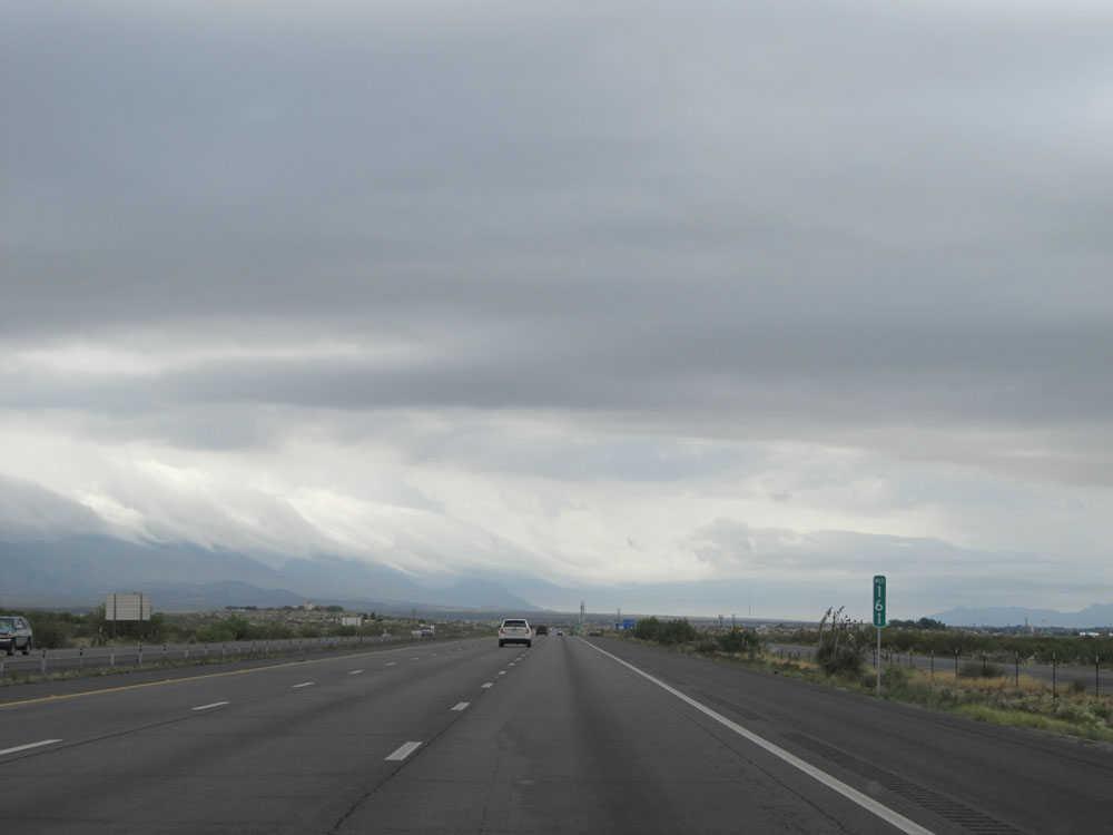 |
Interstate 10 East: Road view from mile marker 161. (Photo taken 5/21/15). |
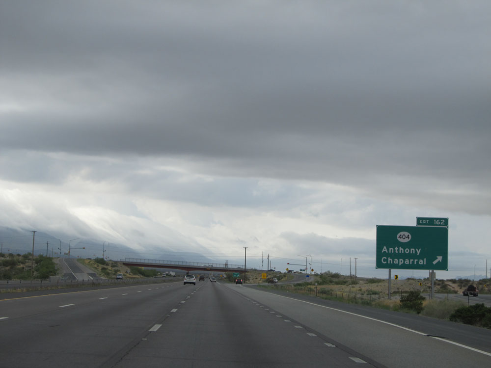 |
Interstate 10 East at Exit 162: NM 404 - Anthony / Chaparral (Photo taken 5/21/15). |
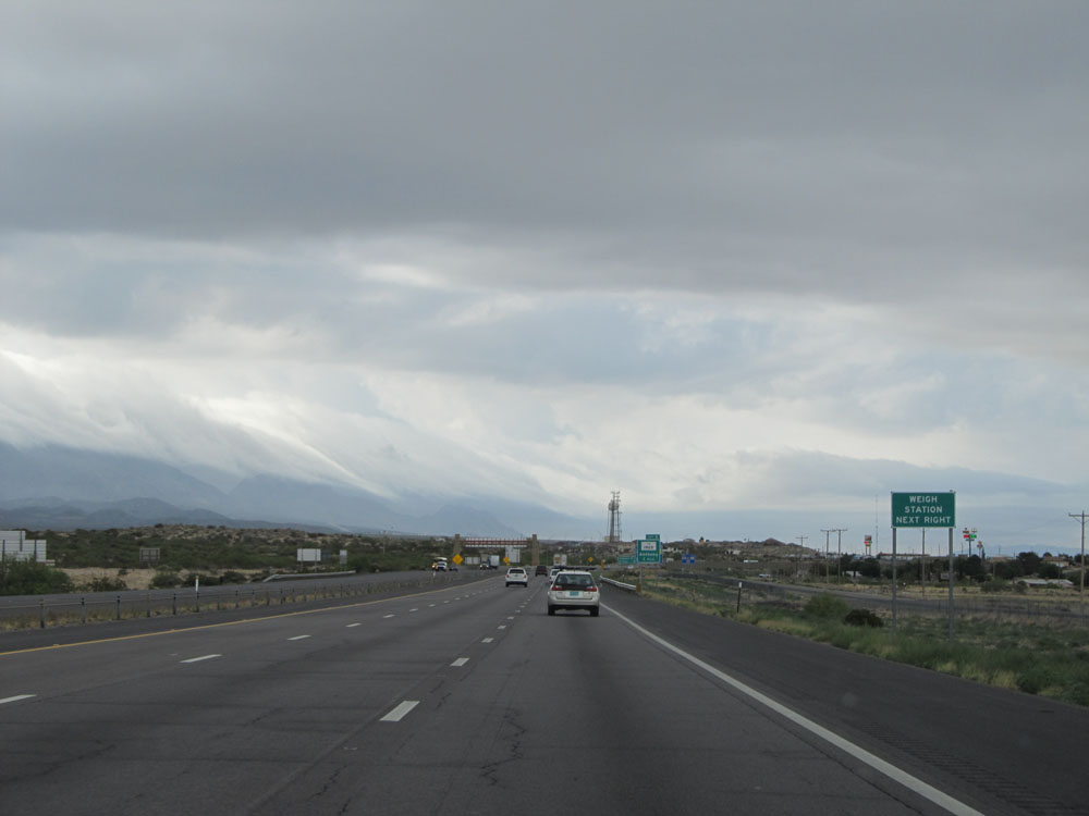 |
There is a Weigh Station off the next exit, which is Exit 0 in Texas. The eastbound exit lies right on the border between New Mexico and Texas. (Photo taken 5/21/15). |
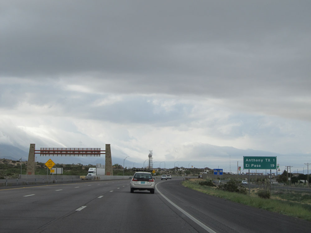 |
Mileage sign as Interstate 10 East prepares to enter Texas. It's 1 mile to Anthony, TX and 19 miles to El Paso. (Photo taken 5/21/15). |
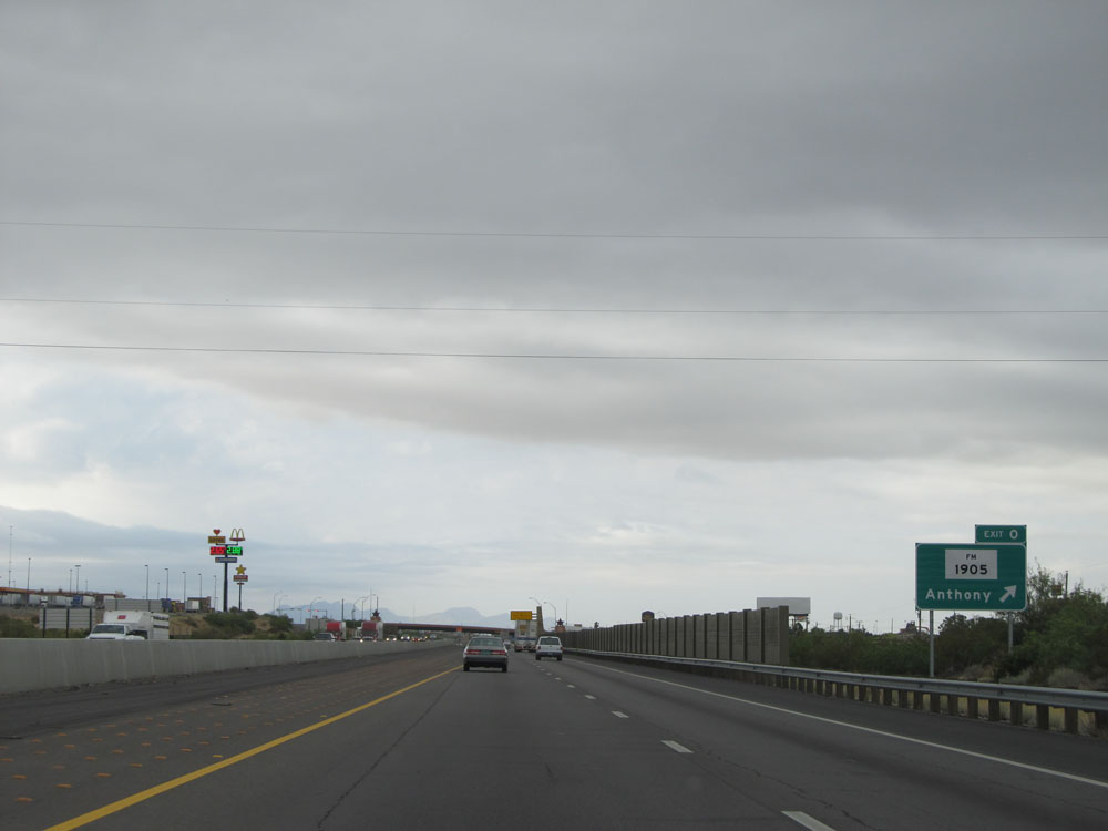 |
Interstate 10 East at Exit 0: FM 1905 - Anthony. Again, even though this exit is for a Texas road to a Texas destination, the exit itself is right on the border of Texas and New Mexico when heading east on I-10. (Photo taken 5/21/15). |
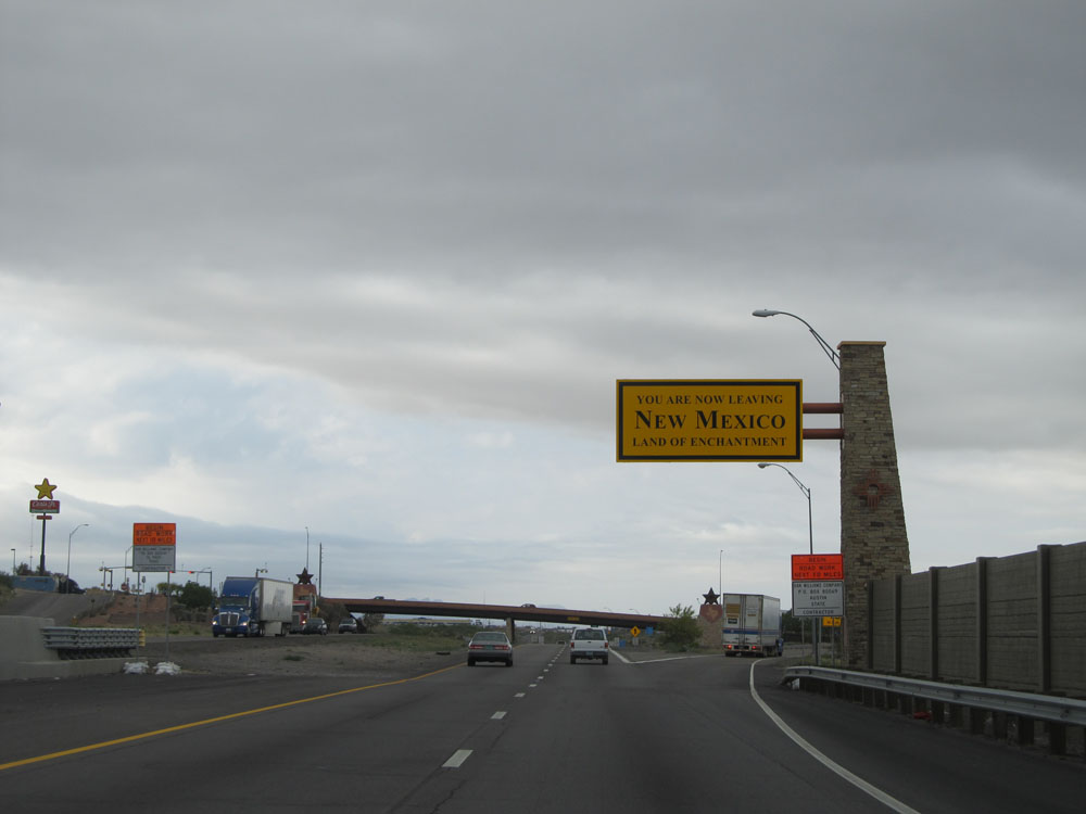 |
Overhead sign as Interstate 10 East prepares to leave New Mexico and enter Texas. (Photo taken 5/21/15). |