Road Information |
||
 |
||
| Total Mileage in State: | 455 miles | |
| Eastern End: | At Iowa state line | |
| Western End: | At Wyoming state line | |
| Mileage covered in Photos: | 455 miles | |
| Counties covered in Photos: | Kimball, Cheyenne, Deuel, Keith, Lincoln, Dawsom, Buffalo, Hall, Hamilton, York, Seward, Lancaster, Cass, Sarpy, Douglas | |
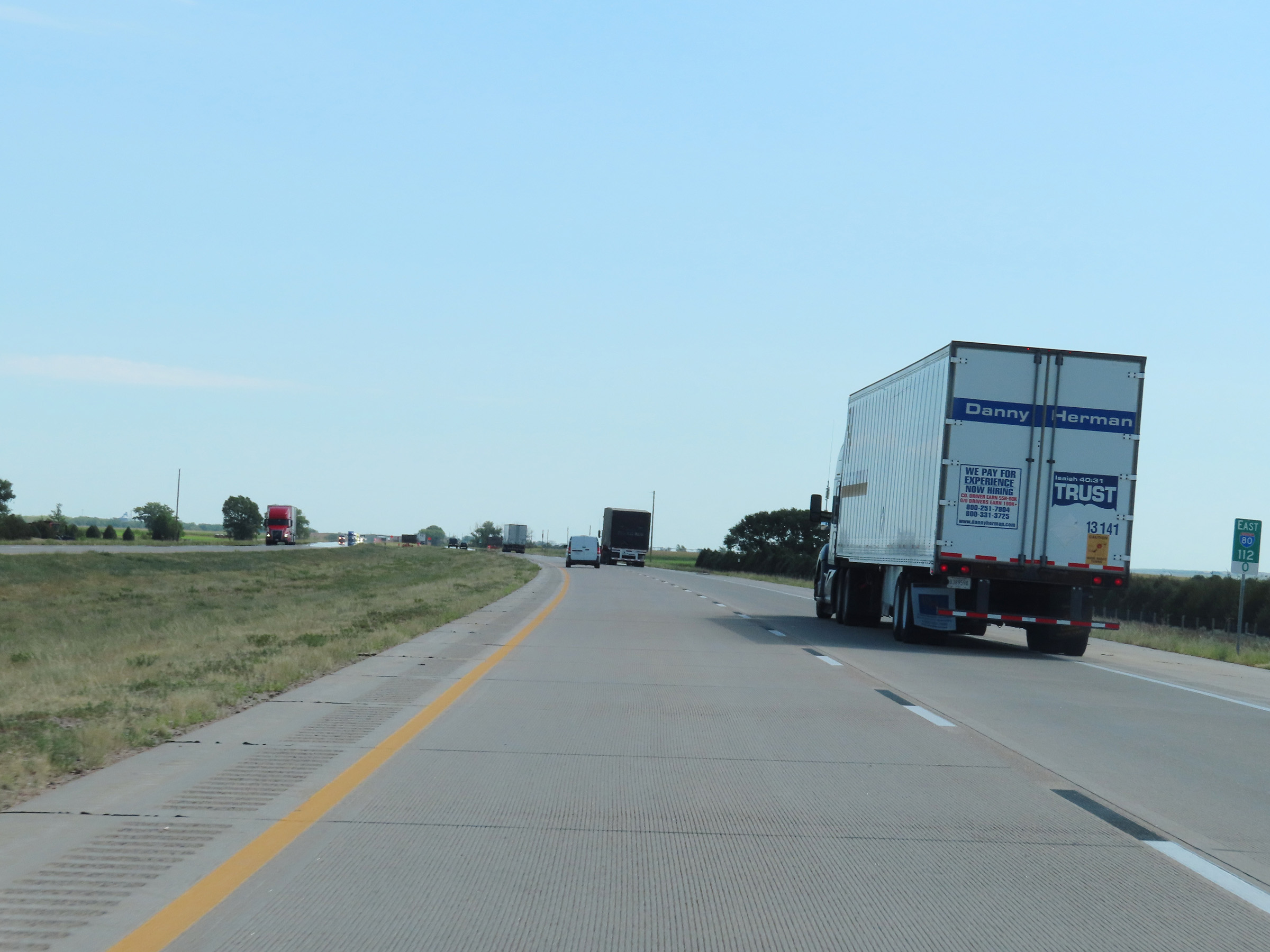
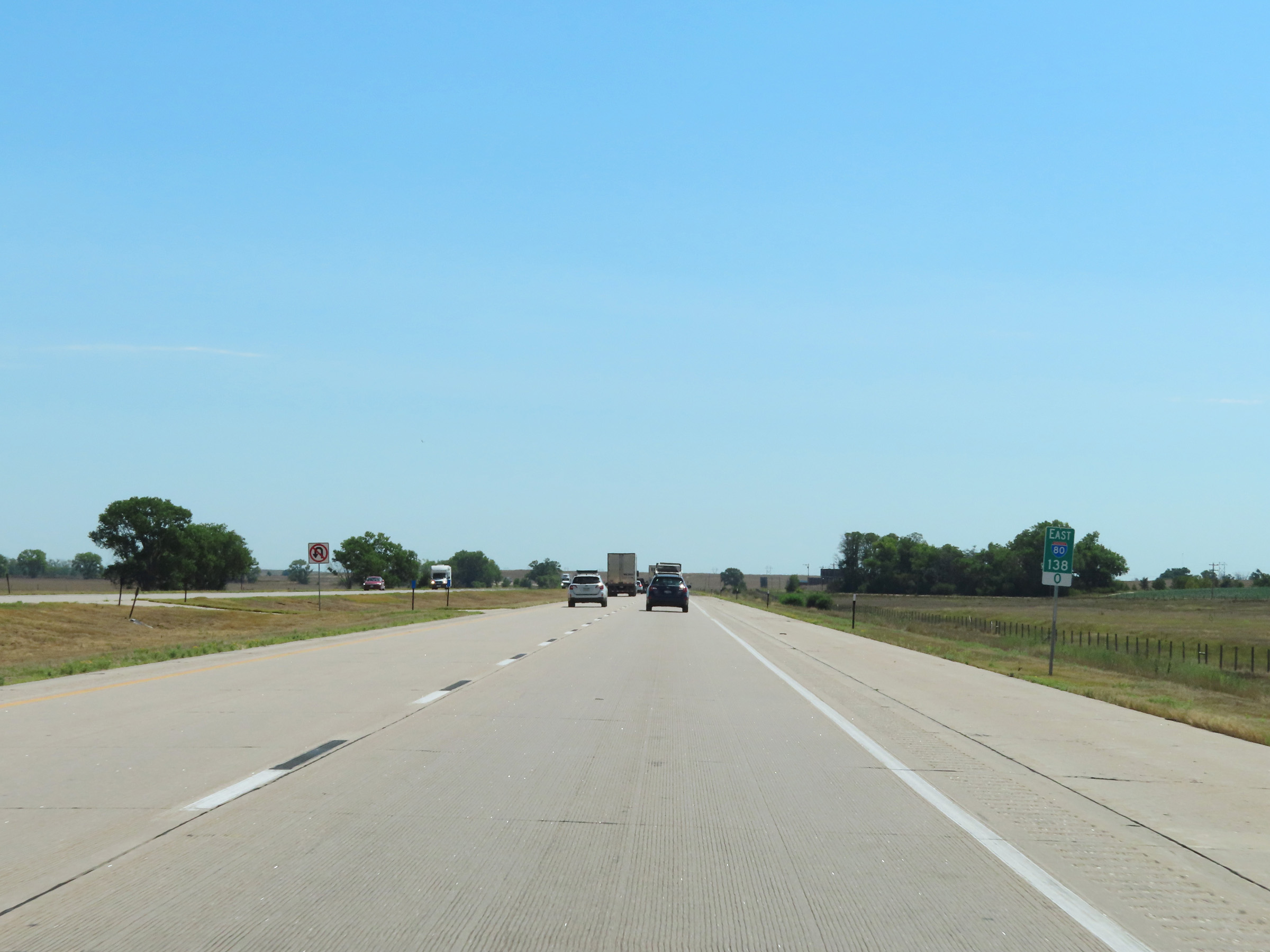
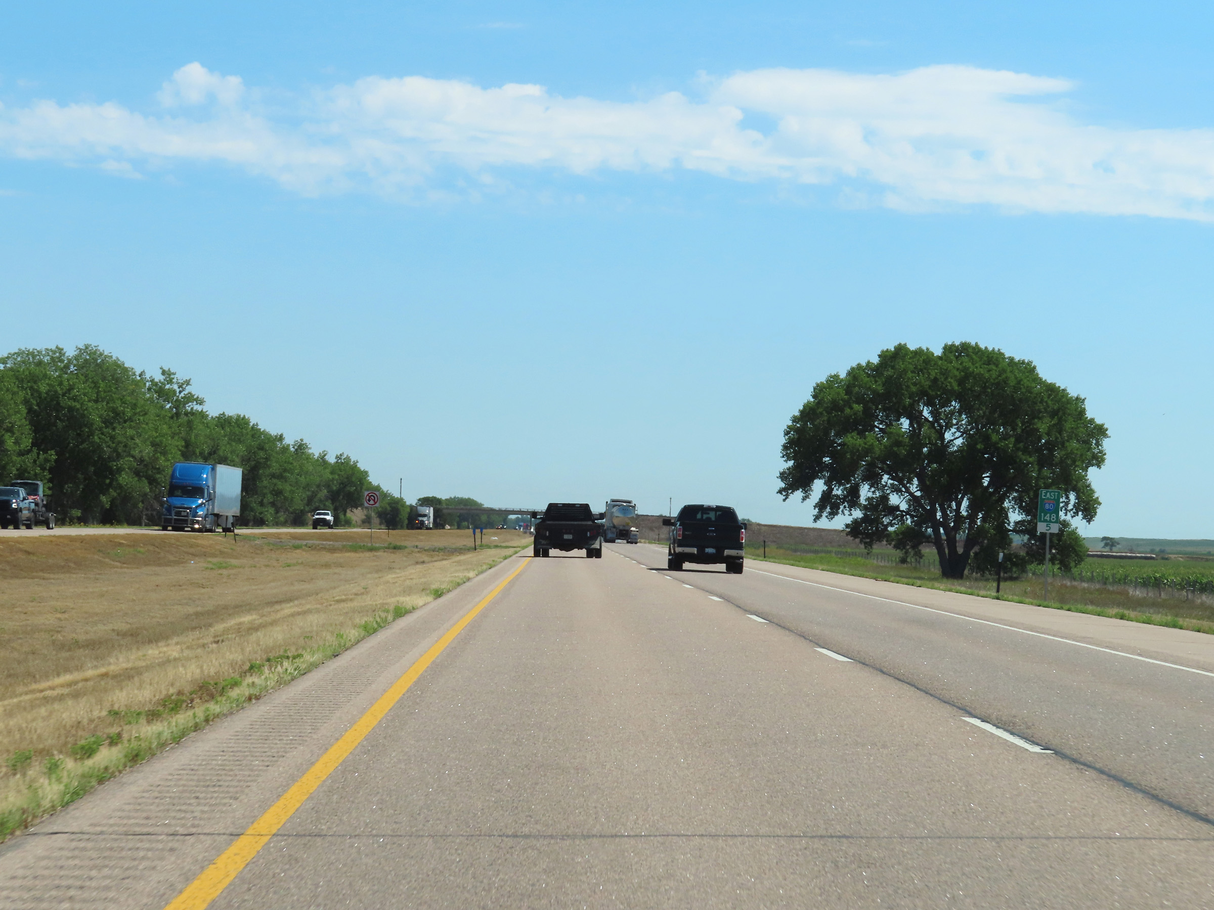
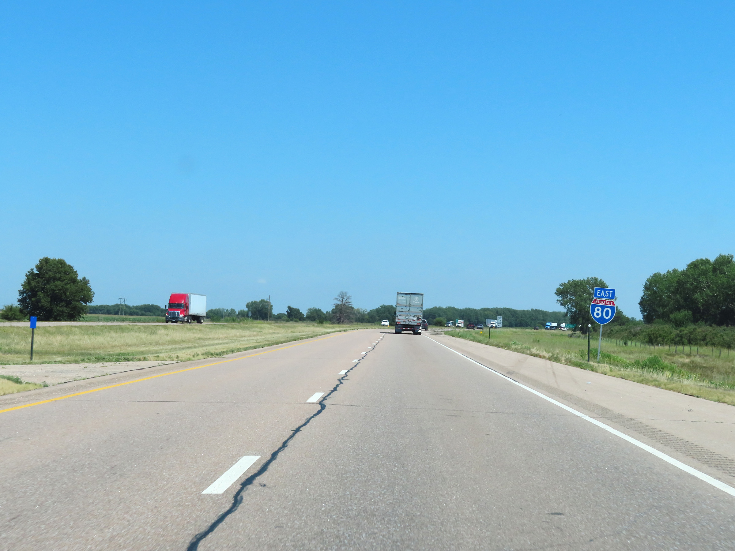
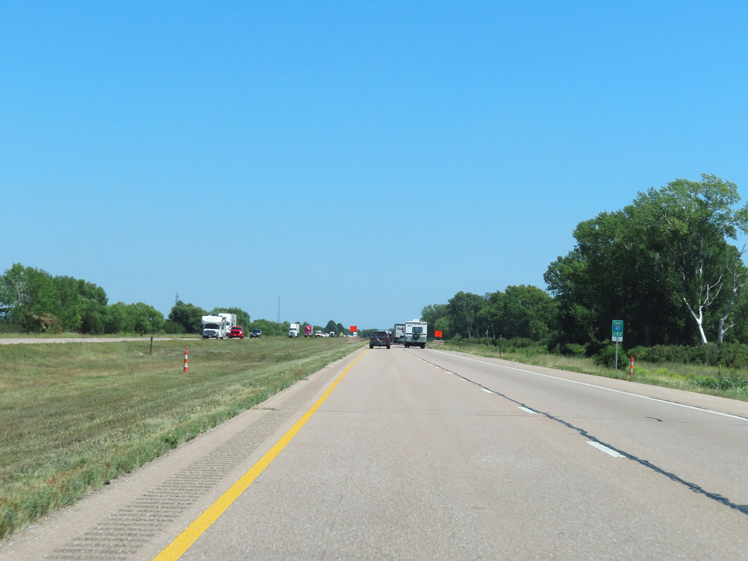
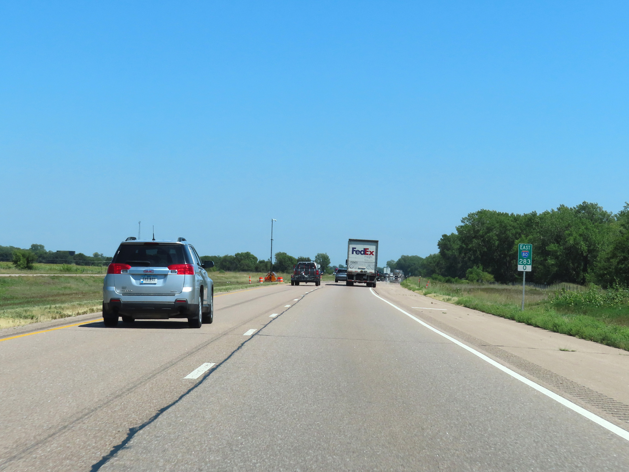
| Major Junctions in Photos: | I-76, near Big Springs US 83, in North Platte US 81, in York I-180, in Lincoln I-680, in Omaha I-480/US 75, in Omaha |
|
| Control Cities in Photos: | Sidney, North Platte, Kearney, Grand Island, York, Lincoln, Omaha | |
Eastbound
- Section 1: Wyoming Border to Sidney (Exit 59)
- Section 2: Sidney (Exit 59) to Ogallala (Exit 126)
- Section 3: Ogallala (Exit 126) to North Platte (Exit 179)
- Section 4: North Platte (Exit 179) to Kearney (Exit 272)
- Section 5: Kearney (Exit 272) to York (Exit 353)
- Section 6: York (Exit 353) to Lincoln (Exit 403)
- Seciton 7: Lincoln (Exit 403) to Omaha (Exit 446)
- Section 8: Omaha (Exit 446) to Iowa Border
Section 1: Wyoming Border to Sidney (Exit 59)
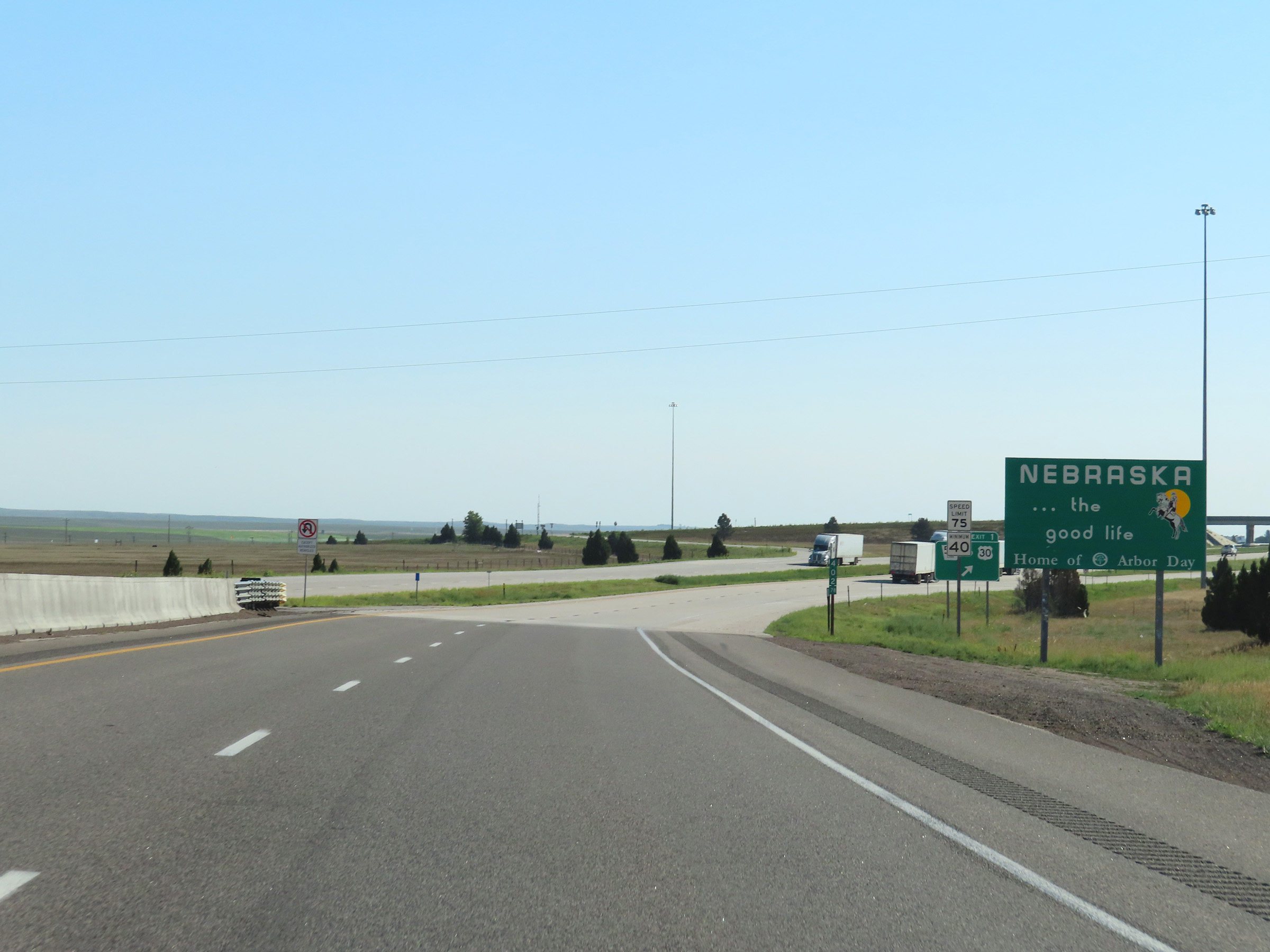 |
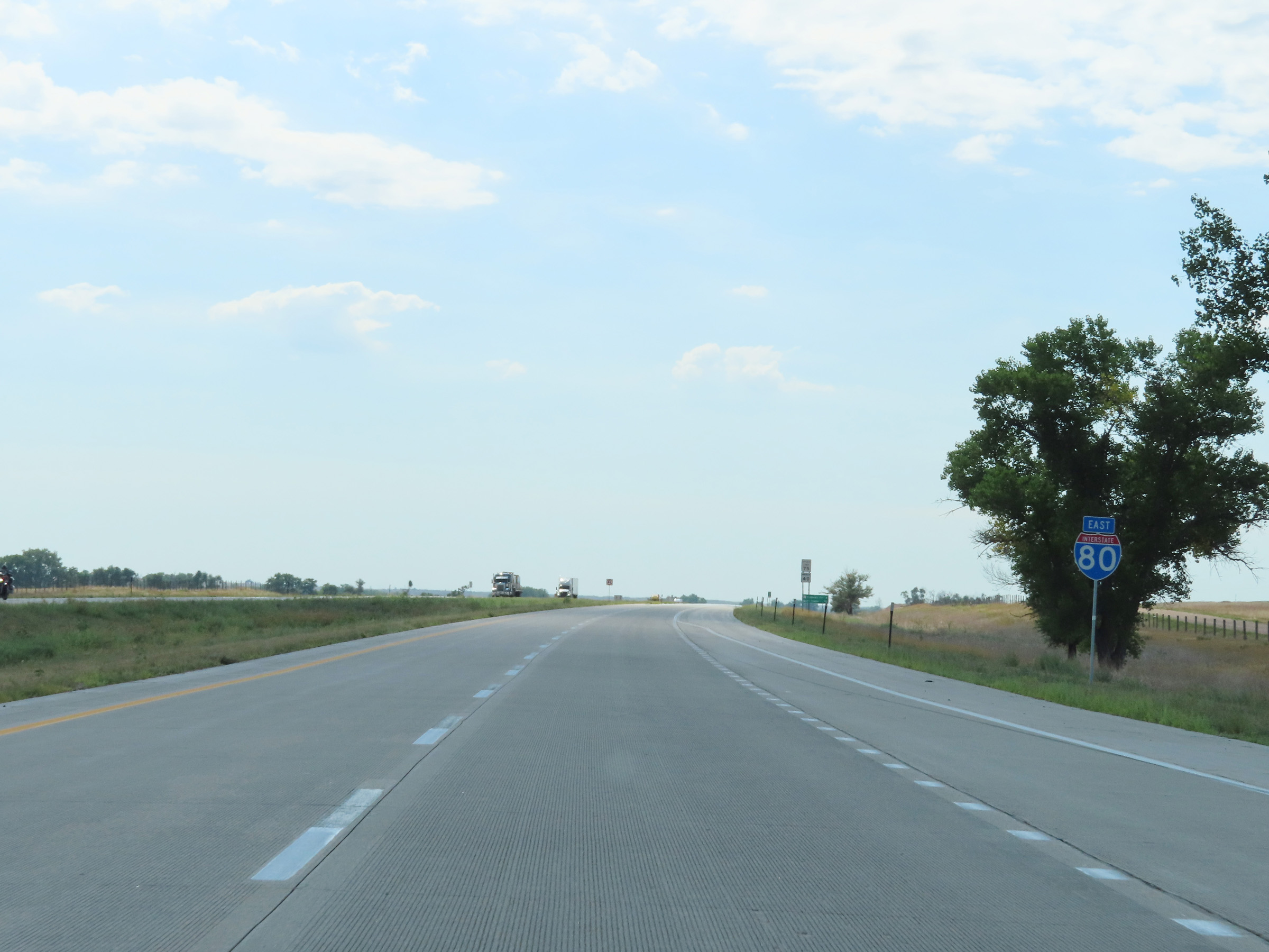
Nebraska welcome sign on Interstate 80 East as it enters the Cornhusker State from Wyoming. (Photo taken 8/18/22). |
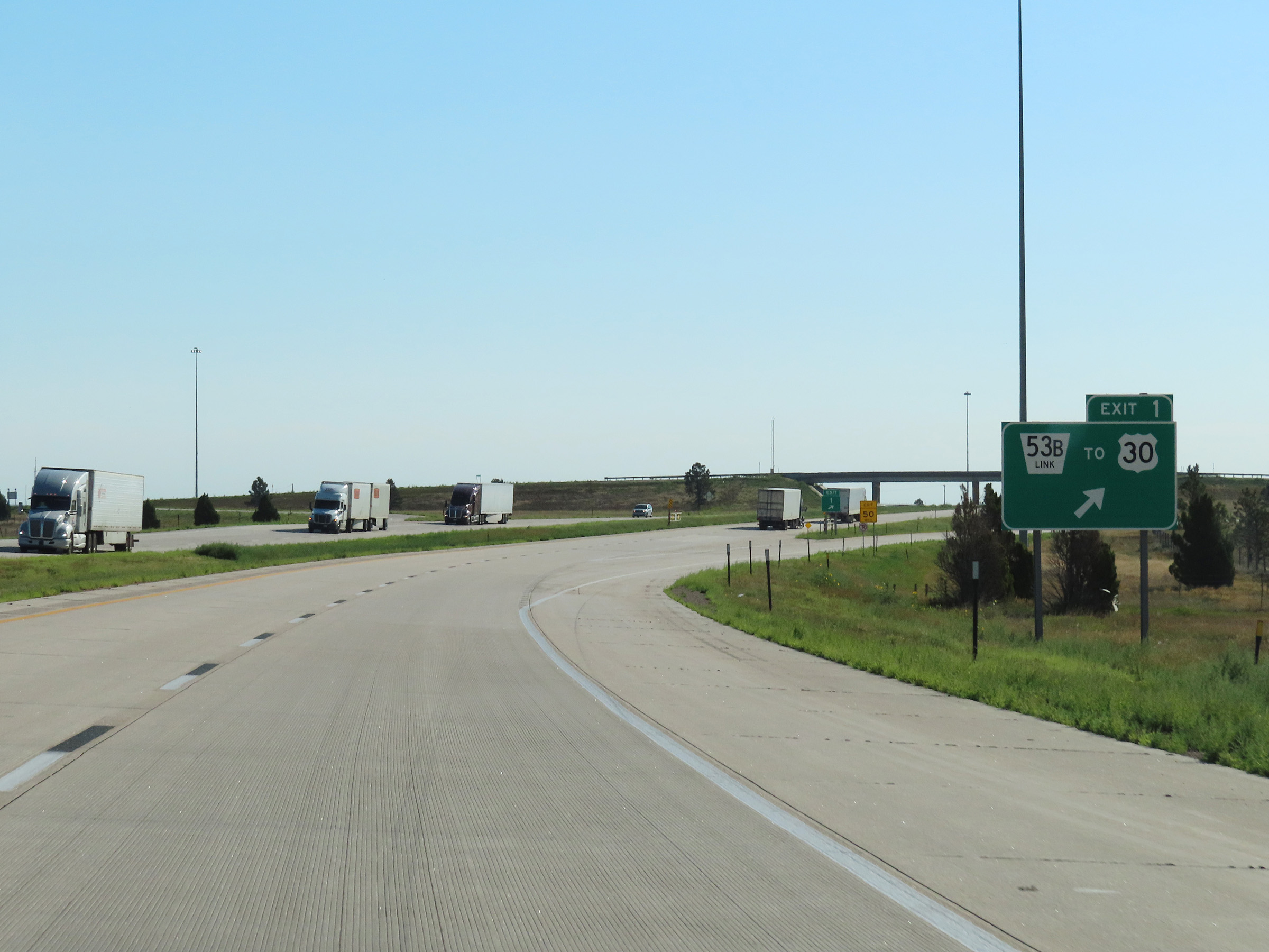 |
Interstate 80 East at Exit 1: Nebraska Link 53B / To US 30 (Photo taken 8/18/22). |
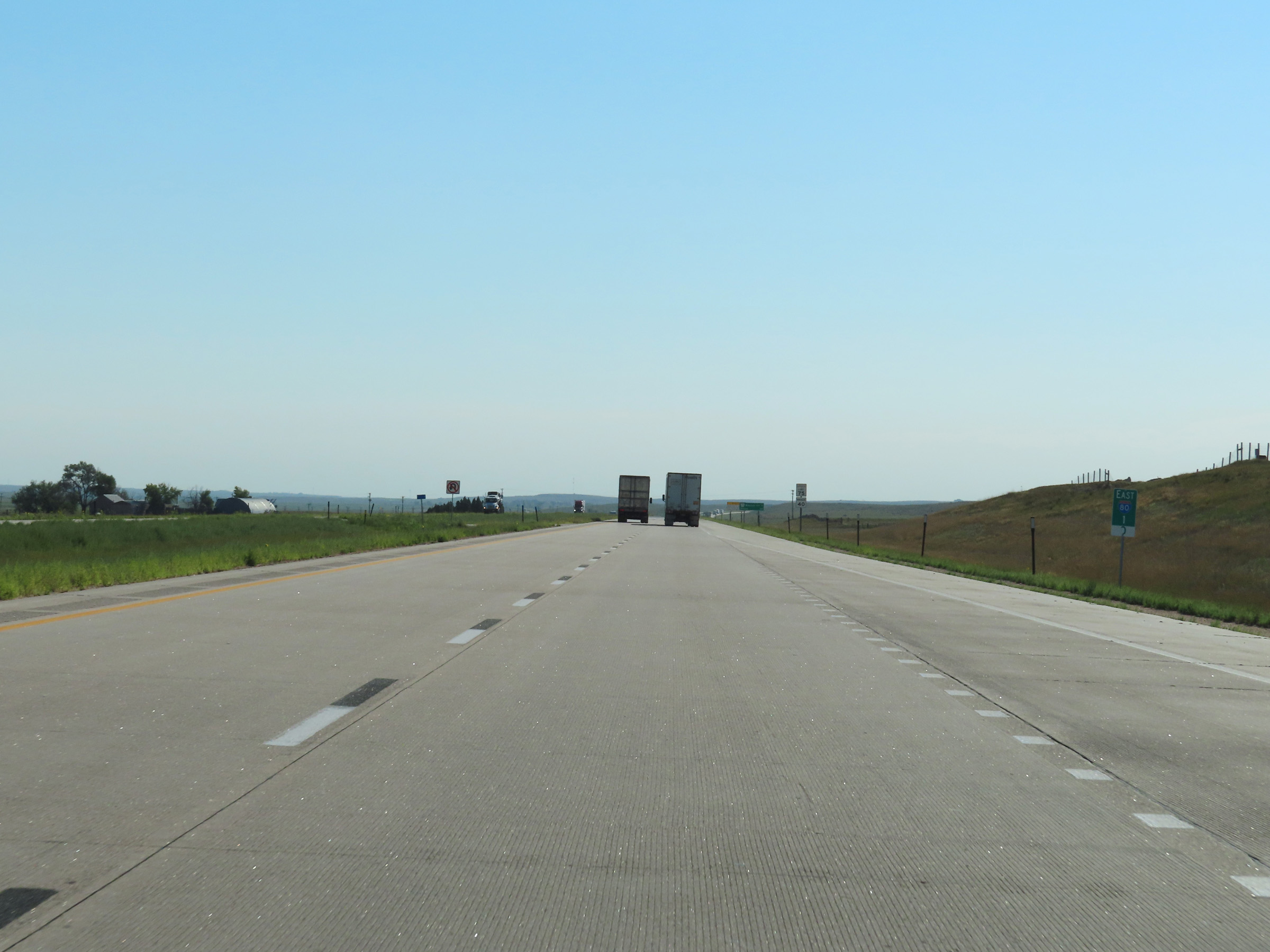 |
View on Interstate 80 East at mile marker 1. (Photo taken 8/18/22). |
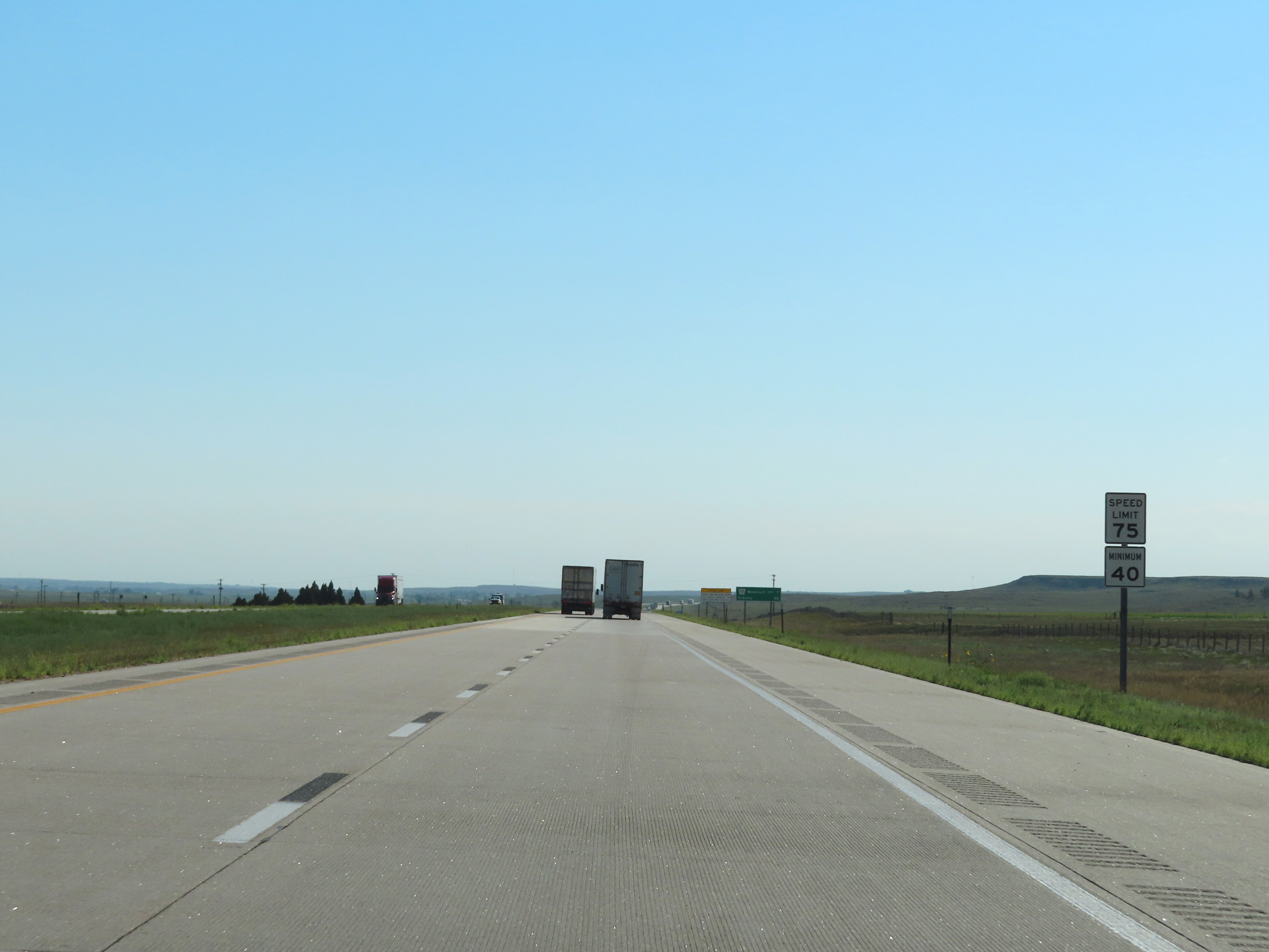 |
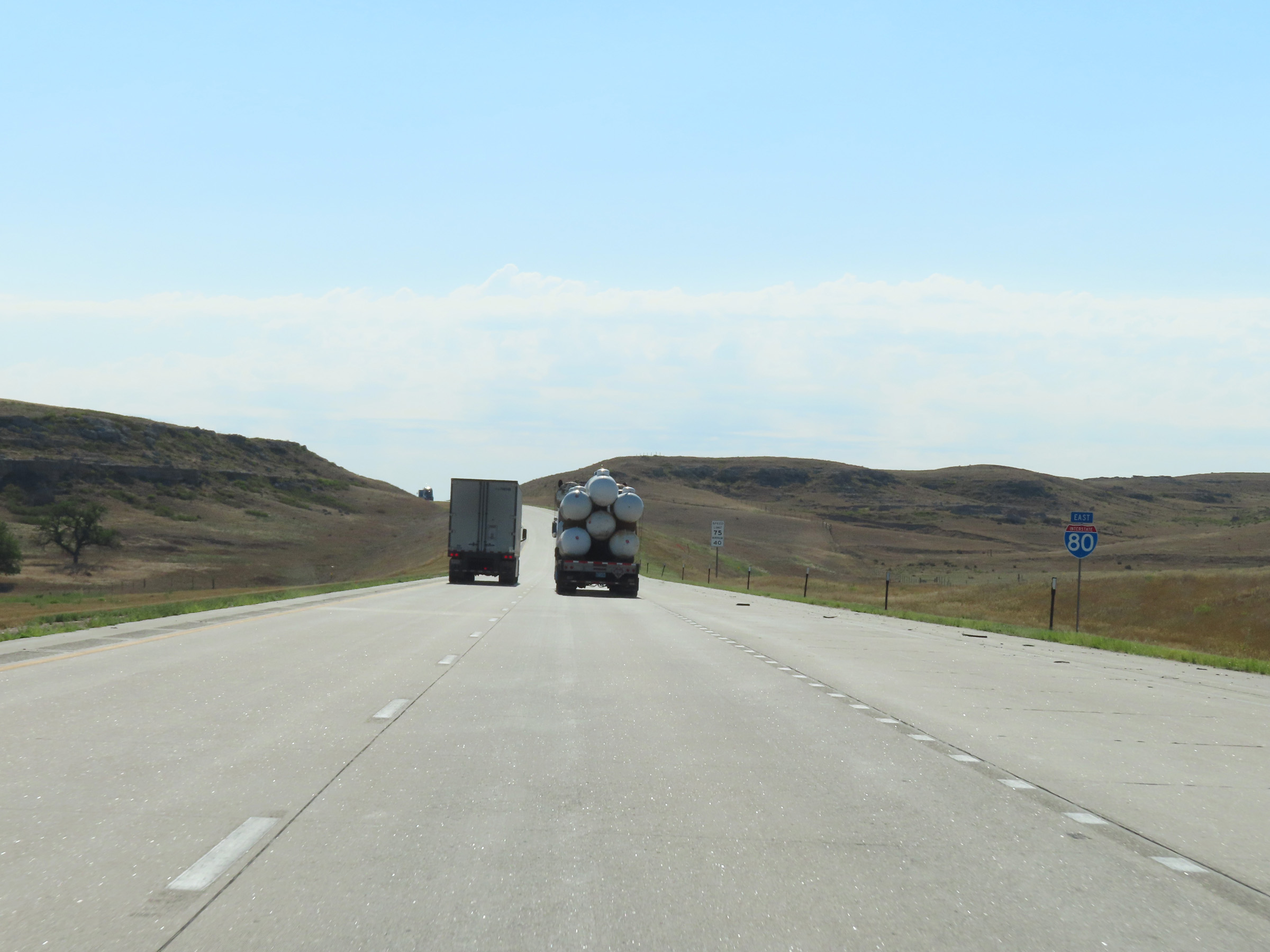
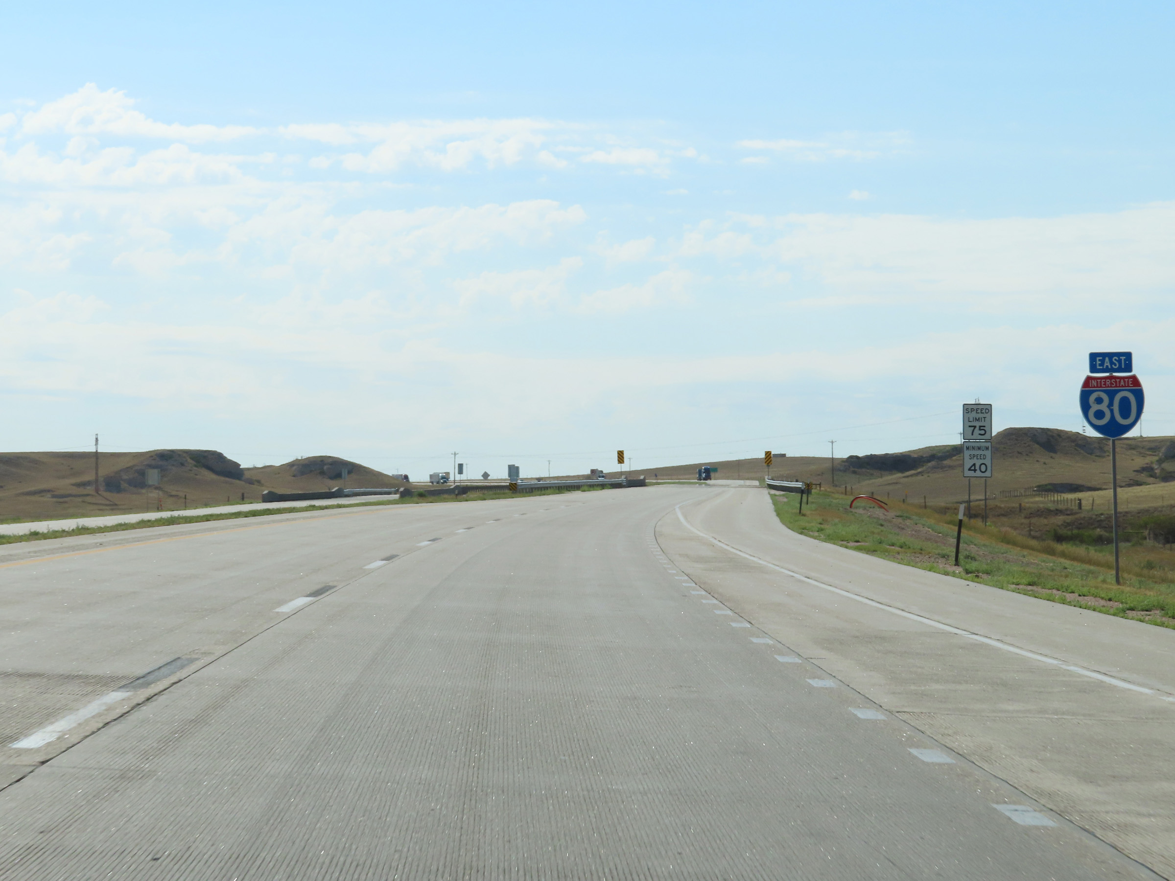
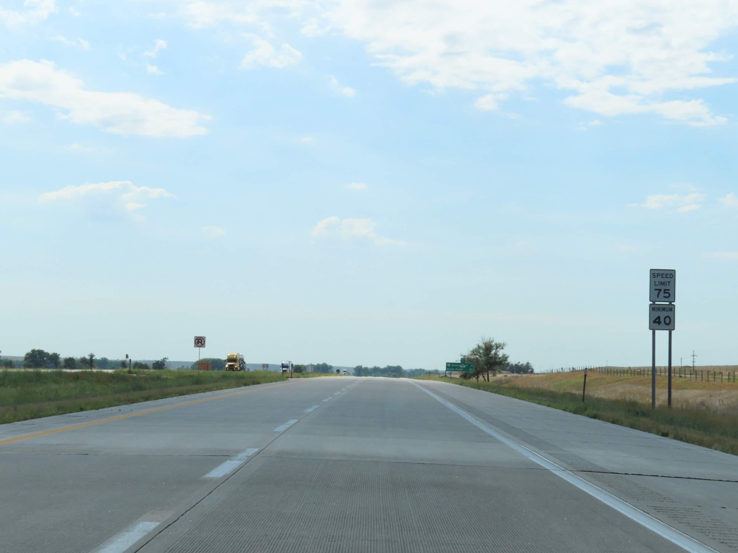
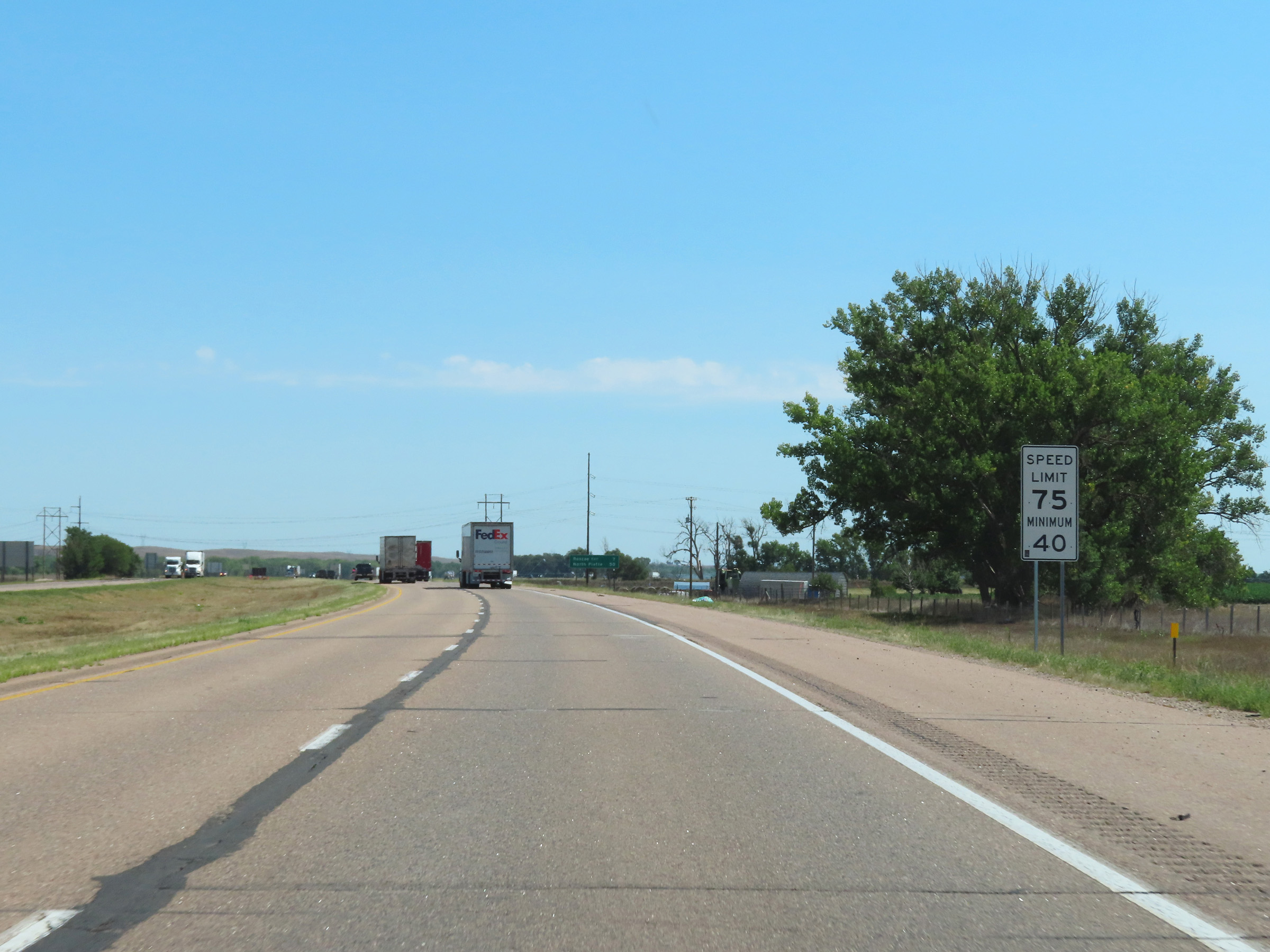
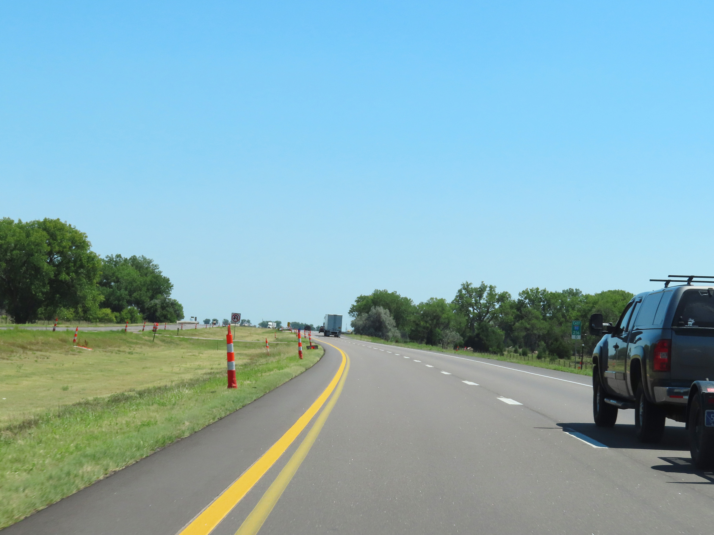
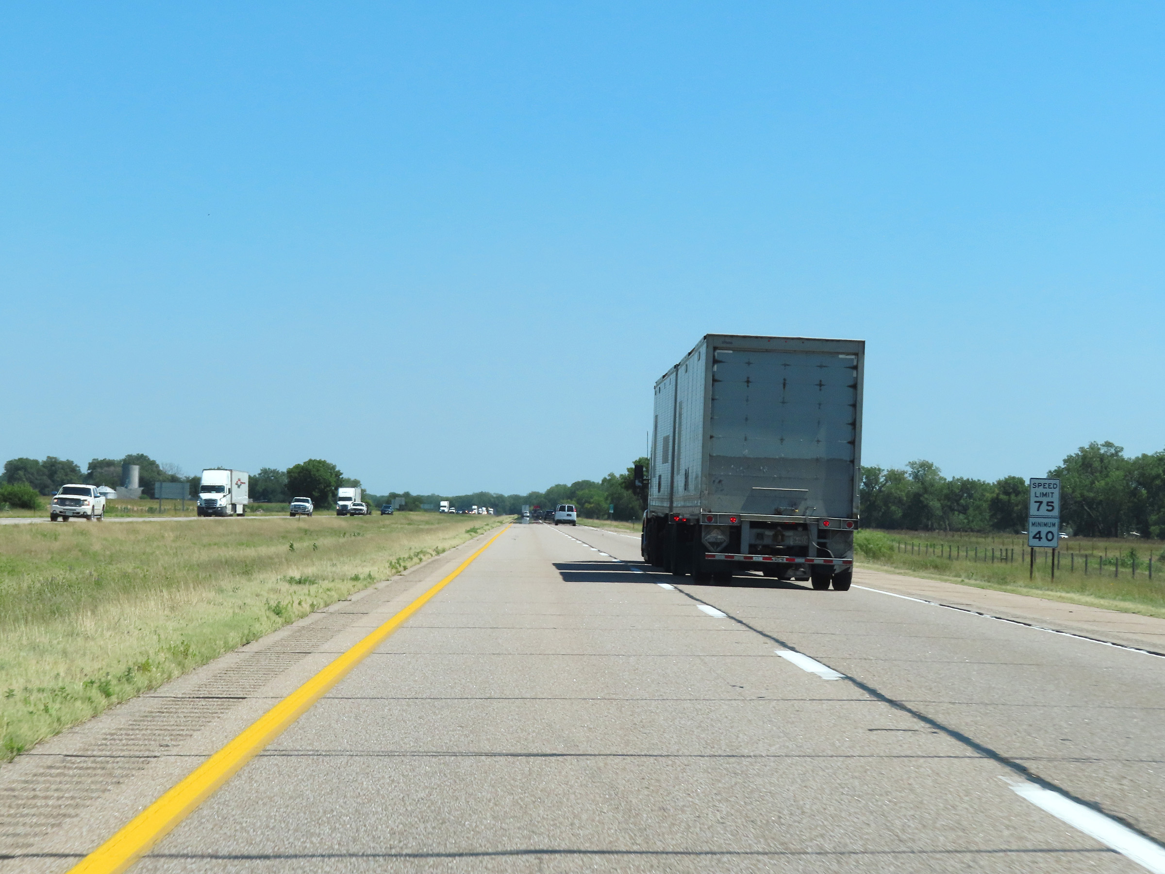
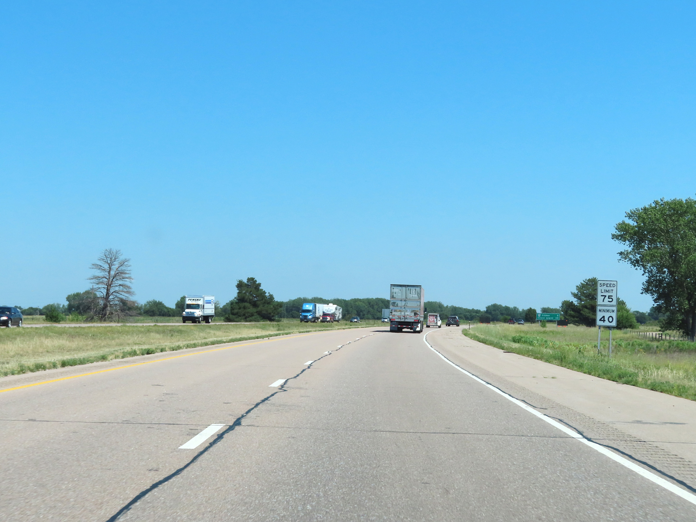
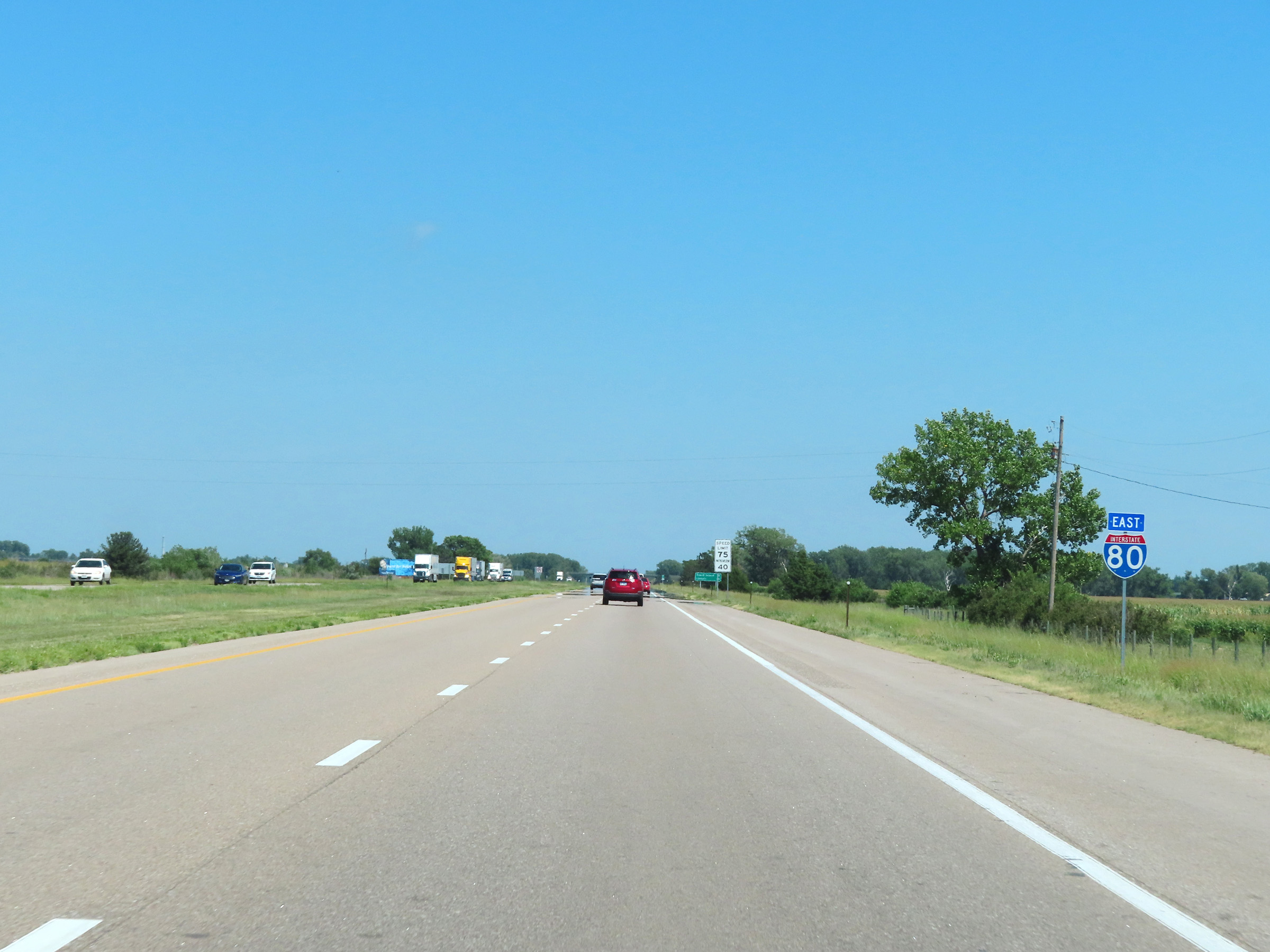
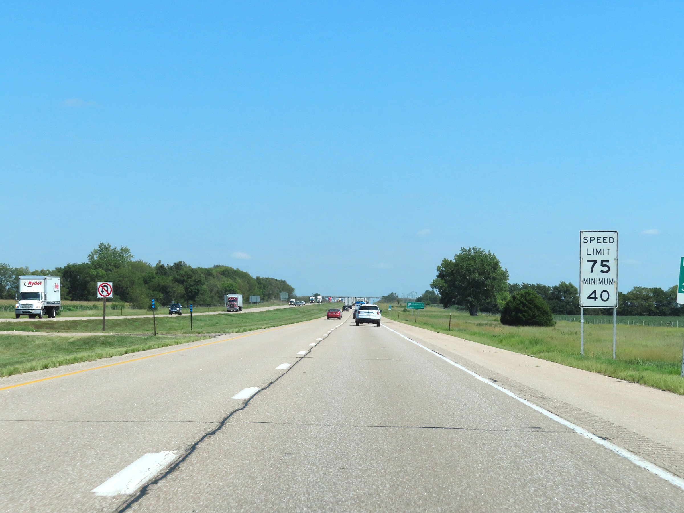
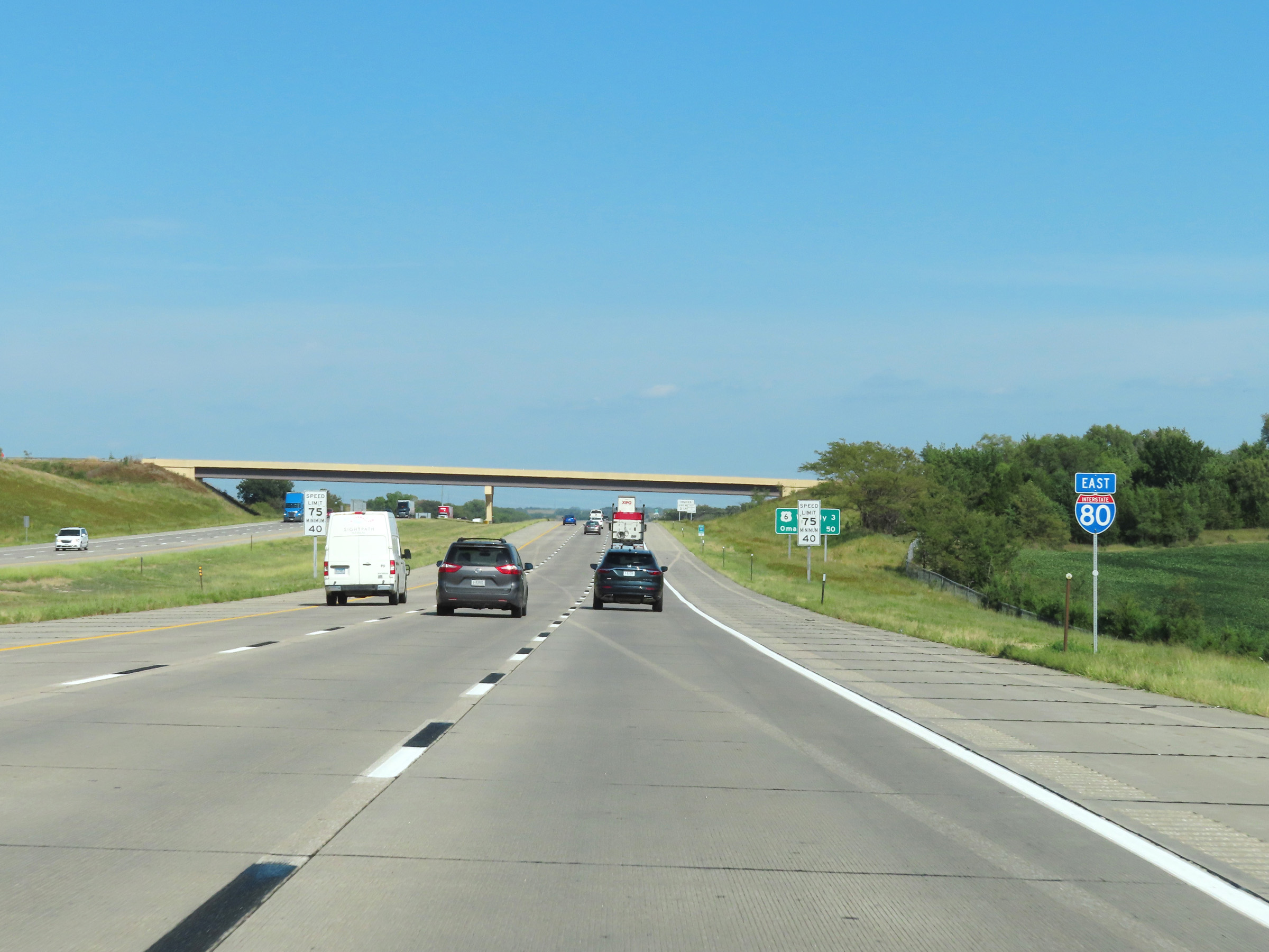
The speed limits on Interstate 80 East in Nebraska start out at 75 mph maximum and 40 mph minimum. These are the standard speed limits on most rural stretches of I-80 in the state. (Photo taken 8/18/22). |
 |
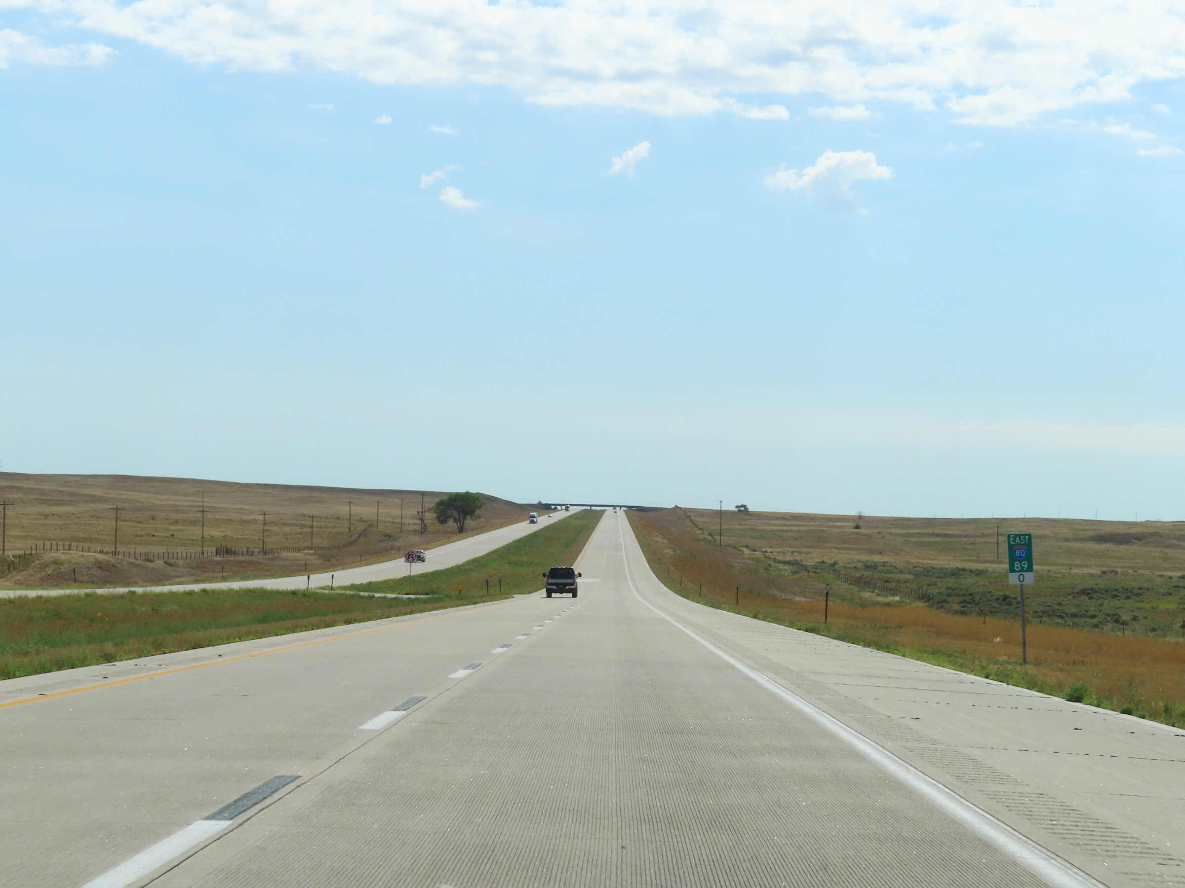
Mileage sign on Interstate 80 East. It's 7 miles to the next exit and 58 miles to Sidney. (Photo taken 8/18/22). |
 |
Interstate 80 East at mile marker 2. (Photo taken 8/18/22). |
 |
Mile marker 4 on Interstate 80 East in Kimball County. (Photo taken 8/18/22). |
 |
View on Interstate 80 East at mile marker 5. (Photo taken 8/18/22). |
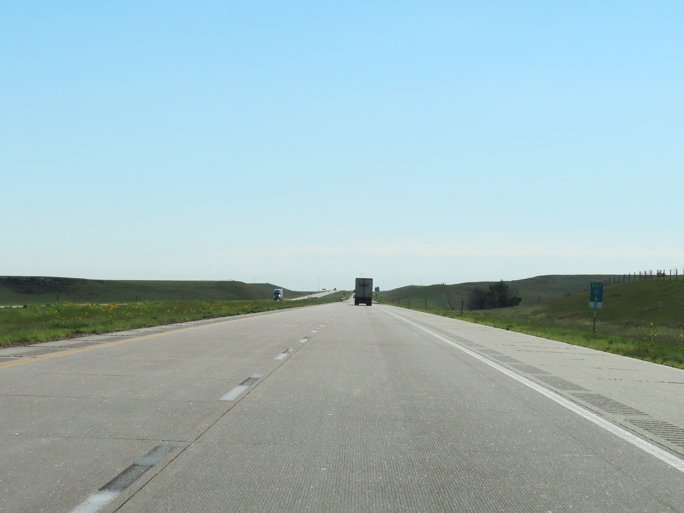 |
Interstate 80 East at mile marker 6. (Photo taken 8/18/22). |
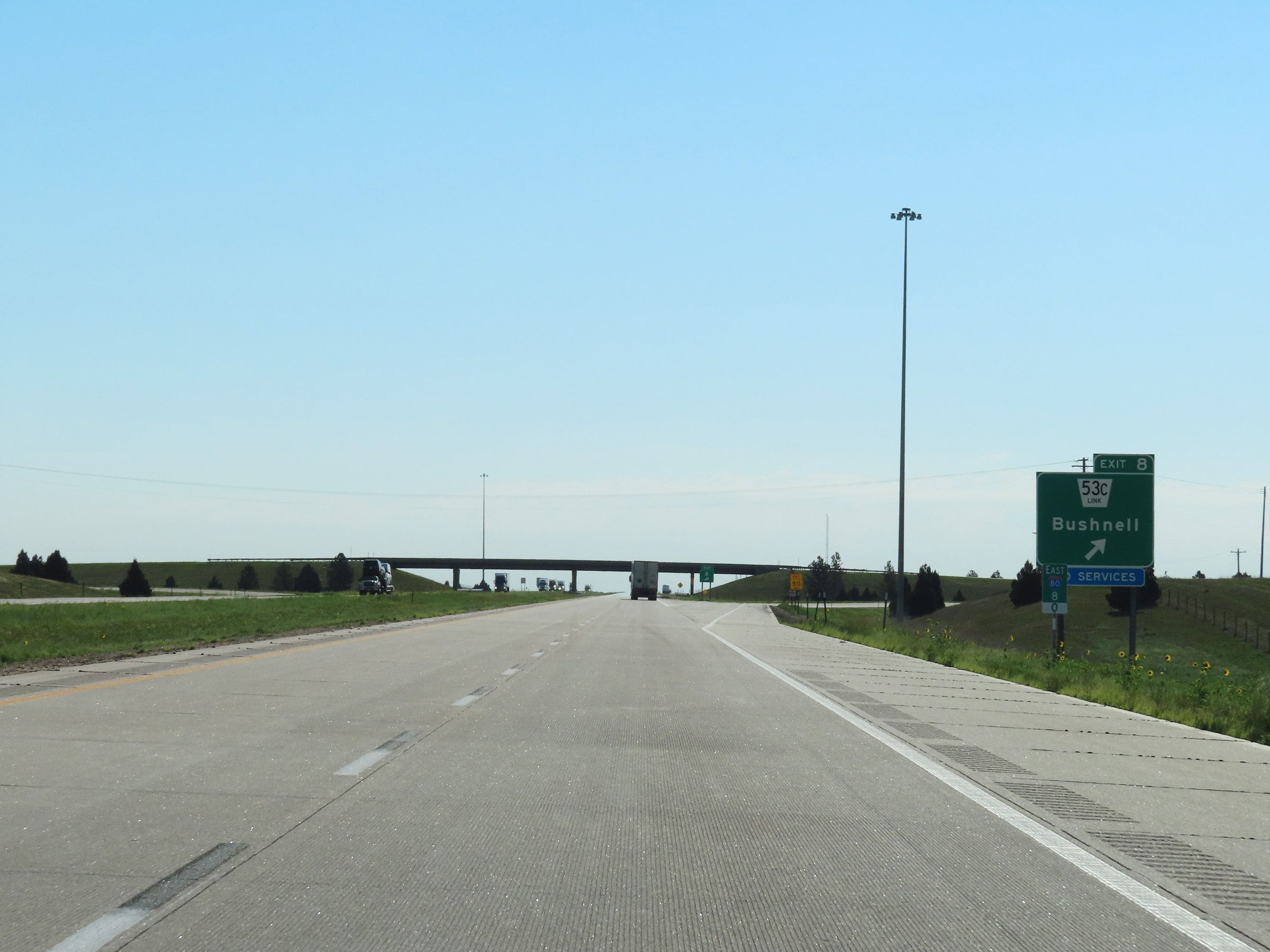 |
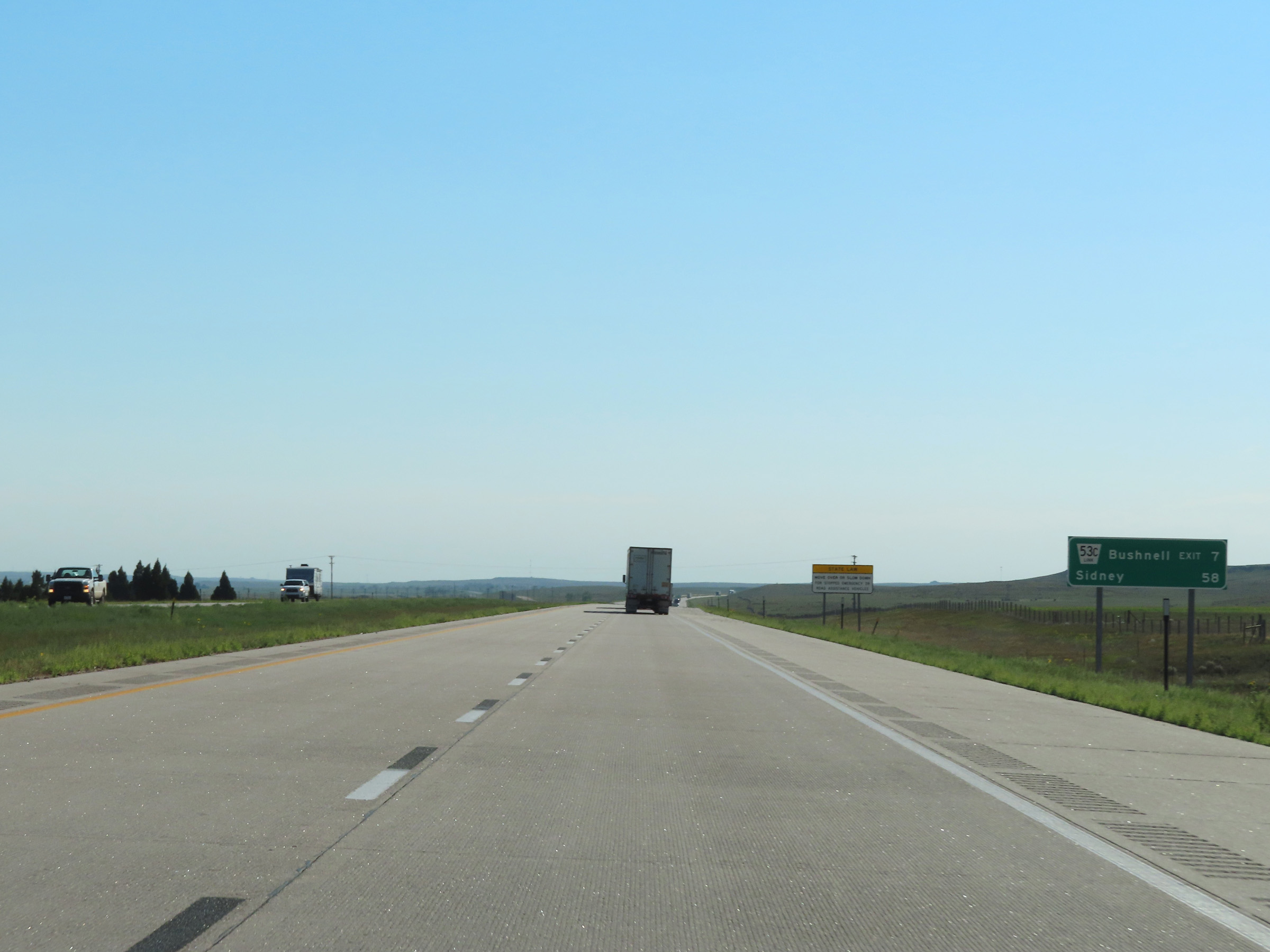
Interstate 80 East at Exit 8: Nebraska Link 53C - Bushnell (Photo taken 8/18/22). |
 |
View on Interstate 80 East at mile marker 10. (Photo taken 8/18/22). |
 |
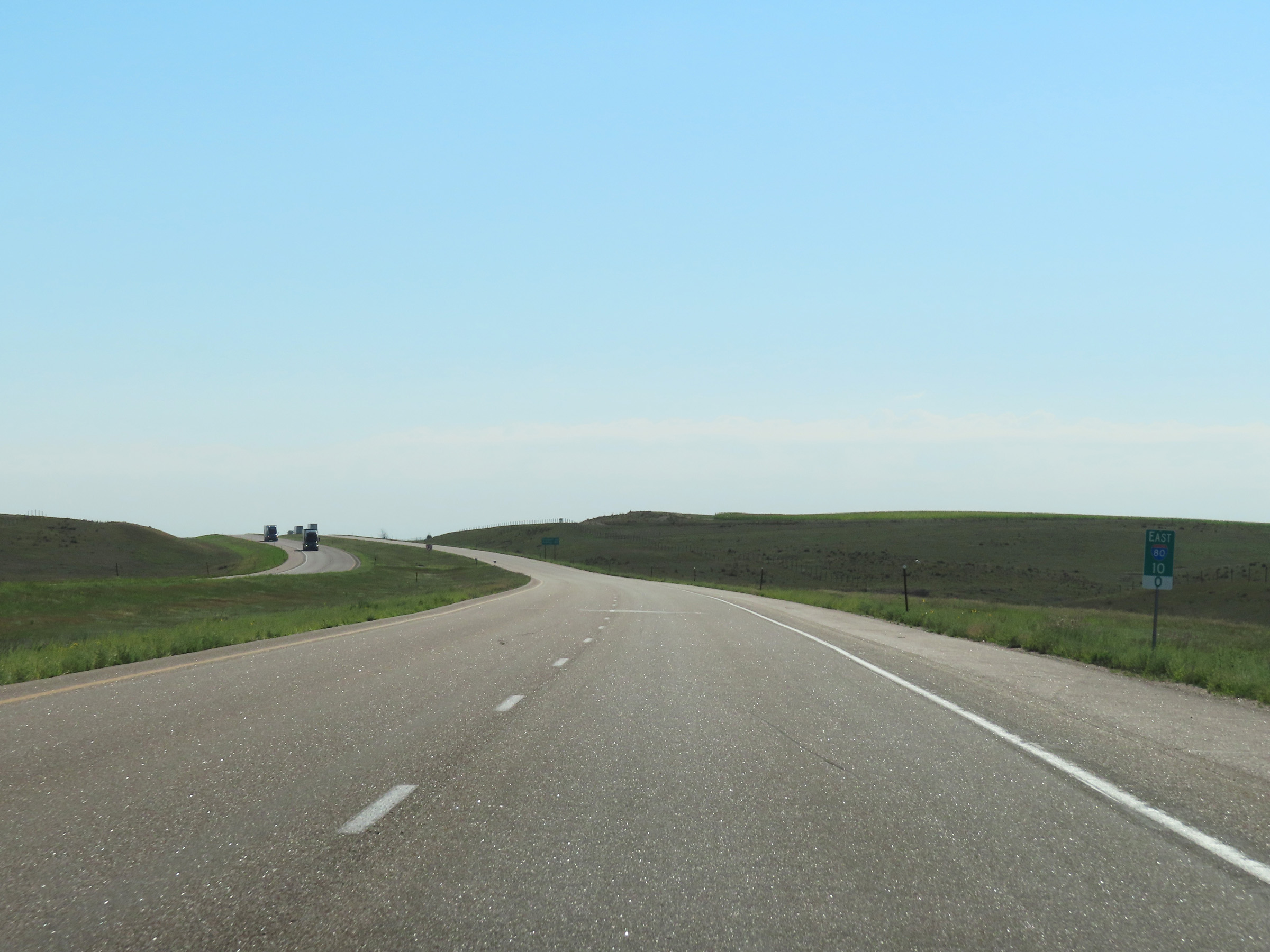
Mile marker 11 on Interstate 80 East in Kimball County. (Photo taken 8/18/22). |
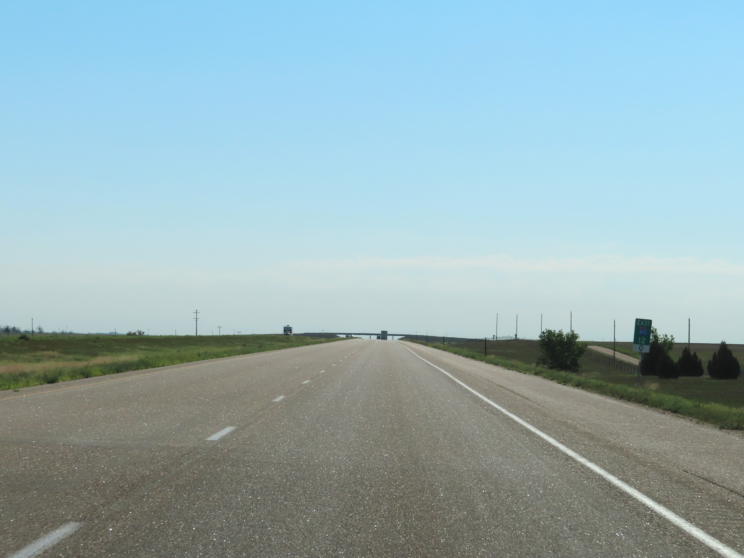 |
Interstate 80 East at mile marker 12. (Photo taken 8/18/22). |
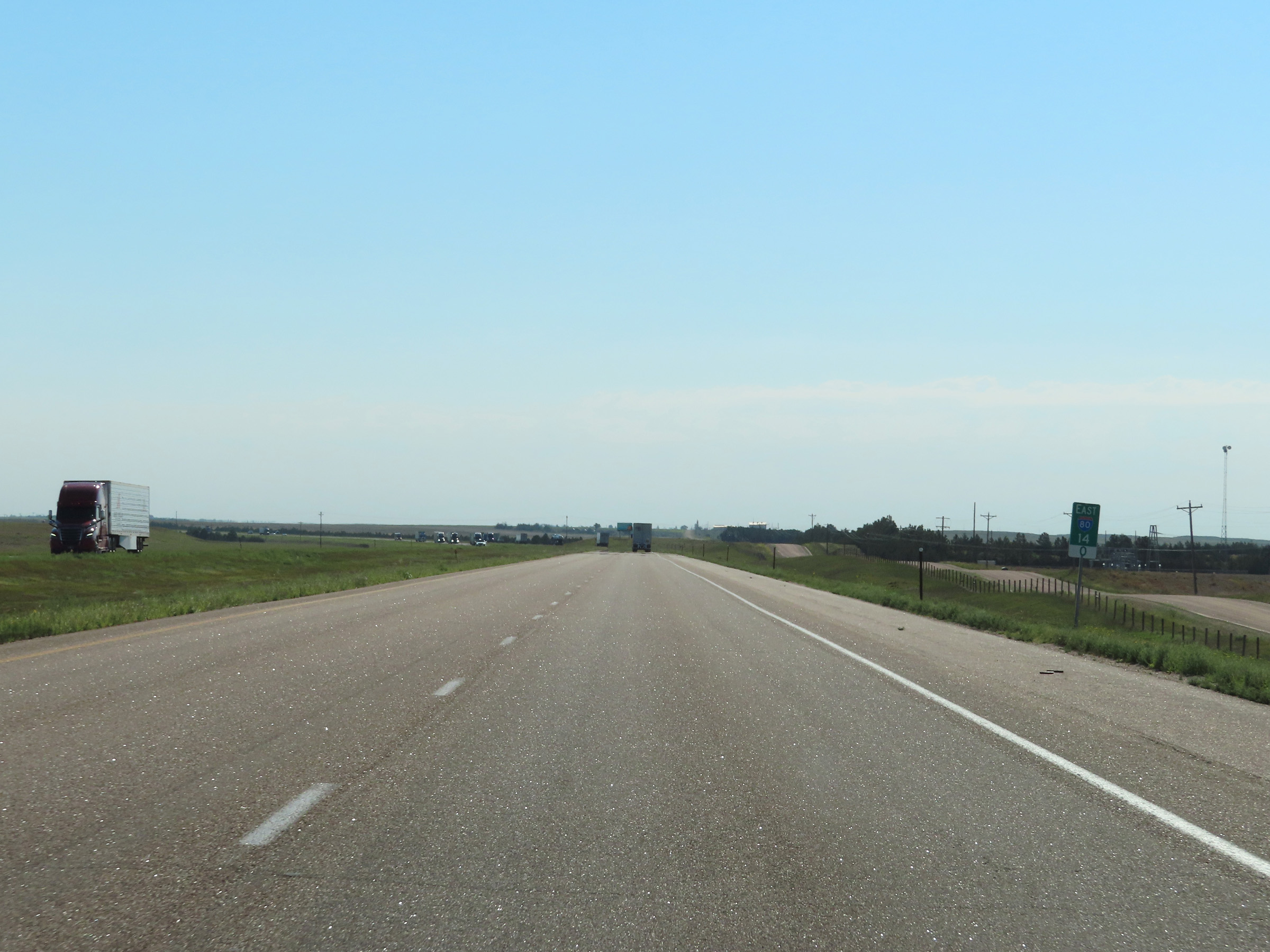 |
View on Interstate 80 East at mile marker 14. (Photo taken 8/18/22). |
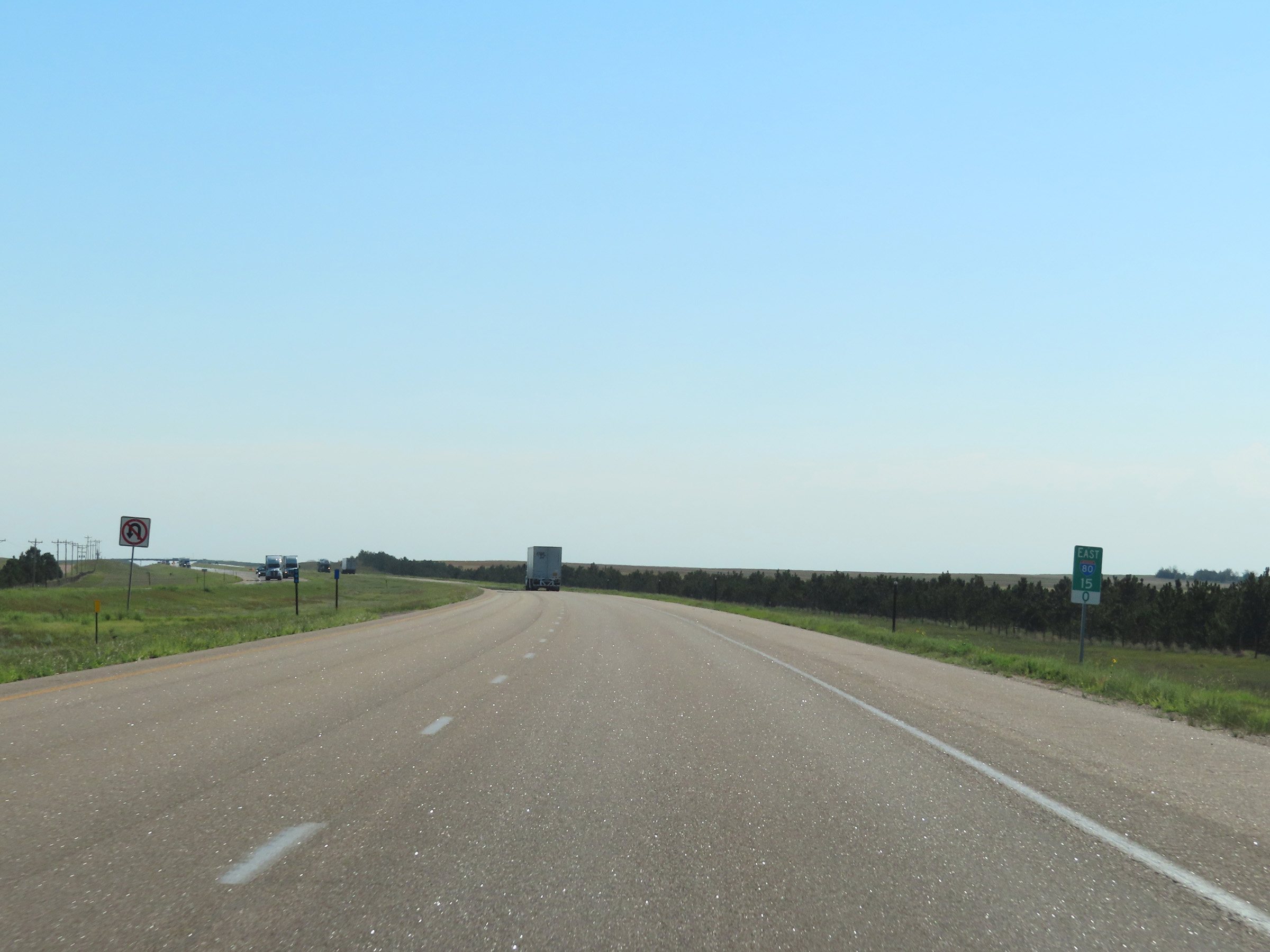 |
Interstate 80 East at mile marker 15. (Photo taken 8/18/22). |
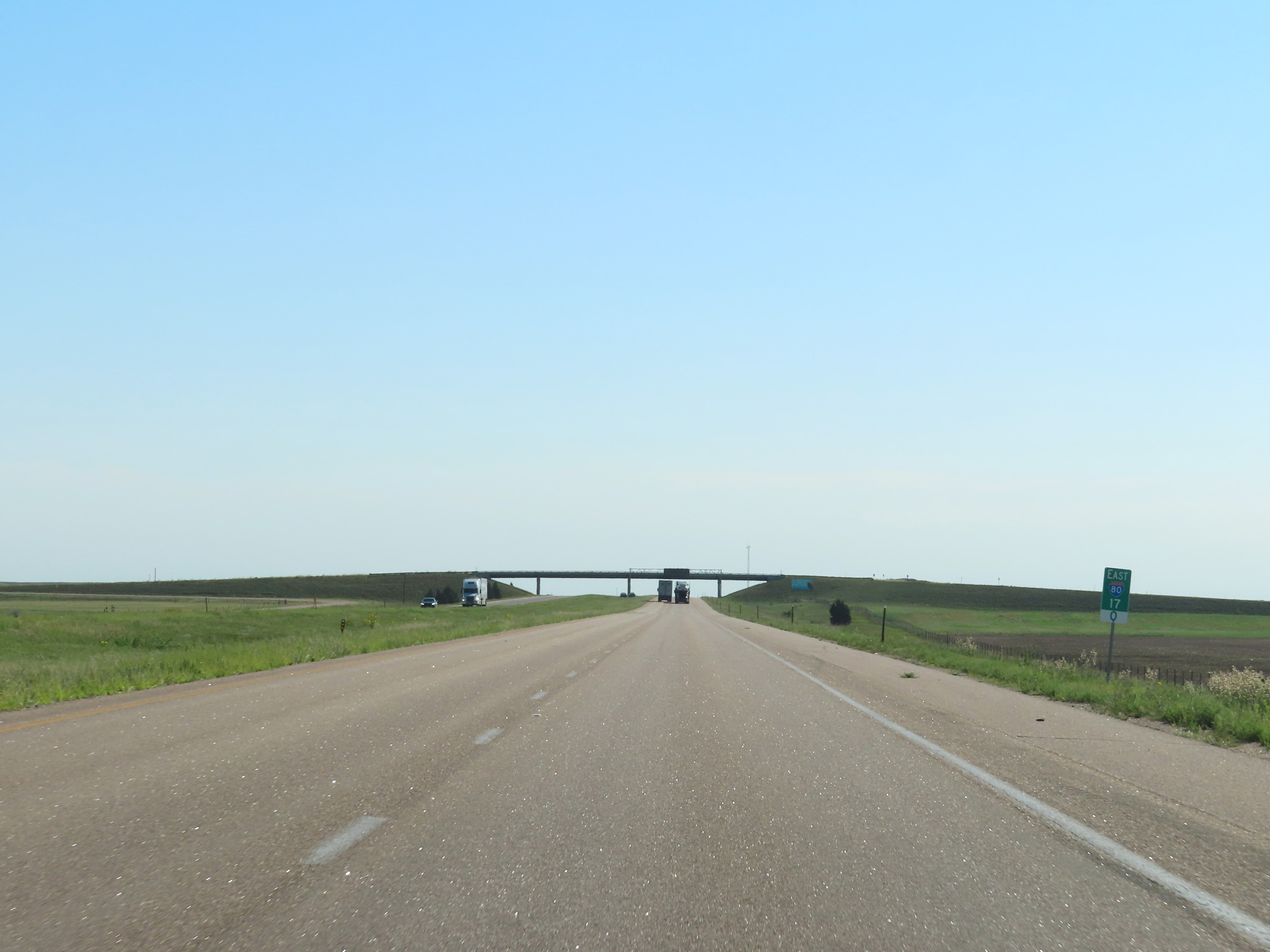 |
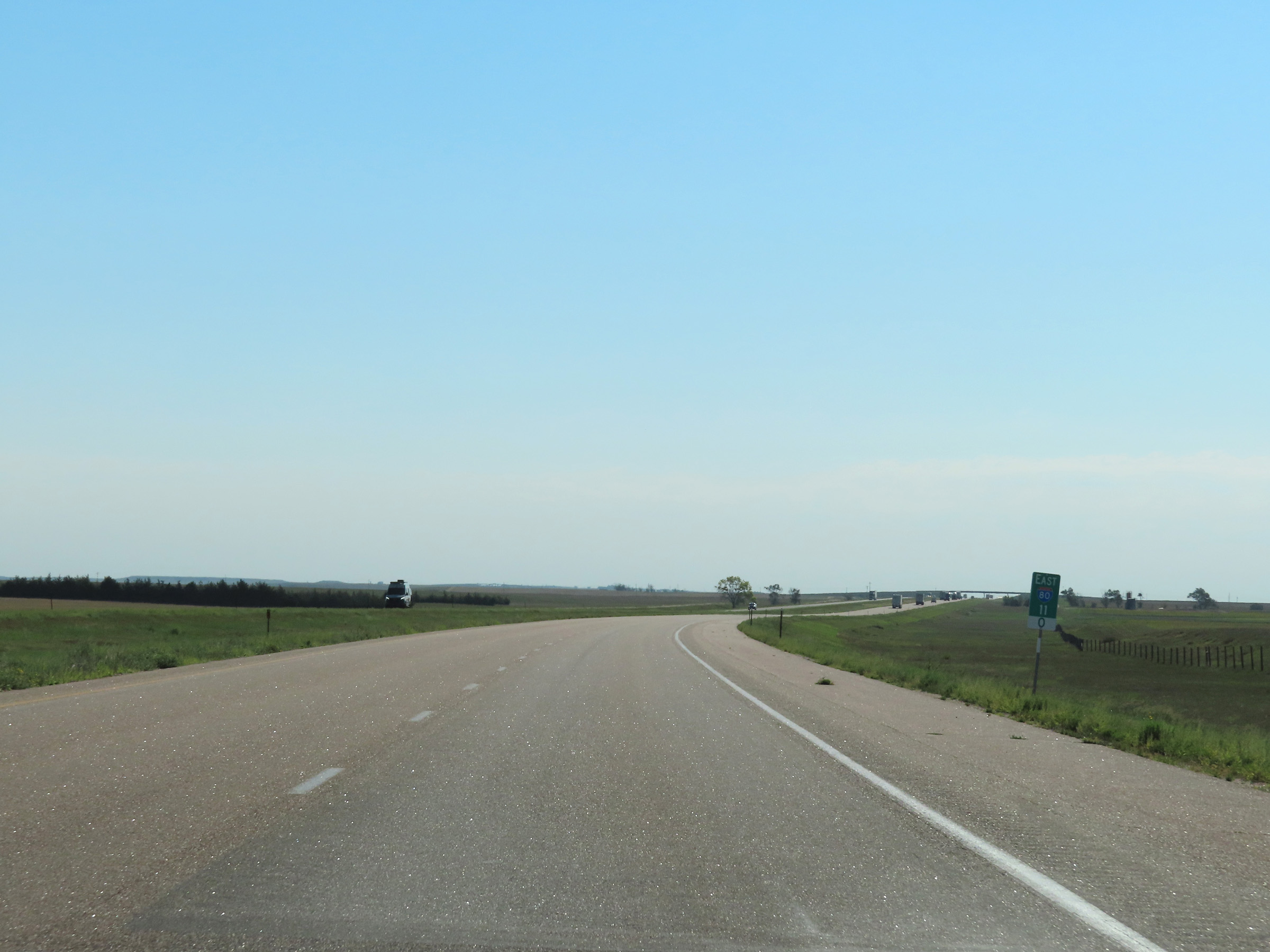
Mile marker 17 on Interstate 80 East in Kimball County. (Photo taken 8/18/22). |
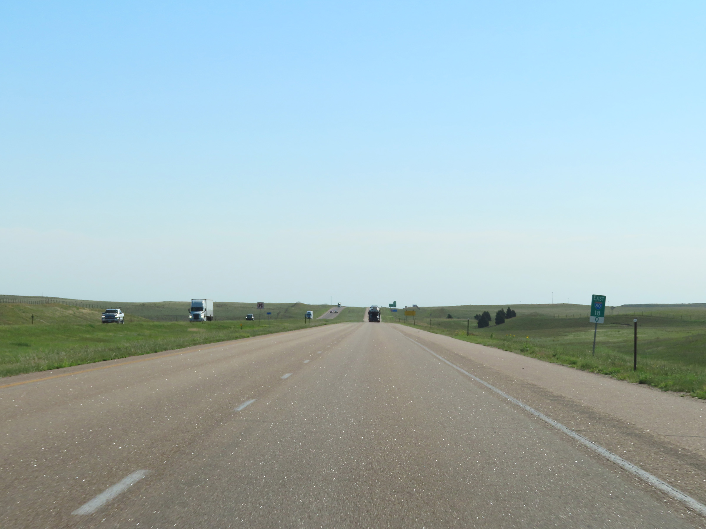 |
View on Interstate 80 East at mile marker 18. (Photo taken 8/18/22). |
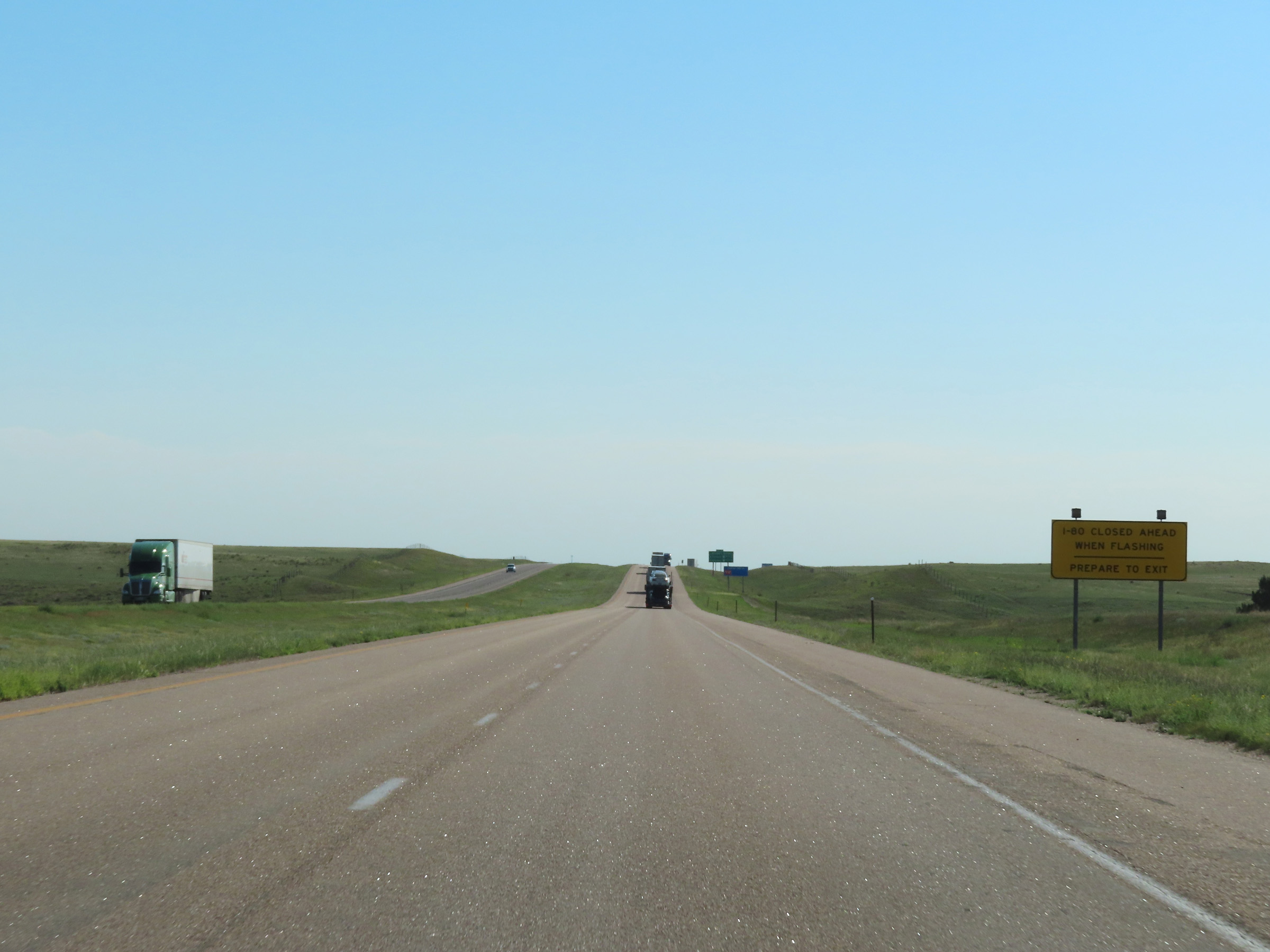 |
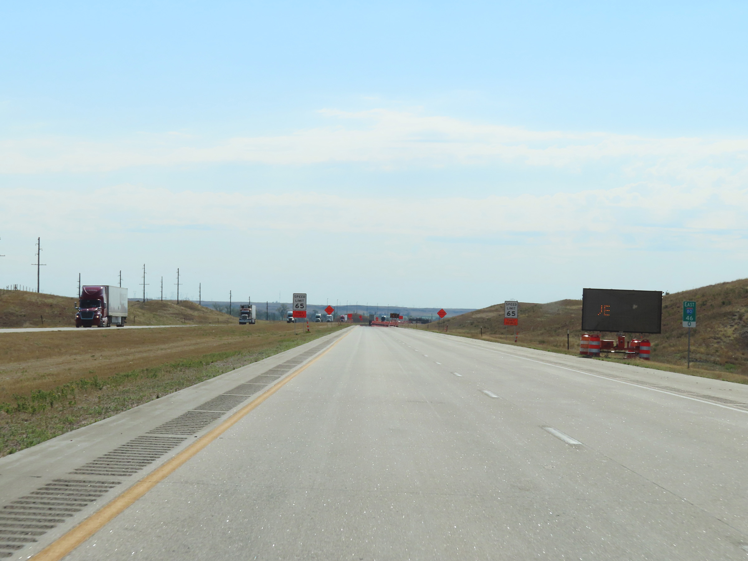
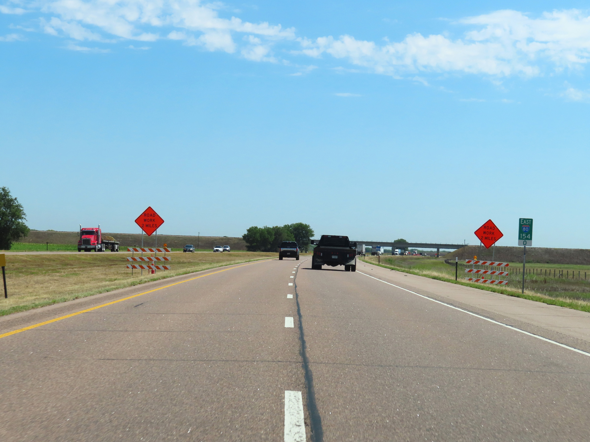
When the lights on this sign are flashing, it means that Interstate 80 is closed ahead and all traffic must take the next exit. There are several of these signs posted along I-80 in Nebraska. (Photo taken 8/18/22). |
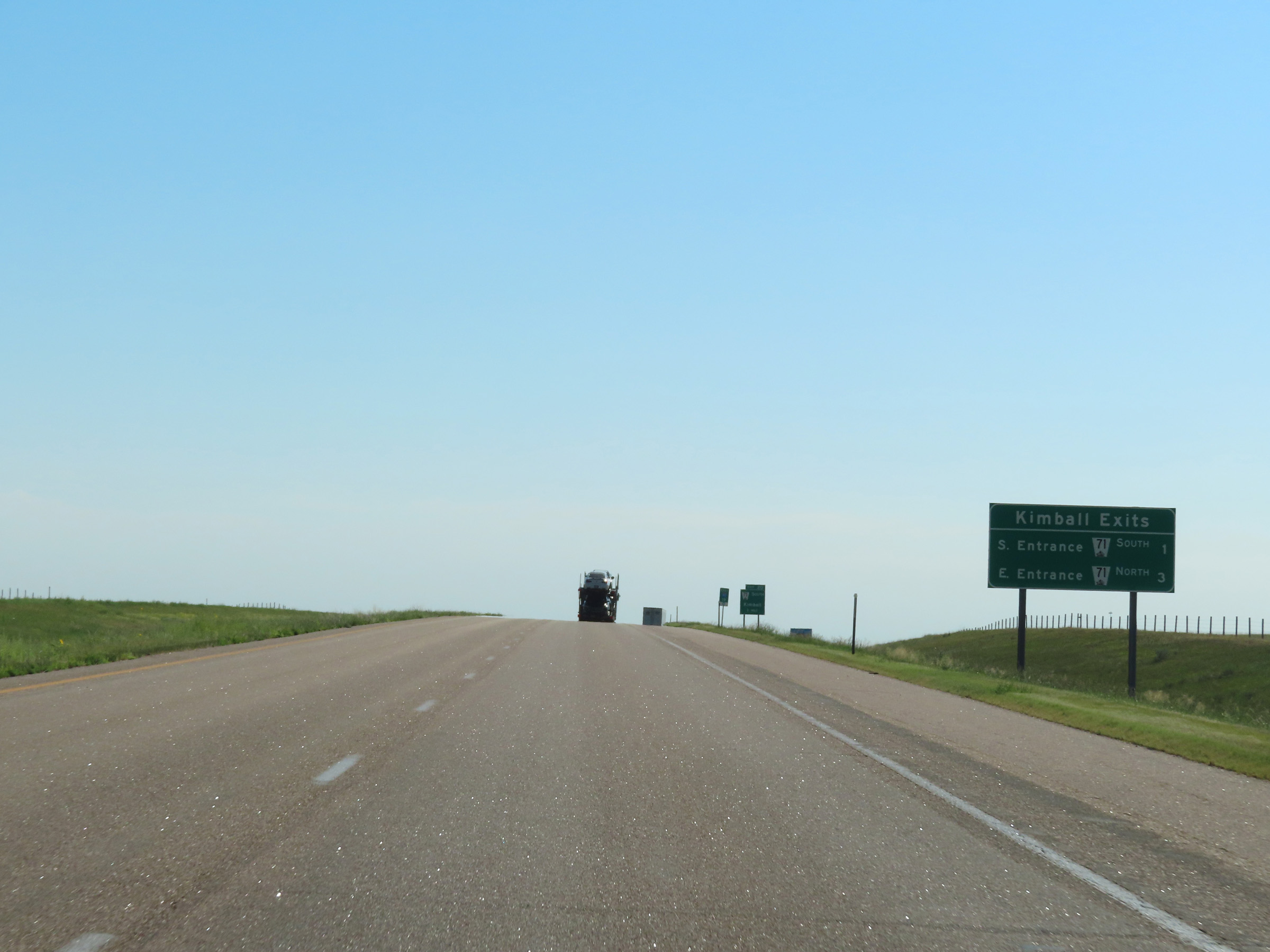 |
Mileage sign listing the distances to the two upcoming exits to Kimball. (Photo taken 8/18/22). |
 |
Tourist Information is available at Exit 20 ahead. (Photo taken 8/18/22). |
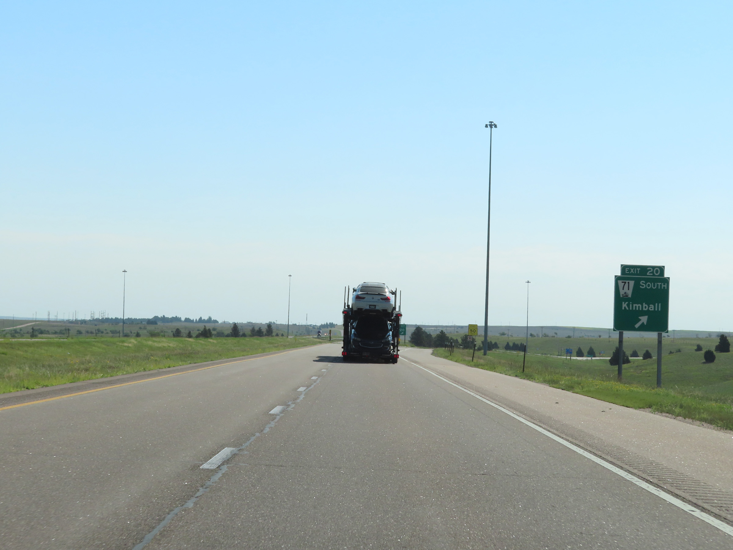 |
Interstate 80 East at Exit 20: NE 71 South - Kimball (Photo taken 8/18/22). |
 |
Interstate 80 East reassurance shield. (Photo taken 8/18/22). |
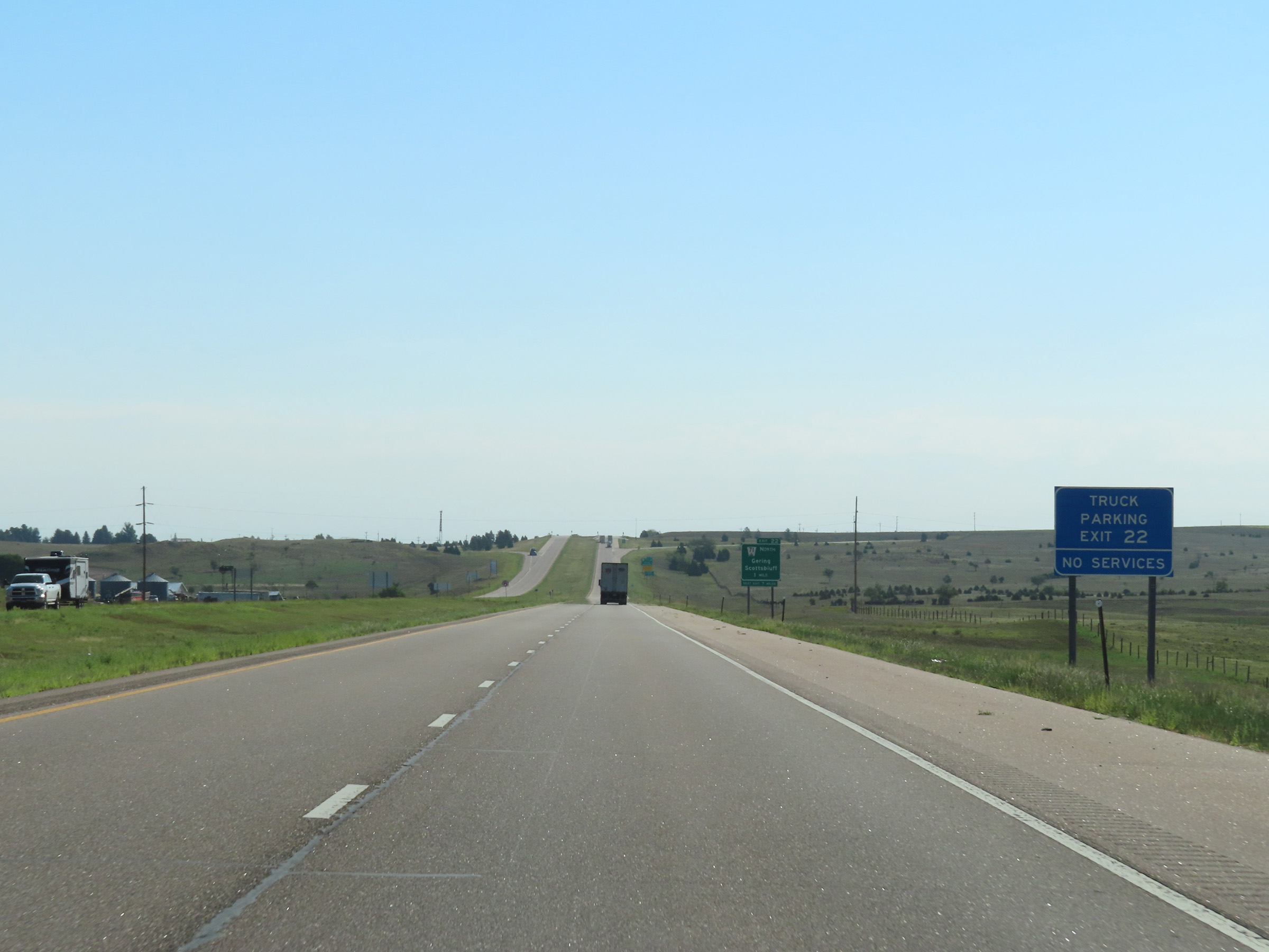 |
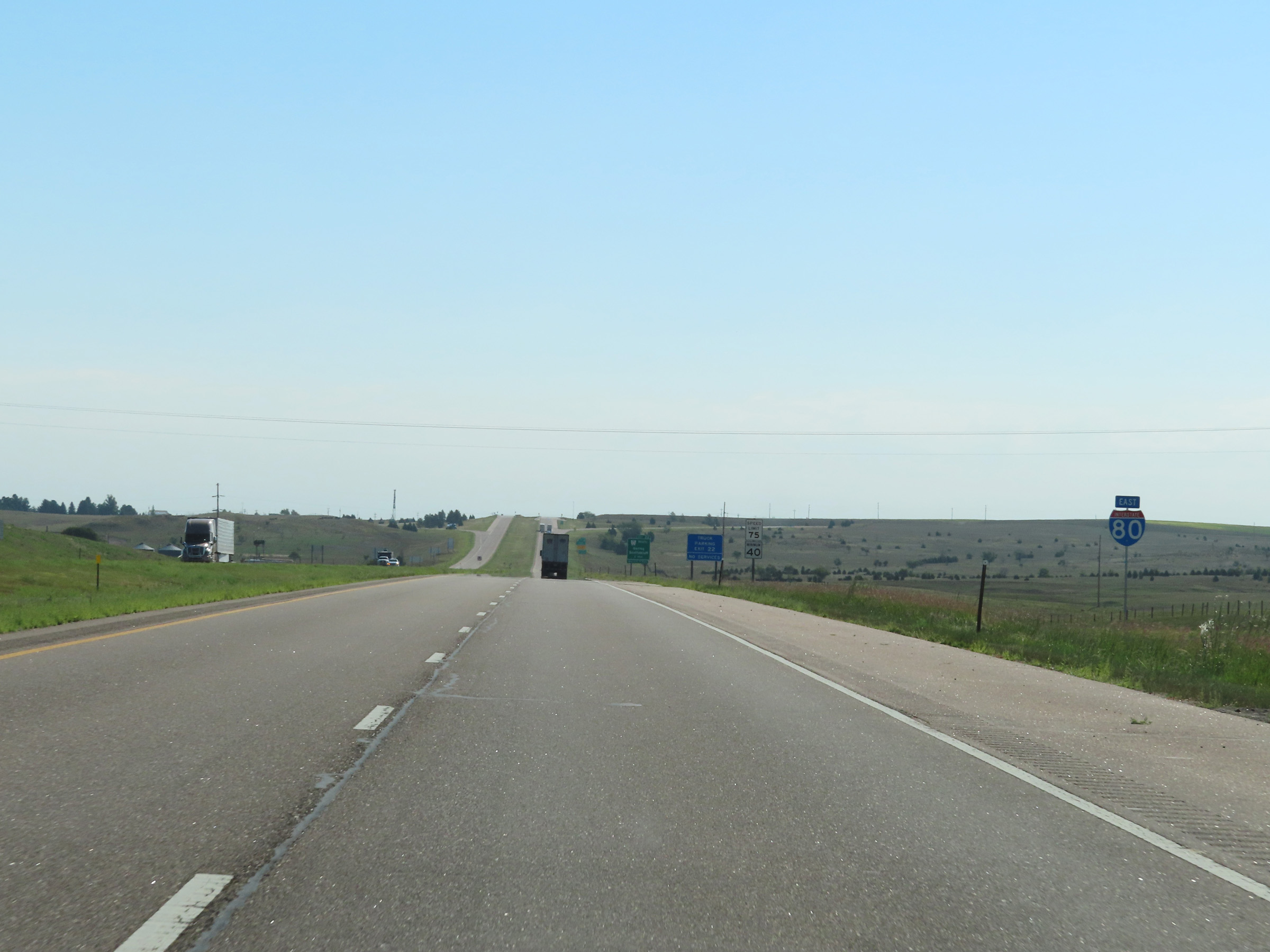
Truck Parking is available off Exit 22 ahead. However, there are no services available. (Photo taken 8/18/22). |
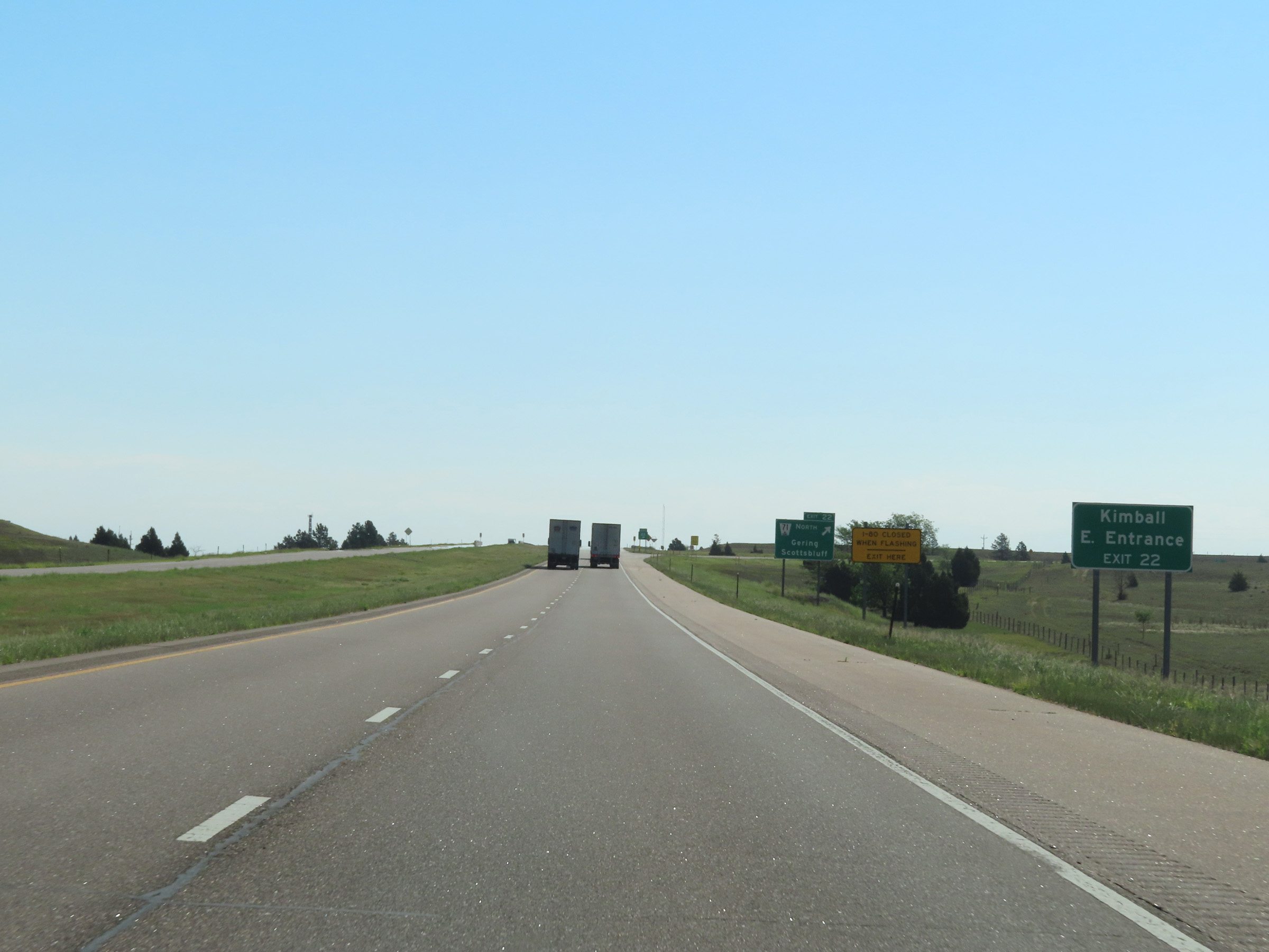 |
Take Exit 22 to the East Entrance to Kimball. (Photo taken 8/18/22). |
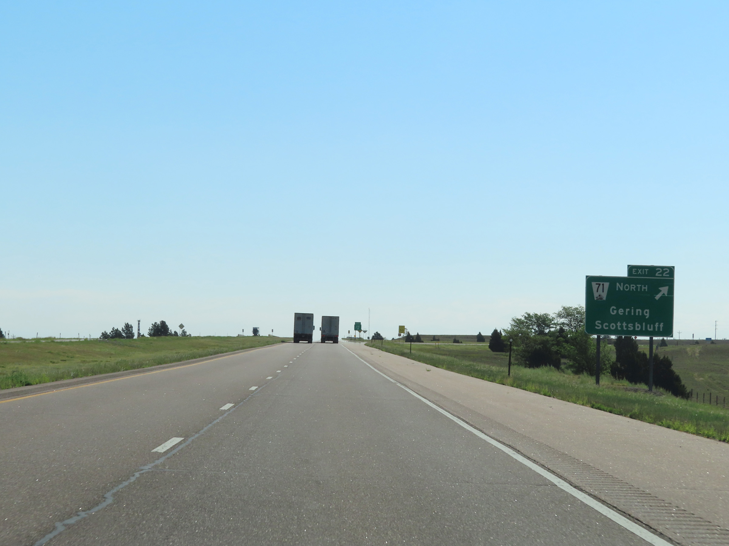 |
Interstate 80 East at Exit 22: NE 71 North - Gering / Scottsbluff (Photo taken 8/18/22). |
 |
Mile marker 23 on Interstate 80 East in Kimball County. (Photo taken 8/18/22). |
 |
View on Interstate 80 East at mile marker 26. (Photo taken 8/18/22). |
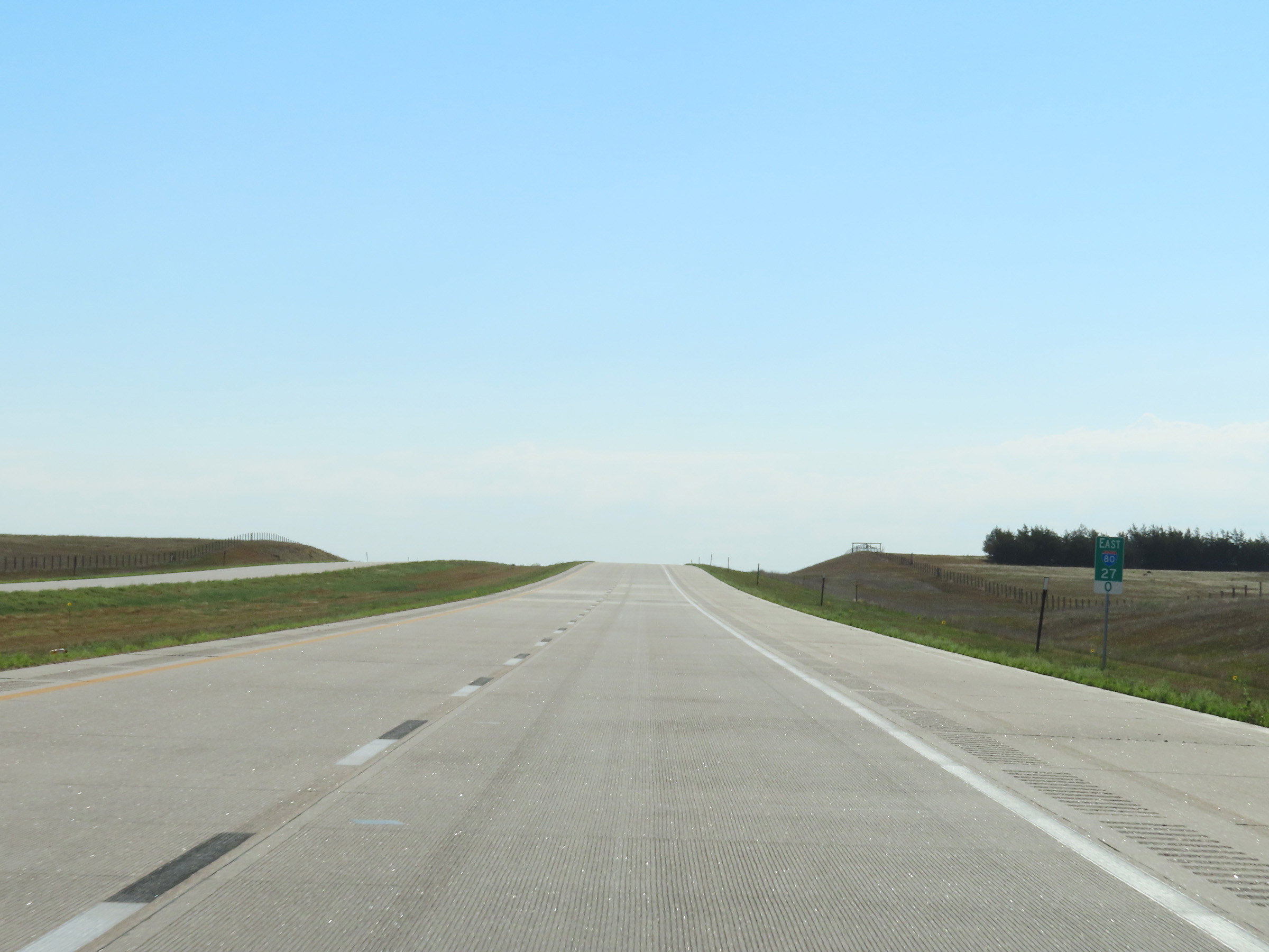 |
Interstate 80 East at mile marker 27. (Photo taken 8/18/22). |
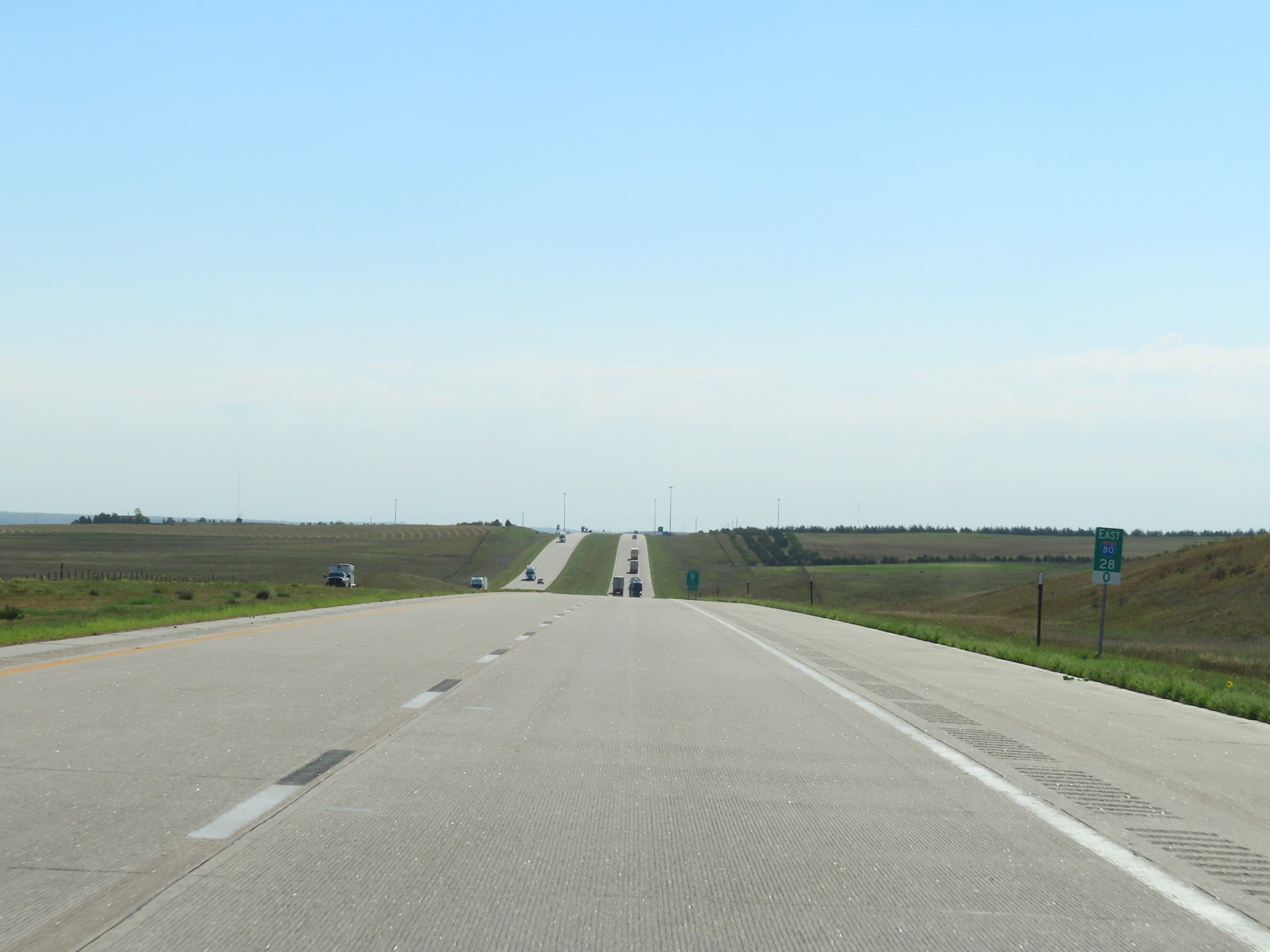 |
View on Interstate 80 East at mile marker 28. (Photo taken 8/18/22). |
 |
Interstate 80 East at Exit 29: Nebraska Link 53A - Dix (Photo taken 8/18/22). |
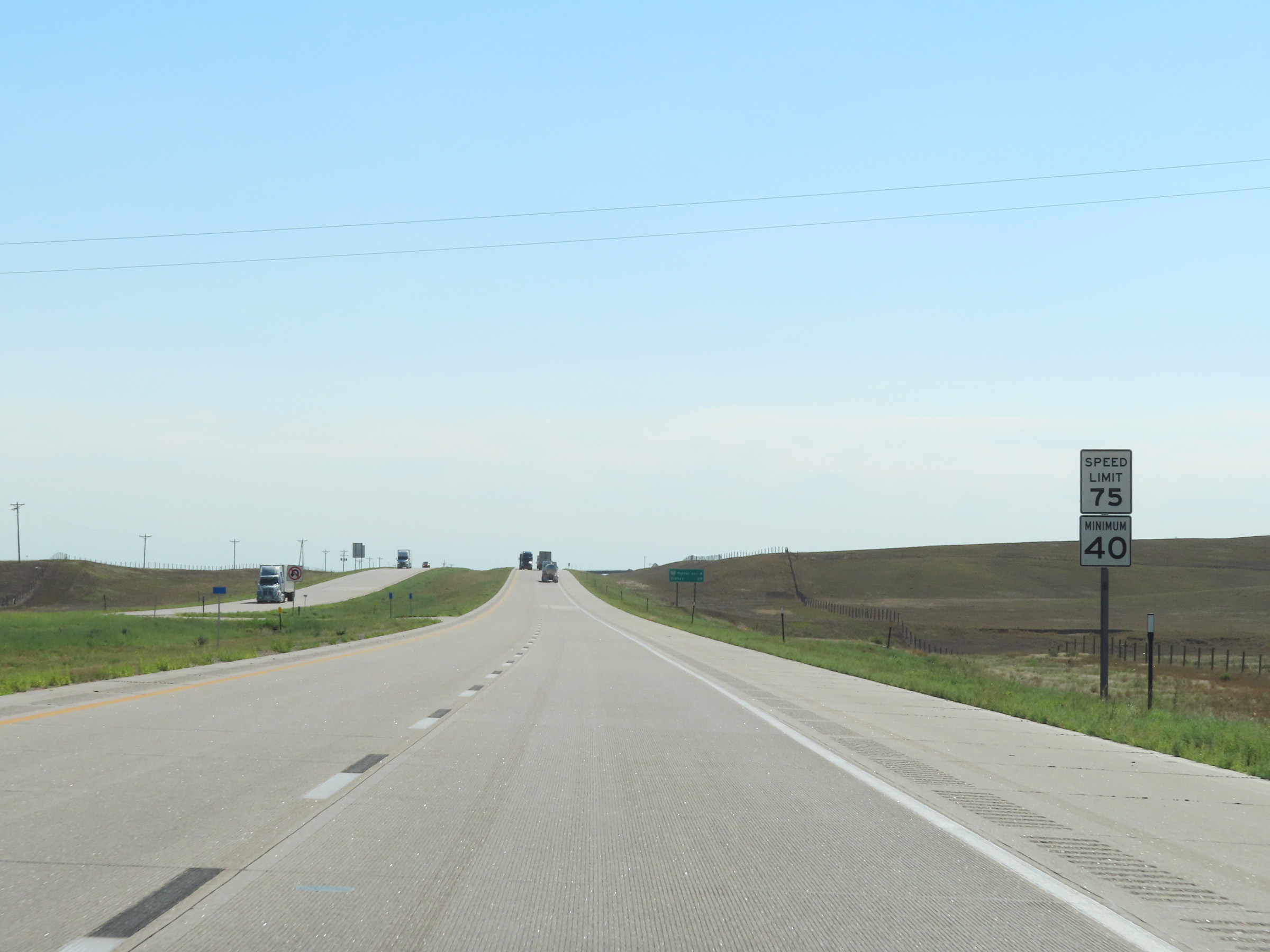 |
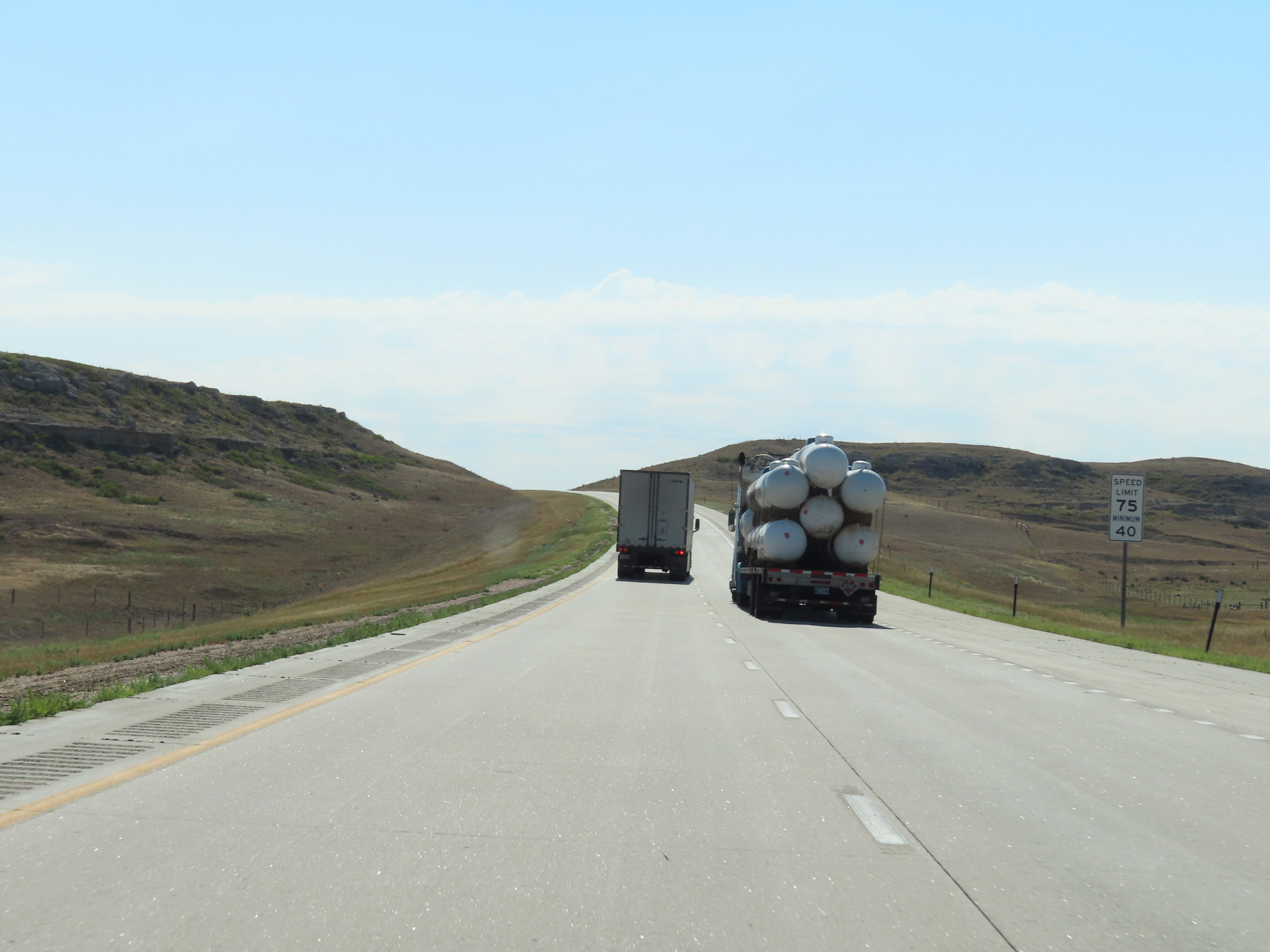
The speed limits remain 75 mph maximum and 40 mph minimum. (Photo taken 8/18/22). |
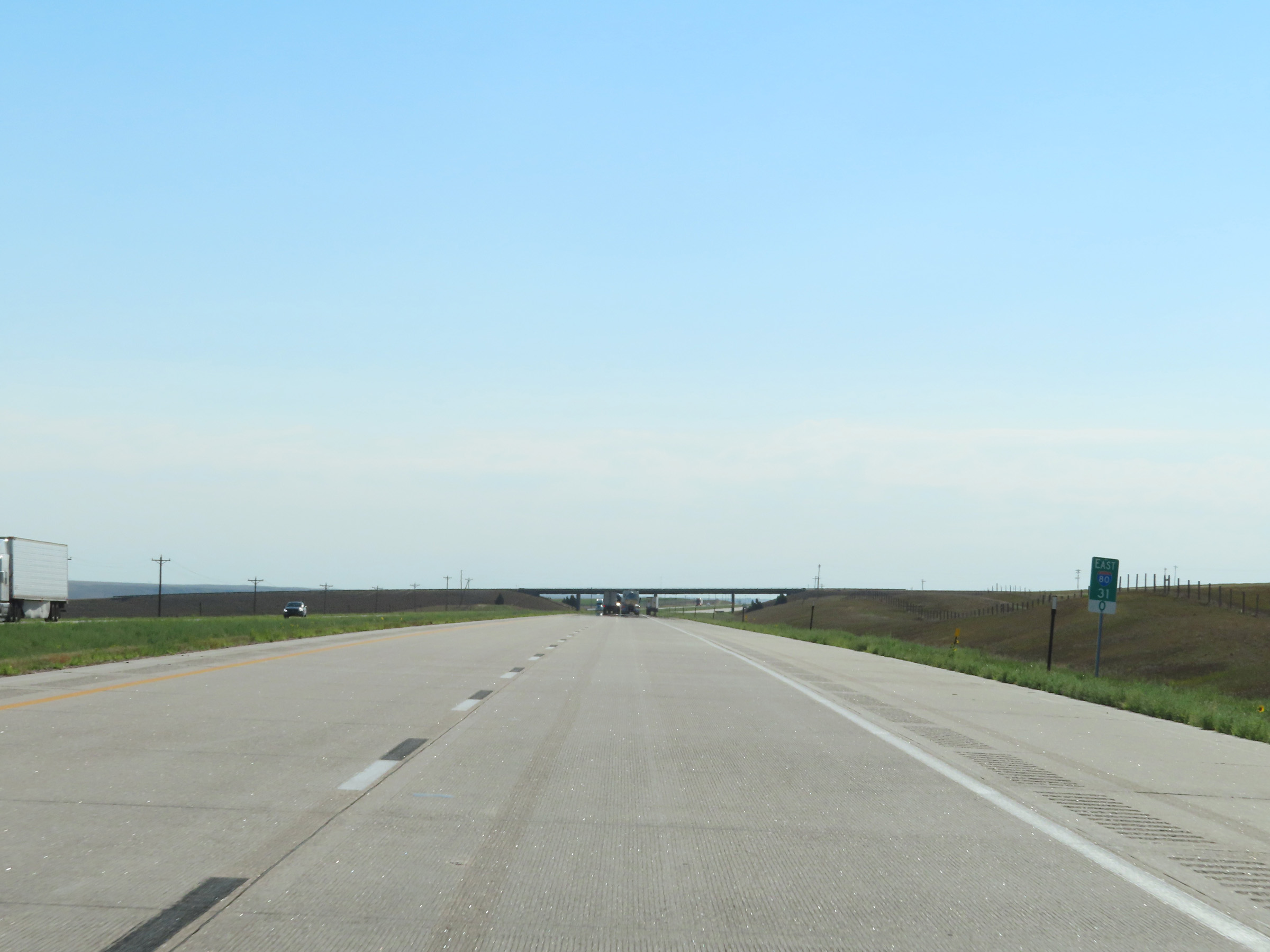 |
Interstate 80 East at mile marker 31. (Photo taken 8/18/22). |
 |
View on Interstate 80 East at mile marker 32. (Photo taken 8/18/22). |
 |
Mile marker 34 on Interstate 80 East in Kimball County. (Photo taken 8/18/22). |
 |
Interstate 80 East at mile marker 35. (Photo taken 8/18/22). |
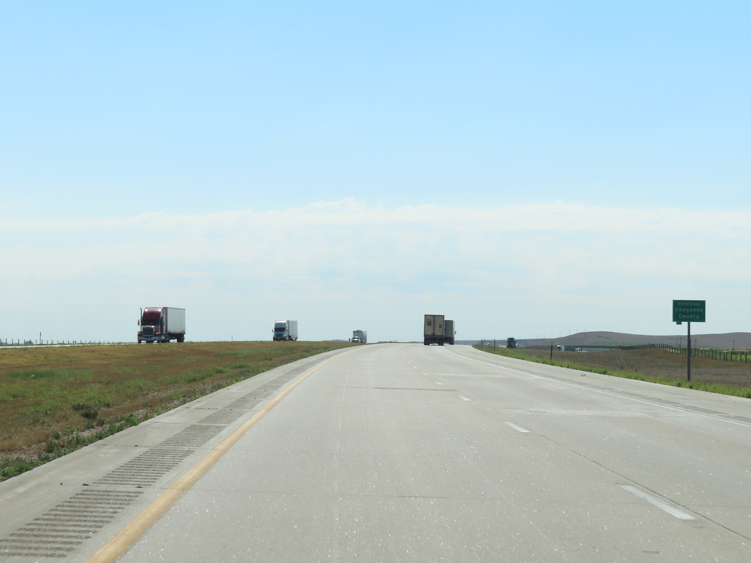 |
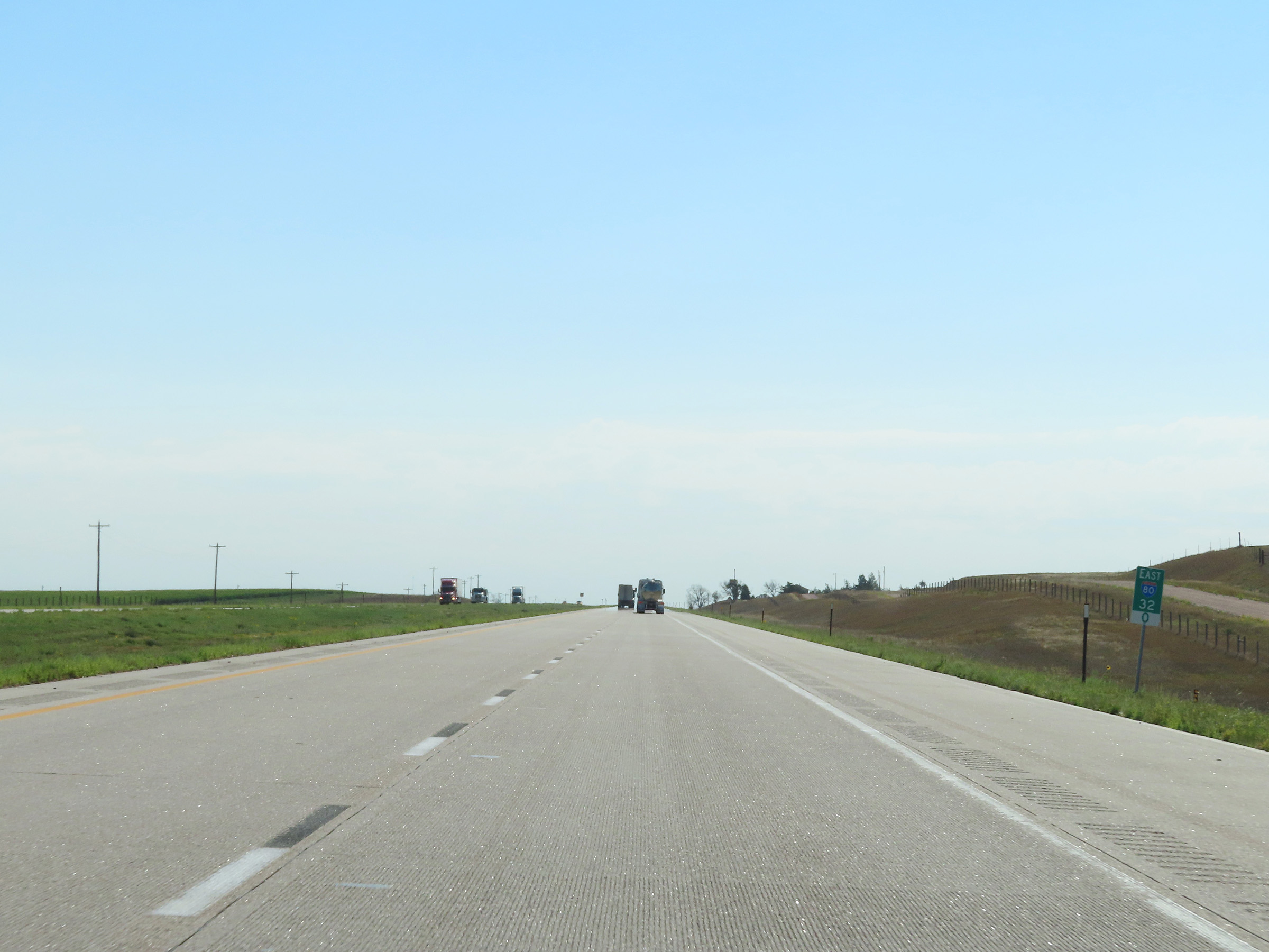
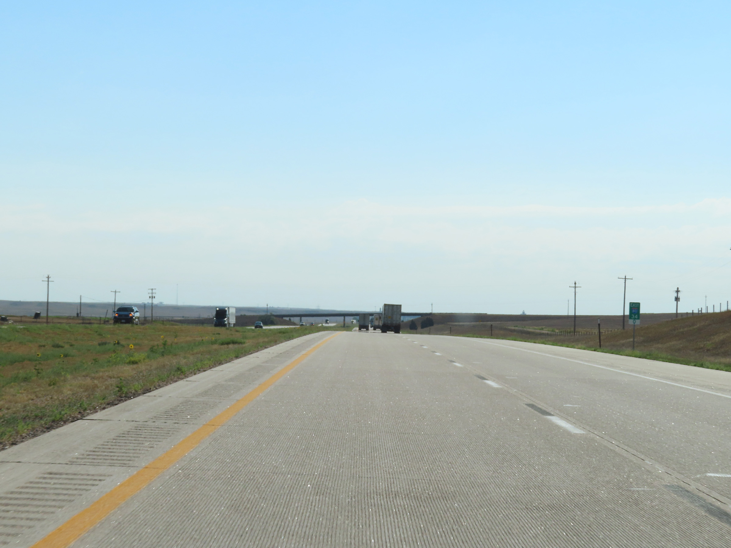
Interstate 80 East as it enters Cheyenne County. (Photo taken 8/18/22). |
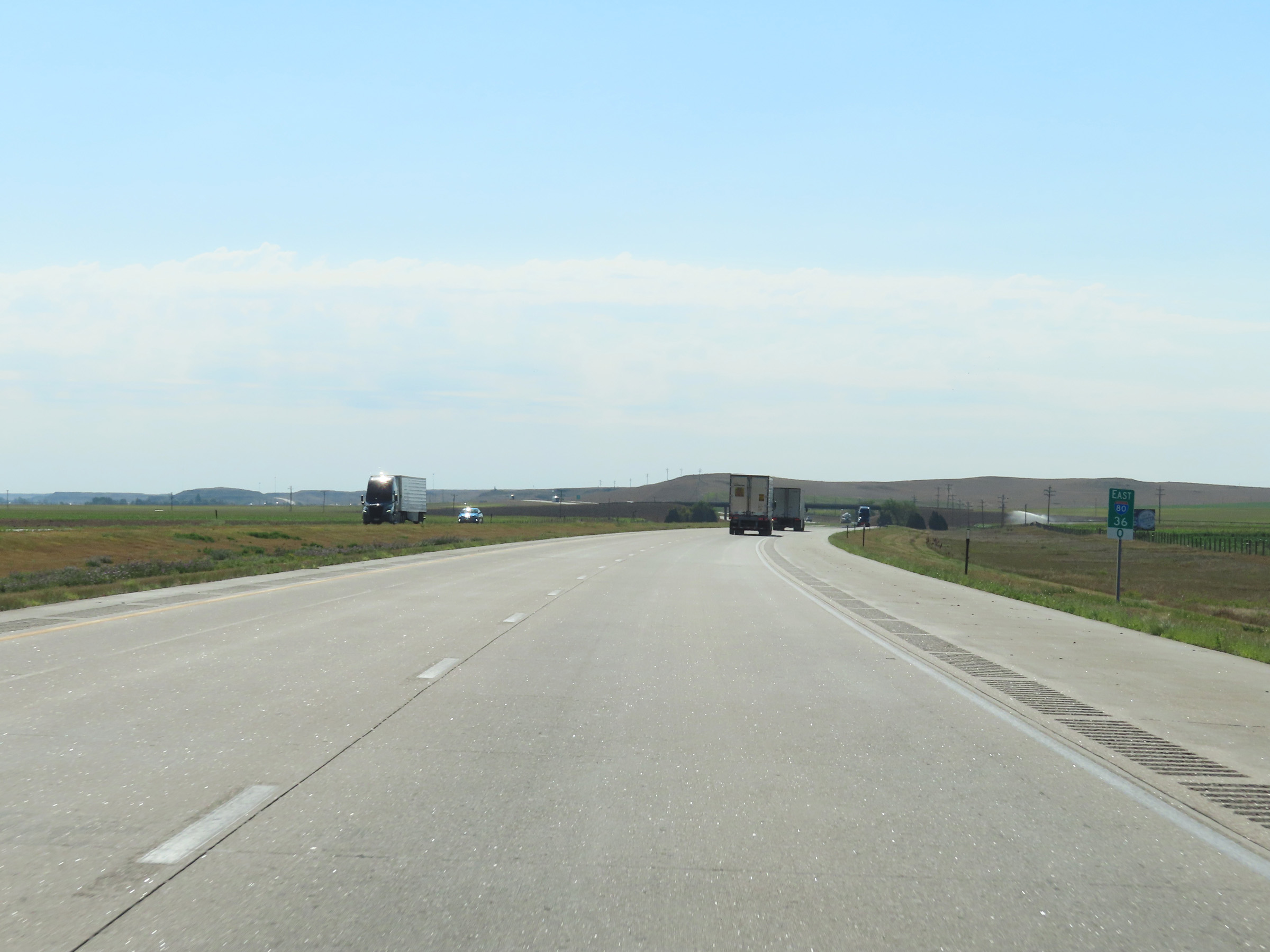 |
View on Interstate 80 East at mile marker 36. (Photo taken 8/18/22). |
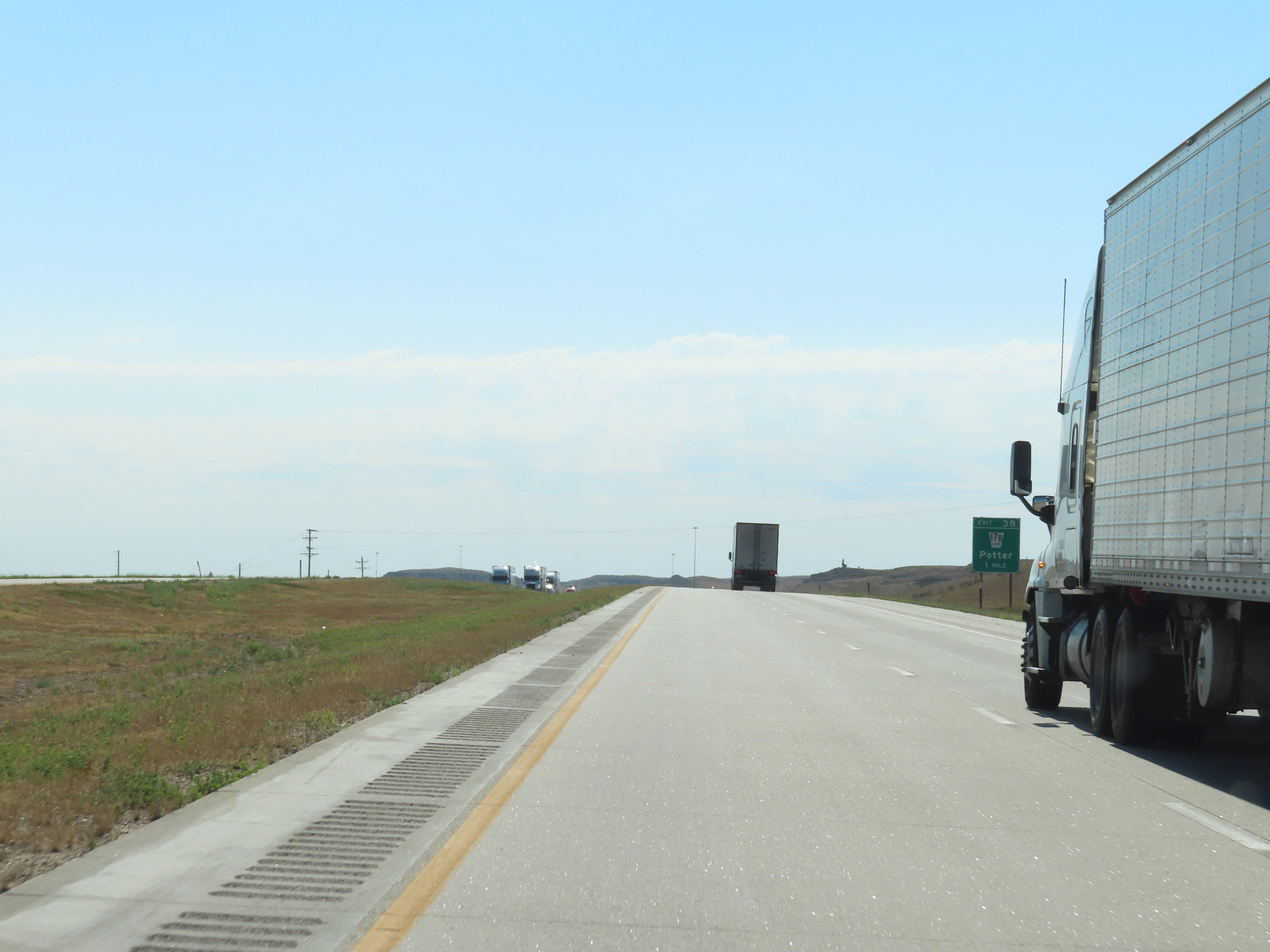 |
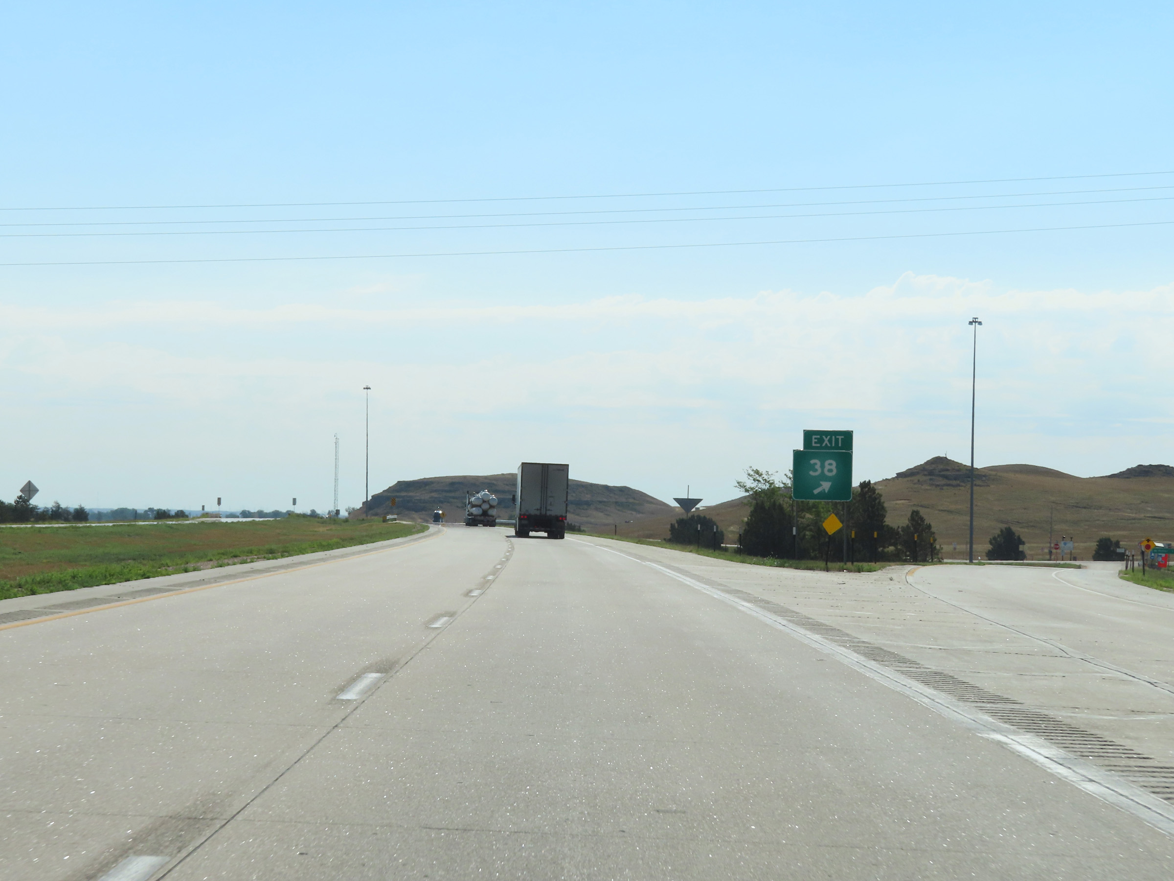
Interstate 80 East approaching Exit 38 - 1 mile. (Photo taken 8/18/22). |
 |
Interstate 80 East at Exit 38: Nebraska Link 17B - Potter (Photo taken 8/18/22). |
 |
View of the ramp for Exit 38 on Interstate 80 East. (Photo taken 8/18/22). |
 |
Mile marker 39 on Interstate 80 East in Cheyenne County. (Photo taken 8/18/22). |
 |
Another Interstate 80 East reassurance shield. (Photo taken 8/18/22). |
 |
Speed limit signs on Interstate 80 East in Cheyenne County. The speed limits remain 75 mph maximum and 40 mph minimum. (Photo taken 8/18/22). |
 |
View on Interstate 80 East at mile marker 41. (Photo taken 8/18/22). |
 |
Interstate 80 East at mile marker 43. (Photo taken 8/18/22). |
 |
Mile marker 46 on Interstate 80 East in Cheyenne County. (Photo taken 8/18/22). |
 |
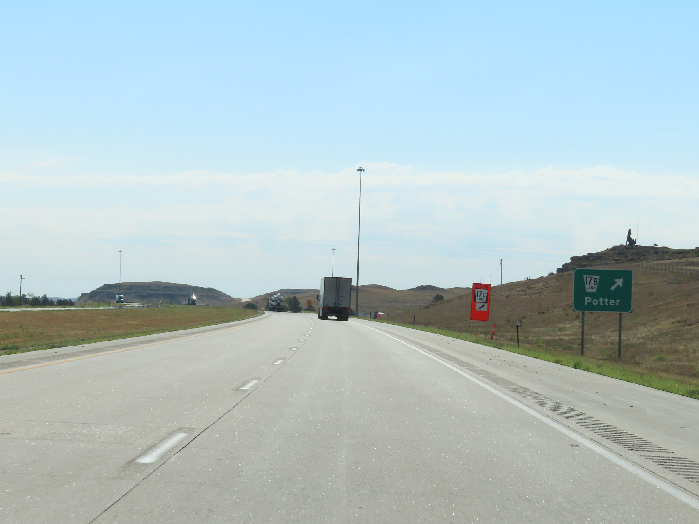
Interstate 80 East at Exit 48: Nebraska Link 17C (Photo taken 8/18/22). |
 |
Interstate 80 East as it passes under Nebraska Link 17C near Brownson. (Photo taken 8/18/22). |
 |
View on Interstate 80 East in Cheyenne County. (Photo taken 8/18/22). |
 |
Interstate 80 East in Cheyenne County, nearing Sidney. (Photo taken 8/18/22). |
 |
Another view on Interstate 80 East in Cheyenne County. (Photo taken 8/18/22). |
 |
Mileage sign listing the distances to the two upcoming Sidney exits on Interstate 80 East. (Photo taken 8/18/22). |
 |
Take Exit 55 to Sterling, CO. (Photo taken 8/18/22). |
 |
Interstate 80 East at Exit 55: NE 19 - Sidney / West Entrance (Photo taken 8/18/22). |
 |
Gore point signage for Exit 55 on Interstate 80 East in Sidney. (Photo taken 8/18/22). |
 |
Interstate 80 East reassurance shield. The speed limits remain 75 mph maximum and 40 mph minimum. (Photo taken 8/18/22). |
 |
View on Interstate 80 East at mile marker 58. (Photo taken 8/18/22). |
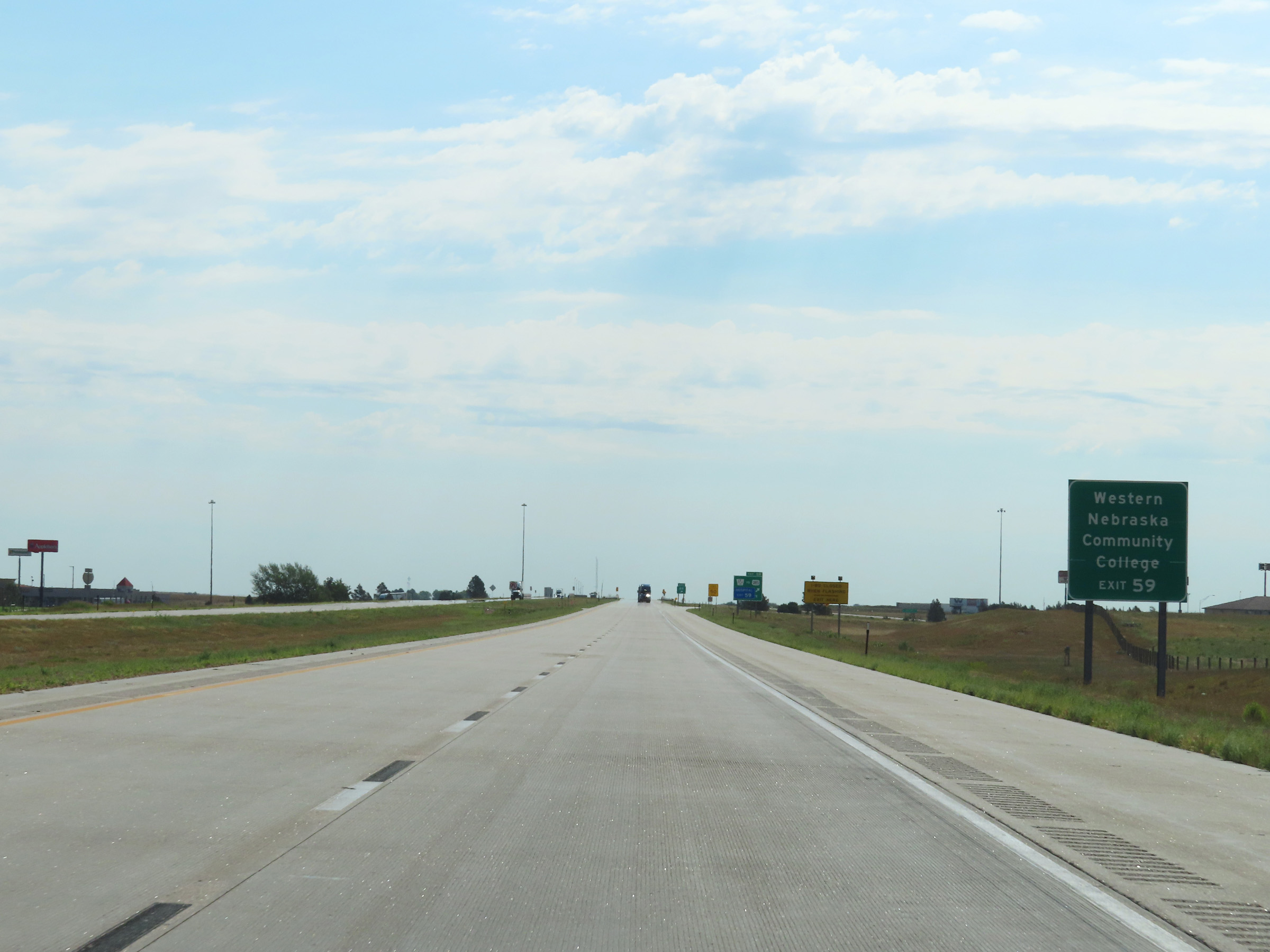 |
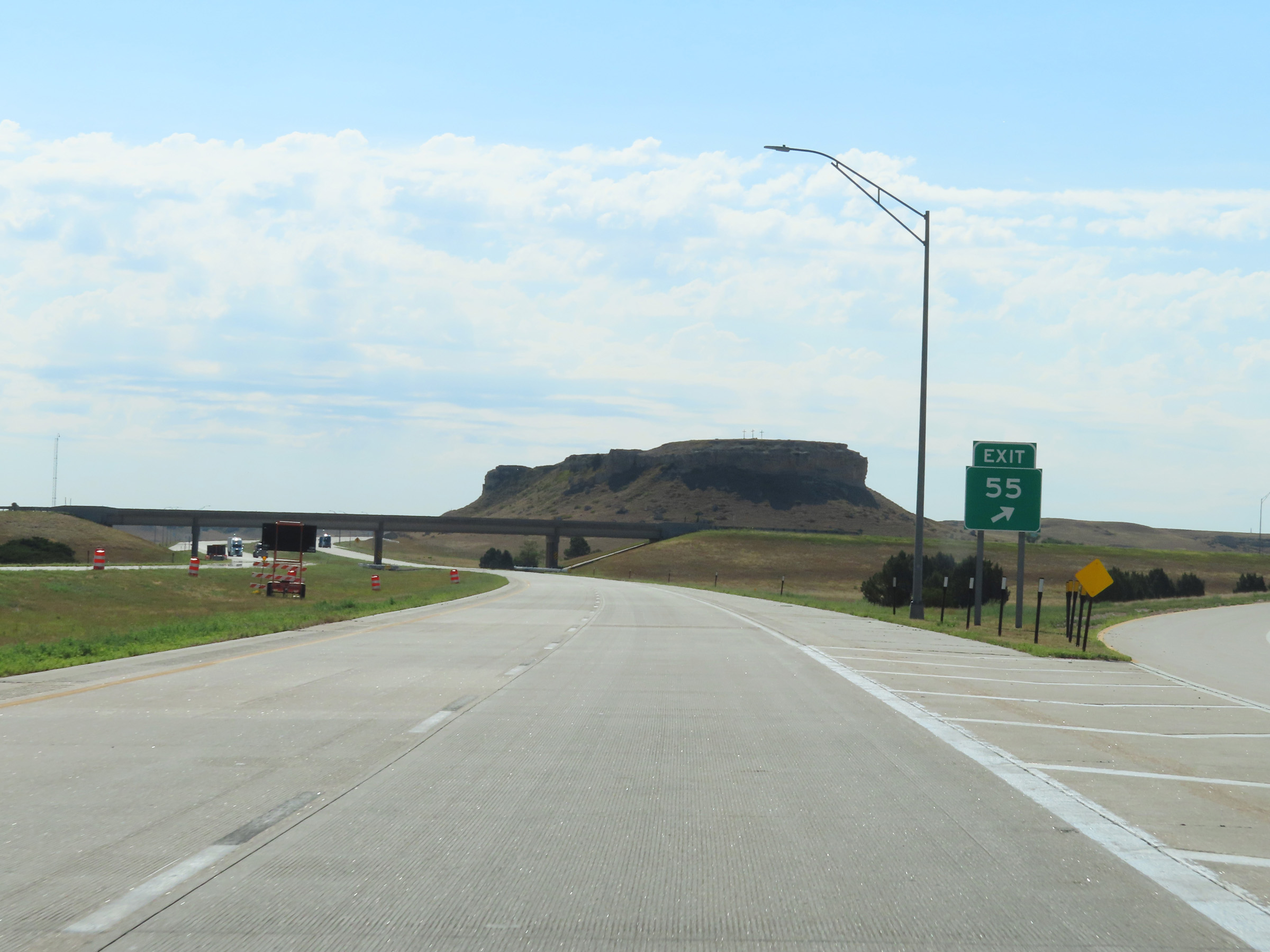
Take Exit 59 to Western Nebraska Community College. (Photo taken 8/18/22). |
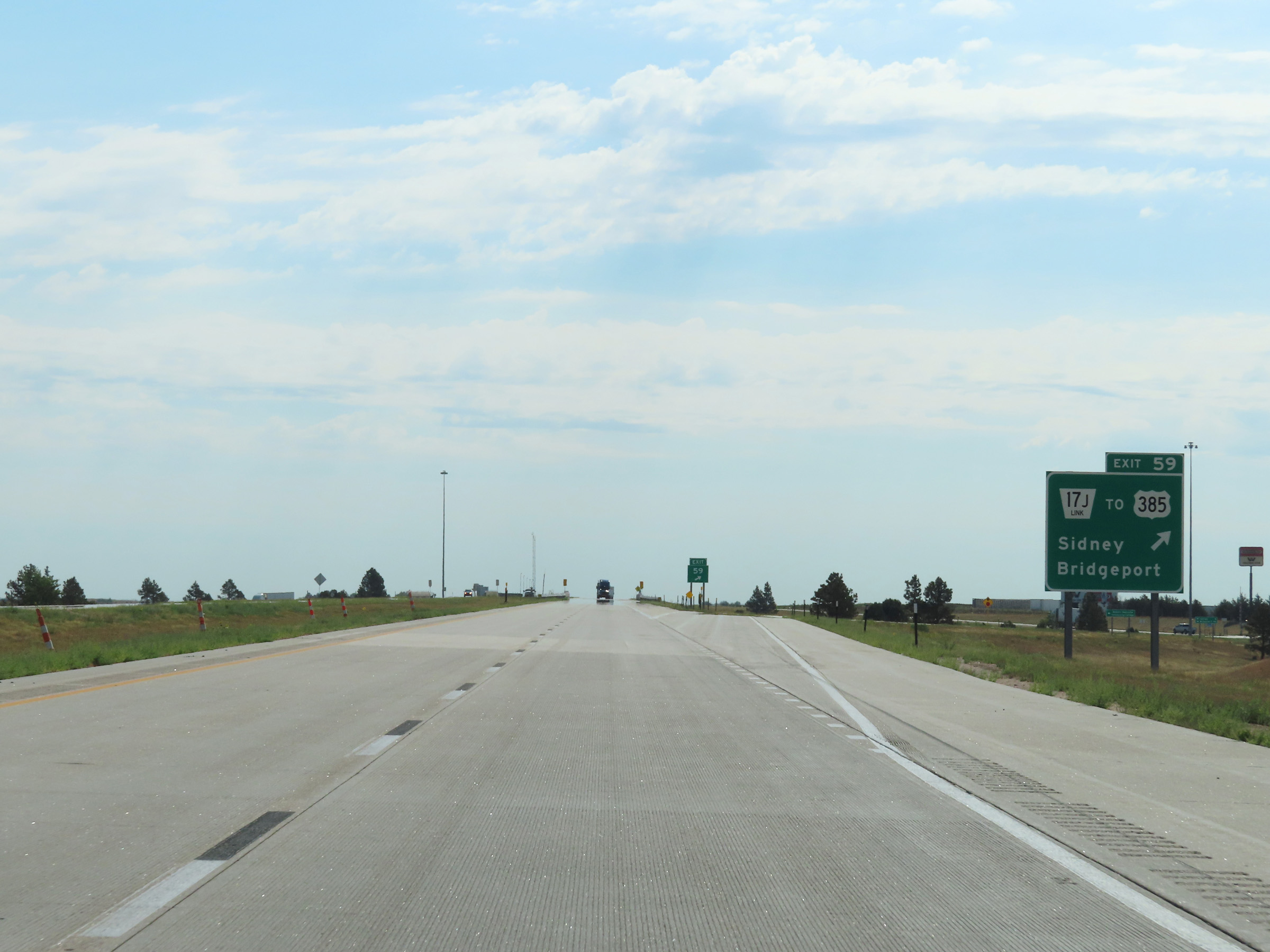 |
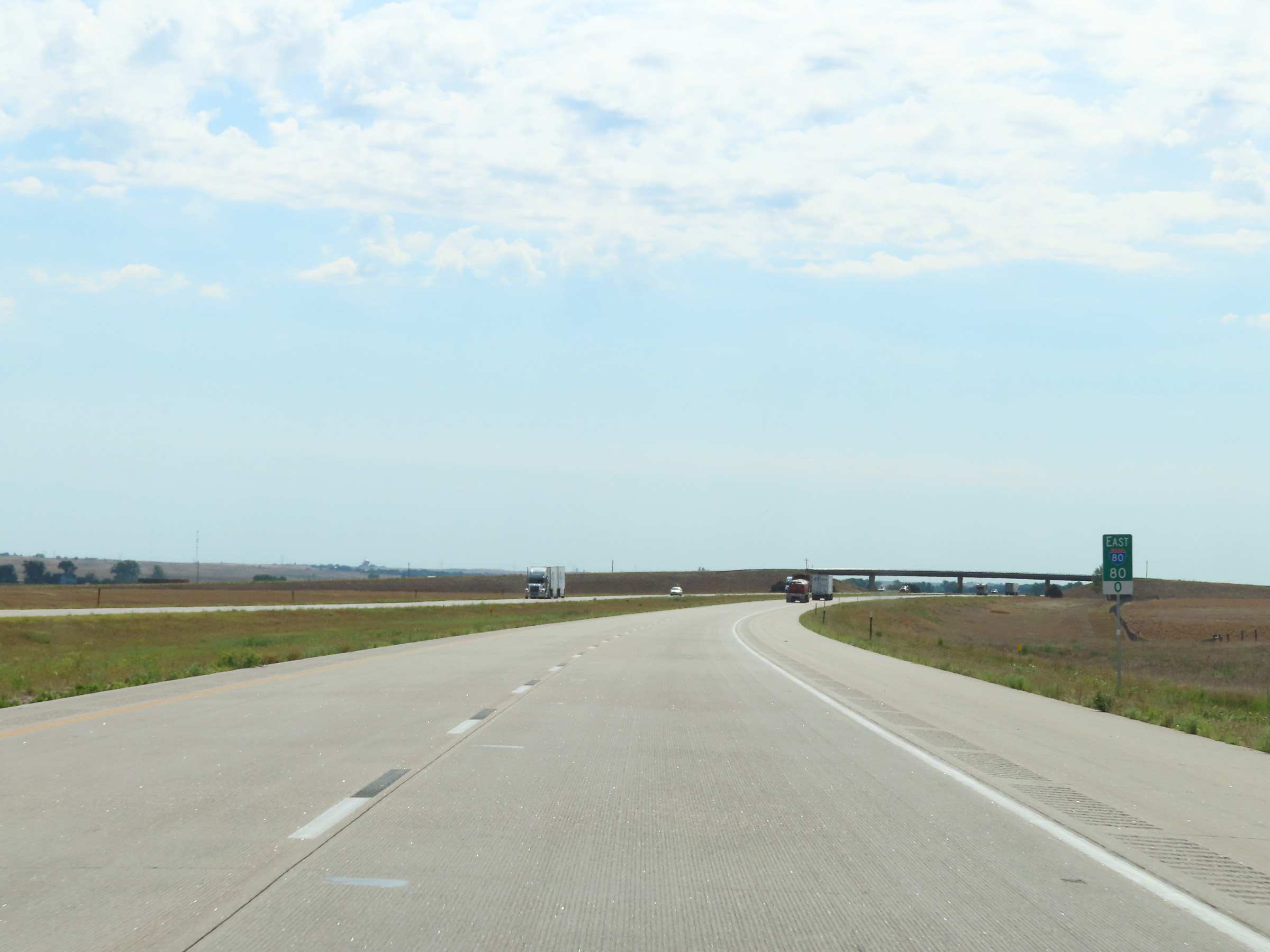
Interstate 80 East at Exit 59: Nebraska Link 17J / To US 385 - Sidney / Bridgeport (Photo taken 8/18/22). |
Section 2: Sidney (Exit 59) to Ogallala (Exit 126)
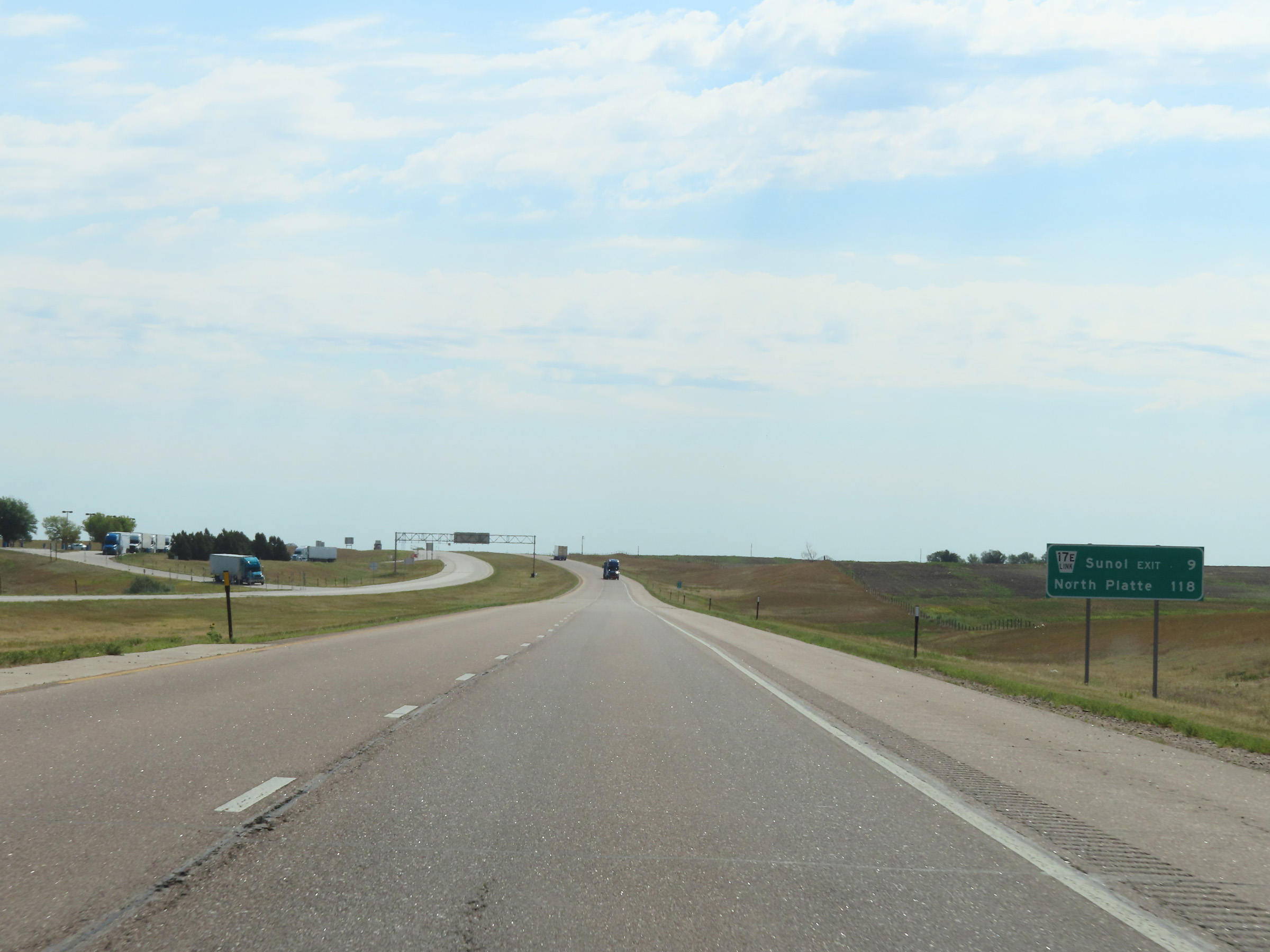 |
Mileage sign on Interstate 80 East as it leaves Sidney. It's 9 miles to the next exit (Exit 69) and 118 miles to North Platte. (Photo taken 8/18/22). |
 |
View on Interstate 80 East at mile marker 62. (Photo taken 8/18/22). |
 |
Mile marker 63 on Interstate 80 East in Cheyenne County. (Photo taken 8/18/22). |
 |
Interstate 80 East at mile marker 66. (Photo taken 8/18/22). |
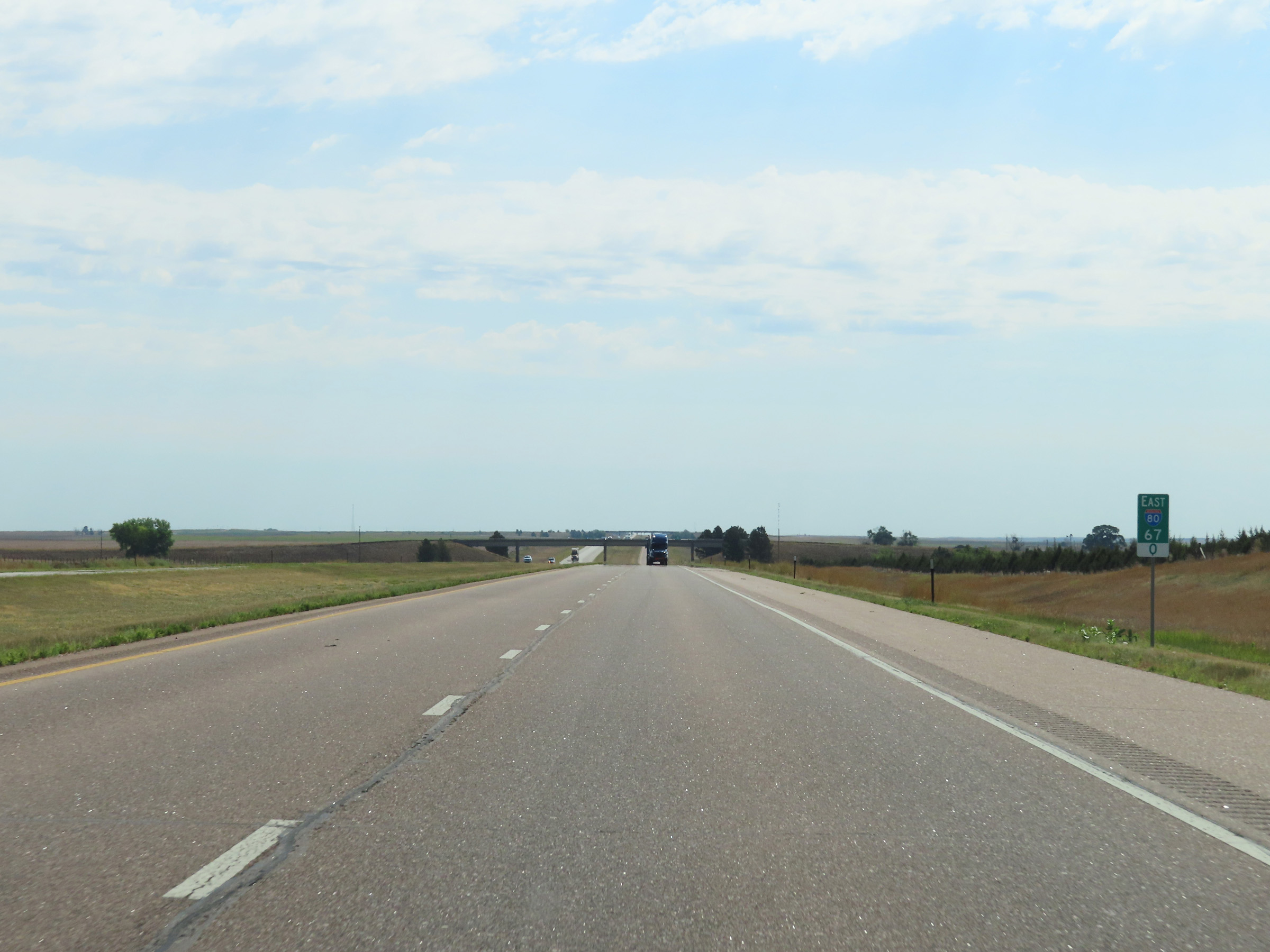 |
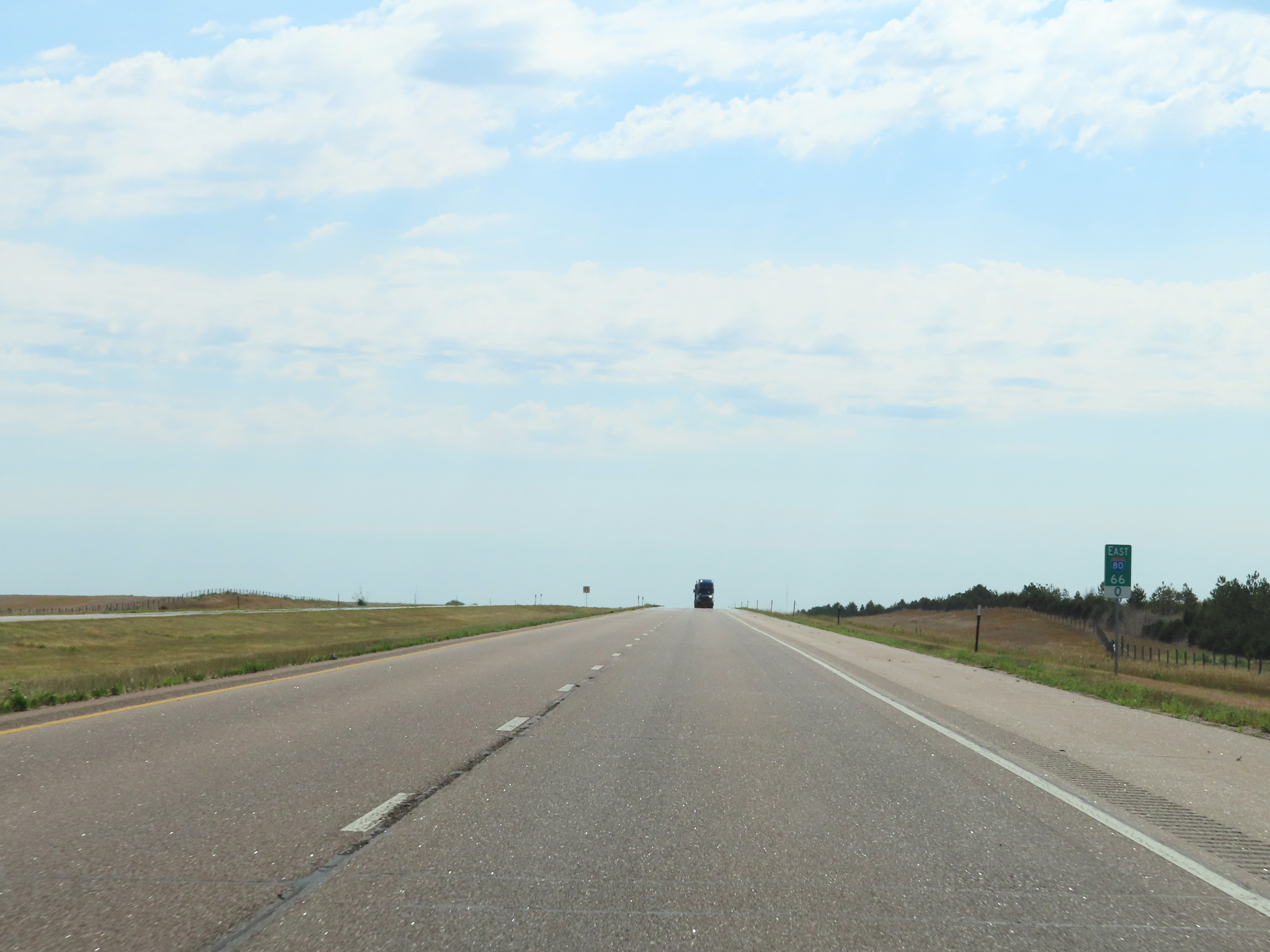
View on Interstate 80 East at mile marker 67. (Photo taken 8/18/22). |
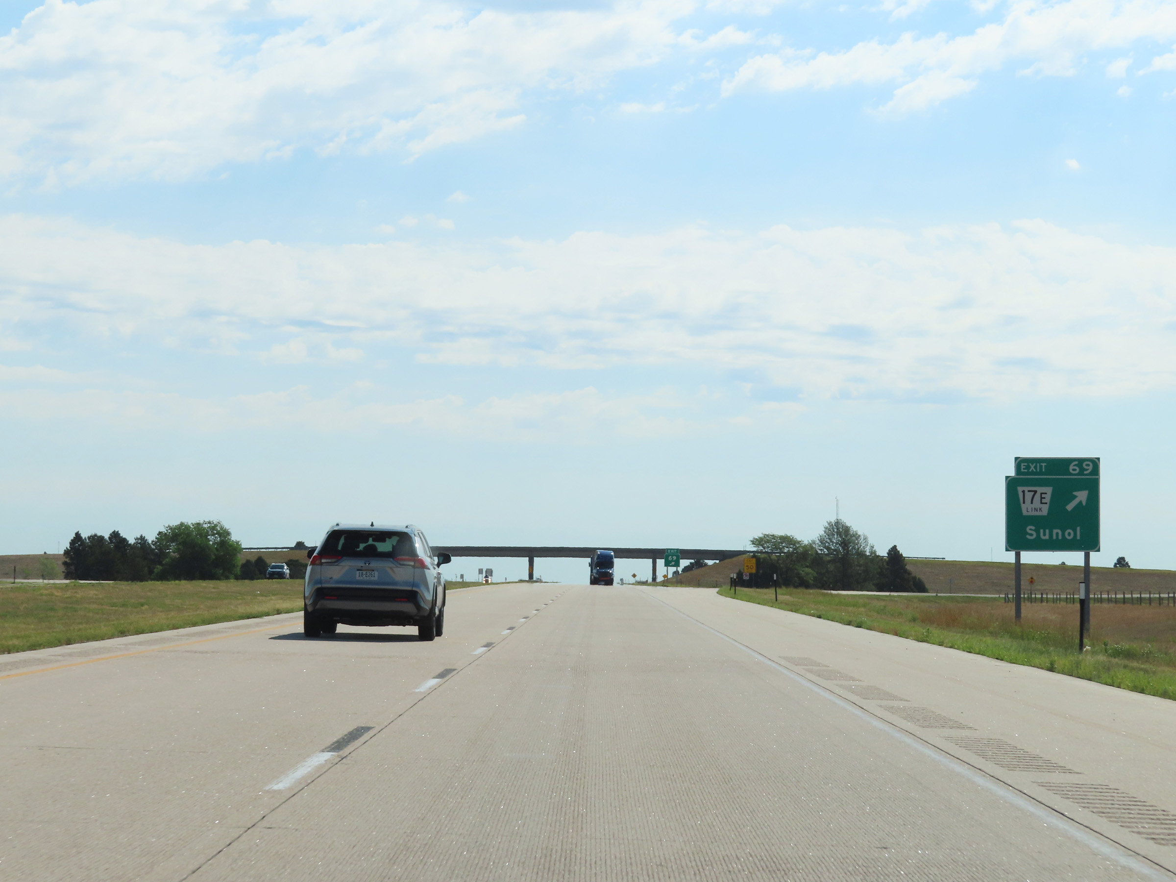 |
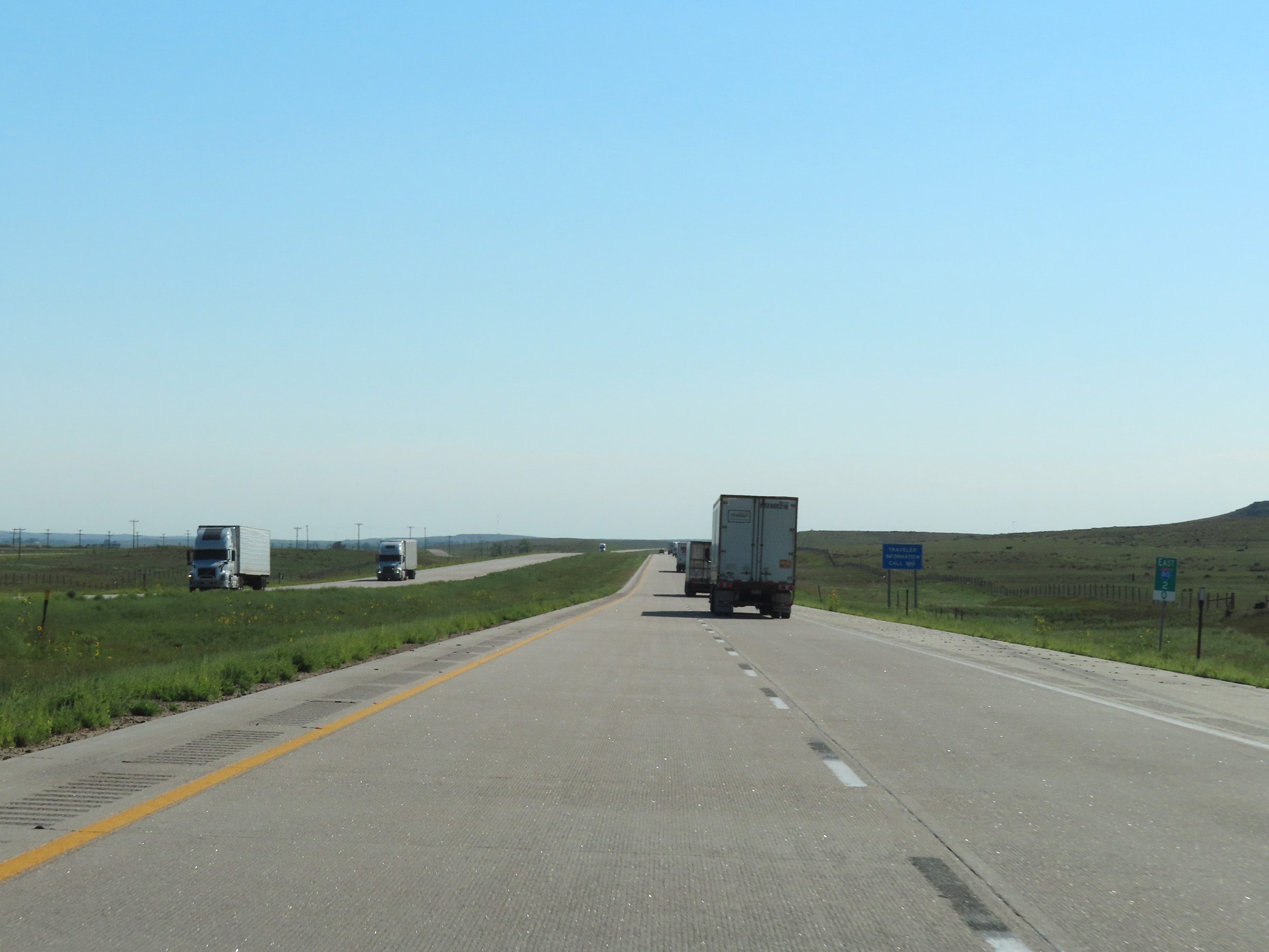
Interstate 80 East at Exit 69: Nebraska Link 17E - Sunol (Photo taken 8/18/22). |
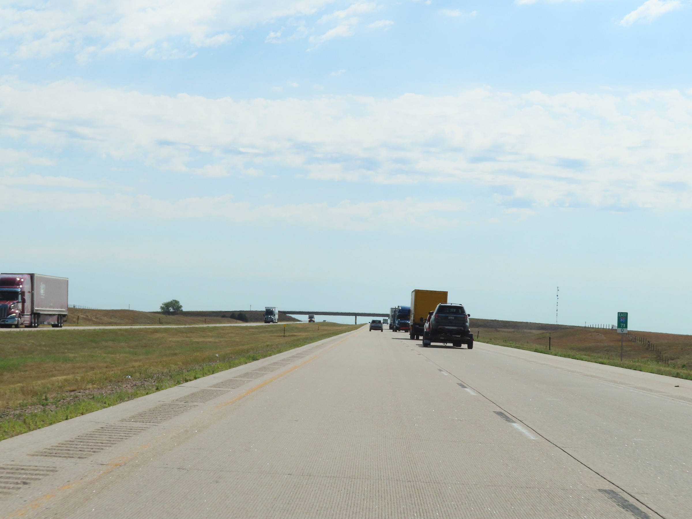 |
Mile marker 71 on Interstate 80 East in Cheyenne County. (Photo taken 8/18/22). |
 |
Interstate 80 East at mile marker 73. (Photo taken 8/18/22). |
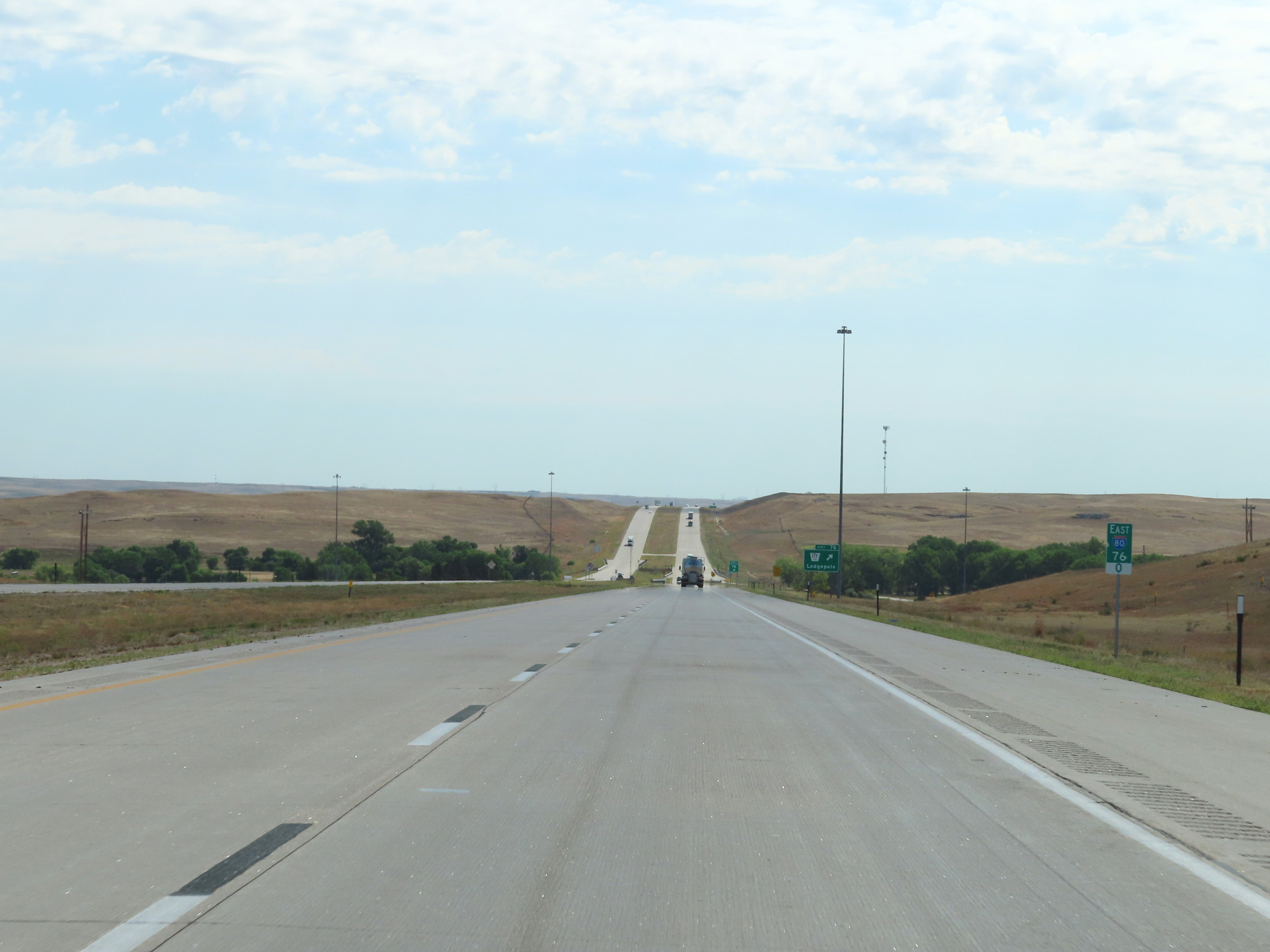 |
View on Interstate 80 East at mile marker 76. (Photo taken 8/18/22). |
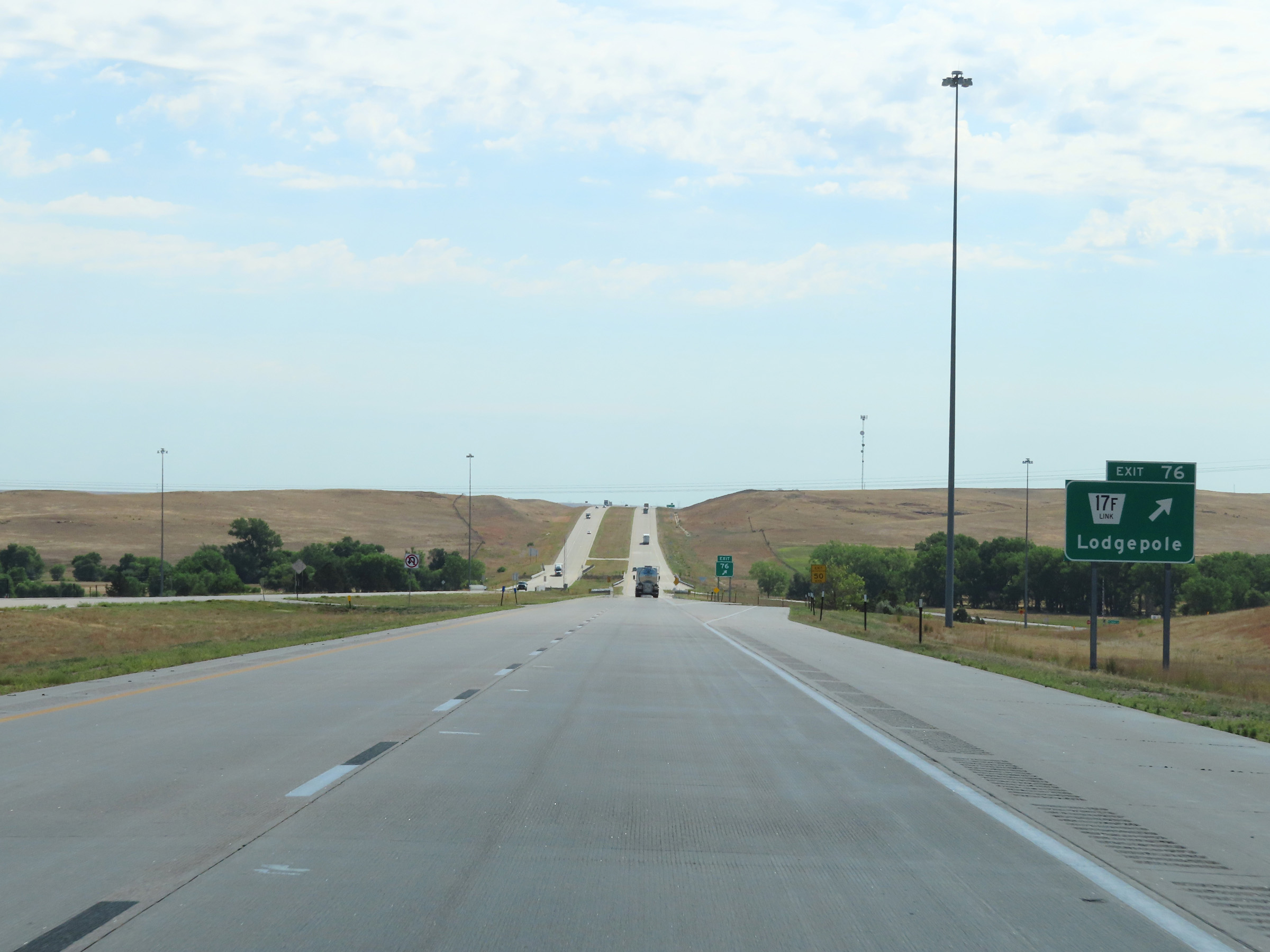 |
Interstate 80 East at Exit 76: Nebraska Link 17F - Lodgepole (Photo taken 8/18/22). |
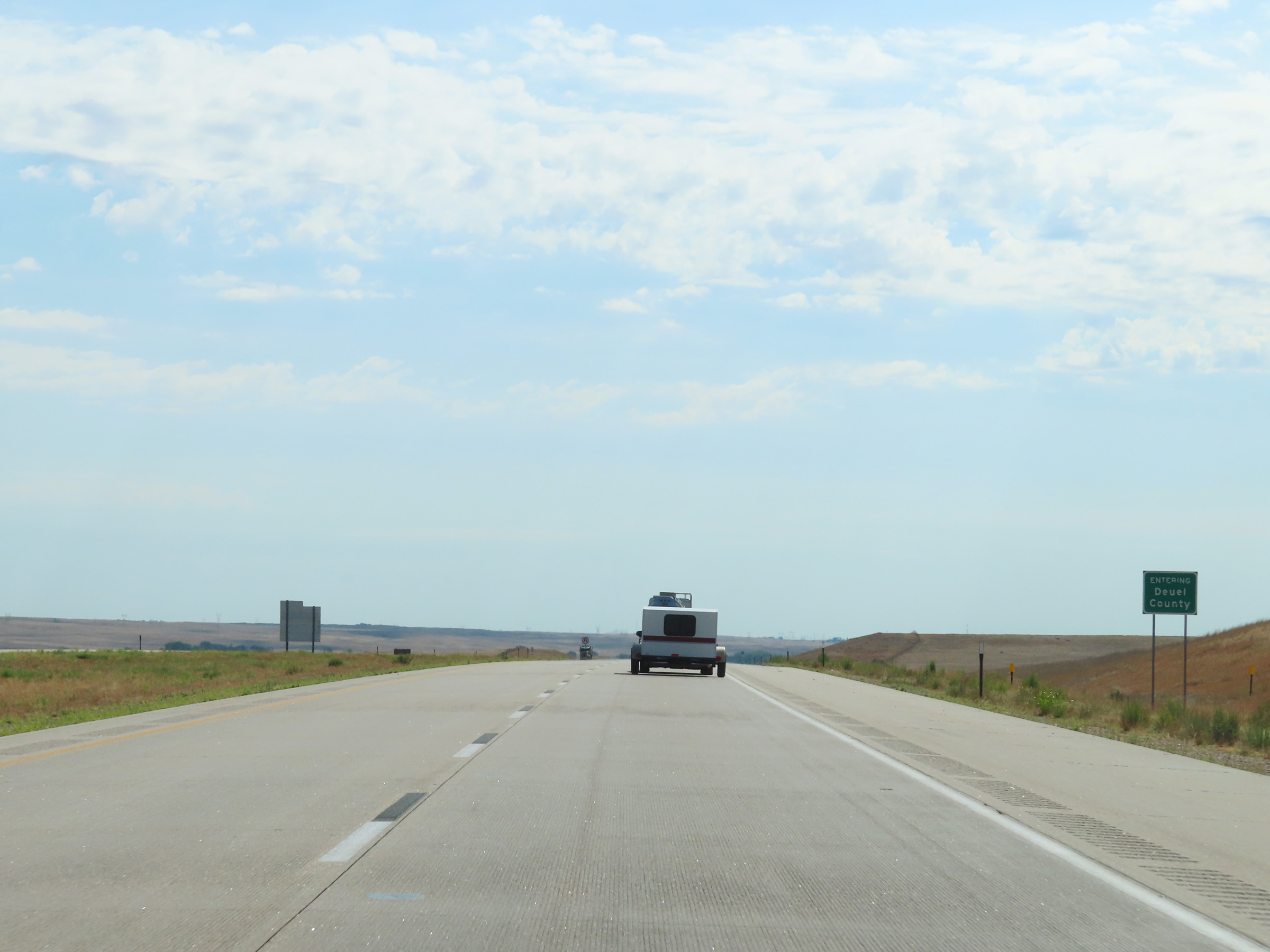 |
Interstate 80 East as it enters Deuel County. (Photo taken 8/18/22). |
 |
View on Interstate 80 East at mile marker 79. (Photo taken 8/18/22). |
 |
Interstate 80 East at mile marker 80. (Photo taken 8/18/22). |
 |
Mile marker 82 on Interstate 80 East in Deuel County. (Photo taken 8/18/22). |
 |
View on Interstate 80 East at mile marker 83. (Photo taken 8/18/22). |
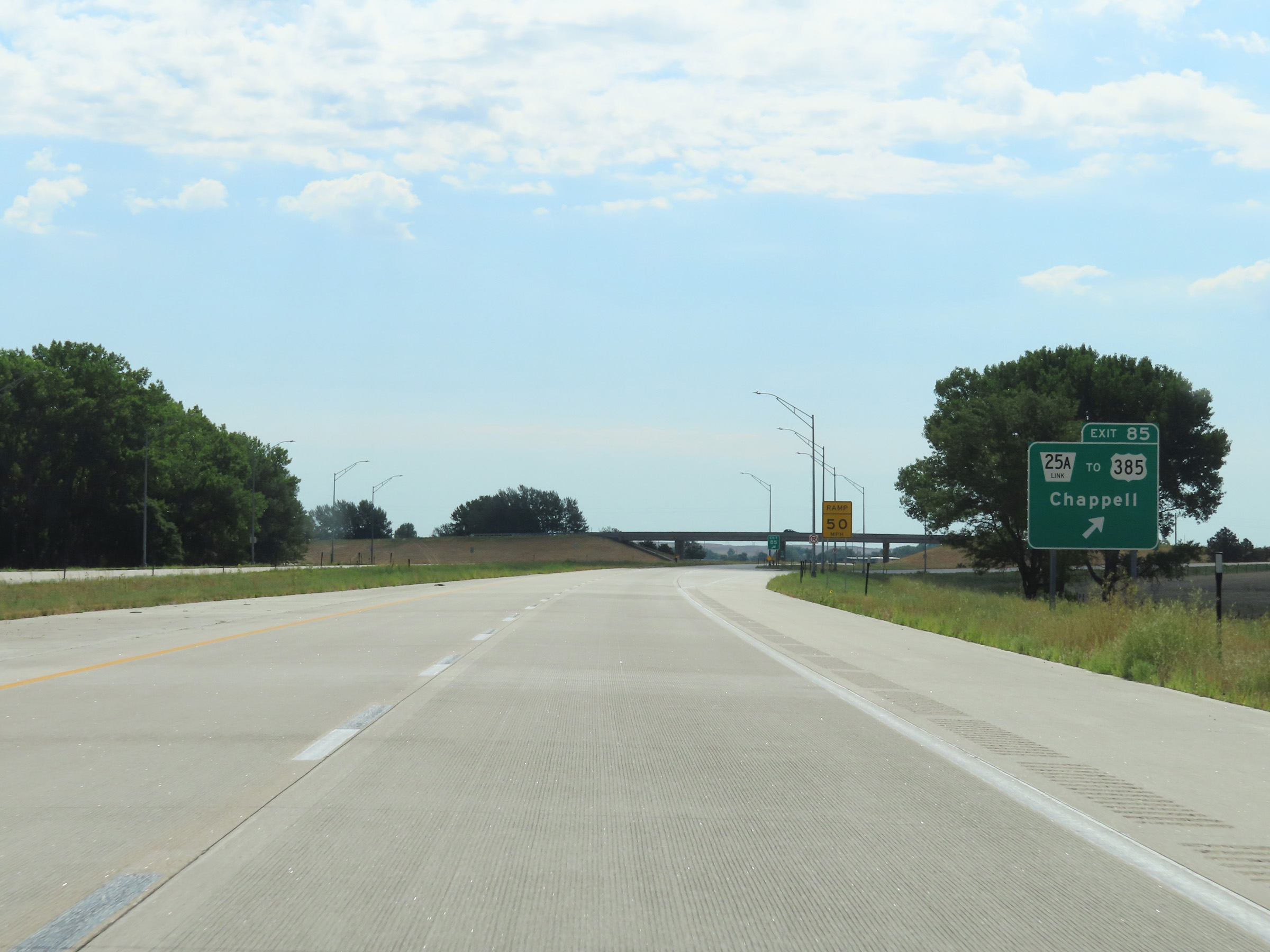 |
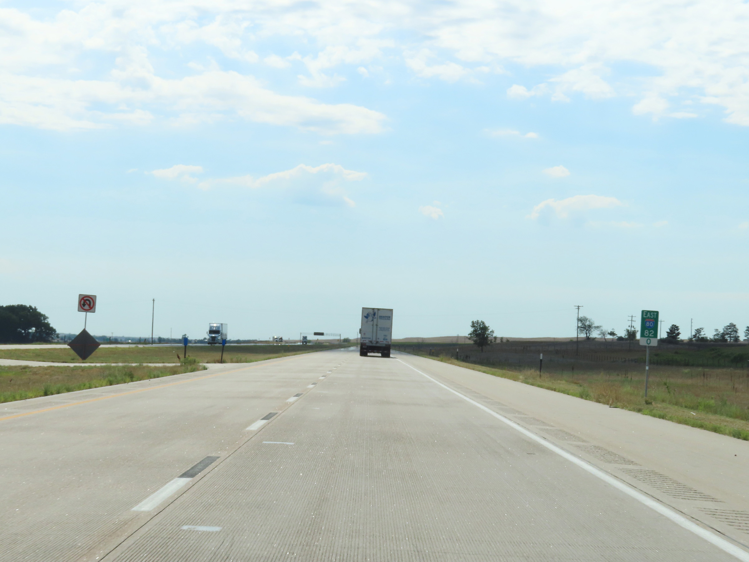
Interstate 80 East at Exit 85: Nebraska Link 25A / To US 385 - Chappell (Photo taken 8/18/22). |
 |
Interstate 80 East reassurance shield. (Photo taken 8/18/22). |
 |
Speed limit signs on Interstate 80 East in Deuel County. The speed limits remain the rural standard 75 mph maximum and 40 mph minimum. (Photo taken 8/18/22). |
 |
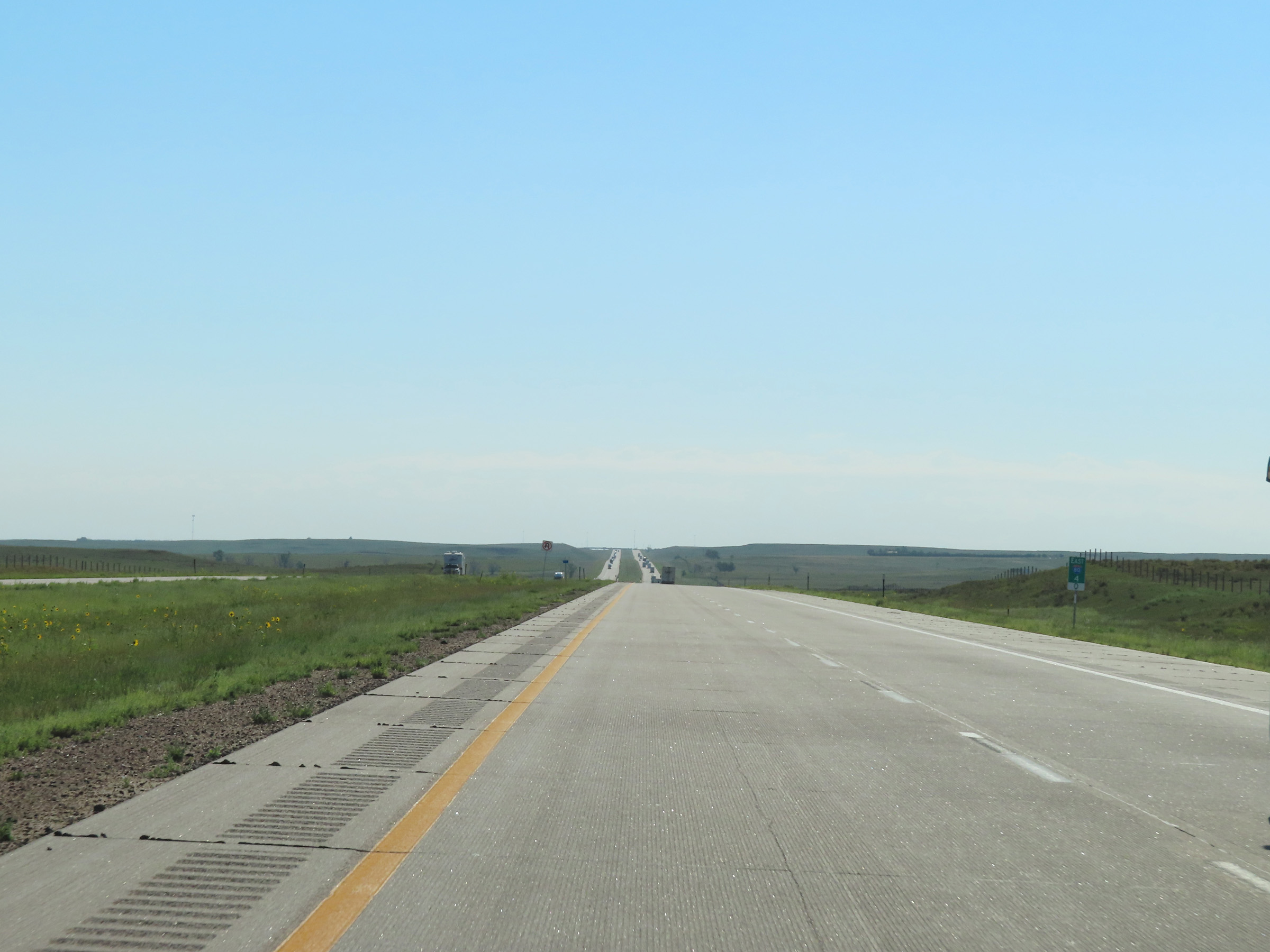
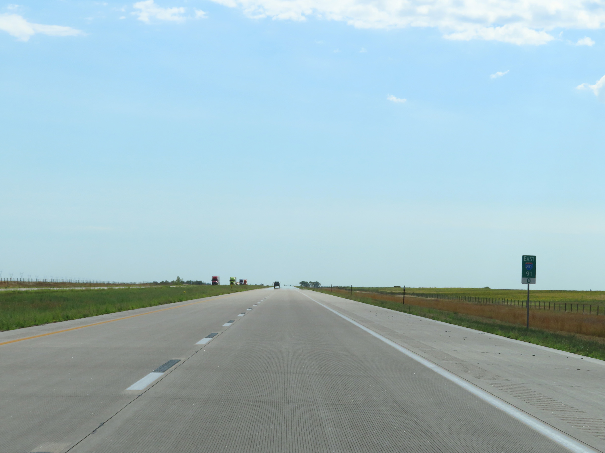
Another mileage sign on Interstate 80 East. It's 9 miles to the next exit (Exit 95) and 93 miles to North Platte. (Photo taken 8/18/22). |
 |
View on Interstate 80 East at mile marker 87. (Photo taken 8/18/22). |
 |
Mile marker 89 on Interstate 80 East in Deuel County. (Photo taken 8/18/22). |
 |
Interstate 80 East at mile marker 91. (Photo taken 8/18/22). |
 |
View on Interstate 80 East at mile marker 92. (Photo taken 8/18/22). |
 |
Mile marker 94 on Interstate 80 East in Deuel County. (Photo taken 8/18/22). |
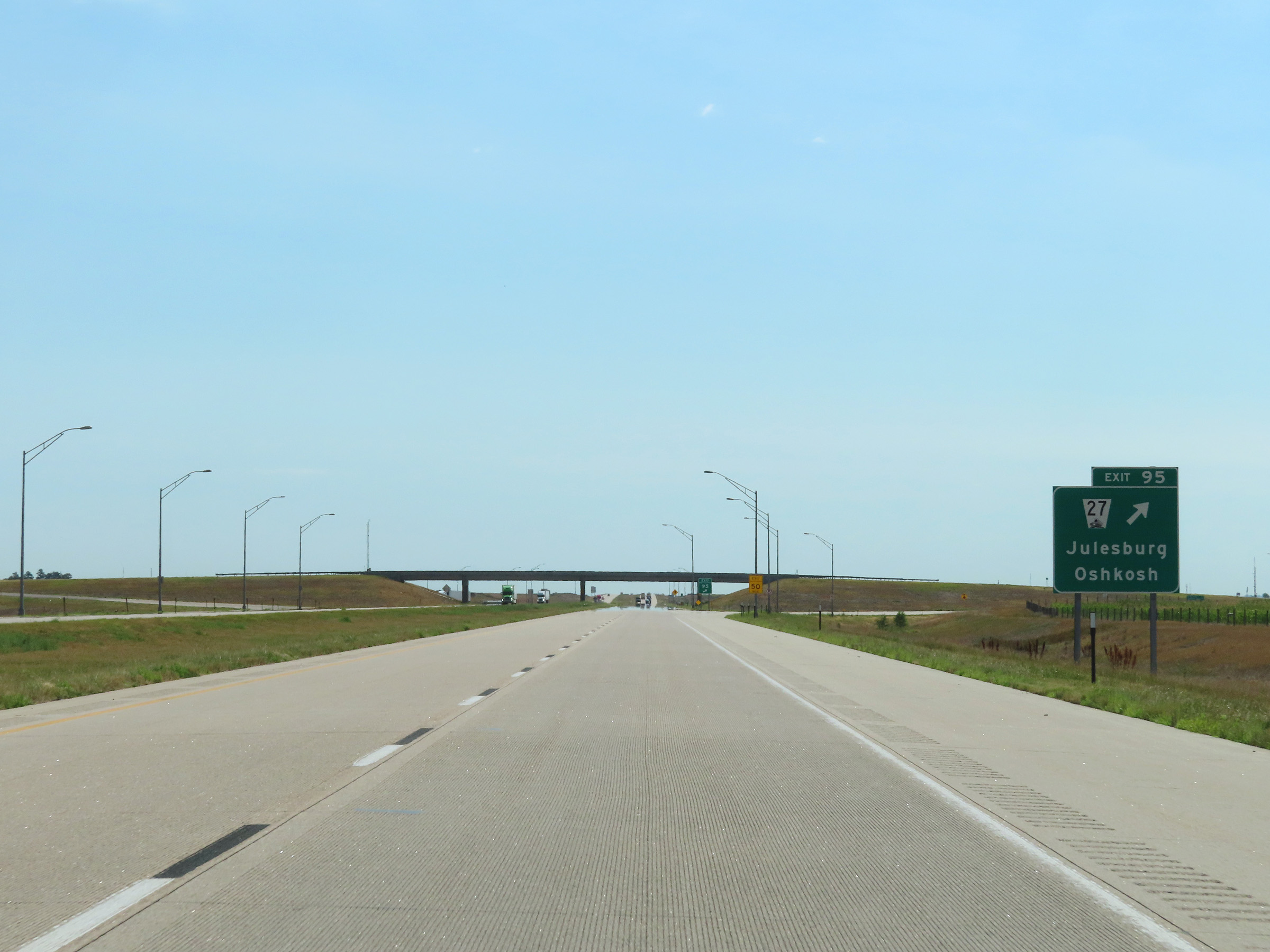 |
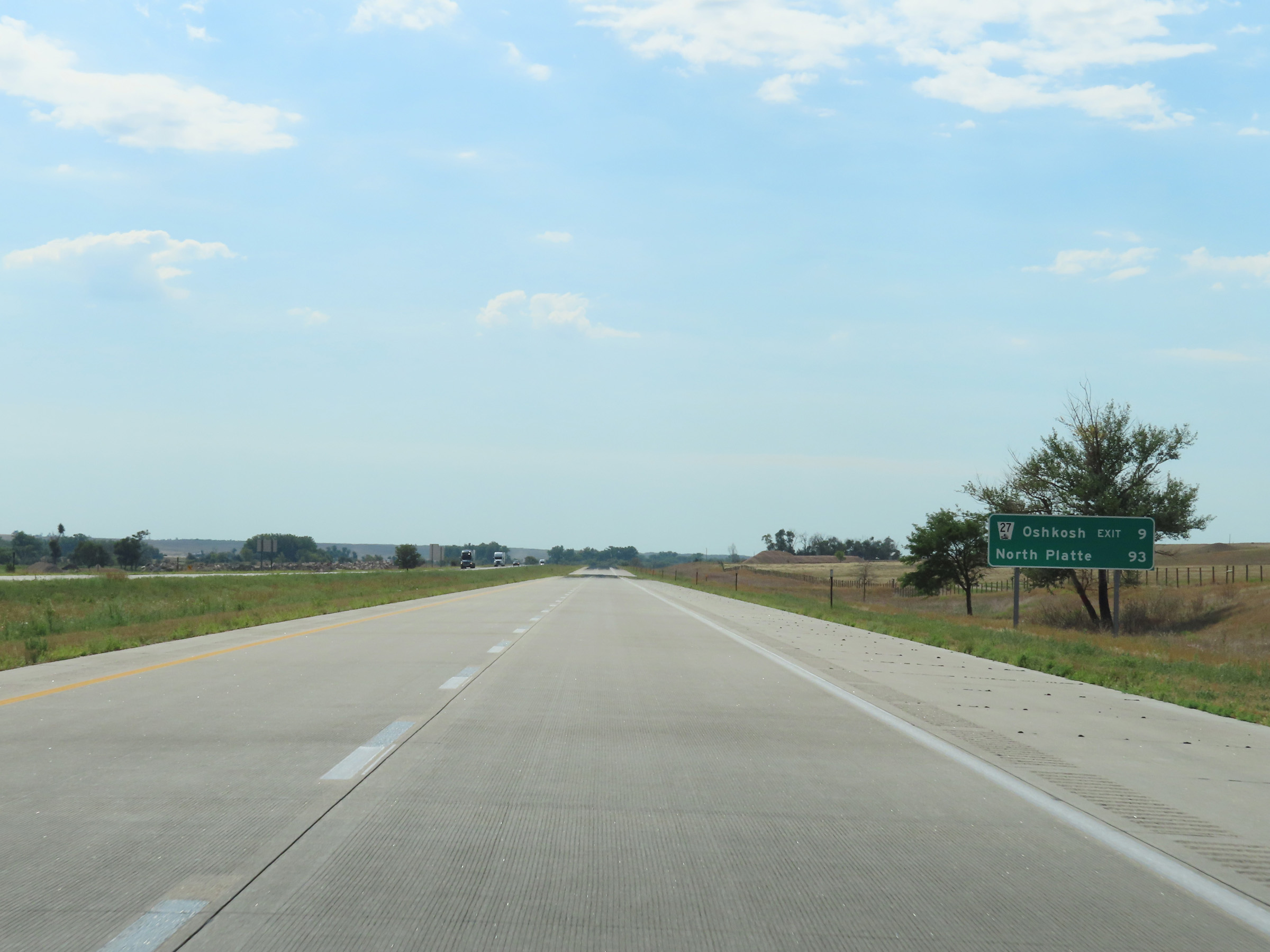
Interstate 80 East at Exit 95: NE 27 - Julesburg / Oshkosh (Photo taken 8/18/22). |
 |
Interstate 80 East at mile marker 96. (Photo taken 8/18/22). |
 |
View on Interstate 80 East at mile marker 98. (Photo taken 8/18/22). |
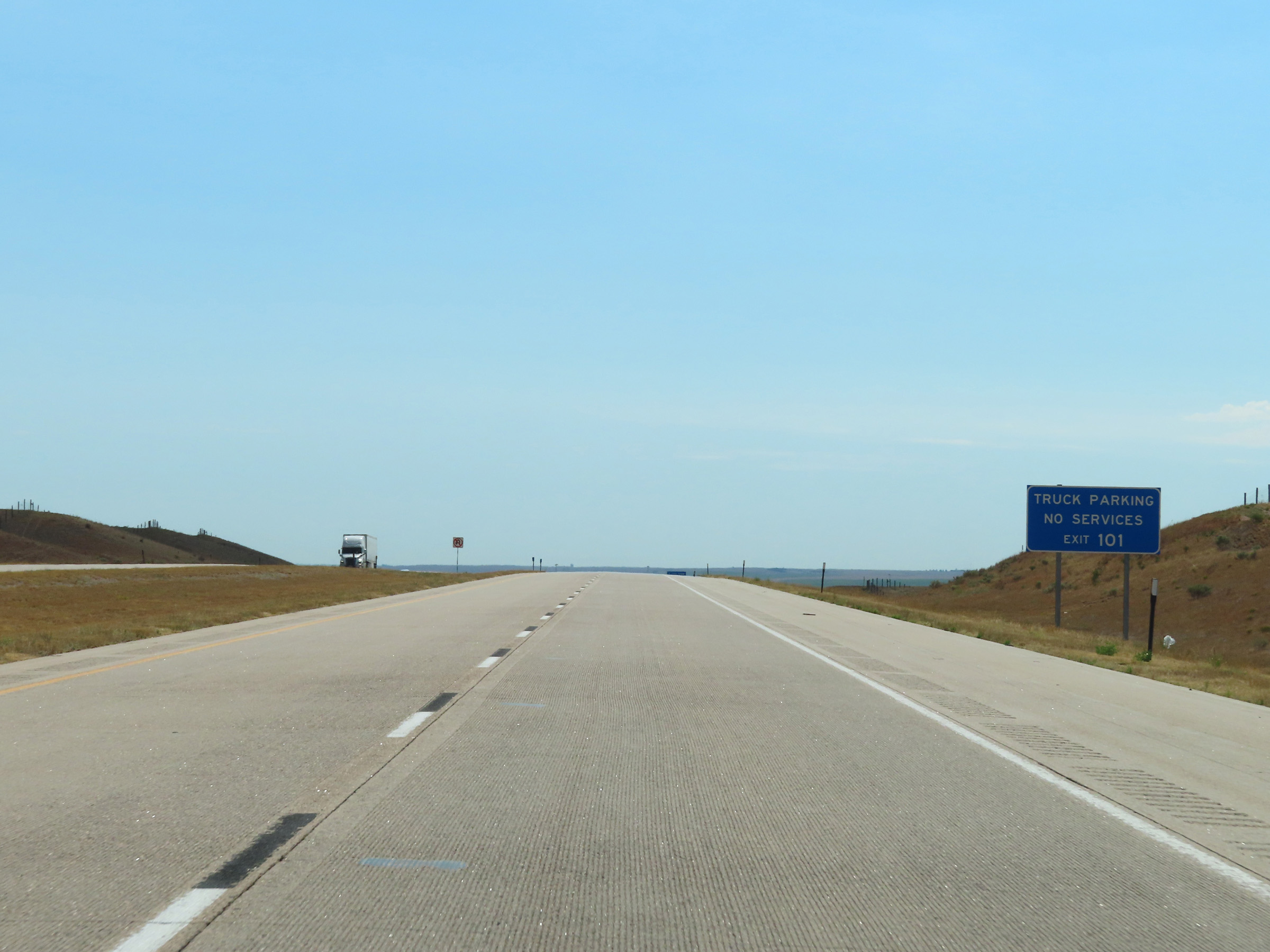 |
Truck Parking is available off Exit 101, but there are no truck services there. (Photo taken 8/18/22). |
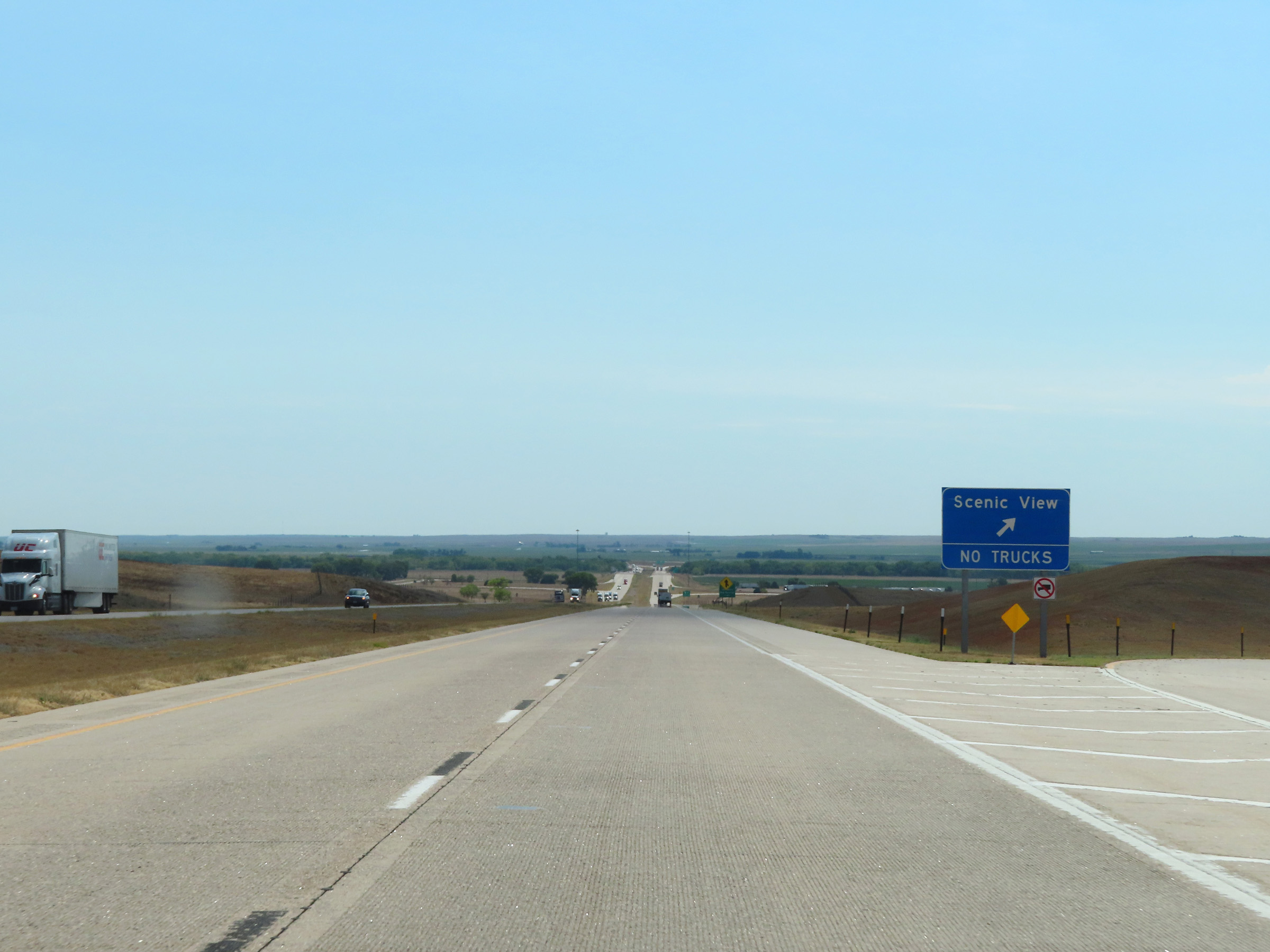 |
Scenic View Area on Interstate 80 East in Deuel County near mile marker 101. Trucks are phohibited in the Scenic View Area. (Photo taken 8/18/22). |
 |
Interstate 80 East at Exit 101: US 138 - Julesburg / Big Springs (Photo taken 8/18/22). |
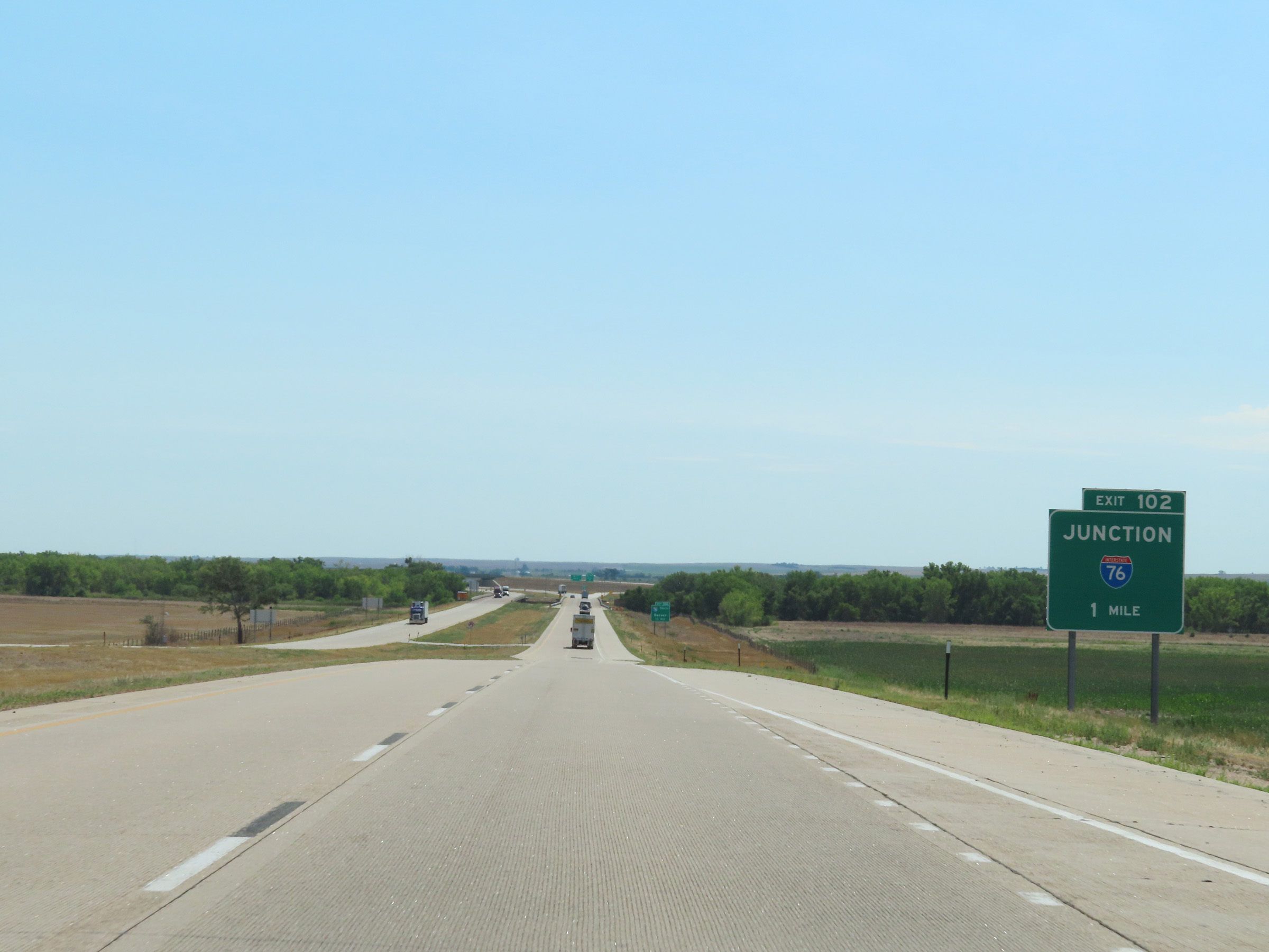 |
Advance signage for Exit 102, which is the junction of Interstate 76 West - 1 mile ahead. (Photo taken 8/18/22). |
 |
Interstate 80 East approaching Exit 102 - 1/2 mile. Interstate 76 West is signed incorrectly as I-76 South in both directions on I-80. However, on I-76 itself, the mileposts reflect the correct east-west directional signage. (Photo taken 8/18/22). |
 |
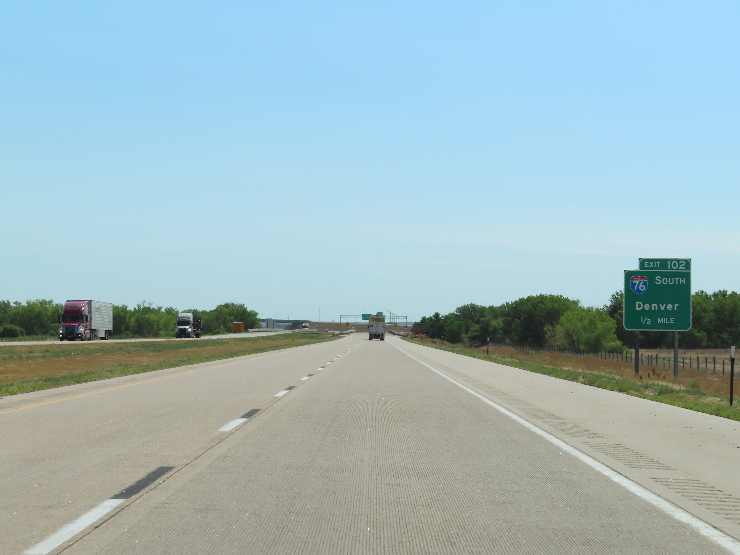
Interstate 80 East at Exit 102: Interstate 76 West - Denver. This is one of the more notorious signage errors on I-80. (Photo taken 8/18/22). |
 |
A closer view of the ramp to Interstate 76 West (not South) via Exit 102. (Photo taken 8/18/22). |
 |
Traffic from Interstate 76 East joins Interstate 80 East here on the right at mile marker 103 as I-76 East ends. (Photo taken 8/18/22). |
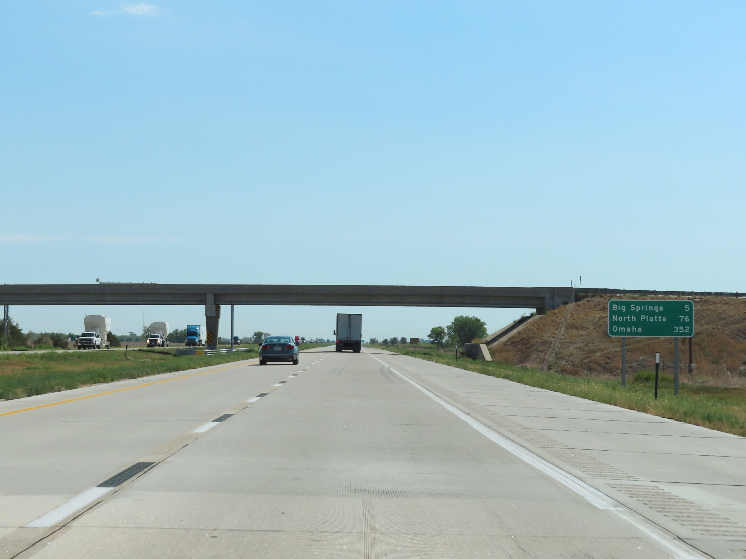 |
Mileage sign on Interstate 80 East. It's 5 miles to Big Springs, 76 miles to North Platte, and 352 miles to Omaha. (Photo taken 8/18/22). |
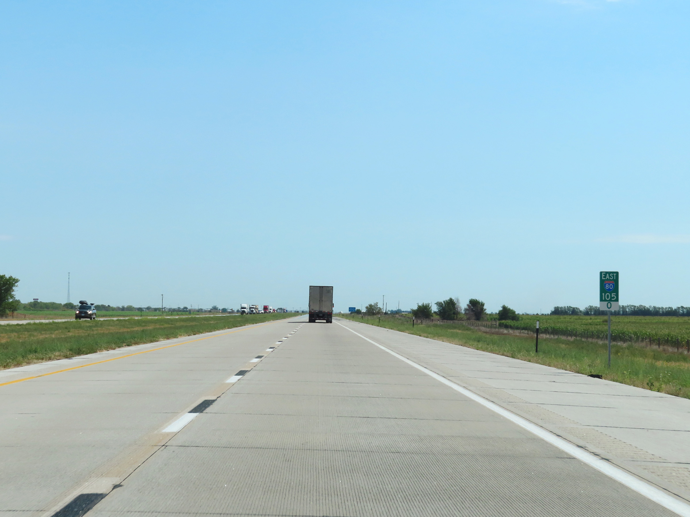 |
Mile marker 105 on Interstate 80 East in Deuel County. (Photo taken 8/18/22). |
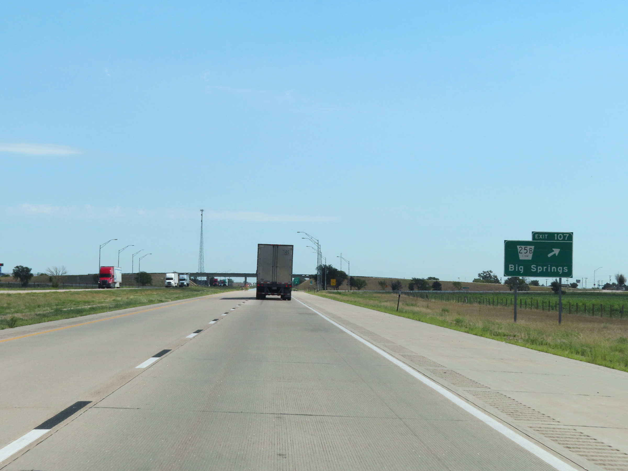 |
Interstate 80 East at Exit 107: Nebraska Link 25B - Big Springs (Photo taken 8/18/22). |
 |
Interstate 80 East as it enters Keith County. (Photo taken 8/18/22). |
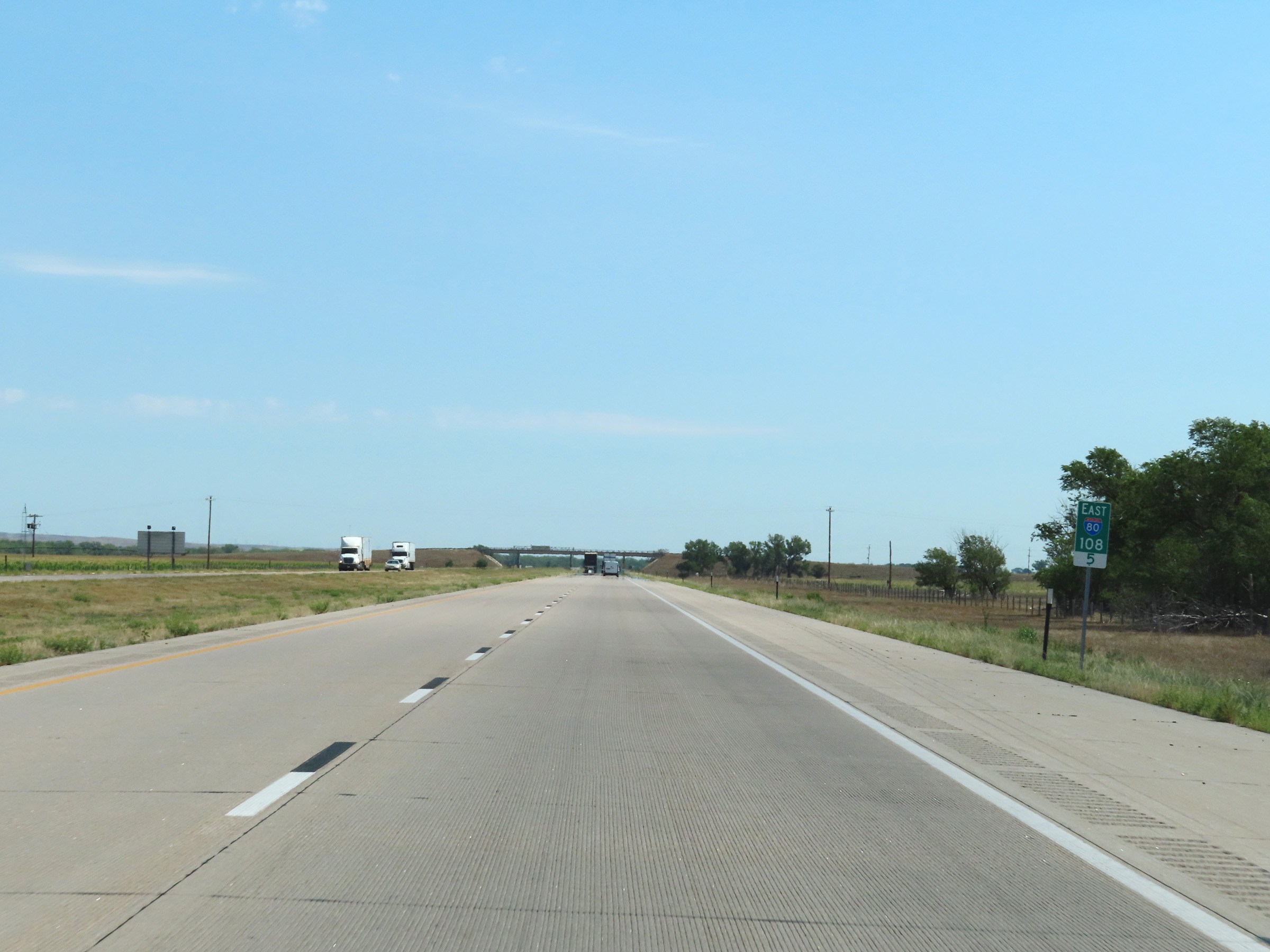 |
View on Interstate 80 East at mile marker 108.5. (Photo taken 8/18/22). |
 |
Interstate 80 East at mile marker 110. (Photo taken 8/18/22). |
 |
Mile marker 112 on Interstate 80 East in Keith County. (Photo taken 8/18/22). |
 |
Interstate 80 East at mile marker 114. (Photo taken 8/18/22). |
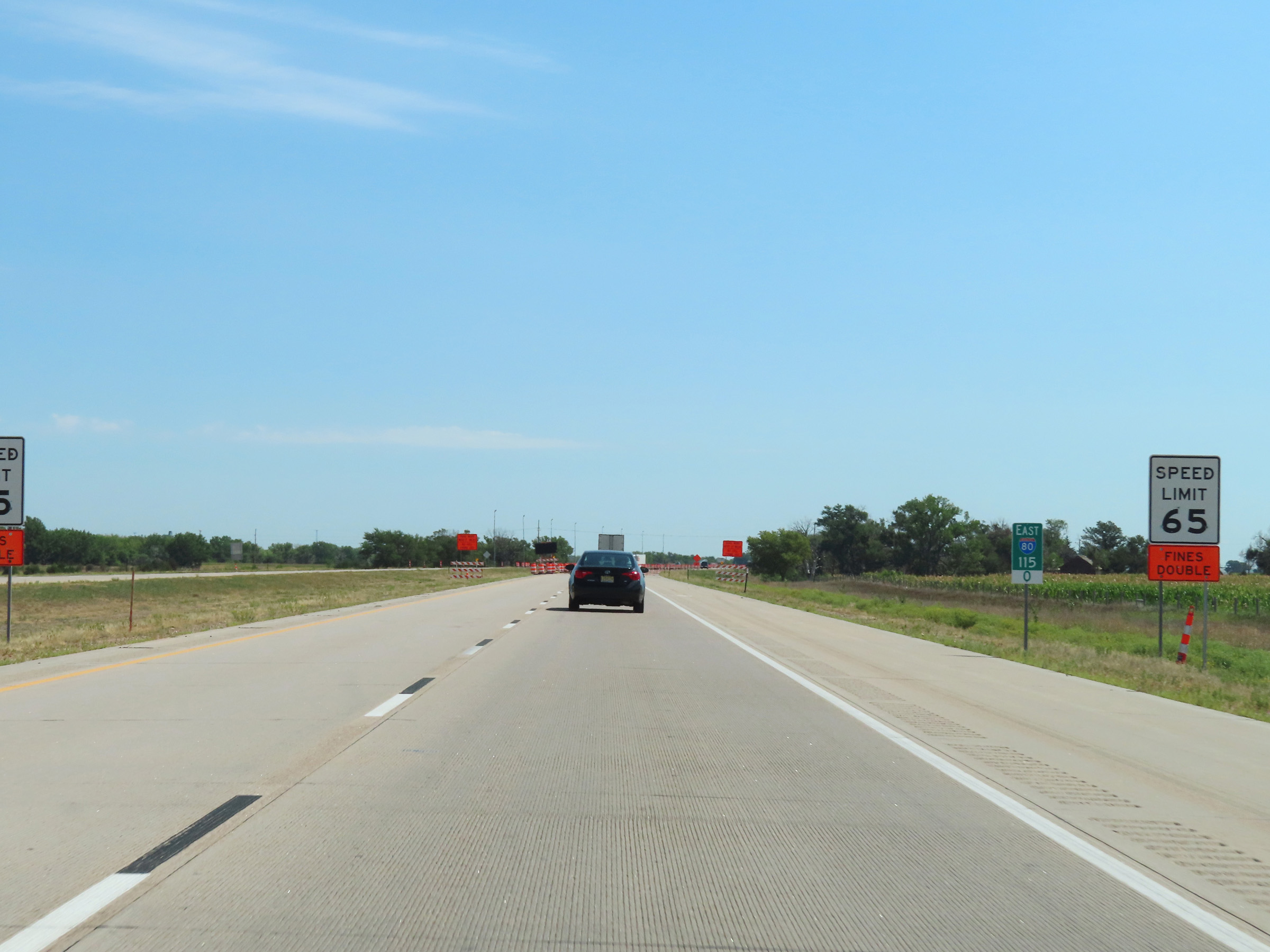 |
View on Interstate 80 East at mile marker 115. (Photo taken 8/18/22). |
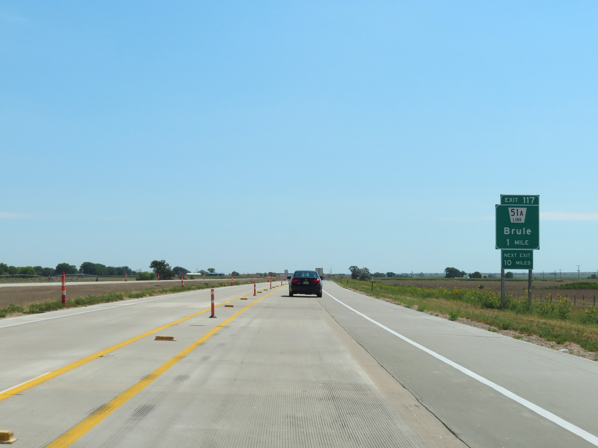 |
Interstate 80 East approaching Exit 117 - 1 mile. (Photo taken 8/18/22). |
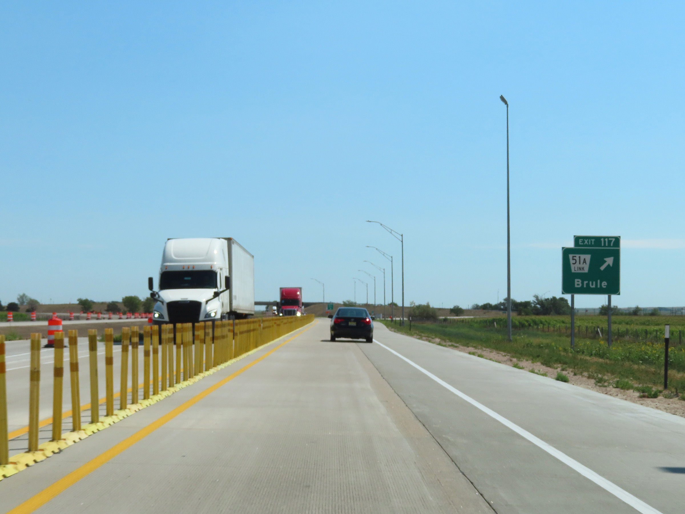 |
Interstate 80 East at Exit 117: Nebraska Link 51A - Brule (Photo taken 8/18/22). |
 |
Mile marker 118 on Interstate 80 East in Keith County. (Photo taken 8/18/22). |
 |
View on Interstate 80 East at mile marker 120. (Photo taken 8/18/22). |
 |
Interstate 80 East at mile marker 122. (Photo taken 8/18/22). |
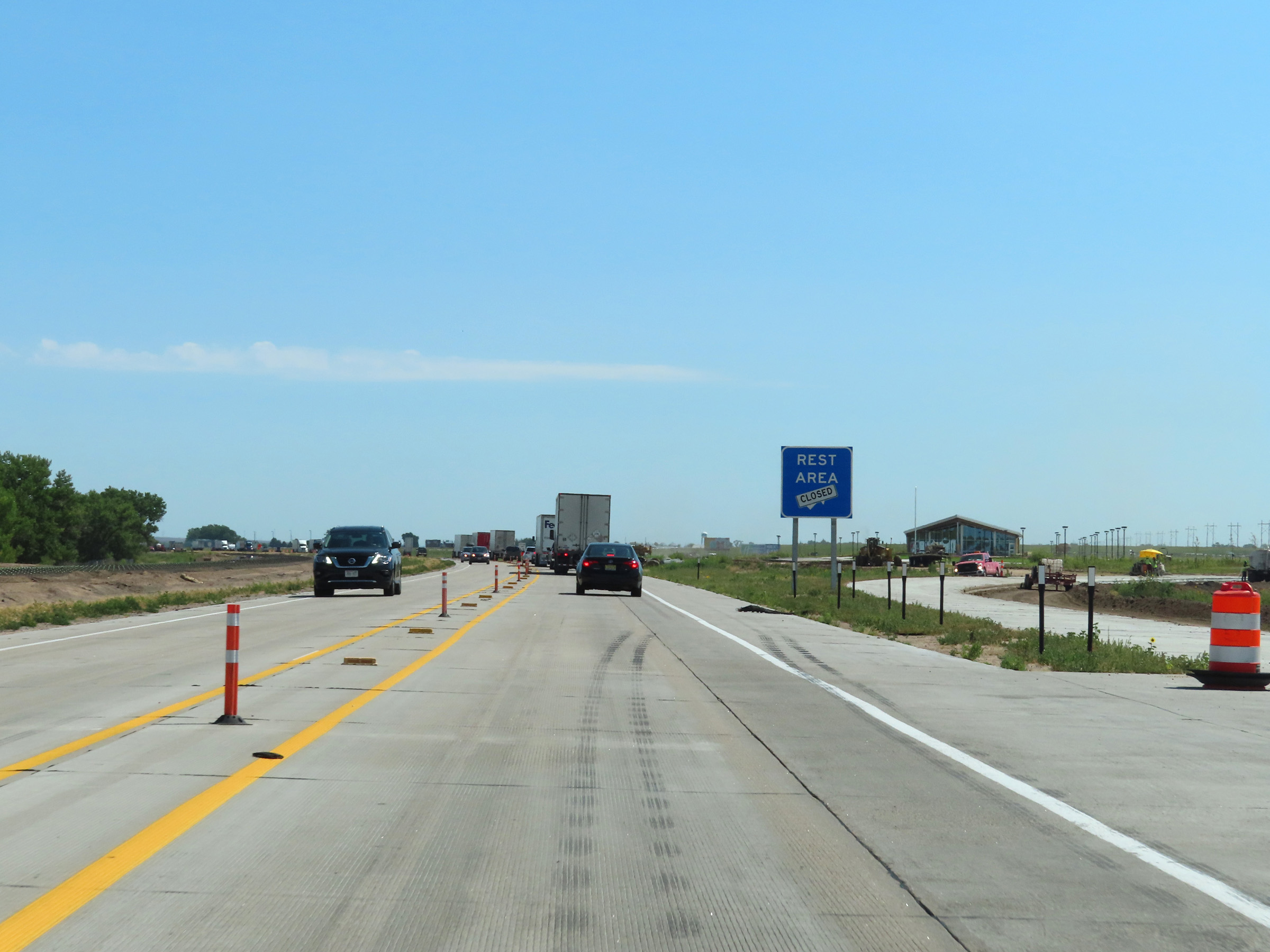 |
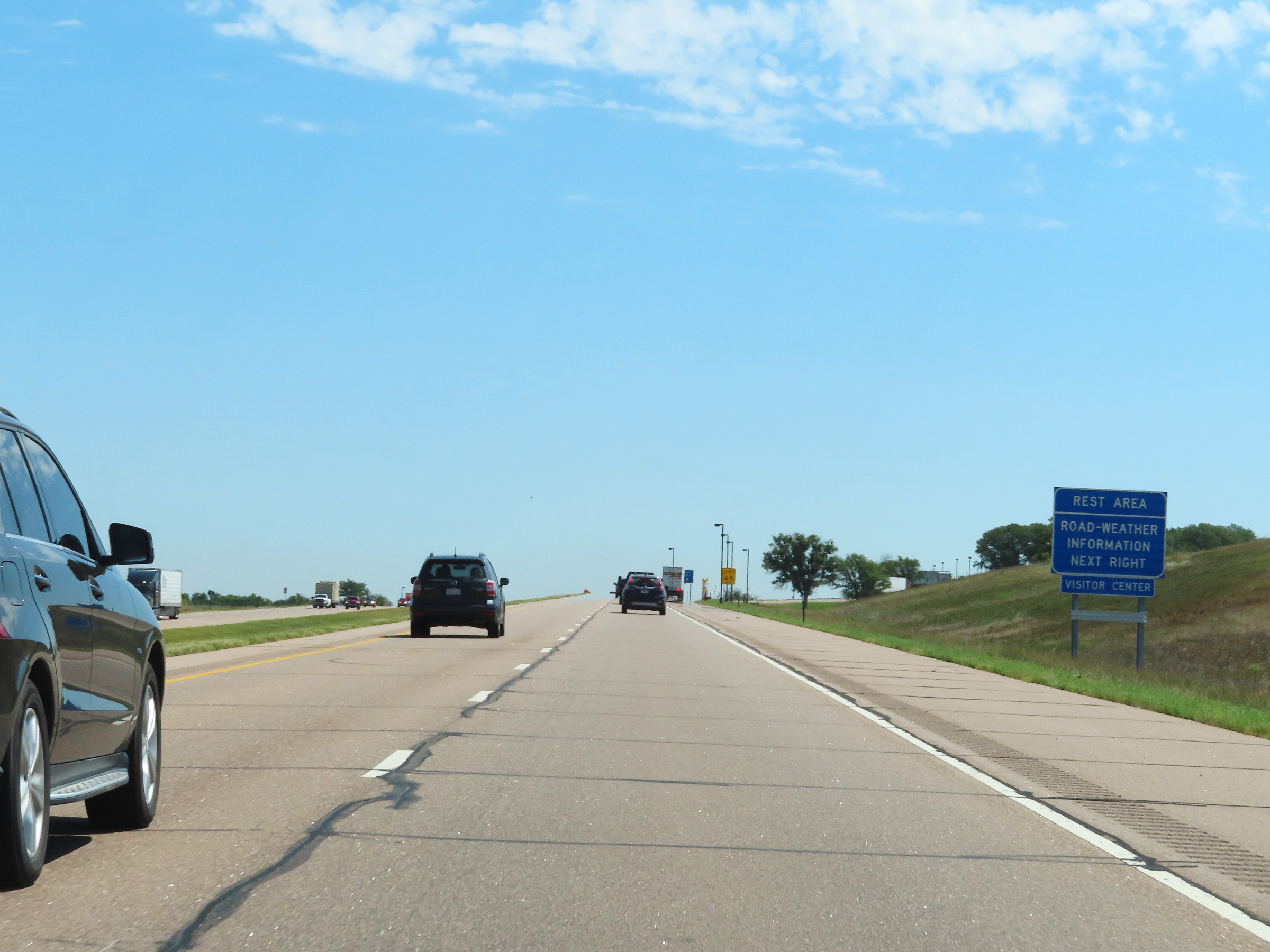
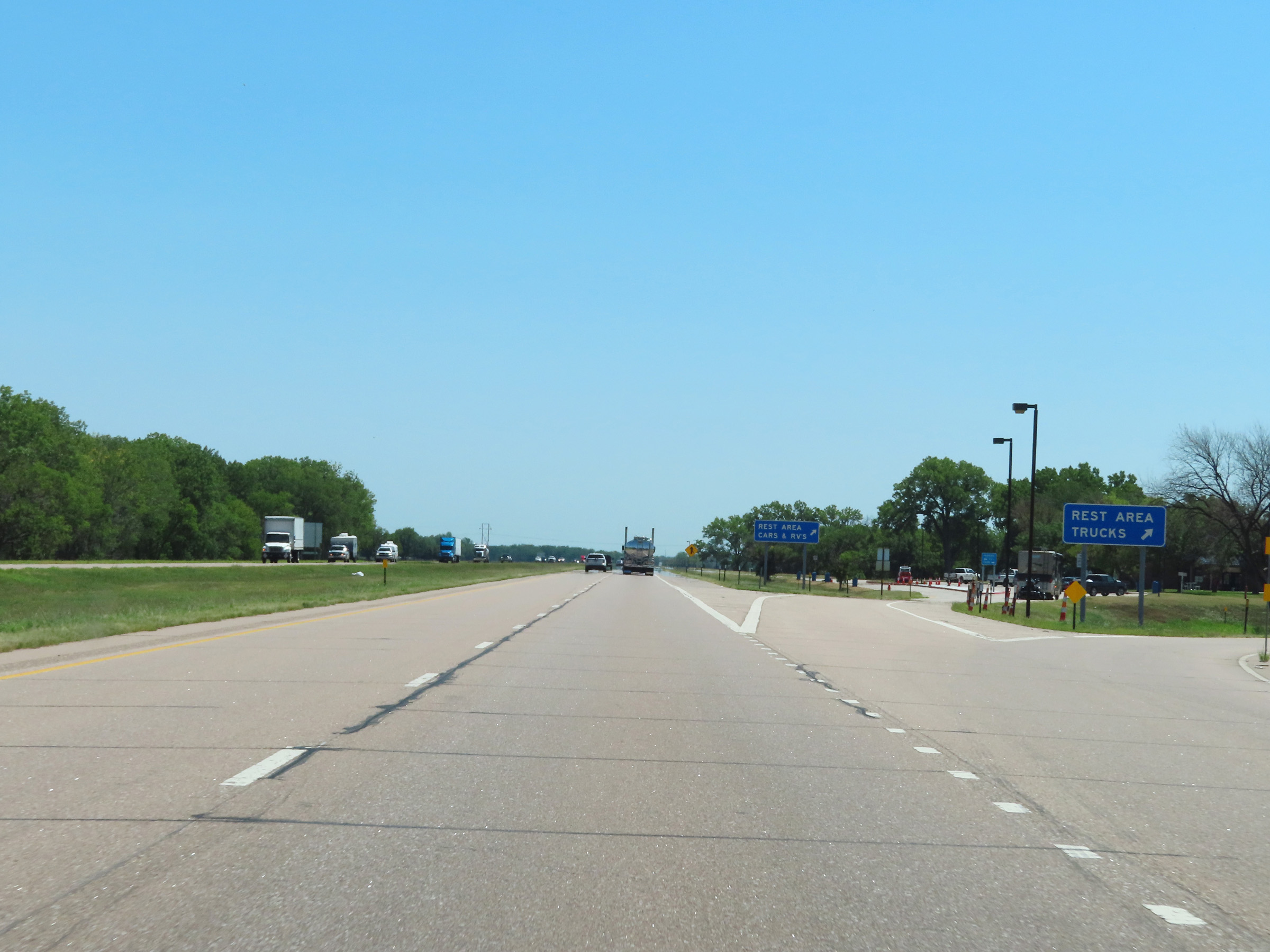
Rest Area on Interstate 80 East in Keith County. (Photo taken 8/18/22). |
 |
View on Interstate 80 East at mile marker 124.5. (Photo taken 8/18/22). |
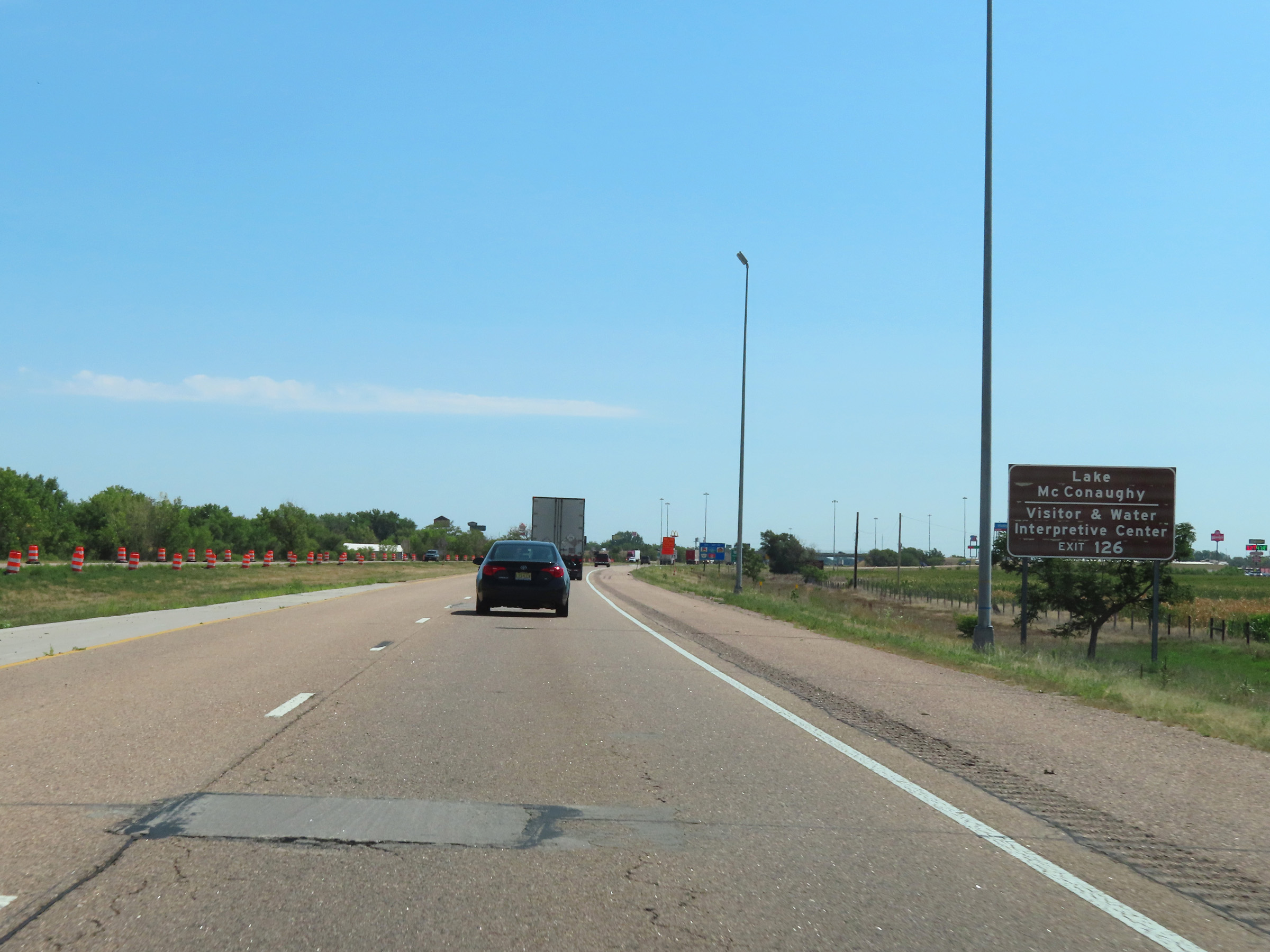 |
Take Exit 126 to Lake McConaughy and the Visitor & Water Interpretive Center. (Photo taken 8/18/22). |
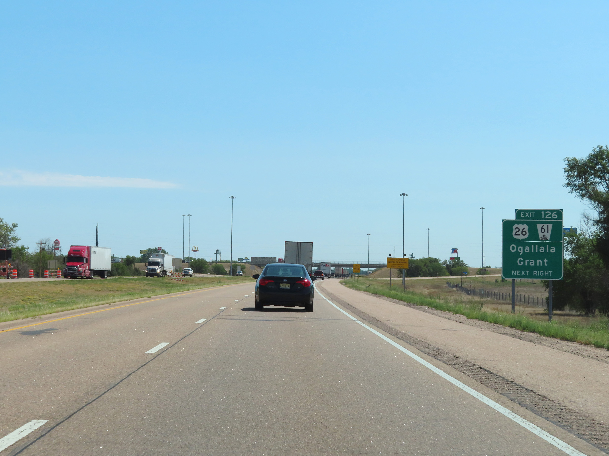 |
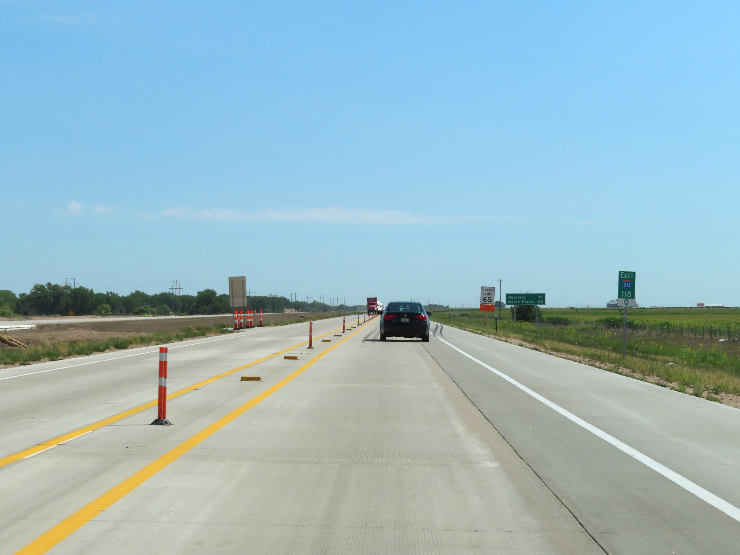
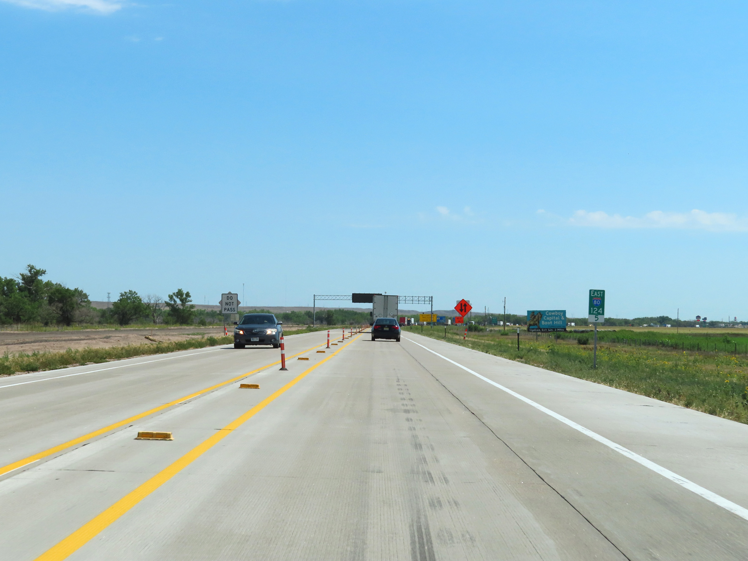
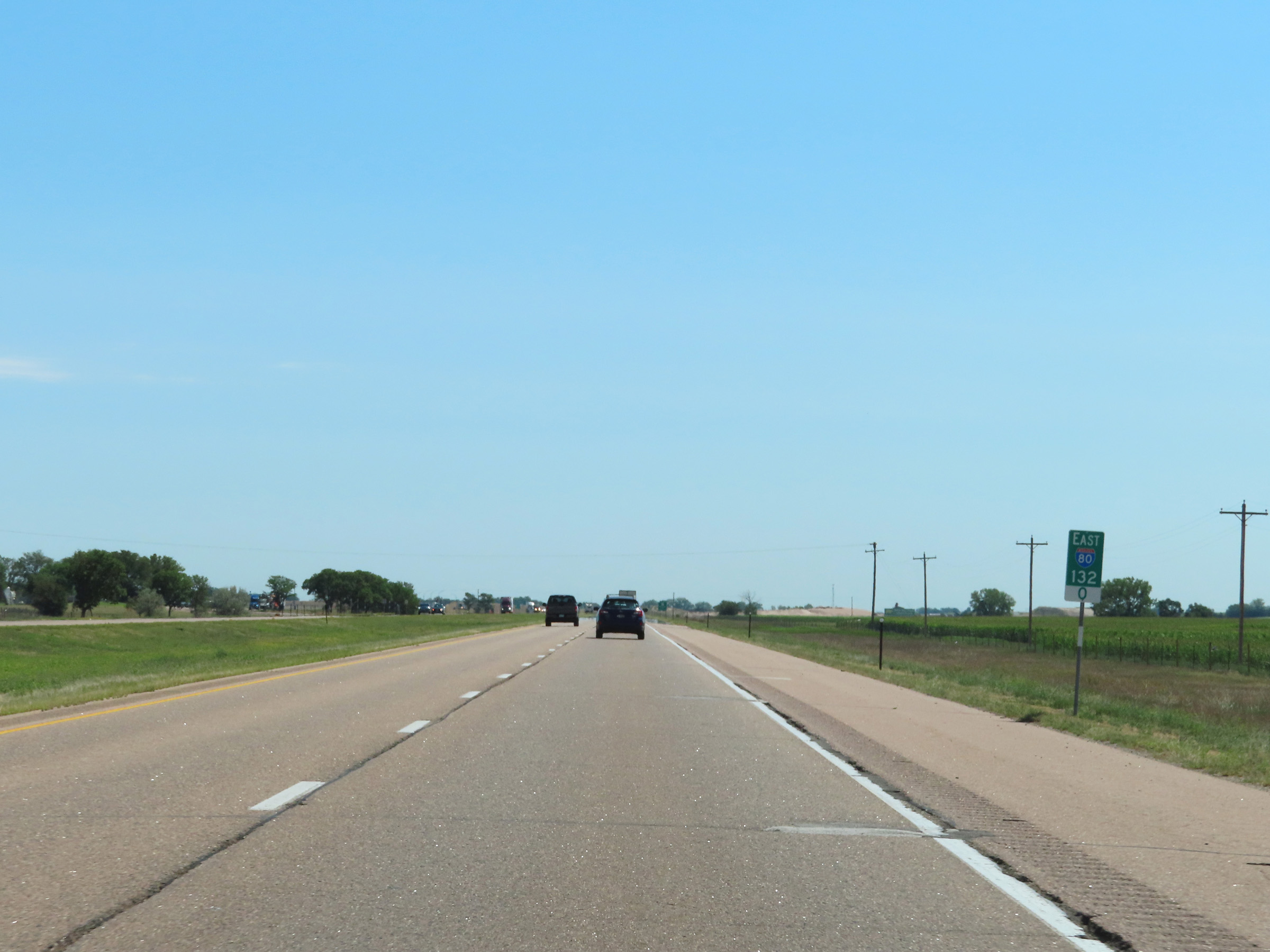
Interstate 80 East at Exit 126: US 26 / NE 61 - Ogallala / Grant (Photo taken 8/18/22). |
Section 3: Ogallala (Exit 126) to North Platte (Exit 179)
 |
Interstate 80 East reassurance shield. (Photo taken 8/18/22). |
 |
The speed limits remain 75 mph maximum and 40 mph minimum. (Photo taken 8/18/22). |
 |
Mileage sign on Interstate 80 East in Keith County. It's 7 miles to the next exit (Exit 133) and 50 miles to North Platte. (Photo taken 8/18/22). |
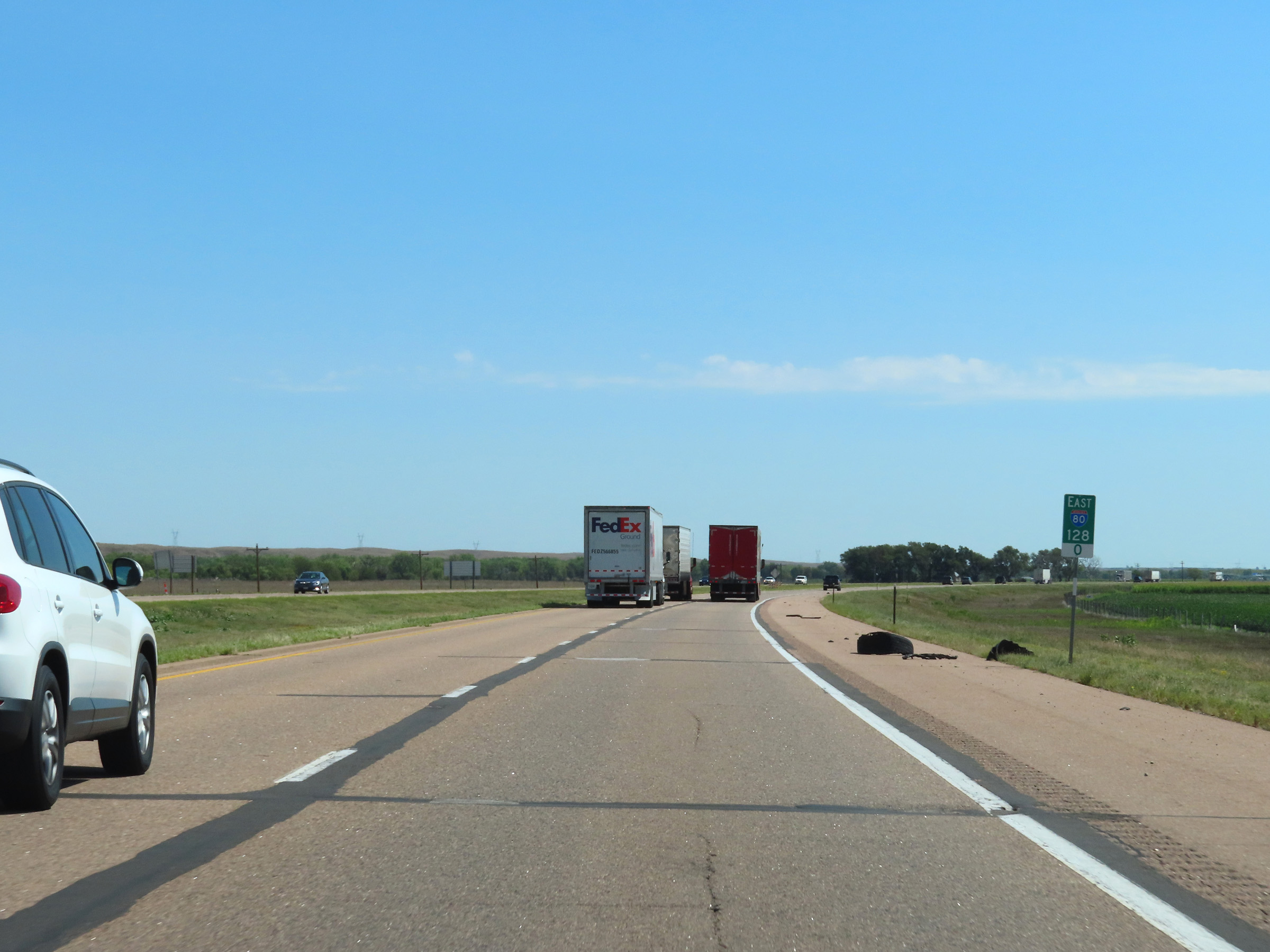 |
Interstate 80 East at mile marker 128. (Photo taken 8/18/22). |
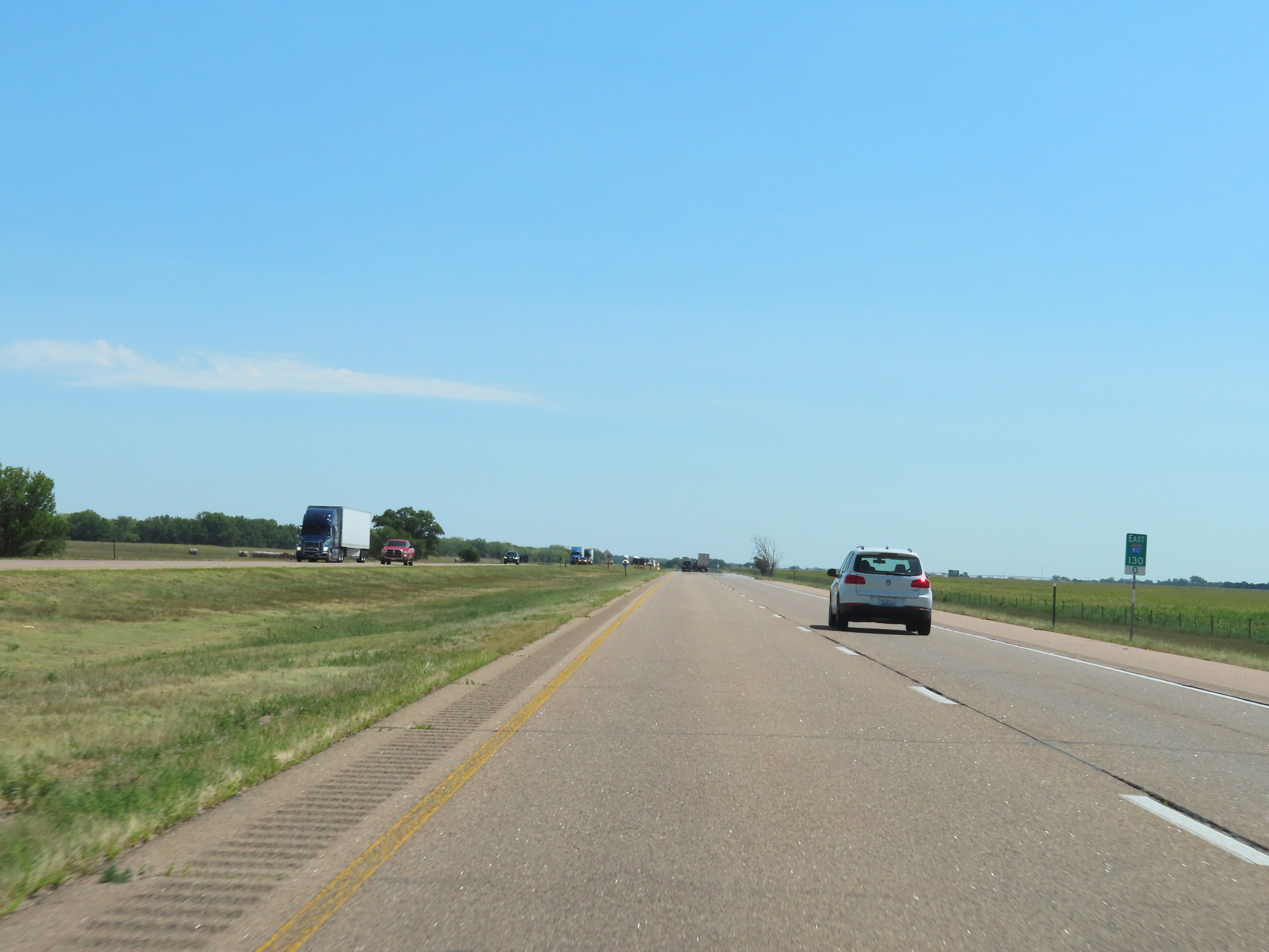 |
View on Interstate 80 East at mile marker 130. (Photo taken 8/18/22). |
 |
Mile marker 132 on Interstate 80 East in Keith County. (Photo taken 8/18/22). |
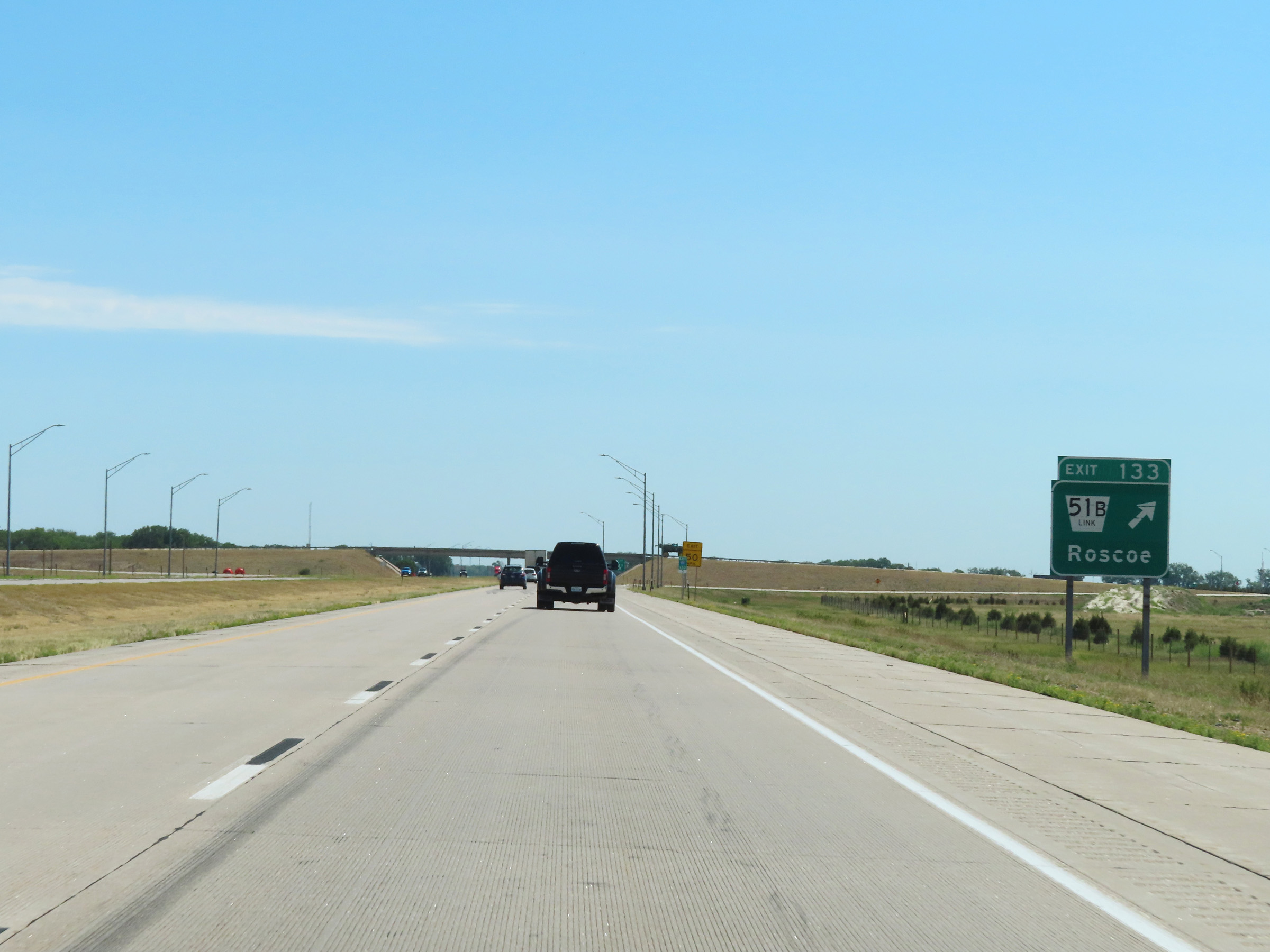 |
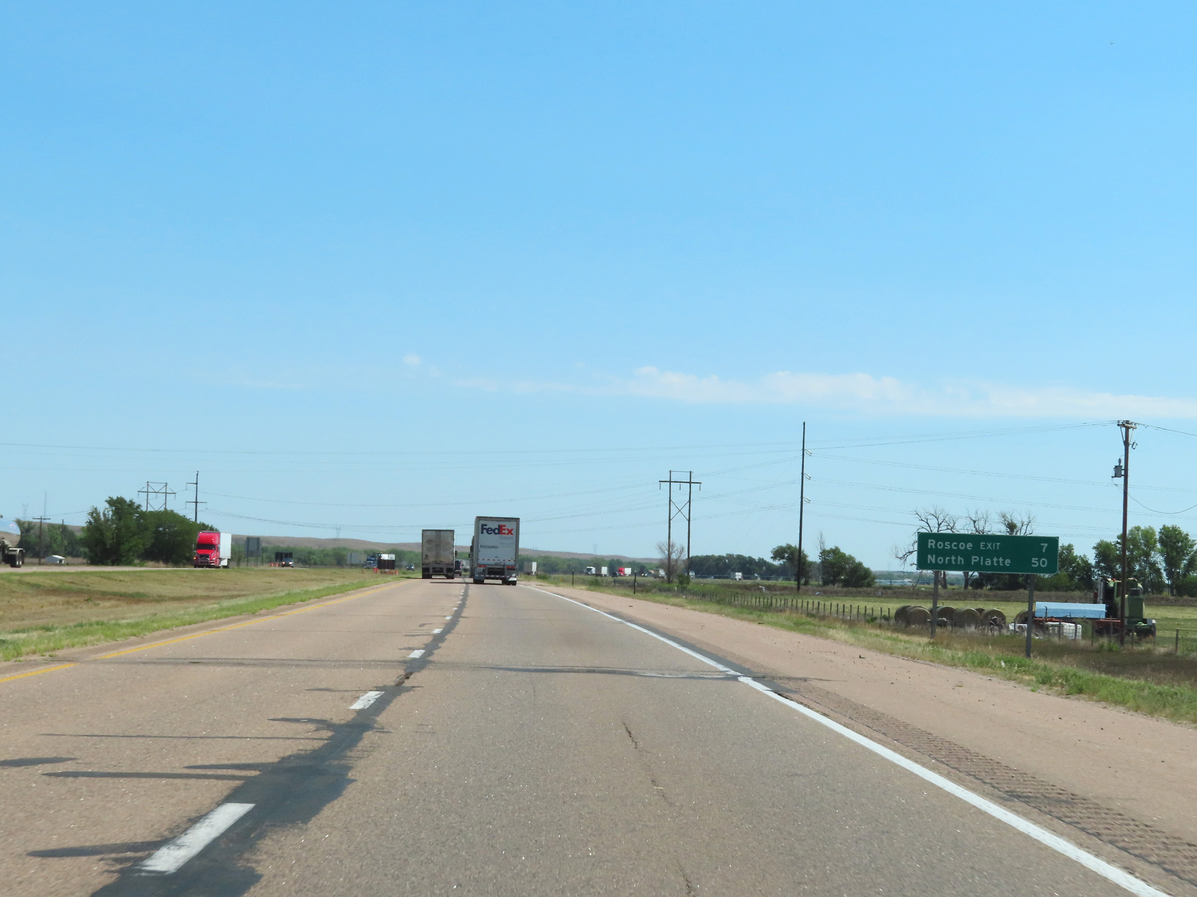
Interstate 80 East at Exit 133: Nebraska Link 51B - Roscoe (Photo taken 8/18/22). |
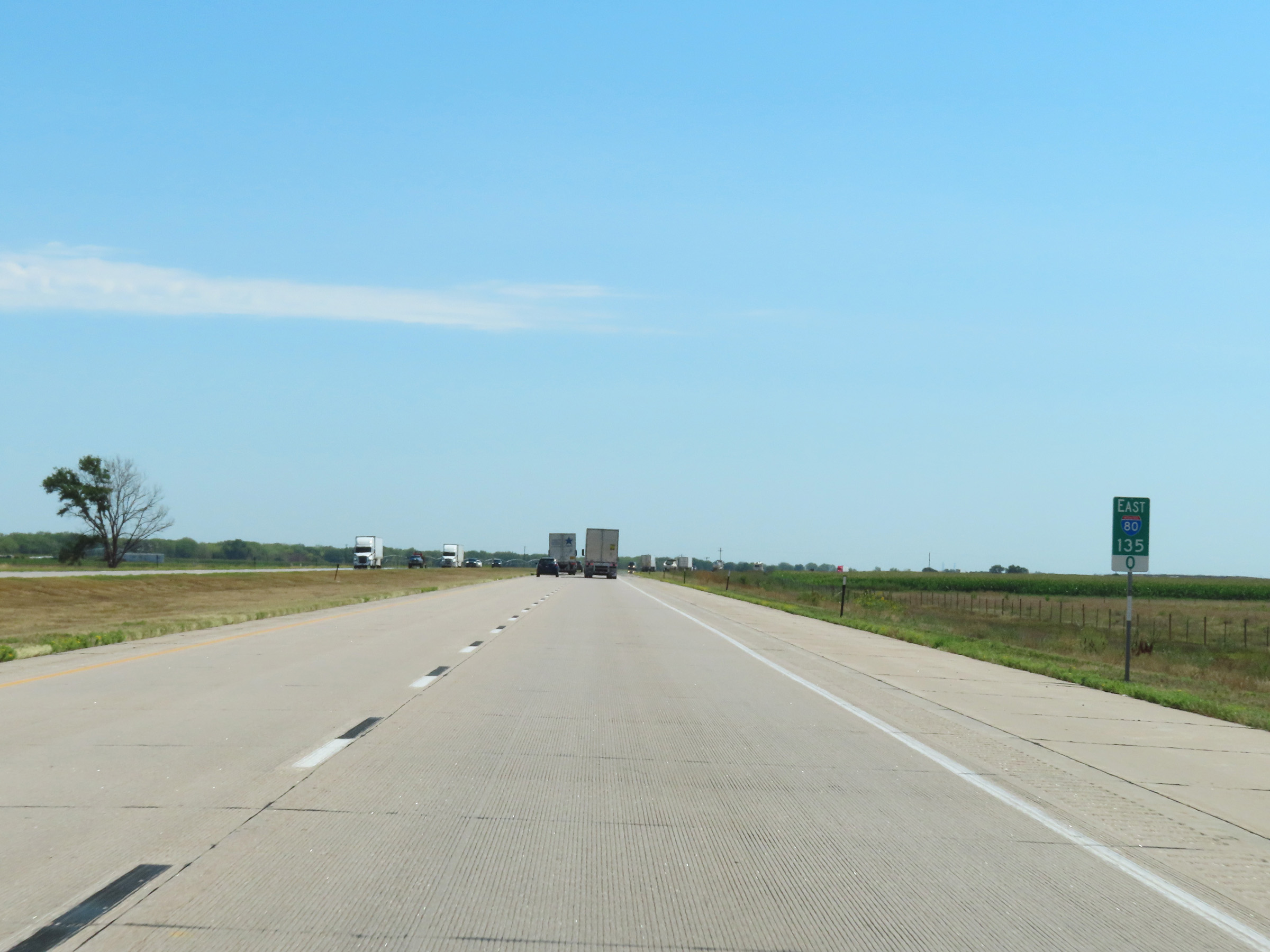 |
View on Interstate 80 East at mile marker 135. (Photo taken 8/18/22). |
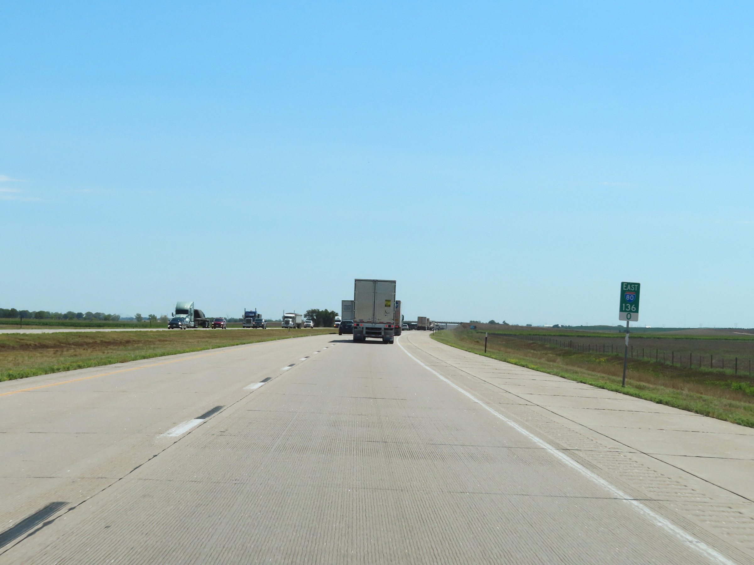 |
Interstate 80 East at mile marker 136. (Photo taken 8/18/22). |
 |
Mile marker 138 on Interstate 80 East in Keith County. (Photo taken 8/18/22). |
 |
Interstate 80 East at mile marker 139. (Photo taken 8/18/22). |
 |
Interstate 80 East at mile marker 140.5. (Photo taken 8/18/22). |
 |
Mile marker 142 on Interstate 80 East in Keith County. (Photo taken 8/18/22). |
 |
View on Interstate 80 East at mile marker 144. (Photo taken 8/18/22). |
 |
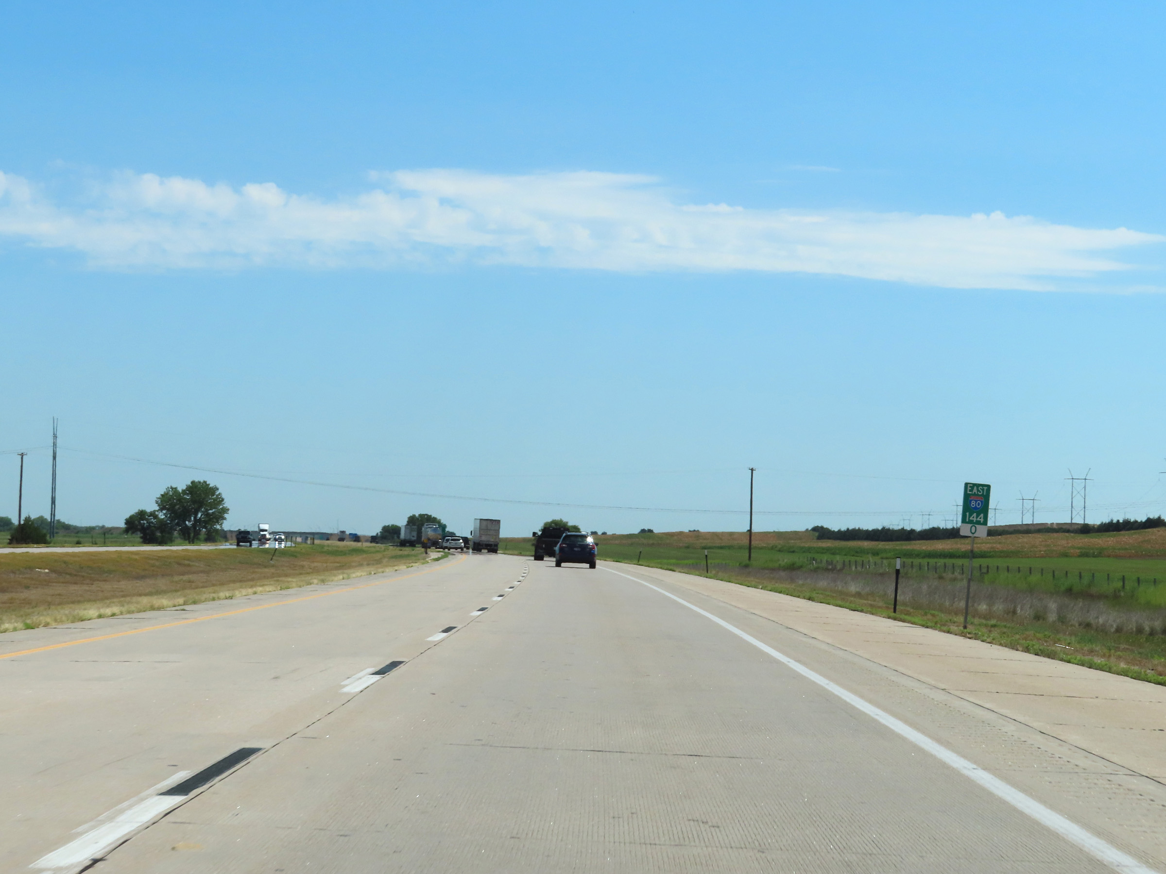
Interstate 80 East approaching Exit 145 - 1 mile. (Photo taken 8/18/22). |
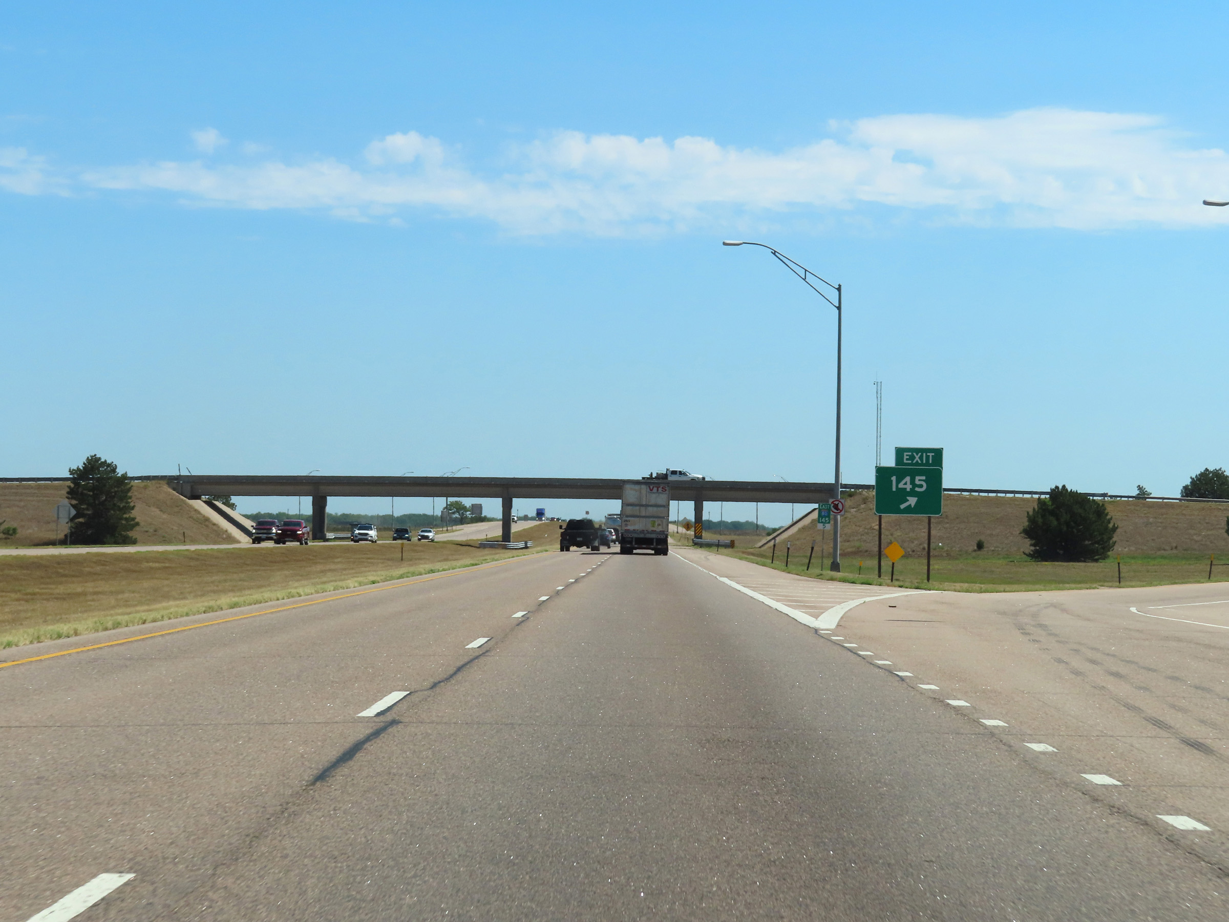 |
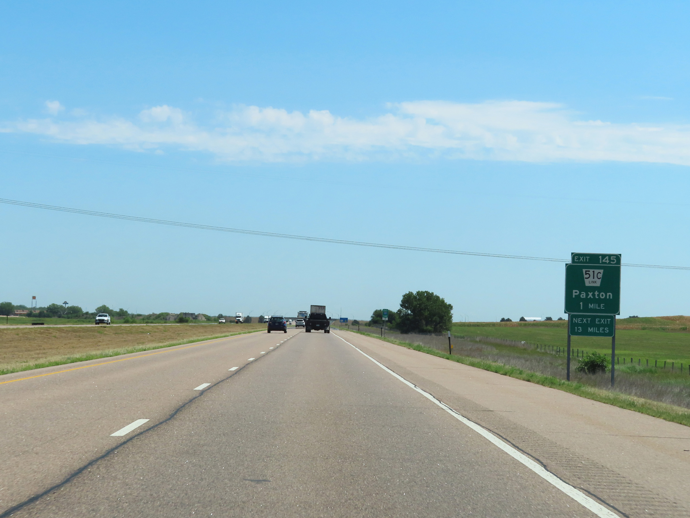
Interstate 80 East at Exit 145: Nebraska Link 51C - Paxton (Photo taken 8/18/22). |
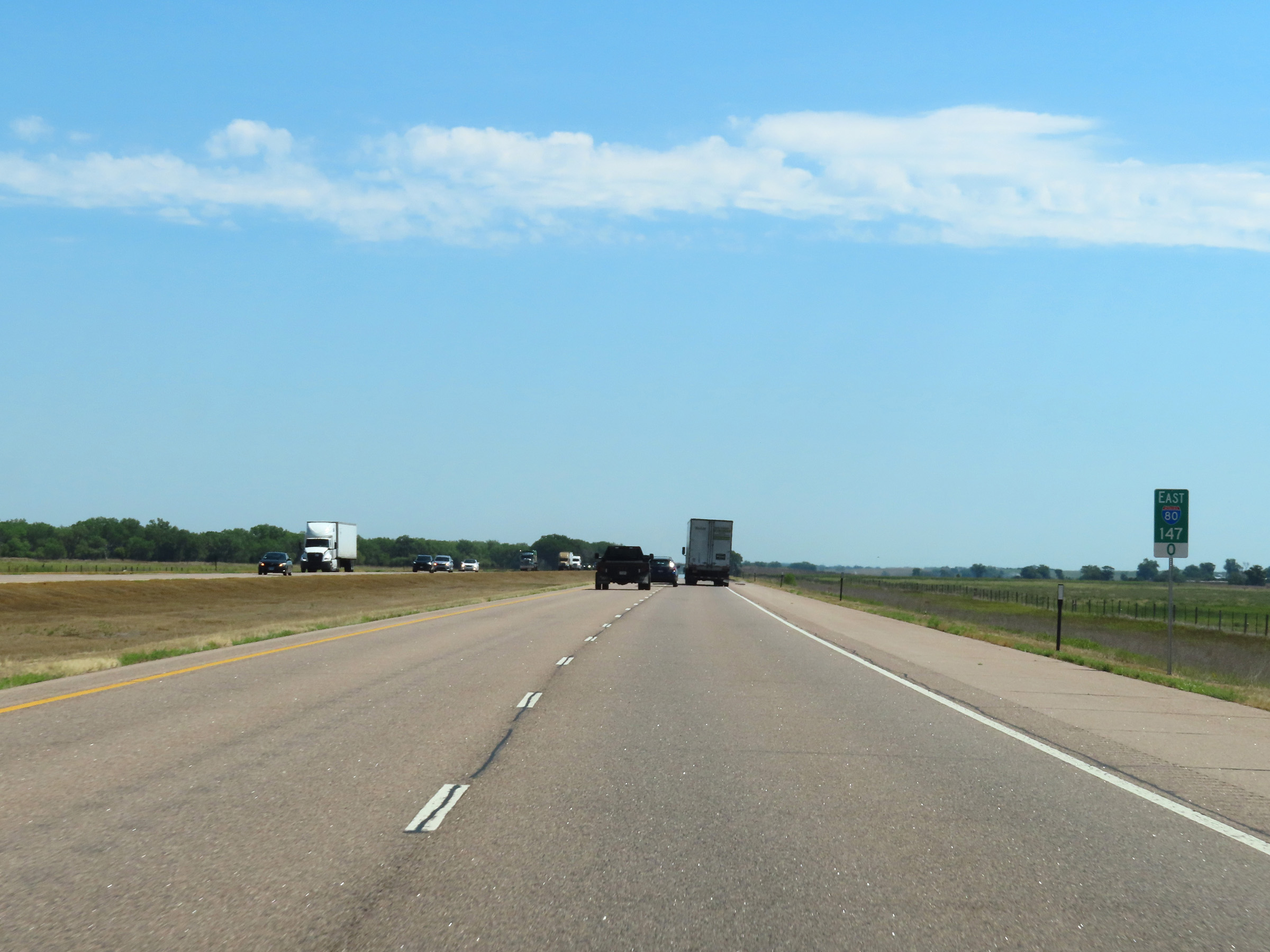 |
Mile marker 147 on Interstate 80 East in Keith County. (Photo taken 8/18/22). |
 |
View on Interstate 80 East at mile marker 148.5. (Photo taken 8/18/22). |
 |
Interstate 80 East at mile marker 150. (Photo taken 8/18/22). |
 |
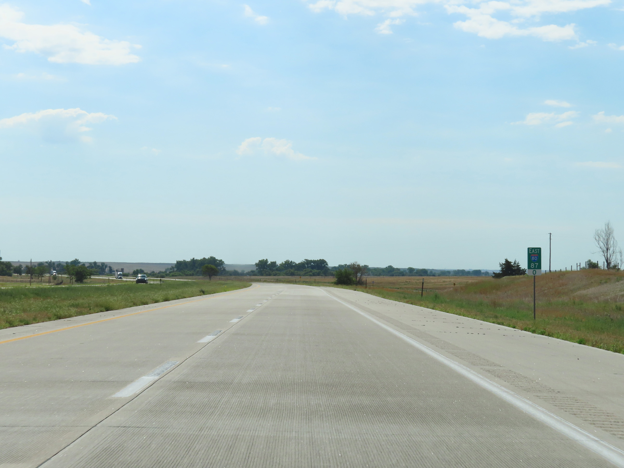
Interstate 80 East as it enters Lincoln County, and the Central Time Zone. (Photo taken 8/18/22). |
 |
View on Interstate 80 East at mile marker 152. (Photo taken 8/18/22). |
 |
Interstate 80 East at mile marker 154. (Photo taken 8/18/22). |
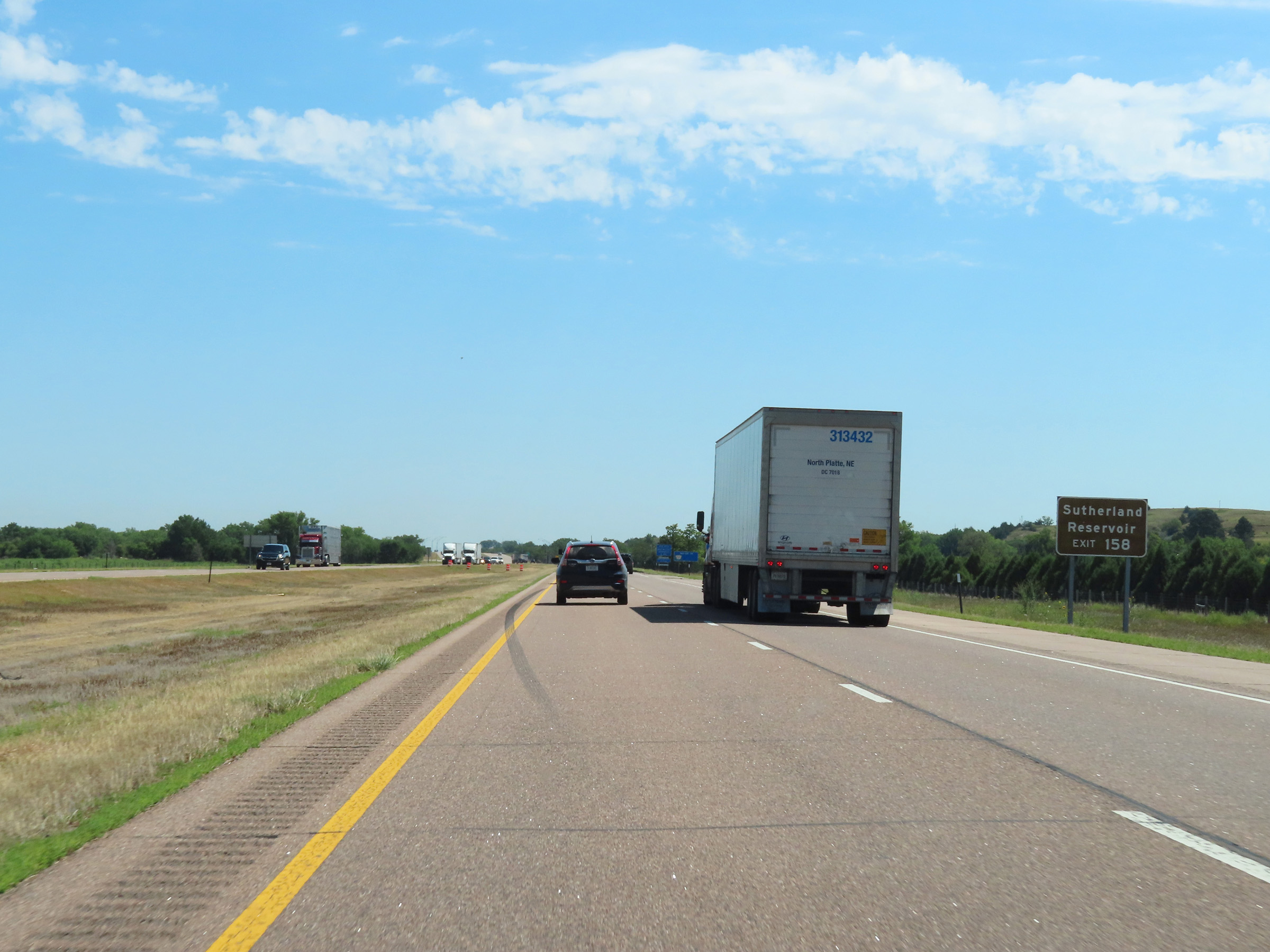 |
Take Exit 158 to Sutherland Reservoir. (Photo taken 8/18/22). |
 |
Interstate 80 East at Exit 158: NE 25 - Sutherland / Wallace (Photo taken 8/18/22). |
 |
Mileage sign on Interstate 80 East at mile marker 159. It's 6 miles to the next exit (Exit 164) and 21 miles to North Platte. (Photo taken 8/18/22). |
 |
Rest Area on Interstate 80 East in Lincoln County. (Photo taken 8/18/22). |
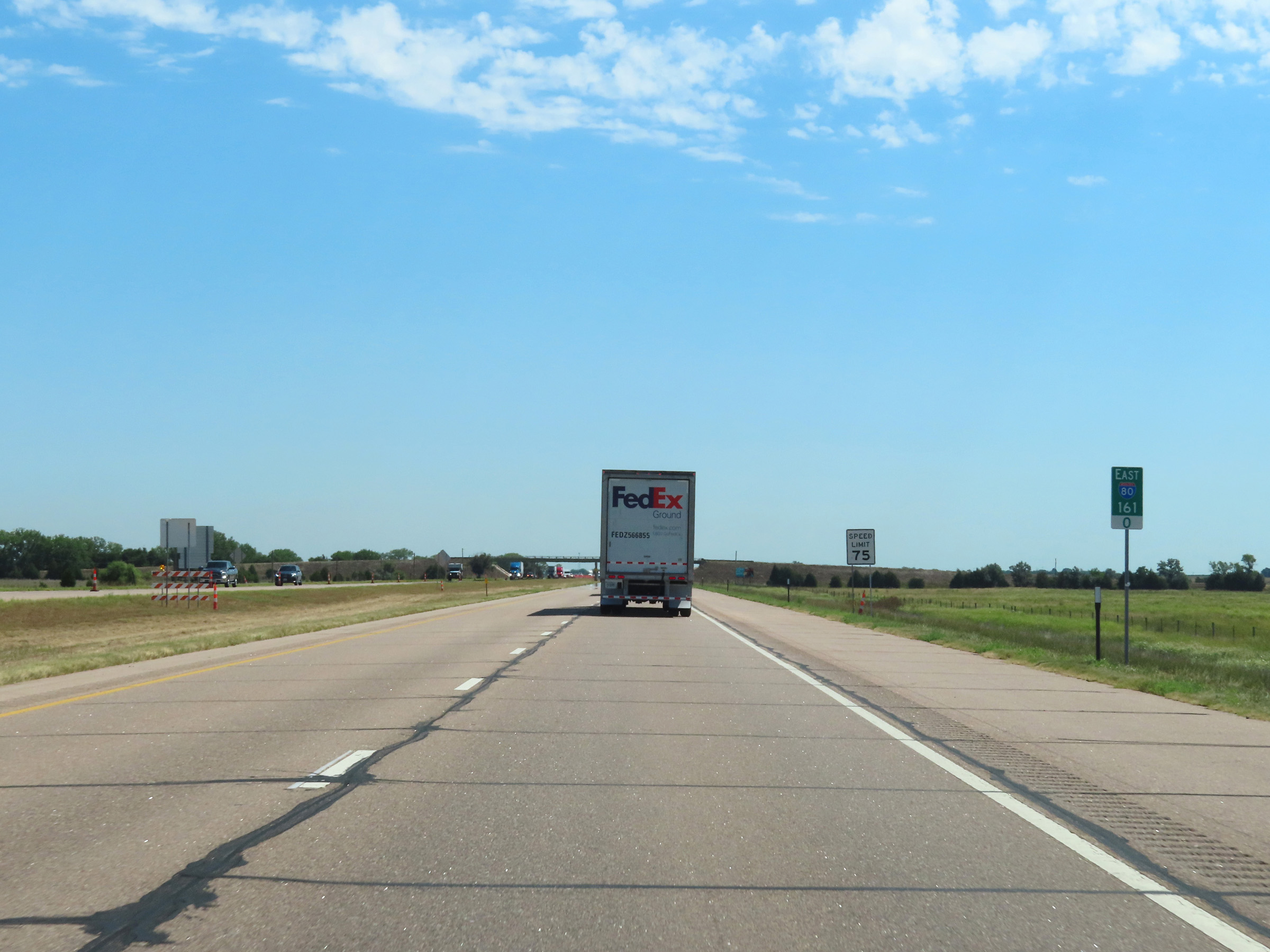 |
Interstate 80 East at mile marker 161. (Photo taken 8/18/22). |
 |
View on Interstate 80 East at mile marker 162.5. (Photo taken 8/18/22). |
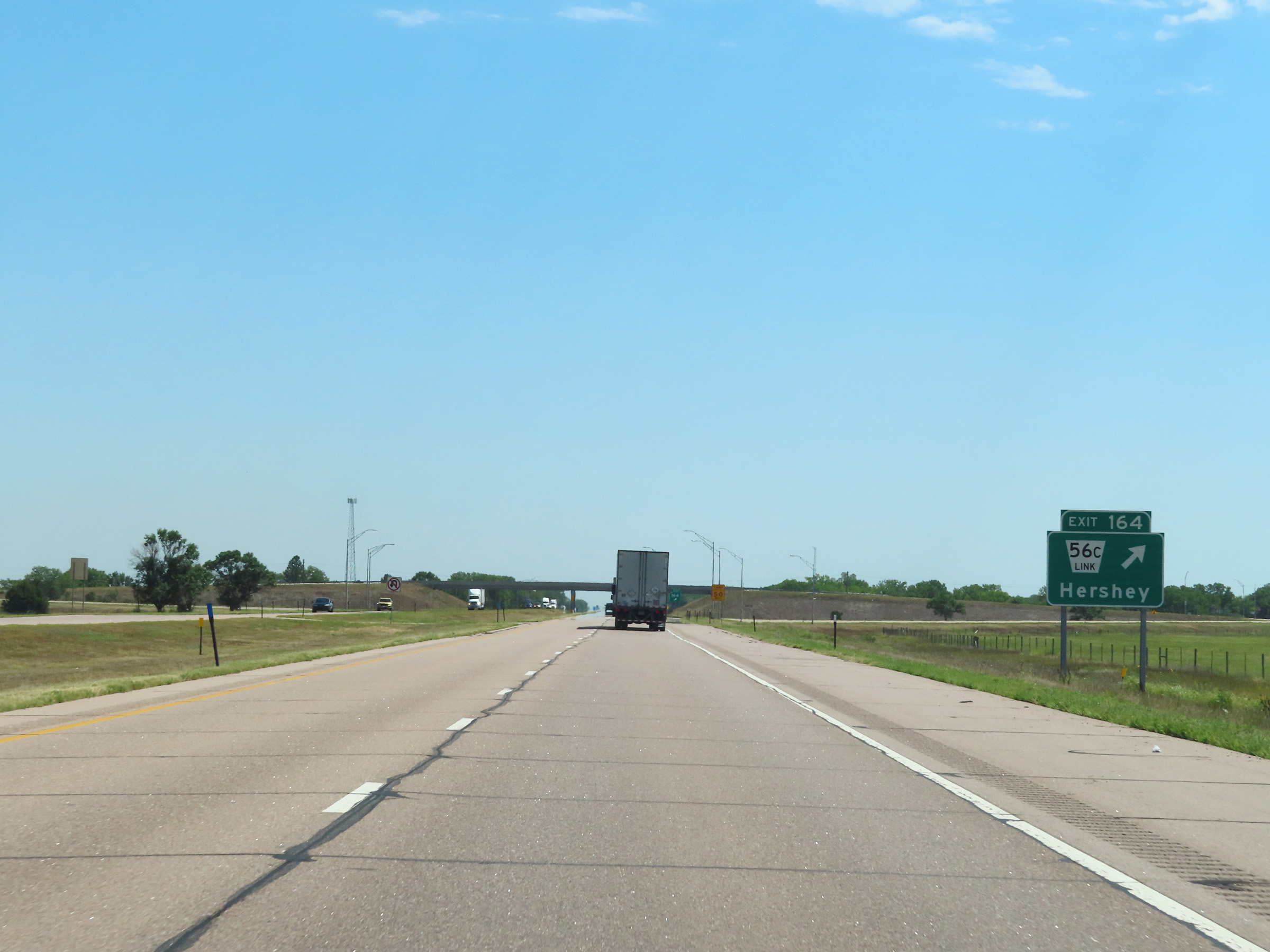 |
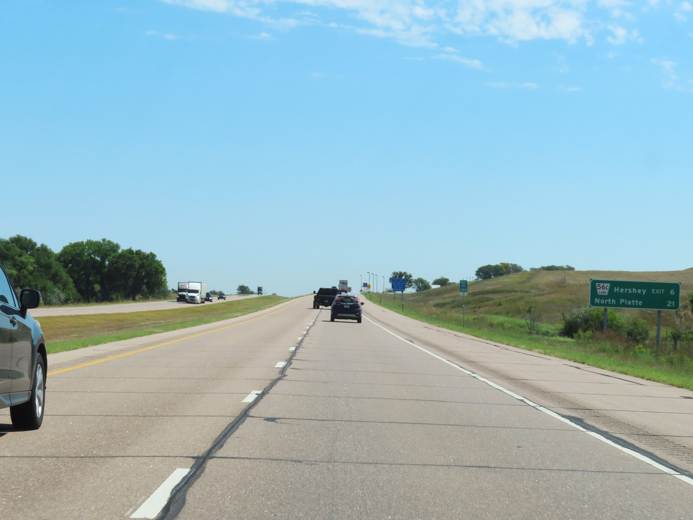
Interstate 80 East at Exit 164: Nebraska Link 56C - Hershey (Photo taken 8/18/22). |
 |
Another Interstate 80 East reassurance shield in Lincoln County. (Photo taken 8/18/22). |
 |
View on Interstate 80 East at mile marker 166.5. (Photo taken 8/18/22). |
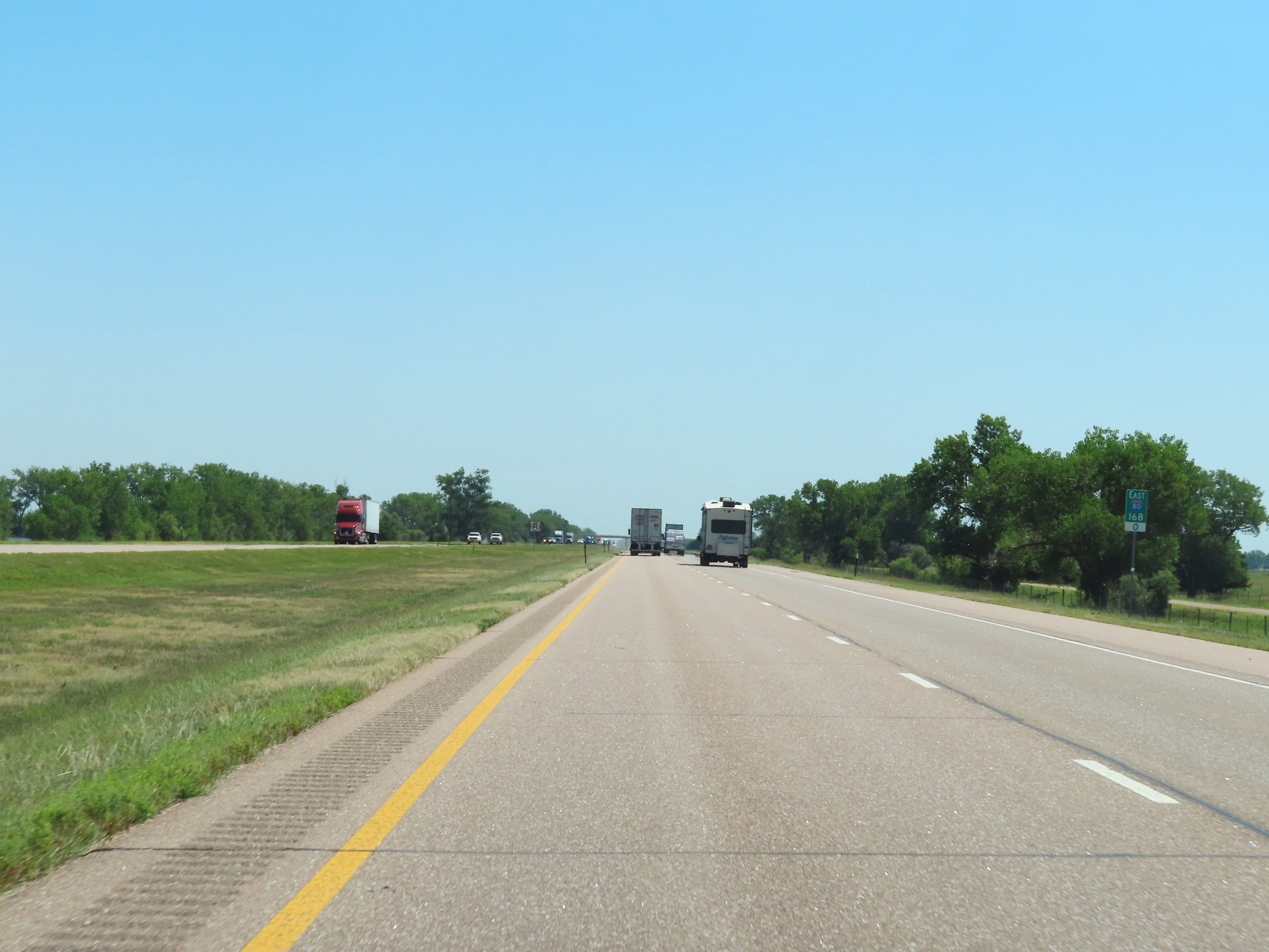 |
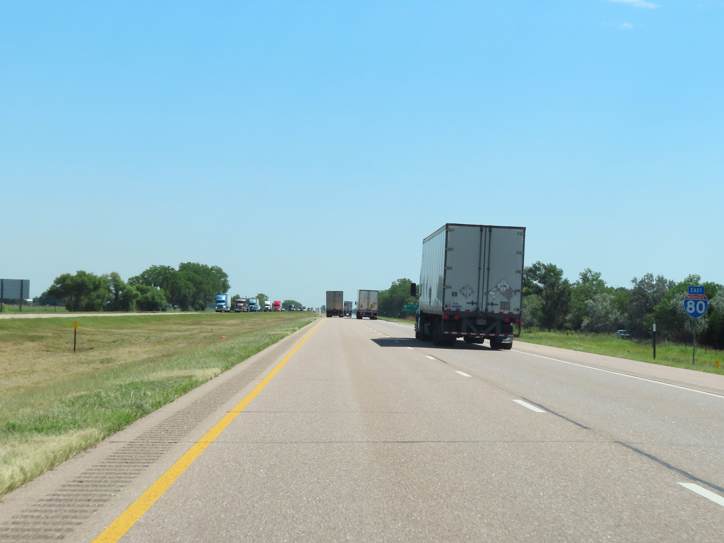
Interstate 80 East at mile marker 168. (Photo taken 8/18/22). |
 |
Mile marker 169 on Interstate 80 East in Lincoln County. (Photo taken 8/18/22). |
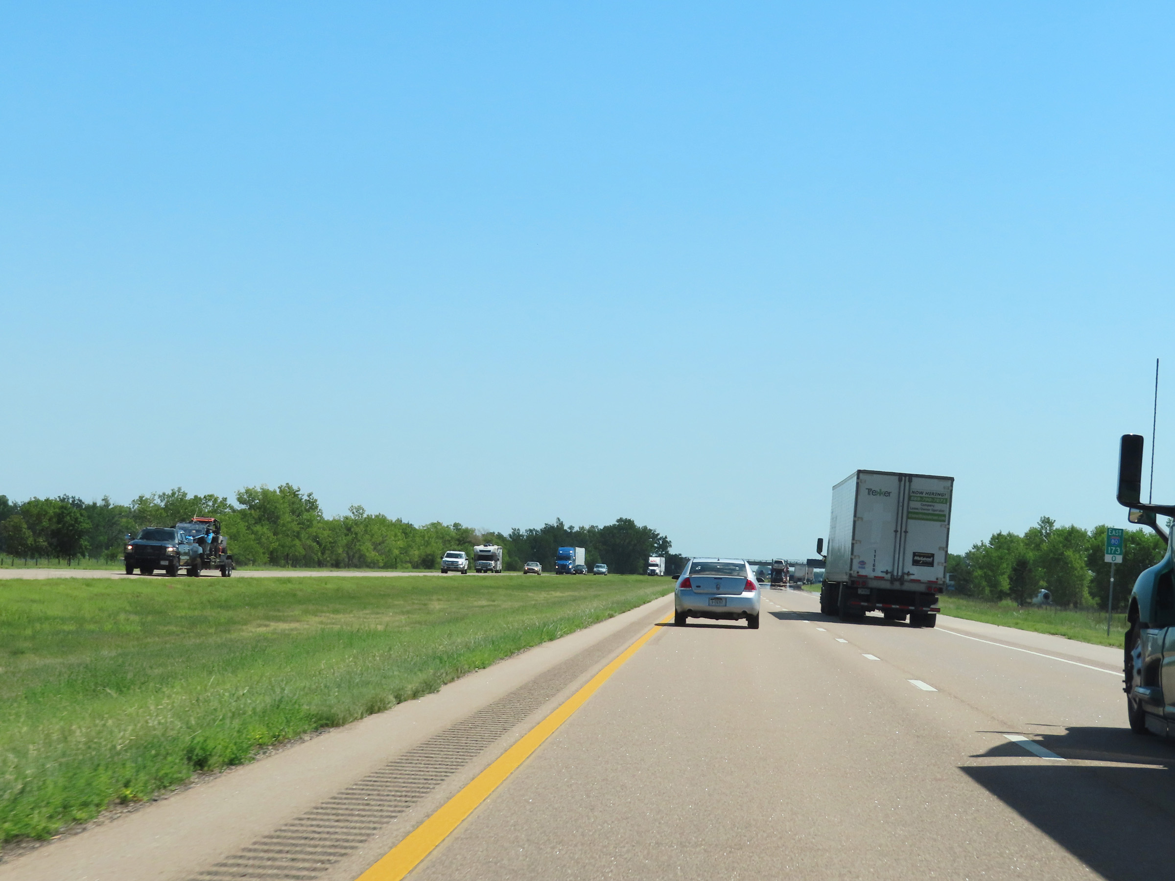 |
Interstate 80 East at mile marker 173. (Photo taken 8/18/22). |
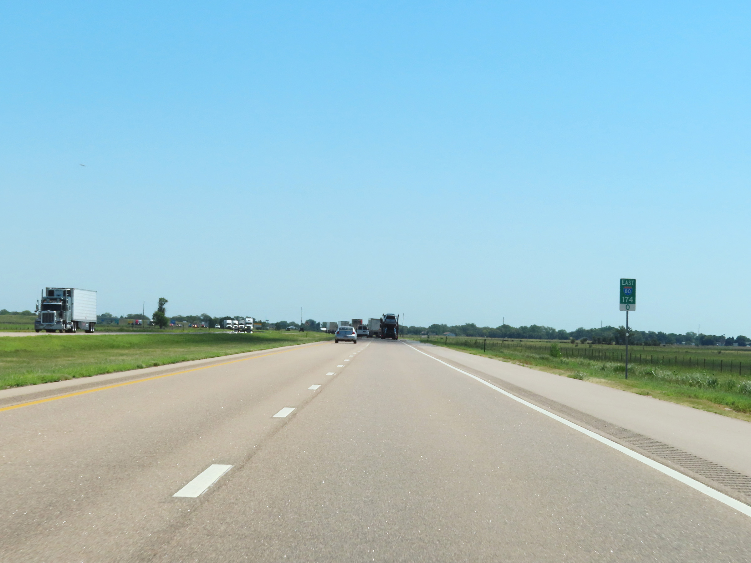 |
View on Interstate 80 East at mile marker 174. (Photo taken 8/18/22). |
 |
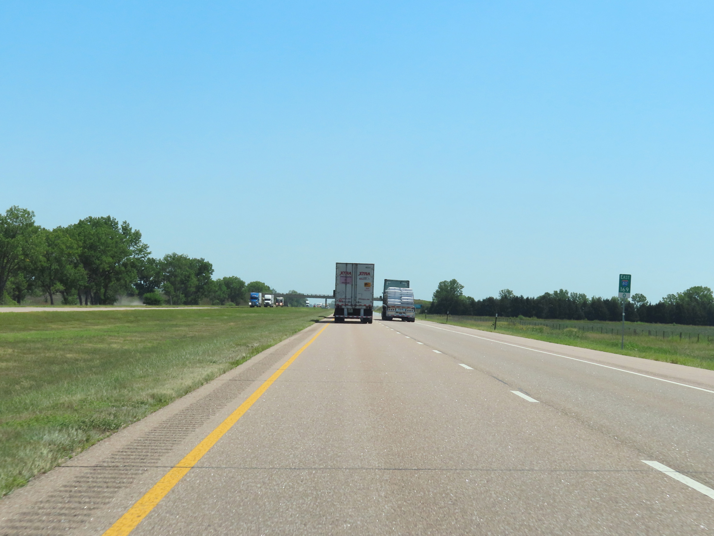
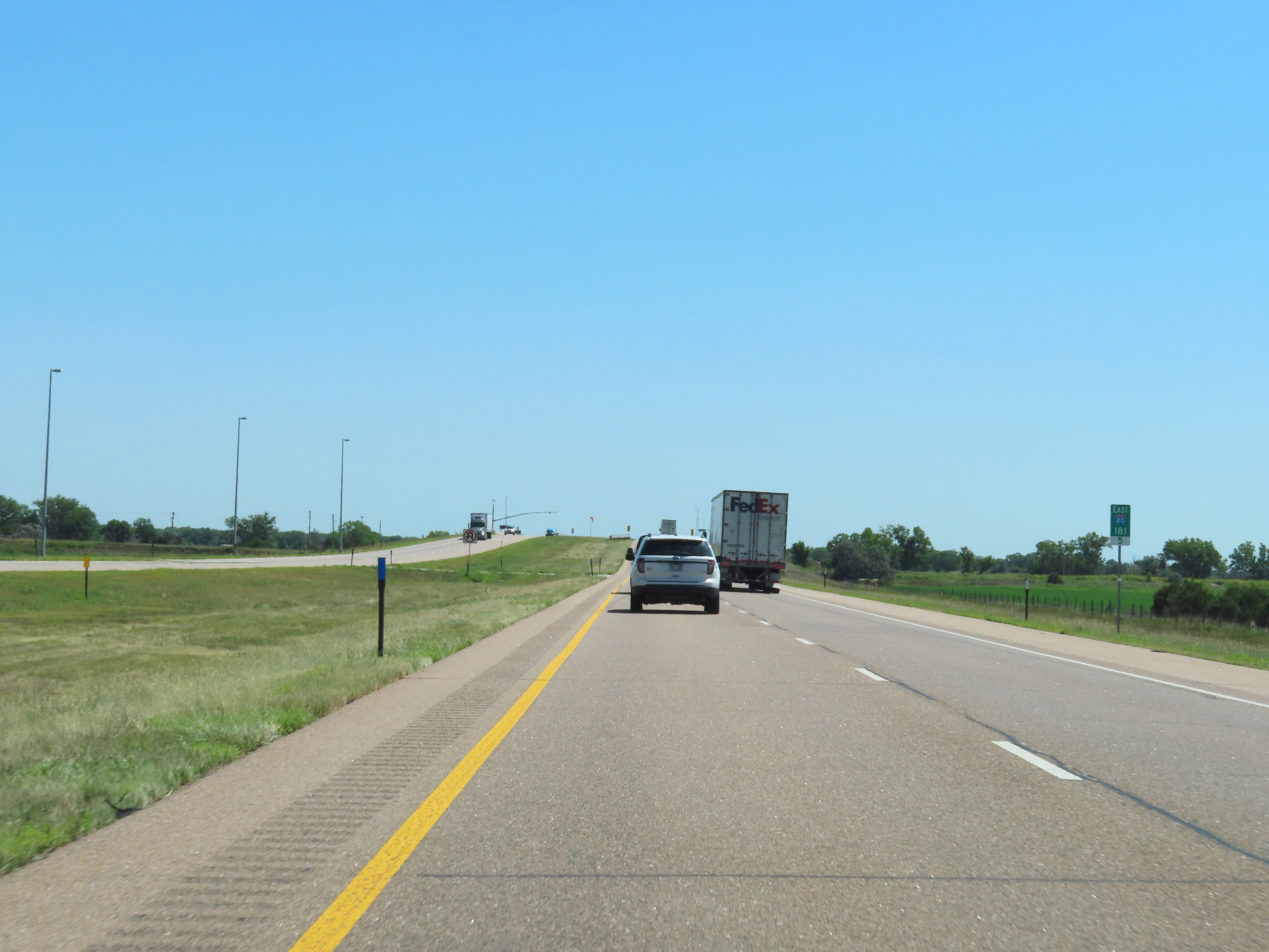
Mileage sign listing the distances to the two upcoming exits to North Platte on Interstate 80 East. (Photo taken 8/18/22). |
 |
Interstate 80 East approaching Exit 177 - 1 mile. (Photo taken 8/18/22). |
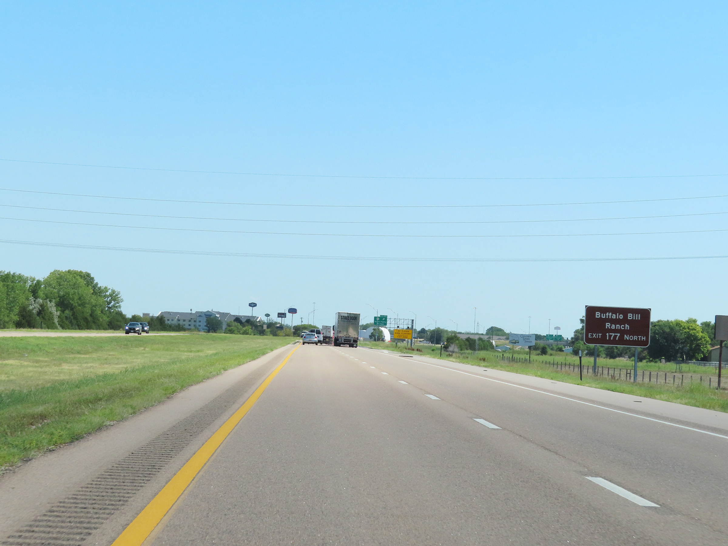 |
Take Exit 177 and follow US 83 North to Buffalo Bill Ranch. (Photo taken 8/18/22). |
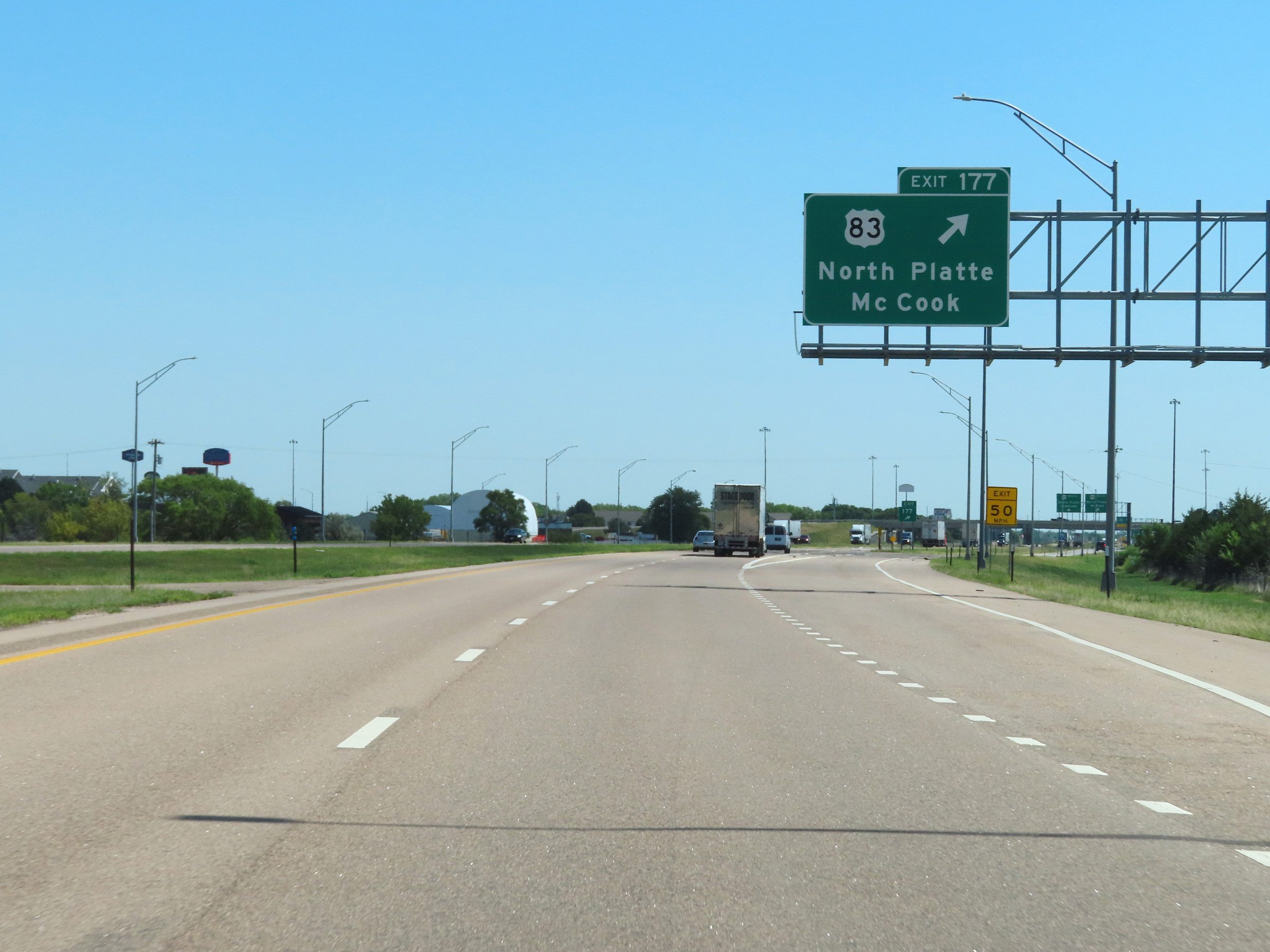 |
Interstate 80 East at Exit 177: US 83 - North Platte / McCook (Photo taken 8/18/22). |
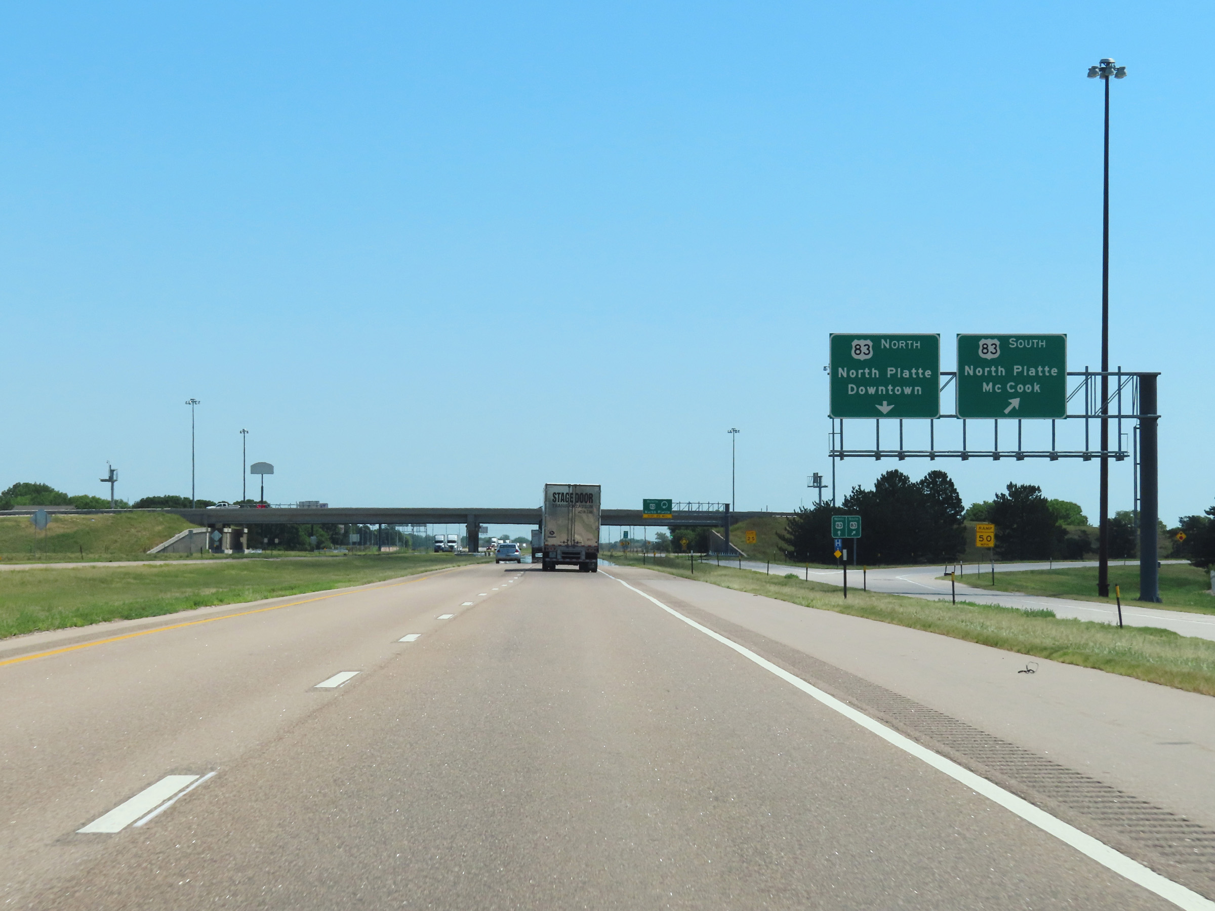 |
A closer view of the ramp to US 83 South. (Photo taken 8/18/22). |
 |
Here is a view of the loop ramp to US 83 North. (Photo taken 8/18/22). |
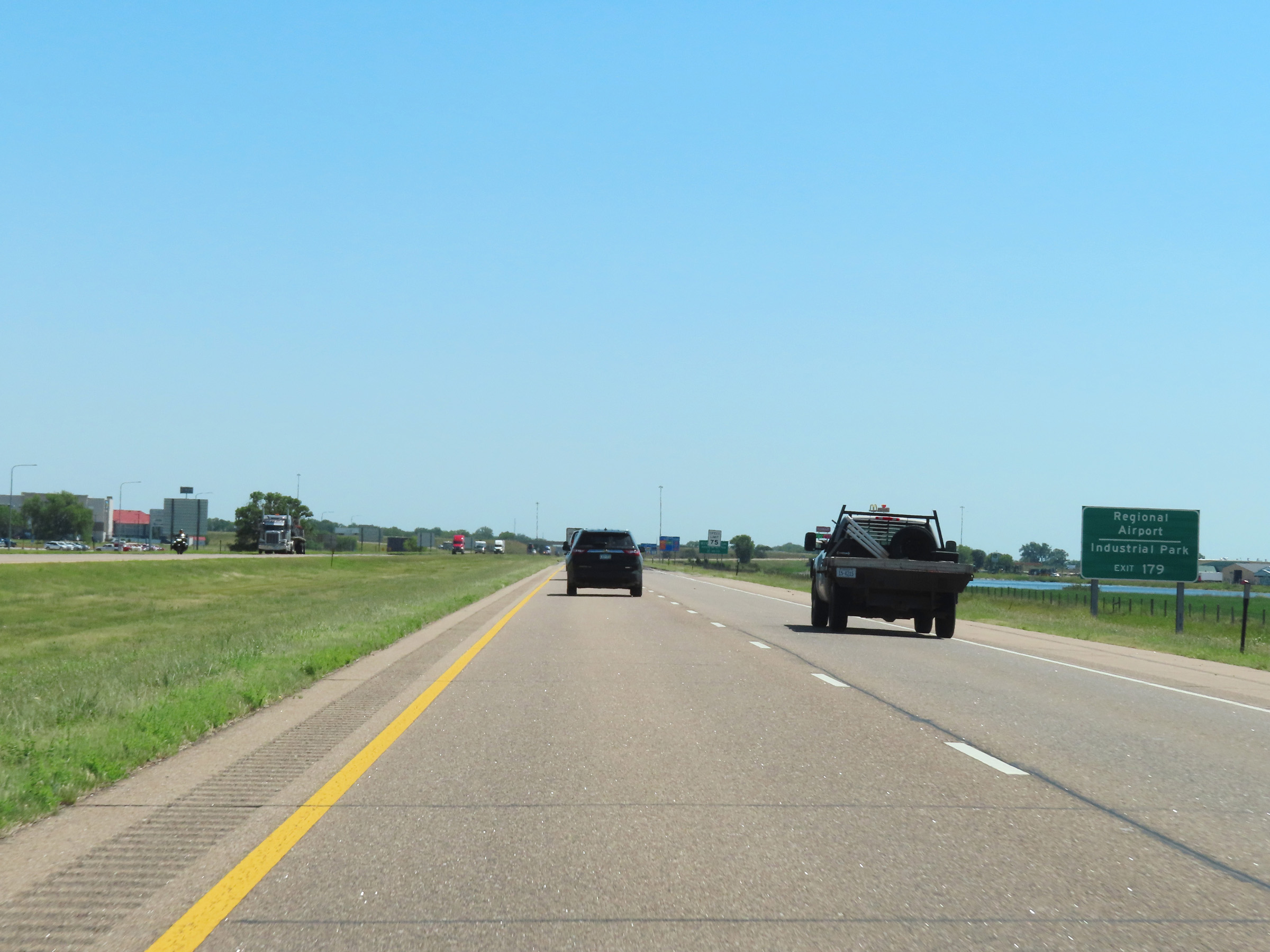 |
Take Exit 179 to the Regional Airport and Industrial Park. (Photo taken 8/18/22). |
 |
View on Interstate 80 East at mile marker 178.5. (Photo taken 8/18/22). |
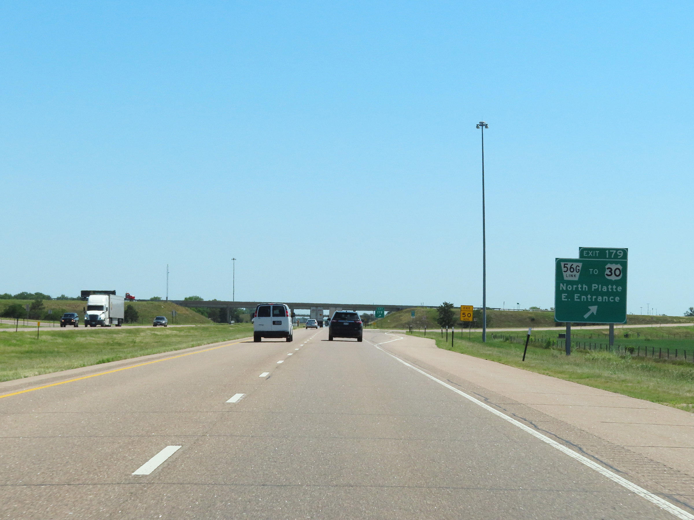 |
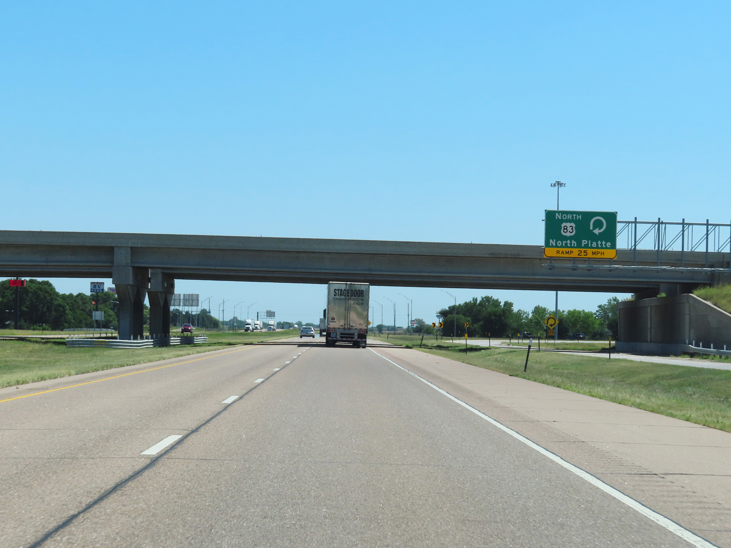
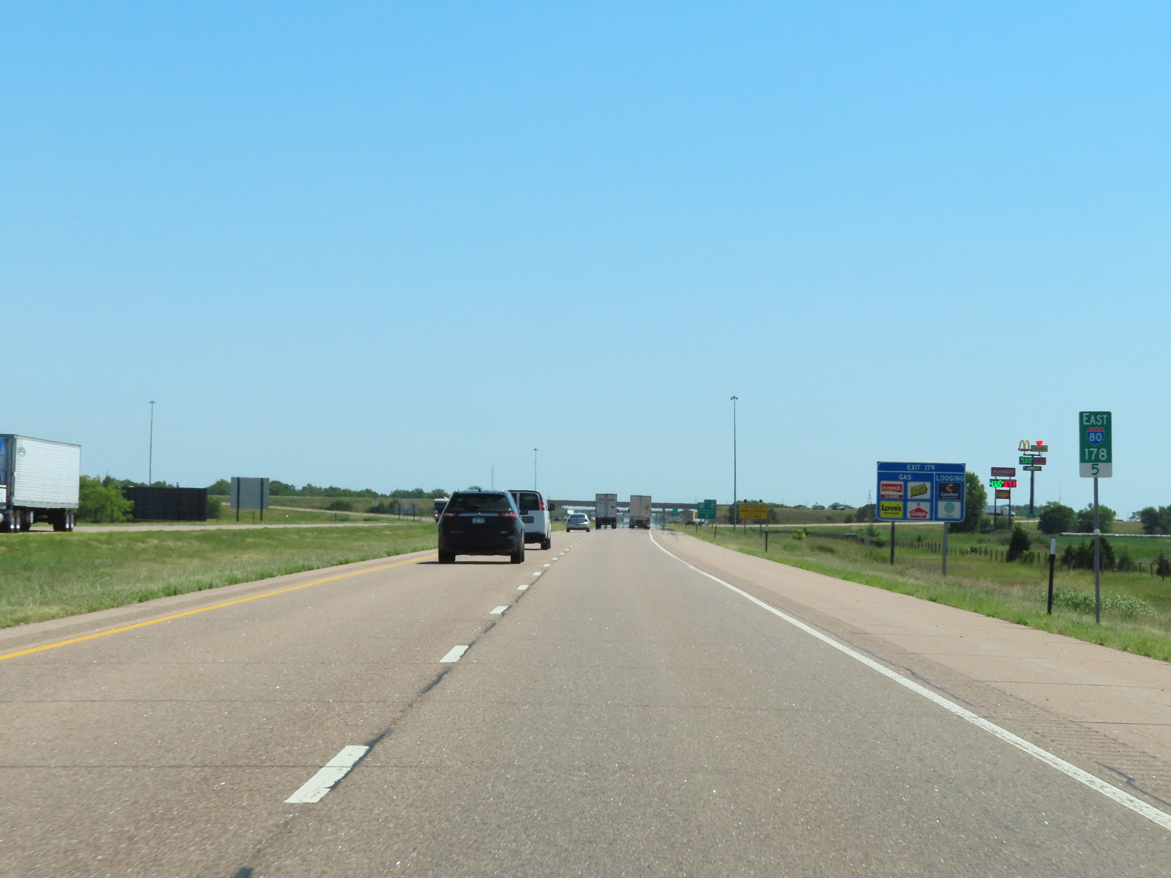
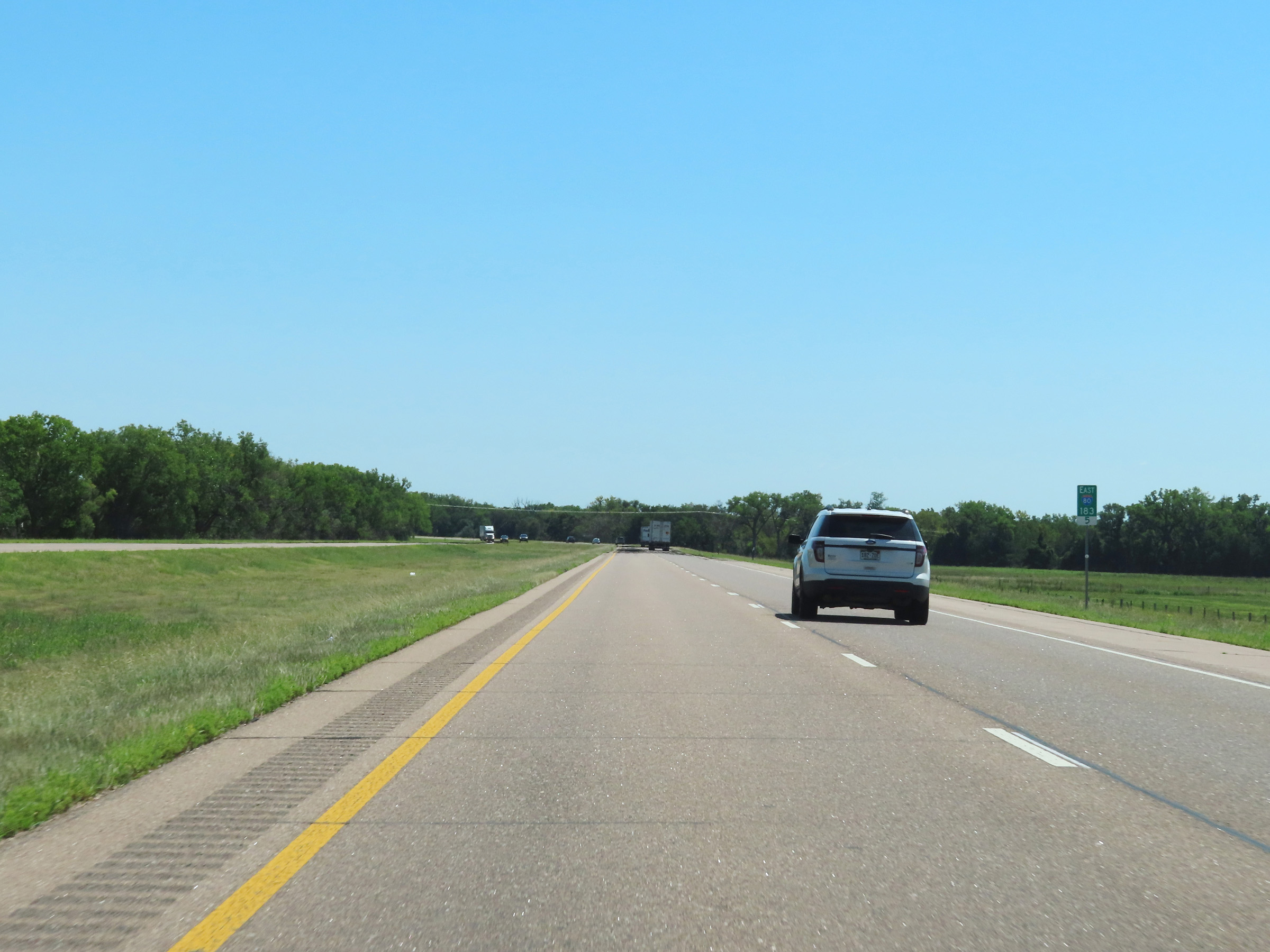
Interstate 80 East at Exit 179: Nebraska Link 56G / To US 30 - North Platte / East Entrance (Photo taken 8/18/22). |
Section 4: North Platte (Exit 179) to Kearney (Exit 272)
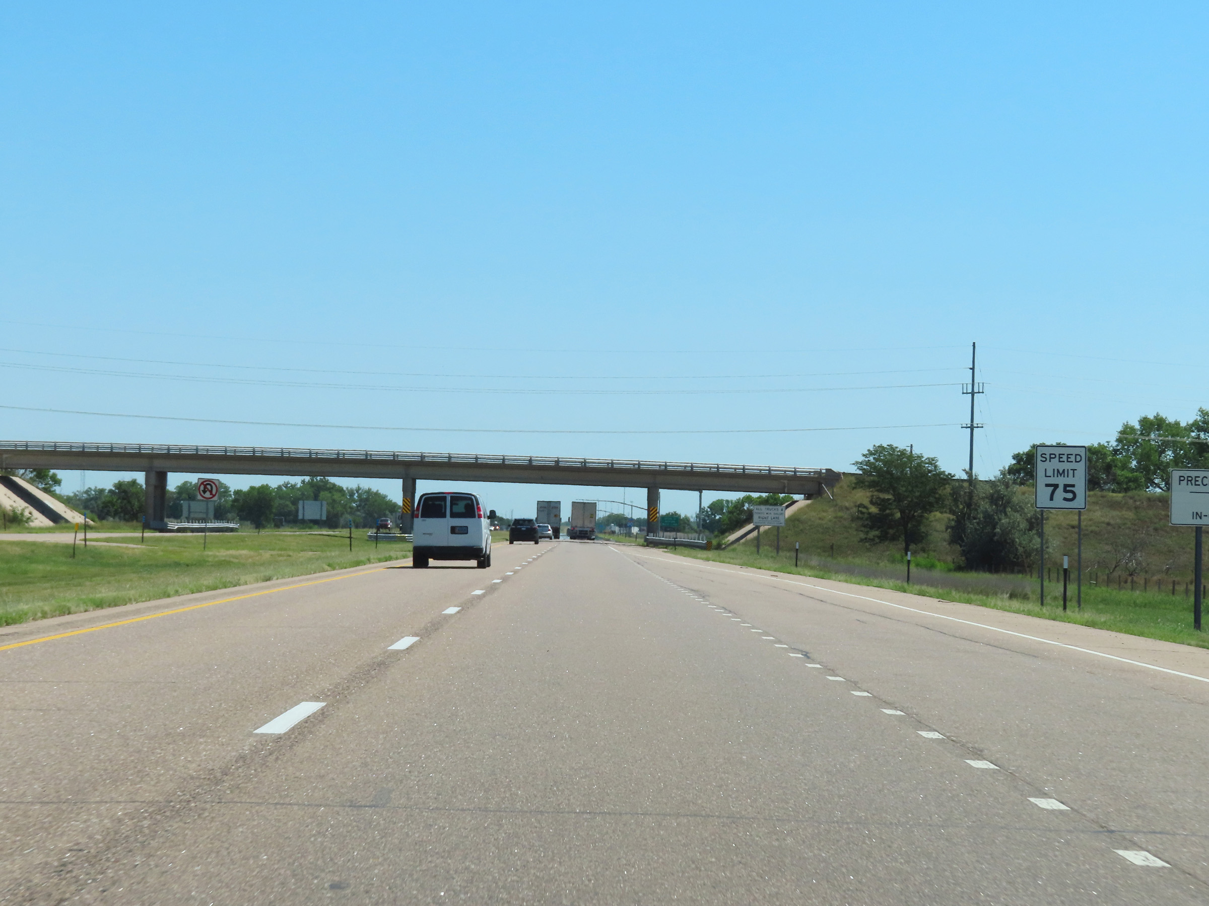 |
The maximum speed limit remains 75 mph on Interstate 80 East. (Photo taken 8/18/22). |
 |
Interstate 80 East reassurance shield as it leaves the North Platte area. (Photo taken 8/18/22). |
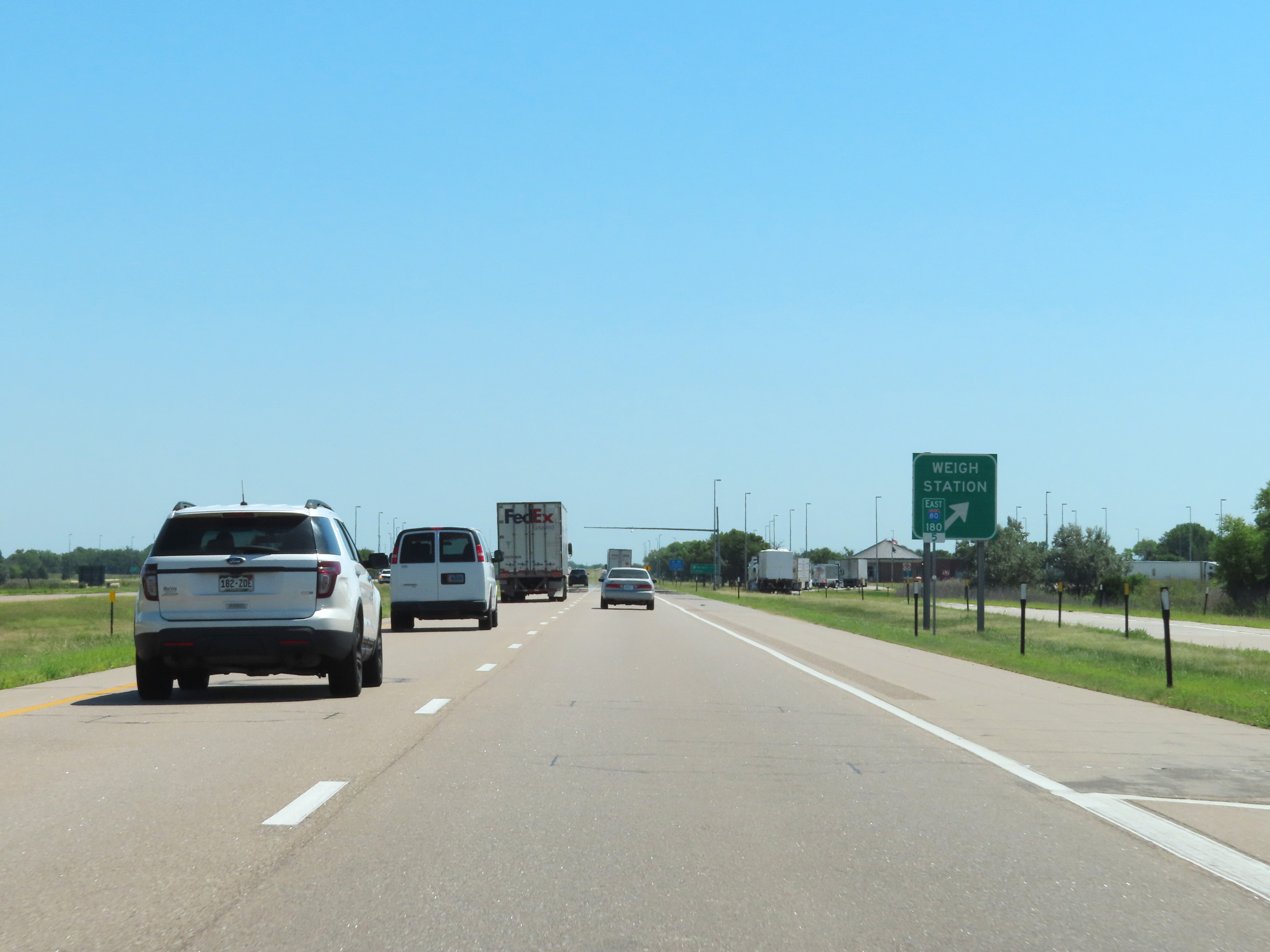 |
Weigh Station on Interstate 80 East in Lincoln County at mile marker 180.5. (Photo taken 8/18/22). |
 |
Interstate 80 East at mile marker 181.5. (Photo taken 8/18/22). |
 |
View on Interstate 80 East at mile marker 183.5. (Photo taken 8/18/22). |
 |
Mile marker 185 on Interstate 80 East in Lincoln County. (Photo taken 8/18/22). |
 |
Interstate 80 East at mile marker 188. (Photo taken 8/18/22). |
 |
Interstate 80 East approaching Exit 190 - 1 mile. (Photo taken 8/18/22). |
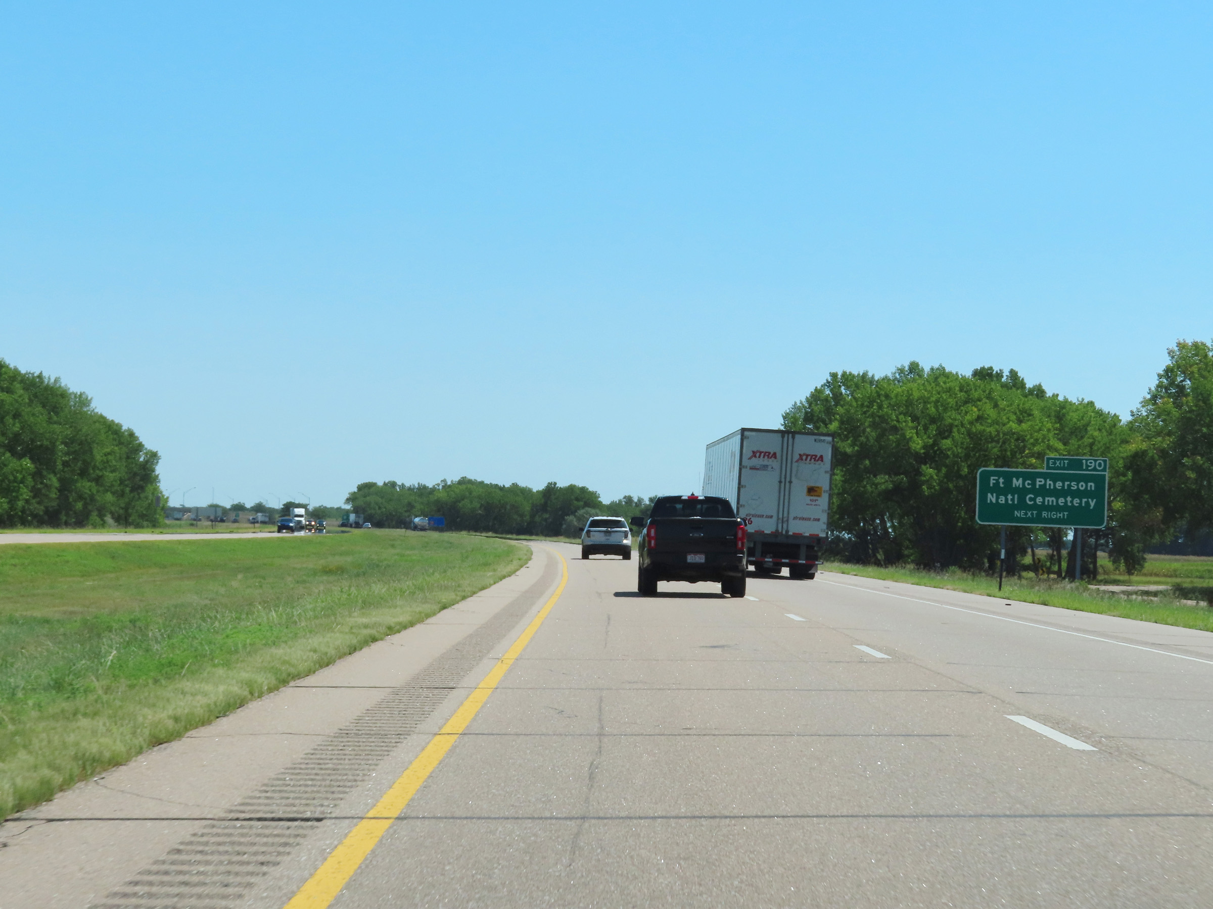 |
Take Exit 190 to Fort McPherson National Cemetery. (Photo taken 8/18/22). |
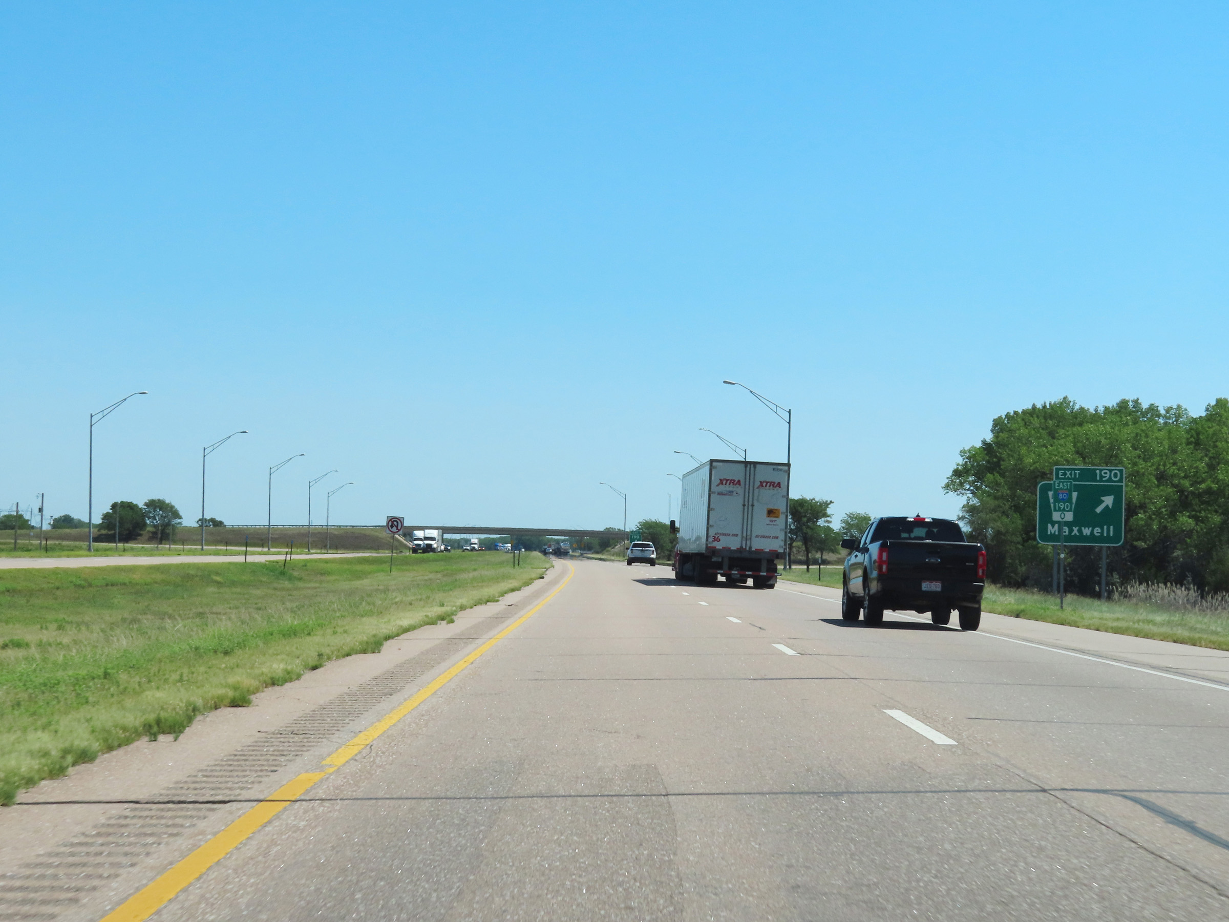 |
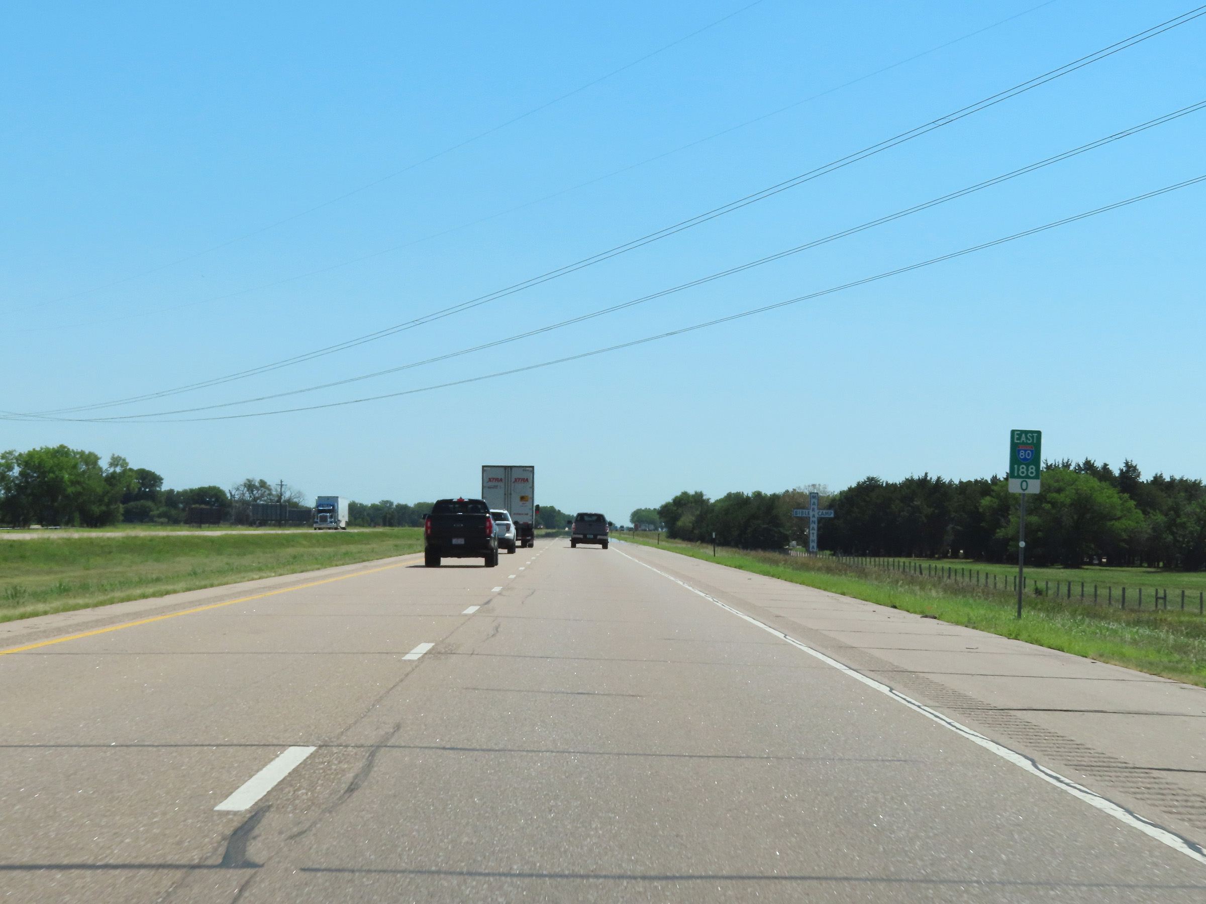
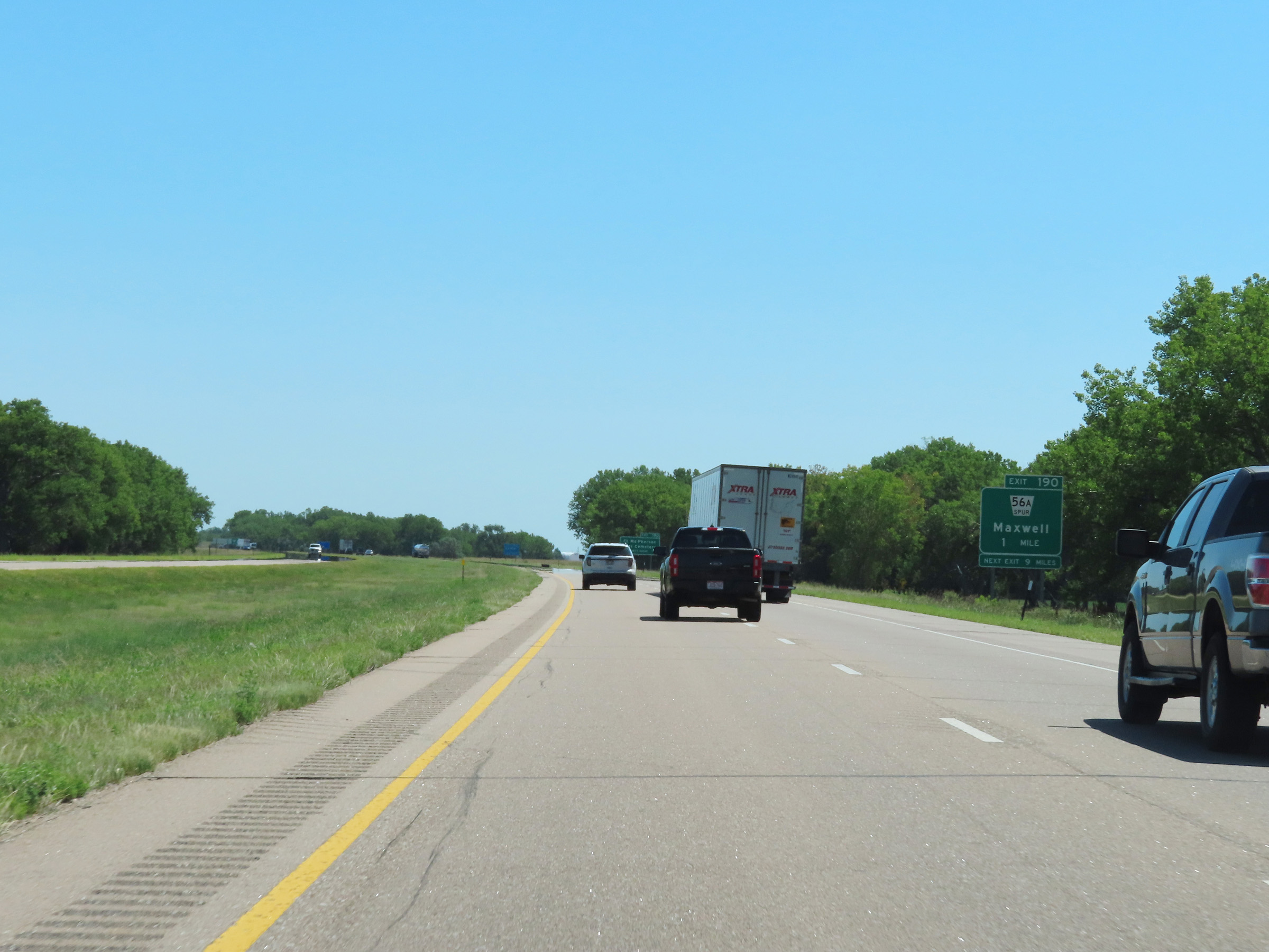
Interstate 80 East at Exit 190: Nebraska Spur 56A - Maxwell (Photo taken 8/18/22). |
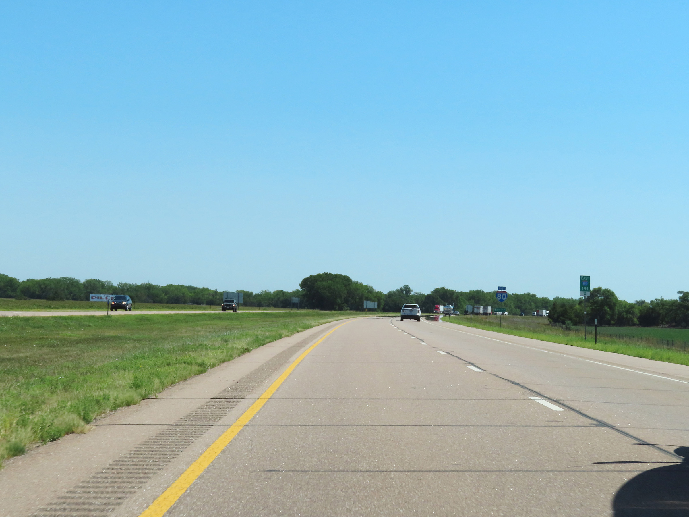 |
View on Interstate 80 East at mile marker 191. (Photo taken 8/18/22). |
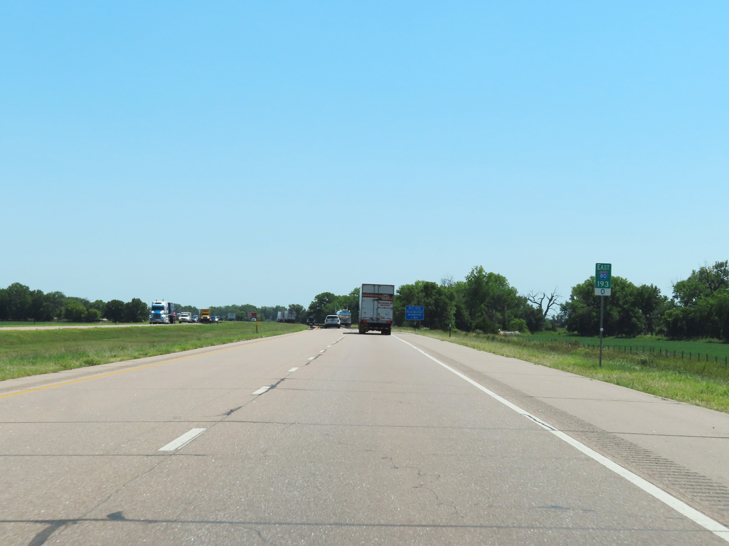 |
Interstate 80 East at mile marker 193. (Photo taken 8/18/22). |
 |
Another Rest Area on Interstate 80 East in Lincoln County. (Photo taken 8/18/22). |
 |
View on Interstate 80 East at mile marker 196. (Photo taken 8/18/22). |
 |
Mile marker 197 on Interstate 80 East in Lincoln County. (Photo taken 8/18/22). |
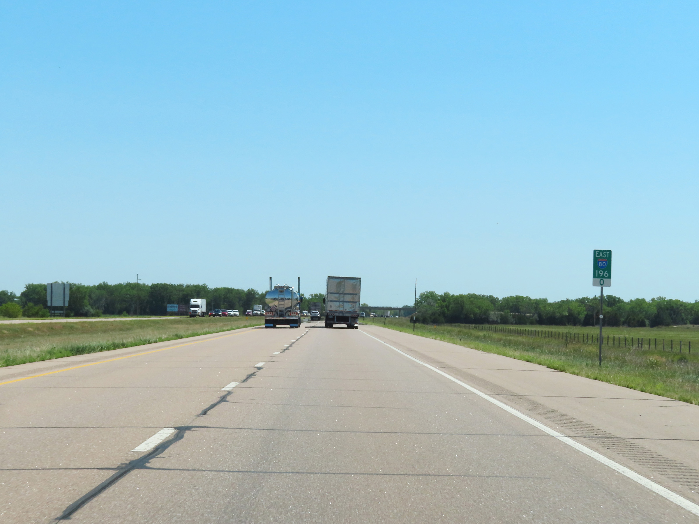
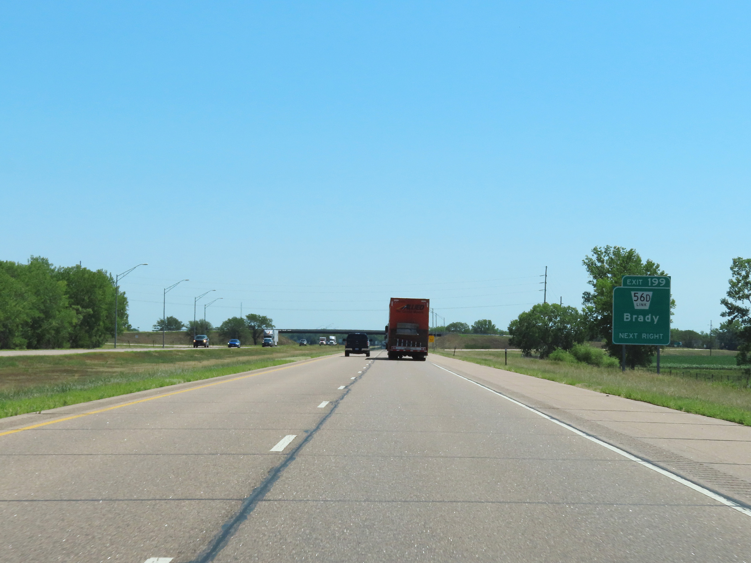 |
Interstate 80 East at Exit 199: Nebraska Link 56D - Brady (Photo taken 8/18/22). |
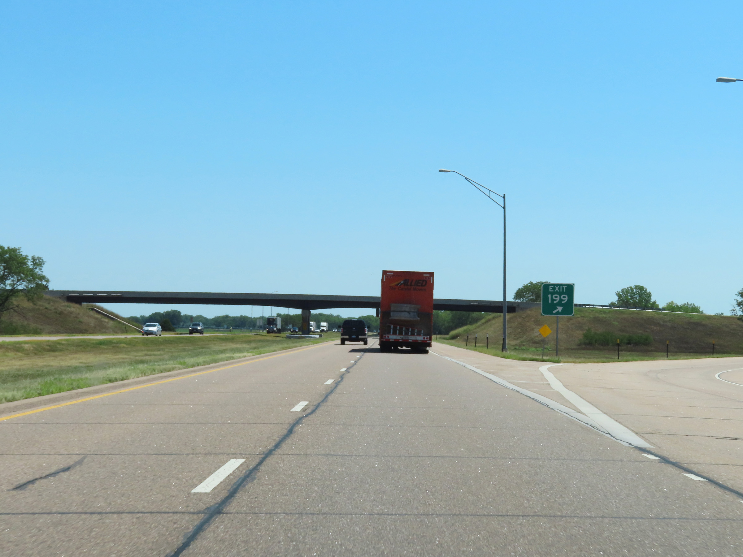 |
Gore point signage for Exit 199 on Interstate 80 East. (Photo taken 8/18/22). |
 |
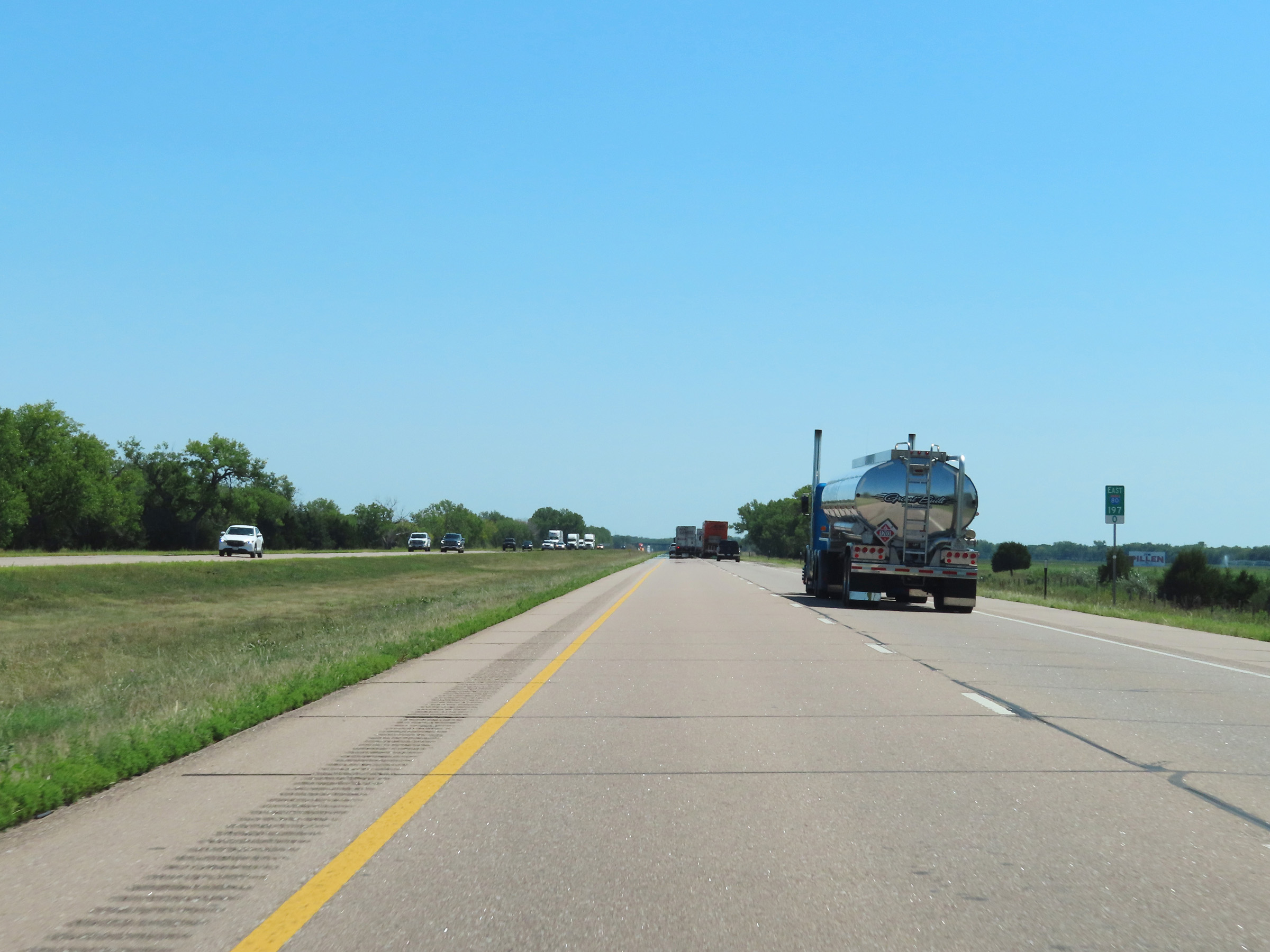
Interstate 80 East at mile marker 201.5. (Photo taken 8/18/22). |
 |
VIew on Interstate 80 East at mile marker 202.5. (Photo taken 8/18/22). |
 |
Mile marker 205 on Interstate 80 East in Lincoln County. (Photo taken 8/18/22). |
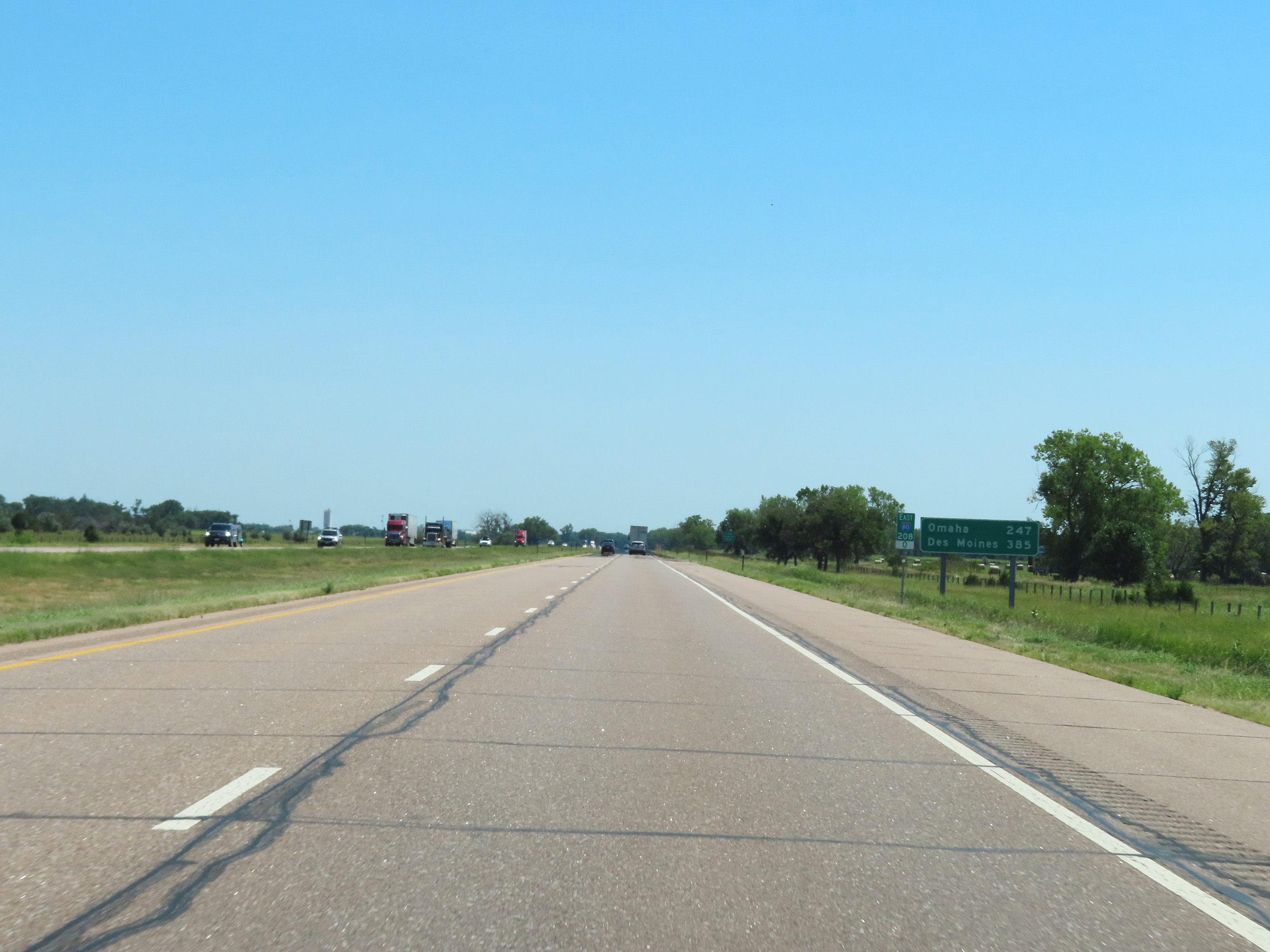 |
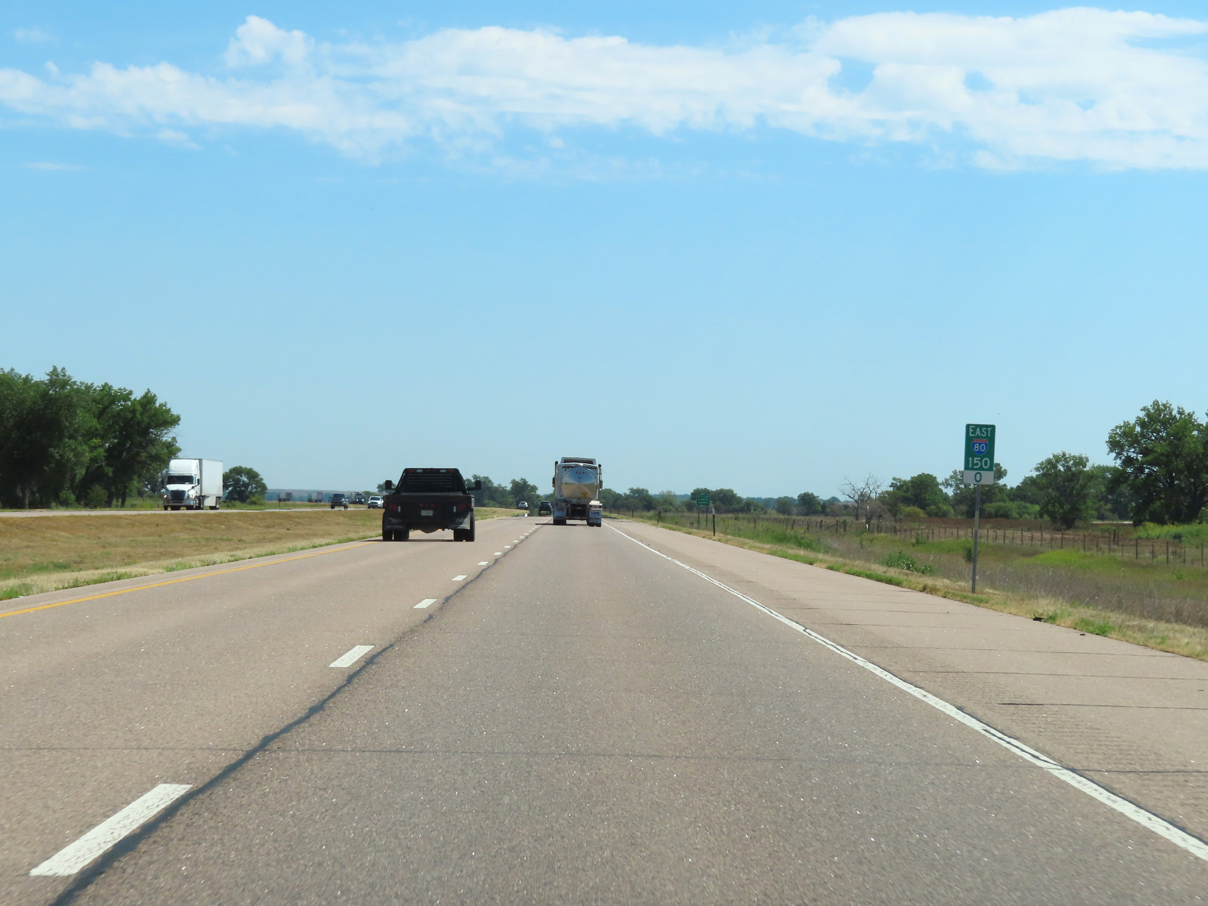
View on Interstate 80 East at mile marker 208. This mileage sign is the first mention of Des Moines on Interstate 80 East in Nebraska, which shows that it is 385 miles ahead. (Photo taken 8/18/22). |
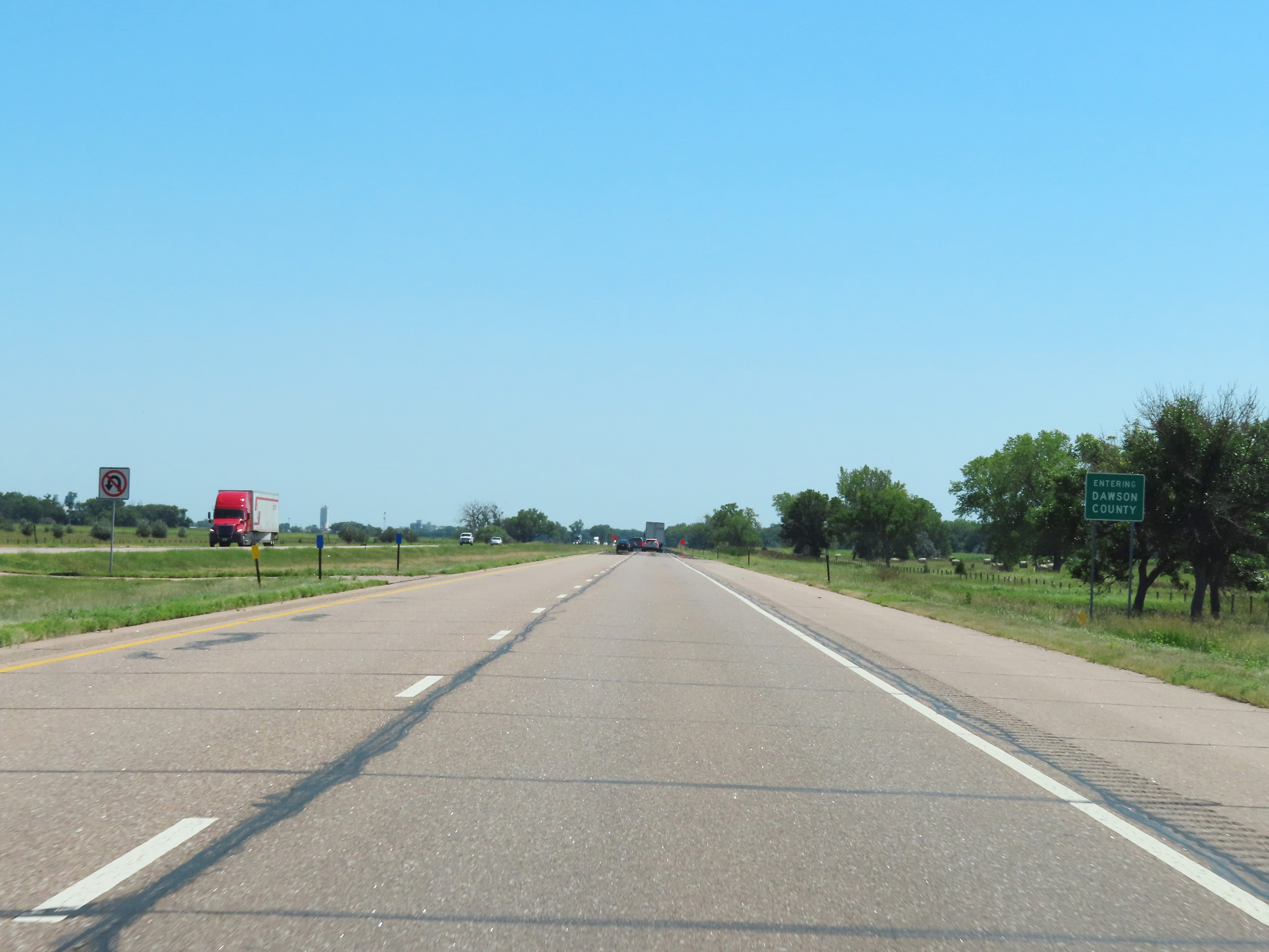 |
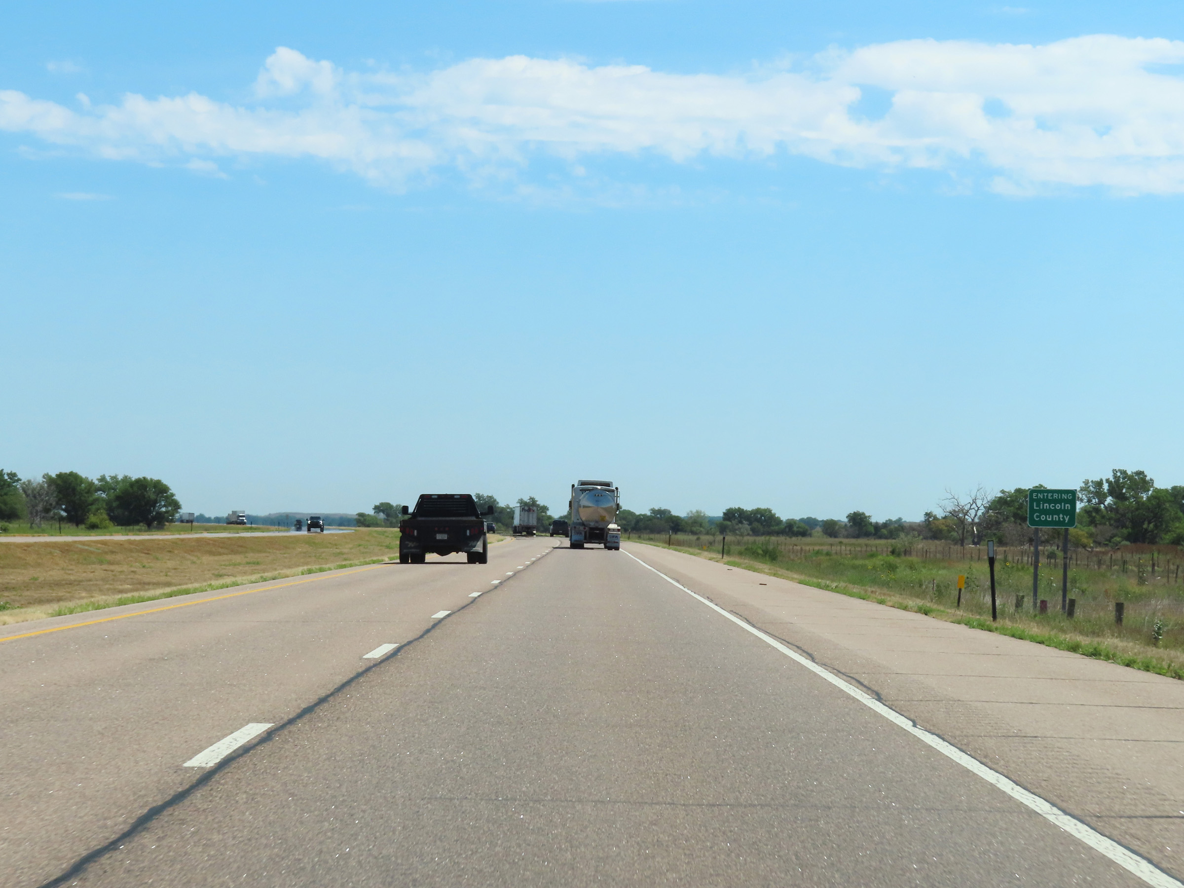
Interstate 80 East as it enters Dawson County. (Photo taken 8/18/22). |
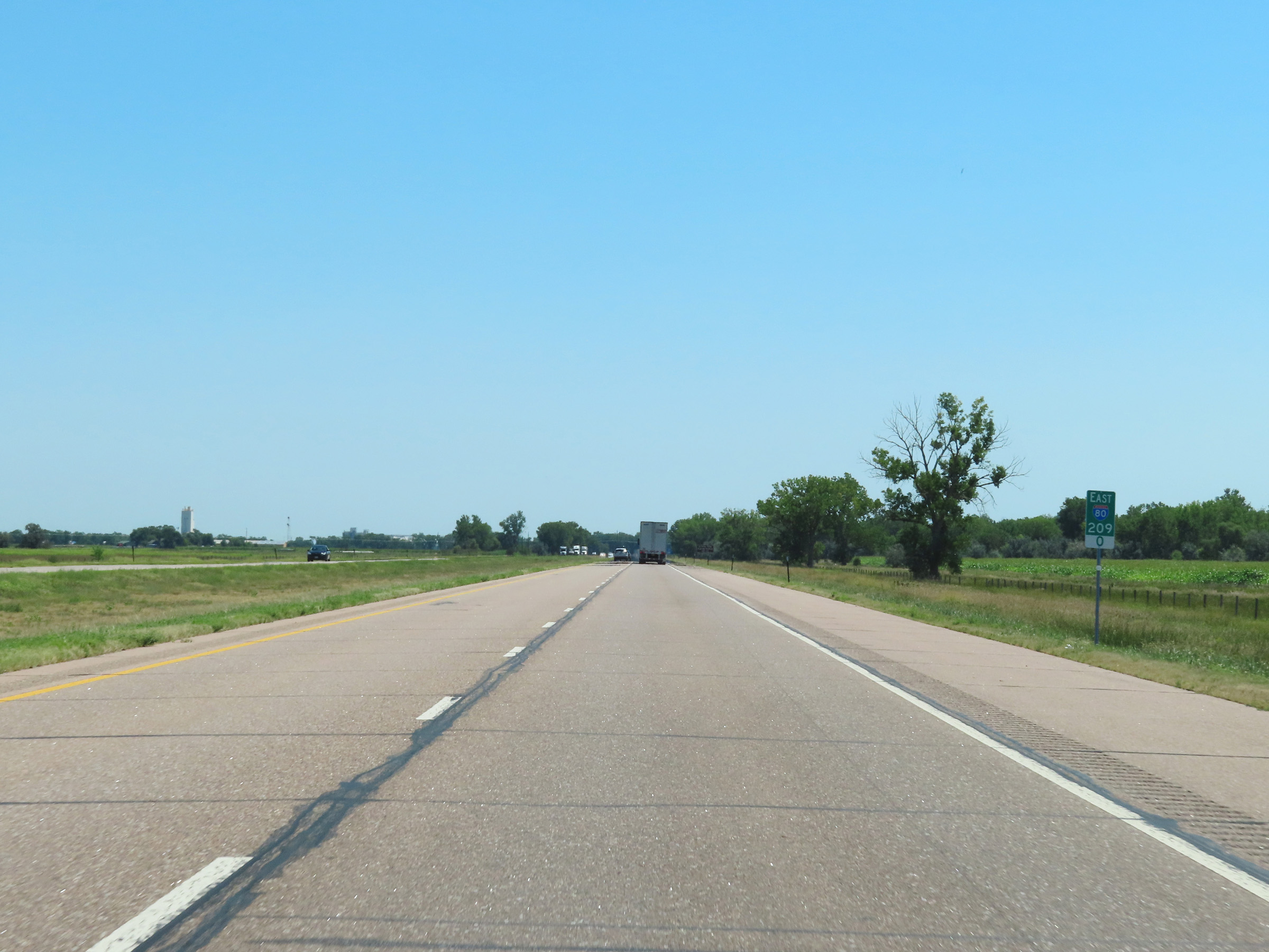 |
View on Interstate 80 East at mile marker 209. (Photo taken 8/18/22). |
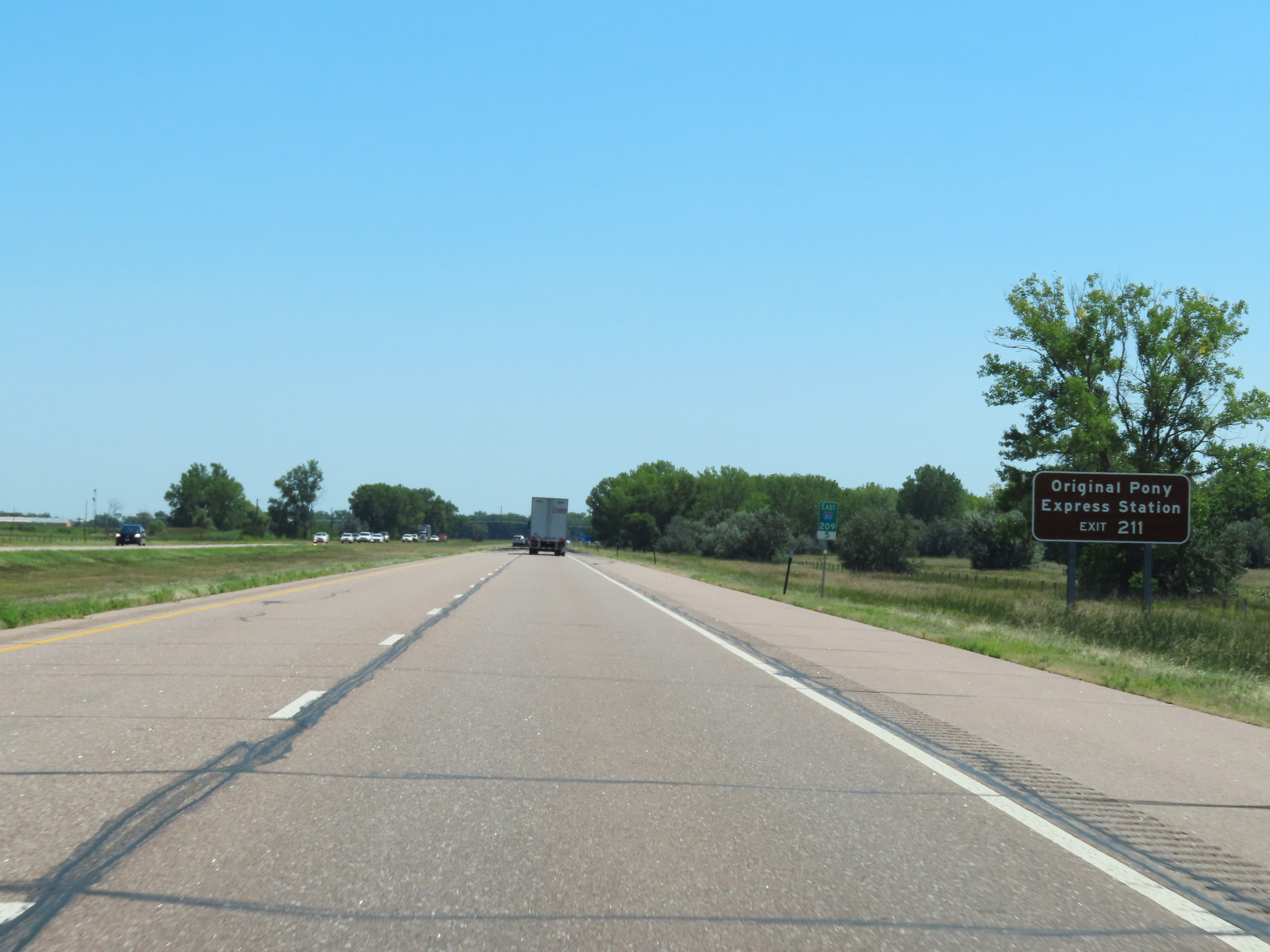 |
Take Exit 211 to the Original Pony Express Station. (Photo taken 8/18/22). |
 |
Mile marker 210 on Interstate 80 East in Dawson County. (Photo taken 8/18/22). |
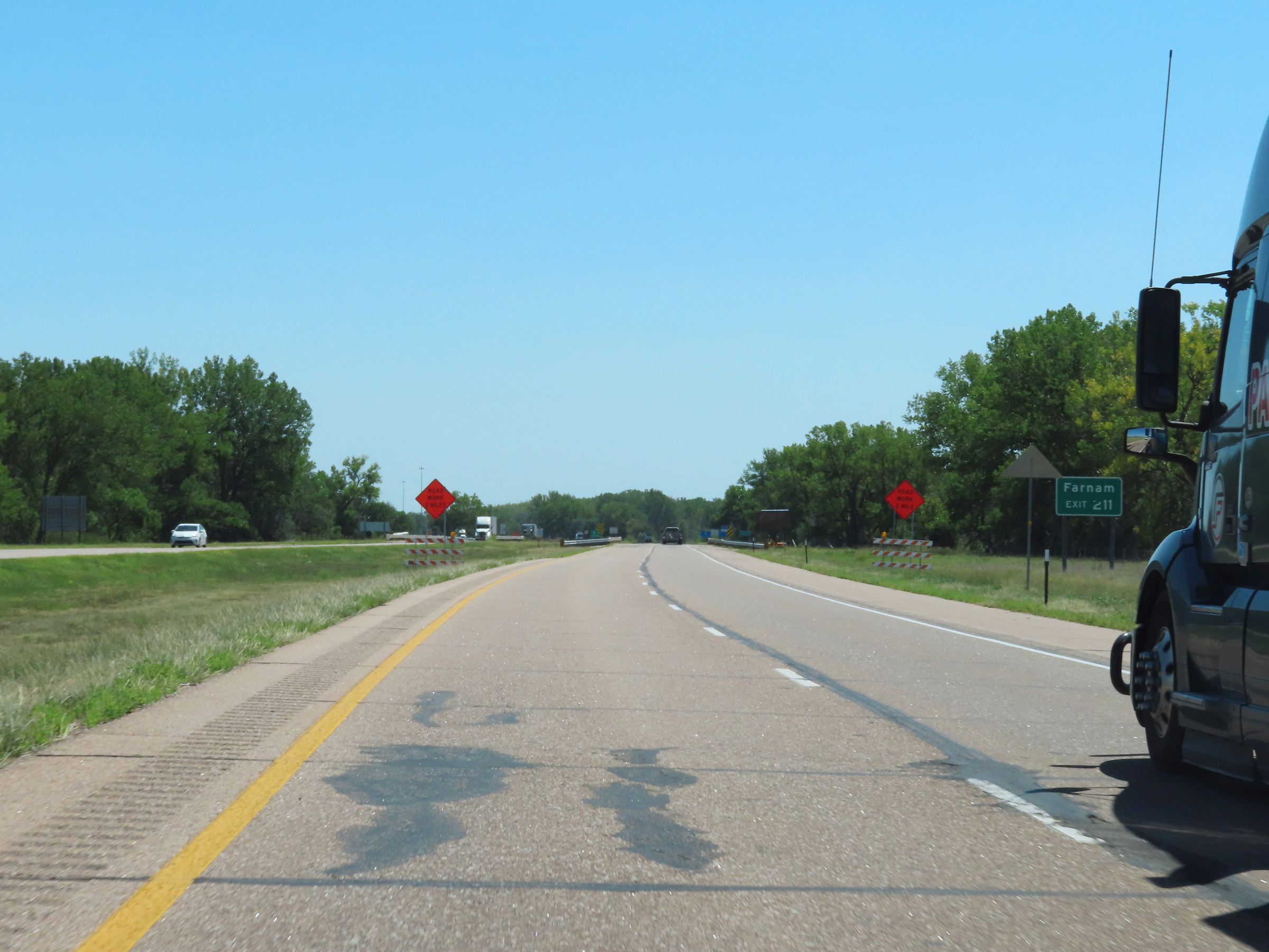 |
Also take Exit 211 to Farnam. (Photo taken 8/18/22). |
 |
Interstate 80 East at Exit 211: NE 47 - Gothenburg (Photo taken 8/18/22). |
 |
Interstate 80 East reassurance shield. (Photo taken 8/18/22). |
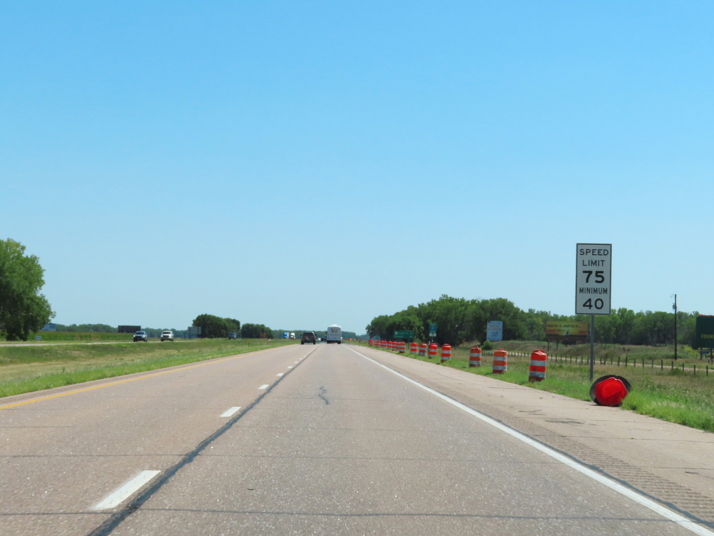 |
The speed limits remain 75 mph maximum and 40 mph minimum. (Photo taken 8/18/22). |
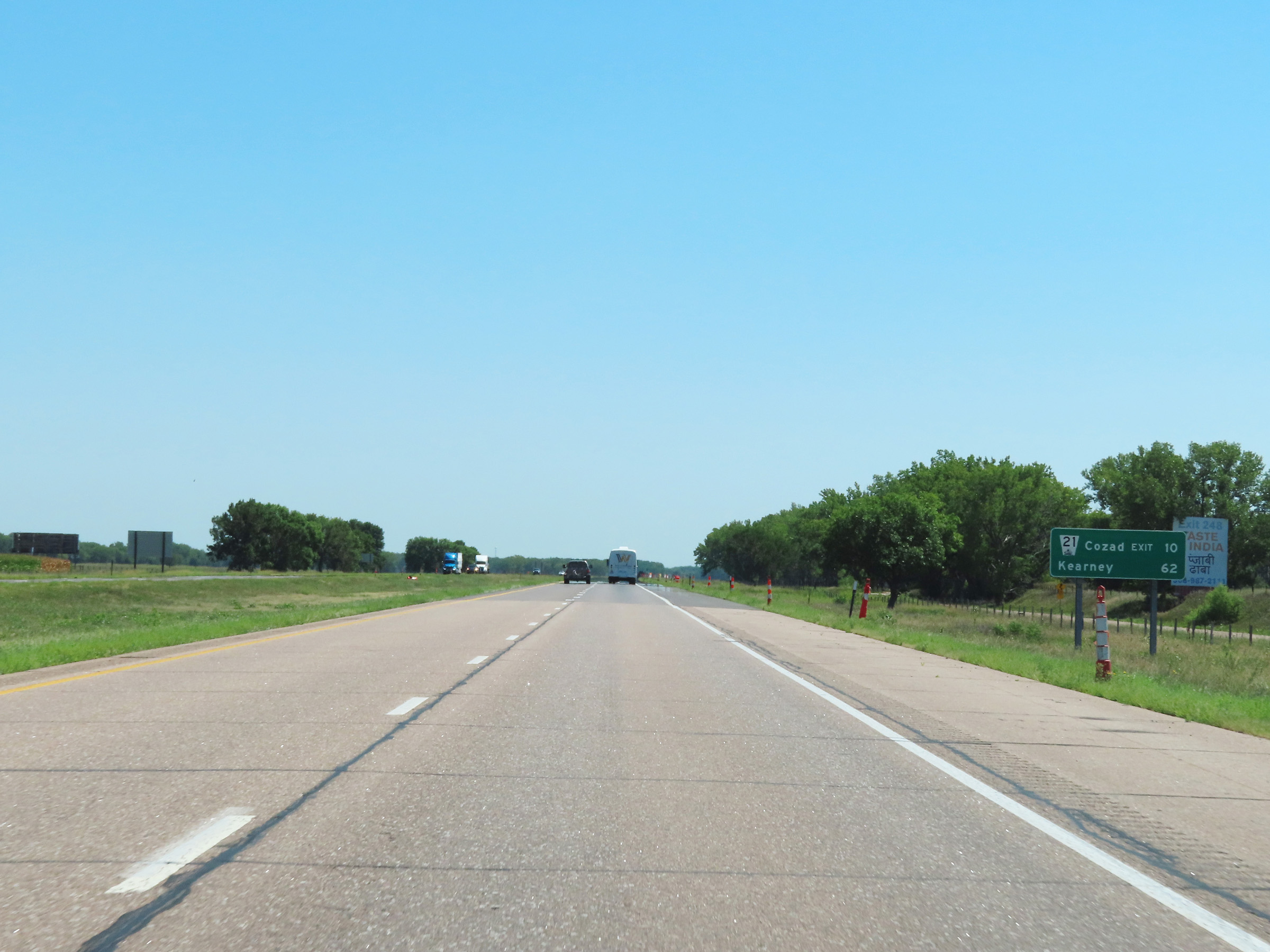 |
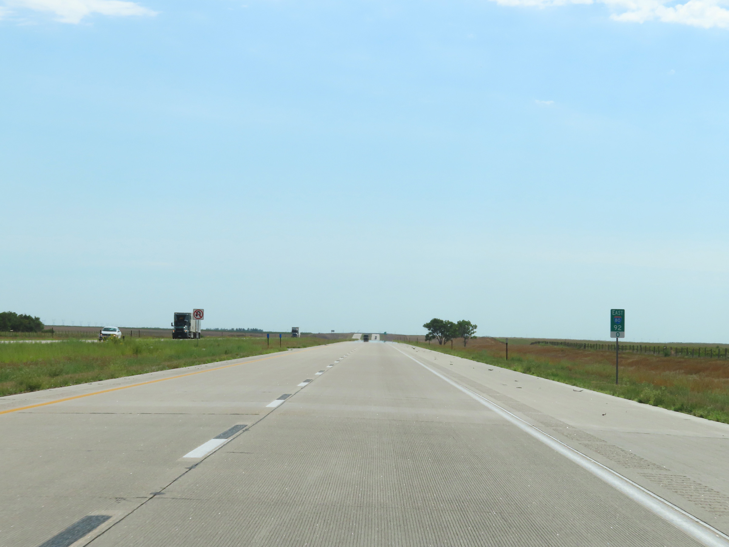
Mileage sign on Interstate 80 East. It's 10 miles to the next exit (Exit 222) and 62 miles to Kearney. (Photo taken 8/18/22). |
 |
Interstate 80 East at mile marker 213.5. (Photo taken 8/18/22). |
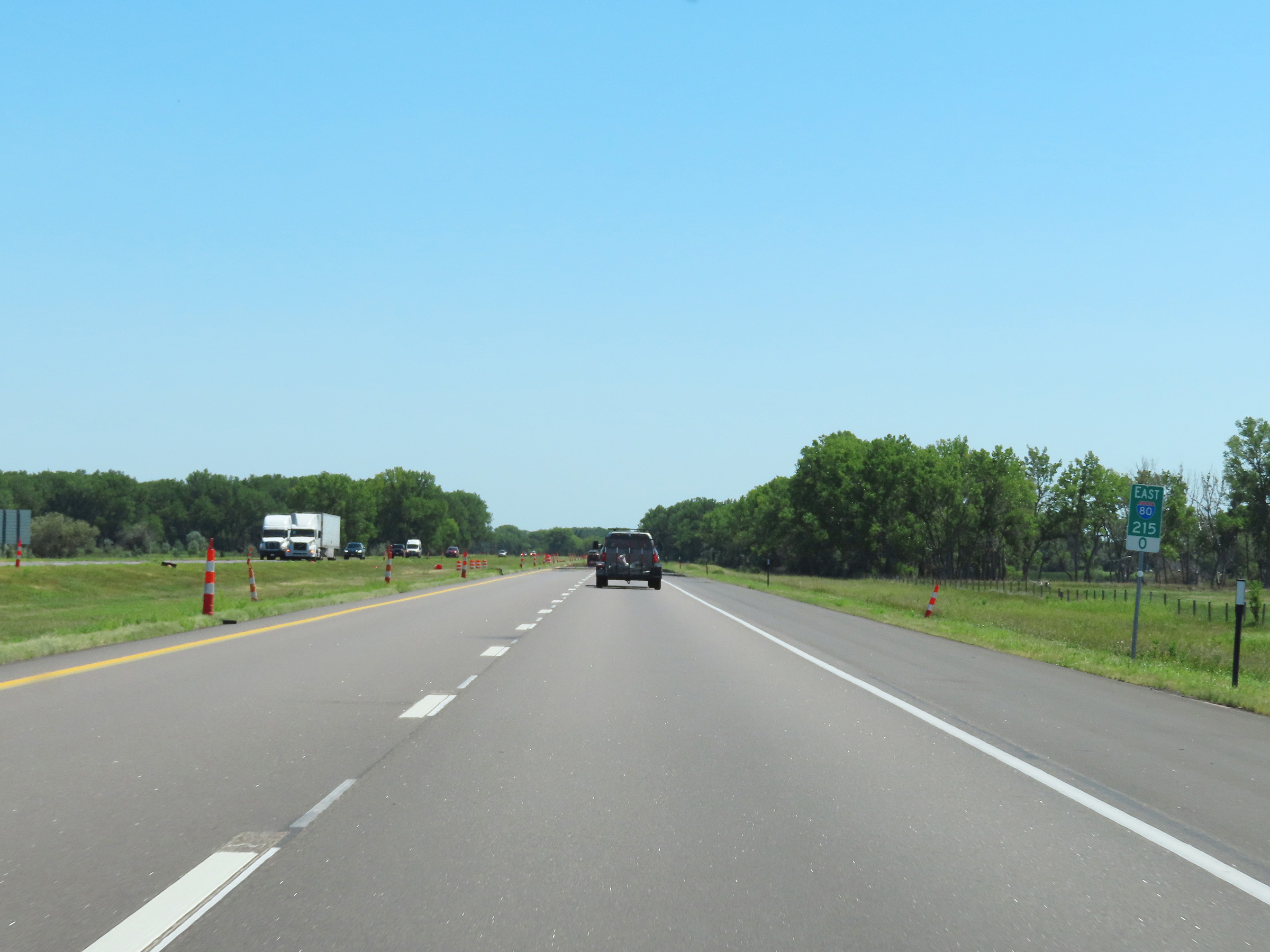 |
View on Interstate 80 East at mile marker 215. (Photo taken 8/18/22). |
 |
Mile marker 216 on Interstate 80 East in Dawson County. (Photo taken 8/18/22). |
 |
View on Interstate 80 East at mile marker 218. (Photo taken 8/18/22). |
 |
Interstate 80 East at mile marker 220. (Photo taken 8/18/22). |
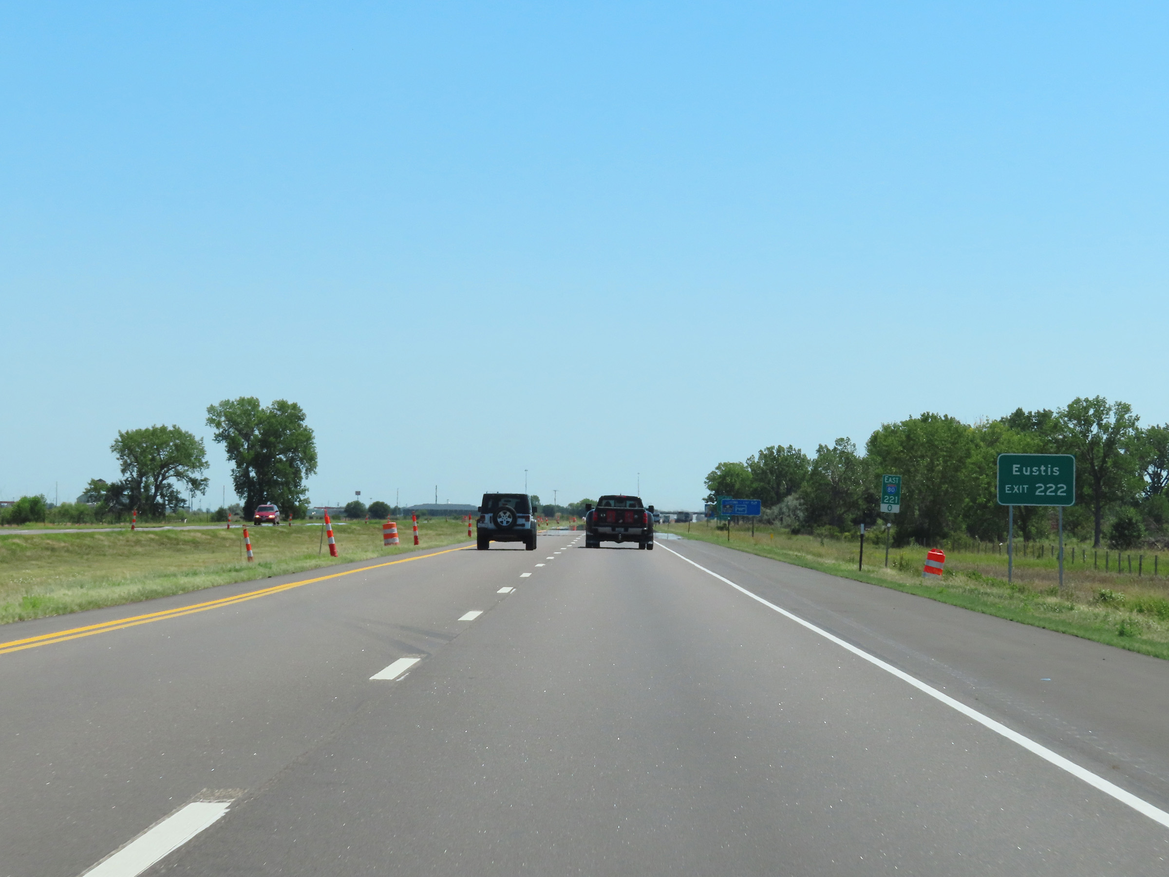 |
Take Exit 222 to Eustis. (Photo taken 8/18/22). |
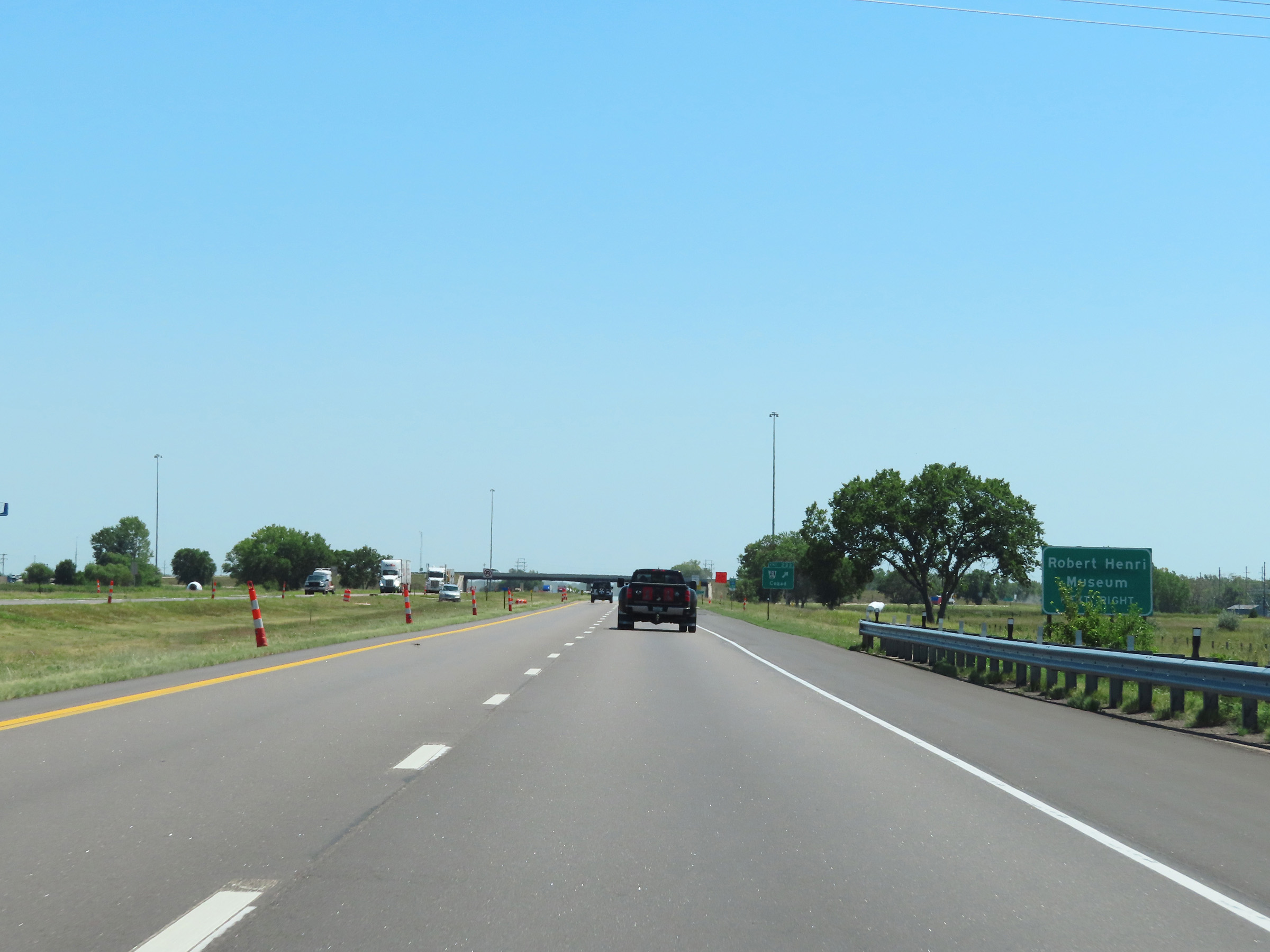 |
Also take Exit 222 to the Robert Henri Museum. (Photo taken 8/18/22). |
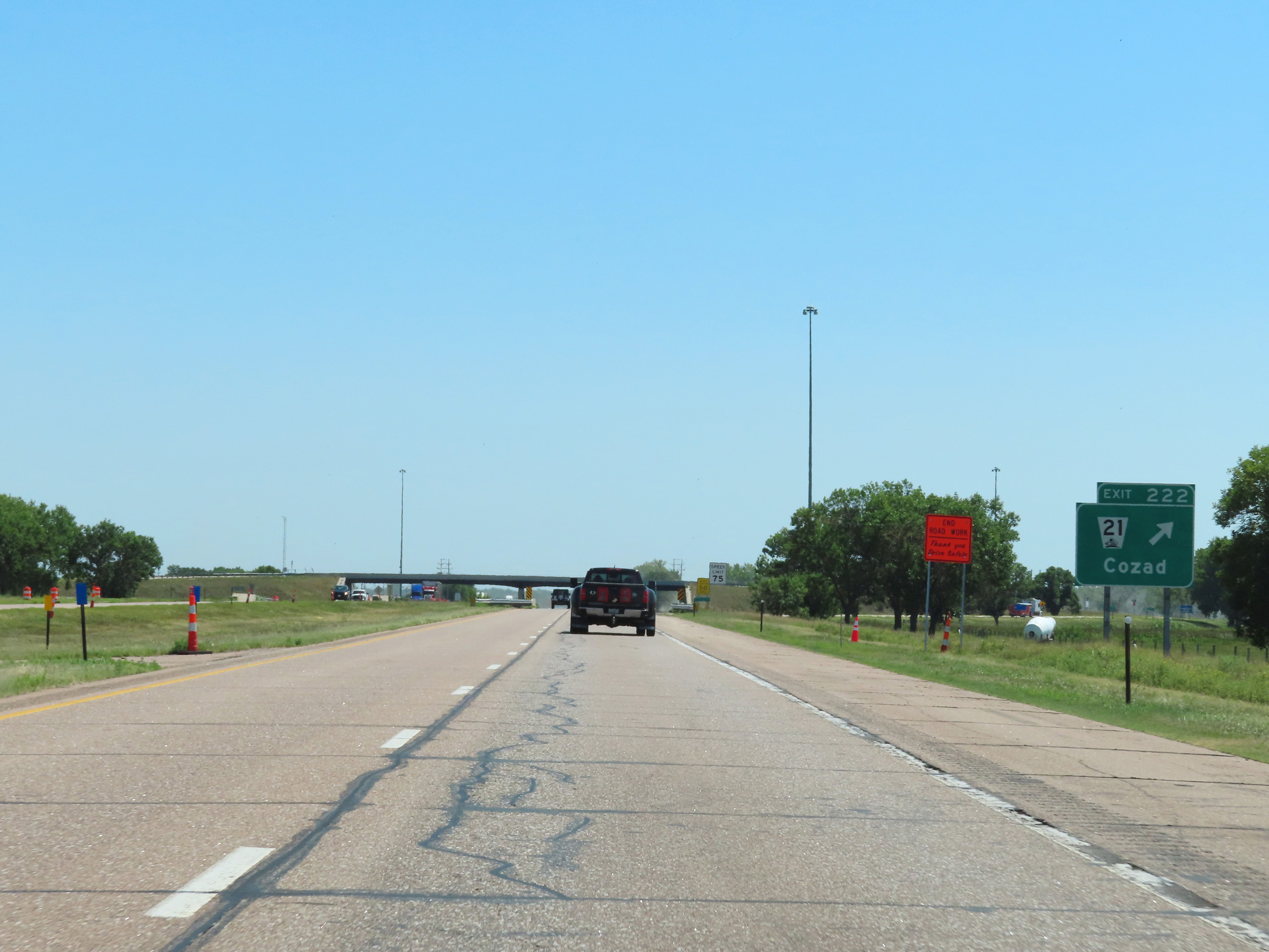 |
Interstate 80 East at Exit 222: NE 21 - Cozad (Photo taken 8/18/22). |
 |
View on Interstate 80 East at mile marker 224. (Photo taken 8/18/22). |
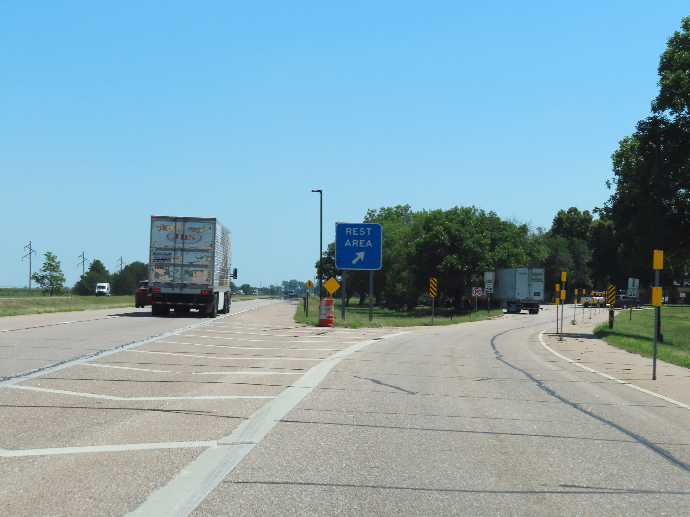 |
Rest Area on Interstate 80 East in Dawson County. (Photo taken 8/18/22). |
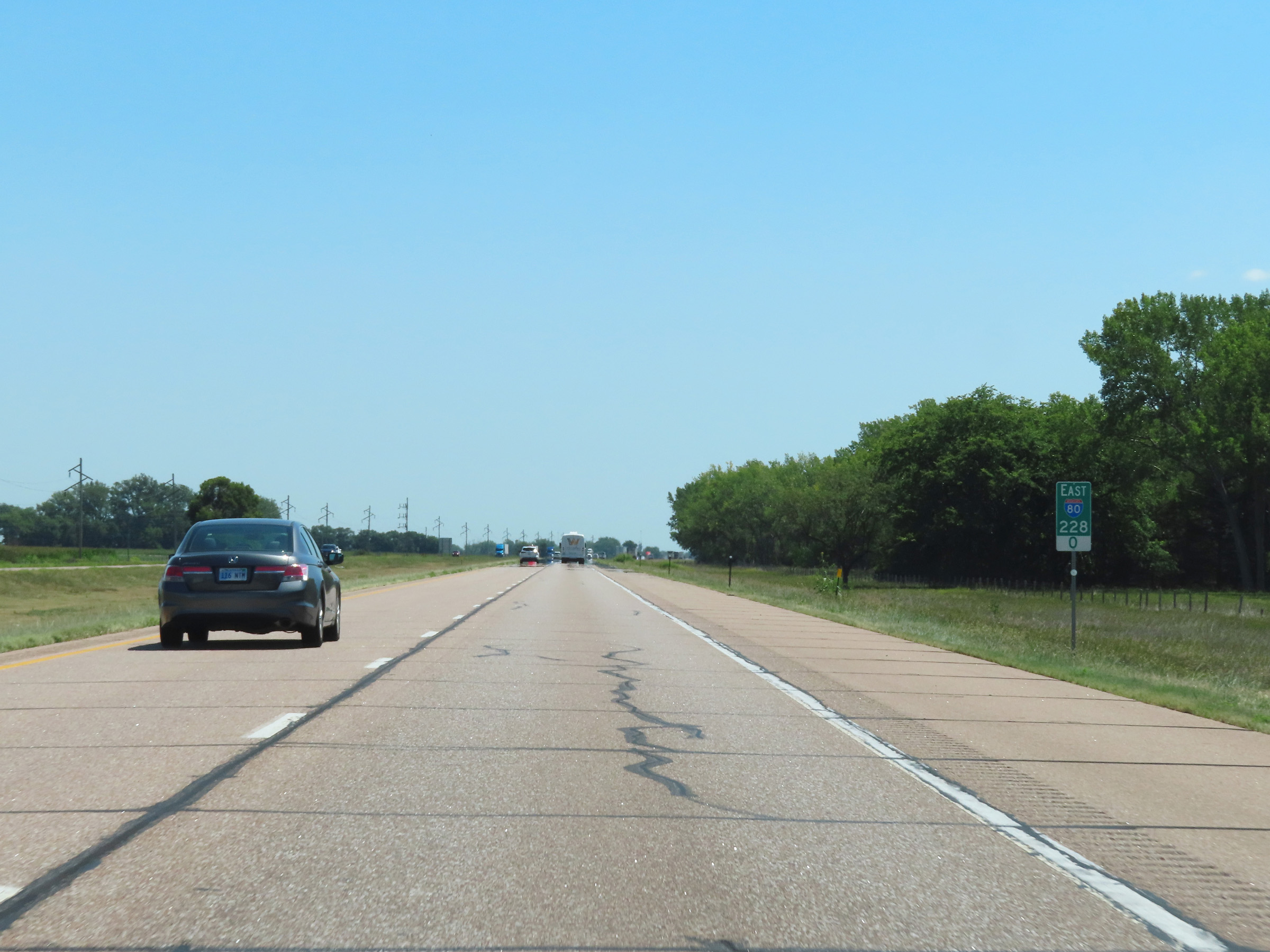 |
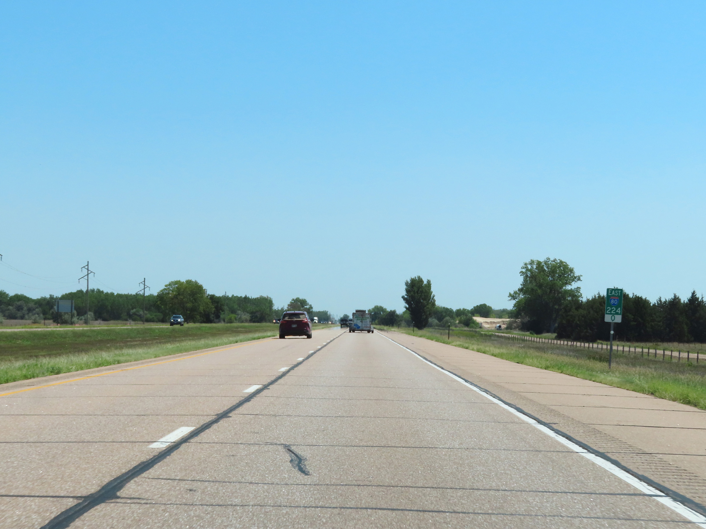
Interstate 80 East at mile marker 228. (Photo taken 8/18/22). |
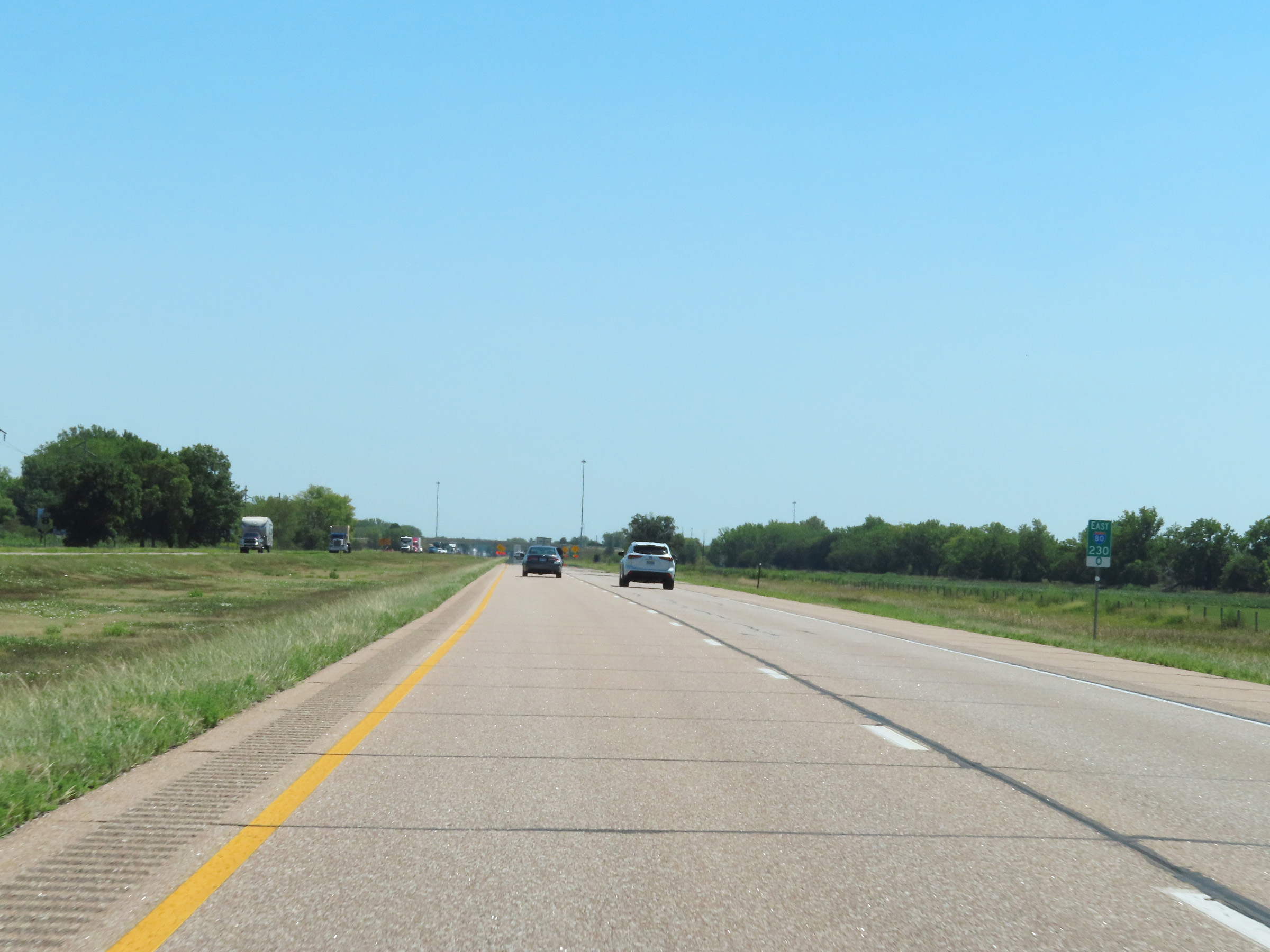 |
View on Interstate 80 East at mile marker 230. (Photo taken 8/18/22). |
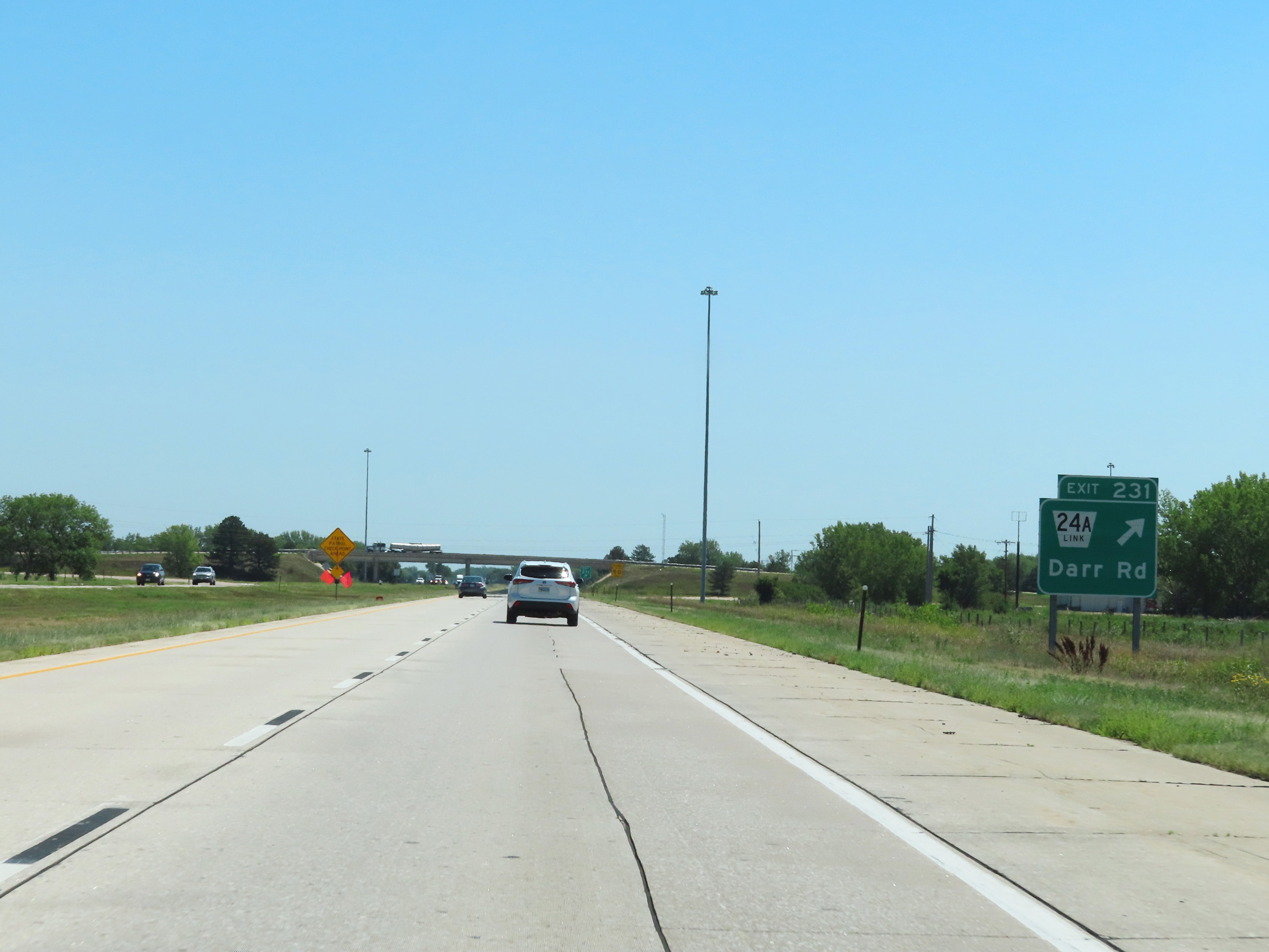 |
Interstate 80 East at Exit 231: Nebraska Link 24A - Darr Rd (Photo taken 8/18/22). |
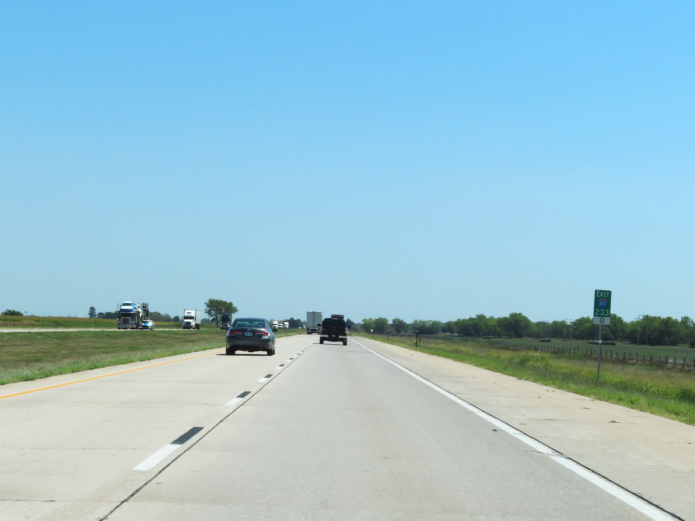 |
Mile marker 233 on Interstate 80 East in Dawson County. (Photo taken 8/18/22). |
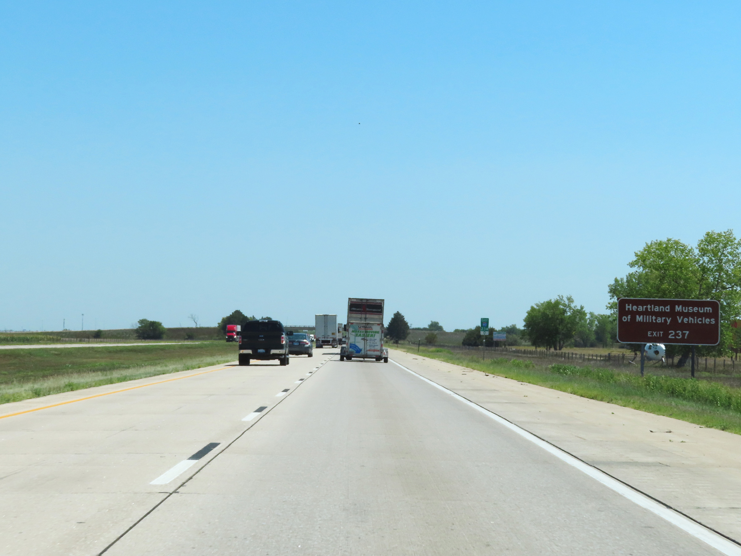 |
Take Exit 237 to the Heartland Museum of Military Vehicles. (Photo taken 8/18/22). |
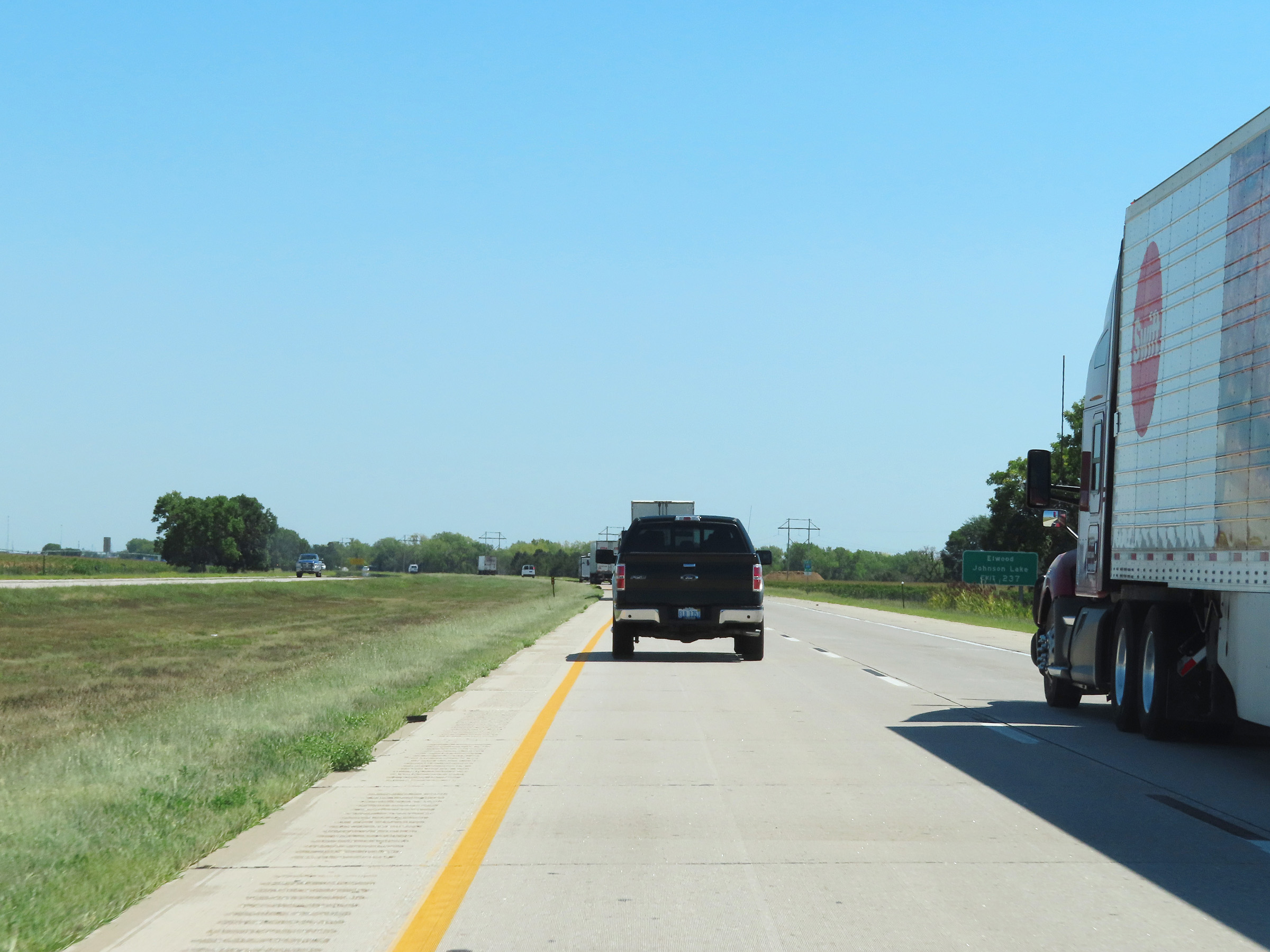 |
Also take Exit 237 to Elwood and Johnson Lake. (Photo taken 8/18/22). |
 |
Interstate 80 East at mile marker 235.5. (Photo taken 8/18/22). |
 |
Interstate 80 East approaching Exit 237 - 1 mile. (Photo taken 8/18/22). |
 |
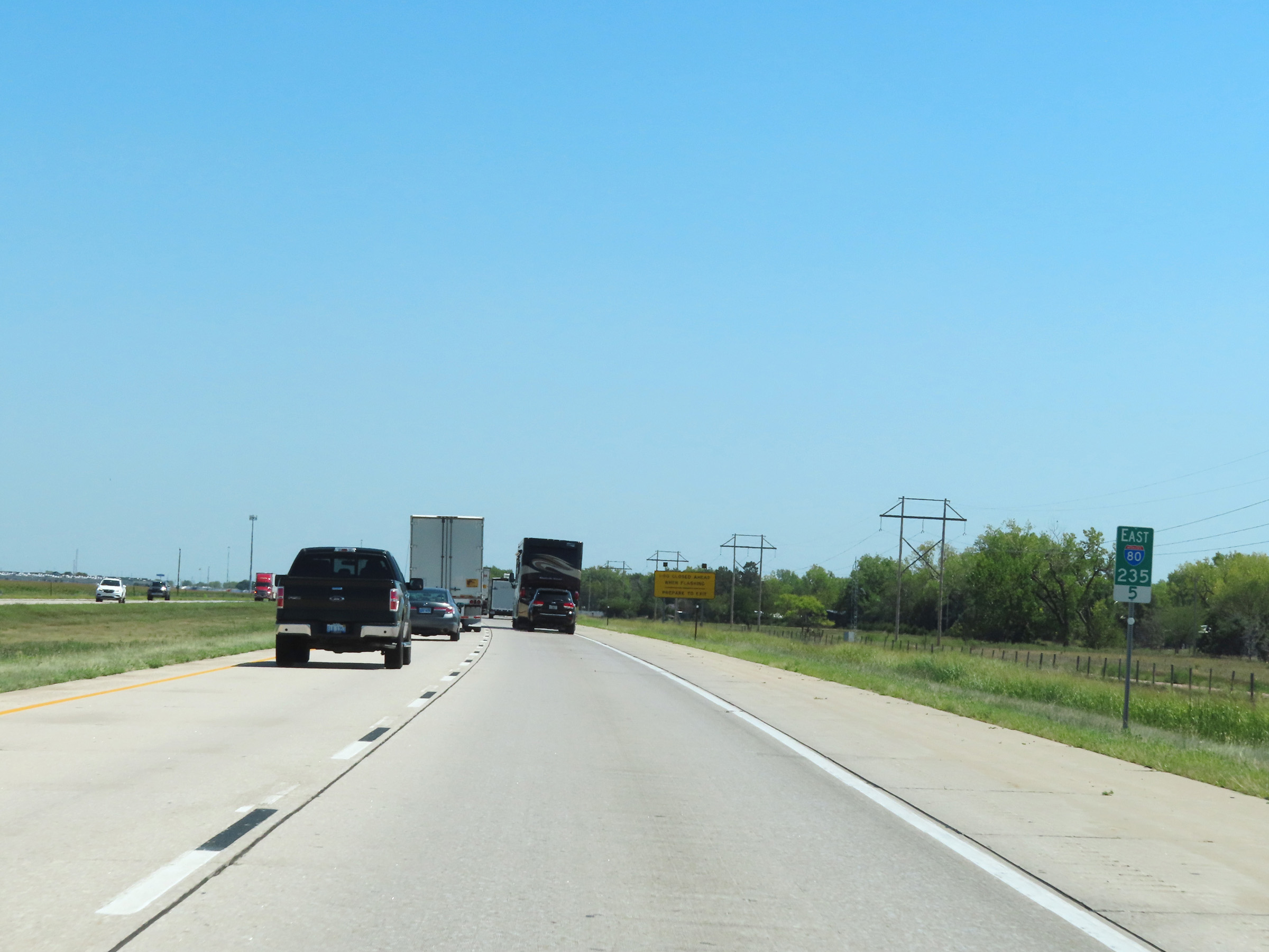
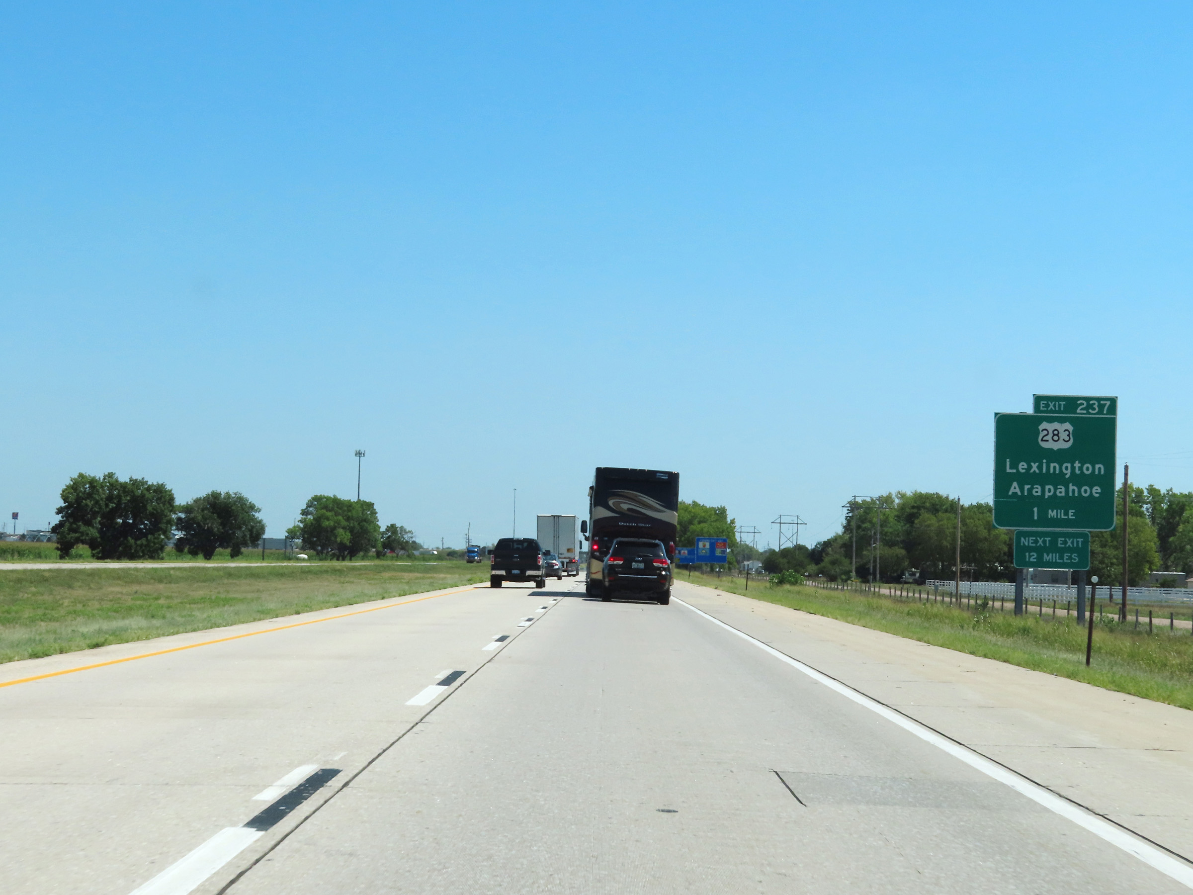
Interstate 80 East at Exit 237: US 283 - Lexington / Arapahoe (Photo taken 8/18/22). |
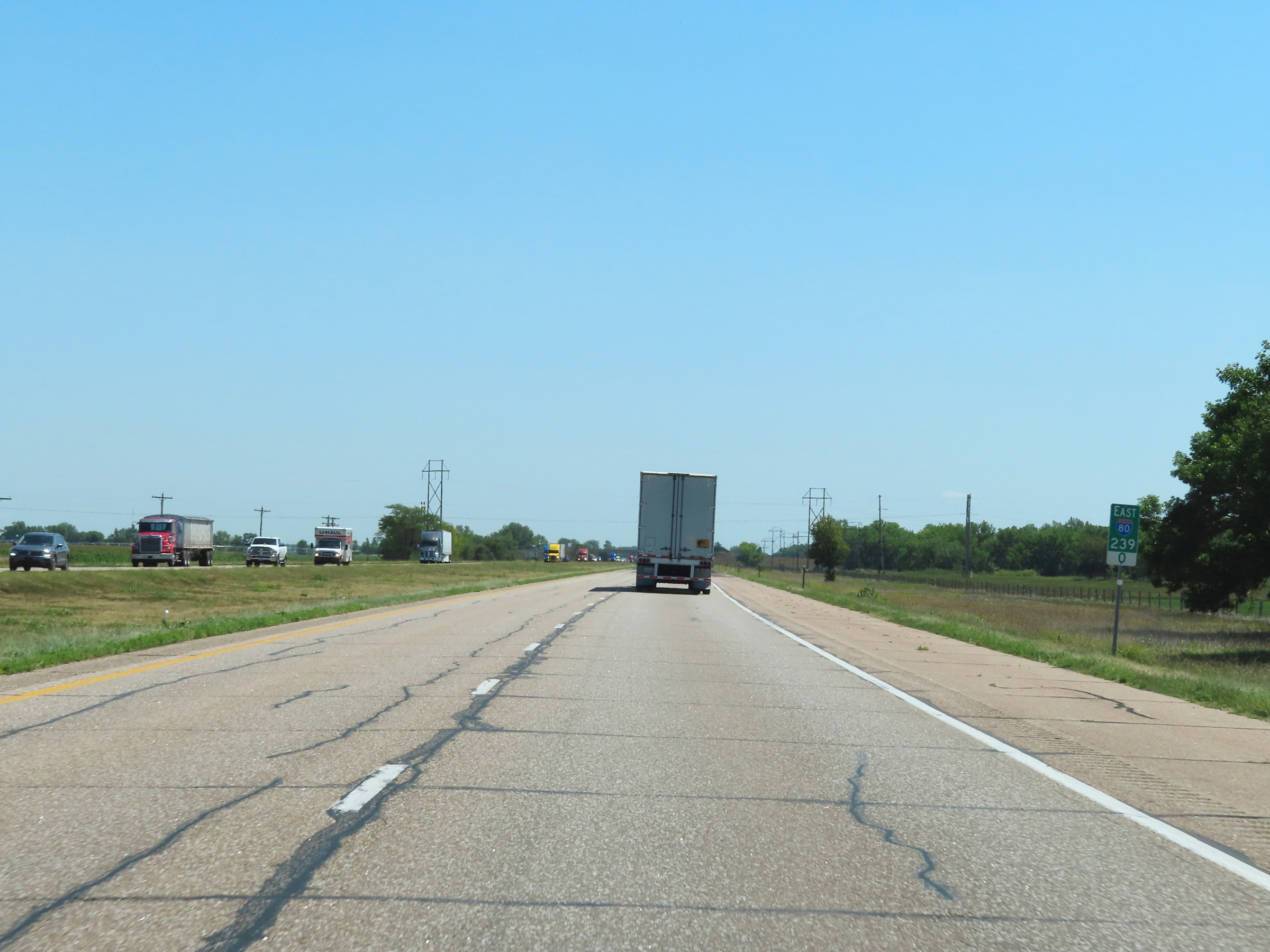 |
Mile marker 239 on Interstate 80 East in Dawson County. (Photo taken 8/18/22). |
 |
View on Interstate 80 East at mile marker 241. (Photo taken 8/18/22). |
 |
Interstate 80 East at mile marker 242. (Photo taken 8/18/22). |
 |
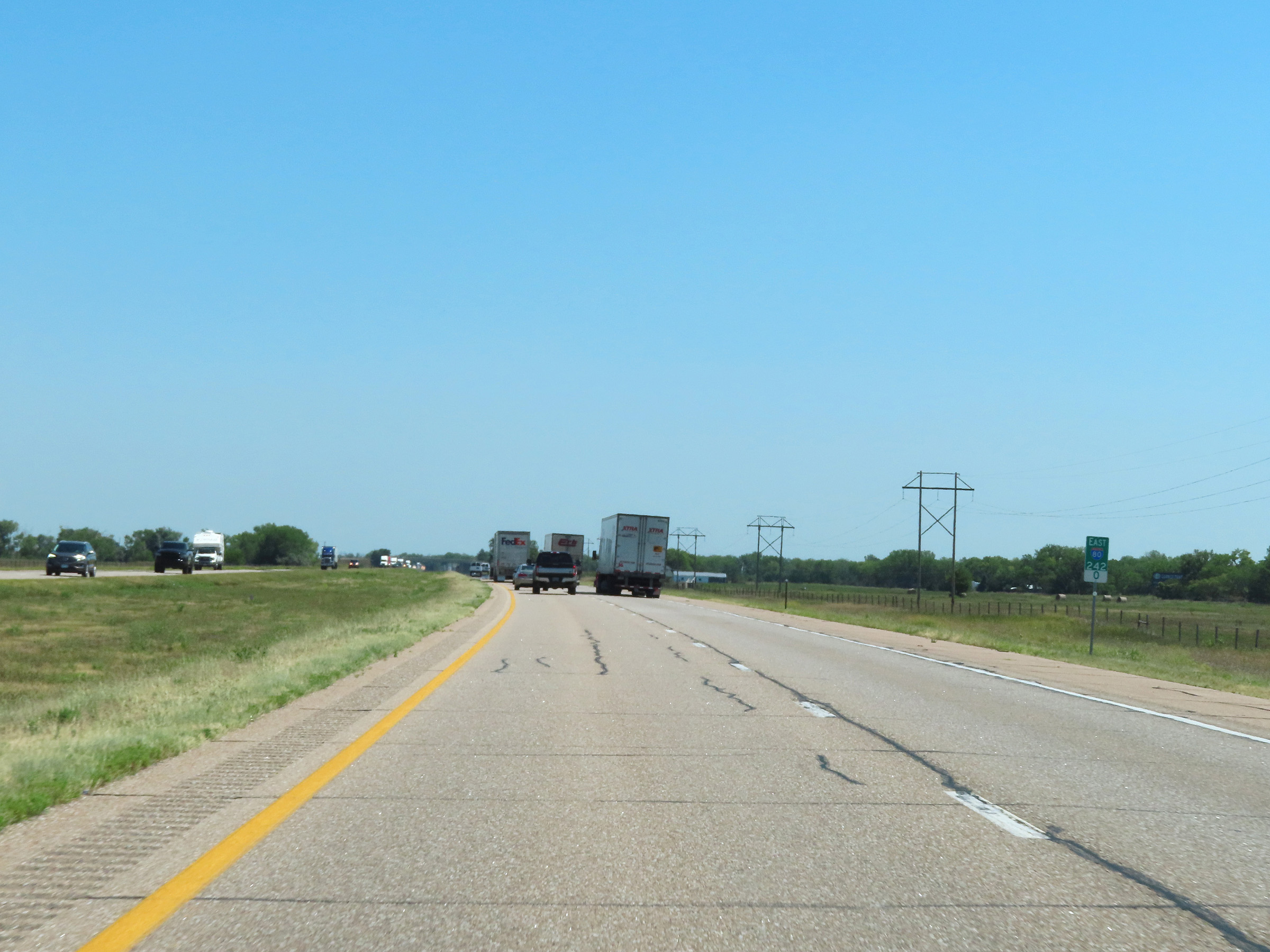
View on Interstate 80 East at mile marker 244. (Photo taken 8/18/22). |
 |
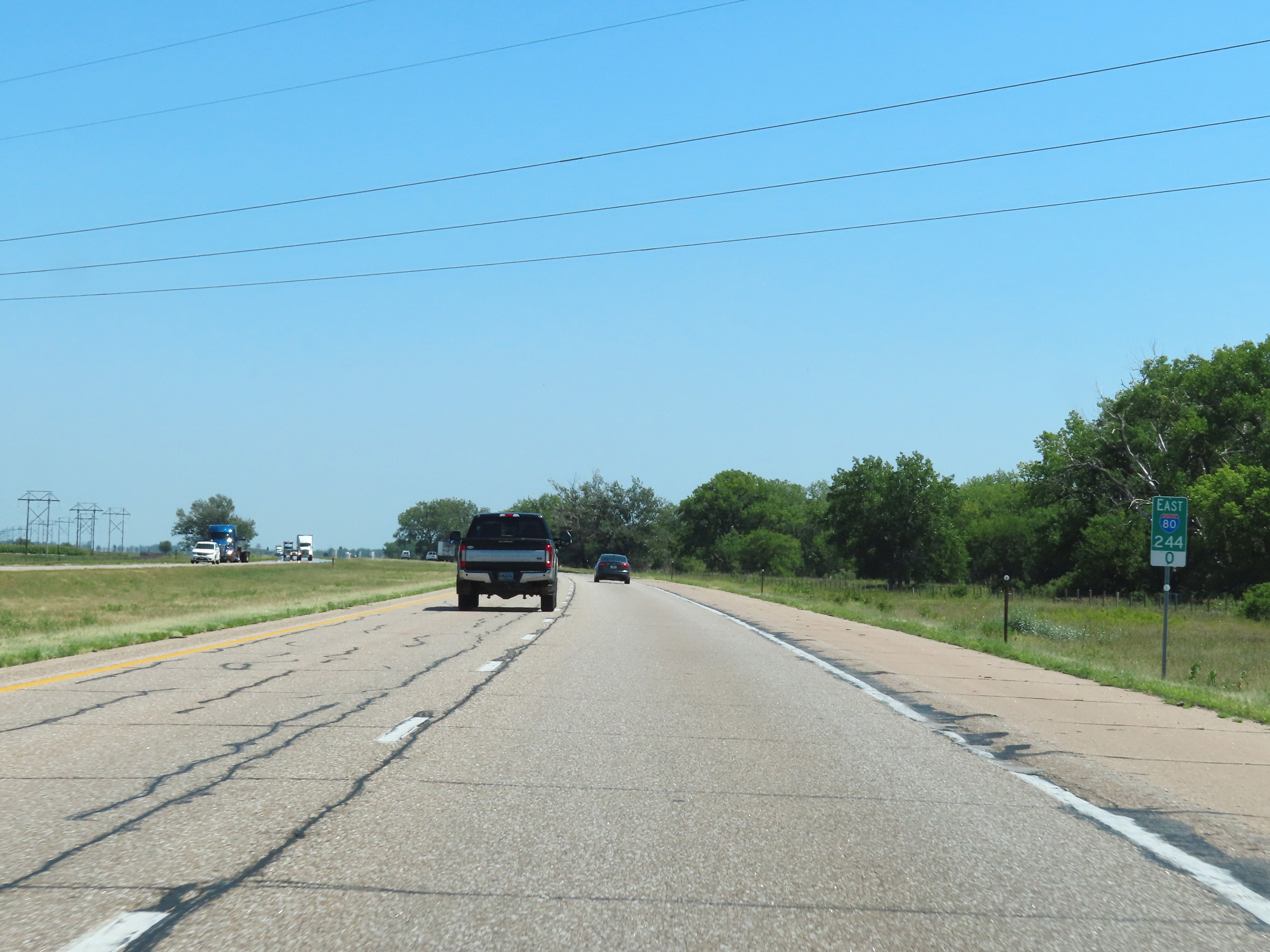
Mile marker 245 on Interstate 80 East in Dawson County. (Photo taken 8/18/22). |
 |
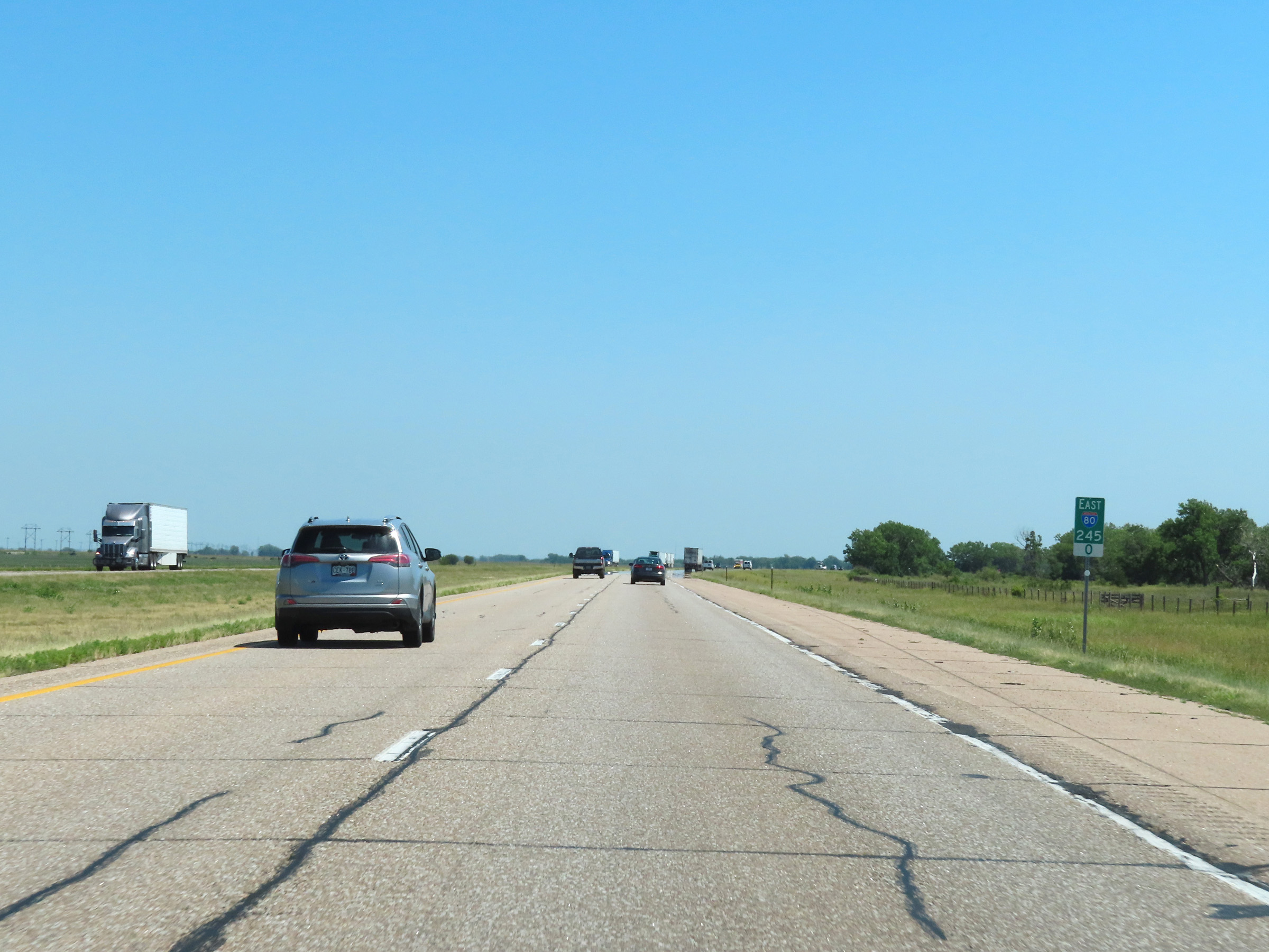
View on Interstate 80 East at mile marker 246.5. (Photo taken 8/18/22). |
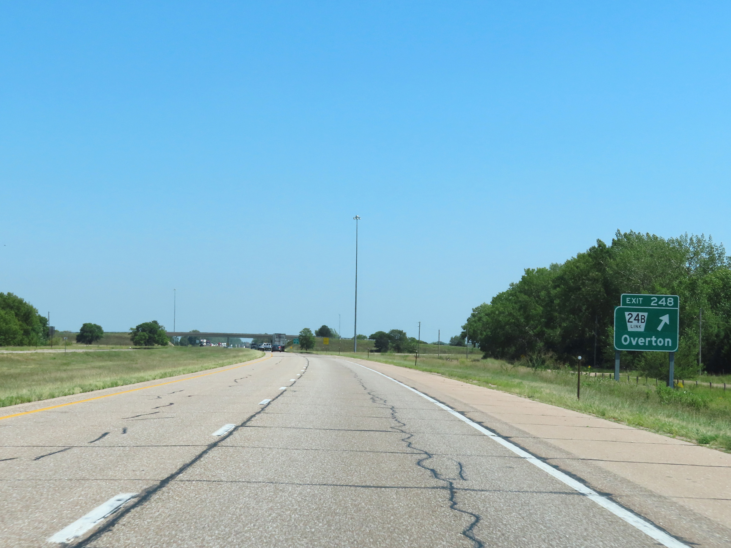 |
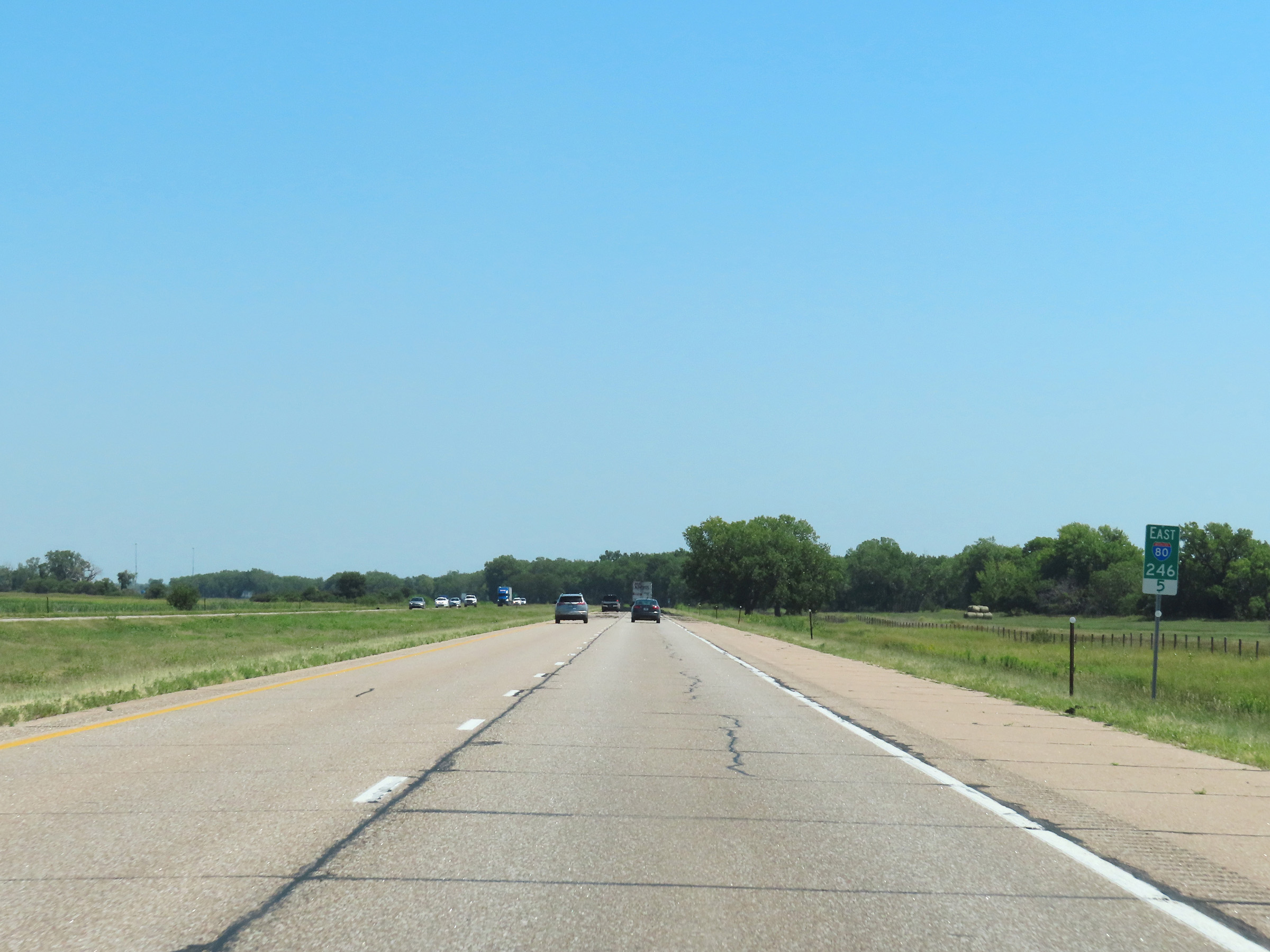
Interstate 80 East at Exit 248: Nebraska Link 24B - Overton (Photo taken 8/18/22). |
 |
View on Interstate 80 East at mile marker 250. (Photo taken 8/18/22). |
 |
Interstate 80 East at mile marker 252. (Photo taken 8/18/22). |
 |
Mile marker 254 on Interstate 80 East in Dawson County. (Photo taken 8/18/22). |
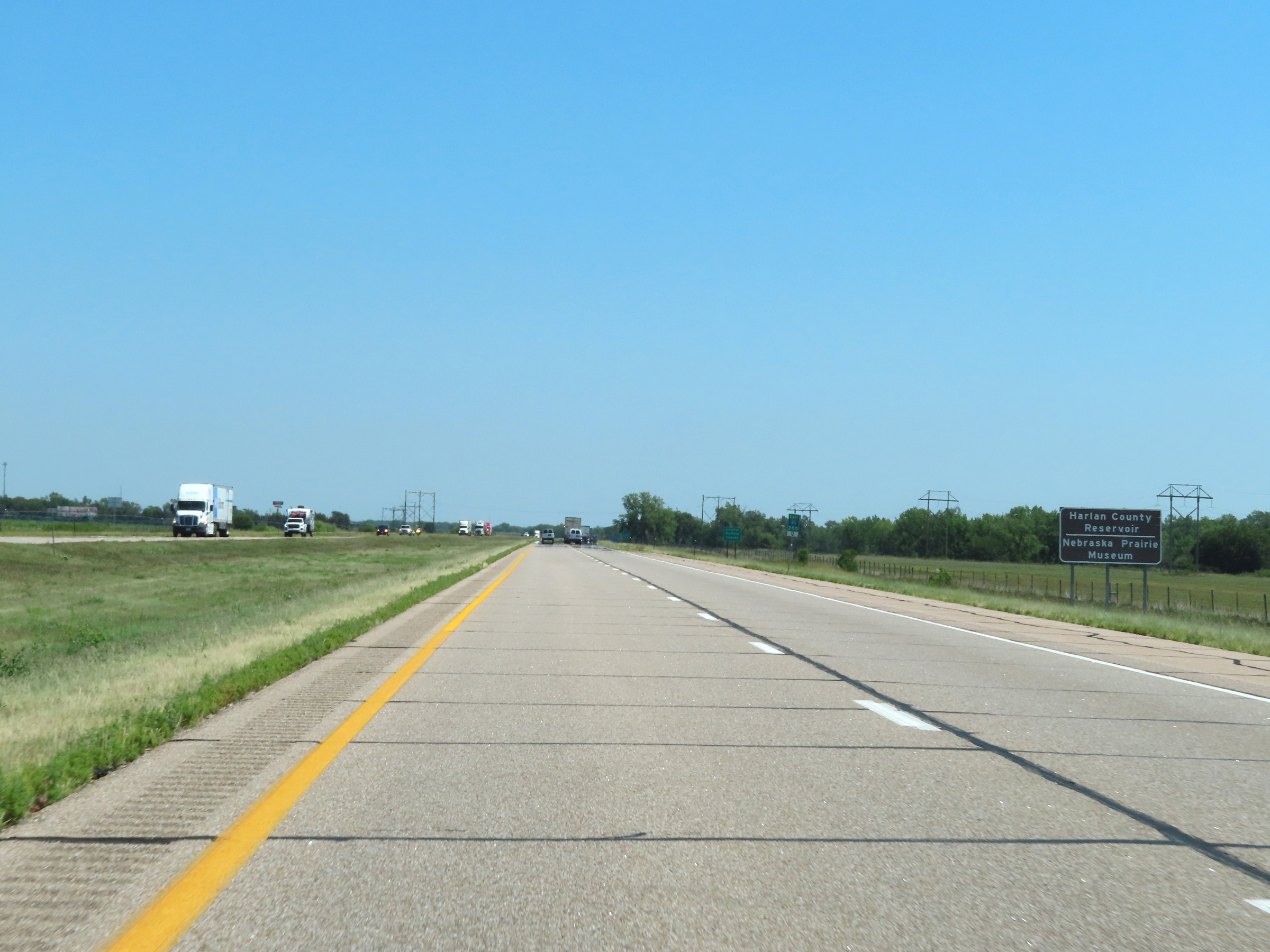 |
Take Exit 257 to Harlan County Reservoir and the Nebraska Prairie Museum. (Photo taken 8/18/22). |
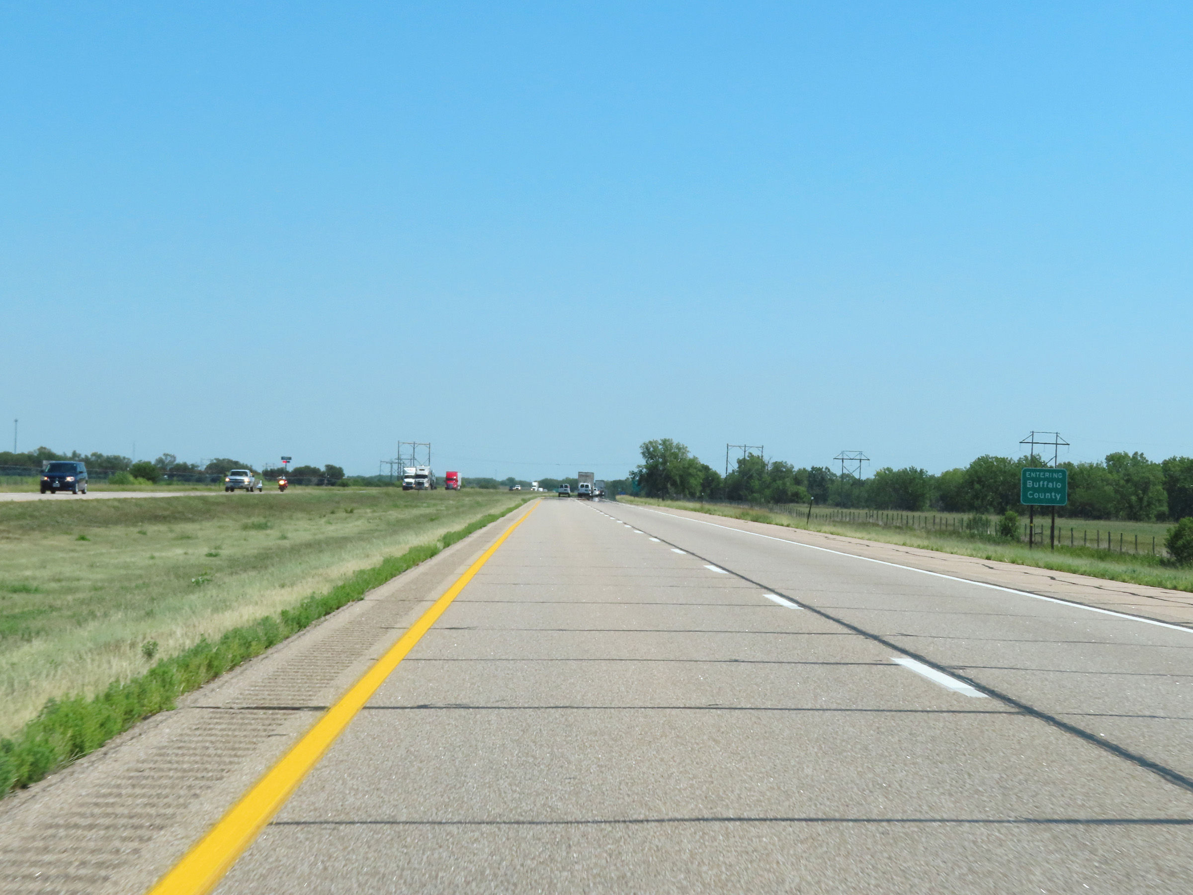 |
Interstate 80 East as it enters Buffalo County. (Photo taken 8/18/22). |
 |
View on Interstate 80 East at mile marker 255.5. (Photo taken 8/18/22). |
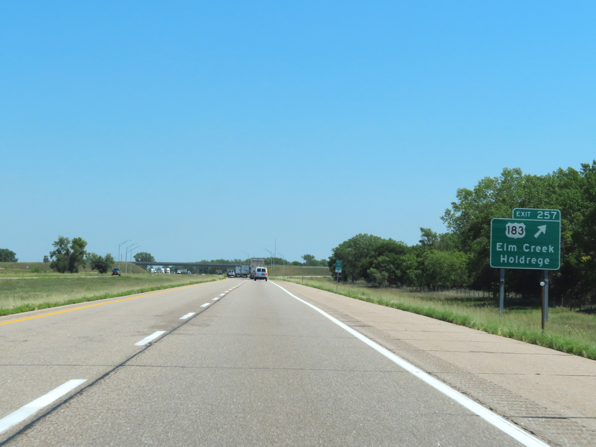 |
Interstate 80 East at Exit 257: US 183 - Elm Creek / Holdrege (Photo taken 8/18/22). |
 |
Mileage sign on Interstate 80 East. It's 6 miles to the next exit (Exit 263) and 17 miles to Kearney. (Photo taken 8/18/22). |
 |
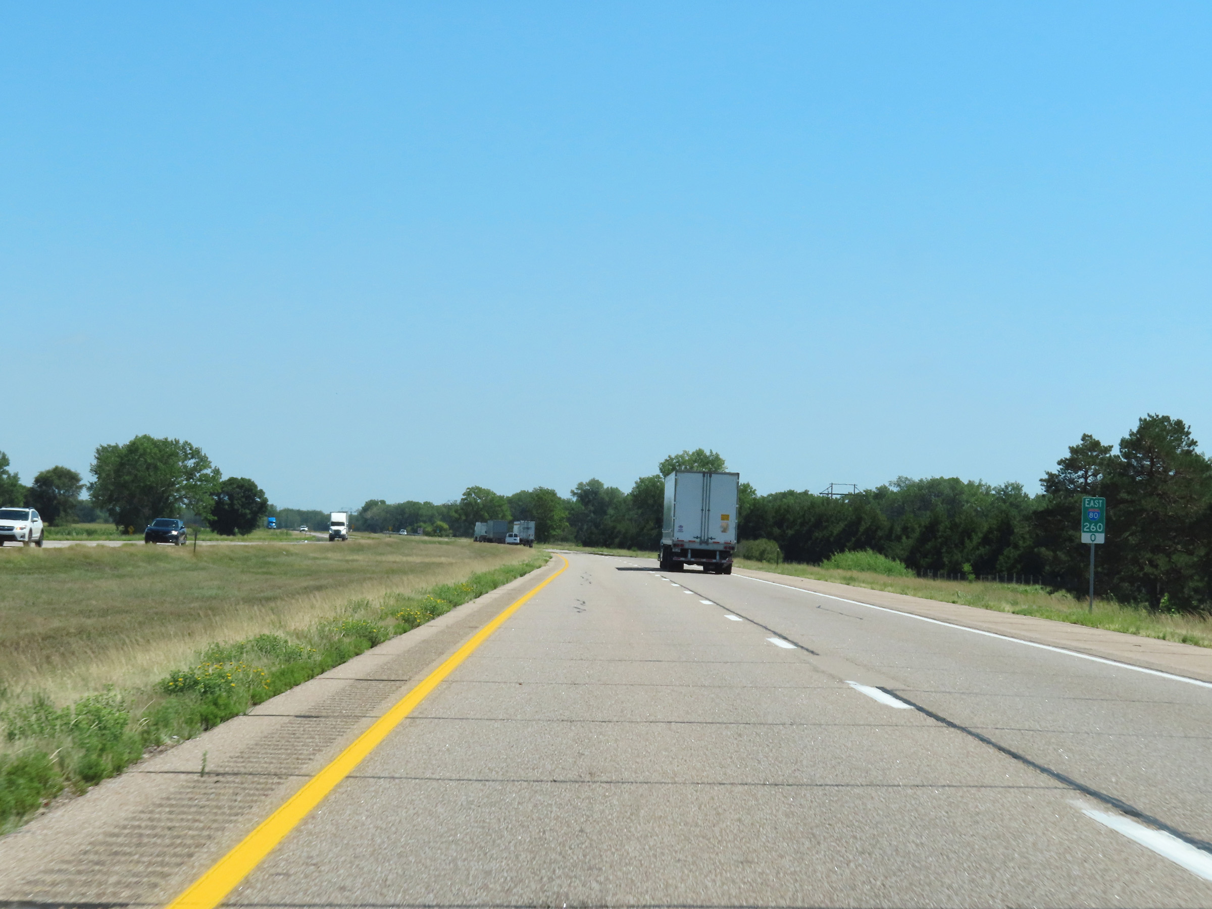
Interstate 80 East at mile marker 259. (Photo taken 8/18/22). |
 |
Mile marker 260 on Interstate 80 East in Buffalo County. (Photo taken 8/18/22). |
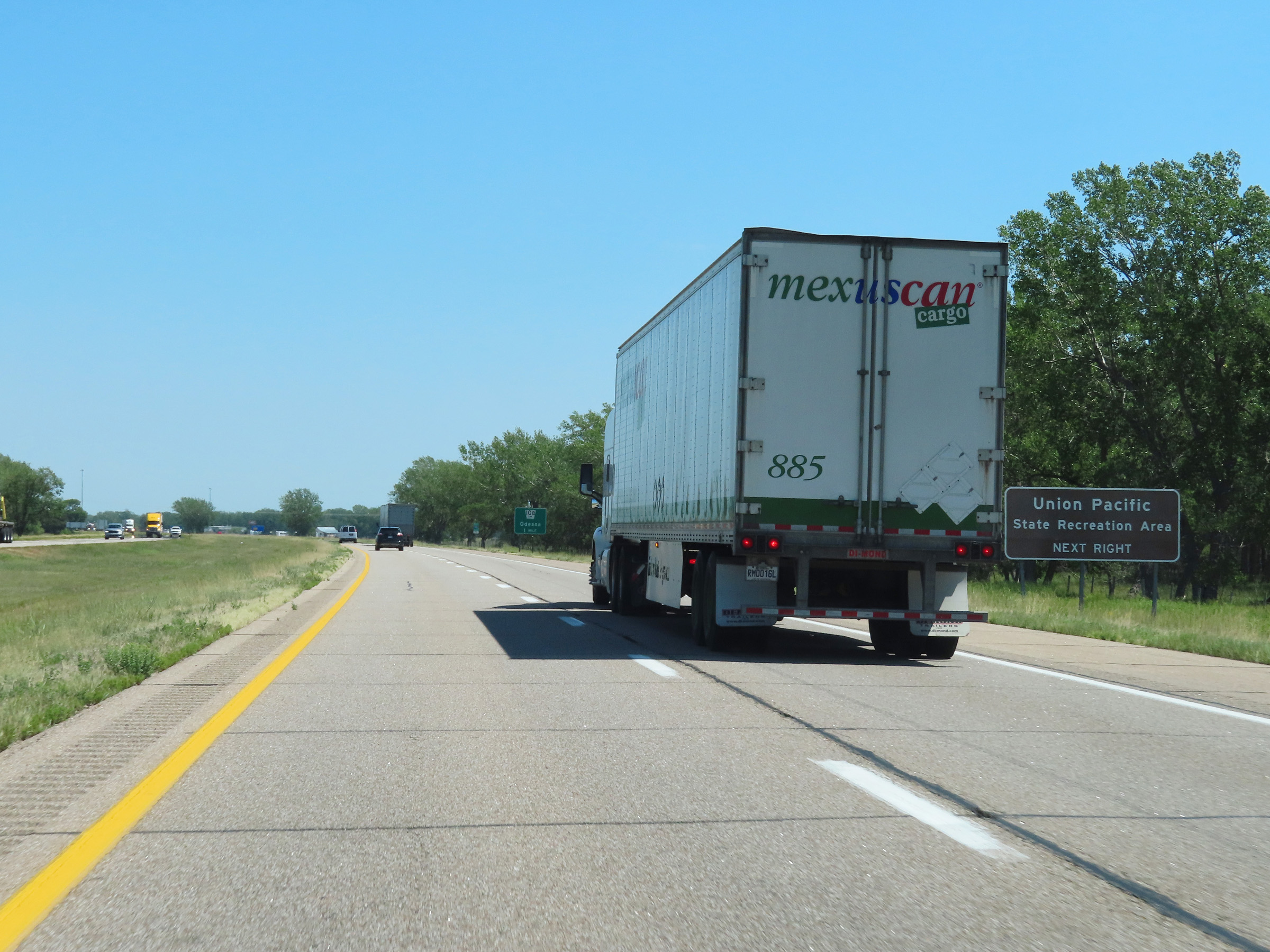 |
Take Exit 263 to Union Pacific State Recreation Area. (Photo taken 8/18/22). |
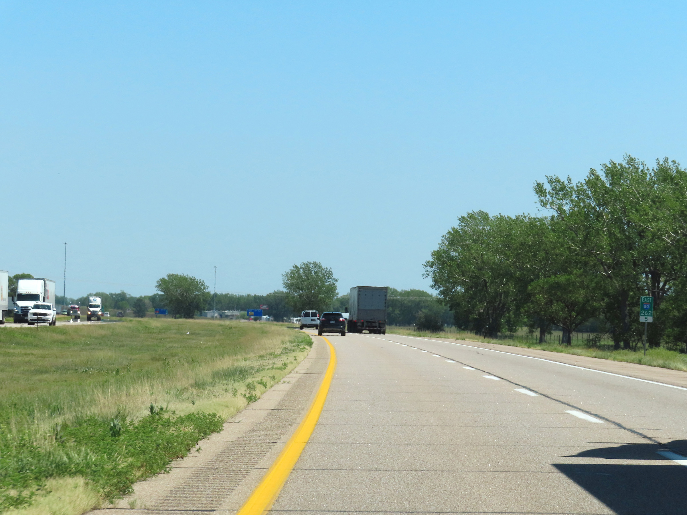 |
View on Interstate 80 East at mile marker 262.5. (Photo taken 8/18/22). |
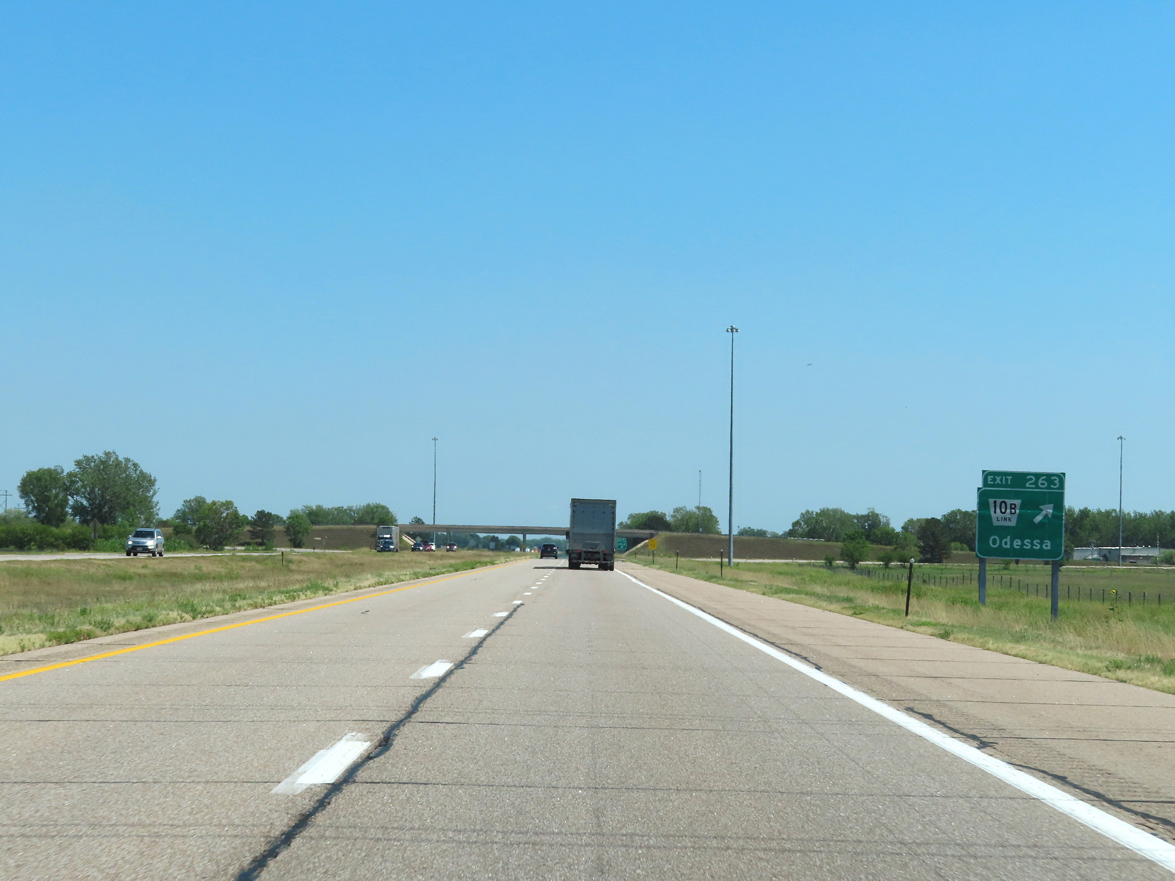 |
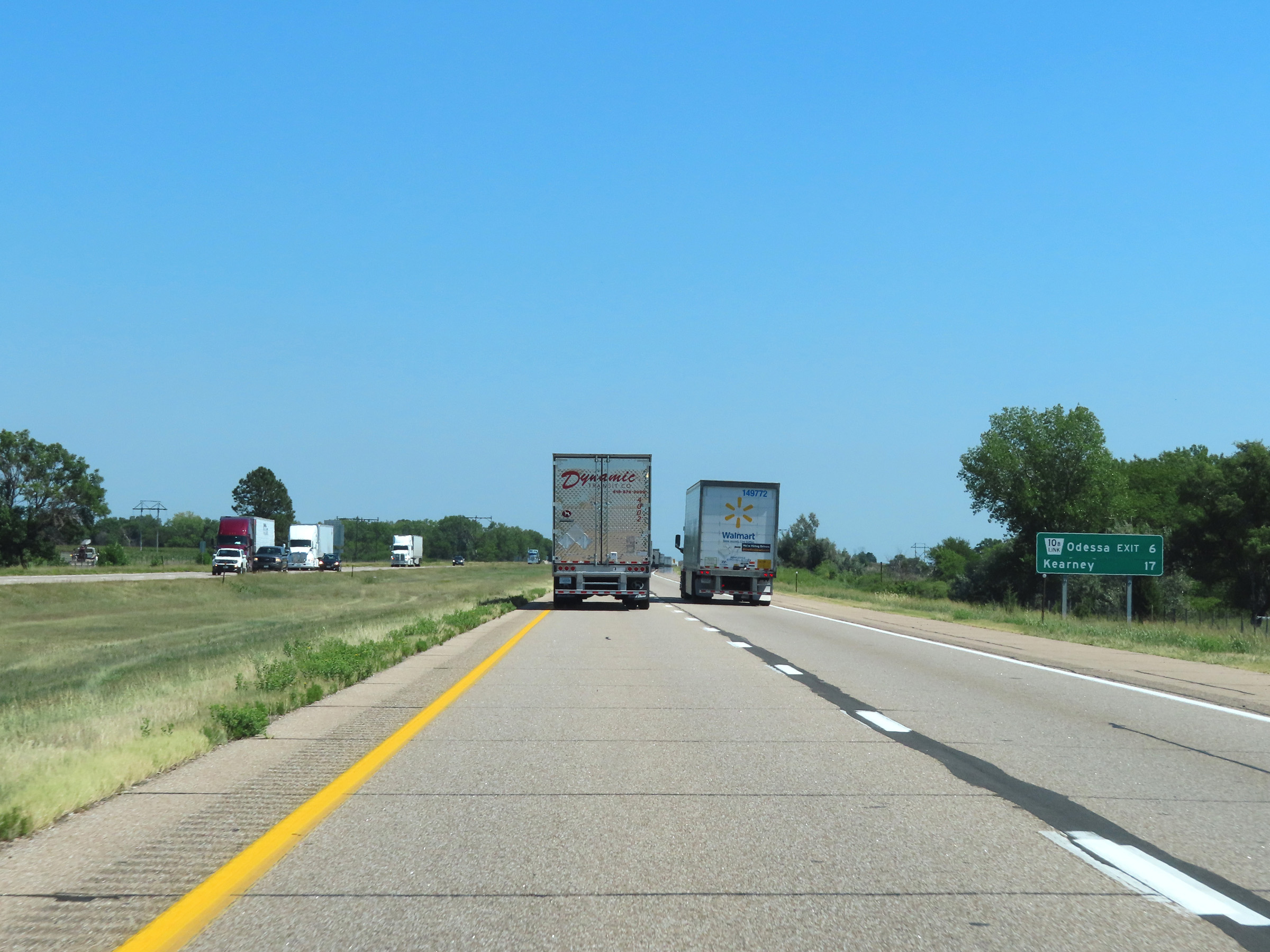
Interstate 80 East at Exit 263: Nebraska Link 10B - Odessa (Photo taken 8/18/22). |
 |
Another Interstate 80 East reassurance shield. (Photo taken 8/18/22). |
 |
The speed limits remain the rural standards - 75 mph maximum, 40 mph minimum. (Photo taken 8/18/22). |
 |
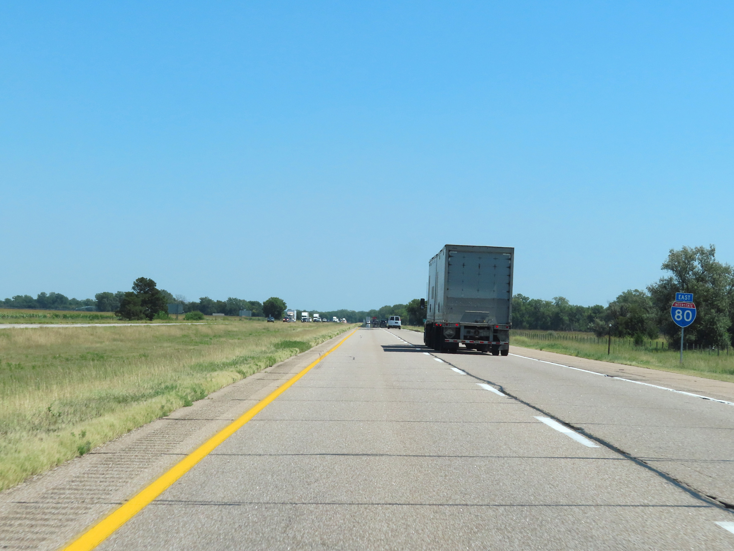
View on Interstate 80 East at mile marker 266. (Photo taken 8/18/22). |
 |
Mile marker 267 on Interstate 80 East in Buffalo County. (Photo taken 8/18/22). |
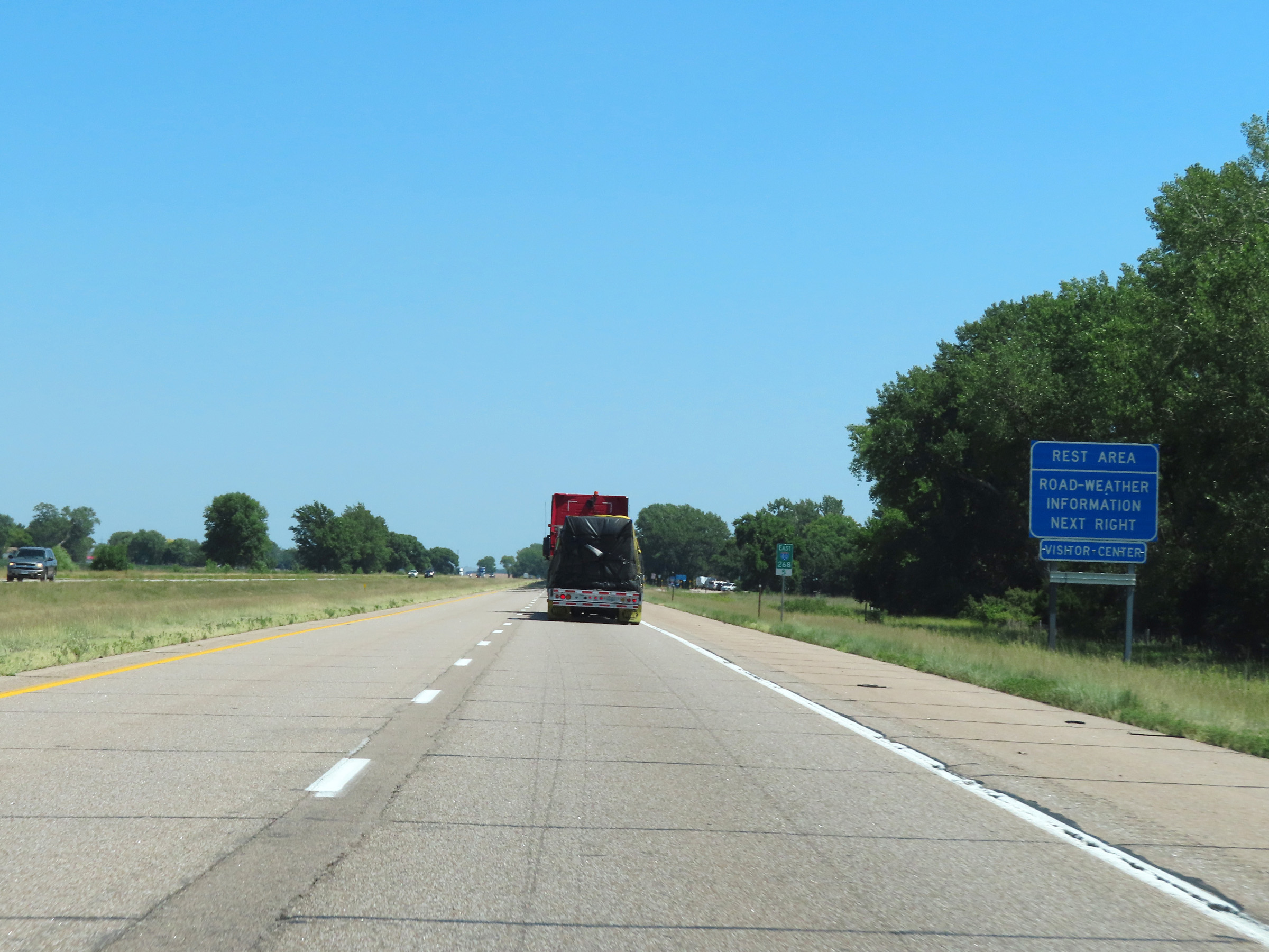 |
Rest Area on Interstate 80 East at mile marker 268.5 in Buffalo County. (Photo taken 8/18/22). |
 |
View on Interstate 80 East at mile marker 270. (Photo taken 8/18/22). |
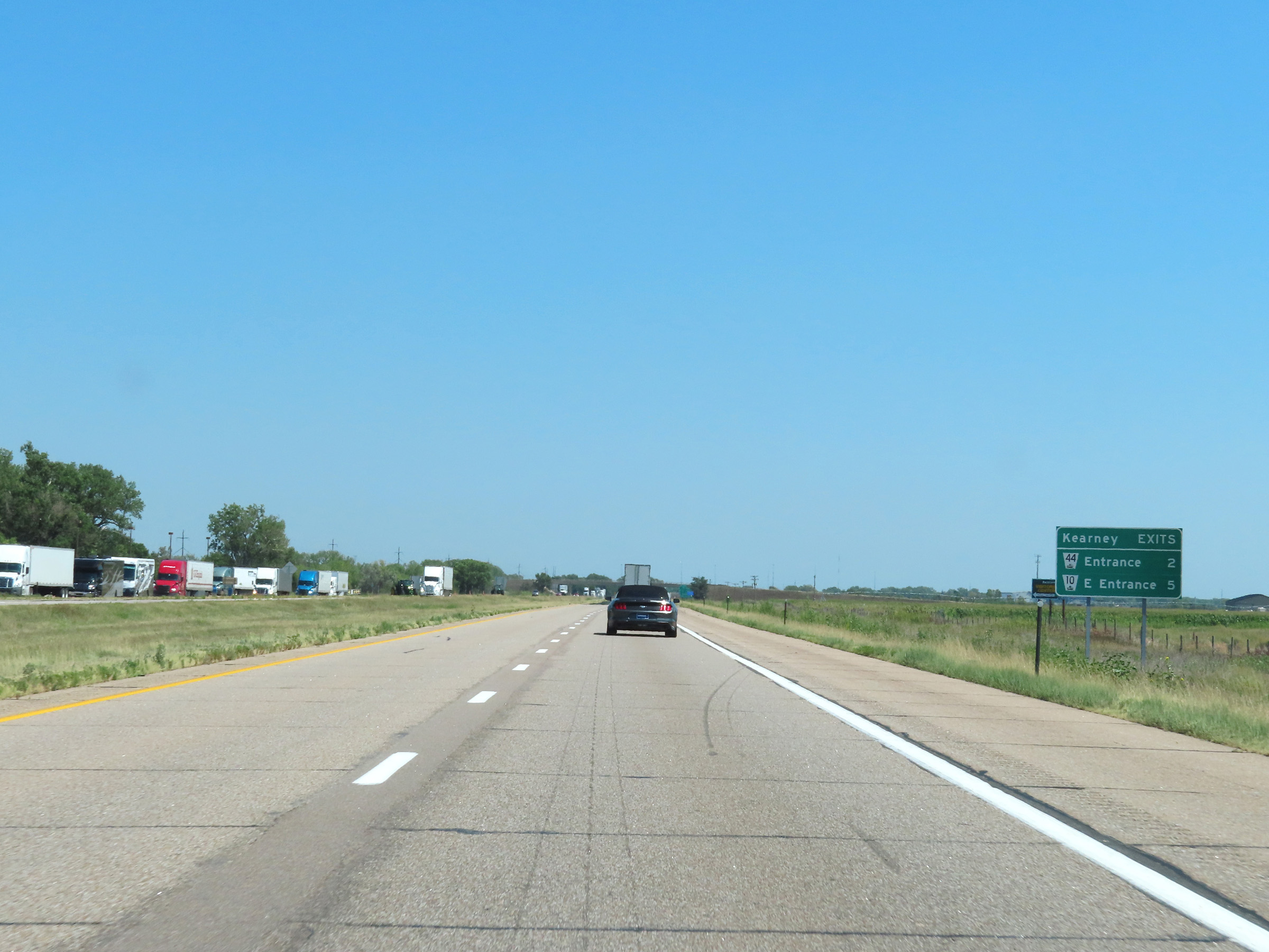 |
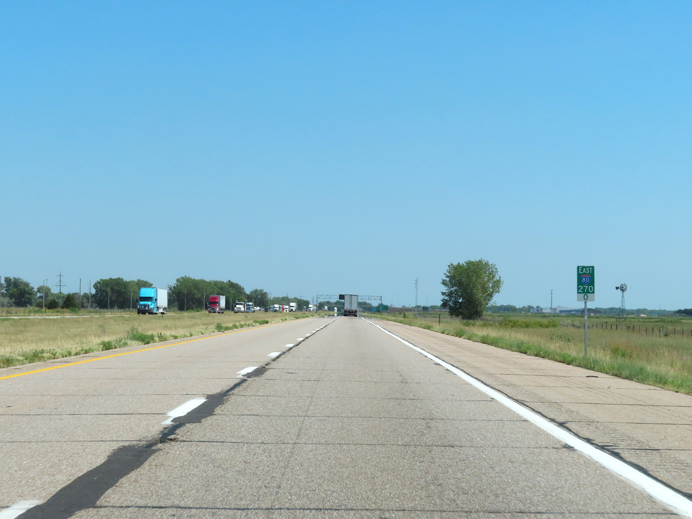
Mileage sign listing the distances to the two upcoming exits to Kearney on Interstate 80 East. (Photo taken 8/18/22). |
 |
Take Exit 272 to the University of Nebraska at Kearney and the Museum of Nebraska Art. (Photo taken 8/18/22). |
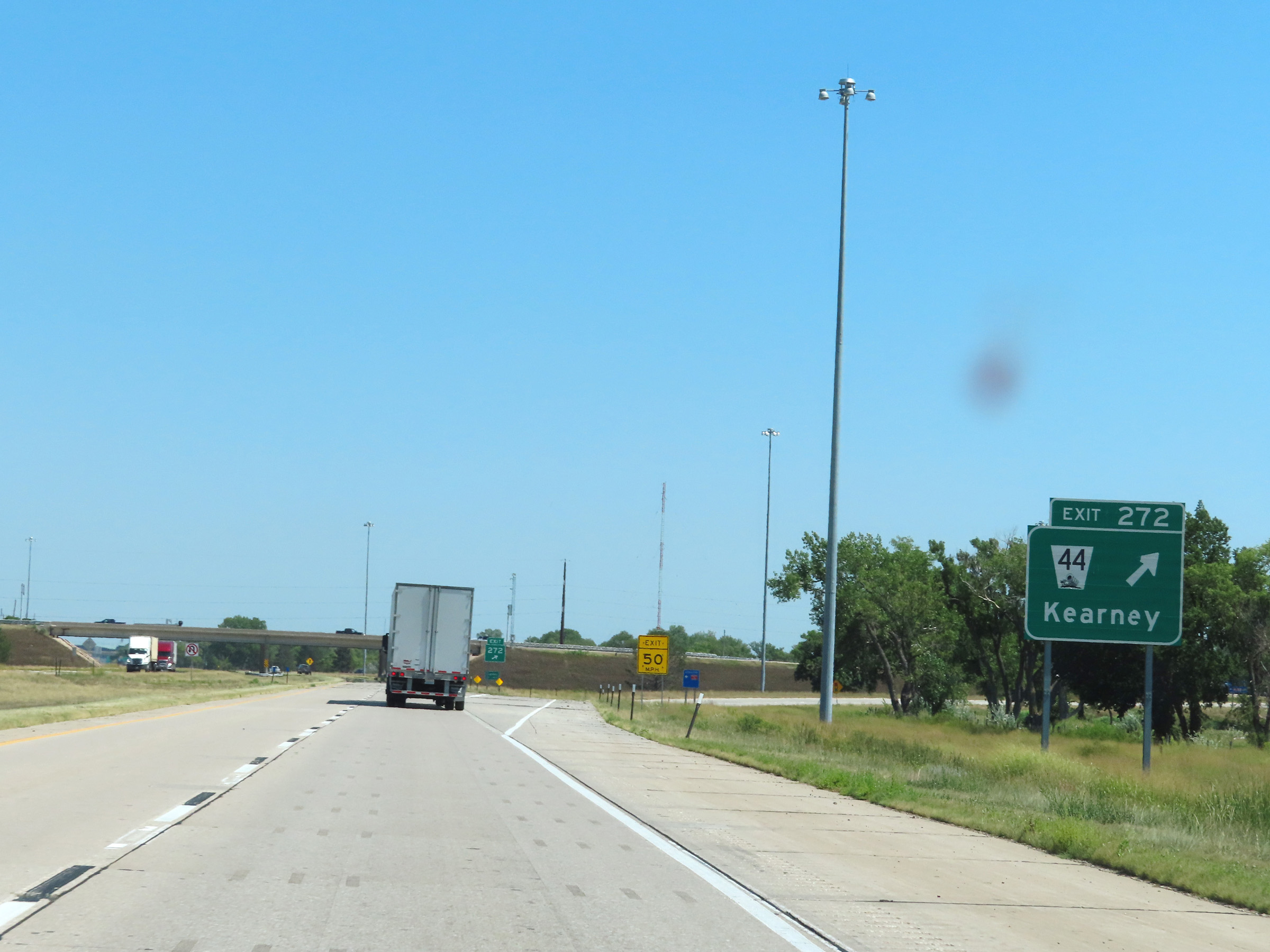 |
Interstate 80 East at Exit 272: NE 44 - Kearney (Photo taken 8/18/22). |
Section 5: Kearney (Exit 272) to York (Exit 353)
 |
View on Interstate 80 East at mile marker 273. (Photo taken 8/18/22). |
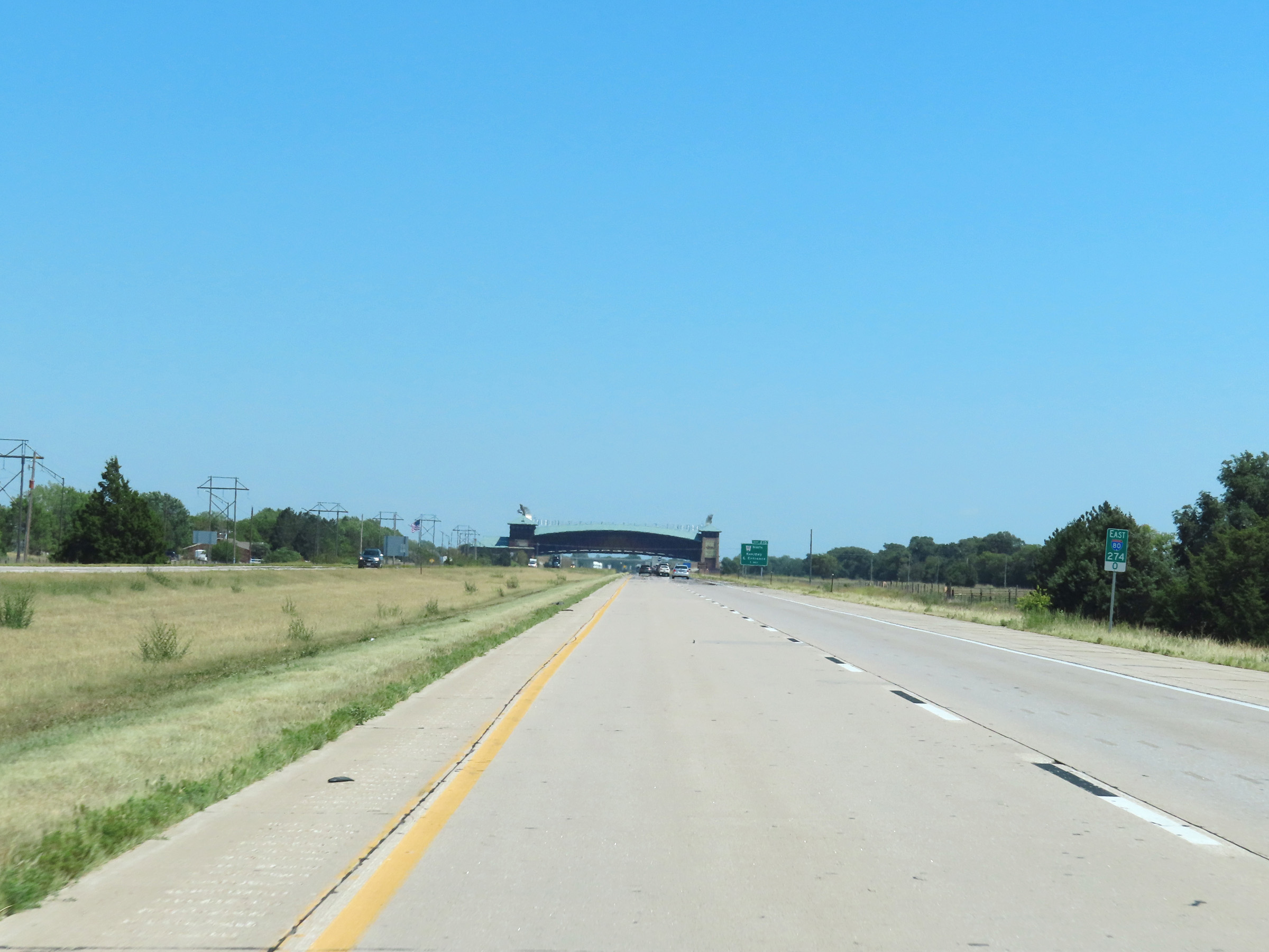 |
Interstate 80 East at mile marker 274, as the Great Platte River Road Archway Monument comes into view ahead. (Photo taken 8/18/22). |
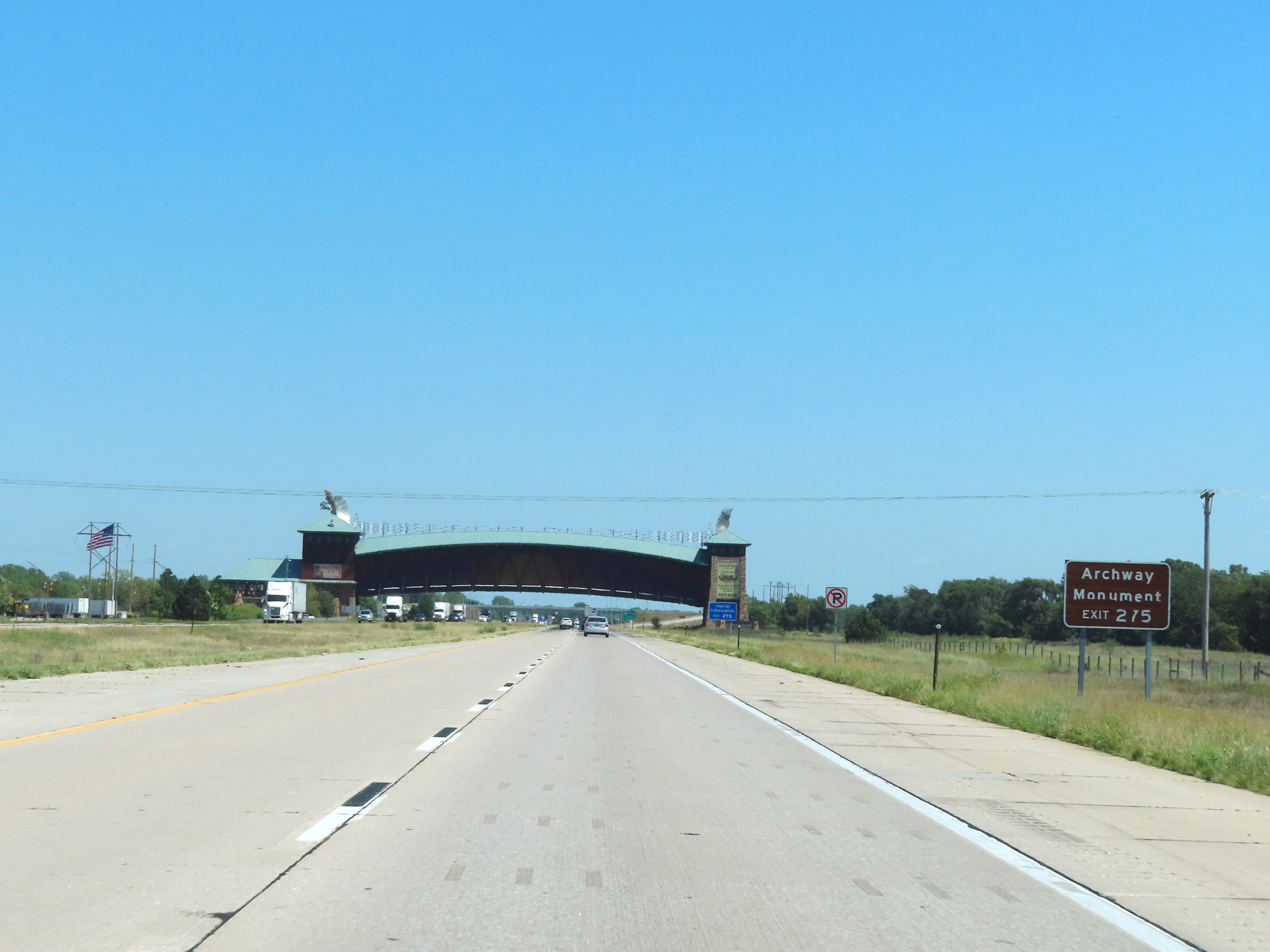 |
Take Exit 275 to access the Archway Monument. (Photo taken 8/18/22). |
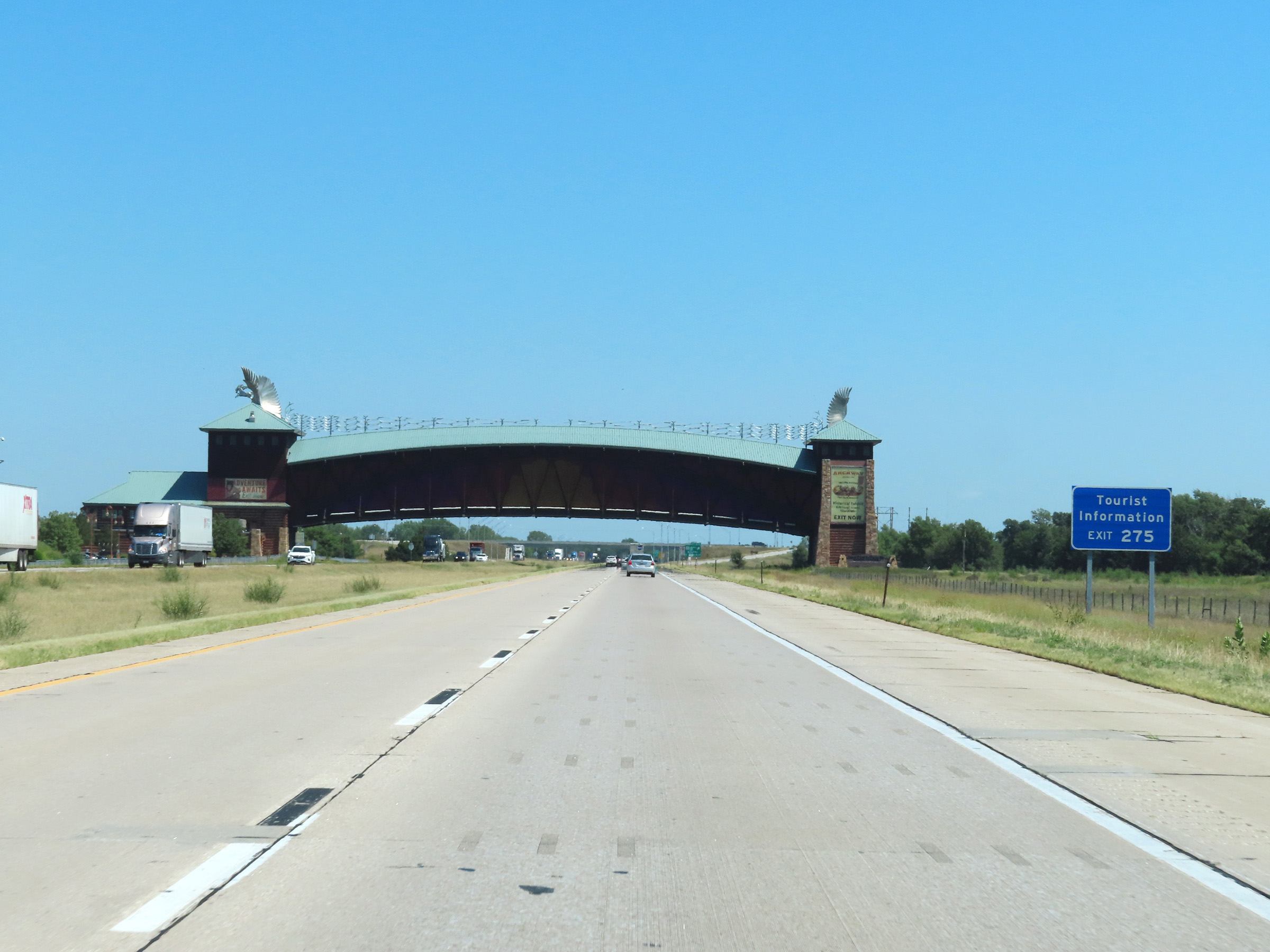 |
A Tourist Information Center also exists off Exit 275. (Photo taken 8/18/22). |
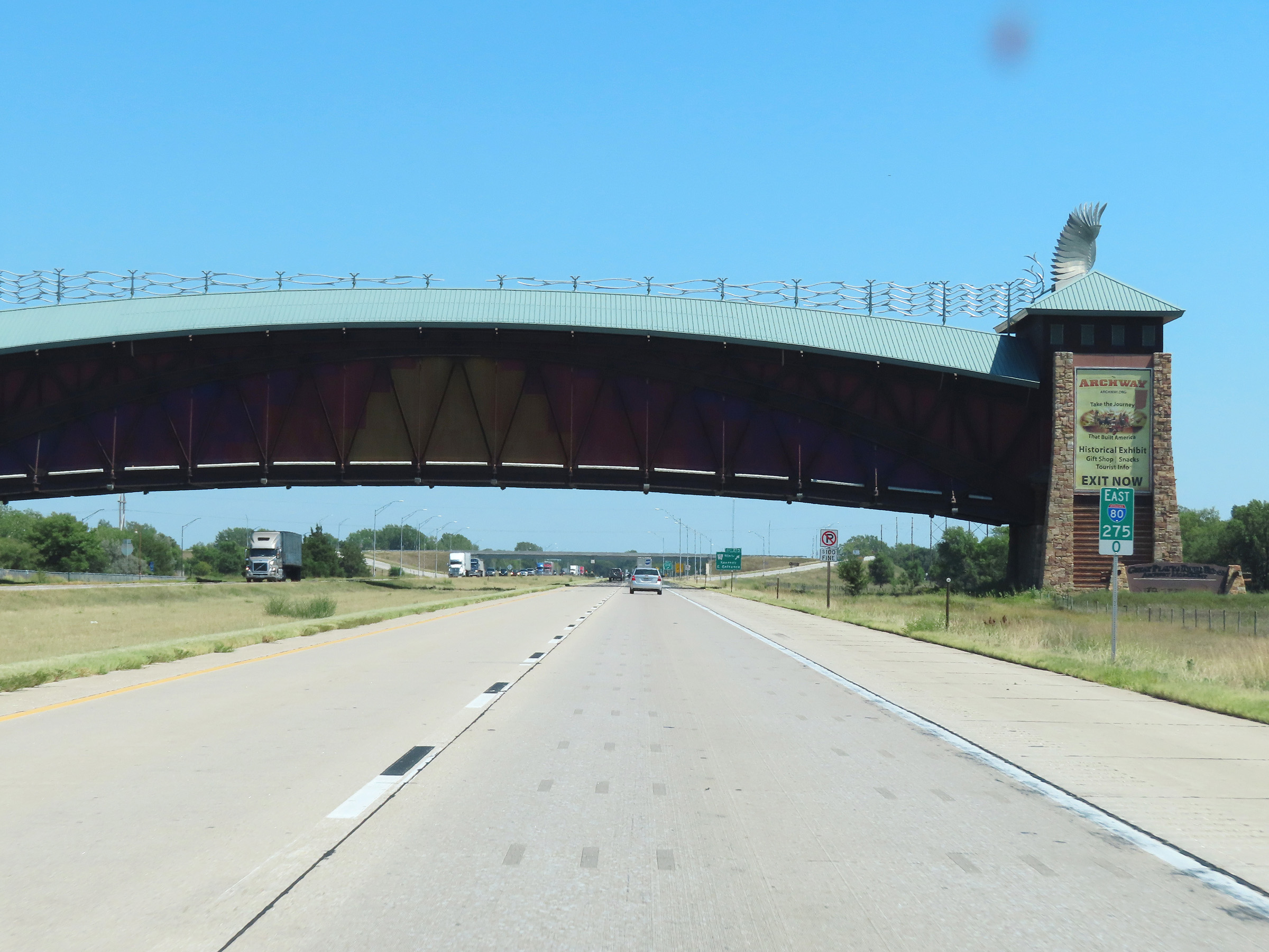 |
View on Interstate 80 East at mile marker 275, as it prepares to pass under the Archway Monument in Kearney. (Photo taken 8/18/22). |
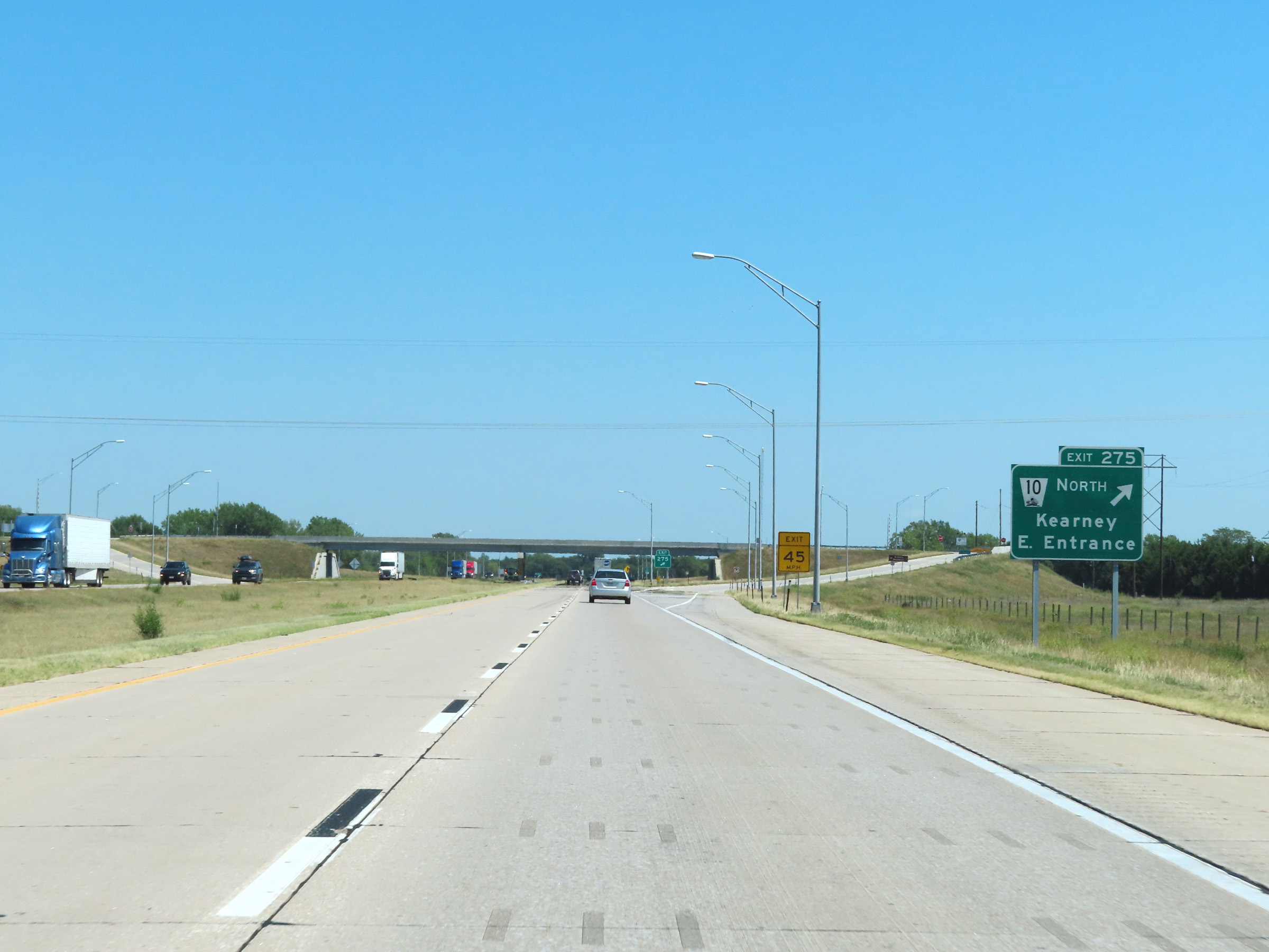 |
Interstate 80 East at Exit 275: NE 10 North - Kearney / East Entrance (Photo taken 8/18/22). |
 |
Mile marker 276 on Interstate 80 East in Buffalo County. (Photo taken 8/18/22). |
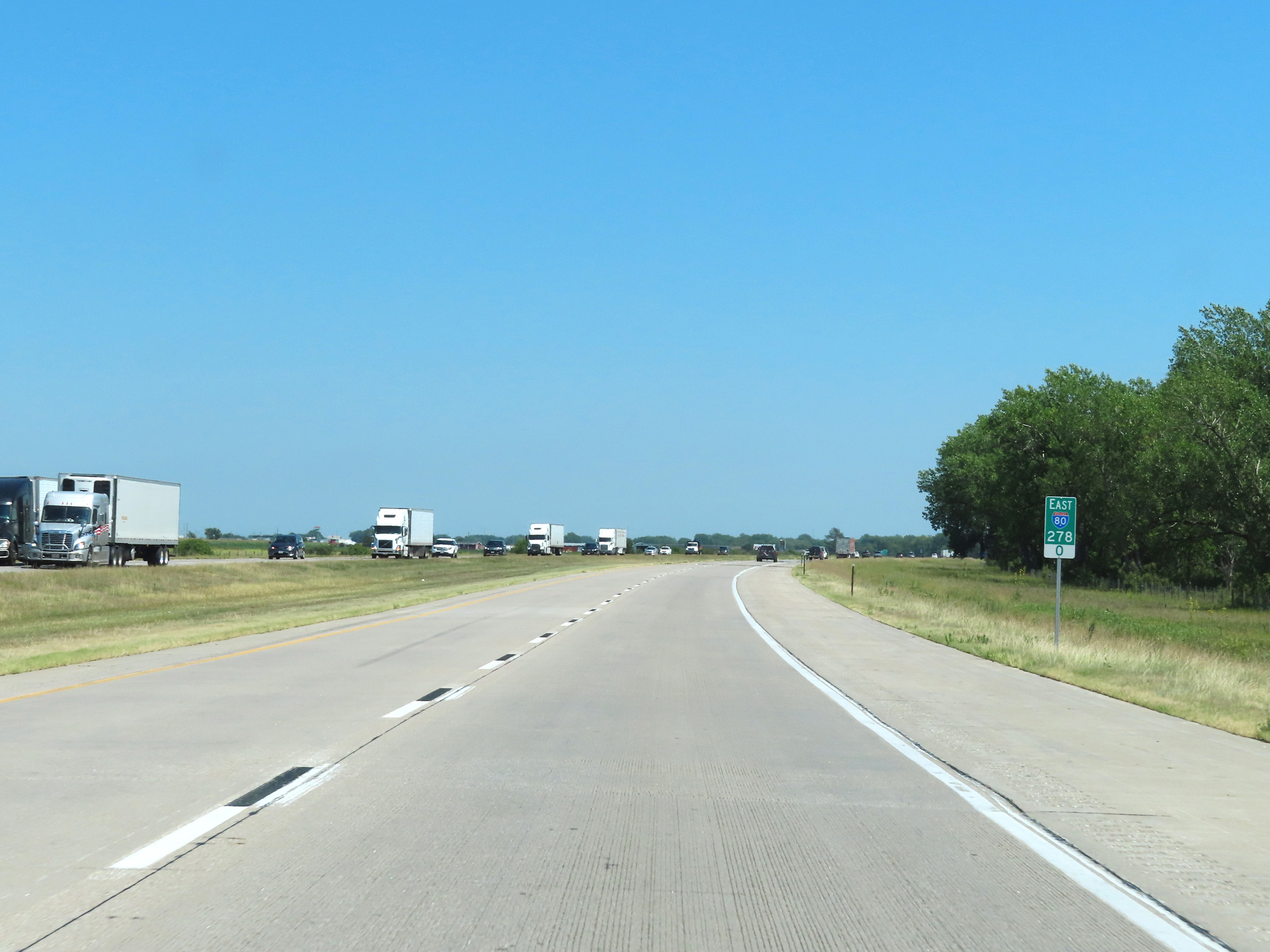 |
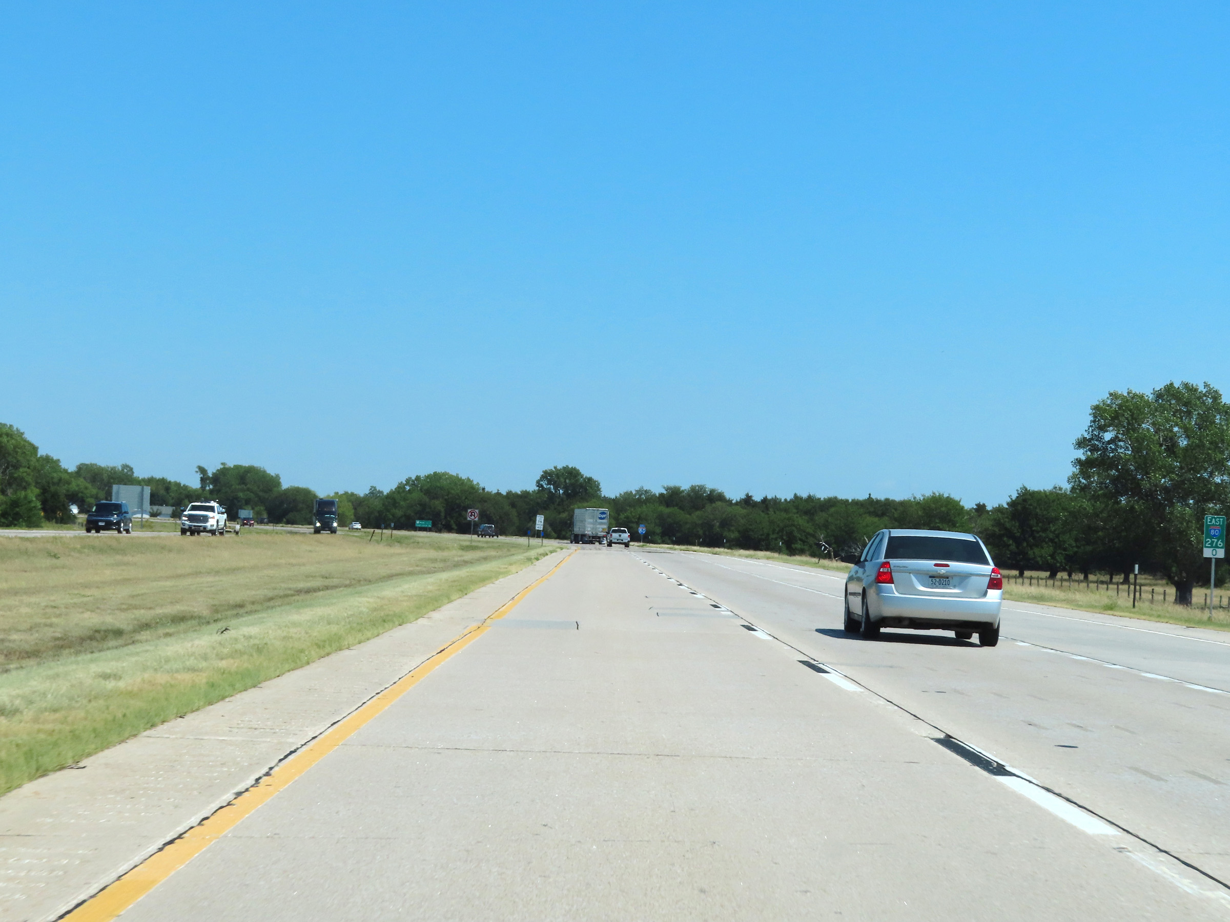
View on Interstate 80 East at mile marker 278. (Photo taken 8/18/22). |
 |
Take Exit 279 to Fort Kearney and Pioneer Village. (Photo taken 8/18/22). |
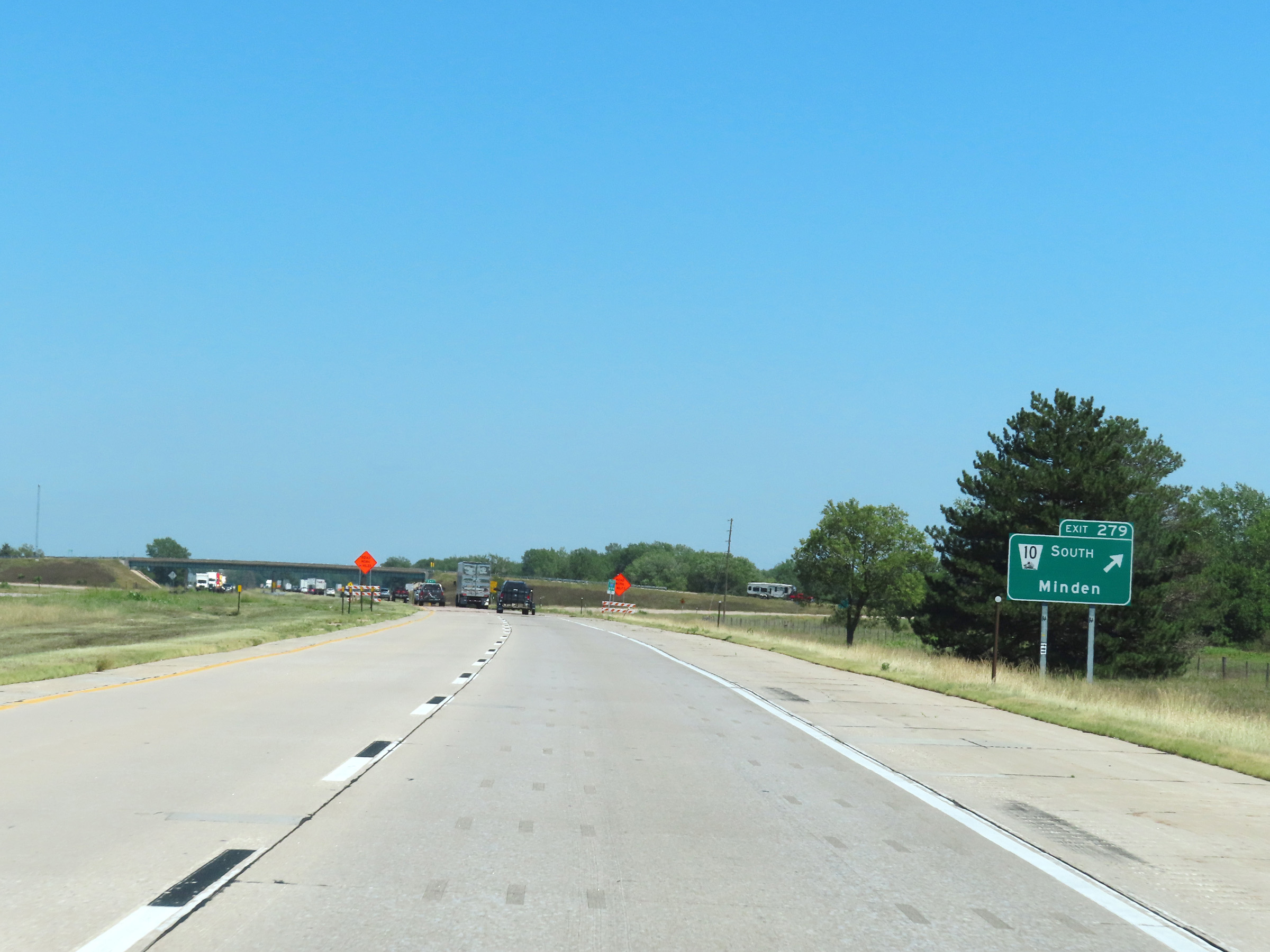 |
Interstate 80 East at Exit 279: NE 10 South - Minden (Photo taken 8/18/22). |
 |
Another Interstate 80 East reassurance shield. (Photo taken 8/18/22). |
 |
The speed limits remain 75 mph maximum and 40 mph minimum. (Photo taken 8/18/22). |
 |
Interstate 80 East at mile marker 282. (Photo taken 8/18/22). |
 |
Mile marker 283 on Interstate 80 East in Buffalo County. (Photo taken 8/18/22). |
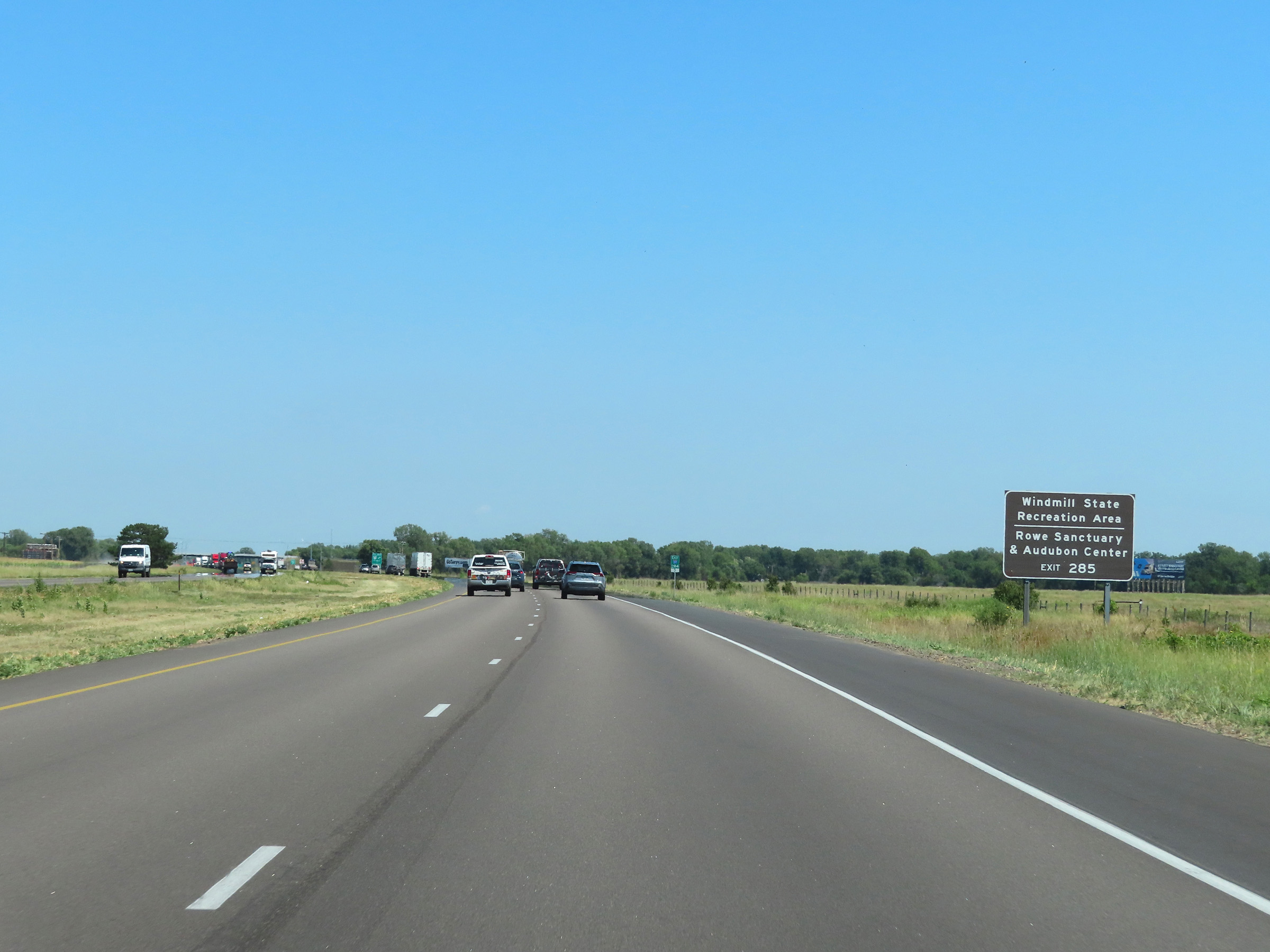 |
Take Exit 285 to Windmill State Recreation Area and the Rowe Sanctuary & Audubon Center. (Photo taken 8/18/22). |
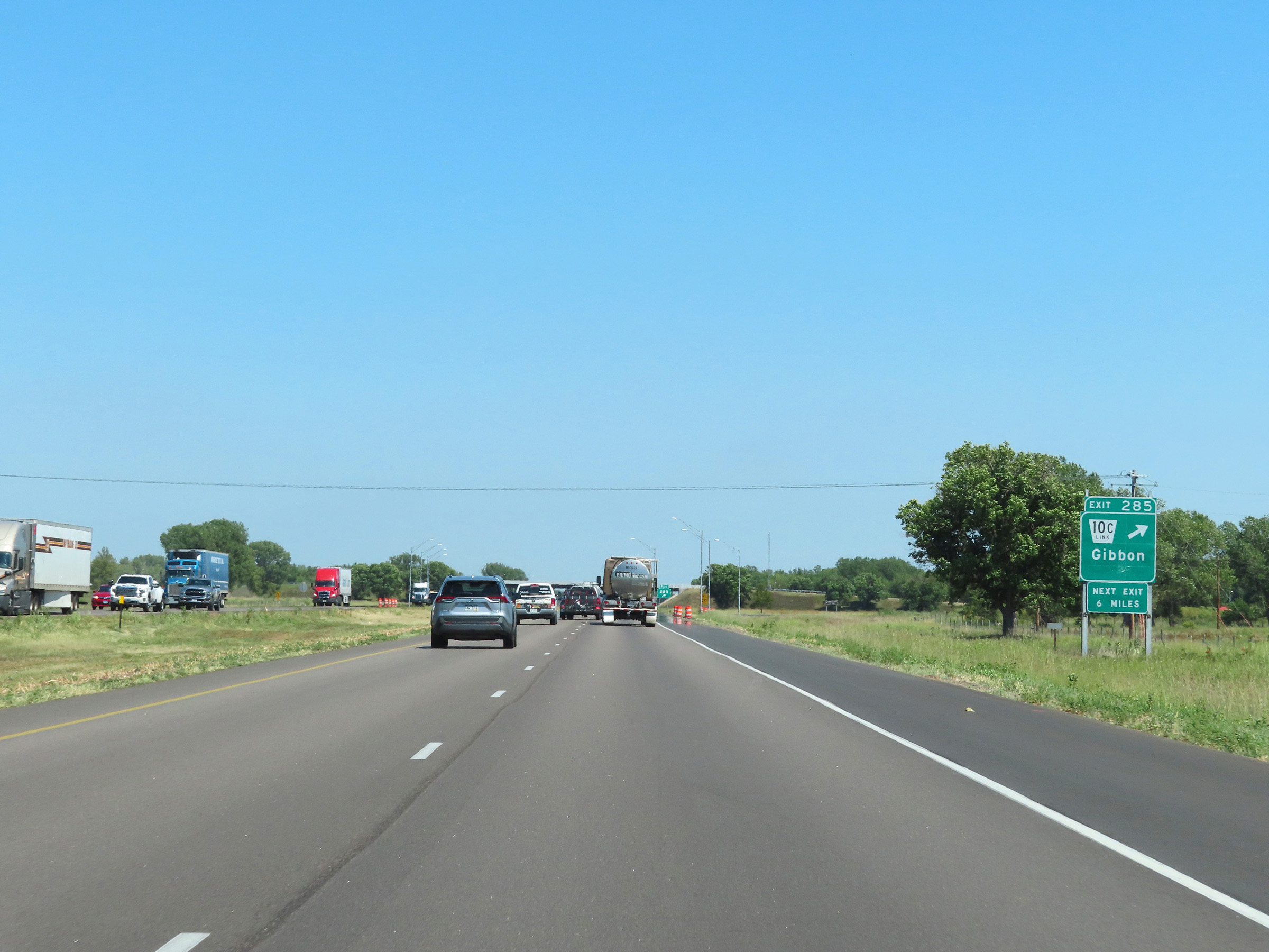 |
Interstate 80 East at Exit 285: Nebraska Link 10C - Gibbon (Photo taken 8/18/22). |
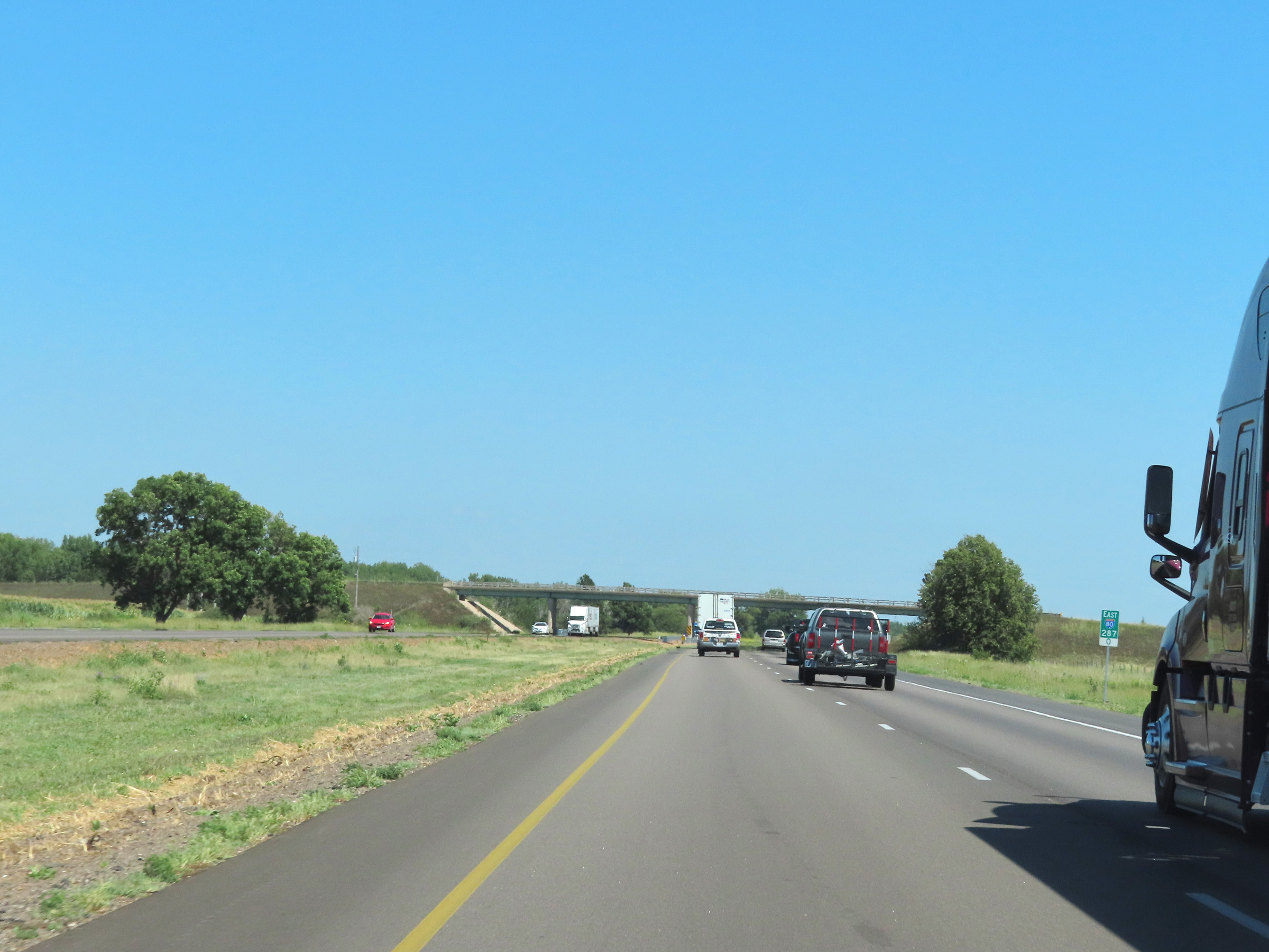 |
View on Interstate 80 East at mile marker 287. (Photo taken 8/18/22). |
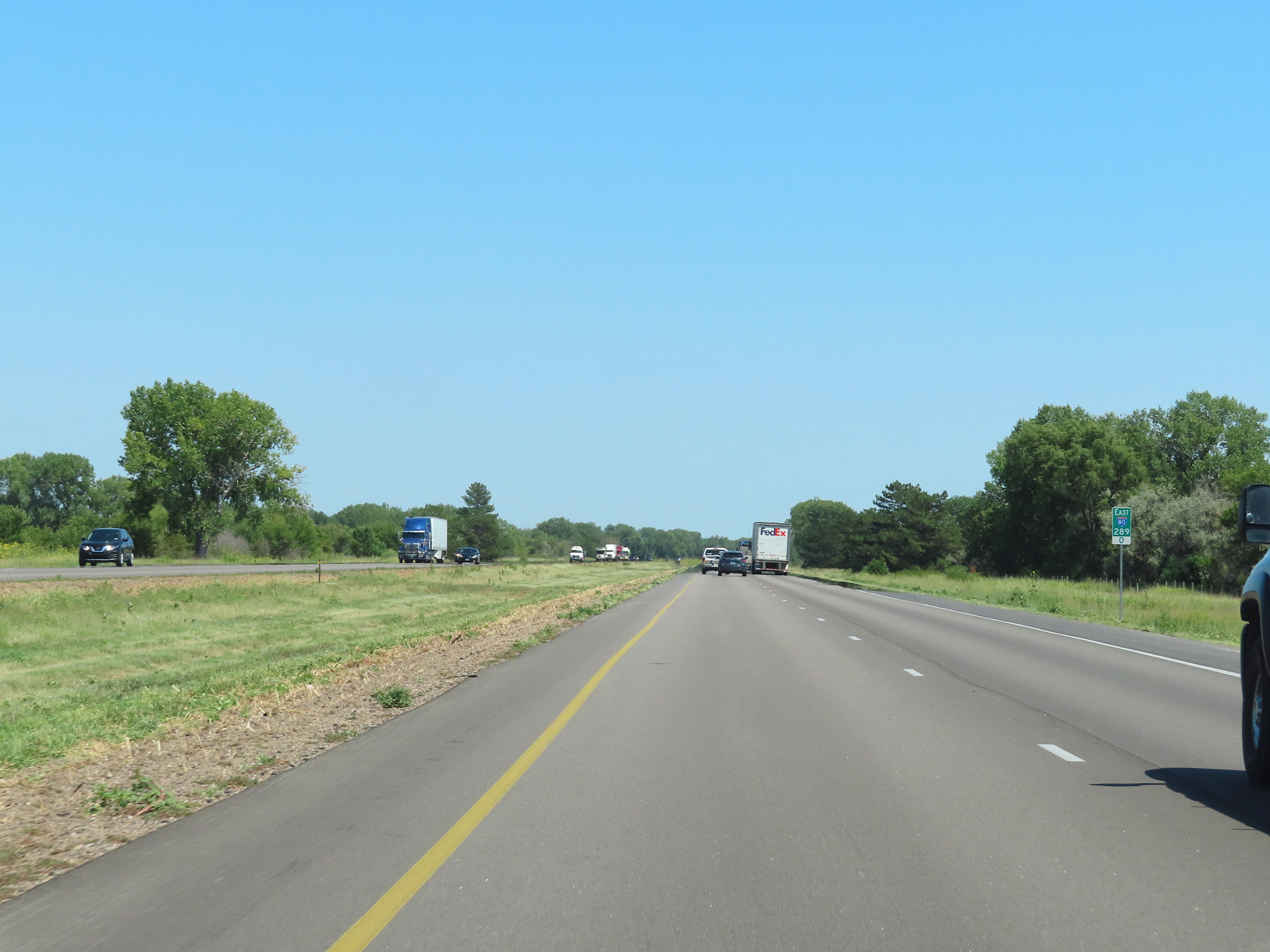 |
Interstate 80 East at mile marker 289. (Photo taken 8/18/22). |
 |
Take Exit 291 to War Axe State Recreation Area. (Photo taken 8/18/22). |
 |
Interstate 80 East at mile marker 290.5. (Photo taken 8/18/22). |
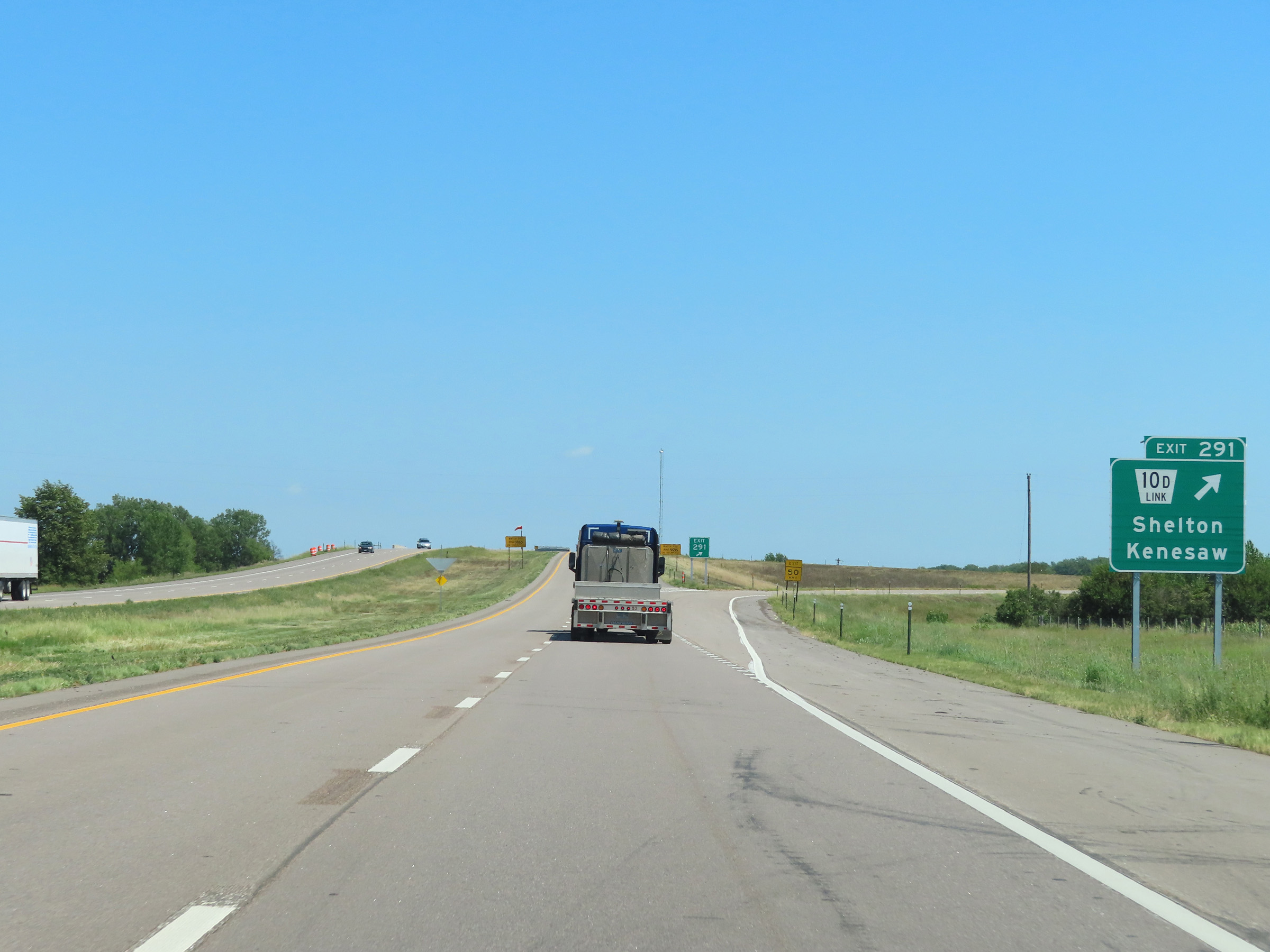 |
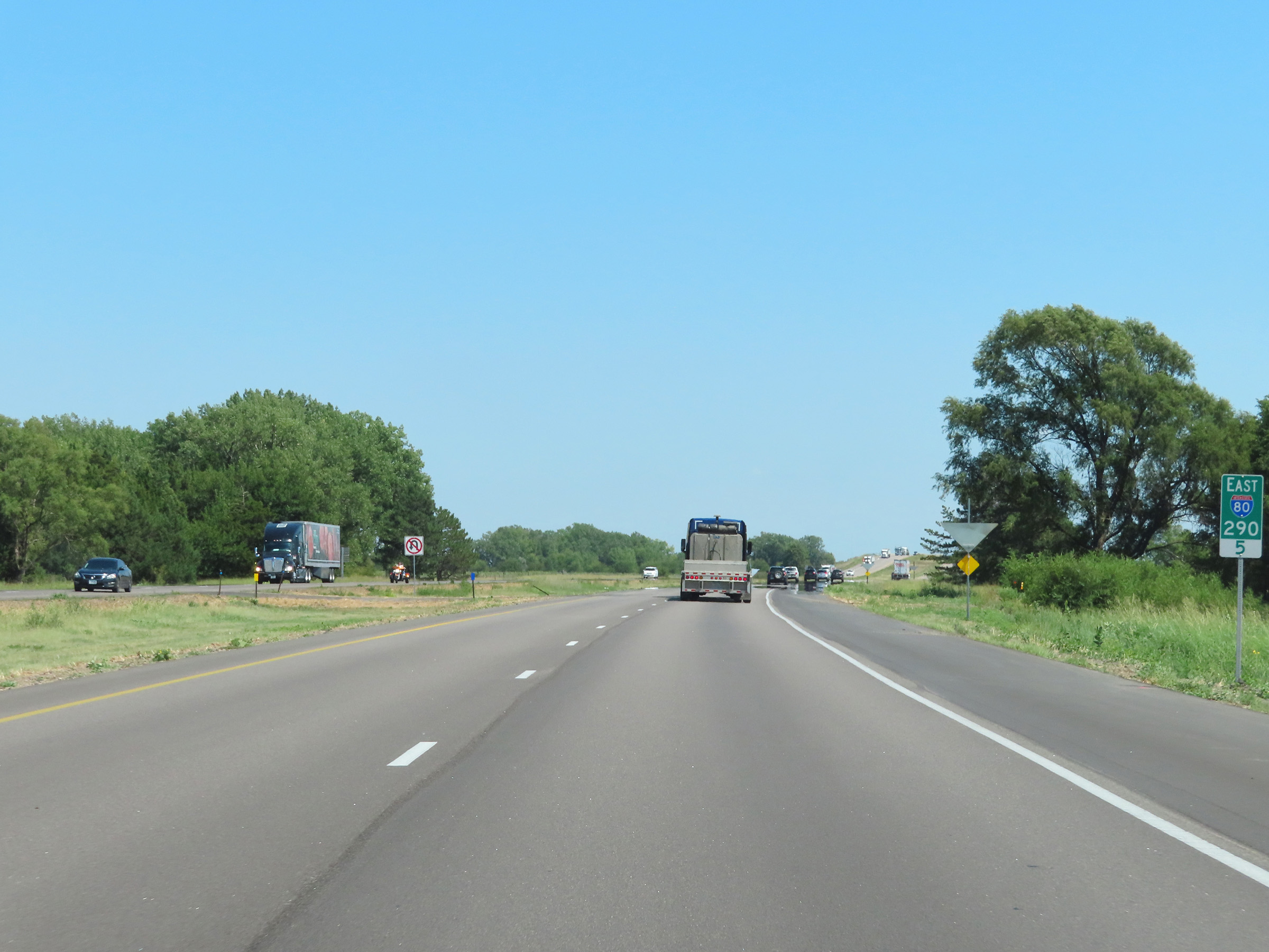
Interstate 80 East at Exit 291: Nebraska Link 10D - Shelton / Kenesaw (Photo taken 8/18/22). |
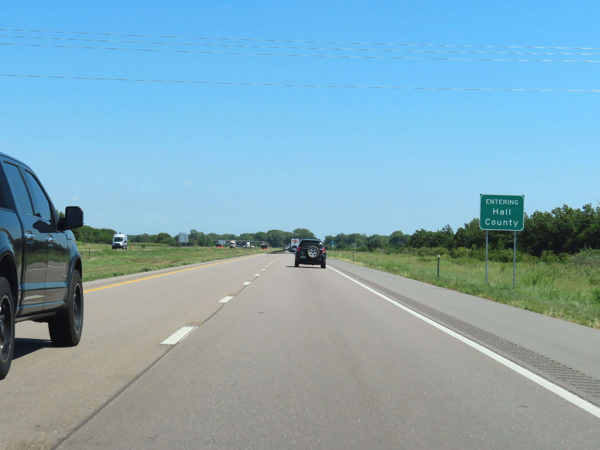 |
Interstate 80 East as it enters Hall County. (Photo taken 8/18/22). |
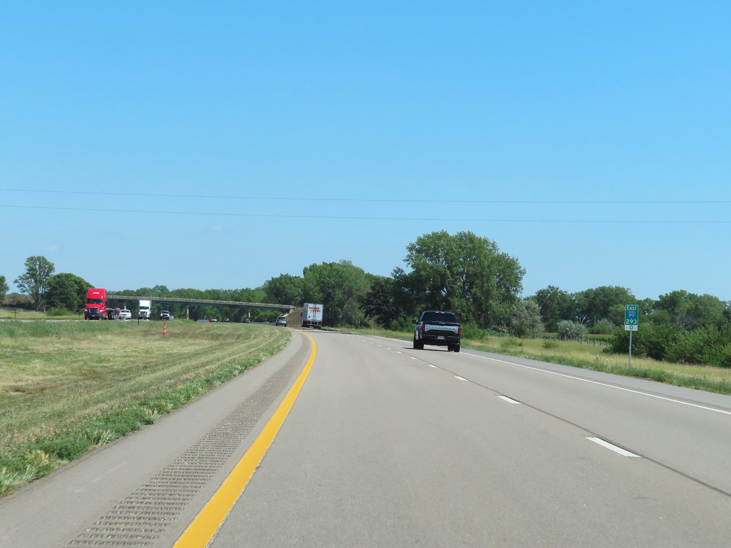 |
View on Interstate 80 East at mile marker 293. (Photo taken 8/18/22). |
 |
Mile marker 295 on Interstate 80 East in Hall County. (Photo taken 8/18/22). |
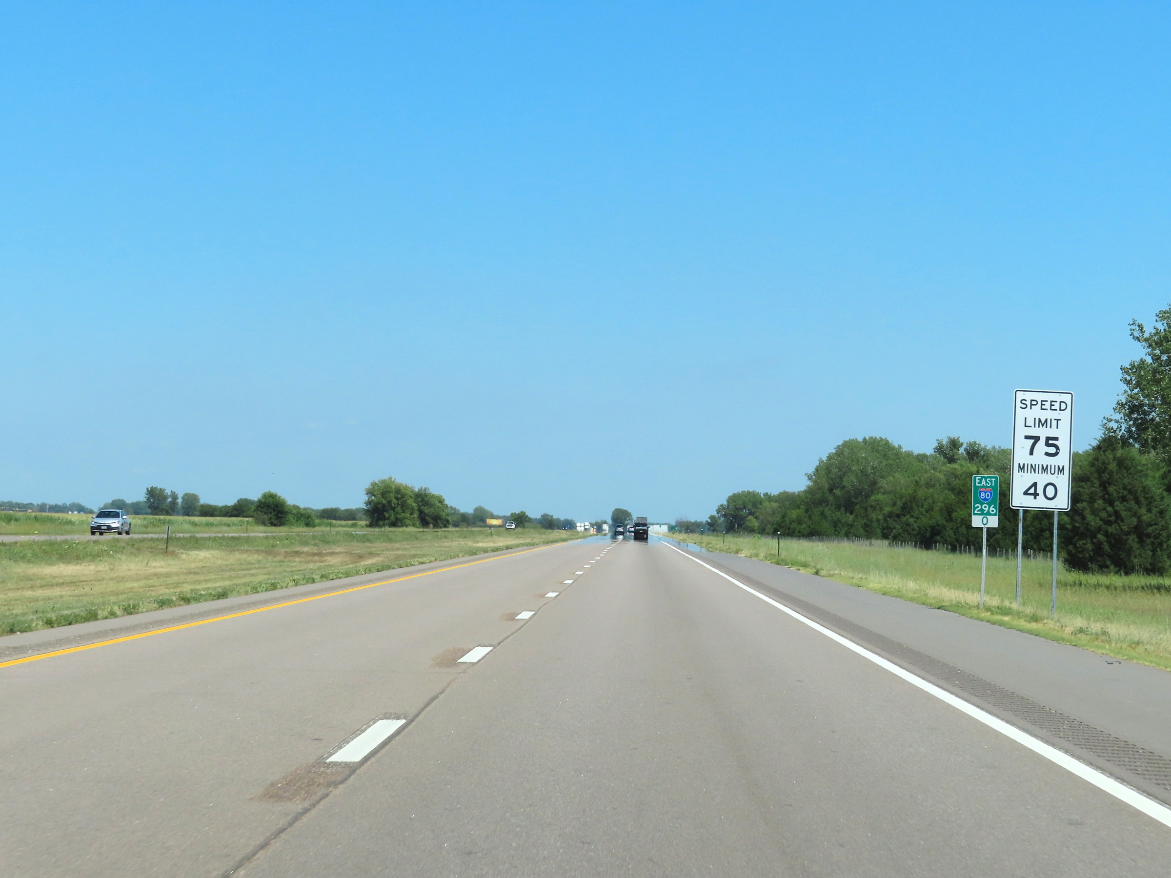 |
Speed limit signs at mile marker 296. The speed limits remain 75 mph maximum and 40 mph minimum. (Photo taken 8/18/22). |
 |
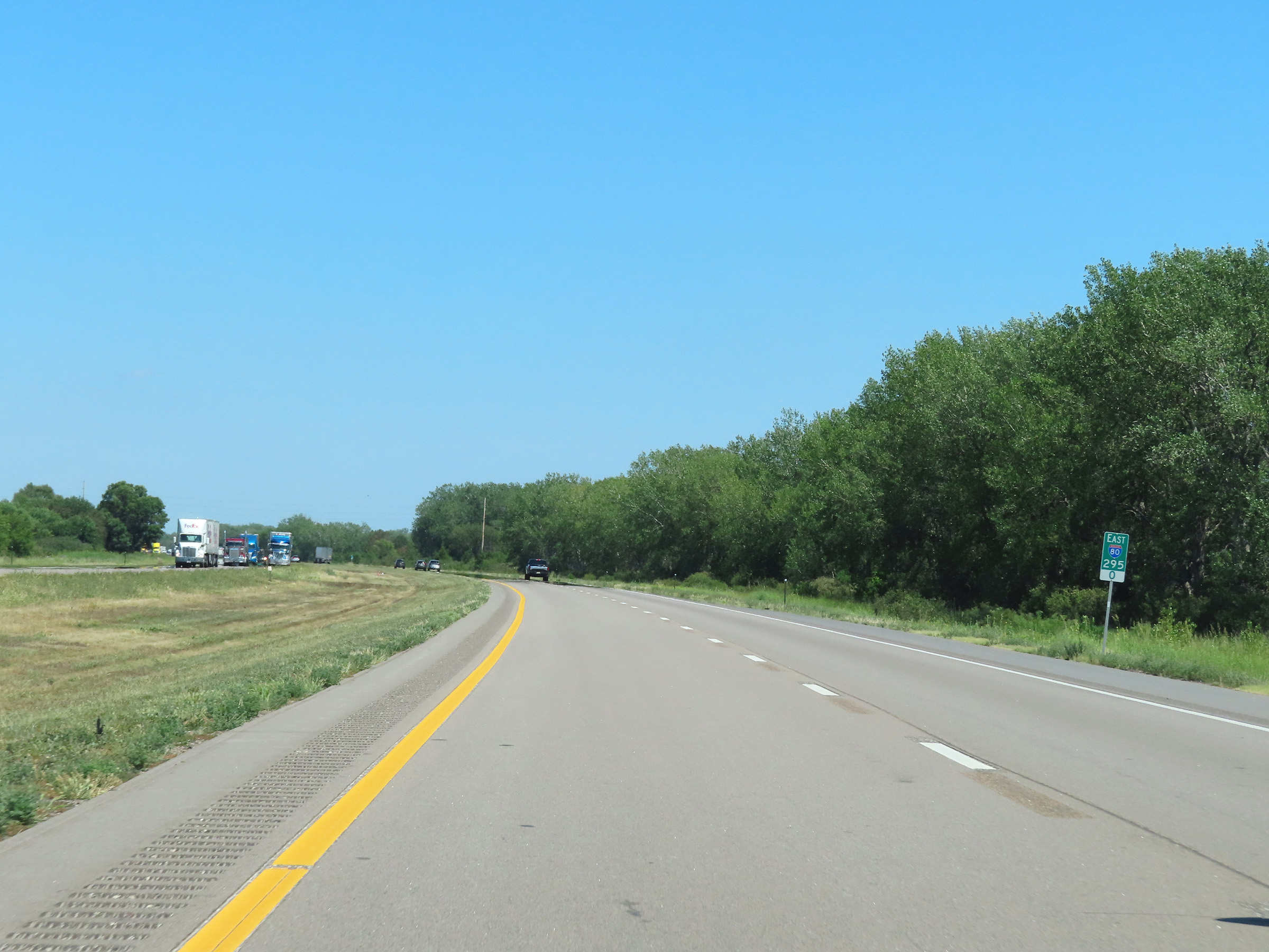
View on Interstate 80 East at mile marker 297. (Photo taken 8/18/22). |
 |
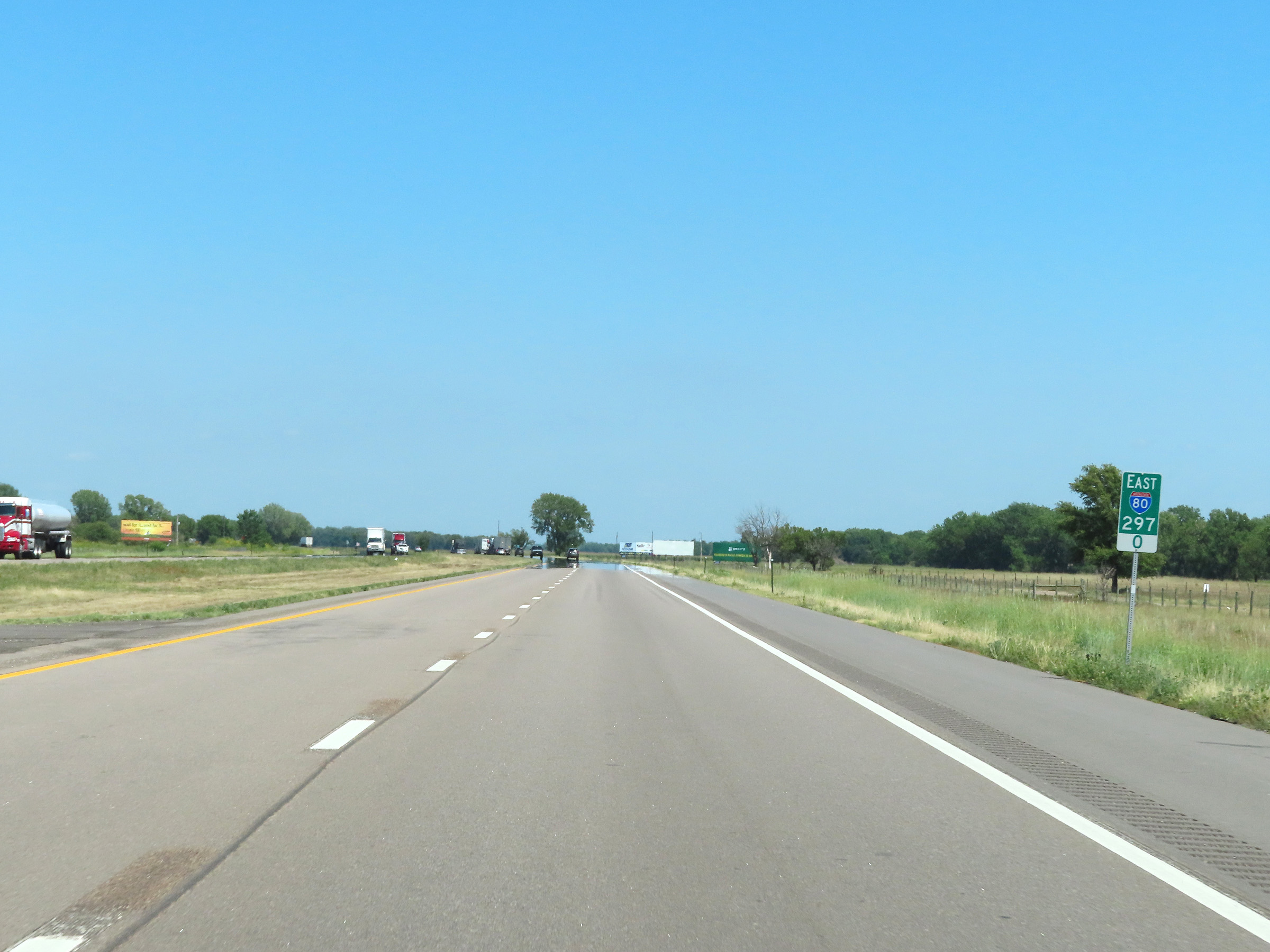
Interstate 80 East at mile marker 298. (Photo taken 8/18/22). |
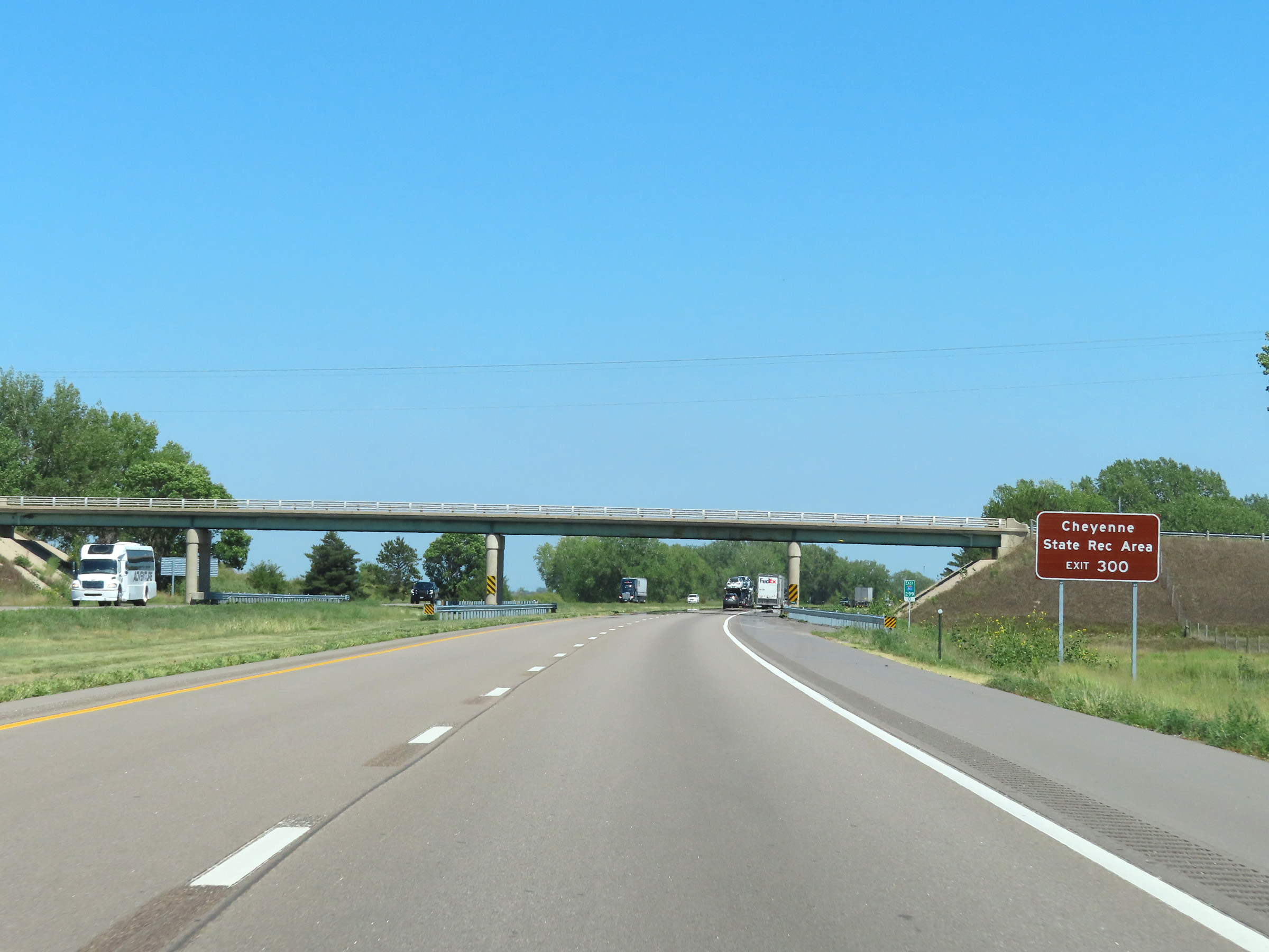 |
Take Exit 300 to Cheyenne State Recreation Area. (Photo taken 8/18/22). |
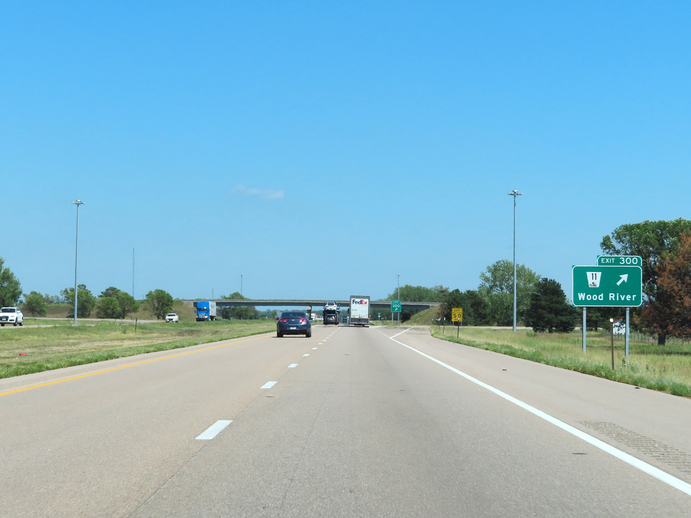 |
Interstate 80 East at Exit 300: NE 11 - Wood River (Photo taken 8/18/22). |
 |
View on Interstate 80 East at mile marker 302.5. (Photo taken 8/18/22). |
 |
Mile marker 303.5 on Interstate 80 East in Hall County. (Photo taken 8/18/22). |
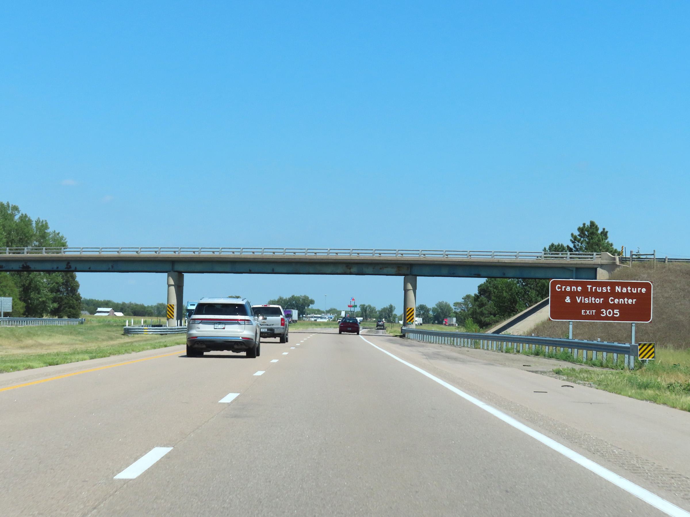 |
Take Exit 305 to Crane Trust Nature & Visitor Center. (Photo taken 8/18/22). |
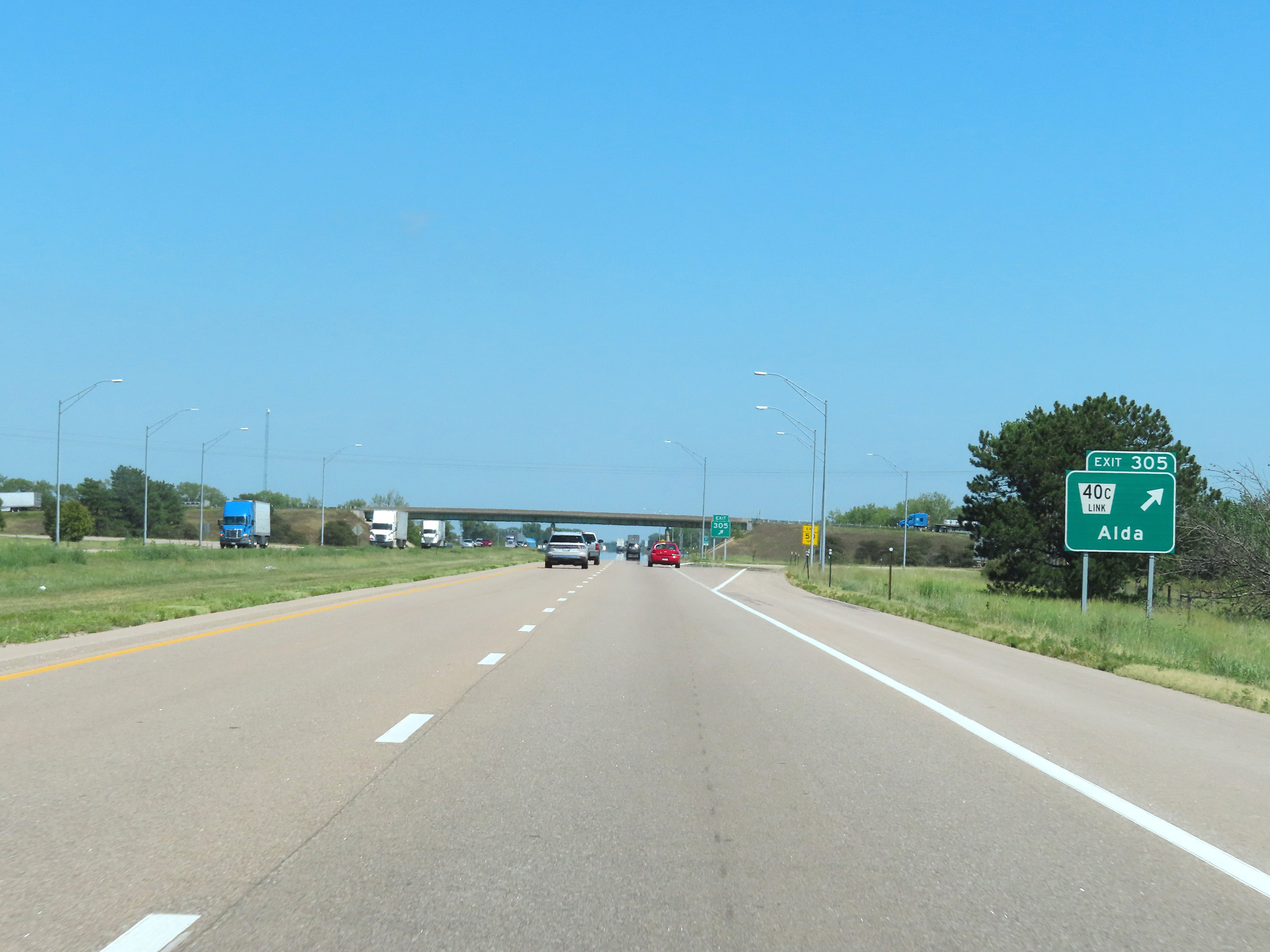 |
Interstate 80 East at Exit 305: Nebraska Link 40C - Alda (Photo taken 8/18/22). |
 |
Interstate 80 East reassurance shield. (Photo taken 8/18/22). |
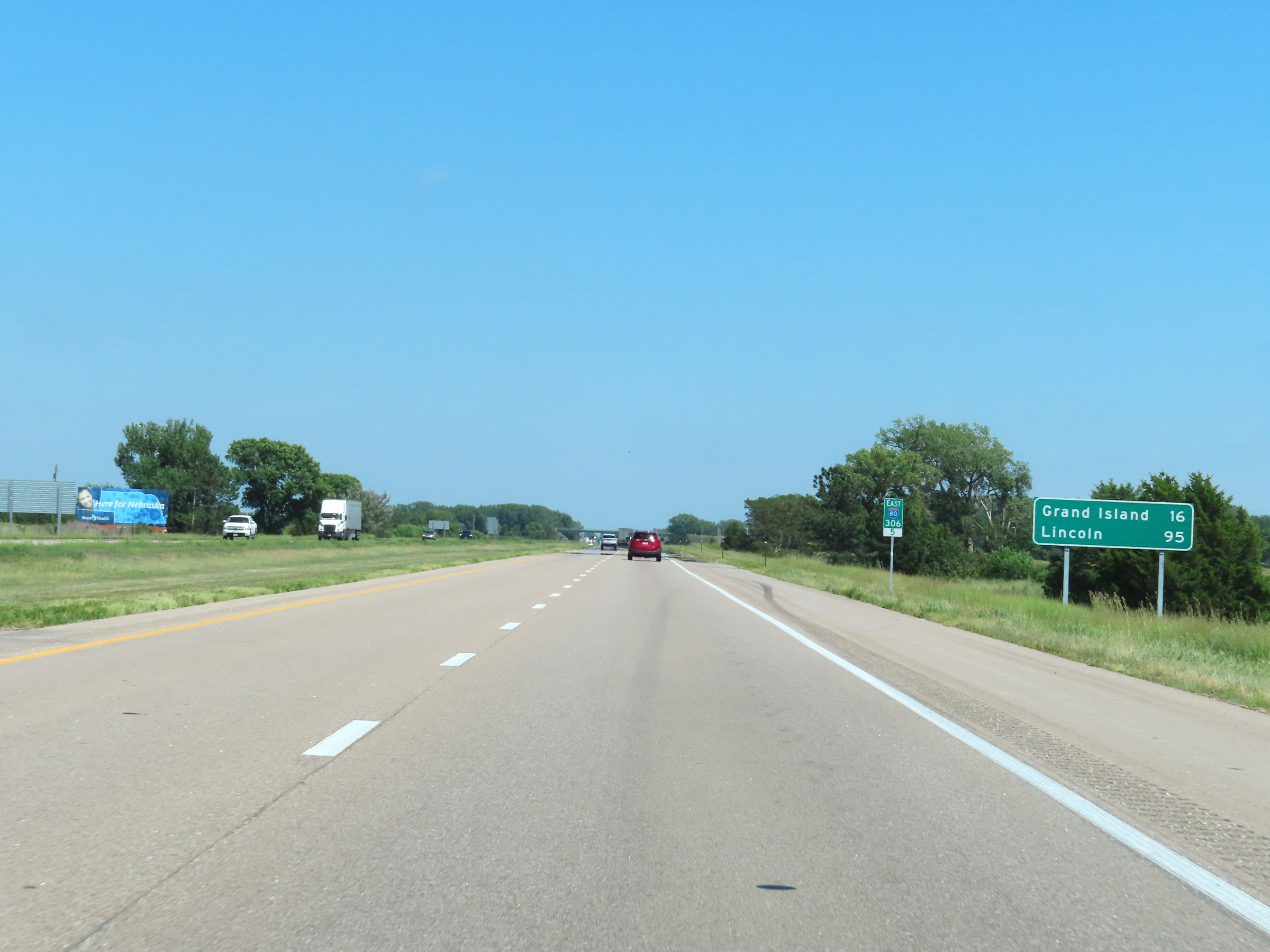 |
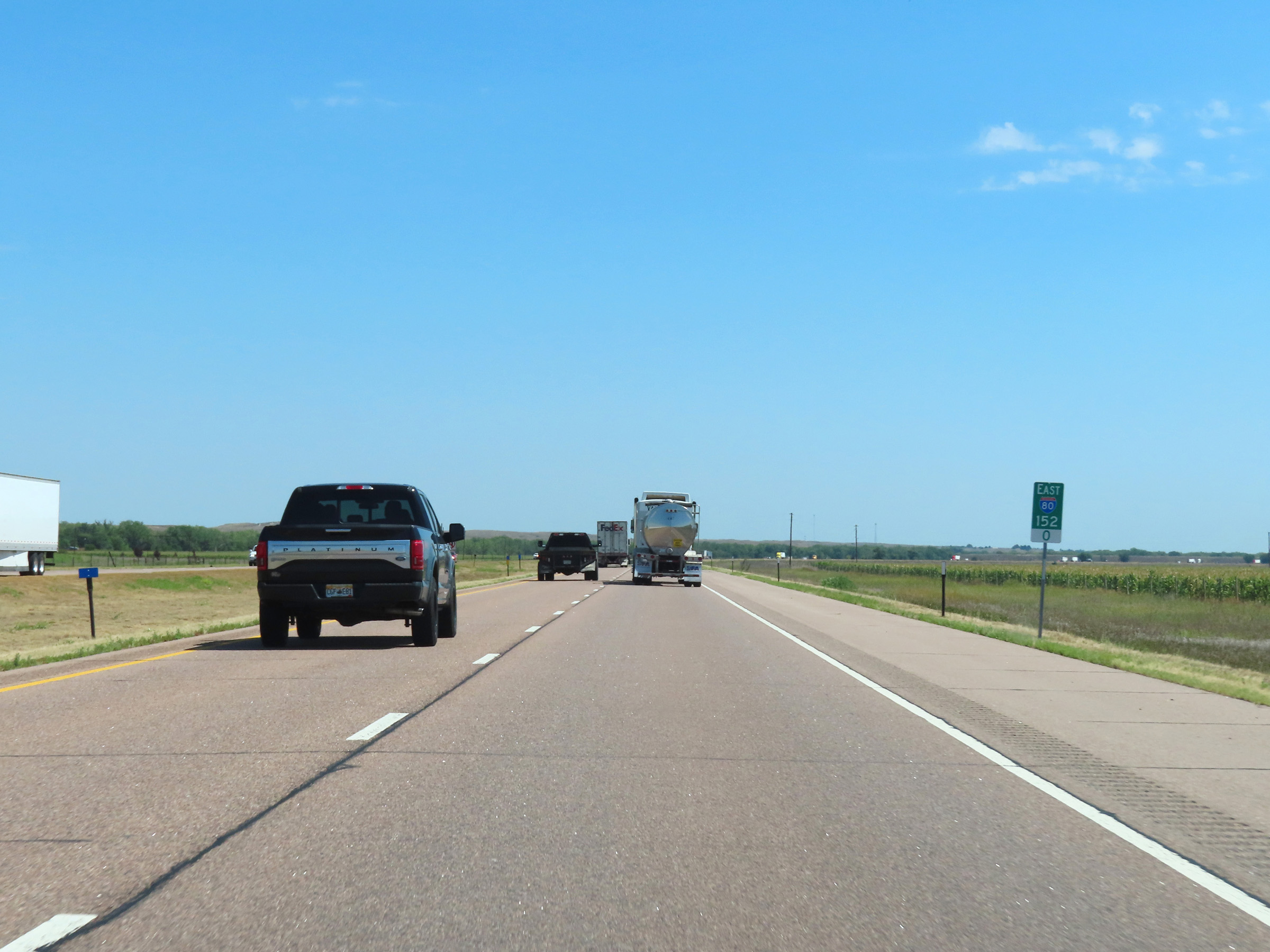
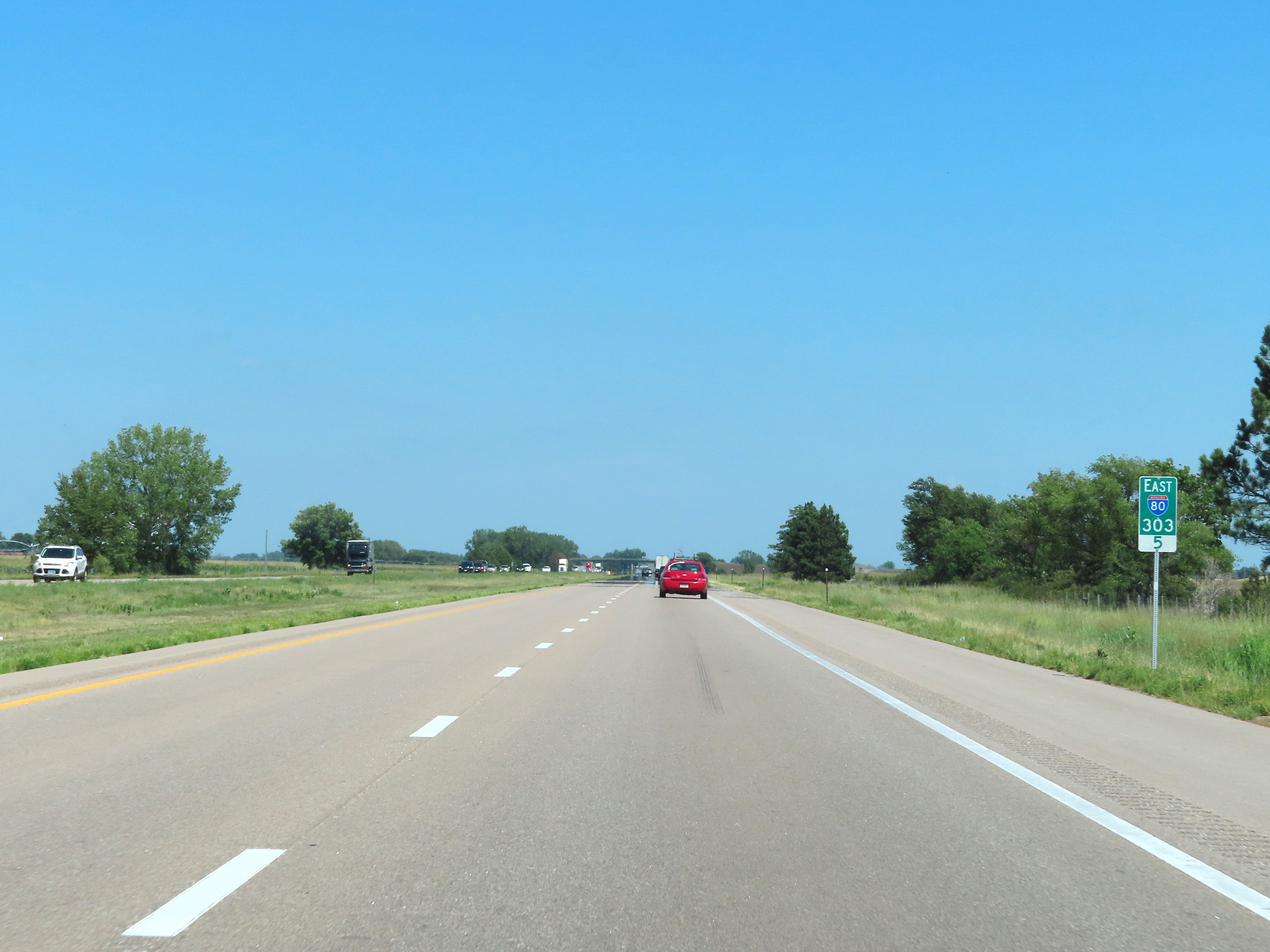
Mileage sign at mile marker 306.5. It's 16 miles to Grand Island and 95 miles to Lincoln. (Photo taken 8/18/22). |
 |
View on Interstate 80 East at mile marker 307. (Photo taken 8/18/22). |
 |
Mile marker 308 on Interstate 80 East in Hall County. (Photo taken 8/18/22). |
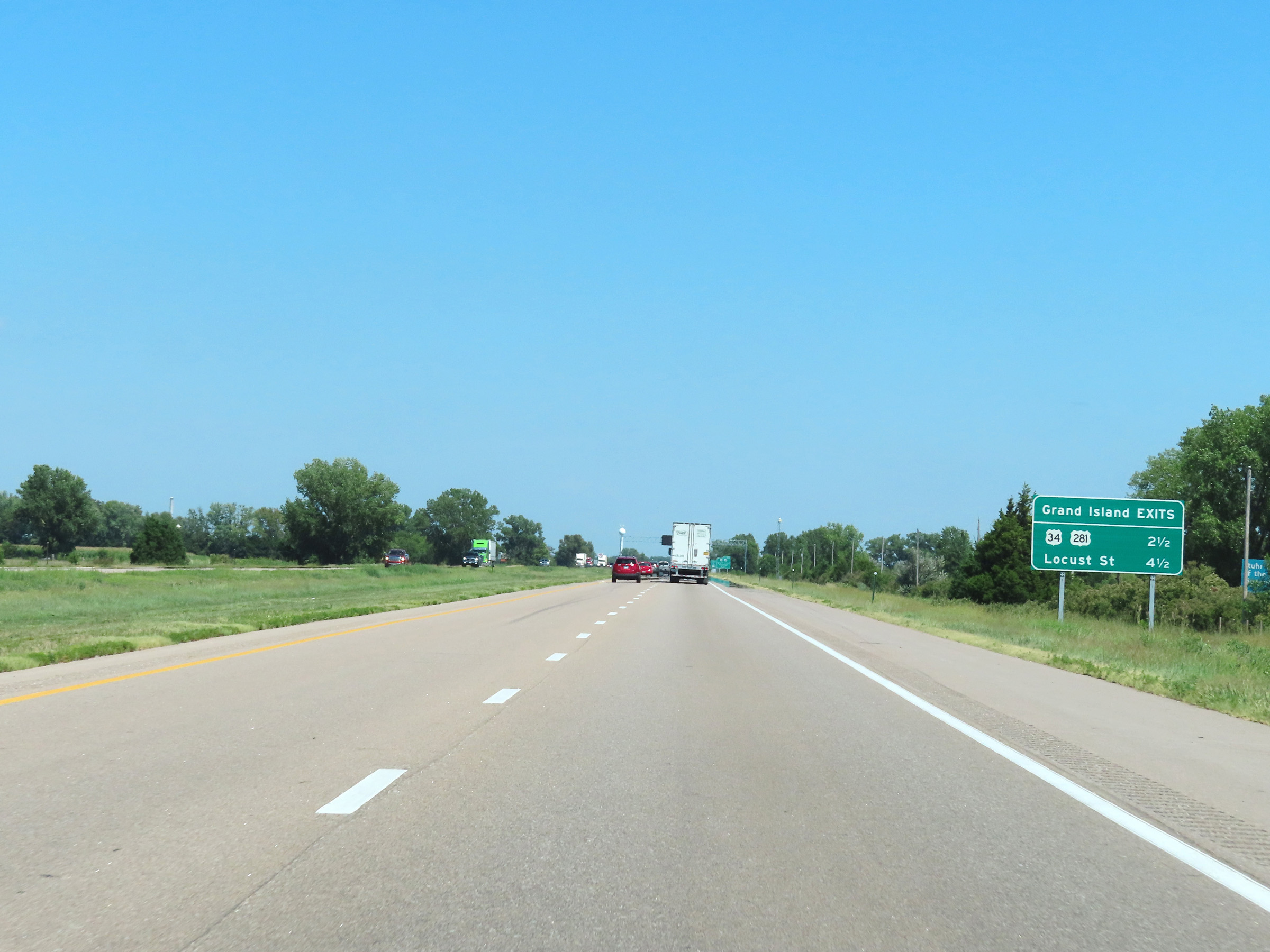 |
Mileage sign listing the distances to the two upcoming exits to Grand Island on Interstate 80 East. (Photo taken 8/18/22). |
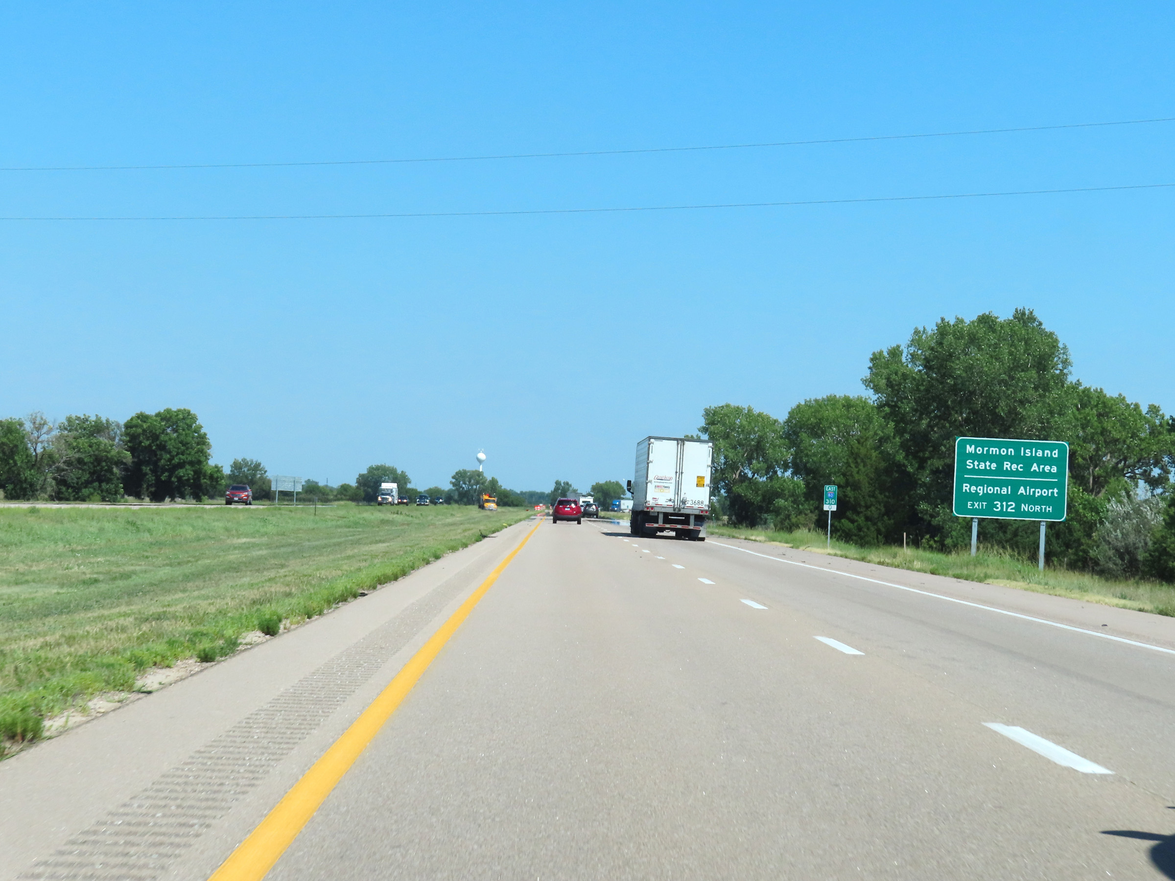 |
Take Exit 312 to Mormon Island State Recreation Area and the Regional Airport. (Photo taken 8/18/22). |
 |
Interstate 80 East at mile marker 311. (Photo taken 8/18/22). |
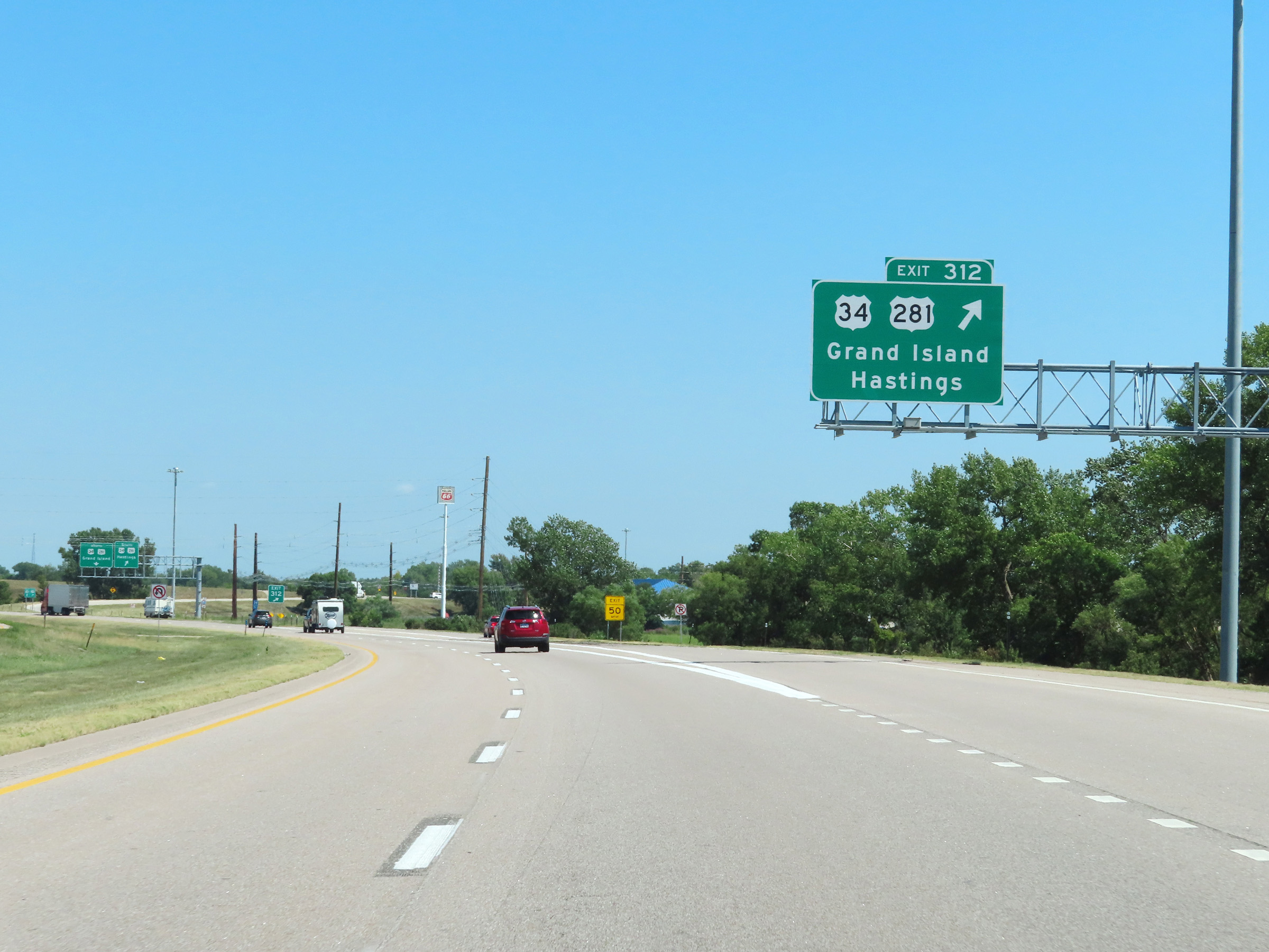 |
Interstate 80 East at Exit 312: US 34 / US 281 - Grand Island / Hastings (Photo taken 8/18/22). |
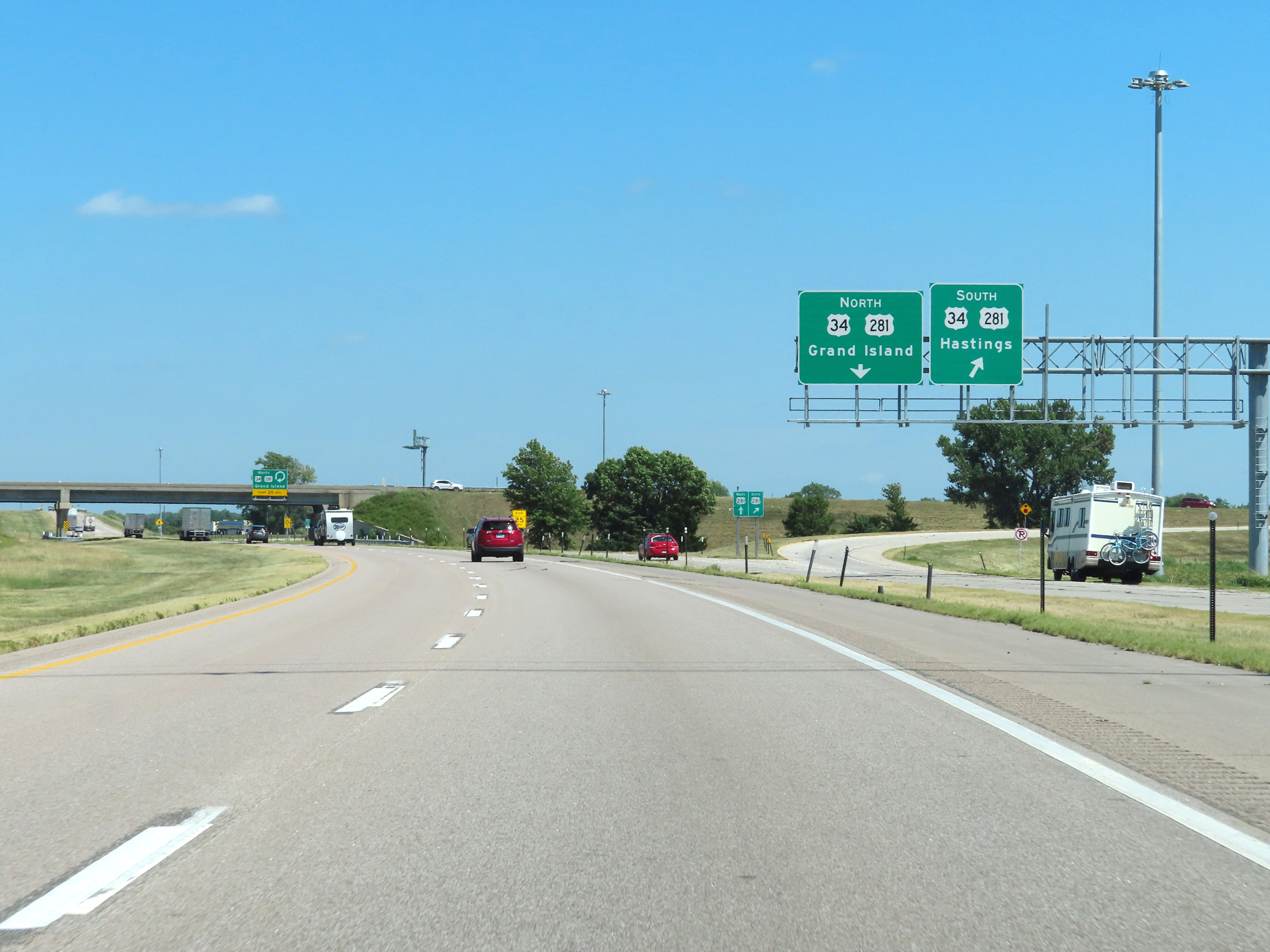 |
A view of the ramp to US 34 West / US 281 South via Exit 312. (Photo taken 8/18/22). |
 |
Here we see the loop ramp to US 34 East / US 281 North, which leads to downtown Grand Island. (Photo taken 8/18/22). |
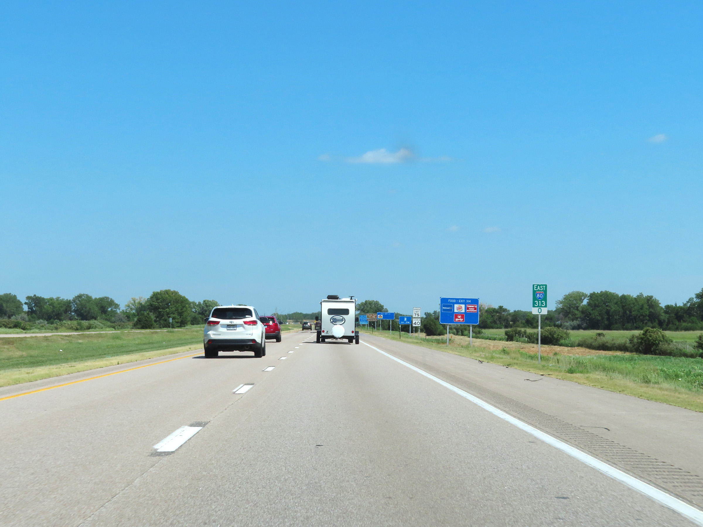 |
Mile marker 313 on Interstate 80 East in Hall County. (Photo taken 8/18/22). |
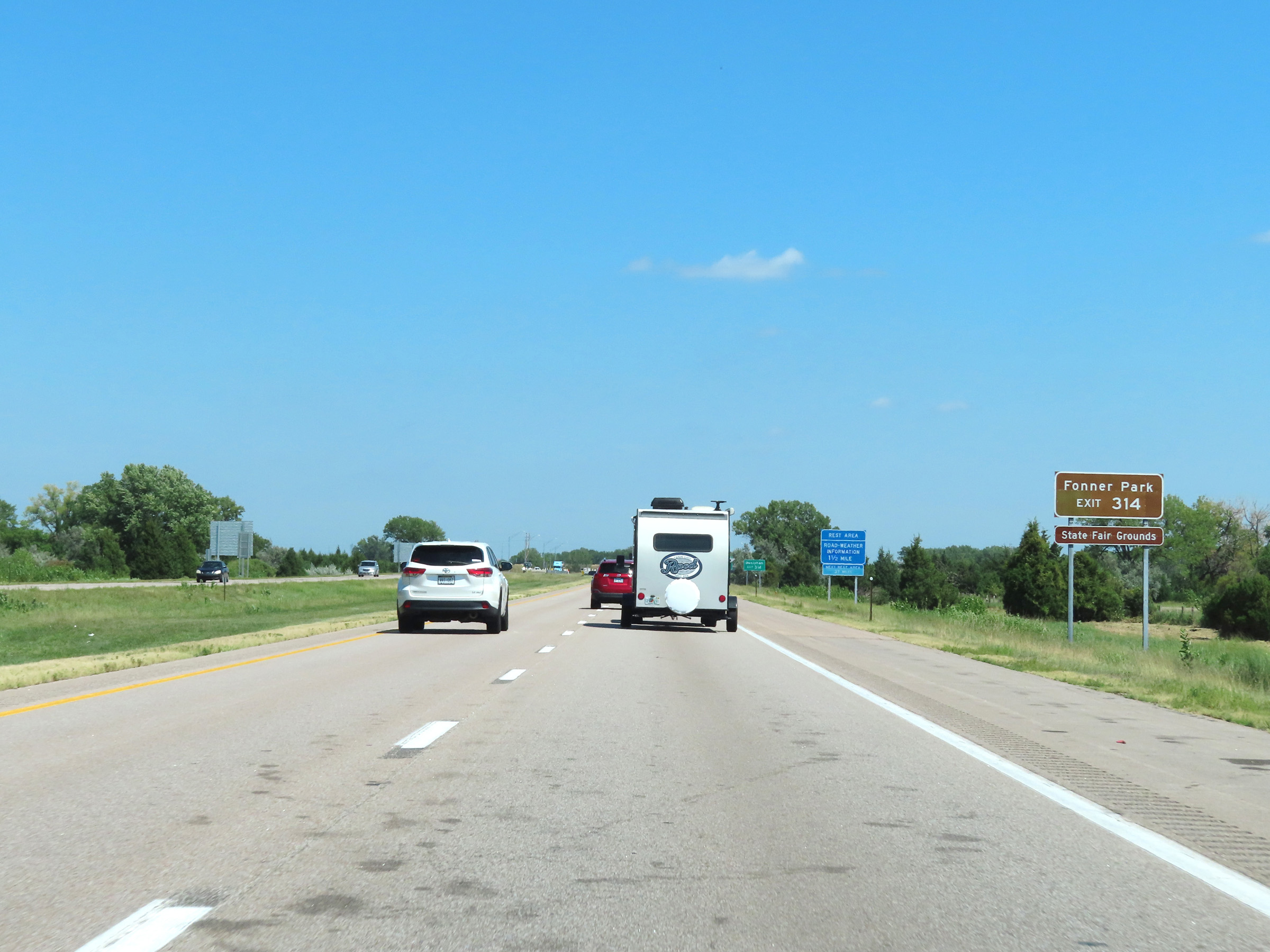 |
Take Exit 314 to Fonner Park and the Nebraska State Fairgrounds. (Photo taken 8/18/22). |
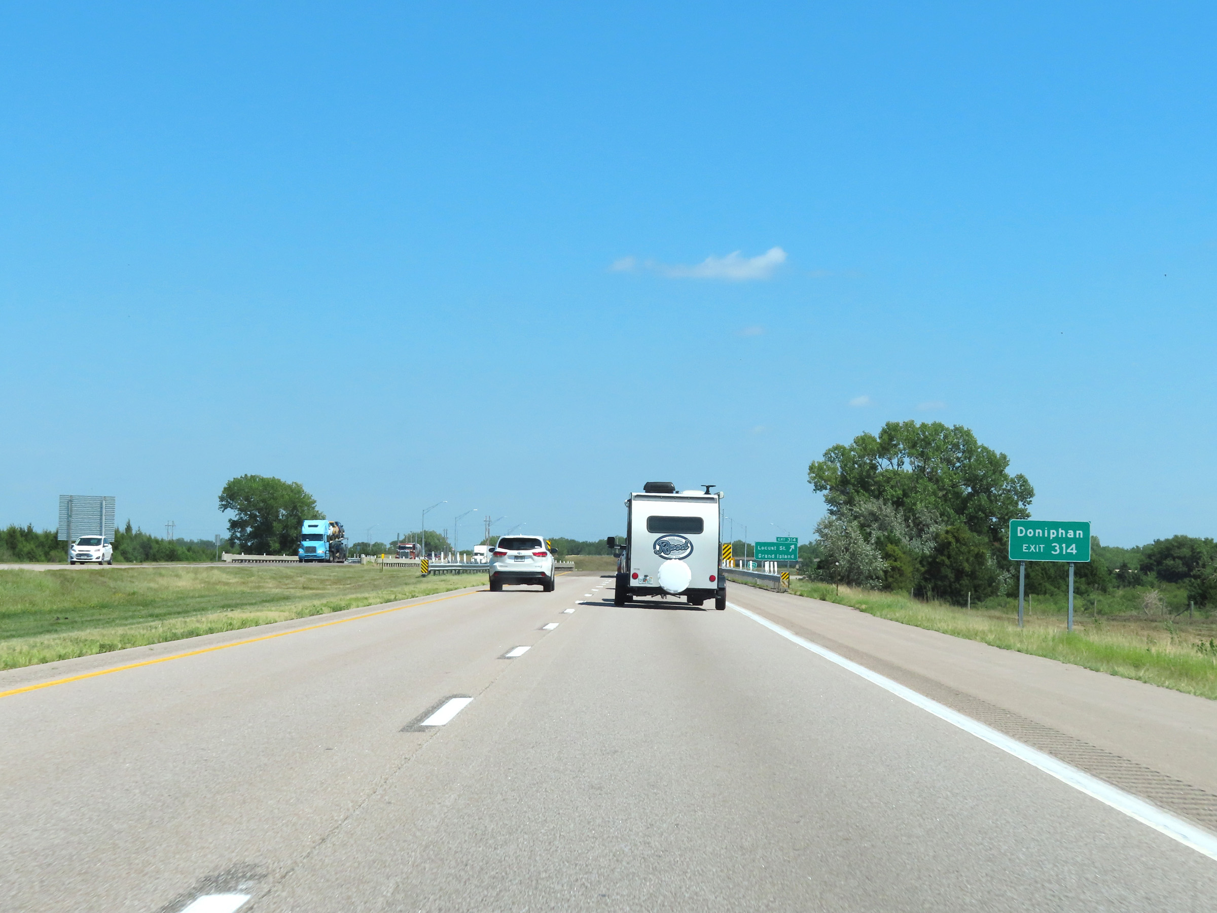 |
Also take Exit 314 to Doniphan. (Photo taken 8/18/22). |
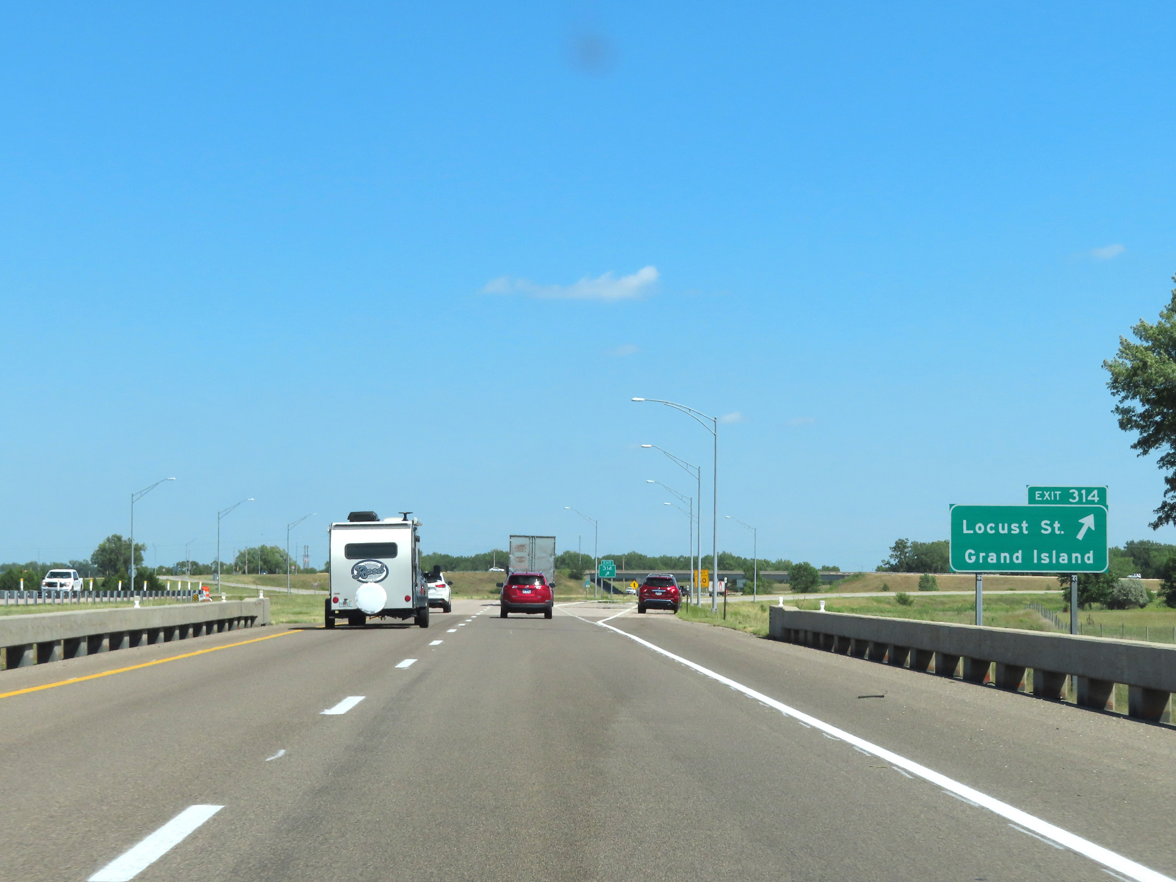 |
Interstate 80 East at Exit 314: Locust St / Grand Island (Photo taken 8/18/22). |
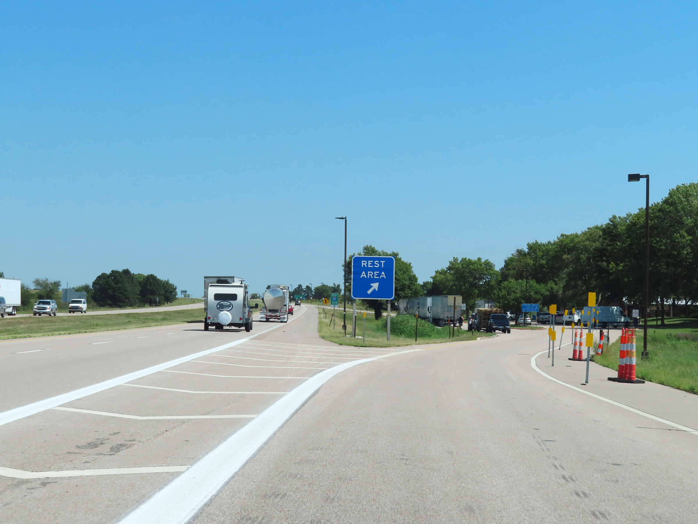 |
Rest Area on Interstate 80 East in Hall County, leaving the Grand Island area. (Photo taken 8/18/22). |
 |
View on Interstate 80 East at mile marker 315.8. (Photo taken 8/18/22). |
 |
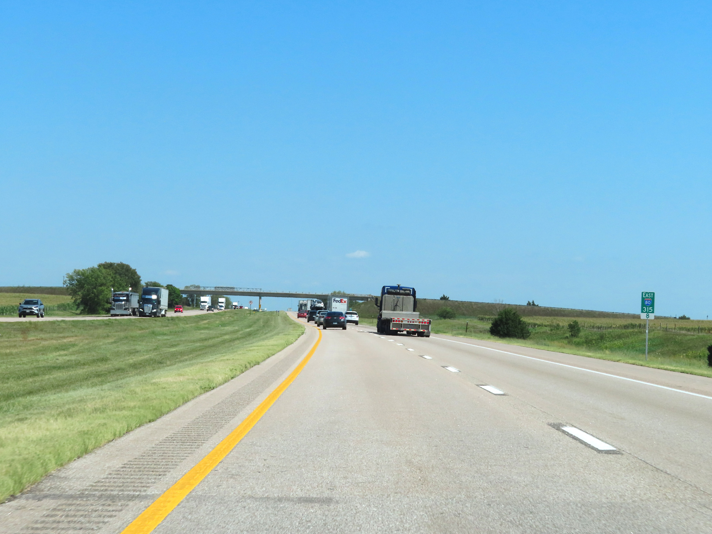
Interstate 80 East enters Hamilton County at mile marker 317.2. (Photo taken 8/18/22). |
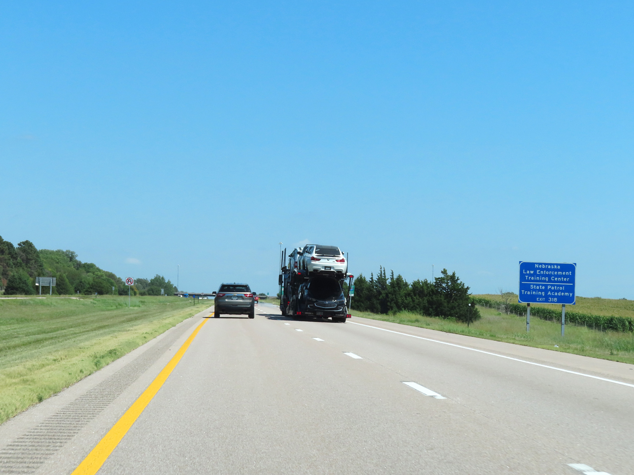 |
Take Exit 318 to the Nebraska Law Enforcement Training Center and the State Patrol Training Academy. (Photo taken 8/18/22). |
 |
Interstate 80 East at Exit 318: NE 2 West - Phillips (Photo taken 8/18/22). |
 |
The speed limits remain 75 mph maximum and 40 mph minimum on Interstate 80 East. (Photo taken 8/18/22). |
 |
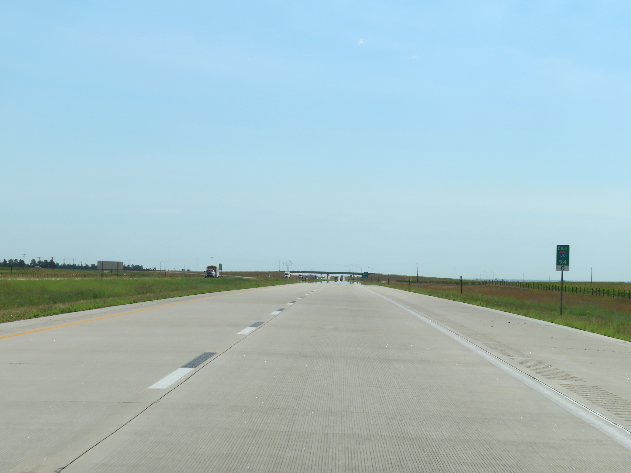
Mileage sign on Interstate 80 East. It's 5 miles to the next exit (Exit 324) and 81 miles to Lincoln. (Photo taken 8/18/22). |
 |
Interstate 80 East at mile marker 320. (Photo taken 8/18/22). |
 |
View on Interstate 80 East at mile marker 322.6. (Photo taken 8/18/22). |
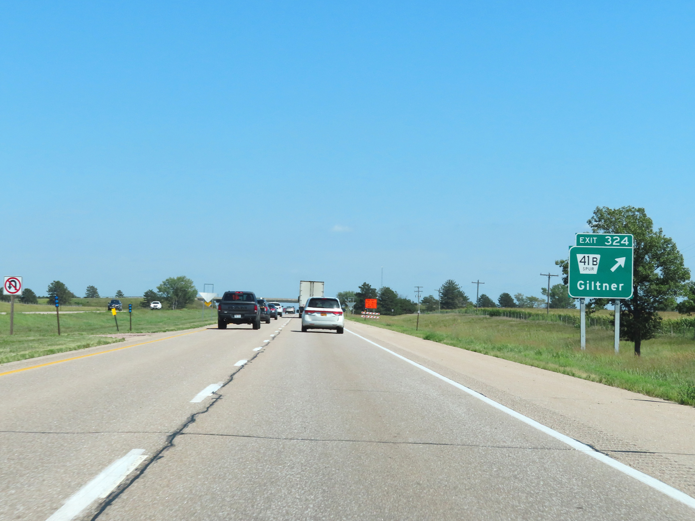 |
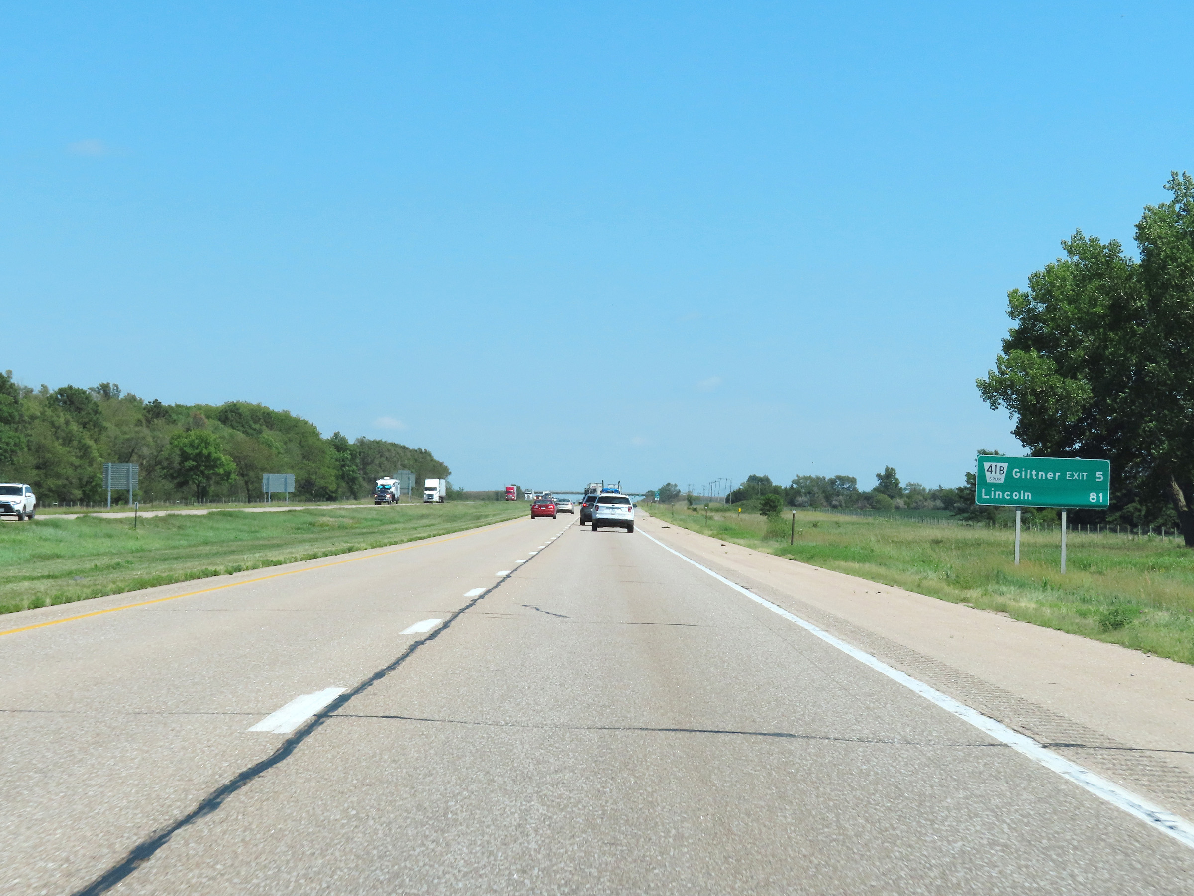
Interstate 80 East at Exit 324: Nebraska Spur 41B - Giltner (Photo taken 8/18/22). |
 |
Mile marker 326 on Interstate 80 East in Hamilton County. (Photo taken 8/18/22). |
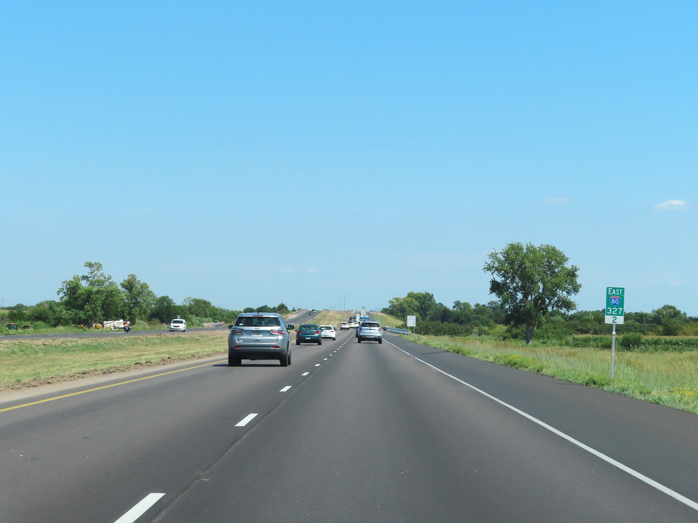 |
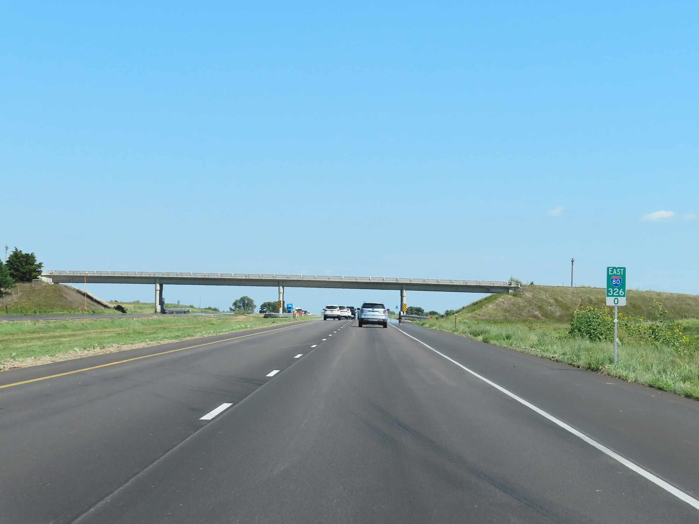
Interstate 80 East at mile marker 327.2. (Photo taken 8/18/22). |
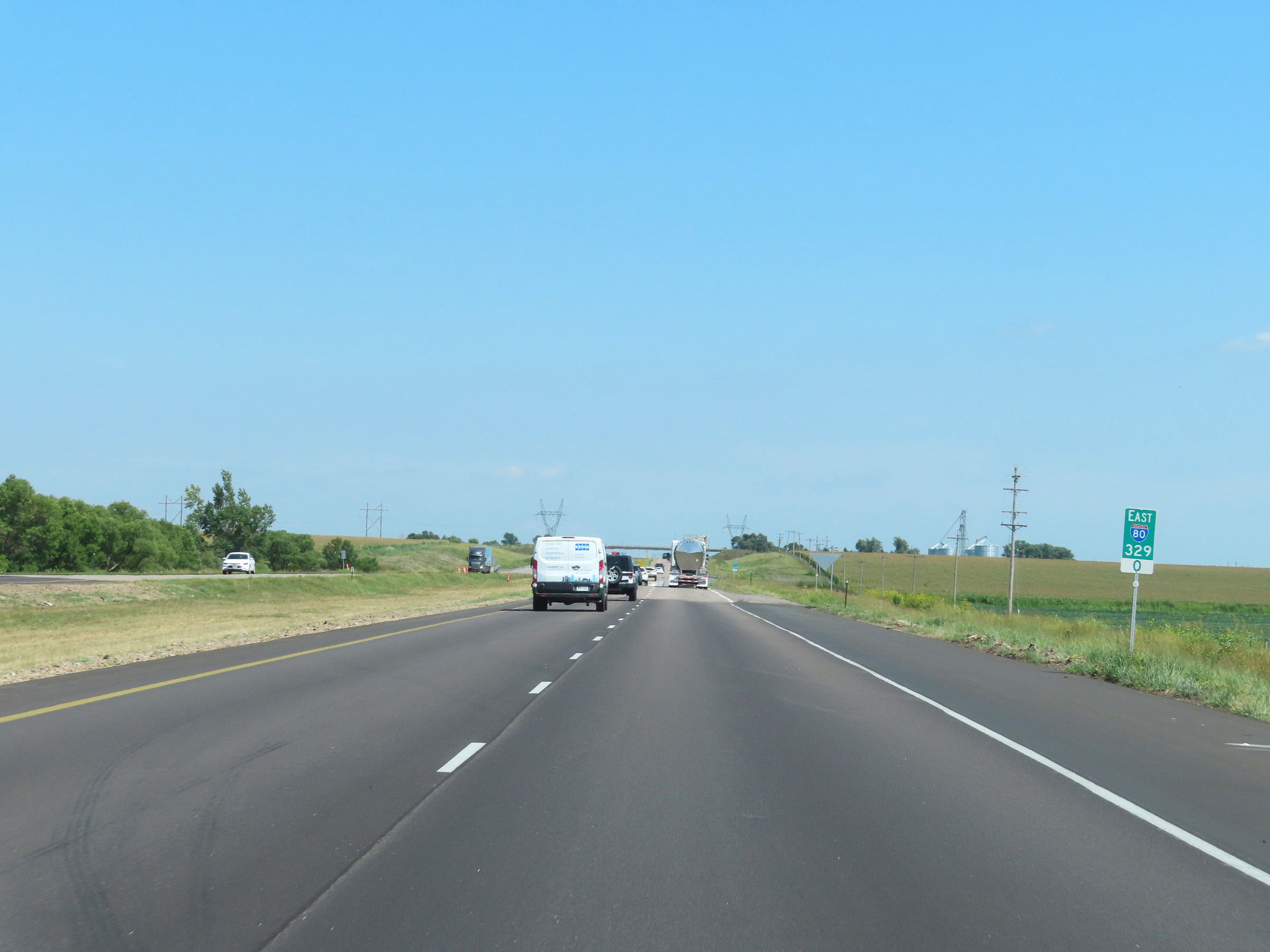 |
View on Interstate 80 East at mile marker 329. (Photo taken 8/18/22). |
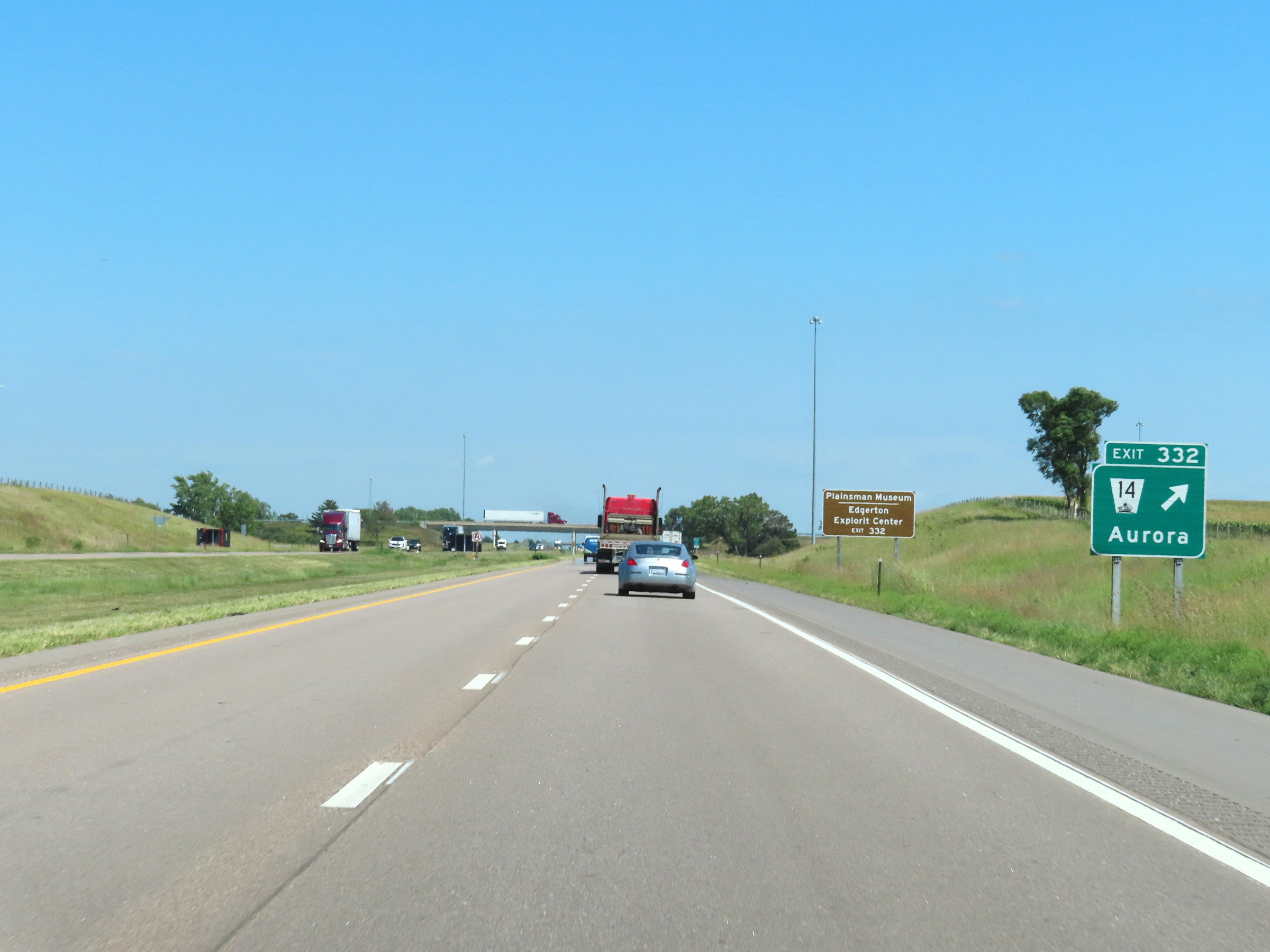 |
Interstate 80 East at Exit 332: NE 14 - Aurora (Photo taken 8/18/22). |
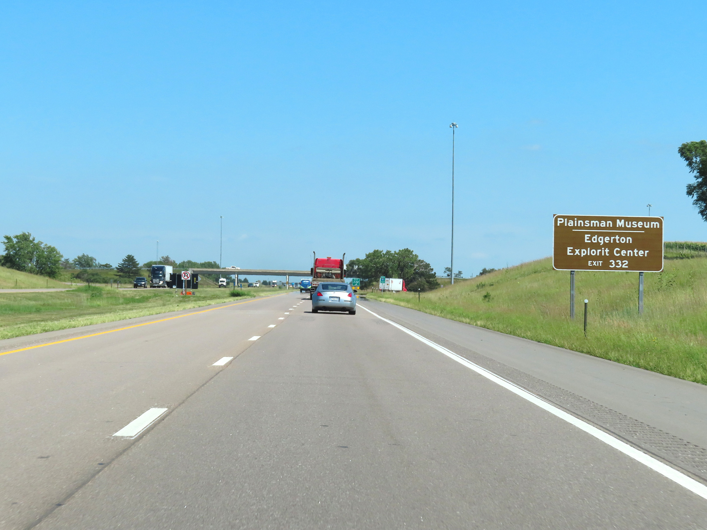 |
Take Exit 332 to the Plainsman Museum and Edgerton Explorit Center. (Photo taken 8/18/22). |
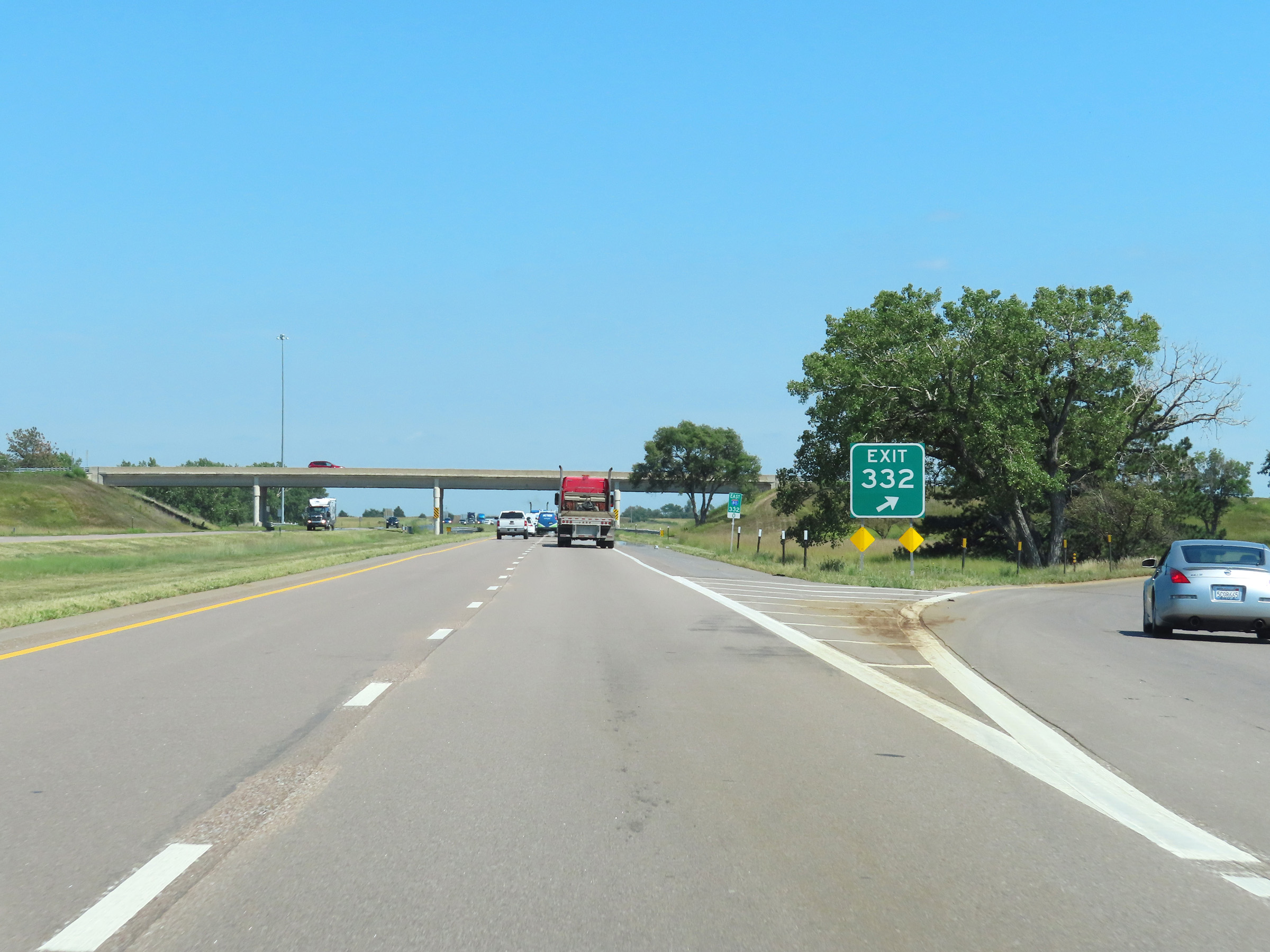 |
Gore point signage for Exit 332. (Photo taken 8/18/22). |
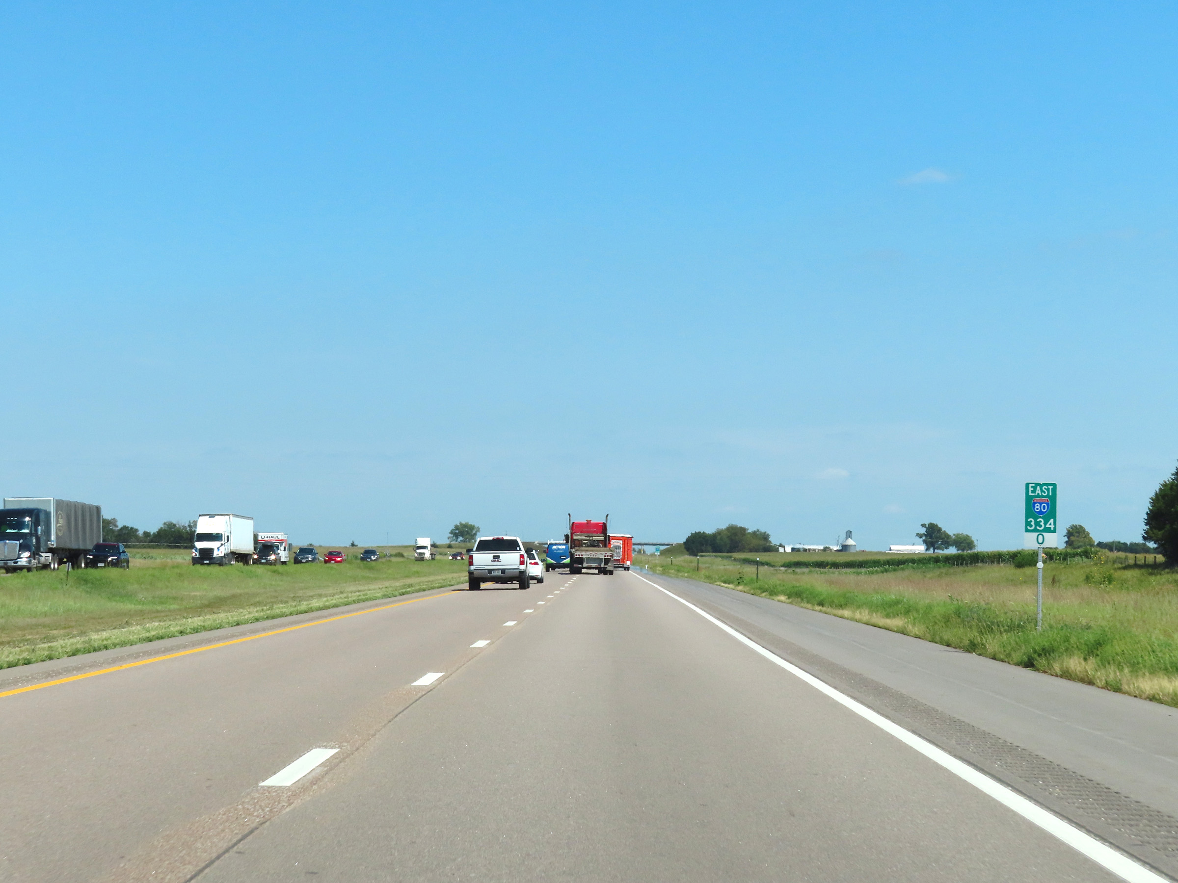 |
View on Interstate 80 East at mile marker 334. (Photo taken 8/18/22). |
 |
Interstate 80 East at mile marker 335. (Photo taken 8/18/22). |
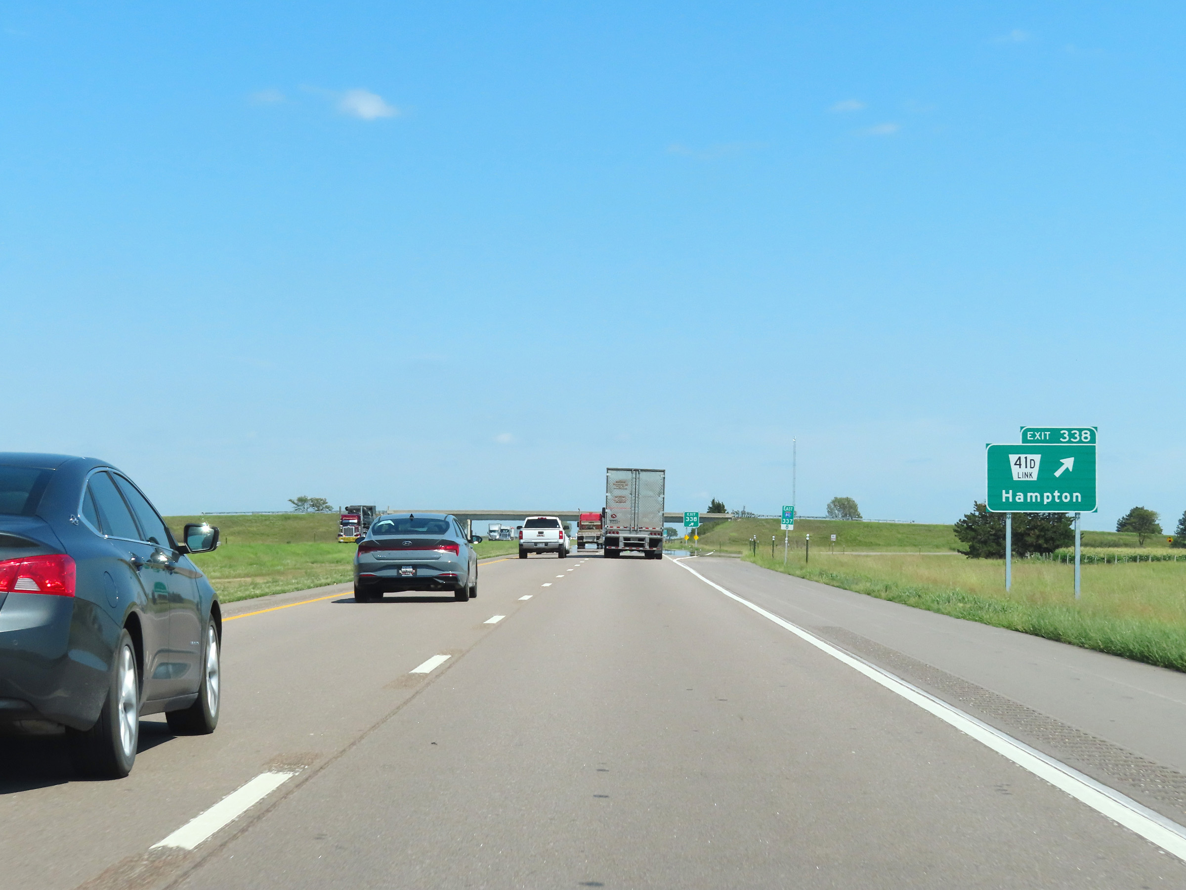 |
Interstate 80 East at Exit 338: Nebraska Link 41D - Hampton (Photo taken 8/18/22). |
 |
Mileage sign on Interstate 80 East at mile marker 339. It's 3 miles to the next exit (Exit 342) and 62 miles to Lincoln. (Photo taken 8/18/22). |
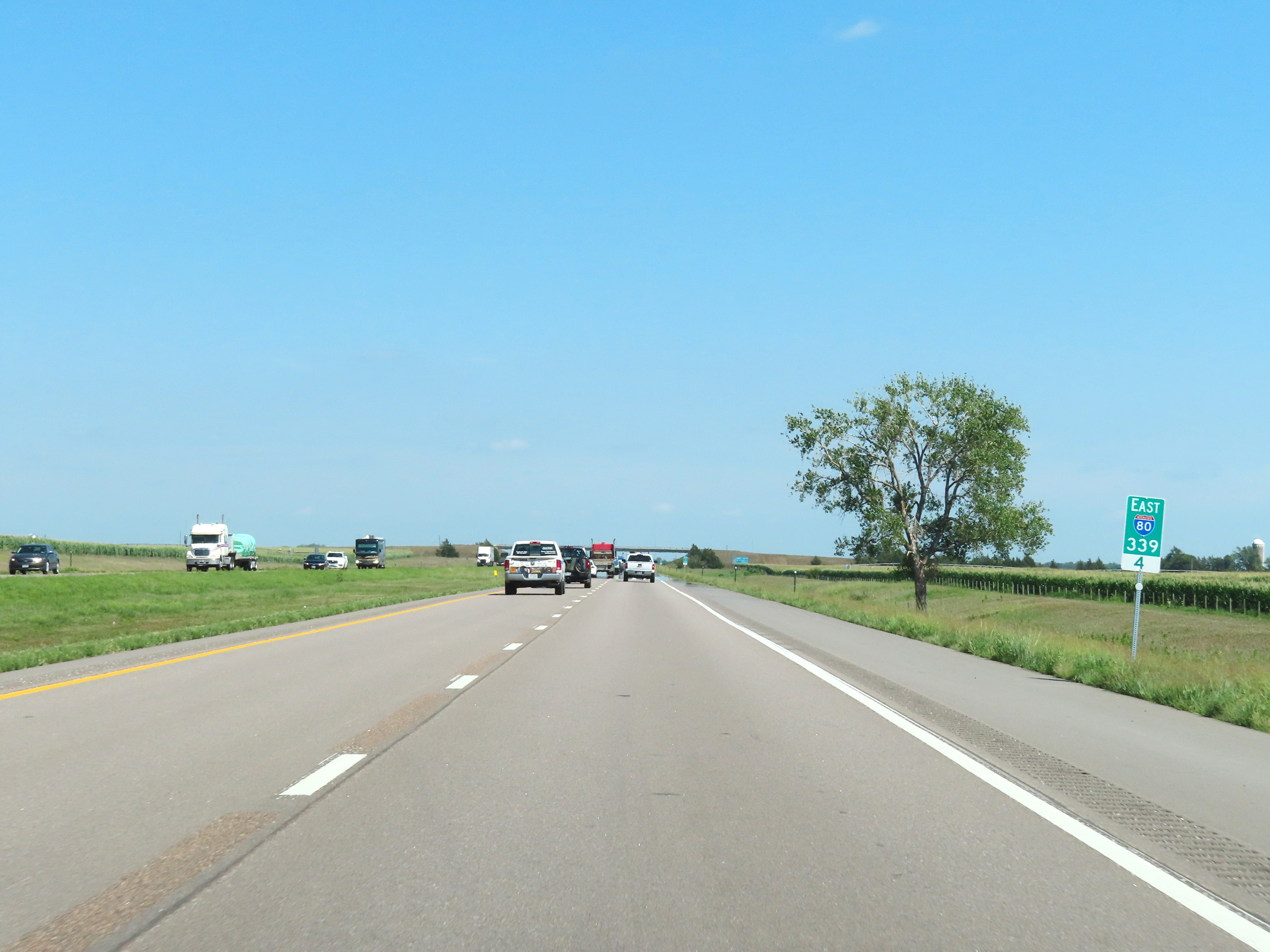 |
Mile marker 339.4 on Interstate 80 East in Hamilton County. (Photo taken 8/18/22). |
 |
View on Interstate 80 East at mile marker 340.4. (Photo taken 8/18/22). |
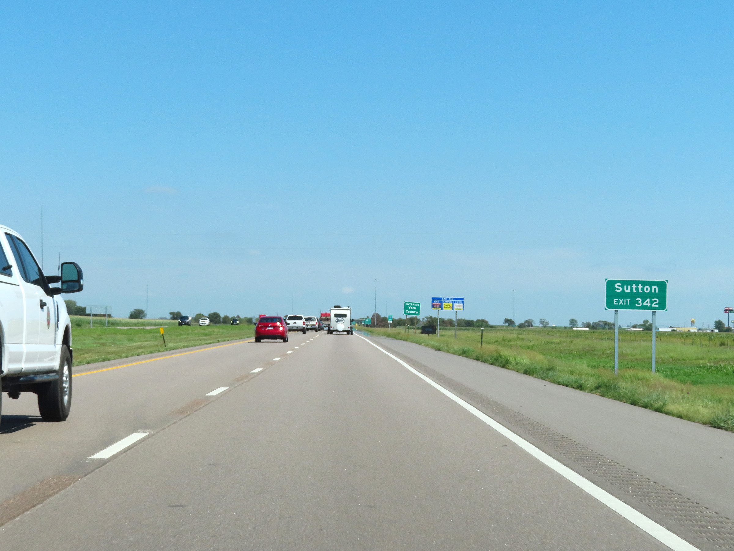 |
Take Exit 342 to Sutton. (Photo taken 8/18/22). |
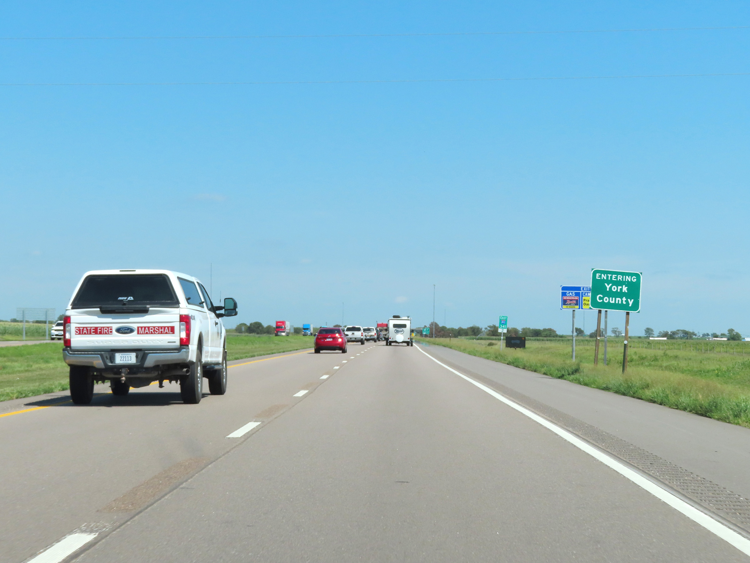 |
Interstate 80 East as it enters York County at mile marker 341.2. (Photo taken 8/18/22). |
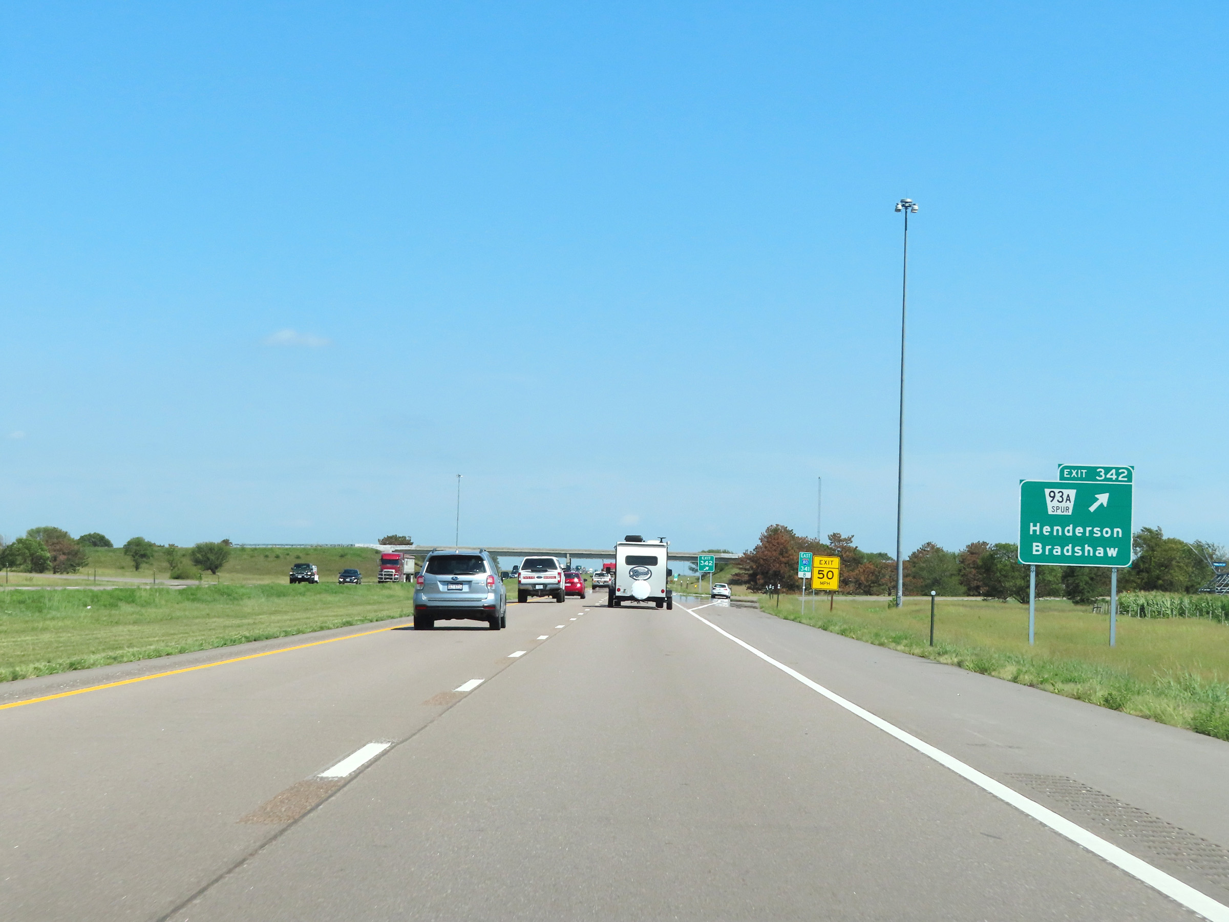 |
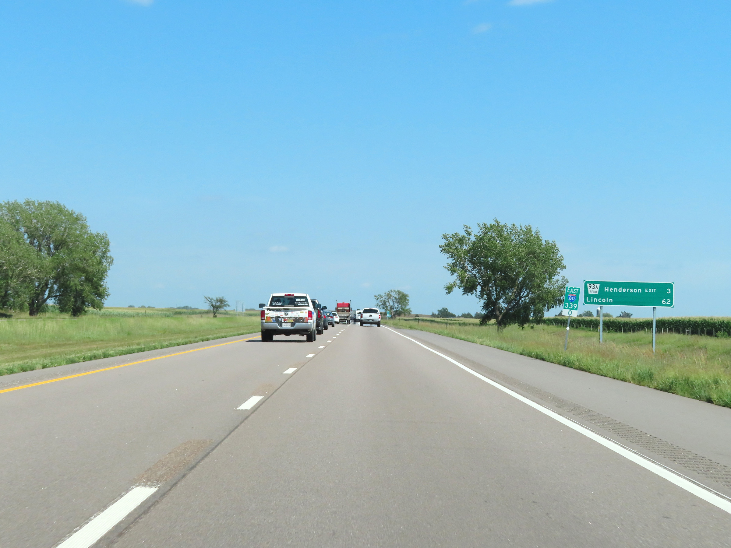
Interstate 80 East at Exit 342: Nebraska Spur 93A - Henderson / Bradshaw (Photo taken 8/18/22). |
 |
Interstate 80 East reassurance shield. (Photo taken 8/18/22). |
 |
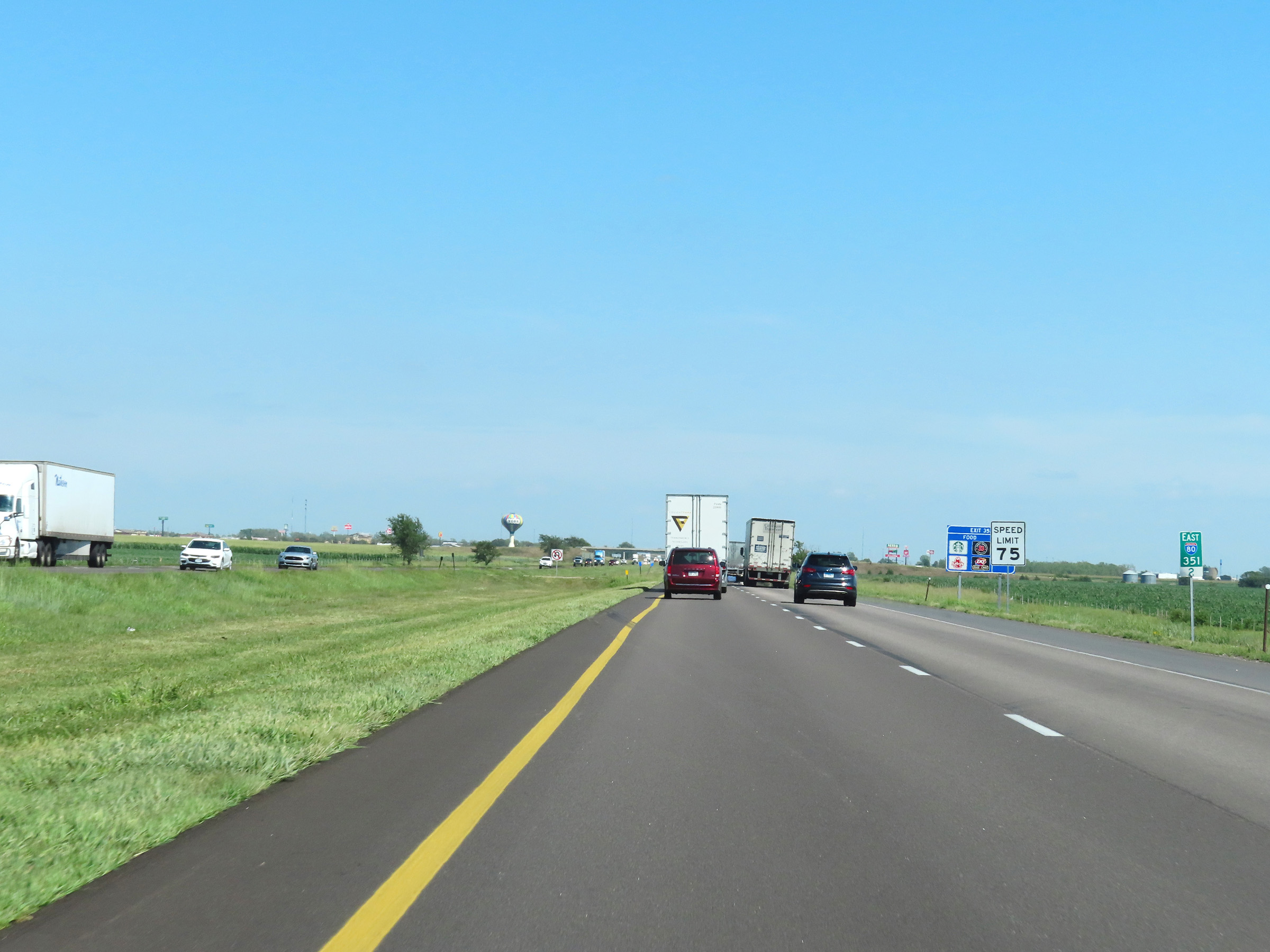
Speed limit signs at mile marker 342.8. The speed limits remain the rural standard 75 mph maximum and 40 mph minimum. (Photo taken 8/18/22). |
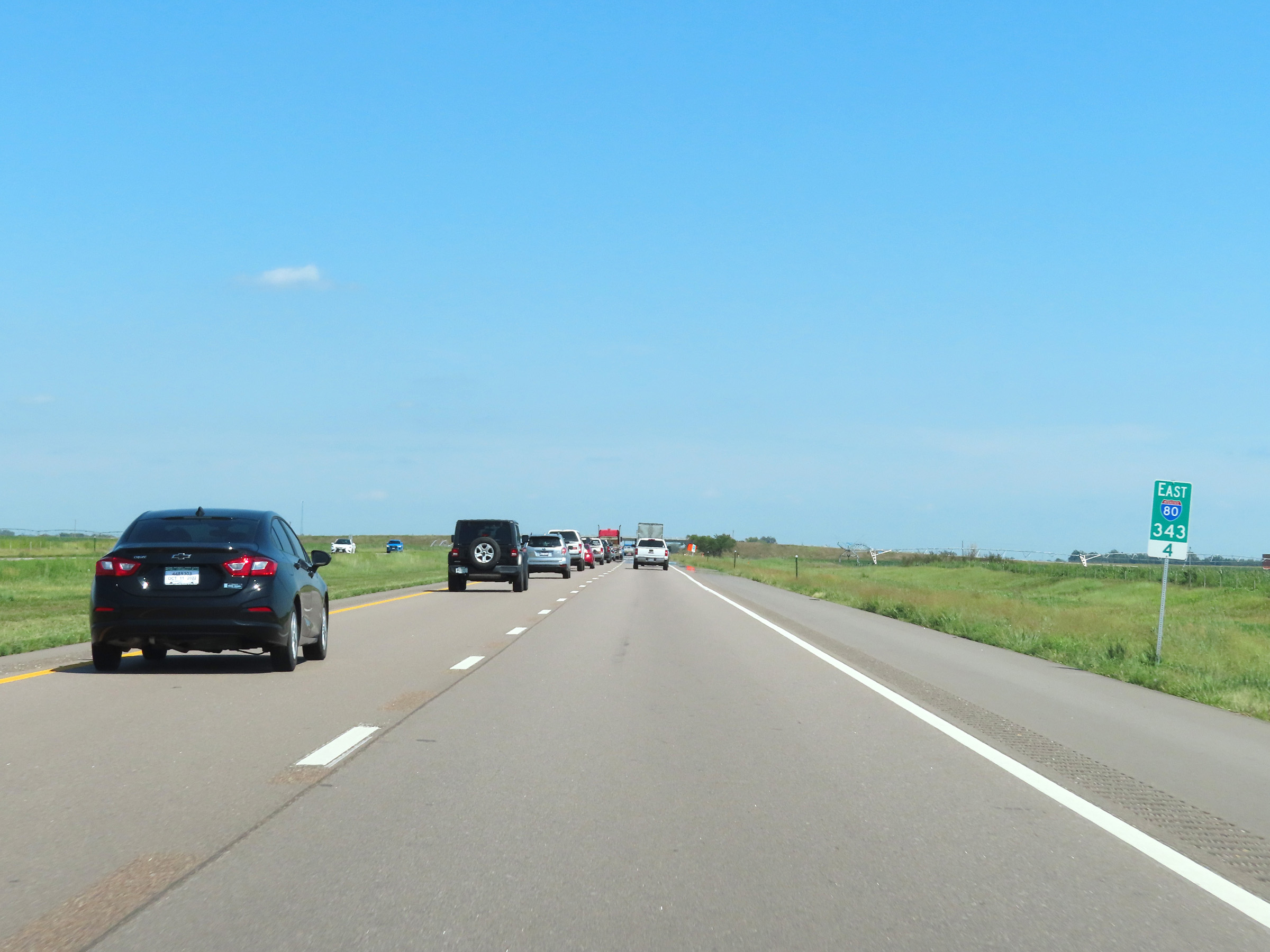 |
View on Interstate 80 East at mile marker 343.4. (Photo taken 8/18/22). |
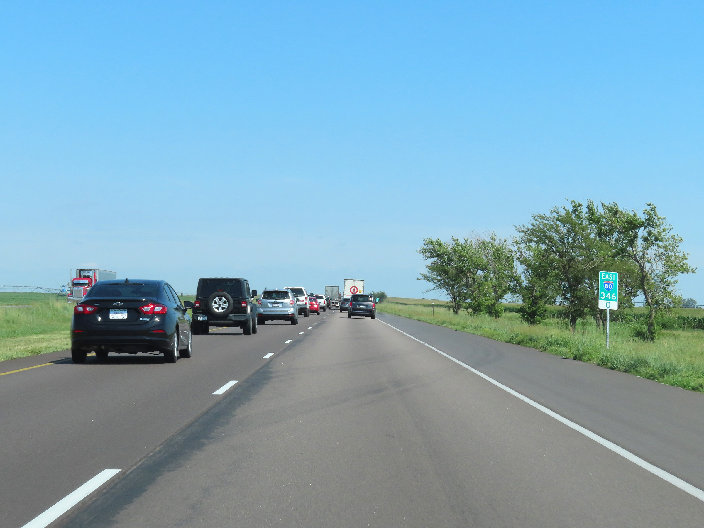 |
Mile marker 346 on Interstate 80 East in York County. (Photo taken 8/18/22). |
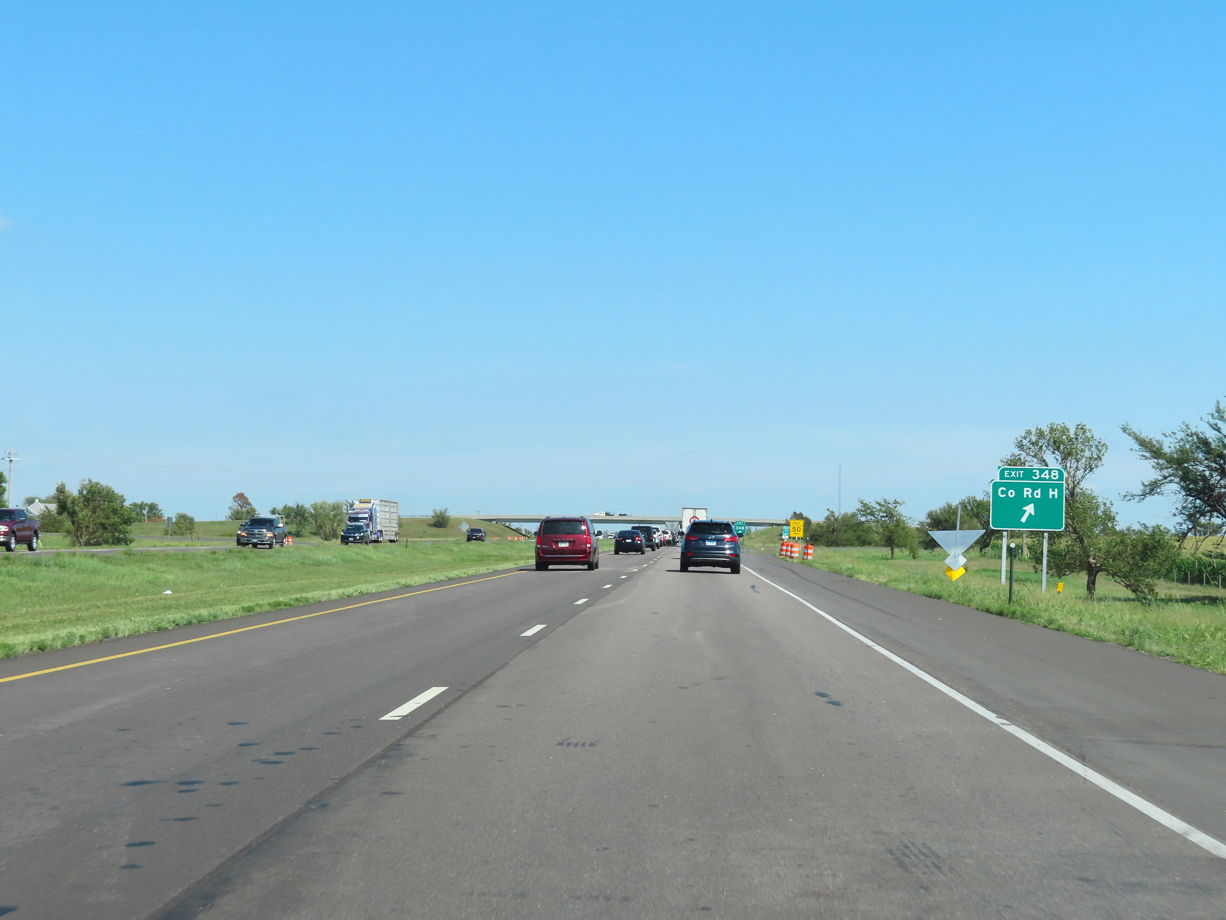 |
Interstate 80 East at Exit 348: County Rd H (Photo taken 8/18/22). |
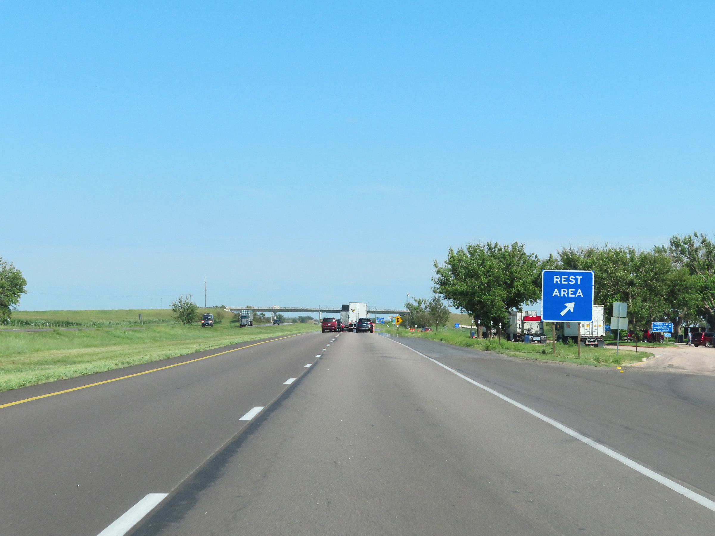 |
Rest Area on Interstate 80 East in York County. (Photo taken 8/18/22). |
 |
Interstate 80 East at mile marker 351.2. (Photo taken 8/18/22). |
 |
Interstate 80 East approaching Exit 353 - 1 mile. (Photo taken 8/18/22). |
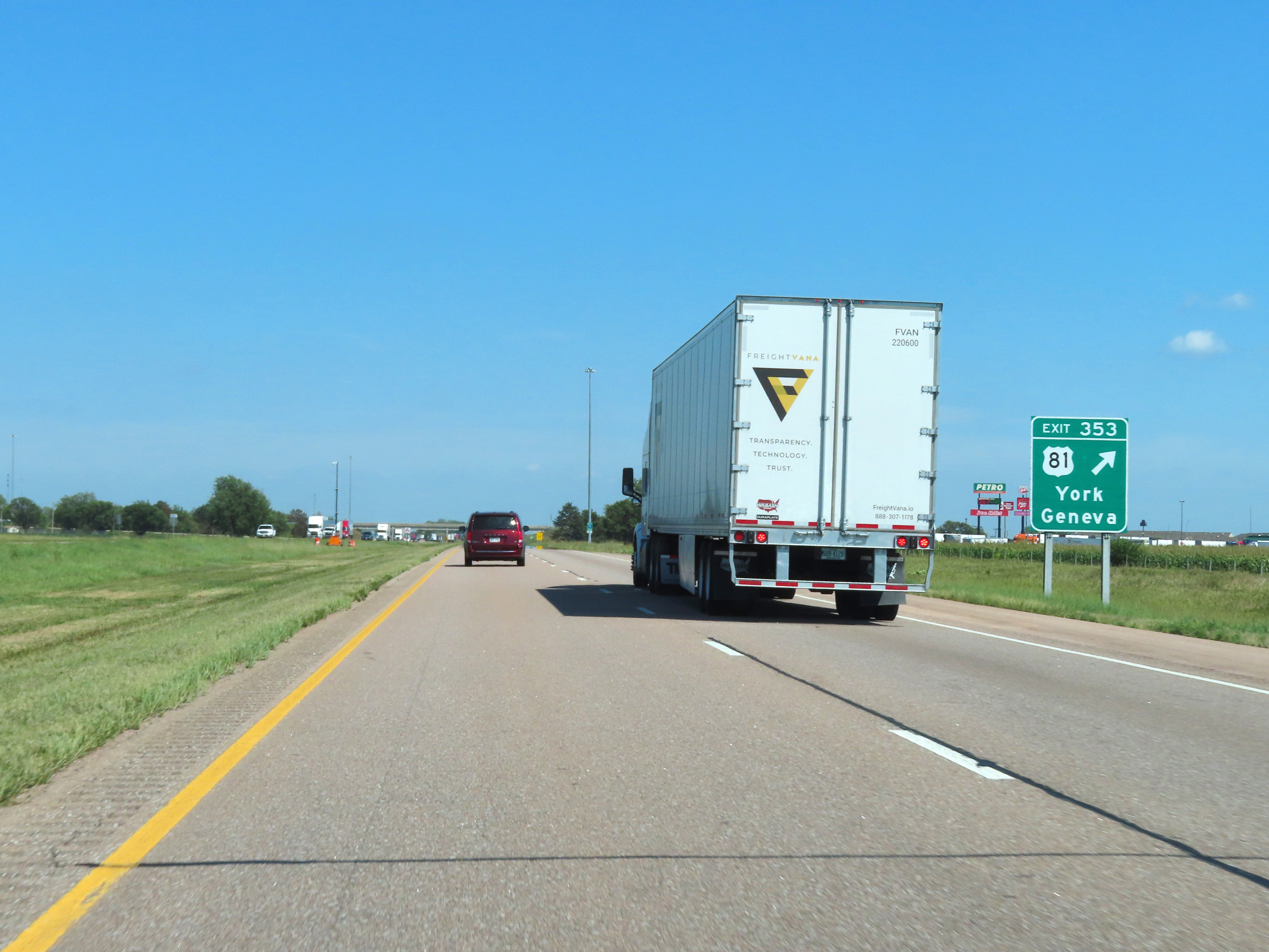 |
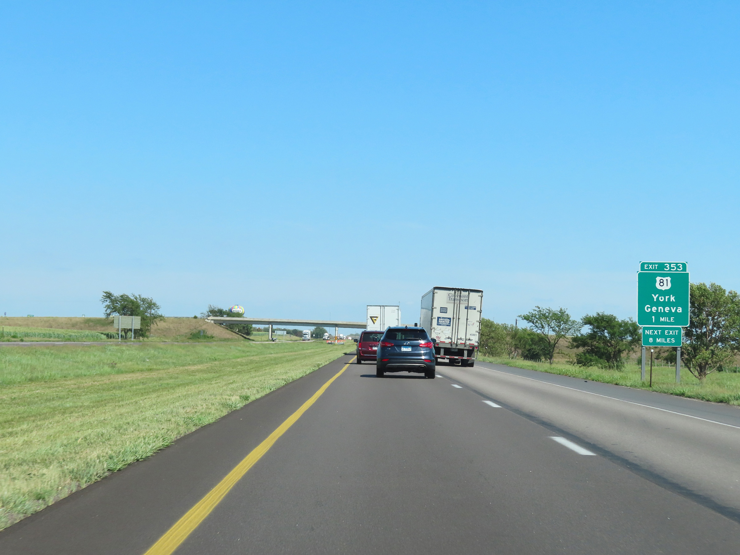
Interstate 80 East at Exit 353: US 81 - York / Geneva (Photo taken 8/18/22). |
Section 6: York (Exit 353) to Lincoln (Exit 403)
 |
Mileage sign at mile marker 354. It's 6 miles to the next exit (Exit 360) and 44 miles to Lincoln. (Photo taken 8/18/22). |
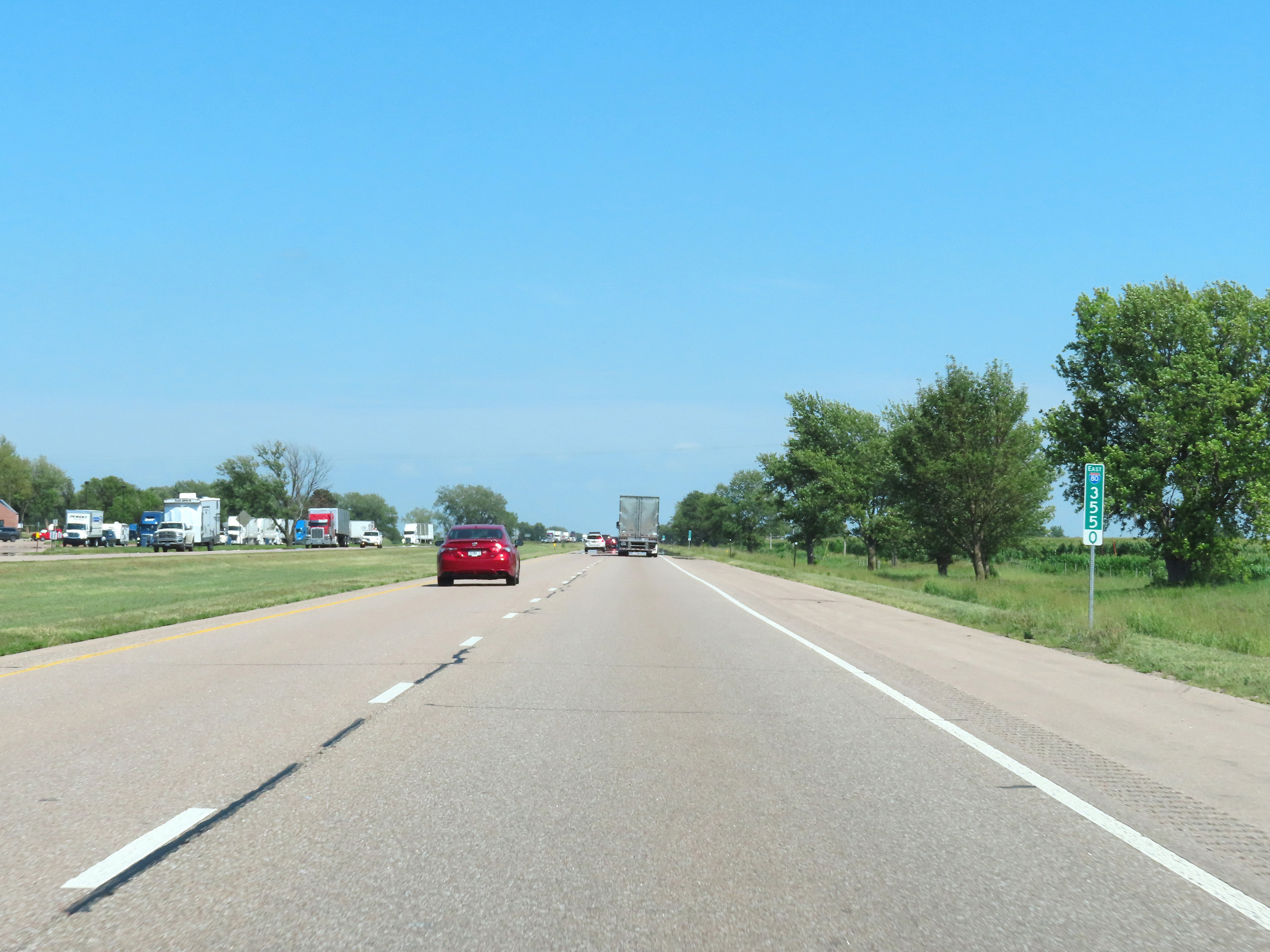 |
View on Interstate 80 East at mile marker 355. (Photo taken 8/18/22). |
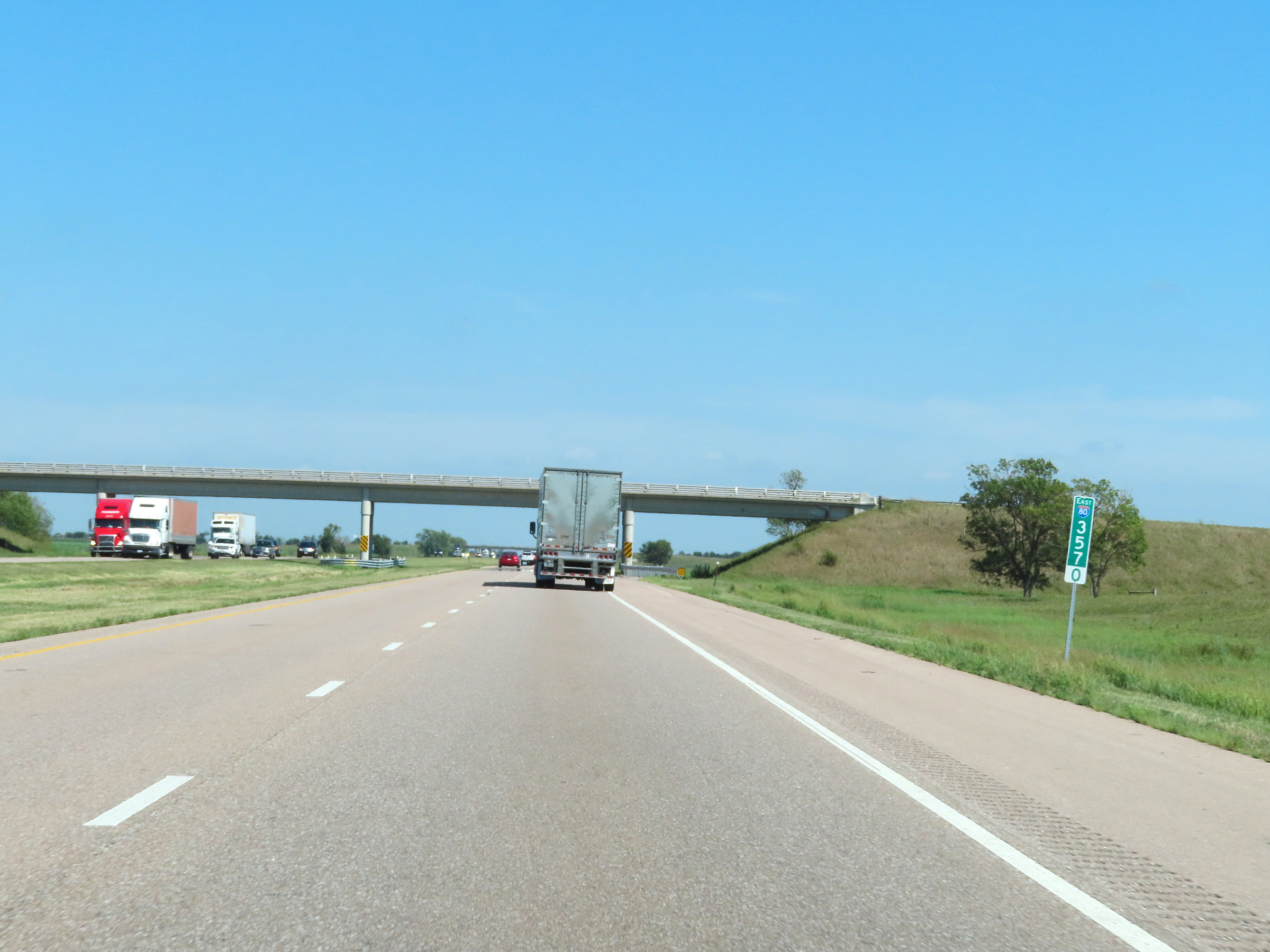 |
Interstate 80 East at mile marker 357. (Photo taken 8/18/22). |
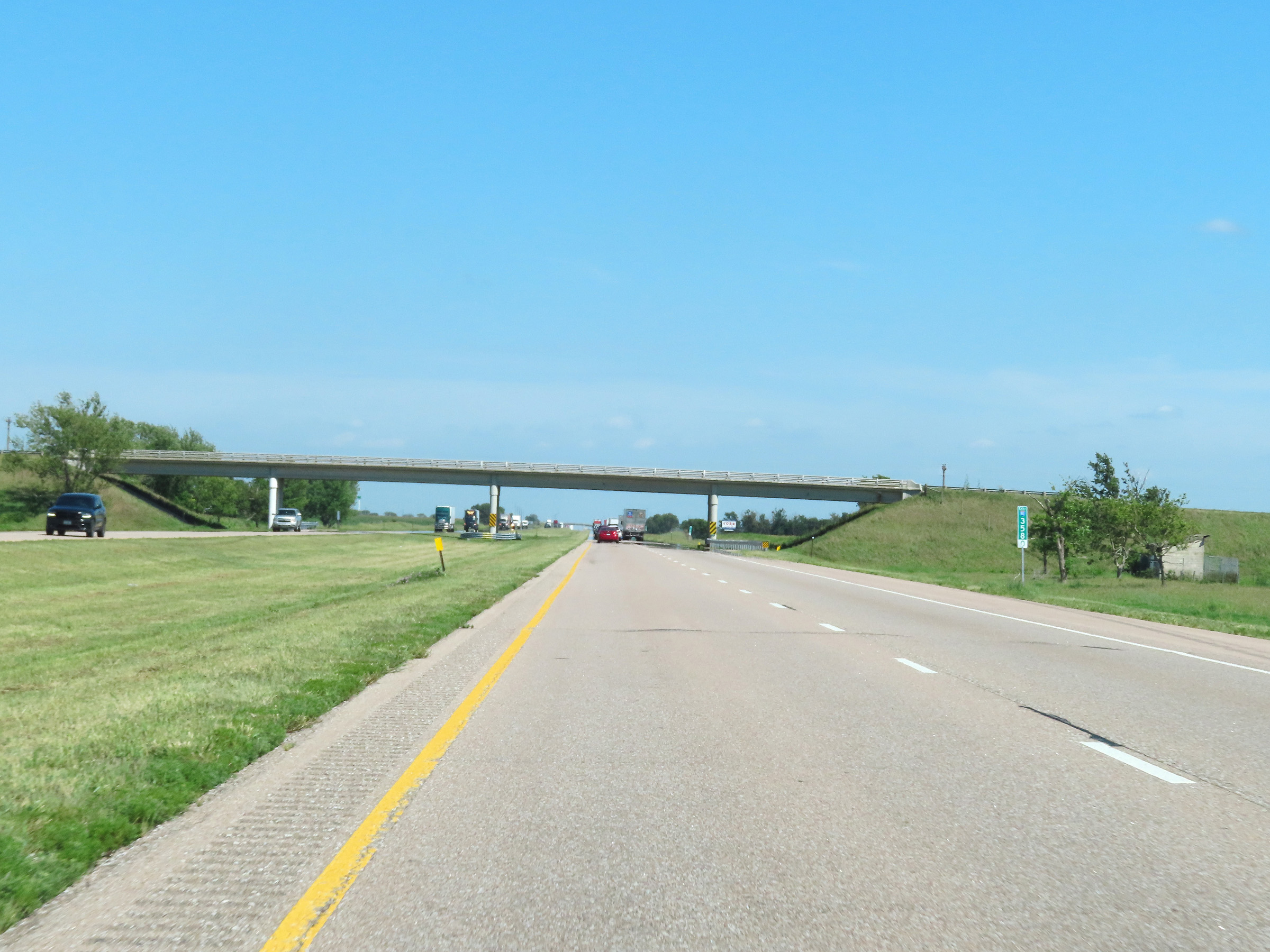 |
View on Interstate 80 East at mile marker 358. (Photo taken 8/18/22). |
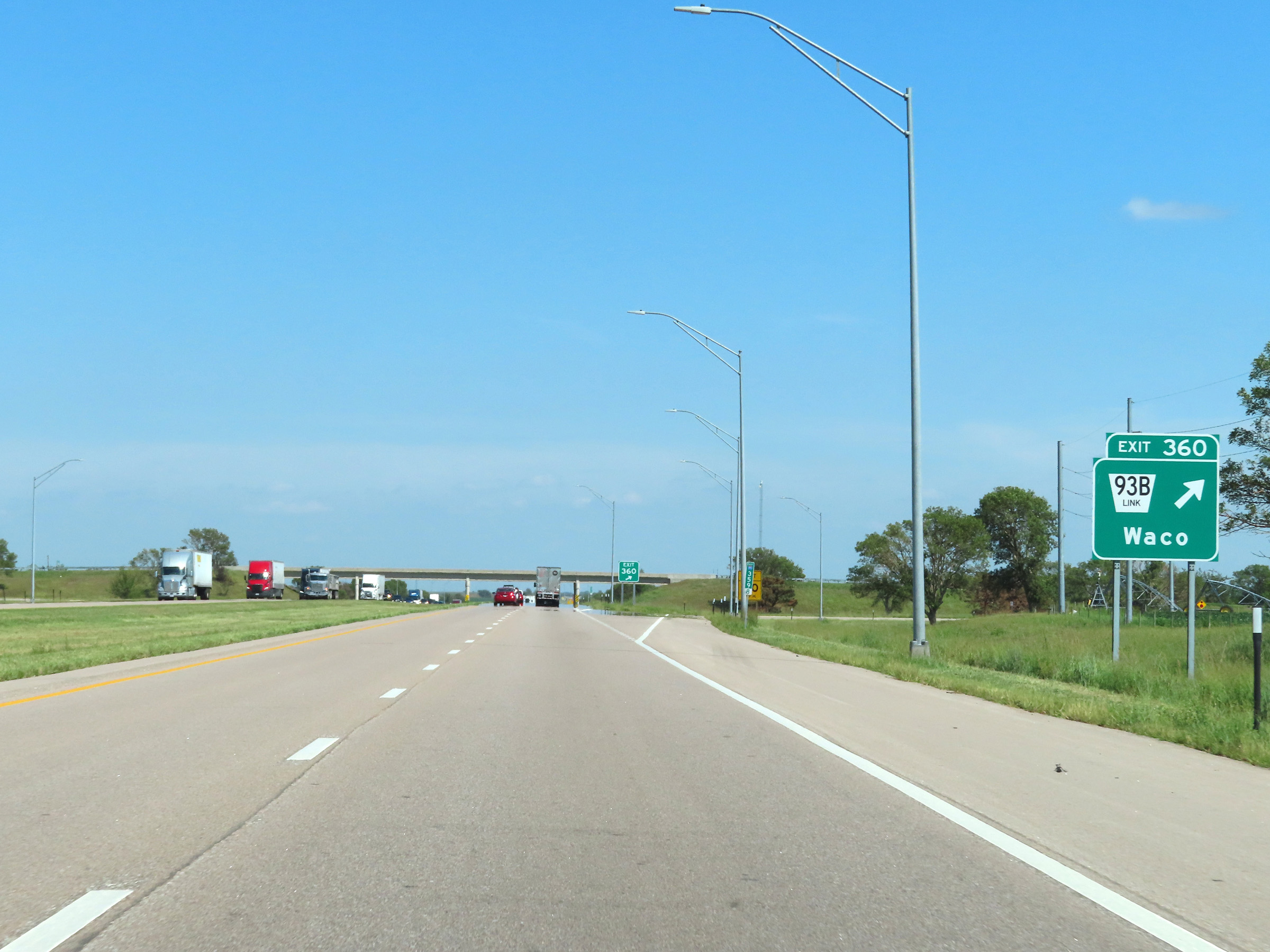 |
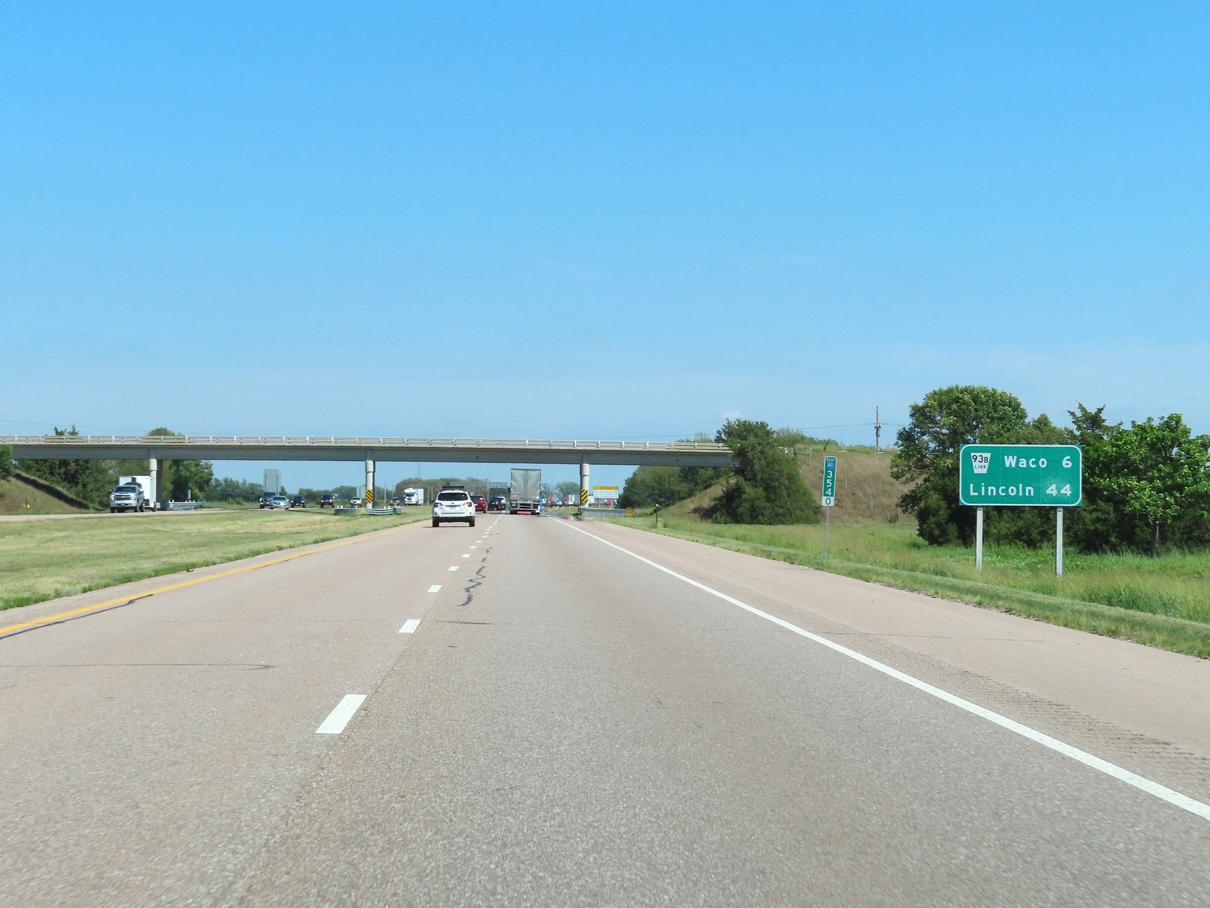
Interstate 80 East at Exit 360: Nebraska Link 93B - Waco (Photo taken 8/18/22). |
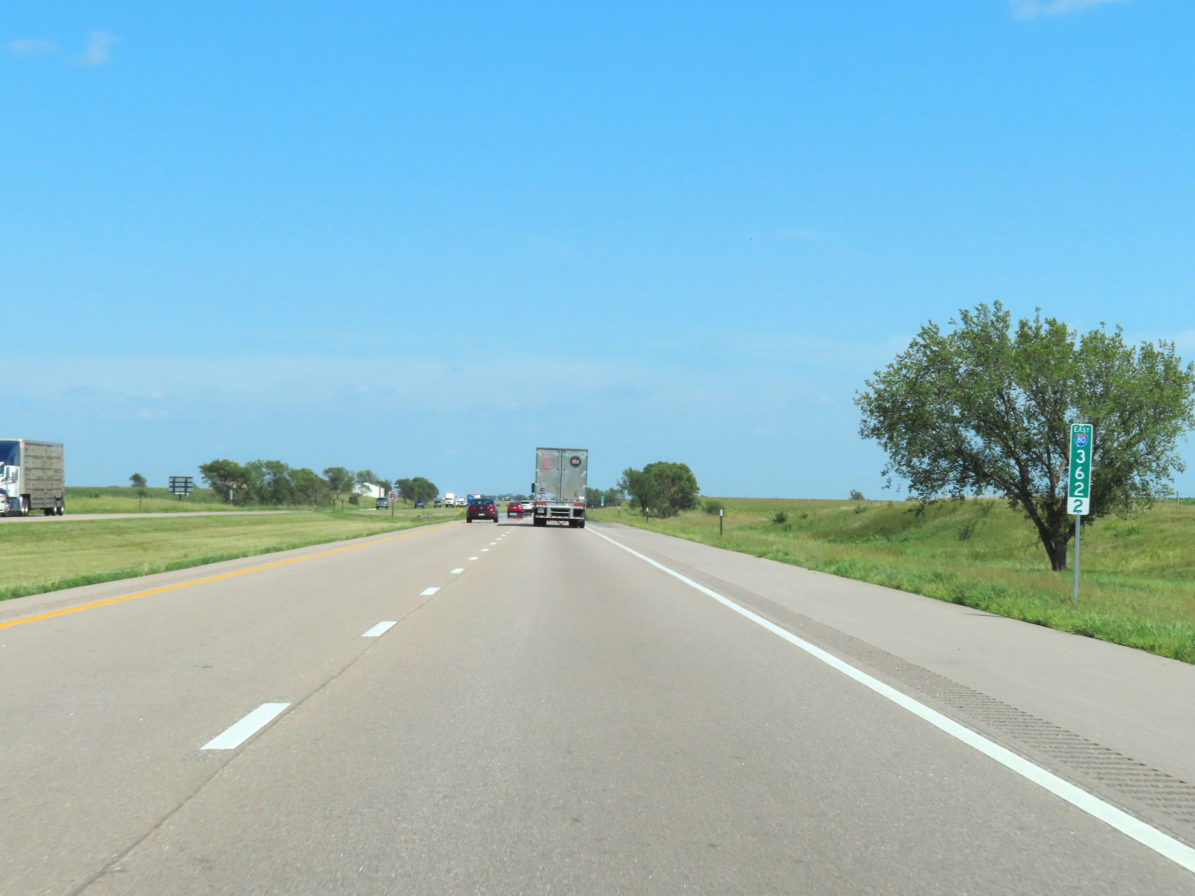 |
Mile marker 362.2 on Interstate 80 East in York County. (Photo taken 8/18/22). |
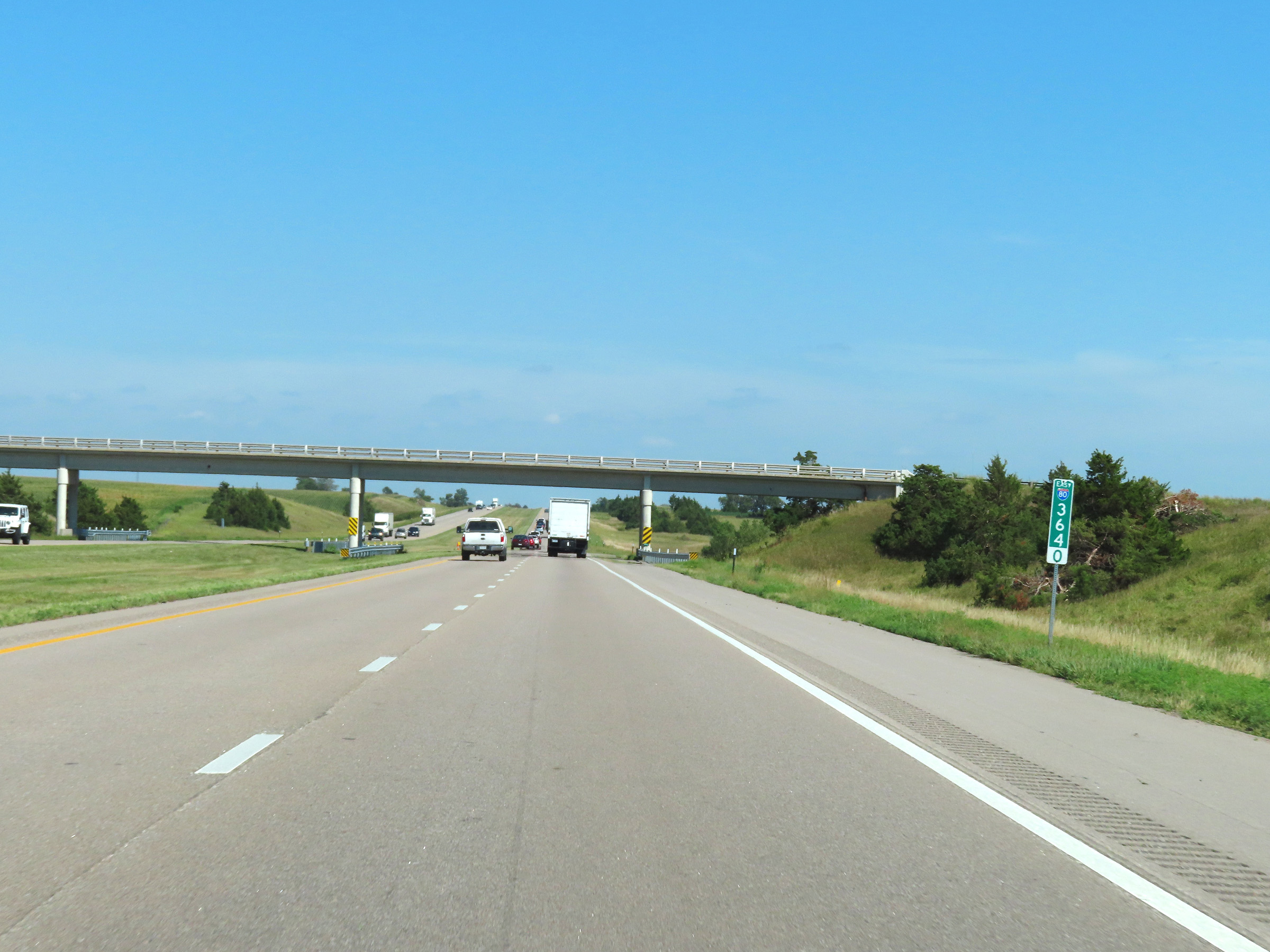 |
Interstate 80 East at mile marker 364. (Photo taken 8/18/22). |
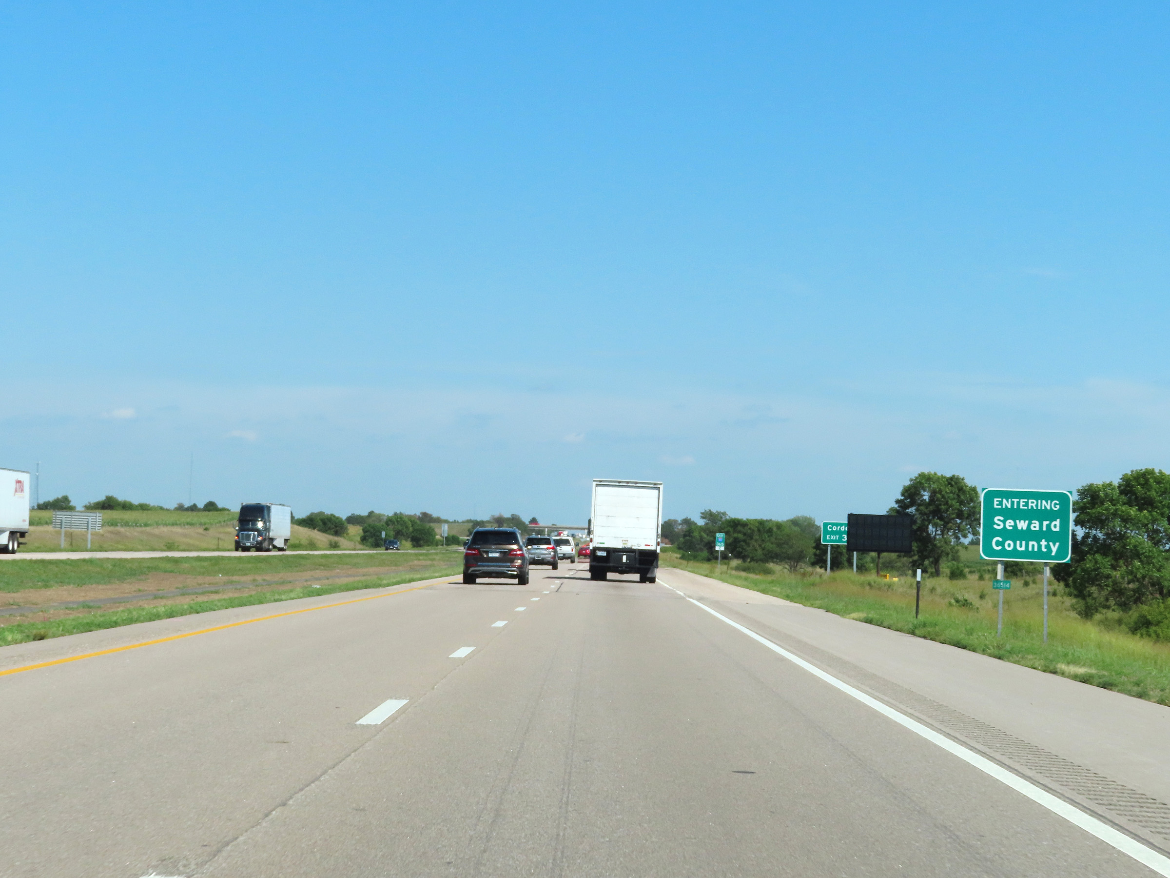 |
Interstate 80 East as it enters Seward County. (Photo taken 8/18/22). |
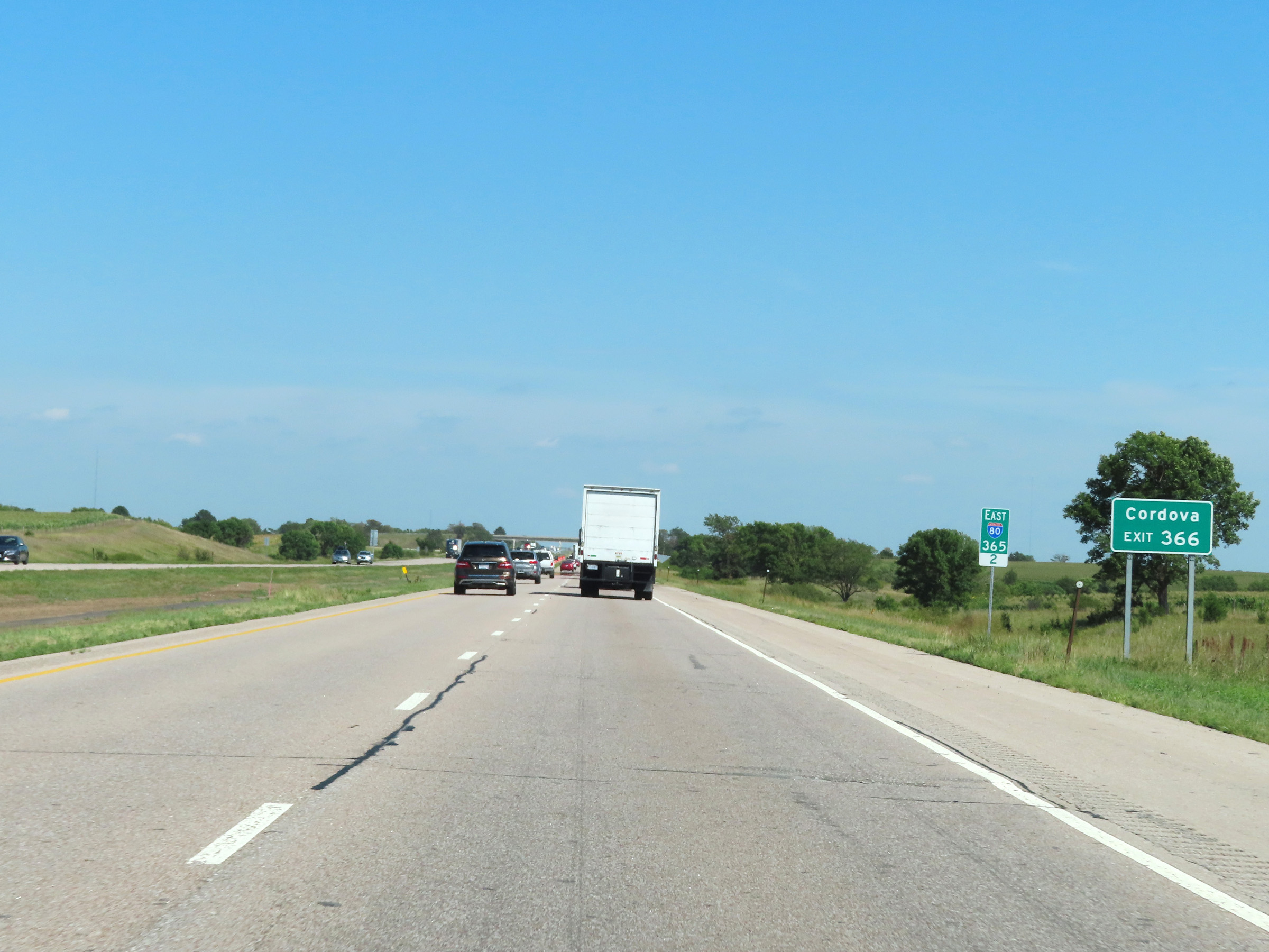 |
Take Exit 366 to Cordova. (Photo taken 8/18/22). |
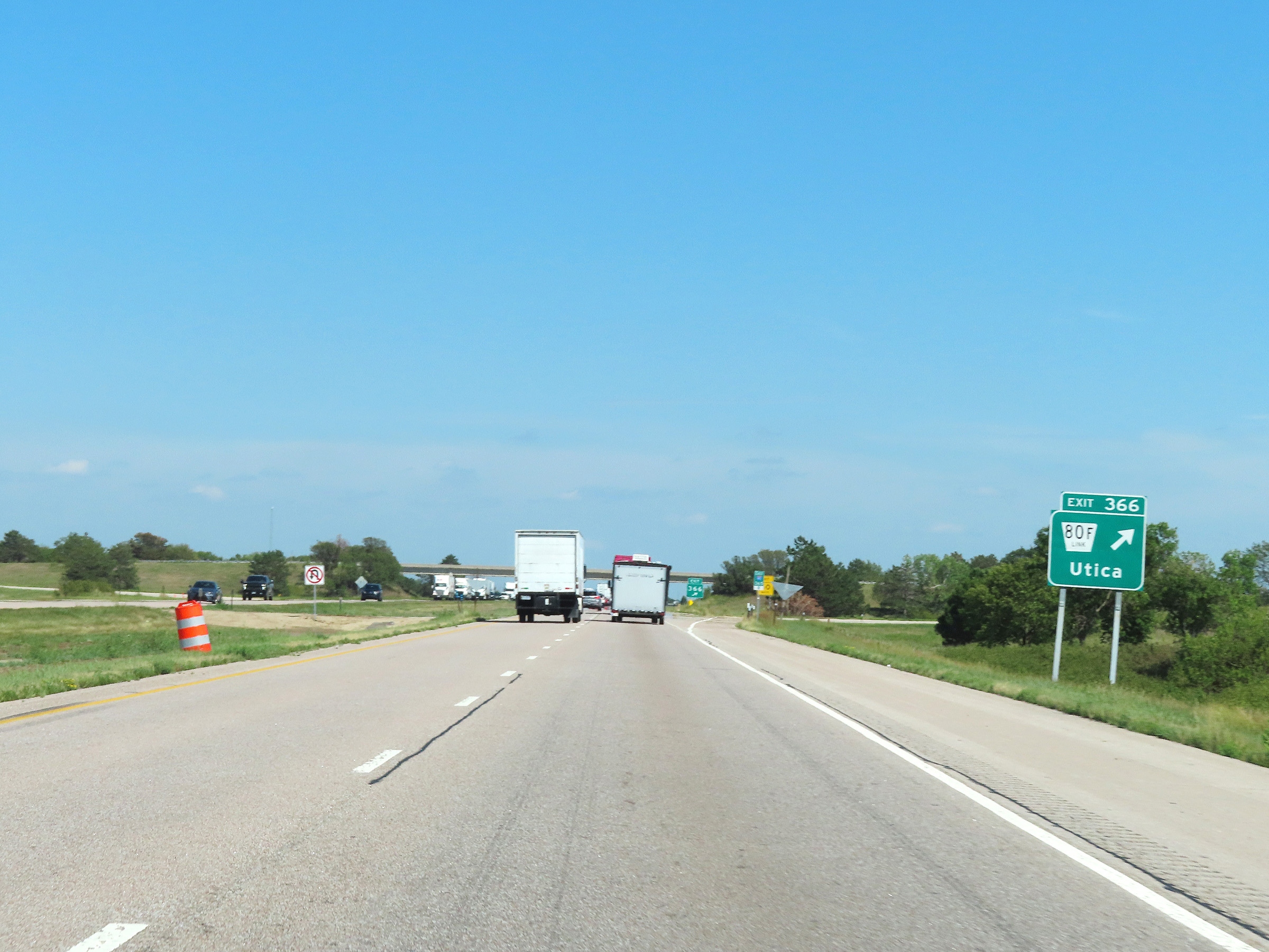 |
Interstate 80 East at Exit 366: Nebraska Link 80F - Utica (Photo taken 8/18/22). |
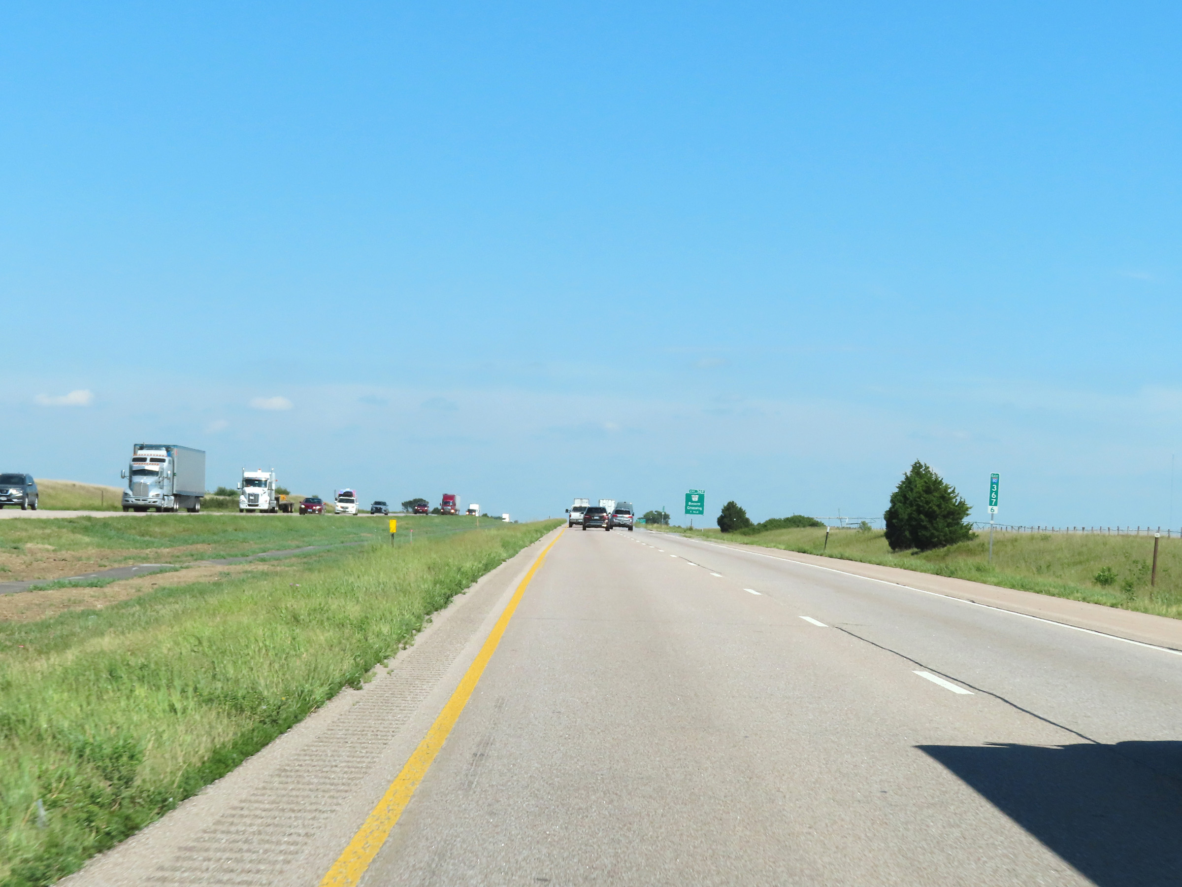 |
View on Interstate 80 East at mile marker 367.6. (Photo taken 8/18/22). |
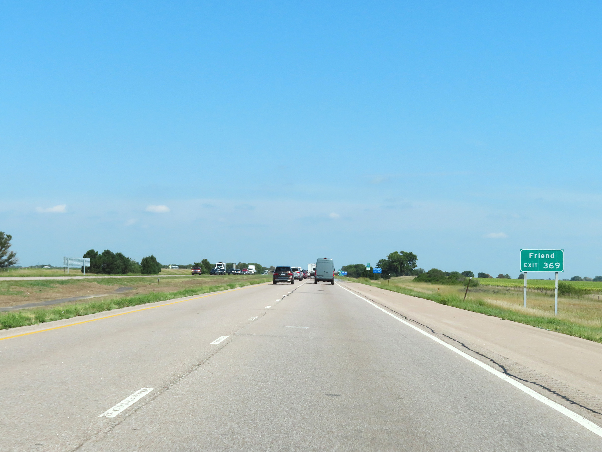 |
Take Exit 369 to Friend. (Photo taken 8/18/22). |
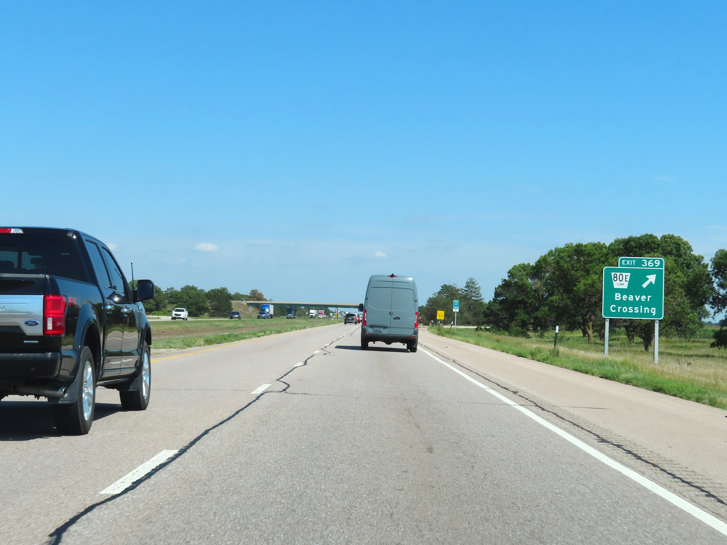 |
Interstate 80 East at Exit 369: Nebraska Link 80E - Beaver Crossing (Photo taken 8/18/22). |
 |
Another Interstate 80 East reassurance shield. (Photo taken 8/18/22). |
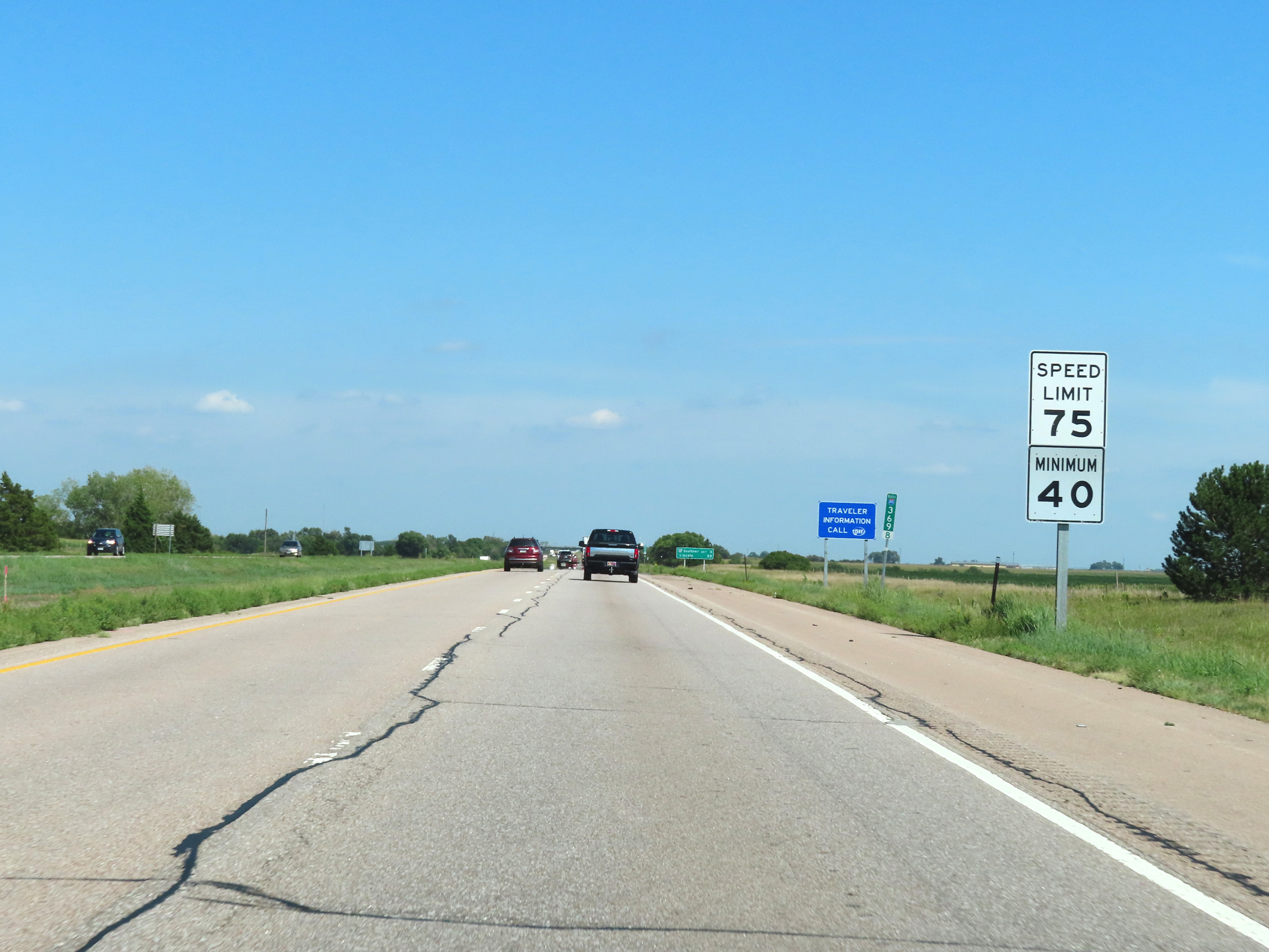 |
The speed limits remain 75 mph maximum and 40 mph minimum. (Photo taken 8/18/22). |
 |
Mileage sign at mile marker 370. It's 3 miles to the next exit (Exit 373) and 29 miles to Lincoln. (Photo taken 8/18/22). |
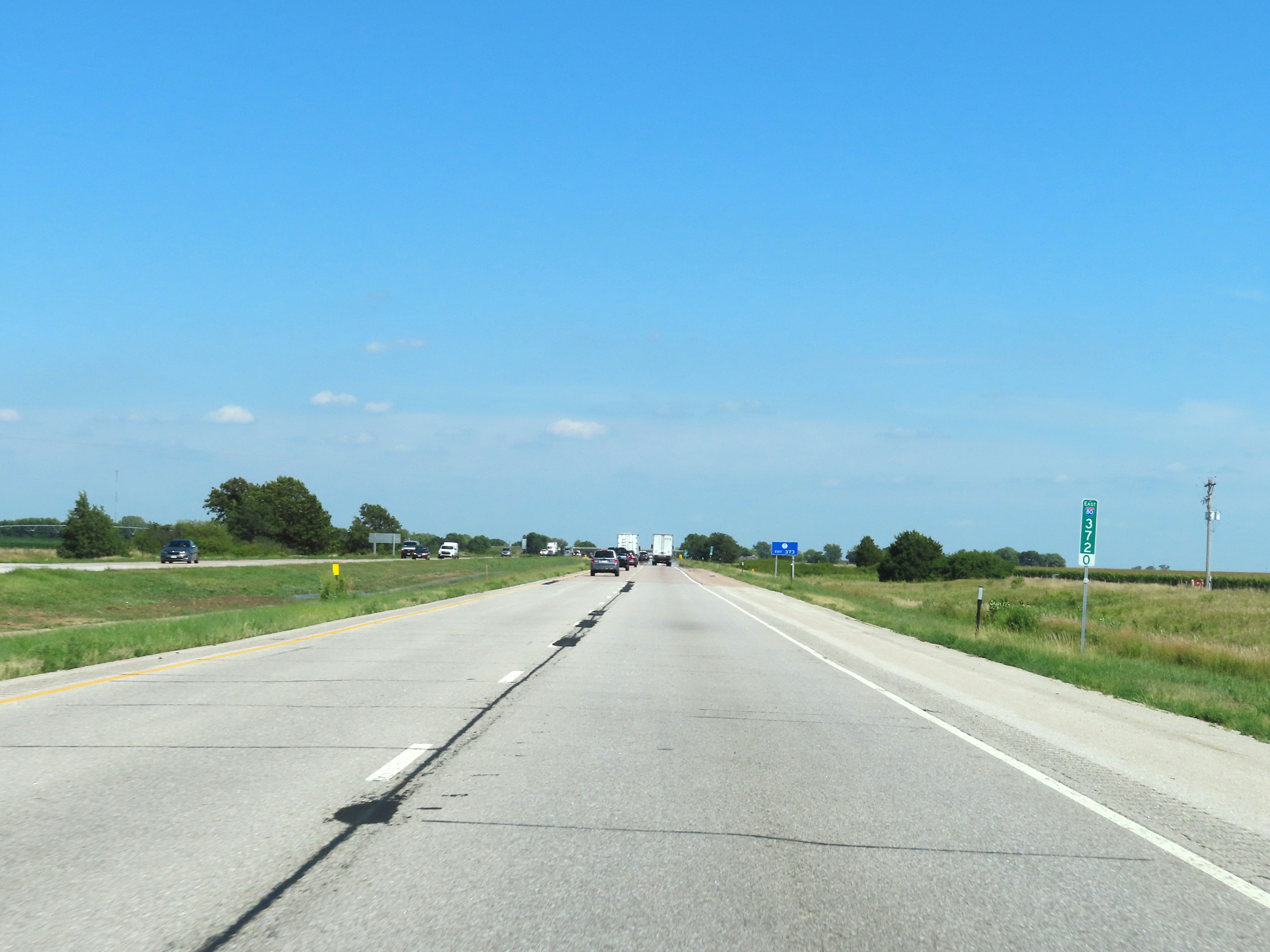 |
View on Interstate 80 East at mile marker 372. (Photo taken 8/18/22). |
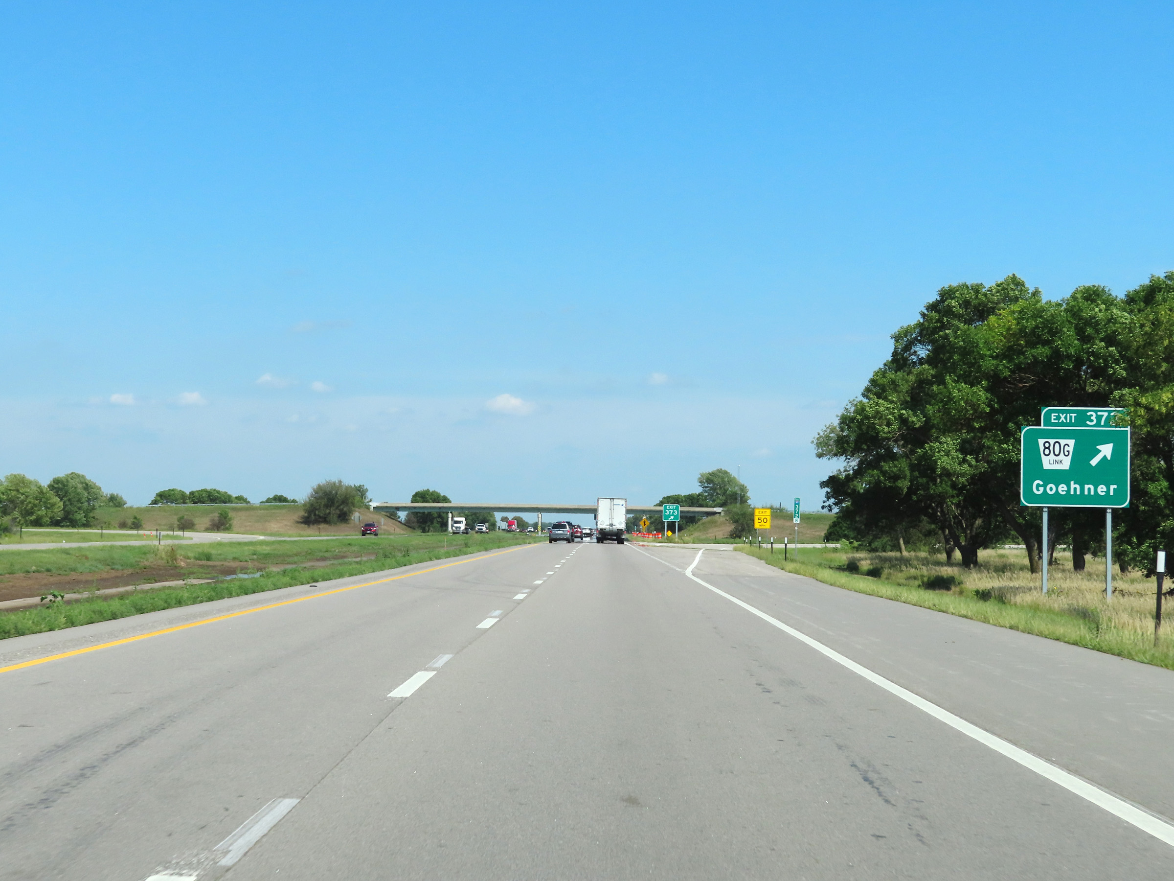 |
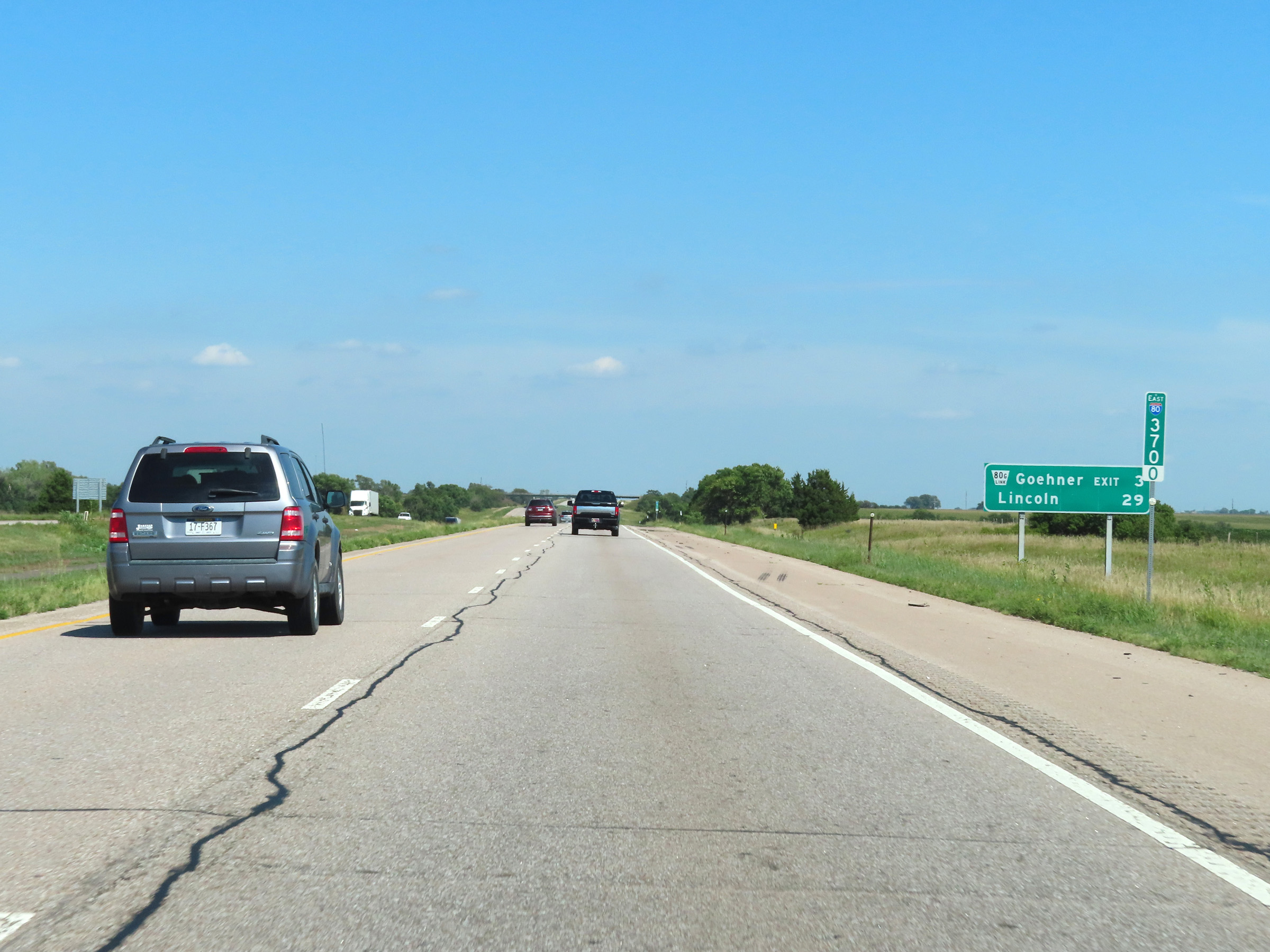
Interstate 80 East at Exit 373: Nebraska Link 80G - Goehner (Photo taken 8/18/22). |
 |
Mile marker 374 on Interstate 80 East in Seward County. (Photo taken 8/18/22). |
 |
View on Interstate 80 East at mile marker 377. (Photo taken 8/18/22). |
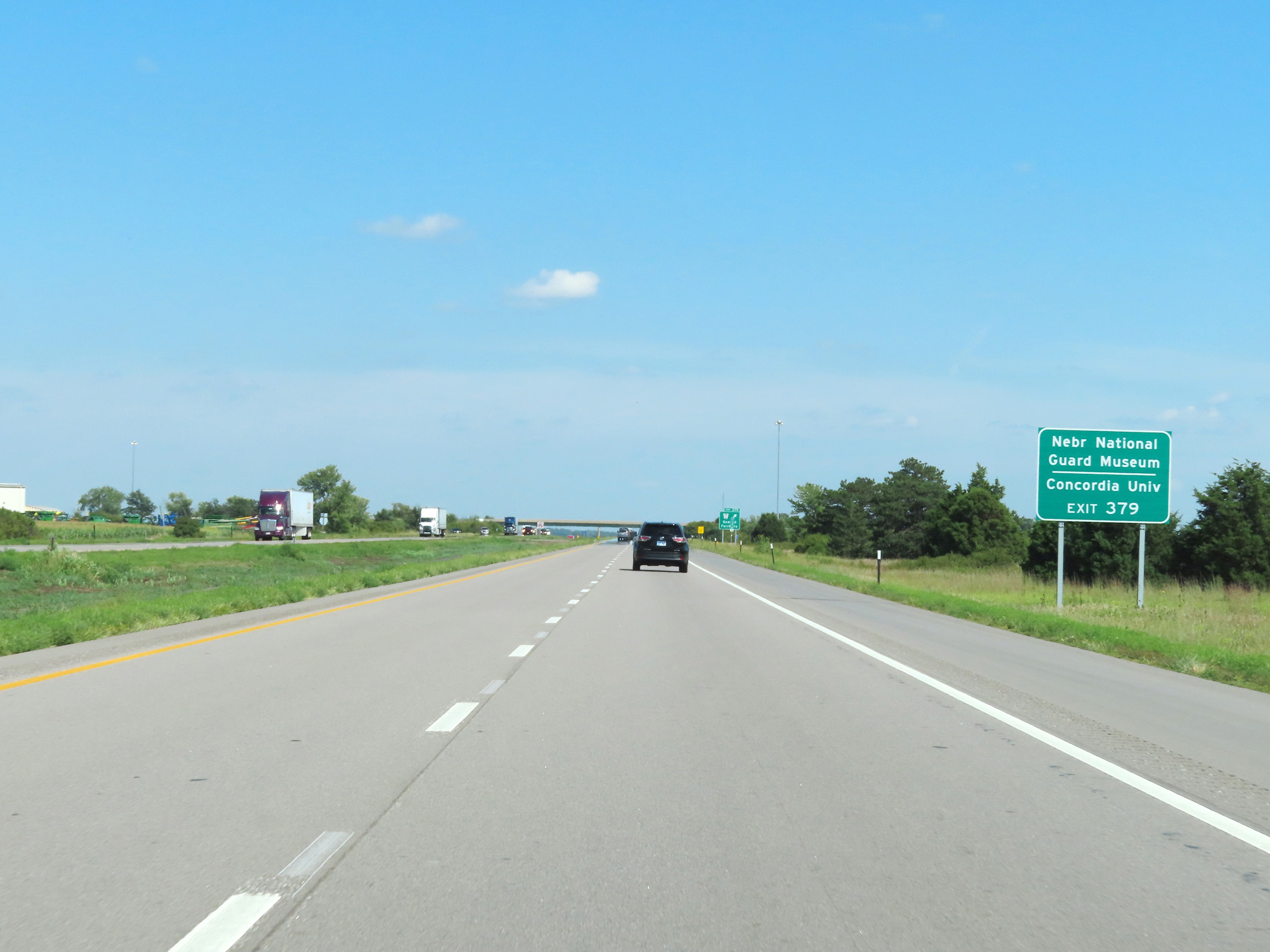 |
Take Exit 379 to the Nebraska National Guard Museum and Concordia University. (Photo taken 8/18/22). |
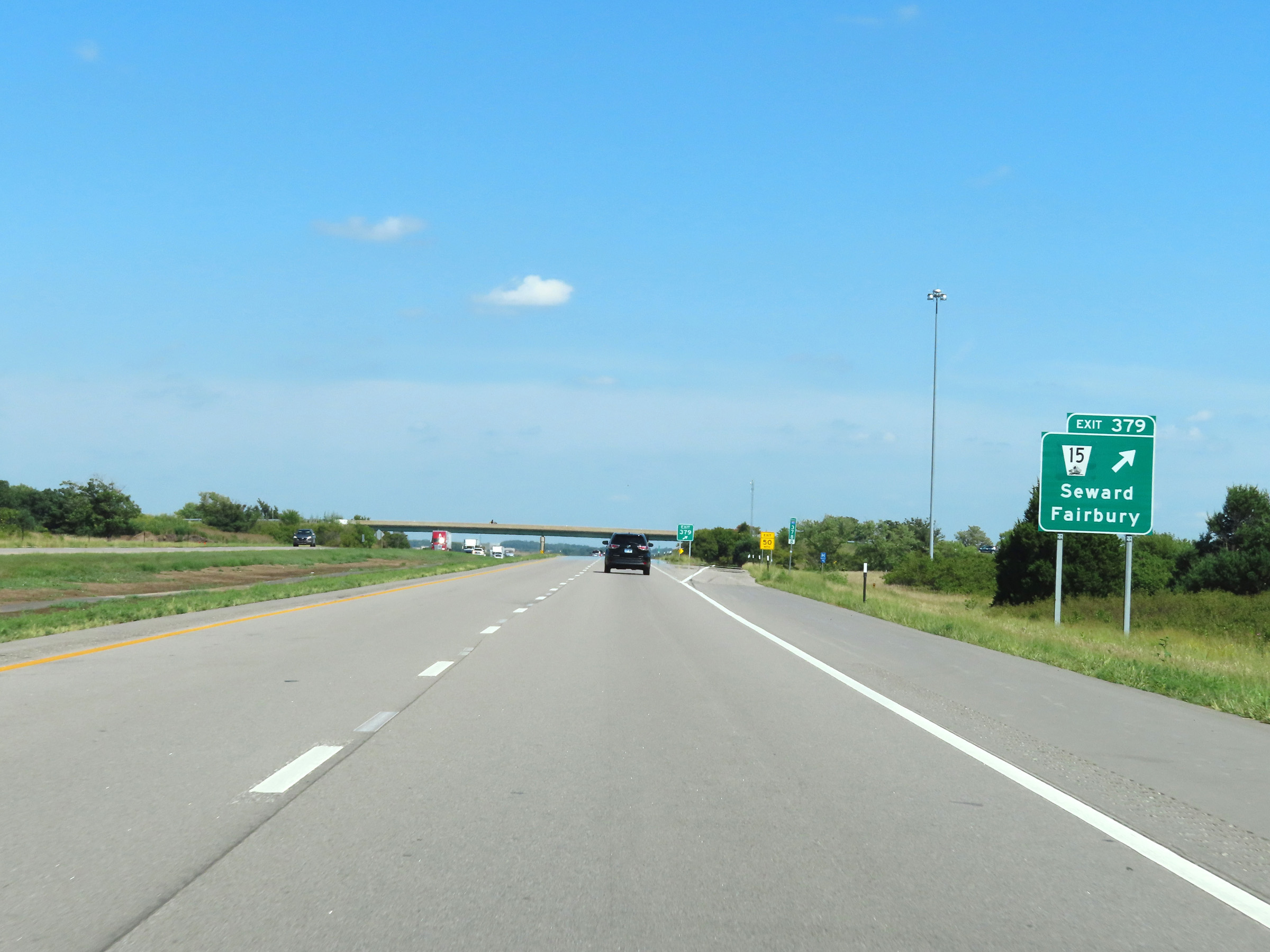 |
Interstate 80 East at Exit 379: NE 15 - Seward / Fairbury (Photo taken 8/18/22). |
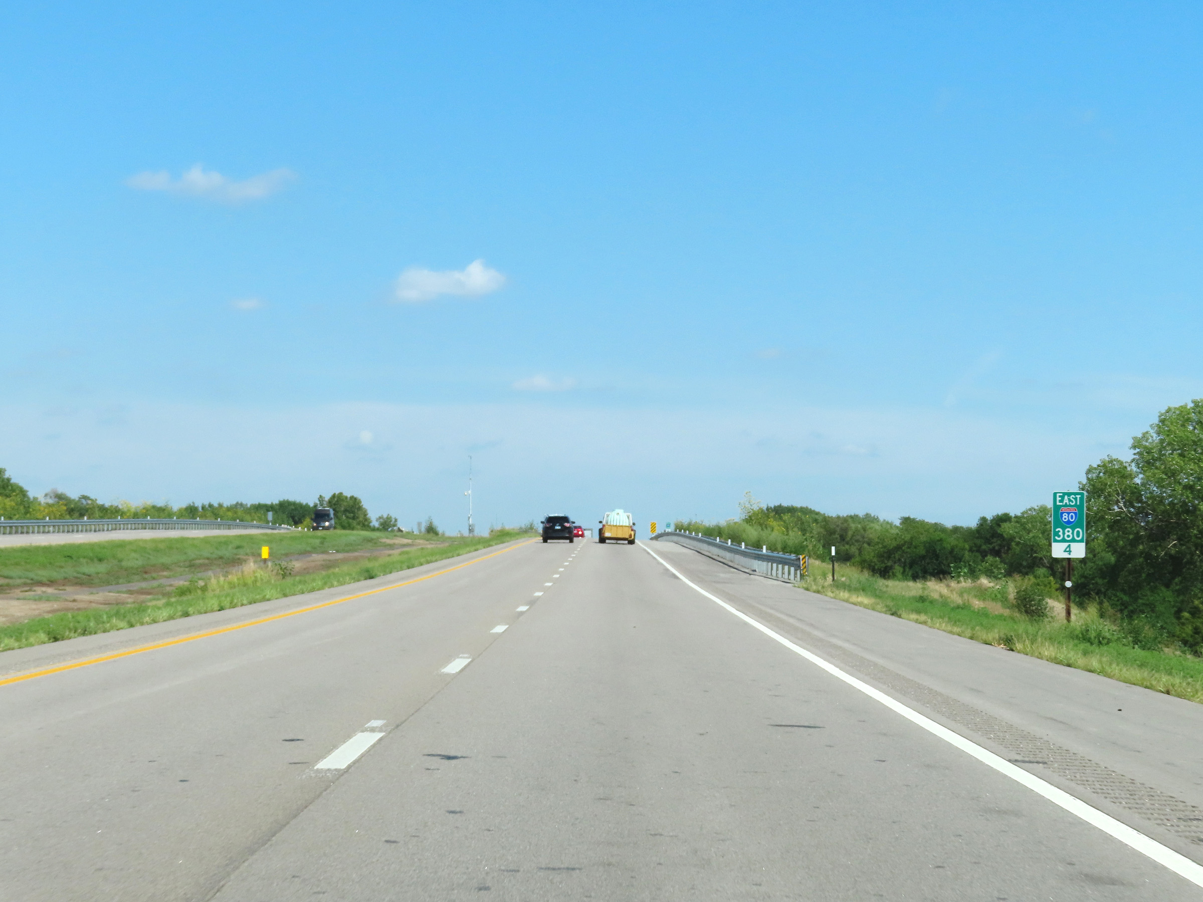 |
Interstate 80 East at mile marker 380.4. (Photo taken 8/18/22). |
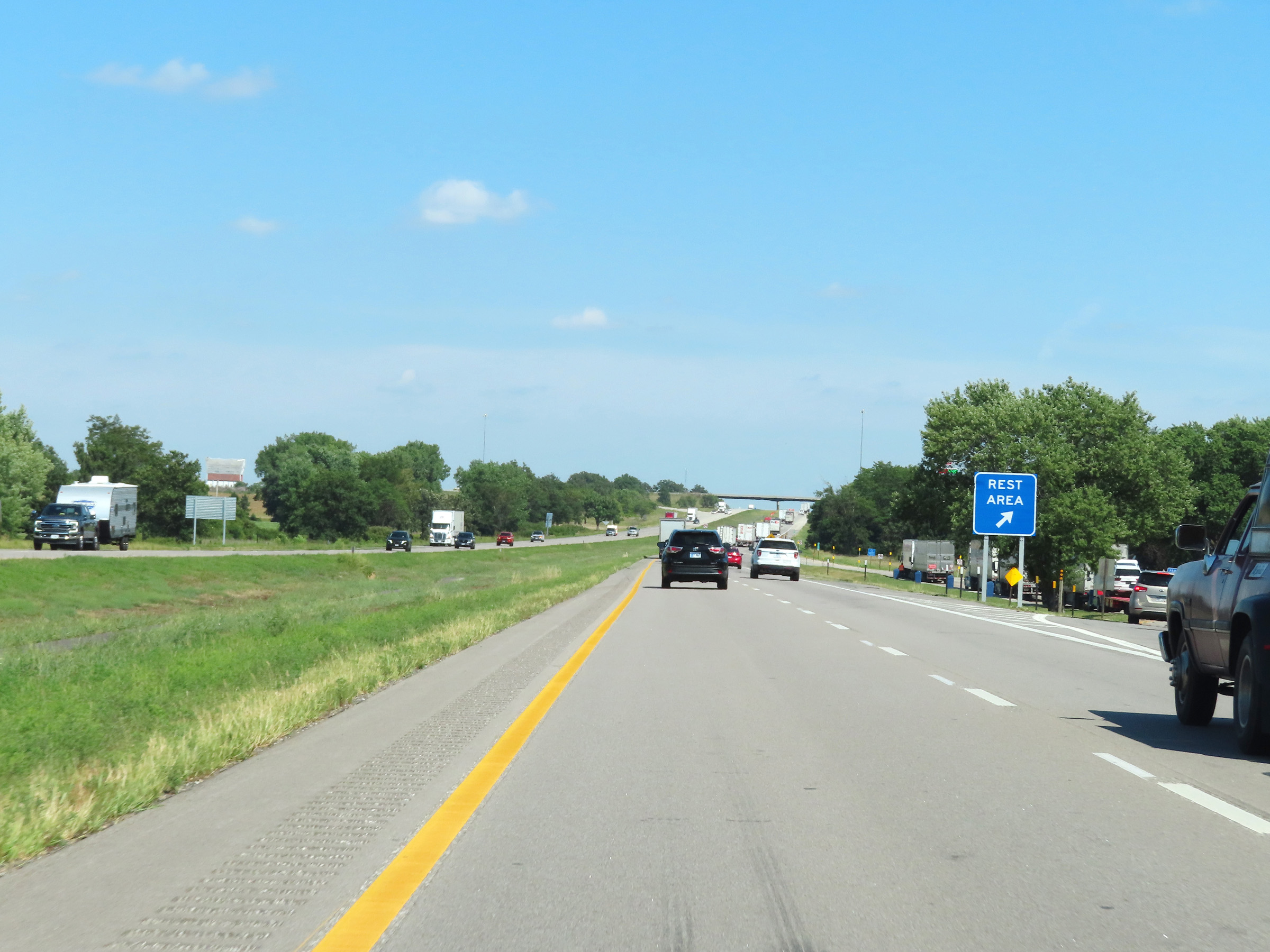 |
Rest Area on Interstate 80 East in Seward County. (Photo taken 8/18/22). |
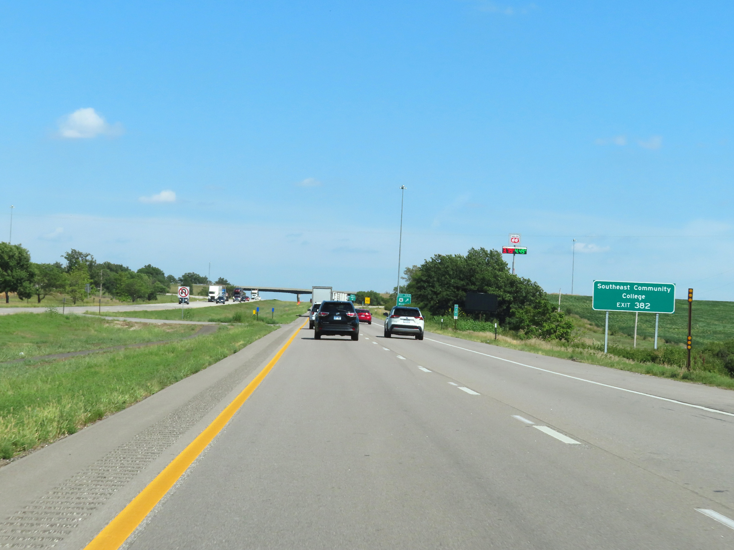 |
Take Exit 382 to Southeast Community College. (Photo taken 8/18/22). |
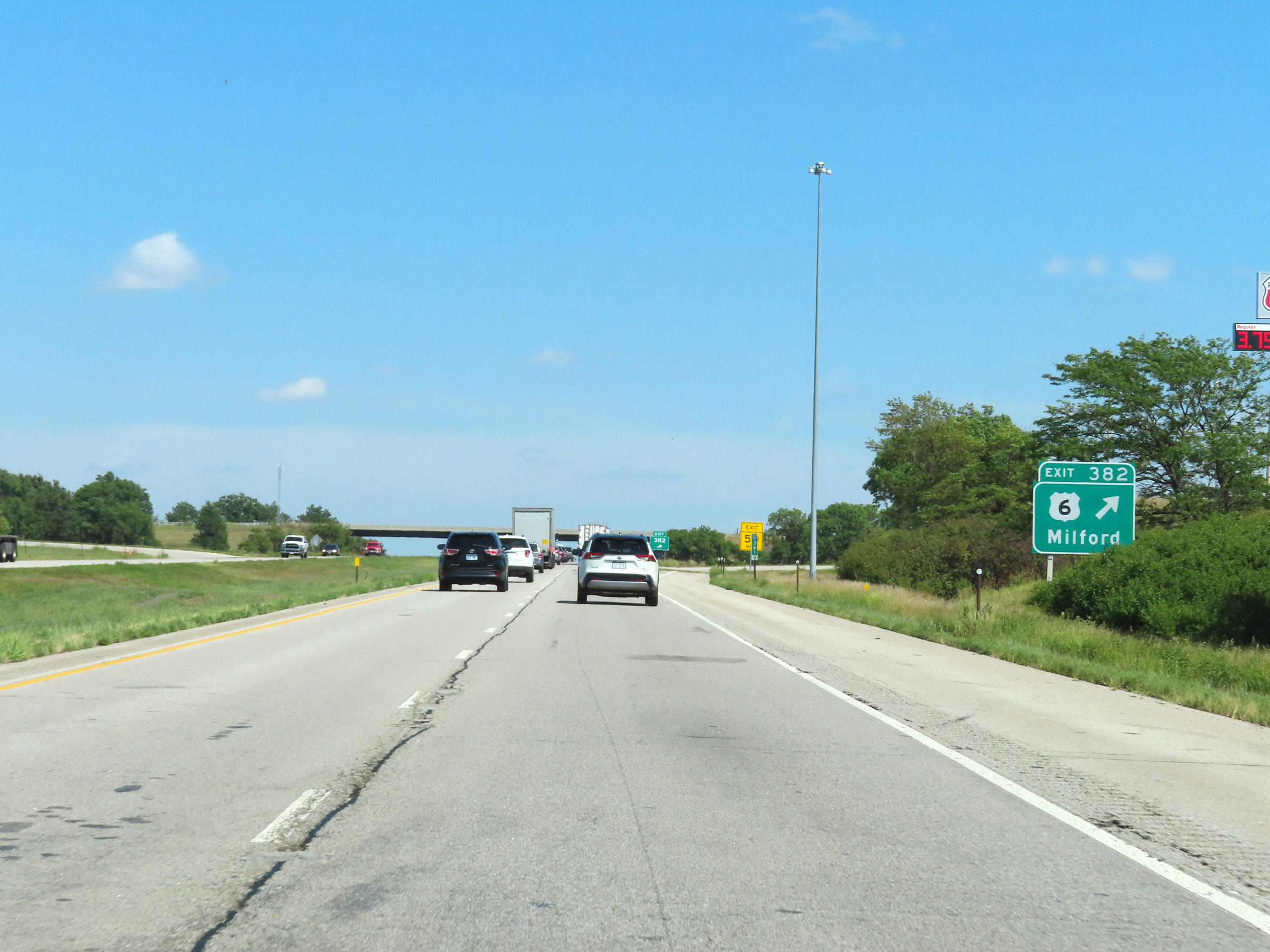 |
Interstate 80 East at Exit 382: US 6 - Milford (Photo taken 8/18/22). |
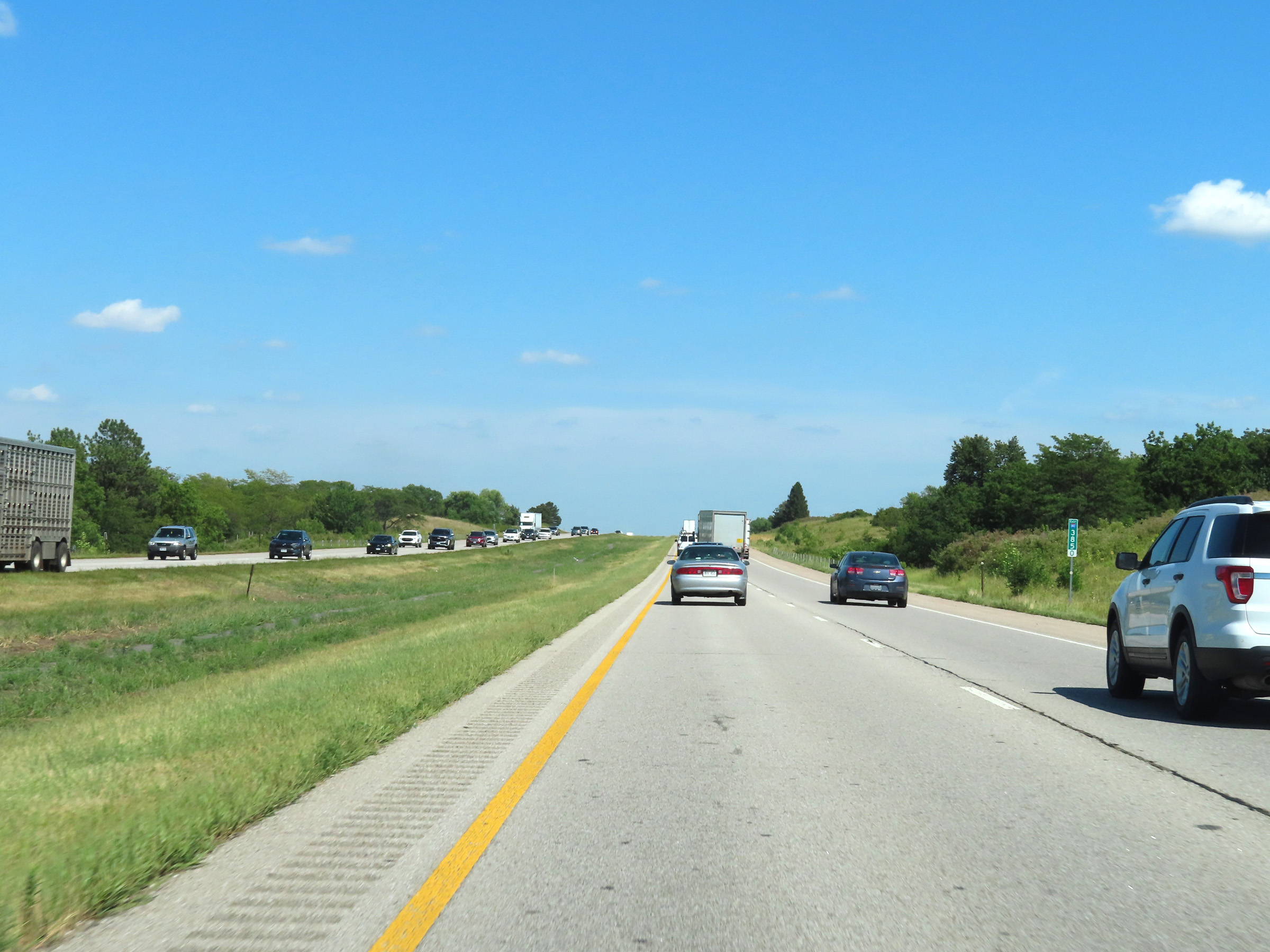 |
View on Interstate 80 East at mile marker 385. (Photo taken 8/18/22). |
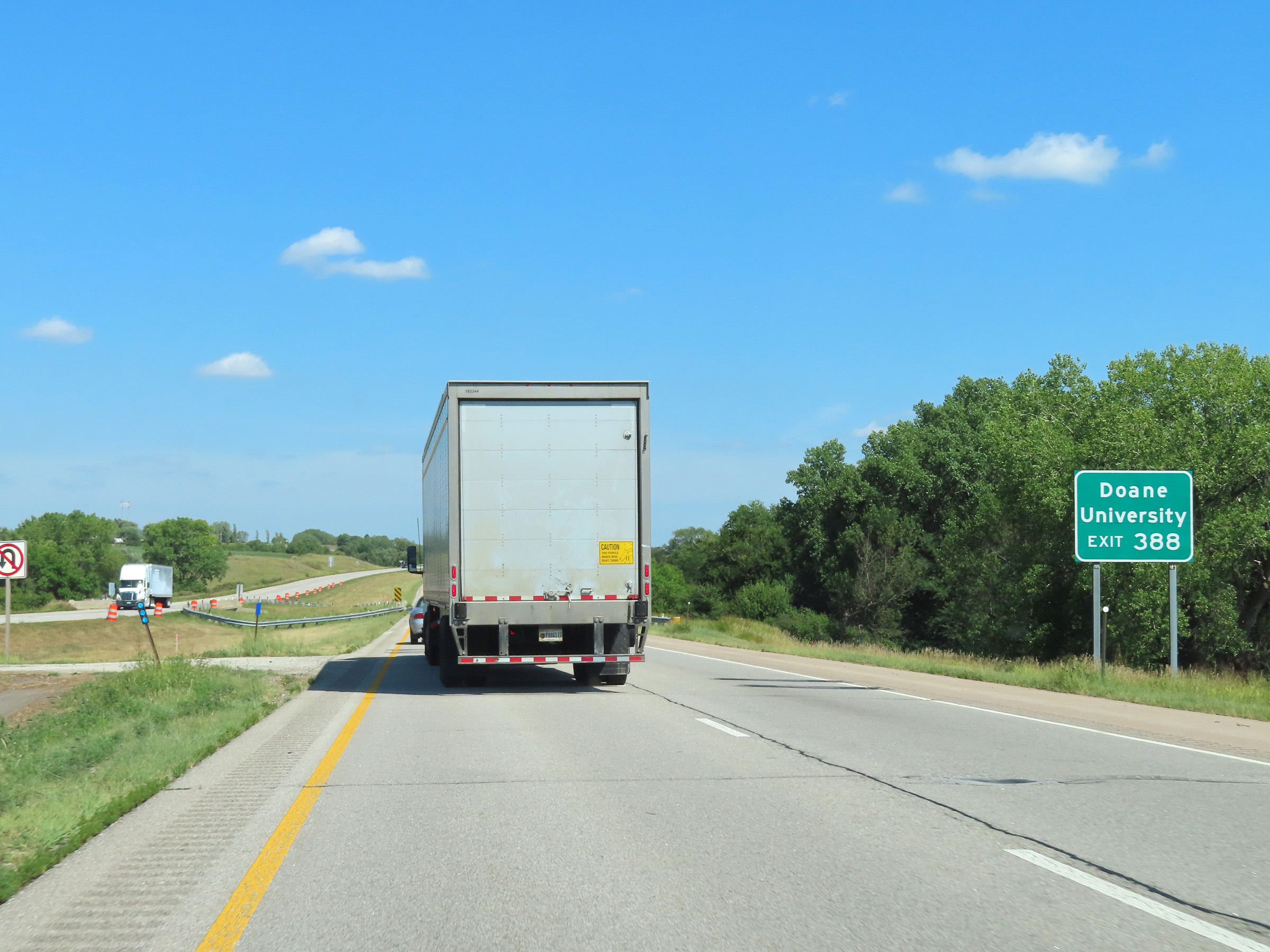 |
Take Exit 388 to Doane University. (Photo taken 8/18/22). |
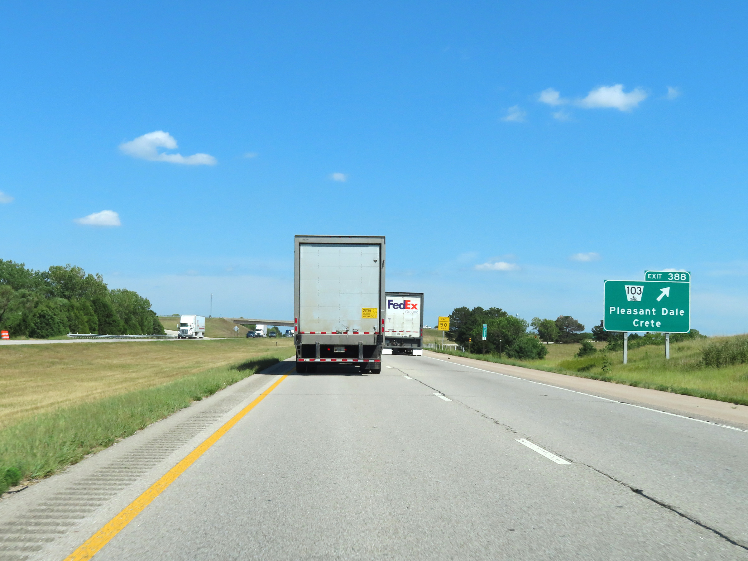 |
Interstate 80 East at Exit 388: NE 103 - Pleasant Dale / Crete (Photo taken 8/18/22). |
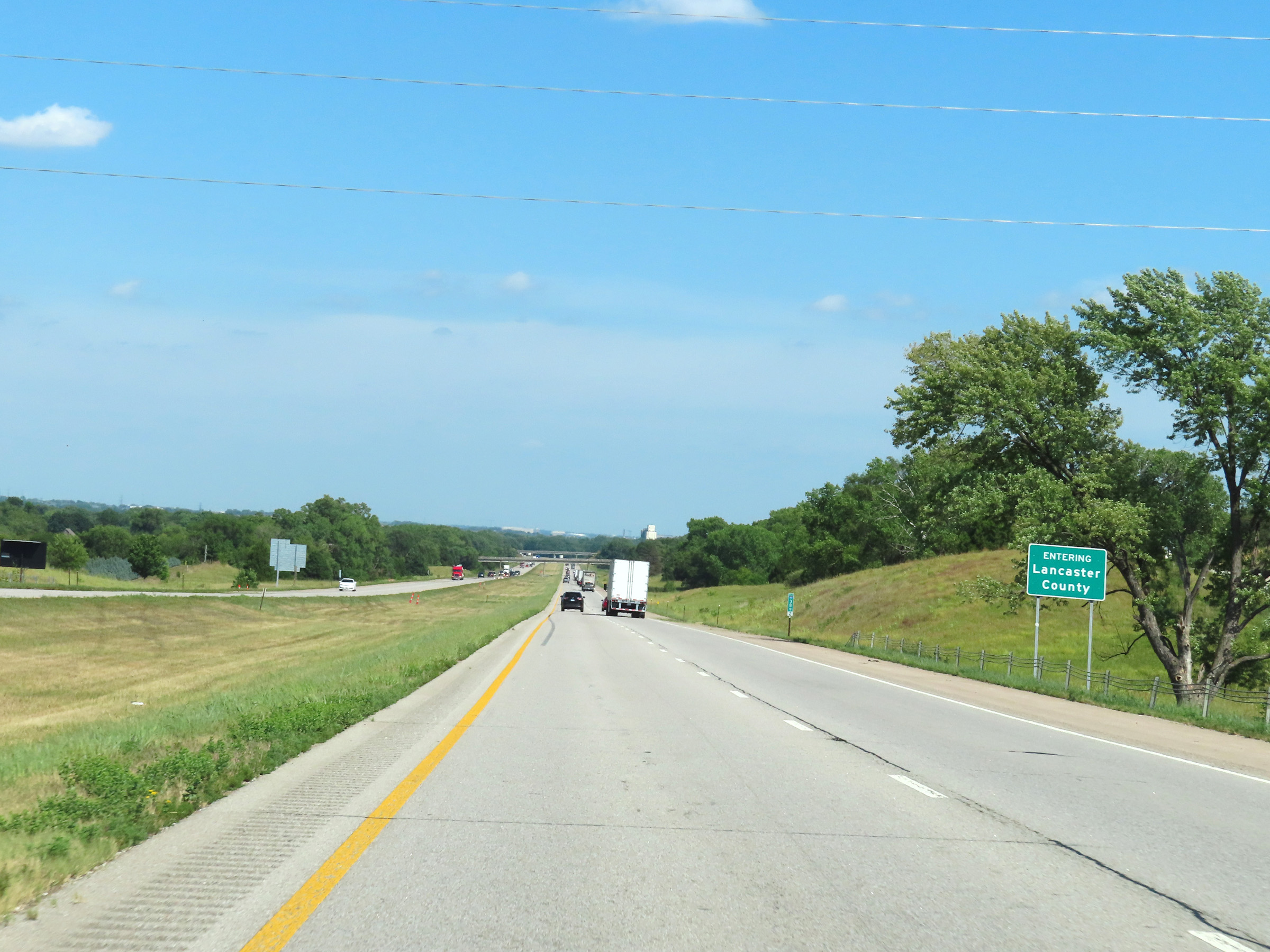 |
Interstate 80 East as it enters Lancaster County at mile marker 389.2. (Photo taken 8/18/22). |
 |
View on Interstate 80 East at mile marker 390.4. (Photo taken 8/18/22). |
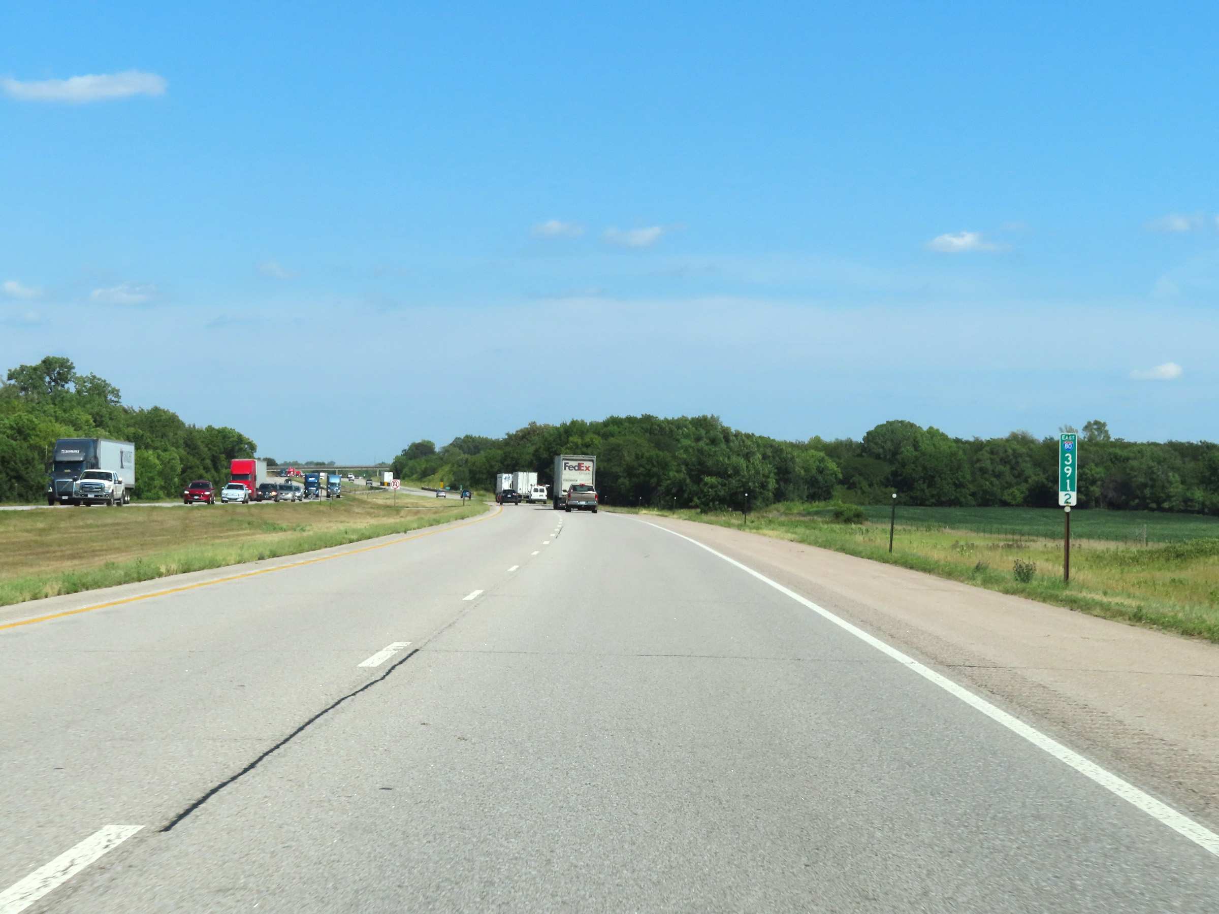 |
Mile marker 391.2 on Interstate 80 East in Lancaster County. (Photo taken 8/18/22). |
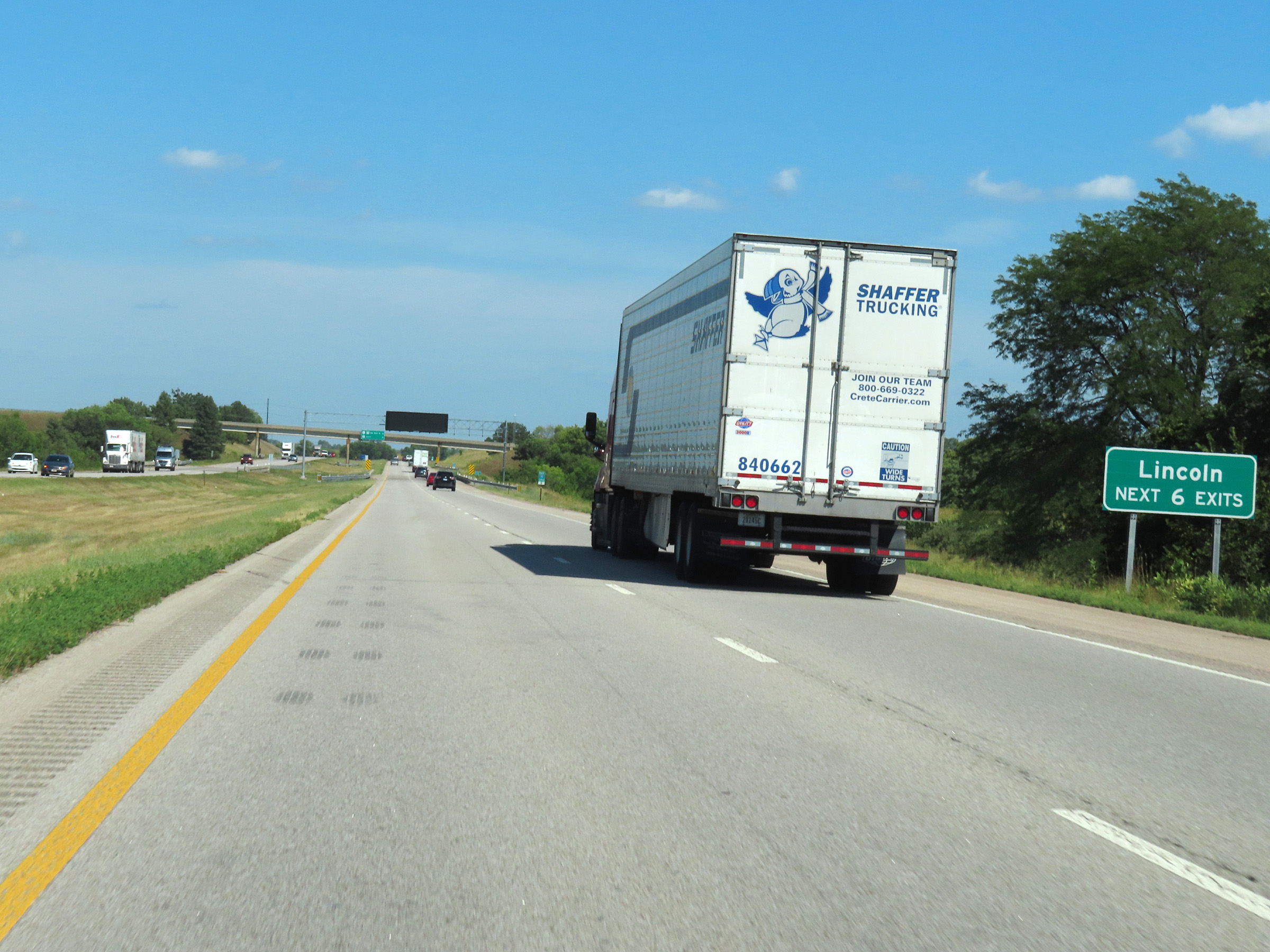 |
Take any of the next 6 exits to Lincoln. (Photo taken 8/18/22). |
 |
Interstate 80 East at mile marker 393. (Photo taken 8/18/22). |
 |
Mile marker 394 on Interstate 80 East in Lancaster County. (Photo taken 8/18/22). |
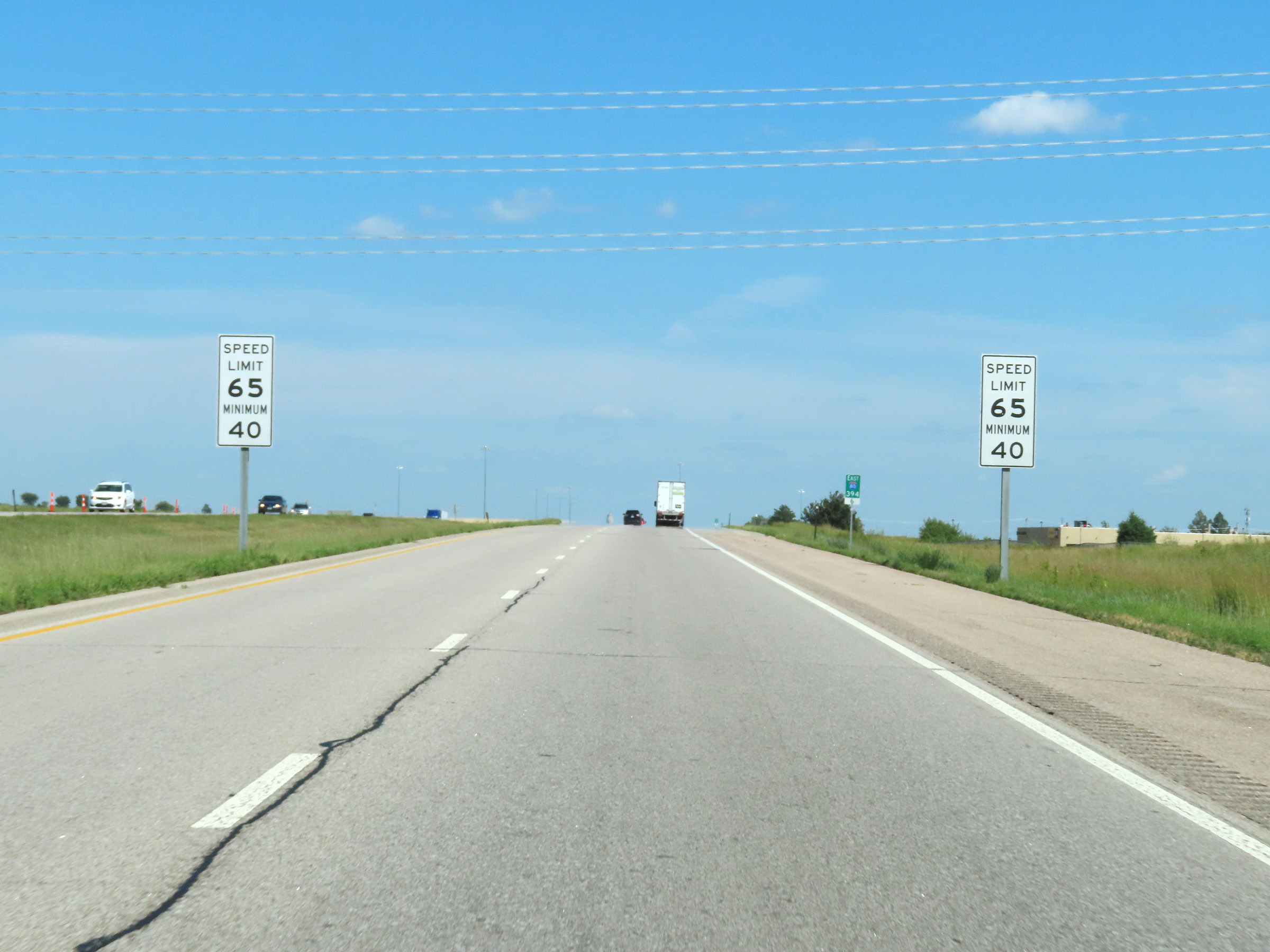 |
Entering the Lincoln area at mile marker 394.6, the maximum speed limit decreases to 65 mph. The minimum remains 40 mph. (Photo taken 8/18/22). |
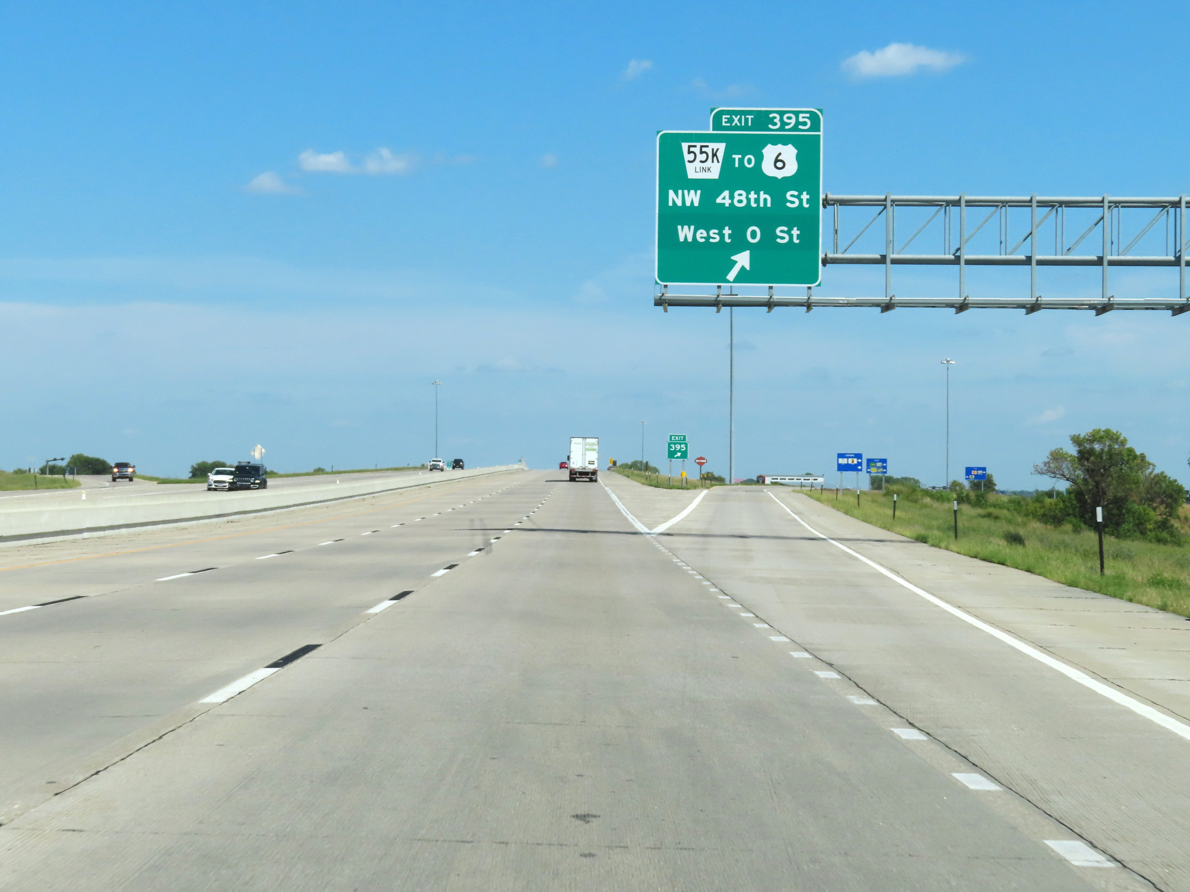 |
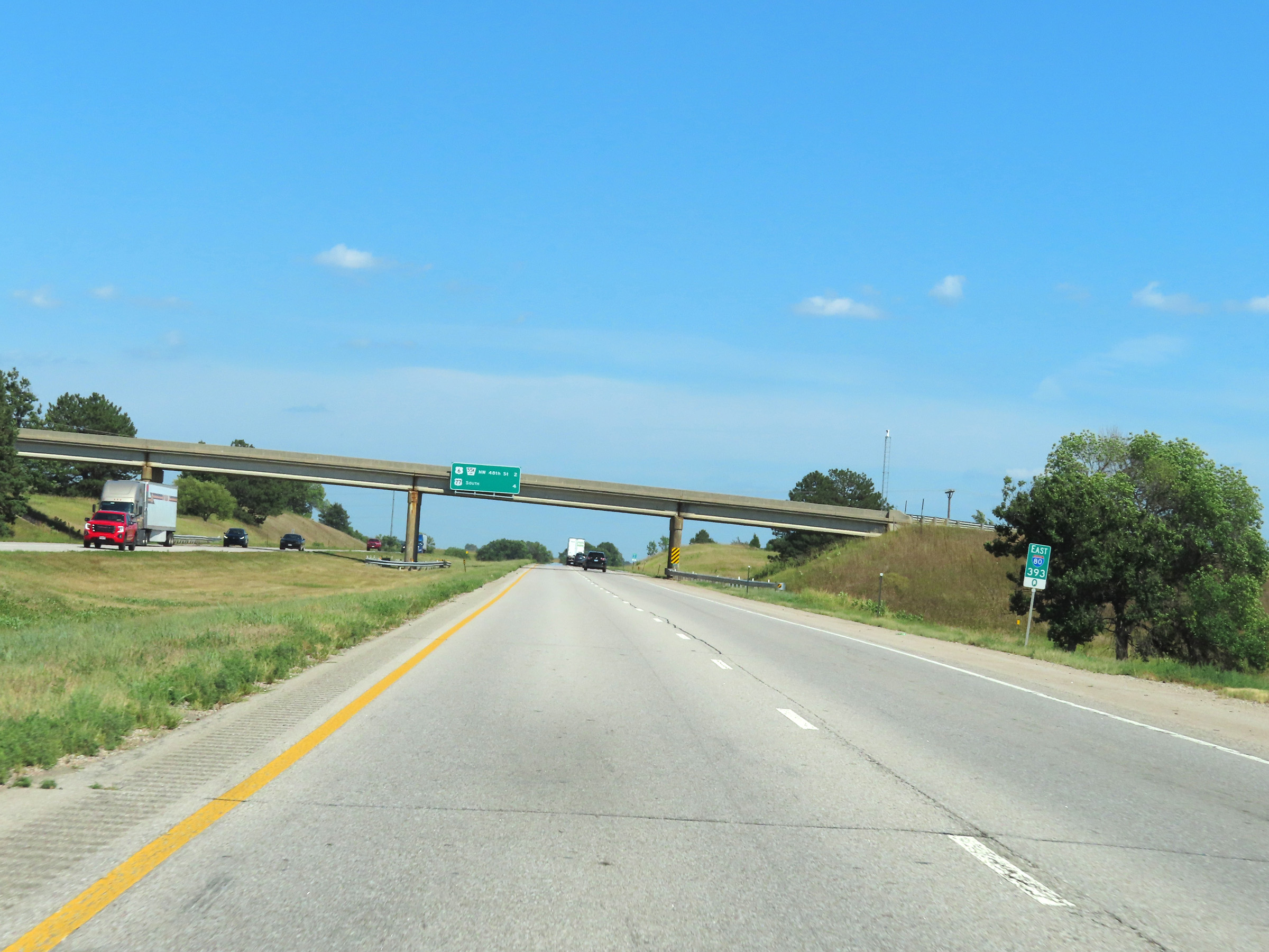
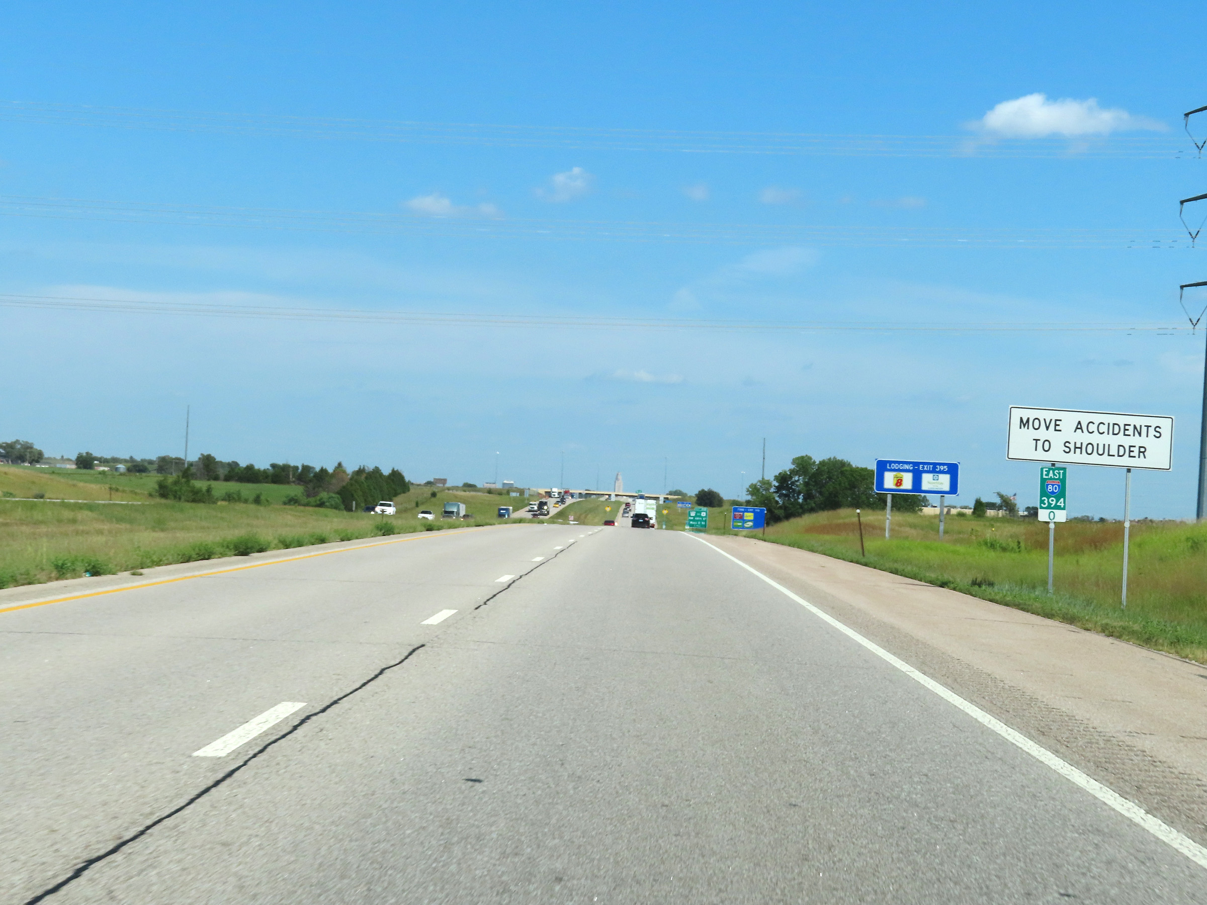
Interstate 80 East at Exit 395: Nebraska Link 55K / To US 6 - NW 48th St / West O St (Photo taken 8/18/22). |
 |
Interstate 80 East reassurance shield in Lincoln. (Photo taken 8/18/22). |
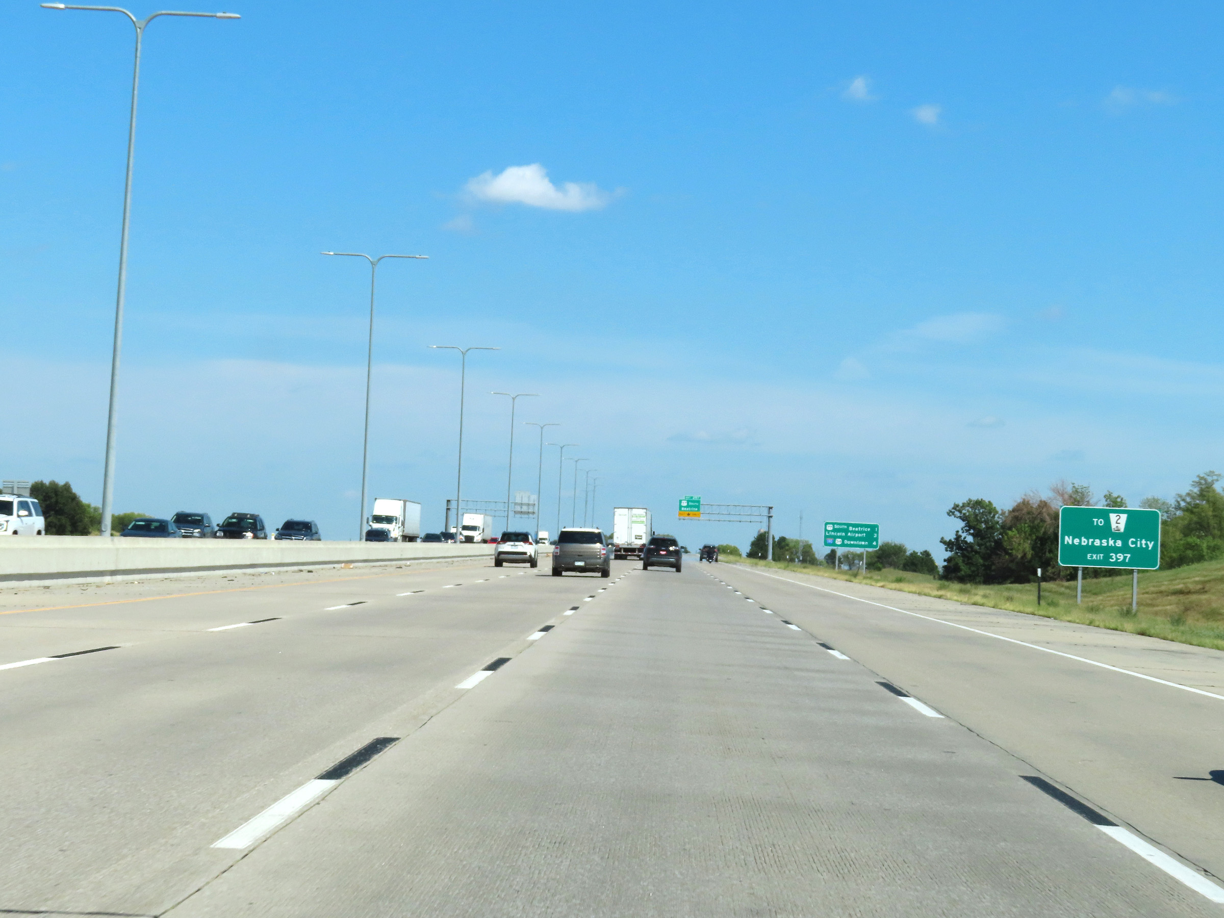 |
Take Exit 397 to Nebraska City via NE 2. (Photo taken 8/18/22). |
 |
Mileage sign at mile marker 396.4, listing the distances to the three upcoming Lincoln exits on Interstate 80 East. (Photo taken 8/18/22). |
 |
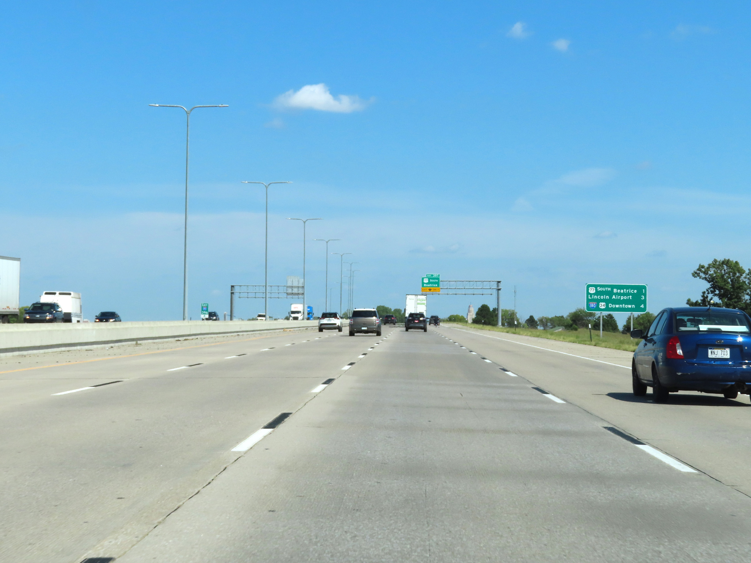
Interstate 80 East at Exit 397: US 77 South / To NE 2 - Beatrice / Nebraska City (Photo taken 8/18/22). |
 |
This sign at mile marker 398.2 warns that trucks are restricted to the two right lanes on Interstate 80 East through the Lincoln area, as it maintains at least three thru lanes. (Photo taken 8/18/22). |
 |
Take Exit 399 to the Air and Army National Guard. (Photo taken 8/18/22). |
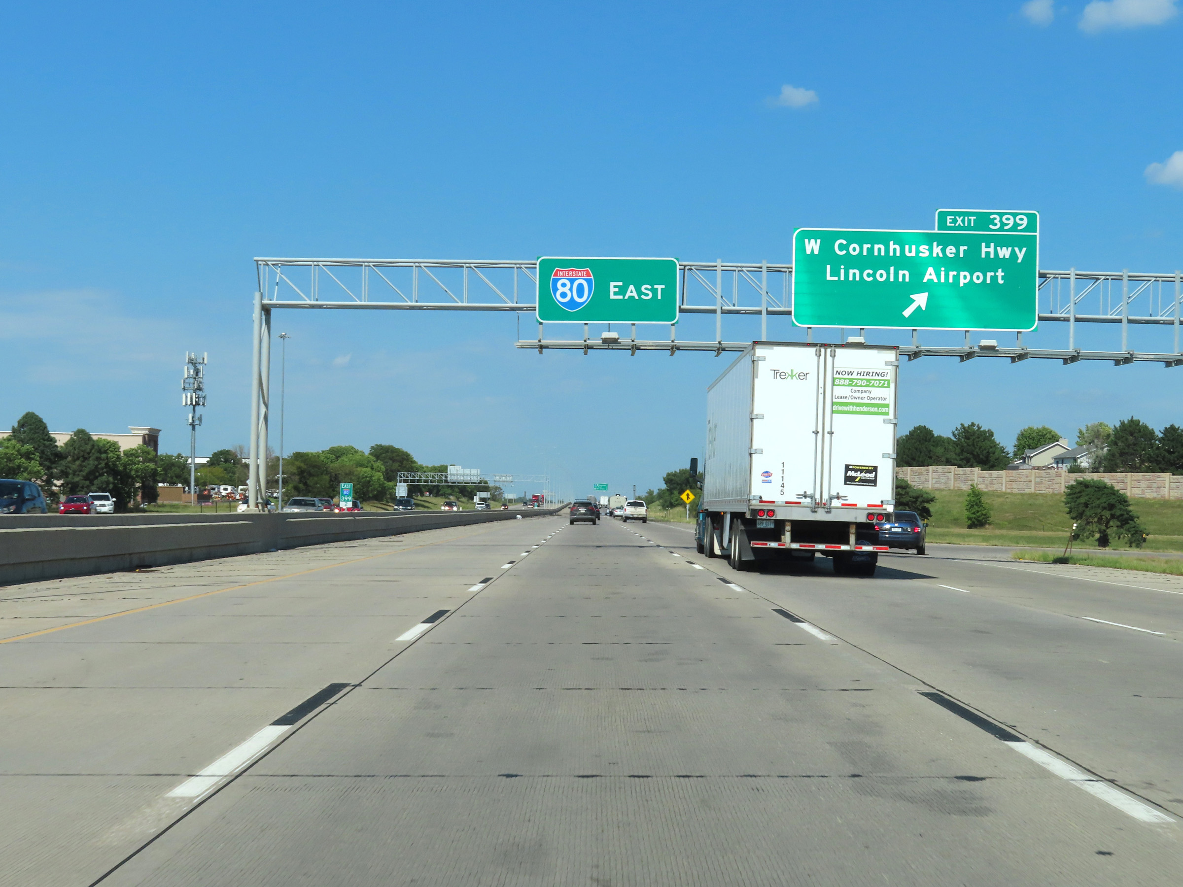 |
Interstate 80 East at Exit 399: West Cornhusker Hwy / Lincoln Airport (Photo taken 8/18/22). |
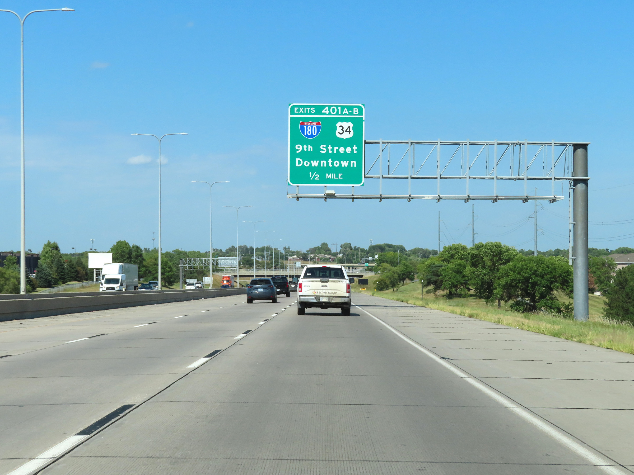 |
Interstate 80 East approaching Exits 401A-B - 1/2 mile. (Photo taken 8/18/22). |
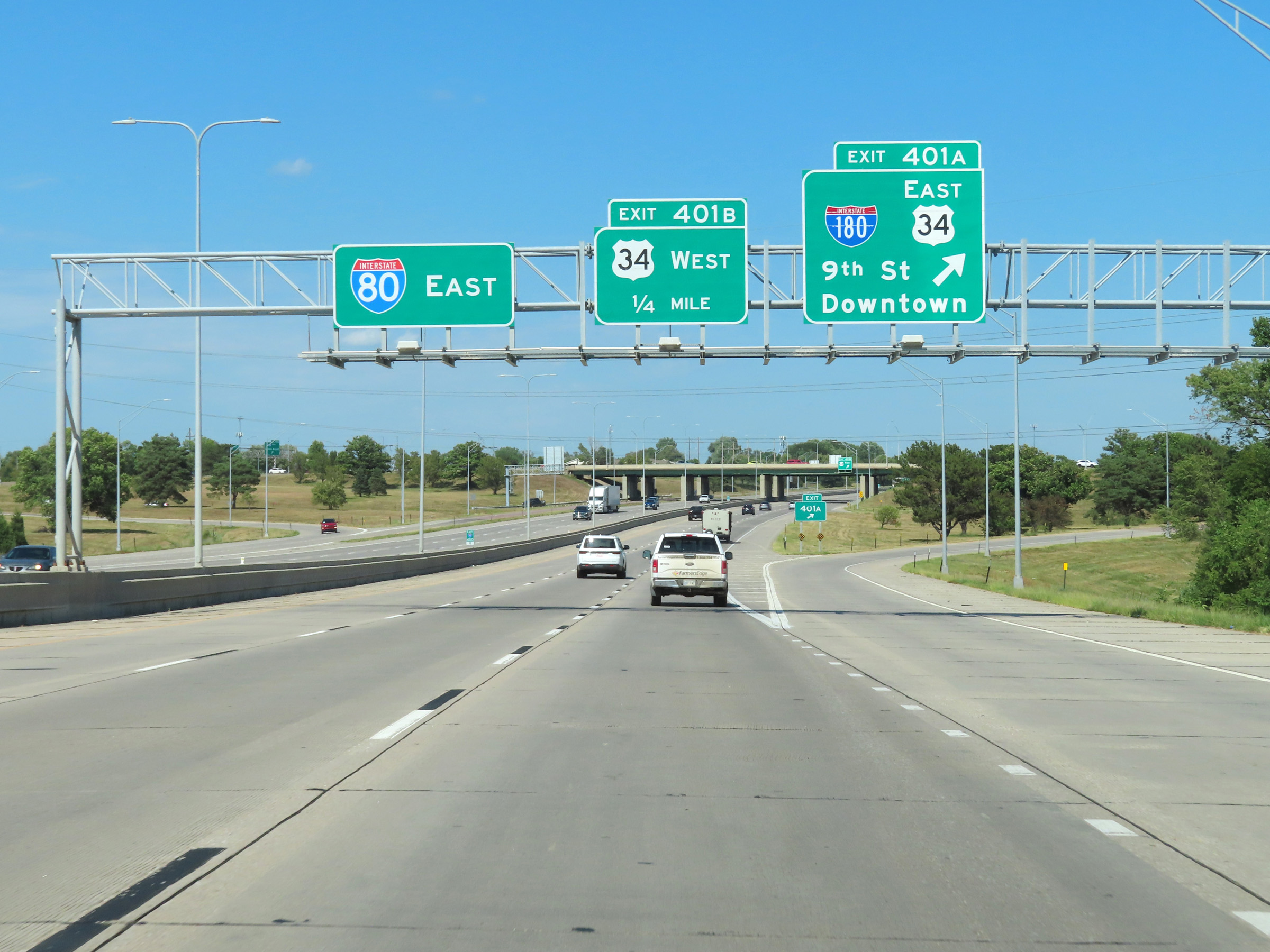 |
Interstate 80 East at Exit 401A: Interstate 180 South / US 34 East - 9th St / Downtown (Photo taken 8/18/22). |
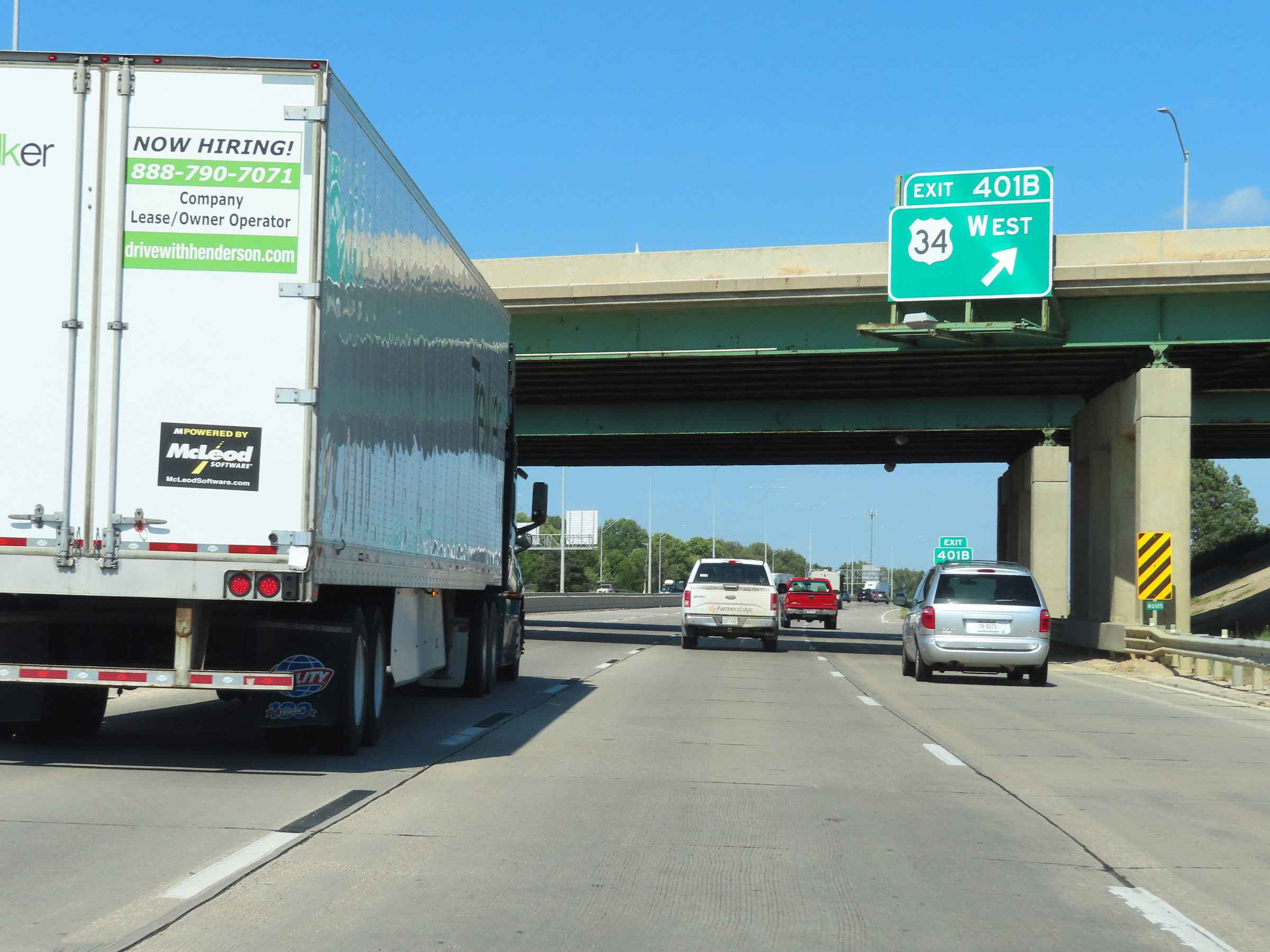 |
Interstate 80 East at Exit 401B: US 34 West (Photo taken 8/18/22). |
 |
View on Interstate 80 East at mile marker 402. (Photo taken 8/18/22). |
 |
Take Exit 403 to the University of Nebraska, Lincoln Children's Zoo, and Museums. (Photo taken 8/18/22). |
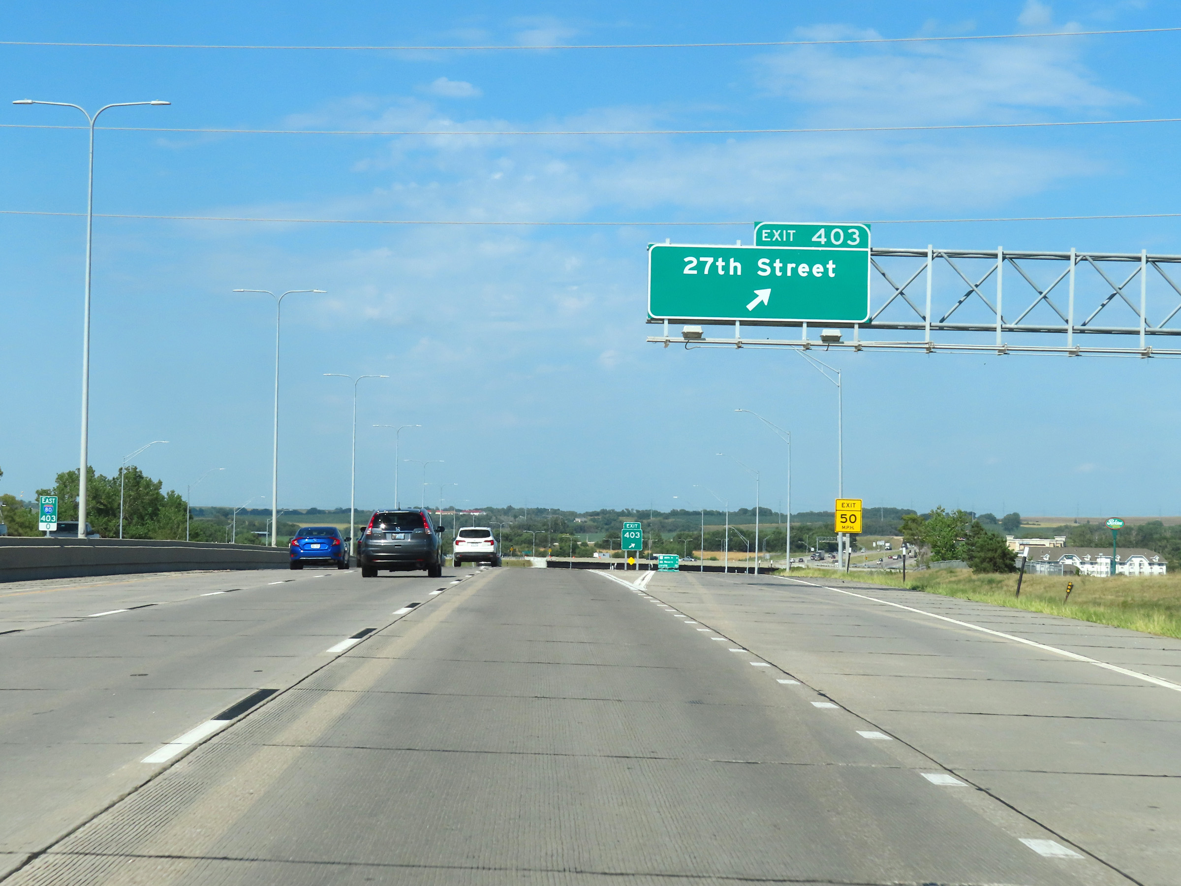 |
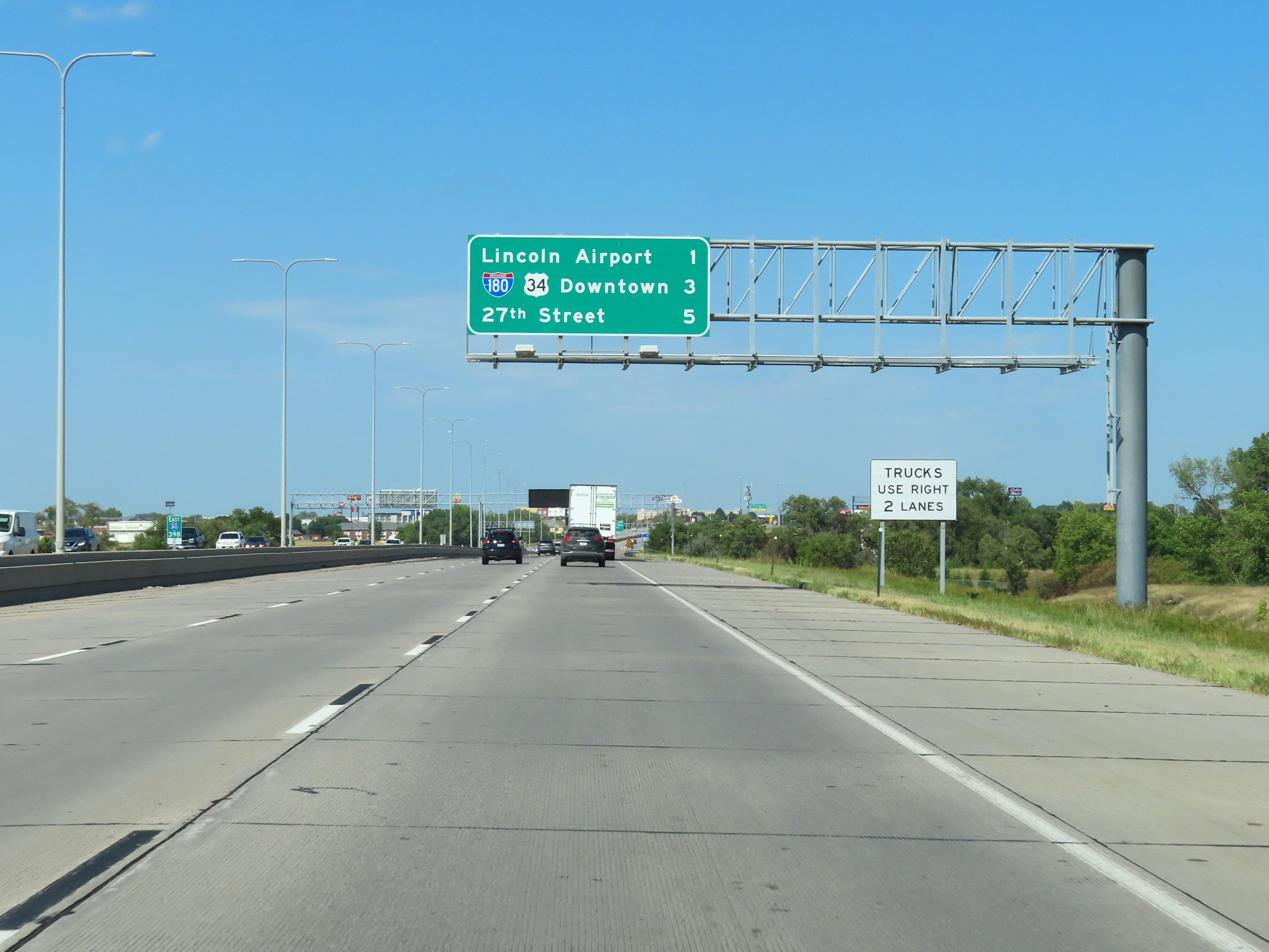
Interstate 80 East at Exit 403: 27th Street (Photo taken 8/18/22). |
Section 7: Lincoln (Exit 403) to Omaha (Exit 446)
 |
Mile marker 403.6 on Interstate 80 East as it begins to leave the Lincoln area. (Photo taken 8/18/22). |
 |
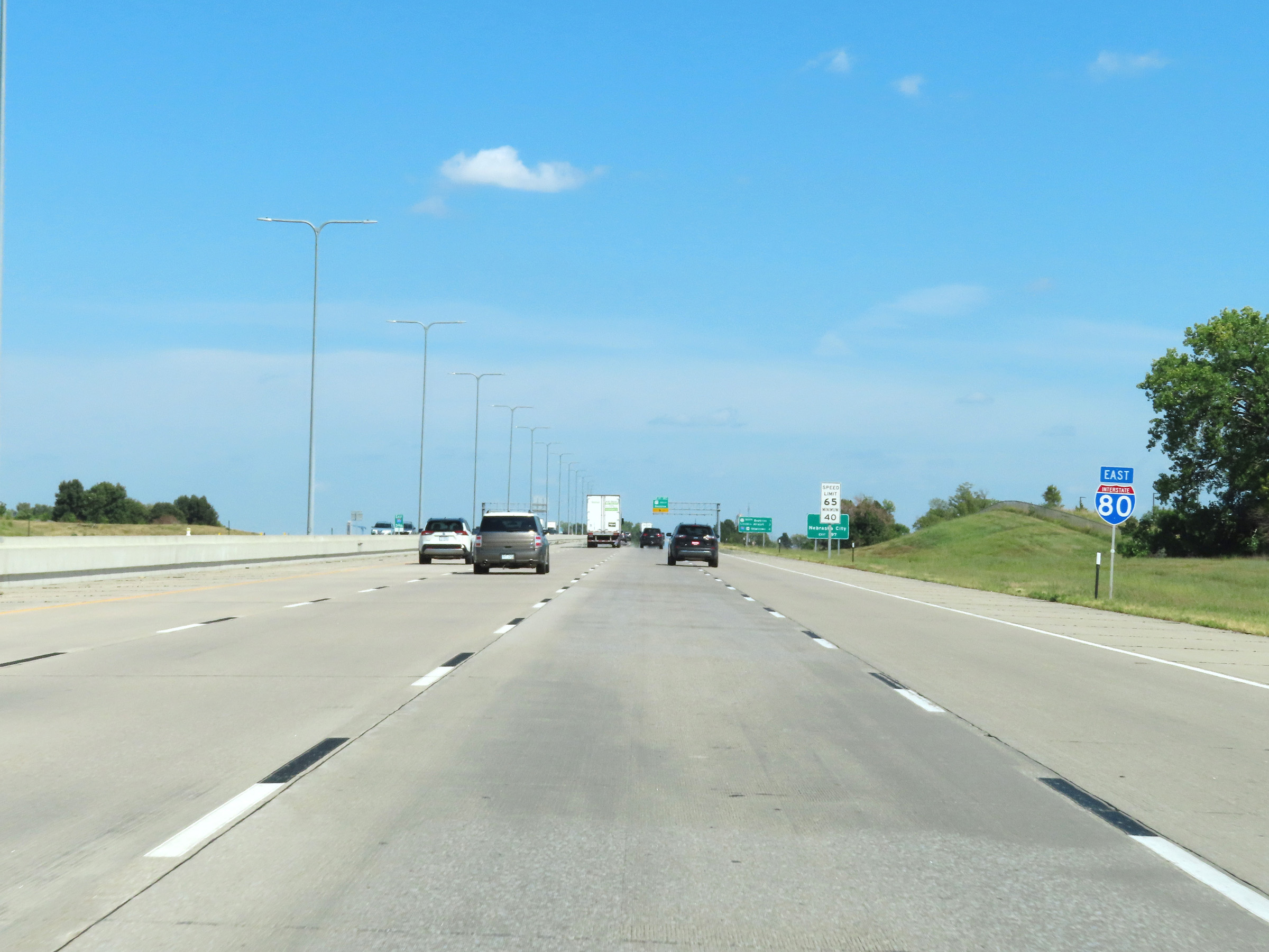
At mile marker 404.2, the maximum speed limit increases to 75 mph once again as Interstate 80 East leaves Lincoln. The minimum speed limit, as always, remains 40 mph. (Photo taken 8/18/22). |
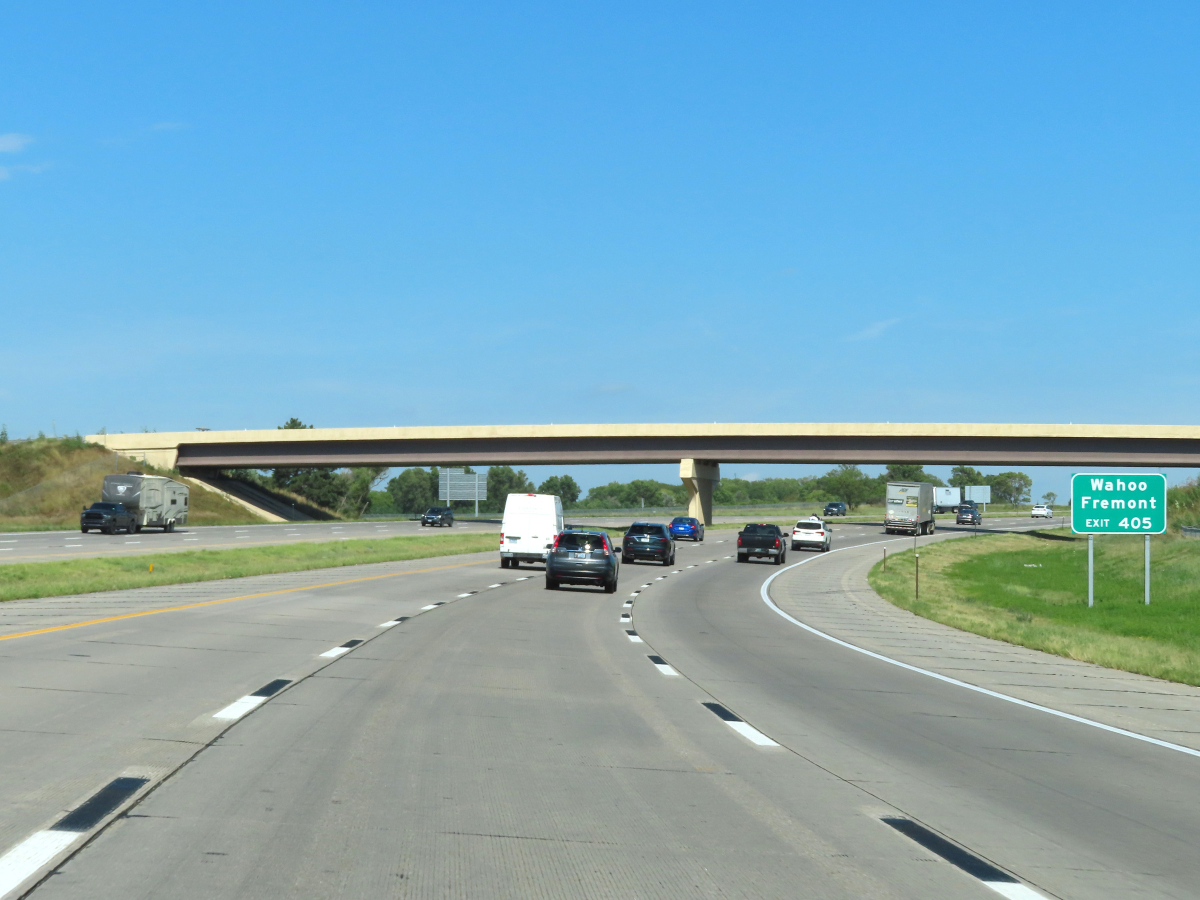 |
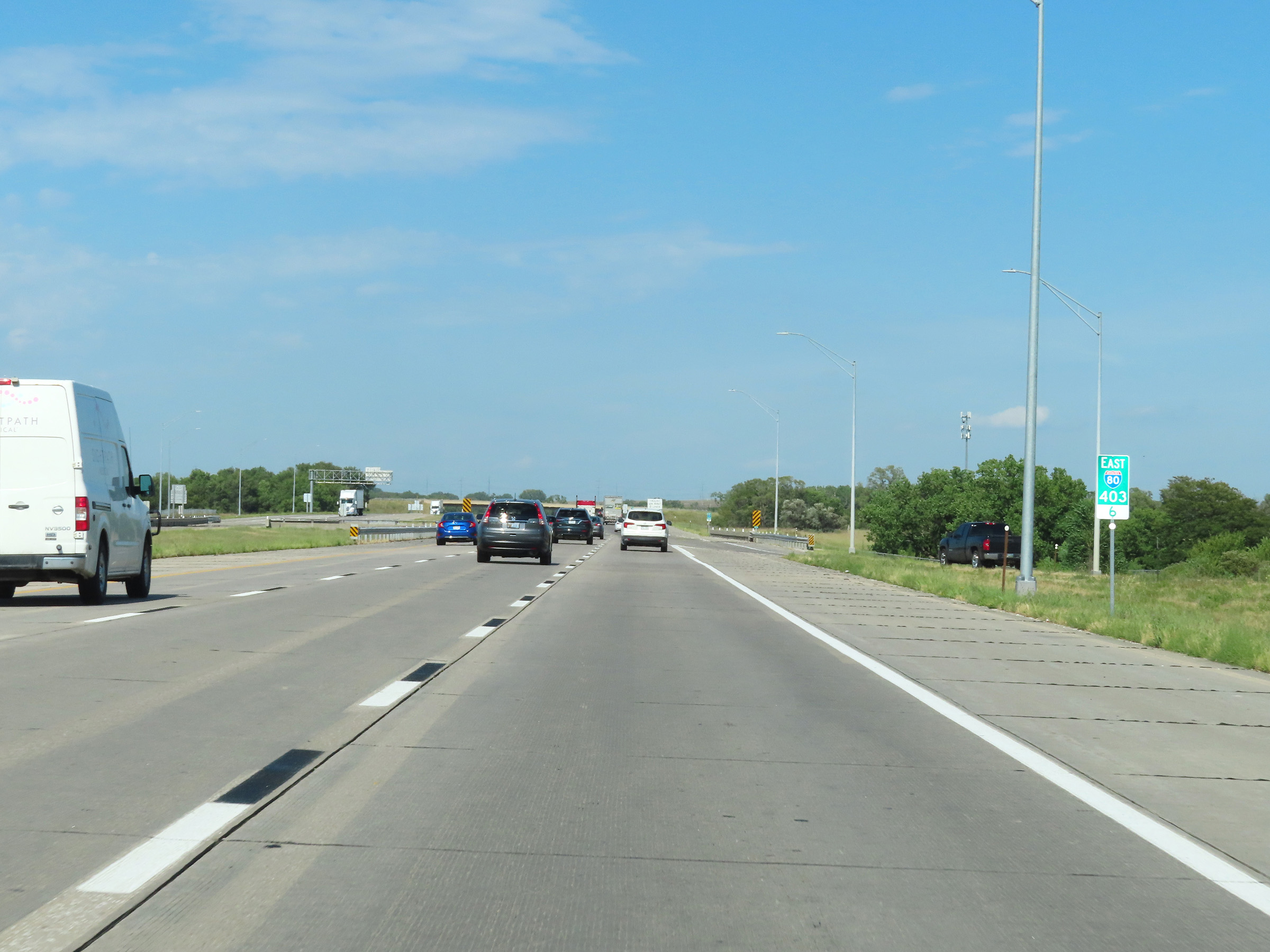
Take Exit 405 to Wahoo and Fremont. (Photo taken 8/18/22). |
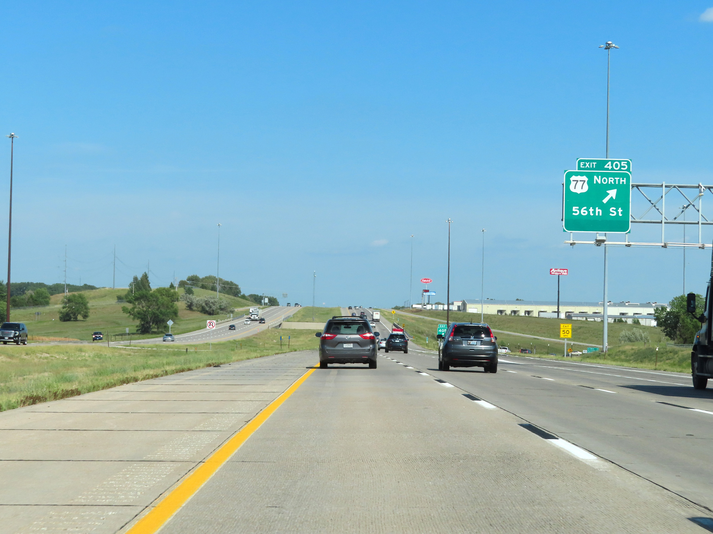 |
Interstate 80 East at Exit 405: US 77 North - 56th St (Photo taken 8/18/22). |
 |
Another Interstate 80 East reassurance shield in Lancaster County. (Photo taken 8/18/22). |
 |
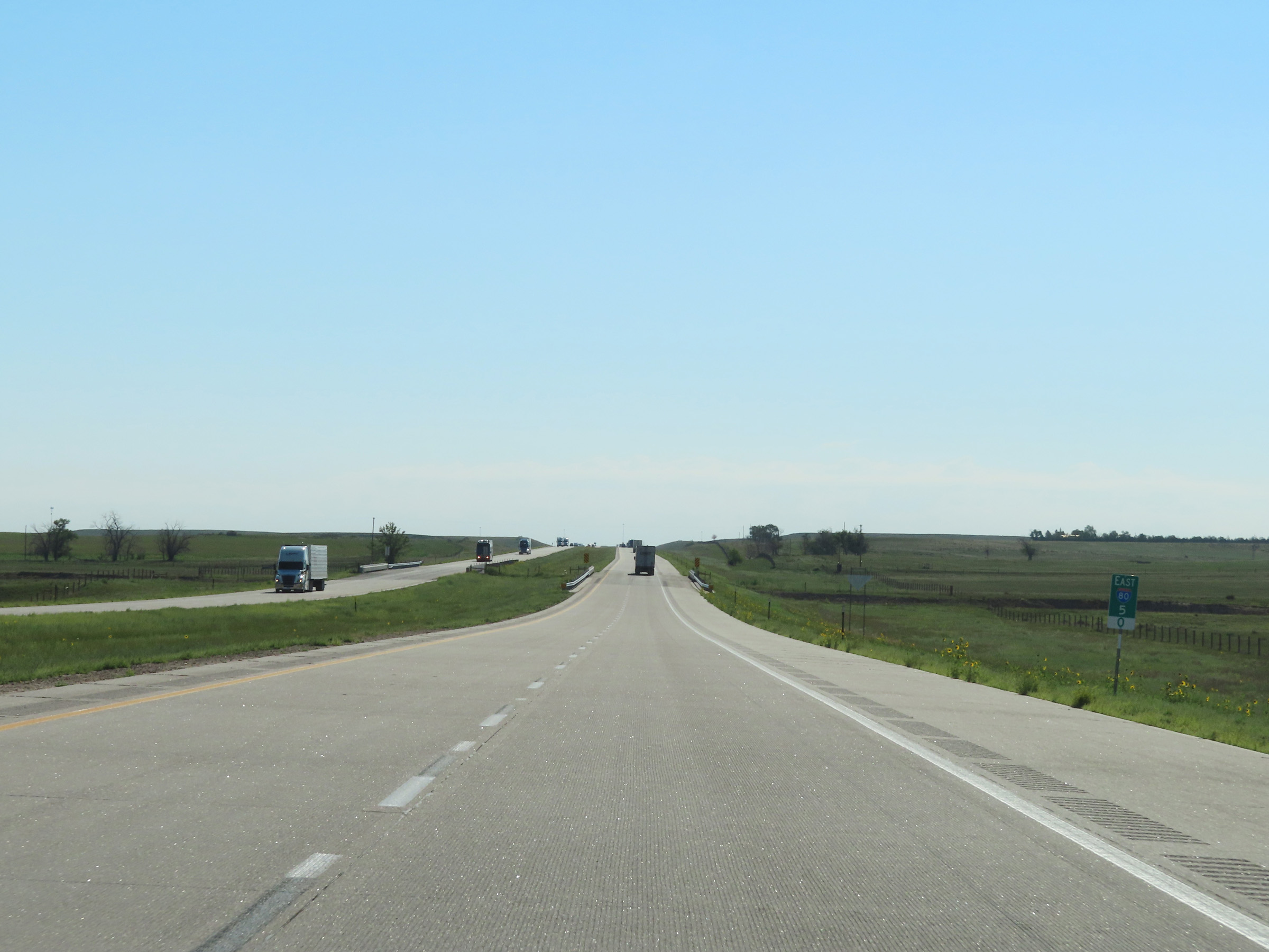
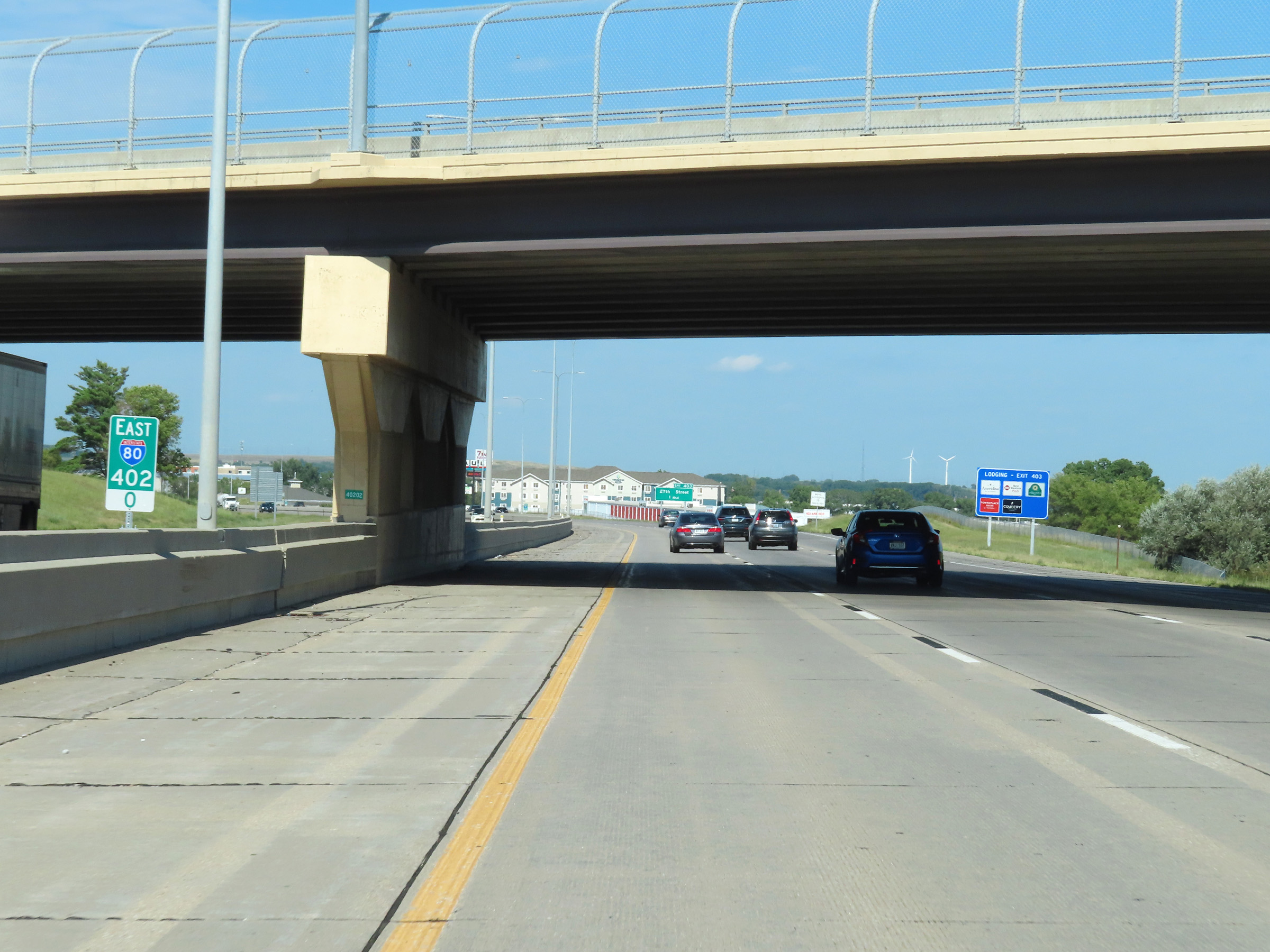
Mileage sign at mile marker 406.6. It's 3 miles to the next exit (Exit 409) and 50 miles to Omaha. (Photo taken 8/18/22). |
 |
Mile marker 407 on Interstate 80 East in Lancaster County. (Photo taken 8/18/22). |
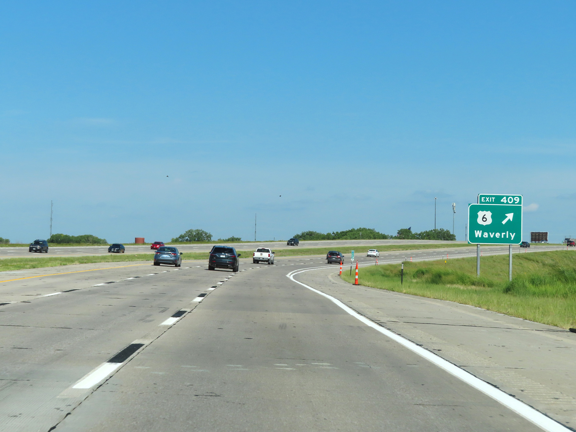 |
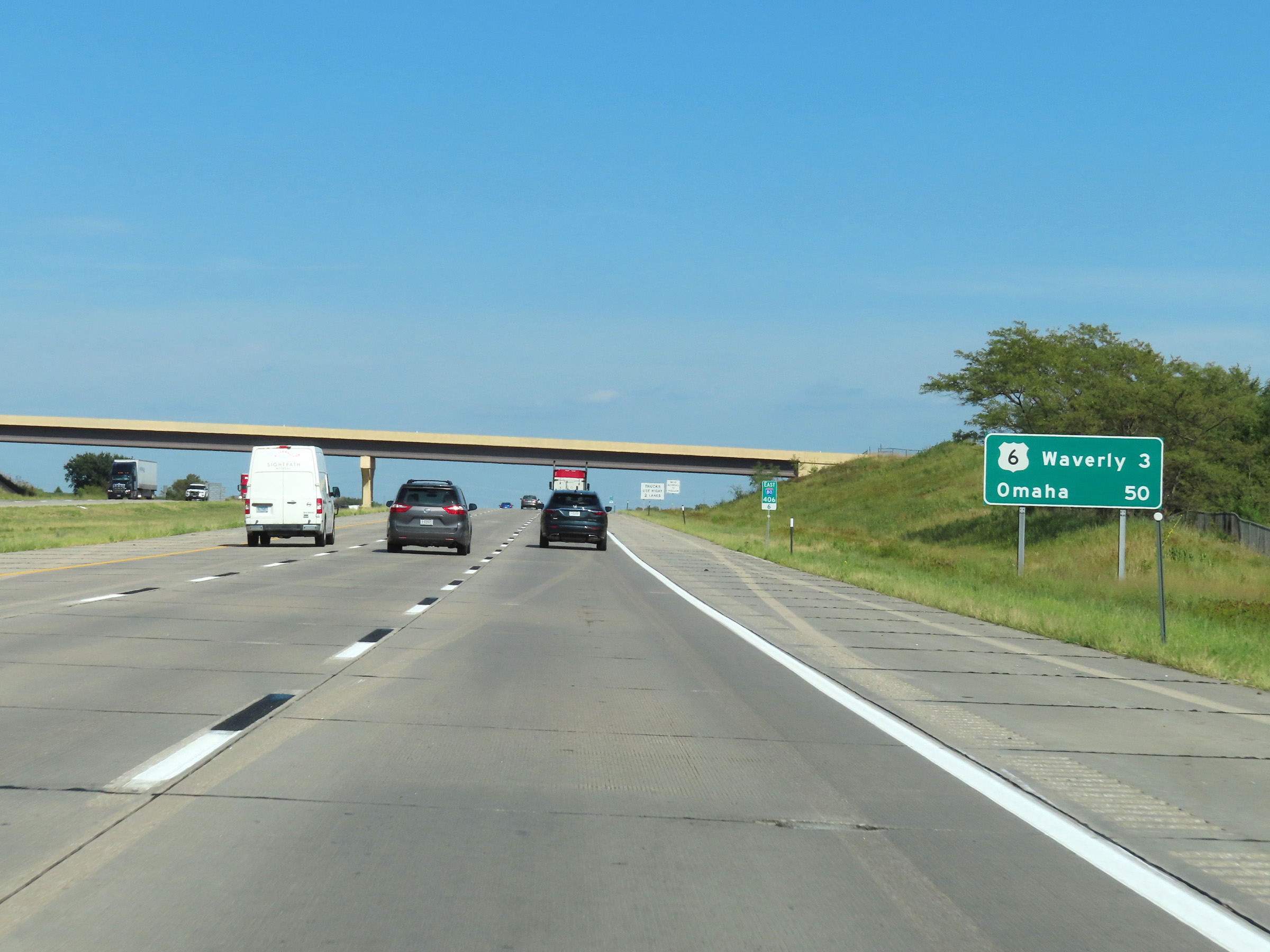
Interstate 80 East at Exit 409: US 6 - Waverly (Photo taken 8/18/22). |
 |
View on Interstate 80 East at mile marker 412. (Photo taken 8/18/22). |
 |
Interstate 80 East at mile marker 413. (Photo taken 8/18/22). |
 |
The Weigh Station ahead uses Weigh In Motion technology, getting a rough axle weight of trucks as they drive over scales in the right lane. Exit into the Weigh Station only if instructed to do so. (Photo taken 8/18/22). |
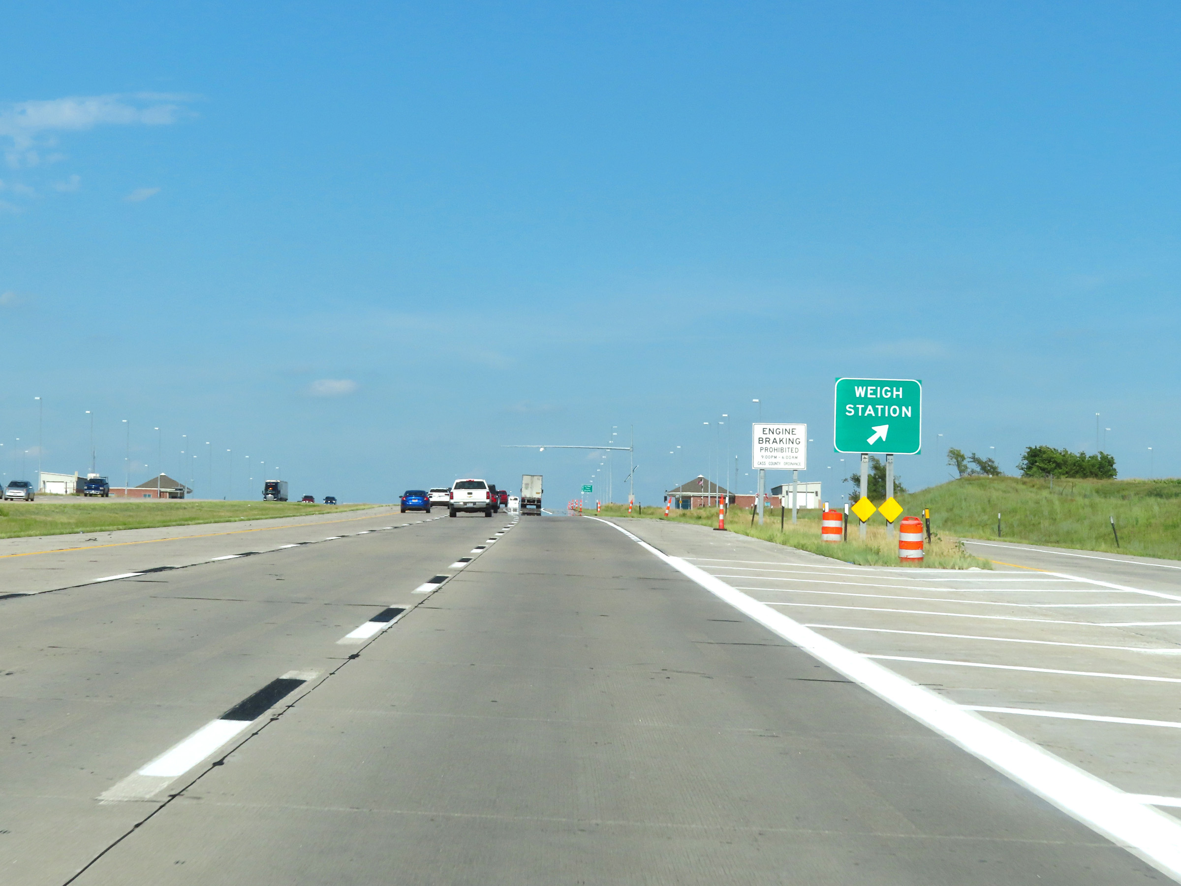 |
Weigh Station on Interstate 80 East on the Lancaster / Cass County line. (Photo taken 8/18/22). |
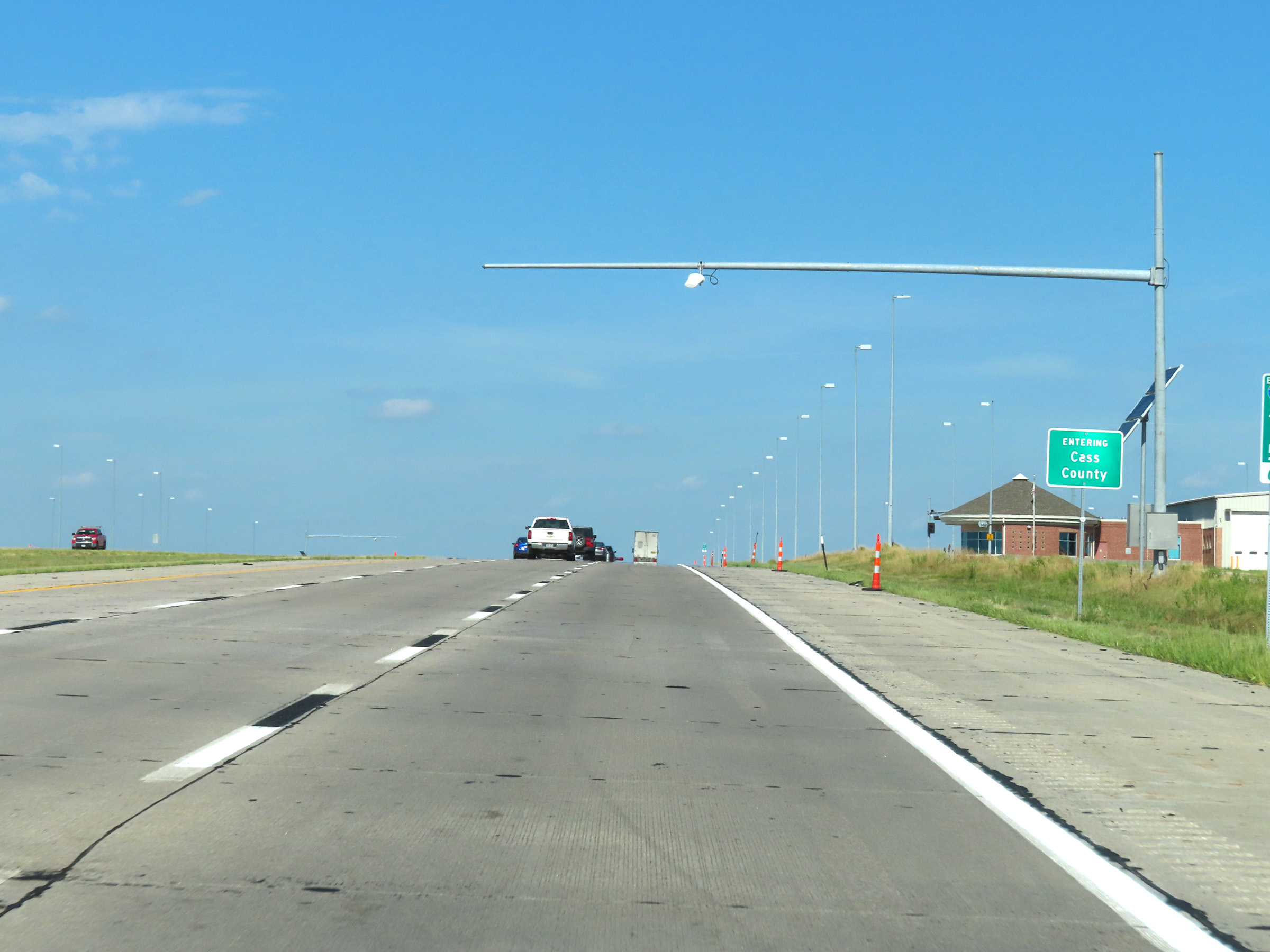 |
At the Weigh Station, Interstate 80 East enters Cass County. (Photo taken 8/18/22). |
 |
View on Interstate 80 East at mile marker 417. (Photo taken 8/18/22). |
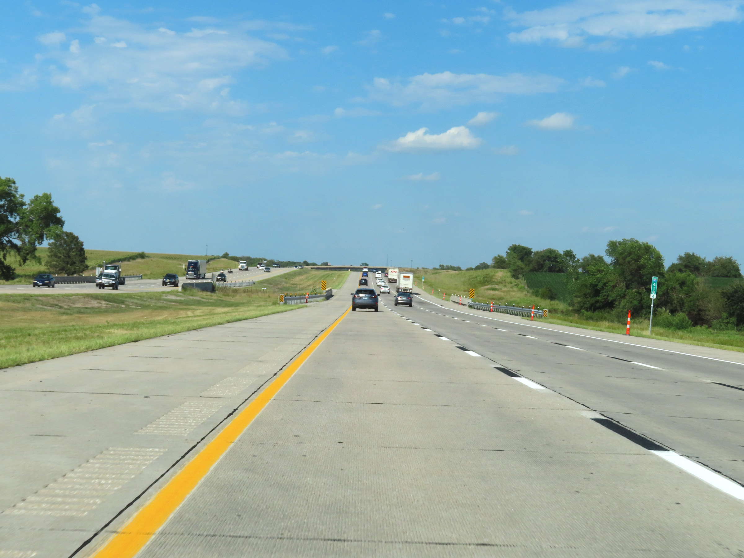 |
Mile marker 418.4 on Interstate 80 East in Cass County. (Photo taken 8/18/22). |
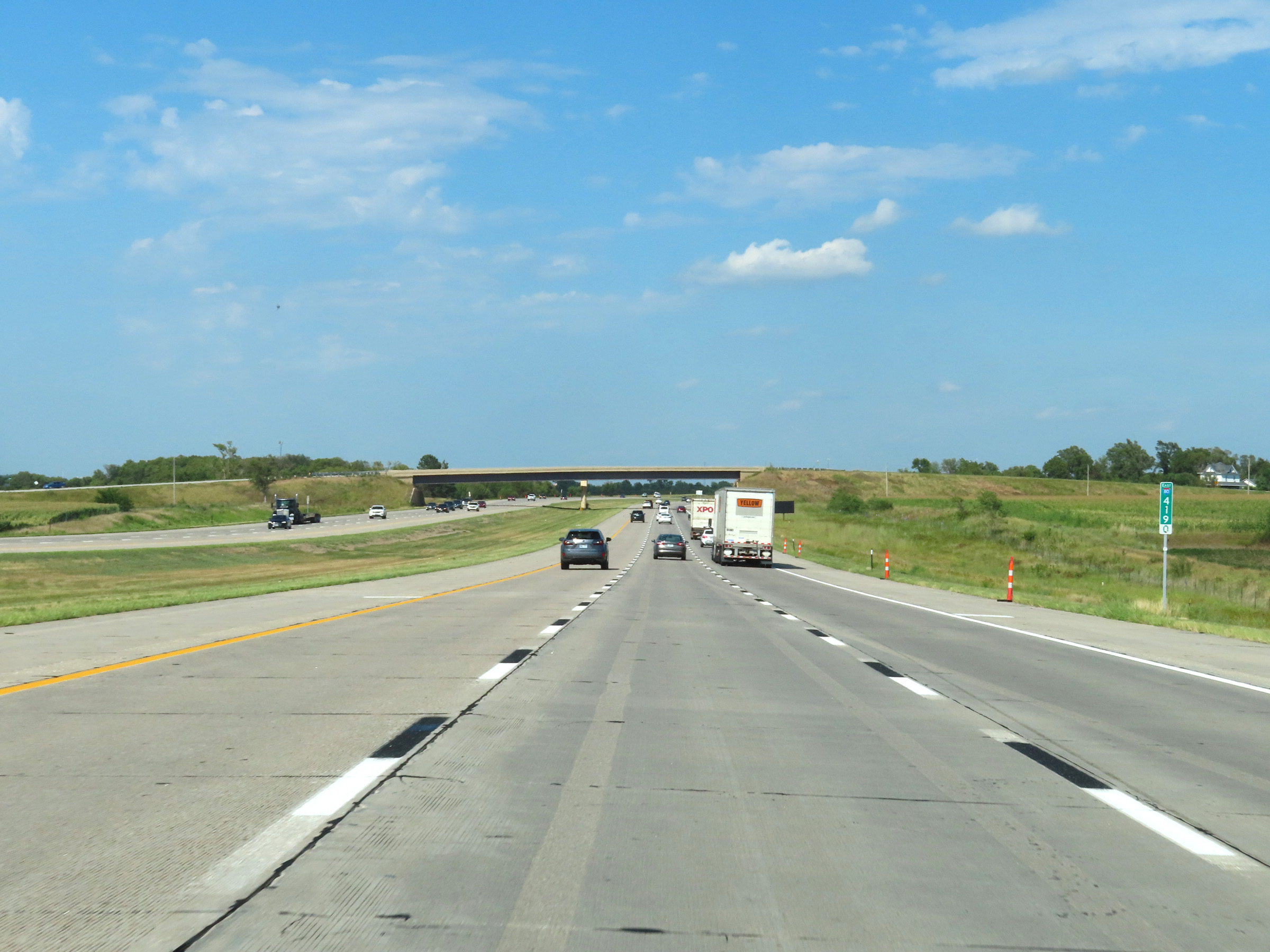 |
Interstate 80 East at mile marker 419. (Photo taken 8/18/22). |
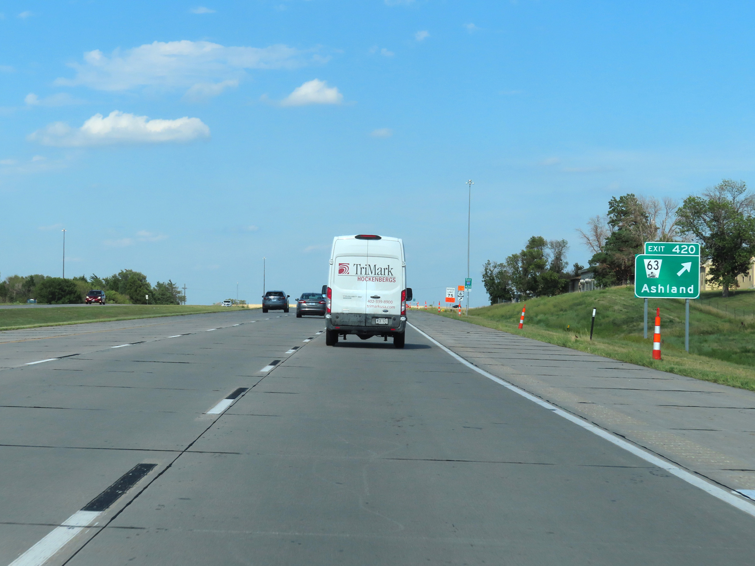 |
Interstate 80 East at Exit 420: NE 63 - Ashland (Photo taken 8/18/22). |
 |
Another Interstate 80 East reassurance shield. (Photo taken 8/18/22). |
 |
Speed limit signs at mile marker 421.6. The speed limits remain 75 mph maximum and 40 mph minimum. (Photo taken 8/18/22). |
 |
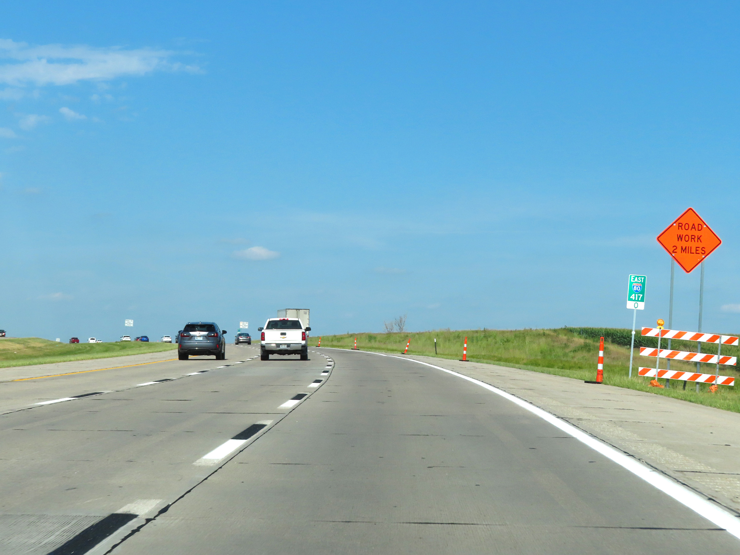
Mileage sign on Interstate 80 East in Cass County. It's 4 miles to the next exit (Exit 426) and 34 miles to Omaha. (Photo taken 8/18/22). |
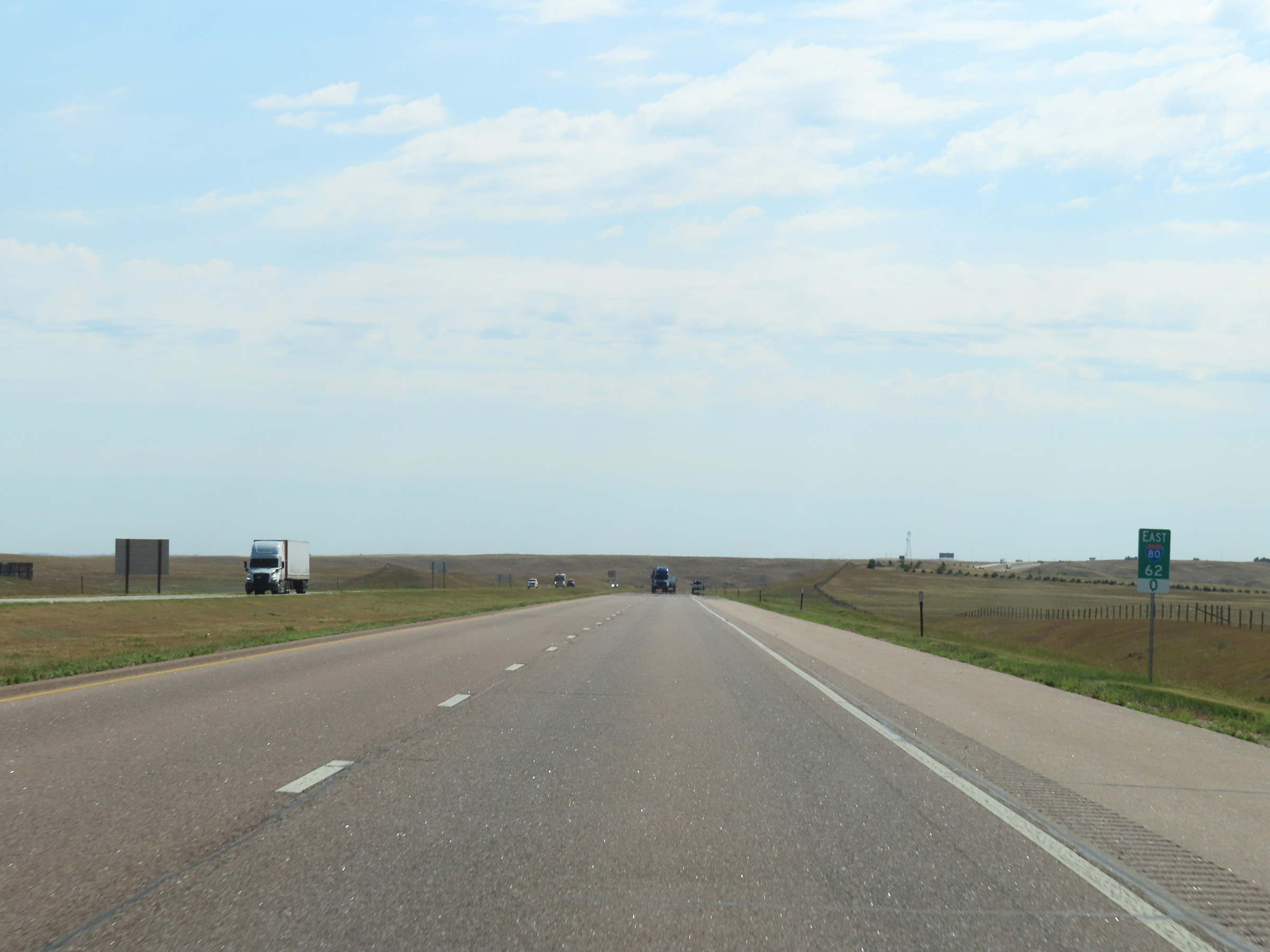
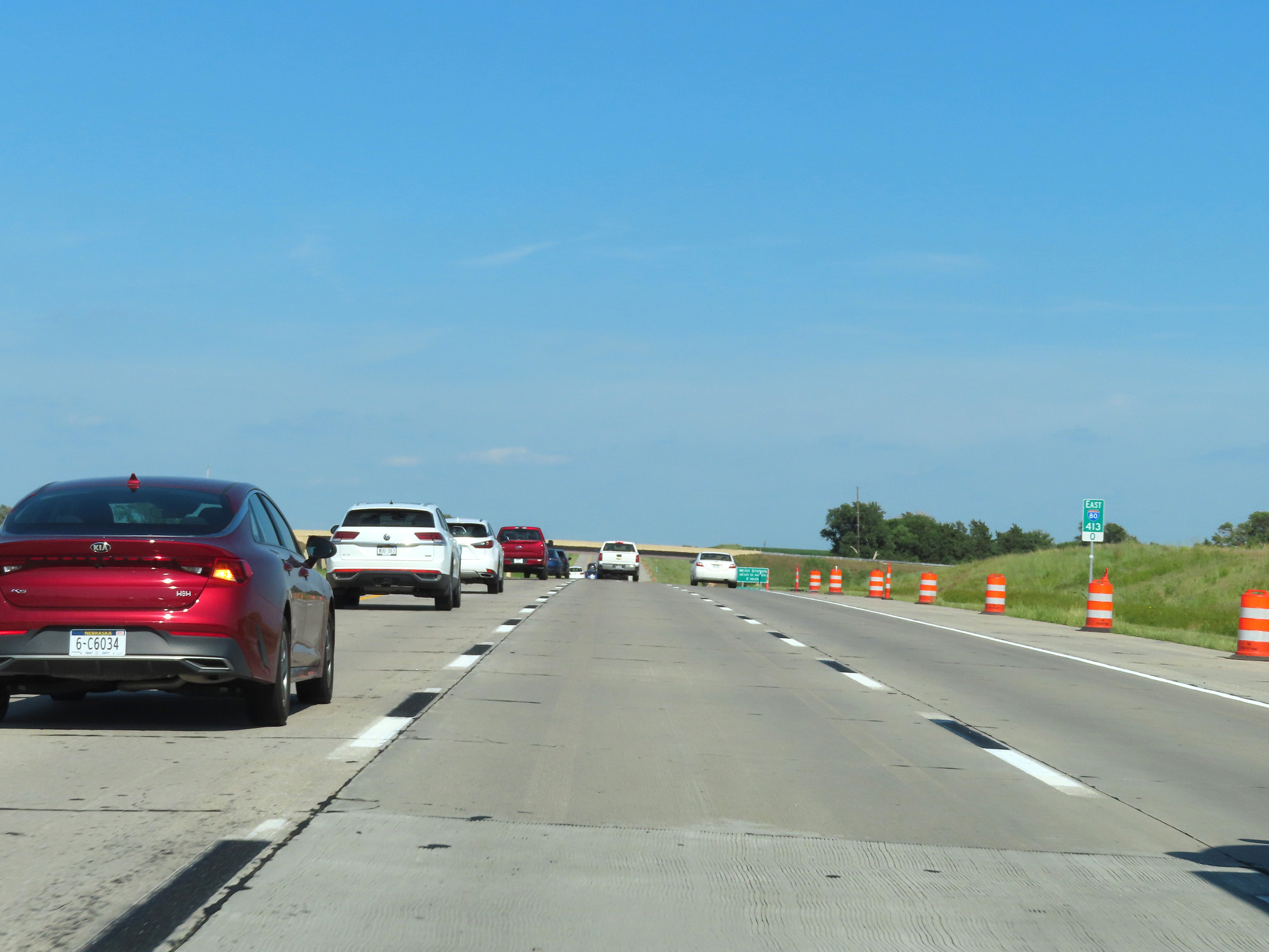
 |
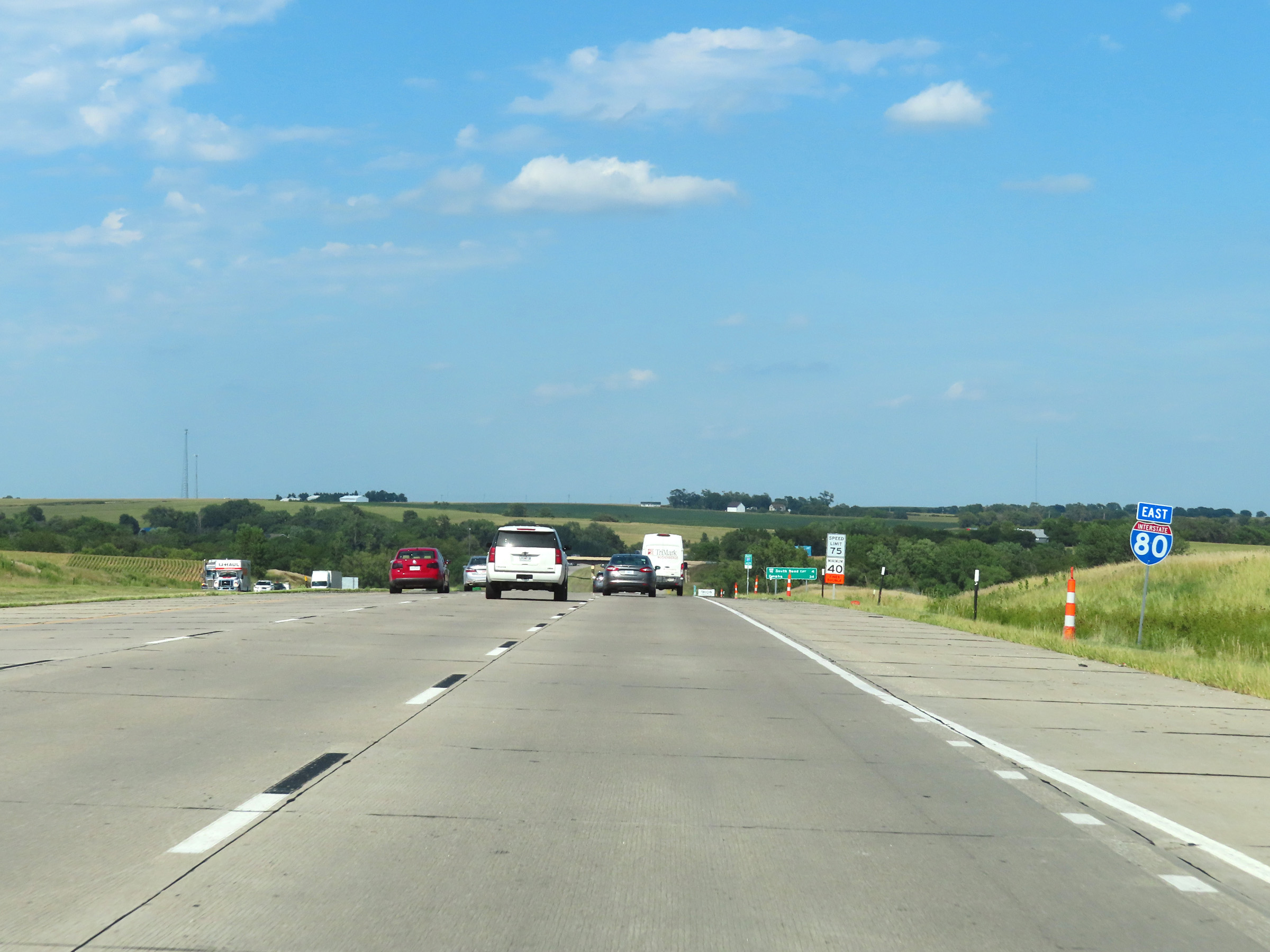
View on Interstate 80 East at mile marker 424. (Photo taken 8/18/22). |
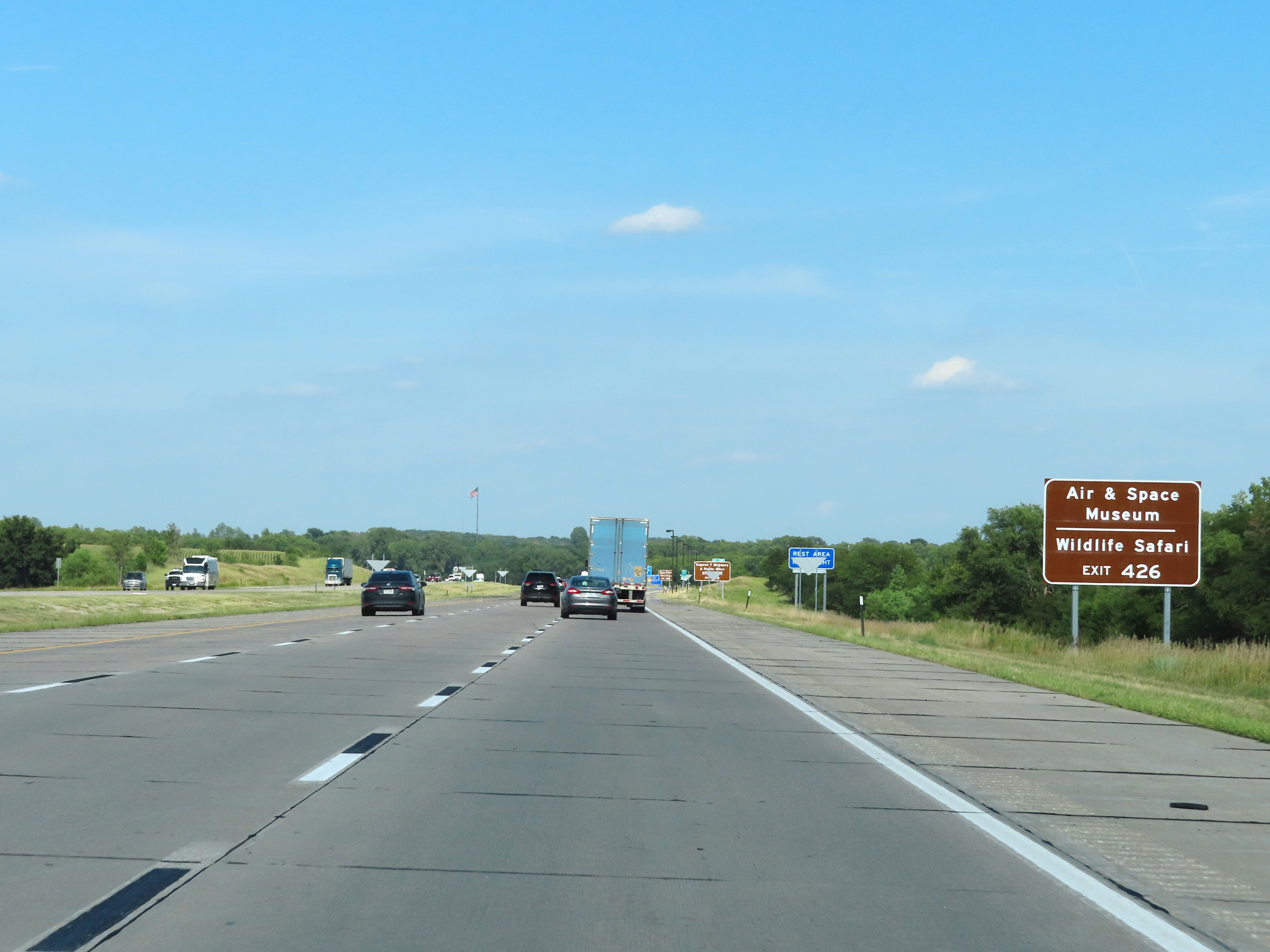 |
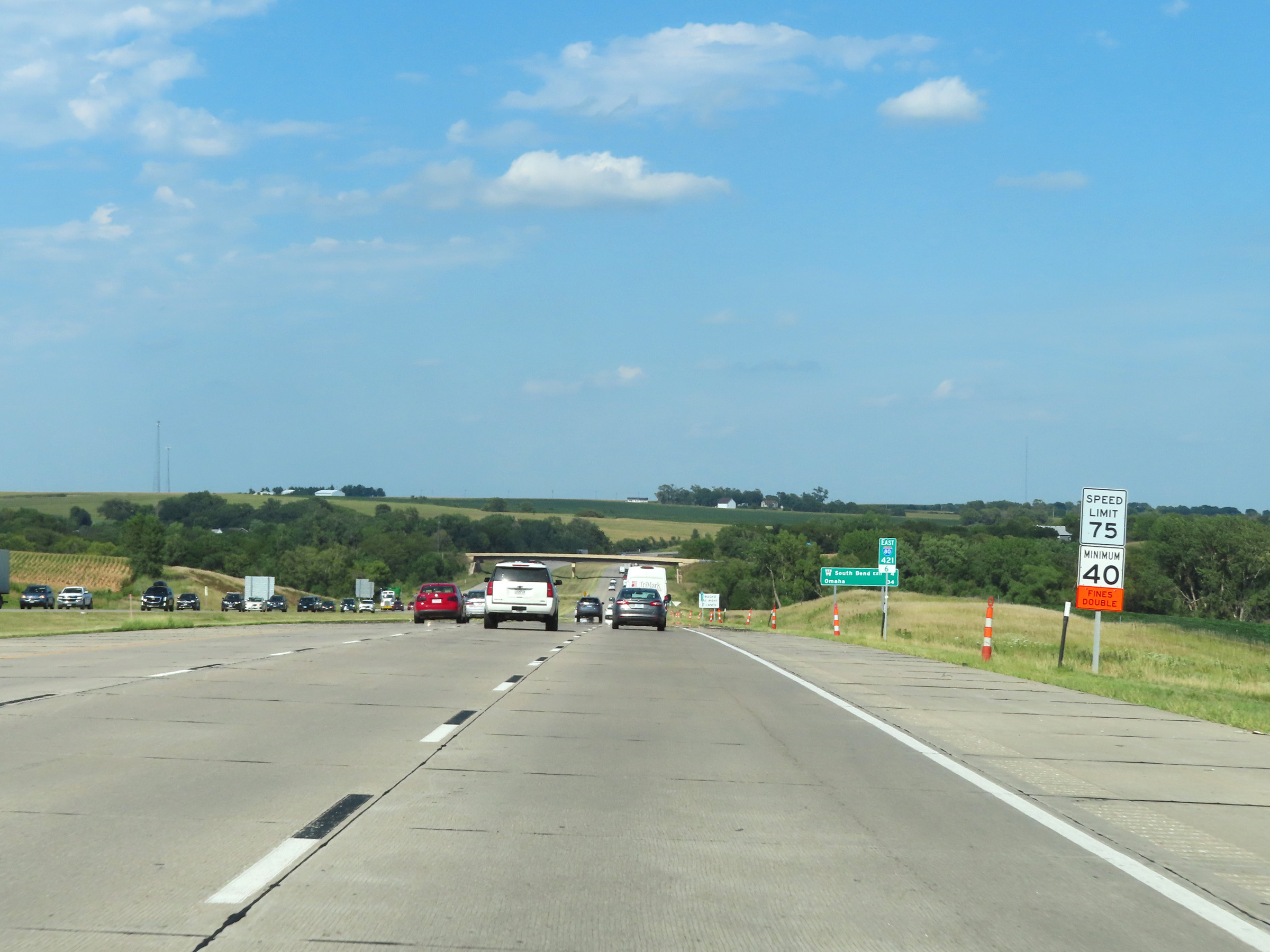
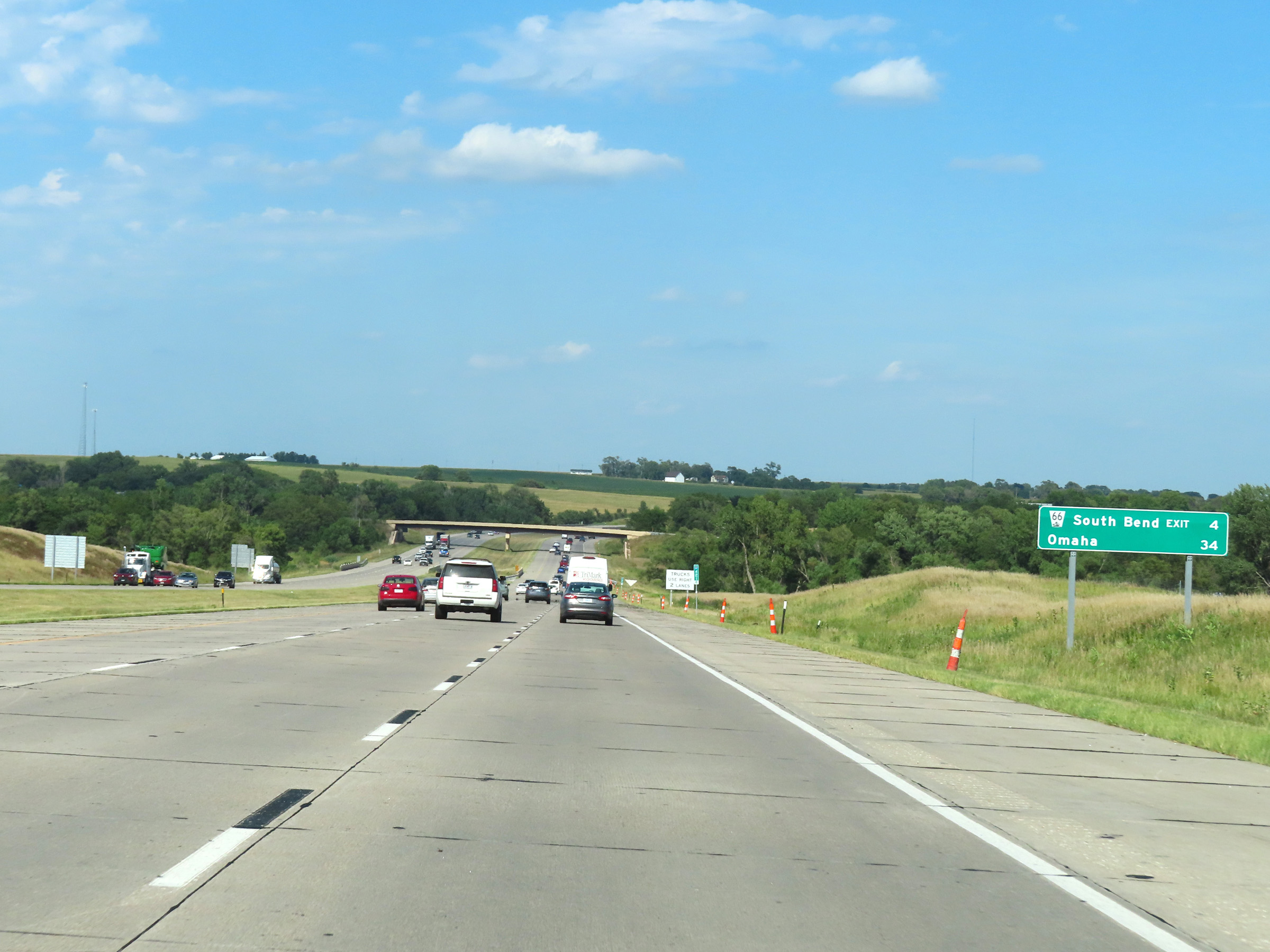
Take Exit 426 to the Air & Space Museum as well as the Wildlife Safari. (Photo taken 8/18/22). |
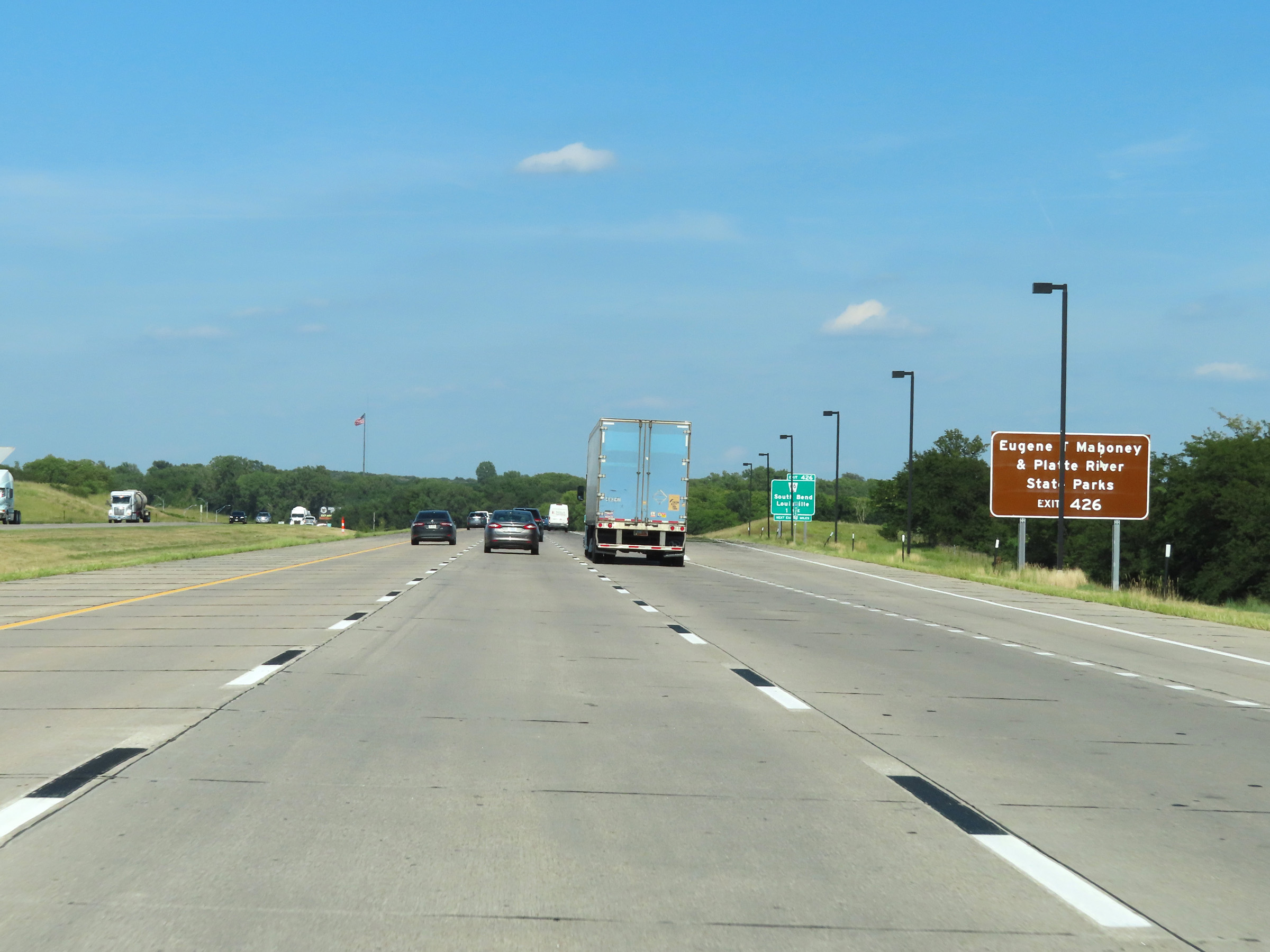 |
Also take Exit 426 to Eugene T. Mahoney & Platte River State Parks. (Photo taken 8/18/22). |
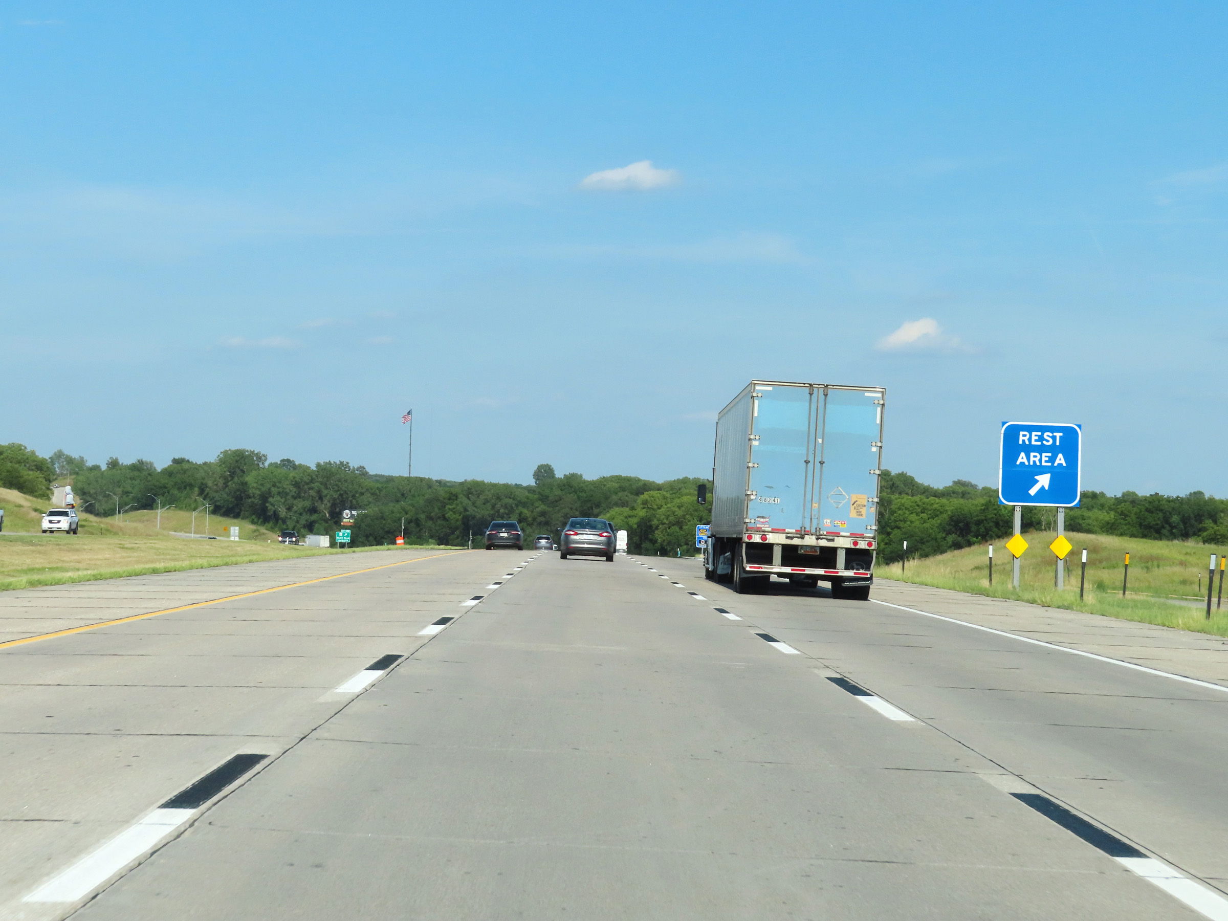 |
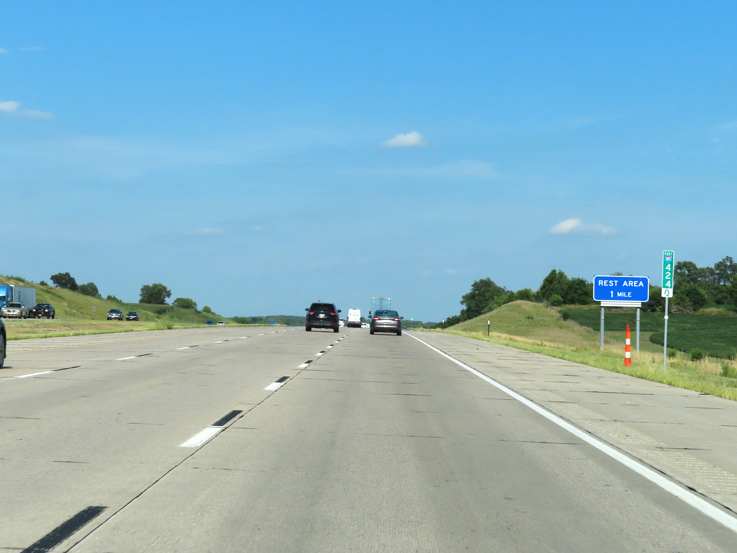
Rest Area on Interstate 80 East in Cass County. (Photo taken 8/18/22). |
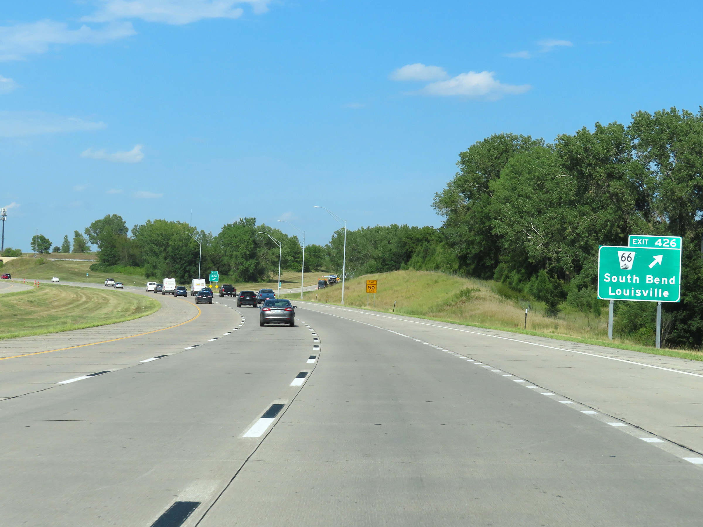 |
Interstate 80 East at Exit 426: NE 66 - South Bend / Louisville (Photo taken 8/18/22). |
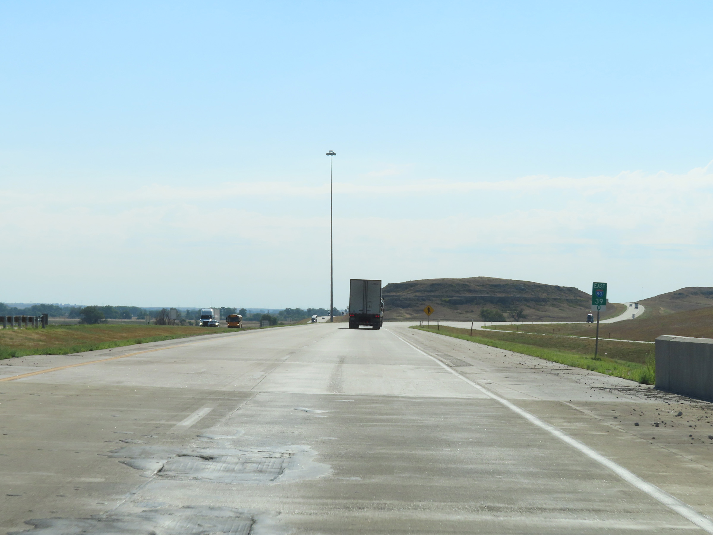
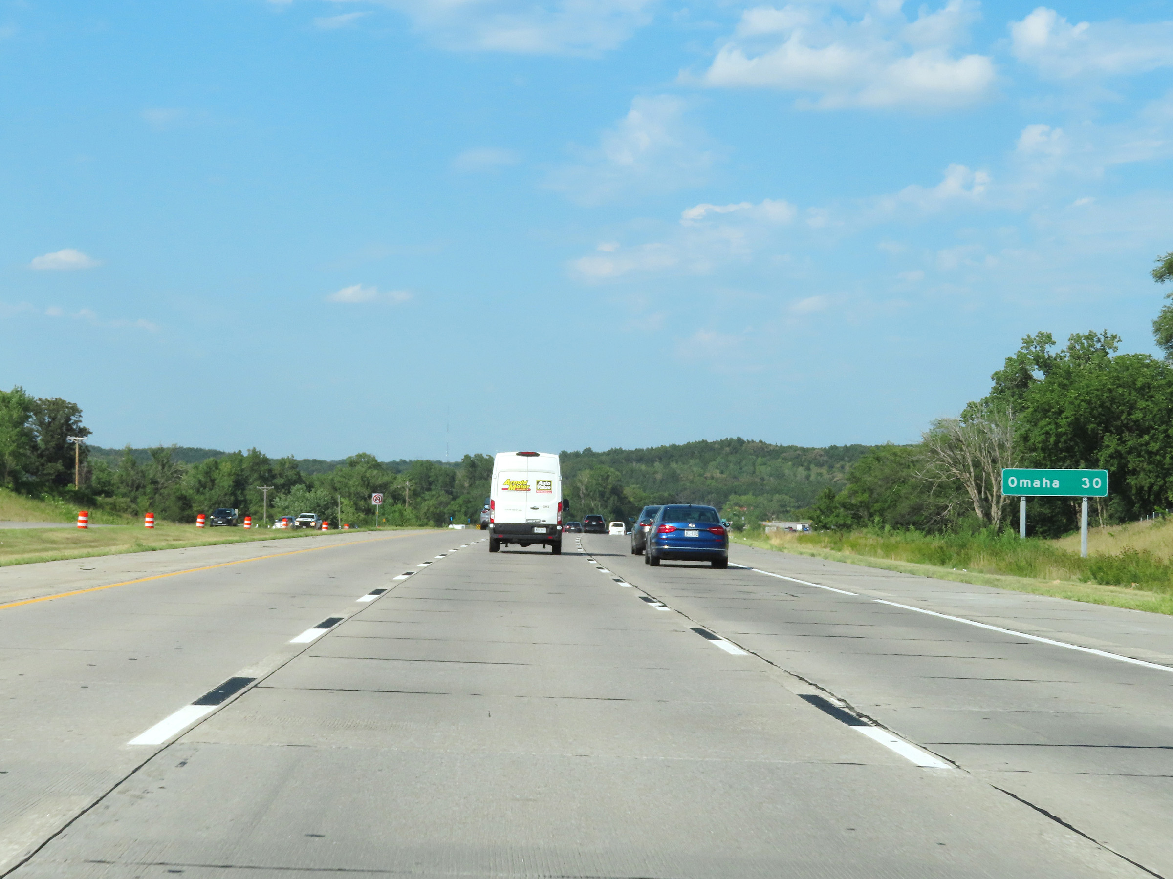 |
Omaha is now just 30 miles ahead on Interstate 80 East. (Photo taken 8/18/22). |
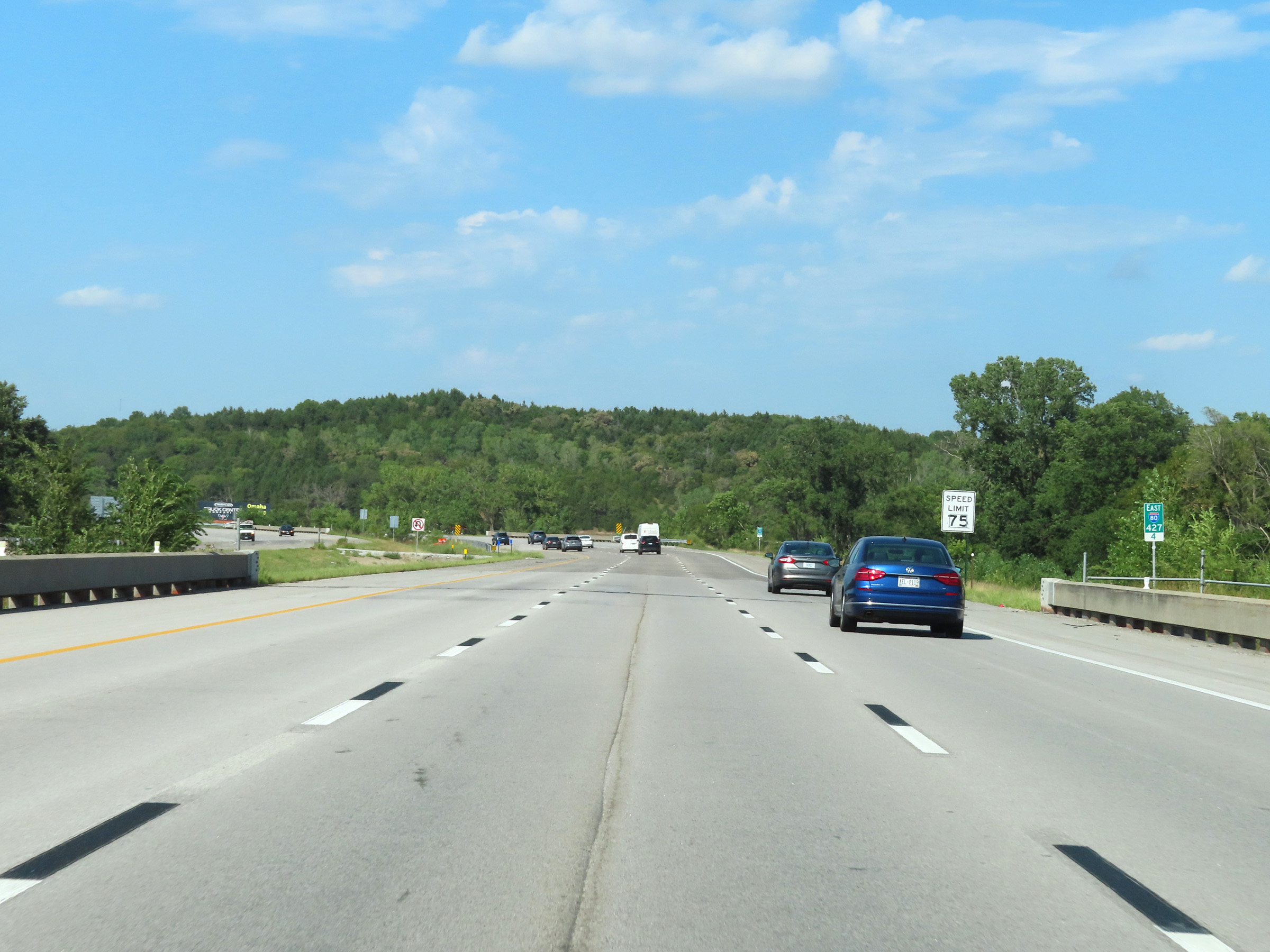 |
View on Interstate 80 East at mile marker 427.4, as it crosses the Platte River and enters Sarpy County. (Photo taken 8/18/22). |
 |
Mile marker 428 on Interstate 80 East in Sarpy County. (Photo taken 8/18/22). |
 |
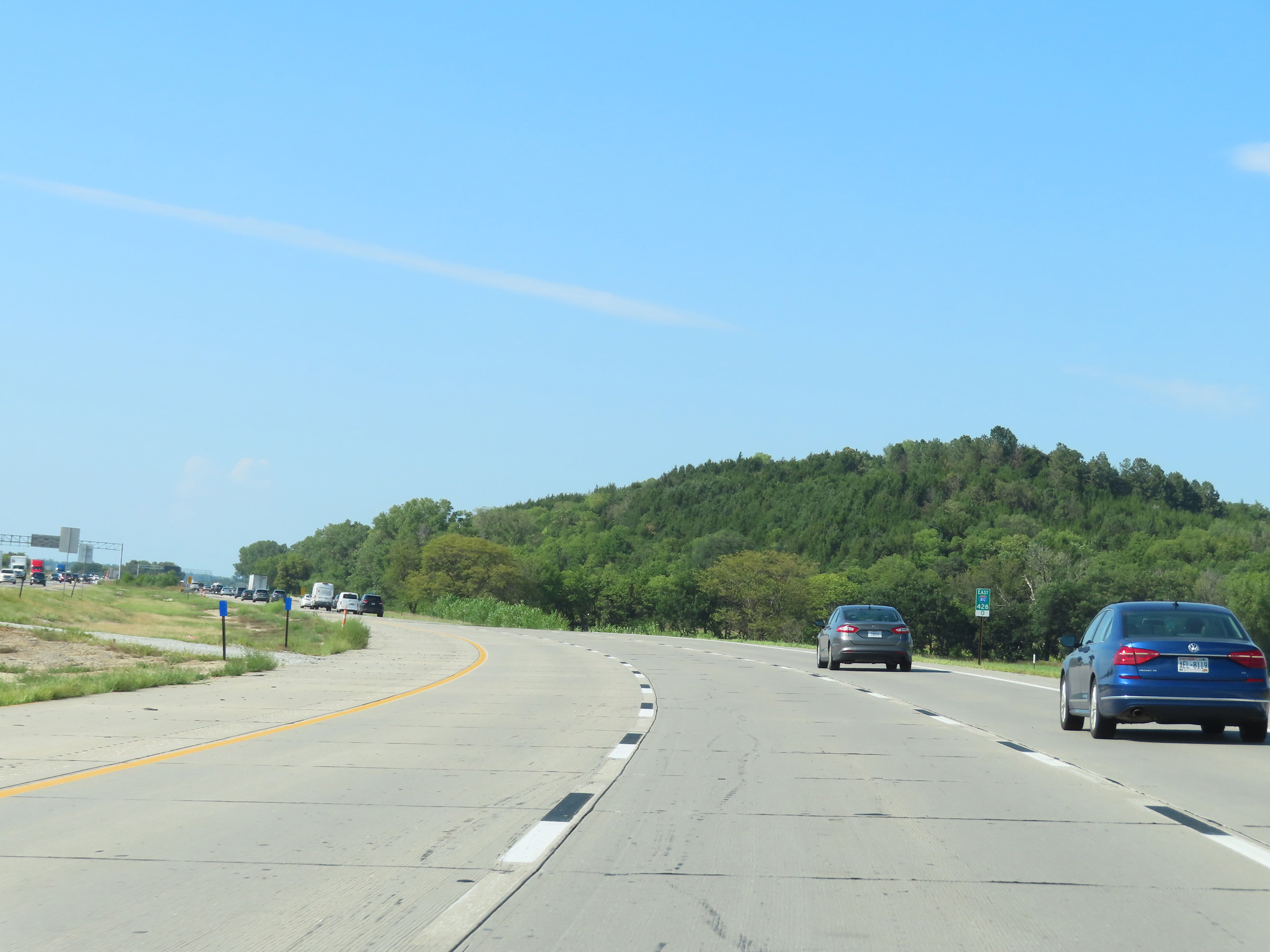
View on Interstate 80 East at mile marker 429.8. (Photo taken 8/18/22). |
 |
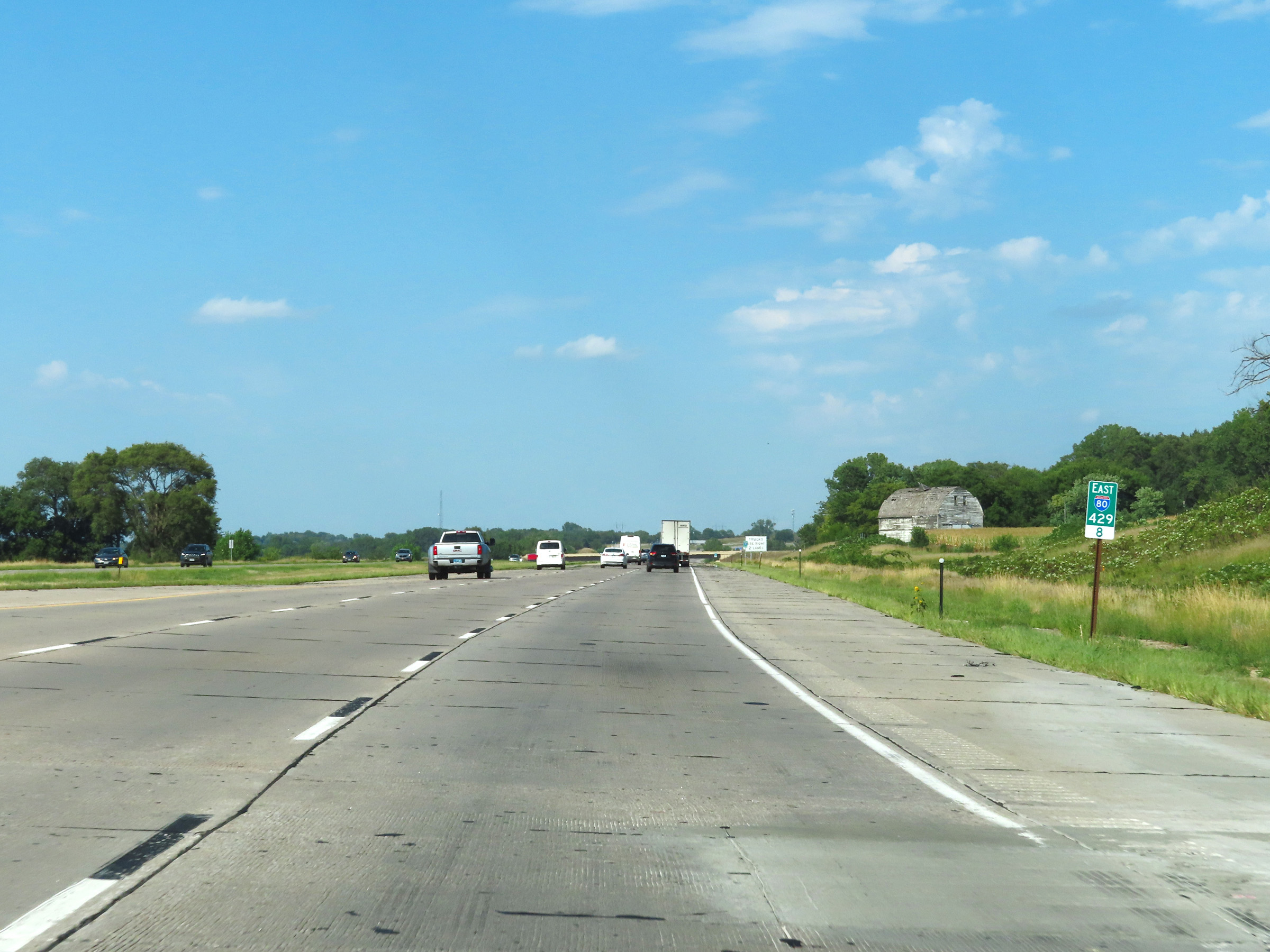
Interstate 80 East at mile marker 430.8. (Photo taken 8/18/22). |
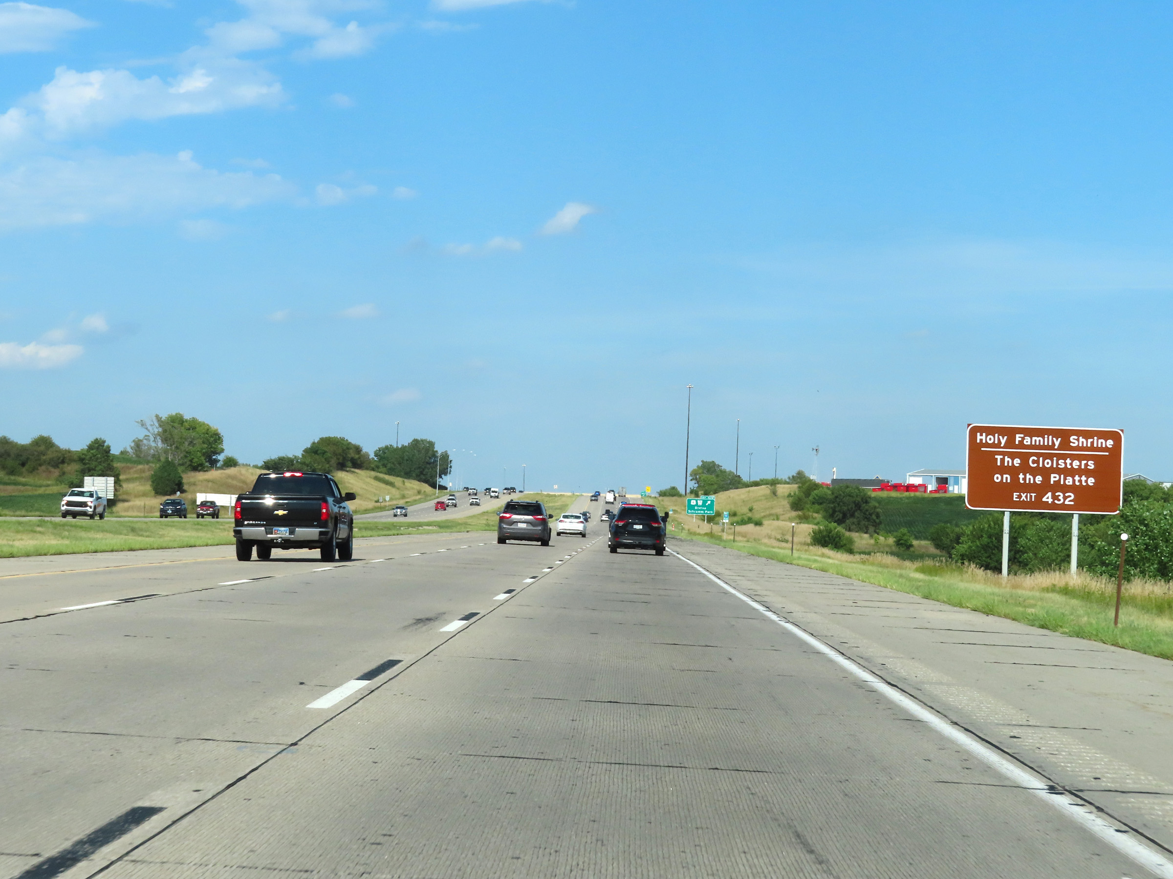 |
Take Exit 432 to Holy Family Shrine and The Cloisters on the Platte. (Photo taken 8/18/22). |
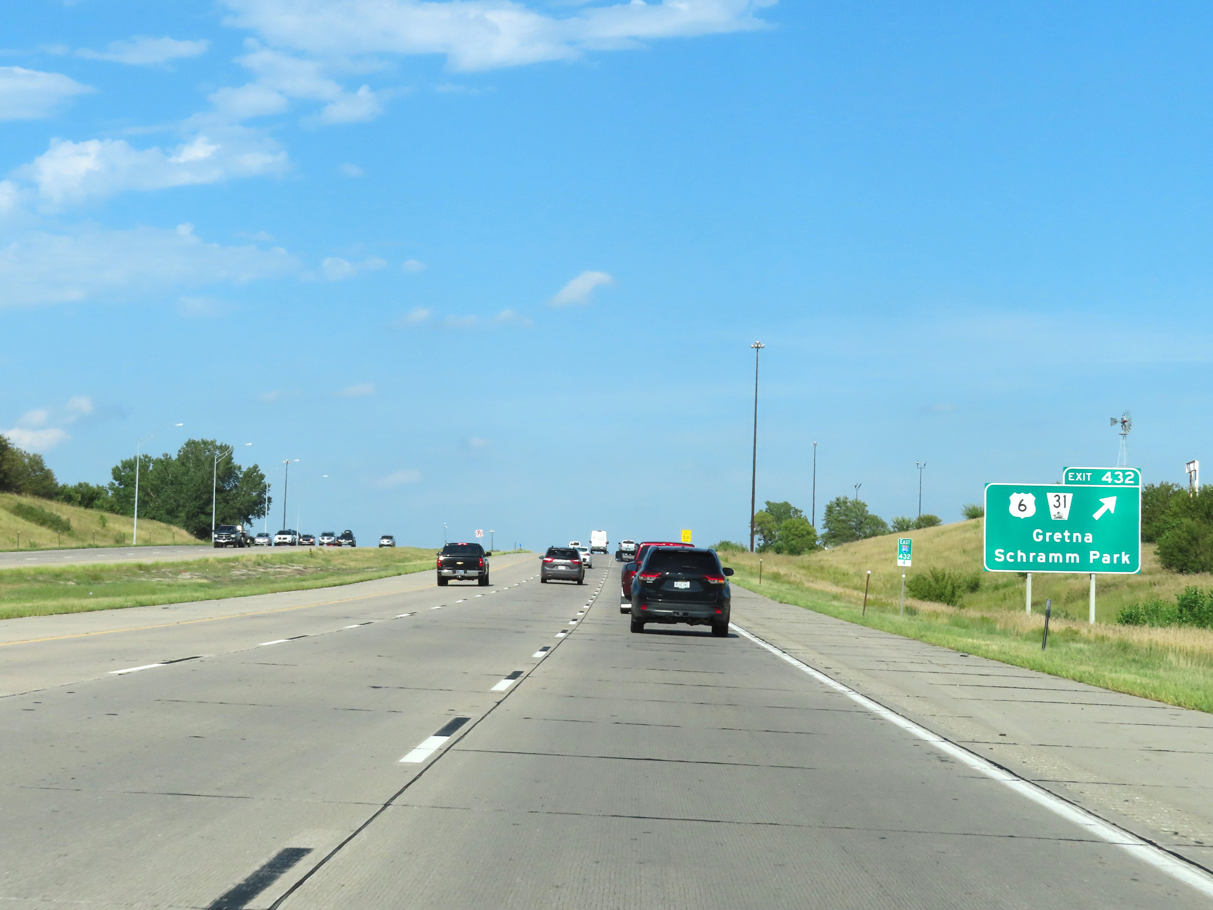 |
Interstate 80 East at Exit 432: US 6 / NE 31 - Gretna / Schramm Park (Photo taken 8/18/22). |
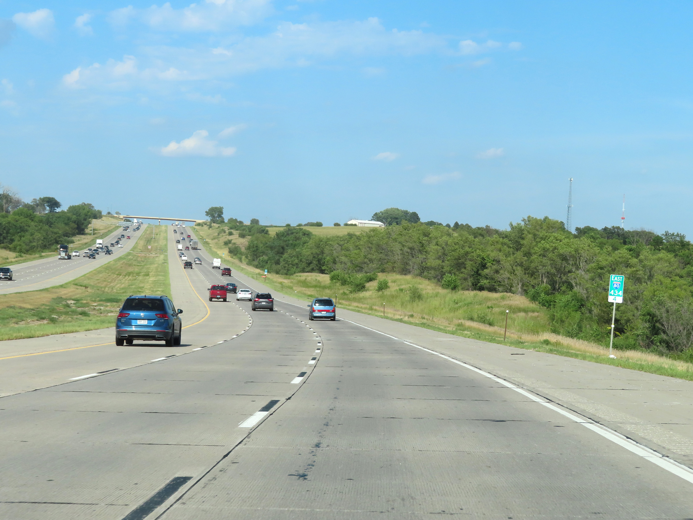 |
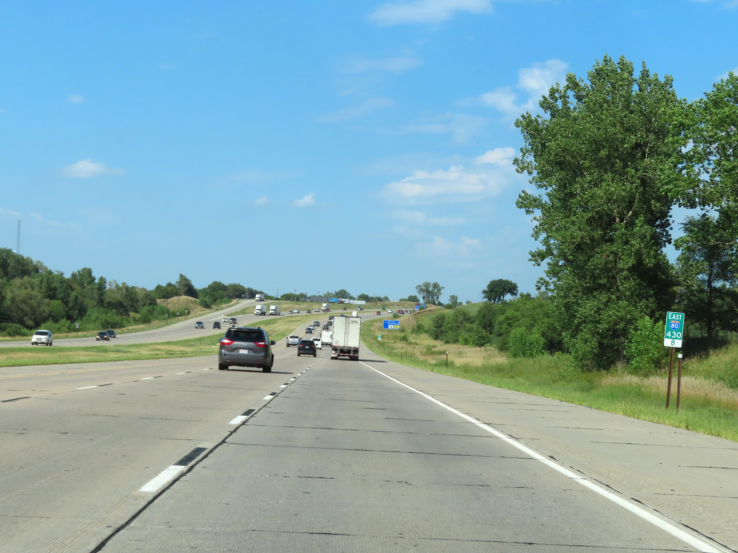
View on Interstate 80 East at mile marker 434.4. (Photo taken 8/18/22). |
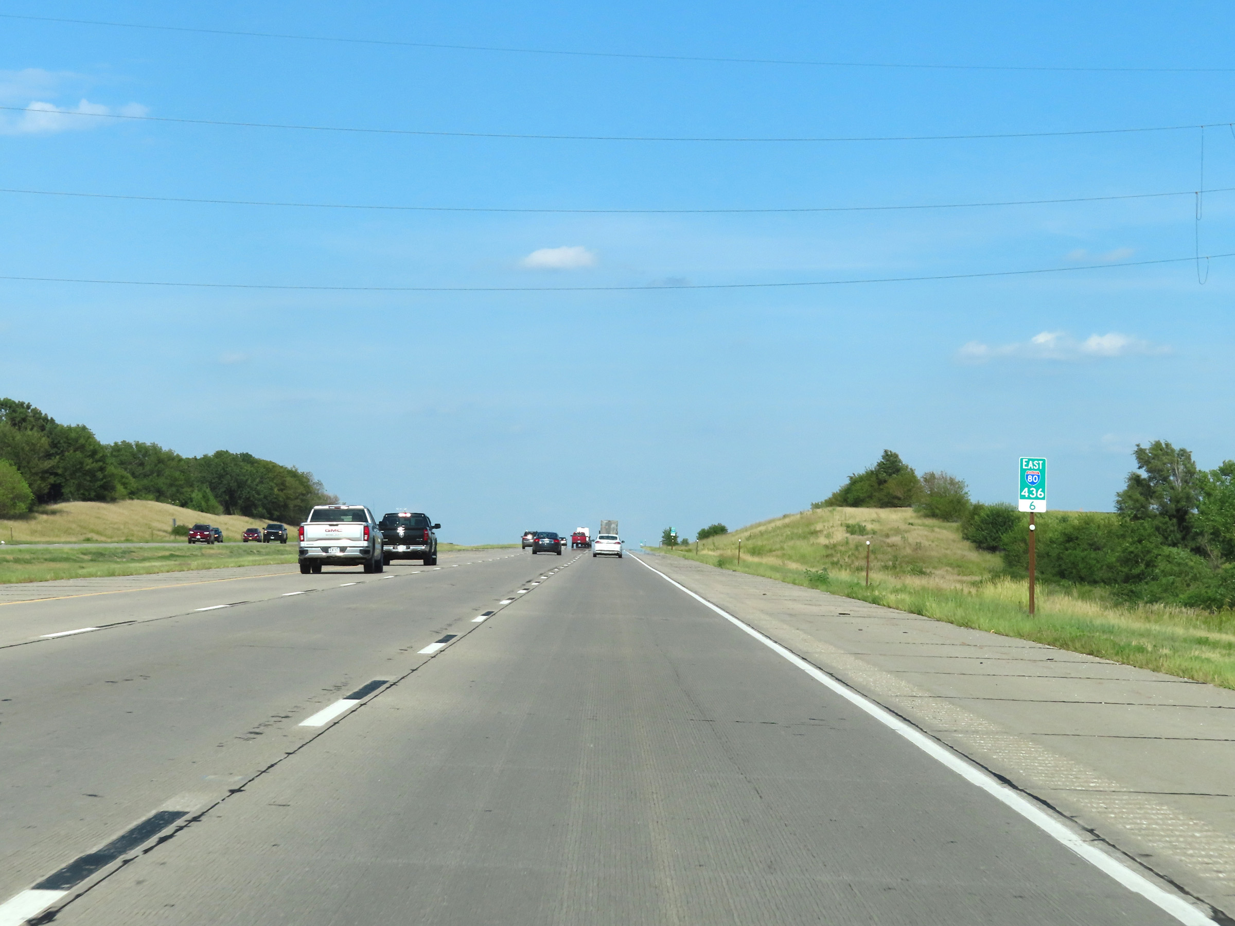 |
Mile marker 436.6 on Interstate 80 East in Sarpy County. (Photo taken 8/18/22). |
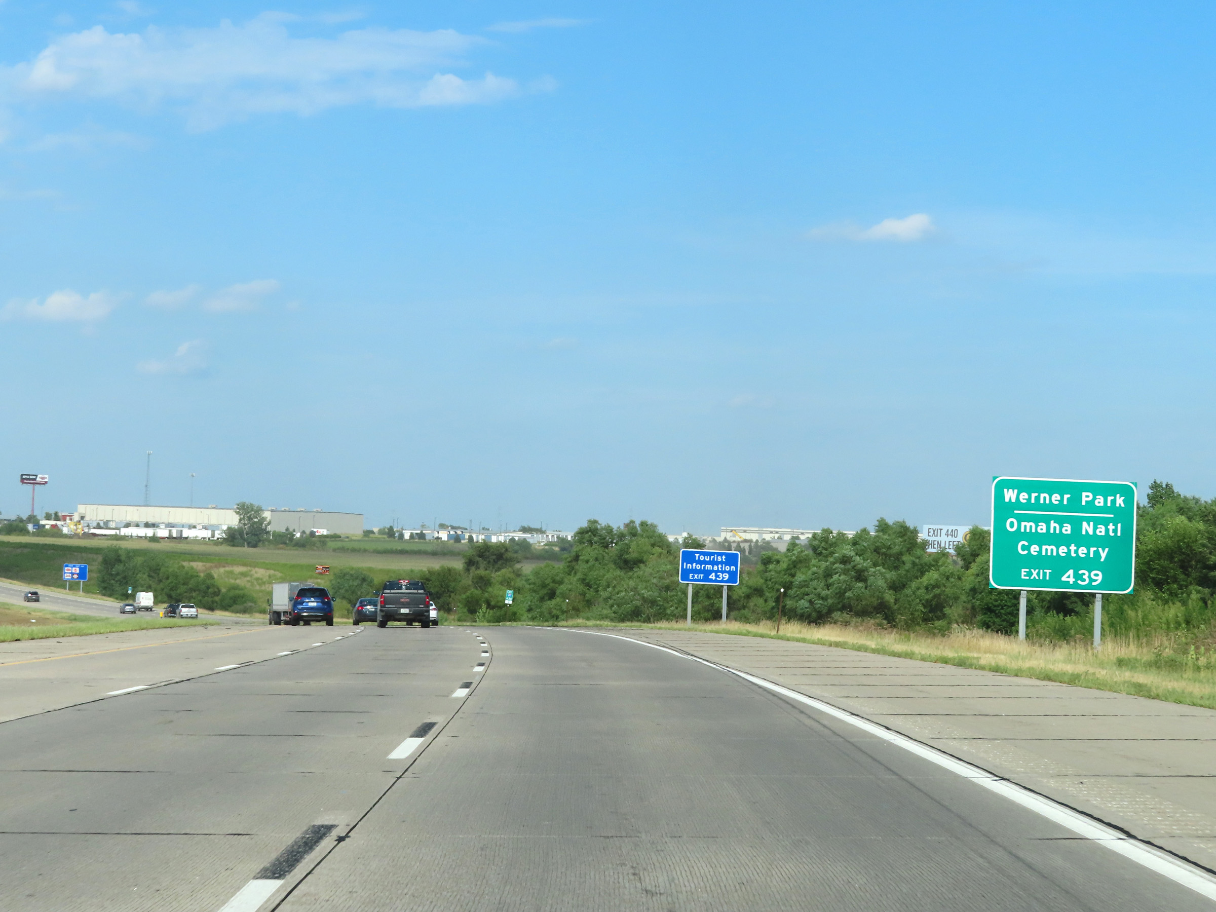 |
Take Exit 439 to Werner Park and Omaha National Cemetery. A Tourist Information Center also exists off Exit 439. (Photo taken 8/18/22). |
 |
Interstate 80 East at Exit 439: NE 370 - Papillion / Bellevue (Photo taken 8/18/22). |
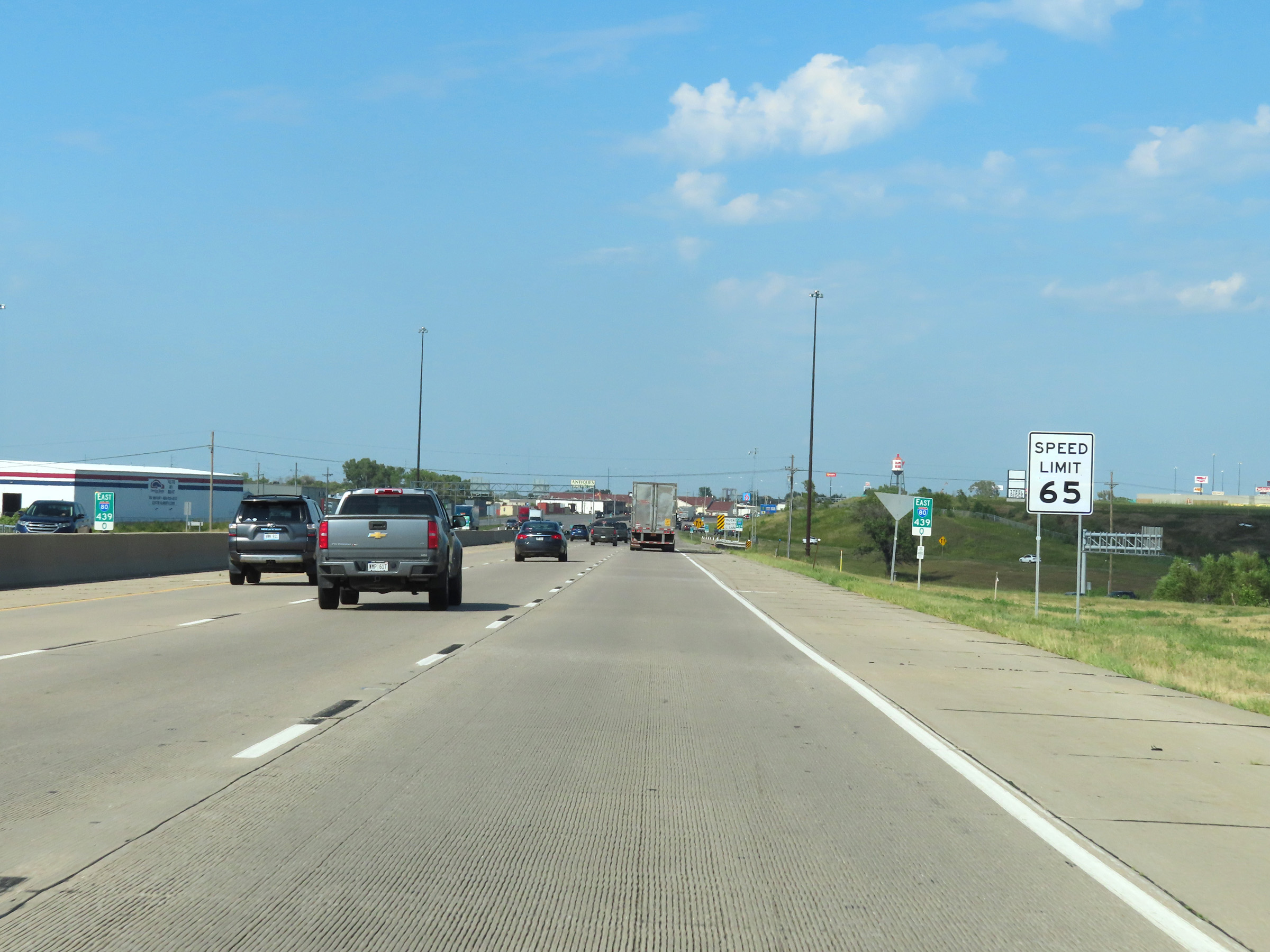 |
At mile marker 439, the maximum speed limit decreases to 65 mph as Interstate 80 East begins to approach the Omaha area. (Photo taken 8/18/22). |
 |
The minimum speed limit remains 40 mph, as usual. (Photo taken 8/18/22). |
 |
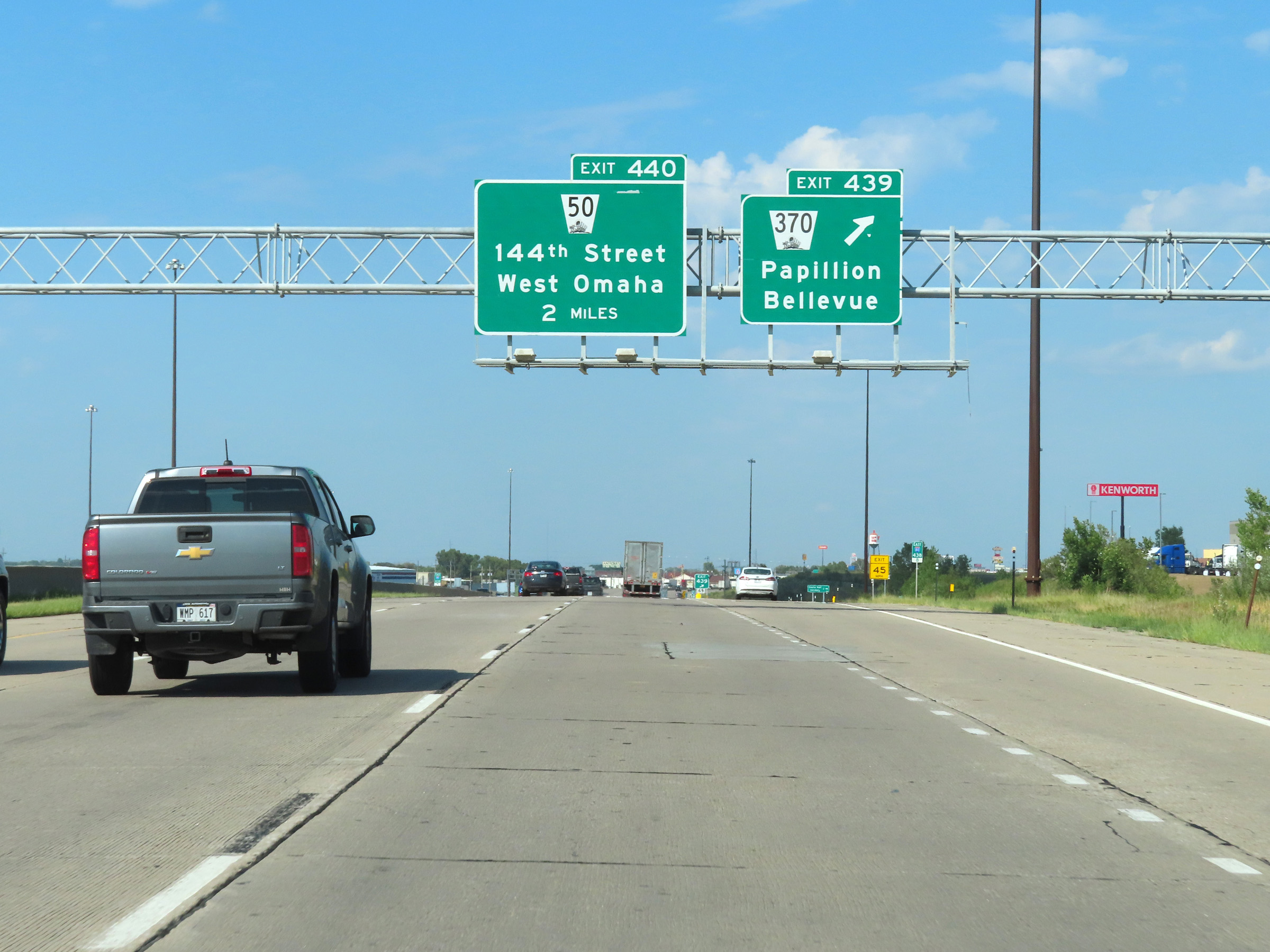
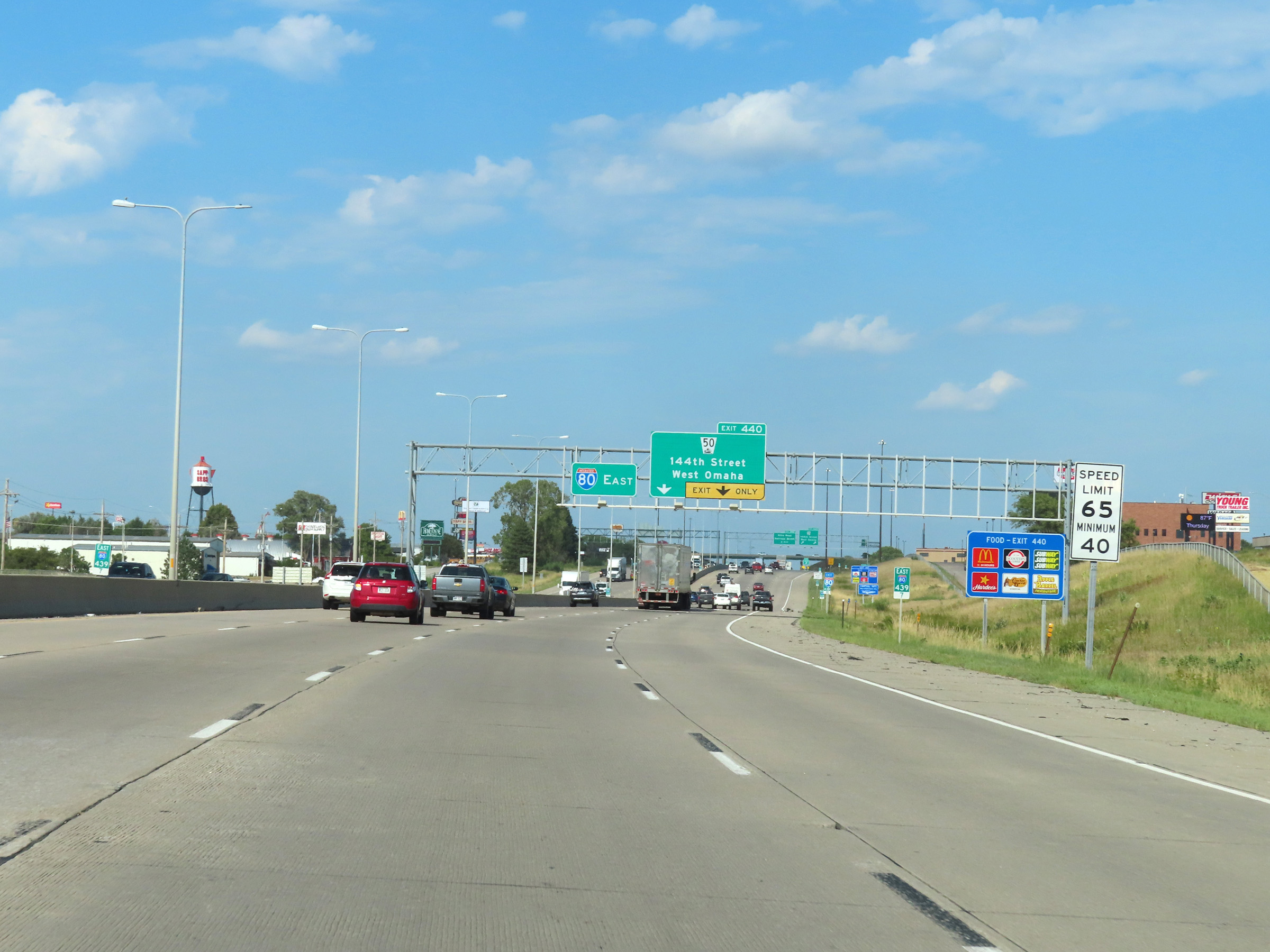
Interstate 80 East at Exit 440: NE 50 - 144th Street / West Omaha (Photo taken 8/18/22). |
 |
Interstate 80 East at mile marker 441. (Photo taken 8/18/22). |
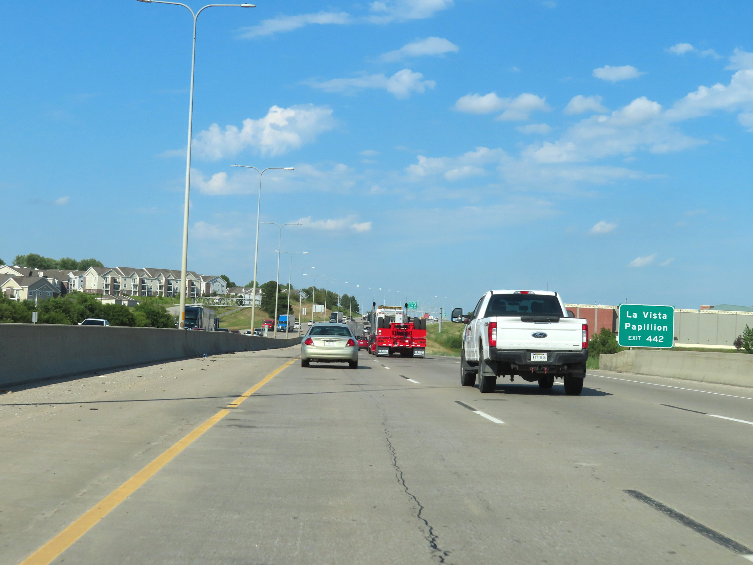 |
Take Exit 442 to La Vista and Papillion. (Photo taken 8/18/22). |
 |
Interstate 80 East at Exit 442: Giles Rd / Harrison St (Photo taken 8/18/22). |
 |
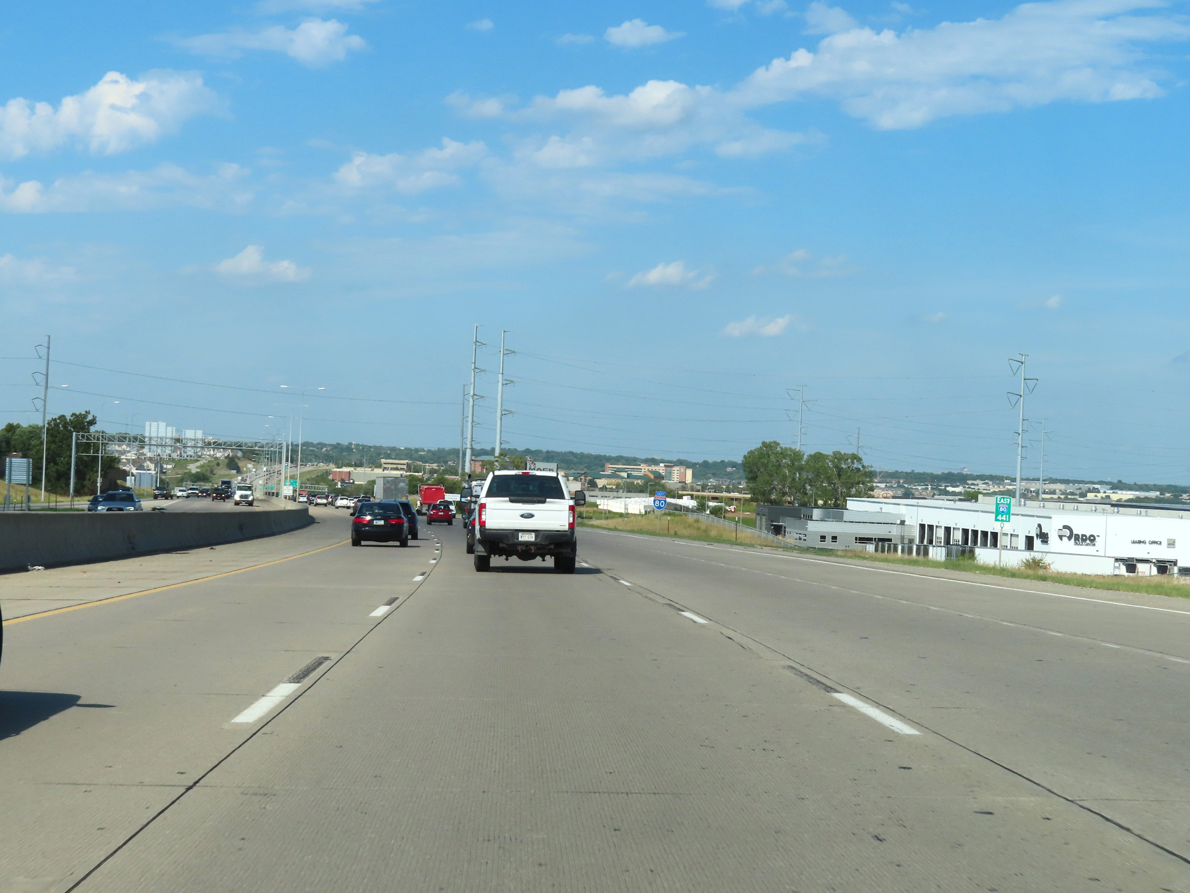
Overhead mileage sign listing the distances to the next three exits on Interstate 80 East as it enters Douglas County. (Photo taken 8/18/22). |
 |
View on Interstate 80 East at mile marker 443.6. (Photo taken 8/18/22). |
 |
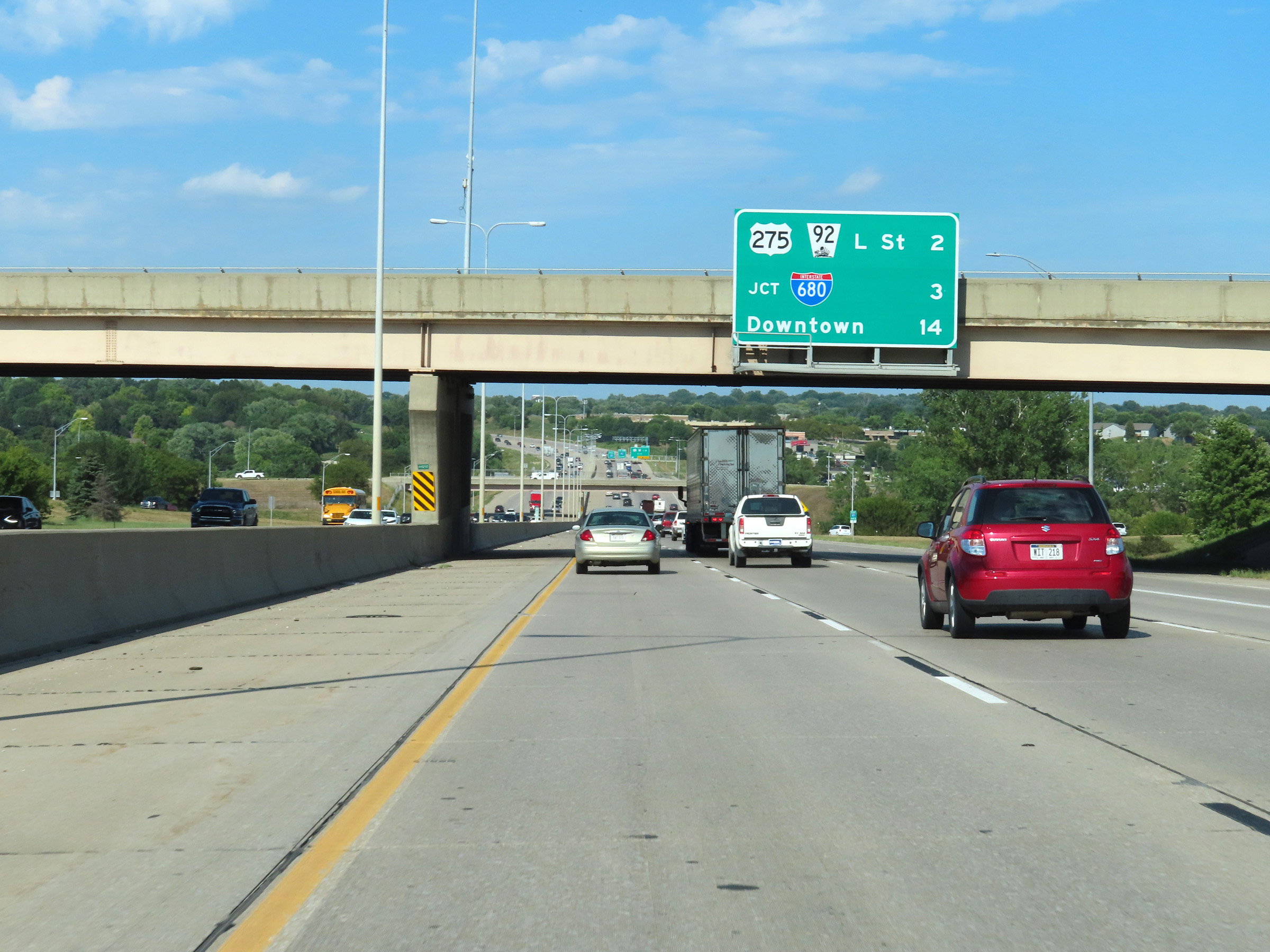
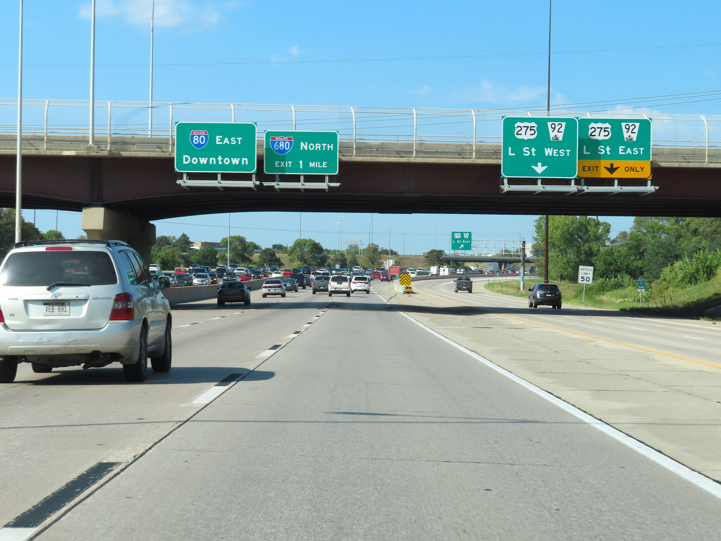
Interstate 80 East at Exit 445: US 275 / NE 92 - L Street (Photo taken 8/18/22). |
 |
Interstate 80 East approaching the junction of Interstate 680 North via Exit 446 - 1 mile ahead. (Photo taken 8/18/22). |
 |
The right lane of Interstate 80 East will become an Exit Only lane to Interstate 680 North via Exit 446. I-80 East thru traffic must use the center and left lanes. (Photo taken 8/18/22). |
 |
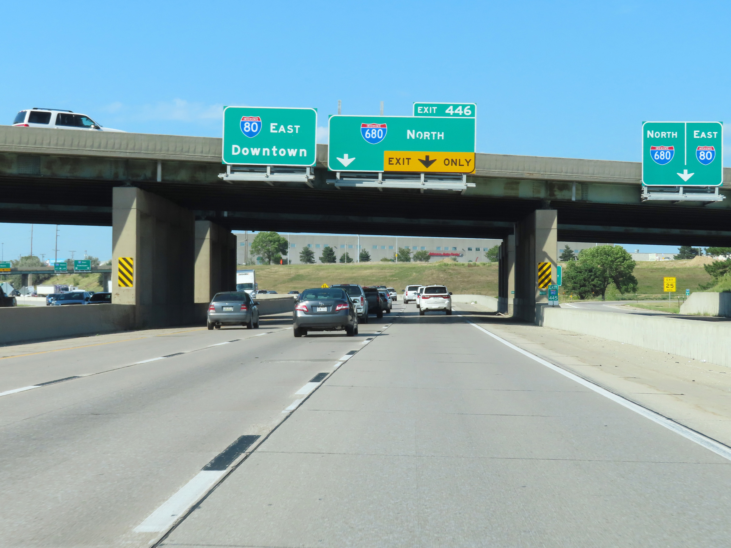
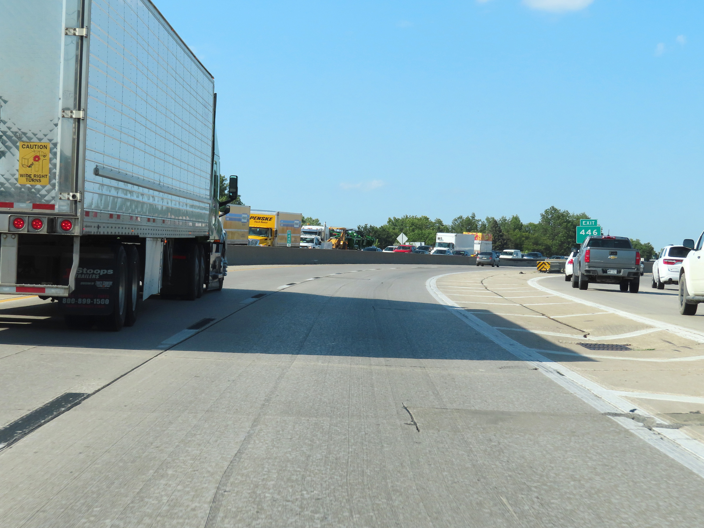
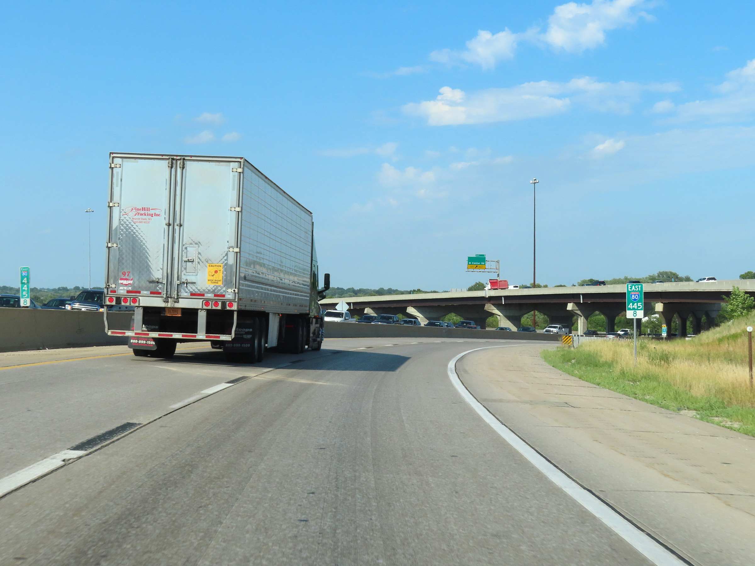
Interstate 80 East at Exit 446: Interstate 680 North (Photo taken 8/18/22). |
Section 8: Omaha (Exit 446) to Iowa Border
 |
At mile marker 445.6, Interstate 80 East begins to curve to the east to head for downtown Omaha. (Photo taken 8/18/22). |
 |
View on Interstate 80 East at mile marker 445.8, as it continues to curve to the east. (Photo taken 8/18/22). |
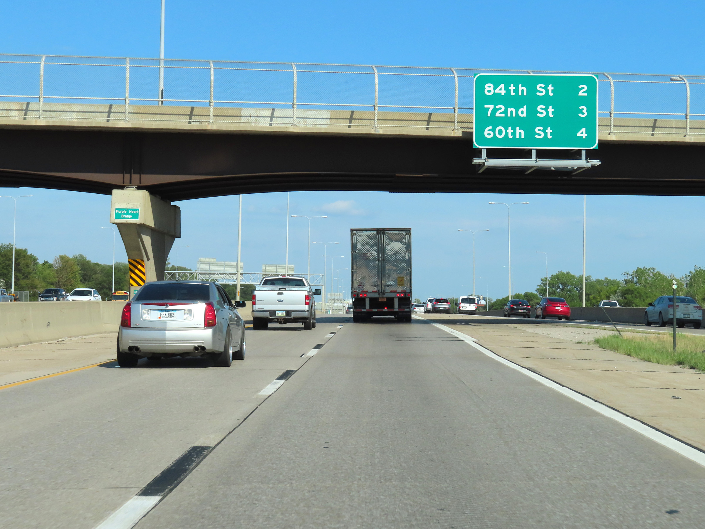 |
Overhead mileage sign listing the distances to the next three exits to Omaha on Interstate 80 East. (Photo taken 8/18/22). |
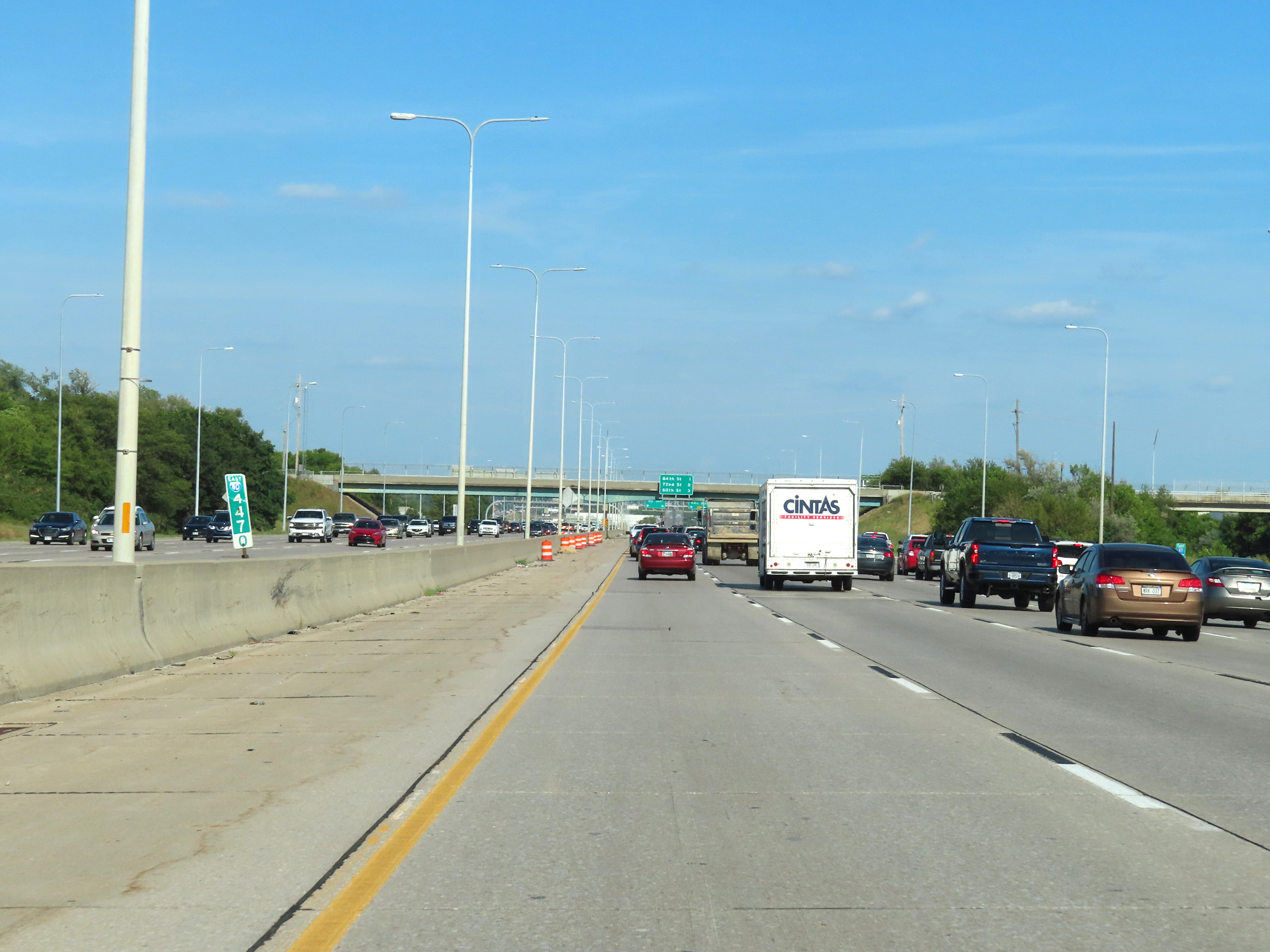 |
Mile marker 447 on Interstate 80 East in Douglas County. (Photo taken 8/18/22). |
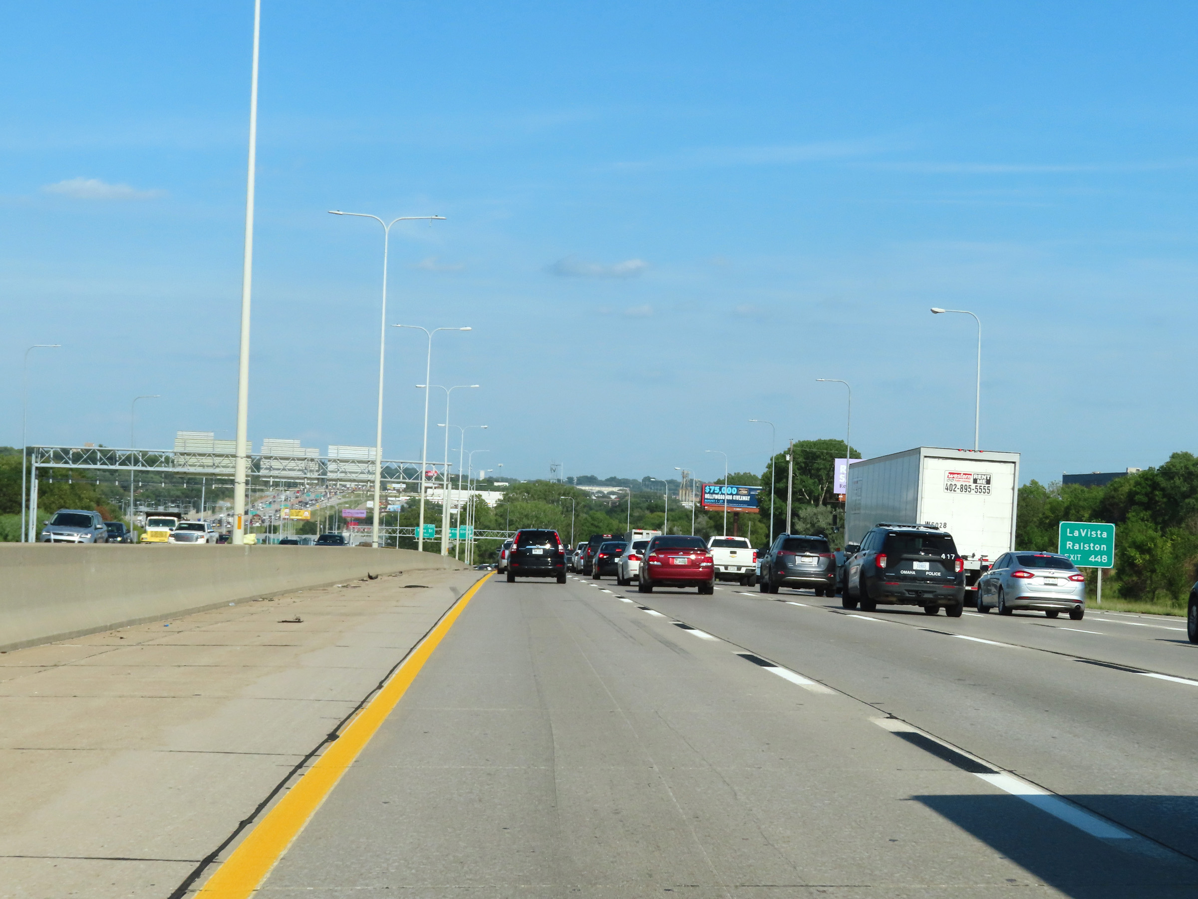 |
Take Exit 448 to La Vista and Ralston. (Photo taken 8/18/22). |
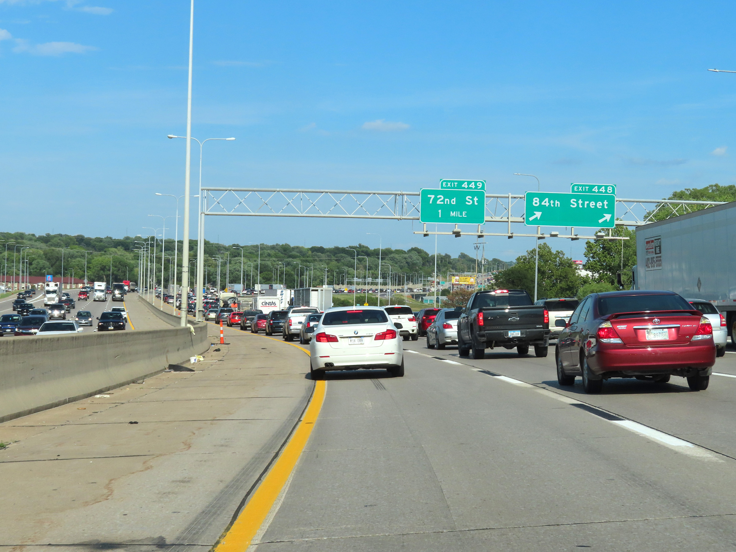 |
Interstate 80 East at Exit 448: 84th Street (Photo taken 8/18/22). |
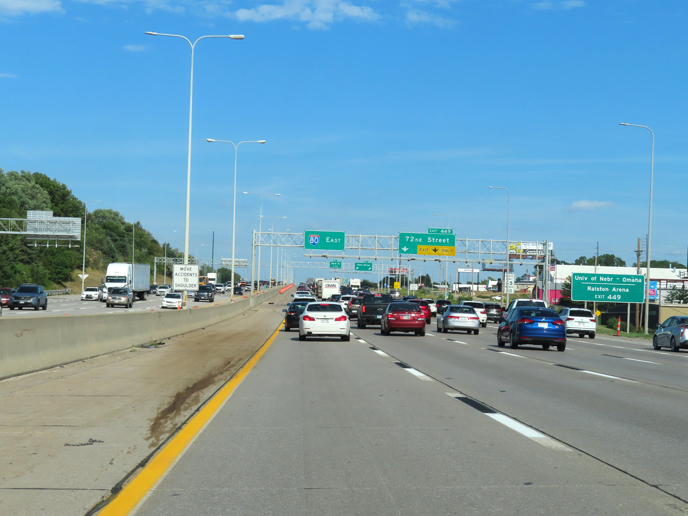 |
Take Exit 449 to the University of Nebraska - Omaha and Ralston Arena. (Photo taken 8/18/22). |
 |
Interstate 80 East at Exit 449: 72nd Street (Photo taken 8/18/22). |
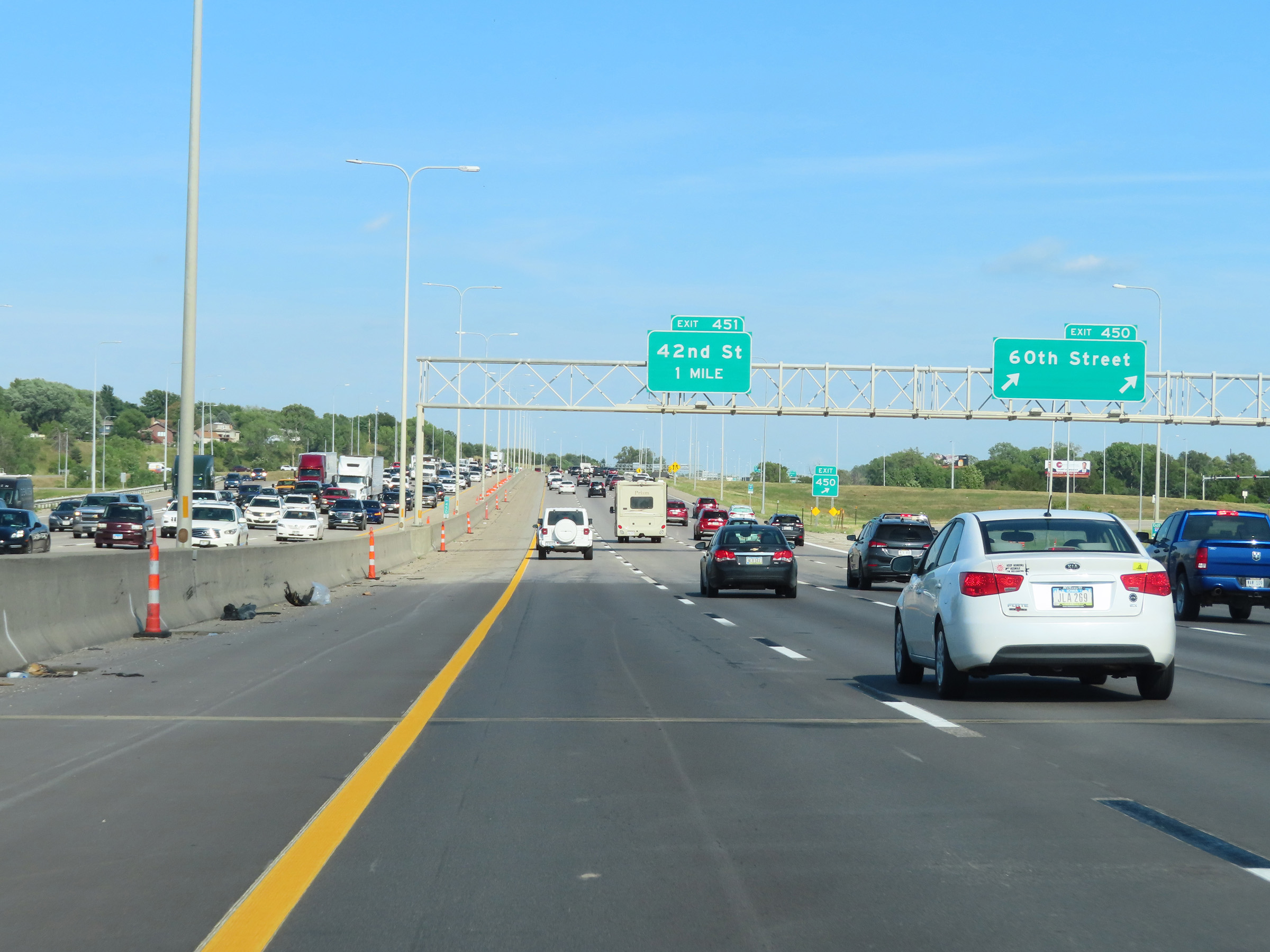 |
Interstate 80 East at Exit 450: 60th Street (Photo taken 8/18/22). |
 |
View on Interstate 80 East at mile marker 450.6. (Photo taken 8/18/22). |
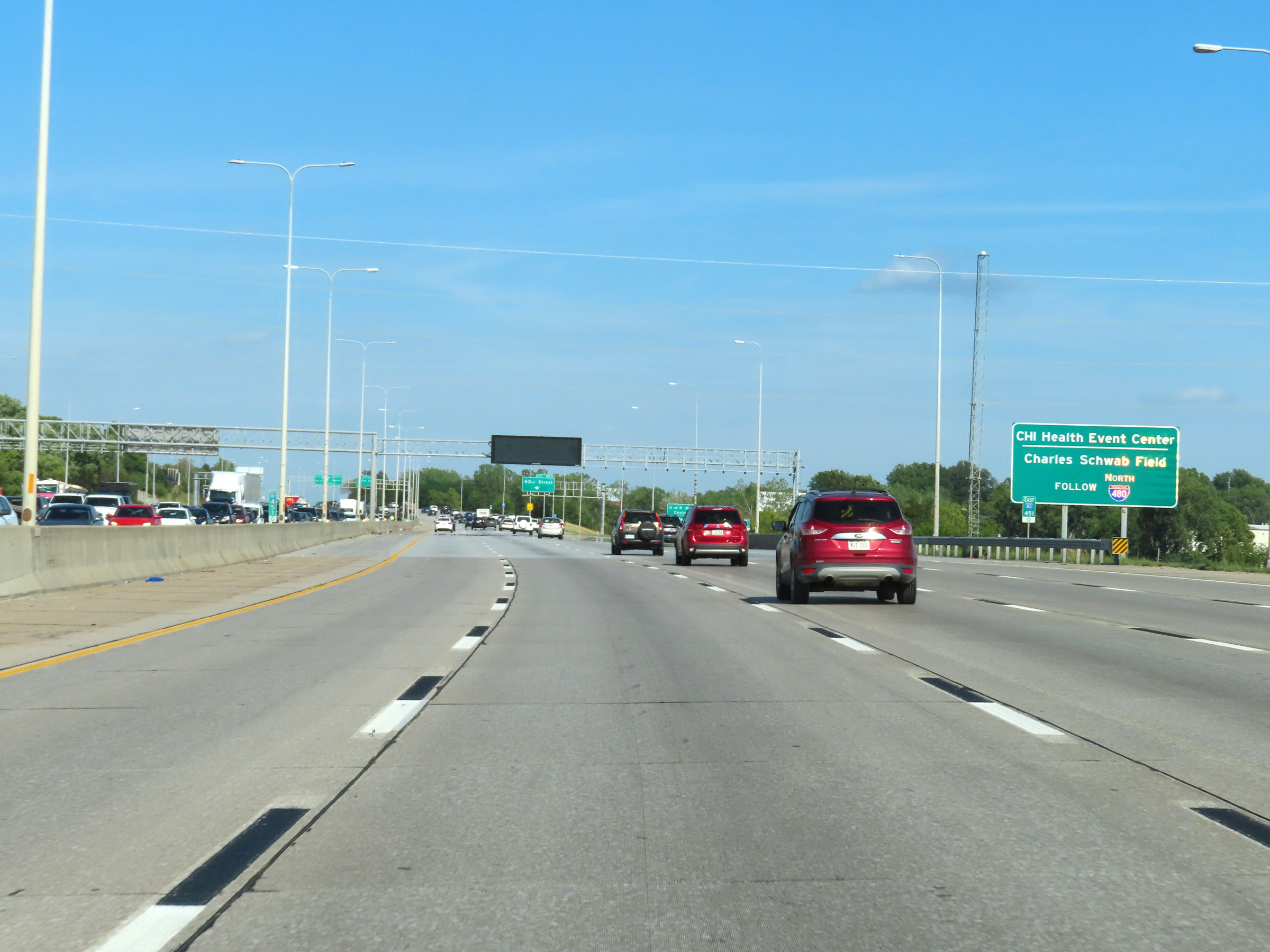 |
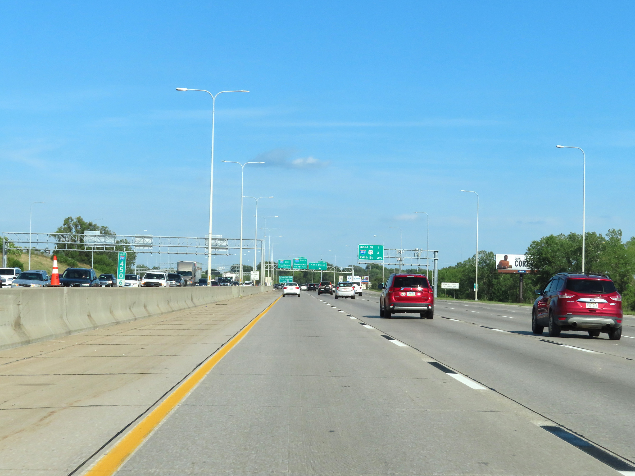
Take Exit 452 and follow Interstate 480 North to CHI Health Event Center and Charles Schwab Field. (Photo taken 8/18/22). |
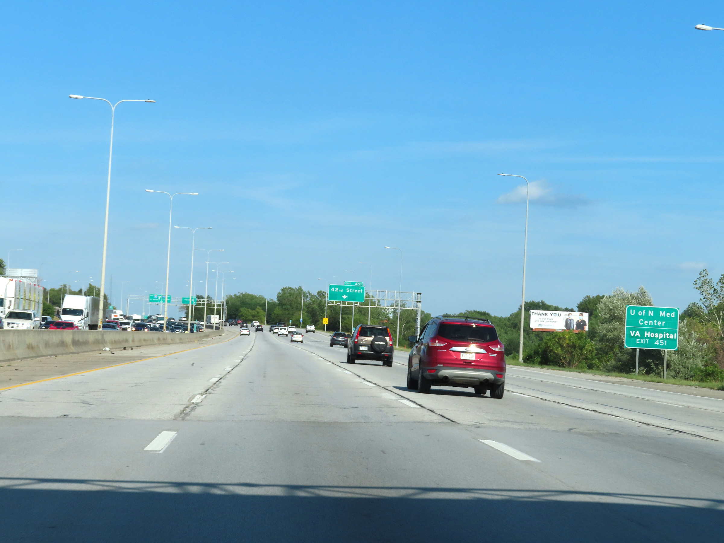 |
Take Exit 451 to the University of Nebraska Medical Center and the VA Hospital. (Photo taken 8/18/22). |
 |
Interstate 80 East at Exit 451: 42nd St (Photo taken 8/18/22). |
 |
Interstate 80 East approaching Exit 452 - 1/2 mile. (Photo taken 8/18/22). |
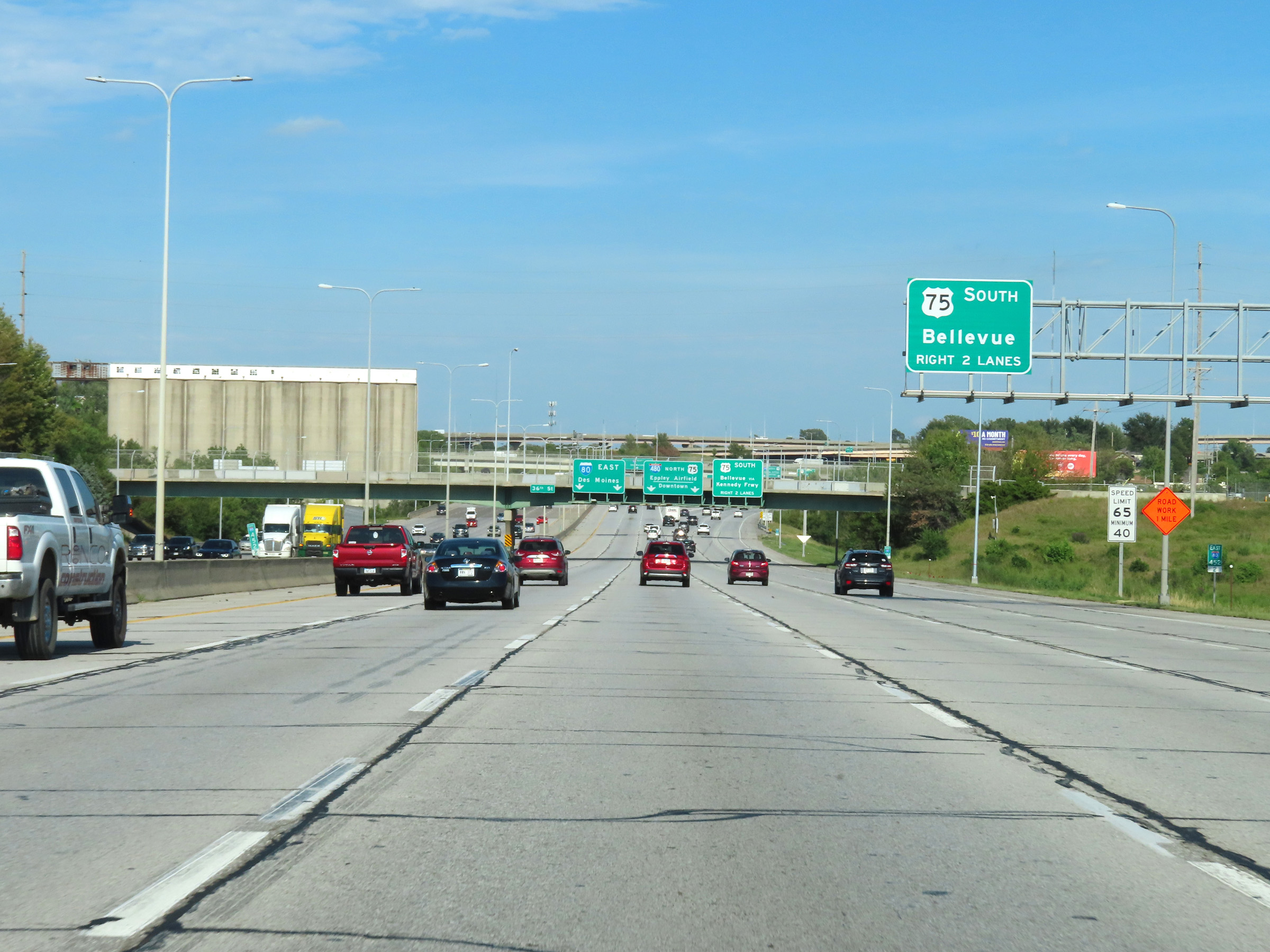 |
Traffic to US 75 South toward Bellevue should take Exit 452 using the right 2 lanes. (Photo taken 8/18/22). |
 |
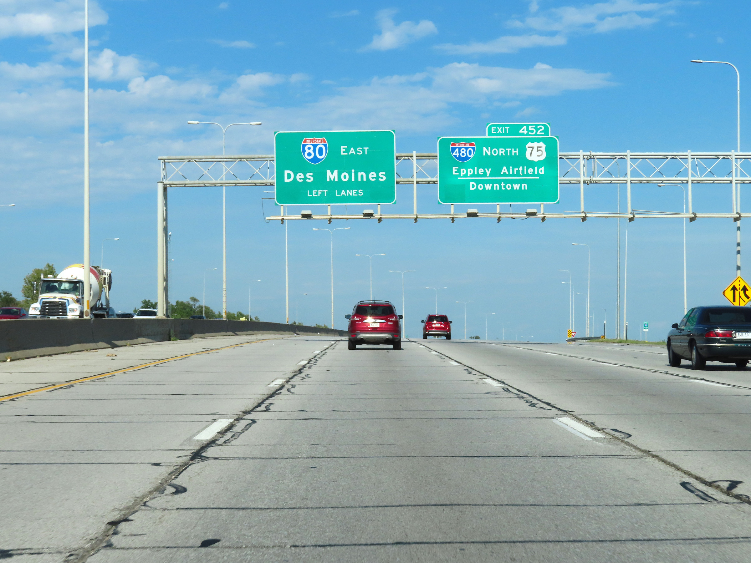
Interstate 80 East at Exit 452: Interstate 480 North / US 75 North - Eppley Airfield / Downtown; US 75 South - Bellevue / Kennedy Frwy (Photo taken 8/18/22). |
 |
View on Interstate 80 East as it passes under Interstate 480 / US 75 and the ramps to and from them at mile marker 453. (Photo taken 8/18/22). |
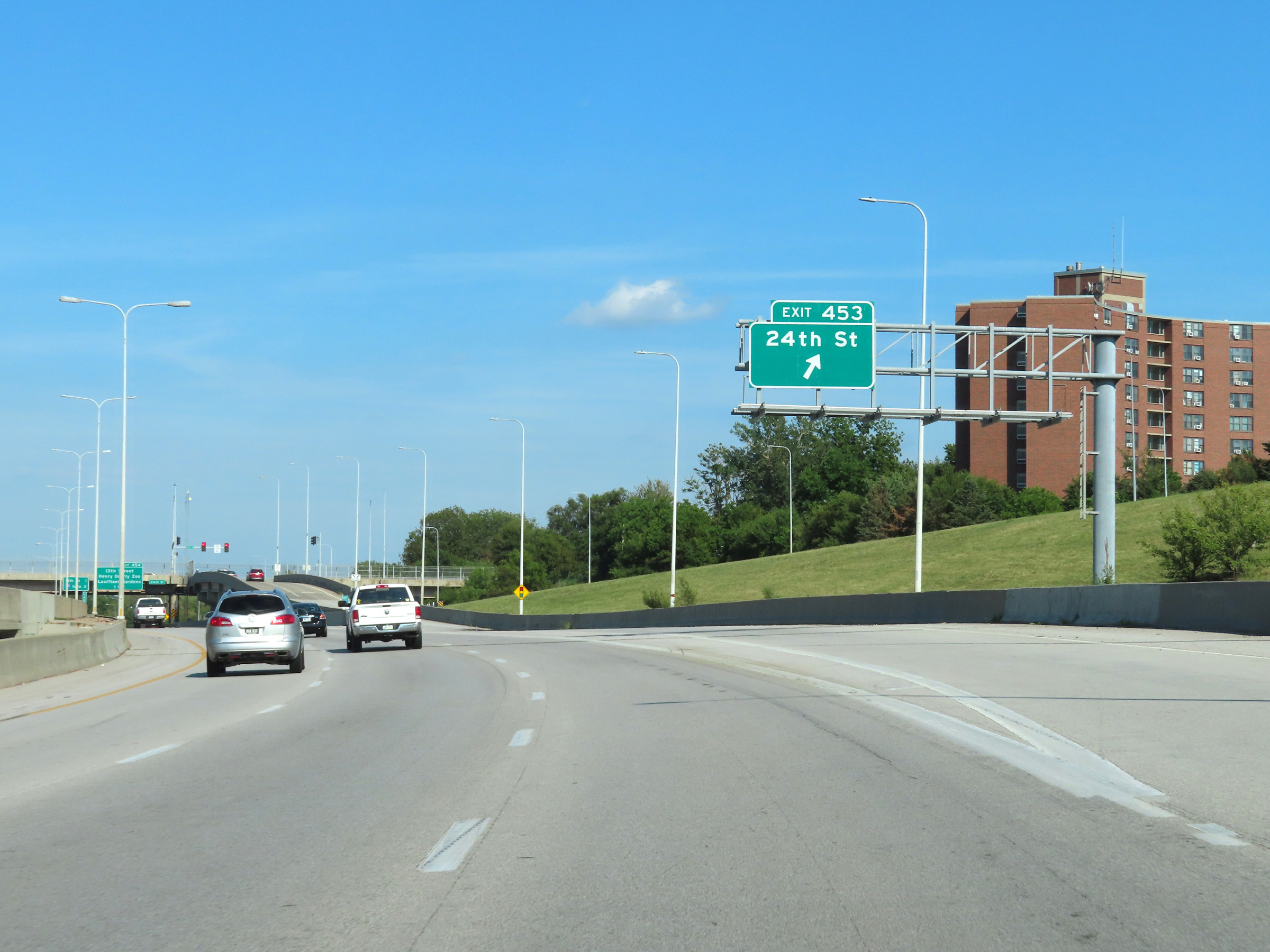 |
Interstate 80 East at Exit 453: 24th St (Photo taken 8/18/22). |
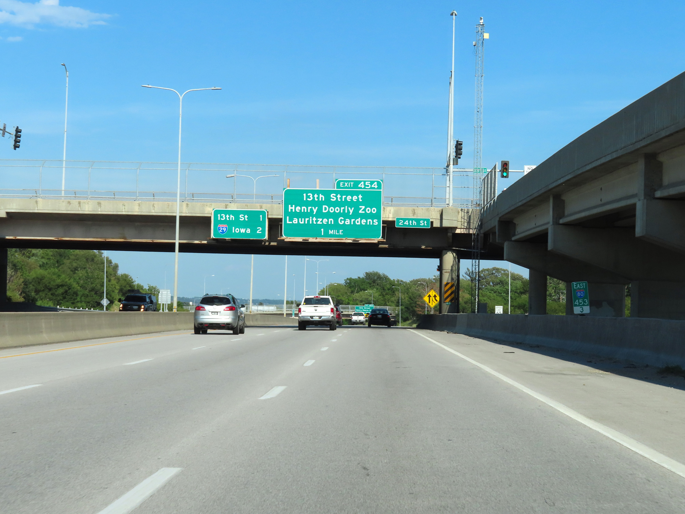 |
Mile marker 453.3 on Interstate 80 East in Omaha. (Photo taken 8/18/22). |
 |
The speed limits on Interstate 80 East through downtown Omaha remain 65 mph maximum and 40 mph minimum. (Photo taken 8/18/22). |
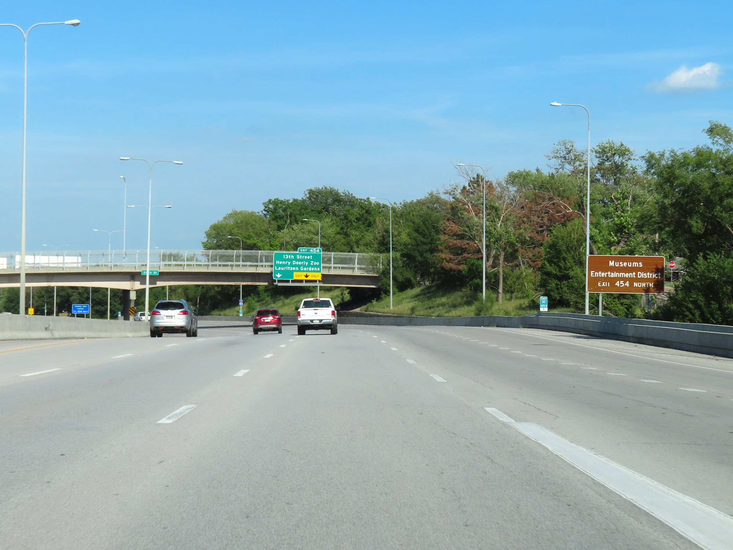 |
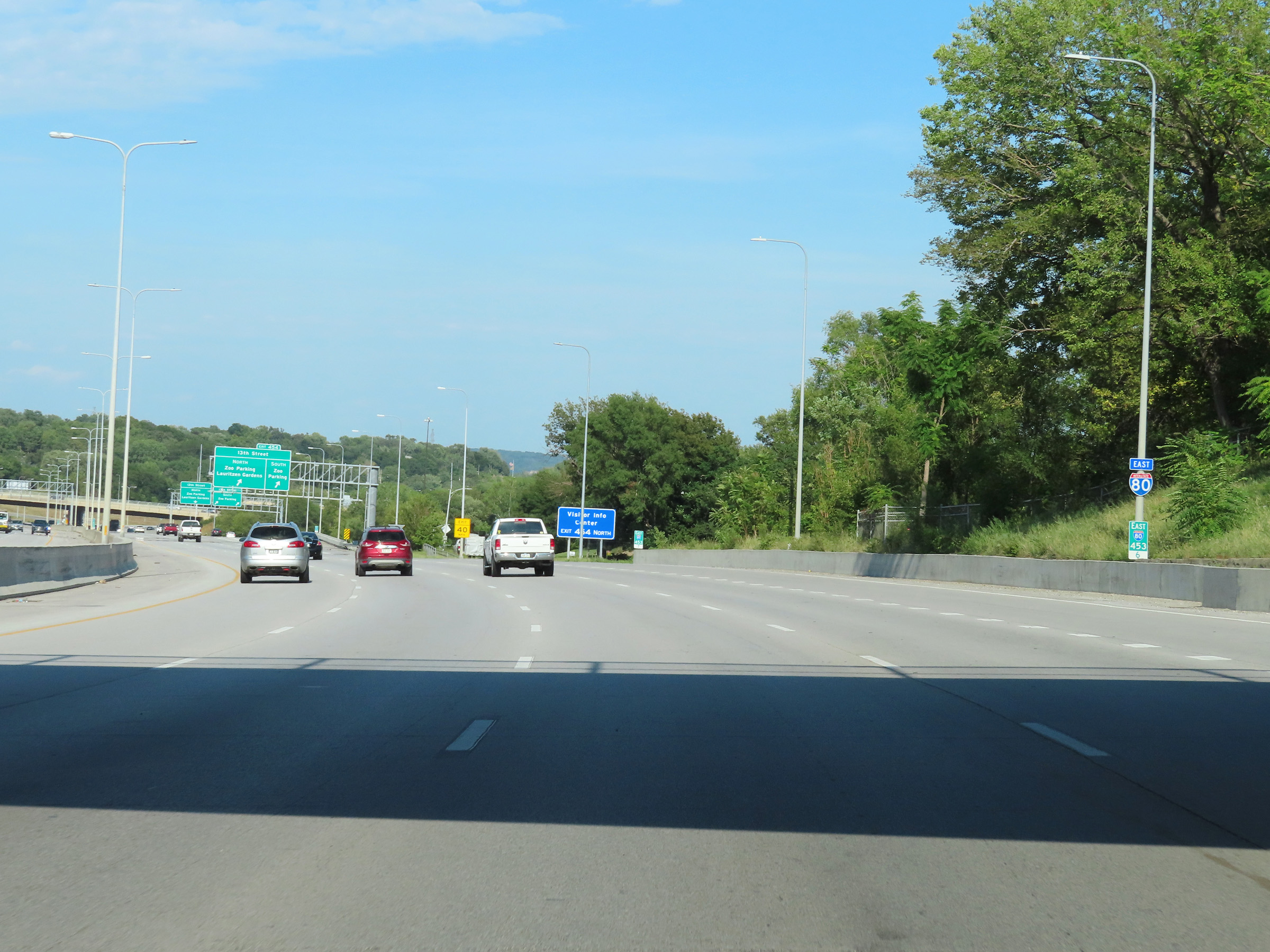
Take Exit 454 and go north on 13th St to get to the Museums and Entertainment District. (Photo taken 8/18/22). |
 |
Interstate 80 East reassurance shield at mile marker 453.6 in Omaha. (Photo taken 8/18/22). |
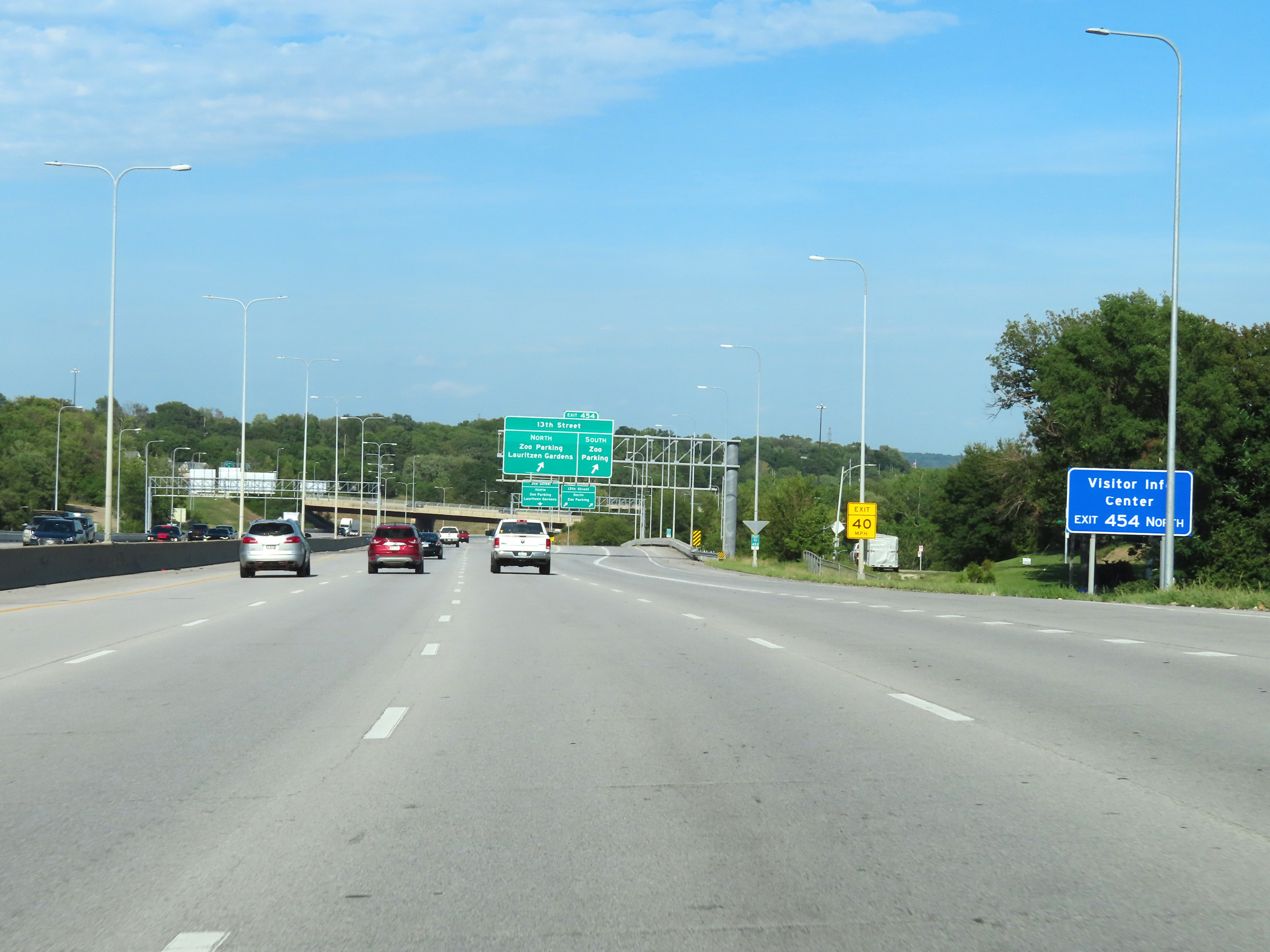 |
A Tourist Info Center also exists off Exit 454 via 13th St North. (Photo taken 8/18/22). |
 |
Interstate 80 East at Exit 454: 13th Street / Zoo Parking / Lauritzen Gardens (Photo taken 8/18/22). |
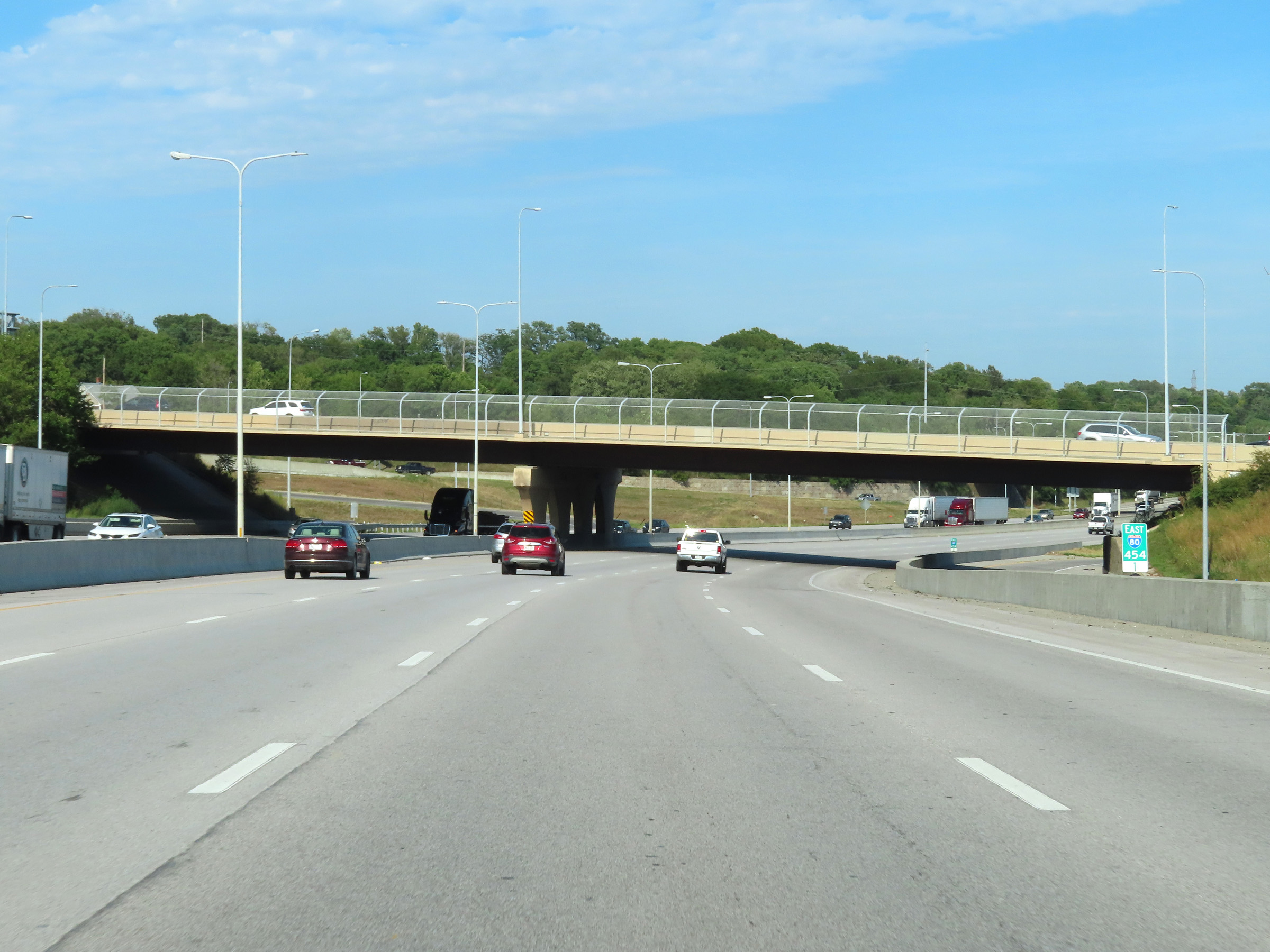 |
View on Interstate 80 East at mile marker 454.1. (Photo taken 8/18/22). |
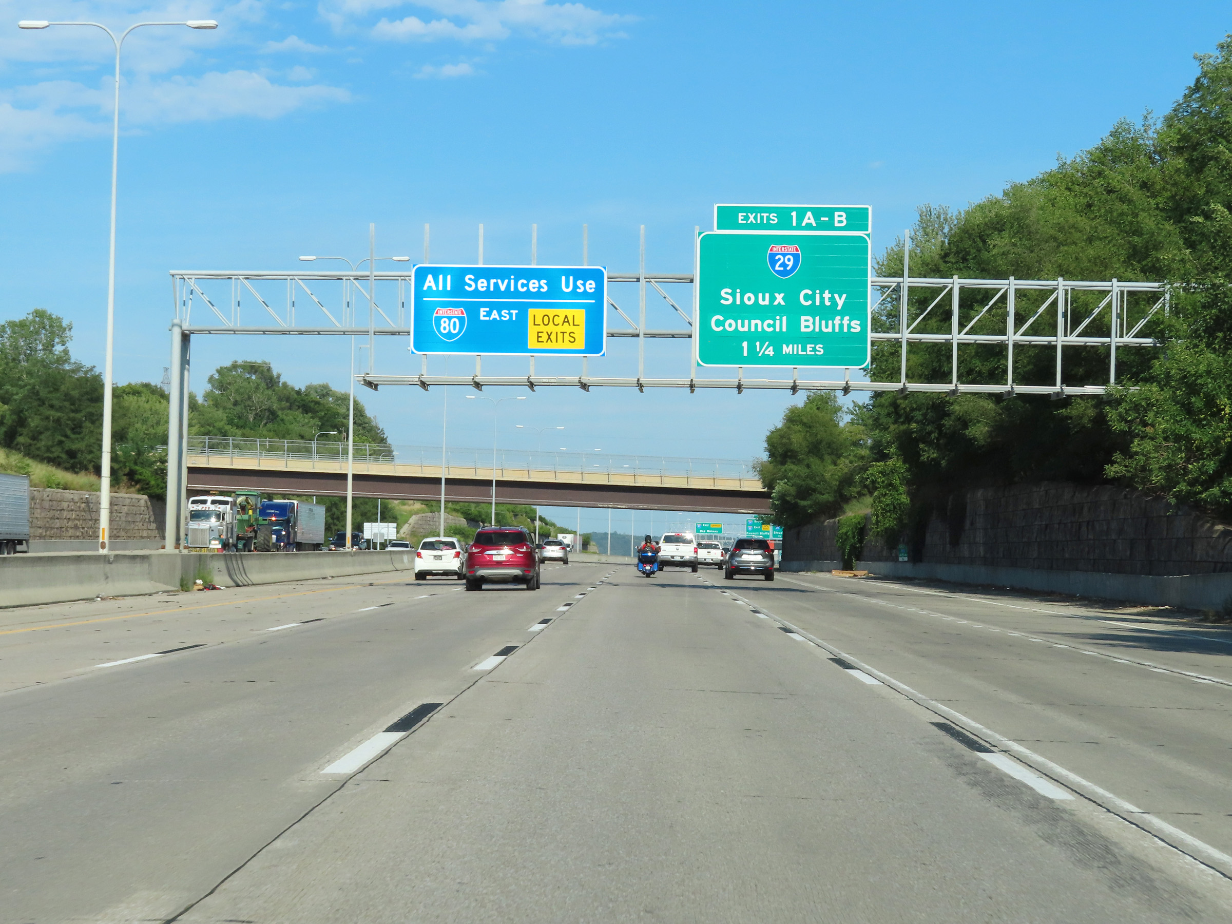 |
Advance signage for Exits 1A-B, which will be the first exits on Interstate 80 East after it crosses the Missouri River into Iowa 1 1/4 miles ahead. (Photo taken 8/18/22). |
 |
Interstate 80 East will split into local and express lanes immediately after crossing the Missouri River into Iowa. Thru traffic should stay straight ahead, while traffic looking to take any local exits in Council Bluffs should use the local lanes via Exit 1B. (Photo taken 8/18/22). |
 |
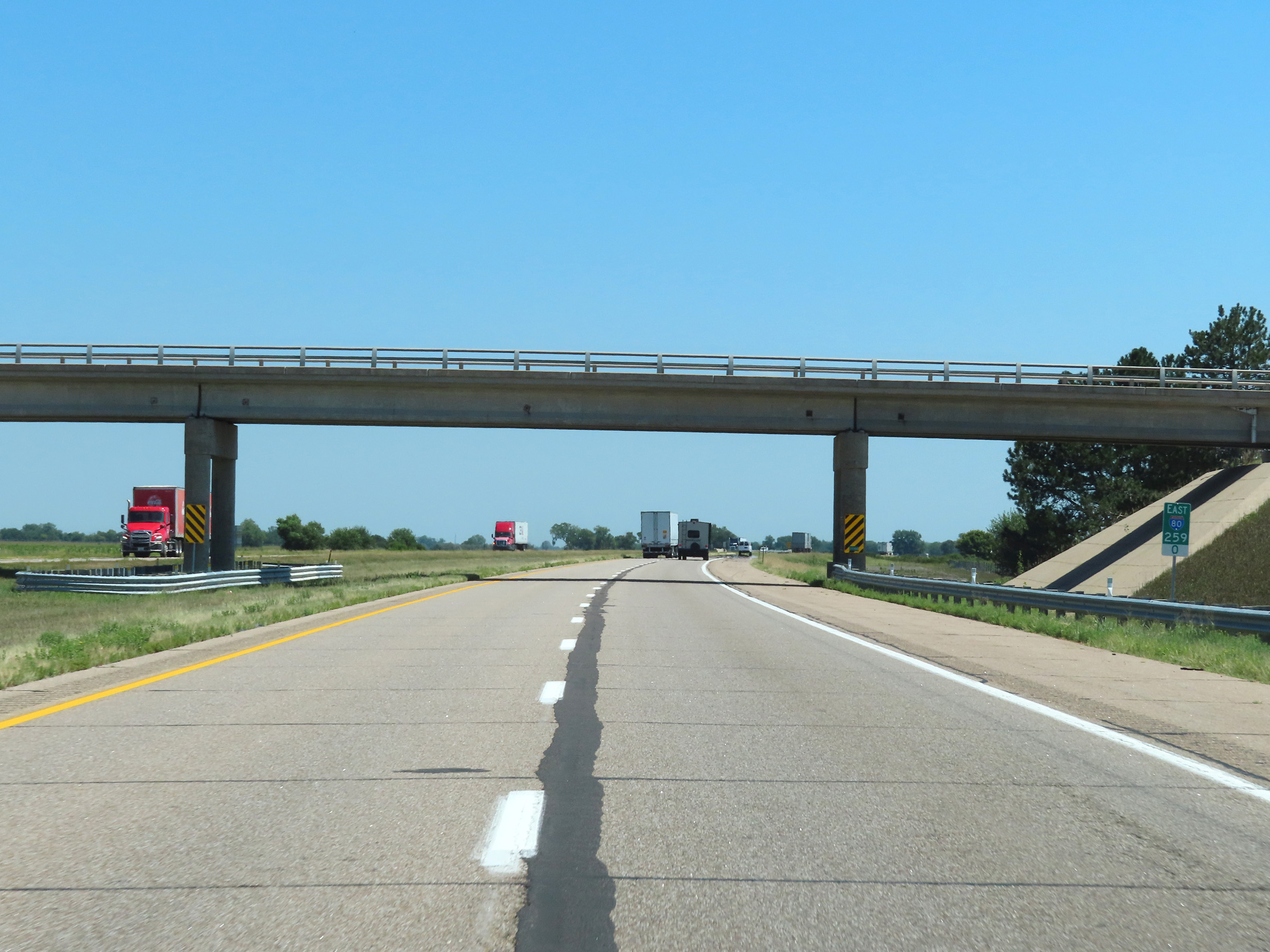
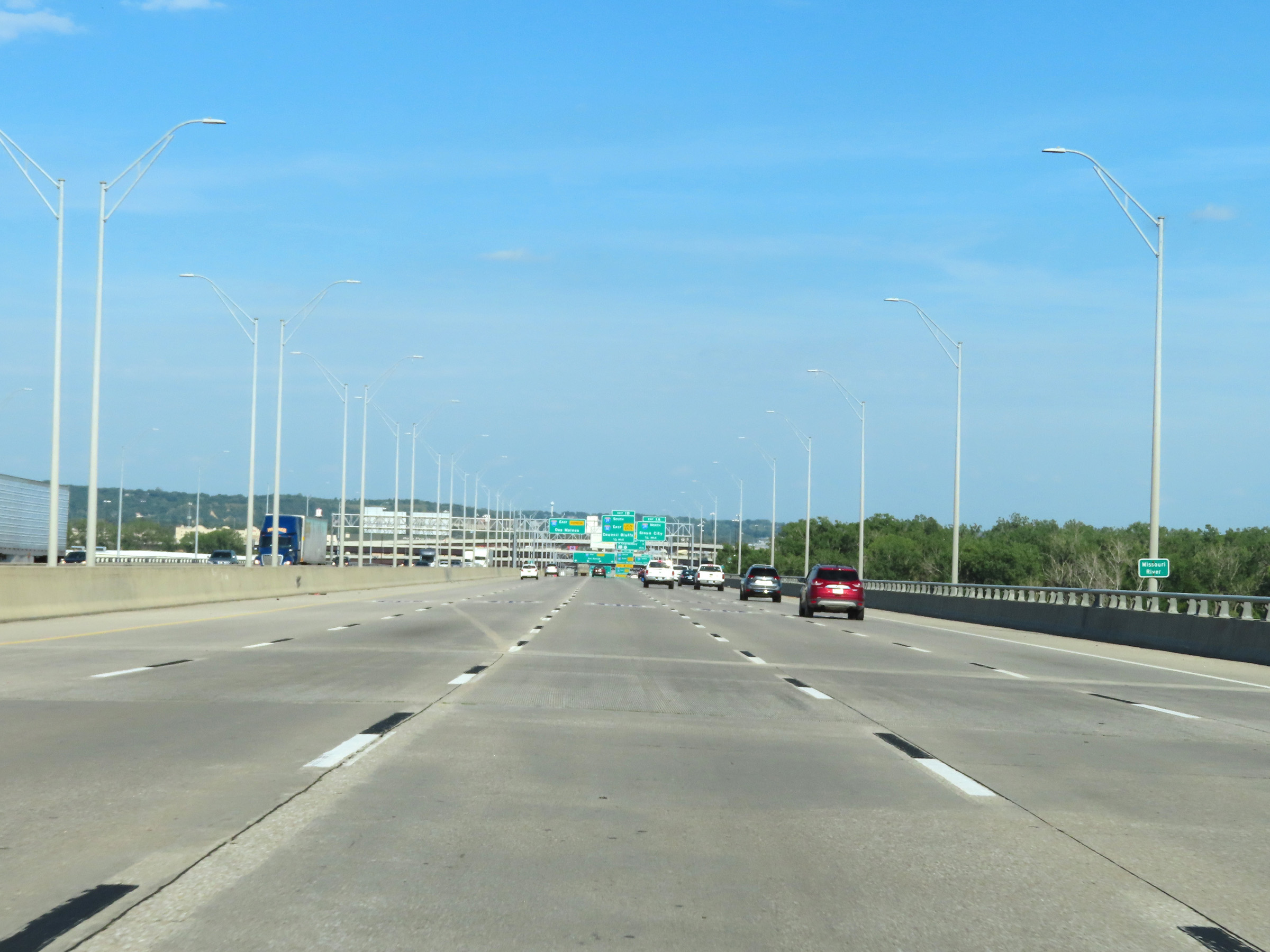
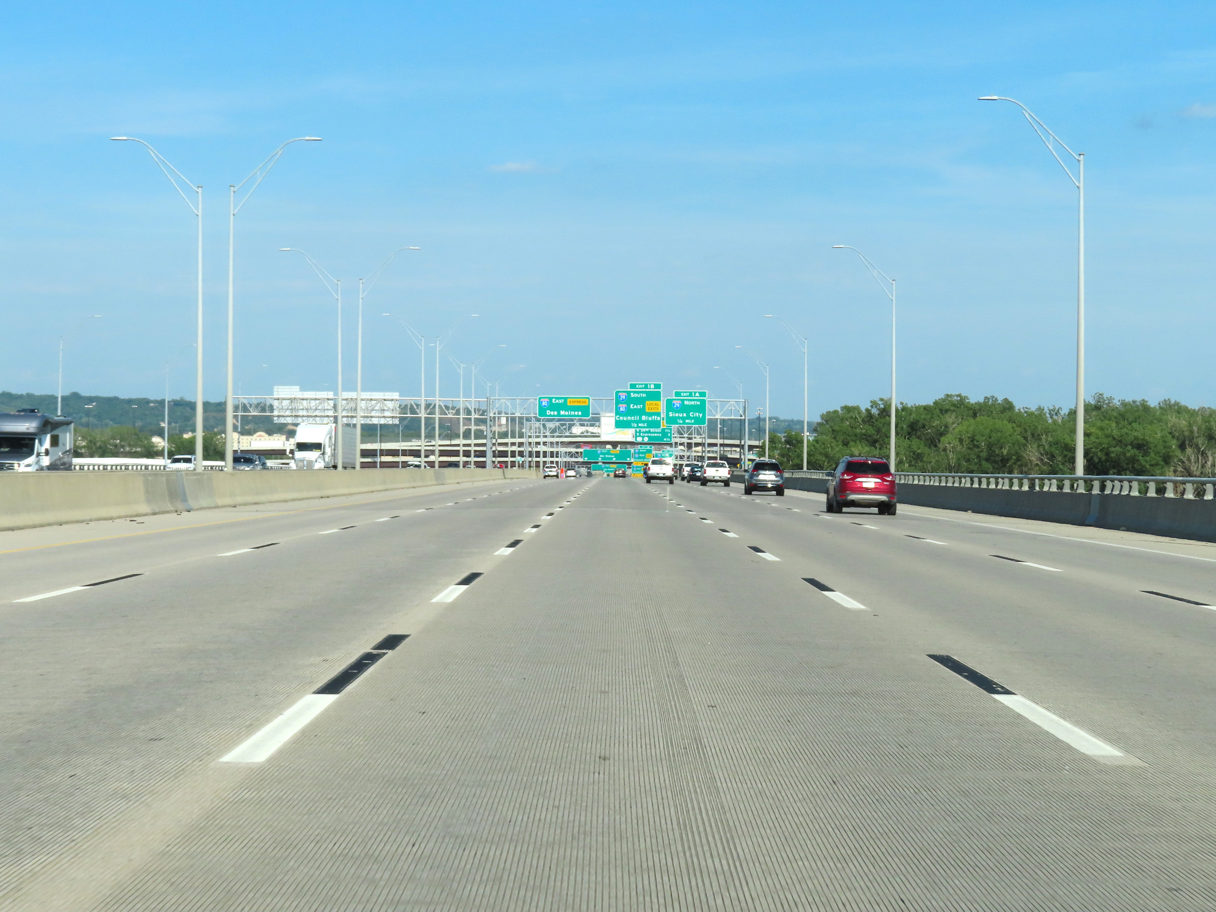
View on Interstate 80 East at mile marker 455, as it prepares to cross the Missouri River. (Photo taken 8/18/22). |
 |
Interstate 80 East as it starts across the Missouri River on the Interstate 80 Bridge. (Photo taken 8/18/22). |
 |
Interstate 80 East as it makes its way across the Interstate 80 Bridge over the Missouri River, leaving Nebraska to enter Iowa. (Photo taken 8/18/22). |