Road Information |
||
 |
||
| Total Mileage in State: | 3.5 miles | |
| Northern End: | At US 34, in Lincoln | |
| Southern End: | At N 9th St / R St, in Lincoln | |
| Mileage covered in Photos: | 3.5 miles | |
| Counties covered in Photos: | Lancaster | |
| Major Junctions in Photos: | I-80, in Lincoln | |
| Control Cities in Photos: | Lincoln | |
Southbound
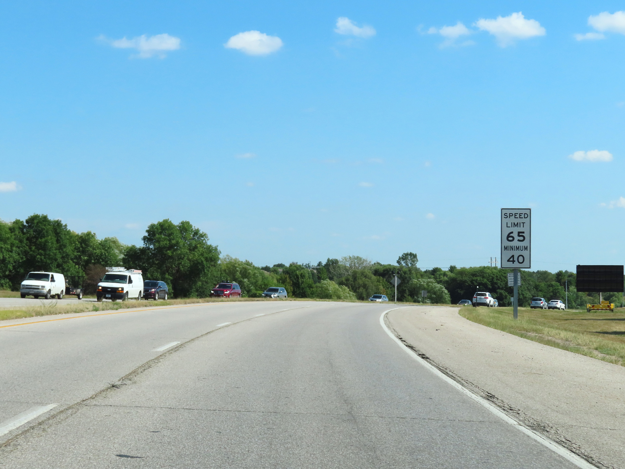 |
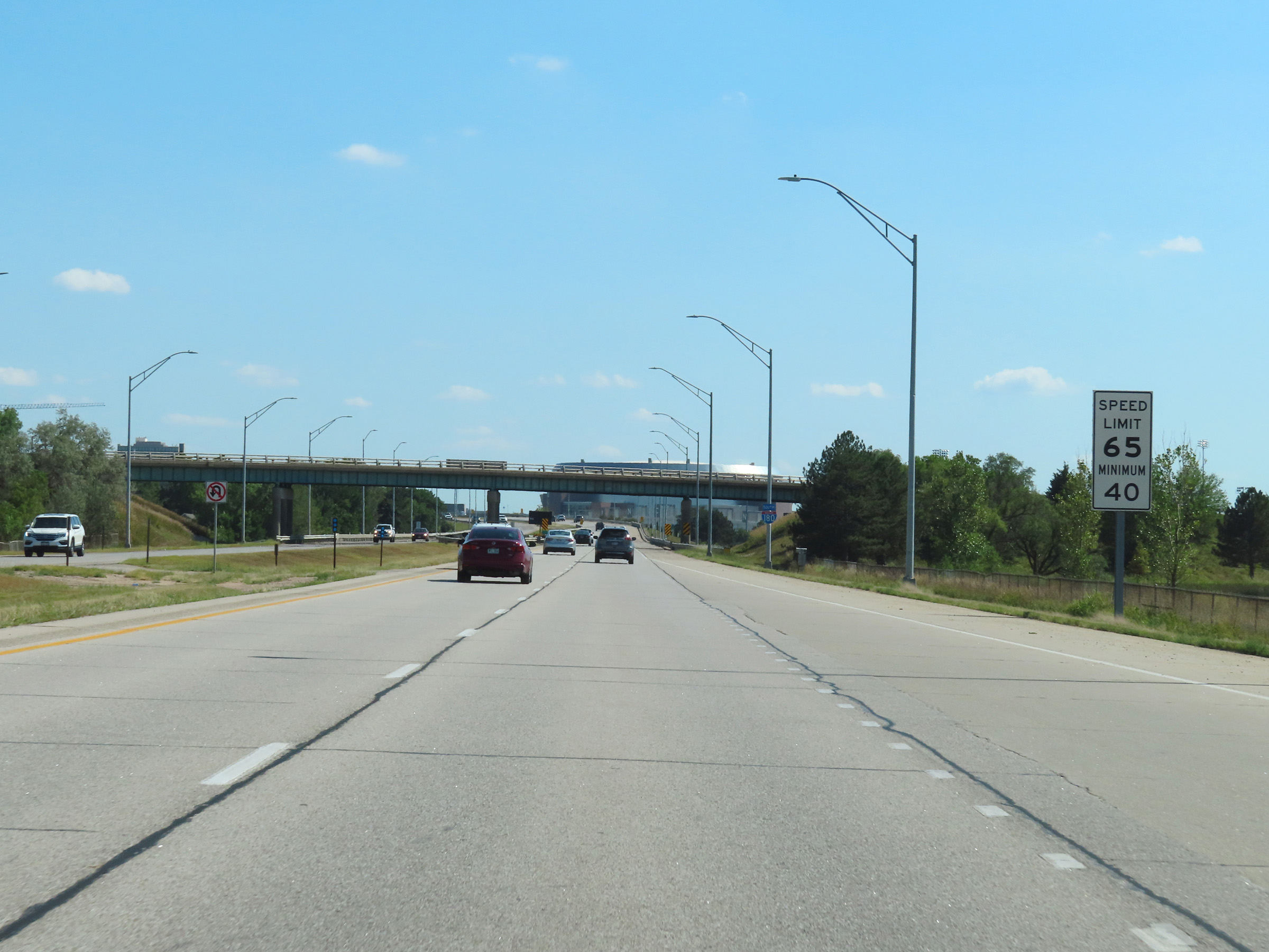
Approaching the beginning of Interstate 180 South on US 34 East, the speed limits increase to 65 mph maximum and 40 mph minimum. US 34 runs concurrently with I-180 for its entire 3.5-mile length. (Photo taken 8/18/22). |
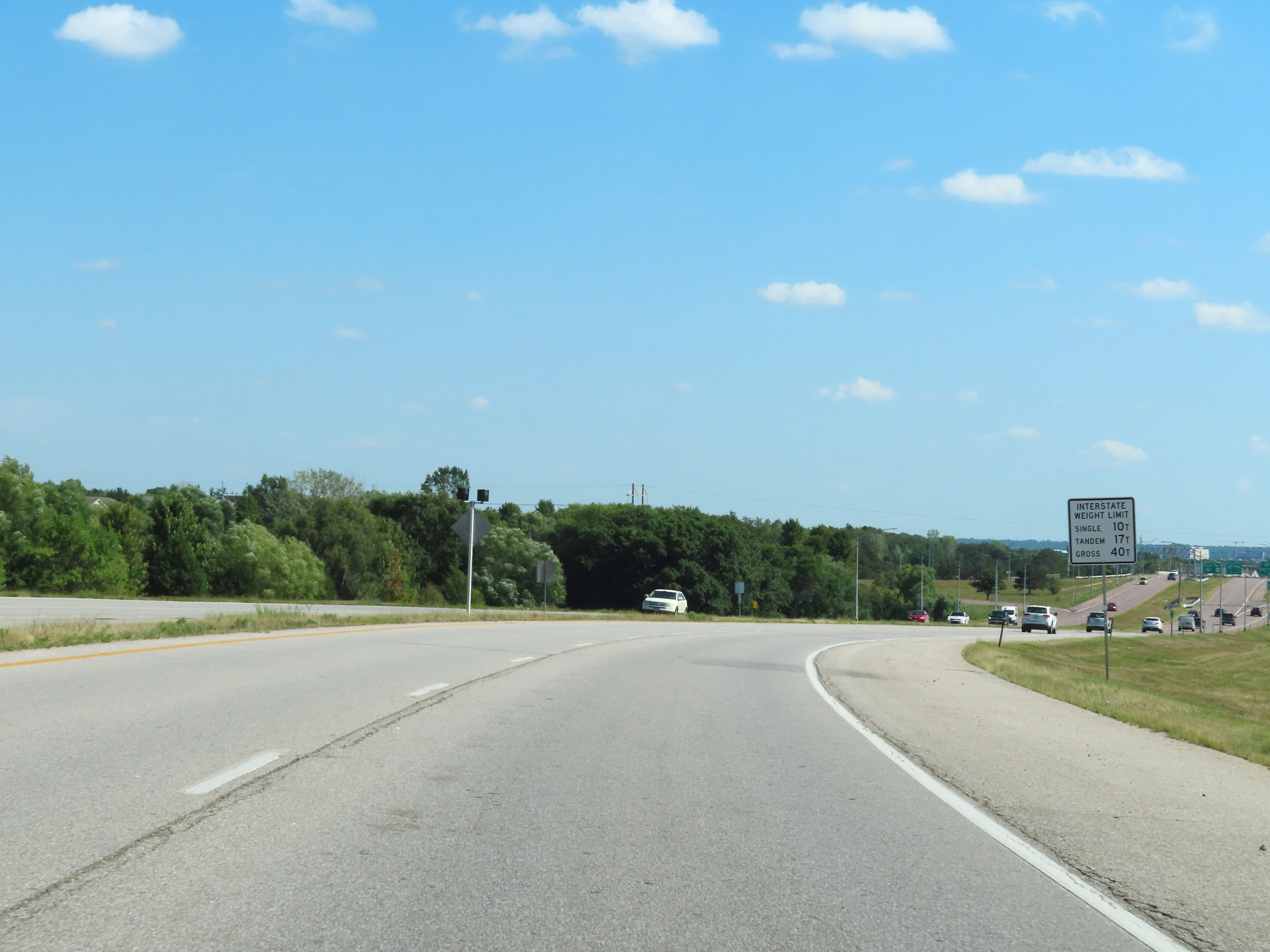 |
This sign lists the legal maximum weight limits for commercial vehicles on Interstate highways in Nebraska, signalling the beginning of Interstate 180 South ahead. (Photo taken 8/18/22). |
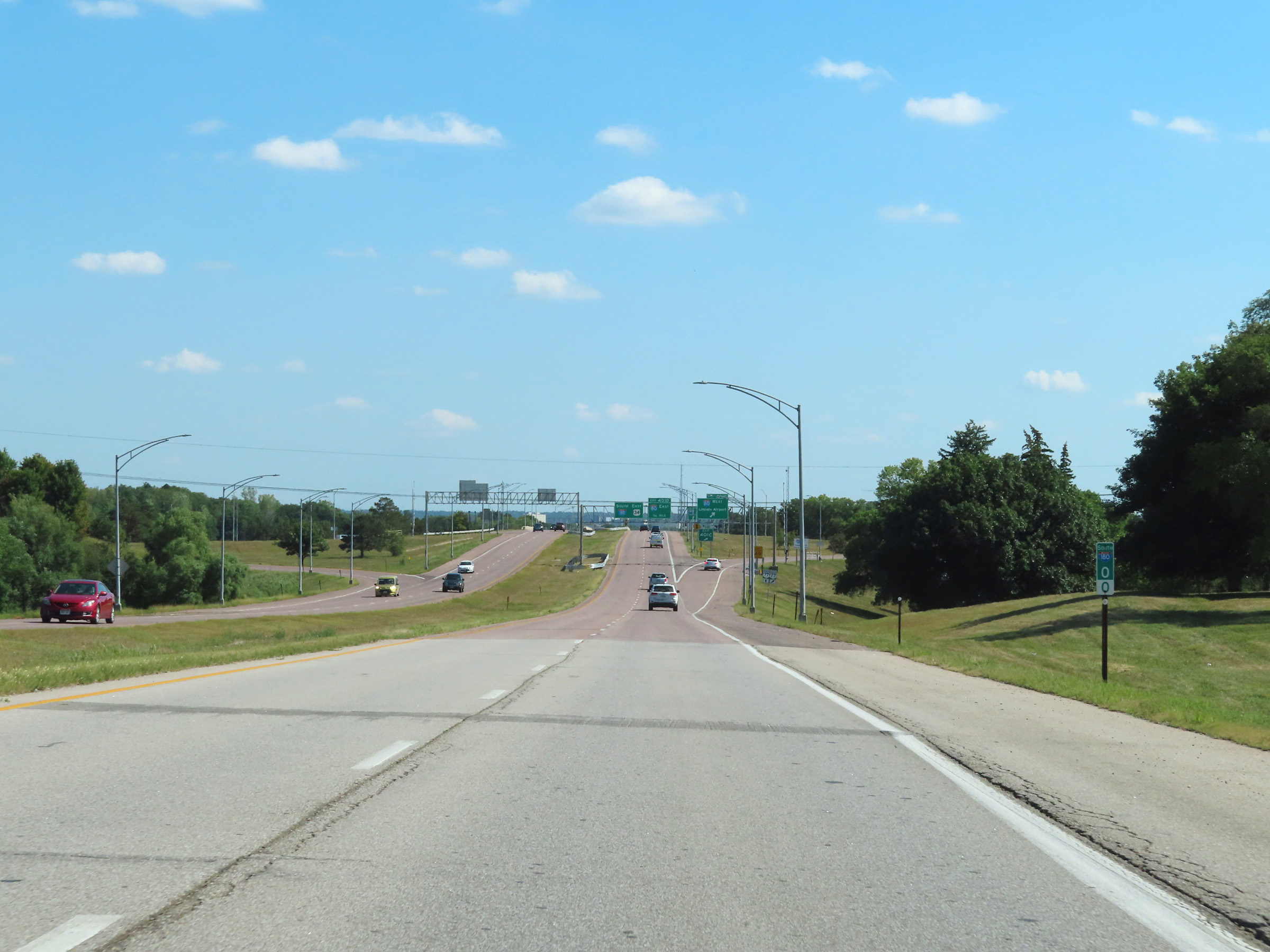 |
Interstate 180 South officially begins here, at mile marker 0 just before its junction with Interstate 80. I-180 in Nebraska is one of those north-south 3-digit Interstates on which the mile markers and exit numbers actually increase as you go south, which is the opposite of how most of them are numbered. (Photo taken 8/18/22). |
 |
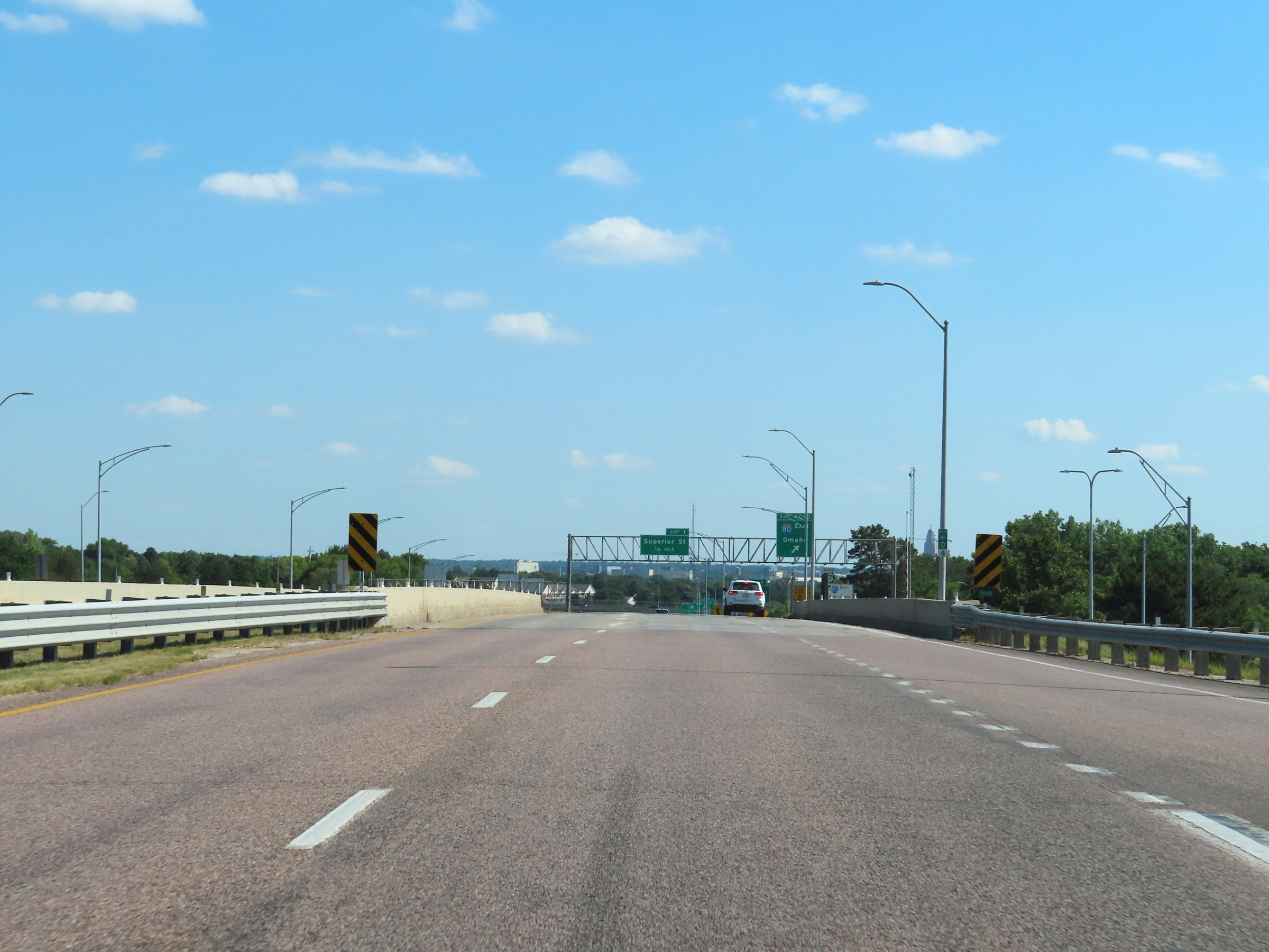
Interstate 180 South at Exit 401C: Interstate 80 West - Lincoln Airport. The exit numbers for the I-80 interchange on I-180 are numbered based on the total mileage of I-80, not I-180. (Photo taken 8/18/22). |
 |
View on Interstate 180 South at mile marker 0.4, as it prepares to pass over Interstate 80. (Photo taken 8/18/22). |
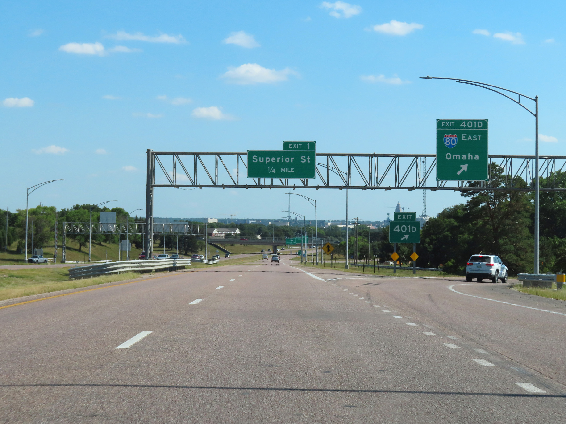 |
Interstate 180 South at Exit 401D: Interstate 80 East - Omaha (Photo taken 8/18/22). |
 |
Interstate 180 South at mile marker 0.6, as traffic from Interstate 80 East merges into it ahead from the right. (Photo taken 8/18/22). |
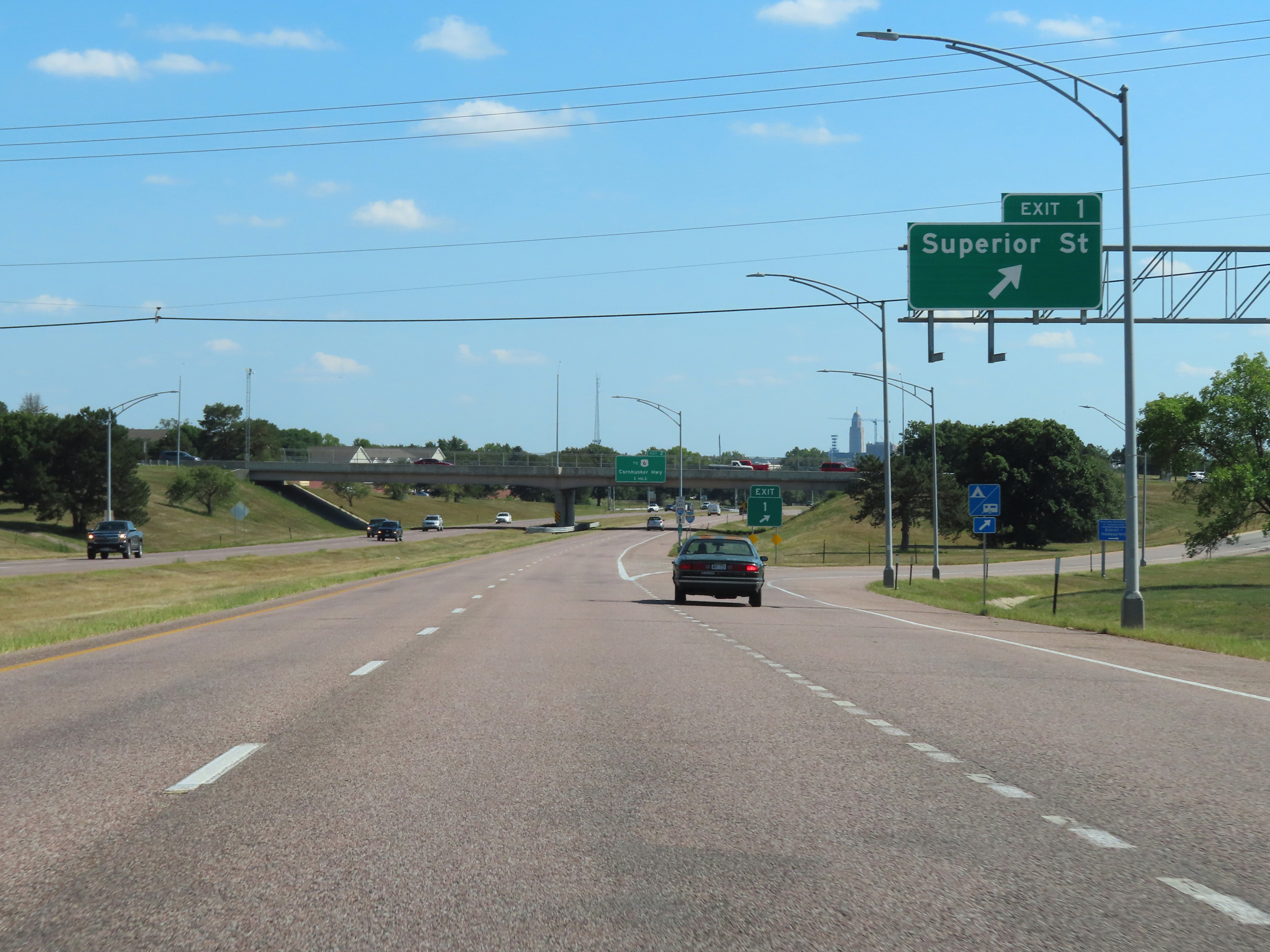 |
Interstate 180 South at Exit 1: Superior St (Photo taken 8/18/22). |
 |
Interstate 180 South reassurance shield. (Photo taken 8/18/22). |
 |
Take Exit 2 to Haymarket Park and Pinnacle Bank Arena. (Photo taken 8/18/22). |
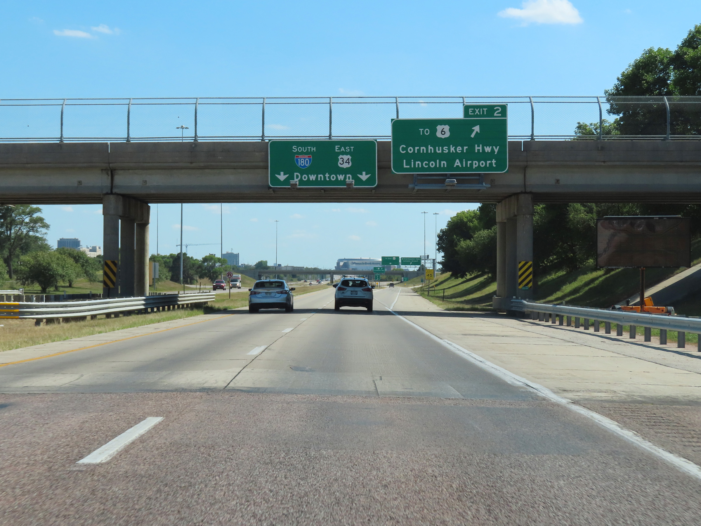 |
Interstate 180 South at Exit 2: To US 6 - Cornhusker Hwy / Lincoln Airport (Photo taken 8/18/22). |
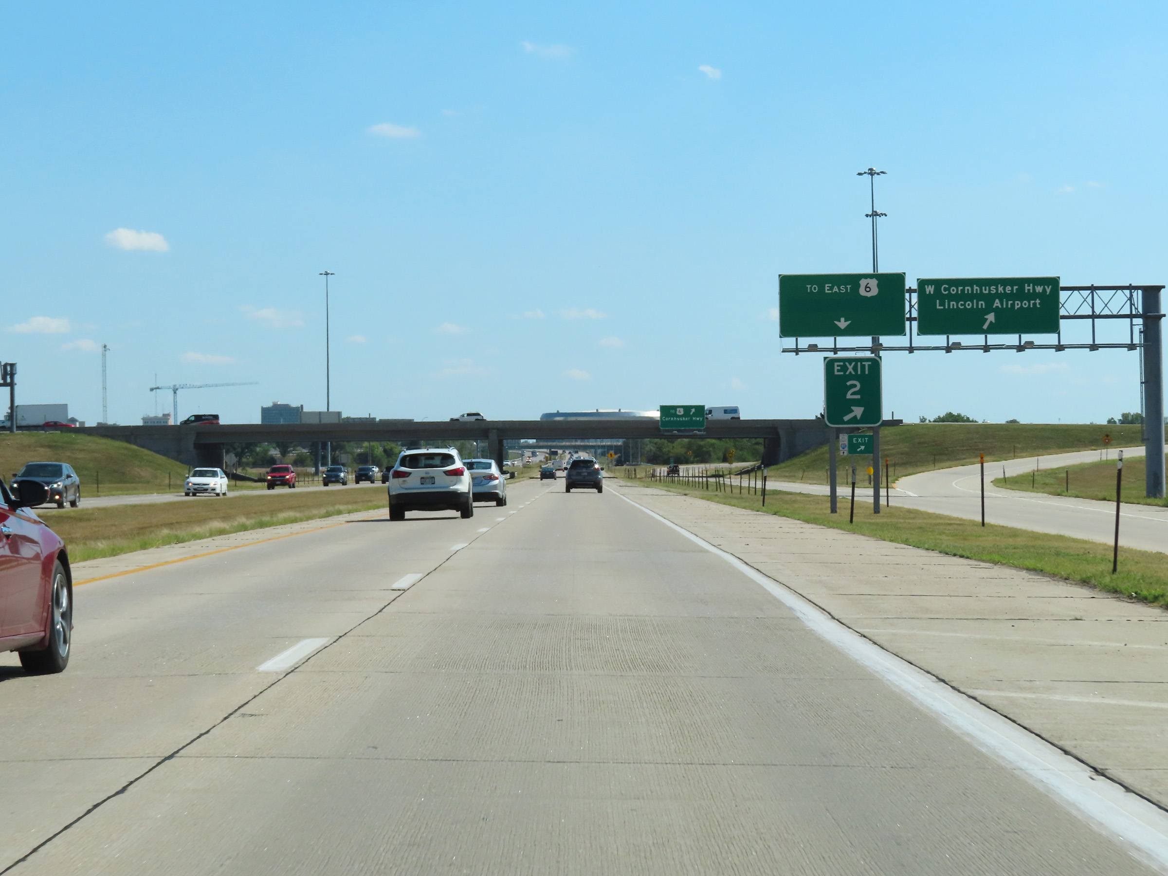 |
The ramp to Exit 2 splits into two ramps, the first of which is seen here providing access to West Cornhusker Hwy toward Lincoln Airport. (Photo taken 8/18/22). |
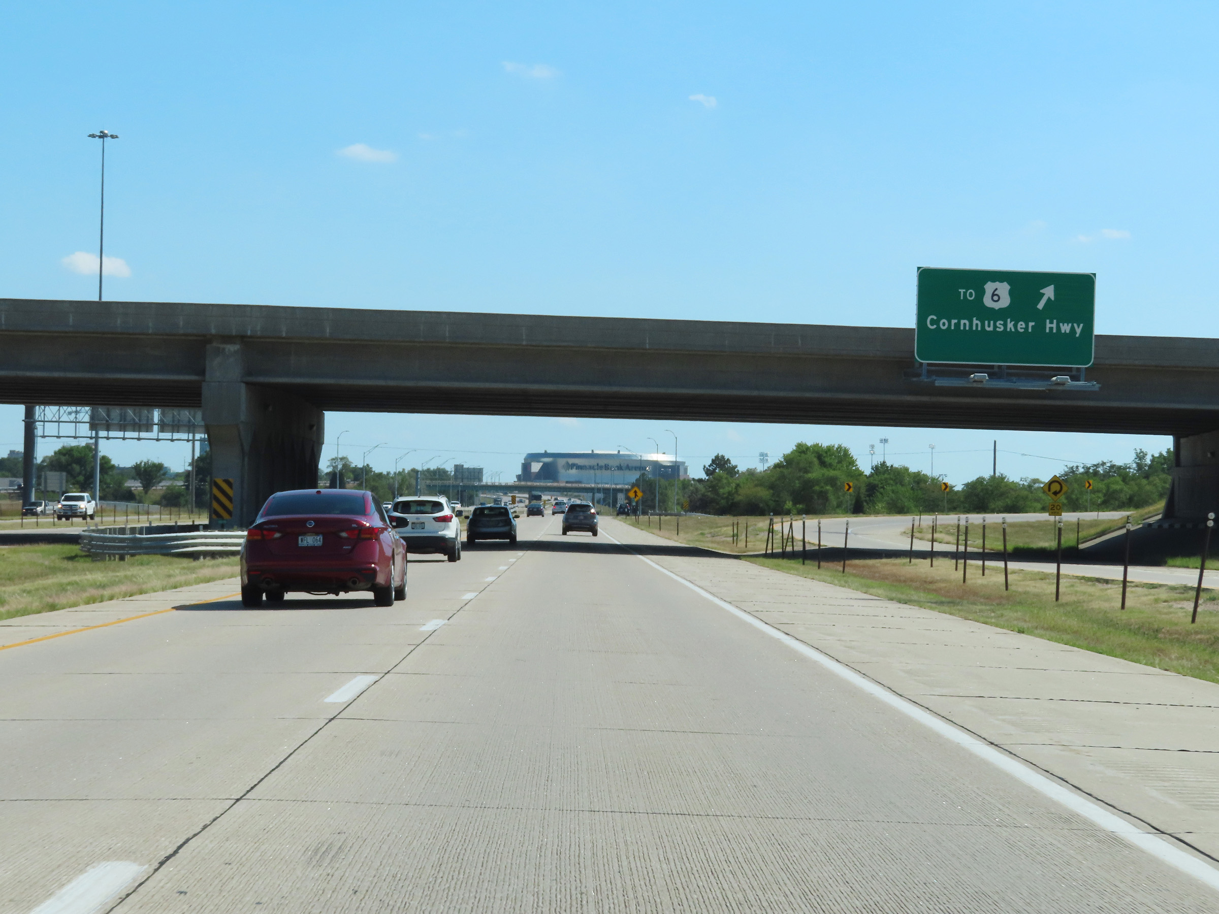 |
The second ramp is this loop ramp which provides access to US 6 via Cornhusker Hwy. (Photo taken 8/18/22). |
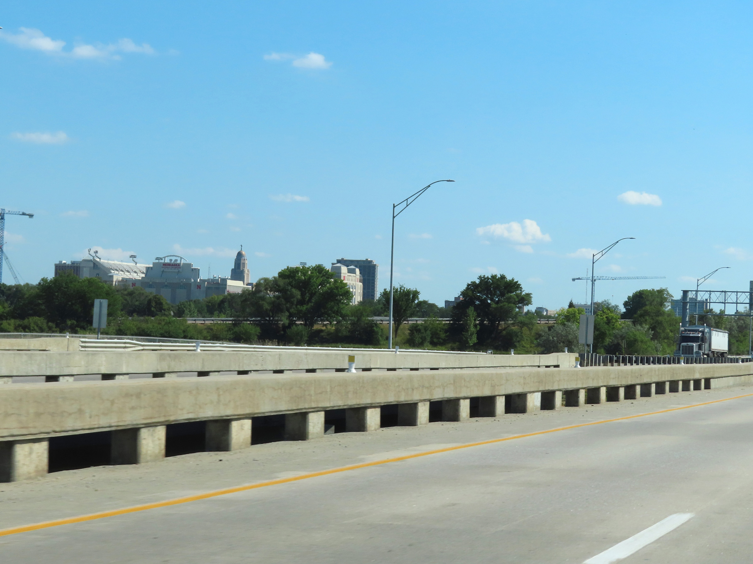 |
A view of Memorial Stadium (nicknamed 'The Sea of Red', and the home of the Nebraska Cornhuskers college football) and the Nebraska State Capitol from Interstate 180 South approaching downtown Lincoln, looking to the southeast. (Photo taken 8/18/22). |
 |
The speed limits on Interstate 180 South remain 65 mph maximum and 40 mph minimum. (Photo taken 8/18/22). |
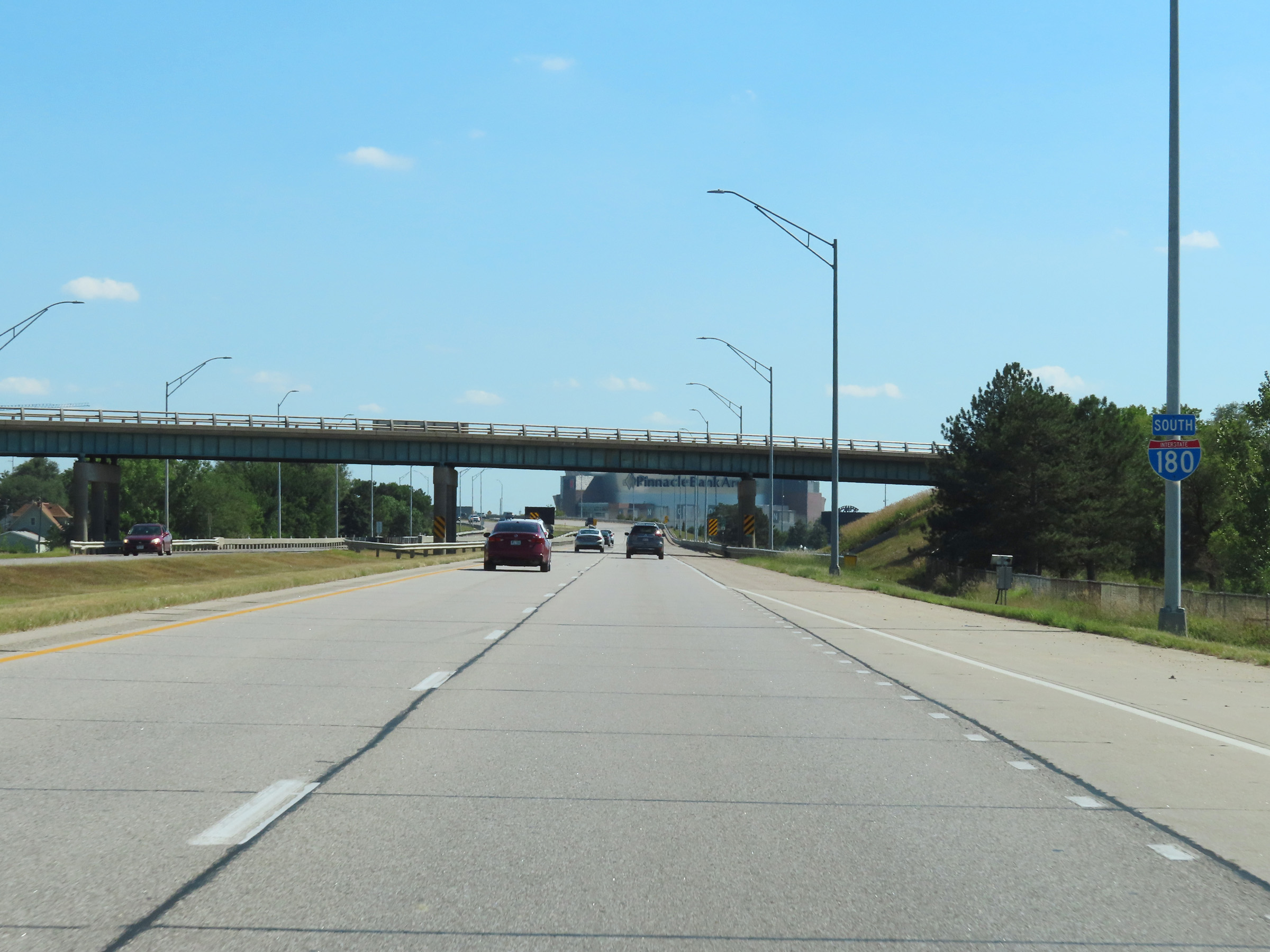 |
Another Interstate 180 South reassurance shield. (Photo taken 8/18/22). |
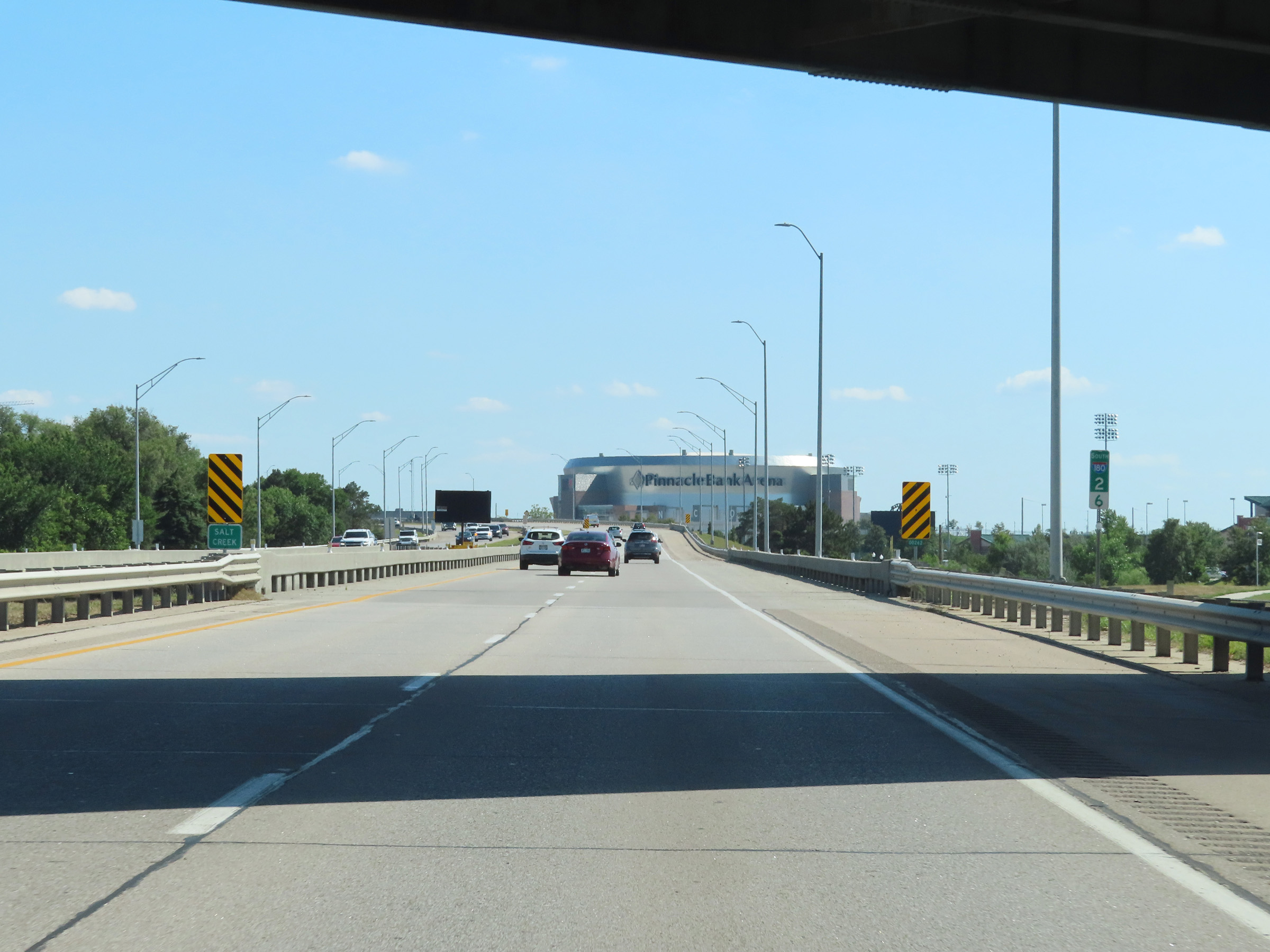 |
View on Interstate 180 South at mile marker 2.6. (Photo taken 8/18/22). |
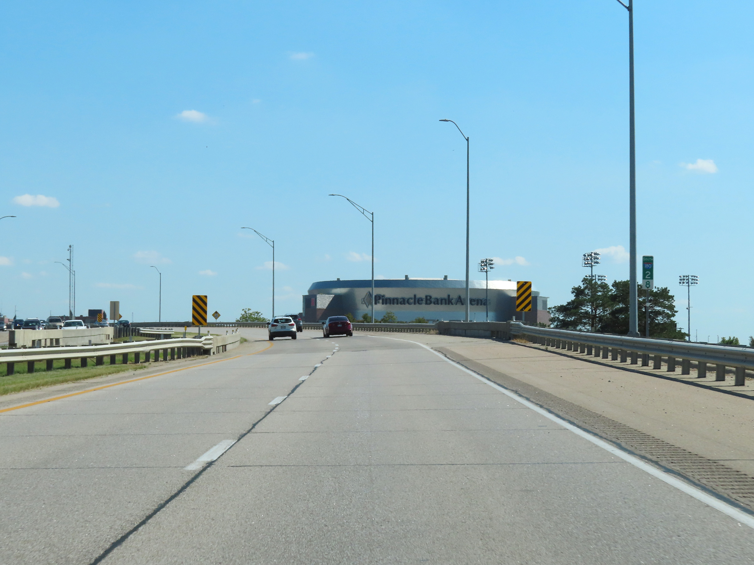 |
Pinnacle Bank Arena, home of the men's and women's basketball teams of the University of Nebraska, comes into clear view ahead on Interstate 180 South at mile marker 2.8. (Photo taken 8/18/22). |
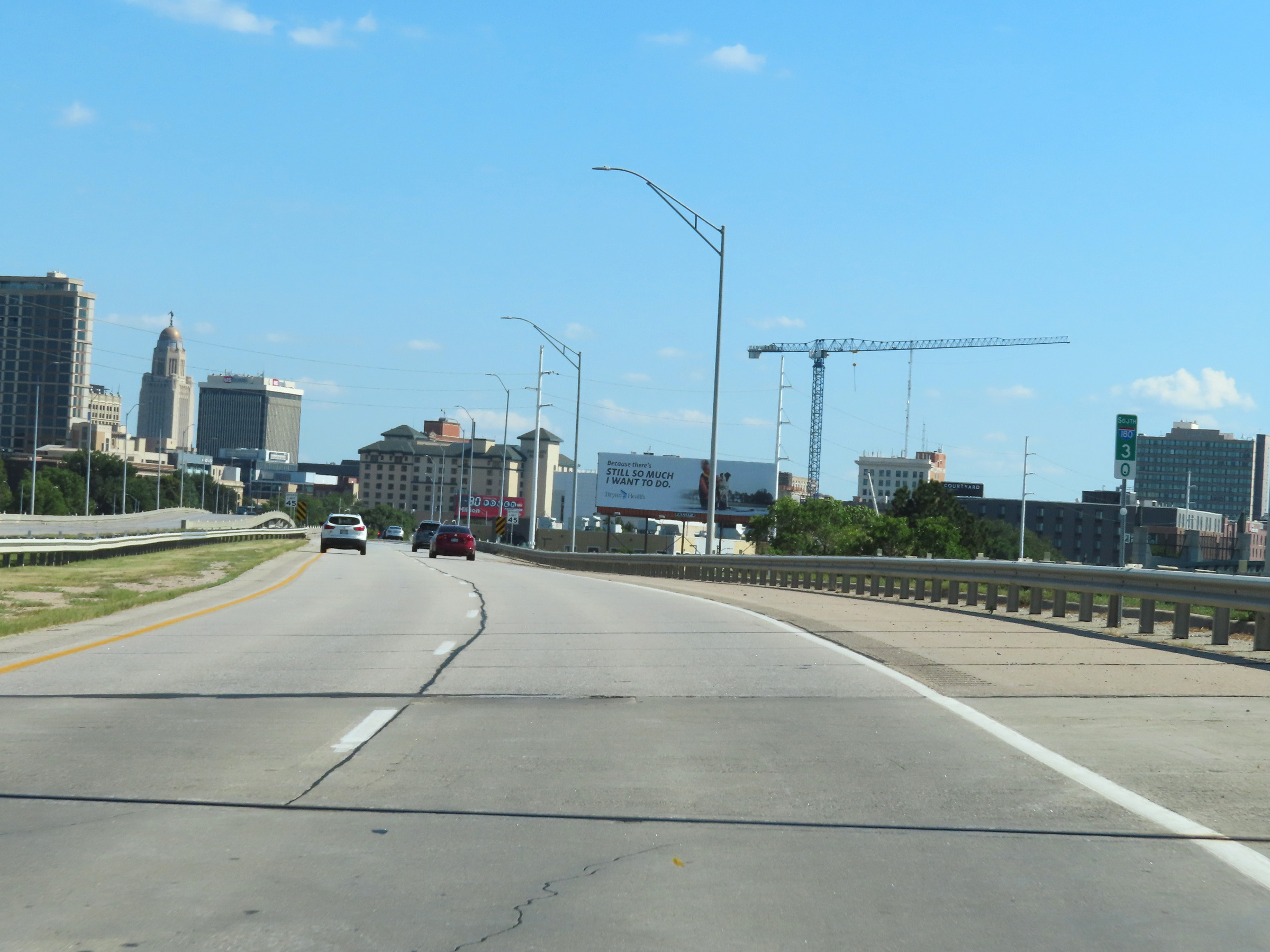 |
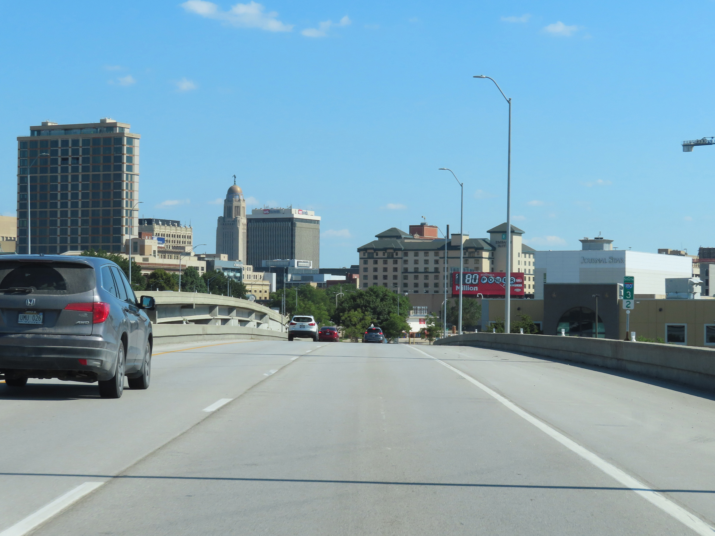
View of downtown Lincoln at mile marker 3. (Photo taken 8/18/22). |
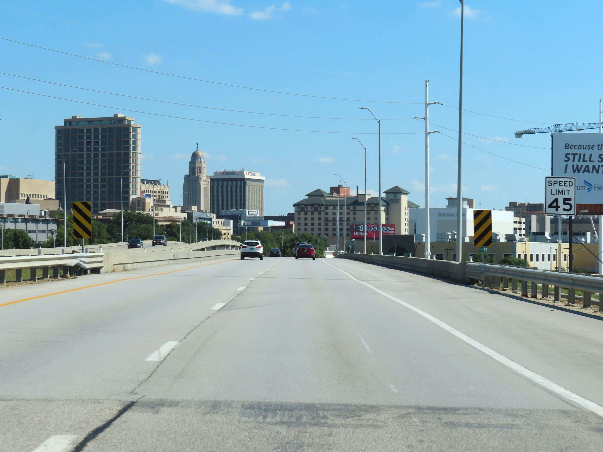 |
As Interstate 180 South nears its southern terminus in downtown Lincoln, the maximum speed limit decreases to 45 mph. We get a better view of the Nebraska State Capitol at this point. (Photo taken 8/18/22). |
 |
View on Interstate 180 South at mile marker 3.2, as I-180 nears its southern terminus in downtown Lincoln. (Photo taken 8/18/22). |
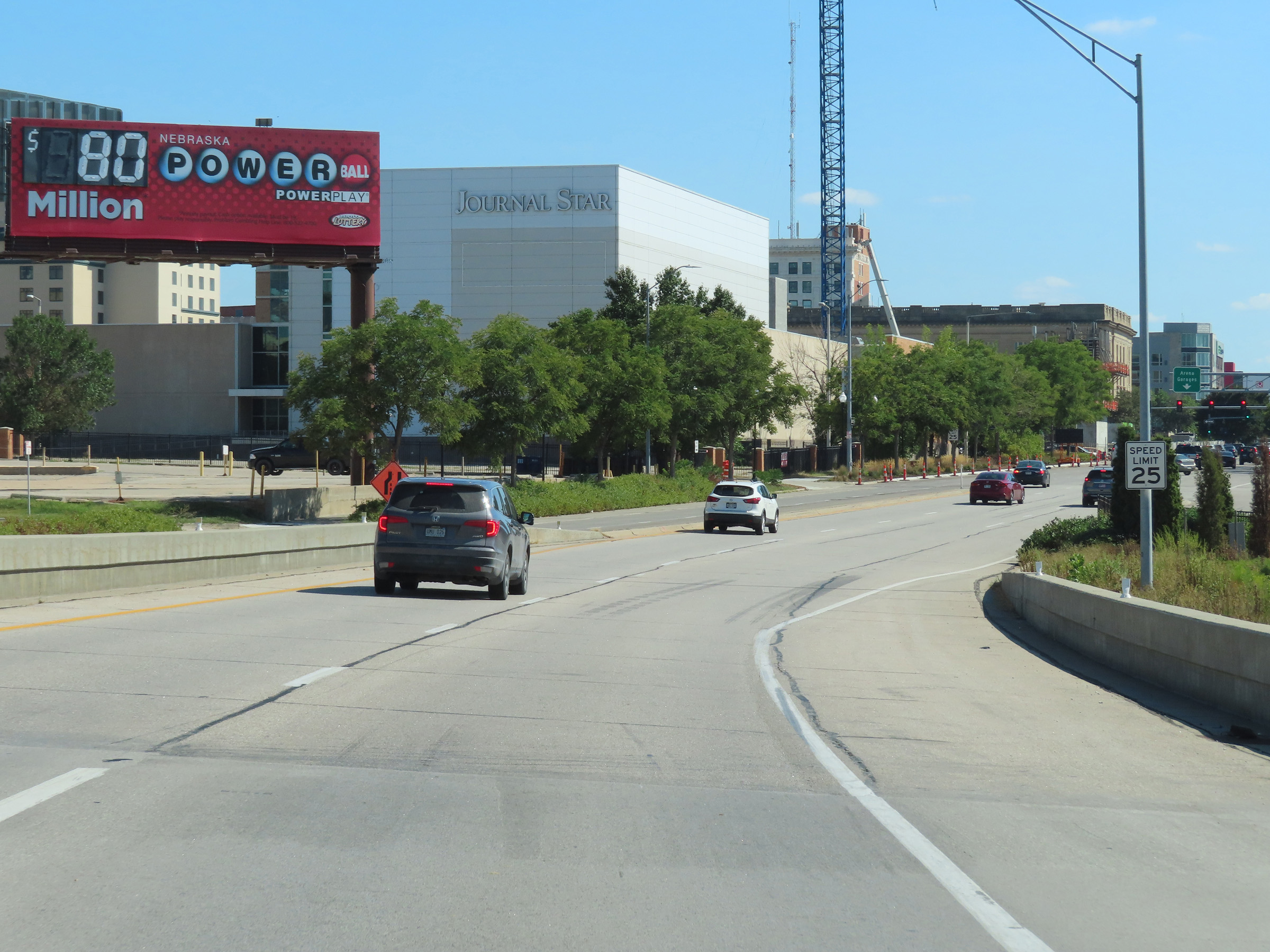 |
The speed limit decreases to 25 mph as Interstate 180 reaches its southern terminus in downtown Lincoln and becomes North 9th St (US 34 East). (Photo taken 8/18/22). |
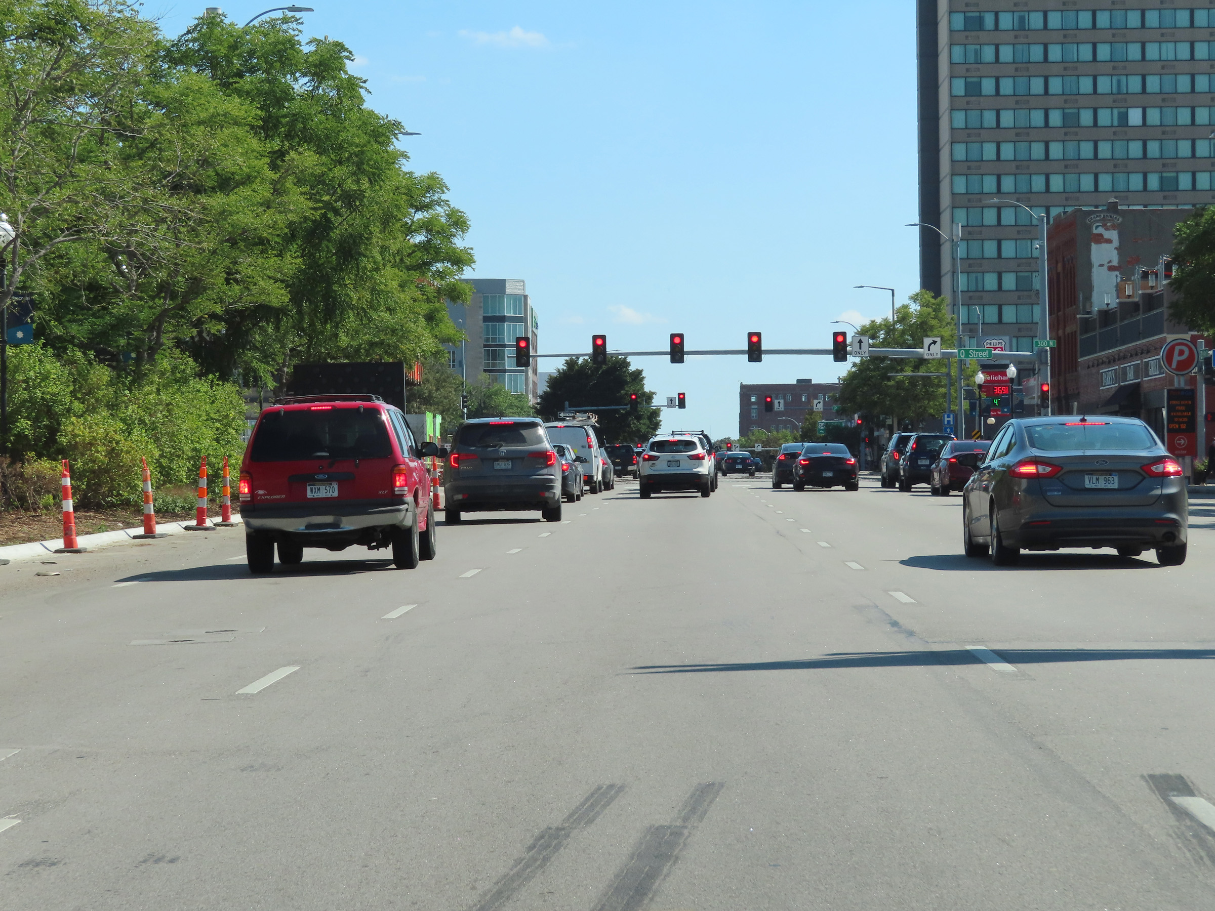 |
The first traffic signal on North 9th St (US 34 East) beyond the southern terminus of Interstate 180 is at this intersection with Q Street. (Photo taken 8/18/22). |