Road Information |
||
 |
||
| Total Mileage in State: | 554 miles | |
| Eastern End: | At Wyoming state line | |
| Western End: | At Idaho state line | |
| Mileage covered in Photos: | 228 miles | |
| Counties covered in Photos: | Mineral, Missoula, Granite, Powell, Deer Lodge, Silver Bow | |
| Major Junctions in Photos: | US 93, near Missoula I-15 South, in Butte I-115, in Butte I-15 North, in Butte |
|
| Control Cities in Photos: | St. Regis, Missoula, Drumond, Deer Lodge, Butte | |
Eastbound
- Section 1: Idaho Border to Alberton (Exit 77)
- Section 2: Alberton (Exit 77) to Missoula (Exit 107)
- Section 3: Missoula (Exit 107) to Deer Lodge (Exit 184)
- Section 4: Deer Lodge (Exit 184) to Butte (Exit 228)
Section 1: Idaho Border to Alberton (Exit 77)
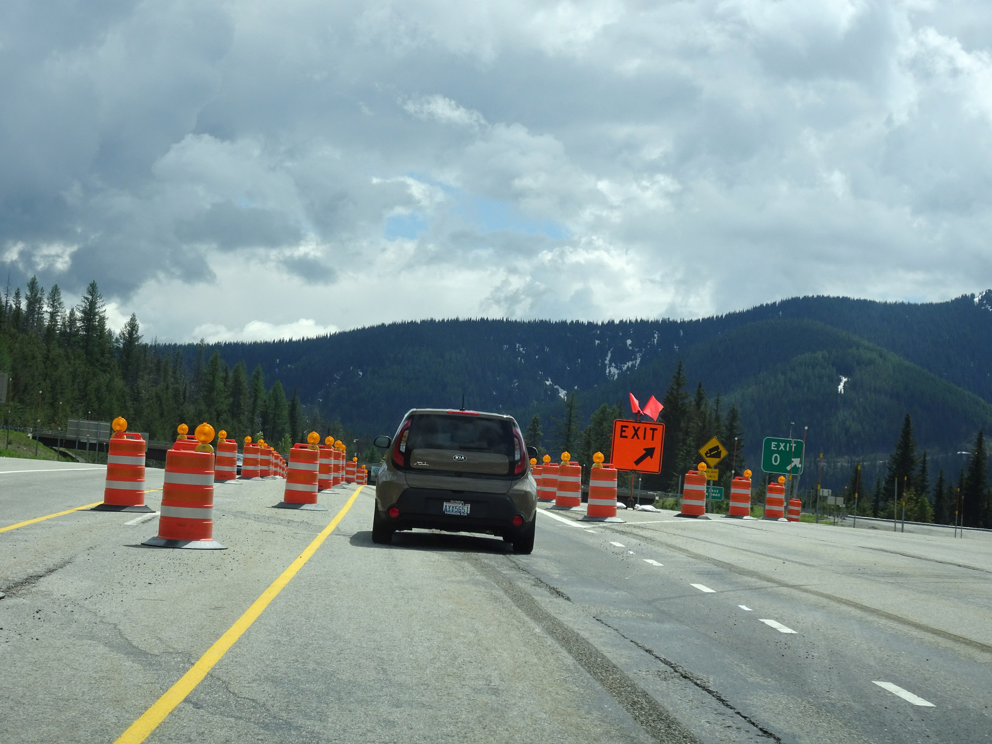 |
Interstate 90 East at Exit 0: Lookout Pass (Photo taken 5/25/16). |
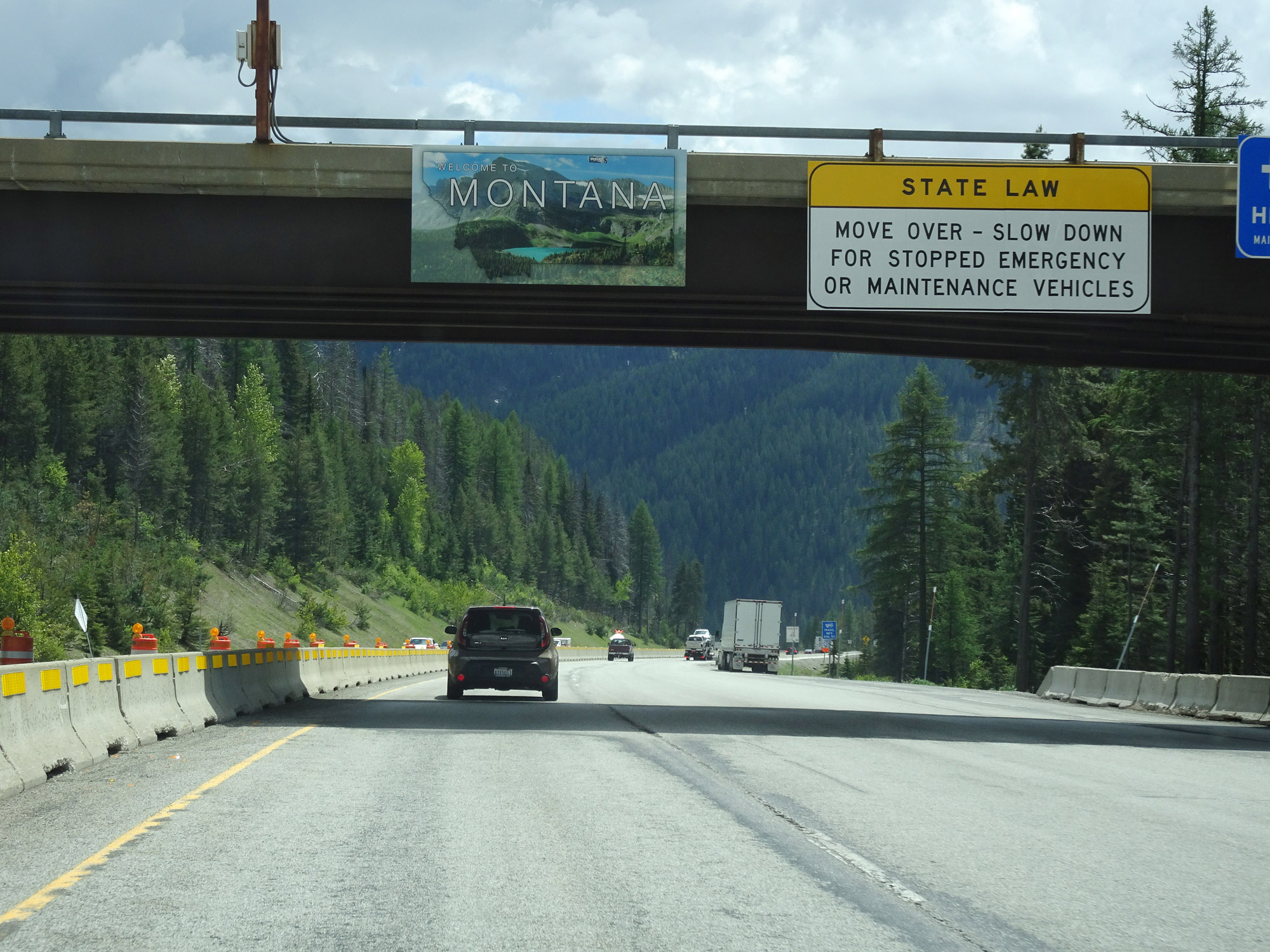 |
Montana welcome sign as Interstate 90 East enters the state from Idaho at the summit of Lookout Pass. (Photo taken 5/25/16). |
 |
Interstate 90 East reassurance shield as it descends the eastern side of Lookout Pass. (Photo taken 5/25/16). |
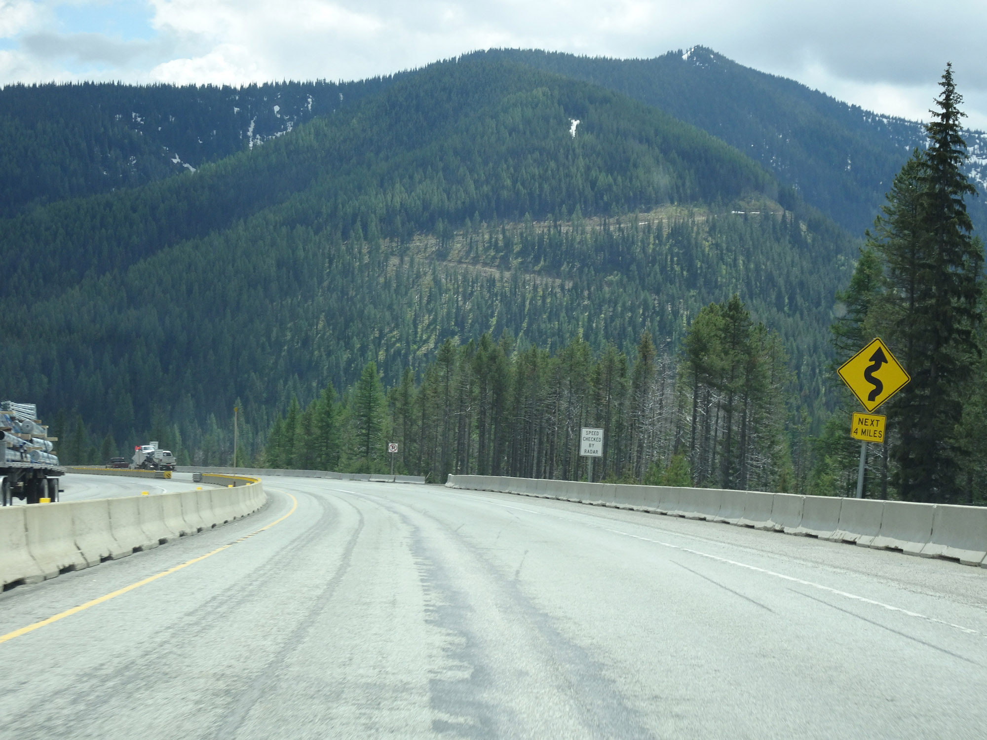 |
This sign warns that Interstate 90 East will traverse some winding curves ahead for the next 4 miles as it descends Lookout Pass. (Photo taken 5/25/16). |
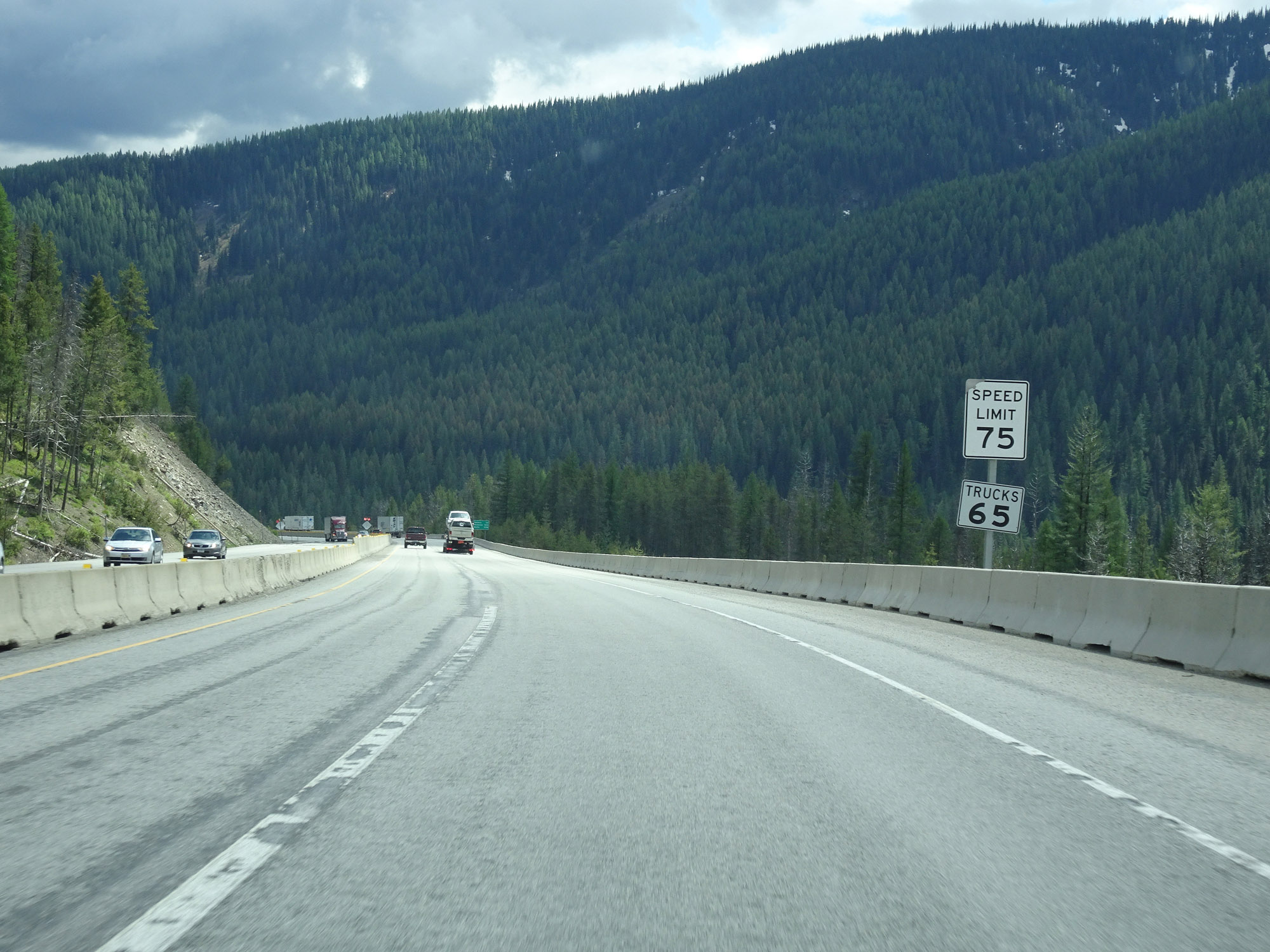 |
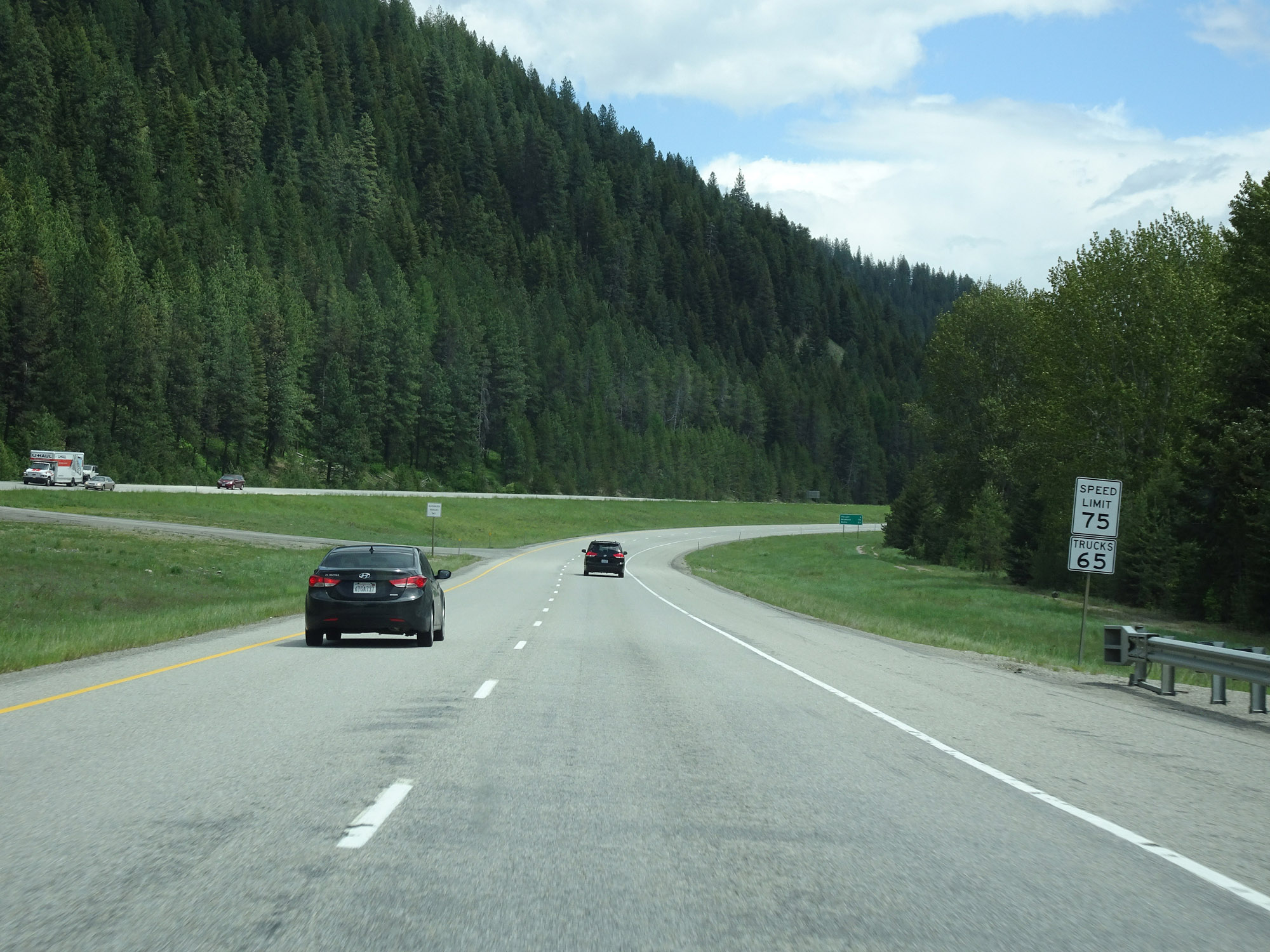
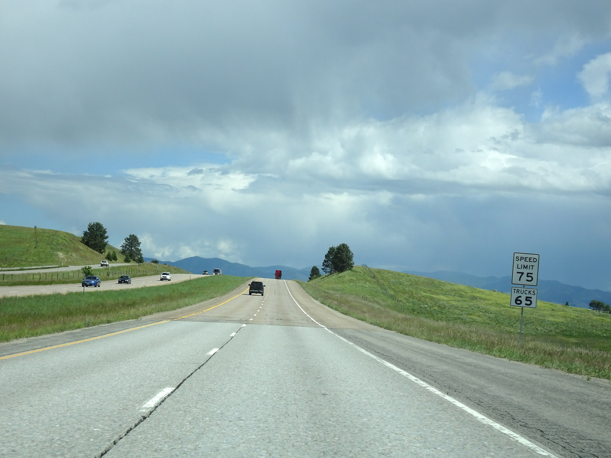
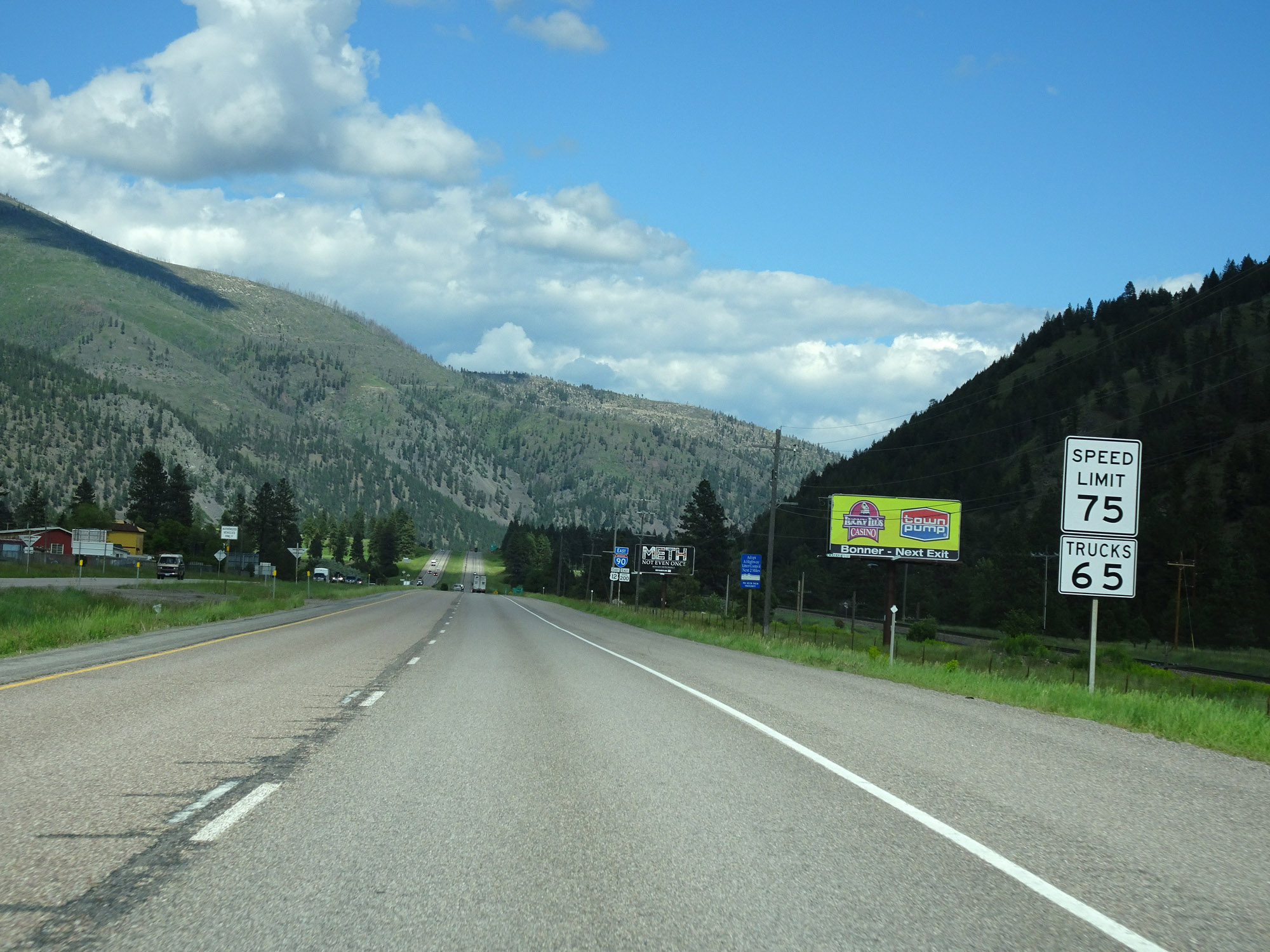
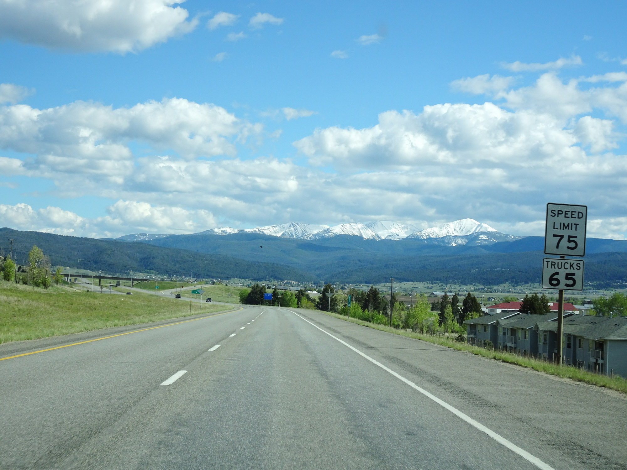
The speed limits on Interstate 90 East start out at 75 mph for cars and 65 mph for trucks. (Photo taken 5/25/16). |
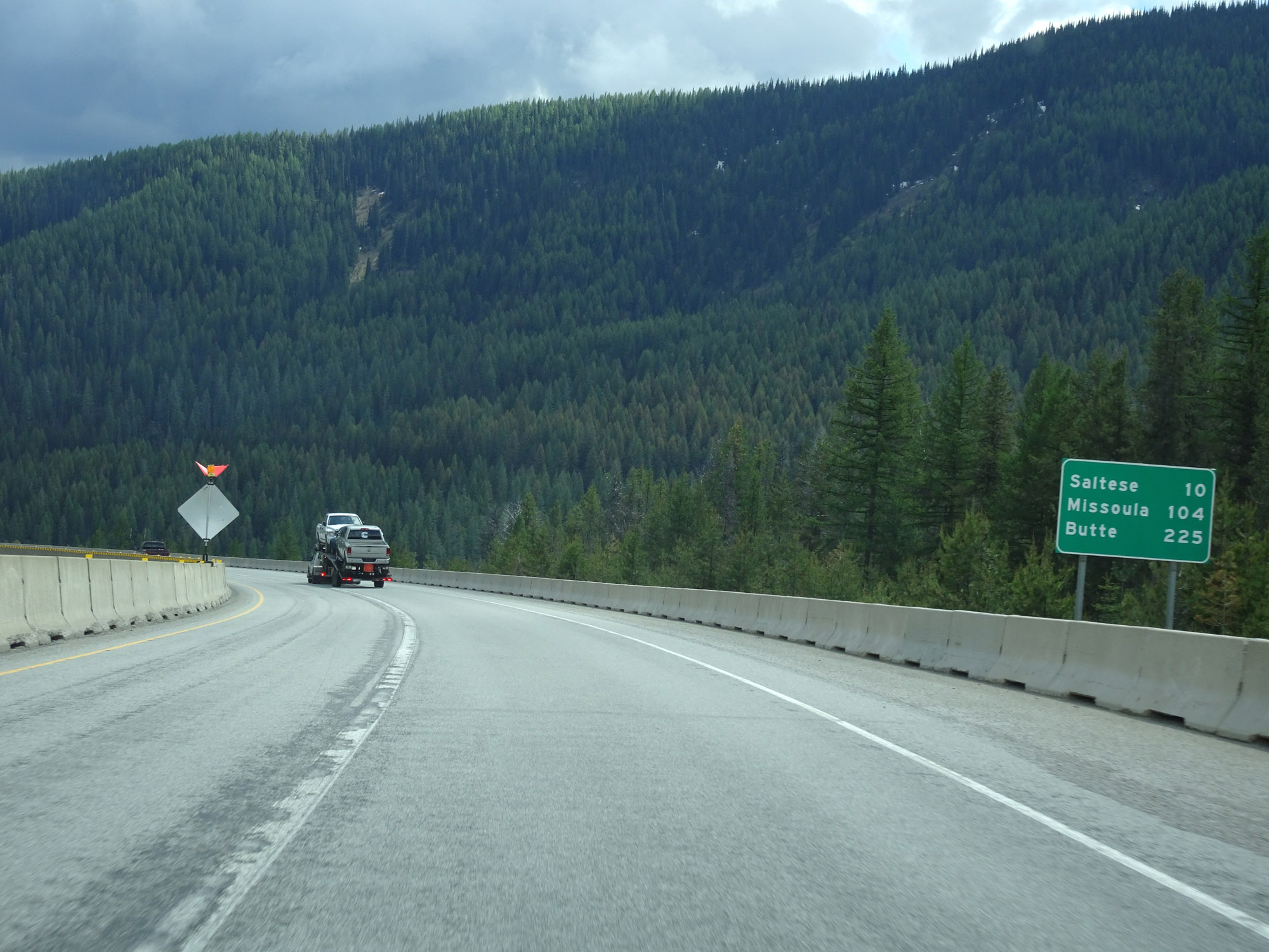 |
Mileage sign on Interstate 90 East. It's 10 miles to Saltese, 104 miles to Missoula, and 225 miles to Butte. (Photo taken 5/25/16). |
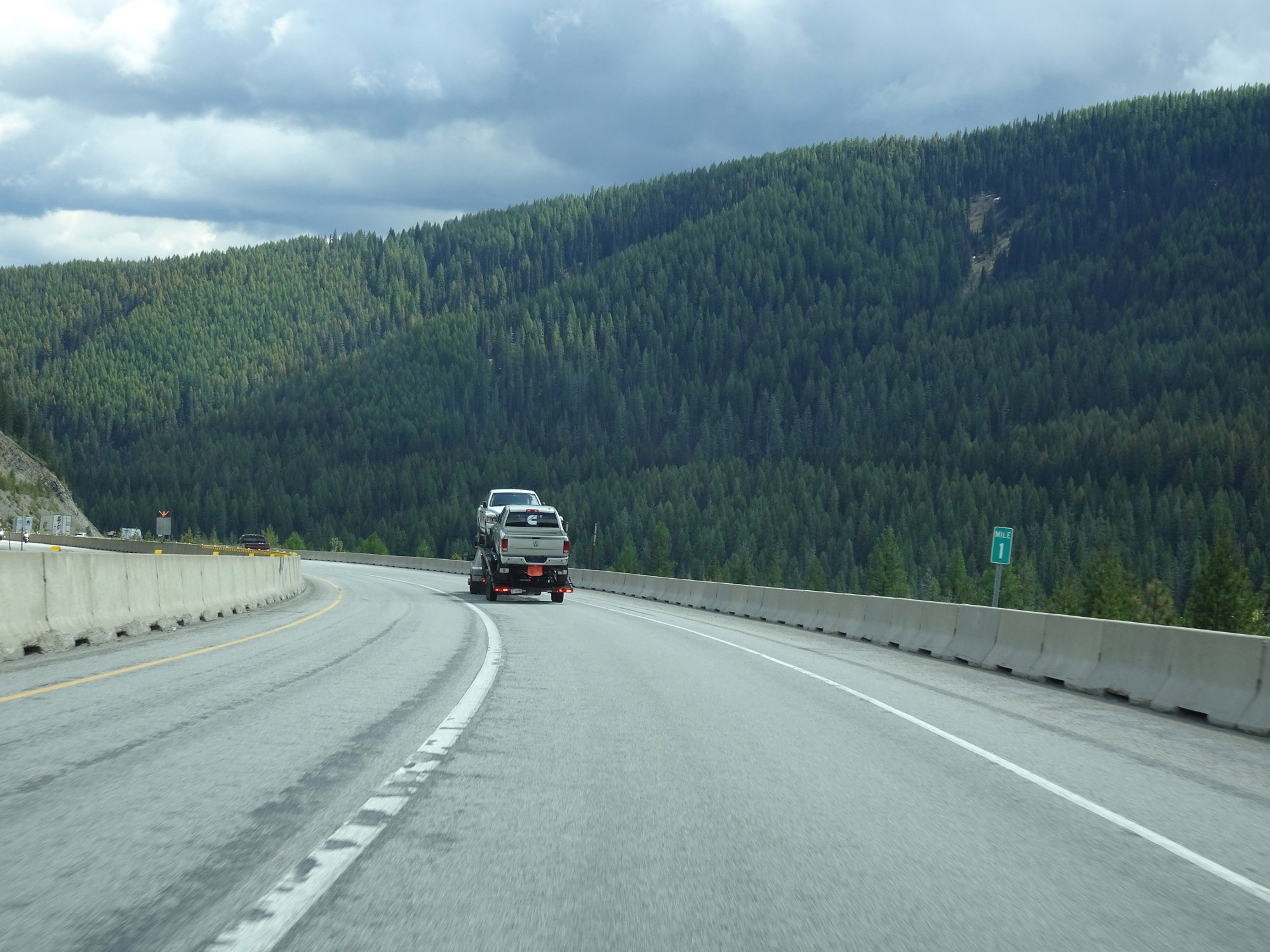 |
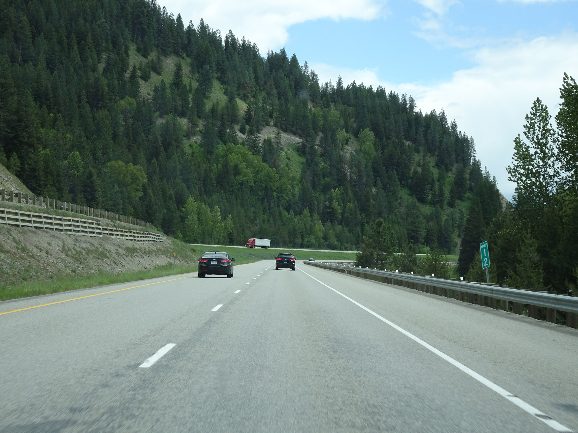
View on Interstate 90 East at mile marker 1, as it continues to descend the east side of Lookout Pass. (Photo taken 5/25/16). |
 |
During the descent of Interstate 90 East down Lookout Pass, multiple 60 mph curves exist like the one ahead, noted by this warning sign. (Photo taken 5/25/16). |
 |
This sign warns motorists to watch for fallen rocks on Interstate 90 East as it continues to descend Lookout Pass. (Photo taken 5/25/16). |
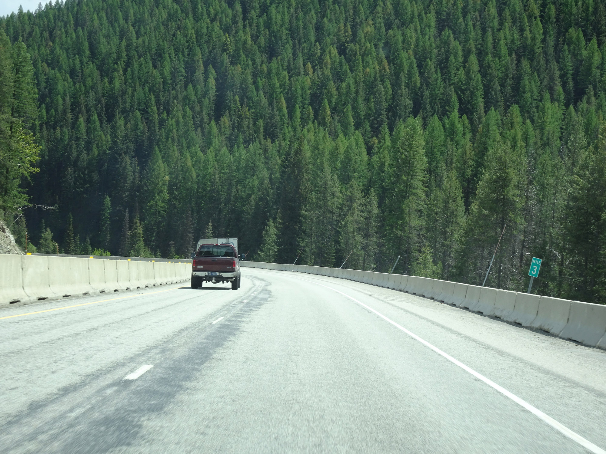 |
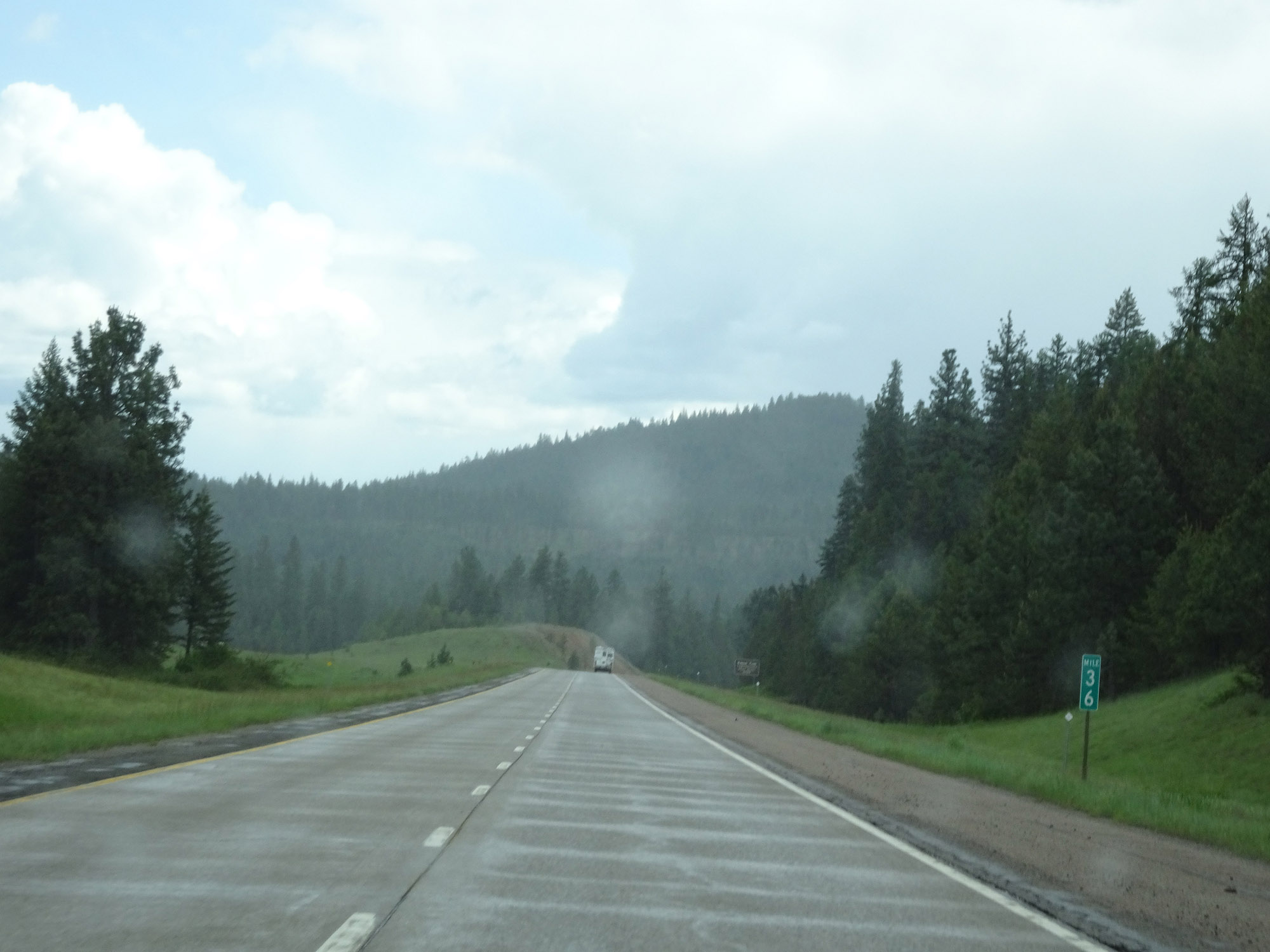
View on Interstate 90 East at mile marker 3. (Photo taken 5/25/16). |
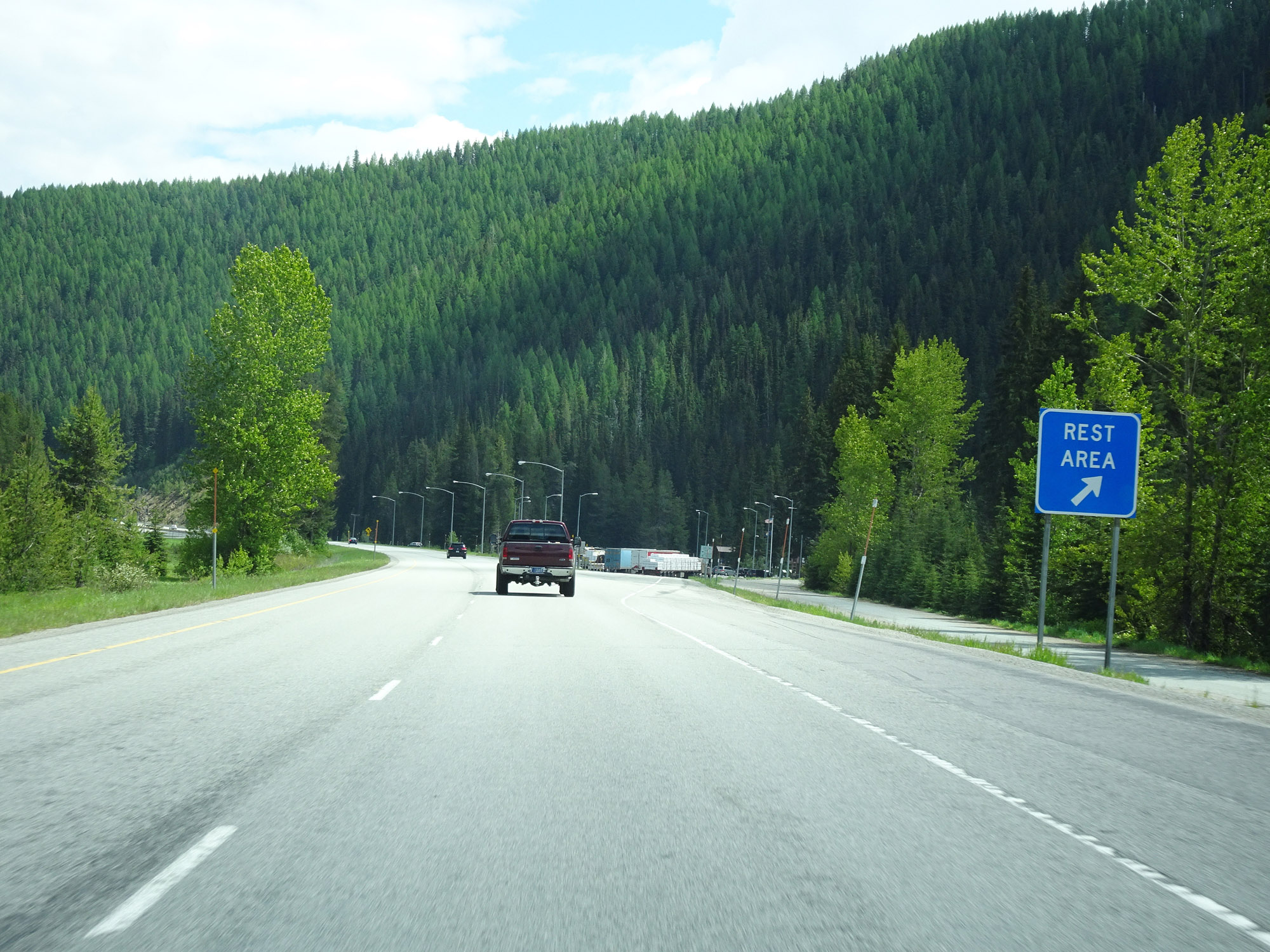 |
Rest Area on Interstate 90 East in Mineral County. (Photo taken 5/25/16). |
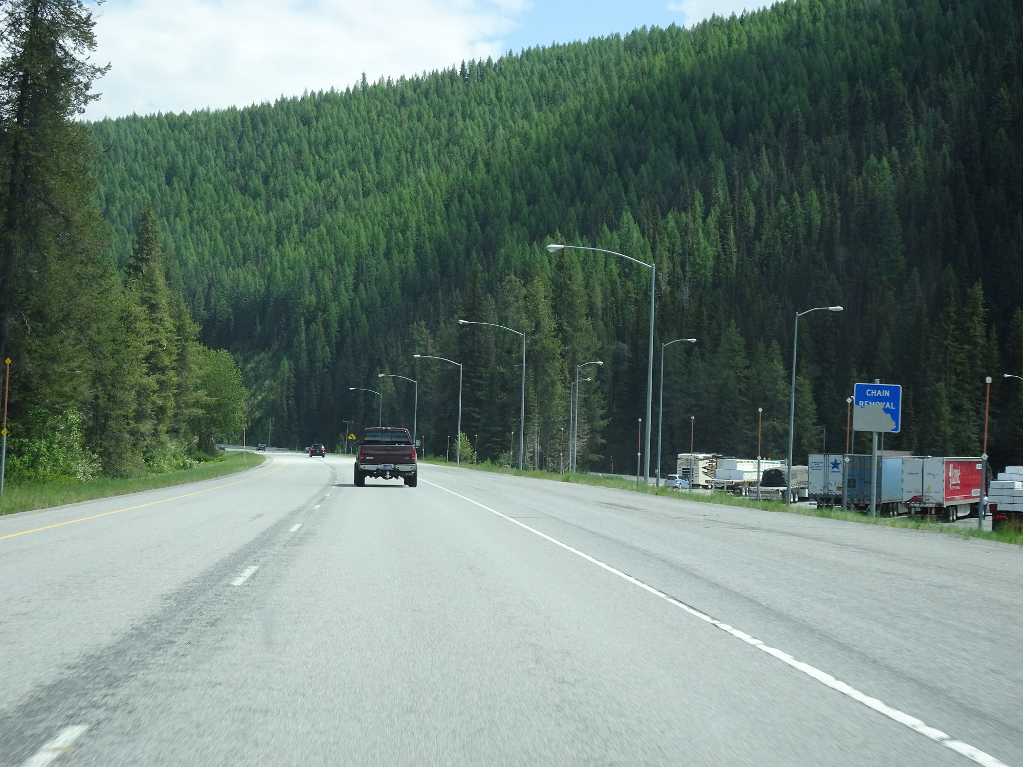 |
Nearing the bottom of the east side of Lookout Pass, the shoulder alongside the Rest Area in Mineral County seen here also serves as a Chain Removal Area for trucks. (Photo taken 5/25/16). |
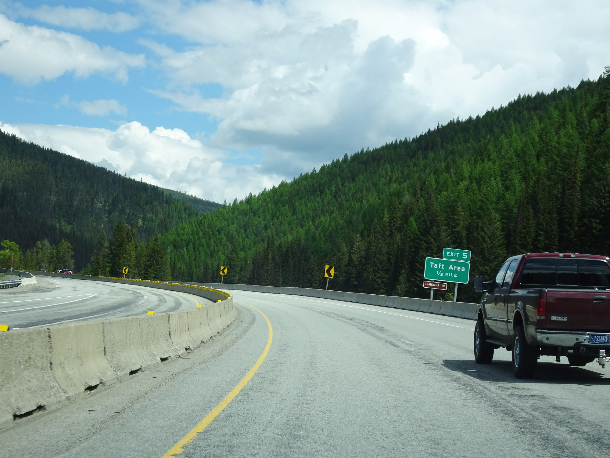 |
Interstate 90 East approaching Exit 5 - 1/2 mile. (Photo taken 5/25/16). |
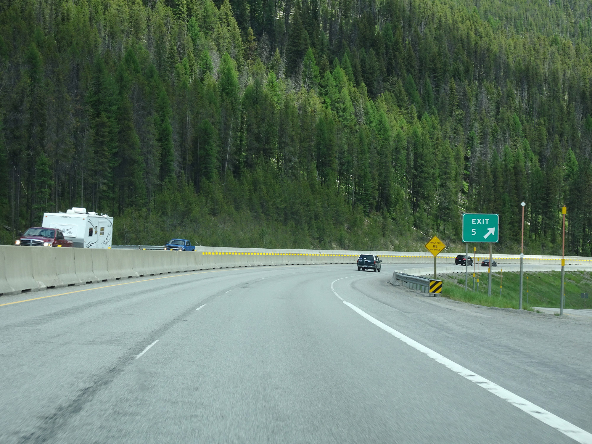 |
Interstate 90 East at Exit 5: Taft Area (Photo taken 5/25/16). |
 |
Interstate 90 East reassurance shield. (Photo taken 5/25/16). |
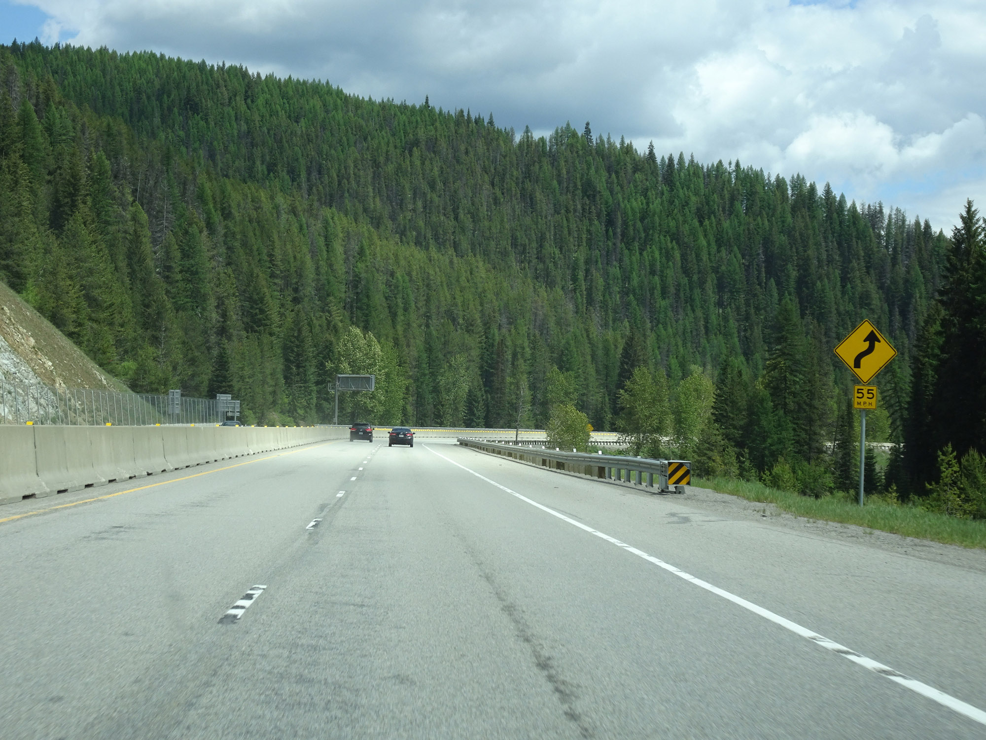 |
As this sign warns, some 55 mph curves exist ahead. (Photo taken 5/25/16). |
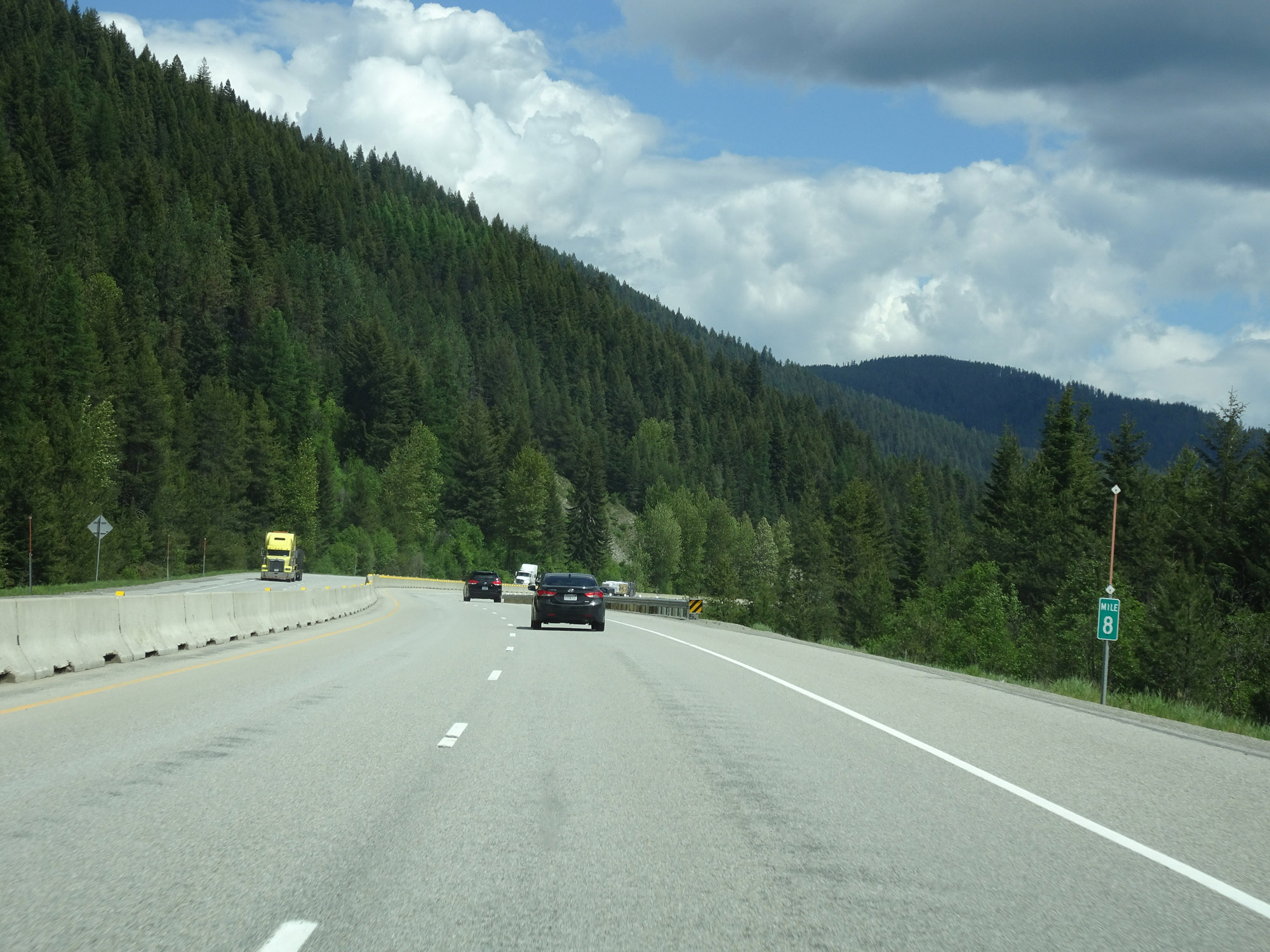 |
View on Interstate 90 East at mile marker 8. (Photo taken 5/25/16). |
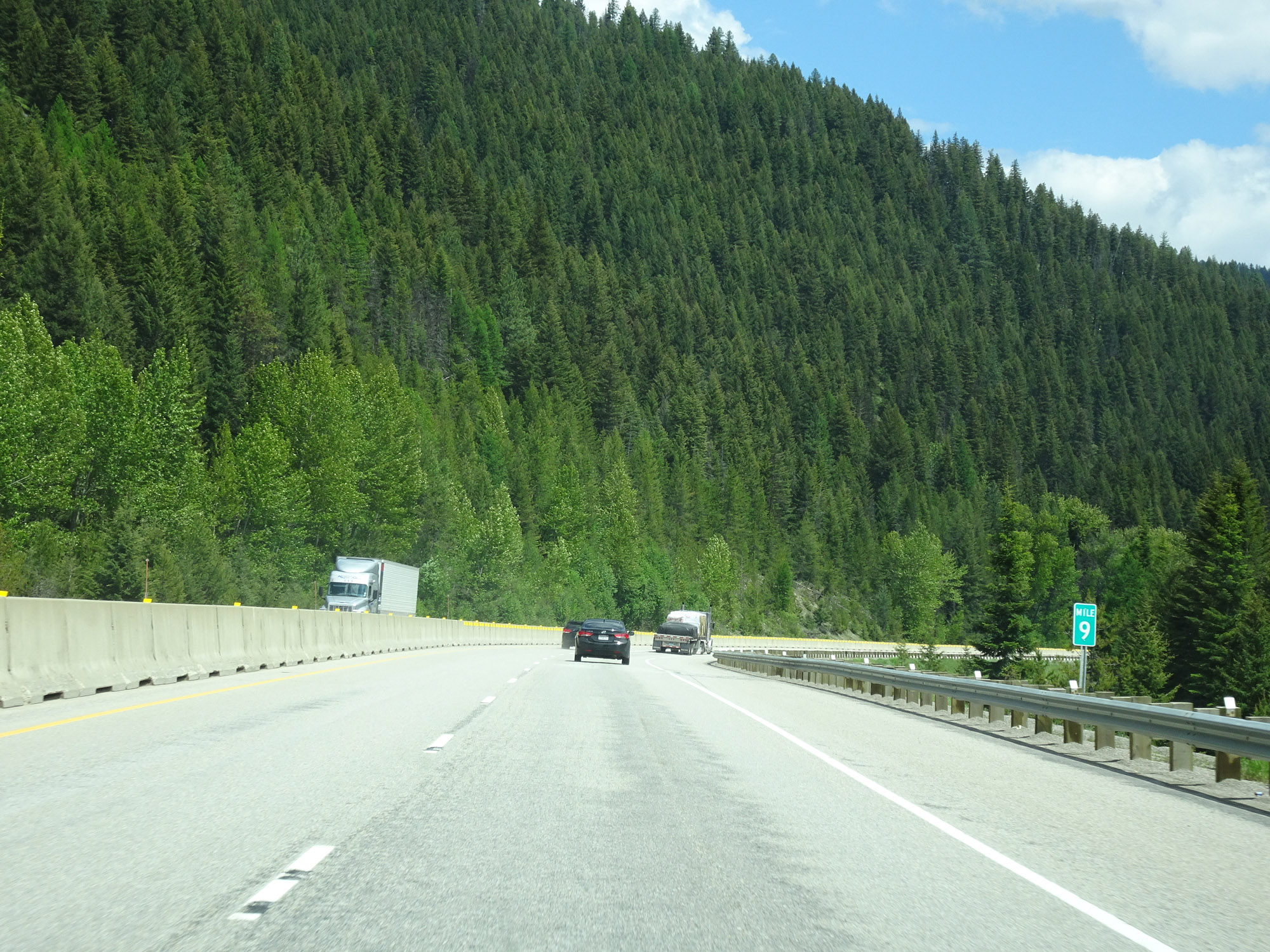 |
Interstate 90 East at mile marker 9. (Photo taken 5/25/16). |
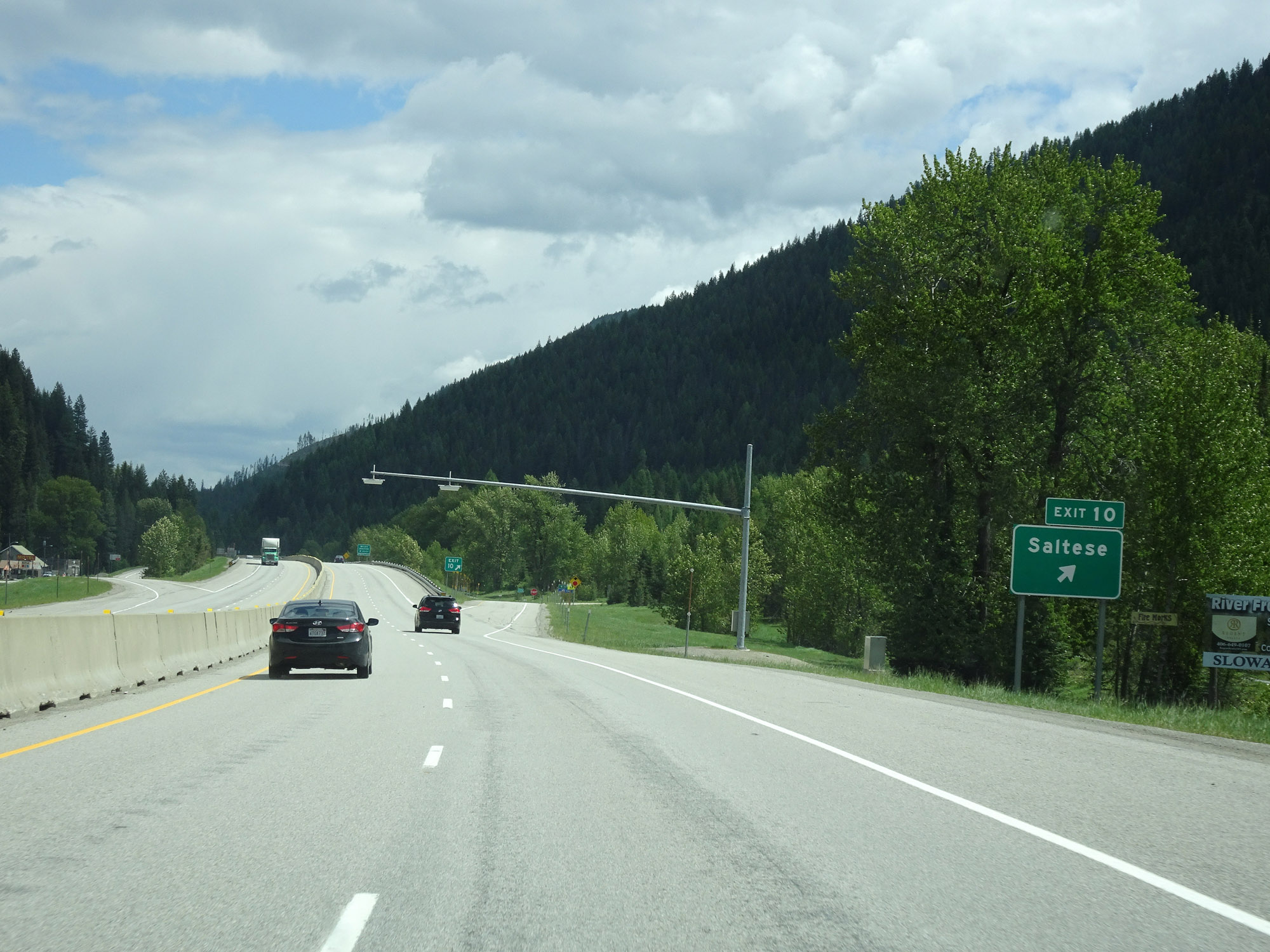 |
Interstate 90 East at Exit 10: Saltese (Photo taken 5/25/16). |
 |
The speed limits remain 75 mph for cars and 65 mph for trucks. (Photo taken 5/25/16). |
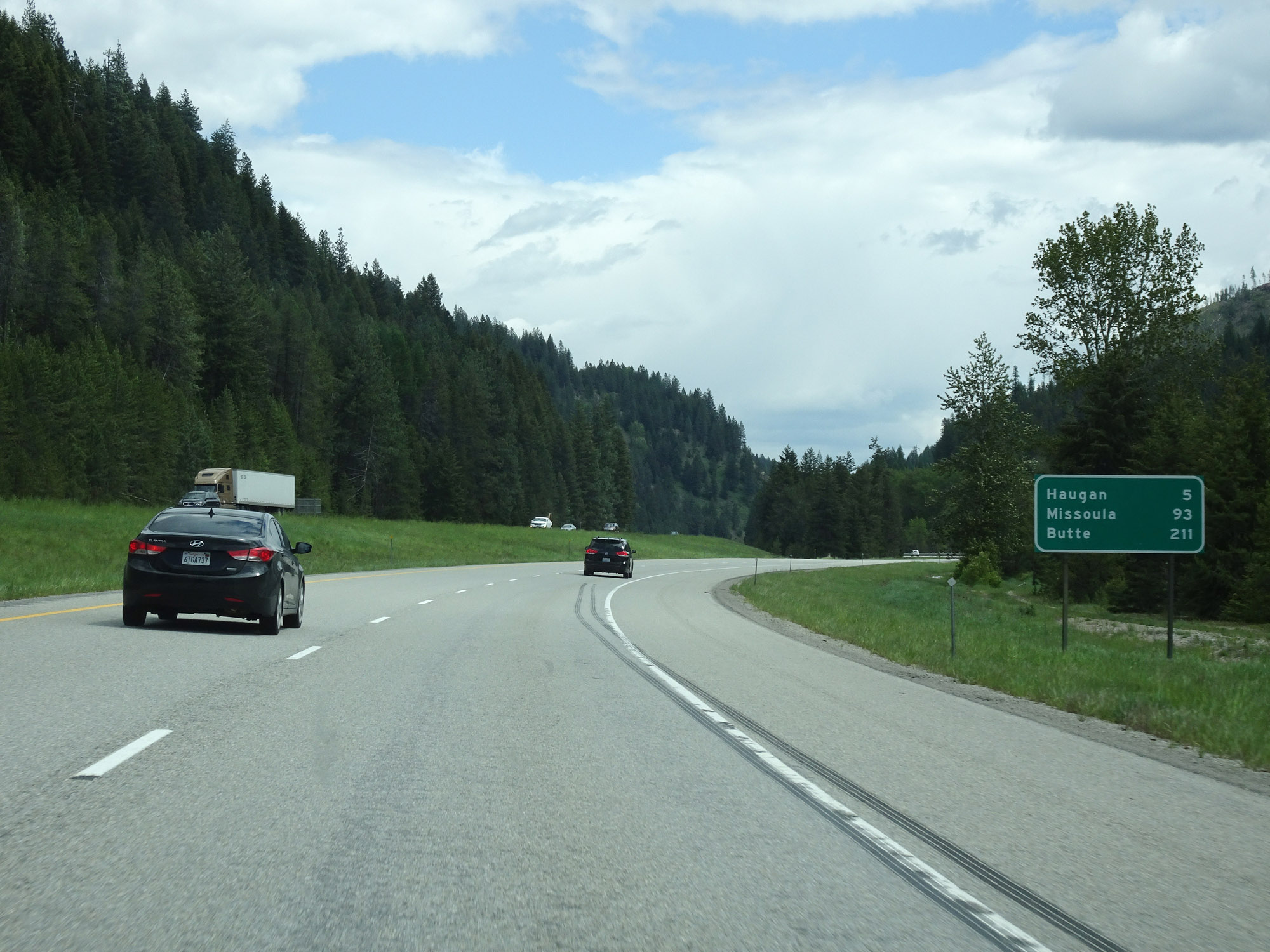 |
Mileage sign on Interstate 90 East. It's 5 miles to Haugan, 93 miles to Missoula, and 211 miles to Butte. (Photo taken 5/25/16). |
 |
View on Interstate 90 East at mile marker 12. (Photo taken 5/25/16). |
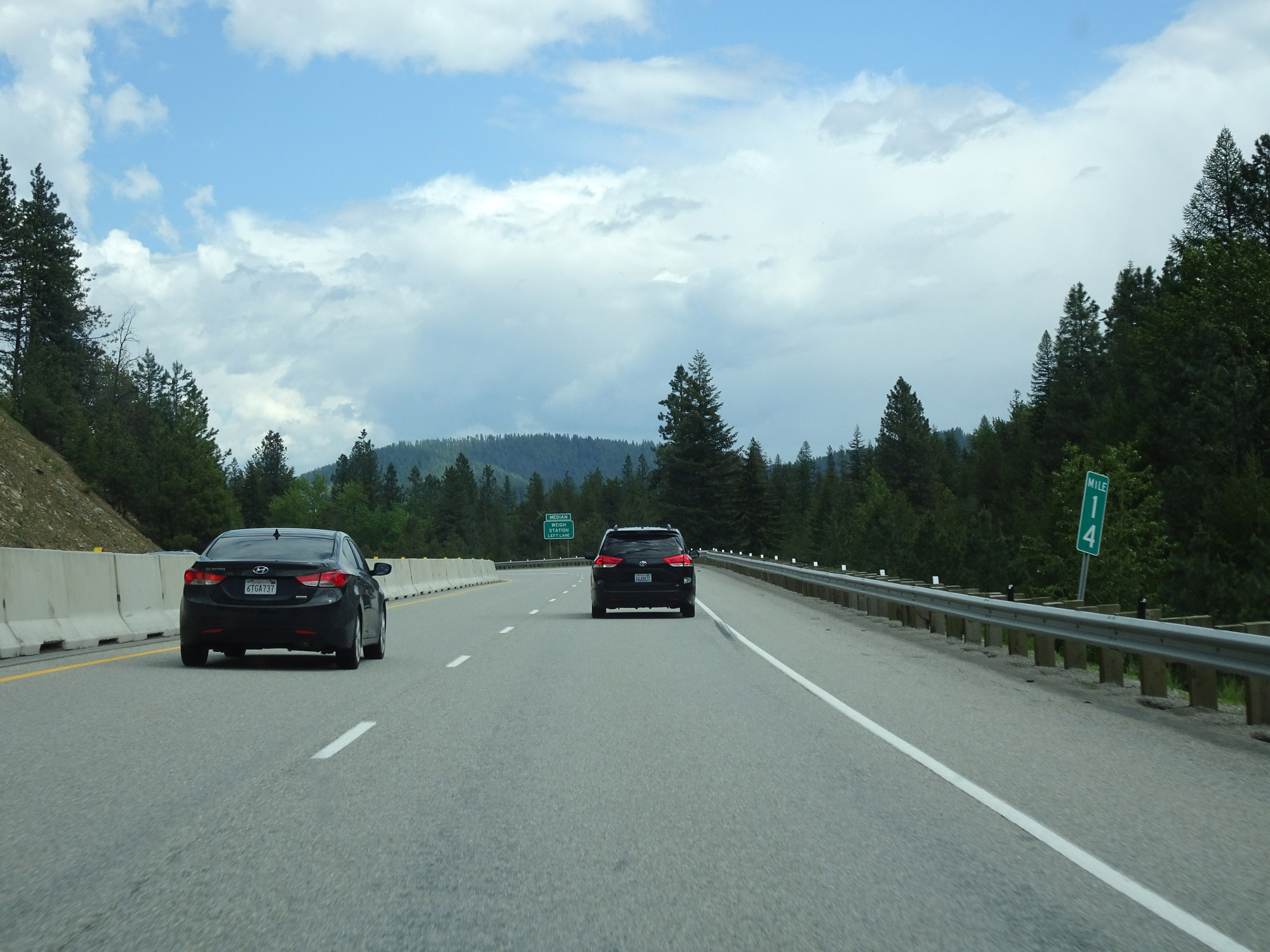 |
Interstate 90 East at mile marker 14. (Photo taken 5/25/16). |
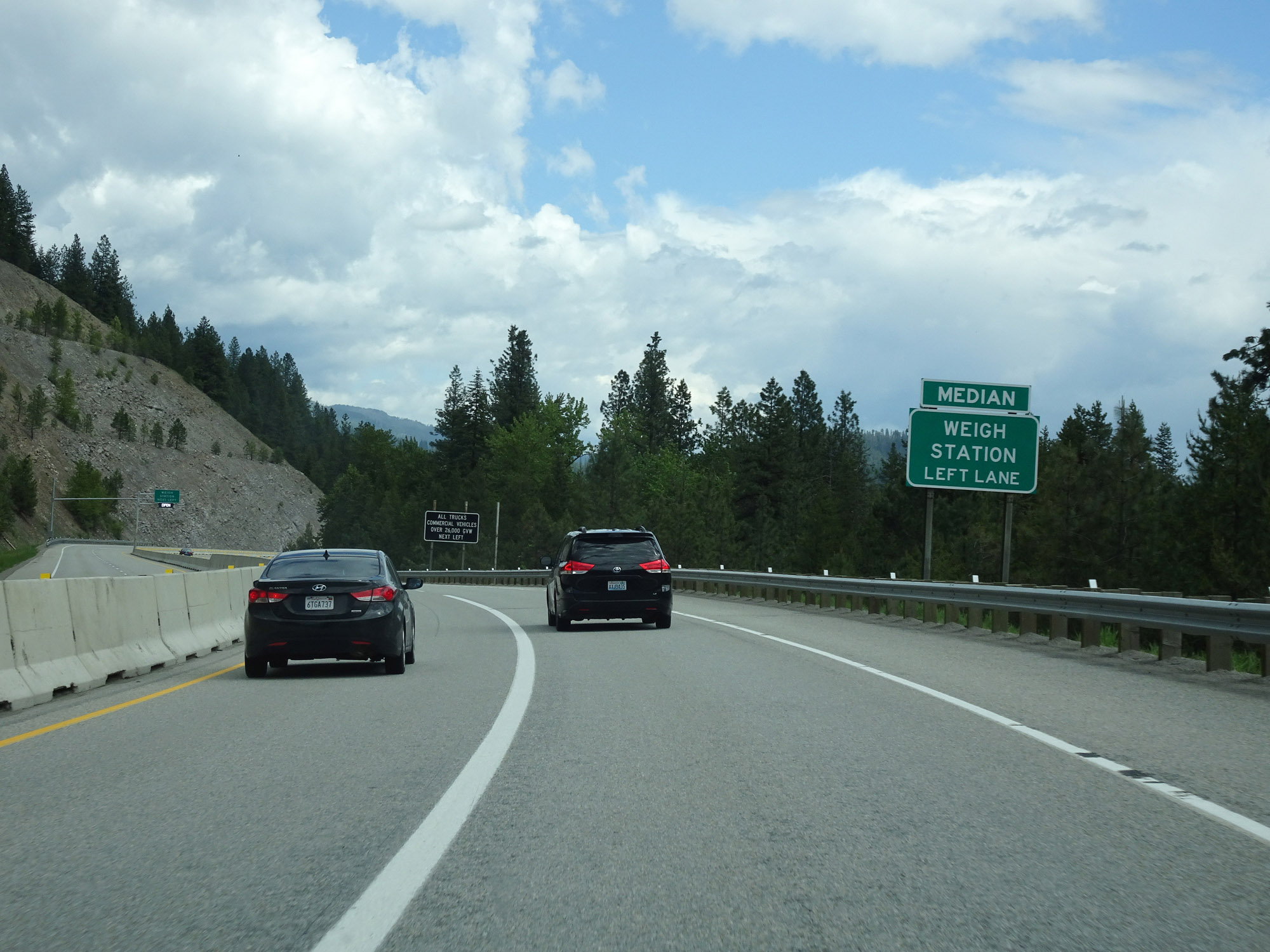 |
A Weigh Station exists on the left in the median ahead. All trucks should use the left lane. (Photo taken 5/25/16). |
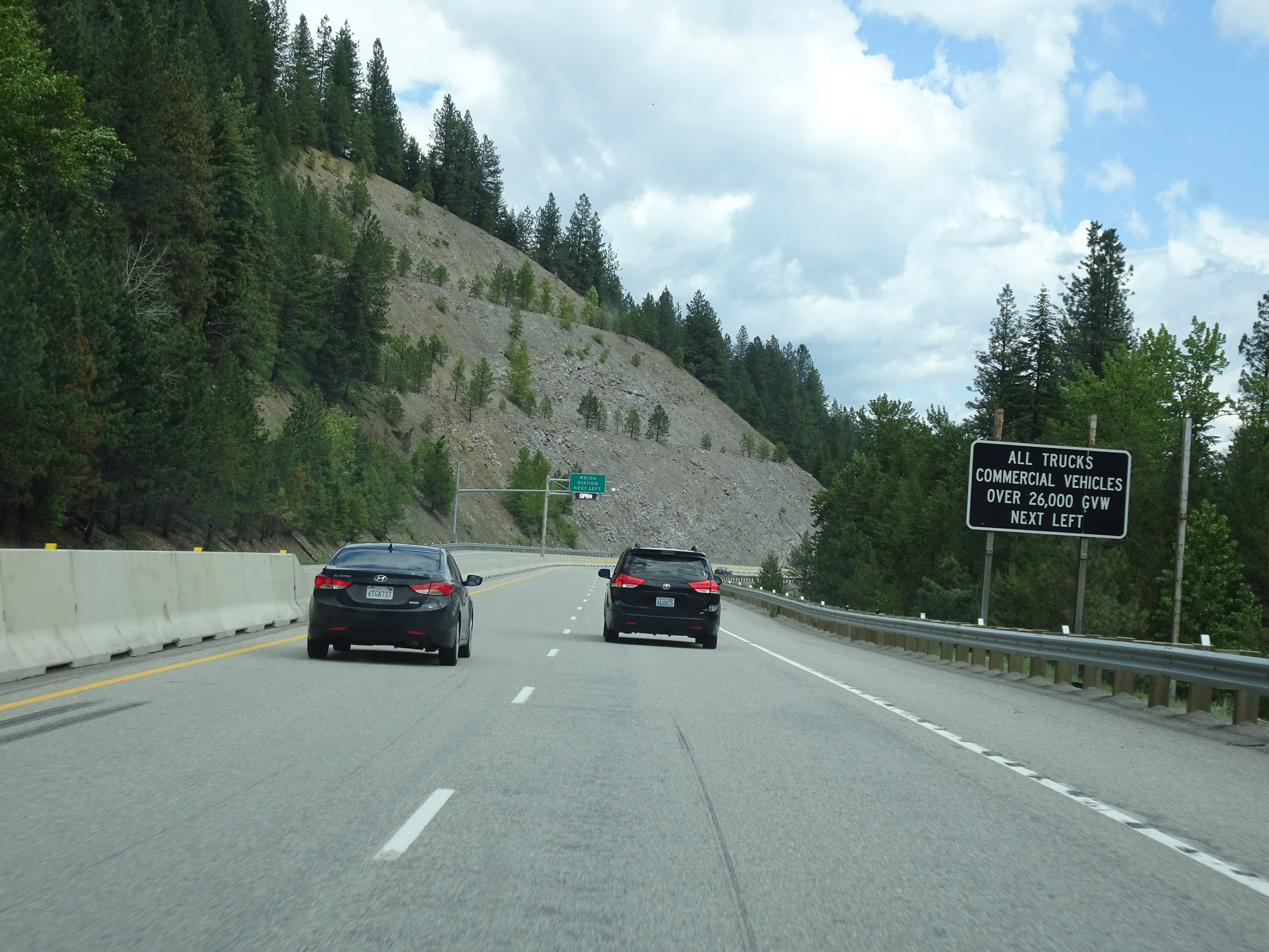 |
As this sign reads, all trucks and commercial vehicles over 26,000 GVW (Gross Vehicle Weight) must enter the scales when they're open. (Photo taken 5/25/16). |
 |
The scales were open at the time. (Photo taken 5/25/16). |
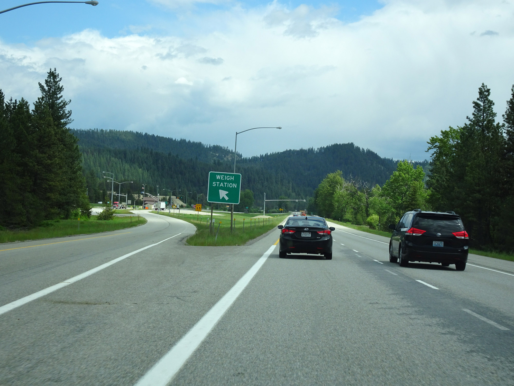 |
Weigh Station on the left on Interstate 90 East in Mineral County. (Photo taken 5/25/16). |
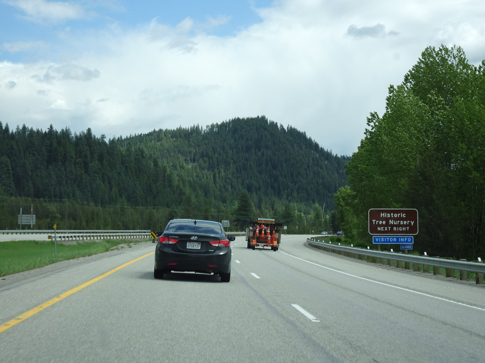 |
Take Exit 16 to the Historic Tree Nursery. (Photo taken 5/25/16). |
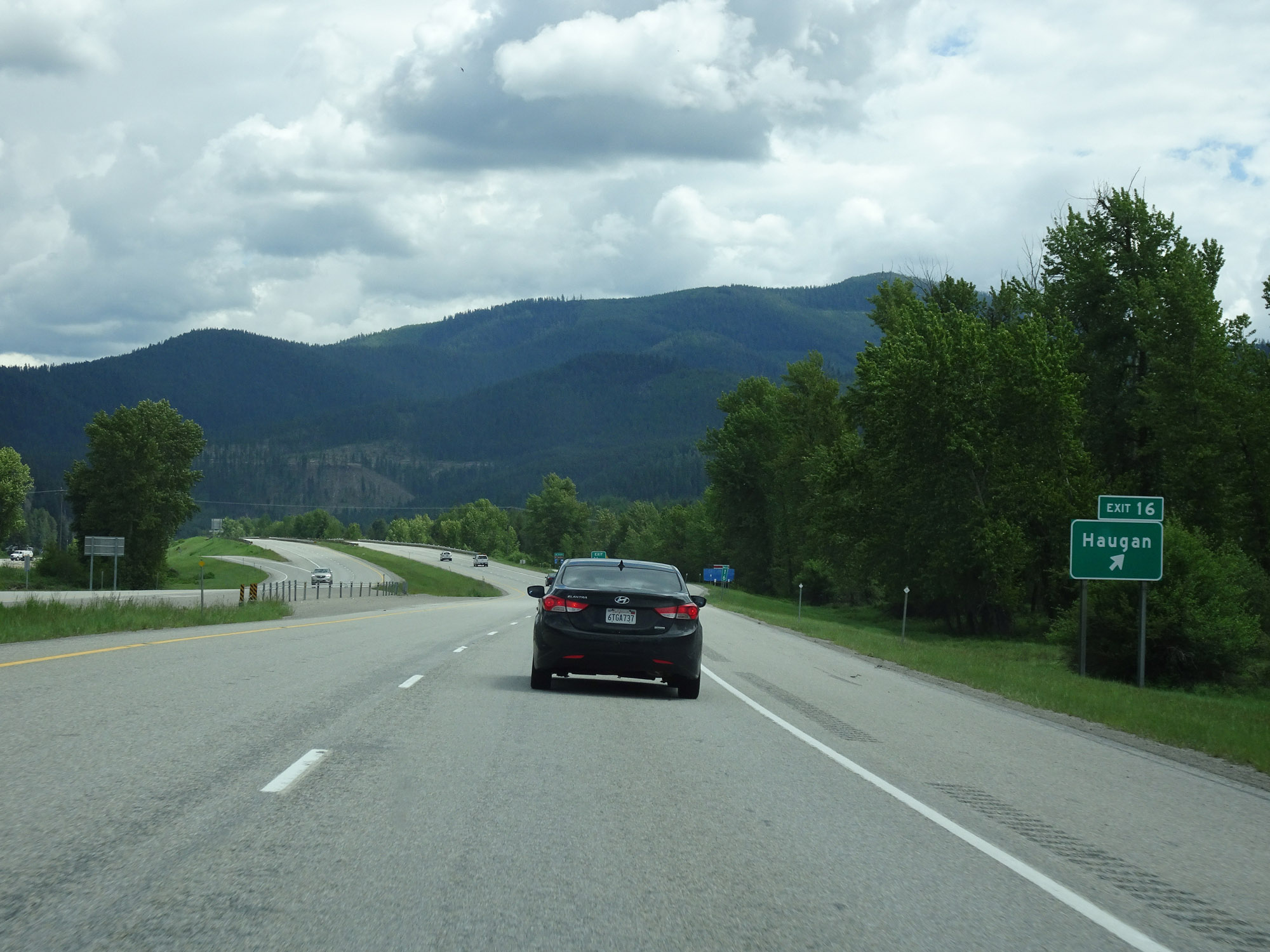 |
Interstate 90 East at Exit 16: Haugan (Photo taken 5/25/16). |
 |
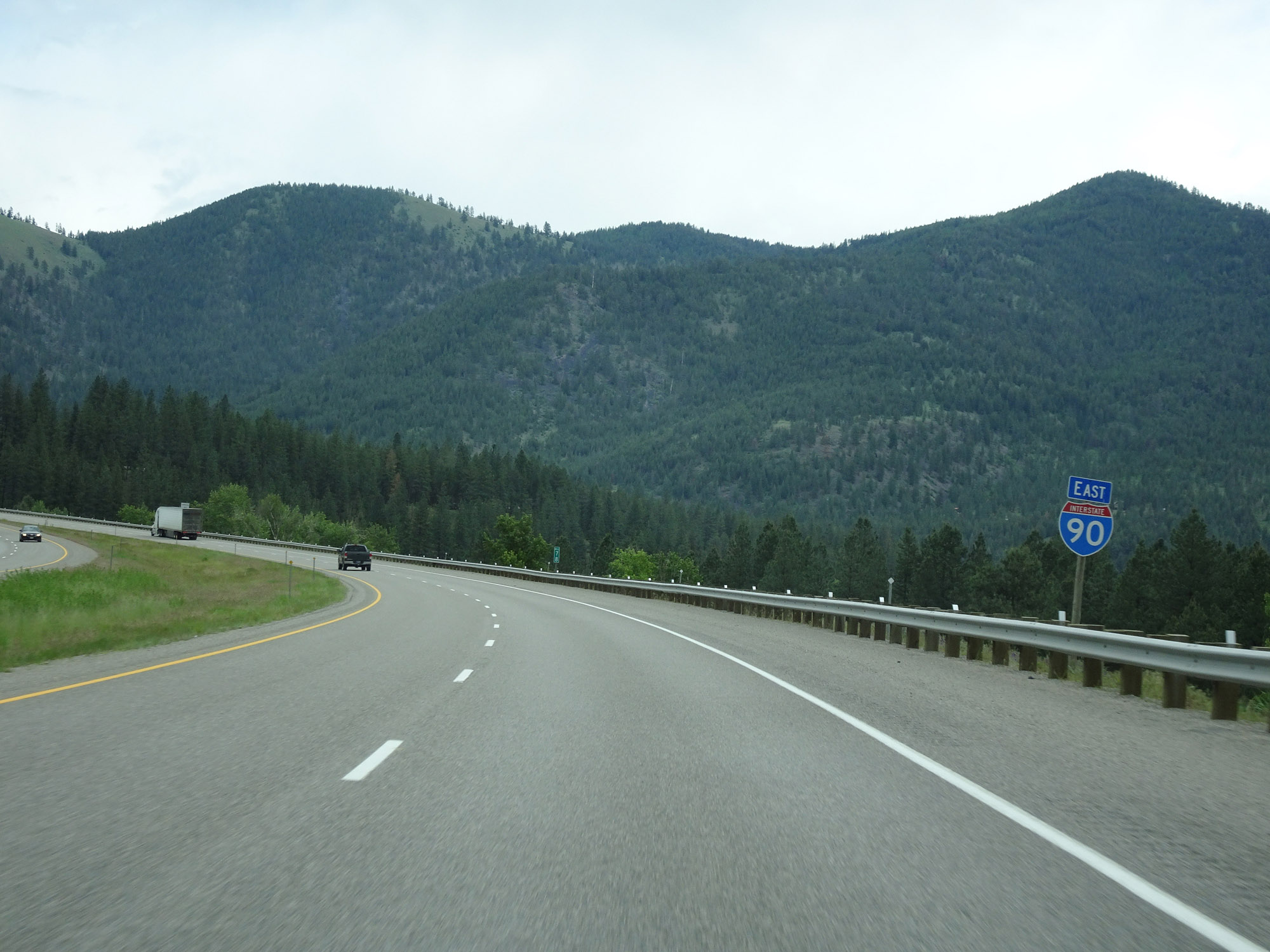
Another Interstate 90 East reassurance shield. (Photo taken 5/25/16). |
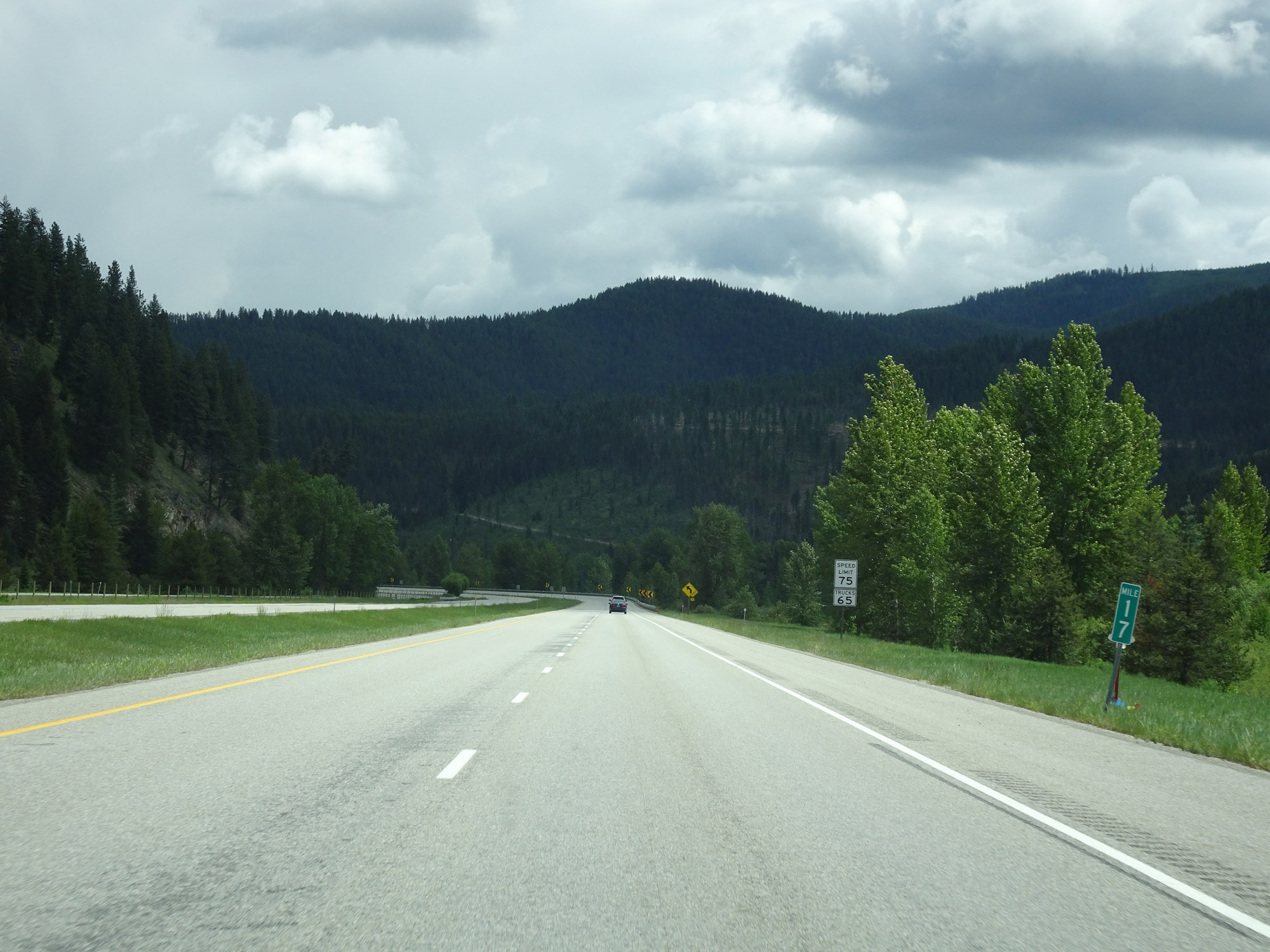 |
View on Interstate 90 East at mile marker 17. (Photo taken 5/25/16). |
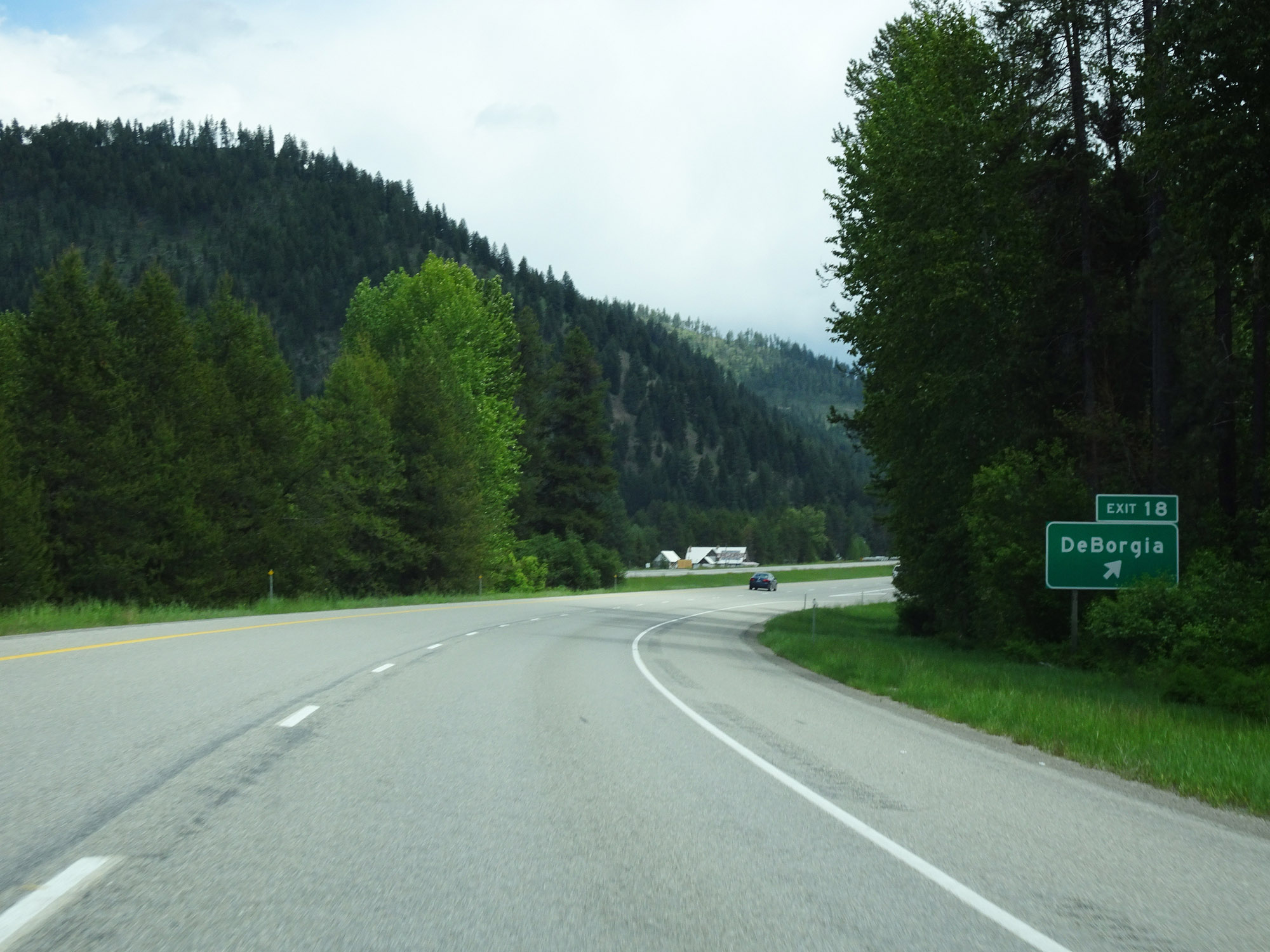 |
Interstate 90 East at Exit 18: DeBorgia (Photo taken 5/25/16). |
 |
Interstate 90 East at mile marker 19. (Photo taken 5/25/16). |
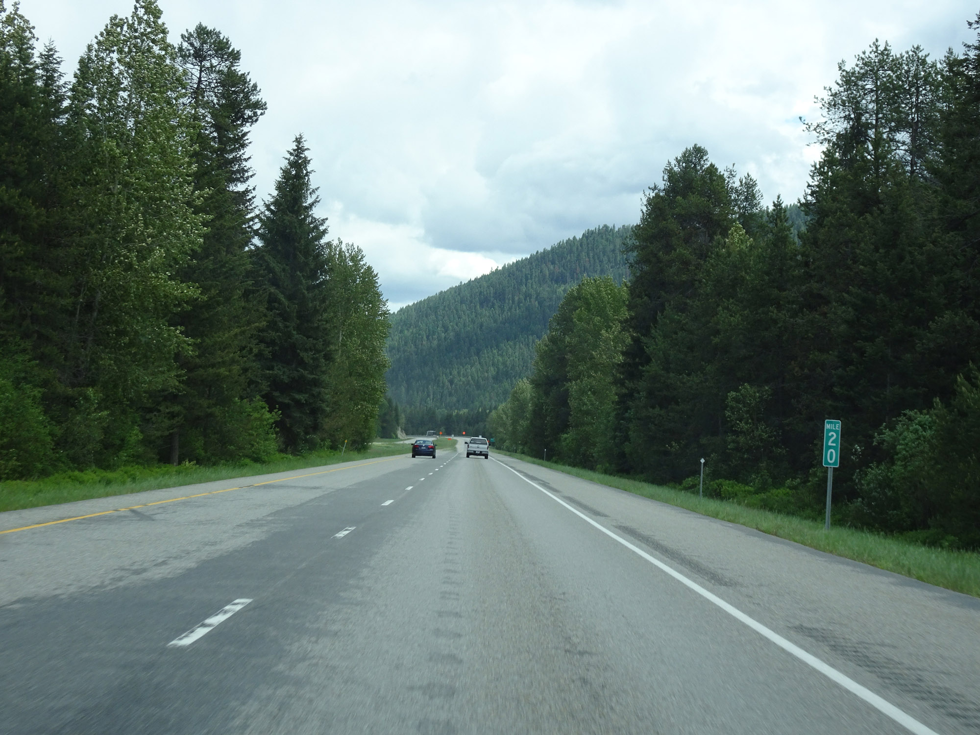 |
View on Interstate 90 East at mile marker 20. (Photo taken 5/25/16). |
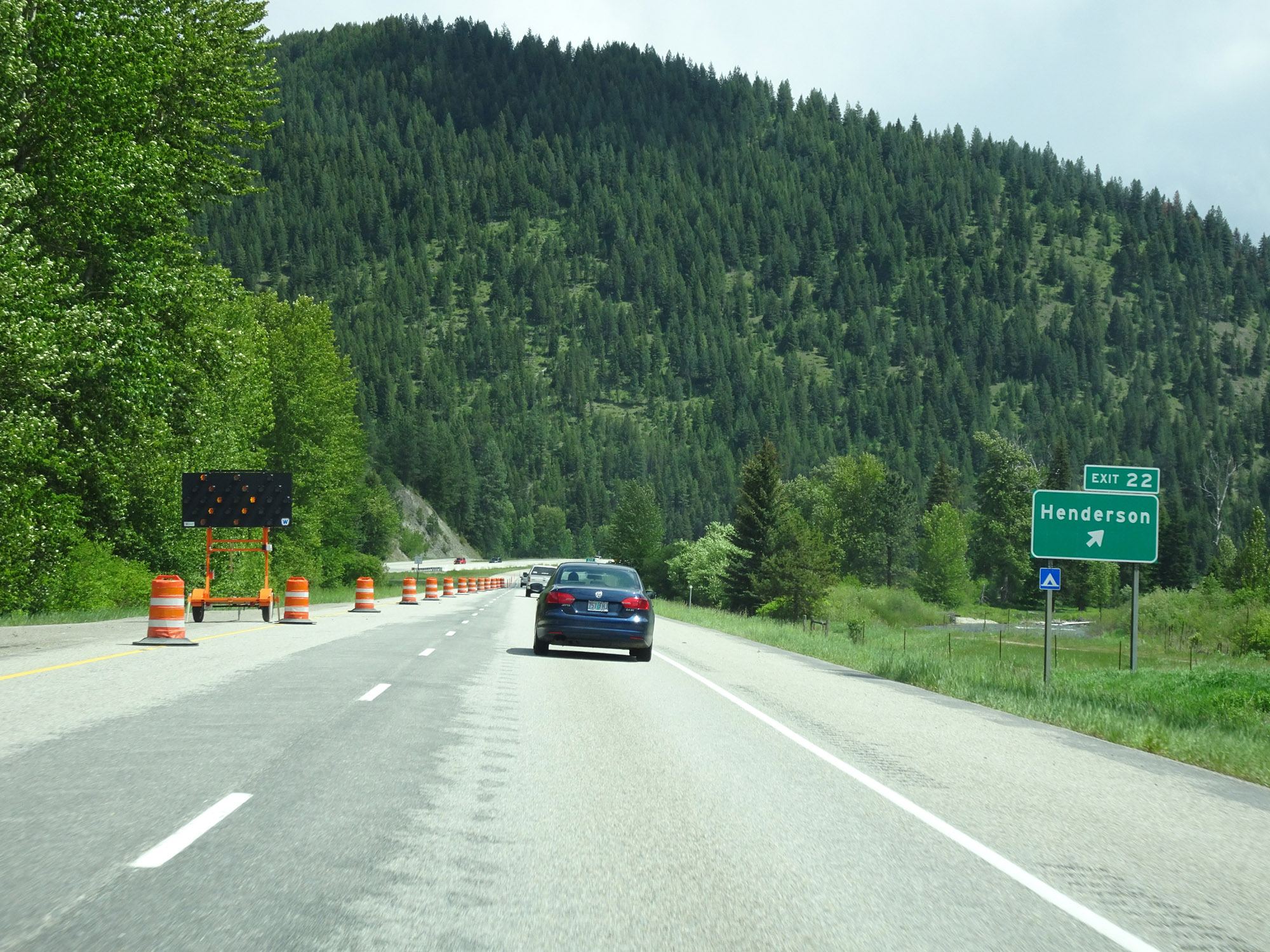 |
Interstate 90 East at Exit 22: Henderson (Photo taken 5/25/16). |
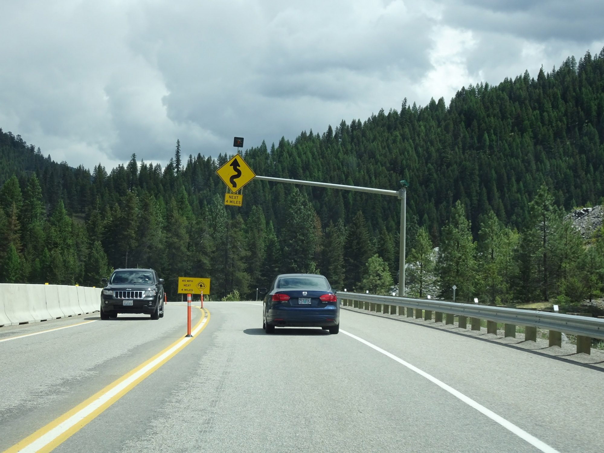 |
Interstate 90 East will traverse some winding curves for the next 4 miles, as this overhead warning sign says. (Photo taken 5/25/16). |
 |
Some of these winding curves ahead are rather sharp, and 45 mph is advised around them as this sign reads. (Photo taken 5/25/16). |
 |
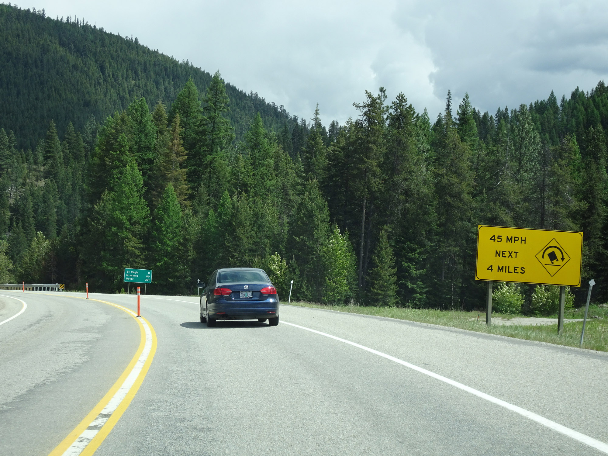
Mileage sign on Interstate 90 East. It's 11 miles to St. Regis, 80 miles to Missoula, and 201 miles to Butte. (Photo taken 5/25/16). |
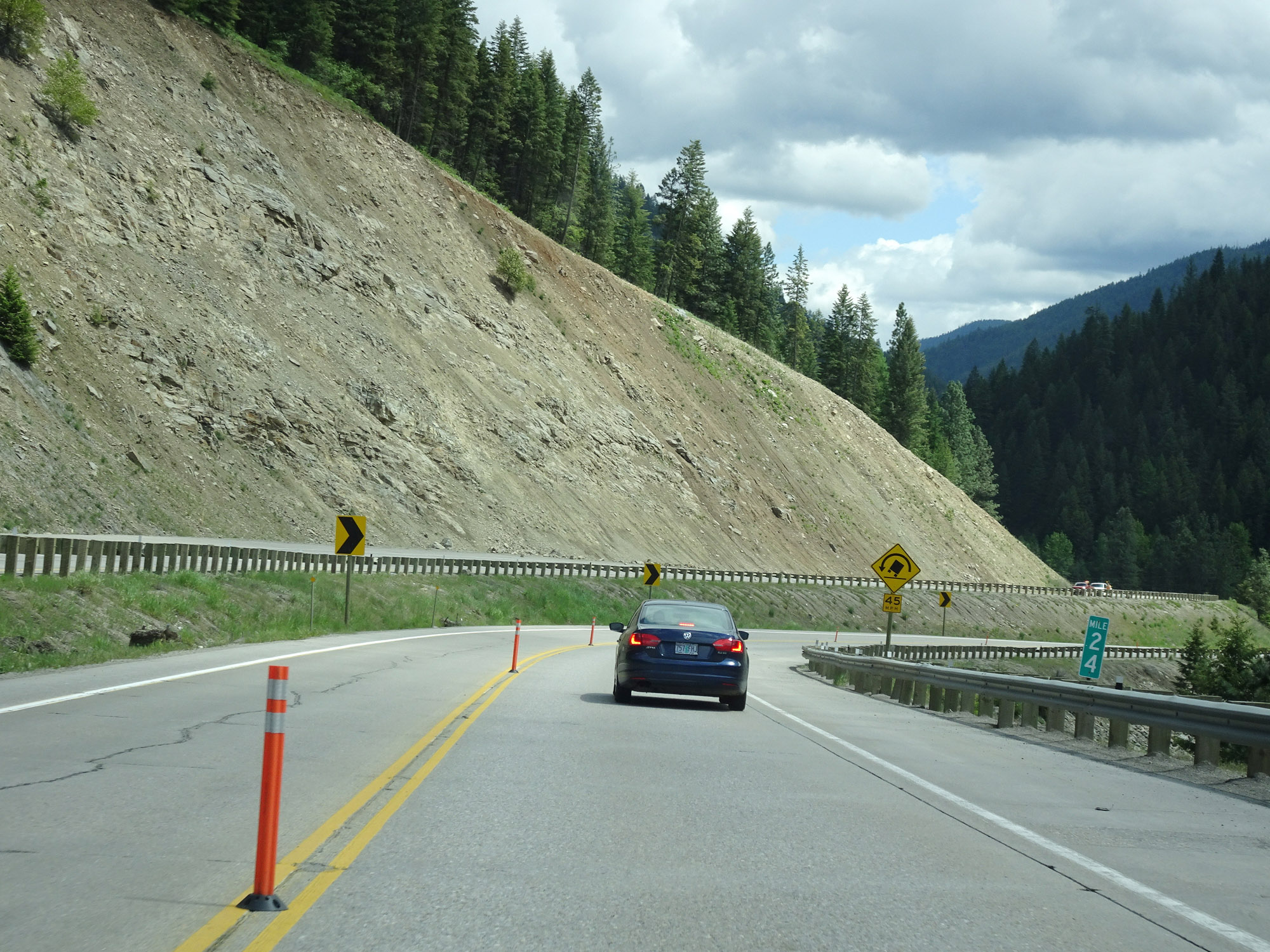 |
View on Interstate 90 East at mile marker 24. (Photo taken 5/25/16). |
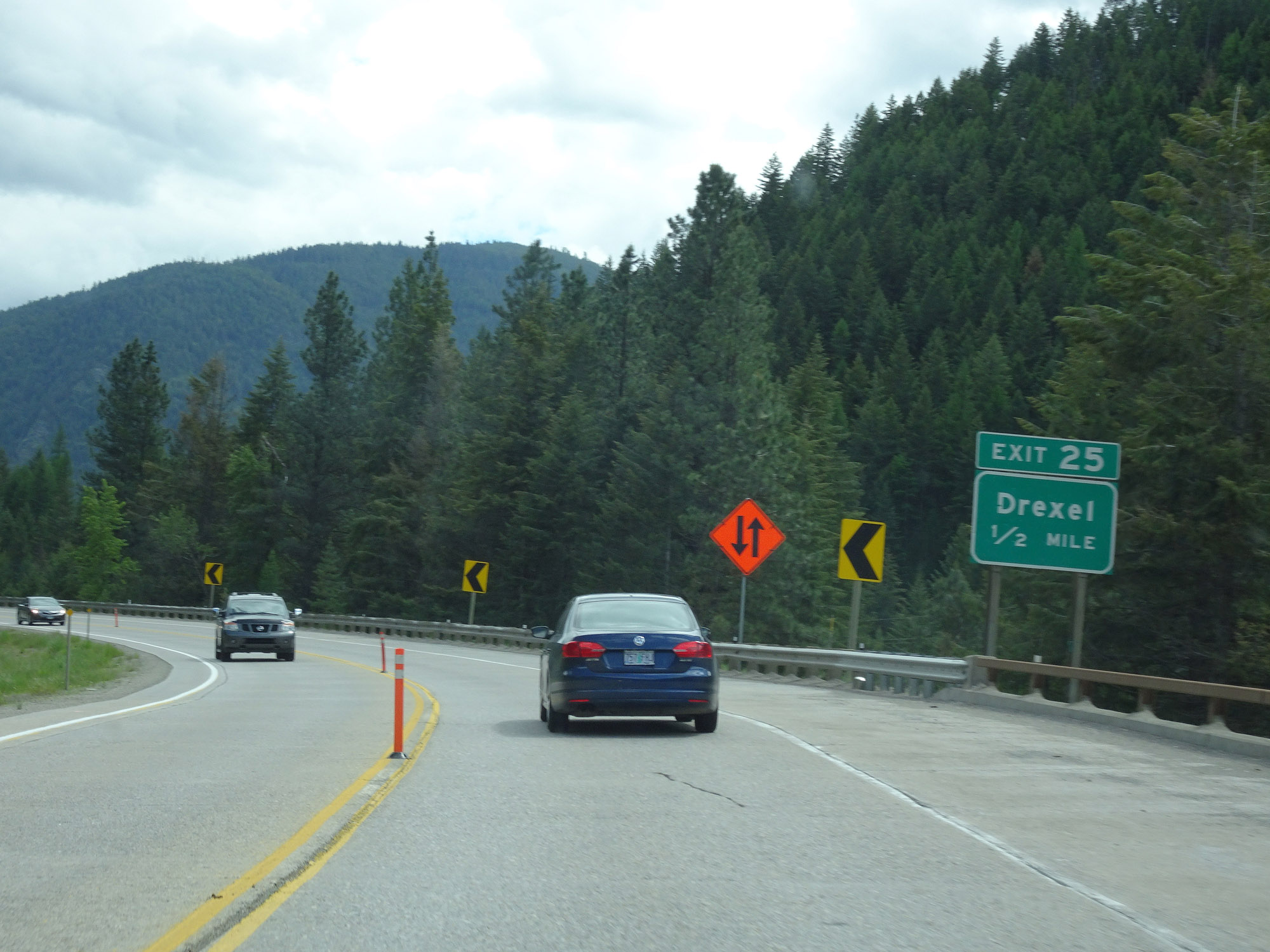 |
Interstate 90 East approaching Exit 25 - 1/2 mile. (Photo taken 5/25/16). |
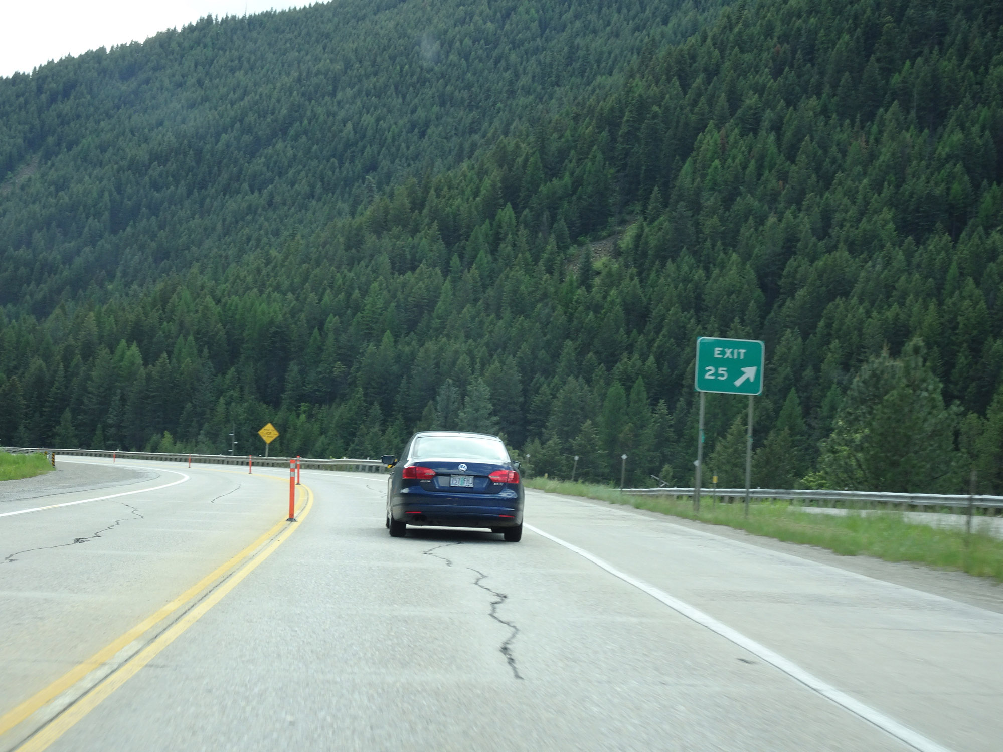 |
Interstate 90 East at Exit 25: Drexel (Photo taken 5/25/16). |
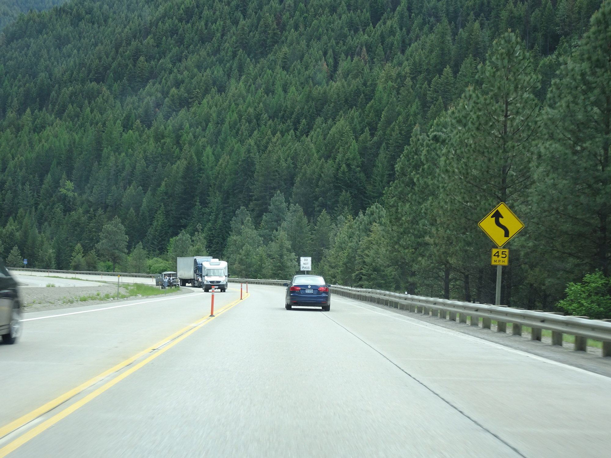 |
The sharp 45 mph curves continue on Interstate 90 East. (Photo taken 5/25/16). |
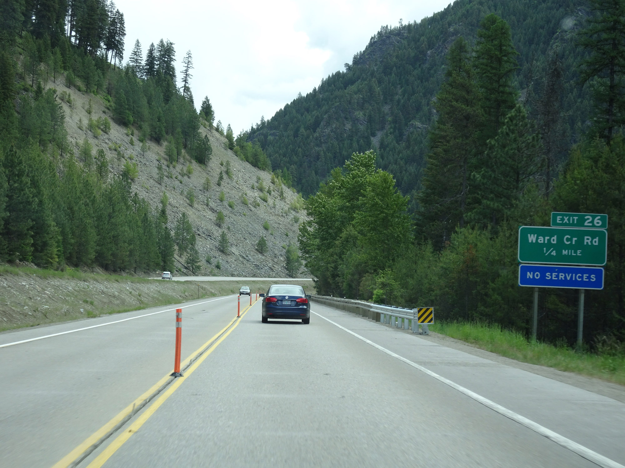 |
Interstate 90 East approaching Exit 26 - 1/4 mile. (Photo taken 5/25/16). |
 |
Interstate 90 East at Exit 26: Ward Creek Rd (Photo taken 5/25/16). |
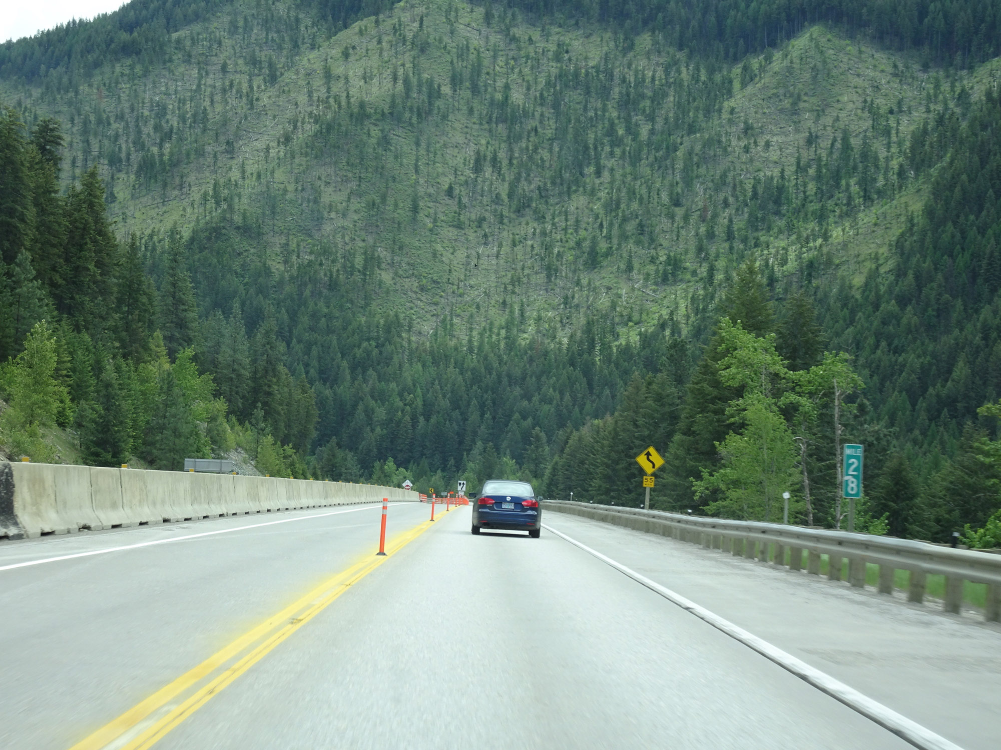 |
View on Interstate 90 East at mile marker 28. (Photo taken 5/25/16). |
 |
Another view on Interstate 90 East as the winding curves continue. (Photo taken 5/25/16). |
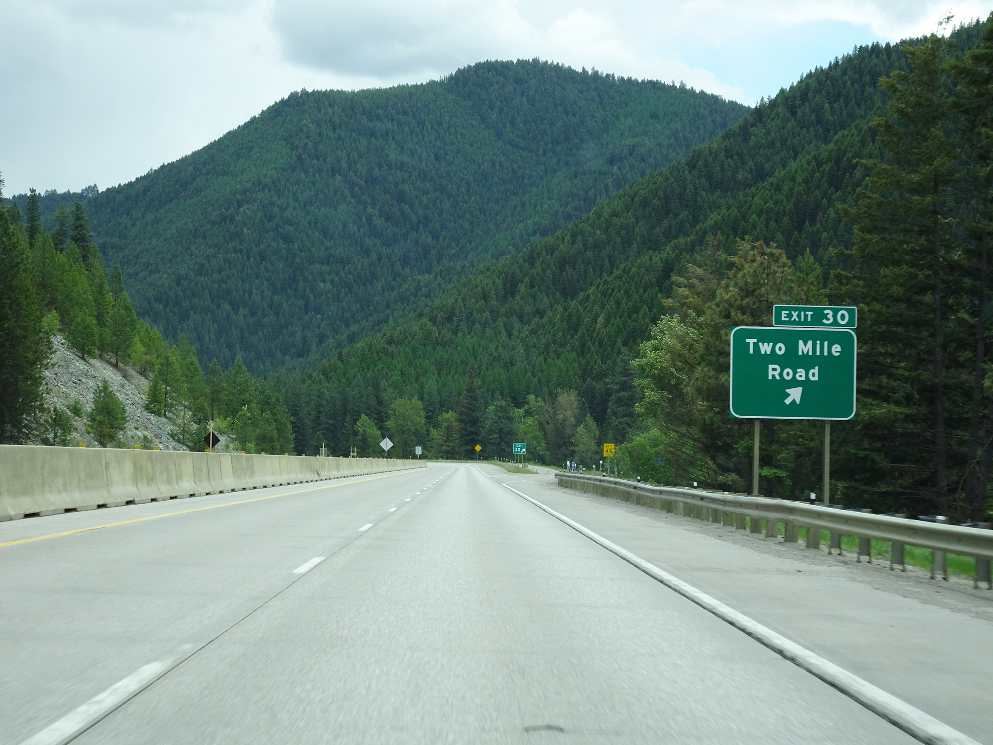 |
Interstate 90 East at Exit 30: Two Mile Road (Photo taken 5/25/16). |
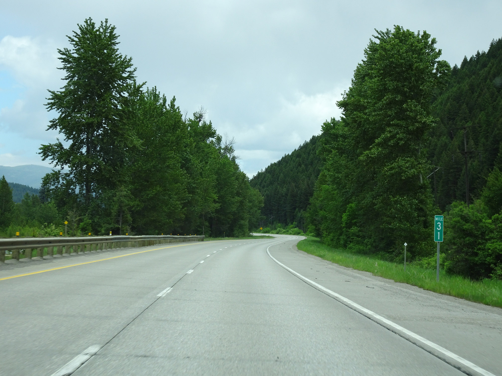 |
Interstate 90 East at mile marker 31. (Photo taken 5/25/16). |
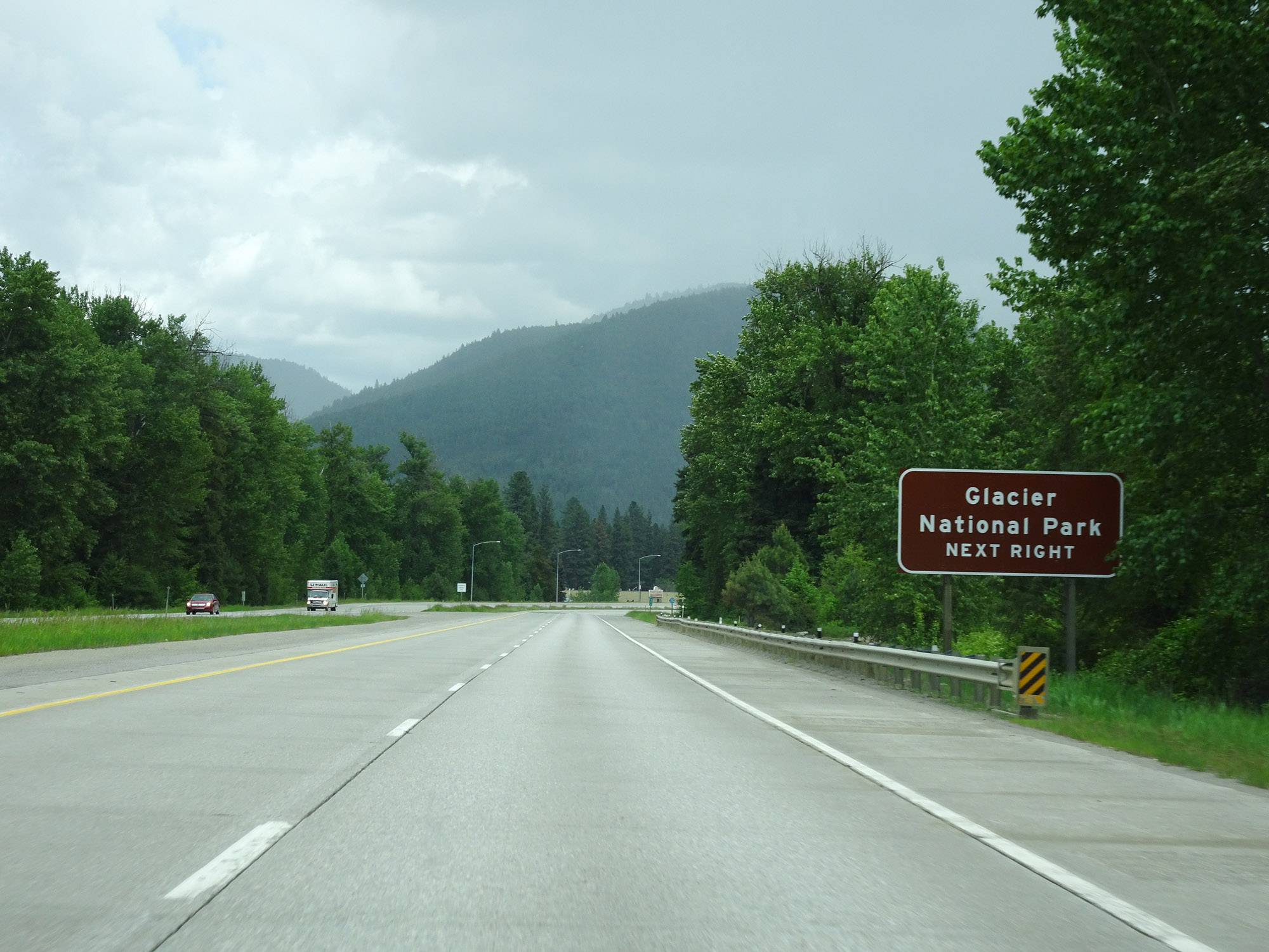 |
Take Exit 33 to Glacier National Park. (Photo taken 5/25/16). |
 |
Interstate 90 East at Exit 33: MT 135 - St Regis (Photo taken 5/25/16). |
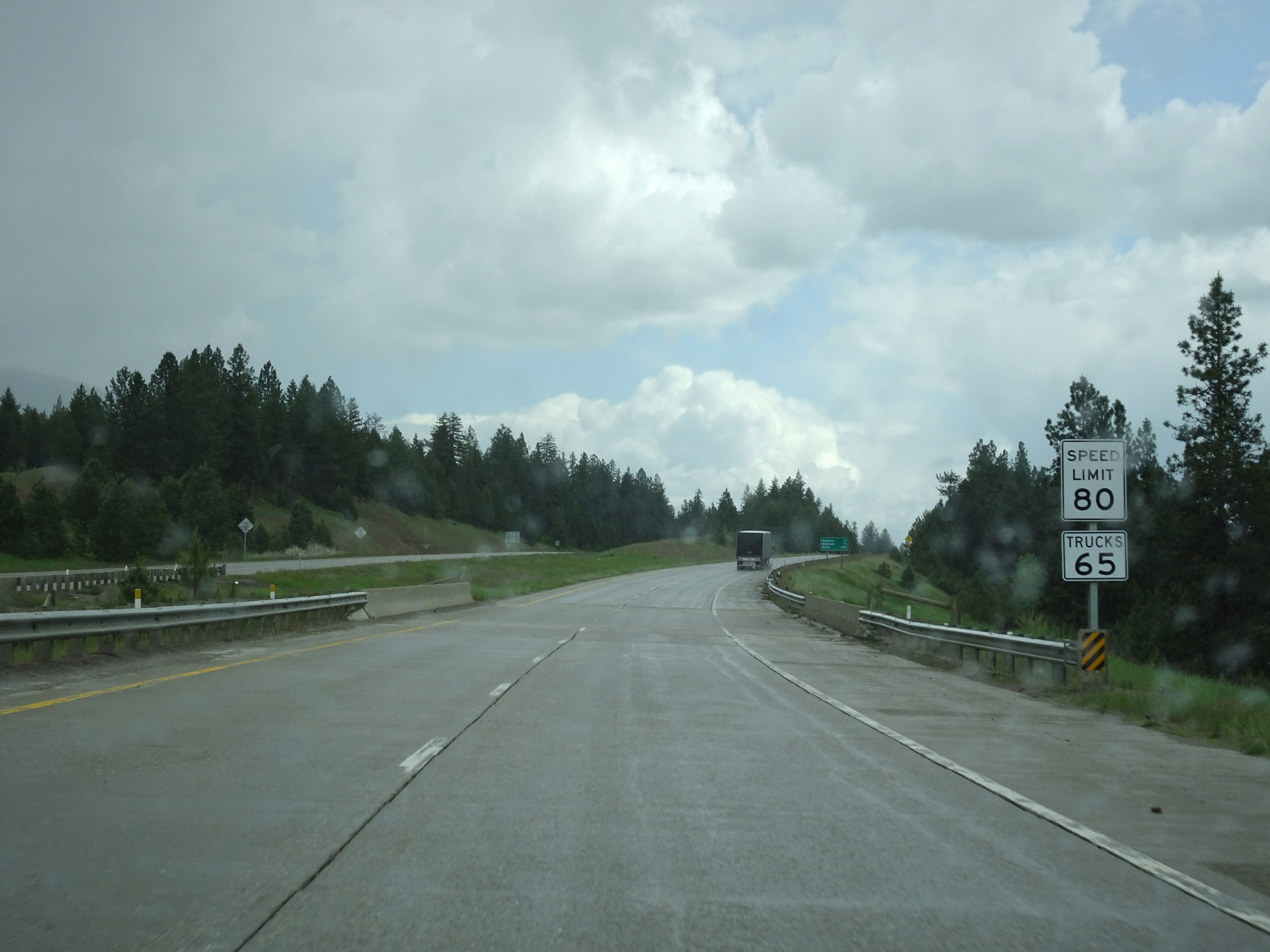 |
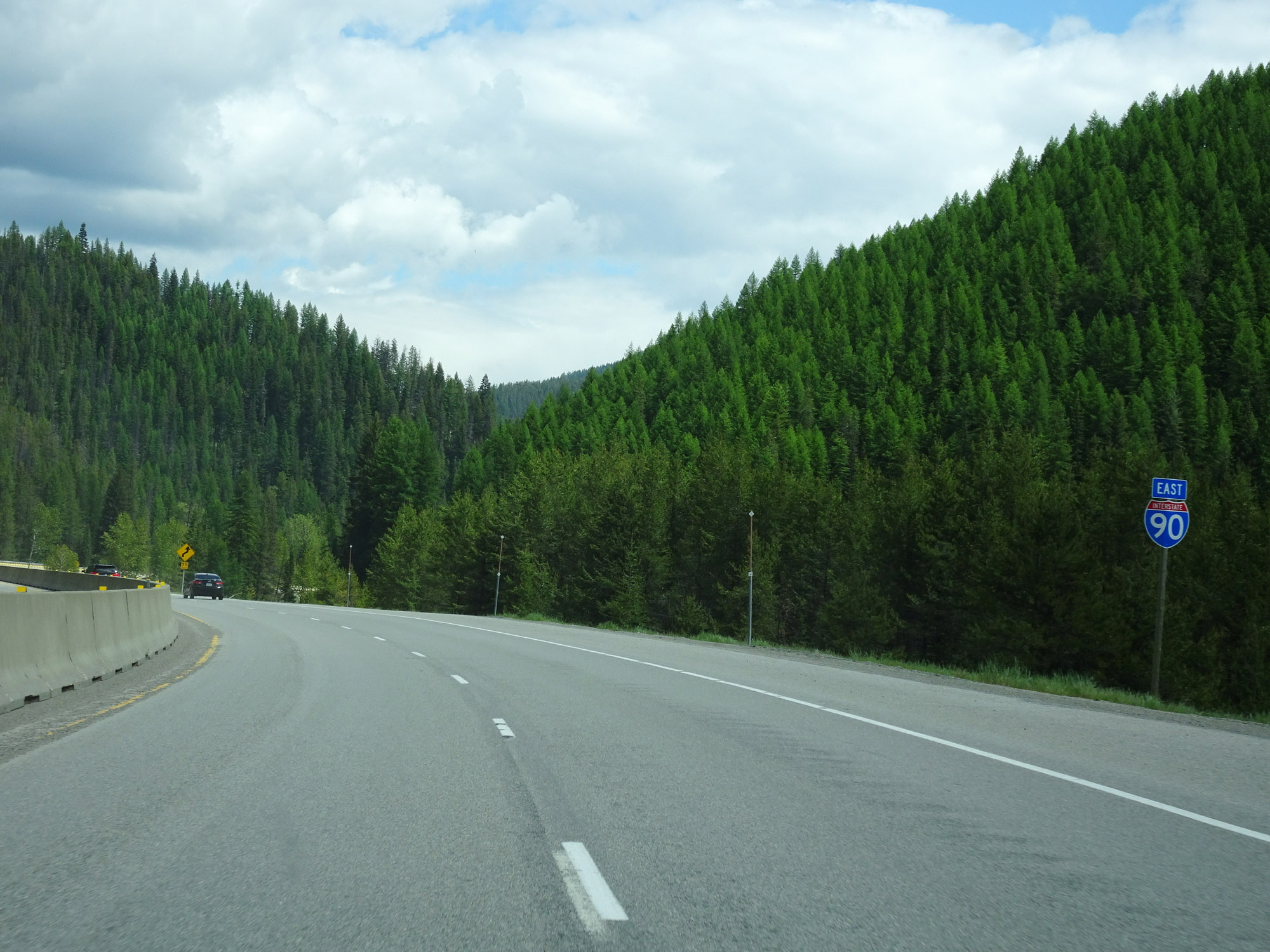
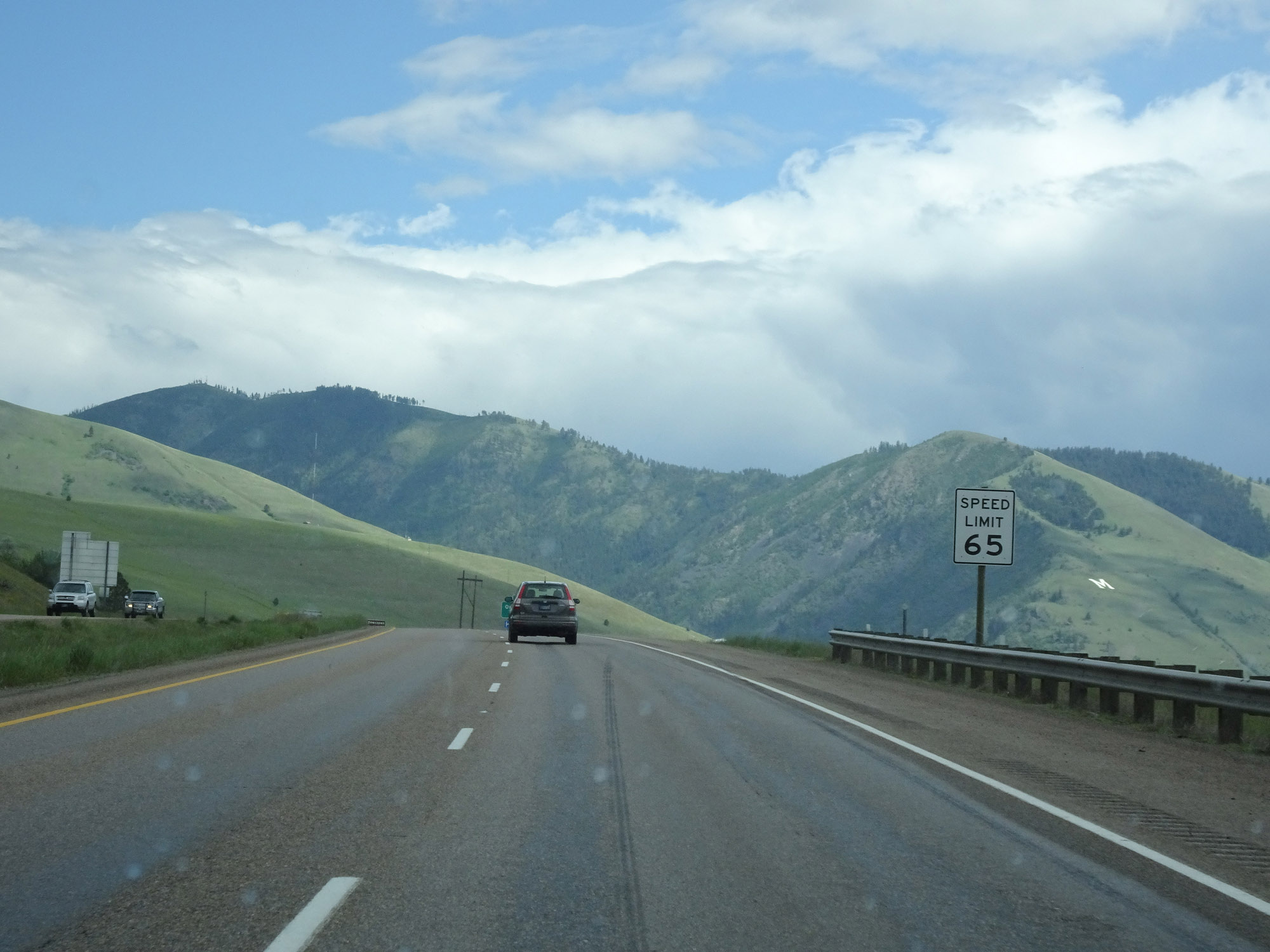
Now that Interstate 90 East finally straightens out a bit east of Exit 33, the speed limit for cars increases to 80 mph. The truck speed limit remains 65 mph. These are the standard speed limits on most rural Interstate highways in Montana. (Photo taken 5/25/16). |
 |
View on Interstate 90 East at mile marker 36. (Photo taken 5/25/16). |
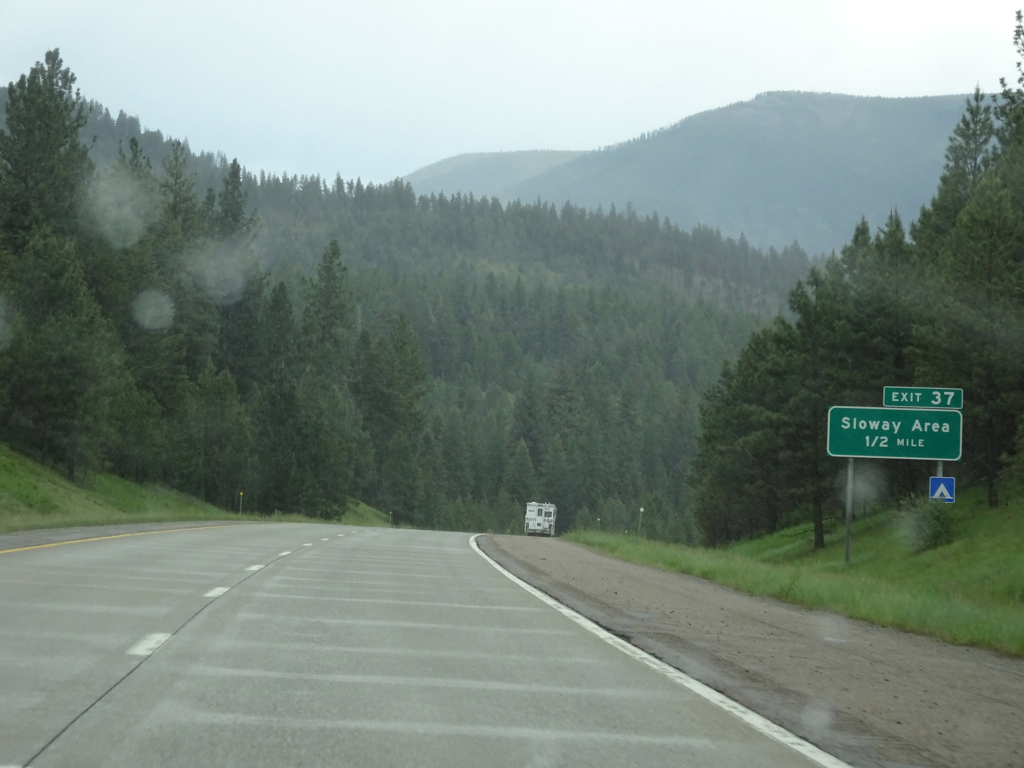 |
Interstate 90 East approaching Exit 37 - 1/2 mile. (Photo taken 5/25/16). |
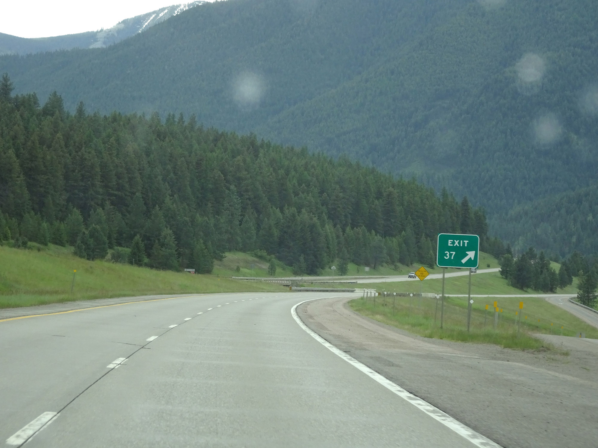 |
Interstate 90 East at Exit 37: Sloway Area (Photo taken 5/25/16). |
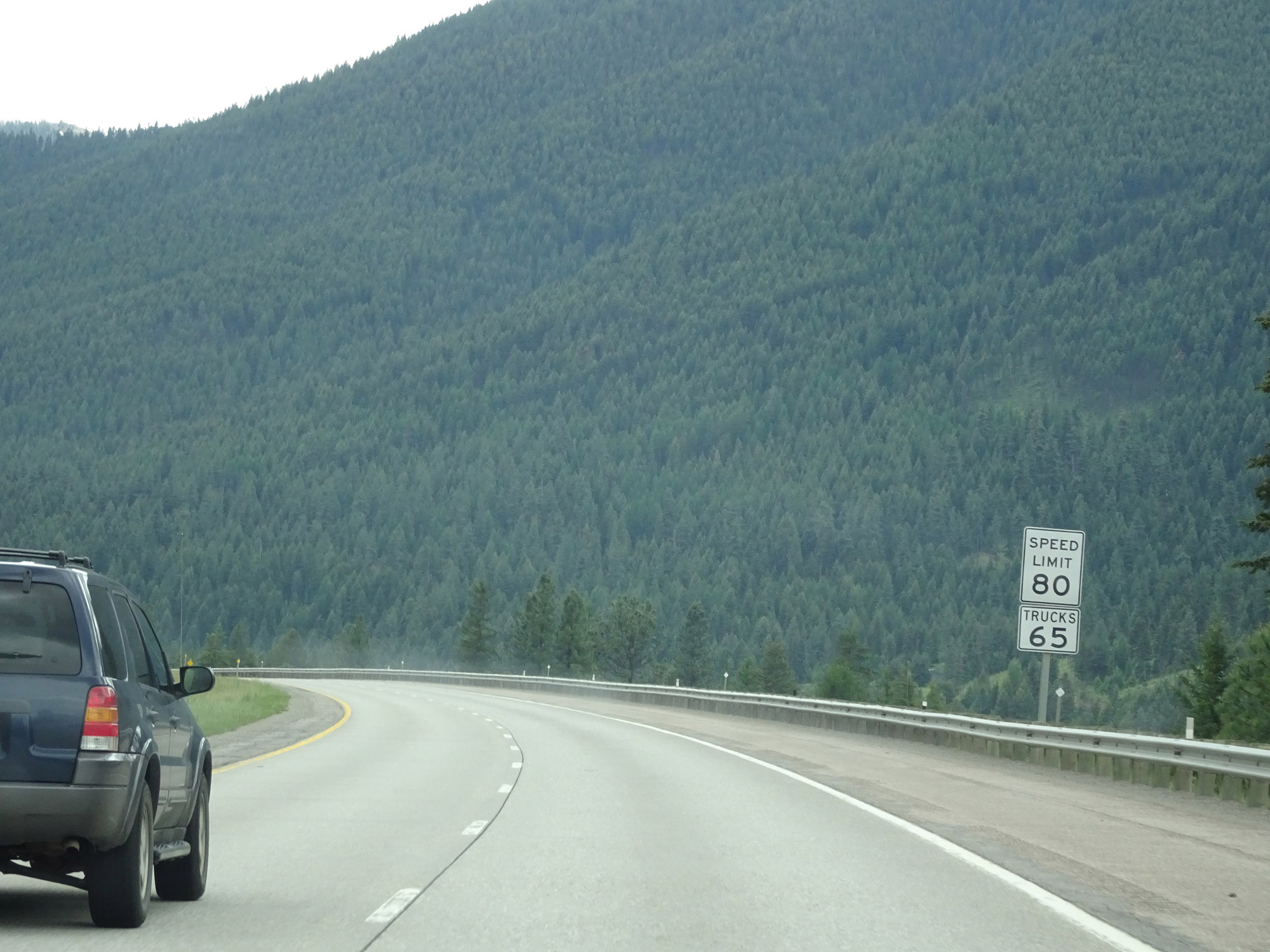 |
The speed limits remain 80 mph for cars and 65 mph for trucks. (Photo taken 5/25/16). |
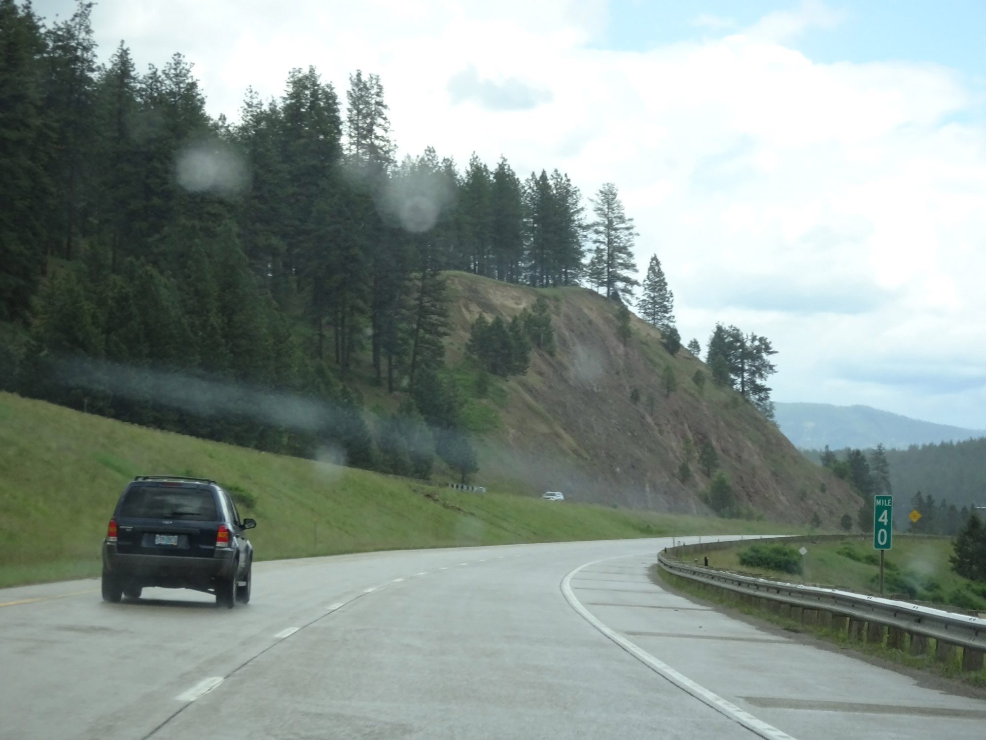 |
Interstate 90 East at mile marker 40. (Photo taken 5/25/16). |
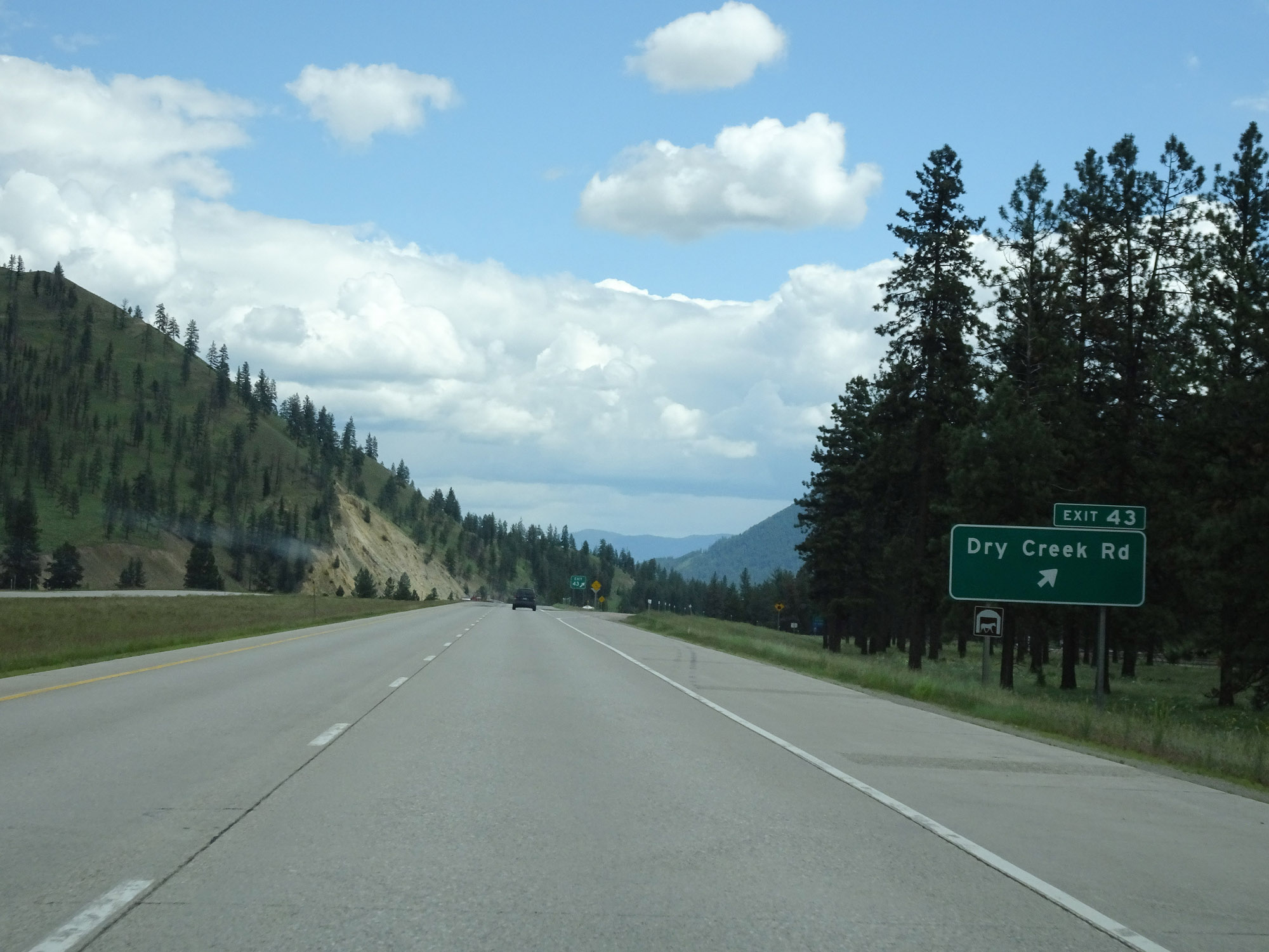 |
Interstate 90 East at Exit 43: Dry Creek Rd (Photo taken 5/25/16). |
 |
View on Interstate 90 East at mile marker 44. (Photo taken 5/25/16). |
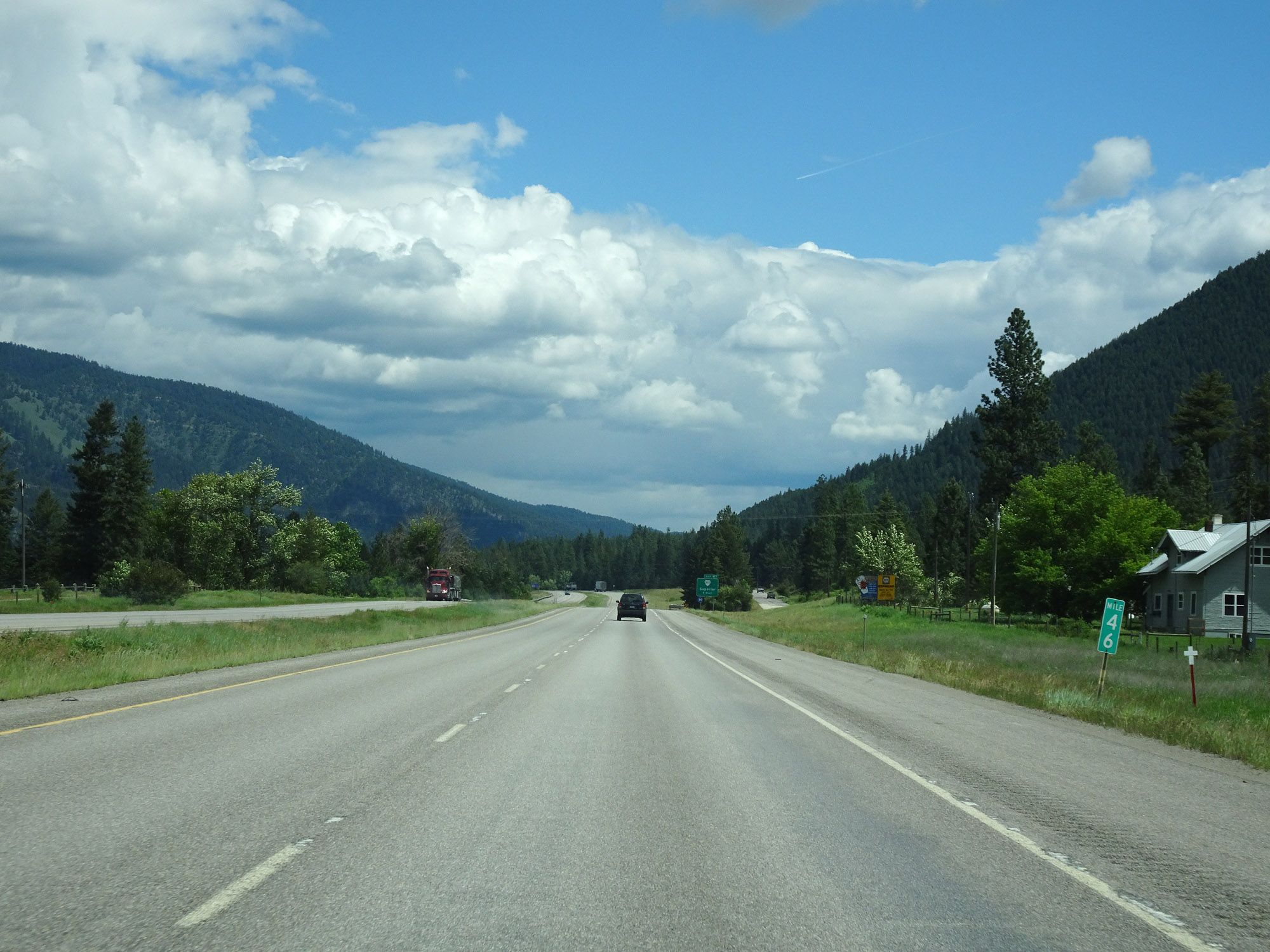 |
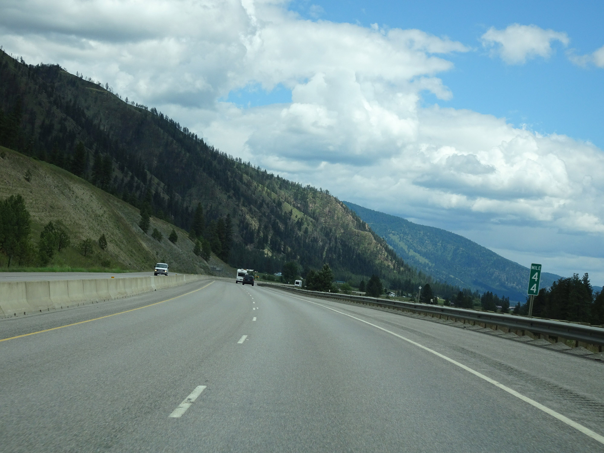
Interstate 90 East at mile marker 46. (Photo taken 5/25/16). |
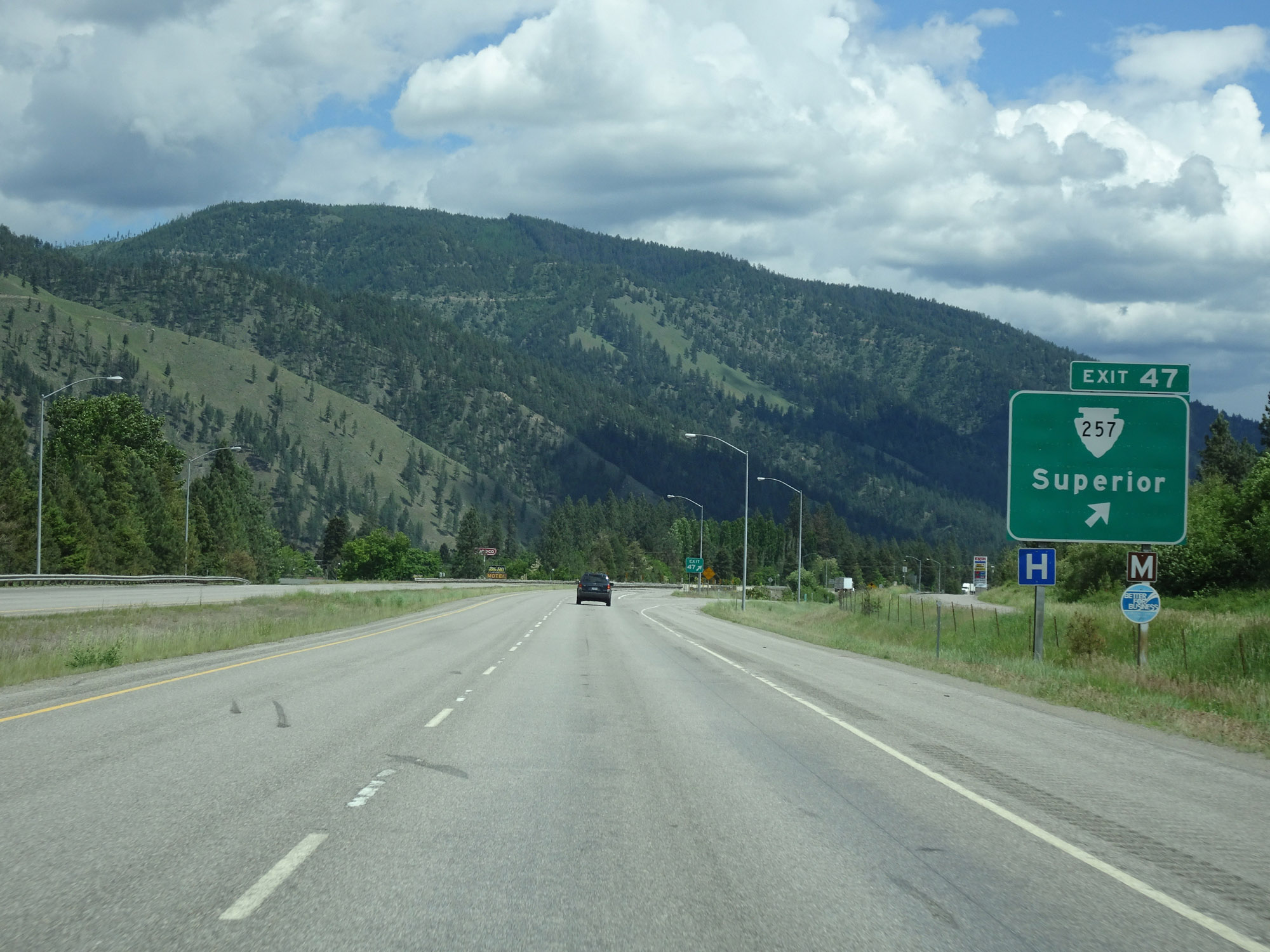 |
Interstate 90 East at Exit 47: S-257 - Superior (Photo taken 5/25/16). |
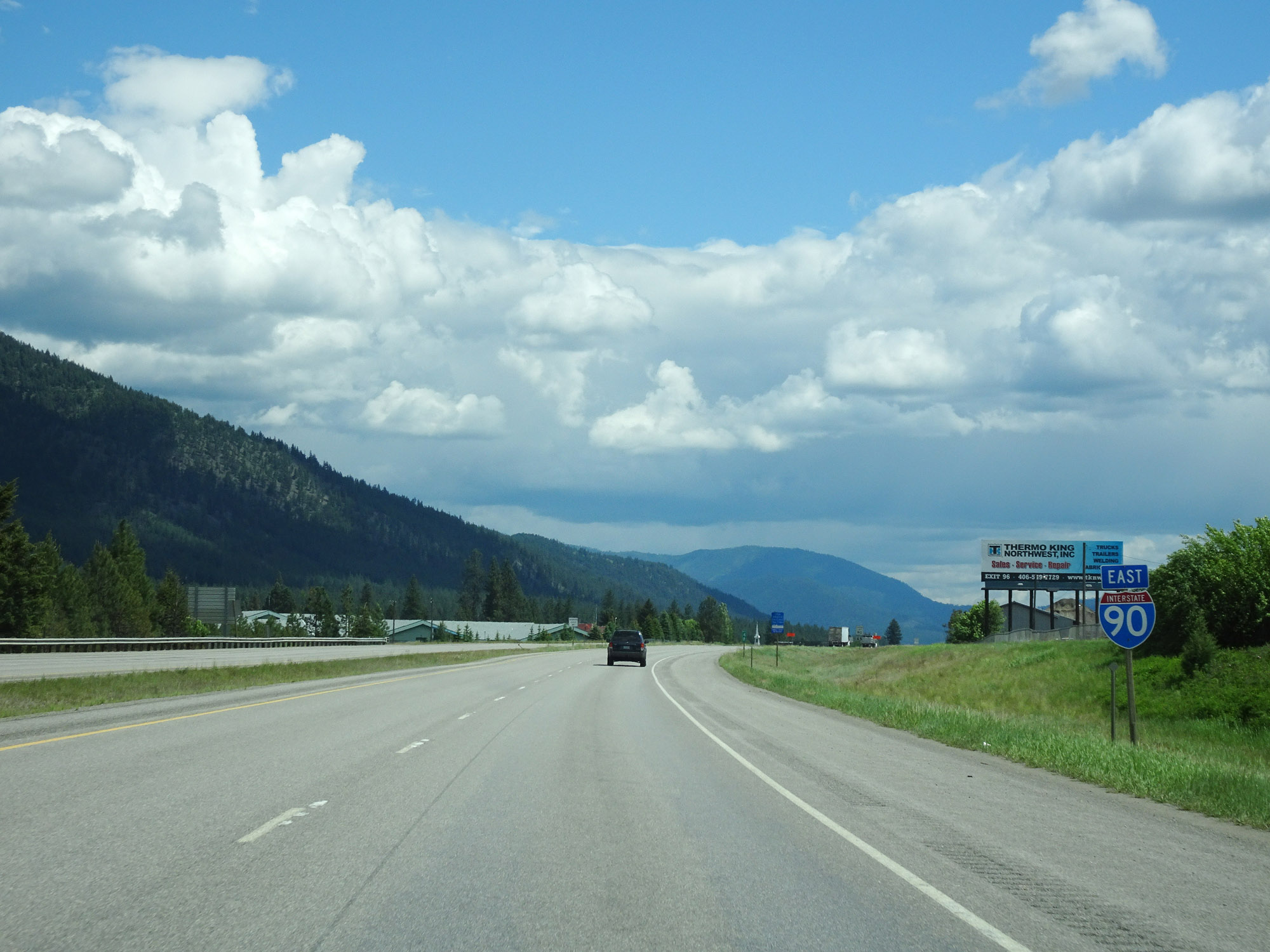 |
Another Interstate 90 East reassurance shield. (Photo taken 5/25/16). |
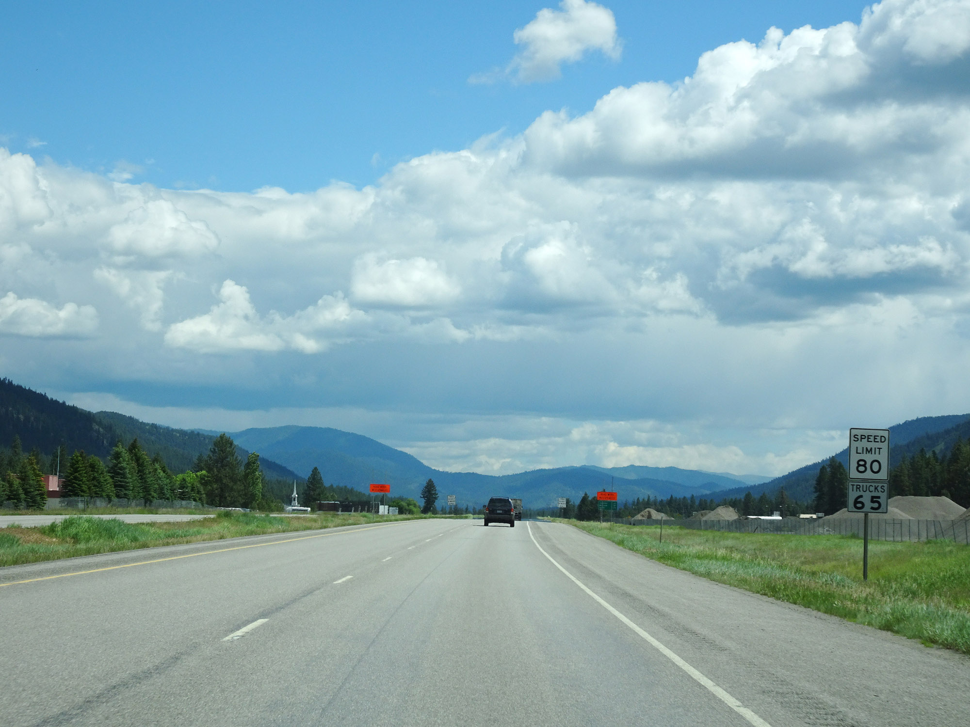 |
The speed limits remain the rural standard 80 mph for cars and 65 mph for trucks. (Photo taken 5/25/16). |
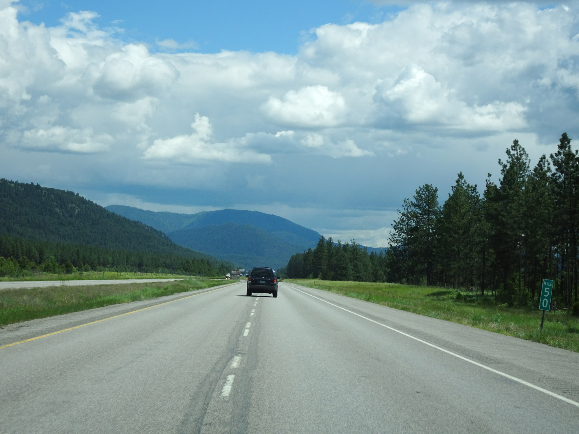 |
View on Interstate 90 East at mile marker 50. (Photo taken 5/25/16). |
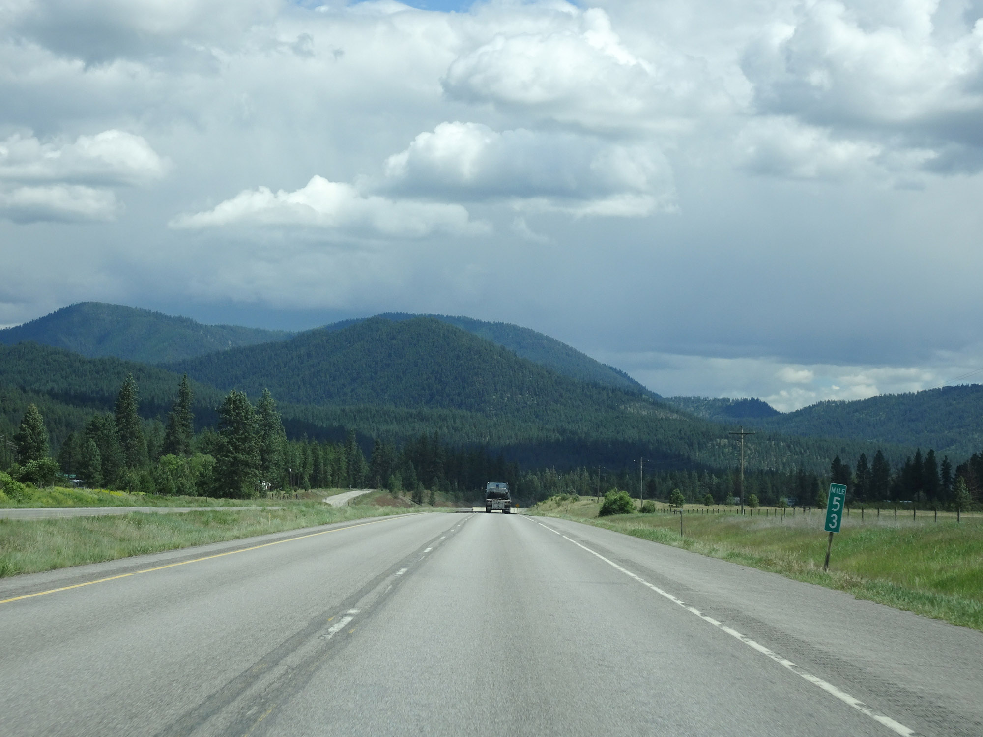 |
Interstate 90 East at mile marker 53. (Photo taken 5/25/16). |
 |
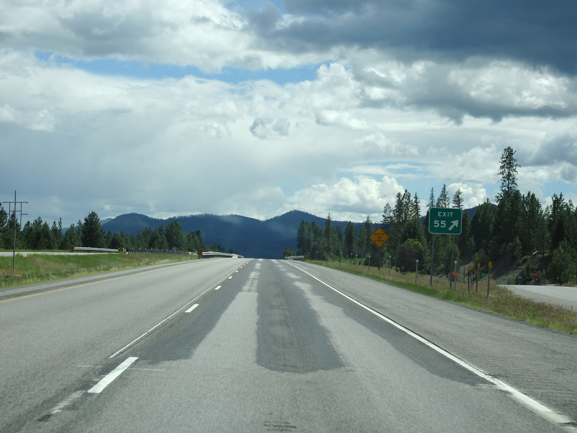
Interstate 90 East approaching Exit 55 - 1/2 mile. (Photo taken 5/25/16). |
 |
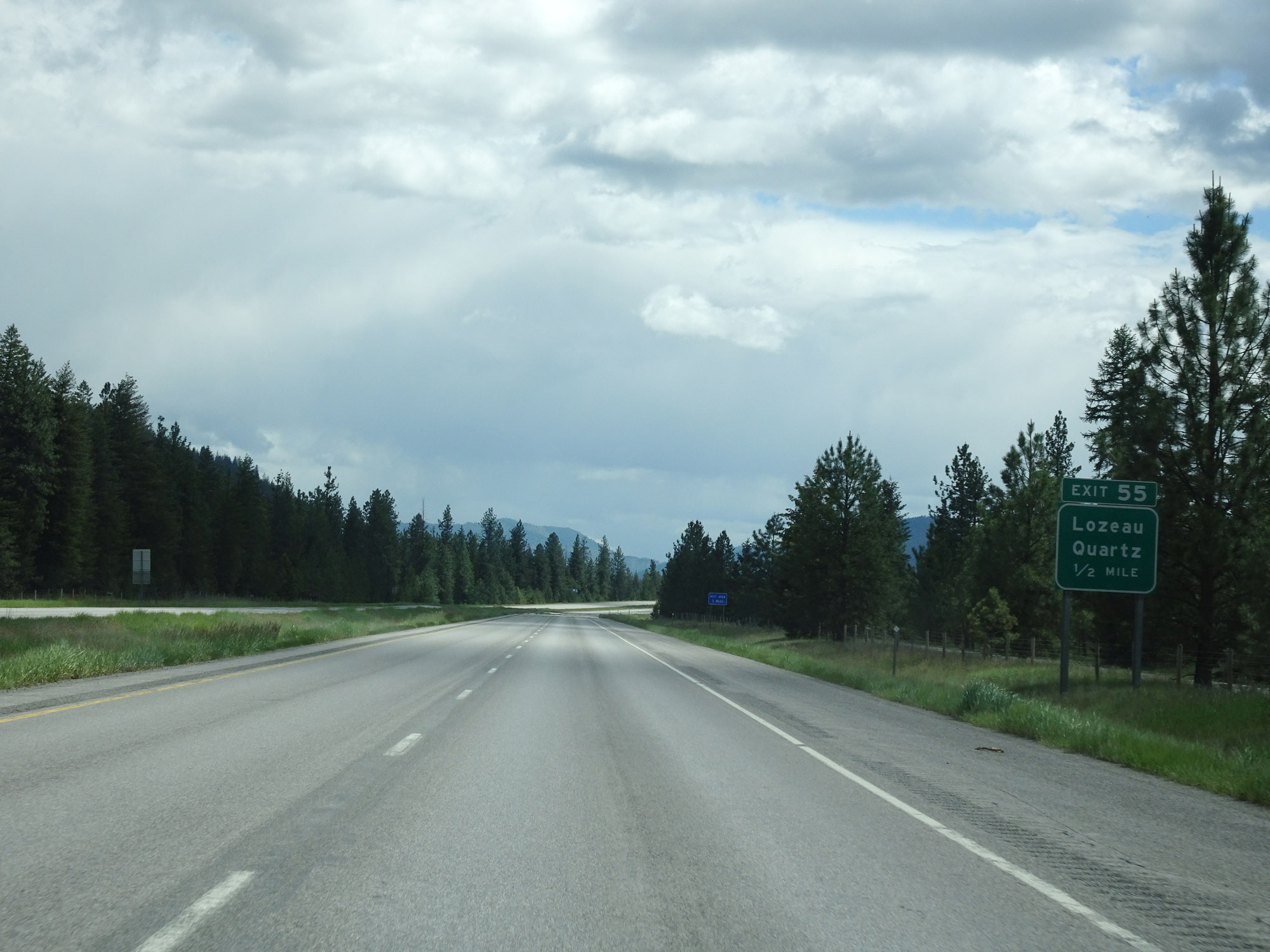
Interstate 90 East at Exit 55: Lozeau / Quartz (Photo taken 5/25/16). |
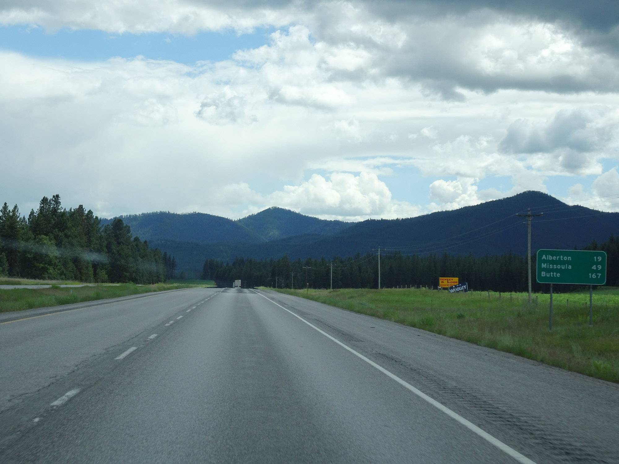 |
Mileage sign on Interstate 90 East. It's 19 miles to Alberton, 49 miles to Missoula, and 167 miles to Butte. (Photo taken 5/25/16). |
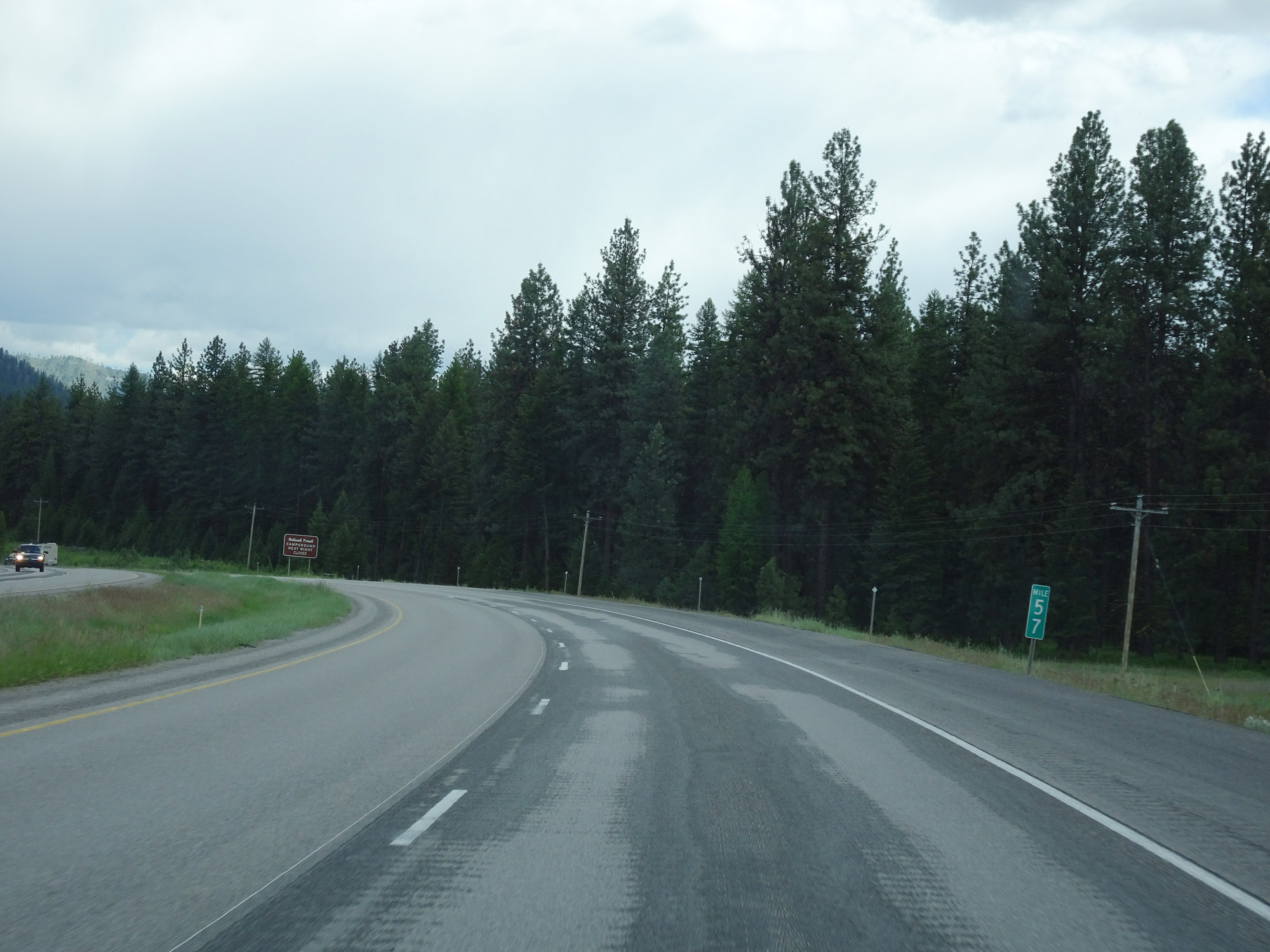 |
Interstate 90 East at mile marker 57. (Photo taken 5/25/16). |
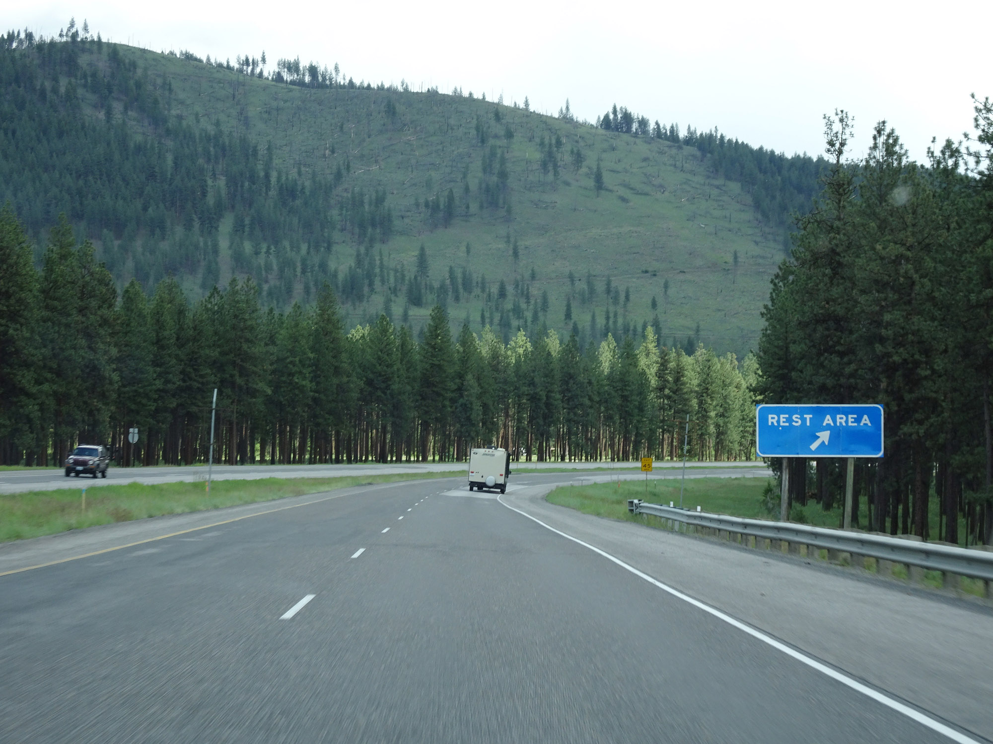 |
Rest Area on Interstate 90 East in Mineral County. (Photo taken 5/25/16). |
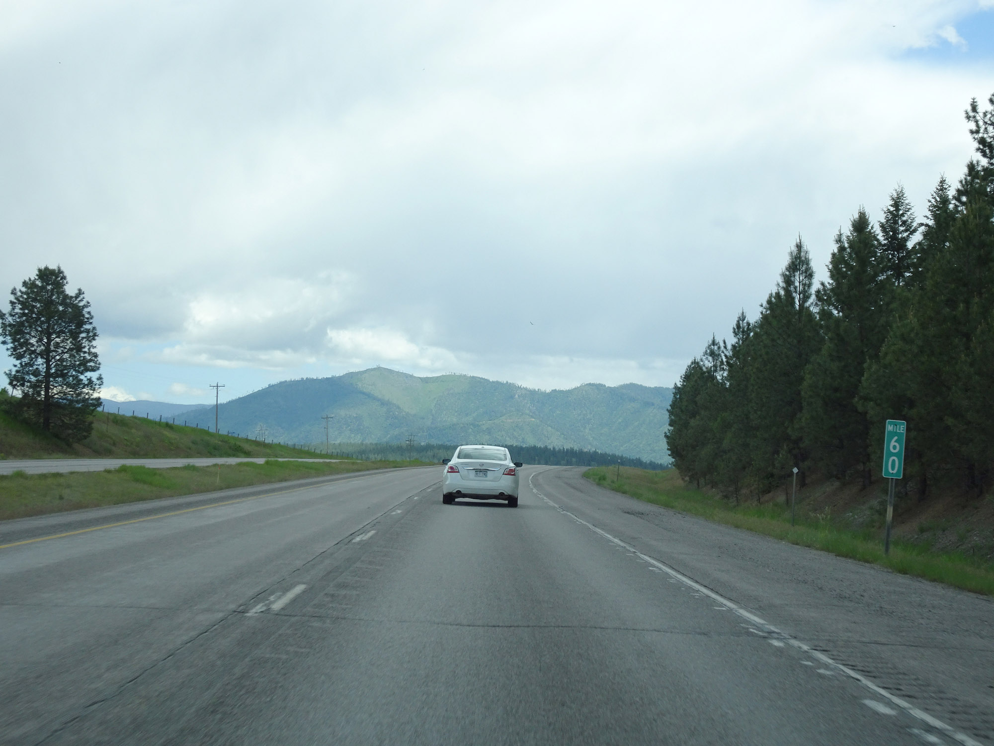 |
Interstate 90 East at mile marker 60. (Photo taken 5/25/16). |
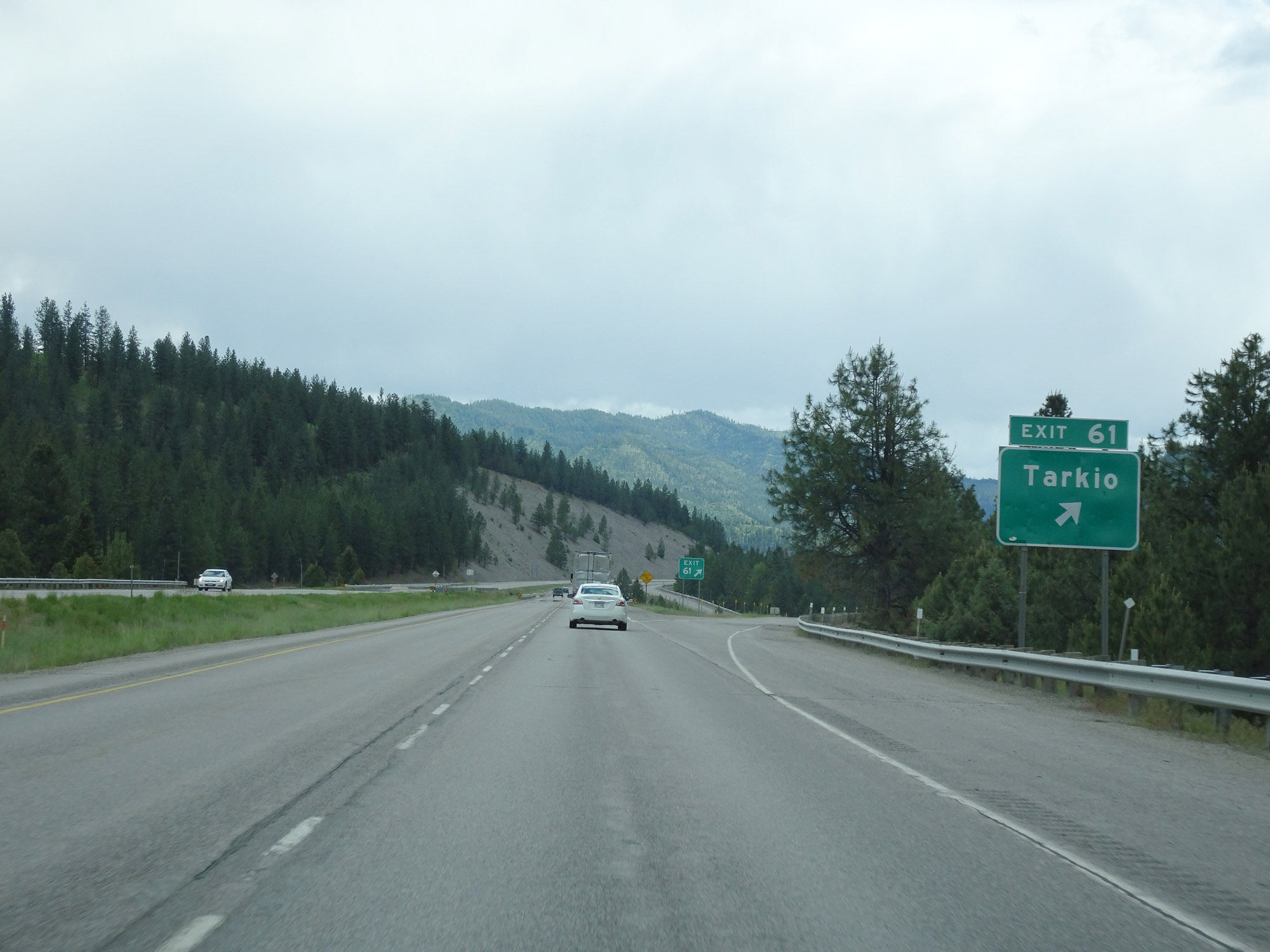 |
Interstate 90 East at Exit 61: Tarkio (Photo taken 5/25/16). |
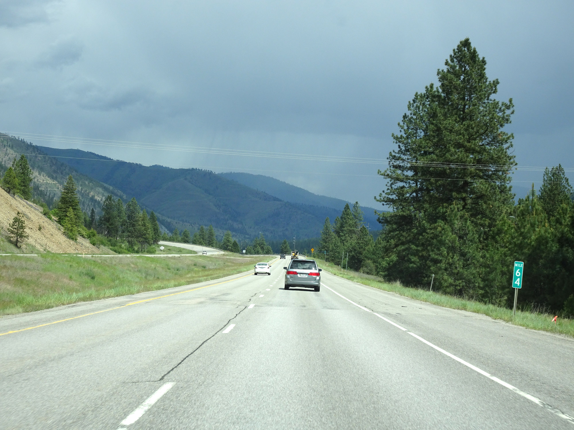 |
View on Interstate 90 East at mile marker 64. (Photo taken 5/25/16). |
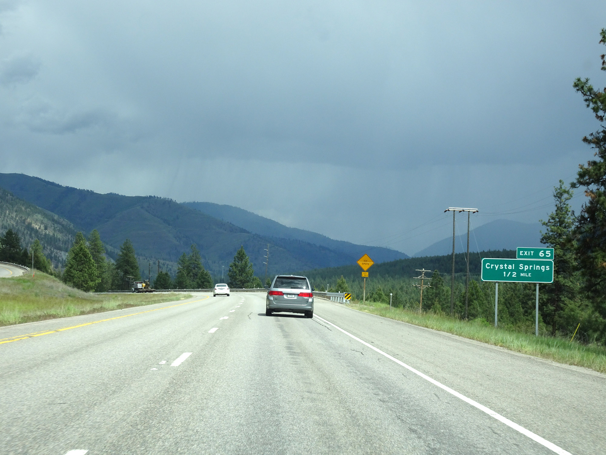 |
Interstate 90 East approaching Exit 65 - 1/2 mile. (Photo taken 5/25/16). |
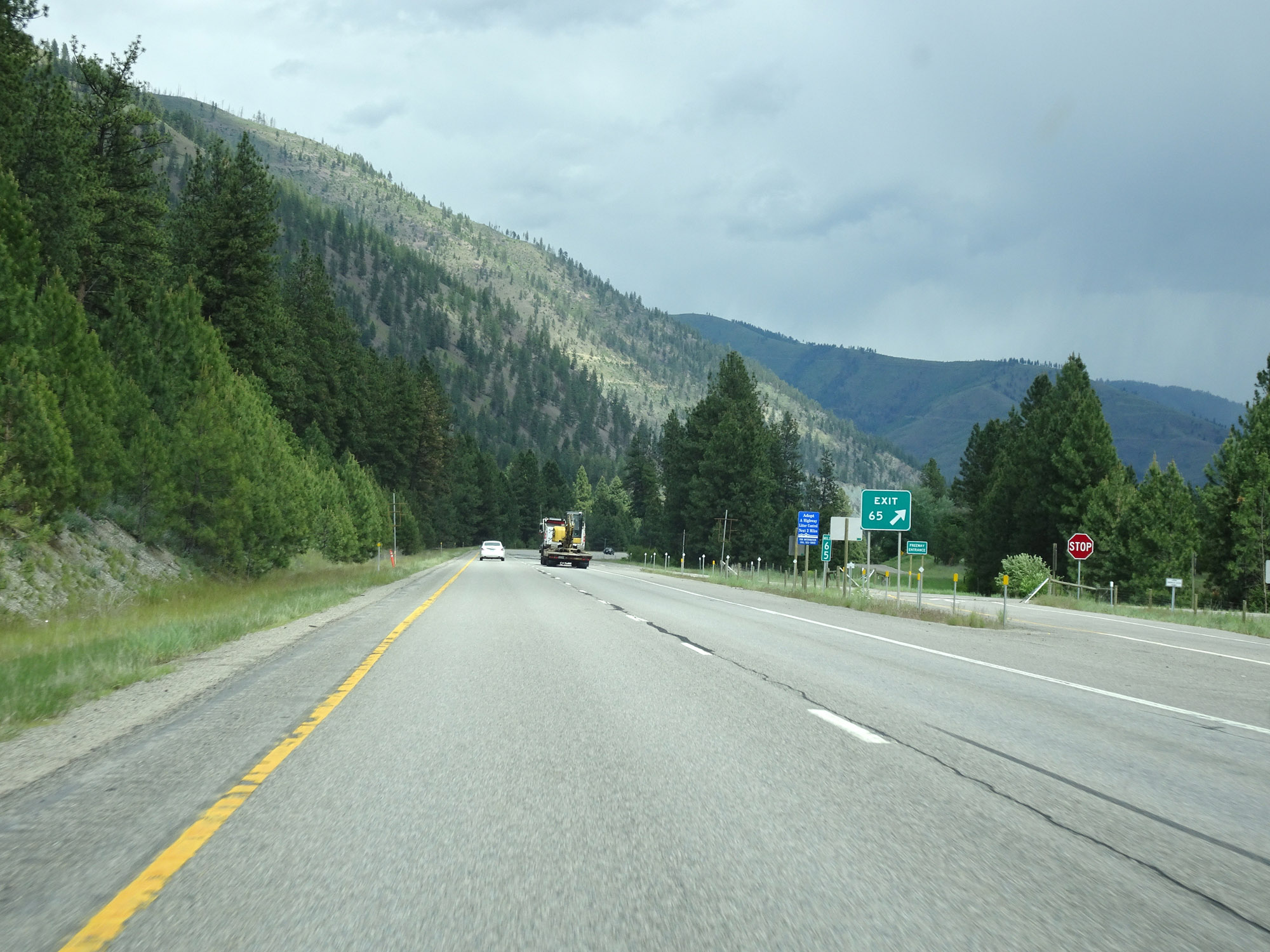 |
Interstate 90 East at Exit 65: Crystal Springs (Photo taken 5/25/16). |
 |
Interstate 90 East at Exit 66: Fish Creek Rd (Photo taken 5/25/16). |
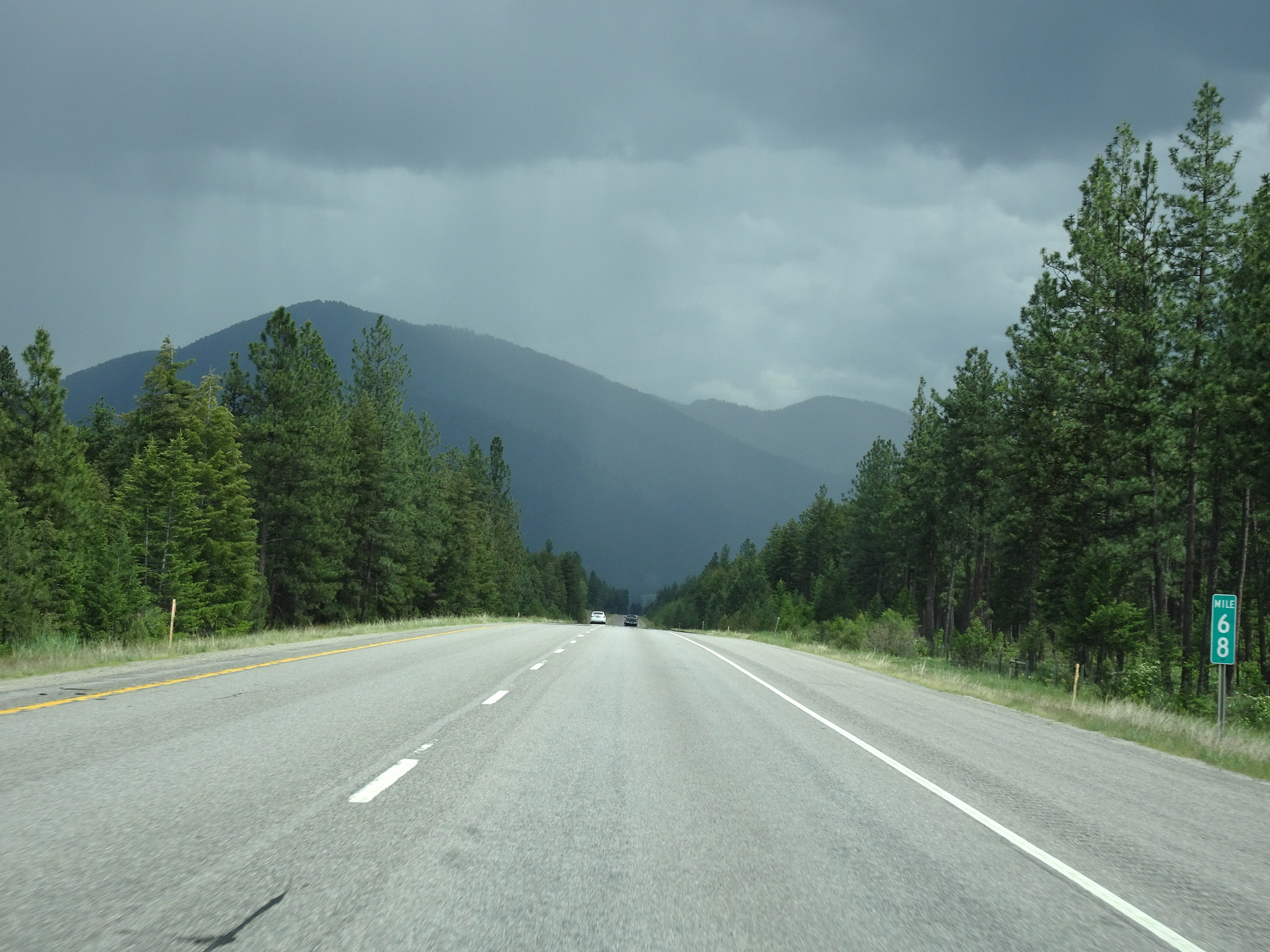 |
View on Interstate 90 East at mile marker 68. (Photo taken 5/25/16). |
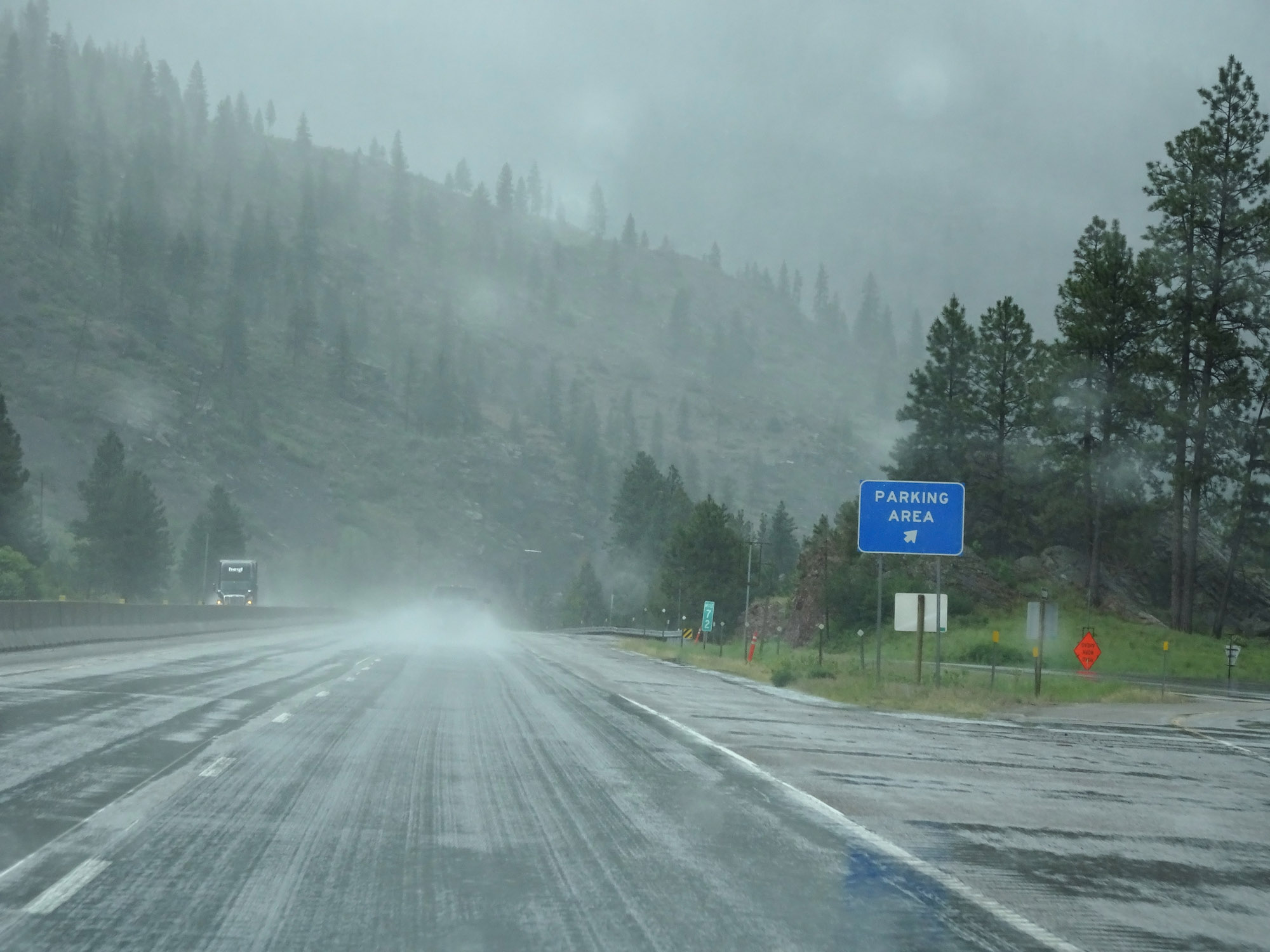 |
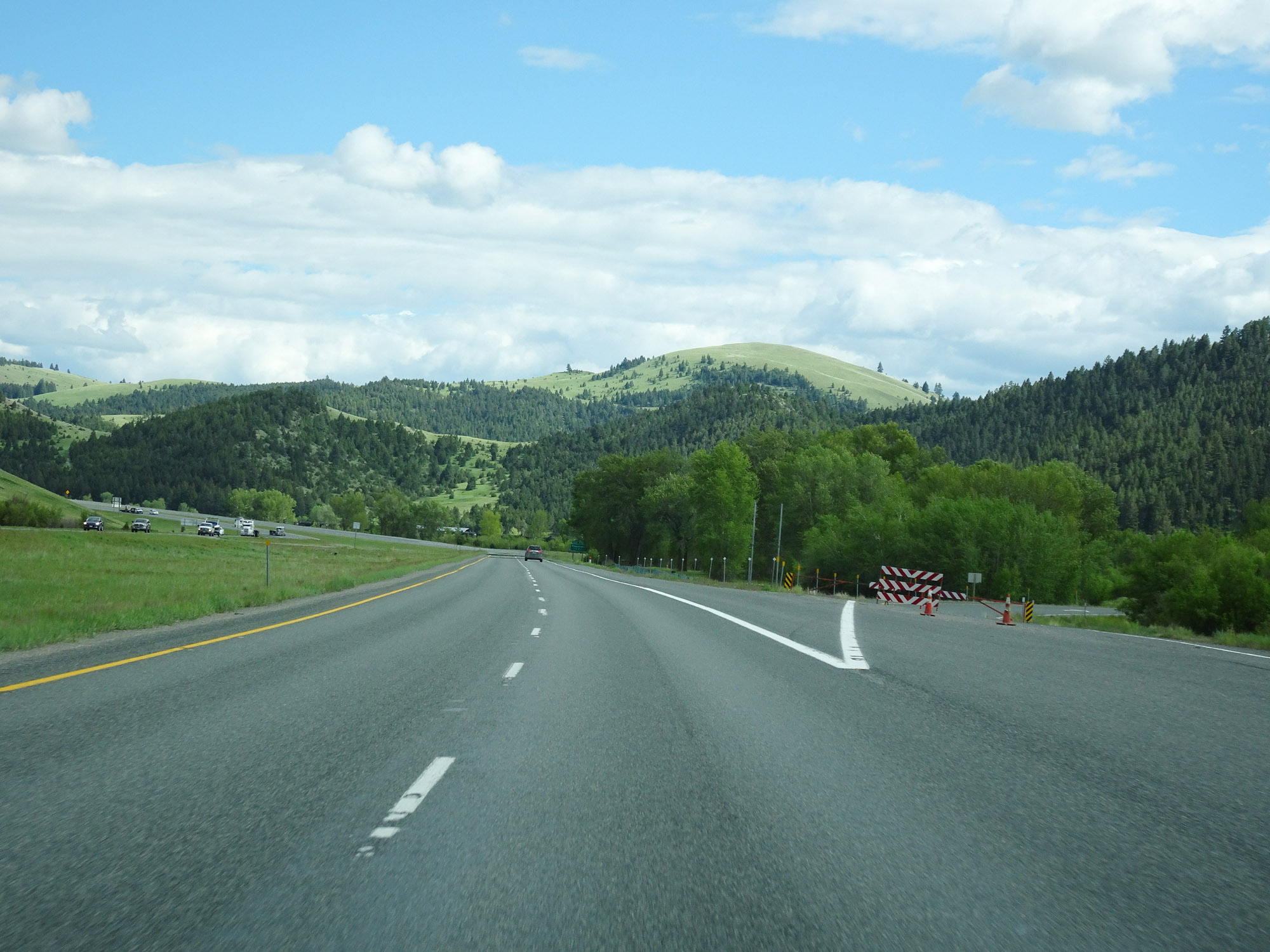
Parking Area on Interstate 90 East at mile marker 72 in Mineral County. (Photo taken 5/25/16). |
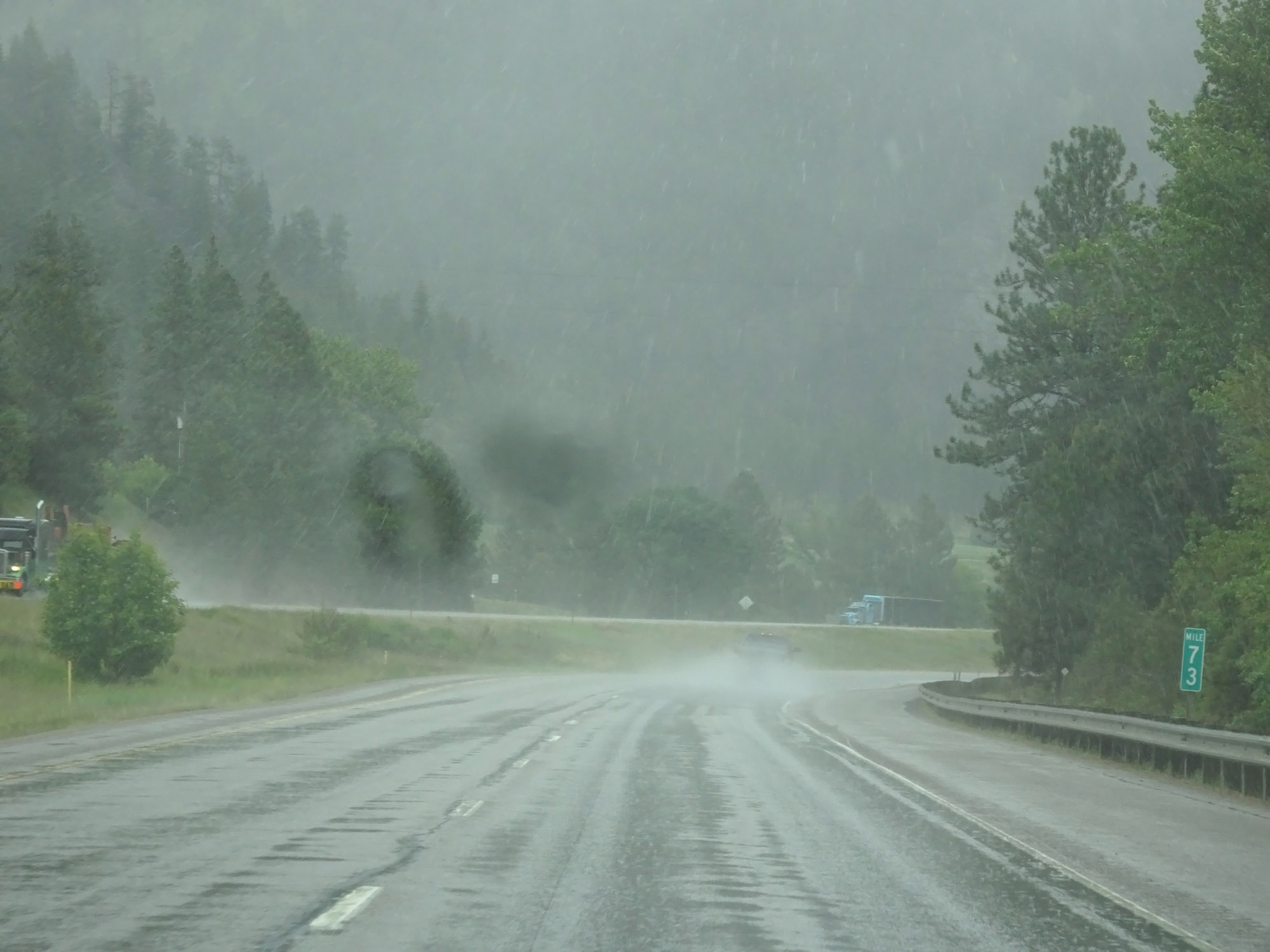 |
Interstate 90 East at mile marker 73. (Photo taken 5/25/16). |
 |
Interstate 90 East at Exit 75: Interstate 90 Business Loop - Alberton (Photo taken 5/25/16). |
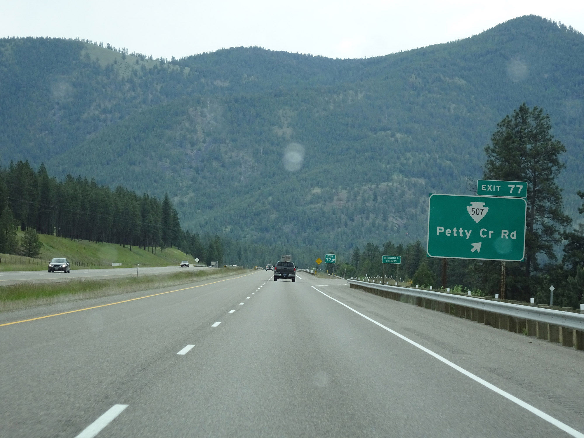 |
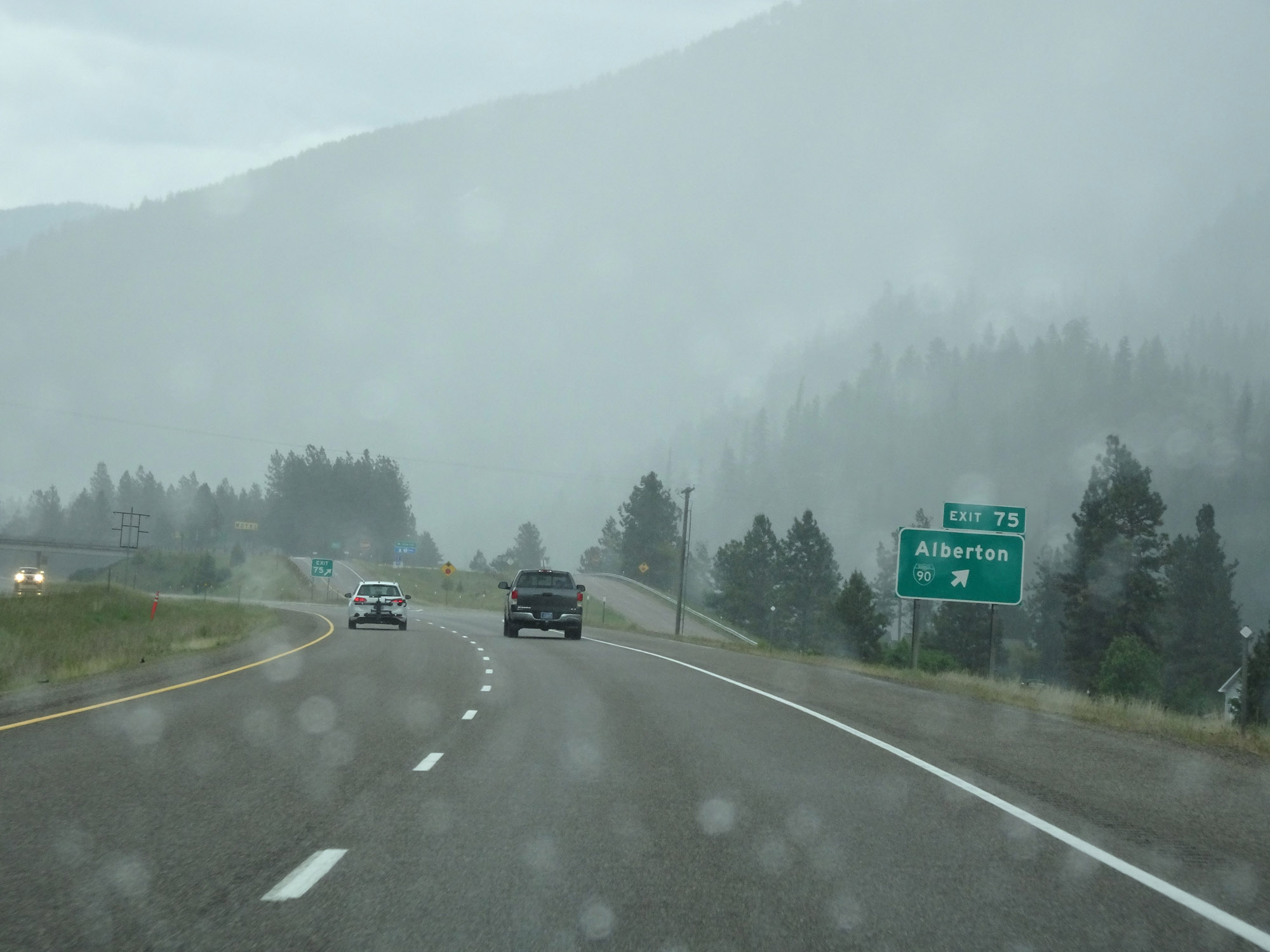
Interstate 90 East at Exit 77: S-507 - Petty Creek Rd. Also at this exit, Interstate 90 East enters Missoula County. (Photo taken 5/25/16). |
Section 2: Alberton (Exit 77) to Missoula (Exit 107)
 |
Interstate 90 East reassurance shield. (Photo taken 5/25/16). |
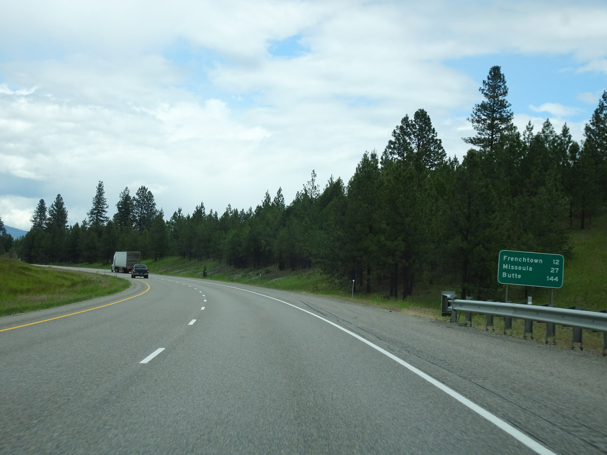 |
Mileage sign on Interstate 90 East. It's 12 miles to Frenchtown, 27 miles to Missoula, and 144 miles to Butte. (Photo taken 5/25/16). |
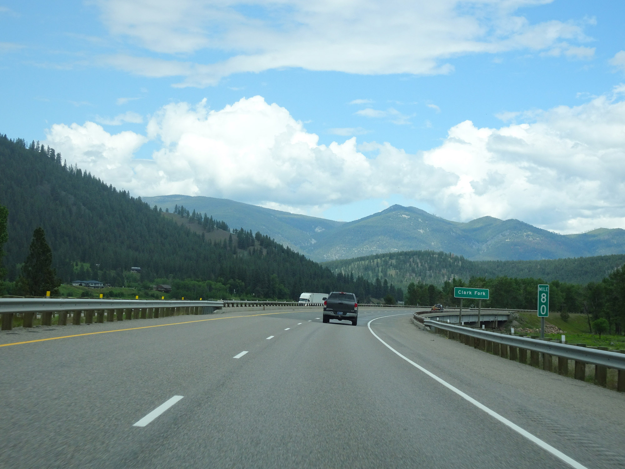 |
View on Interstate 90 East at mile marker 80. (Photo taken 5/25/16). |
 |
Take Exit 82 to the Historic Ranger Station. (Photo taken 5/25/16). |
 |
Interstate 90 East at Exit 82: Nine Mile Road (Photo taken 5/25/16). |
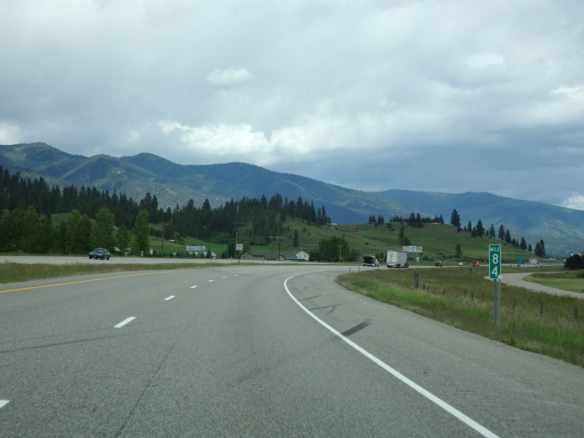 |
View on Interstate 90 East at mile marker 84. (Photo taken 5/25/16). |
 |
Interstate 90 East approaching Exit 85 - 1/2 mile. (Photo taken 5/25/16). |
 |
Interstate 90 East at Exit 85: Huson (Photo taken 5/25/16). |
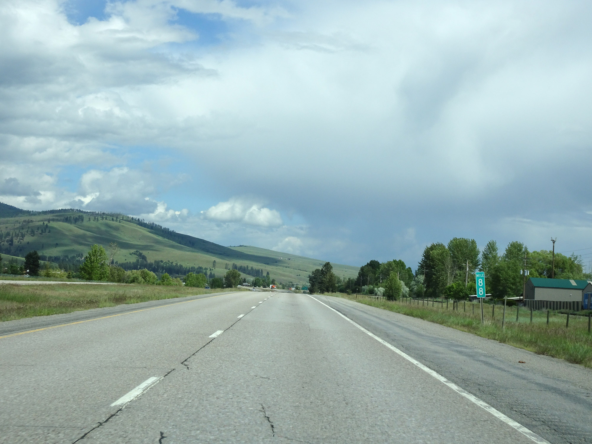 |
Interstate 90 East at mile marker 88. (Photo taken 5/25/16). |
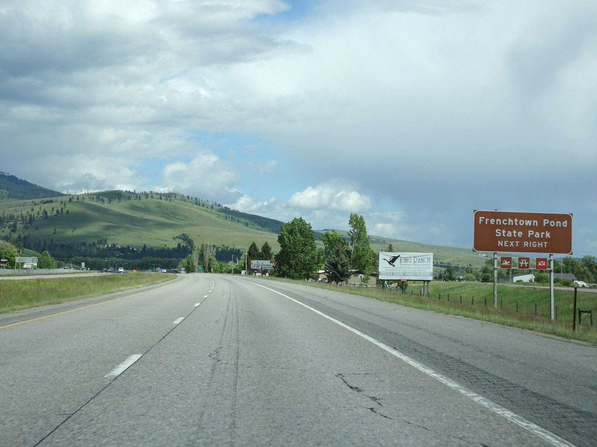 |
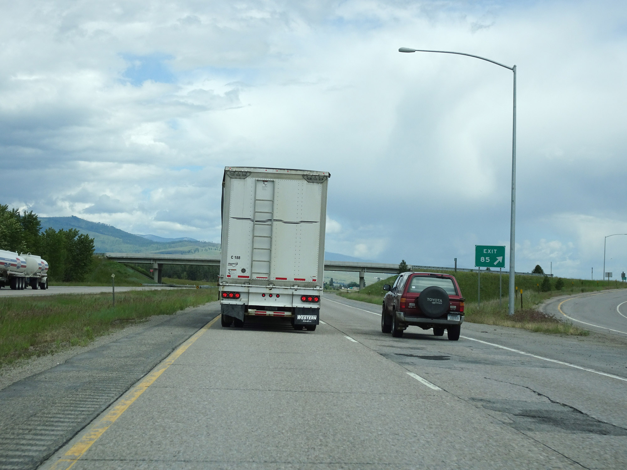
Take Exit 89 to Frenchtown Pond State Park. (Photo taken 5/25/16). |
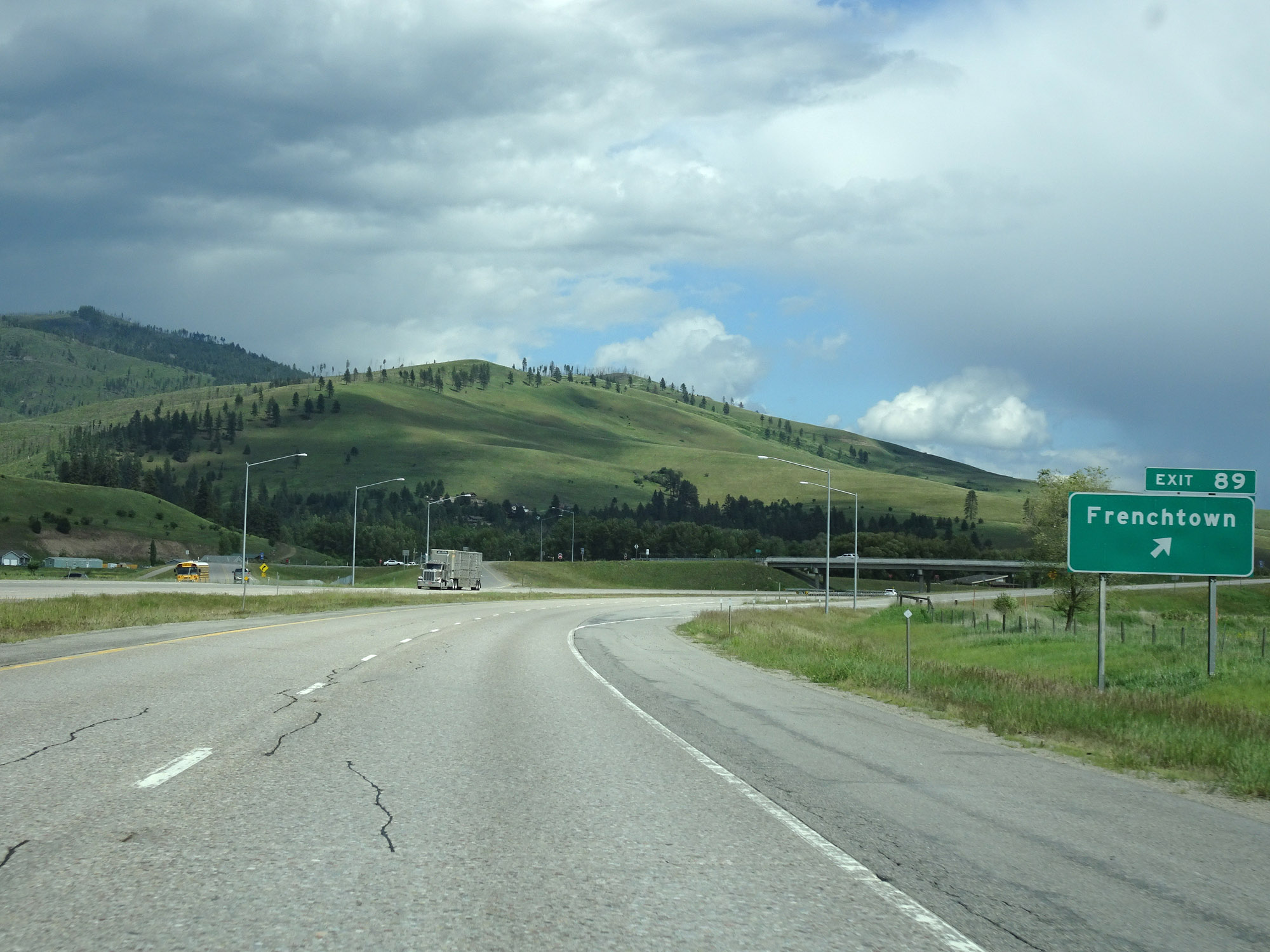 |
Interstate 90 East at Exit 89: Frenchtown (Photo taken 5/25/16). |
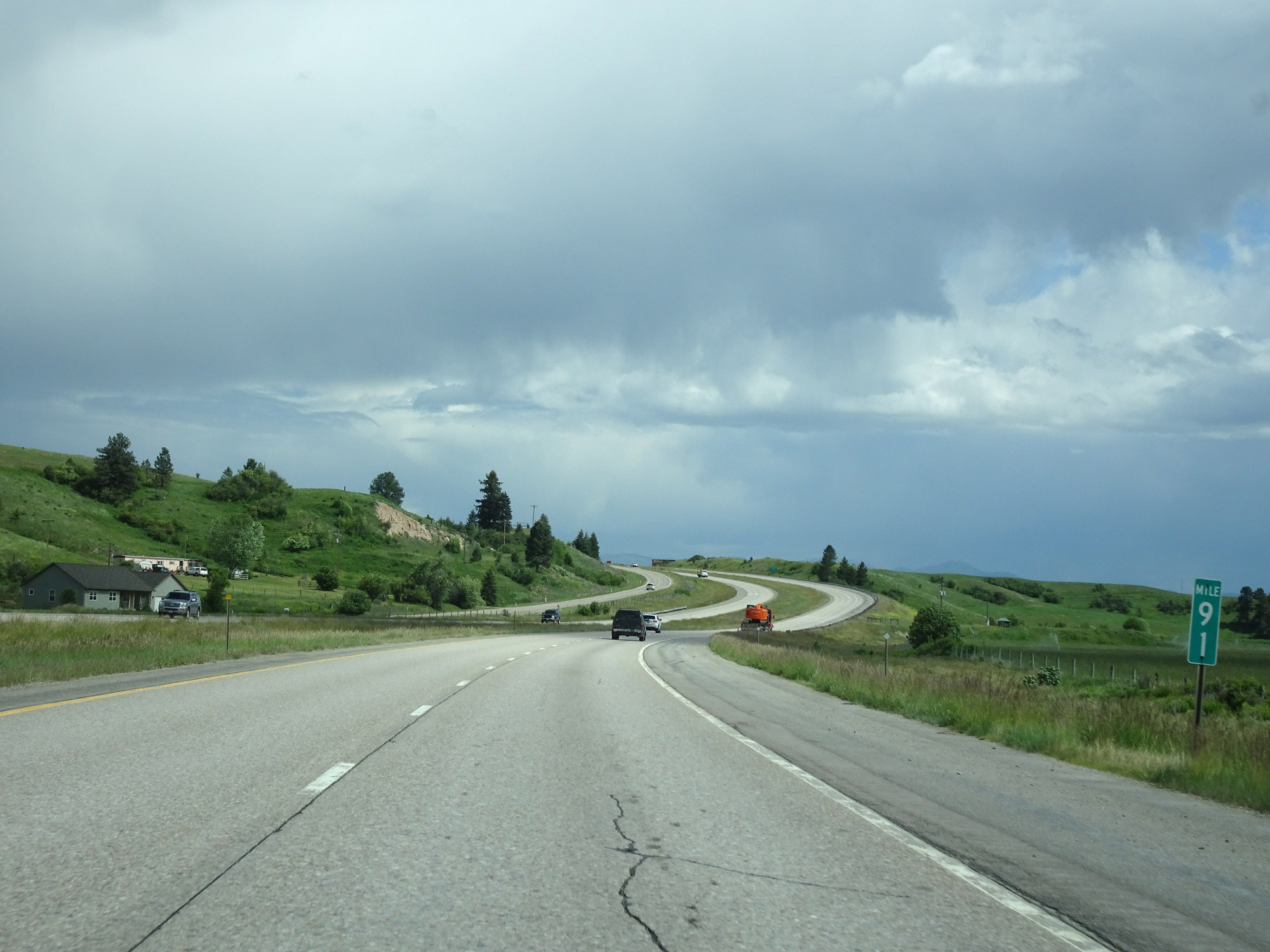 |
View on Interstate 90 East at mile marker 91. (Photo taken 5/25/16). |
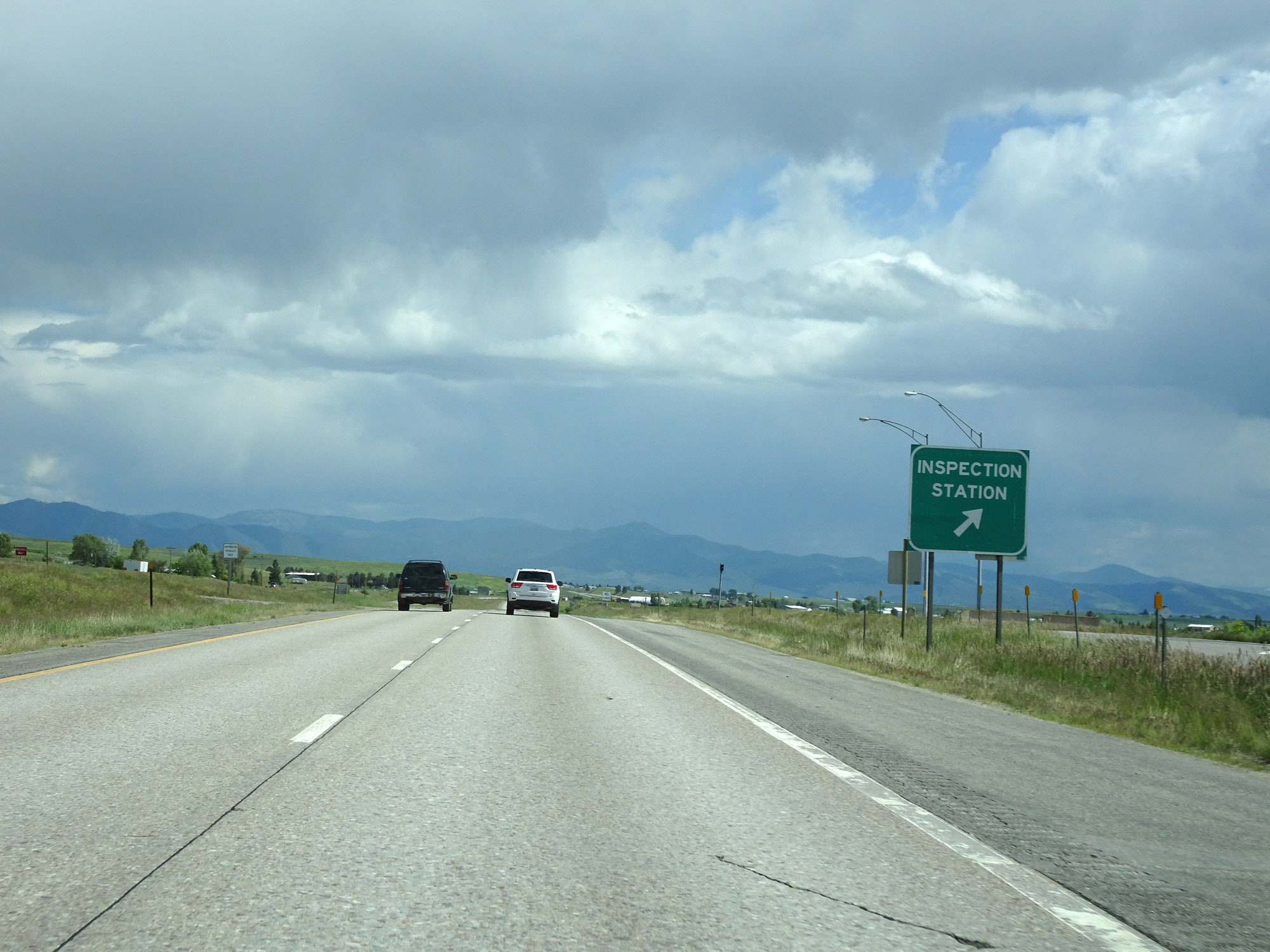 |
Inspection Station on Interstate 90 East in Missoula County. (Photo taken 5/25/16). |
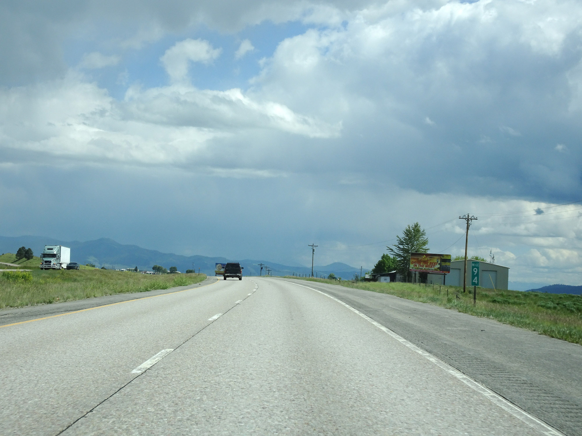 |
Interstate 90 East at mile marker 94. (Photo taken 5/25/16). |
 |
Nearing the Missoula area, the speed limit for cars decreases to 75 mph. The truck speed limit remains 65 mph. (Photo taken 5/25/16). |
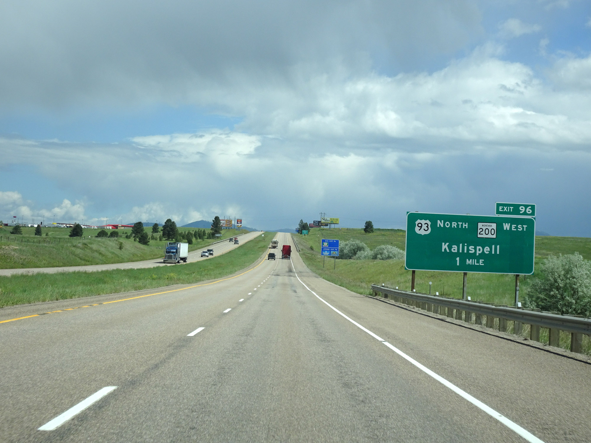 |
Interstate 90 East approaching Exit 96 - 1 mile. (Photo taken 5/25/16). |
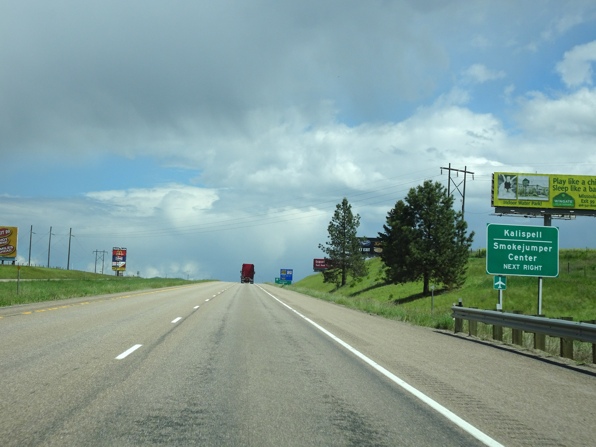 |
Take Exit 96 to Smokejumper Center. (Photo taken 5/25/16). |
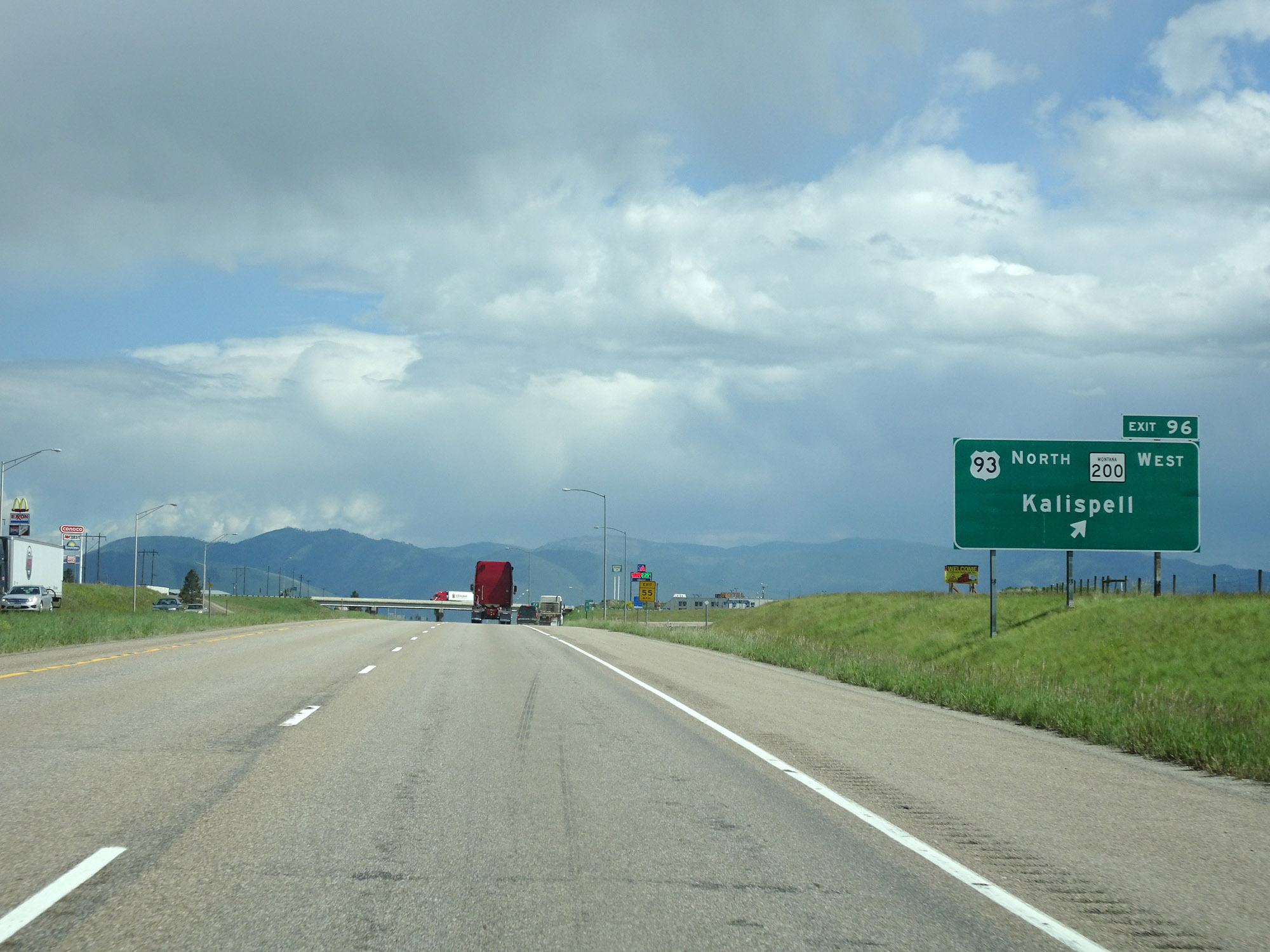 |
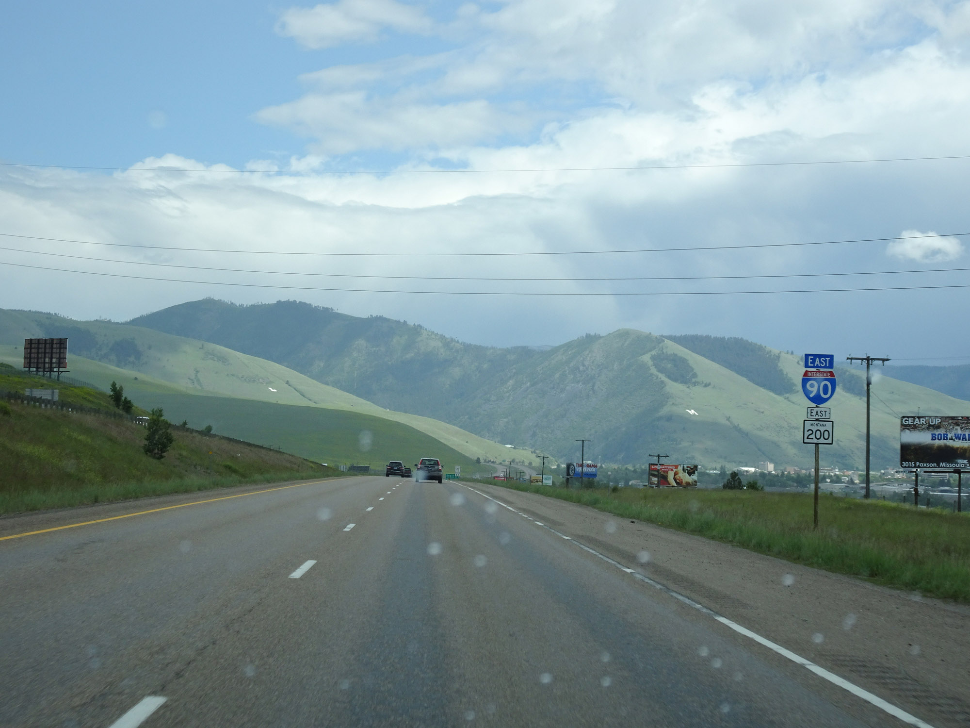
Interstate 90 East at Exit 96: US 93 North / MT 200 West - Kalispell (Photo taken 5/25/16). |
 |
View on Interstate 90 East at mile marker 98, as it approaches Missoula. (Photo taken 5/25/16). |
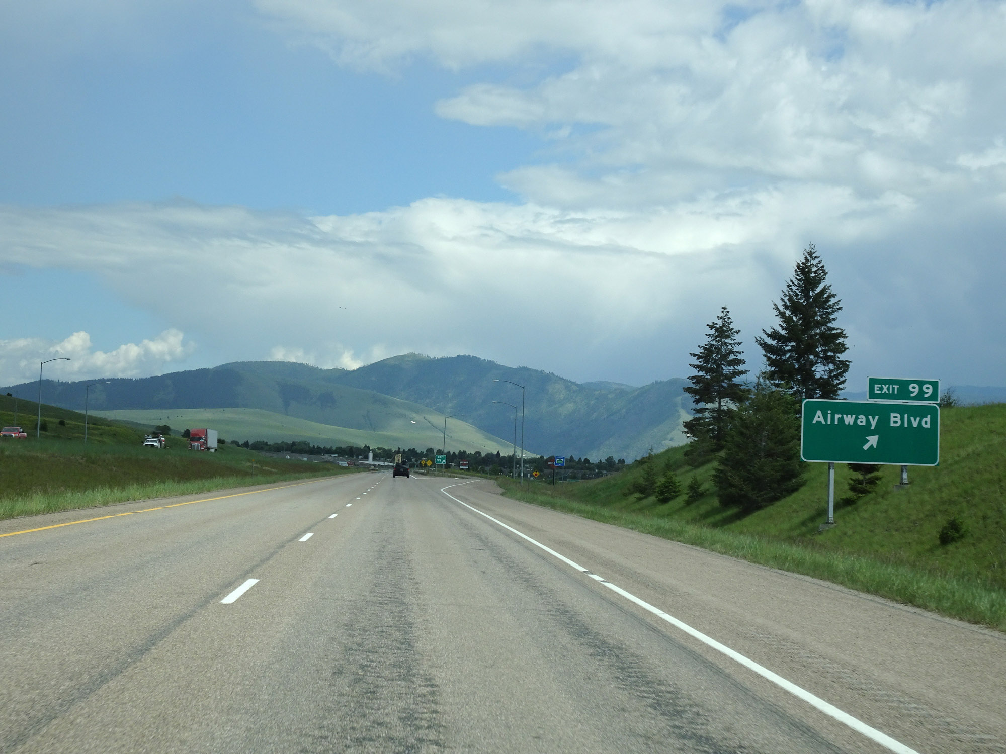 |
Interstate 90 East at Exit 99: Airway Blvd (Photo taken 5/25/16). |
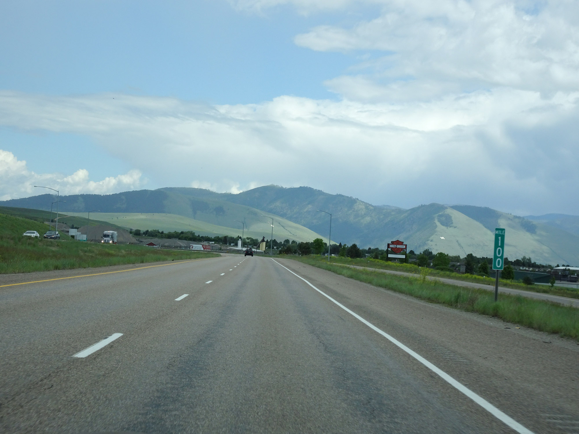 |
Interstate 90 East at mile marker 100. (Photo taken 5/25/16). |
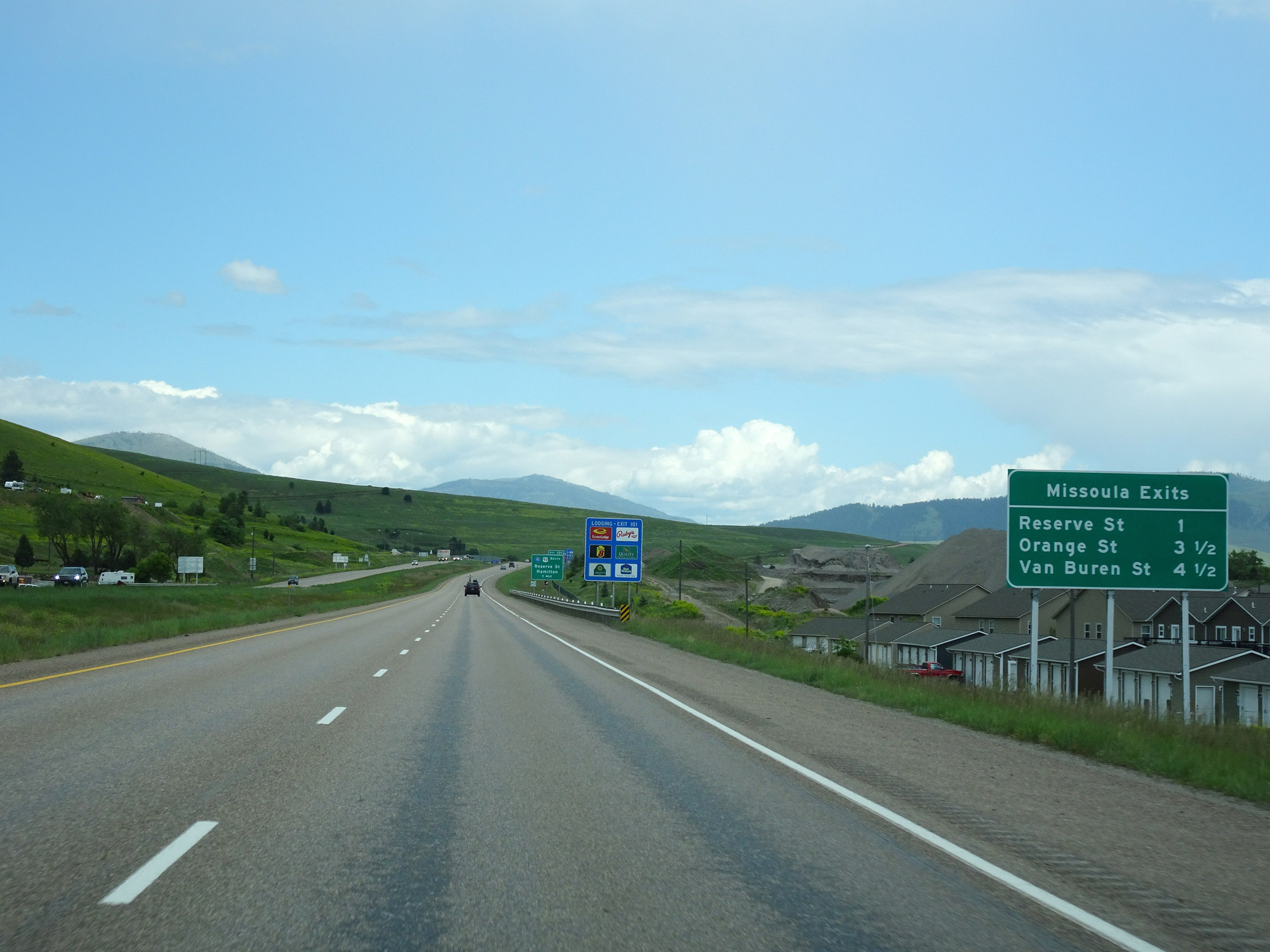 |
Mileage sign listing the distances to the three upcoming Missoula exits on Interstate 90 East. (Photo taken 5/25/16). |
 |
Interstate 90 East approaching Exit 101 - 1 mile. The sign error seen here isn't made just once, but twice as you will see on the exit signage itself. (Photo taken 5/25/16). |
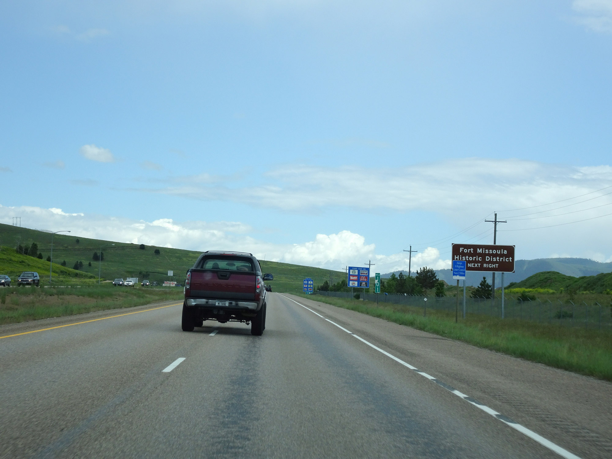 |
Take Exit 101 to Fort Missoula Historic District. (Photo taken 5/25/16). |
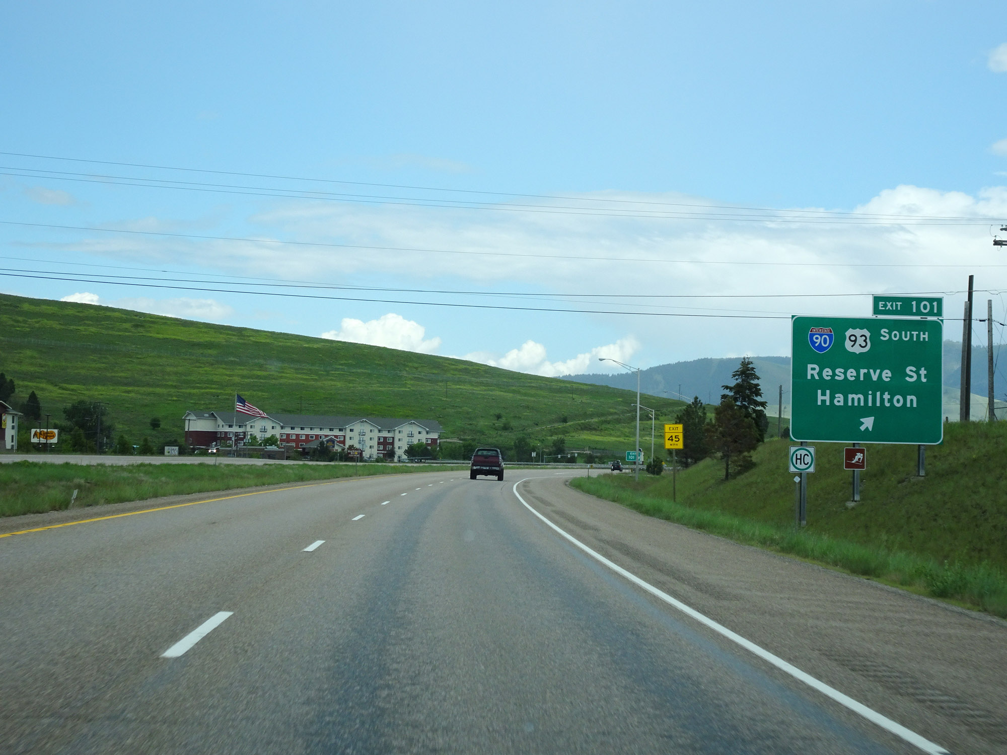 |
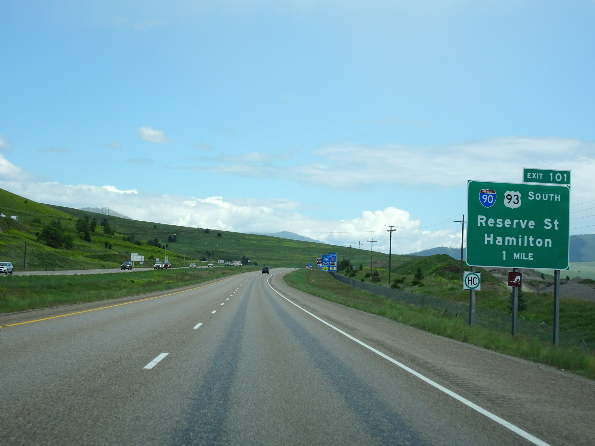
Interstate 90 East at Exit 101: Interstate 90 Business Loop / US 93 South - Reserve St / Hamilton (Photo taken 5/25/16). |
 |
Another Interstate 90 East reassurance shield. (Photo taken 5/25/16). |
 |
Approaching downtown Missoula, the speed limit decreases to 65 mph for all traffic. (Photo taken 5/25/16). |
 |
Take either of the next 2 exits to Missoula Downtown Historic District. (Photo taken 5/25/16). |
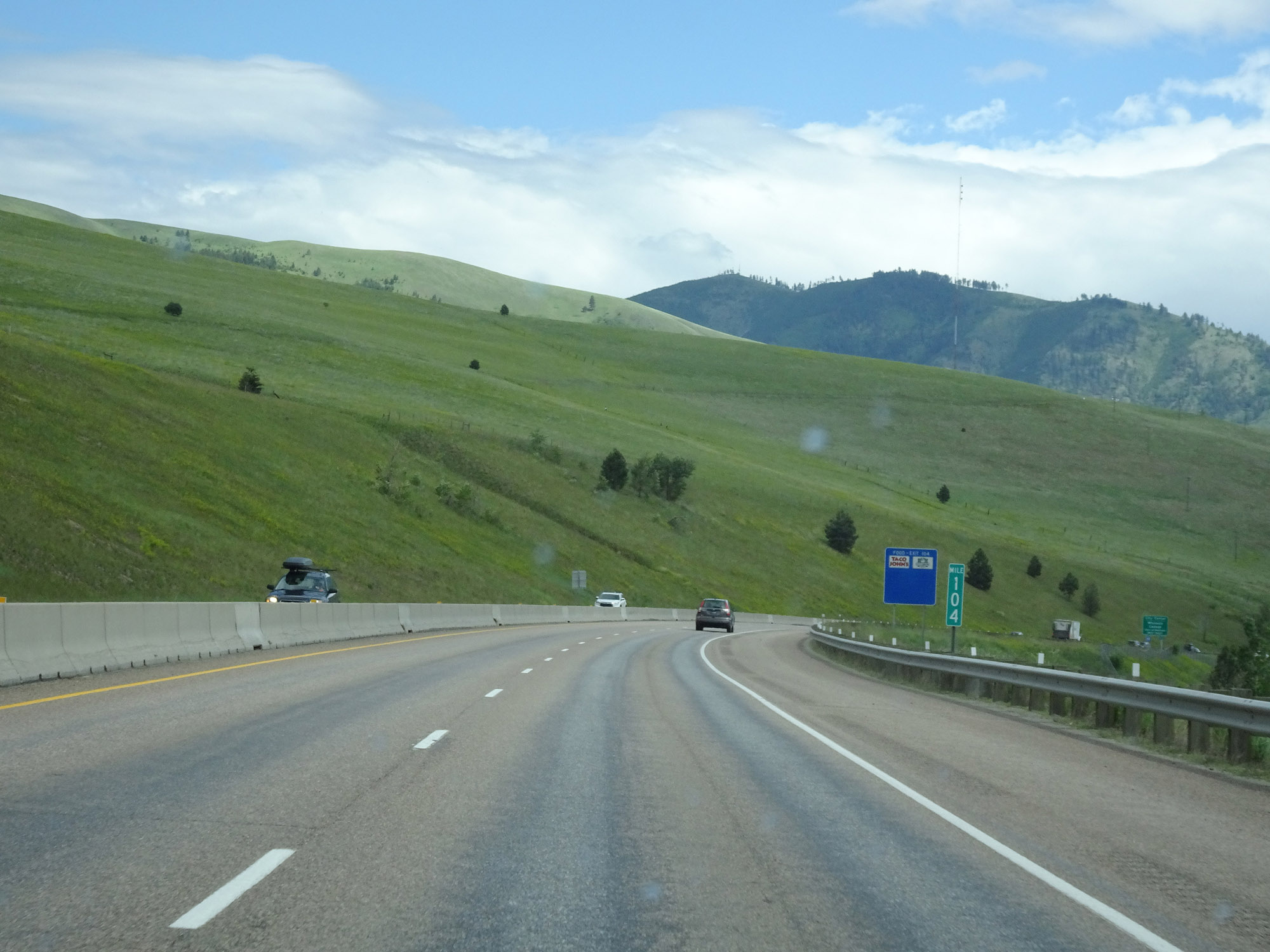 |
View on Interstate 90 East at mile marker 104. (Photo taken 5/25/16). |
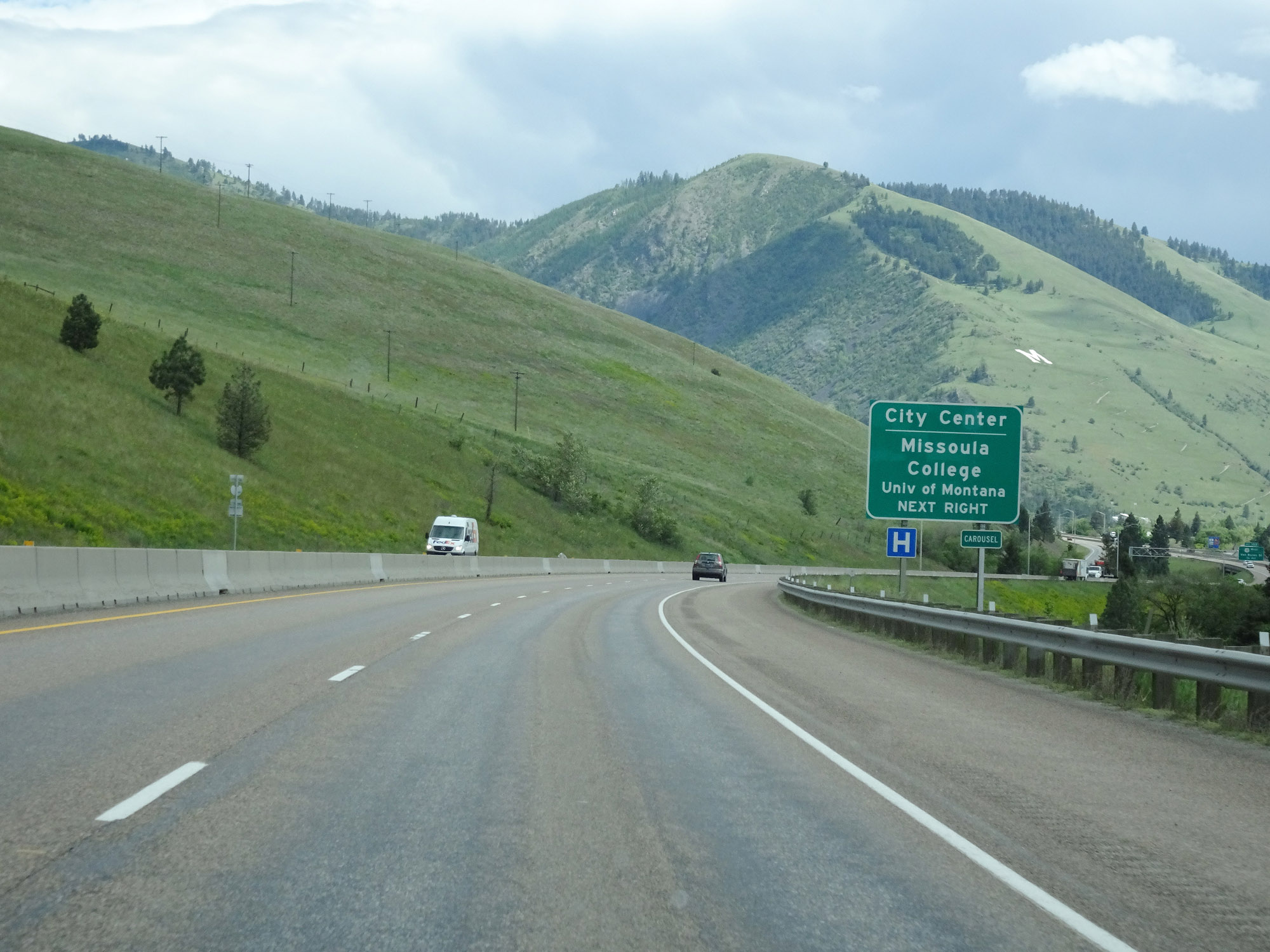 |
Take Exit 104 to City Center and Missoula College. (Photo taken 5/25/16). |
 |
Interstate 90 East at Exit 104: Orange St (Photo taken 5/25/16). |
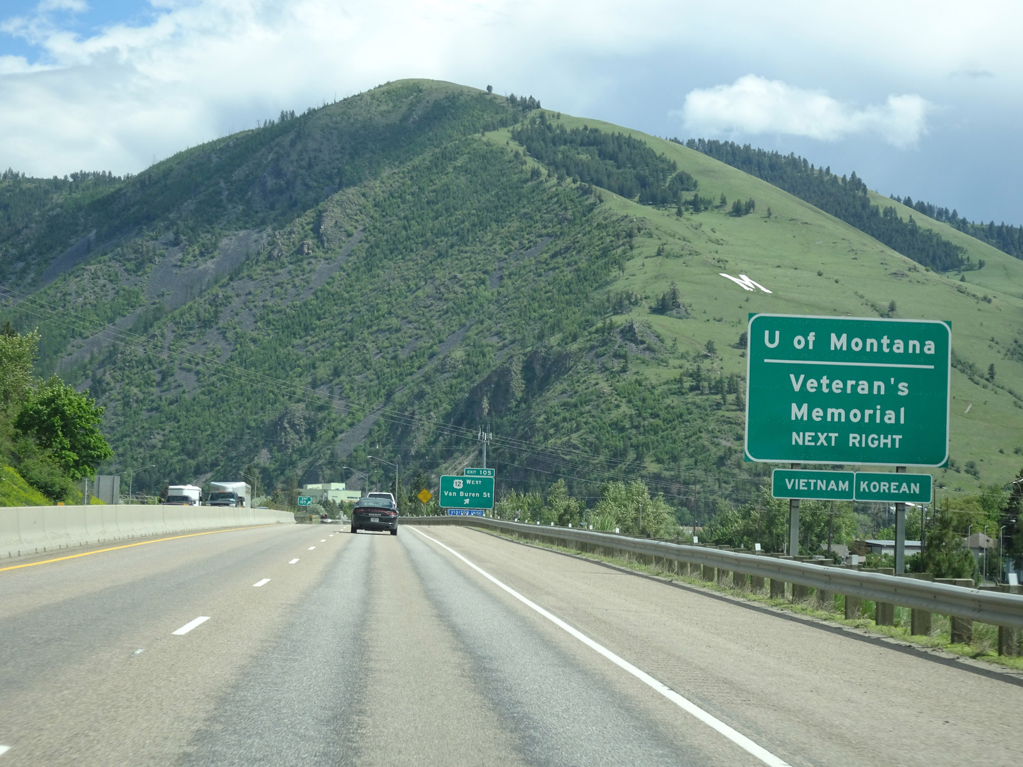 |
Take Exit 105 to the University of Montana and the Veterans Memorial. (Photo taken 5/25/16). |
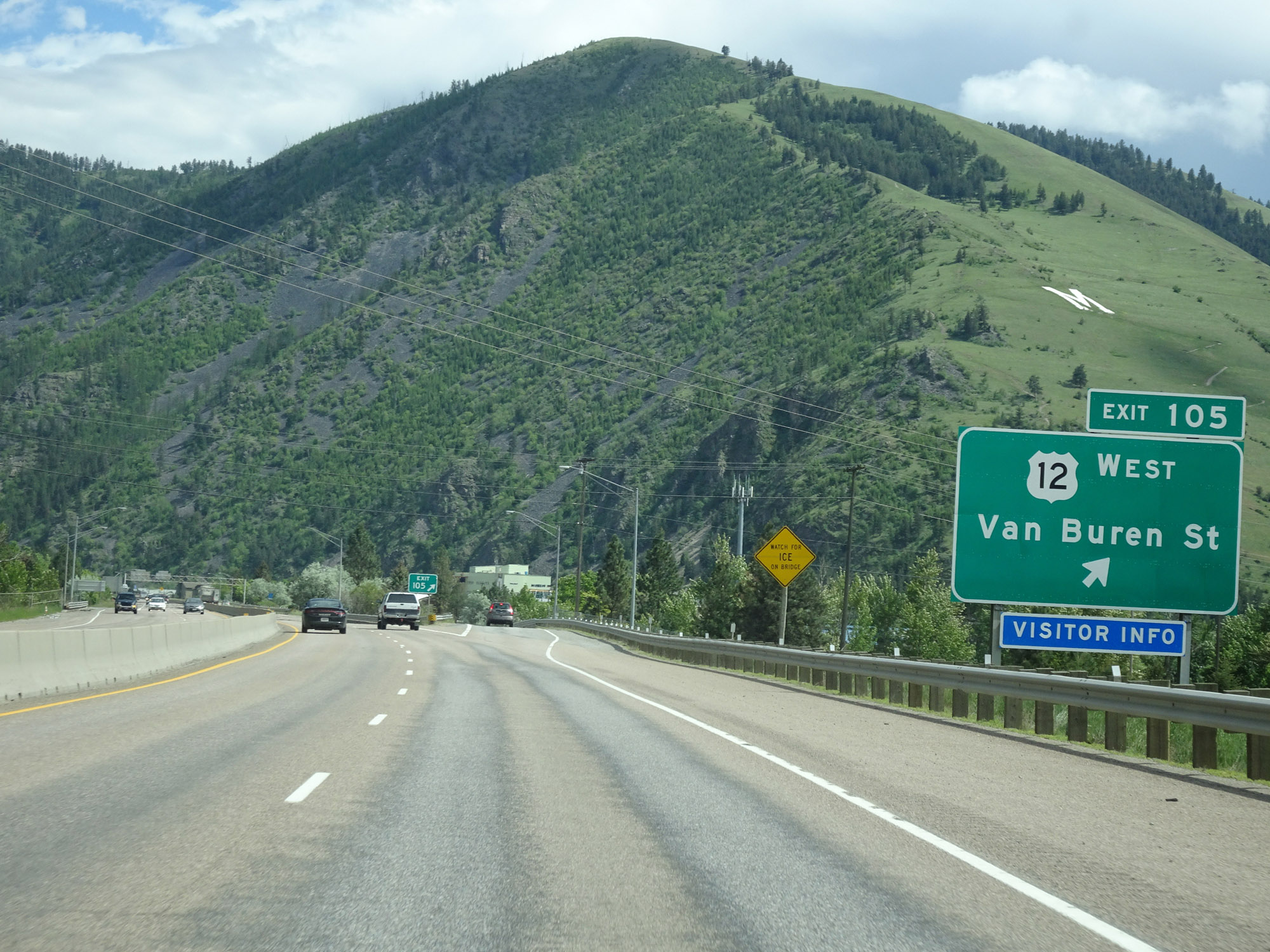 |
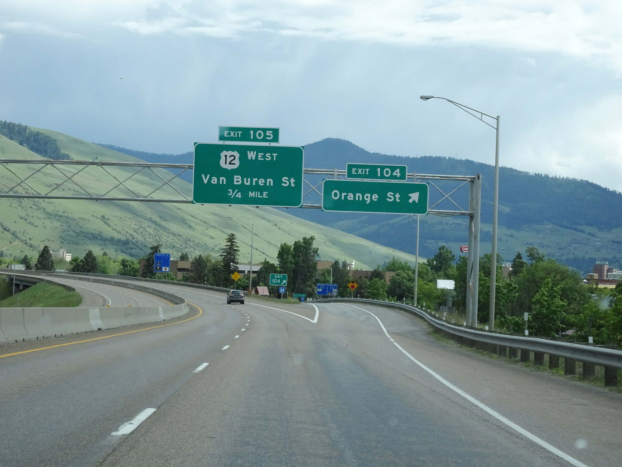
Interstate 90 East at Exit 105: US 12 West - Van Buren St (Photo taken 5/25/16). |
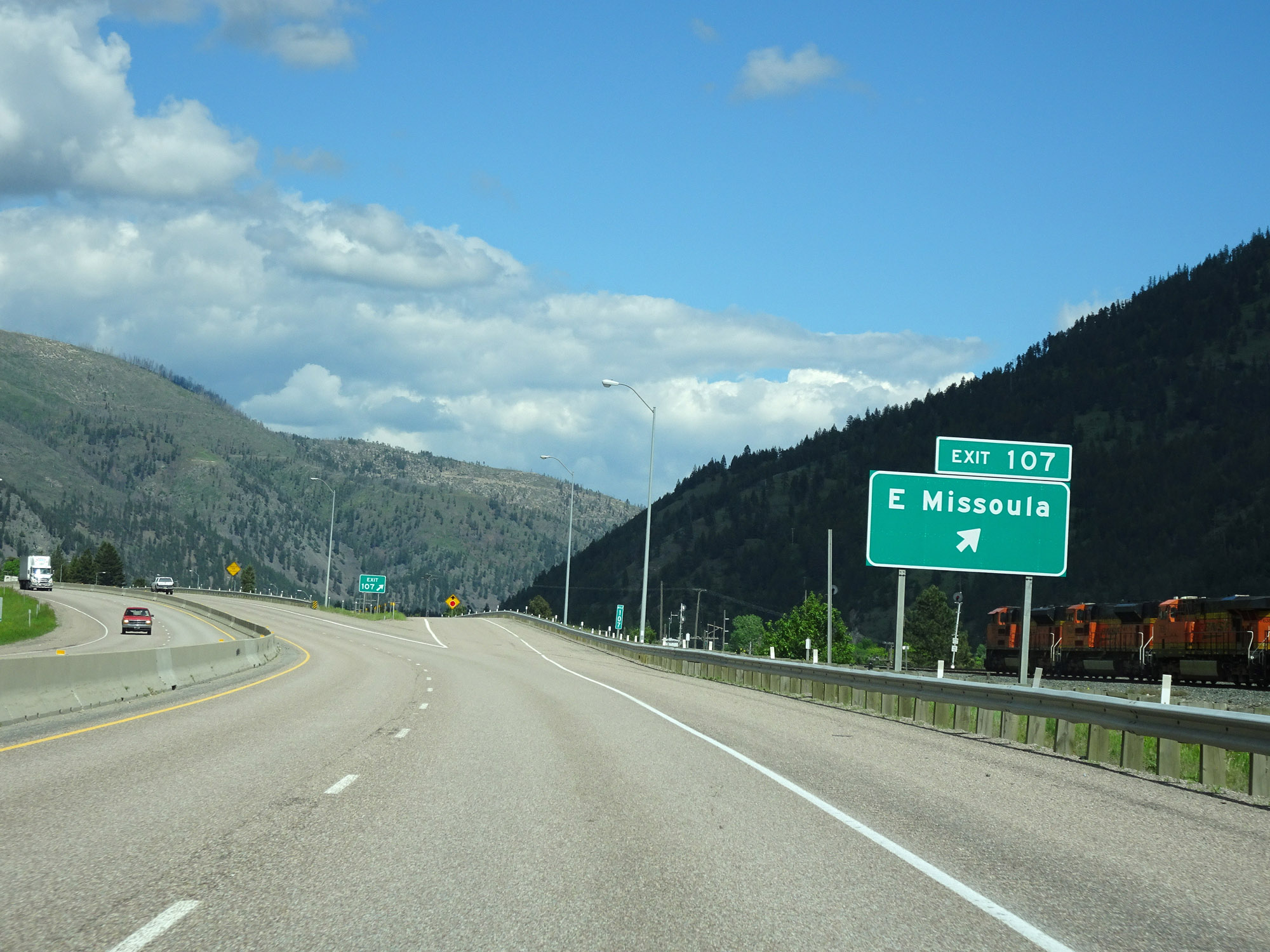 |
Interstate 90 East at Exit 107: East Missoula (Photo taken 5/25/16). |
Section 3: Missoula (Exit 107) to Deer Lodge (Exit 184)
 |
Leaving the Missoula area, the speed limit for cars increases to 75 mph once again. The truck speed limit remains 65 mph. (Photo taken 5/25/16). |
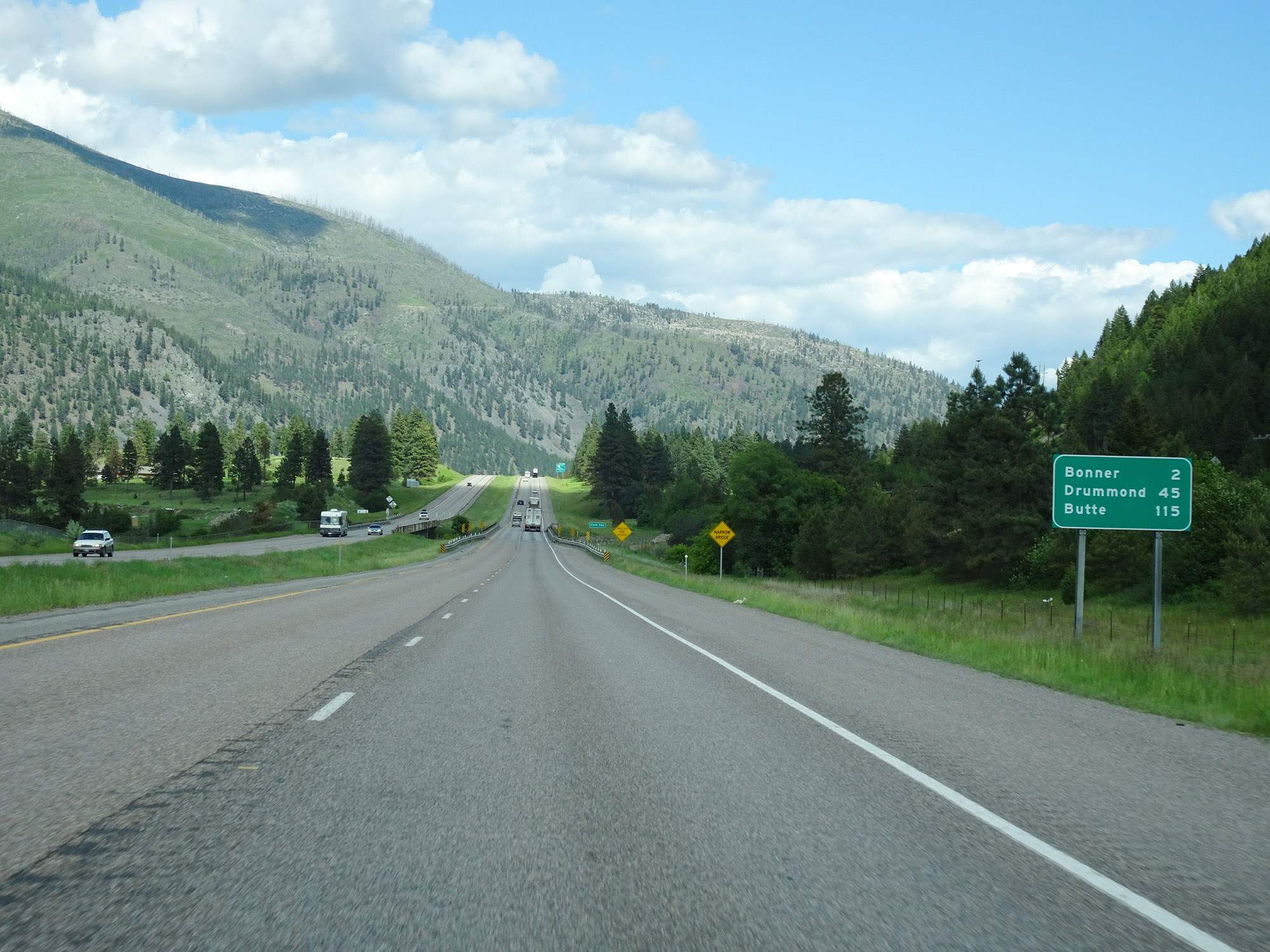 |
Mileage sign on Interstate 90 East. It's 2 miles to Bonner, 45 miles to Drummond, and 115 miles to Butte. (Photo taken 5/25/16). |
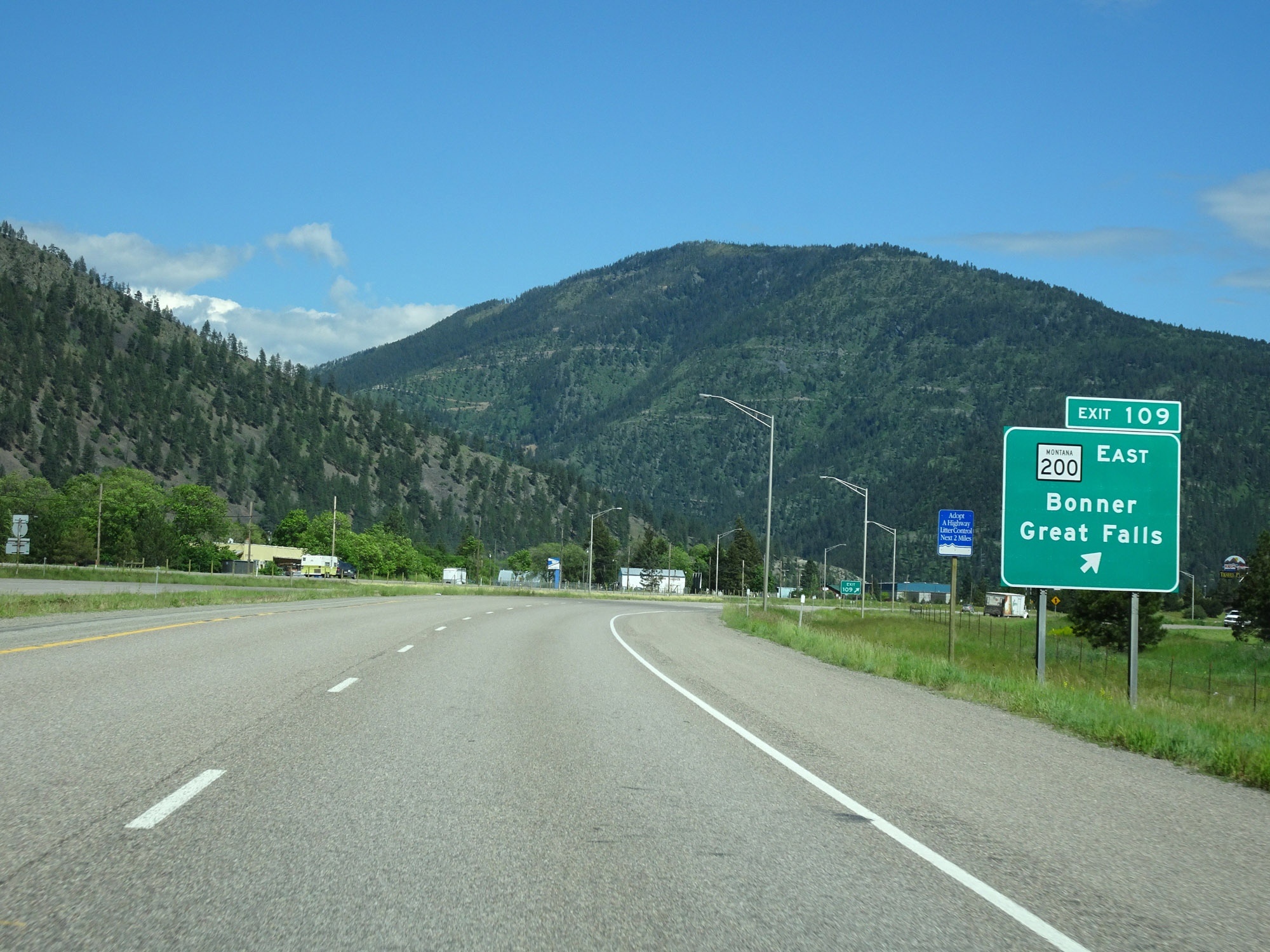 |
Interstate 90 East at Exit 109: MT 200 East - Bonner / Great Falls (Photo taken 5/25/16). |
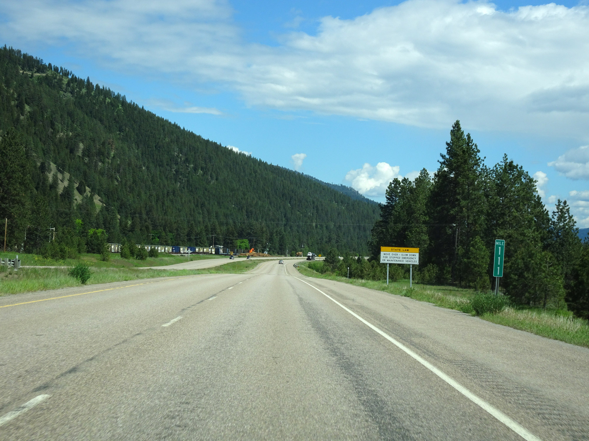 |
View on Interstate 90 East at mile marker 111. (Photo taken 5/25/16). |
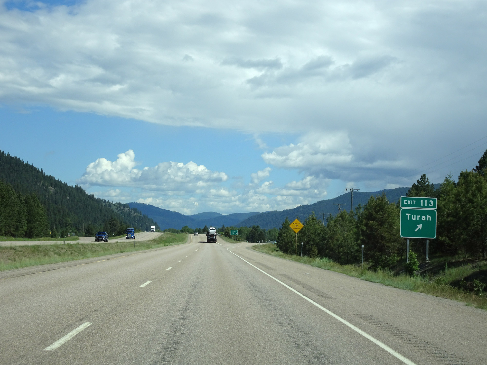 |
Interstate 90 East at Exit 113: Turah (Photo taken 5/25/16). |
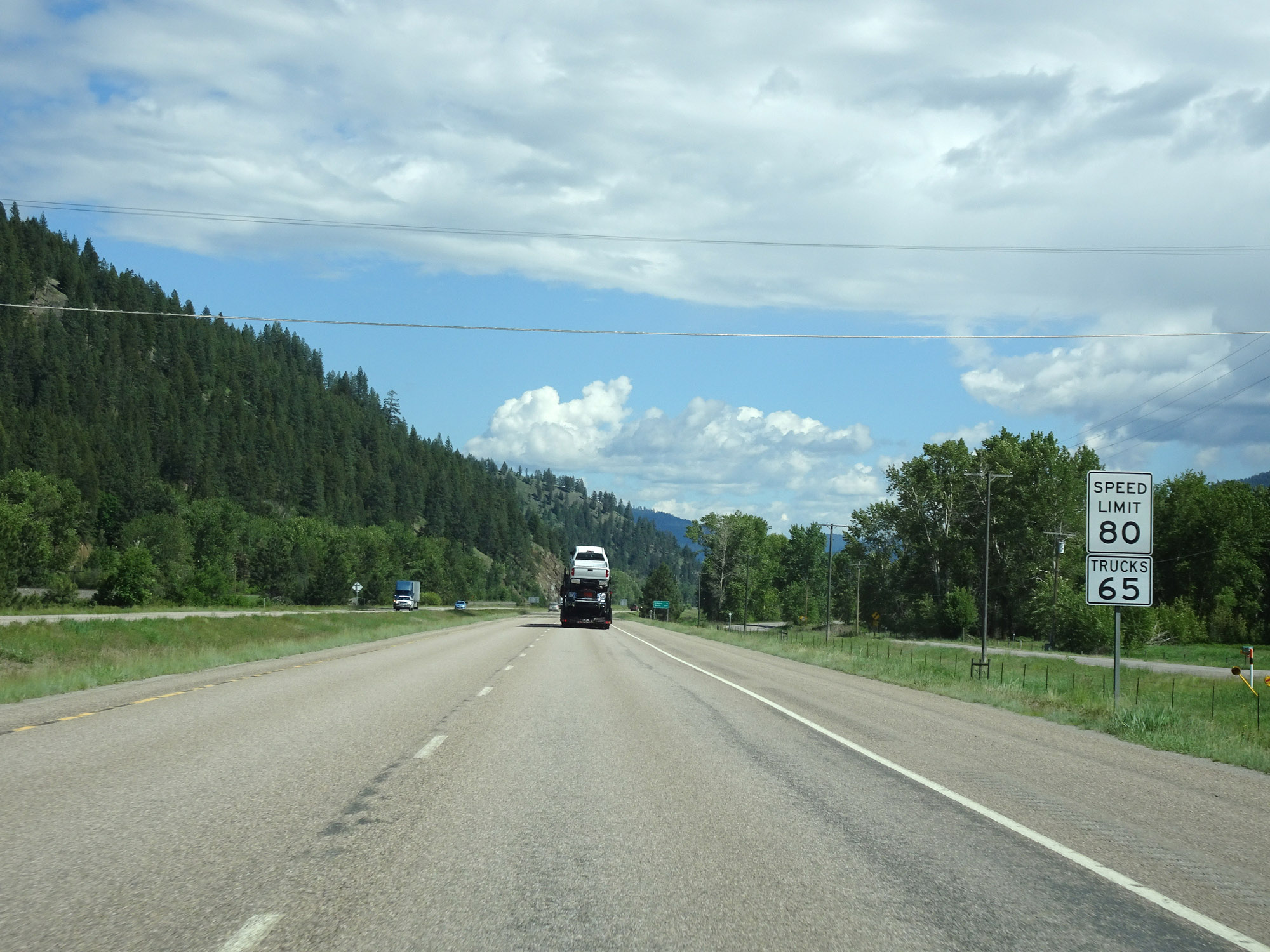 |
East of Exit 113, the speed limit for autos increases to the rural standard 80 mph. The truck speed limit remains 65 mph as usual. (Photo taken 5/25/16). |
 |
Interstate 90 East at mile marker 113. (Photo taken 5/25/16). |
 |
View on Interstate 90 East at mile marker 118. (Photo taken 5/25/16). |
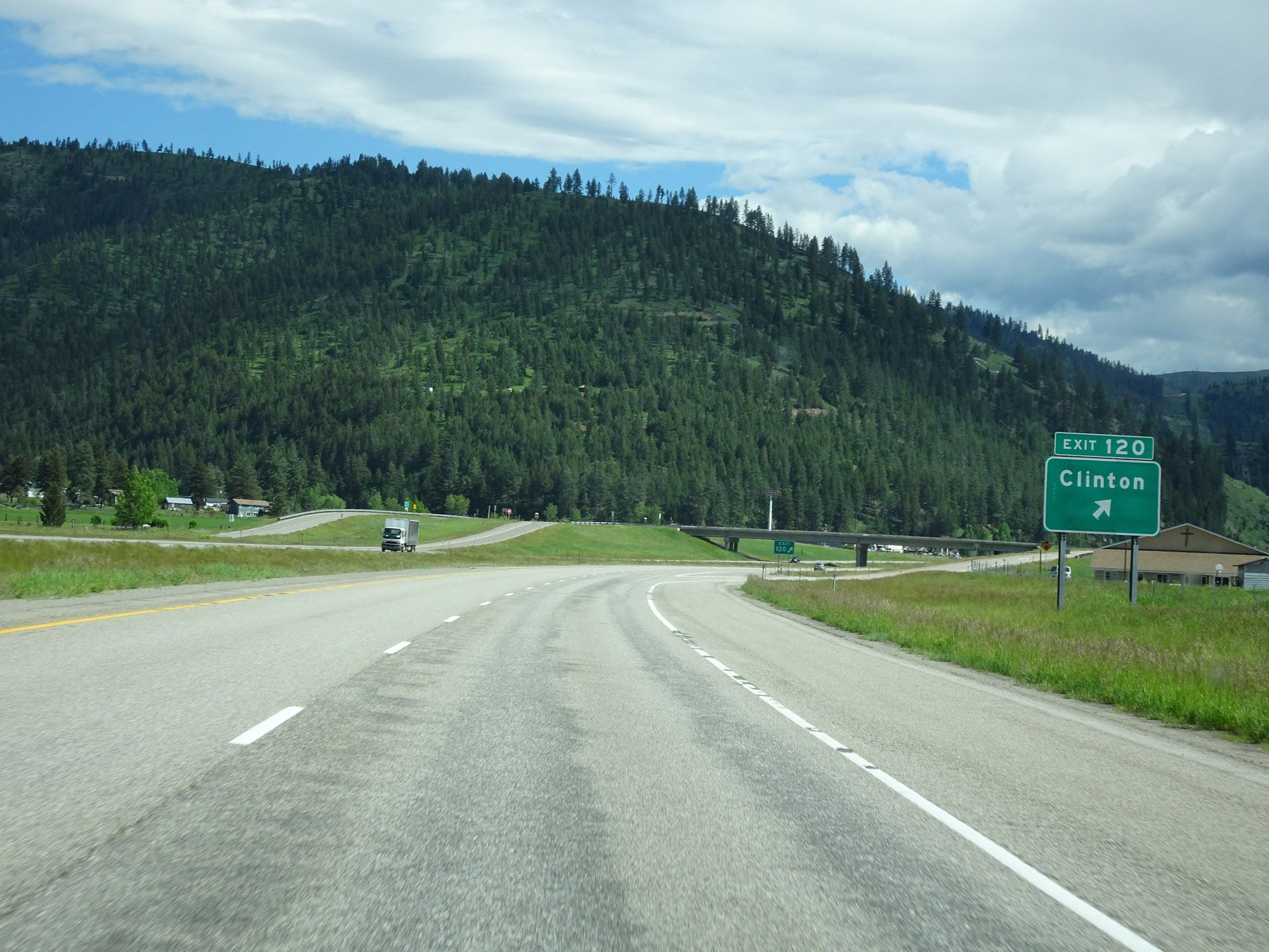 |
Interstate 90 East at Exit 120: Clinton (Photo taken 5/25/16). |
 |
Interstate 90 East at mile marker 123. (Photo taken 5/25/16). |
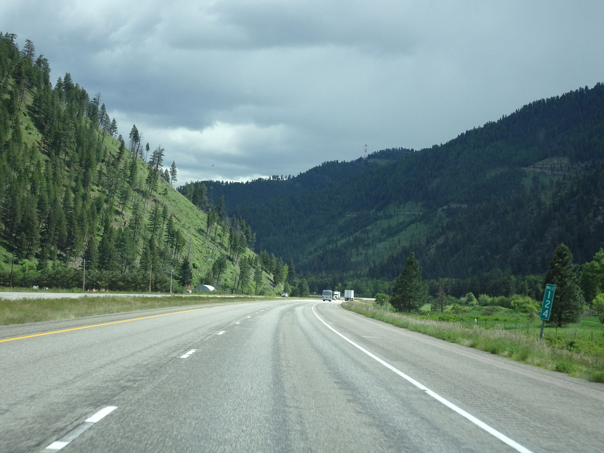 |
View on Interstate 90 East at mile marker 124. (Photo taken 5/25/16). |
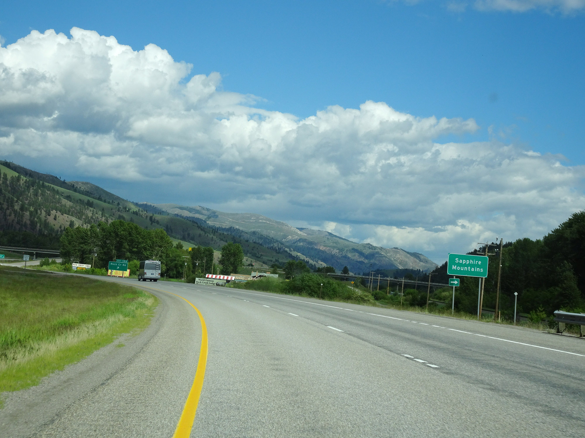 |
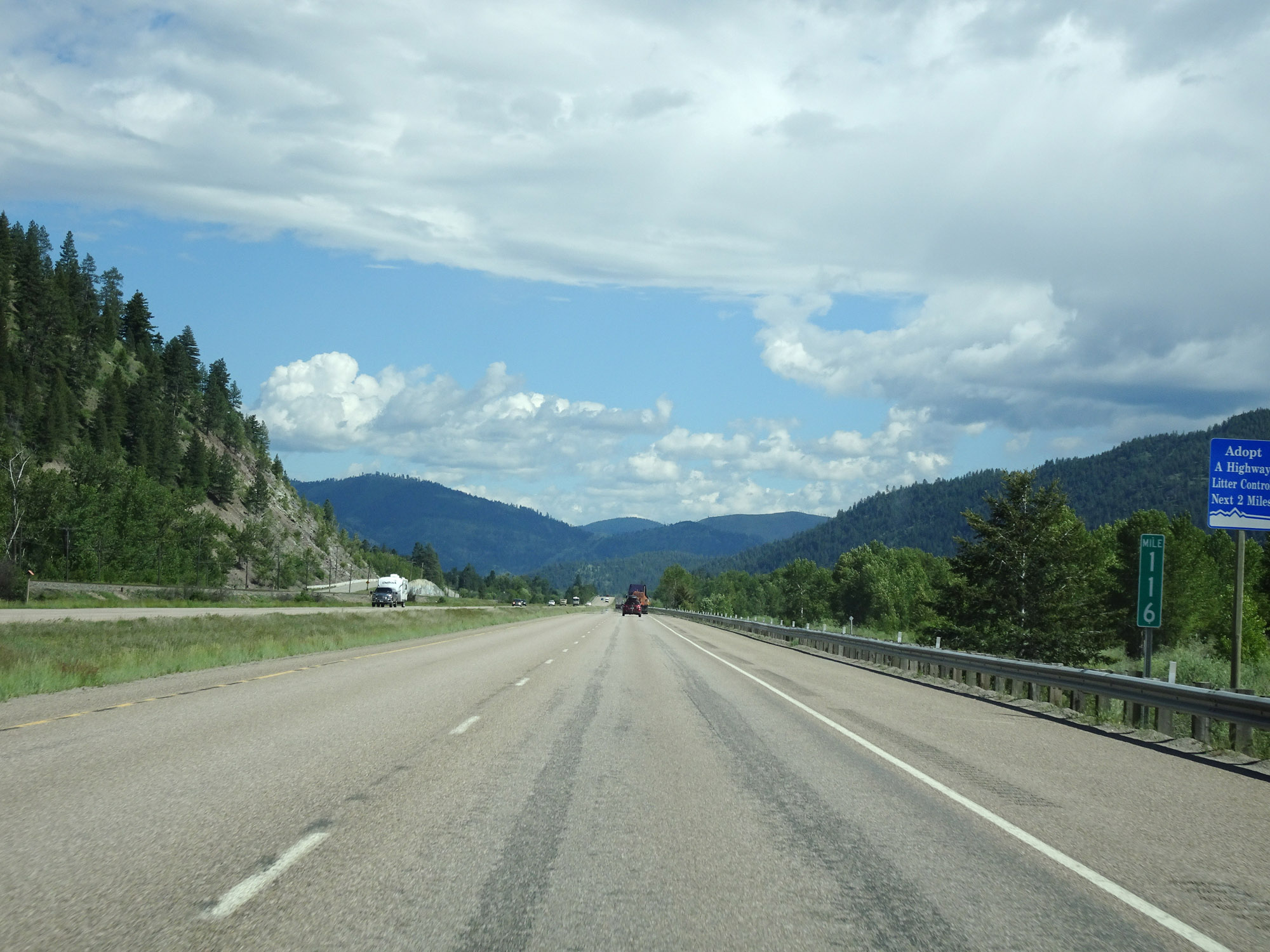
Approaching Exit 126, Interstate 90 East enters the Sapphire Mountains. (Photo taken 5/25/16). |
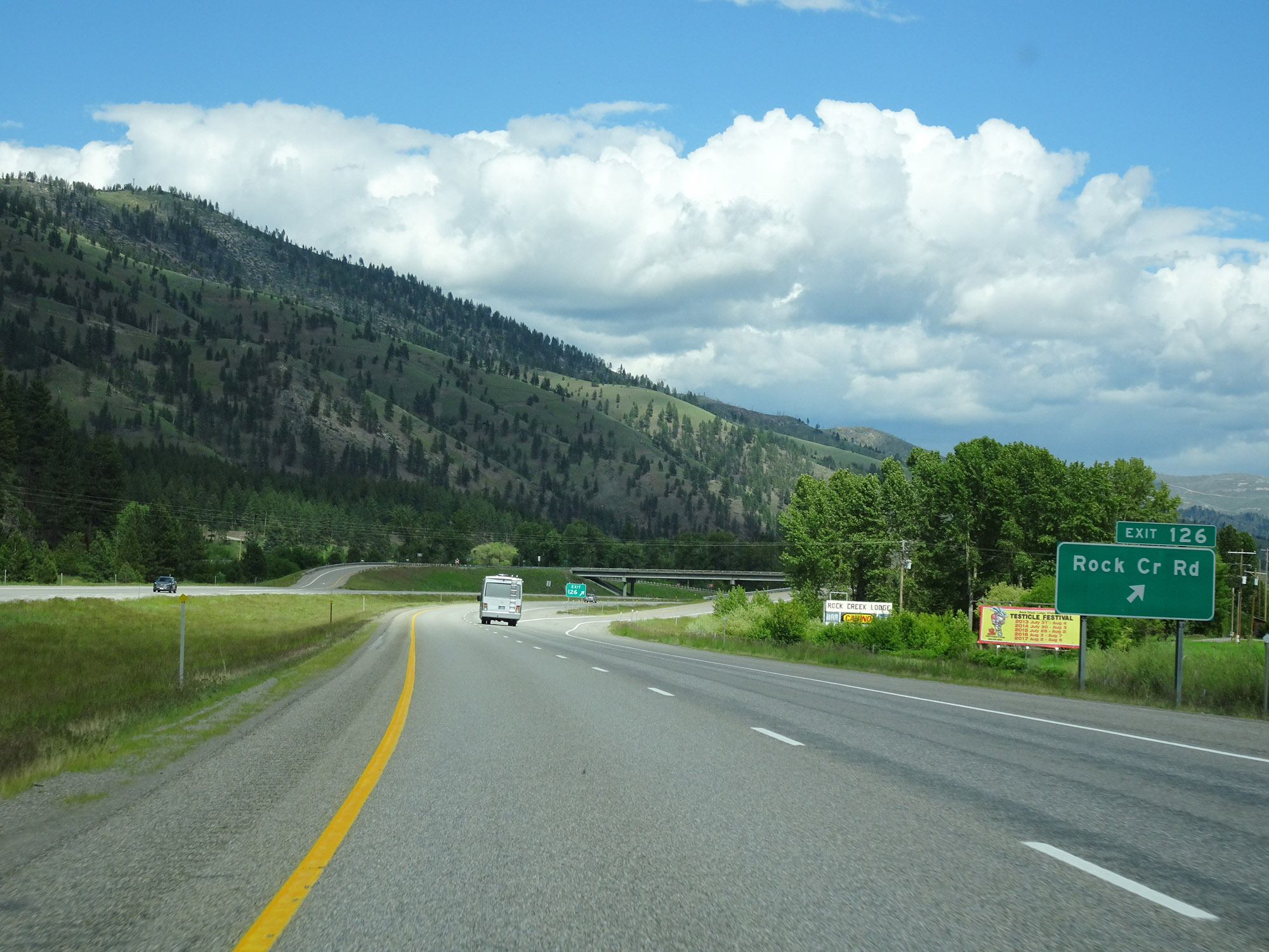 |
Interstate 90 East at Exit 126: Rock Creek Rd (Photo taken 5/25/16). |
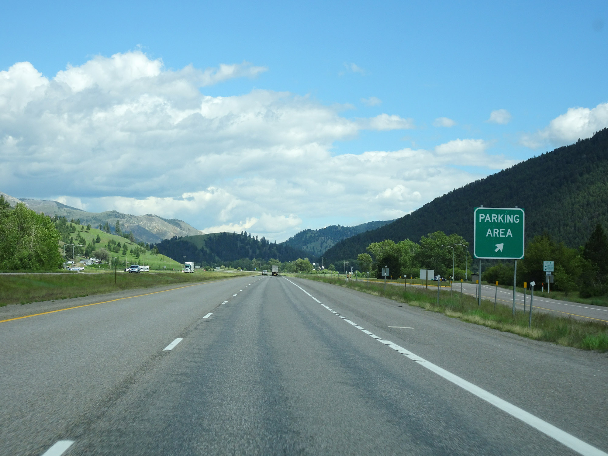 |
Parking Area on Interstate 90 East in Missoula County. (Photo taken 5/25/16). |
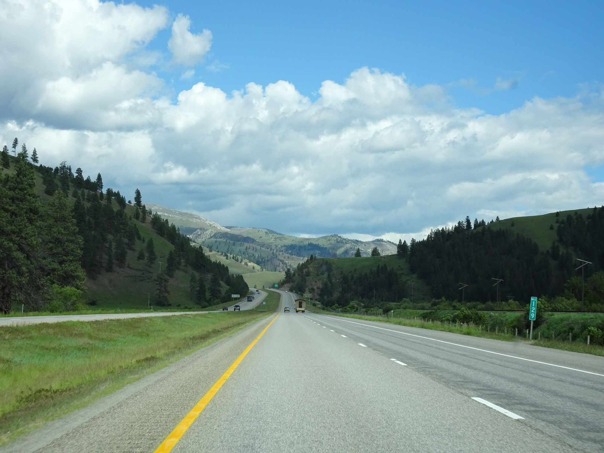 |
View on Interstate 90 East at mile marker 129. (Photo taken 5/25/16). |
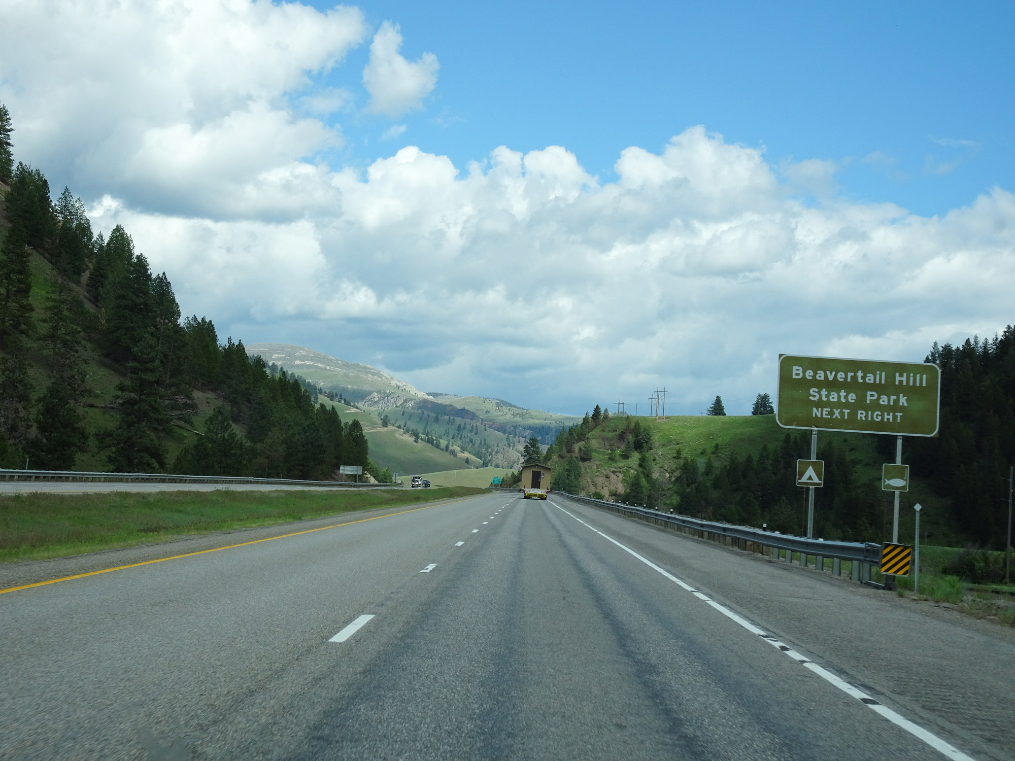 |
Take Exit 130 to Beavertail Hill State Park. (Photo taken 5/25/16). |
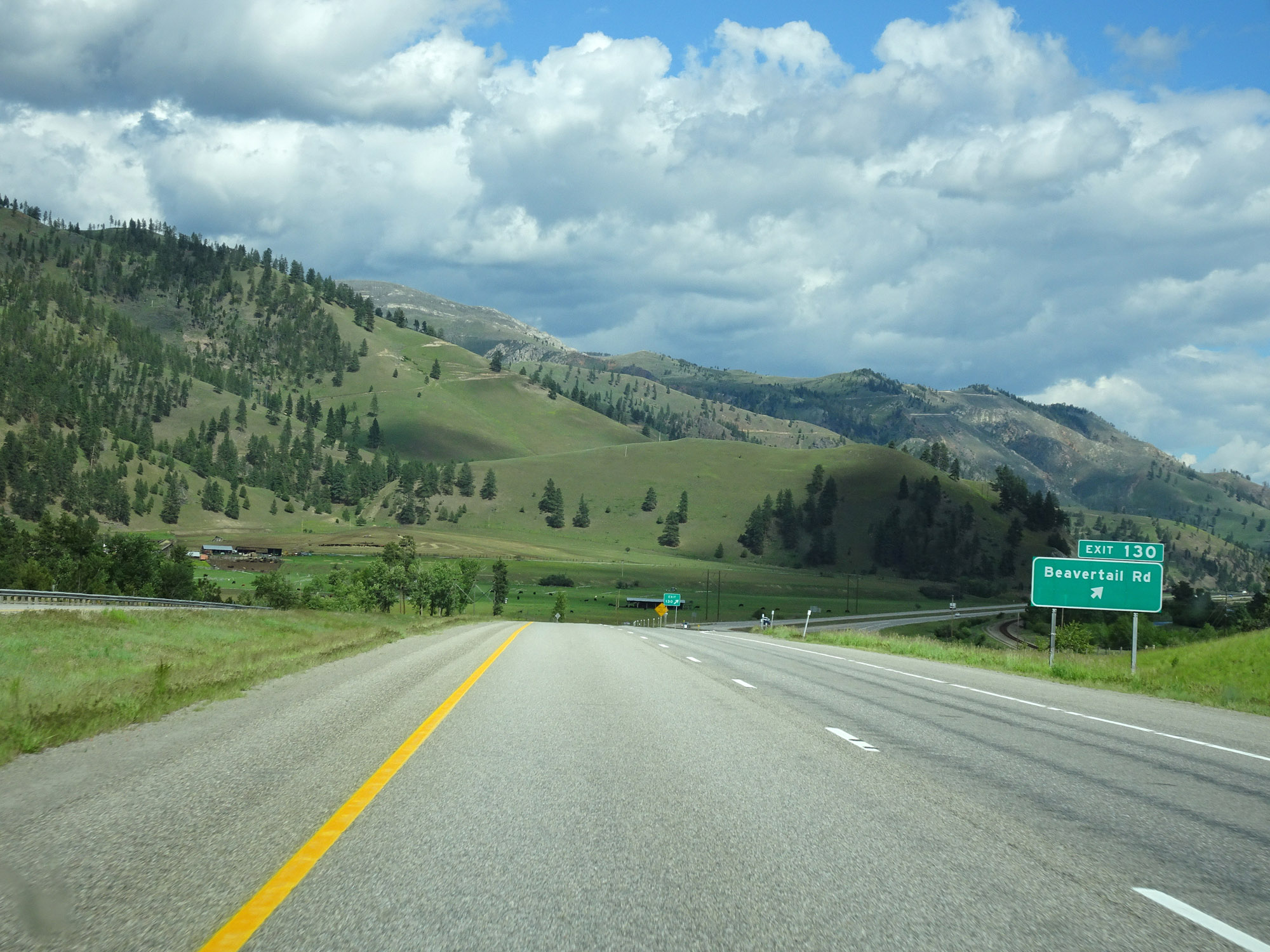 |
Interstate 90 East at Exit 130: Beavertail Rd (Photo taken 5/25/16). |
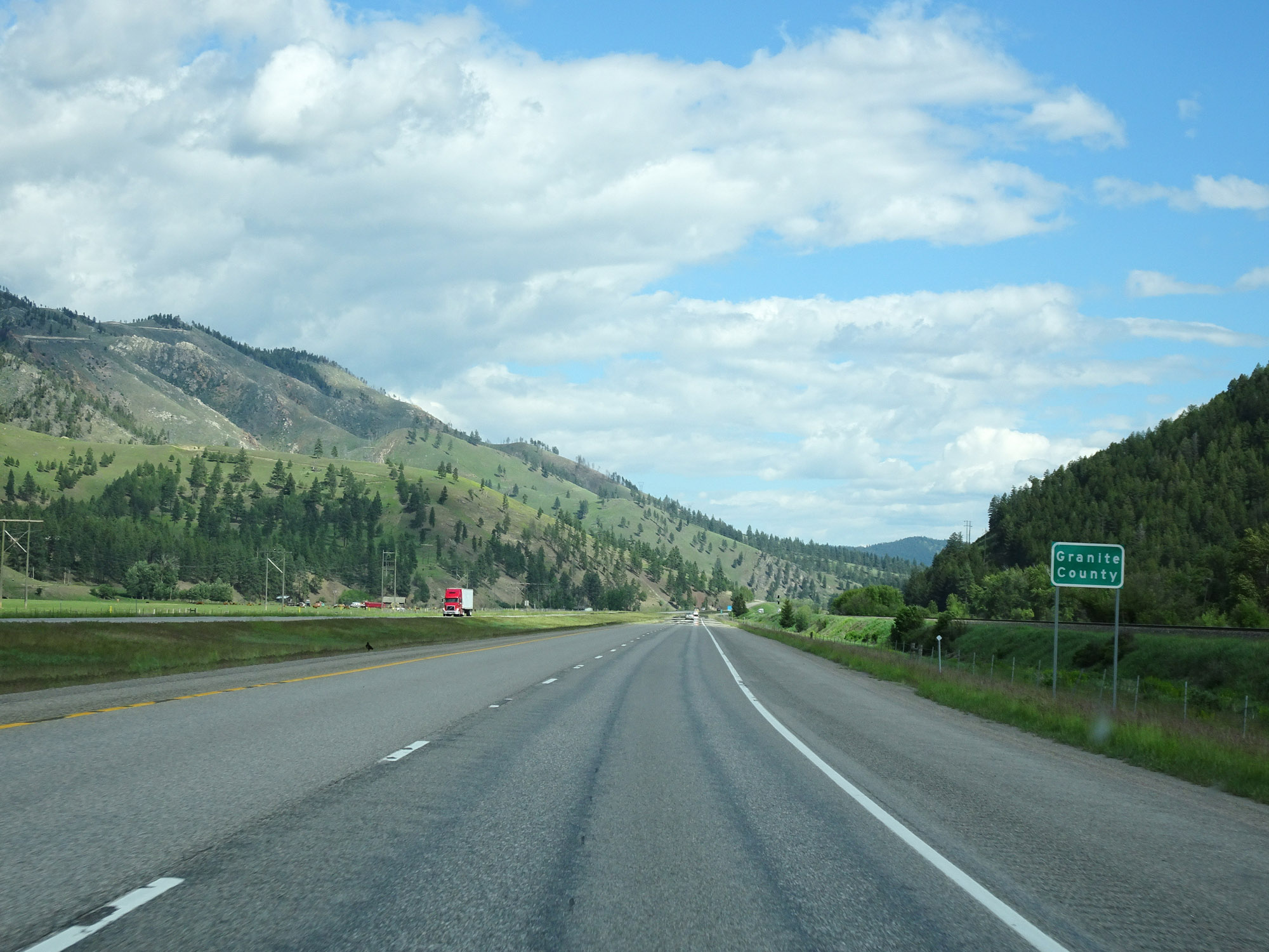 |
Interstate 90 East as it enters Granite County. (Photo taken 5/25/16). |
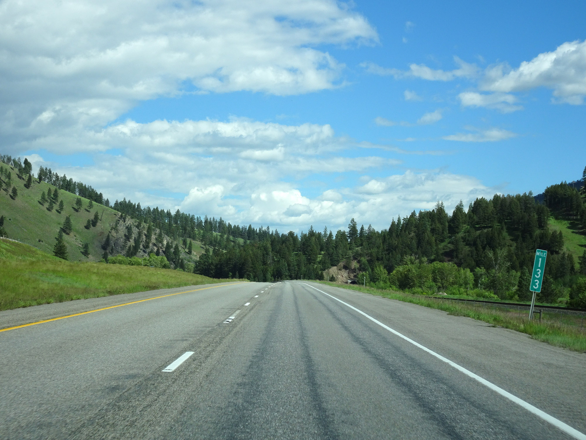 |
View on Interstate 90 East at mile marker 133. (Photo taken 5/25/16). |
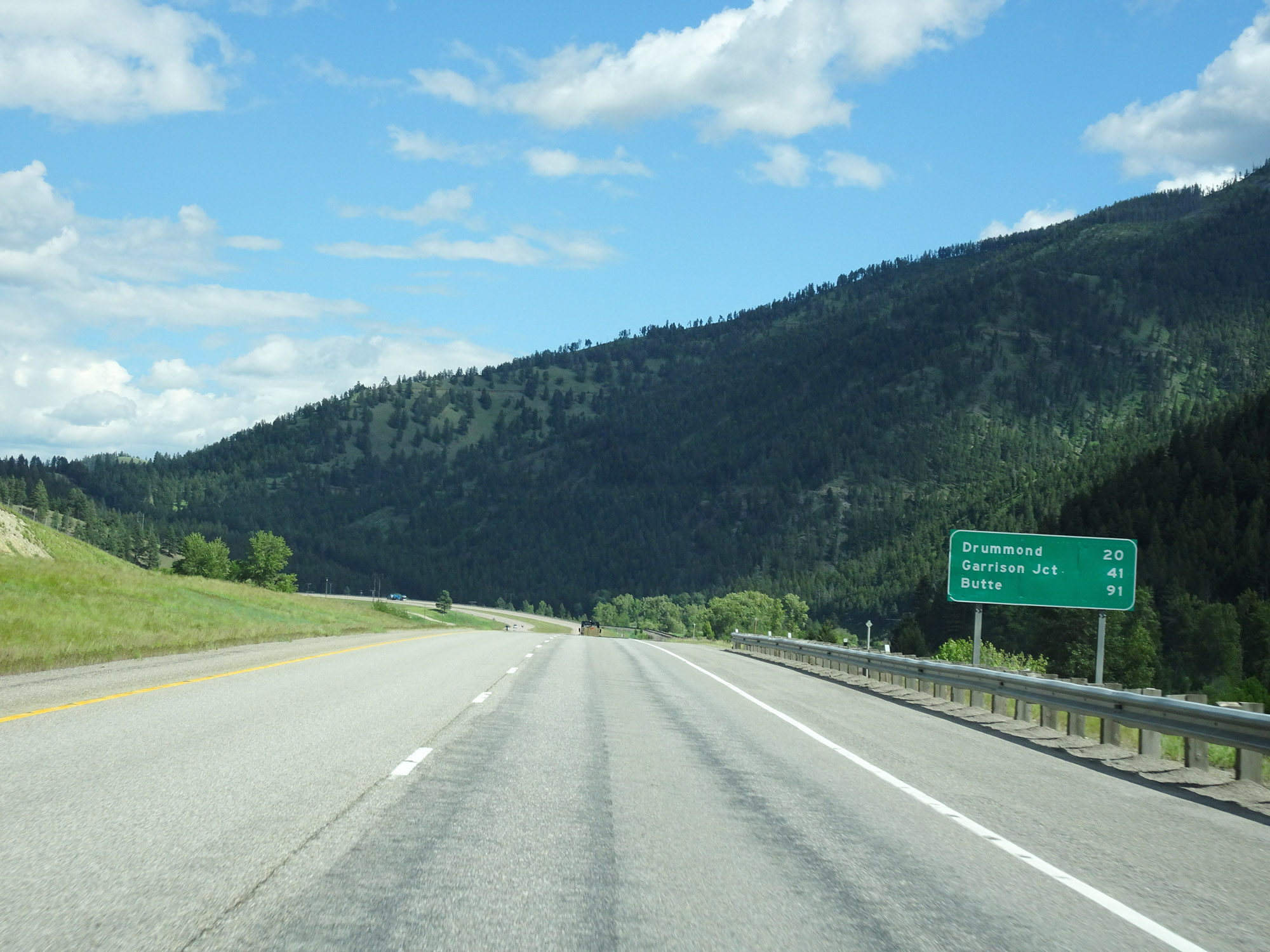 |
Another mileage sign on Interstate 90 East. It's 20 miles to Drummond, 41 miles to Garrison, and 91 miles to Butte. (Photo taken 5/25/16). |
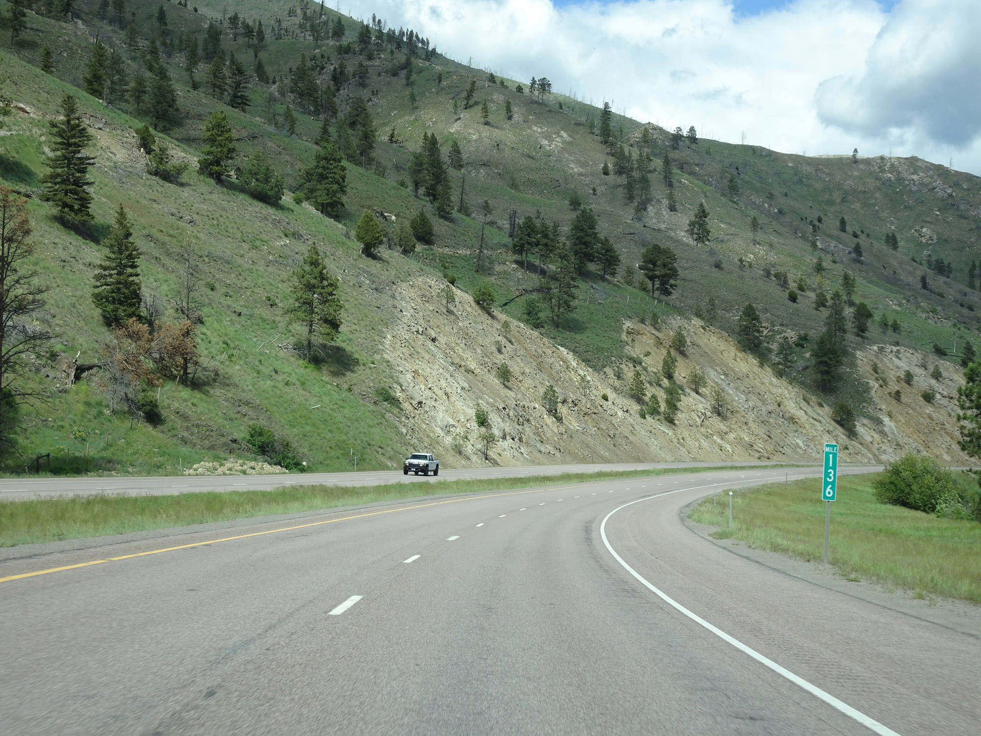 |
Interstate 90 East at mile marker 136. (Photo taken 5/25/16). |
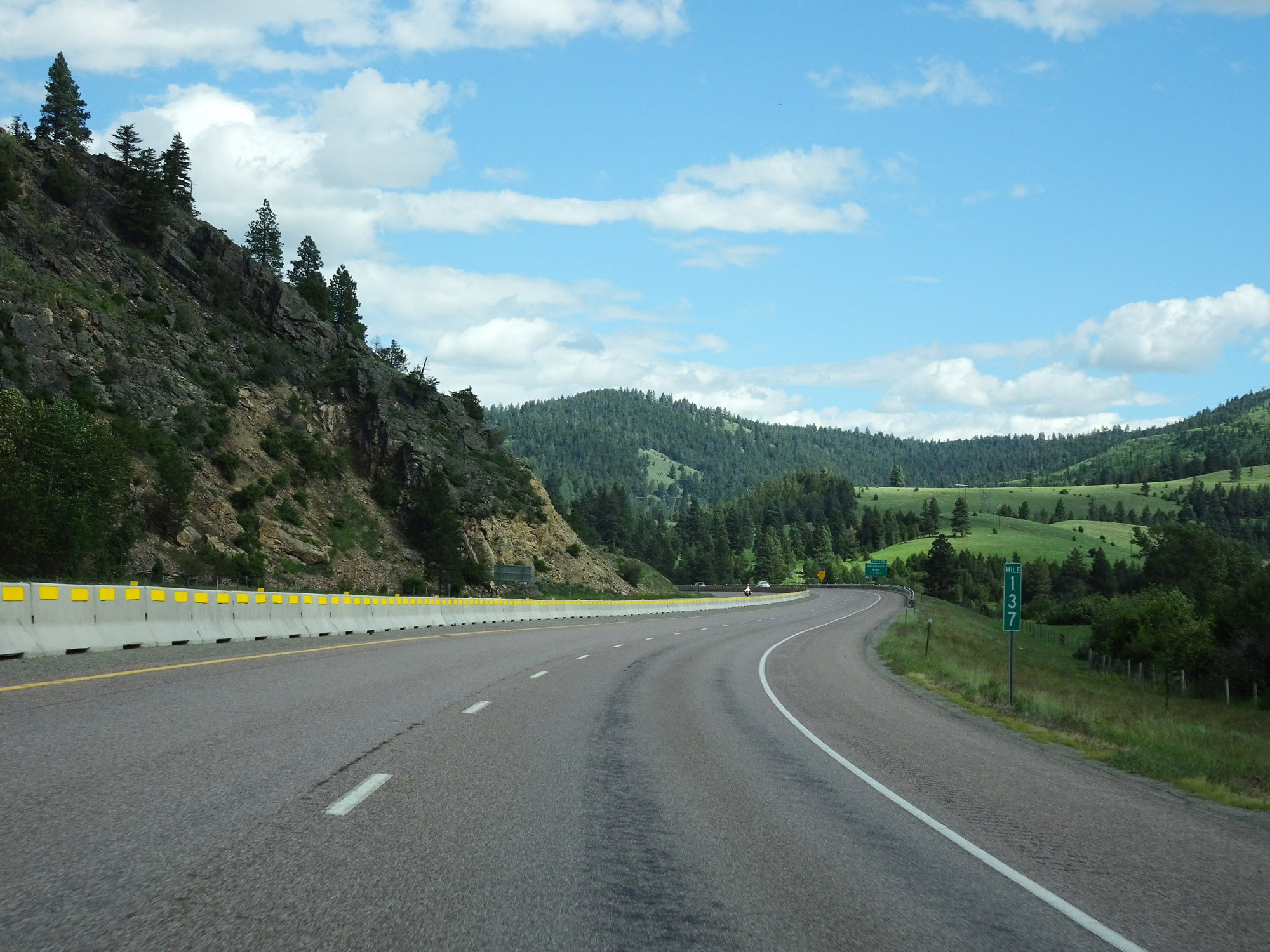 |
View on Interstate 90 East at mile marker 137. (Photo taken 5/25/16). |
 |
Interstate 90 East at Exit 138: Bearmouth Area (Photo taken 5/25/16). |
 |
Interstate 90 East reassurance shield. (Photo taken 5/25/16). |
 |
Rest Area on Interstate 90 East in Granite County. (Photo taken 5/25/16). |
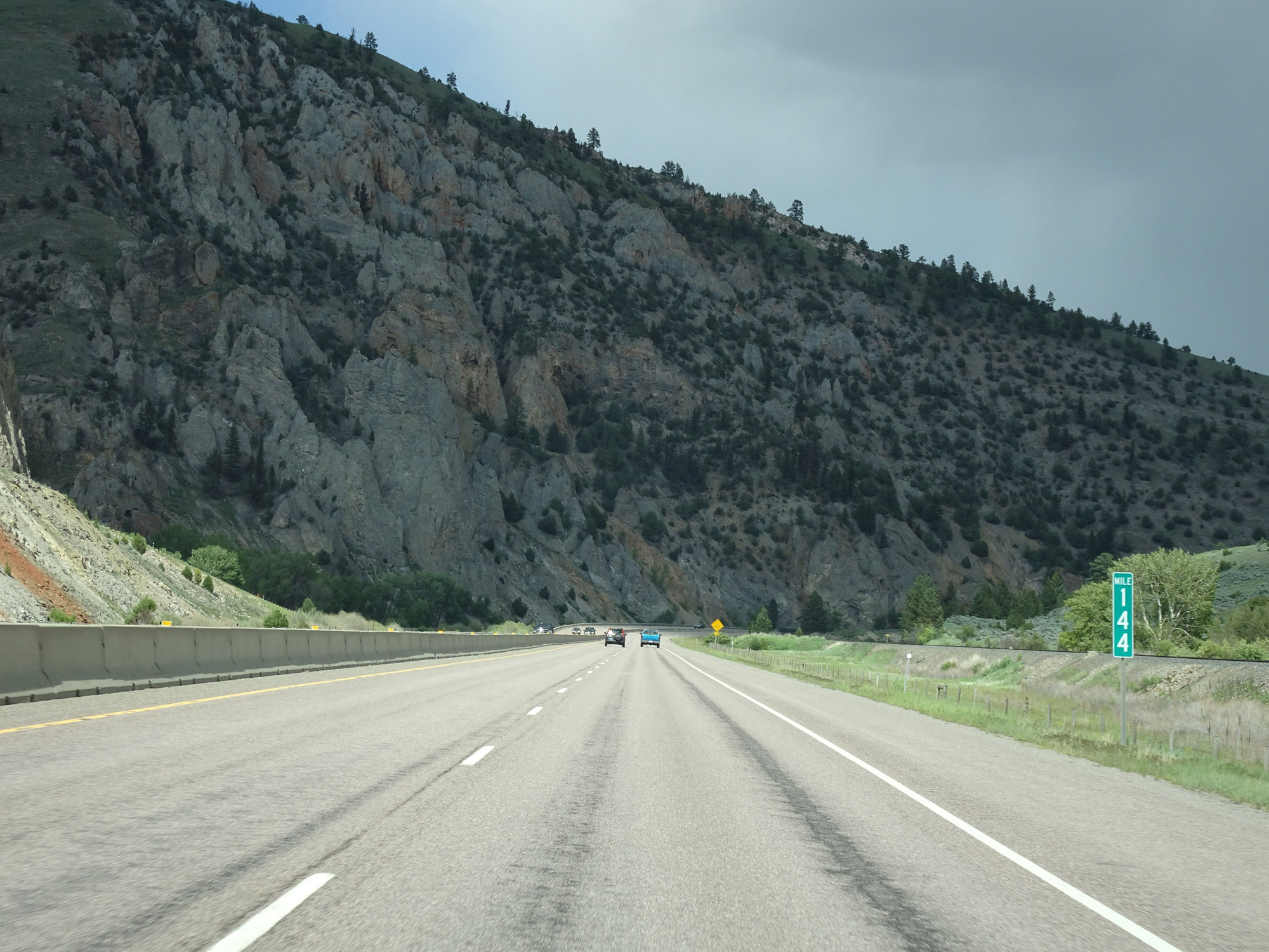 |
Interstate 90 East at mile marker 144. (Photo taken 5/25/16). |
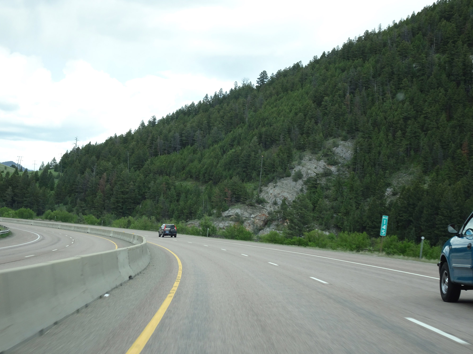 |
View on Interstate 90 East at mile marker 145. (Photo taken 5/25/16). |
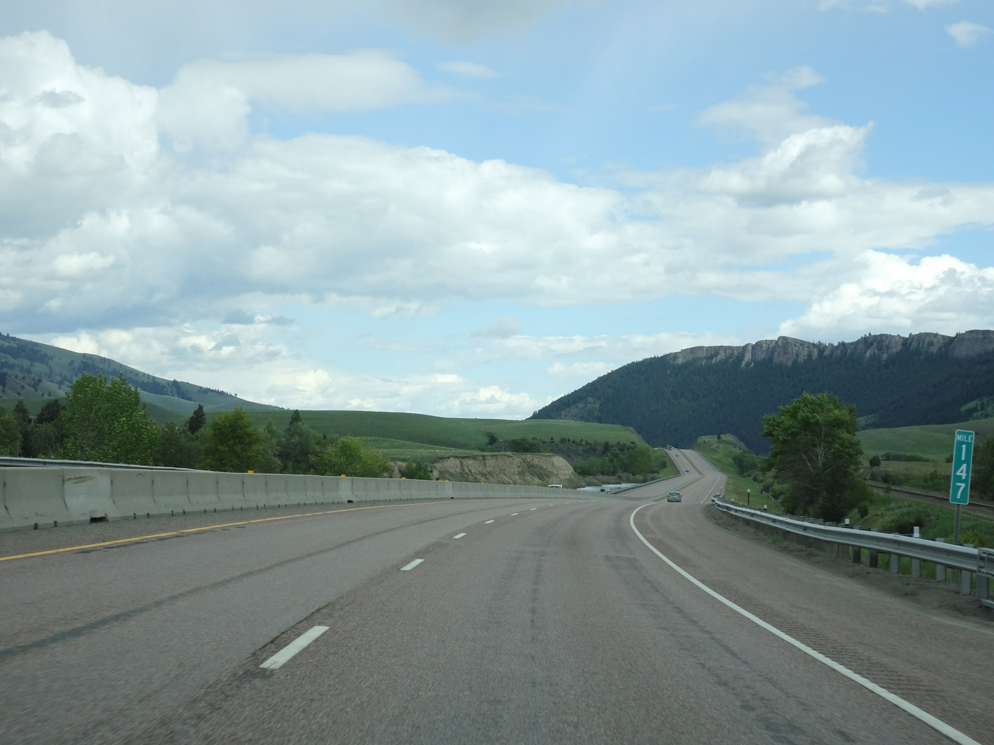 |
Interstate 90 East at mile marker 147. (Photo taken 5/25/16). |
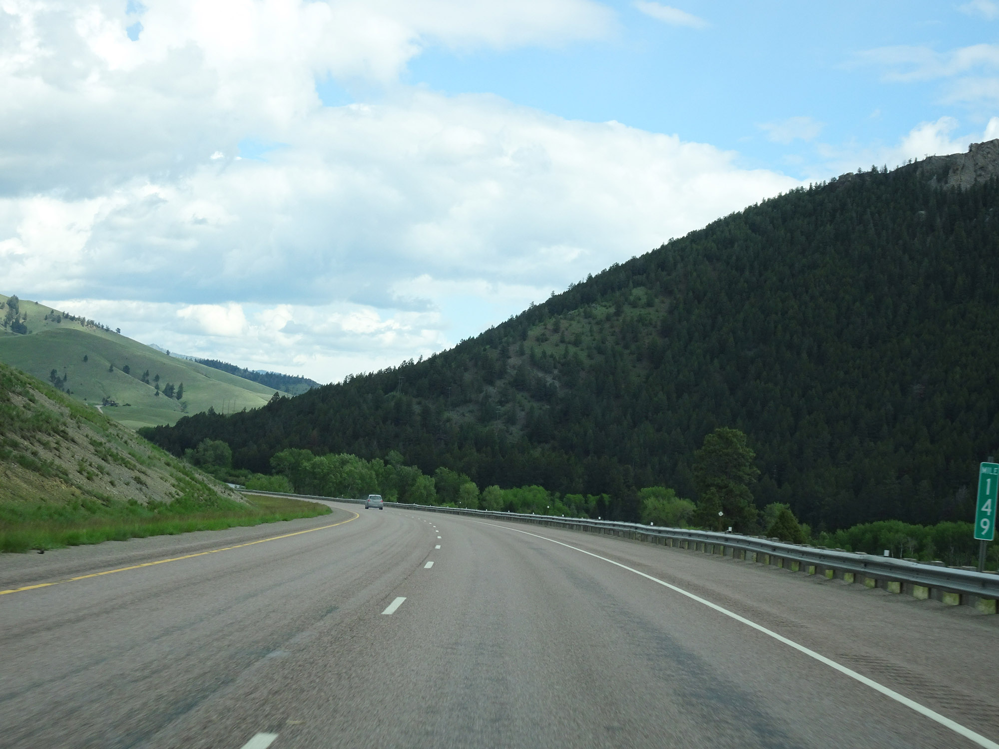 |
Interstate 90 East at mile marker 149. (Photo taken 5/25/16). |
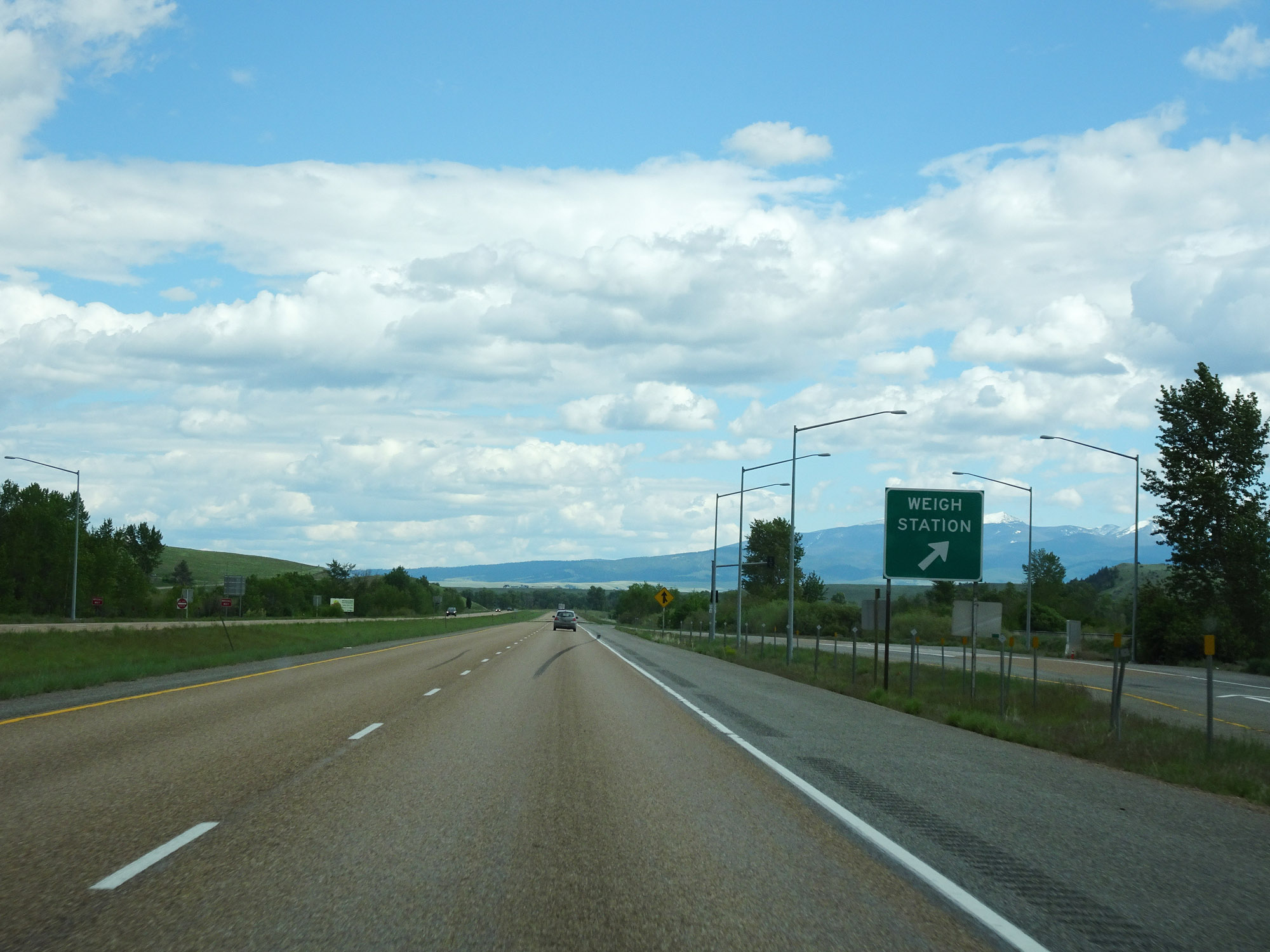 |
Weigh Station on Interstate 90 East in Granite County. (Photo taken 5/25/16). |
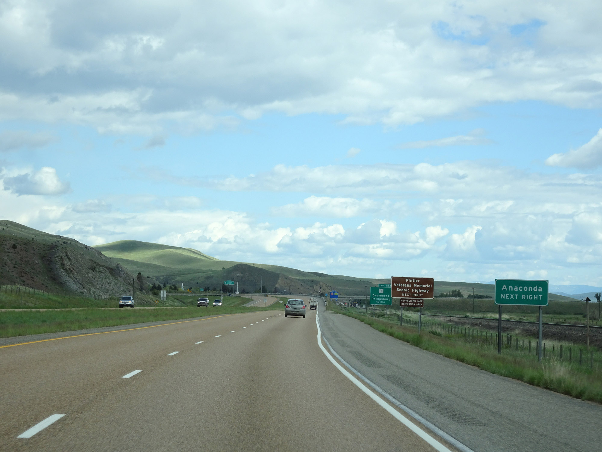 |
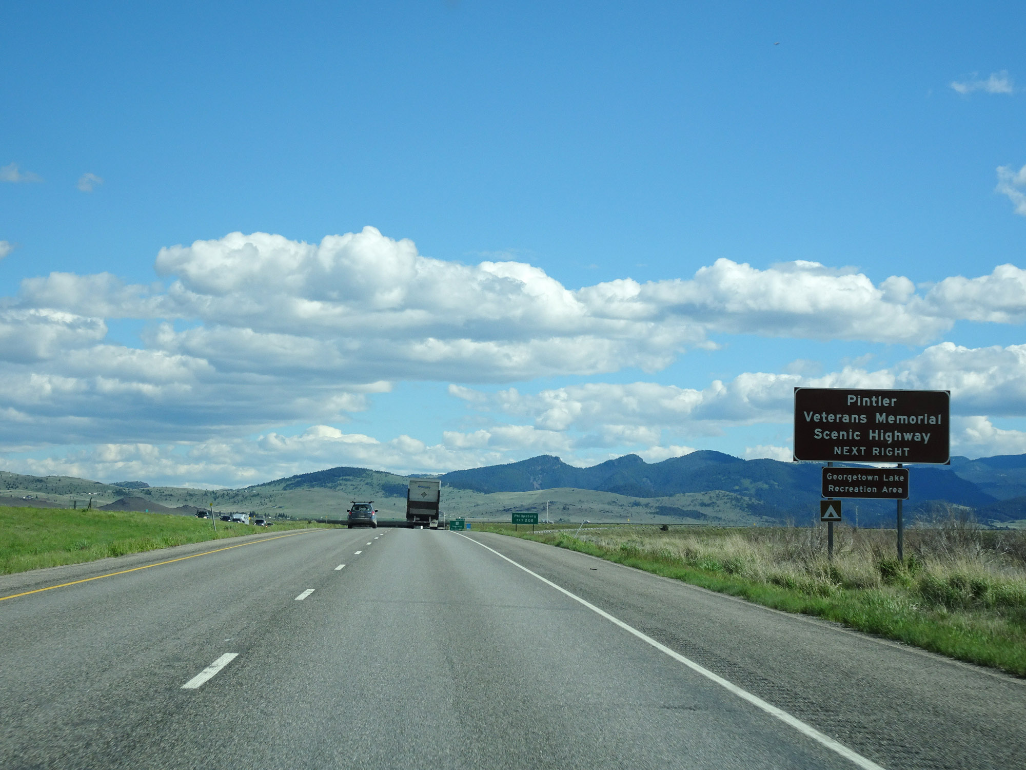
Take Exit 153 to Anaconda. (Photo taken 5/25/16). |
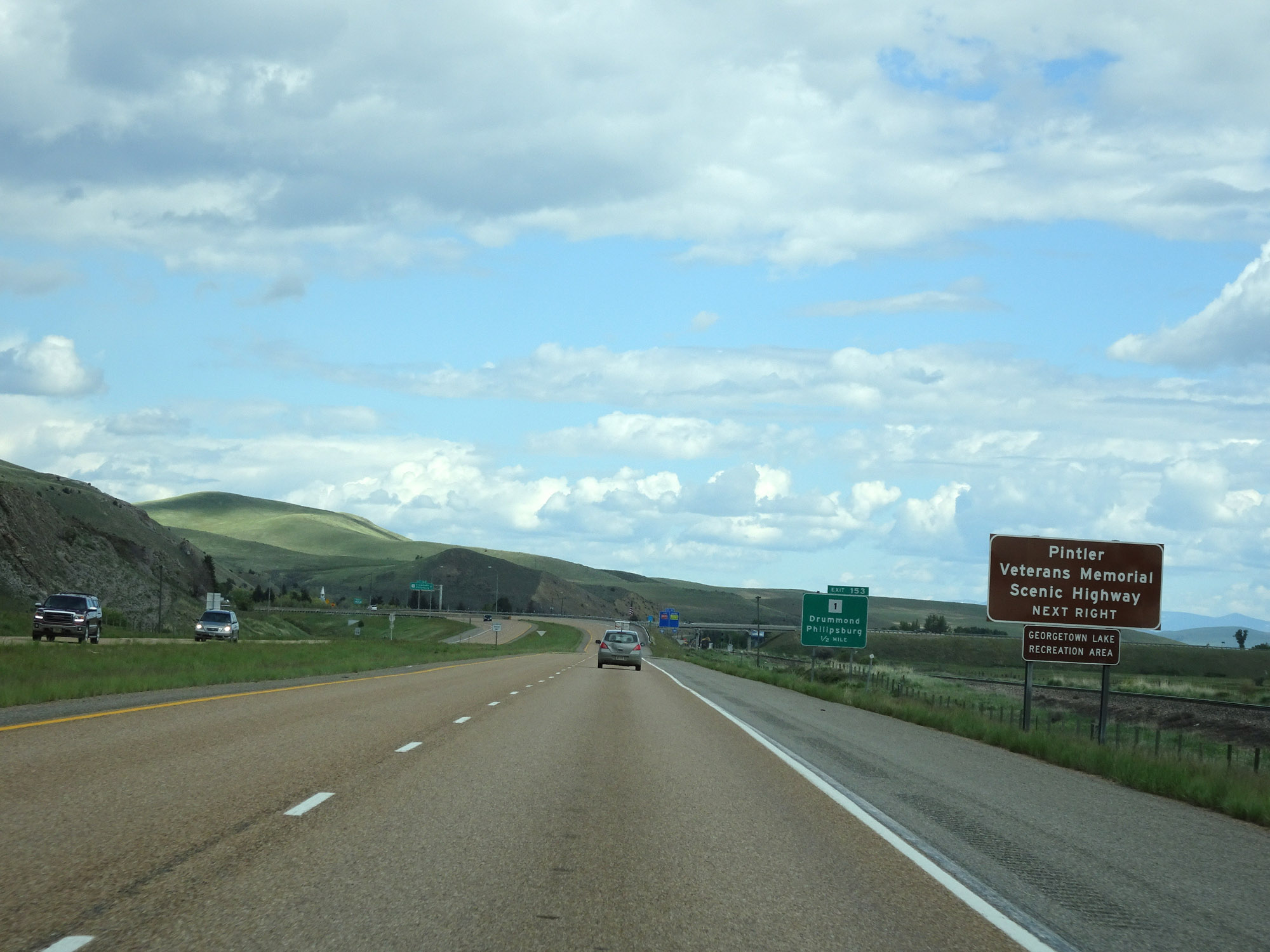 |
Also take Exit 153 to Pintler Veterans Memorial Scenic Highway and Georgetown Lake Recreation Area. (Photo taken 5/25/16). |
 |
Interstate 90 East at Exit 153: MT 1 - Drummond / Philipsburg (Photo taken 5/25/16). |
 |
View on Interstate 90 East in Drummond. (Photo taken 5/25/16). |
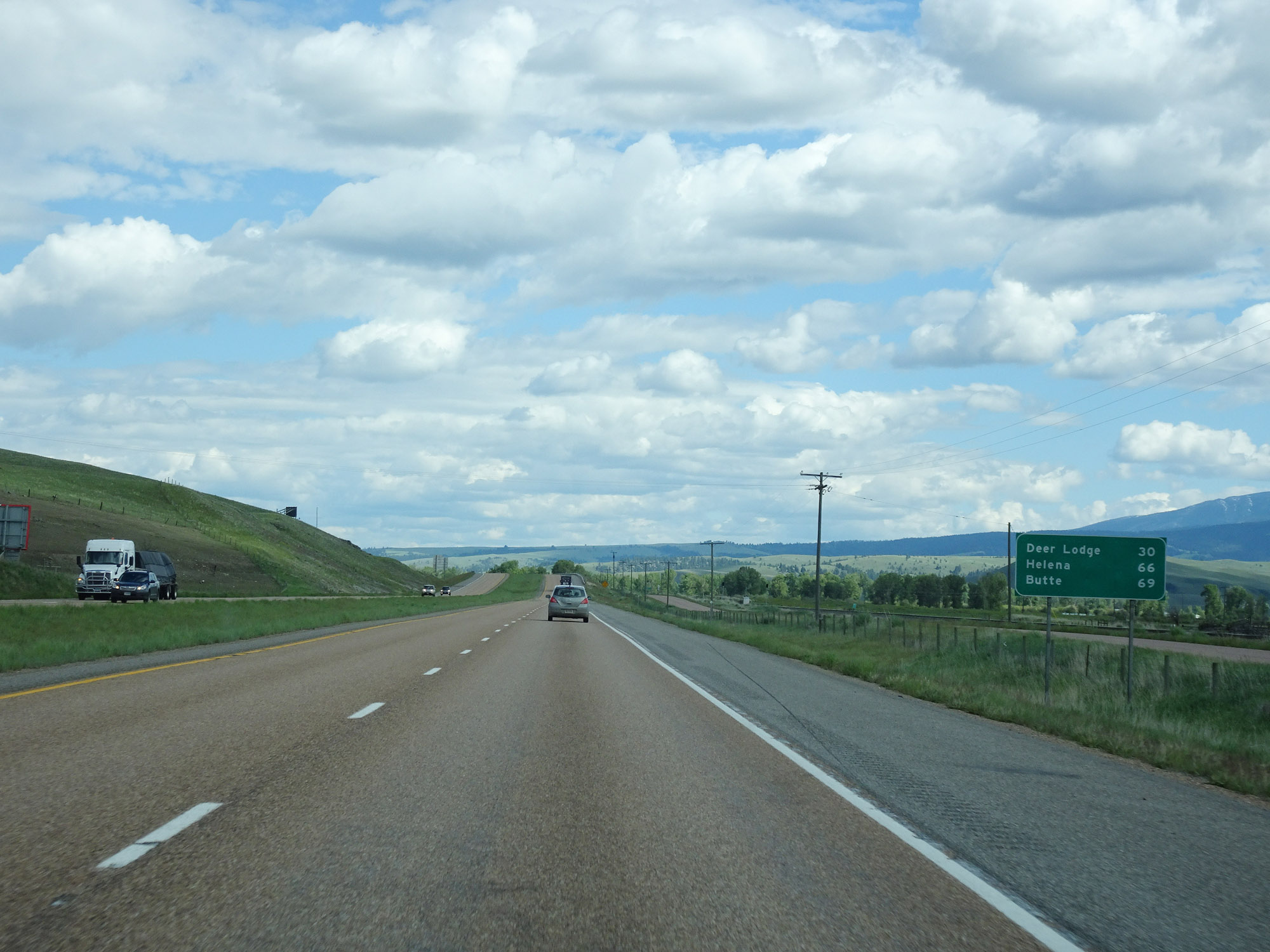 |
Mileage sign on Interstate 90 East. It's 30 miles to Deer Lodge, 66 miles to Helena, and 69 miles to Butte. (Photo taken 5/25/16). |
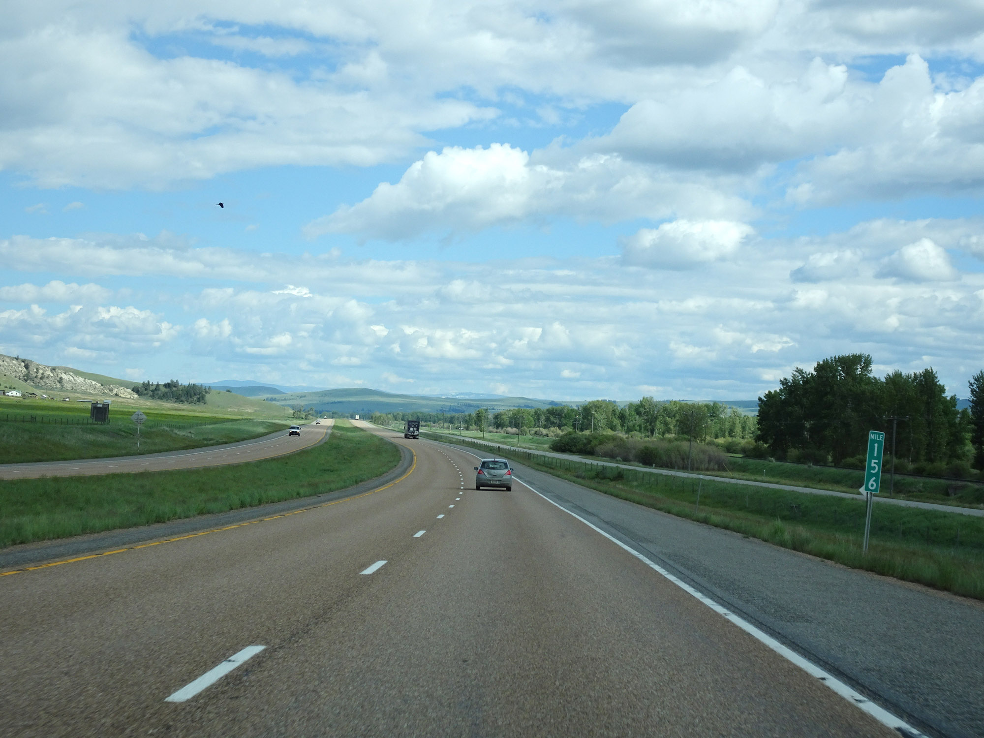 |
Interstate 90 East at mile marker 156. (Photo taken 5/25/16). |
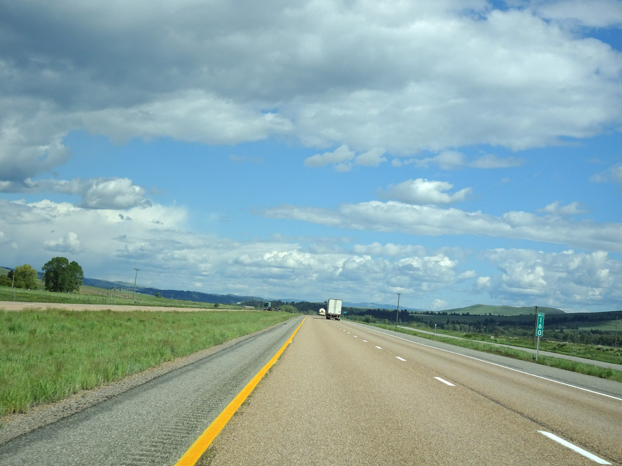 |
View on Interstate 90 East at mile marker 160. (Photo taken 5/25/16). |
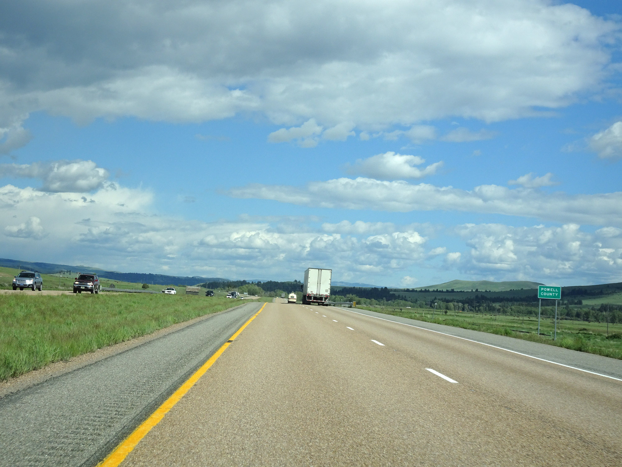 |
Interstate 90 East as it enters Powell County. (Photo taken 5/25/16). |
 |
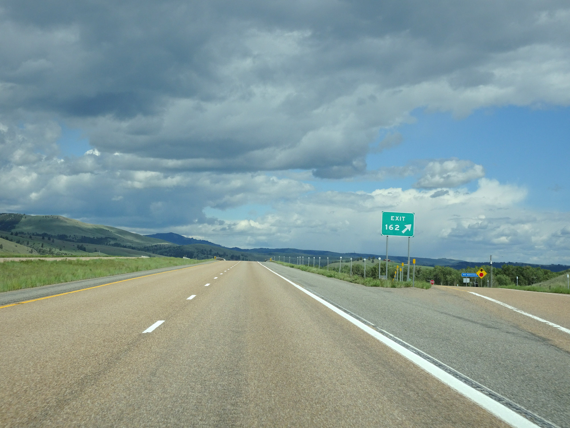
Interstate 90 East approaching Exit 162 - 1/2 mile. (Photo taken 5/25/16). |
 |
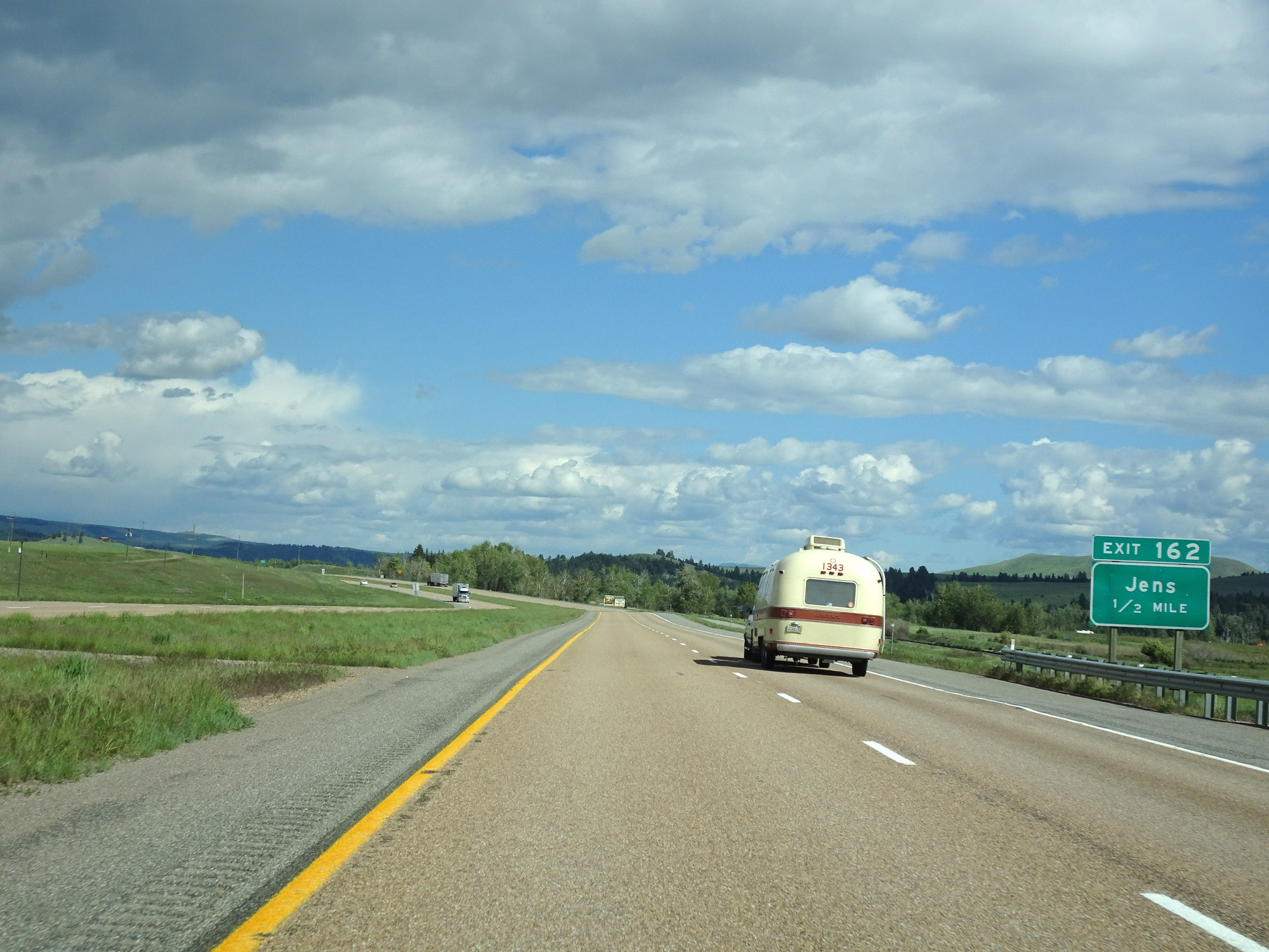
Interstate 90 East at Exit 162: Jens (Photo taken 5/25/16). |
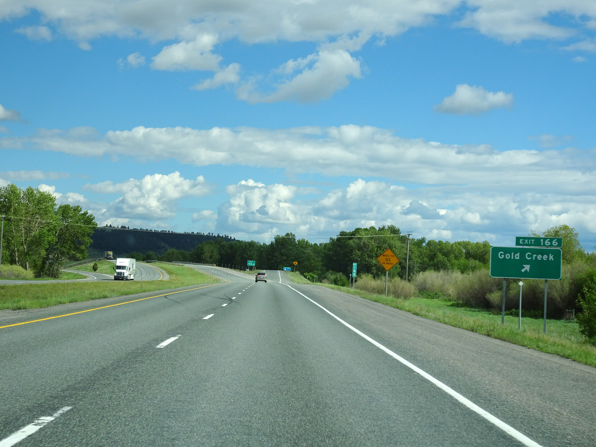 |
Interstate 90 East at Exit 166: Gold Creek (Photo taken 5/25/16). |
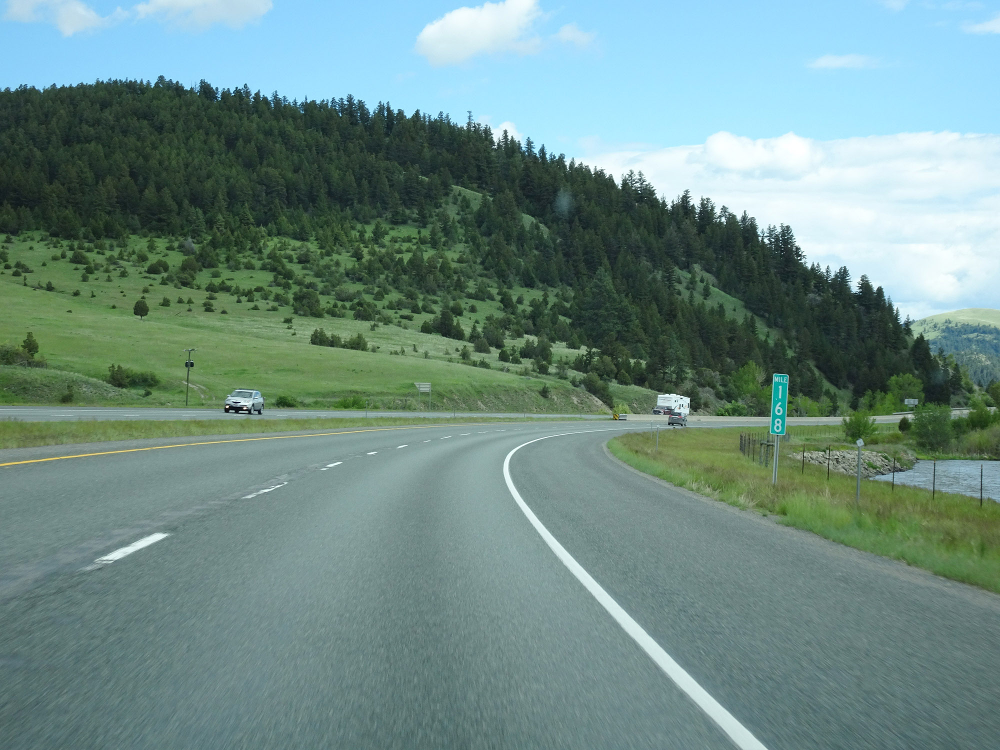 |
View on Interstate 90 East at mile marker 168. (Photo taken 5/25/16). |
 |
Parking Area on Interstate 90 East in Powell County. (Photo taken 5/25/16). |
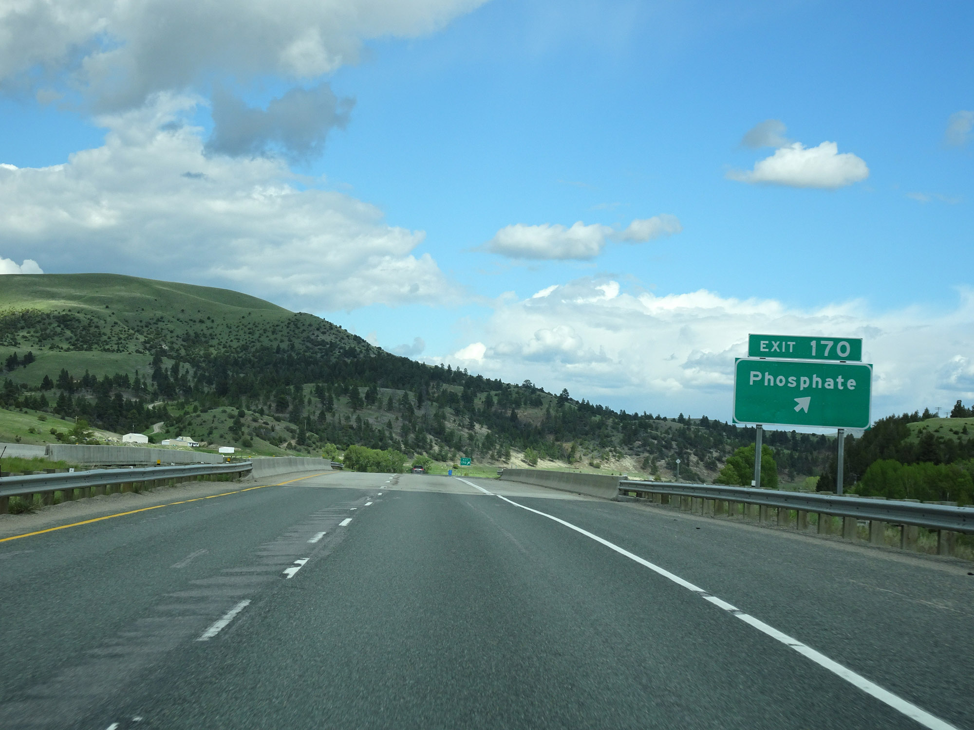 |
Interstate 90 East at Exit 170: Phosphate (Photo taken 5/25/16). |
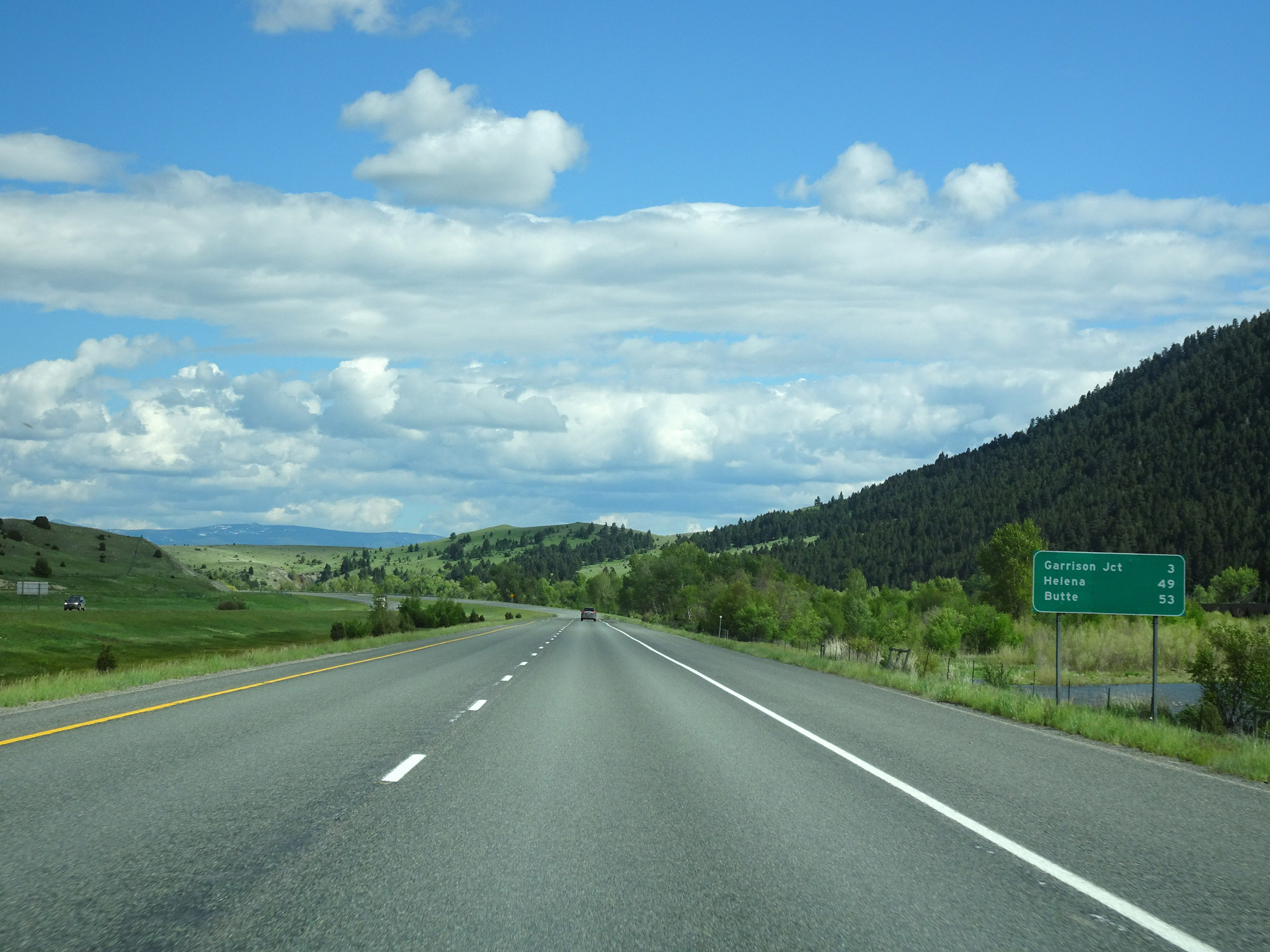 |
Mileage sign on Interstate 90 East. It's 3 miles to Garrison, 49 miles to Helena, and 53 miles to Butte. (Photo taken 5/25/16). |
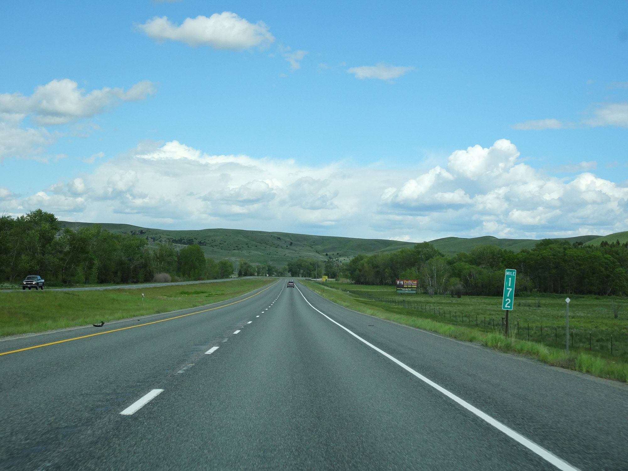 |
View on Interstate 90 East at mile marker 172. (Photo taken 5/25/16). |
 |
Interstate 90 East approaching Exit 174 - 1 mile. (Photo taken 5/25/16). |
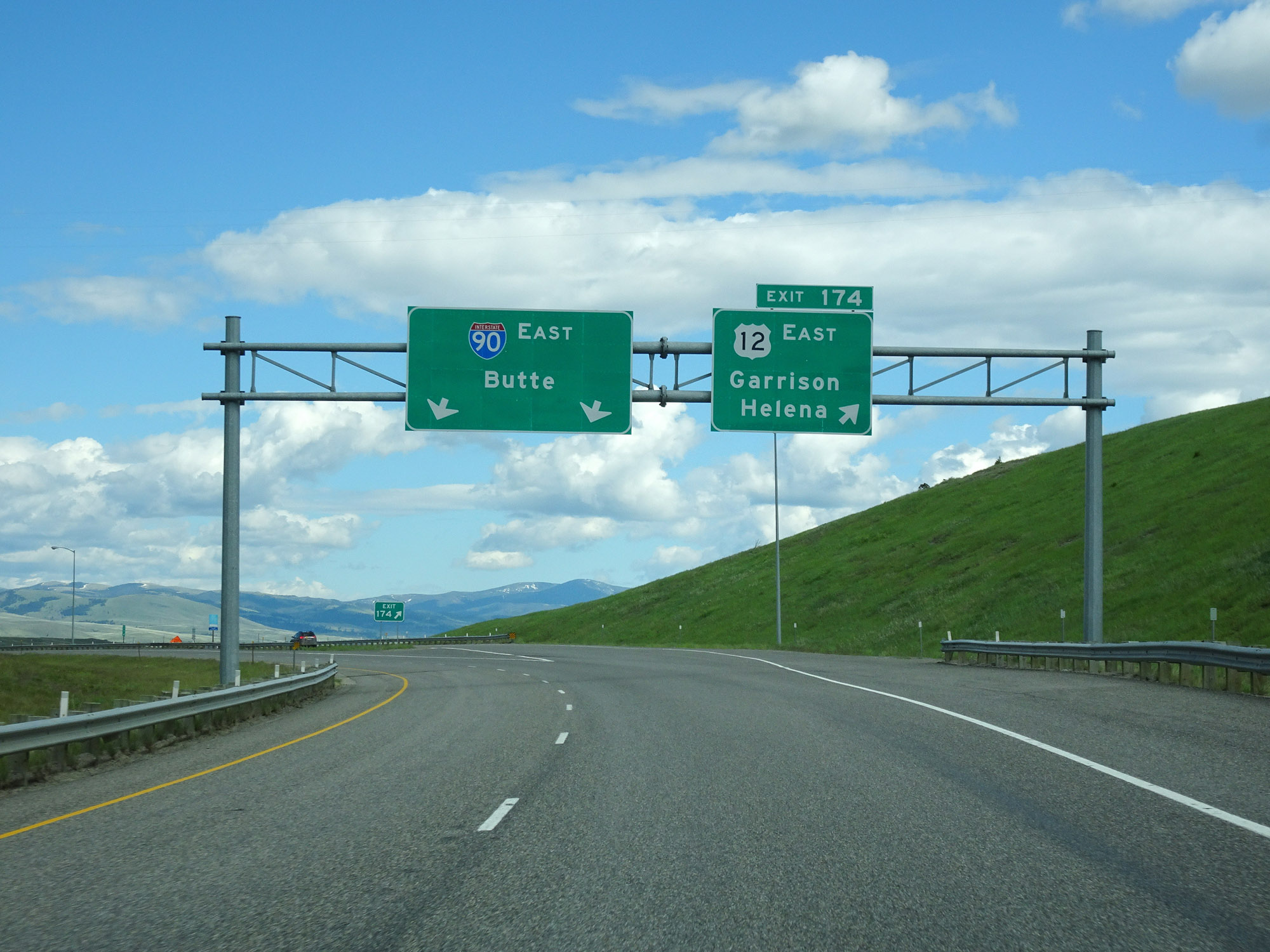 |
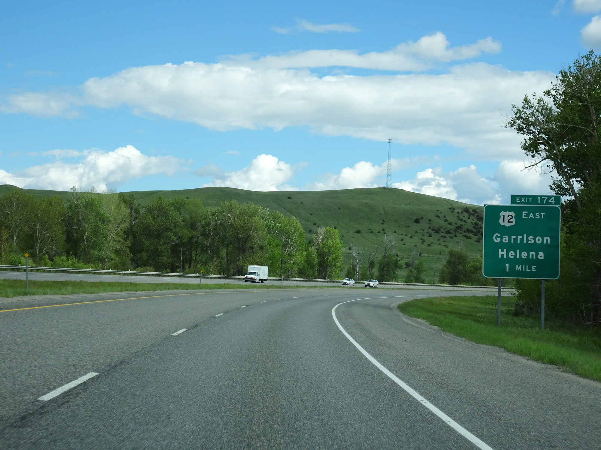
Interstate 90 East at Exit 174: US 12 East - Garrison / Helena (Photo taken 5/25/16). |
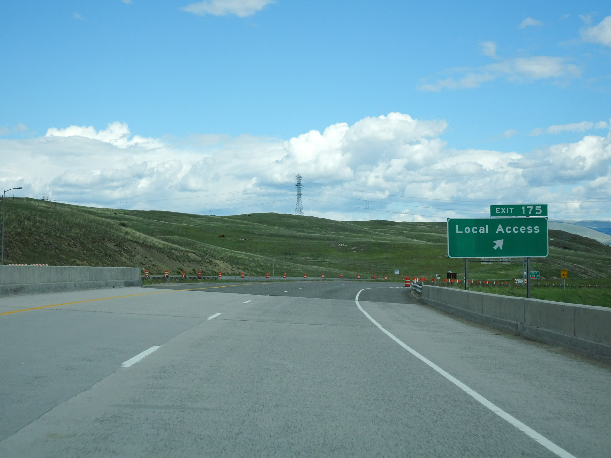 |
Interstate 90 East at Exit 175: Local Access (Photo taken 5/25/16). |
 |
Interstate 90 East reassurance shield. (Photo taken 5/25/16). |
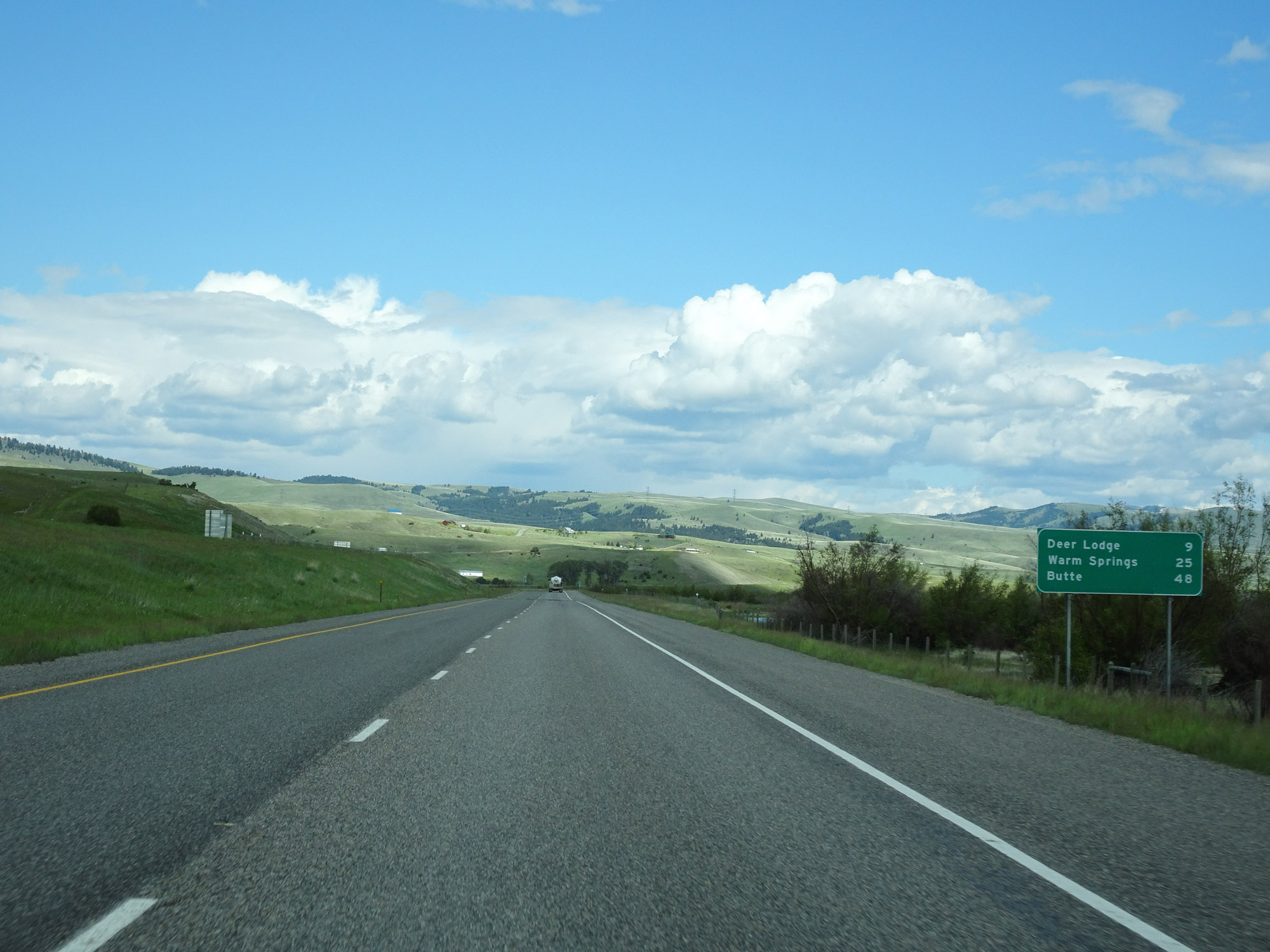 |
Another mileage sign on Interstate 90 East. It's 9 miles to Deer Lodge, 25 miles to Warm Springs, and 48 miles to Butte. (Photo taken 5/25/16). |
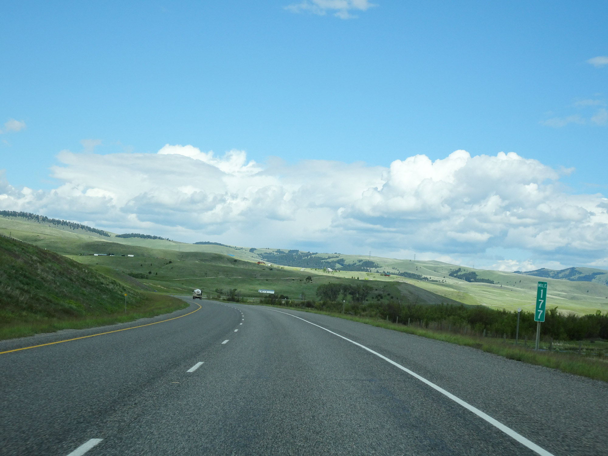 |
View on Interstate 90 East at mile marker 177. (Photo taken 5/25/16). |
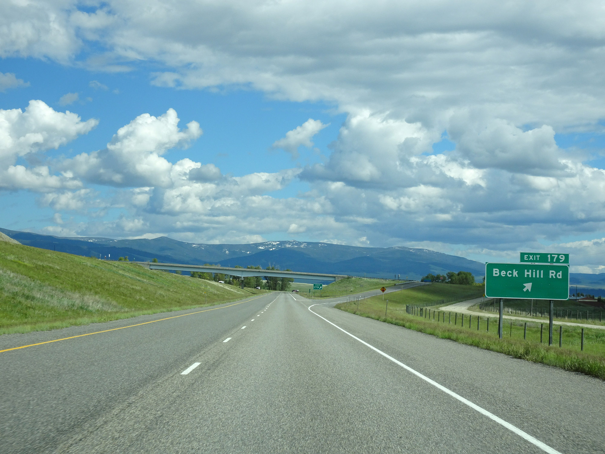 |
Interstate 90 East at Exit 179: Beck Hill Rd (Photo taken 5/25/16). |
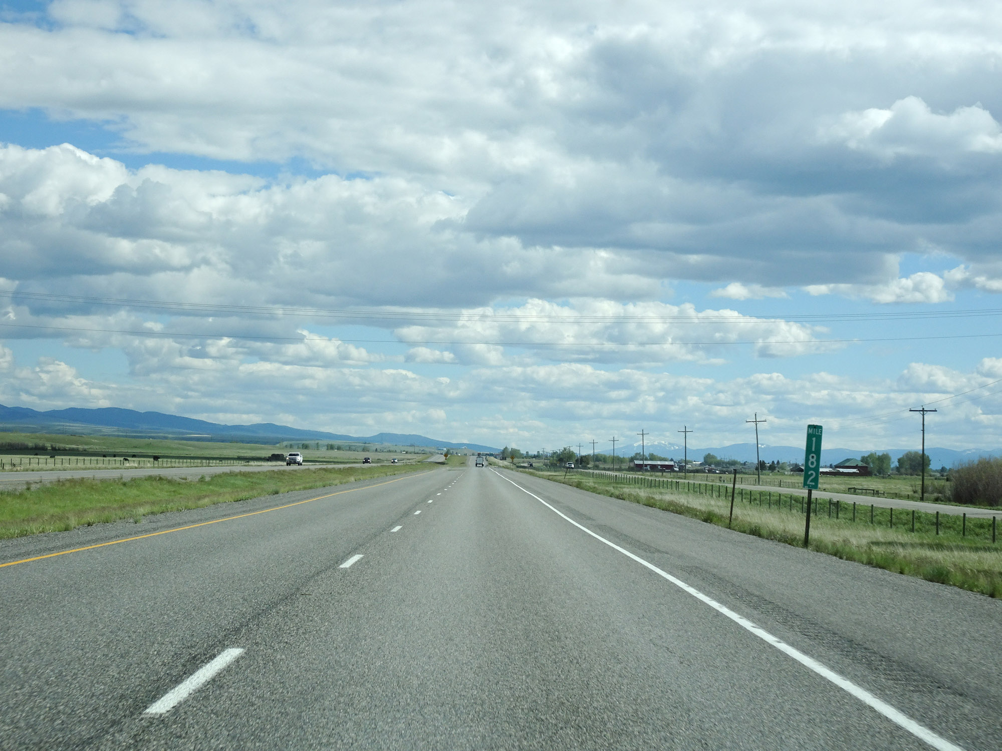 |
Interstate 90 East at mile marker 182. (Photo taken 5/25/16). |
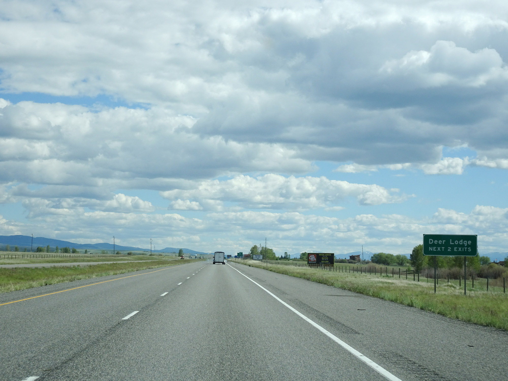 |
Take either of the next 2 exits to Deer Lodge. (Photo taken 5/25/16). |
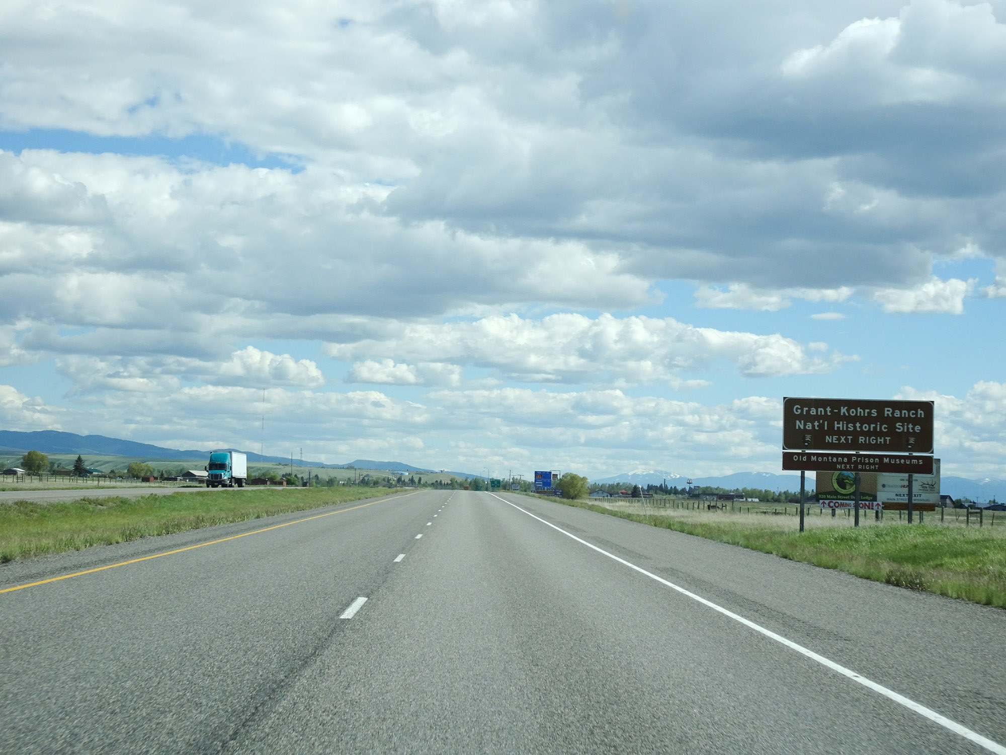 |
Take Exit 184 to Grant-Kohrs Ranch National Historic Site. (Photo taken 5/25/16). |
 |
Interstate 90 East at Exit 184: Interstate 90 Business Loop - Deer Lodge (Photo taken 5/25/16). |
Section 4: Deer Lodge (Exit 184) to Butte (Exit 228)
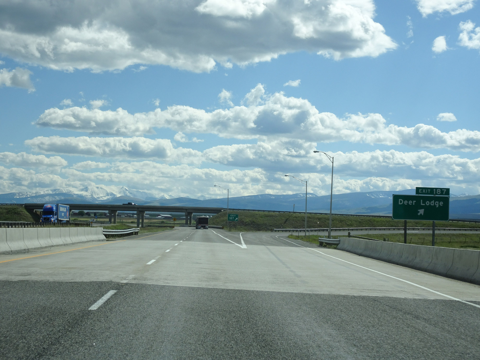 |
Interstate 90 East at Exit 187: Deer Lodge (Photo taken 5/25/16). |
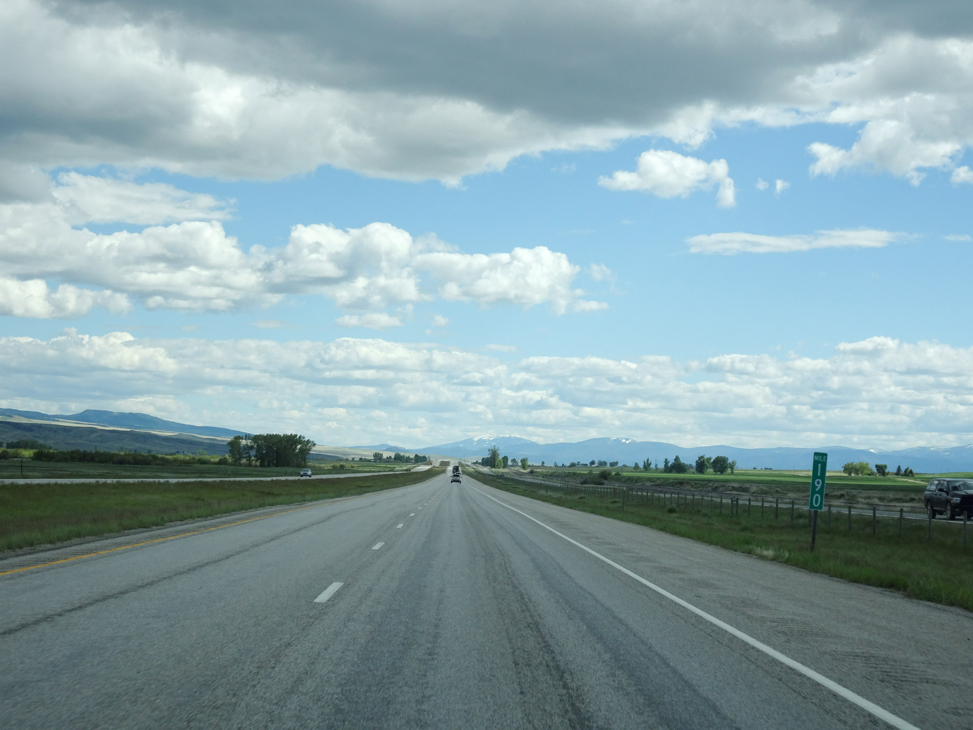 |
View on Interstate 90 East at mile marker 190. (Photo taken 5/25/16). |
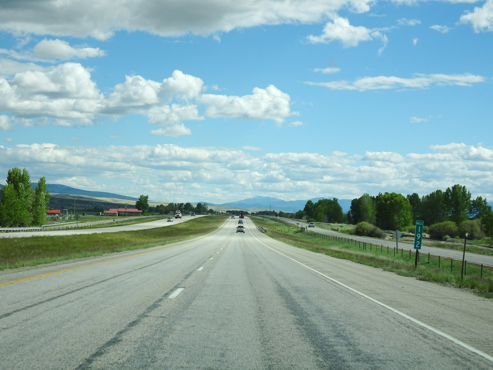 |
Interstate 90 East at mile marker 192. (Photo taken 5/25/16). |
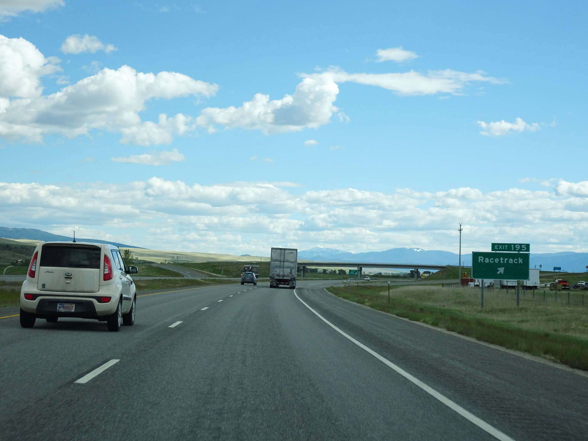 |
Interstate 90 East at Exit 195: Racetrack (Photo taken 5/25/16). |
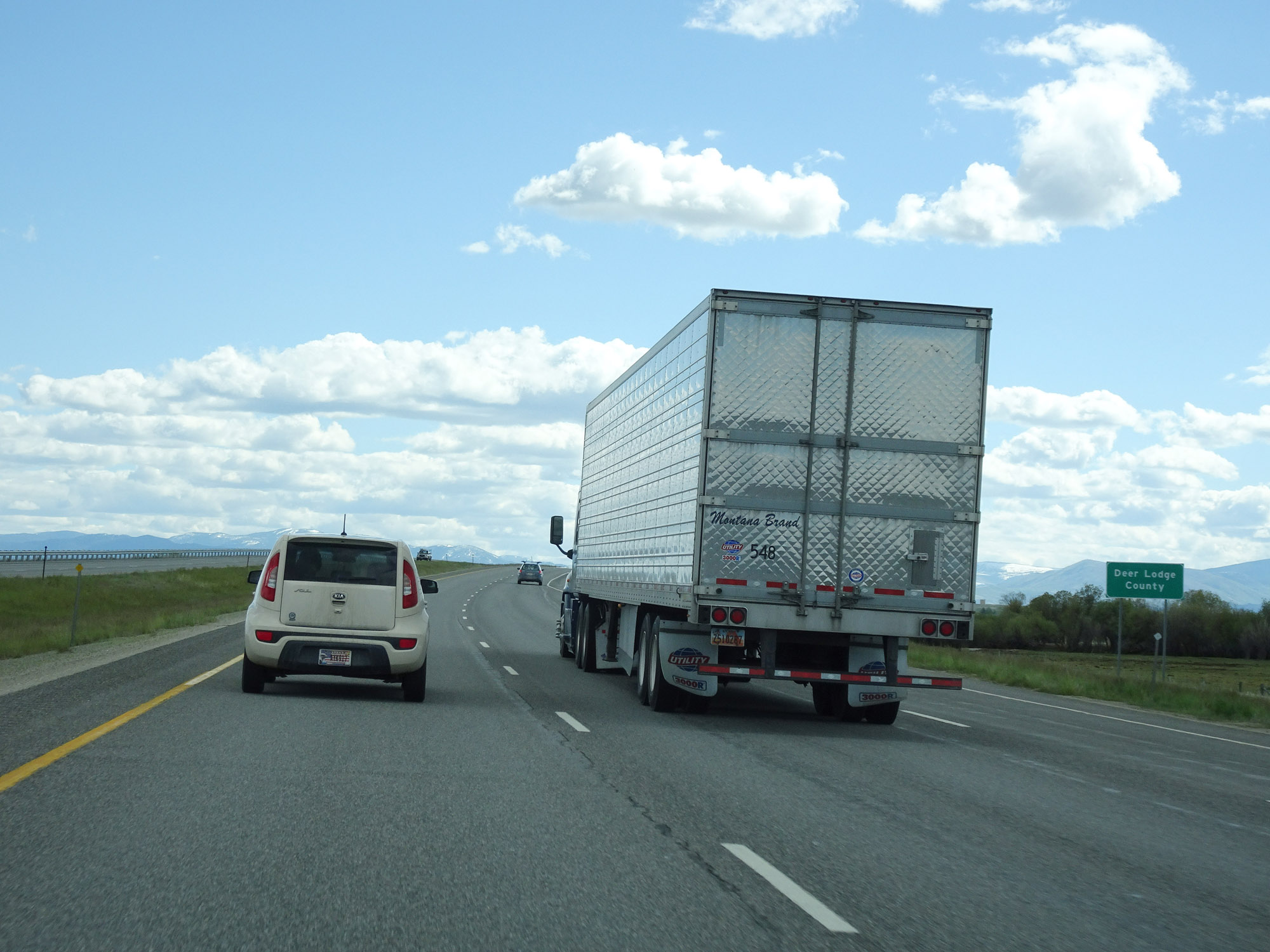 |
Entering Deer Lodge County on Interstate 90 East. (Photo taken 5/25/16). |
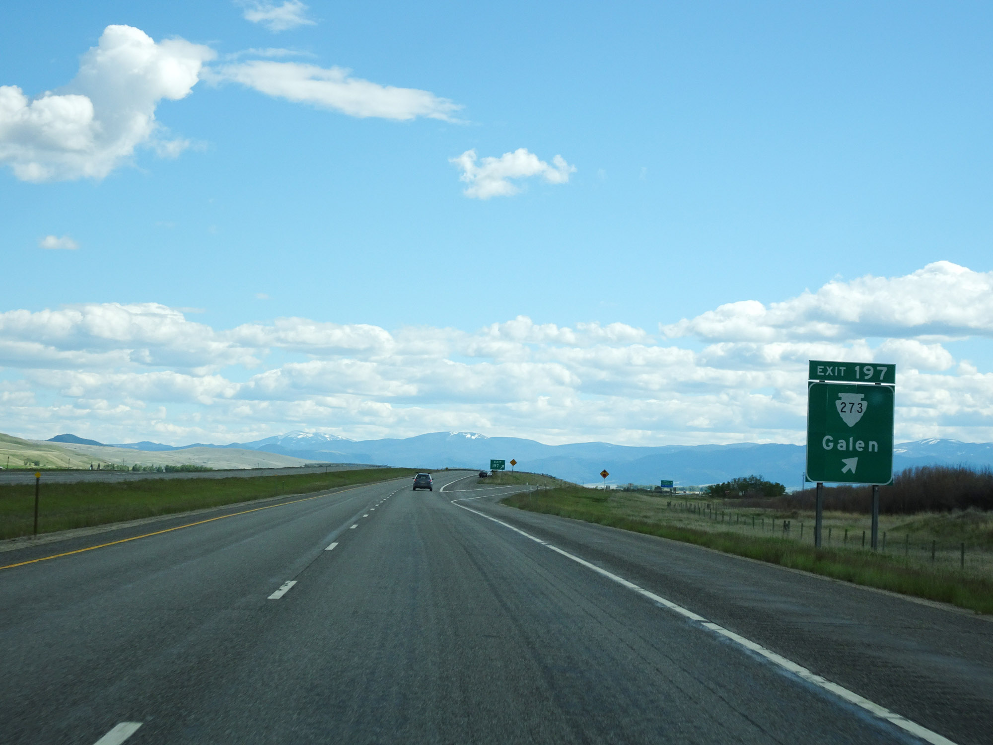 |
Interstate 90 East at Exit 197: S-273 - Galen (Photo taken 5/25/16). |
 |
View on Interstate 90 East at mile marker 199. (Photo taken 5/25/16). |
 |
Take Exit 201 to Anaconda. (Photo taken 5/25/16). |
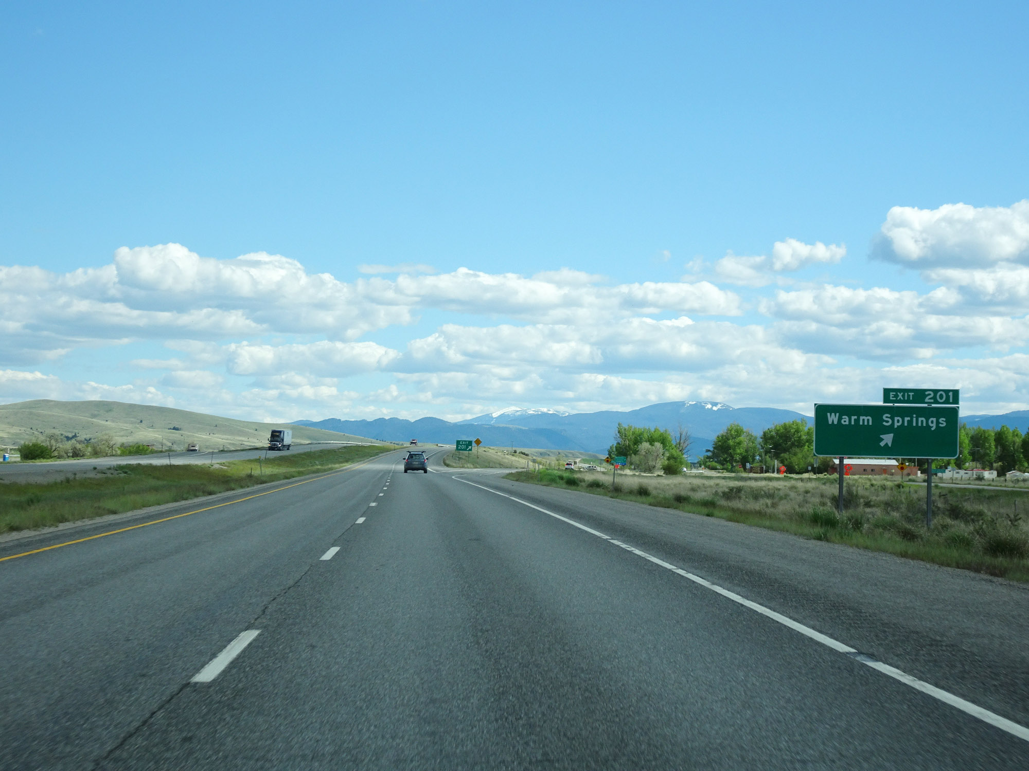 |
Interstate 90 East at Exit 201: Warm Springs (Photo taken 5/25/16). |
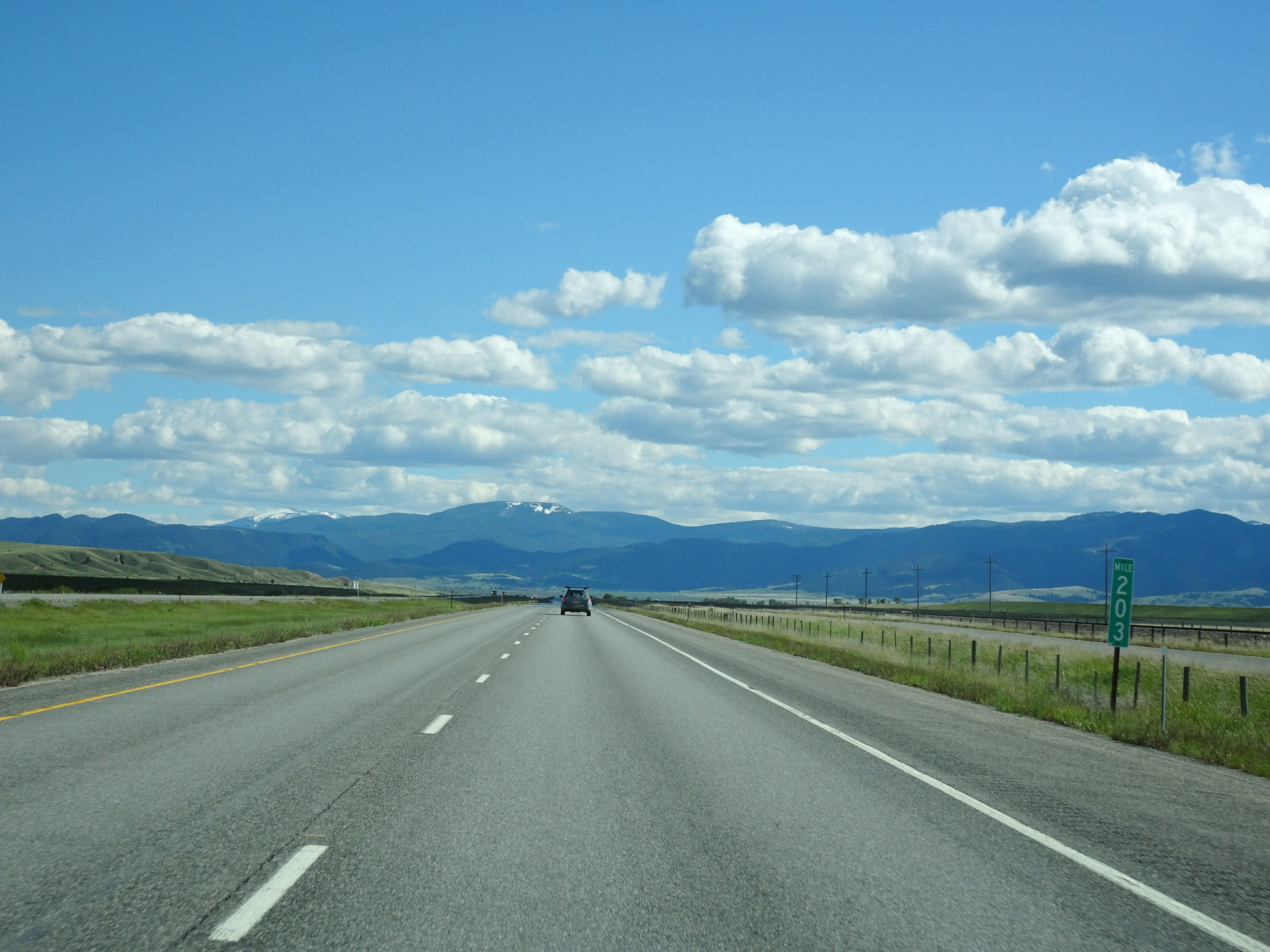 |
Interstate 90 East at mile marker 203. (Photo taken 5/25/16). |
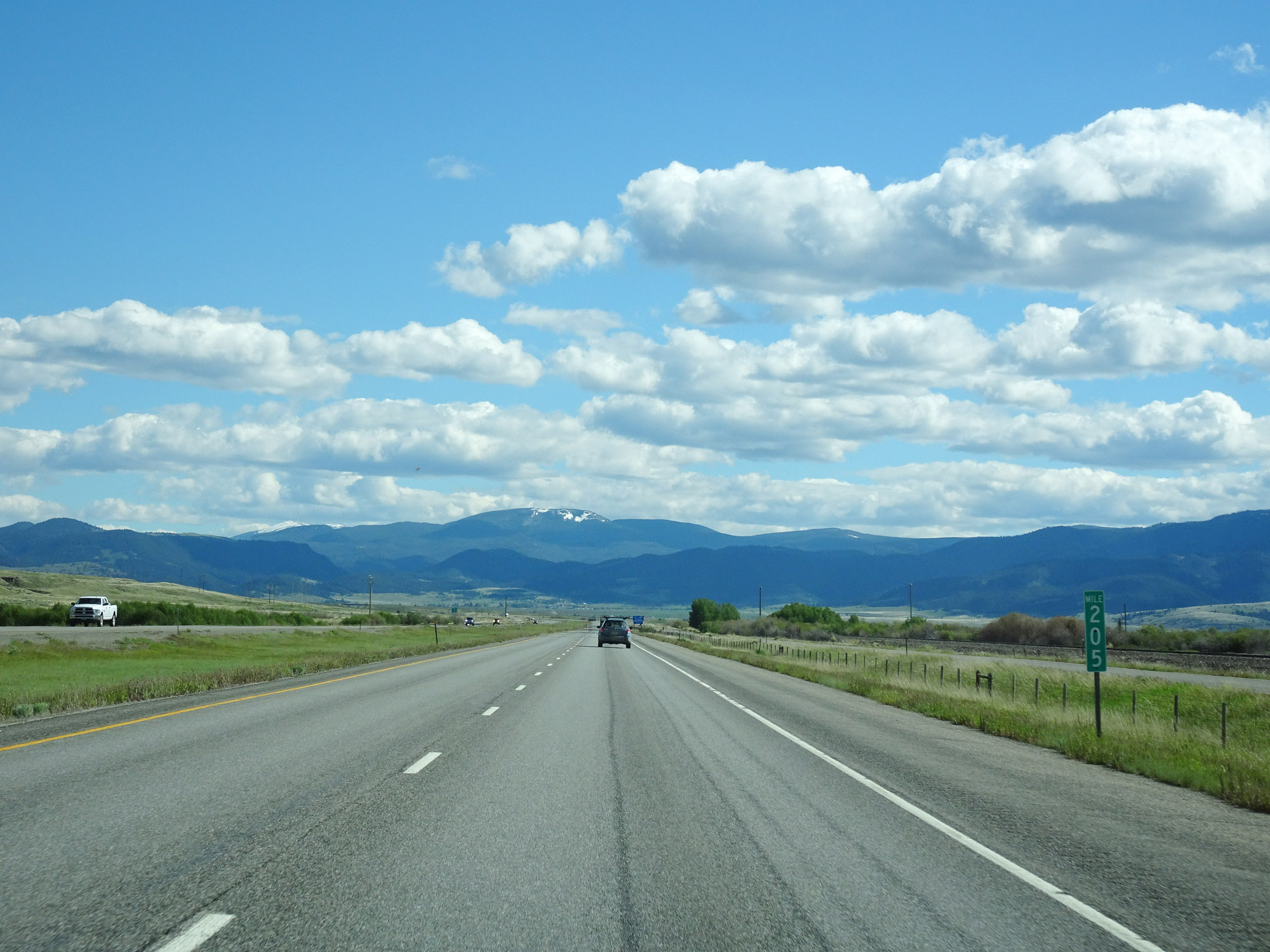 |
View on Interstate 90 East at mile marker 205. (Photo taken 5/25/16). |
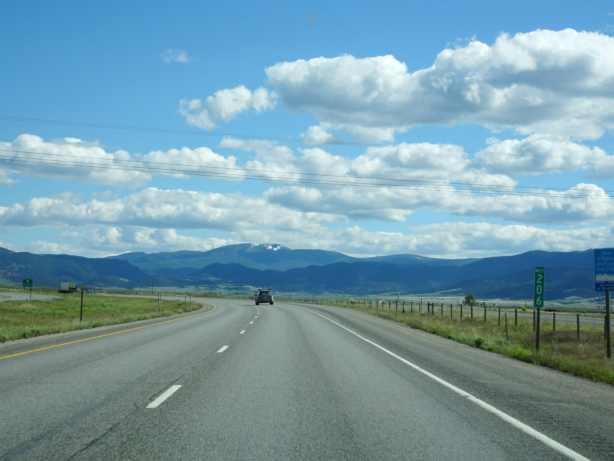 |
Interstate 90 East at mile marker 206. (Photo taken 5/25/16). |
 |
Take Exit 208 to Pintler Veterans Memorial Scenic Highway and Georgetown Lake Recreation Area. (Photo taken 5/25/16). |
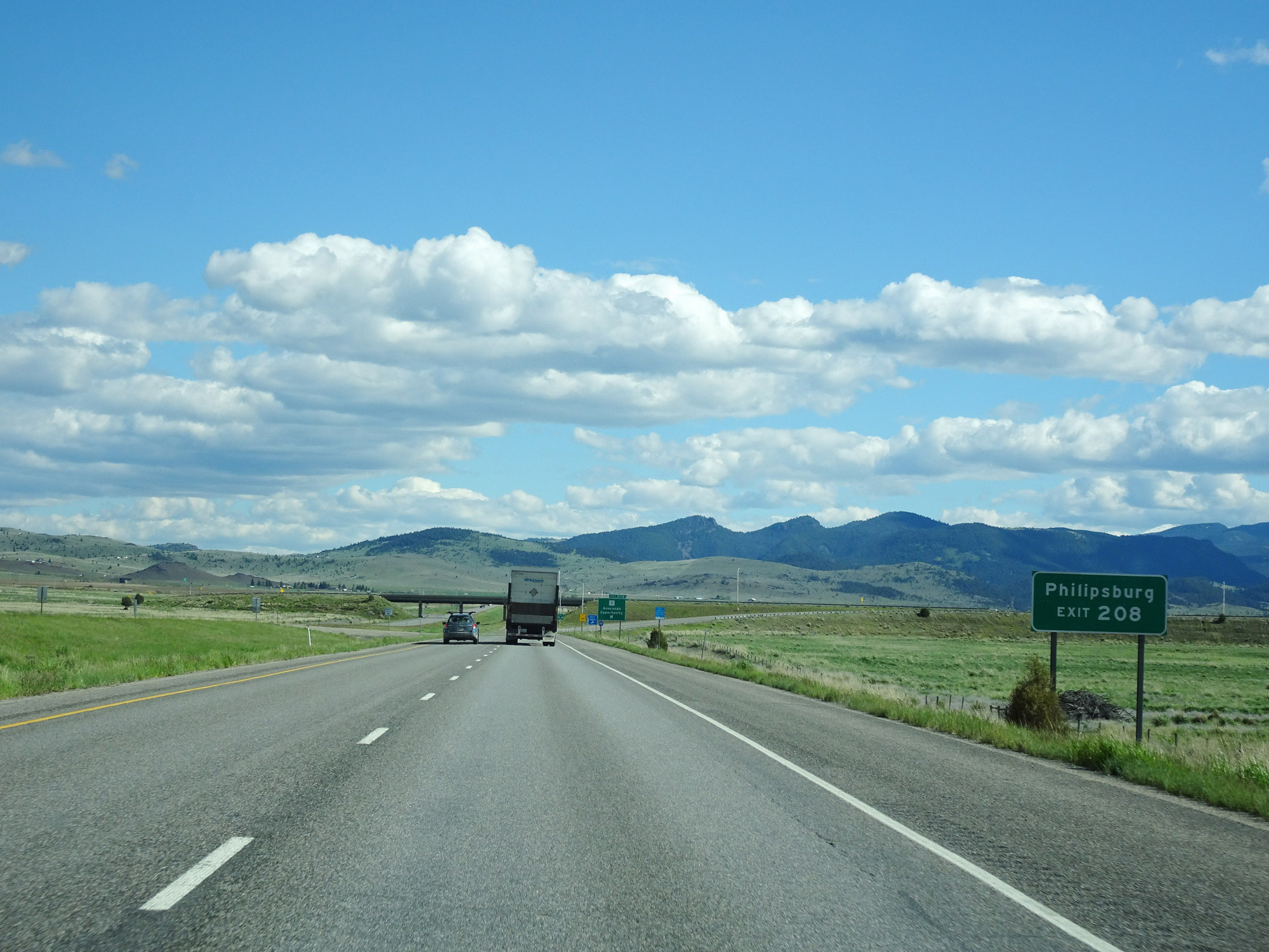 |
Also take Exit 208 to Philipsburg. (Photo taken 5/25/16). |
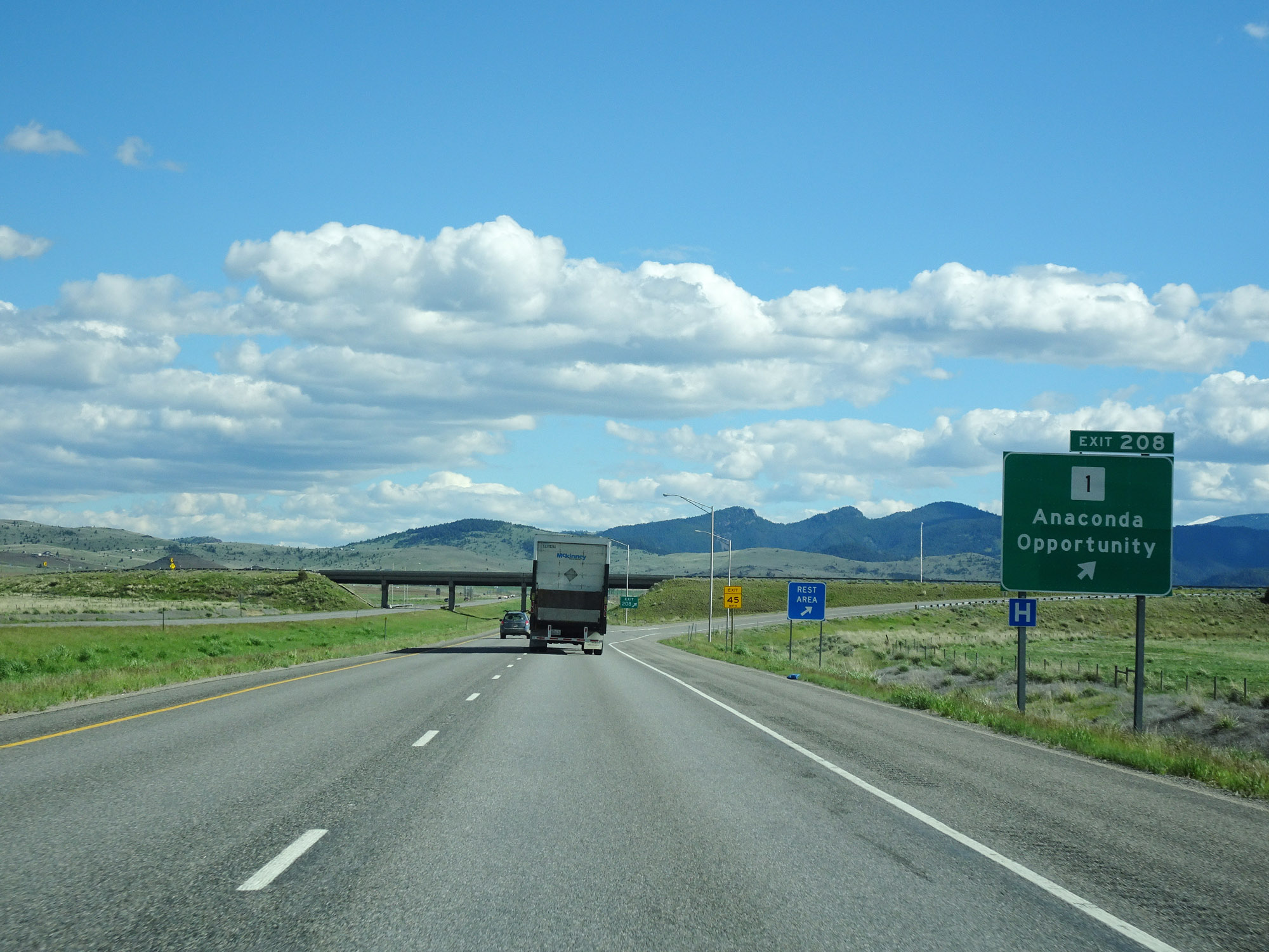 |
Interstate 90 East at Exit 208: MT 1 - Anaconda / Opportunity (Photo taken 5/25/16). |
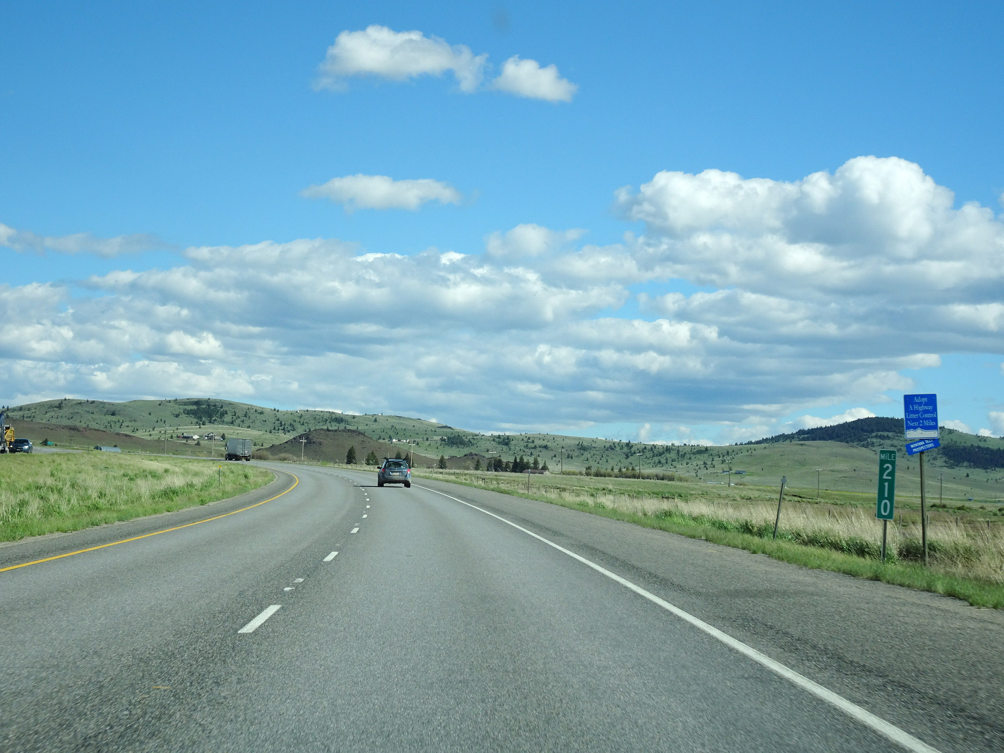 |
View on Interstate 90 East at mile marker 210. (Photo taken 5/25/16). |
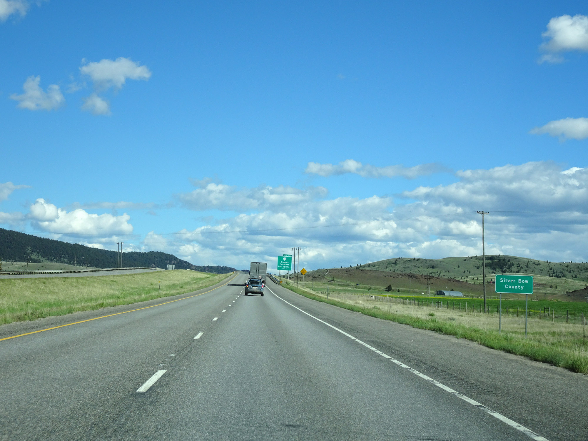 |
Interstate 90 East as it enters Silver Bow County. (Photo taken 5/25/16). |
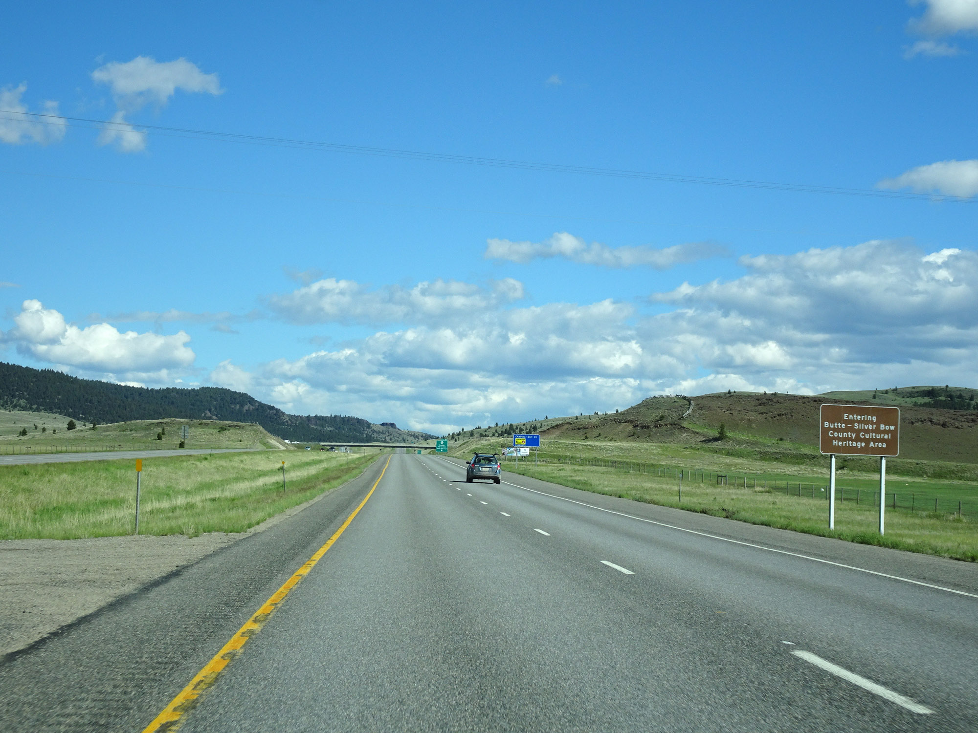 |
Upon entering Silver Bow County, Interstate 90 East also enters the Butte-Silver Bow County Cultural Heritage Area. (Photo taken 5/25/16). |
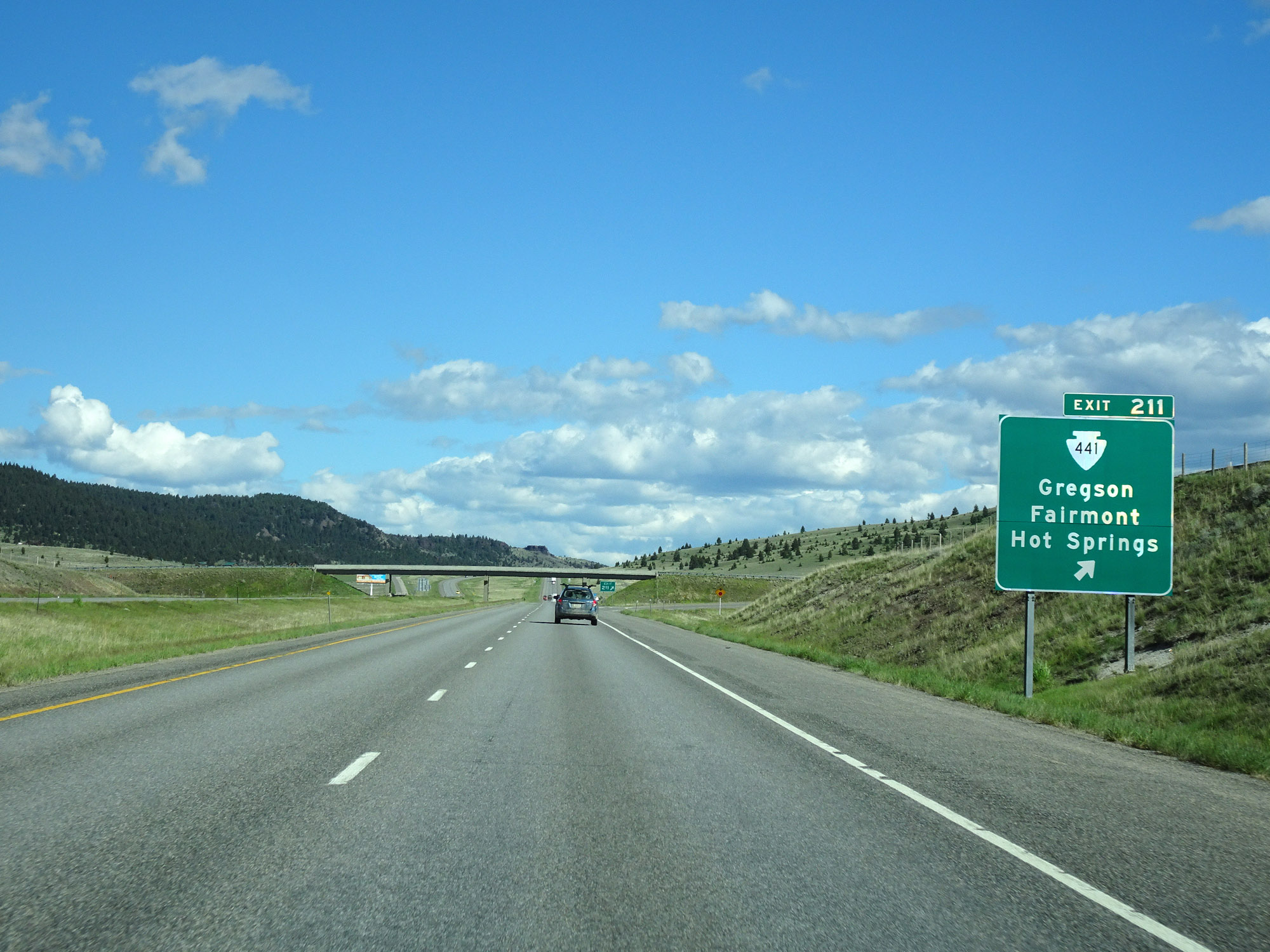 |
Interstate 90 East at Exit 211: S-441 - Gregson / Fairmont Hot Springs (Photo taken 5/25/16). |
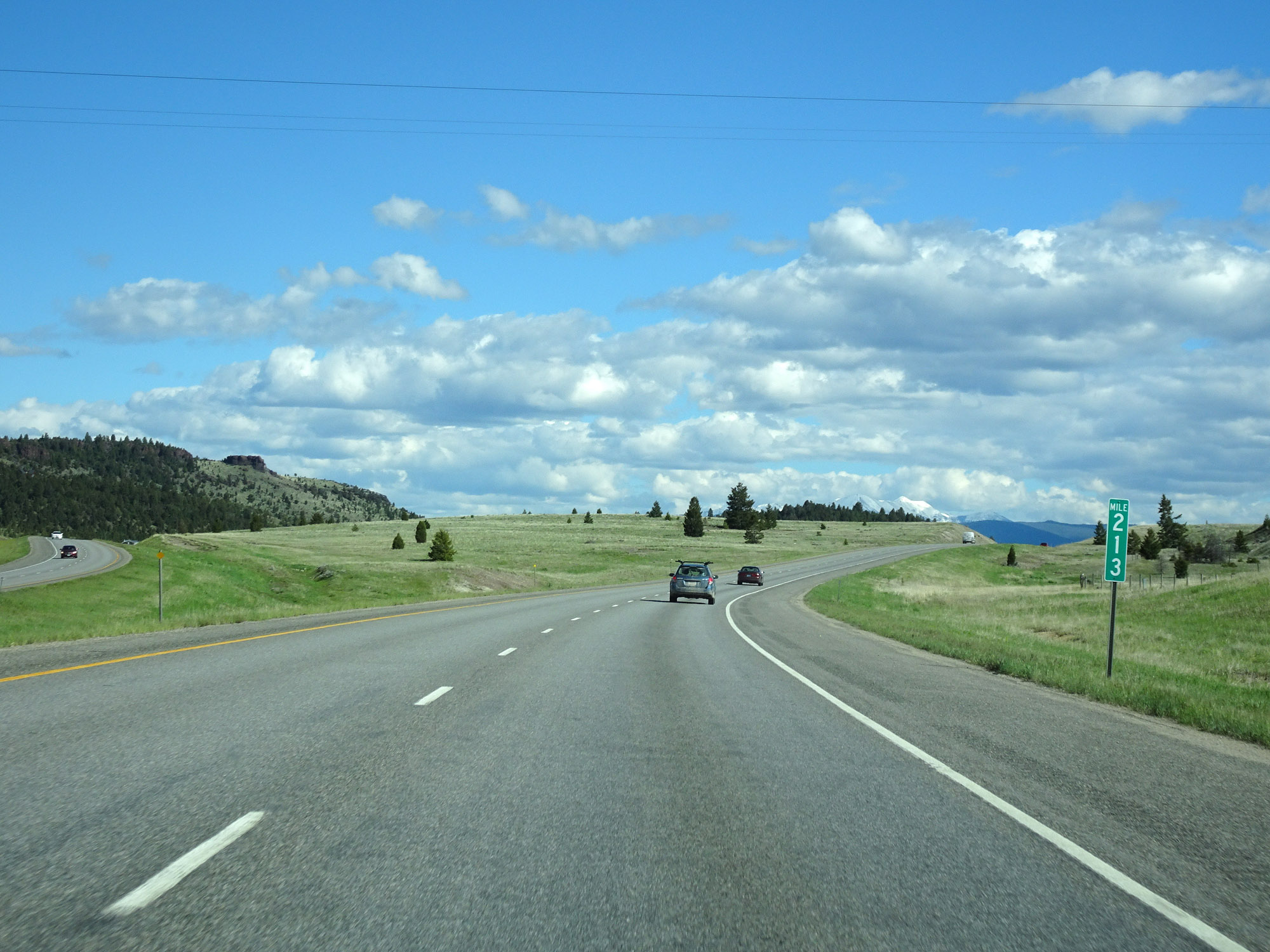 |
View on Interstate 90 East at mile marker 213. (Photo taken 5/25/16). |
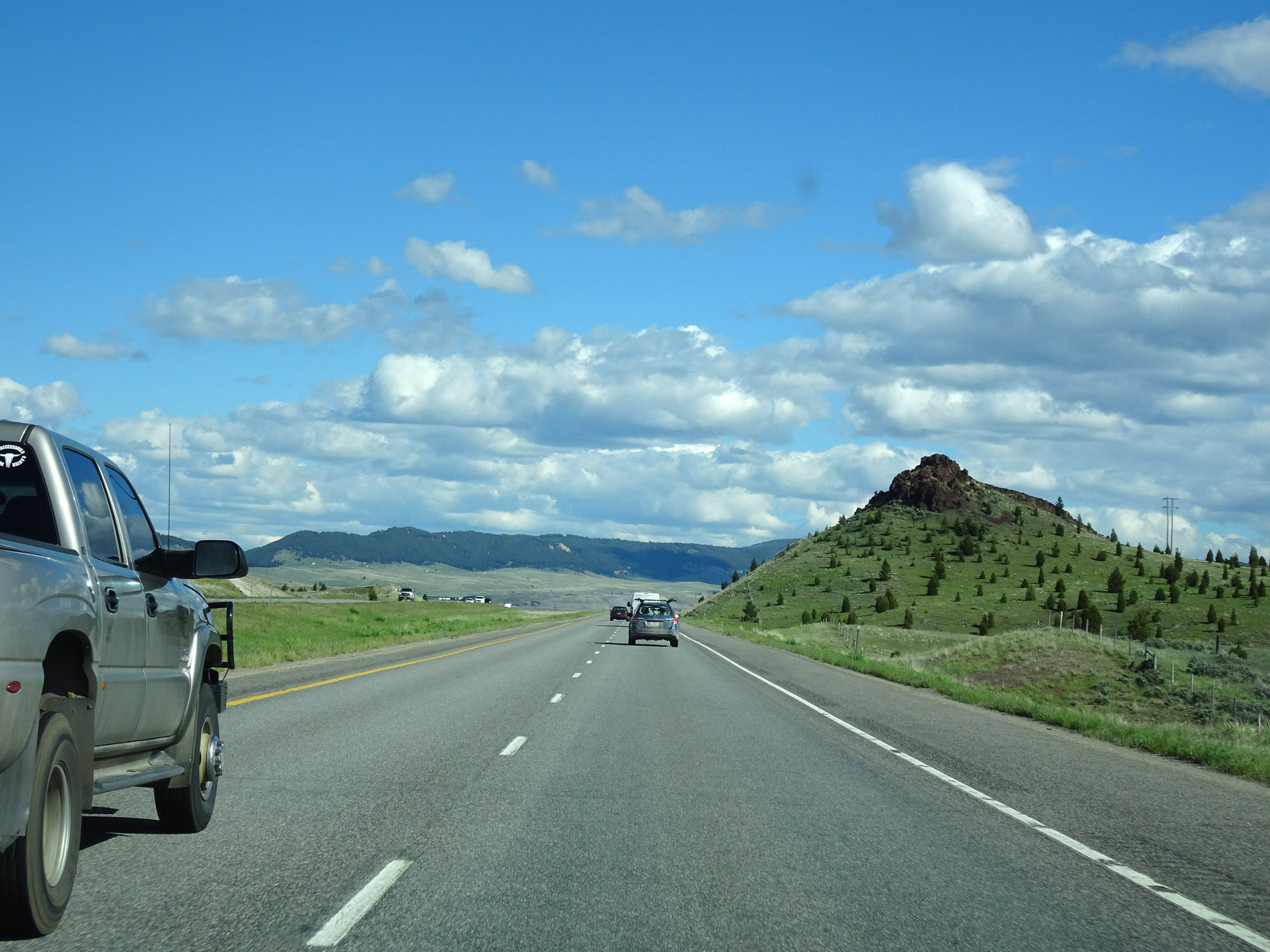 |
View on Interstate 90 East in Silver Bow County. (Photo taken 5/25/16). |
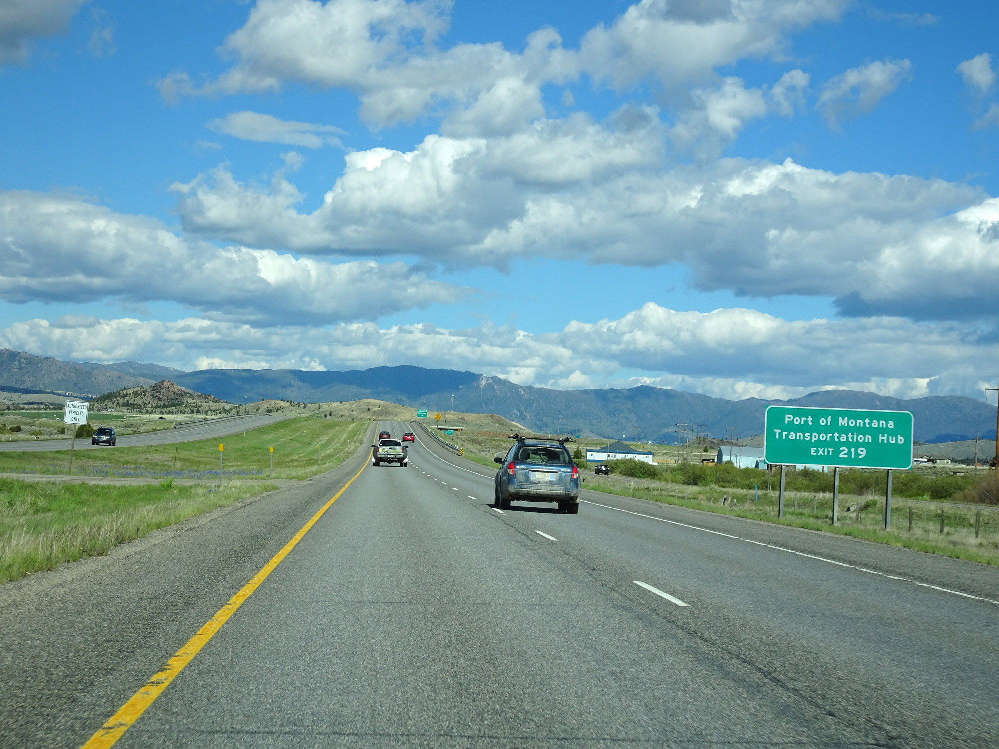 |
Take Exit 219 to Port of Montana Transportation Hub. (Photo taken 5/25/16). |
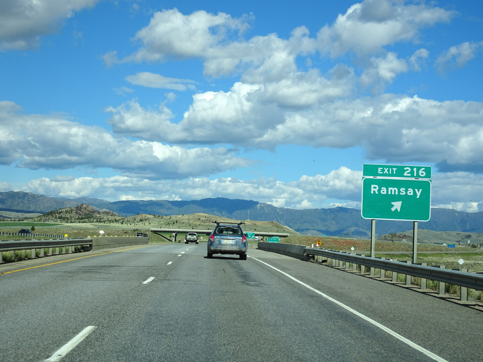 |
Interstate 90 East at Exit 216: Ramsay (Photo taken 5/25/16). |
 |
Interstate 90 East approaching Exit 219 - 1 mile. (Photo taken 5/25/16). |
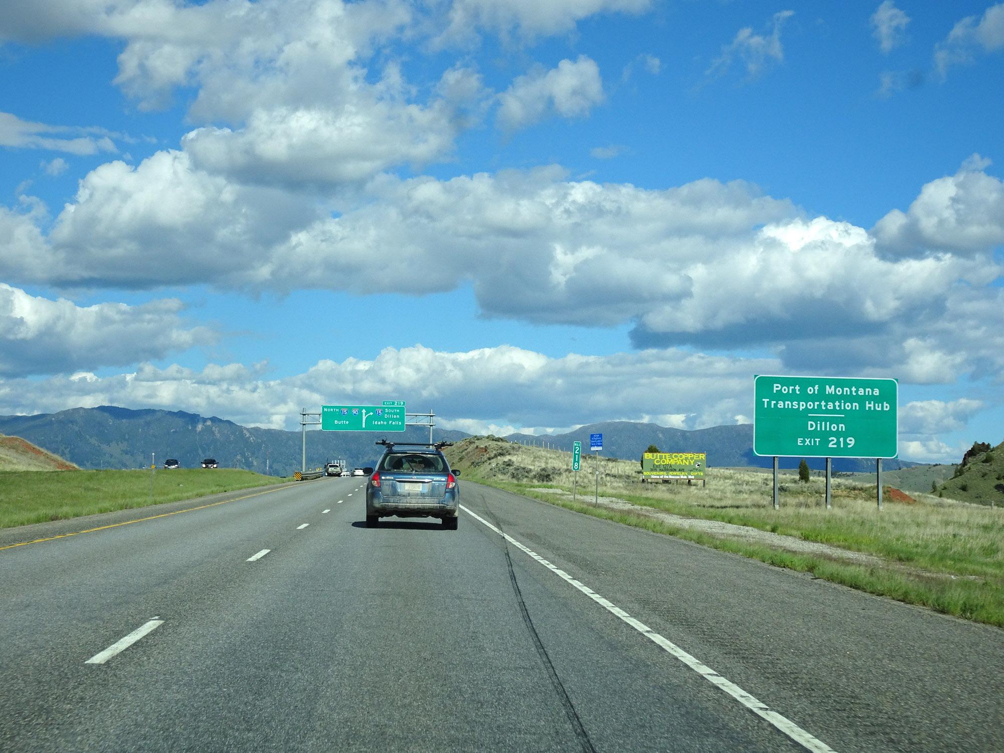 |
Take Exit 219 (Interstate 15 South) to Port of Montana Transportation Hub and Dillon. (Photo taken 5/25/16). |
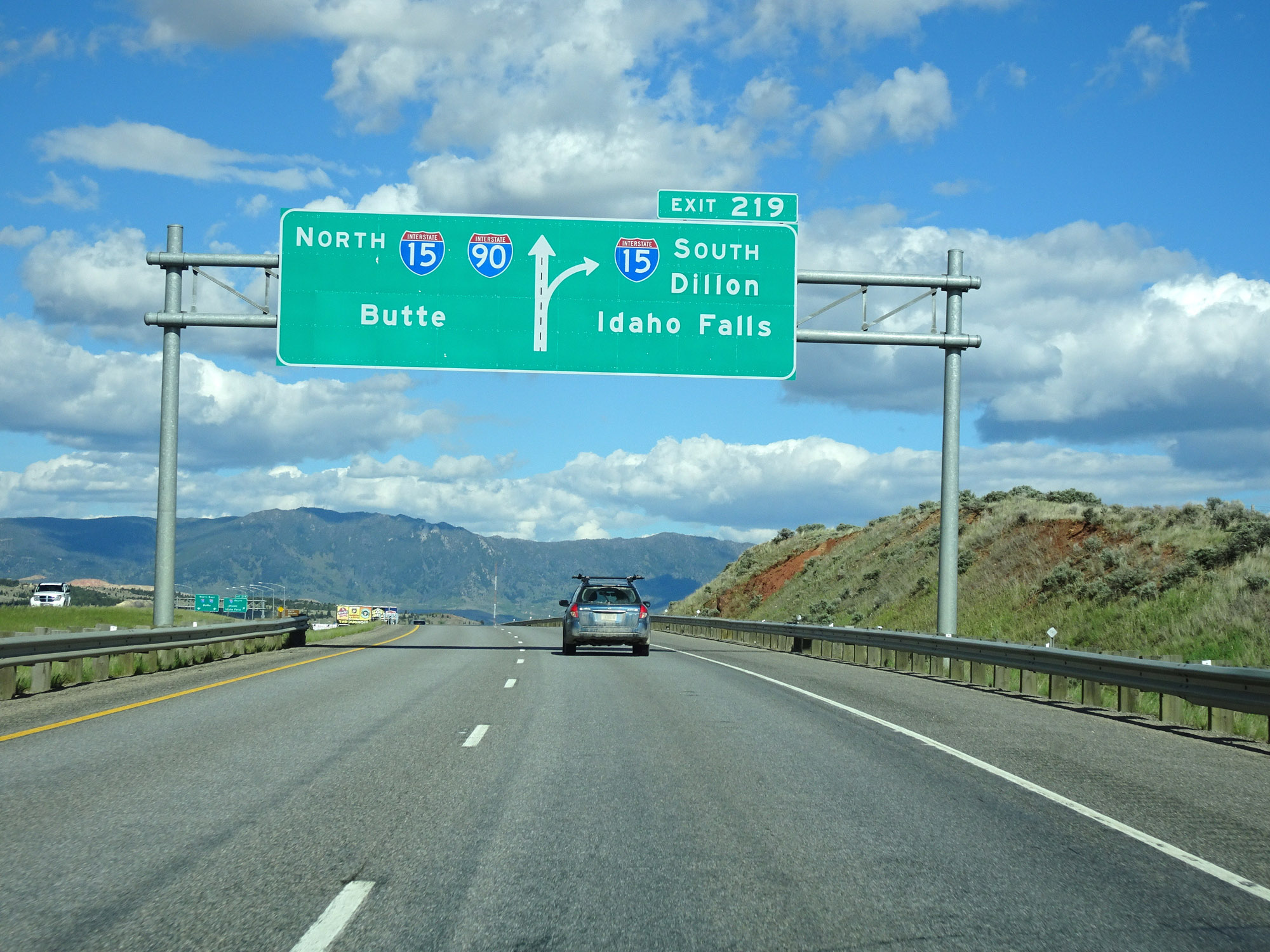 |
Interstate 90 East approaching Exit 219. (Photo taken 5/25/16). |
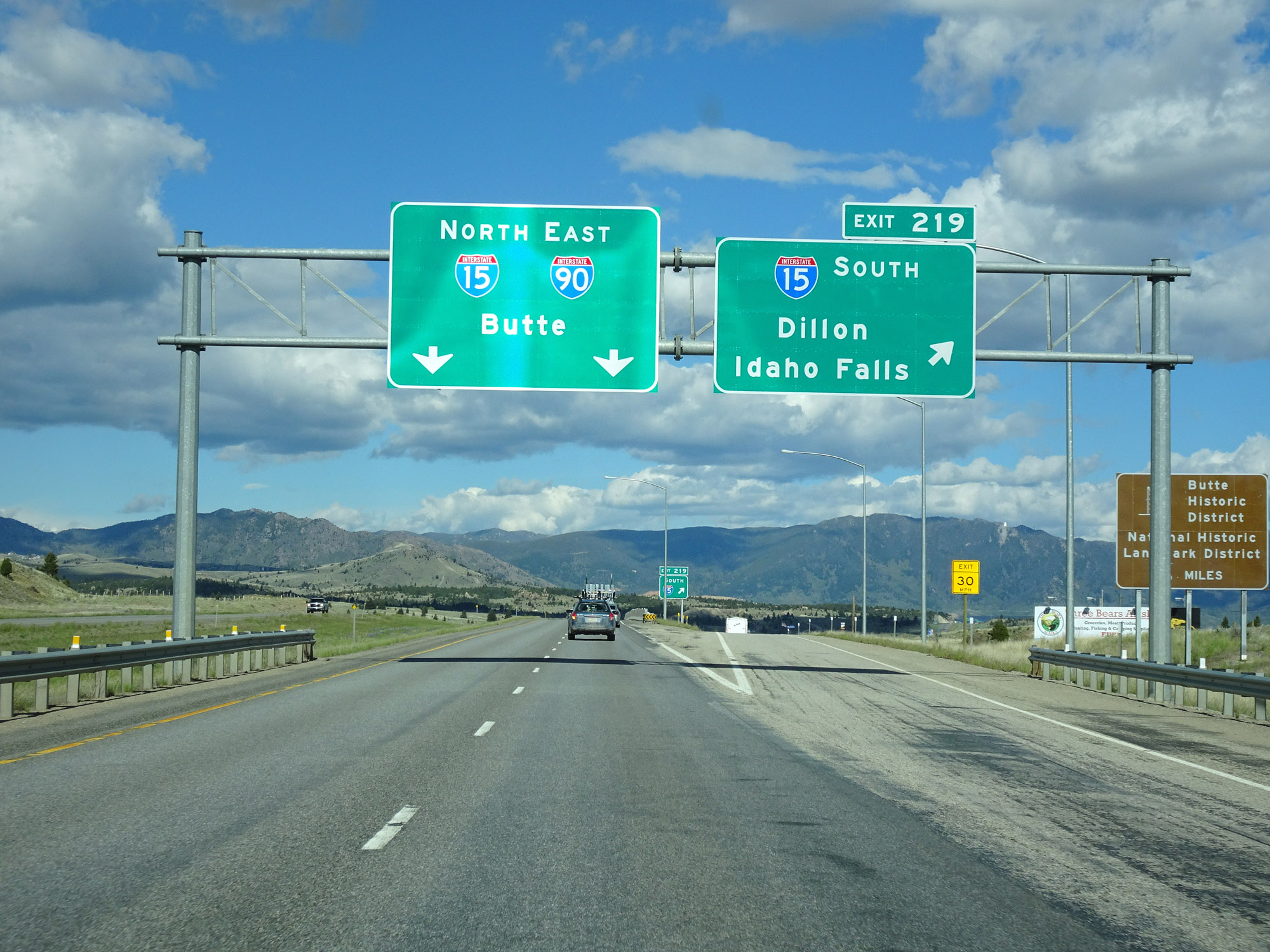 |
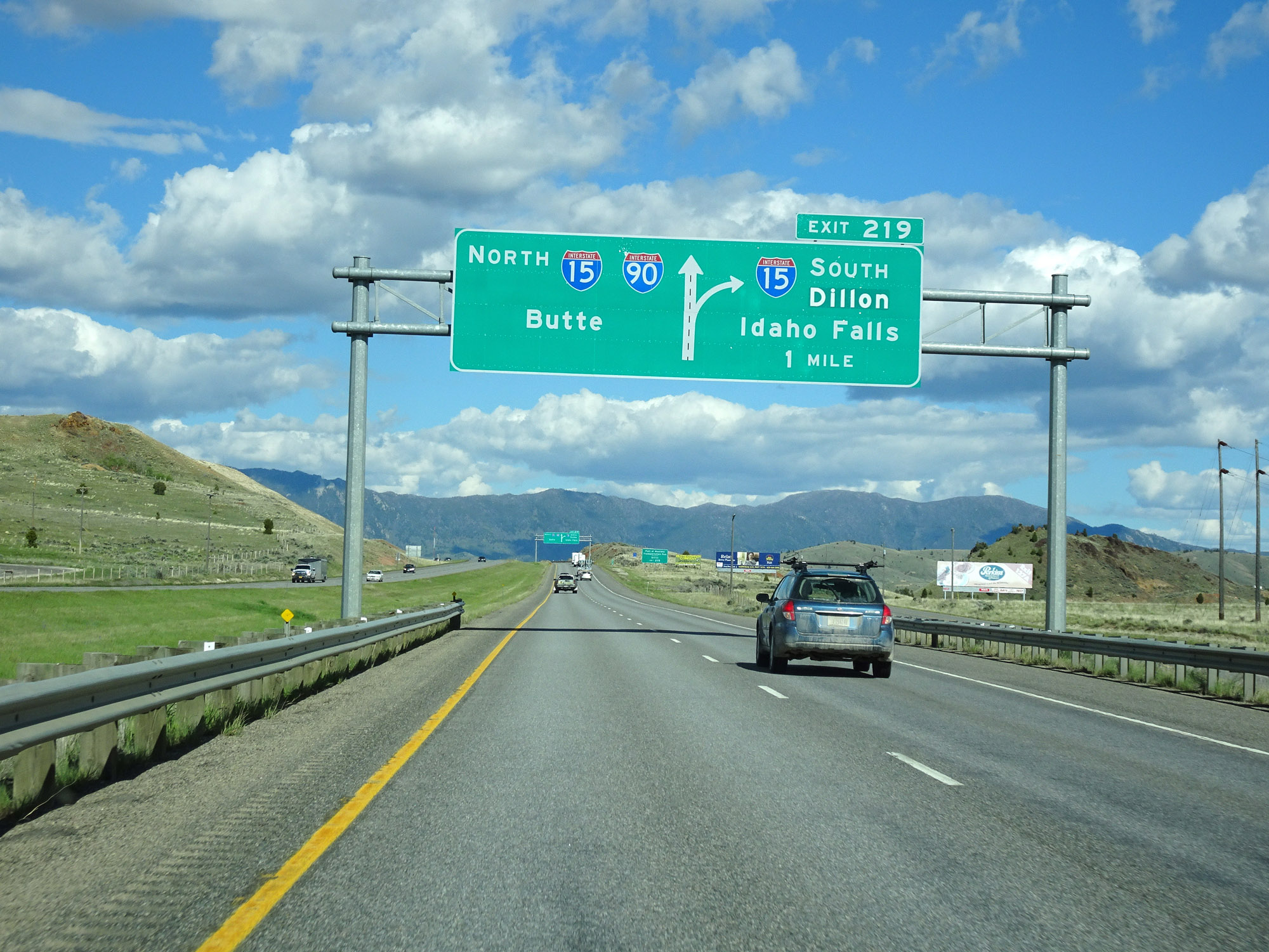
Interstate 90 East at Exit 219: Interstate 15 South - Dillon / Idaho Falls (Photo taken 5/25/16). |
 |
A Weigh Station exists ahead off Exit 122. When open, all trucks must take Exit 122. During this Interstate 90 / Interstate 15 concurrency through the Butte area, the mileage and exit numbers are based on those of Interstate 15. Also, the speed limit decreases to 65 mph for all traffic entering the Butte area. (Photo taken 5/25/16). |
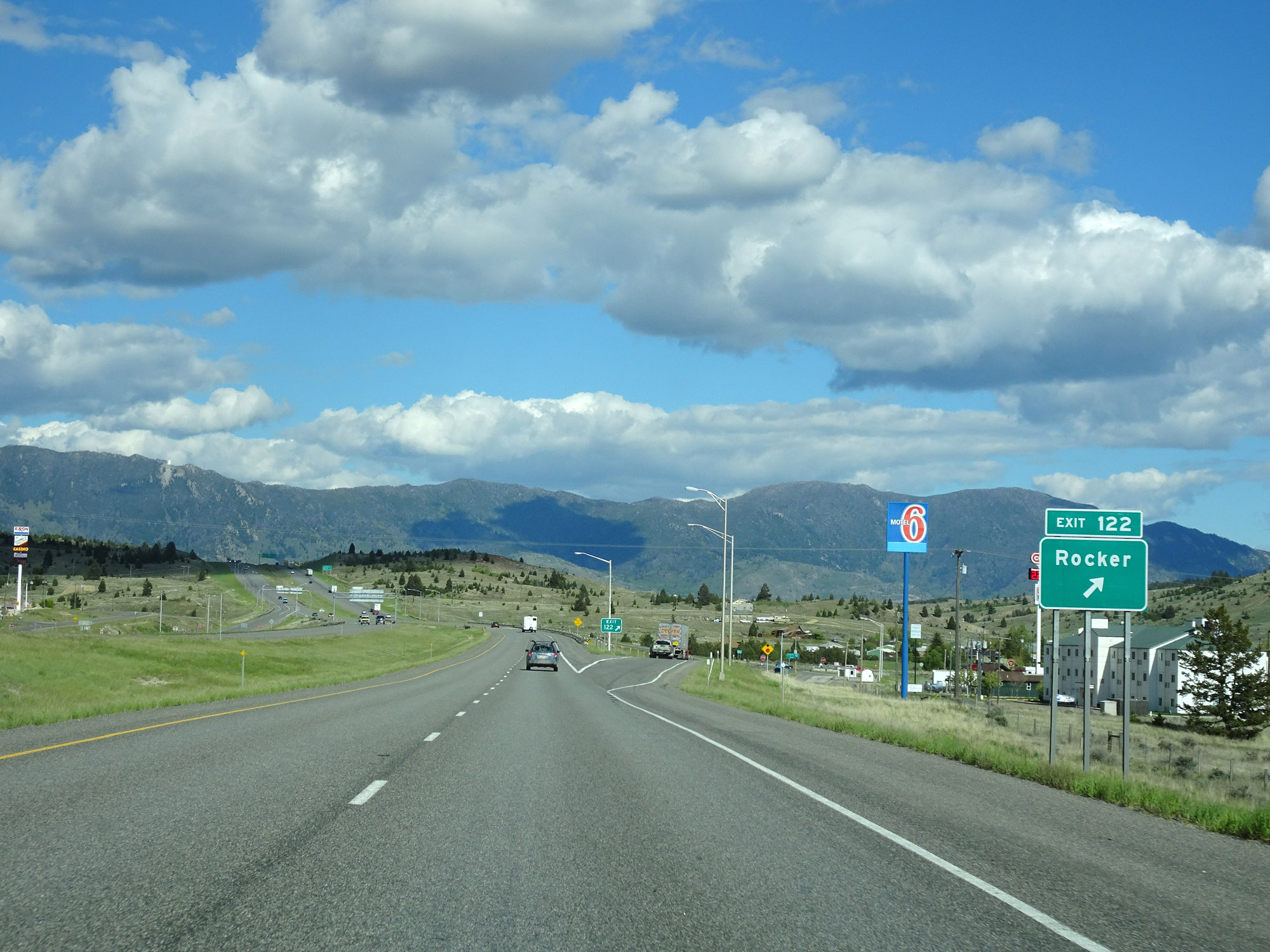 |
Interstate 90 East / Interstate 15 North at Exit 122: Rocker (Photo taken 5/25/16). |
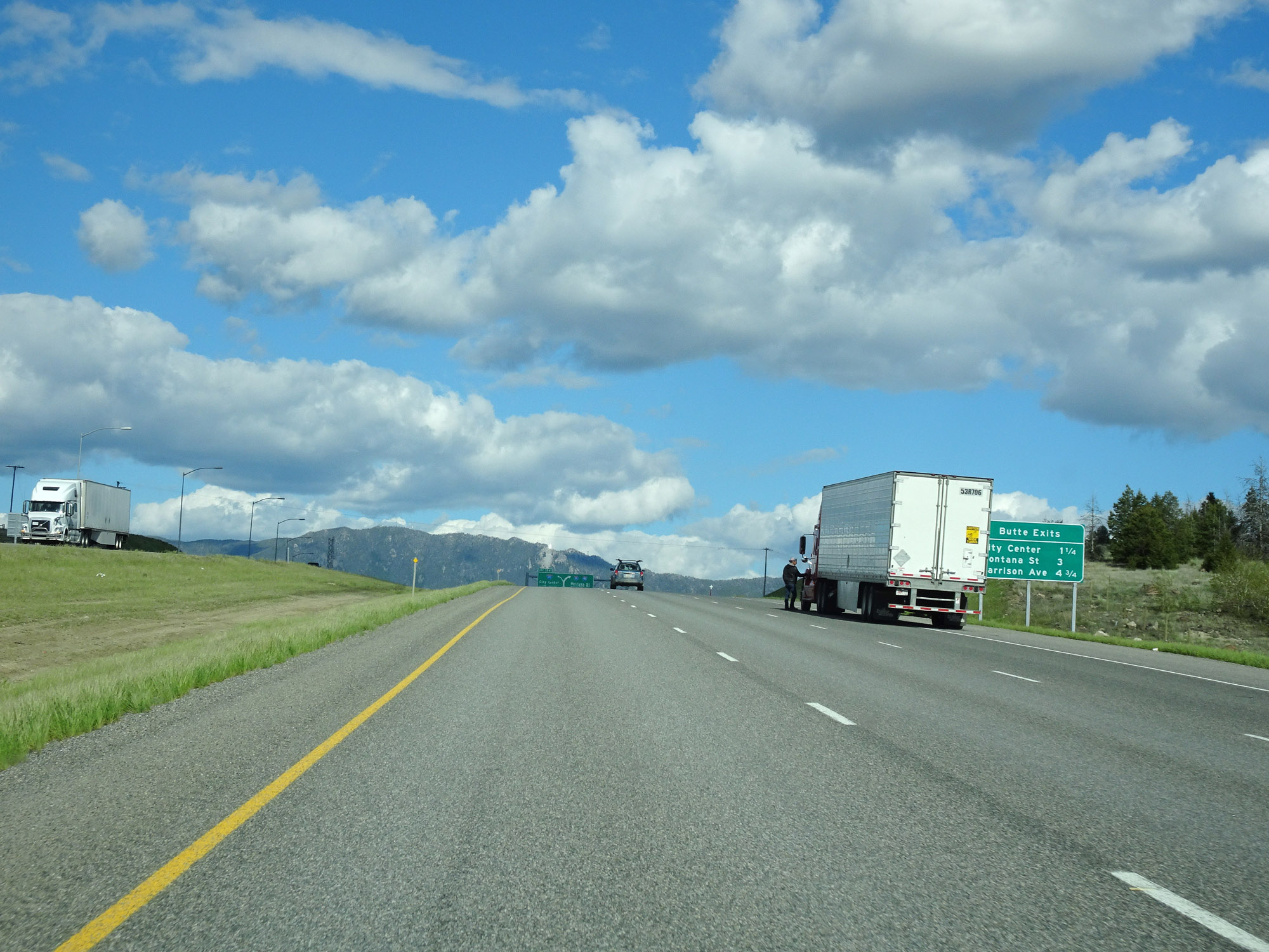 |
Mileage sign listing the distances to the three upcoming Butte exits on Interstate 90 East / Interstate 15 North. (Photo taken 5/25/16). |
 |
Interstate 90 East / Interstate 15 North approaching Exit 124 - 1 mile on the left. (Photo taken 5/25/16). |
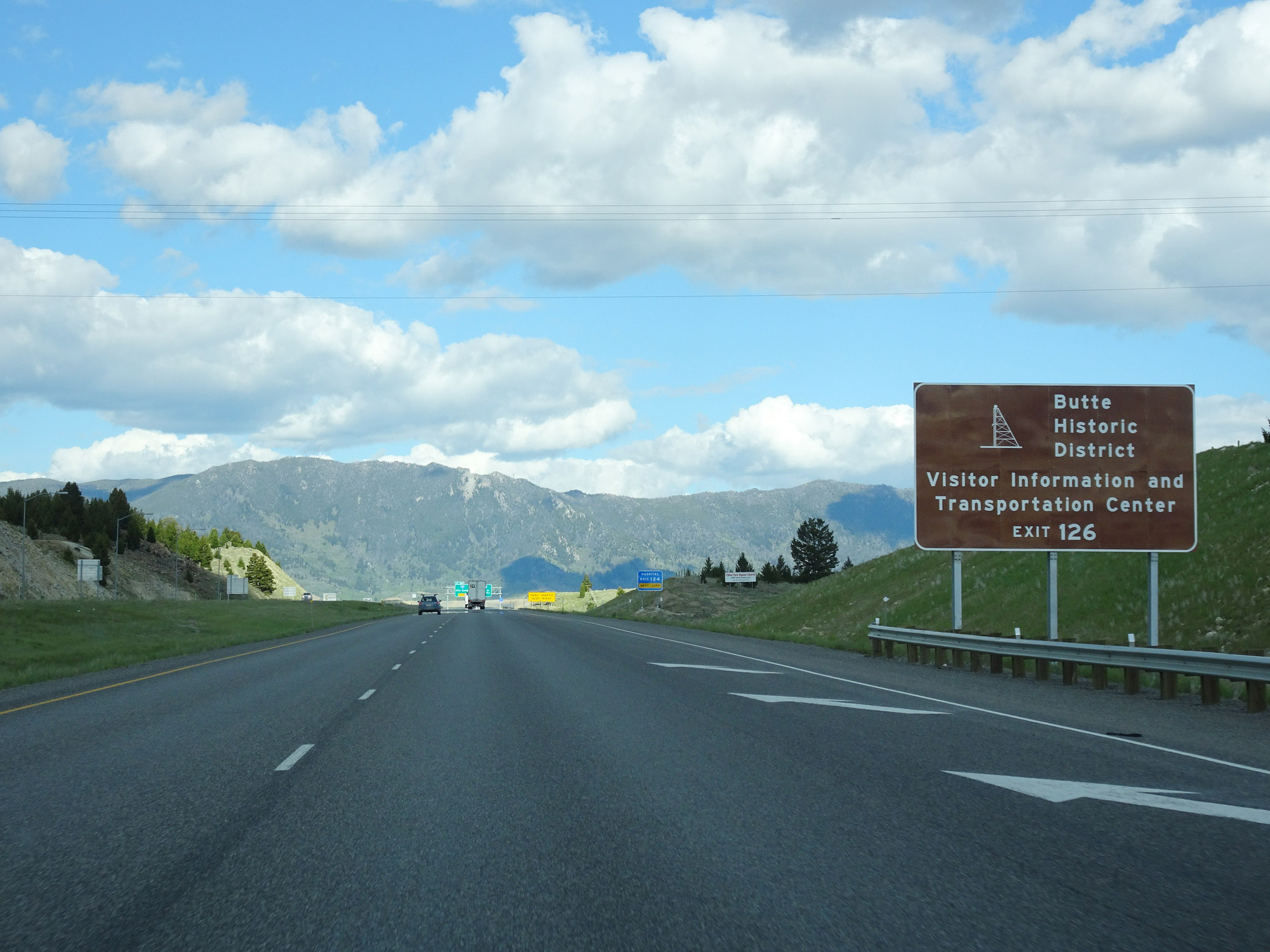 |
Take Exit 126 to Butte Historic District Visitor Information and Transportation Center. (Photo taken 5/25/16). |
 |
View on Interstate 90 East / Interstate 15 North approaching Exit 124. (Photo taken 5/25/16). |
 |
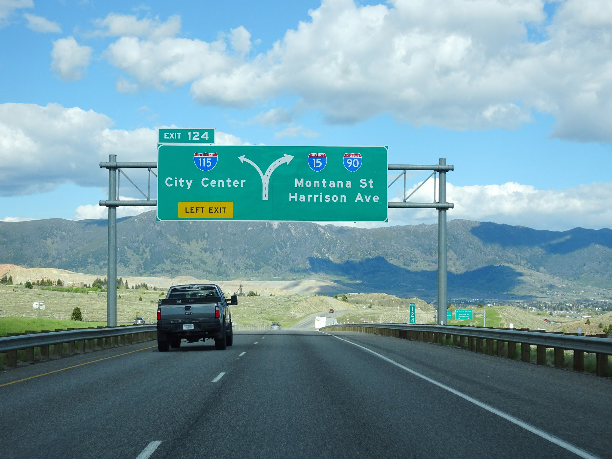
Interstate 90 East / Interstate 15 North at Exit 124: Interstate 115 - City Center (Photo taken 5/25/16). |
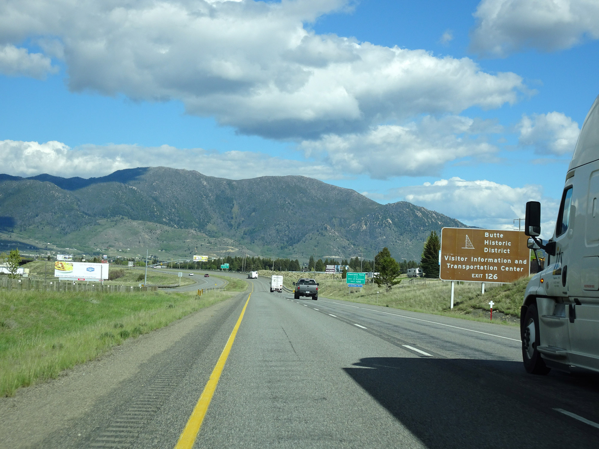 |
Again, take Exit 126 to Butte Historic District Visitor Information and Transportation Center. (Photo taken 5/25/16). |
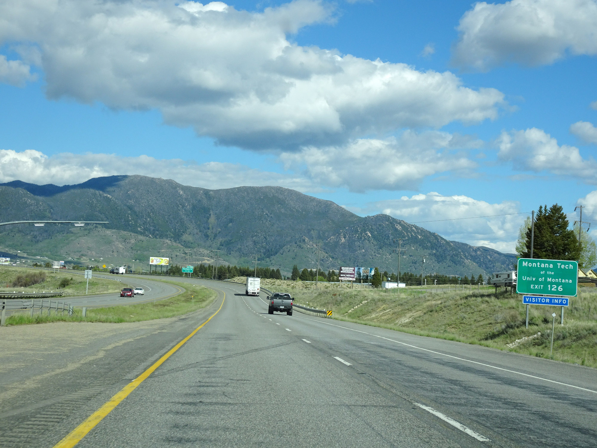 |
Also take Exit 126 to Montana Tech. (Photo taken 5/25/16). |
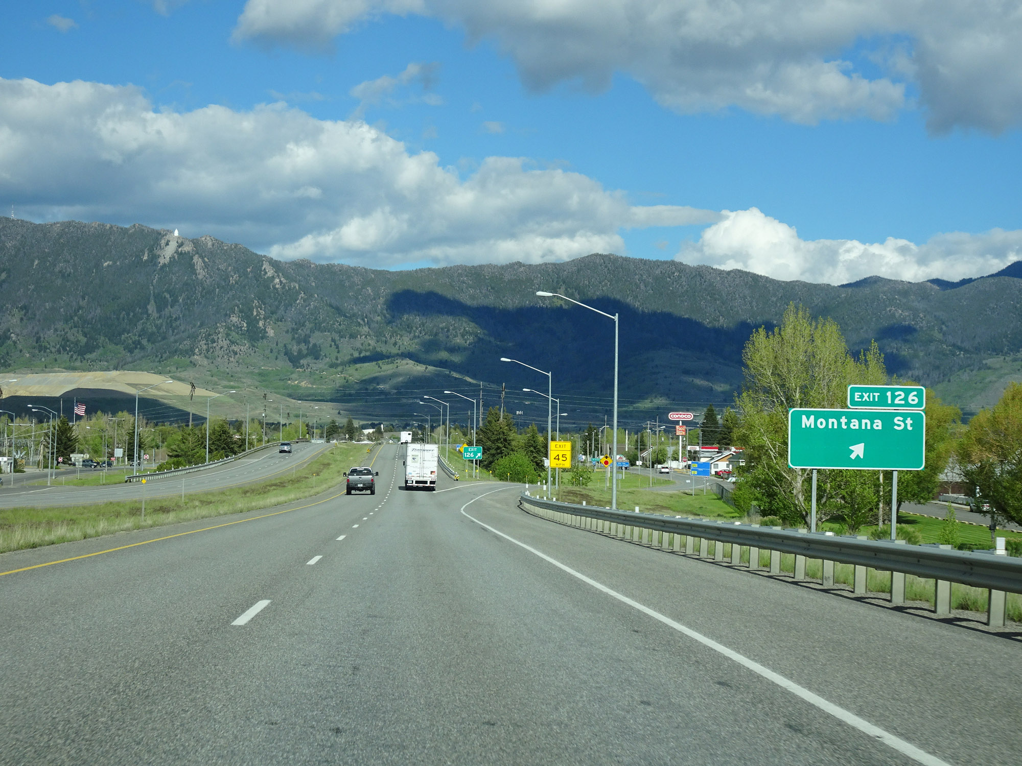 |
Interstate 90 East / Interstate 15 North at Exit 126: Montana St (Photo taken 5/25/16). |
 |
Interstate 90 East / Interstate 15 North reassurance shields. (Photo taken 5/25/16). |
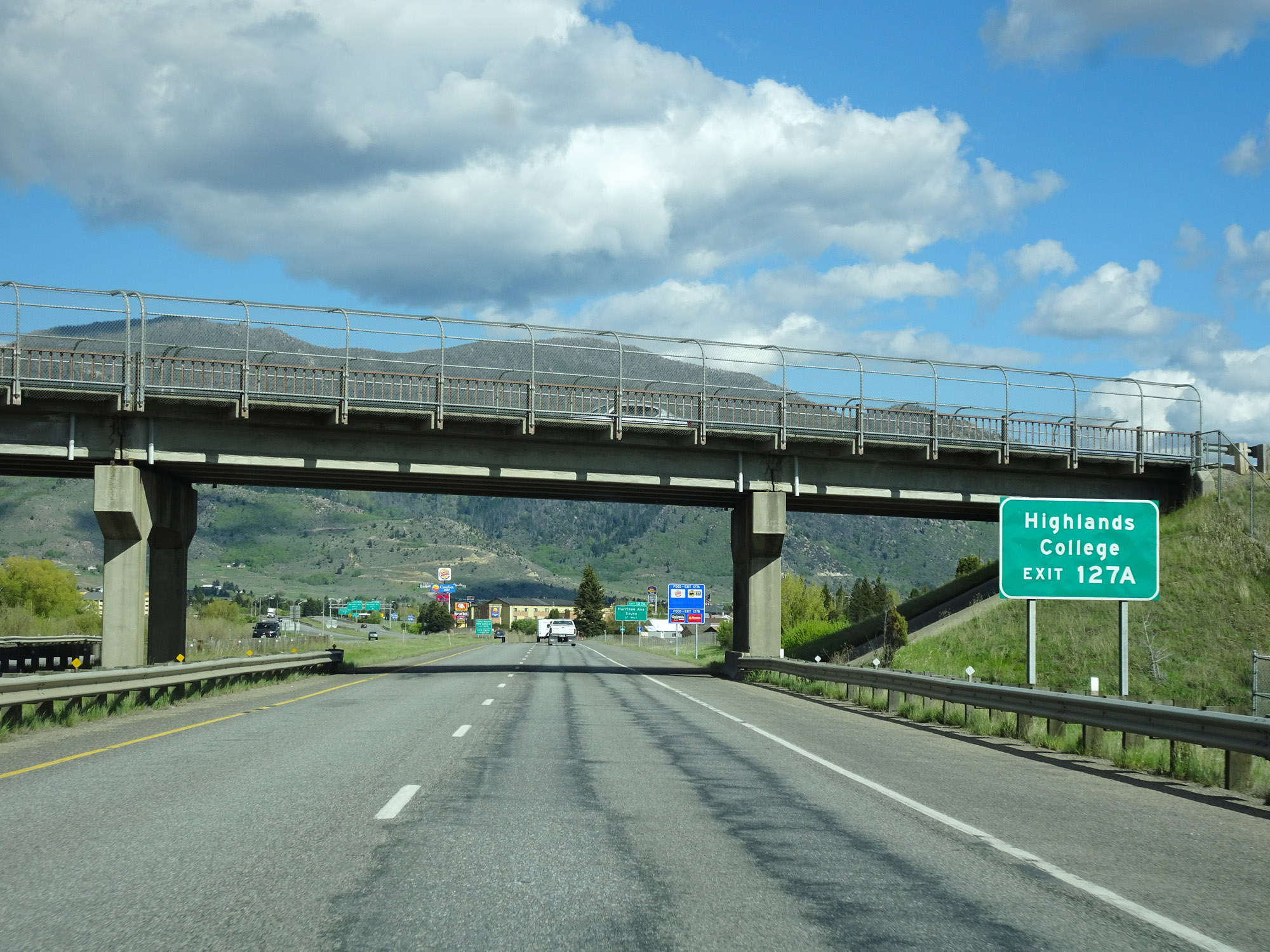 |
Take Exit 127A to Highlands College. (Photo taken 5/25/16). |
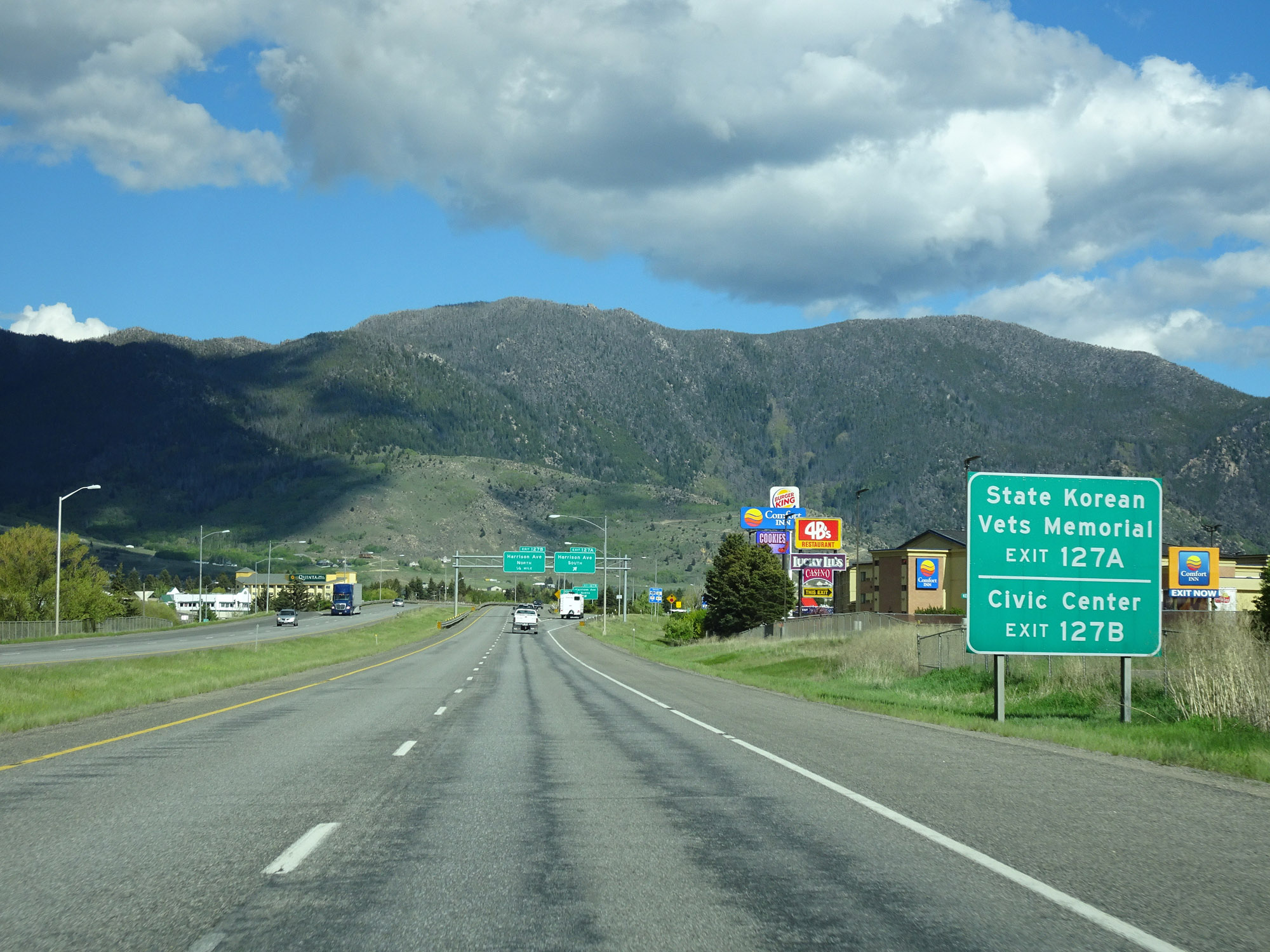 |
Also take Exit 127A to the State Korean Vets Memorial. Take Exit 127B to the Civic Center. (Photo taken 5/25/16). |
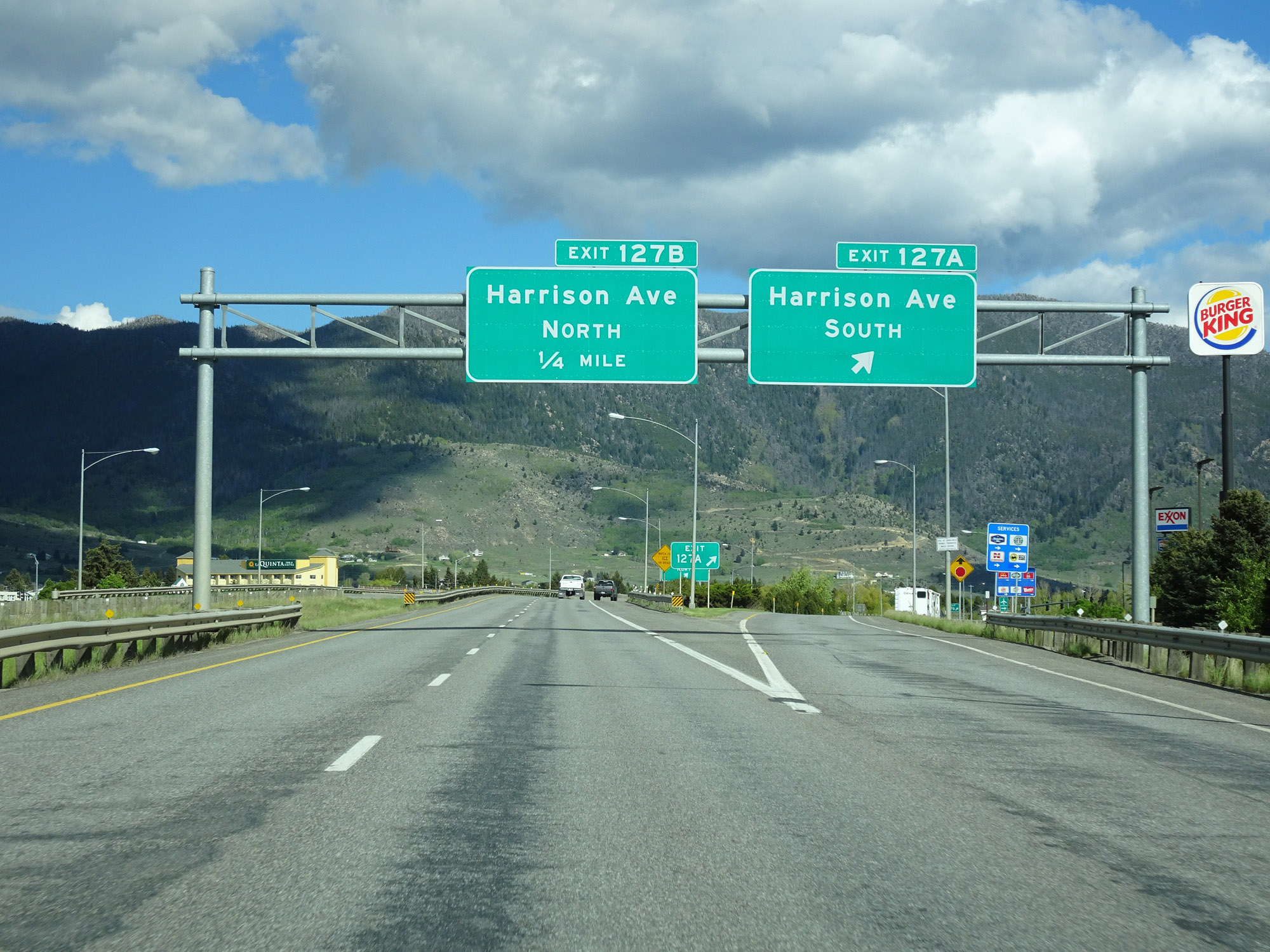 |
Interstate 90 East / Interstate 15 North at Exit 127A: Harrison Ave South (Photo taken 5/25/16). |
 |
Interstate 90 East / Interstate 15 North at Exit 127B: Harrison Ave North (Photo taken 5/25/16). |
 |
Interstate 90 East / Interstate 15 North approaching Exit 129 - 3/4 mile. (Photo taken 5/25/16). |
 |
Another set of Interstate 90 East / Interstate 15 North reassurance shields. (Photo taken 5/25/16). |
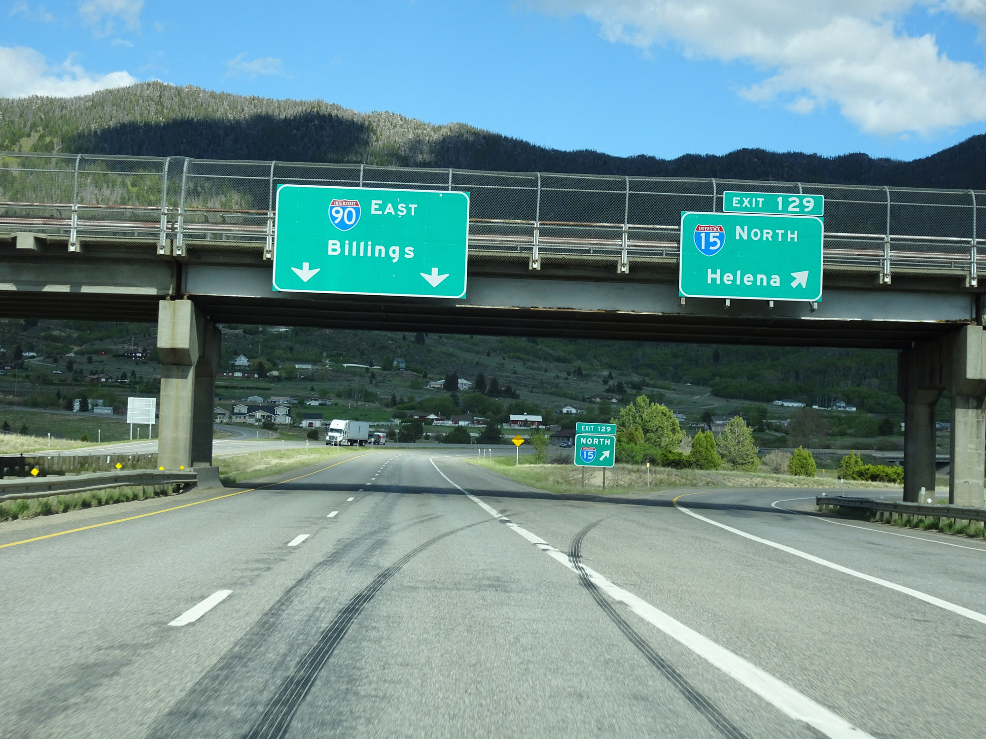 |
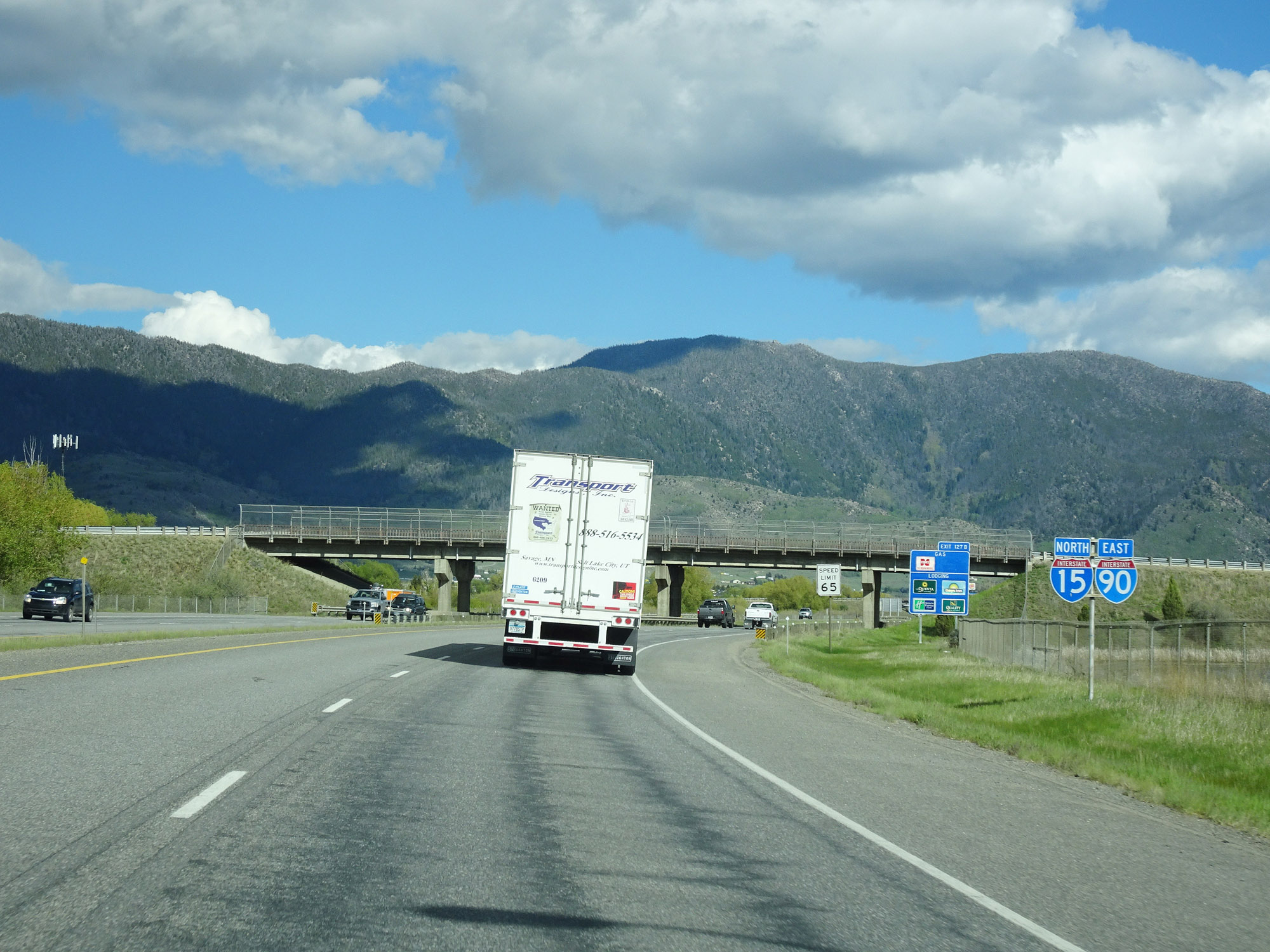
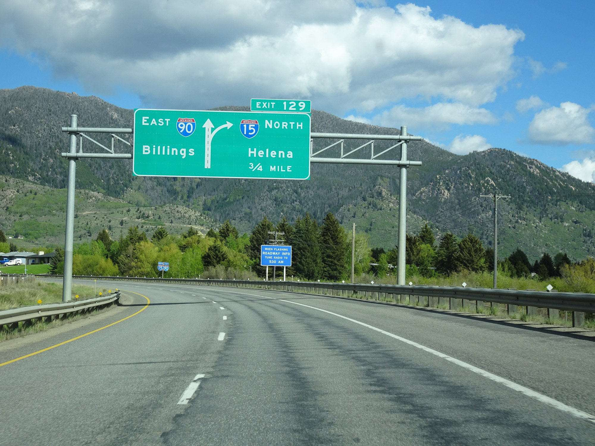
Interstate 90 East / Interstate 15 North at Exit 129: Interstate 15 North - Helena (Photo taken 5/25/16). |
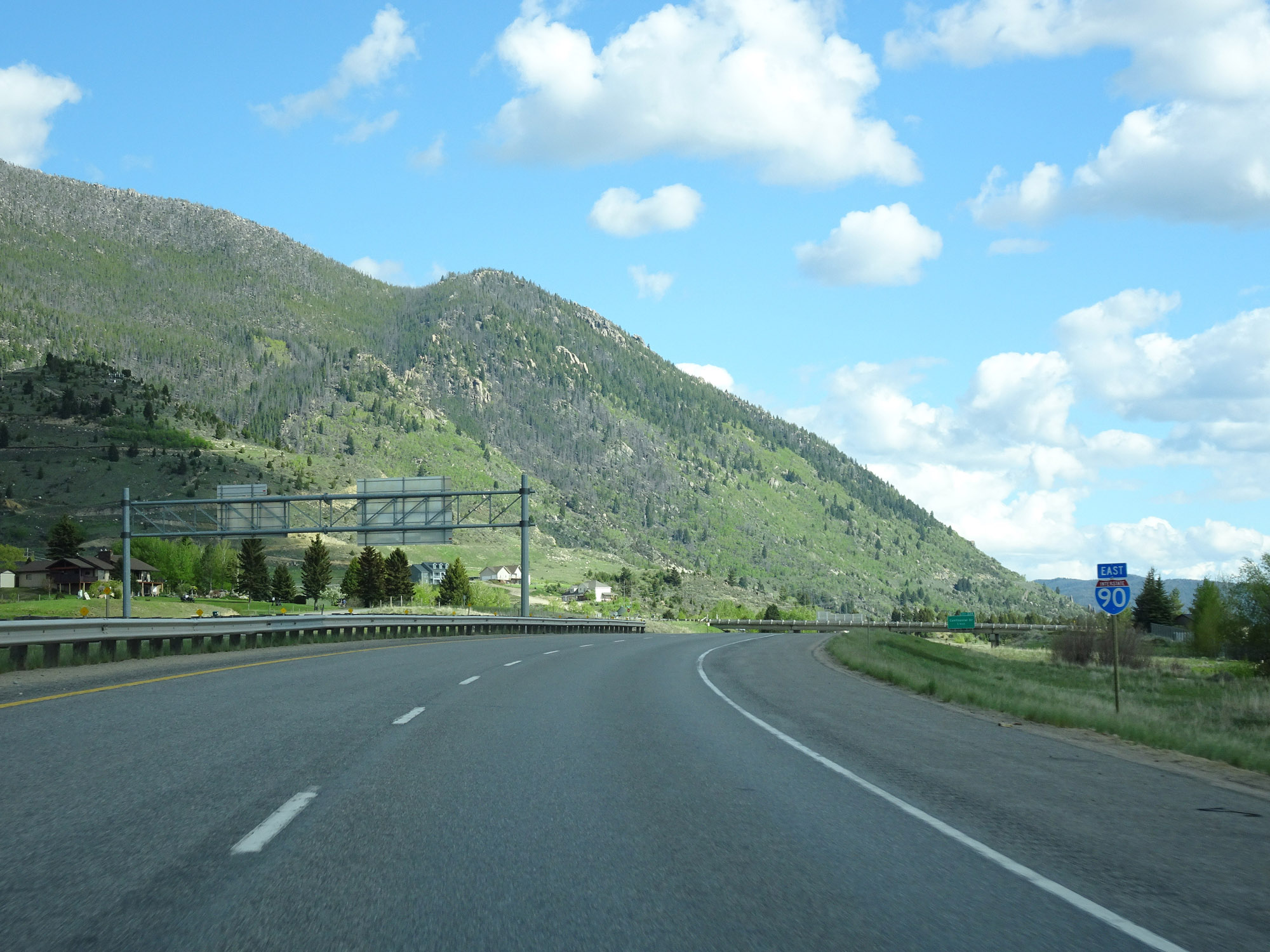 |
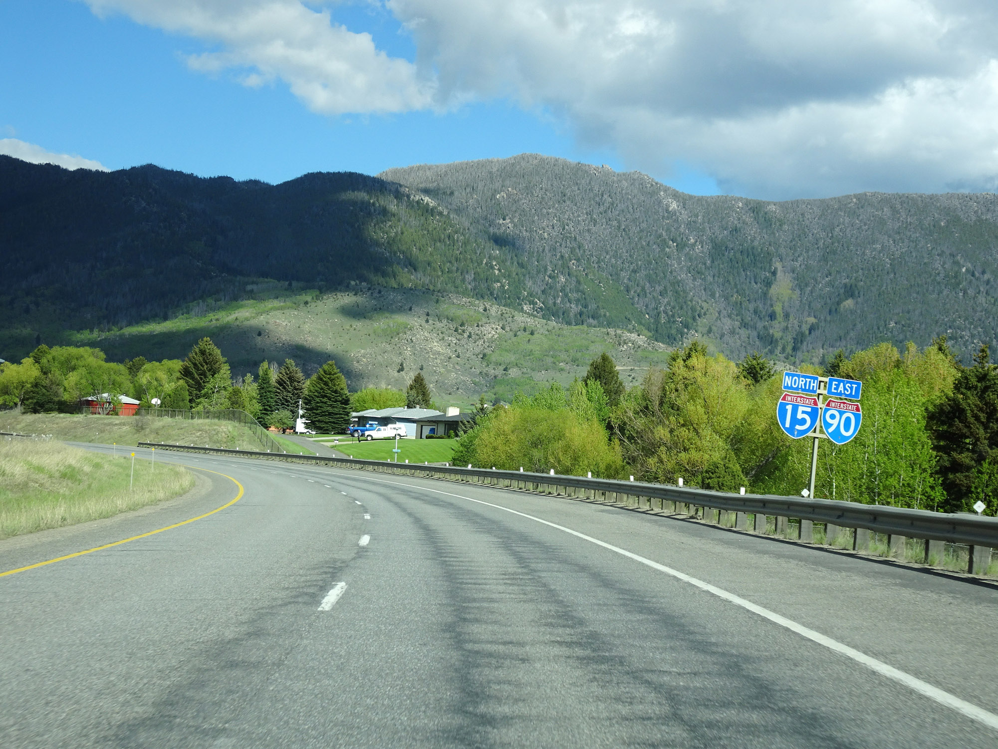
Standalone Interstate 90 East reassurance shield just after Interstate 15 departs to the north. (Photo taken 5/25/16). |
 |
As Interstate 90 East prepares to leave the Butte area, the speed limit for cars increases to 75 mph. The truck speed limit remains 65 mph. (Photo taken 5/25/16). |
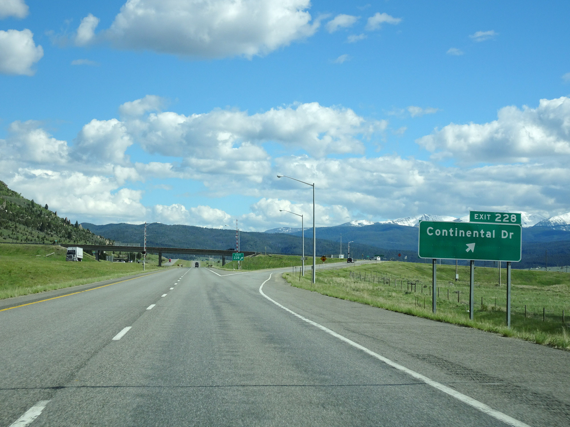 |
Interstate 90 East at Exit 228: Continental Dr (Photo taken 5/25/16). |