Road Information |
||
 |
||
| Total Mileage in State: | 179 miles | |
| Northern End: | At I-435/I-470/US 50/US 71, in Kansas City | |
| Southern End: | At US 71, in Pineville | |
| Mileage covered in Photos: | 179 miles | |
| Counties covered in Photos: | Jackson, Cass, Bates, Vernon, Barton, Jasper, Newton, McDonald | |
| Major Junctions in Photos: | I-435/I-470, in Kansas City US 54, in Nevada I-44, in Joplin US 60, in Neosho |
|
| Control Cities in Photos: | Kansas City, Grandview, Harrisonville, Nevada, Carthage, Joplin, Neosho | |
Southbound
- Section 1: Kansas City to Butler (Exit 131)
- Section 2: Butler (Exit 131) to Carthage (Exit 50)
- Section 3: Carthage (Exit 50) to Pineville
Section 1: Kansas City to Butler (Exit 131)
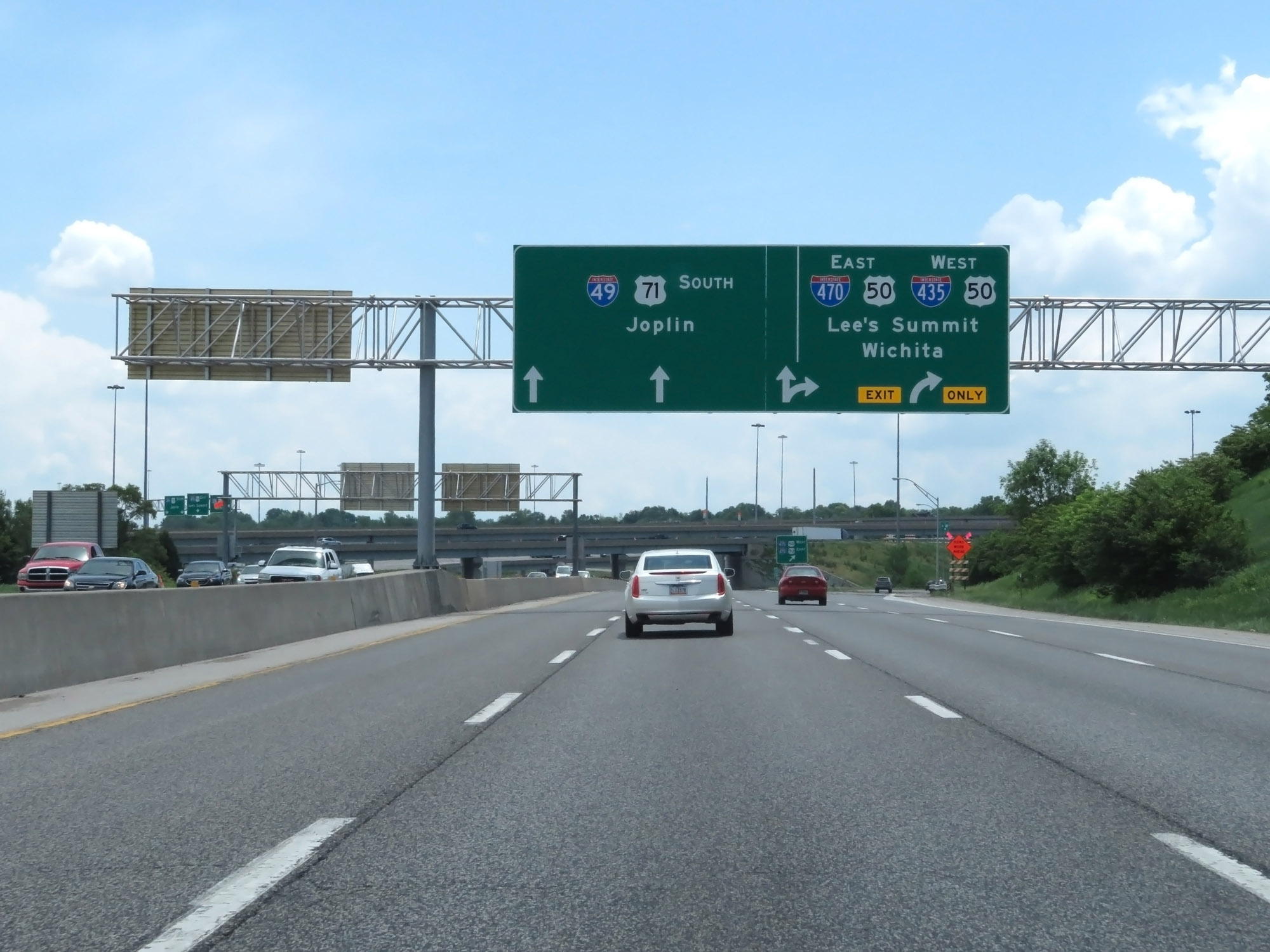 |
Interstate 49 South as it begins in Kansas City at the junction of Interstate 435 and Interstate 470 to the southeast of downtown. (Photo taken 5/17/18). |
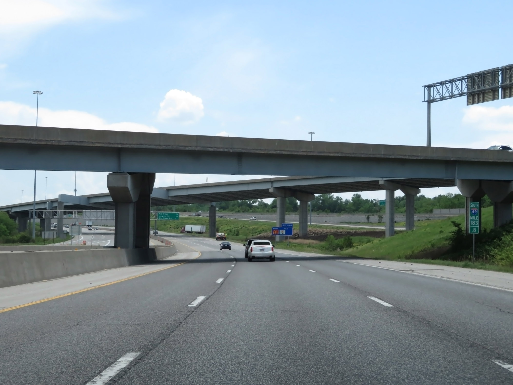 |
Interstate 49 South at mile marker 183.8, as it passes under some ramps to and from Interstate 435 and Interstate 470. (Photo taken 5/17/18). |
 |
Overhead mileage sign listing the distances to the three upcoming exits on Interstate 49 South. (Photo taken 5/17/18). |
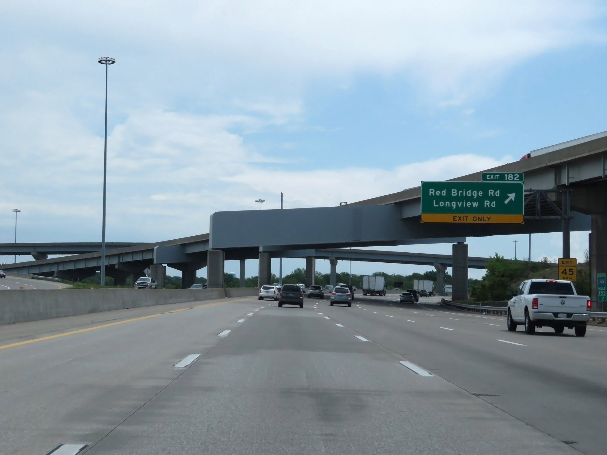 |
Interstate 49 South at Exit 182: Red Bridge Rd / Longview Rd (Photo taken 5/17/18). |
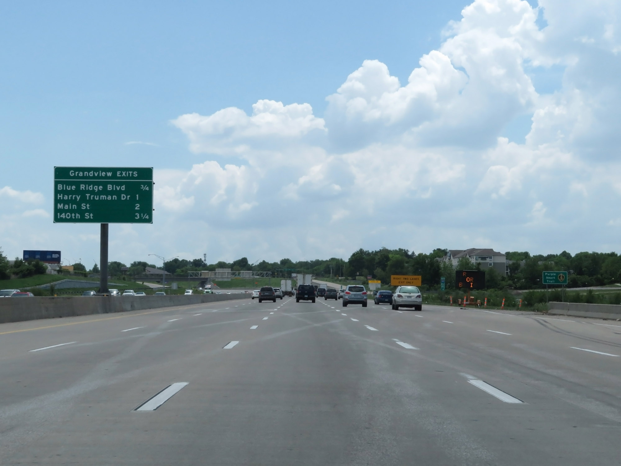 |
Sign listing the distances to the four upcoming exits to Grandview. (Photo taken 5/17/18). |
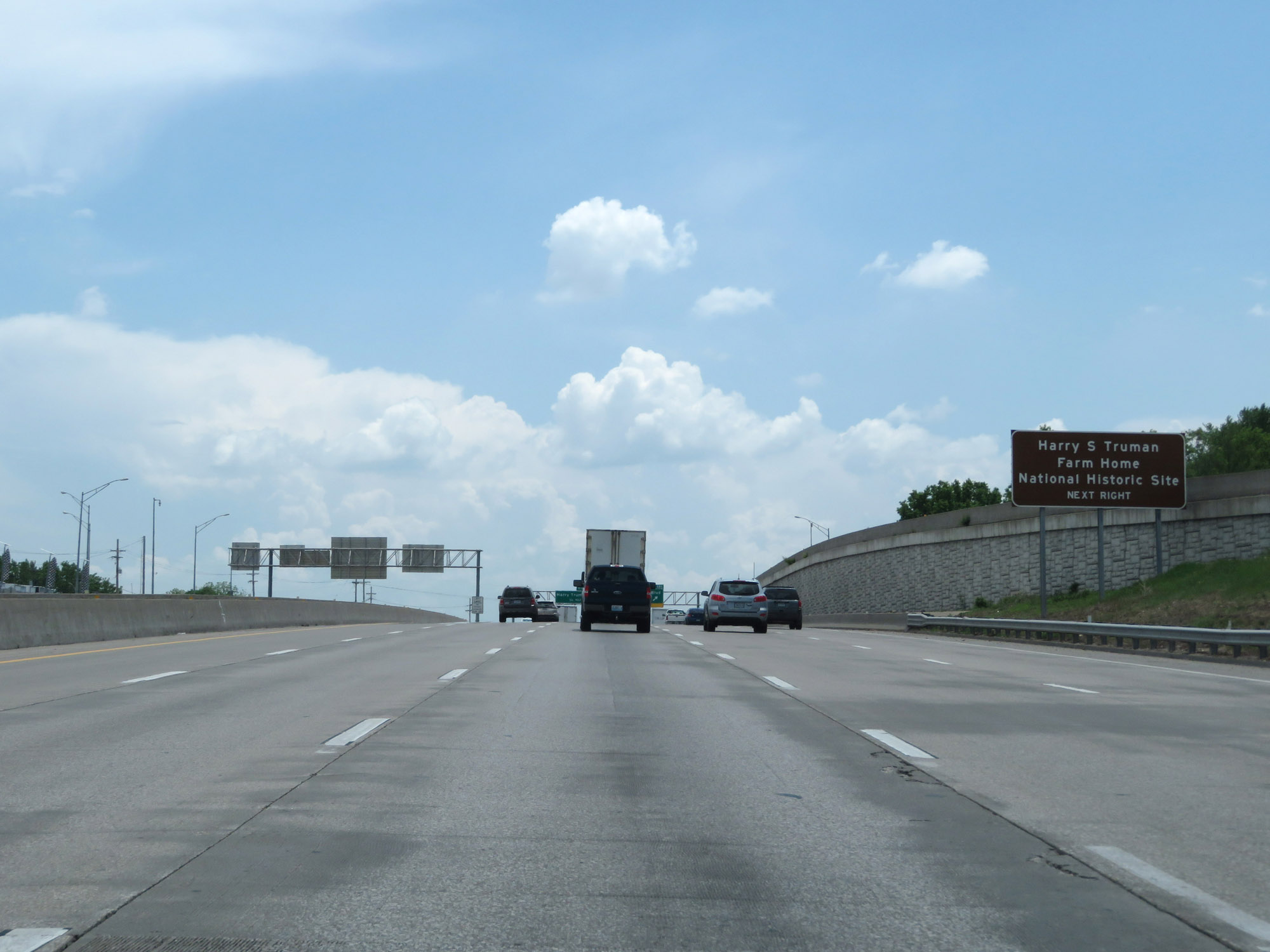 |
Take Exit 181 to Harry S. Truman Farm Home National Historic Site. (Photo taken 5/17/18). |
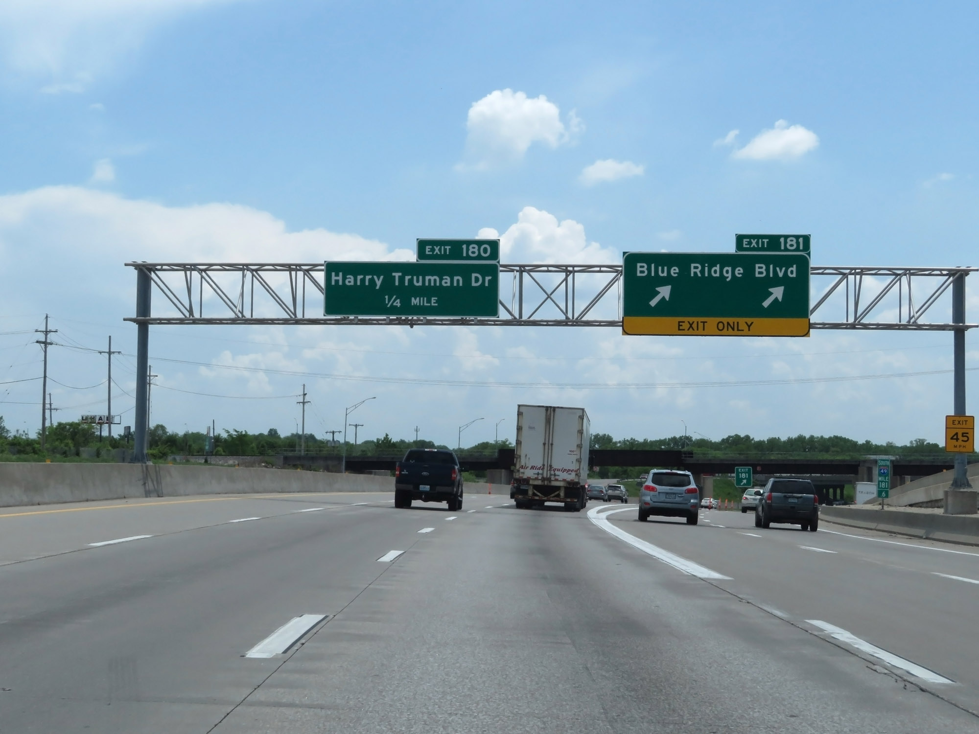 |
Interstate 49 South at Exit 181: Blue Ridge Blvd (Photo taken 5/17/18). |
 |
Interstate 49 South at Exit 180: Harry Truman Dr (Photo taken 5/17/18). |
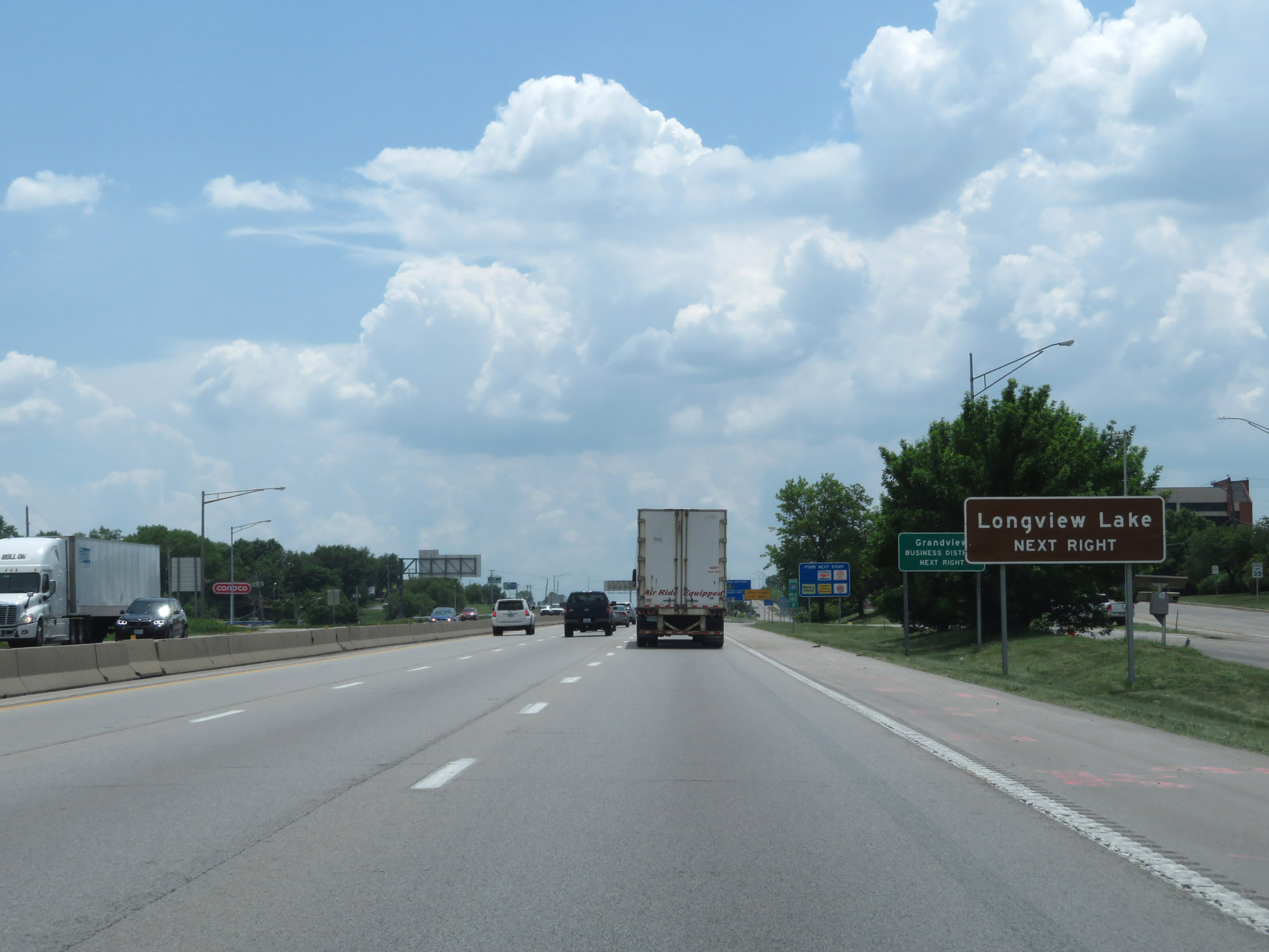 |
Take Exit 179 to Longview Lake. (Photo taken 5/17/18). |
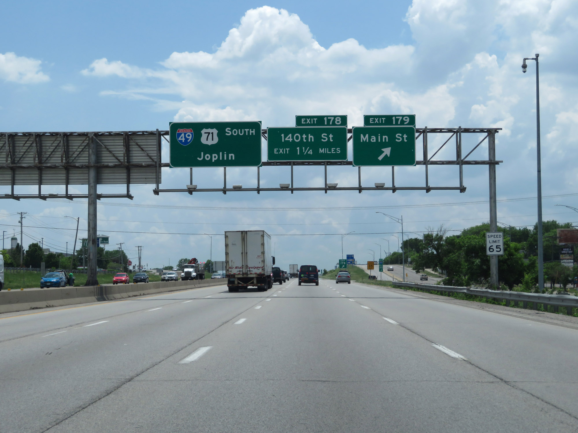 |
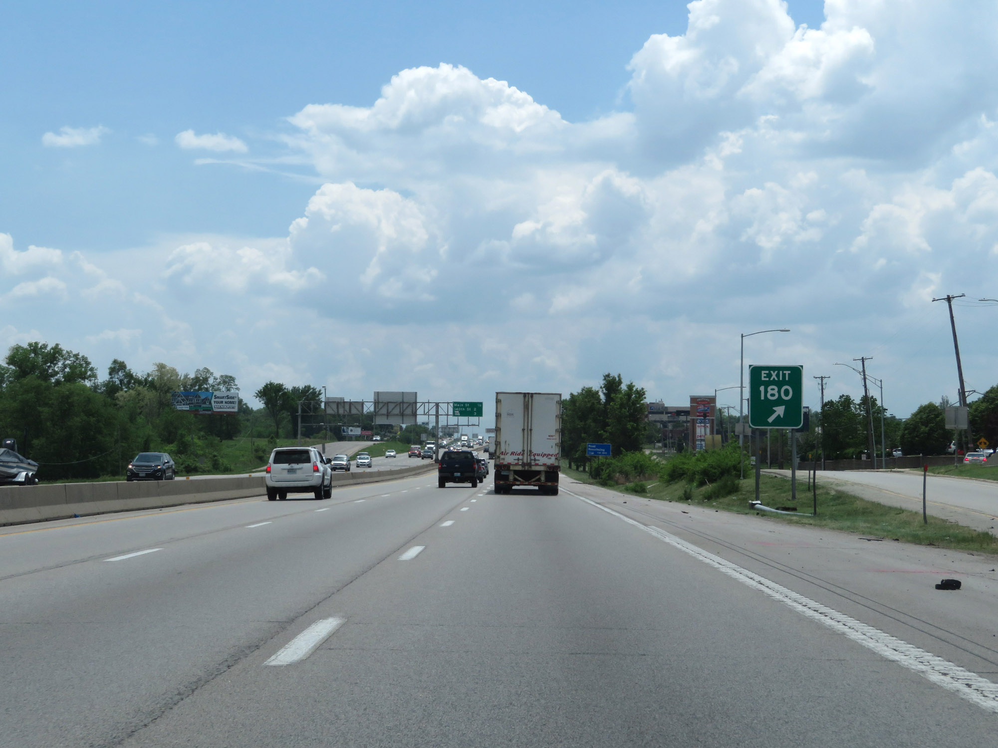
Interstate 49 South at Exit 179: Main St (Photo taken 5/17/18). |
 |
Interstate 49 South at Exit 178: 140th St (Photo taken 5/17/18). |
 |
Interstate 49 South at mile marker 179. (Photo taken 5/17/18). |
 |
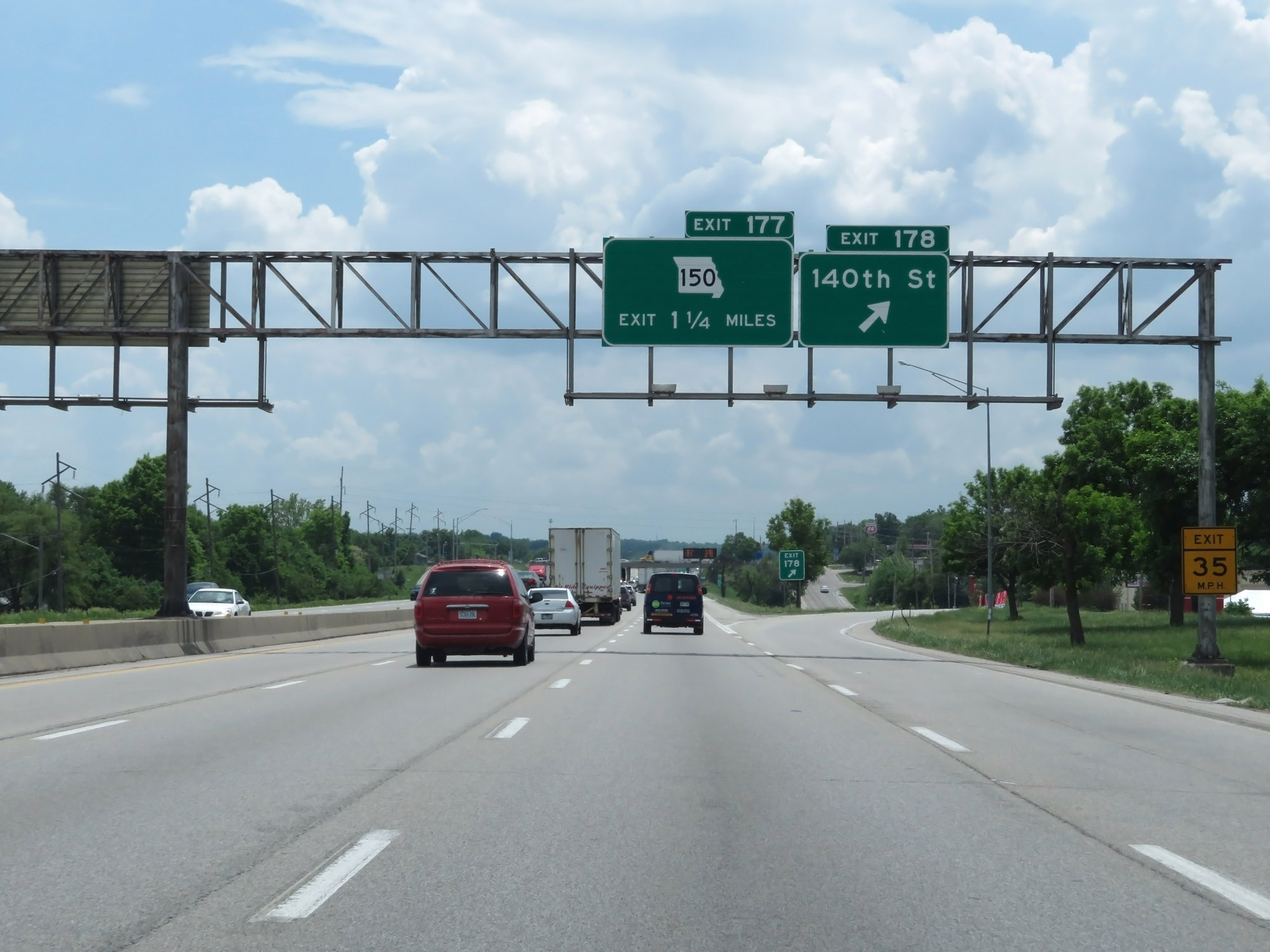
Interstate 49 South at Exit 177: MO 150 (Photo taken 5/17/18). |
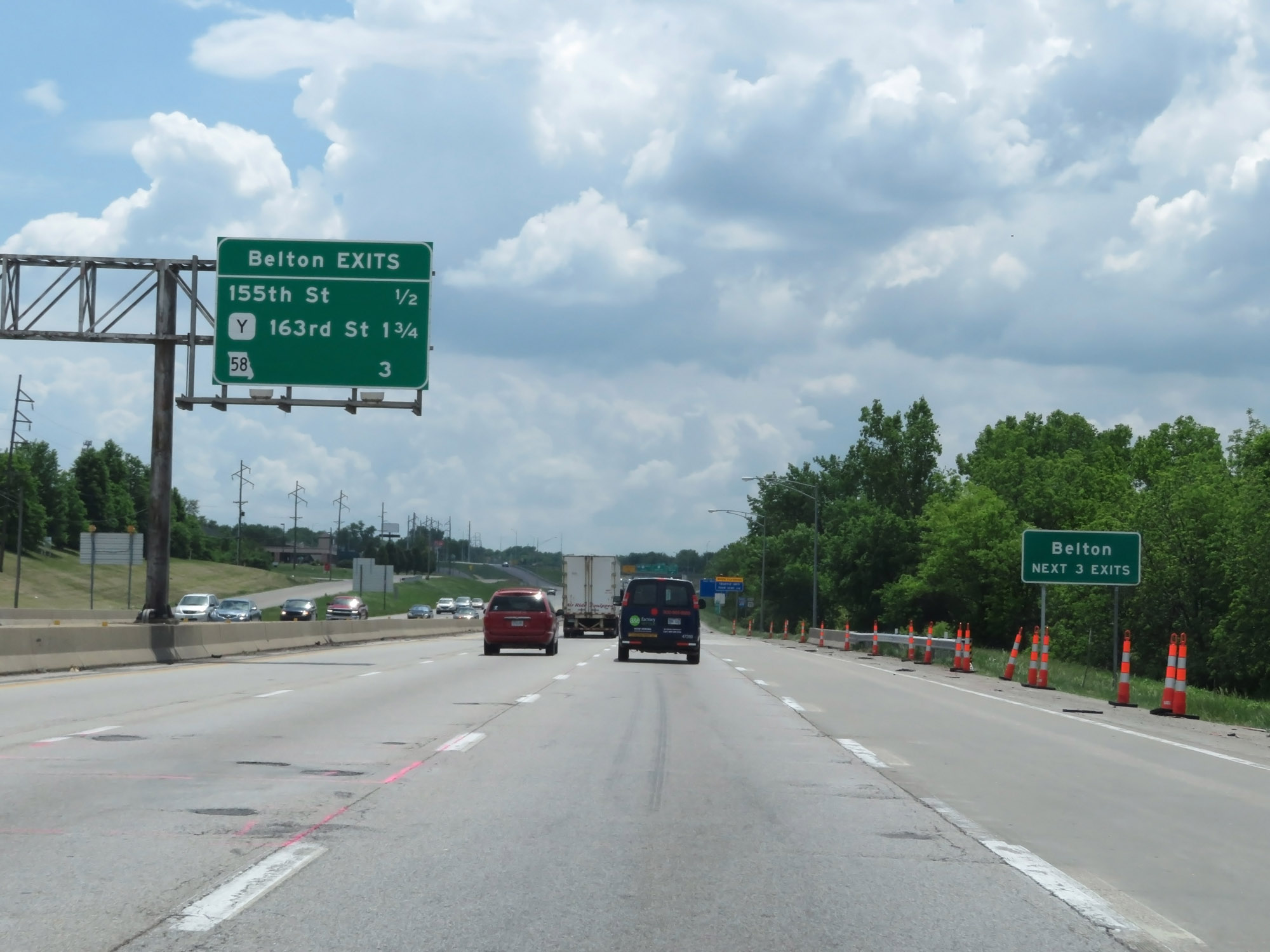 |
Take any of the next 3 exits to Belton. (Photo taken 5/17/18). |
 |
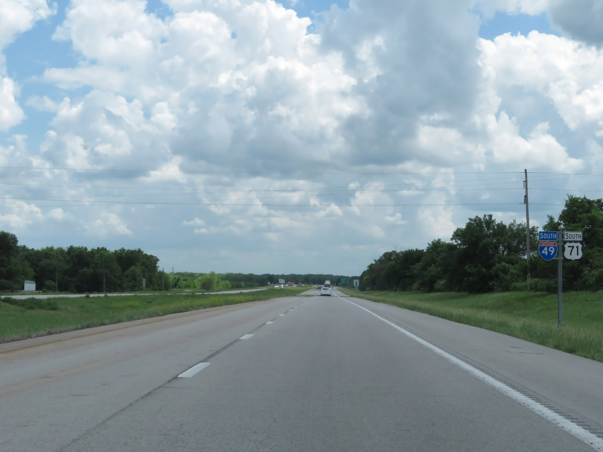
Interstate 49 South / US 71 South reassurance shields. US 71 runs concurrently with I-49 in Missouri for its entire current length. (Photo taken 5/17/18). |
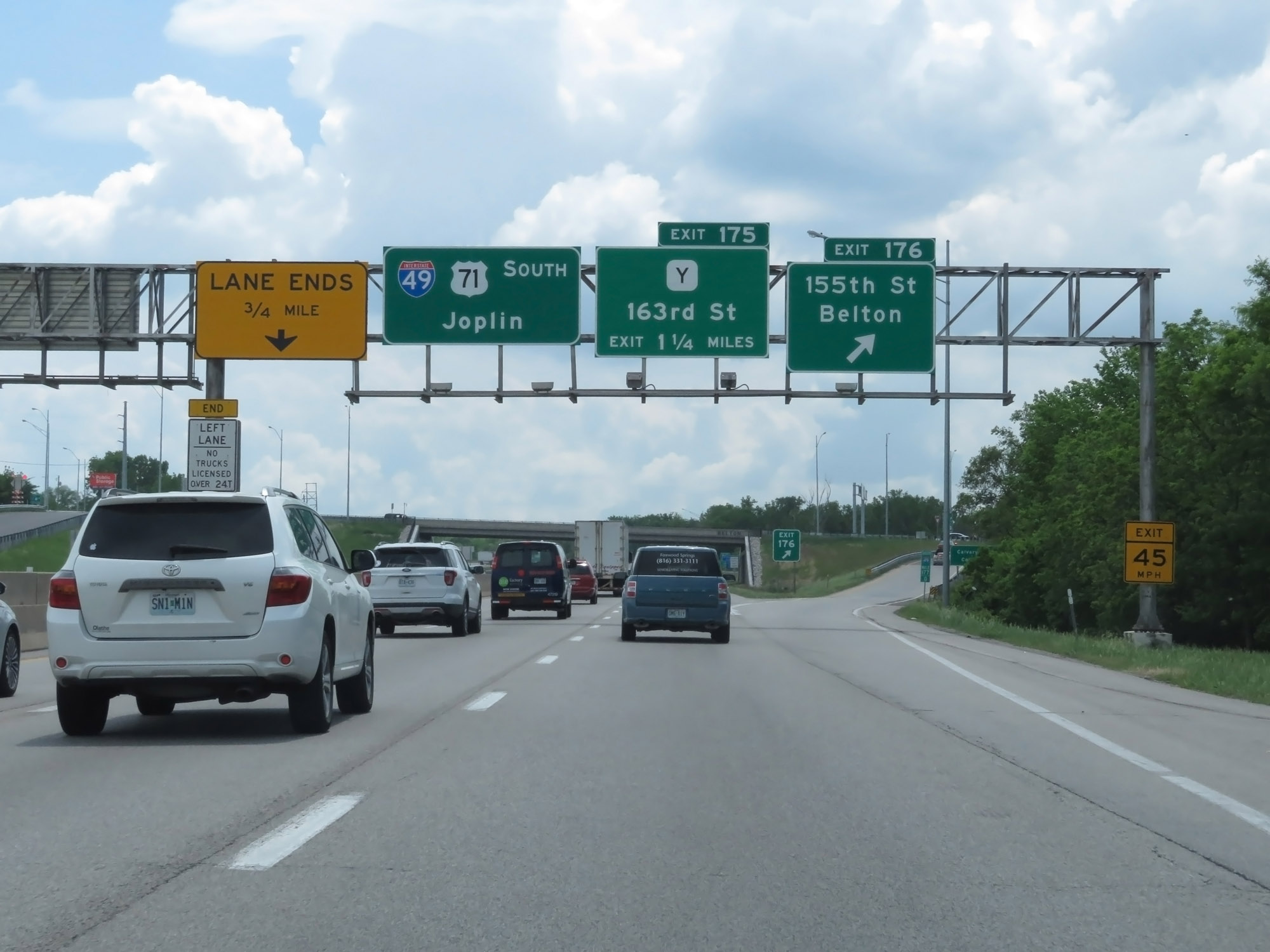 |
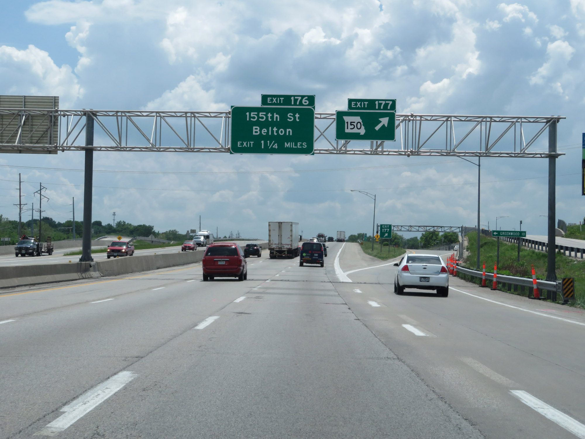
Interstate 49 South at Exit 176: 155th St / Belton (Photo taken 5/17/18). |
 |
Interstate 49 South as it enters Cass County and the Belton city limits. (Photo taken 5/17/18). |
 |
Interstate 49 South at Exit 175: Route Y - 163rd St (Photo taken 5/17/18). |
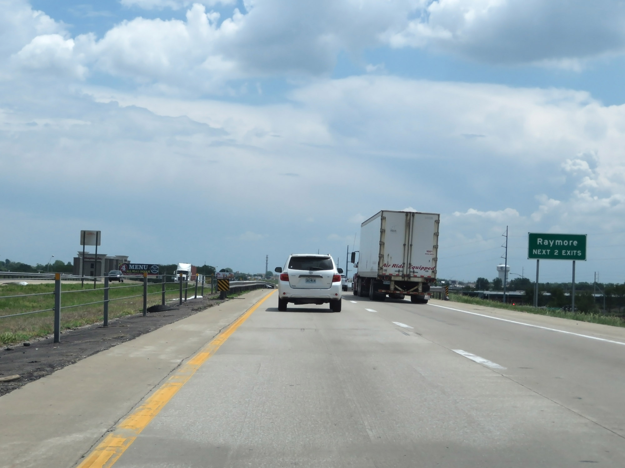 |
Take either of the next 2 exits to Raymore. (Photo taken 5/17/18). |
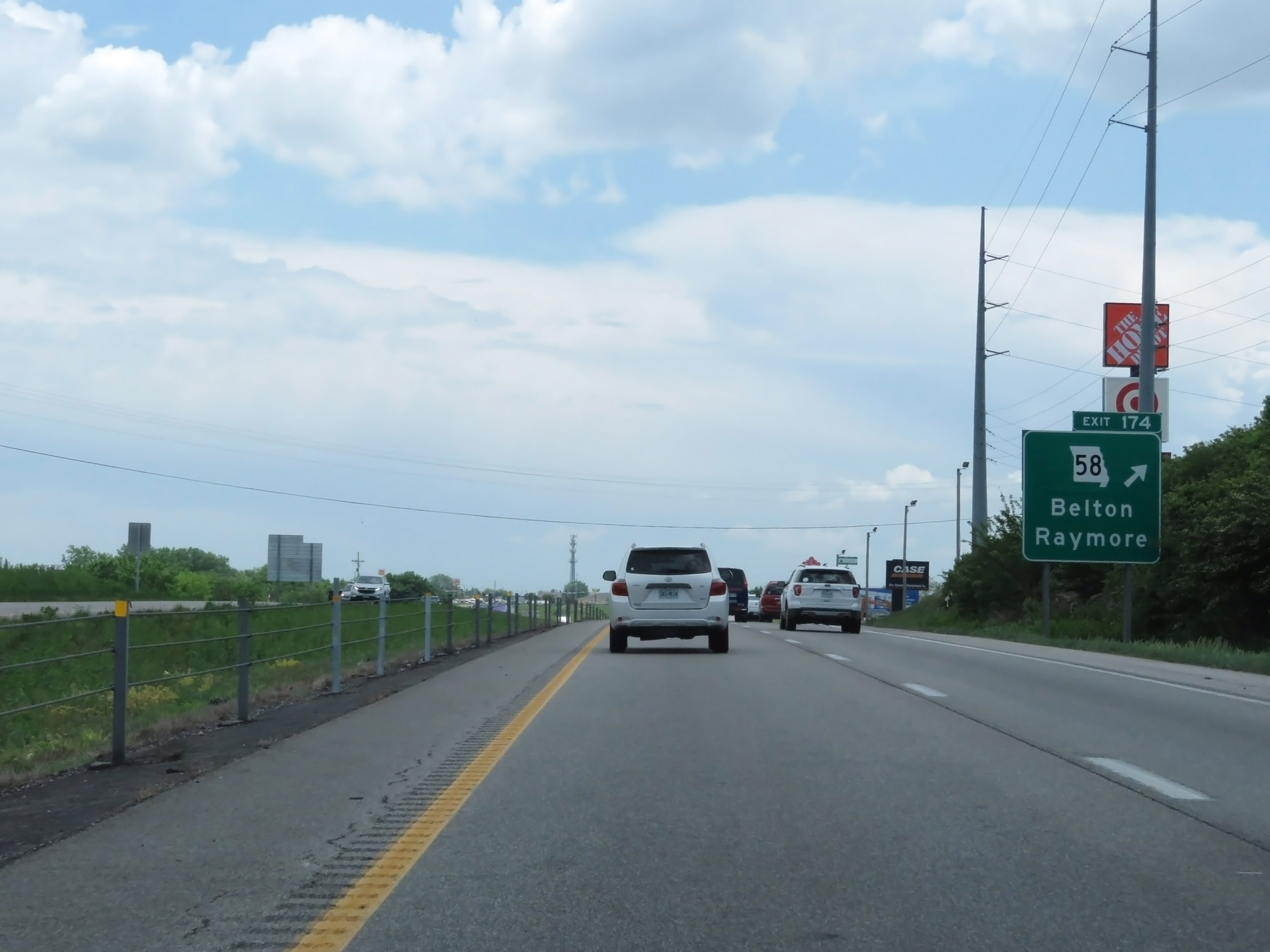 |
Interstate 49 South at Exit 174: MO 58 - Belton / Raymore (Photo taken 5/17/18). |
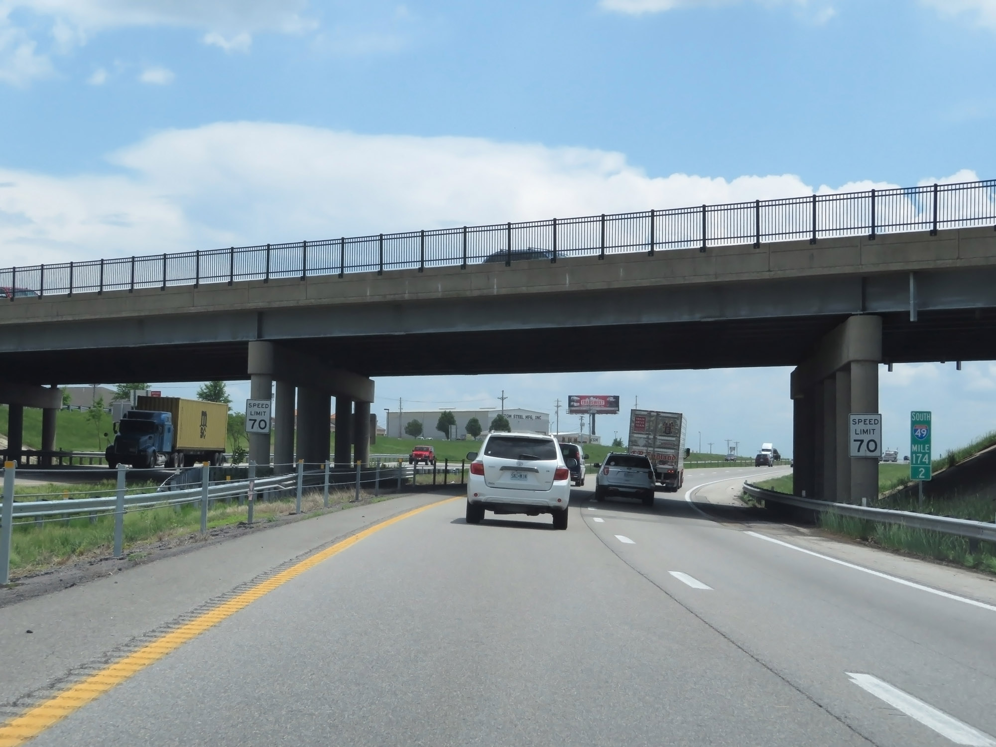 |
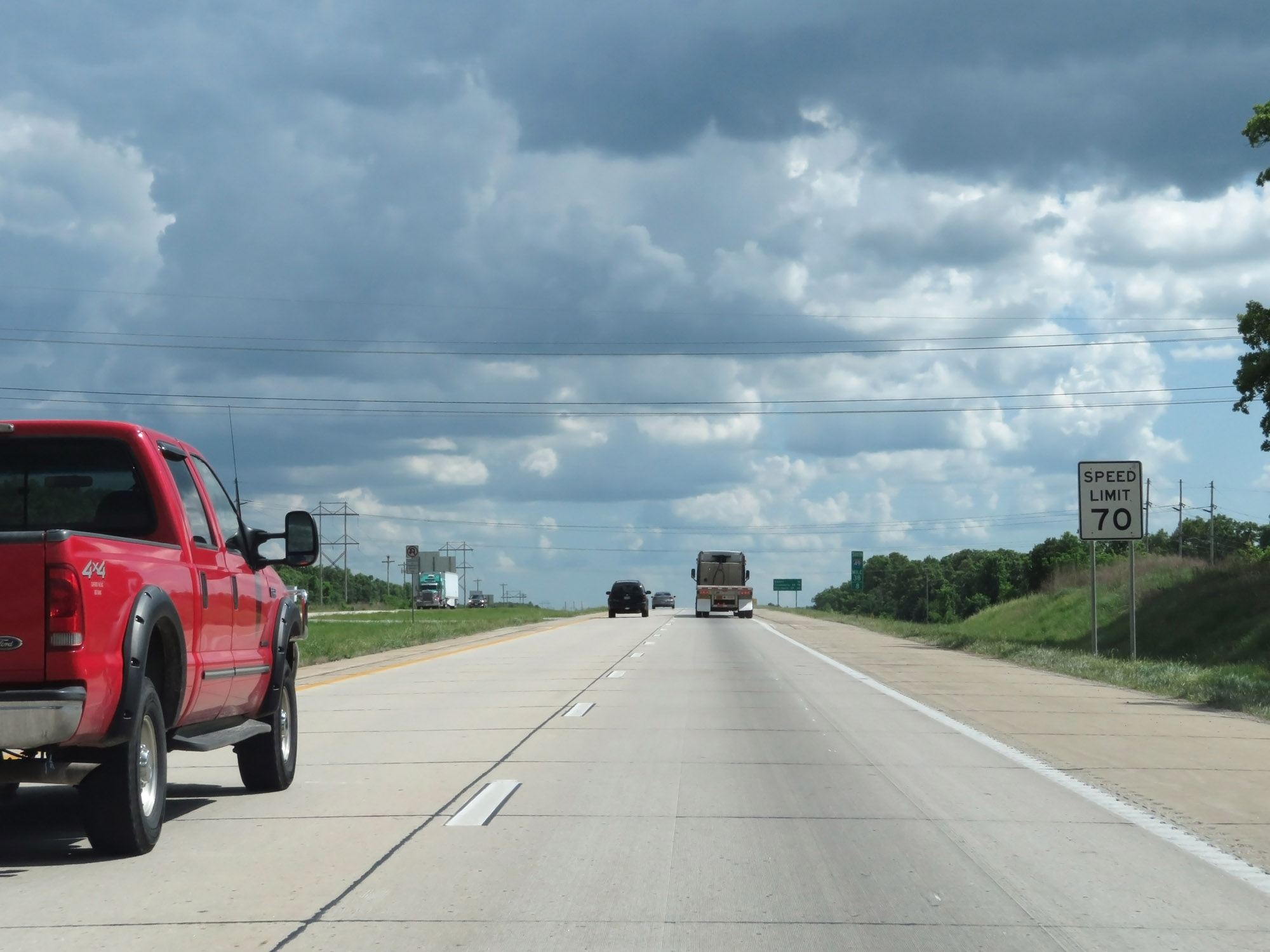
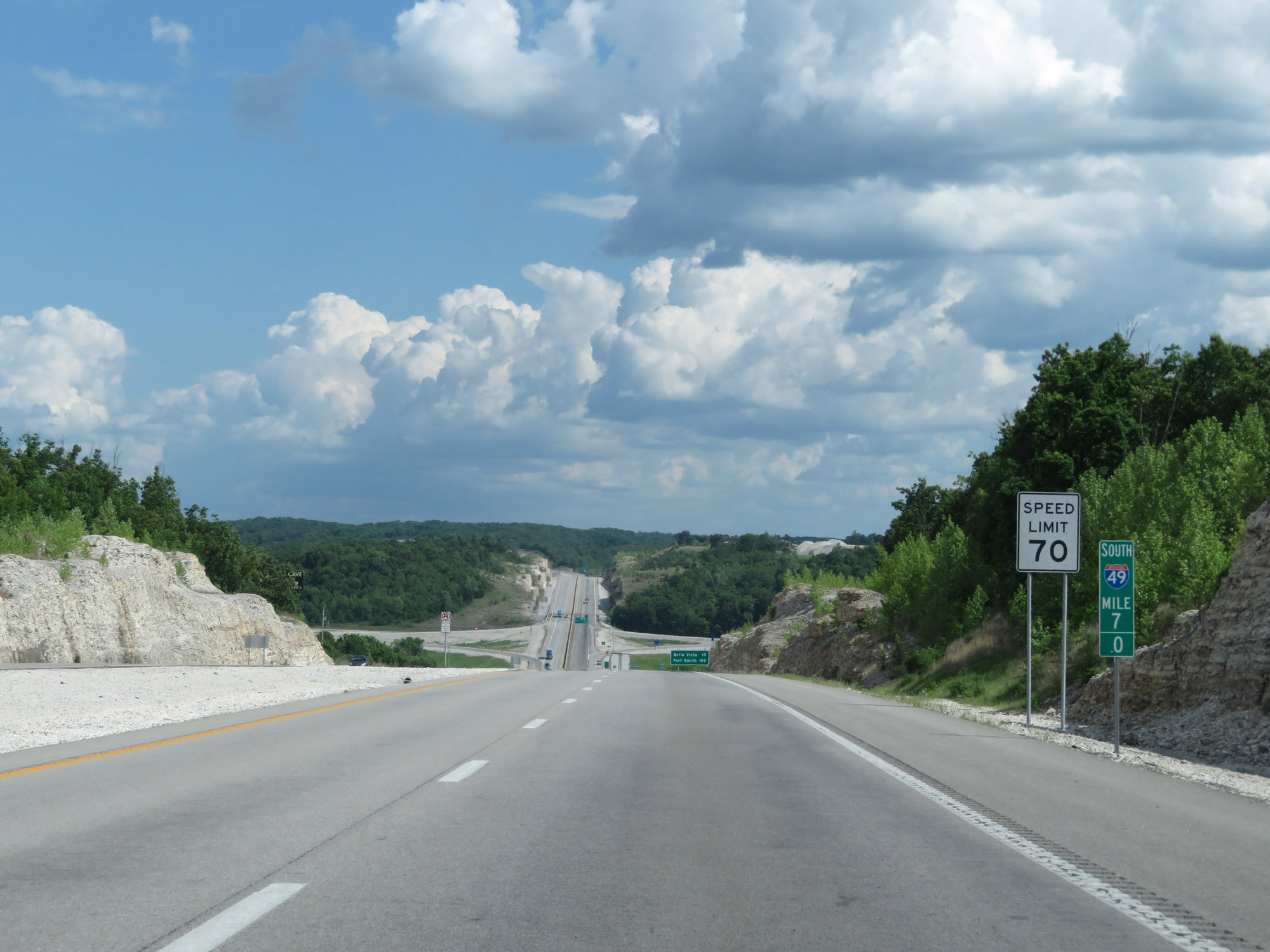
At mile marker 174.2, the speed limit increases to 70 mph. This is the standard maximum speed limit on most rural Interstate highways in Missouri. (Photo taken 5/17/18). |
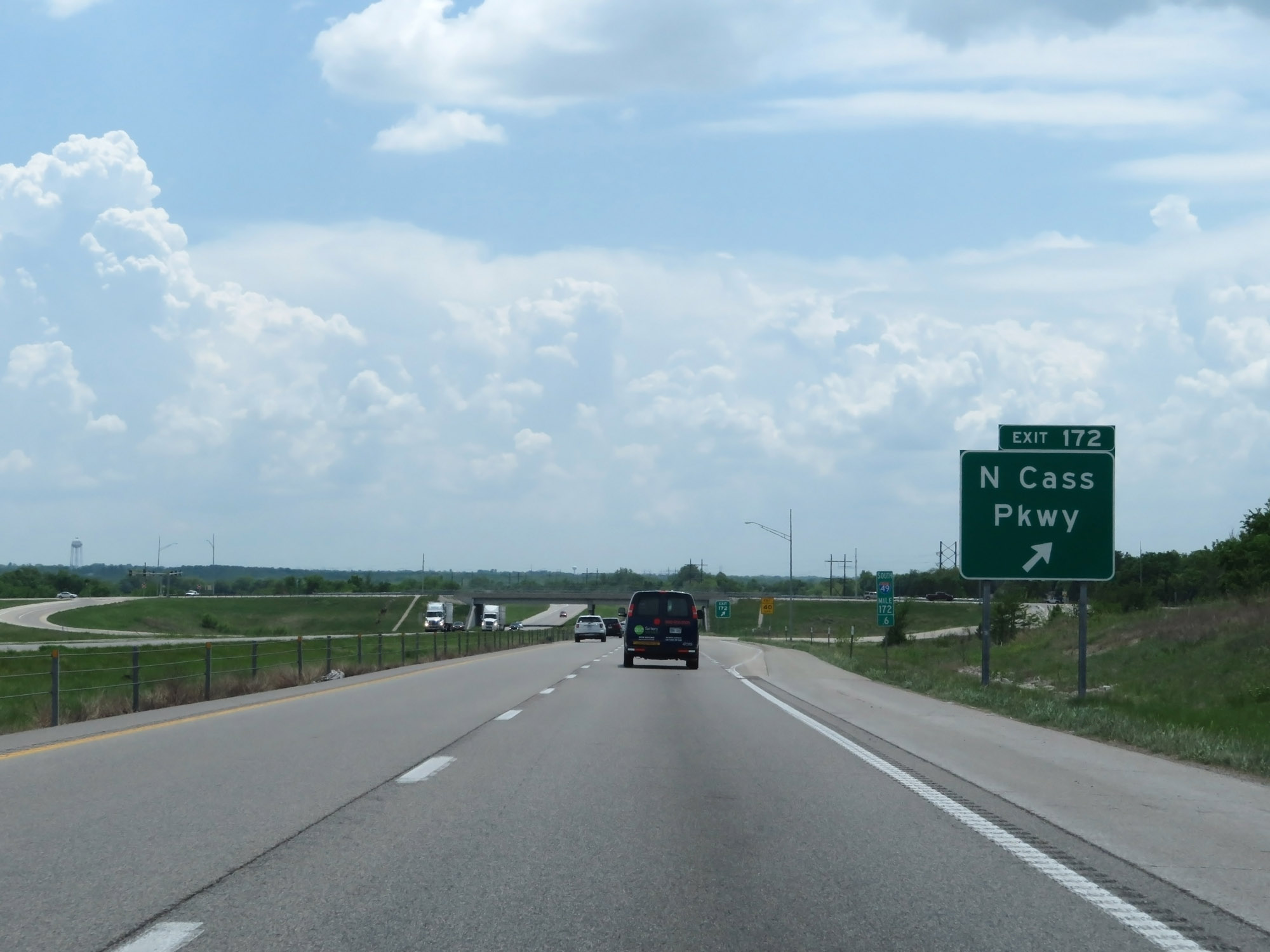 |
Interstate 49 South at Exit 172: N Cass Pkwy (Photo taken 5/17/18). |
 |
Interstate 49 South at mile marker 171. (Photo taken 5/17/18). |
 |
Take either of the next 2 exits to Peculiar. (Photo taken 5/17/18). |
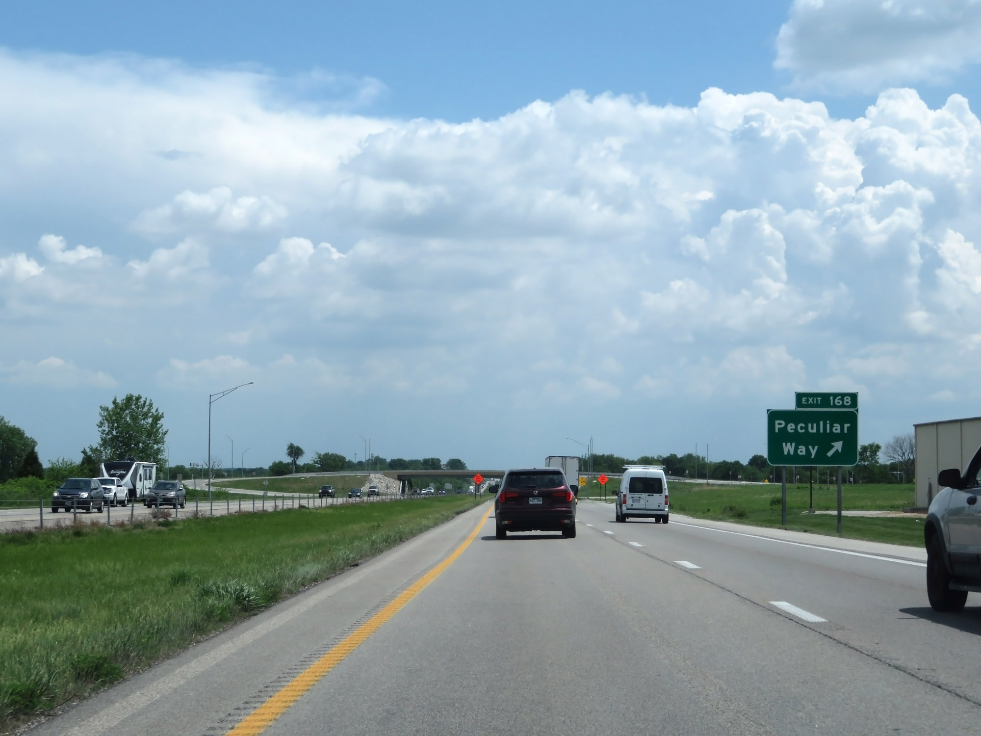 |
Interstate 49 South at Exit 168: Peculiar Way (Photo taken 5/17/18). |
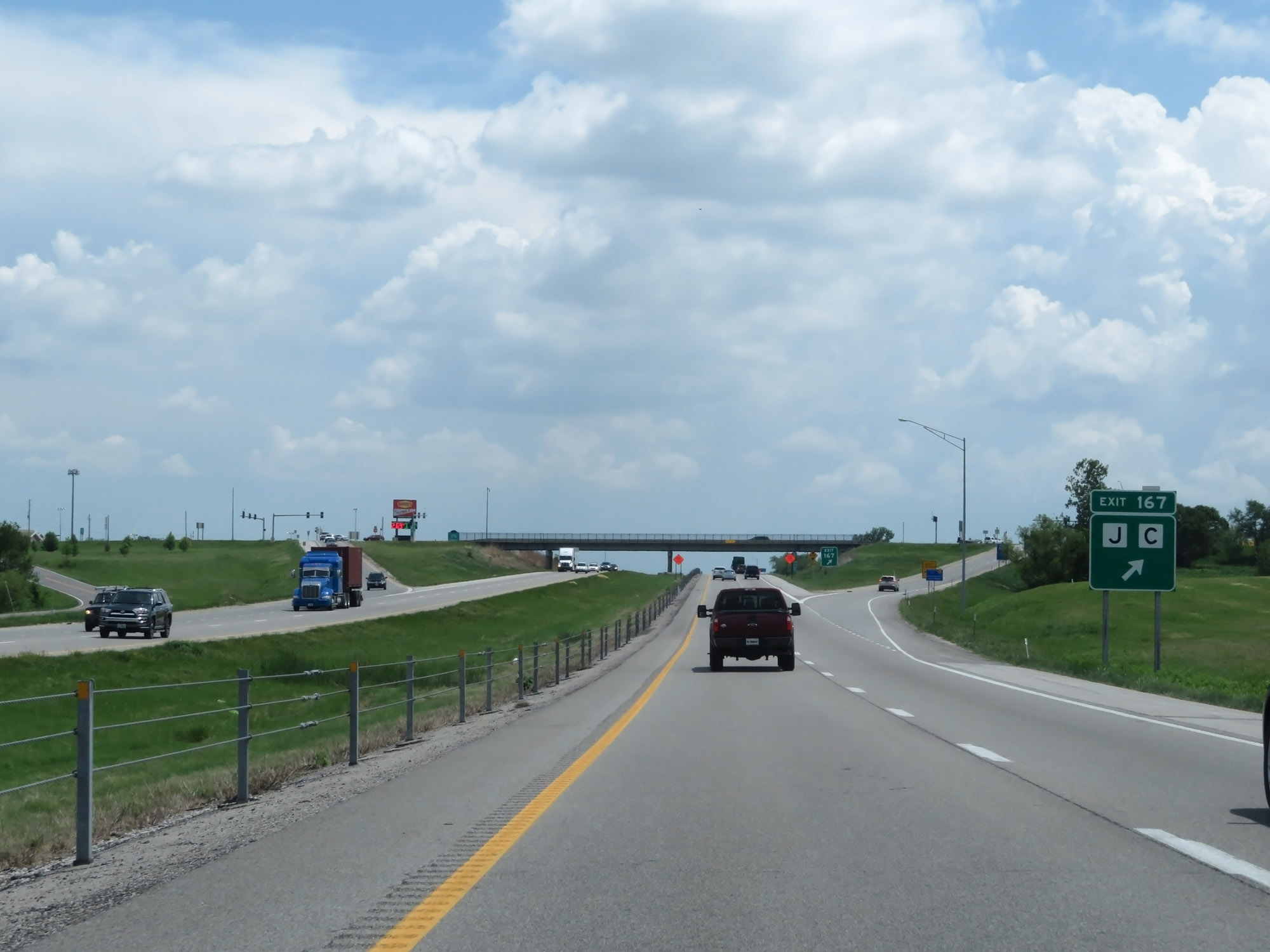 |
Interstate 49 South at Exit 167: Route J / Route C (Photo taken 5/17/18). |
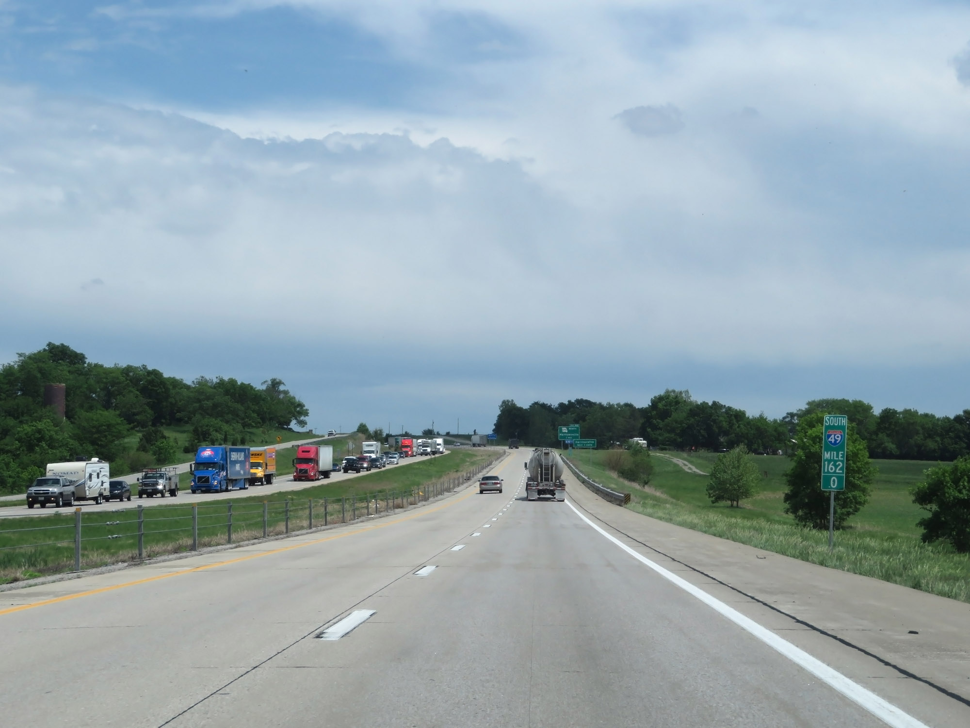 |
Interstate 49 South at mile marker 162. (Photo taken 5/17/18). |
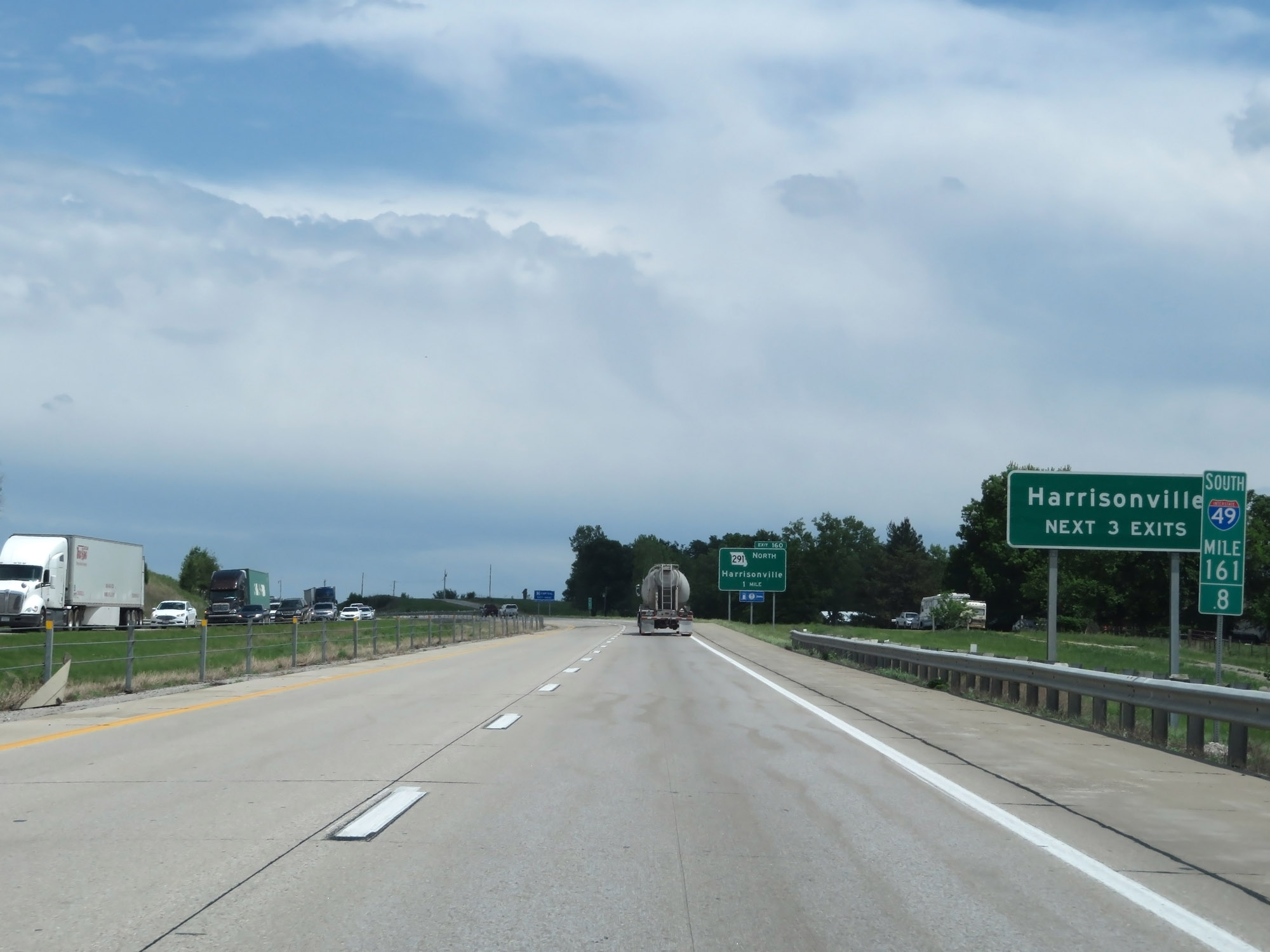 |
Take any of the next 3 exits to Harrisonville. (Photo taken 5/17/18). |
 |
Interstate 49 South at Exit 160: MO 291 North - Harrisonville (Photo taken 5/17/18). |
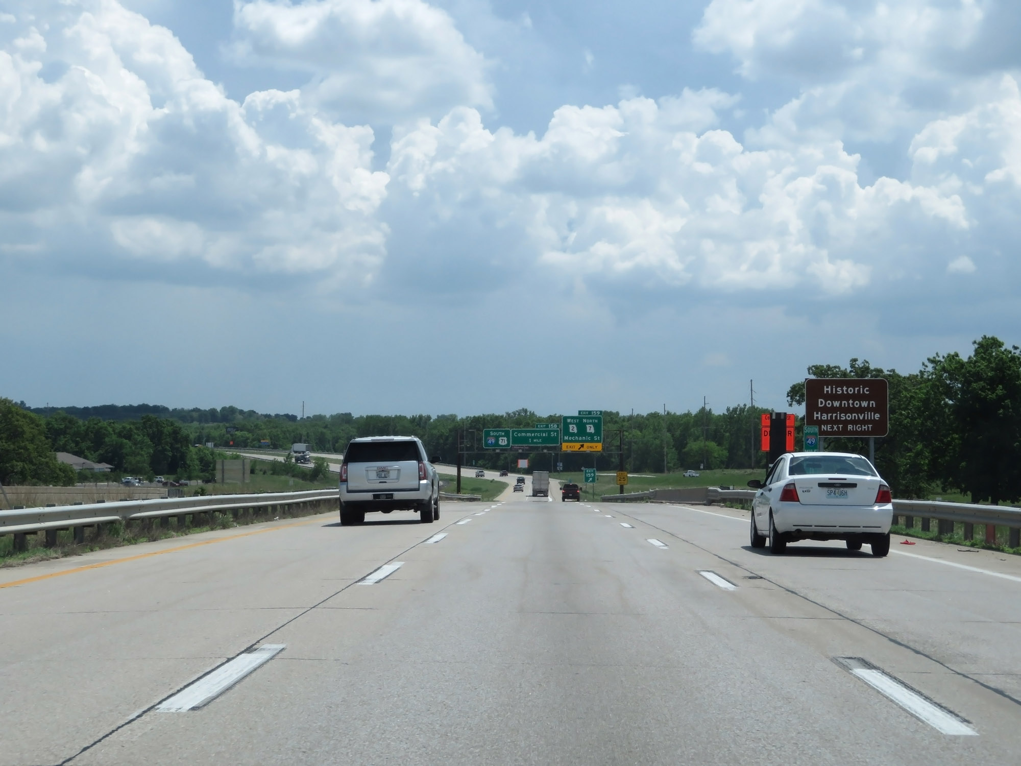 |
Take Exit 159 to Historic Downtown Harrisonville. (Photo taken 5/17/18). |
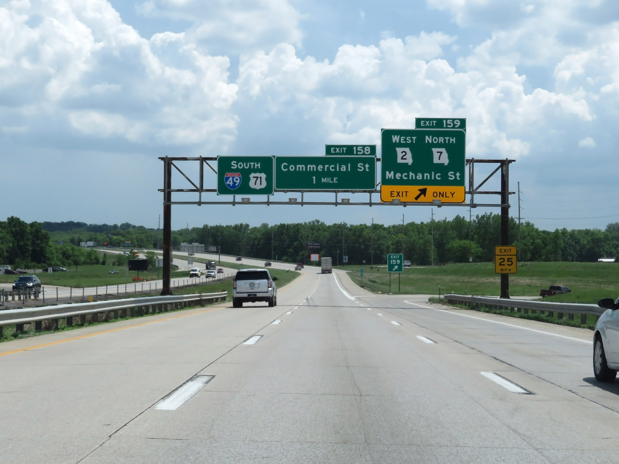 |
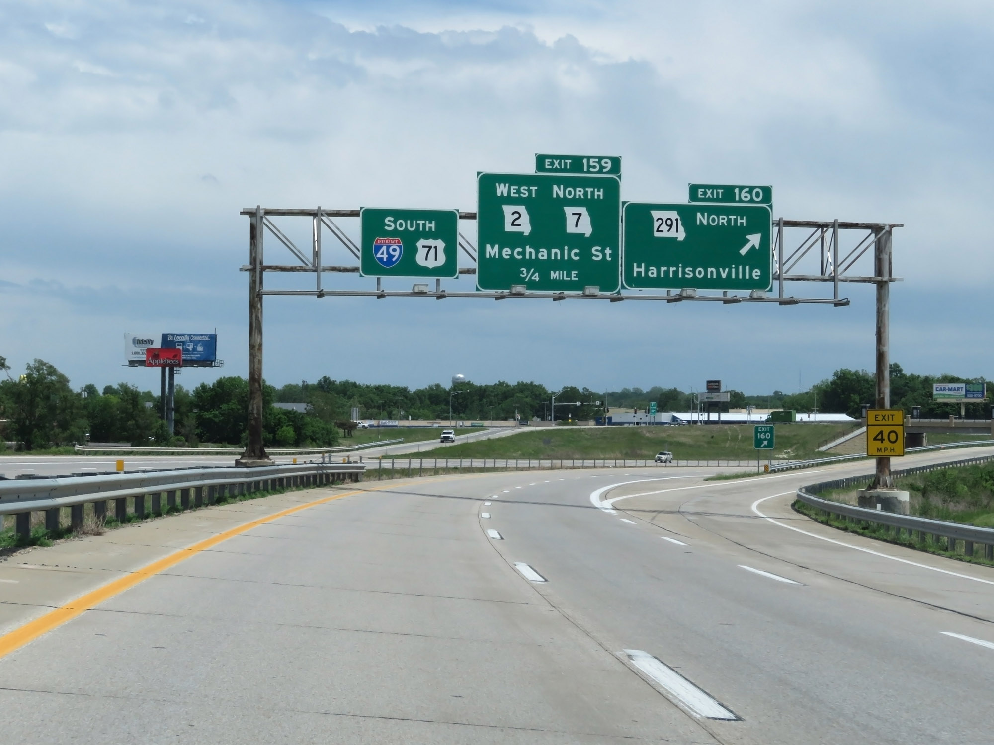
Interstate 49 South at Exit 159: MO 2 West / MO 7 North - Mechanic St (Photo taken 5/17/18). |
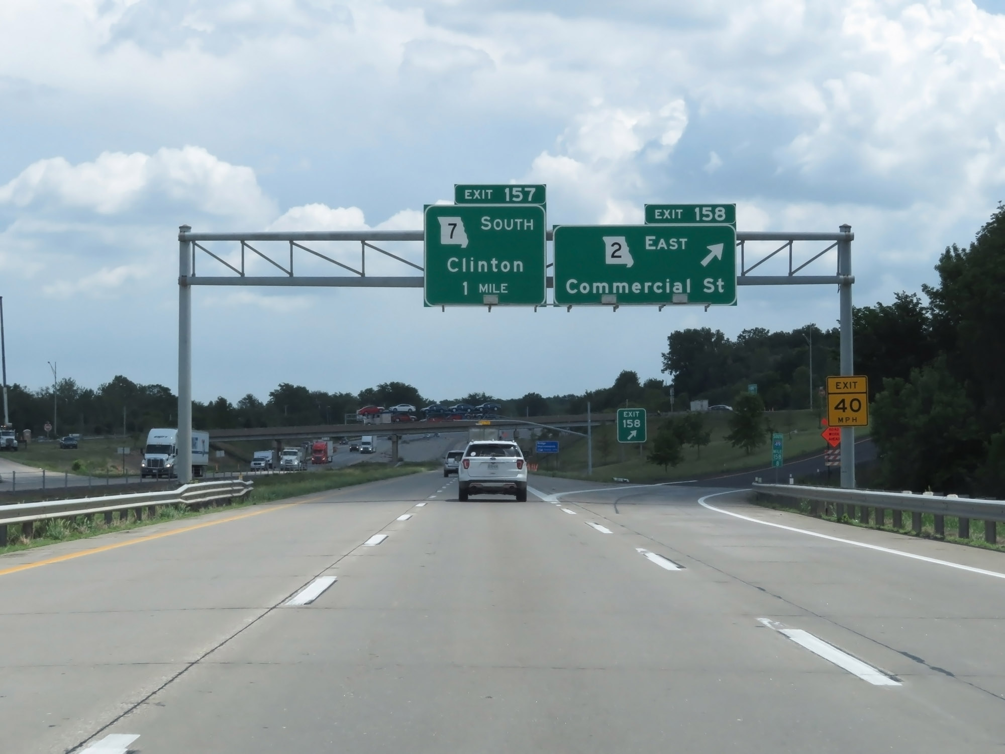 |
Interstate 49 South at Exit 158: MO 2 East - Commercial St (Photo taken 5/17/18). |
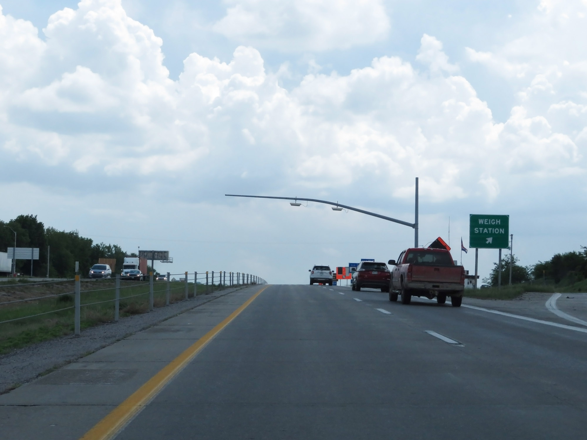 |
Interstate 49 South at the Weigh Station located in Cass County. (Photo taken 5/17/18). |
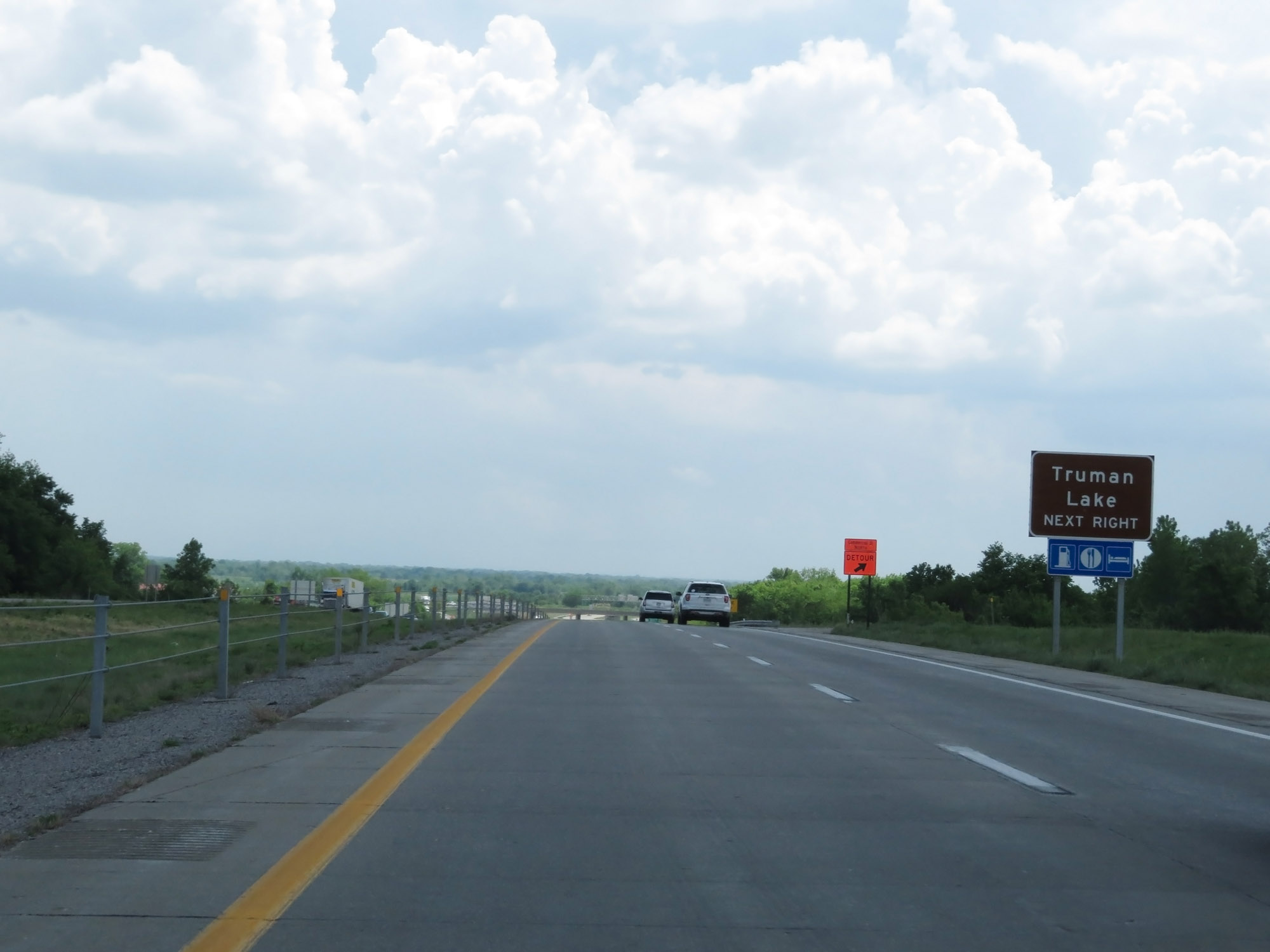 |
Take Exit 157 to Truman Lake. (Photo taken 5/17/18). |
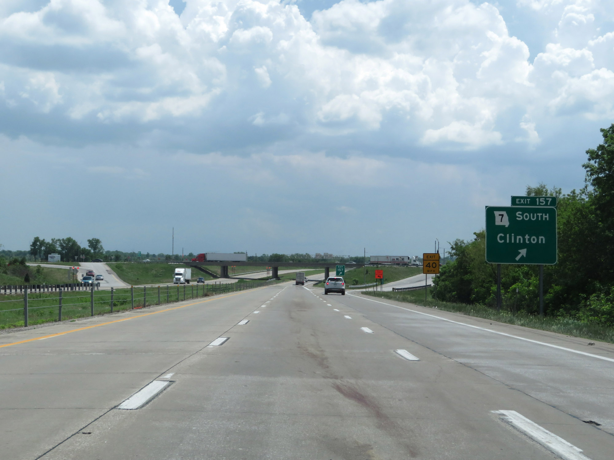 |
Interstate 49 South at Exit 157: MO 7 South - Clinton (Photo taken 5/17/18). |
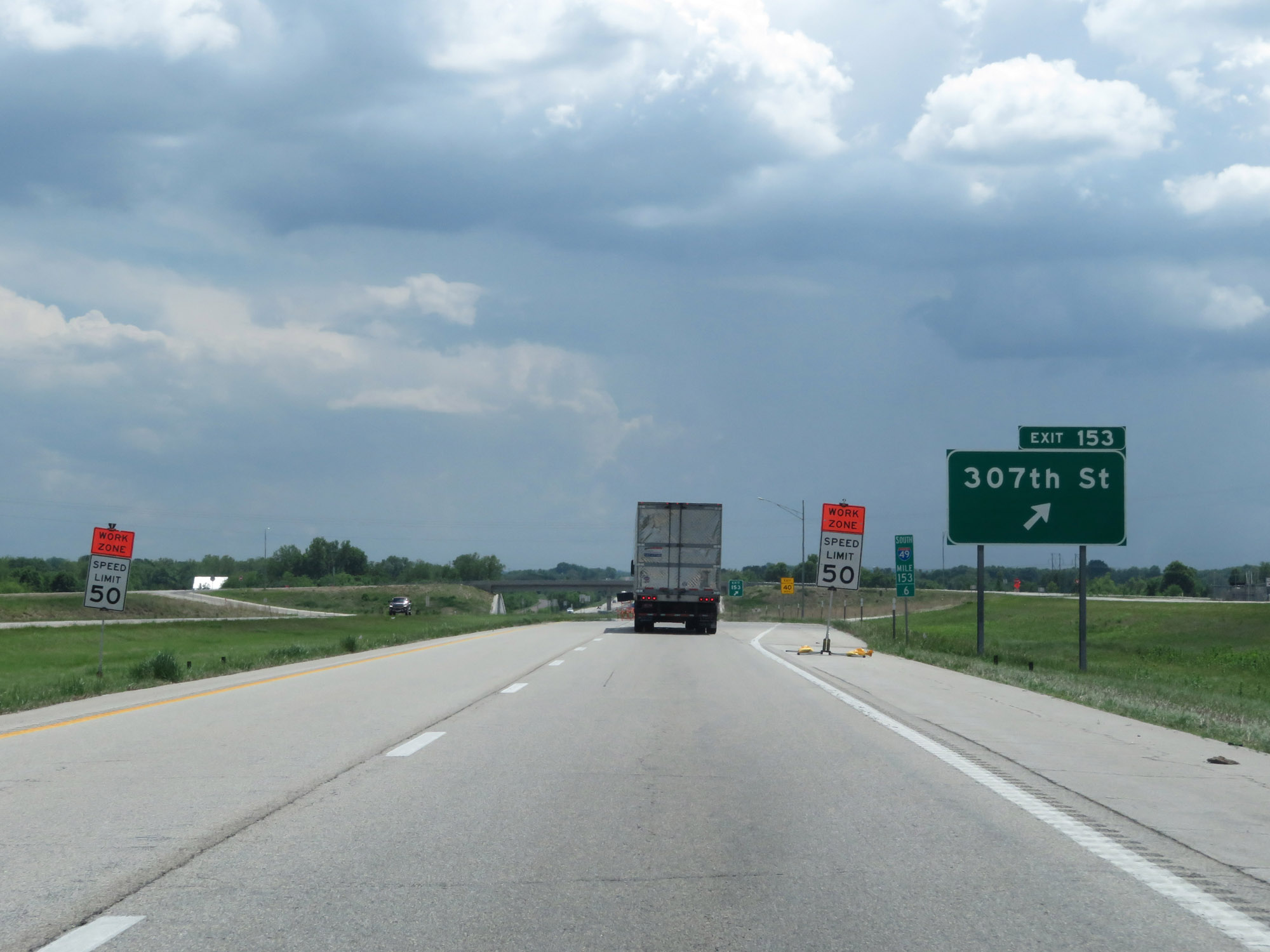 |
Interstate 49 South at Exit 153: 307th St (Photo taken 5/17/18). |
 |
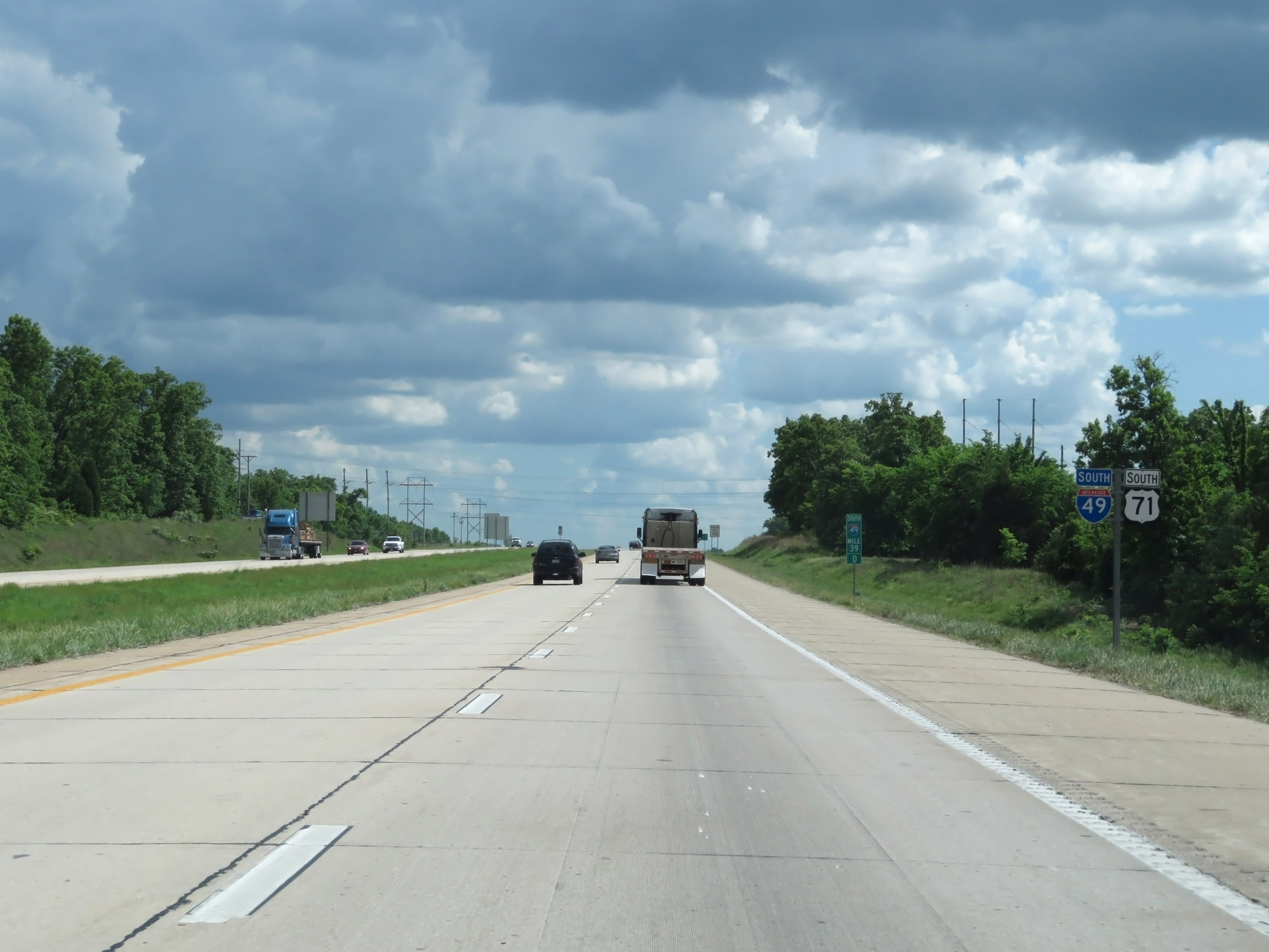
Another set of Interstate 49 South / US 71 South reassurance shields. (Photo taken 5/17/18). |
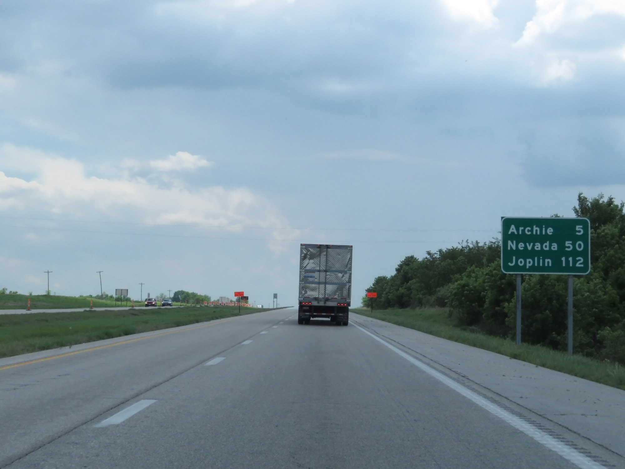 |
Mileage sign on Interstate 49 South. It's 5 miles to Archie, 50 miles to Nevada, and 112 miles to Joplin. (Photo taken 5/17/18). |
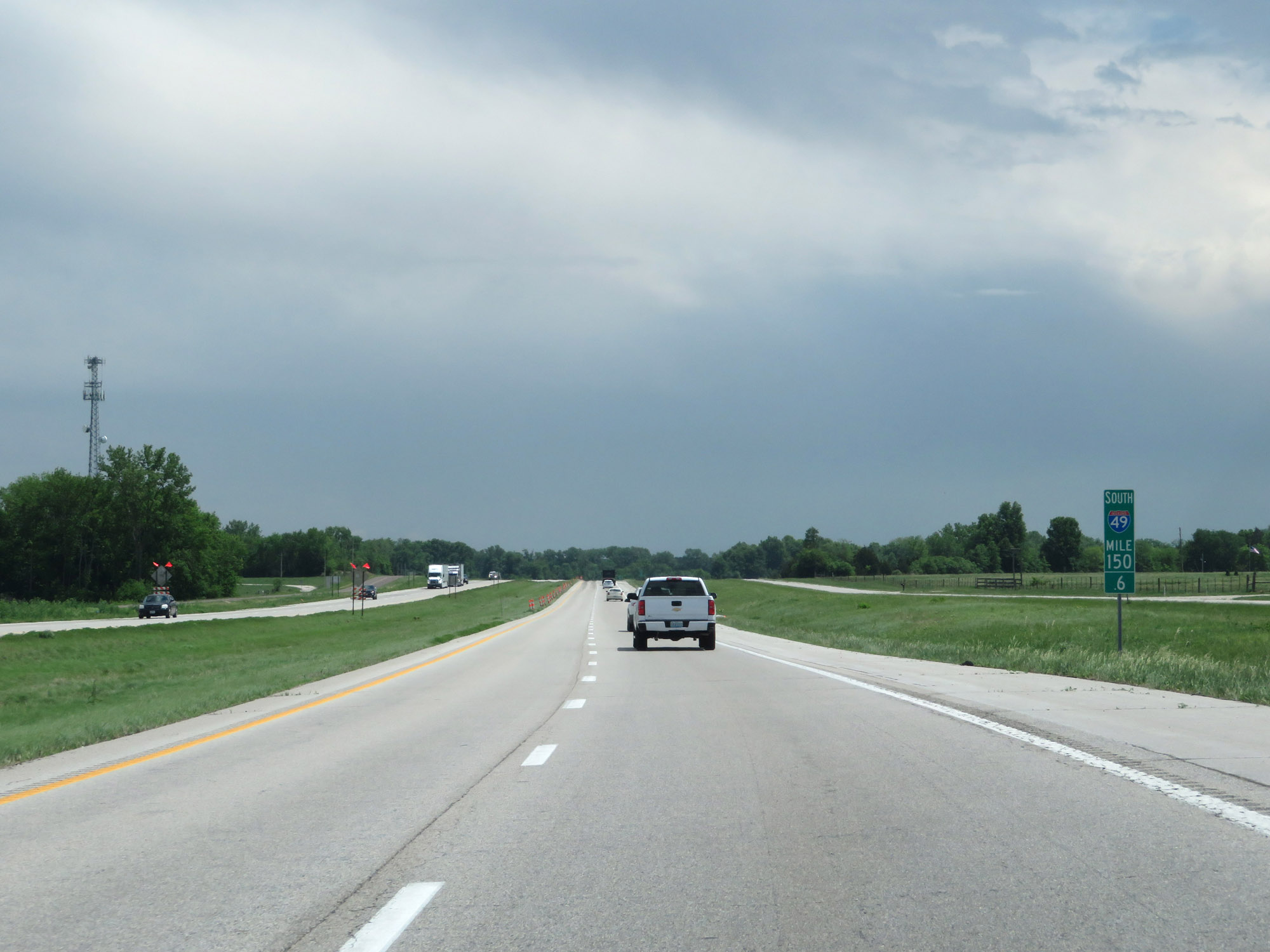 |
Interstate 49 South at mile marker 150.6. (Photo taken 5/17/18). |
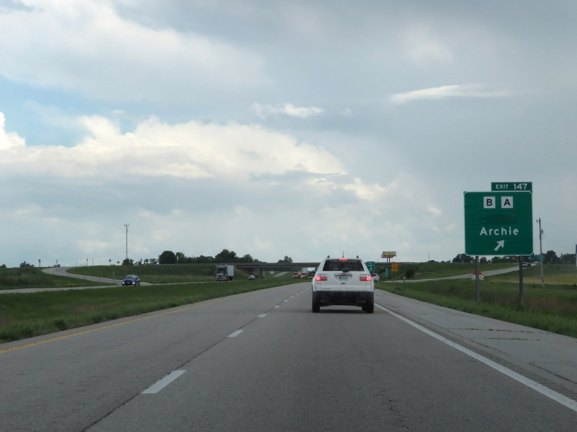 |
Interstate 49 South at Exit 147: Route B / Route A - Drexel / Archie (Photo taken 5/17/18). |
 |
Interstate 49 South as it enters Bates County. (Photo taken 5/17/18). |
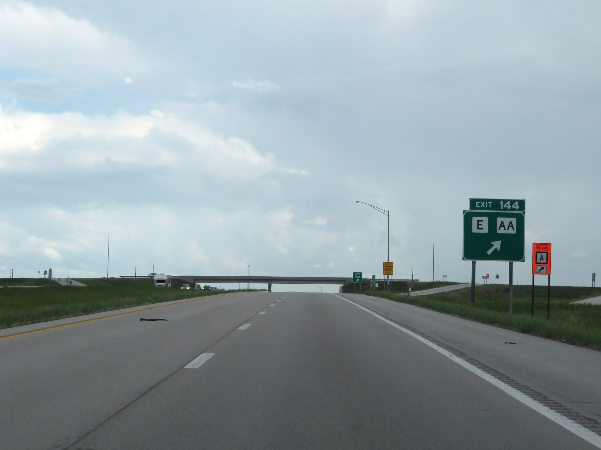 |
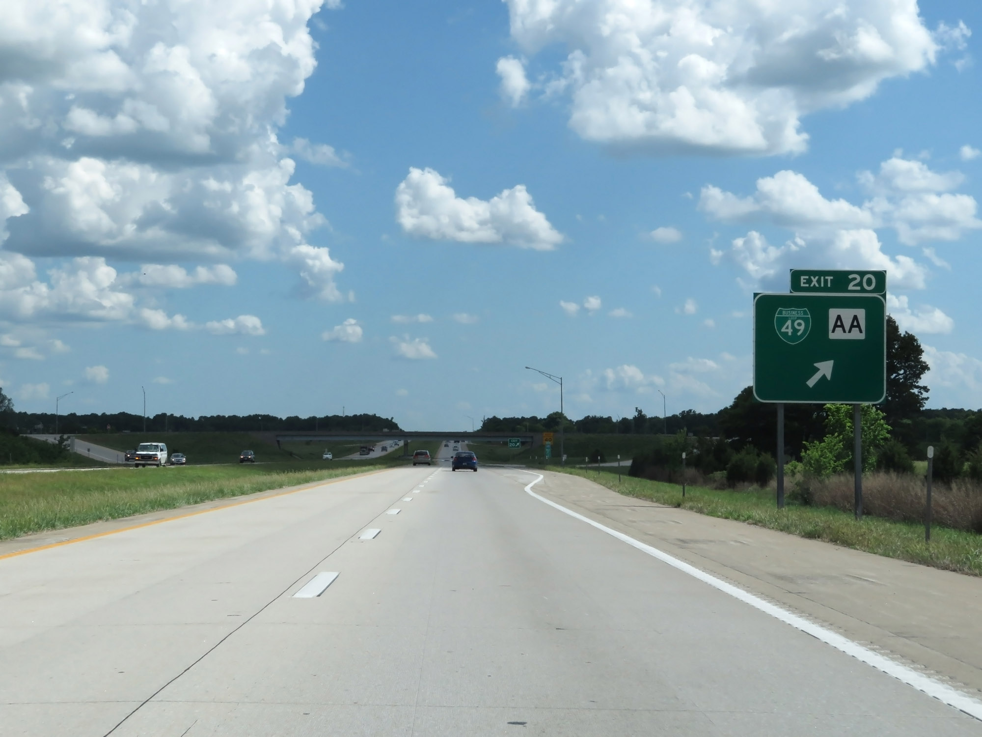
Interstate 49 South at Exit 144: Route E / Route AA (Photo taken 5/17/18). |
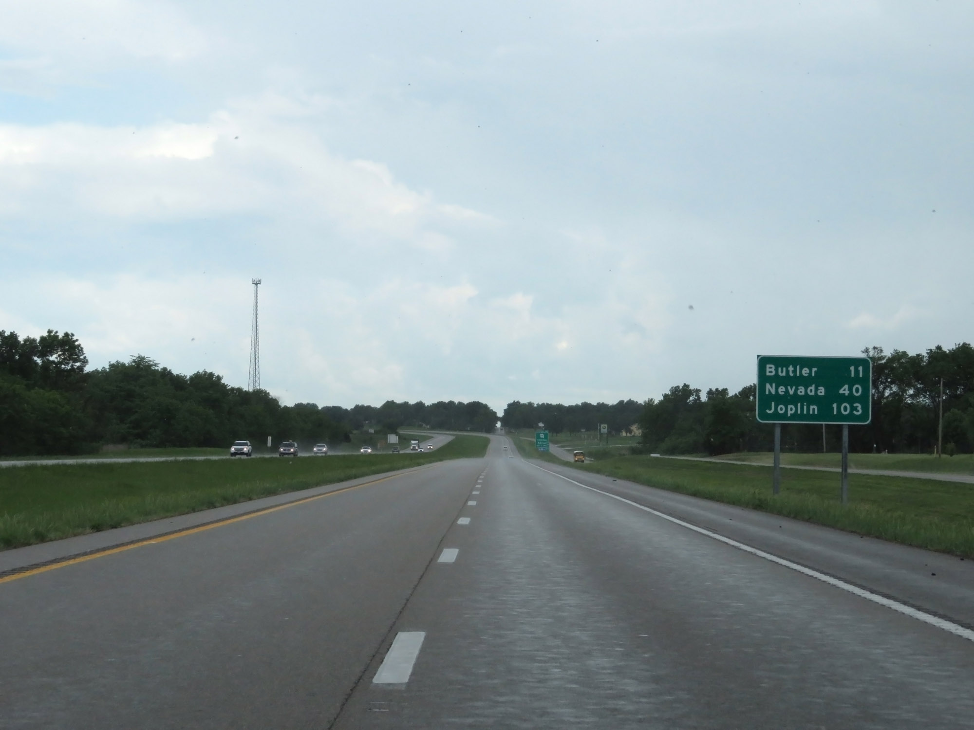 |
Another mileage sign on Interstate 49 South. It's 11 miles to Butler, 40 miles to Nevada, and 103 miles to Joplin. (Photo taken 5/17/18). |
 |
Interstate 49 South at mile marker 142.6. (Photo taken 5/17/18). |
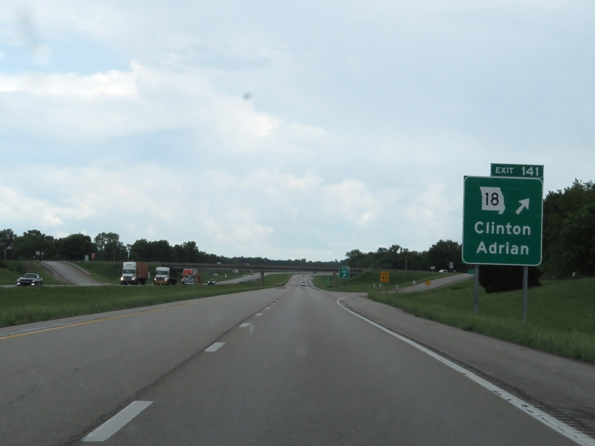 |
Interstate 49 South at Exit 141: MO 18 - Clinton / Adrian (Photo taken 5/17/18). |
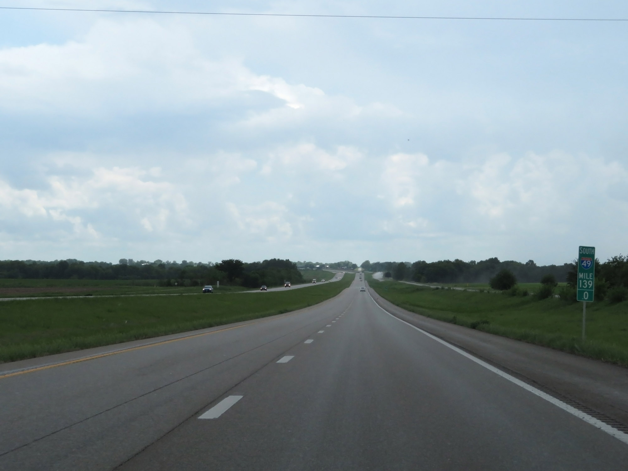 |
Interstate 49 South at mile marker 139. (Photo taken 5/17/18). |
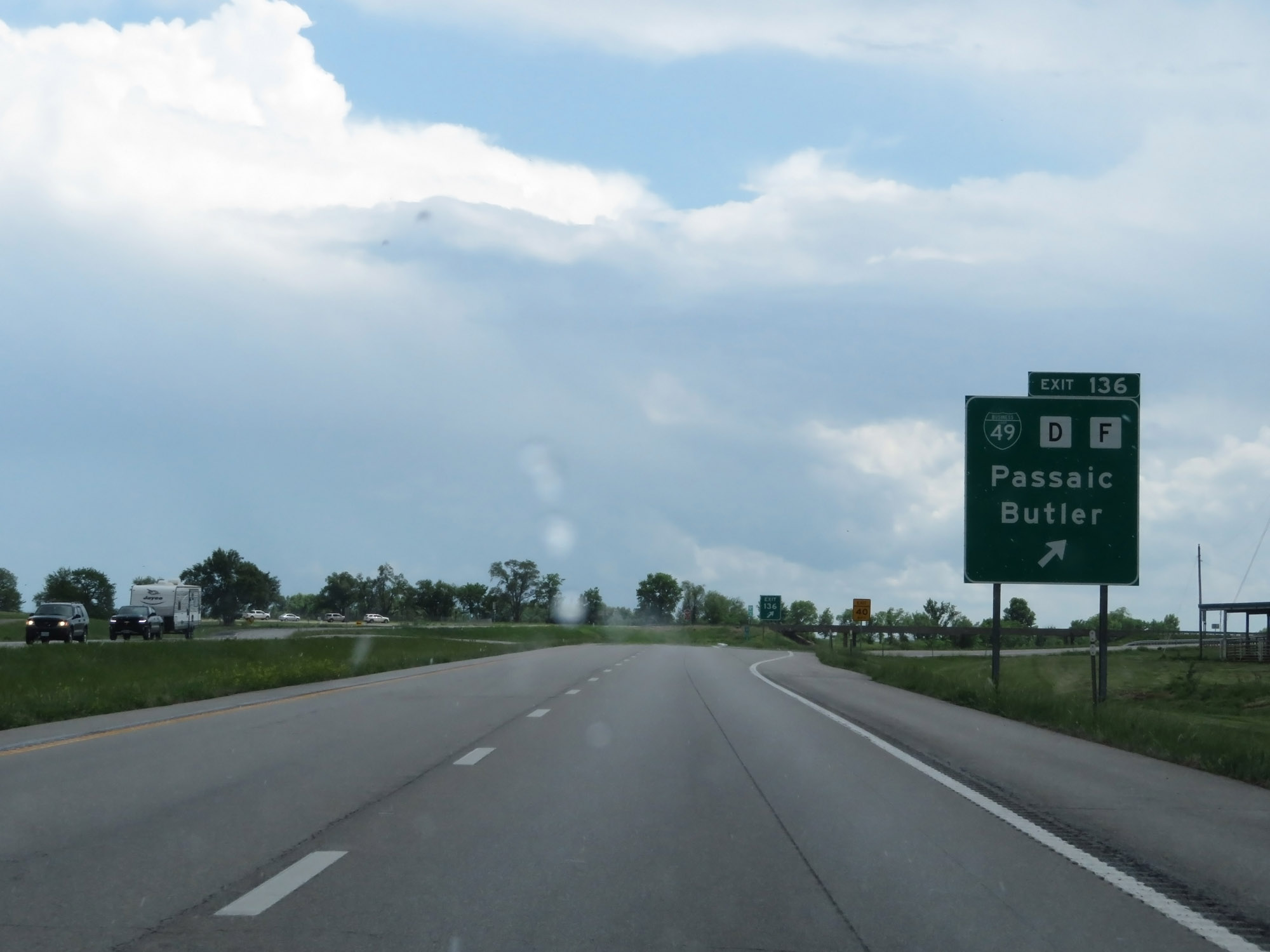 |
Interstate 49 South at Exit 136: Interstate 49 Business Loop / Route D / Route F - Passaic / Butler (Photo taken 5/17/18). |
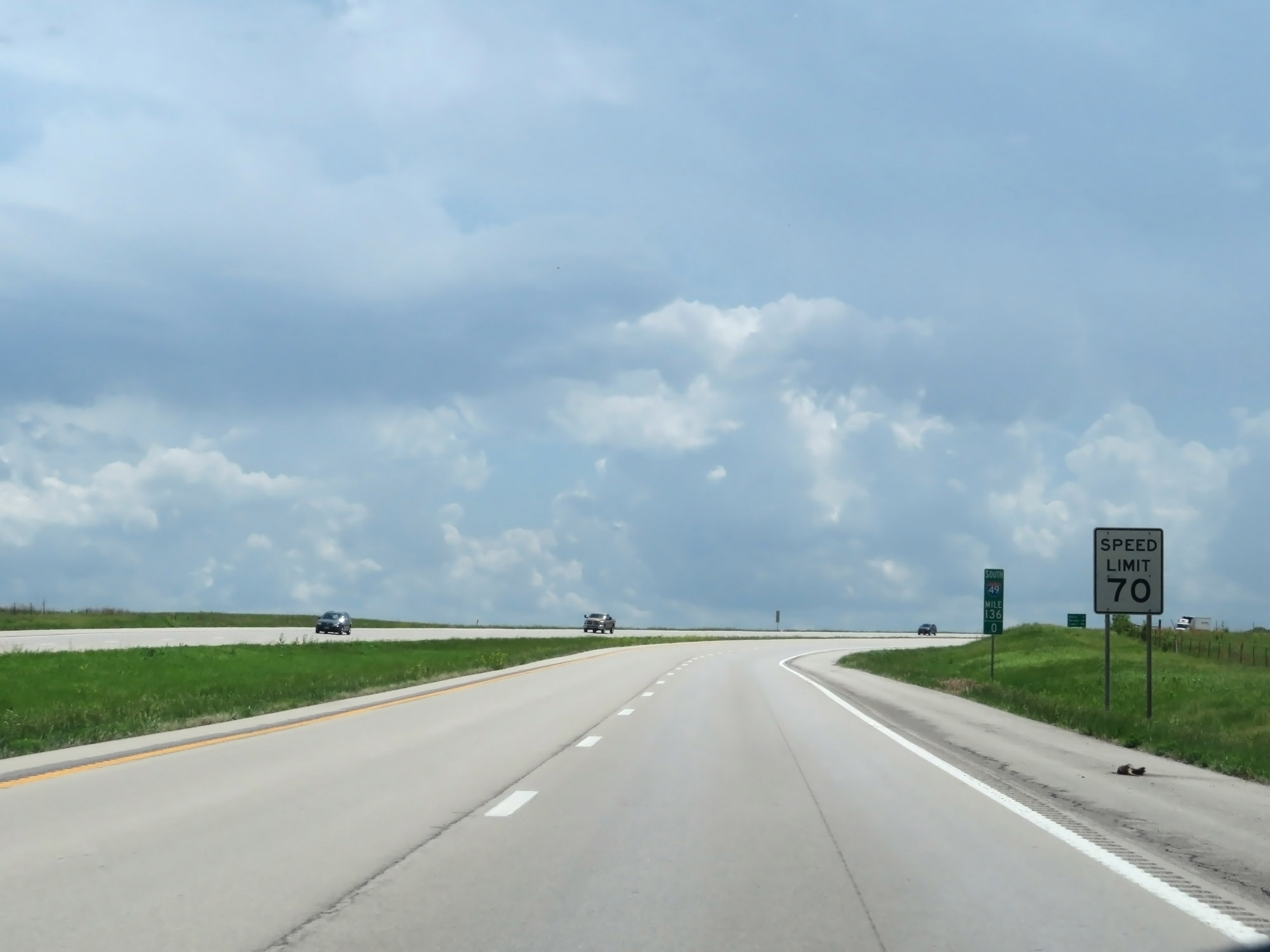 |
The speed limit remains 70 mph. (Photo taken 5/17/18). |
 |
Interstate 49 South at mile marker 135. (Photo taken 5/17/18). |
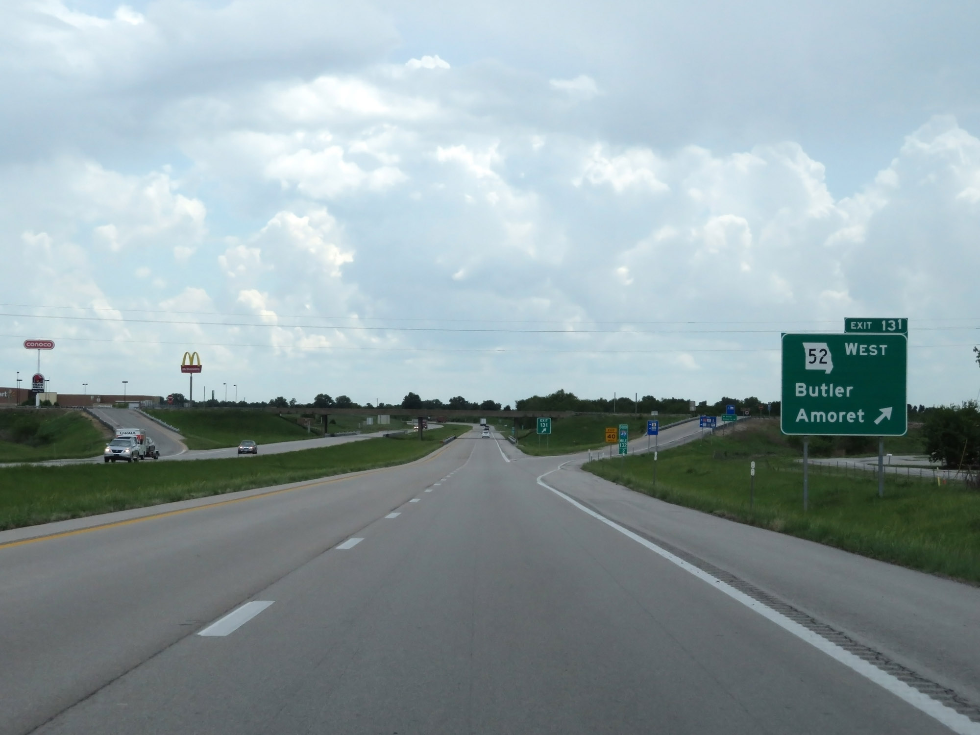 |
Interstate 49 South at Exit 131: MO 52 West - Butler / Amoret (Photo taken 5/17/18). |
Section 2: Butler (Exit 131) to Carthage (Exit 50)
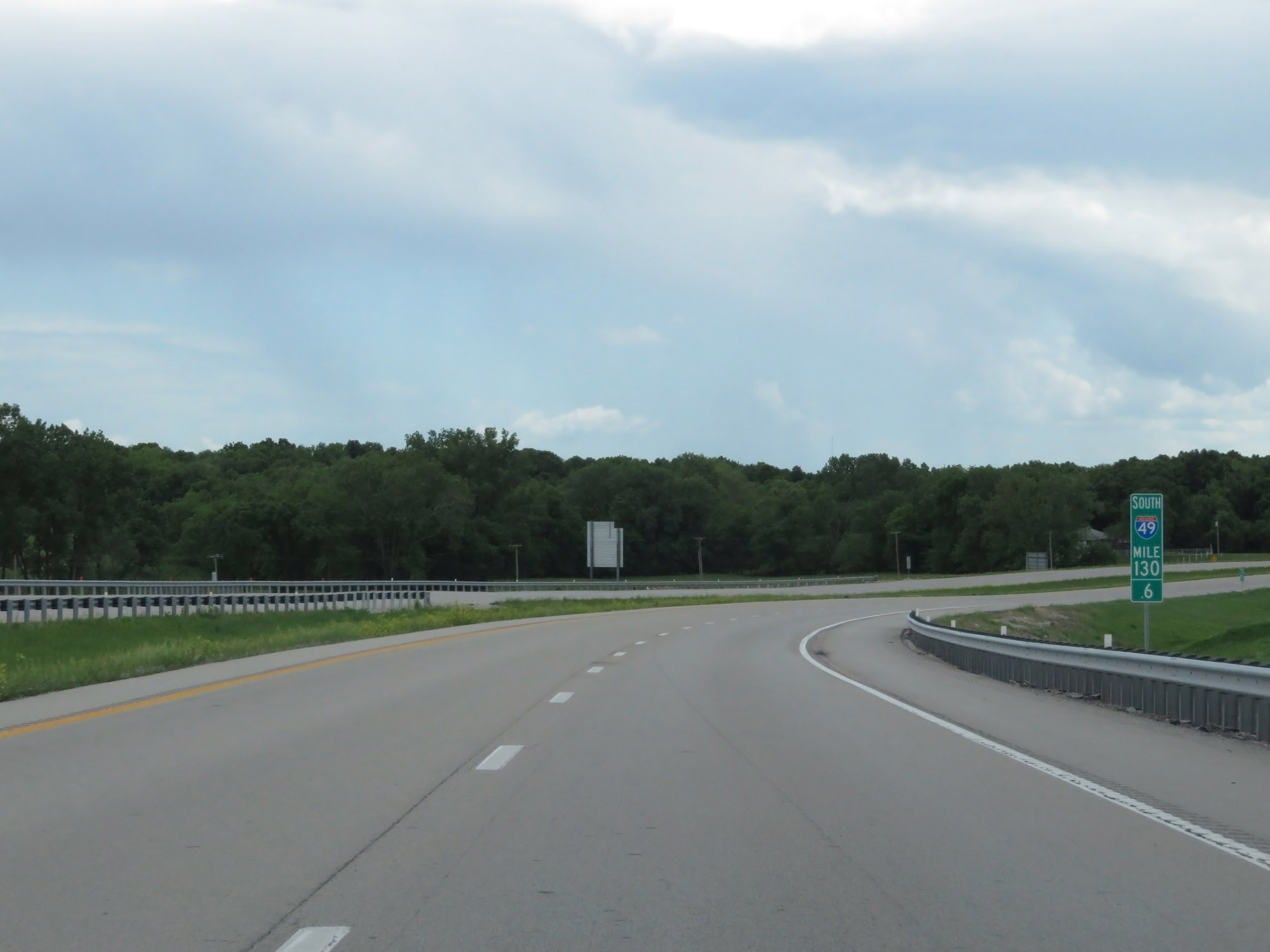 |
Interstate 49 South at mile marker 130.6. (Photo taken 5/17/18). |
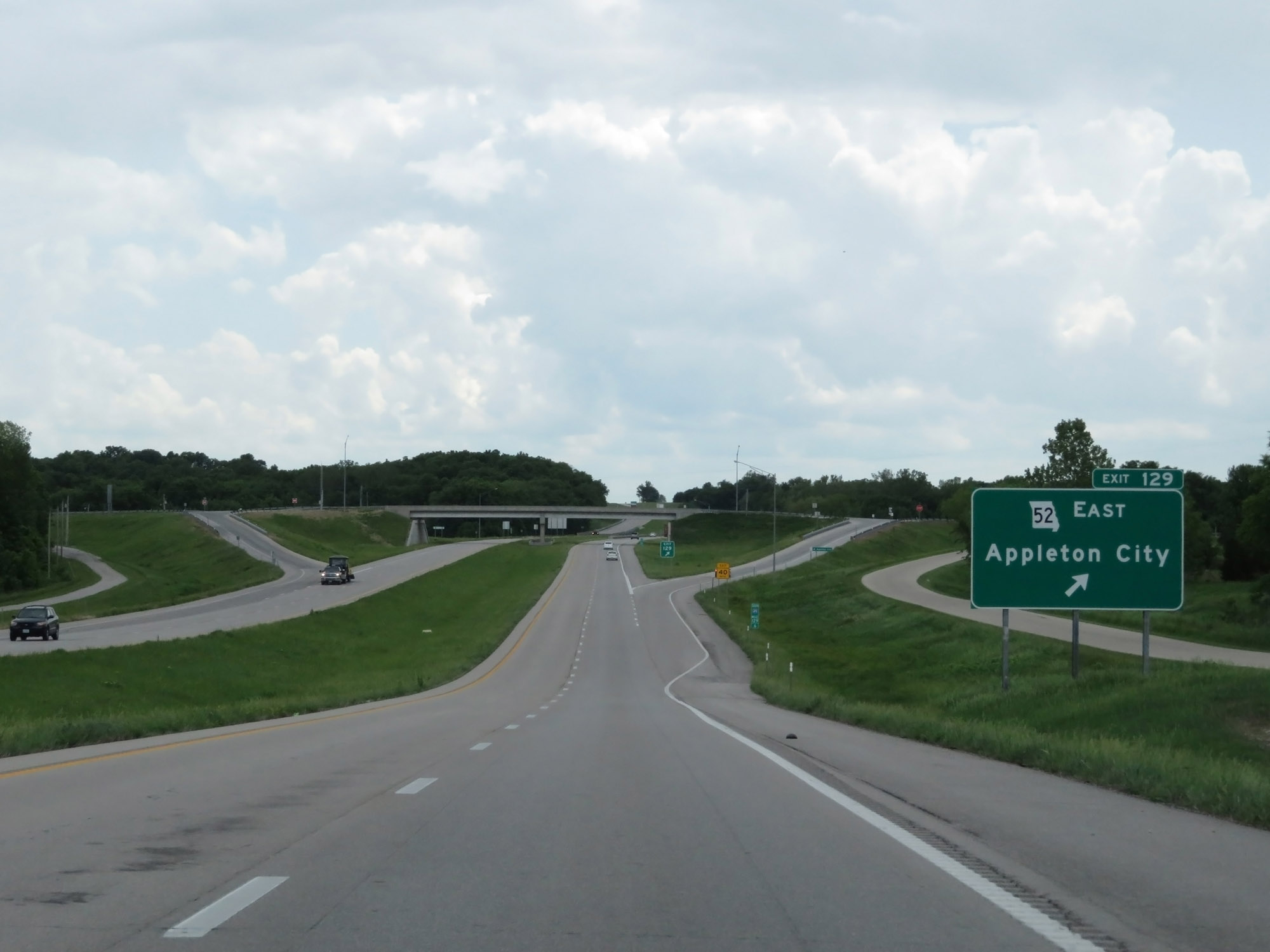 |
Interstate 49 South at Exit 129: MO 52 East - Appleton City (Photo taken 5/17/18). |
 |
Interstate 49 South at mile marker 126. (Photo taken 5/17/18). |
 |
Interstate 49 South at Exit 120: Route B / Route A - Osceola / Rich Hill (Photo taken 5/17/18). |
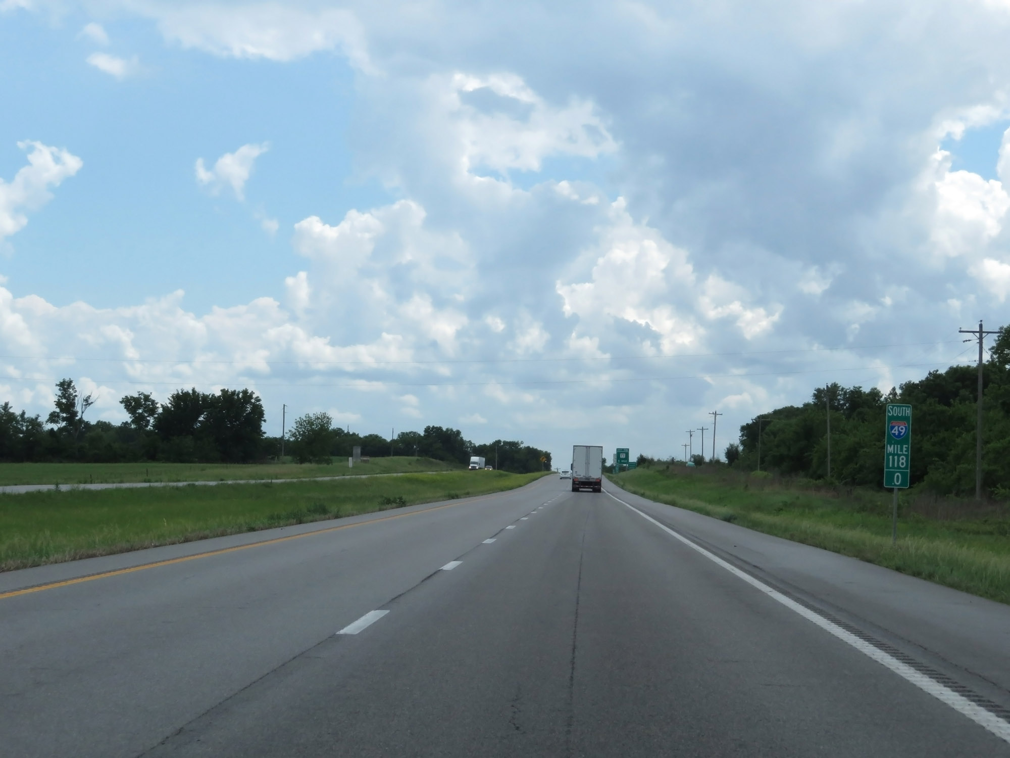 |
Interstate 49 South at mile marker 118. (Photo taken 5/17/18). |
 |
Interstate 49 South as it enters Vernon County. (Photo taken 5/17/18). |
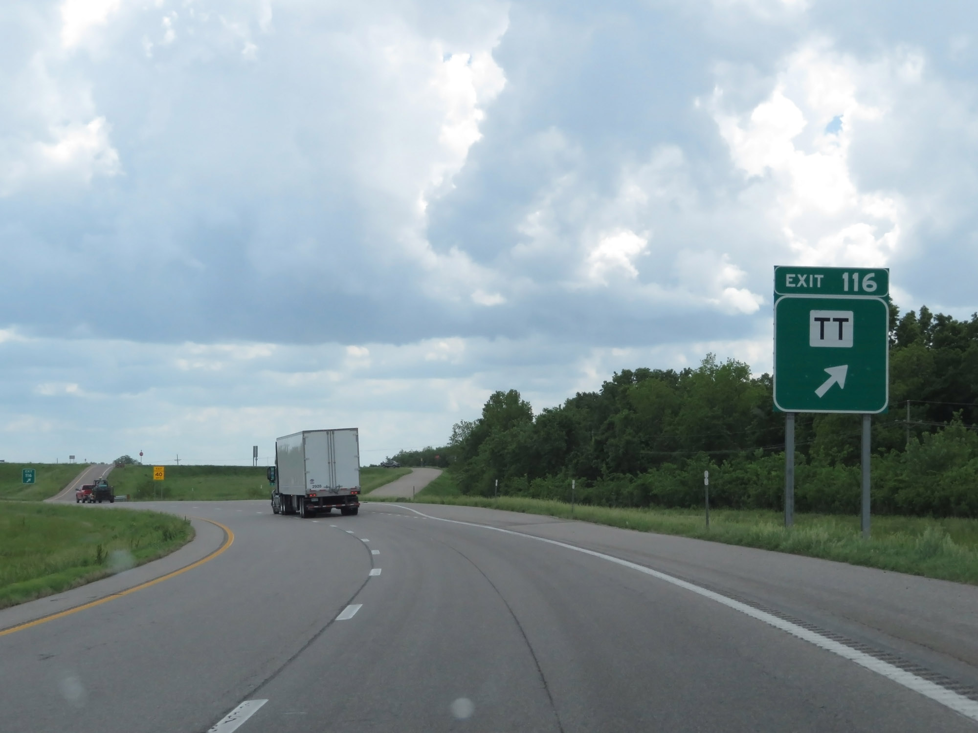 |
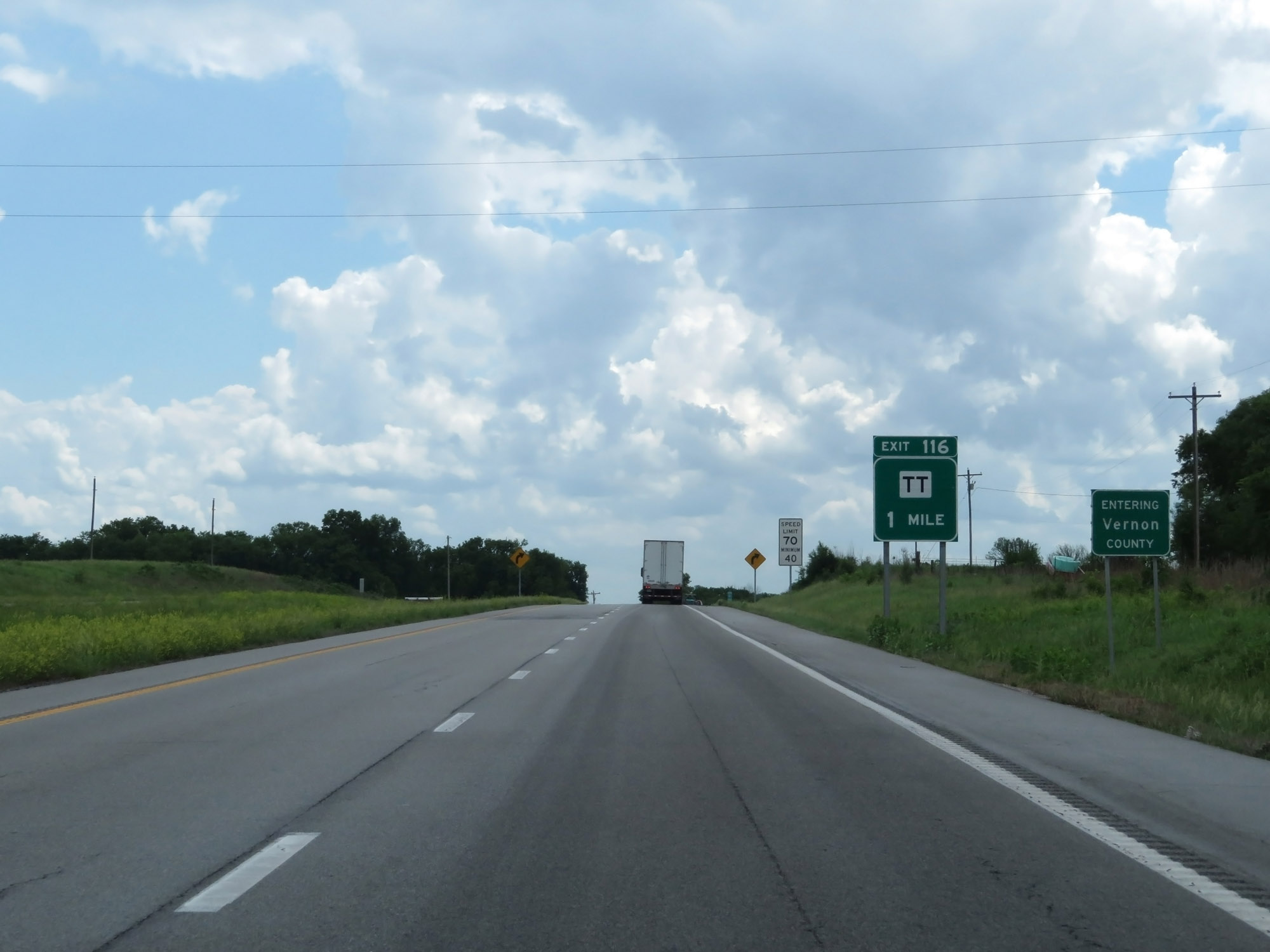
Interstate 49 South at Exit 116: Route TT (Photo taken 5/17/18). |
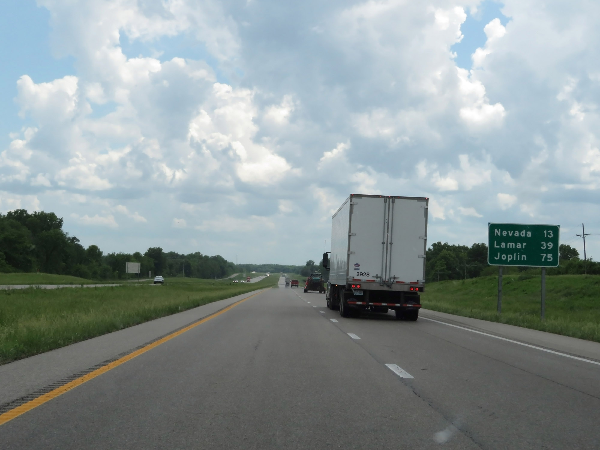 |
Mileage sign on Interstate 49 South. It's 13 miles to Nevada, 39 miles to Lamar, and 75 miles to Joplin. (Photo taken 5/17/18). |
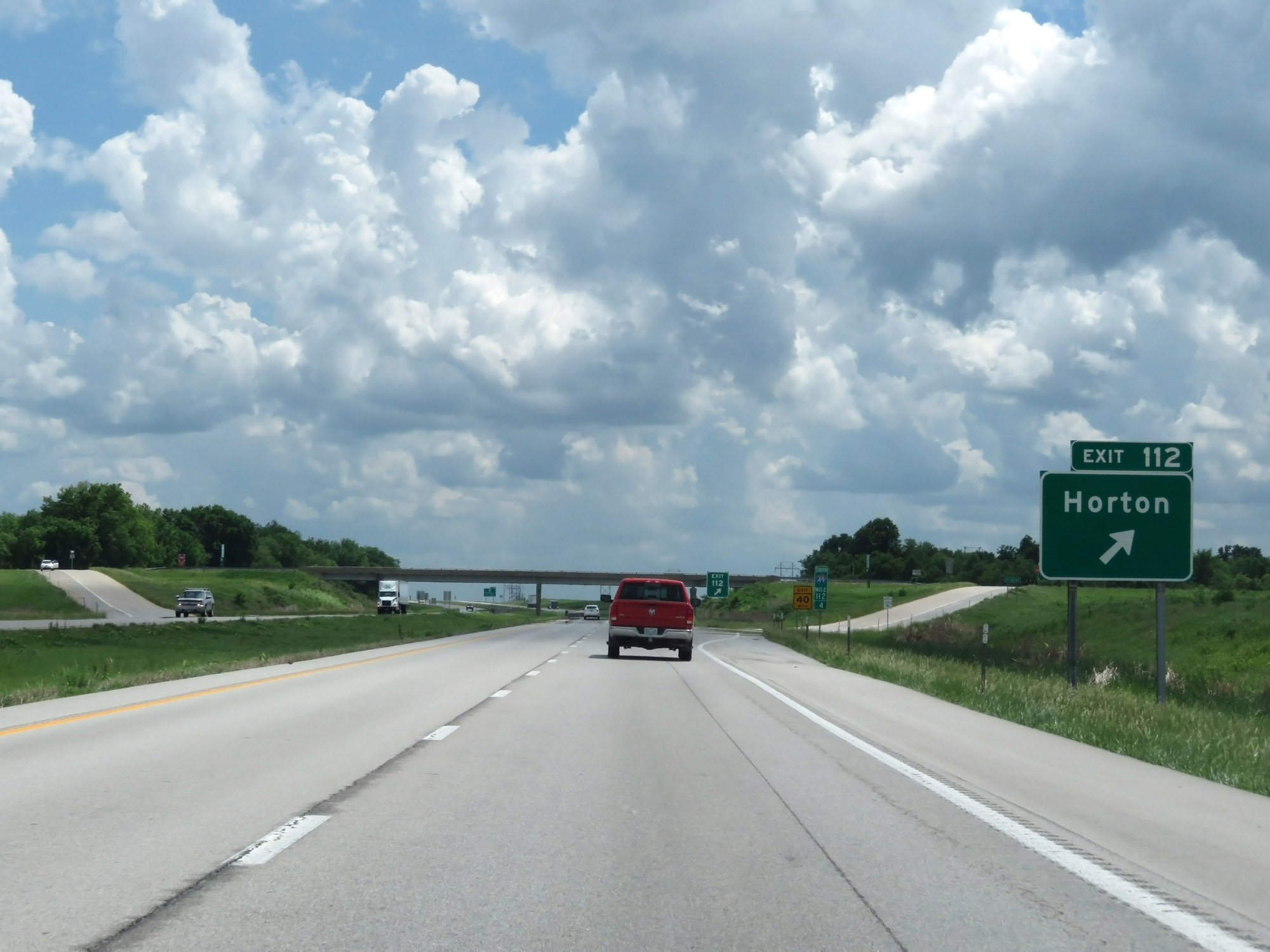 |
Interstate 49 South at Exit 112: Horton (Photo taken 5/17/18). |
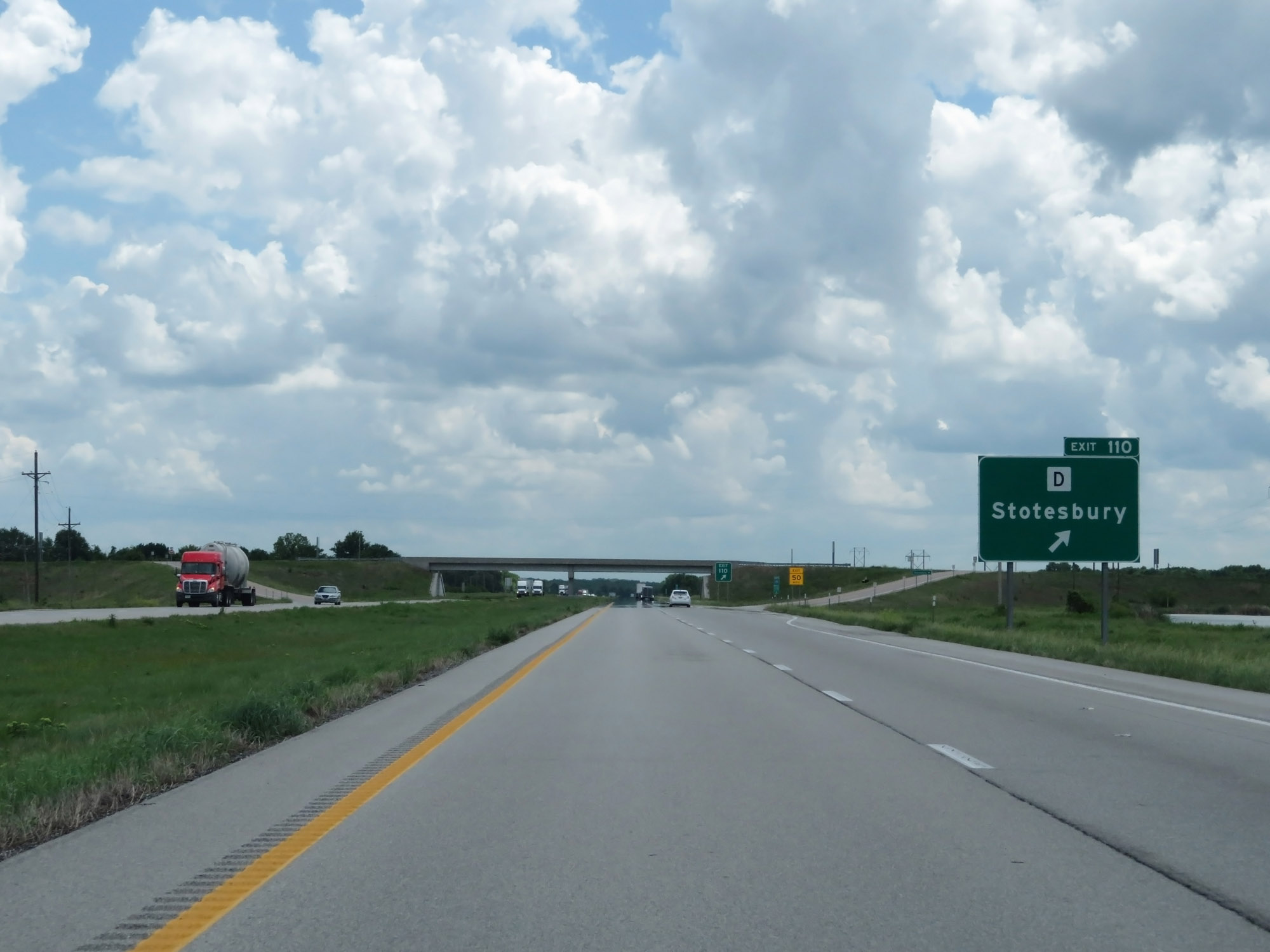 |
Interstate 49 South at Exit 110: Route D - Stotesbury (Photo taken 5/17/18). |
 |
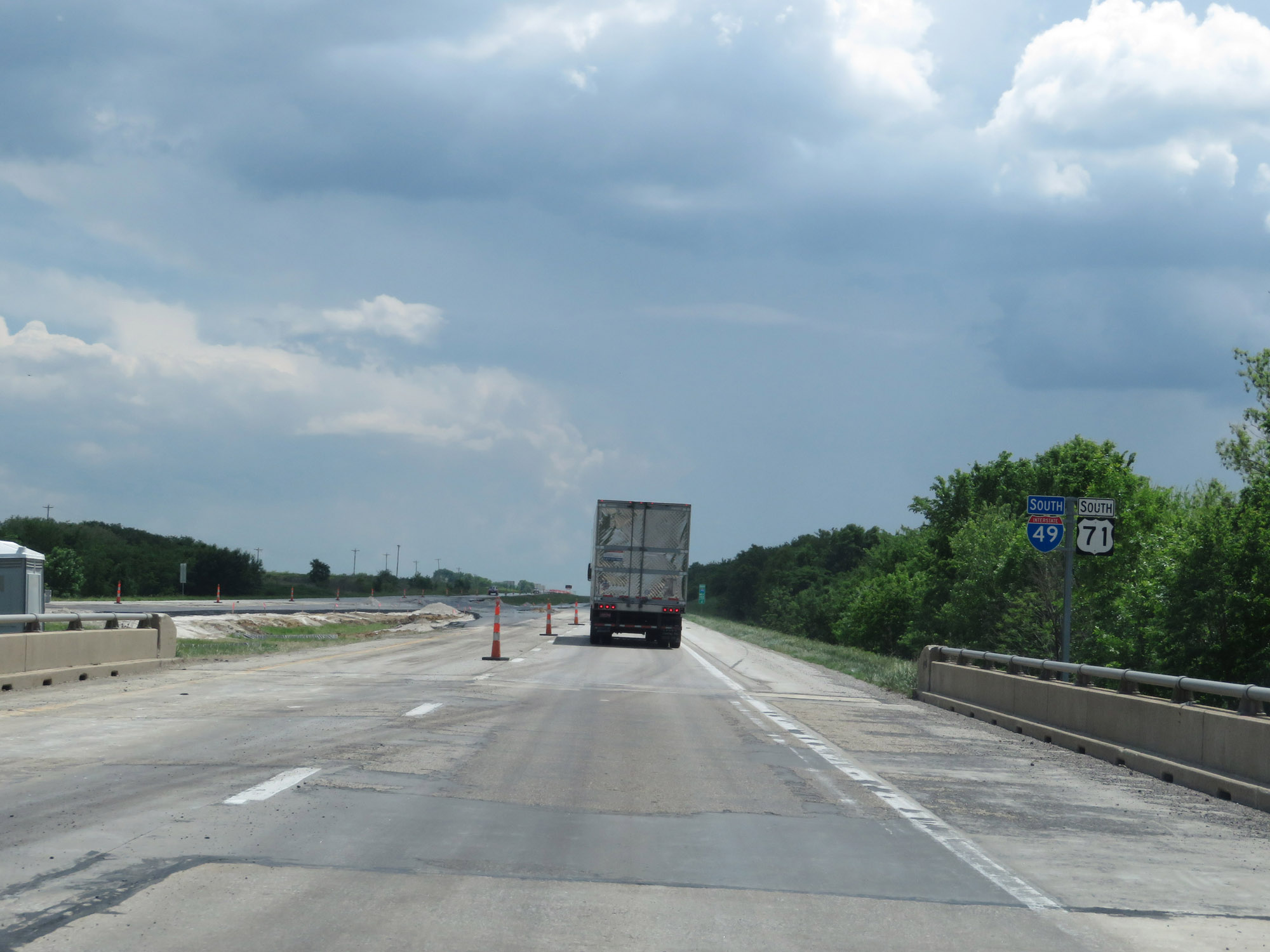
Interstate 49 South / US 71 South reassurance shields. (Photo taken 5/17/18). |
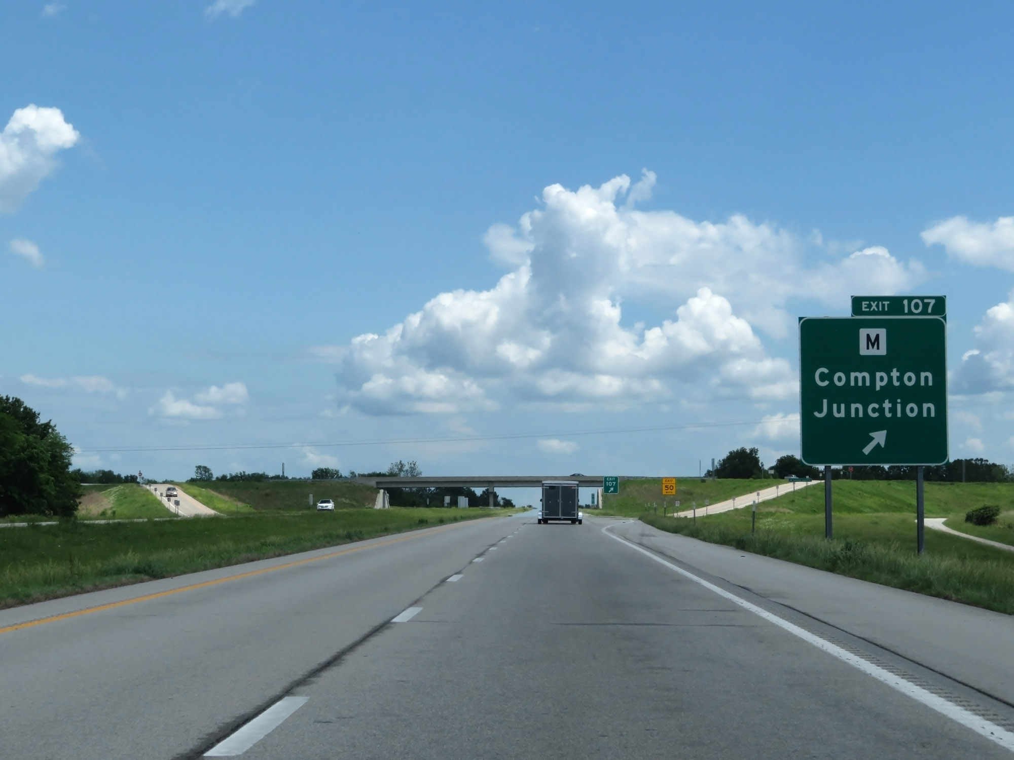 |
Interstate 49 South at Exit 107: Route M - Compton Junction (Photo taken 5/17/18). |
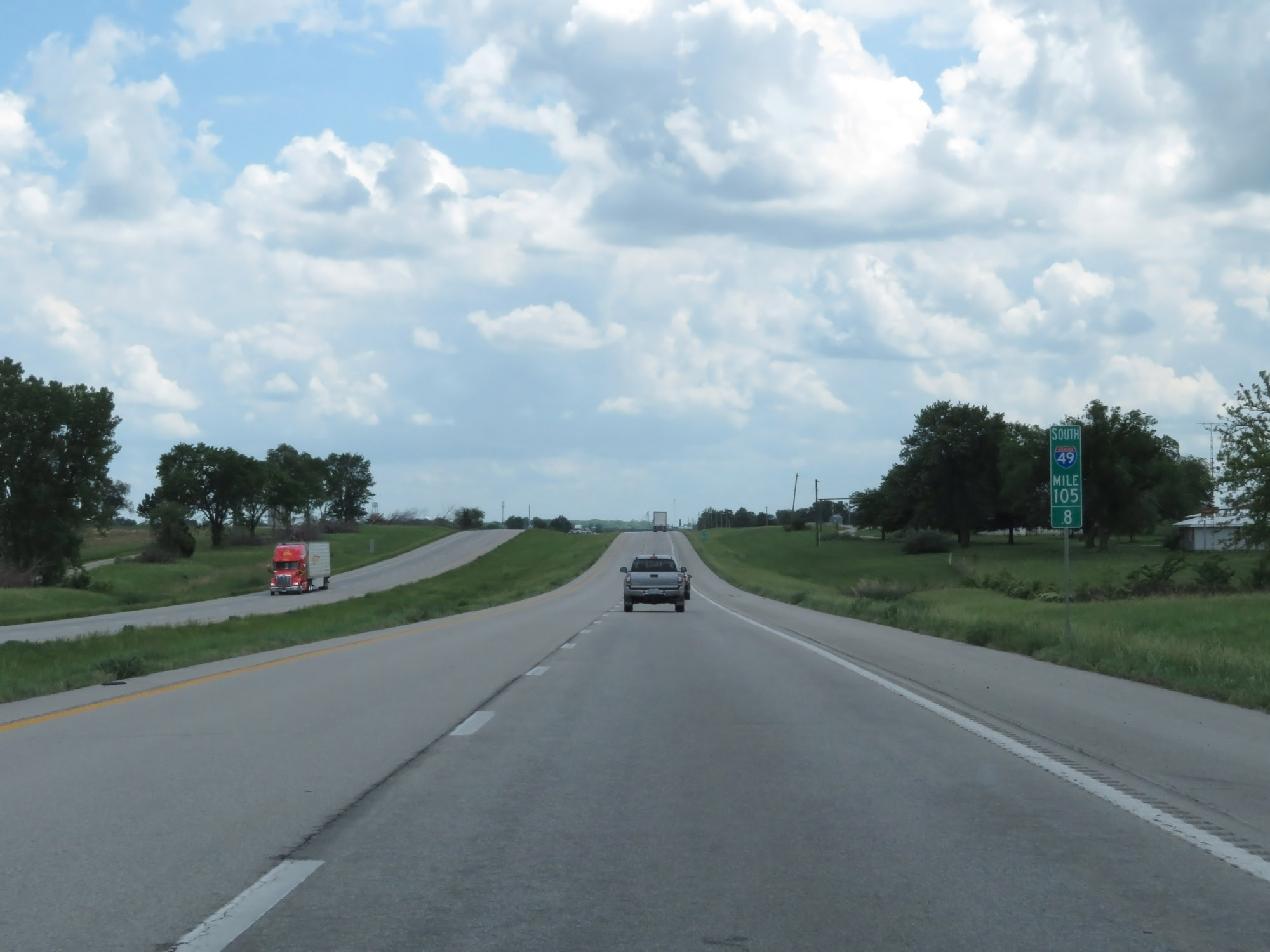 |
Interstate 49 South at mile marker 105.8. (Photo taken 5/17/18). |
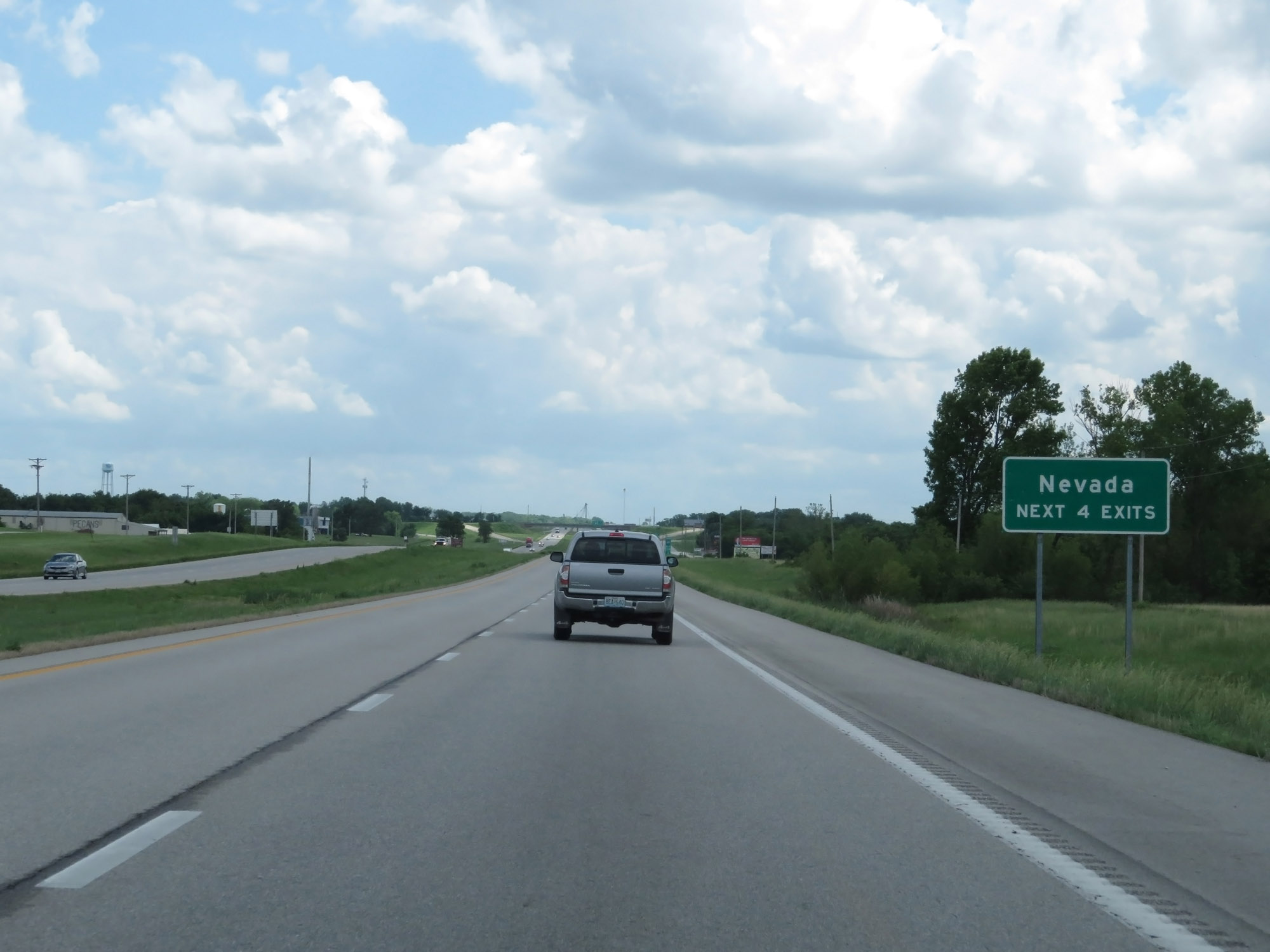 |
Take any of the next 4 exits to Nevada. (Photo taken 5/17/18). |
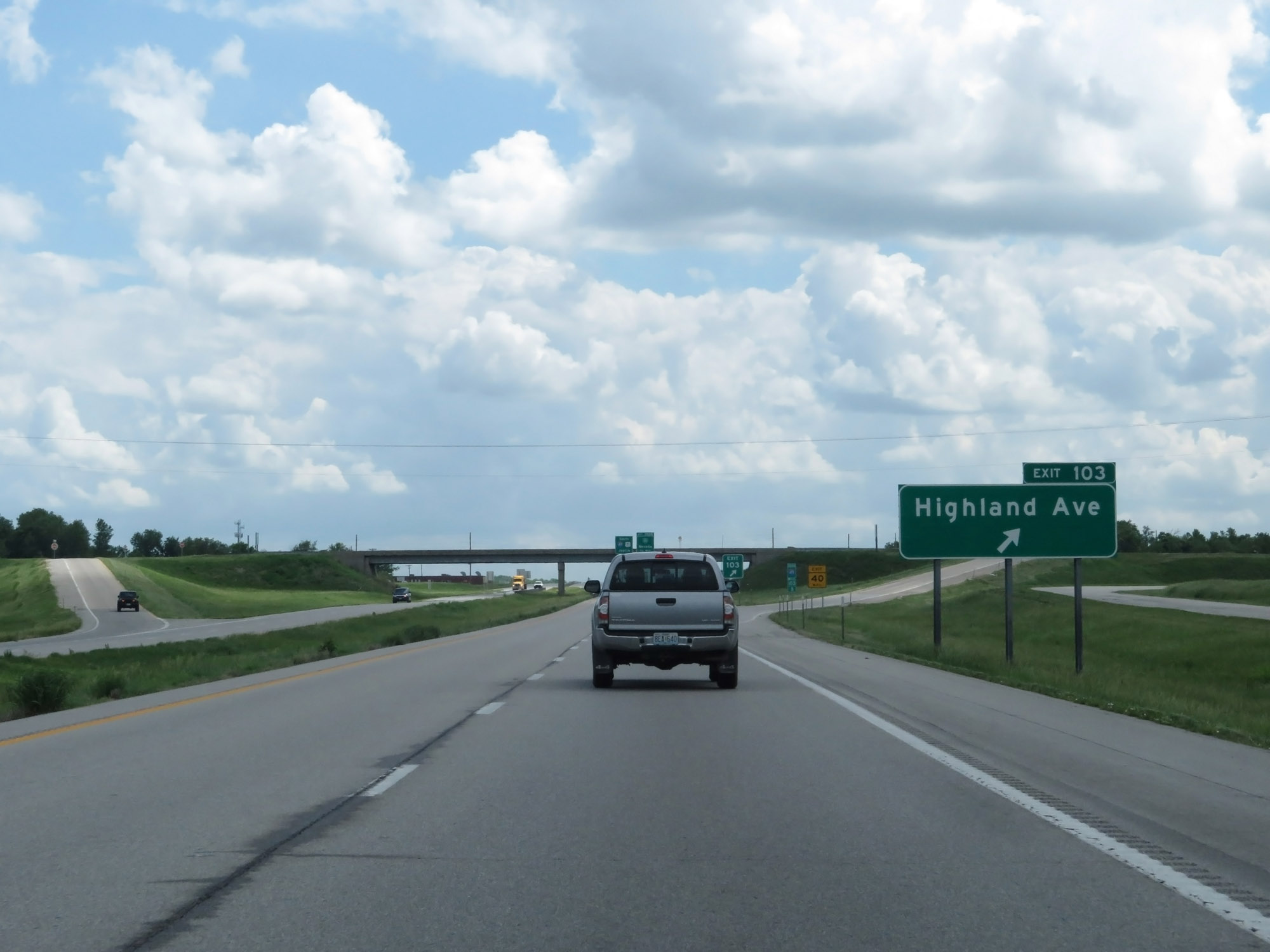 |
Interstate 49 South at Exit 103: Highland Ave (Photo taken 5/17/18). |
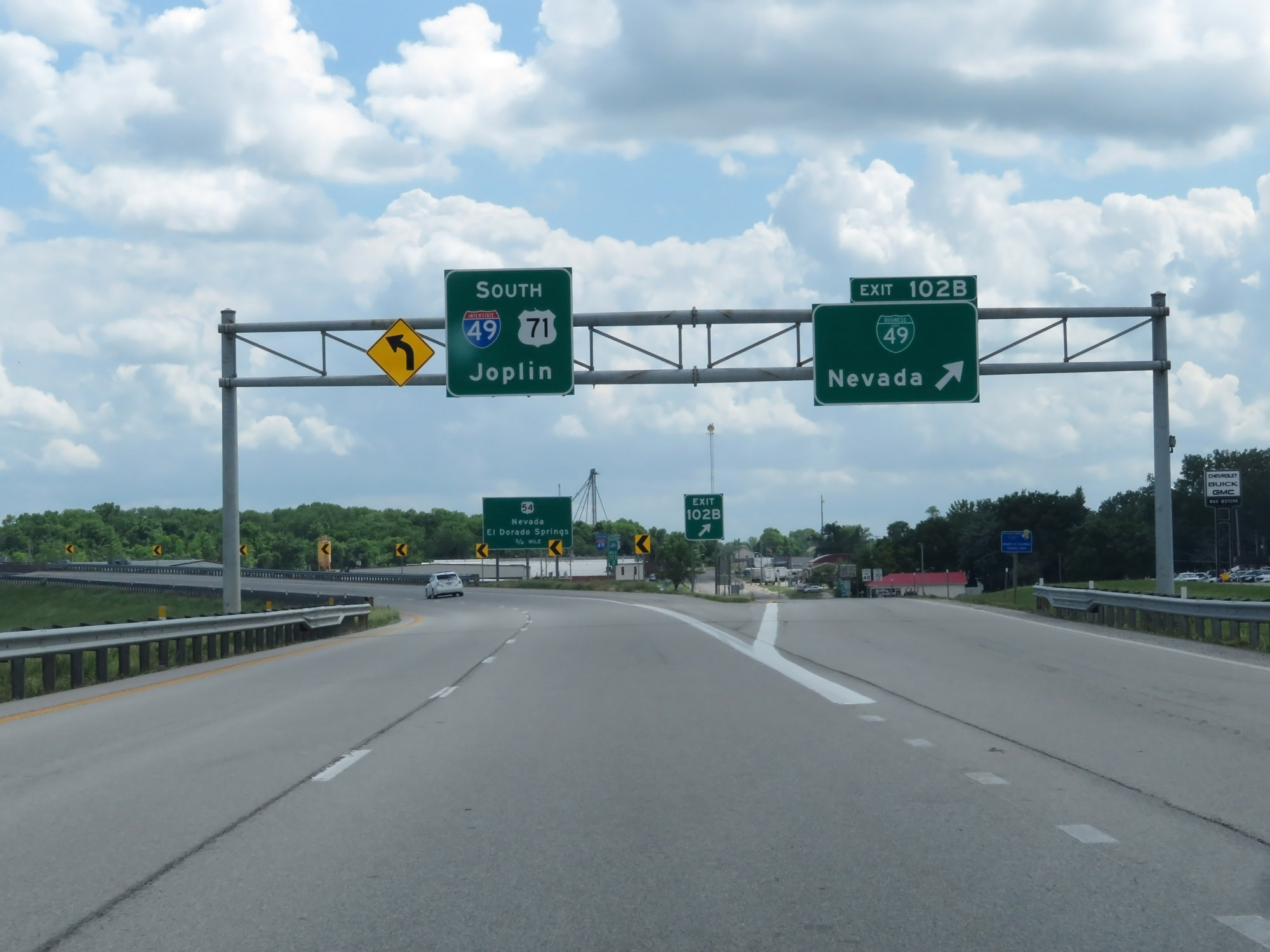 |
Interstate 49 South at Exit 102B: Interstate 49 Business Loop - Nevada (Photo taken 5/17/18). |
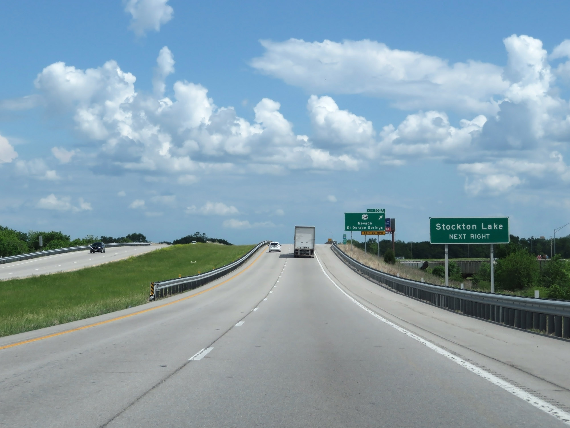 |
Take Exit 102A to Stockton Lake. (Photo taken 5/17/18). |
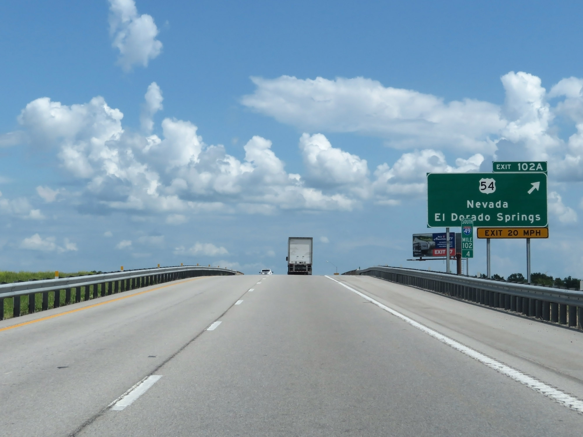 |
Interstate 49 South at Exit 102A: US 54 - Nevada / El Dorado Springs (Photo taken 5/17/18). |
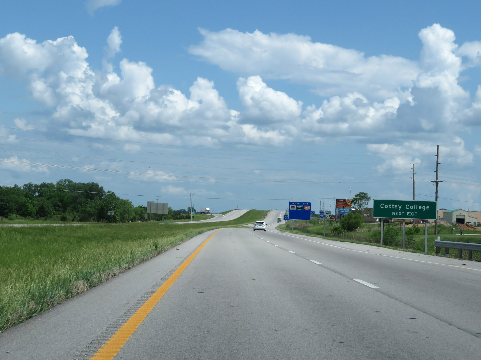 |
Take Exit 101 to Cottey College. (Photo taken 5/17/18). |
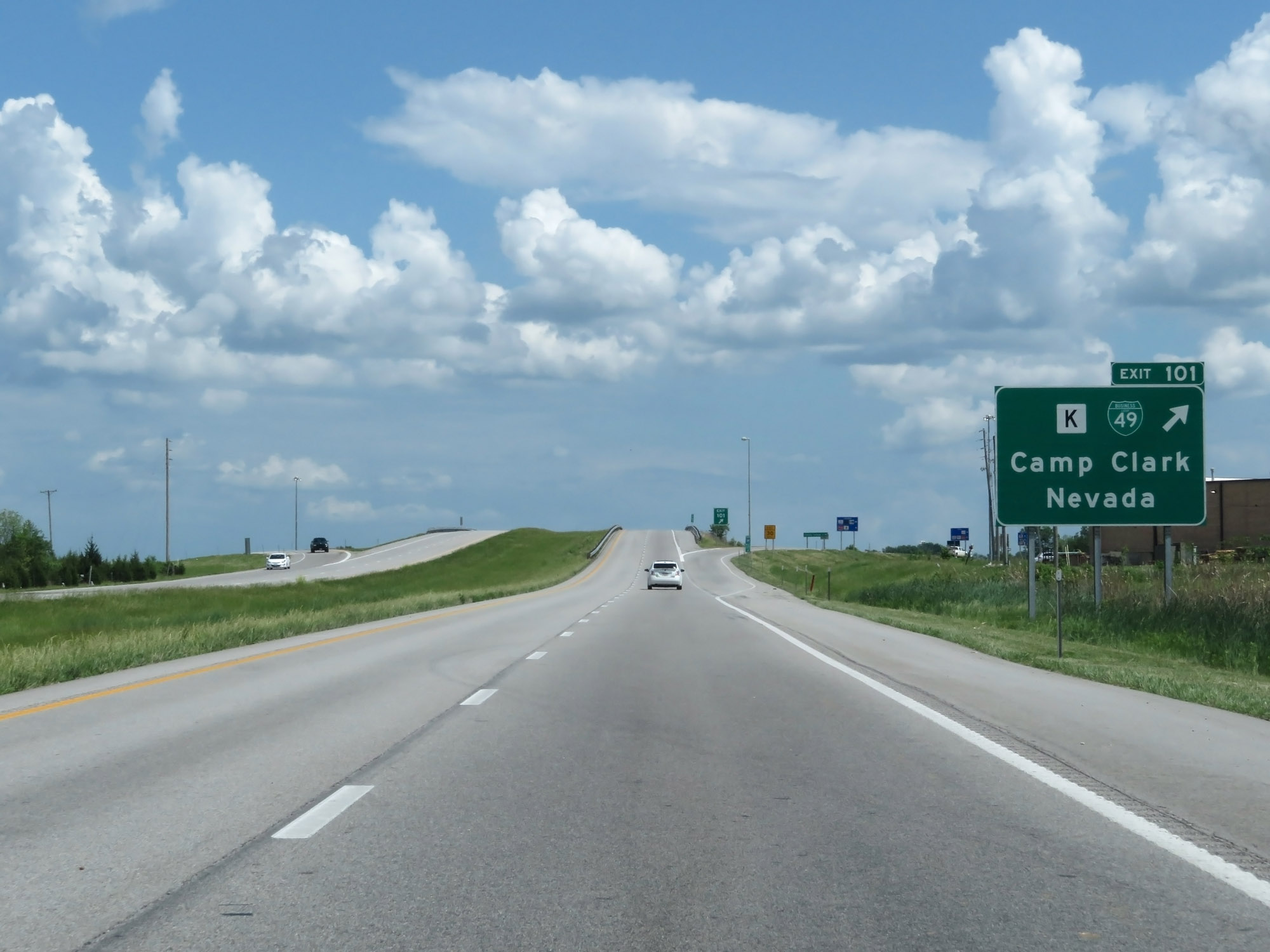 |
Interstate 49 South at Exit 101: Route K / Interstate 49 Business Loop - Camp Clark / Nevada (Photo taken 5/17/18). |
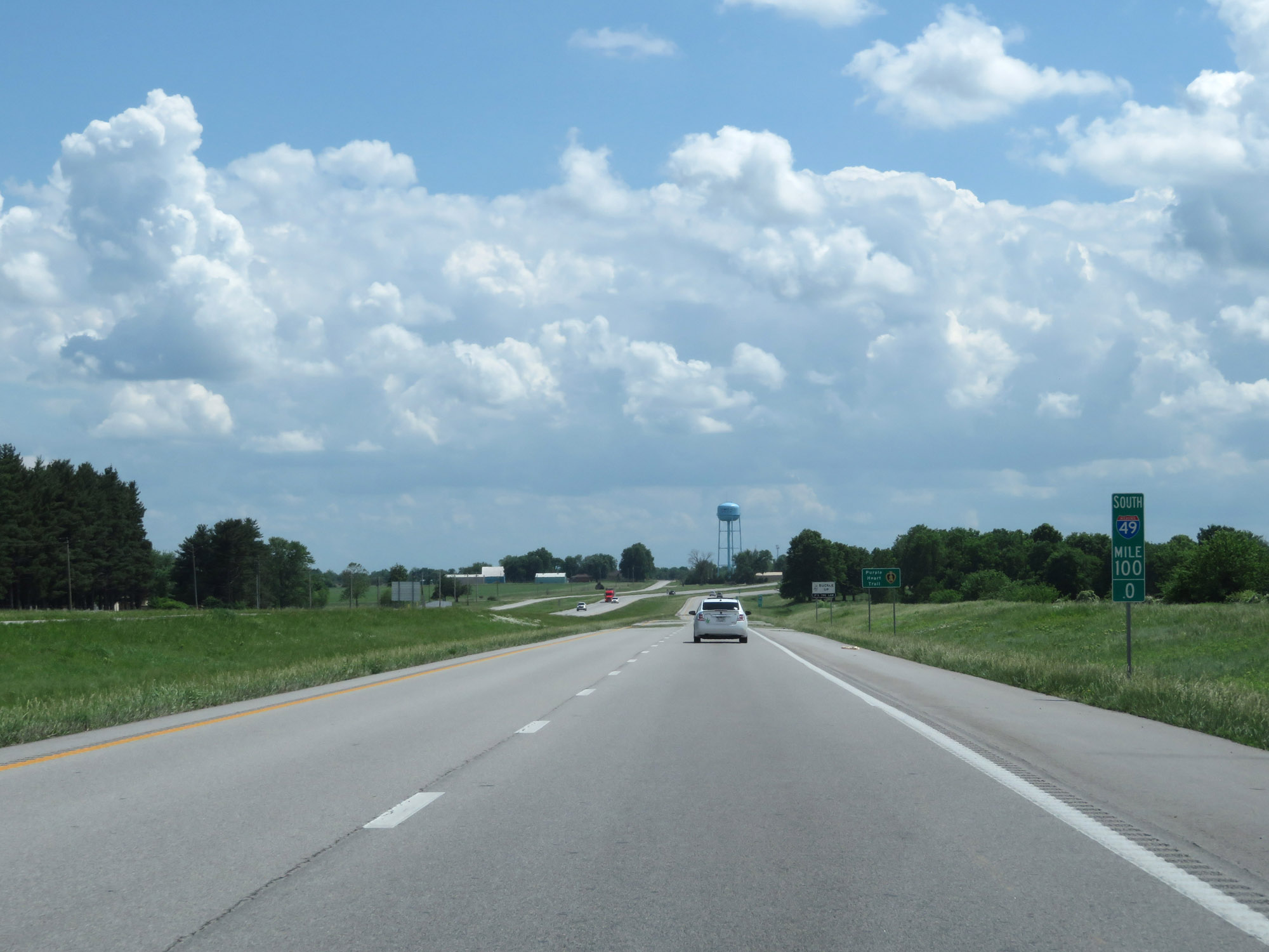 |
Interstate 49 South at mile marker 100. (Photo taken 5/17/18). |
 |
Interstate 49 South at mile marker 97.4. (Photo taken 5/17/18). |
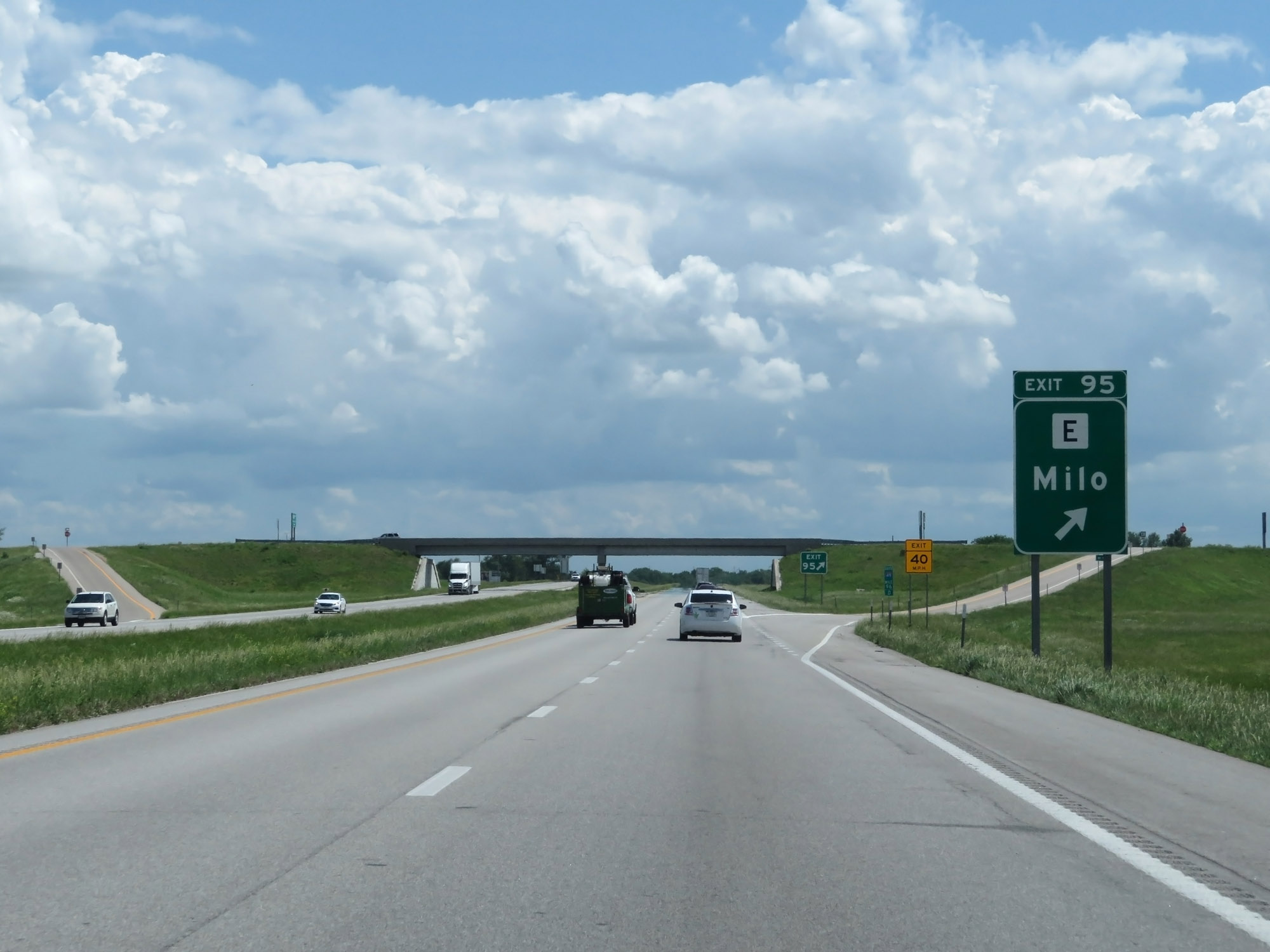 |
Interstate 49 South at Exit 95: Route E - Milo (Photo taken 5/17/18). |
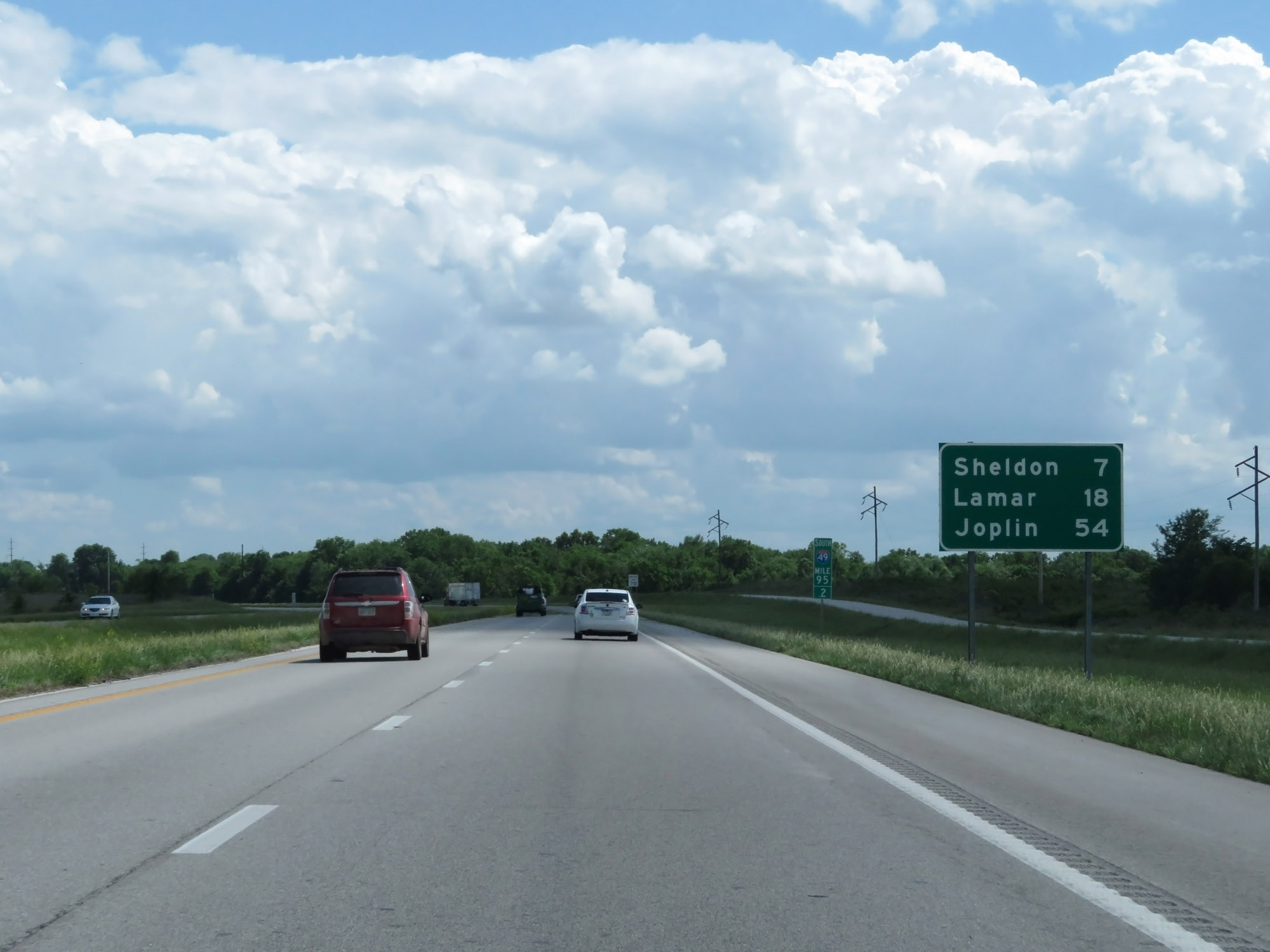 |
Mileage sign at mile marker 95.2. It's 7 miles to Sheldon, 18 miles to Lamar, and 54 miles to Joplin. (Photo taken 5/17/18). |
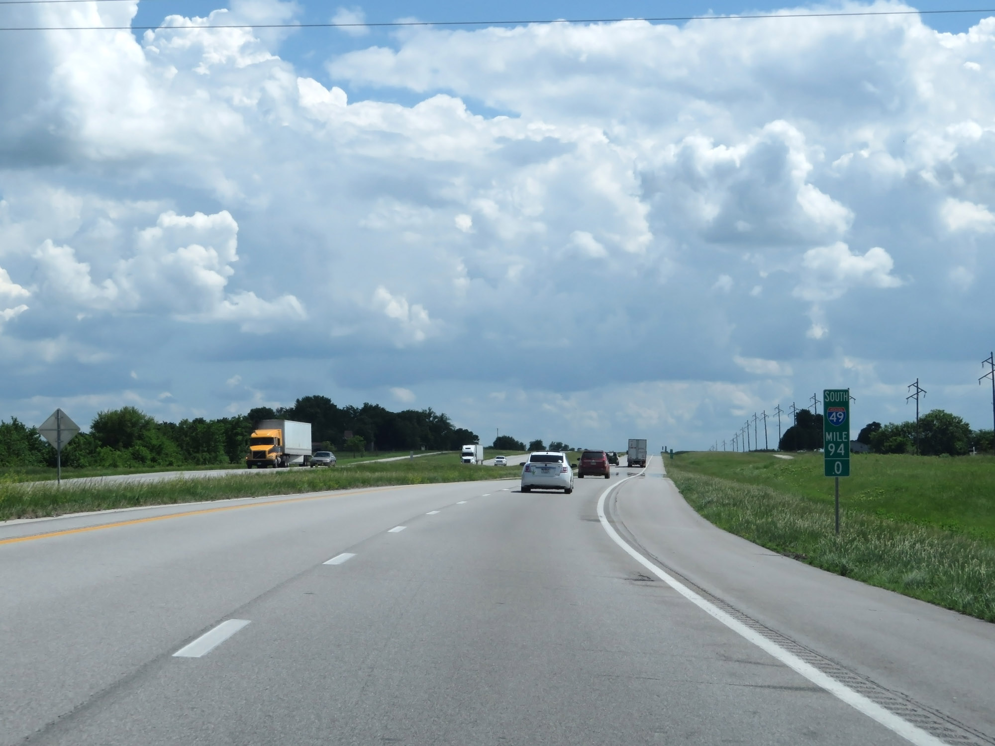 |
Interstate 49 South at mile marker 94. (Photo taken 5/17/18). |
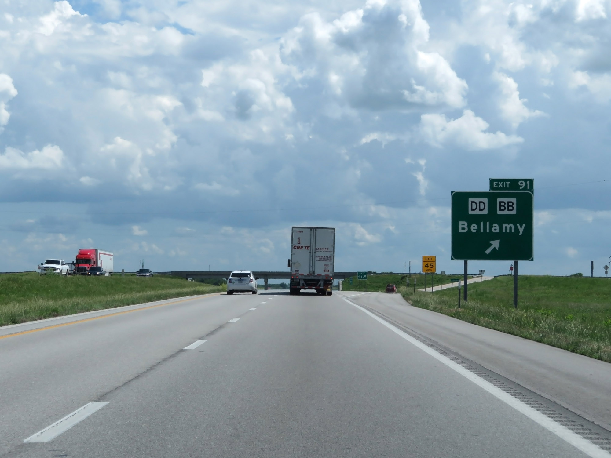 |
Interstate 49 South at Exit 91: Route DD / Route BB - Bellamy (Photo taken 5/17/18). |
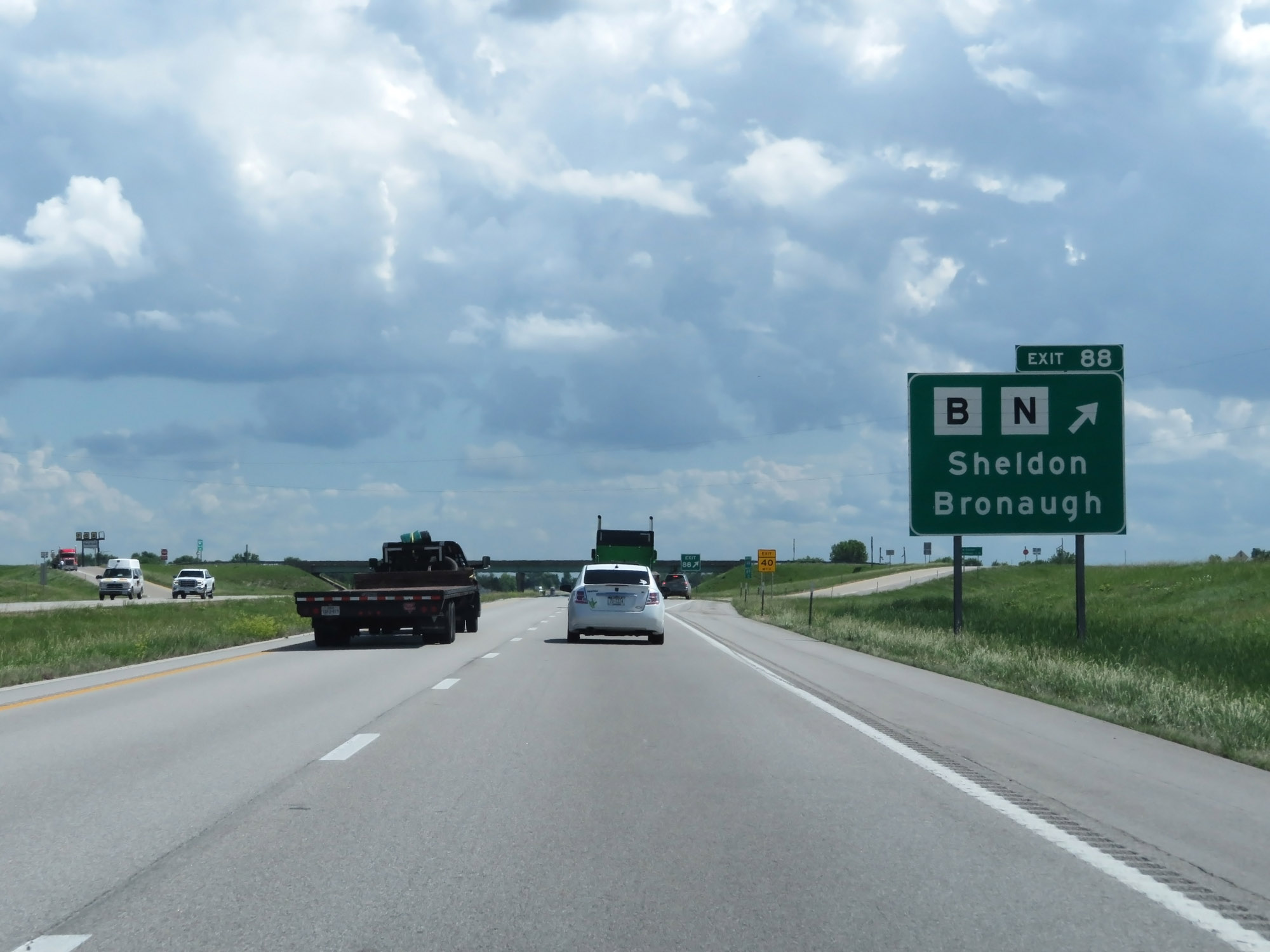 |
Interstate 49 South at Exit 88: Route B / Route N - Sheldon / Bronaugh (Photo taken 5/17/18). |
 |
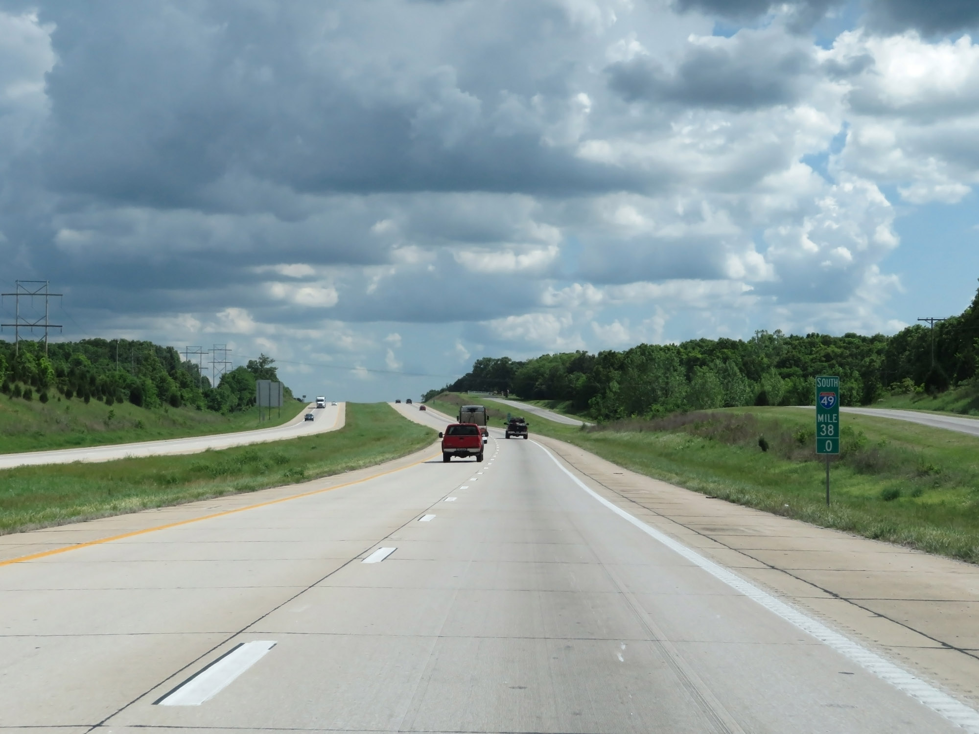
Interstate 49 South enters Barton County at mile marker 87.8. (Photo taken 5/17/18). |
 |
Interstate 49 South at mile marker 87. (Photo taken 5/17/18). |
 |
Interstate 49 South at Exit 83: Route C / Route V - Irwin (Photo taken 5/17/18). |
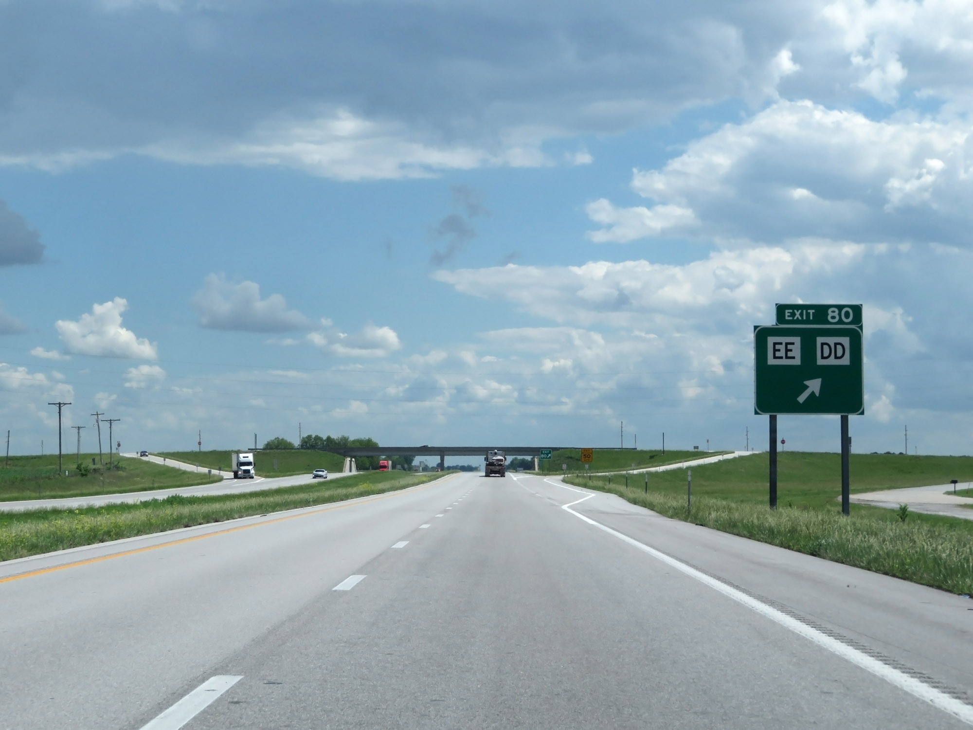 |
Interstate 49 South at Exit 80: Route EE / Route DD (Photo taken 5/17/18). |
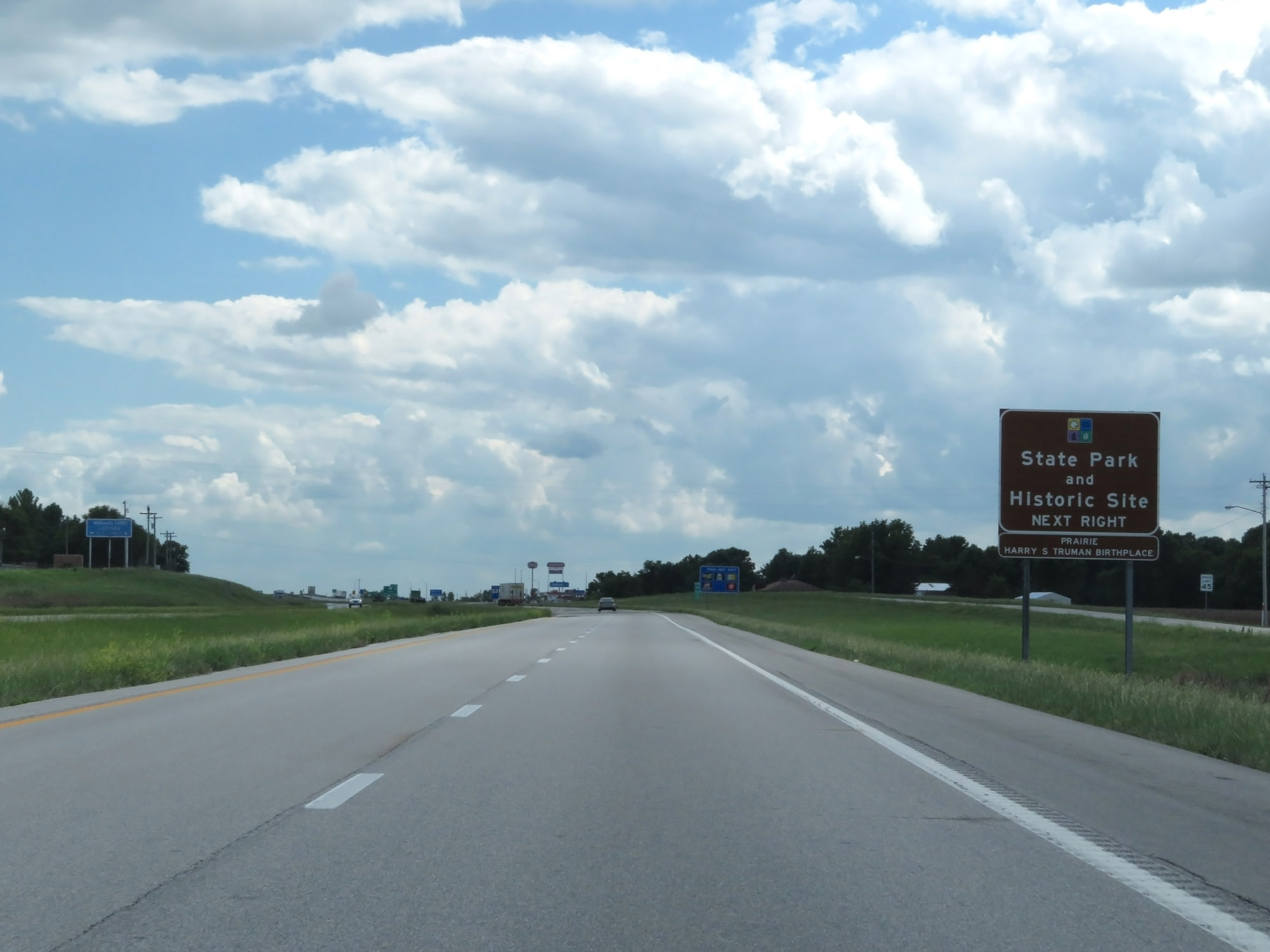 |
Take Exit 77 to Prairie State Park and Harry S. Truman Birthplace Historic Site. (Photo taken 5/17/18). |
 |
Interstate 49 South at Exit 77: US 160 - Lamar / Mindenmines (Photo taken 5/17/18). |
 |
Interstate 49 South at Exit 74: 30th Rd (Photo taken 5/17/18). |
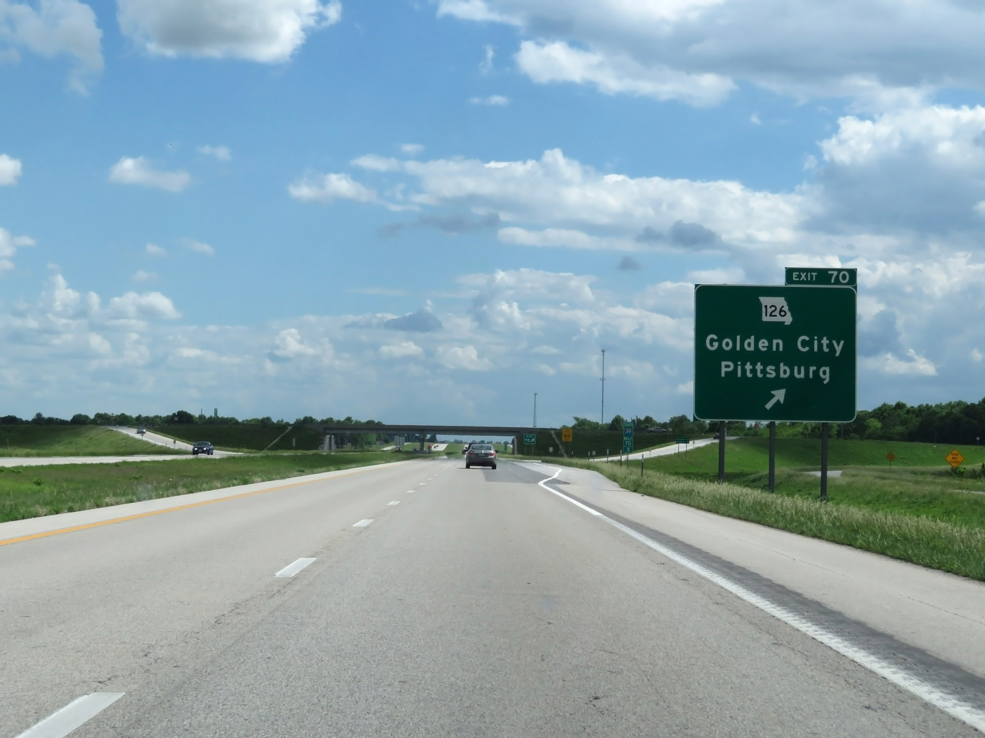 |
Interstate 49 South at Exit 70: MO 126 - Golden City / Pittsburg (Photo taken 5/17/18). |
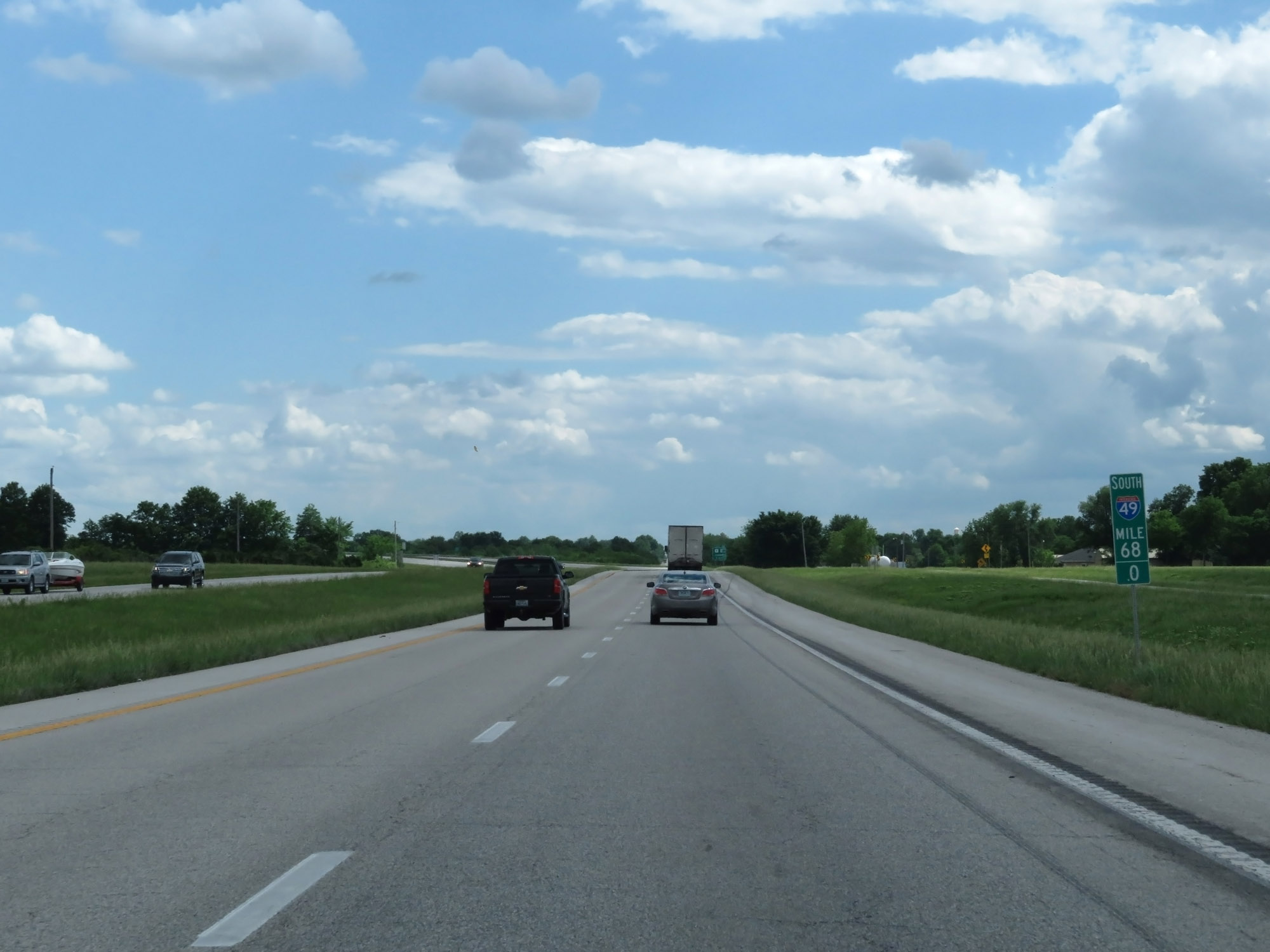 |
Interstate 49 South at mile marker 68. (Photo taken 5/17/18). |
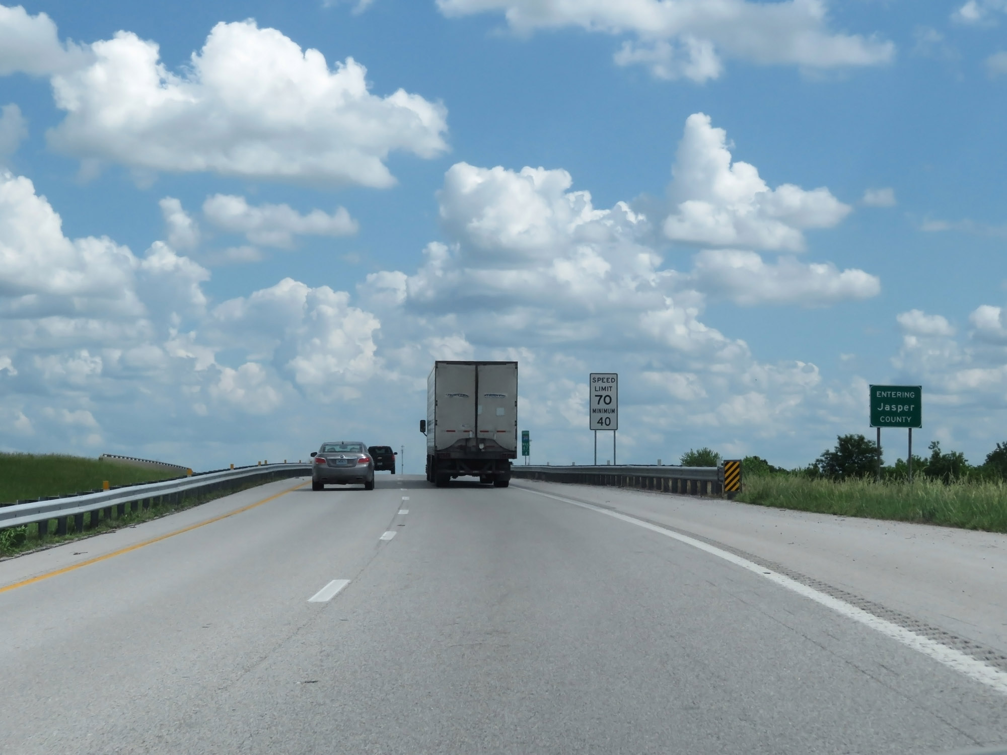 |
Interstate 49 South entering Jasper County. (Photo taken 5/17/18). |
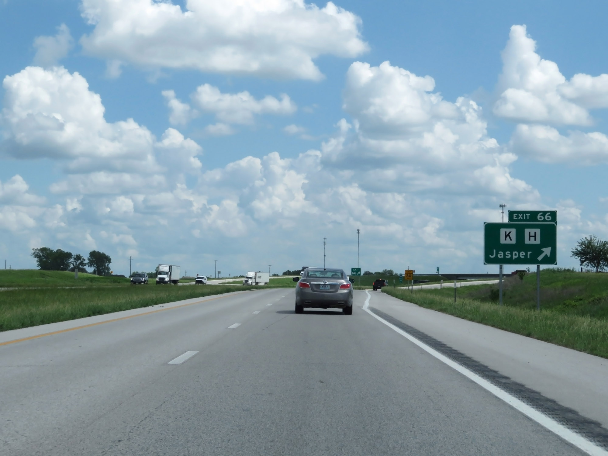 |
Interstate 49 South at Exit 66: Route K / Route H - Jasper (Photo taken 5/17/18). |
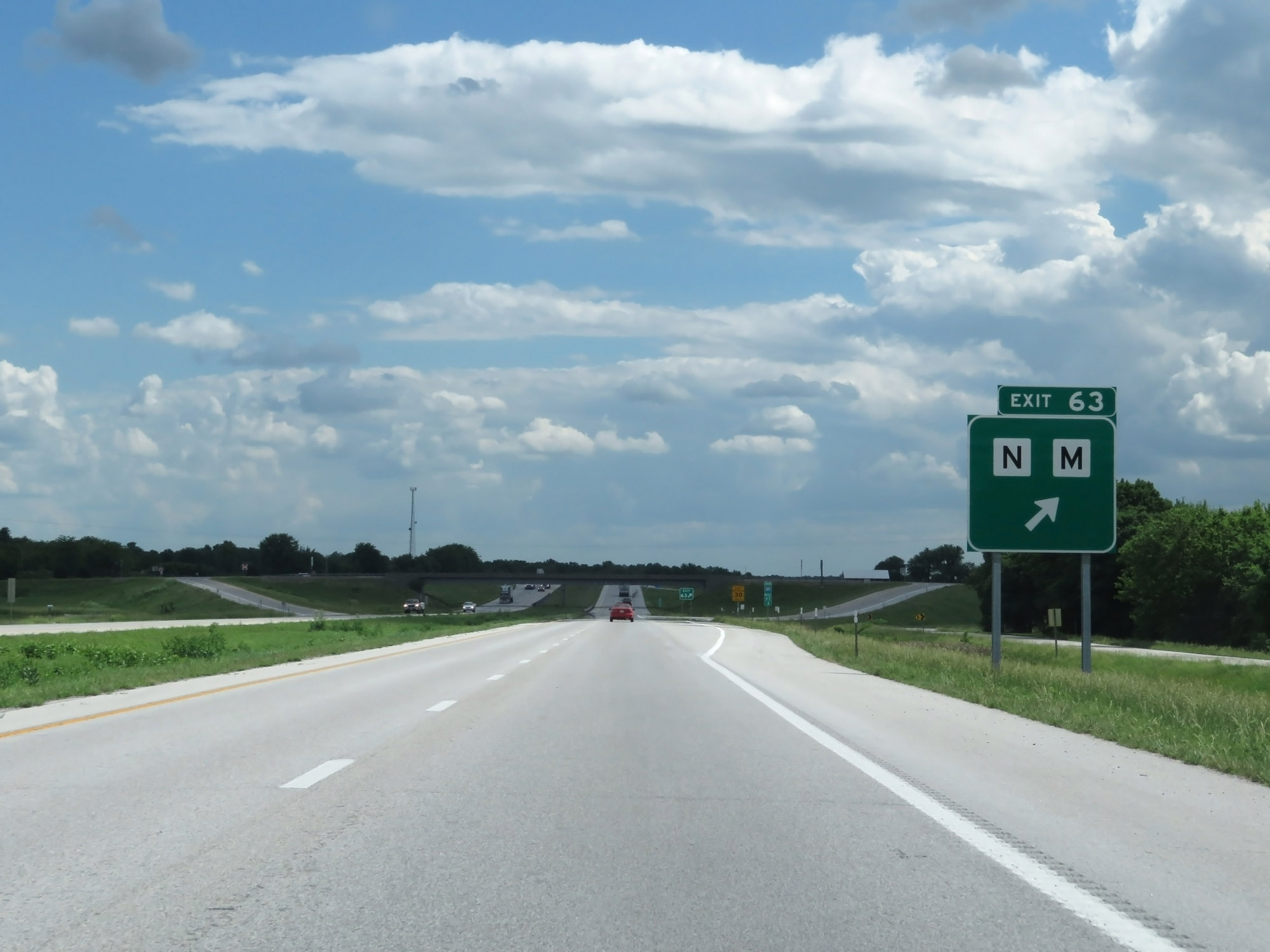 |
Interstate 49 South at Exit 63: Route N / Route M (Photo taken 5/17/18). |
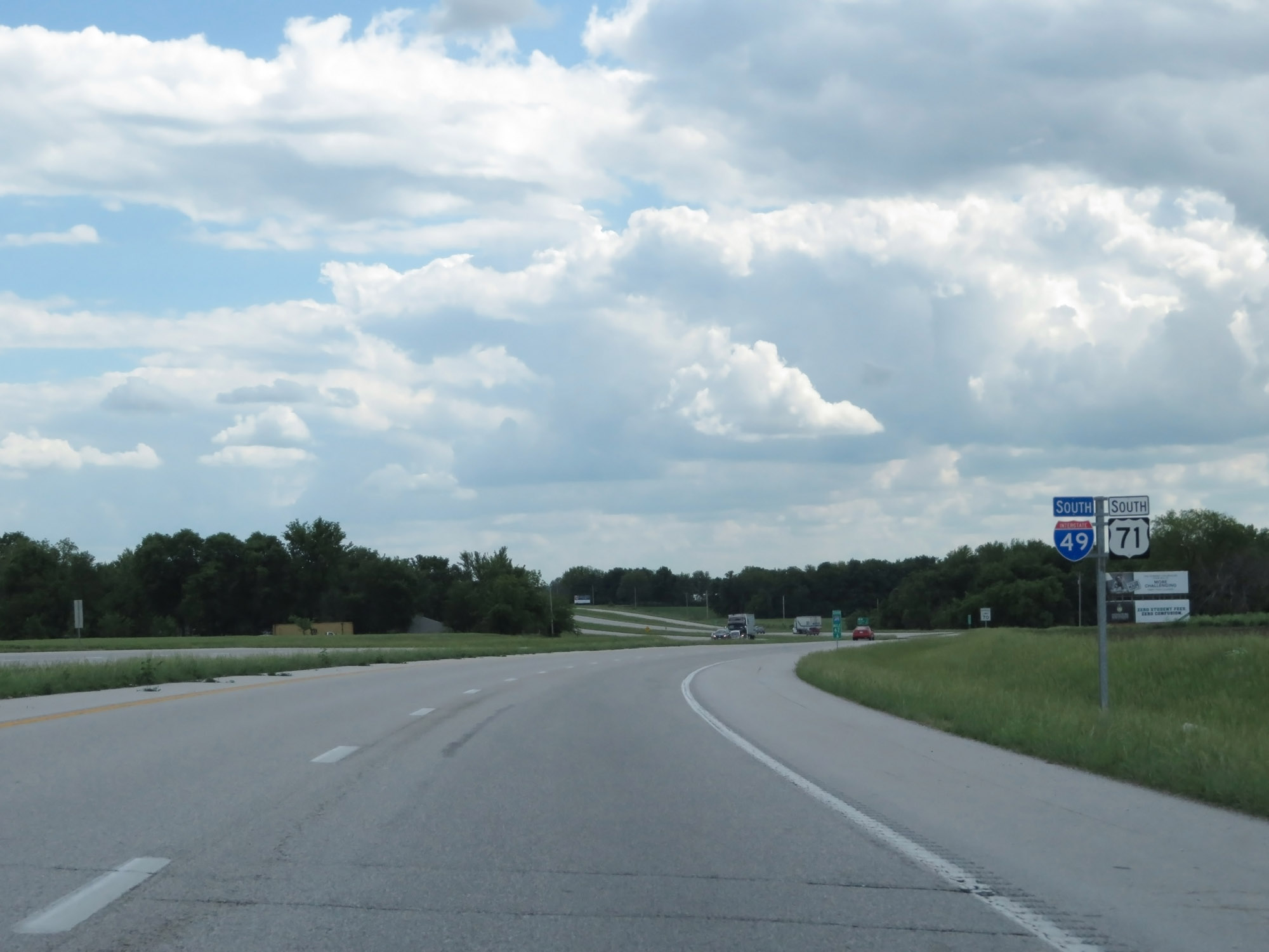 |
Interstate 49 South / US 71 South reassurance shields. (Photo taken 5/17/18). |
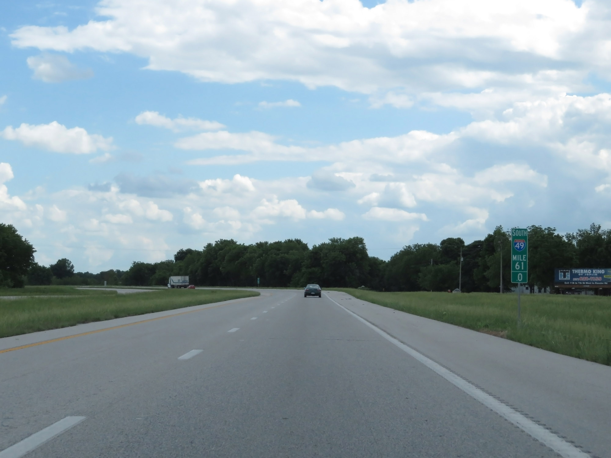 |
Interstate 49 South at mile marker 61. (Photo taken 5/17/18). |
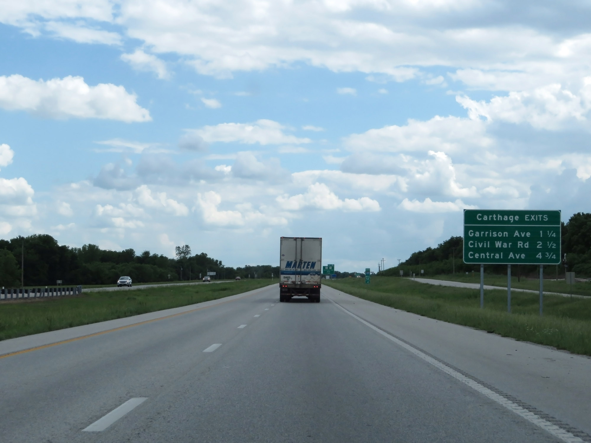 |
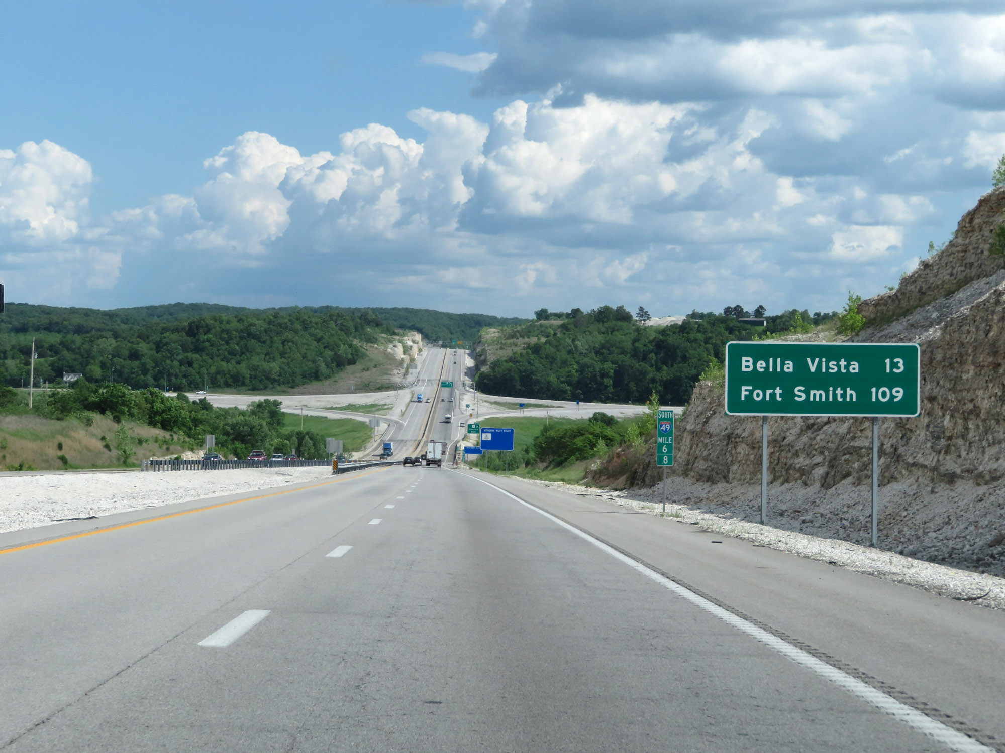
Sign listing the distances to the three upcoming exits to Carthage. (Photo taken 5/17/18). |
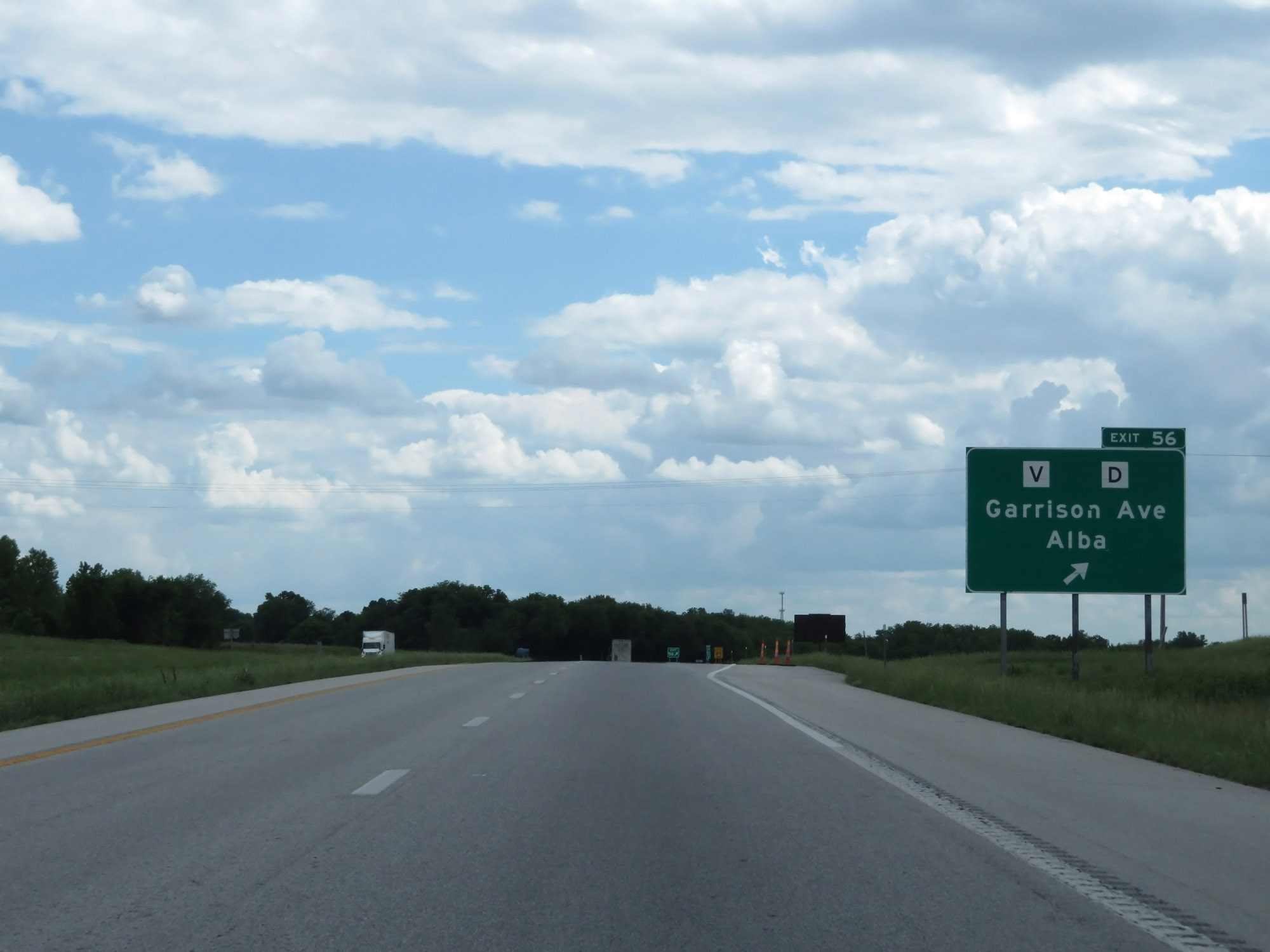 |
Interstate 49 South at Exit 56: Route V / Route D - Garrison Ave / Alba (Photo taken 5/17/18). |
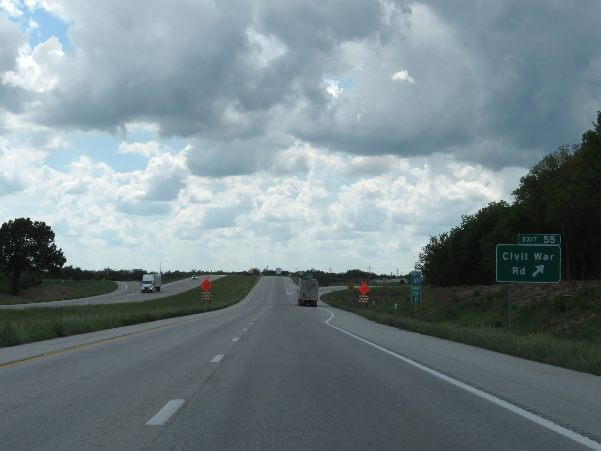 |
Interstate 49 South at Exit 55: Civil War Rd (Photo taken 5/17/18). |
 |
Take Exit 53 to Joplin Regional Airport. (Photo taken 5/17/18). |
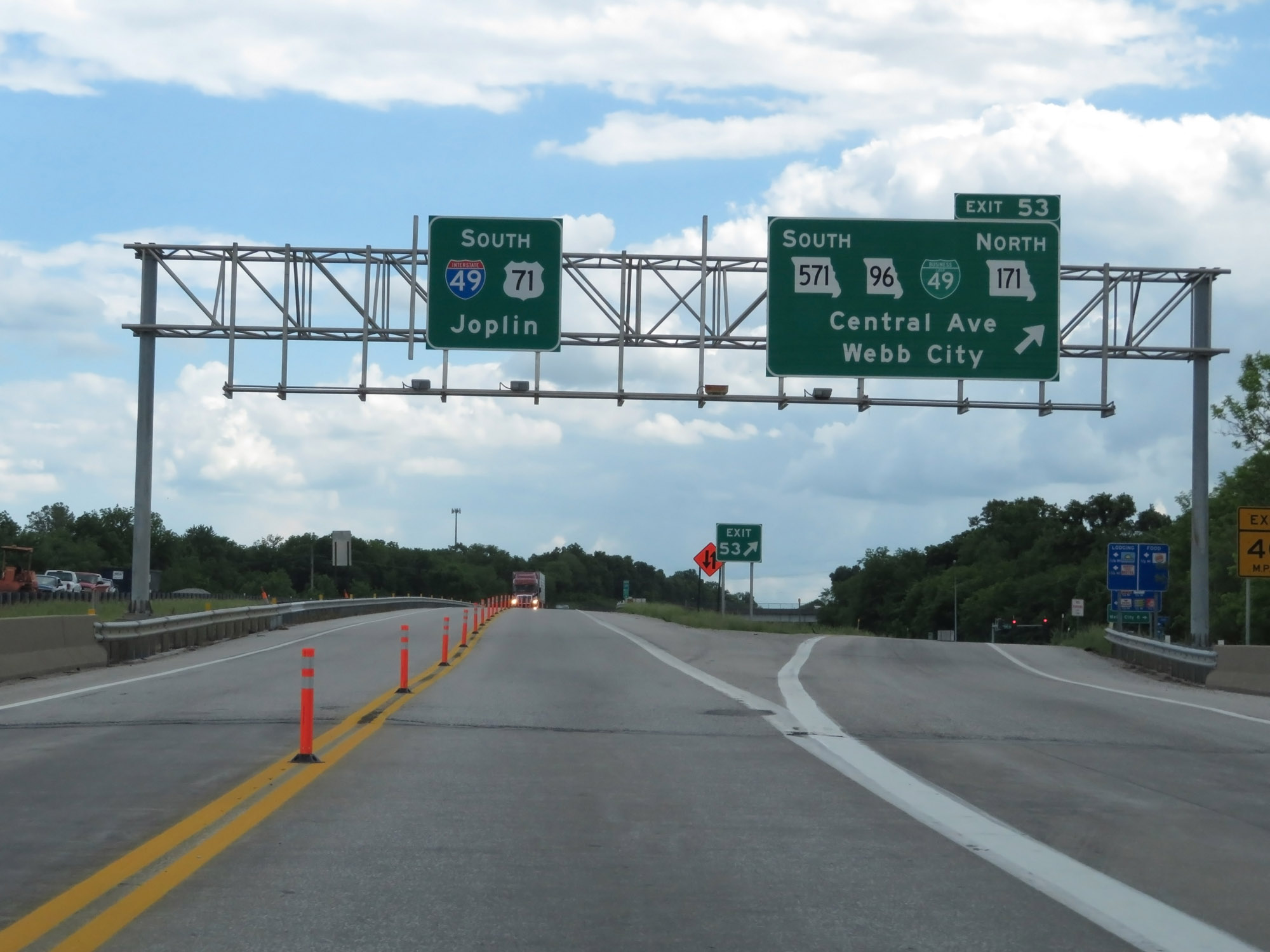 |
Interstate 49 South at Exit 53: MO 571 South / MO 96 / Interstate 49 Business Loop / MO 171 North - Central Ave / Webb City (Photo taken 5/17/18). |
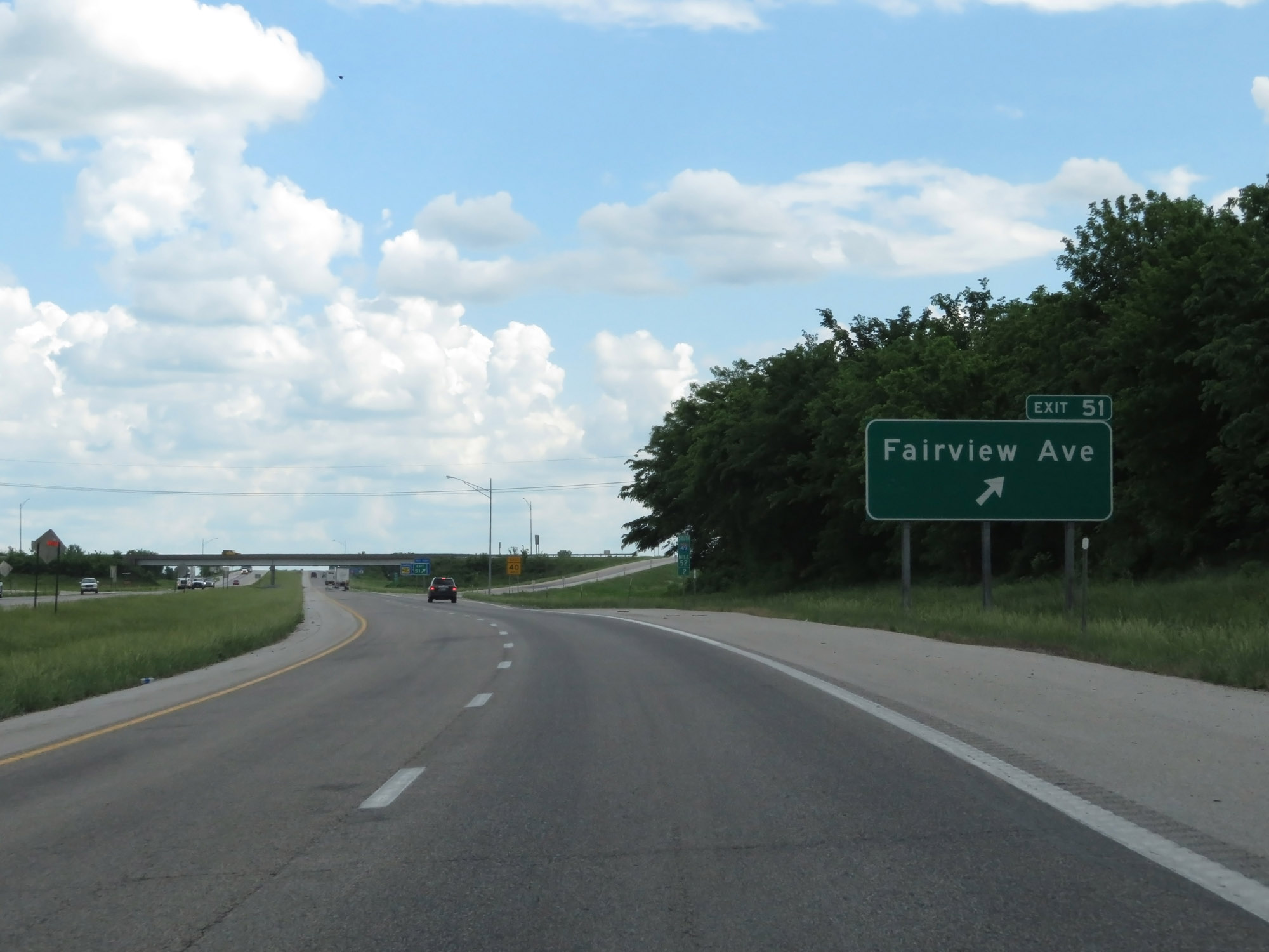 |
Interstate 49 South at Exit 51: Fairview Ave (Photo taken 5/17/18). |
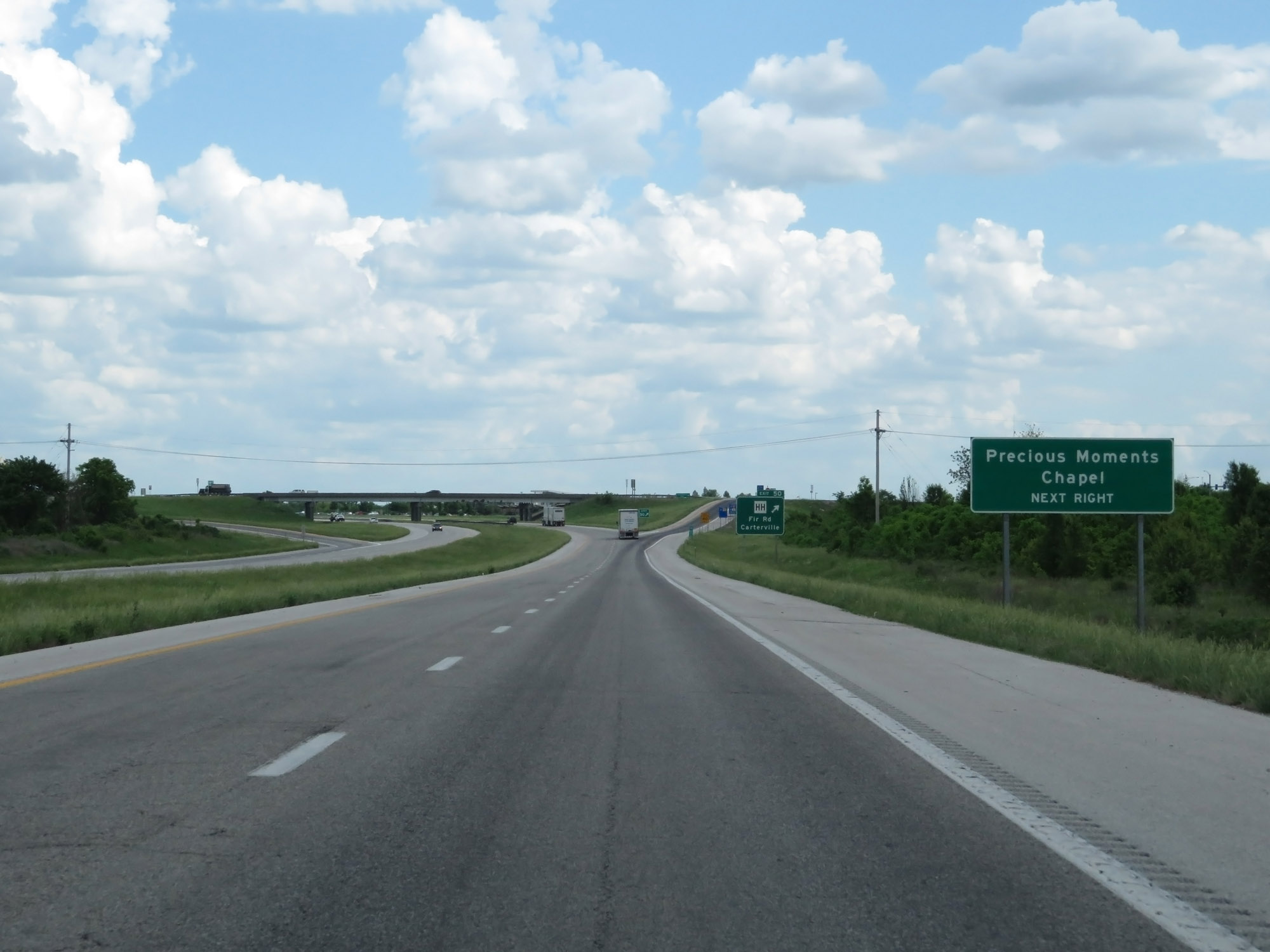 |
Take Exit 50 to Precious Moments Chapel. (Photo taken 5/17/18). |
 |
Interstate 49 South at Exit 50: Route HH - Fir Rd / Carterville (Photo taken 5/17/18). |
Section 3: Carthage (Exit 50) to Pineville
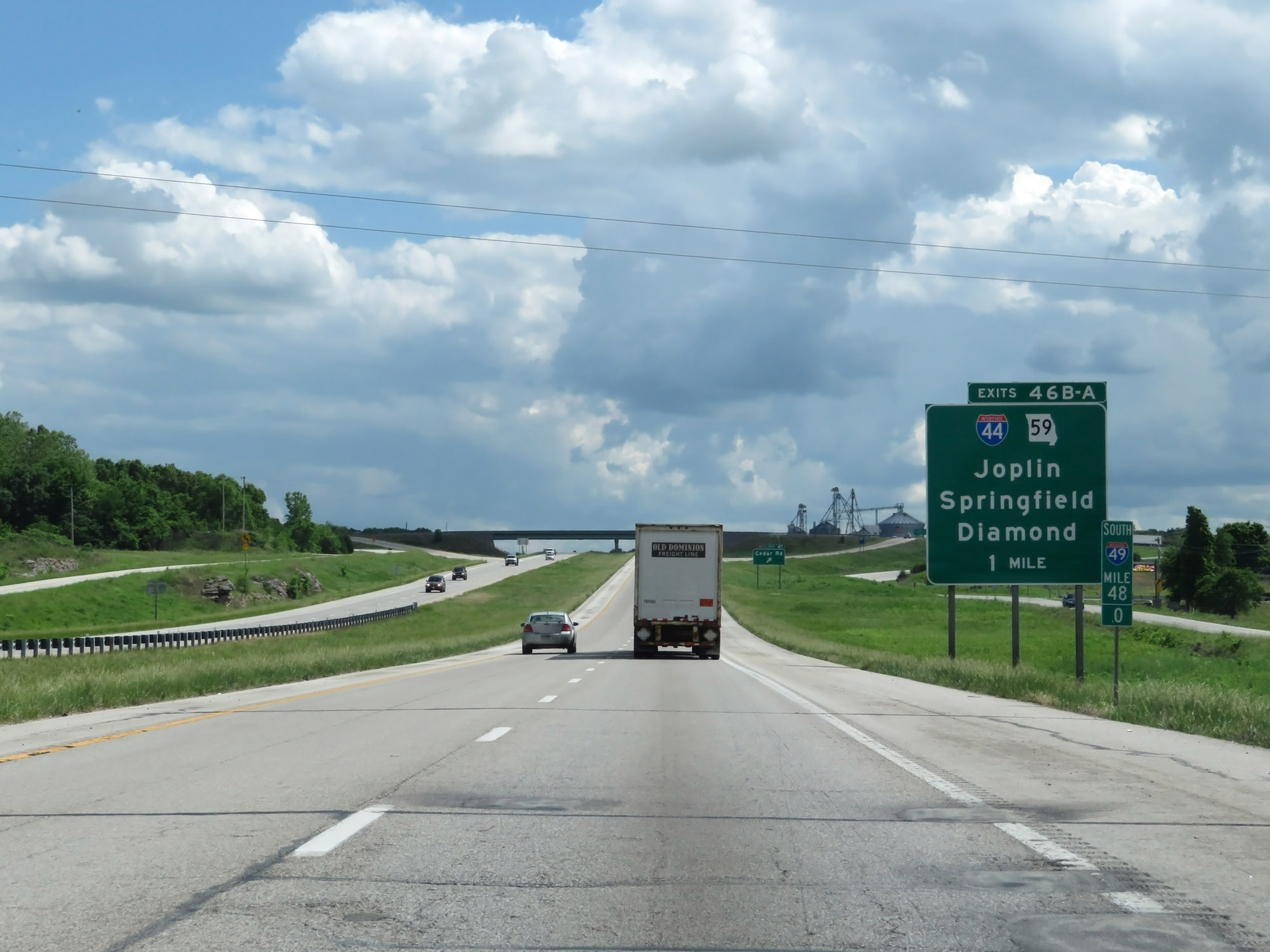 |
Interstate 49 South approaching Exits 46B-A - 1 mile. (Photo taken 5/17/18). |
 |
Interstate 49 South at Exit 47: Cedar Rd (Photo taken 5/17/18). |
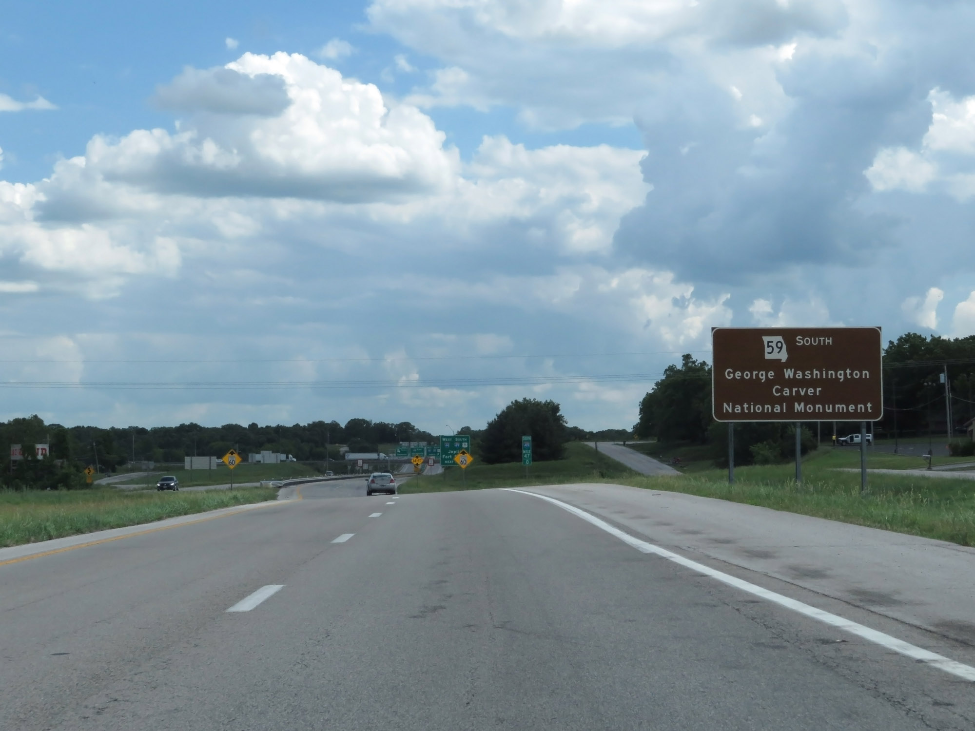 |
Take Exit 46A and follow MO 59 South to get to the George Washington Carver National Monument. (Photo taken 5/17/18). |
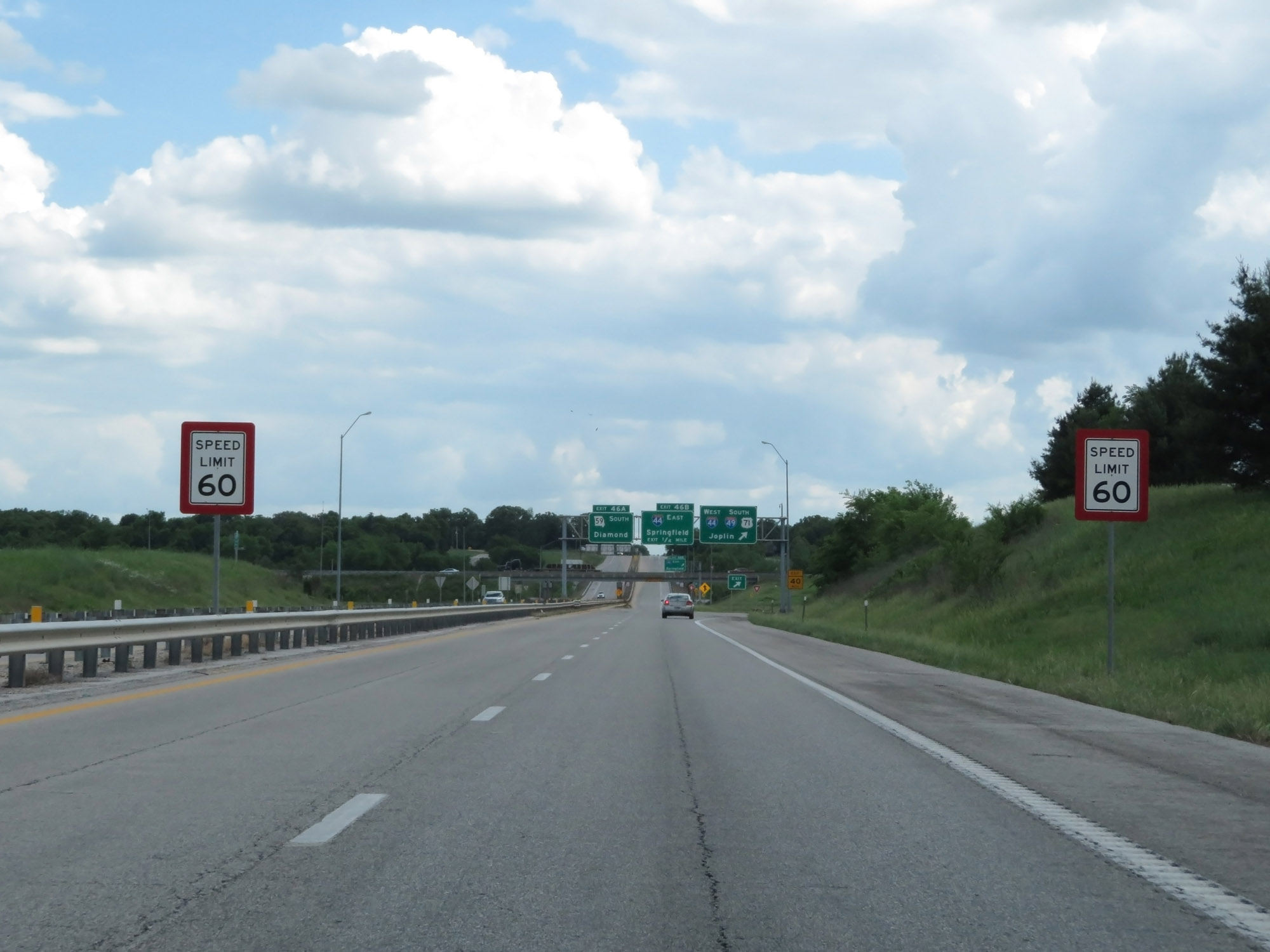 |
Approaching Exits 46B-A, the speed limit decreases to 60 mph. (Photo taken 5/17/18). |
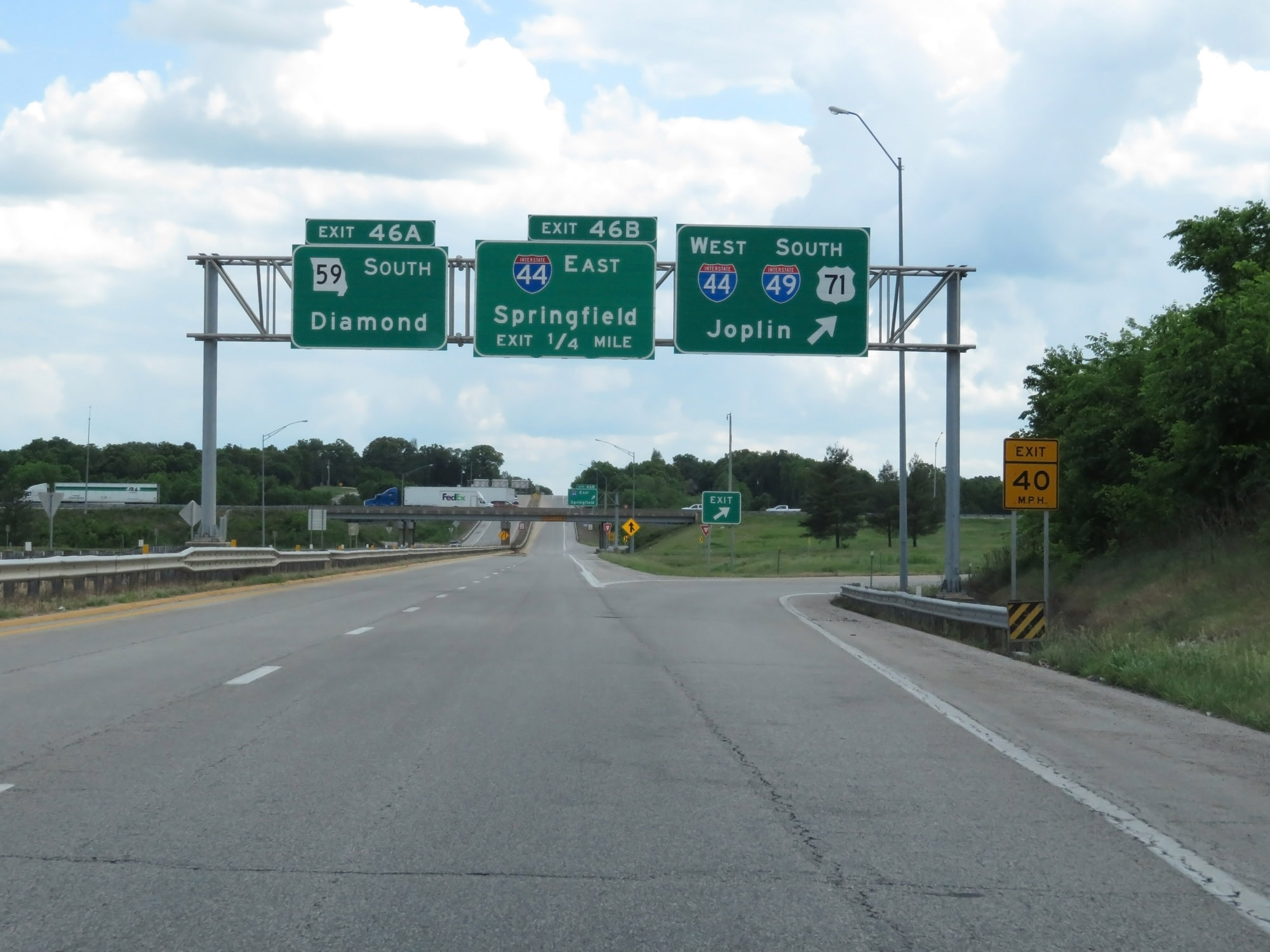 |
Interstate 49 South at Exit 46A: MO 59 South - Diamond; Exit 46B: Interstate 44 East - Springfield (Photo taken 5/17/18). |
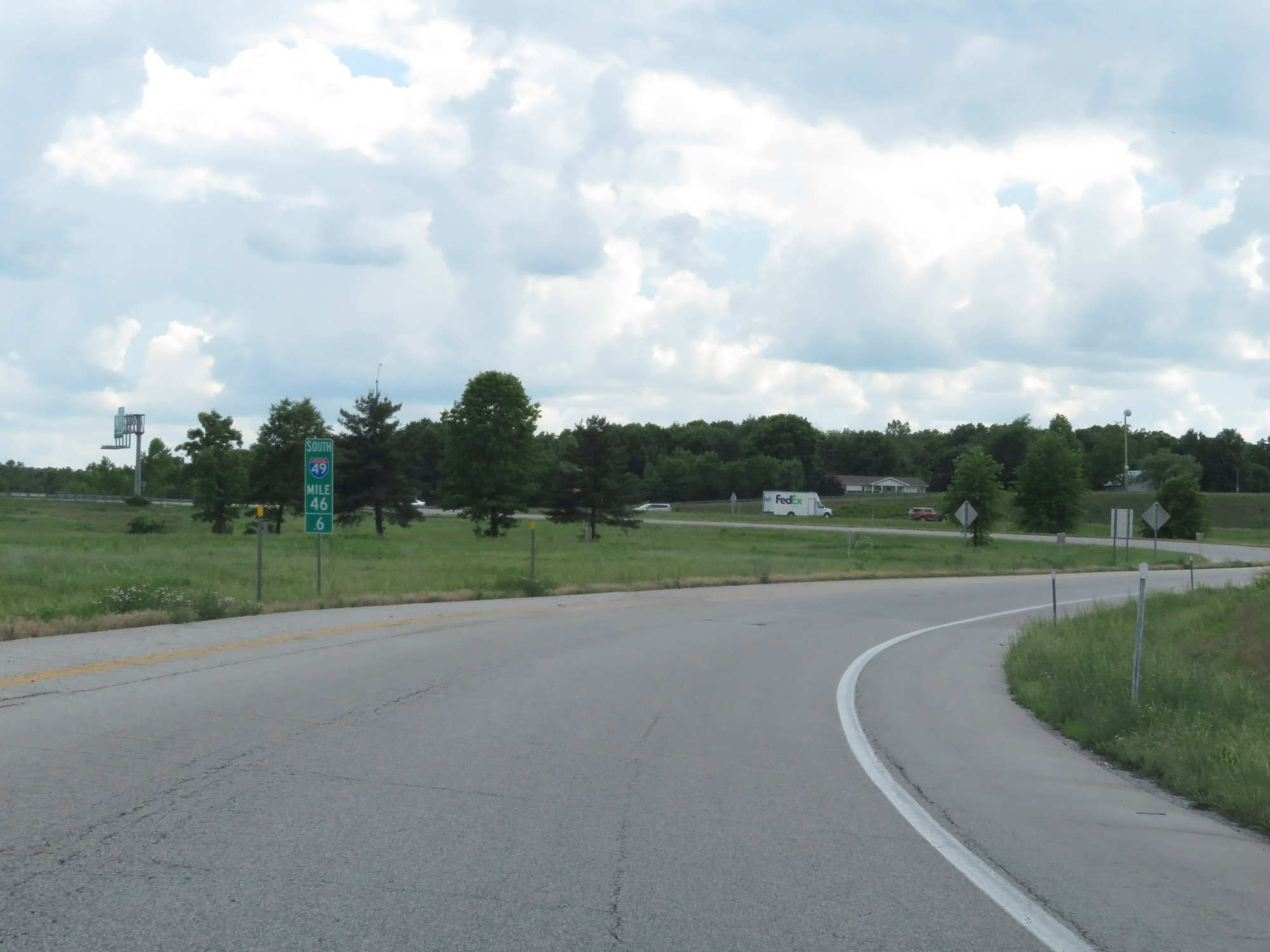 |
Interstate 49 South at mile marker 46.4, on the ramp to Interstate 44 West. I-49 and I-44 run concurrently for about 6 miles ahead. (Photo taken 5/17/18). |
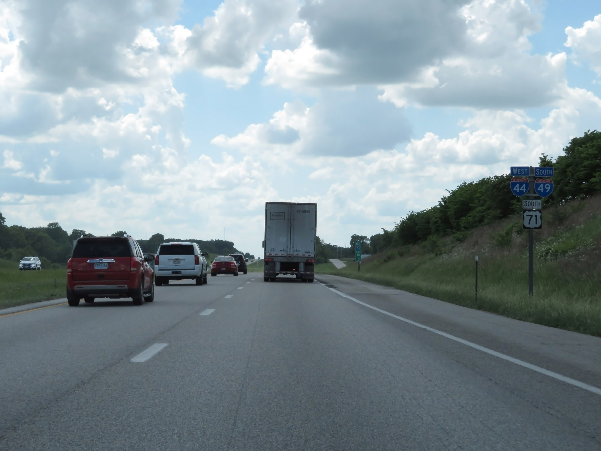 |
Interstate 49 South / Interstate 44 West / US 71 South reassurance shields. (Photo taken 5/17/18). |
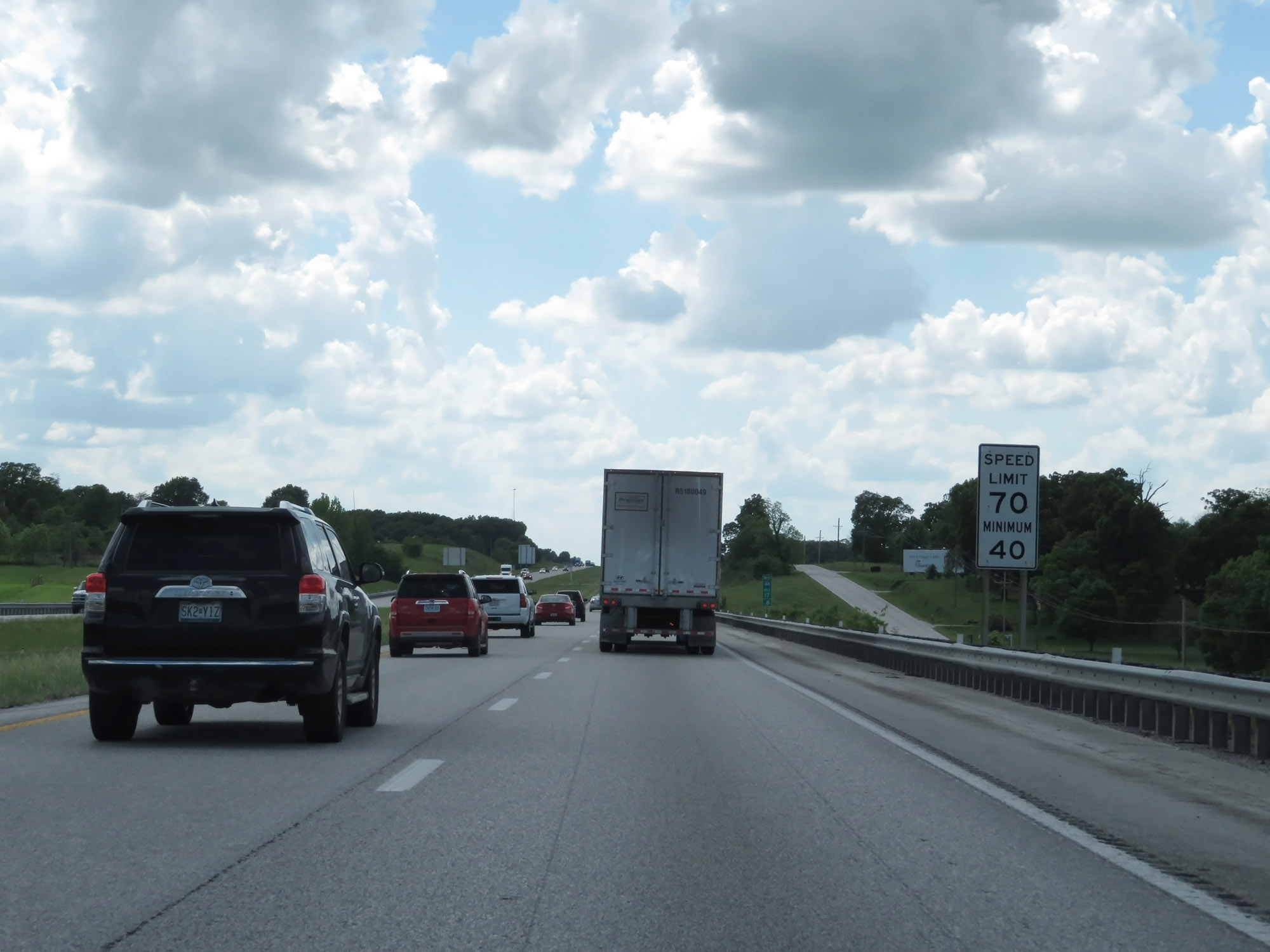 |
During the Interstate 49 / Interstate 44 concurrency, the speed limits are the state-standard 70 mph maximum and 40 mph minimum. (Photo taken 5/17/18). |
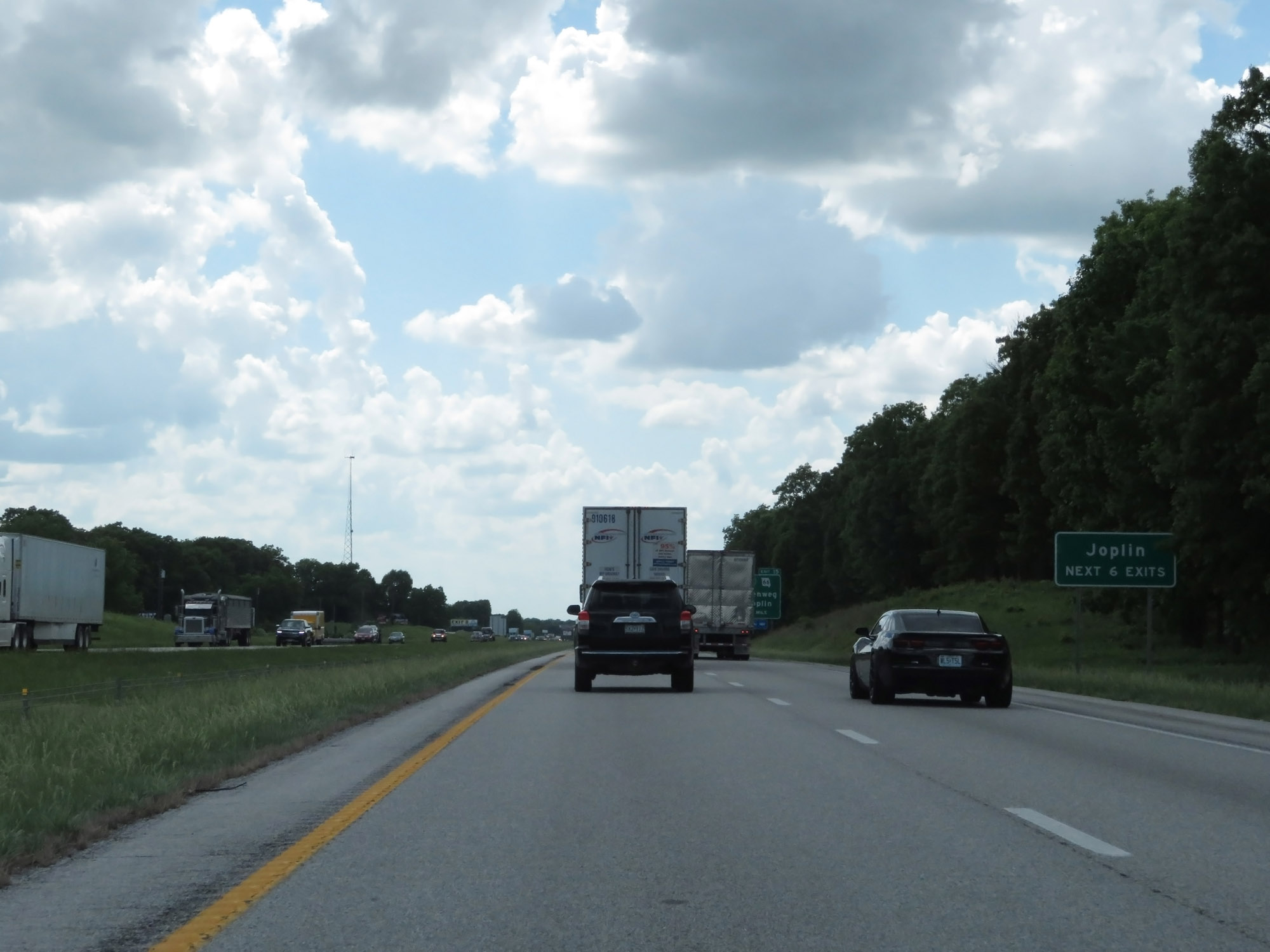 |
Take any of the next 6 exits to Joplin. (Photo taken 5/17/18). |
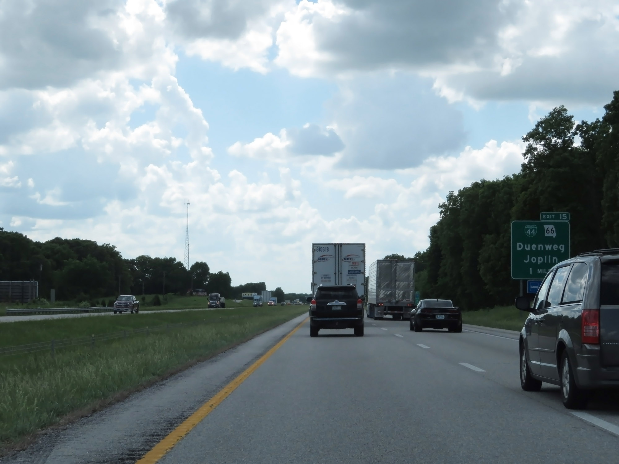 |
Interstate 49 South / Interstate 44 West approaching Exit 15 - 1 mile. During this concurrency, the mileage and exit numbers are based on the mileage of I-44. (Photo taken 5/17/18). |
 |
Interstate 49 South / Interstate 44 West at Exit 15: Interstate 44 Business Loop / MO 66 - Duenweg / Joplin (Photo taken 5/17/18). |
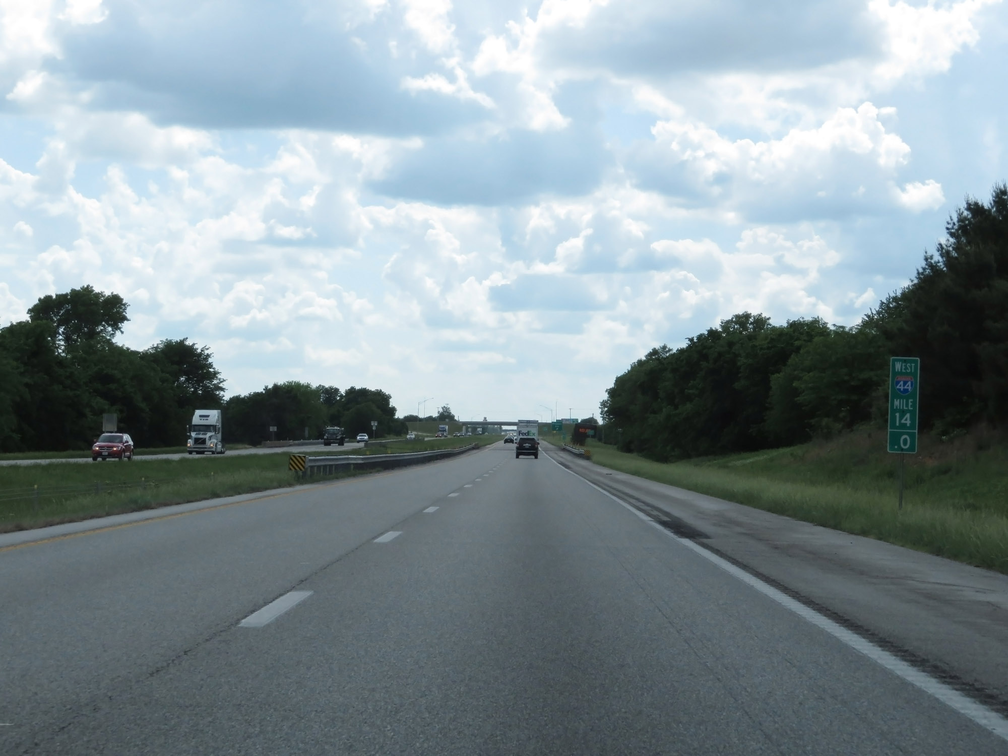 |
Interstate 49 South / Interstate 44 West at mile marker 14. (Photo taken 5/17/18). |
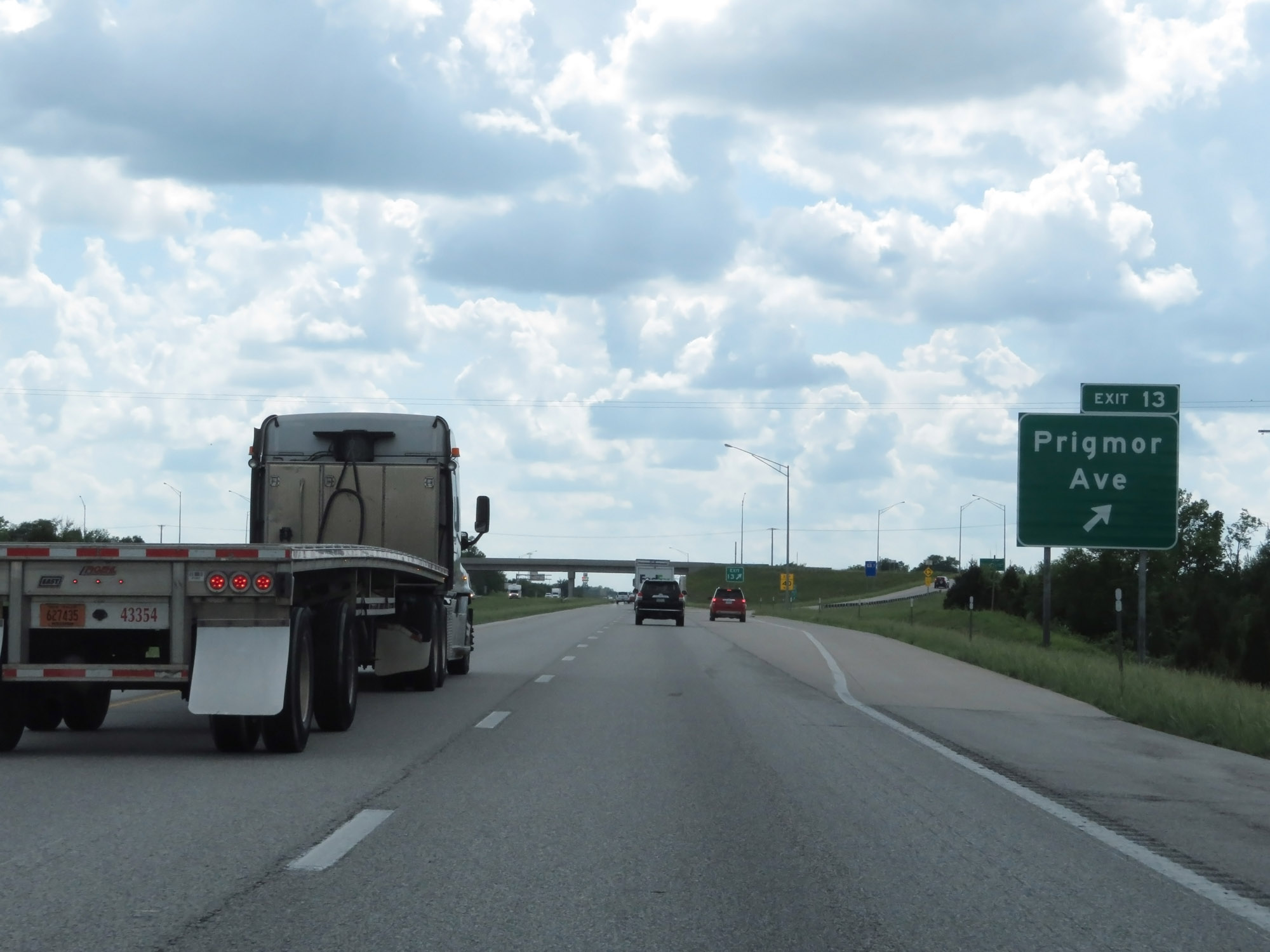 |
Interstate 49 South / Interstate 44 West at Exit 13: Prigmor Ave (Photo taken 5/17/18). |
 |
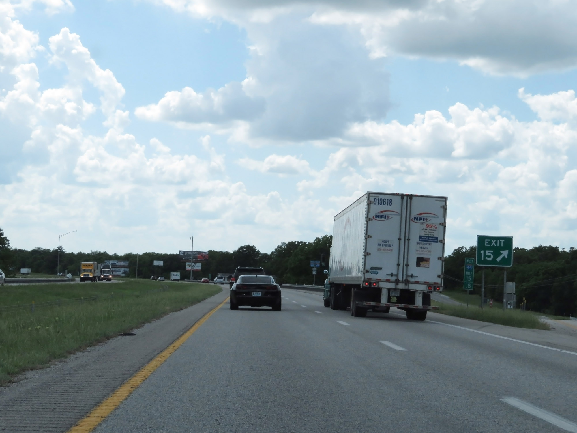
Interstate 49 South / Interstate 44 West approaching Exit 11 - 3/4 mile. (Photo taken 5/17/18). |
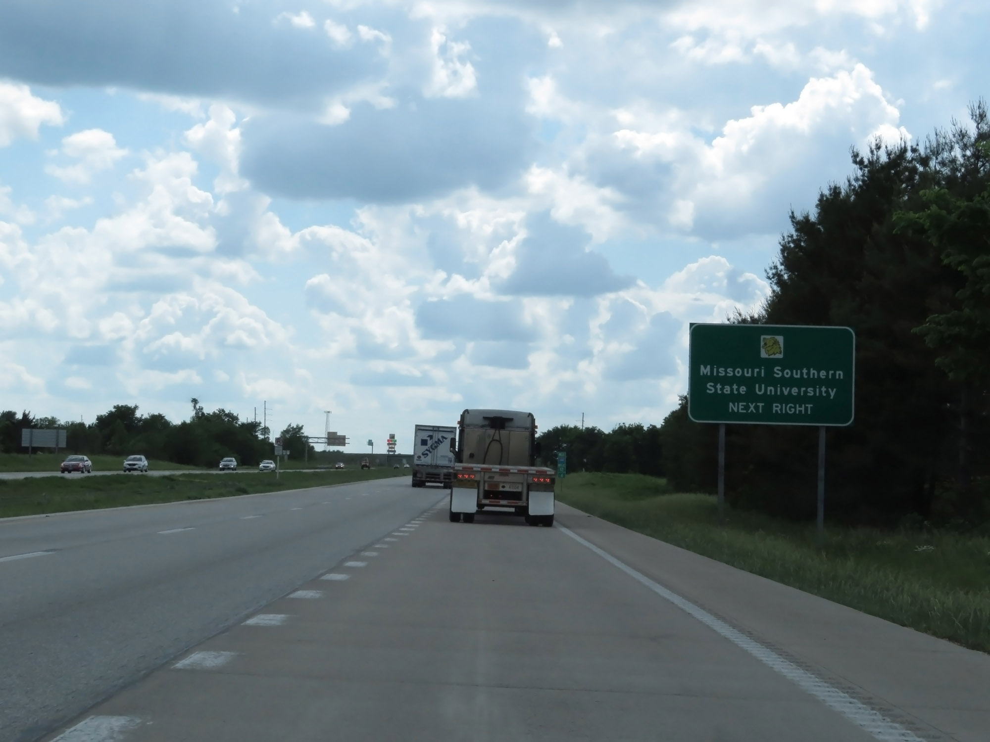 |
Take Exit 11 to Missouri Southern State University. (Photo taken 5/17/18). |
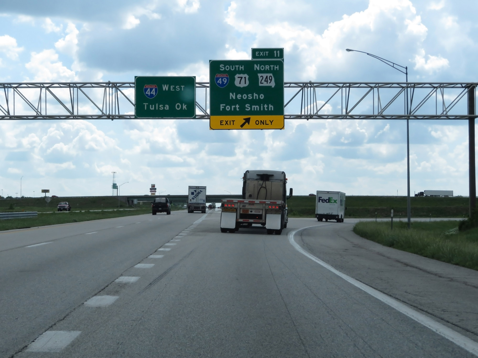 |
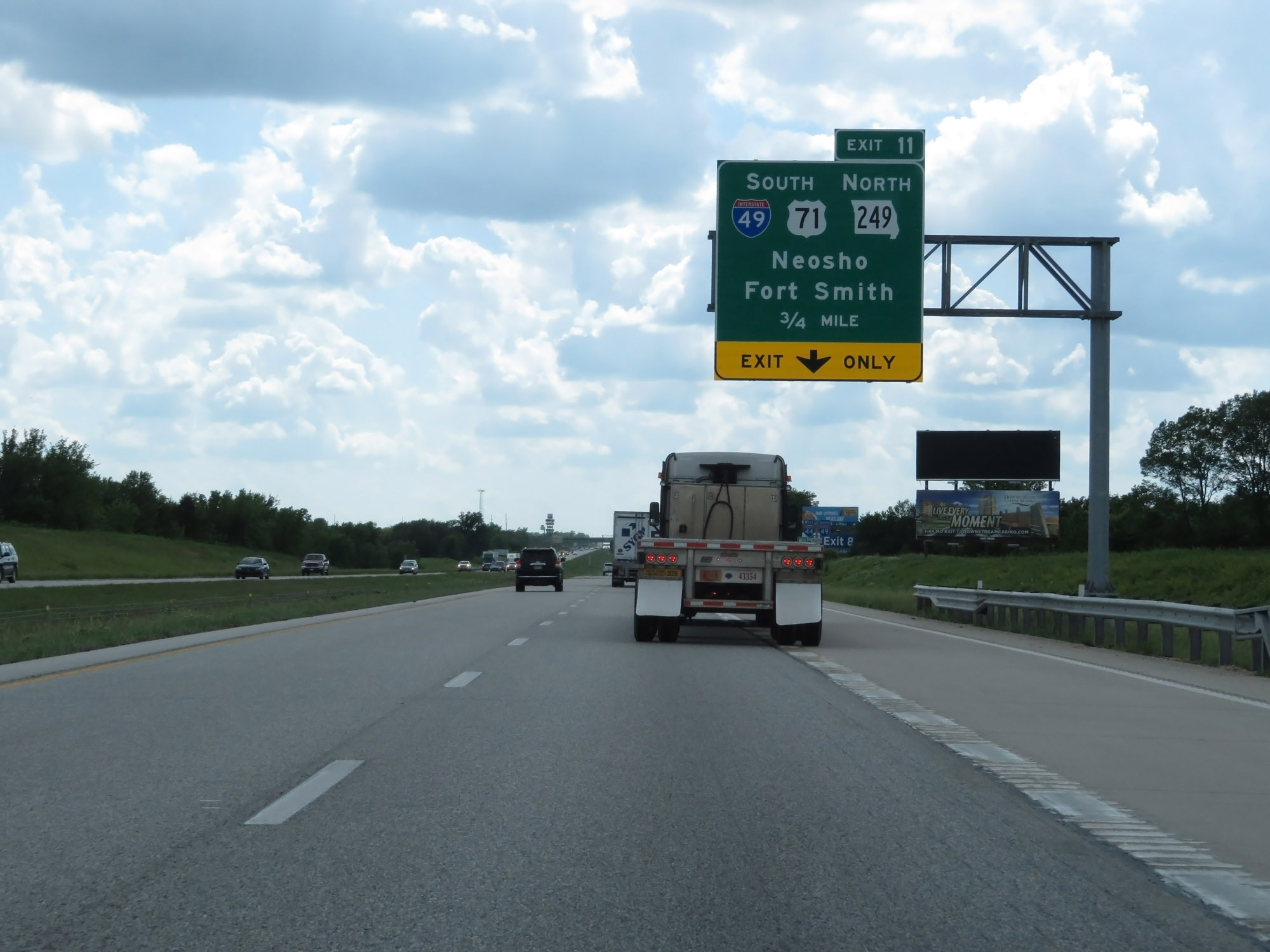
Interstate 49 South / Interstate 44 West at Exit 11: Interstate 49 South / US 71 South / MO 249 North - Neosho / Fort Smith (Photo taken 5/17/18). |
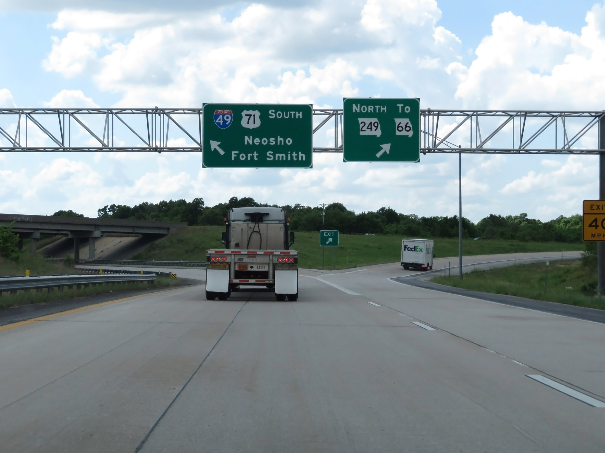 |
The ramp for Exit 11 to remain on Interstate 49 South provides direct access to MO 249 North, seen here. (Photo taken 5/17/18). |
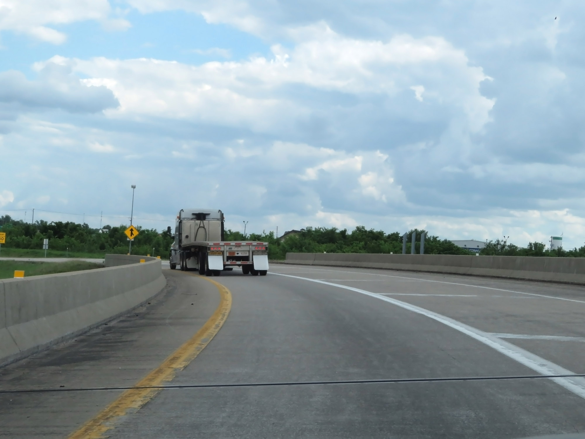 |
Interstate 49 South on the ramp for Exit 11 off Interstate 44 West, as it curves to the south once again. (Photo taken 5/17/18). |
 |
Interstate 49 South at Exit 39: Route FF - 32nd St (Photo taken 5/17/18). |
 |
Interstate 49 South / US 71 South reassurance shields. (Photo taken 5/17/18). |
 |
The maximum speed limit remains 70 mph. (Photo taken 5/17/18). |
 |
Interstate 49 South at mile marker 38. (Photo taken 5/17/18). |
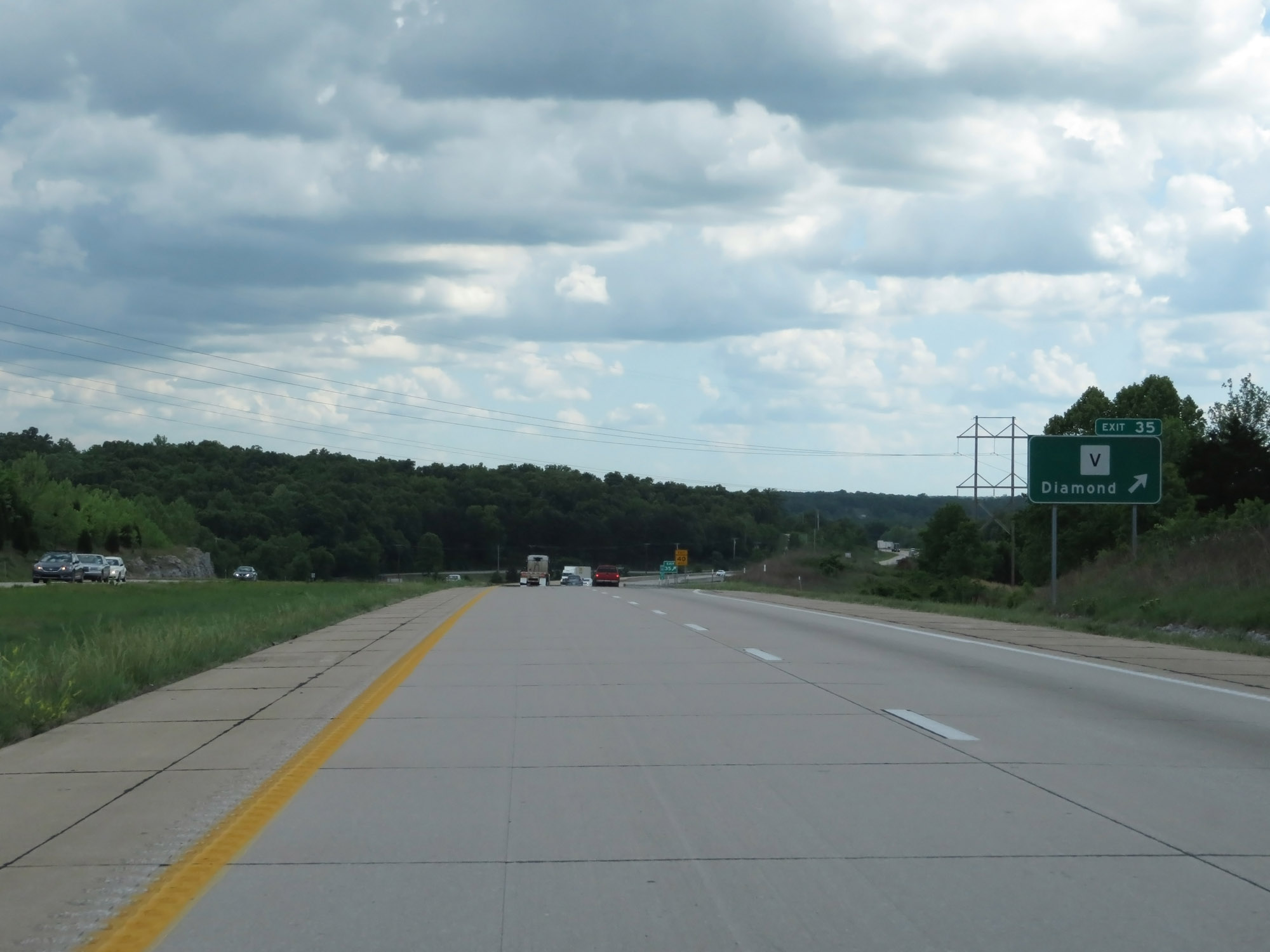 |
Interstate 49 South at Exit 35: Route V - Diamond (Photo taken 5/17/18). |
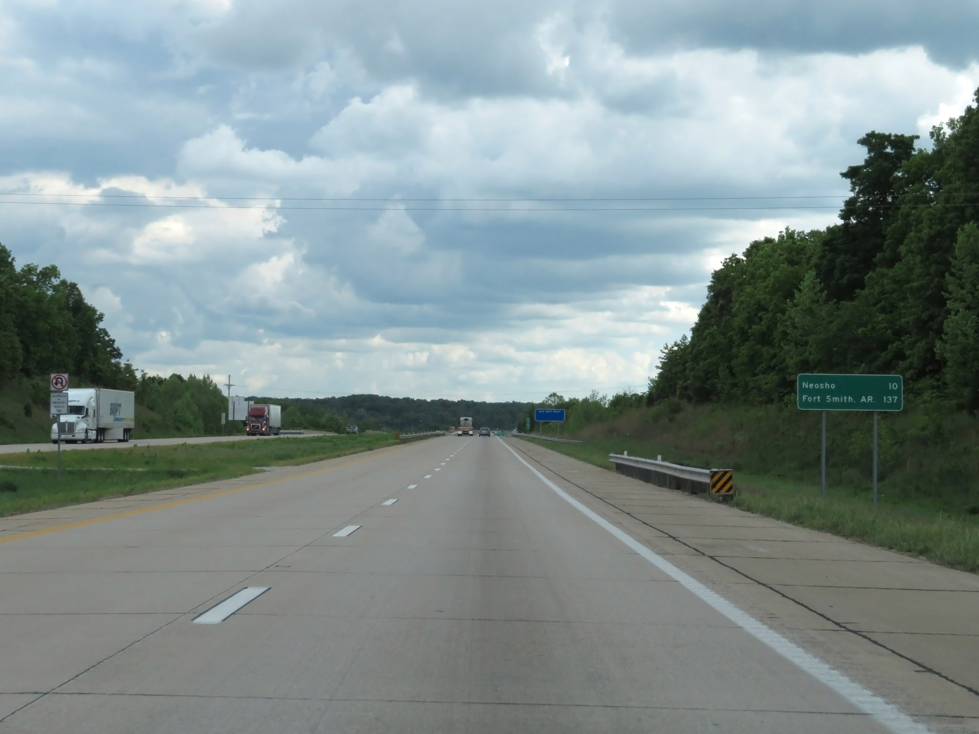 |
Mileage sign on Interstate 49 South. It's 10 miles to Neosho and 137 miles to Fort Smith, AR. (Photo taken 5/17/18). |
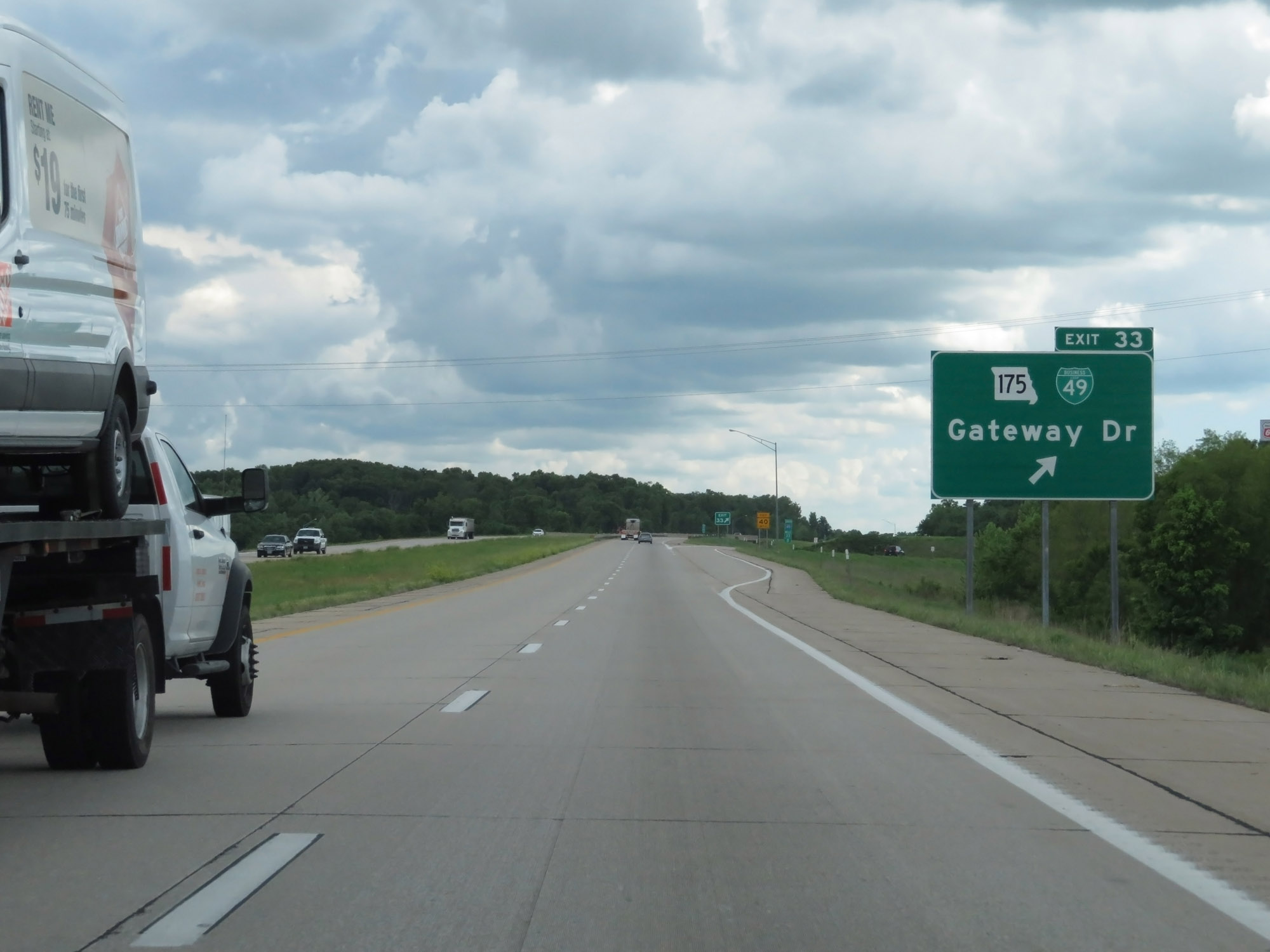 |
Interstate 49 South at Exit 33: MO 175 / Interstate 49 Business Loop - Gateway Dr (Photo taken 5/17/18). |
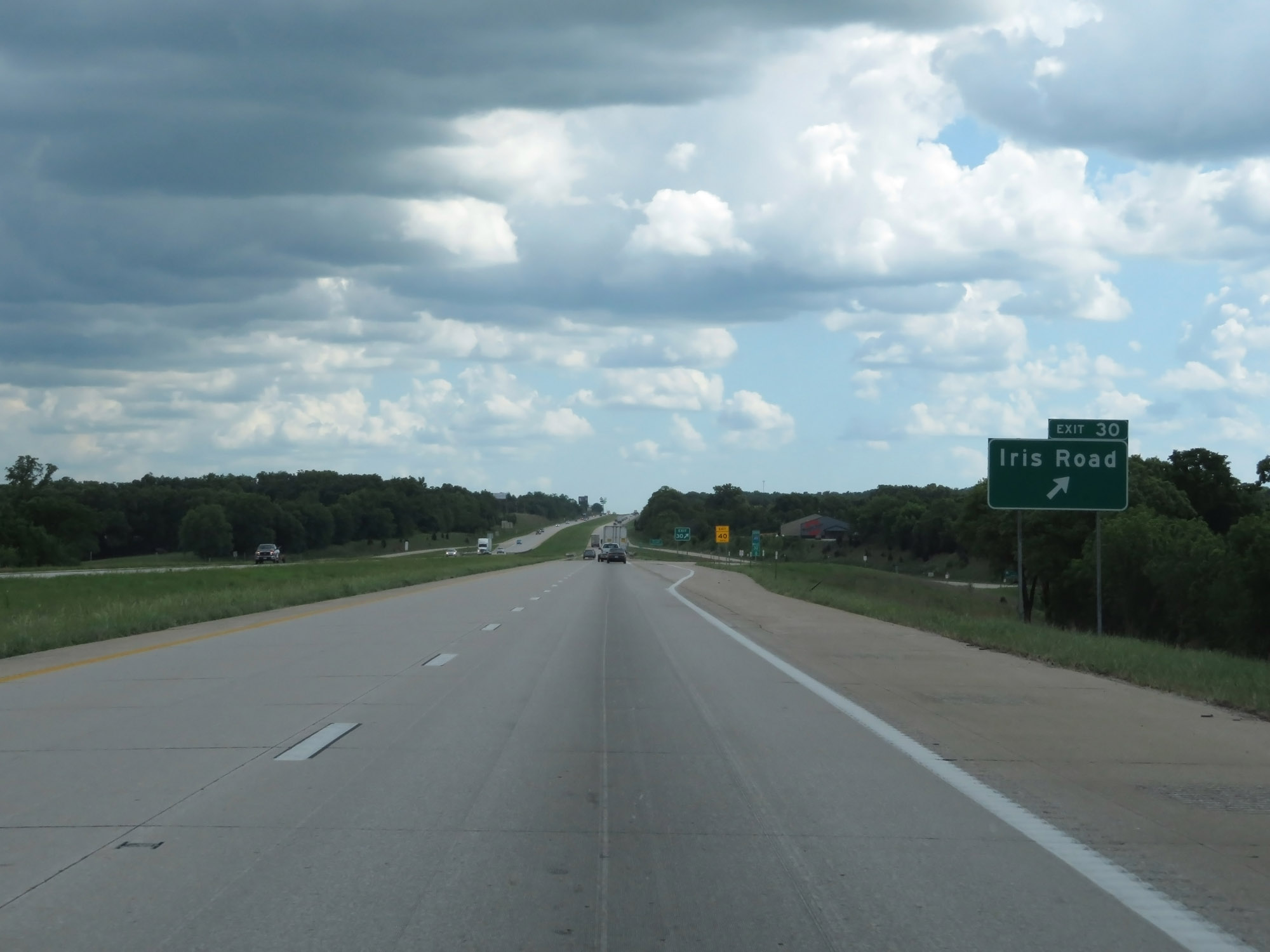 |
Interstate 49 South at Exit 30: Iris Road (Photo taken 5/17/18). |
 |
Interstate 49 South at mile marker 29. (Photo taken 5/17/18). |
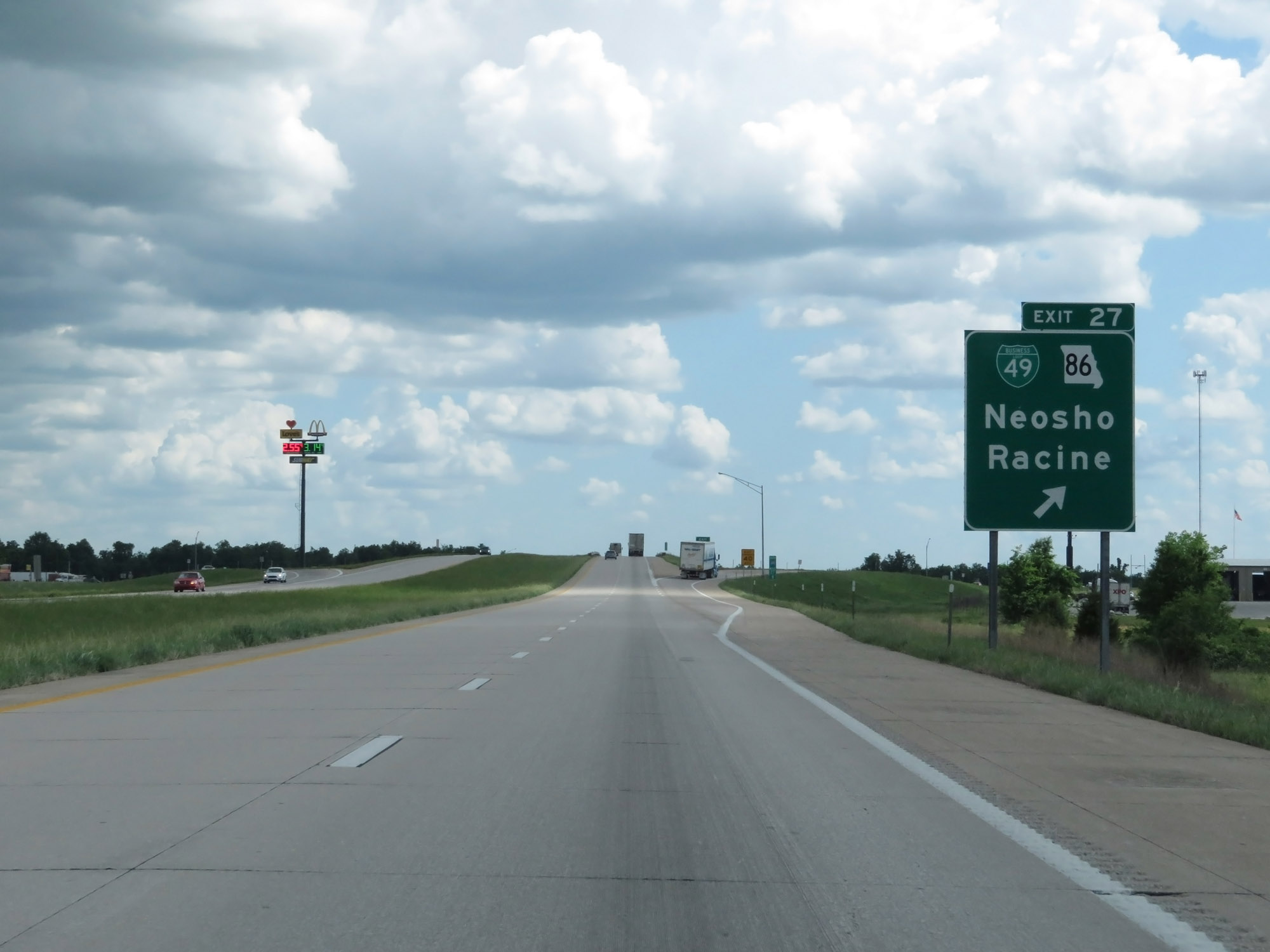 |
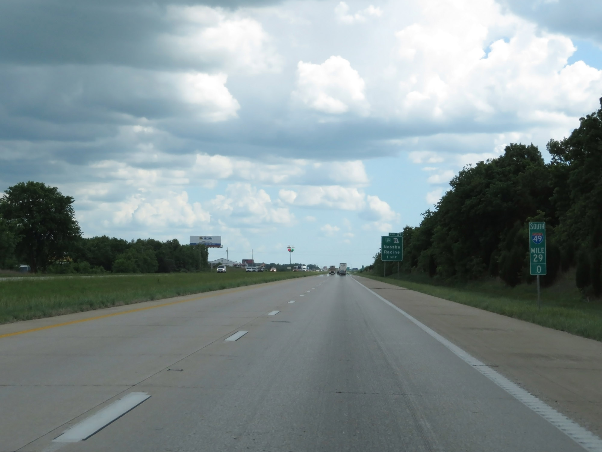
Interstate 49 South at Exit 27: Interstate 49 Business Loop / MO 86 - Neosho / Racine (Photo taken 5/17/18). |
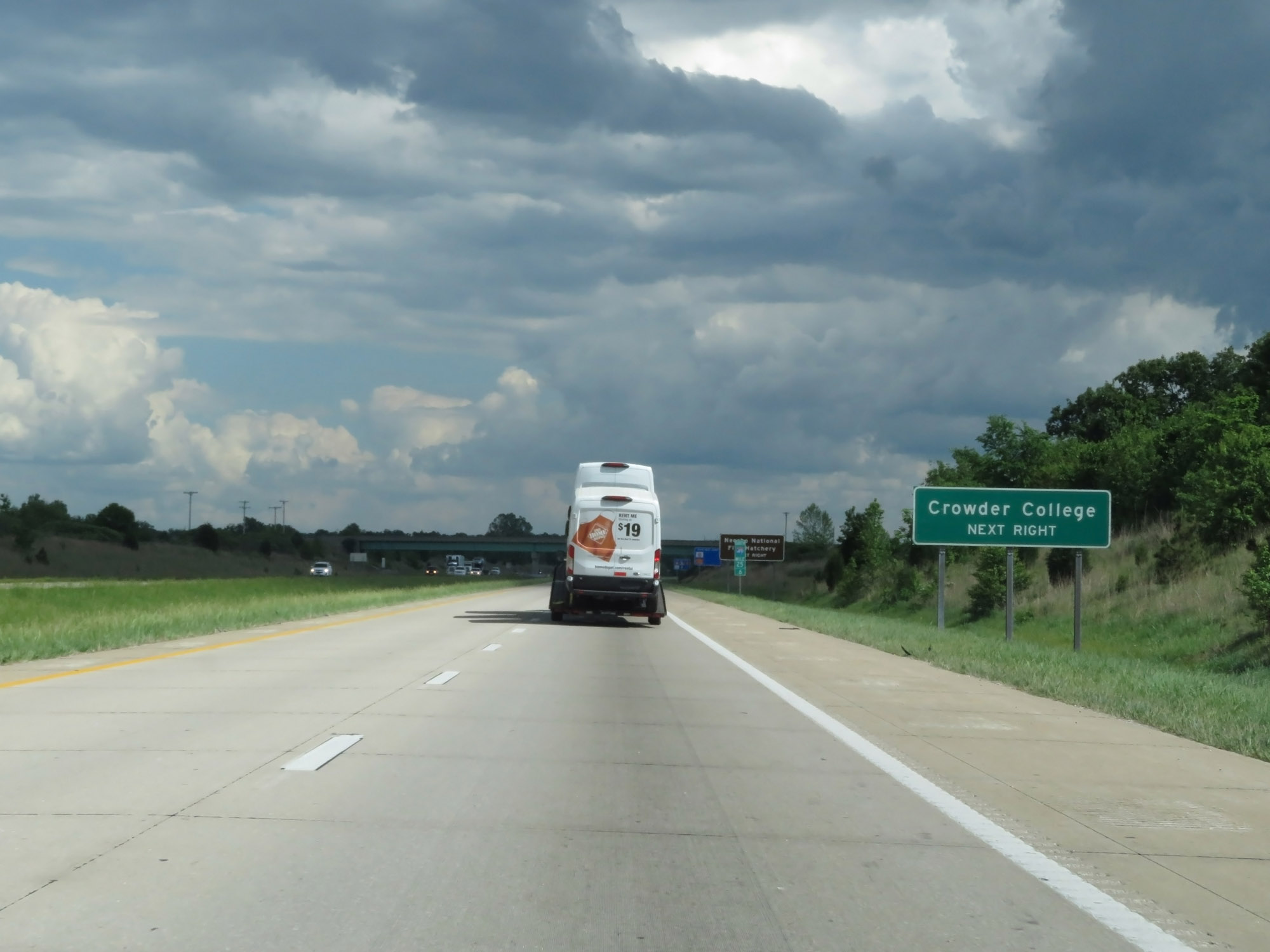 |
Take Exit 24 to Crowder College. (Photo taken 5/17/18). |
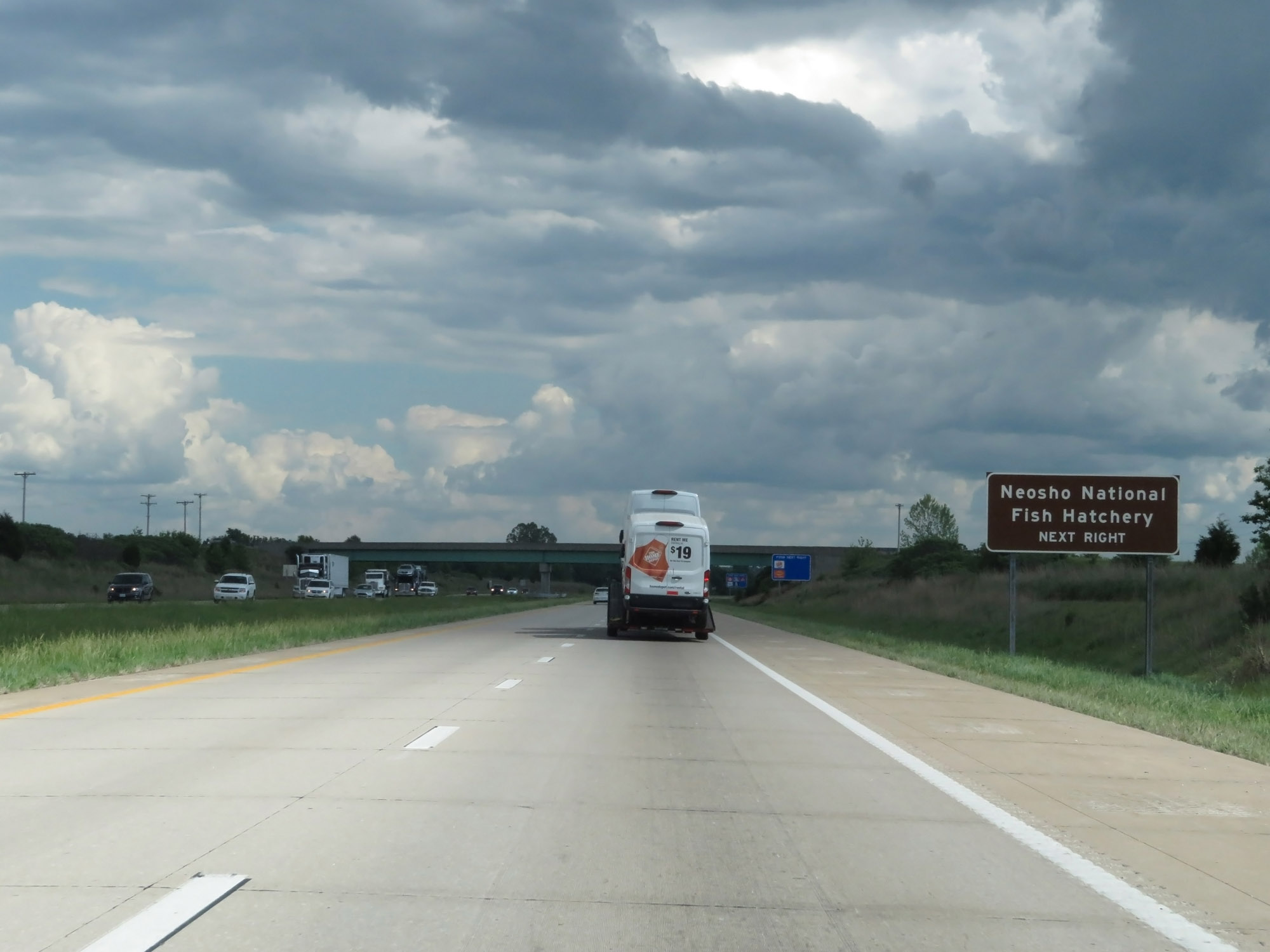 |
Also take Exit 24 to Neosho National Fish Hatchery. (Photo taken 5/17/18). |
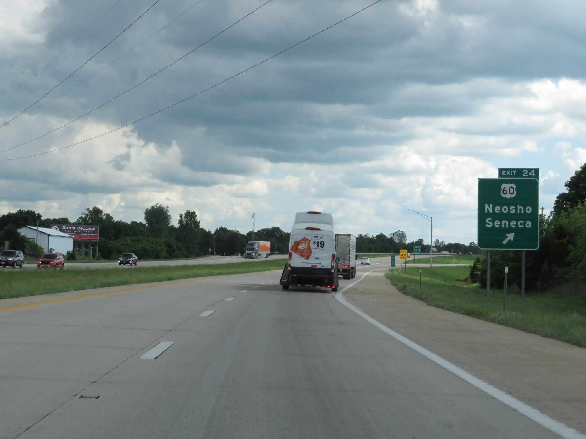 |
Interstate 49 South at Exit 24: US 60 - Neosho / Seneca (Photo taken 5/17/18). |
 |
Interstate 49 South at Exit 21: Interstate 49 Business Loop / Route AA (Photo taken 5/17/18). |
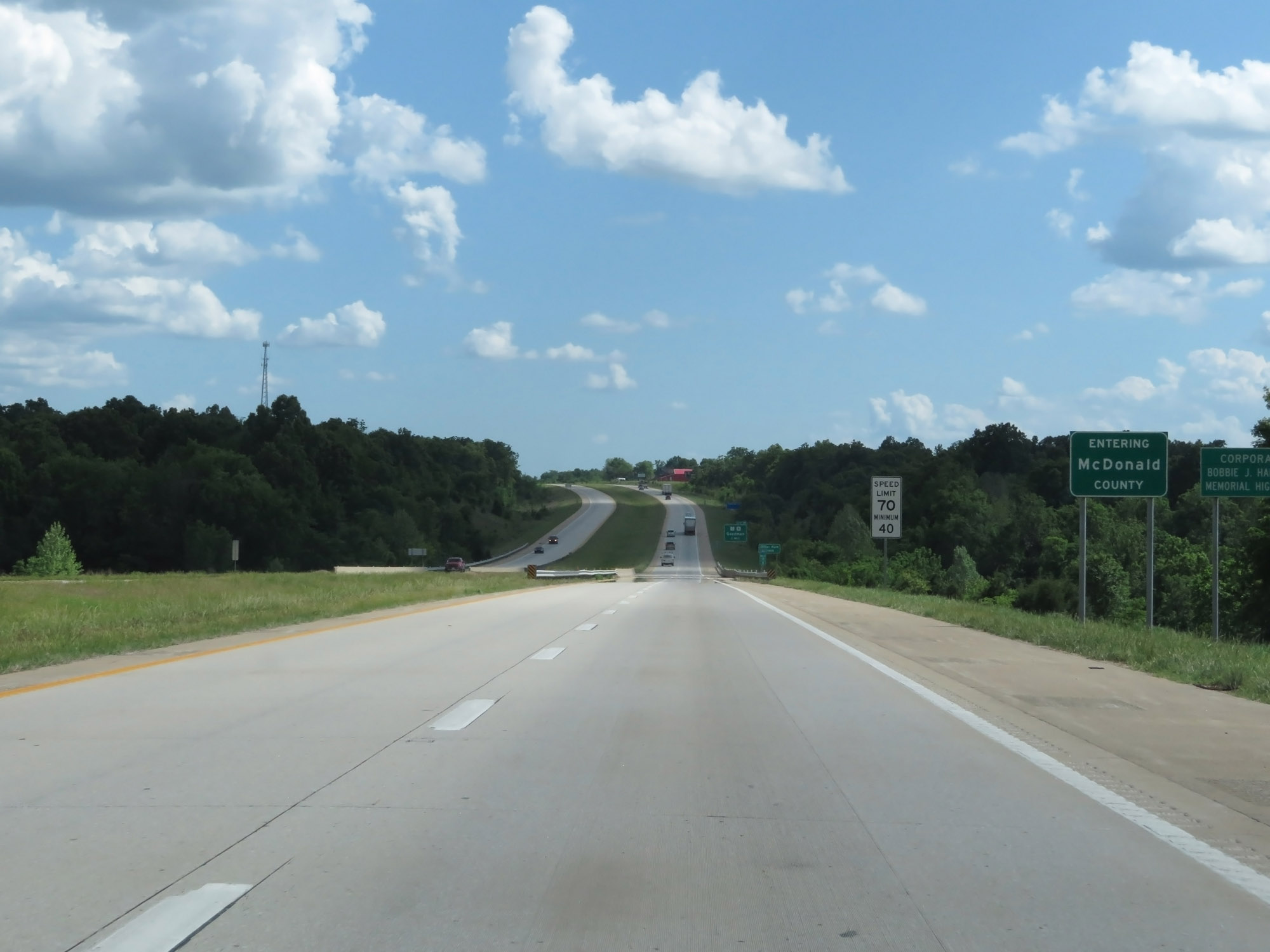 |
Interstate 49 South as it enters McDonald County. (Photo taken 5/17/18). |
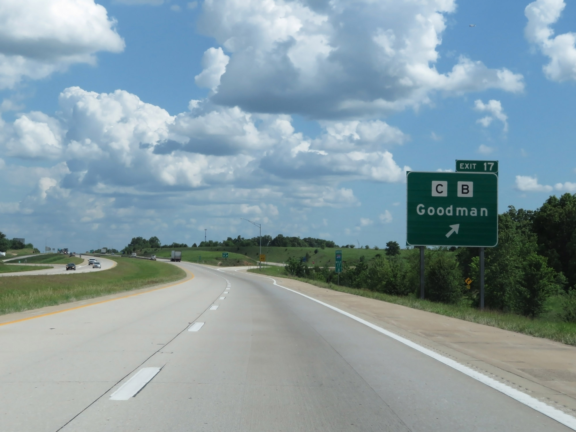 |
Interstate 49 South at Exit 17: Route C / Route B - Goodman (Photo taken 5/17/18). |
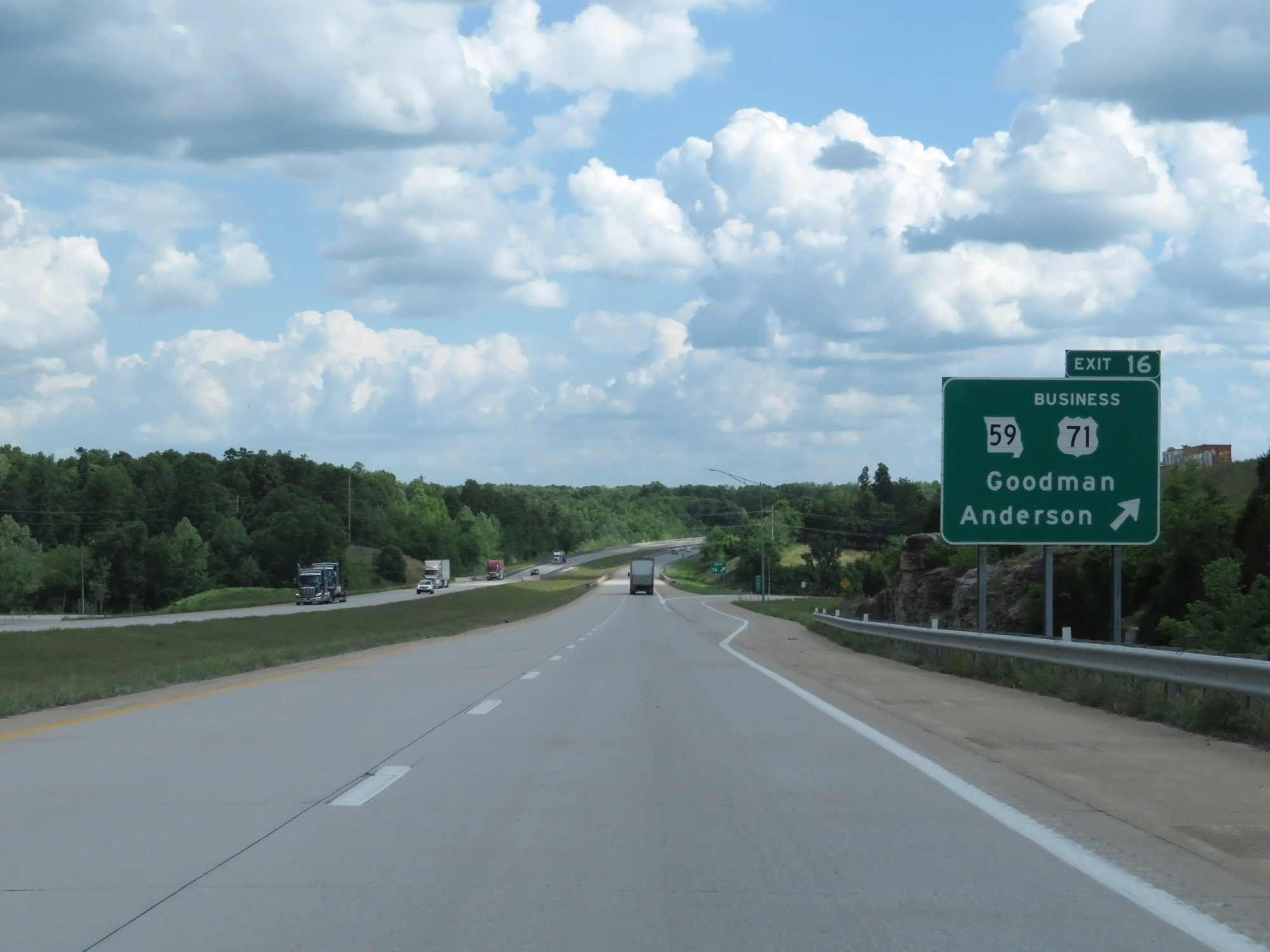 |
Interstate 49 South at Exit 16: MO 59 / US 71 Business - Goodman / Anderson (Photo taken 5/17/18). |
 |
Interstate 49 South at mile marker 13.4. (Photo taken 5/17/18). |
 |
Interstate 49 South at mile marker 12. (Photo taken 5/17/18). |
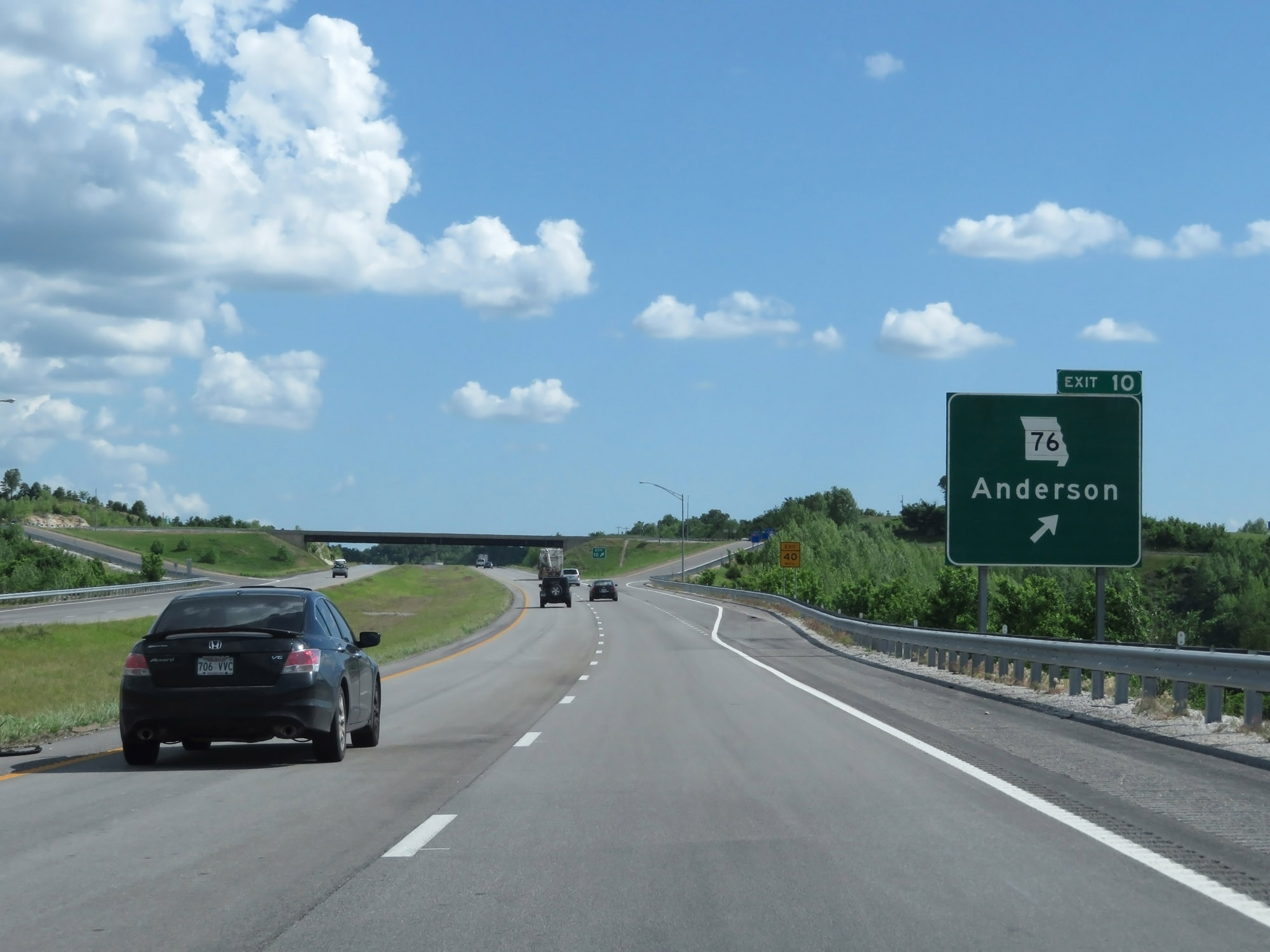 |
Interstate 49 South at Exit 10: MO 76 - Anderson (Photo taken 5/17/18). |
 |
Interstate 49 South at Exit 7: Route EE - Pineville / Lanagan (Photo taken 5/17/18). |
 |
Interstate 49 South at mile marker 7. (Photo taken 5/17/18). |
 |
Mileage sign on Interstate 49 South at mile marker 6.8. It's 13 miles to Bella Vista and 109 miles to Fort Smith. (Photo taken 5/17/18). |
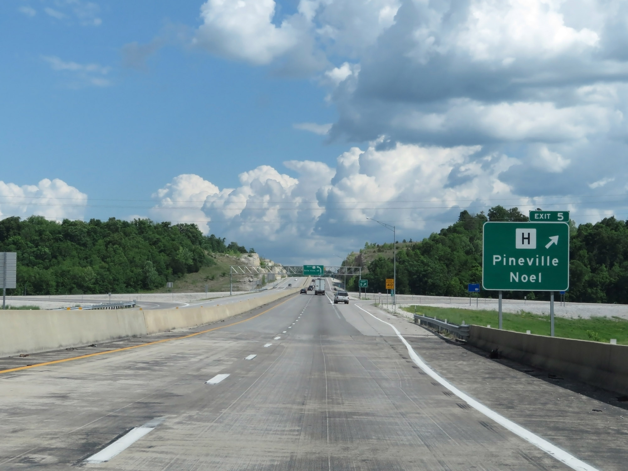 |
Interstate 49 South at Exit 5: Route H - Pineville / Noel (Photo taken 5/17/18). |
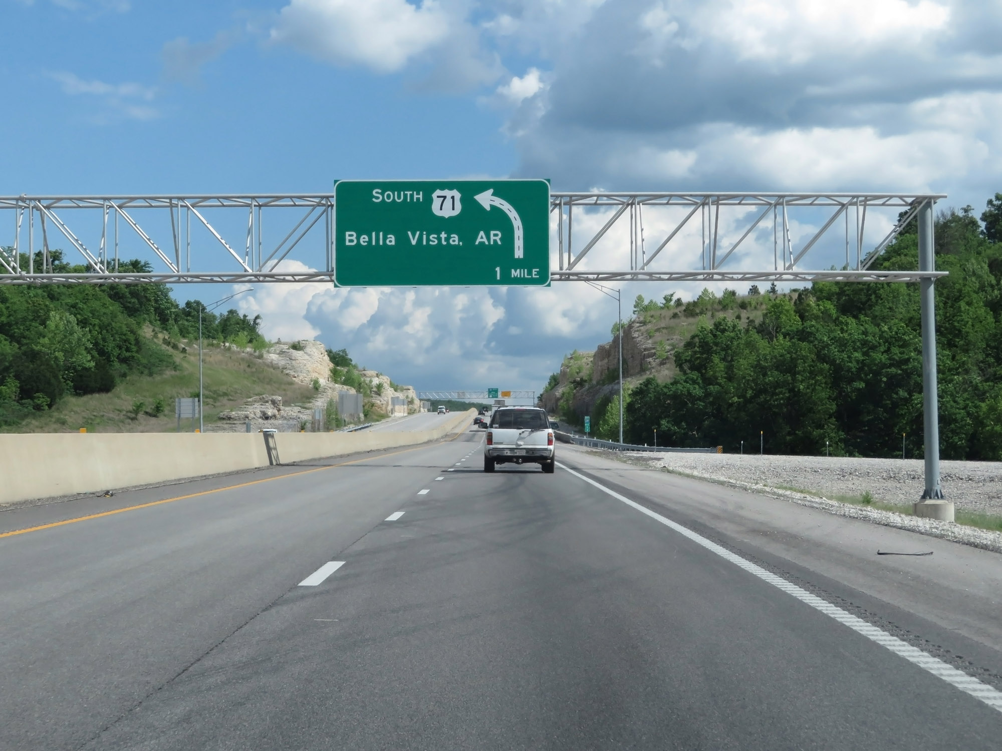 |
Interstate 49 South approaching its current southern terminus - 1 mile ahead. (Photo taken 5/17/18). |
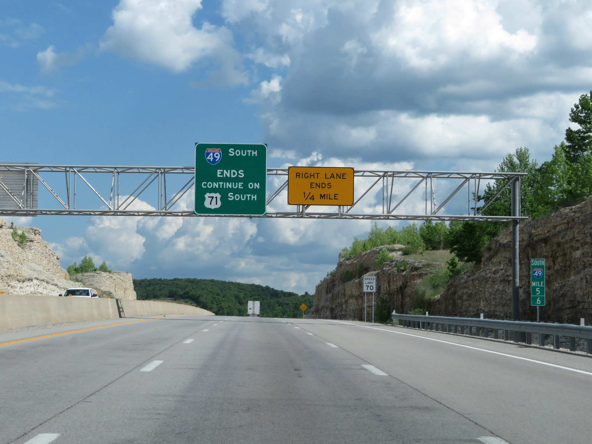 |
As this overhead sign states, Interstate 49 South ends just ahead and becomes US 71 South. I-49 currently ends just 5 miles north of the Arkansas border. The project to finish I-49 to Arkansas, known as the Bella Vista Bypass, has been postponed indefinitely. (Photo taken 5/17/18). |
 |
Interstate 49 South at mile marker 5.4. (Photo taken 5/17/18). |
 |
Interstate 49 South at mile marker 5.2, approaching its current southern terminus in Missouri. (Photo taken 5/17/18). |
 |
As Interstate 49 comes to an end just ahead, continuing will take you onto US 71 South toward Bella Vista. (Photo taken 5/17/18). |
 |
Interstate 49 South at mile marker 5, which marks its current southern terminus in Missouri. If I-49 in Missouri and Arkansas is ever finished, this is where I-49 will continue straight south to bypass Bella Vista as US 71 departs on the left. (Photo taken 5/17/18). |
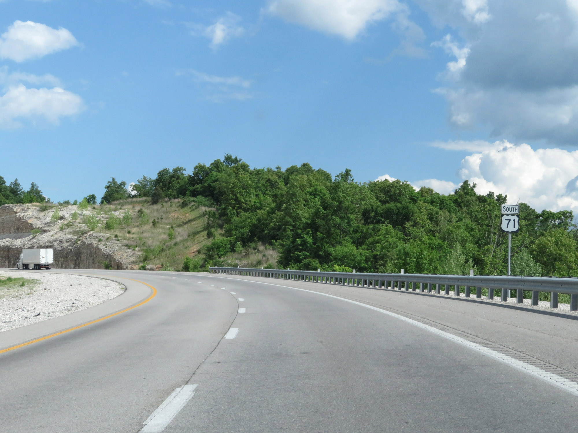 |
A standalone US 71 reassurance shield just south of mile marker 5, marking the current southern terminus of Interstate 49 in Missouri. (Photo taken 5/17/18). |