Road Information |
||
 |
||
| Total Mileage in State: | 293 miles | |
| Eastern End: | At I-70, in St. Louis | |
| Western End: | At Oklahoma state line | |
| Mileage covered in Photos: | 293 miles | |
| Counties covered in Photos: | St. Louis, Franklin, Crawford, Phelps, Pulaski, Laclede, Webster, Greene, Lawrence, Jasper, Newton | |
| Major Junctions in Photos: | I-55, in St. Louis I-270, near Fenton US 63, in Rolla US 65, in Springfield I-49/US 71, near Joplin |
|
| Control Cities in Photos: | St. Louis, Fenton, Rolla, Lebanon, Springfield, Joplin | |
Westbound
- Section 1: Interstate 70 to St. Clair (Exit 239)
- Section 2: St. Clair (Exit 239) to Waynesville (Exit 153)
- Section 3: Waynesville (Exit 153) to Springfield (Exit 75)
- Section 4: Springfield (Exit 75) to Oklahoma Border
Section 1: Interstate 70 to St. Clair (Exit 239)
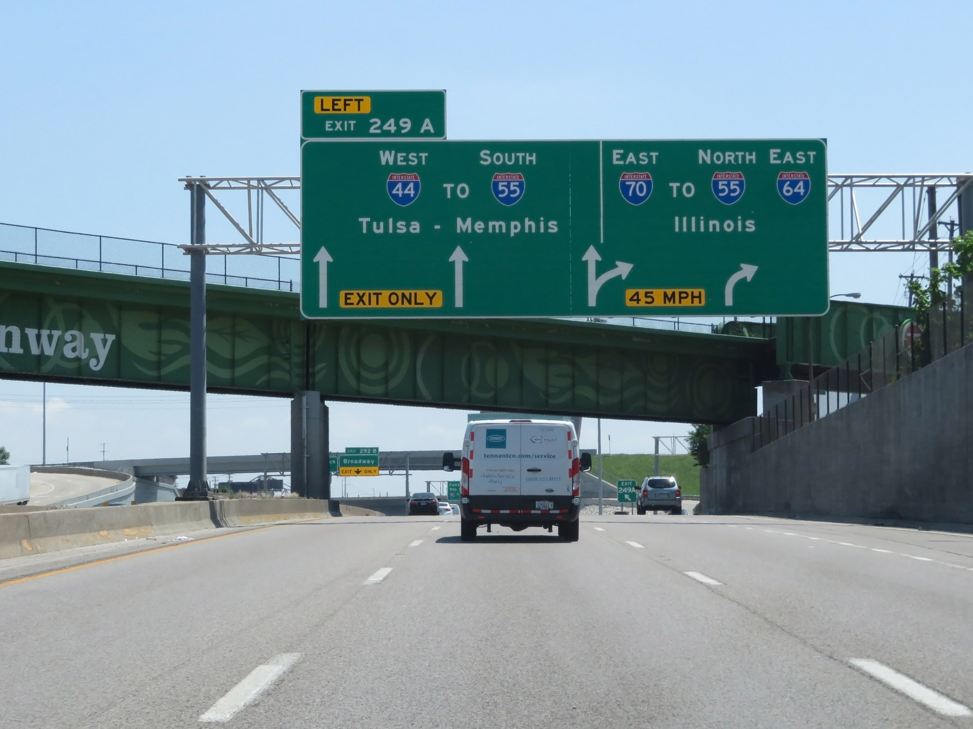 |
Interstate 44 West begins at Exit 249A on Interstate 70 East, seen here in downtown St. Louis. (Photo taken 5/16/18). |
 |
Take Exit 292B to the Gateway Arch. (Photo taken 5/16/18). |
 |
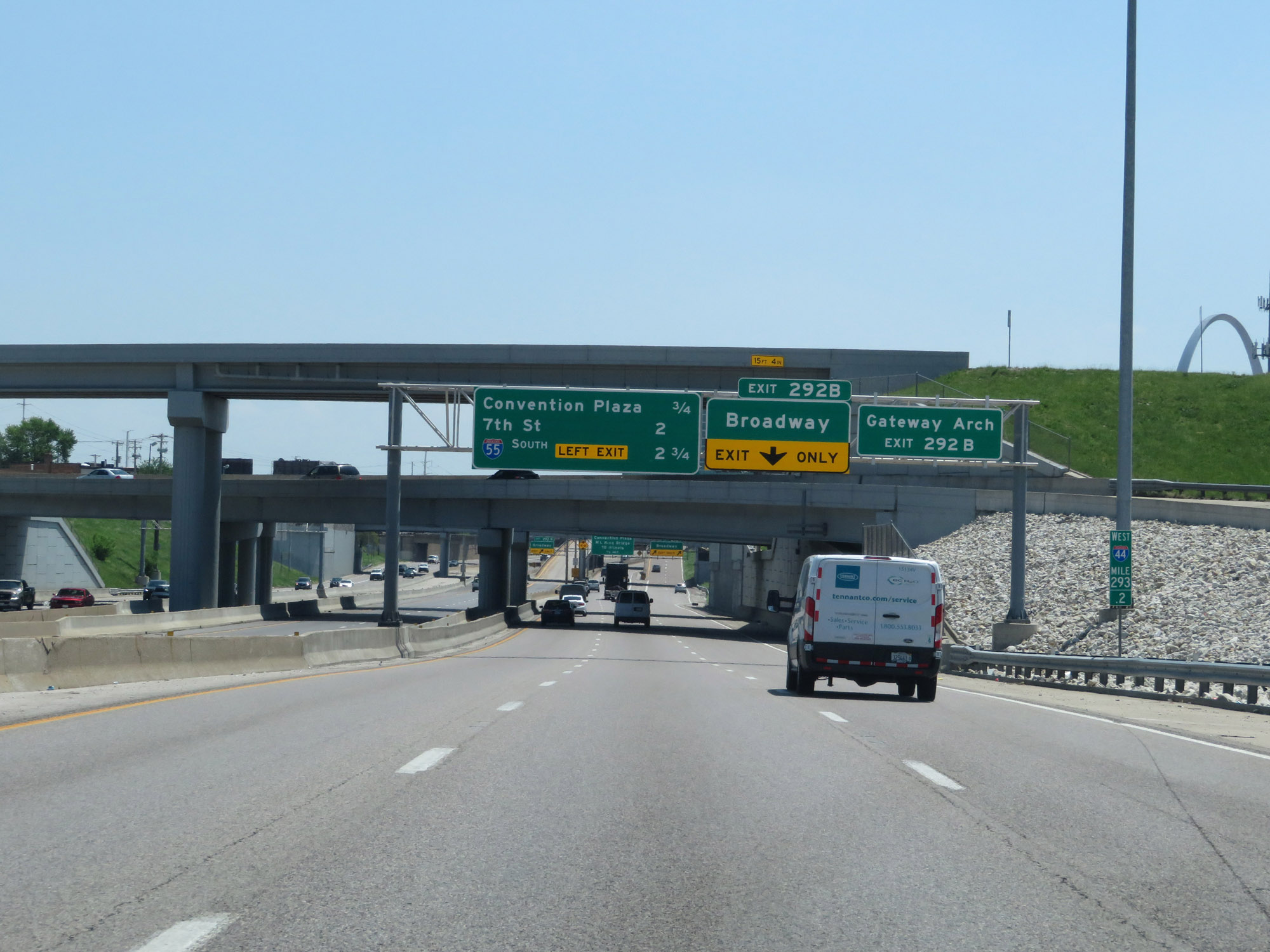
Interstate 44 West at Exit 292B: Broadway (Photo taken 5/16/18). |
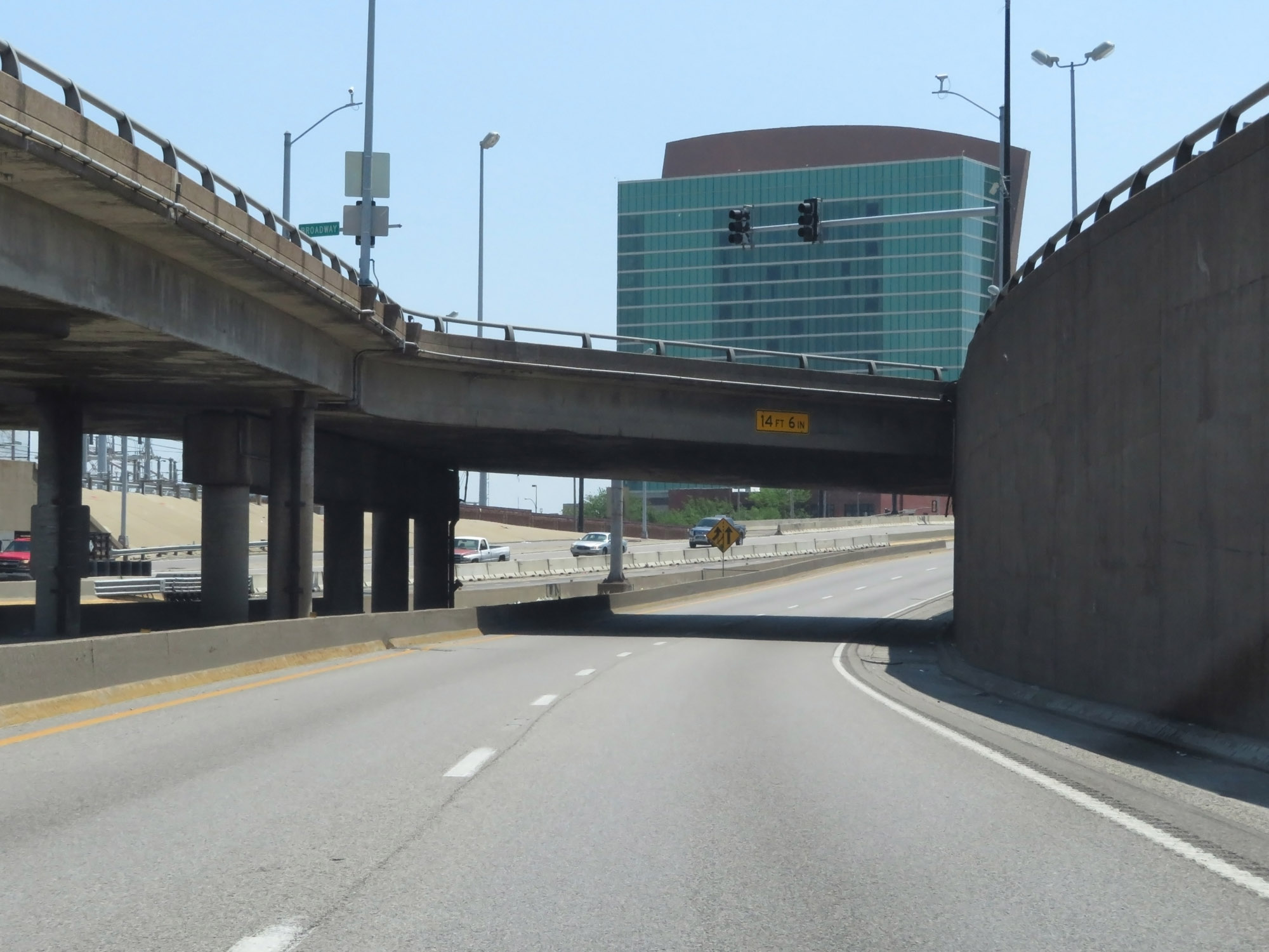 |
View on Interstate 44 West in downtown St. Louis. (Photo taken 5/16/18). |
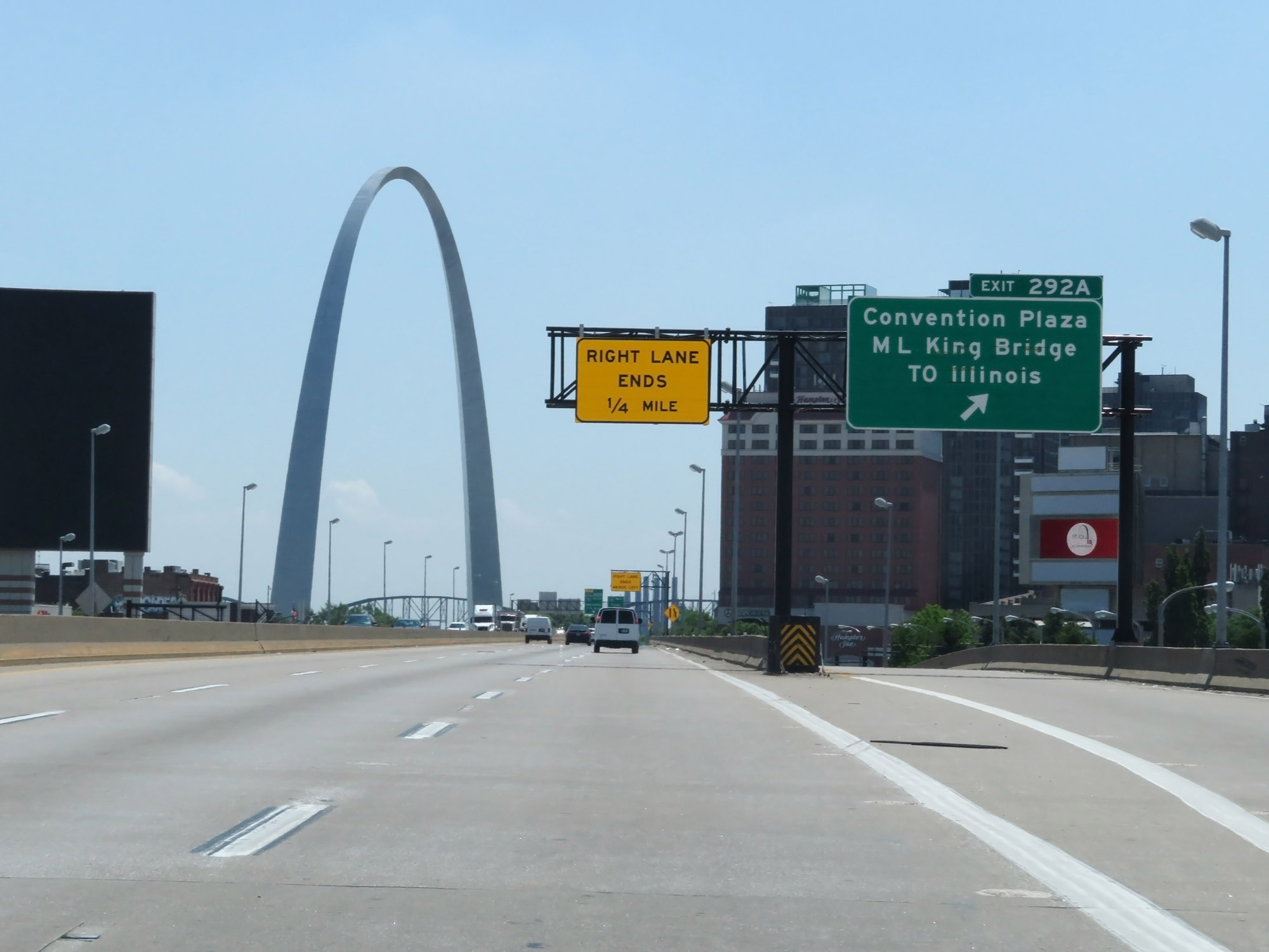 |
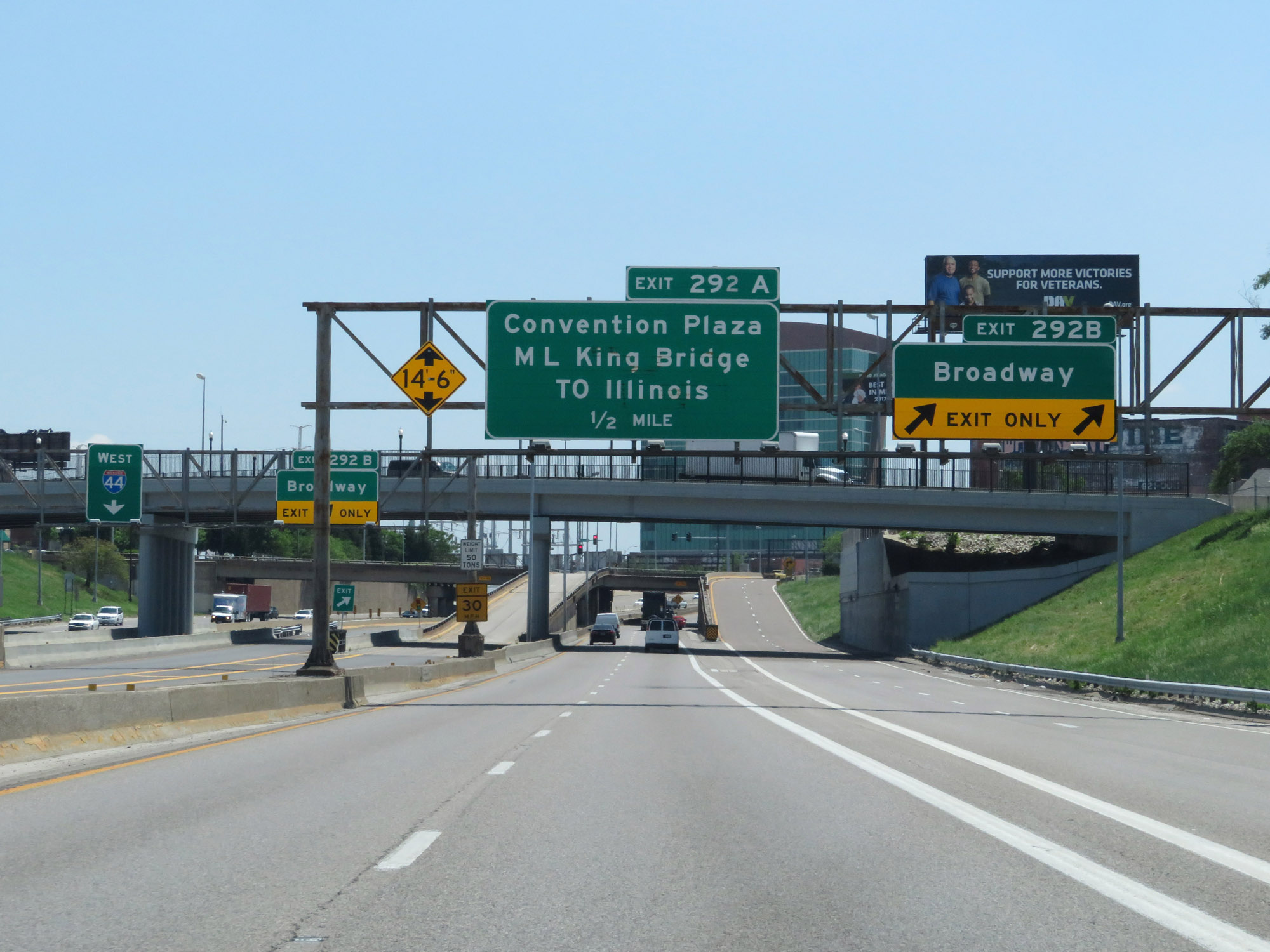
Interstate 44 West at Exit 292A: Convention Plaza / Martin Luther King Bridge to Illinois (Photo taken 5/16/18). |
 |
A nice view of the Gateway Arch in downtown St. Louis from Interstate 44 West at mile marker 292.4. (Photo taken 5/16/18). |
 |
Interstate 44 West approaching Exit 290B - 1 3/4 miles on the left. In this picture, you can get a good idea of just how closely Interstate 44 runs to the Gateway Arch. (Photo taken 5/16/18). |
 |
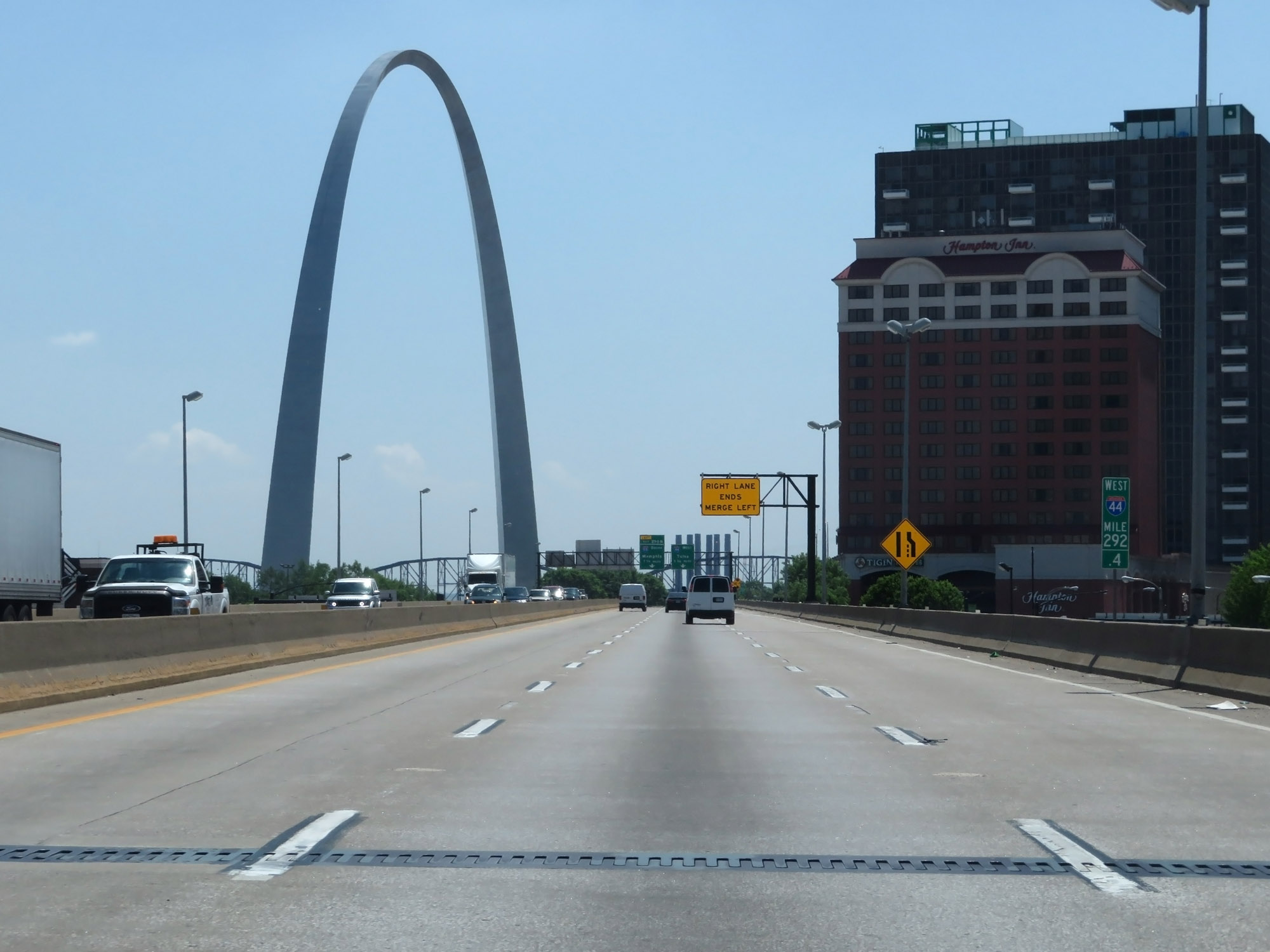
Interstate 44 West at mile marker 291.8. (Photo taken 5/16/18). |
 |
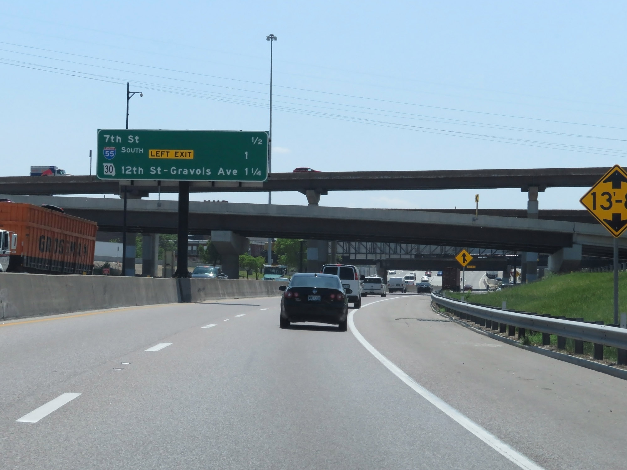
Interstate 44 West approaching Exit 290B - 1 1/4 miles on the left. (Photo taken 5/16/18). |
 |
Sign listing the distances to the three upcoming interchanges on Interstate 44 West. (Photo taken 5/16/18). |
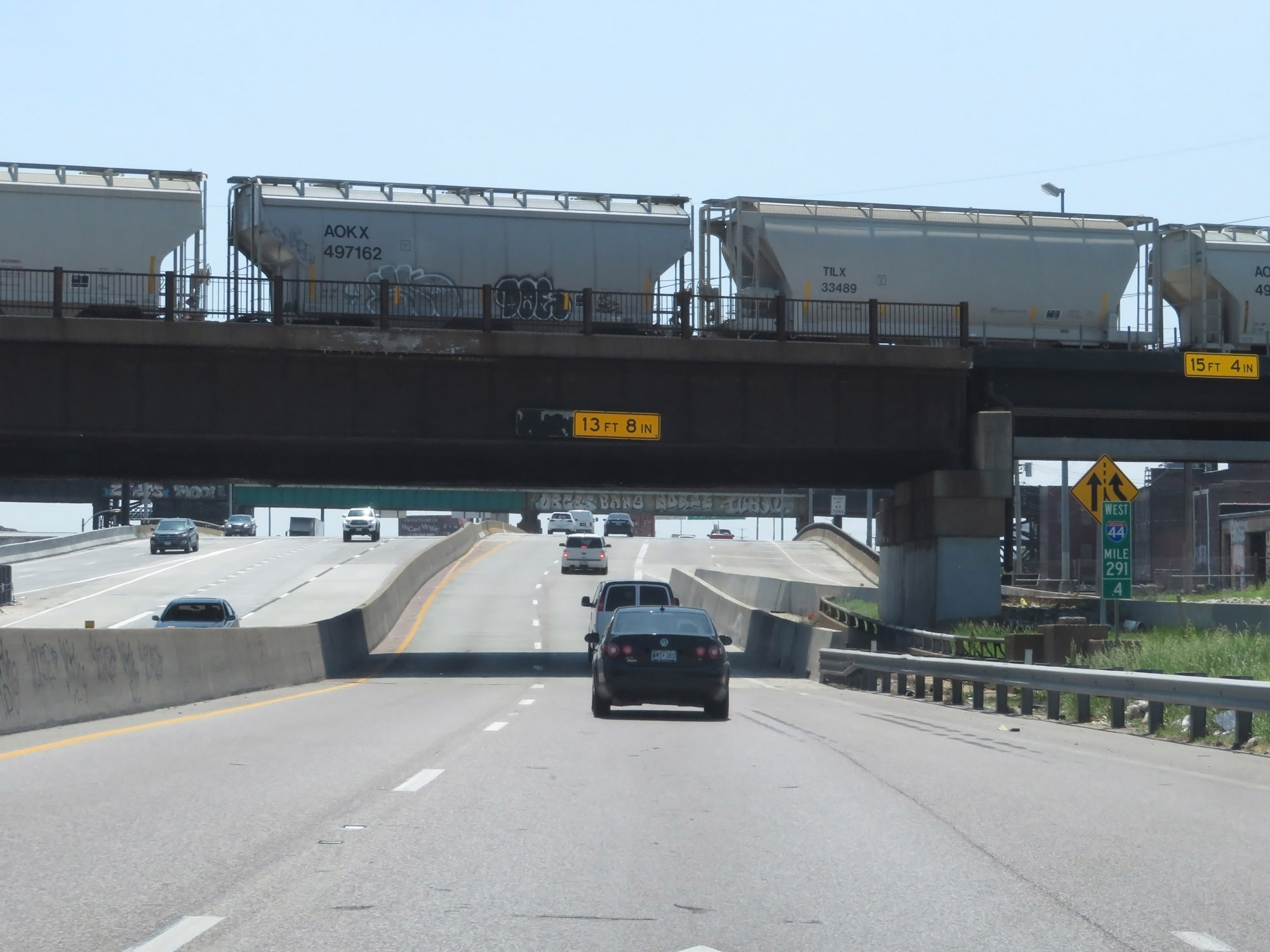 |
Interstate 44 West at mile marker 291.4. (Photo taken 5/16/18). |
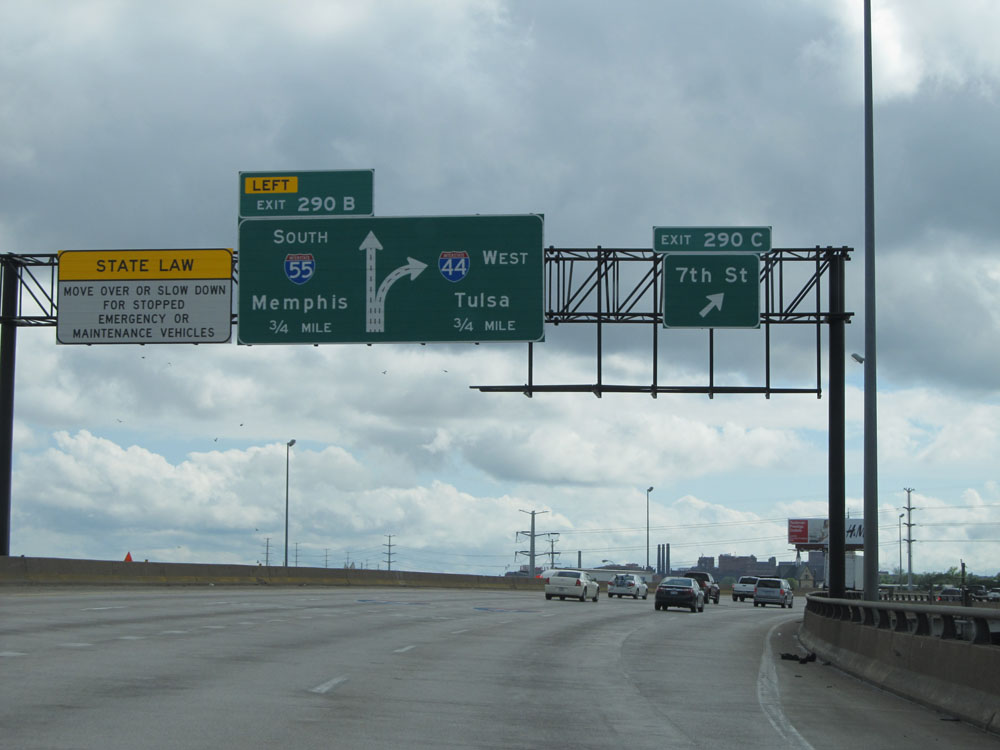 |
Interstate 44 West / Interstate 55 South at Exit 290C: 7th St (Photo taken 5/16/15). |
 |
Interstate 44 West / Interstate 55 South approaching Exit 290B - 1/4 mile. (Photo taken 5/16/15). |
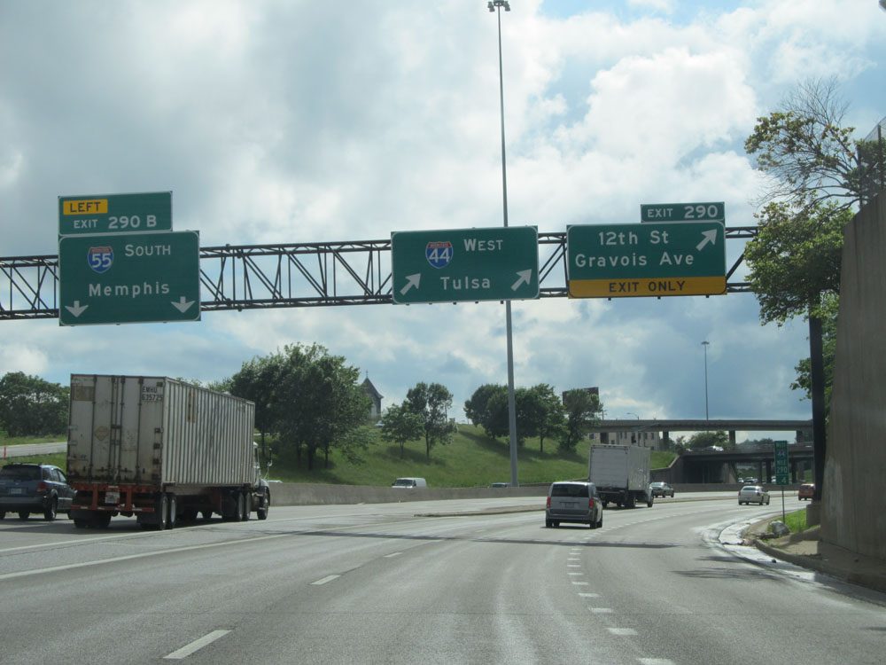 |
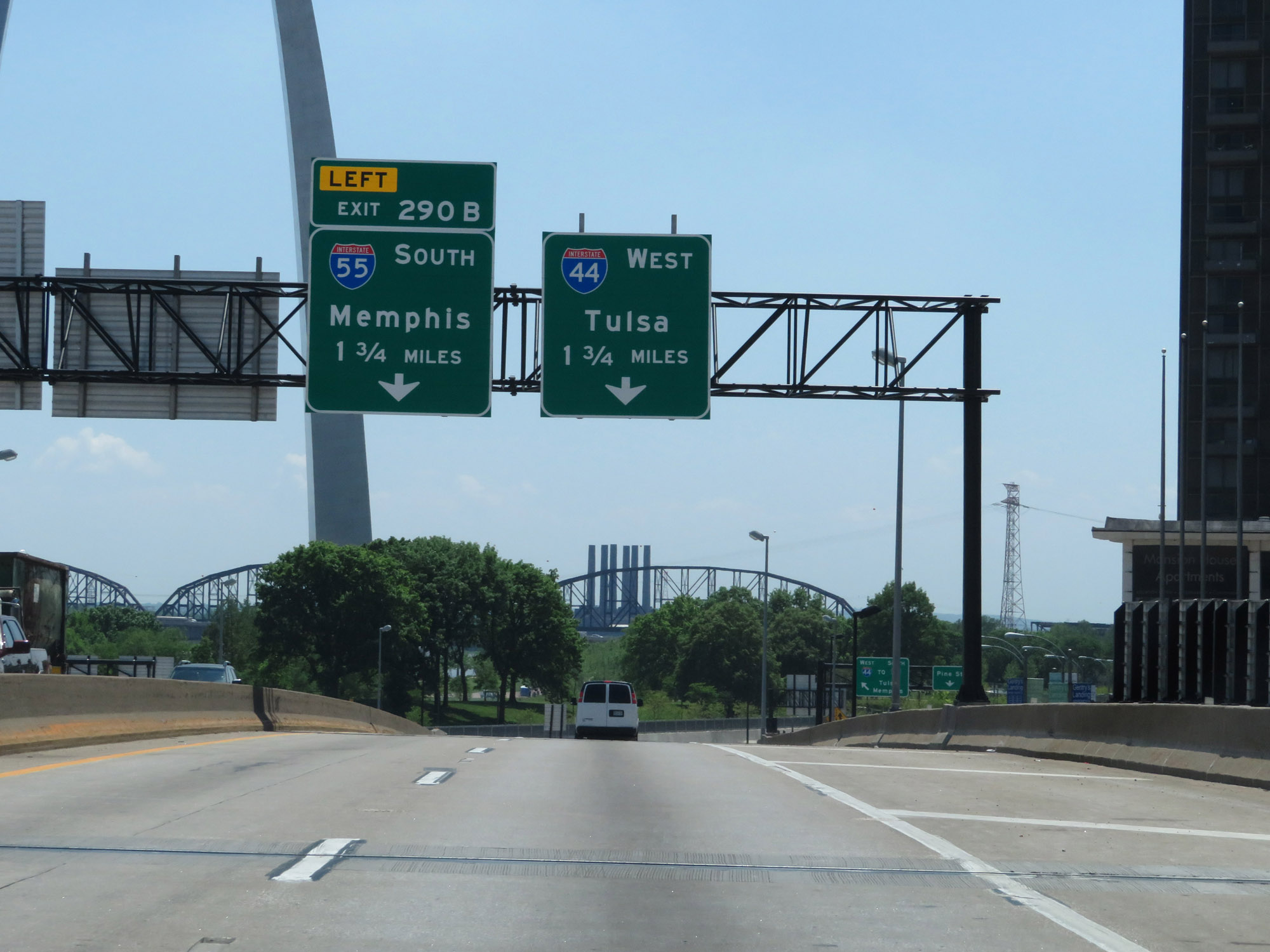
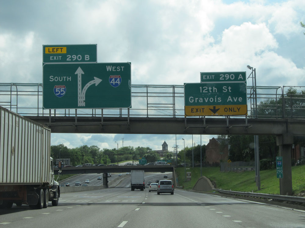
Interstate 44 West at Exit 290B: Interstate 55 South - Memphis (Photo taken 5/16/15). |
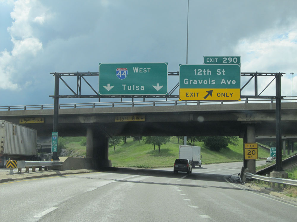 |
Interstate 44 West at Exit 290: 12th St / Gravois Ave (Photo taken 5/16/15). |
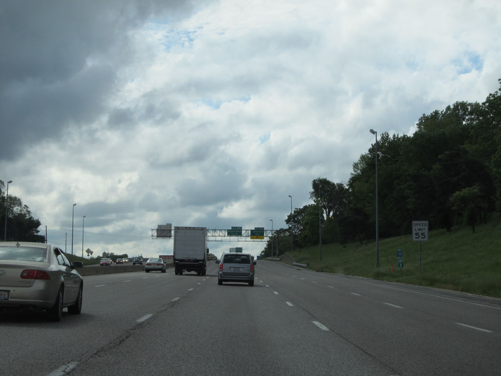 |
Speed limit sign located at mile marker 289.8. The speed limit starts out at 55 mph on Interstate 44 West through the St. Louis city limits. (Photo taken 5/16/15). |
 |
Interstate 44 West at Exit 289: Jefferson Ave (Photo taken 5/16/15). |
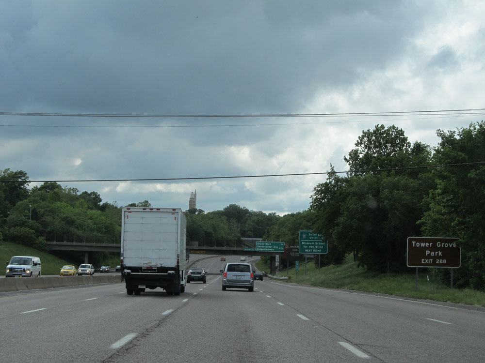 |
Take Exit 288 to Tower Grove Park. (Photo taken 5/16/15). |
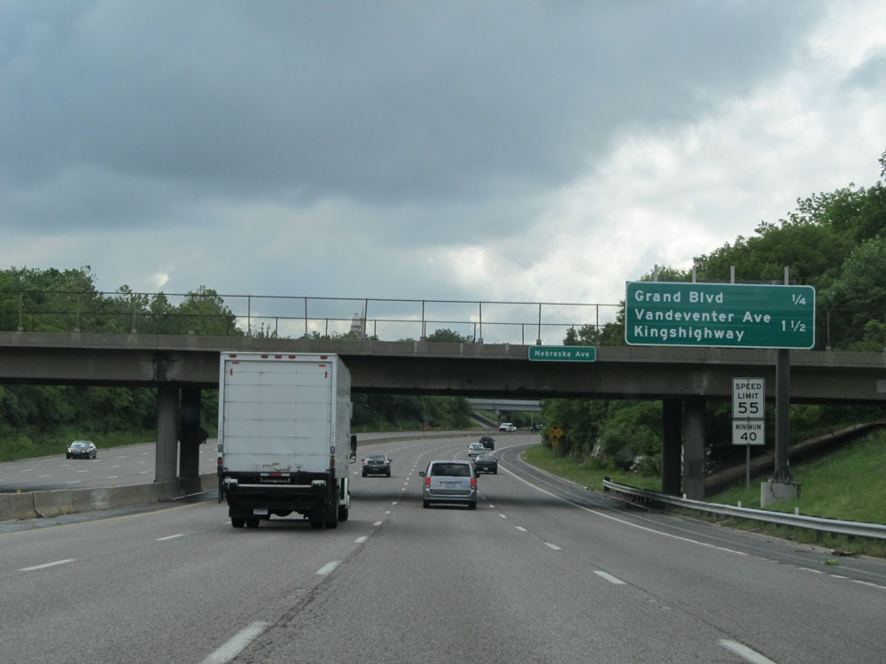 |
Sign listing the distances to the three upcoming exits on Interstate 44 West. (Photo taken 5/16/15). |
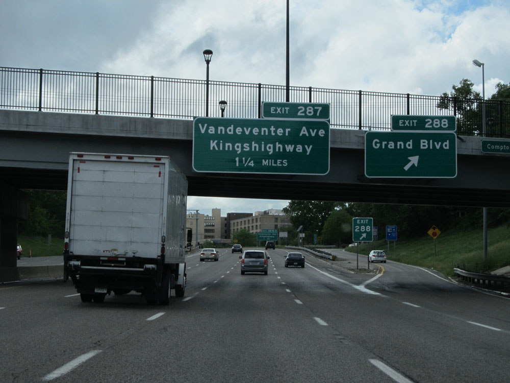 |
Interstate 44 West at Exit 288: Grand Blvd (Photo taken 5/16/15). |
 |
Just past Exit 288, the speed limit increases to 60 mph. (Photo taken 5/16/15). |
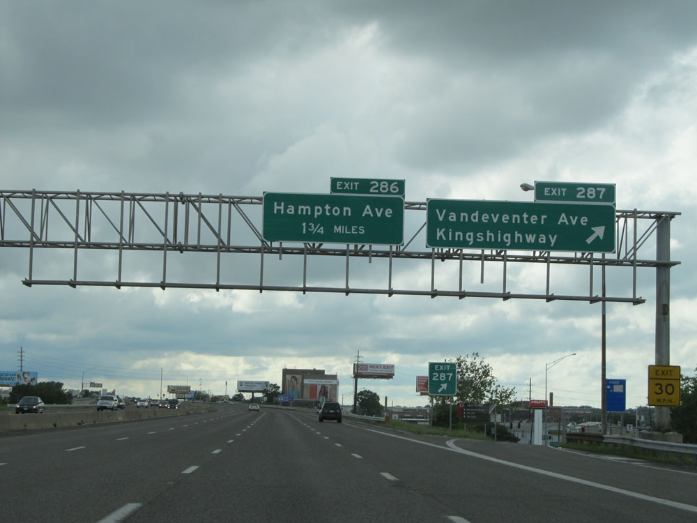 |
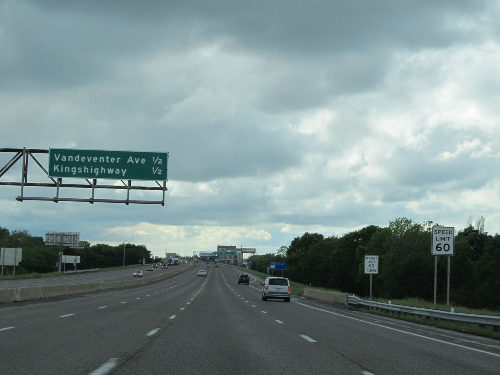
Interstate 44 West at Exit 287: Vandeventer Ave / Kingshighway (Photo taken 5/16/15). |
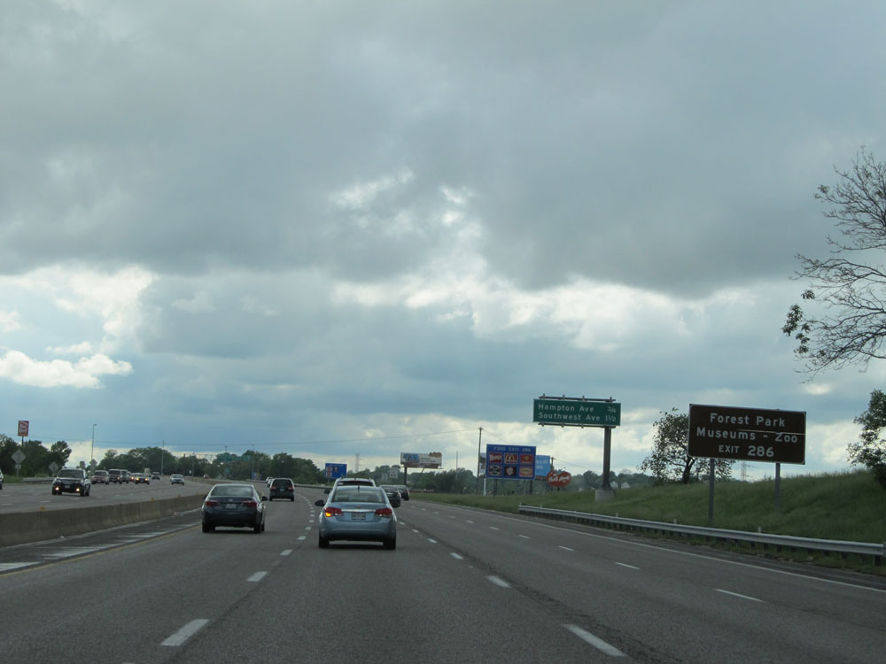 |
Take Exit 286 to Forest Park Museums and Zoo. (Photo taken 5/16/15). |
 |
Interstate 44 West at Exit 286: Hampton Ave (Photo taken 5/16/15). |
 |
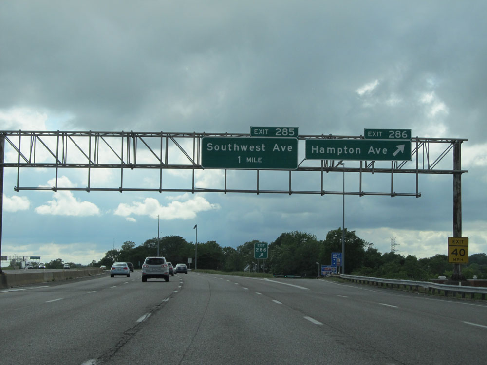
Take the next exit (Exit 285) to Historic Downtown Maplewood. For a while here, it looked like some big storms were brewing in the area. (Photo taken 5/16/15). |
 |
Interstate 44 West at Exit 285: Southwest Ave (Photo taken 5/16/15). |
 |
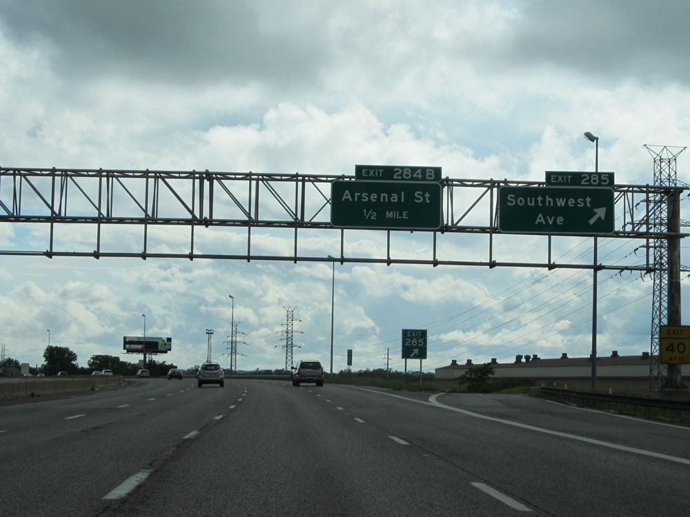
Interstate 44 West at Exit 284B: Arsenal St (Photo taken 5/16/15). |
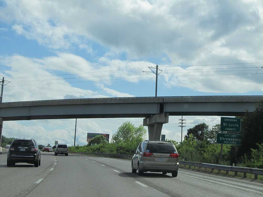 |
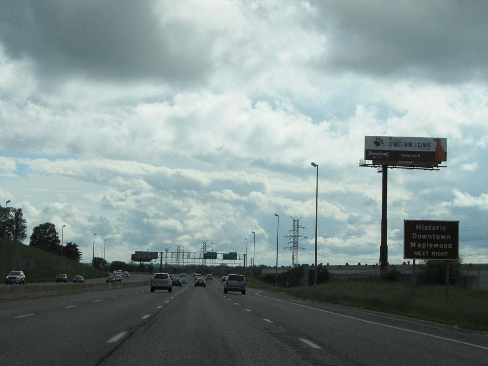
Interstate 44 West as it leaves the St. Louis city limits and enters St. Louis County. (Photo taken 5/16/15). |
 |
Interstate 44 West at Exit 283: Shrewsbury Ave (Photo taken 5/16/15). |
 |
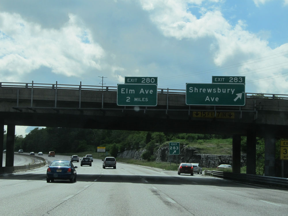
Take Exit 280 to Webster University. (Photo taken 5/16/15). |
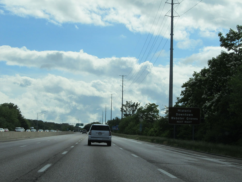 |
Also take Exit 280 to Historic Downtown Webster Groves. (Photo taken 5/16/15). |
 |
Interstate 44 West at Exit 280: Elm Ave (Photo taken 5/16/15). |
 |
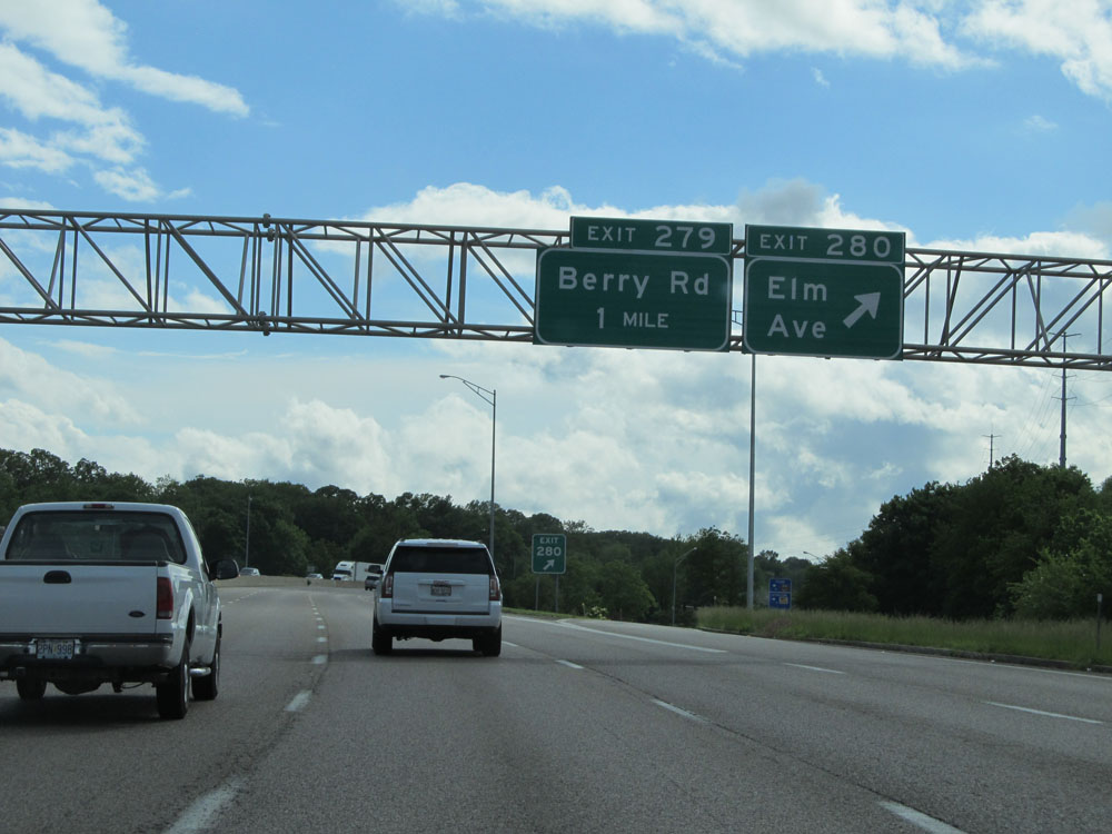
Interstate 44 West at Exit 279: Berry Rd (Photo taken 5/16/15). |
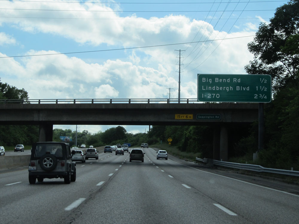 |
Sign listing the distances to the upcoming interchanges. (Photo taken 5/16/15). |
 |
Interstate 44 West at Exit 278: Big Bend Rd (Photo taken 5/16/15). |
 |
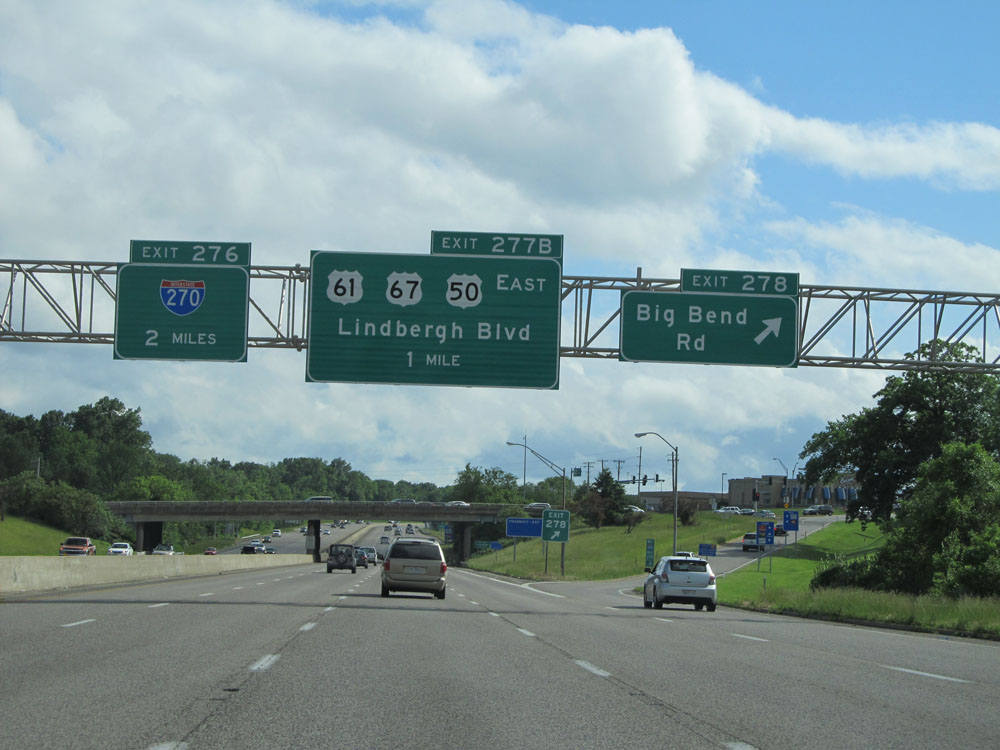
Take the next exit (Exit 277B) to Historic Downtown Kirkwood. (Photo taken 5/16/15). |
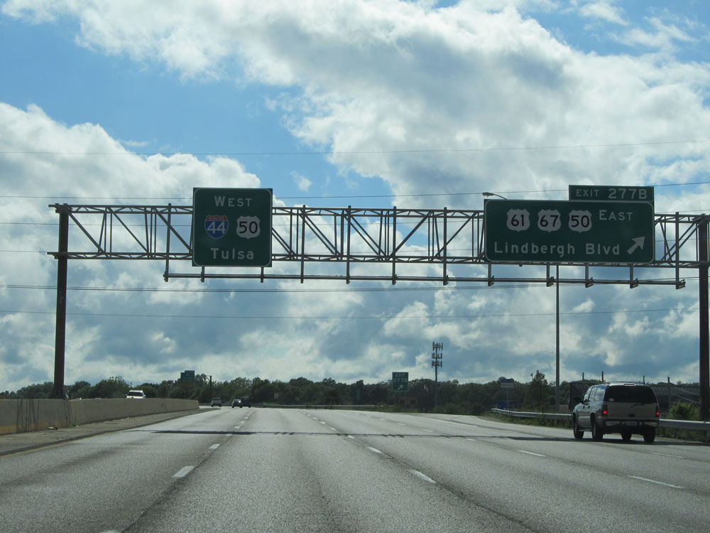 |
Interstate 44 West at Exit 277B: US 61 / US 67 / US 50 East - Lindbergh Blvd (Photo taken 5/16/15). |
 |
Interstate 44 West approaching Exit 276 - 1/2 mile. (Photo taken 5/16/15). |
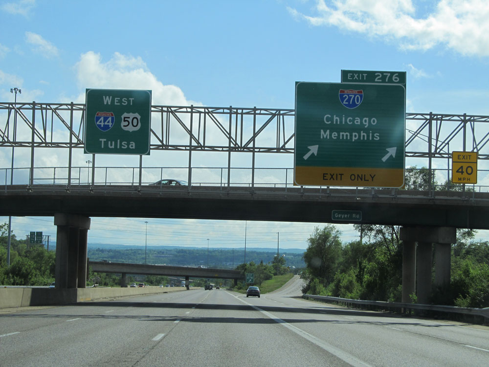 |
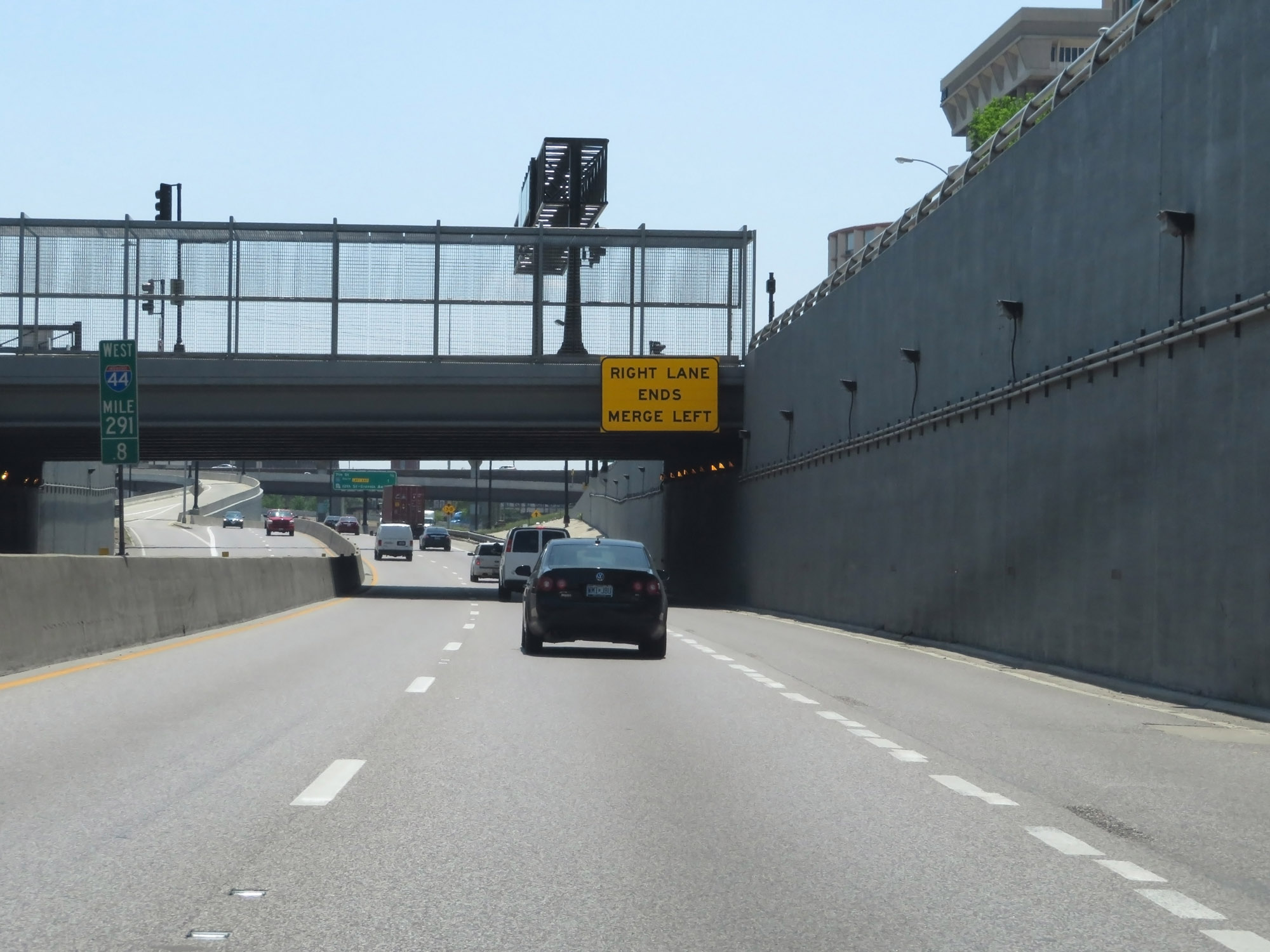
Interstate 44 West at Exit 276: Interstate 270 - Chicago / Memphis (Photo taken 5/16/15). |
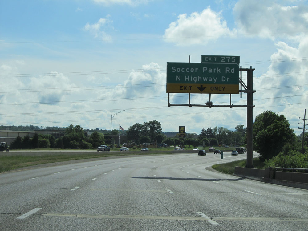 |
Interstate 44 West at Exit 275: Soccer Park Rd / N Highway Dr (Photo taken 5/16/15). |
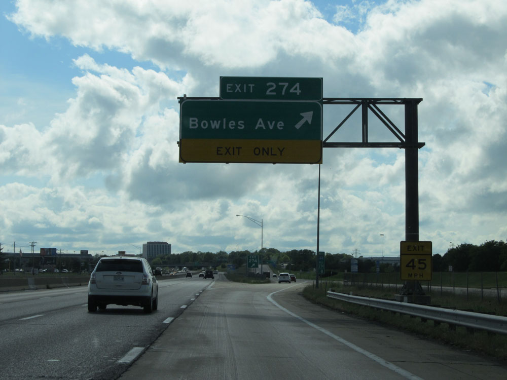 |
Interstate 44 West at Exit 274: Bowles Ave (Photo taken 5/16/15). |
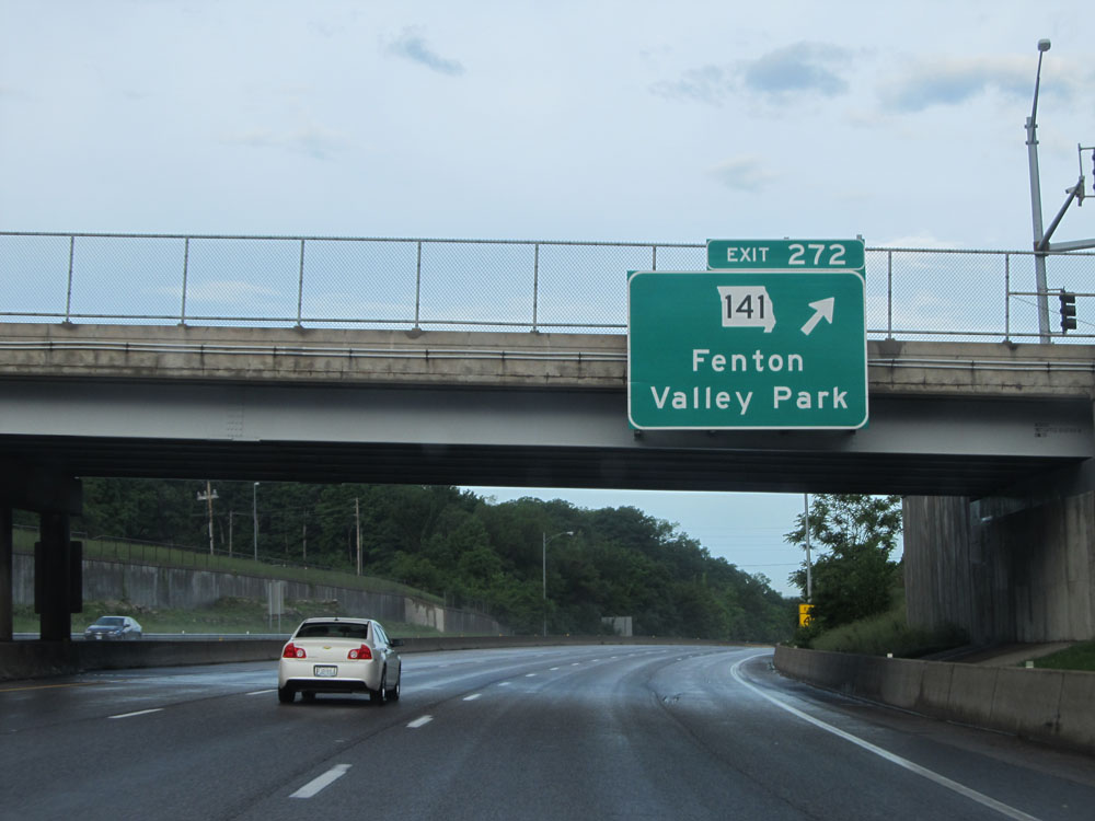 |
Interstate 44 West at Exit 272: MO 141 - Fenton / Valley Park (Photo taken 5/17/15). |
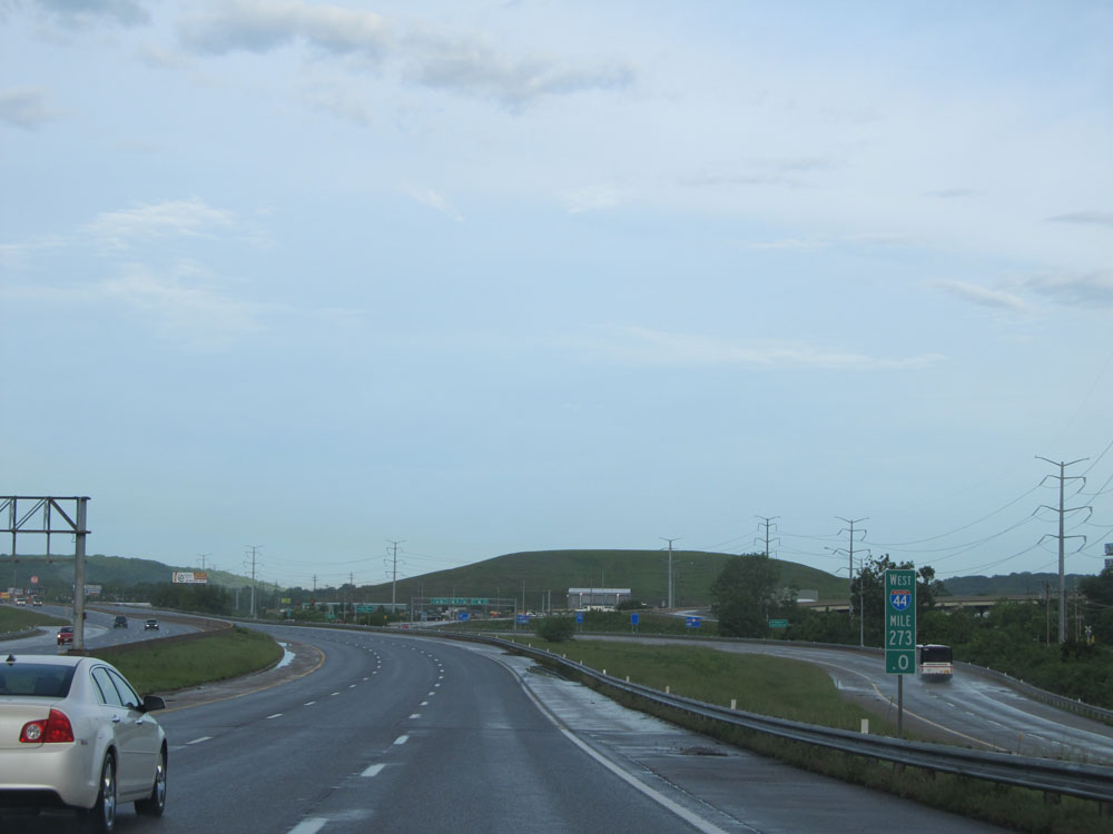 |
Interstate 44 West: Road view from mile marker 273. (Photo taken 5/17/15). |
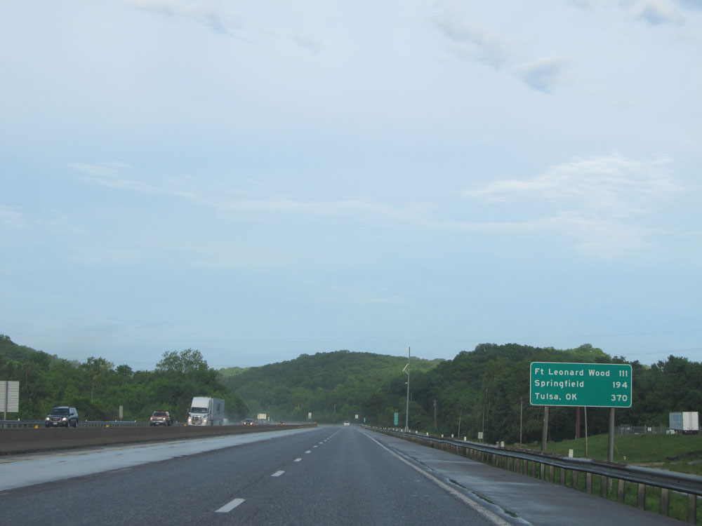 |
Mileage sign located near mile marker 272. It's 111 miles to Fort Leonard Wood, 194 miles to Springfield, and 370 miles to Tulsa, OK. (Photo taken 5/17/15). |
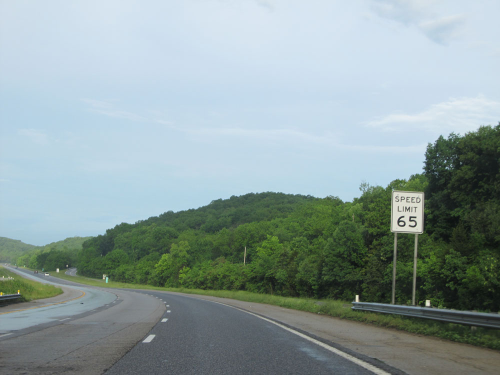 |
Near mile marker 271.4, the speed limit increases to 65 mph. (Photo taken 5/17/15). |
 |
Interstate 44 West: Road view from mile marker 271, as I-44 starts up a little bit of a grade. (Photo taken 5/17/15). |
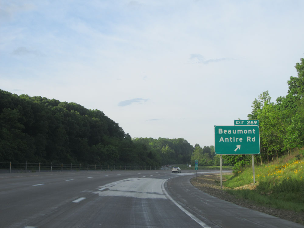 |
Interstate 44 West at Exit 269: Beaumont Antire Rd (Photo taken 5/17/15). |
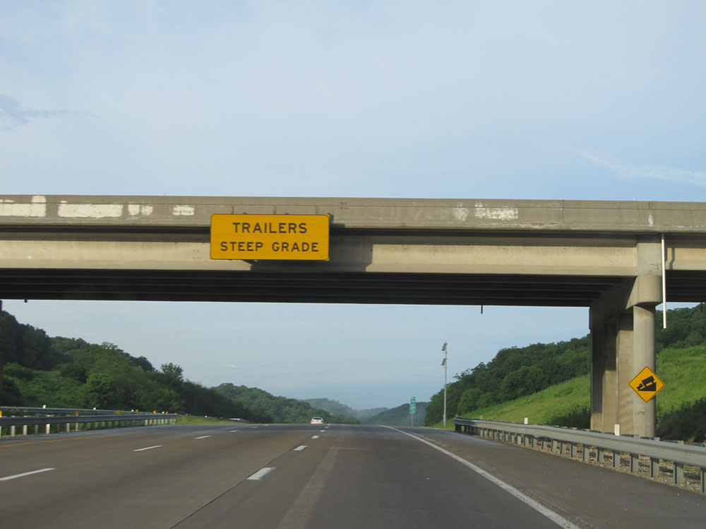 |
At the top of the grade, trucks (or trailers, more specifically for whatever reason) are warned of a steep downgrade ahead. (Photo taken 5/17/15). |
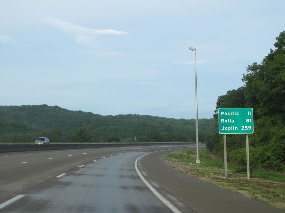 |
Mileage sign on Interstate 44 West. It's 11 miles to Pacific, 81 miles to Rolla, and 259 miles to Joplin. (Photo taken 5/17/15). |
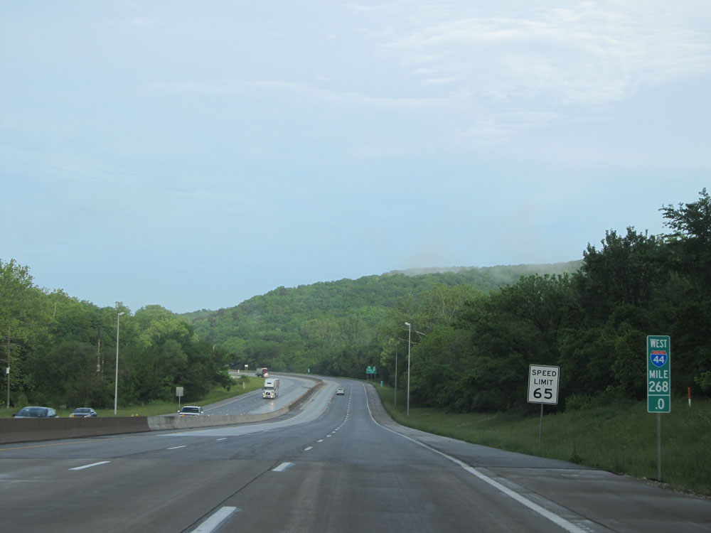 |
Interstate 44 West: Road view from mile marker 268. (Photo taken 5/17/15). |
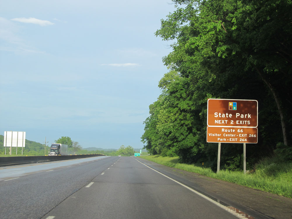 |
Take either of the next 2 exits to Route 66 State Park. (Photo taken 5/17/15). |
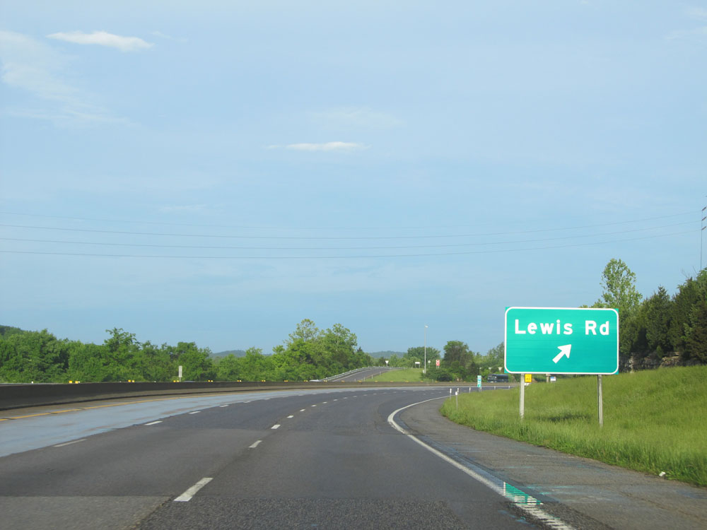 |
Interstate 44 West at Exit 266: Lewis Rd. This exit sign has had the exit number tab missing from it for as long as I can remember. (Photo taken 5/17/15). |
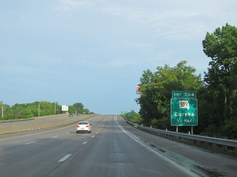 |
Interstate 44 West approaching Exit 264 - 1/2 mile. (Photo taken 5/17/15). |
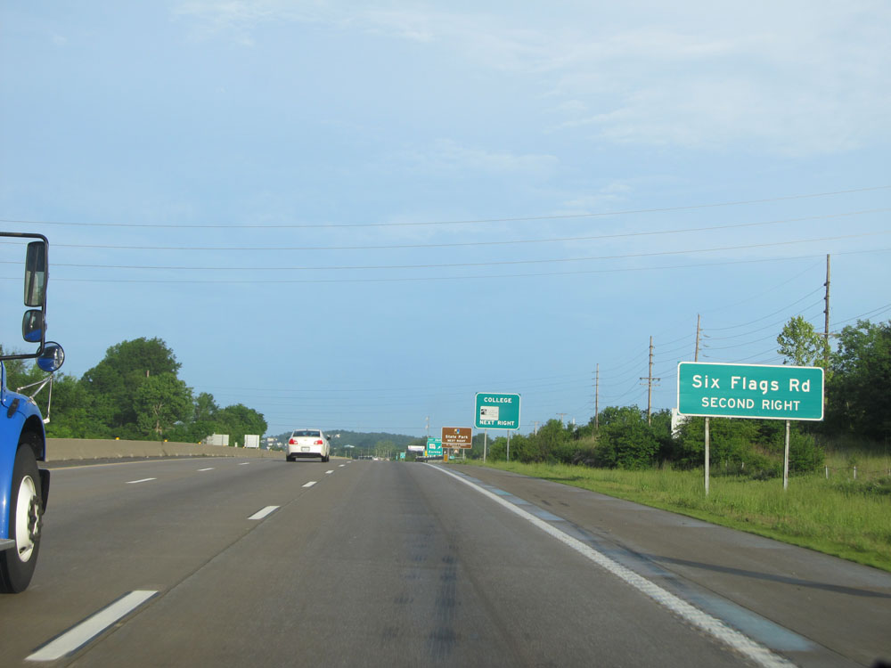 |
Take the second exit ahead (Exit 261) to Six Flags. (Photo taken 5/17/15). |
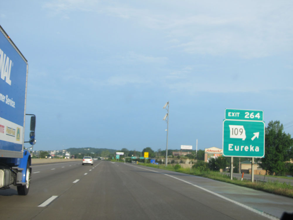 |
Interstate 44 West at Exit 264: MO 109 - Eureka (Photo taken 5/17/15). |
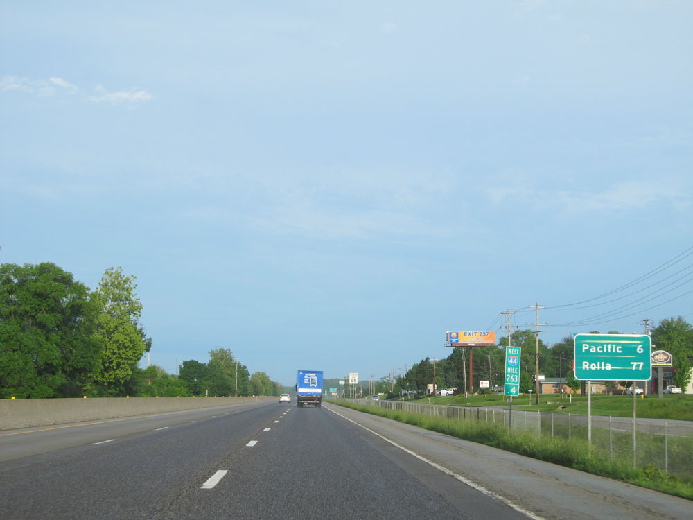 |
Another mileage sign at mile marker 263.4. Pacific - 6 miles, Rolla - 77 miles. (Photo taken 5/17/15). |
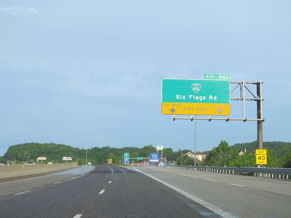 |
Interstate 44 West at Exit 261: Interstate 44 Bus. - Six Flags Rd (Photo taken 5/17/15). |
 |
Interstate 44 West: Road view from mile marker 261. (Photo taken 5/17/15). |
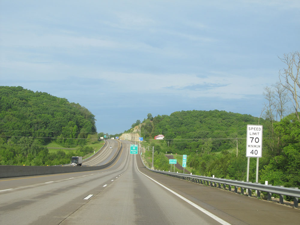 |
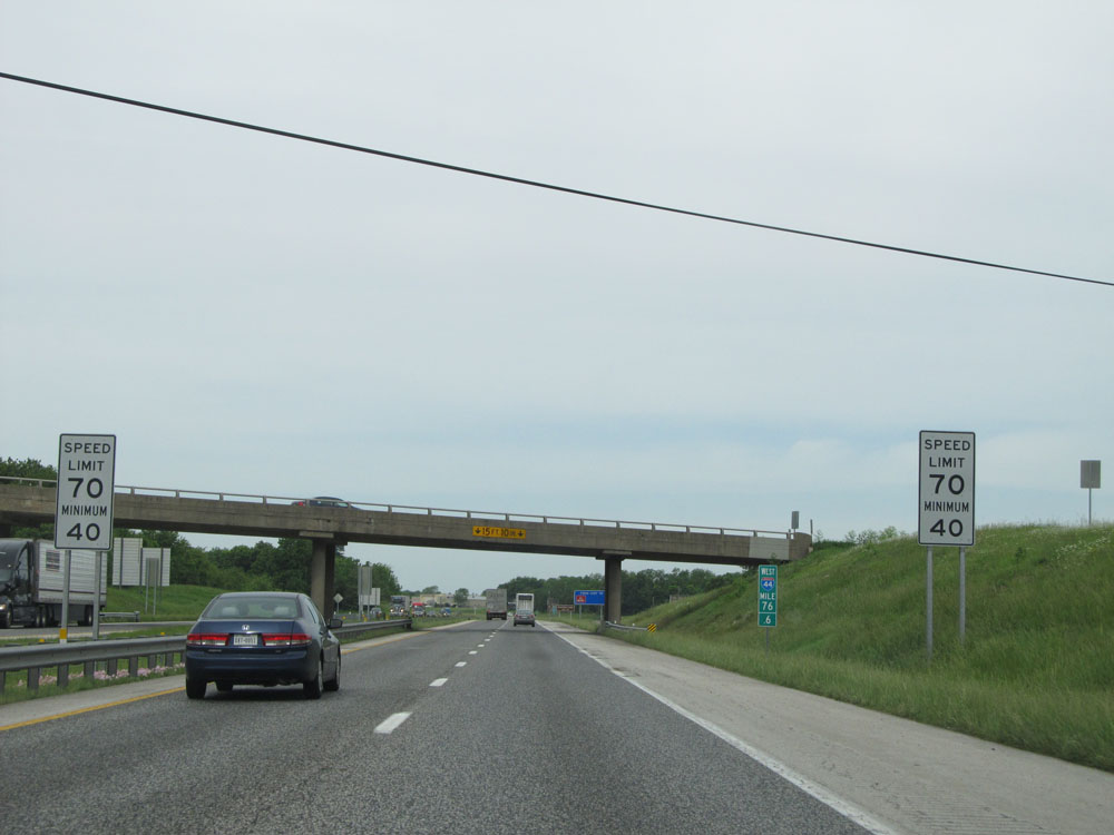
At mile marker 258.2, the speed limit increases to 70 mph, which is standard on most rural Interstates in Missouri. A 40 mph minimum speed limit also applies. (Photo taken 5/17/15). |
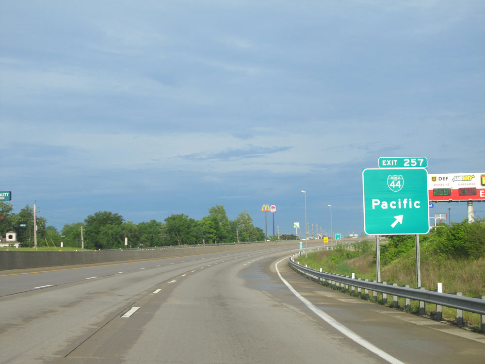 |
Interstate 44 West at Exit 257: Interstate 44 Bus. - Pacific (Photo taken 5/17/15). |
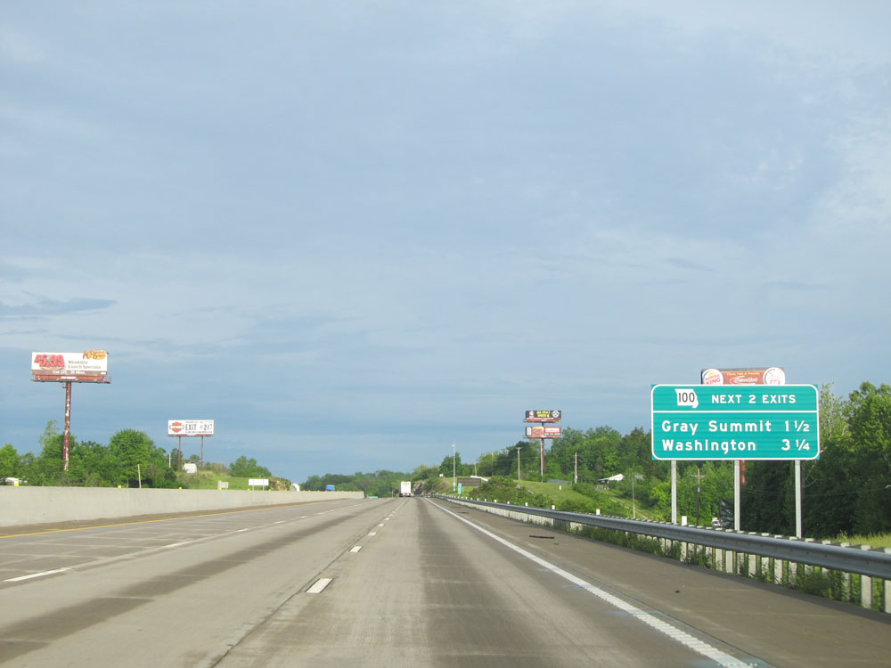 |
Take either of the next 2 exits to MO 100: Take the first one (Exit 253) for MO 100 East, and take the second one (Exit 251) for MO 100 West. (Photo taken 5/17/15). |
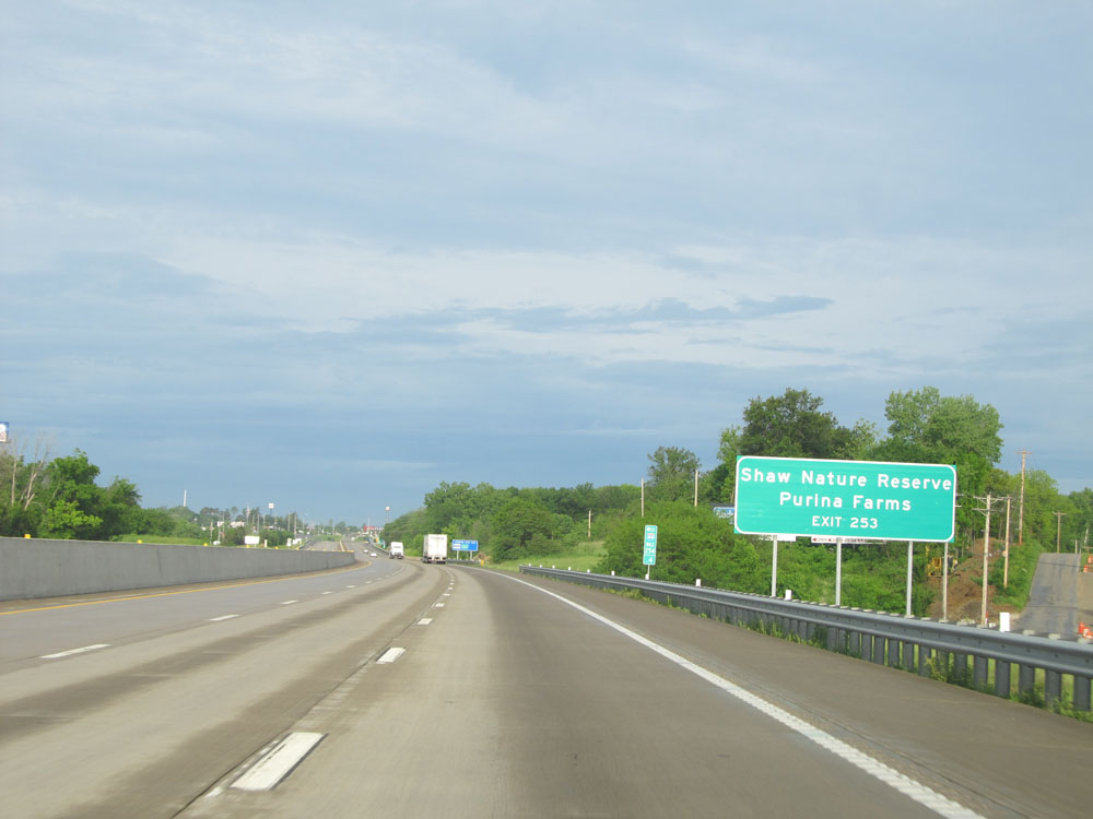 |
Take Exit 253 to Shaw Nature Reserve and Purina Farms. (Photo taken 5/17/15). |
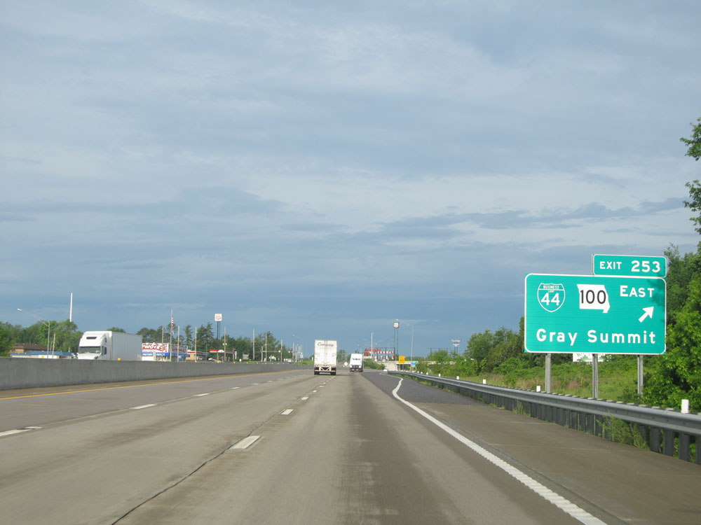 |
Interstate 44 West at Exit 253: Interstate 44 Bus. / MO 100 East - Gray Summit (Photo taken 5/17/15). |
 |
Interstate 44 West at Exit 251: MO 100 West - Washington (Photo taken 5/17/15). |
 |
Interstate 44 West / US 50 West shields located near mile marker 251. (Photo taken 5/17/15). |
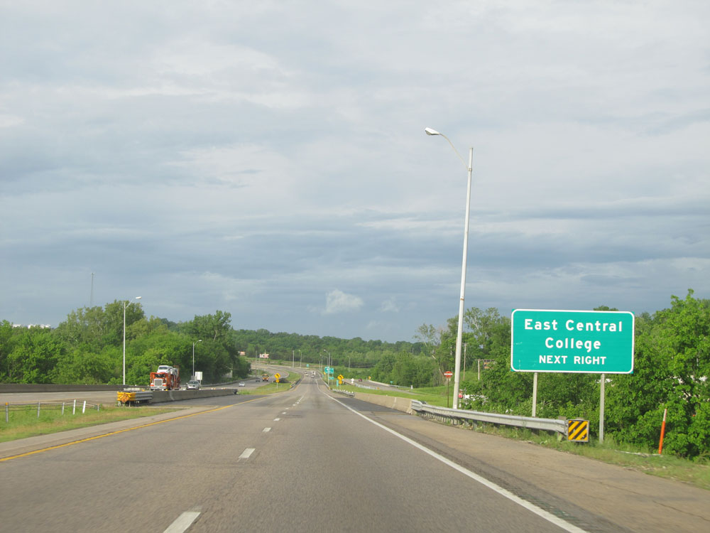 |
Take the next exit (Exit 247) to East Central College. (Photo taken 5/17/15). |
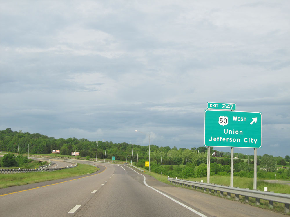 |
Interstate 44 West at Exit 247: US 50 West - Union / Jefferson City (Photo taken 5/17/15). |
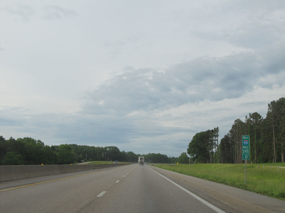 |
Interstate 44 West: Road view from mile marker 245. (Photo taken 5/17/15). |
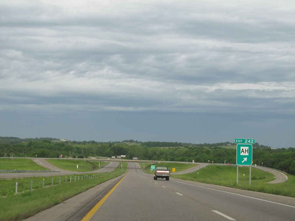 |
Interstate 44 West at Exit 242: Route AH (Photo taken 5/17/15). |
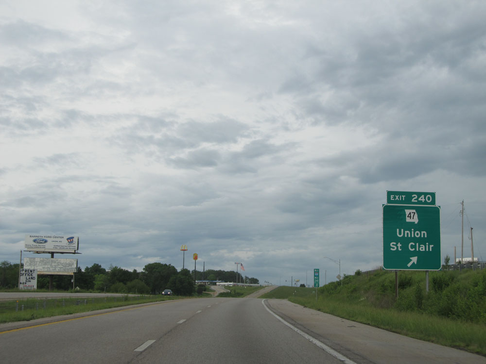 |
Interstate 44 West at Exit 240: MO 47 - Union / St Clair (Photo taken 5/17/15). |
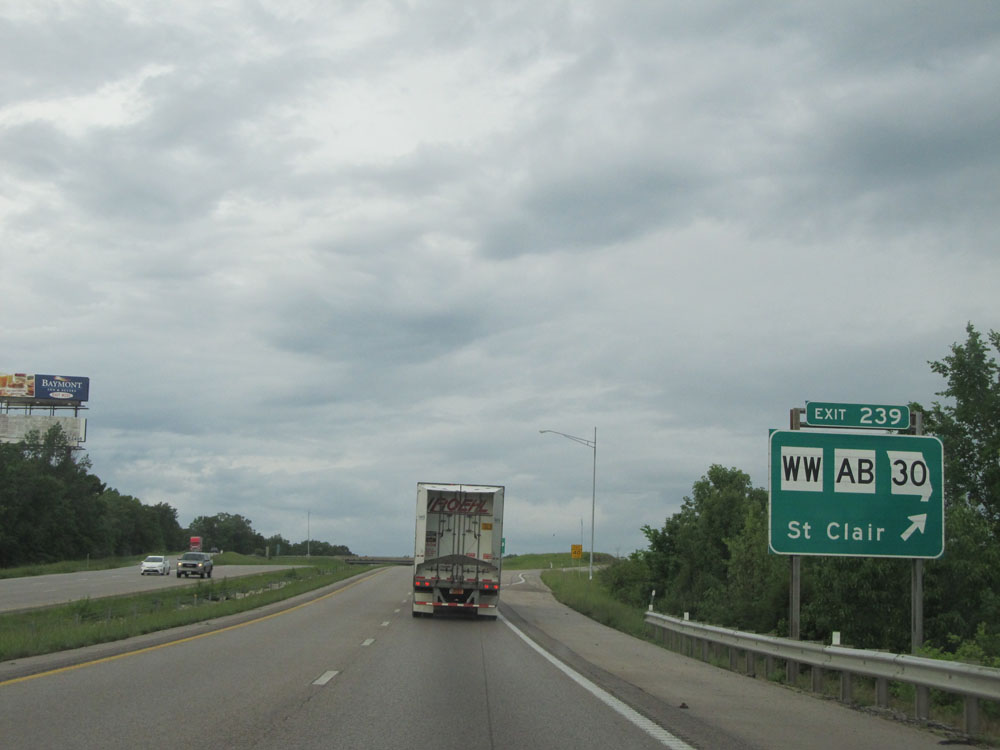 |
Interstate 44 West at Exit 239: Route WW / Route AB / MO 30 - St Clair (Photo taken 5/17/15). |
Section 2: St. Clair (Exit 239) to Waynesville (Exit 153)
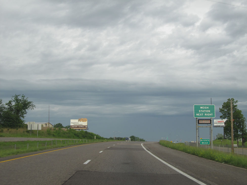 |
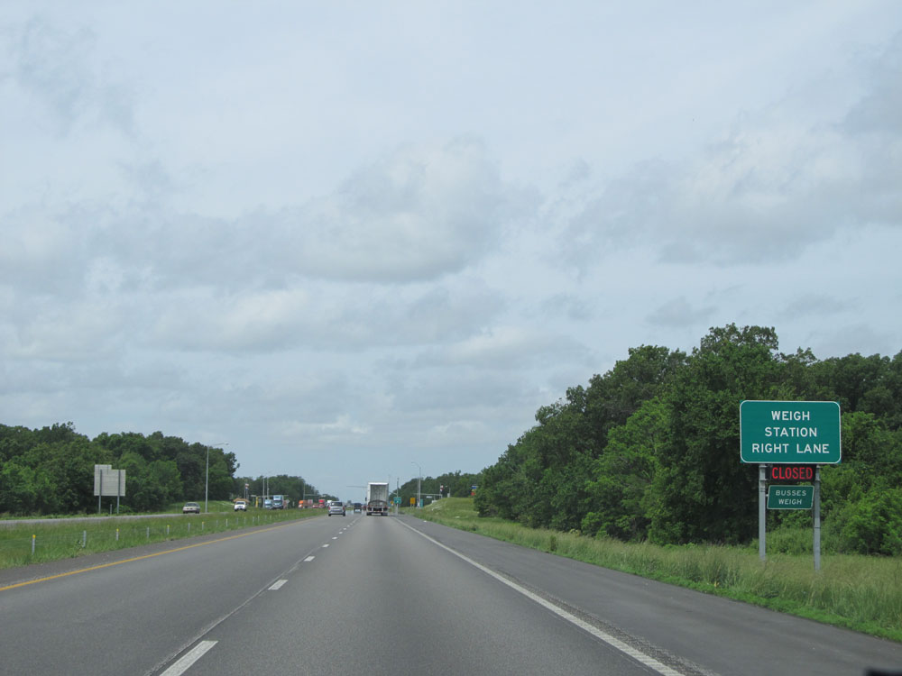
Interstate 44 West approaching the Weigh Station near St. Clair. Don't you love how they misspelled the word 'buses'? (Photo taken 5/17/15). |
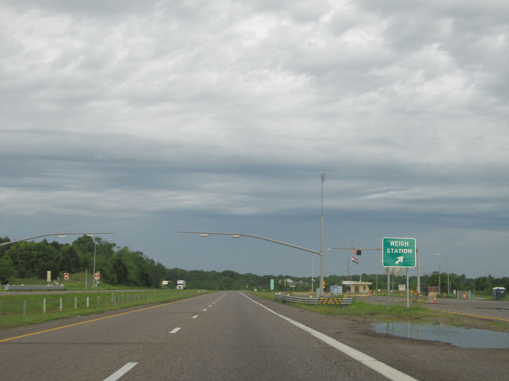 |
Interstate 44 West at the Weigh Station located near mile marker 238. (Photo taken 5/17/15). |
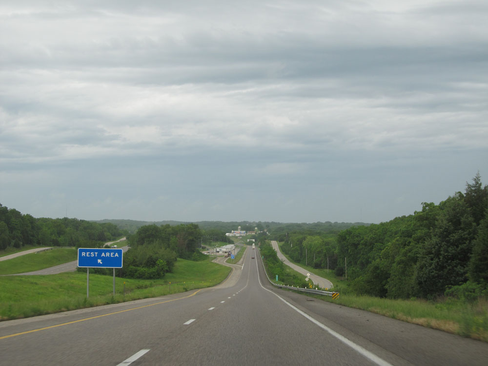 |
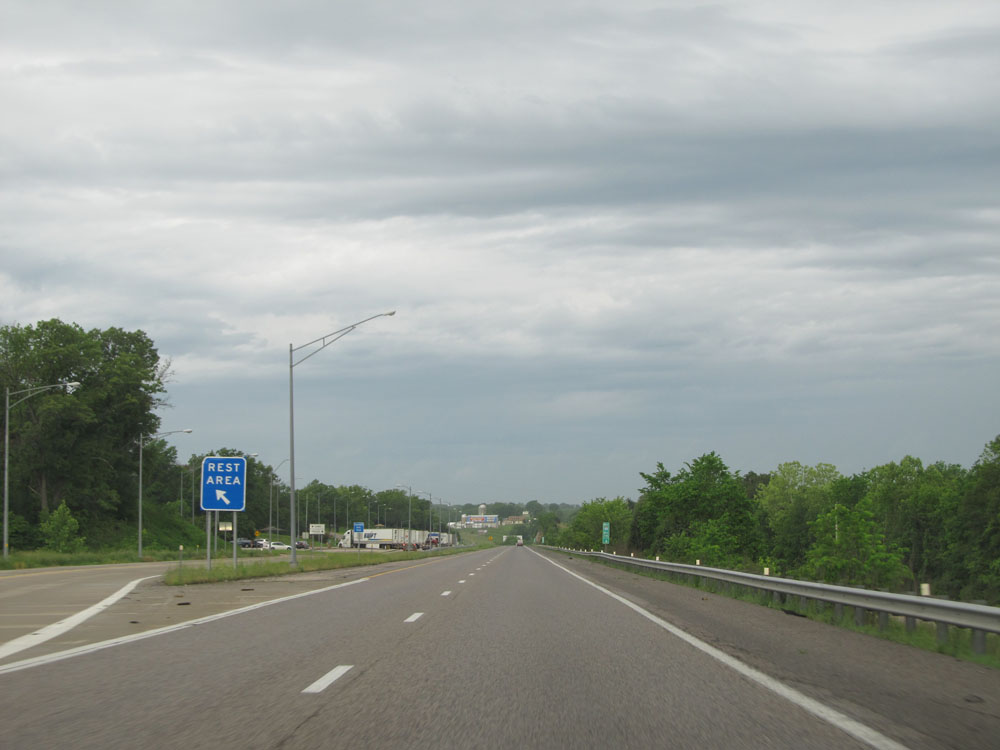
Interstate 44 West approaching the Rest Area at mile marker 235.4 (on the left). (Photo taken 5/17/15). |
 |
Interstate 44 West at the Rest Area located at mile marker 235.4. (Photo taken 5/17/15). |
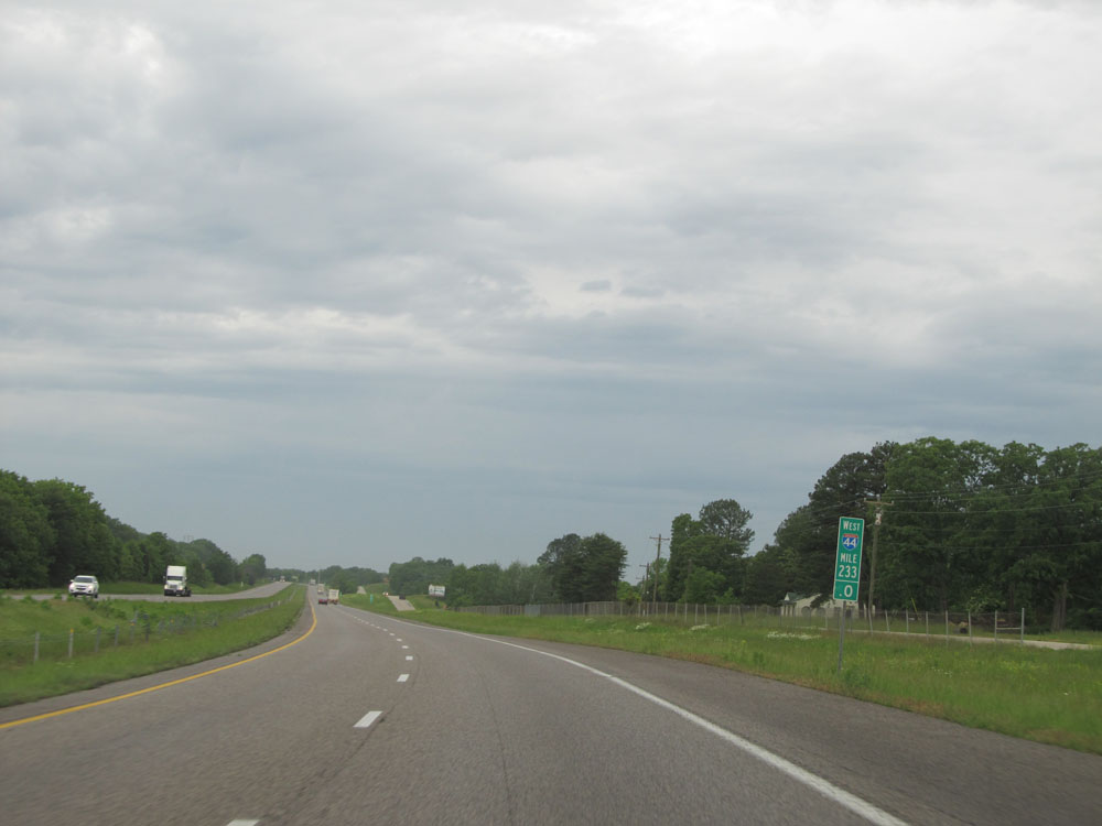 |
Interstate 44 West: Road view from mile marker 233. (Photo taken 5/17/15). |
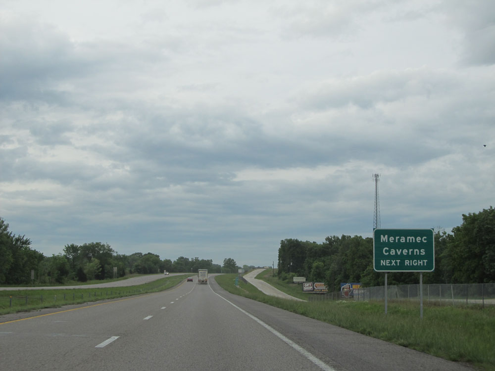 |
Take Exit 230 to Meramec Caverns. (Photo taken 5/17/15). |
 |
Interstate 44 West at Exit 230: Route W / Route JJ - Stanton (Photo taken 5/17/15). |
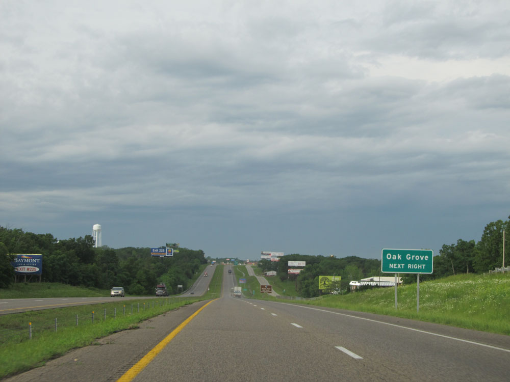 |
Take Exit 226 to Oak Grove. (Photo taken 5/17/15). |
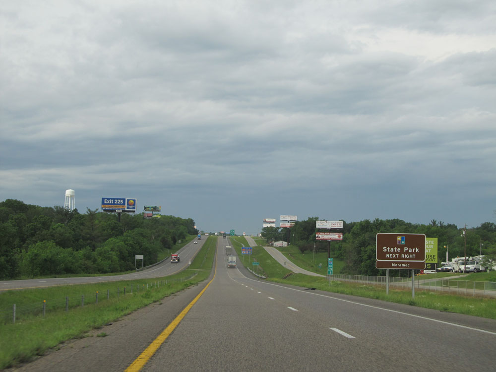 |
Also take Exit 226 to Meramec State Park. (Photo taken 5/17/15). |
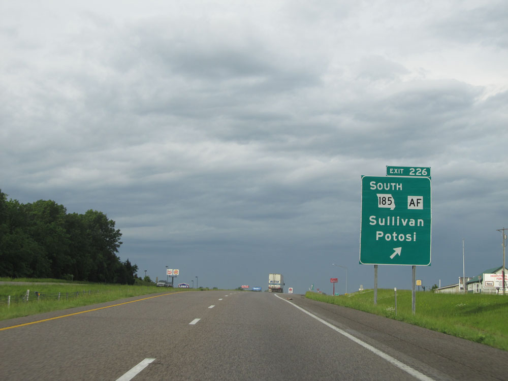 |
Interstate 44 West at Exit 226: MO 185 South / Route AF - Sullivan / Potosi (Photo taken 5/17/15). |
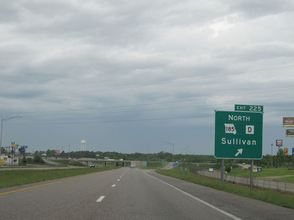 |
Interstate 44 West at Exit 225: MO 185 North / Route D North - Sullivan (Photo taken 5/17/15). |
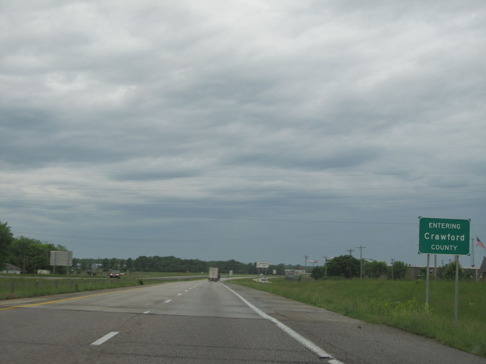 |
Interstate 44 West as it enters Crawford County. (Photo taken 5/17/15). |
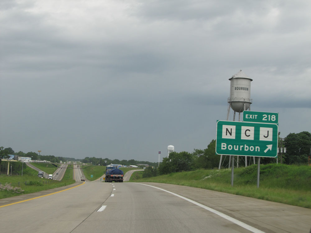 |
Interstate 44 West at Exit 218: Route N / Route C / Route J - Bourbon (Photo taken 5/17/15). |
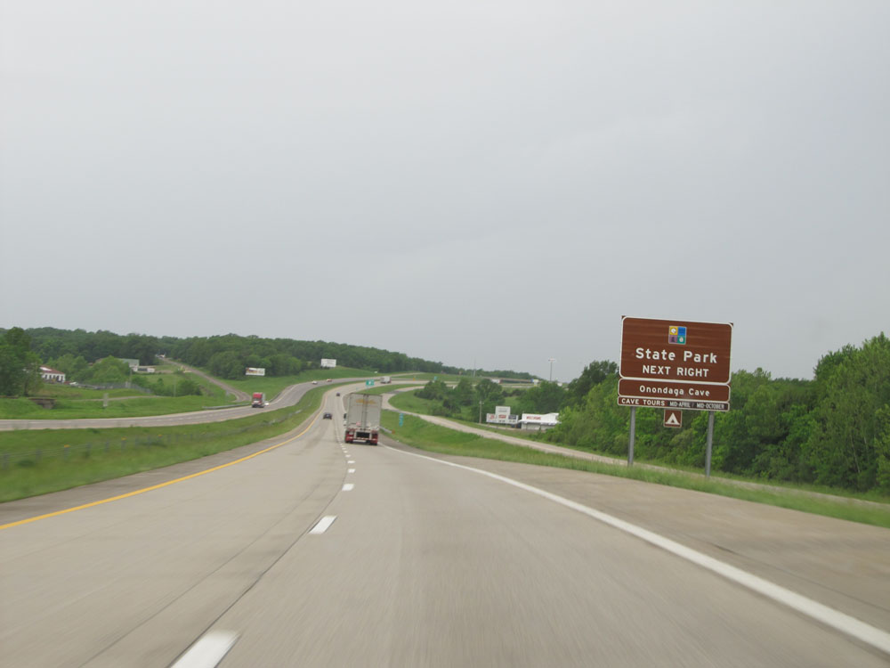 |
Take Exit 214 to Onondaga Cave State Park. (Photo taken 5/17/15). |
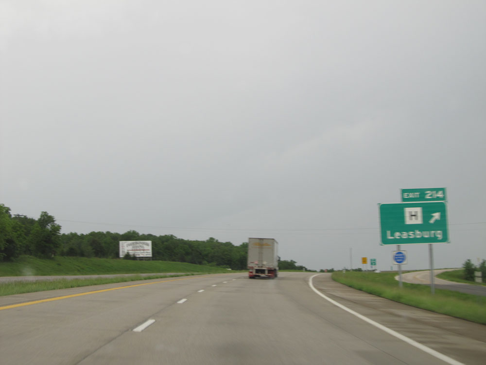 |
Interstate 44 West at Exit 214: Route H - Leasburg (Photo taken 5/17/15). |
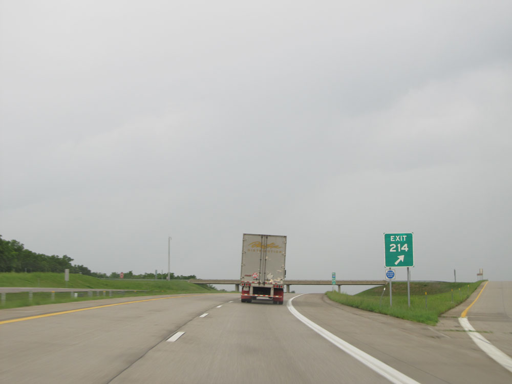 |
Closer view of the exit ramp for Exit 214, since I botched the previous picture due to the rain. (Photo taken 5/17/15). |
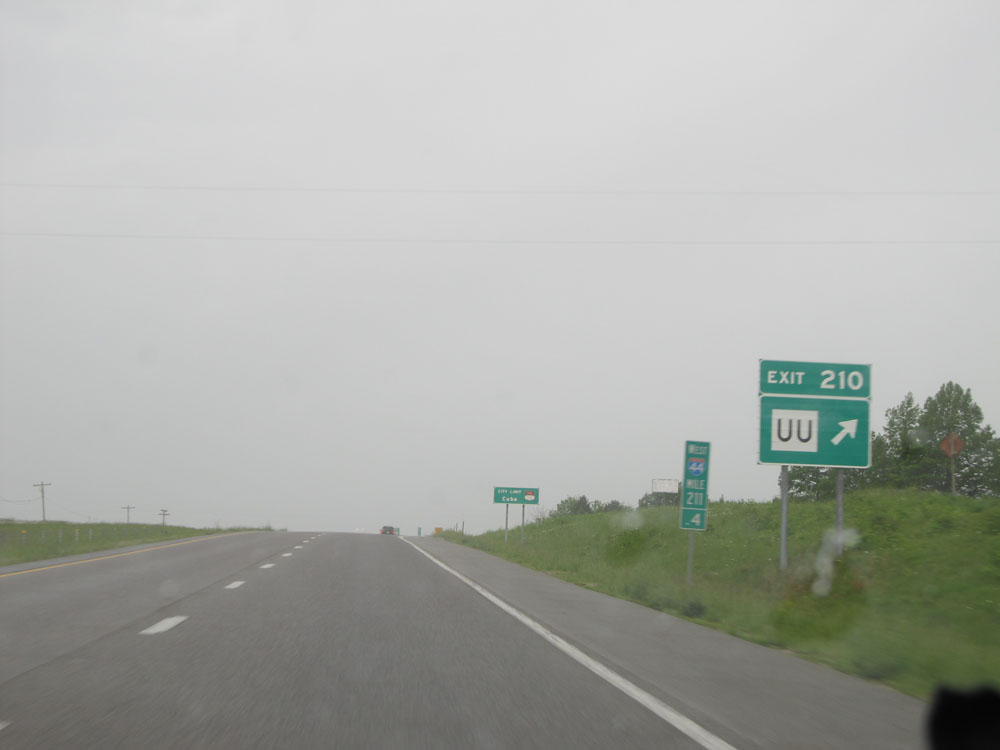 |
Interstate 44 West at Exit 210: Route UU (Photo taken 5/17/15). |
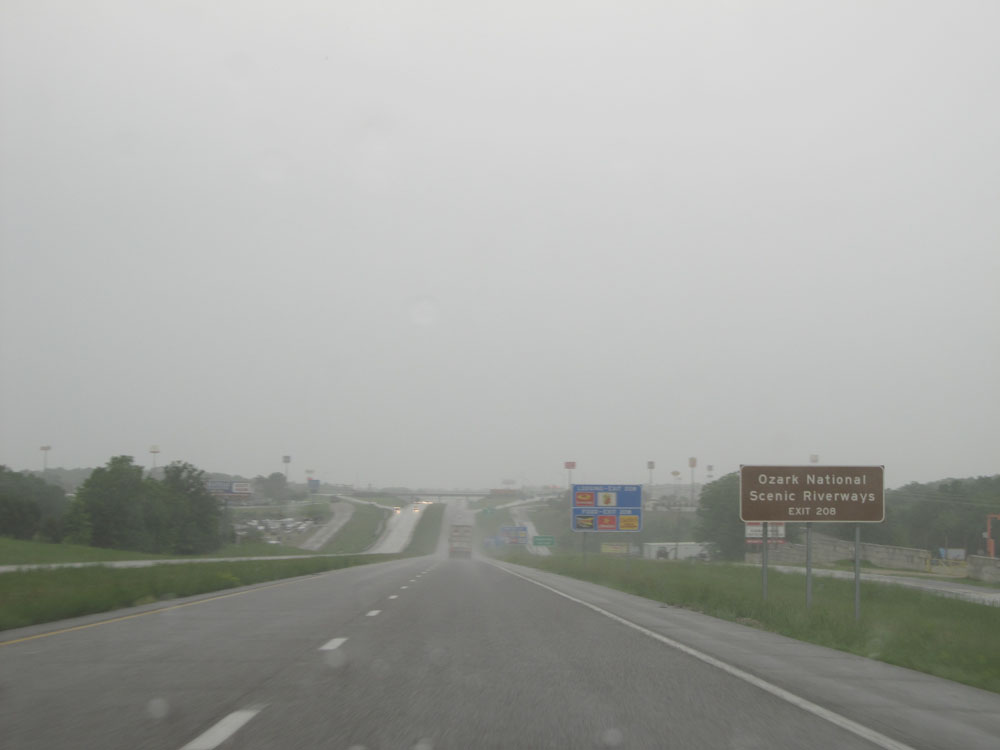 |
Take Exit 208 to Ozark National Scenic Riverways. (Photo taken 5/17/15). |
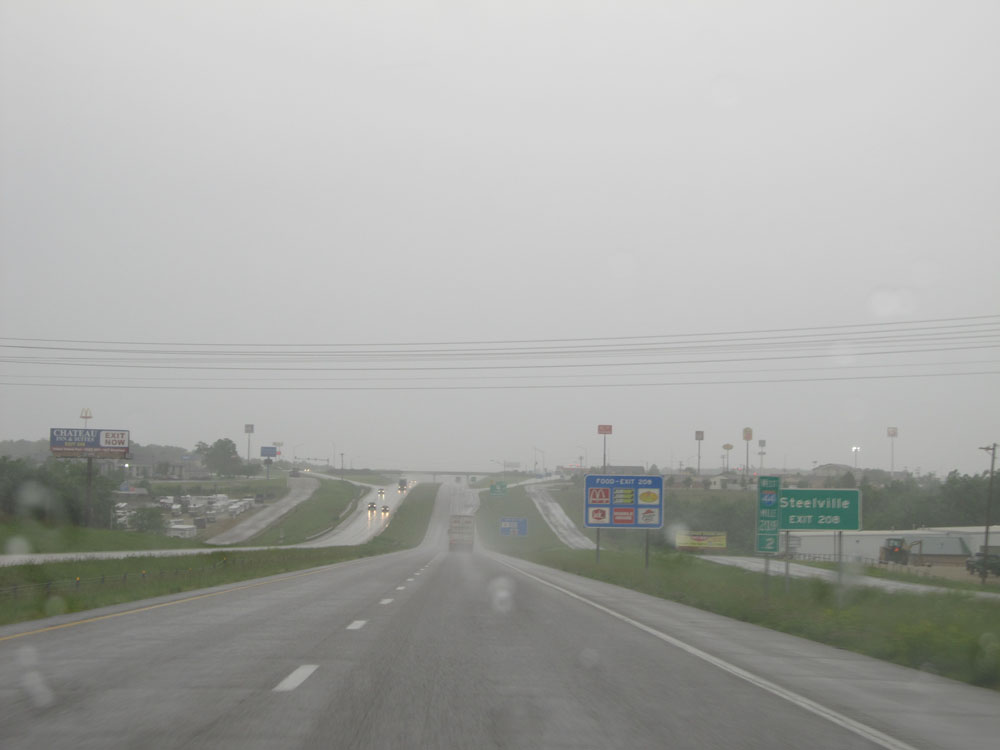 |
Also take Exit 208 to Steelville. (Photo taken 5/17/15). |
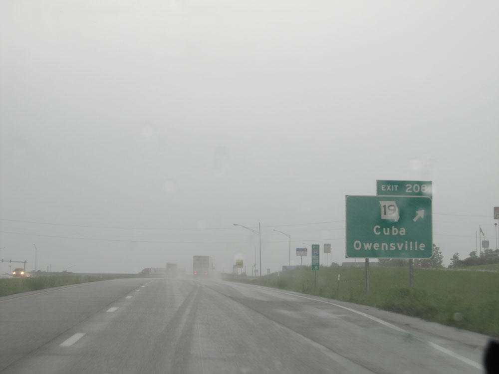 |
Interstate 44 West at Exit 208: MO 19 - Cuba / Owensville (Photo taken 5/17/15). |
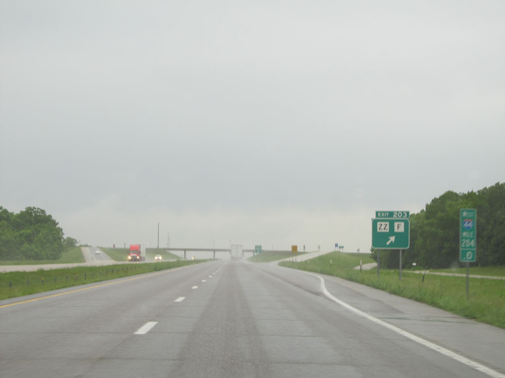 |
Interstate 44 West at Exit 203: Route ZZ / Route F (Photo taken 5/17/15). |
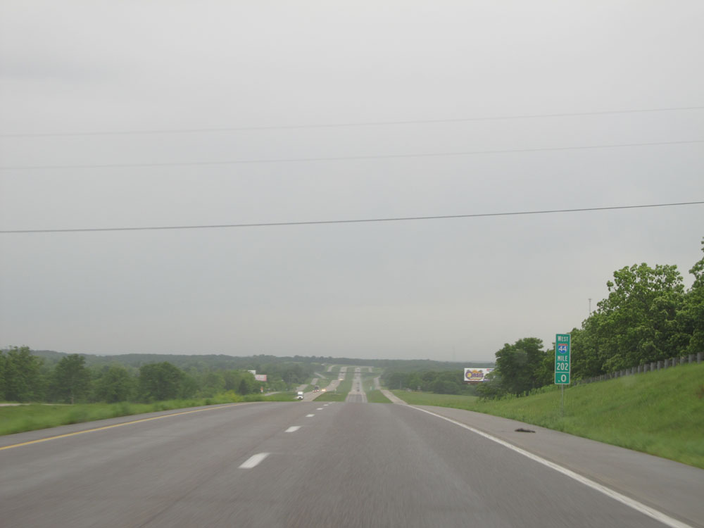 |
Interstate 44 West: Road view from mile marker 202. (Photo taken 5/17/15). |
 |
Interstate 44 West entering Phelps County. (Photo taken 5/17/15). |
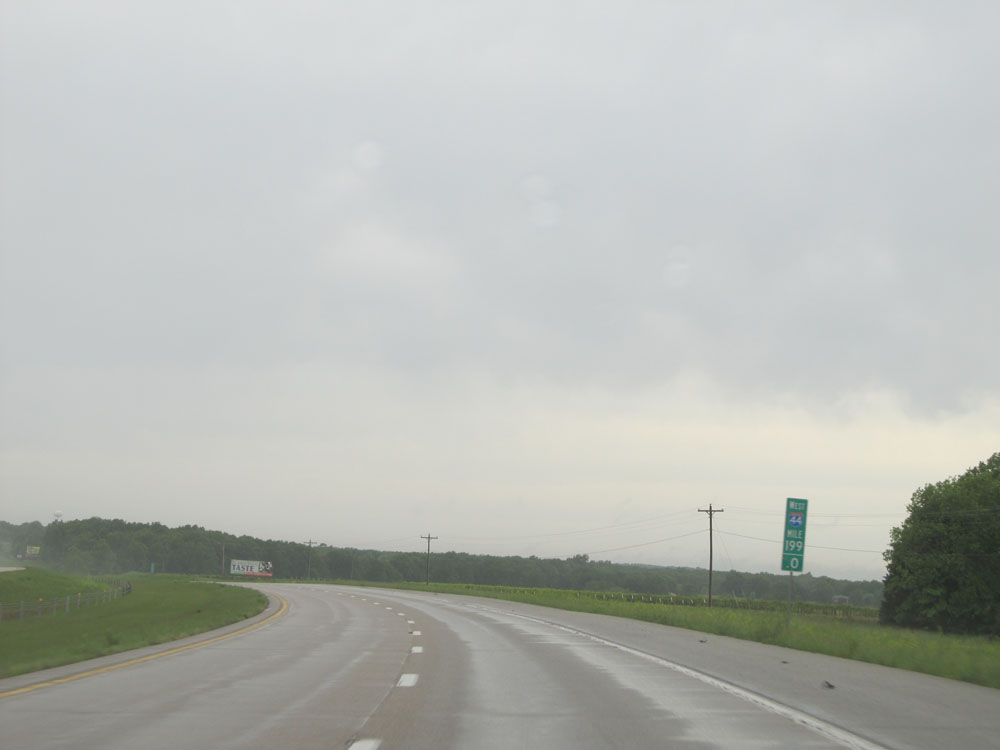 |
Interstate 44 West: Road view from mile marker 199. (Photo taken 5/17/15). |
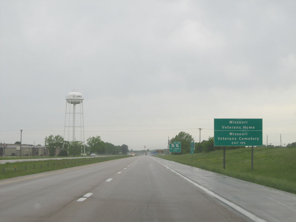 |
Take Exit 195 to Missouri Veterans Home and Missouri Veterans Cemetery. (Photo taken 5/17/15). |
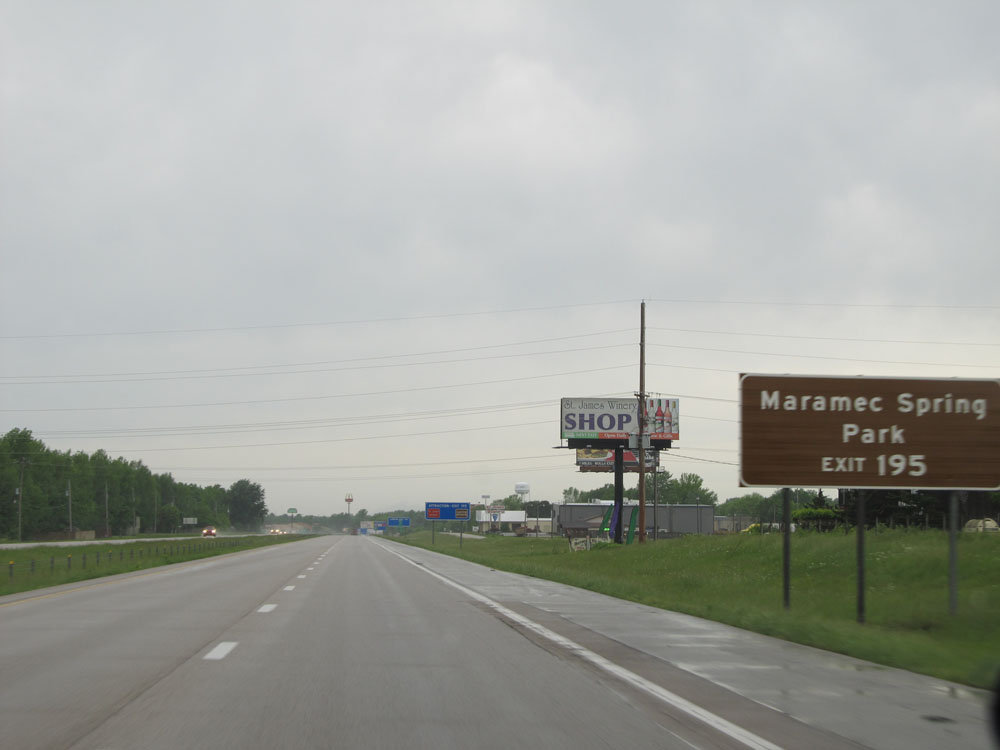 |
Also take Exit 195 to Meramec Spring Park. (Photo taken 5/17/15). |
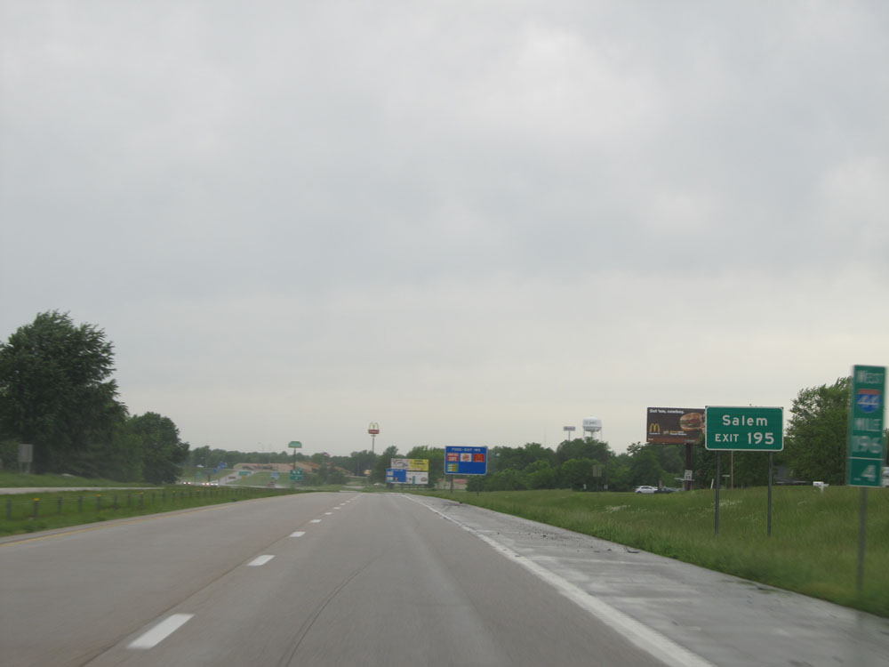 |
Use Exit 195 to Salem. (Photo taken 5/17/15). |
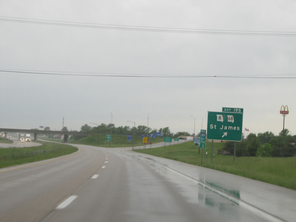 |
Interstate 44 West at Exit 195: MO 8 / MO 68 - St James (Photo taken 5/17/15). |
 |
Interstate 44 West: Road view from mile marker 192. (Photo taken 5/17/15). |
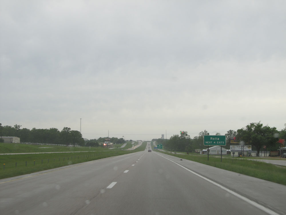 |
Take any of the next 4 exits to Rolla. (Photo taken 5/17/15). |
 |
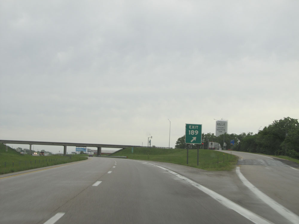
Interstate 44 West approaching Exit 189 - 1 mile. (Photo taken 5/17/15). |
 |
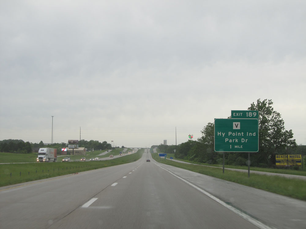
Interstate 44 West at Exit 189: Route V - Hy Point Industrial Park Dr (Photo taken 5/17/15). |
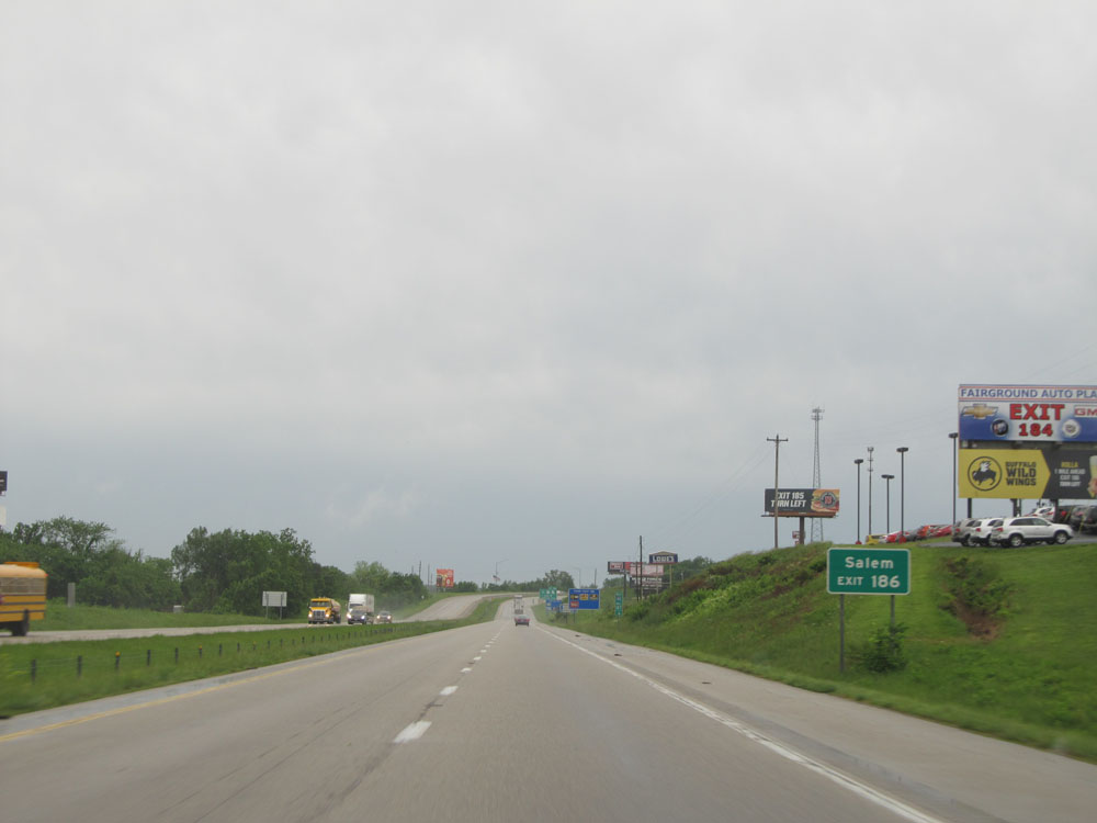 |
Take Exit 186 to Salem. (Photo taken 5/17/15). |
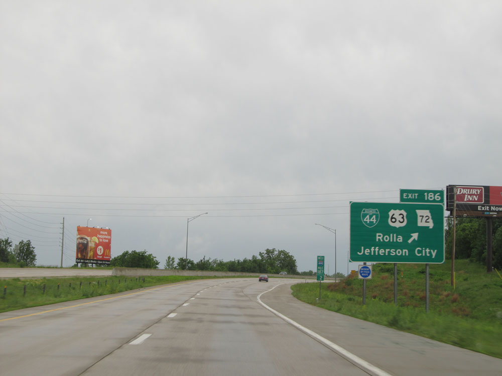 |
Interstate 44 West at Exit 186: Interstate 44 Bus. / US 63 / MO 72 - Rolla / Jefferson City (Photo taken 5/17/15). |
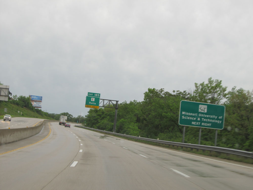 |
Take Exit 185 to Missouri University of Science & Technology. (Photo taken 5/17/15). |
 |
Interstate 44 West at Exit 185: Route E - Rolla (Photo taken 5/17/15). |
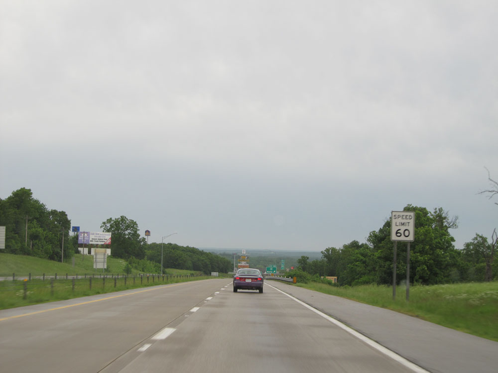 |
Just past Exit 185, the speed limit decreases to 60 mph as you pass through Rolla. (Photo taken 5/17/15). |
 |
Interstate 44 West at Exit 184: Interstate 44 Bus. - Rolla (Photo taken 5/17/15). |
 |
The 60 mph speed limit doesn't last very long, as it increases once again to 70 mph here near mile marker 184. (Photo taken 5/17/15). |
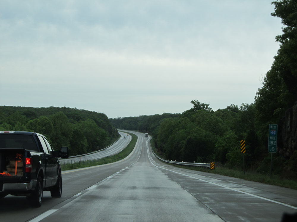 |
Interstate 44 West: Road view from mile marker 182. (Photo taken 5/17/15). |
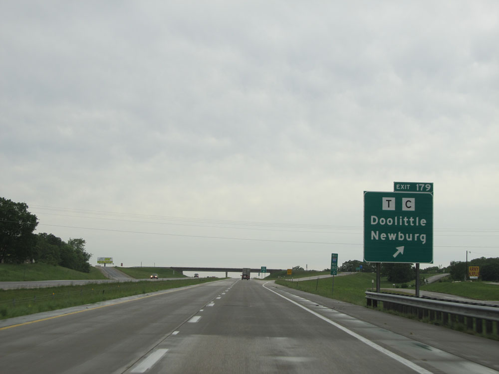 |
Interstate 44 West at Exit 179: Route T / Route C - Doolittle / Newburg (Photo taken 5/17/15). |
 |
Interstate 44 West shield. (Photo taken 5/17/15). |
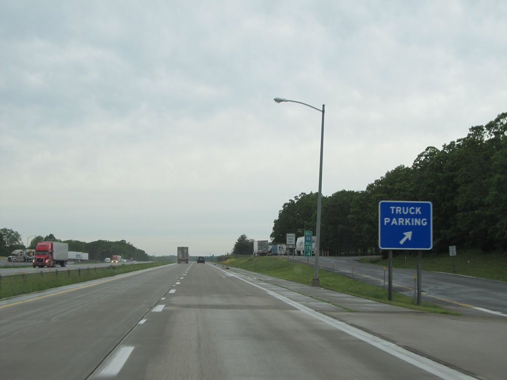 |
Interstate 44 West at the Truck Parking Area located at mile marker 178.4. (Photo taken 5/17/15). |
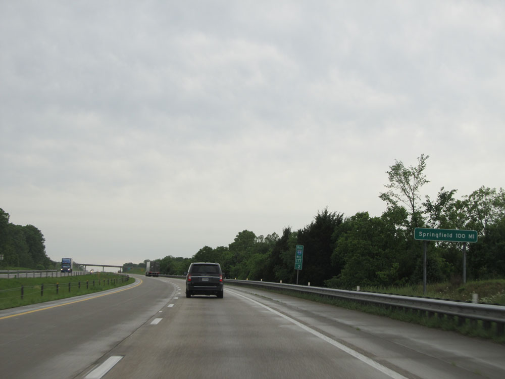 |
At mile marker 177.2, this sign indicates that it is now exactly 100 miles to Springfield. (Photo taken 5/17/15). |
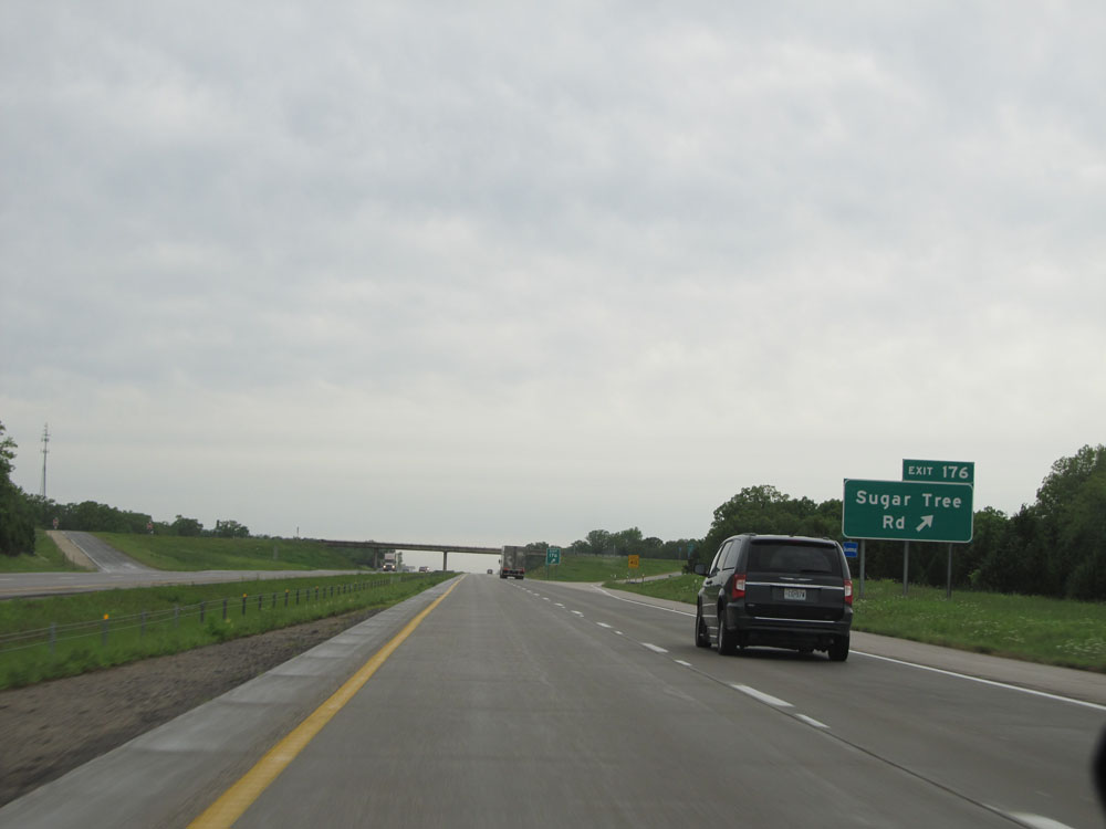 |
Interstate 44 West at Exit 176: Sugar Tree Rd (Photo taken 5/17/15). |
 |
Interstate 44 West: Road view from mile marker 175.6. (Photo taken 5/17/15). |
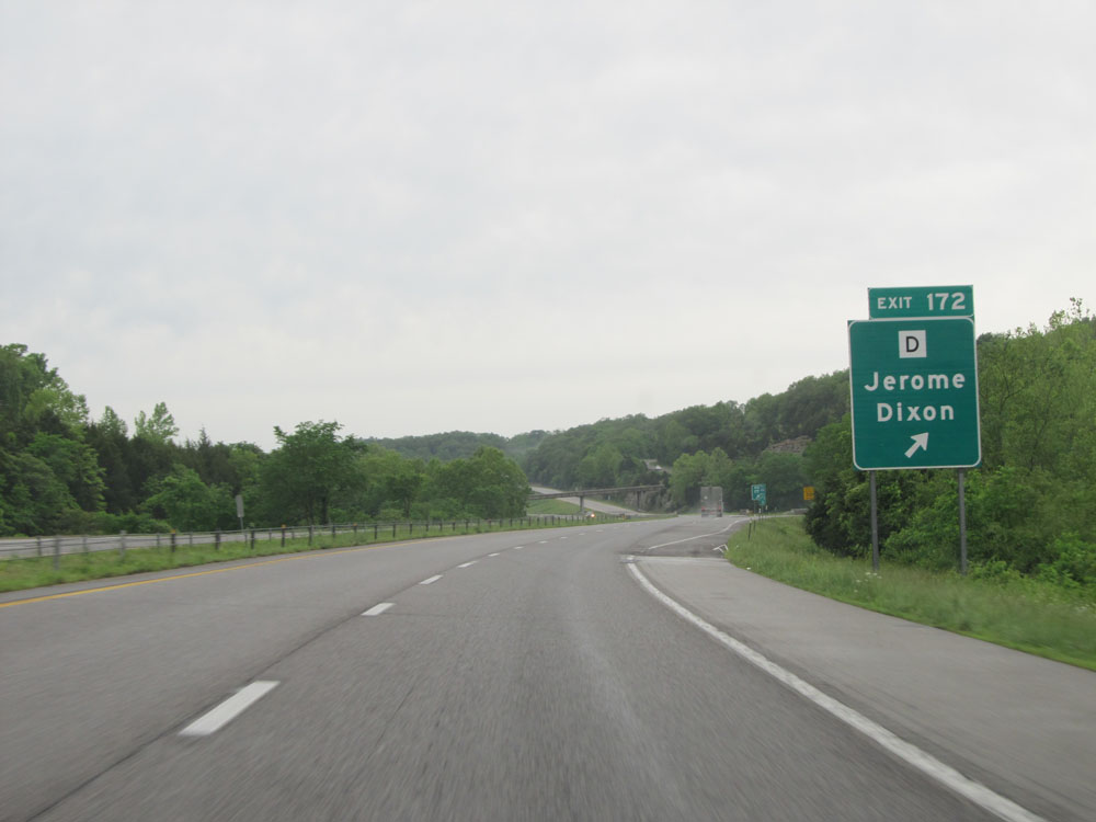 |
Interstate 44 West at Exit 172: Route D - Jerome / Dixon (Photo taken 5/17/15). |
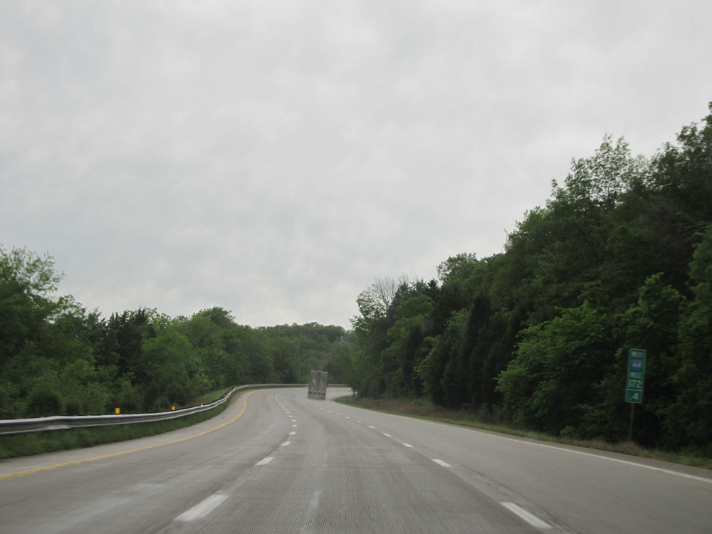 |
Interstate 44 West: Road view from mile marker 172.4, as I-44 begins up a short but steep grade. As such, a truck climbing lane begins. (Photo taken 5/17/15). |
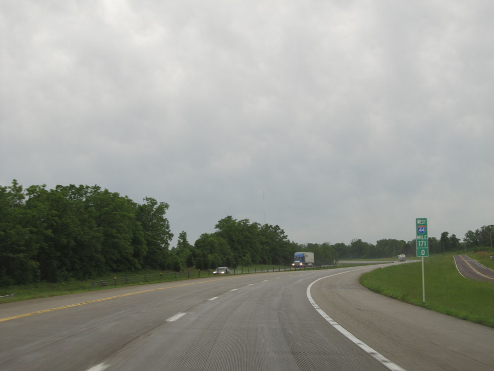 |
Interstate 44 West: Road view from mile marker 171, at the top of the hill. (Photo taken 5/17/15). |
 |
Interstate 44 West at Exit 169: Route J (Photo taken 5/17/15). |
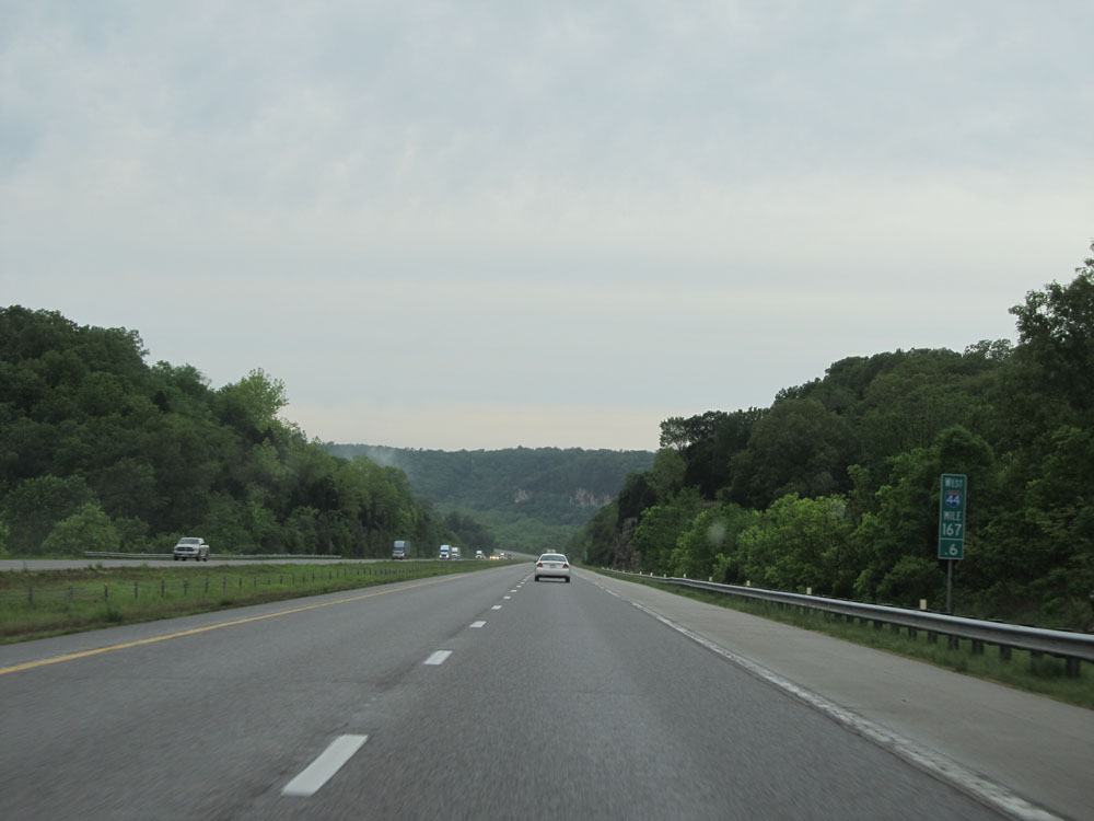 |
Interstate 44 West: Road view from mile marker 167.6. (Photo taken 5/17/15). |
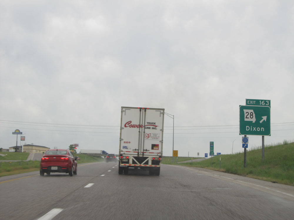 |
Interstate 44 West at Exit 163: MO 28 - Dixon (Photo taken 5/17/15). |
 |
Take Exit 161 to Waynesville - St Robert Regional Airport at Forney Field. (Photo taken 5/17/15). |
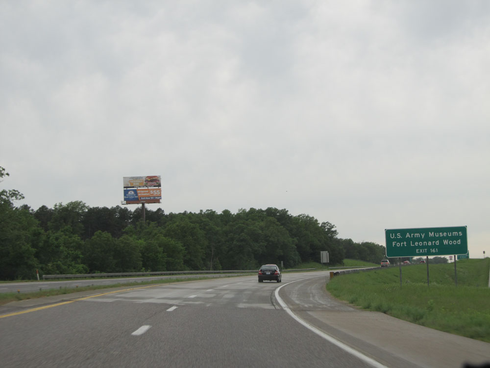 |
Also take Exit 161 to the US Army Museums and Fort Leonard Wood. (Photo taken 5/17/15). |
 |
Interstate 44 West at Exit 161: Interstate 44 Bus. / Route Y - Fort Leonard Wood / St Robert. Notice the sign error on the left with the I-44 Business shield rather than a regular I-44 shield. This sign error has existed for as long as I can remember. (Photo taken 5/17/15). |
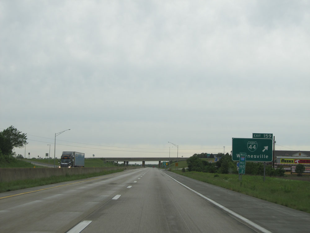 |
Interstate 44 West at Exit 159: Interstate 44 Bus. - Waynesville (Photo taken 5/17/15). |
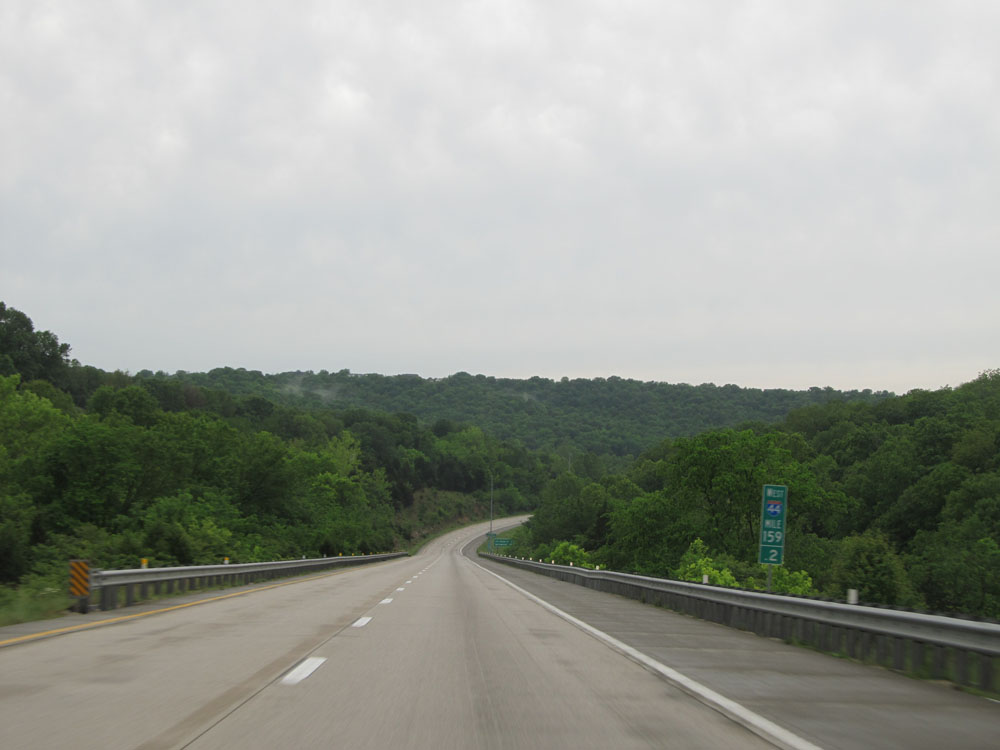 |
Interstate 44 West: Road view from mile marker 159.2. (Photo taken 5/17/15). |
 |
Take Exit 156 to Missouri Veterans Cemetery. (Photo taken 5/17/15). |
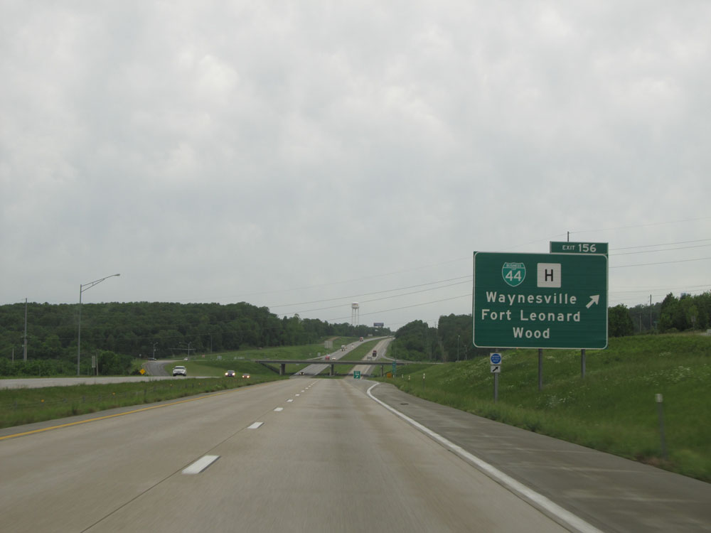 |
Interstate 44 West at Exit 156: Interstate 44 Bus. / Route H - Waynesville / Fort Leonard Wood (Photo taken 5/17/15). |
 |
Interstate 44 West at Exit 153: MO 17 - Buckhorn (Photo taken 5/17/15). |
Section 3: Waynesville (Exit 153) to Springfield (Exit 75)
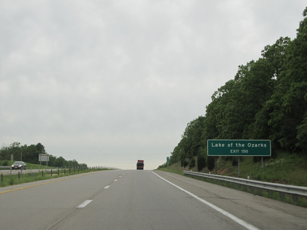 |
Take Exit 150 to Lake of the Ozarks. (Photo taken 5/17/15). |
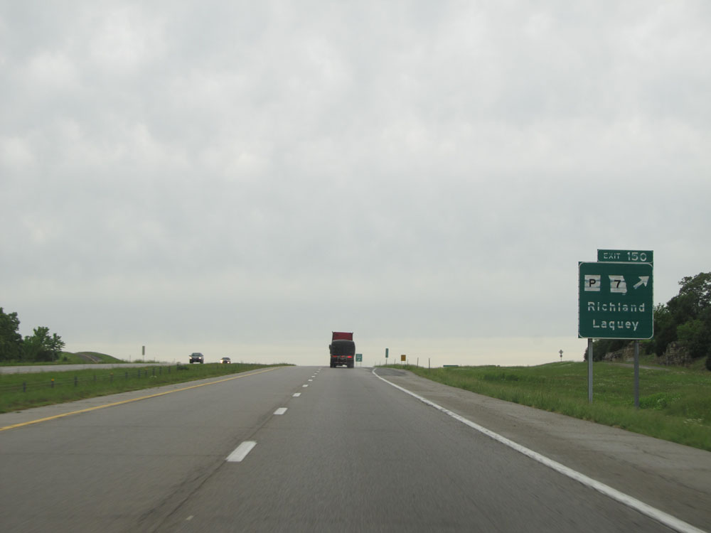 |
Interstate 44 West at Exit 150: Route P / MO 7 - Richland / Laquey (Photo taken 5/17/15). |
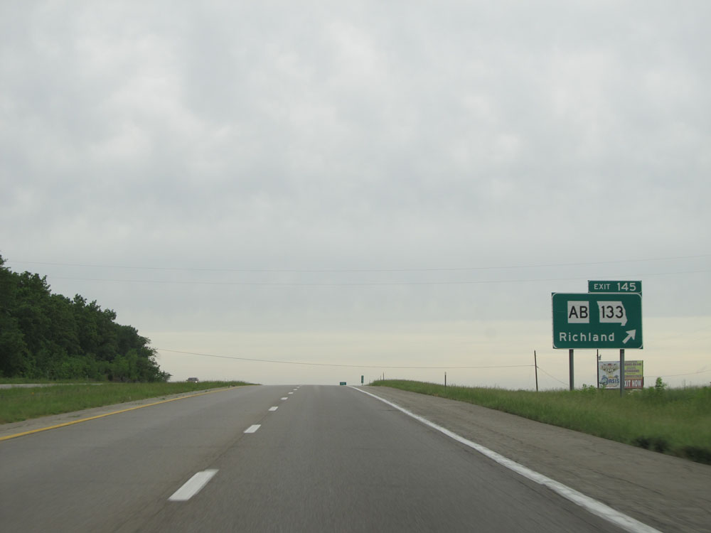 |
Interstate 44 West at Exit 145: Route AB / MO 133 - Richland (Photo taken 5/17/15). |
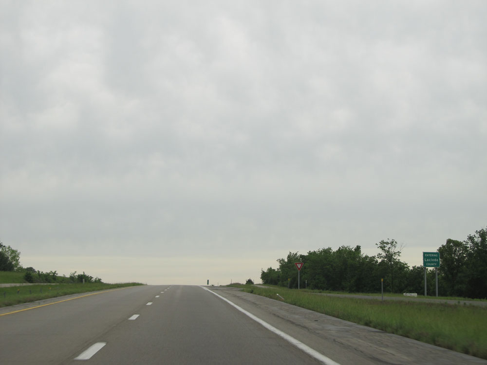 |
Interstate 44 West entering Laclede County. (Photo taken 5/17/15). |
 |
Interstate 44 West: Road view from mile marker 144. (Photo taken 5/17/15). |
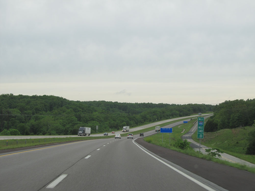 |
Interstate 44 West: Road view from mile marker 141. (Photo taken 5/17/15). |
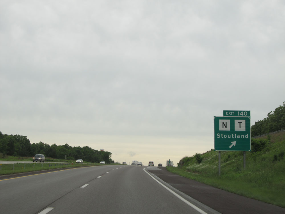 |
Interstate 44 West at Exit 140: Route N / Route T - Stoutland (Photo taken 5/17/15). |
 |
Interstate 44 West at Exit 135: Route F - Sleeper (Photo taken 5/17/15). |
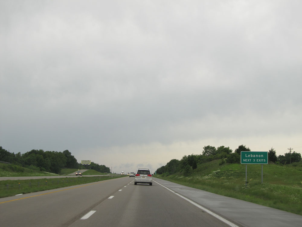 |
Take any of the next 3 exits to Lebanon. (Photo taken 5/17/15). |
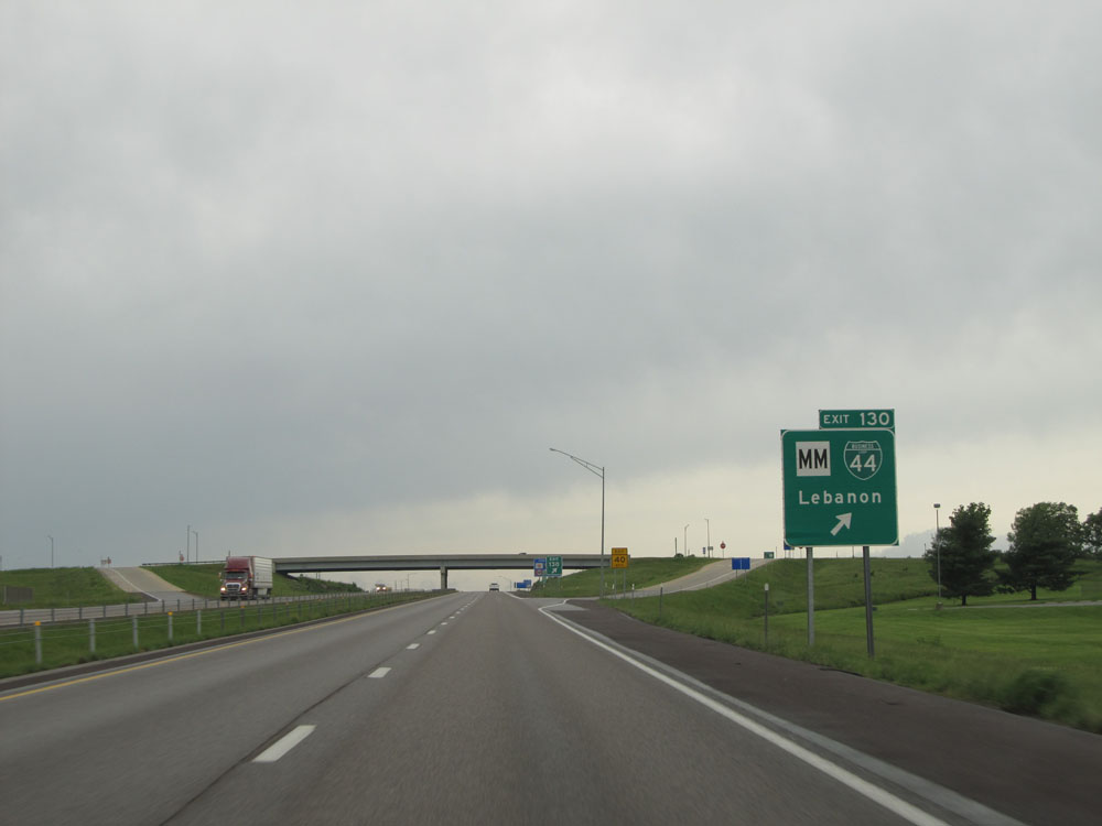 |
Interstate 44 West at Exit 130: Route MM / Interstate 44 Bus. - Lebanon (Photo taken 5/17/15). |
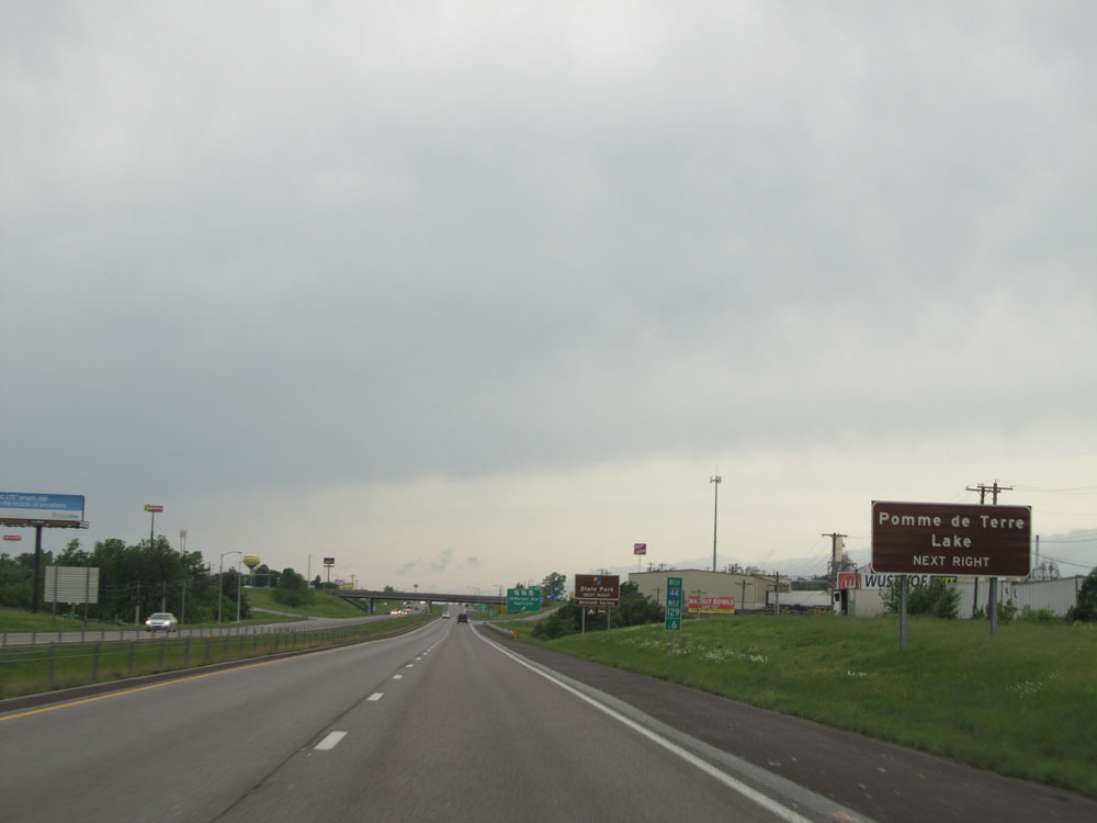 |
Take Exit 129 to Pomme de Terre Lake. (Photo taken 5/17/15). |
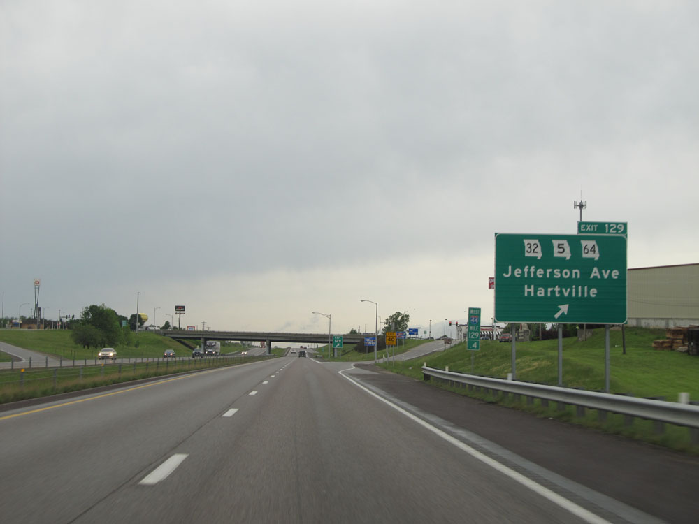 |
Interstate 44 West at Exit 129: MO 32 / MO 5 / MO 64 - Jefferson Ave / Hartville (Photo taken 5/17/15). |
 |
Take Exit 127 to Drury University. (Photo taken 5/17/15). |
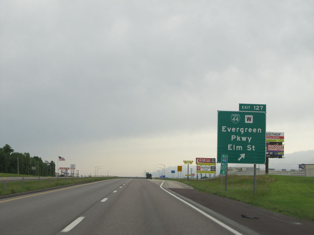 |
Interstate 44 West at Exit 127: Interstate 44 Bus. / Route W - Evergreen Pkwy / Elm St (Photo taken 5/17/15). |
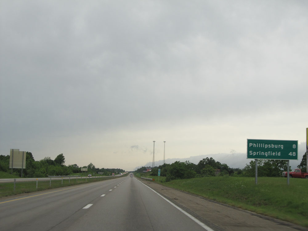 |
Mileage sign on Interstate 44 West. Phillipsburg - 8 miles, Springfield - 48 miles. (Photo taken 5/17/15). |
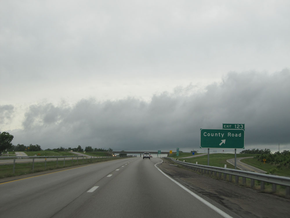 |
Interstate 44 West at Exit 123: County Road (Photo taken 5/17/15). |
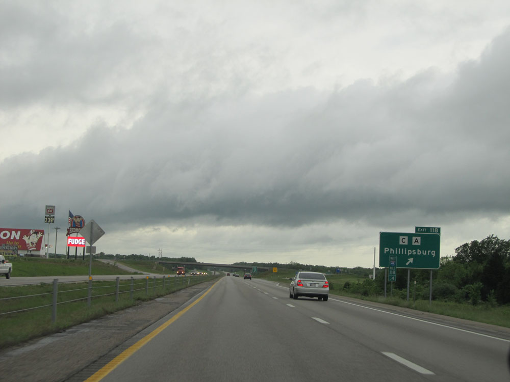 |
Interstate 44 West at Exit 118: Route C / Route A - Phillipsburg (Photo taken 5/17/15). |
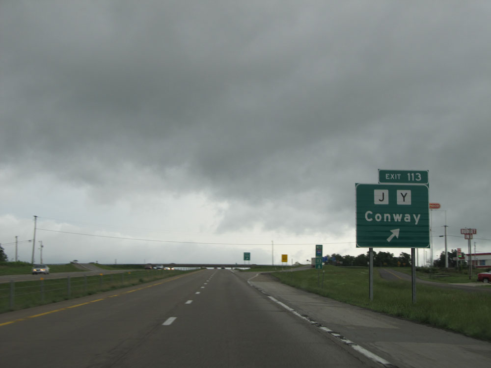 |
Interstate 44 West at Exit 113: Route J / Route Y - Conway (Photo taken 5/17/15). |
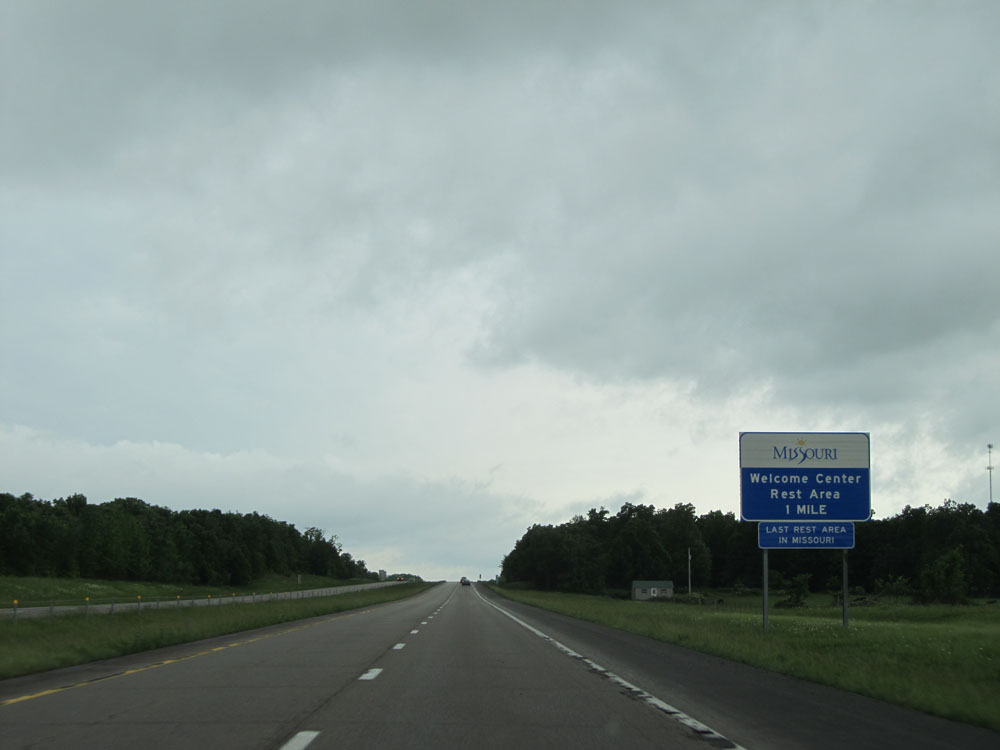 |
Interstate 44 West approaching the Rest Area / Missouri Welcome Center - 1 mile. This is the last full Rest Area in Missouri. Not to worry though, since most exits from here on out have services off them. (Photo taken 5/17/15). |
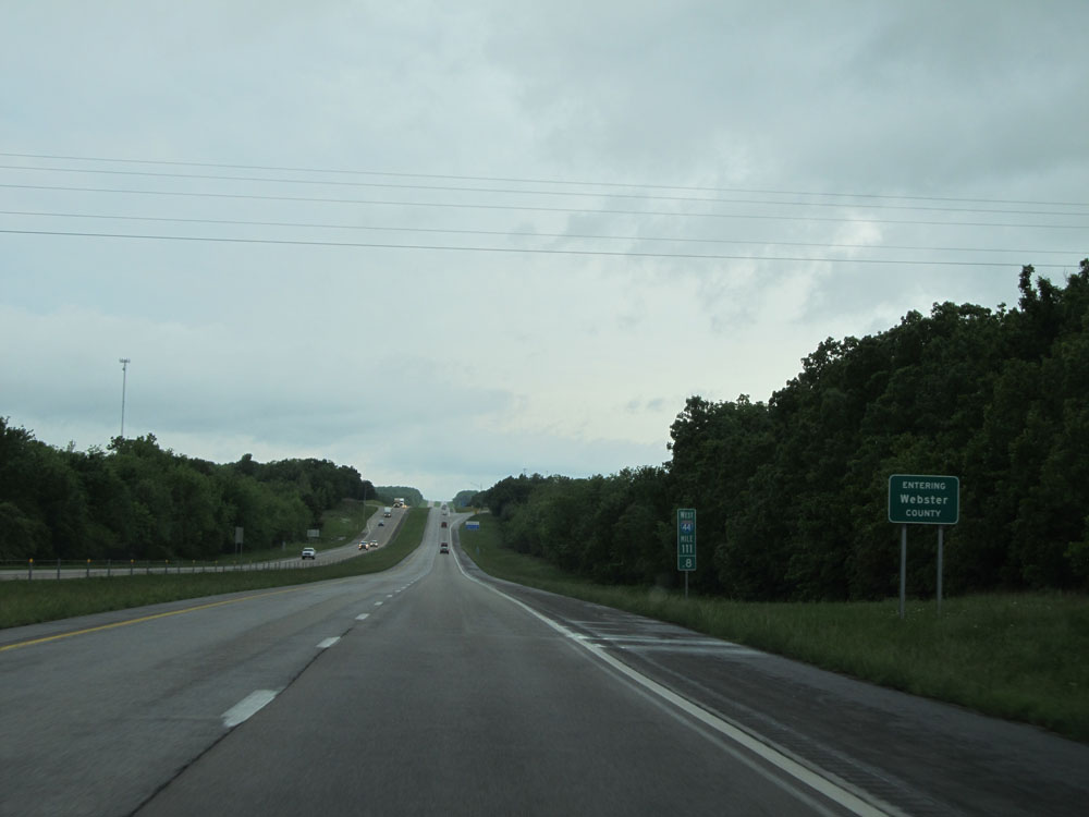 |
Interstate 44 West entering Webster County. (Photo taken 5/17/15). |
 |
Interstate 44 West at the Rest Area / Welcome Center located at mile marker 111. (Photo taken 5/17/15). |
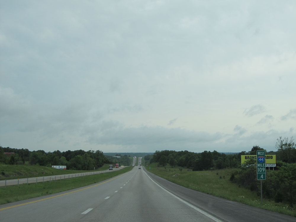 |
Interstate 44 West: Road view from mile marker 109.4. (Photo taken 5/17/15). |
 |
Interstate 44 West at Exit 107: Sampson Rd / Sparkle Brook Rd (Photo taken 5/17/15). |
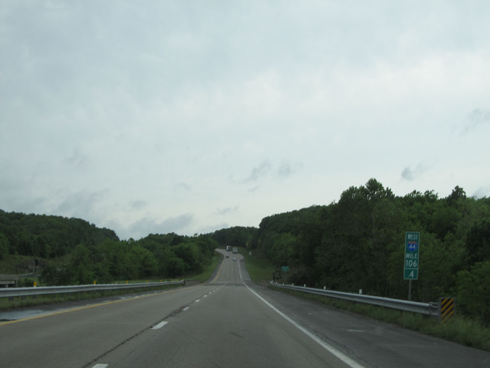 |
Interstate 44 West: Road view from mile marker 106.4. (Photo taken 5/17/15). |
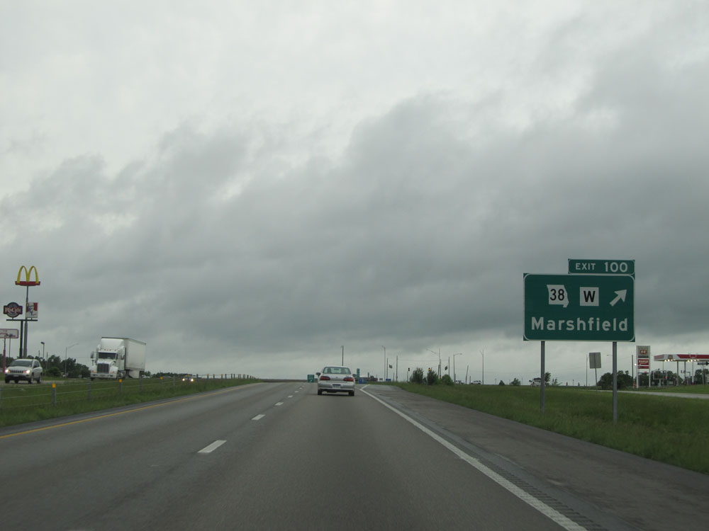 |
Interstate 44 West at Exit 100: MO 38 / Route W - Marshfield (Photo taken 5/17/15). |
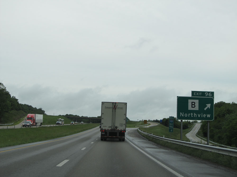 |
Interstate 44 West at Exit 96: Route B - Northview (Photo taken 5/17/15). |
 |
Interstate 44 West: Road view from mile marker 93. (Photo taken 5/17/15). |
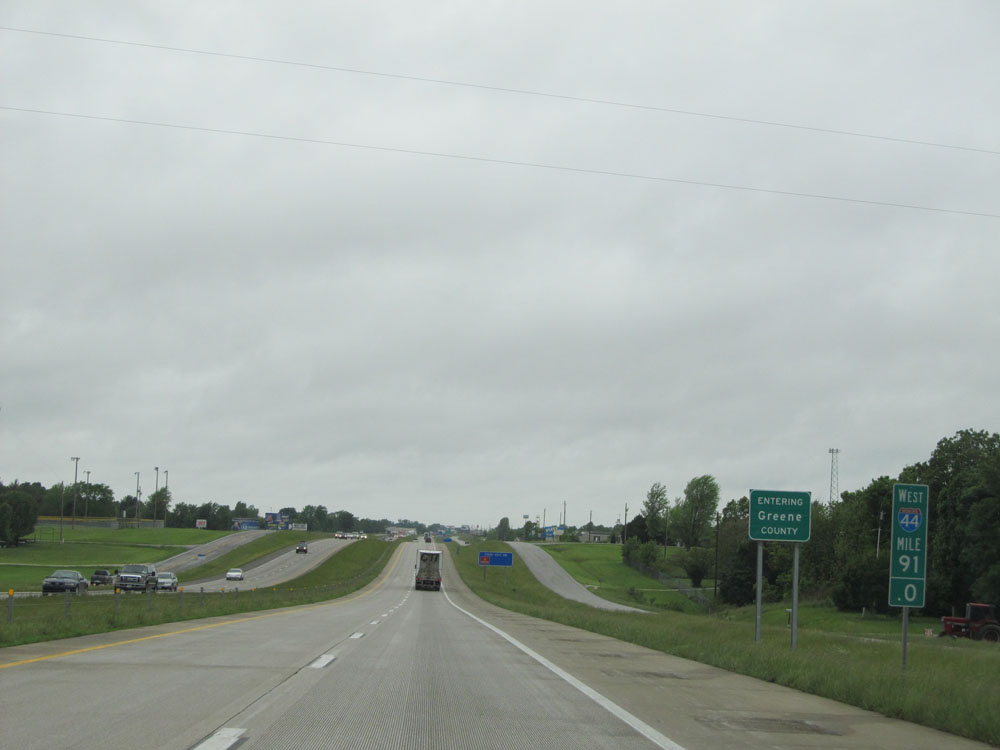 |
Interstate 44 West as it enters Greene County at mile marker 91. (Photo taken 5/17/15). |
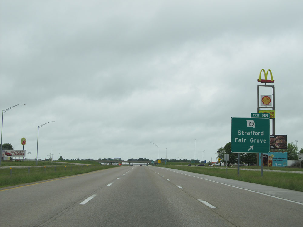 |
Interstate 44 West at Exit 88: MO 125 - Strafford / Fair Grove (Photo taken 5/17/15). |
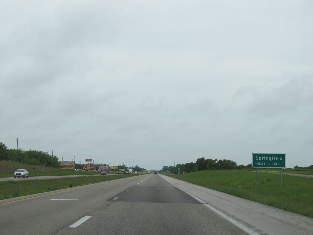 |
Take any of the next 6 exits to Springfield. (Photo taken 5/17/15). |
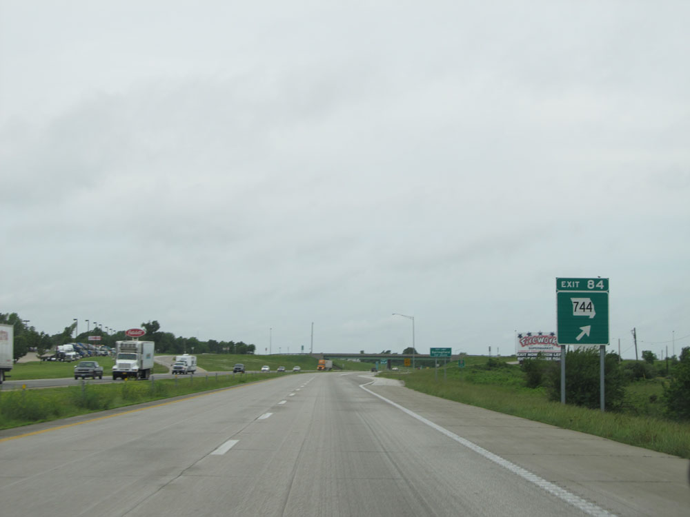 |
Interstate 44 West at Exit 84: MO 744 (Photo taken 5/17/15). |
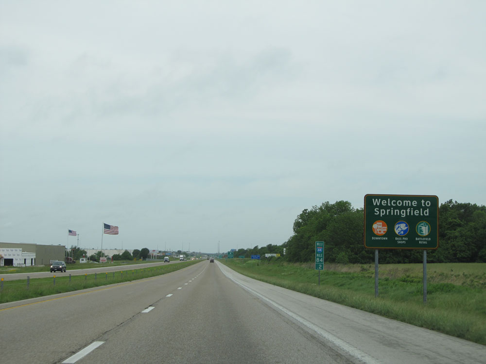 |
Sign welcoming you to Springfield at mile marker 84.2, as you enter the city limits. (Photo taken 5/17/15). |
 |
Interstate 44 West approaching Exits 82B-A - 1 mile. (Photo taken 5/17/15). |
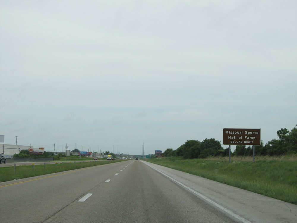 |
Take Exit 82A to the Missouri Sports Hall of Fame. (Photo taken 5/17/15). |
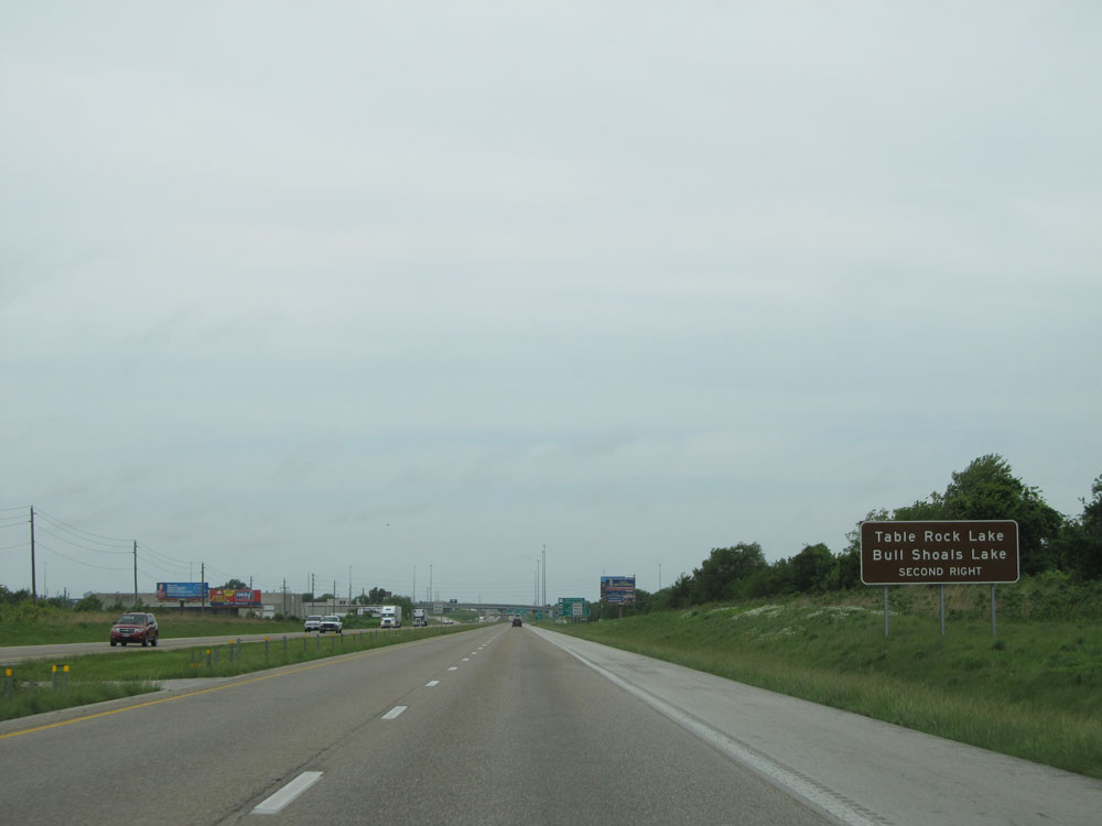 |
Also take Exit 82A to Table Rock Lake and Bull Shoals Lake. (Photo taken 5/17/15). |
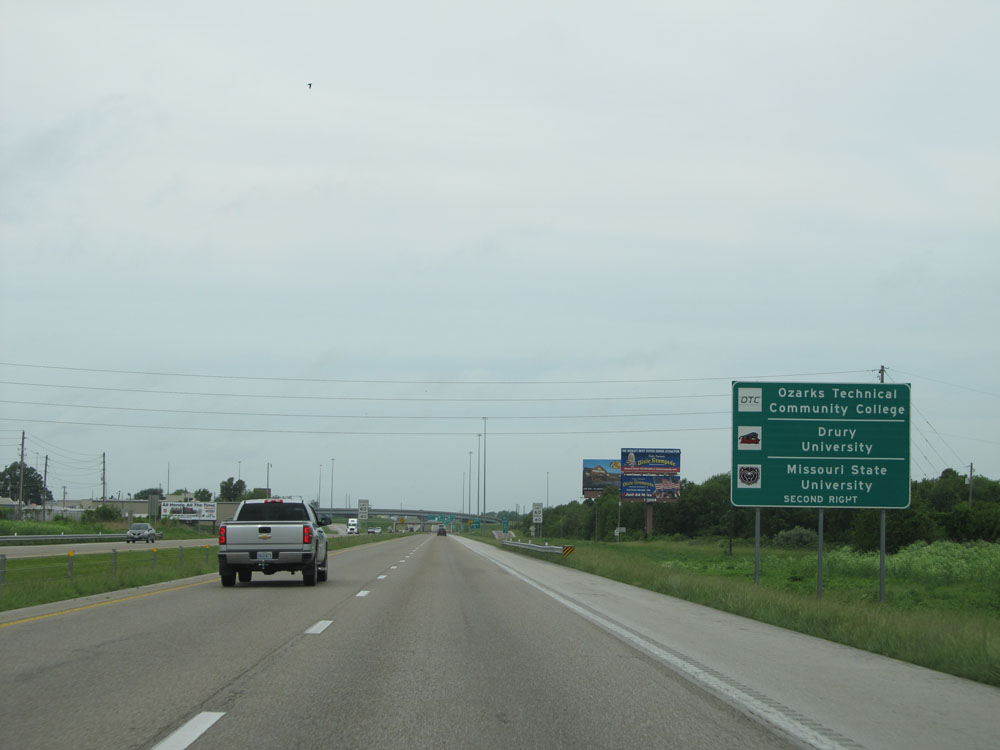 |
Take Exit 82A to Ozarks Technical Community College, Drury University, and Missouri State University. (Photo taken 5/17/15). |
 |
Near mile marker 83, the speed limit decreases to 60 mph as you pass through Springfield. The 40 mph minimum speed limit still applies. (Photo taken 5/17/15). |
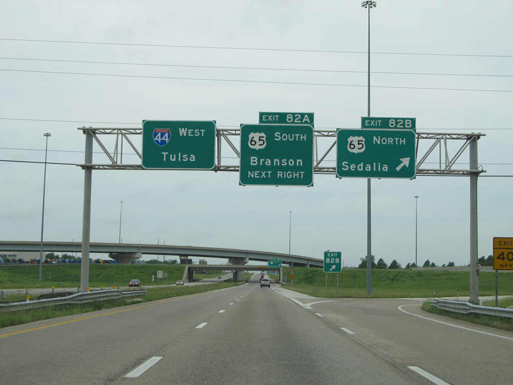 |
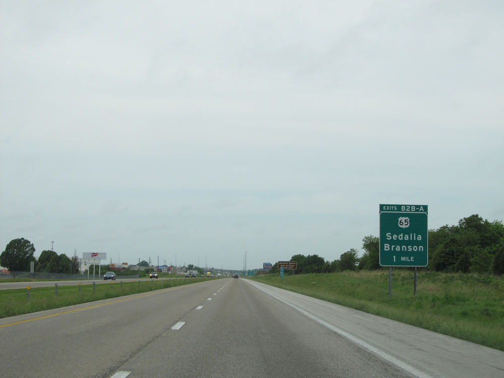
Interstate 44 West at Exit 82B: US 65 North - Sedalia (Photo taken 5/17/15). |
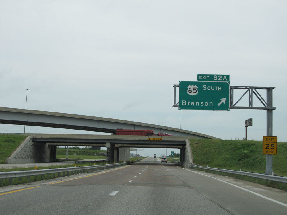 |
Interstate 44 West at Exit 82A: US 65 South - Branson (Photo taken 5/17/15). |
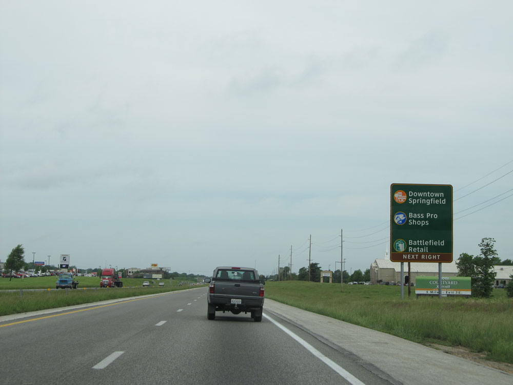 |
Take Exit 80 to Downtown Springfield, Bass Pro Shops, and Battlefield Retail. (Photo taken 5/17/15). |
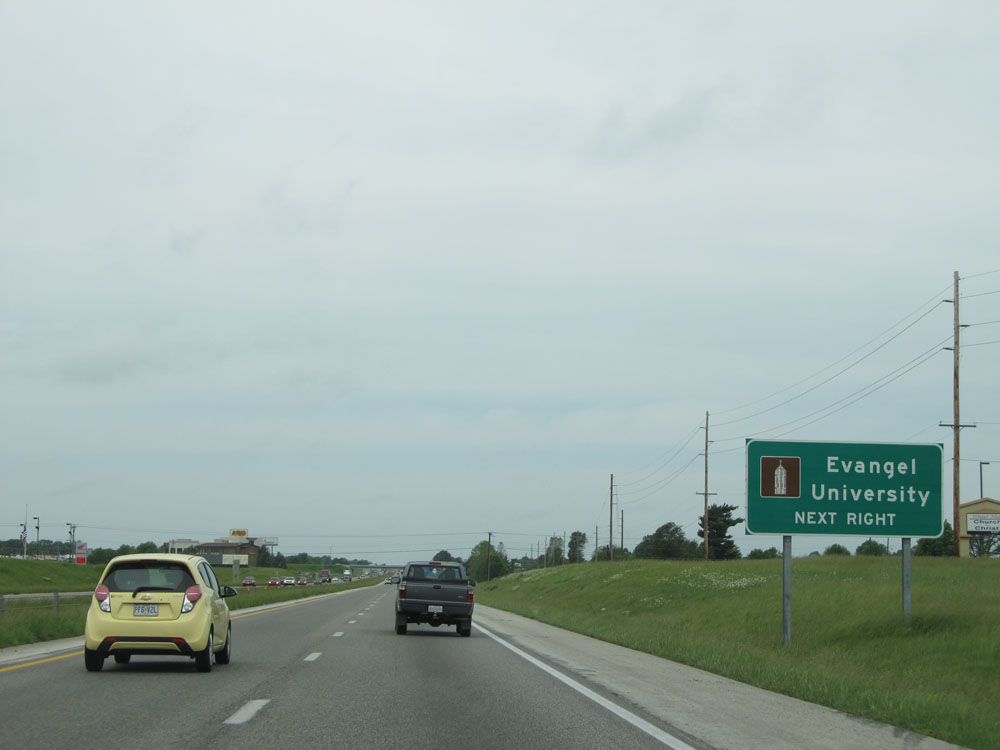 |
Also take Exit 80 to Evangel University. (Photo taken 5/17/15). |
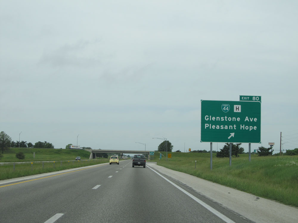 |
Interstate 44 West at Exit 80: Interstate 44 Bus. / Route H - Glenstone Ave / Pleasant Hope (Photo taken 5/17/15). |
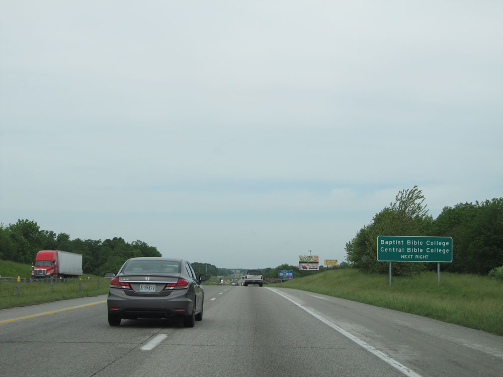 |
Take Exit 77 to Baptist Bible College and Central Bible College. (Photo taken 5/17/15). |
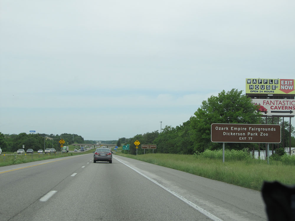 |
Also take Exit 77 to Ozark Empire Fairgrounds and Dickerson Park Zoo. (Photo taken 5/17/15). |
 |
Use Exit 77 for Fantastic Caverns. (Photo taken 5/17/15). |
 |
Interstate 44 West at Exit 77: MO 13 - Kansas Expressway / Bolivar (Photo taken 5/17/15). |
 |
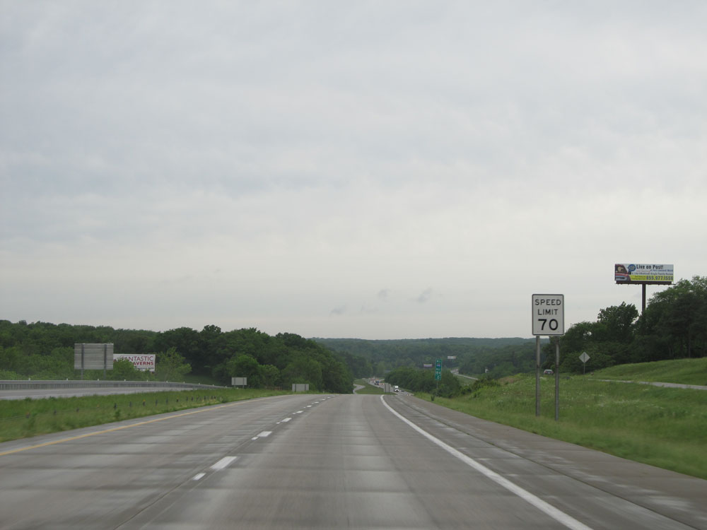
At mile marker 76.6, the standard speed limit of 70 mph resumes. (Photo taken 5/17/15). |
 |
Take Exit 75 to Stockton Lake. (Photo taken 5/17/15). |
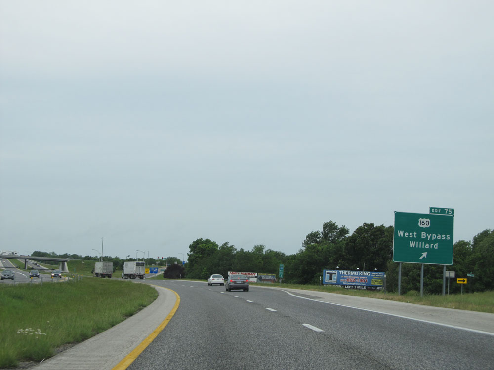 |
Interstate 44 West at Exit 75: US 160 - West Bypass / Willard (Photo taken 5/17/15). |
Section 4: Springfield (Exit 75) to Oklahoma Border
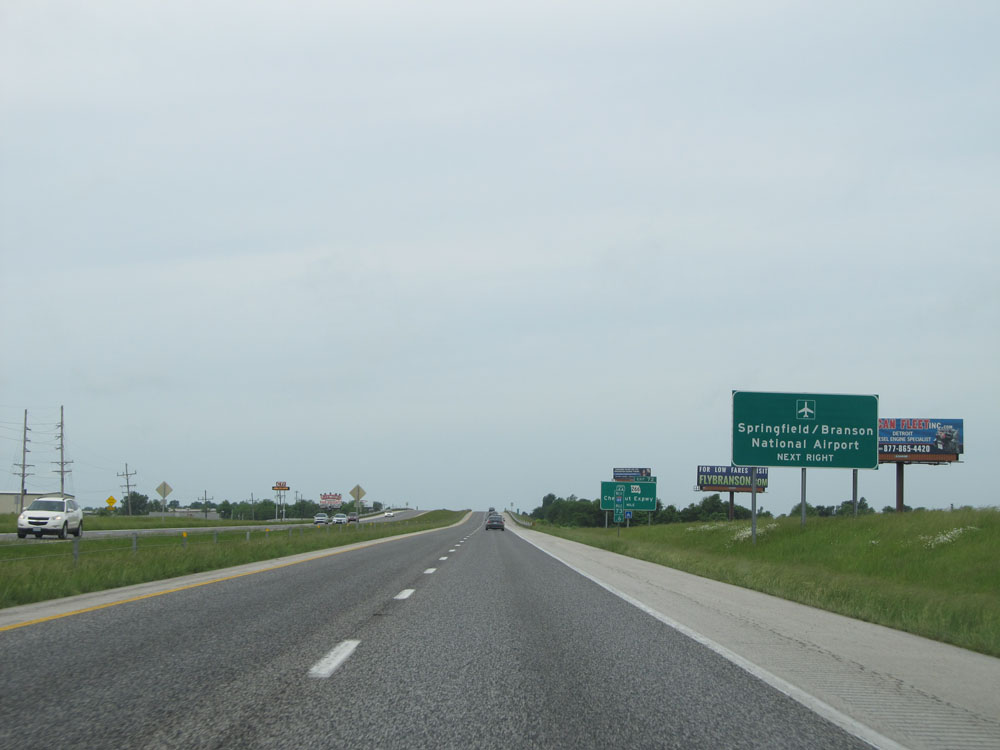 |
Take Exit 72 to Springfield / Branson National Airport. (Photo taken 5/17/15). |
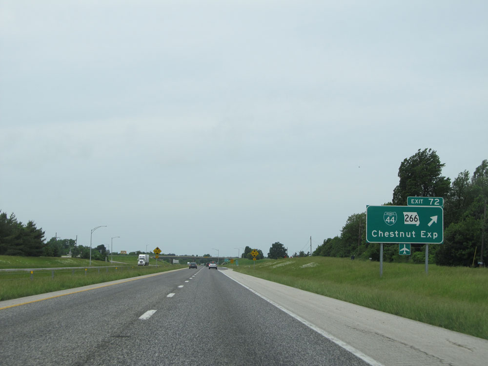 |
Interstate 44 West at Exit 72: Interstate 44 Bus. / MO 266 - Chestnut Expressway (Photo taken 5/17/15). |
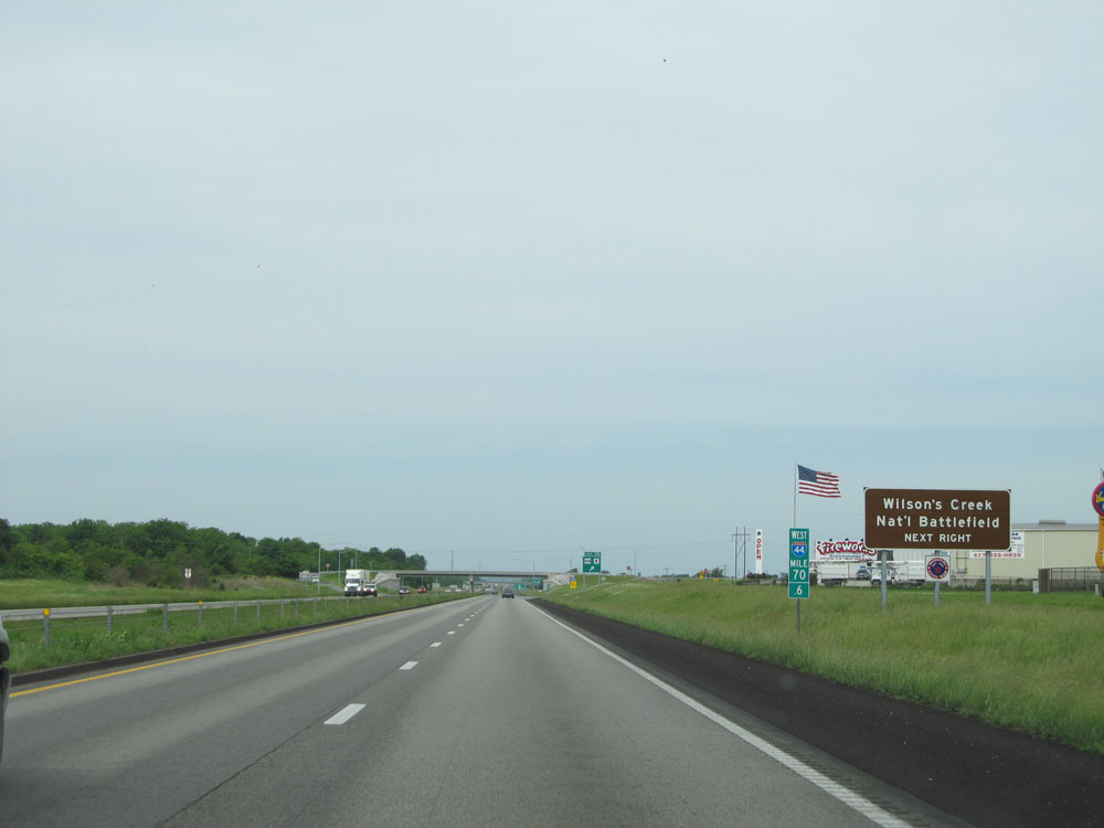 |
Take Exit 70 to Wilson's Creek National Battlefield. (Photo taken 5/17/15). |
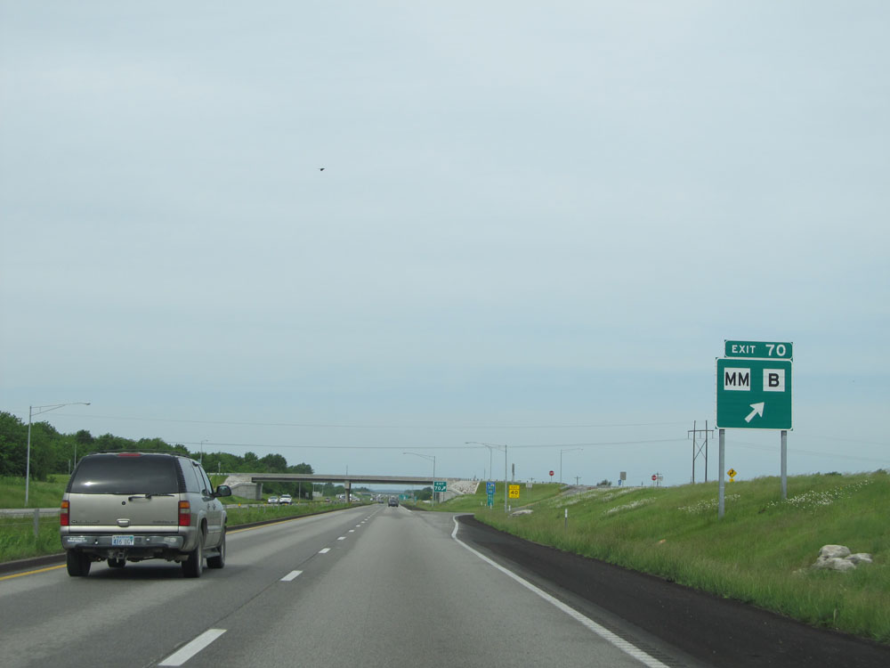 |
Interstate 44 West at Exit 70: Route MM / Route B (Photo taken 5/17/15). |
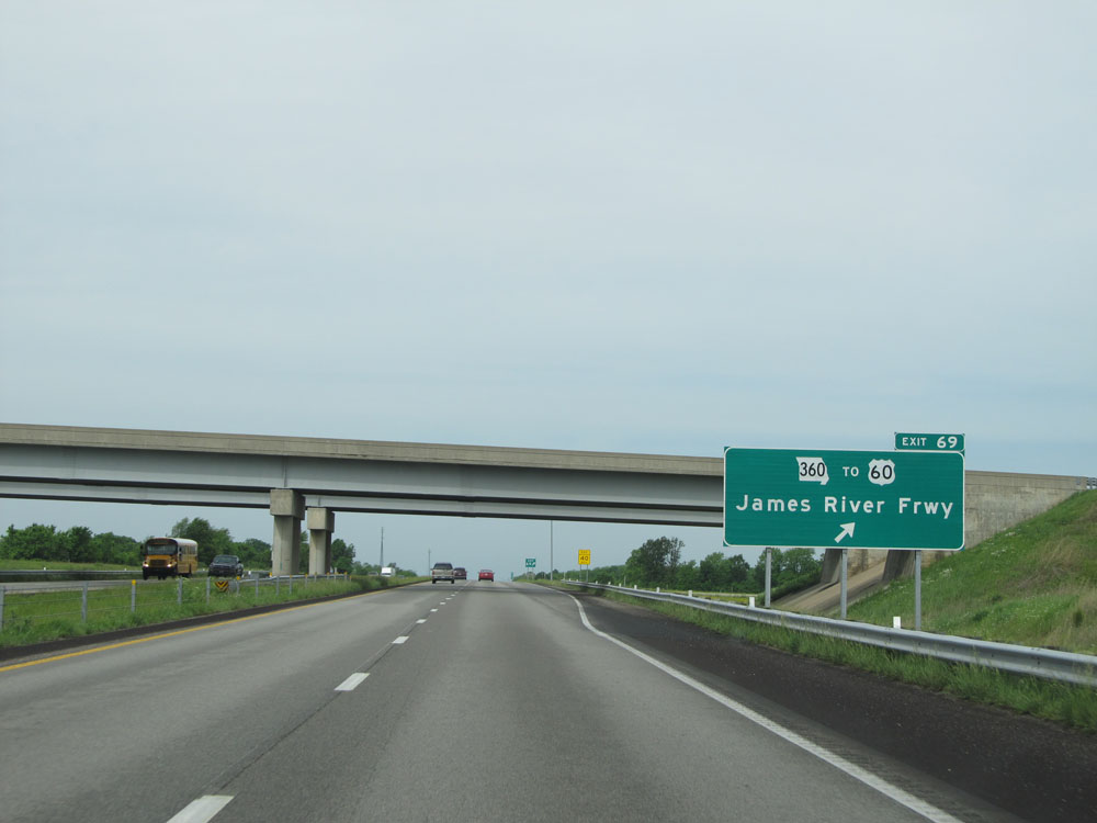 |
Interstate 44 West at Exit 69: MO 360 / To US 60 - James River Freeway (Photo taken 5/17/15). |
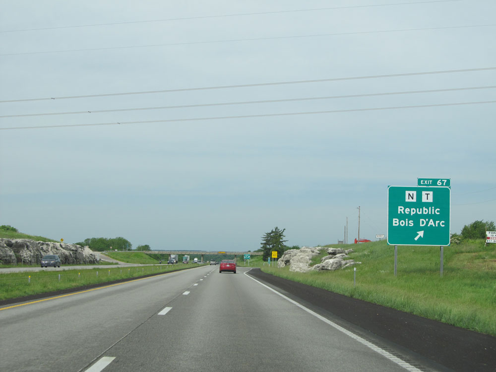 |
Interstate 44 West at Exit 67: Route N / Route T - Republic / Bois d'Arc (Photo taken 5/17/15). |
 |
Interstate 44 West: Road view from mile marker 66.4. (Photo taken 5/17/15). |
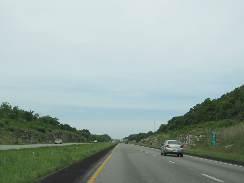 |
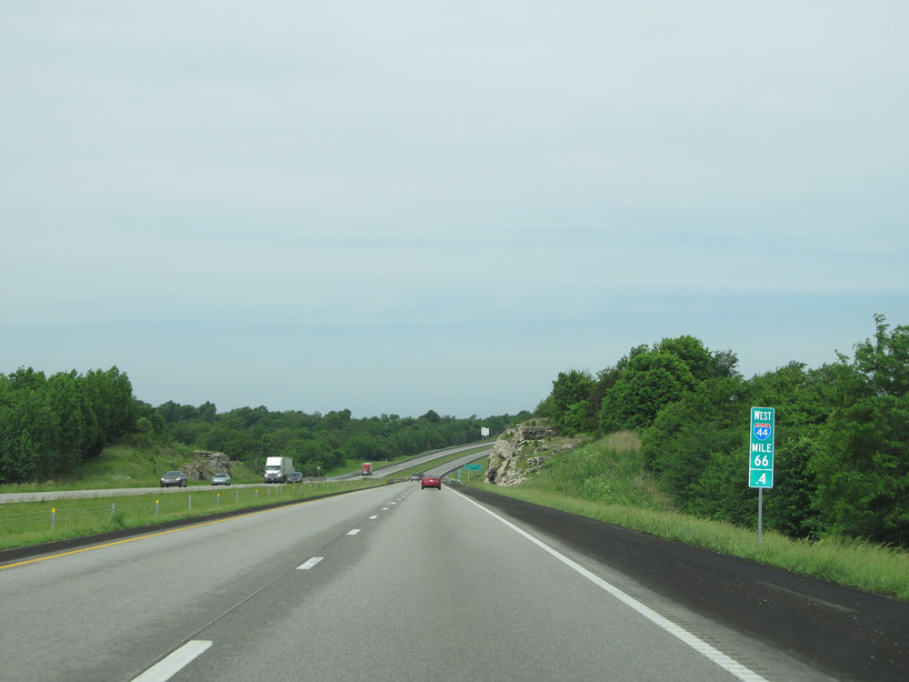
Interstate 44 West: Road view from mile marker 64. (Photo taken 5/17/15). |
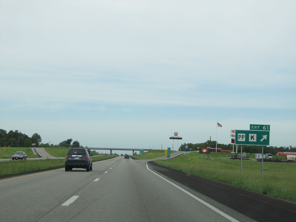 |
Interstate 44 West at Exit 61: Route PP / Route K (Photo taken 5/17/15). |
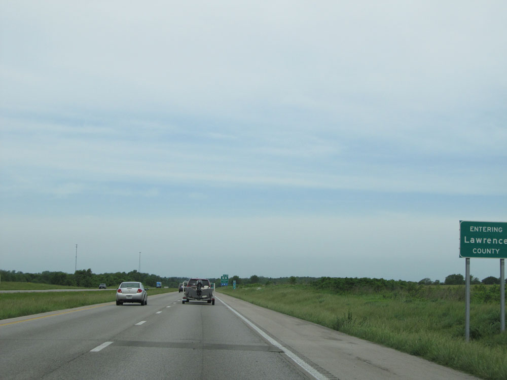 |
Interstate 44 West entering Lawrence County. (Photo taken 5/17/15). |
 |
Interstate 44 West at Exit 58: Route O / Route Z - Halltown (Photo taken 5/17/15). |
 |
Interstate 44 West at Exit 57: MO 96 - Avilla (Photo taken 5/17/15). |
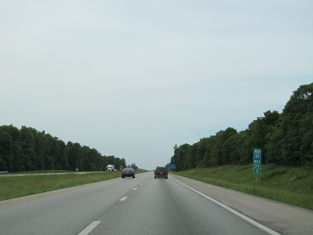 |
Interstate 44 West: Road view from mile marker 53. (Photo taken 5/17/15). |
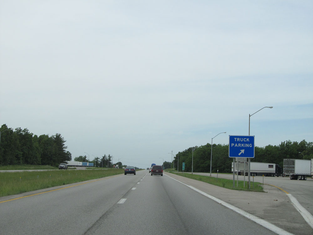 |
Interstate 44 West at the Truck Parking Area located near mile marker 52.4. (Photo taken 5/17/15). |
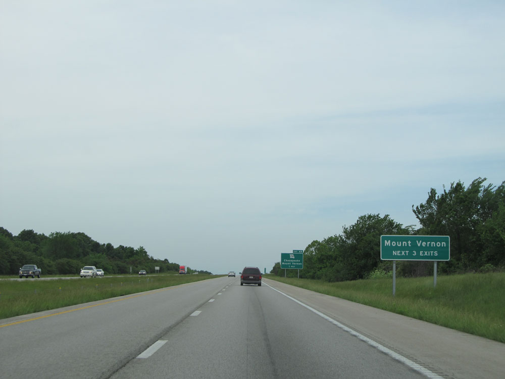 |
Take any of the next 3 exits to Mount Vernon. (Photo taken 5/17/15). |
 |
Interstate 44 West at Exit 49: MO 174 - Chesapeake / Mount Vernon (Photo taken 5/17/15). |
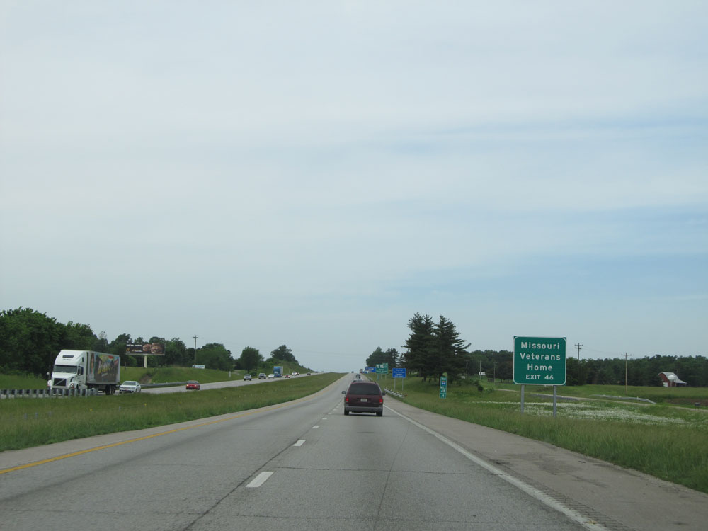 |
Take Exit 46 to Missouri Veterans Home. (Photo taken 5/17/15). |
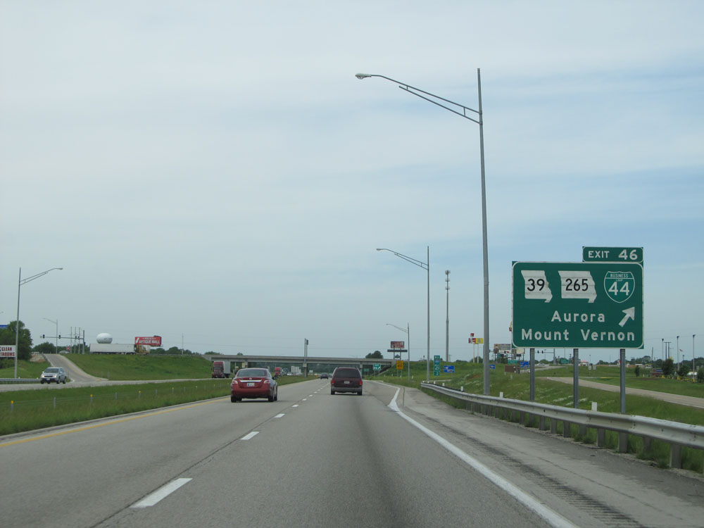 |
Interstate 44 West at Exit 46: MO 39 / MO 265 / Interstate 44 Bus. - Aurora / Mount Vernon (Photo taken 5/17/15). |
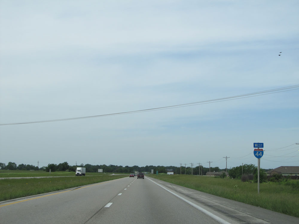 |
Interstate 44 West shield. (Photo taken 5/17/15). |
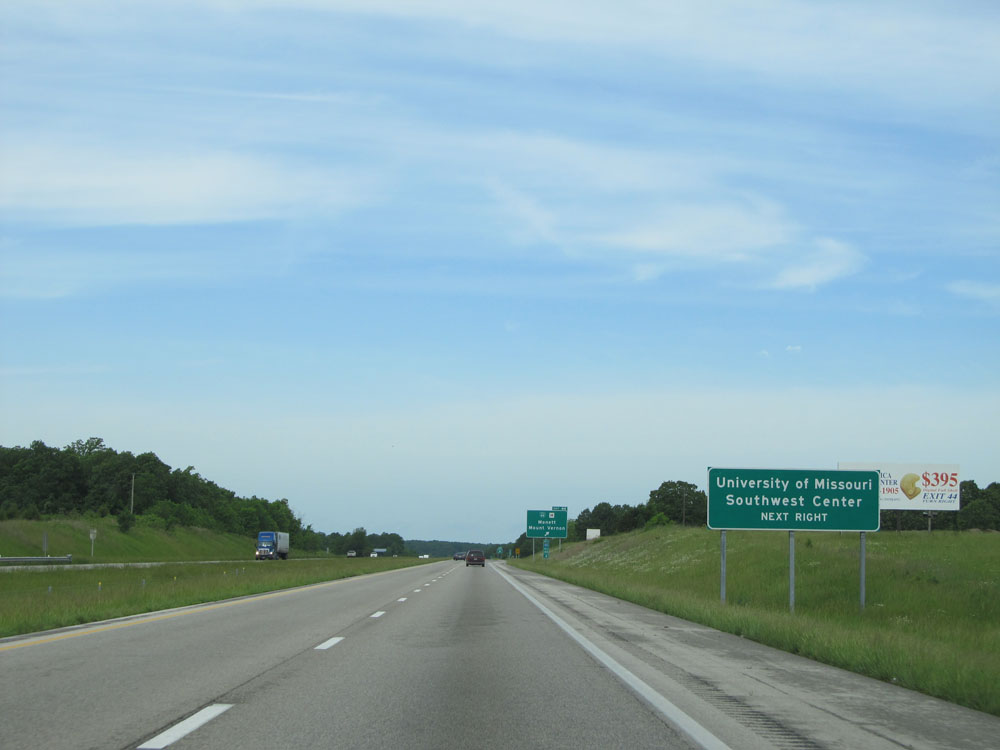 |
Take Exit 44 to University of Missouri Southwest Center. (Photo taken 5/17/15). |
 |
Interstate 44 West at Exit 44: Interstate 44 Bus. / Route H - Monett / Mount Vernon (Photo taken 5/17/15). |
 |
Interstate 44 West: Road view from mile marker 44.4. See what I did there? (Photo taken 5/17/15). |
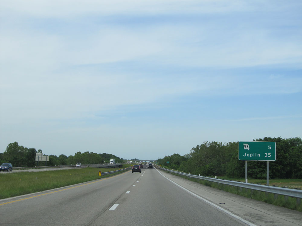 |
Mileage sign on Interstate 44 West. It's 5 miles to the junction of MO 97 and 35 miles to Joplin. (Photo taken 5/17/15). |
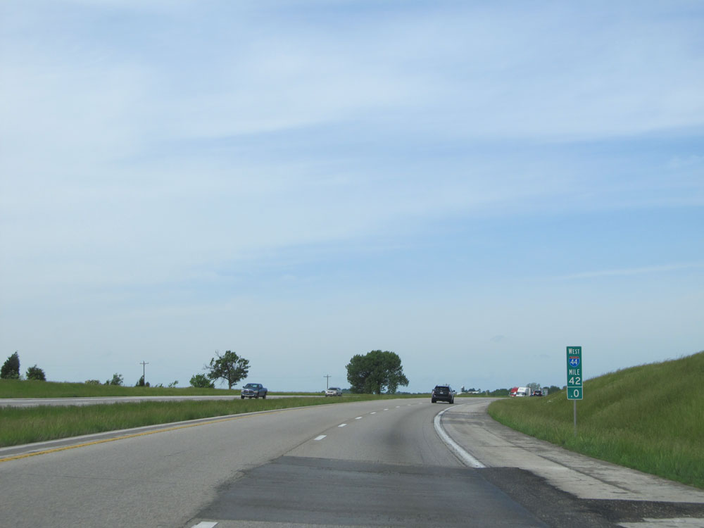 |
Interstate 44 West: Road view from mile marker 42. (Photo taken 5/17/15). |
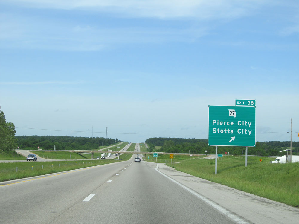 |
Interstate 44 West at Exit 38: MO 97 - Pierce City / Stotts City (Photo taken 5/17/15). |
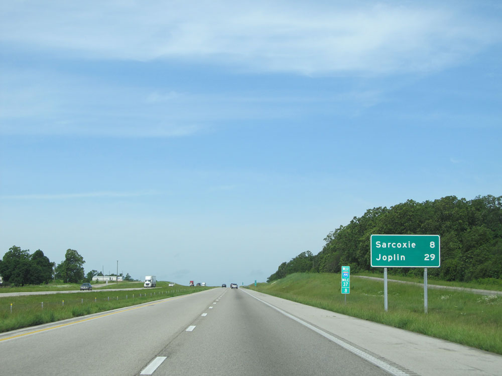 |
Another mileage sign, this one at mile marker 37.8. Sarcoxie - 8 miles, Joplin - 29 miles. (Photo taken 5/17/15). |
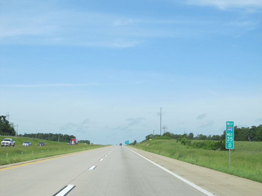 |
Interstate 44 West: Road view from mile marker 35. (Photo taken 5/17/15). |
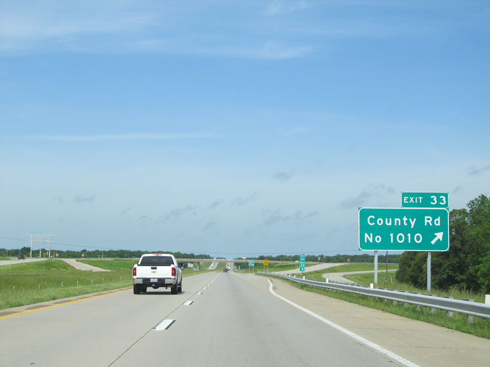 |
Interstate 44 West at Exit 33: County Rd No 1010 (Photo taken 5/17/15). |
 |
Interstate 44 West as it enters Jasper County. (Photo taken 5/17/15). |
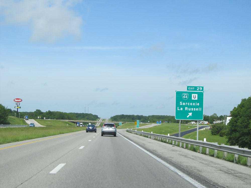 |
Interstate 44 West at Exit 29: Interstate 44 Bus. / Route U - Sarcoxie / La Russell (Photo taken 5/17/15). |
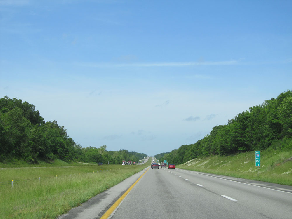 |
Interstate 44 West: Road view from mile marker 27.8. (Photo taken 5/17/15). |
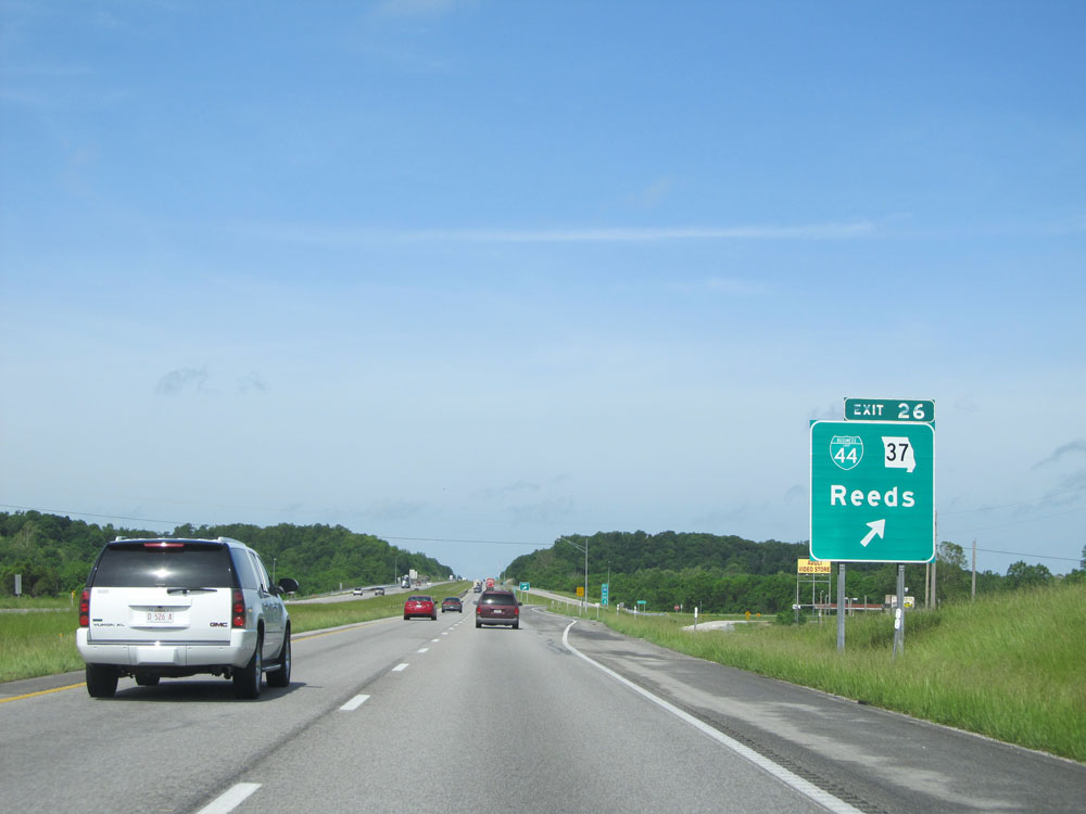 |
Interstate 44 West at Exit 26: Interstate 44 Bus. / MO 37 - Reeds (Photo taken 5/17/15). |
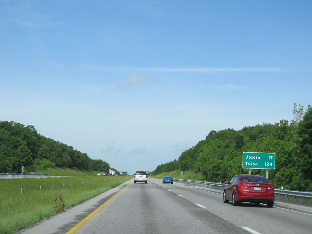 |
Mileage sign on Interstate 44 West. It's 17 miles to Joplin and 124 miles to Tulsa. (Photo taken 5/17/15). |
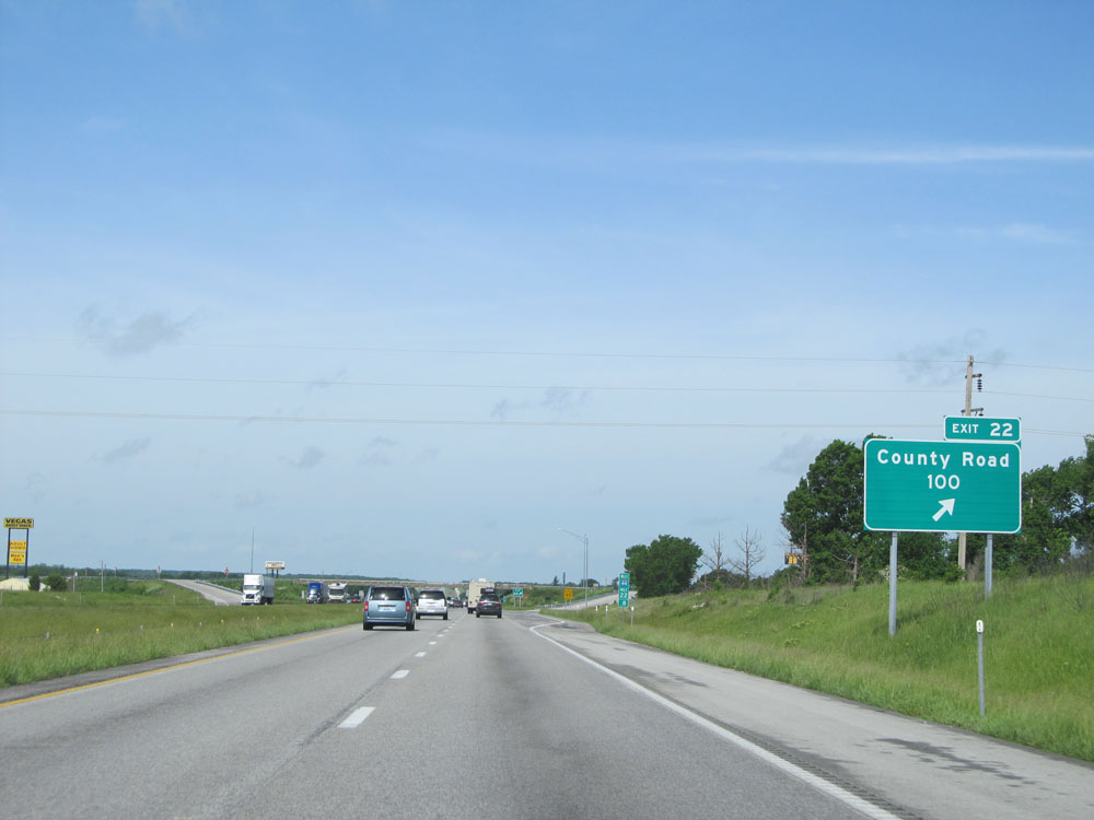 |
Interstate 44 West at Exit 22: County Road 100 (Photo taken 5/17/15). |
 |
Interstate 44 West approaching Exits 18B-A - 1 mile. (Photo taken 5/17/15). |
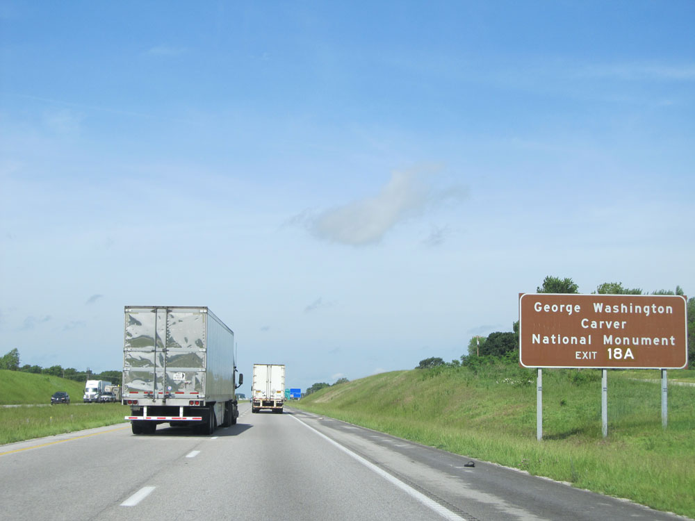 |
Take Exit 18A to the George Washington Carver National Monument. (Photo taken 5/17/15). |
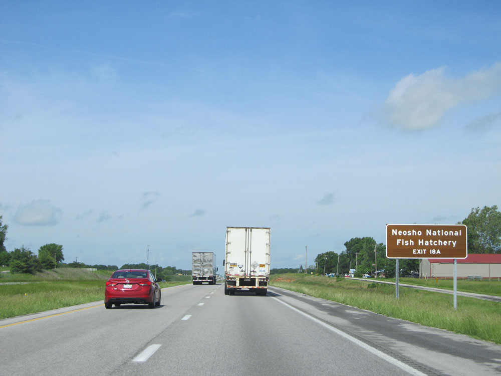 |
Also take Exit 18A to Neosho National Fish Hatchery. (Photo taken 5/17/15). |
 |
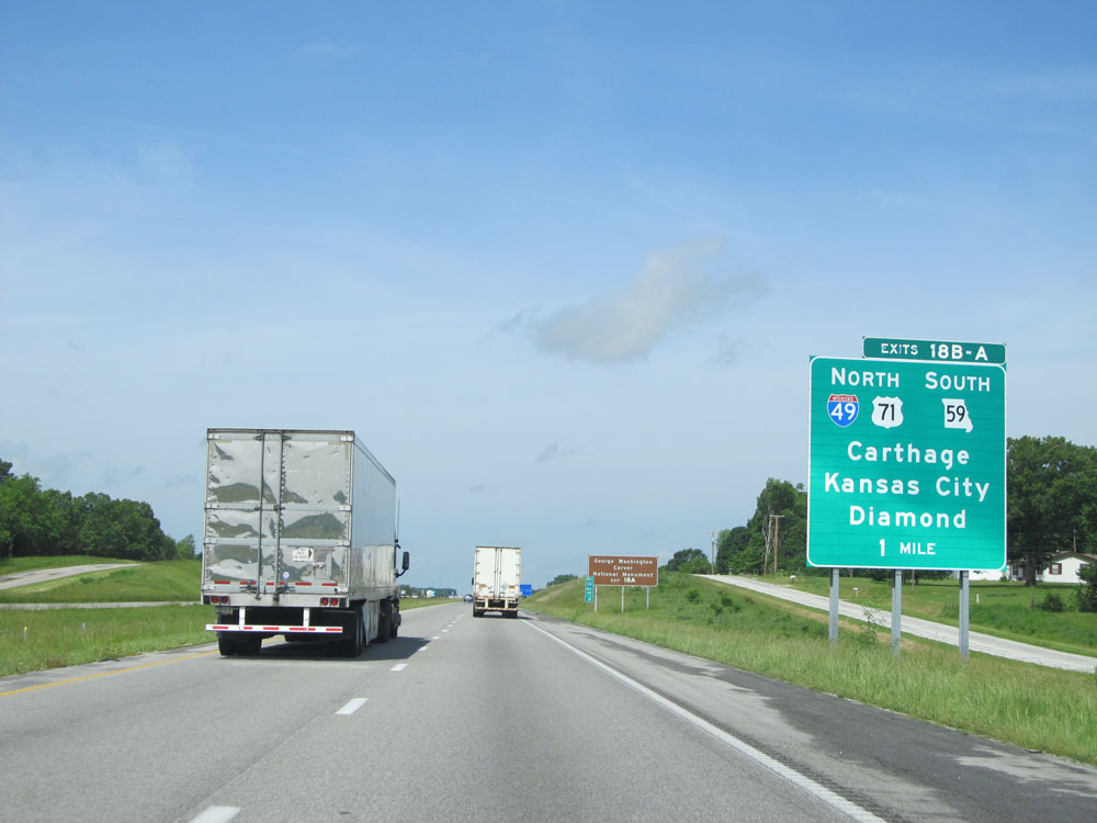
Interstate 44 West at Exit 18B: Interstate 49 North / US 71 North - Carthage / Kansas City (Photo taken 5/17/15). |
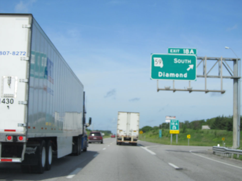 |
Interstate 44 West at Exit 18A: MO 59 South - Diamond (Photo taken 5/17/15). |
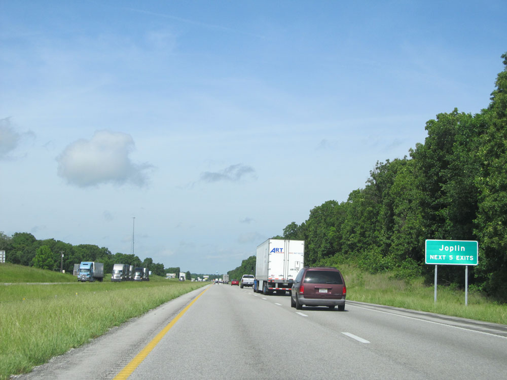 |
Take any of the next 5 exits to Joplin. (Photo taken 5/17/15). |
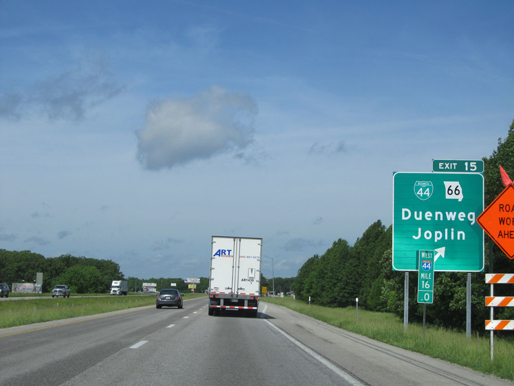 |
Interstate 44 West at Exit 15: Interstate 44 Bus. / MO 66 - Duenweg / Joplin (Photo taken 5/17/15). |
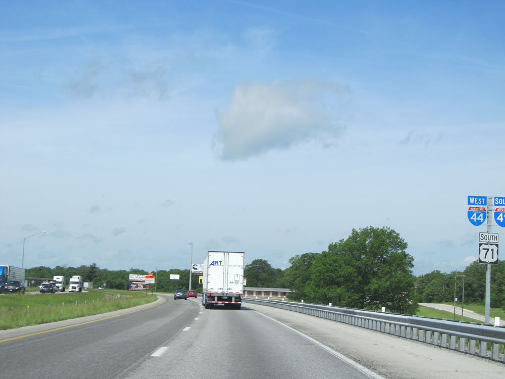 |
Interstate 44 West / Interstate 49 South / US 71 South shields. (Photo taken 5/17/15). |
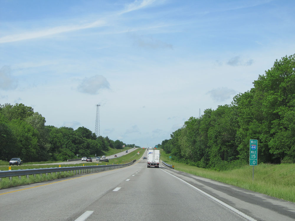 |
Interstate 44 West: Road view from mile marker 15. (Photo taken 5/17/15). |
 |
Interstate 44 West approaching Exit 11 - 2 miles. (Photo taken 5/17/15). |
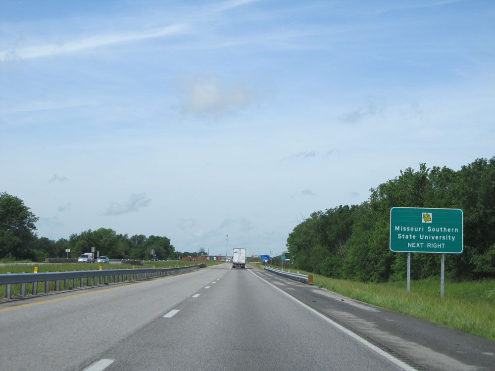 |
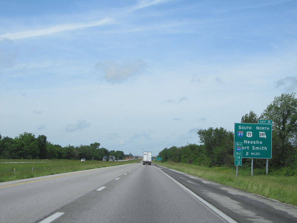
Take Exit 11 to Missouri Southern State University. (Photo taken 5/17/15). |
 |
Interstate 44 West at Exit 11: Interstate 49 South / US 71 South - Neosho / Fort Smith (Photo taken 5/17/15). |
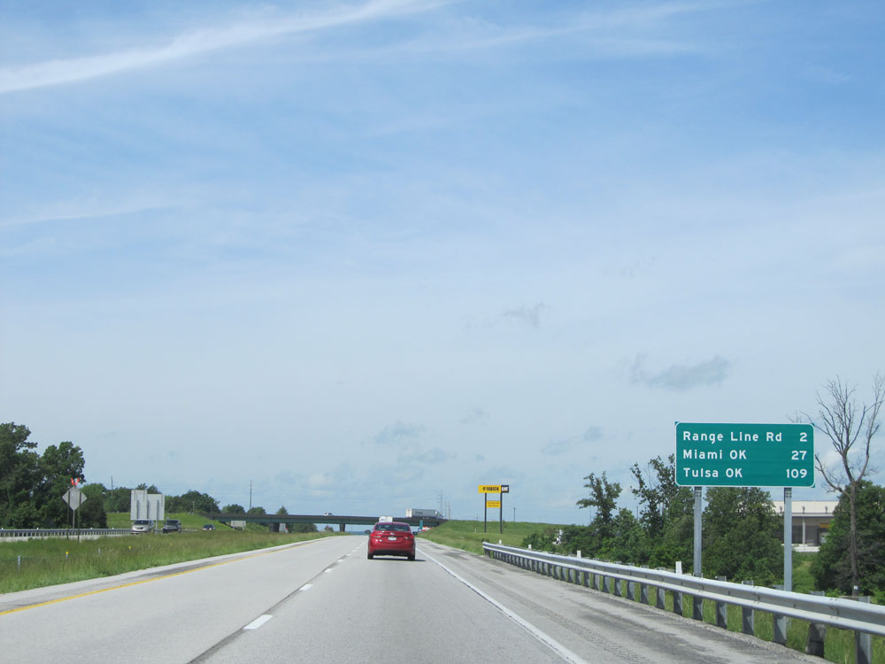 |
Mileage sign near mile marker 11. It's 2 miles to the Range Line Rd interchange, 27 miles to Miami, OK, and 109 miles to Tulsa, OK. (Photo taken 5/17/15). |
 |
Interstate 44 West entering Newton County. (Photo taken 5/17/15). |
 |
Take Exit 8 to Joplin Regional Airport. (Photo taken 5/17/15). |
 |
Interstate 44 West at Exit 8: Interstate 44 Bus. - Range Line Rd (Photo taken 5/17/15). |
 |
Interstate 44 West shield at mile marker 8.2. (Photo taken 5/17/15). |
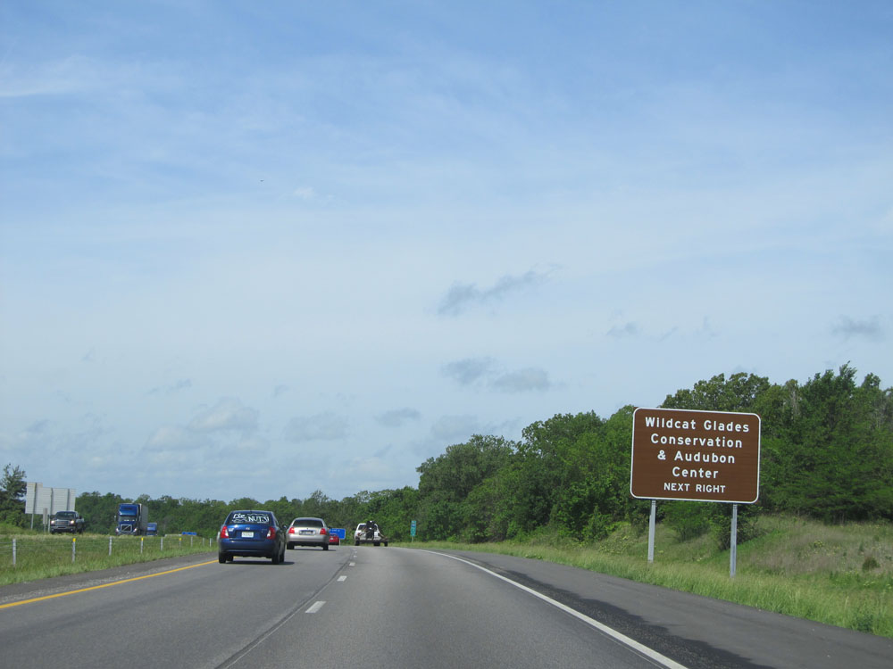 |
Take Exit 6 to Wildcat Glades Conservation & Audubon Center. (Photo taken 5/17/15). |
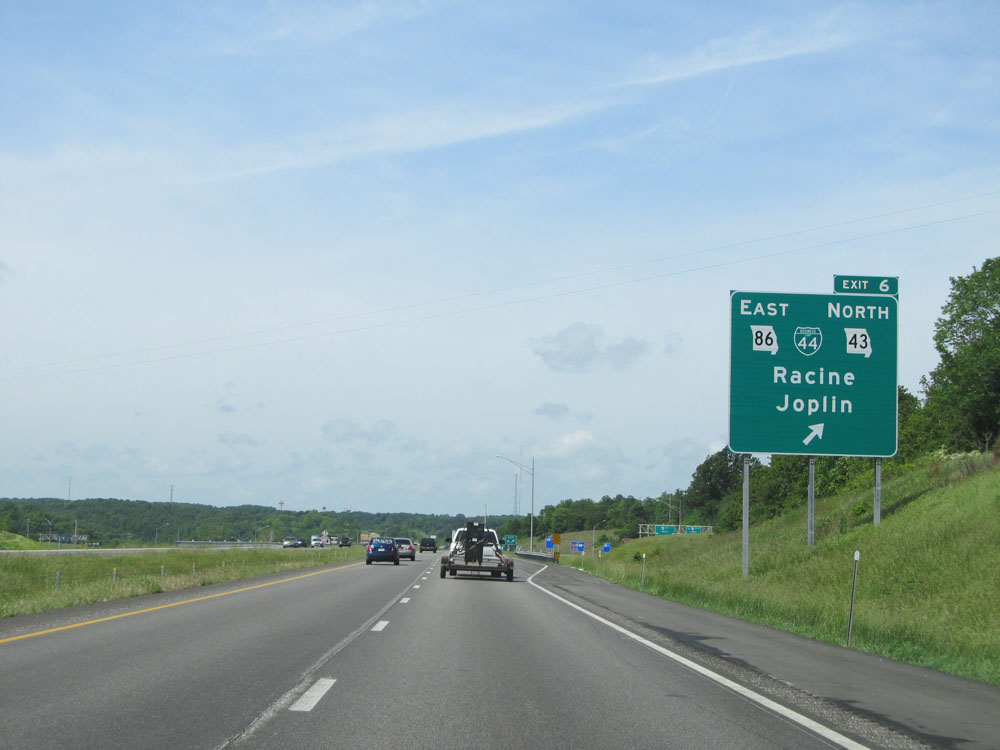 |
Interstate 44 West at Exit 6: MO 86 East / Interstate 44 Bus. / MO 43 North - Racine / Joplin (Photo taken 5/17/15). |
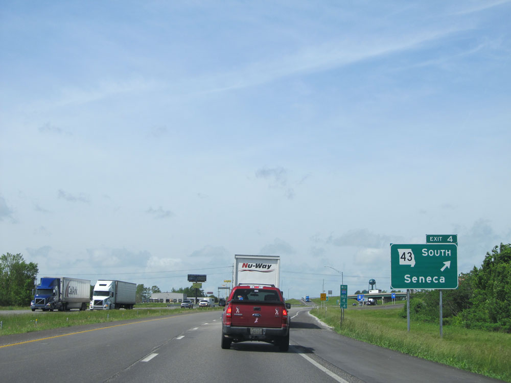 |
Interstate 44 West at Exit 4: MO 43 South - Seneca (Photo taken 5/17/15). |
 |
Interstate 44 West approaching the Weigh Station near mile marker 3. Once again, they have succeeded in misspelling the word 'buses'. (Photo taken 5/17/15). |
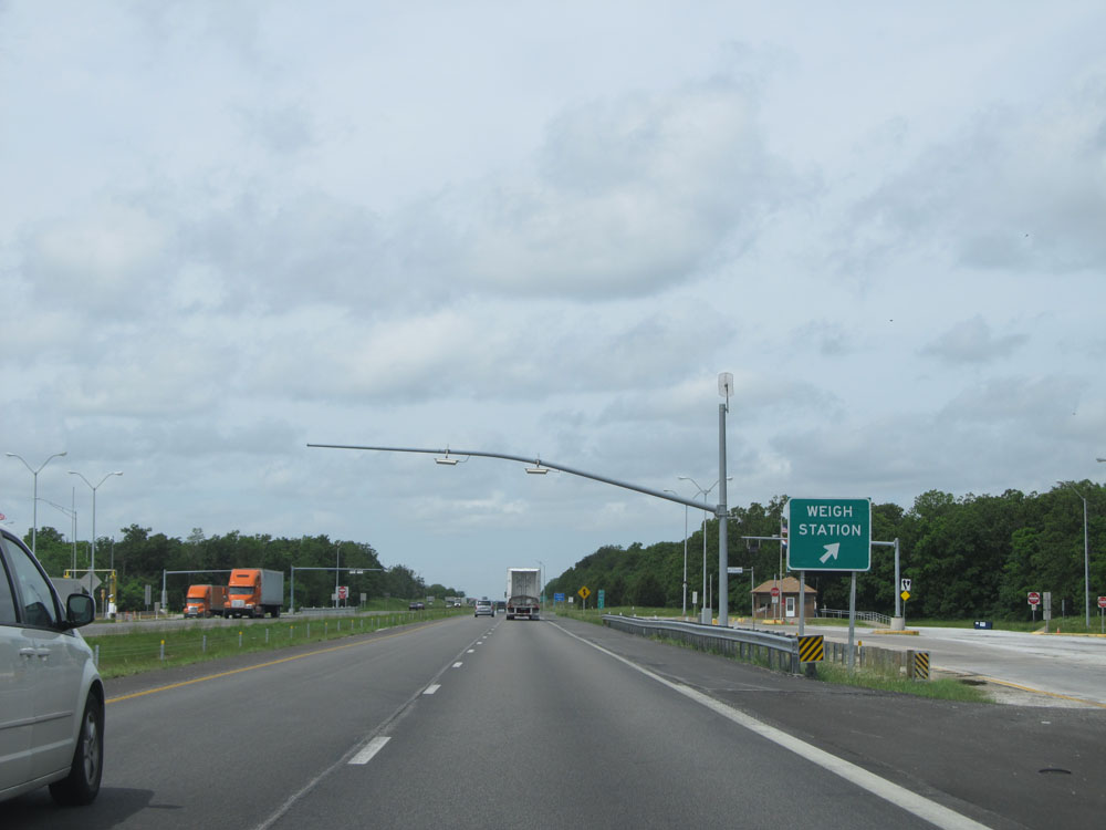 |
Interstate 44 West at the Weigh Station located near mile marker 3. (Photo taken 5/17/15). |
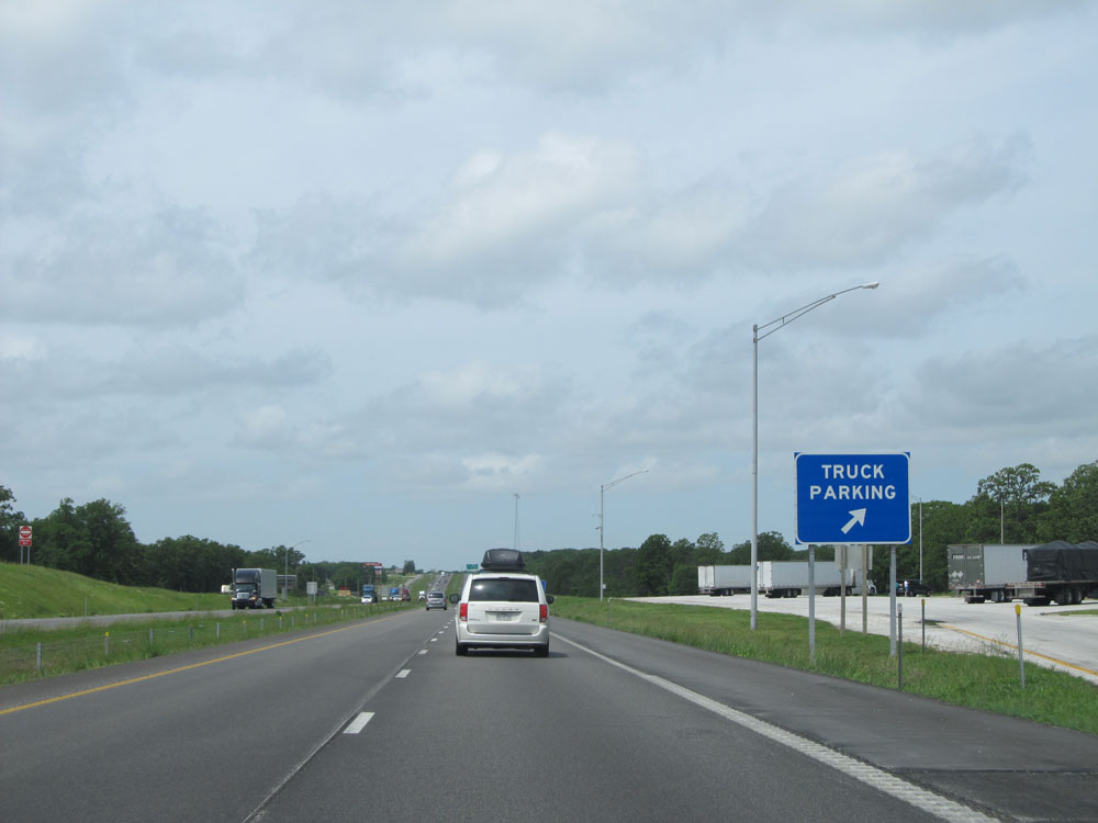 |
Interstate 44 West at the Truck Parking Area located just past the Weigh Station. (Photo taken 5/17/15). |
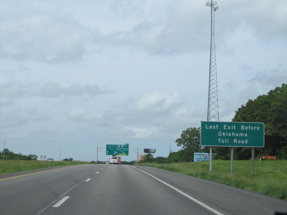 |
Exit 1 ahead is the last exit before Interstate 44 West turns into a toll road (Will Rogers Turnpike) in Oklahoma. (Photo taken 5/17/15). |
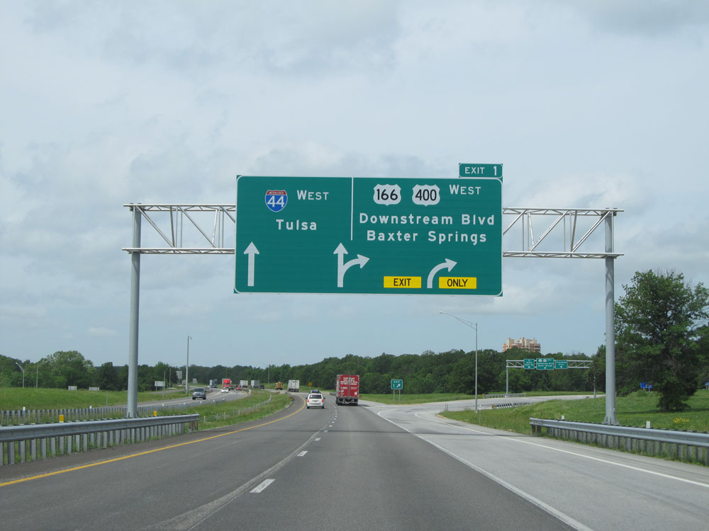 |
Interstate 44 West at Exit 1: US 166 / US 400 West - Downstream Blvd / Baxter Springs. The Oklahoma state line and the beginning of the Will Rogers Turnpike lie just ahead. (Photo taken 5/17/15). |