Road Information |
||
 |
||
| Total Mileage in State: | 10 miles | |
| Eastern End: | At Tennessee state line | |
| Western End: | At I-55/US 61/US 412, near Hayti | |
| Mileage covered in Photos: | 10 miles | |
| Counties covered in Photos: | Pemiscot | |
| Major Junctions in Photos: | I-55, near Hayti | |
| Control Cities in Photos: | Caruthersville | |
Eastbound
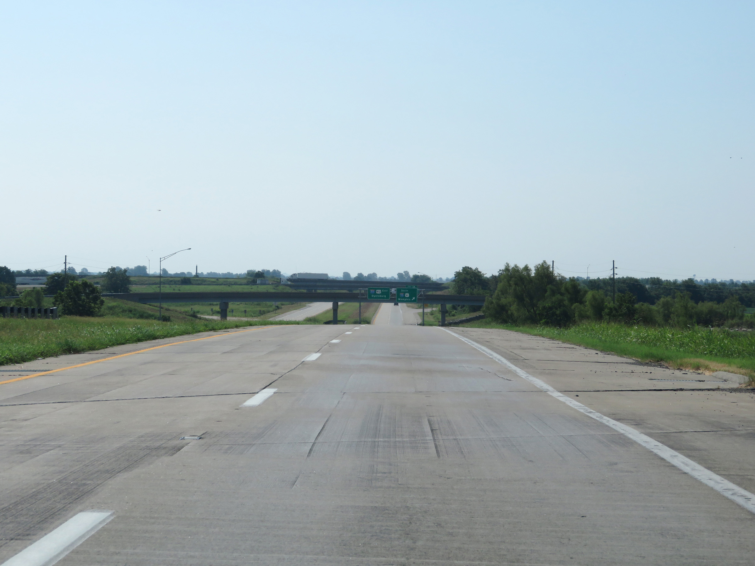 |
US 412 East approaching the junction of Interstate 55 and the beginning of Interstate 155 East. (Photo taken 8/13/19). |
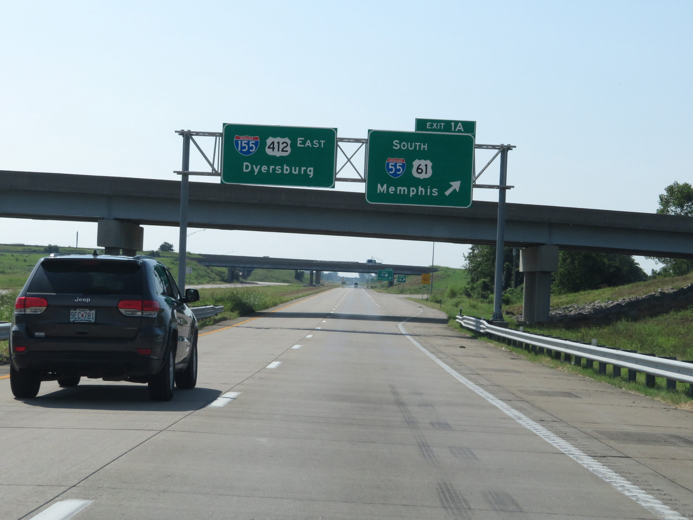 |
Interstate 155 East at Exit 1A: Interstate 55 South / US 61 South - Memphis (Photo taken 8/13/19). |
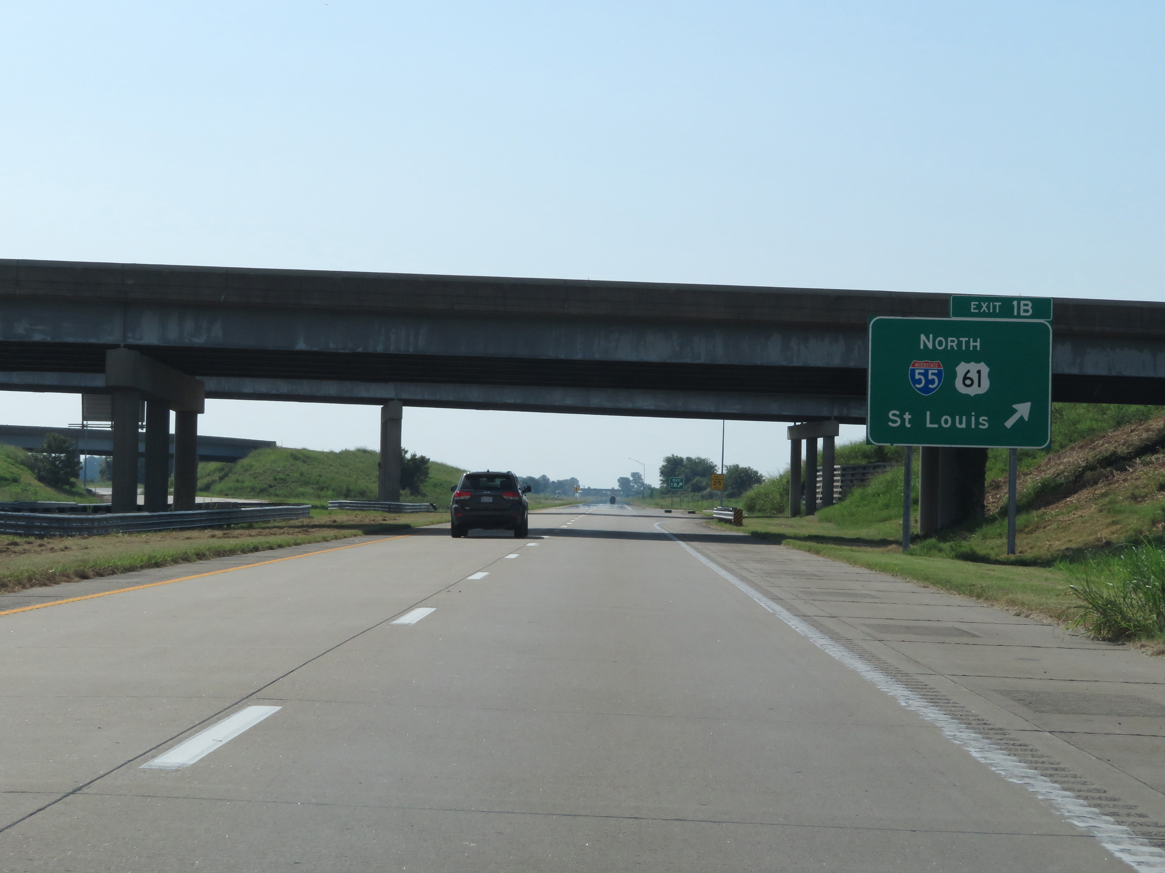 |
Interstate 155 East at Exit 1B: Interstate 55 North / US 61 North - St. Louis (Photo taken 8/13/19). |
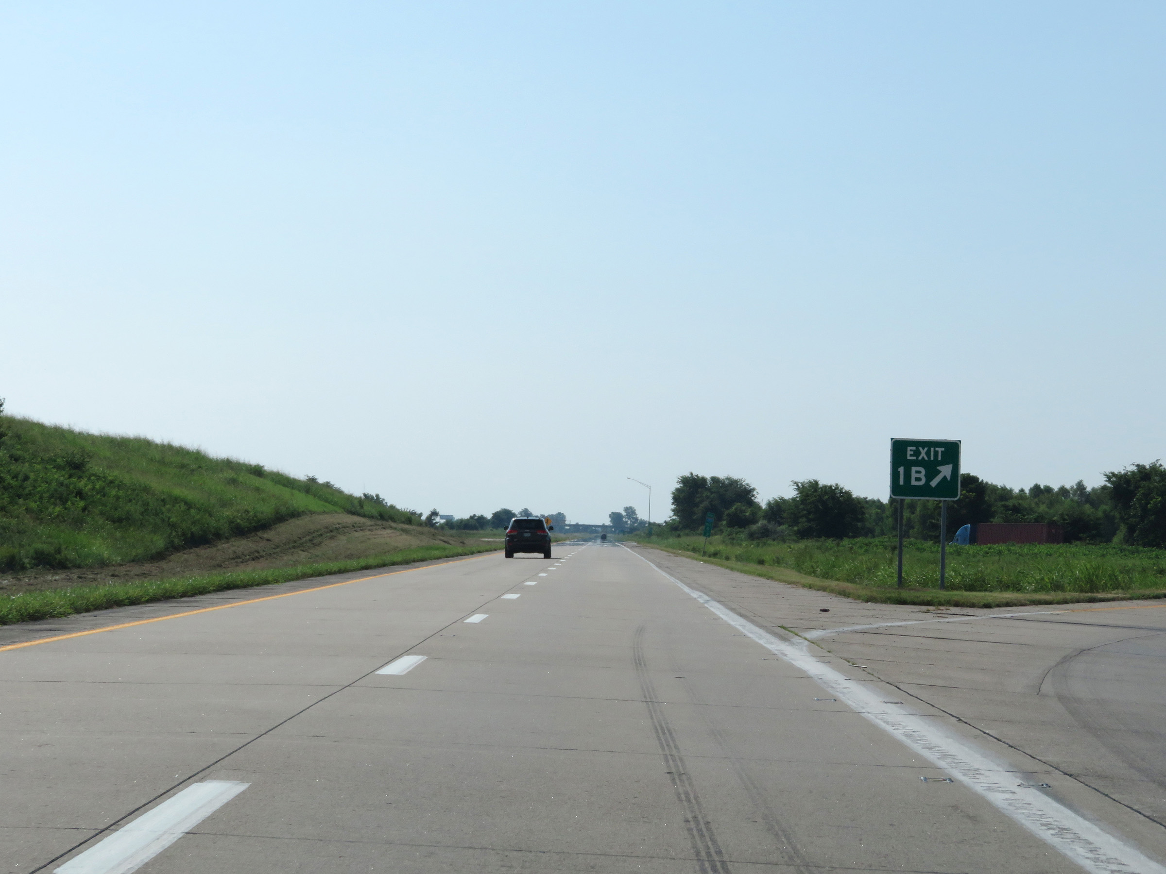 |
Gore point signage for Exit 1B. (Photo taken 8/13/19). |
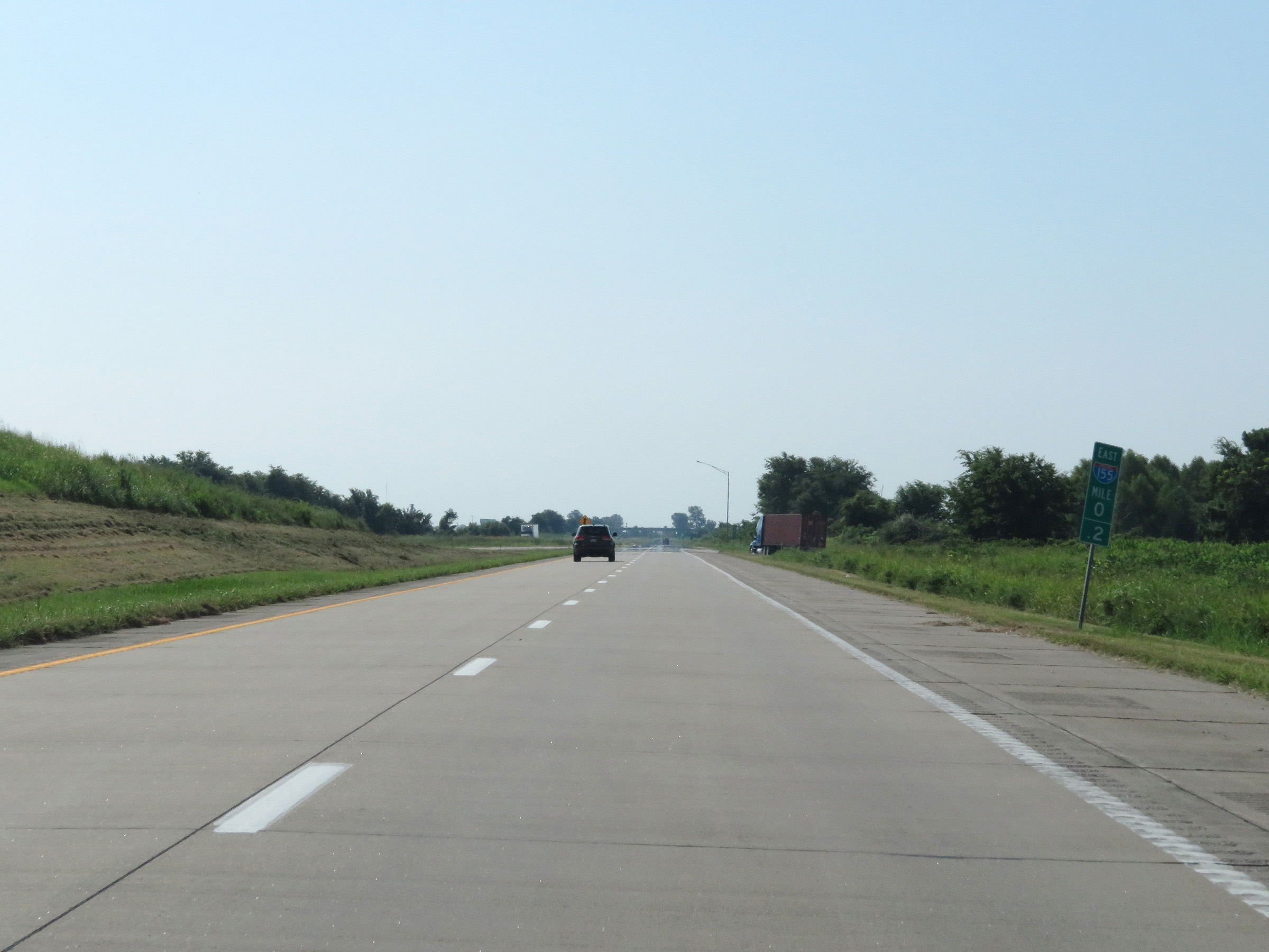 |
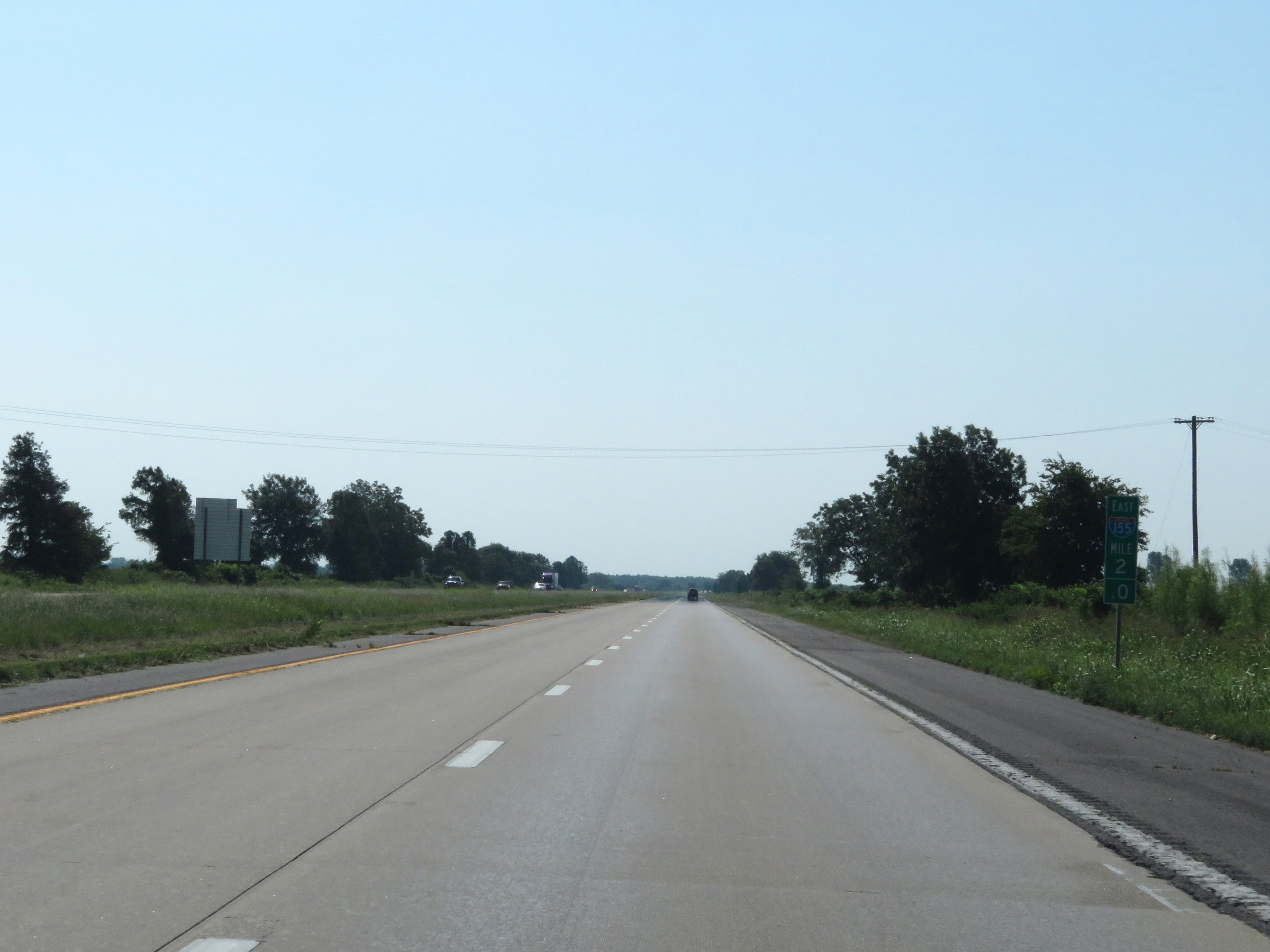
View on Interstate 155 East at mile marker 0.2. (Photo taken 8/13/19). |
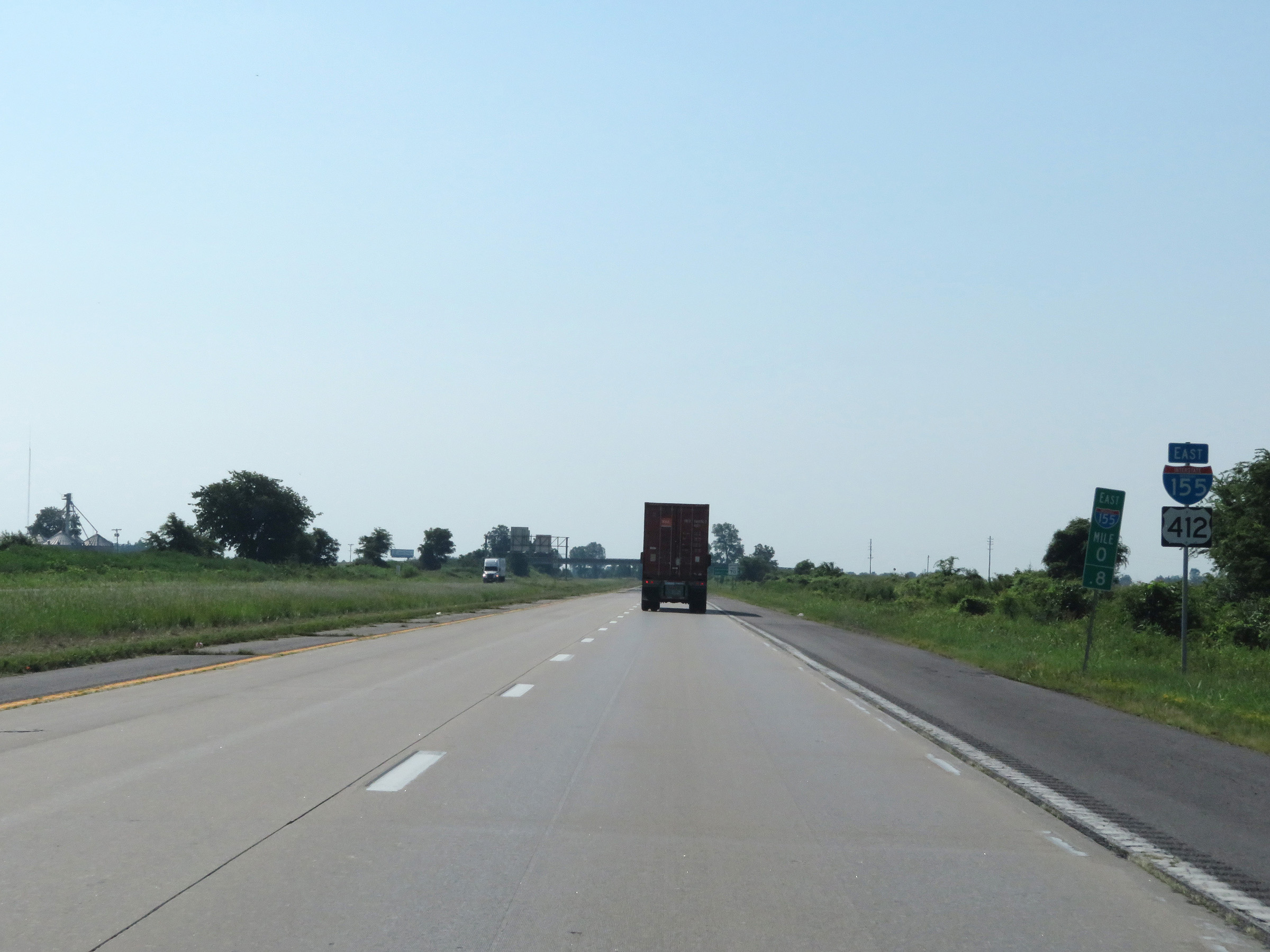 |
State-named Interstate 155 East reassurance shield at mile marker 0.8. I-155 runs concurrently with US 412 for its entire duration. (Photo taken 8/13/19). |
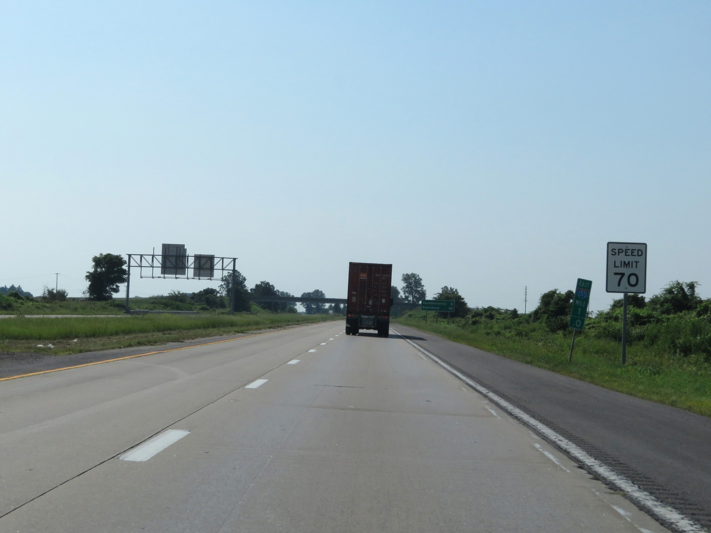 |
Speed limit sign at mile marker 1. The maximum speed limit on Interstate 155 East starts out at 70 mph. This is the standard maximum speed limit on most rural Interstate highways in Missouri. (Photo taken 8/13/19). |
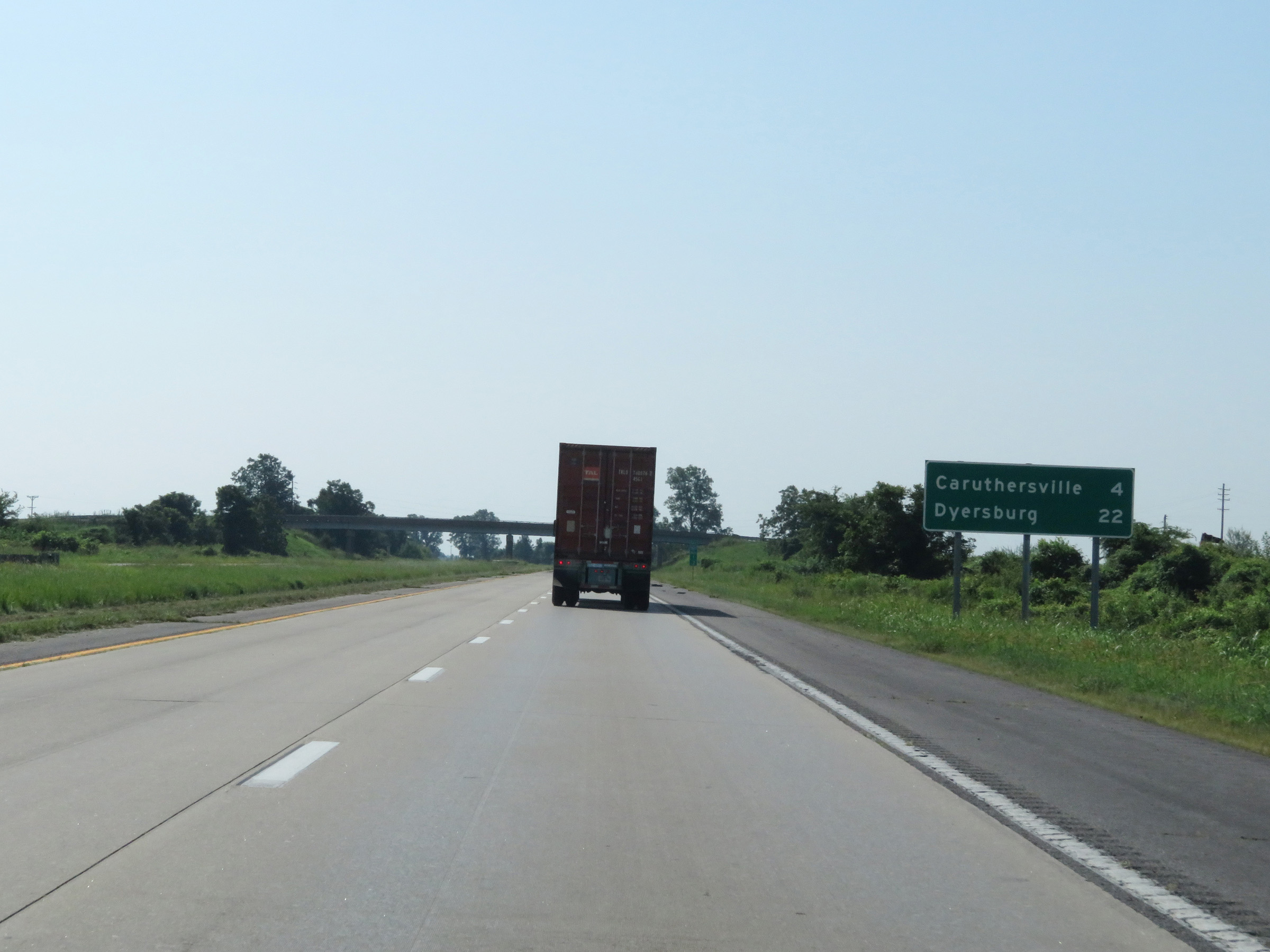 |
Mileage sign on Interstate 155 East. From this point, it's 4 miles to Caruthersville and 22 miles to Dyersburg. (Photo taken 8/13/19). |
 |
View on Interstate 155 East at mile marker 2. (Photo taken 8/13/19). |
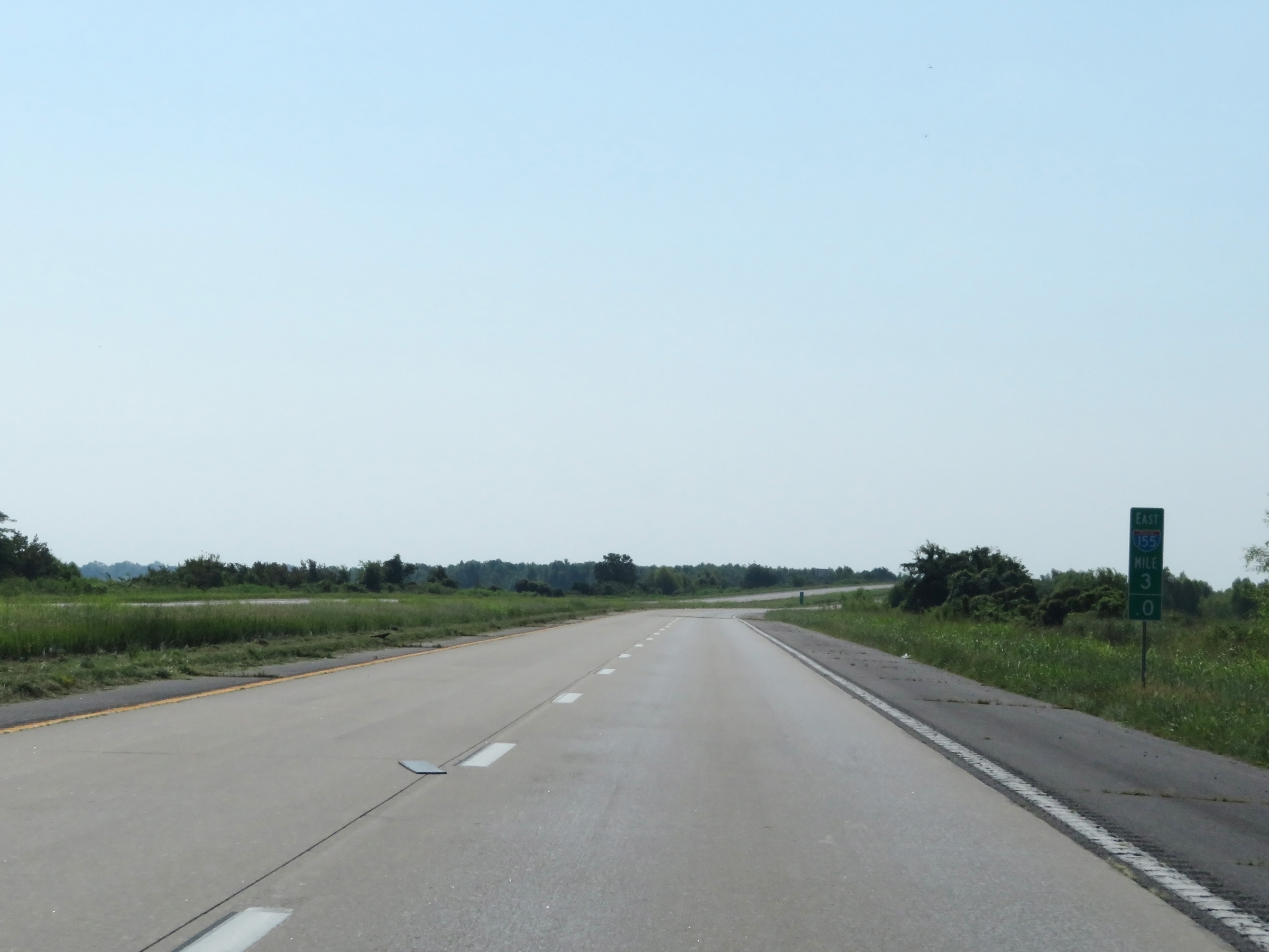 |
Mile marker 3 on Interstate 155 East in Pemiscot County. (Photo taken 8/13/19). |
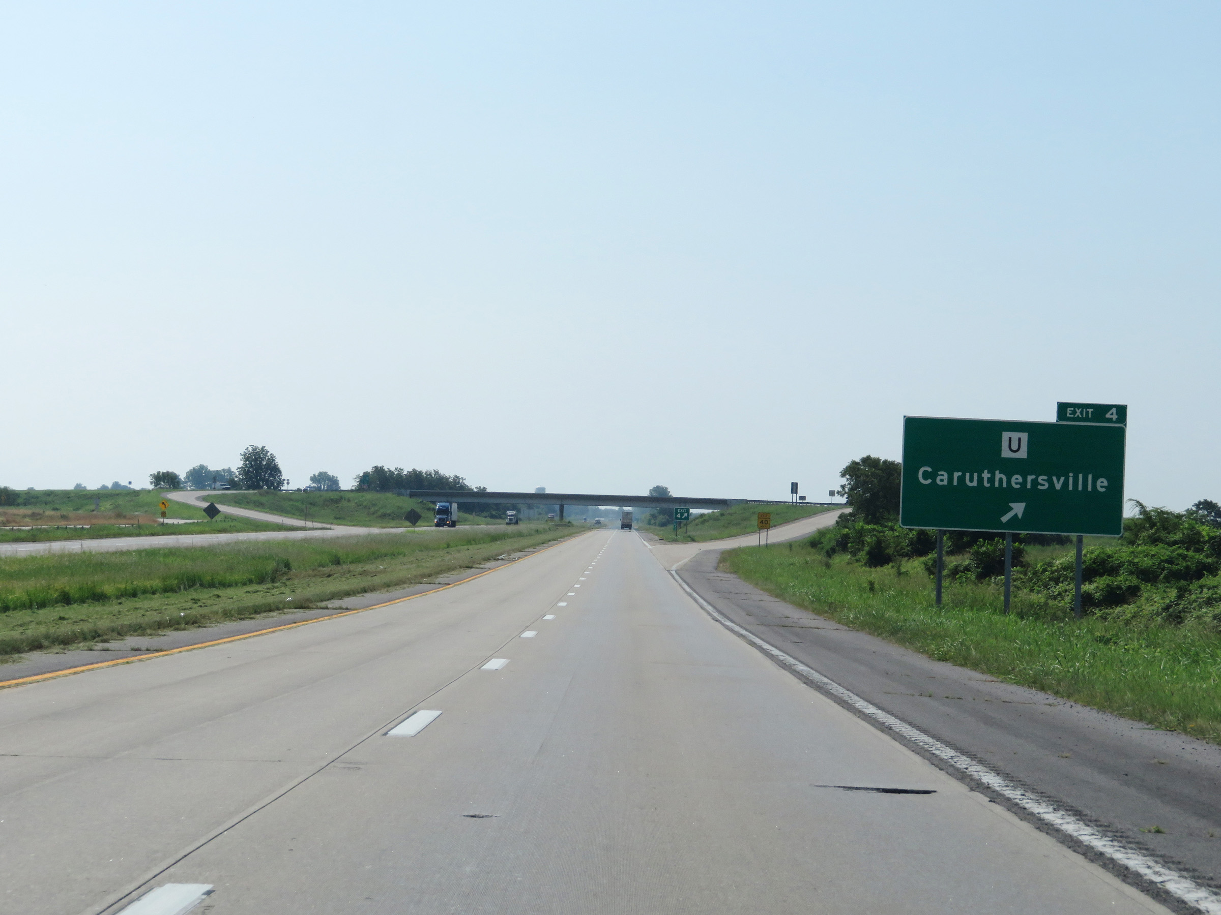 |
Interstate 155 East at Exit 4: Route U - Caruthersville (Photo taken 8/13/19). |
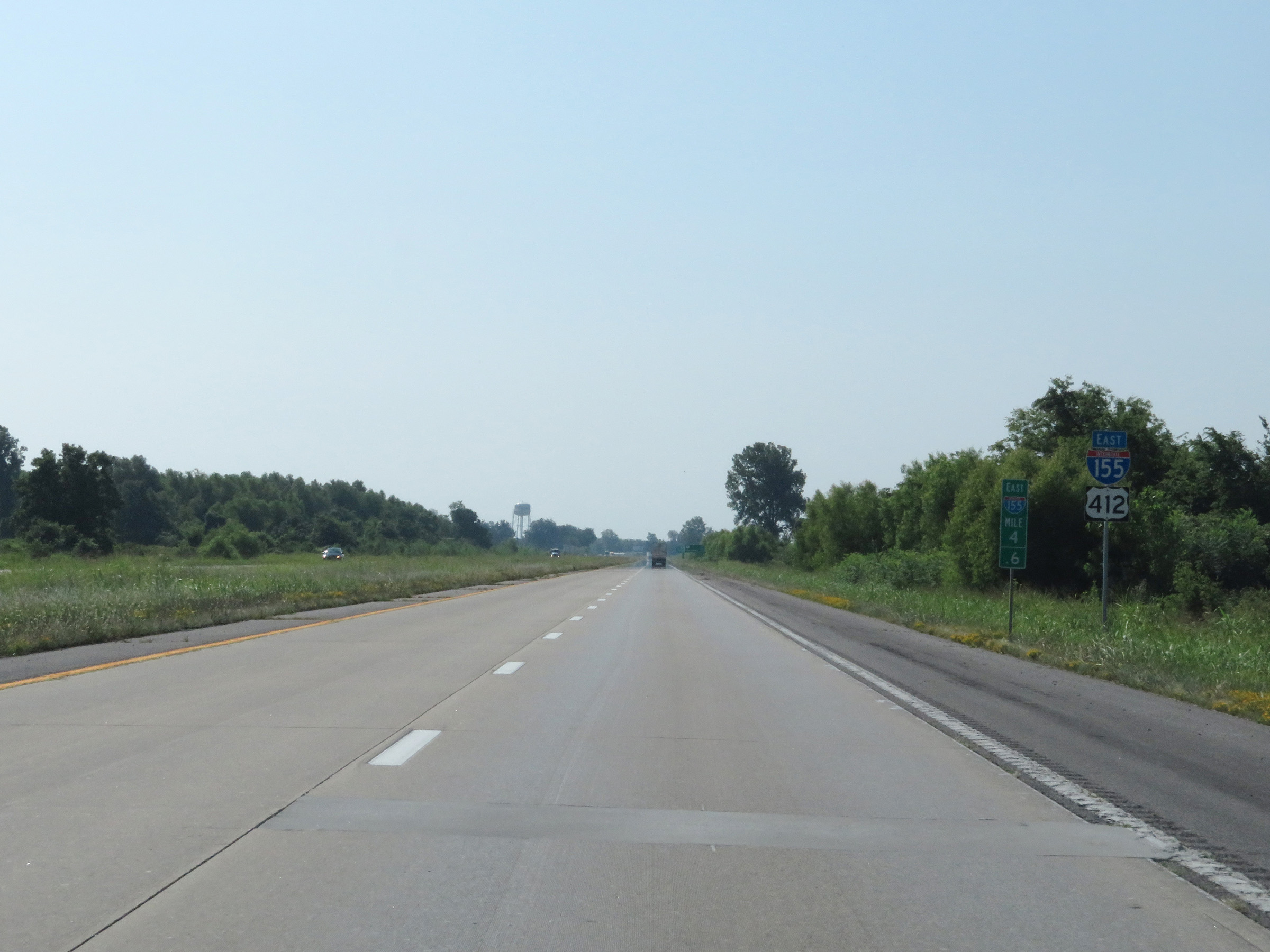 |
Another Interstate 155 East reassurance shield at mile marker 4.6. (Photo taken 8/13/19). |
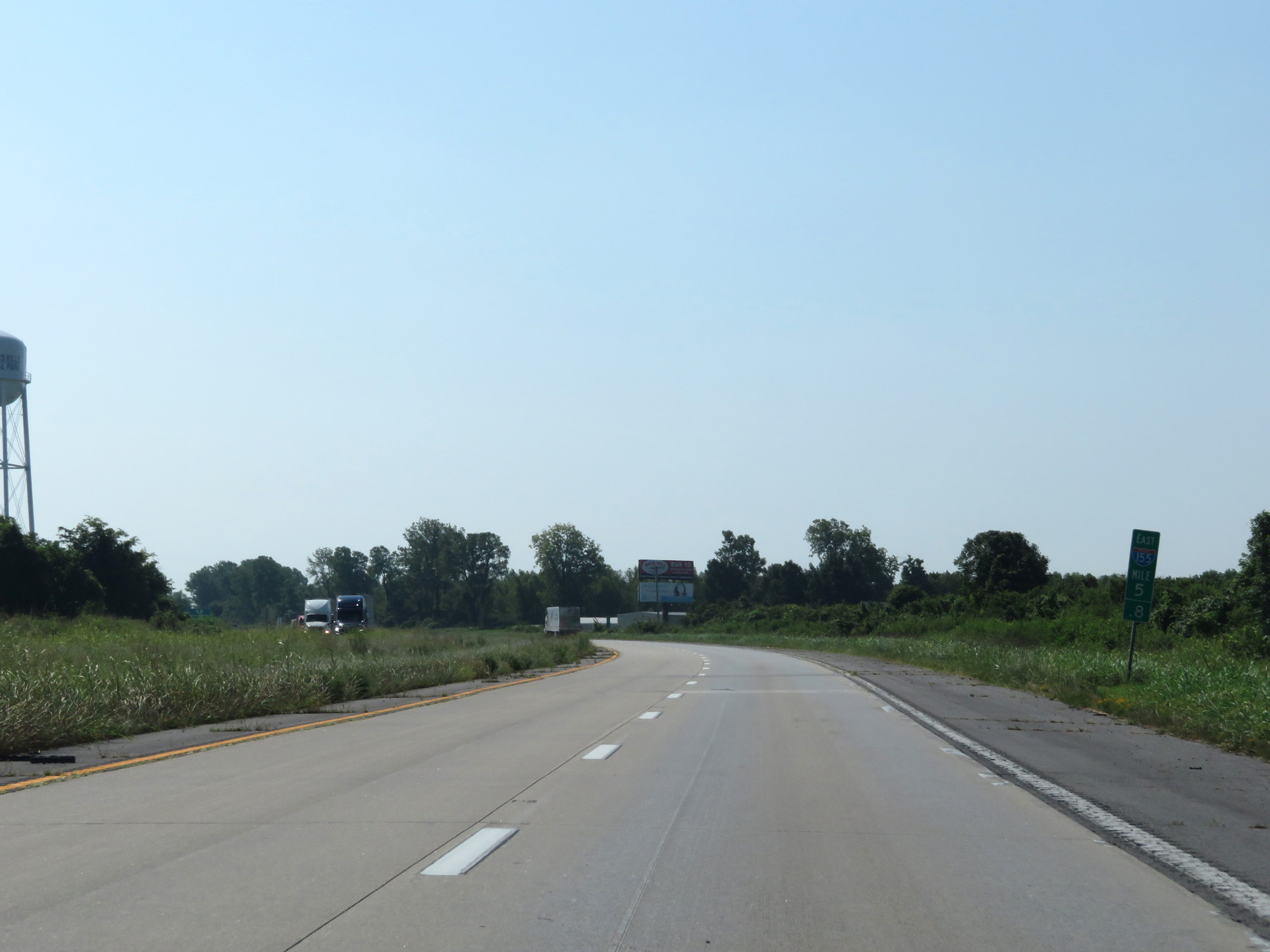 |
View on Interstate 155 East at mile marker 5.8. (Photo taken 8/13/19). |
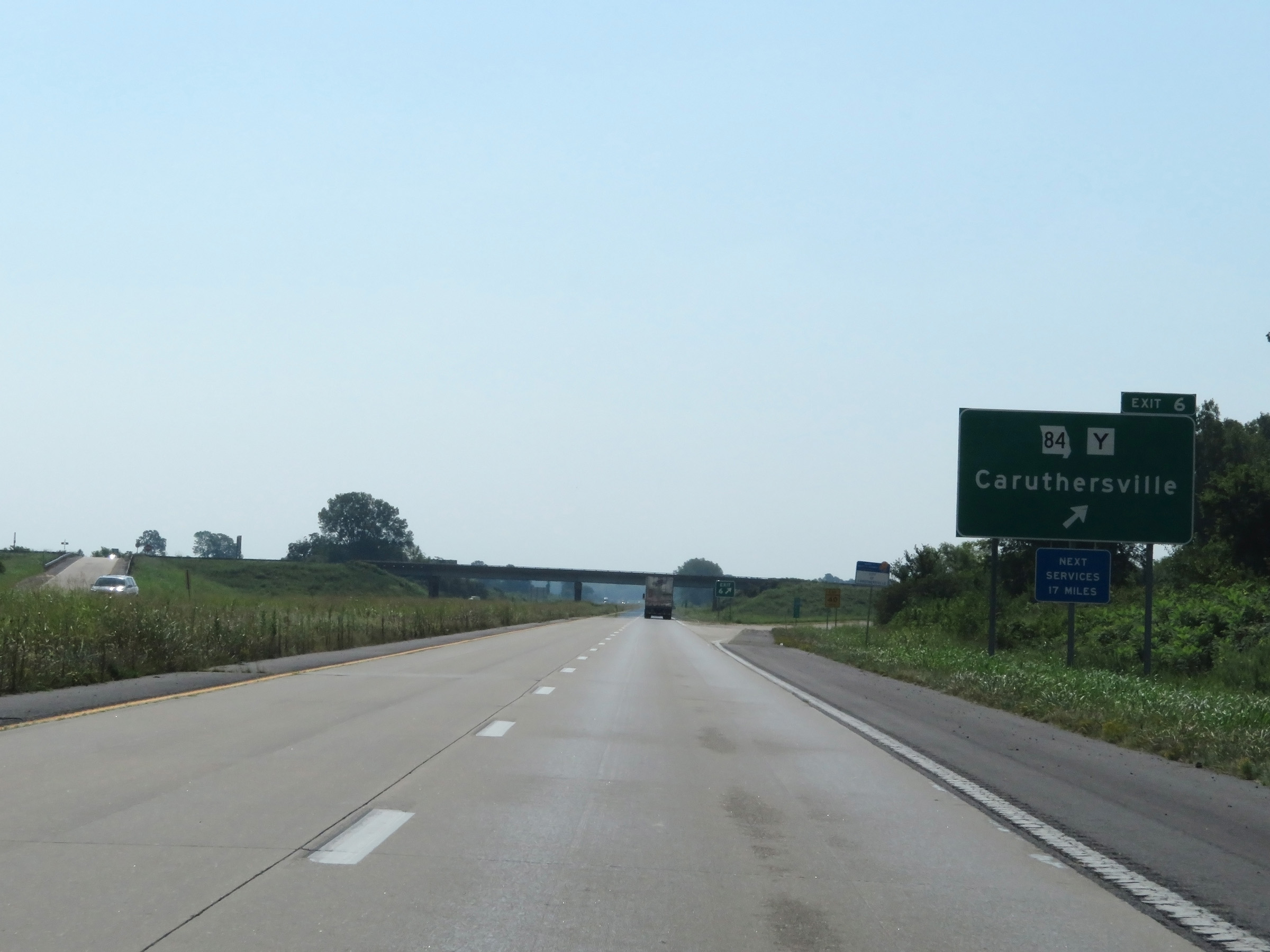 |
Interstate 155 East at Exit 6: MO 84 / Route Y - Caruthersville (Photo taken 8/13/19). |
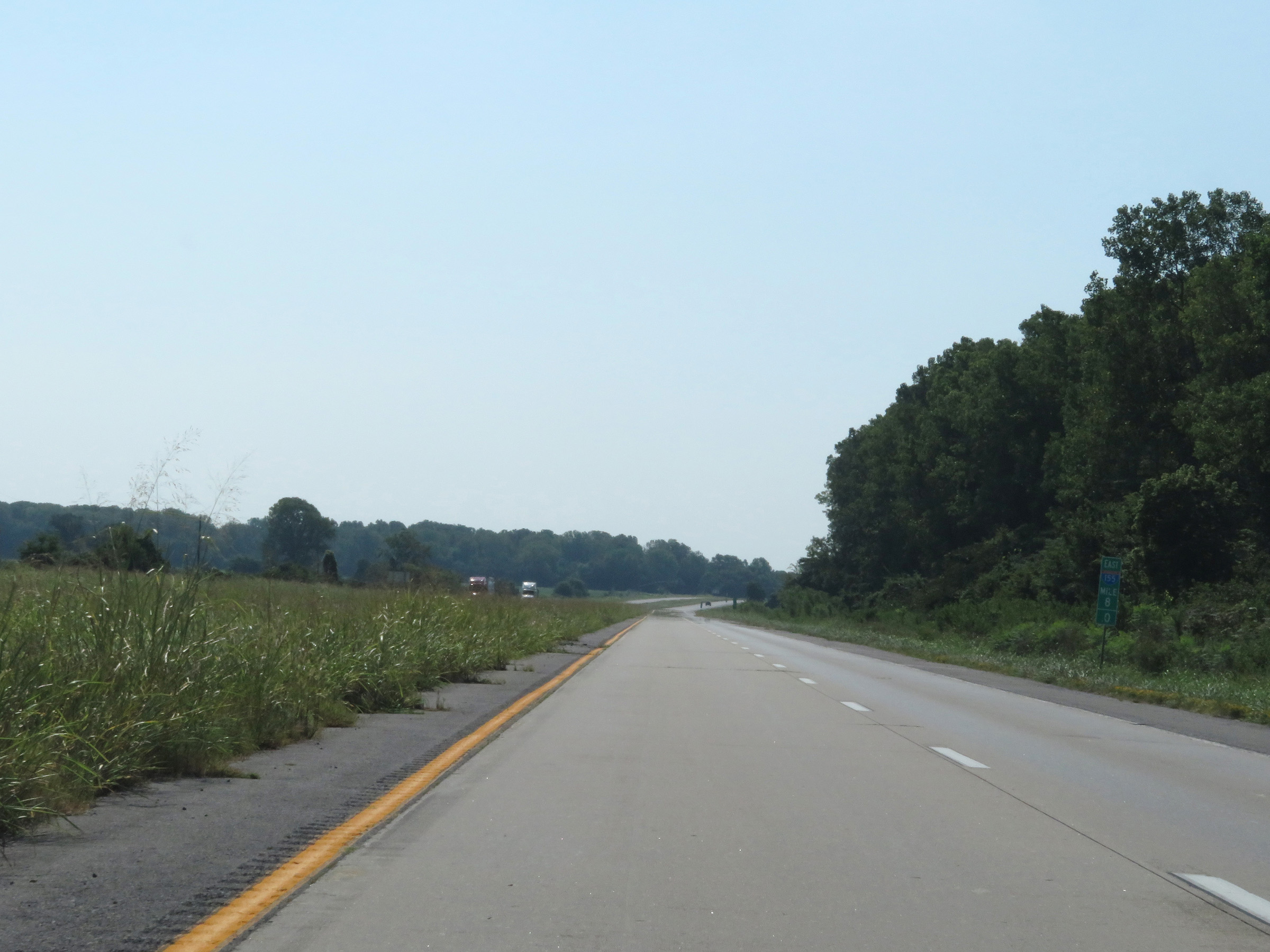 |
View on Interstate 155 East at mile marker 8. (Photo taken 8/13/19). |
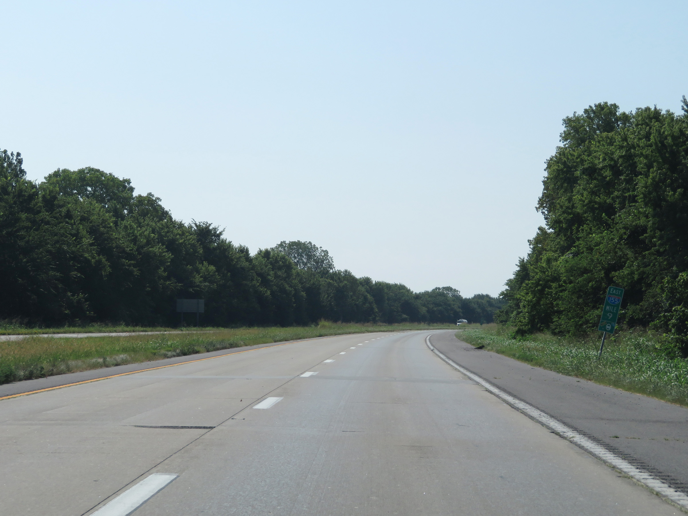 |
Interstate 155 East at mile marker 9. (Photo taken 8/13/19). |
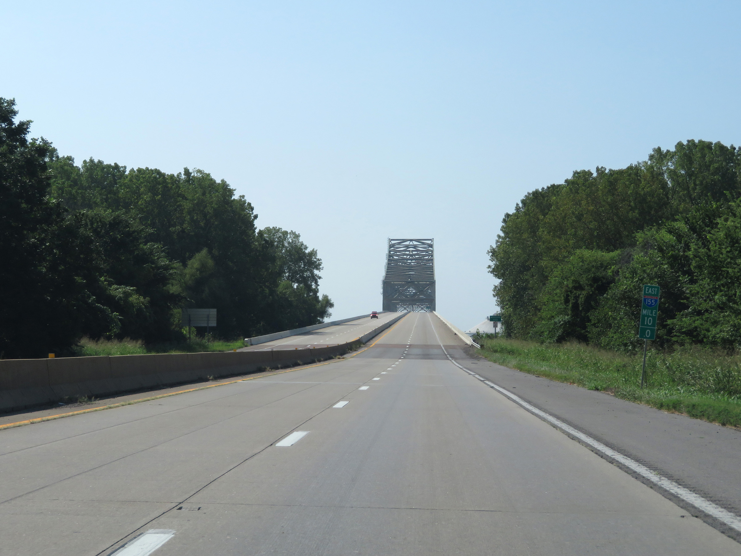 |
At mile marker 10, the Caruthersville Bridge over the Mississippi River comes into clear view ahead. (Photo taken 8/13/19). |
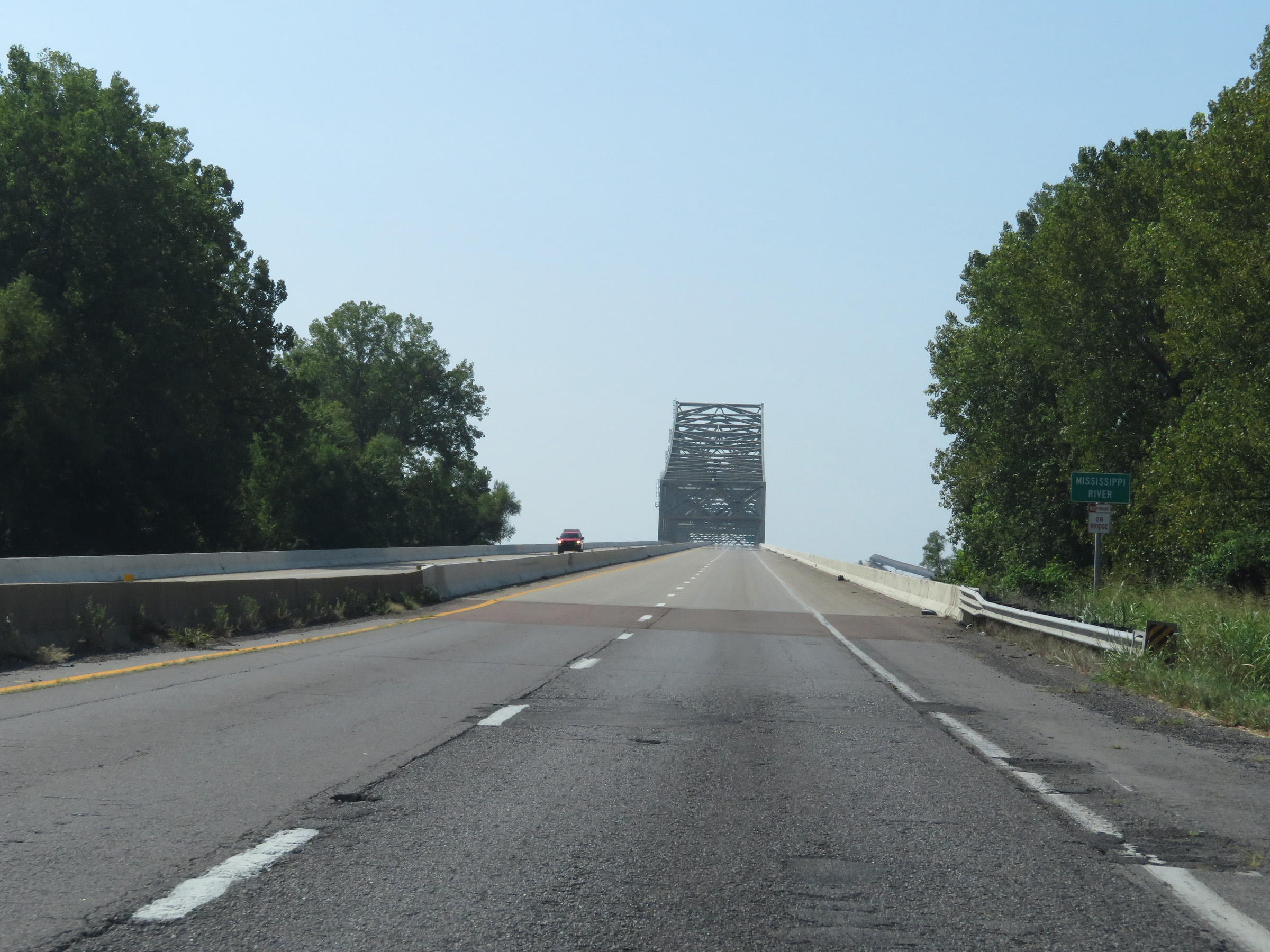 |
Interstate 155 East as it starts across the Caruthersville Bridge over the Mississippi River. (Photo taken 8/13/19). |
 |
View on Interstate 155 East as it ascends the Caruthersville Bridge over the Mississippi River. (Photo taken 8/13/19). |
 |
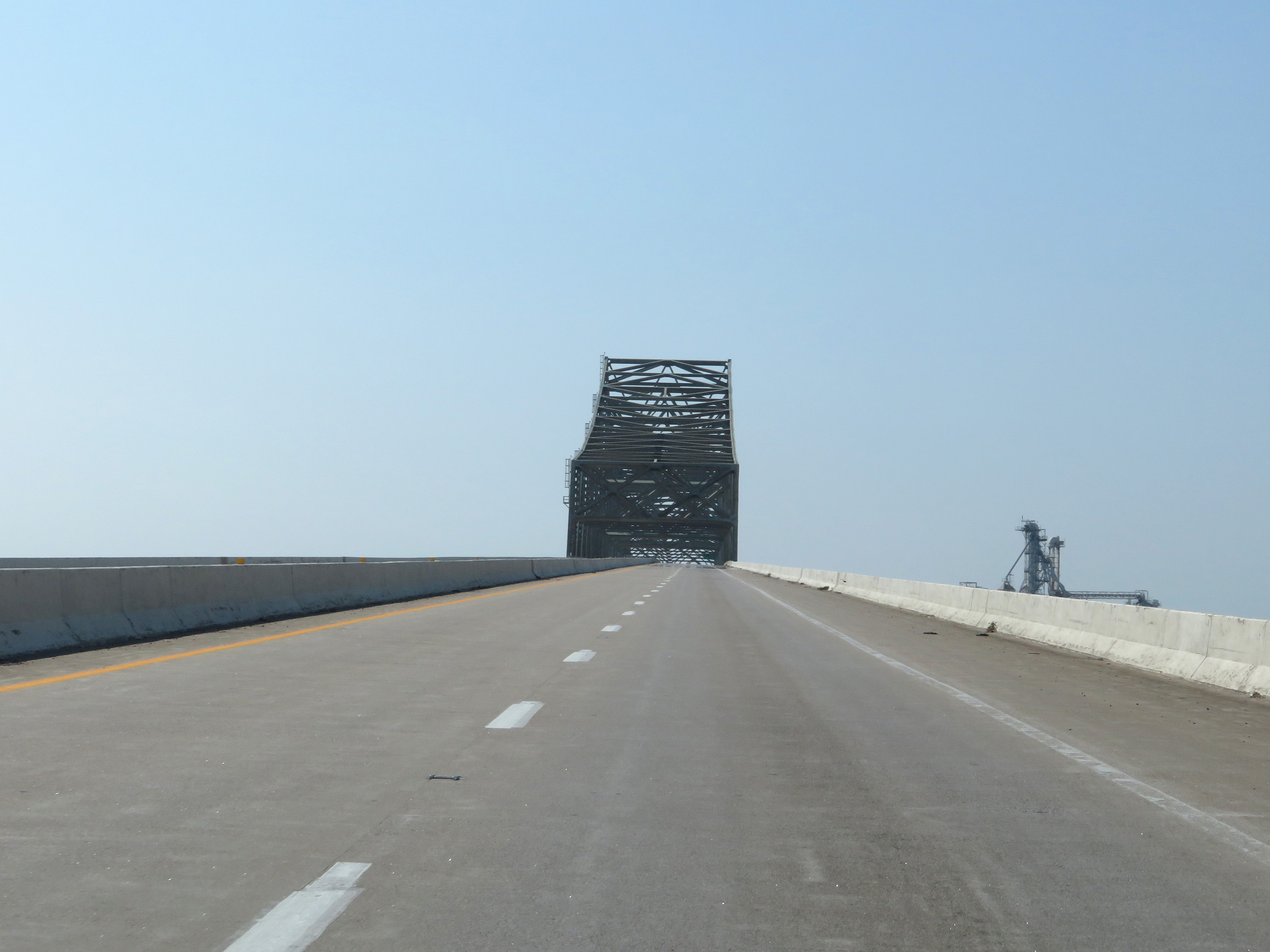
Interstate 155 East as it nears the peak of the Caruthersville Bridge over the Mississippi River, at which point it will cross the state line into Tennessee. (Photo taken 8/13/19). |
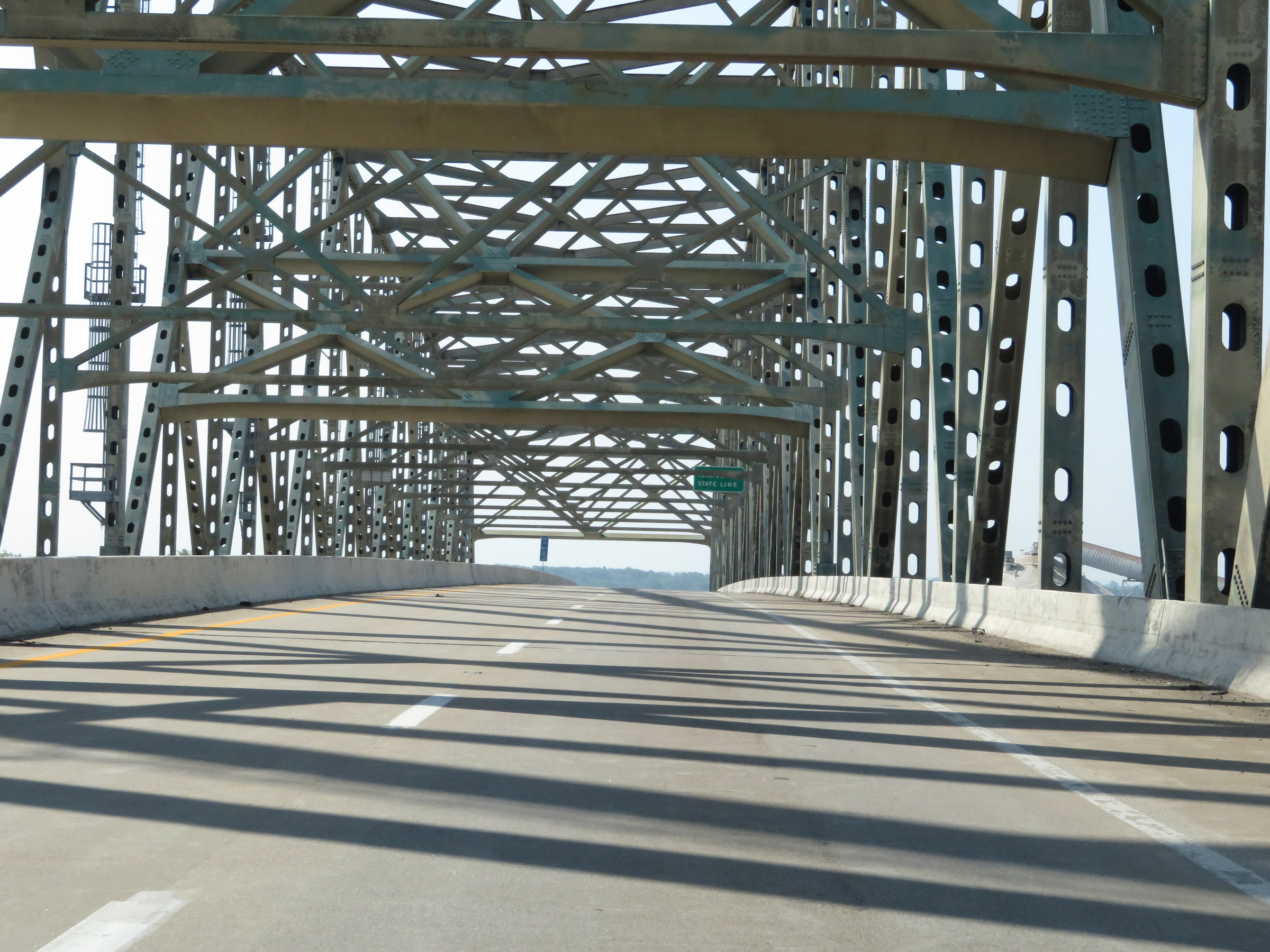 |
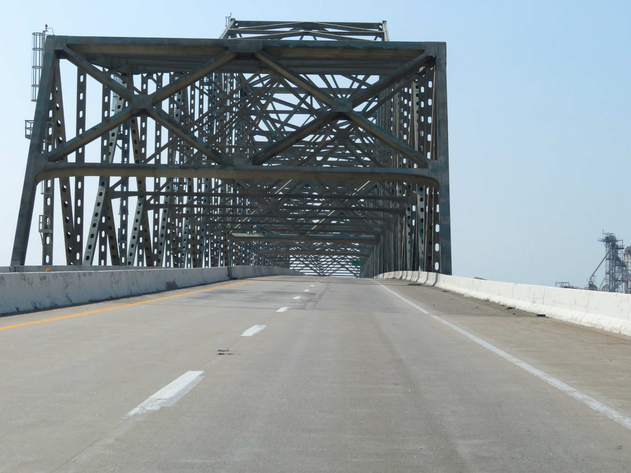
Interstate 155 East as it reaches the peak of the Caruthersville Bridge over the Mississippi River and enters Tennessee. (Photo taken 8/13/19). |