Road Information |
||
 |
||
| Total Mileage in State: | 171 miles | |
| Northern End: | At Alabama state line | |
| Southern End: | At Louisiana state line | |
| Mileage covered in Photos: | 171 miles | |
| Counties covered in Photos: | Lauderdale, Clarke, Jasper, Jones, Forrest, Lamar, Pearl River | |
| Major Junctions in Photos: | US 45, in Meridian I-20 West, in Meridian US 49, in Hattiesburg US 98, in Hattiesburg |
|
| Control Cities in Photos: | Meridian, Laurel, Ellisville, Hattiesburg, Picayune | |
Southbound
- Section 1: Alabama Border to Meridian (Exit 149)
- Section 2: Meridian (Exit 149) to Laurel (Exit 93)
- Section 3: Laurel (Exit 93) to Purvis (Exit 51)
- Section 4: Purvis (Exit 51) to Louisiana Border
Section 1: Alabama Border to Meridian (Exit 149)
 |
Interstate 59 South / Interstate 20 West as the duplex crosses the state line into Mississippi from Alabama. I-59 South / I-20 West start out in Lauderdale County. (Photo taken 12/9/20). |
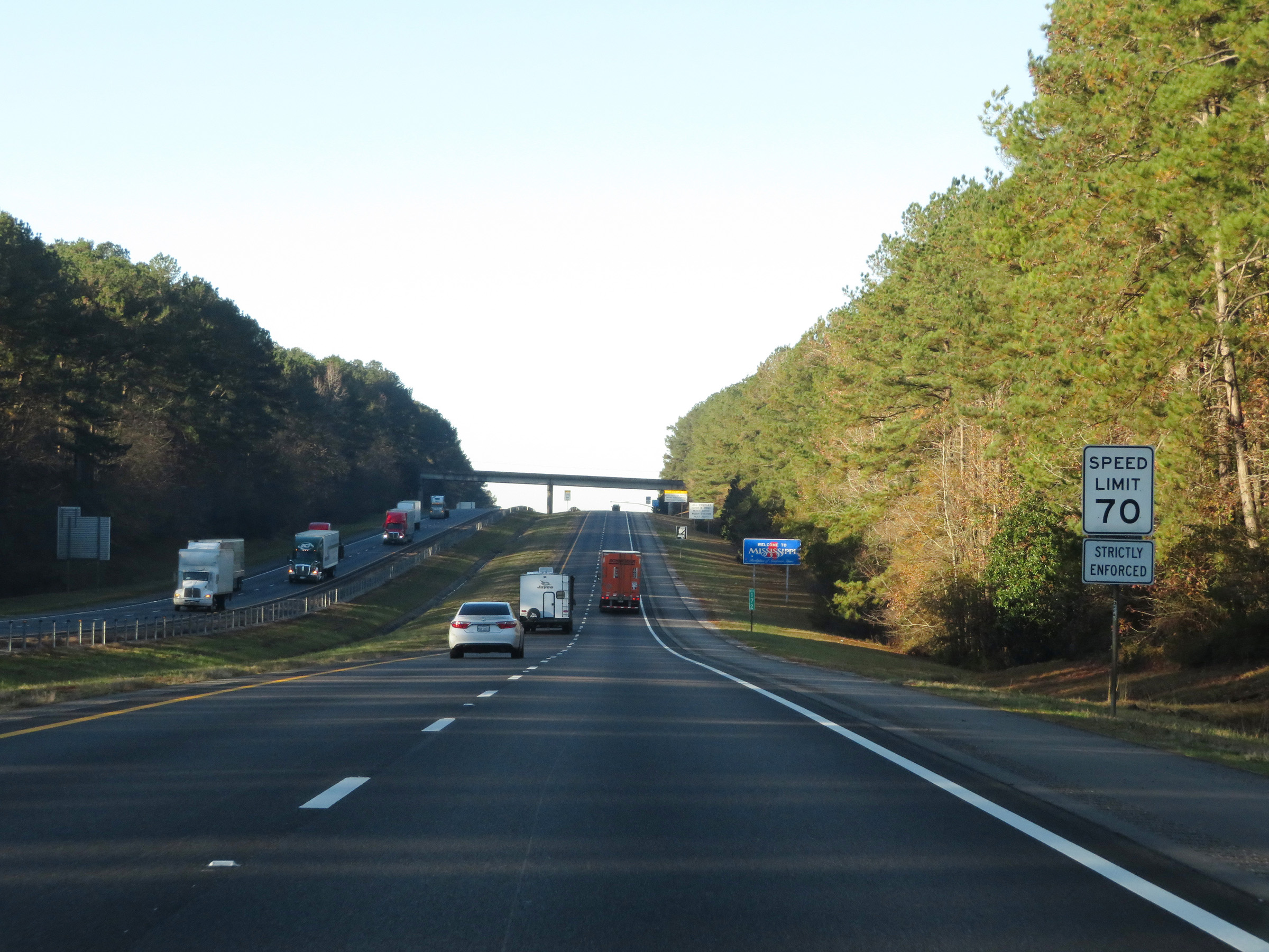 |
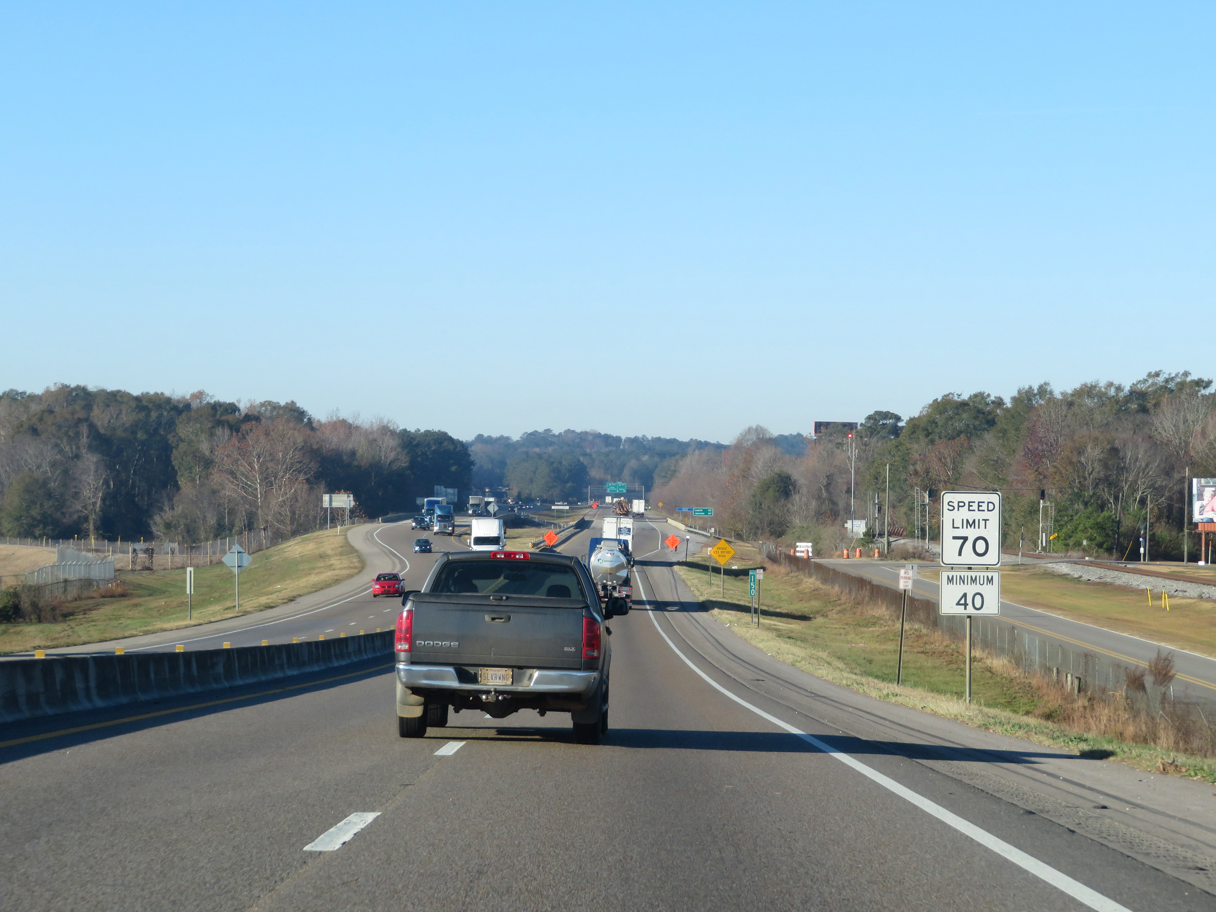
The speed limit on Interstate 59 South / Interstate 20 West in Mississippi starts out at 70 mph maximum. This is the standard maximum speed limit on most rural Interstate highways in Mississippi. (Photo taken 12/9/20). |
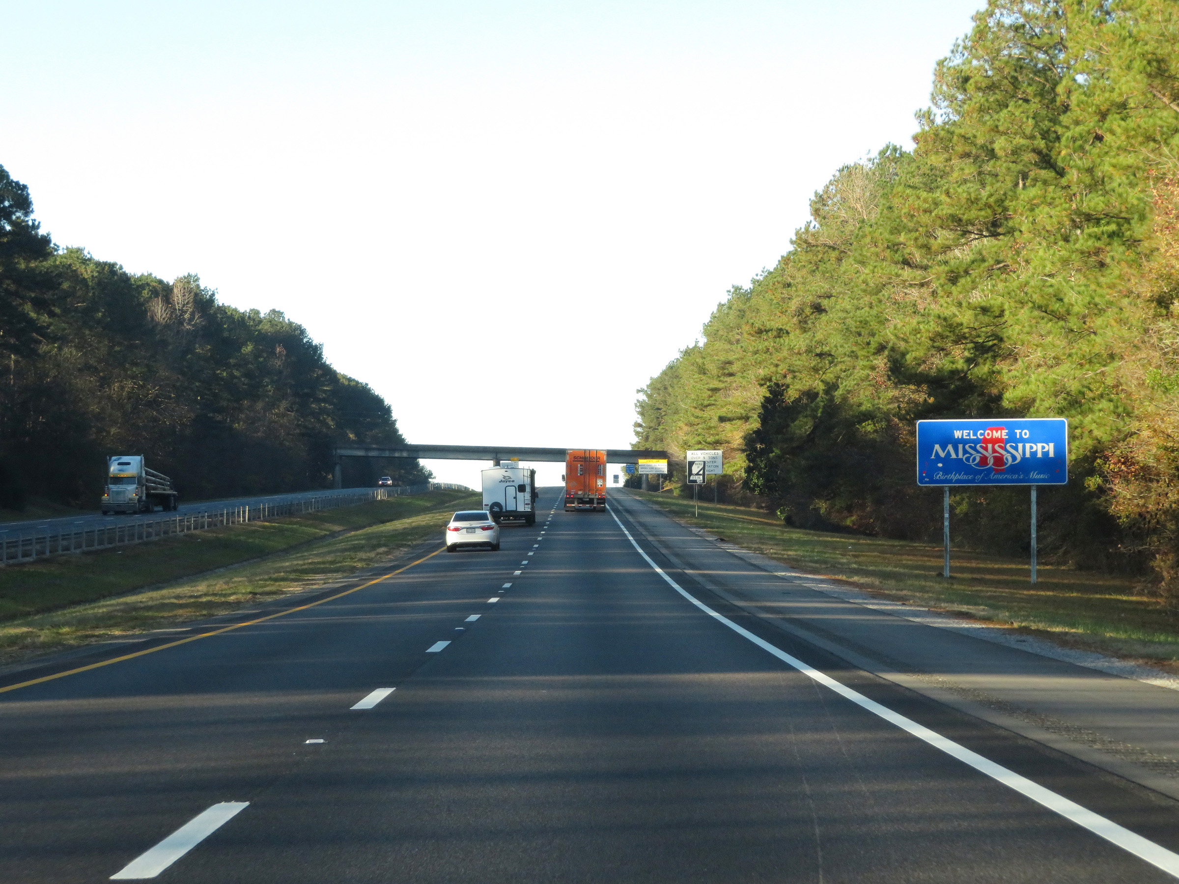 |
Mississippi welcome sign on Interstate 59 South / Interstate 20 West. (Photo taken 12/9/20). |
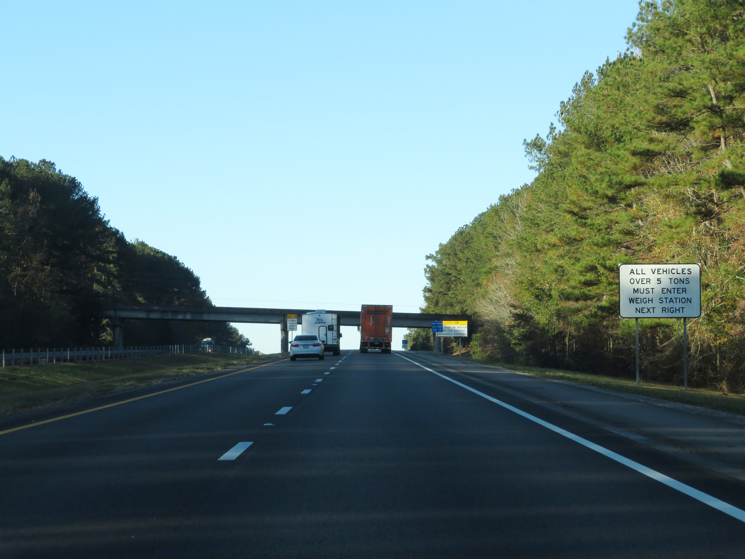 |
All vehicles over 5 tons must enter the Weigh Station ahead when it is open. (Photo taken 12/9/20). |
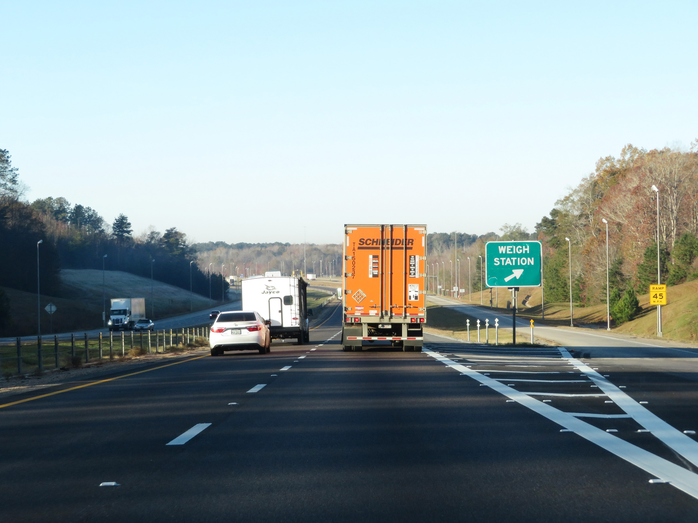 |
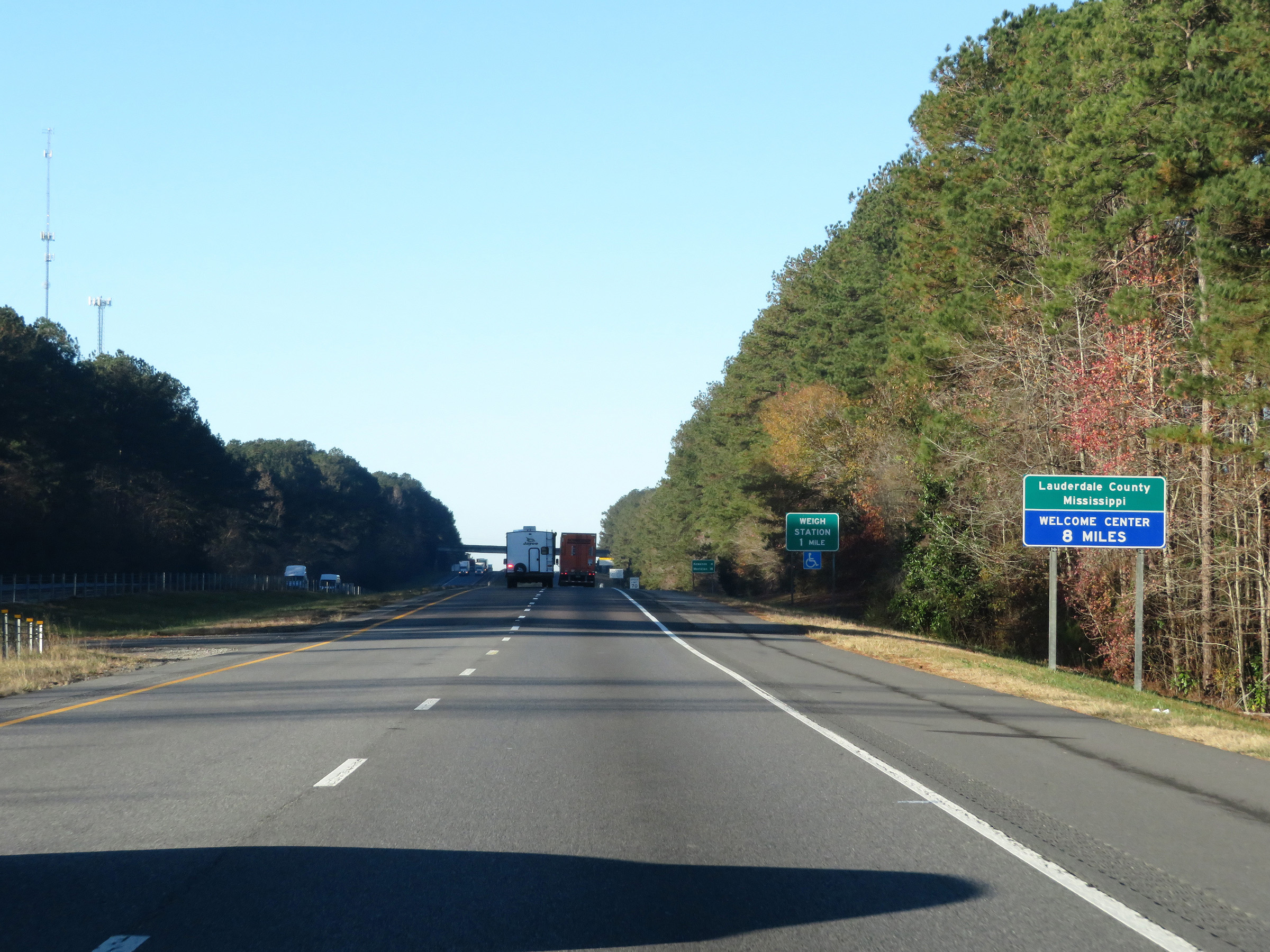
Weigh Station on Interstate 59 South / Interstate 20 West in Lauderdale County. (Photo taken 12/9/20). |
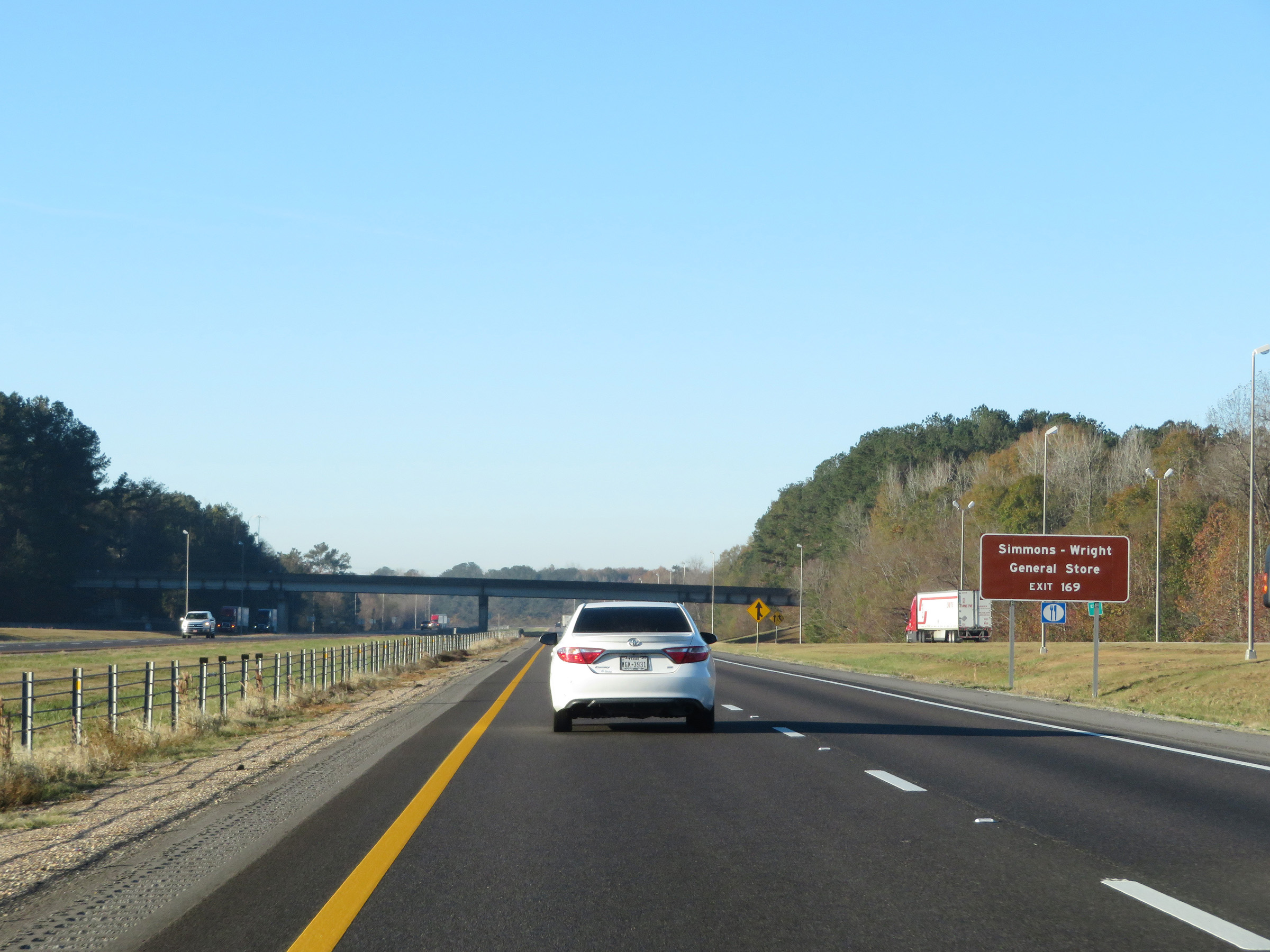 |
Take Exit 169 to Simmons-Wright General Store. (Photo taken 12/9/20). |
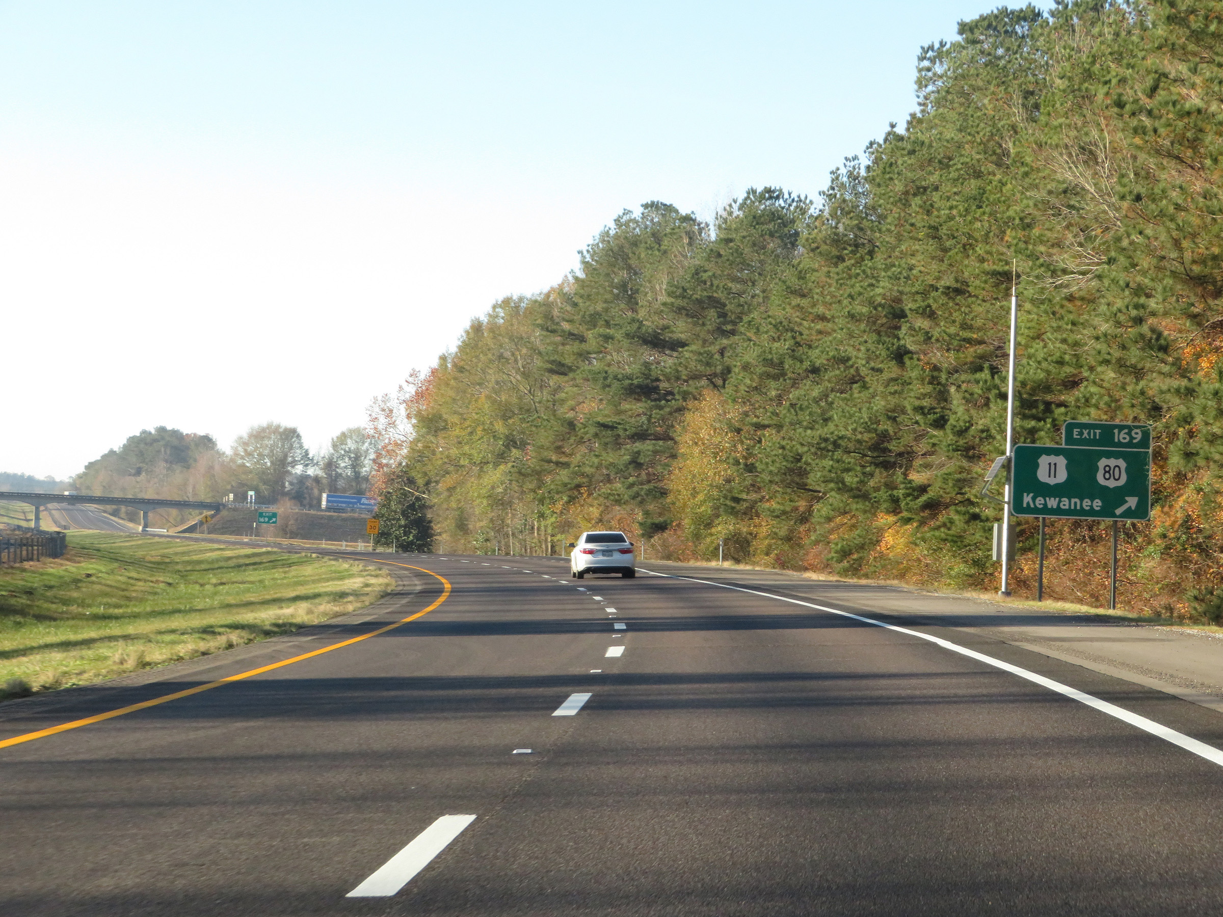 |
Interstate 59 South / Interstate 20 West at Exit 169: US 11 / US 80 - Kewanee (Photo taken 12/9/20). |
 |
State-named Interstate 59 South / Interstate 20 West reassurance shields. (Photo taken 12/9/20). |
 |
The speed limits remain 70 mph maximum and 40 mph minimum. These are the standard speed limits on most rural Interstate highways in Mississippi. (Photo taken 12/9/20). |
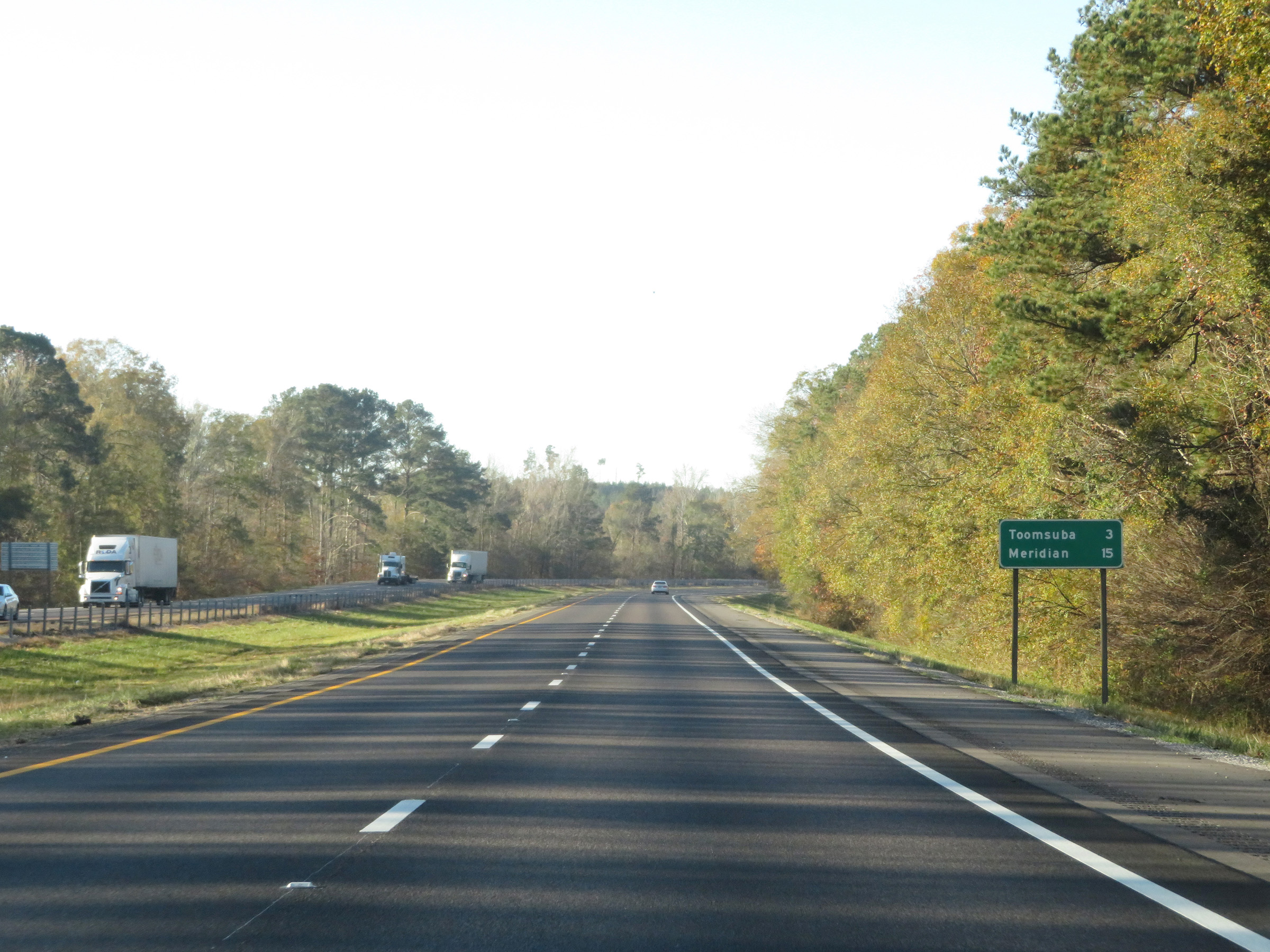 |
Mileage sign on Interstate 59 South / Interstate 20 West. It's 3 miles to Toomsuba and 15 miles to Meridian. (Photo taken 12/9/20). |
 |
View on Interstate 59 South / Interstate 20 West at mile marker 167. (Photo taken 12/9/20). |
 |
Take Exit 165 to Lake Tom Bailey. (Photo taken 12/9/20). |
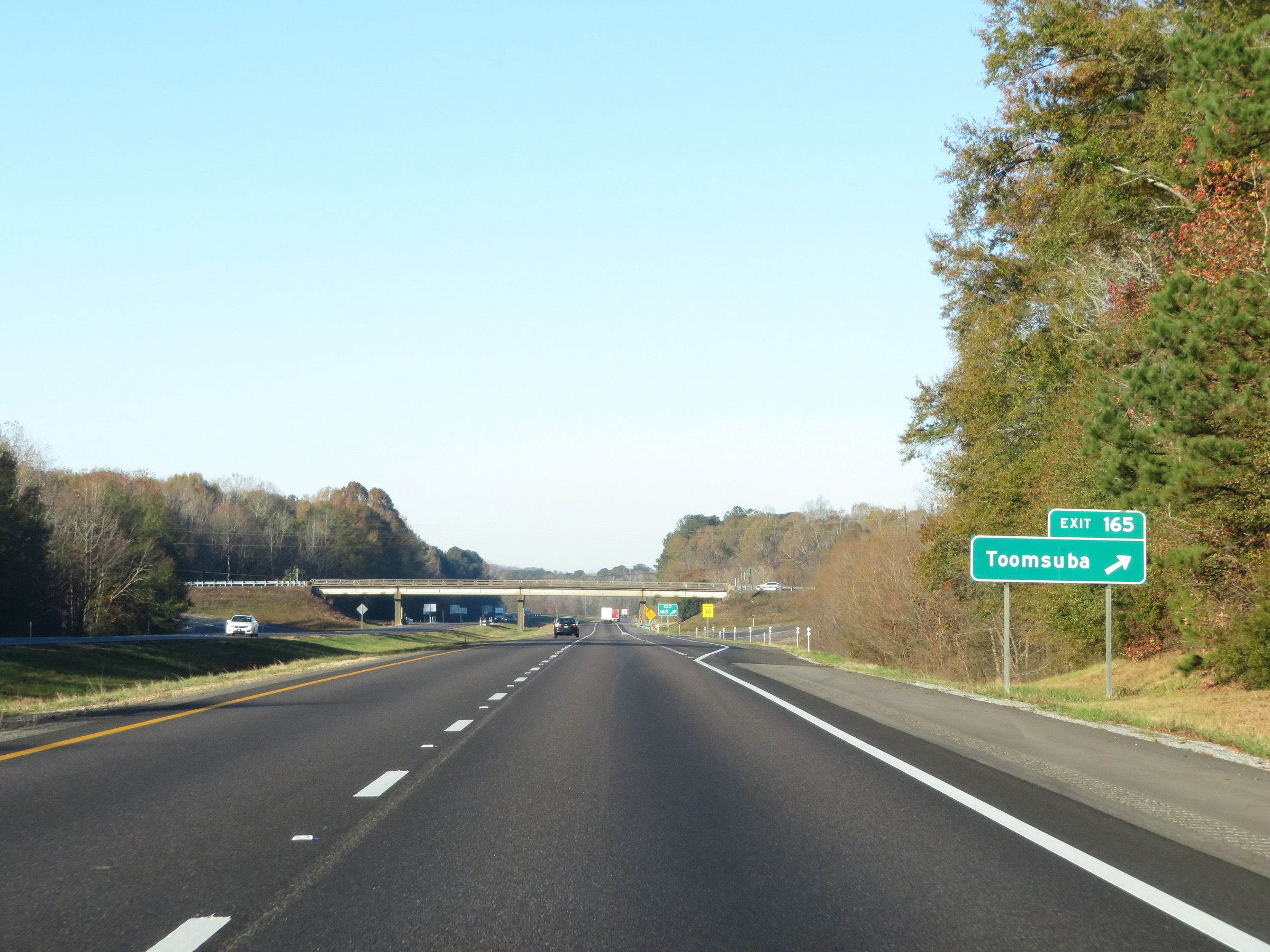 |
Interstate 59 South / Interstate 20 West at Exit 165: Toomsuba (Photo taken 12/9/20). |
 |
Mississippi Welcome Center / Rest Area on Interstate 59 South / Interstate 20 West in Lauderdale County. (Photo taken 12/9/20). |
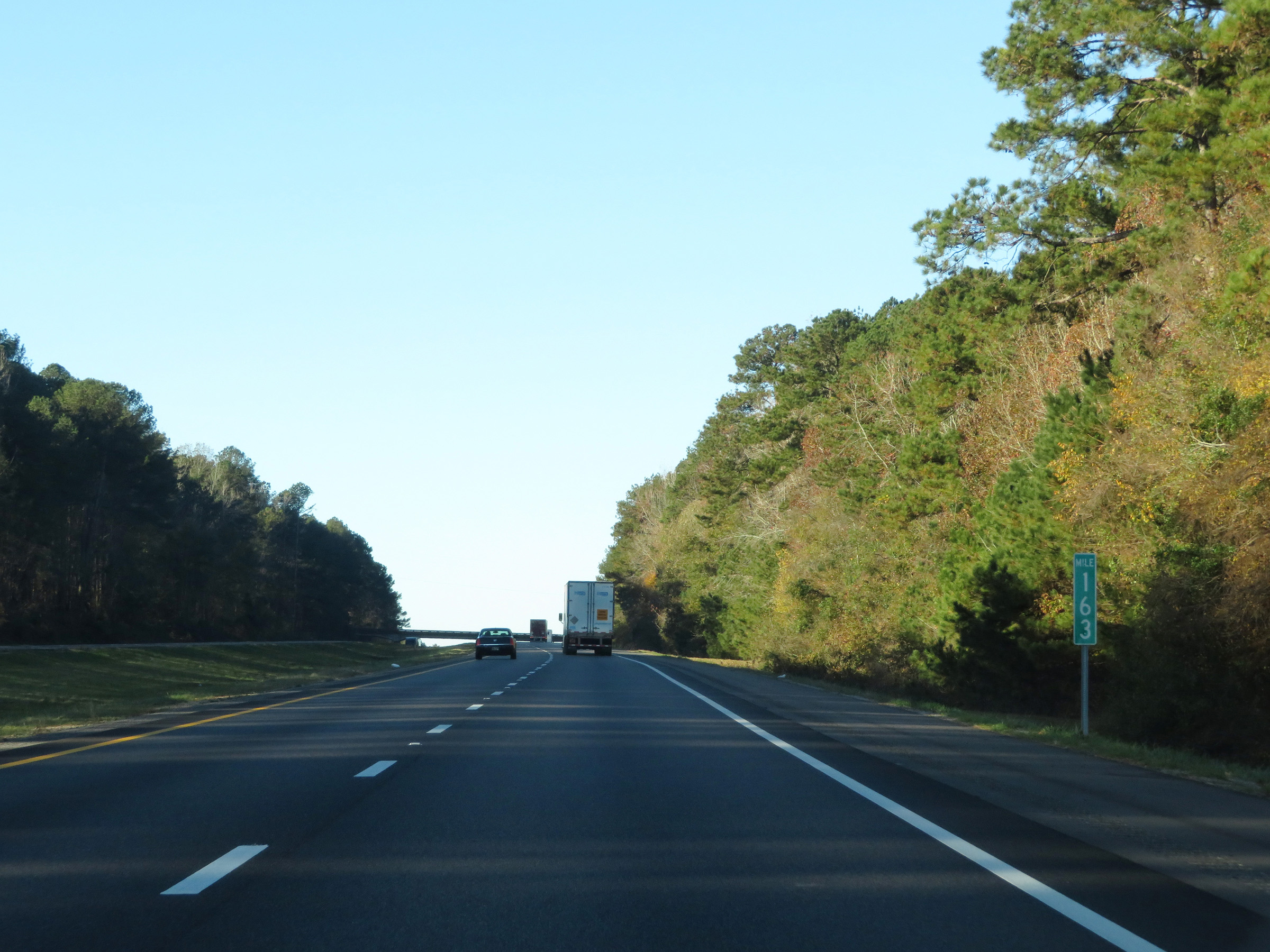 |
View on Interstate 59 South / Interstate 20 West at mile marker 163. (Photo taken 12/9/20). |
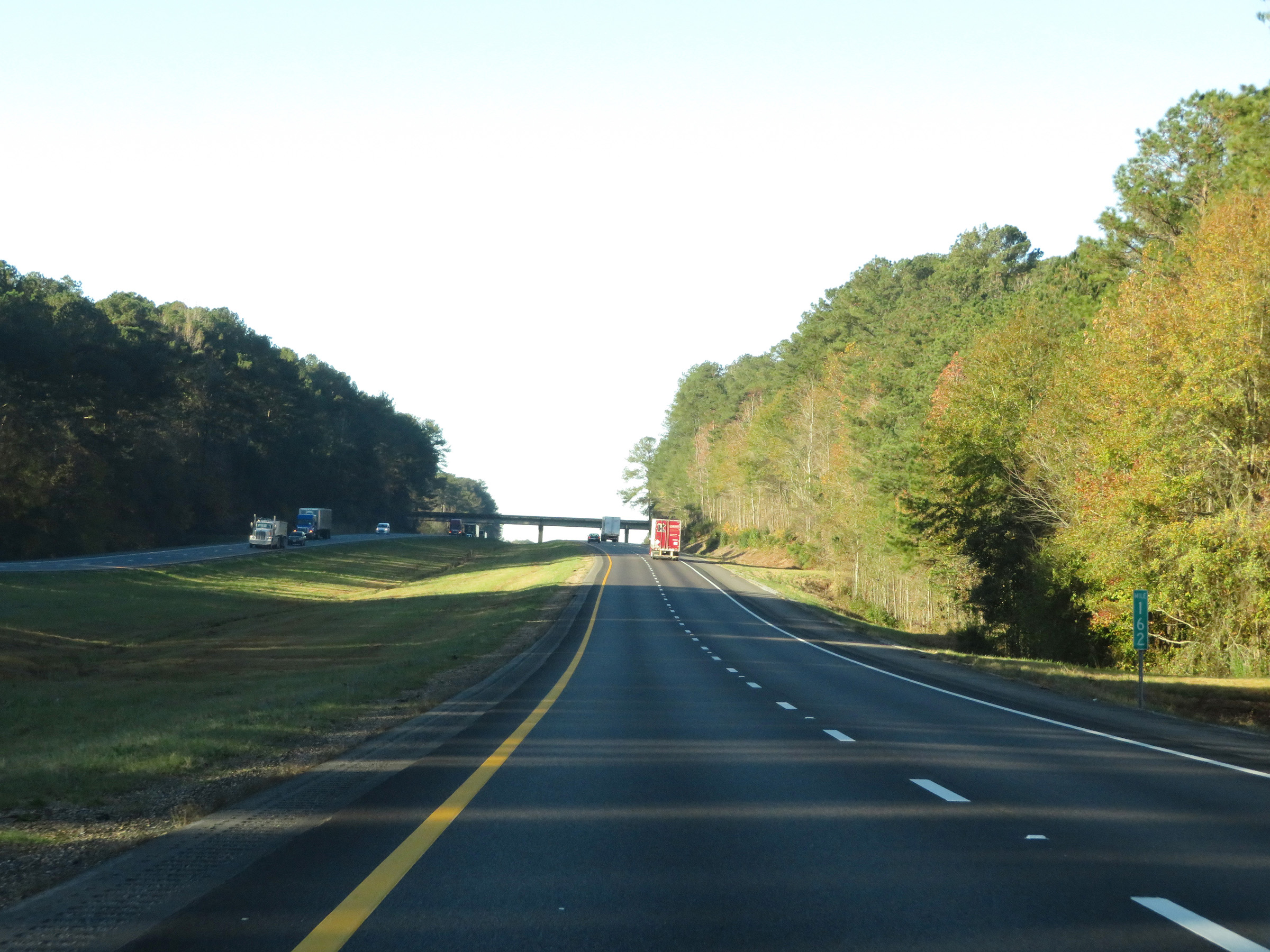 |
Interstate 59 South / Interstate 20 West at mile marker 162. (Photo taken 12/9/20). |
 |
Interstate 59 South / Interstate 20 West at Exit 160: Russell (Photo taken 12/9/20). |
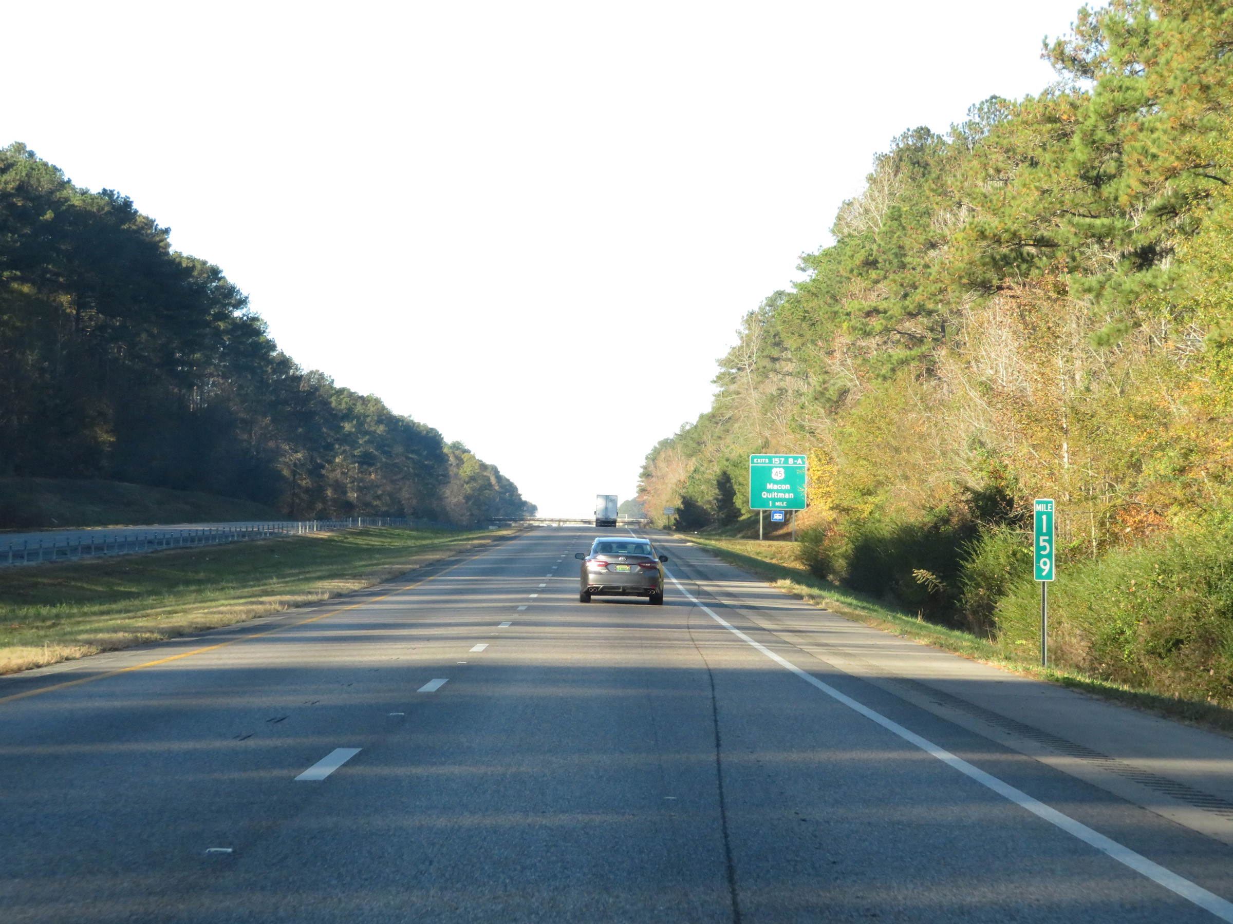 |
View on Interstate 59 South / Interstate 20 West at mile marker 159. (Photo taken 12/9/20). |
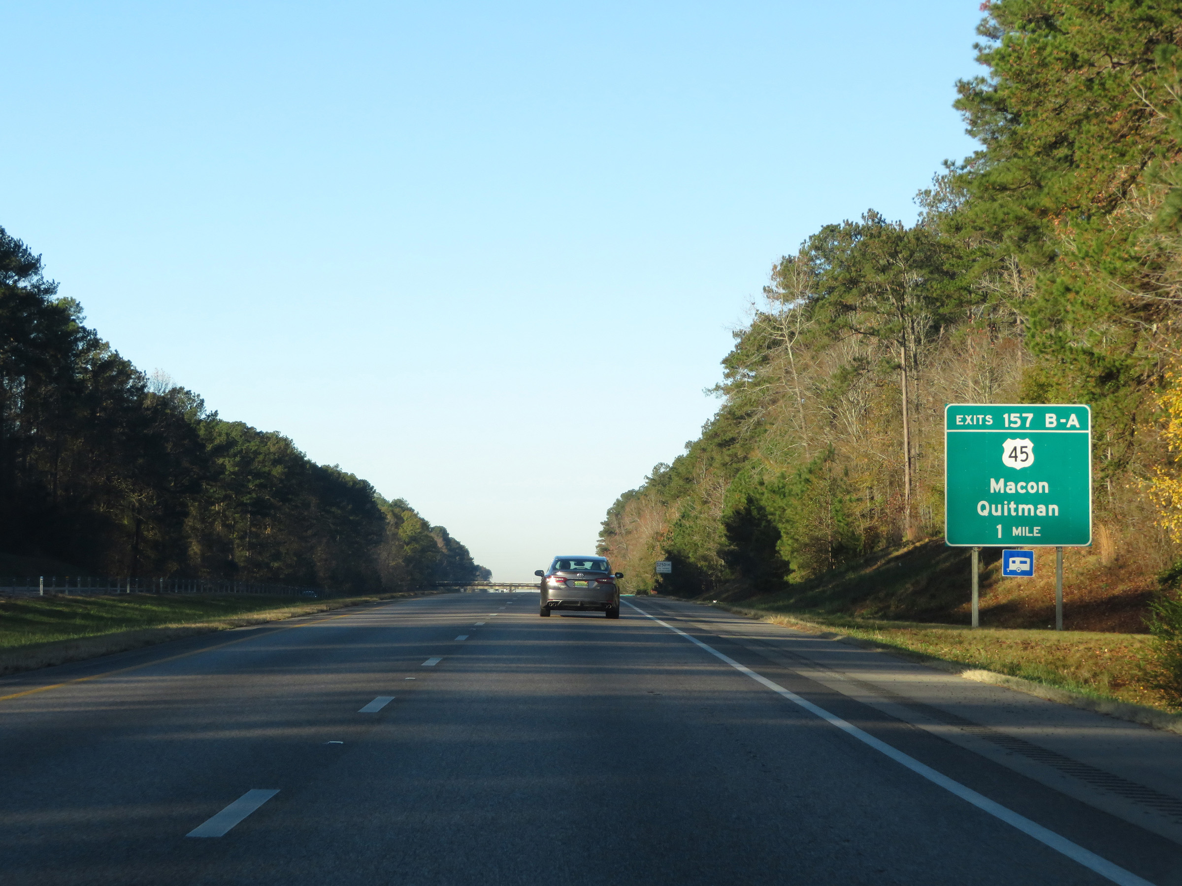 |
Interstate 59 South / Interstate 20 West approaching Exits 157B-A - 1 mile. (Photo taken 12/9/20). |
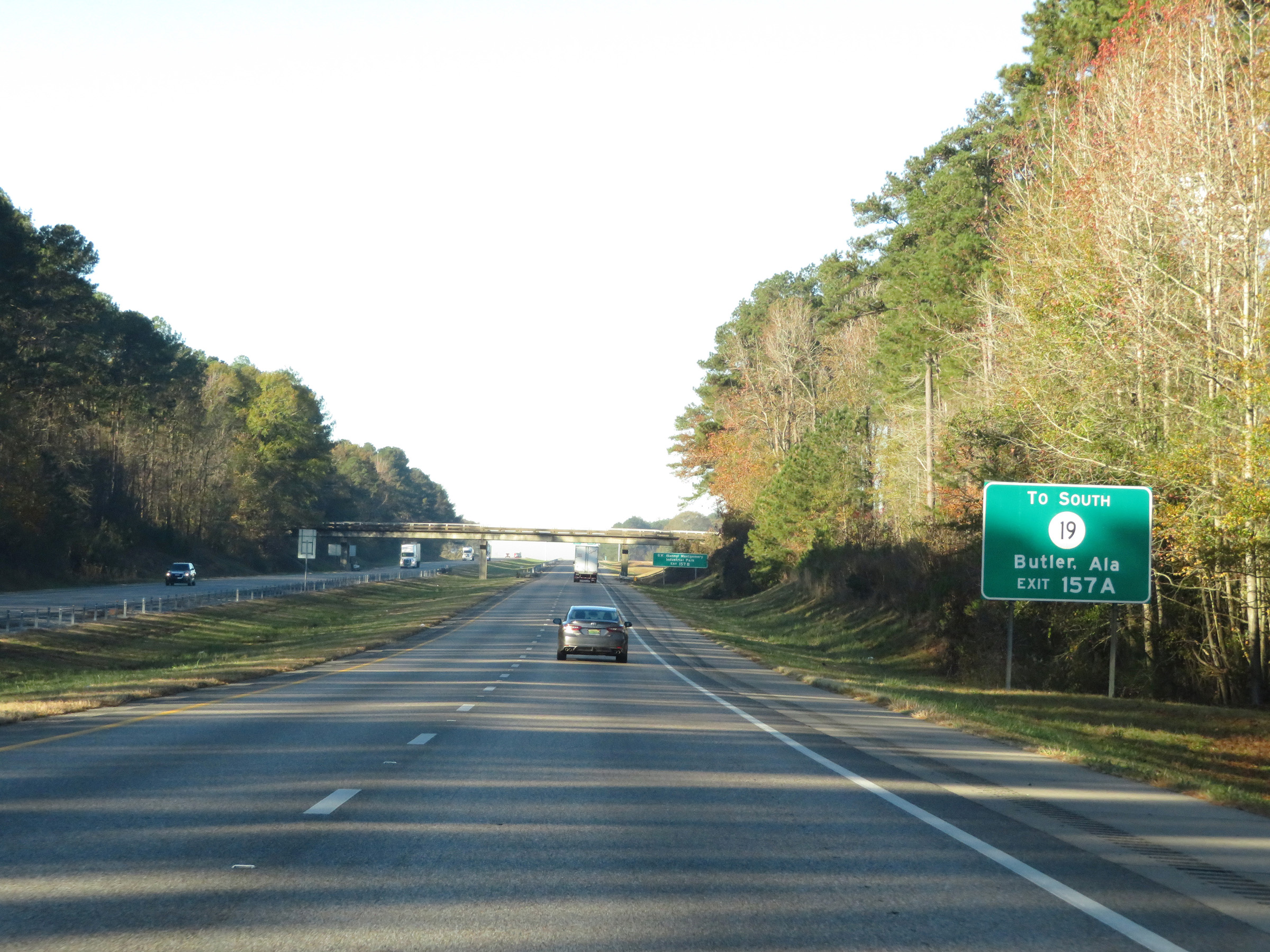 |
Take Exit 157A to MS 19 South toward Butler, AL. (Photo taken 12/9/20). |
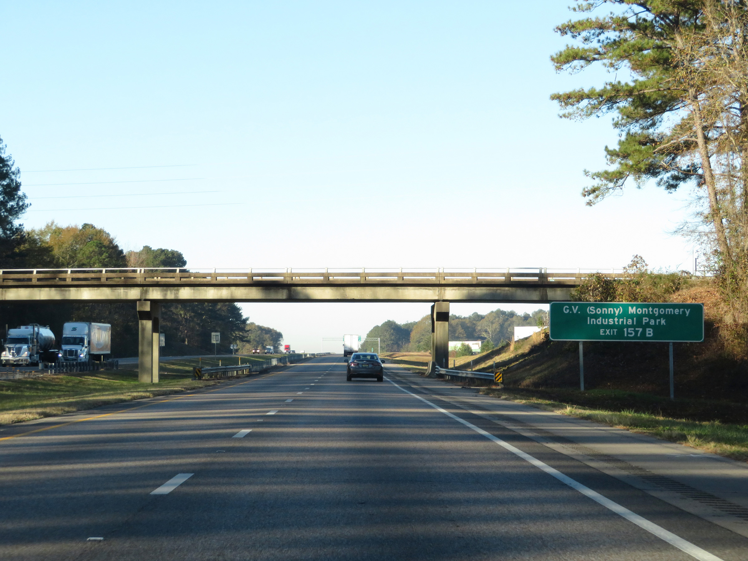 |
Take Exit 157B to G.V. (Sonny) Montgomery Industrial Park. (Photo taken 12/9/20). |
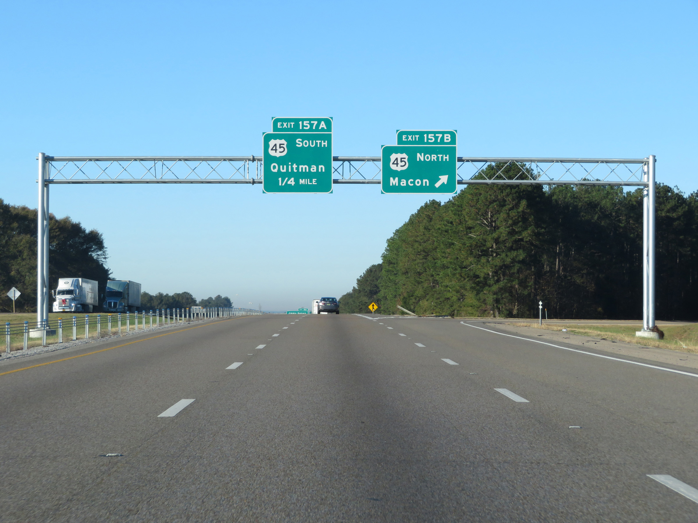 |
Interstate 59 South / Interstate 20 West at Exit 157B: US 45 North - Macon (Photo taken 12/9/20). |
 |
Interstate 59 South / Interstate 20 West at Exit 157A: US 45 South - Quitman (Photo taken 12/9/20). |
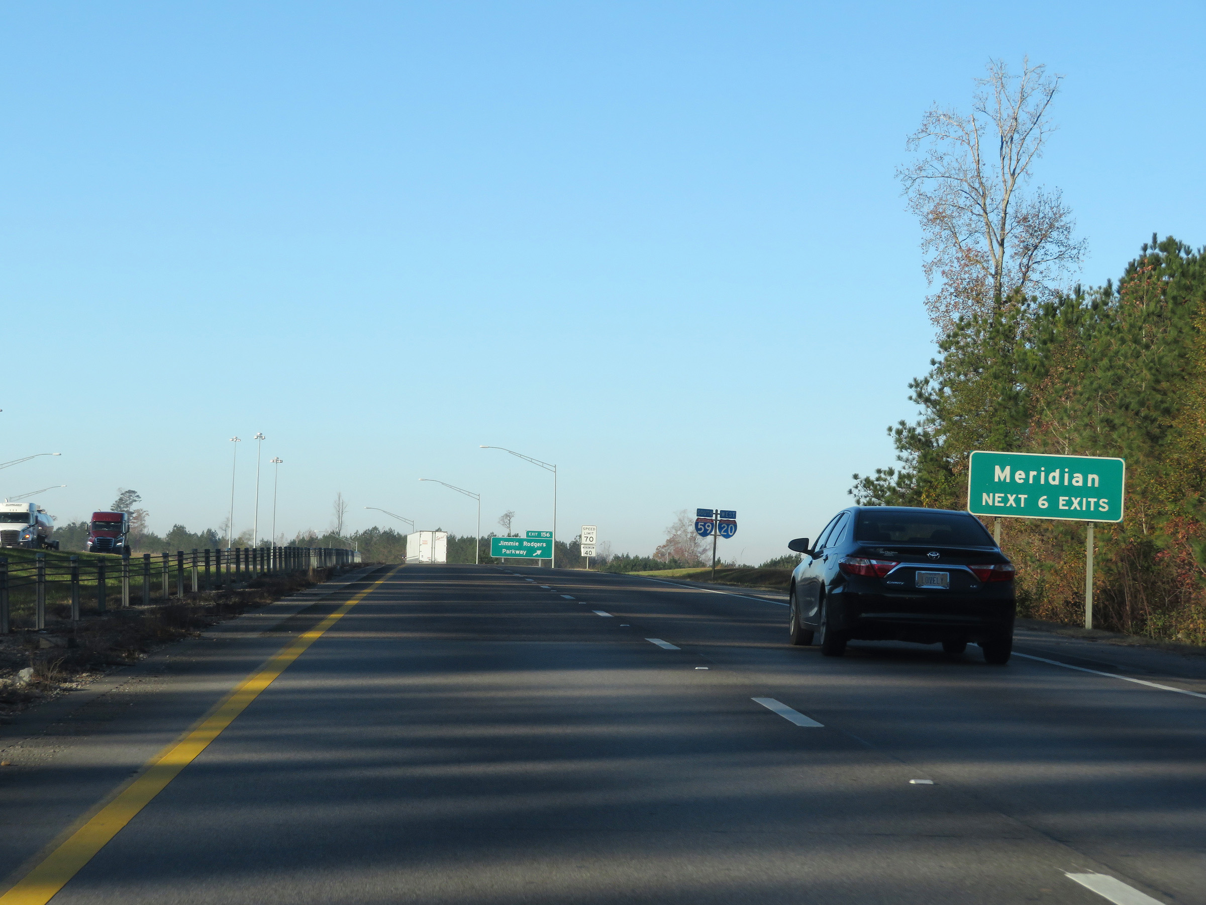 |
Take any of the next 6 exits to Meridian. (Photo taken 12/9/20). |
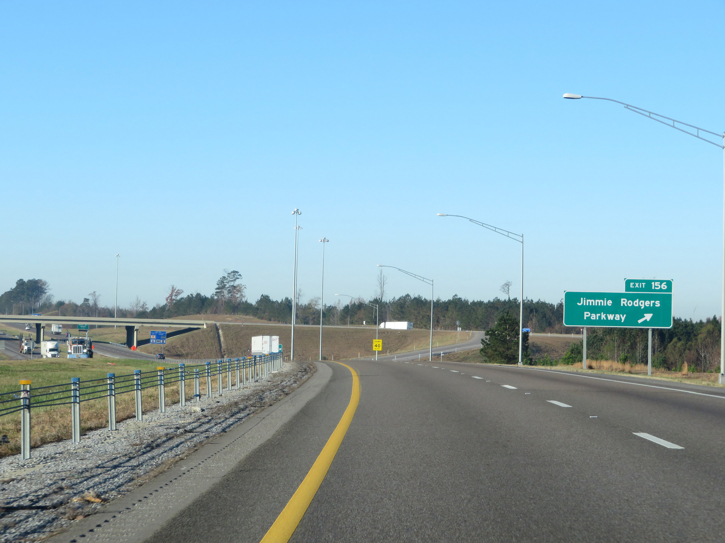 |
Interstate 59 South / Interstate 20 West at Exit 156: Jimmie Rodgers Parkway (Photo taken 12/9/20). |
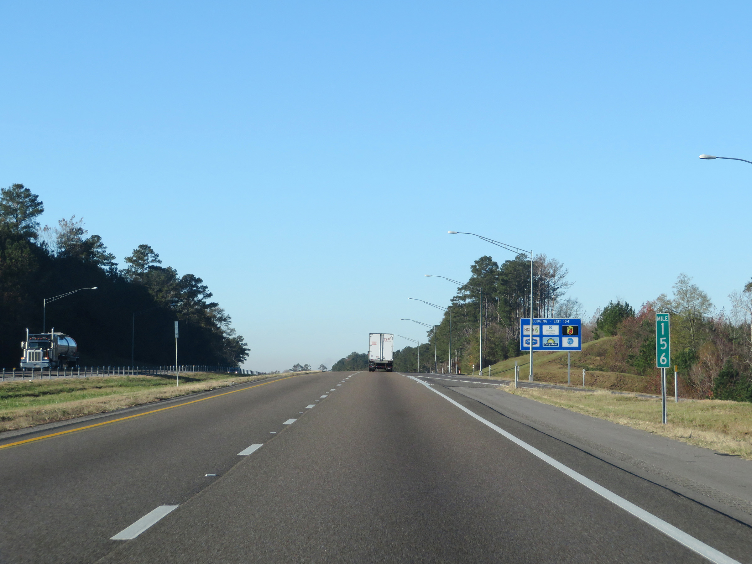 |
View on Interstate 59 South / Interstate 20 West at mile marker 156. (Photo taken 12/9/20). |
 |
Just ahead, the maximum speed limit decreases to 60 mph as Interstate 59 South / Interstate 20 West enter Meridian. (Photo taken 12/9/20). |
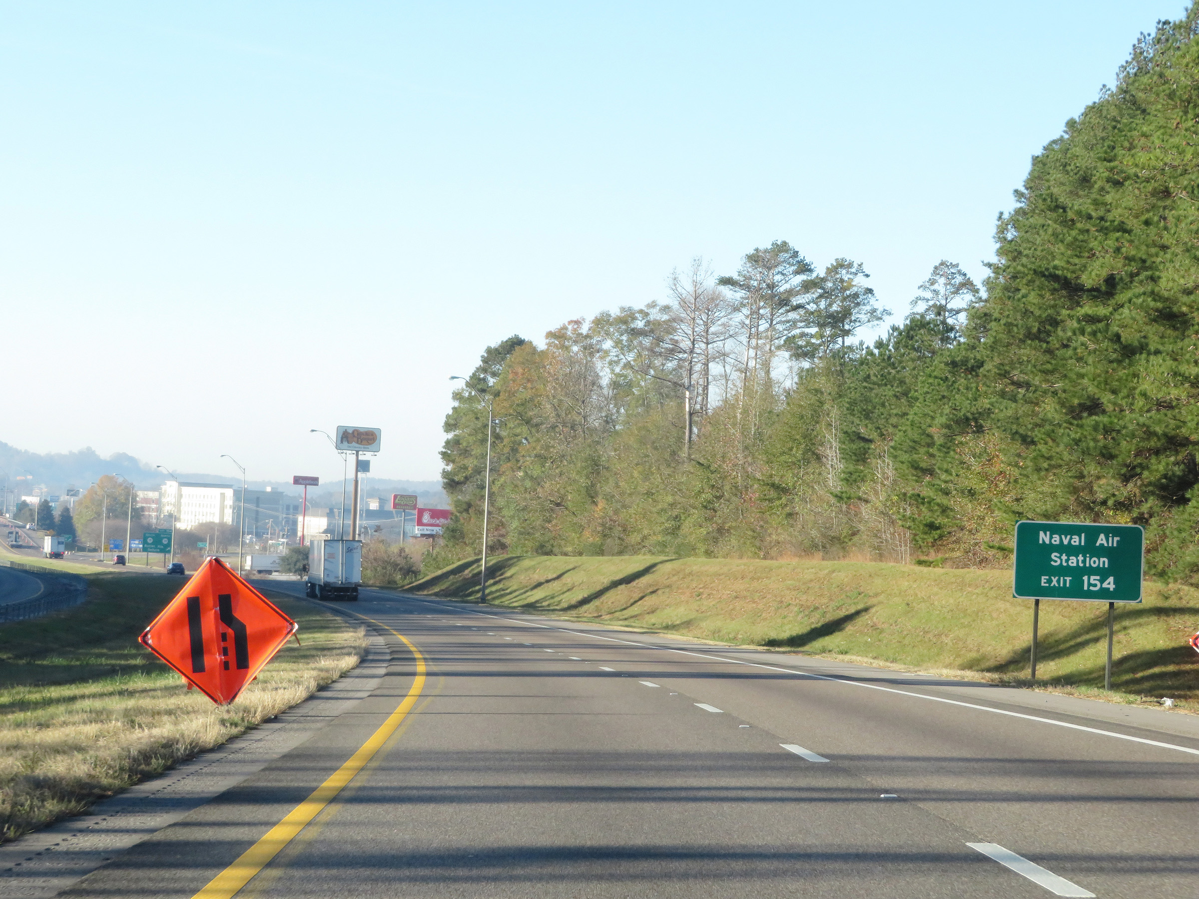 |
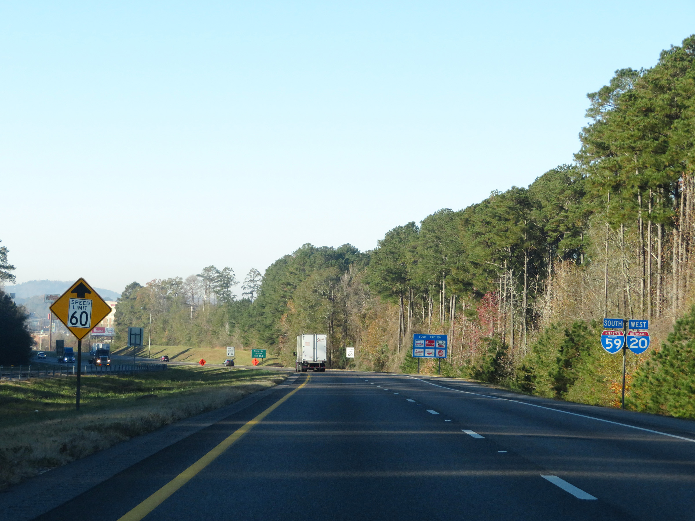
Take Exit 154 to the Naval Air Station. (Photo taken 12/9/20). |
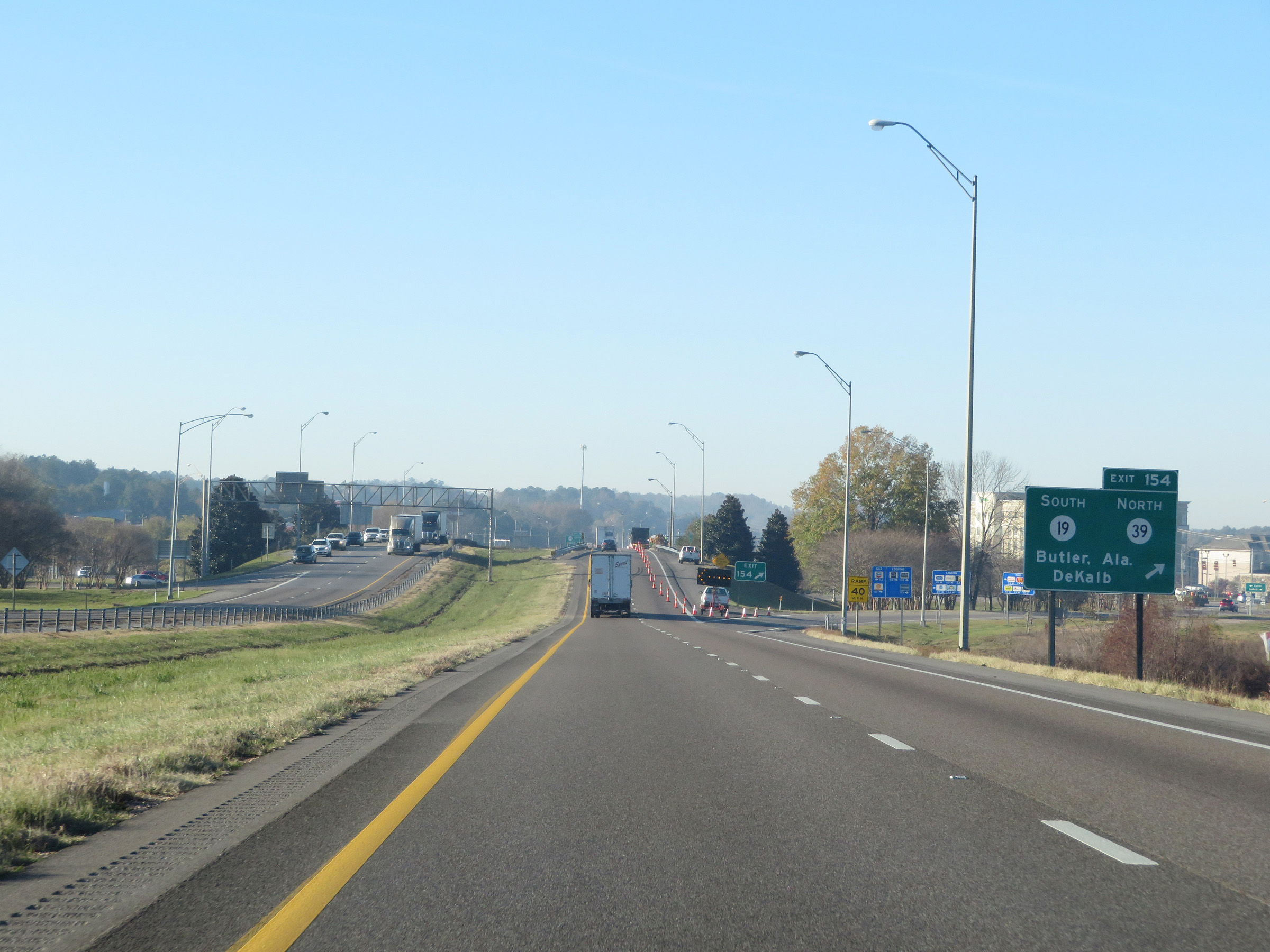 |
Interstate 59 South / Interstate 20 West at Exit 154: MS 19 South / MS 39 North - Butler, AL / DeKalb (Photo taken 12/9/20). |
 |
The speed limit remains 60 mph on Interstate 59 South / Interstate 20 West through Meridian. (Photo taken 12/9/20). |
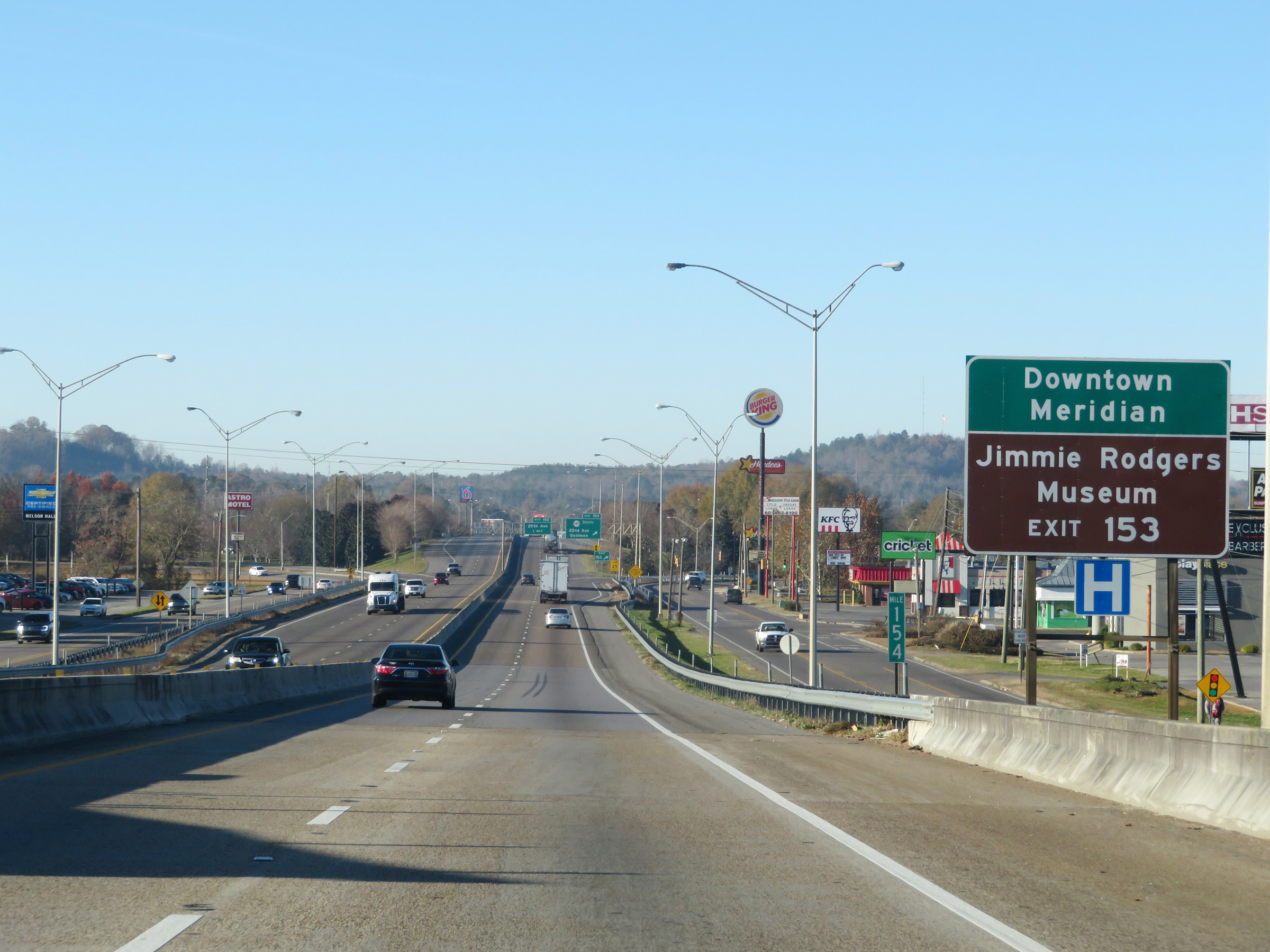 |
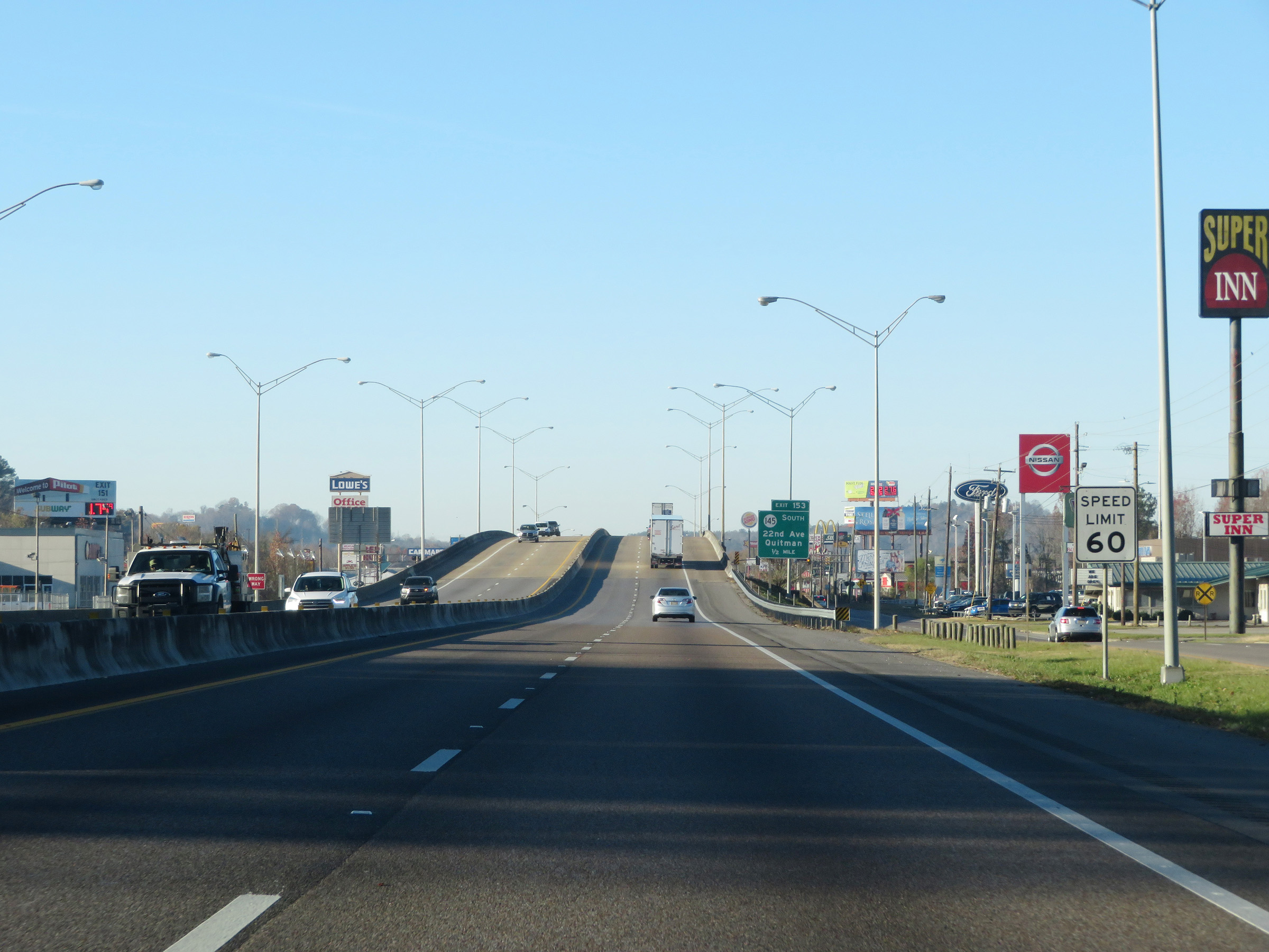
Take Exit 153 to Downtown Meridian and the Jimmie Rodgers Museum. (Photo taken 12/9/20). |
 |
Interstate 59 South / Interstate 20 West at Exit 153: MS 145 South - 22nd Ave / Quitman (Photo taken 12/9/20). |
 |
Another set of state-named Interstate 59 South / Interstate 20 West reassurance shields. (Photo taken 12/9/20). |
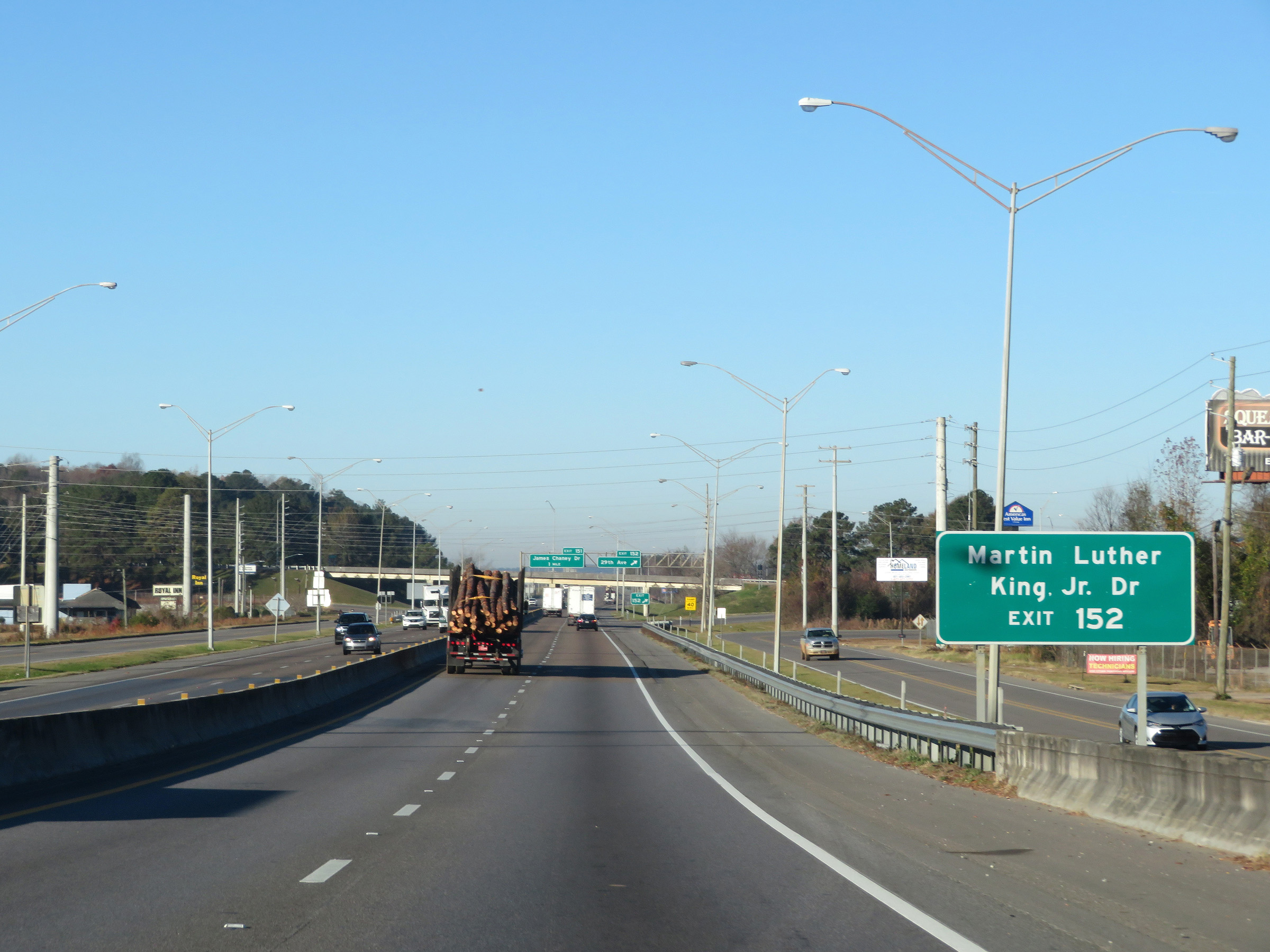 |
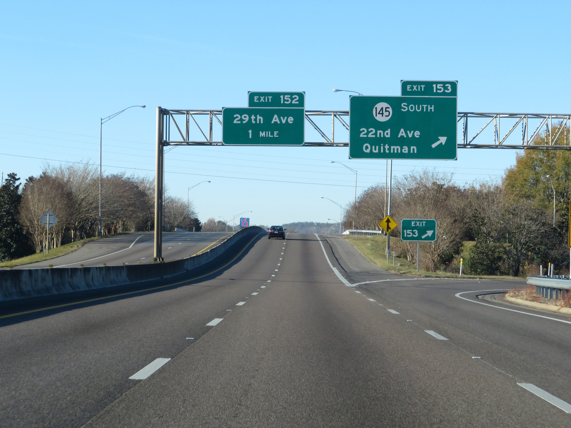
Take Exit 152 to Martin Luther King Jr. Dr. (Photo taken 12/9/20). |
 |
Interstate 59 South / Interstate 20 West at Exit 152: 29th Ave (Photo taken 12/9/20). |
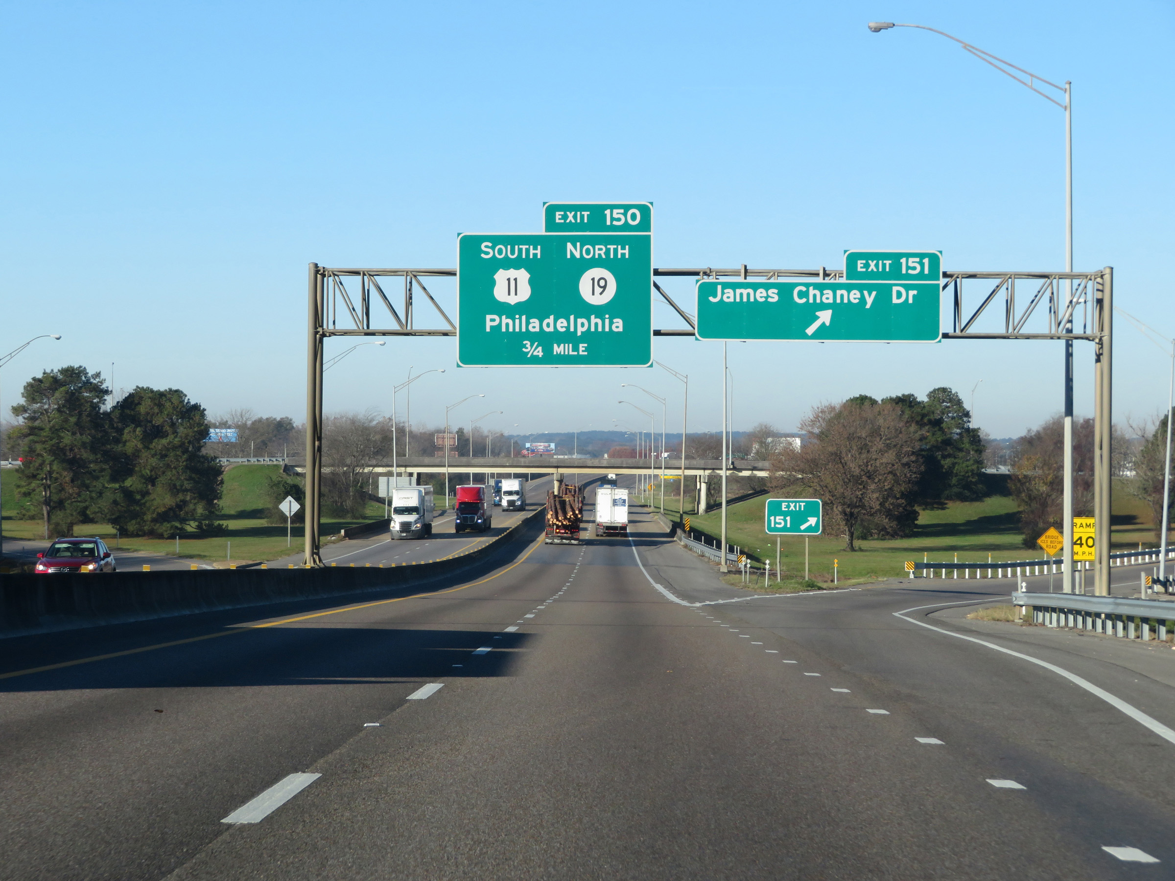 |
Interstate 59 South / Interstate 20 West at Exit 151: James Chaney Dr (Photo taken 12/9/20). |
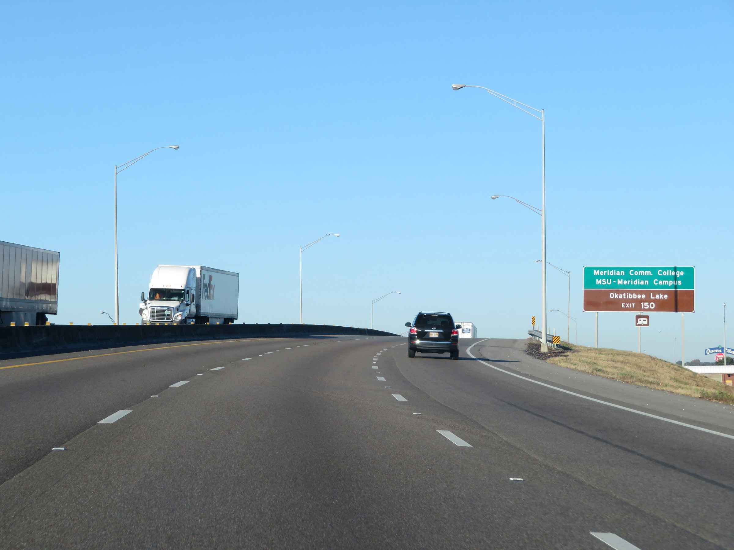 |
Take Exit 150 to Meridian Community College, MSU Meridian Campus, and Okatibbee Lake. (Photo taken 12/9/20). |
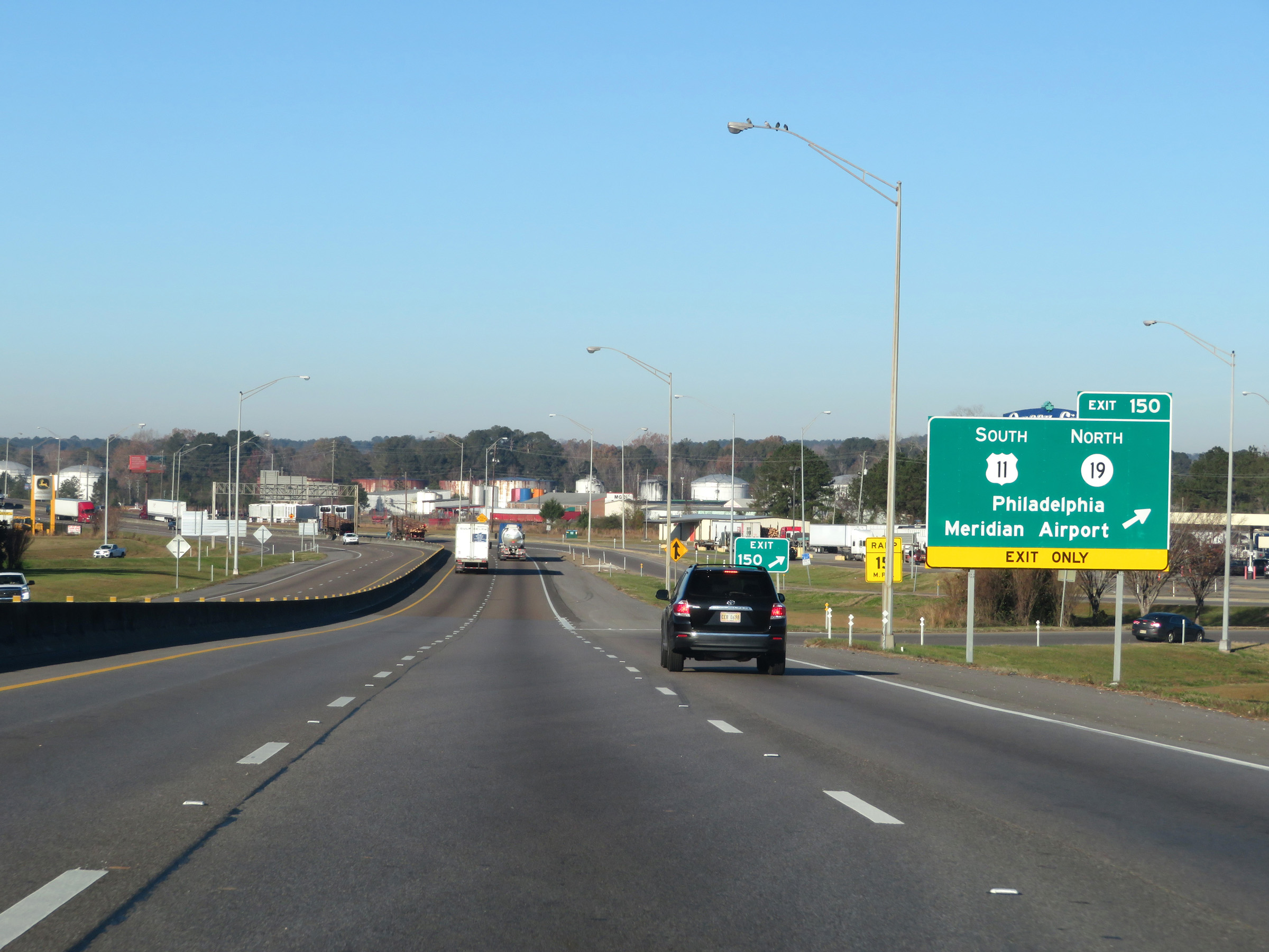 |
Interstate 59 South / Interstate 20 West at Exit 150: US 11 South / MS 19 North - Philadelphia / Meridian Airport (Photo taken 12/9/20). |
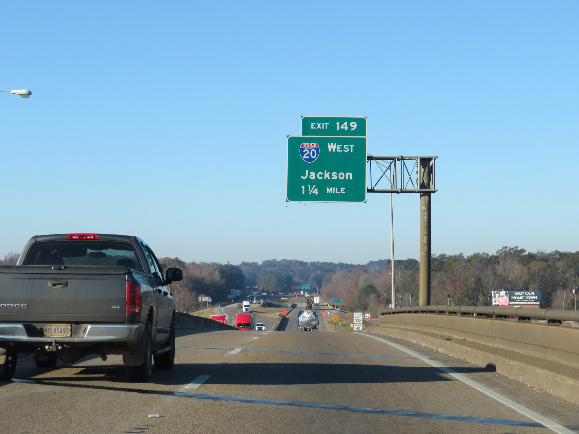 |
Interstate 59 South / Interstate 20 West approaching Exit 149 - 1 1/4 miles. (Photo taken 12/9/20). |
 |
At mile marker 150, the maximum speed limit increases to 70 mph once again. The minimum speed limit remains 40 mph. (Photo taken 12/9/20). |
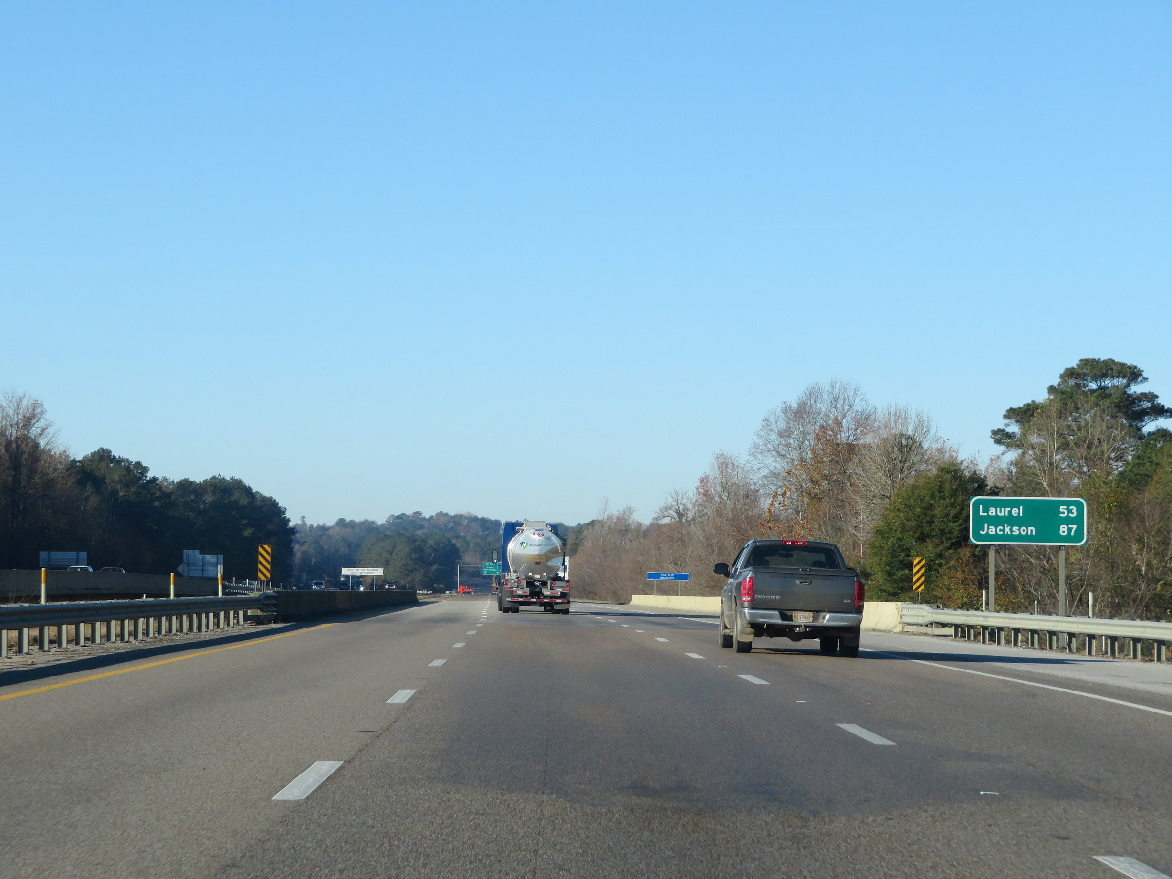 |
Mileage sign on Interstate 59 South / Interstate 20 West. It's 53 miles to Laurel and 87 miles to Jackson. (Photo taken 12/9/20). |
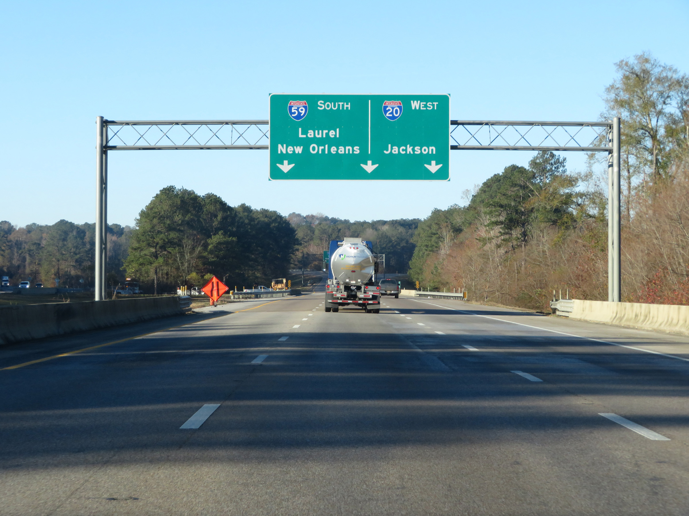 |
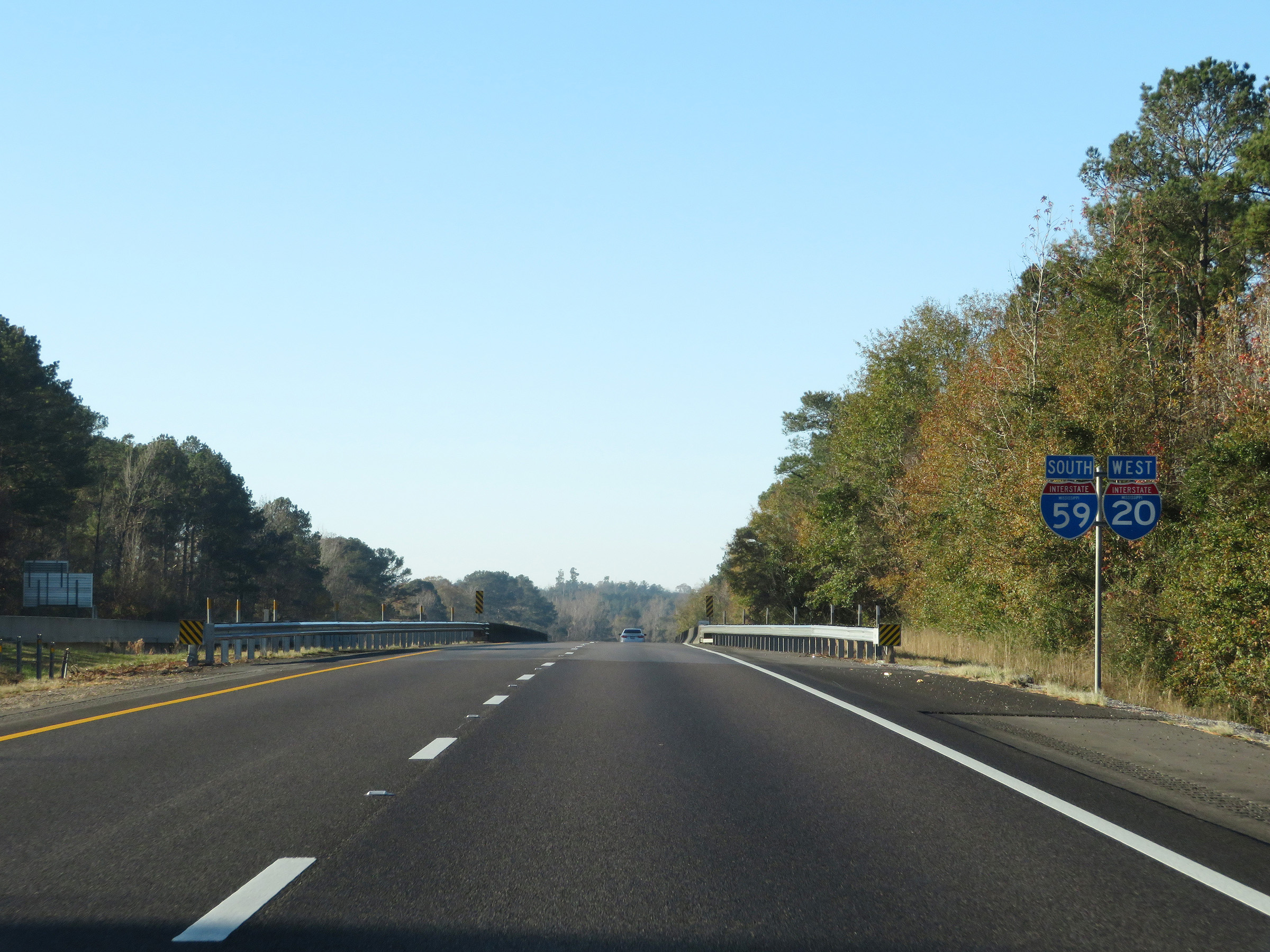
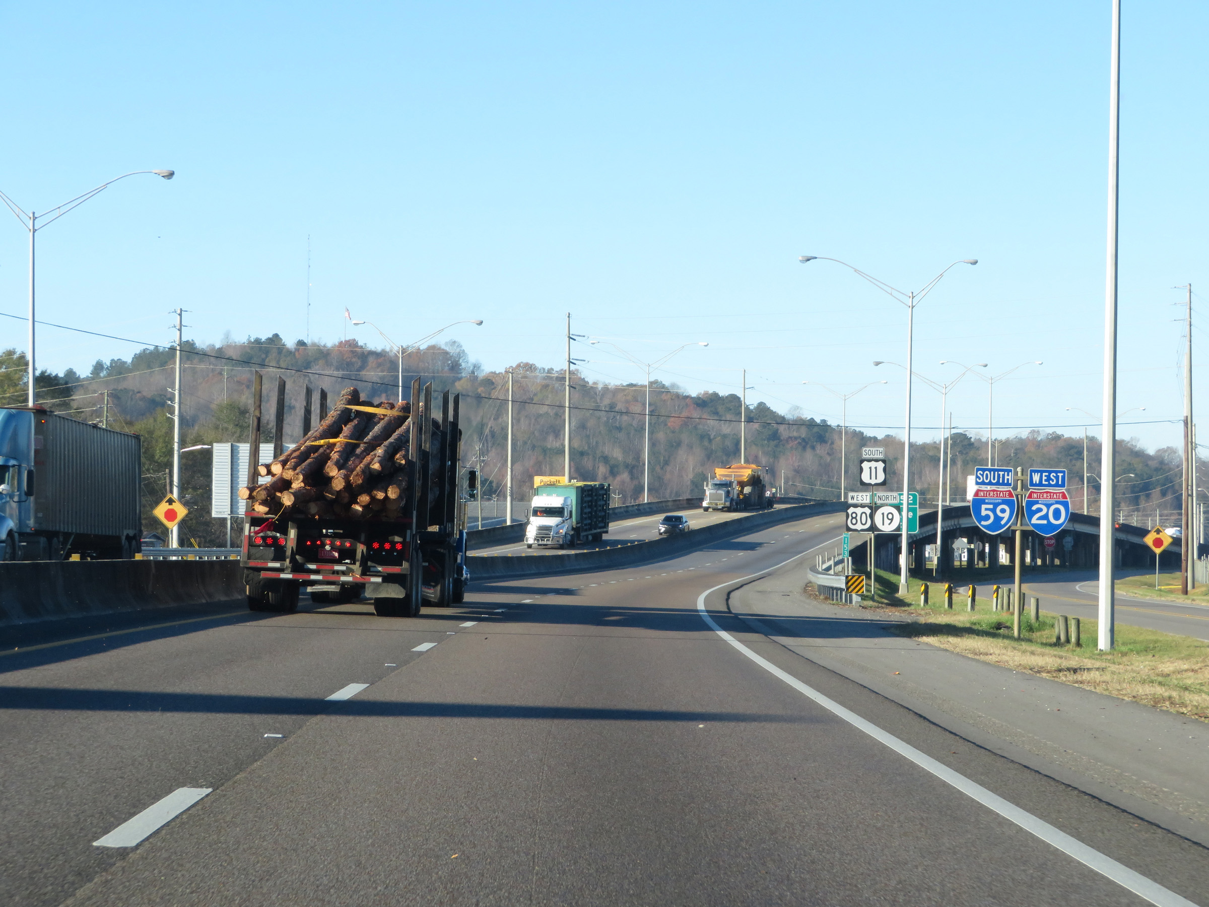
Approaching the split of Interstate 59 South and Interstate 20 West ahead, I-59 South thru traffic must use the left or center lanes. I-20 West traffic can use the right or center lanes. (Photo taken 12/9/20). |
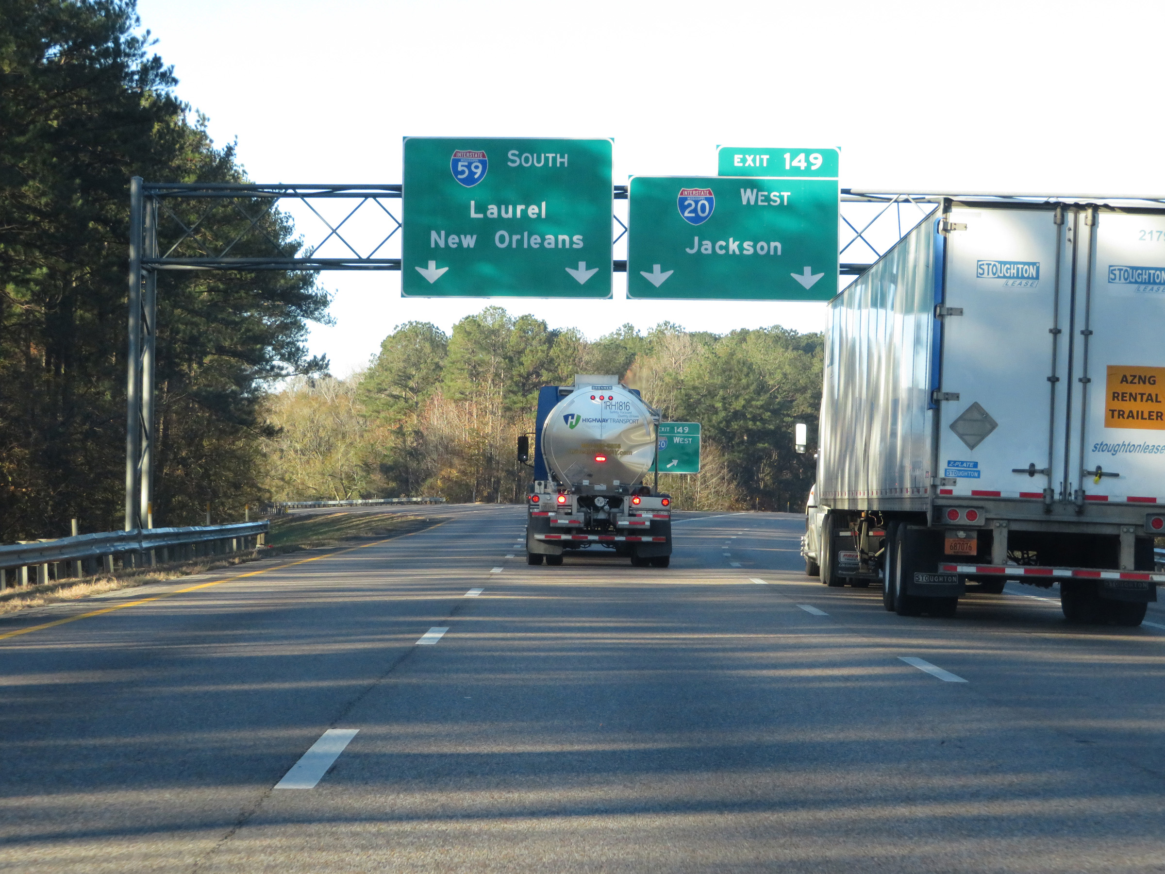 |
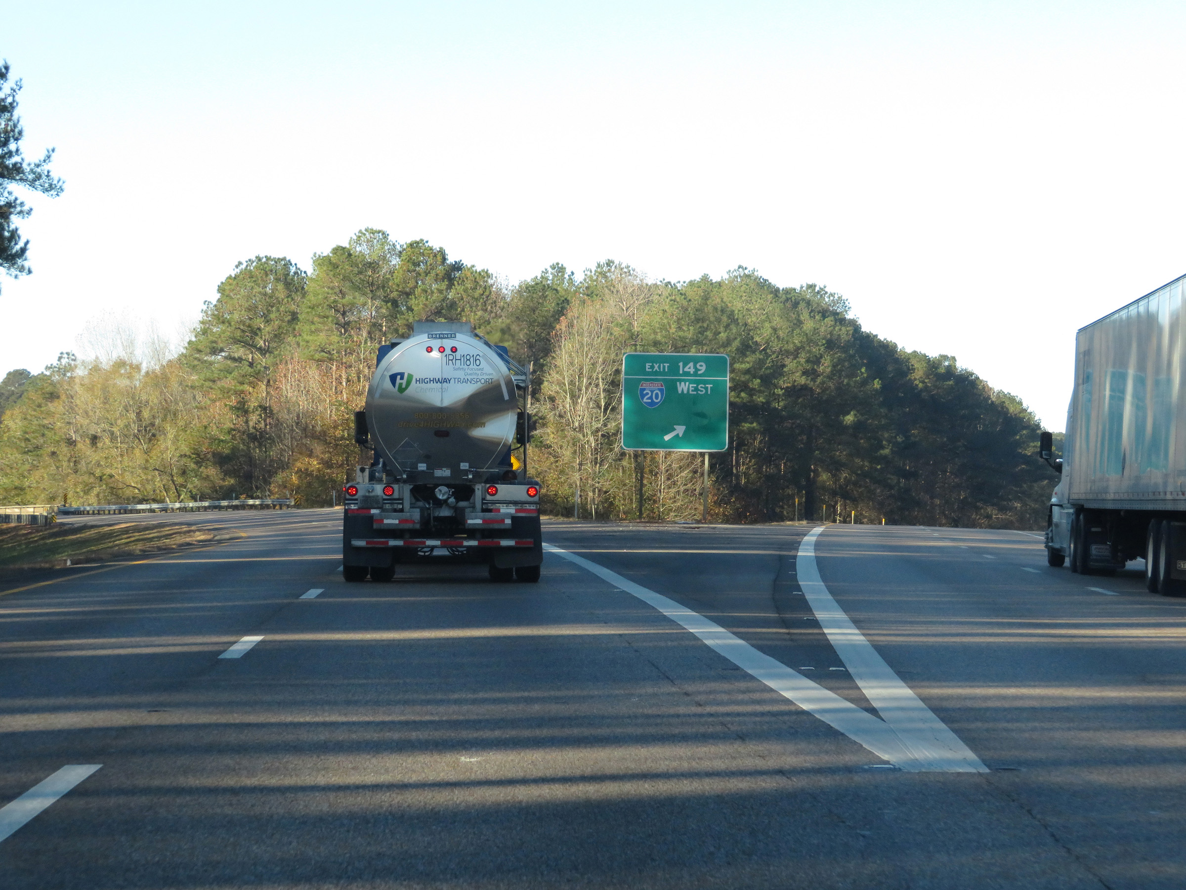
Interstate 59 South / Interstate 20 West at Exit 149: Interstate 20 West - Jackson (Photo taken 12/9/20). |
Section 2: Meridian (Exit 149) to Laurel (Exit 93)
 |
A closer view of the split of Interstate 59 South and Interstate 20 West at Exit 149. (Photo taken 12/9/20). |
 |
Interstate 59 South as it curves to the south and prepares to cross over the eastbound lanes of Interstate 20. (Photo taken 12/9/20). |
 |
View on Interstate 59 South as traffic from Interstate 20 East prepares to merge into it ahead on the right. (Photo taken 12/9/20). |
 |
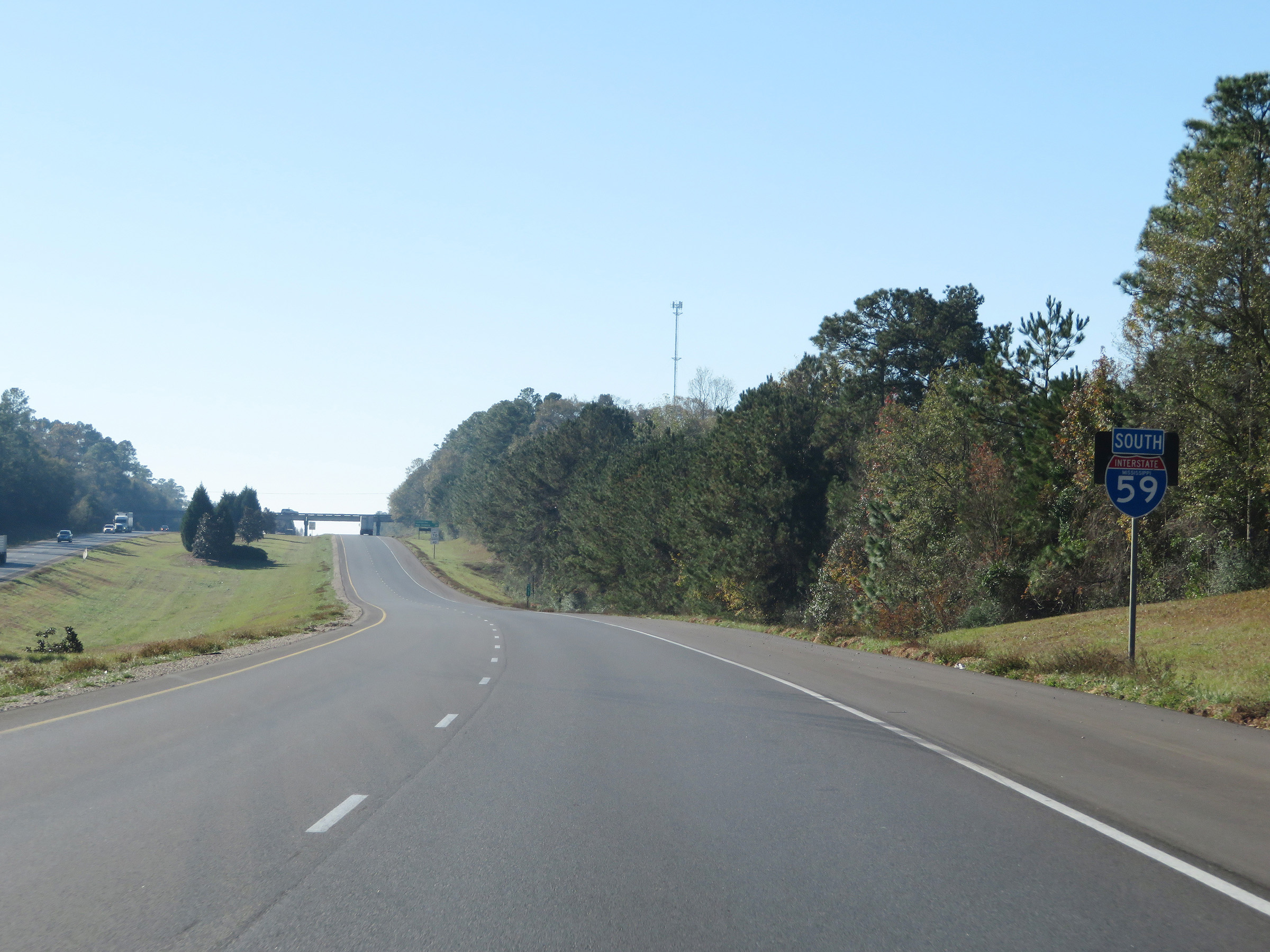
State-named Interstate 59 South reassurance shield. (Photo taken 12/9/20). |
 |
The speed limits remain the rural standard 70 mph maximum and 40 mph minimum. (Photo taken 12/9/20). |
 |
Mileage sign on Interstate 59 South. It's 5 miles to Savoy and 49 miles to Laurel. (Photo taken 12/9/20). |
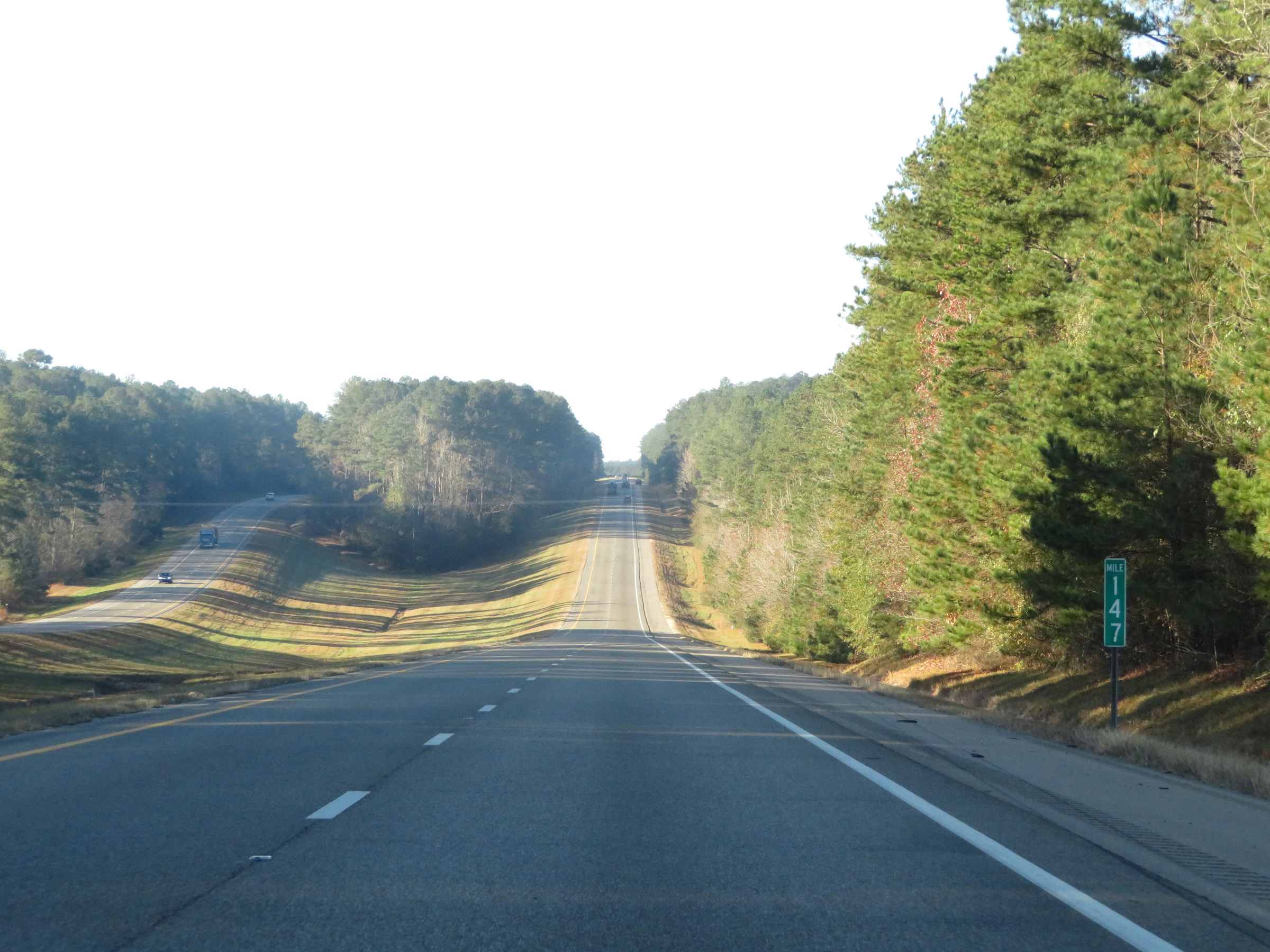 |
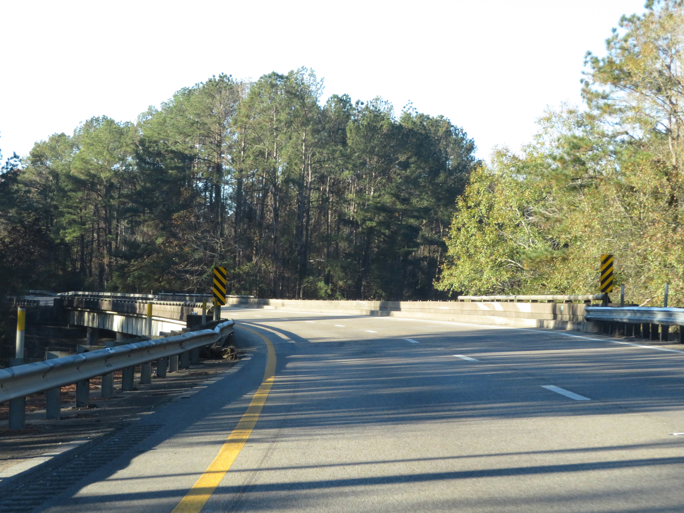
View on Interstate 59 South at mile marker 147. (Photo taken 12/9/20). |
 |
Interstate 59 South at mile marker 145. (Photo taken 12/9/20). |
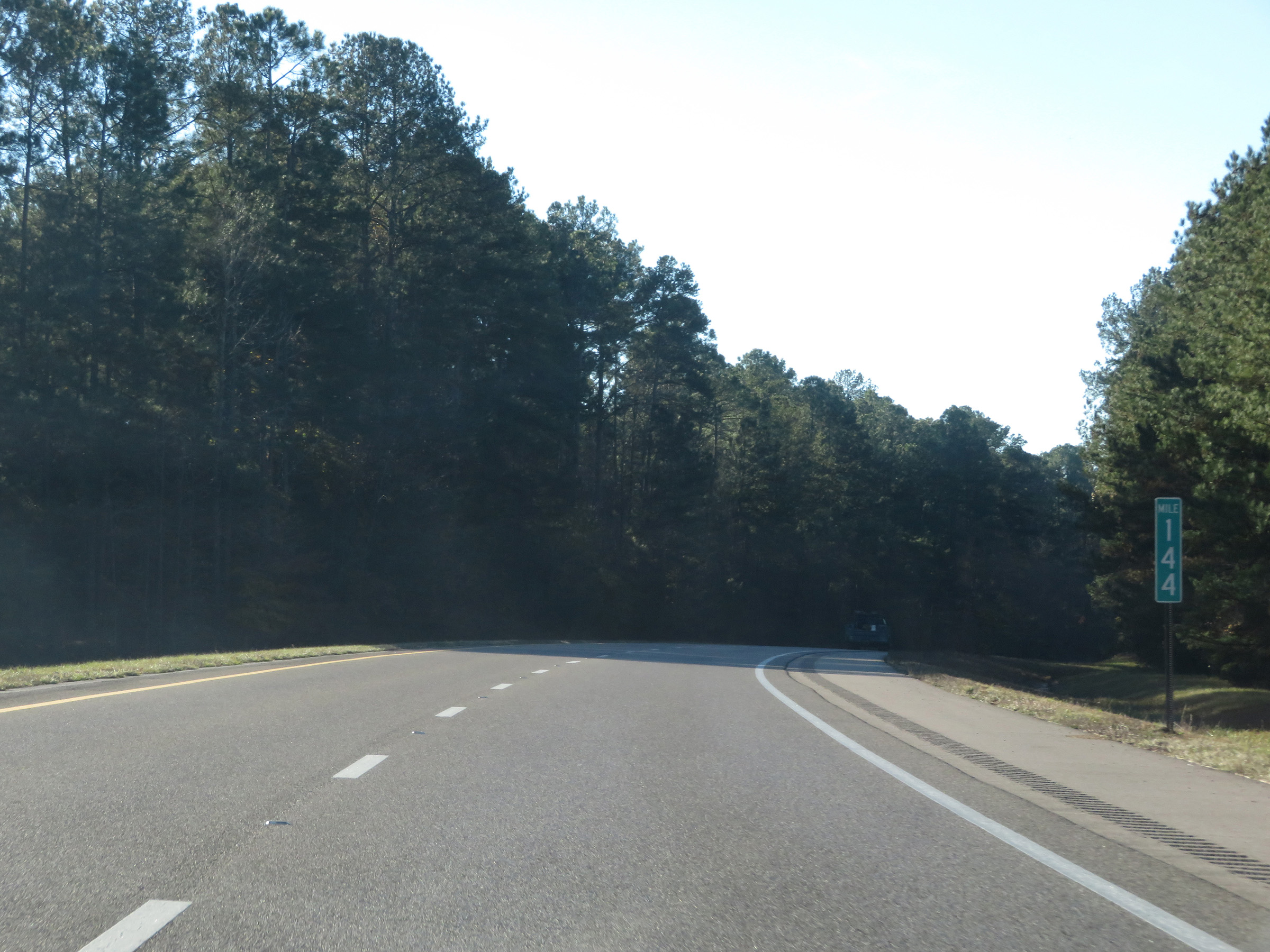 |
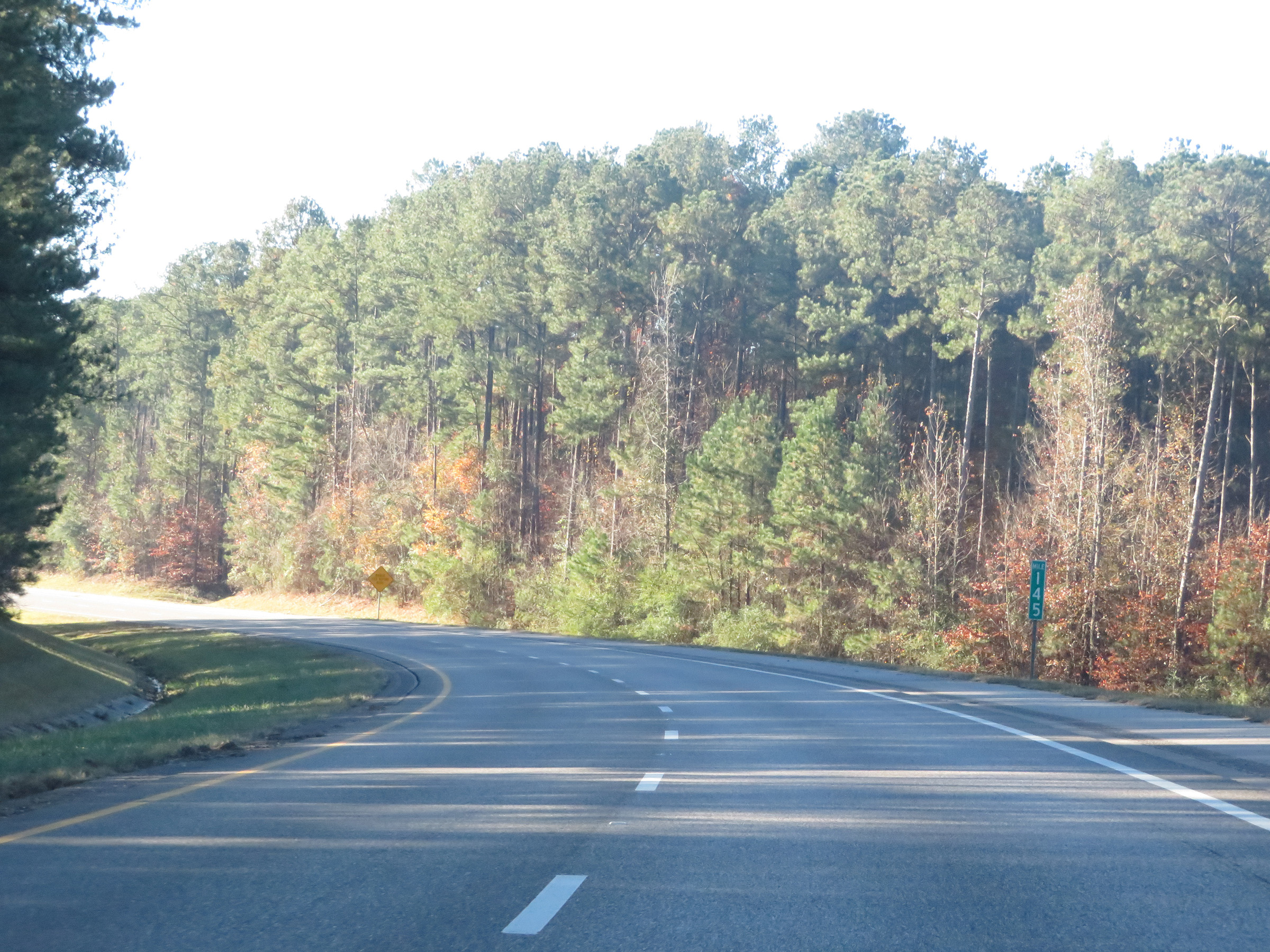
Mile marker 144 on Interstate 59 South in Lauderdale County. (Photo taken 12/9/20). |
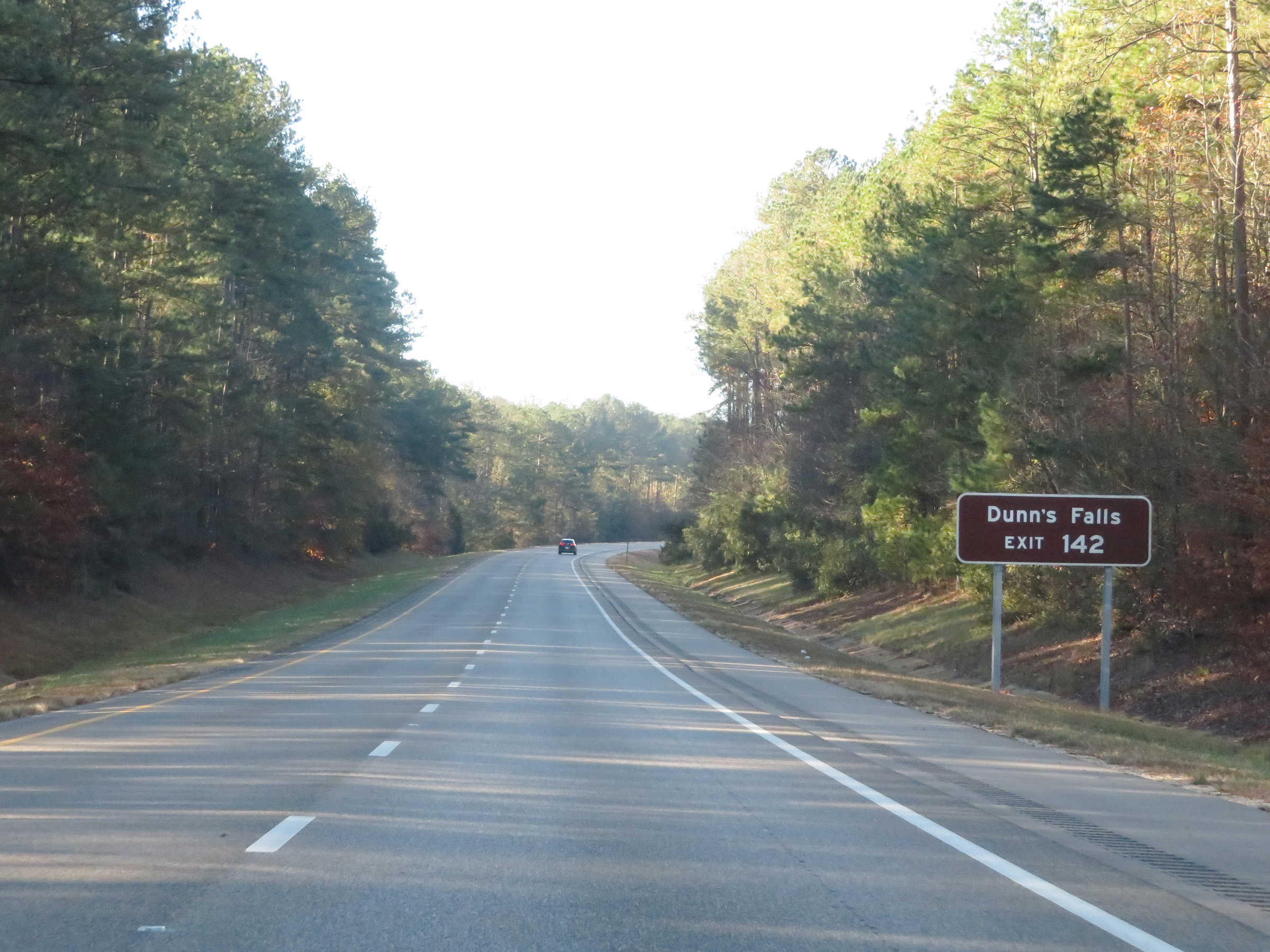 |
Take Exit 142 to Dunn's Falls. (Photo taken 12/9/20). |
 |
Interstate 59 South at Exit 142: Savoy (Photo taken 12/9/20). |
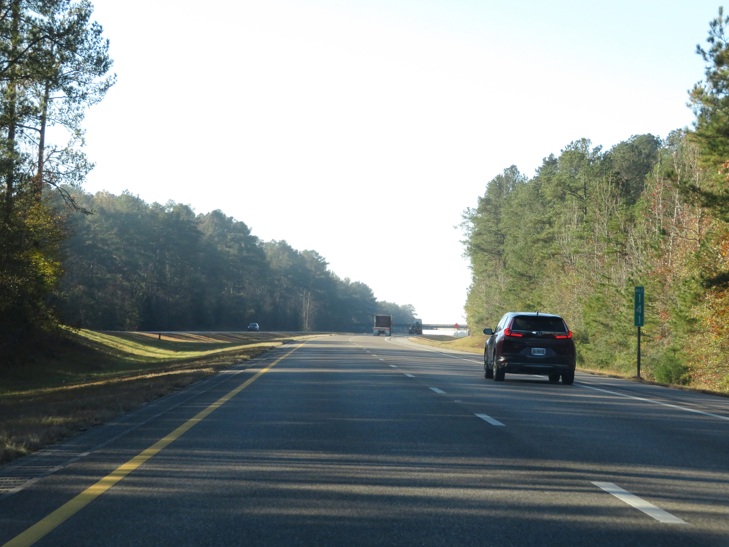 |
View on Interstate 59 South at mile marker 141. (Photo taken 12/9/20). |
 |
Interstate 59 South as it enters Clarke County. (Photo taken 12/9/20). |
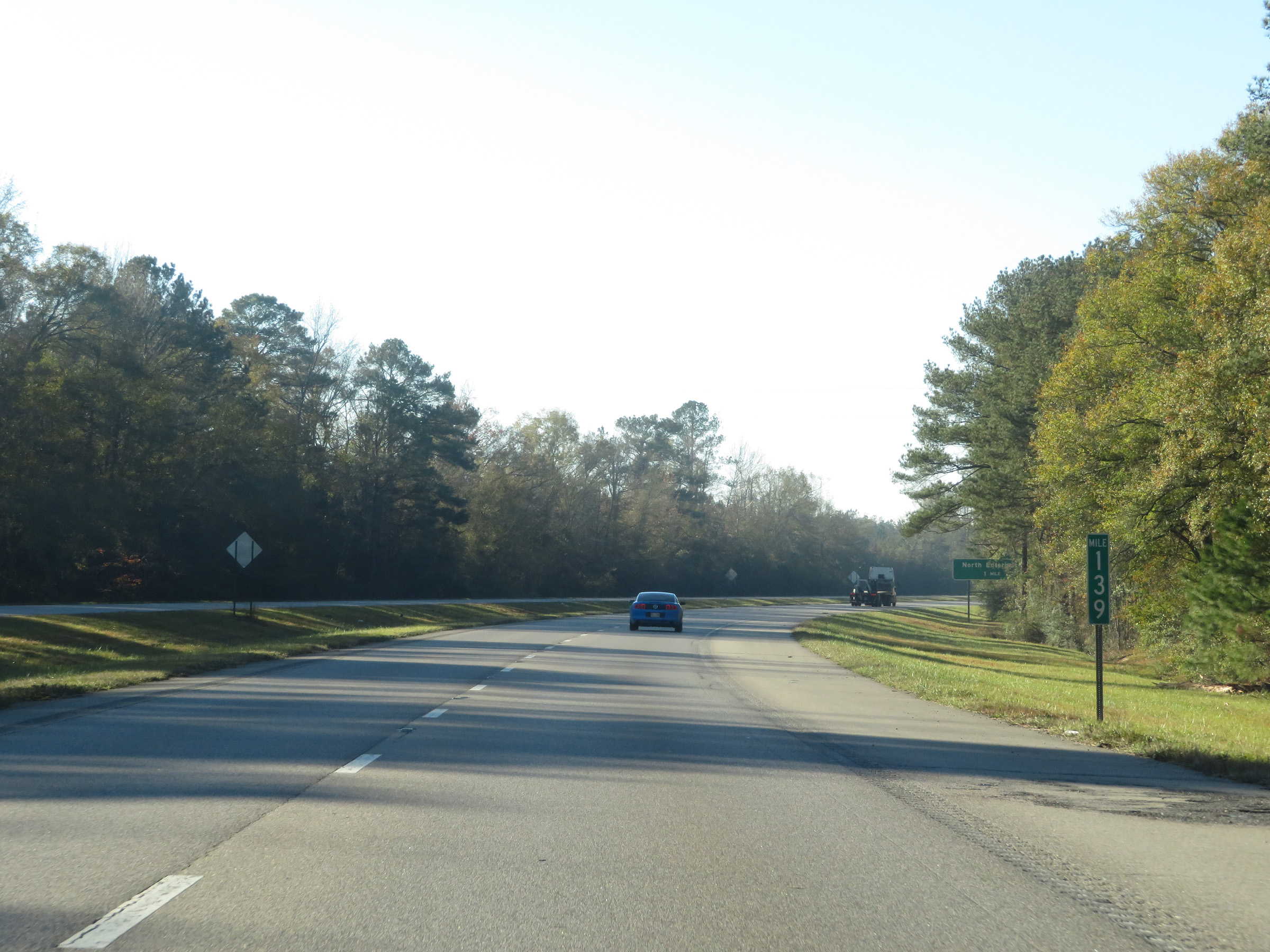 |
Interstate 59 South at mile marker 139. (Photo taken 12/9/20). |
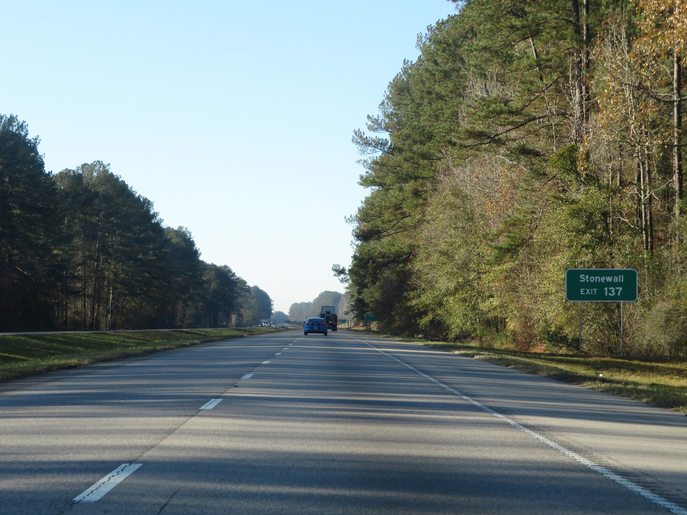 |
Take Exit 137 to Stonewall. (Photo taken 12/9/20). |
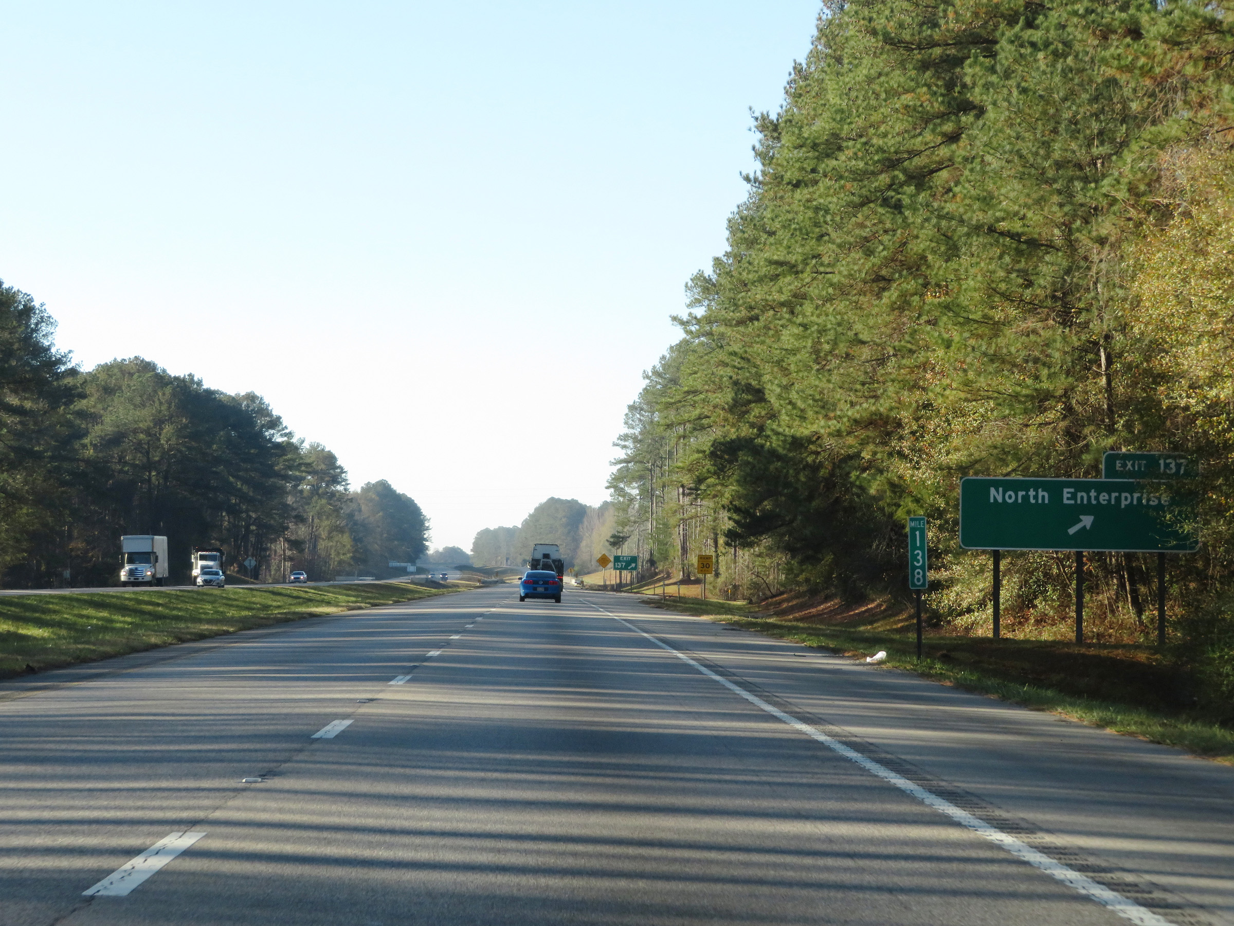 |
Interstate 59 South at Exit 137: North Enterprise (Photo taken 12/9/20). |
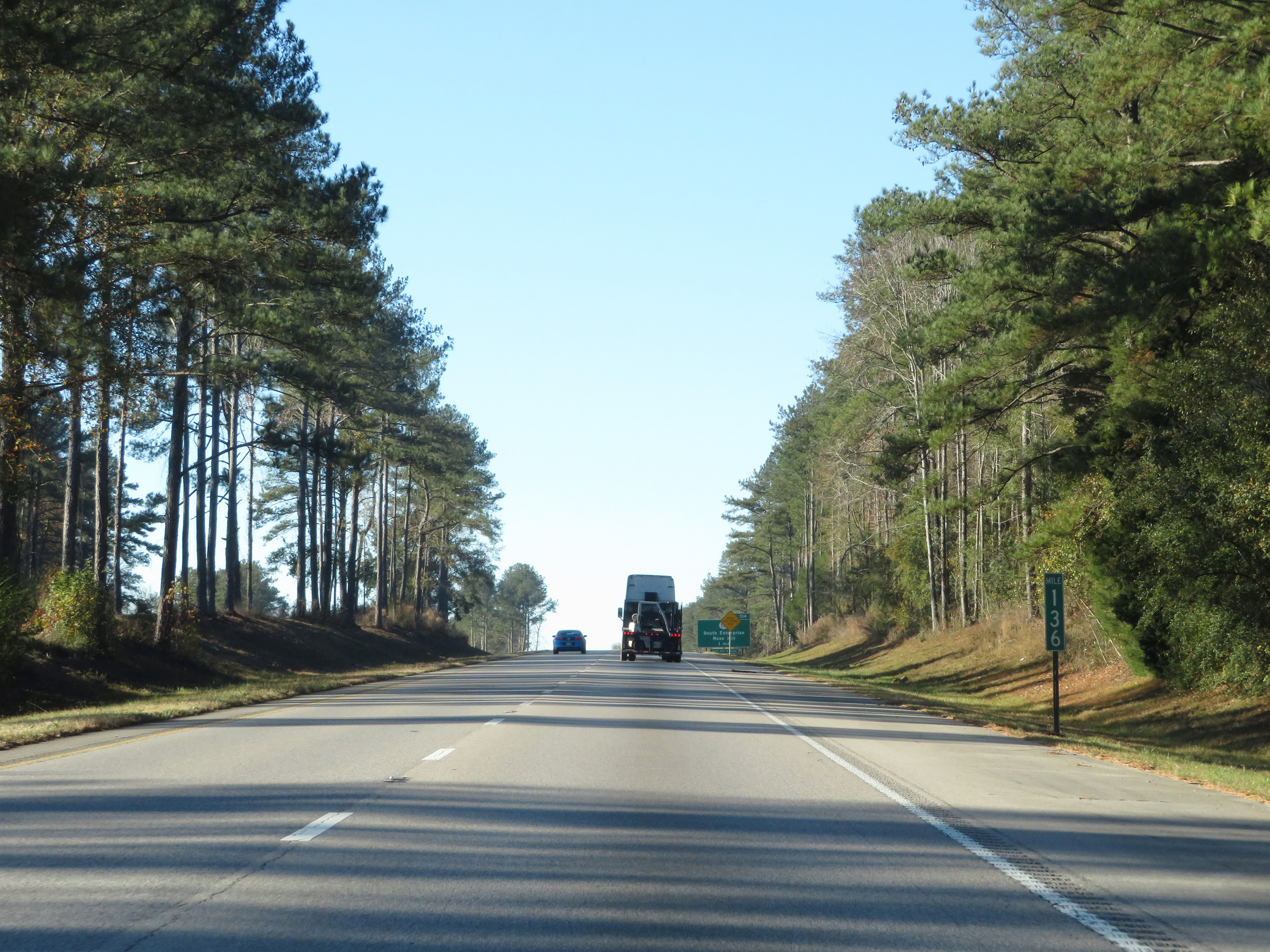 |
View on Interstate 59 South at mile marker 136. (Photo taken 12/9/20). |
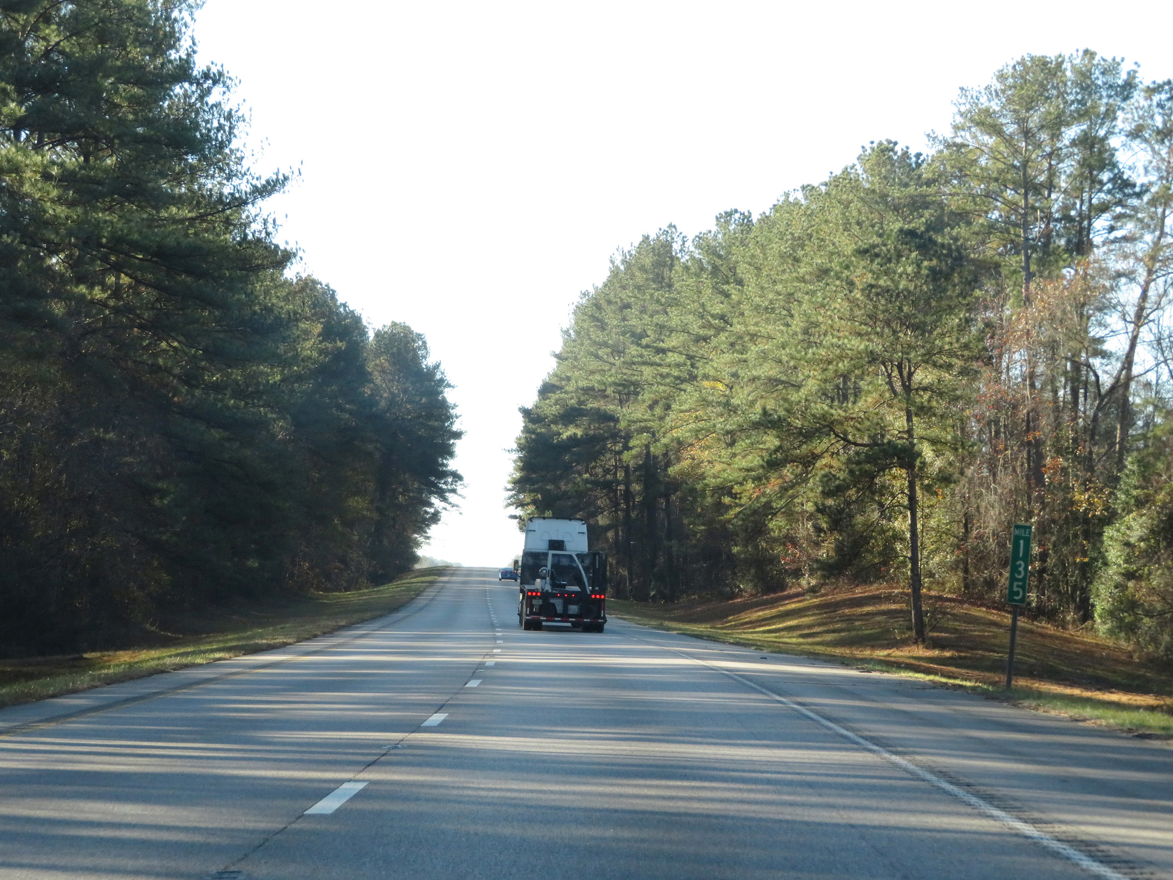 |
Mile marker 135 on Interstate 59 South in Clarke County. (Photo taken 12/9/20). |
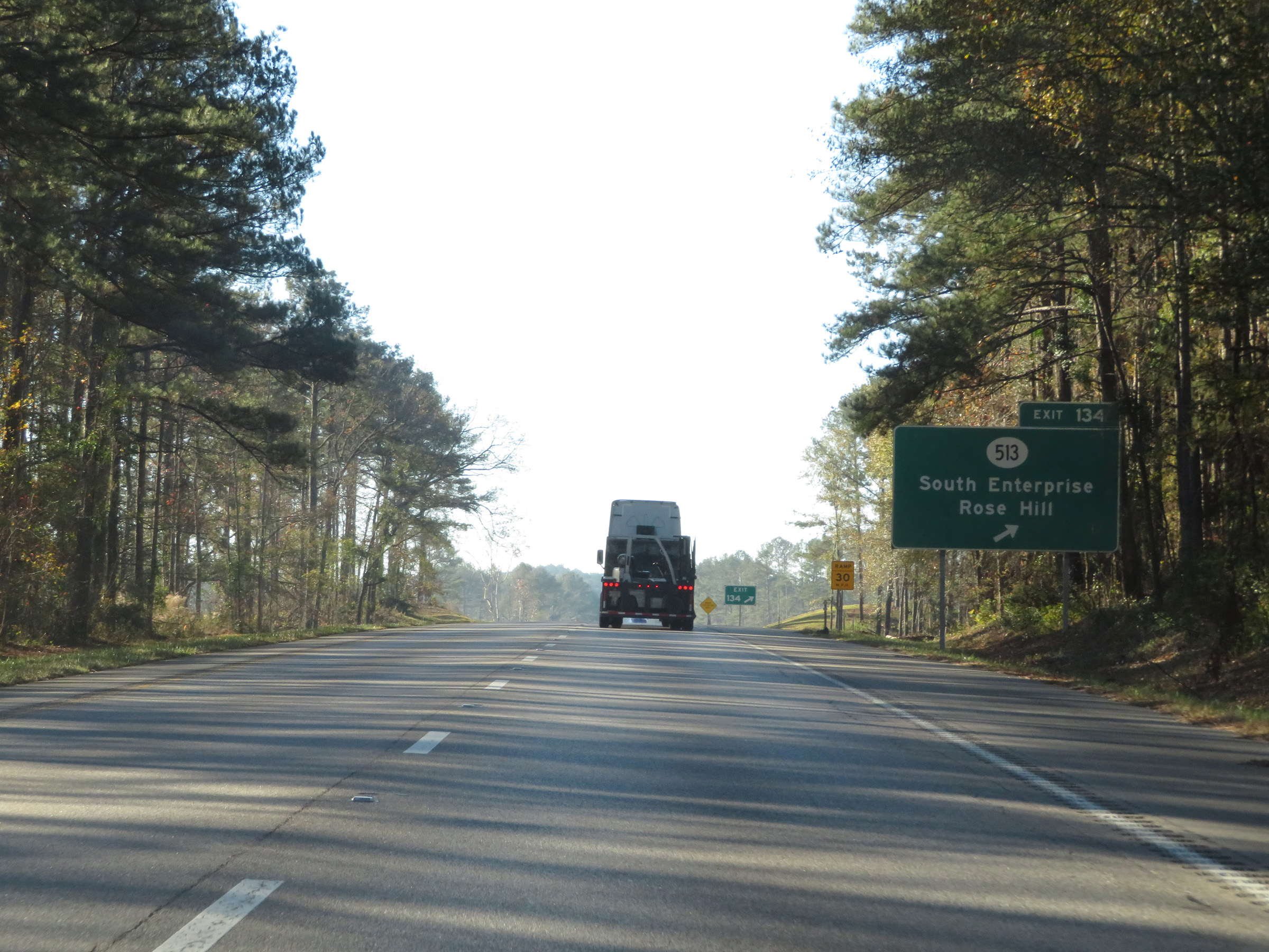 |
Interstate 59 South at Exit 134: MS 513 - South Enterprise / Rose Hill (Photo taken 12/9/20). |
 |
Another mileage sign on Interstate 59 South. It's 7 miles to Pachuta and 34 miles to Laurel. (Photo taken 12/9/20). |
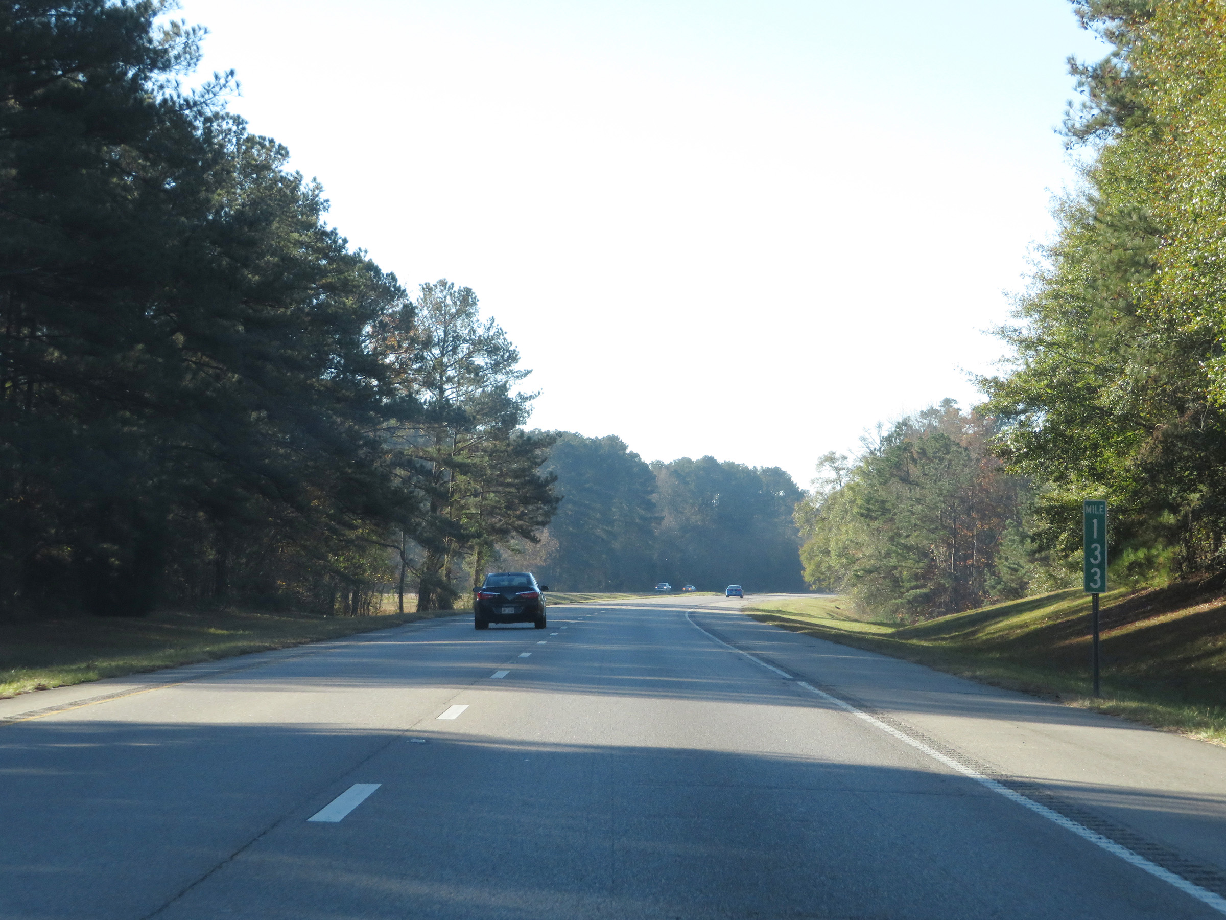 |
View on Interstate 59 South at mile marker 133. (Photo taken 12/9/20). |
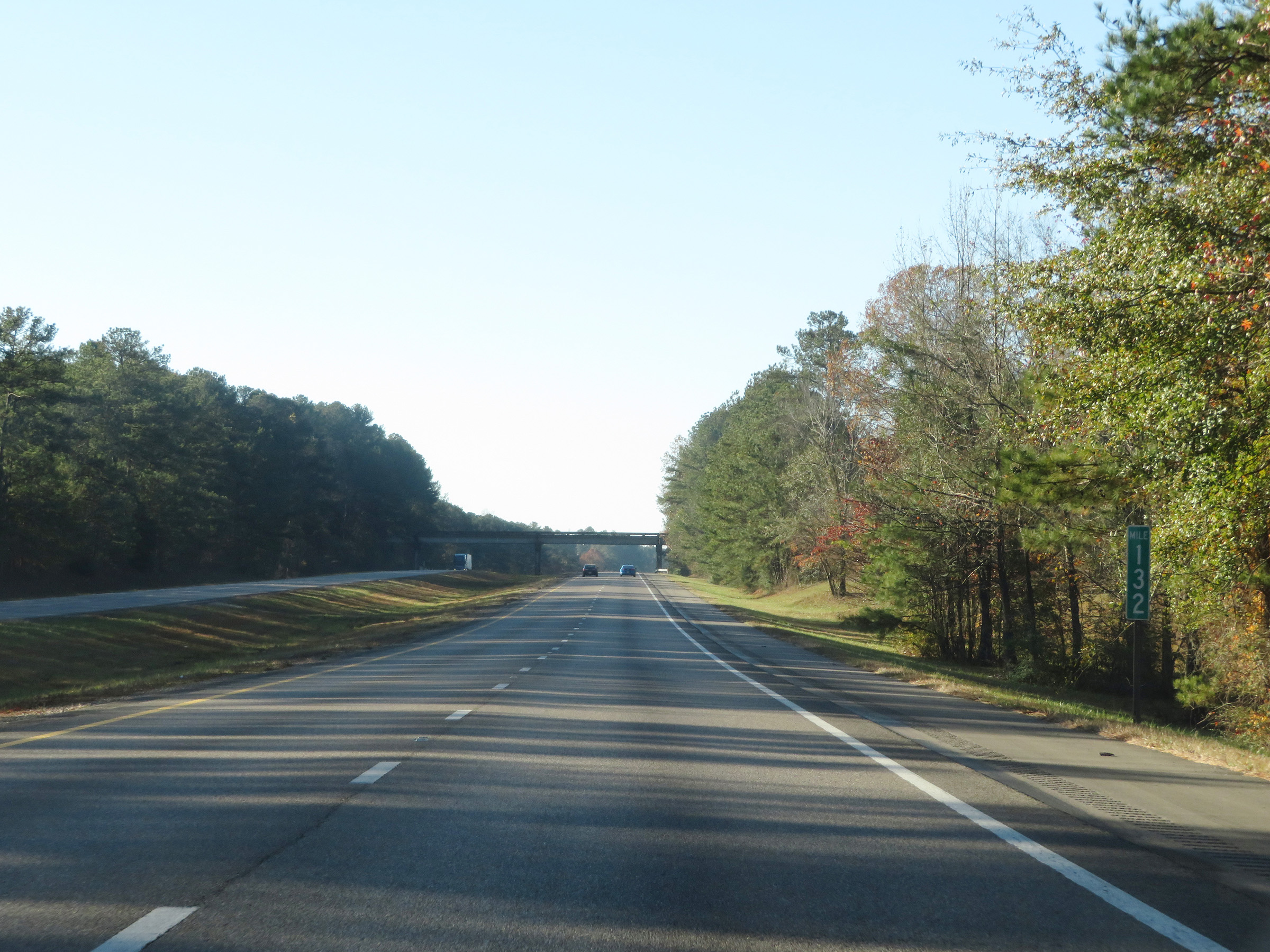 |
Interstate 59 South at mile marker 132. (Photo taken 12/9/20). |
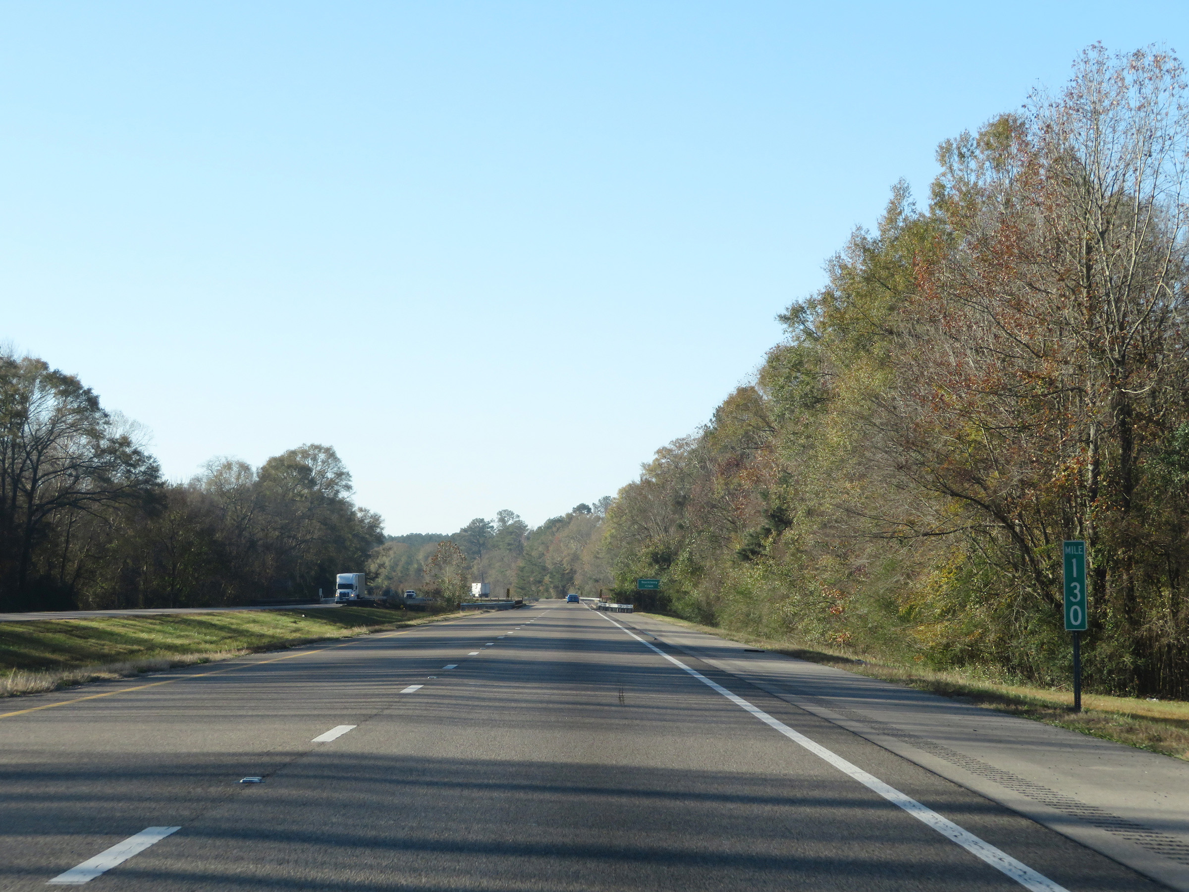 |
Mile marker 130 on Interstate 59 South in Clarke County. (Photo taken 12/9/20). |
 |
View on Interstate 59 South at mile marker 128. (Photo taken 12/9/20). |
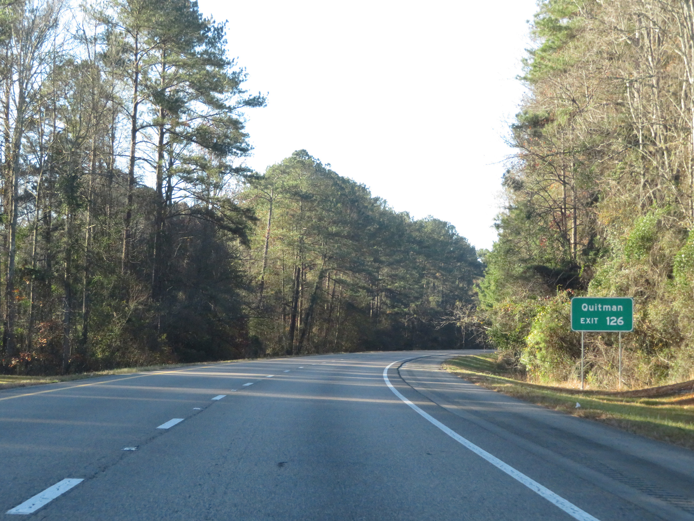 |
Take Exit 126 to Quitman. (Photo taken 12/9/20). |
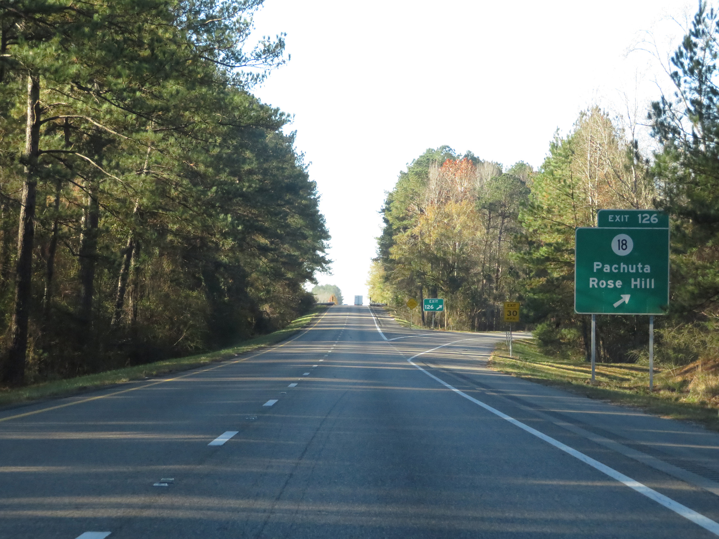 |
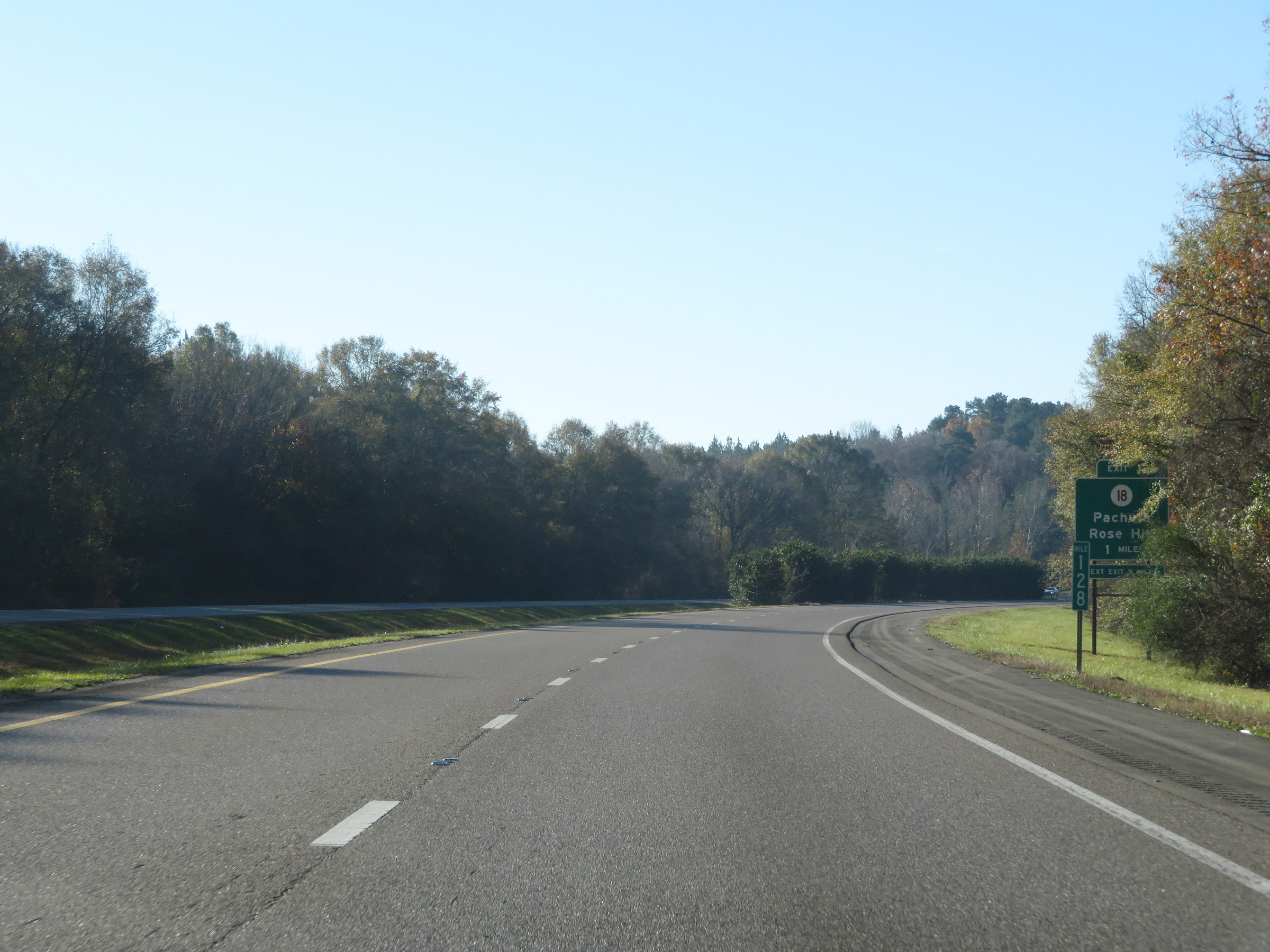
Interstate 59 South at Exit 126: MS 18 - Pachuta / Rose Hill (Photo taken 12/9/20). |
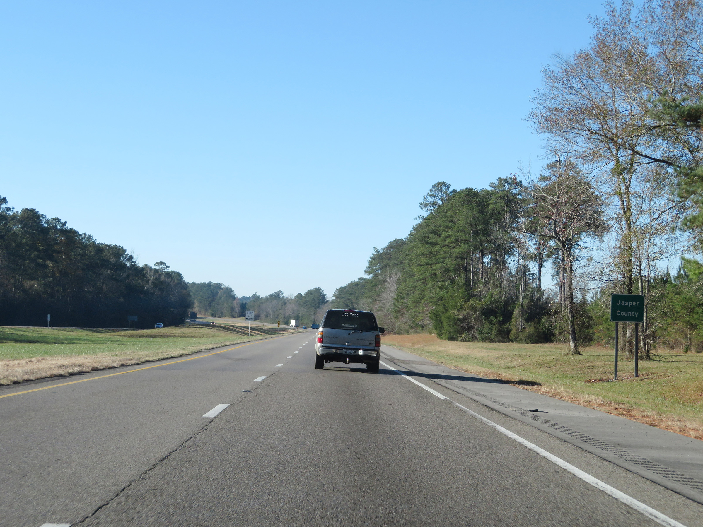 |
South of Exit 126, Interstate 59 South enters Jasper County. (Photo taken 12/9/20). |
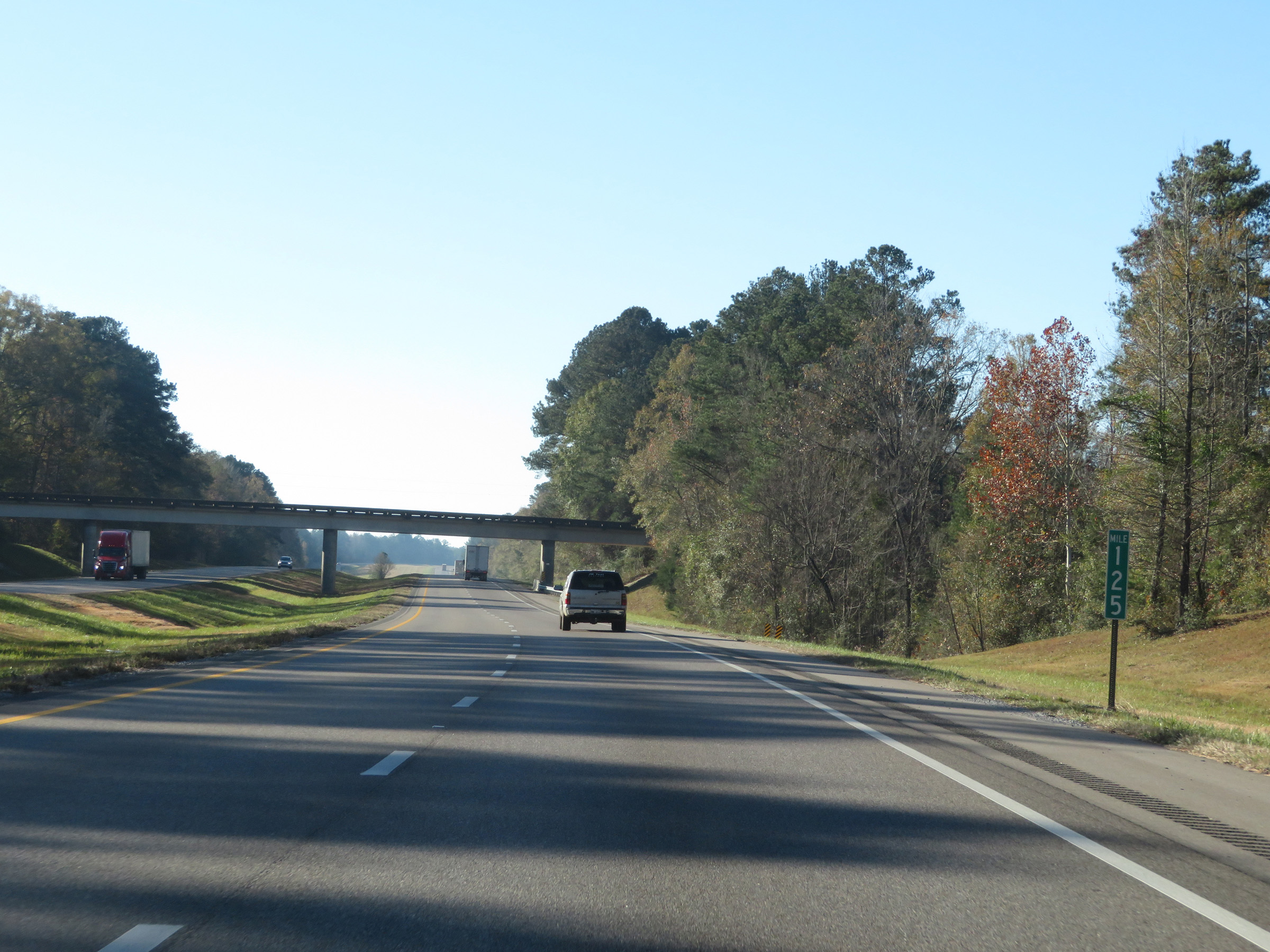 |
View on Interstate 59 South at mile marker 125. (Photo taken 12/9/20). |
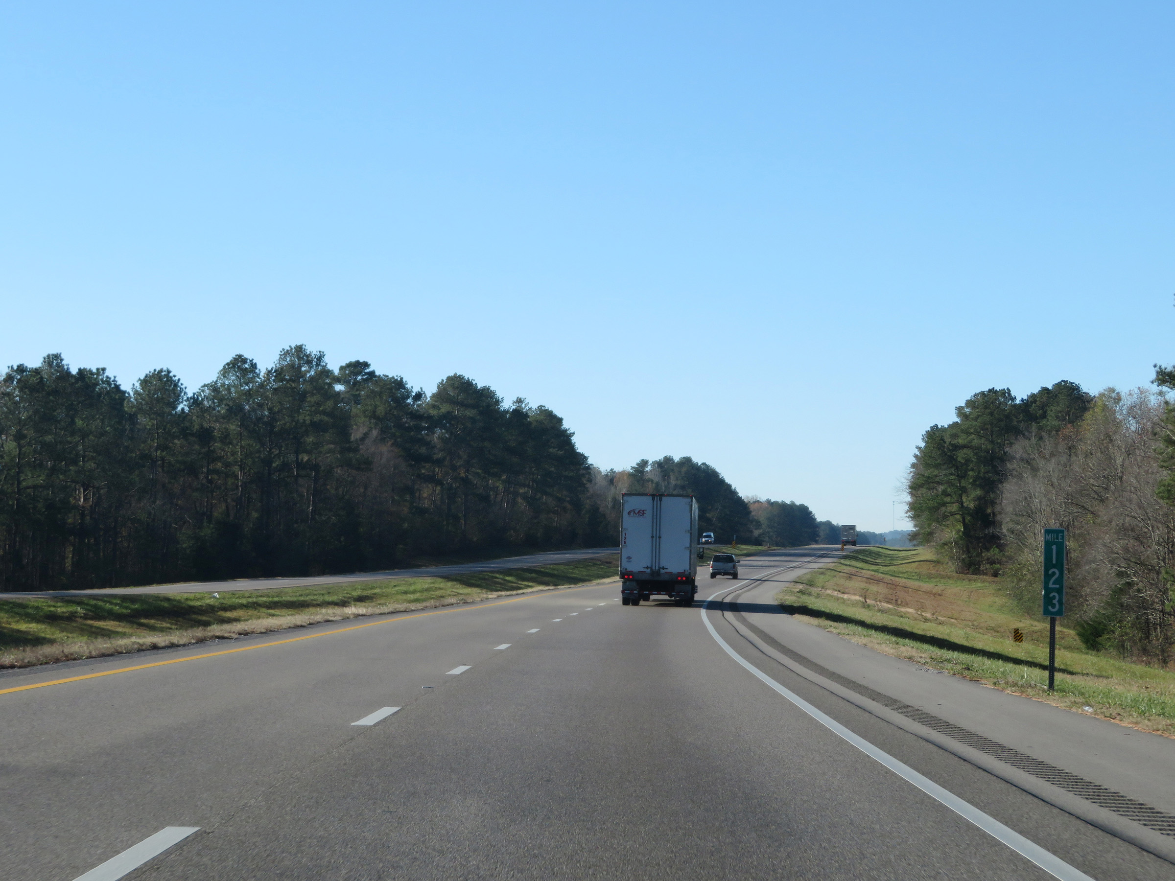 |
Interstate 59 South at mile marker 123. (Photo taken 12/9/20). |
 |
Mile marker 121 on Interstate 59 South in Jasper County. (Photo taken 12/9/20). |
 |
Interstate 59 South at Exit 118: Vossburg / Paulding (Photo taken 12/9/20). |
 |
Another state-named Interstate 59 South reassurance shield. (Photo taken 12/9/20). |
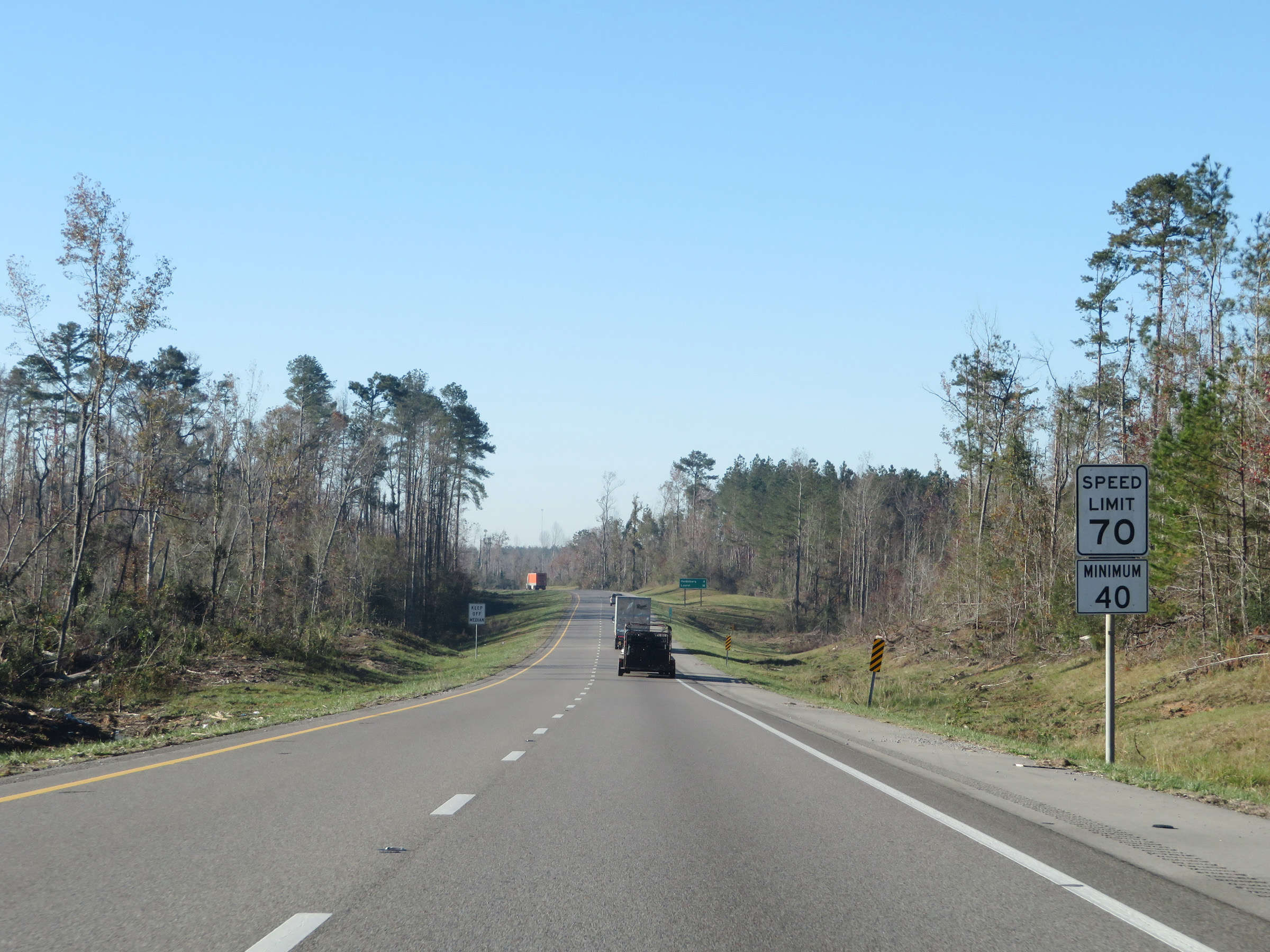 |
The speed limits on Interstate 59 South remain 70 mph maximum and 40 mph minimum. (Photo taken 12/9/20). |
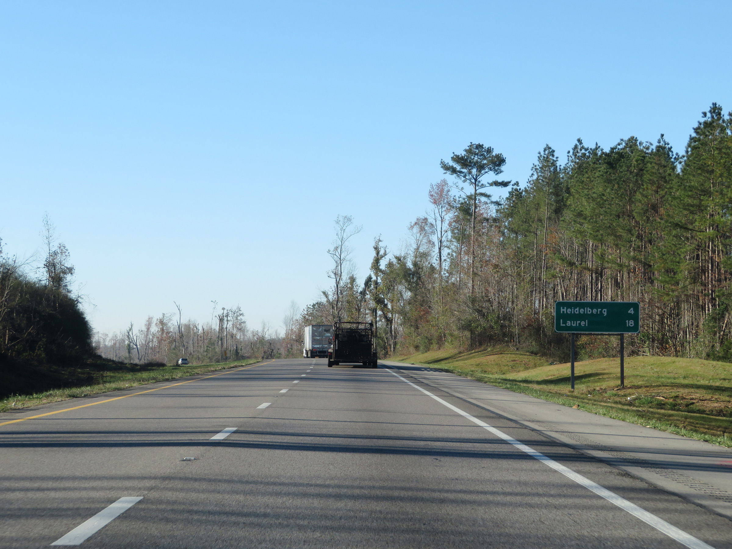 |
Mileage sign on Interstate 59 South. It's 4 miles to Heidelberg and 18 miles to Laurel. (Photo taken 12/9/20). |
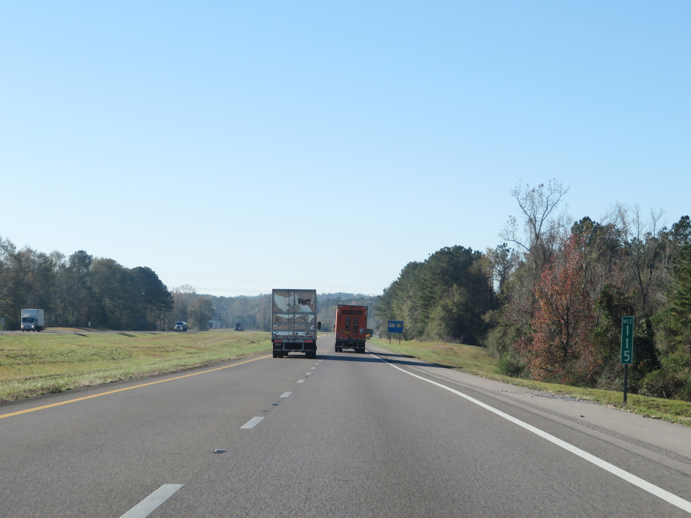 |
Interstate 59 South at mile marker 115. (Photo taken 12/9/20). |
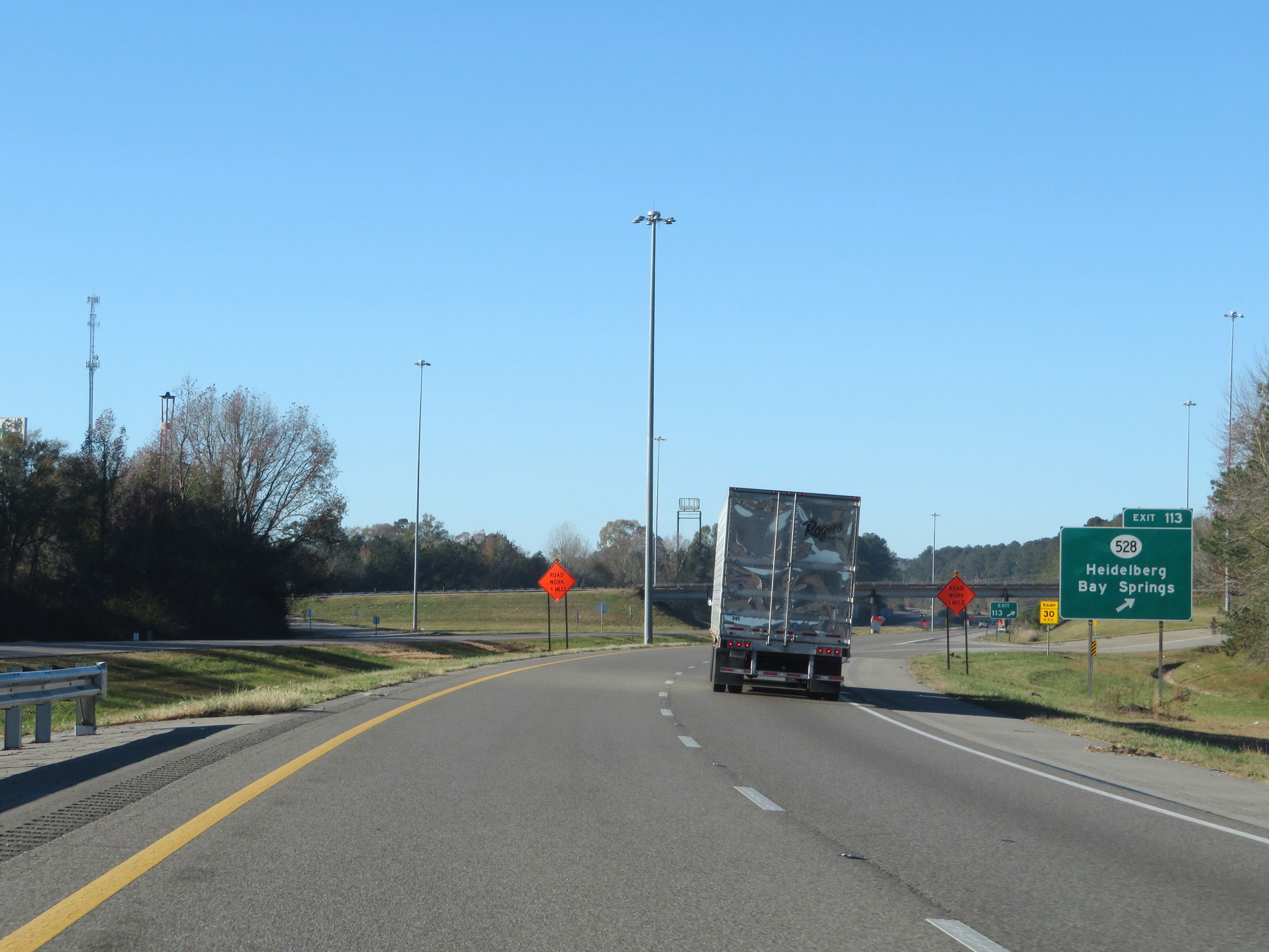 |
Interstate 59 South at Exit 113: MS 528 - Heidelberg / Bay Springs (Photo taken 12/9/20). |
 |
View on Interstate 59 South at mile marker 111. (Photo taken 12/9/20). |
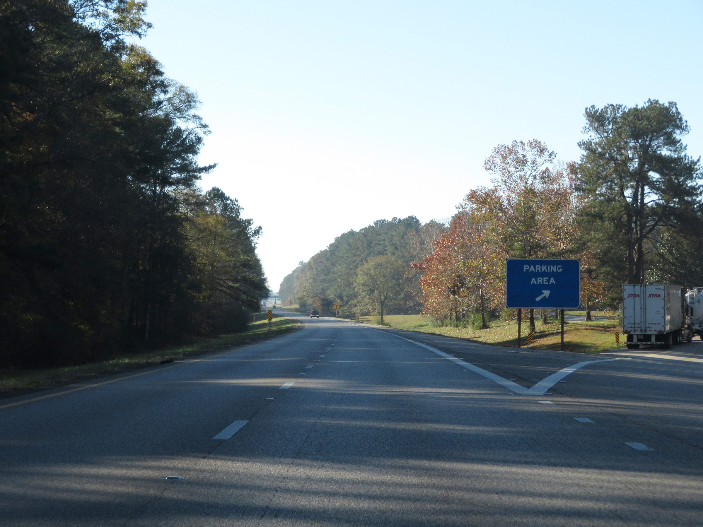 |
Parking Area on Interstate 59 South in Jasper County near mile marker 110. (Photo taken 12/9/20). |
 |
Interstate 59 South at mile marker 109. (Photo taken 12/9/20). |
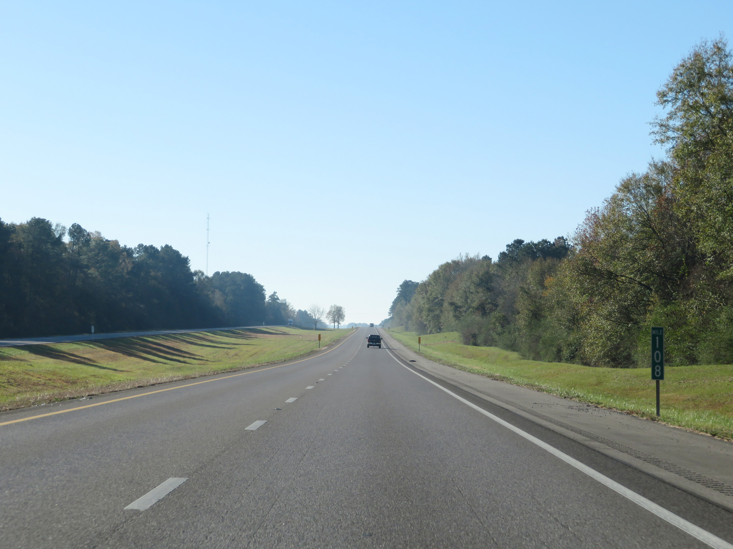 |
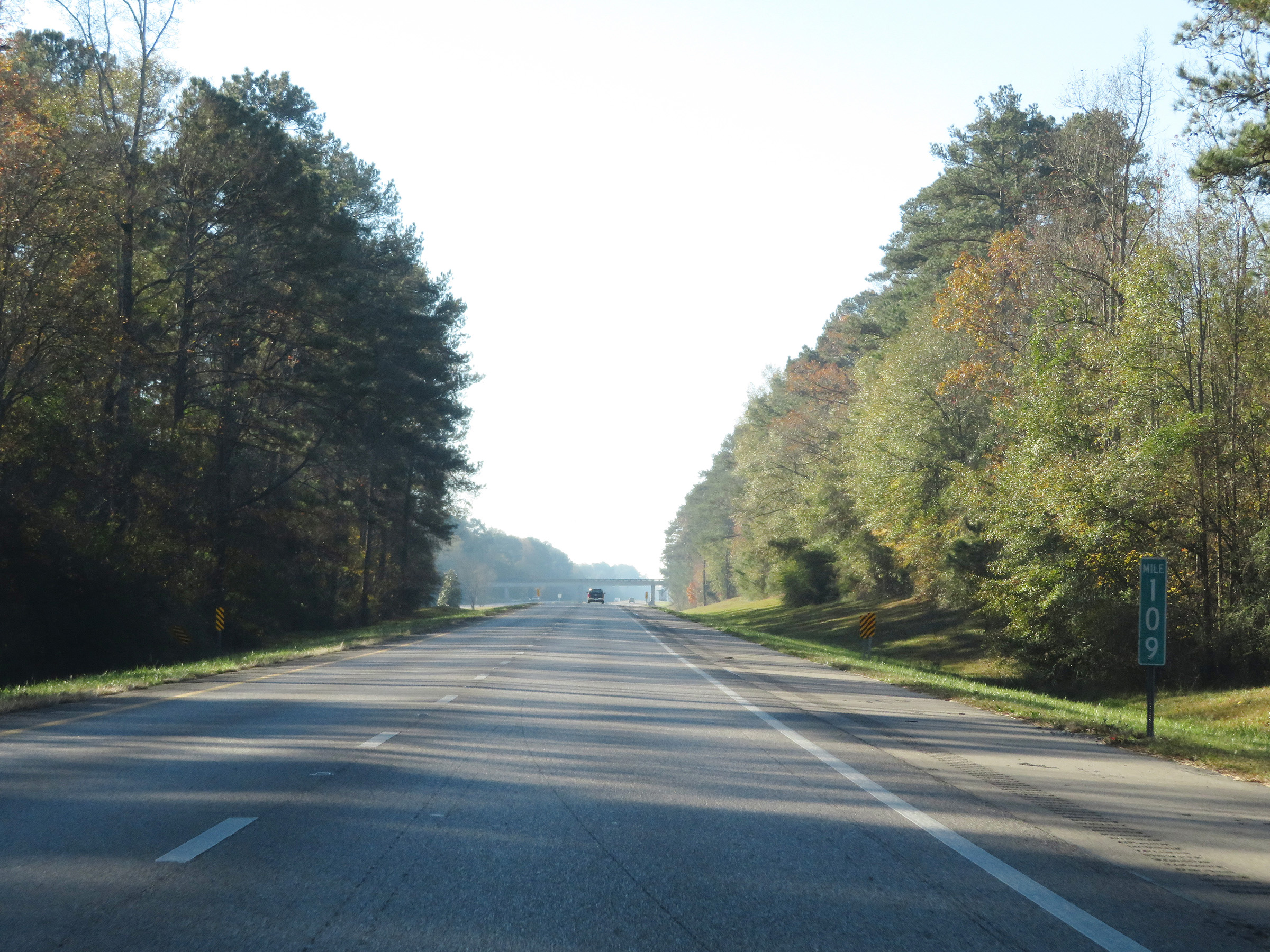
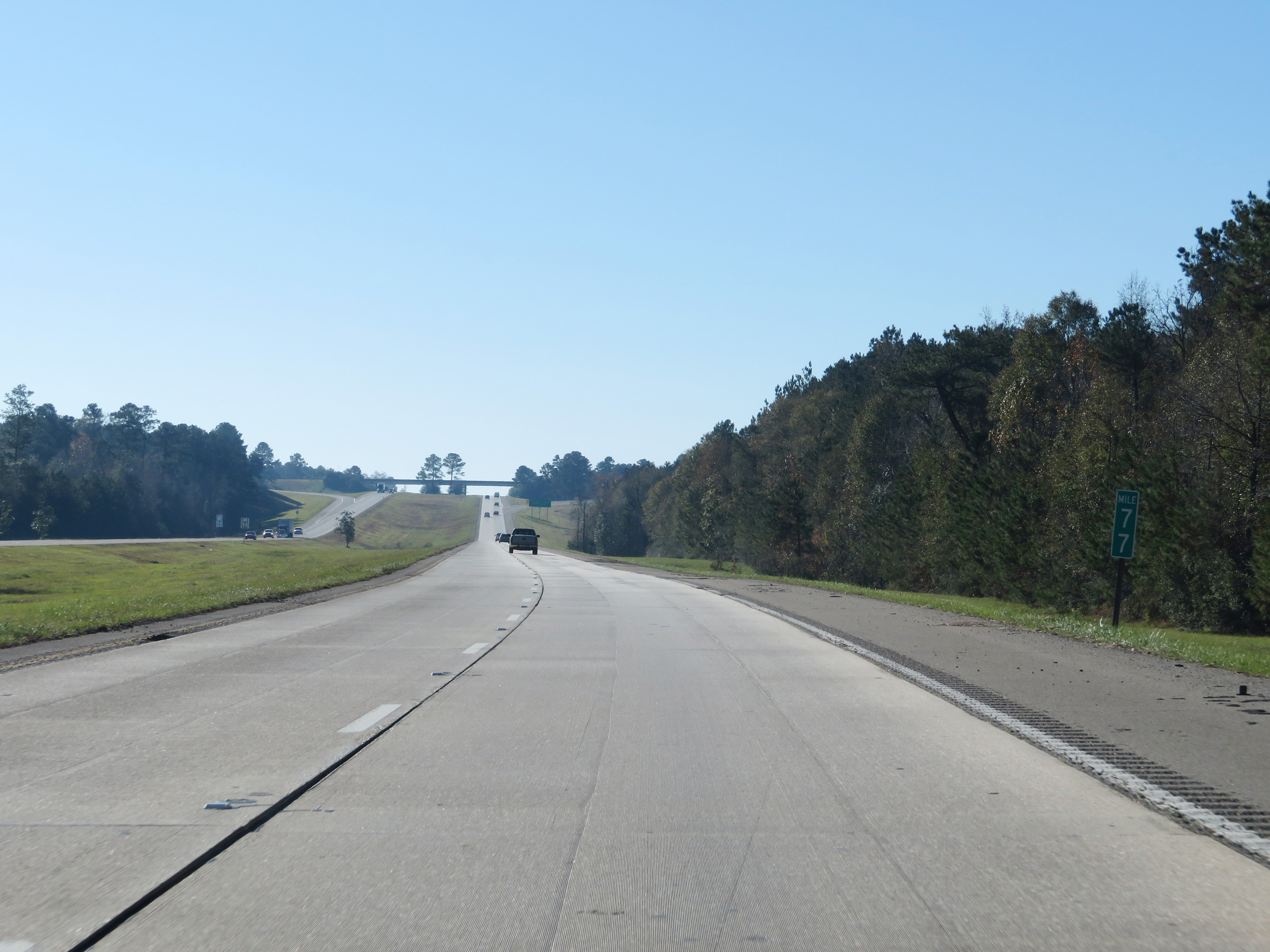
View on Interstate 59 South at mile marker 108. (Photo taken 12/9/20). |
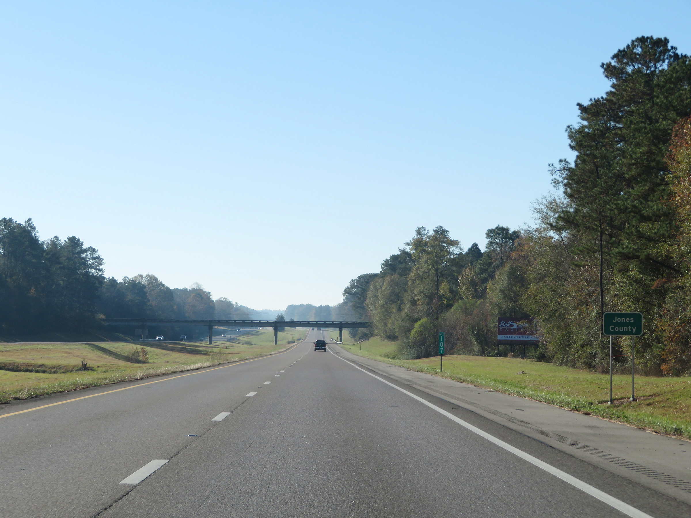 |
At mile marker 107, Interstate 59 South enters Jones County. (Photo taken 12/9/20). |
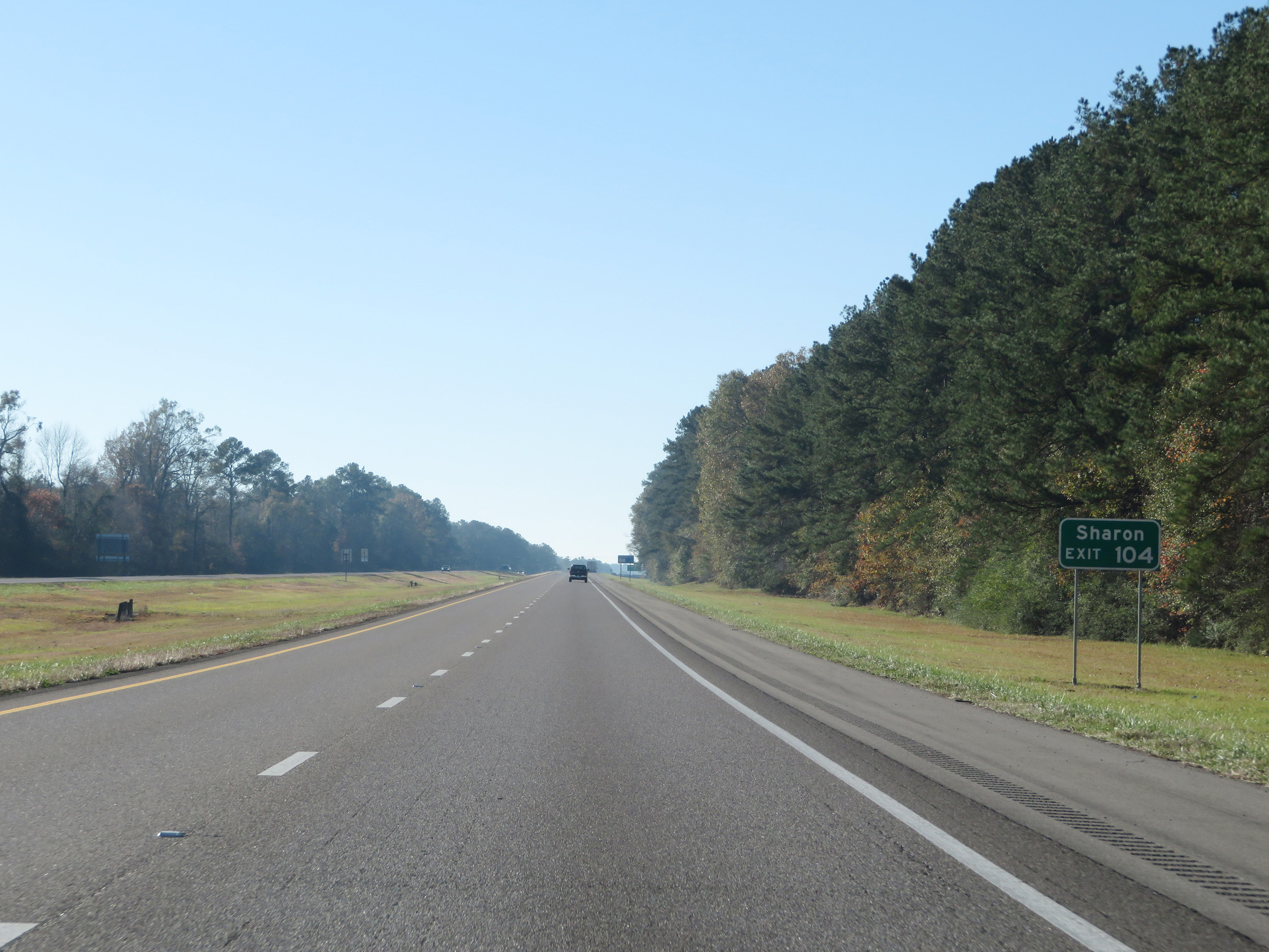 |
Take Exit 104 to Sharon. (Photo taken 12/9/20). |
 |
Interstate 59 South at Exit 104: Sandersville (Photo taken 12/9/20). |
 |
Interstate 59 South at mile marker 103. (Photo taken 12/9/20). |
 |
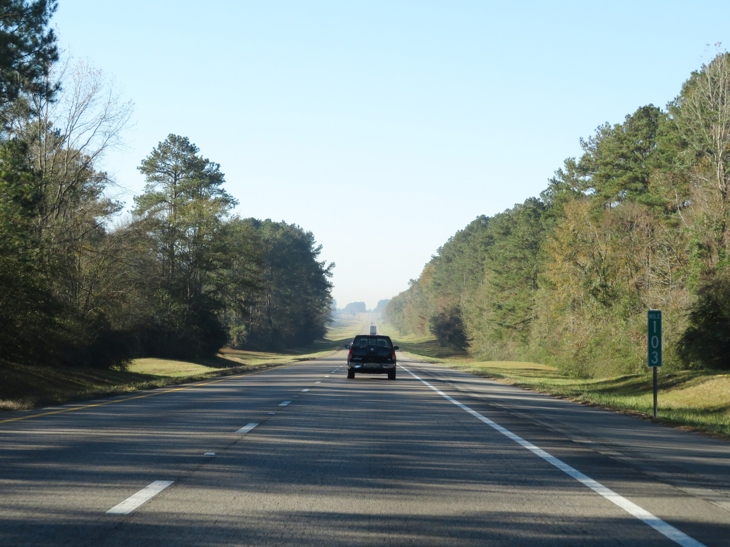
View on Interstate 59 South at mile marker 101. (Photo taken 12/9/20). |
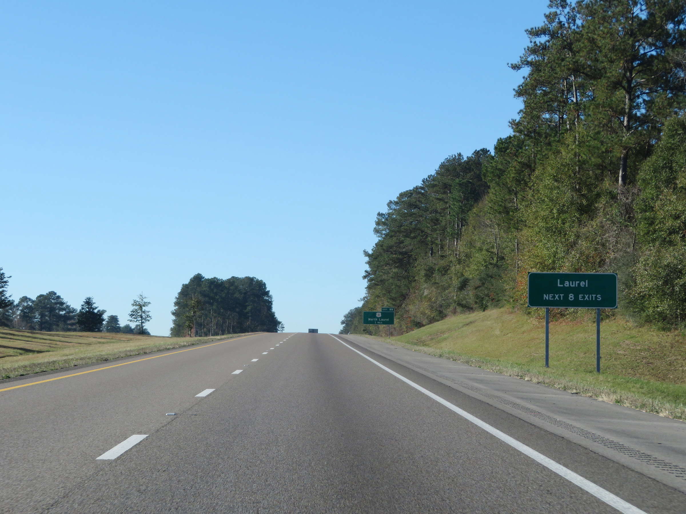 |
Take any of the next 8 exits to Laurel. (Photo taken 12/9/20). |
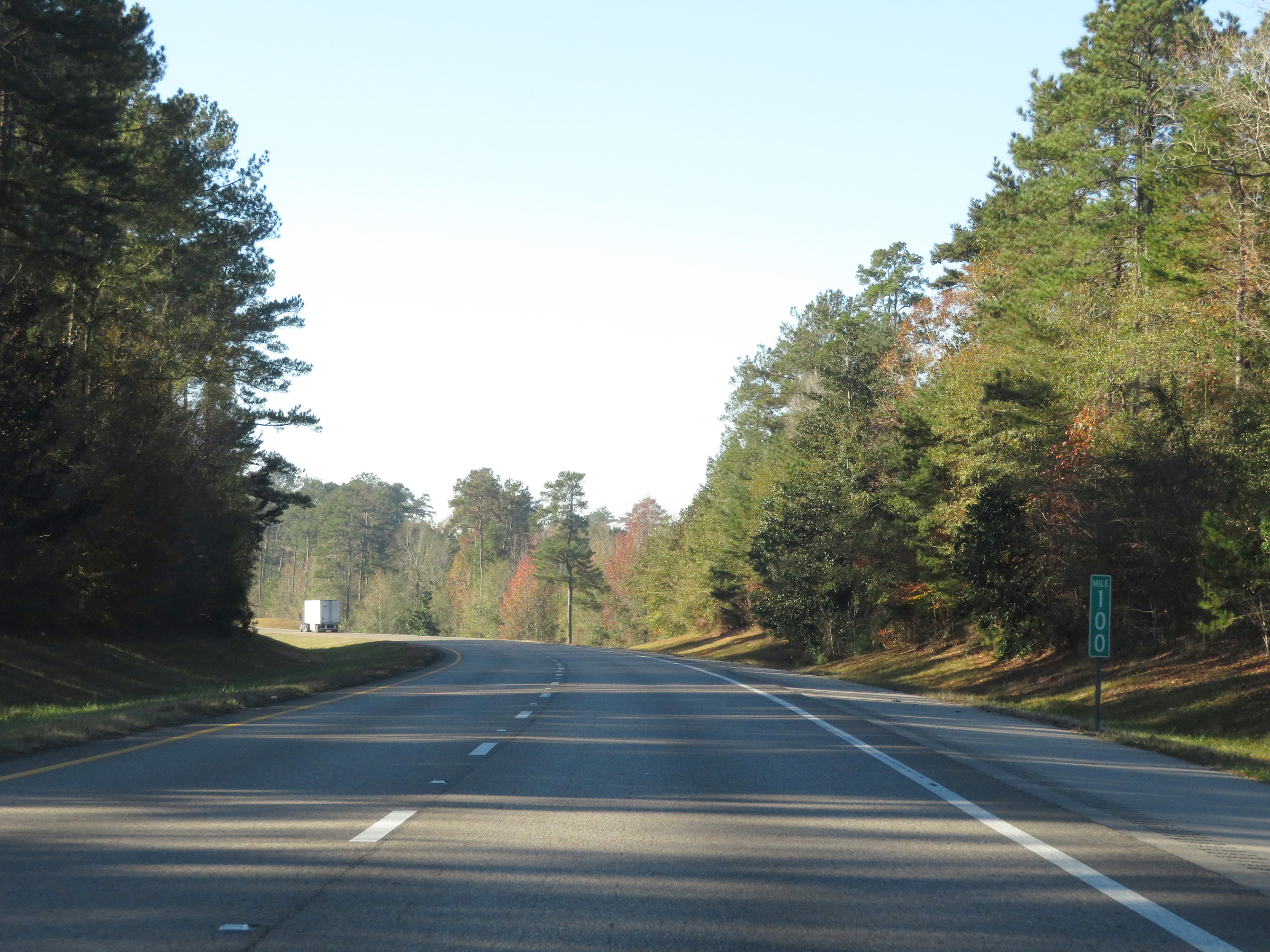 |
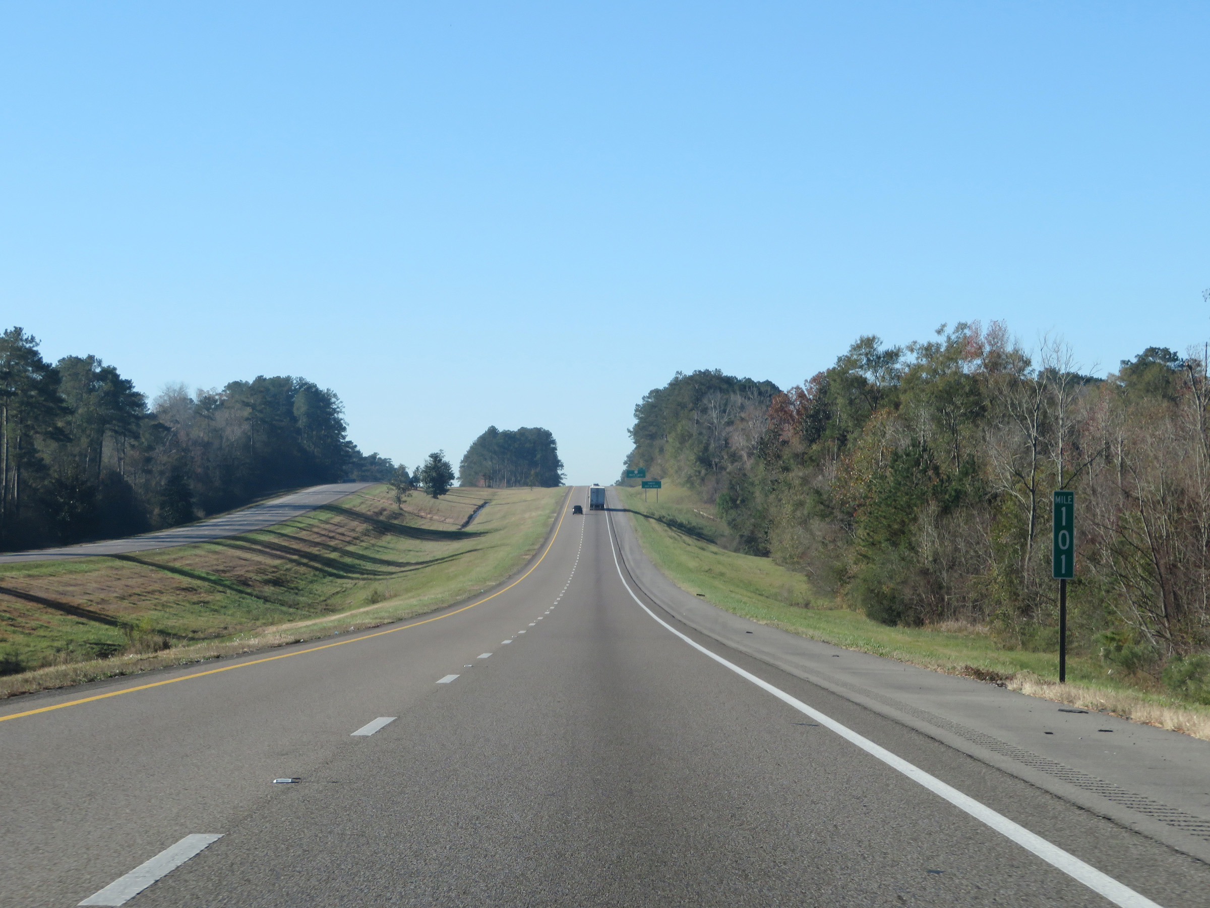
Mile marker 100 on Interstate 59 South in Jones County. (Photo taken 12/9/20). |
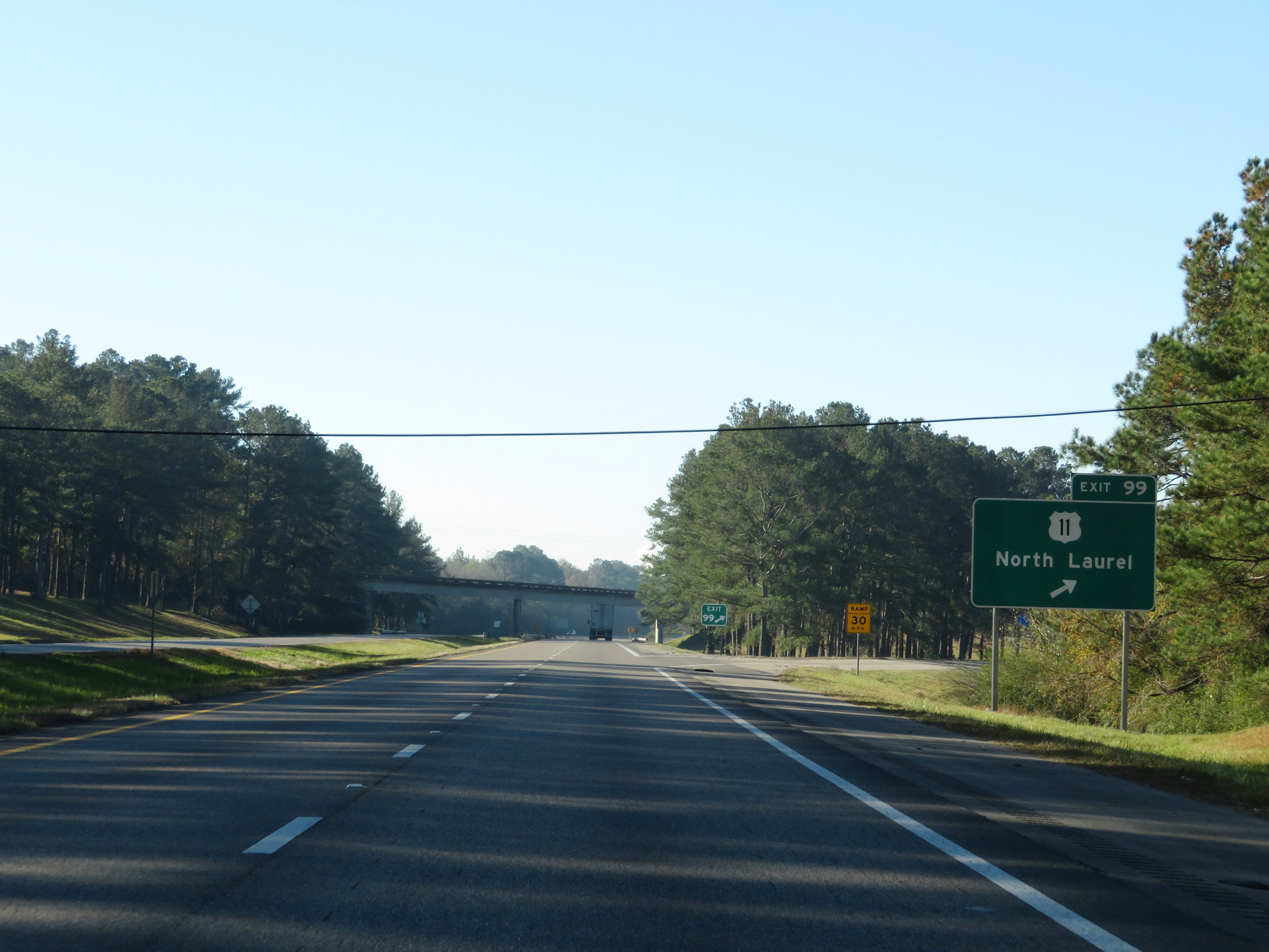 |
Interstate 59 South at Exit 99: US 11 - North Laurel (Photo taken 12/9/20). |
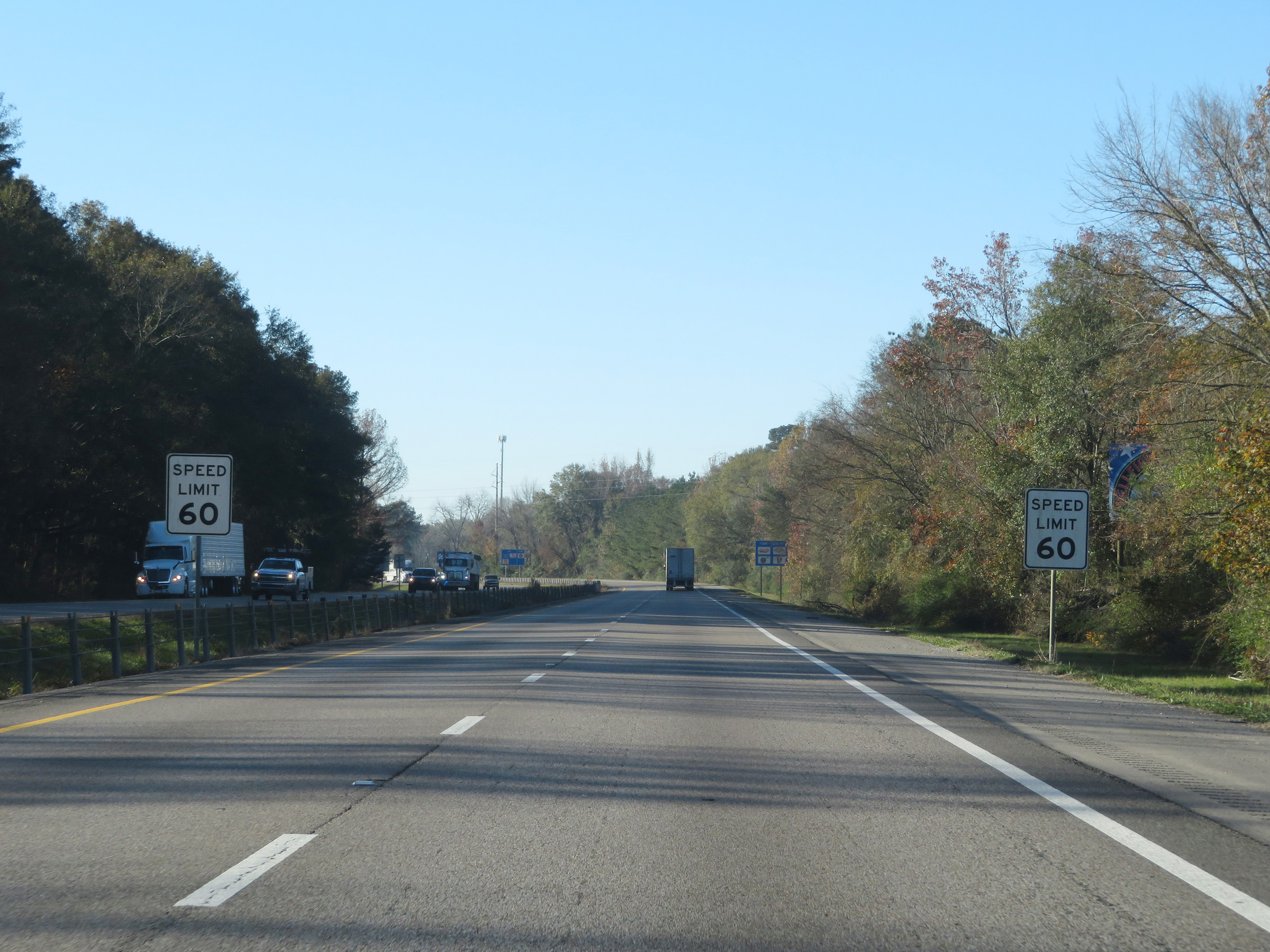 |
Approaching Laurel on Interstate 59 South, the maximum speed limit decreases to 60 mph. No minimum speed limit is posted. (Photo taken 12/9/20). |
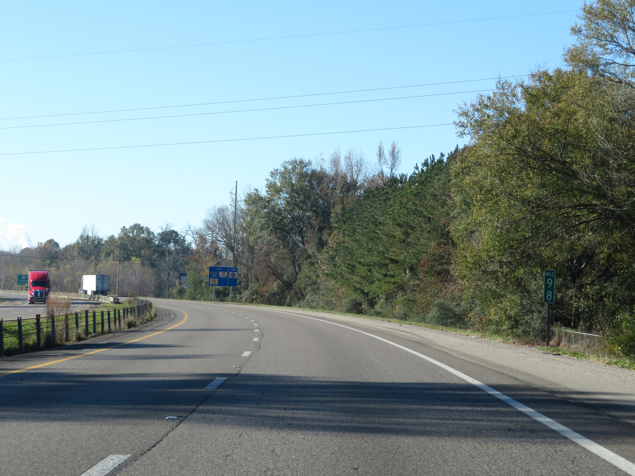 |
View on Interstate 59 South at mile marker 98. (Photo taken 12/9/20). |
 |
Interstate 59 South at Exit 97: US 84 East - Waynesboro / Chantilly St (Photo taken 12/9/20). |
 |
State-named Interstate 59 South reassurance shield in Laurel. (Photo taken 12/9/20). |
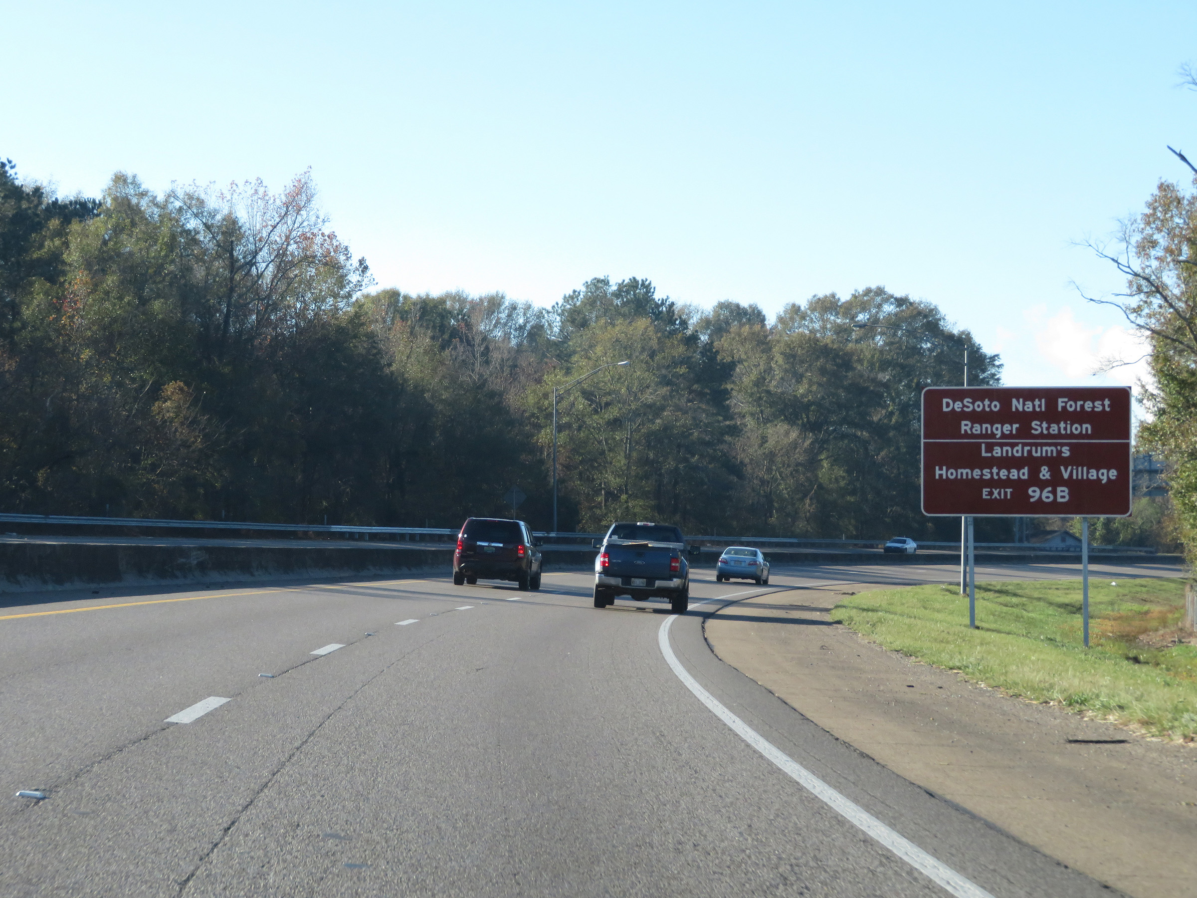 |
Take Exit 96B to the DeSoto National Forest Ranger Station and Landrum's Homestead & Village. (Photo taken 12/9/20). |
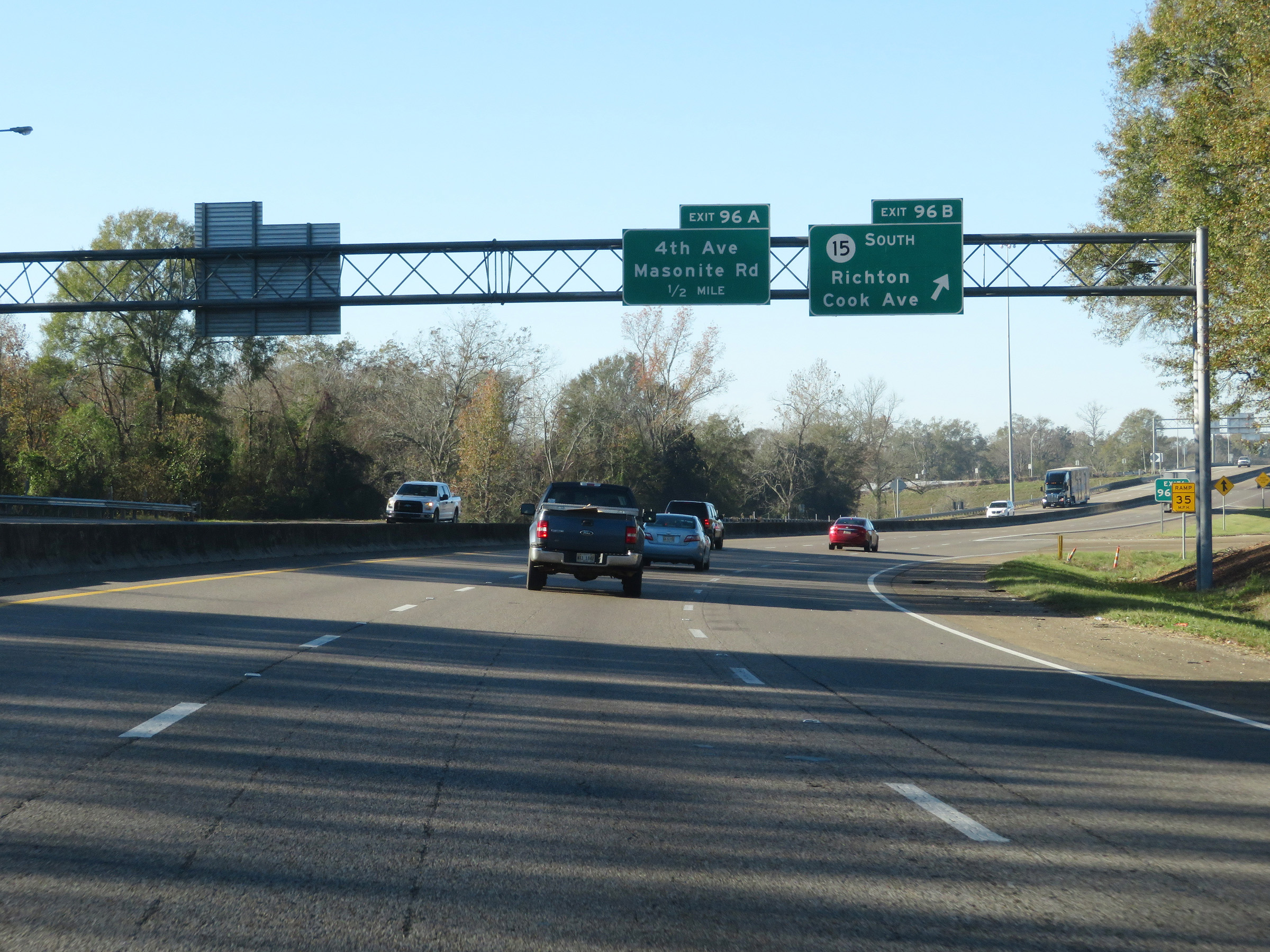 |
Interstate 59 South at Exit 96B: MS 15 South - Richton / Cook Ave (Photo taken 12/9/20). |
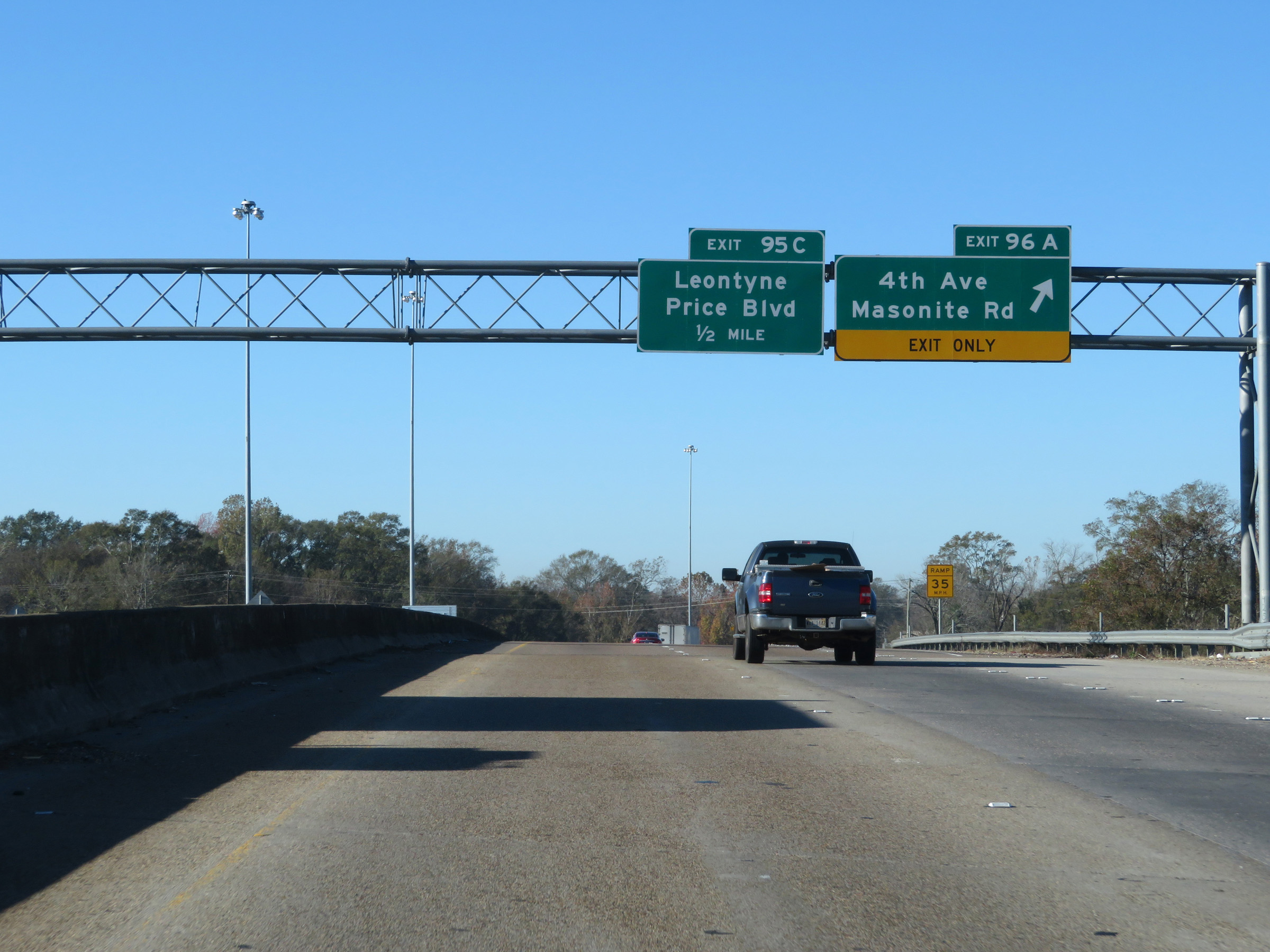 |
Interstate 59 South at Exit 96A: 4th Ave / Masonite Rd (Photo taken 12/9/20). |
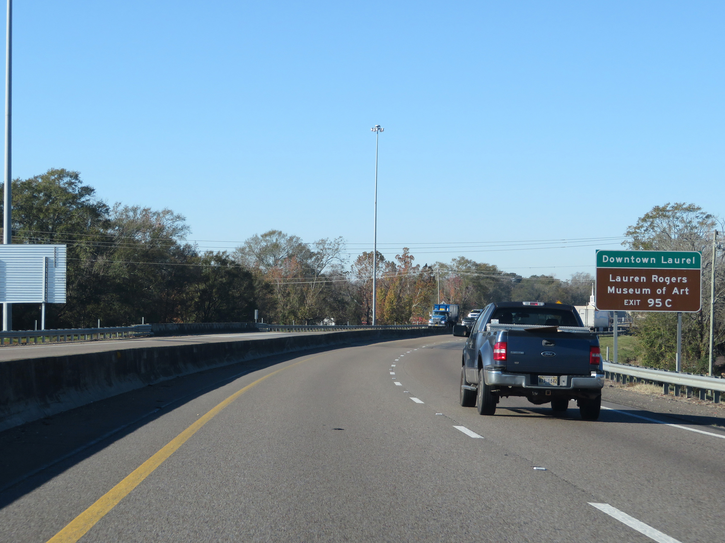 |
Take Exit 95C to Downtown Laurel and the Lauren Rogers Museum of Art. (Photo taken 12/9/20). |
 |
Interstate 59 South at Exit 95C: Leontyne Price Blvd (Photo taken 12/9/20). |
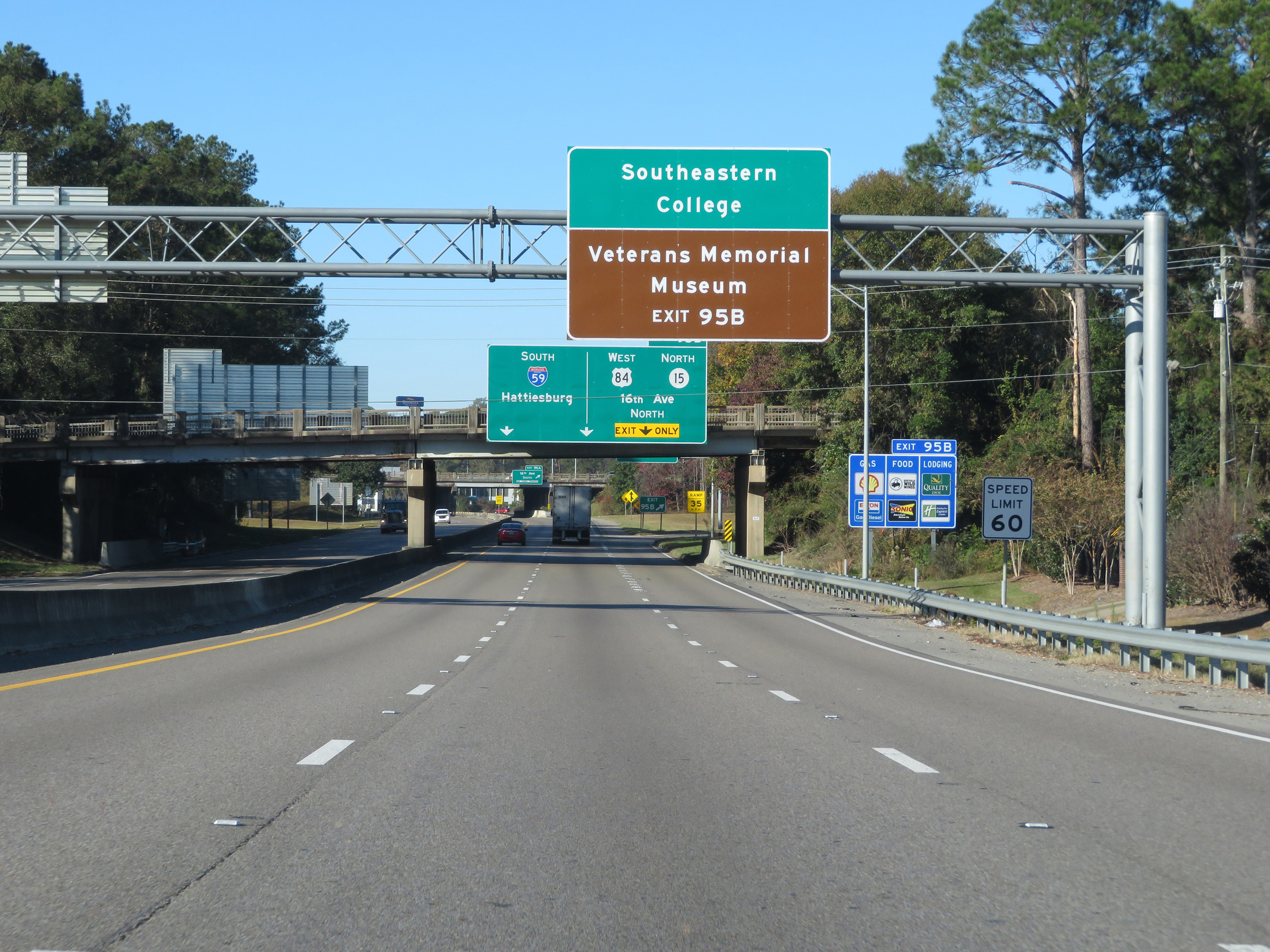 |
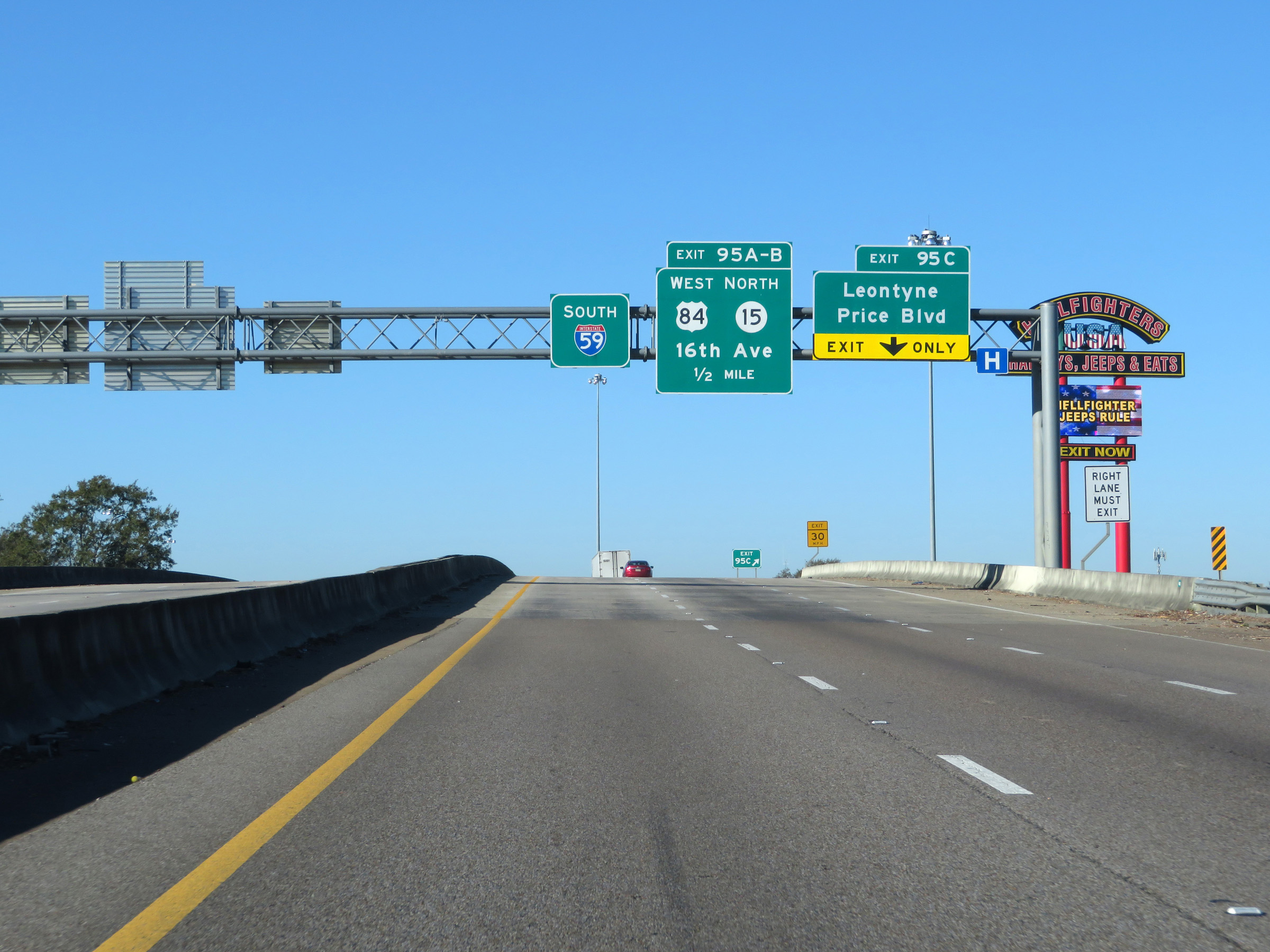
Take Exit 95B to Southeastern College and the Veterans Memorial Museum. (Photo taken 12/9/20). |
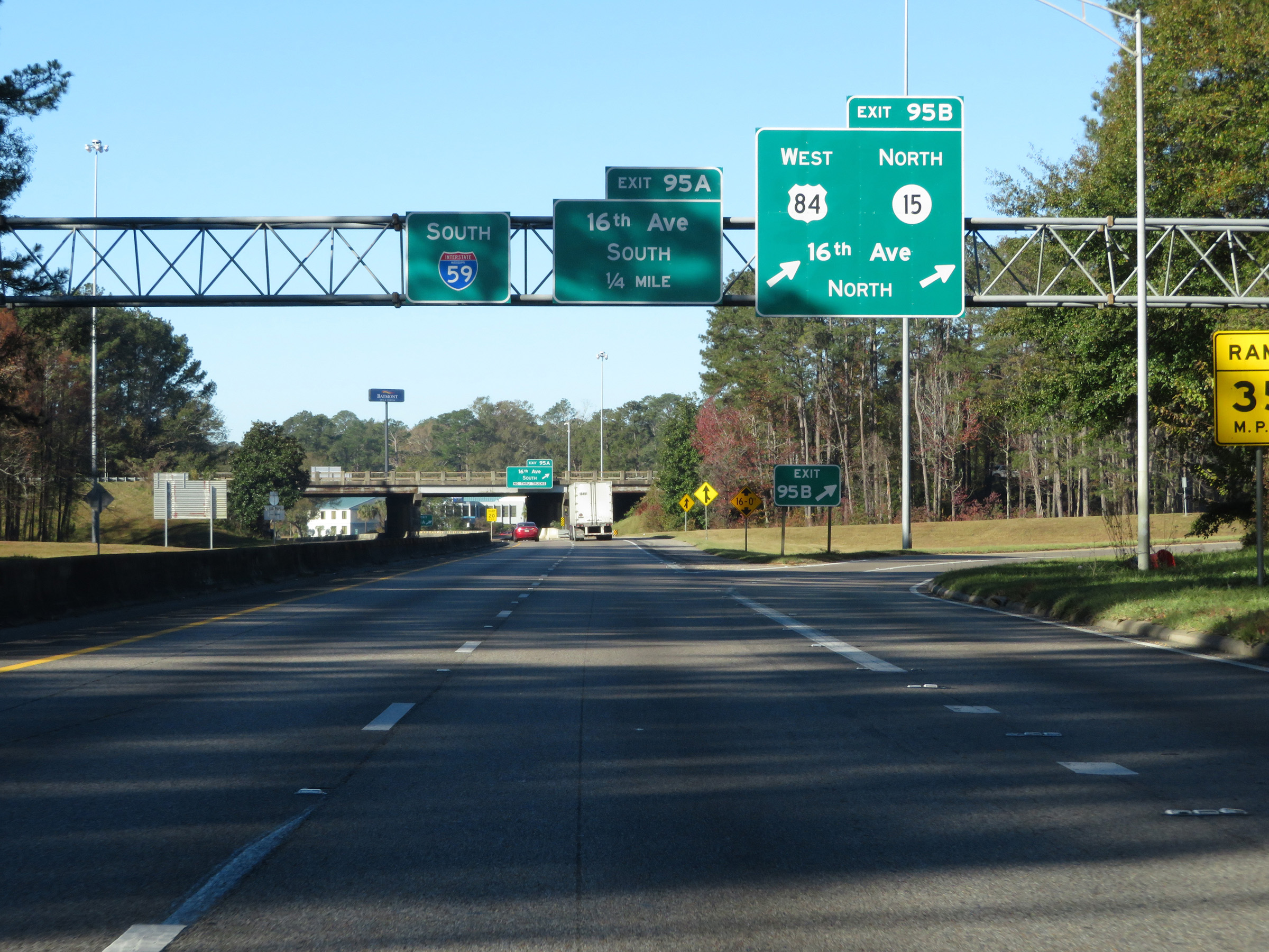 |
Interstate 59 South at Exit 95B: US 84 West / MS 15 North - 16th Ave North (Photo taken 12/9/20). |
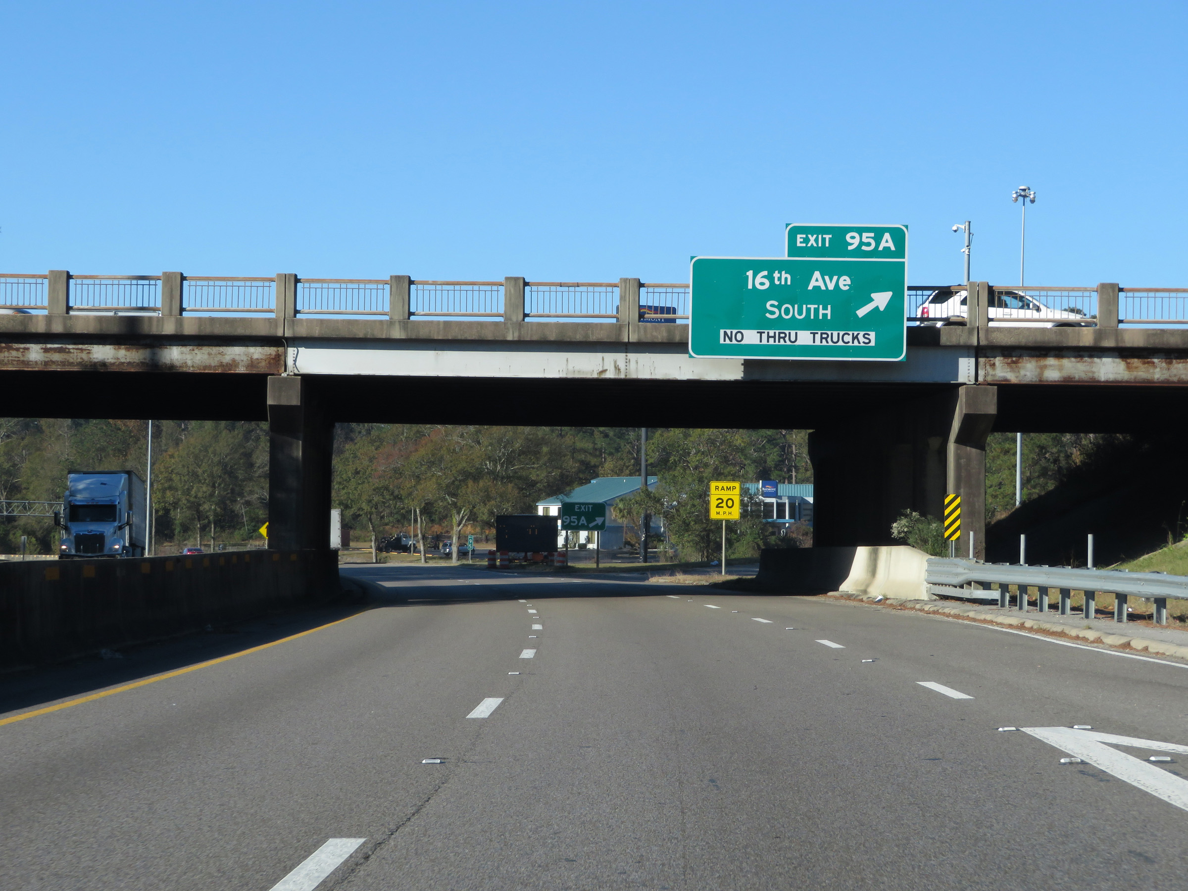 |
Interstate 59 South at Exit 95A: 16th Ave South (Photo taken 12/9/20). |
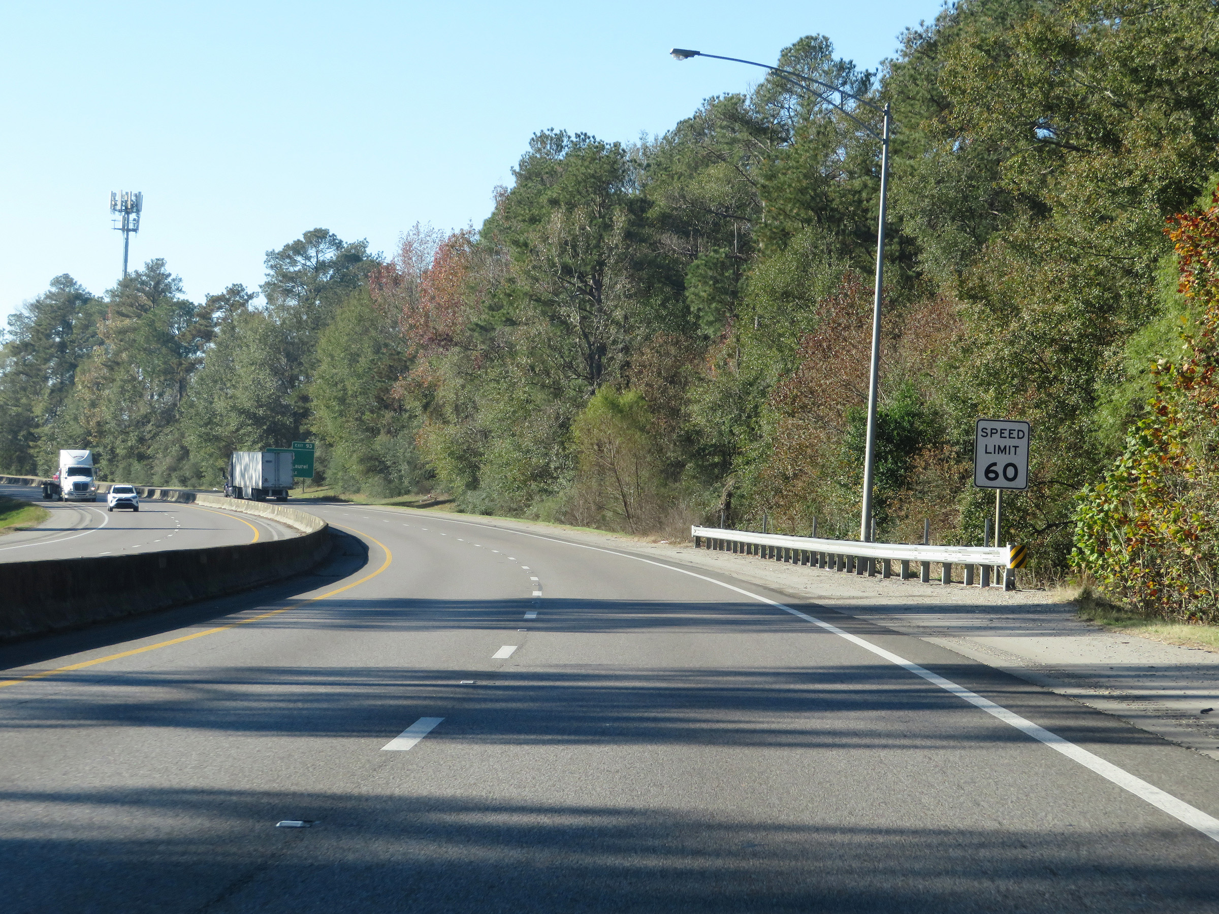 |
The speed limit remains 60 mph for a bit longer as Interstate 59 South moves to the south of downtown Laurel. (Photo taken 12/9/20). |
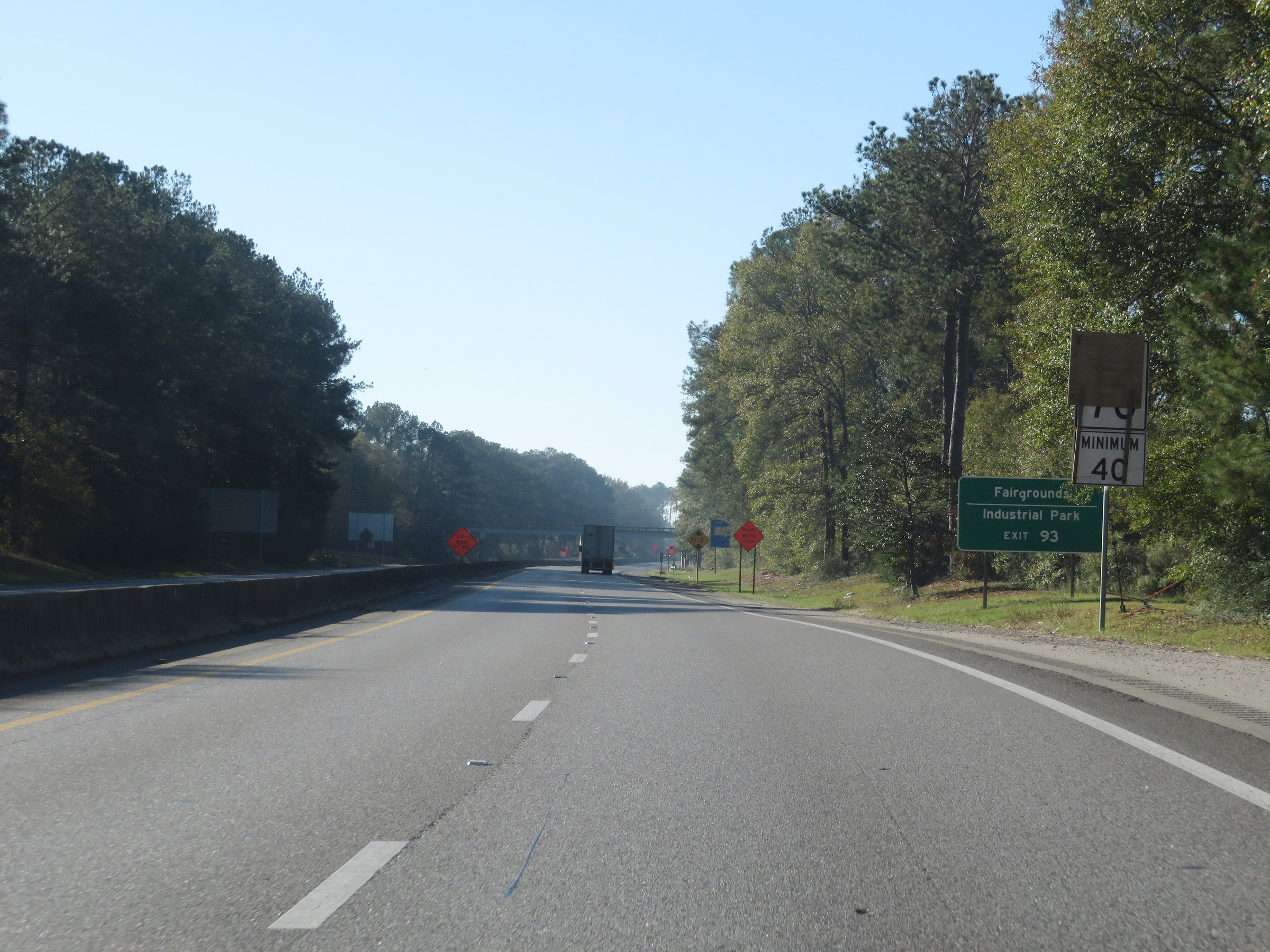 |
Normally, the maximum speed limit would increase to 70 mph once again at this point with a minimum speed limit of 40 mph. However, construction at the time caused it to remain 60 mph. Take Exit 93 to the Fairgrounds and Industrial Park. (Photo taken 12/9/20). |
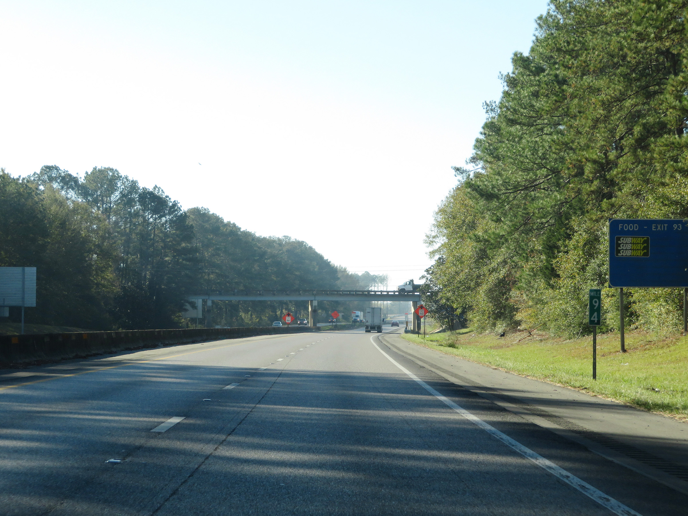 |
View on Interstate 59 South at mile marker 94. (Photo taken 12/9/20). |
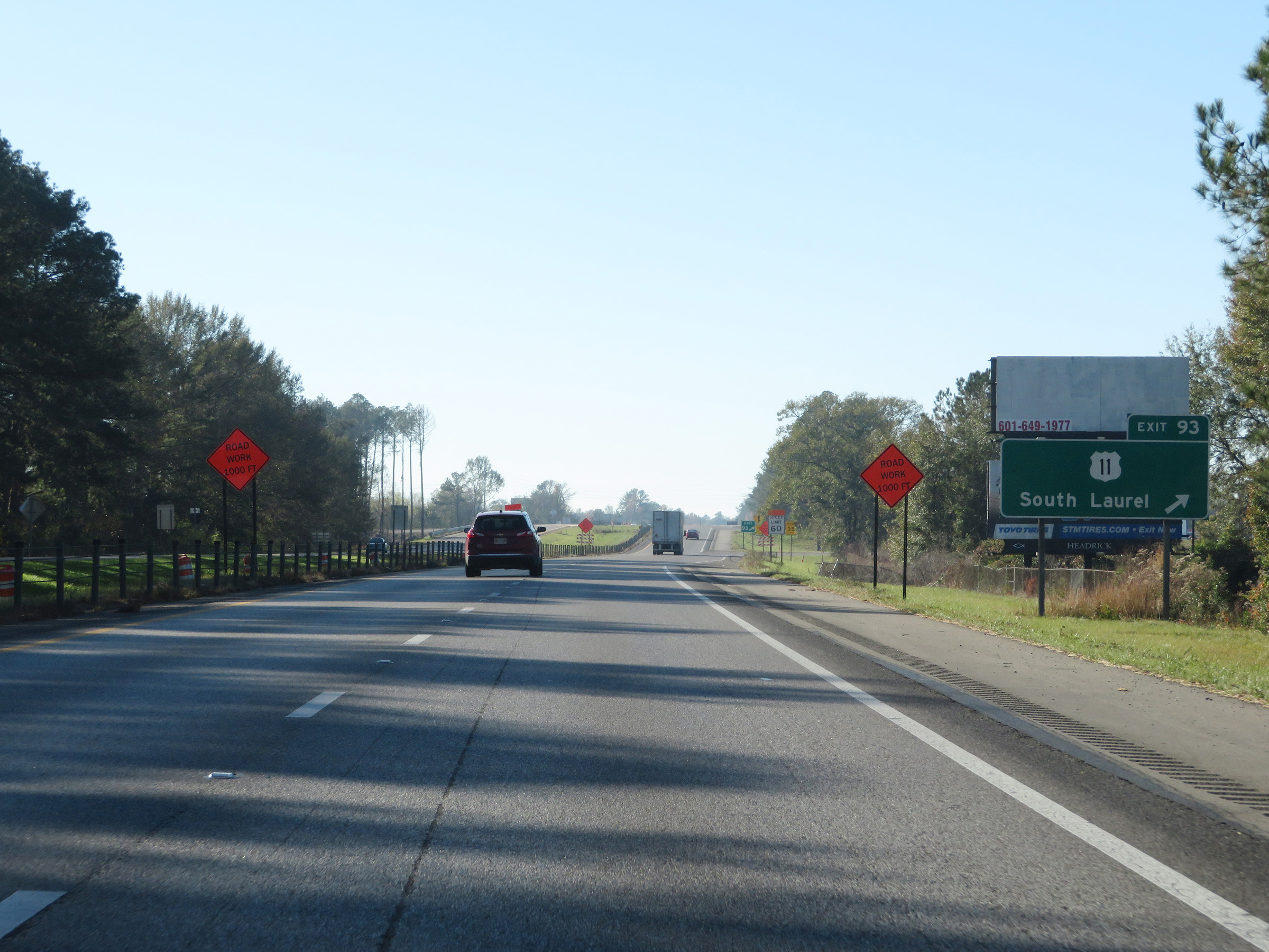 |
Interstate 59 South at Exit 93: US 11 - South Laurel (Photo taken 12/9/20). |
Section 3: Laurel (Exit 93) to Purvis (Exit 51)
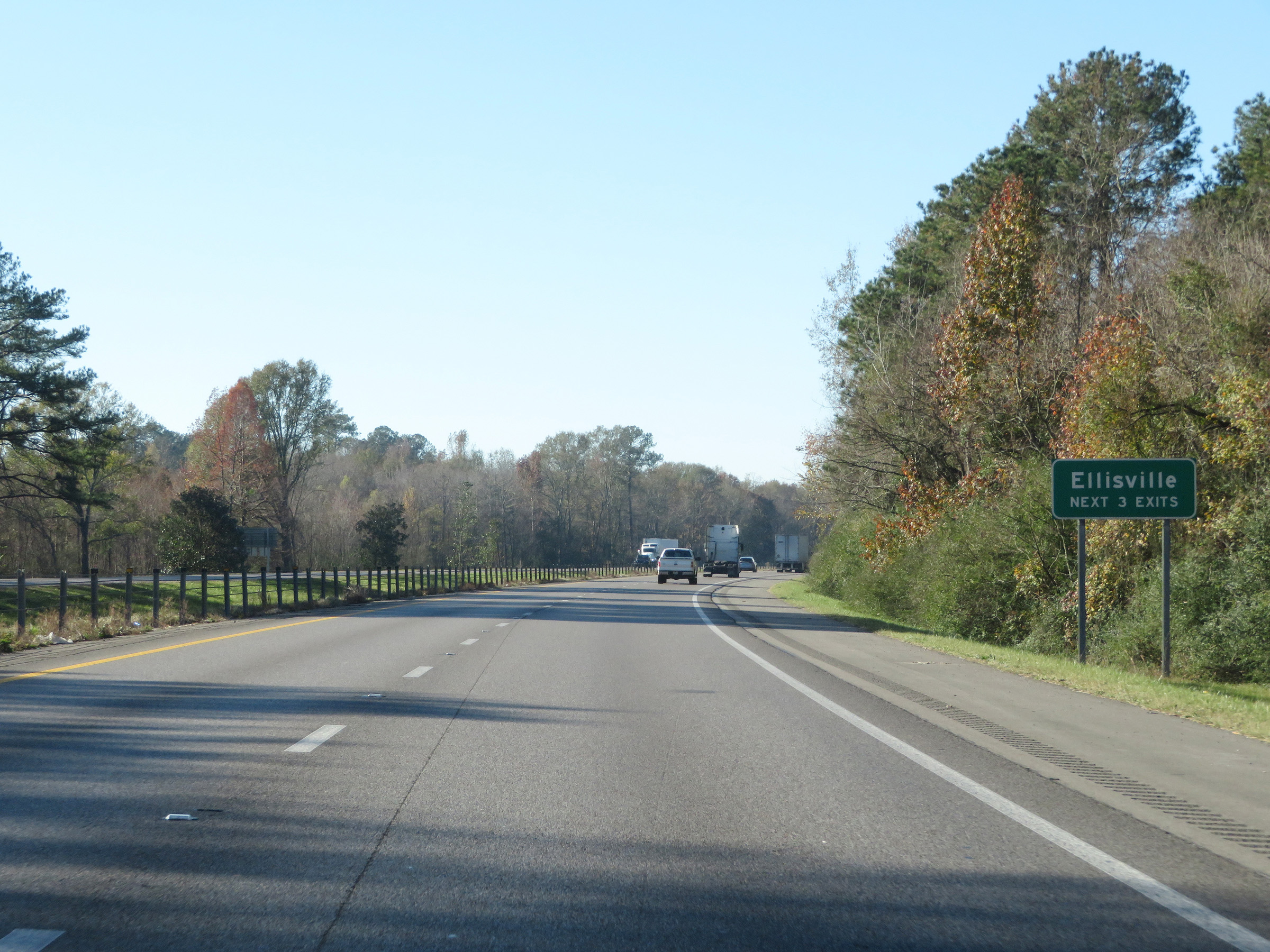 |
Take any of the next 3 exits to Ellisville. (Photo taken 12/9/20). |
 |
Interstate 59 South at Exit 90: US 11 - Ellisville Blvd (Photo taken 12/9/20). |
 |
State-named Interstate 59 South reassurance shield. (Photo taken 12/9/20). |
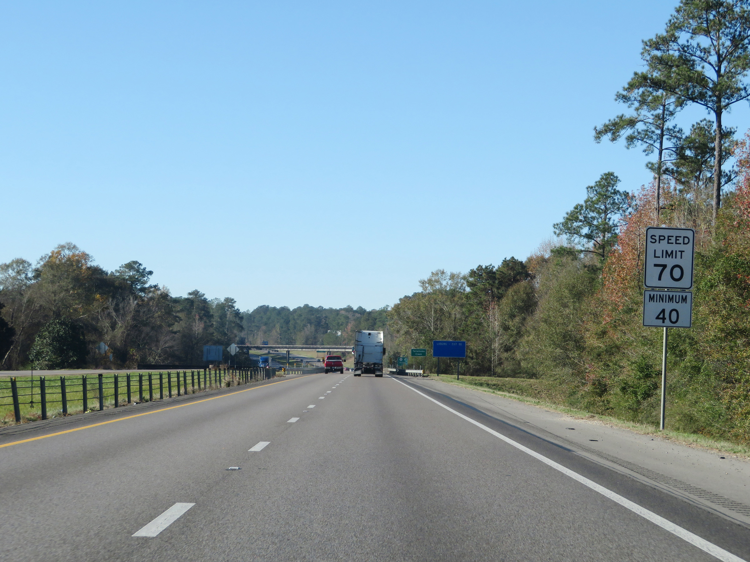 |
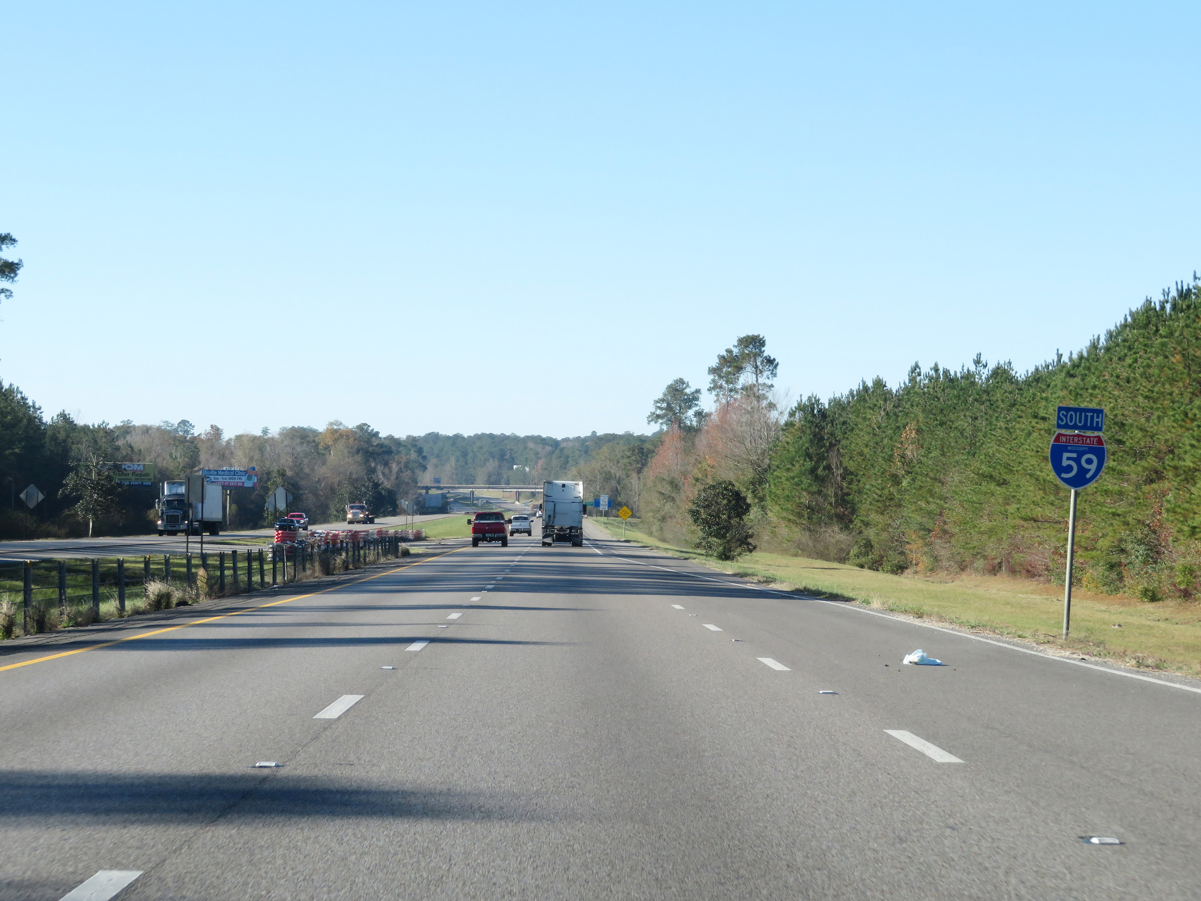
The speed limits remain 70 mph maximum and 40 mph minimum. These are the standard speed limits on most rural Interstate highways in Mississippi. (Photo taken 12/9/20). |
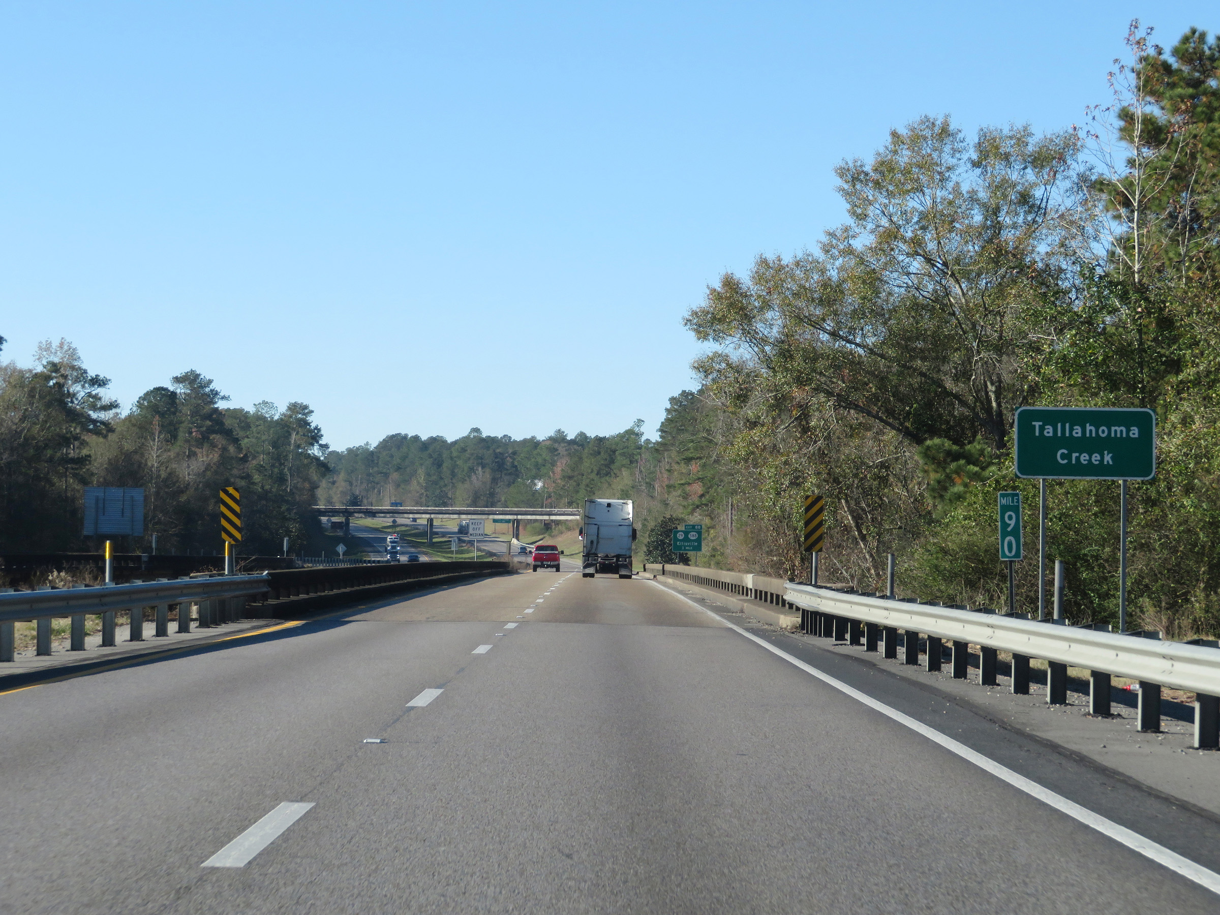 |
View on Interstate 59 South at mile marker 90. (Photo taken 12/9/20). |
 |
Take Exit 88 to Jones County Junior College. (Photo taken 12/9/20). |
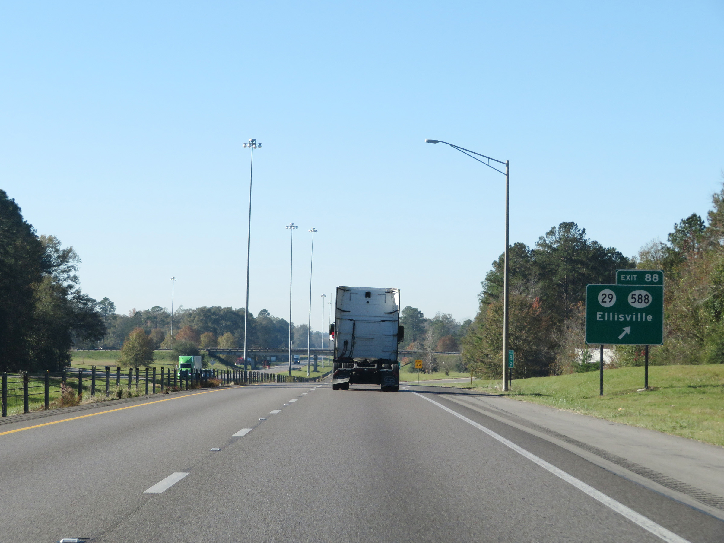 |
Interstate 59 South at Exit 88: MS 29 / MS 588 - Ellisville (Photo taken 12/9/20). |
 |
View on Interstate 59 South at mile marker 87. (Photo taken 12/9/20). |
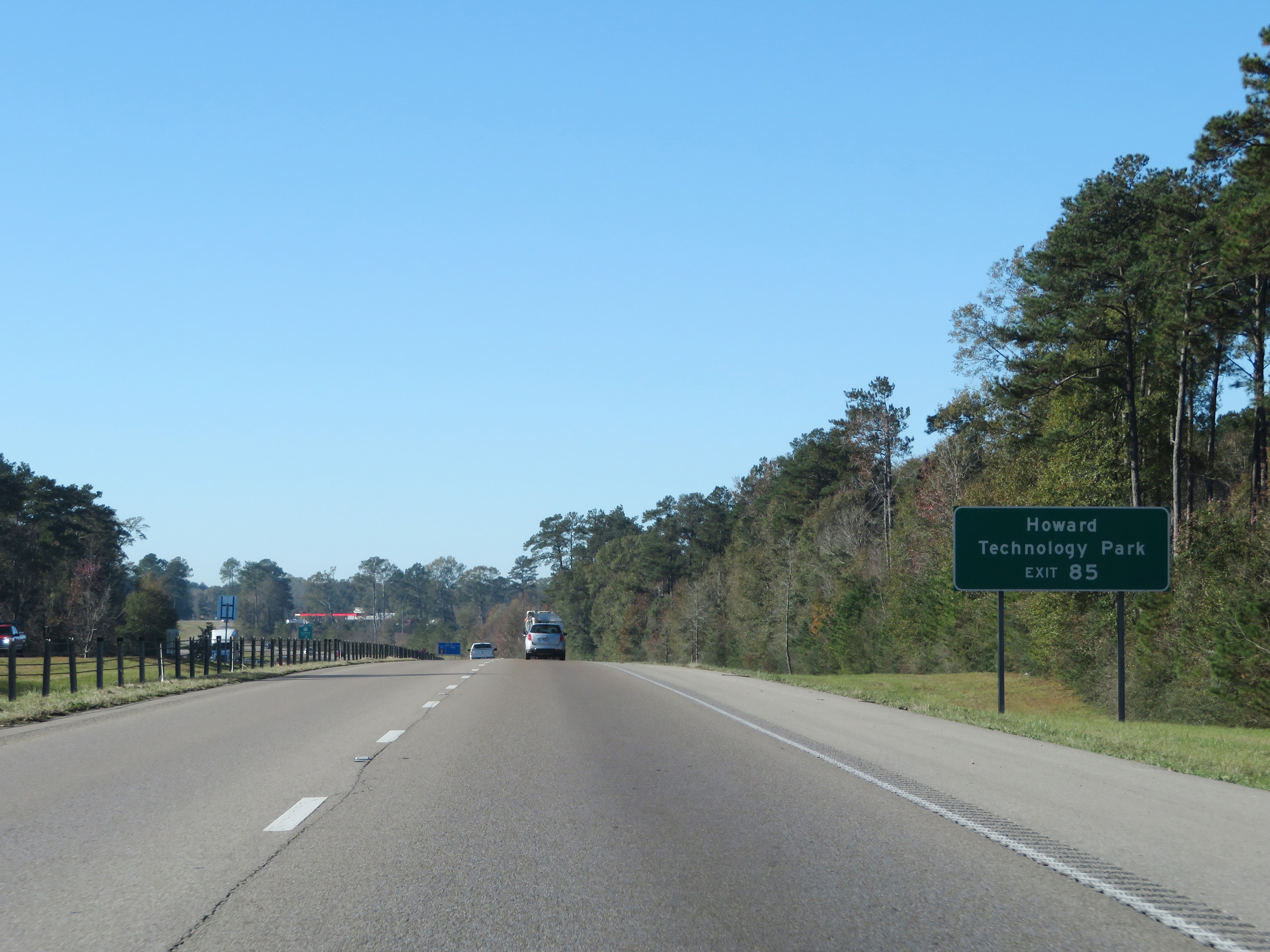 |
Take Exit 85 to Howard Technology Park. (Photo taken 12/9/20). |
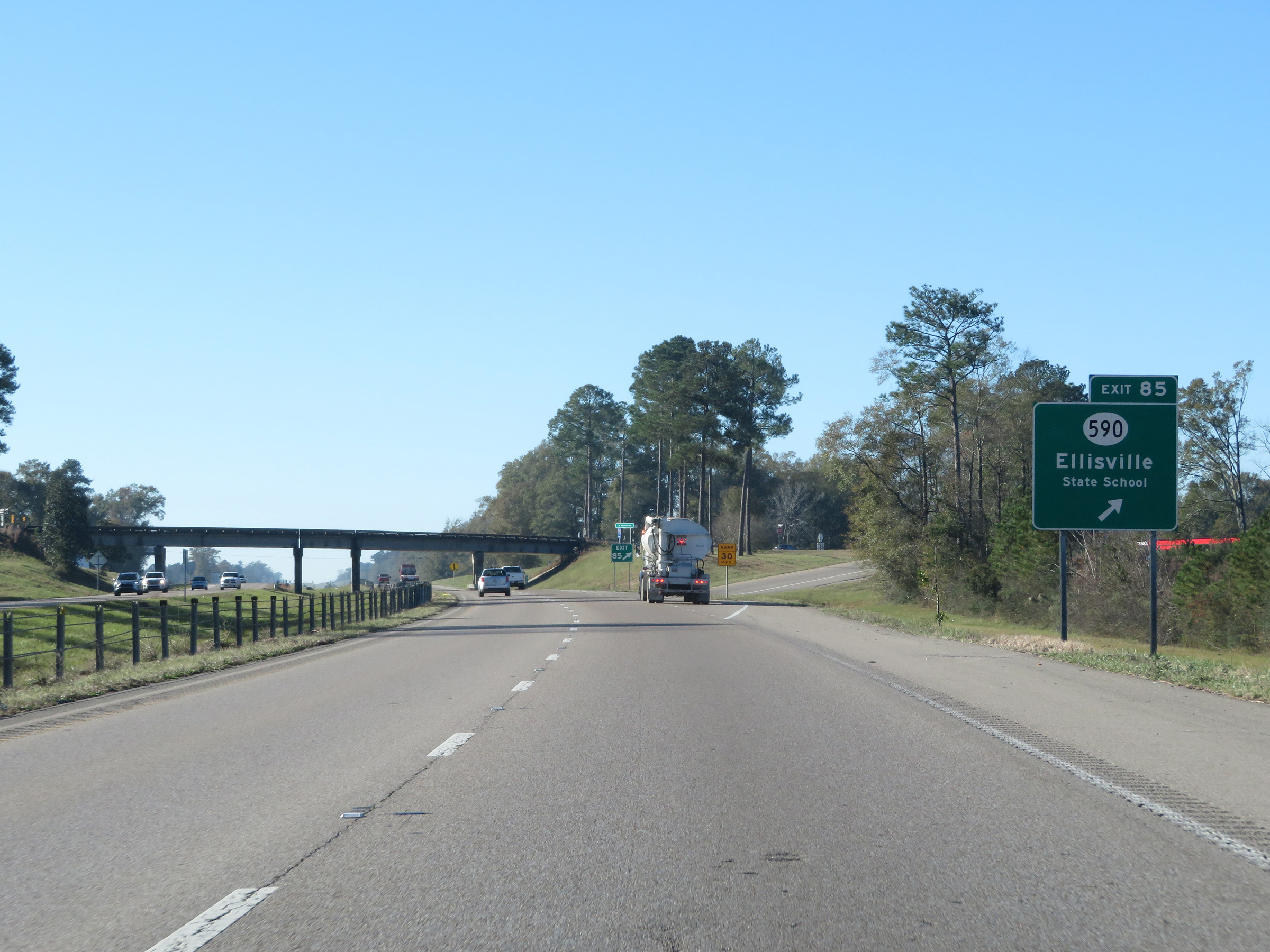 |
Interstate 59 South at Exit 85: MS 590 - Ellisville (Photo taken 12/9/20). |
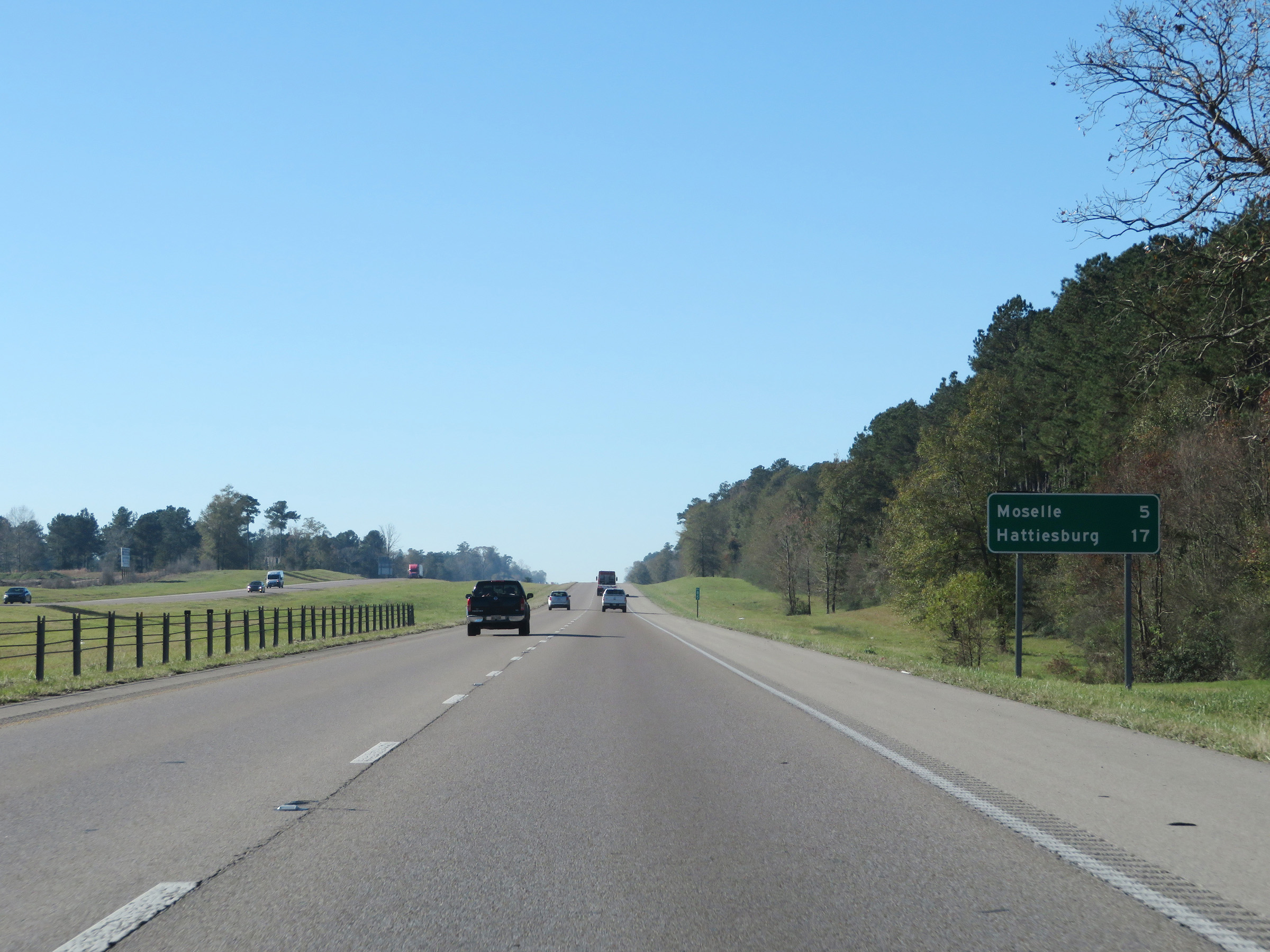 |
Mileage sign at mile marker 85. It's 5 miles to Moselle and 17 miles to Hattiesburg. (Photo taken 12/9/20). |
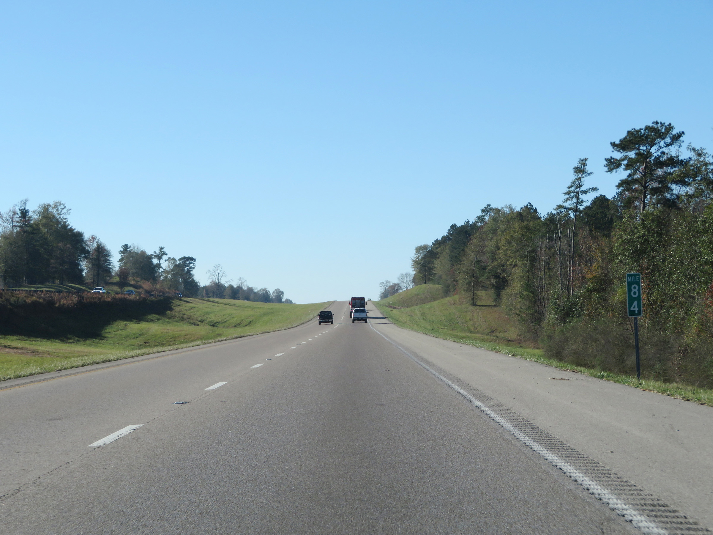 |
View on Interstate 59 South at mile marker 84. (Photo taken 12/9/20). |
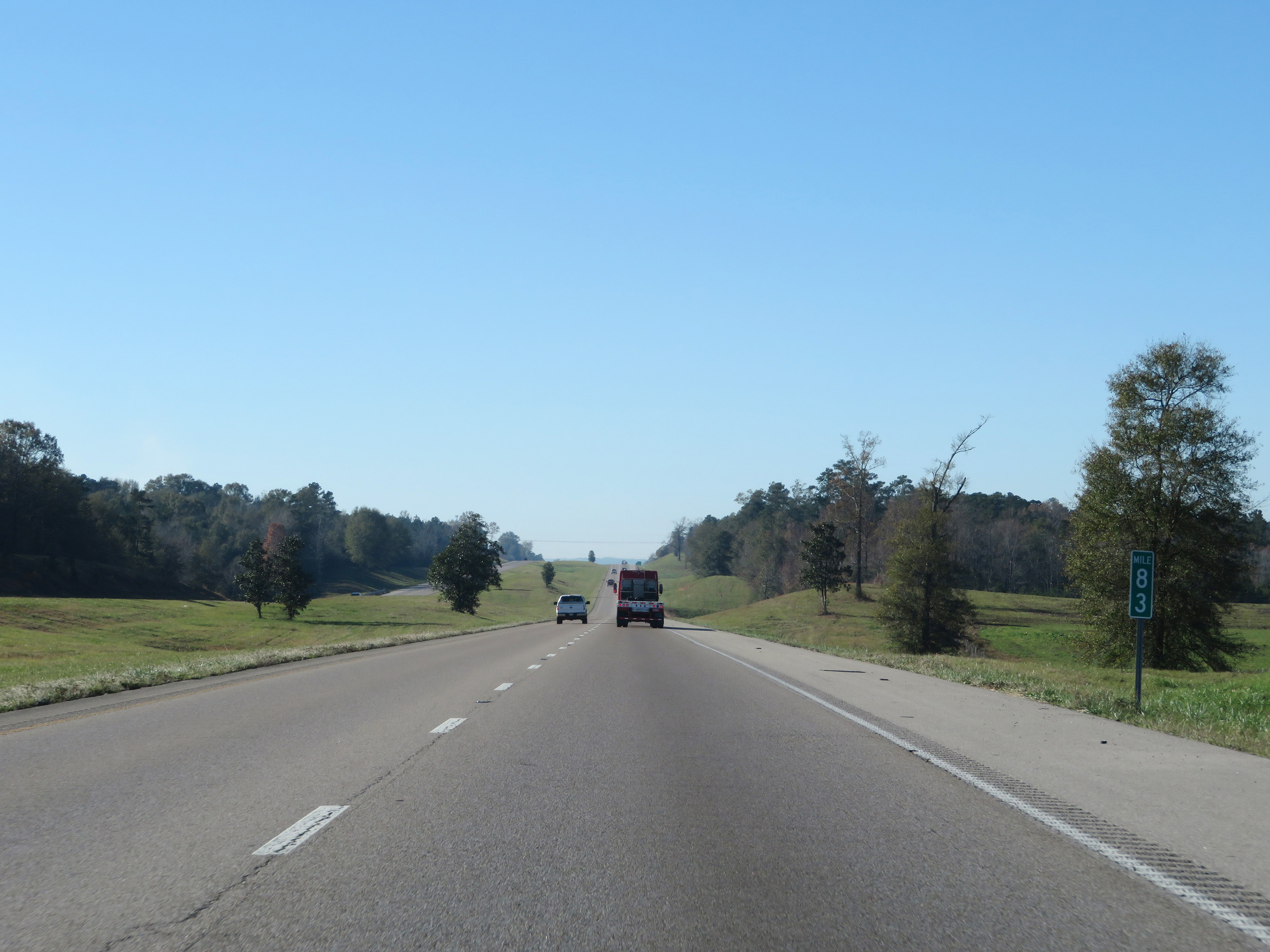 |
Interstate 59 South at mile marker 83. (Photo taken 12/9/20). |
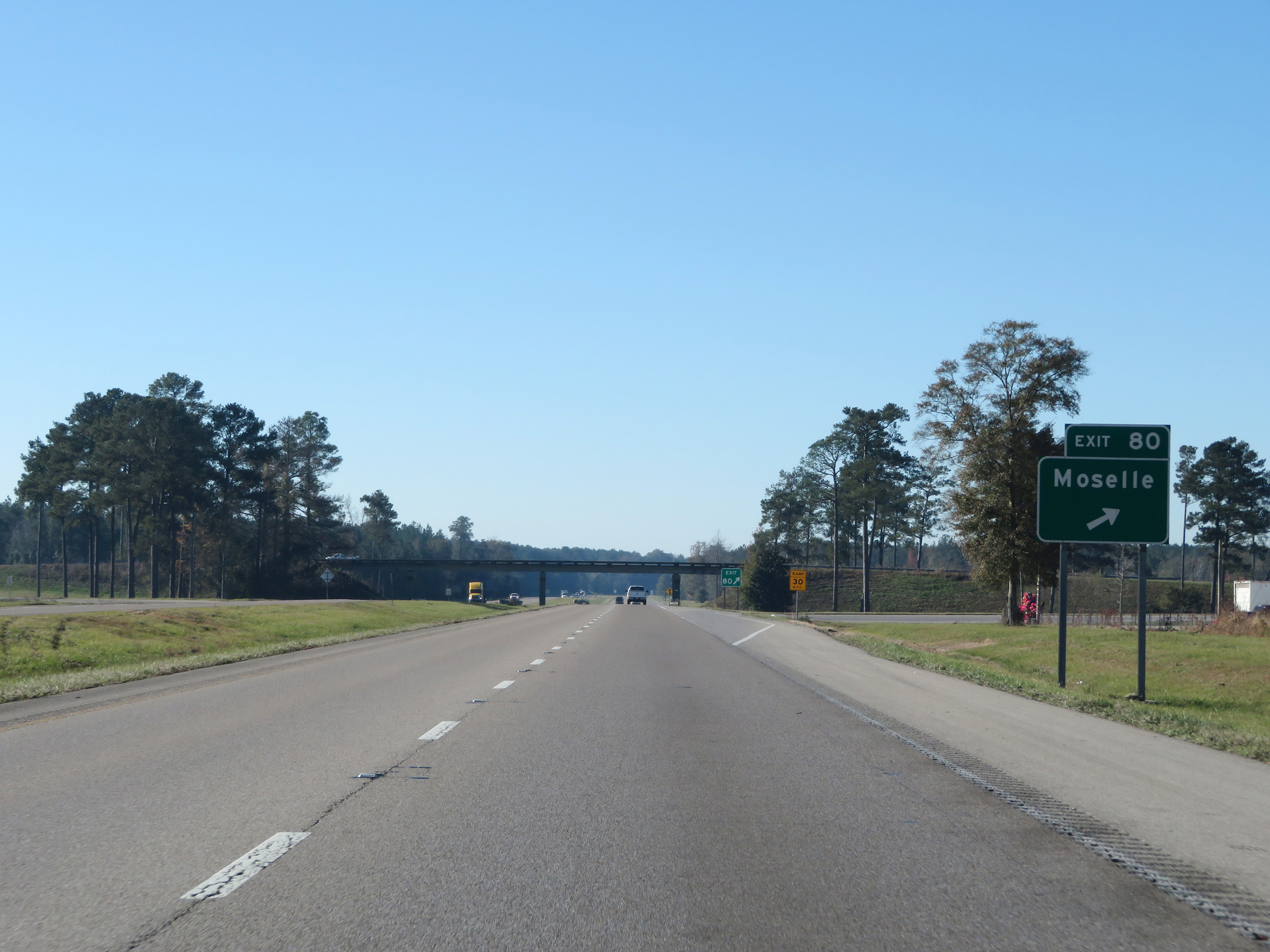 |
Interstate 59 South at Exit 80: Moselle (Photo taken 12/9/20). |
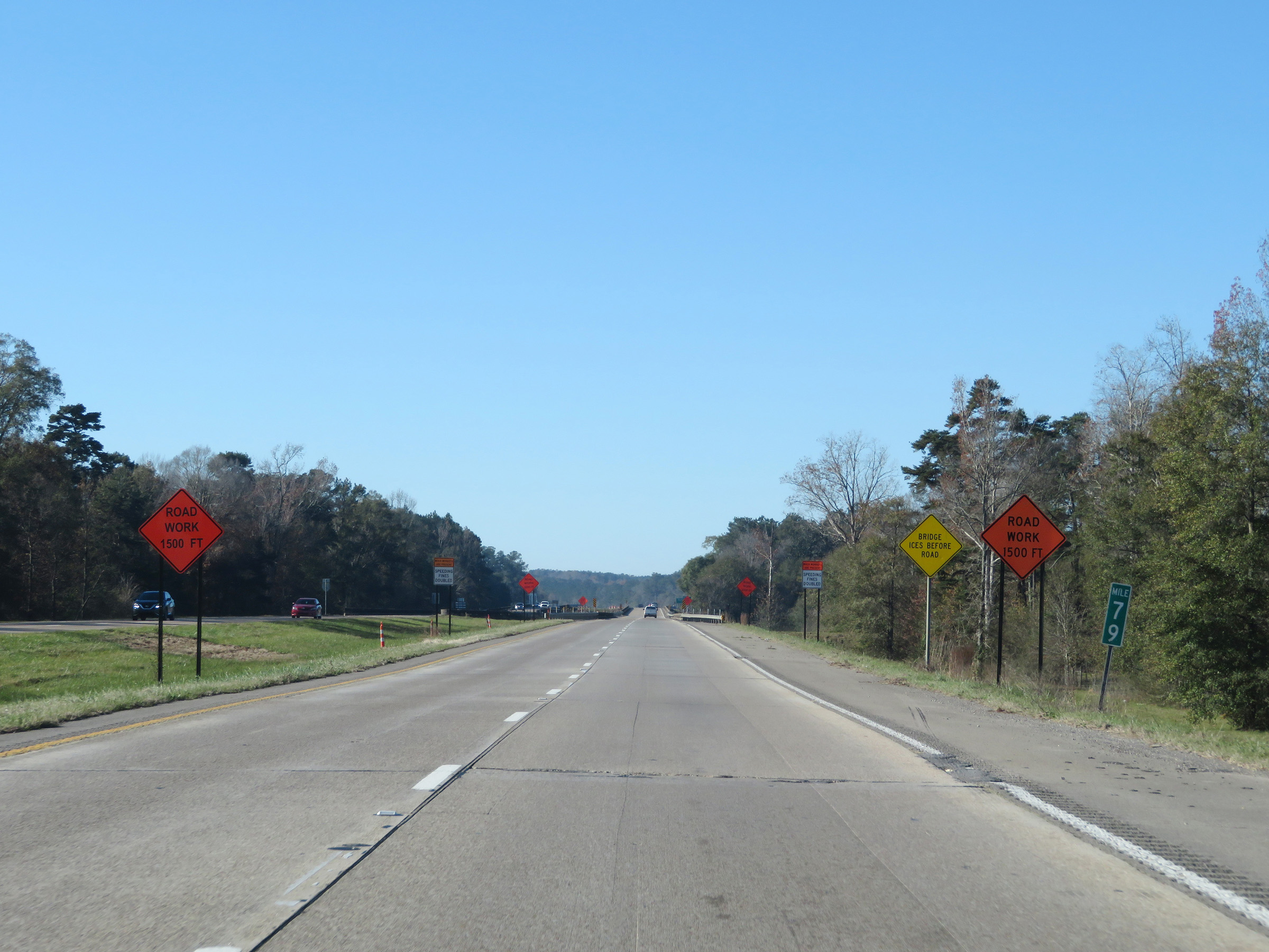 |
View on Interstate 59 South at mile marker 79. (Photo taken 12/9/20). |
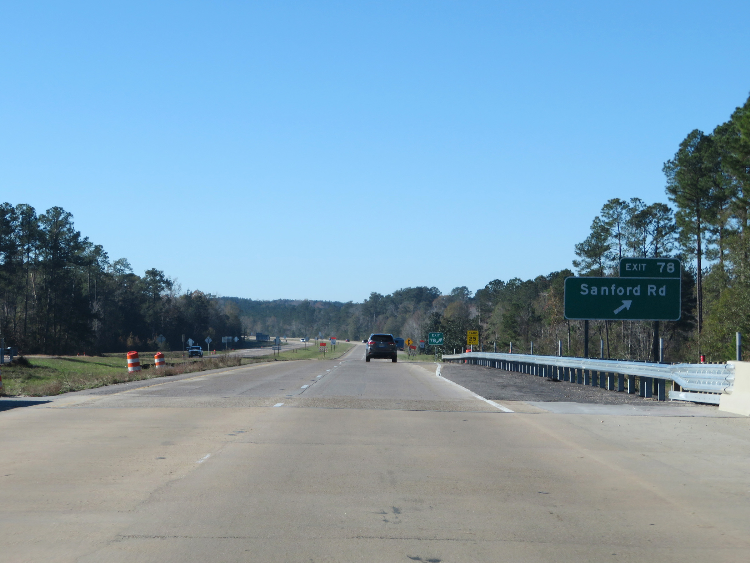 |
Interstate 59 South at Exit 78: Sanford Rd (Photo taken 12/9/20). |
 |
Mile marker 77 on Interstate 59 South in Jones County. (Photo taken 12/9/20). |
 |
Interstate 59 South at Exit 76: Hattiesburg-Laurel Regional Airport (Photo taken 12/9/20). |
 |
Interstate 59 South at Exit 73: Monroe Rd (Photo taken 12/9/20). |
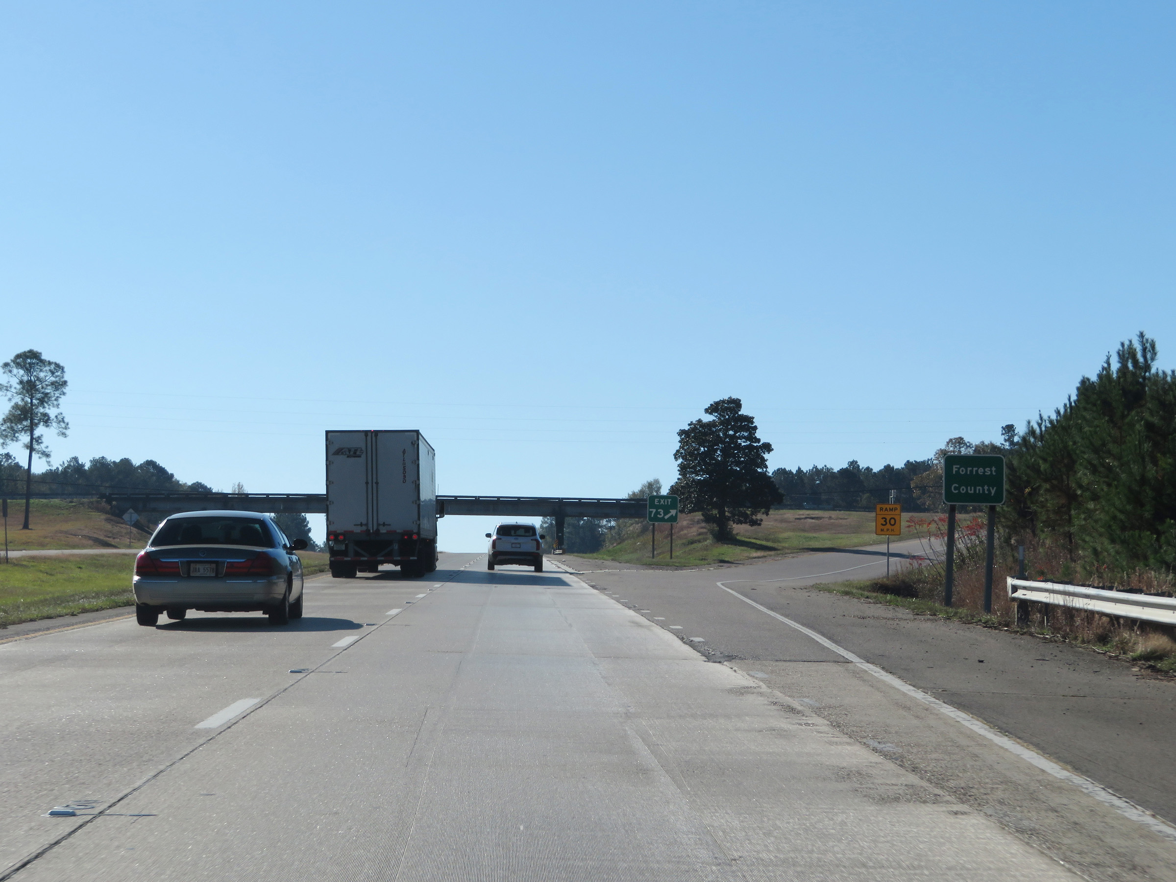 |
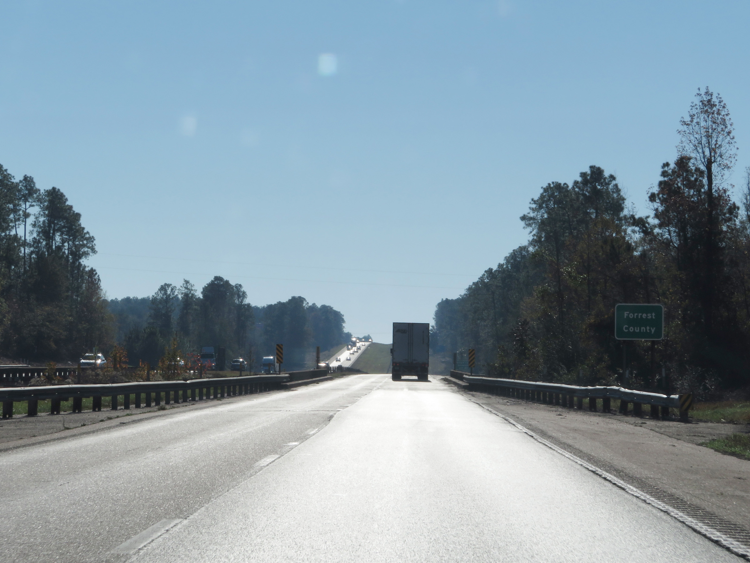
At Exit 73, Interstate 59 South enters Forrest County. (Photo taken 12/9/20). |
 |
The speed limits remain 70 mph maximum and 40 mph minimum on Interstate 59 South. (Photo taken 12/9/20). |
 |
Interstate 59 South approaching Exit 69 - 1 mile. (Photo taken 12/9/20). |
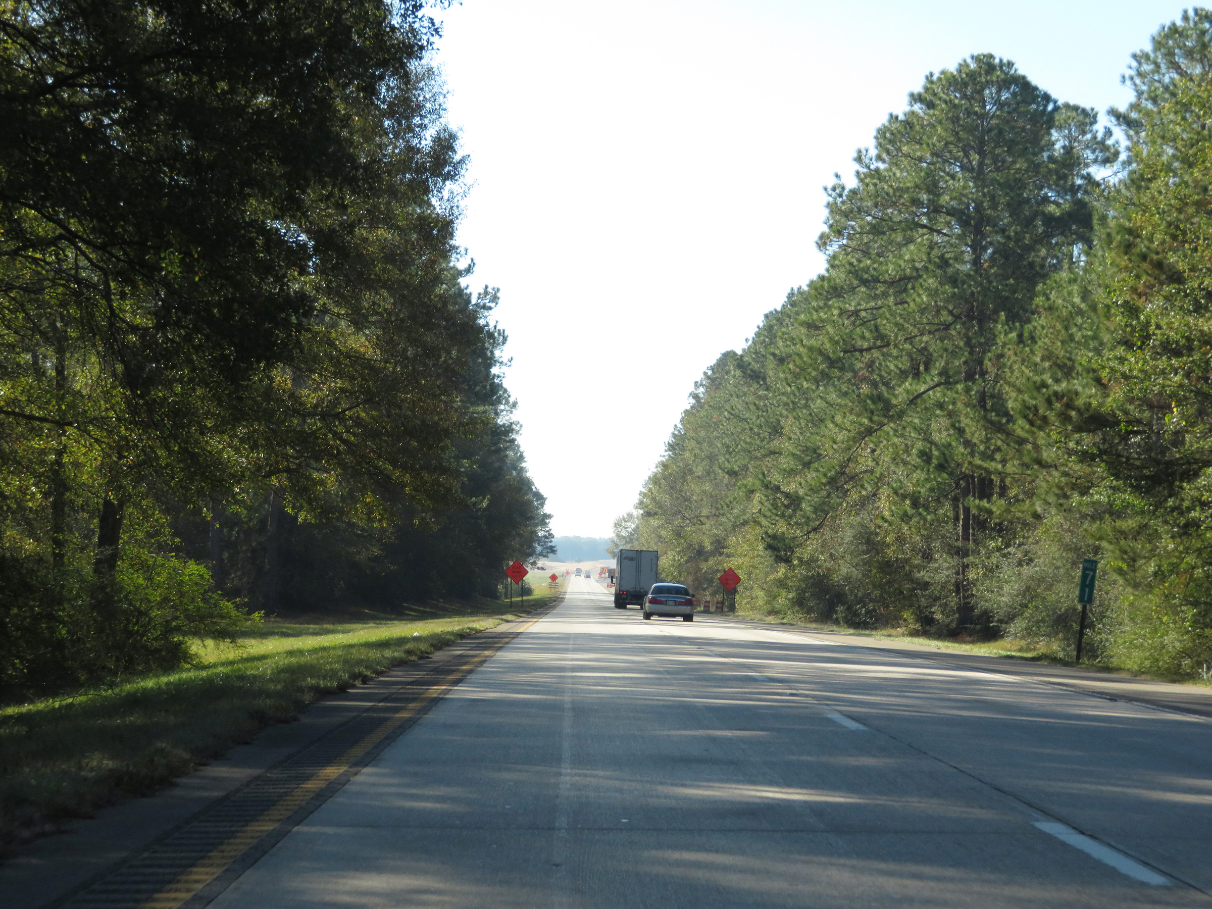 |
View on Interstate 59 South at mile marker 71. (Photo taken 12/9/20). |
 |
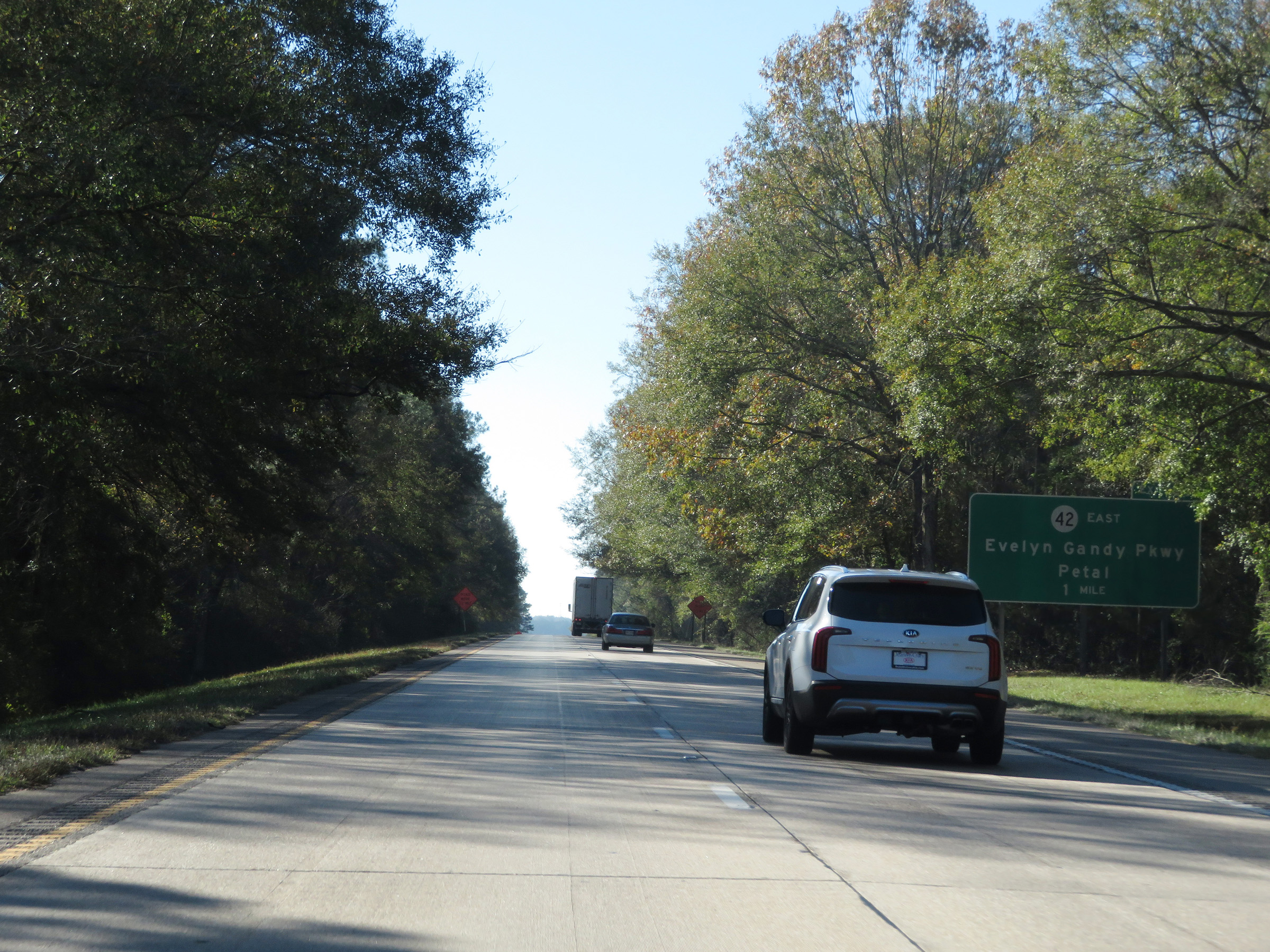
Take Exit 69 to Glendale and Eatonville. (Photo taken 12/9/20). |
 |
Interstate 59 South at Exit 69: MS 42 East - Evelyn Gandy Pkwy / Petal (Photo taken 12/9/20). |
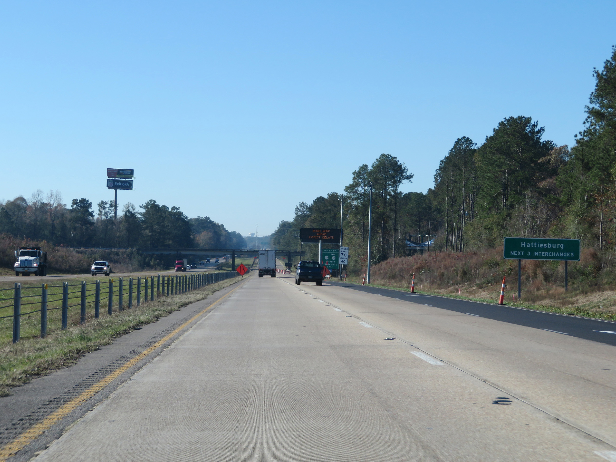 |
Take any of the next 3 exits to Hattiesburg. (Photo taken 12/9/20). |
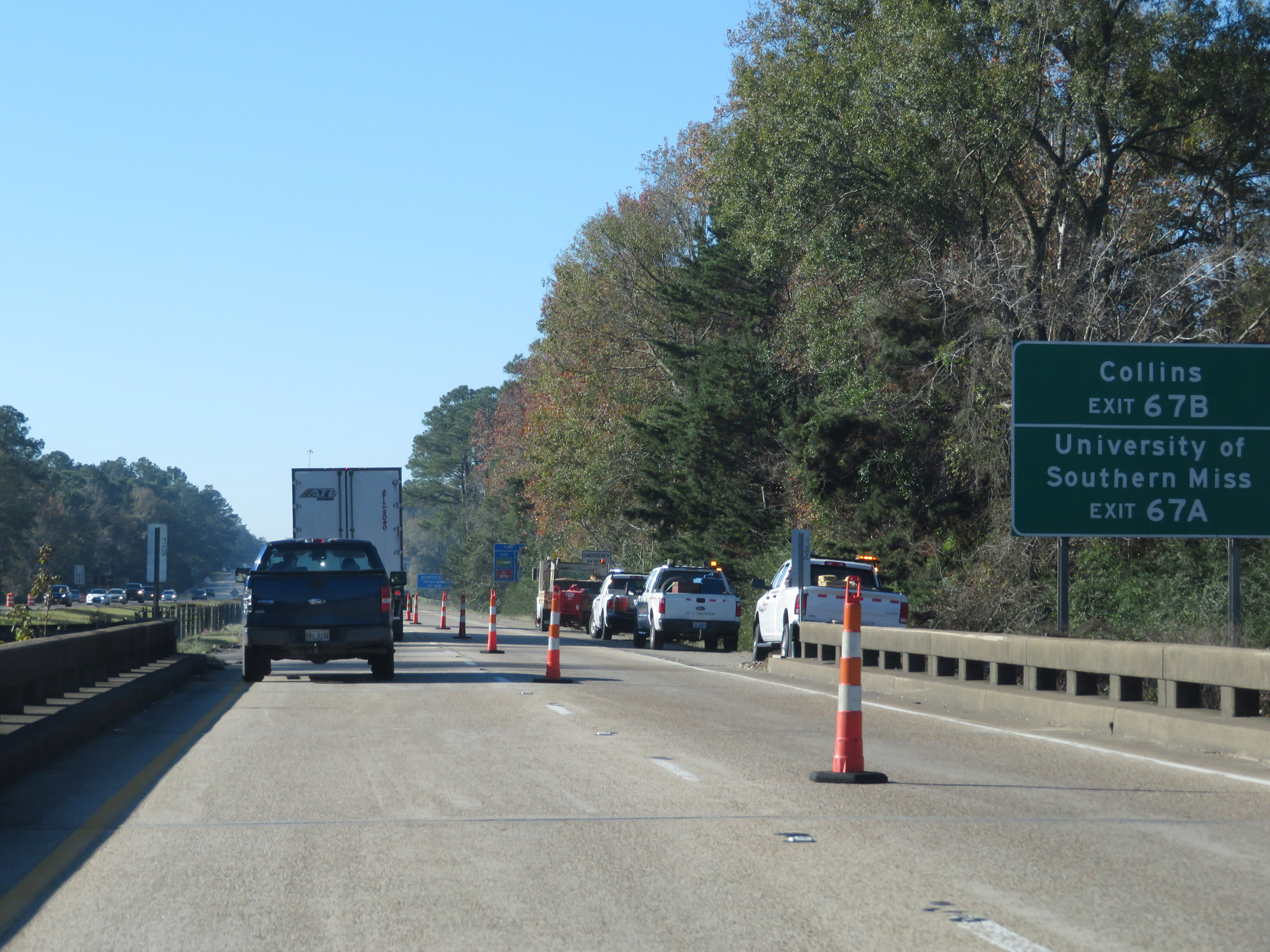 |
Take Exit 67B to Collins. Take Exit 67A to the University of Southern Mississippi. (Photo taken 12/9/20). |
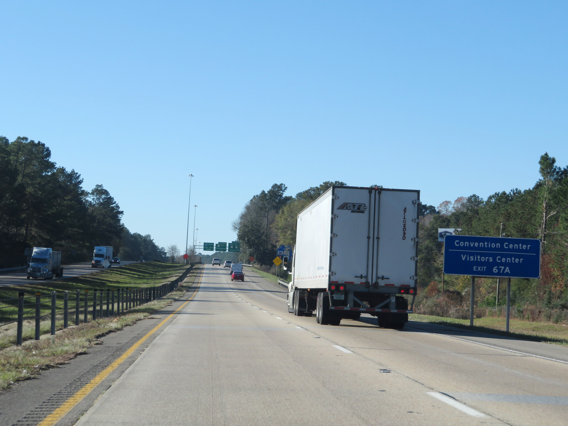 |
Also take Exit 67A to the Convention Center and Visitors Center. (Photo taken 12/9/20). |
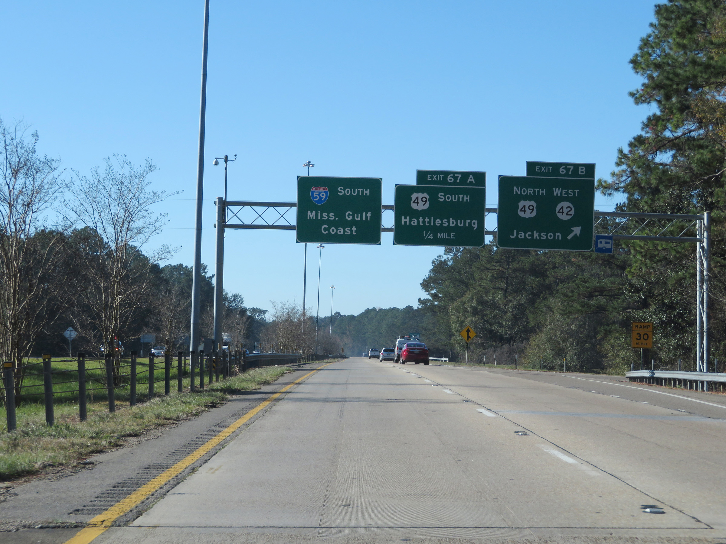 |
Interstate 59 South at Exit 67B: US 49 North / MS 42 West - Jackson (Photo taken 12/9/20). |
 |
Interstate 59 South at Exit 67A: US 49 South - Hattiesburg (Photo taken 12/9/20). |
 |
State-named Interstate 59 South reassurance shield. (Photo taken 12/9/20). |
 |
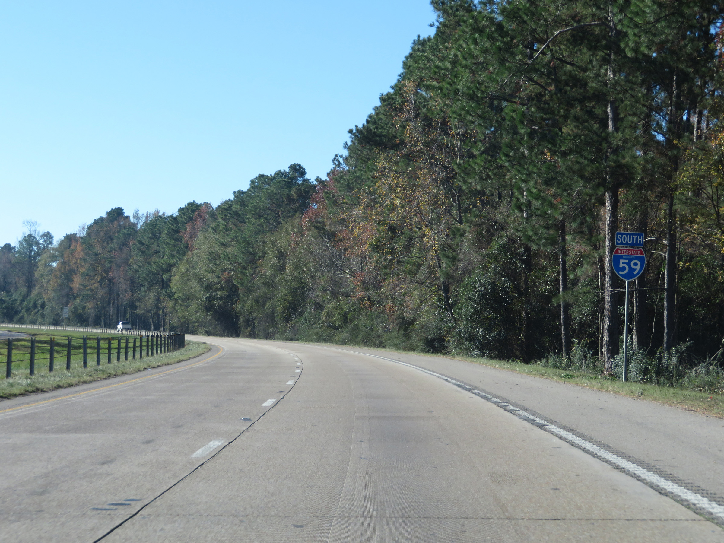
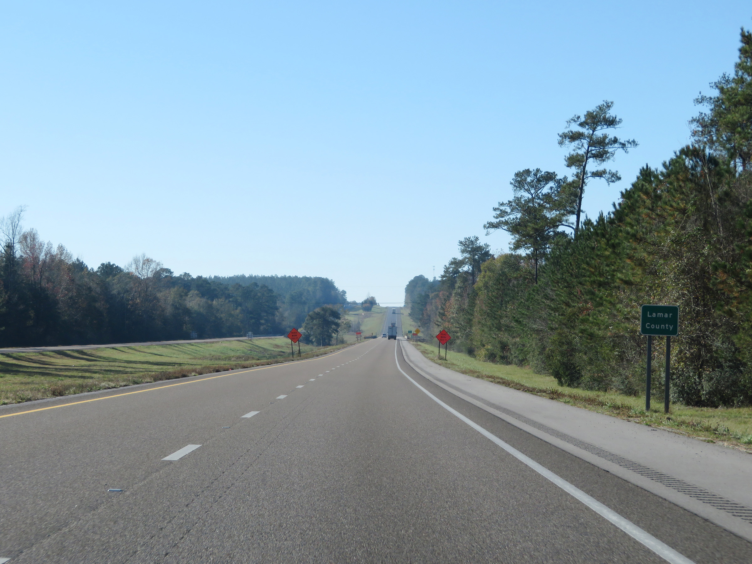
Interstate 59 South as it enters Lamar County for the first time. (Photo taken 12/9/20). |
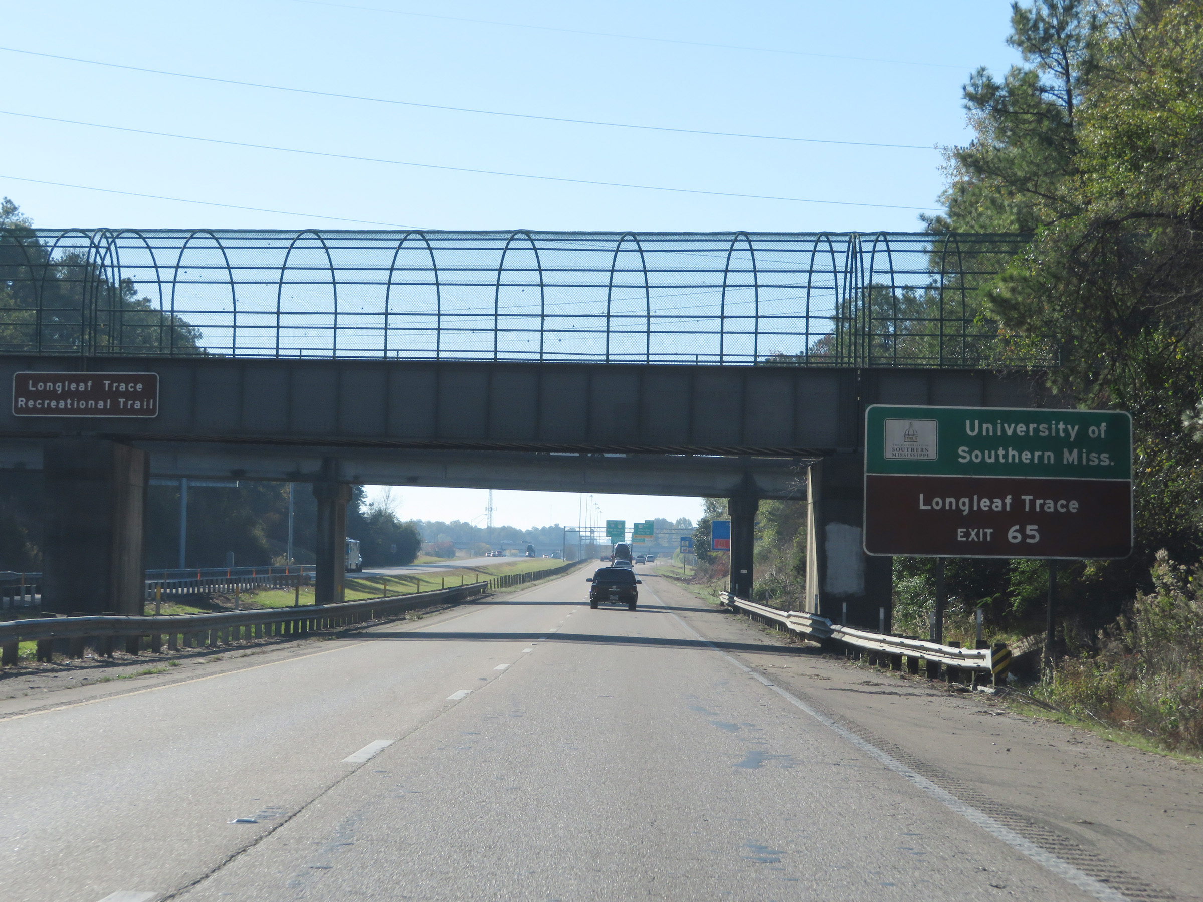 |
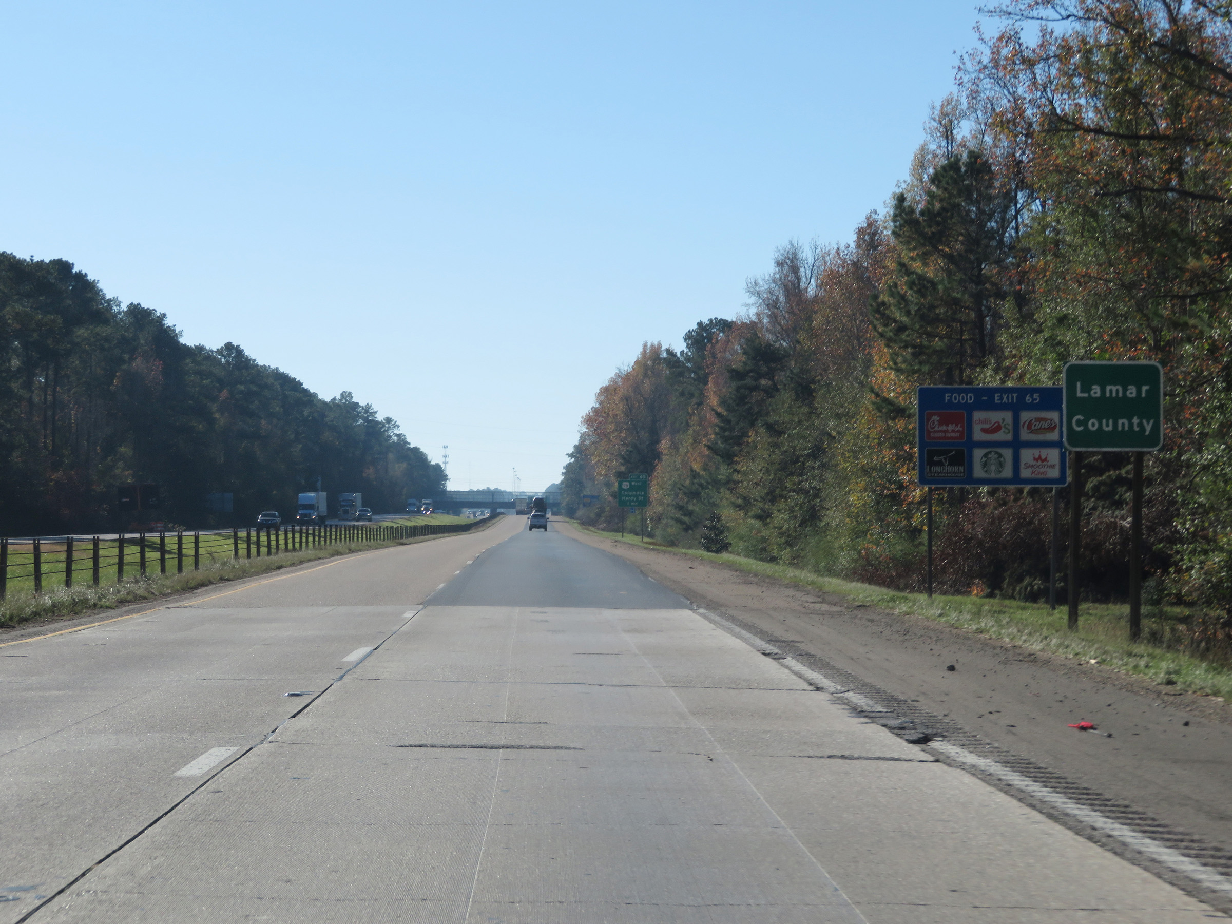
Take Exit 65 to the University of Southern Mississippi and Longleaf Trace. (Photo taken 12/9/20). |
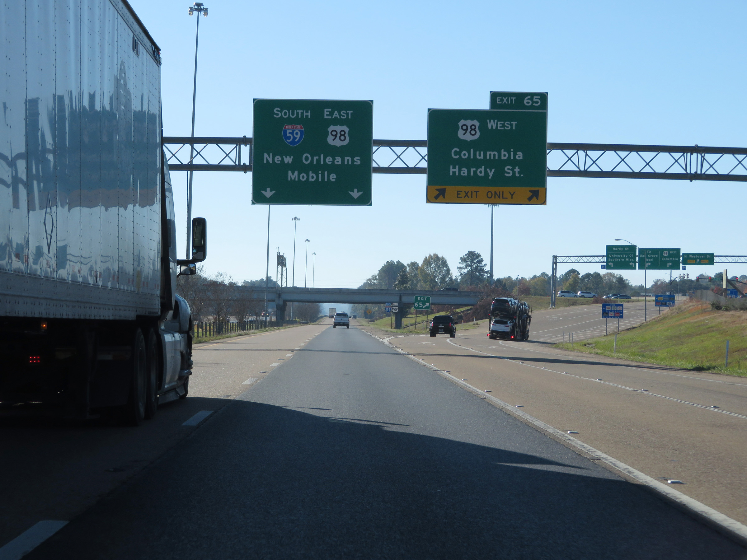 |
Interstate 59 South at Exit 65: US 98 West - Columbia / Hardy St (Photo taken 12/9/20). |
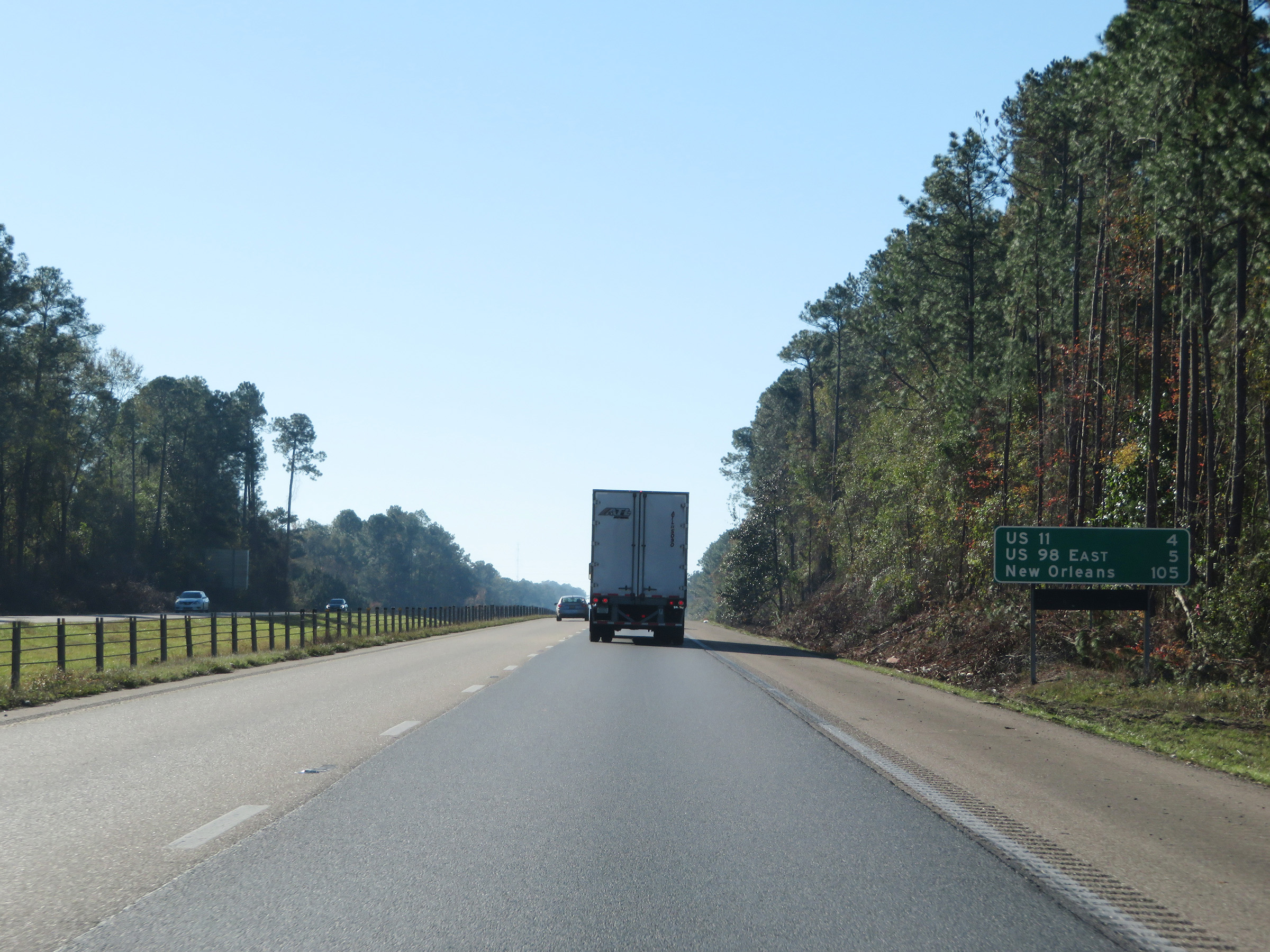 |
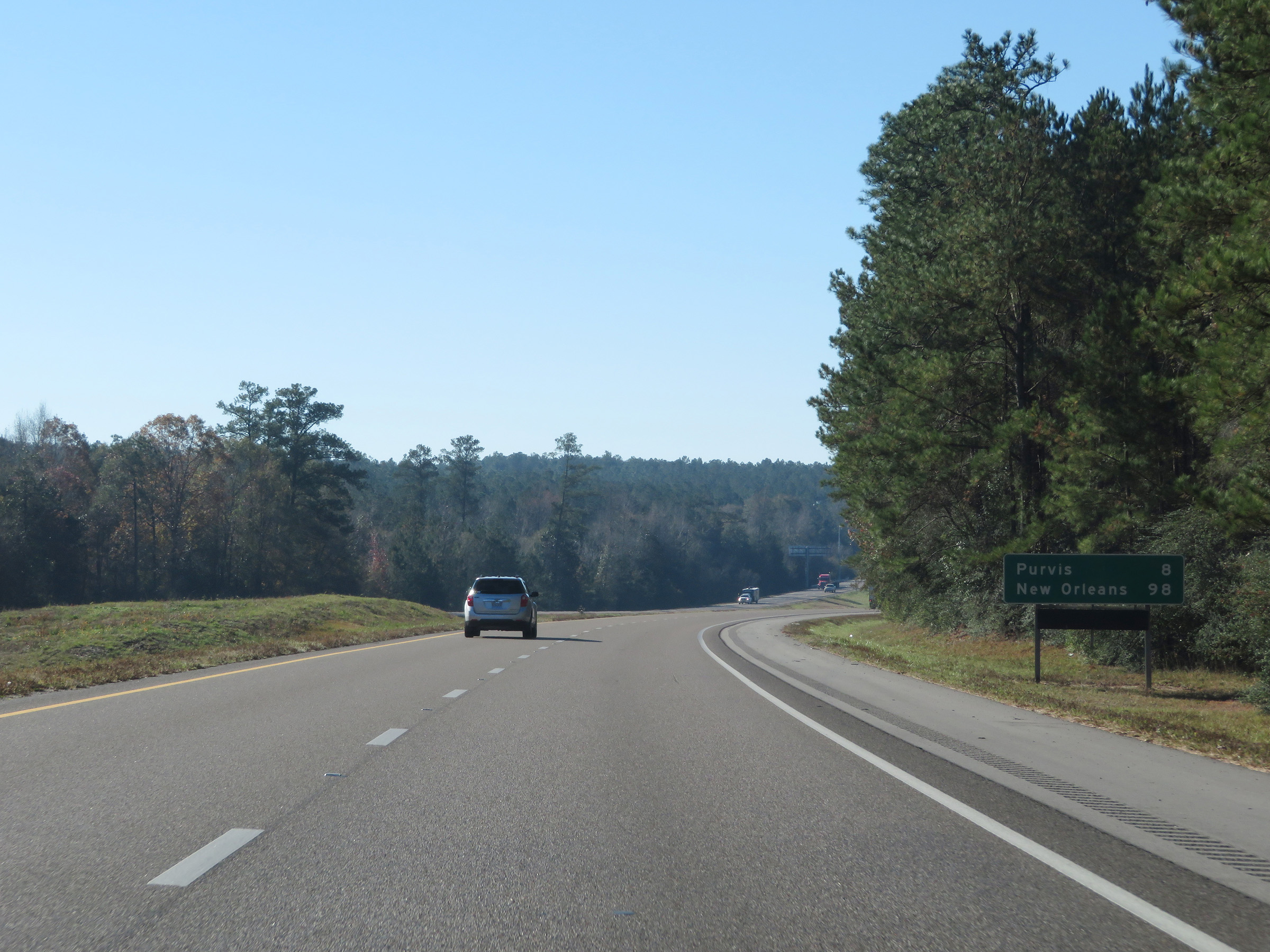
Another mileage sign on Interstate 59 South. It's 4 miles to the junction of US 11, 5 miles to the junction of US 98 East, and 105 miles to New Orleans. (Photo taken 12/9/20). |
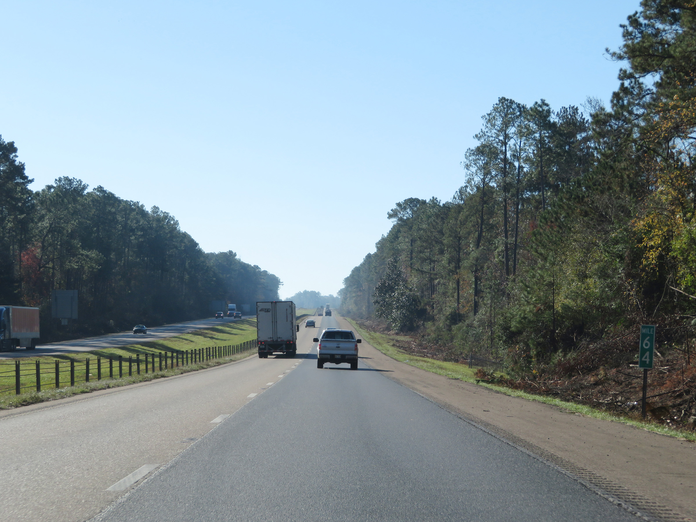 |
View on Interstate 59 South at mile marker 64. (Photo taken 12/9/20). |
 |
Interstate 59 South at mile marker 63. (Photo taken 12/9/20). |
 |
Interstate 59 South as it re-enters Forrest County. (Photo taken 12/9/20). |
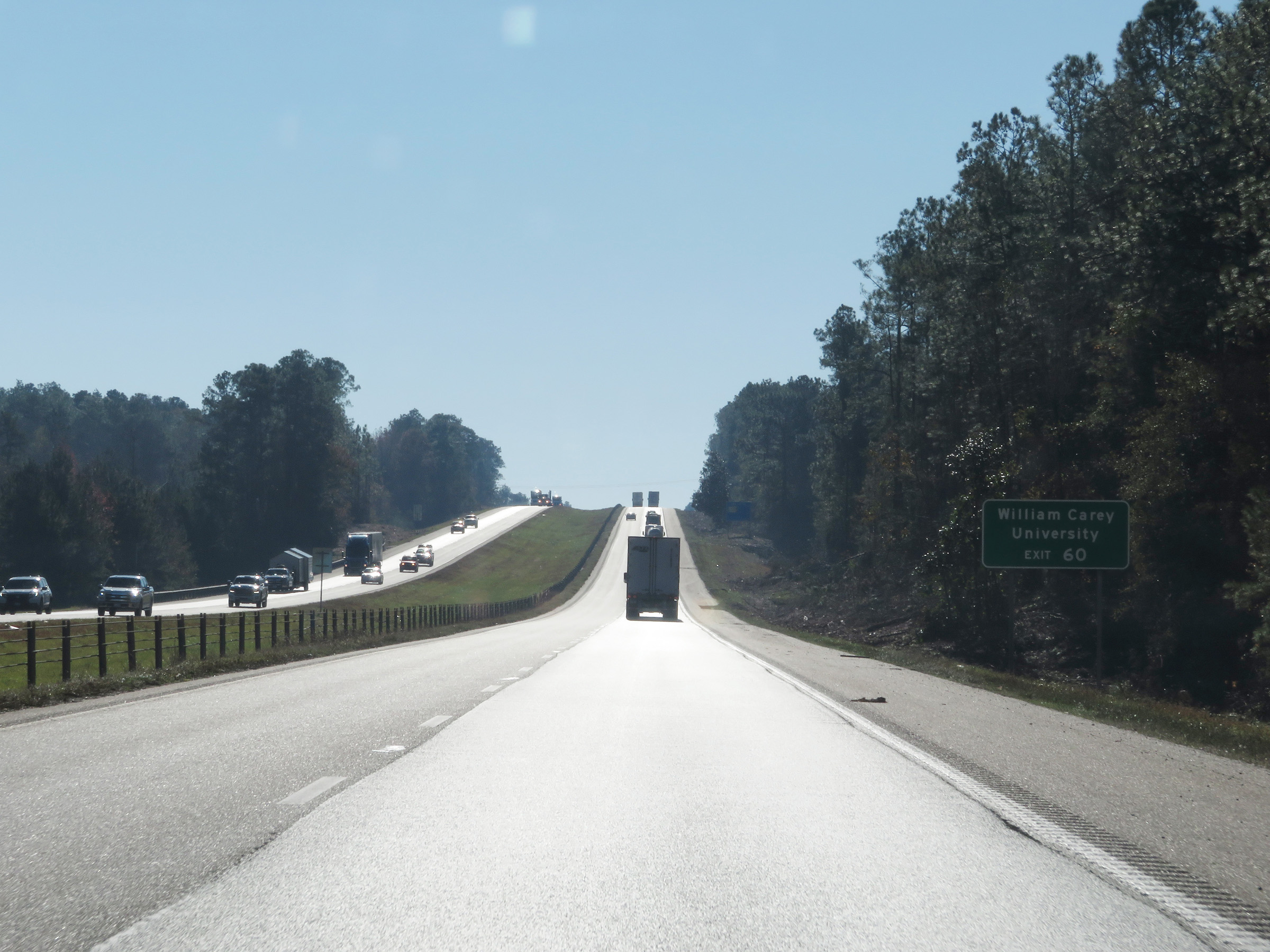 |
Take Exit 60 to William Carey University. (Photo taken 12/9/20). |
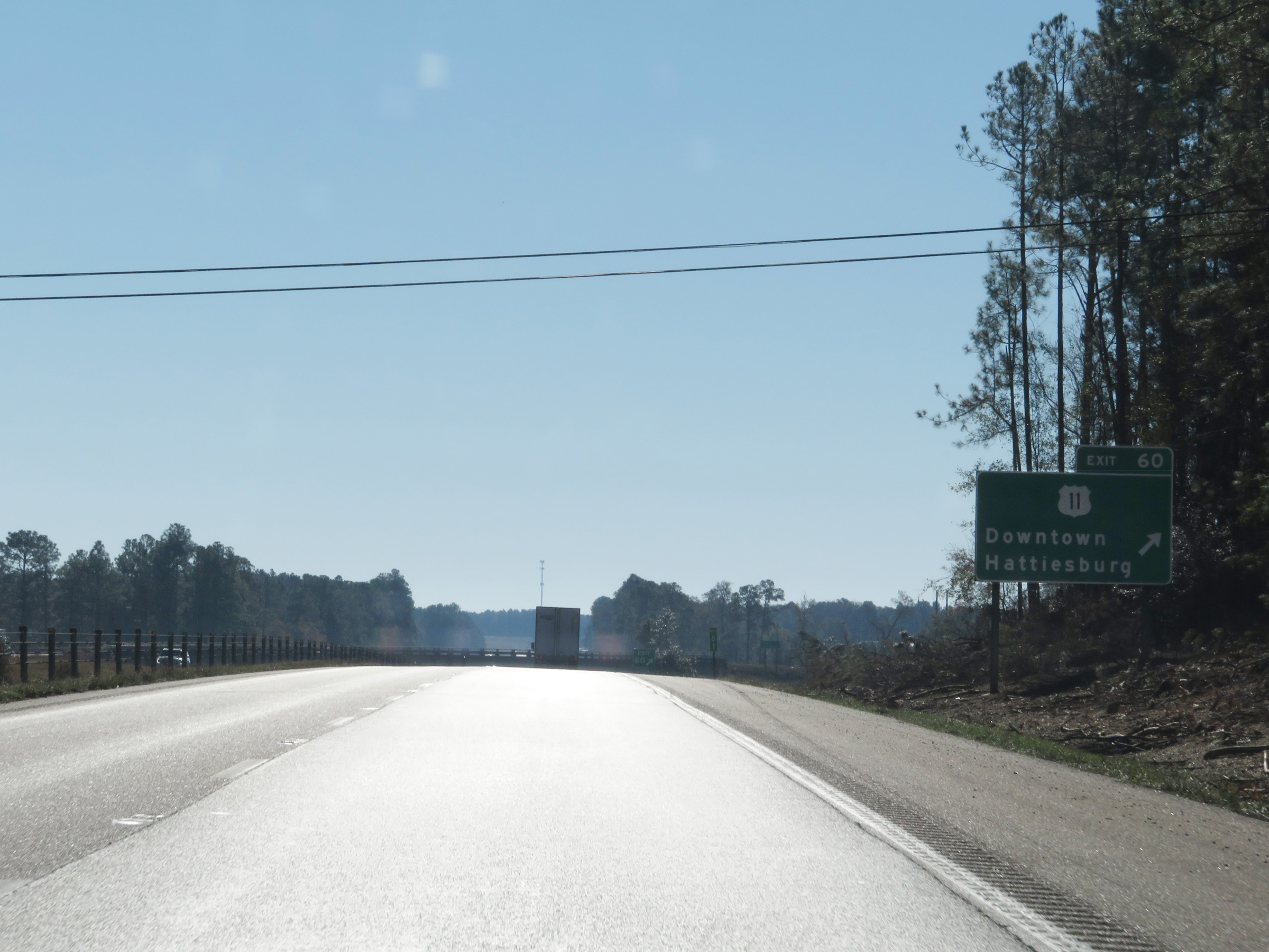 |
Interstate 59 South at Exit 60: US 11 - Downtown Hattiesburg (Photo taken 12/9/20). |
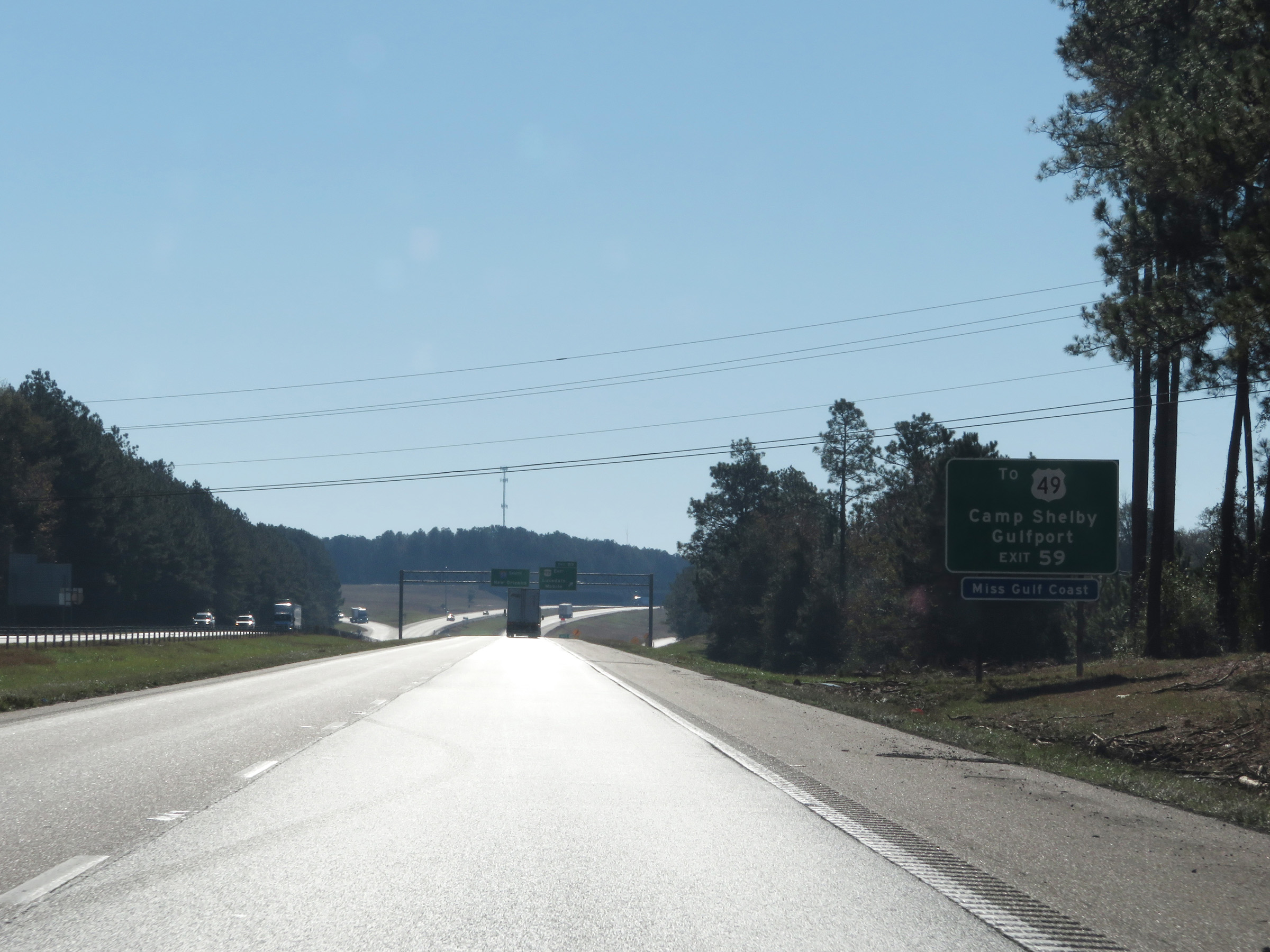 |
Take Exit 59 to US 49 toward Camp Shelby and Gulfport. (Photo taken 12/9/20). |
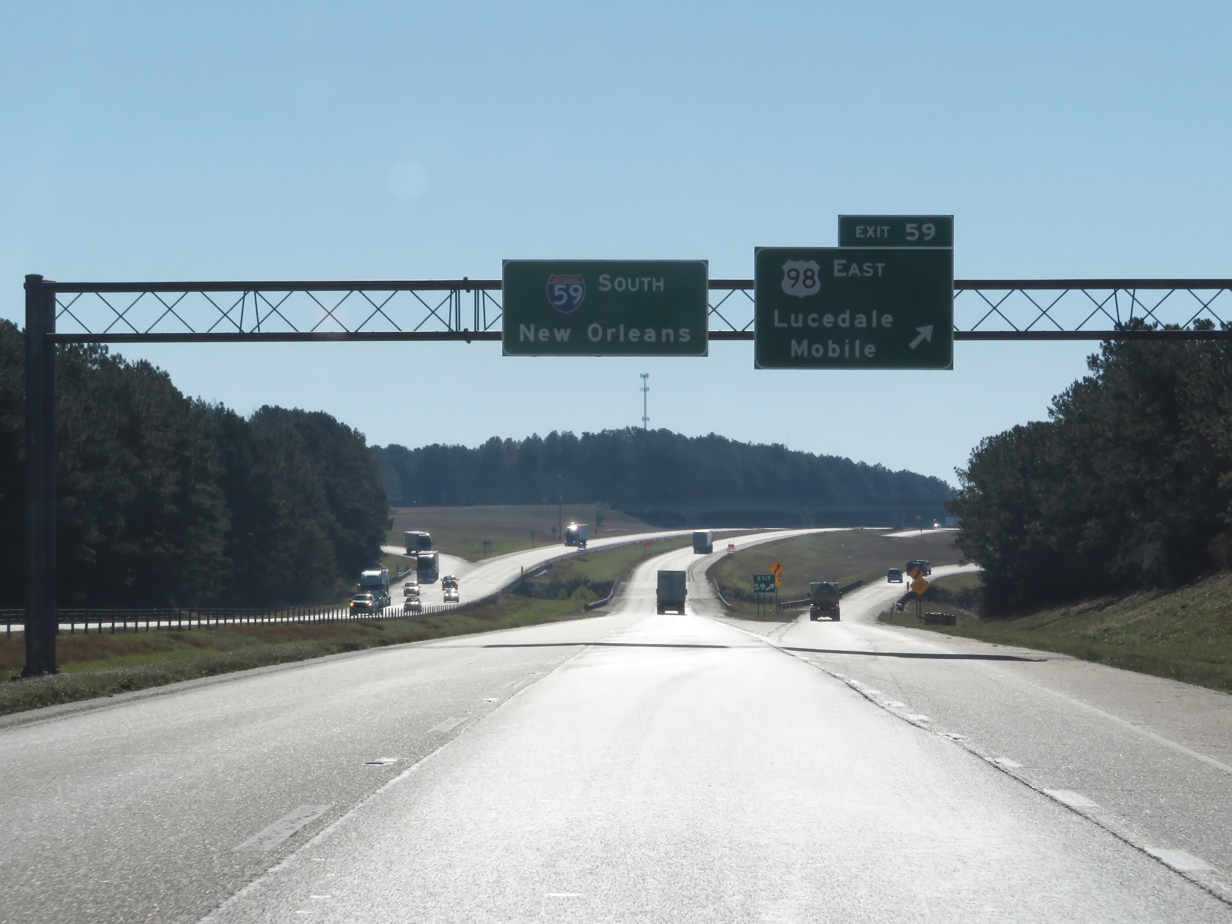 |
Interstate 59 South at Exit 59: US 98 East - Lucedale / Mobile (Photo taken 12/9/20). |
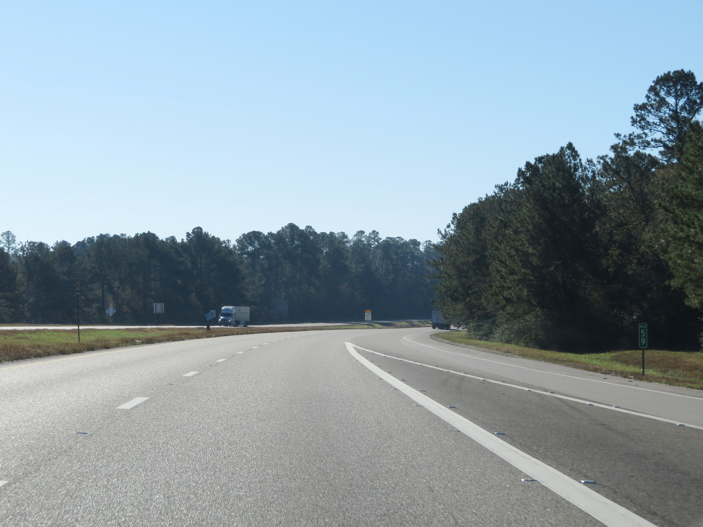 |
View on Interstate 59 South at mile marker 59. (Photo taken 12/9/20). |
 |
Mileage sign on Interstate 59 South. It's 8 miles to Purvis and 98 miles to New Orleans. (Photo taken 12/9/20). |
 |
Interstate 59 South at mile marker 58. (Photo taken 12/9/20). |
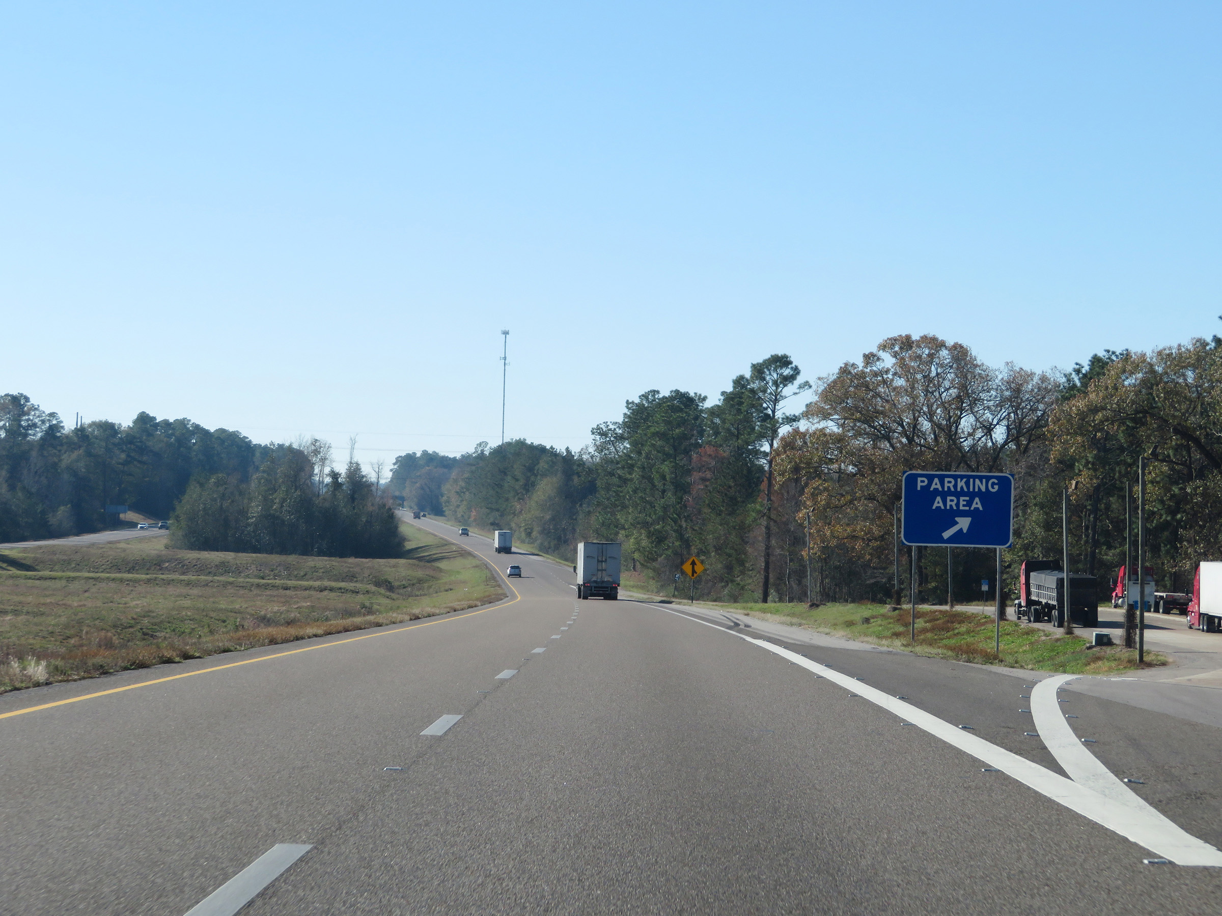 |
Parking Area on Interstate 59 South in Forrest County. (Photo taken 12/9/20). |
 |
Interstate 59 South as it enters Lamar County for the second time. (Photo taken 12/9/20). |
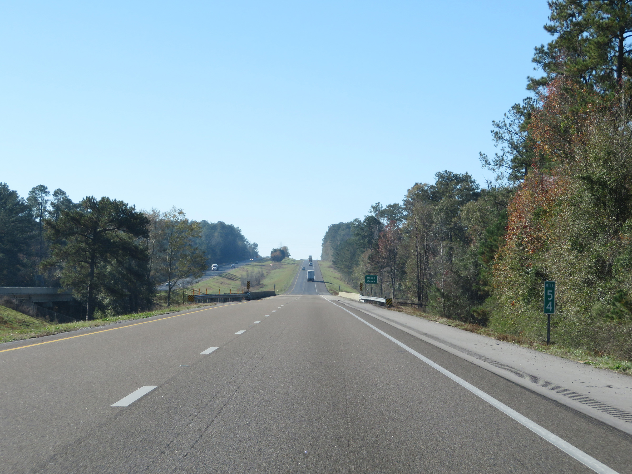 |
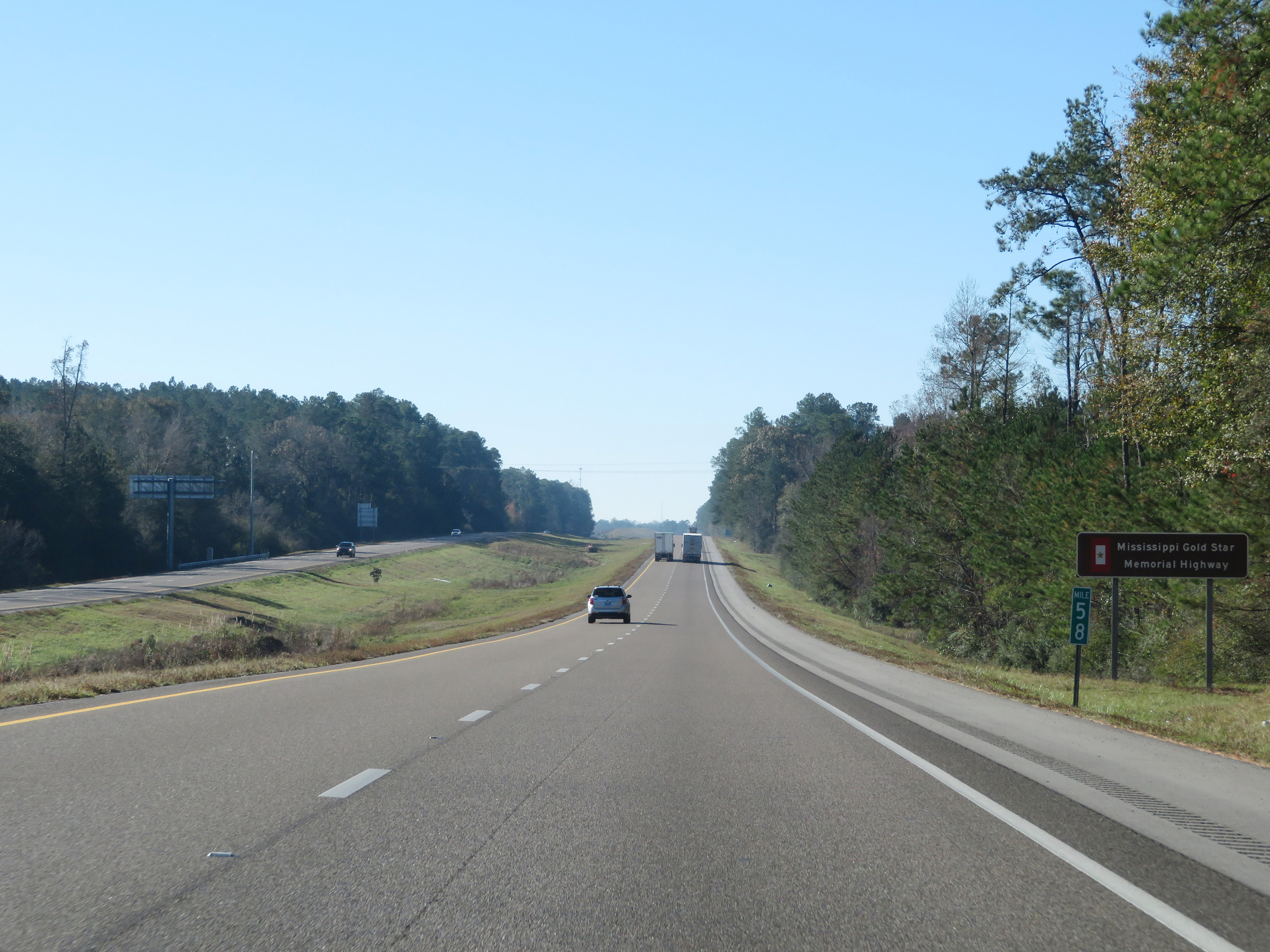
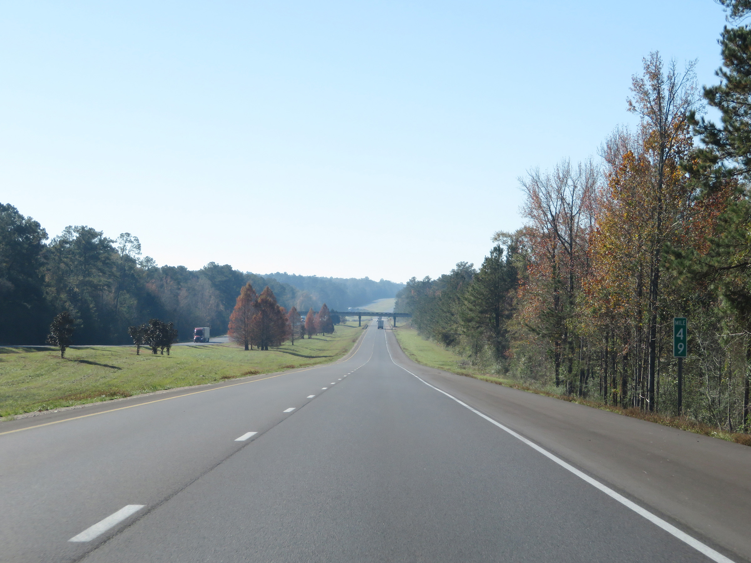
View on Interstate 59 South at mile marker 54. (Photo taken 12/9/20). |
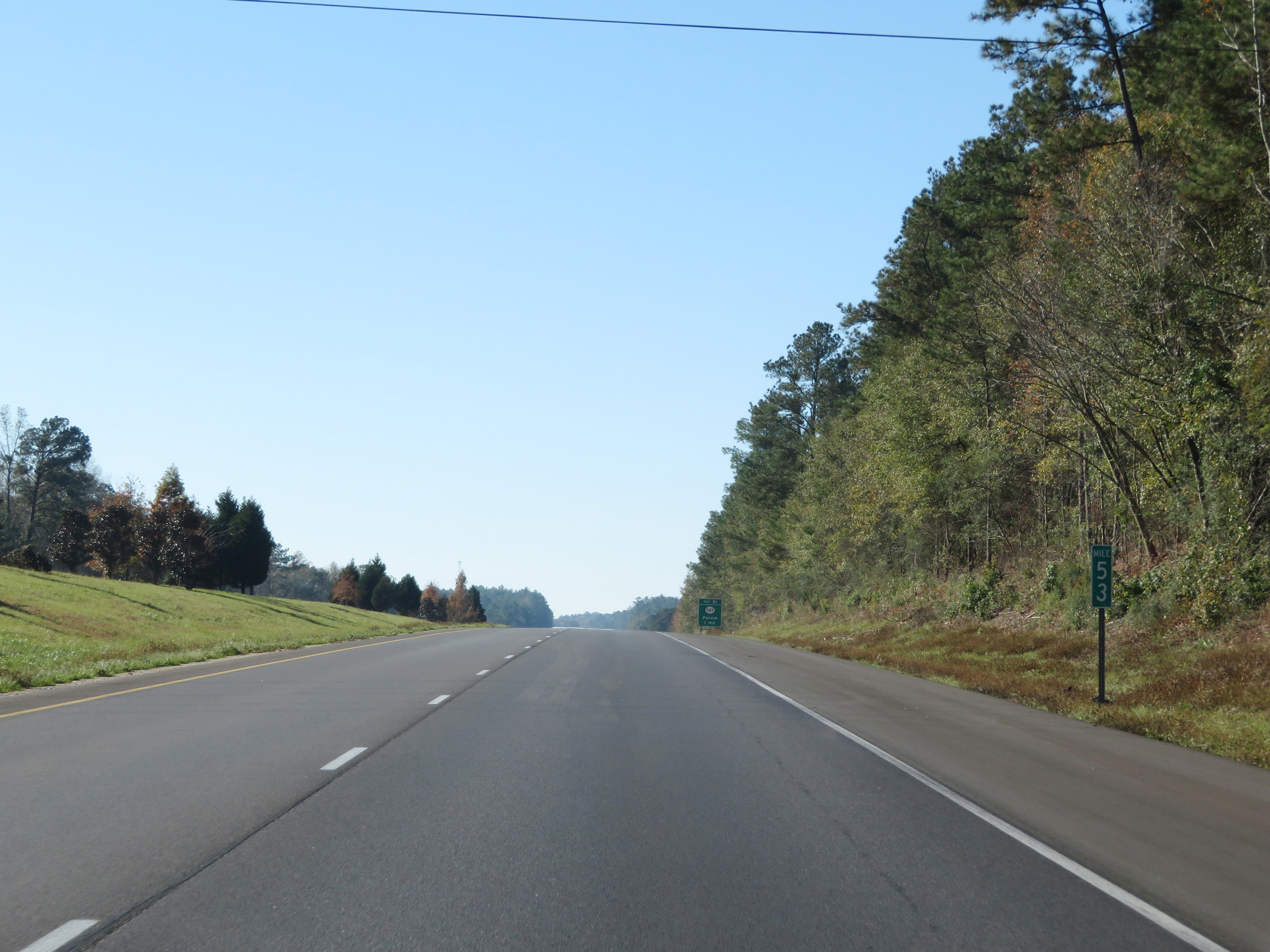 |
Mile marker 53 on Interstate 59 South in Lamar County. (Photo taken 12/9/20). |
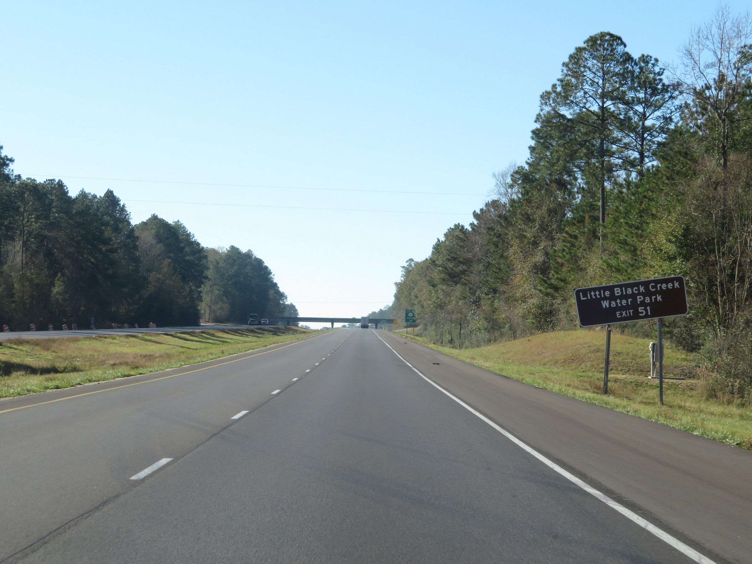 |
Take Exit 51 to Little Black Creek Water Park. (Photo taken 12/9/20). |
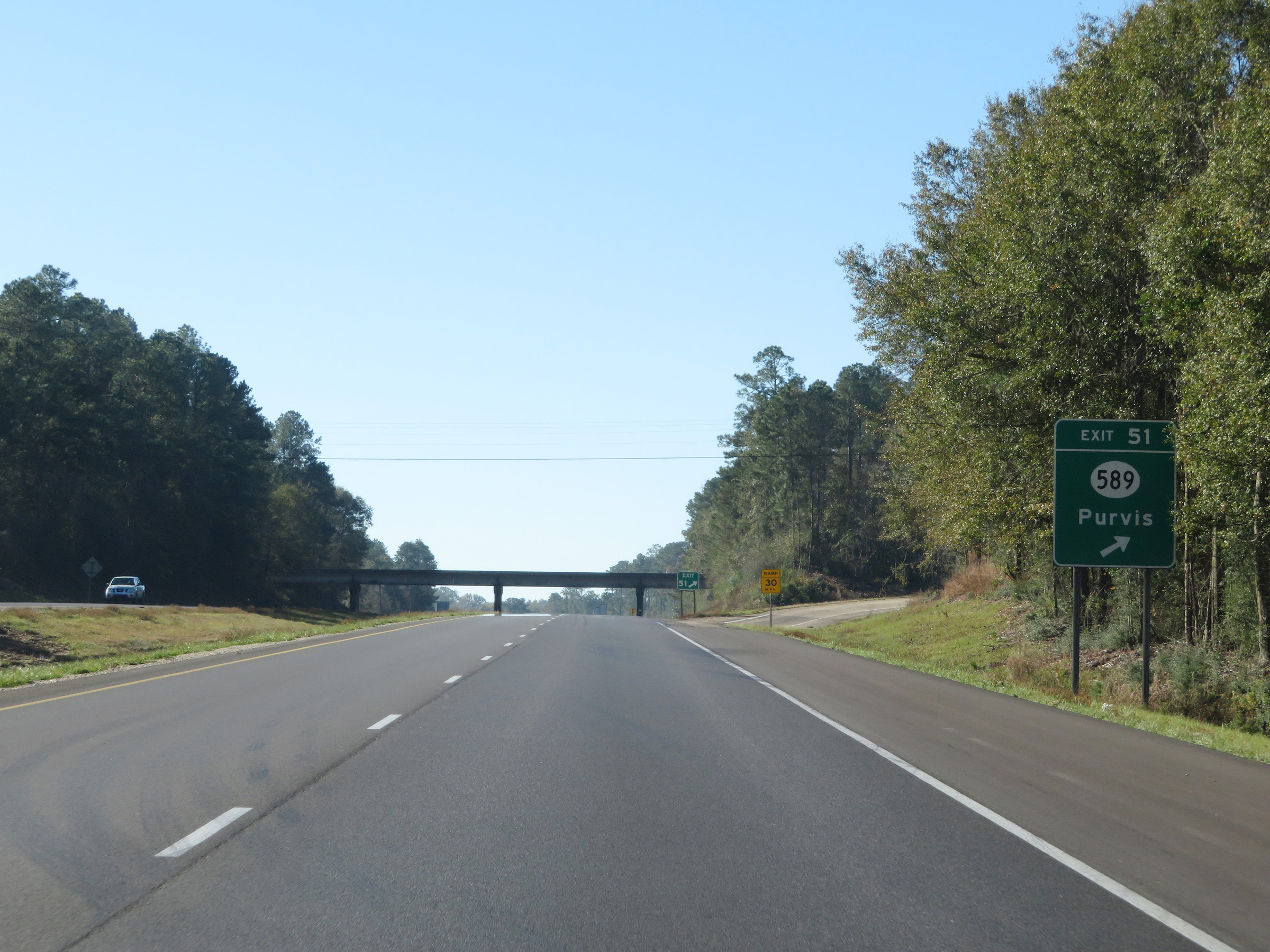 |
Interstate 59 South at Exit 51: MS 589 - Purvis (Photo taken 12/9/20). |
Section 4: Purvis (Exit 51) to Louisiana Border
 |
Another state-named Interstate 59 South reassurance shield. (Photo taken 12/9/20). |
 |
View on Interstate 59 South at mile marker 50. (Photo taken 12/9/20). |
 |
Interstate 59 South at mile marker 49. (Photo taken 12/9/20). |
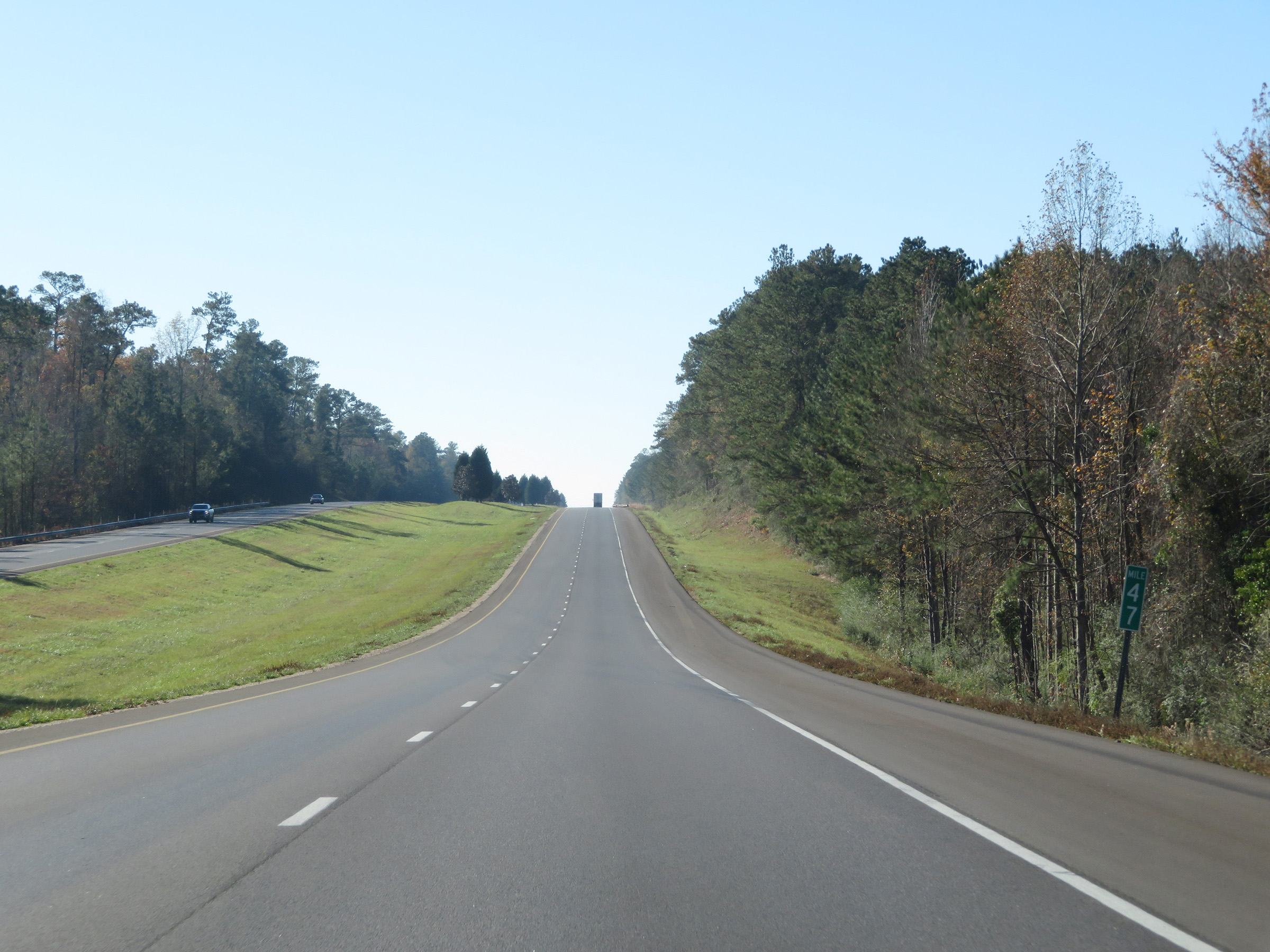 |
Mile marker 47 on Interstate 59 South in Lamar County. (Photo taken 12/9/20). |
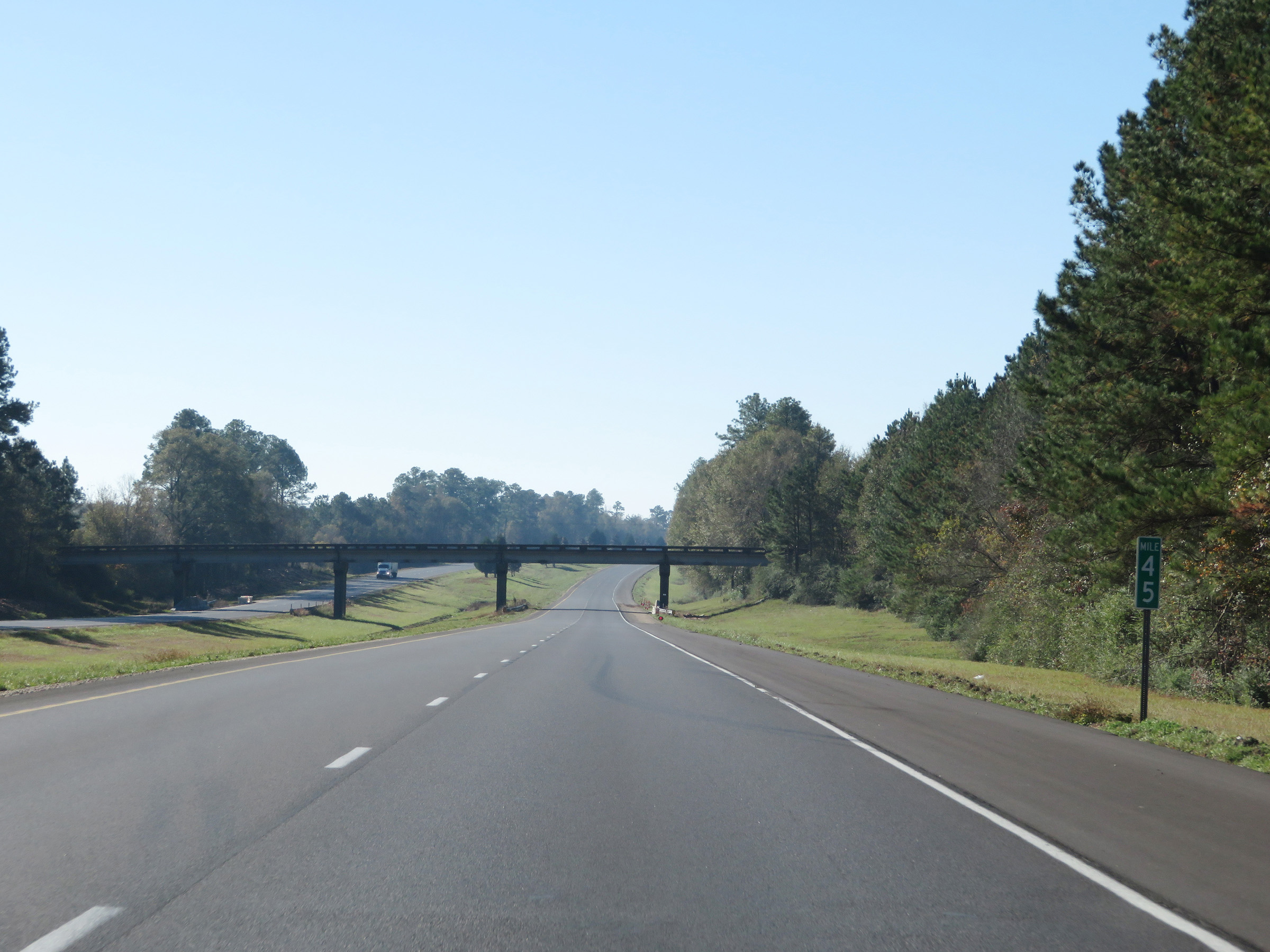 |
Interstate 59 South at mile marker 45. (Photo taken 12/9/20). |
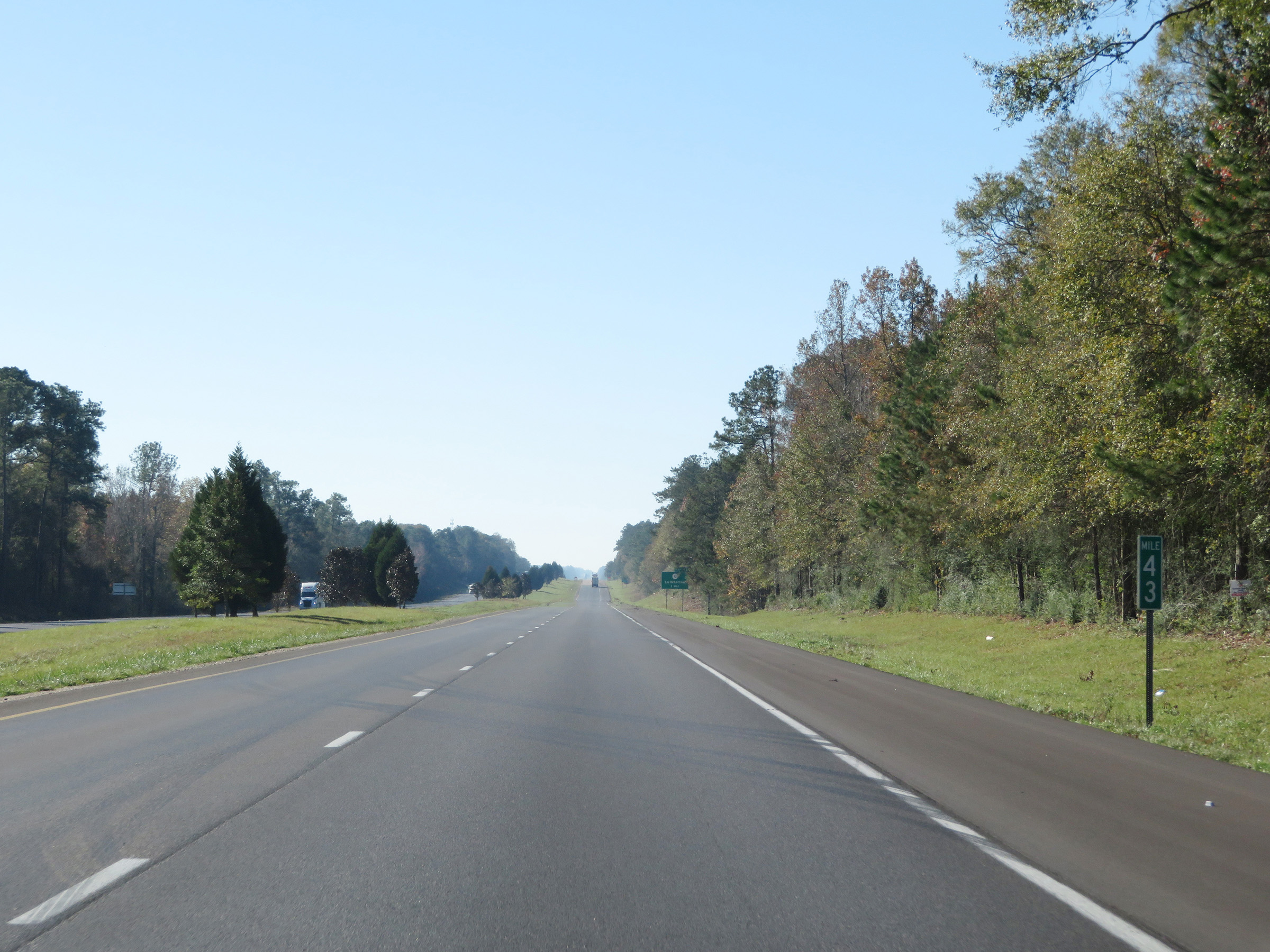 |
View on Interstate 59 South at mile marker 43. (Photo taken 12/9/20). |
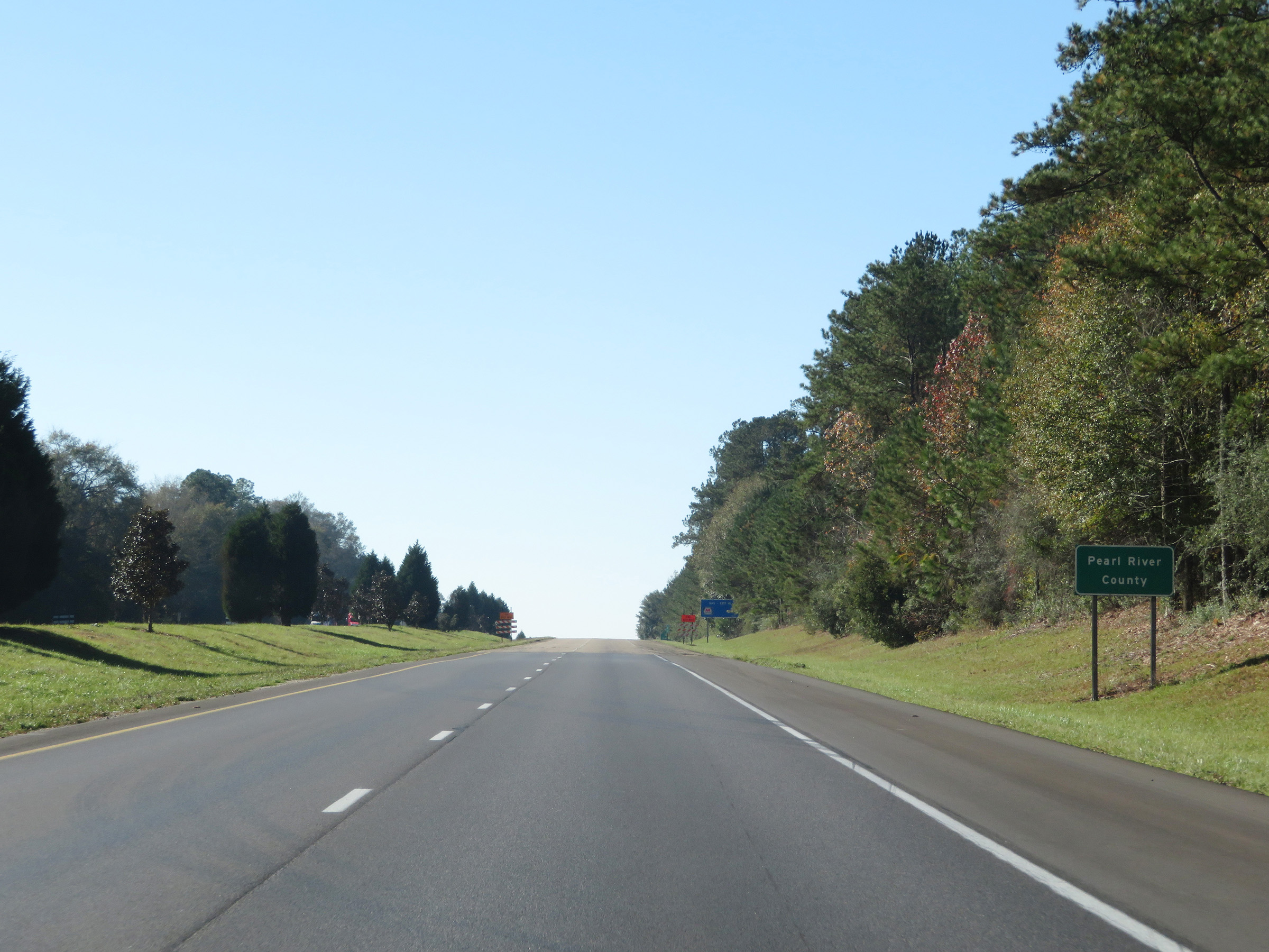 |
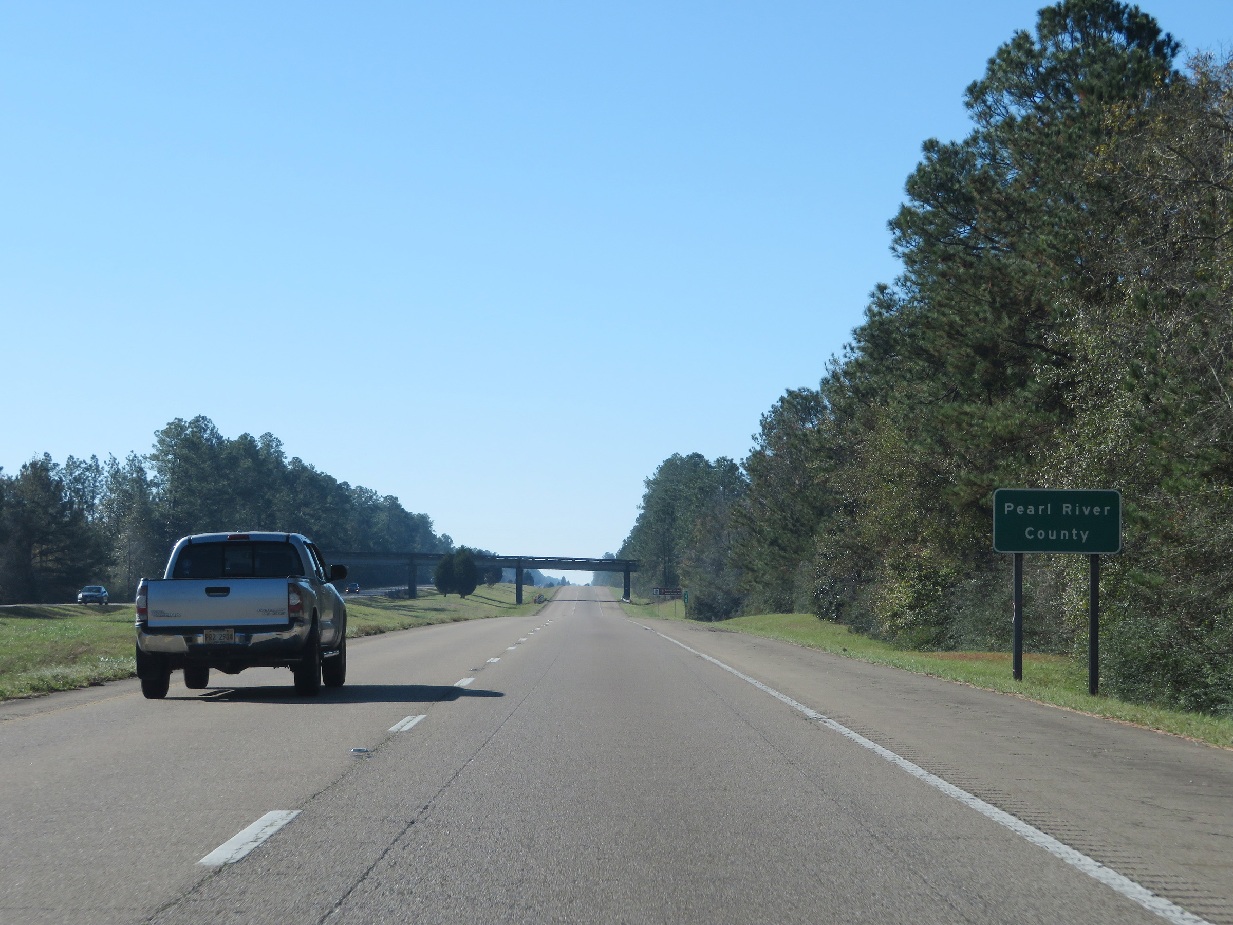
Interstate 59 South as it enters Pearl River County. (Photo taken 12/9/20). |
 |
Interstate 59 South at Exit 41: MS 13 - Lumberton (Photo taken 12/9/20). |
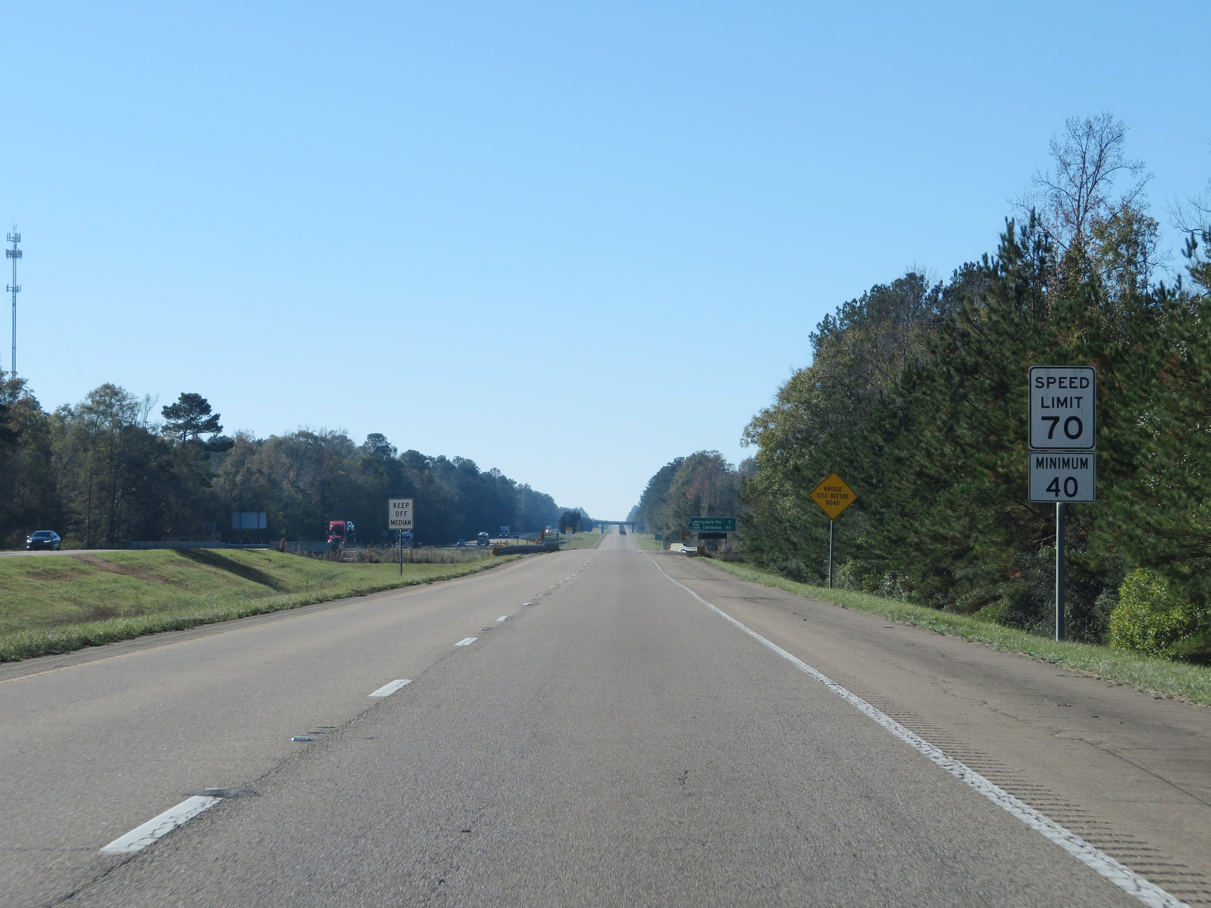 |
The speed limits remain the rural standard 70 mph maximum and 40 mph minimum. (Photo taken 12/9/20). |
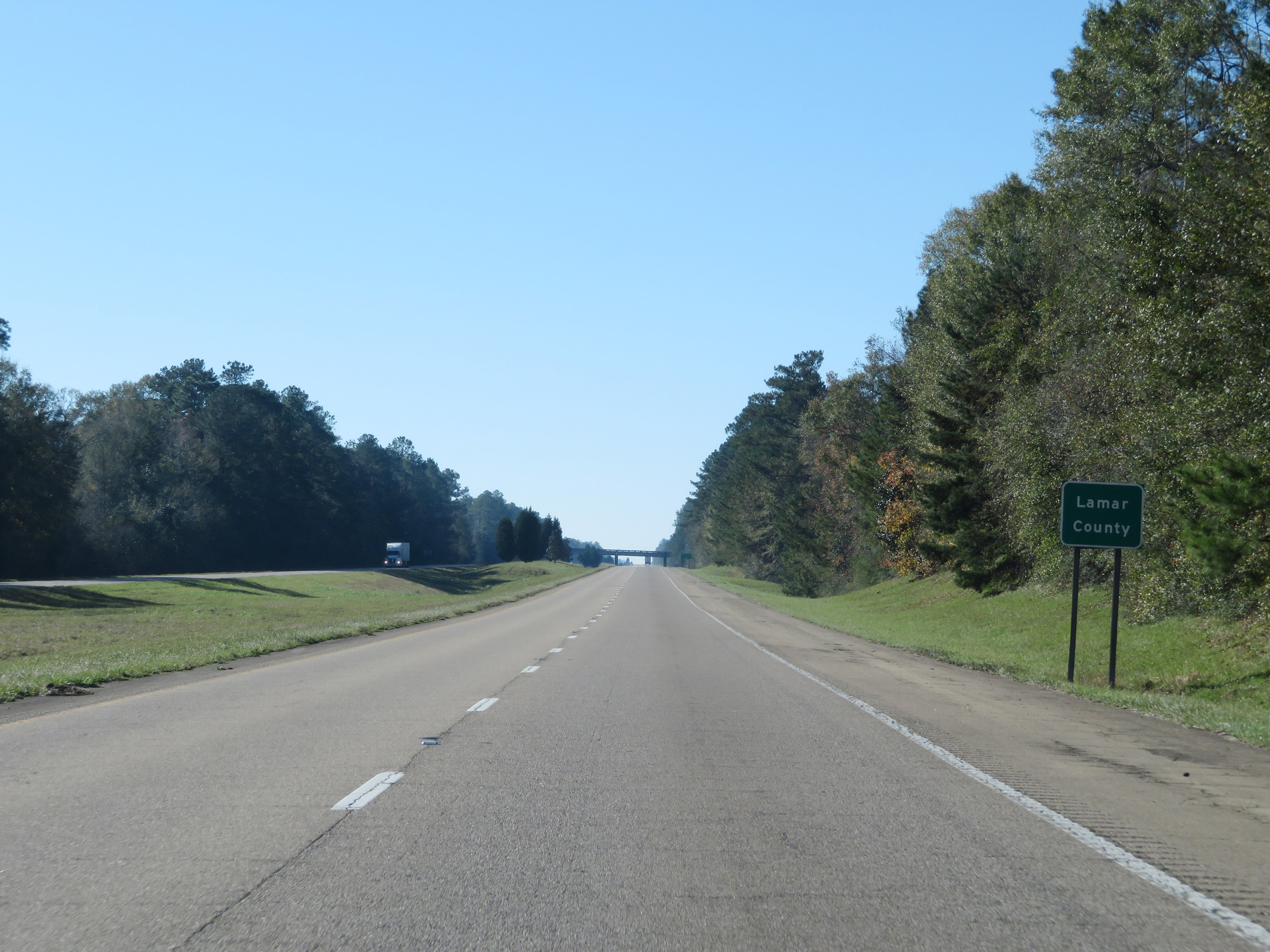 |
Interstate 59 South as it dips into Lamar County for a third time. (Photo taken 12/9/20). |
 |
It re-enters Pearl River County shorty after. (Photo taken 12/9/20). |
 |
Interstate 59 South at mile marker 39. (Photo taken 12/9/20). |
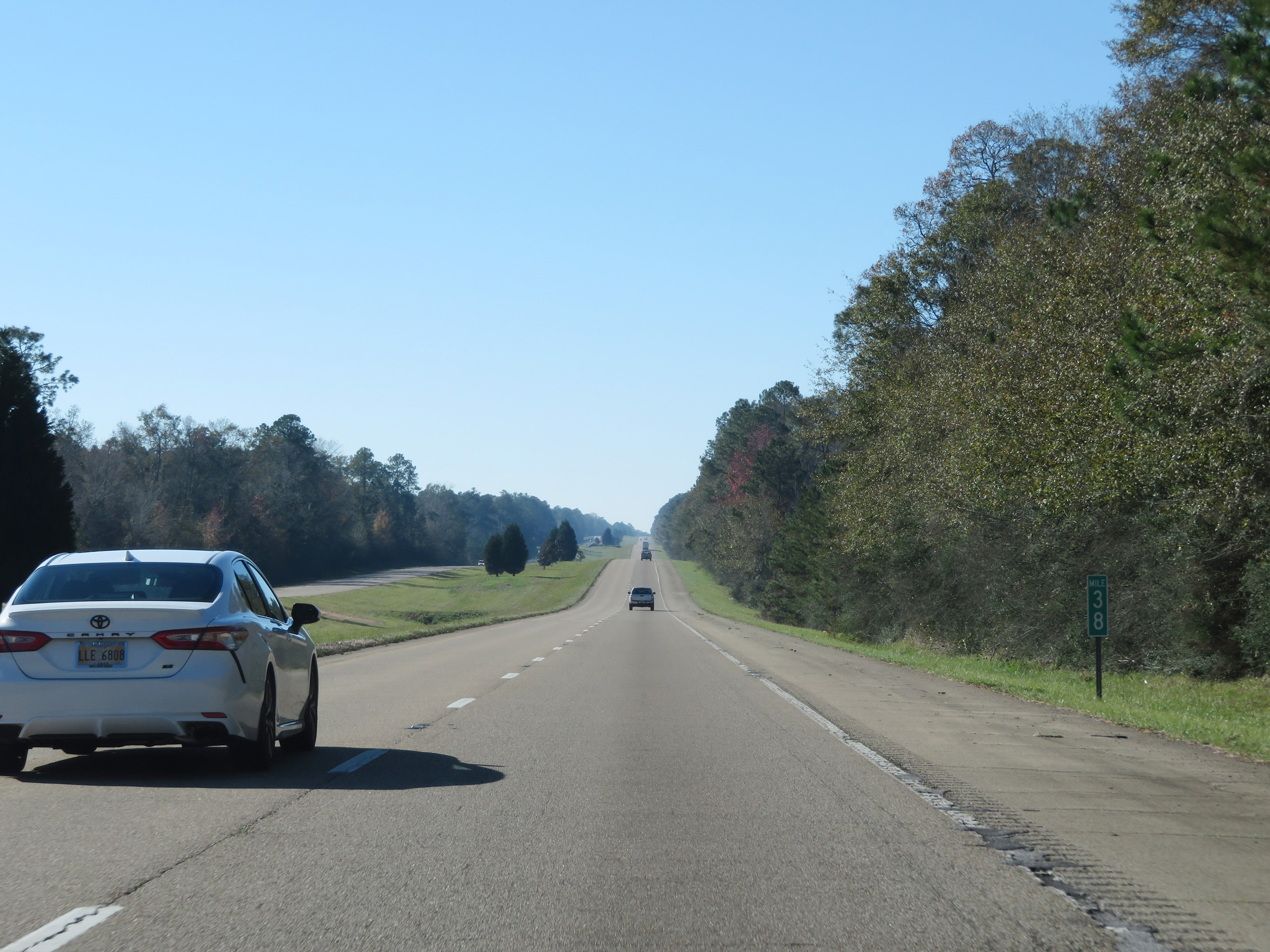 |
View on Interstate 59 South at mile marker 38. (Photo taken 12/9/20). |
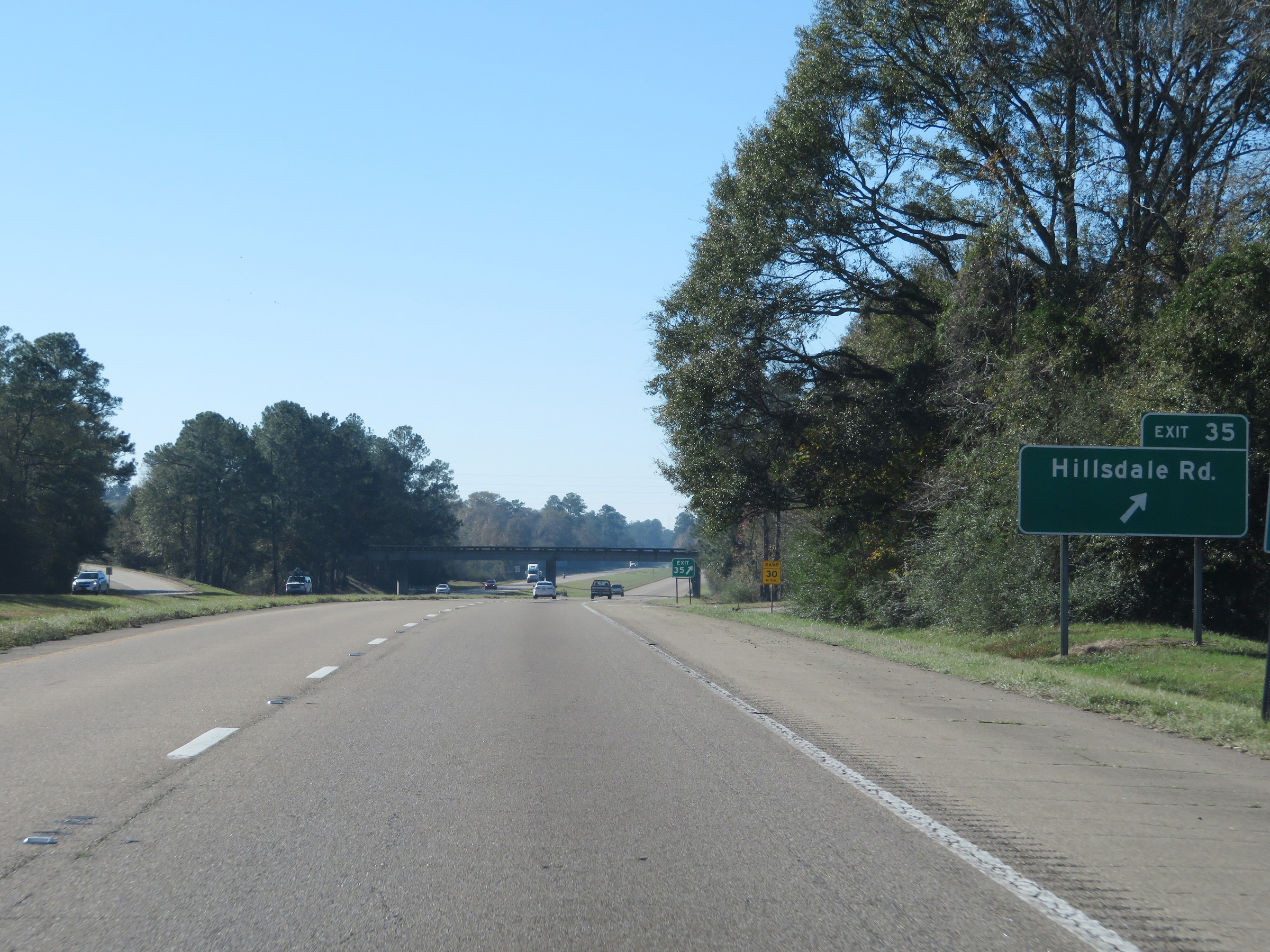 |
Interstate 59 South at Exit 35: Hillsdale Rd (Photo taken 12/9/20). |
 |
Mile marker 34 on Interstate 59 South in Pearl River County. (Photo taken 12/9/20). |
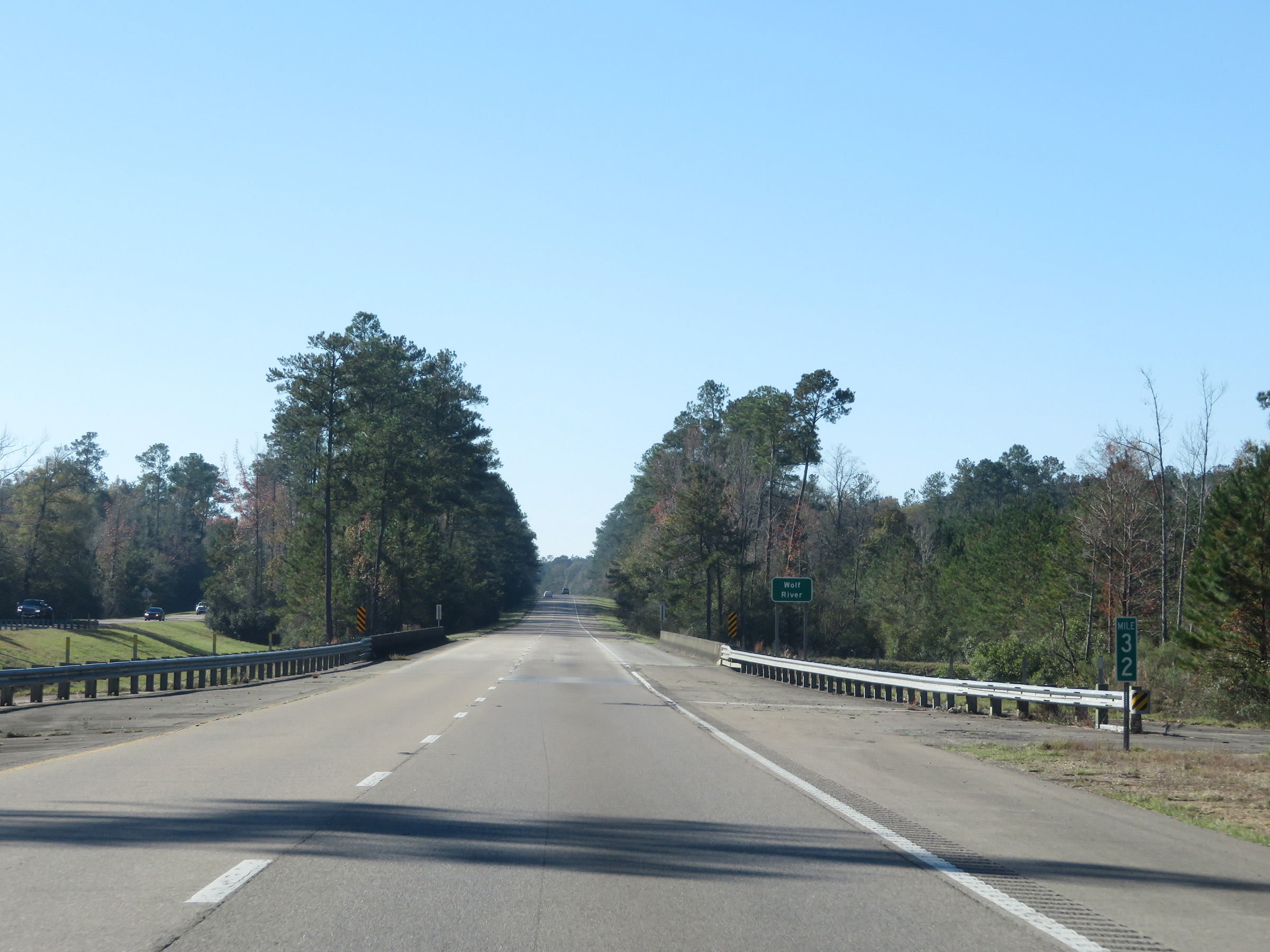 |
View on Interstate 59 South at mile marker 32. (Photo taken 12/9/20). |
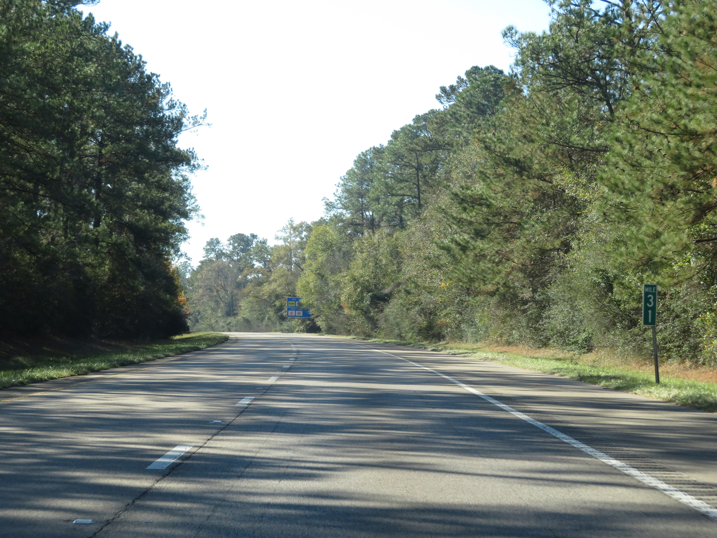 |
Interstate 59 South at mile marker 31. (Photo taken 12/9/20). |
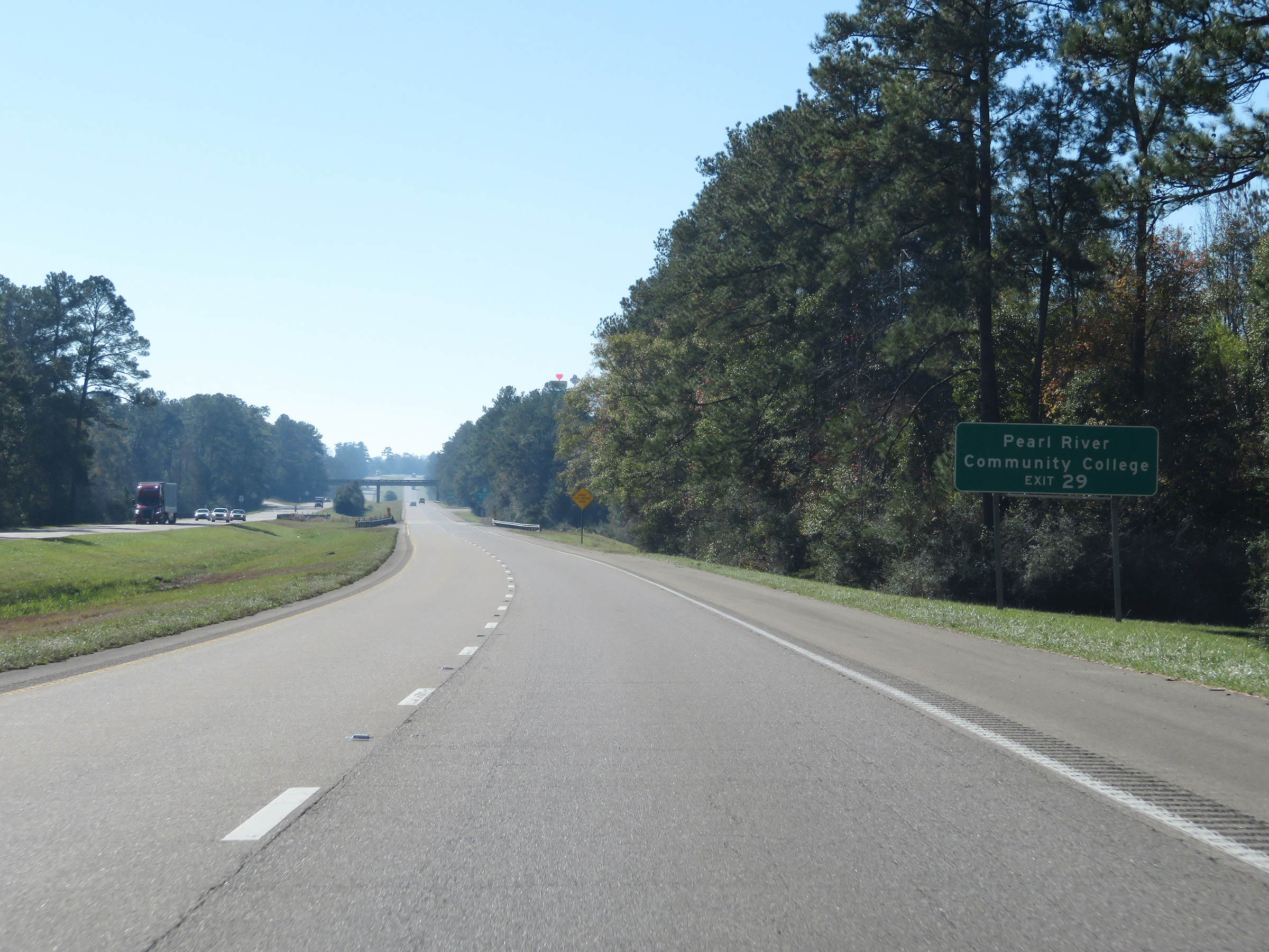 |
Take Exit 29 to Pearl River Community College. (Photo taken 12/9/20). |
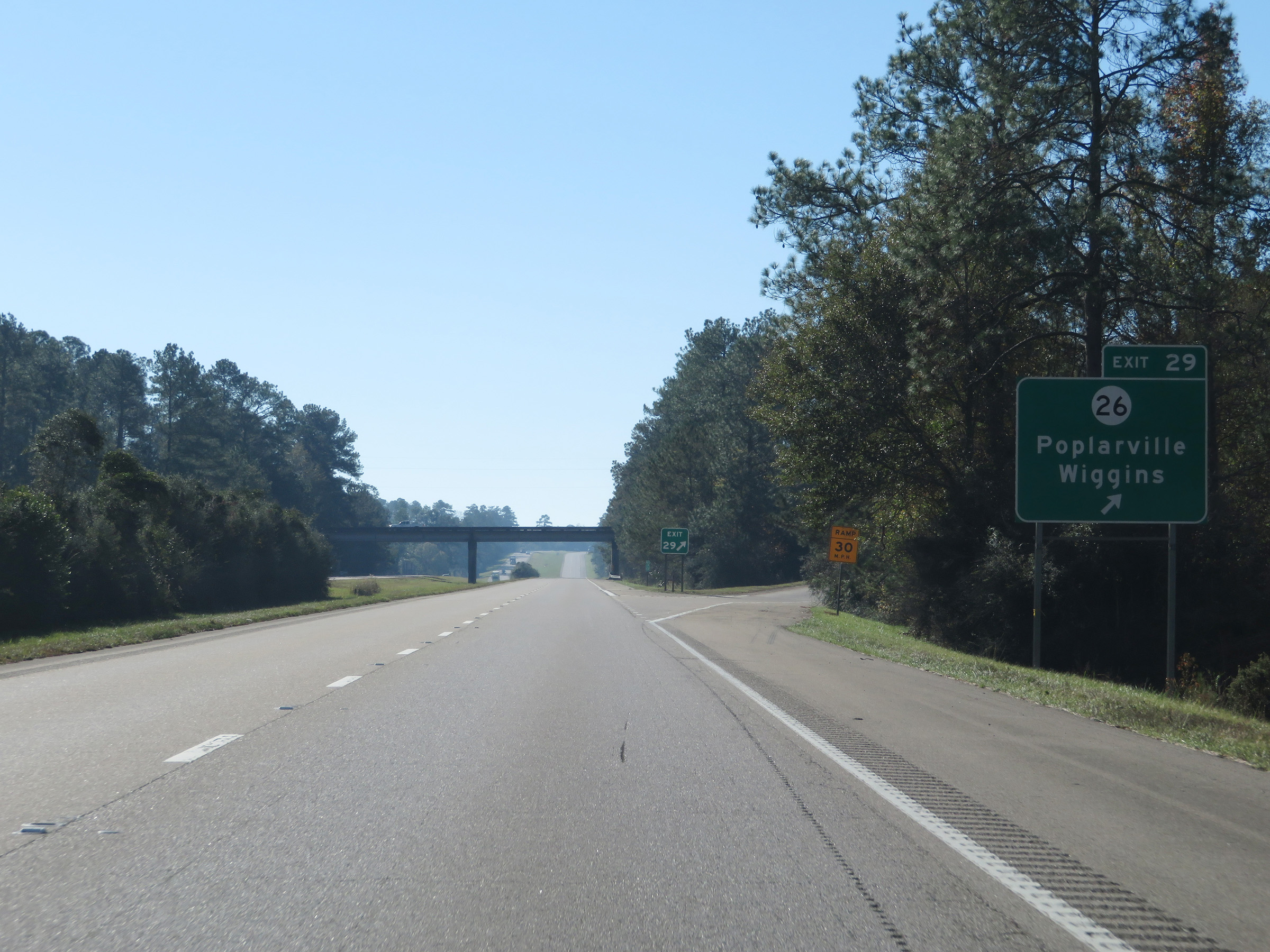 |
Interstate 59 South at Exit 29: MS 26 - Poplarville / Wiggins (Photo taken 12/9/20). |
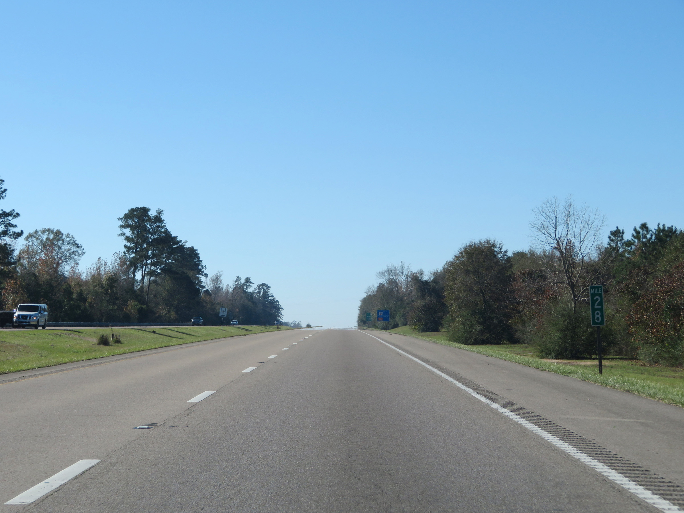 |
View on Interstate 59 South at mile marker 28. (Photo taken 12/9/20). |
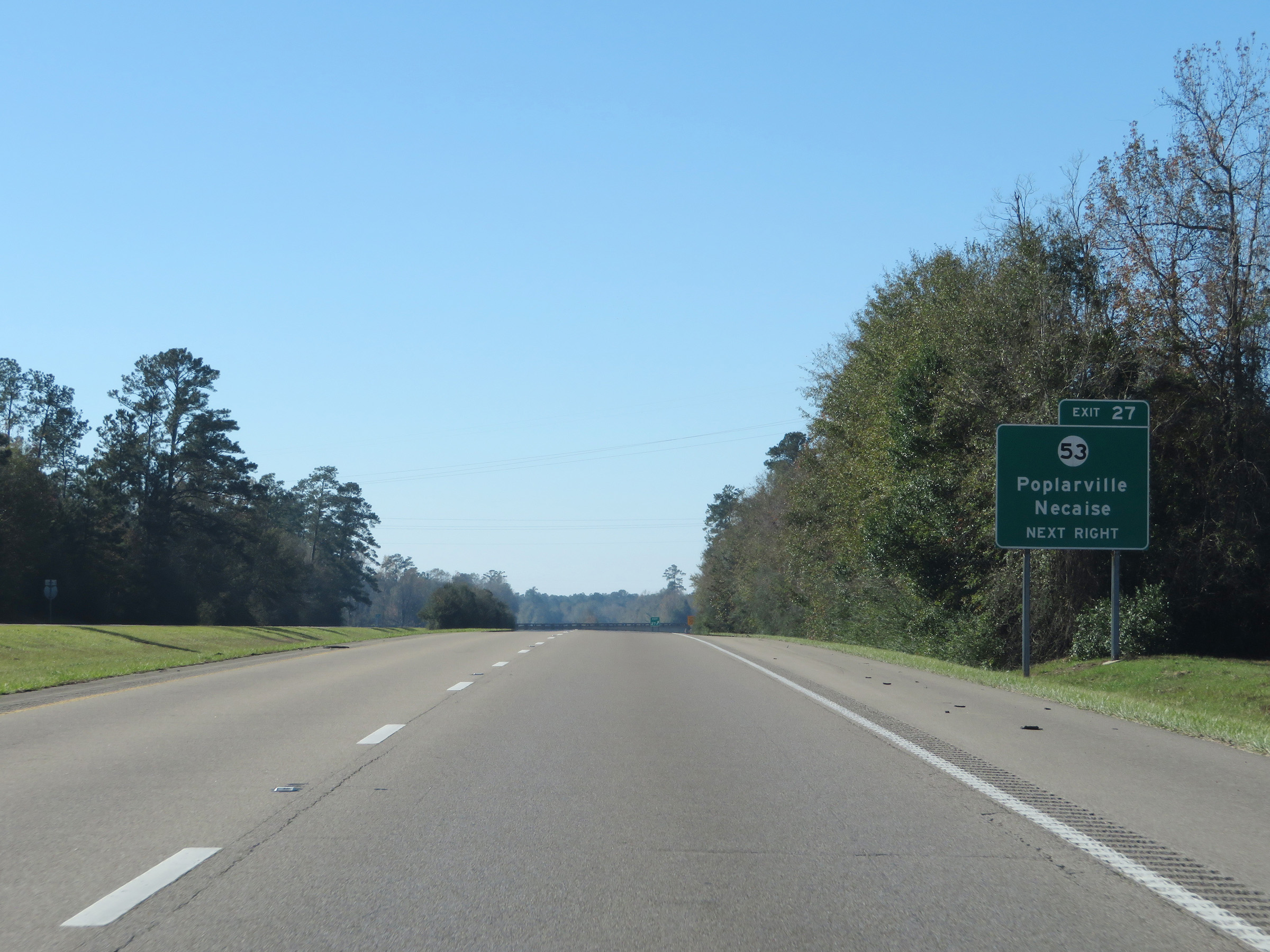 |
Interstate 59 South at Exit 27: MS 53 - Poplarville / Necaise (Photo taken 12/9/20). |
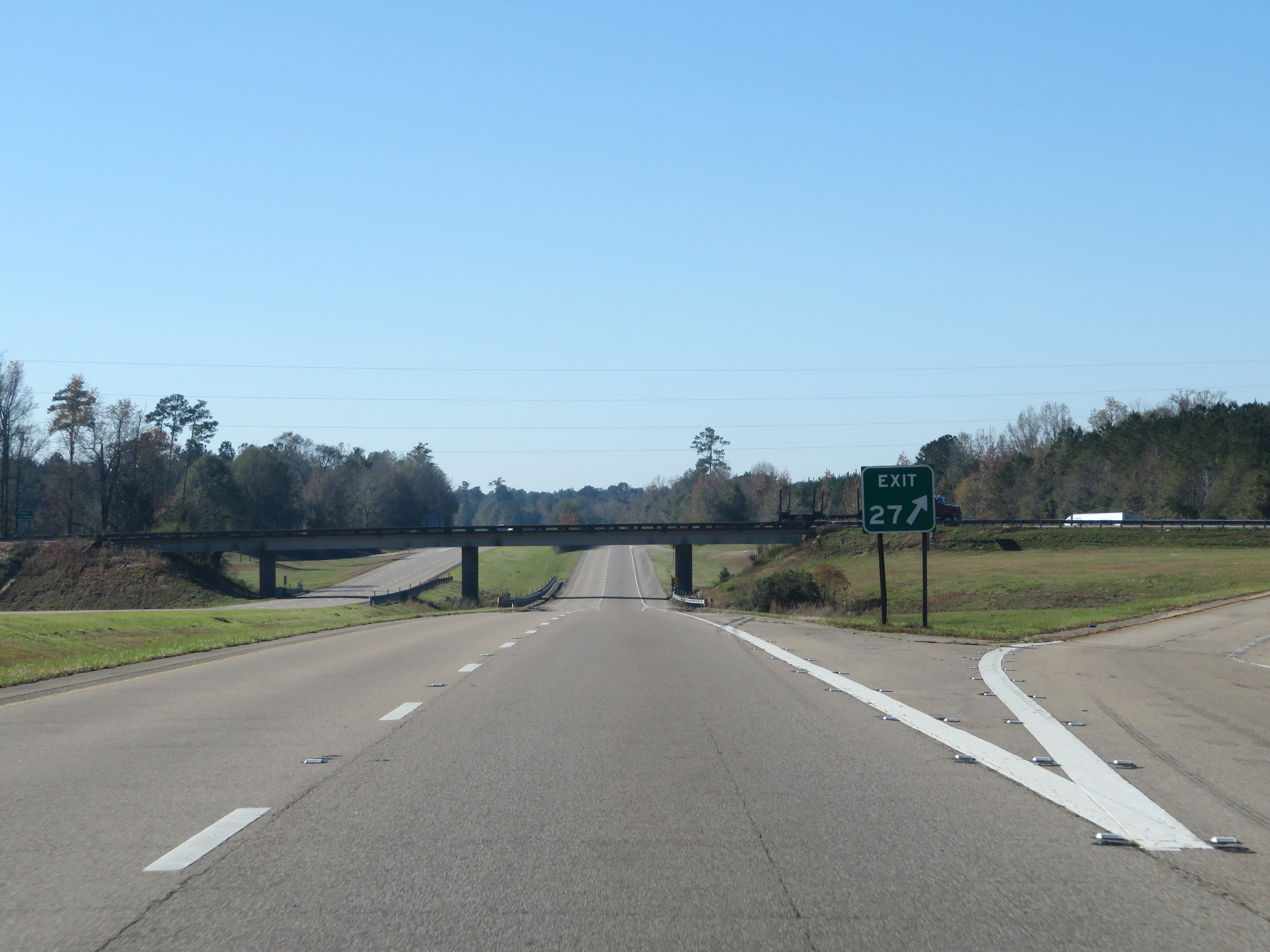 |
A closer view of the ramp for Exit 27. (Photo taken 12/9/20). |
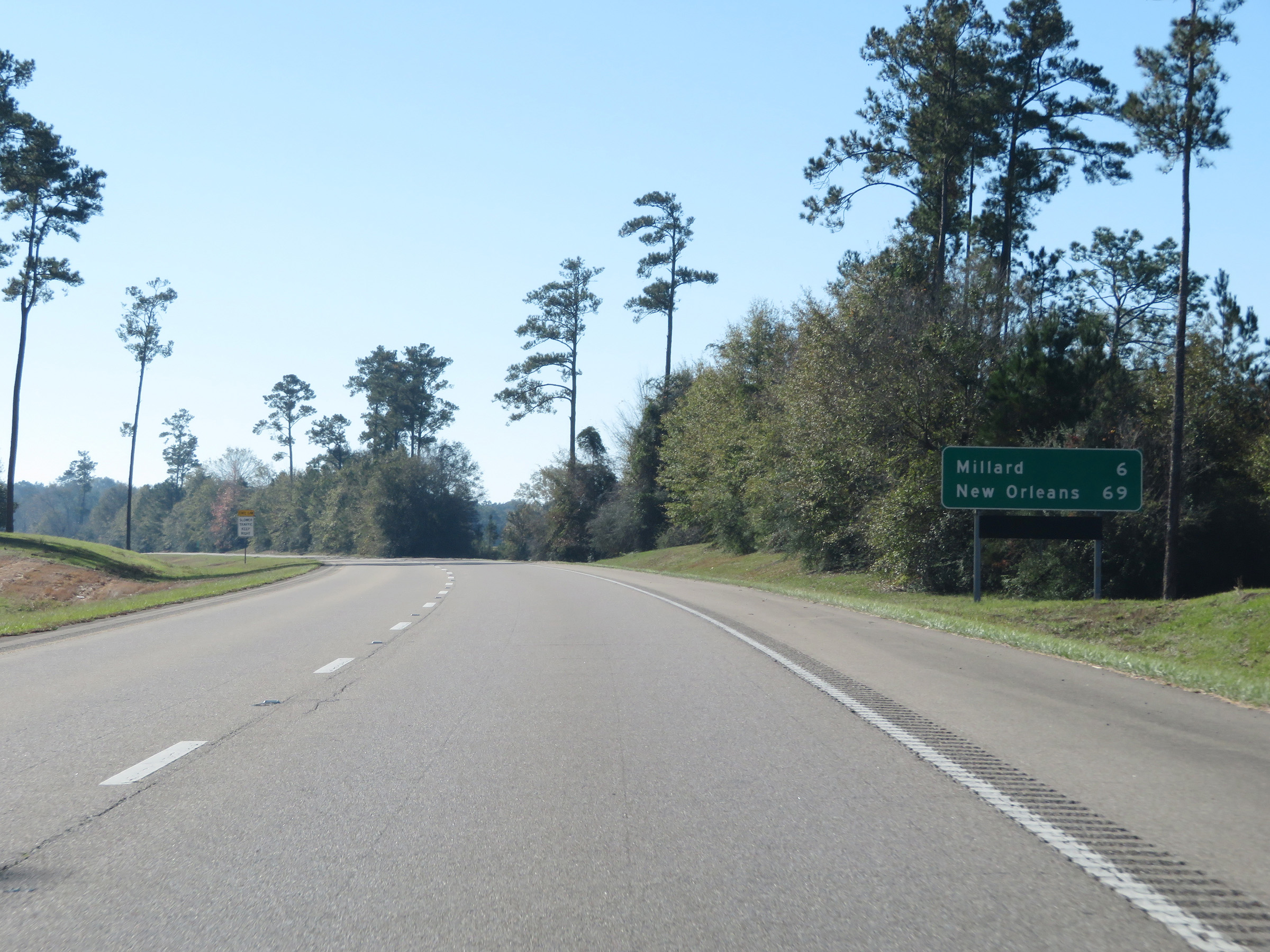 |
Mileage sign on Interstate 59 South. It's 6 miles to Millard and 69 miles to New Orleans. (Photo taken 12/9/20). |
 |
View on Interstate 59 South at mile marker 26. (Photo taken 12/9/20). |
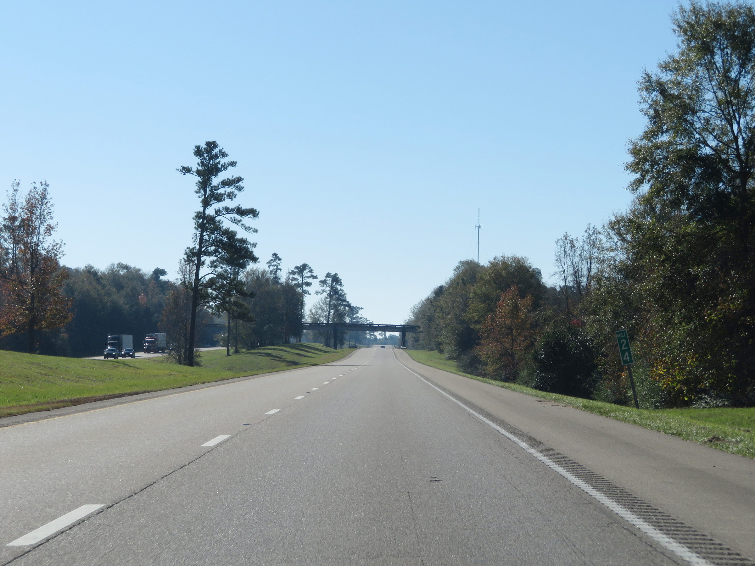 |
Interstate 59 South at mile marker 24. (Photo taken 12/9/20). |
 |
Mile marker 23 on Interstate 59 South in Pearl River County. (Photo taken 12/9/20). |
 |
Interstate 59 South at mile marker 21. (Photo taken 12/9/20). |
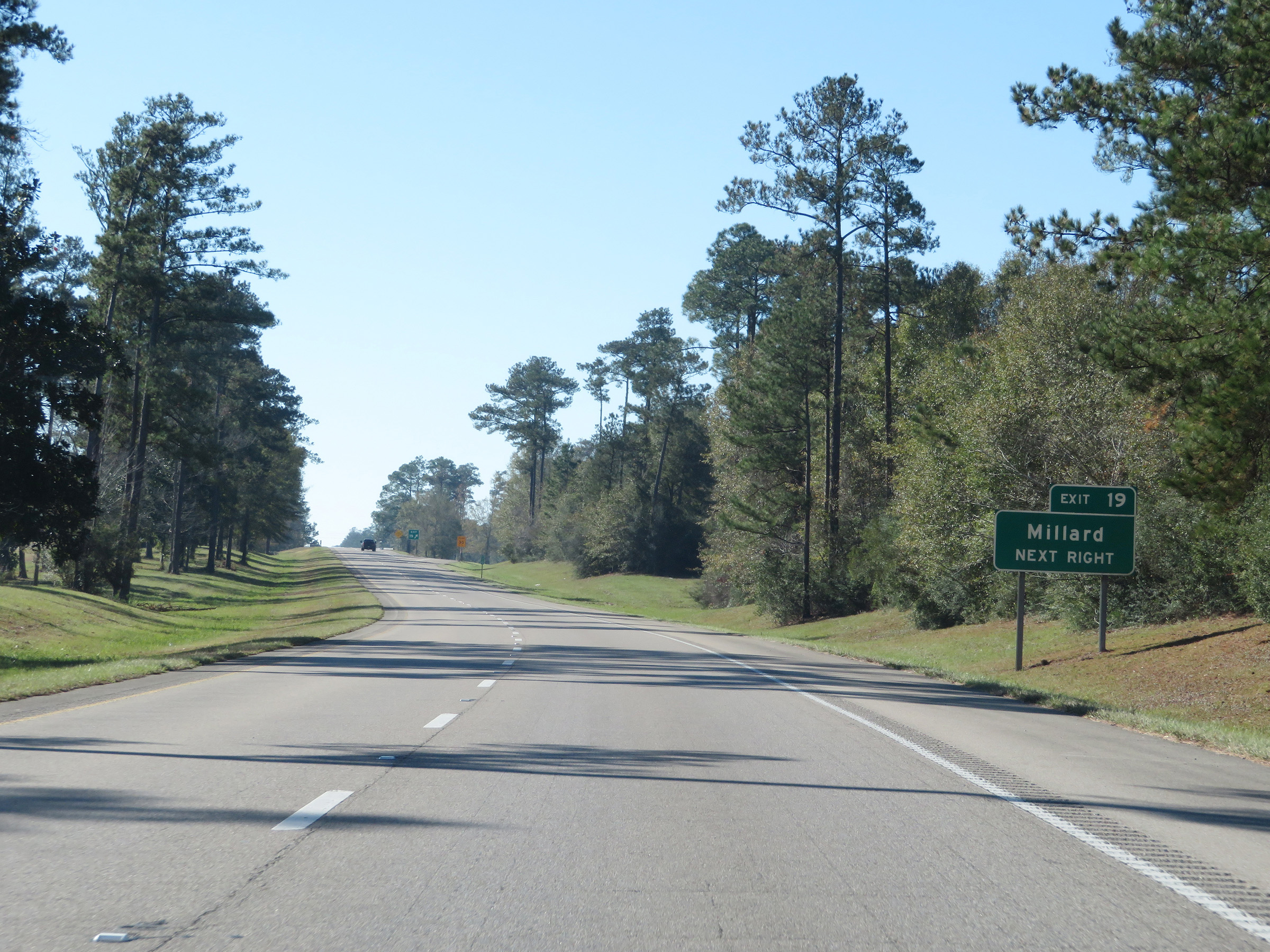 |
Interstate 59 South at Exit 19: Millard (Photo taken 12/9/20). |
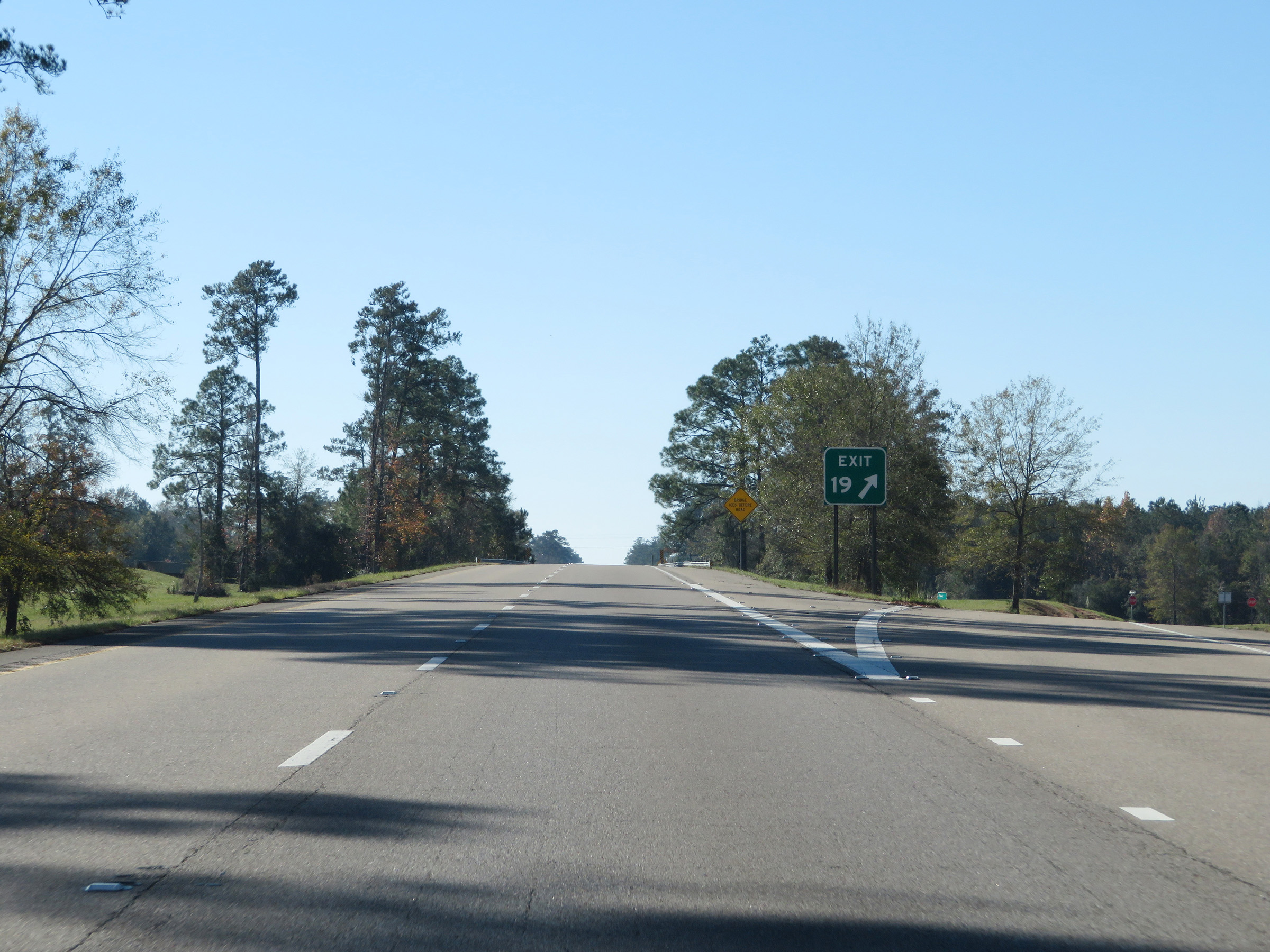 |
A closer view of the ramp for Exit 19. (Photo taken 12/9/20). |
 |
State-named Interstate 59 South reassurance shield. (Photo taken 12/9/20). |
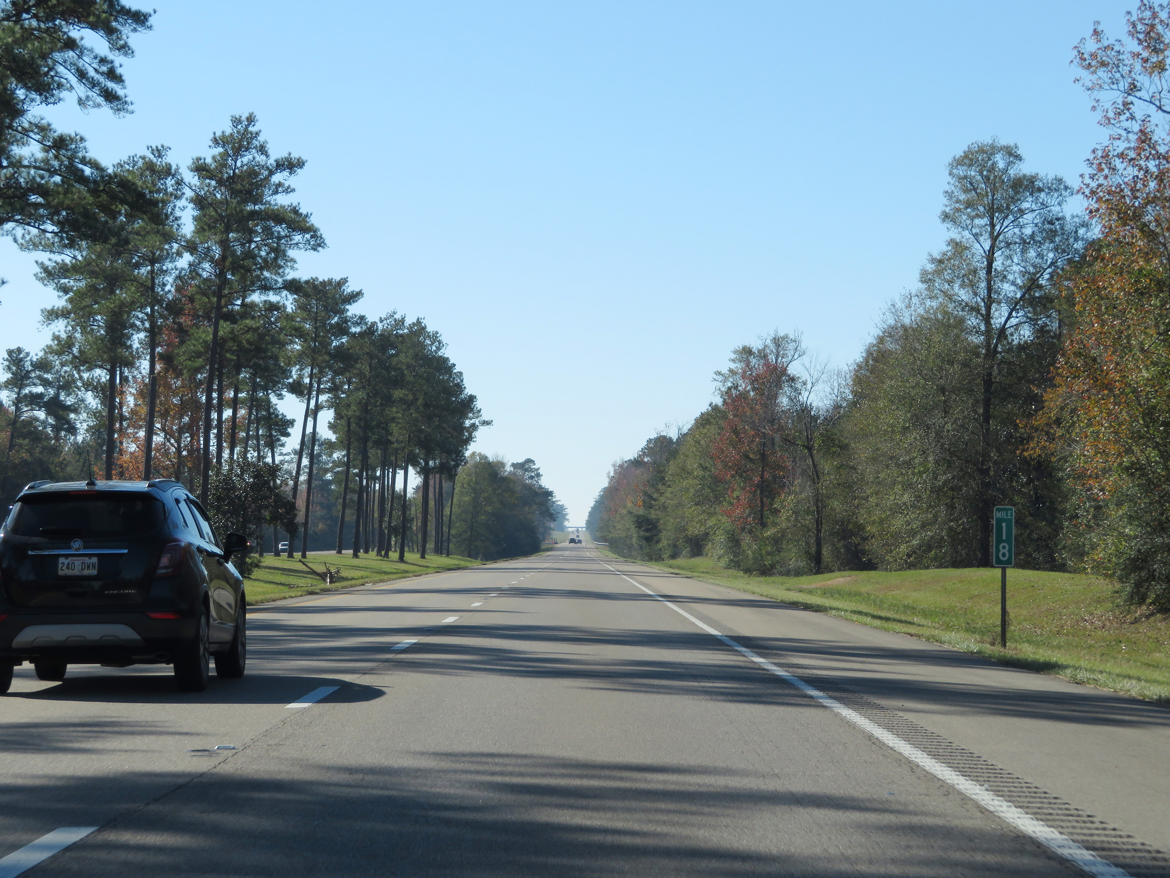 |
Mile marker 18 on Interstate 59 South in Pearl River County. (Photo taken 12/9/20). |
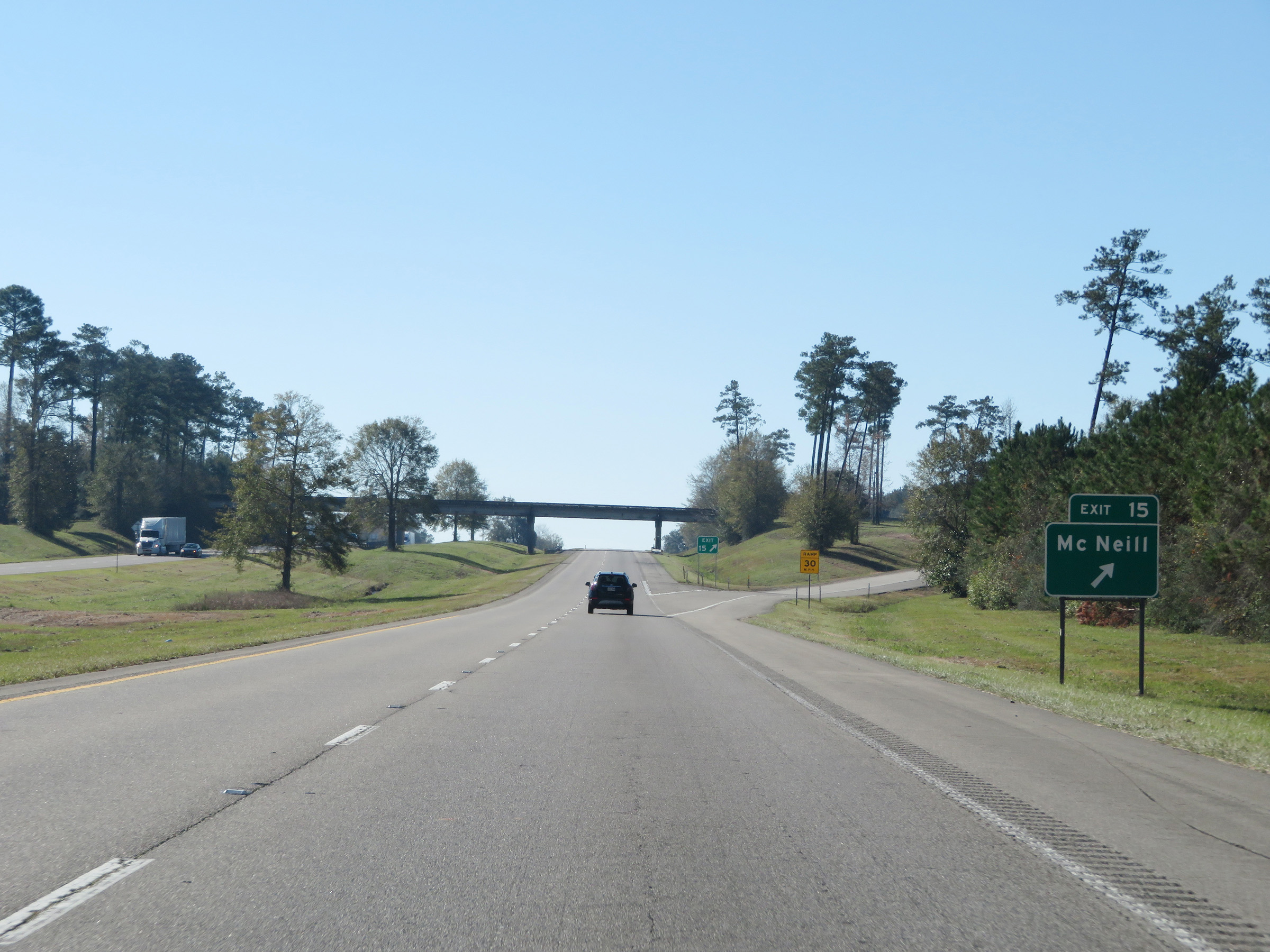 |
Interstate 59 South at Exit 15: McNeill (Photo taken 12/9/20). |
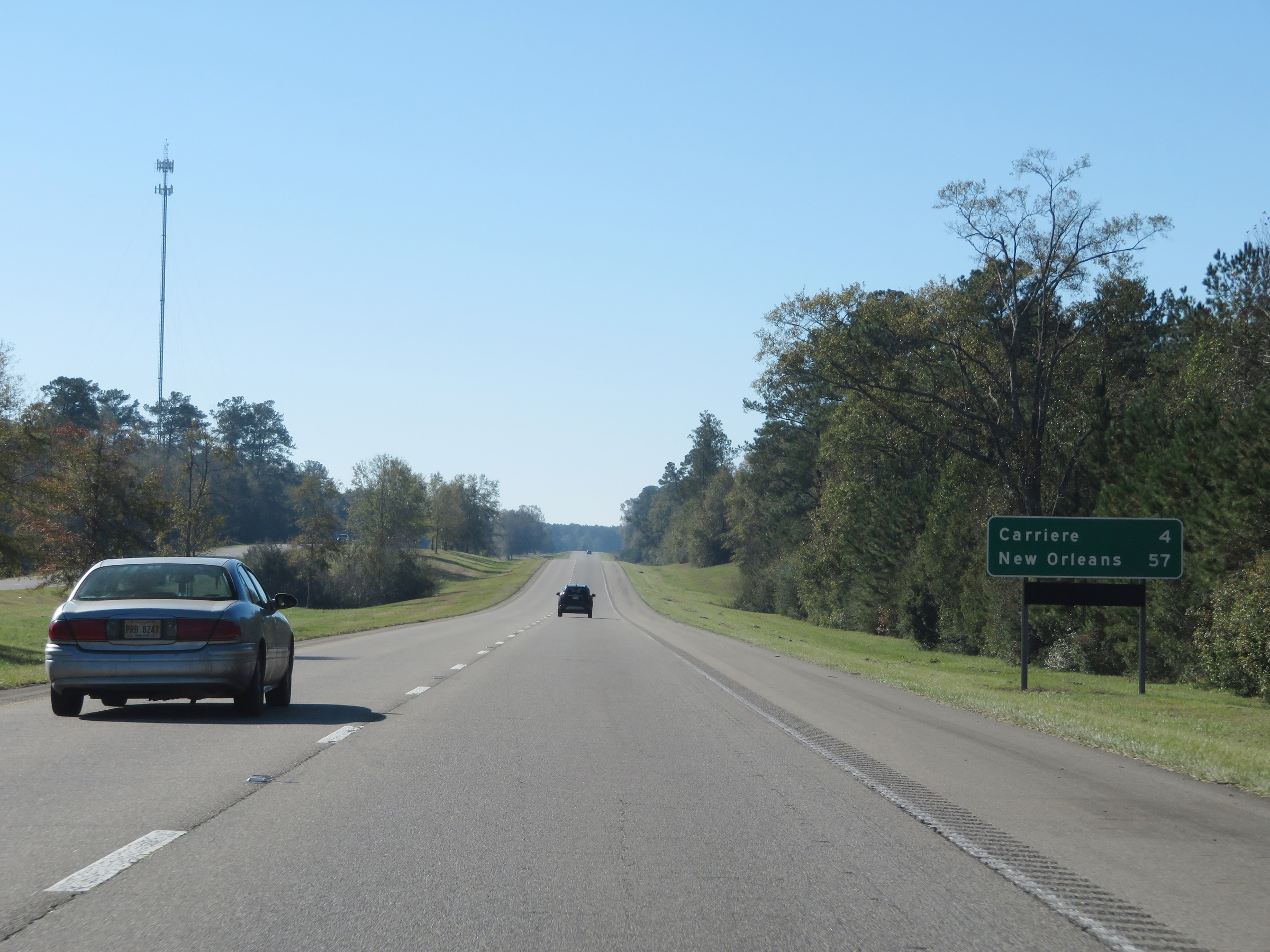 |
Another mileage sign on Interstate 59 South. It's 4 miles to Carriere and 57 miles to New Orleans. (Photo taken 12/9/20). |
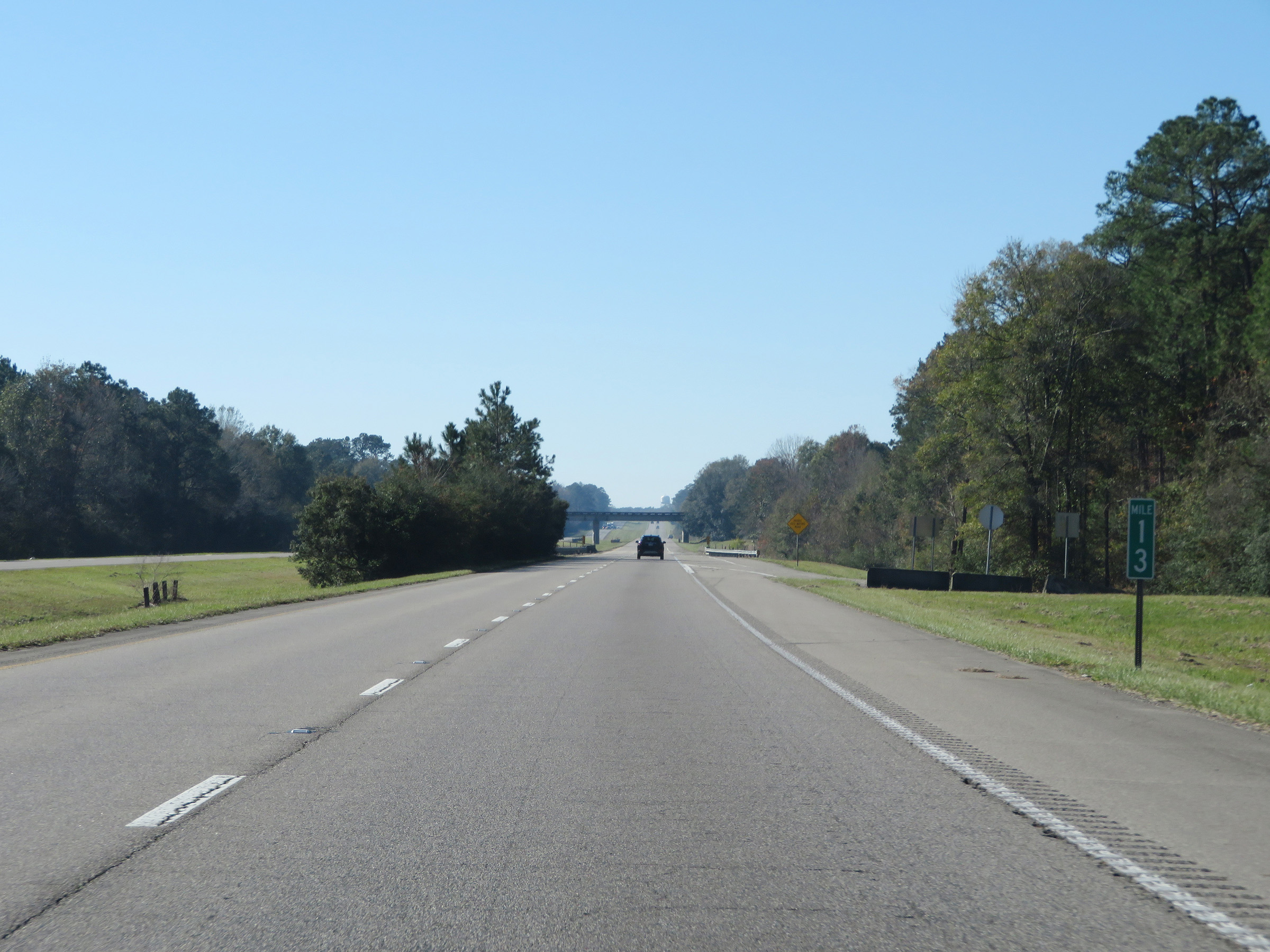 |
Interstate 59 South at mile marker 13. (Photo taken 12/9/20). |
 |
View on Interstate 59 South at mile marker 12. (Photo taken 12/9/20). |
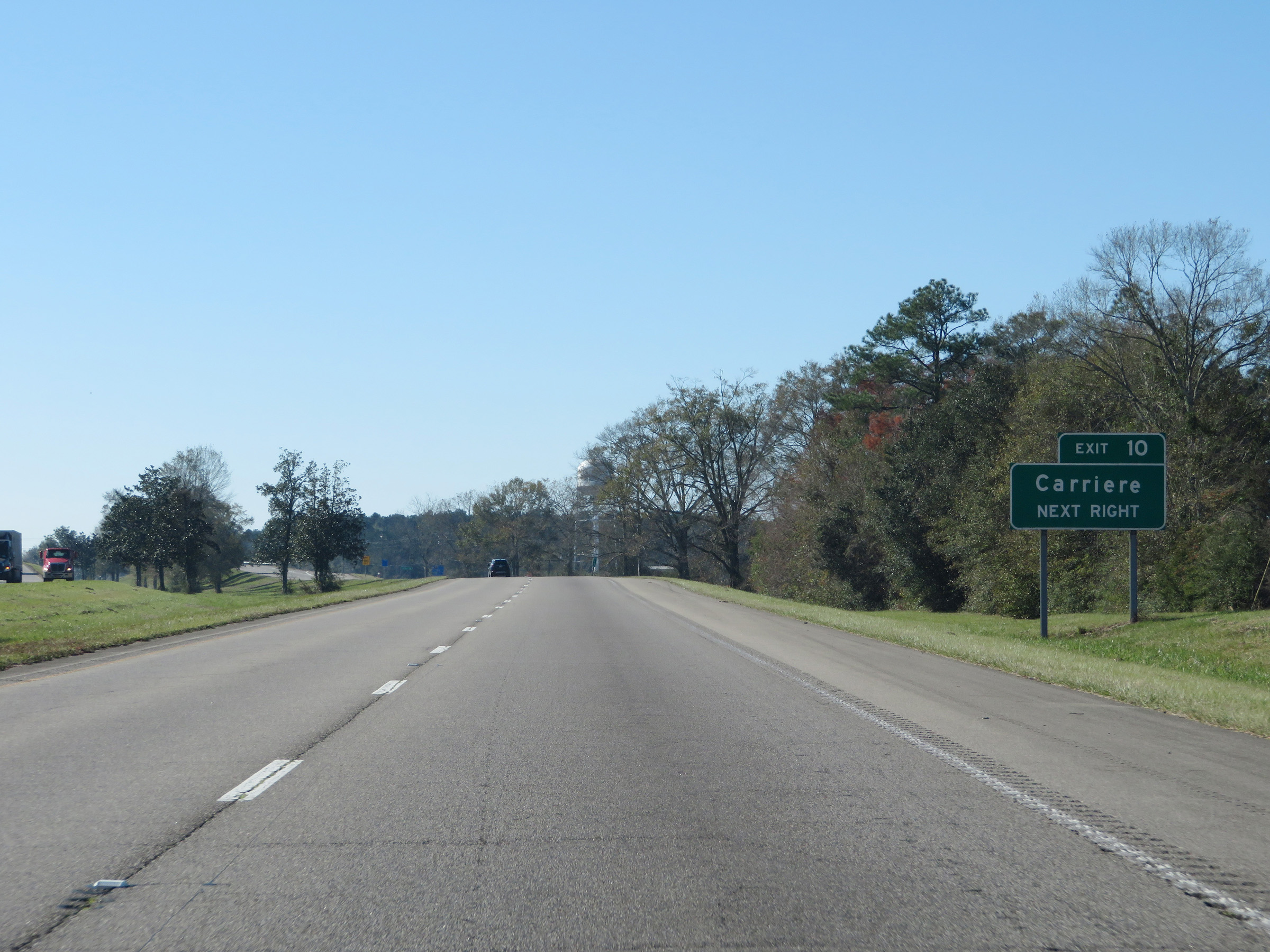 |
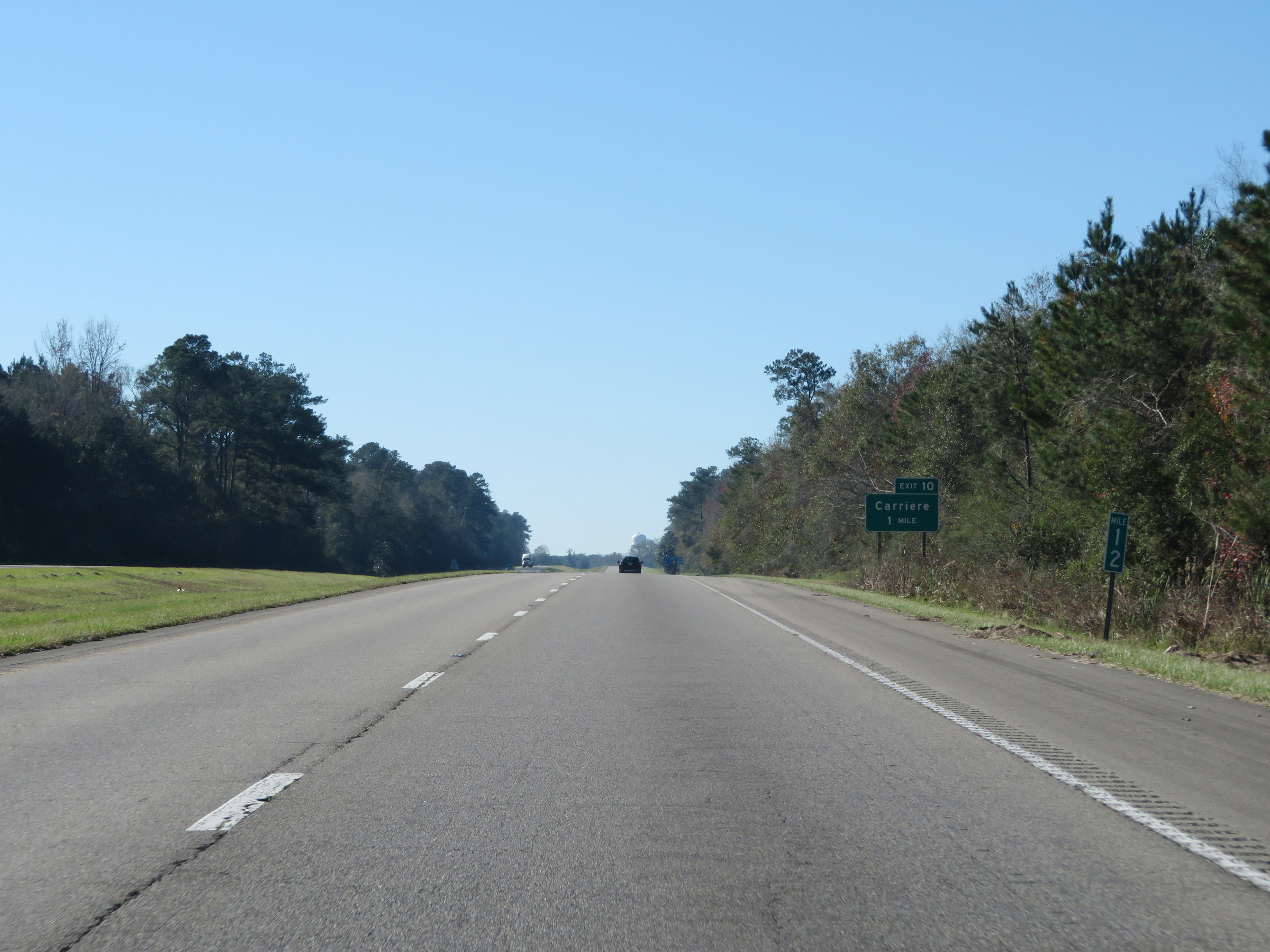
Interstate 59 South at Exit 10: Carriere (Photo taken 12/9/20). |
 |
A closer view of the ramp for Exit 10. (Photo taken 12/9/20). |
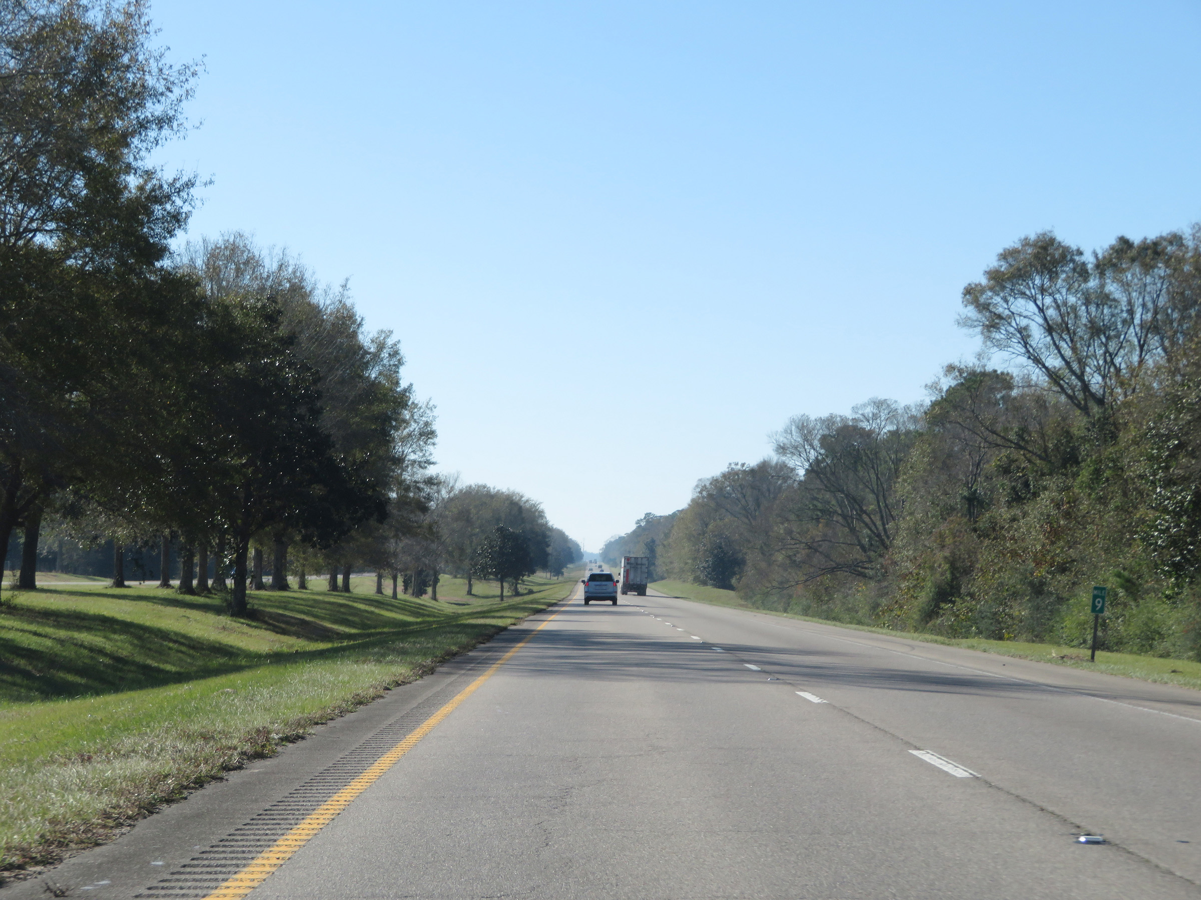 |
View on Interstate 59 South at mile marker 9. (Photo taken 12/9/20). |
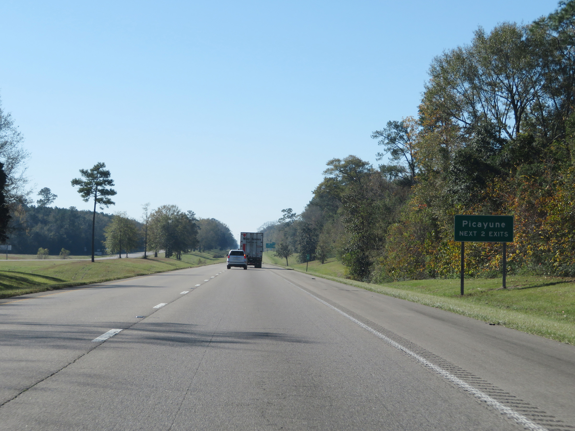 |
Take either of the next 2 exits to Picayune. (Photo taken 12/9/20). |
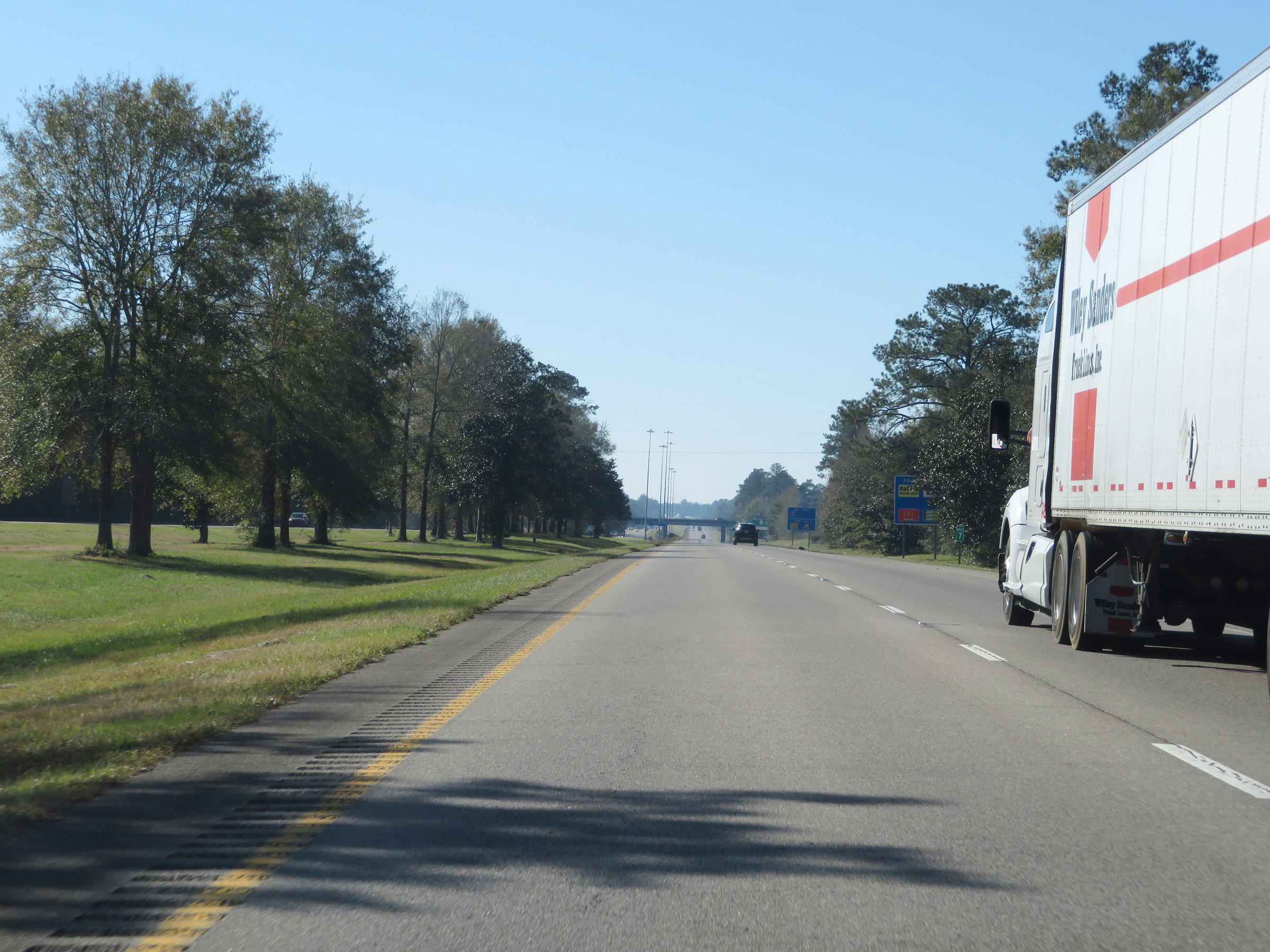 |
Interstate 59 South at mile marker 7. (Photo taken 12/9/20). |
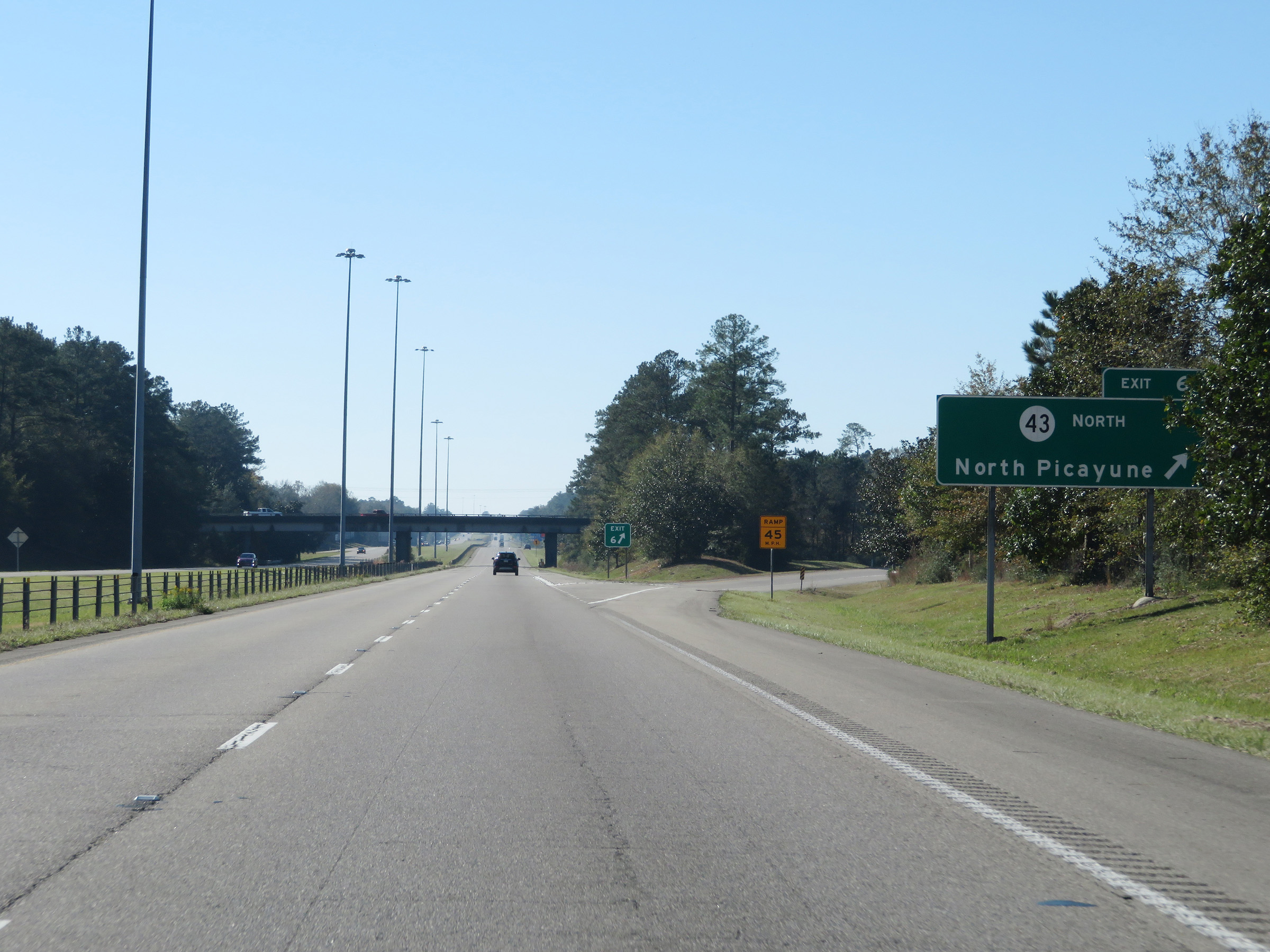 |
Interstate 59 South at Exit 6: MS 43 North - North Picayune (Photo taken 12/9/20). |
 |
Mile marker 6 on Interstate 59 South in Pearl River County. (Photo taken 12/9/20). |
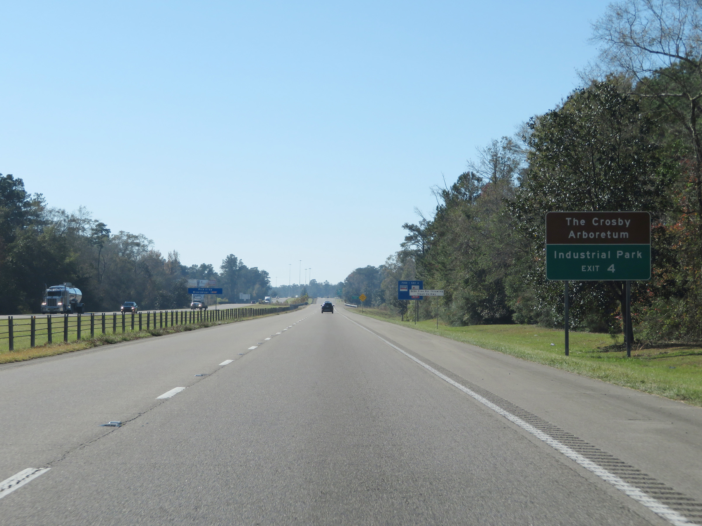 |
Take Exit 4 to The Crosby Arboretum and Industrial Park. (Photo taken 12/9/20). |
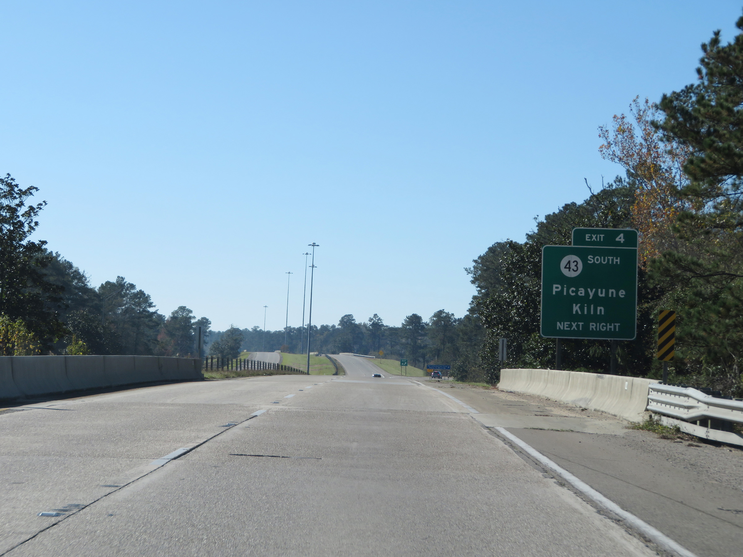 |
Interstate 59 South at Exit 4: MS 43 South - Picayune / Kiln (Photo taken 12/9/20). |
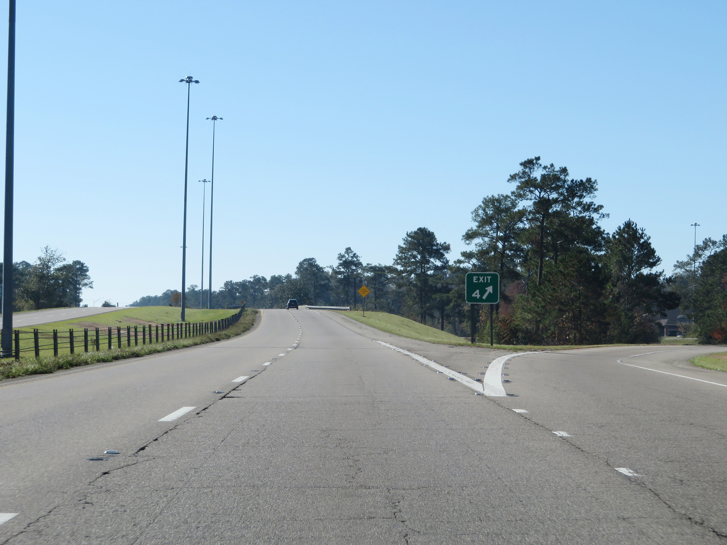 |
A closer view of the ramp for Exit 4. (Photo taken 12/9/20). |
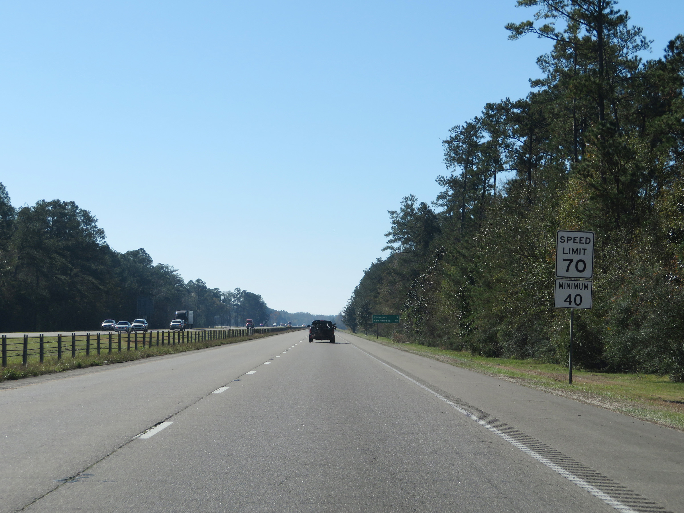 |
The speed limits remain 70 mph maximum and 40 mph minimum. (Photo taken 12/9/20). |
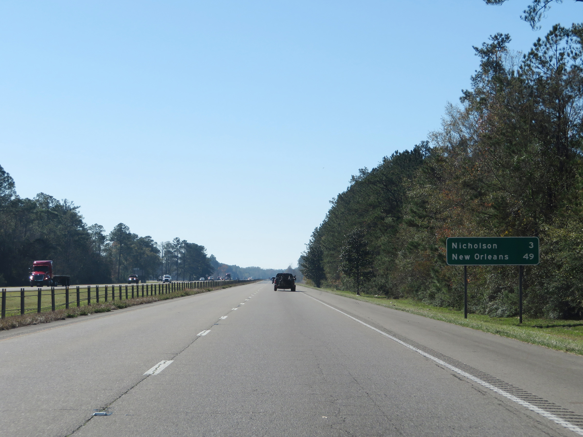 |
Mileage sign on Interstate 59 South. It's 3 miles to Nicholson and 49 miles to New Orleans. (Photo taken 12/9/20). |
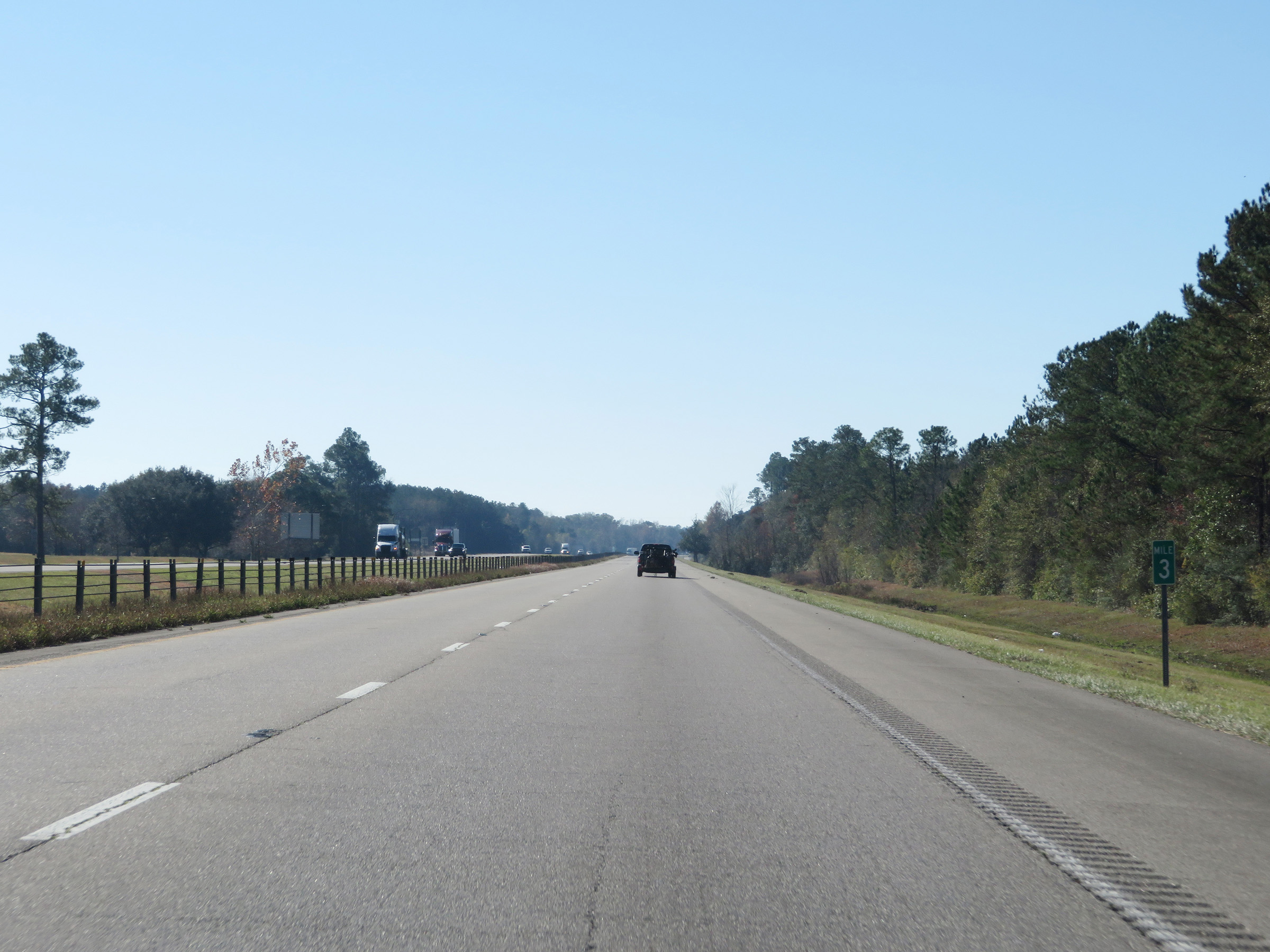 |
View on Interstate 59 South at mile marker 3. (Photo taken 12/9/20). |
 |
Interstate 59 South at mile marker 2. (Photo taken 12/9/20). |
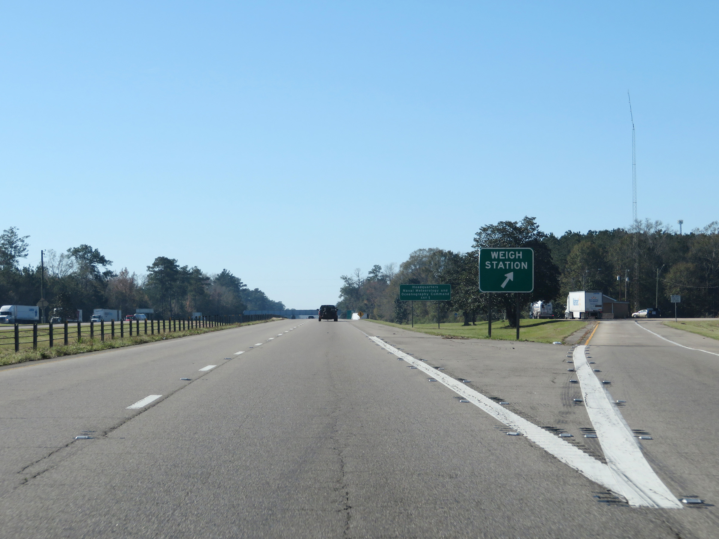 |
Weigh Station on Interstate 59 South in Pearl River County. (Photo taken 12/9/20). |
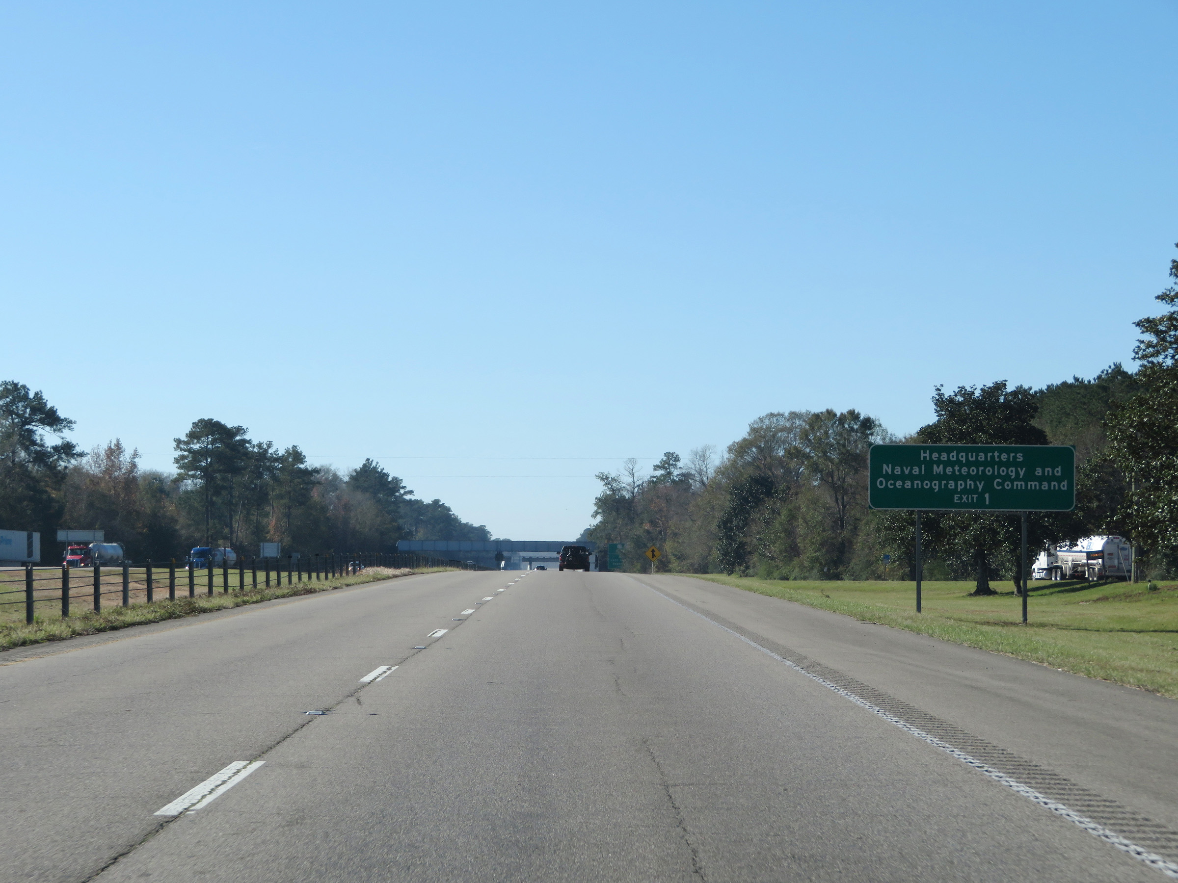 |
Take Exit 1 to the Headquarters of Naval Meteorology and Oceanography Command. (Photo taken 12/9/20). |
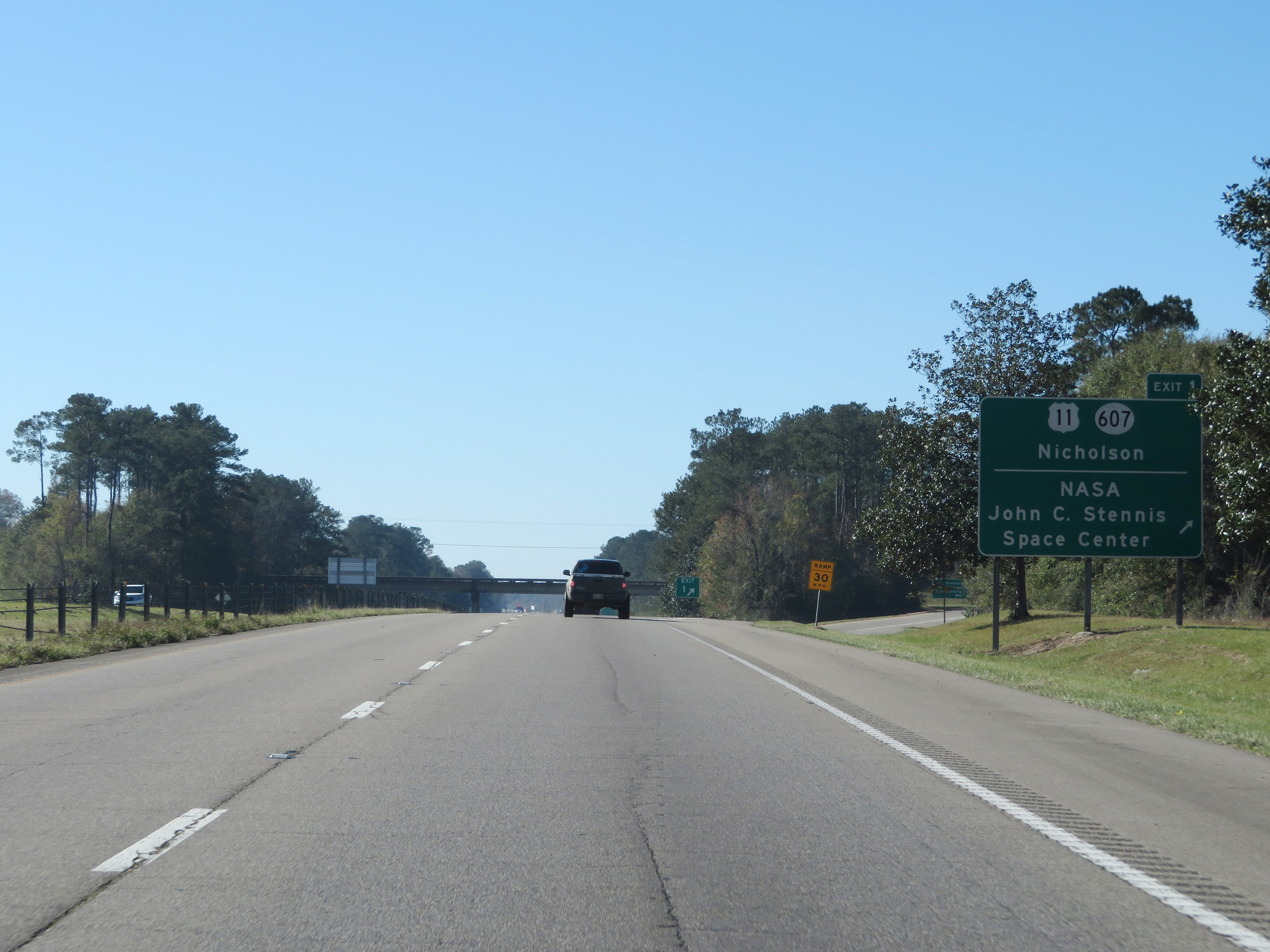 |
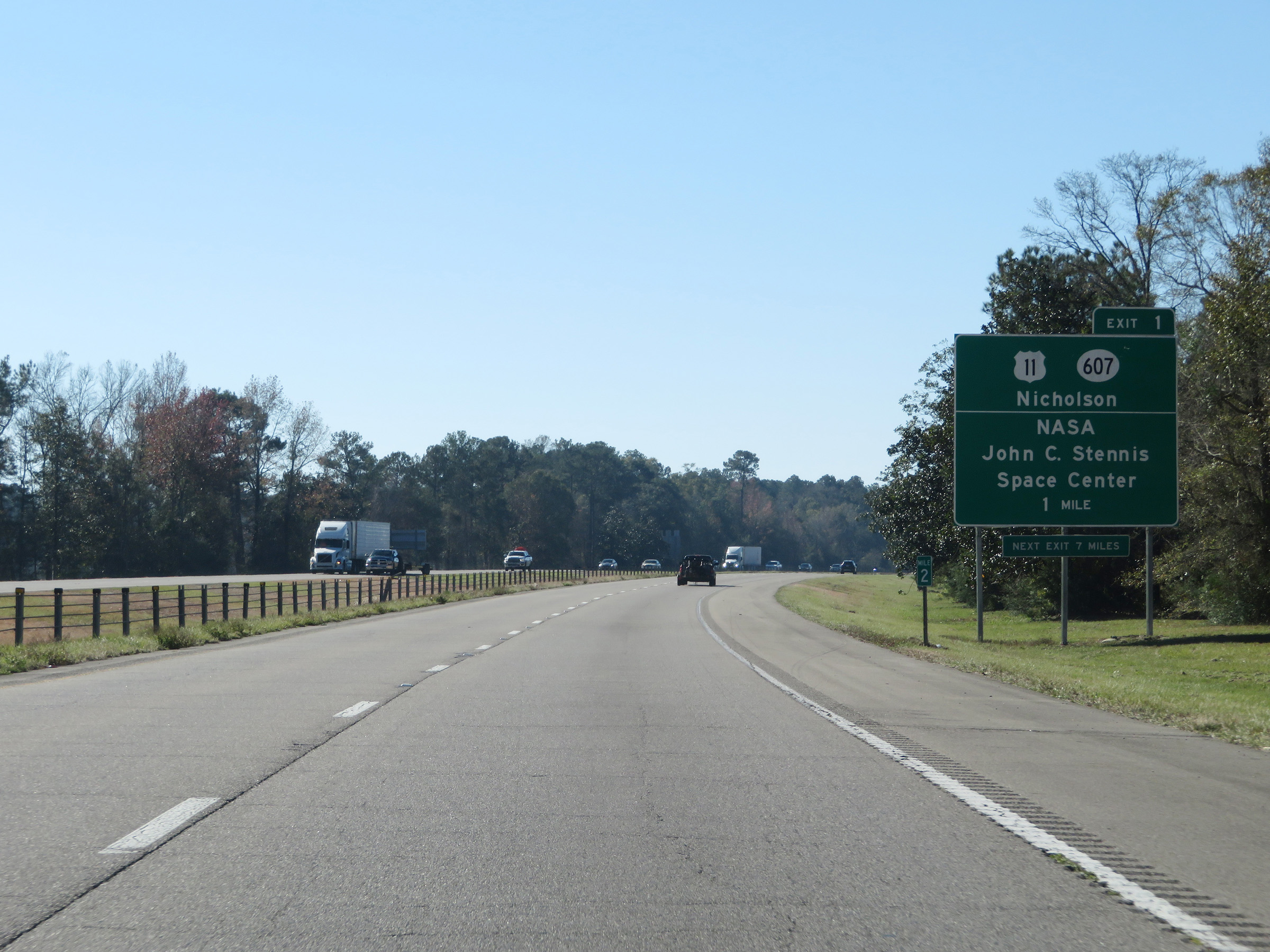
Interstate 59 South at Exit 1: US 11 / MS 607 - Nicholson / NASA John C. Stennis Space Center (Photo taken 12/9/20). |
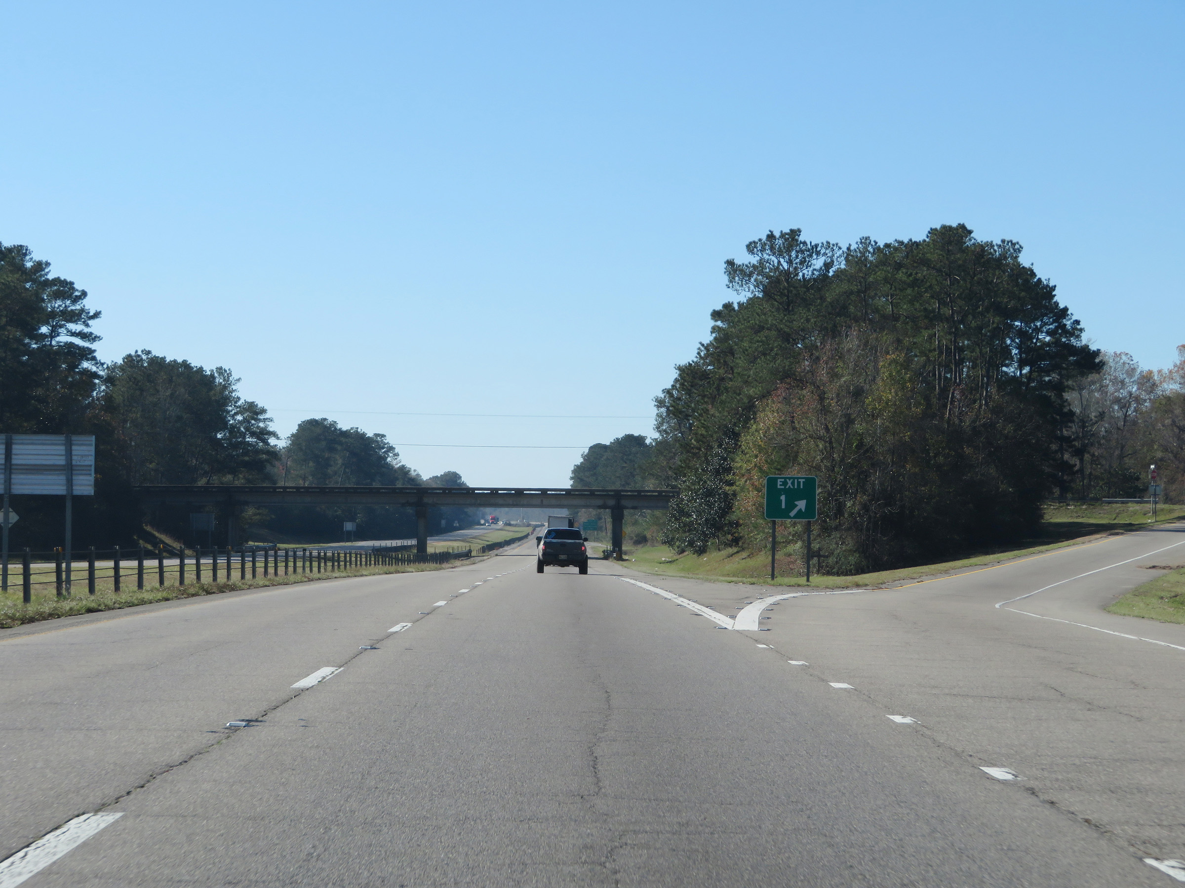 |
A closer view of the ramp for Exit 1. (Photo taken 12/9/20). |
 |
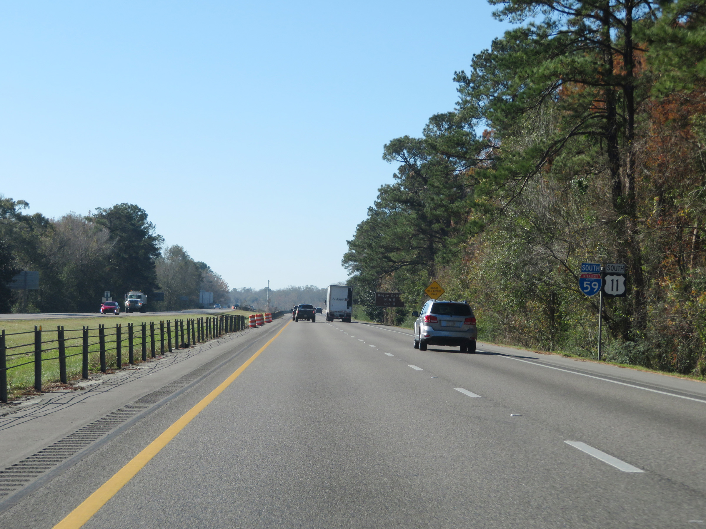
Approaching the Louisiana state line, we see this advance signage for Exit 11 which will be the first exit on Interstate 59 South in Louisiana. (Photo taken 12/9/20). |
 |
One final state-named Interstate 59 South reassurance shield. (Photo taken 12/9/20). |
 |
Interstate 59 South as it prepares to cross the state line into Louisiana. (Photo taken 12/9/20). |