Road Information |
||
 |
||
| Total Mileage in State: | 26 miles | |
| Northern End: | At Tennessee state line | |
| Southern End: | At I-55/I-69, in Hernando | |
| Mileage covered in Photos: | 26 miles | |
| Counties covered in Photos: | DeSoto, Marshall | |
| Major Junctions in Photos: | I-22/US 78, in Byhalia | |
| Control Cities in Photos: | Hernando, Byhalia | |
Northbound
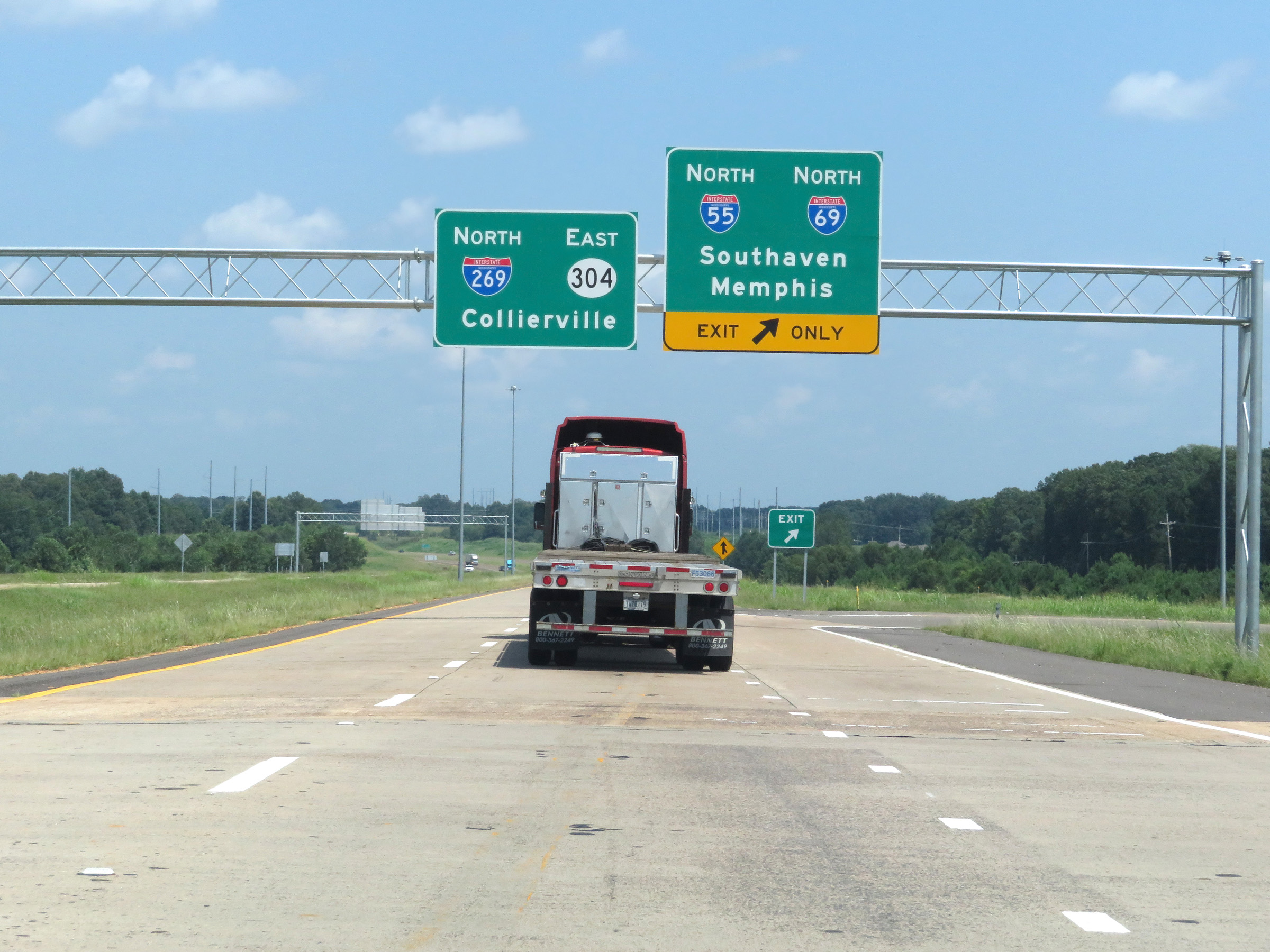 |
Interstate 269 North begins here at the junction of Interstate 55 North / Interstate 69 North in Hernando. (Photo taken 8/12/19). |
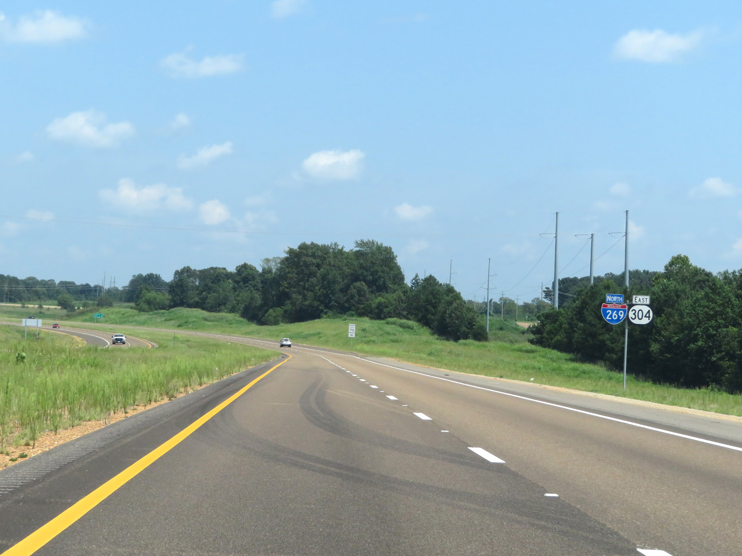 |
Interstate 269 North reassurance shield as the alignment begins in Hernando. MS 304 East will run concurrently with I-269 North the whole way to the Tennessee border. (Photo taken 8/12/19). |
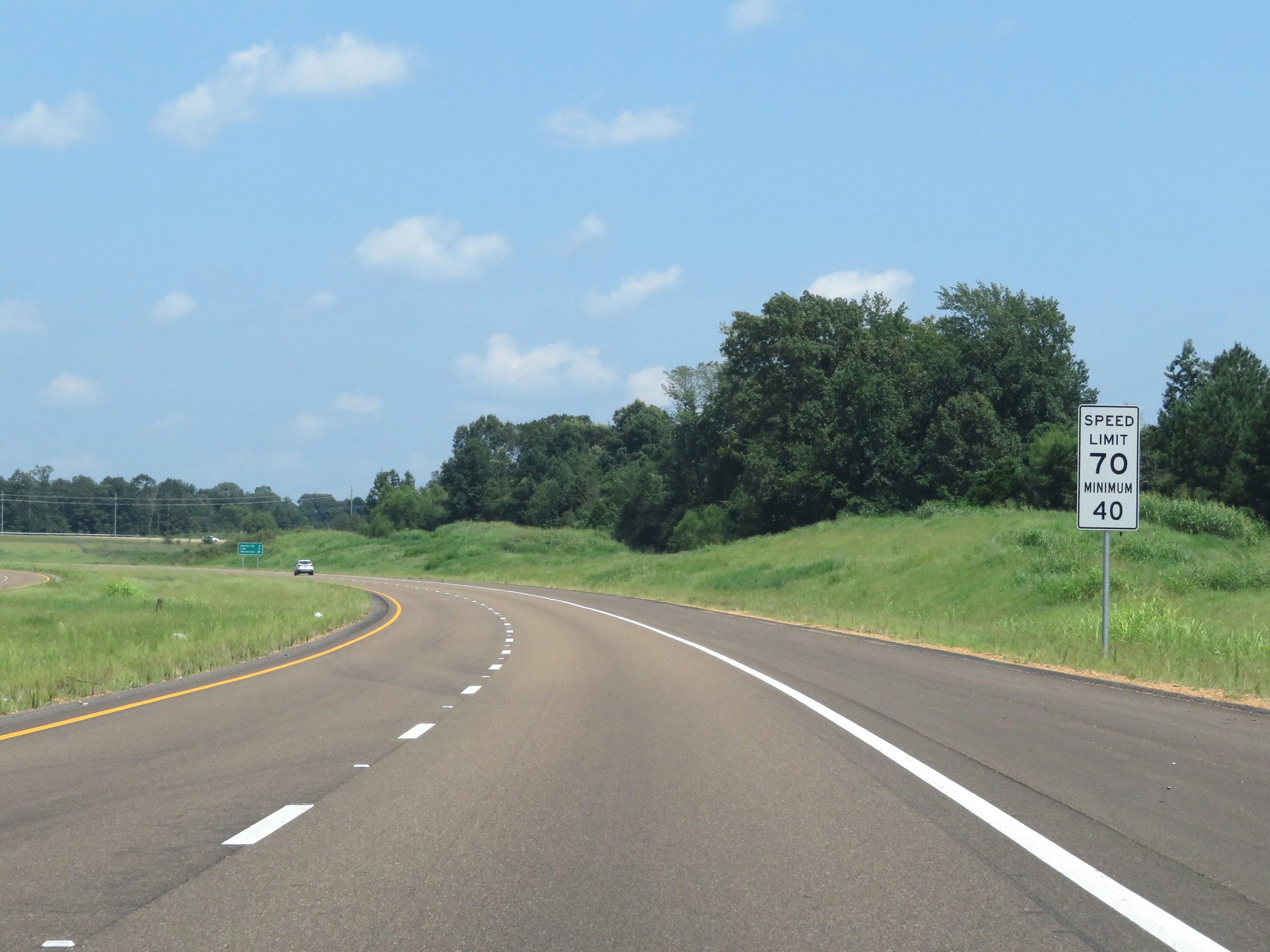 |
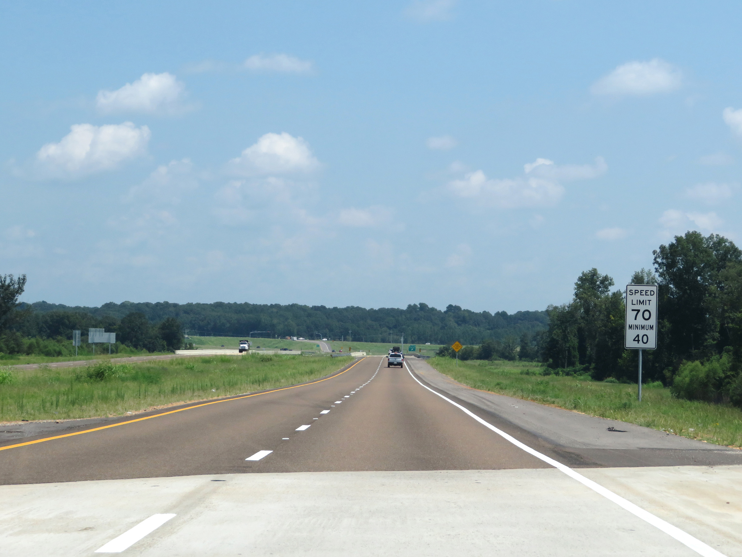
The speed limits on Interstate 269 North start out at 70 mph maximum and 40 mph minimum. These are the standard speed limits on most rural Interstate highways in Mississippi. (Photo taken 8/12/19). |
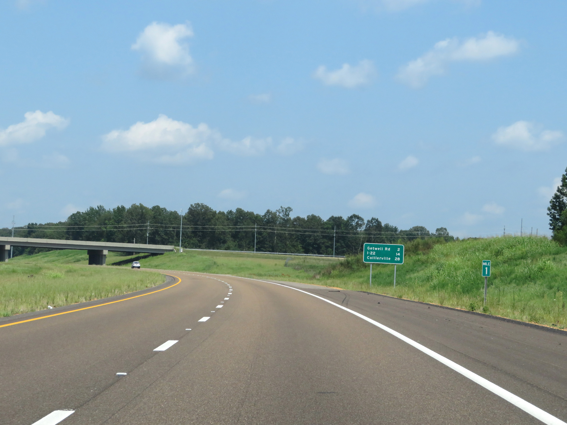 |
Mileage sign at mile marker 1. It's 2 miles to the junction of Getwell Rd, 14 miles to the junction of Interstate 22, and 28 miles to Collierville. (Photo taken 8/12/19). |
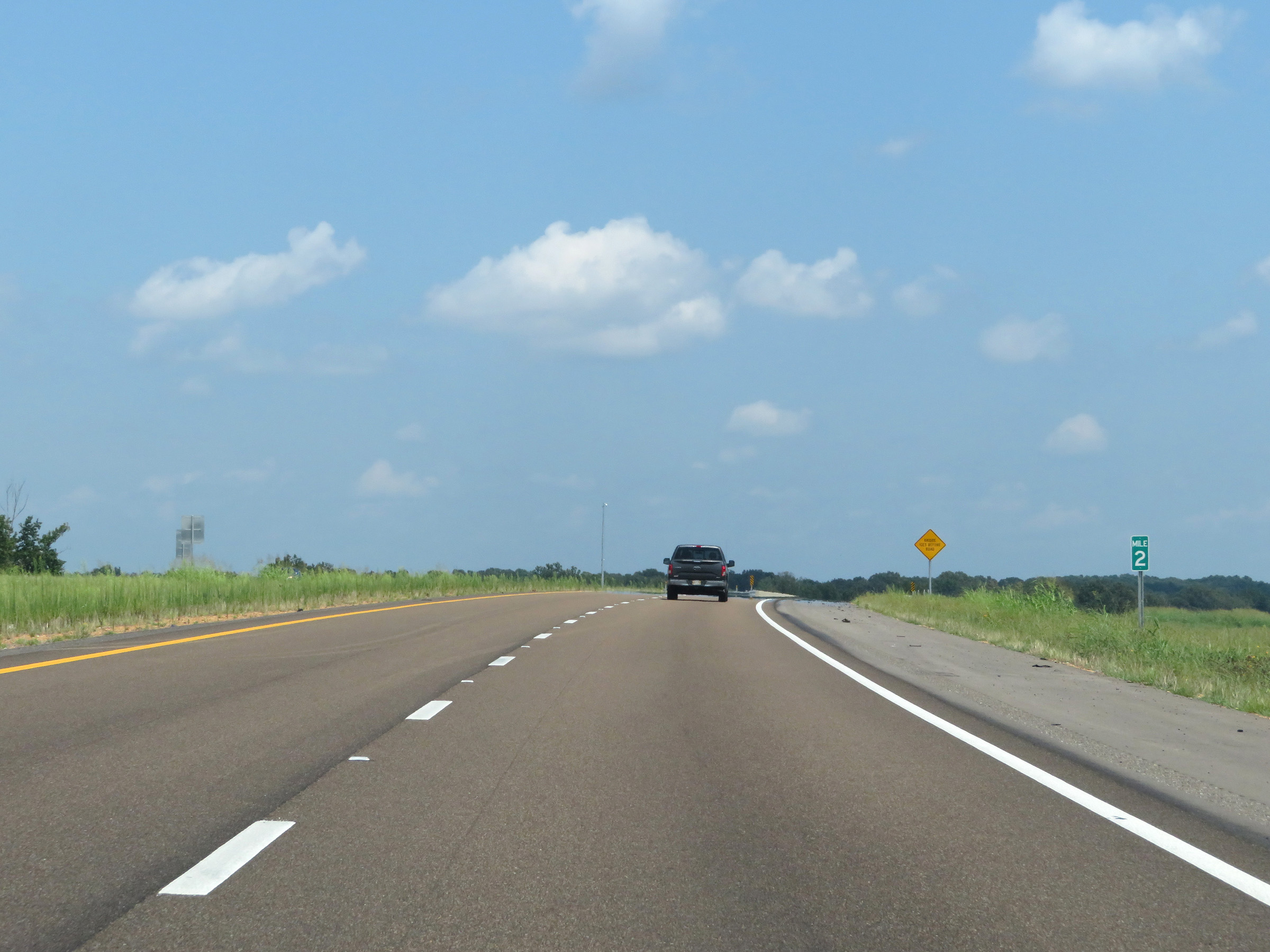 |
Interstate 269 North at mile marker 2. (Photo taken 8/12/19). |
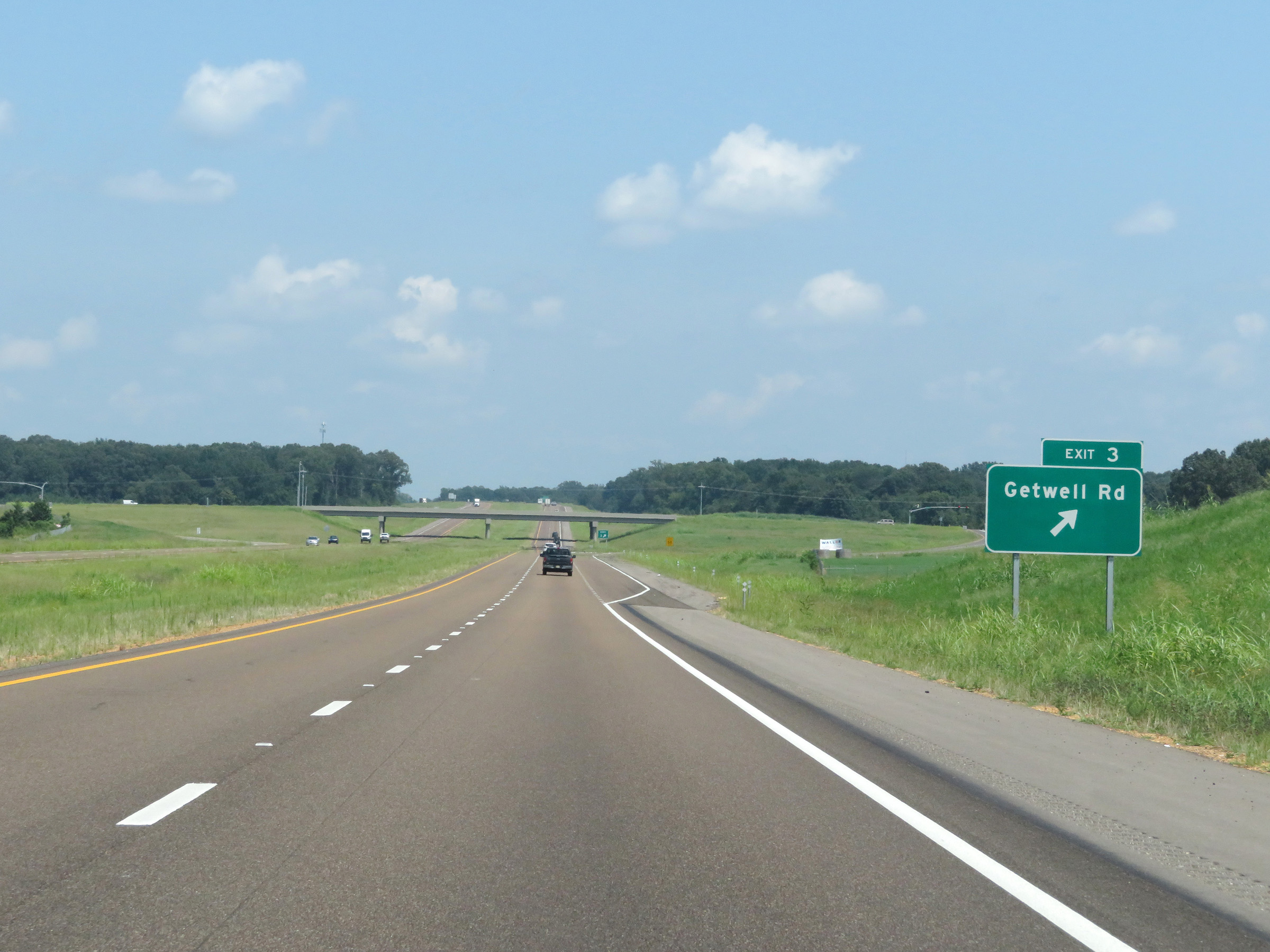 |
Interstate 269 North at Exit 3: Getwell Rd (Photo taken 8/12/19). |
 |
State-named Interstate 269 North reassurance shield at mile marker 4. (Photo taken 8/12/19). |
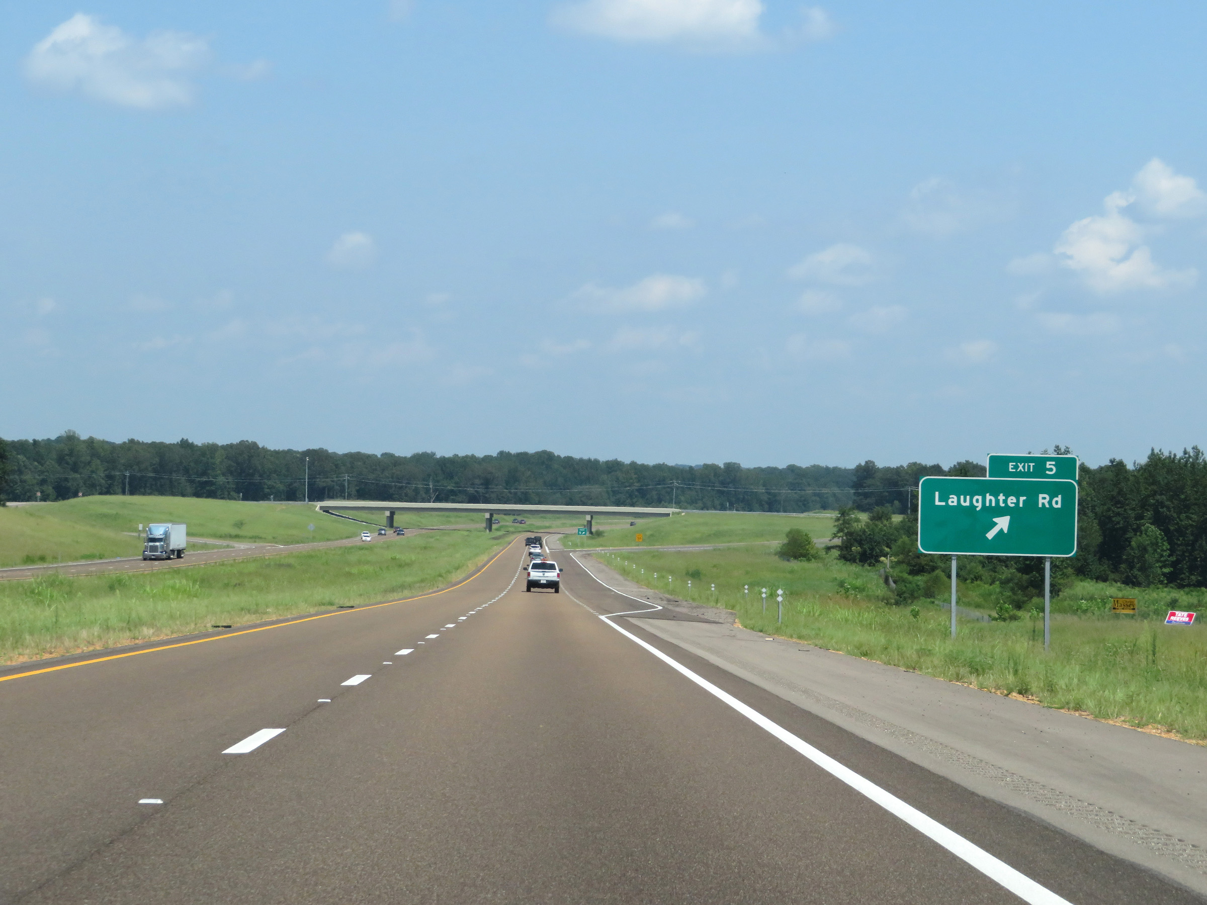 |
Interstate 269 North at Exit 5: Laughter Rd (Photo taken 8/12/19). |
 |
View on Interstate 269 North at mile marker 6. (Photo taken 8/12/19). |
 |
The speed limits remain 70 mph maximum and 40 mph minimum. (Photo taken 8/12/19). |
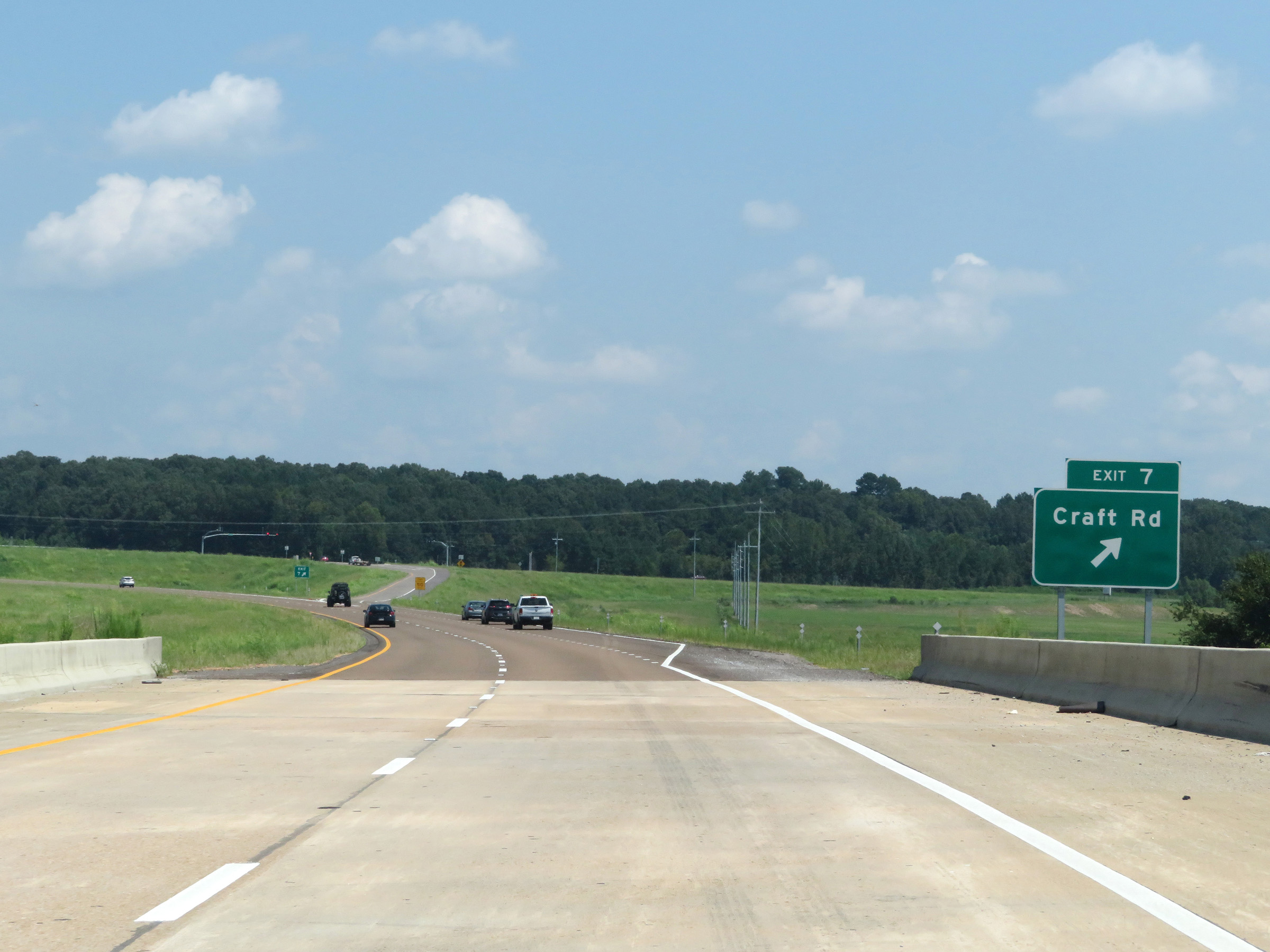 |
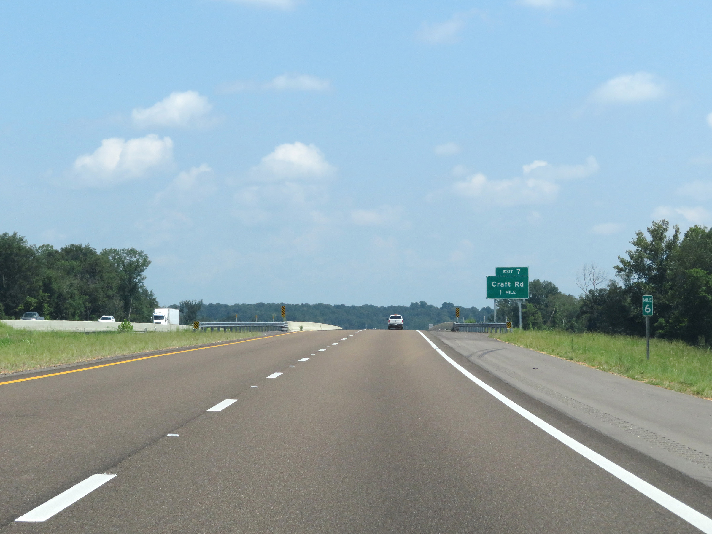
Interstate 269 North at Exit 7: Craft Rd (Photo taken 8/12/19). |
 |
Another Interstate 269 North reassurance shield at mile marker 8. (Photo taken 8/12/19). |
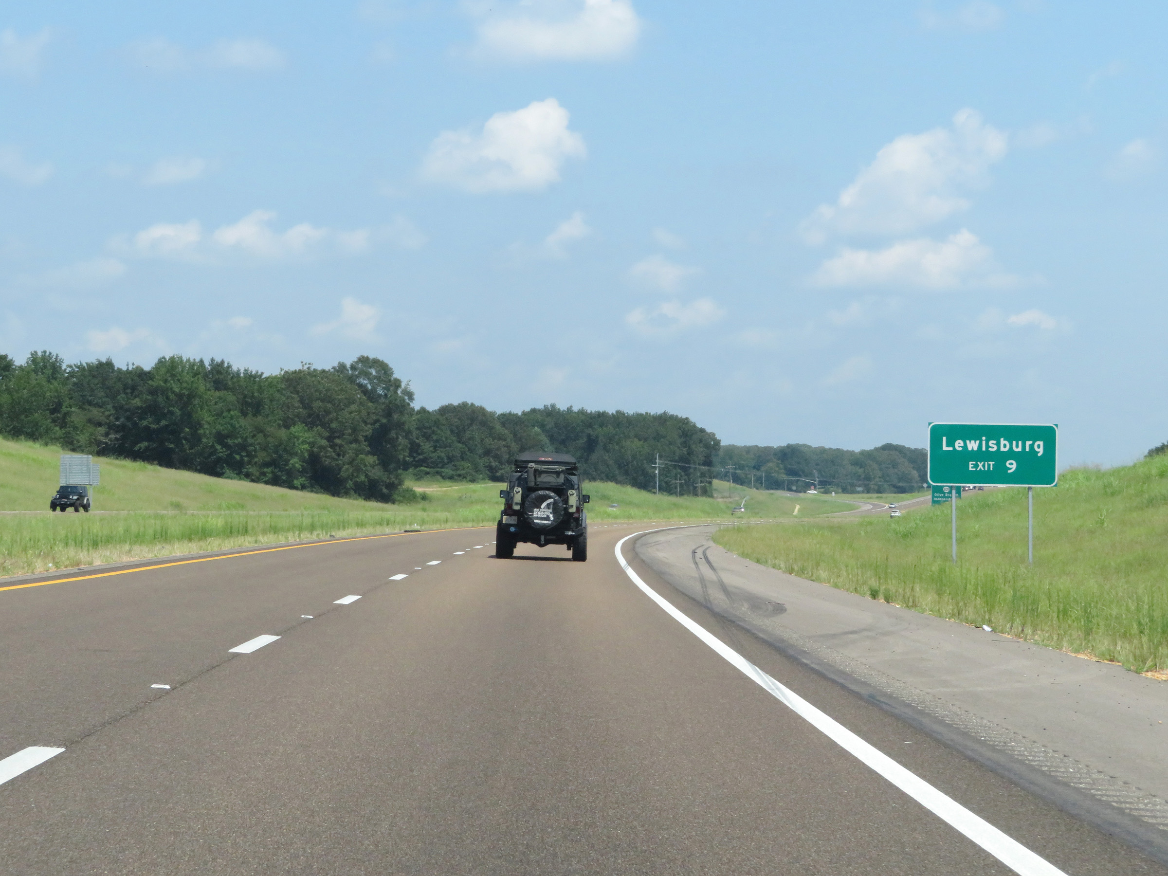 |
Take Exit 9 to Lewisburg. (Photo taken 8/12/19). |
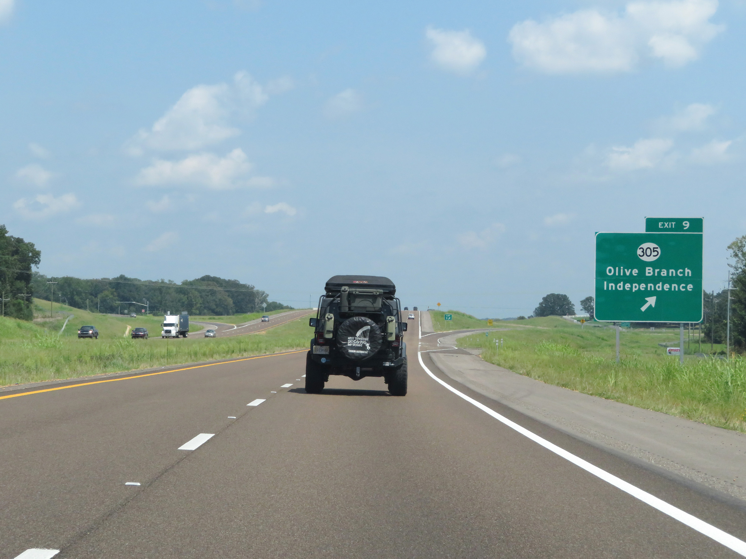 |
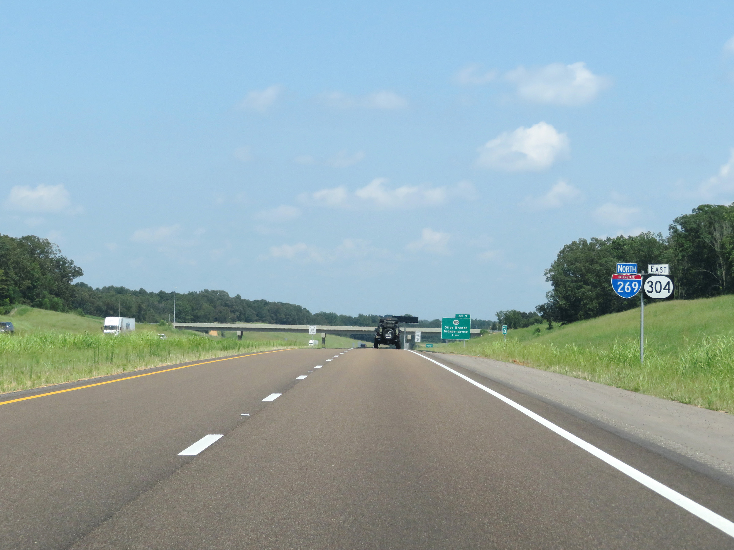
Interstate 269 North at Exit 9: MS 305 - Olive Branch / Independence (Photo taken 8/12/19). |
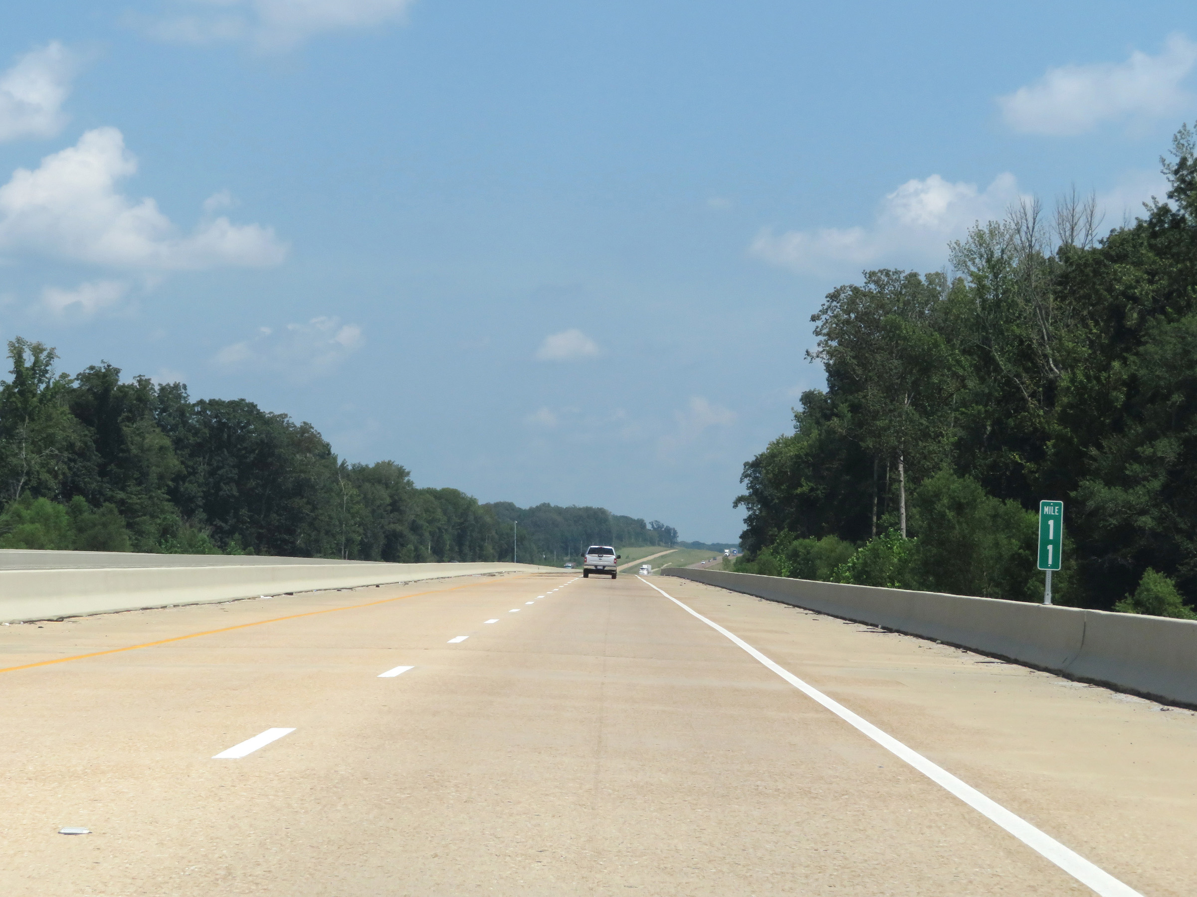 |
View on Interstate 269 North at mile marker 11. (Photo taken 8/12/19). |
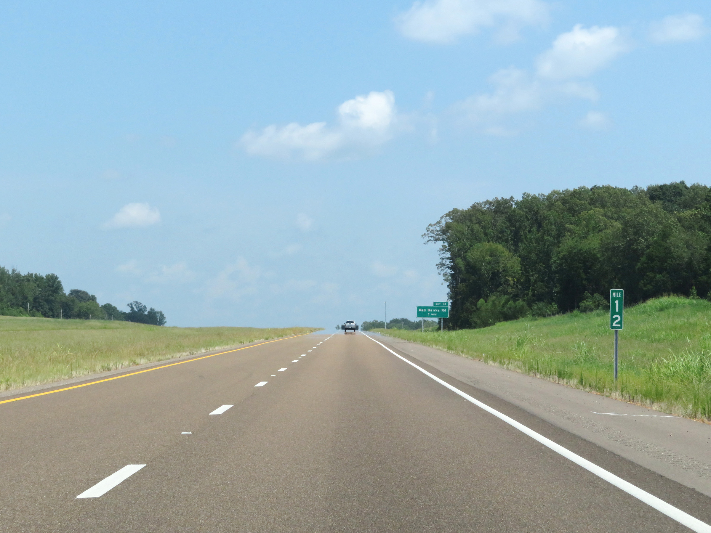 |
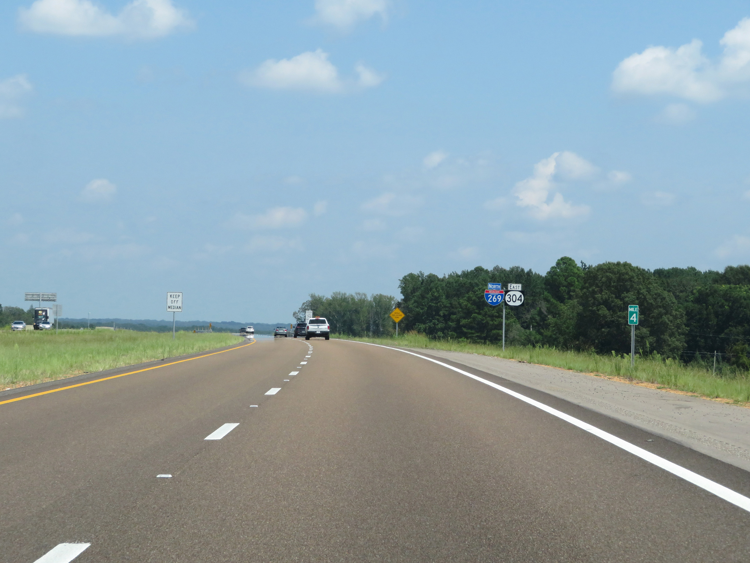
Mile marker 12 on Interstate 269 North in DeSoto County. (Photo taken 8/12/19). |
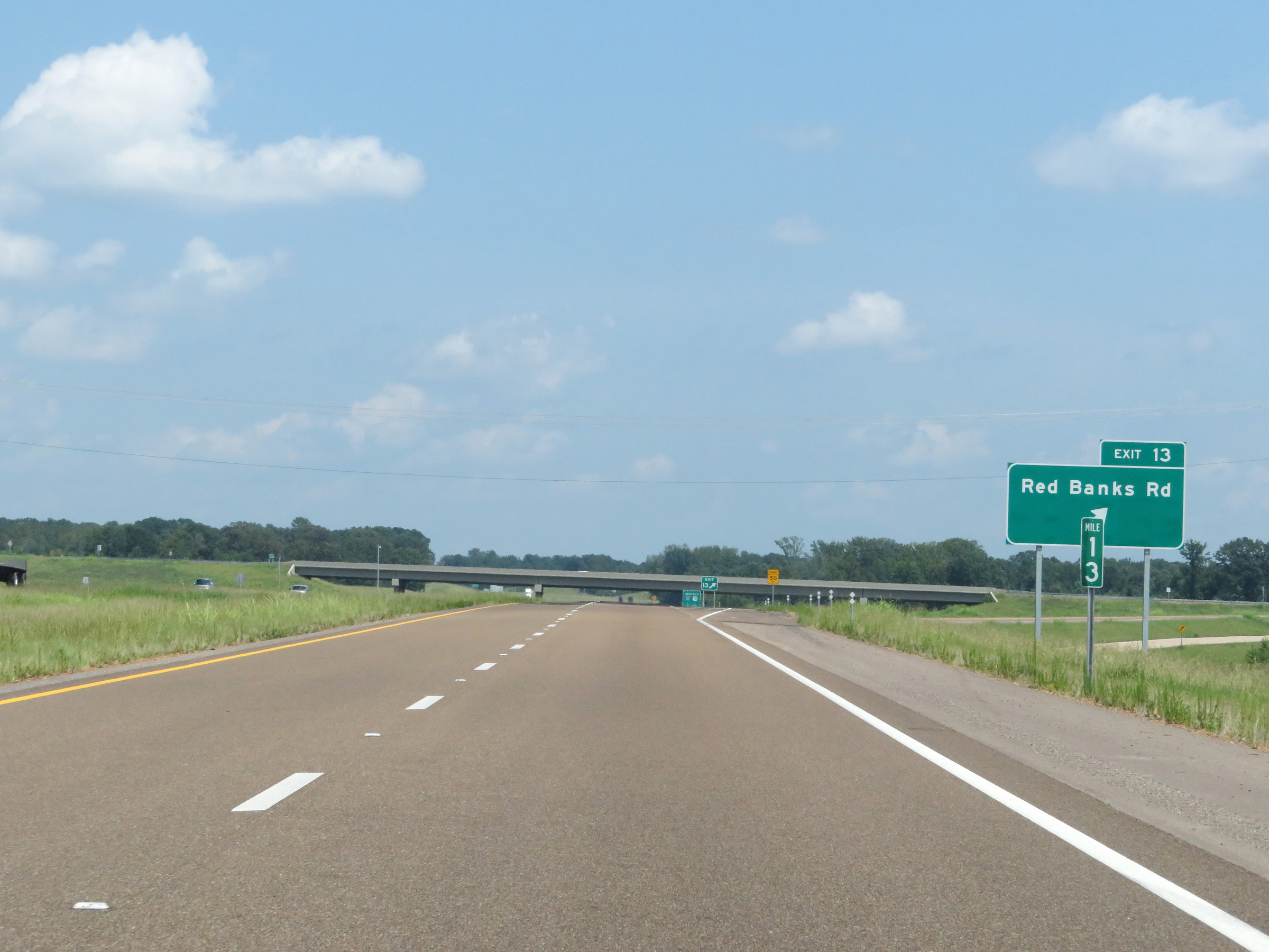 |
Interstate 269 North at Exit 13: Red Banks Rd (Photo taken 8/12/19). |
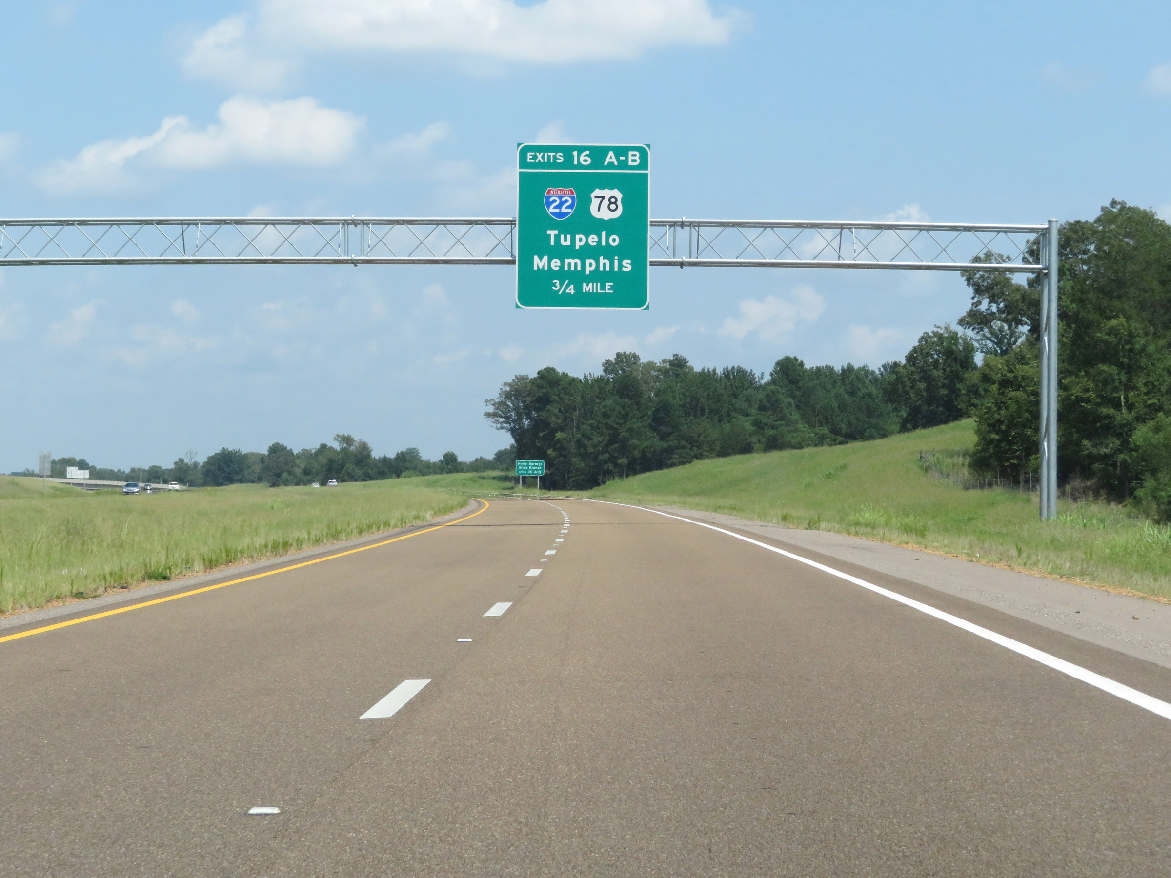 |
Interstate 269 North approaching Exits 16A-B - 3/4 mile. (Photo taken 8/12/19). |
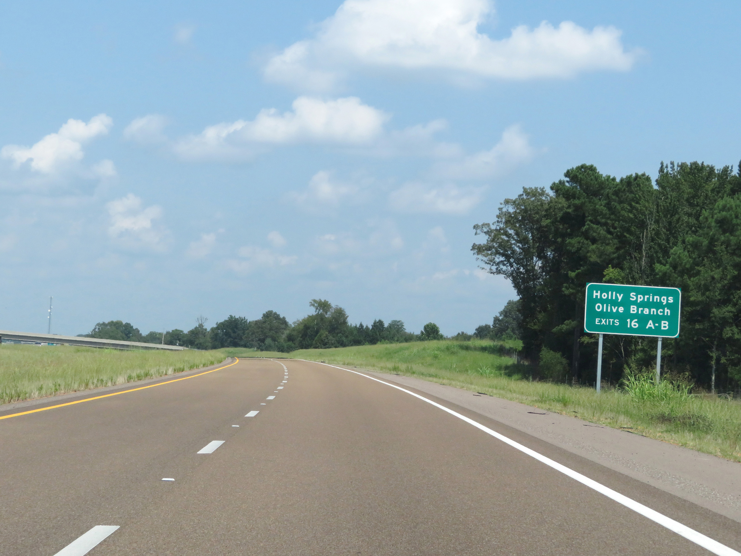 |
Take Exits 16A-B to Holly Springs and Olive Branch. (Photo taken 8/12/19). |
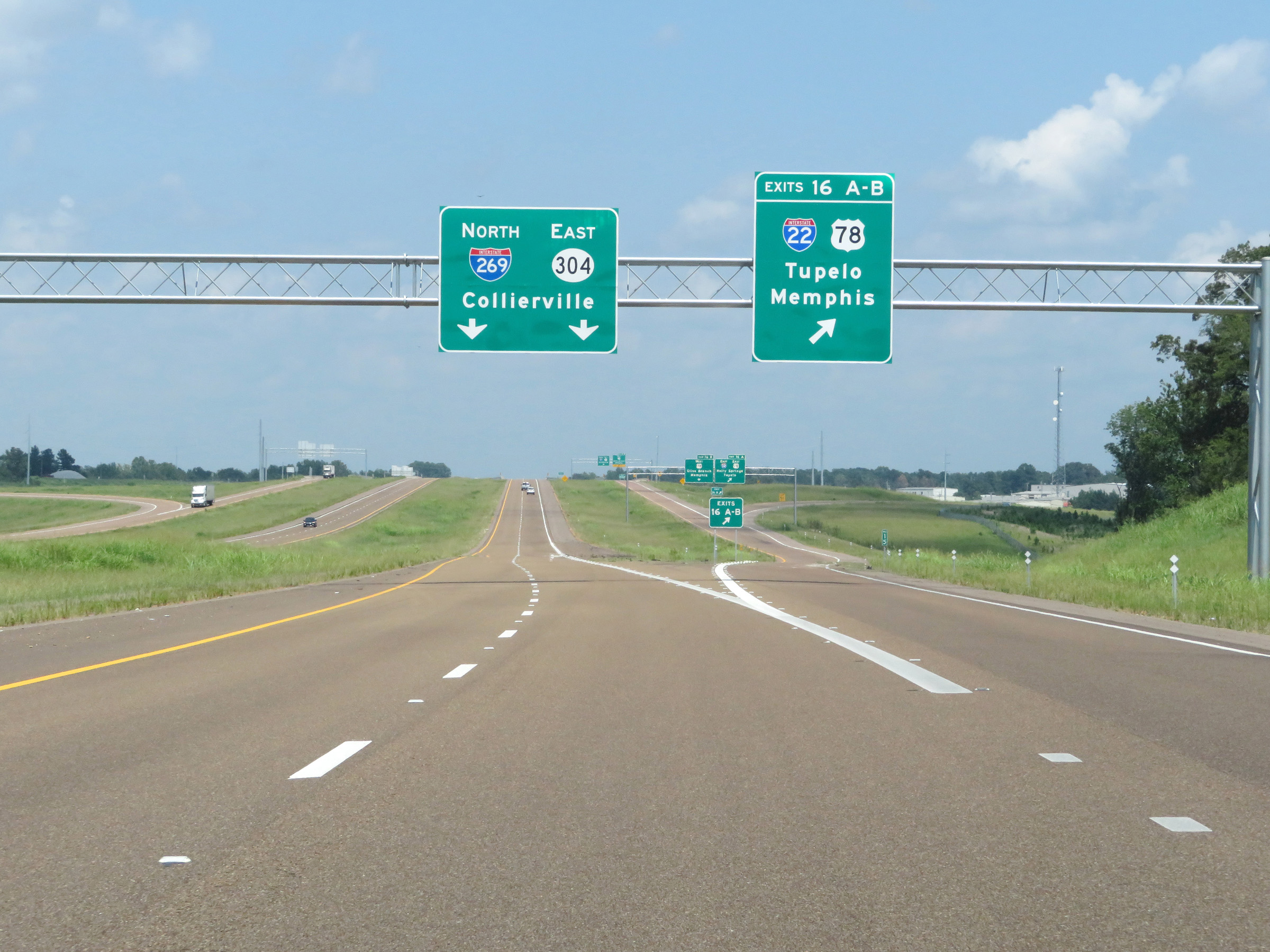 |
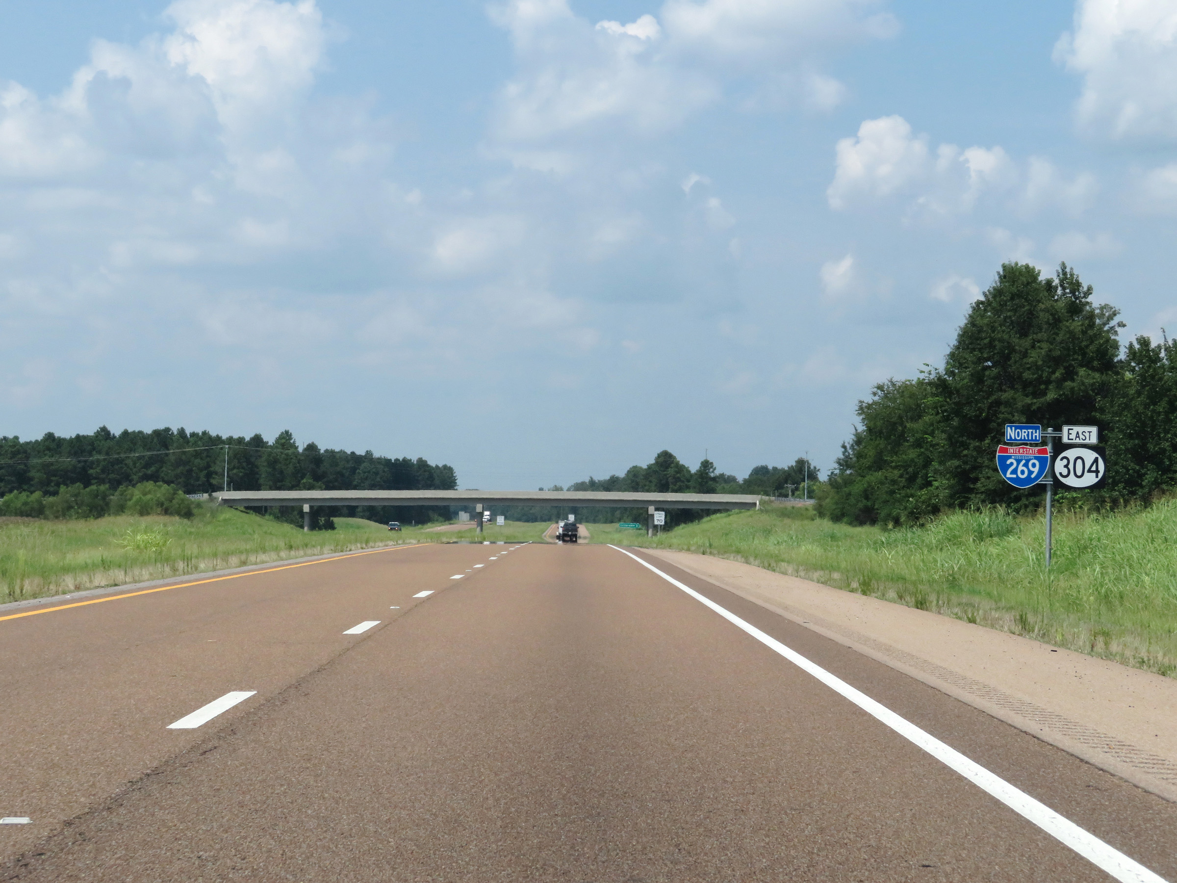
Interstate 269 North at Exits 16A-B: Interstate 22 / US 78 - Tupelo / Memphis (Photo taken 8/12/19). |
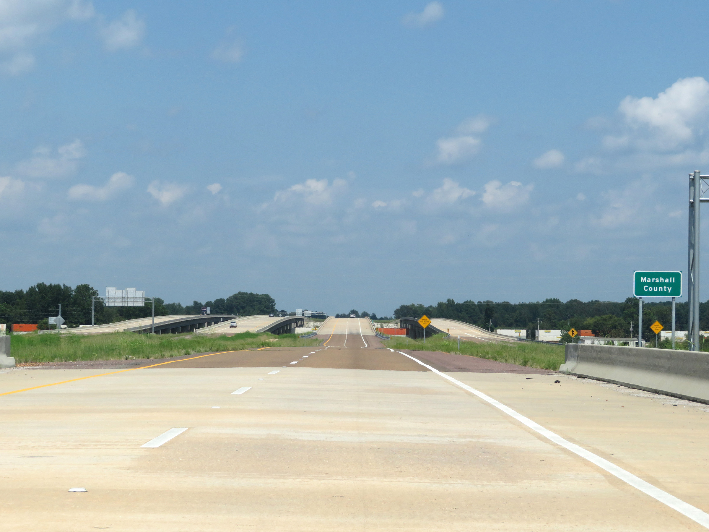 |
At the junction of Interstate 22 / US 78, Interstate 269 North enters Marshall County. (Photo taken 8/12/19). |
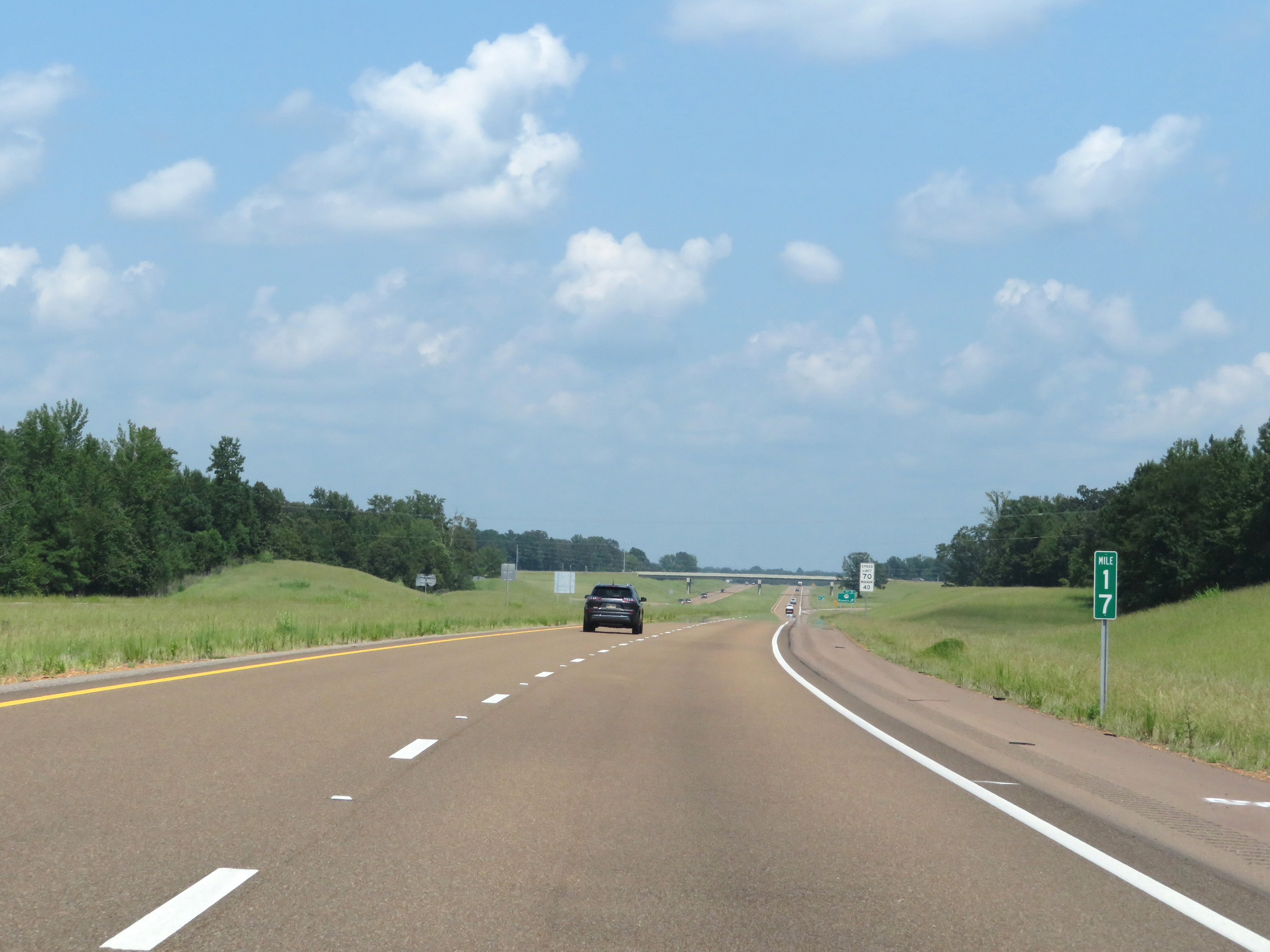 |
View on Interstate 269 North at mile marker 17. (Photo taken 8/12/19). |
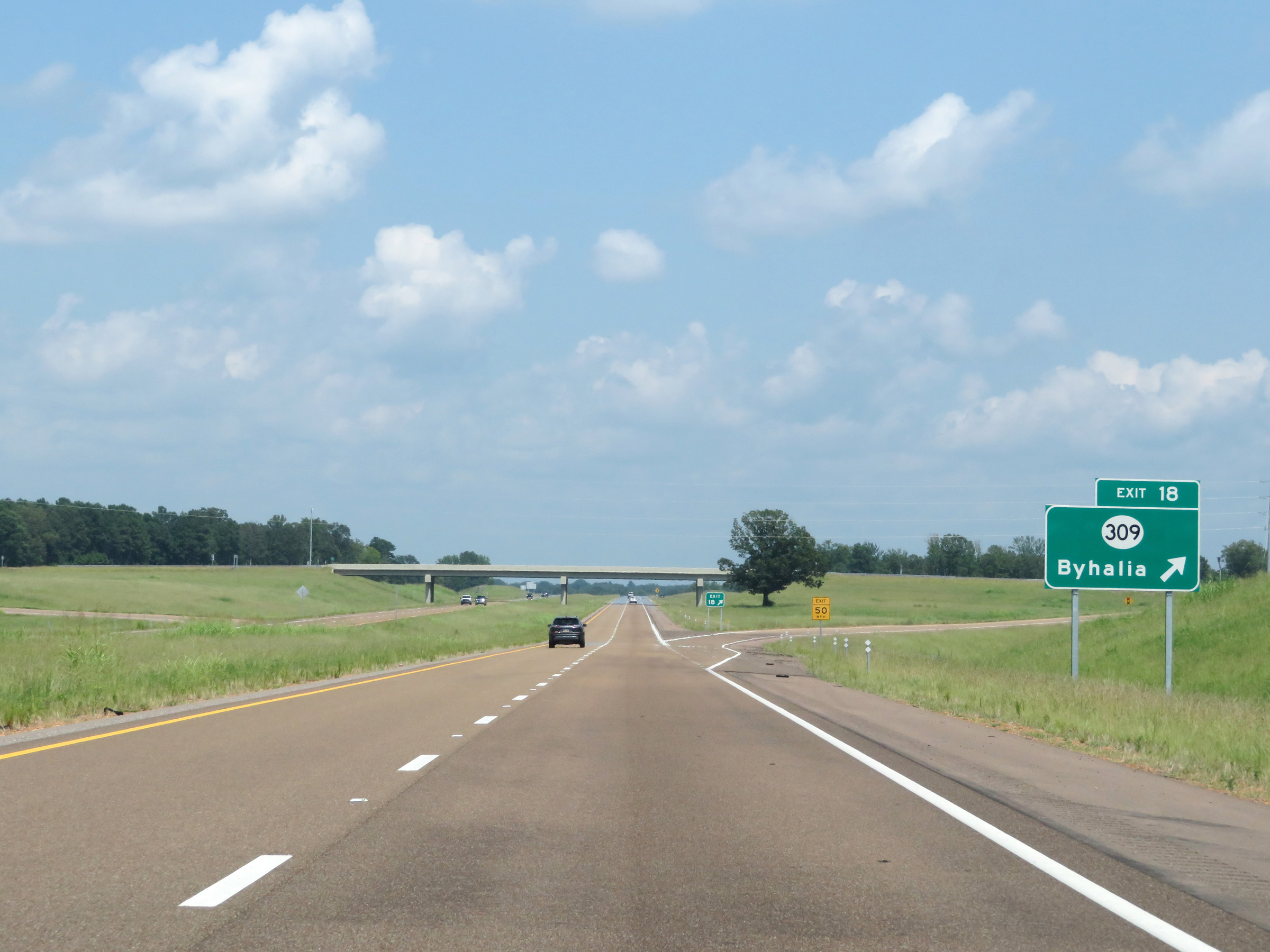 |
Interstate 269 North at Exit 18: MS 309 - Byhalia (Photo taken 8/12/19). |
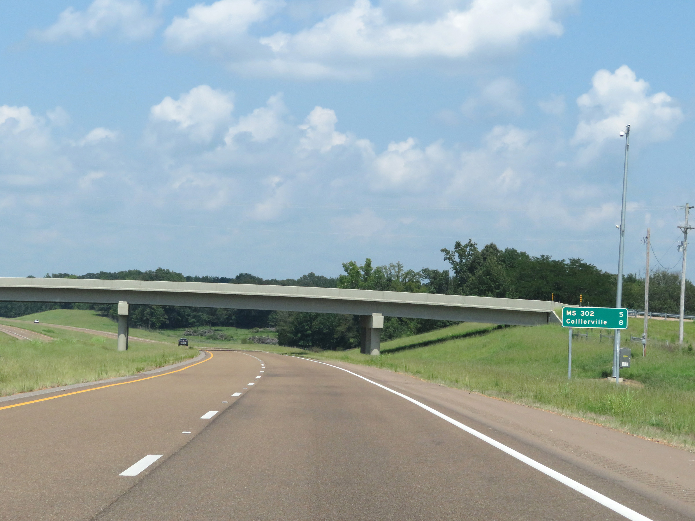 |
Mileage sign on Interstate 269 North. It's 5 miles to the junction of MS 302 and 8 miles to Collierville. (Photo taken 8/12/19). |
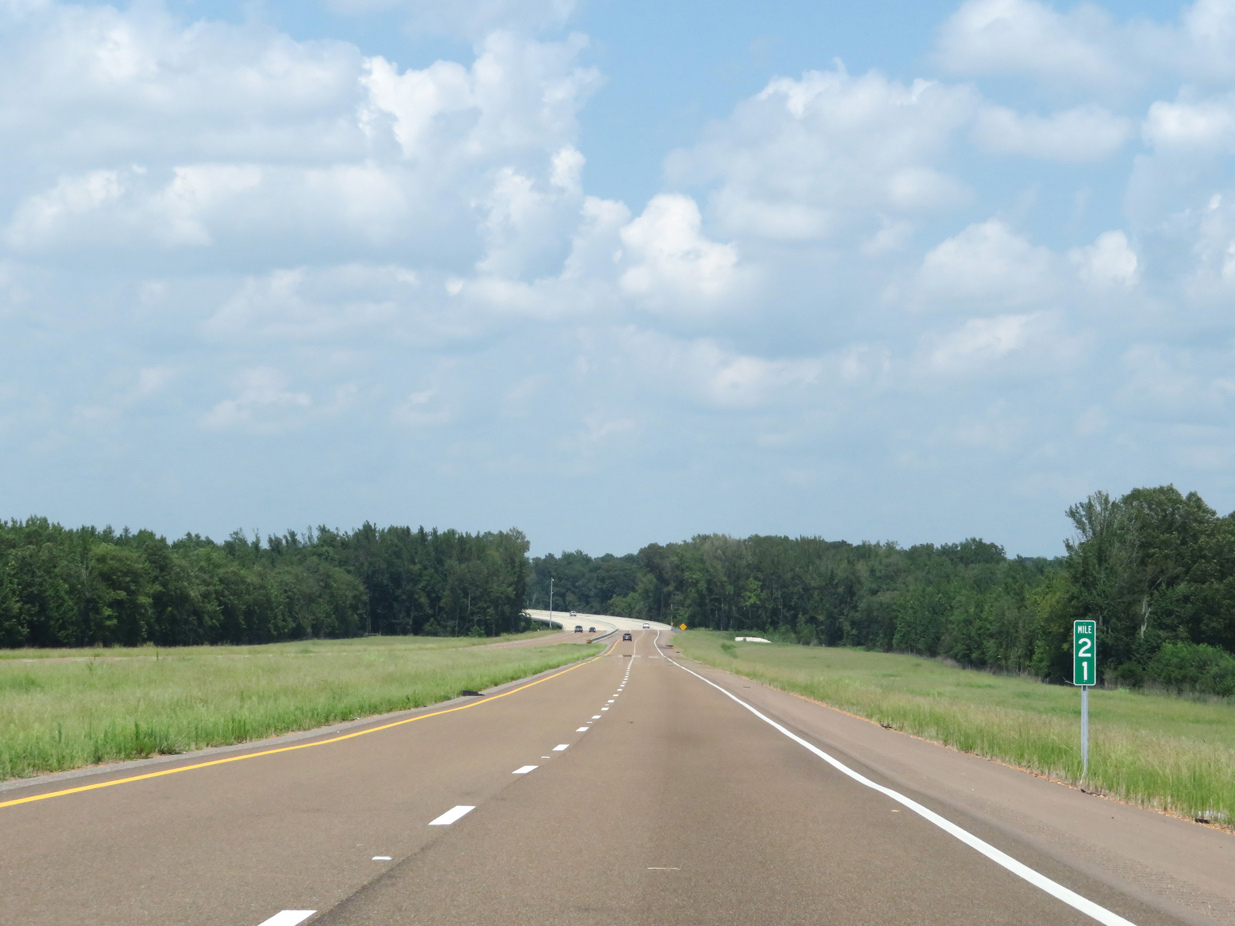 |
View on Interstate 269 North at mile marker 21. (Photo taken 8/12/19). |
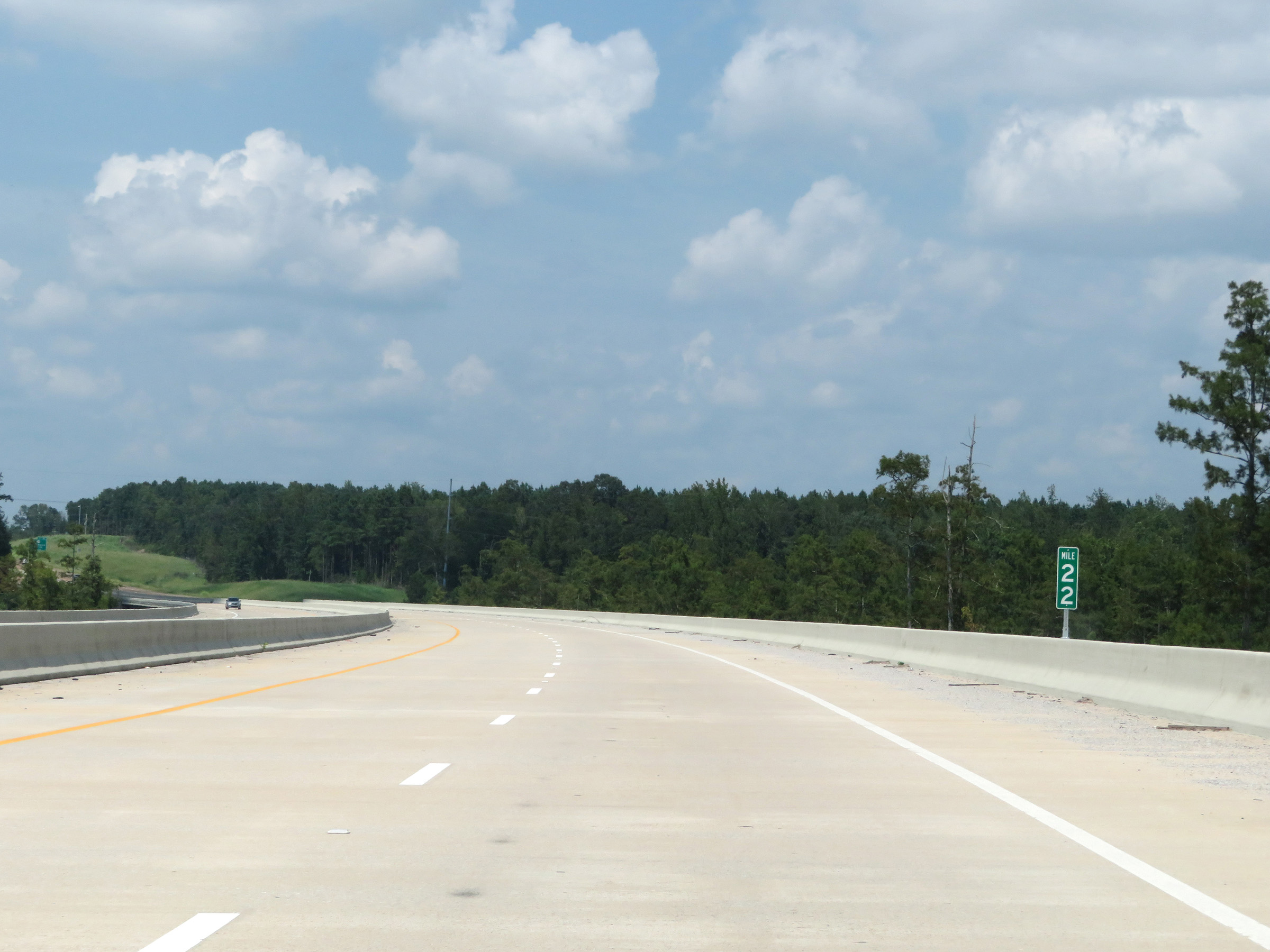 |
Interstate 269 North at mile marker 22, as it curves more to the north. (Photo taken 8/12/19). |
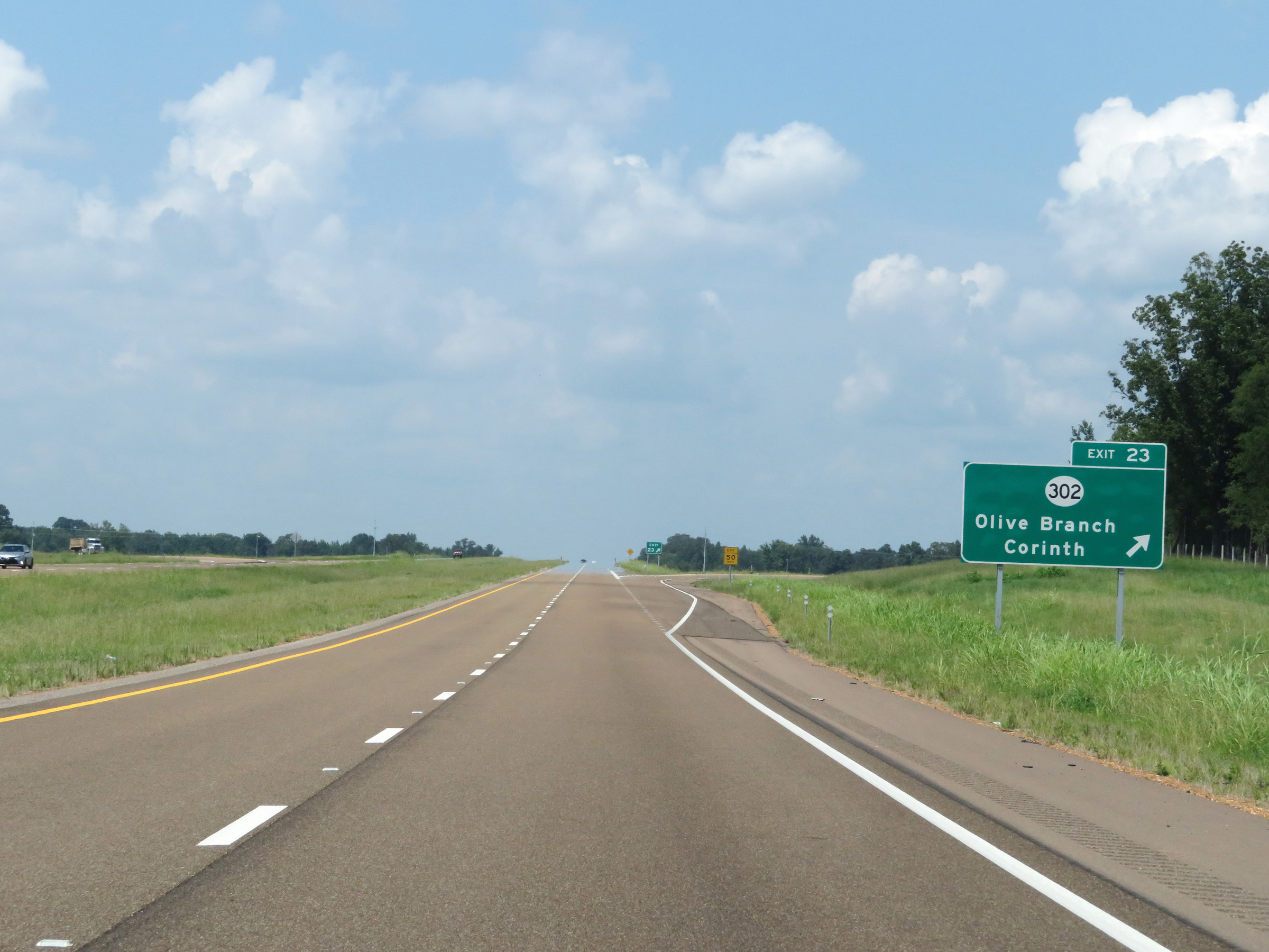 |
Interstate 269 North at Exit 23: MS 302 - Olive Branch / Corinth (Photo taken 8/12/19). |
 |
Another state-named Interstate 269 North reassurance shield. (Photo taken 8/12/19). |
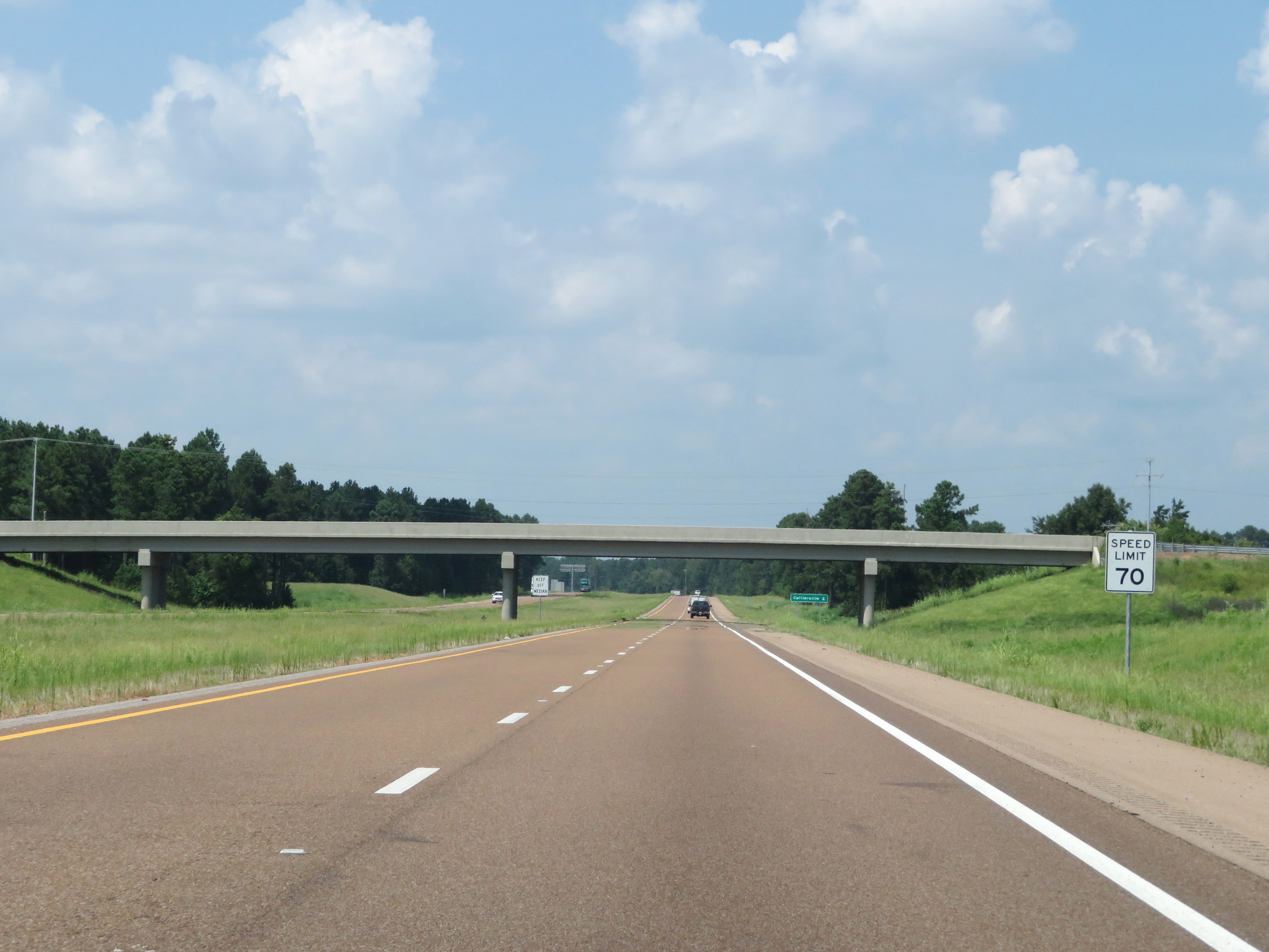 |
The maximum speed limit remains the rural standard 70 mph. (Photo taken 8/12/19). |
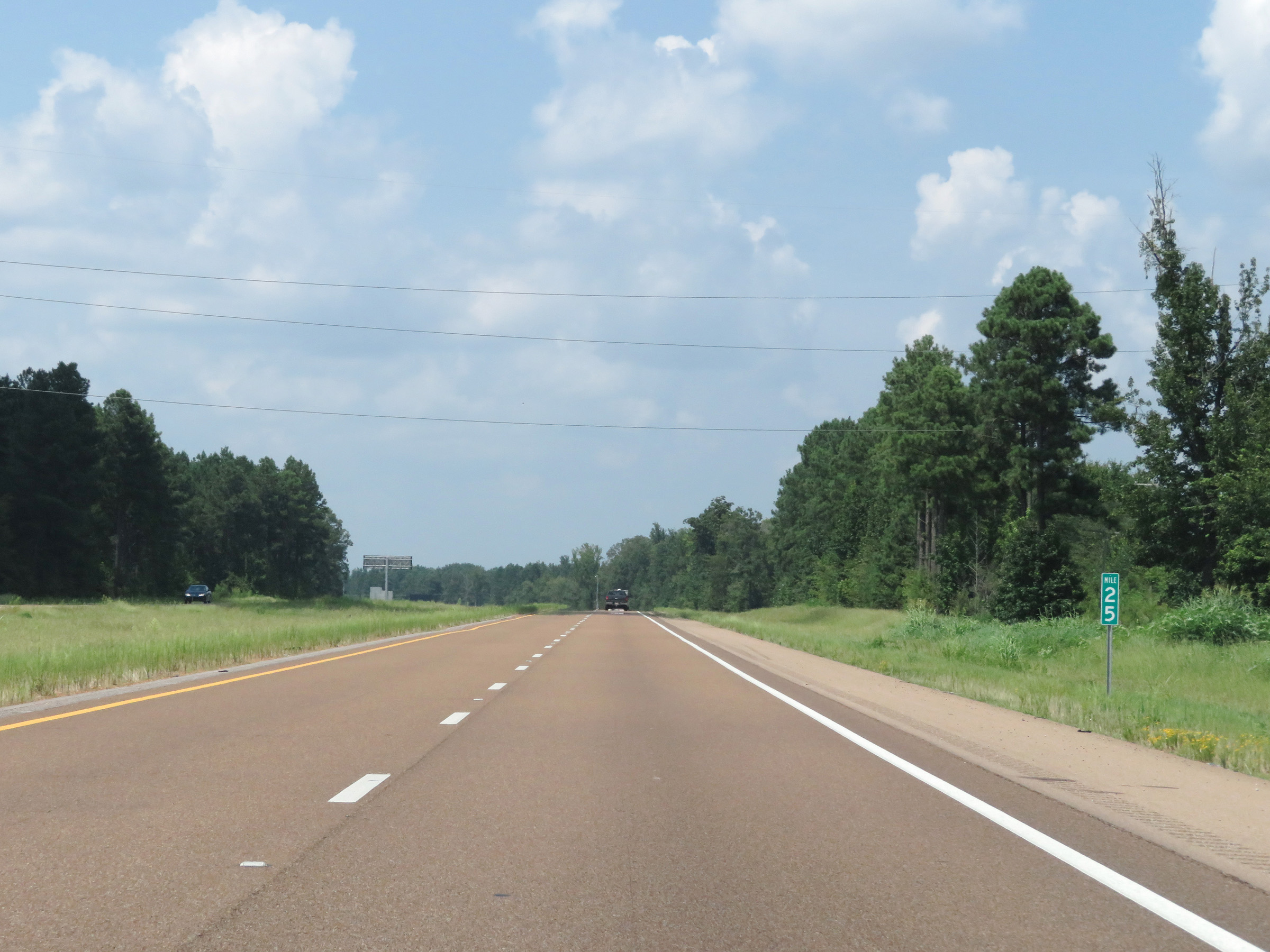 |
View on Interstate 269 North at mile marker 25. (Photo taken 8/12/19). |
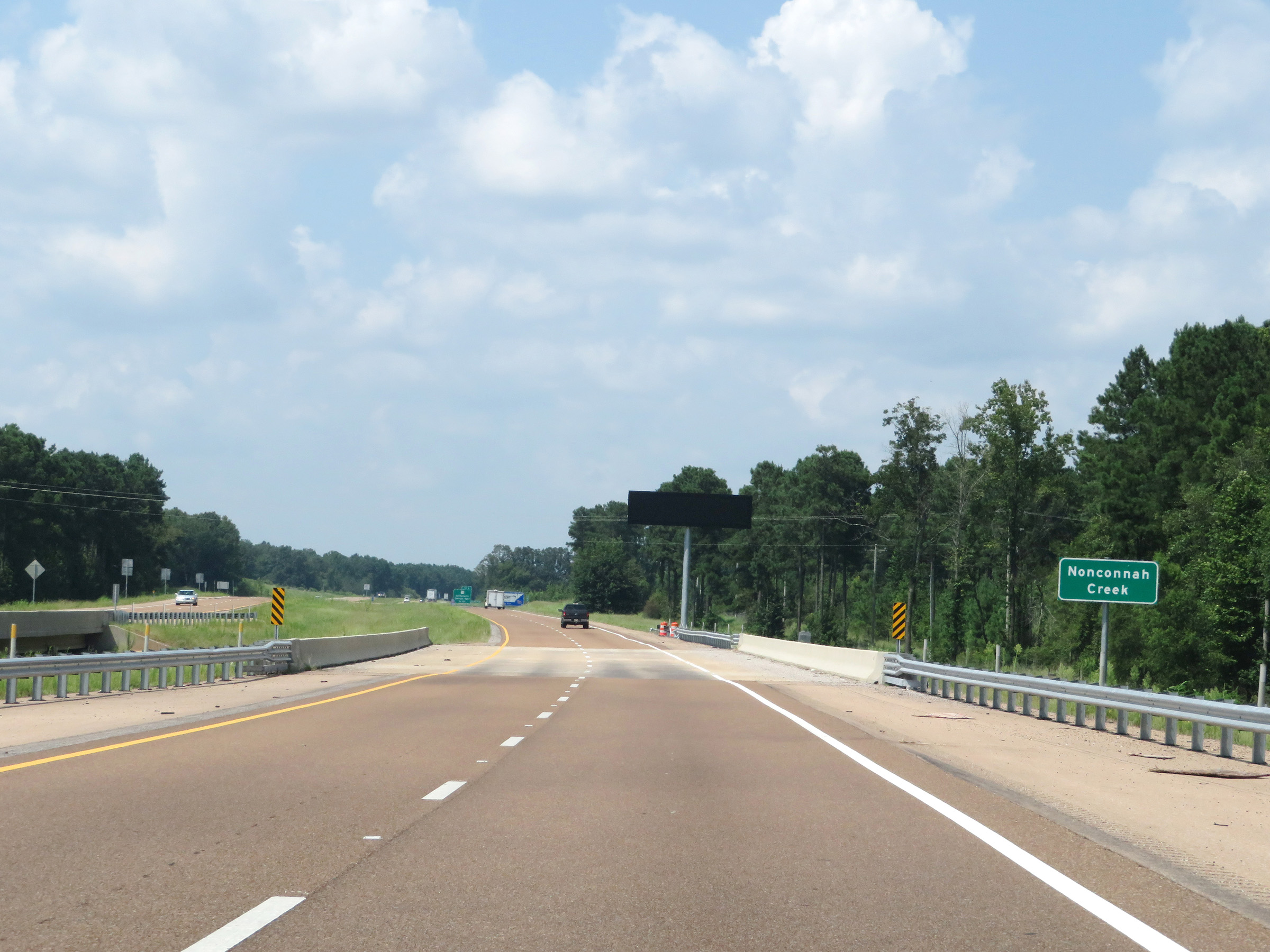 |
Interstate 269 North as it crosses Nonconnah Creek and approaches the Tennessee border. (Photo taken 8/12/19). |
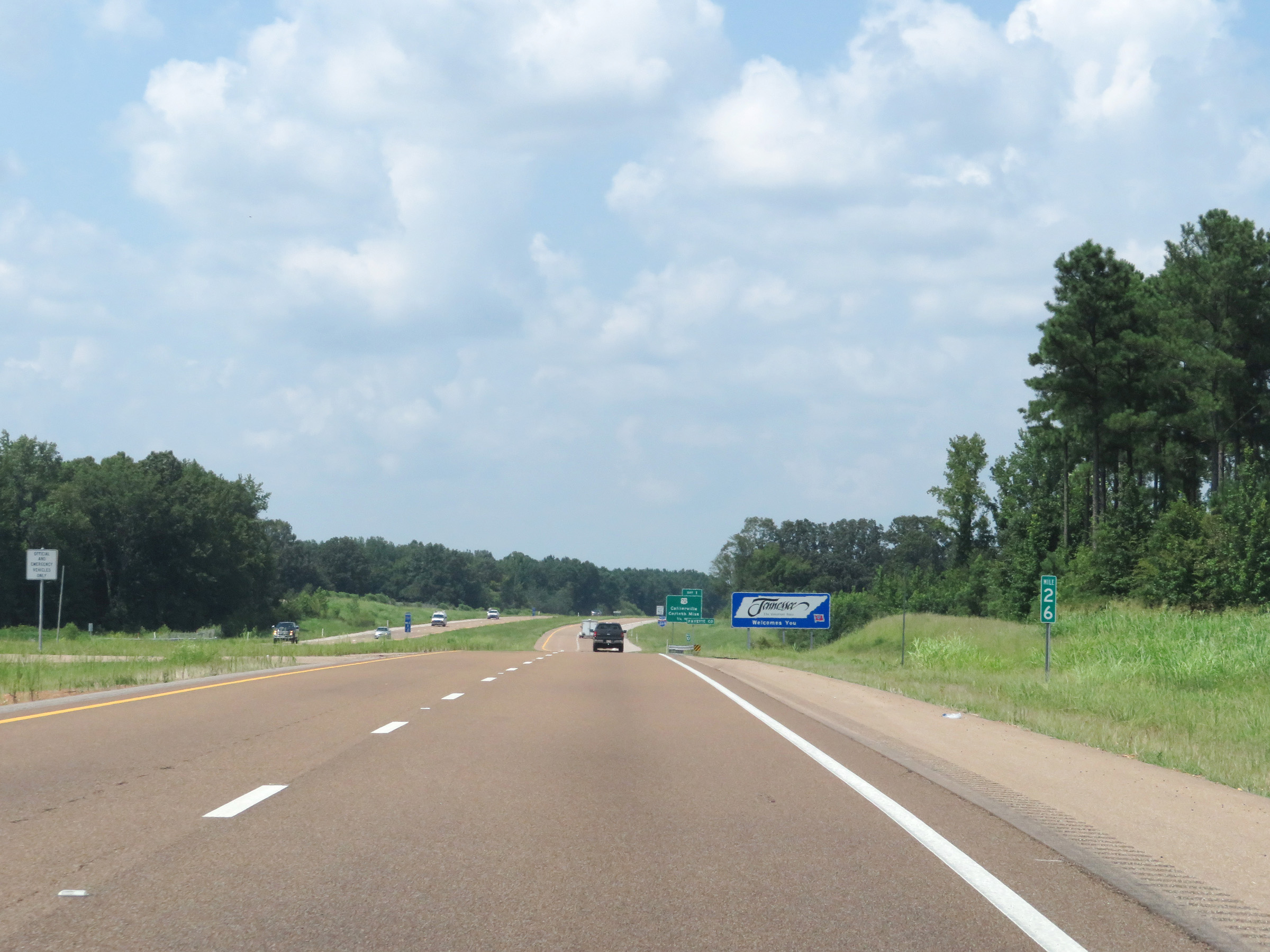 |
View on Interstate 269 North at mile marker 26, as it prepares to leave Mississippi and enter Tennessee. (Photo taken 8/12/19). |