Road Information |
||
 |
||
| Total Mileage in State: | 77 miles | |
| Eastern End: | At Alabama state line | |
| Western End: | At Louisiana state line | |
| Mileage covered in Photos: | 77 miles | |
| Counties covered in Photos: | Hancock, Harrison, Jackson | |
| Major Junctions in Photos: | US 49, in Gulfport I-110, in Biloxi |
|
| Control Cities in Photos: | Gulfport, Biloxi, Pascagoula | |
Eastbound
- Section 1: Louisiana Border to Biloxi (Exit 46B)
- Section 2: Biloxi (Exit 46B) to Alabama Border
Section 1: Louisiana Border to Biloxi (Exit 46B)
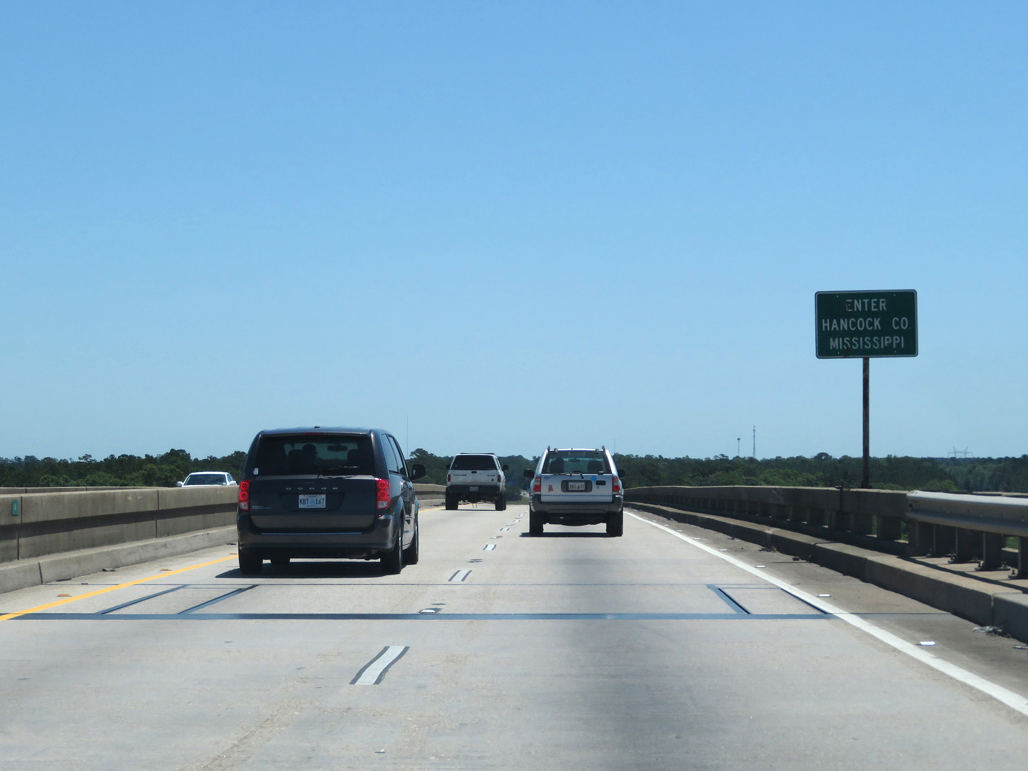 |
Interstate 10 East as it enters Mississippi and Hancock County from Louisiana. (Photo taken 5/26/17). |
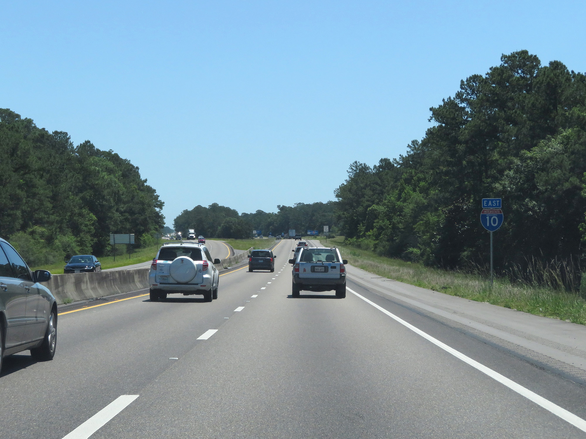 |
State-named Interstate 10 East reassurance shield. (Photo taken 5/26/17). |
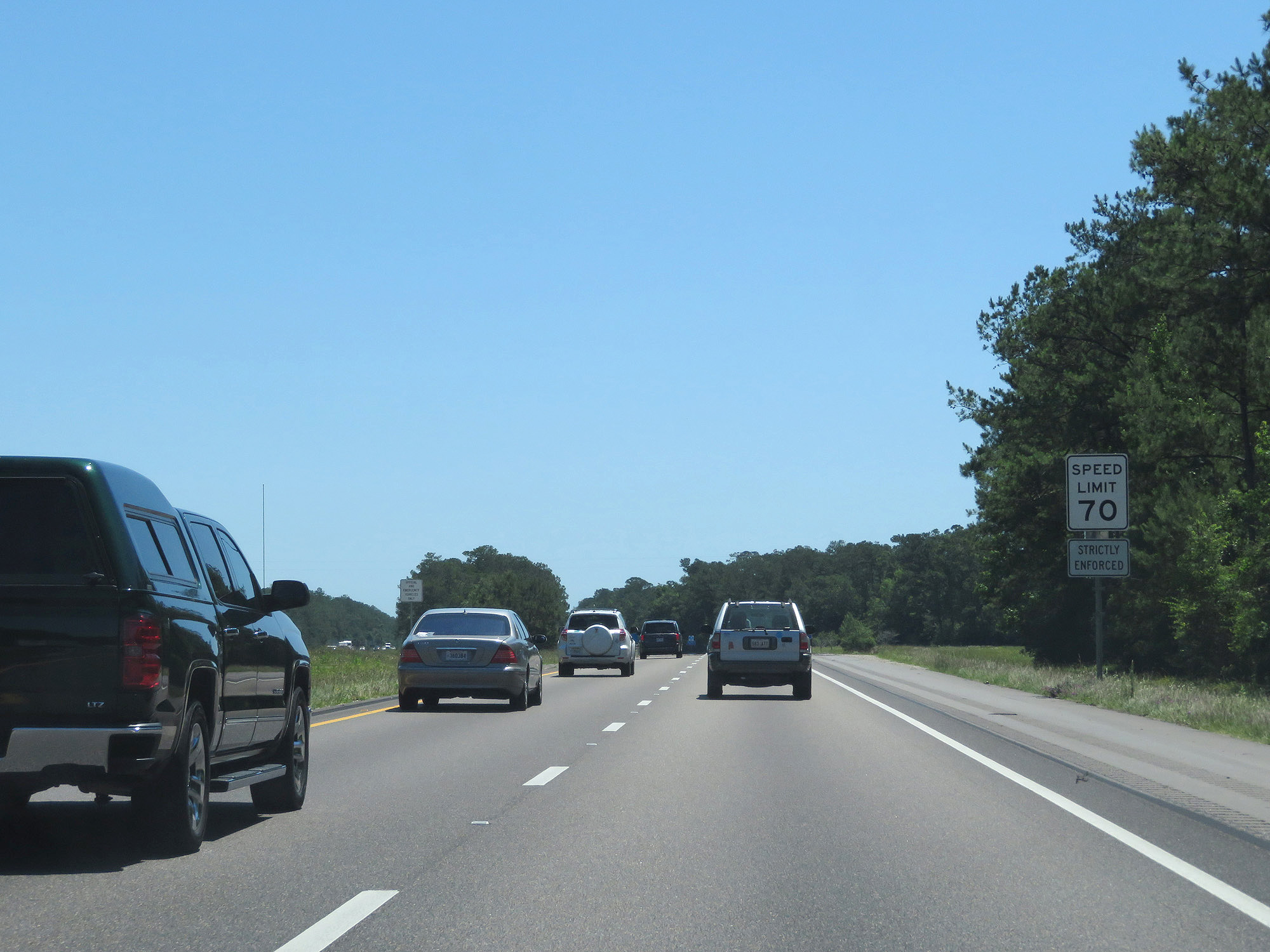 |
The speed limit on most rural Interstates in Mississippi is 70 mph as this sign reads. It also reads that this speed limit is strictly enforced. (Photo taken 5/26/17). |
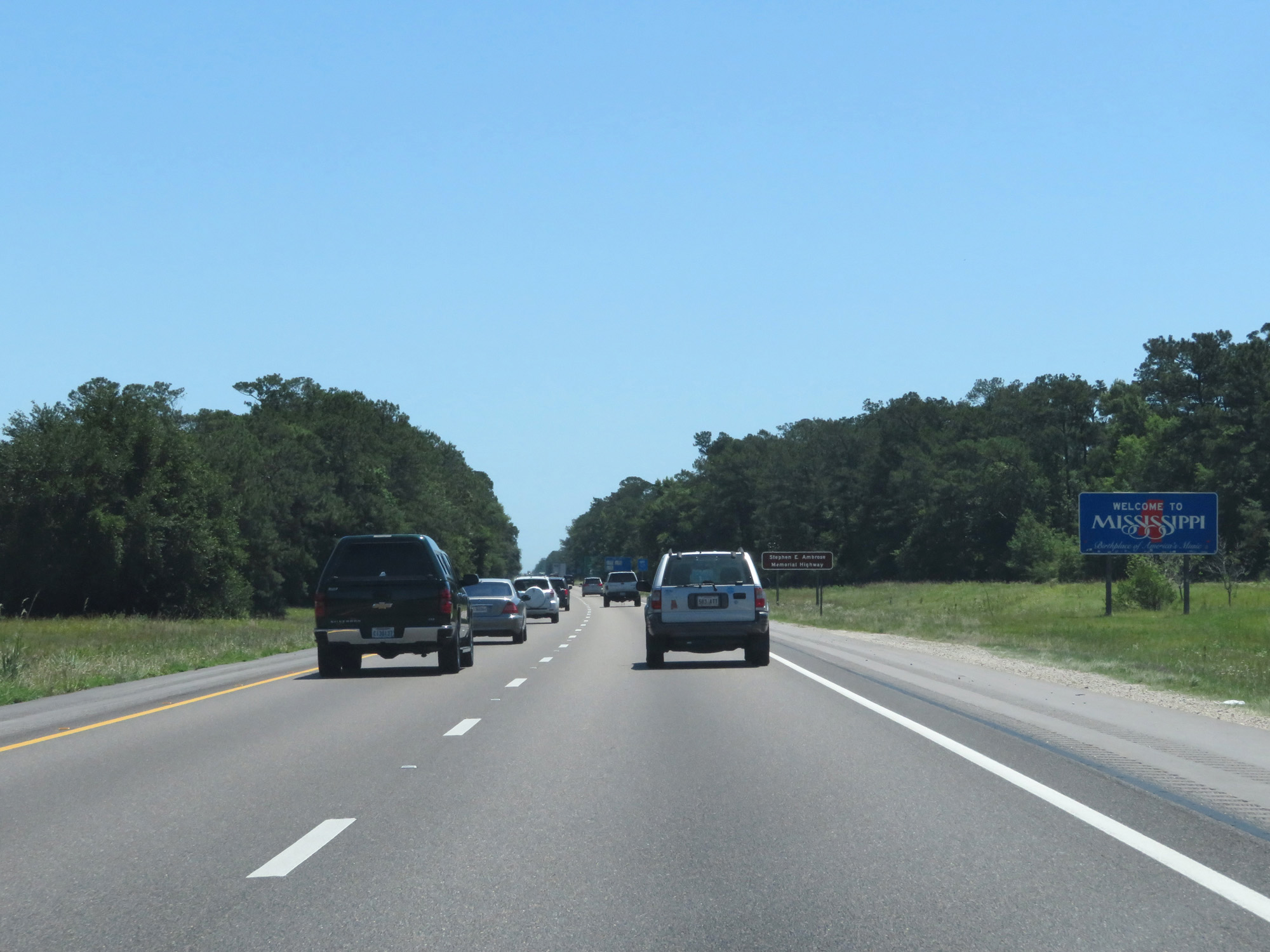 |
Mississippi welcome sign on Interstate 10 East. (Photo taken 5/26/17). |
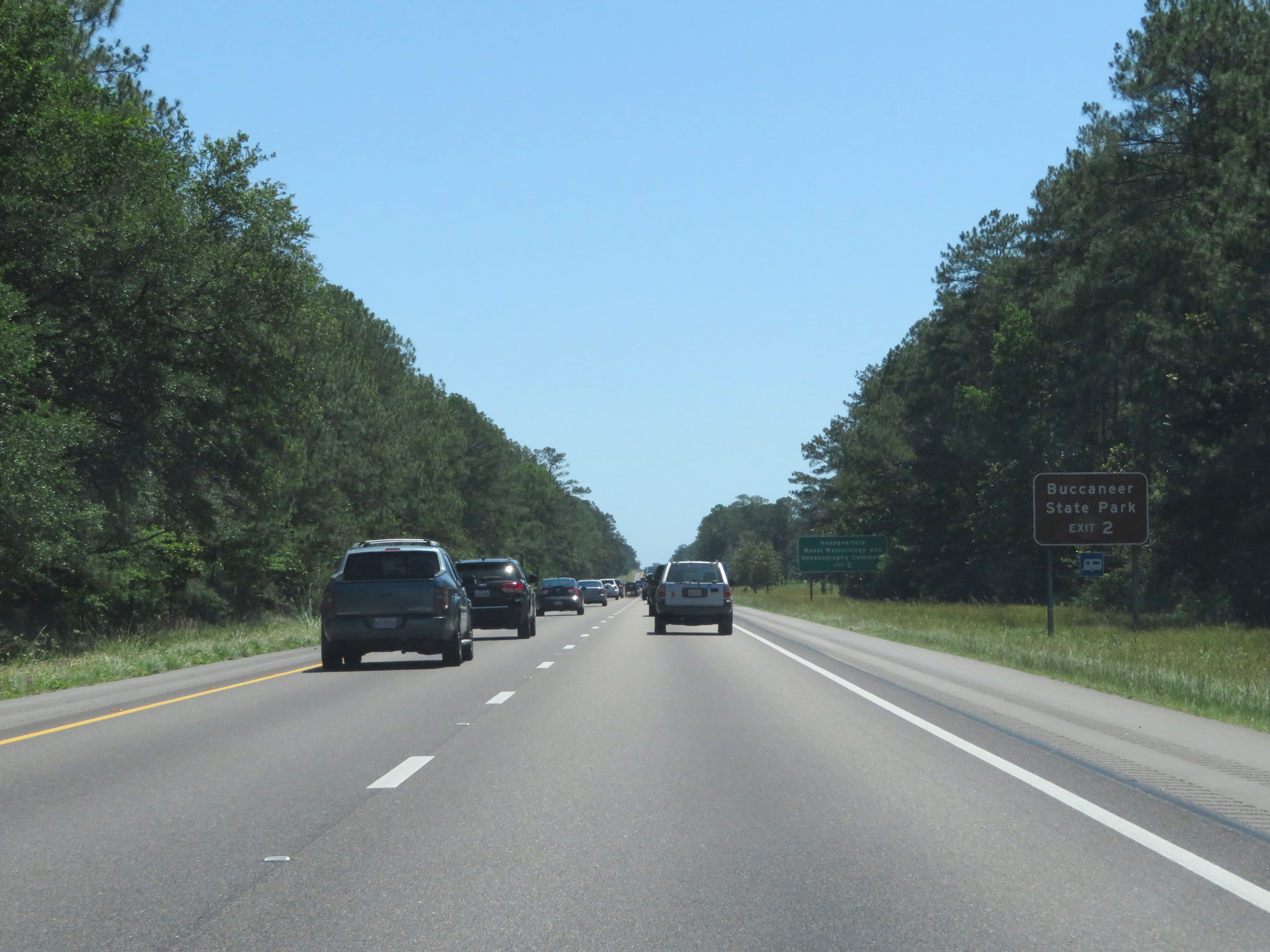 |
Take Exit 2 to Buccaneer State Park. (Photo taken 5/26/17). |
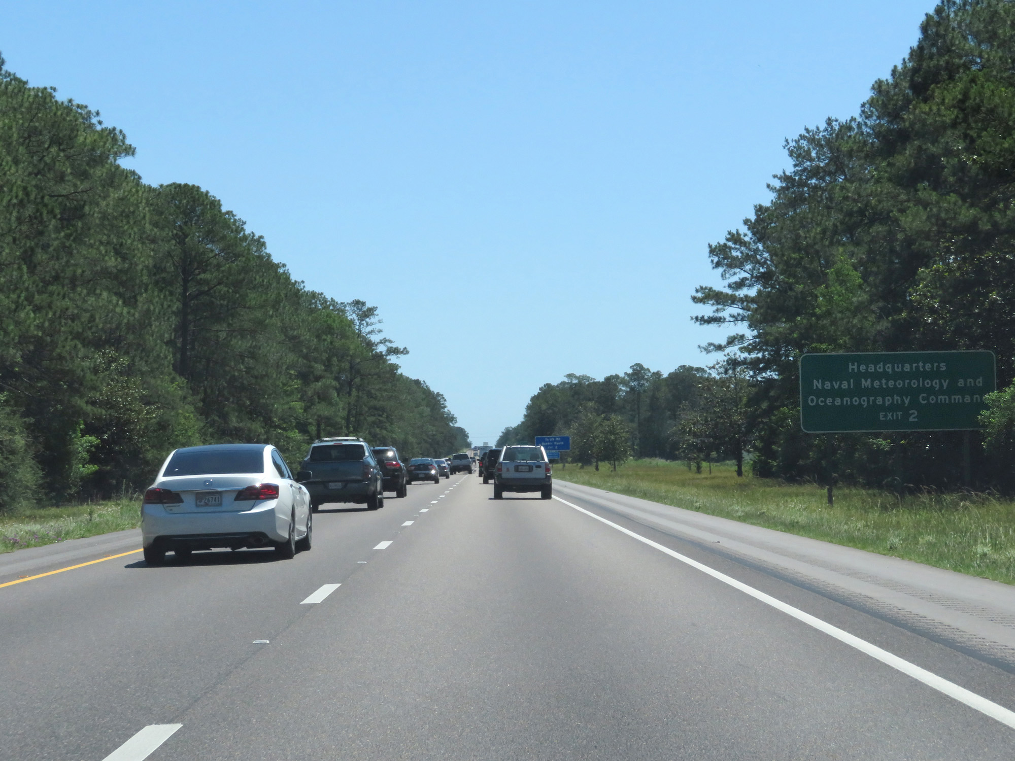 |
Also take Exit 2 to Headquarters for Naval Meteorology and Oceanography Command. (Photo taken 5/26/17). |
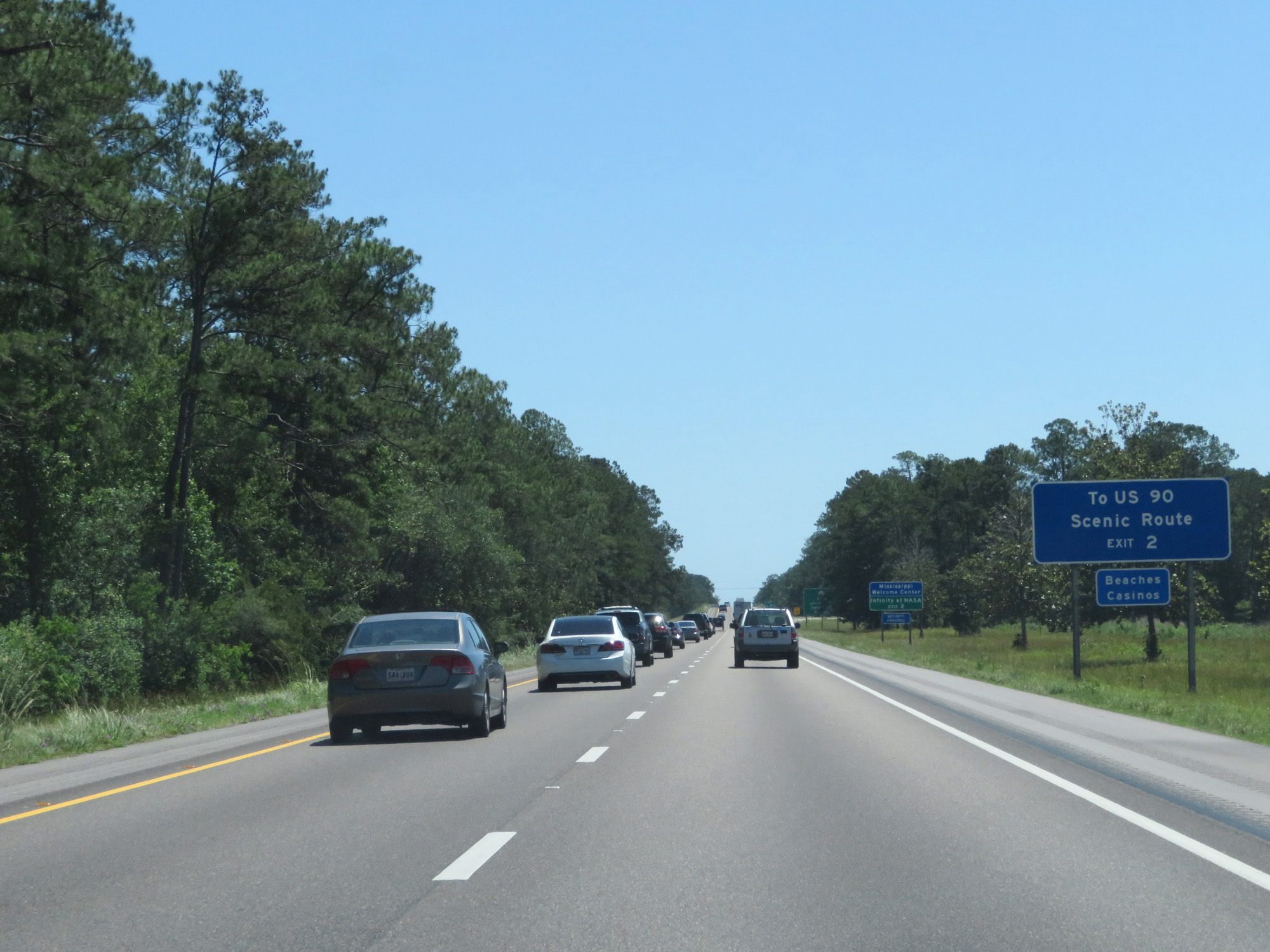 |
Take Exit 2 to US 90, which is designated here as a scenic route along the gulf. (Photo taken 5/26/17). |
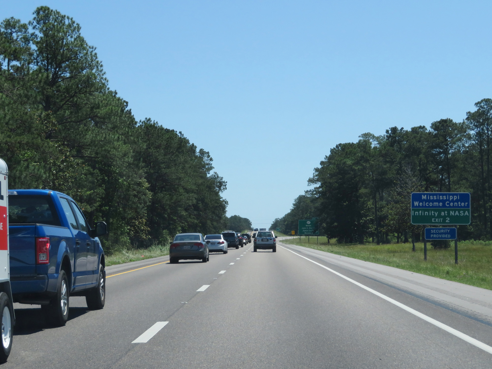 |
Also take Exit 2 to the Mississippi Welcome Center and Infinity at NASA. (Photo taken 5/26/17). |
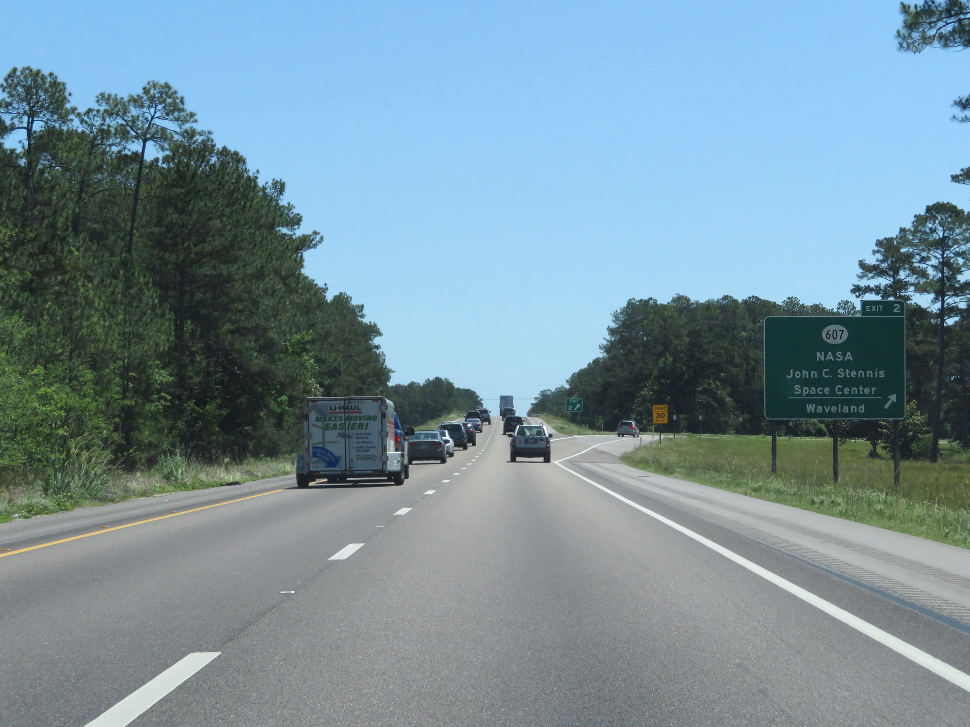 |
Interstate 10 East at Exit 2: MS 607 - NASA John C. Stennis Space Center / Waveland (Photo taken 5/26/17). |
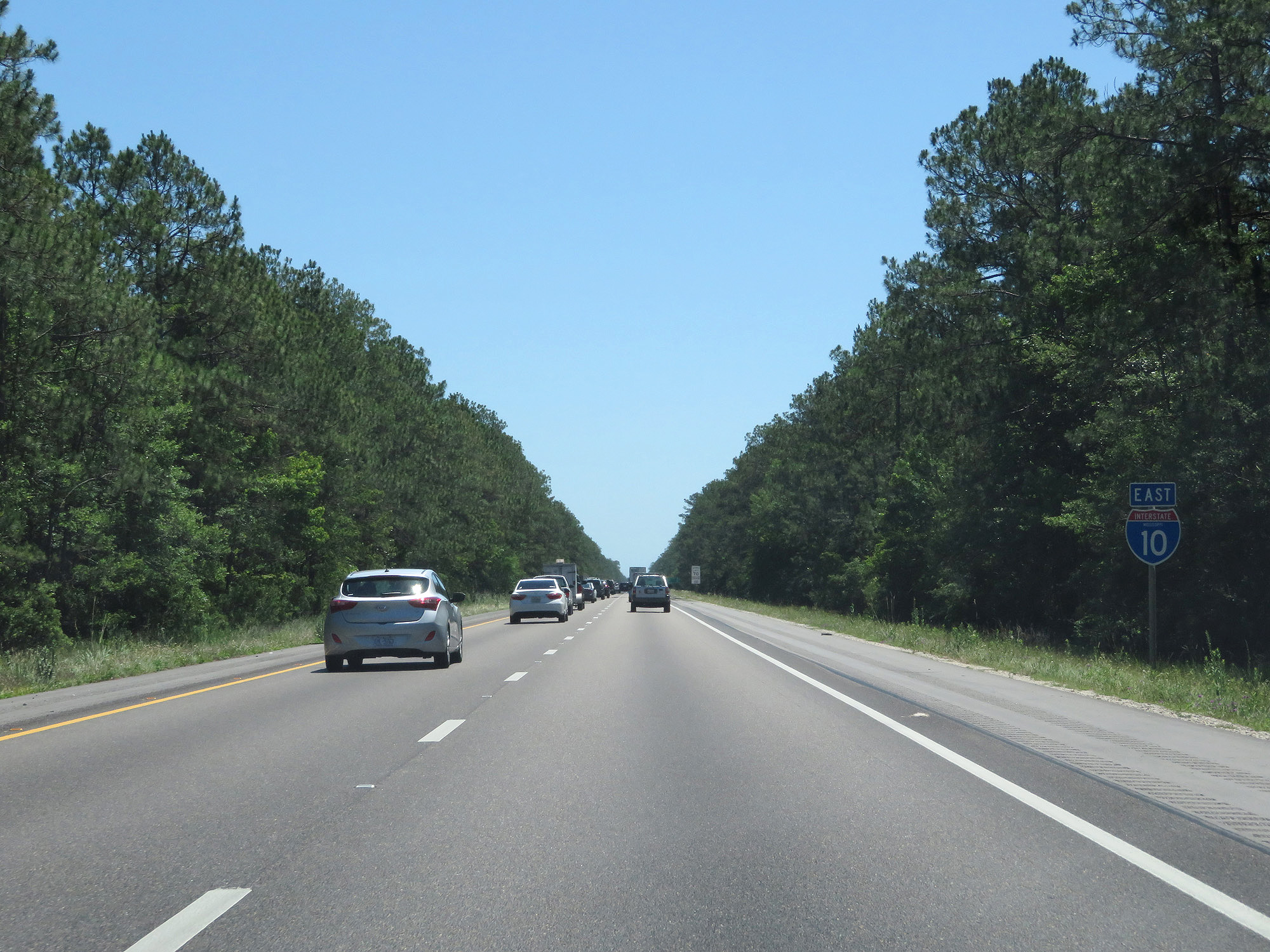 |
Another state-named Interstate 10 East reassurance shield. (Photo taken 5/26/17). |
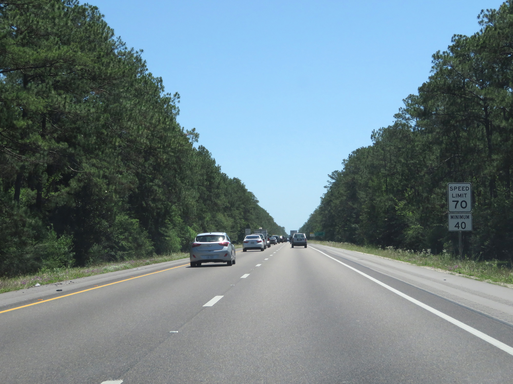 |
The speed limit remains 70 mph. In Mississippi, a 40 mph minimum speed limit also applies. (Photo taken 5/26/17). |
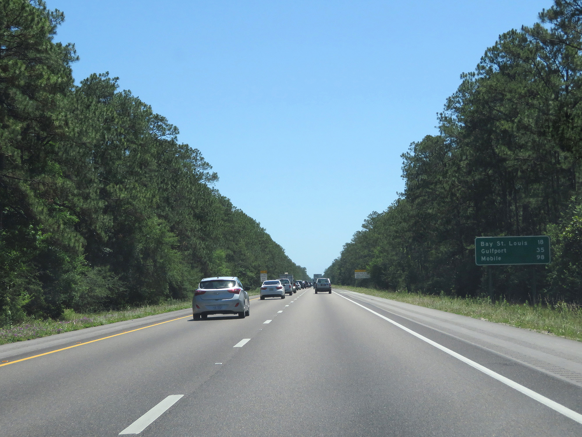 |
Mileage sign on Interstate 10 East. It's 18 miles to Bay St. Louis, 35 miles to Gulfport, and 98 miles to Mobile. (Photo taken 5/26/17). |
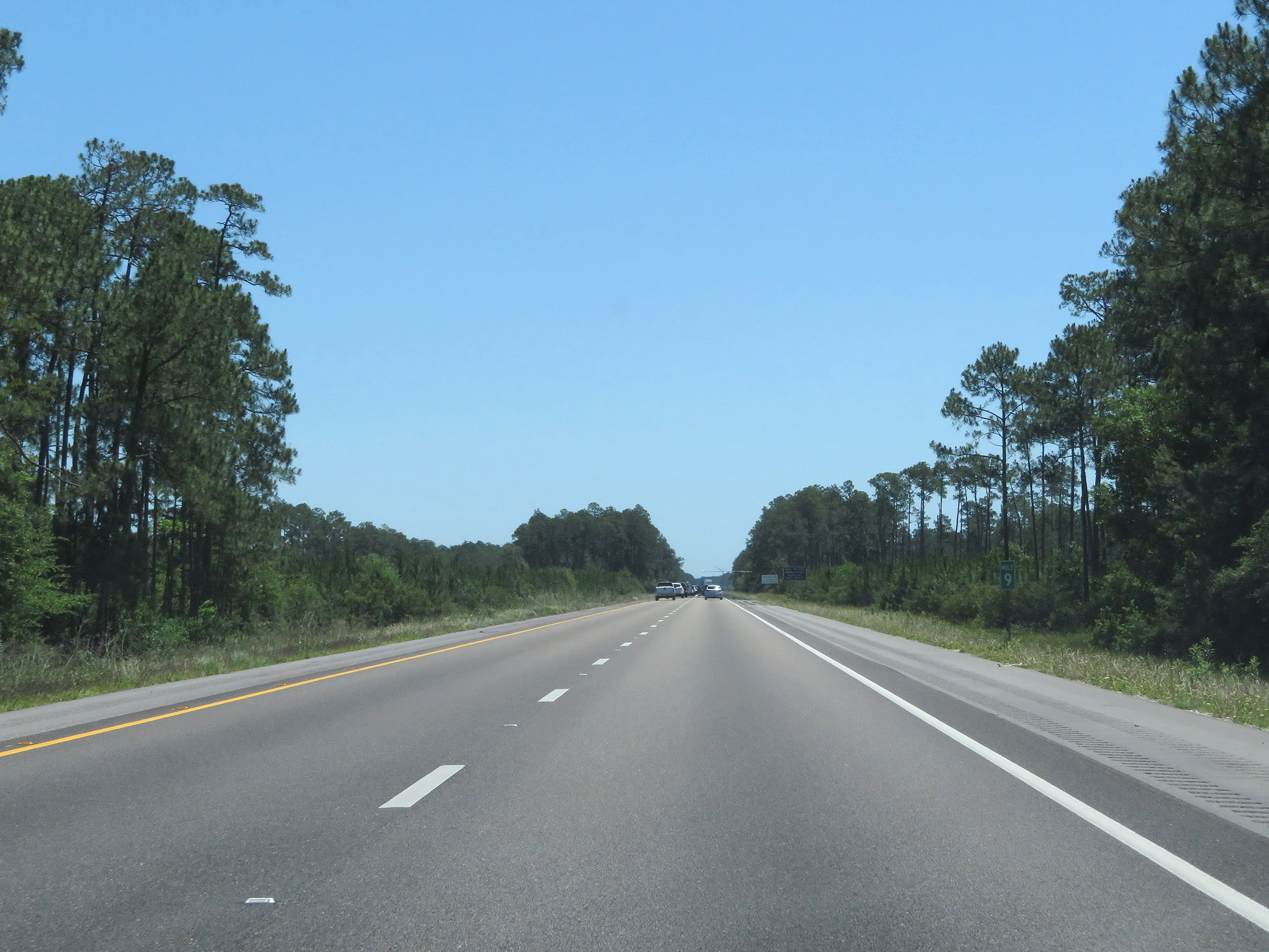 |
Interstate 10 East at mile marker 9. (Photo taken 5/26/17). |
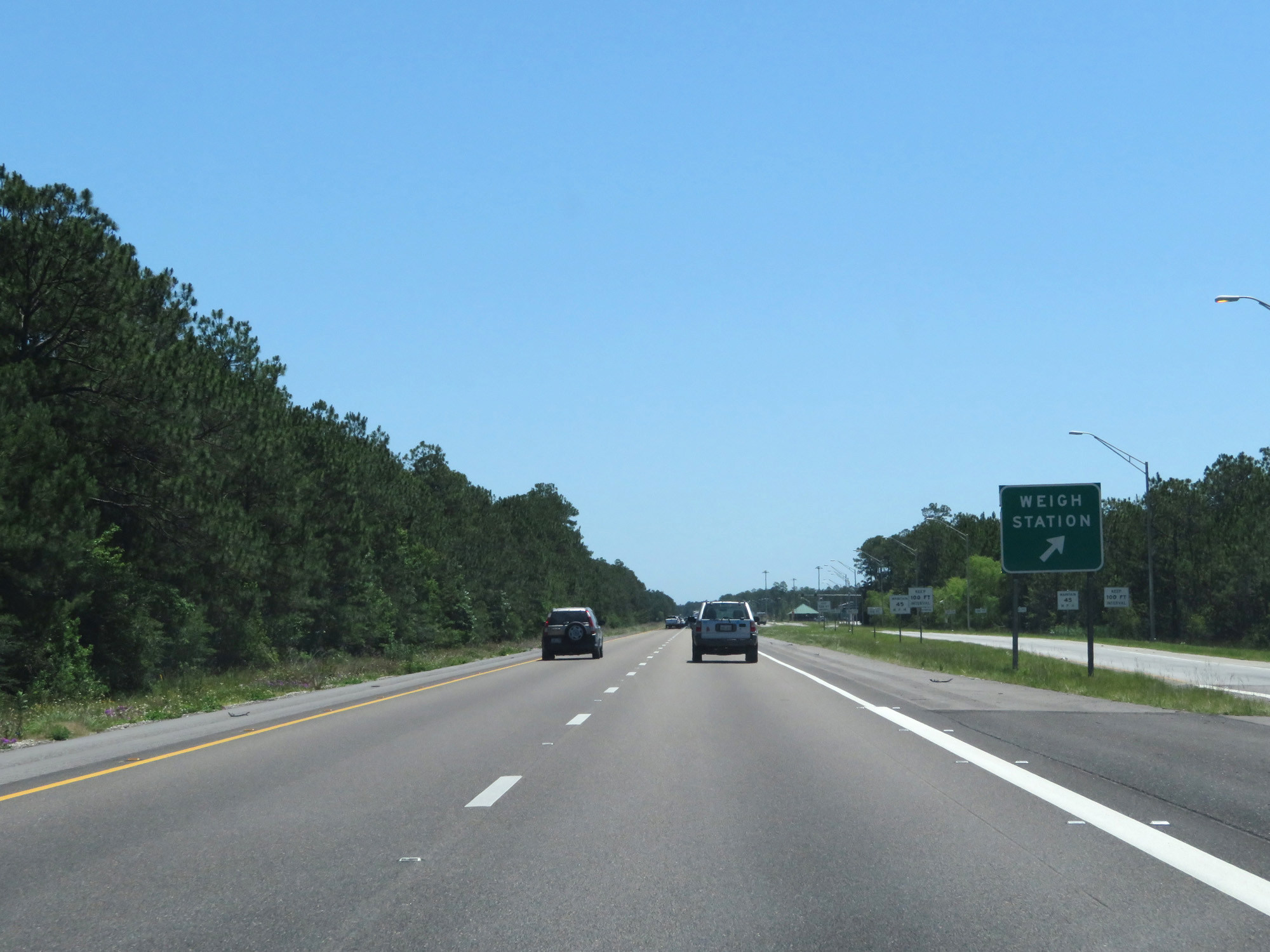 |
Interstate 10 East at the Weigh Station in Hancock County. (Photo taken 5/26/17). |
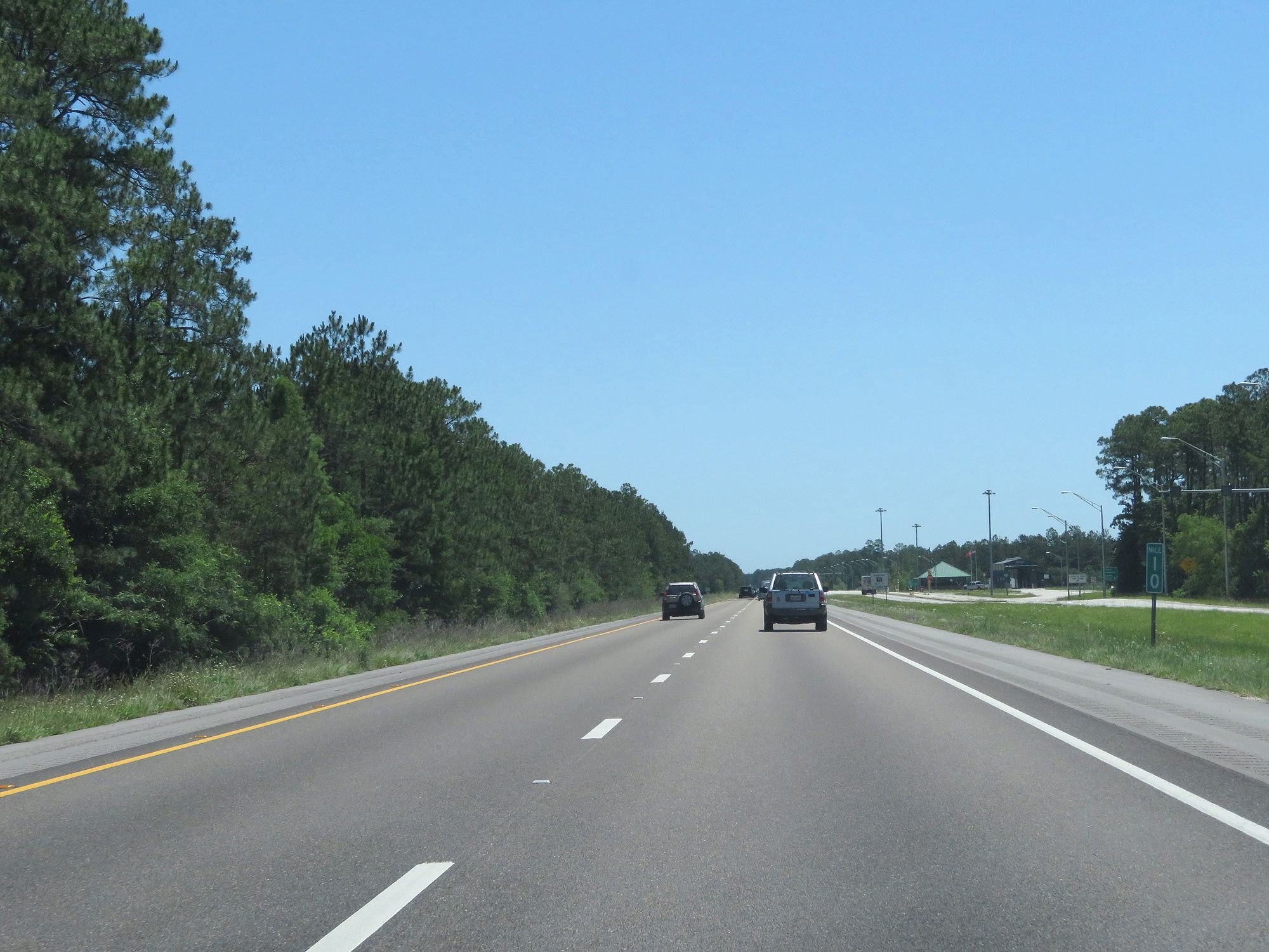 |
Interstate 10 East at mile marker 10. (Photo taken 5/26/17). |
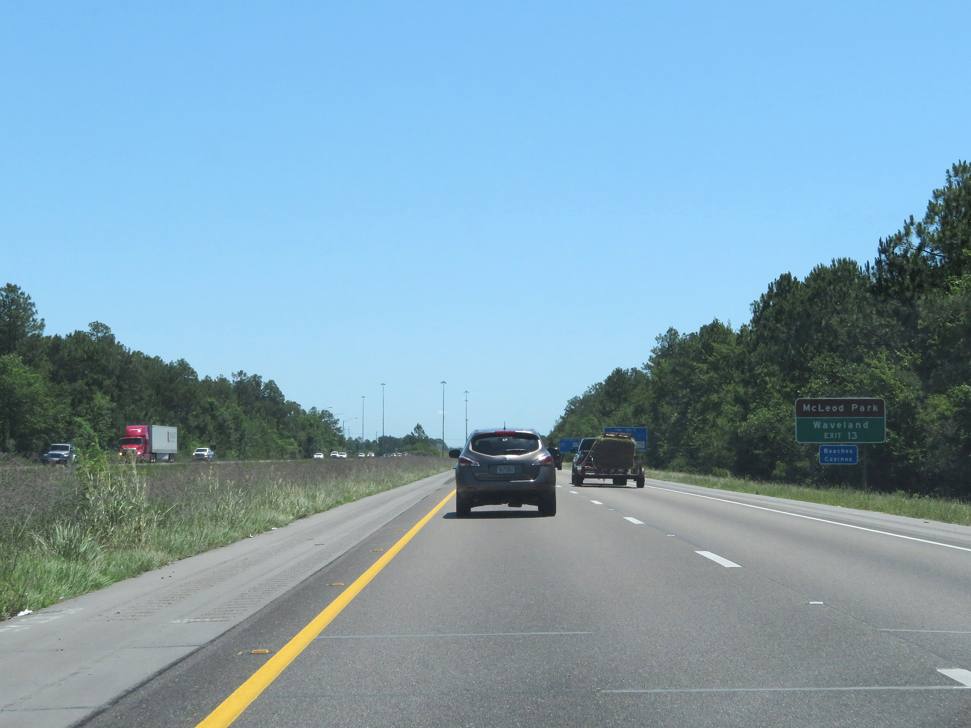 |
Take Exit 13 to McLeod Park and Waveland. (Photo taken 5/26/17). |
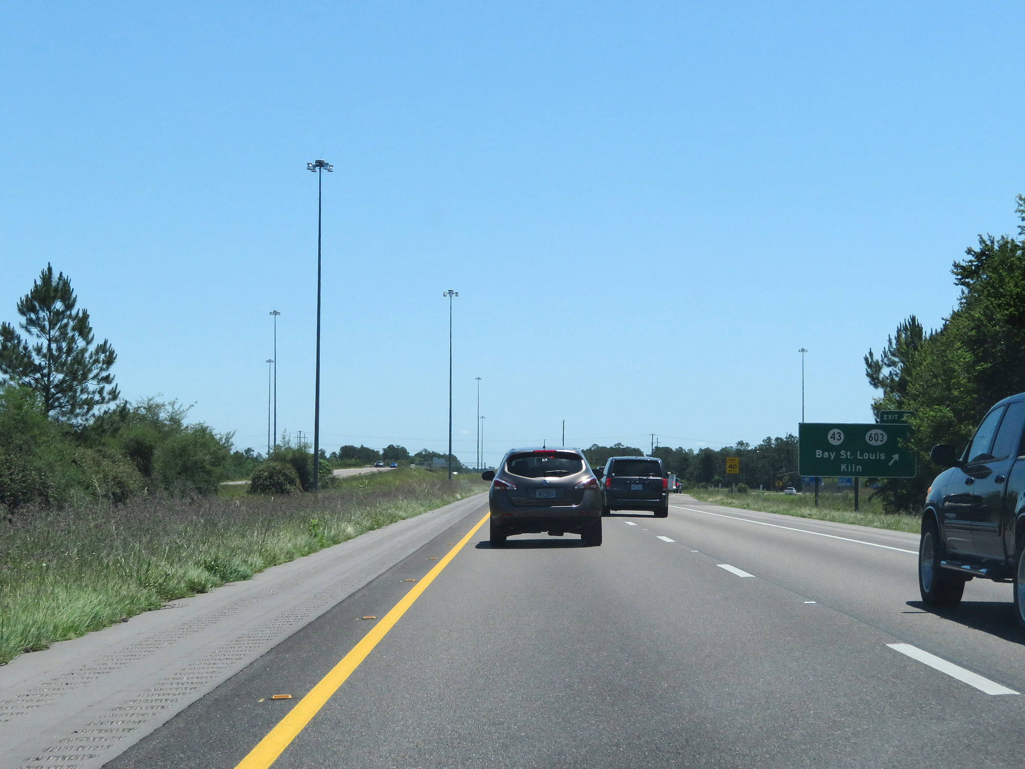 |
Interstate 10 East at Exit 13: MS 43 / MS 603 - Bay St. Louis / Kiln (Photo taken 5/26/17). |
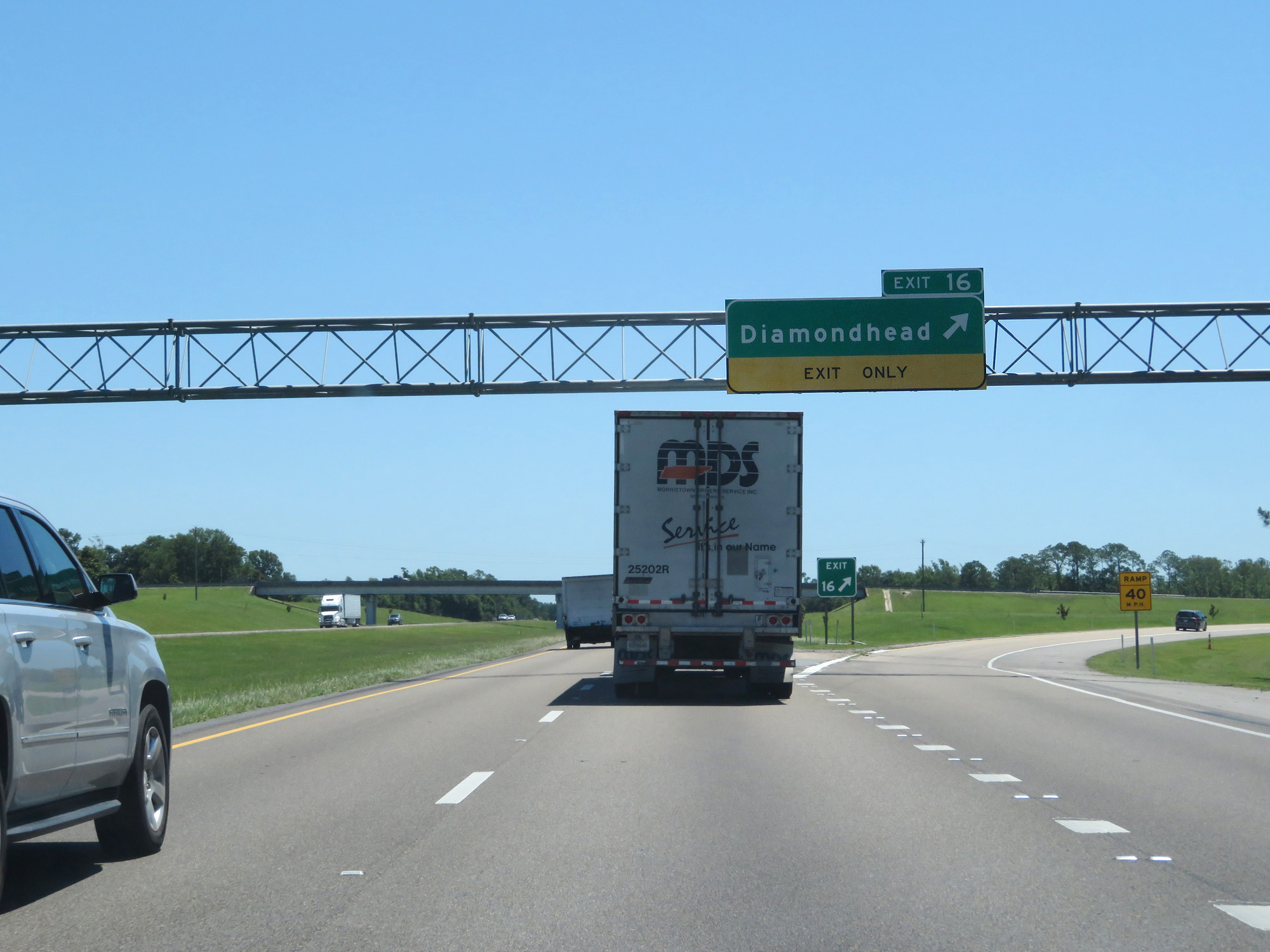 |
Interstate 10 East at Exit 16: Diamondhead (Photo taken 5/26/17). |
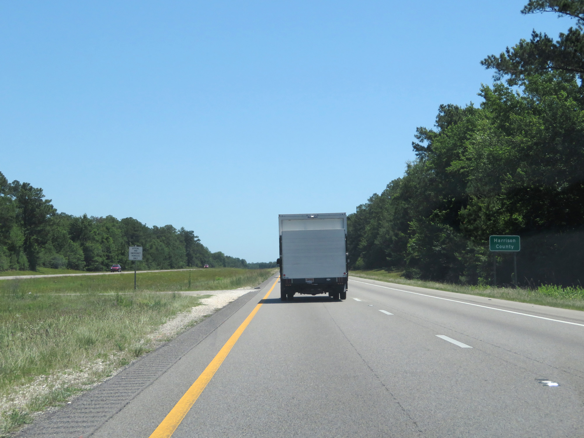 |
Interstate 10 East entering Harrison County. (Photo taken 5/26/17). |
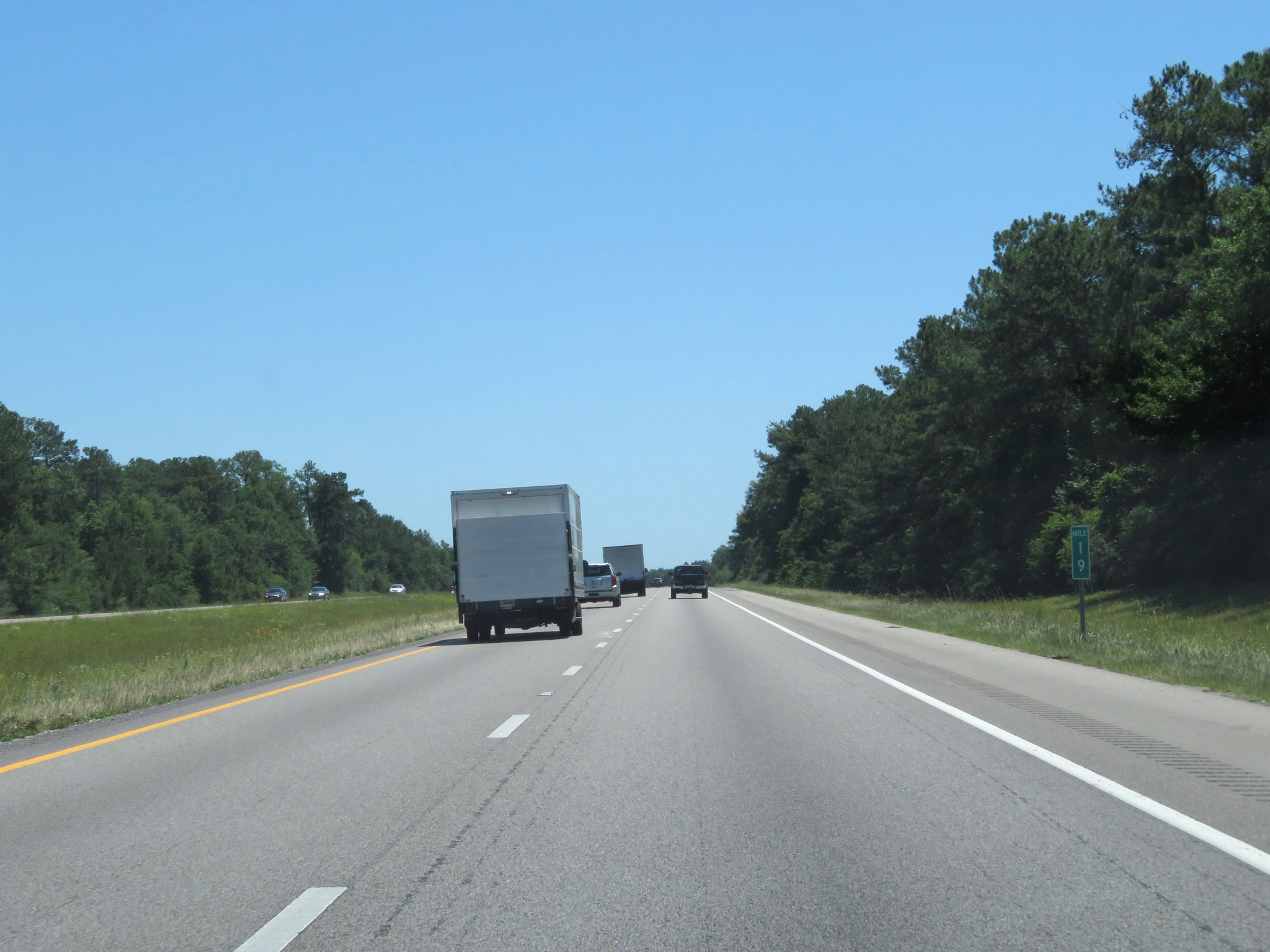 |
Interstate 10 East at mile marker 19. (Photo taken 5/26/17). |
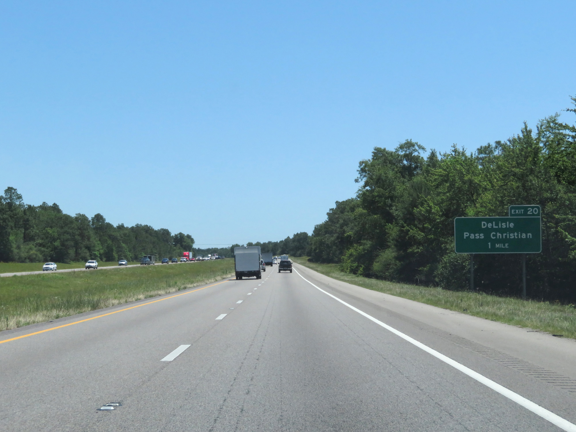 |
Interstate 10 East approaching Exit 20 - 1 mile. (Photo taken 5/26/17). |
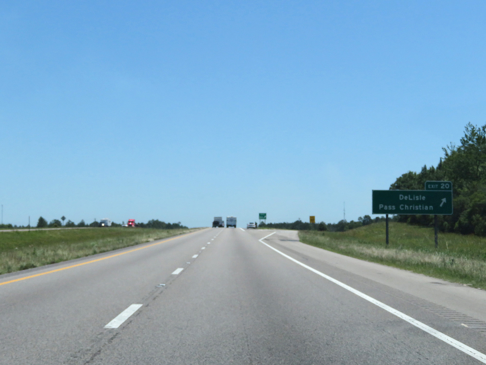 |
Interstate 10 East at Exit 20: DeLisle / Pass Christian. This camera focus was an epic fail. (Photo taken 5/26/17). |
 |
State-named Interstate 10 East reassurance shield. (Photo taken 5/26/17). |
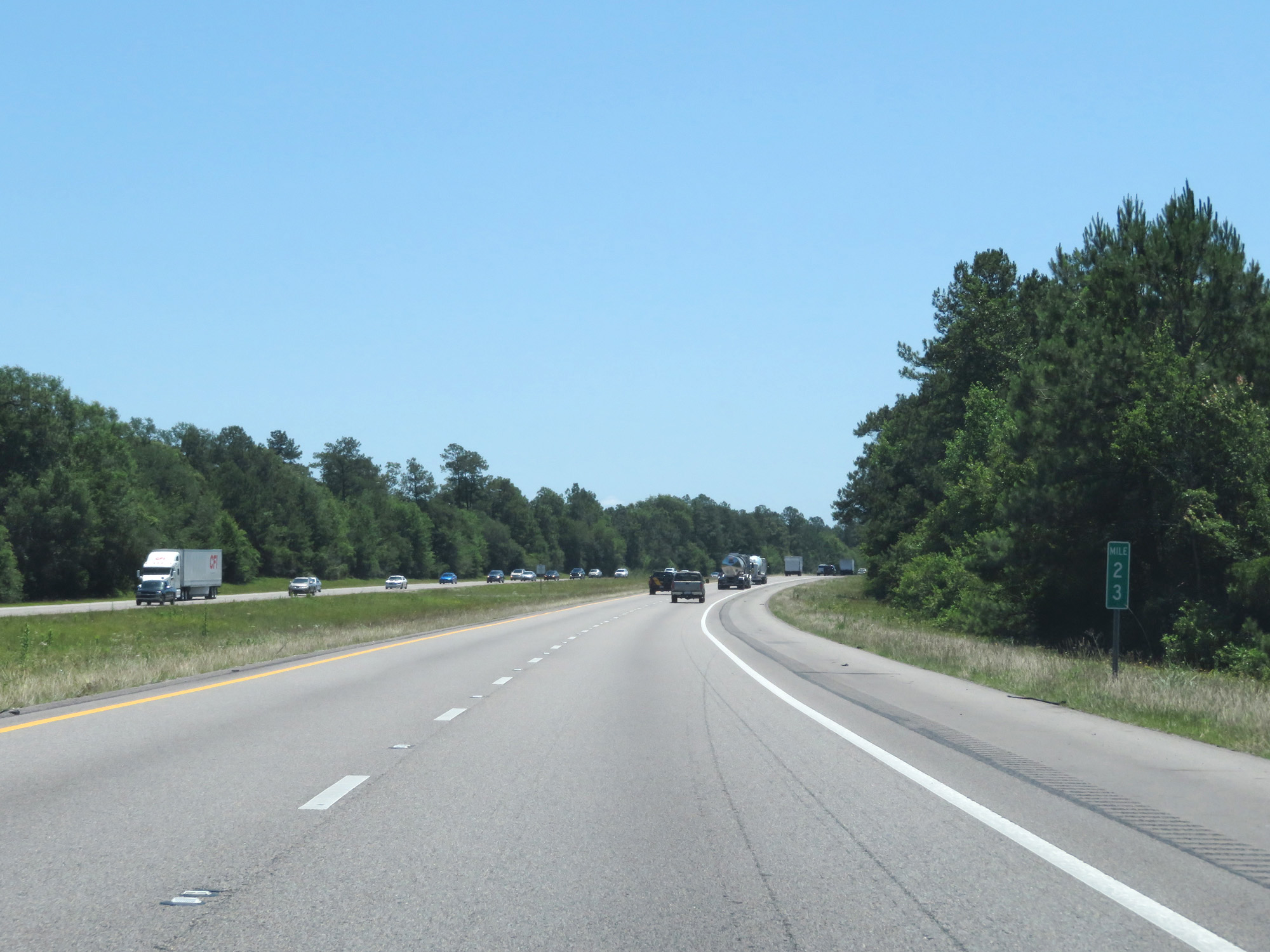 |
Interstate 10 East at mile marker 23. (Photo taken 5/26/17). |
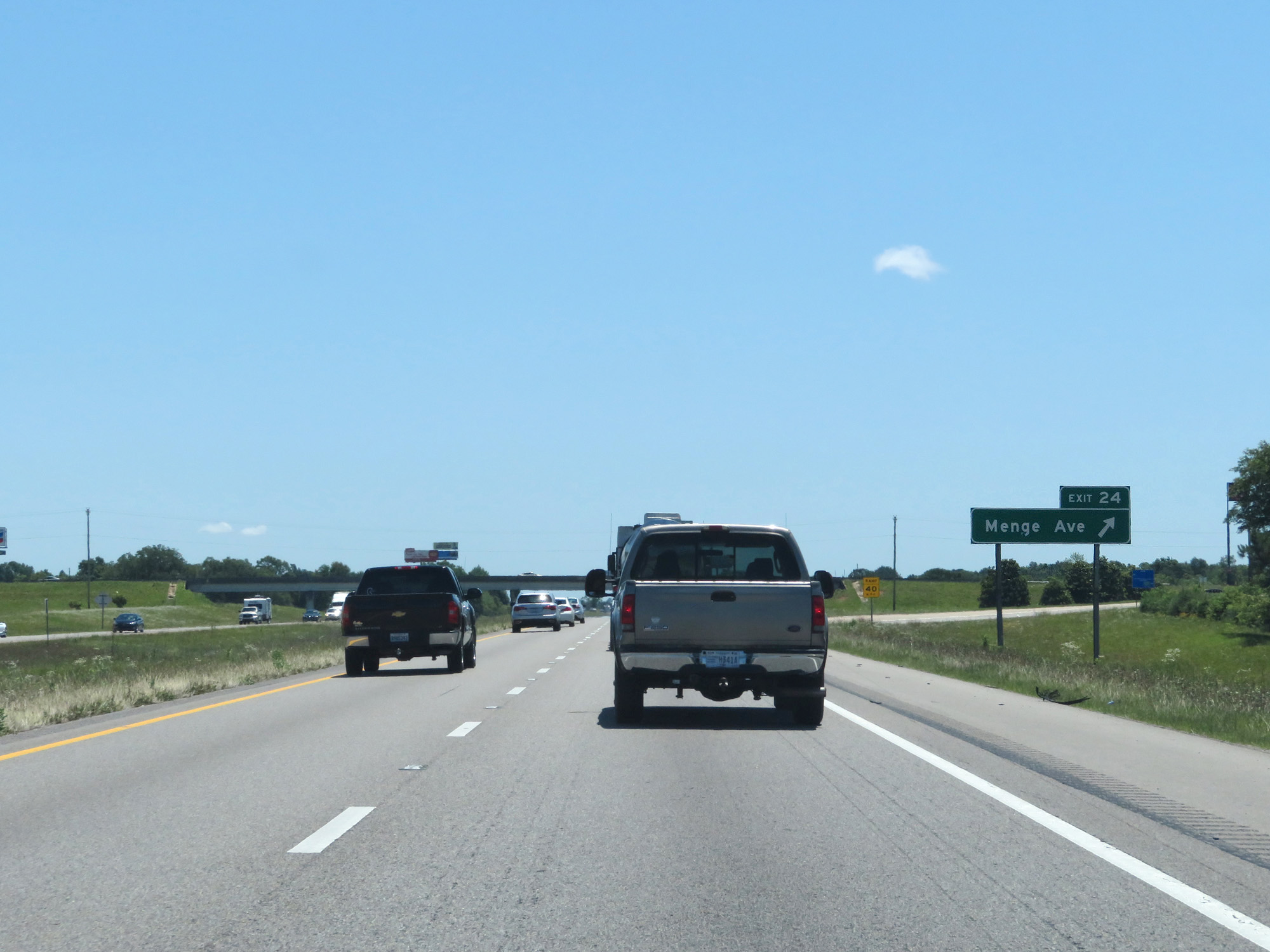 |
Interstate 10 East at Exit 24: Menge Ave (Photo taken 5/26/17). |
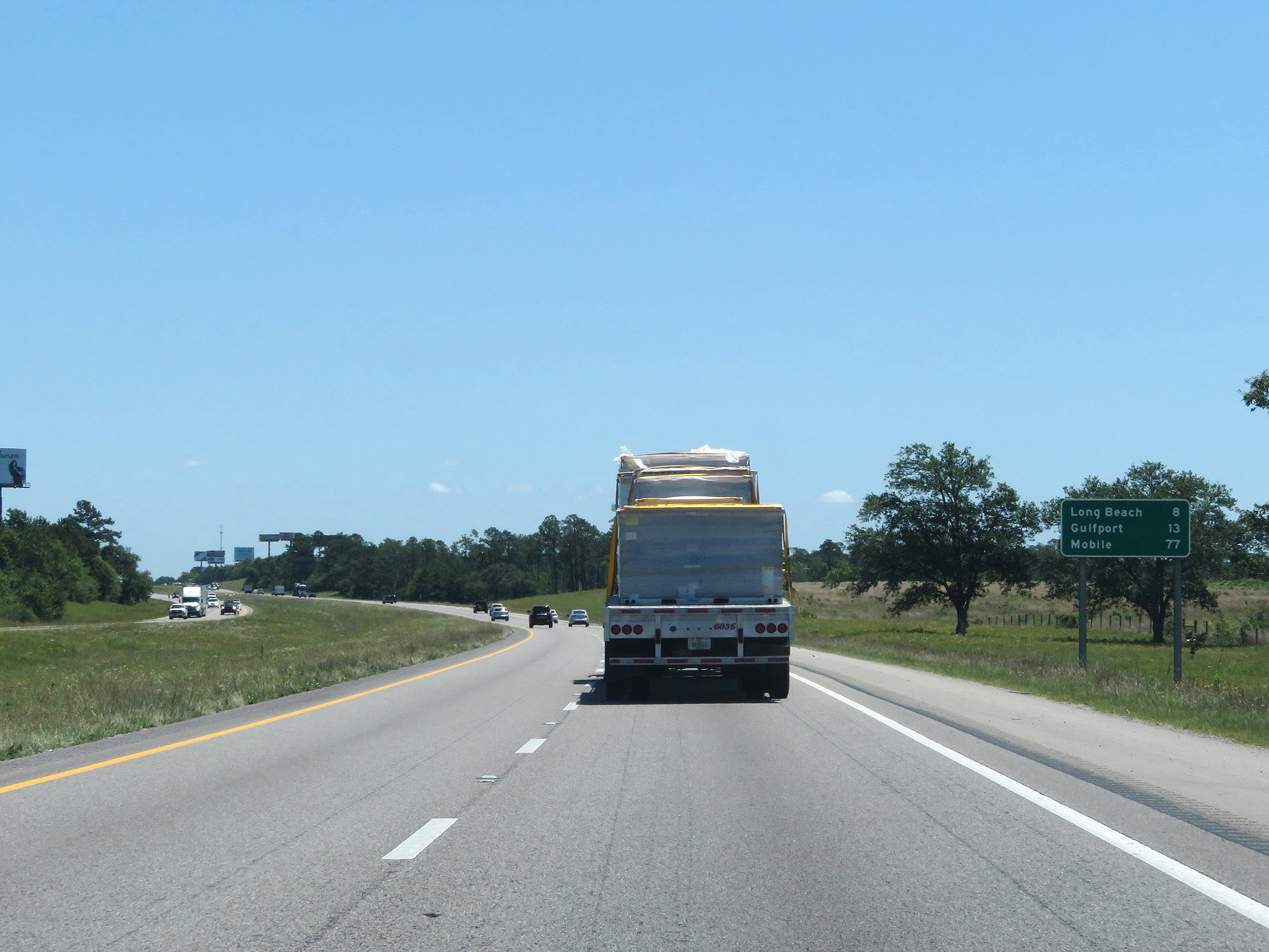 |
Mileage sign on Interstate 10 East. It's 8 miles to Long Beach, 13 miles to Gulfport, and 77 miles to Mobile. (Photo taken 5/26/17). |
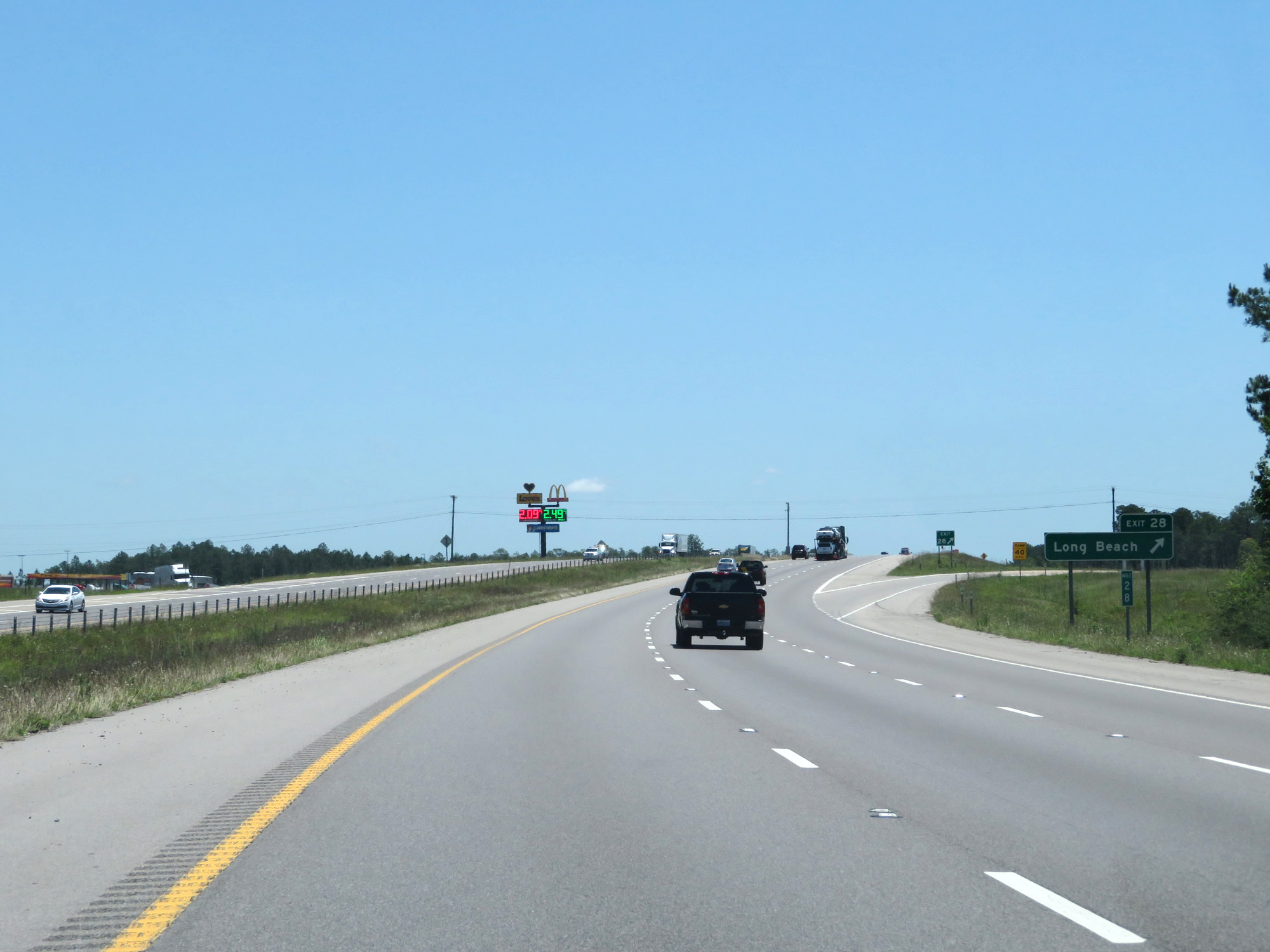 |
Interstate 10 East at Exit 28: Long Beach (Photo taken 5/26/17). |
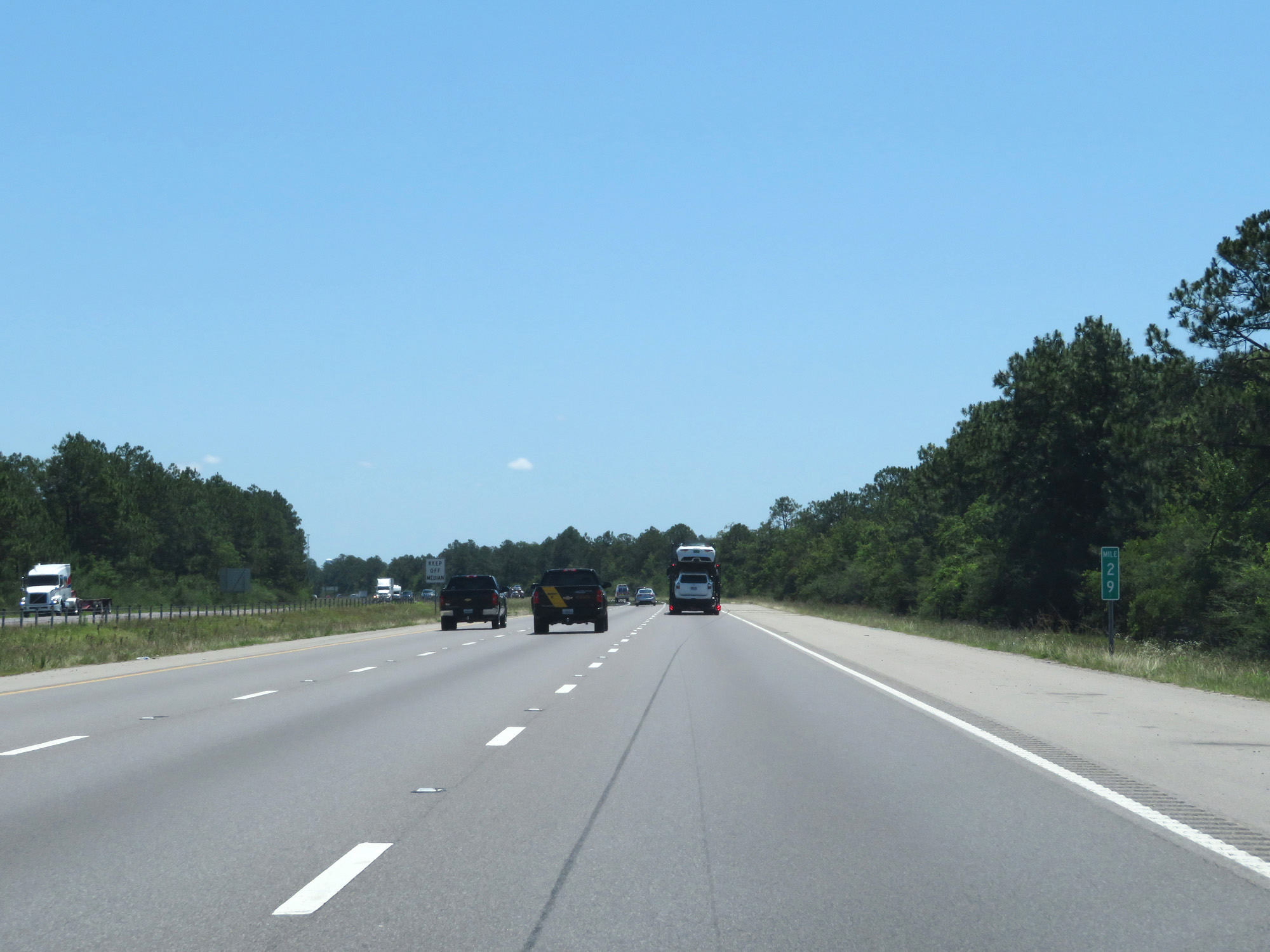 |
Interstate 10 East at mile marker 29. (Photo taken 5/26/17). |
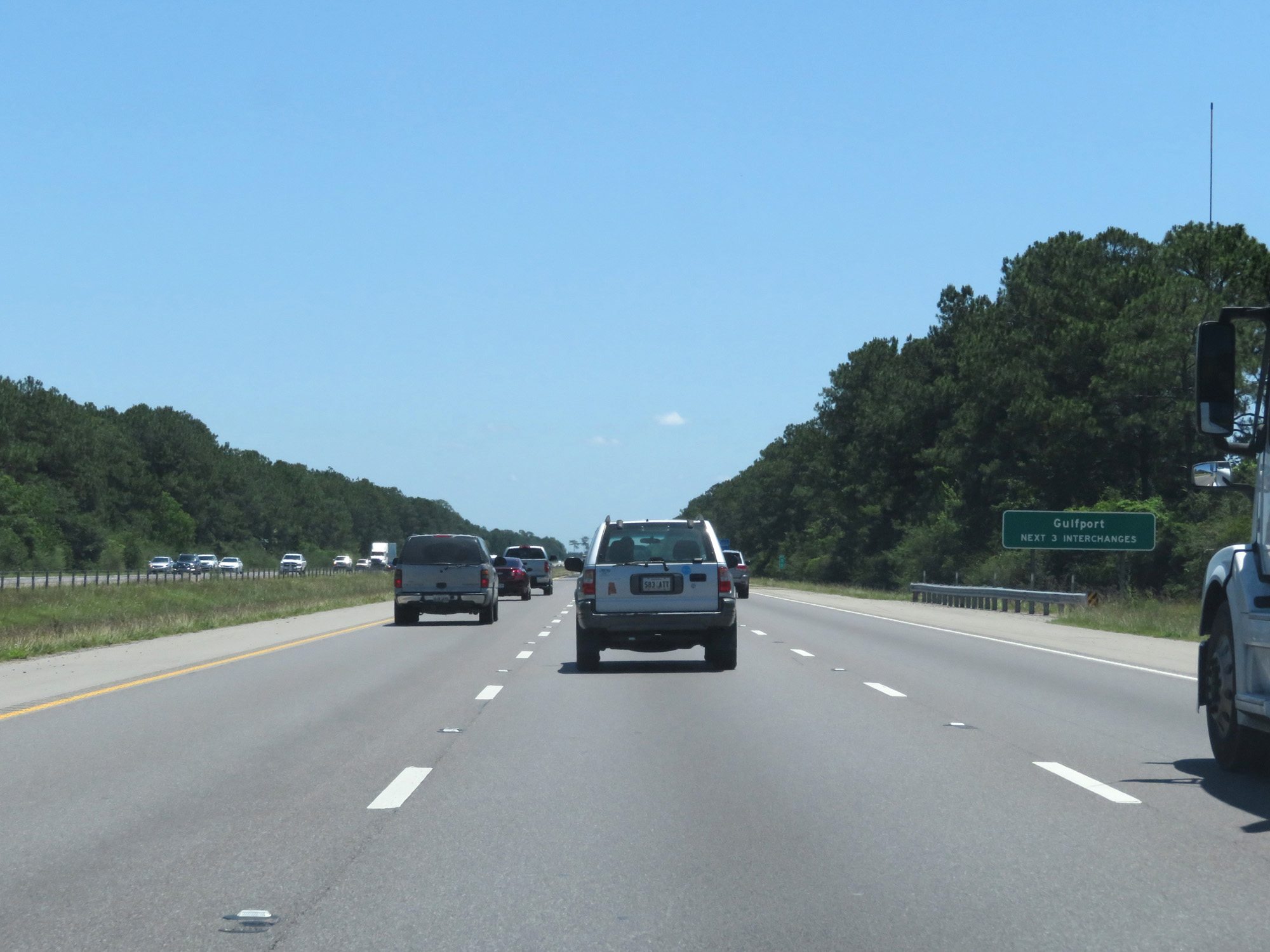 |
Take any of the next 3 exits to Gulfport. (Photo taken 5/26/17). |
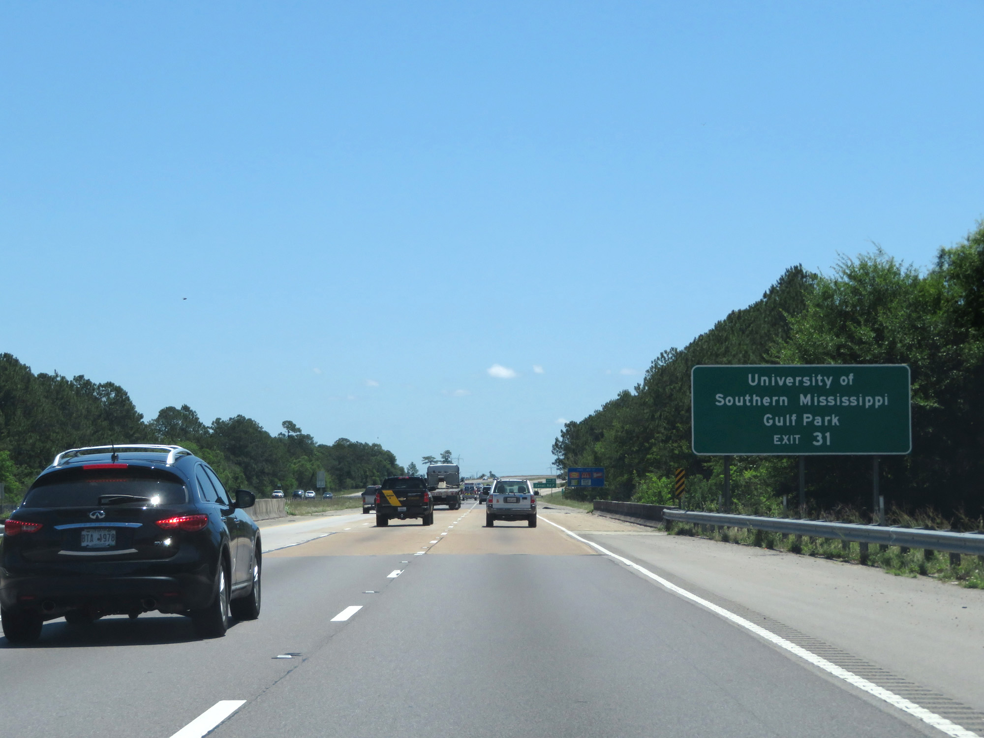 |
Take Exit 31 to University of Southern Mississippi and Gulf Park. (Photo taken 5/26/17). |
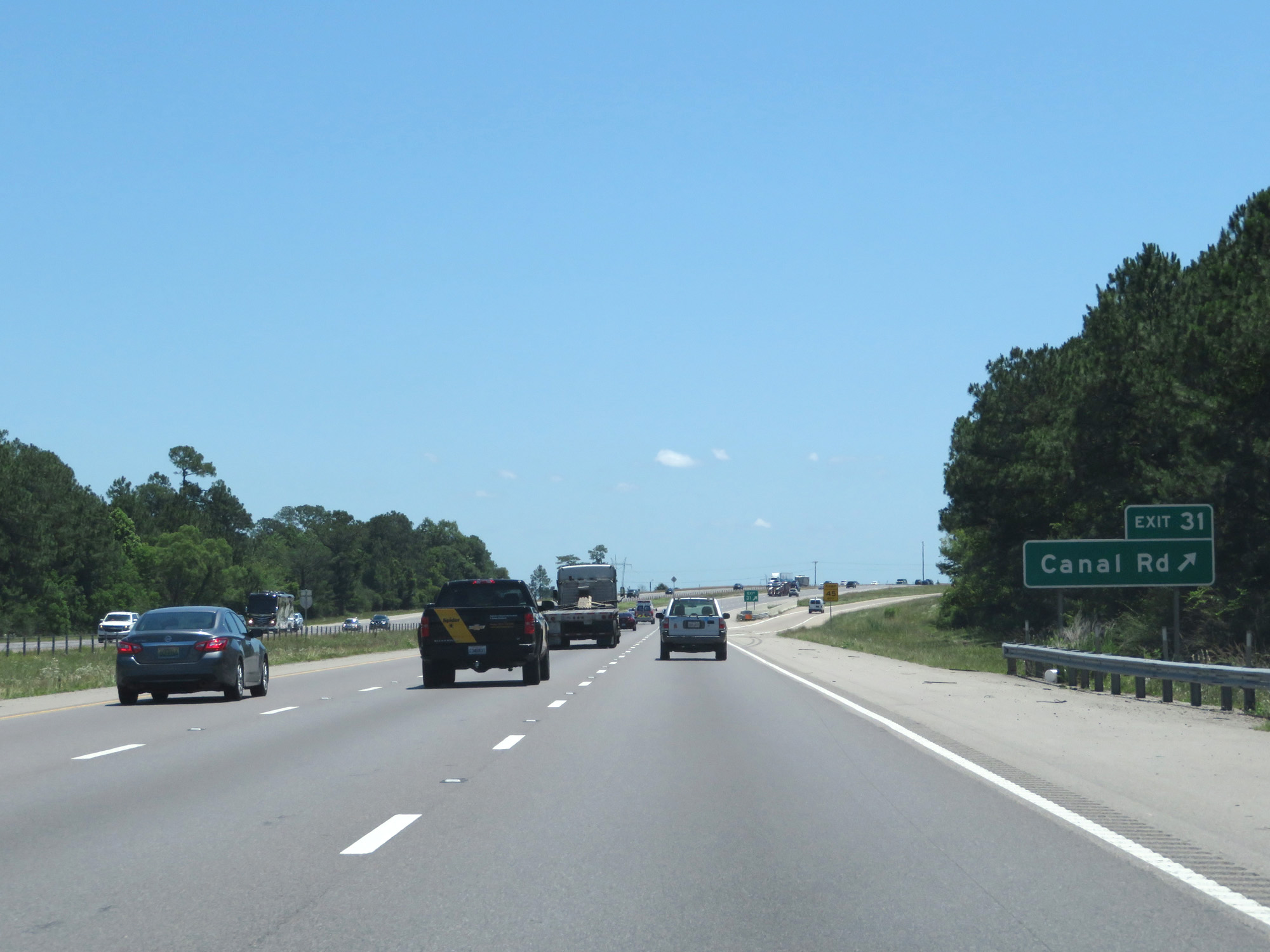 |
Interstate 10 East at Exit 31: Canal Rd (Photo taken 5/26/17). |
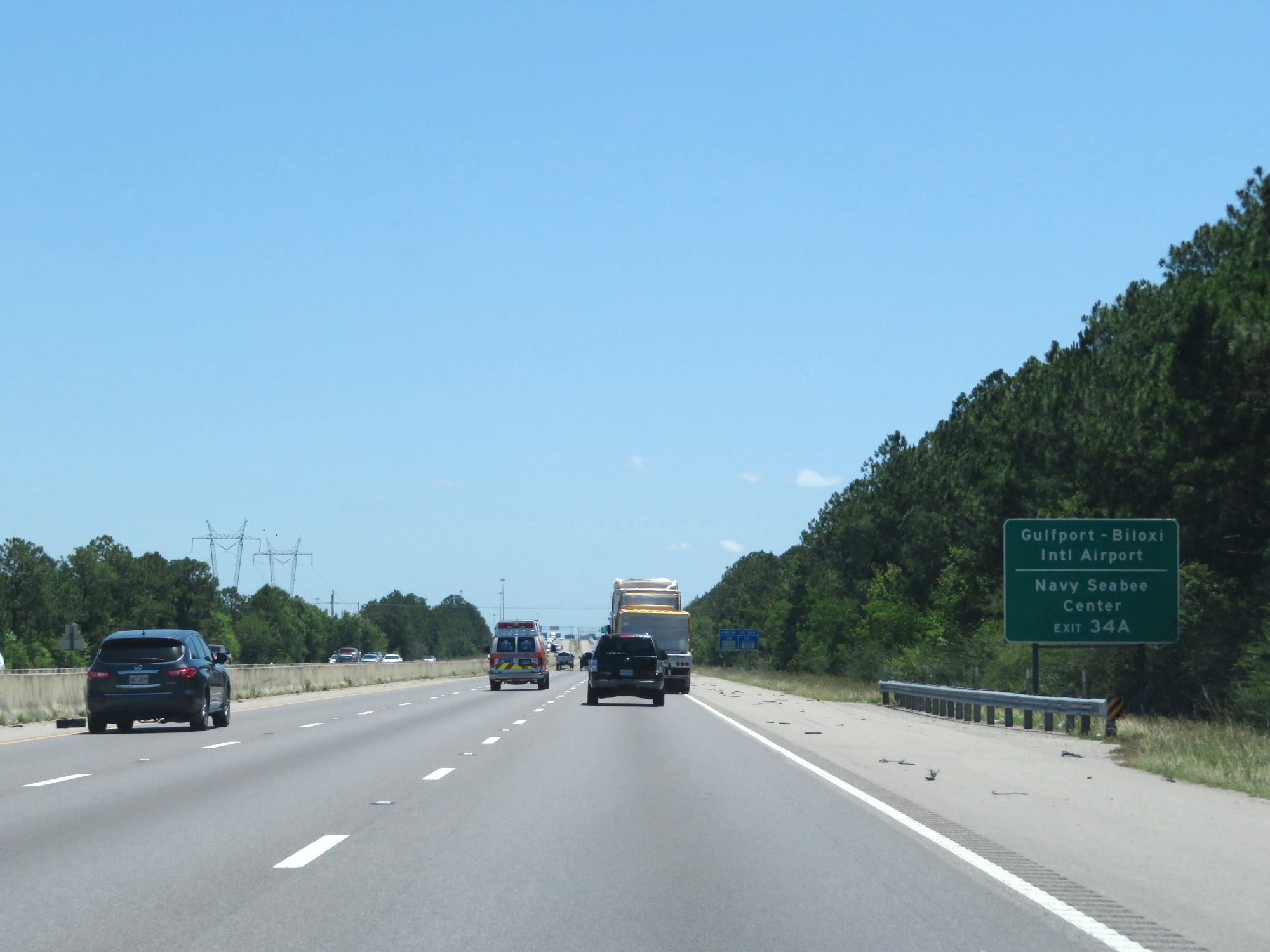 |
Take Exit 34A to Gulfport-Biloxi International Airport and Navy Seabee Center. (Photo taken 5/26/17). |
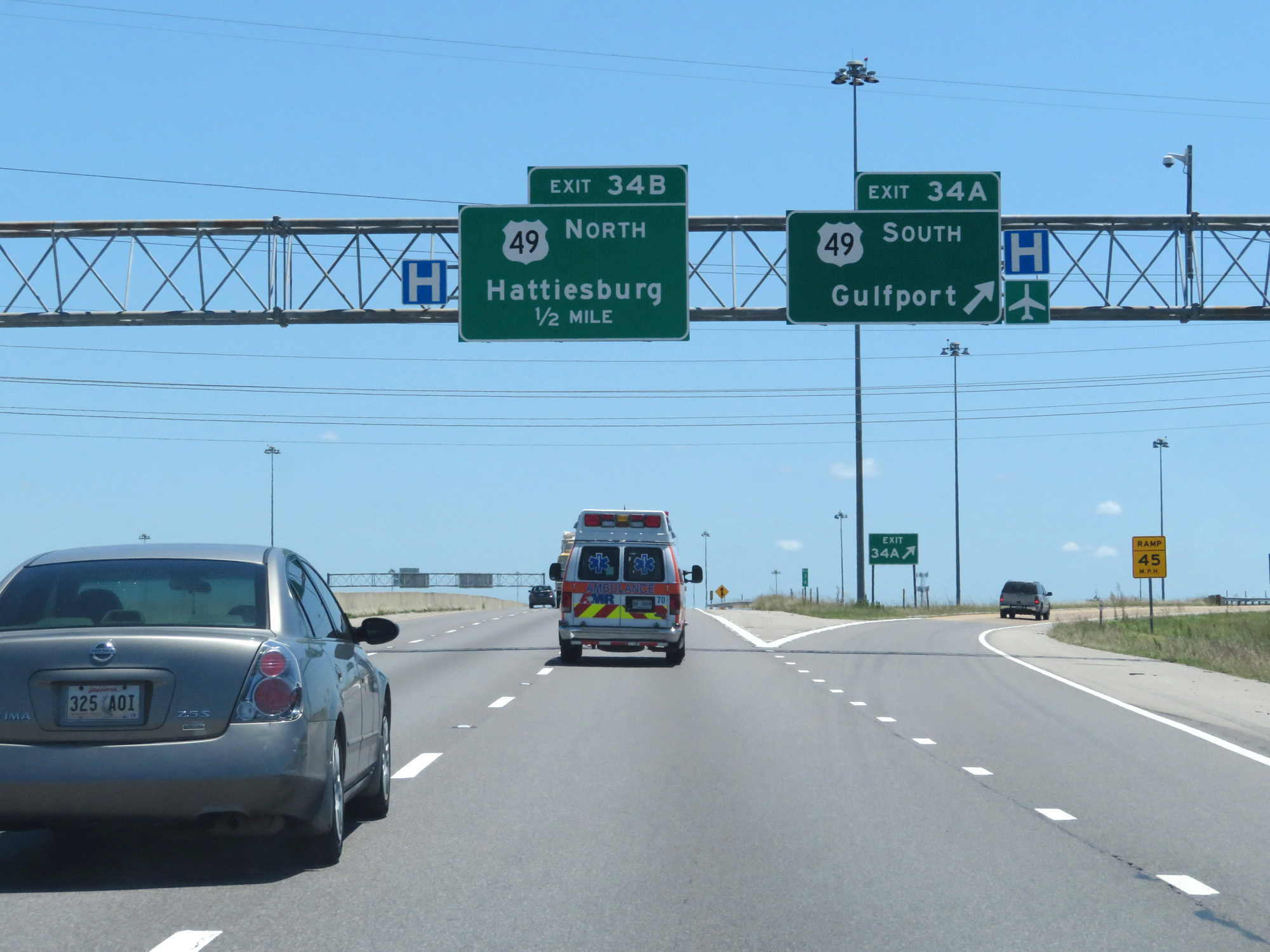 |
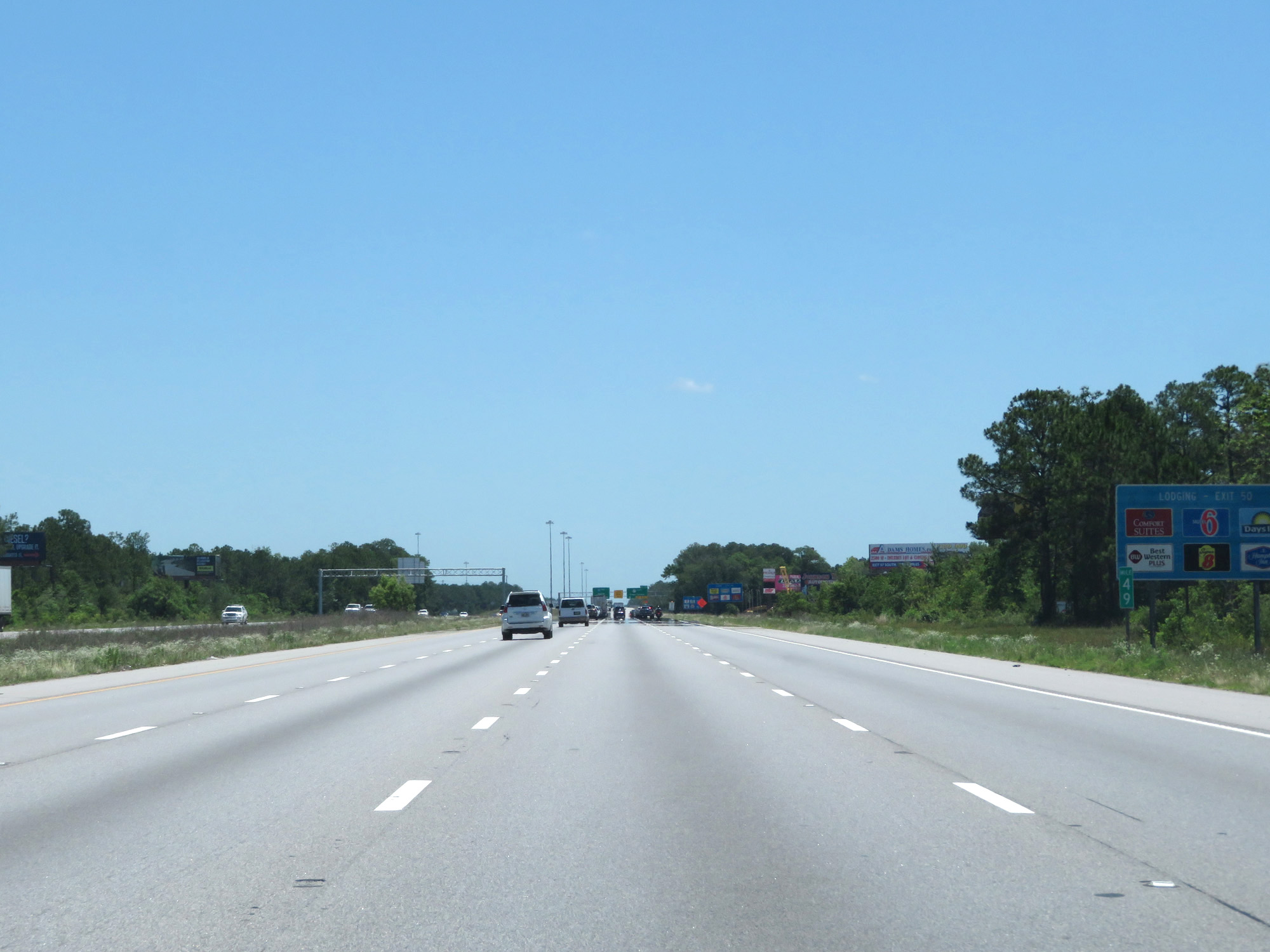
Interstate 10 East at Exit 34A: US 49 South - Gulfport (Photo taken 5/26/17). |
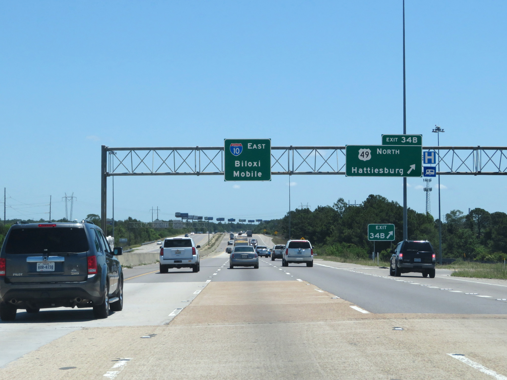 |
Interstate 10 East at Exit 34B: US 49 North - Hattiesburg (Photo taken 5/26/17). |
 |
Interstate 10 East at mile marker 35. (Photo taken 5/26/17). |
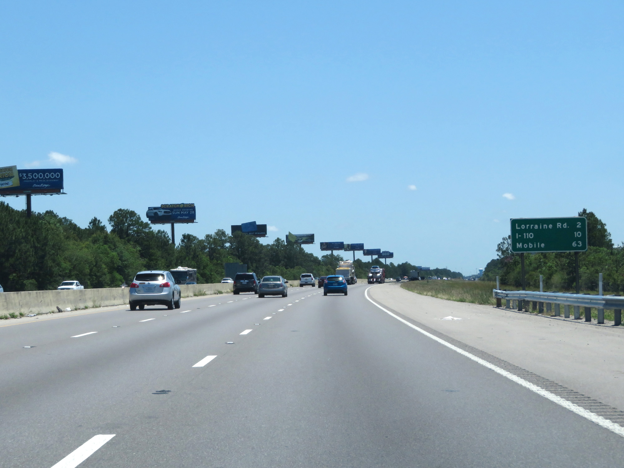 |
Mileage sign on Interstate 10 East. It's 2 miles to Lorraine Rd, 10 miles to the junction of Interstate 110, and 63 miles to Mobile. (Photo taken 5/26/17). |
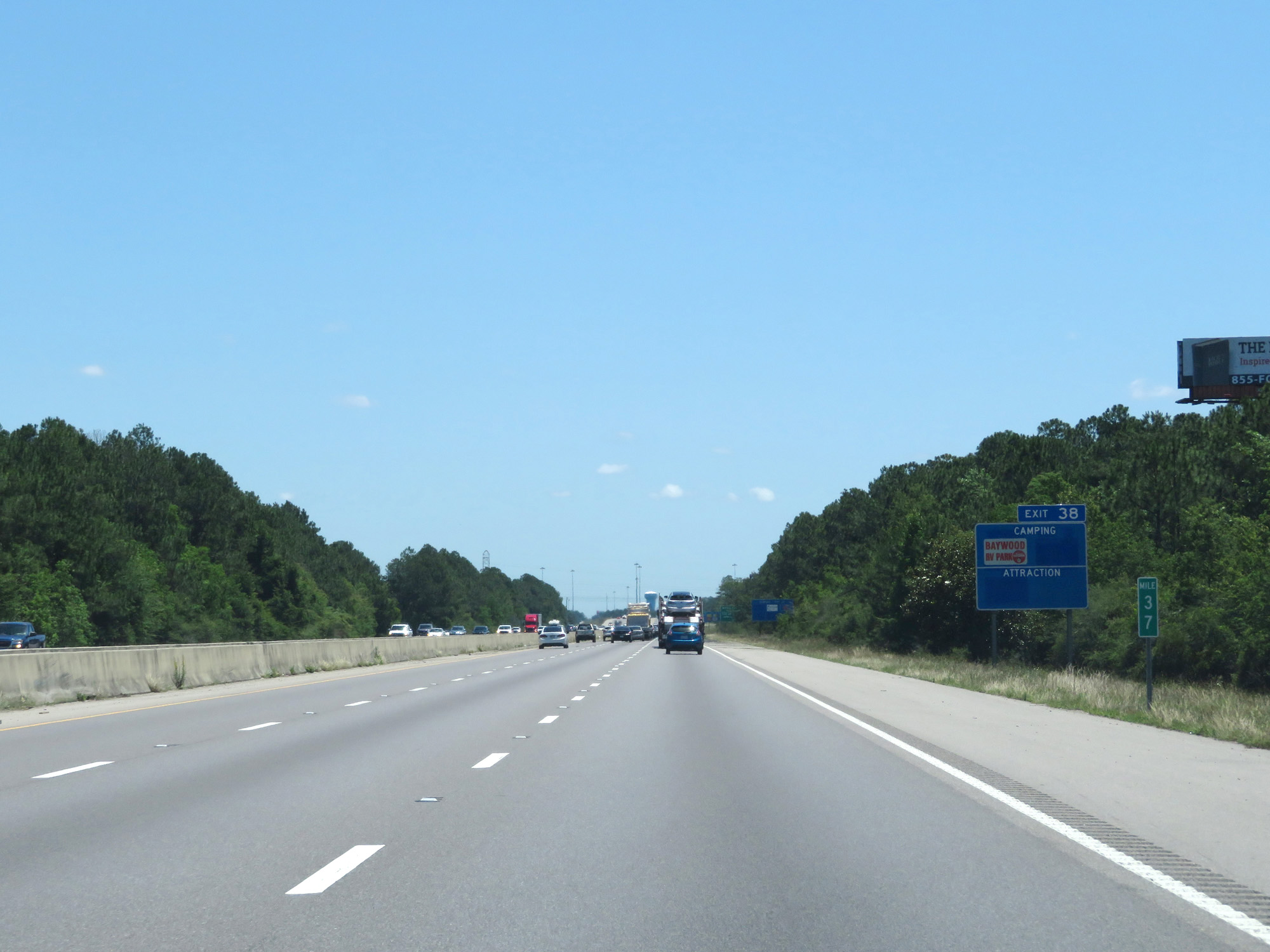 |
Interstate 10 East at mile marker 37. (Photo taken 5/26/17). |
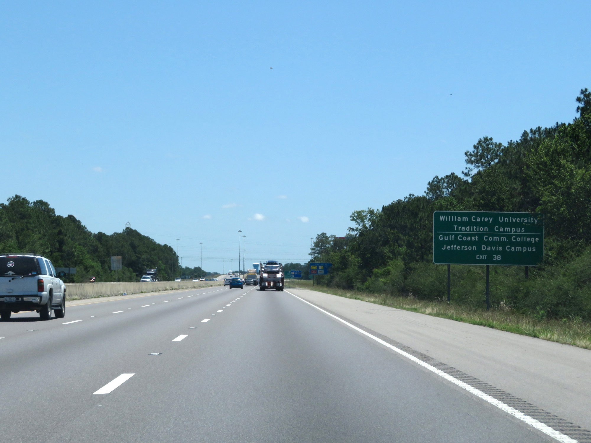 |
Take Exit 38 to William Carey University Tradition Campus and Gulf Coast Community College Jefferson Davis Campus. (Photo taken 5/26/17). |
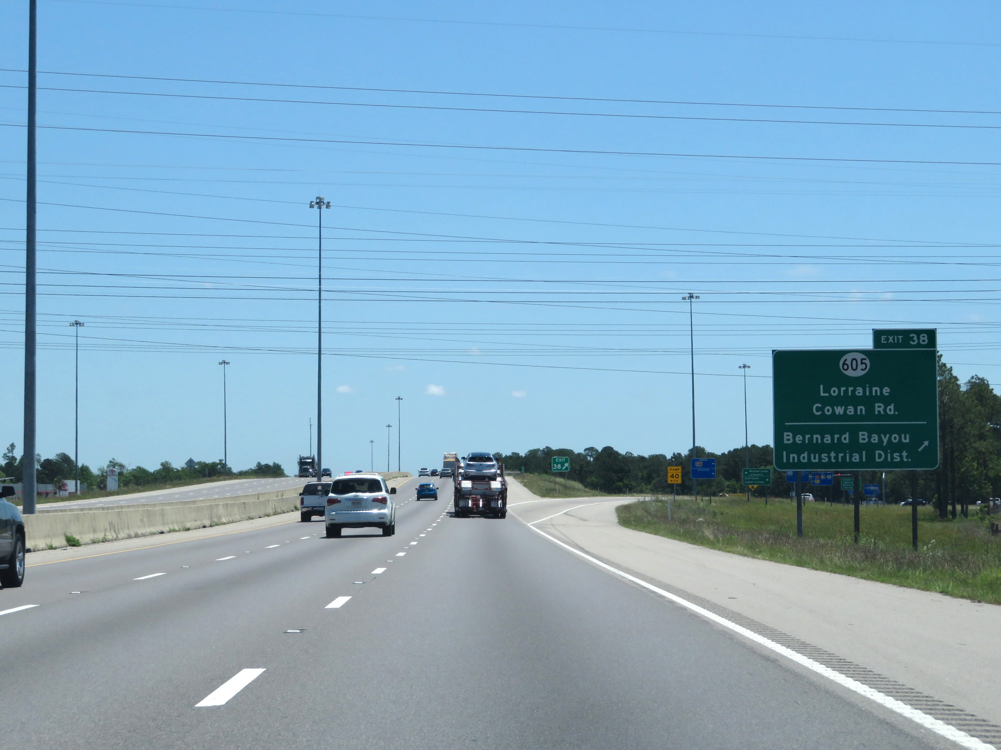 |
Interstate 10 East at Exit 38: MS 605 - Lorraine-Cowan Rd / Bernard Bayou Industrial District (Photo taken 5/26/17). |
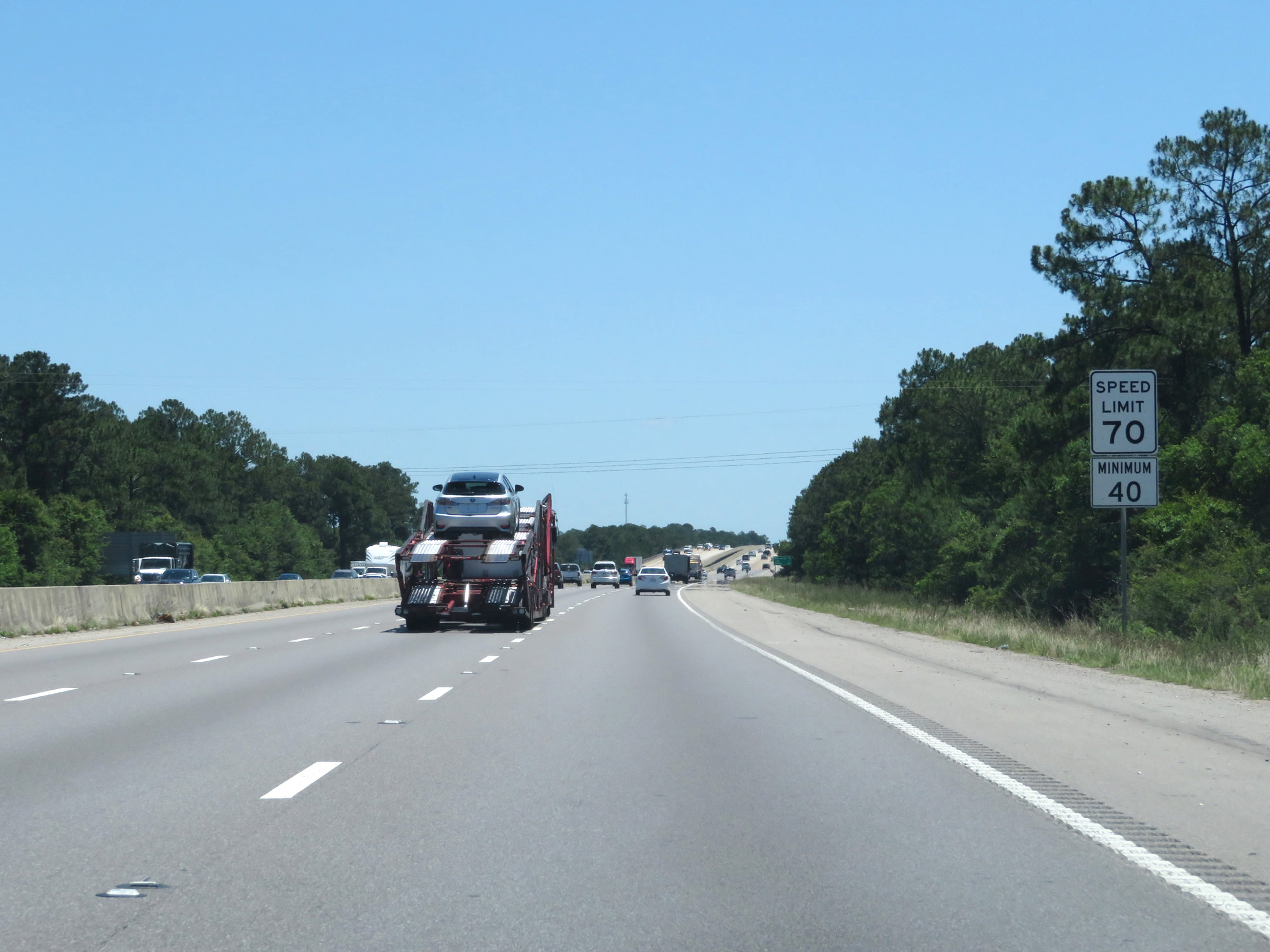 |
Speed Limit - 70 mph, Minimum Speed Limit - 40 mph. (Photo taken 5/26/17). |
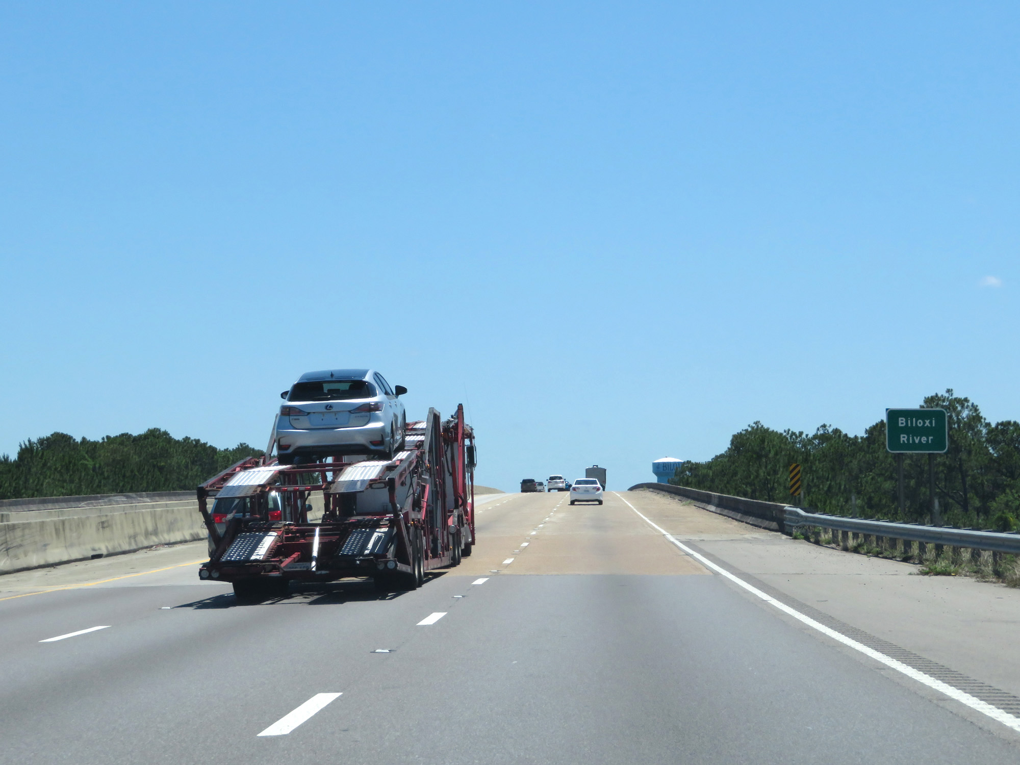 |
Interstate 10 East crossing the Biloxi River. (Photo taken 5/26/17). |
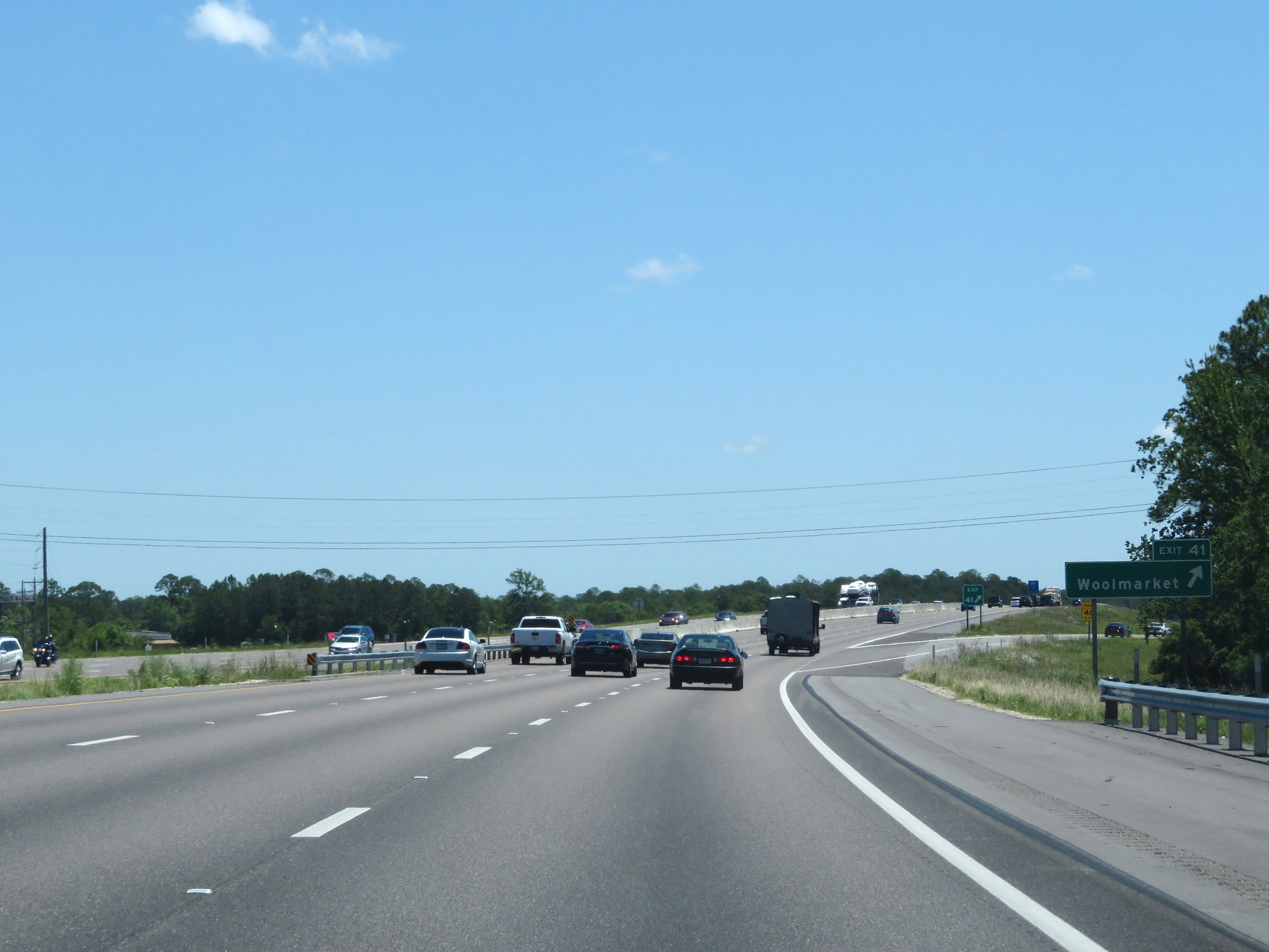 |
Interstate 10 East at Exit 41: Woolmarket (Photo taken 5/26/17). |
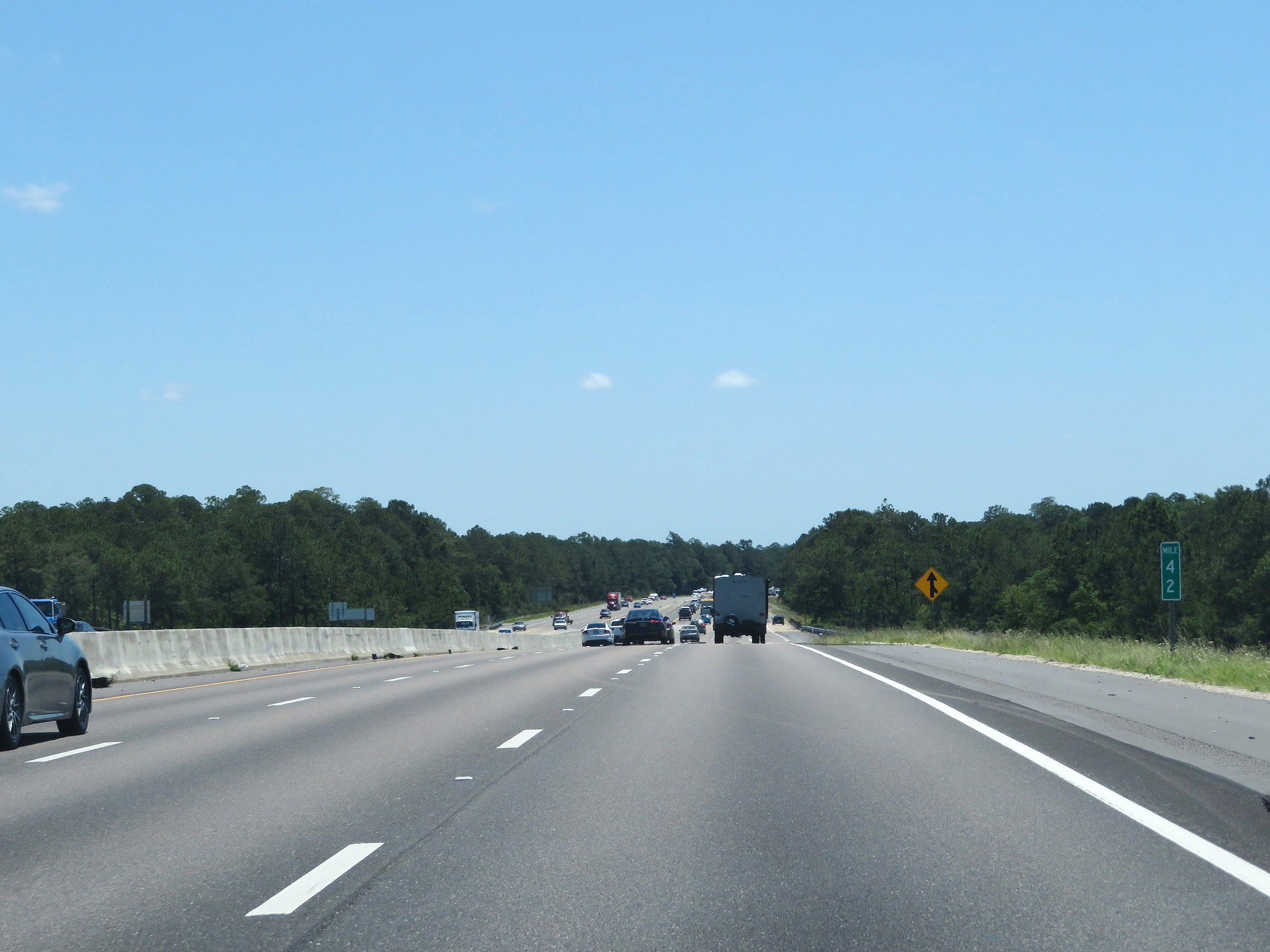 |
Interstate 10 East at mile marker 42. (Photo taken 5/26/17). |
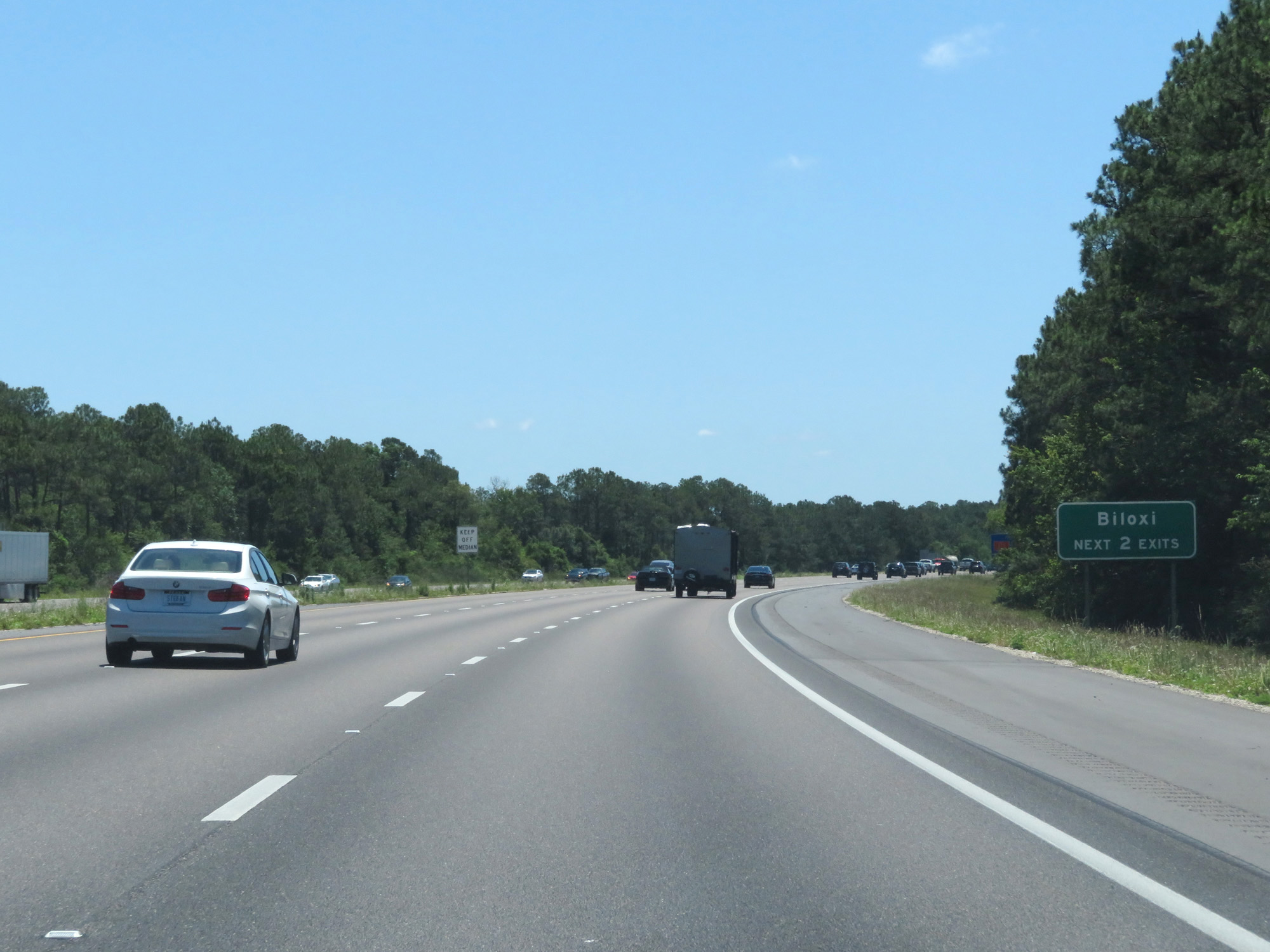 |
Take either of the next 2 exits to Biloxi. (Photo taken 5/26/17). |
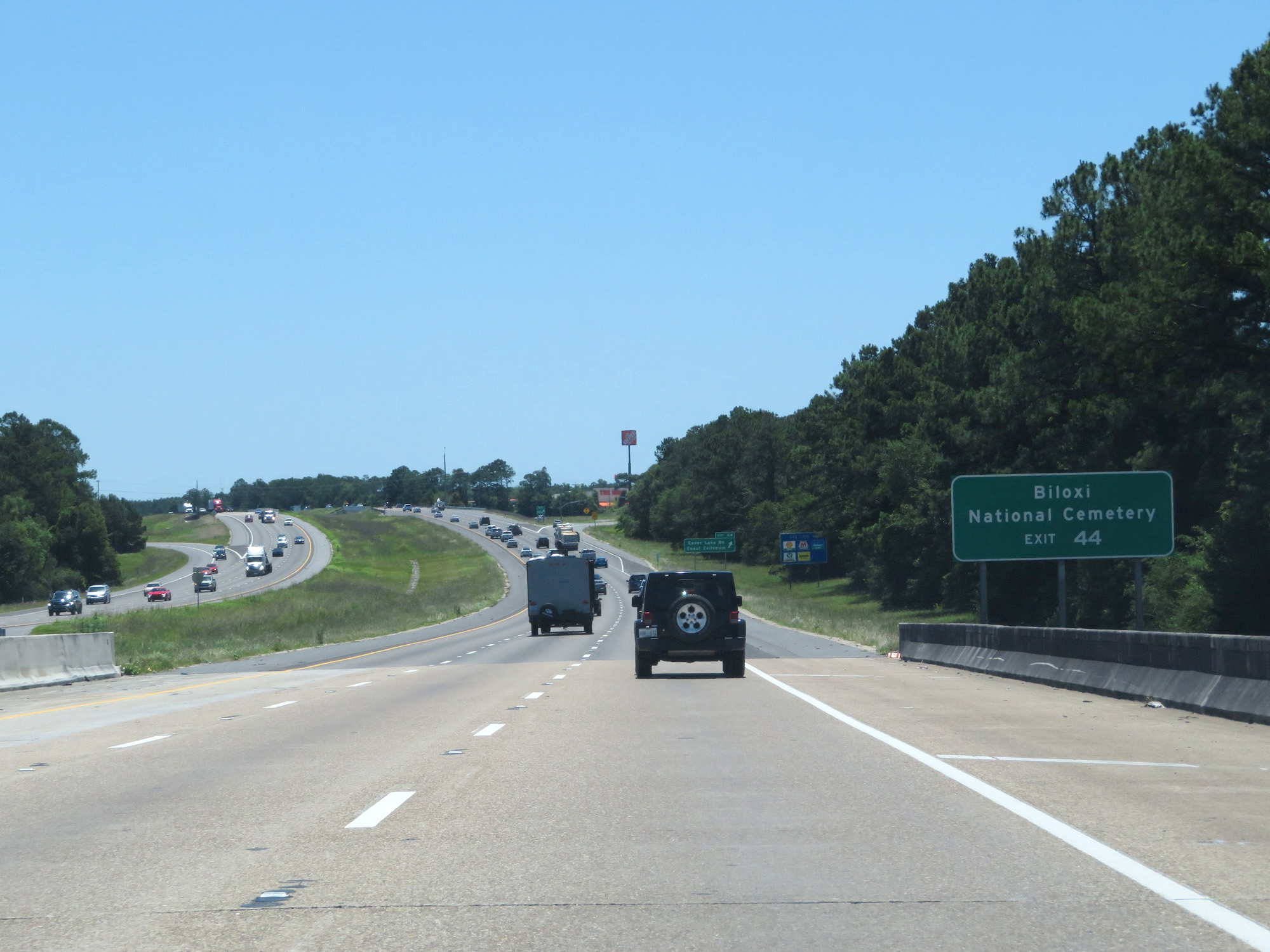 |
Take Exit 44 to Biloxi National Cemetery. (Photo taken 5/26/17). |
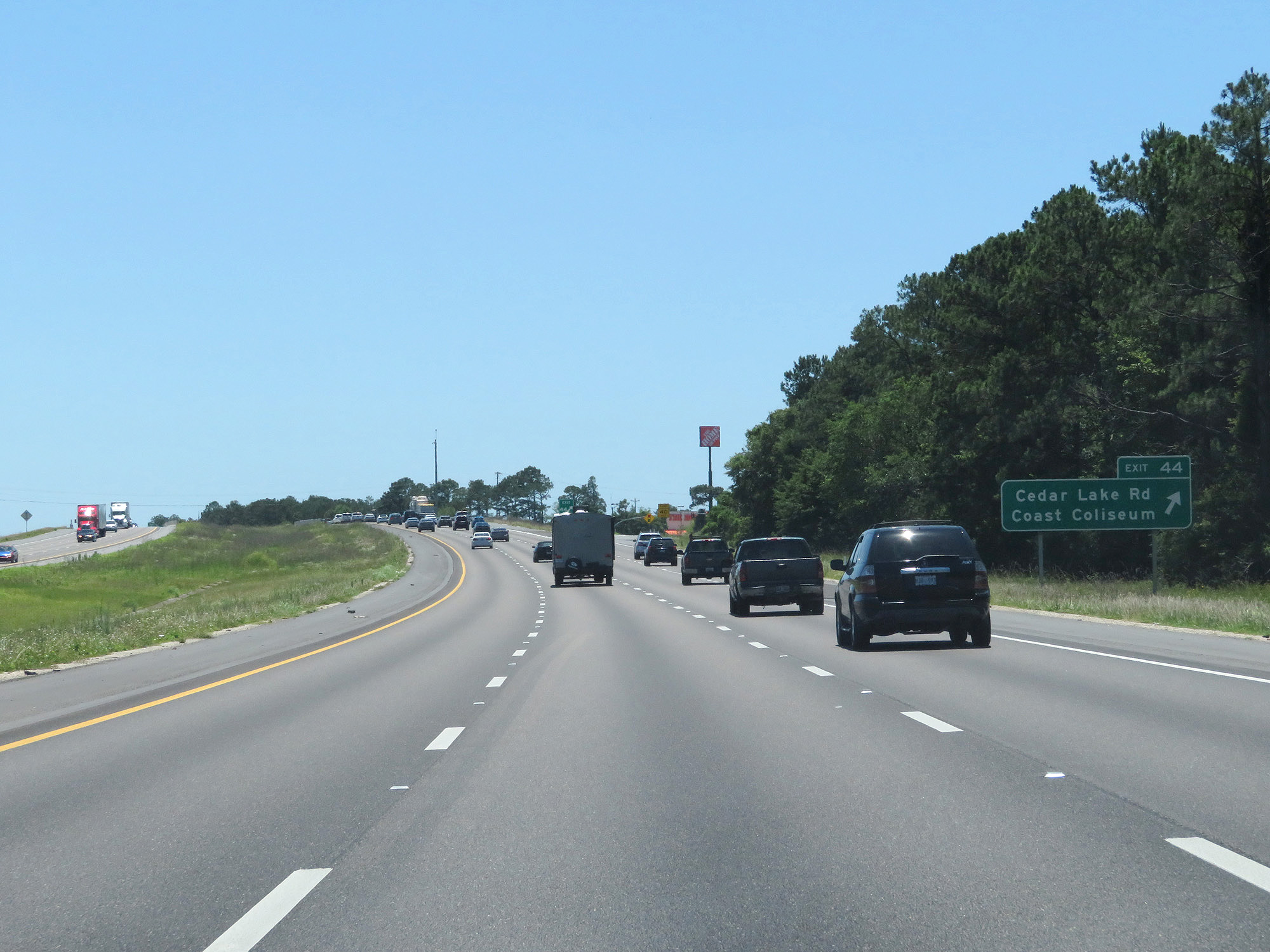 |
Interstate 10 East at Exit 44: Cedar Lake Rd / Coast Coliseum (Photo taken 5/26/17). |
 |
Interstate 10 East approaching Exits 46A-B-C - 1 mile. (Photo taken 5/26/17). |
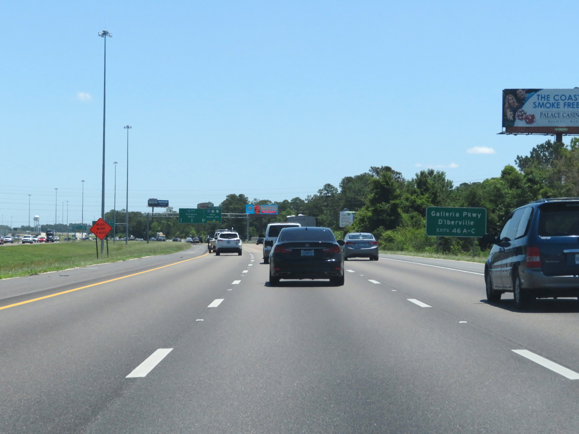 |
Take Exits 46A-B-C to Galleria Pkwy and D'Iberville. (Photo taken 5/26/17). |
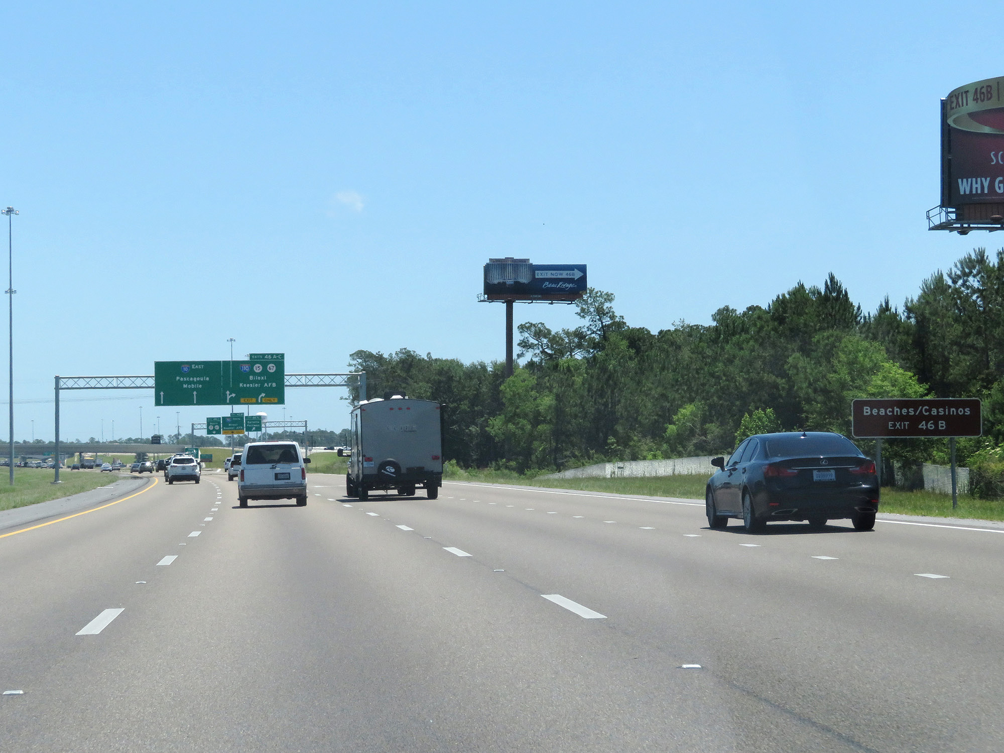 |
Take Exit 46B to the Beaches and Casinos. (Photo taken 5/26/17). |
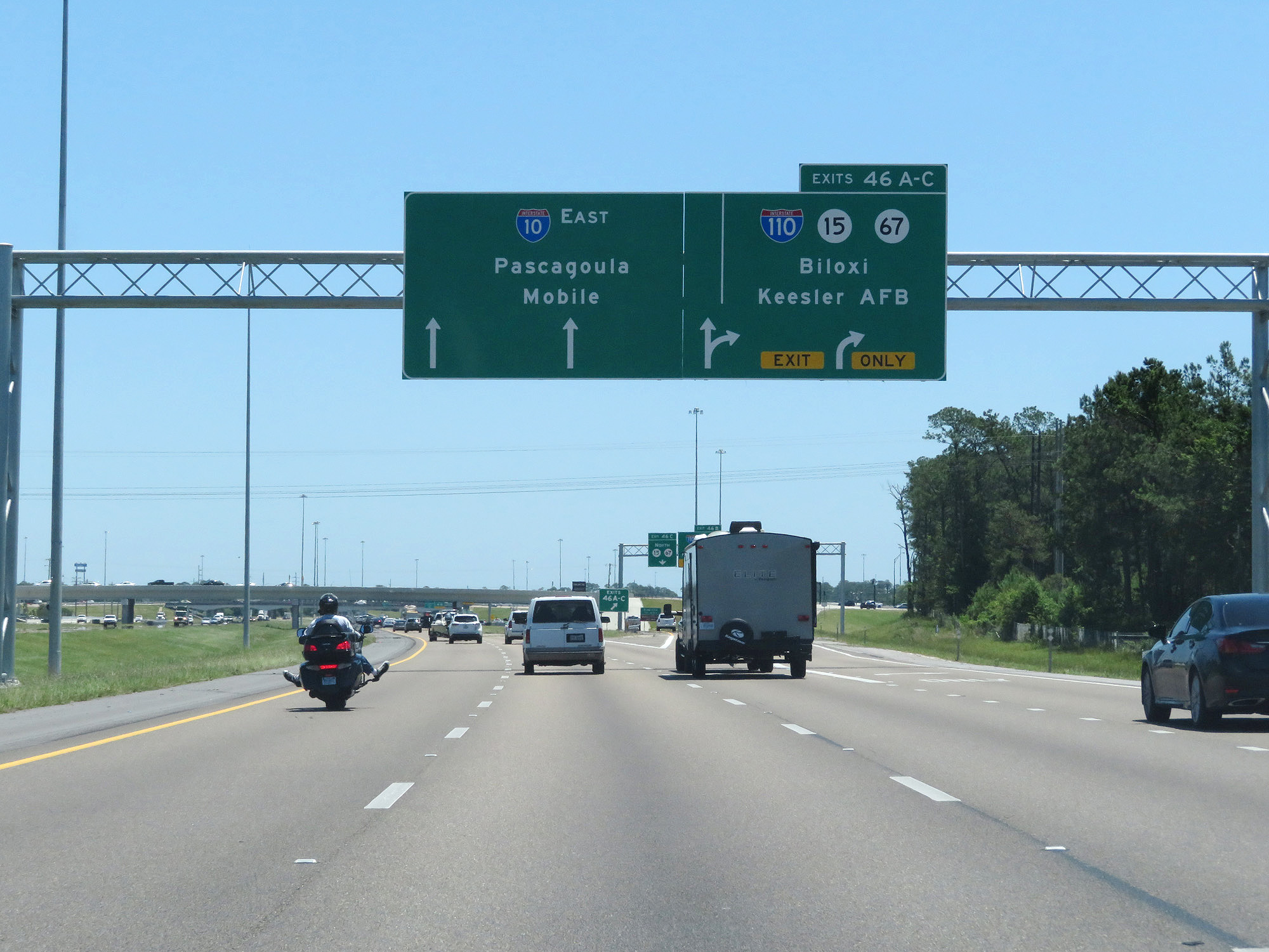 |
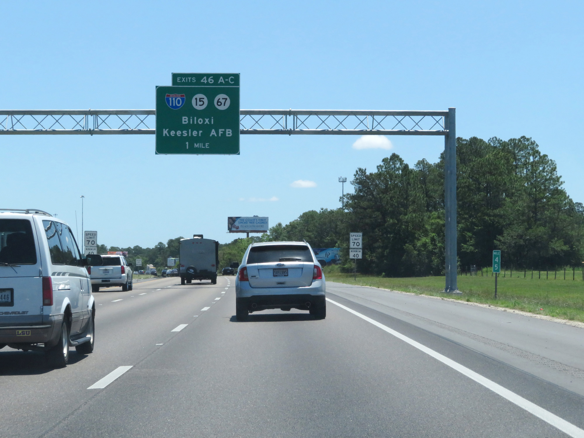
Interstate 10 East at Exits 46A-B-C: Interstate 110 / MS 15 / MS 67 - Biloxi / Kessler AFB (Photo taken 5/26/17). |
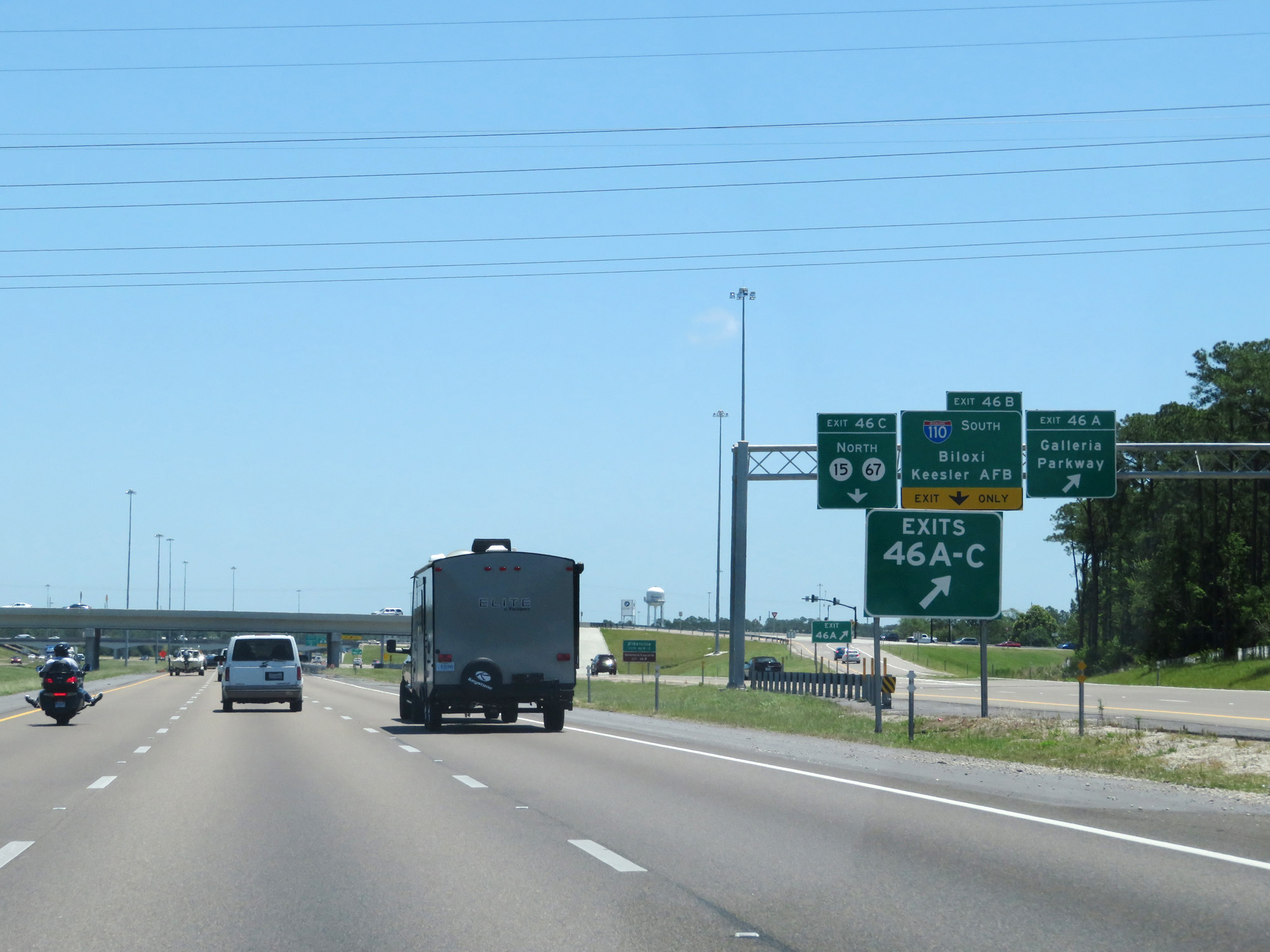 |
Interstate 10 East at Exit 46A: Galleria Parkway (Photo taken 5/26/17). |
 |
Interstate 10 East at Exit 46B: Interstate 110 South - Biloxi / Kessler AFB (Photo taken 5/26/17). |
Section 2: Biloxi (Exit 46B) to Alabama Border
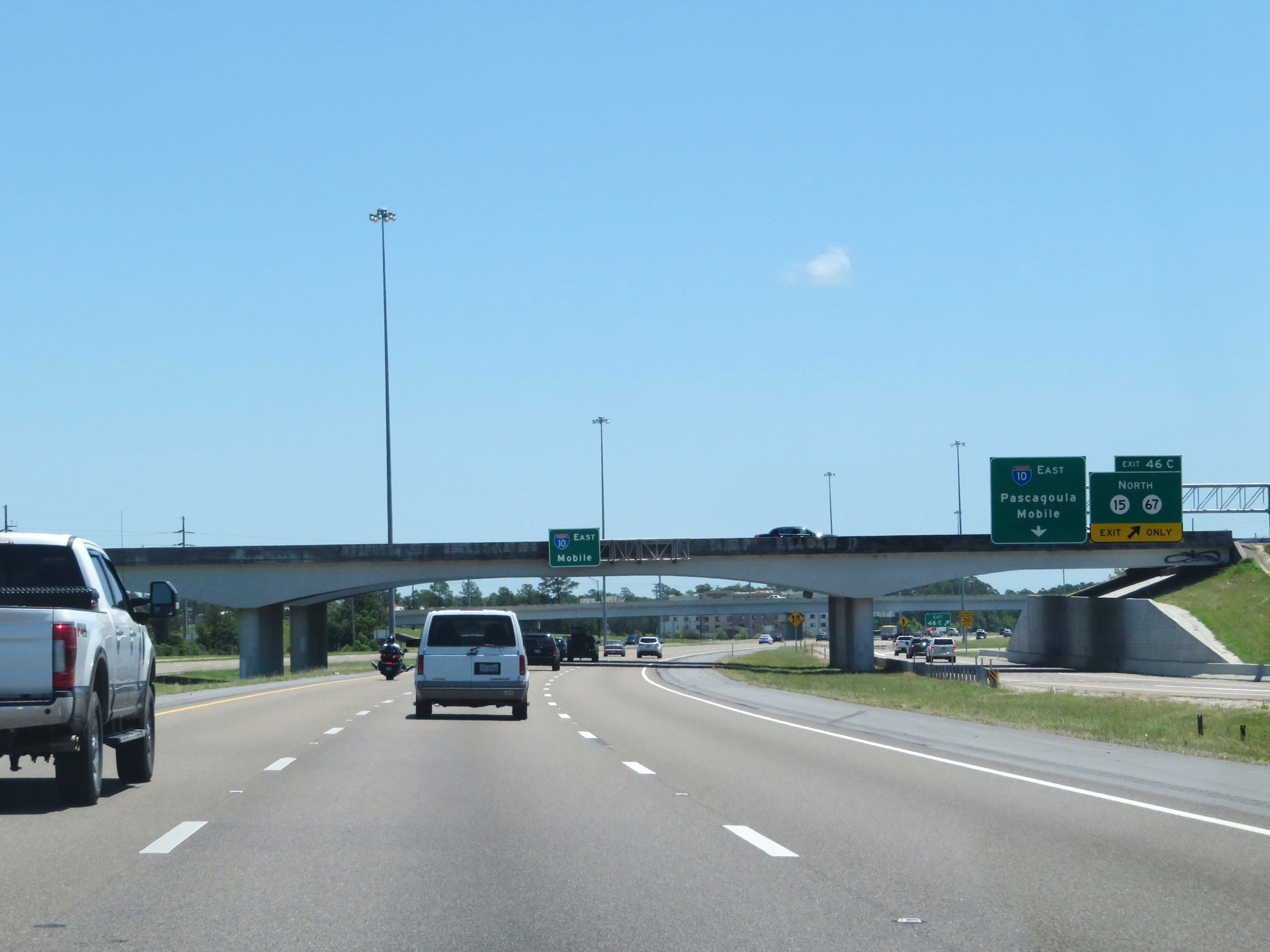 |
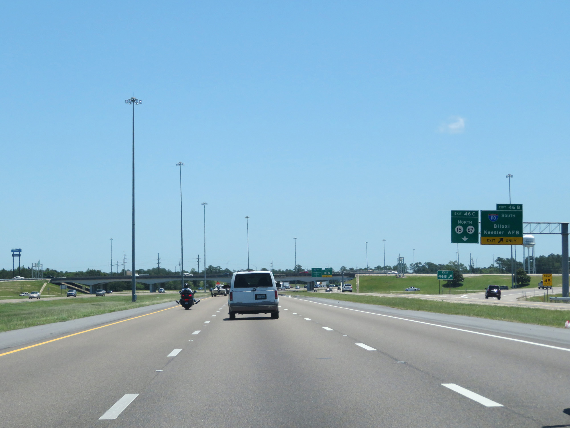
Interstate 10 East at Exit 46C: MS 15 North / MS 67 North (Photo taken 5/26/17). |
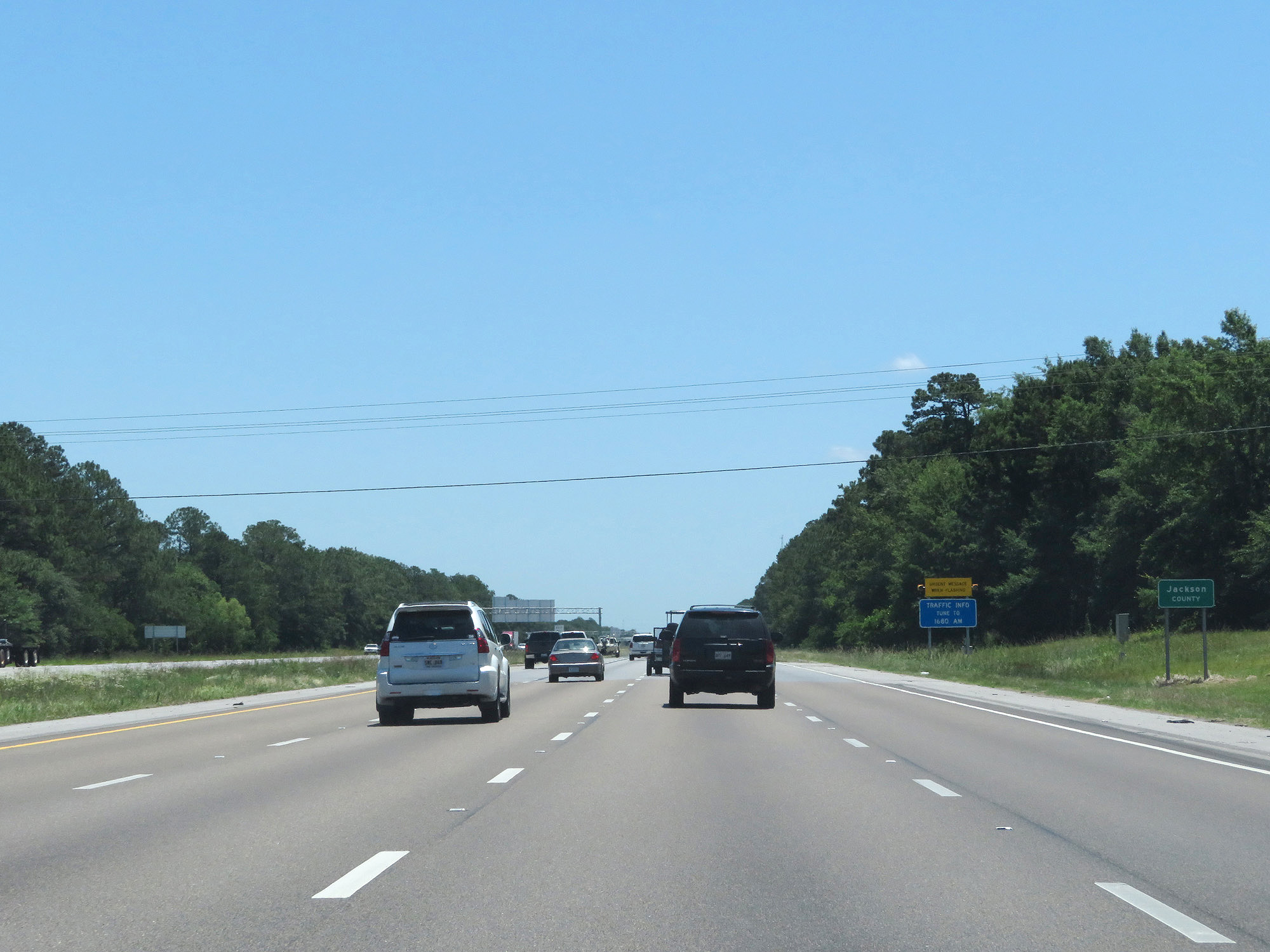 |
Interstate 10 East as it enters Jackson County. (Photo taken 5/26/17). |
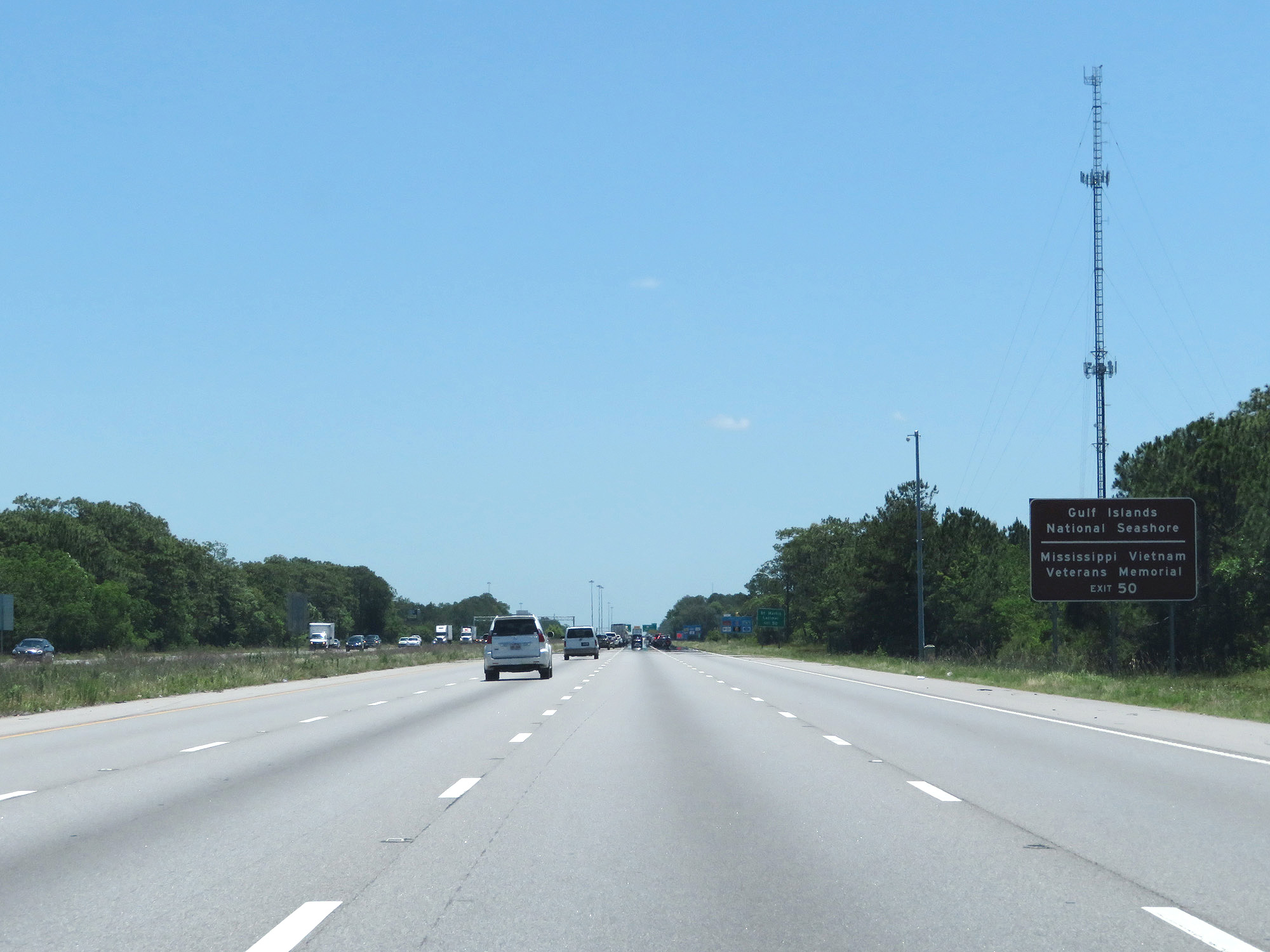 |
Take Exit 50 to Gulf Islands National Seashore and Mississippi Vietnam Veterans Memorial. (Photo taken 5/26/17). |
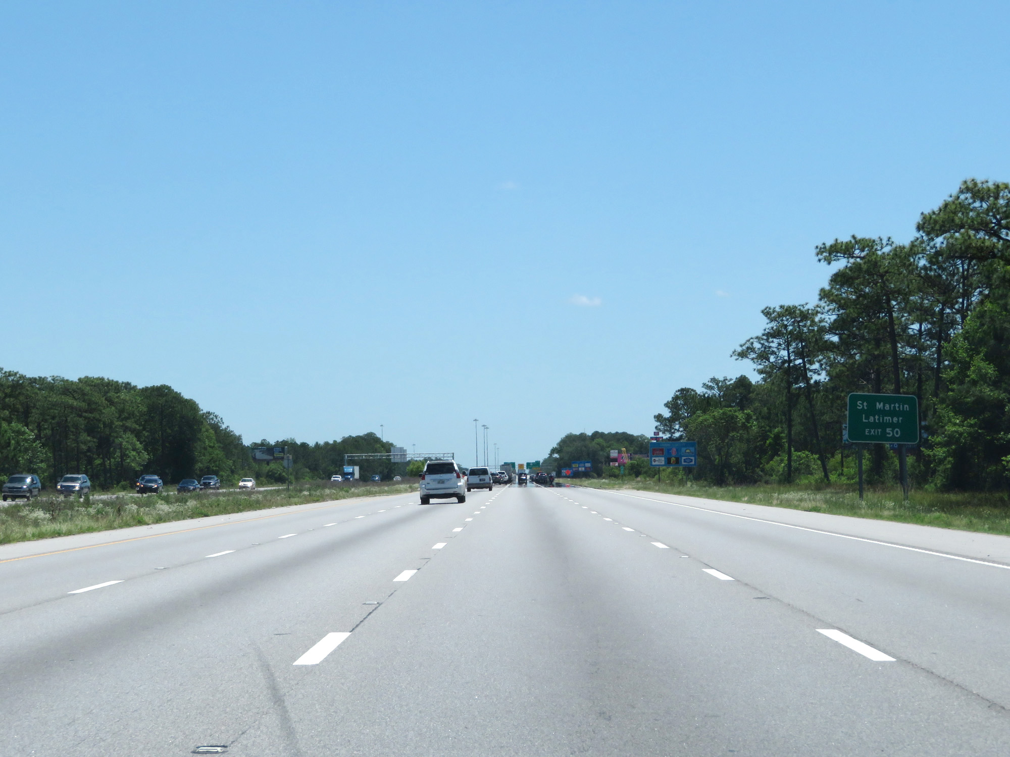 |
Also take Exit 50 to St Martin and Latimer. (Photo taken 5/26/17). |
 |
Interstate 10 East at mile marker 49. (Photo taken 5/26/17). |
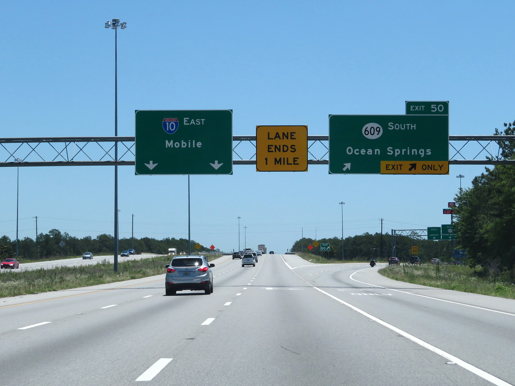 |
Interstate 10 East at Exit 50: MS 609 South - Ocean Springs (Photo taken 5/26/17). |
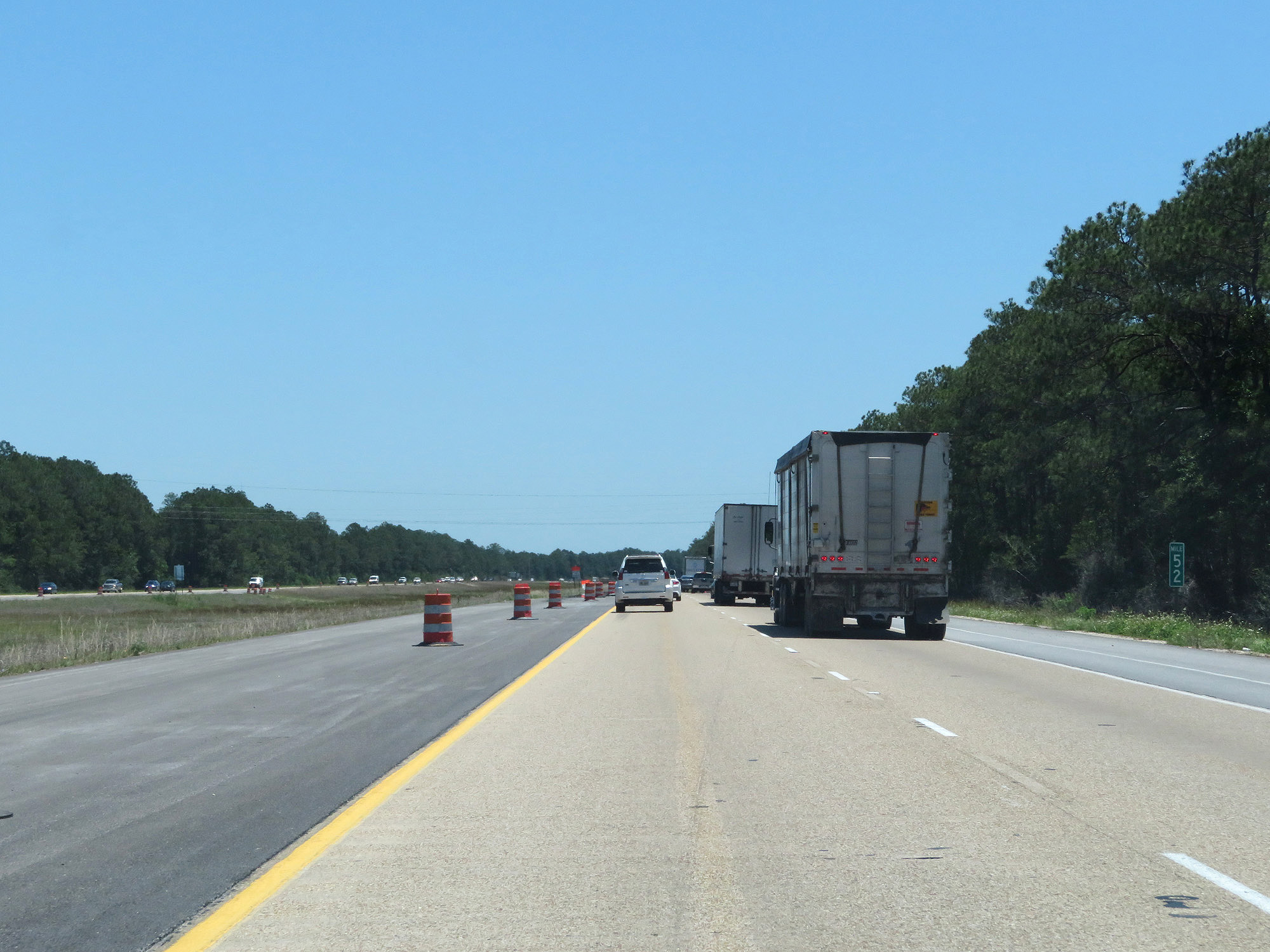 |
Interstate 10 East at mile marker 52. (Photo taken 5/26/17). |
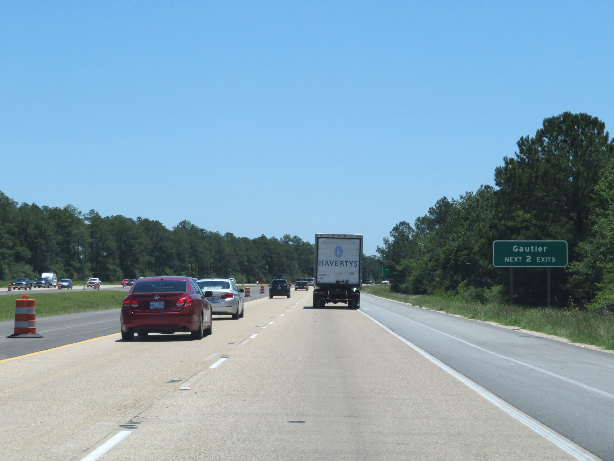 |
Take either of the next 2 exits to Gautier. (Photo taken 5/26/17). |
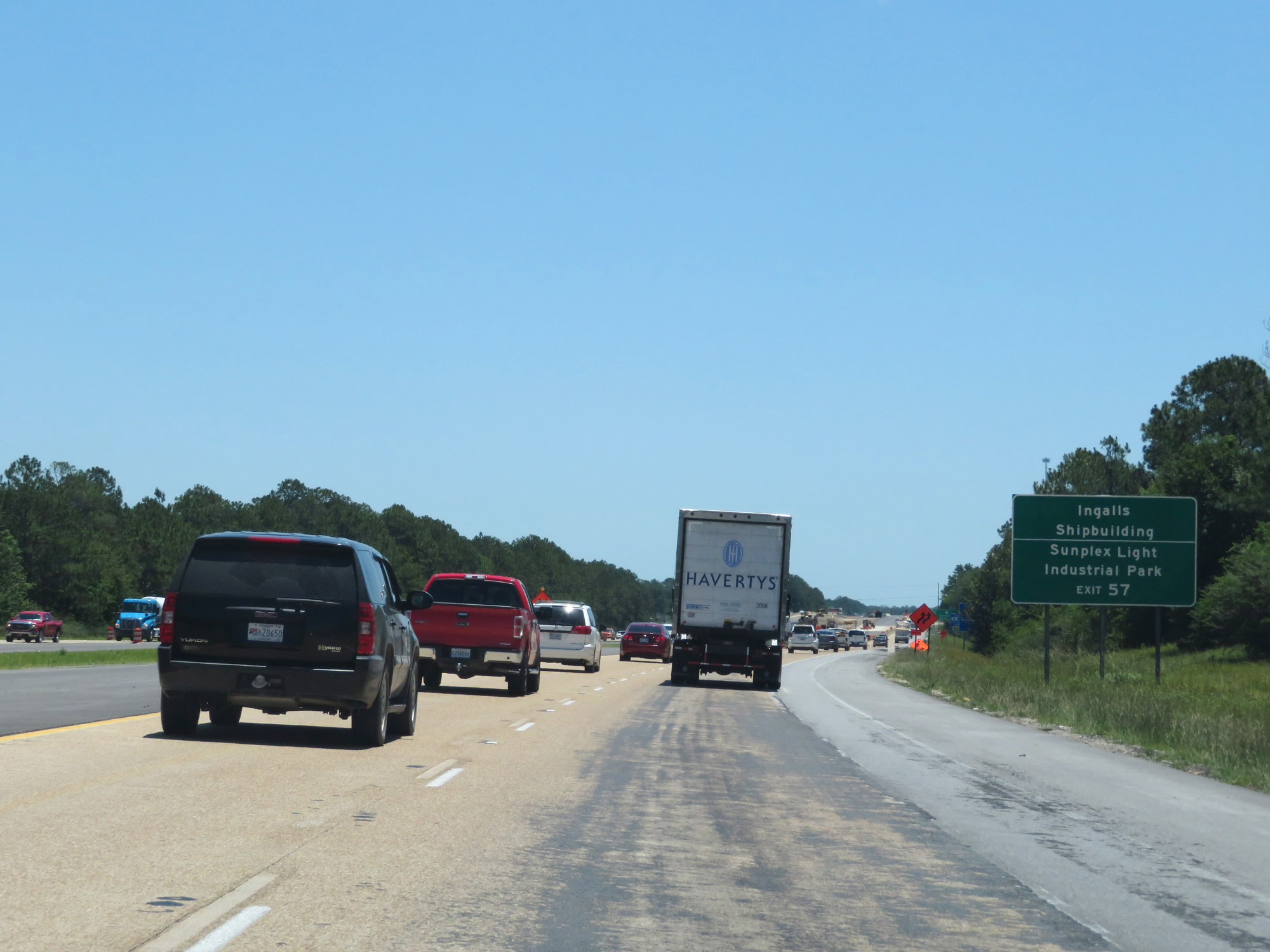 |
Take Exit 57 to Ingalls Shipbuilding and Sunplex Light Industrial Park. (Photo taken 5/26/17). |
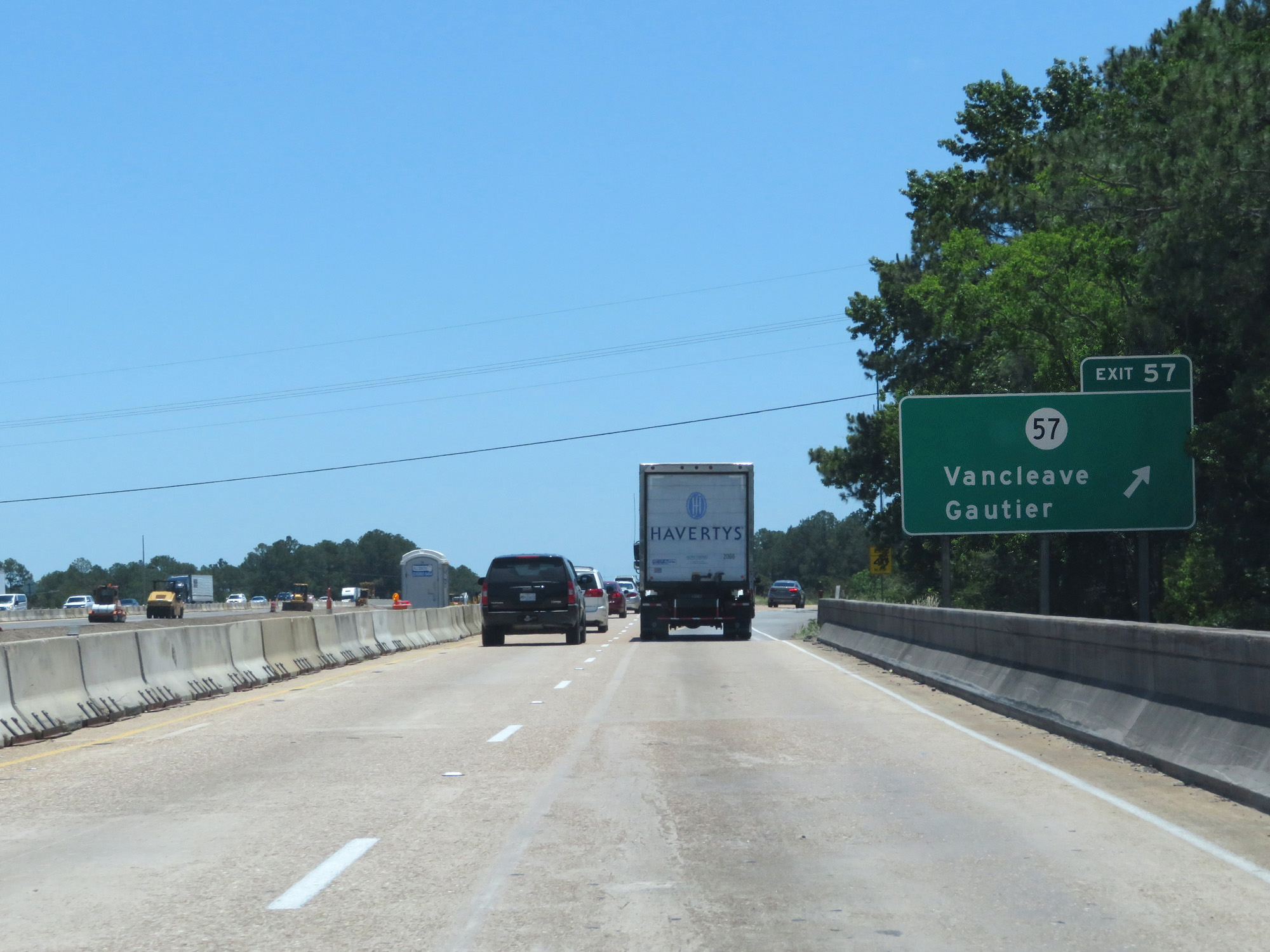 |
Interstate 10 East at Exit 57: MS 57 - Vancleave / Gautier (Photo taken 5/26/17). |
 |
State-named Interstate 10 East reassurance shield. (Photo taken 5/26/17). |
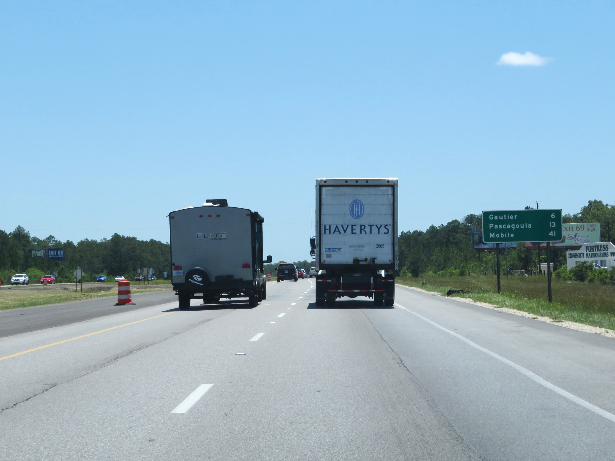 |
Mileage sign on Interstate 10 East. It's 6 miles to Gautier, 13 miles to Pascagoula, and 41 miles to Mobile. (Photo taken 5/26/17). |
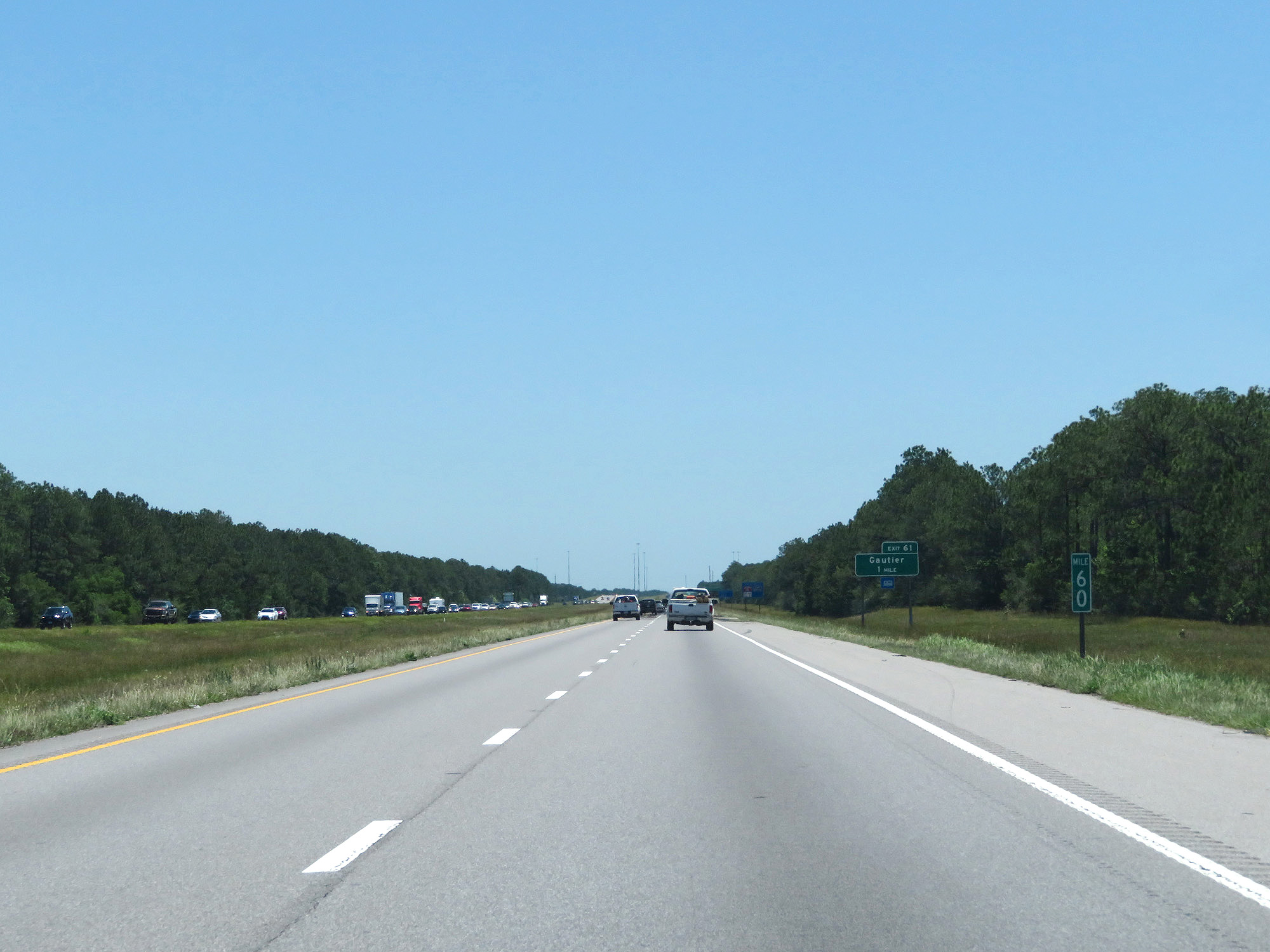 |
Interstate 10 East at mile marker 60. (Photo taken 5/26/17). |
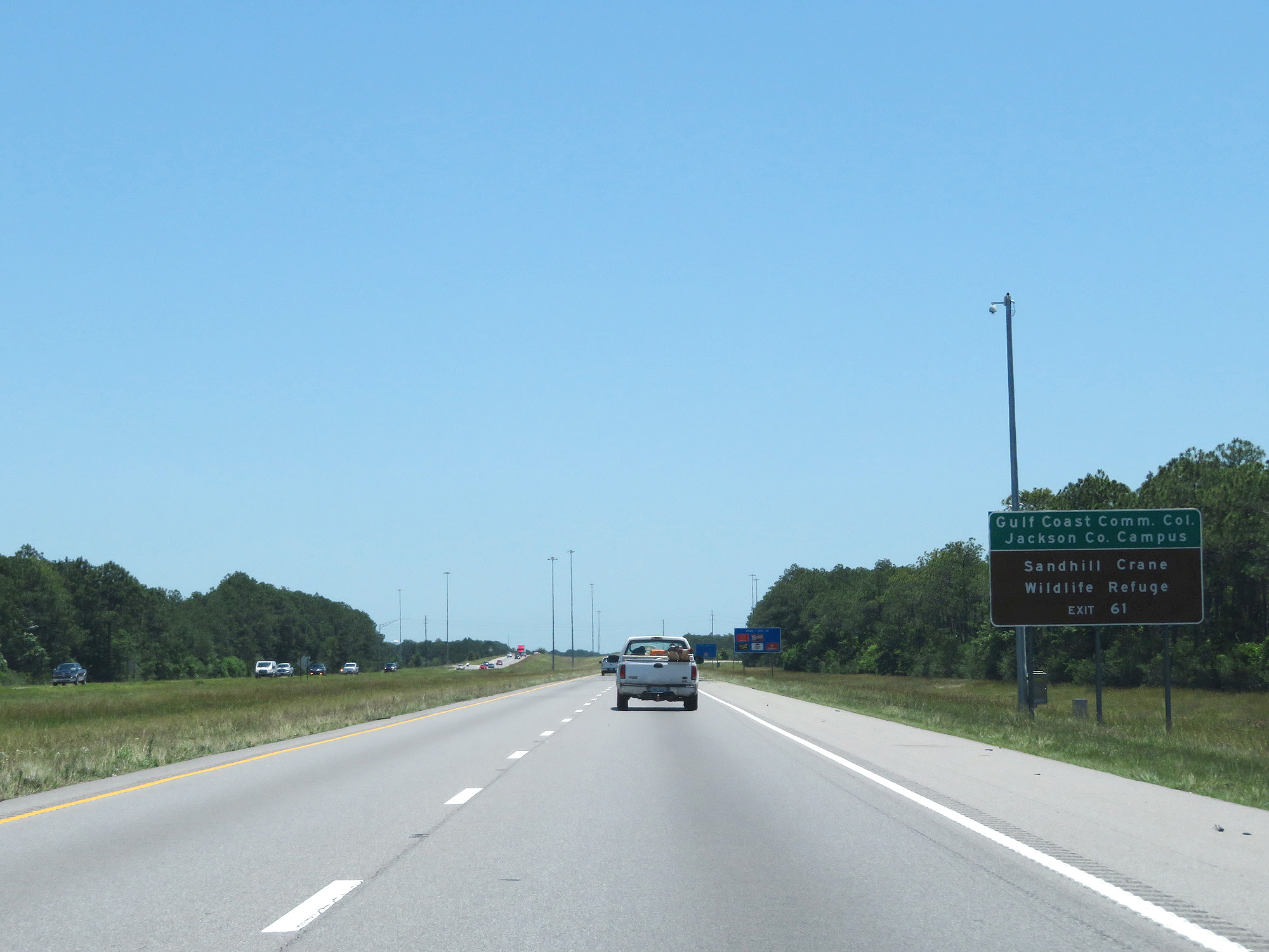 |
Take Exit 61 to Gulf Coast Community College Jackson County Campus and Sandhill Crane Wildlife Refuge. (Photo taken 5/26/17). |
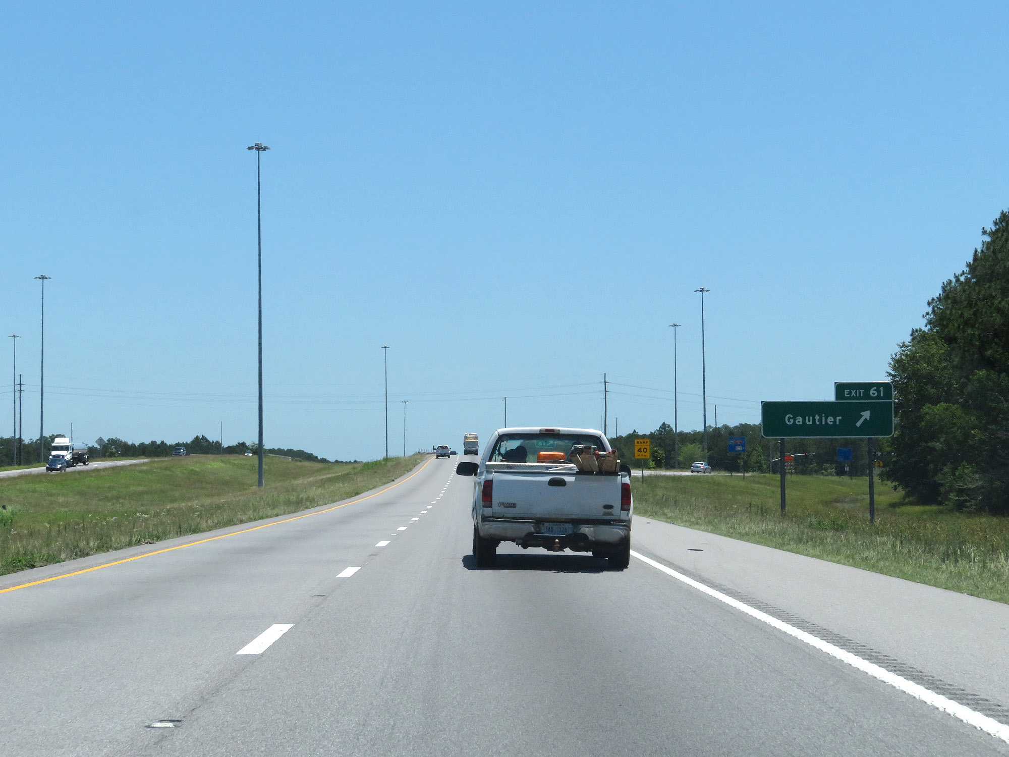 |
Interstate 10 East at Exit 61: Gautier (Photo taken 5/26/17). |
 |
Interstate 10 East at the Rest Area in Jackson County. (Photo taken 5/26/17). |
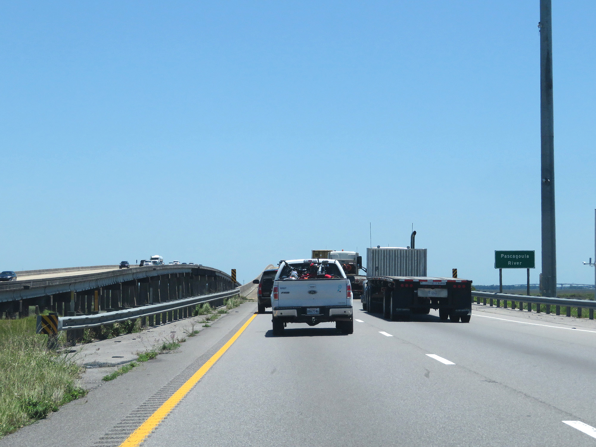 |
Interstate 10 East crossing the Pascagoula River. (Photo taken 5/26/17). |
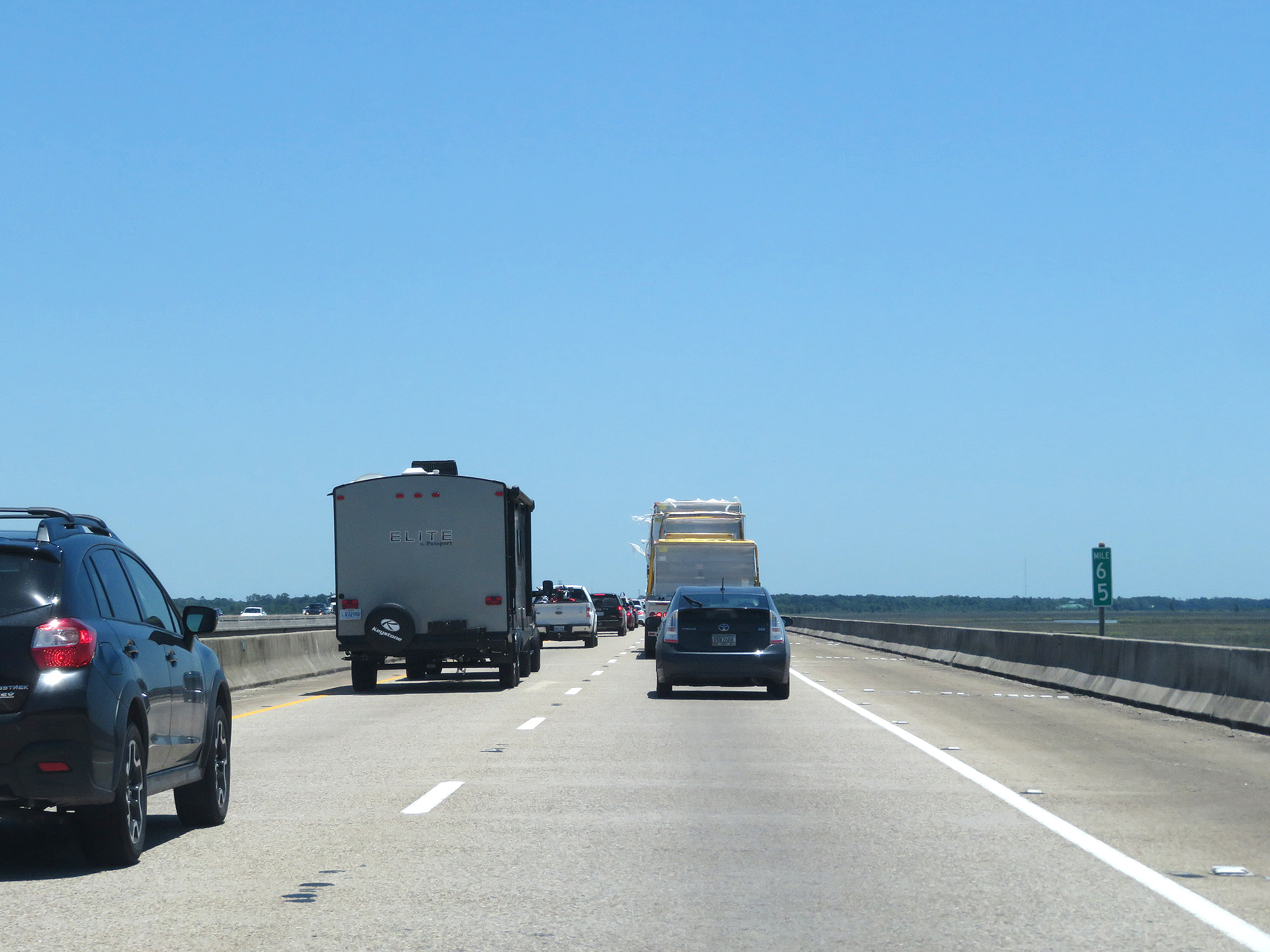 |
Interstate 10 East at mile marker 65. (Photo taken 5/26/17). |
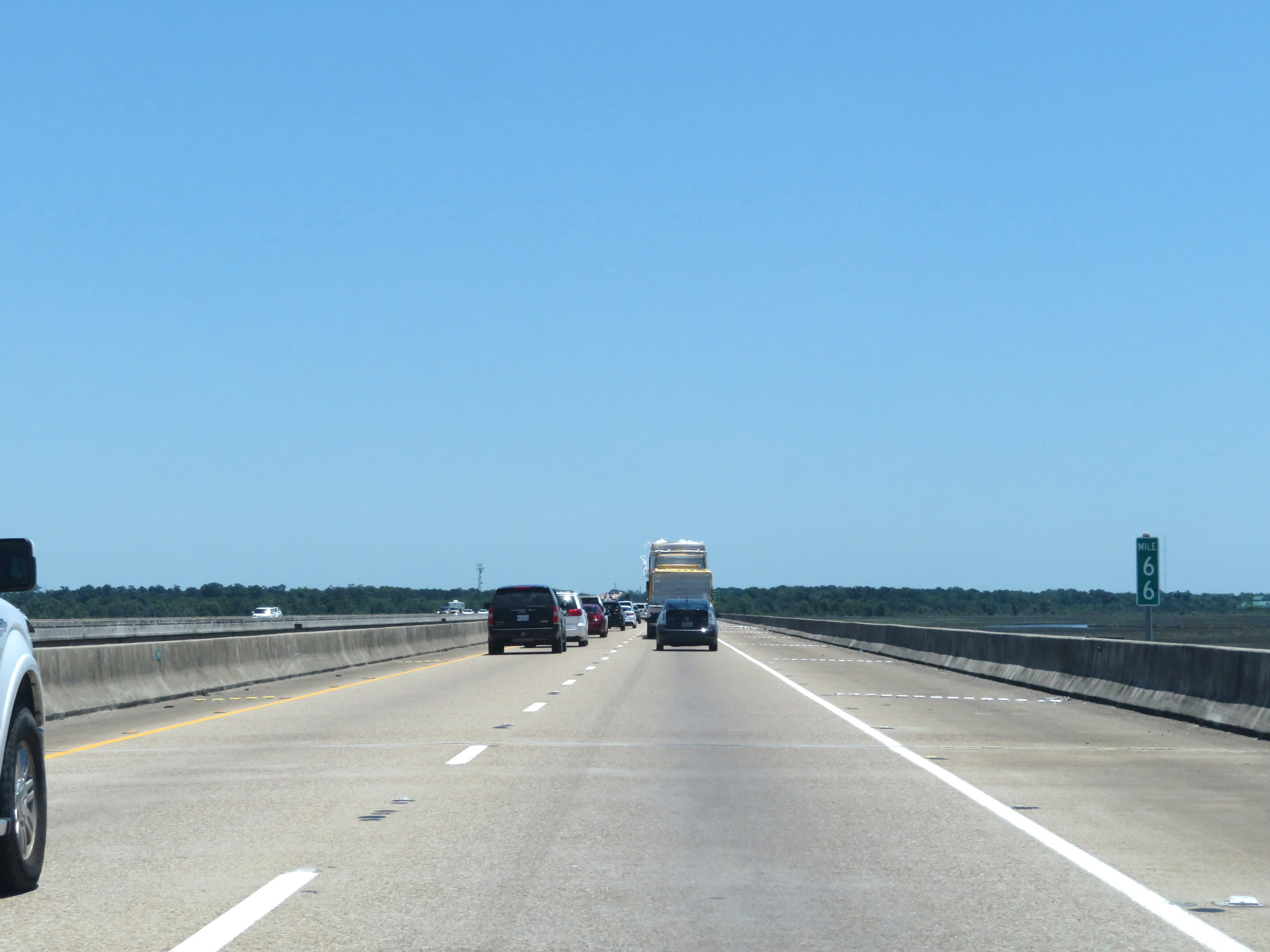 |
Interstate 10 East at mile marker 66. (Photo taken 5/26/17). |
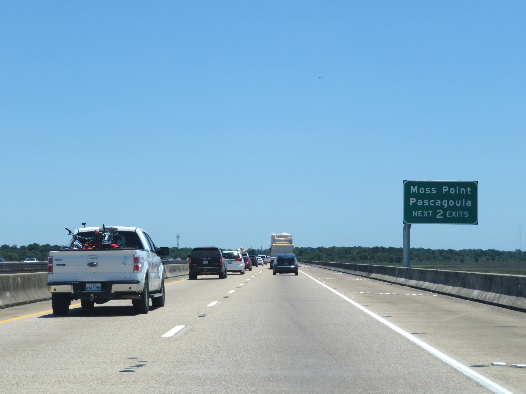 |
Take either of the next 2 exits to Moss Point and Pascagoula. (Photo taken 5/26/17). |
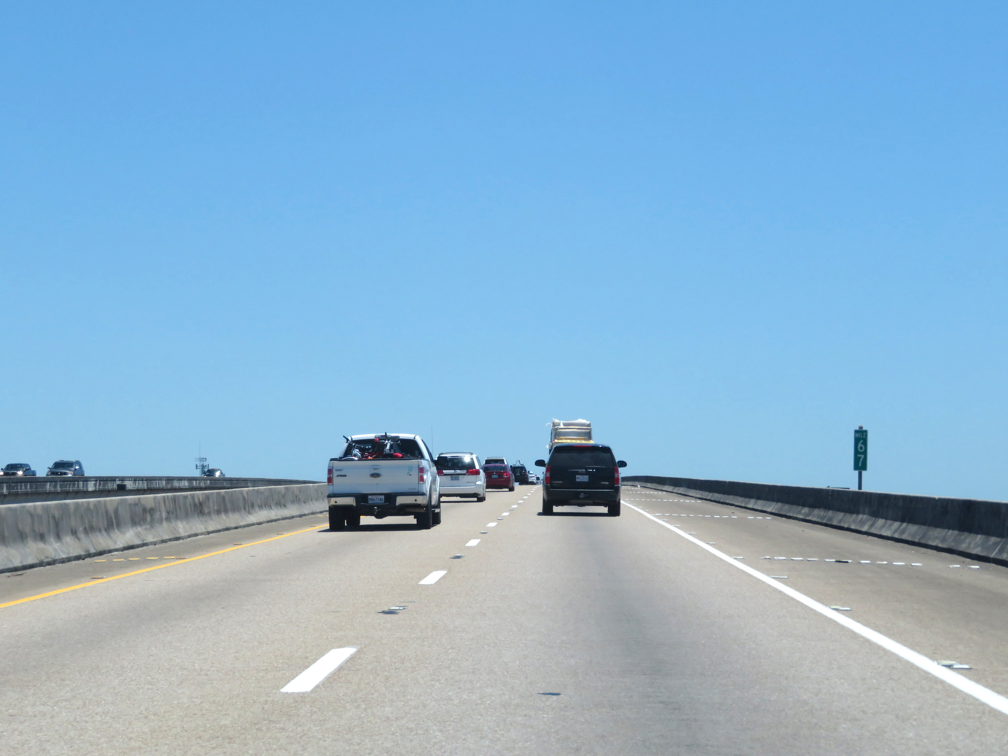 |
Interstate 10 East at mile marker 67. (Photo taken 5/26/17). |
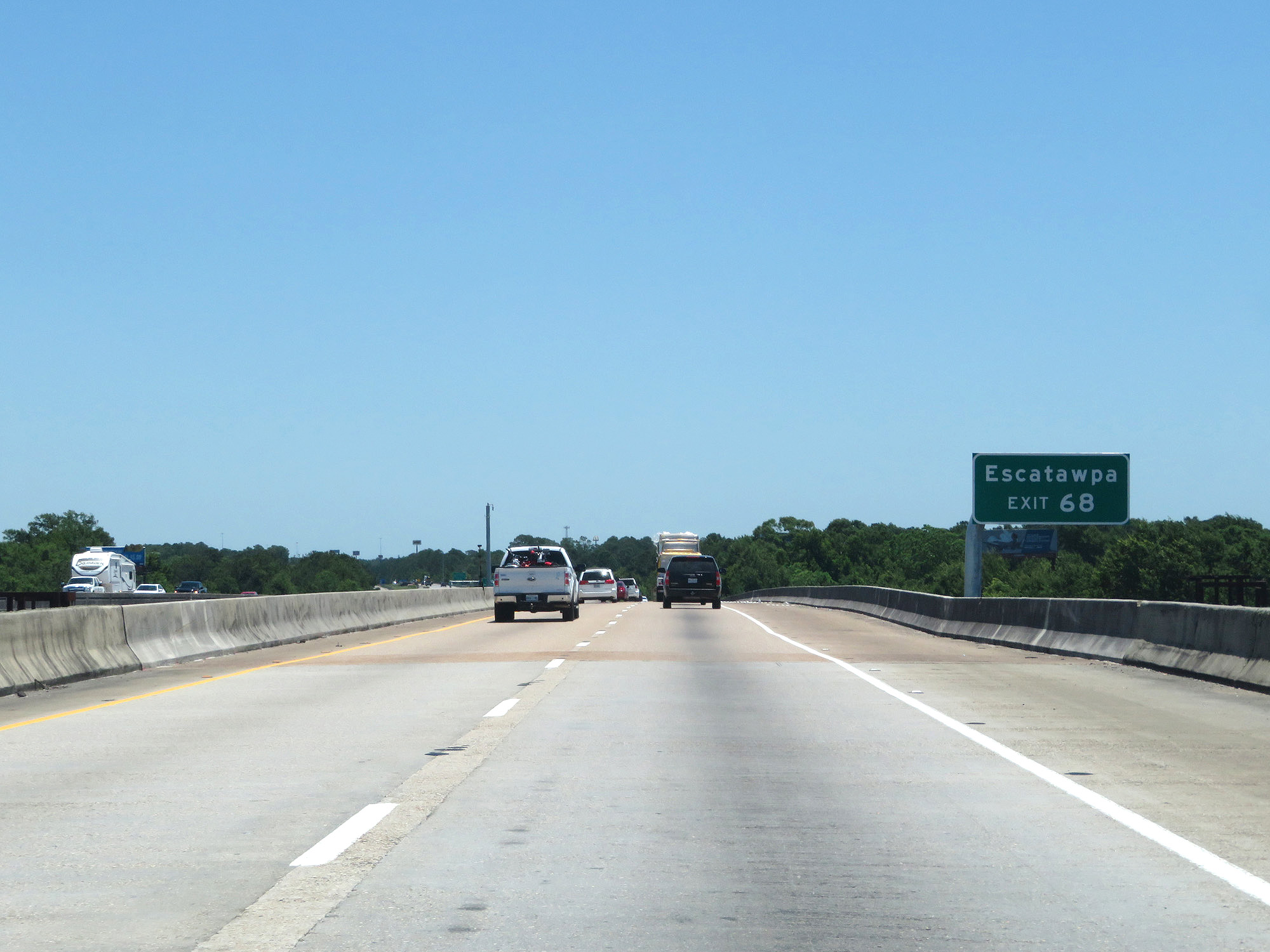 |
Take Exit 68 to Escatawpa. (Photo taken 5/26/17). |
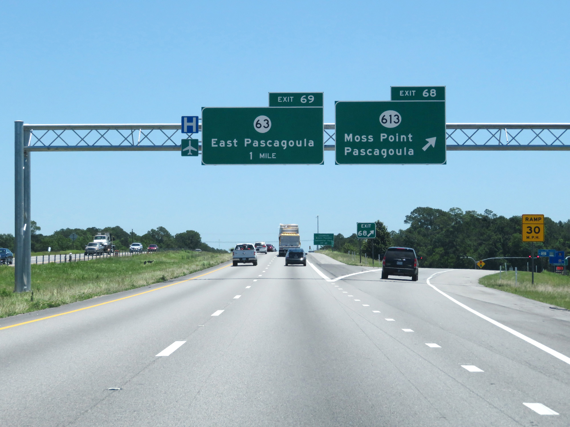 |
Interstate 10 East at Exit 68: MS 613 - Moss Point / Pascagoula (Photo taken 5/26/17). |
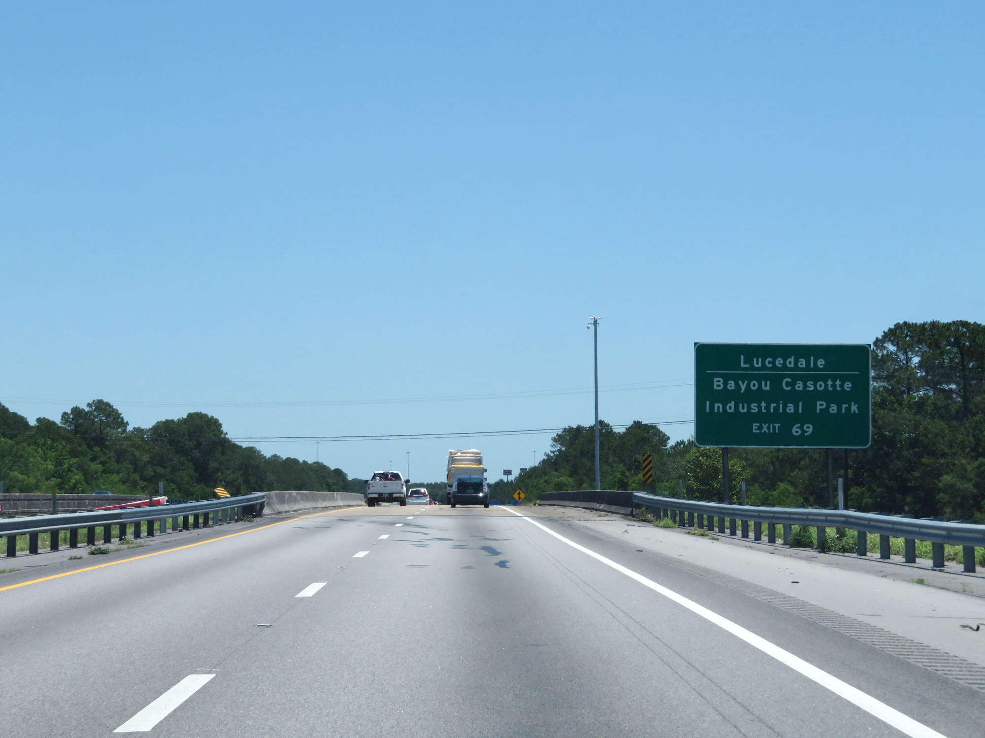 |
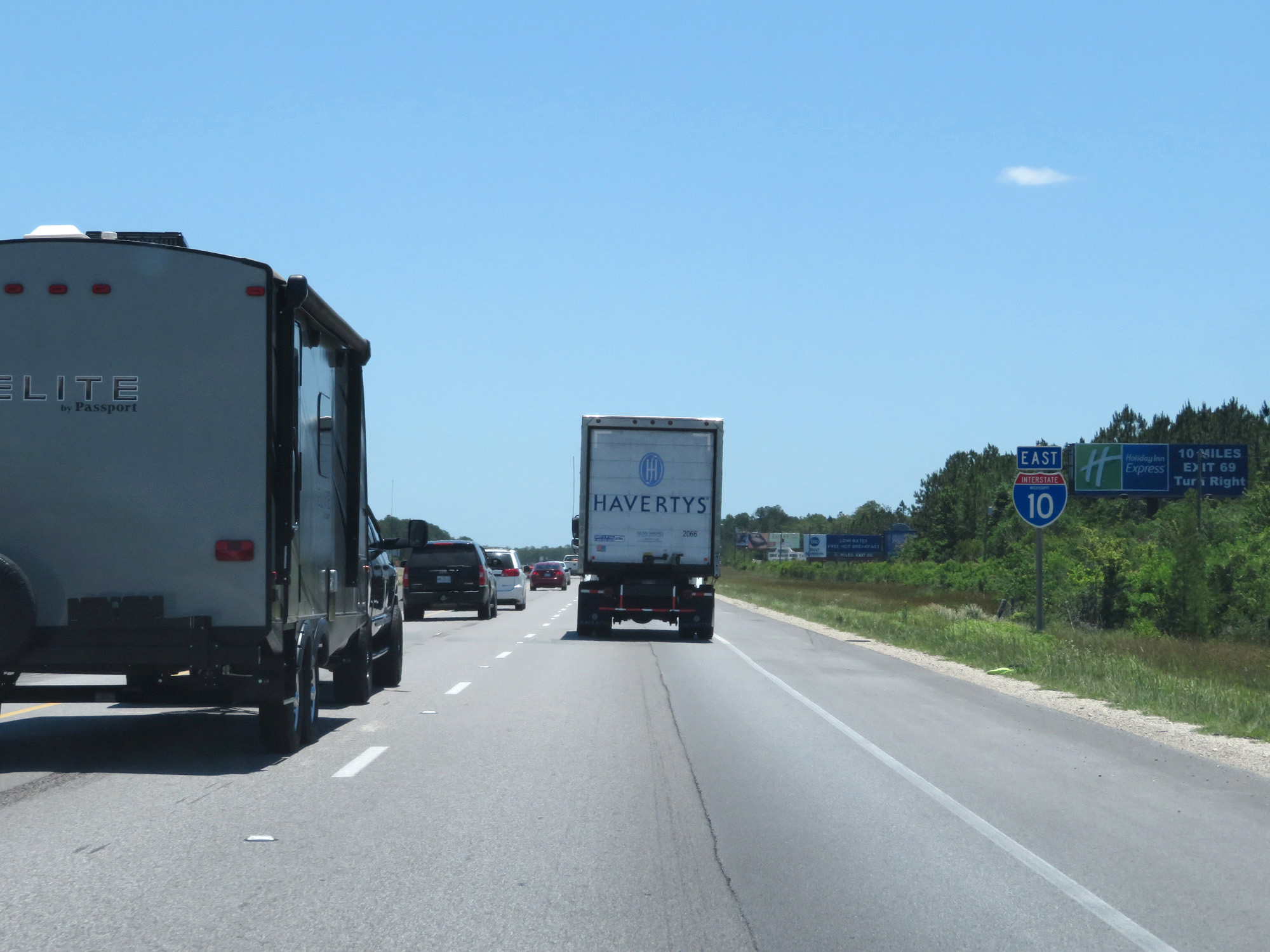
Take Exit 69 to Lucedale and Bayou Casotte Industrial Park. (Photo taken 5/26/17). |
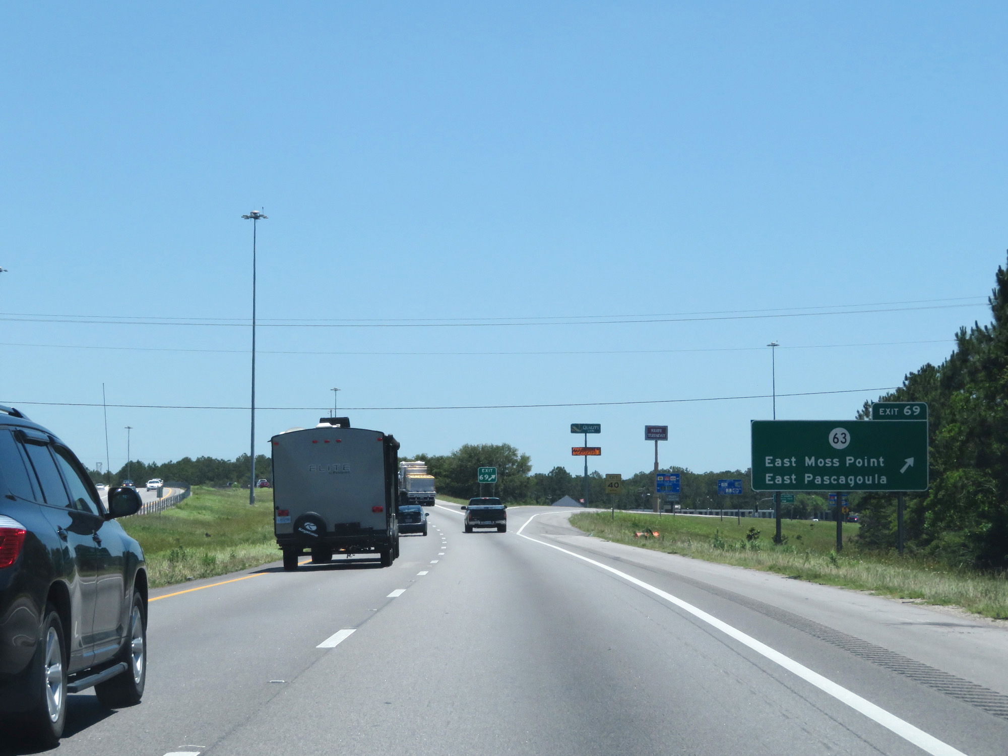 |
Interstate 10 East at Exit 69: MS 63 - East Moss Point / East Pascagoula (Photo taken 5/26/17). |
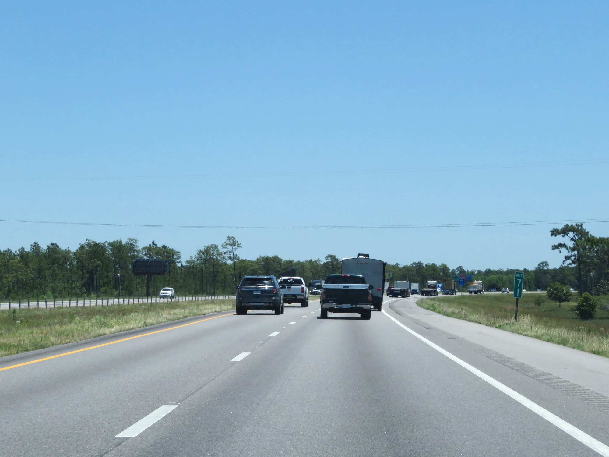 |
Interstate 10 East at mile marker 71. (Photo taken 5/26/17). |
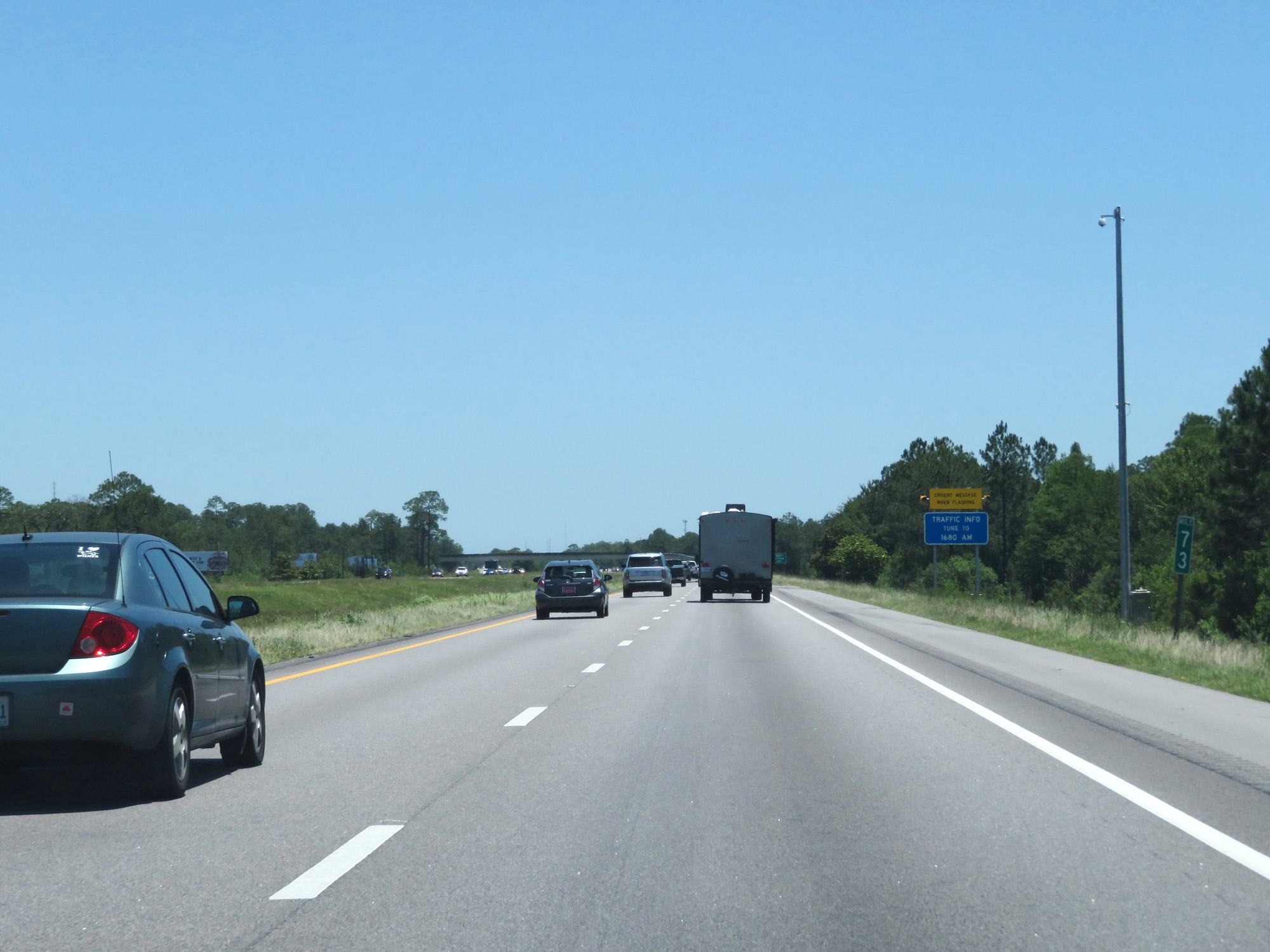 |
Interstate 10 East at mile marker 73. (Photo taken 5/26/17). |
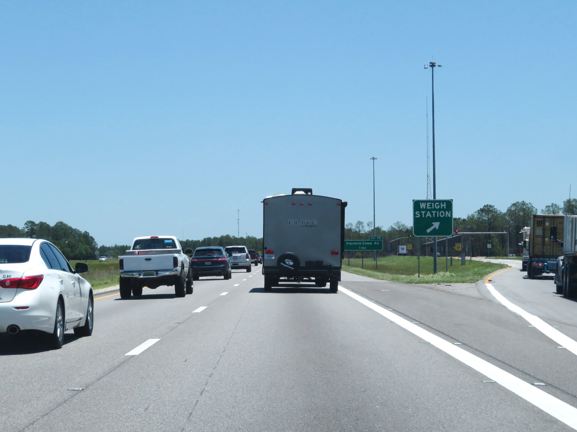 |
Interstate 10 East at the Weigh Station in Jackson County. (Photo taken 5/26/17). |
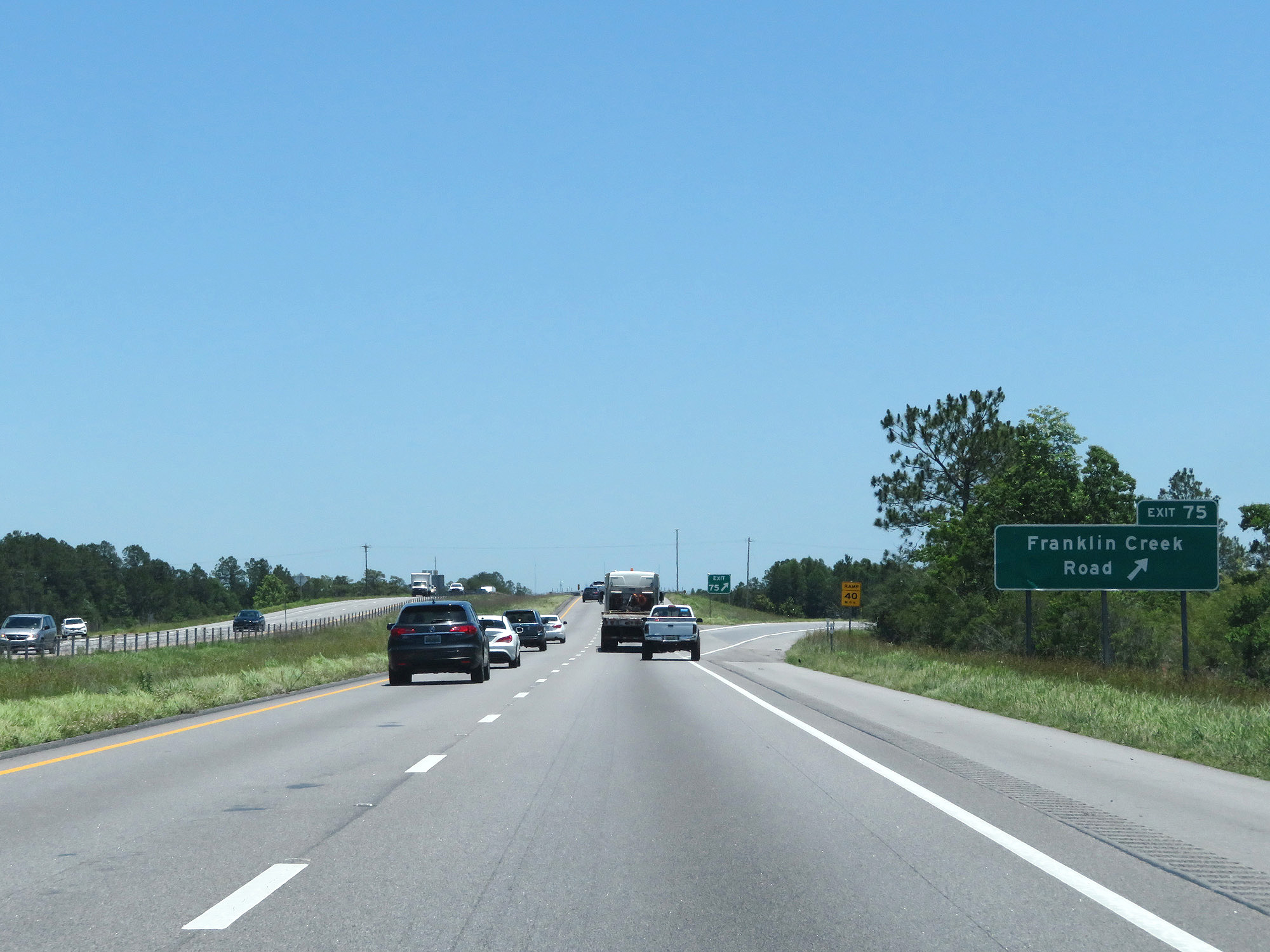 |
Interstate 10 East at Exit 75: Franklin Creek Road (Photo taken 5/26/17). |
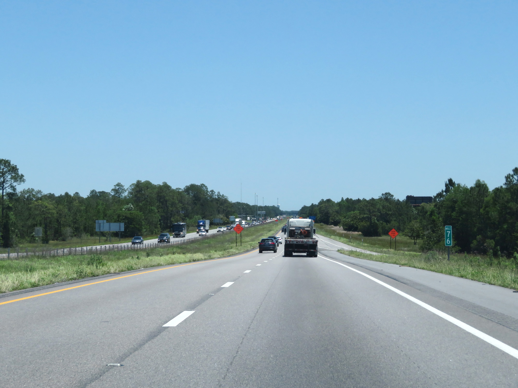 |
Interstate 10 East at mile marker 76. (Photo taken 5/26/17). |
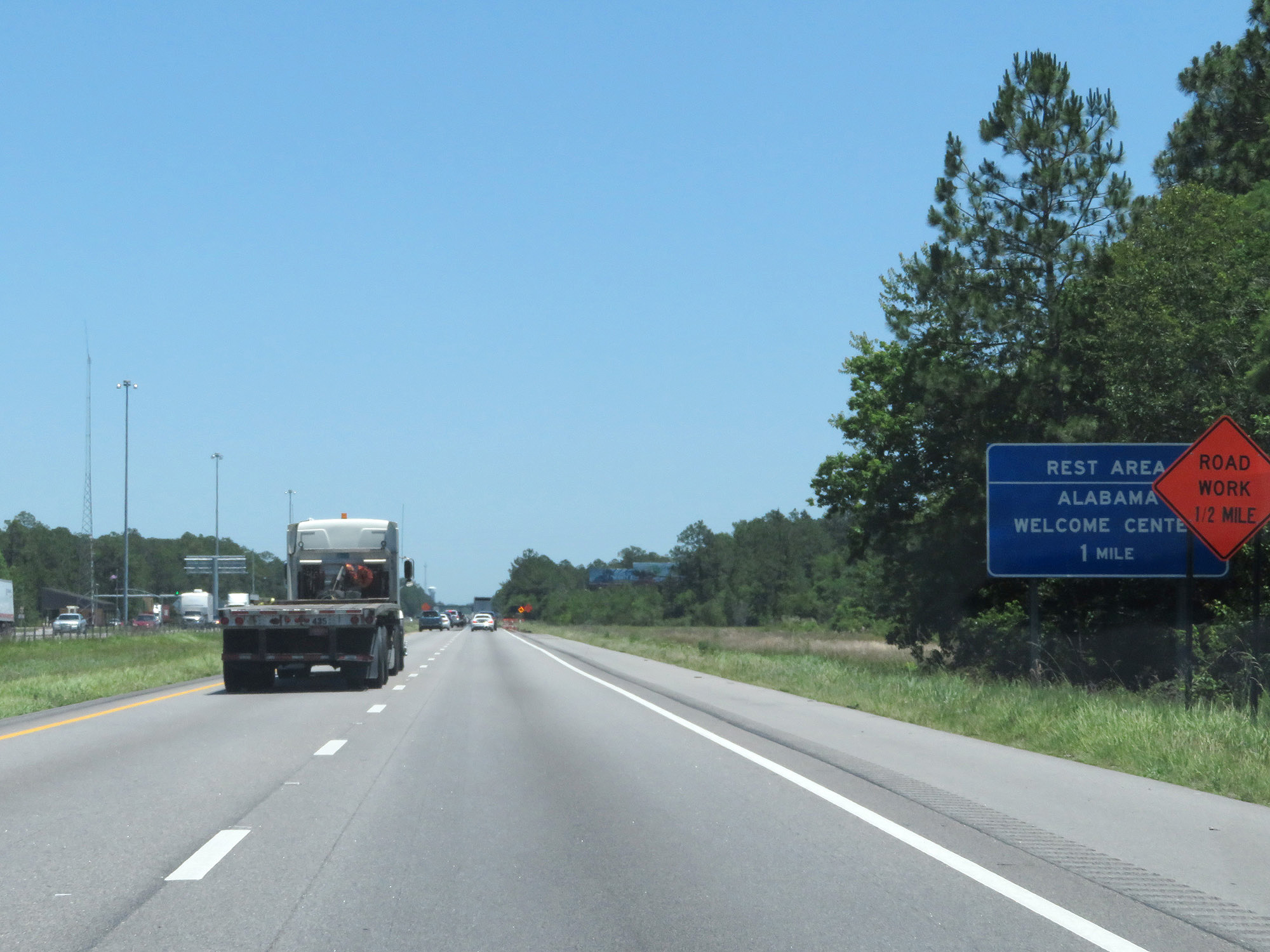 |
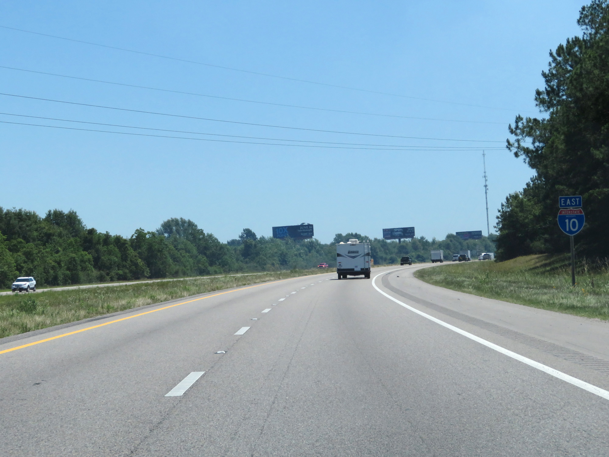
Interstate 10 East as it prepares to enter Alabama. (Photo taken 5/26/17). |